Date: 12 November
Distance walked: 14.3km 
Trail covered: kms 805.8 to 820.7
Weather: hail, thunder, sun, wind, rain, you name it, I had it
Average number of minutes per kilometer down the mountain: 39
I think this first picture sums up the day well.
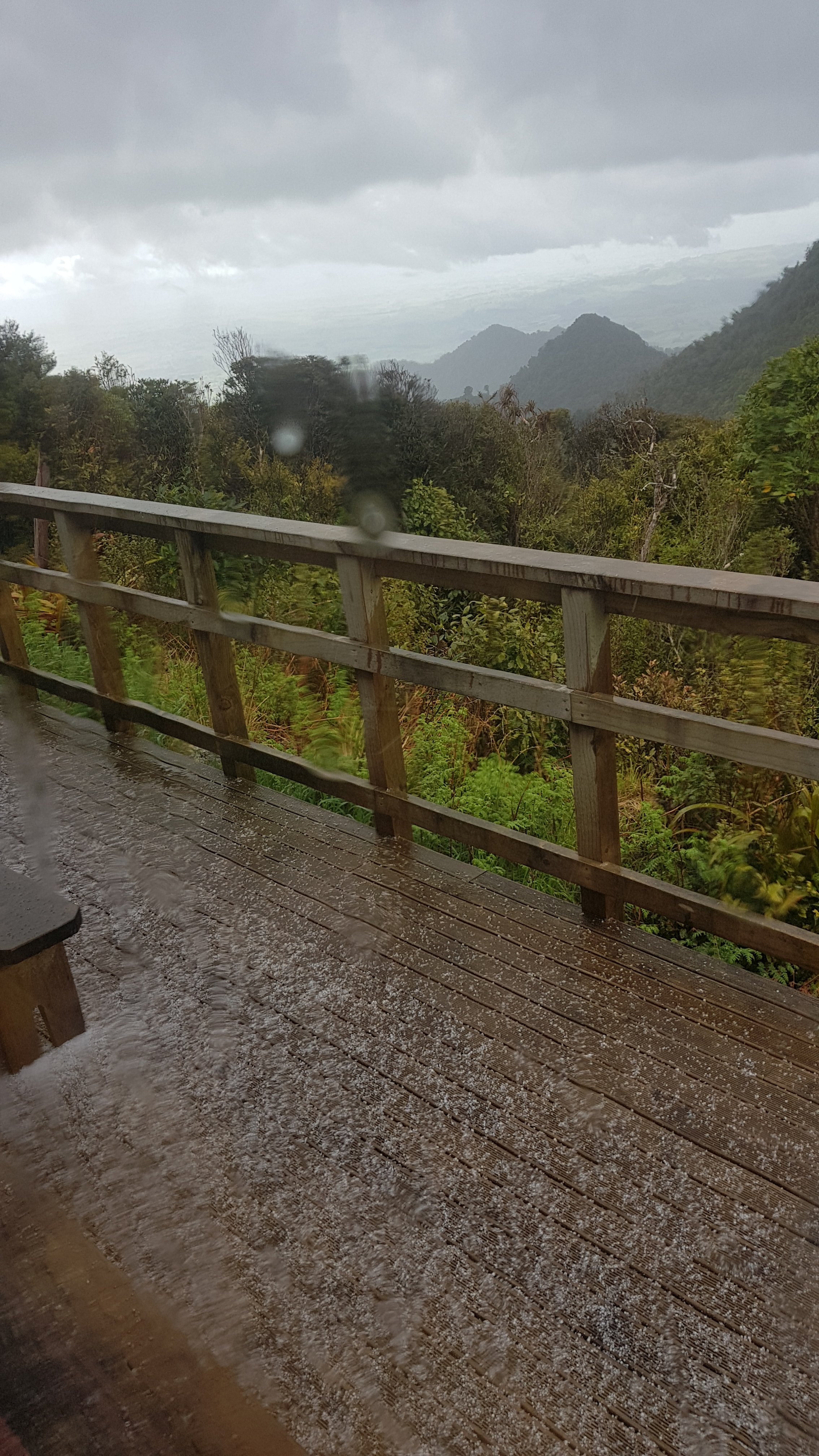
Yes, just as I was ready to leave the hut… a hailstorm. Crikey, I did not expect that. Checked the weather forecast… oh yep, it’s right there. This is going to put a dent in my plan, which was to leave the hut after breakfast, have a leisurely stroll down the mountain, and meet my friend Oliver at 4pm. This seemed like a conservative time when I arranged it with him but this hail has delayed my start.
Henry and George had already left. That meant they were getting hailed on right now. I guess things could be worse. Henry and George are father and son from Taranaki which I forgot to mention yesterday. George has just joined his son for the Mt. Pirongia section of the walk.
I spent a bit of time in the hut writing some blog posts and chatting to Rhydian. He says he is going to have another day in the hut and attempt the 47km to Waitomo tomorrow. Good on him… ambitious… but good on him! The walk down from Pirongia is supposed to be very muddy, and therefore very slow going. I wonder exactly how muddy. I’m not looking forward to it, I’ll be honest. I have visions of Raetea Forest again. Surely nothing can be that bad.
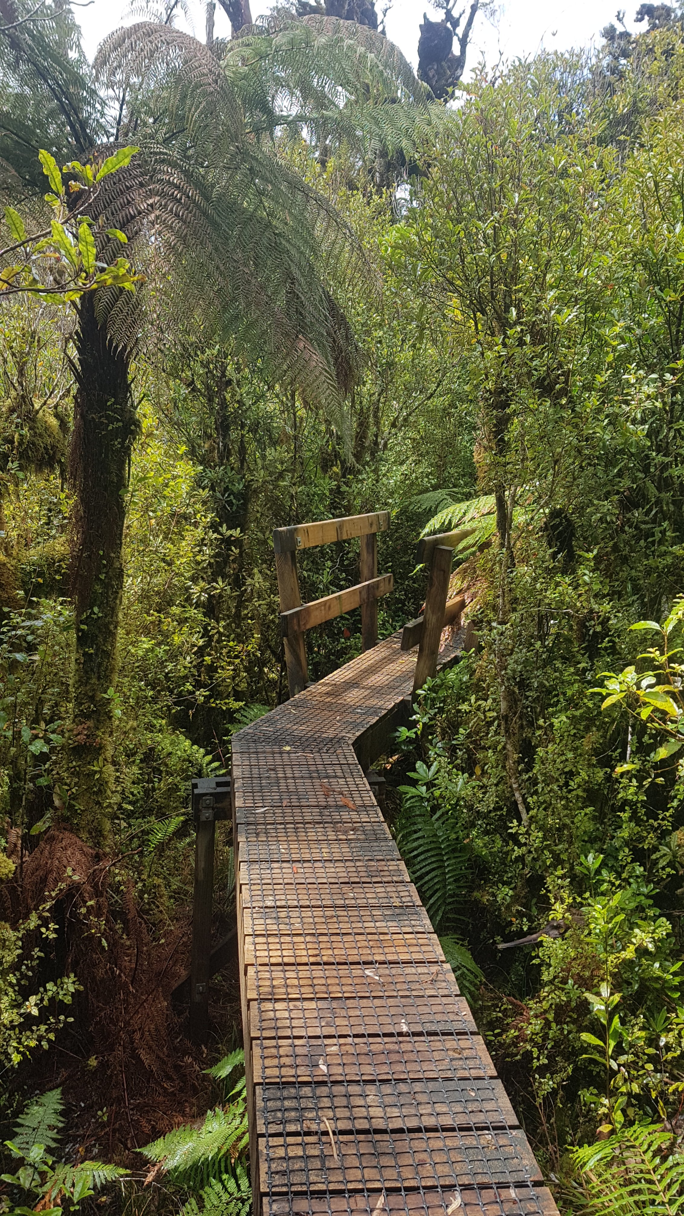
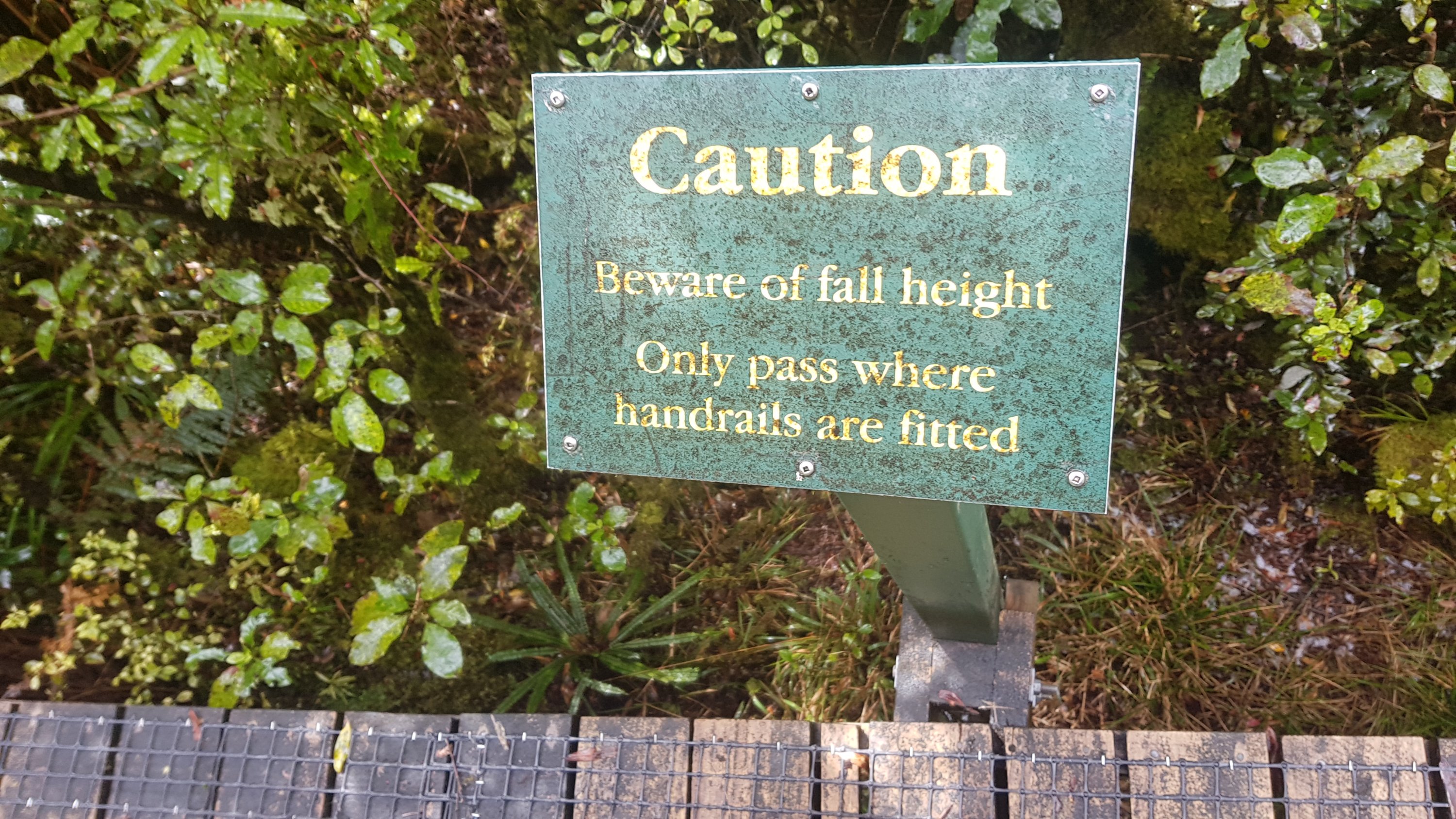
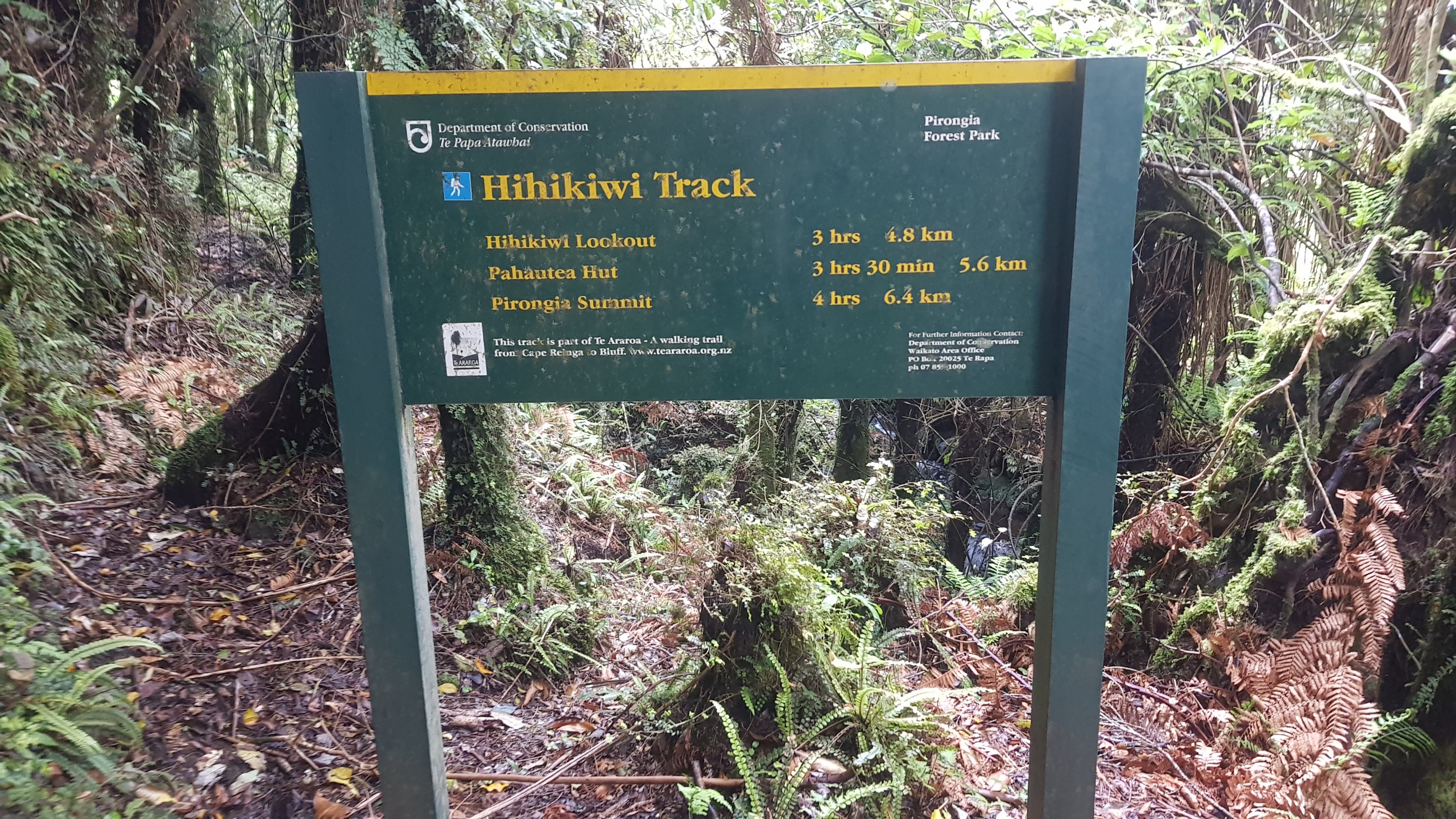
The first bit out of the hut is on boardwalk.
It’s very high boardwalk.
In fact, my 11am picture is even the sign telling you not to pass anyone on the boardwalk except where handrails are present. Good advice.
I soon saw this. This is the Hihikiwi Summit. See all the stairs… am I going up there? I bet I am!
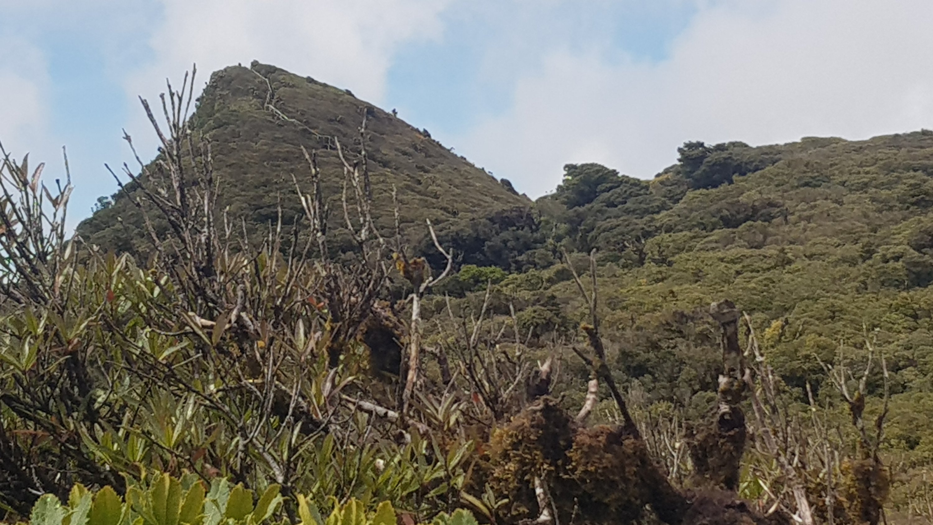
Yep that’s where I was going.
Sadly though, in the short time between those two pictures the clouds moved in again and I couldn’t see the view.
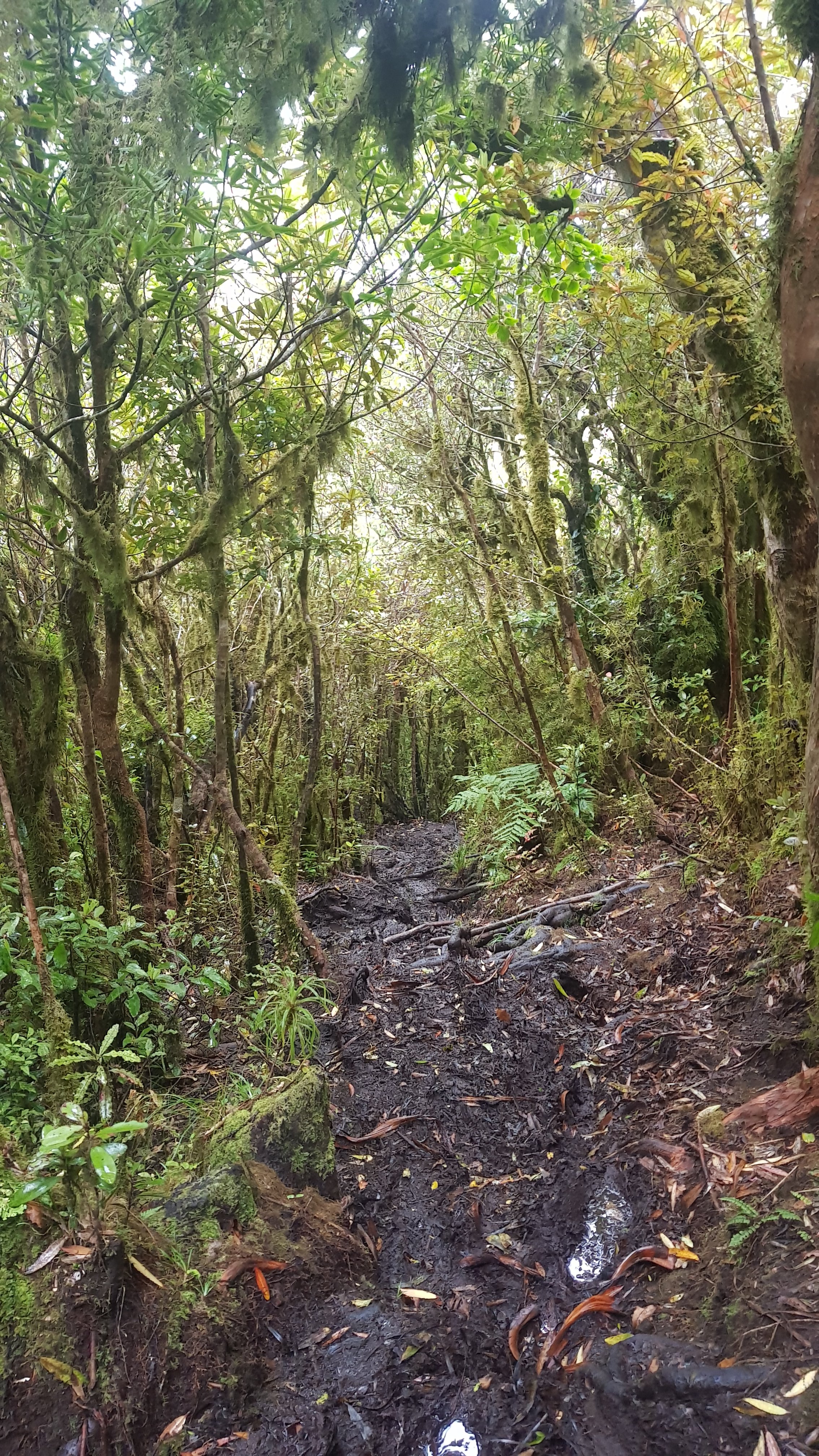
Here the boardwalk ended. And the mud began.
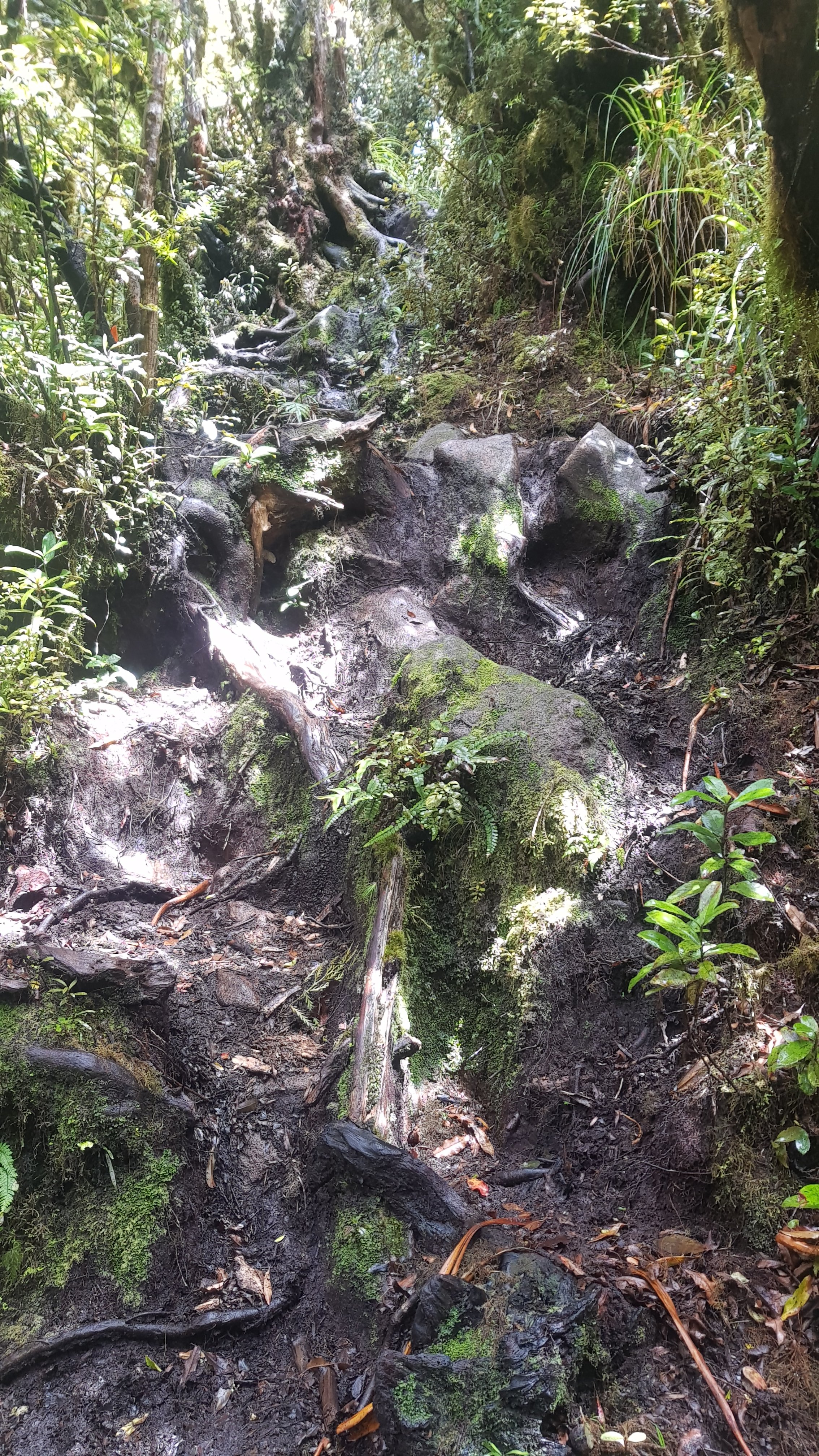
And some steep climbs, despite the fact I was supposed to be going down.
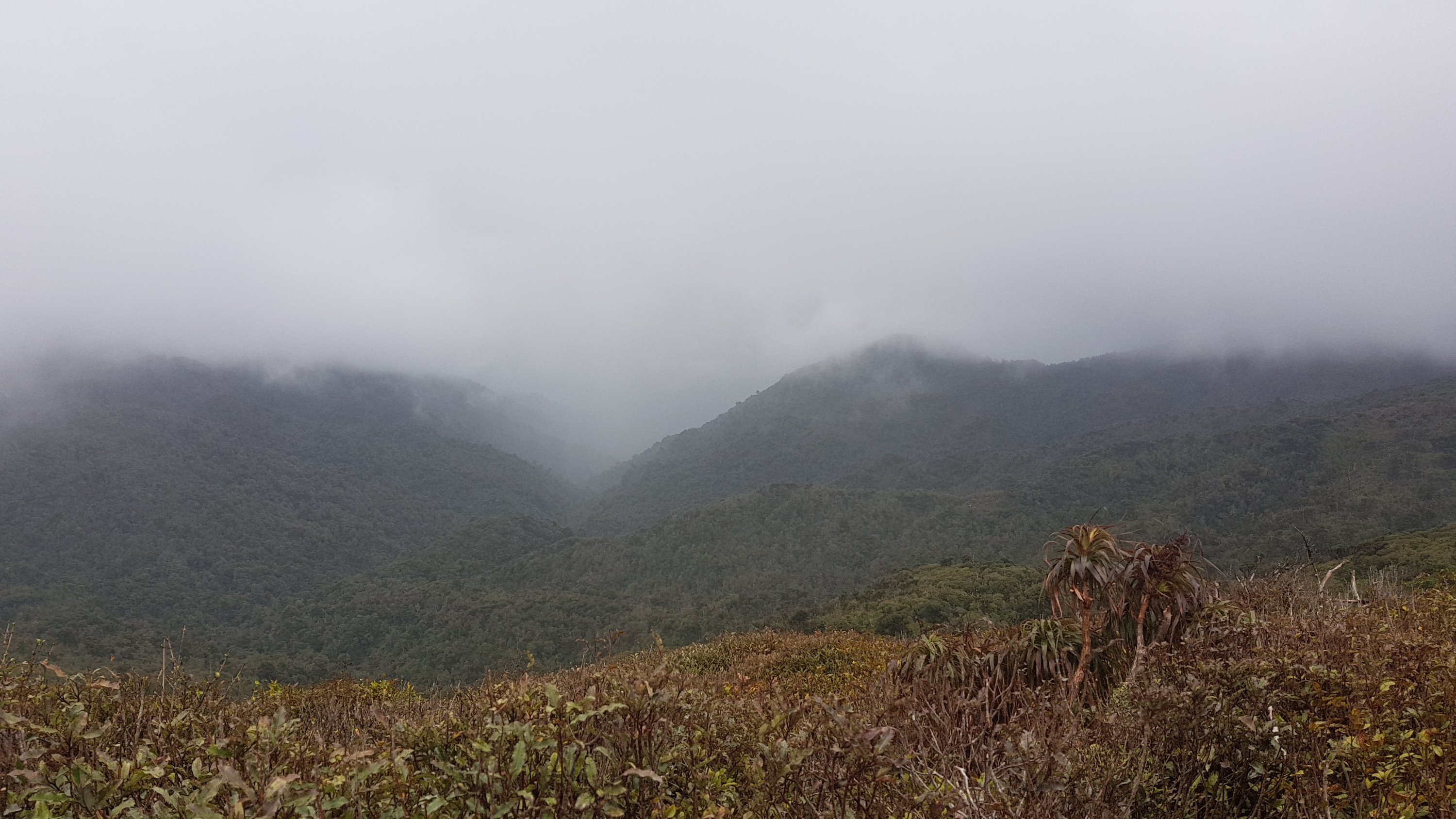
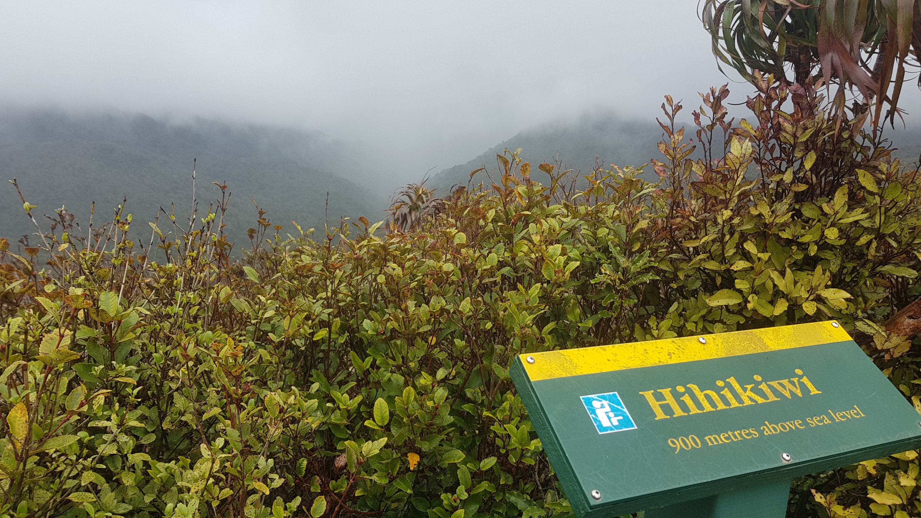
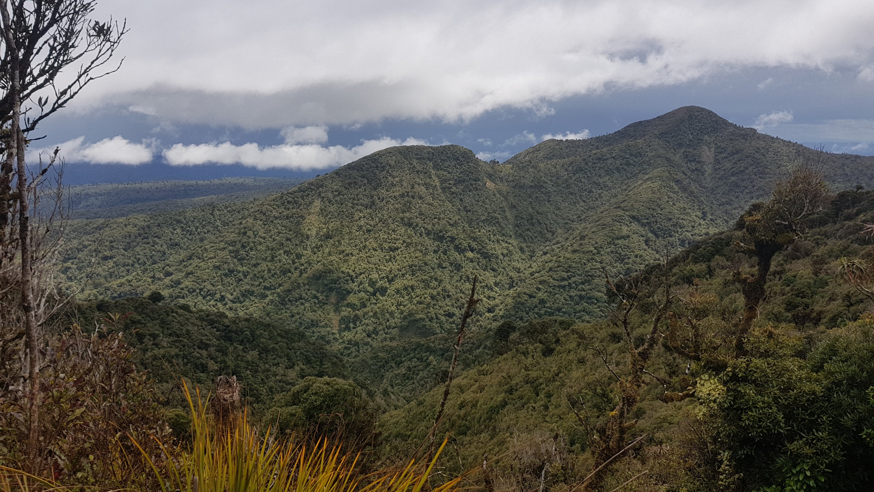
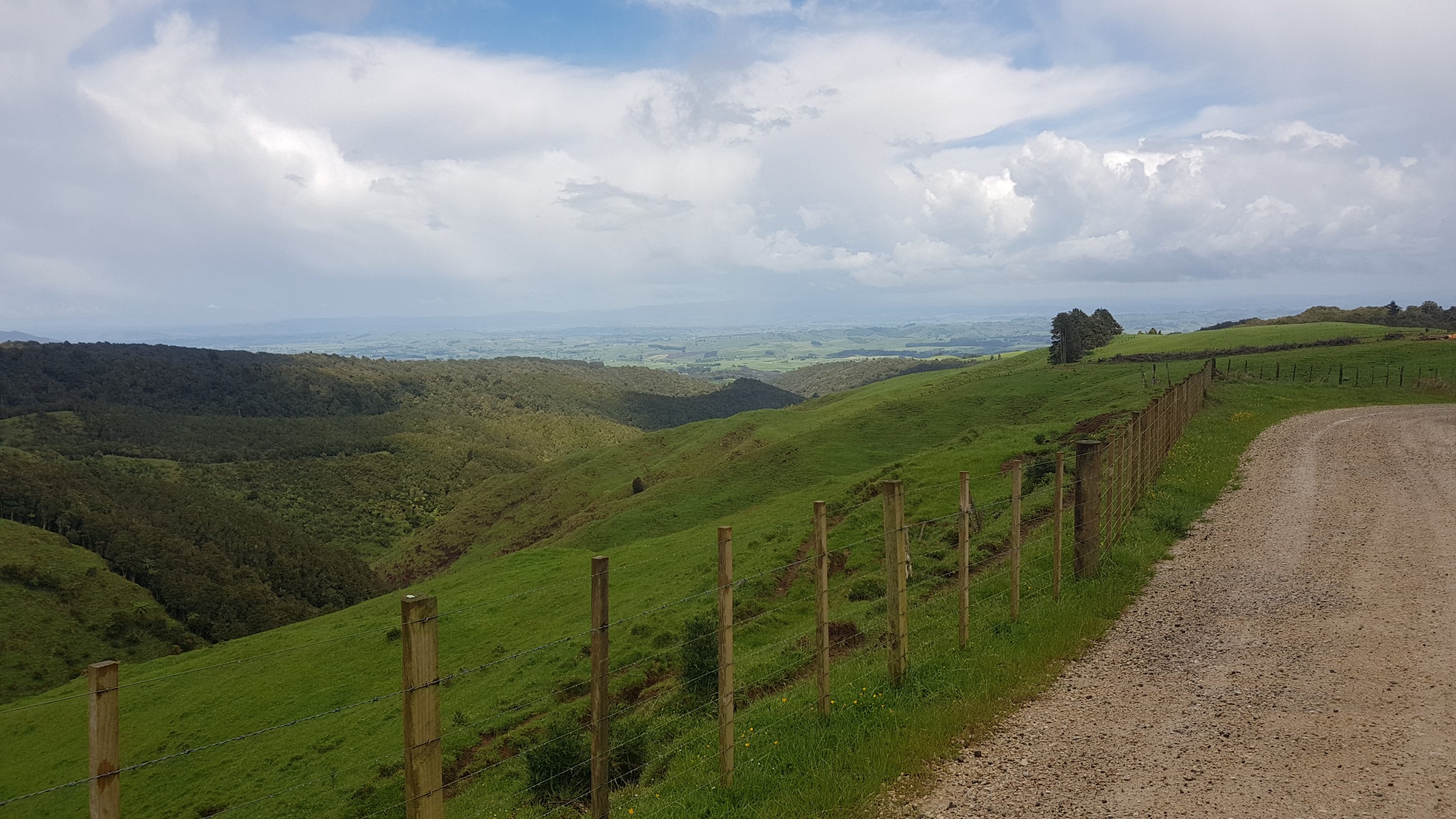
I guess there was the odd nice view.
But then back to mud.
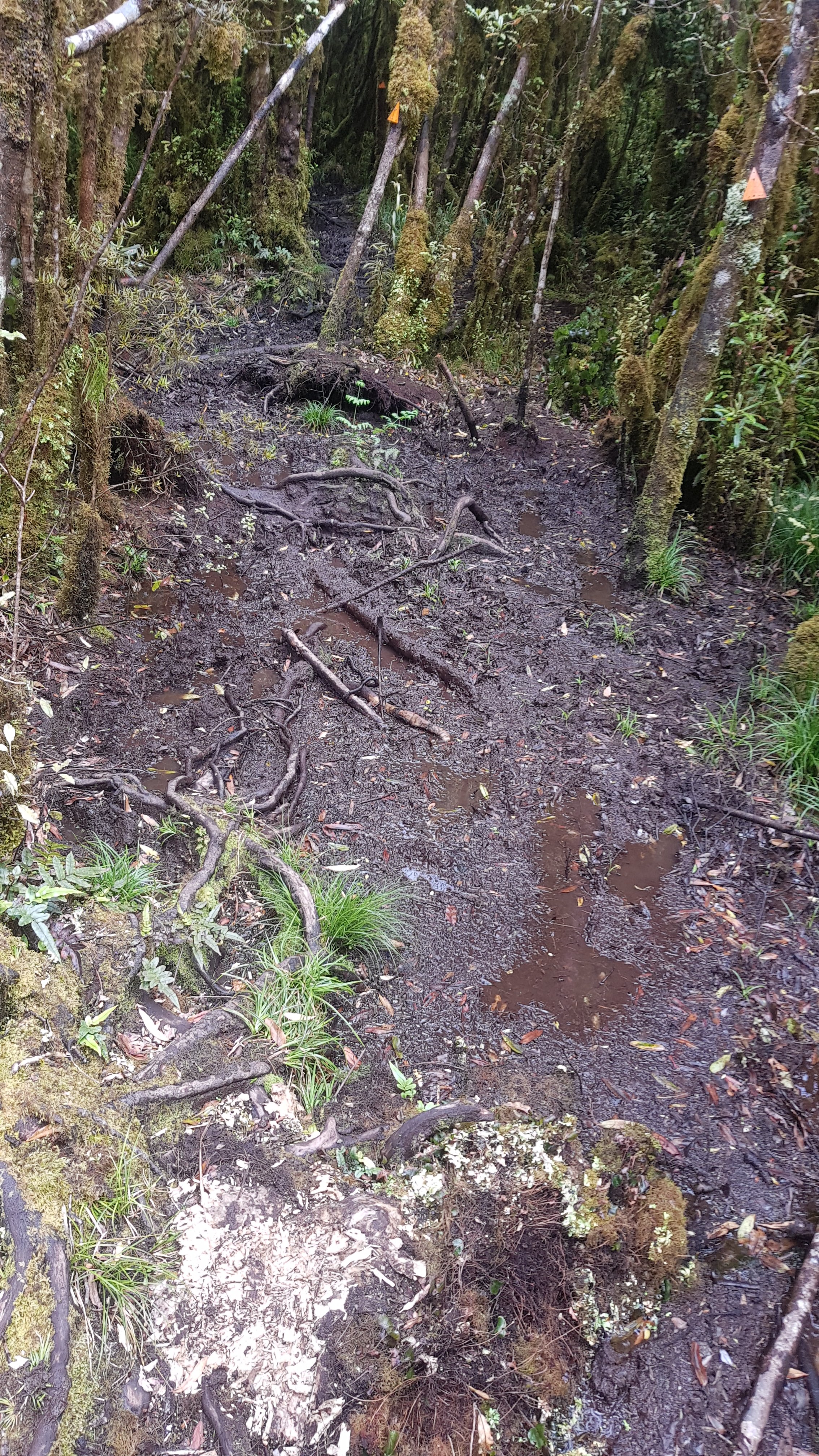
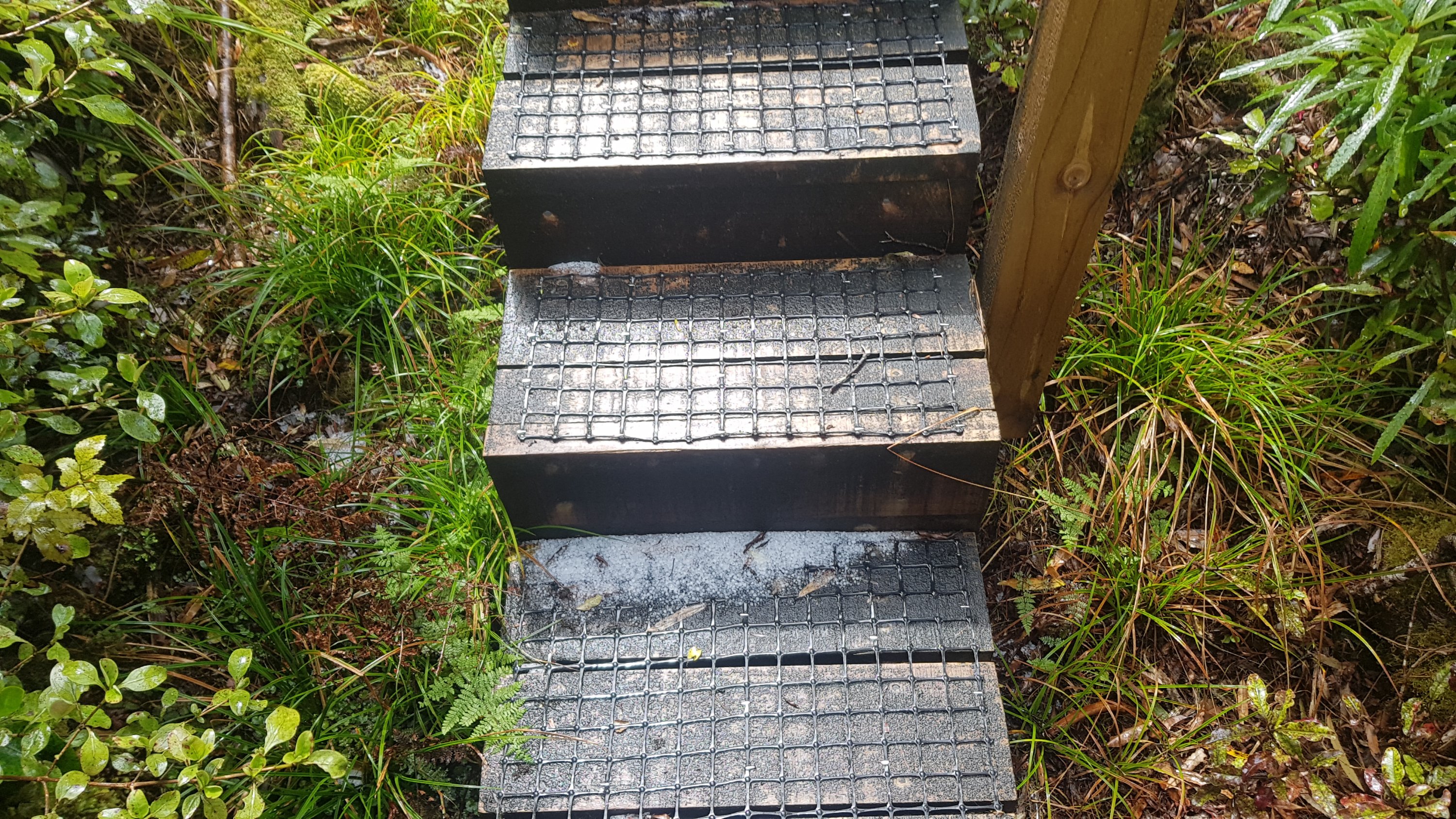
And little bits of boardwalks which didn’t last long, and again, not sure why they were there.
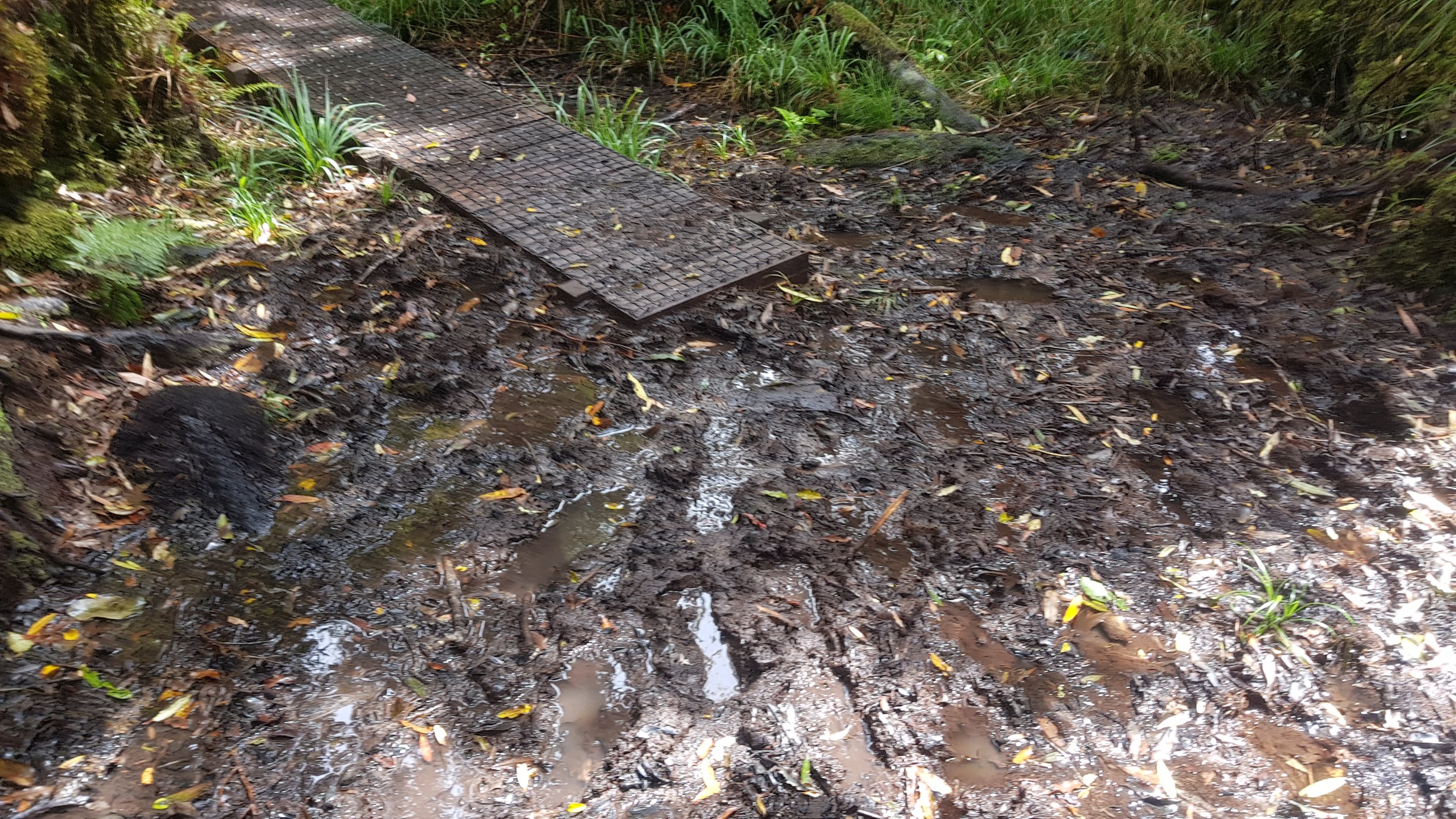
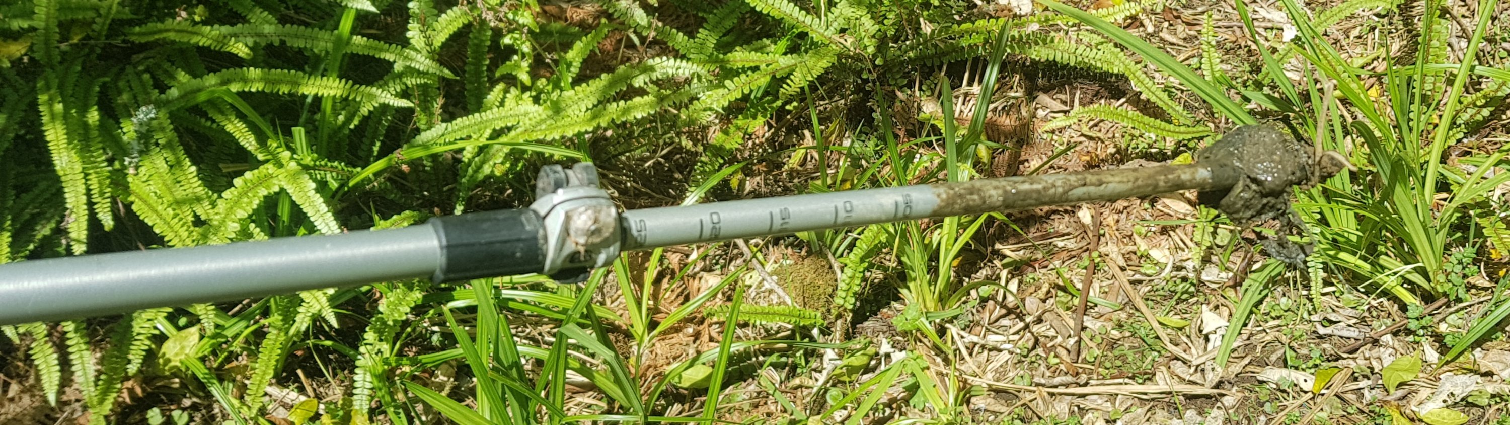
Maybe if DOC decide the mud is so deep that it’s dangerous, i.e. over your head, they build a boardwalk, I don’t know. Actually, it’s worth pointing out that one use for walking poles is to use them as a “dipstick” for testing the depth of mud before you step into it. If it’s deeper than in this photo, perhaps try somewhere else.
It really was slow going. Not quite as bad as Raetea, but almost. And because I was meeting Oliver today and had a deadline, I was getting frustrated with all the mud. It was exactly 5kms down from Pahautea Hut, if you believe the GPS watch. Those 5 kms took 39, 41, 47, 33 and 37 minutes each, respectively.
The descent was from 940 metres above sea level down to about 500. I’m very grateful that I did not have to walk down through mud all the way to sea level. I couldn’t have handled that.
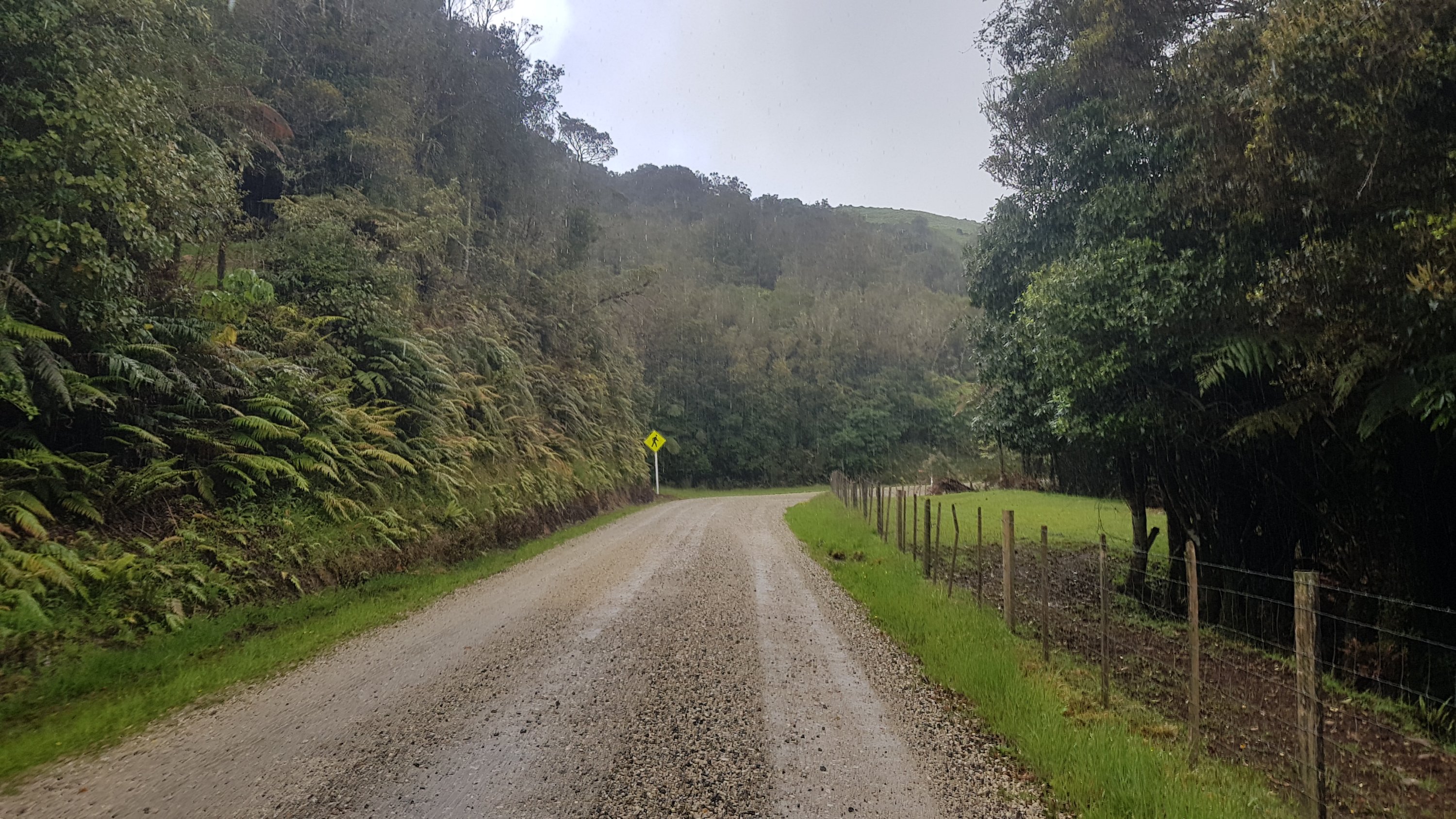
I knew the next 10km to where I was meeting Oliver was all road walking though, and I had 2 hours, so I was going to be on time at least. As luck would have it though, the rain started almost as soon as I came out of the forest.
It rained for a fair bit, so I can safely say this is the wettest I’ve been on the trail so far. But I’ve been lucky with the weather as you all know, and I was out of the mud now, so I didn’t mind. In fact, the rain helped get mud off my shoes and poles. And for the last hour of the road walk, the clouds cleared and the sun shone and so my stuff dried anyway. Can’t complain.
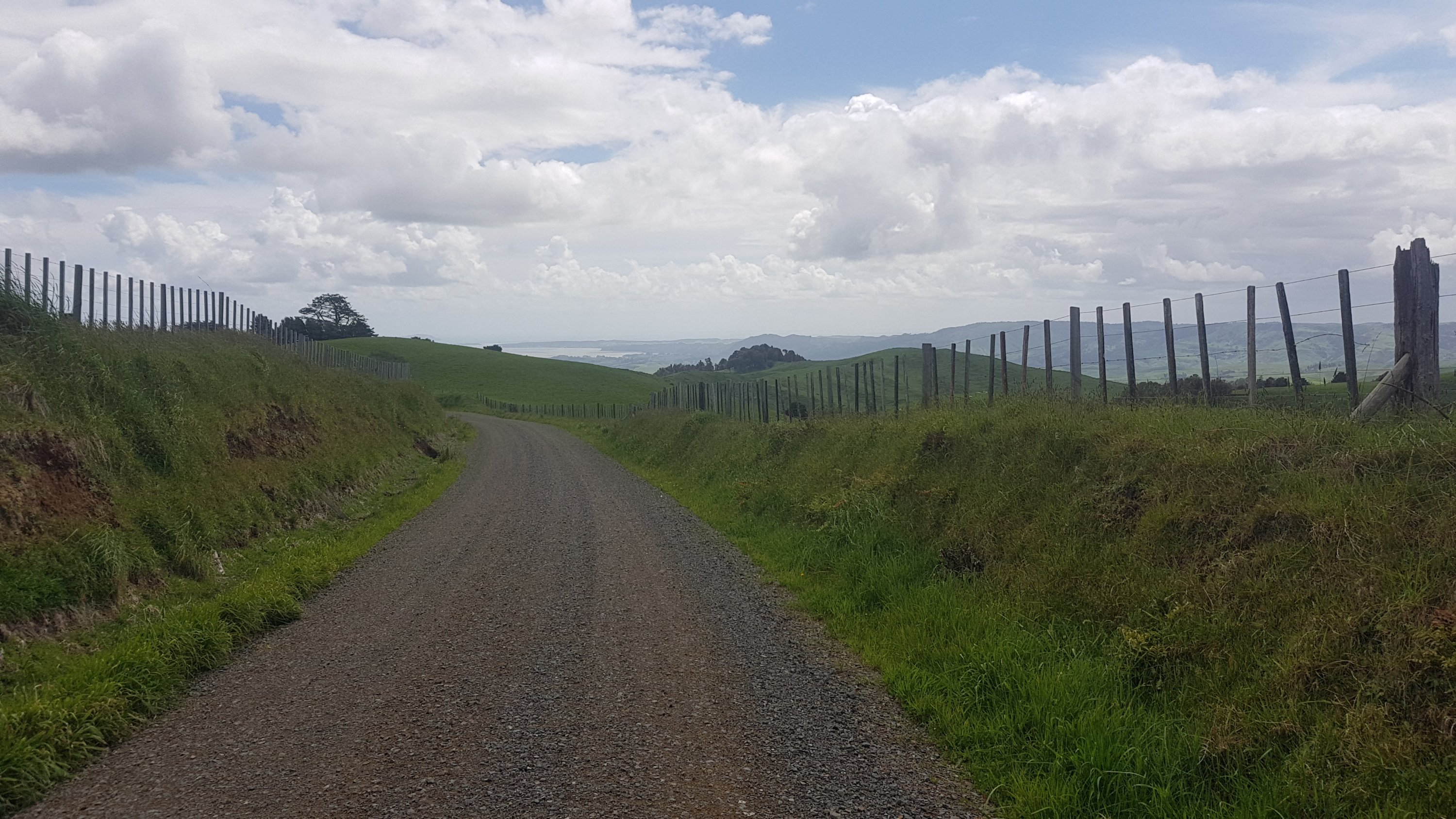
The road walking got a bit tedious but I was on a mission to get somewhere on time so I just focused on putting one foot in front of the other quickly.
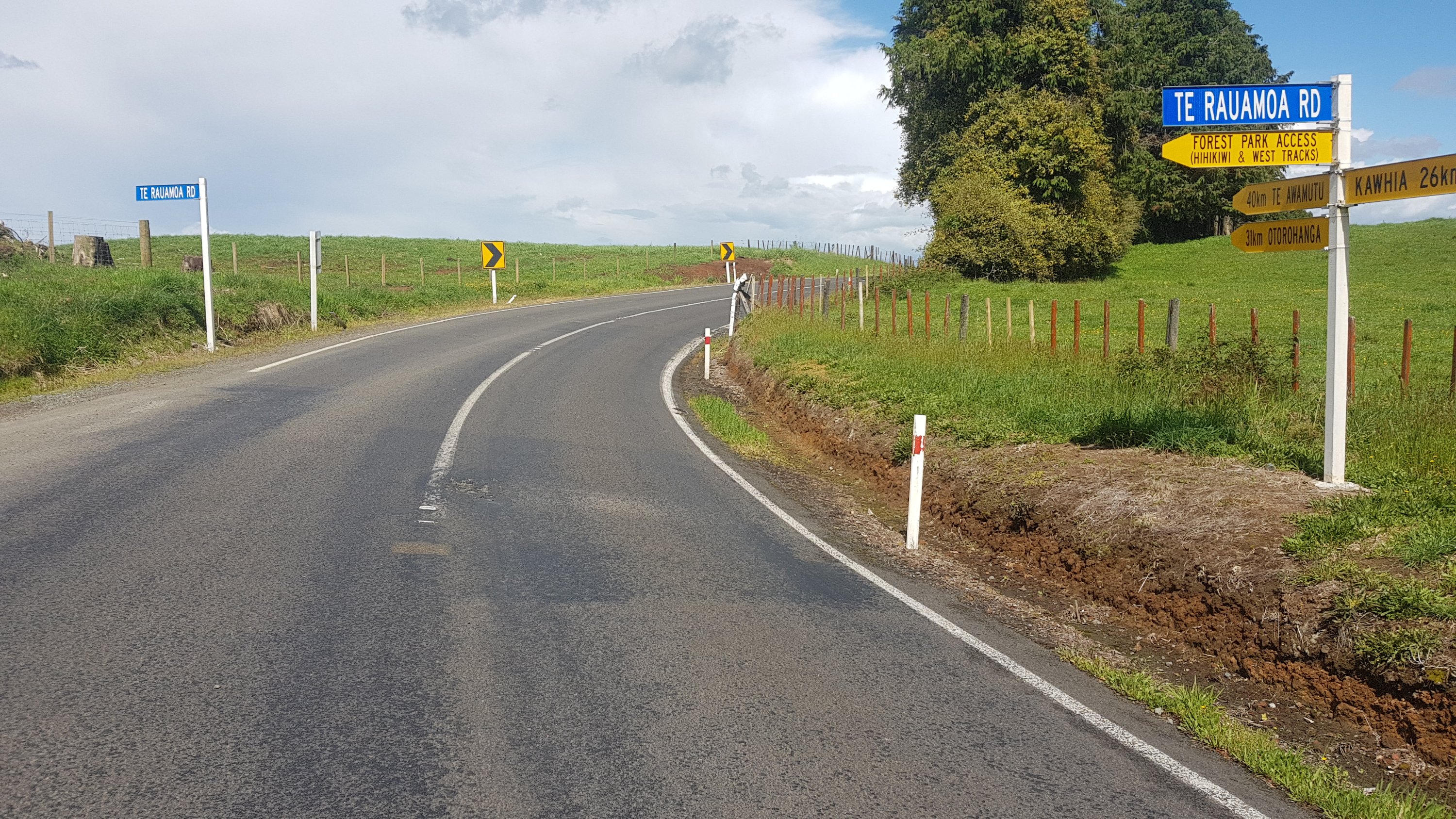
Onto Te Rauamoa Rd now…
Te Rauamoa is where I am meeting Oliver. I don’t know if there is anything there, I think it’s just an intersection that is close to where his farm is in Hauturu. To be honest, I don’t know where Te Araroa walkers stay in this area if they don’t know someone.
The final bit of walk was on State Highway 31. It’s the road to Kawhia and is quite a quiet road for a state highway. Maybe one car every minute or so.
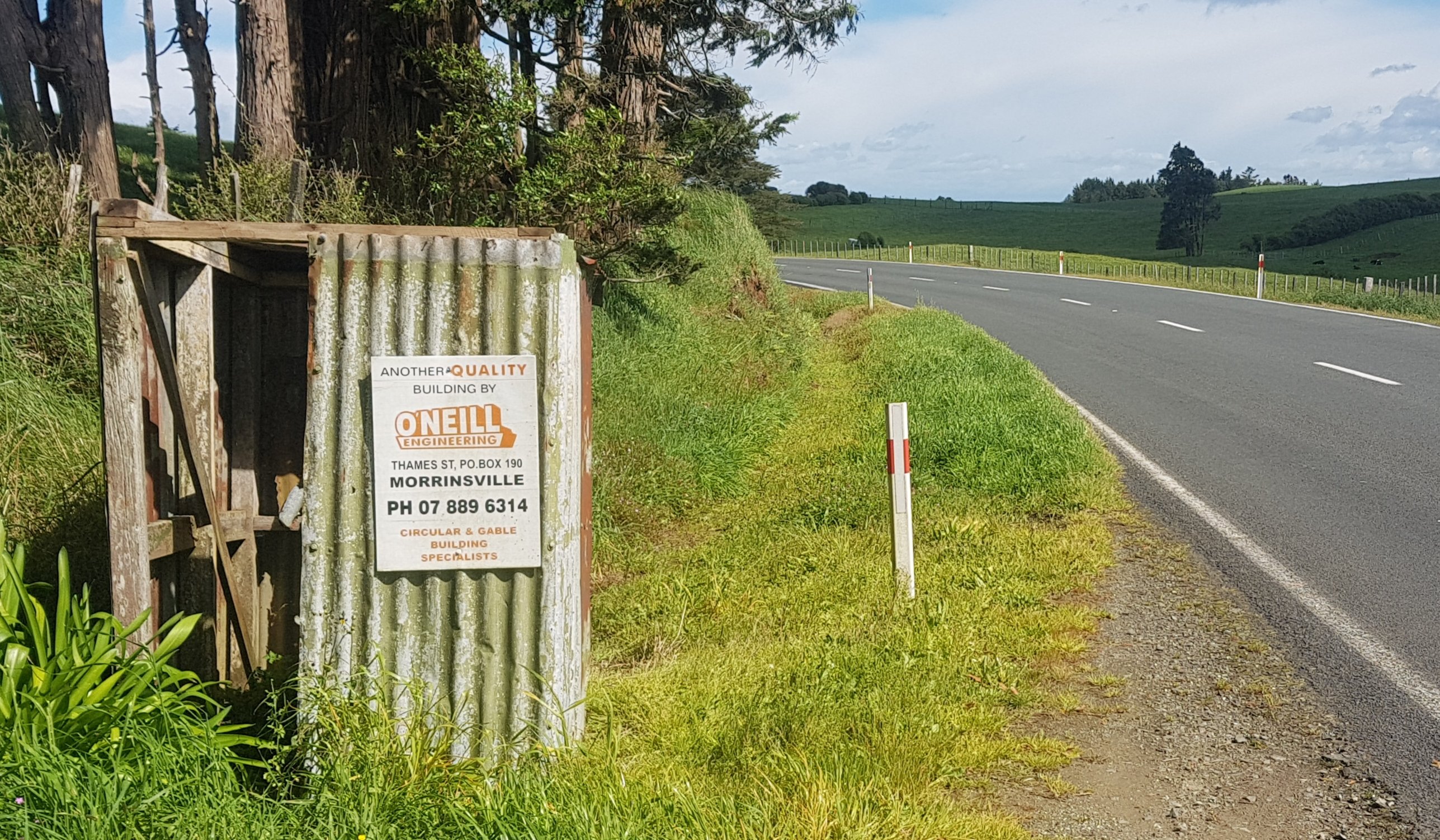
2.4km down here and I was at the meeting point. Not much to see on this road, except I did notice this. “Another quality building by O’Neill Engineering, Morrinsville”. Yep, if you want a rusted out falling apart shed with no roof on the side of the road, you know who to call.
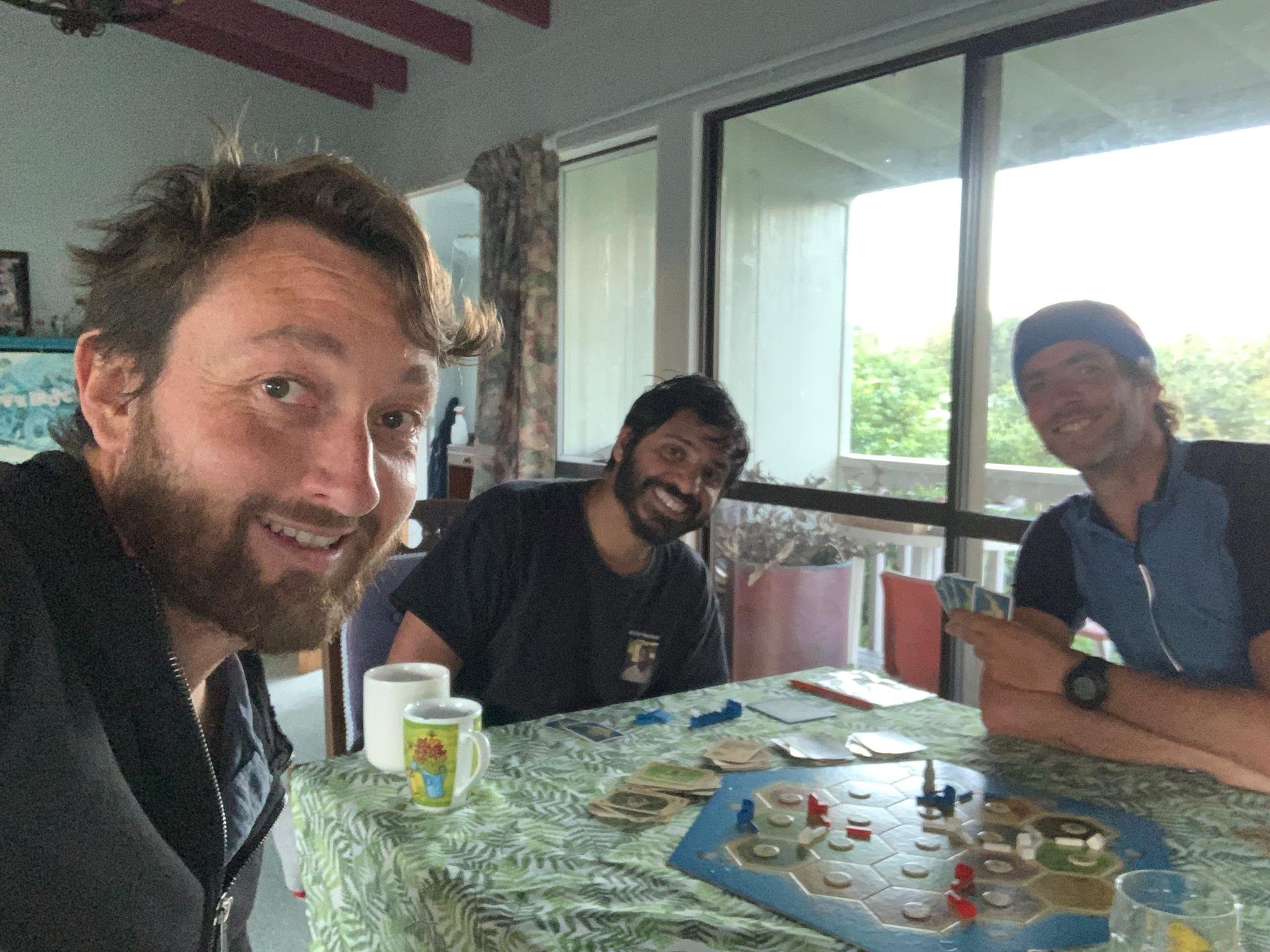
Oliver picked me up and I got a milkshake and later a chicken burger and chips and cold beer in Kawhia. It was a bit late to see the animals on the farm, so we are going to do that tomorrow. But there was time for three games of Settlers of Catan. I like that game… especially when I win two games out of three.
I also got to have a hot shower. And I’ll tell you now, I had to do a lot of scrubbing to get that Pirongia mud off my skin. It just doesn’t budge.
Today's walk on the map (blue = Te Araroa, red = today's walk):
Hi Oliver!!!! 🙂
I don’t envy you on that muddy walk…. no thank you!
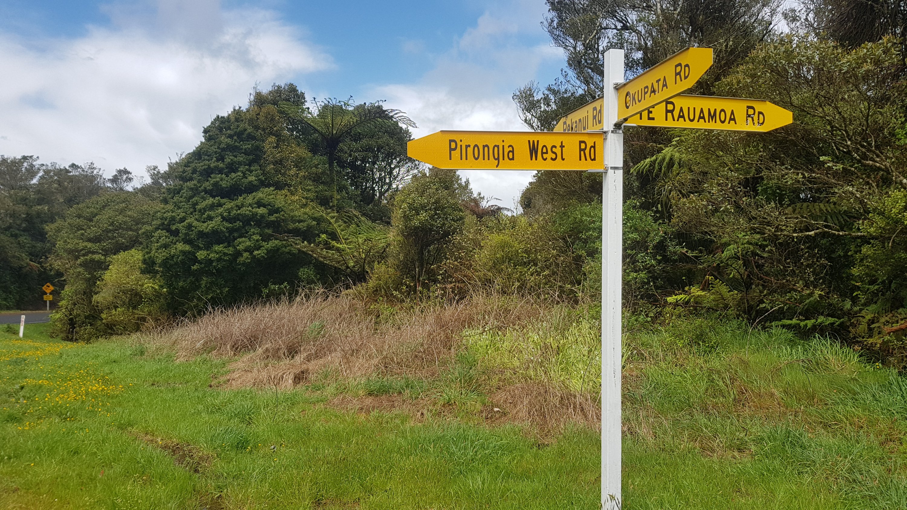
Also strange that I have lived in Pirongia but have never heard of Pirongia West Road, lol.
It’s a very “middle of nowhere” road. West of Mt. Pirongia is very in the middle of nowhere.