Date: 22 March
Trail covered: 23.6km (kms 2613.9 to 2637.5)
Weather: fine
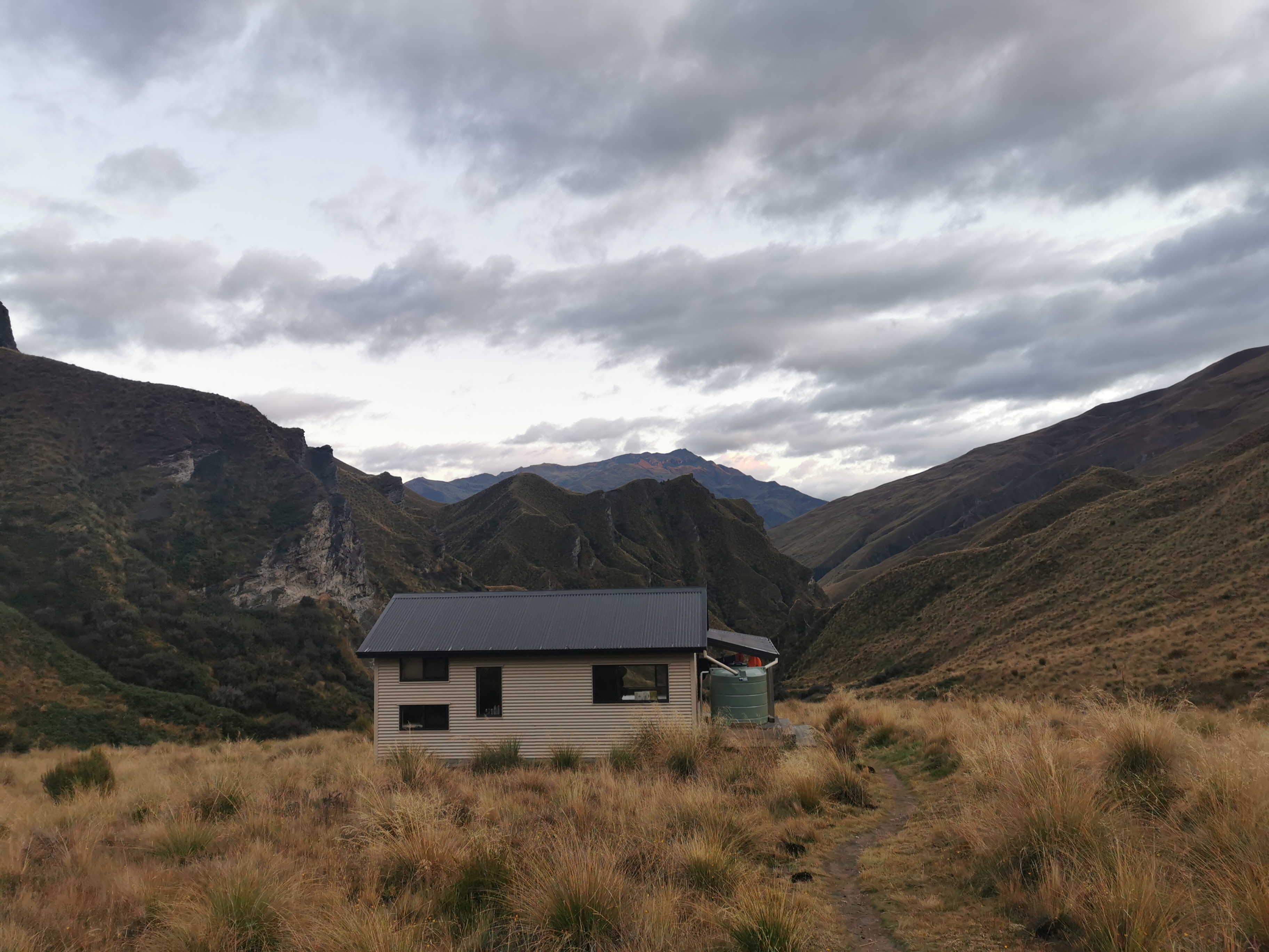
I slept really well during the night in Highland Creek Hut. Right through until 8am, which was a surprise because while I was having breakfast the others said “did you hear all those people outside the hut at 1am? Did you see their lights shining through the hut?” and I honestly didn’t. Normally I’m a light sleeper but I slept right through these inconsiderate people who apparently were hanging around the hut in the middle of the night.
I had hung yesterday’s wet clothes on the clothes line outside overnight under shelter but of course they were still wet and cold. I’m hoping I can stop somewhere for lunch today in the sun and dry stuff out, but that always takes time.
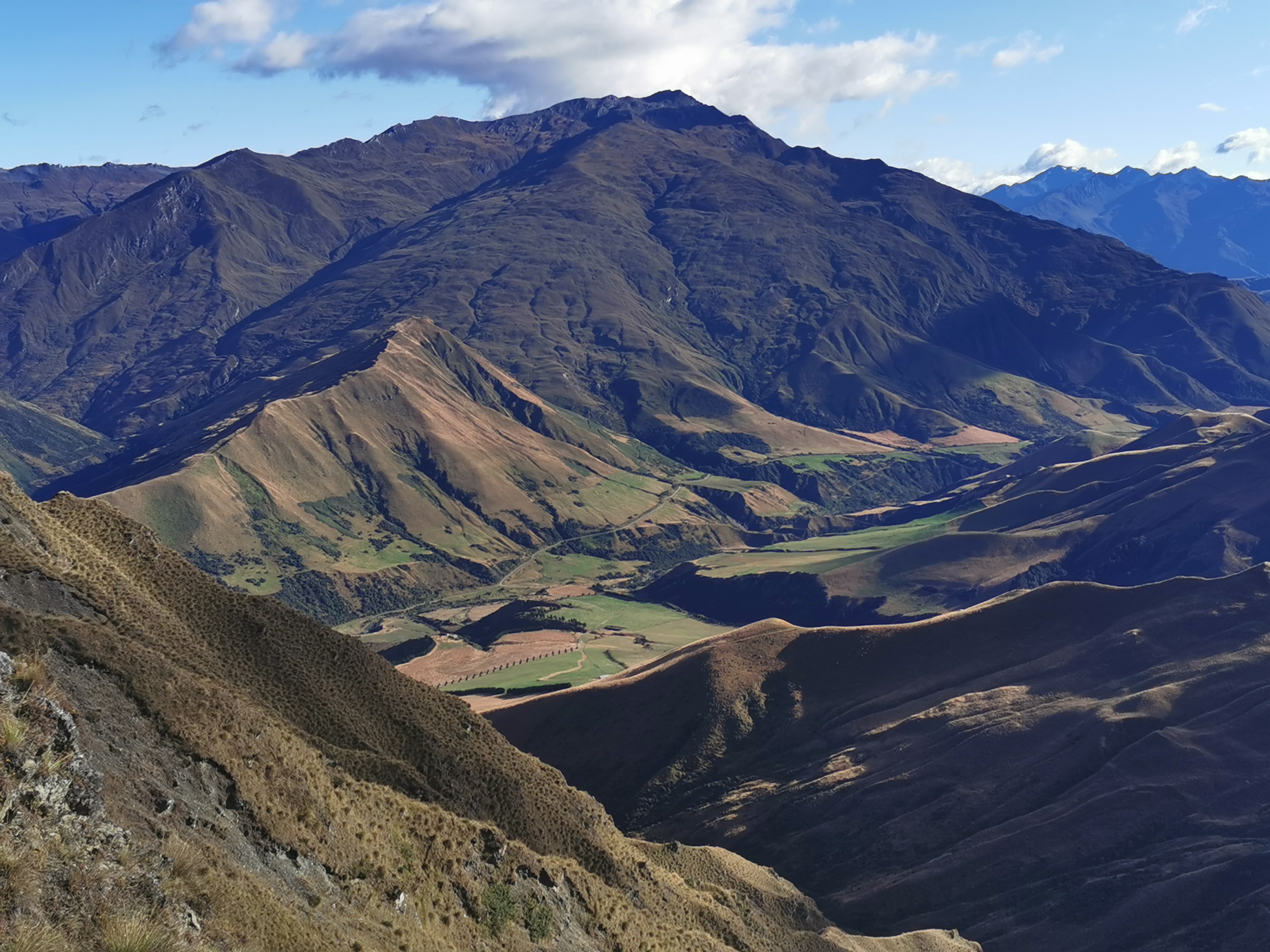
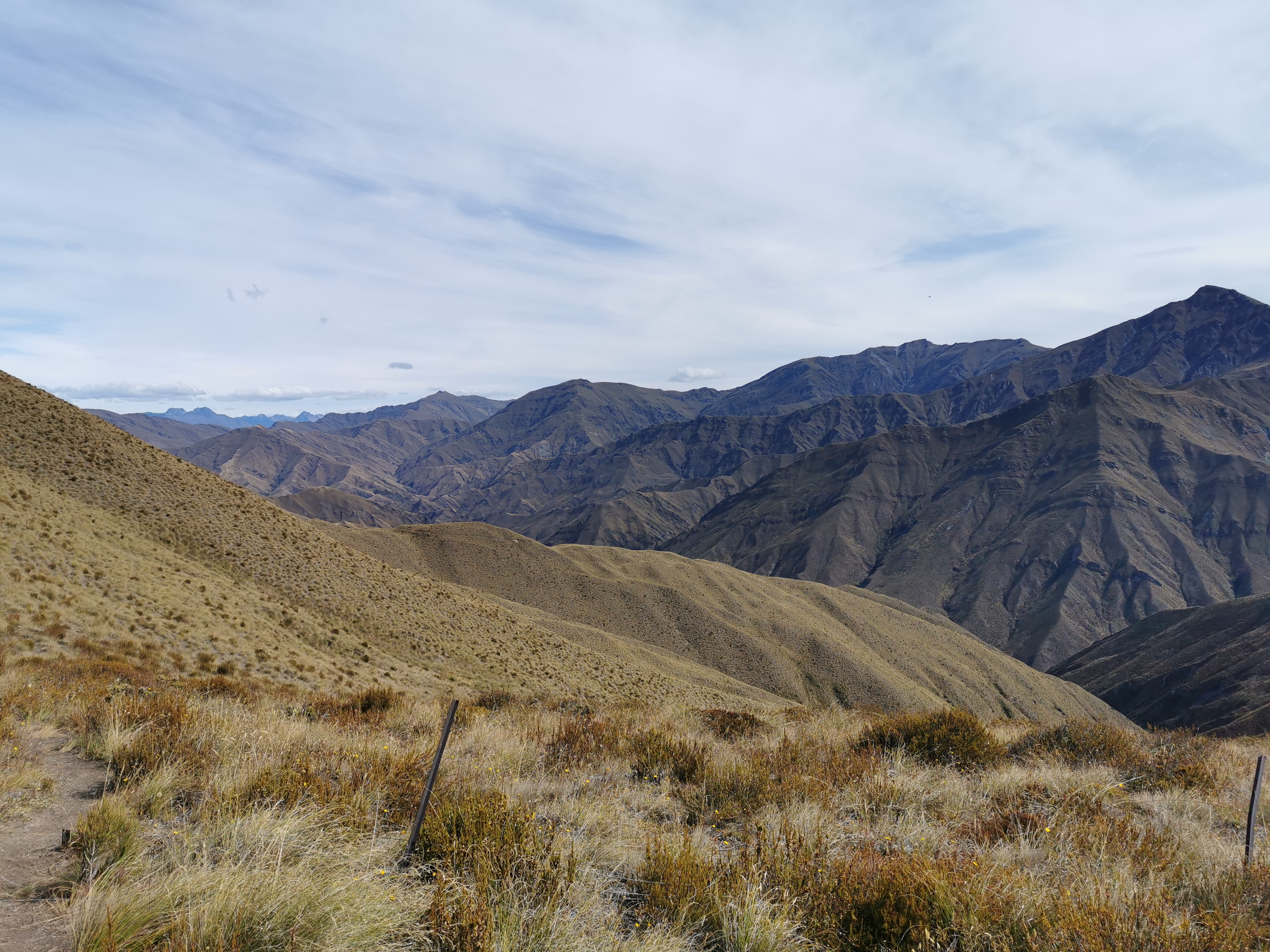
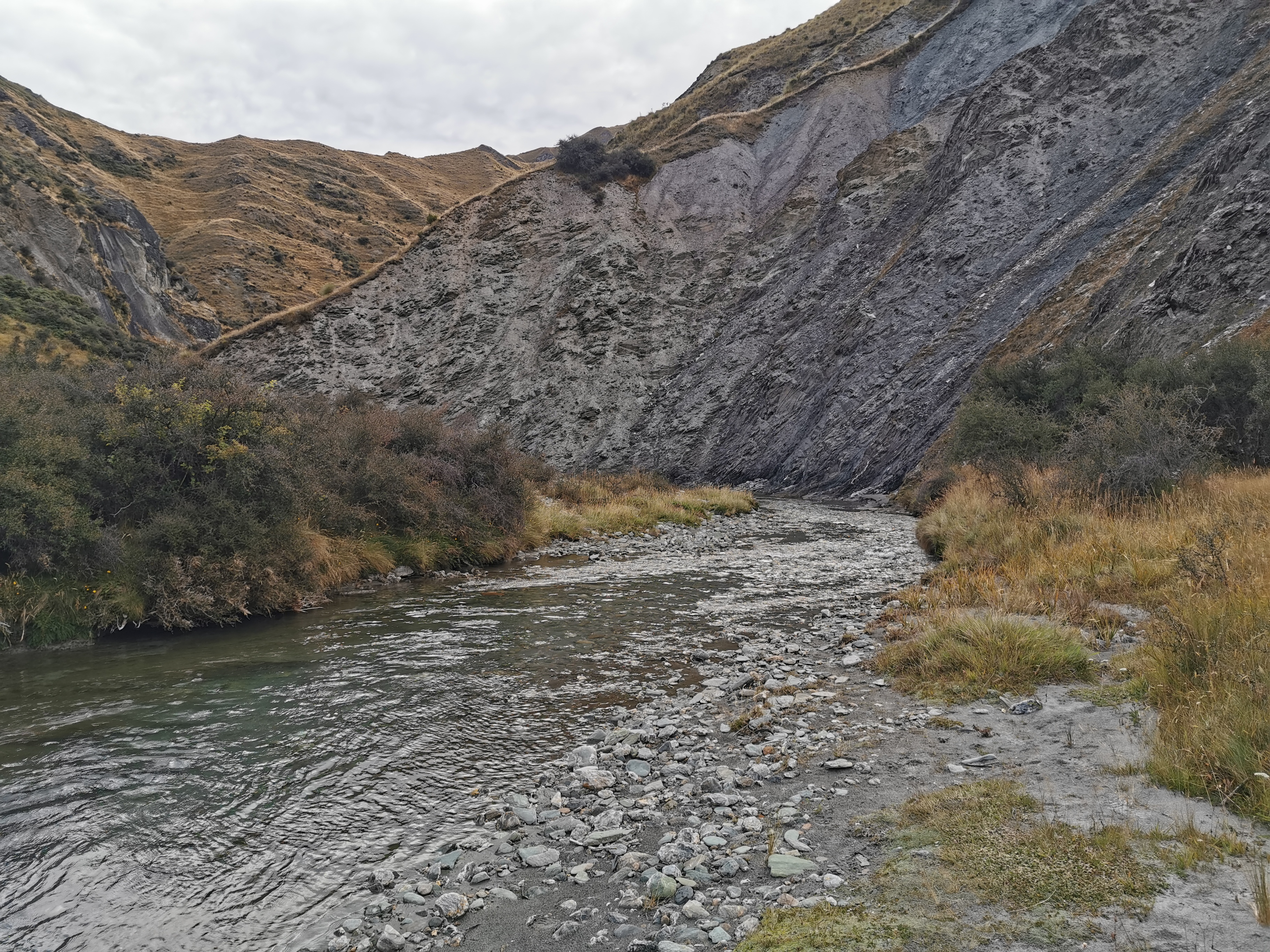
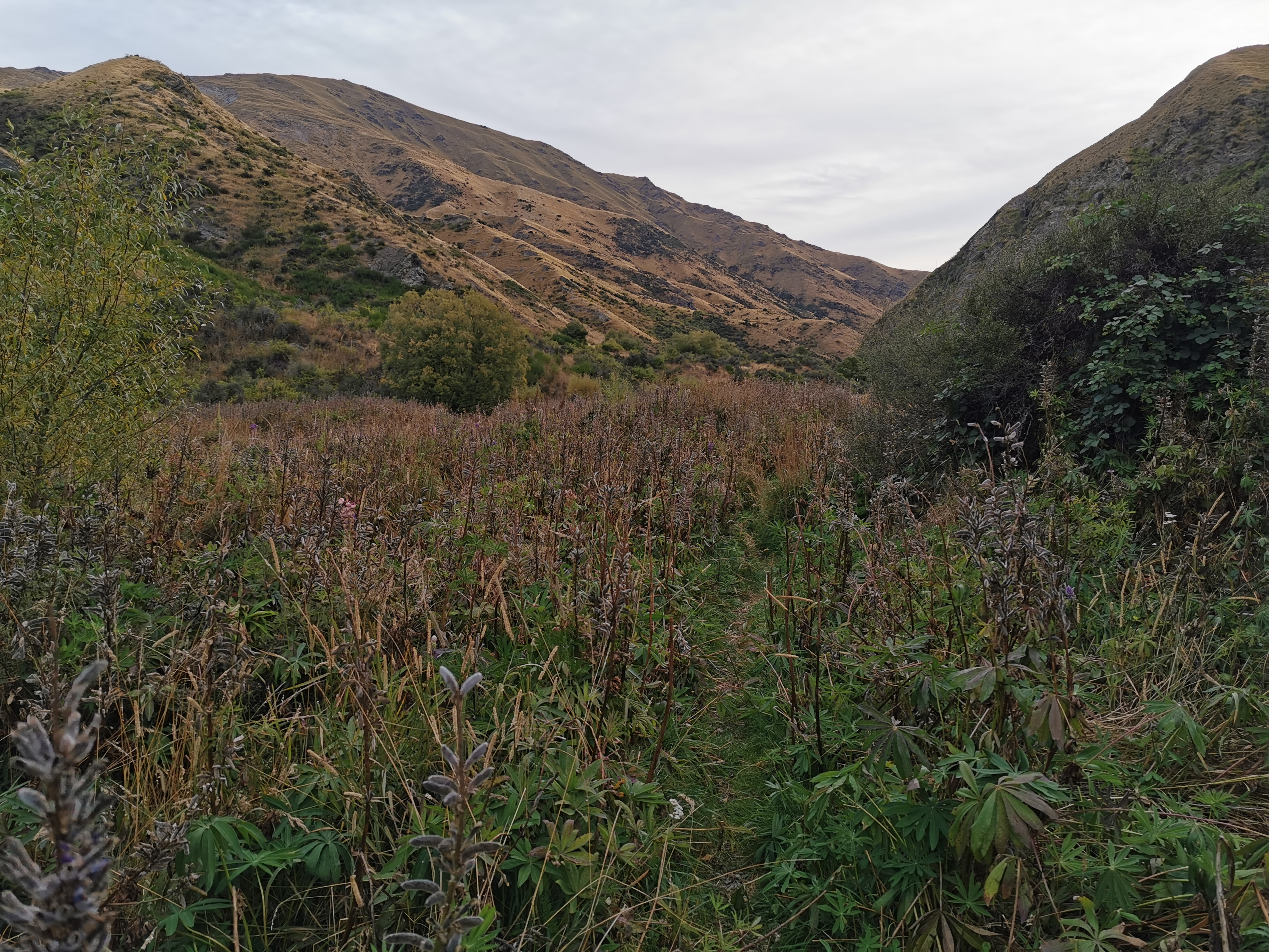
The clouds had mostly cleared overnight and so a different view could be seen.
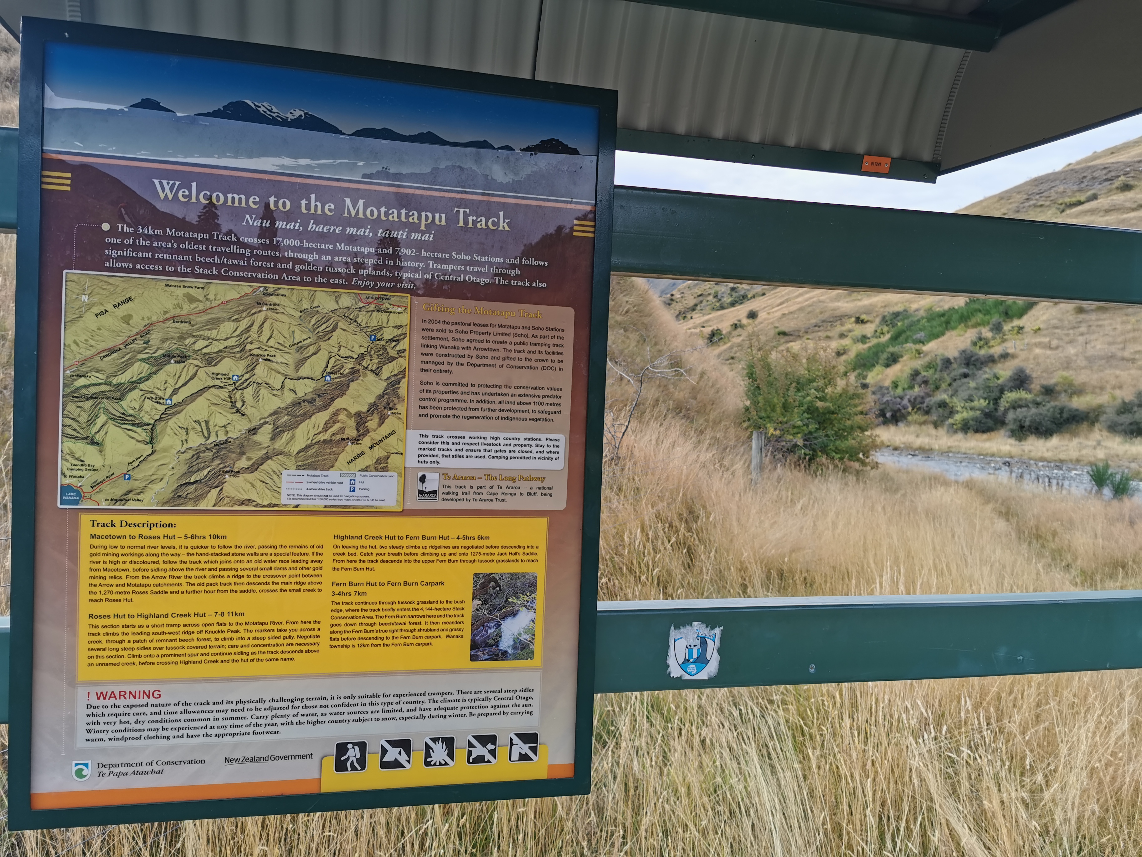
I didn’t waste any time having breakfast and was out the door by 8:25. I knew that there were three big hills and 20km between here and Macetown, where I hoped to get to today. Roses Hut is on the way after two big hills and 10km, and Arrowtown is 35km away which would normally be doable but not with all the steep hills in between.
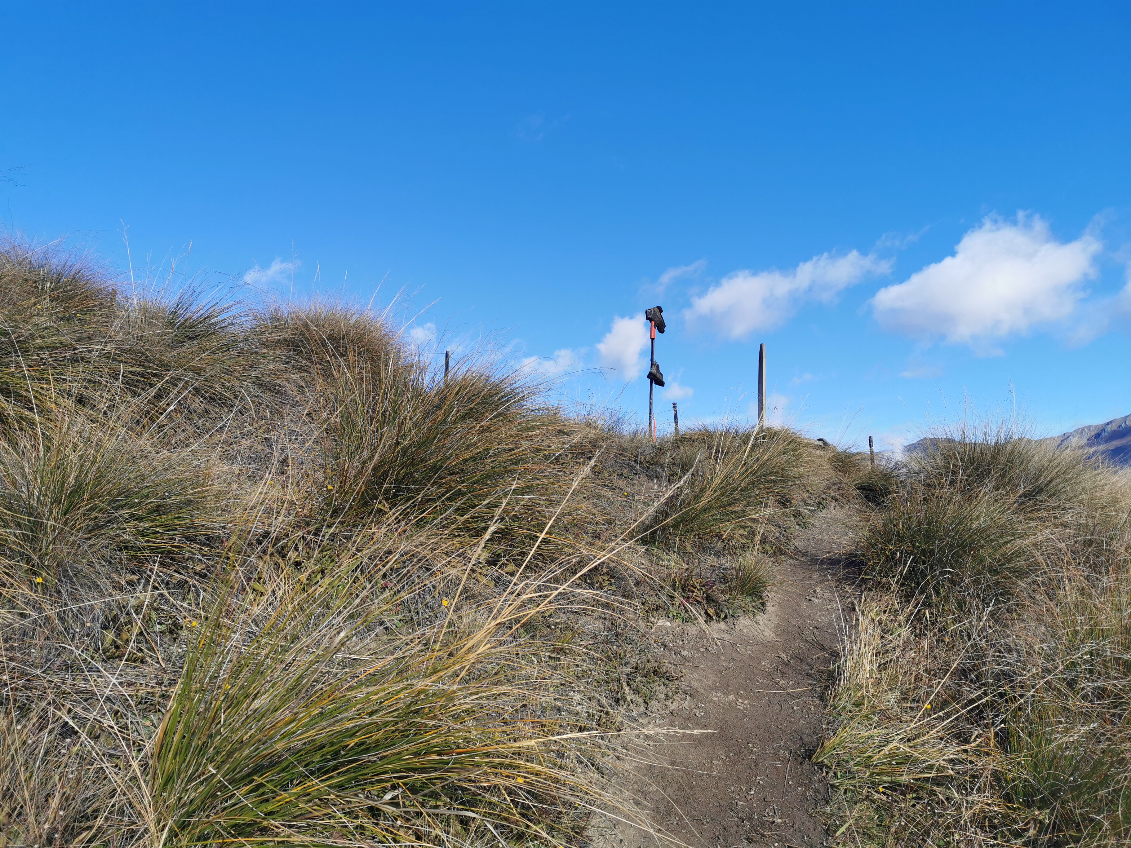
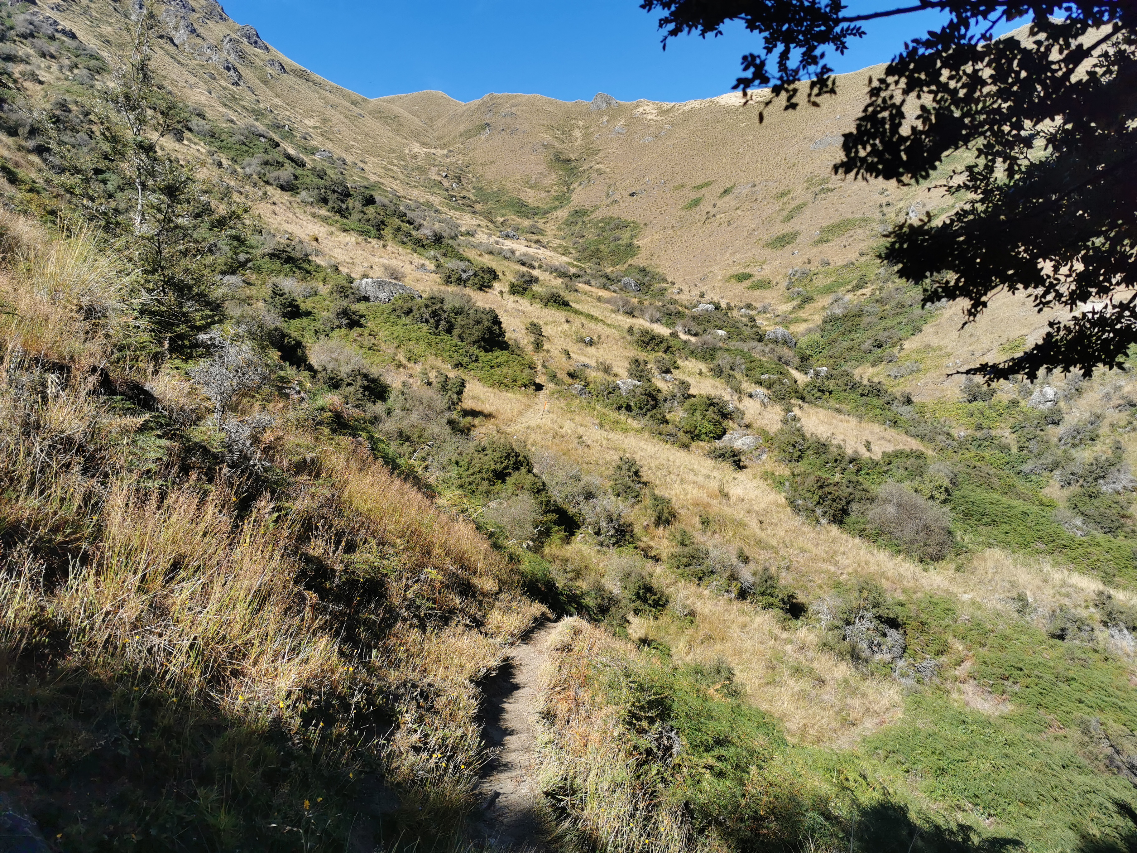
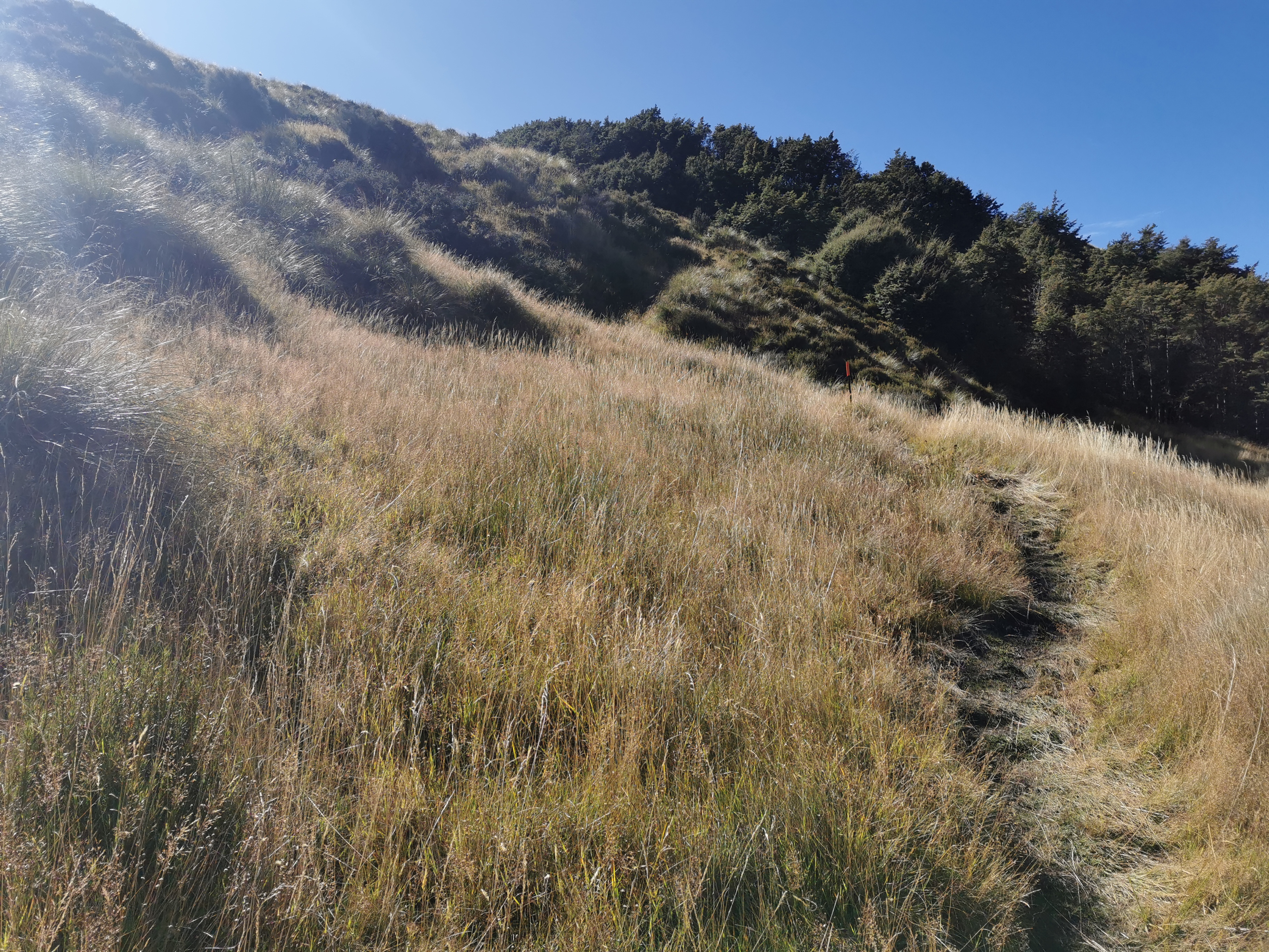
The hills didn’t waste any time in becoming steep.
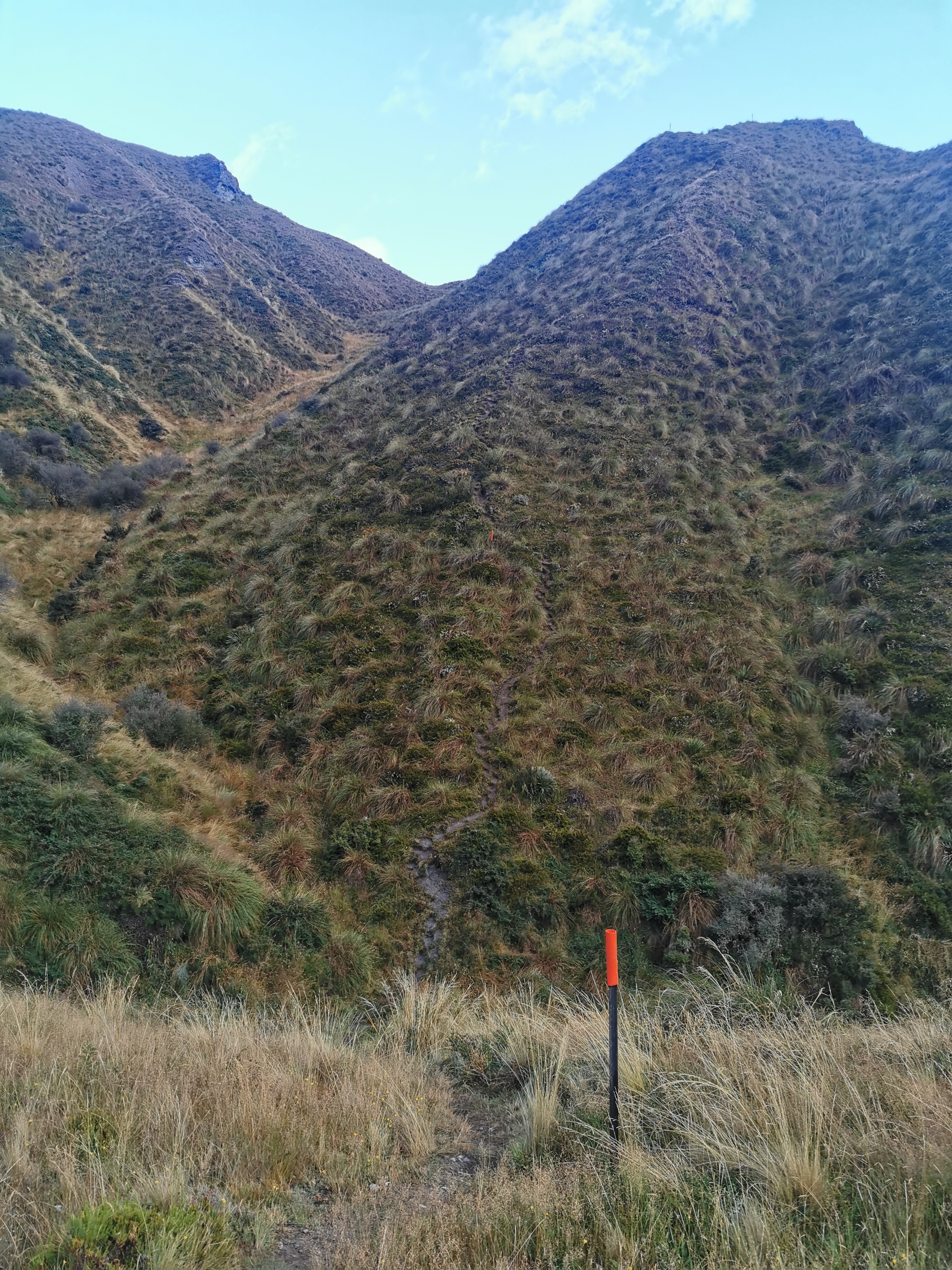
And that hill was just a taster of things to come. For 75% of the day I was hauling myself and my pack up and down these types of hills. It was definitely one of the more exhausting days anywhere on the South Island.
Looking down from near the top of the first hill, I saw what appeared to be a road and signs of civilization. After busting my gut to get up here, I kind of wish the path went along the road instead.
Today the descents were a welcome relief after the big hill climbs, even if they made my knees hurt a little.
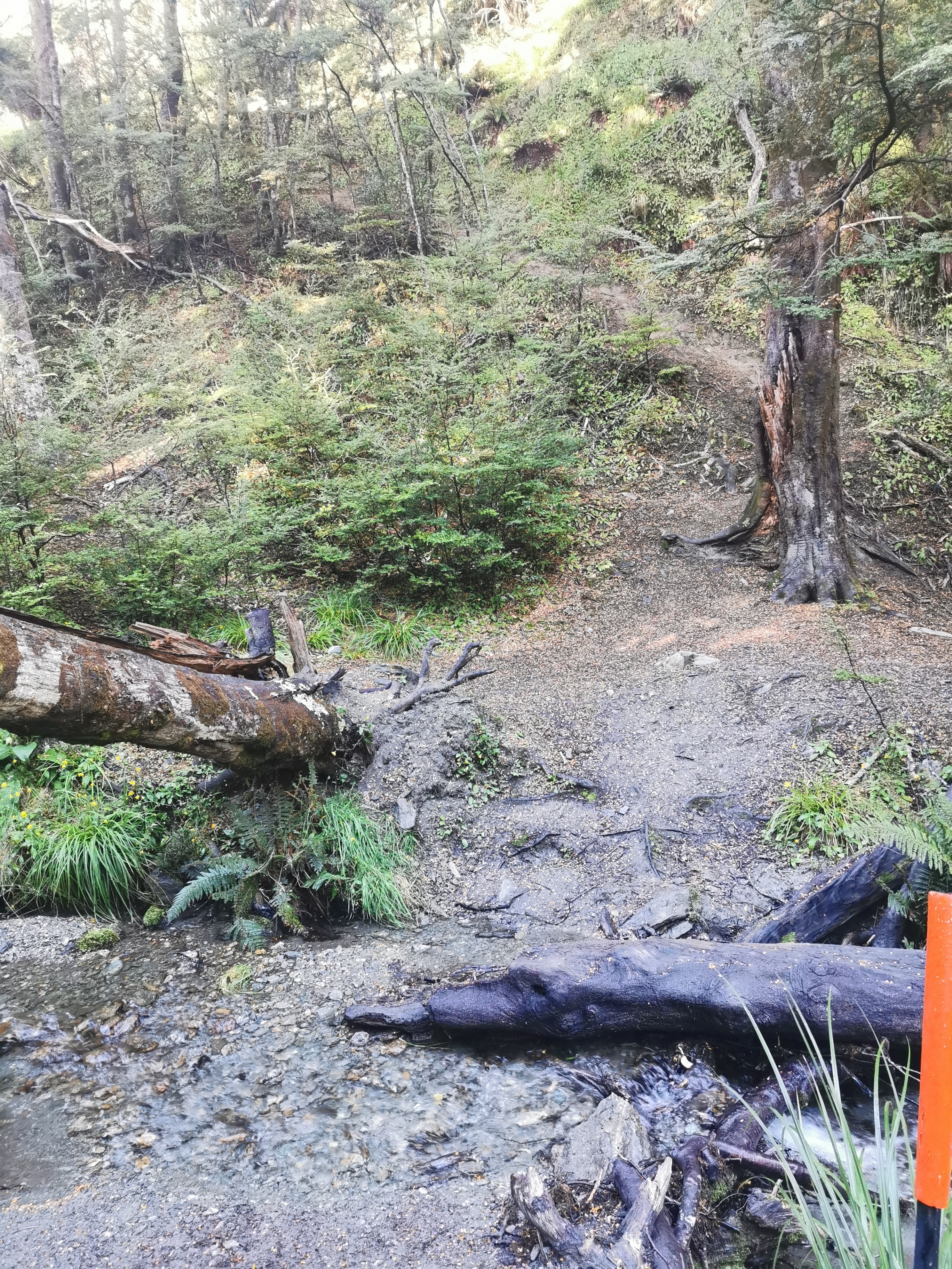
The bottom of the first hill had me in the forest. At 11am I had just come out of the forest and was staring up hill 2.
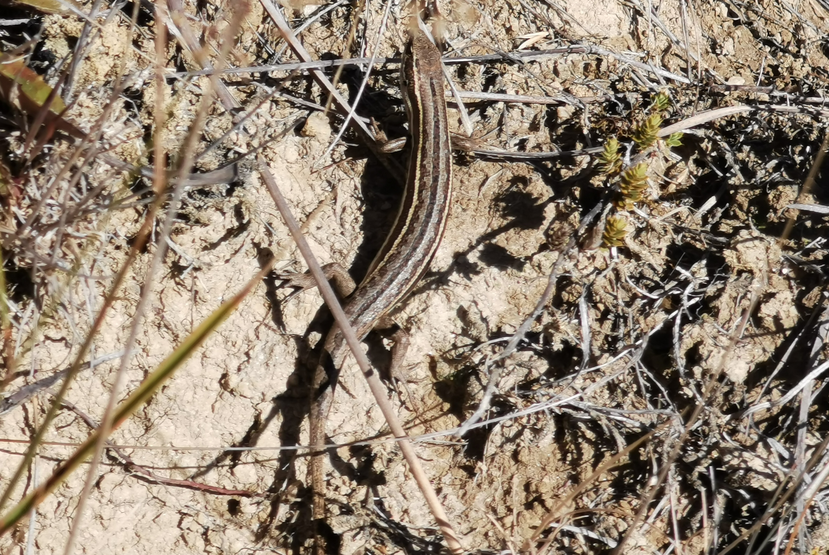
As usual in this type of terrain, the three main creatures that you see are grasshoppers, little orange butterflies, and skinks. Finally I got to take a photo of one of these skinks. They’re everywhere, you see one every couple of minutes or so, but they always dart away when you get close.
At the top of hill 2 I set up my laundry and spent an hour having lunch.
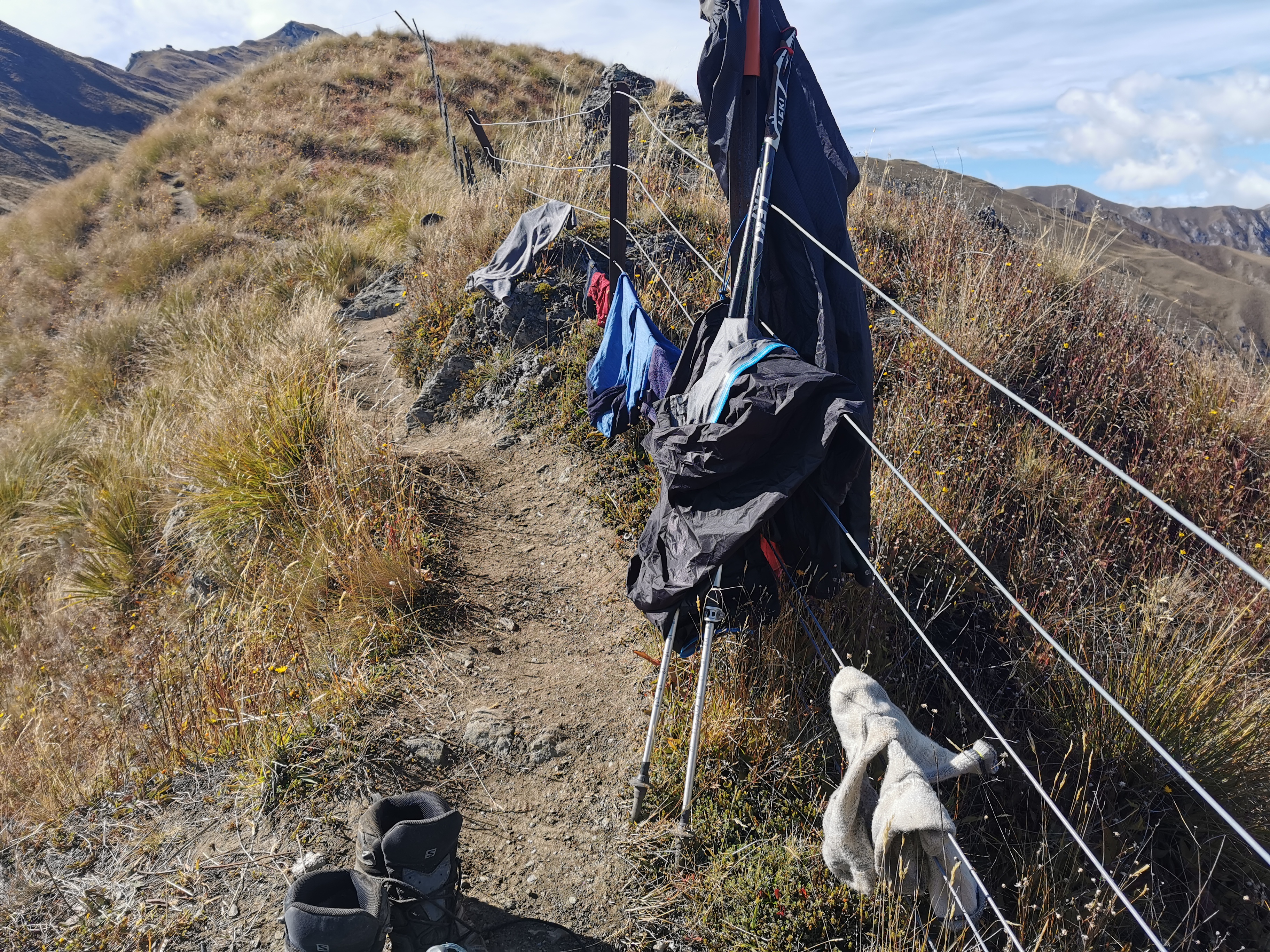
Things got half dry. It was better than nothing.
Coming down hill 2 was interesting. It was straight down the ridge so that meant the whole time you could see Roses Hut, followed by the big track going up and over hill 3.
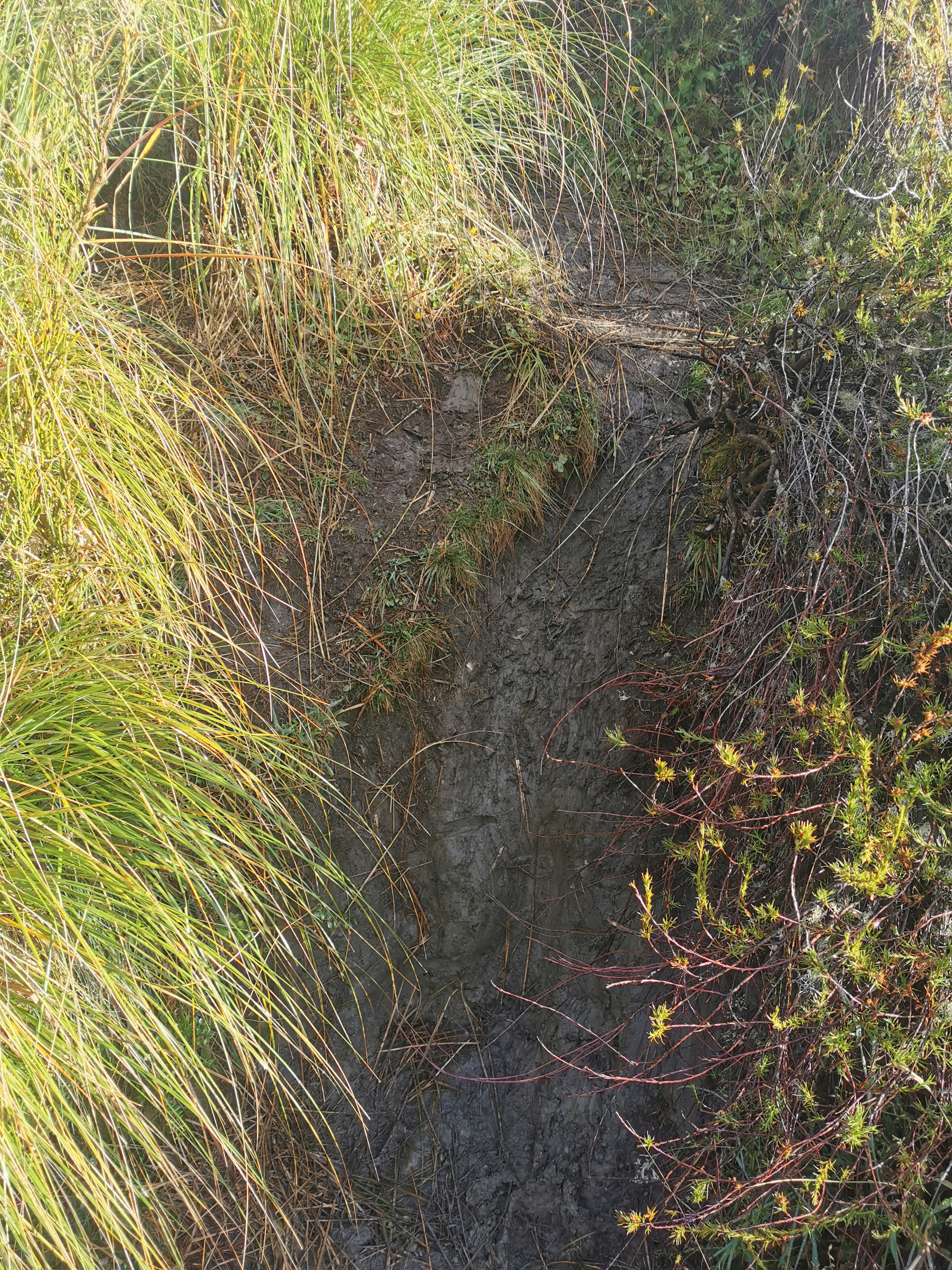
Coming down near the bottom of hill 2 there was a patch of muddy grass. I slipped right over on it at one point and got annoyed with myself. Then, two minutes later, I slipped over again. That’s some real slippery grass right there.
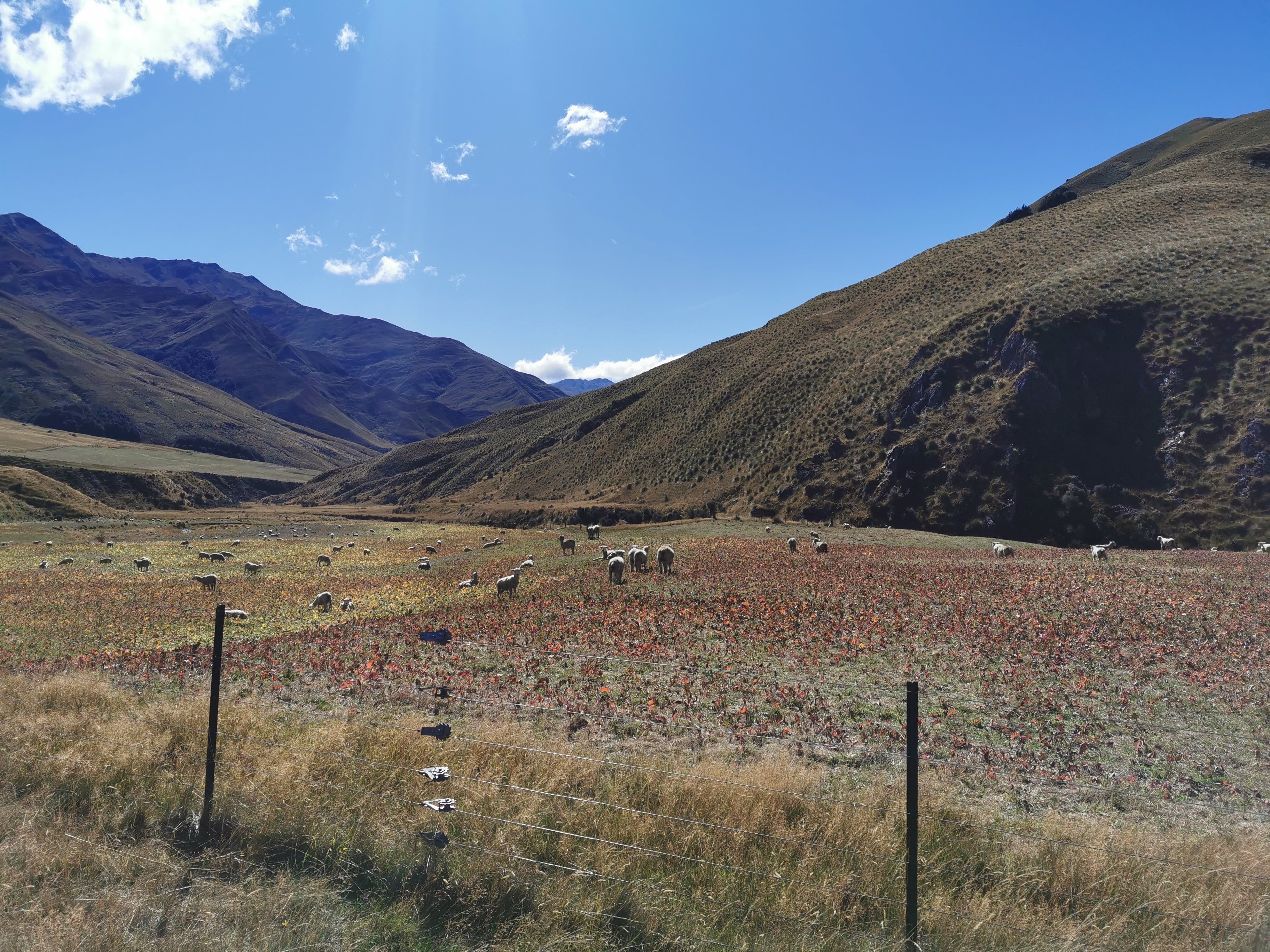
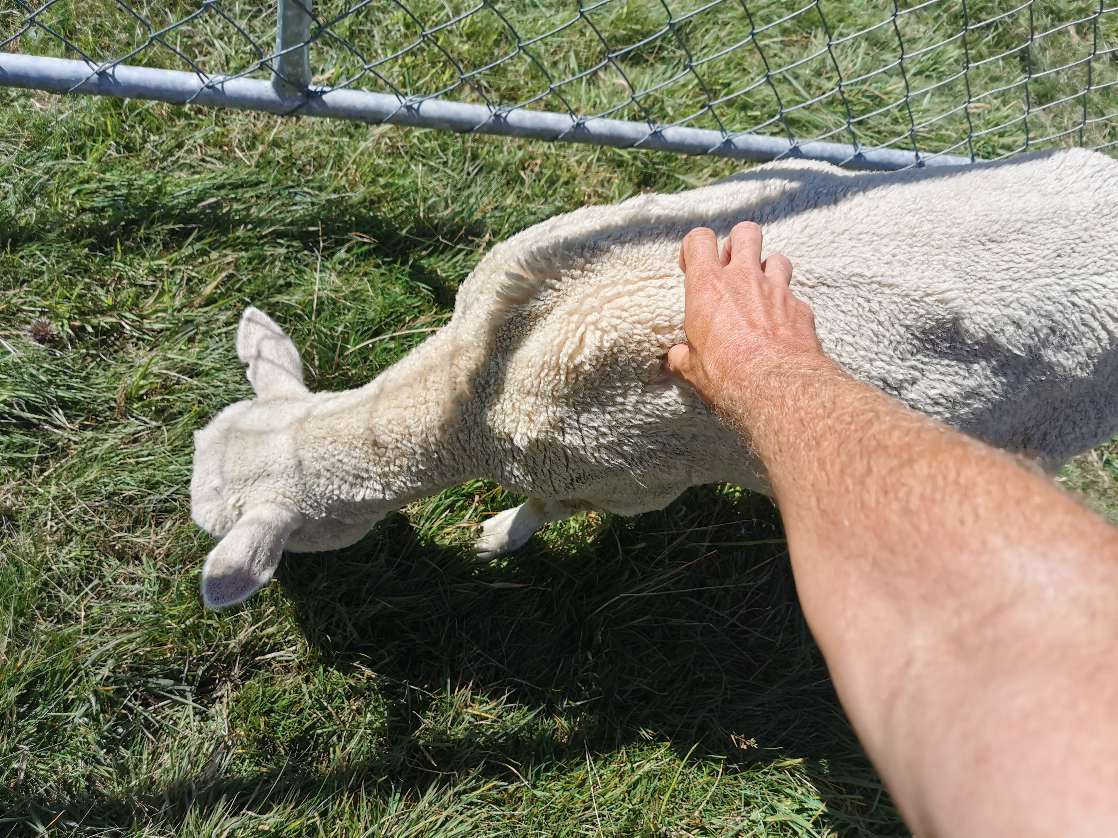
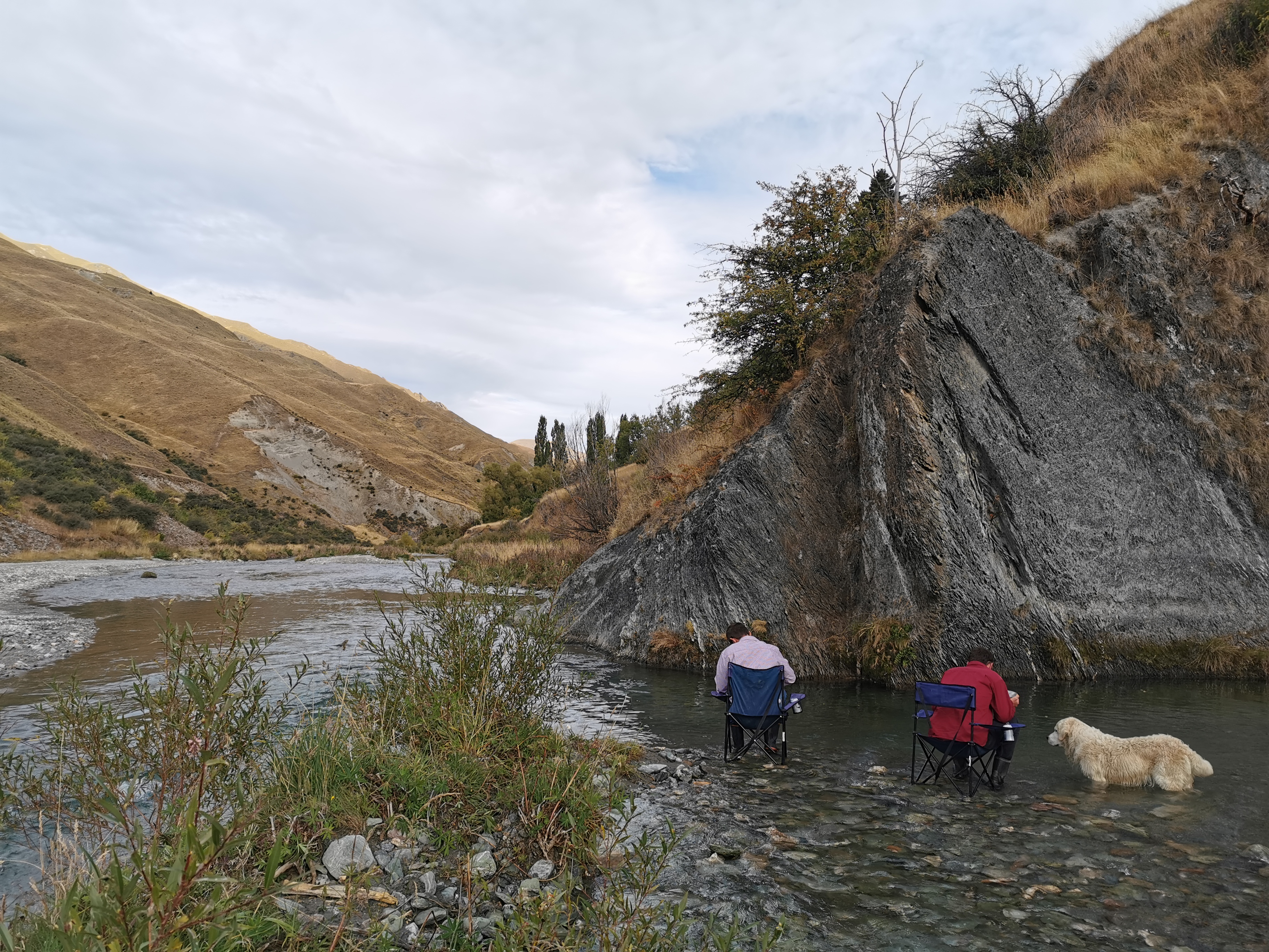
Near Roses Hut there was a field with some sheep. Of course all the sheep ran off when I got near.
Except this one. He was on this side of the gate, and did not care one iota about me.
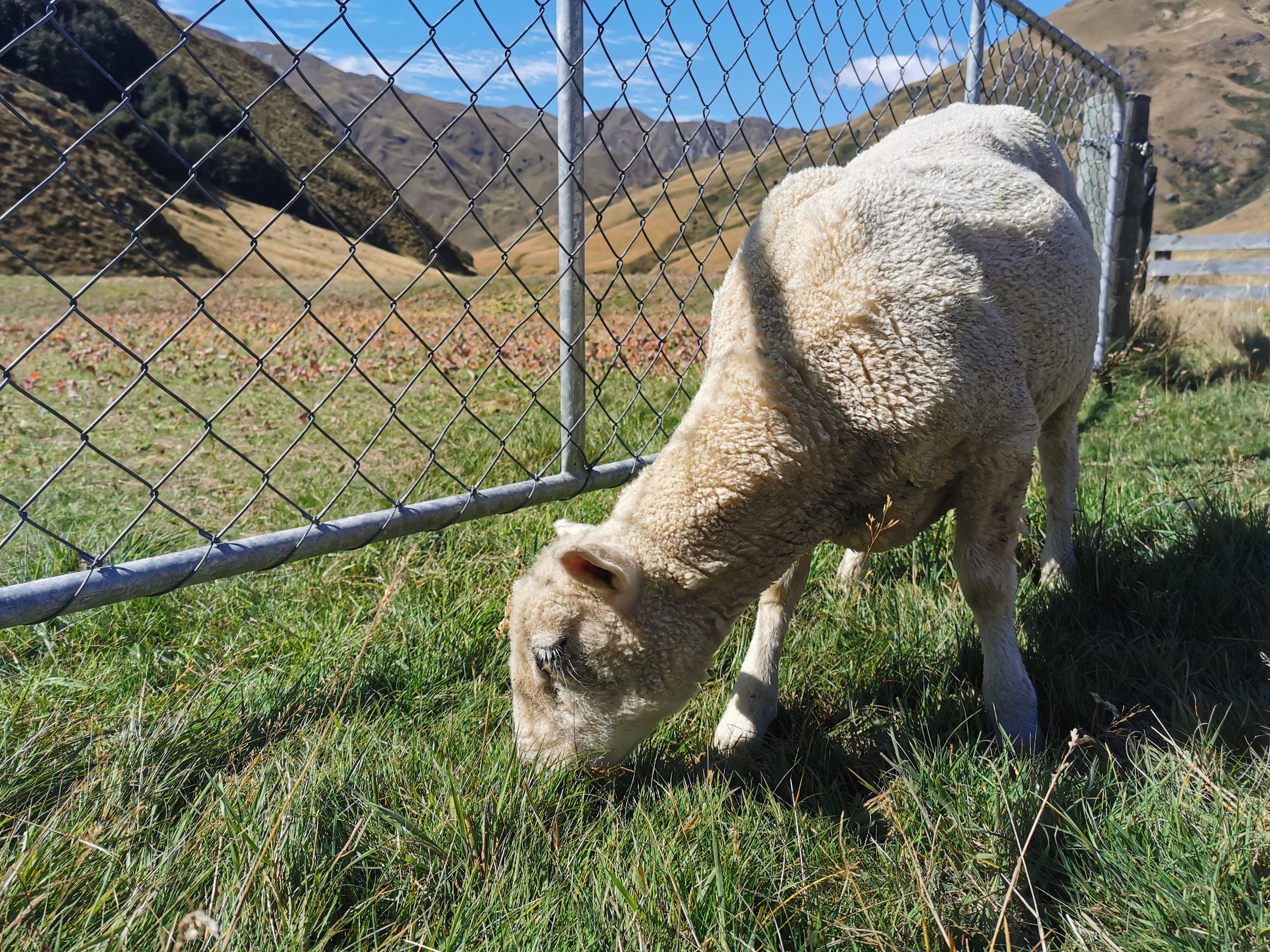
I even reached out and gave him a pat. He didn’t even flinch.
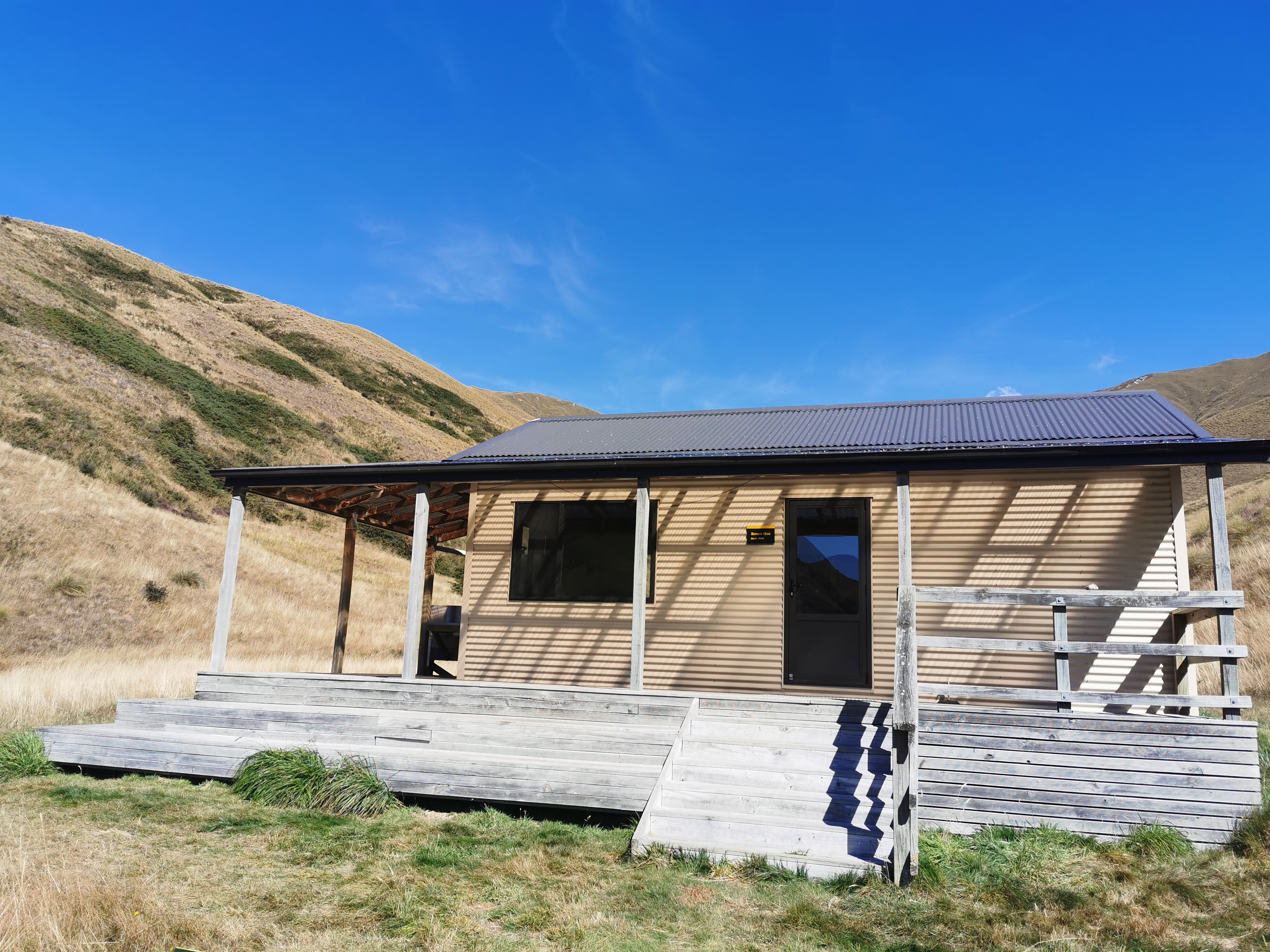
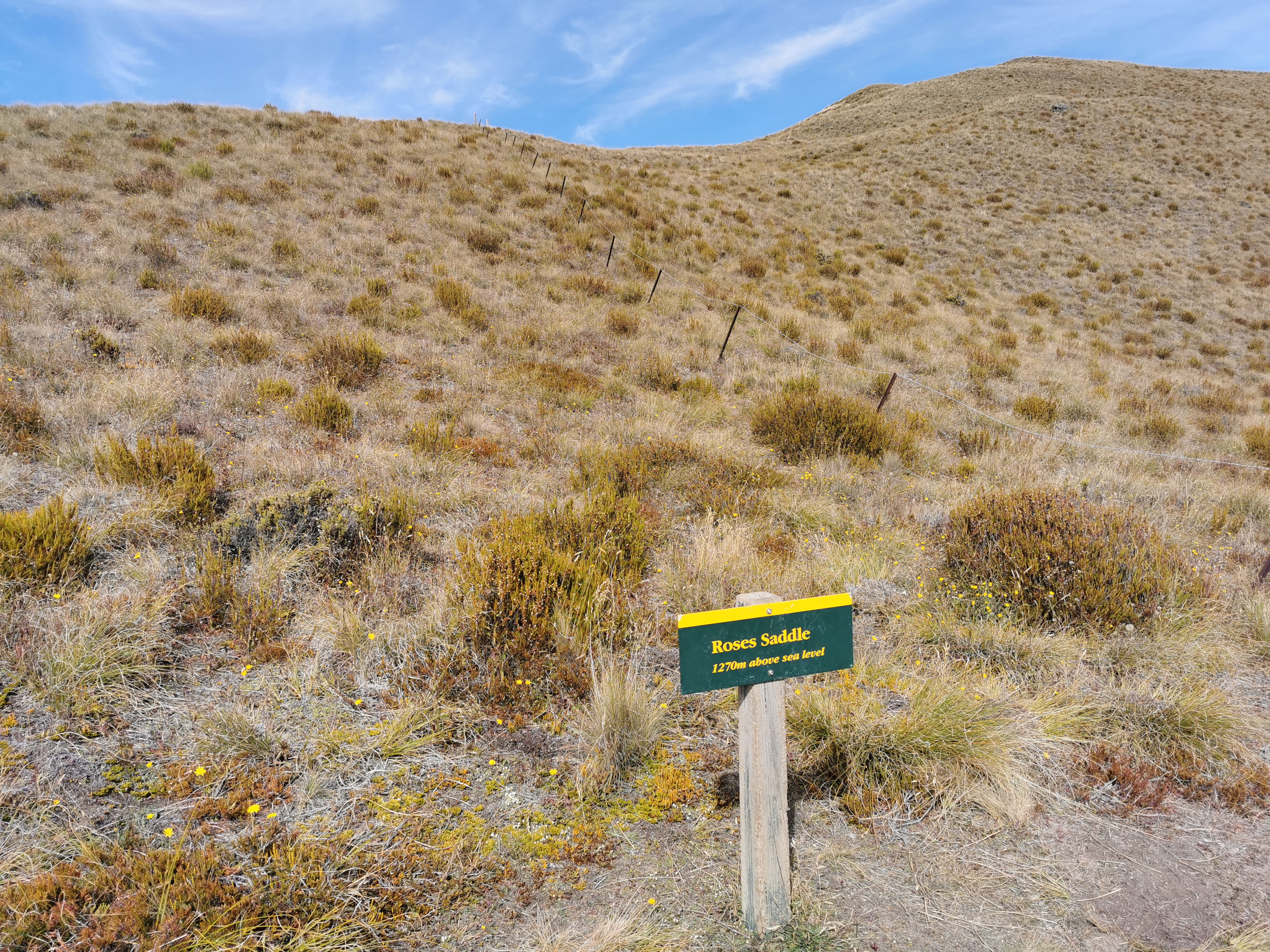
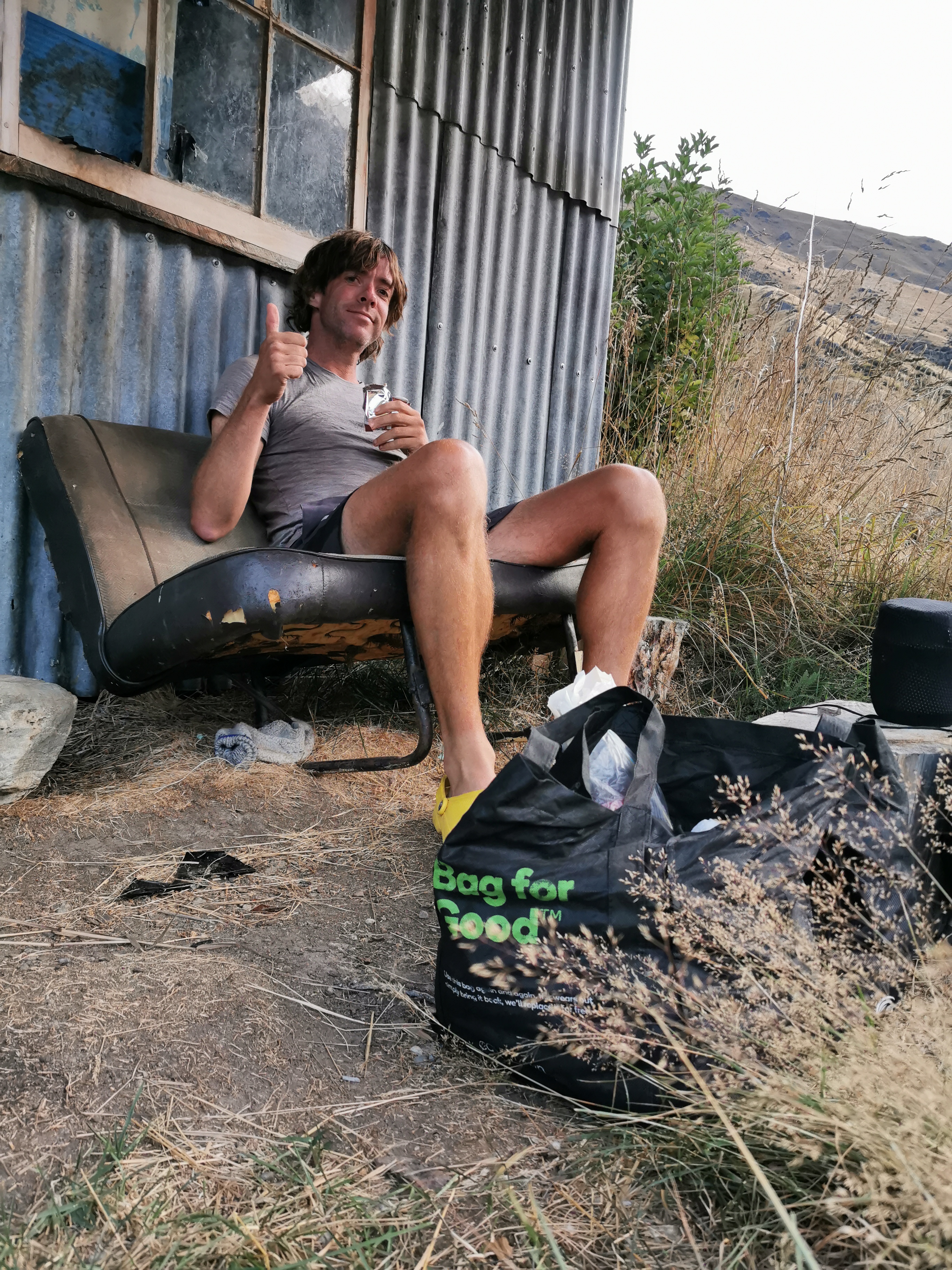
I had another snack at Roses Hut but since there was nobody else there I didn’t stay long.
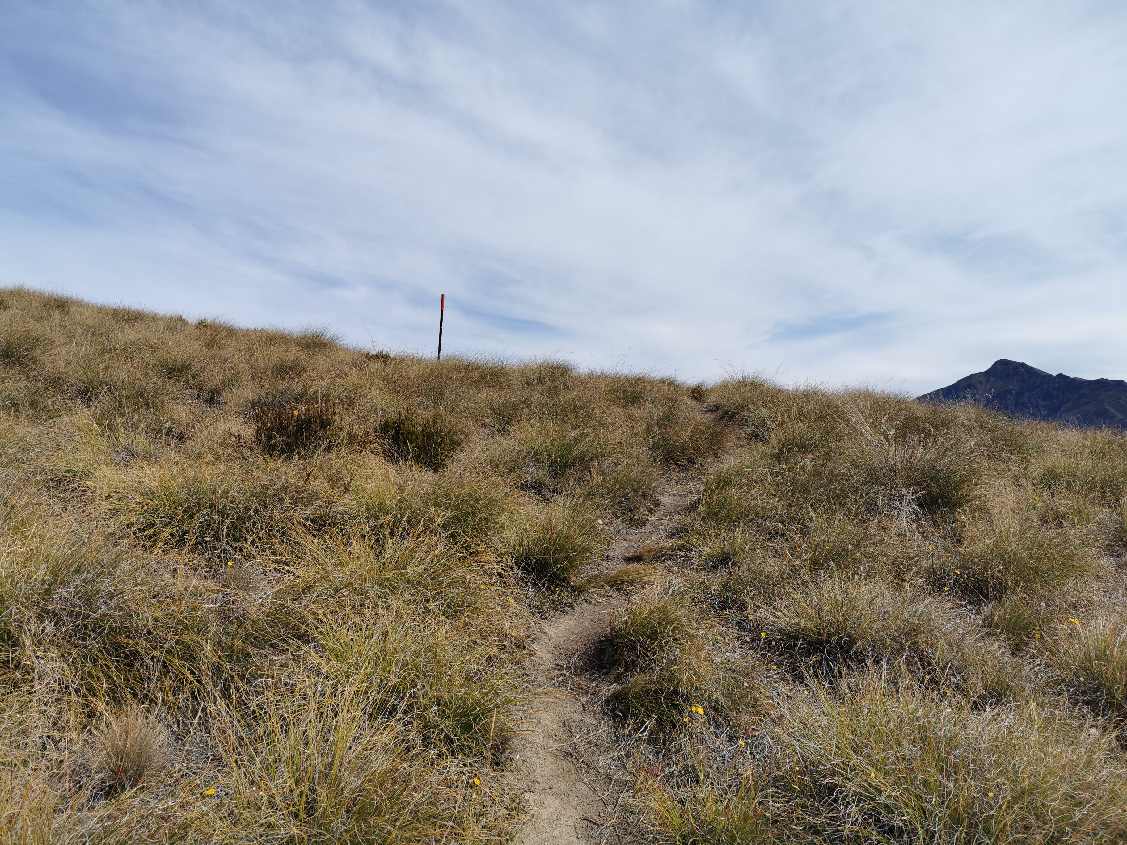
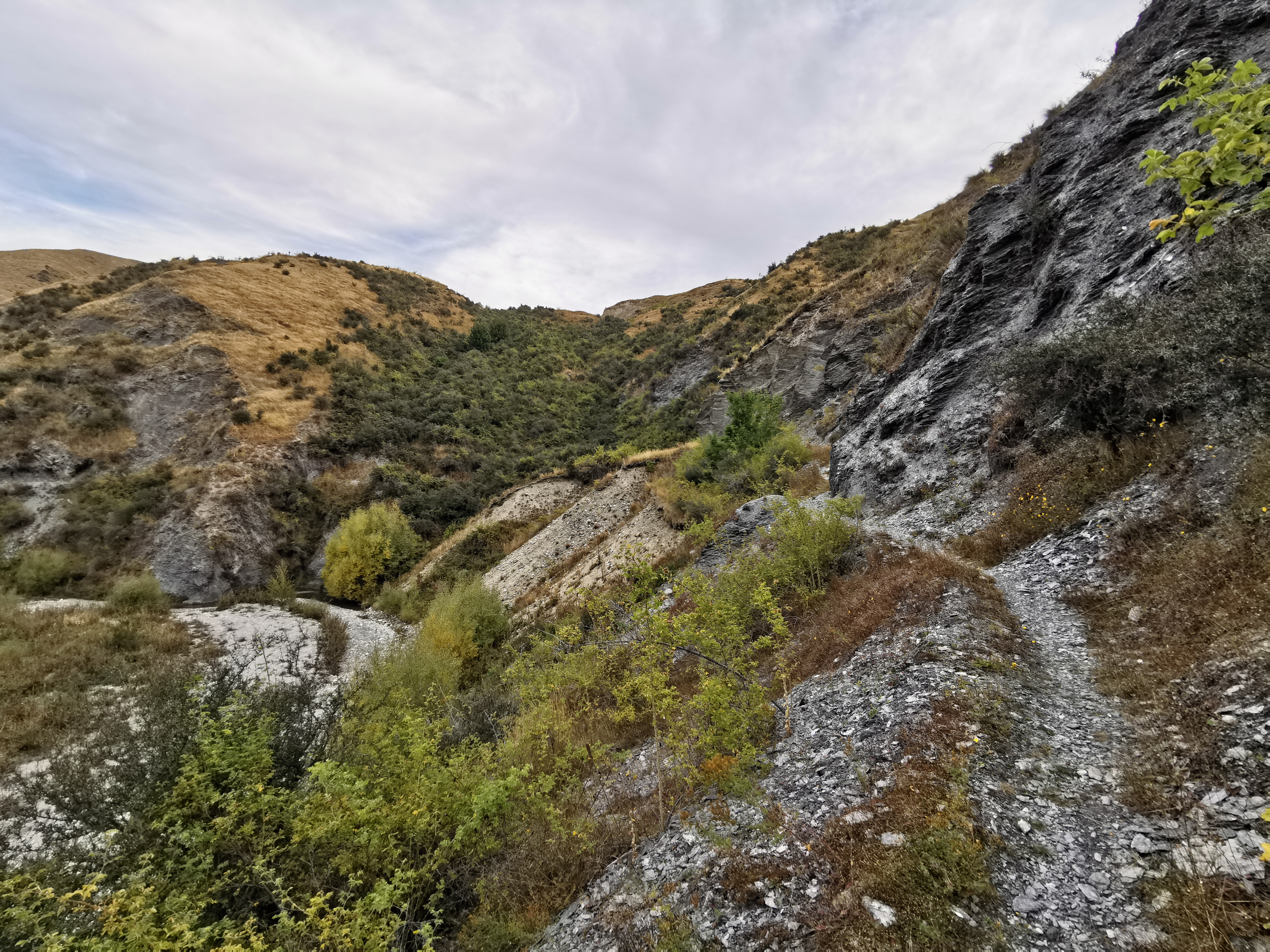
It was immediately up the next hill. For some reason, I got lots of bugs in my mouth on the way up this hill, it was weird. Also, the third hill looked less steep on the elevation profile than the others, but it wasn’t. Maybe i was hurting more by the third hill, or maybe hill 3 is mostly steep at the top.
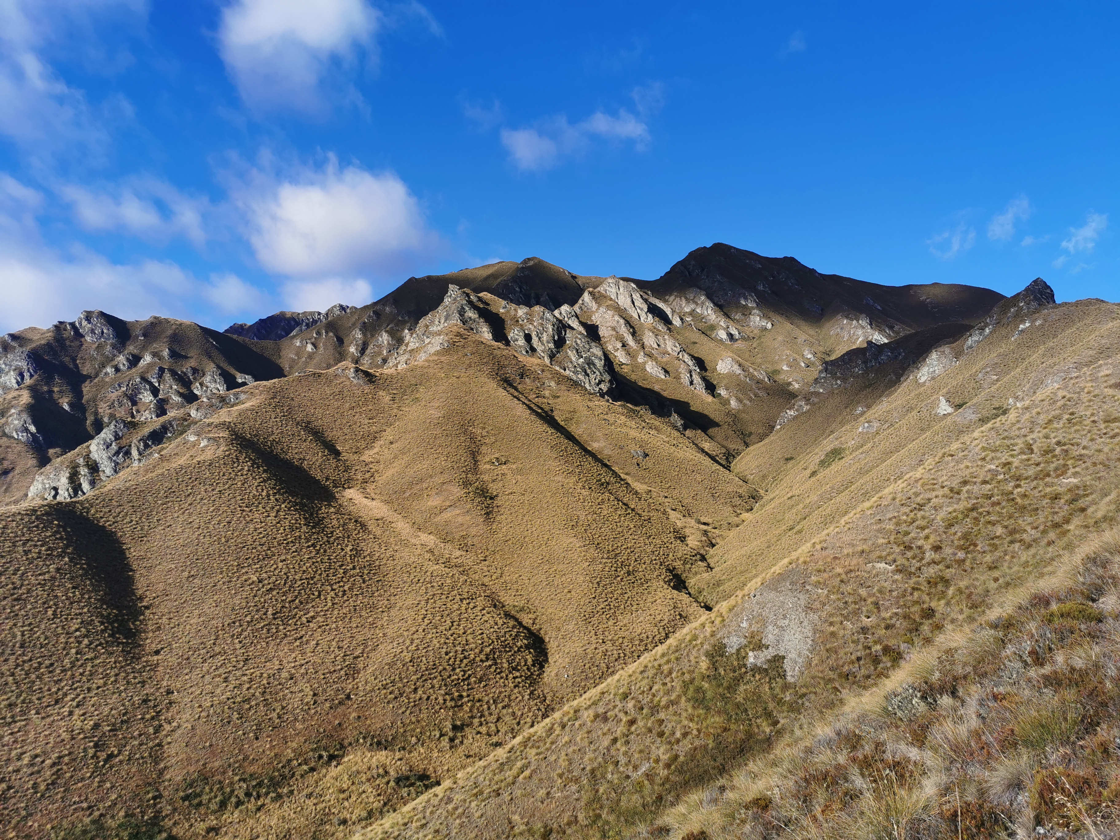
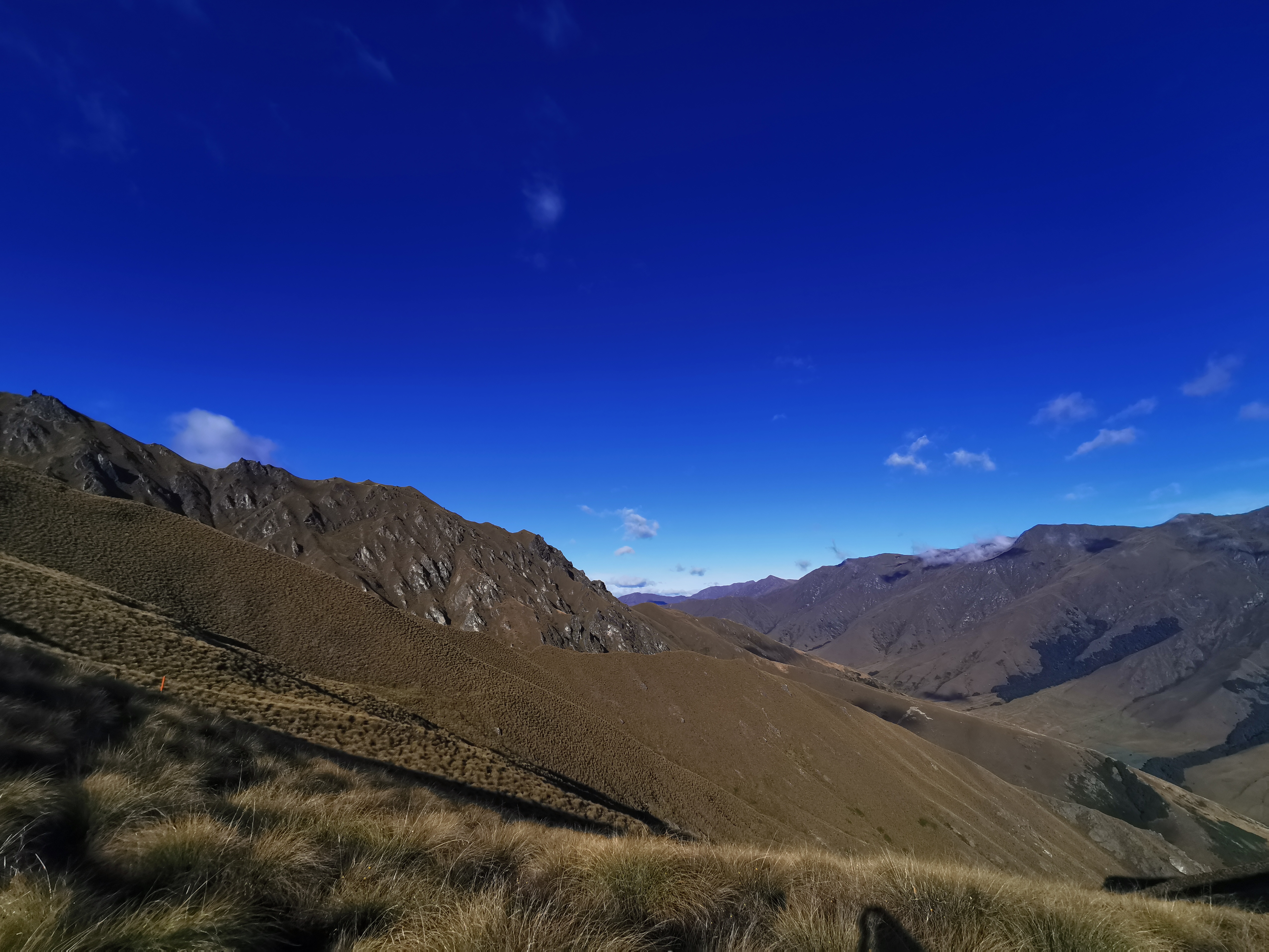
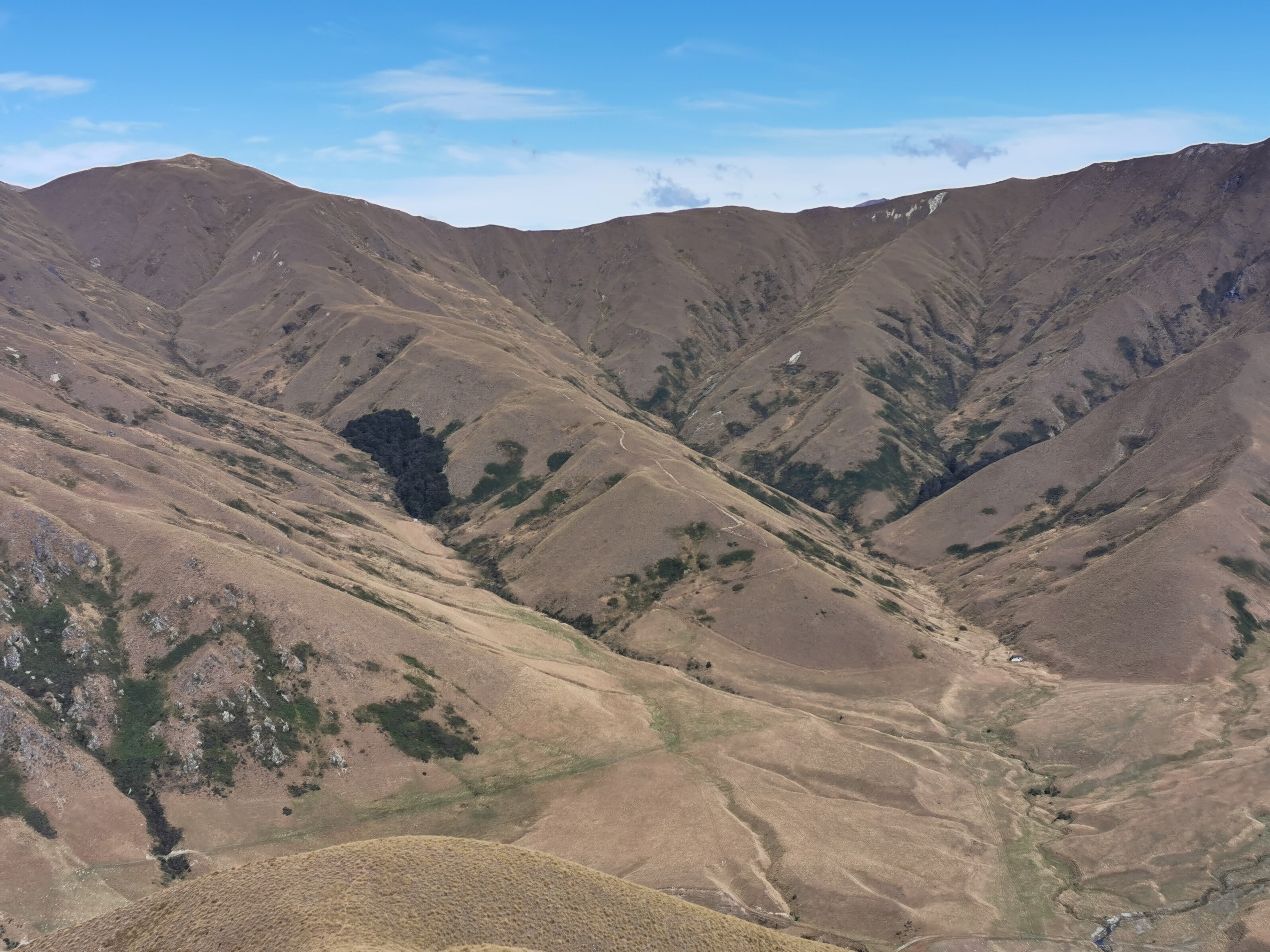
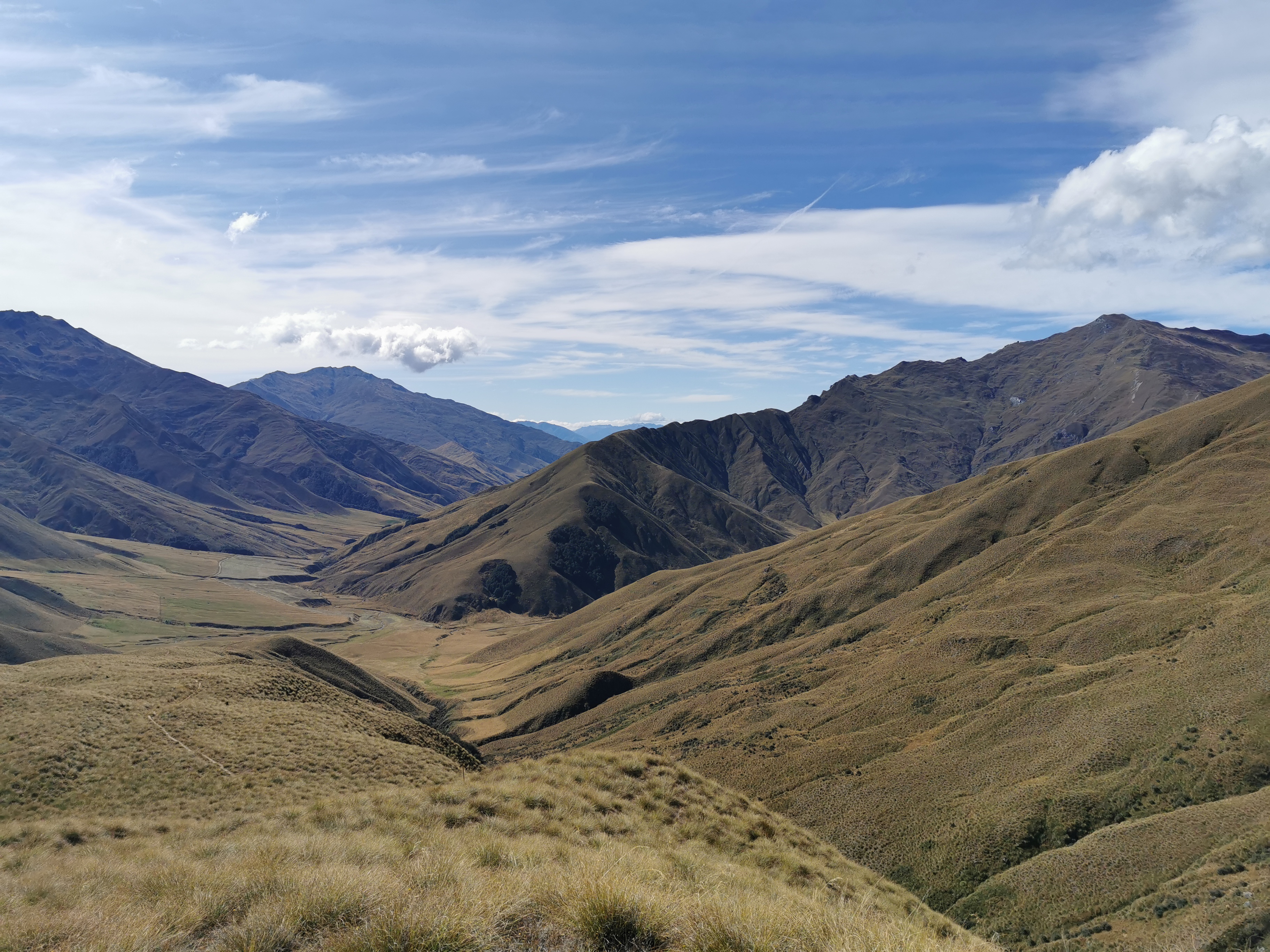
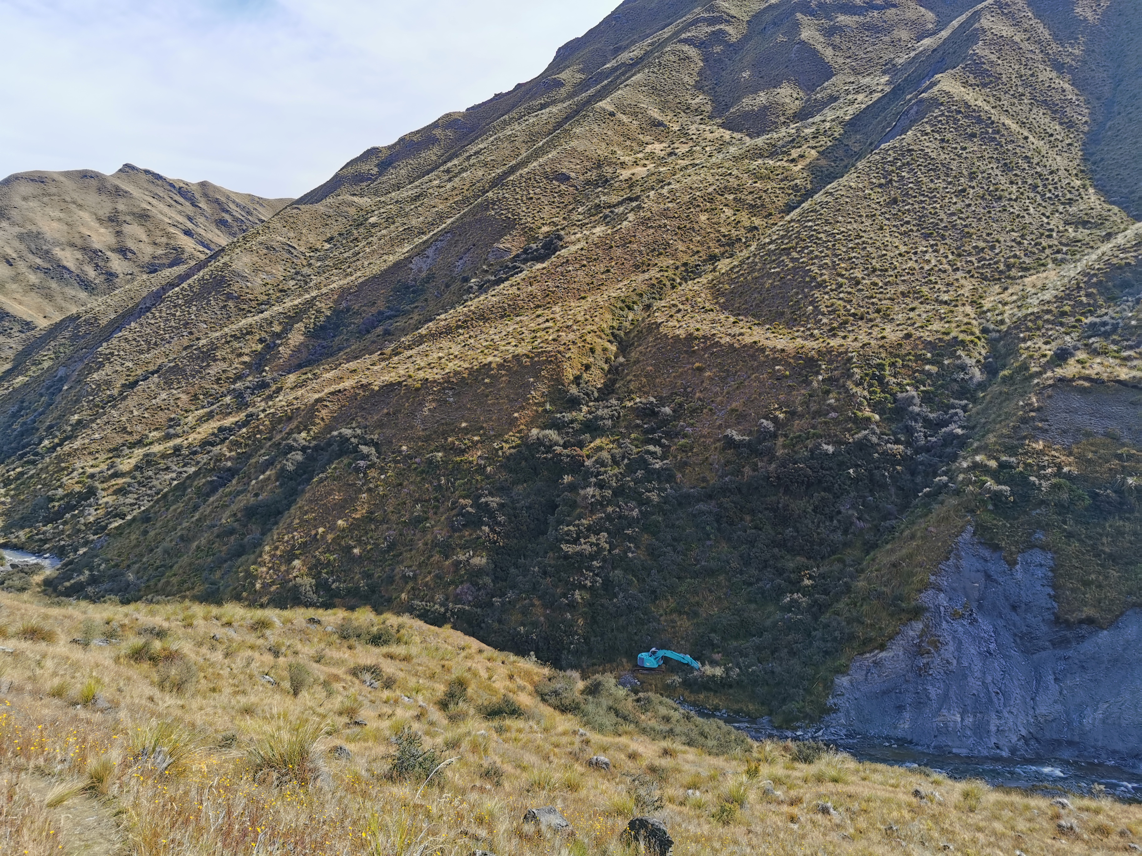
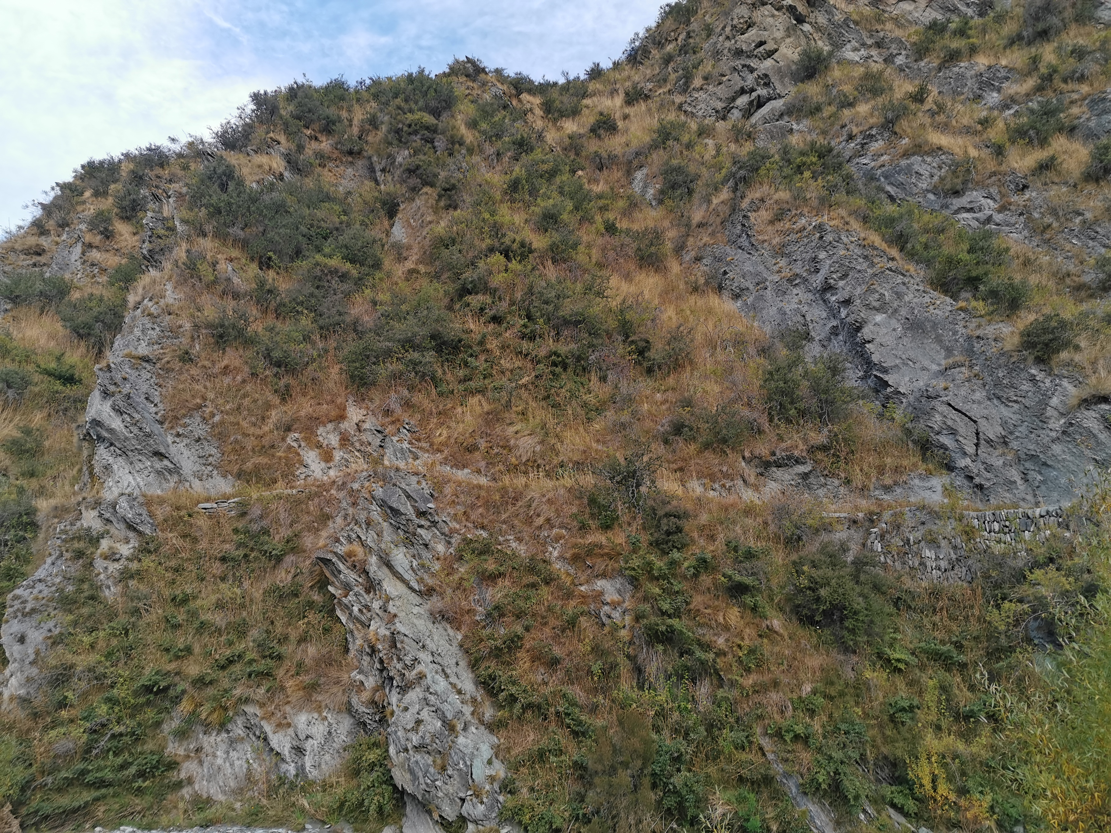
This picture is looking back down hill 3, with hill 2 being the ridge in the centre. Although hill 2 doesn’t go all the way to the top of that ridge, it goes about halfway up. The peak on the right is apparently Knuckle Peak at 1800m up.
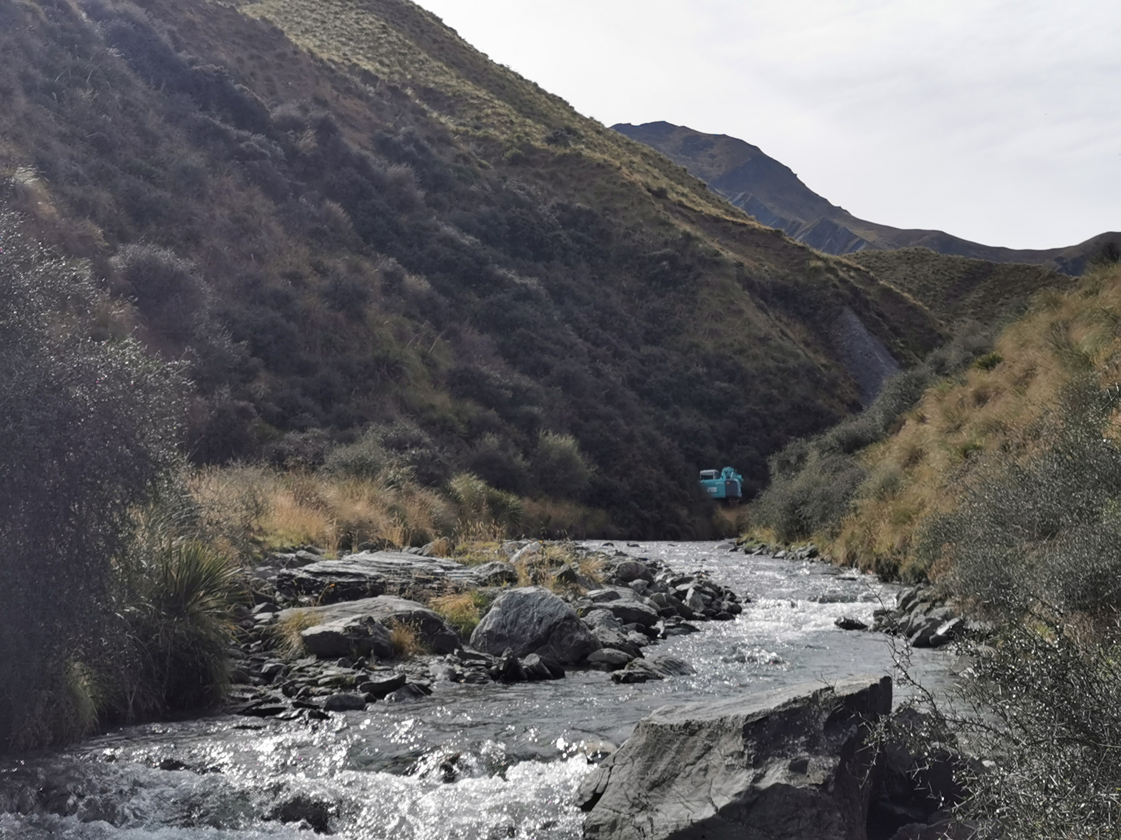
I’d read in the notes that as you start getting closer to Macetown you start to see relics from the gold-mining area. Looks like here are two of them – some kind of building on the right and a digger on the left.
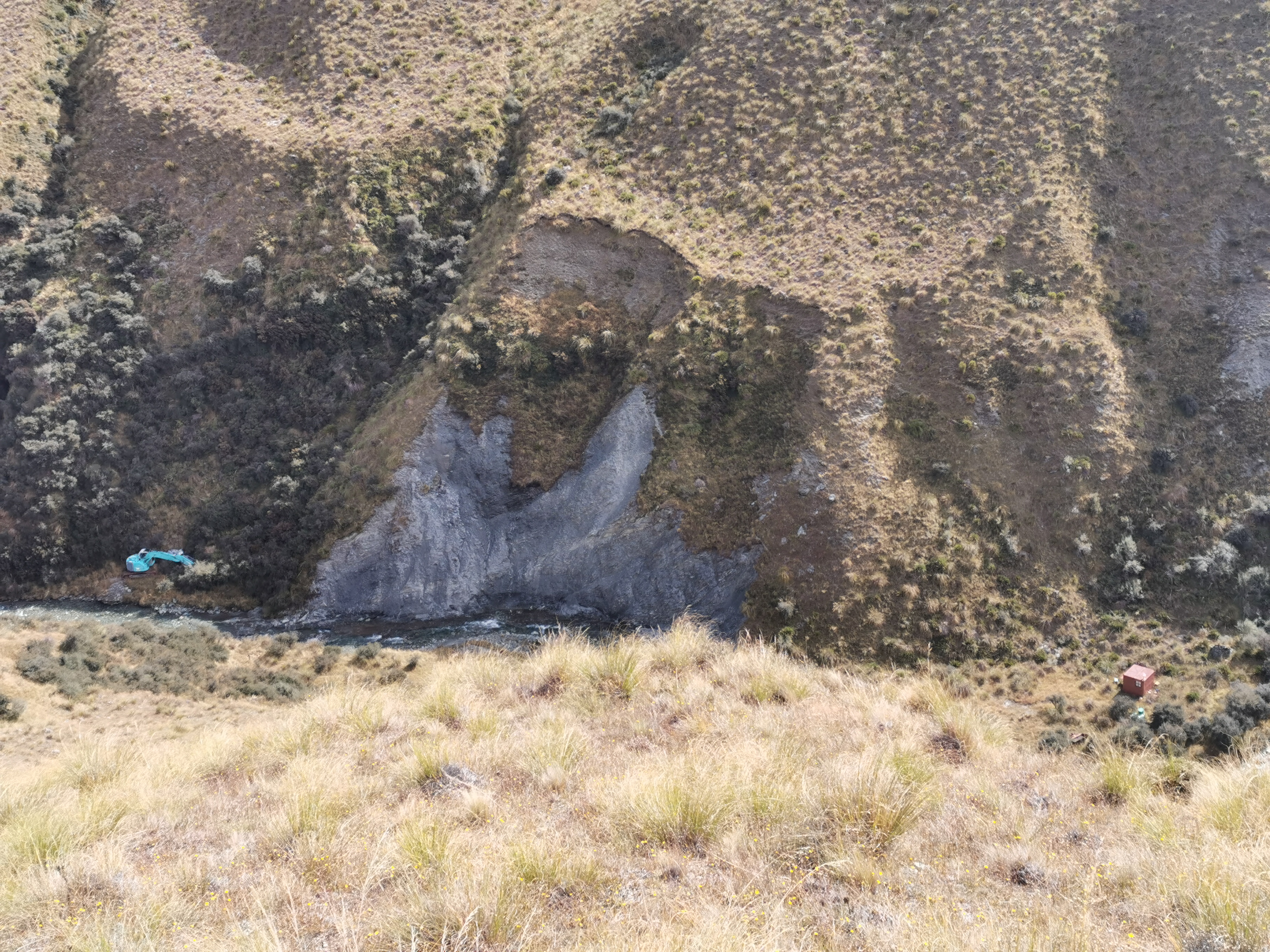
Although neither of these things look like relics, they both look in good condition from here.
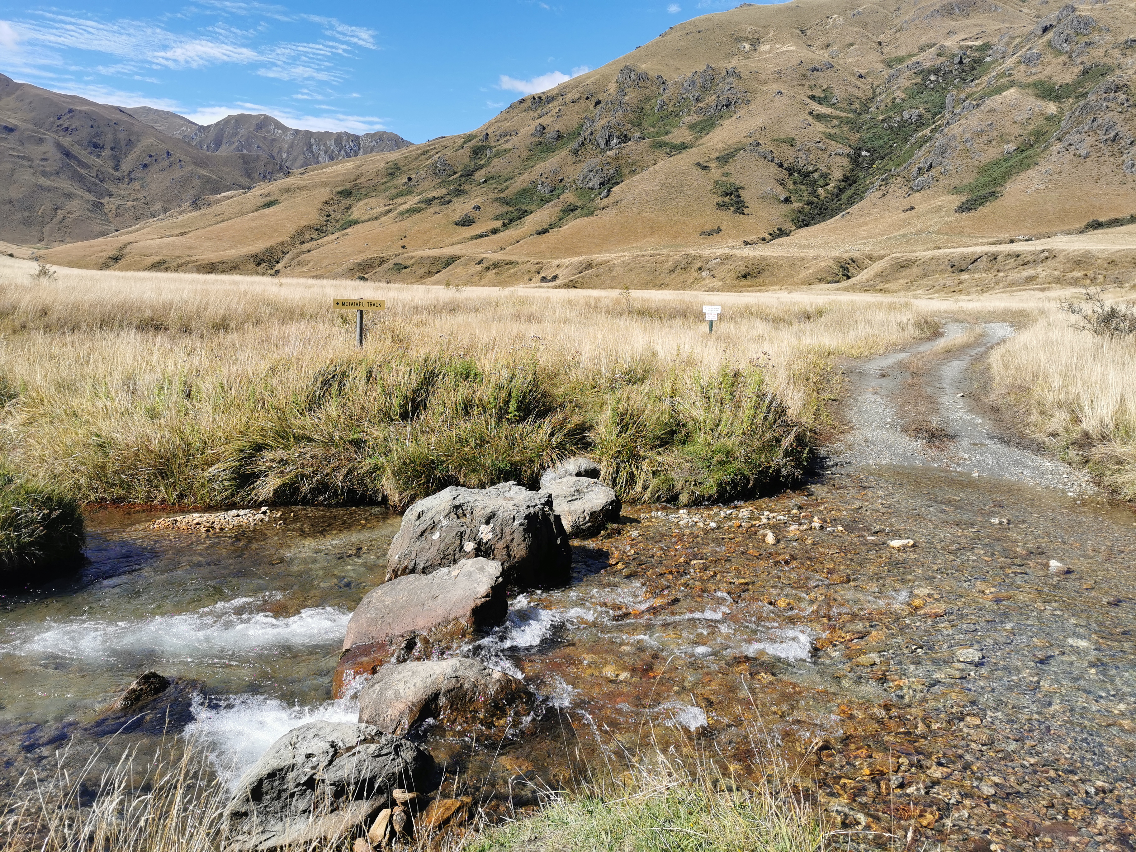
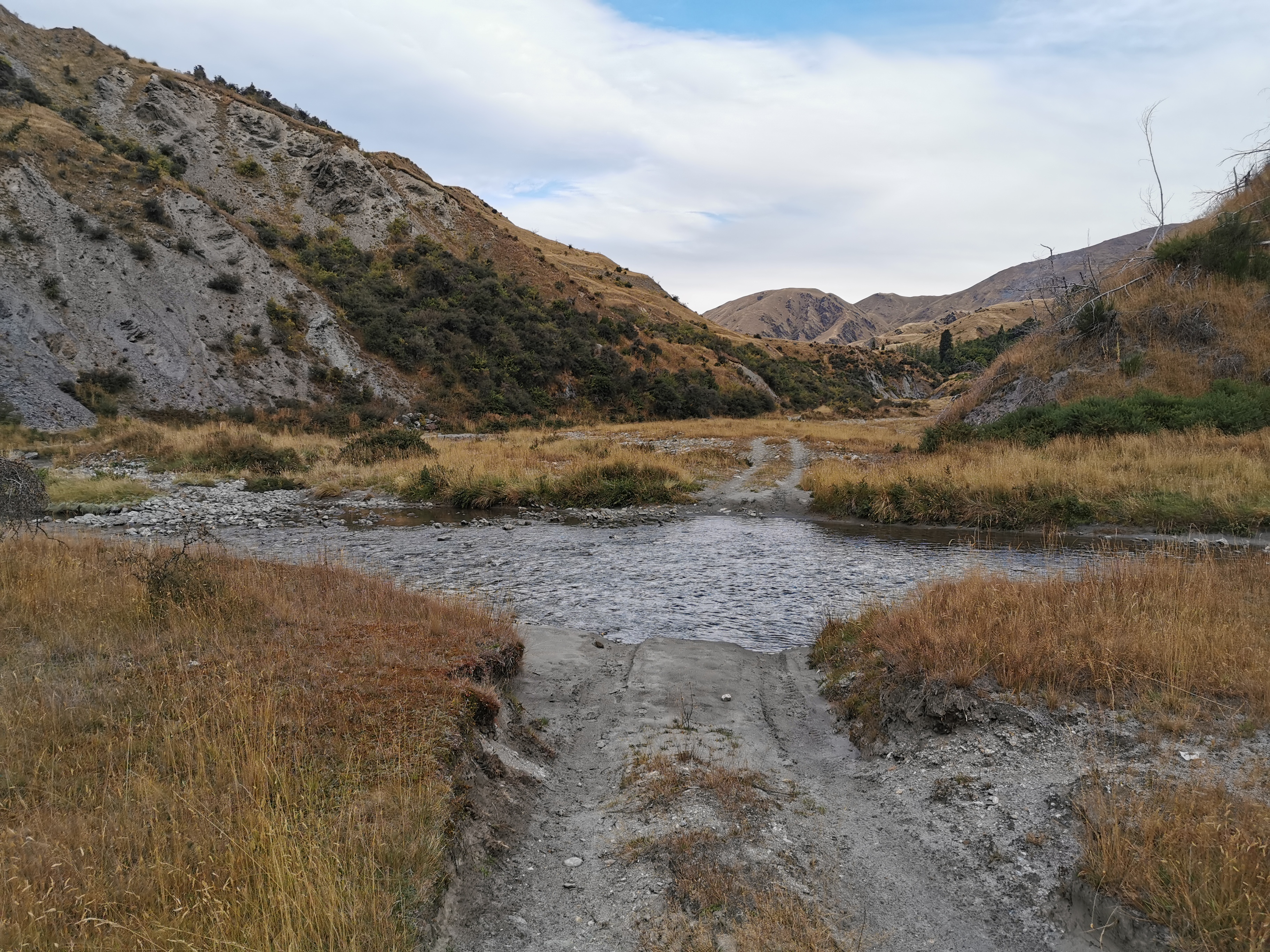
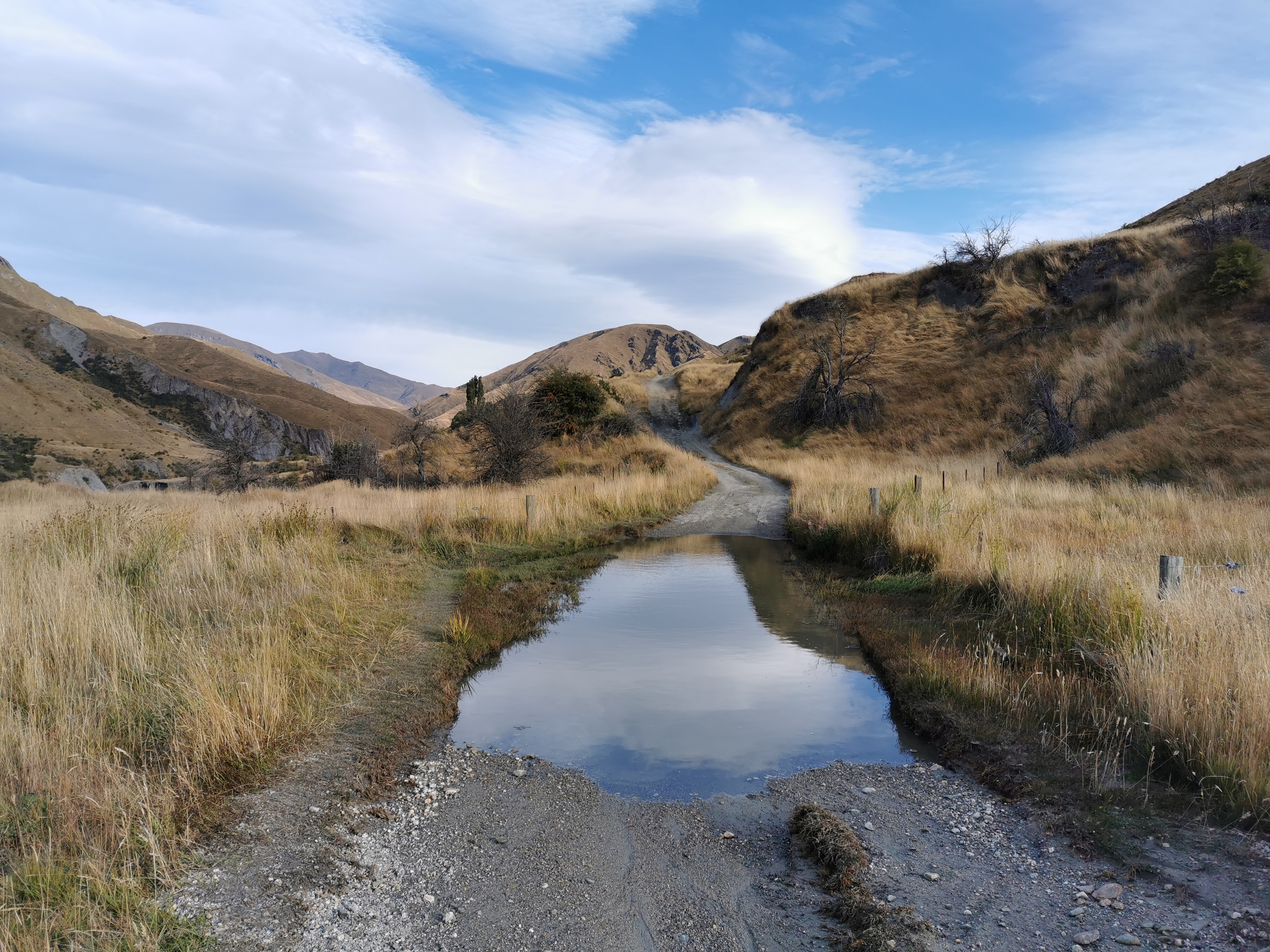
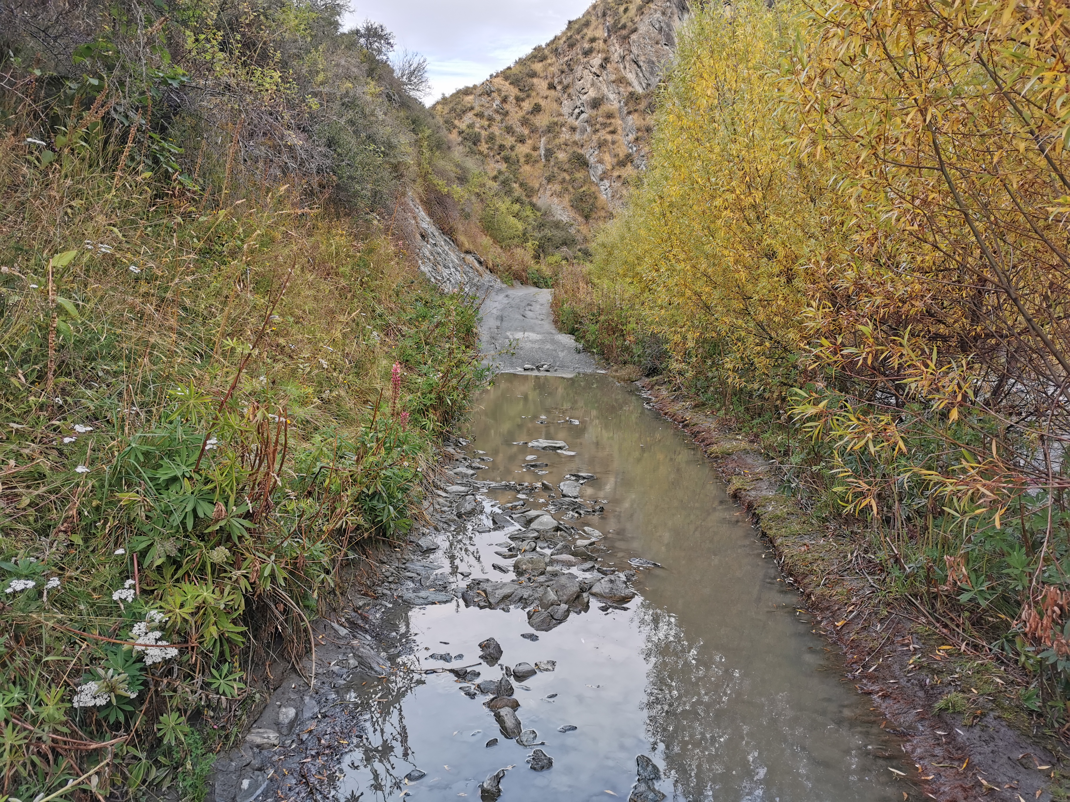
There’s a choice to make here. In low or normal river flow you can take the “low water route” where you walk down the Arrow River, or you can take the “high water route” any time.
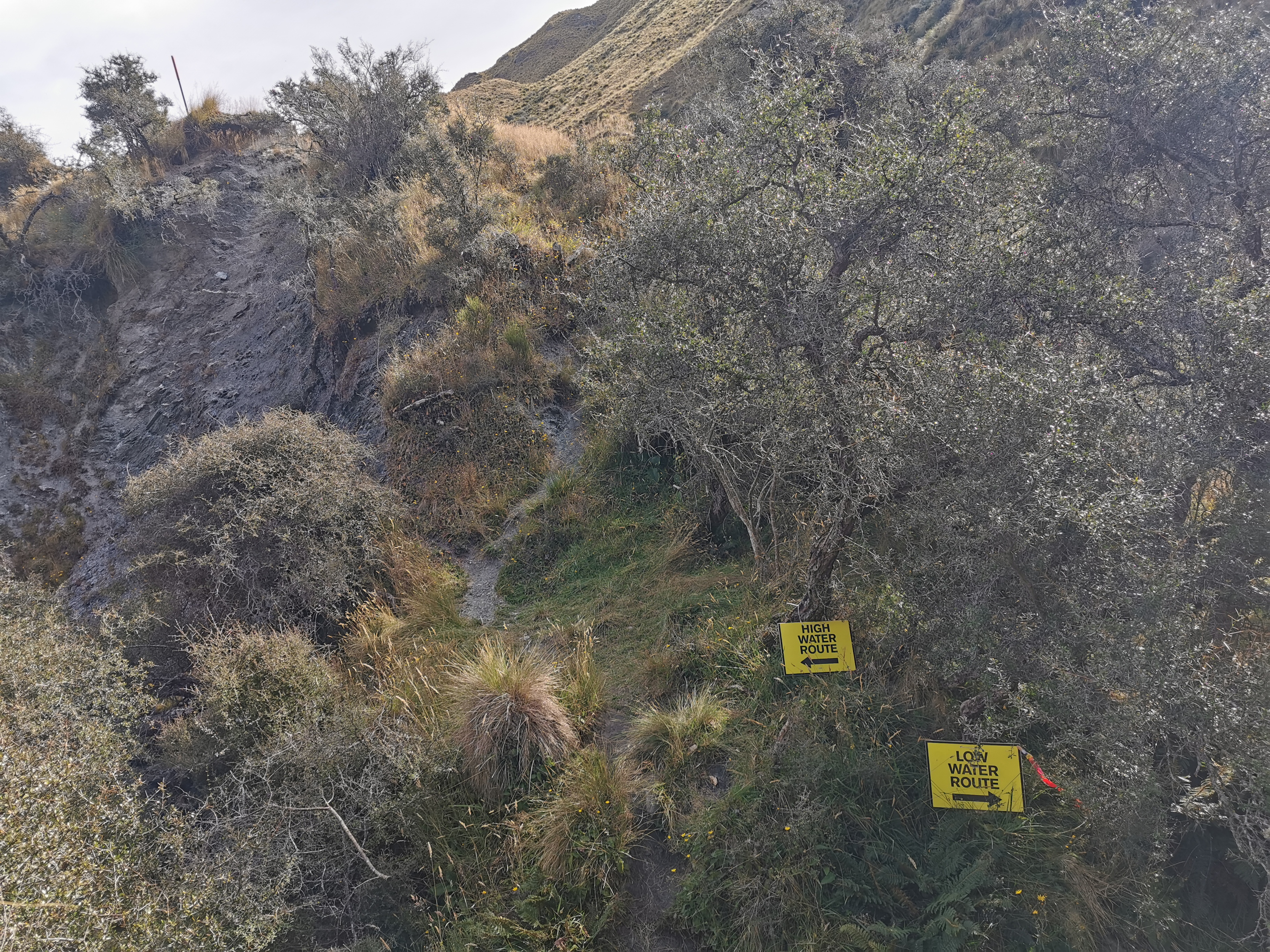
The notes say that the low water route is faster if possible. I found that a bit hard to believe since I know going down the river is usually slow, but I decided to do it. The river didn’t look high and it was the afternoon so the water wasn’t too cold. If it had’ve been early in the morning I might not have done it.
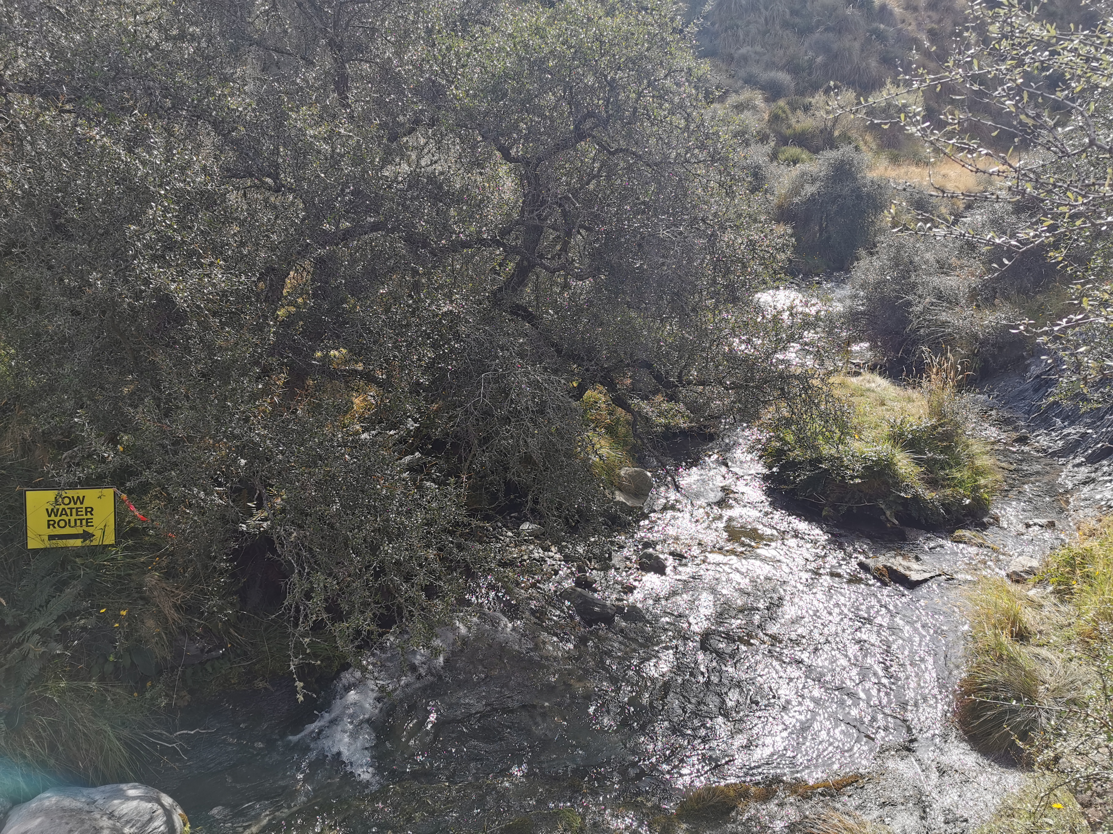
I put my crocs on for the water section. It was actually quite pleasant walking in the river, the rocks were not slippery here.
After a while I realised I wouldn’t be in the actual water the whole way – sometimes I’d be beside the water.
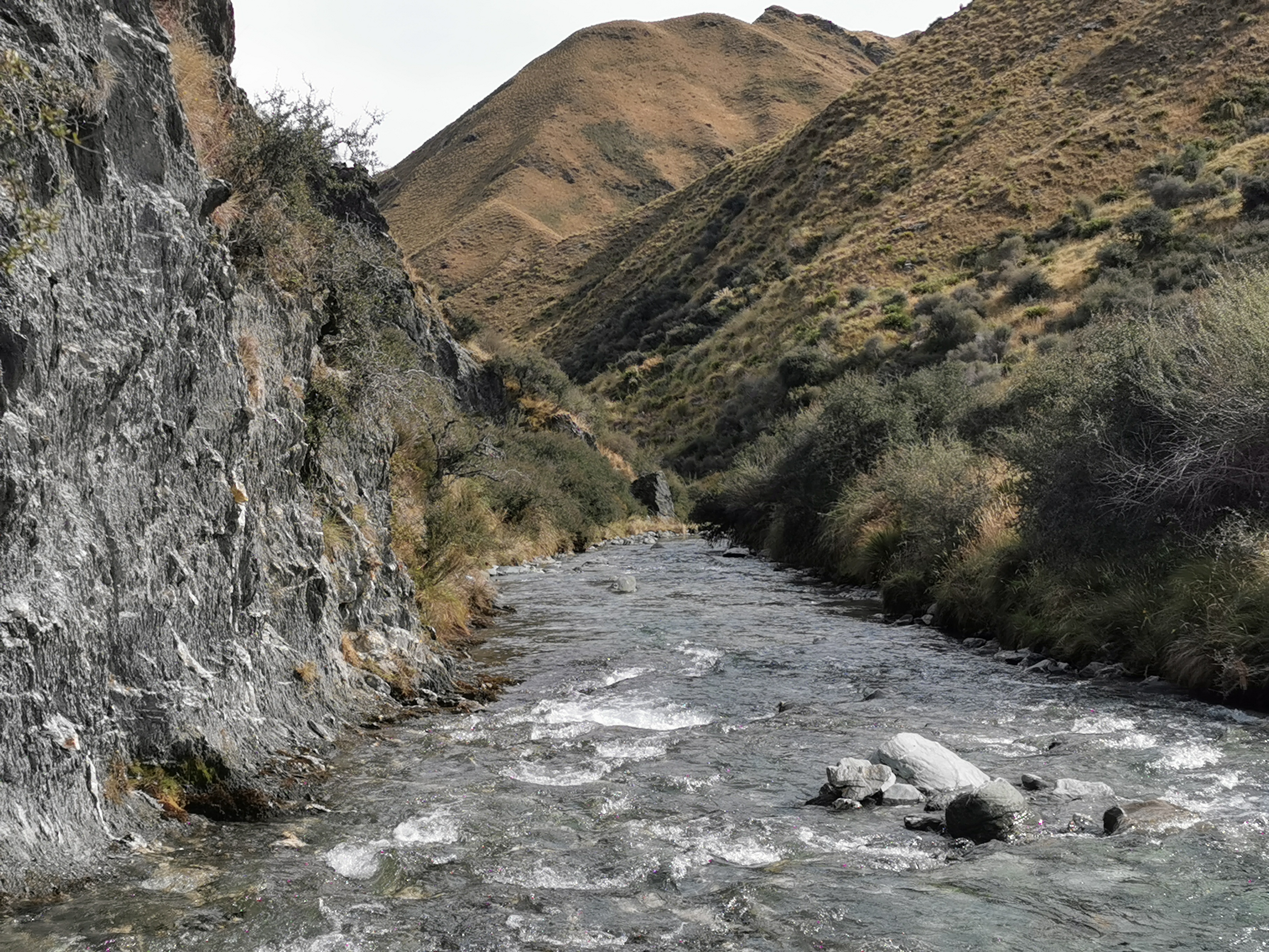
And then the path even turned into a 4WD track, which always makes things easier.
There were times you could see orange markers to the left way up on the hill, which was the high water route. This way wasn’t marked, although it was as simple as following the river downstream.
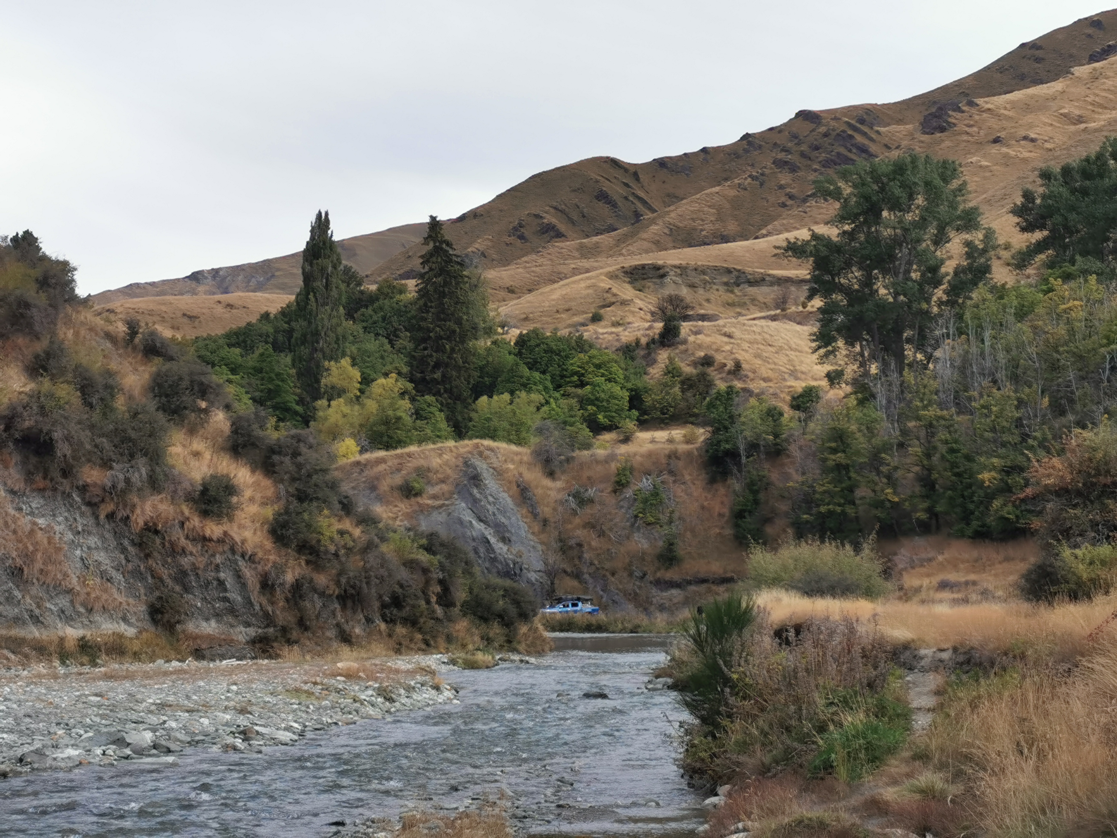
After 4km of walking downstream I’d reached the end of the Motatapu Track.
There was some kind of vehicle in the distance. Another relic?
Nope… It was people panning for gold. I didn’t know people still did that.
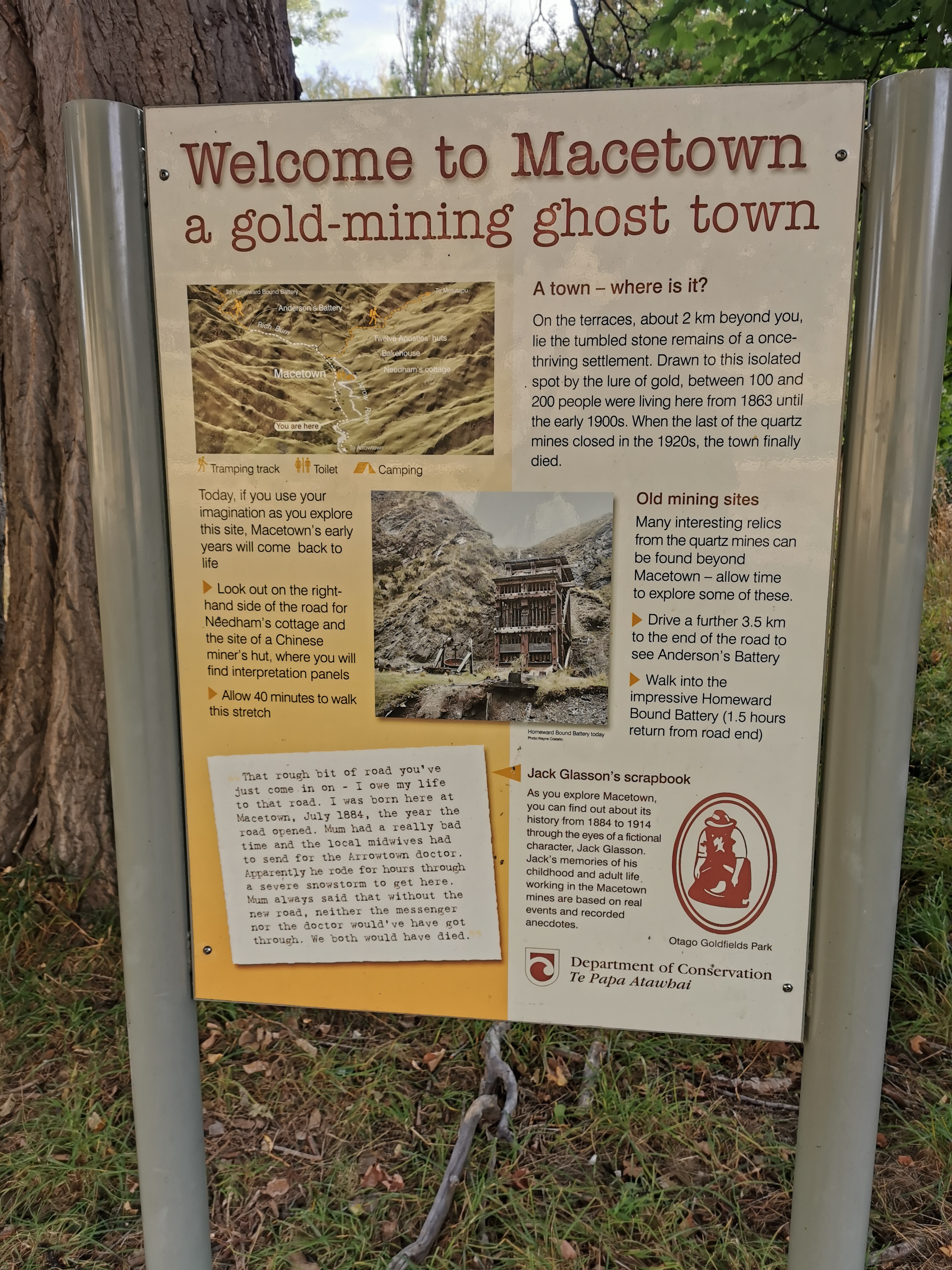
I had a chat to them and continued on. I was now in Macetown and was excited to see what was here. Macetown apparently had 100 or 200 people living here in the late 1800s during the gold-moning area but they all left and now the place is uninhabited.
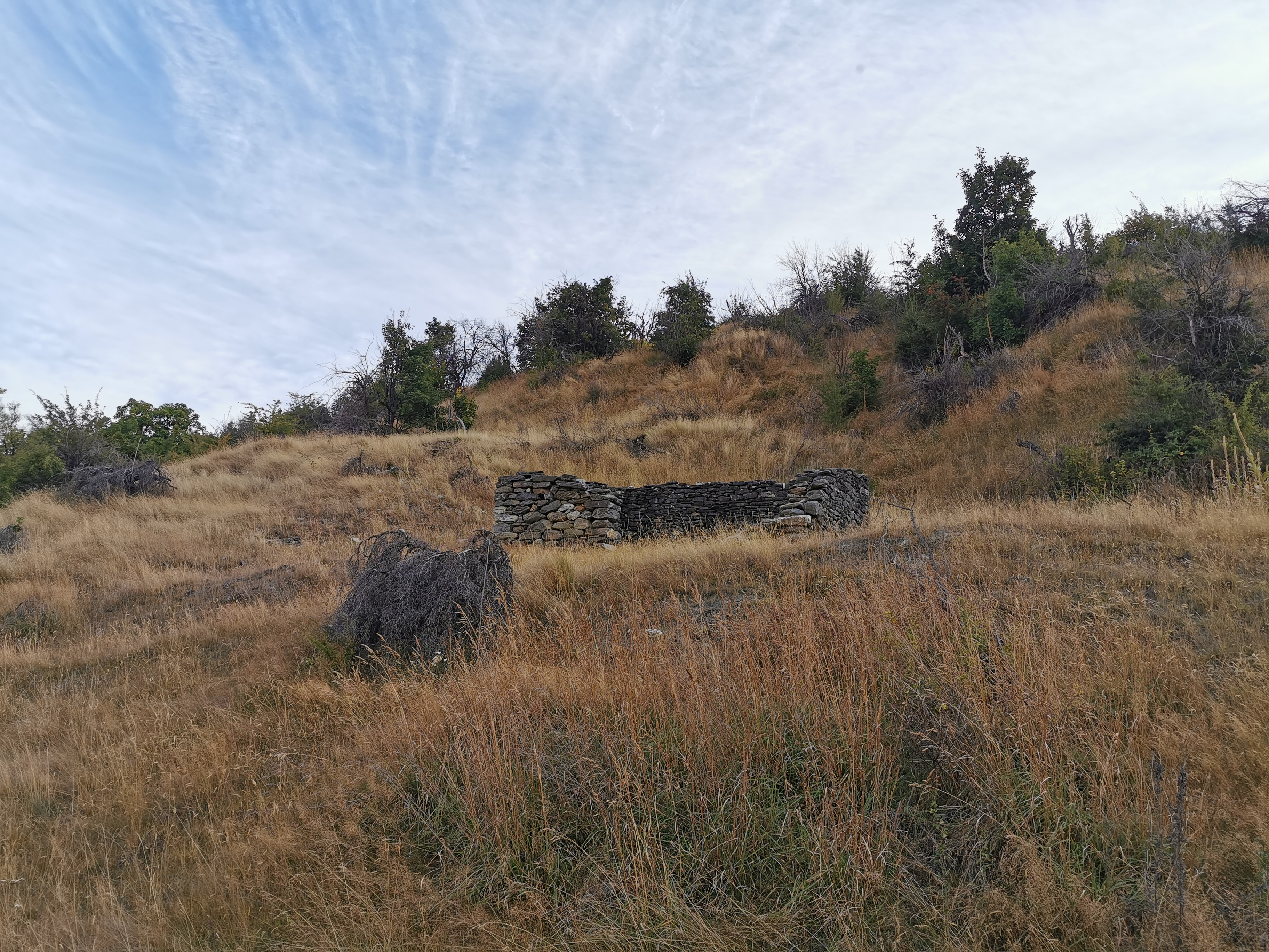
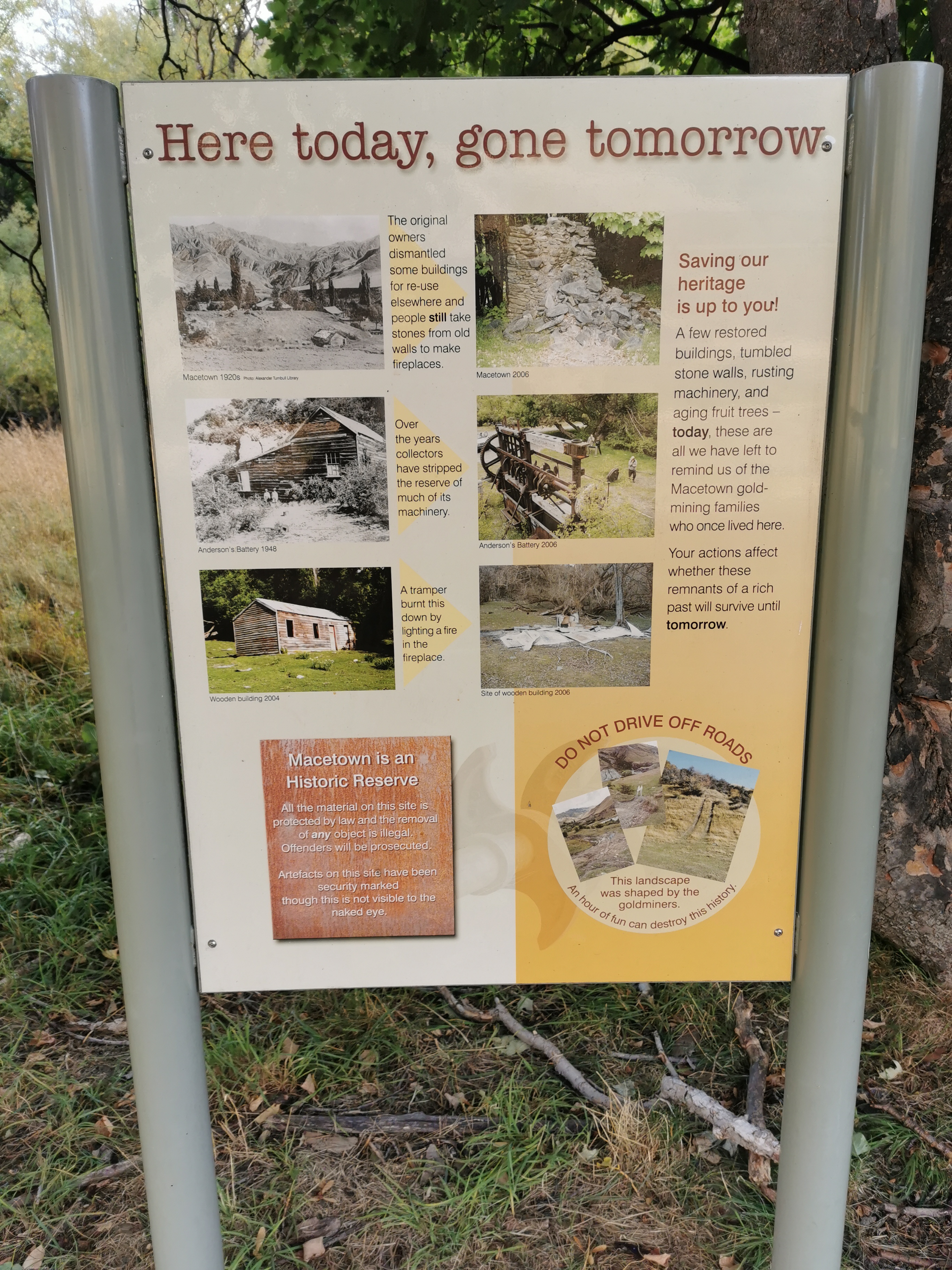
There wasn’t as much in Macetown as I expected. The map had the words “derelict huts” over and over again but I didn’t really see any.
There were only two buildings in the town. One was a cottage which I didn’t see because it was off-trail. The other was the restored bakehouse. There were also a bunch of mining batteries but these were an hour or so off trail.
I still had my crocs on through here. There were still more river crossings, and just lots of water in general. It must take a chunky 4WD to get down here.
Perhaps this is what they mean by derelict hut.
Looking up on the hill, I could see a path but it doesn’t seem to go anywhere. Maybe used during gold-mining?
Although a bit further on there was another similar path where it was possible to walk.
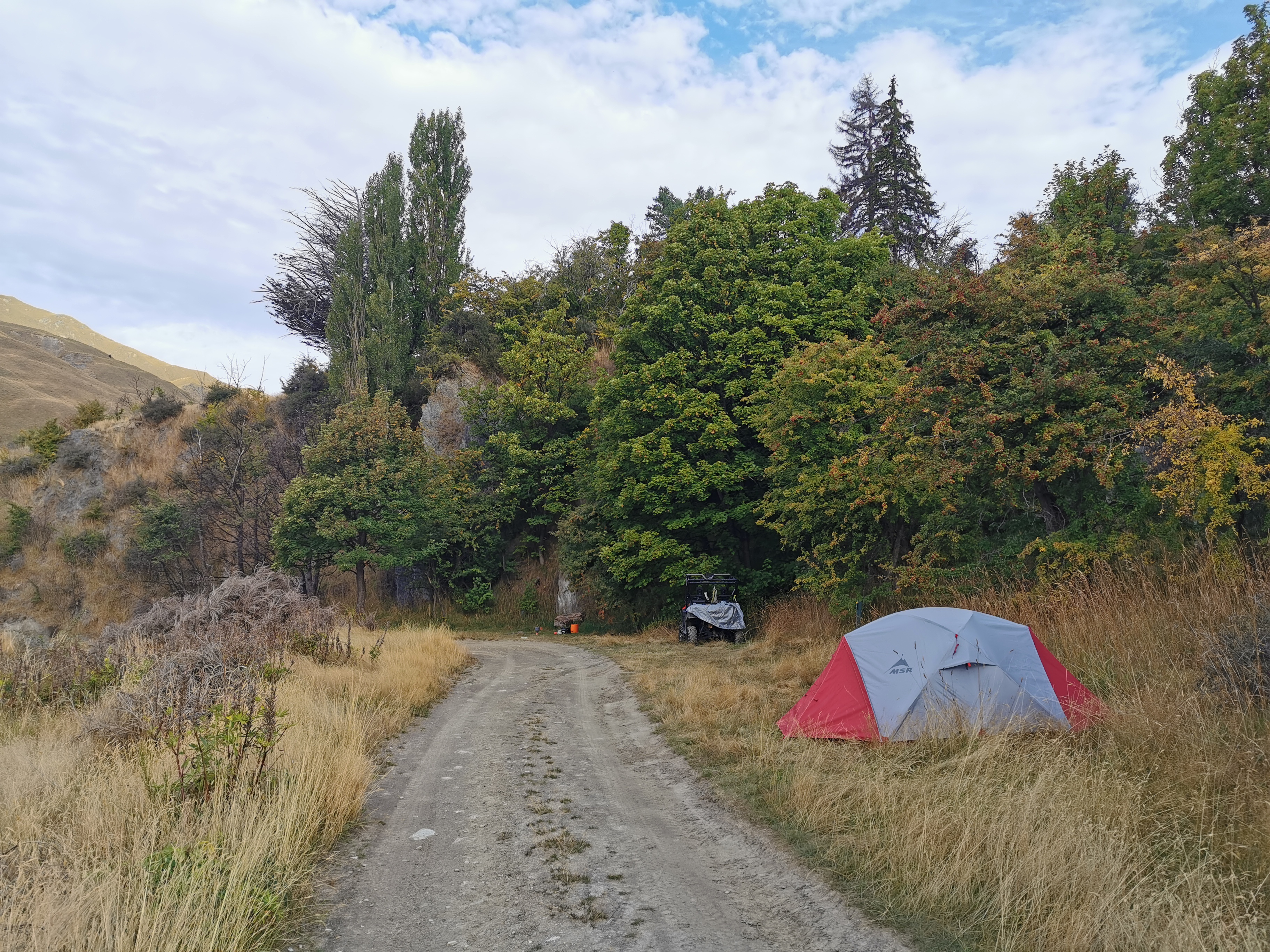
Okay, so that was Macetown. There was still another hour of daylight left and so I thought I’d continue on. Guthook had mentions of other good camping spots and also potentially a hut further up.
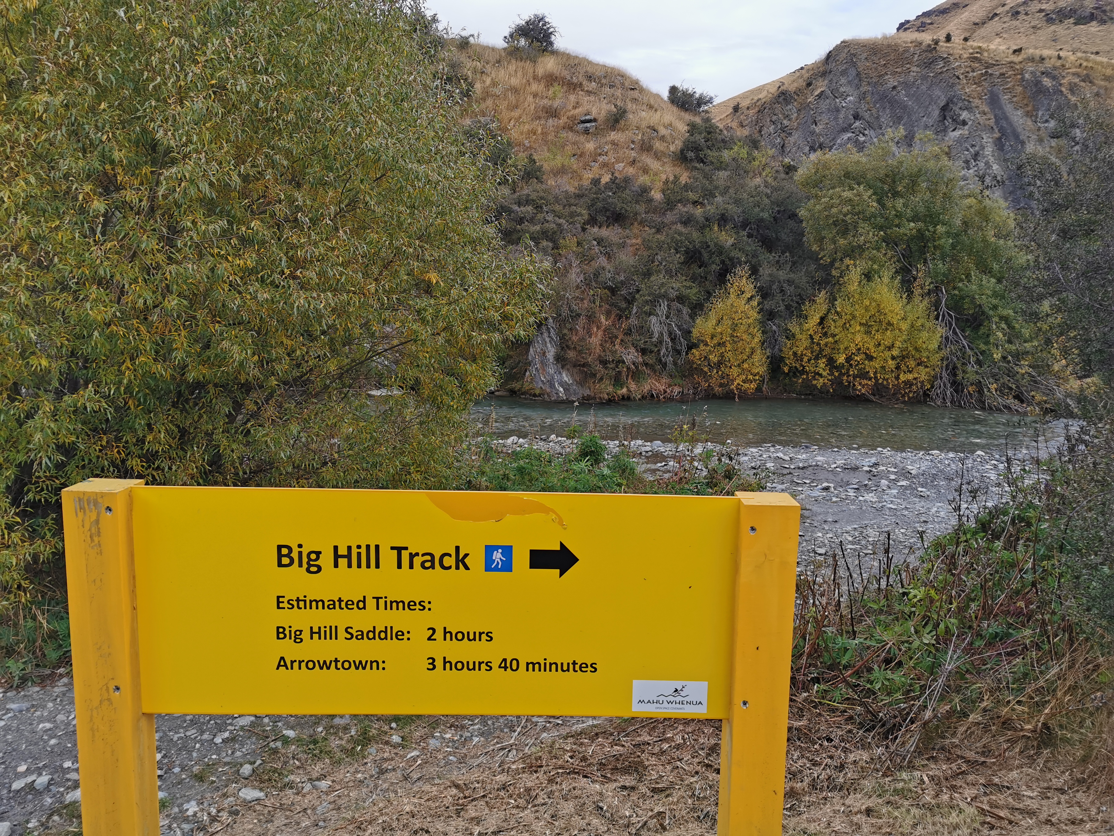
This is the start of the Big Hill Track, which goes up and over the Big Hill saddle. Not a very imaginative name, Big Hill, especially since it is smaller than the other four hills I’ve walked over today and yesterday.
The first part of the walk was through these plants I hadn’t seen before. They rattled when you pushed them.
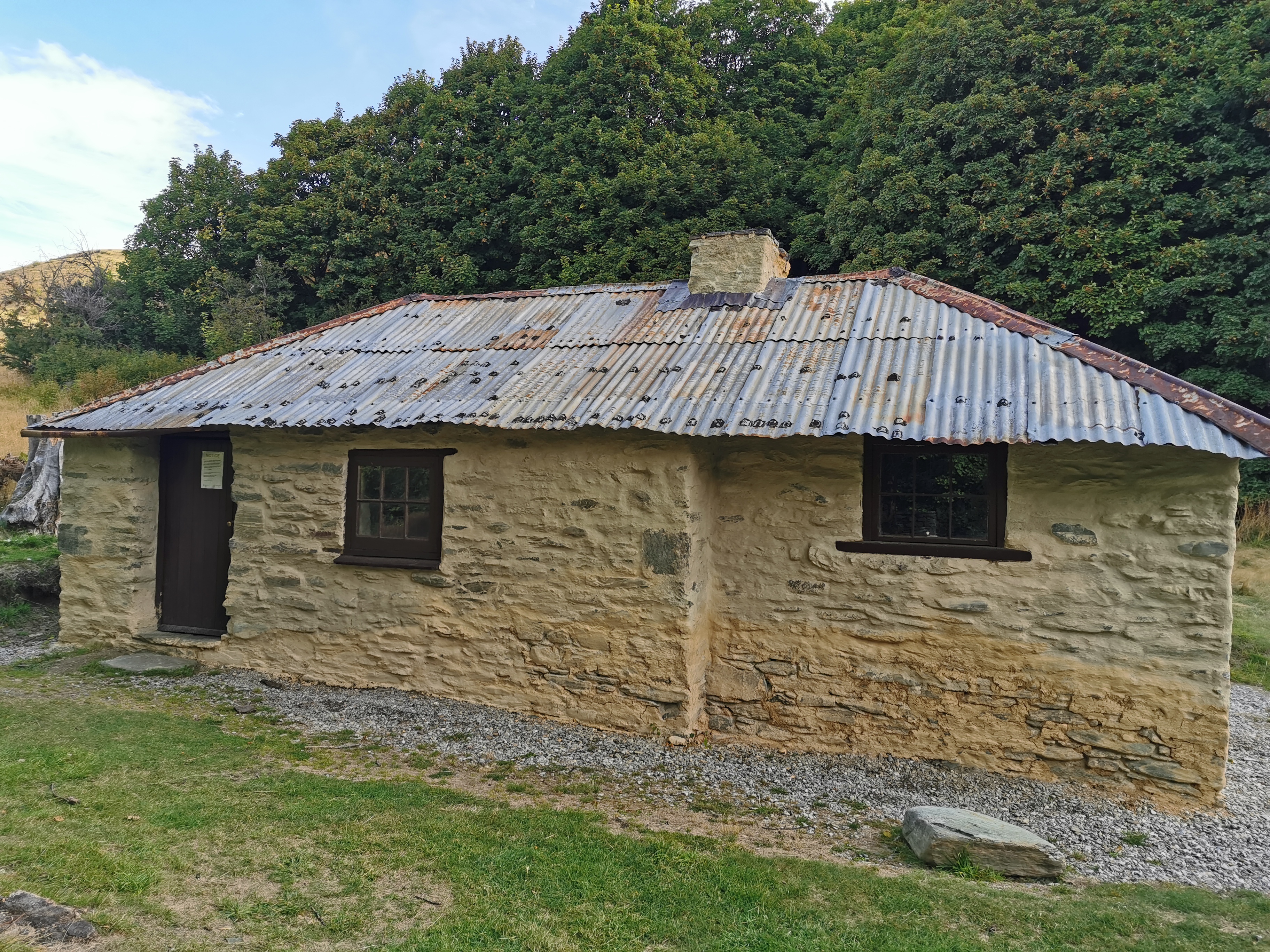
Only a short distance up here I found the hut Guthook talked about.
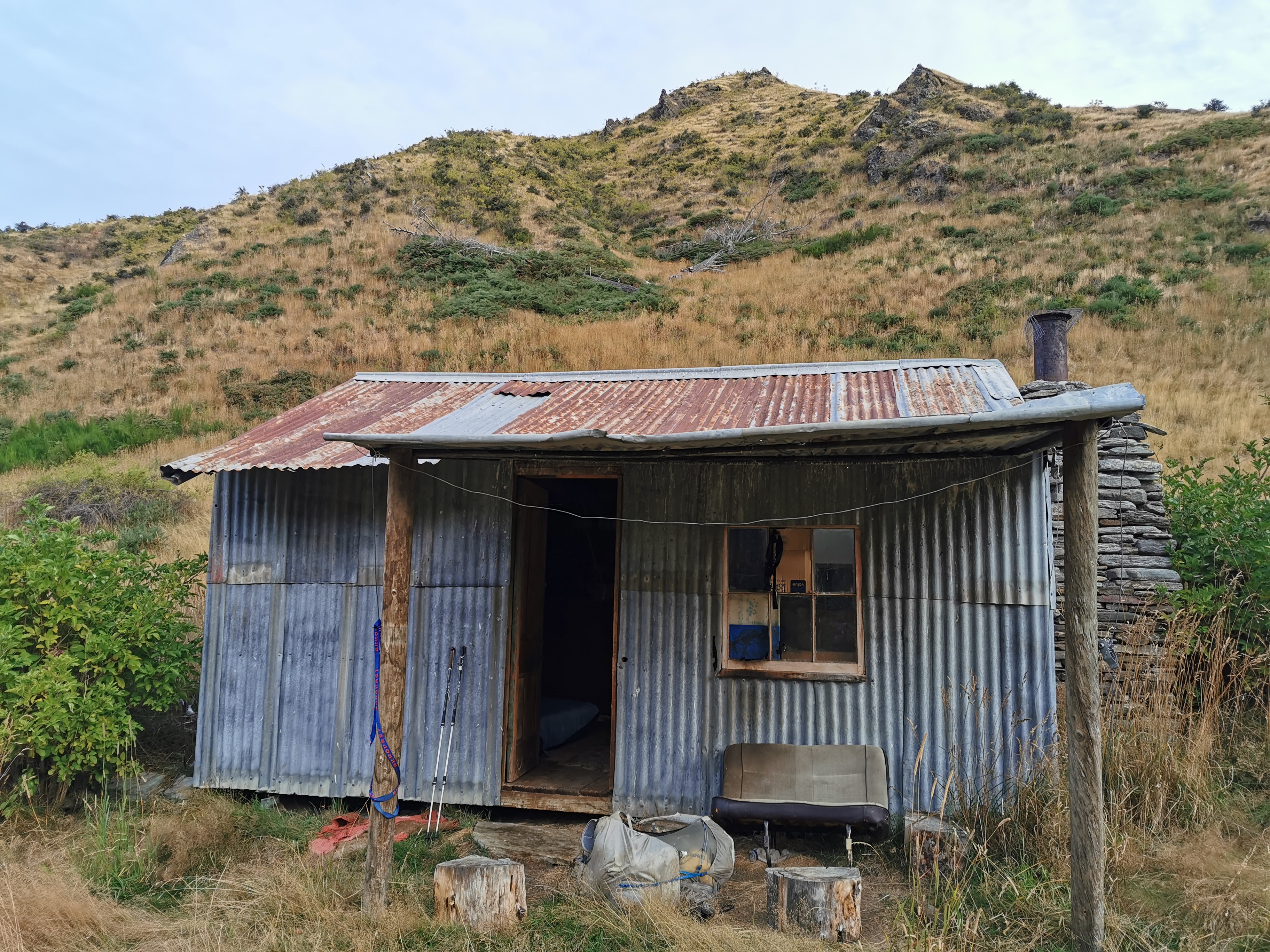
It had no name, everything outside looked a bit smashed up and broken, and on the map it said “Mt Soho Homestead (derelict)” for this whole area. I was a bit apprehensive about going in.
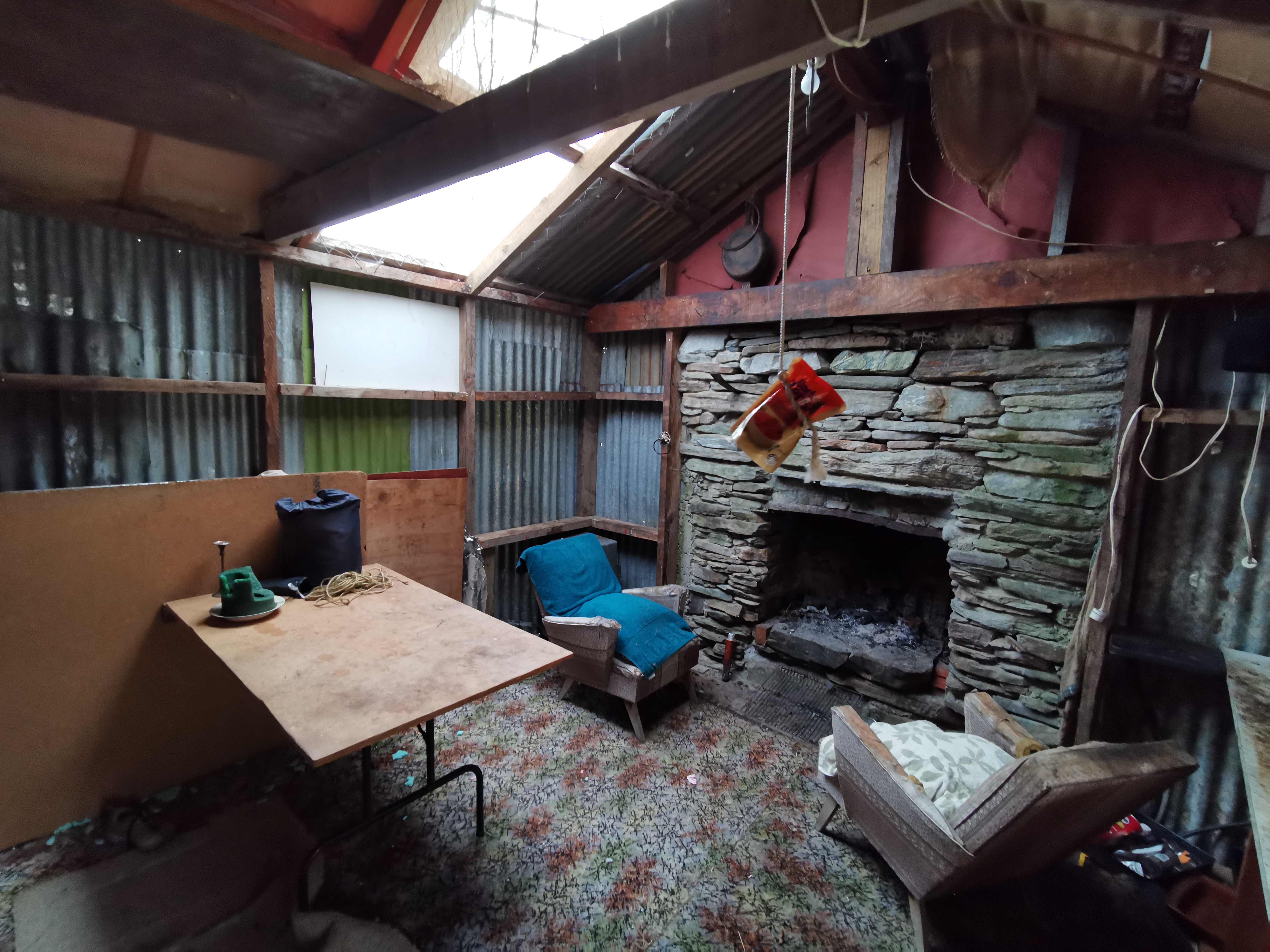
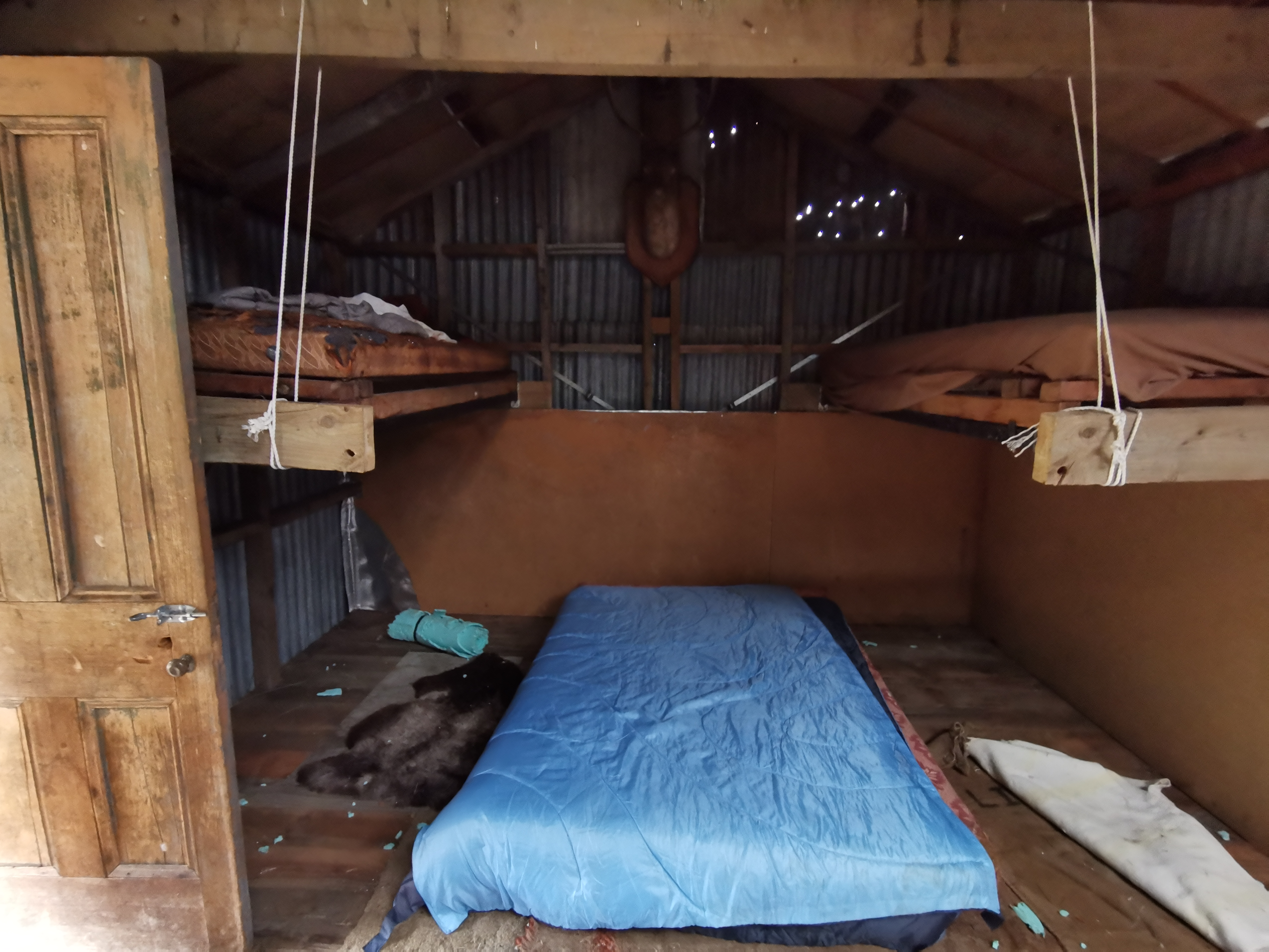
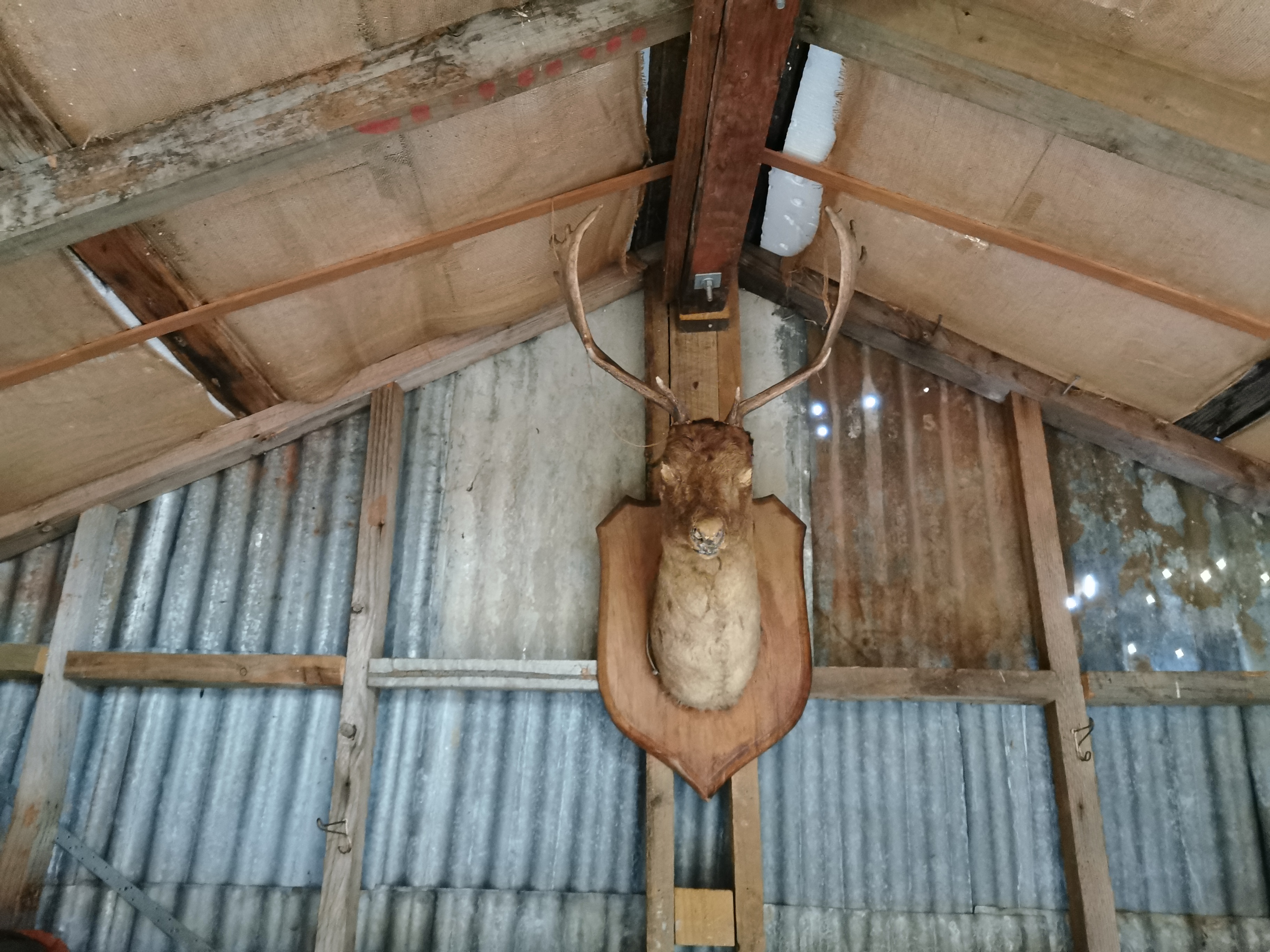
Wow, it sure is quaint inside, but it’s not in as bad condition as I expected (although that deer head with no eyes is just creepy). There’s lots of mess around, lots of shrapnel everywhere. I wonder if mice have ripped up the foam mat or whether it was bored hikers. There’s definitely evidence of rodent activity here. A bit of a scary place to stay by myself but I decided to do it, as it saves putting the tent up.
I made sure to cook dinner outside in the hopes that it didn’t make the inside smell like food and therefore attract the rodents.
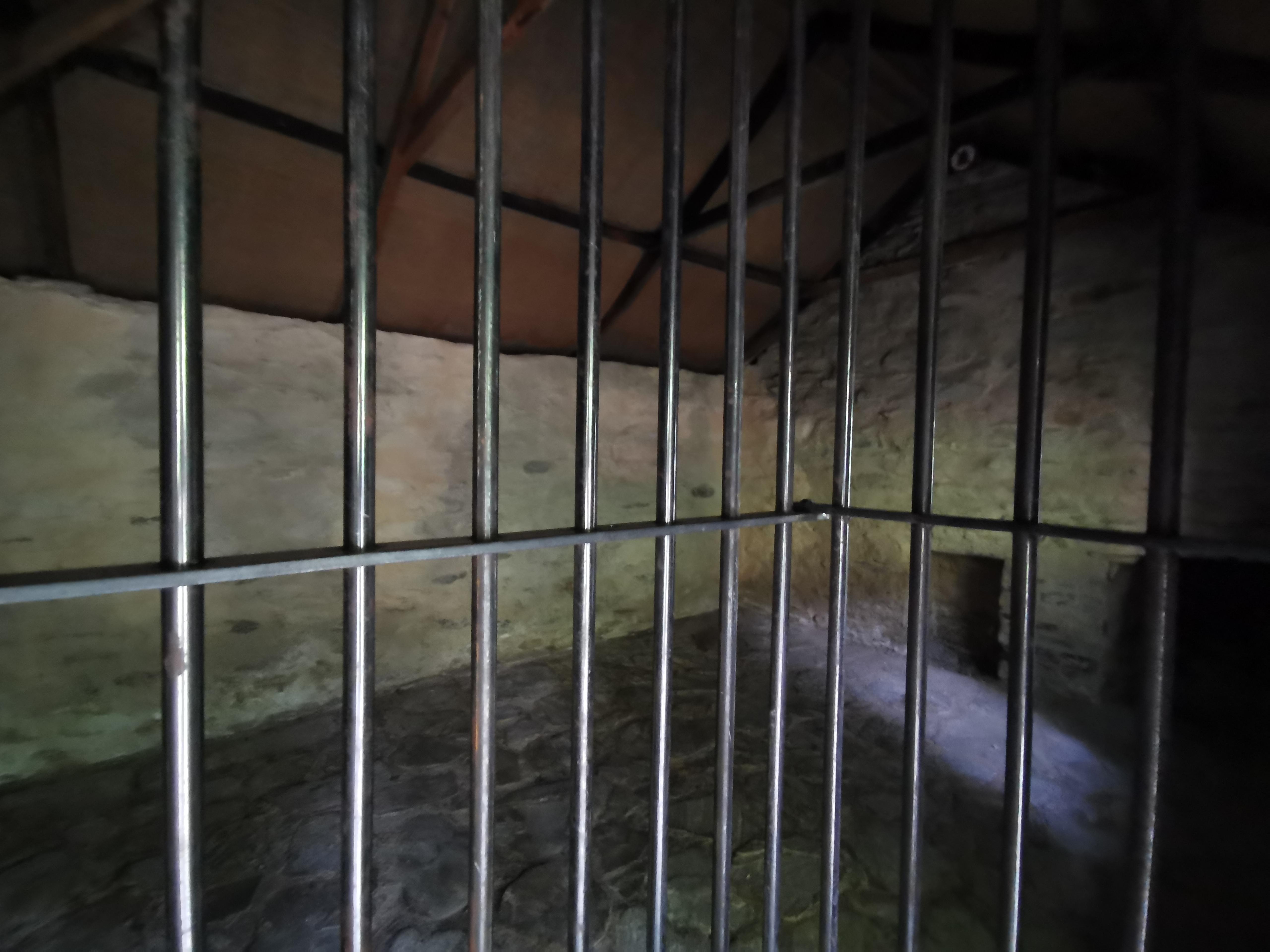
Having a proper look around, there are definitely rats here. The droppings I can see are far too big to be from mice.
Inside I got into my sleeping bag and started writing this blog entry. While I was doing that, I heard something constantly running across the roof. A mouse or a rat, perhaps? Although it’s a corrugated iron roof, I’m not sure how a mouse could run across it. Hopefully it’s a possum and it stays outside. But the chances of rats being here are close to 100%. Hopefully they don’t keep me awake and hopefully they don’t run across my face. And hopefully I don’t see them. Since I’m the only one here I went to sleep with the torch on my phone on, pointing up at my food bag hanging from the ceiling. Although for all I knew that would keep the rats awake.
Today's walk on the map (blue = Te Araroa, red = today's walk):
Very brave staying there, especially with the potential ratty company. The mystery rattling plants look like lupins. Your very brave sheep was almost certainly a pet lamb that has grown up unafraid of humans.
I walked Fern Burn car Park to Roses Hut on March 16 – 17 and seeing these photos and some of your comments (wish the path ran by the road) it echoes my thoughts on that part of the track!!! Well worth the views but super strenuous! Glad you made it out of Queenstown !
the “tracks” you saw might have been old water races