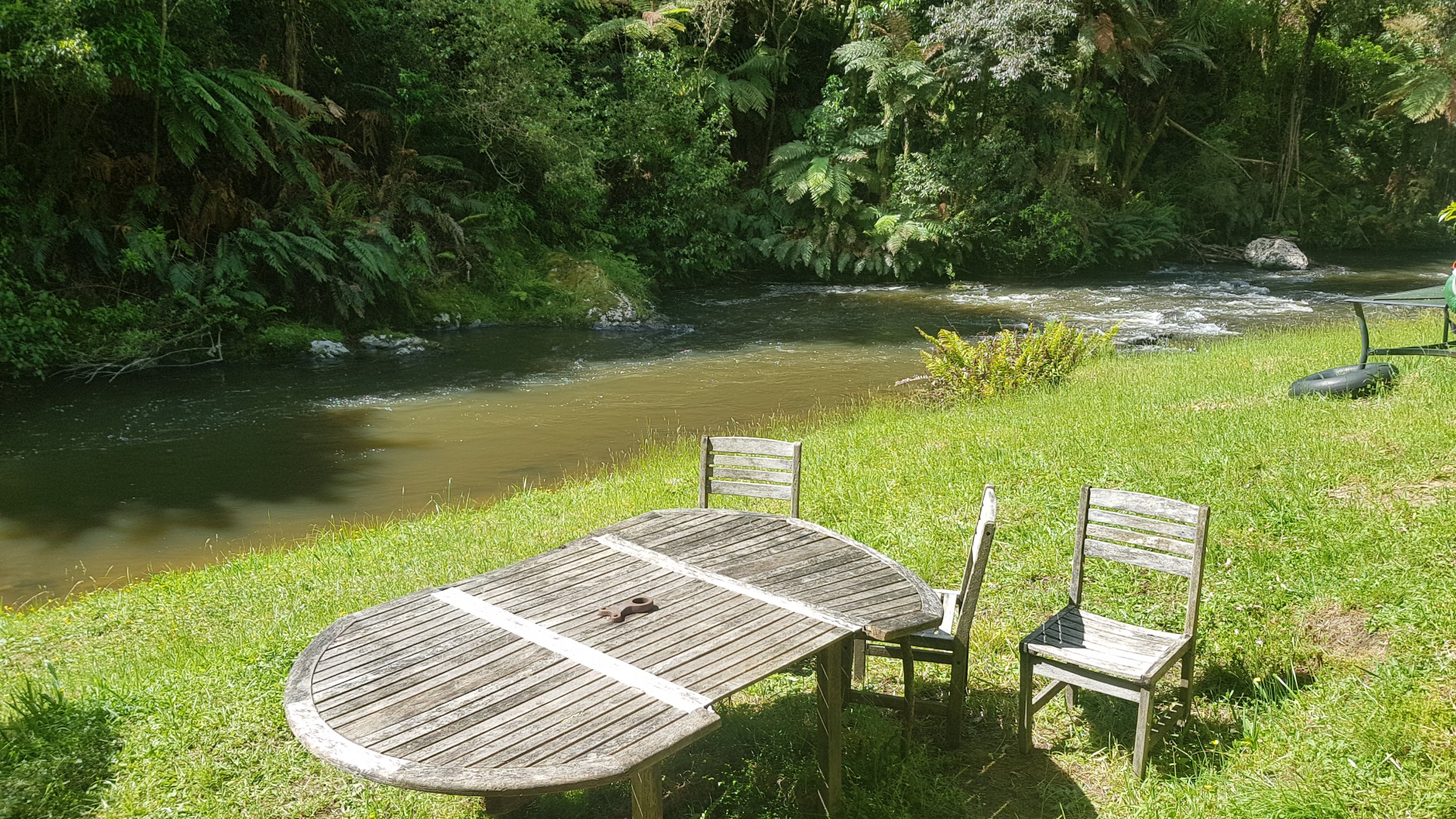
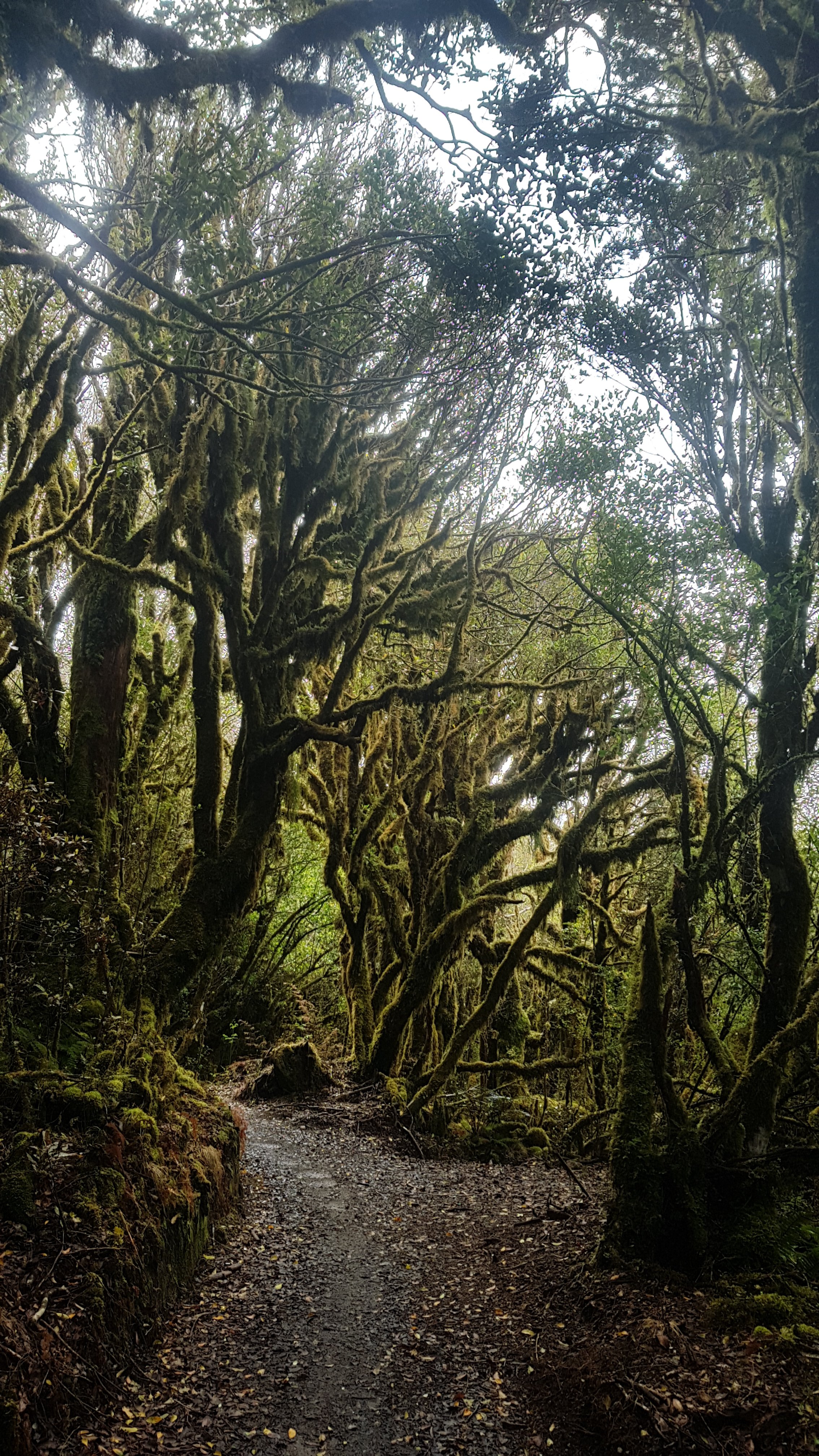
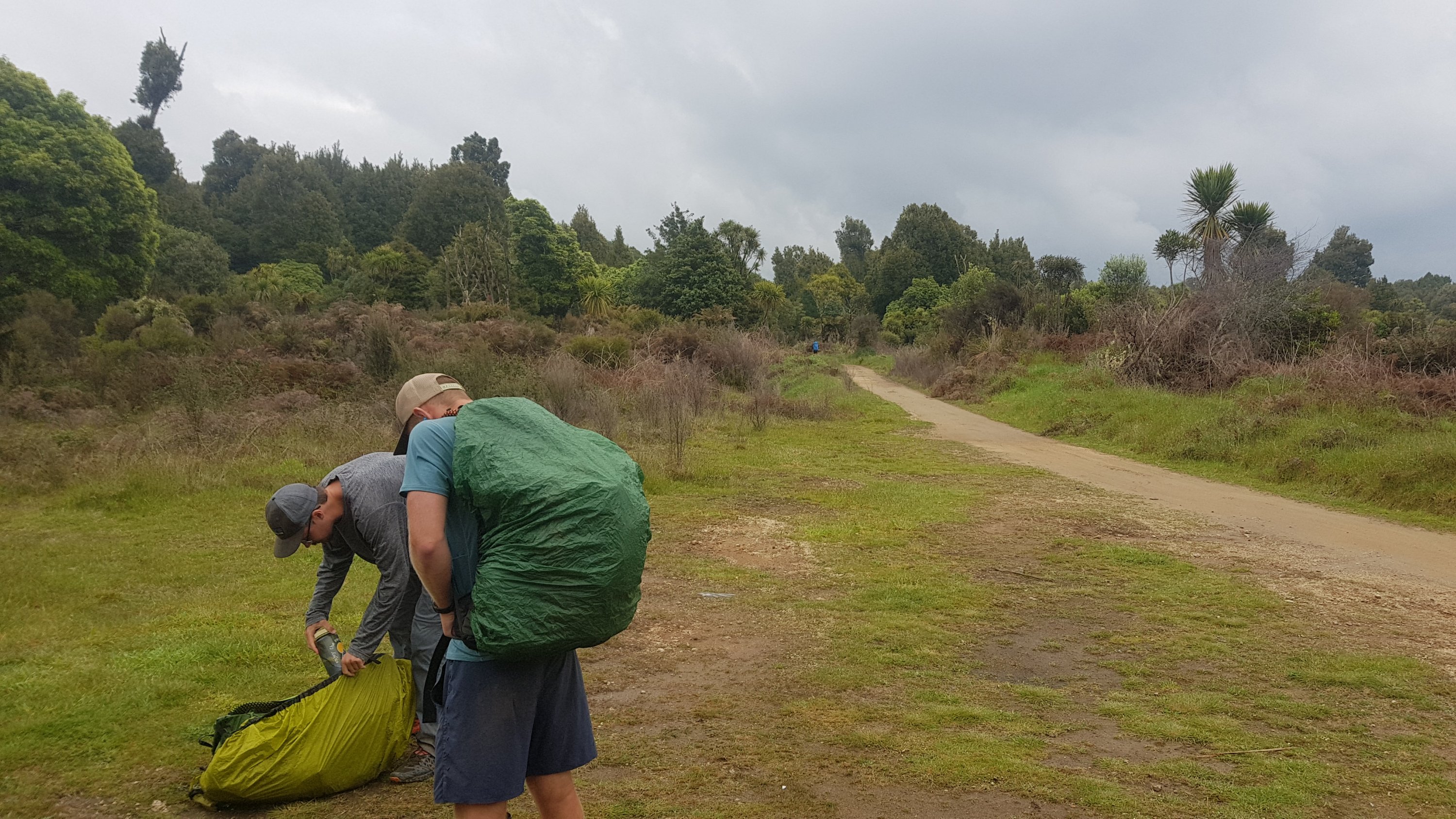
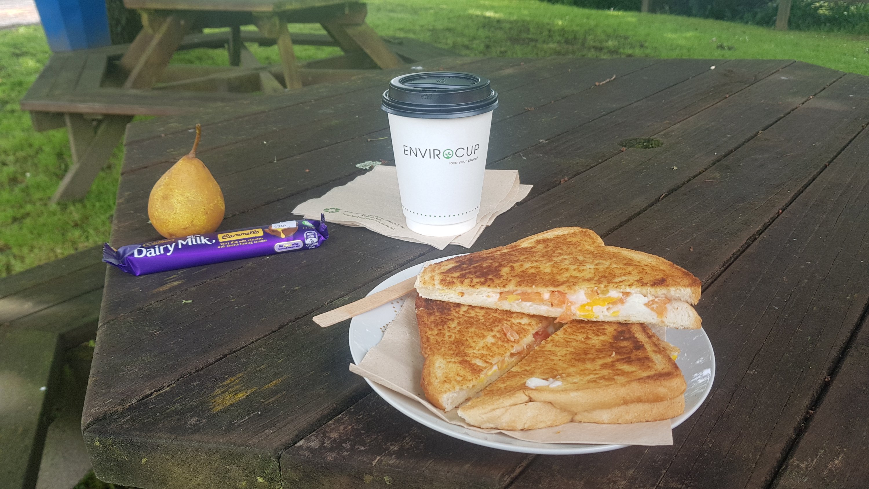
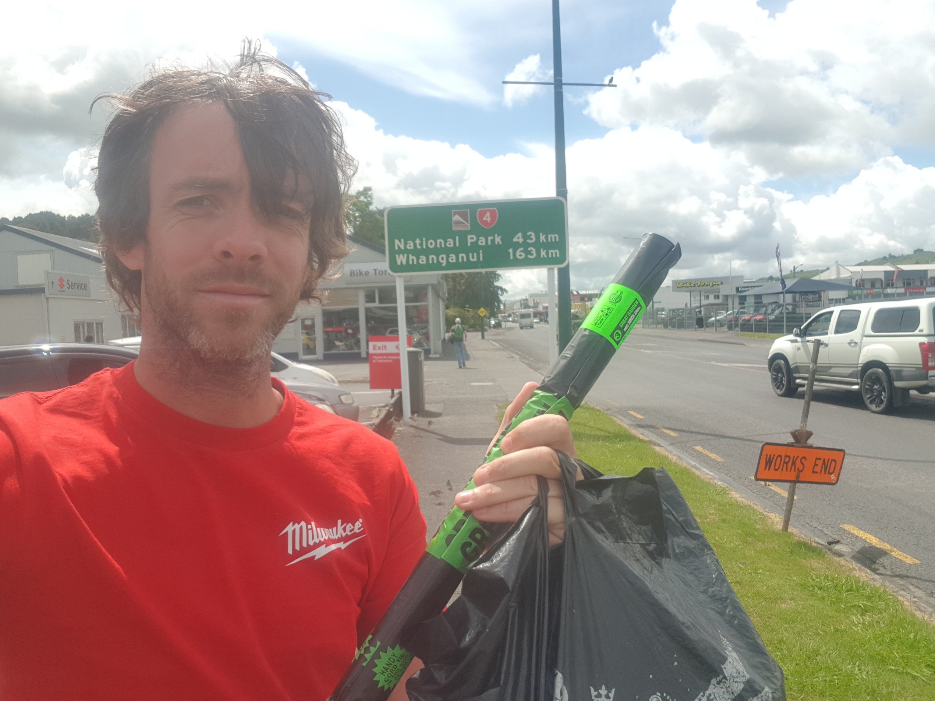
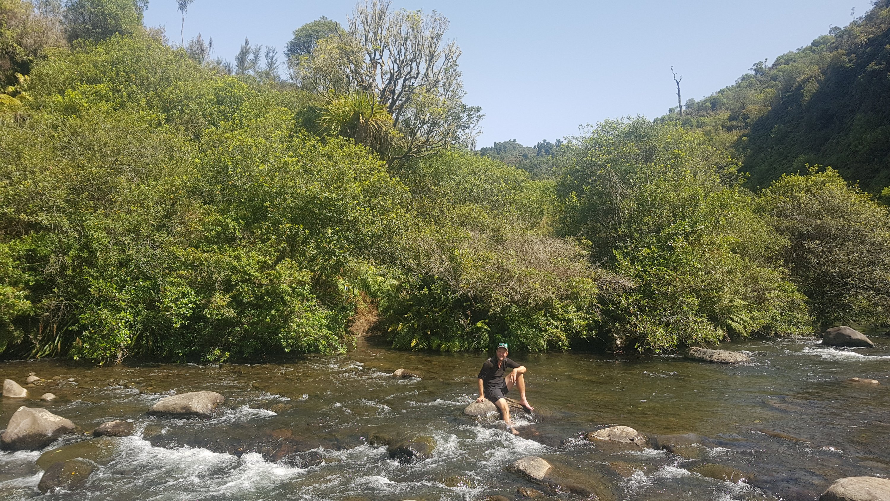
Today is my final rest day, at least the last planned rest day for now. After today I will have my full pack and I’ll be continuing the trail properly. No more sleeping at home. Well actually, for the next two days I’ll be staying with friends and family, and possibly more after that too. But I won’t have the comforts of home any more.
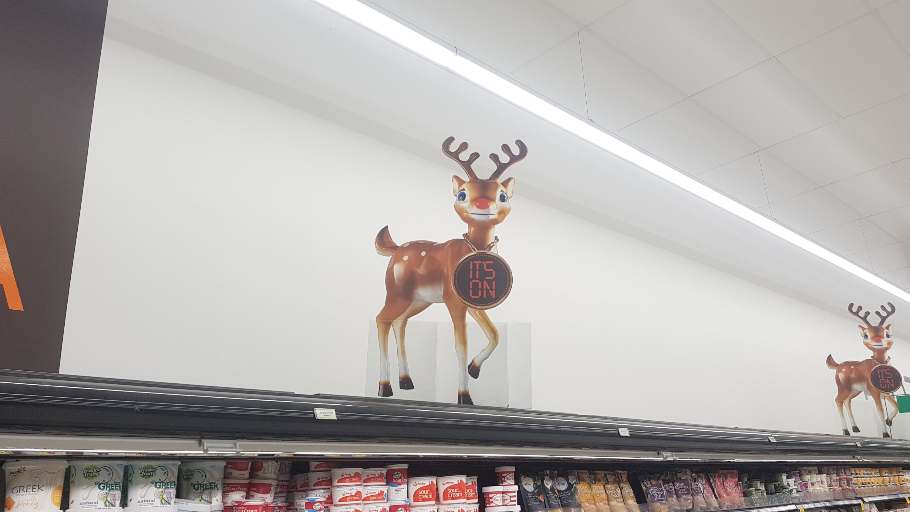
I went to the Countdown Supermarket and got a few things. While I was there I saw the bizarre Countdown Reindeer. The Countdown Reindeer scares me for so many reasons. First, the fact it looks terrified and like it’s being held against its will. Second, the massive clock around its neck. Third, the terrible, terrible TV adverts it appears in. Fourth, the fact that Christmas isn’t for seven weeks.
I’ve noticed that my running shoes definitely smell like swamp. They’re definitely going to be stored under the house for a while, as they stink. It is actually nice to get back into my hiking boots. I’ve missed them!
I had a look for my CamelBak 3 litre water bladder but couldn’t find it, it must be in storage. So I’ve just added one extra drink bottle and so my water capacity is now 3.8 litres. Probably still not enough but I don’t want to have to carry 5kg of water all day!
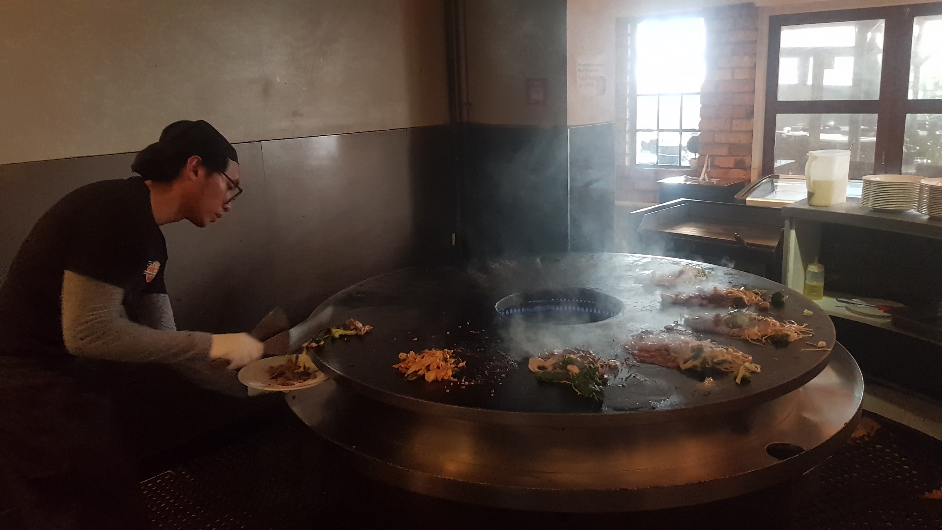
I went with my friend Nick to the Genghis Khan Mongolian BBQ for dinner. It’s where the food is all you can eat, and you select your meat and vegetables and they cook it for you. Similar to Gengy’s in Hamilton, but all the Gengy’s restaurants in Auckland seem to have closed down. You can go up as many times as you want. I had one bowl of soup, three plates of food and two plates of dessert. Every bit of it was fantastic.
Cooking the food at the Mongolian Barbecue
Although on the way home someone pointed out to me that I have a flat tyre. Damn, how inconvenient! The Caltex petrol station was right next door luckily, and it was completely flat – the air pressure reader said 1PSI. It stayed inflated long enough to get me home but that means when I return home for Christmas I’m gonna have to deal with getting it fixed. How inconvenient 🤬
Doesn’t matter for now though. I have more important things to stress about, like not falling out of the Whanganui River canoe journey in about a month’s time.
Date: 9 November
Distance walked: 26.8km
Trail covered: kms 737.9 to 763.1
Weather: hot again but at least with some cloud
Games of Mexican Train I won: 1 out of 2
I got up early and went to McDonalds on Queen Street in Auckland City to get some breakfast before the bus. What a depressing place – mess everywhere and people sprawled out everywhere sleeping, both inside and outside the restaurant. And the self service machine let me place my order but then told me that the card machine wasn’t working and I had to go to the counter. Couldn’t you have told me that in the first place, before I spent several minutes placing my order??? I’m a software developer and if my staff designed a system that worked that way they would need to provide me with a very serious explanation.
Walked over to the Intercity bus station and walked the whole length of the platforms looking for the Rotorua bus and it appeared to be none of them. New Plymouth, Tauranga, Wellington, Hobbiton. Nope, not going to any of those places. I had to ask someone, who pointed out that the New Plymouth sign was wrong and it was in fact going to Rotorua. At least he actually cared, because he changed the sign. I figured that the bus with the longest queue would be the Rotorua bus. Surely that many people don’t want to go to New Plymouth.
Then it was quite a few minutes before the driver turned on the air-con, so I spent a few minutes roasting on the top deck. But once we got on the motorway it was a comfortable trip.
At the first stop, I wondered “when did Manukau get such a fancy bus interchange”? Didn’t look like this when I went through last – last time you just got dumped at the entrance to the shopping mall.
Manukau bus interchange
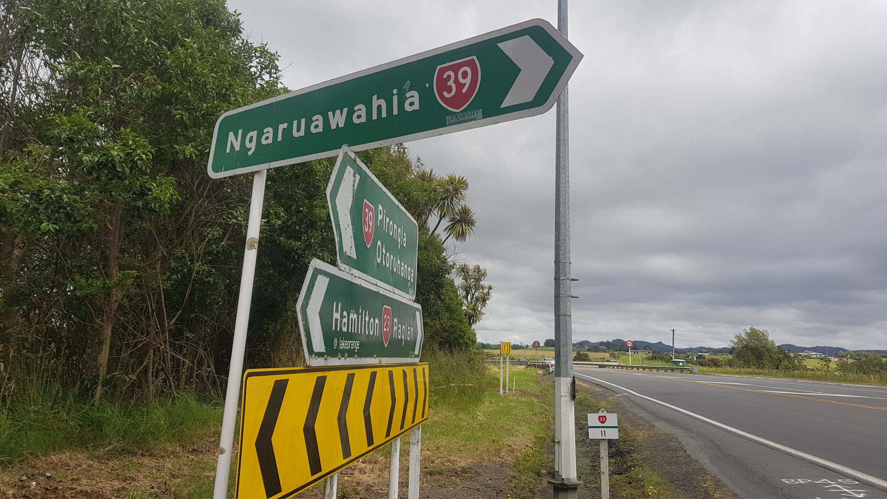
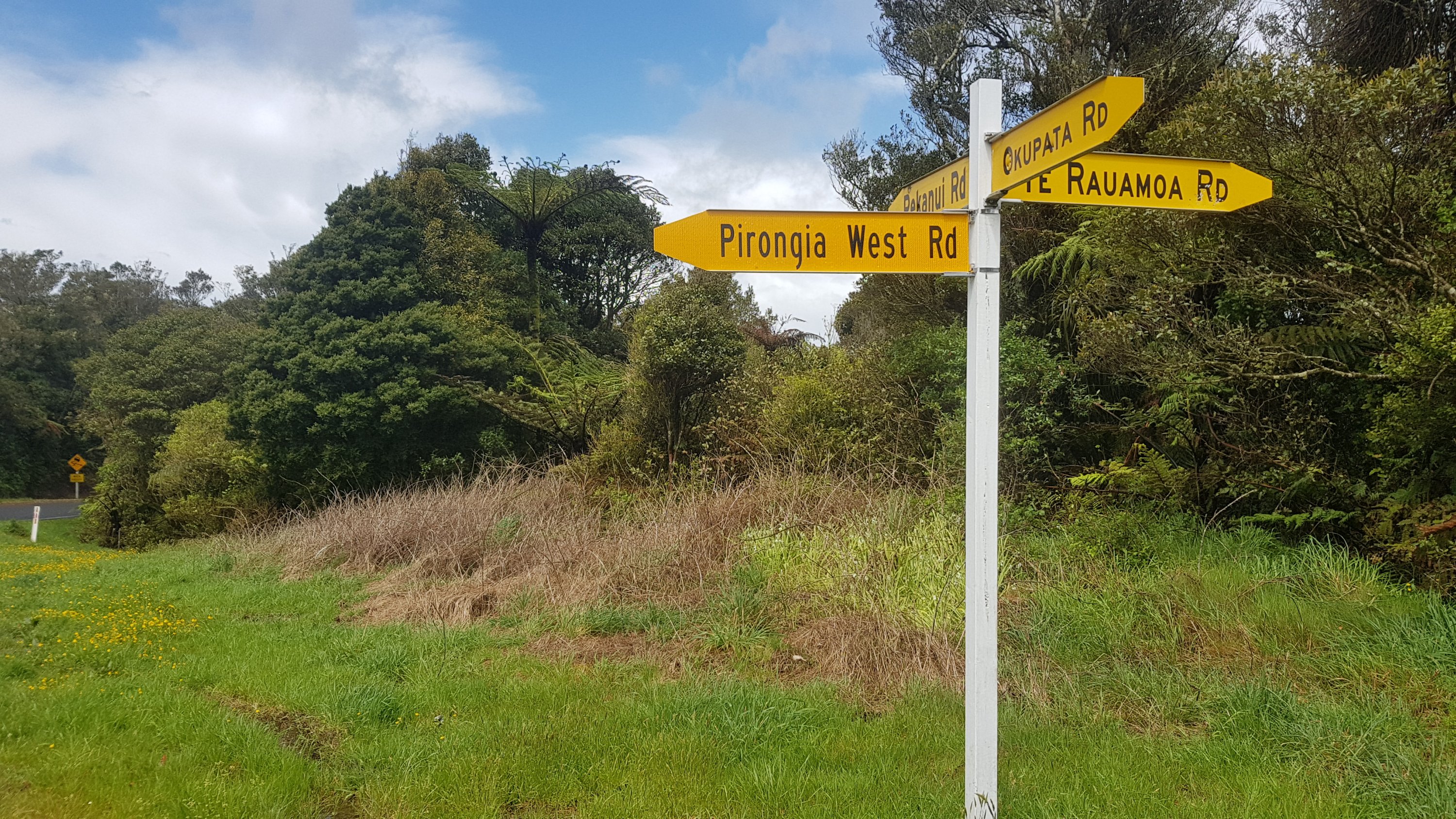
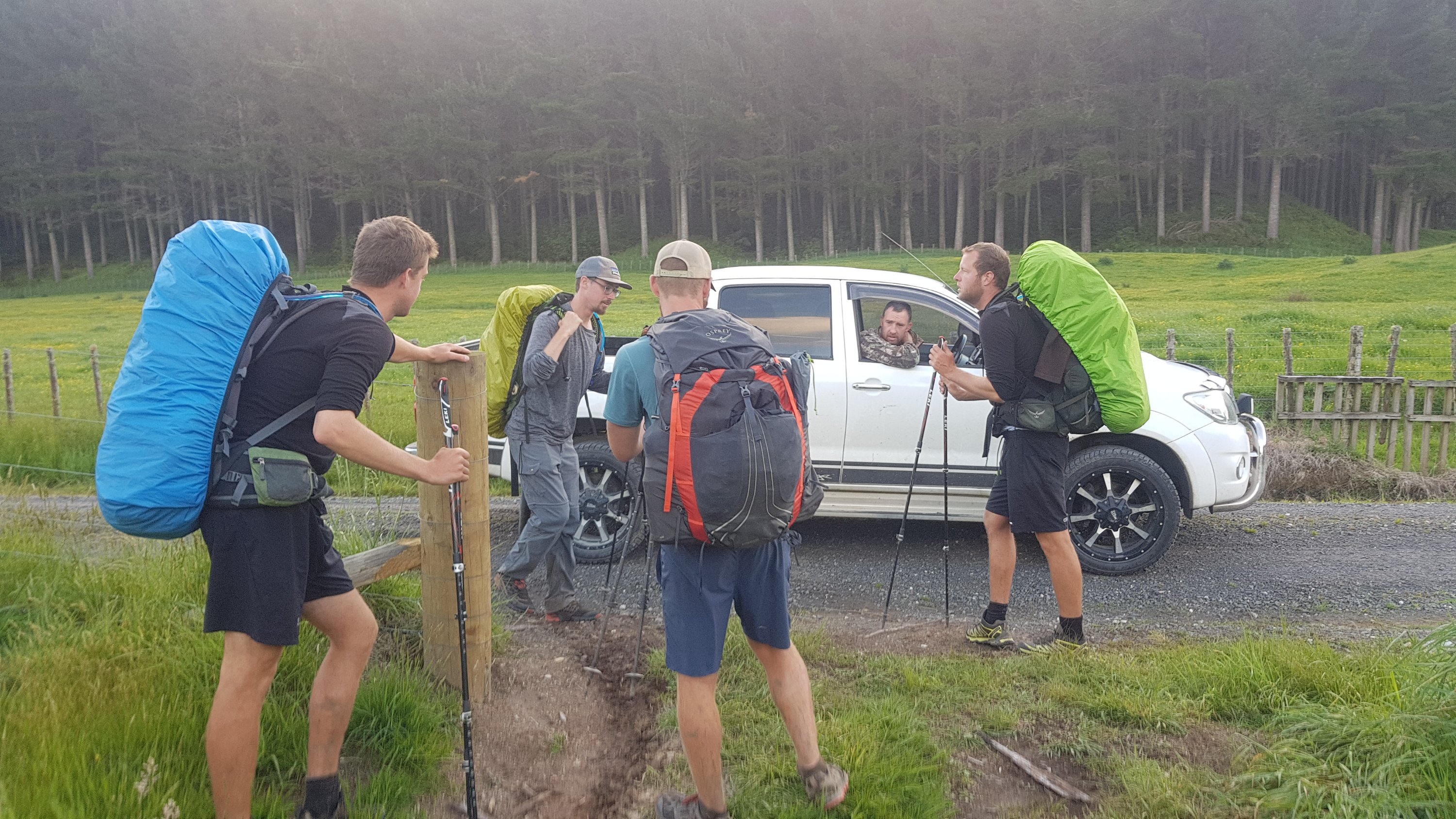
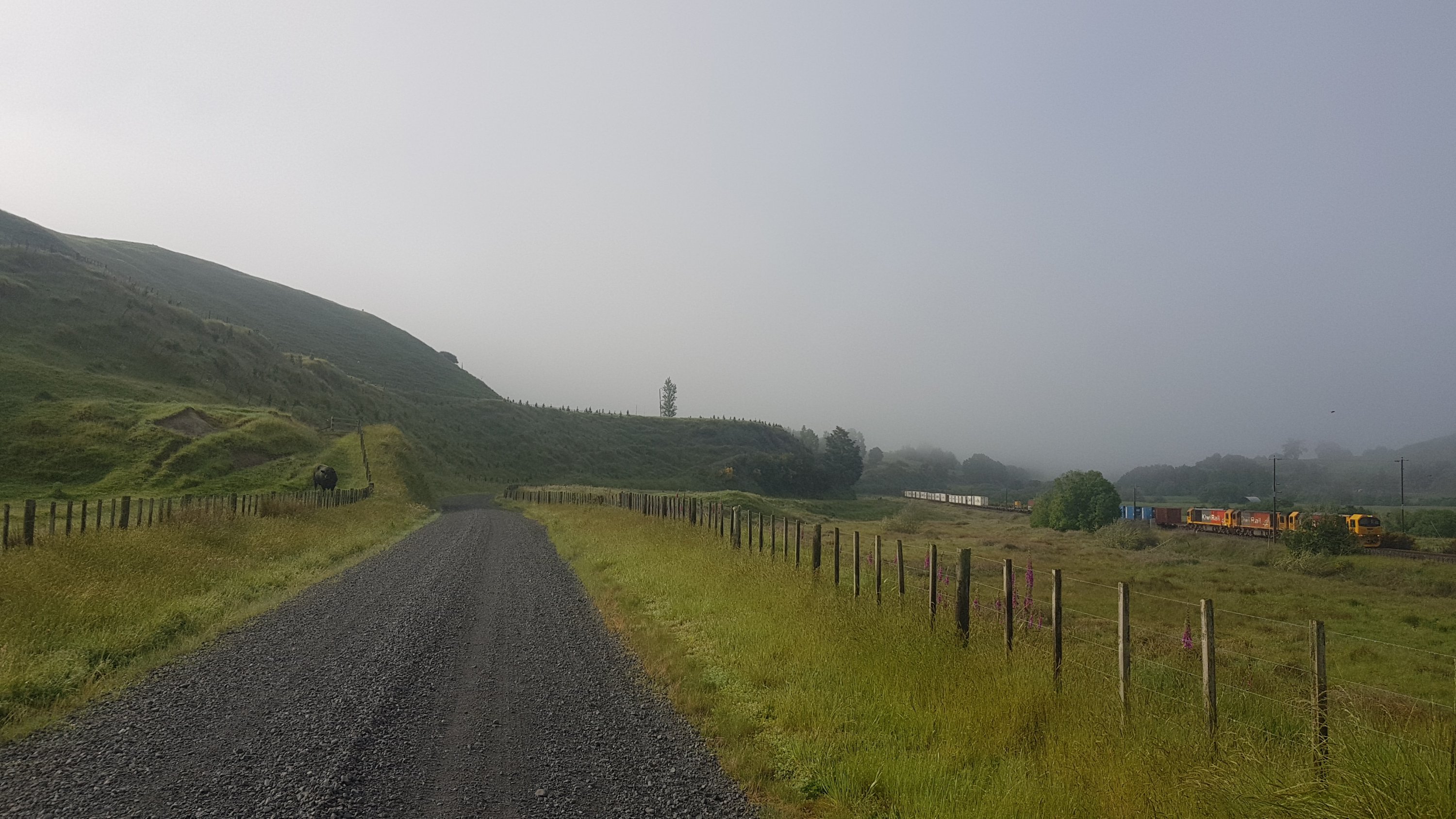
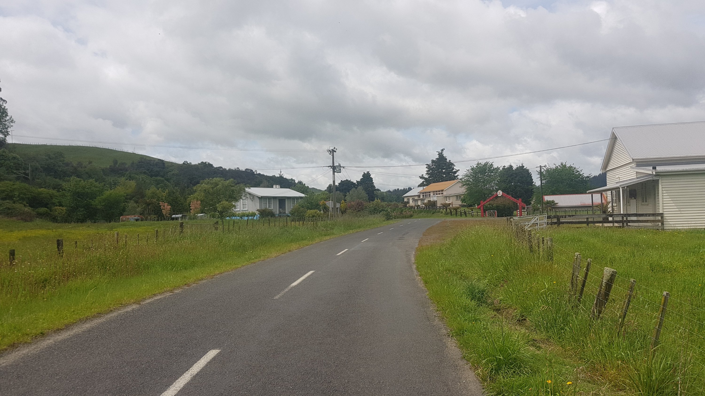
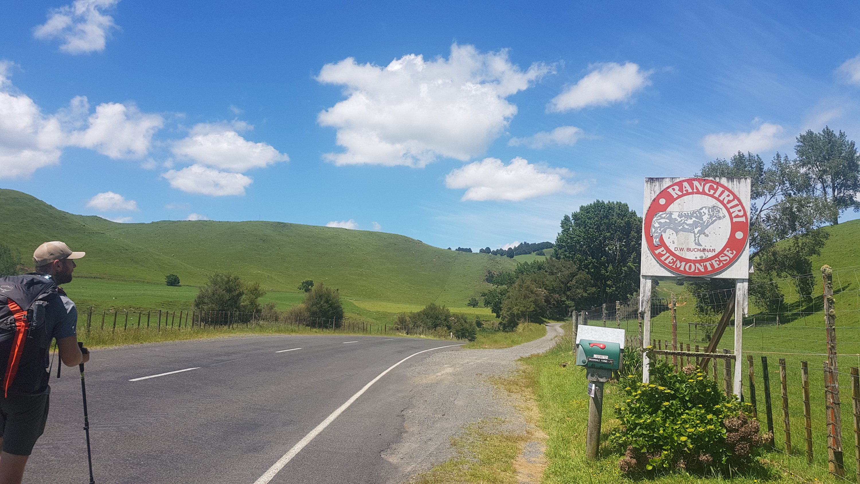
I would be looking out for Eirik today, who I had dinner with at Waipu Cove on a previous rest day (Day 28). He messaged me and said that he was departing Ngaruawahia at 7:30am today. I wouldn’t be departing until 9:30, but he also mentioned he had a lot of blisters so there would be a good chance I’d catch him.
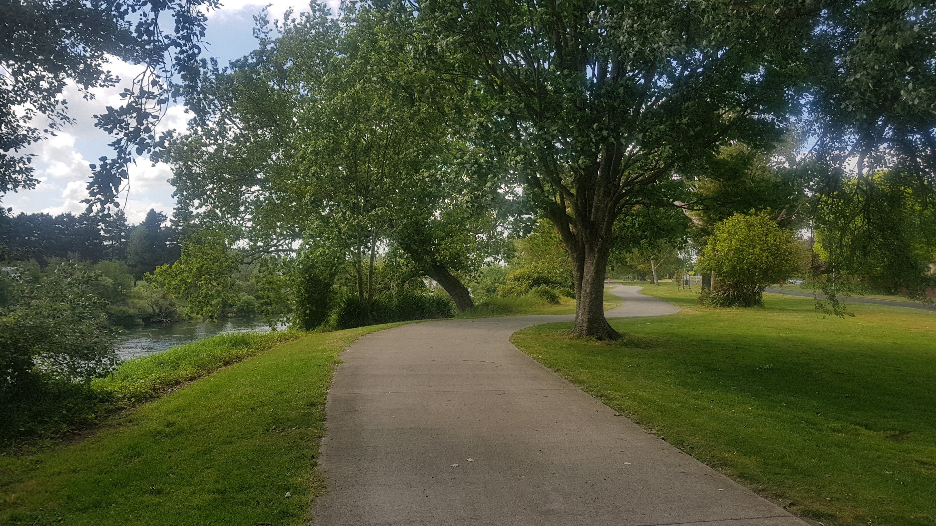
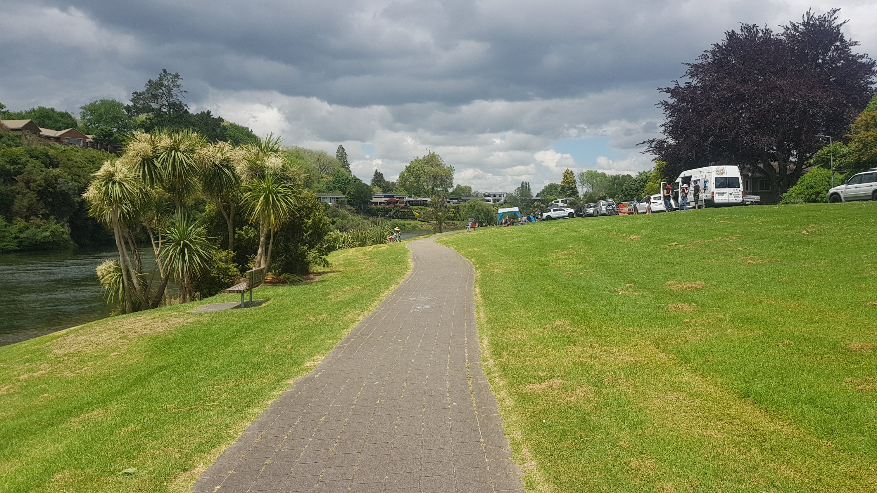
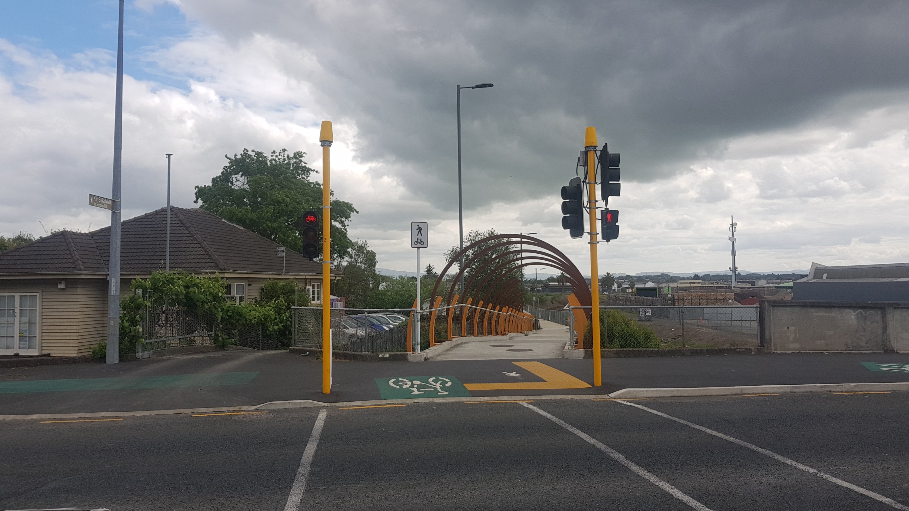
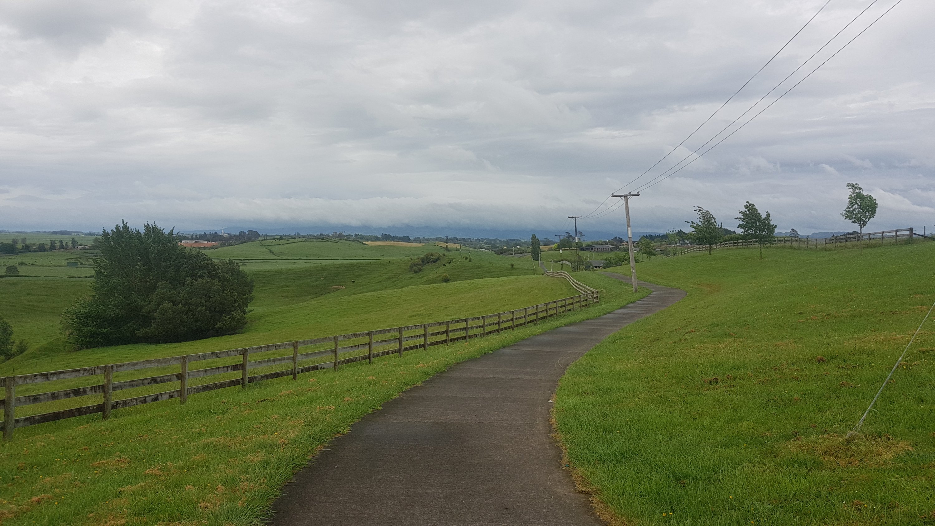
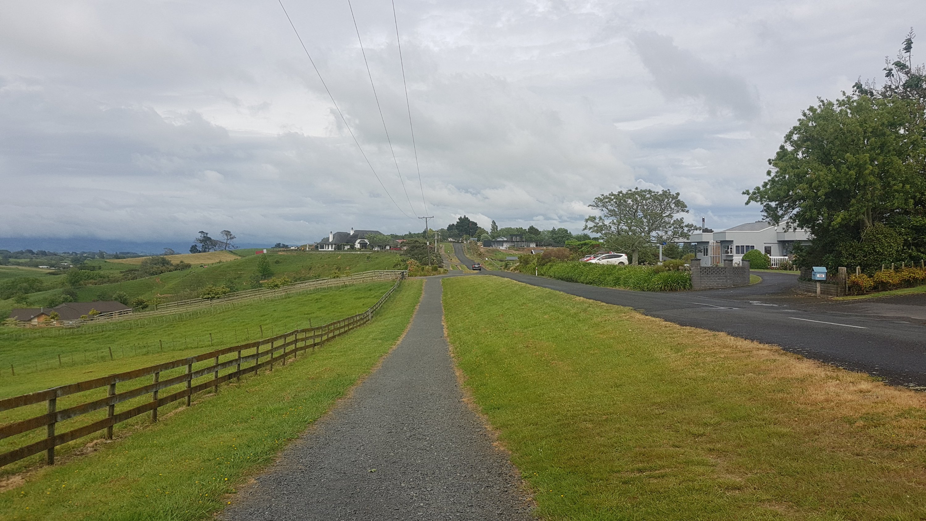
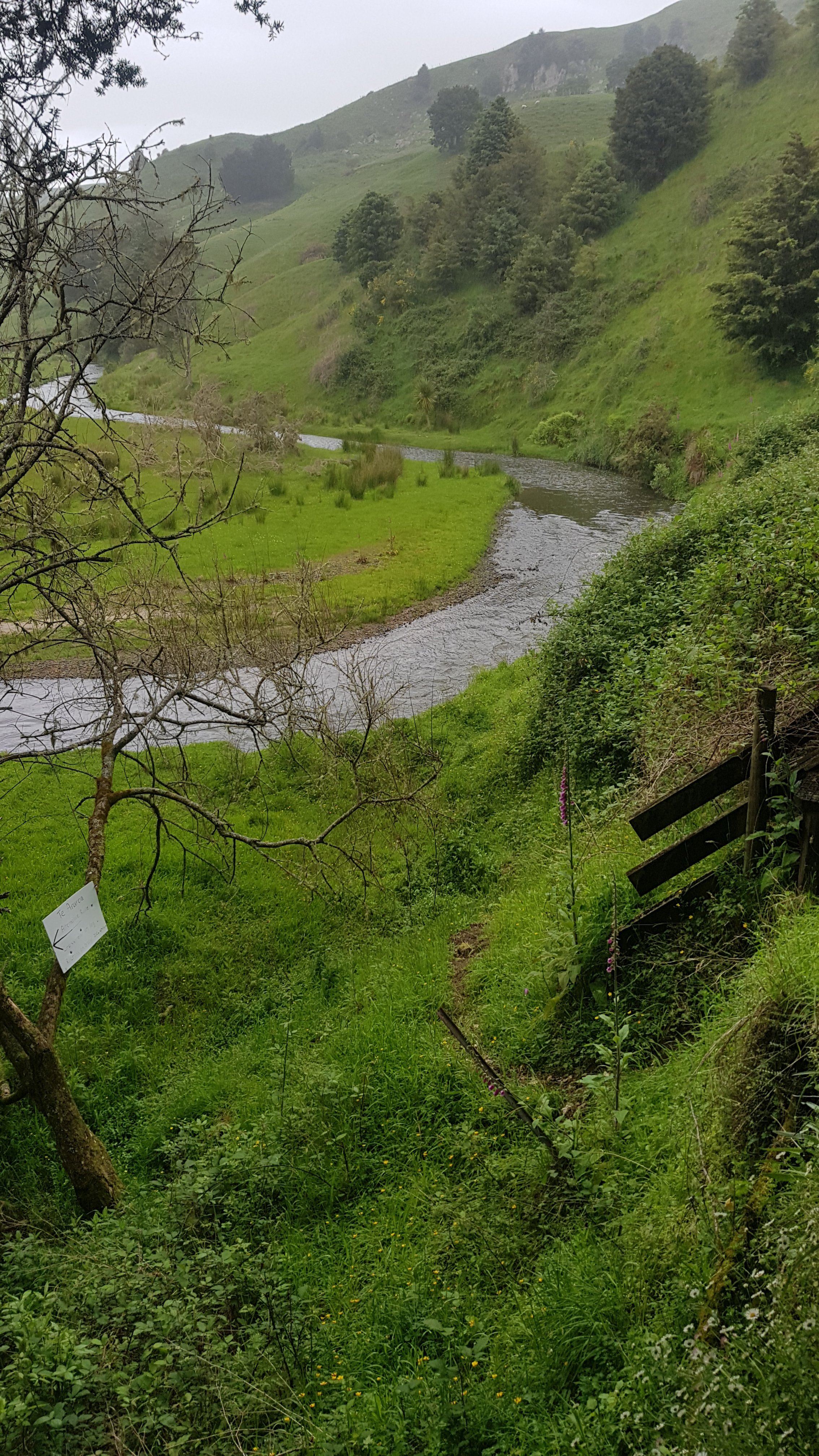
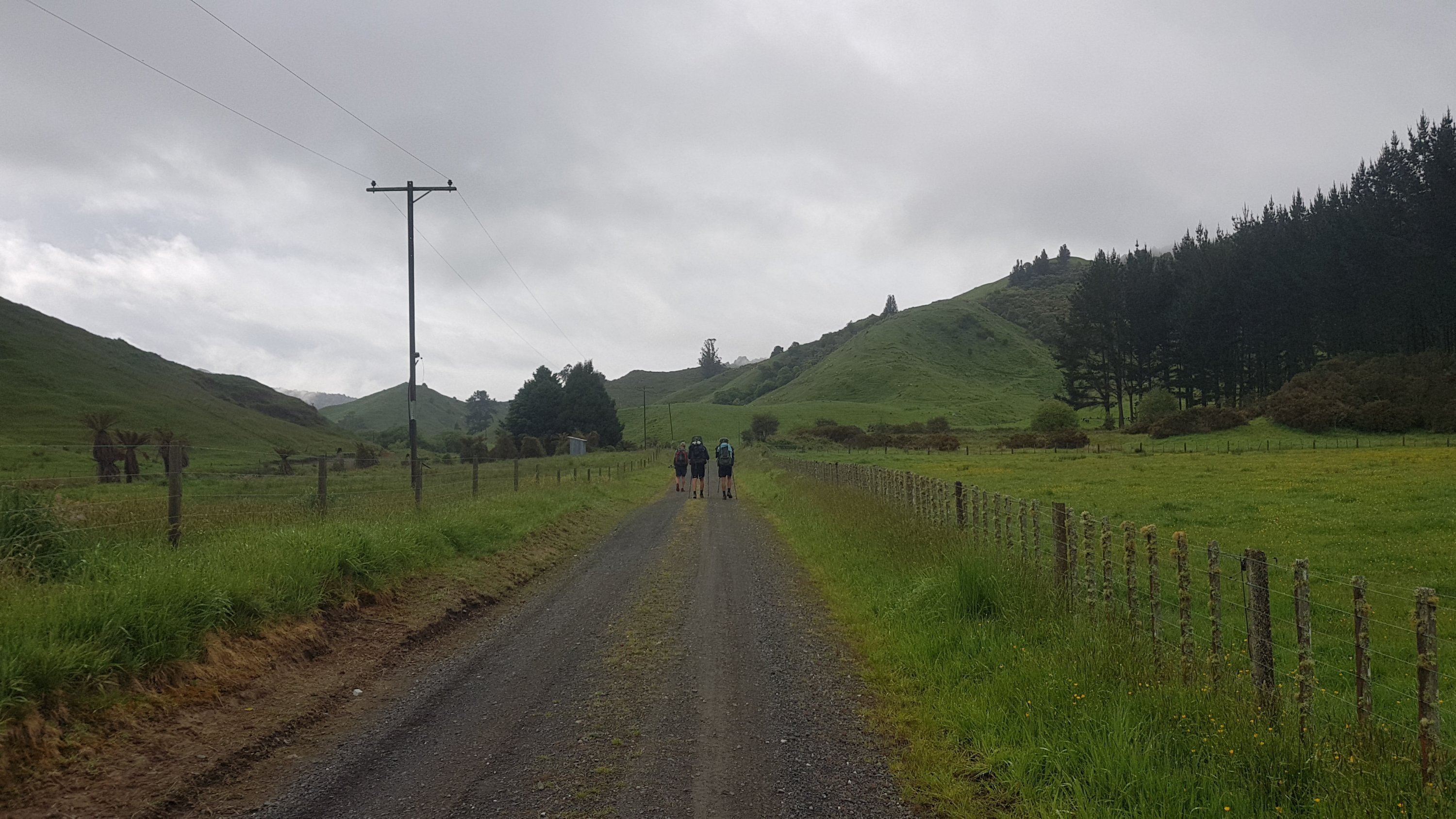
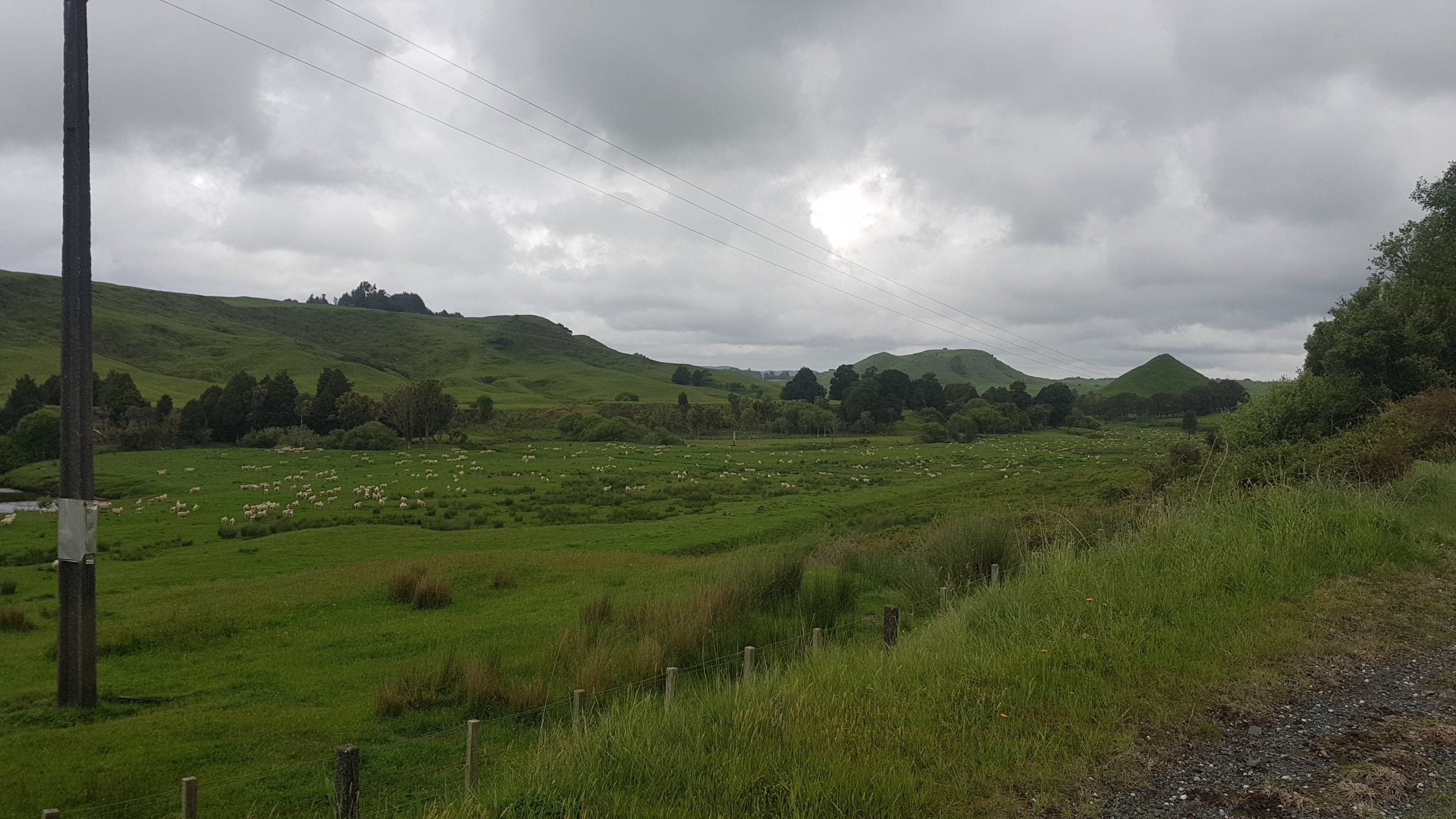
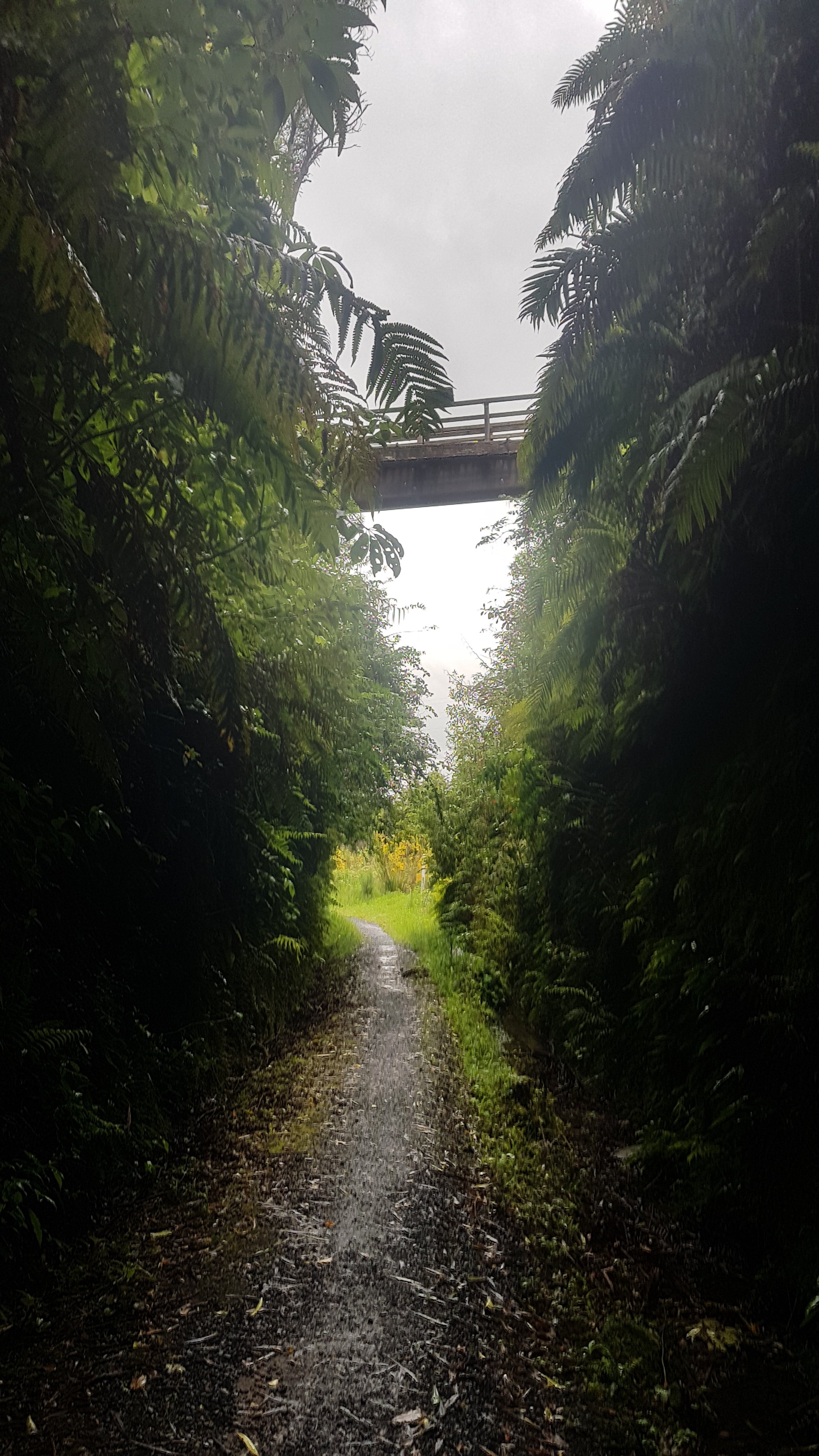
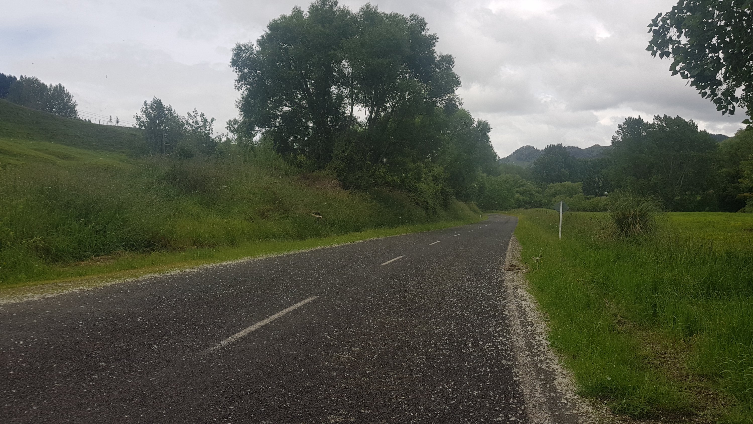
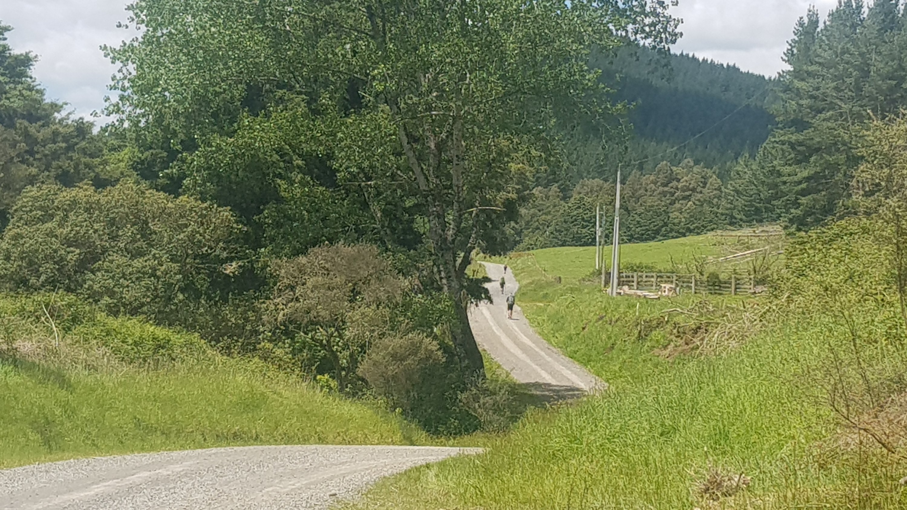
I got off the bus and made my way to the start of the Te Awa river path. There were a lot of cyclists on this path and quite a few stopped and talked to me to ask if I was walking the trail. I learned quickly that this wide river pathway would take me all the way to central Hamilton. Easy day today, it seems!
I’m actually originally from Te Awamutu which is just south of Hamilton and spent five years living in Hamilton… however I’d just never done the river walk before so I didn’t know what to expect. I wasn’t so into walking or exercise when I was a university student.
The path started out like the one in Auckland, where it was designed by a drunk guy during Friday after work drinks:
Can’t the path go straight?
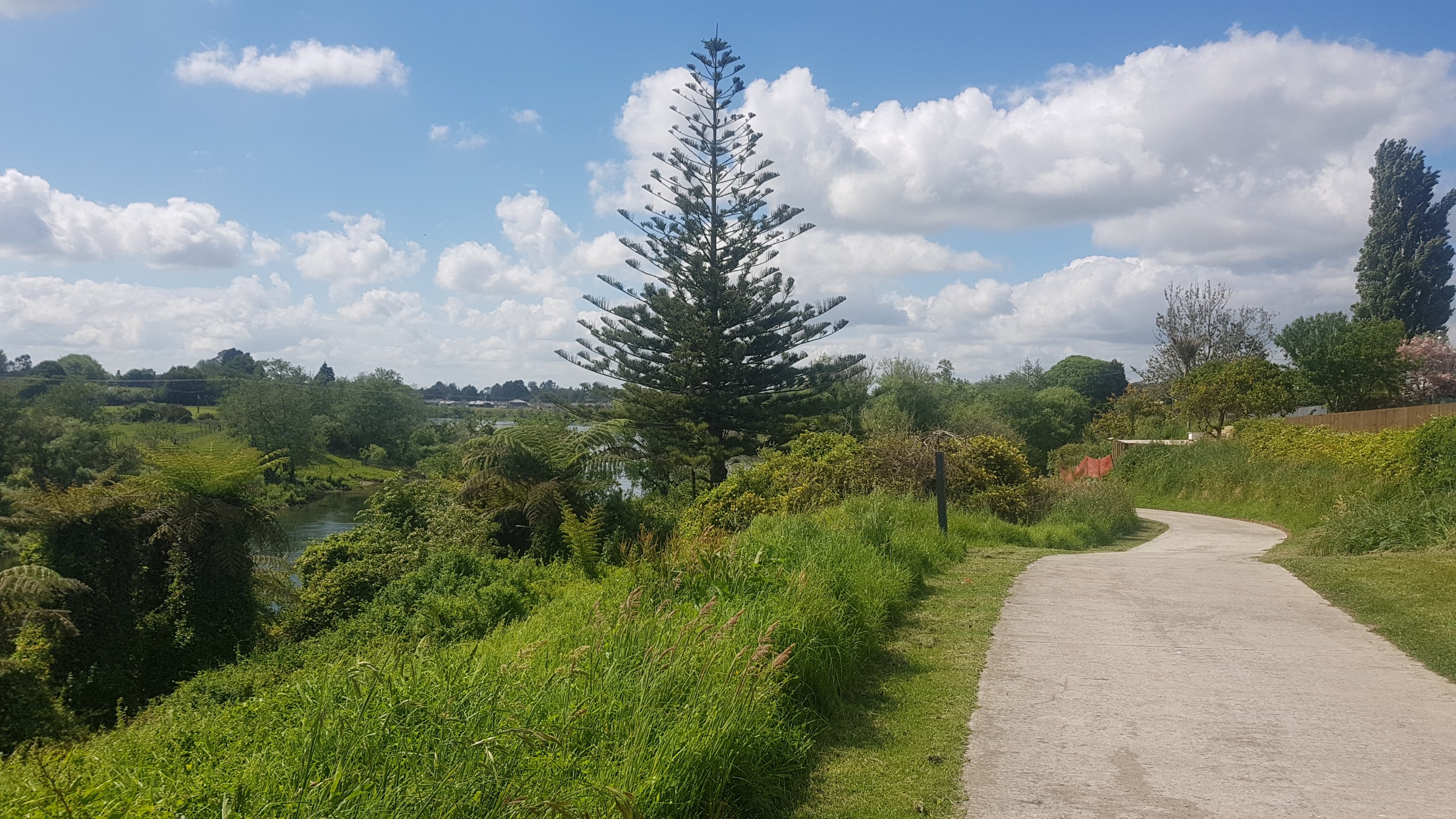
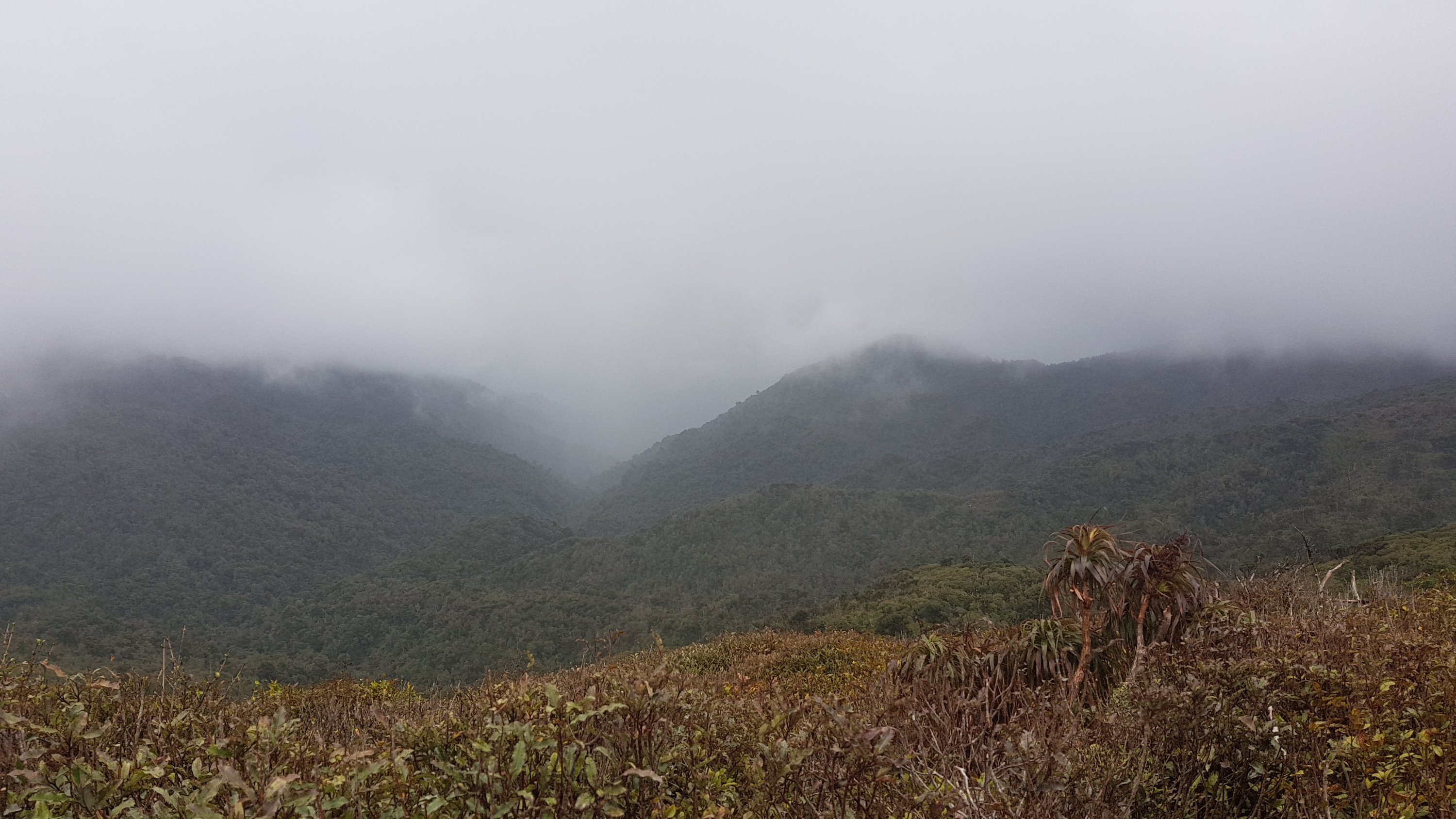
People talked about storms coming up today, or soon. Certainly no storm now.
Barely a cloud in the sky
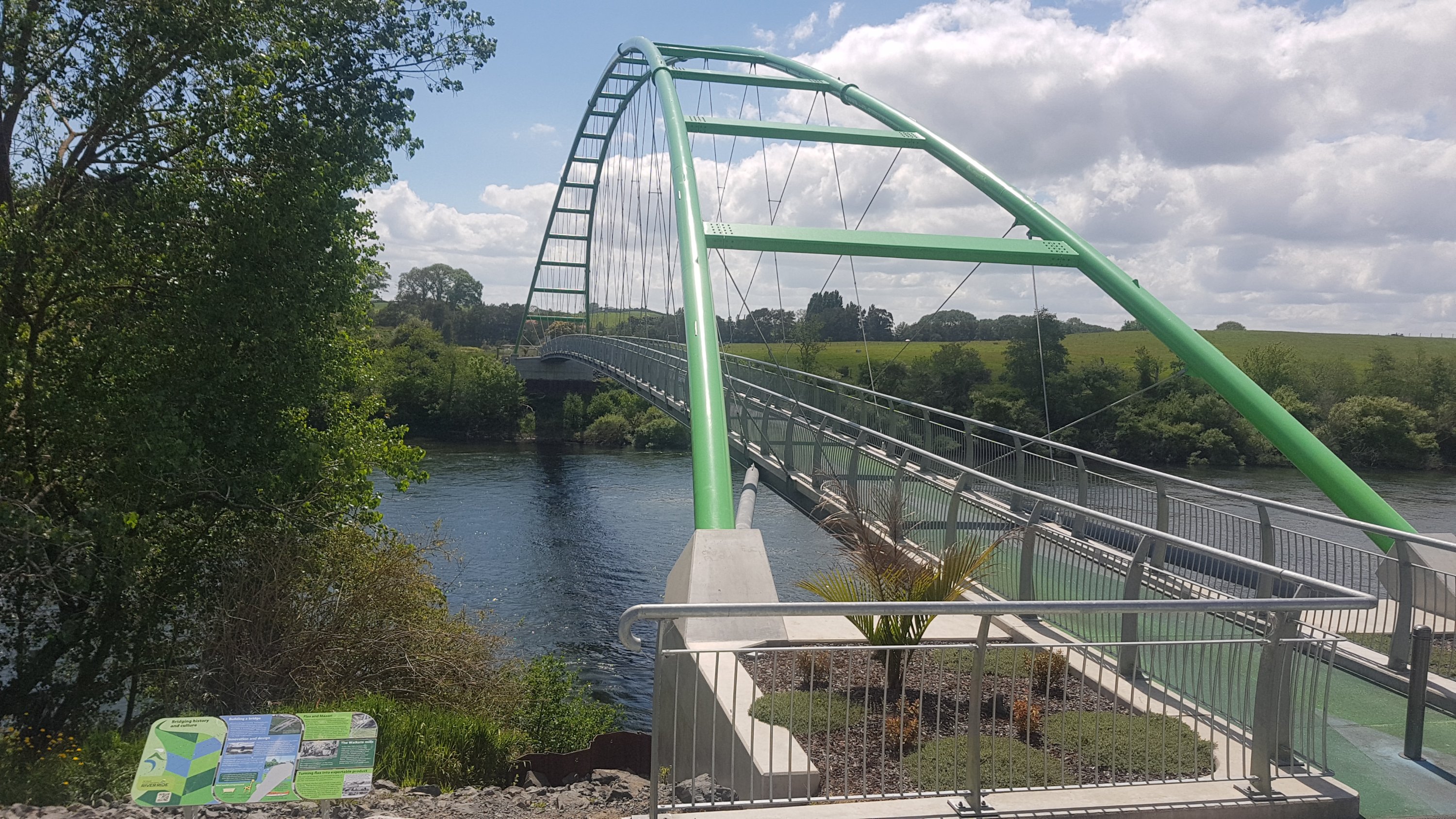
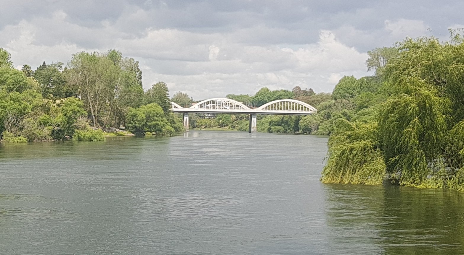
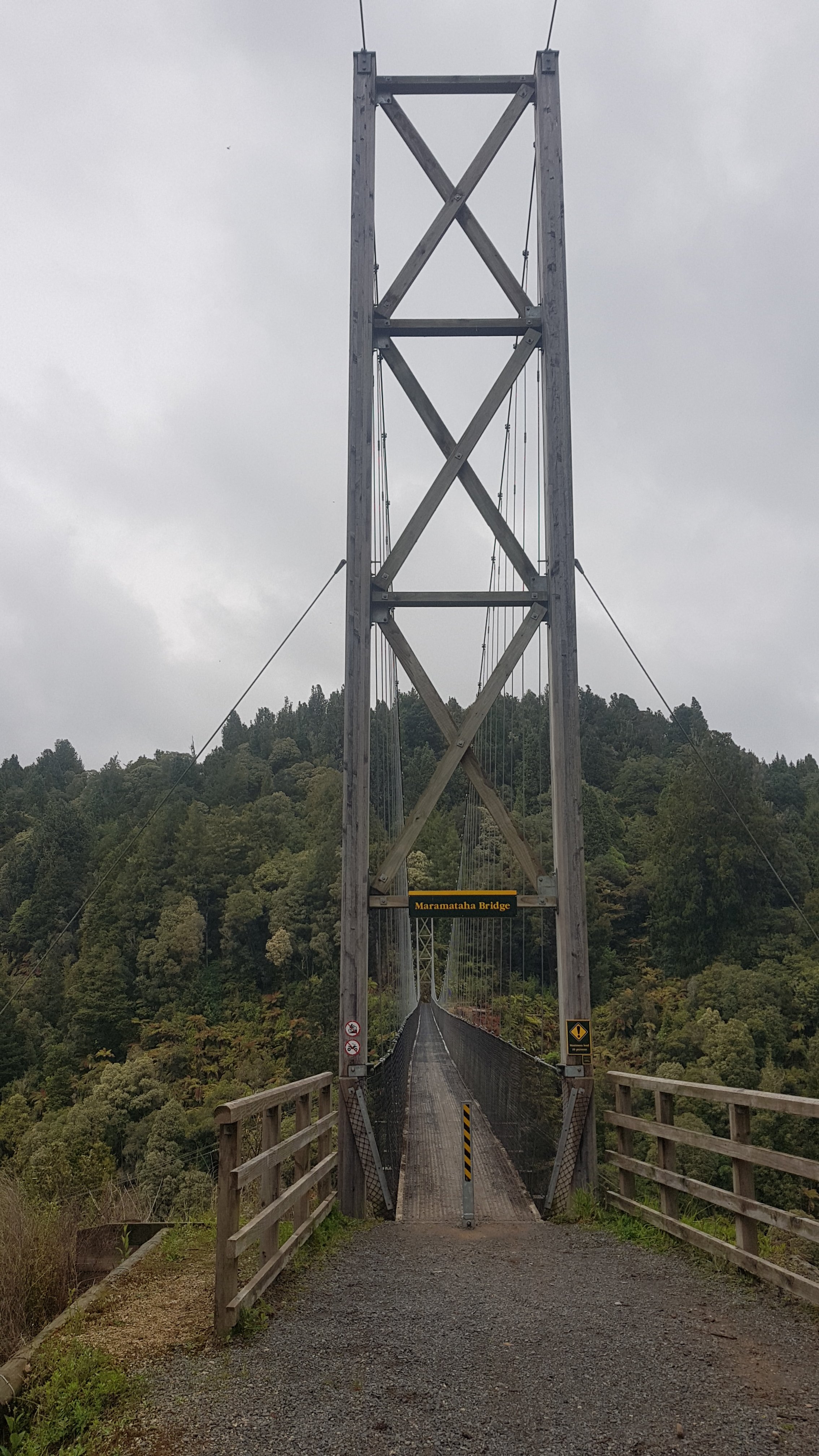
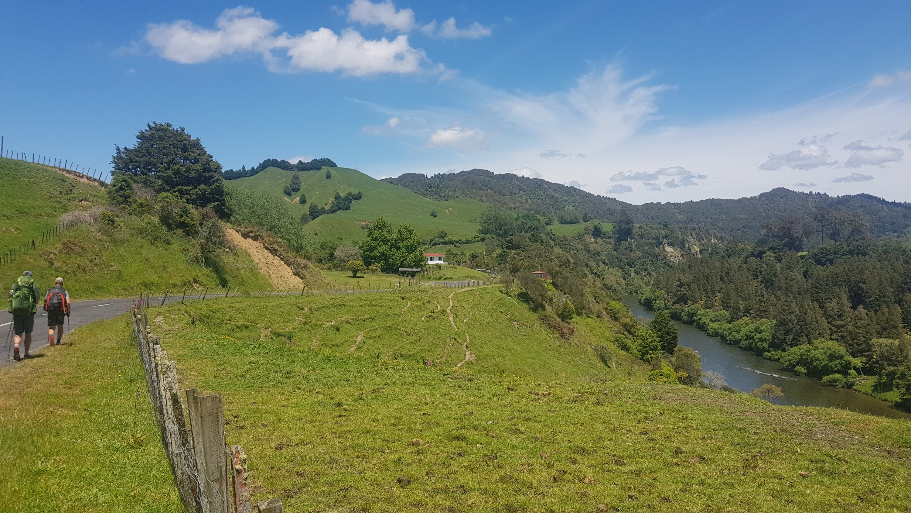
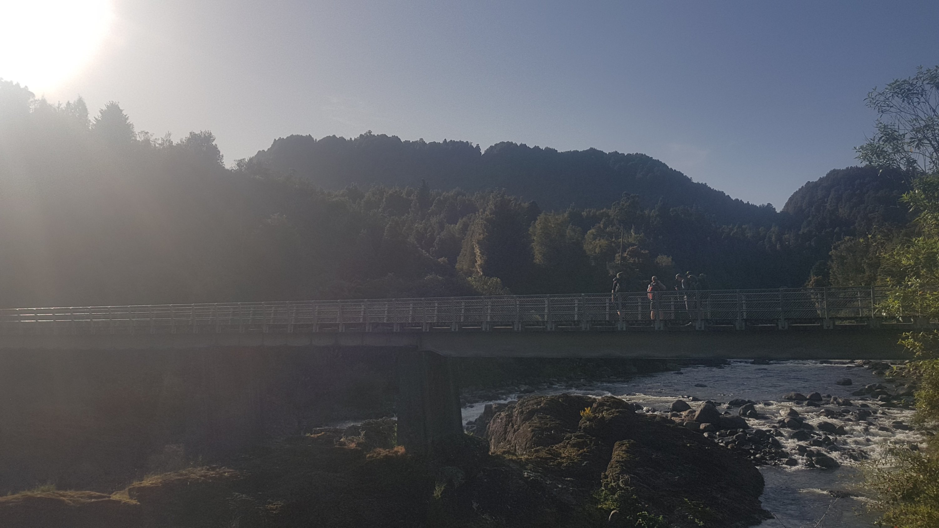
And there were a few times where you need to cross over the Waikato River. Here’s the first bridge:
Bridge 1 – the green bridge
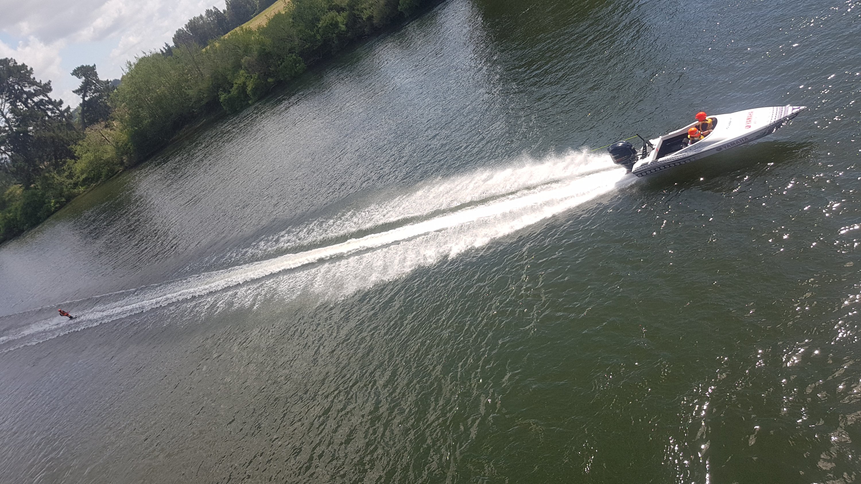
Today was the “Bridge 2 Bridge” race. I’m not exactly sure what the details are, but all day there were speedboats pulling behind waterskiers. They were very loud and fast and impressive. It was also quite hard to get a decent picture.
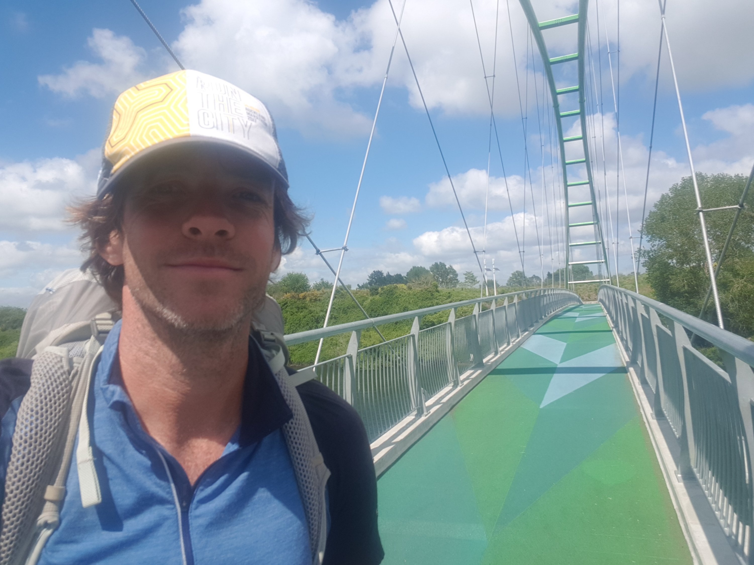
Here’s my 11am picture… it turned 11am just before I left the bridge.
11am selfie
Here is the second bridge. It is a standard road bridge – Horotiu Bridge Road, Horotiu being the small town on the other side of the bridge. This bridge is certainly a lot less glamorous, and cyclists are supposed to dismount – so I think this is officially a “gap” in the cycle path which they’re looking at fixing.
Bridge 2 – Horotiu Bridge Road
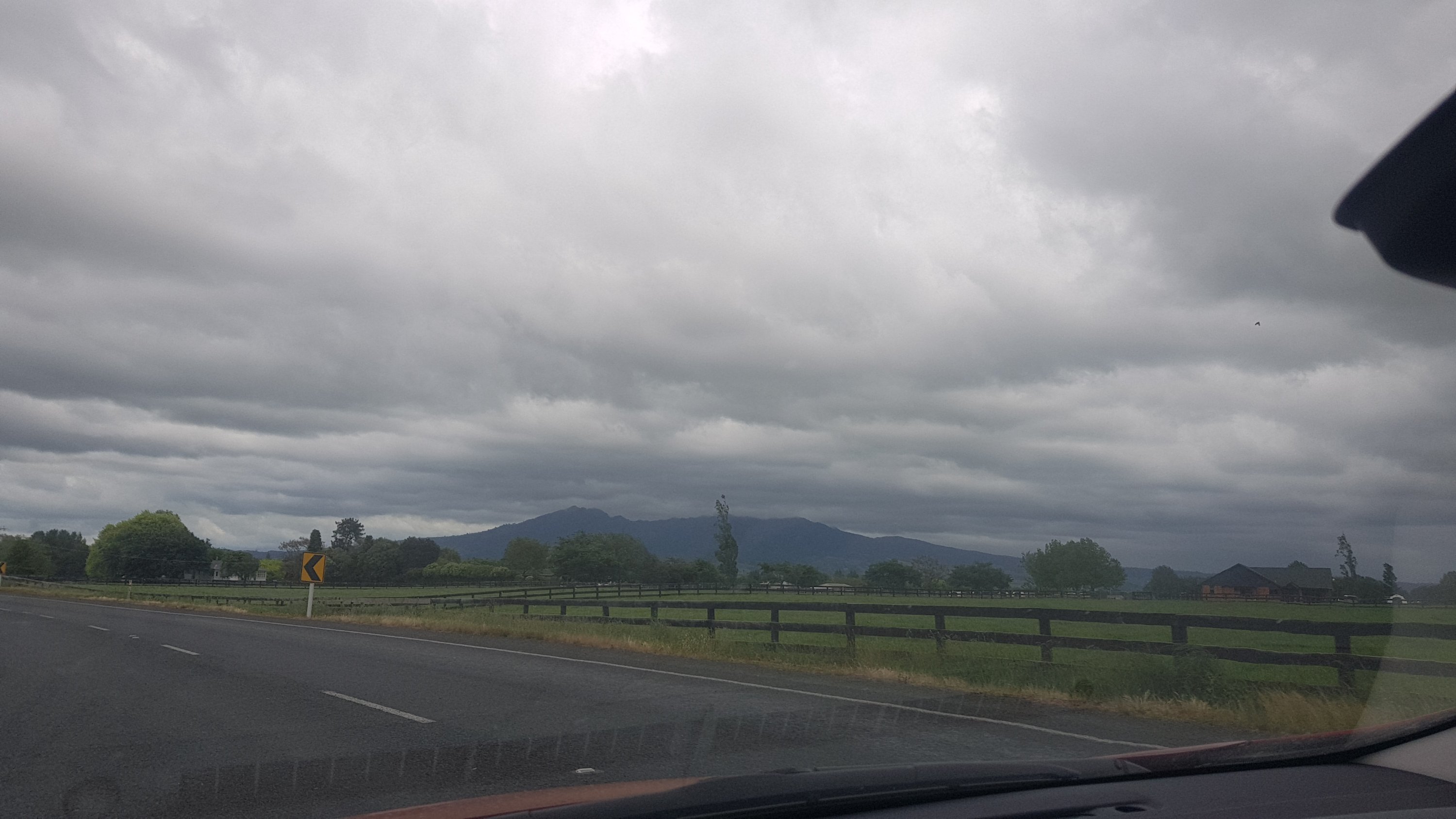
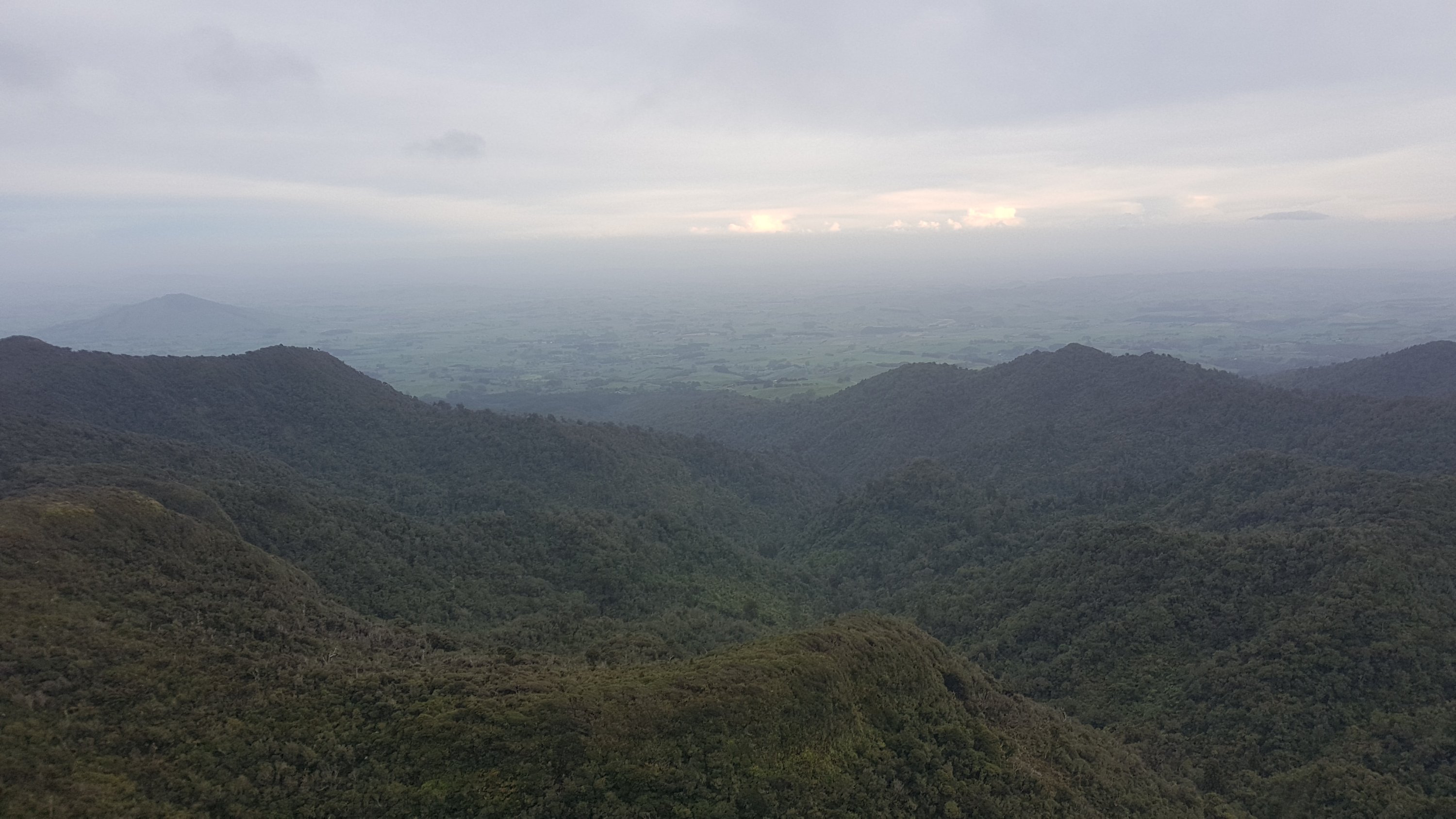
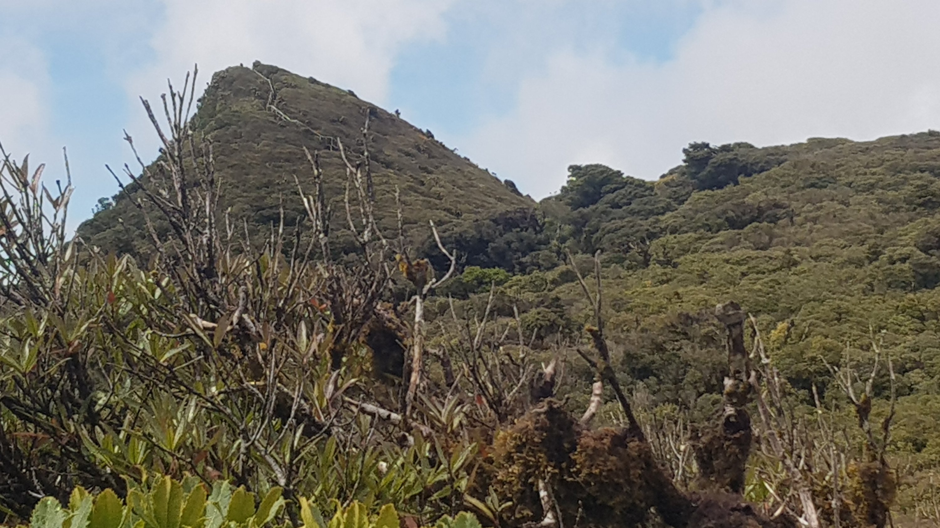
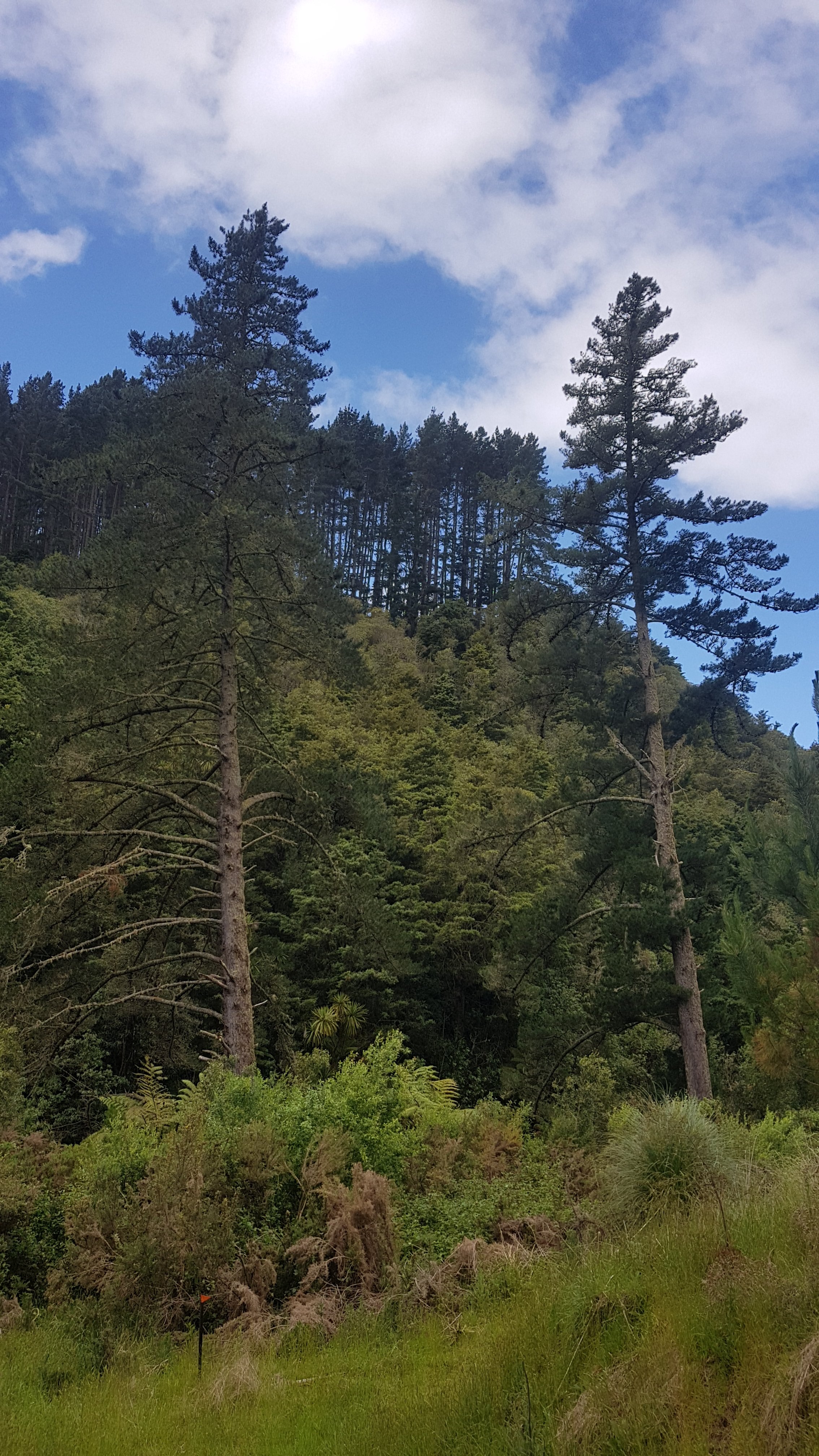
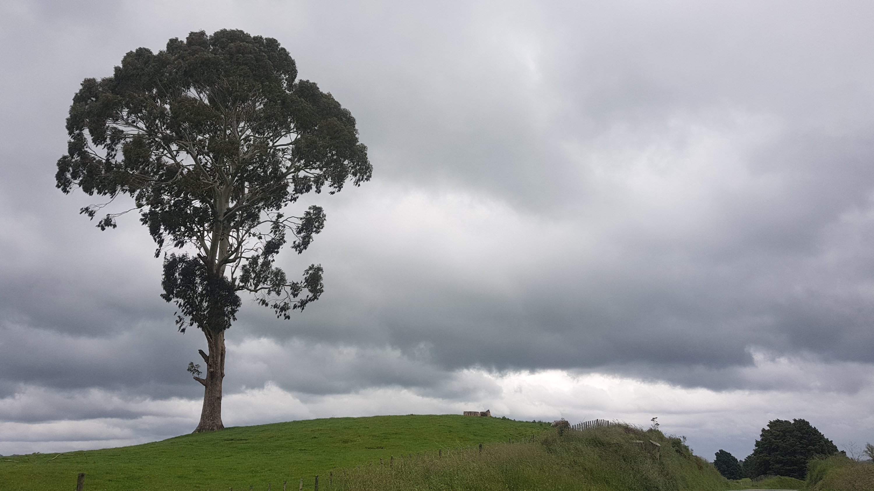
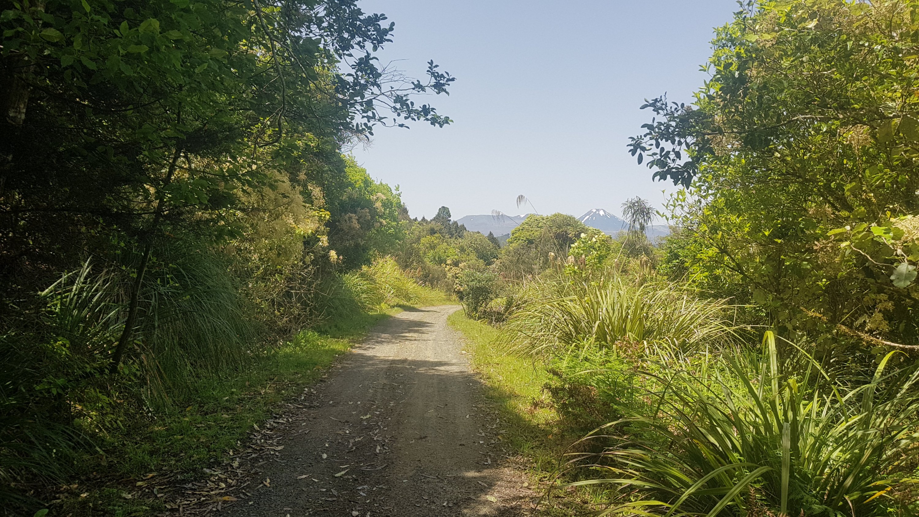
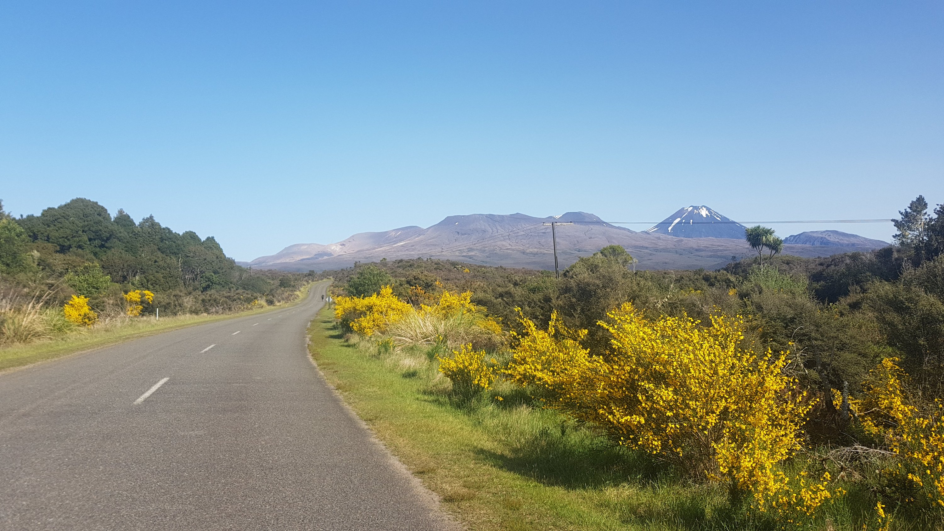
From here I got my first glimpse of Mt. Pirongia. All going well I should be up the top of there two days from now.
Mt. Pirongia in the distance
I used this time to look up the elevation of Pirongia. For nearly 24 years I lived in the shadow of this mountain. I always had it in my head that Pirongia Summit was 750m above sea level. I checked, and nope… 930m is the actual number! Crikey! Even higher than Raetea!
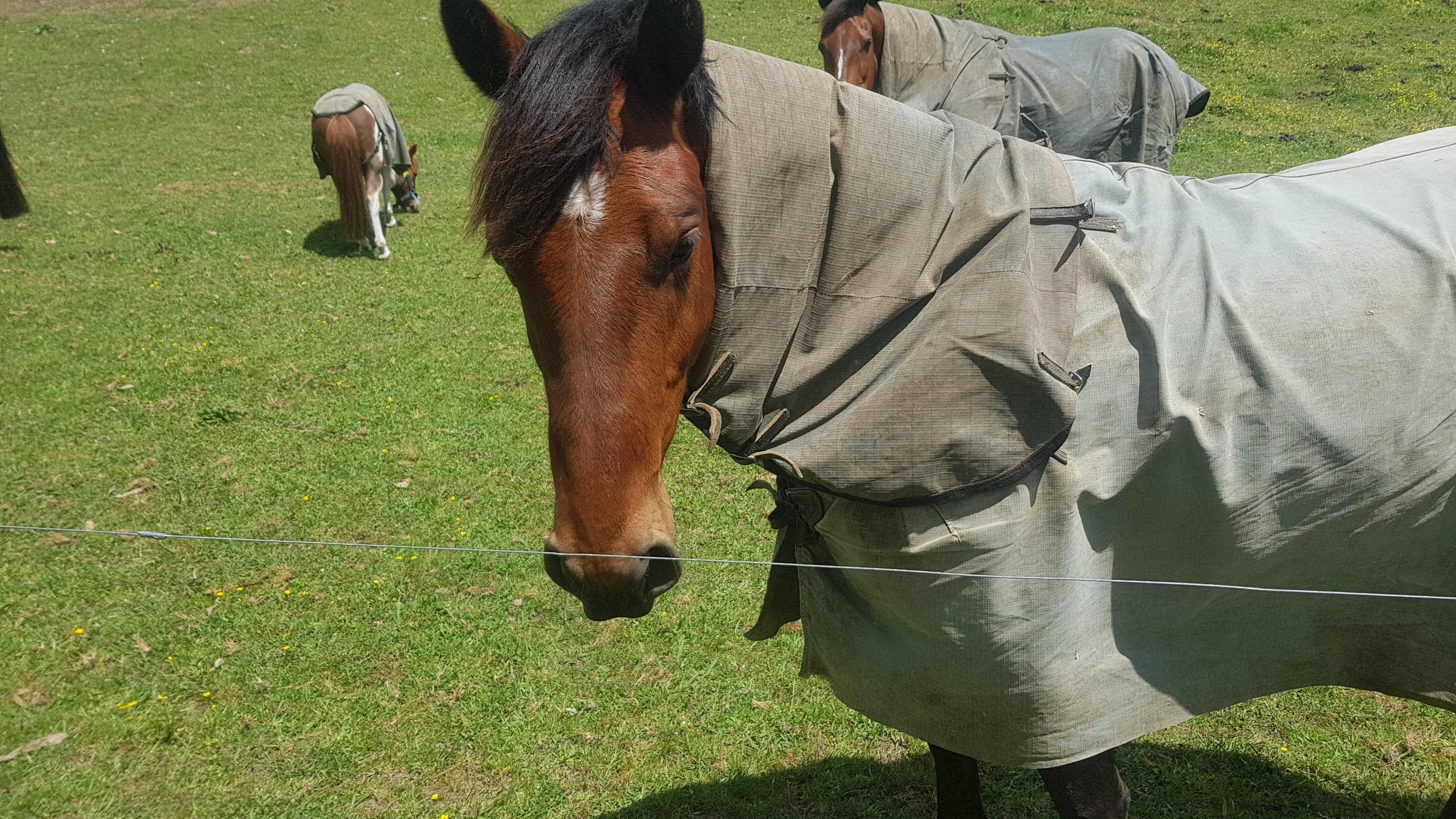
Enough about that for now. Here is a friendly horse that wanted some attention – it came bounding over when I walked past with three of its buddies.
Howdy!
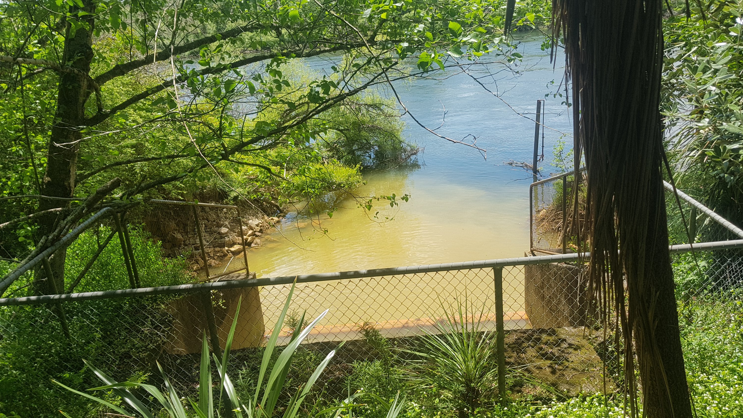
I also walked very near the wastewater treatment plant. I didn’t plan to mention that, however when I saw this in the river, I could only assume the worst as to what the brown stuff flowing into the river is.
Definitely not refilling my water from here.
Somebody along here went past on an electric scooter and yelled out “you’re almost there!”. I’ve run the Auckland Marathon a few times and that is a favourite thing for people to yell in the first few kilometers, when you’re obviously not almost there. He then disappeared on his scooter quickly before I could think of a comeback. “Yeah, I’m almost at your Mum’s place!!”. That would have been a sweet comeback. I’ll respond with that the next time someone yells that at me.
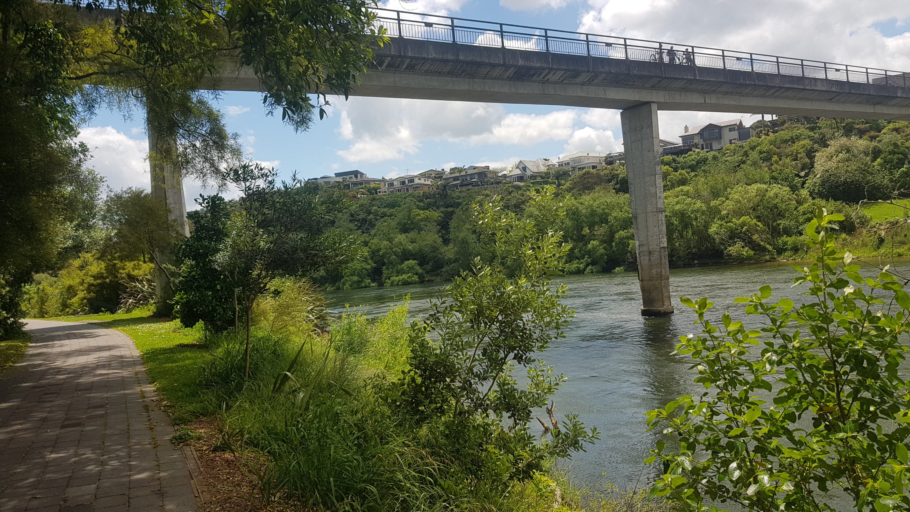
It’s not completely clear at what point you actually enter Hamilton but I know that when you reach this footbridge you’re definitely in. The suburb on the other side of the bridge is Flagstaff, which has some of Hamilton’s most expensive houses.
Waikato River footbridge – very high for a bridge that is only for pedestrians!
I think the boats I saw earlier were just training. Around here I got told by someone that the actual race starts at 2pm. Probably explains this makeshift little party going on by the side of the river.
Looks like the rain is coming, too
And please tell me this isn’t somebody’s boat ramp. It is *so* steep. I want to be there when a boat is reversed down this thing.
Boat ramp? Surely not!
When you get to Fairfield Bridge then you’re very close to central Hamilton. It is one of the city’s icons, the other three being Hamilton Gardens, Chlamydia and The Outback. Yes, that shows how boring this city is.
Fairfield Bridge
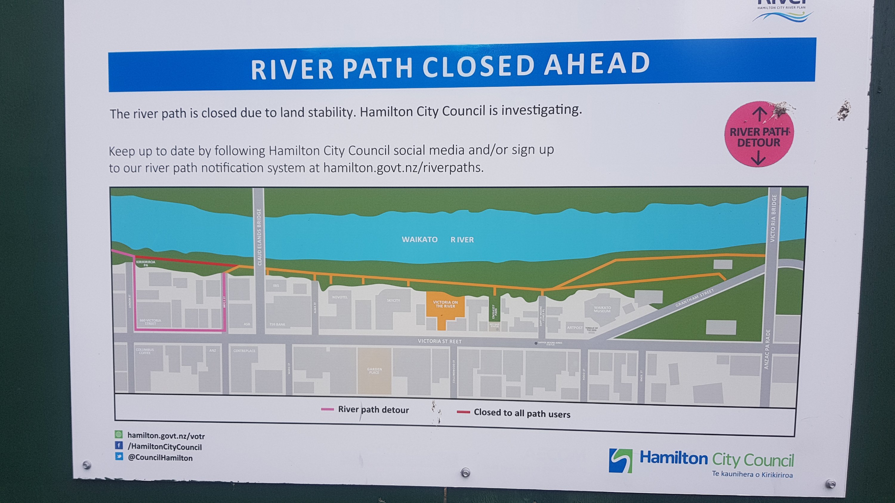
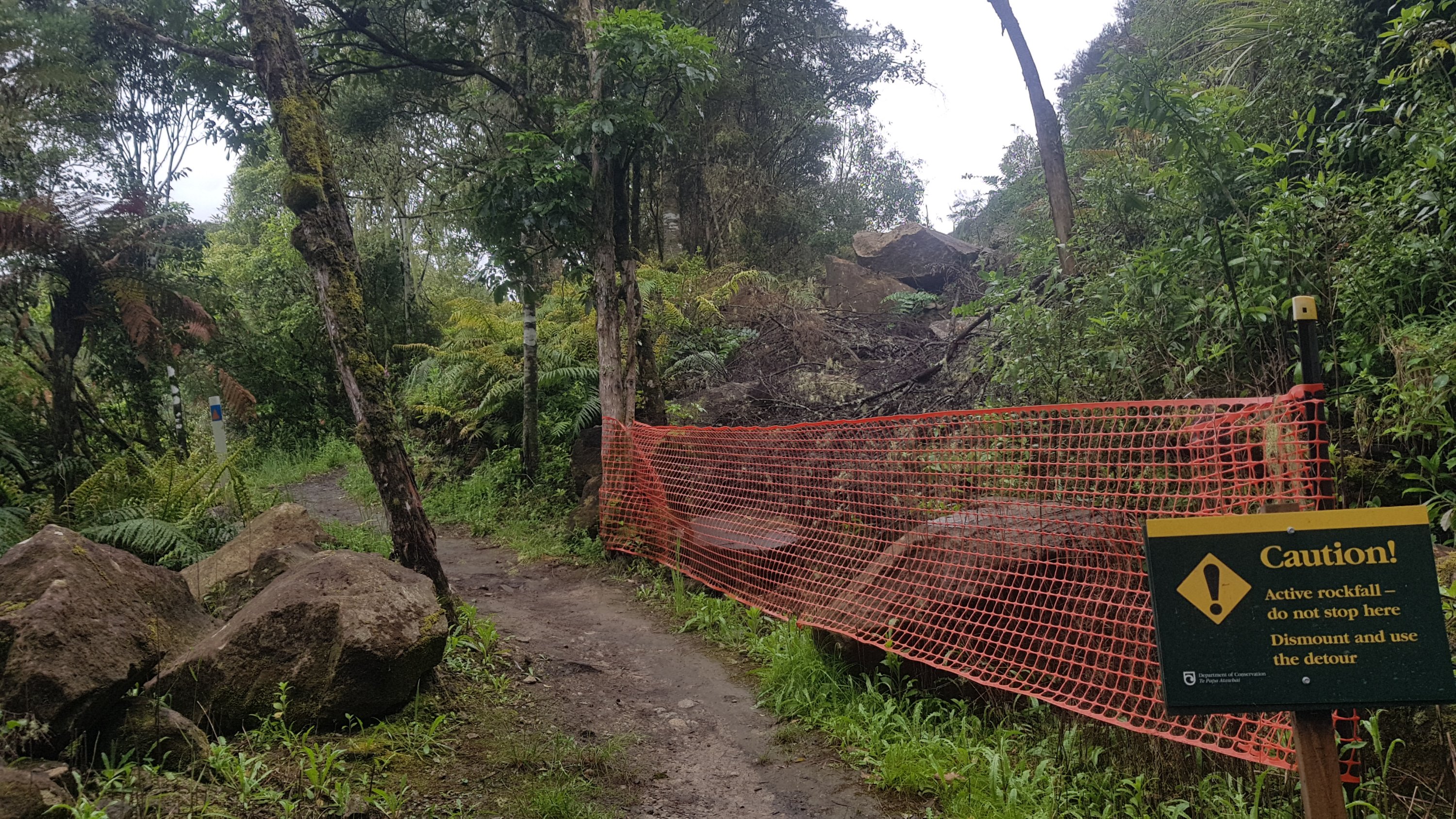
And not long after is this river closure.
Gah
You have to detour onto Victoria St for one block, then rejoin the river path, and then come straight off the path again at Alma St because that’s where the trail goes. That’s if you’re following the trail purely, which I am. The detour was a bit annoying and weird, but I did it.
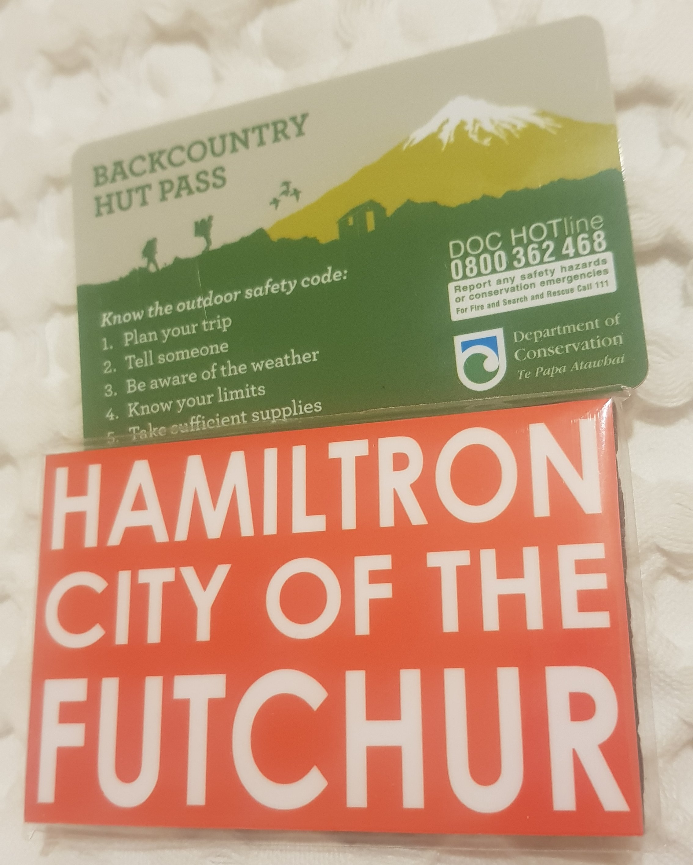
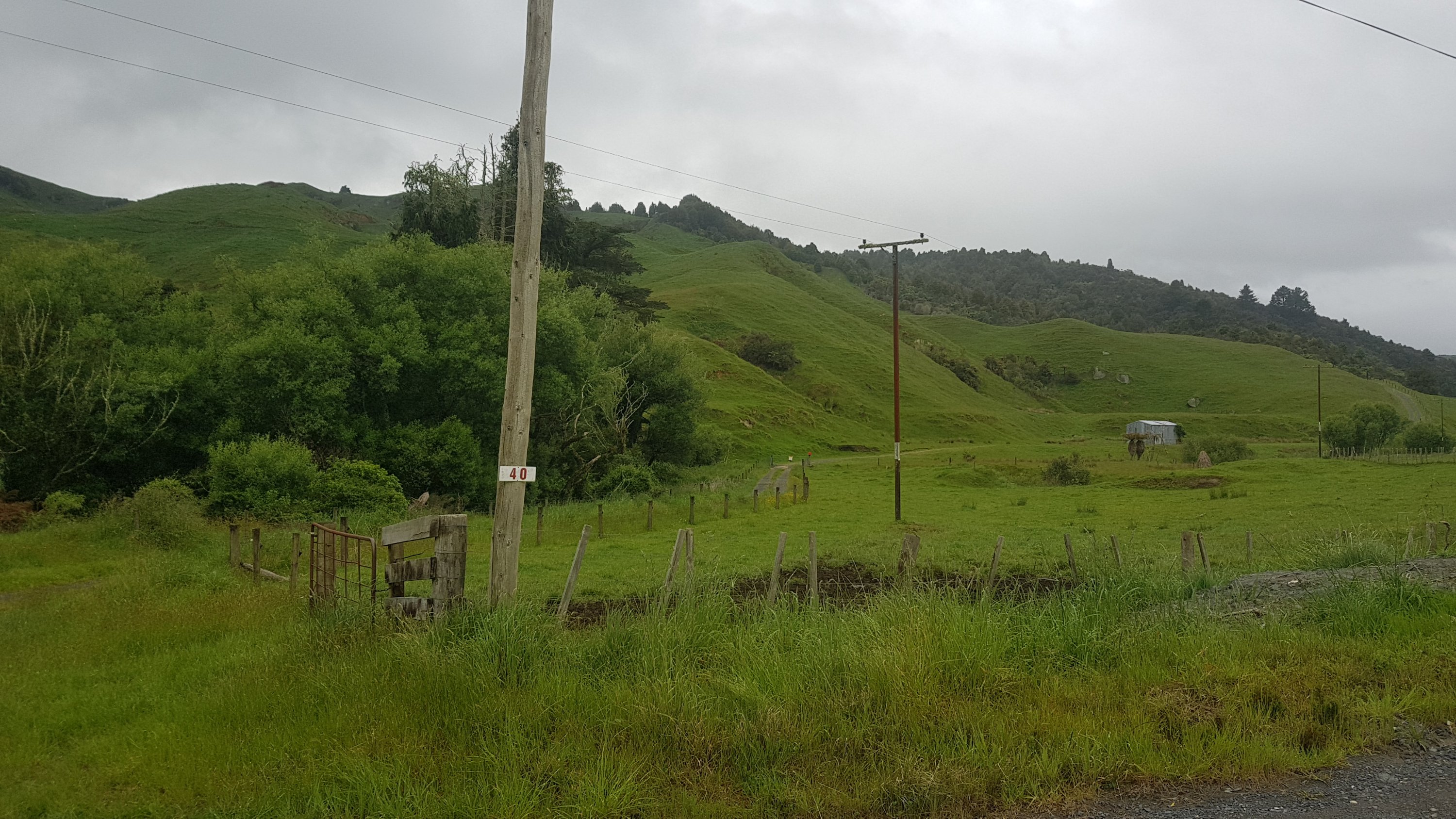
At this point I took a detour to Trek N Travel on Victoria St, as I knew they had 6 monthly hut passes for sale. This enables the owner to stay in most of the DOC huts around New Zealand, including all the ones on the TA except I think one near the upcoming Tongariro Crossing and also not the one at Puketi Forest back in Northland. I hadn’t bought the pass yet and the Pahautea Hut is at the top of Pirongia so I needed it now. There are no huts before Hamilton so there is no point buying it in Auckland like some people do.
In the shop I felt like a bit of a celebrity, because all the other customers wanted to talk about Te Araroa. One family are apparently Trail Angels who offer their place at the bottom of the Hakarimata Ranges. Wish I had got their name, but thanks to you anyway!
It rained a bit while I was in the shop. Yet again the weather gods have shined upon me, waiting until I’m undercover before unleashing the rain. I feel very honoured and feel like I’m not worthy.
If you go into Trek N Travel, remember to sign the Te Araroa visitors book. I was the first one today. I saw Eric and Zoe passed through yesterday, which was no surprise. Not everyone is in there because it is about 500m off trail.
I also bought a magnet that I saw because I just couldn’t resist. My sister had sent me a message on Whatsapp earlier saying that I was on my way to the City of the Future, which is what Hamilton was called at one point. It is also sometimes called Hamiltron or just The Tron. Hence this magnet needed to be purchased:
Hut pass and magnet
I’d never seen “future” spelt like that before. People who have been to NZ may have heard the word “chur” which means “okay”, “cheers”, etc. Hence the spelling. I’m sad they didn’t say “shitty of the future” which is what my friends and I always used to say.
I wanted to get a salad ever since I left Ngaruawahia, but the trail just didn’t go past any shops today, and now it is nearly 4pm so I’d spoil my dinner. I just have a craving for a healthy salad… I hope these cravings for healthy things keep up! Sadly, no salad for me today though 😭
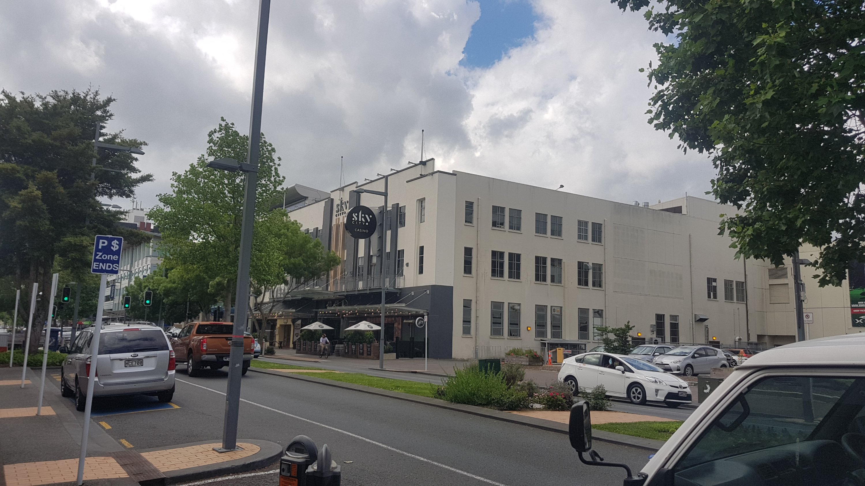
Walked past the Sky City casino – a much smaller and low-key version of the one at the base of the Sky Tower in Auckland.
Sky City casino, Hamilton
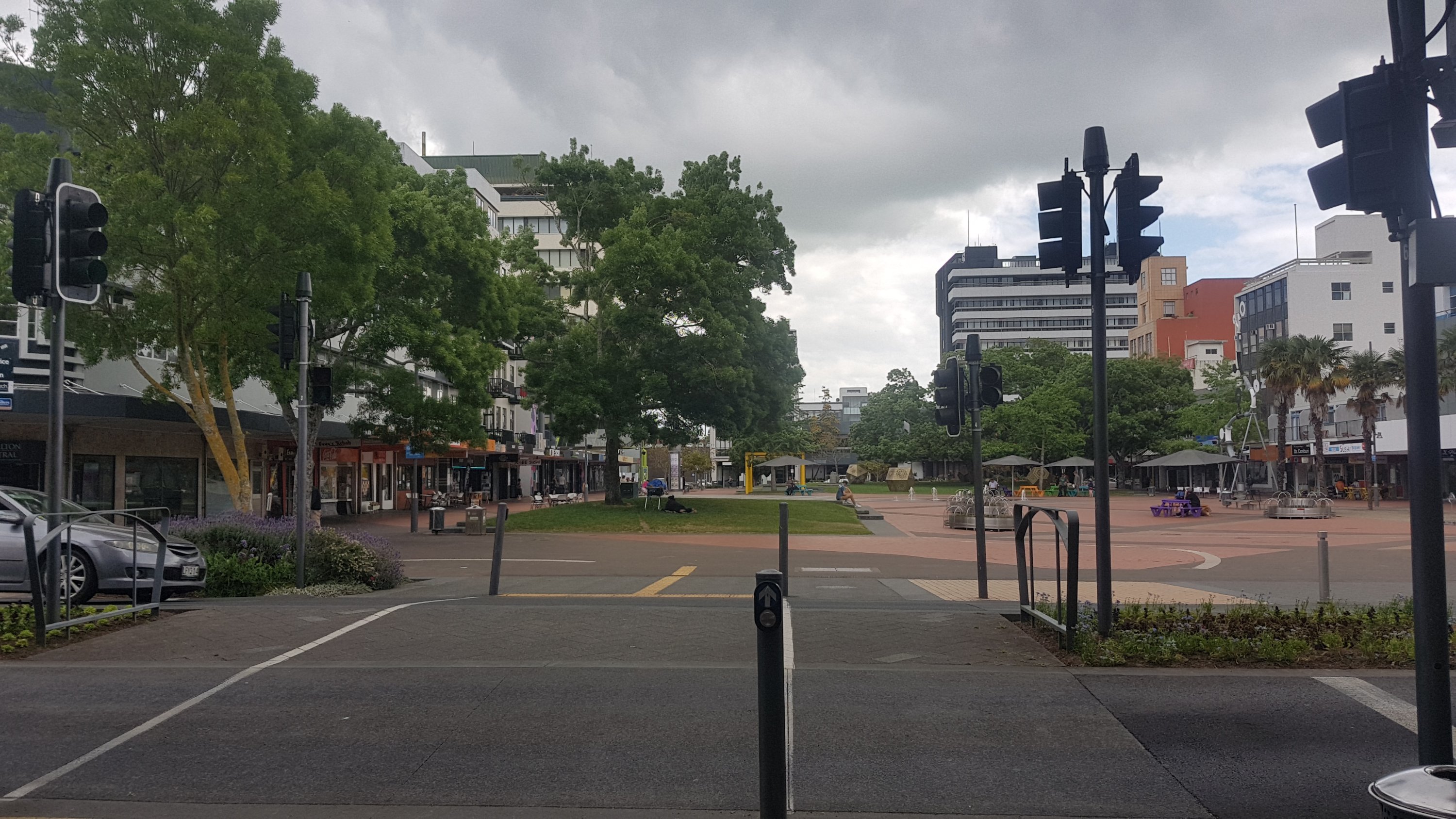
And then a walk through Garden Place. This has memories for me as the place where I got my first job out of high school – at Telecom, which is what Spark used to be called until recently, which was located at the far end of the square. Then after three years I left it to go to the University of Waikato in the outer suburbs of Hamilton.
Garden Place
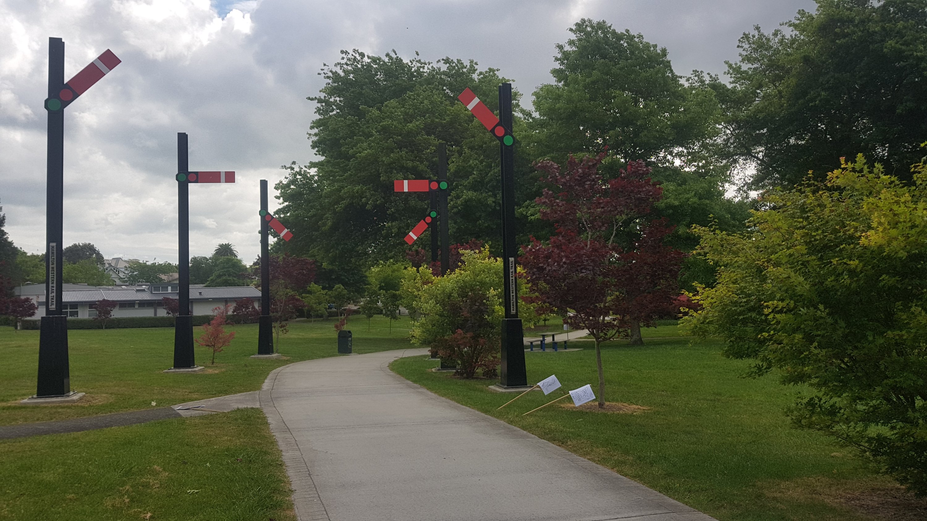
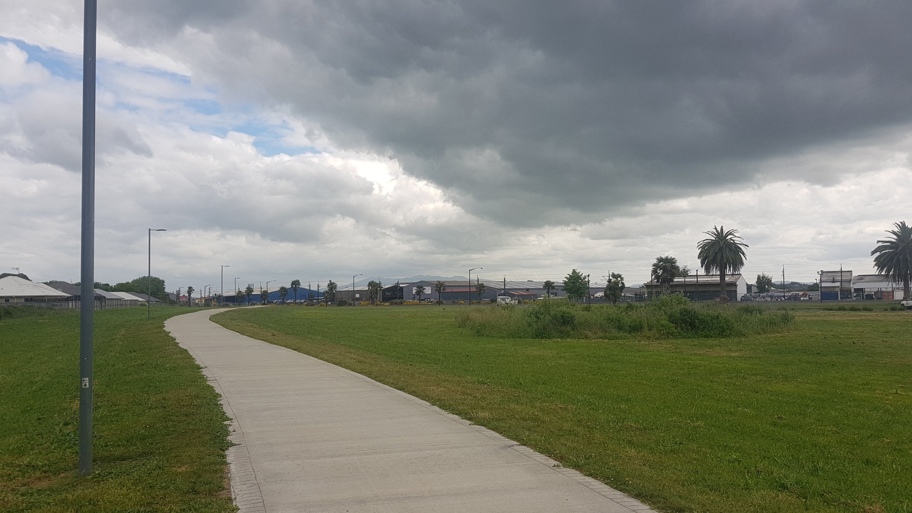
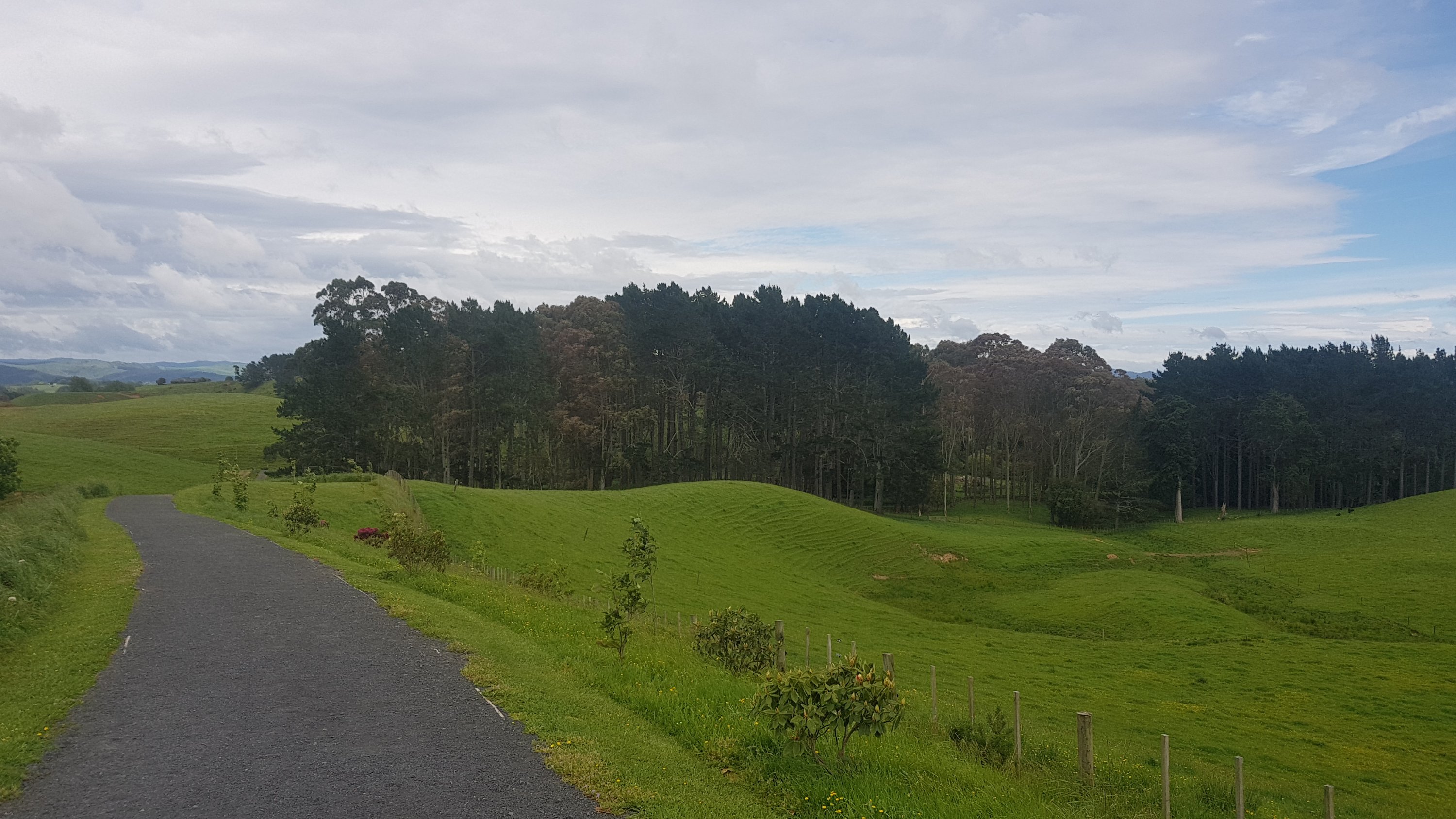
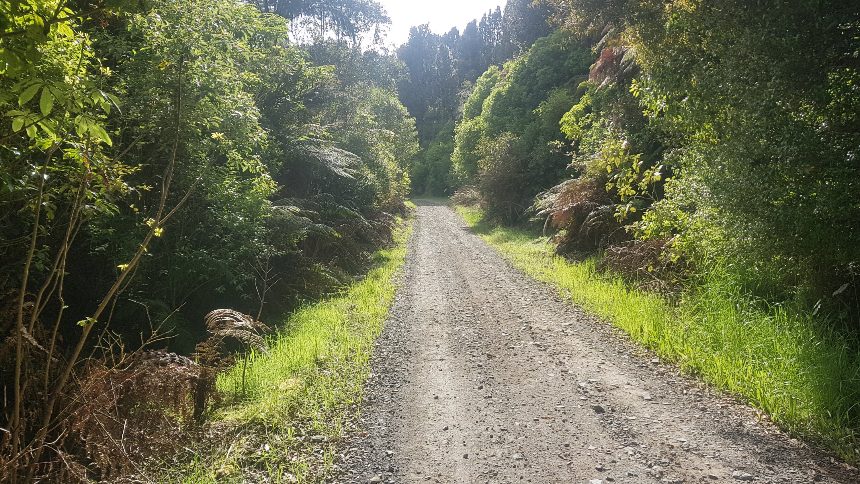
Then after walking through the middle of the Centre Place shopping mall, it was onto the Western Rail Trail.
I liked this walk. I’m almost certain that this didn’t exist when I lived here. I moved away from Hamilton in 2003 so that’s entirely possible. It runs alongside the railway lines for a few km. I like the design of it a lot.
Rail trail
And another ever so slightly closer view of Pirongia:
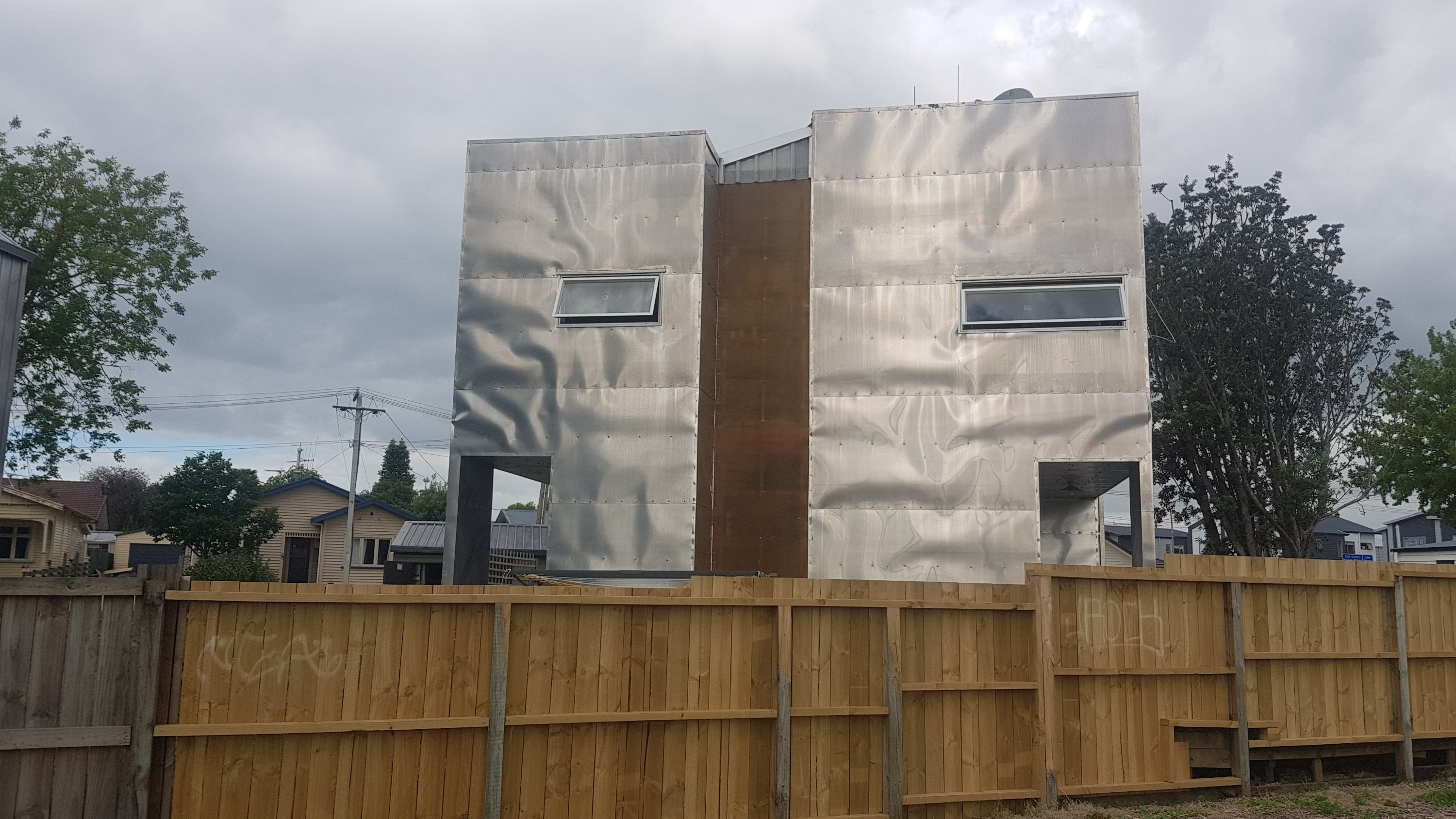
And past what I’m fairly sure is the ugliest house I’ve ever seen.
Jeebus!
Wouldn’t you agree?
It just looks so… metallic and hot
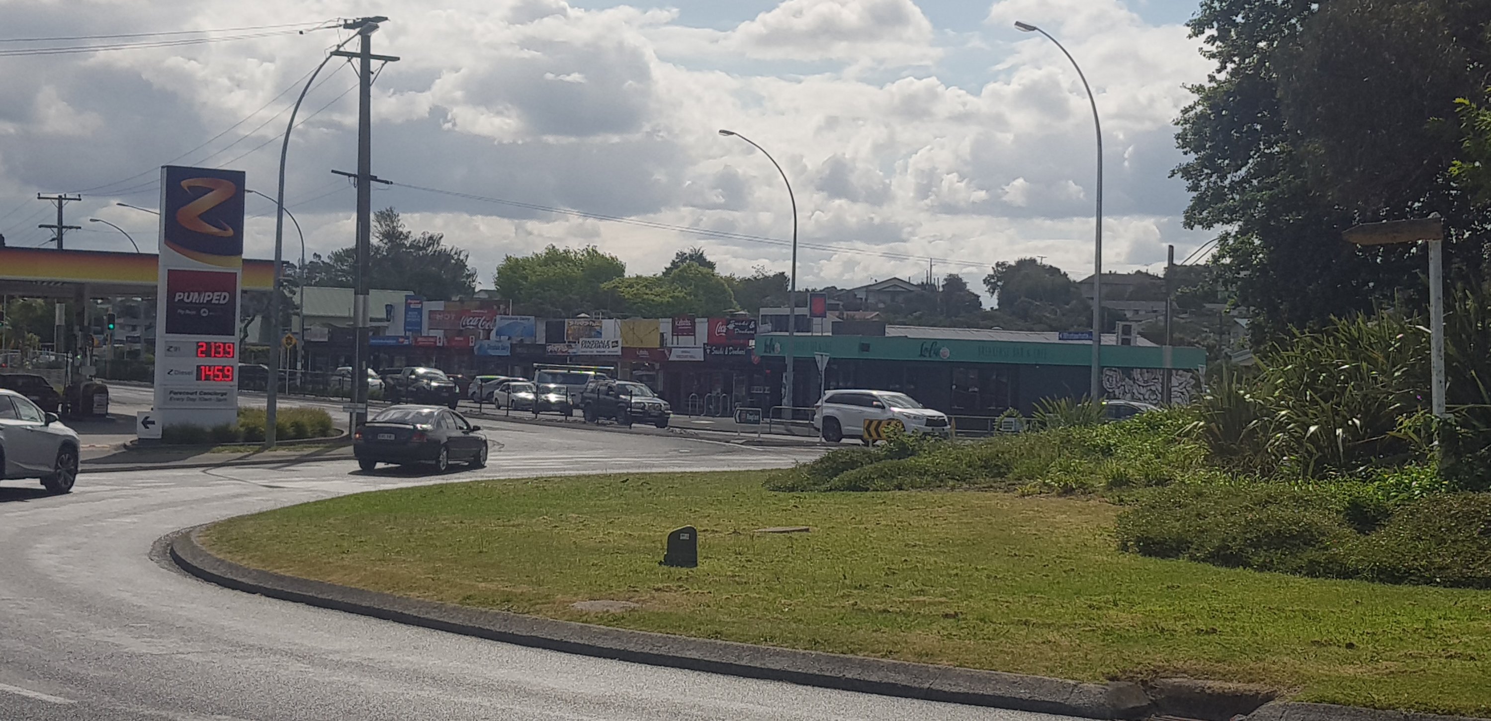
Then you come to the State Highway 23 roundabout. You have to cross one road only. I was worried that the traffic would be bad, but this is Hamilton, it was easy. You have to walk from where the photo is taken to the road in the distance.
Spot the least helpful sign ever in the middle of the roundabout….
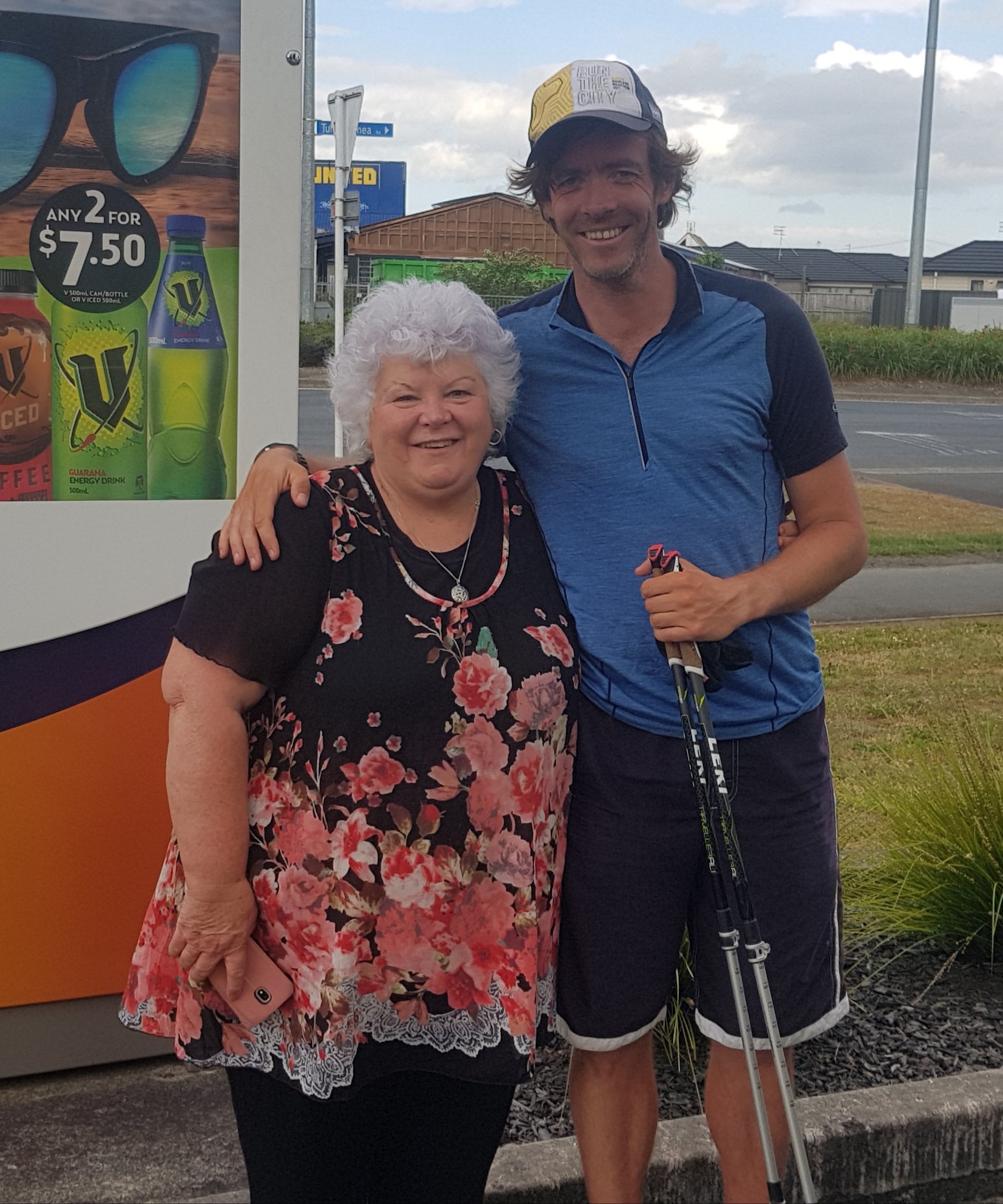
It was here that a car tooted, and pulled up beside me. It was some of my family, including my cousin Lynda.
Lynda and me
Lynda was one of the many people I know who offered me a room for the night but sadly because I’m only in Hamilton for one night I can’t see everyone. So I’m really got to meet like this and say hi.
I never saw Eirik though. I walked fairly slowly, mainly because I didn’t have a huge amount of energy but also because I was enjoying taking my time for once.
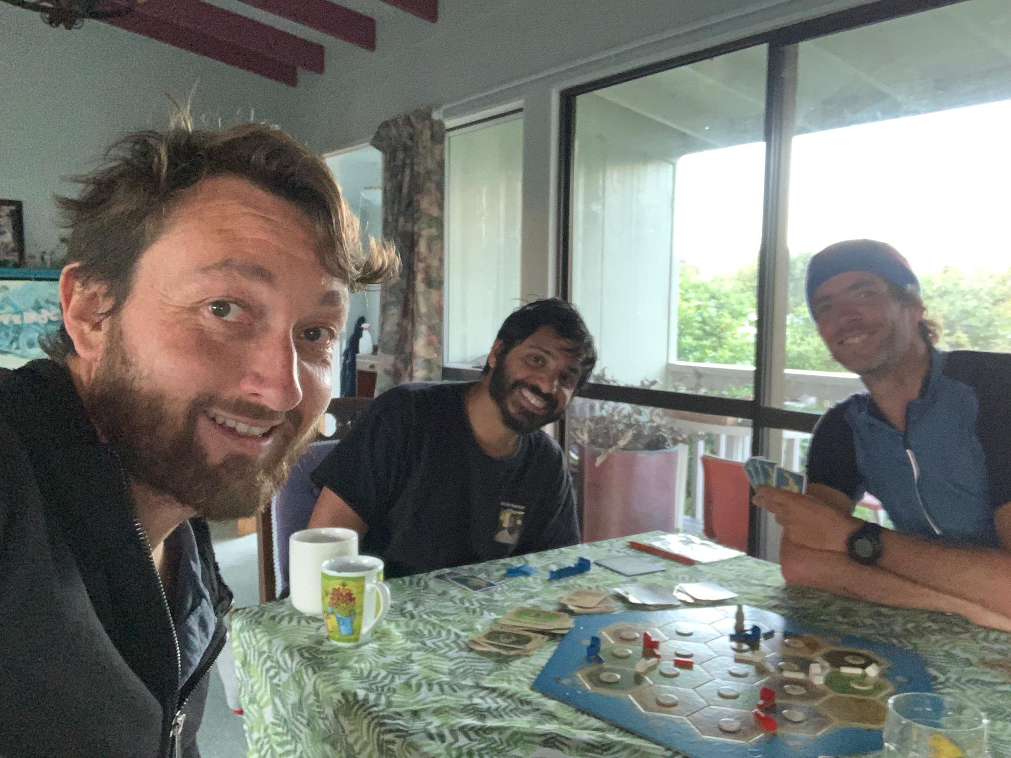
I stayed with my friends Michelle and Jason tonight who live just a bit further down the trail before you leave Hamilton. They used to live in Auckland but moved to Hamilton a while ago now and this was the first time I got to see their house. They made me a wonderful homemade pizza for dinner and we played an excellent game called Mexican Train Dominoes. Thanks guys, I definitely owe you one 😁
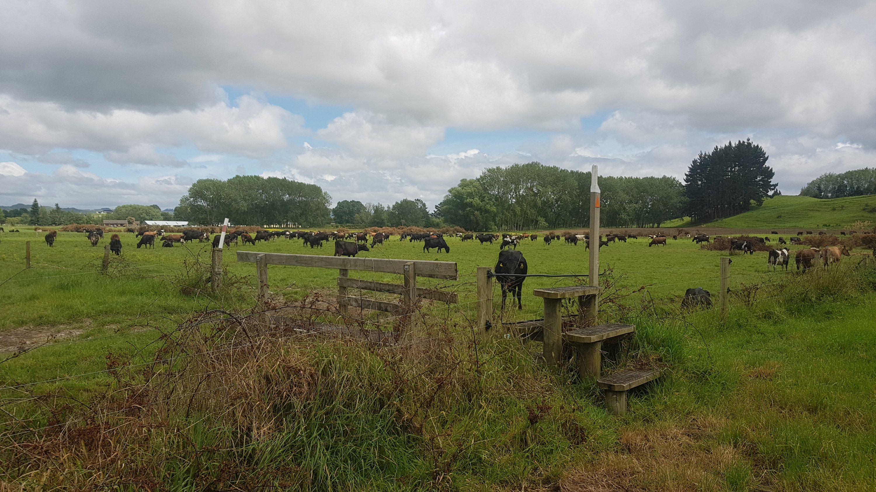
Date: 10 November
Distance walked: 11.5km
Trail covered: kms 763.1 to 773.8
Weather: humid but with a nice breeze while I was walking. Storm in the evening while I wasn’t walking.
Interest that the cows showed in me: zip
Set out today after a bit more of a sleep-in than usual. There was a bit of fairly heavy rain in the morning but with only 10km to go, I could definitely relax and take it easy and was able to wait for the rain to stop.
I’m doing the short distance so that I can see my Dad and Whatawhata is really the only place he could pick me up from so that’s as far as I’m going. Plus with feeling a bit exhausted the last couple of days and having done some 50km and 60km days recently, a short day will do me good.
The path just out of Hamilton is a nice relaxing park walk.
Tills Landing
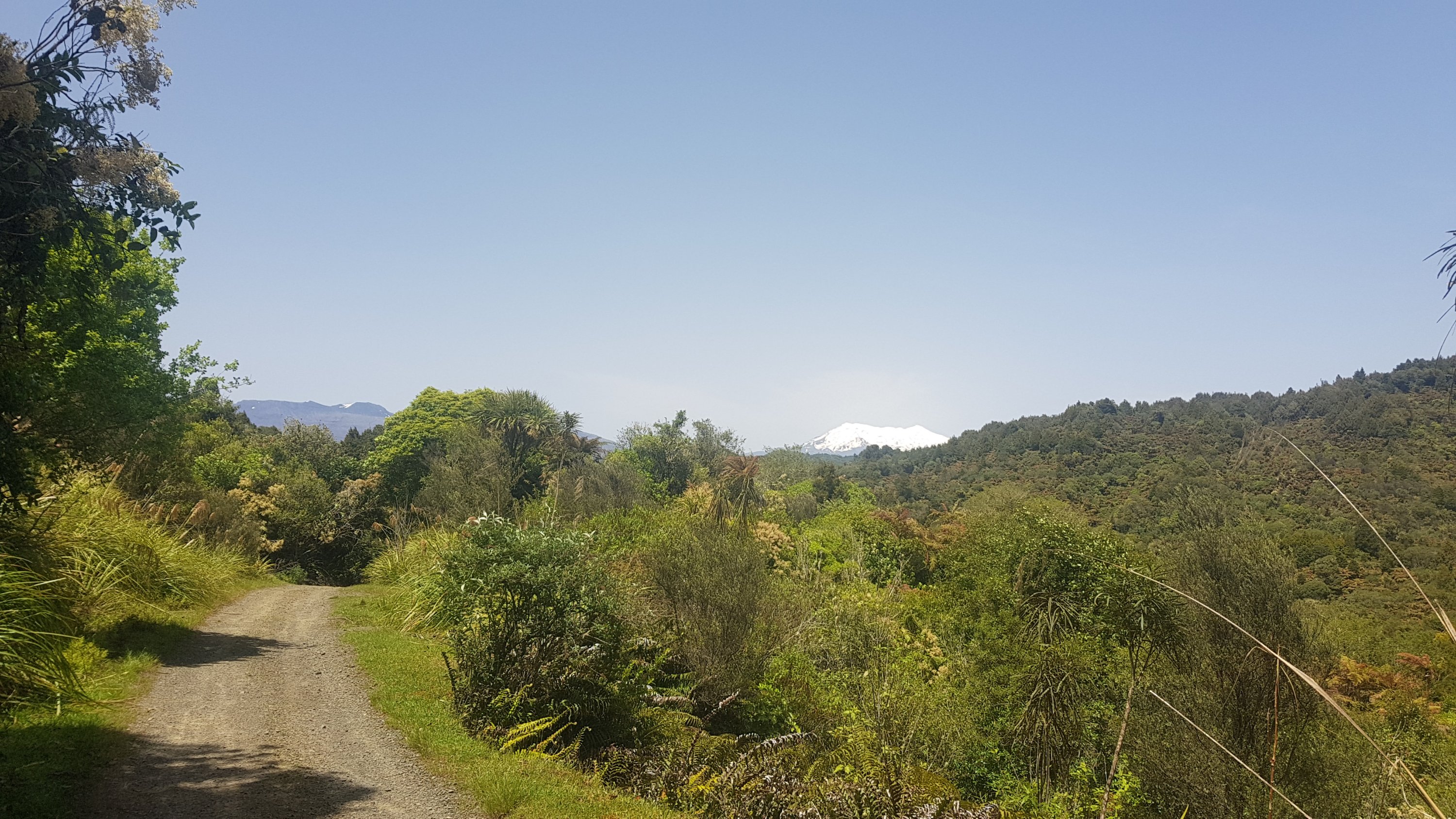
Although, that’s Mt. Pirongia in the background, under a lot of cloud. I’ll be climbing this tomorrow.
Then a bit of road walking. I think this is the first time I’ve seen a footpath that is almost wider than the road itself.
Wallace Road
At the end of this footpath is the Taitua Arboretum. I don’t know exactly what an Arboretum is but there were trees.
Taitua Arboretum
It was a nice walk through the trees.
At 11am I was looking at Pirongia, and the clouds were starting to clear.
11am view of Pirongia
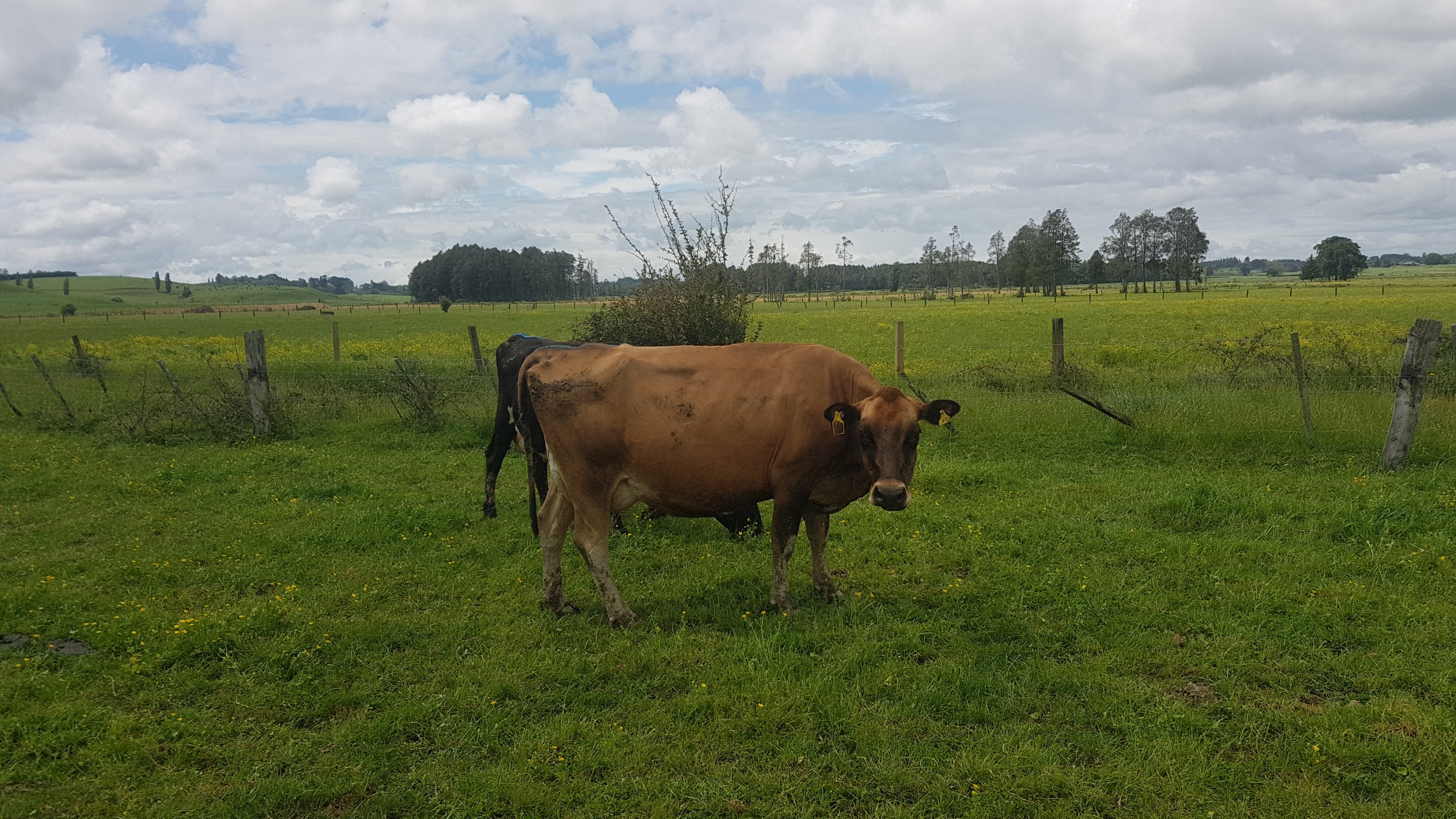
Some very curious cows were down the end of O’Dea Road and they followed me down the fenceline. When I went up to them though, they backed off, but then continued to follow me down the fence.
More curious cows
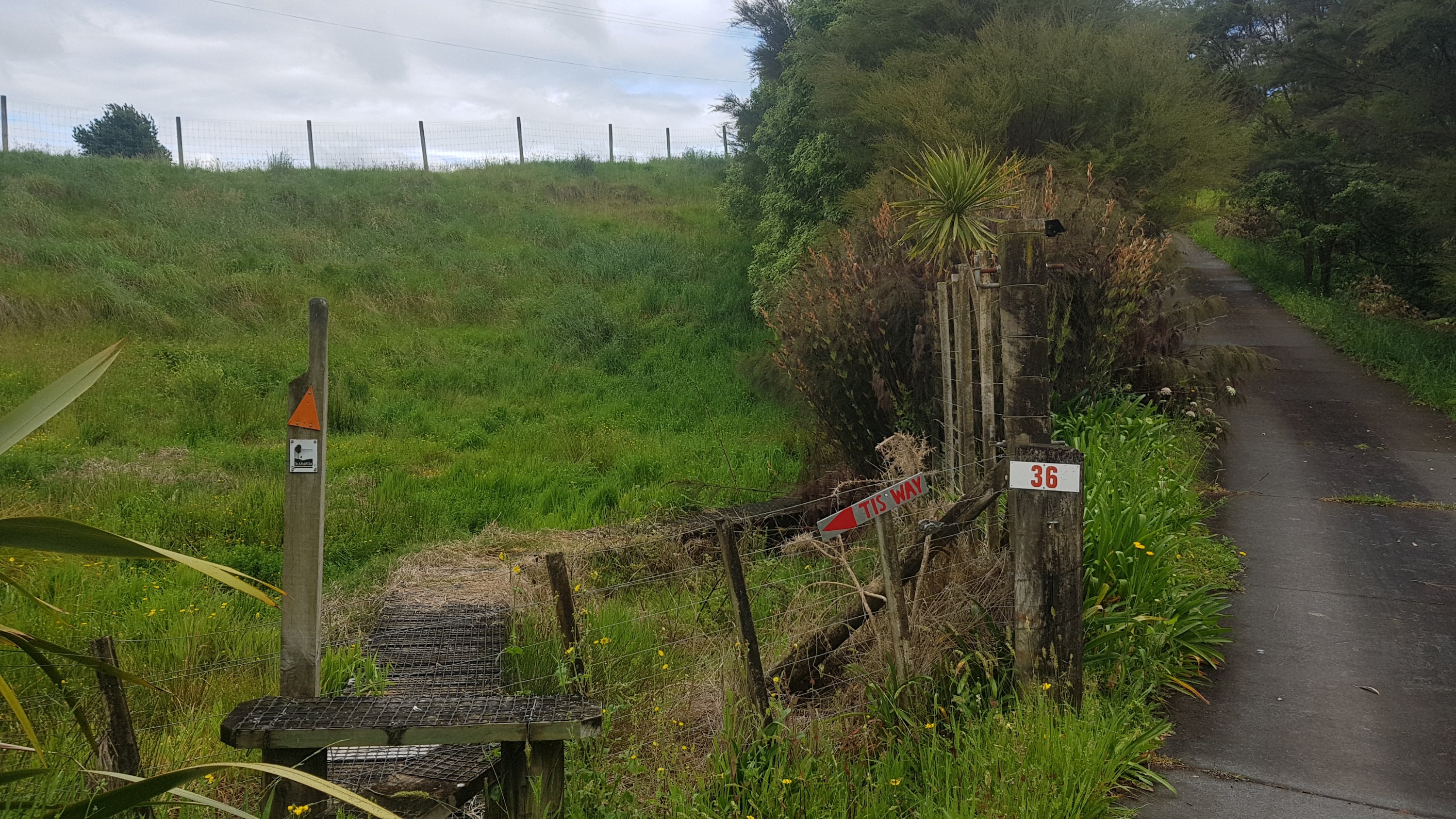
When you approach the end of O’Dea Road it’s not immediately obvious where to go, until you look around a corner and see tis.
“Tis Way”
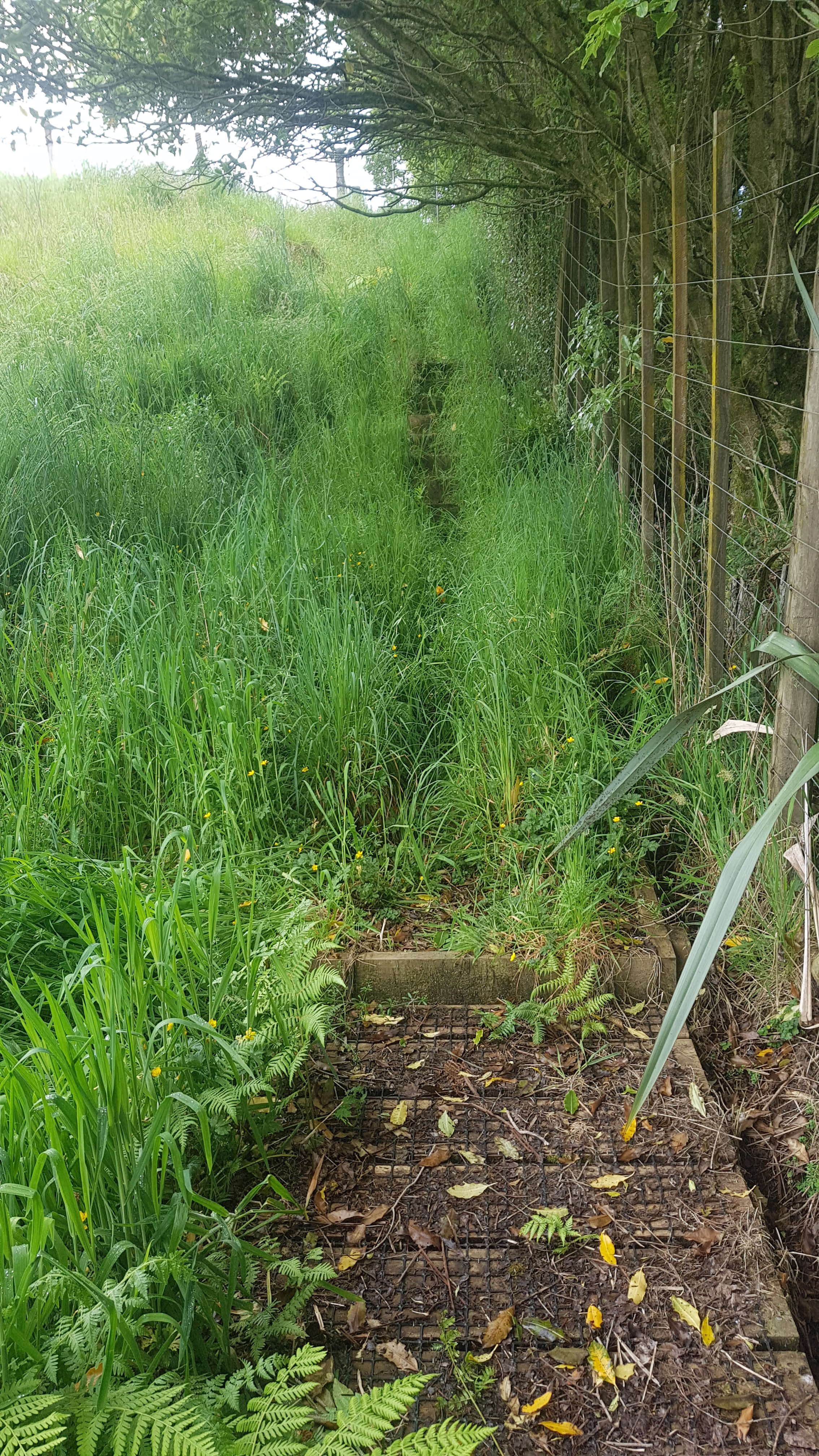
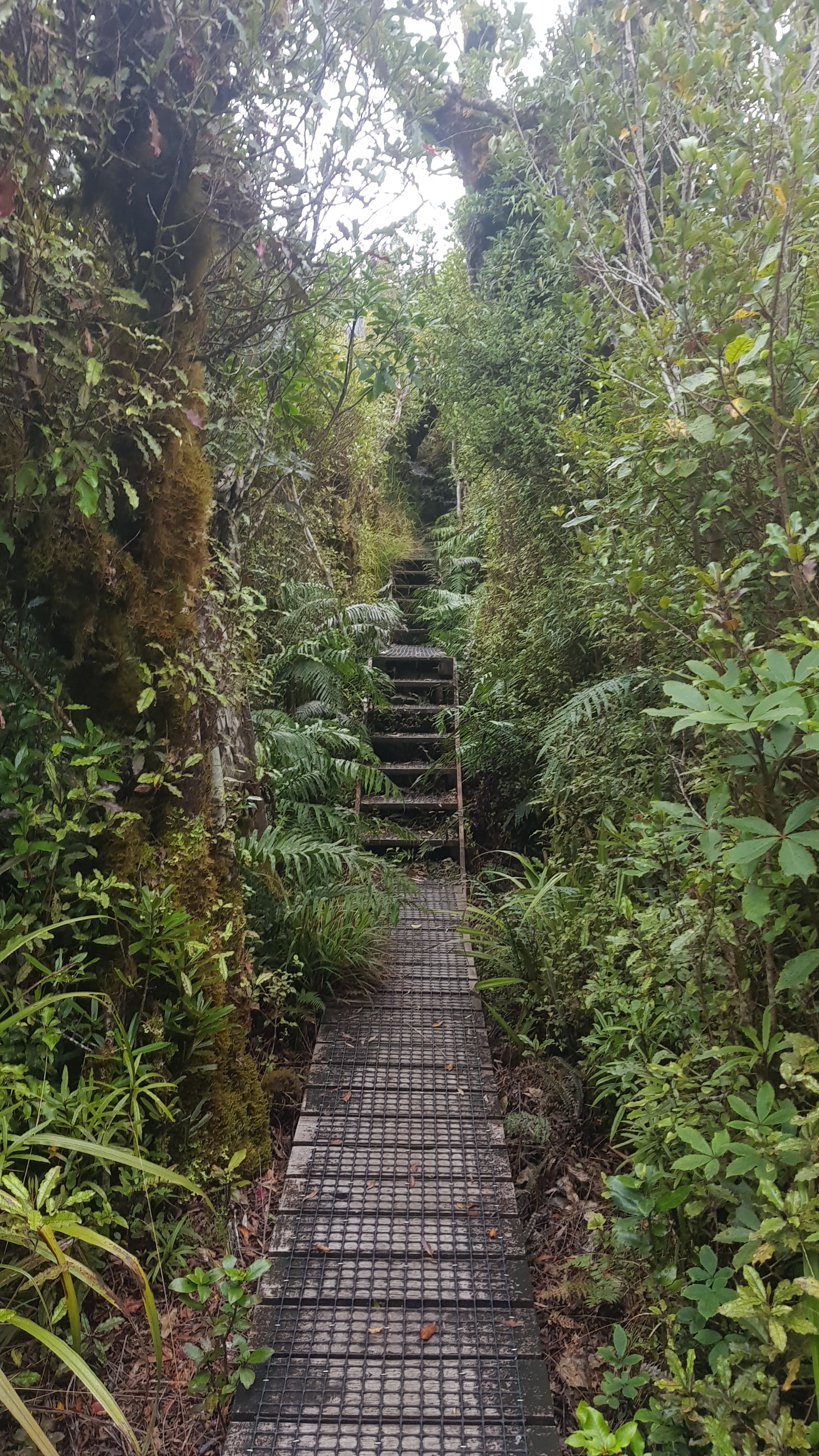
It is a few kilometers walk across this farm and it starts out being a boardwalk of sorts.
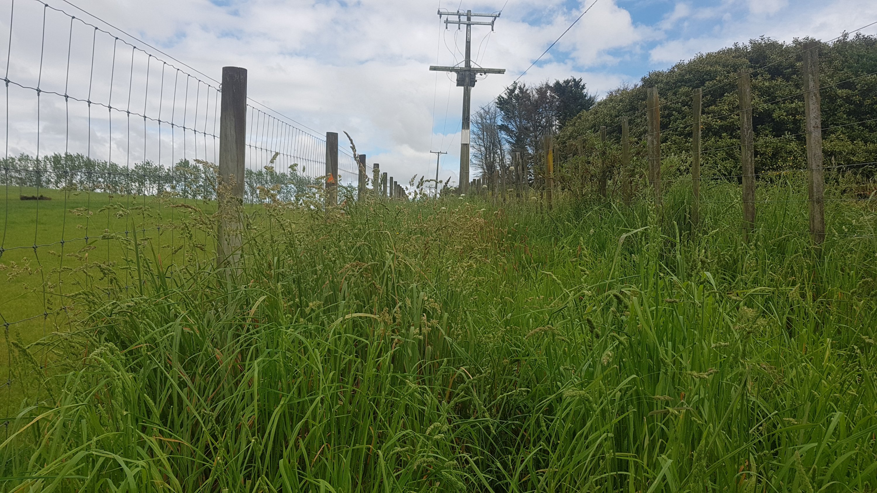
But then there is a fair bit of very tall grass.
Prepare to get very wet if it has been raining!
It’s a very standard farm walk after this. But I did notice the “kiwi ingenuity” here – two gates joined together with a bit of wire.
Real classy gate
And I thought this stile would be the first place I feel the zap of an electric fence – there are a lot of electrified wires here.
It was only 8km in by this point and I really was starting to notice my pack on my shoulders. I’ve been walking with just a day pack for over a week now and only started again with the pack yesterday so I guess I just have to get used to it again.
My Osprey Levity pack does hurt my shoulders a bit though. I wonder if a heavier pack would have more padding. And tomorrow I will have to take a fair bit more food and water once I head out into the countryside – it is a few days to the next town, either Waitomo or Te Kuiti.
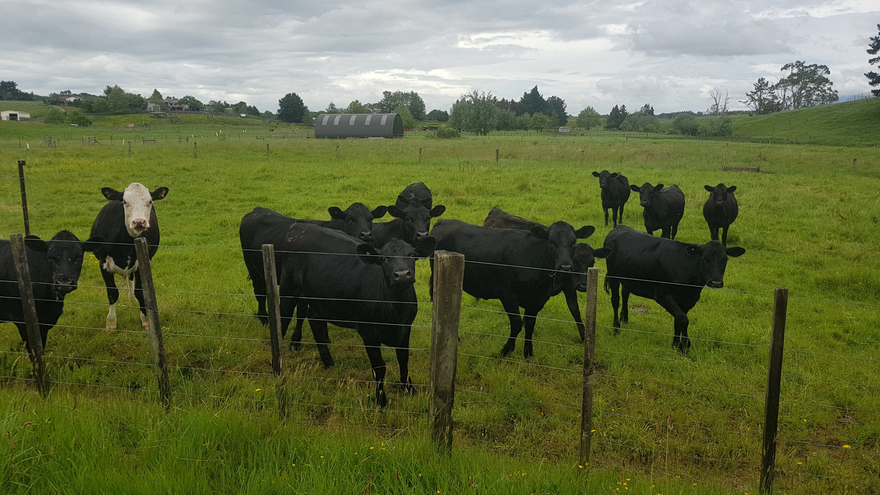
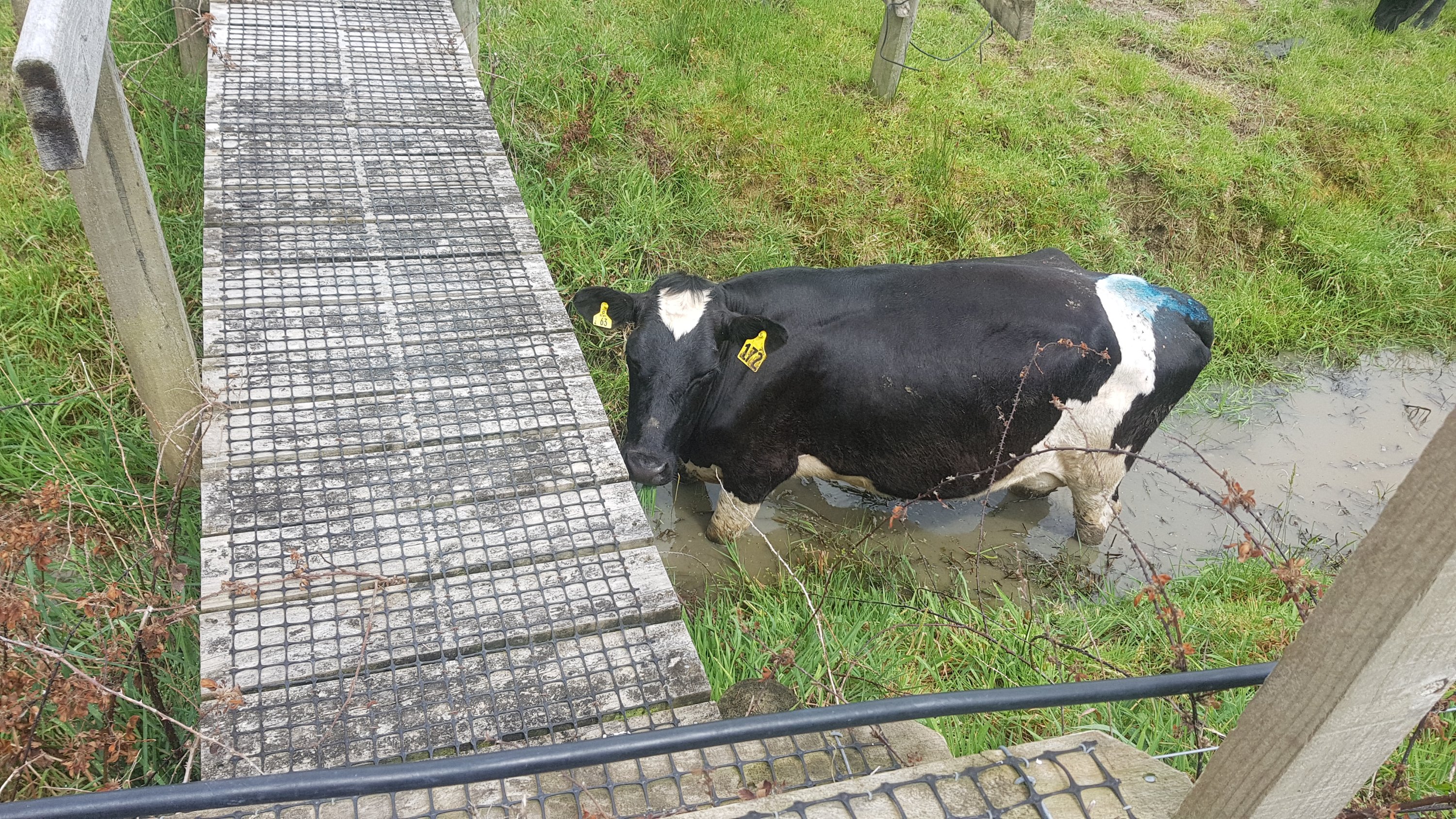
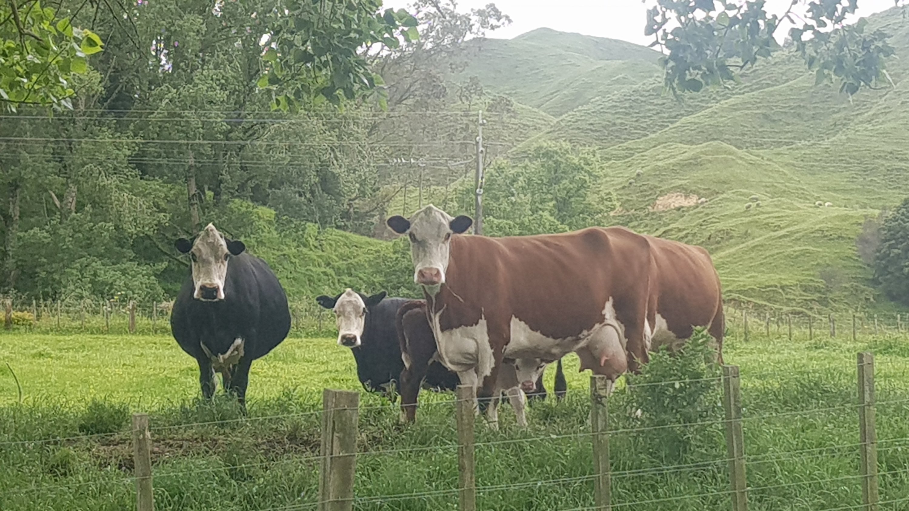
The last bit of the farm was walking through this field of cows.
Find your way through this lot
The first cow noticed me… not sure why it was down hiding under the bridge on the dirty water.
But after that they really paid me no attention at all. They barely moved and some didn’t even look up.
This one looked at me at least
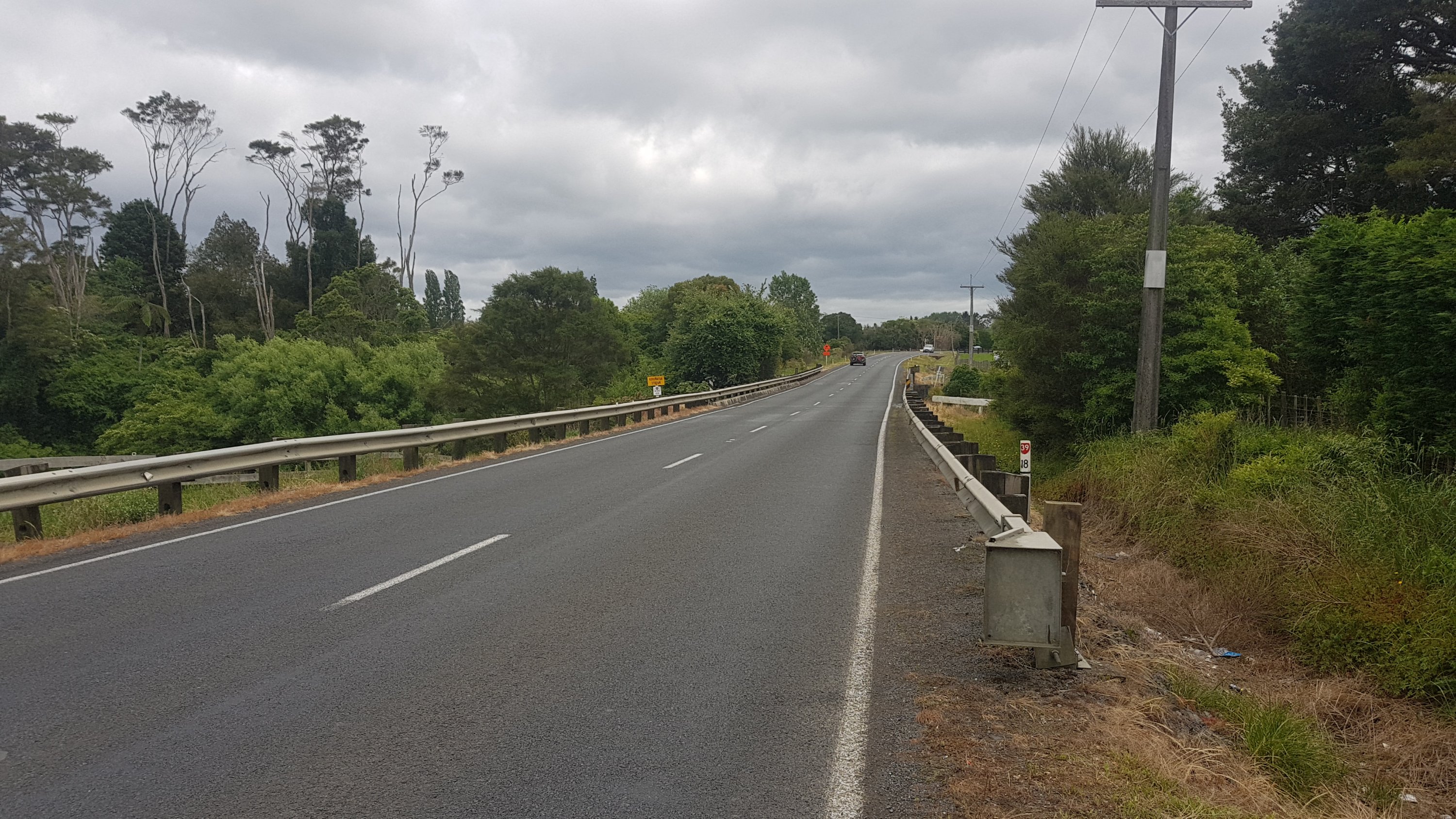
A short walk down Walsh Road and then right onto State Highway 39. Not too long down here thankfully, and there was a shoulder to walk on, except for the usual bridge with no walkway.
Koromatua Stream bridge
You can actually walk on the outside of the barrier right up until this point, but then you have to again wait and then run the gauntlet once no cars are coming.
And then, once you arrive into Whatawhata, you even get the pleasure of walking on two state highways at once!
And you even have to cross the busy road at this point.
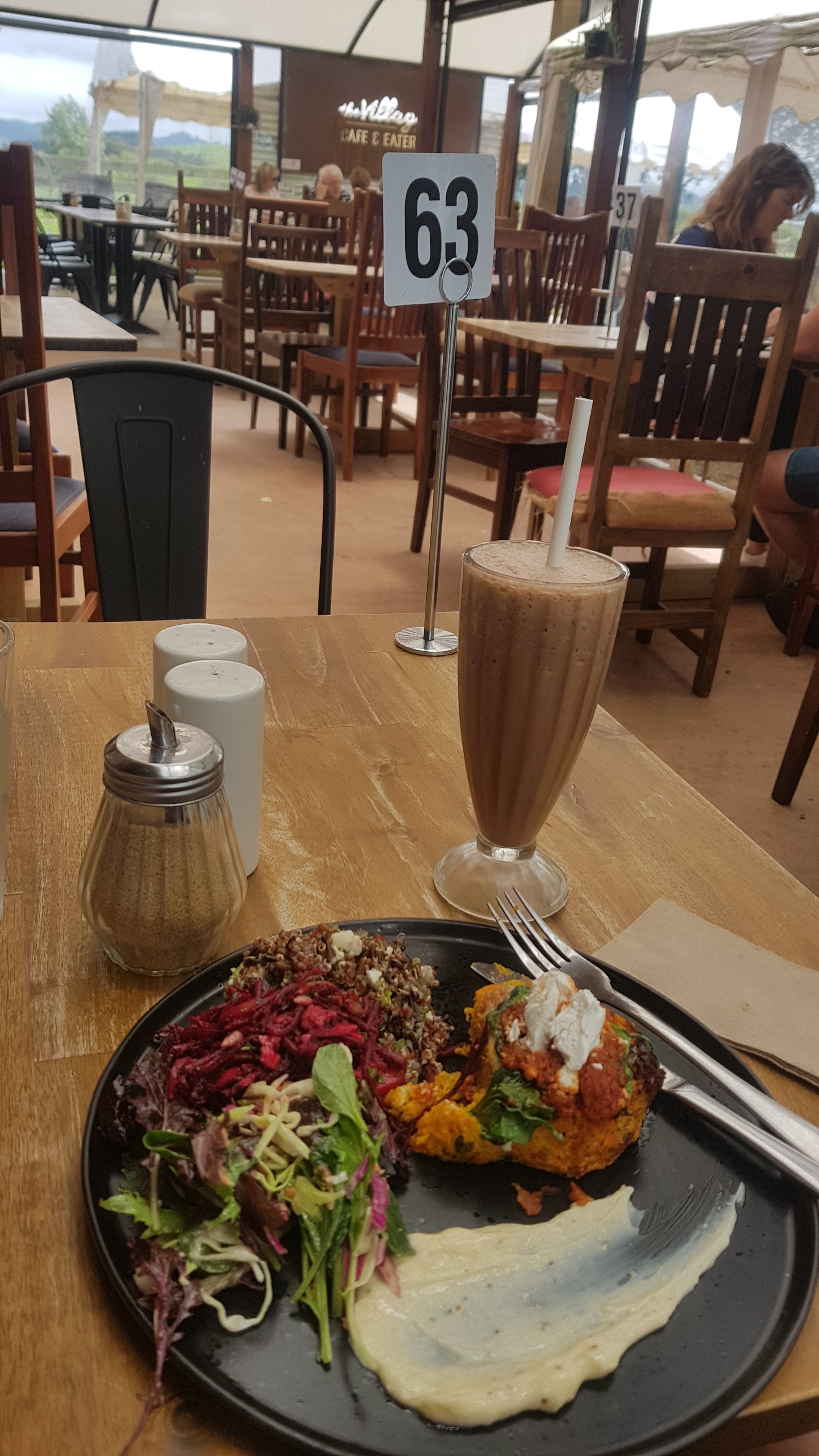
Once you cross here, you’re in Whatawhata. There are a few cafes here and a petrol station. This is as far as I went today – my Dad picked me up from here and I stayed with him in Te Awamutu. While I waited for him I had a bit of lunch at the Village Cafe and Eatery. I finally got my salad that I had been craving for the last few days – it was great.
While I was eating I spent a bit of time trying to work out how to pronounce Whatawhata. “Wh” in Maori is usually pronounced “f”, so I figure the pronunciation is “fotter-fotter”. But I’ve been told by more than one person that “wh” in the middle of a word is pronounced “w” as in Mangawhai (Manga-why not Manga-fai) but that would mean that the town is pronounced “fotter-whatter”. I’m sure that’s not right!! It wasn’t so important to learn the correct pronunciation of Maori place names when I was young but there is more focus on getting it right now which I think is good.
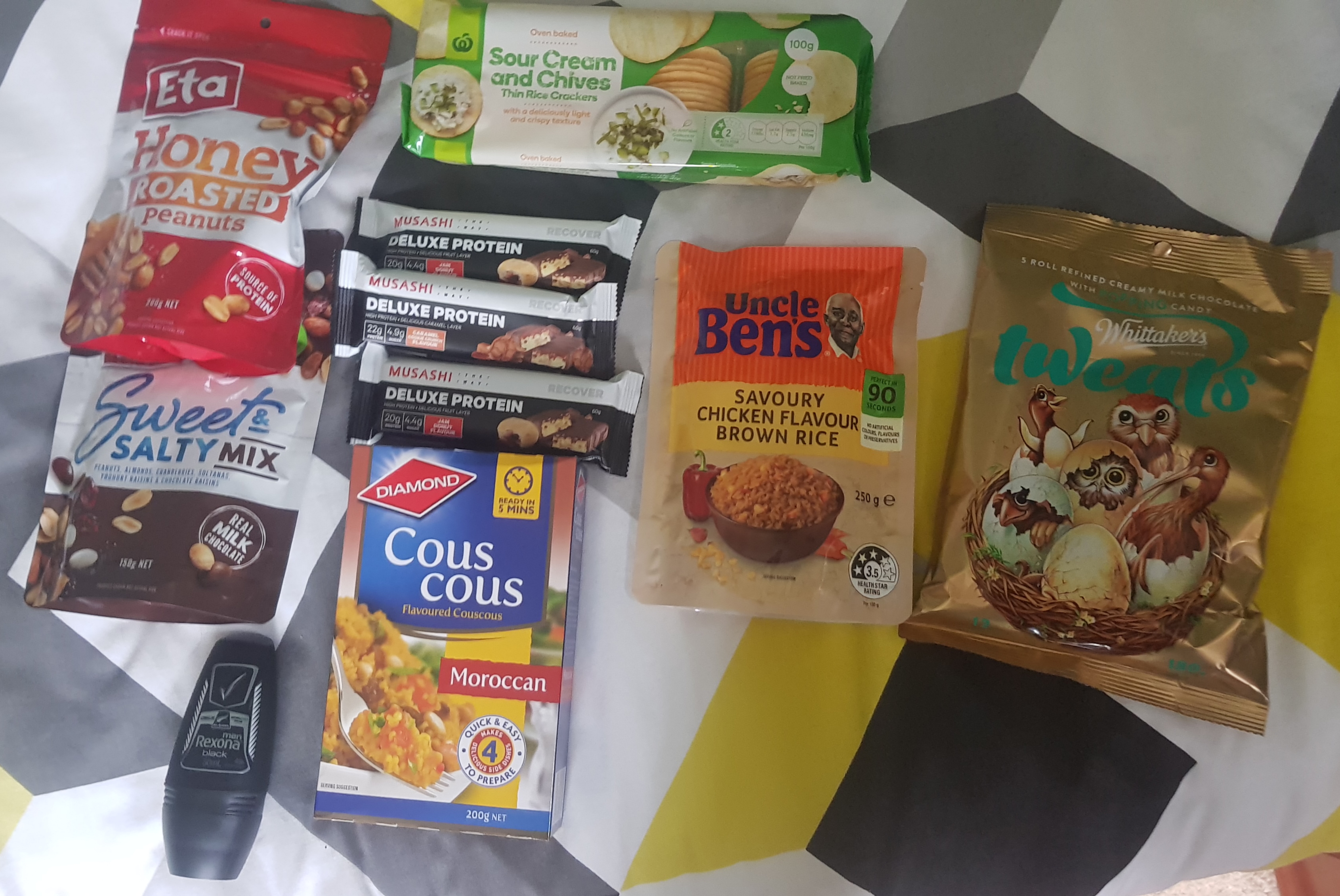
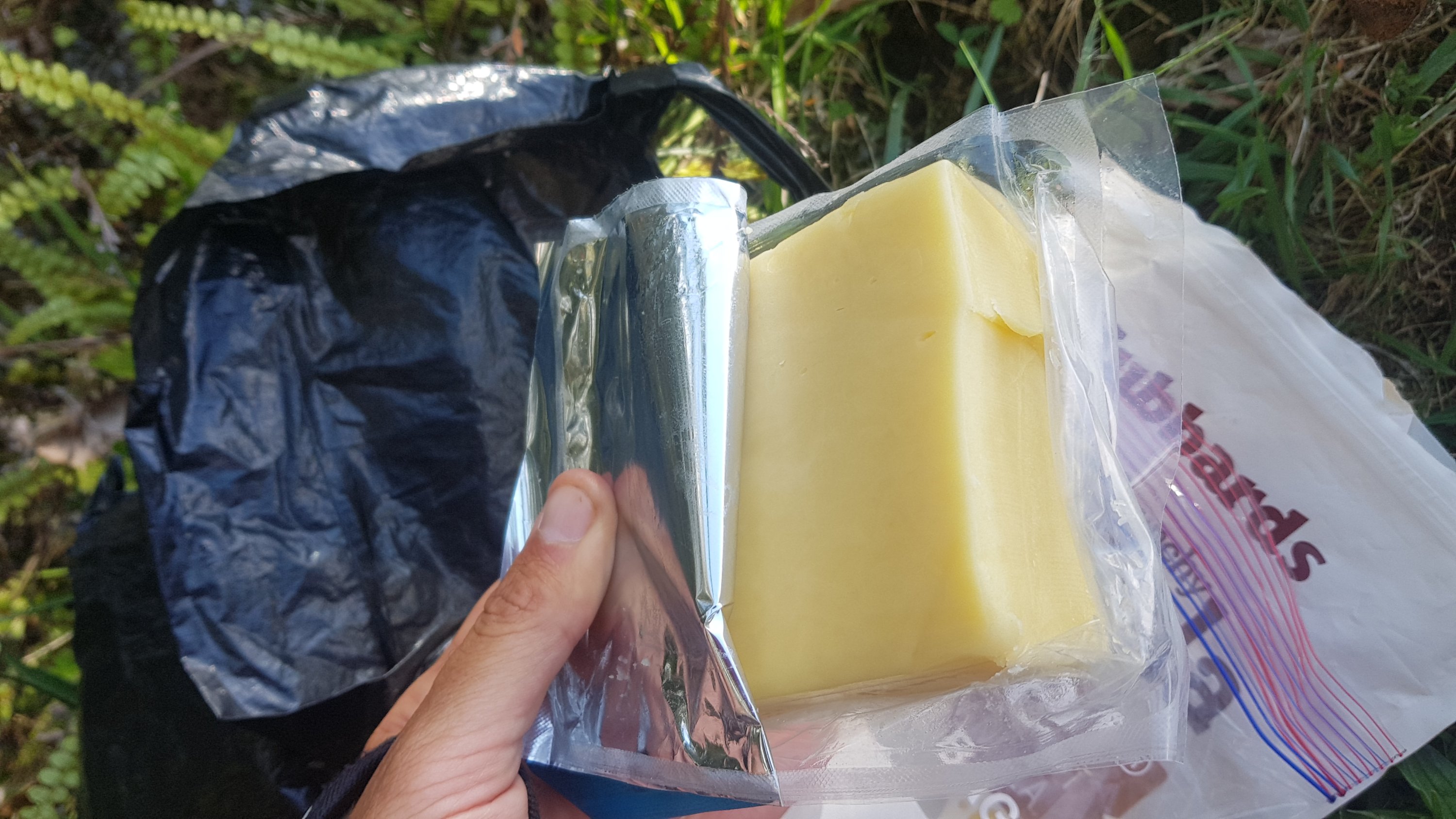
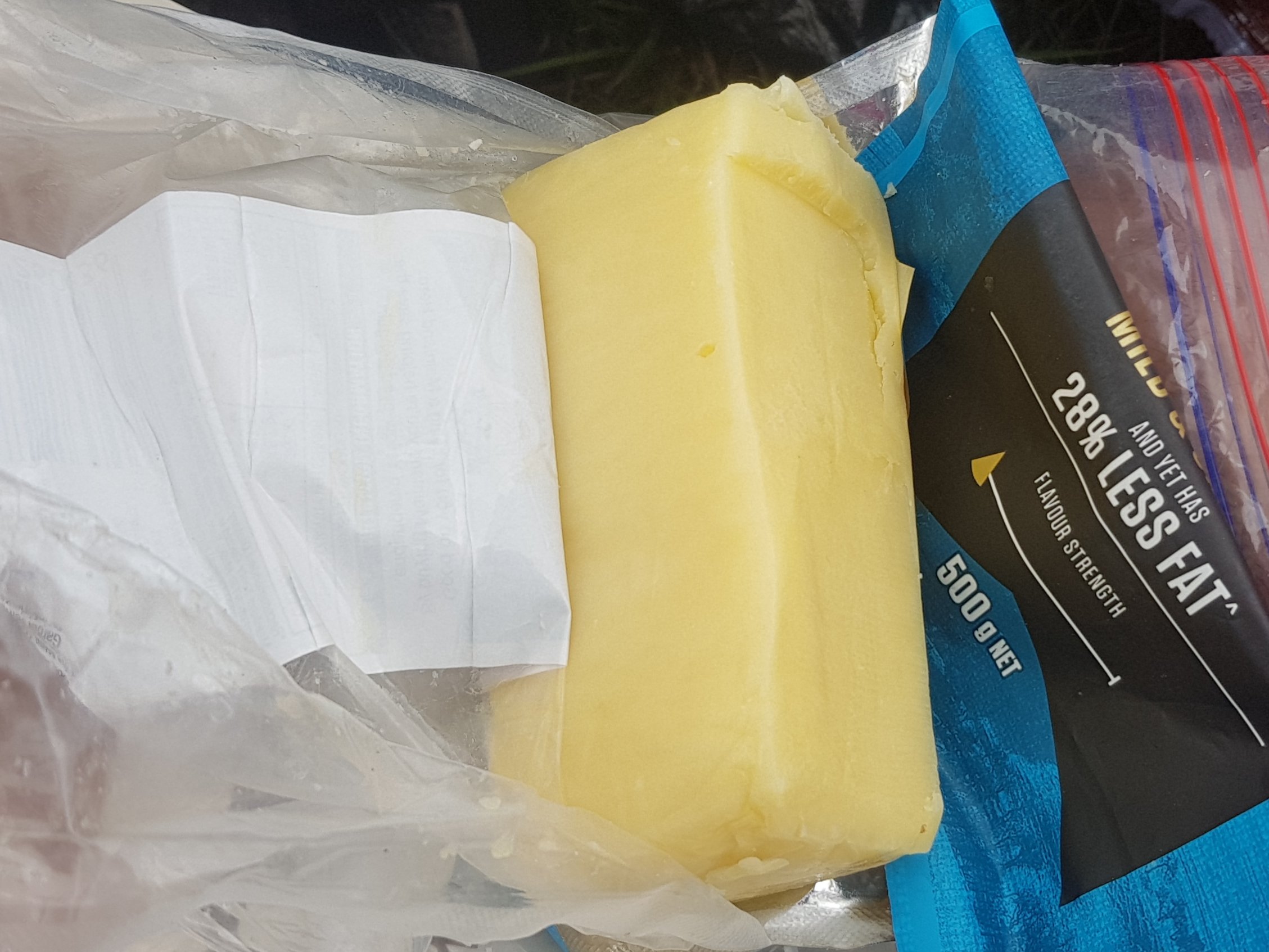
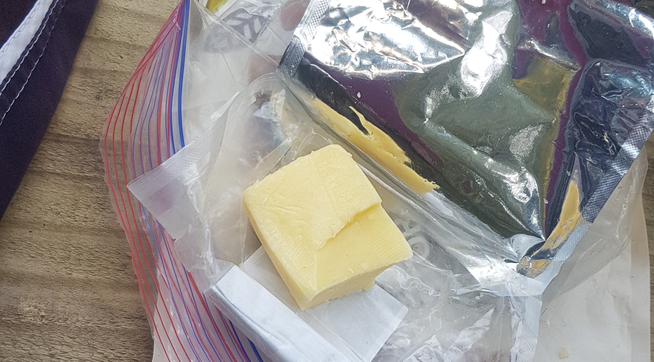
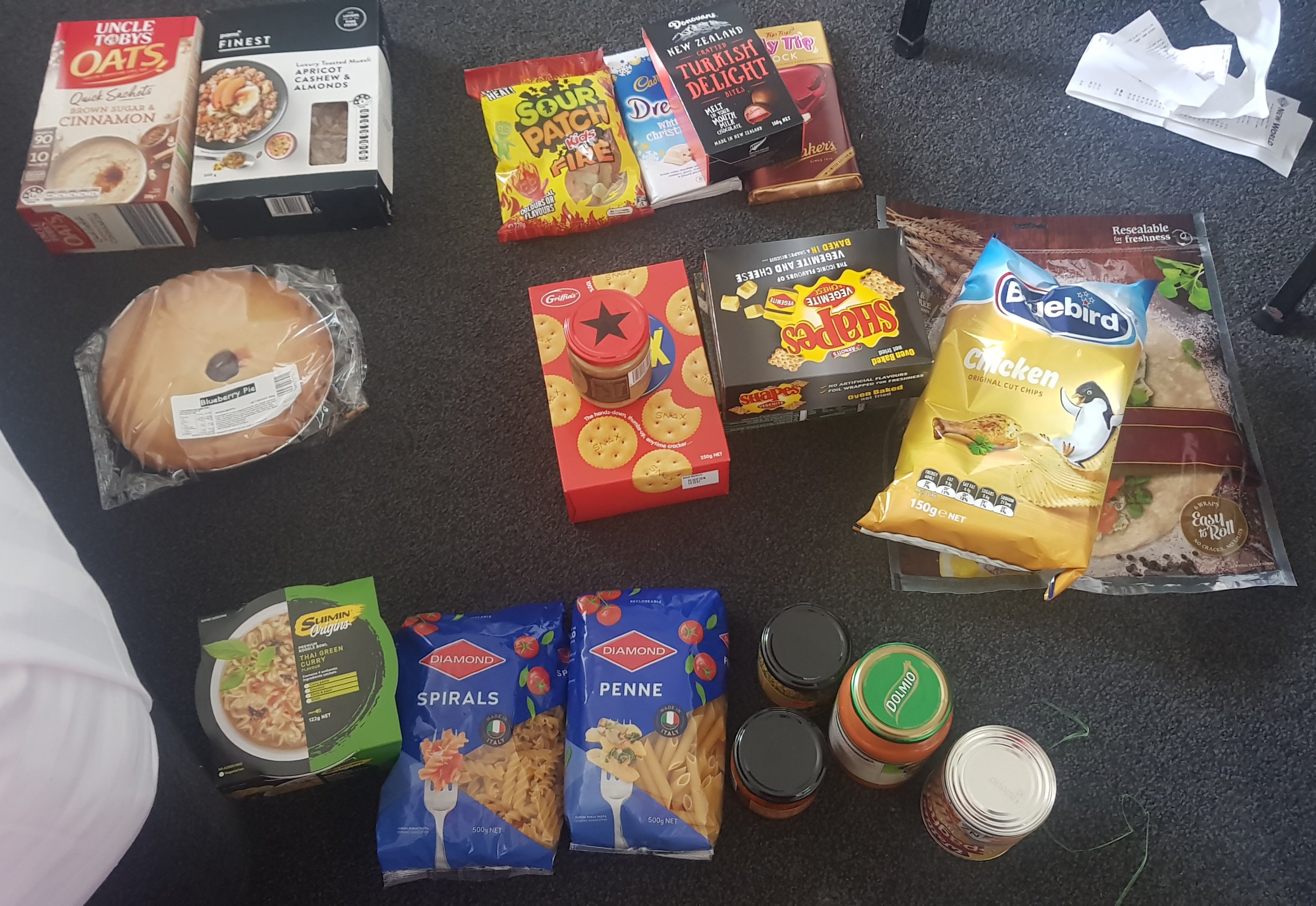
I got to my Dad’s place at about 2pm, so I had a bit of spare time. I bought some groceries from Countdown.
Everything I bought today, except the block of cheese which is in the fridge
Apart from these I still have porridge, muesli bars, a few wraps and two back-country cuisine dehydrated meals I bought yesterday from Trek N Travel in Hamilton.
As you can see from the photo I am going to try bringing anti-perspirant. I struggle with my own smell after a week or so and so maybe this will help. It is worth the extra weight I think, especially given that I am getting much hotter and much sweatier recently. If it doesn’t do anything I can always discard it. Plus it says “All Blacks” on the packaging. Maybe if I use this deodorant I will turn into a rugby player.
I then spent a bit of time checking on the progress of my goal of getting to Wellington by Christmas. If I use the date 21 December as my goal date then that gives me a few days to relax there and hang out with friends.
There are 41 days until 21 December and 921.7 km to go. That means I need to do 22.5km per day. Definitely doable.
The rain started at 3pm. When it started I thought “I’m glad that I’m not up Pirongia right now”. Eric and Zoe said they were going to wait out the storm before heading up Pirongia. If so then I will see them tomorrow. If not, then they’re getting very wet right now.
View of Pirongia from the car
It rained a lot in the afternoon and evening. Again I’ve been spared a drenching. I’m definitely going to have to provide a sacrifice to the weather gods soon.
Tomorrow will be a 9am start, but not before another coffee at the Village Cafe and Eatery.
Date: 11 November
Distance walked: 31.2km
Trail covered: kms 773.8 to 805.8
Weather: Poured with rain in the morning. Once I started it was cloud cover all day with a beautiful wind
Number of times I backtracked today: 5
After I was dropped back at the Village Cafe and Eatery and after having a coffee, I was on my way. Well, I made it two seconds out the door of the cafe and it started pouring with rain. So I ran back inside – the first of four times today that I backtracked. Waited out the rain for a few minutes and then once the coast was clear, I went outside, surveyed the sky, decided that the weather looked like it was going to behave itself from now on and so off I went.
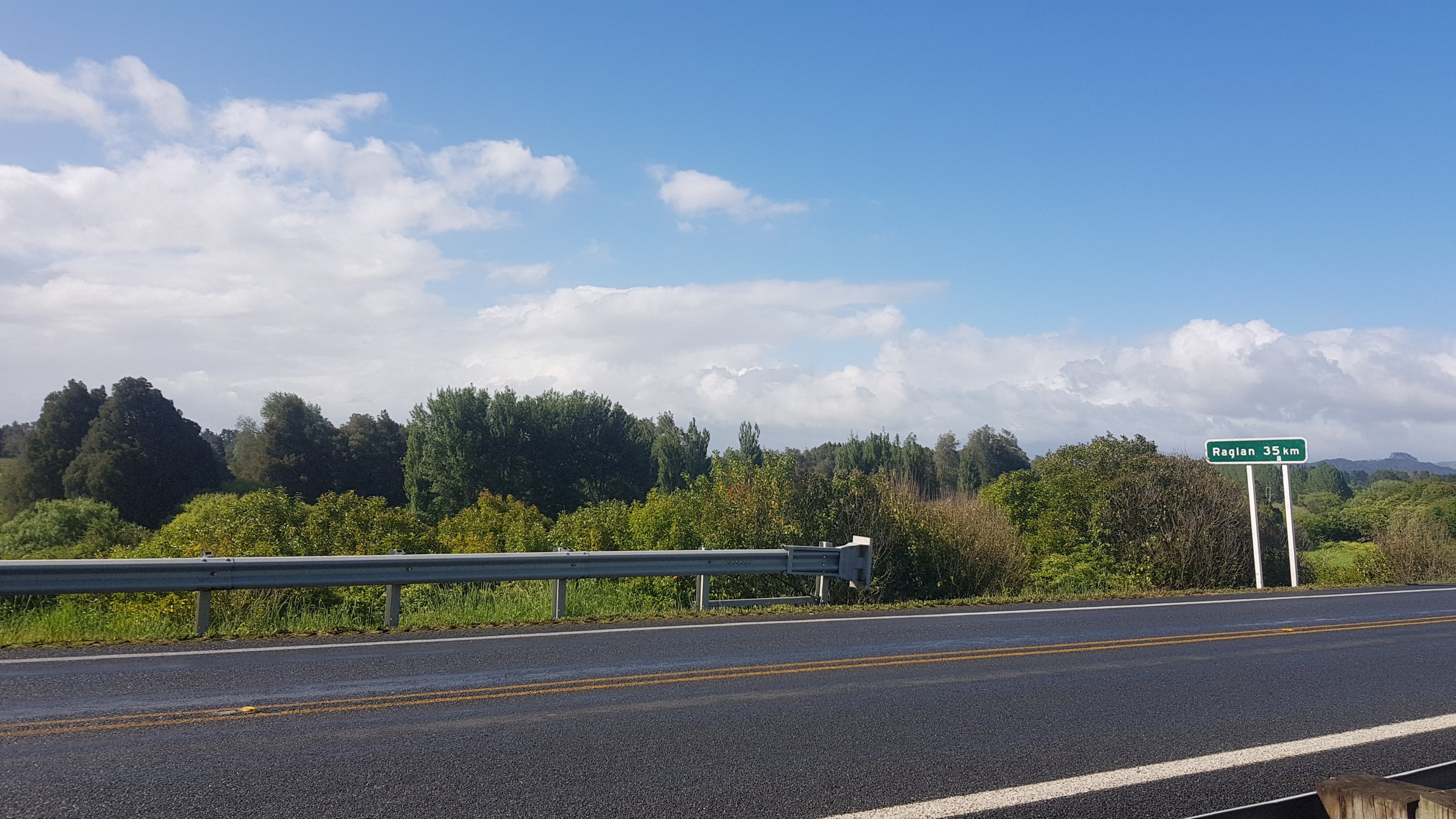
Unfortunately not to Raglan.
I wanted to make it to the summit of Mt. Pirongia today – 32km – and it was 9:15am once I left the cafe. It should be possible, I decided. I don’t know what is just out of Whatawhata but I know later there is a 300 metre elevation through a farm, and then Pirongia itself is about 930m in height. So that is a lot of elevation today.
It is also the first time I’ll be staying in a DOC hut – the Pahautea Hut. So I don’t want to get in after dark, because that would be rude (and I also want to cook in the hut and just generally enjoy the hut before the sun goes down).
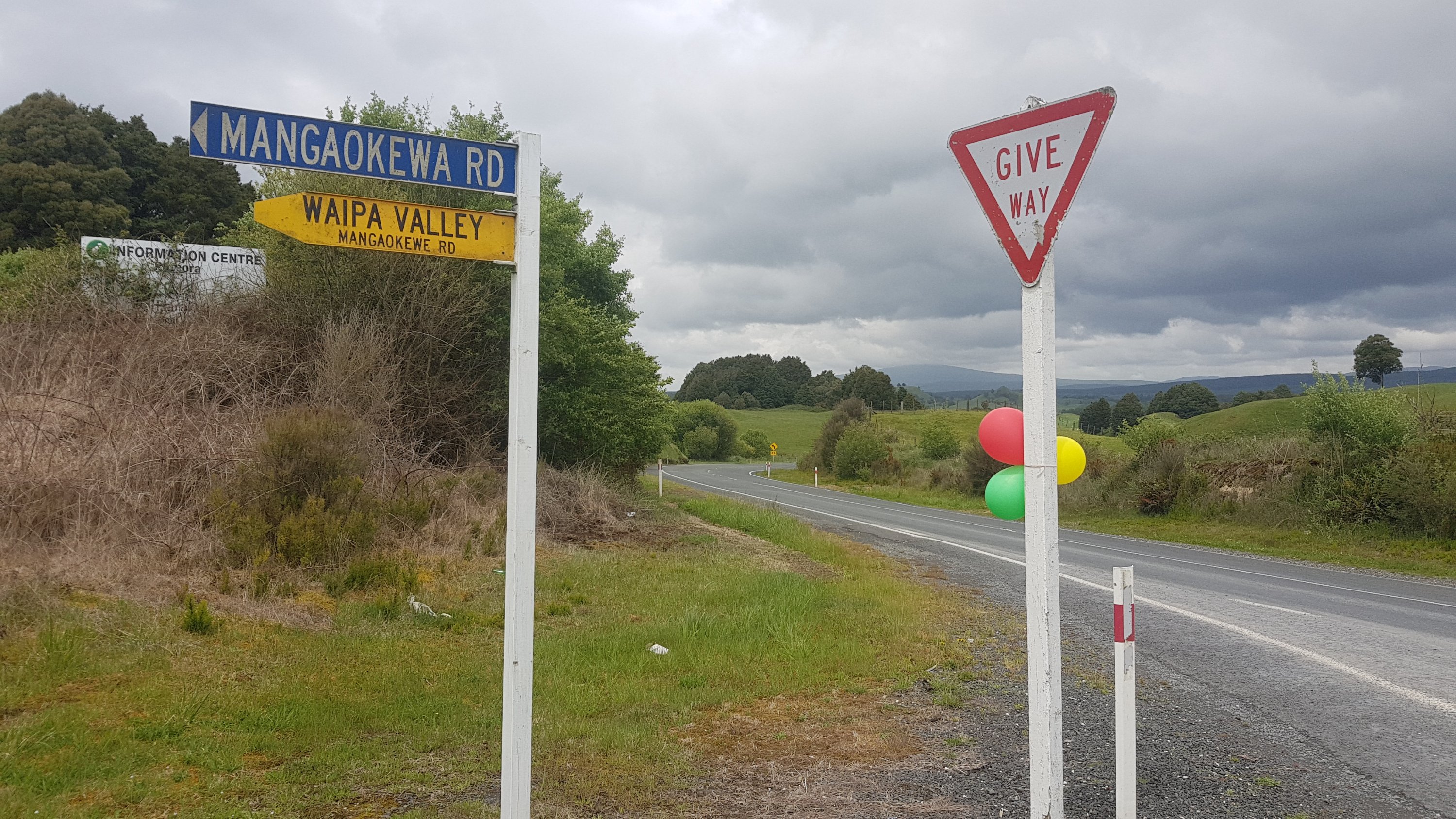
When you turn into Te Pahu road from State Highway 23, you need to immediately then turn left and walk behind the church on the corner. I nearly missed this turn – there is no marker for it. It feels like you are walking through people’s backyards, and you are, but that is the way.
And then, good luck finding the path at all.
Now where….
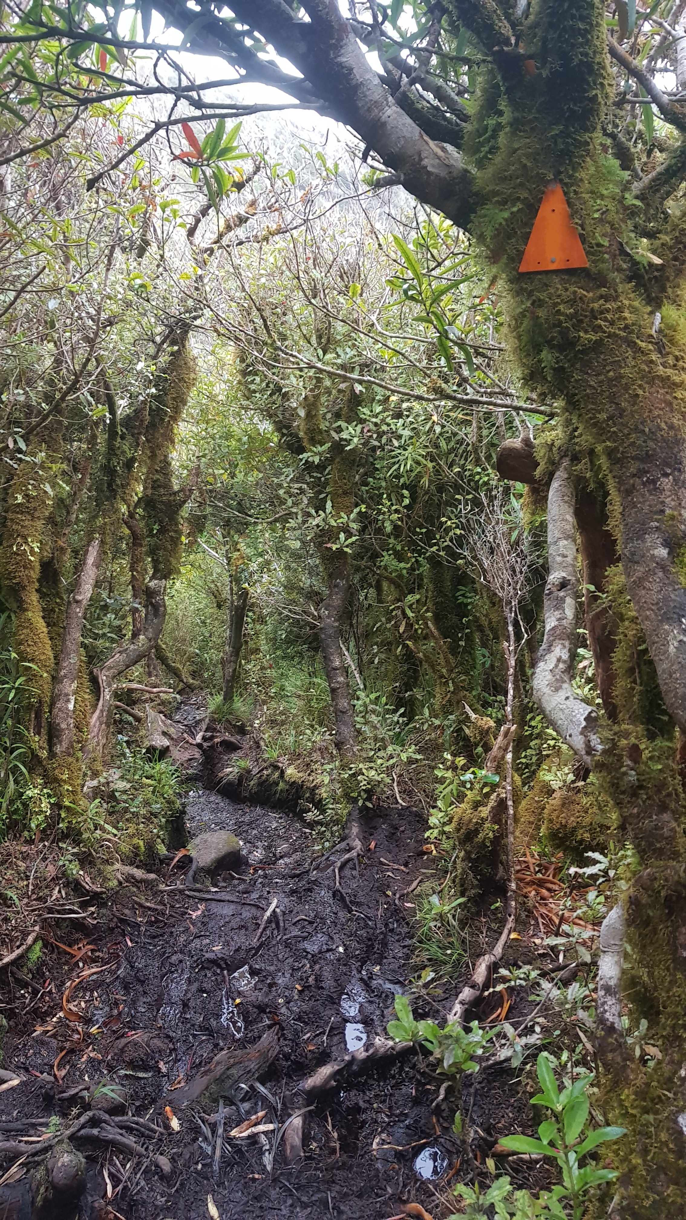
This part of the track looks like it’s been overgrown and not maintained for quite a long time.
Busted stile
And if you find yourself climbing over this big piece of tree, then you’ve gone too far. I did – and so this was my second backtrack for the day. Just behind where this photo is taken is a stile that you’re supposed to walk over.
WRONG WAY!
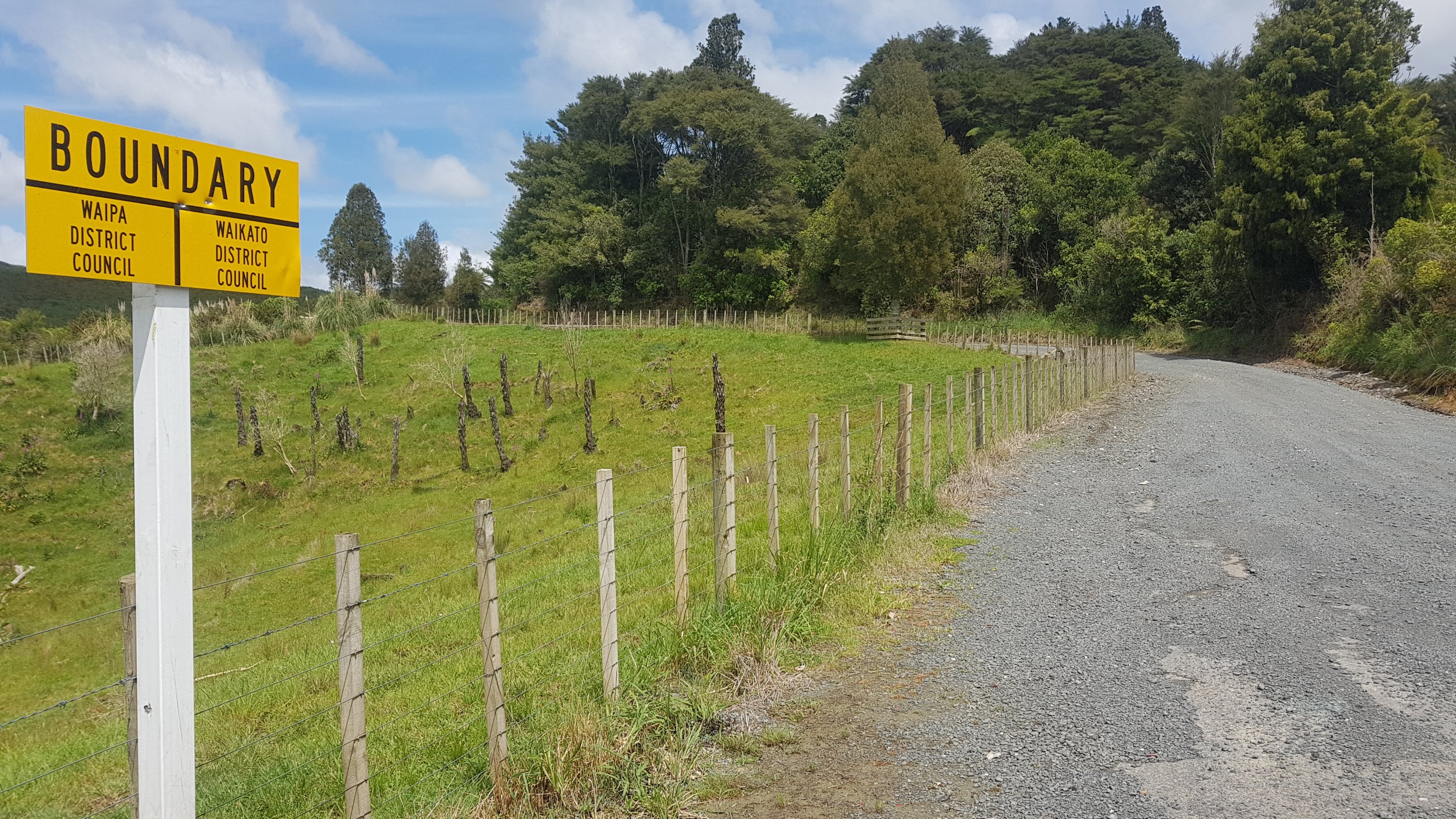
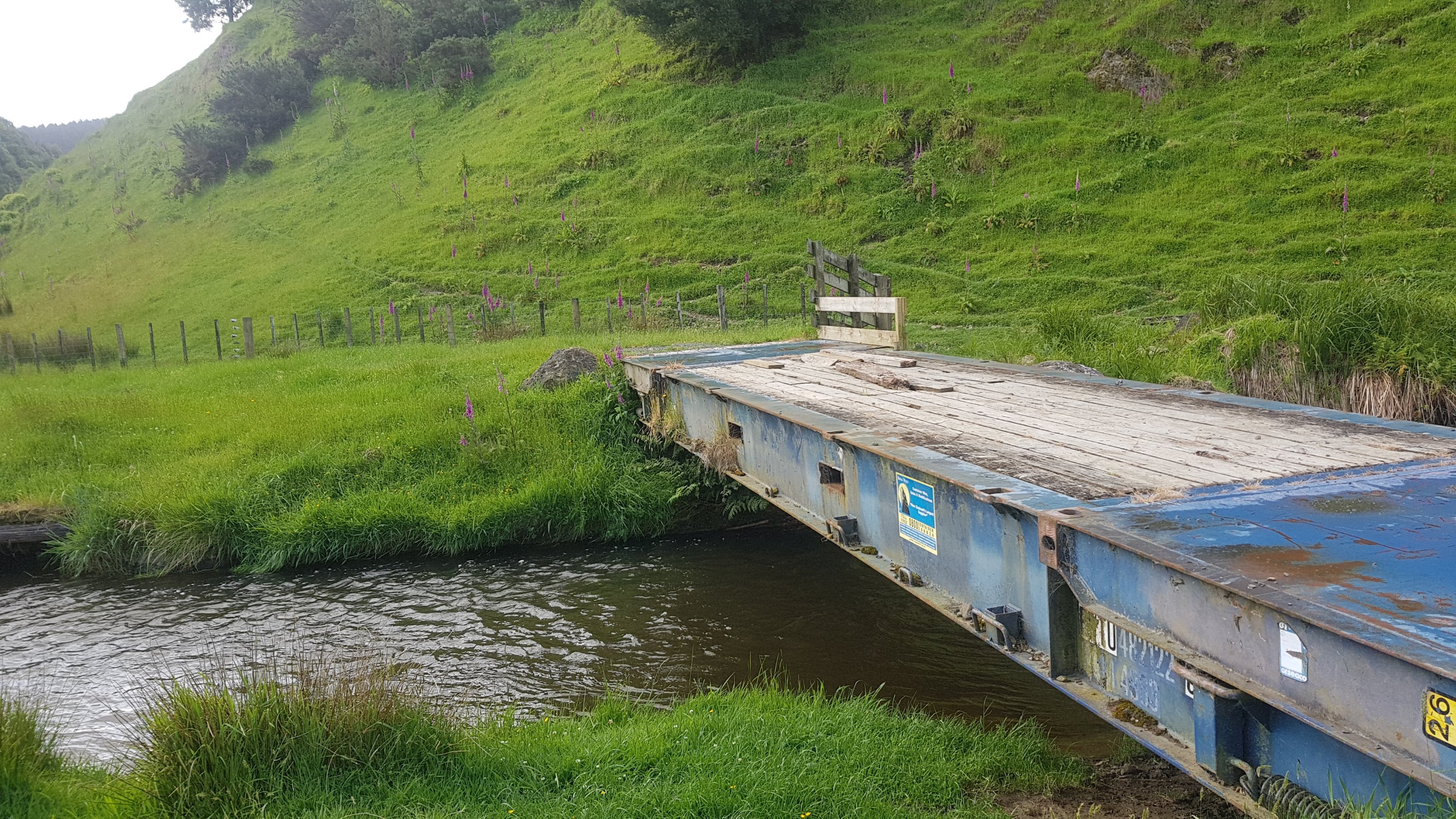
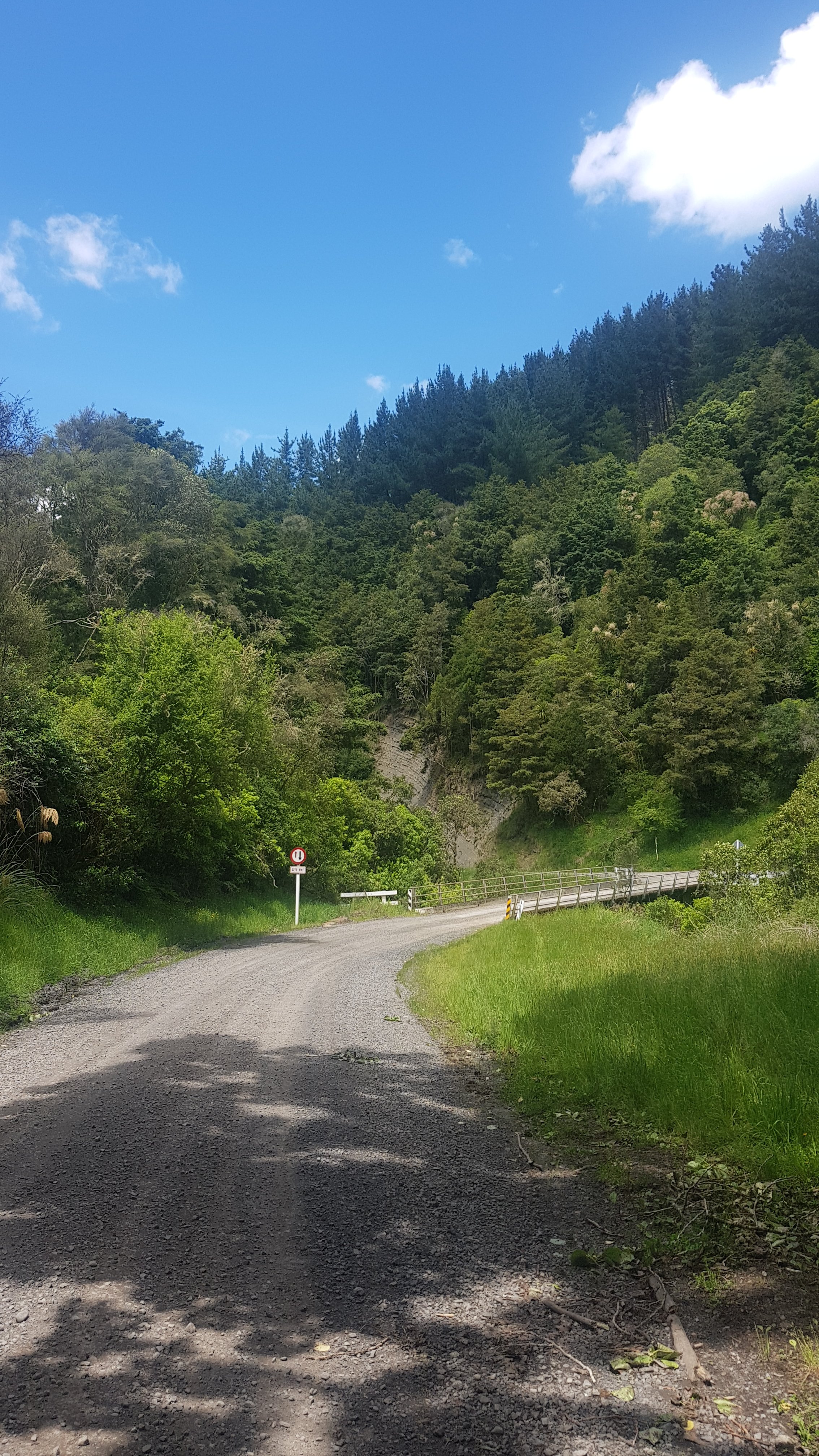
A walk through a farm and you come out on the road, and there is a narrow bridge to walk over. The road isn’t too busy though so it’s not hard. And you pass a boundary.
Today’s narrow bridge
Waipa District contains Te Awamutu which is where I grew up. So I feel like I should know it well, however all the places I’m walking today are new to me.
Immediately after this bridge you need to turn left – it’s a hard turn left and again easily missed. And here, this stile wins the dubious award of most difficult to access stile of the trail so far.
Scramble down there…
Then you walk alongside some crops. In fact sometimes you have to walk through the crops because there’s no margin. I tried as hard as I could not to stand on the plants.
And then at one point, you get directed down a massive overgrown hill towards the river.
This was another scramble down overgrown grass
It was like a more extreme version of what I encountered before. This time there was also no marked path, but the terrain was really challenging. It was so overgrown you couldn’t see the ground, and there were hidden tree trunks and hidden mud and all sorts of things.
Now it’s impossible to find the path
I didn’t really like it at first because it was so frustrating but ultimately it was a cool little challenge that took less than an hour. It was good to have some variety. I did get very wet though, all the rain this morning had made all the undergrowth very wet.
From here you go back up to the crops and then out through the back yard of someone’s house, which was weird. It was 11am at this point.
11am picture – looking back – can you see the trail marker? You have to climb this fence to get out of the yard. It felt weird.
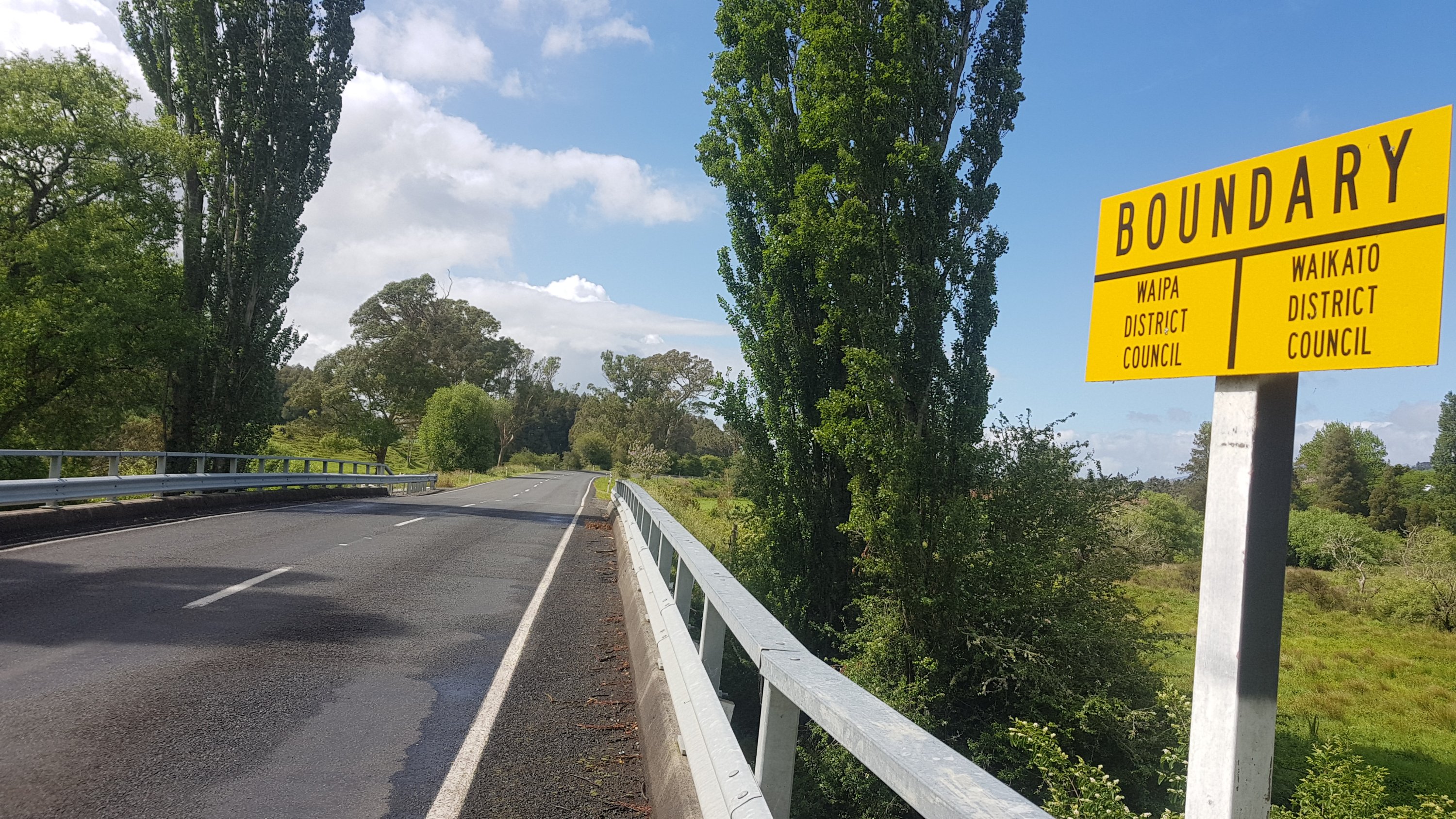
A bit of road walking, which took me out of Waipa and back into Waikato. Note that Waikato Region covers a big area from Mercer all the way south to Taupo and possibly Taumarunui, but Waikato District is a much smaller area that is around here and doesn’t include Hamilton.
Old Mountain Road
The walk is now down Old Mountain Road for nearly an hour. The trail notes say that the entrance to the Kapamahunga Walkway from this road is obscure, and it is indeed.
Can you see the marker?
What I don’t get is if the trust know that the entrance is obscure, then why don’t they fix it? Just nail a sign on! Maybe the owners of the farm reluctantly allowed access across the farm and they don’t want to make it obvious to every Tom, Dick and Harry. But in saying that, once you were in the farm, there were markers everywhere. I just don’t get it.
Through the gate and off to the left…
It was here that I made my next error. You’re supposed to follow the little farm road. However, there is an orange marker early on which points up a steep hill. DON’T FOLLOW IT. It leads down a different trail.
WRONG
I went for quite a while in the wrong direction. Once I realised, it became my third backtrack of the day.
WRONG AGAIN (but a great view)
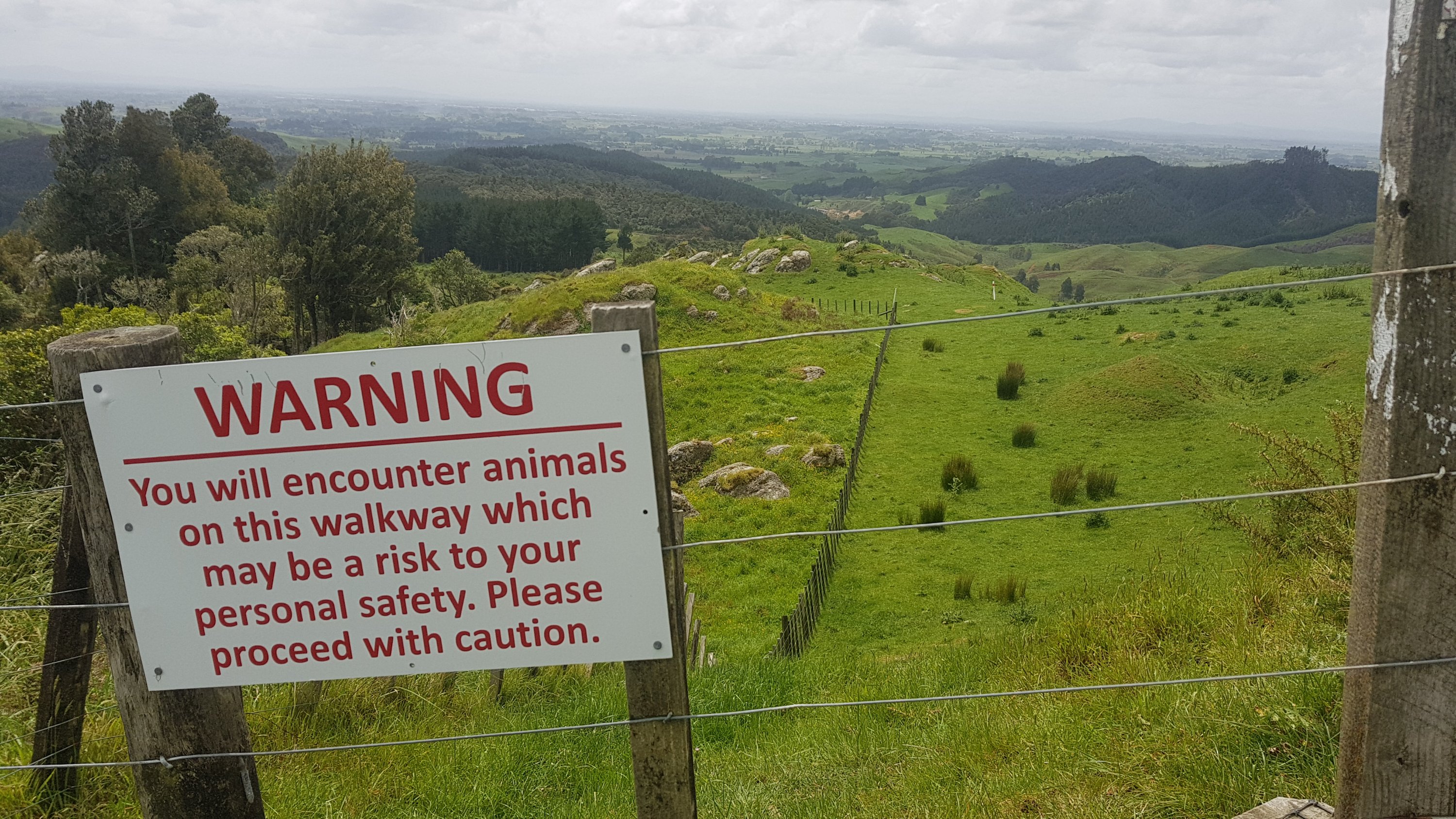
Well, quite a while is about 300 metres or so. But on that sort of steep ground, that’s quite a mistake! The actual track is nowhere near that steep, and actually it’s quite a pleasant walk through this farm.
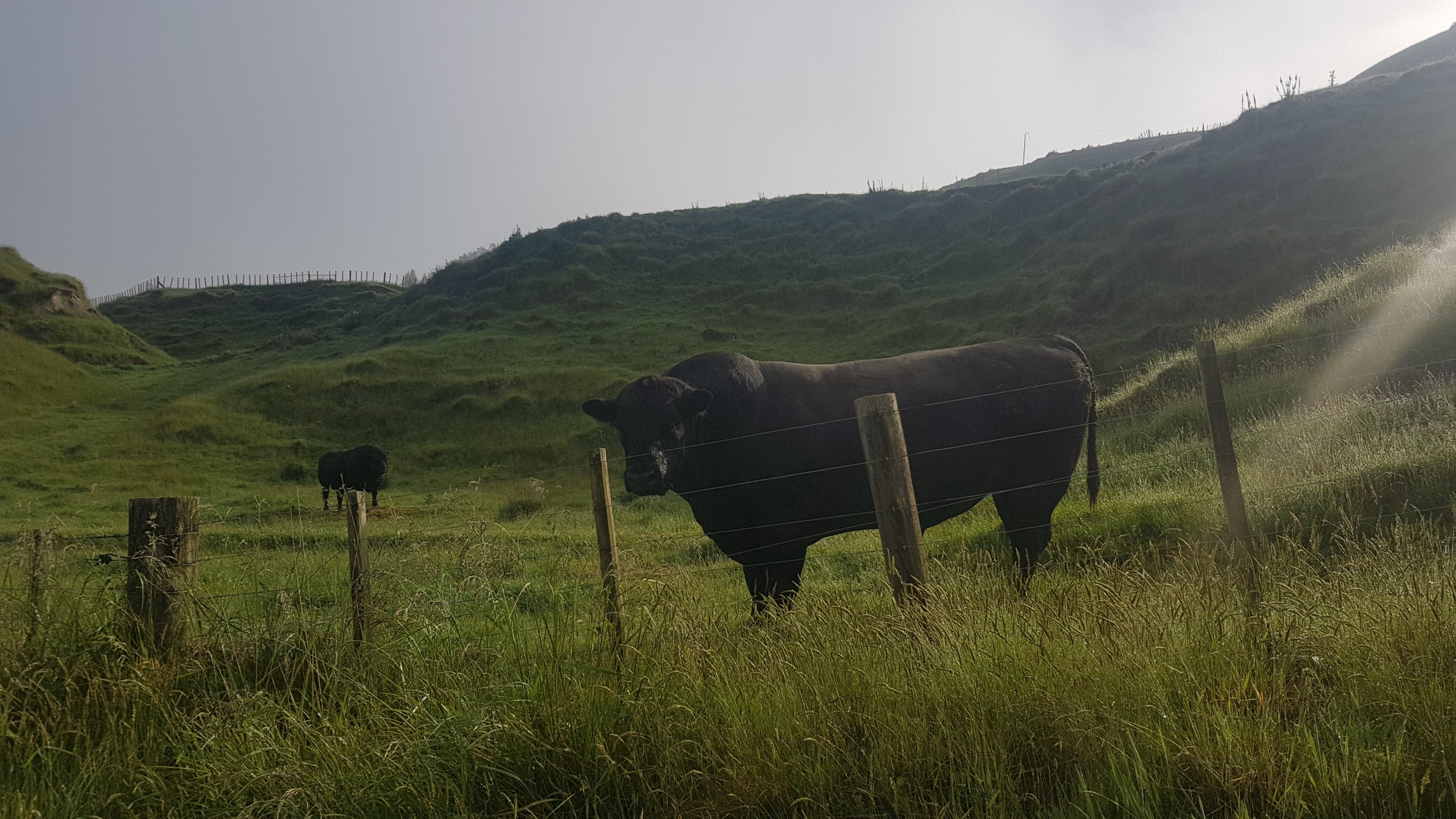
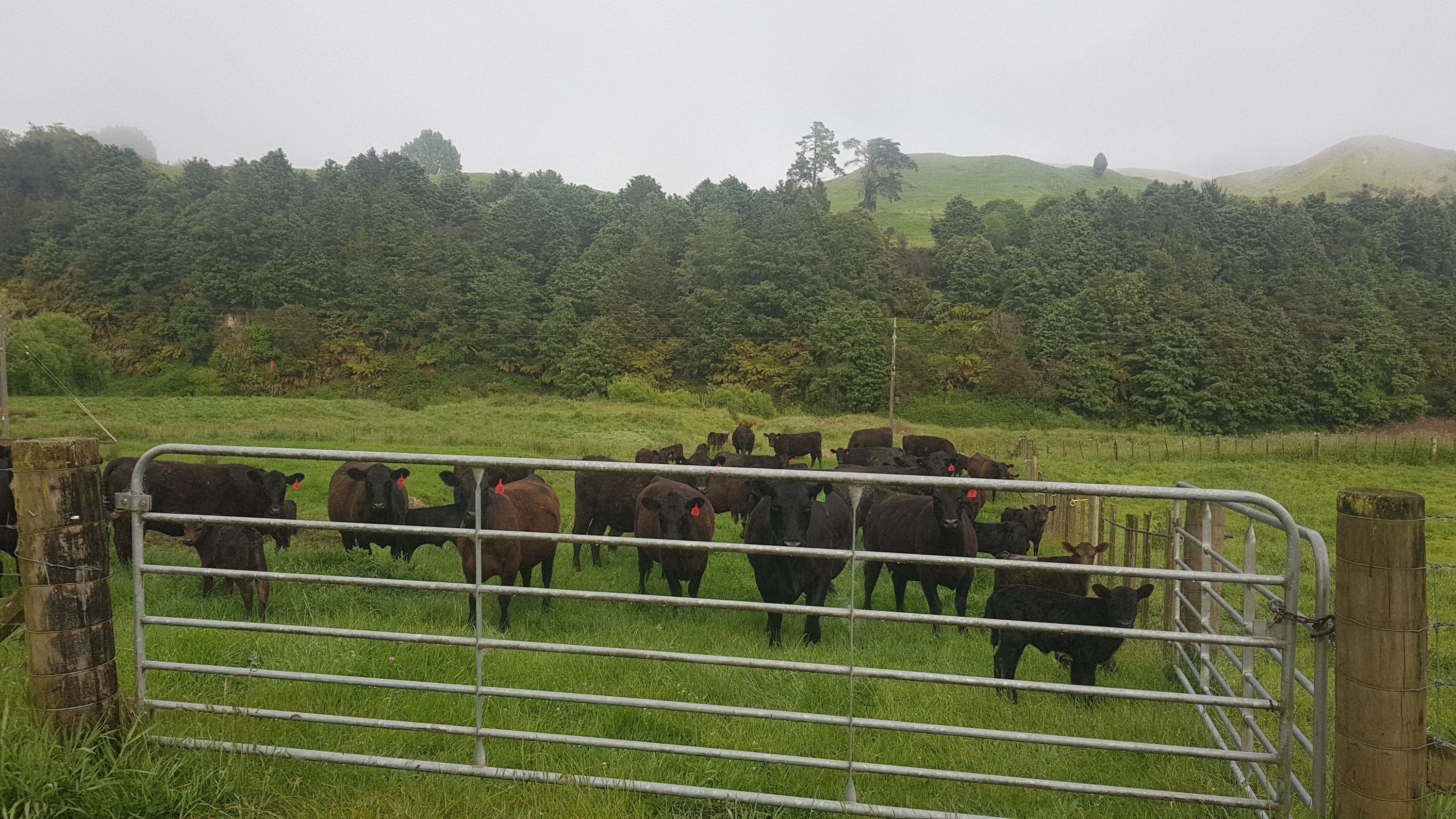
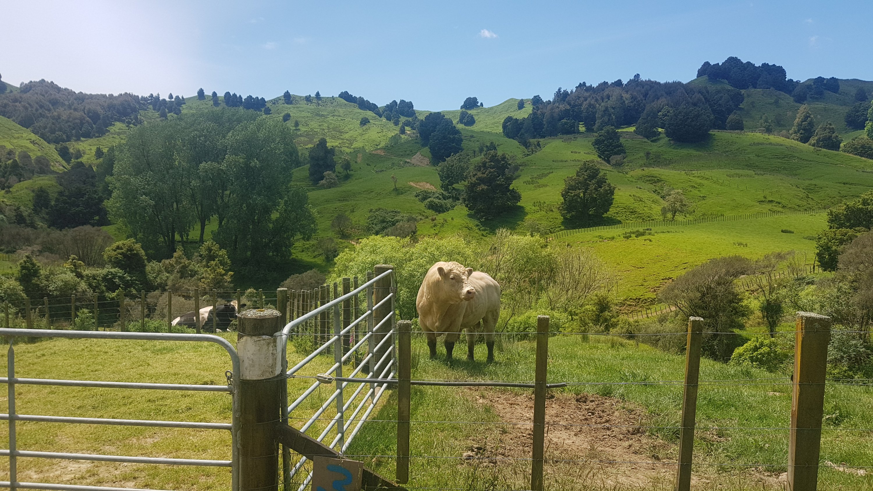
The photo above, which you won’t see if you go the correct way from the start, says that there are “animals which may be a risk to your personal safety”. Oh fun, more bulls. But actually, I think the sign referred to mother cows with their calves nearby. They weren’t a problem, they mooed a bit but I gave them a wide berth and all was fine.
I had read that this farm was at a 300m elevation, however nearly all of that was the road leading up to the farm. There were a couple of steep hills, but mostly it was along gravel roads and farm tracks. I really enjoyed this part of the walk.
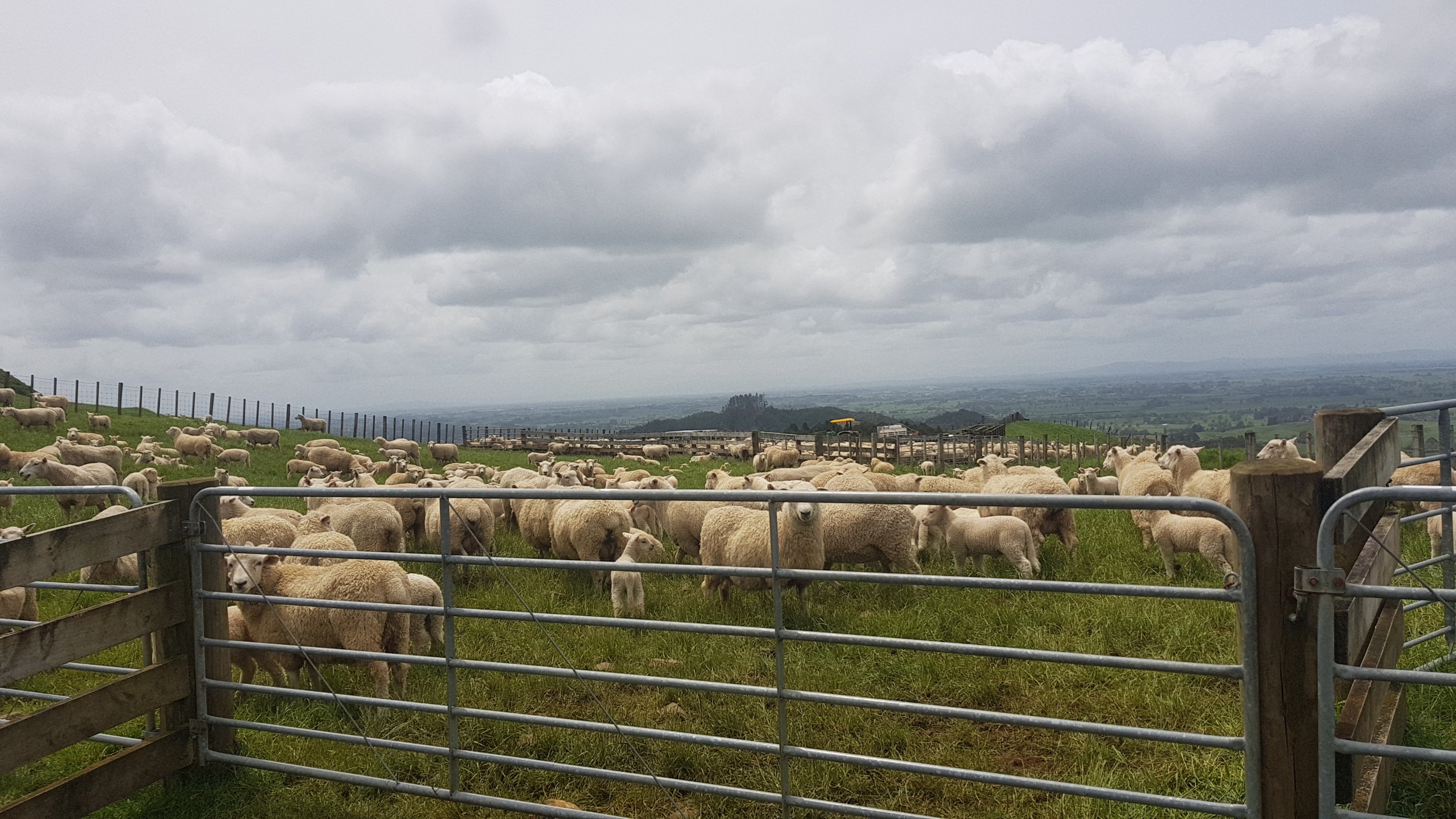
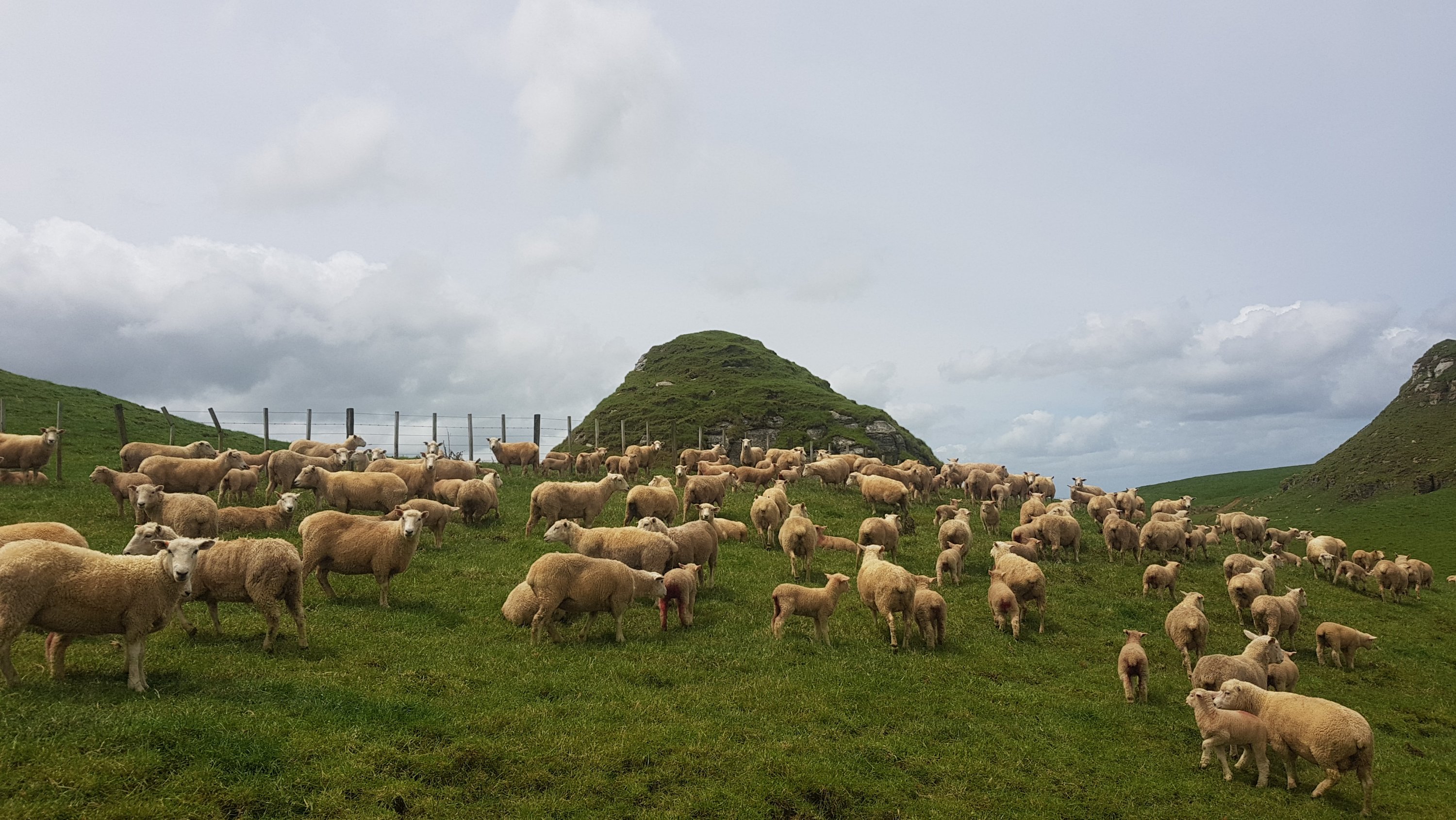
At this point, there were a lot of sheepies. And they were all bleating like mad. The sound was deafening.
Sheepies galore
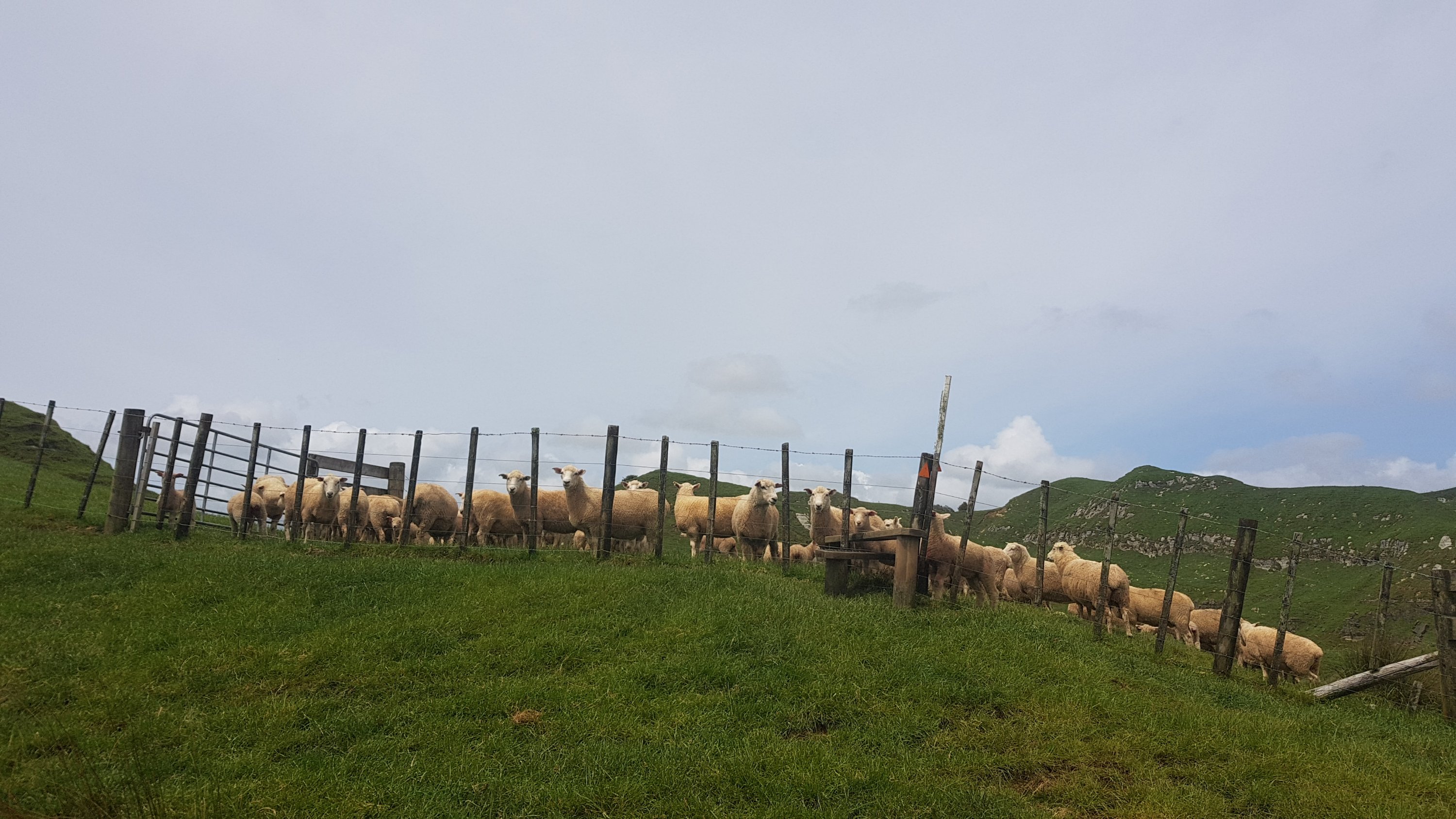
And then nearby was a second paddock of them, and this one I had to walk through.
Move it or lose it
It’s alright though, sheep don’t cause you any problems.
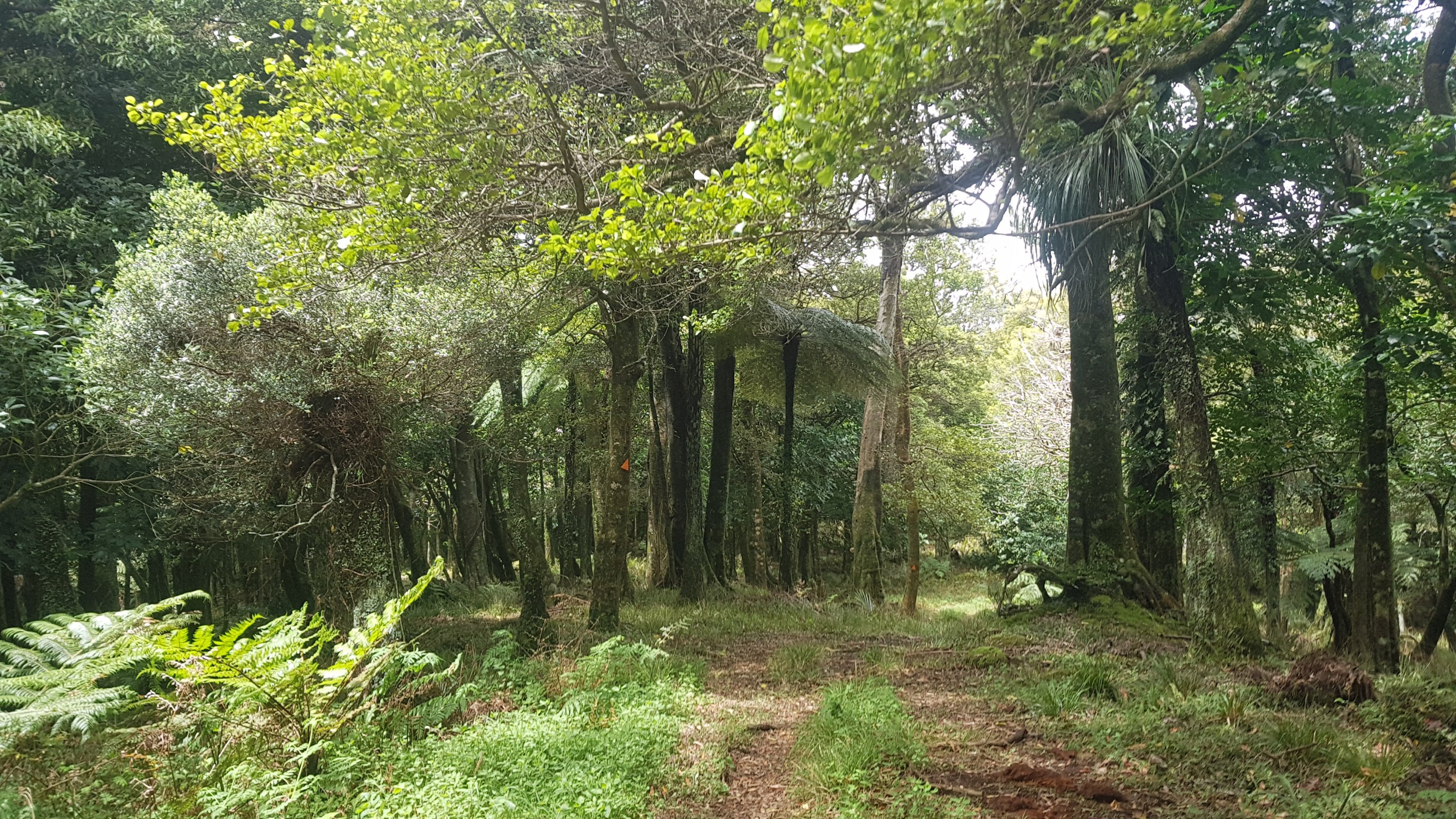
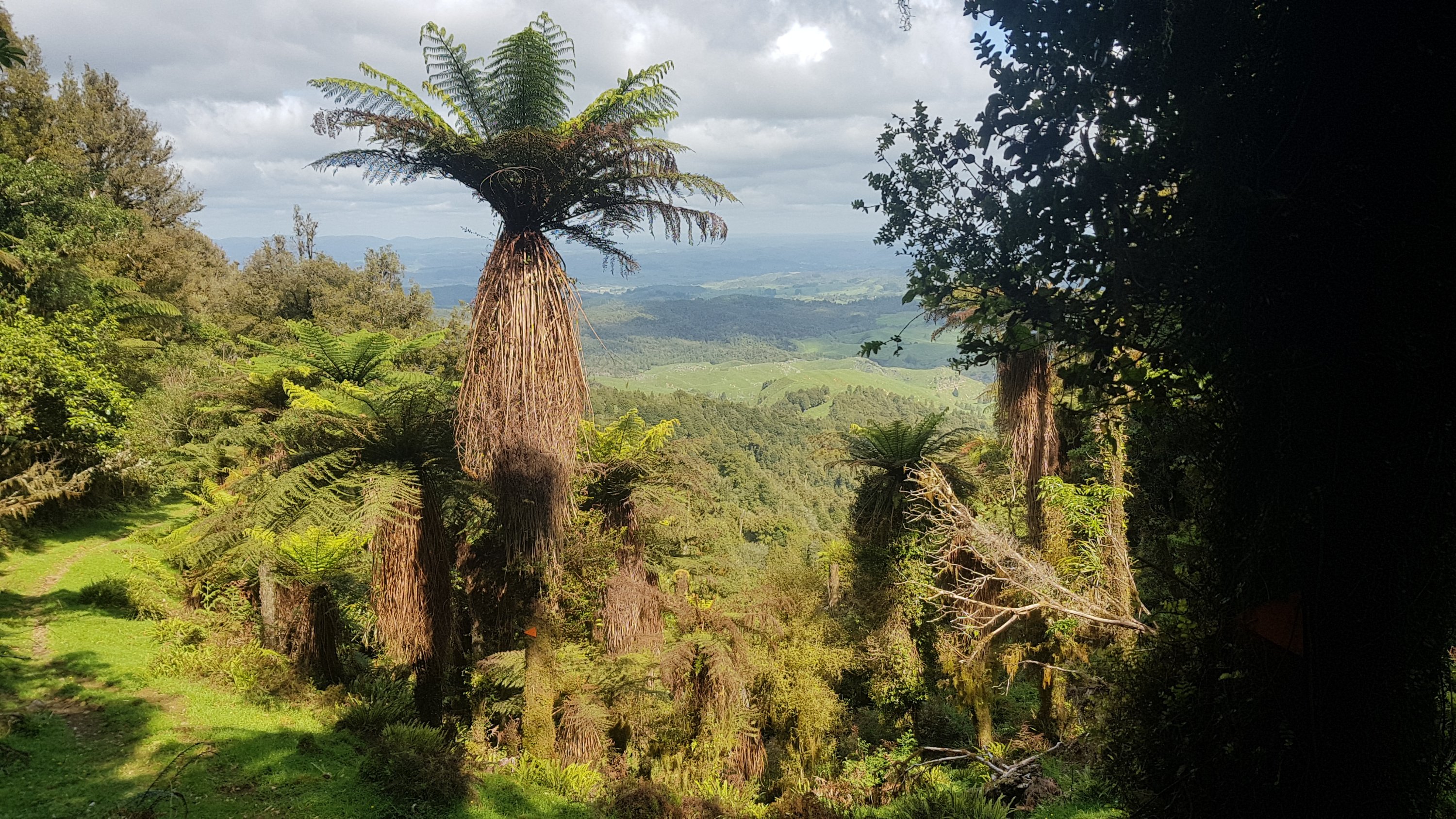
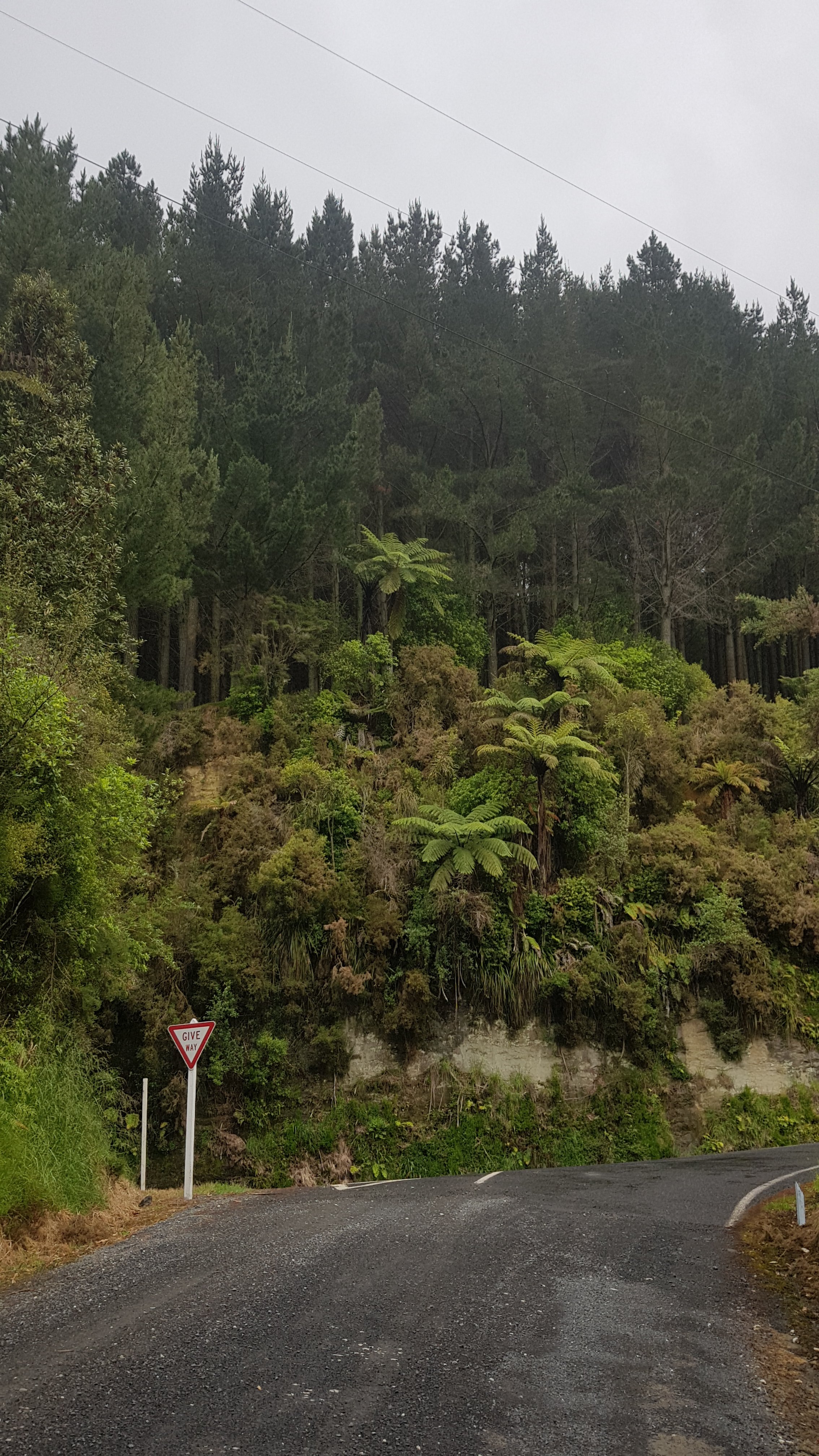
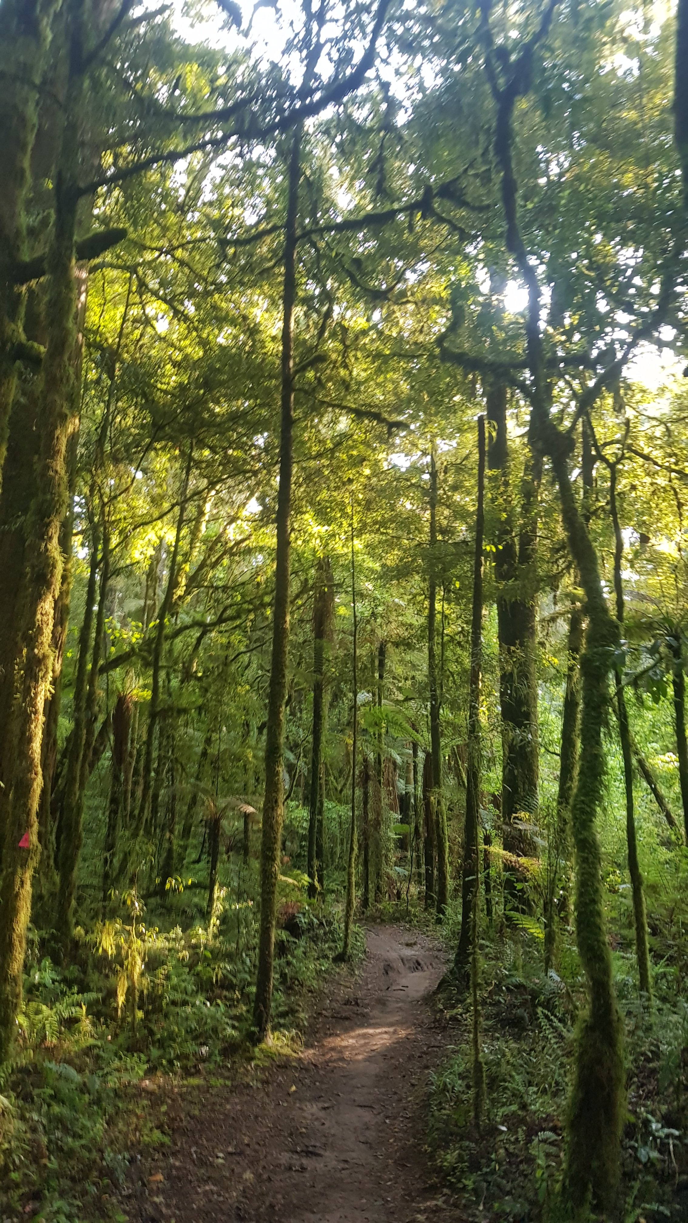
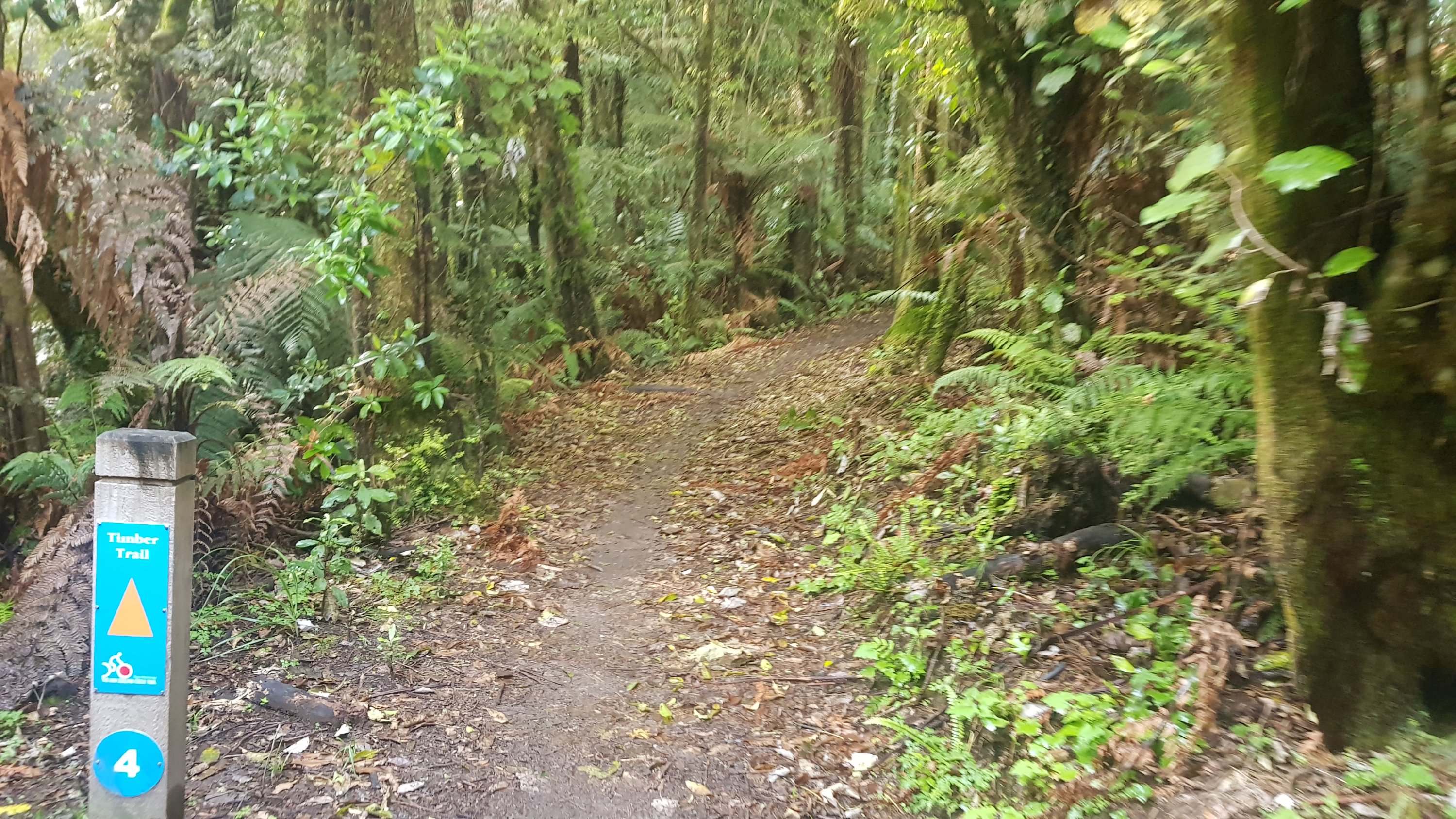
The track changed to a bush walk for a while, which was also nice.
I actually placed a geocache along here. I had been carrying a little geocache with me which is about the size of a large keyring. I wanted to place it at the Raetea Summit back on Day 6 because there were no geocaches up there. However, I didn’t, because when you place a geocache you’re supposed to also maintain it and I vowed never to go up Raetea again in my life. So I placed it here instead. It can take a week to get published so once it does, I will provide a link to it here. I wonder who will be first to find it?
Once you come out of the forest, there’s a bit more farm walking, and you can see Pirongia Mountain clearly.
View of Pirongia Mountain
And uh, oh – more bulls. And these ones were not castrated bulls… I looked. Fortunately, they weren’t angry. They didn’t move out of the way, but they let me pass without incident. My personal safety was not threatened.
Bullies… I’m not here to hurt you
Some more road walking on Limeworks Loop Road, and here’s the entry to the Nikau Walk which is the start of the way up Mt. Pirongia.
I’m nervous about what lies beyond here
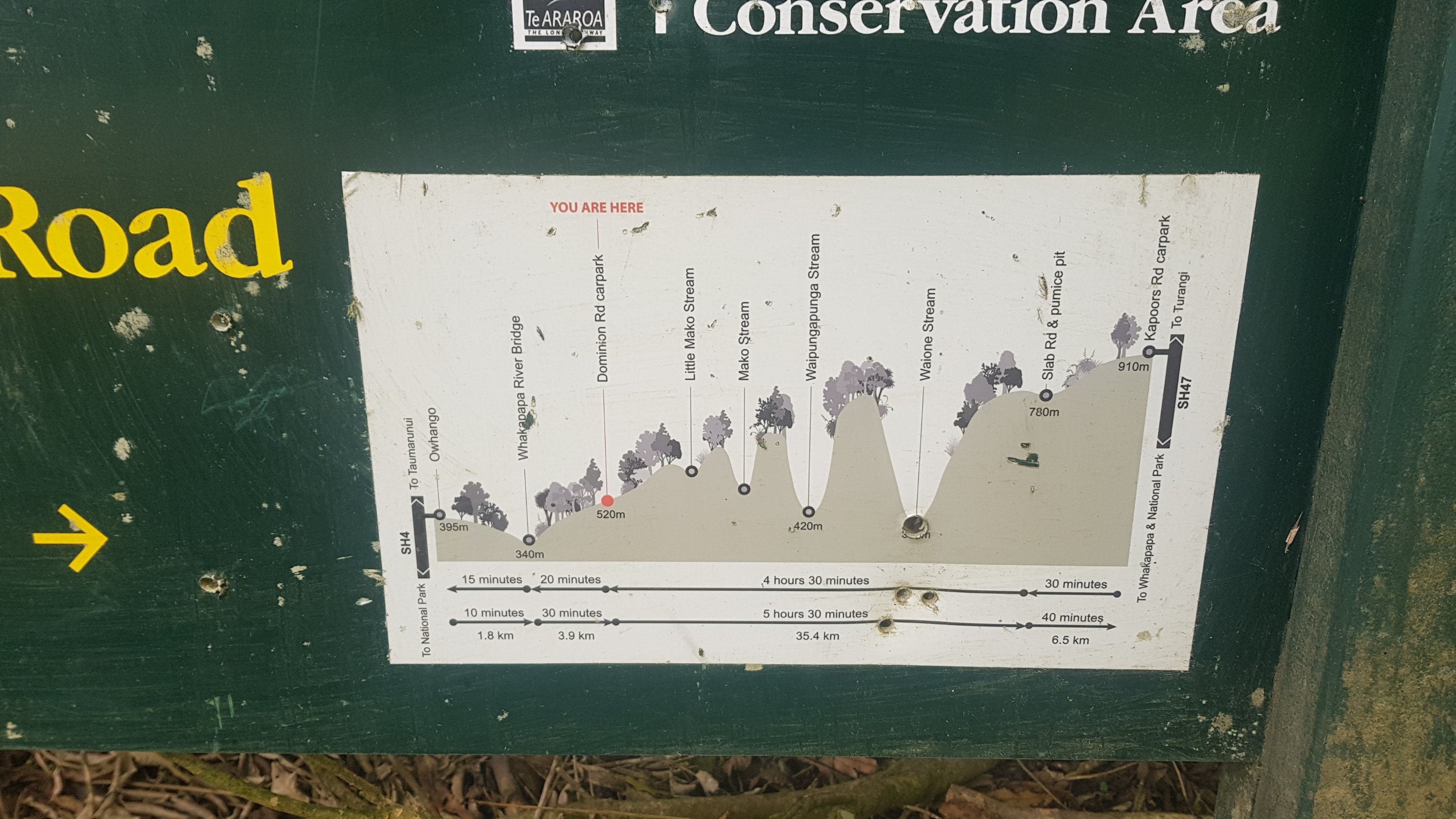
Oooh, a sign – sweet. Let’s see if I’m on track. It was now 2:30pm and I want to get to the hut just past the summit by 8pm. And apparently it only takes 4.5 hours – excellent. That means a 7pm arrival, and so I can stop at the picnic area and have some proper lunch, and still be on time.
The first part of the walk was called the Nikau Walk and was very easy.
Nikau Walk
And the picnic area and Kaniwhaniwha Campsite was a huge grassy area. A lot of people, including Rhydian, camped here and make their way up the mountain the next day. Not me though, I had a quick late lunch and continued up.
This is only about 20% of the grassy area of the campsite.
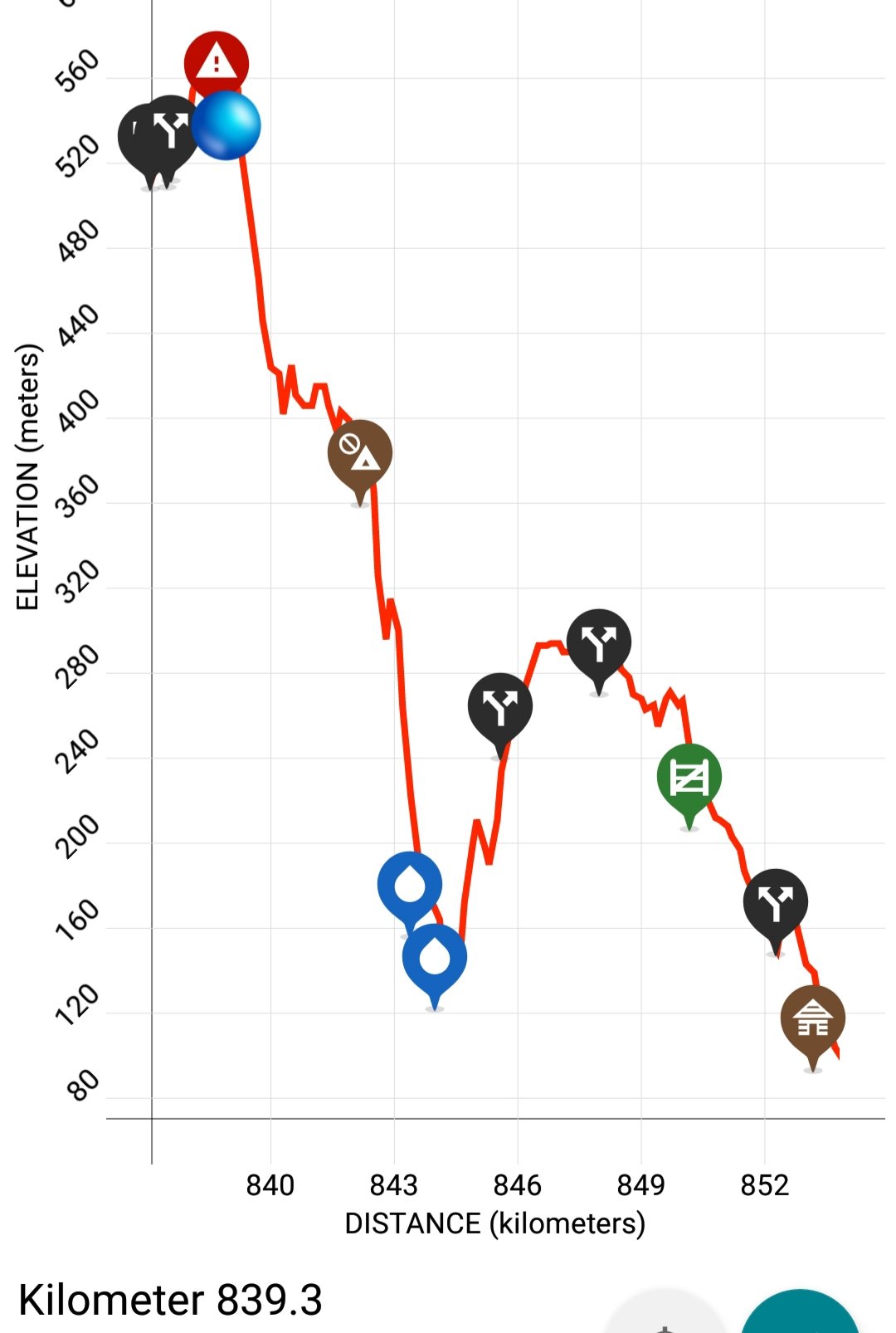
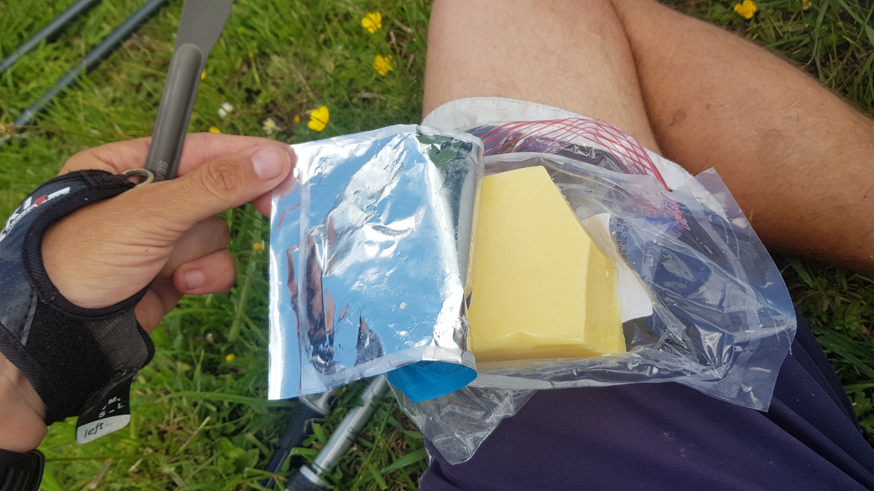
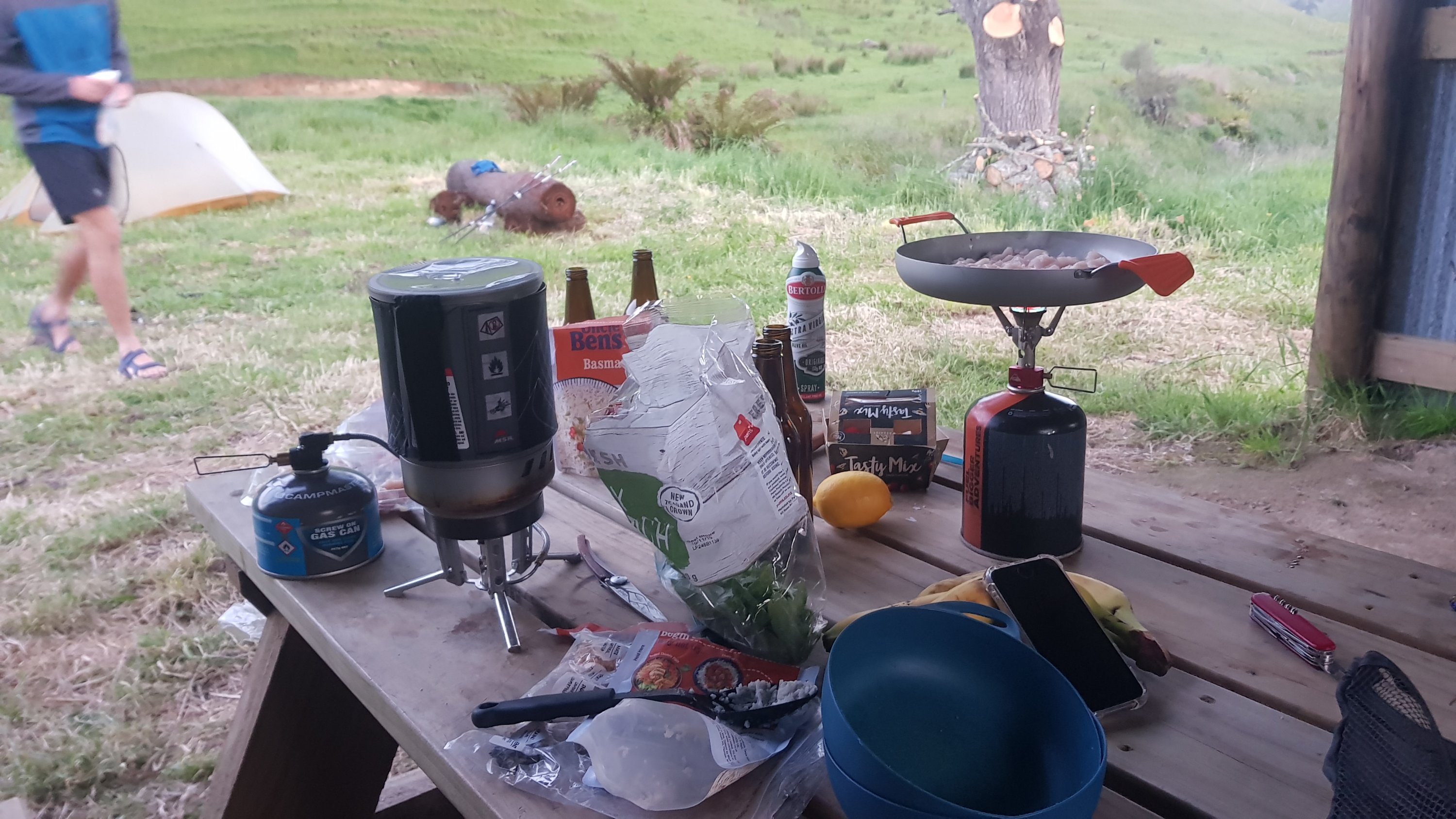
Since I bought some cheese yesterday, the daily “cheese check” can return. I bet you’re all super excited about that.
Mainland Edam was the choice this time, along with sour cream & chives crackers. A great combination
I knew that the 800km mark was around somewhere. When I looked at Guthook and saw I was at 800.1, I was shocked. I must have been making better progress than I thought. Or, the GPS watch was under-reading again. Whatever it was, it required a fourth backtrack to get from 800.1 back to 800. I arranged some sticks to form an 800.
Not great but it’ll do.
Then, I continued on a few minutes, and realised I had left my walking poles back at the 800 mark. So my fifth backtrack of the day was to go back and get them.
And since 800km is about 500 miles, when anybody asks me from now on “would you walk 500 miles?” I can definitely say “yes, and I would walk 500 more”.
Right up until 2km from the summit, it was a standard forest walk. Nothing too hard, the odd steep spot, a little bit of mud and some bush bashing to get around fallen trees, but it was nice. It was just 8km of slight uphill basically. Well, it was at first. Each kilometer was taking me about 20-24 minutes, so I was easily on track for the 2km/hr required to reach the hut by 7pm.
2km from the summit it started to get muddy.
And rocky. And steep.
I slipped over on one of the muddy bits. I was starting to get a bit over it by this point. And not long after, I was hoisting myself up a big rocky bit, and I didn’t see there was a low hanging branch and I hit my head on it. I was definitely over this section by now. I just wanted to get to the top.
I was also surprised at the lack of power in my left leg. Whenever I needed to push myself up a big step with my left leg, I just didn’t have any power. It was very weak. I guess it has been a long day, and a big climb, and I shouldn’t be surprised.
And then, like other paths I’ve been on… suddenly perfectly manicured boardwalks. Why, I wonder? I don’t think there are any Kauri in this forest, which is the usual reason for having boardwalks (so people don’t stand on their roots). Who knows.
The thirtieth kilometer today (once it started getting tough) took me 47 minutes. That’s a long time. And the thirty-first kilometer took 39 minutes. That shows how tough the final two kilometers were.
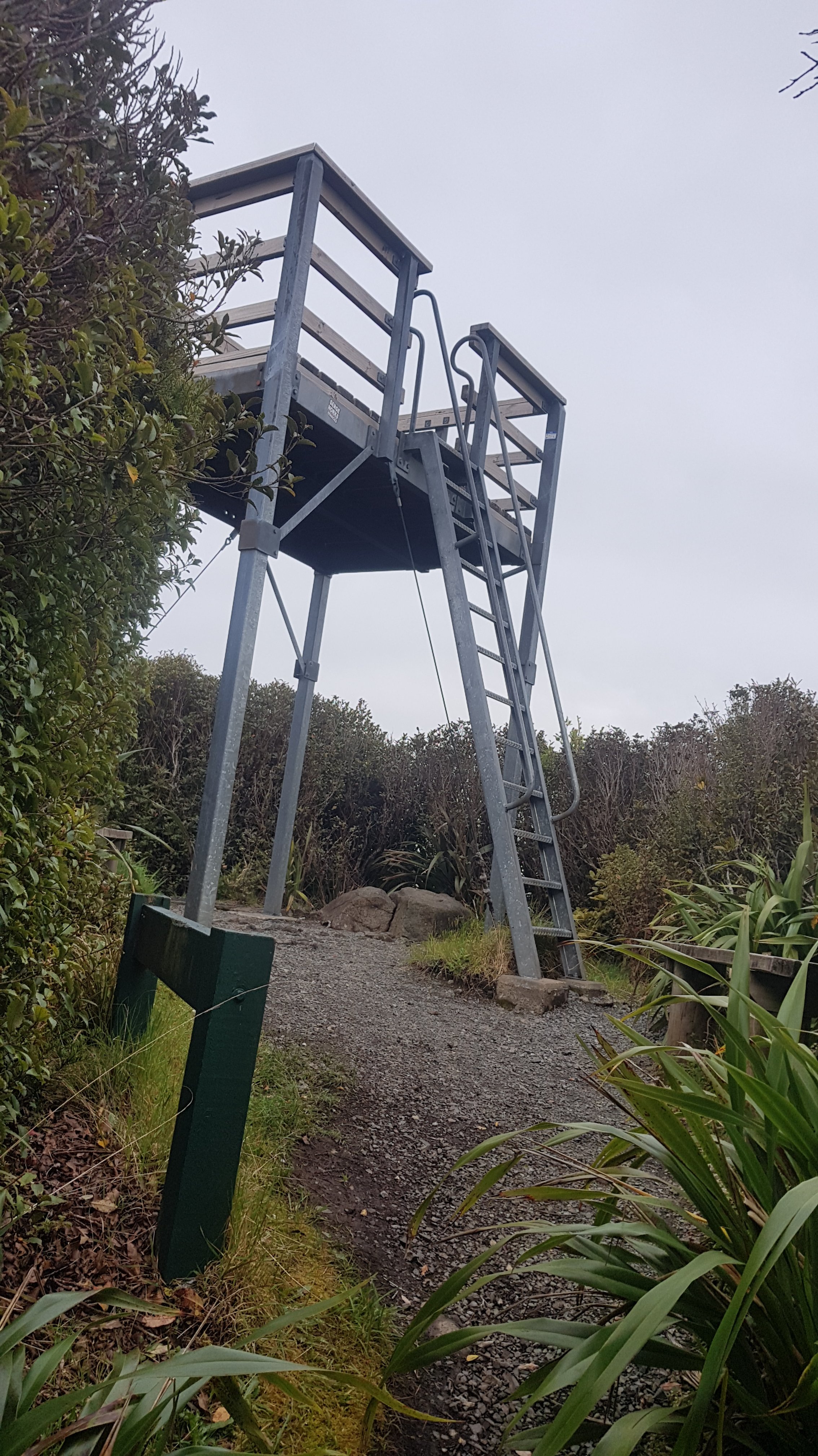
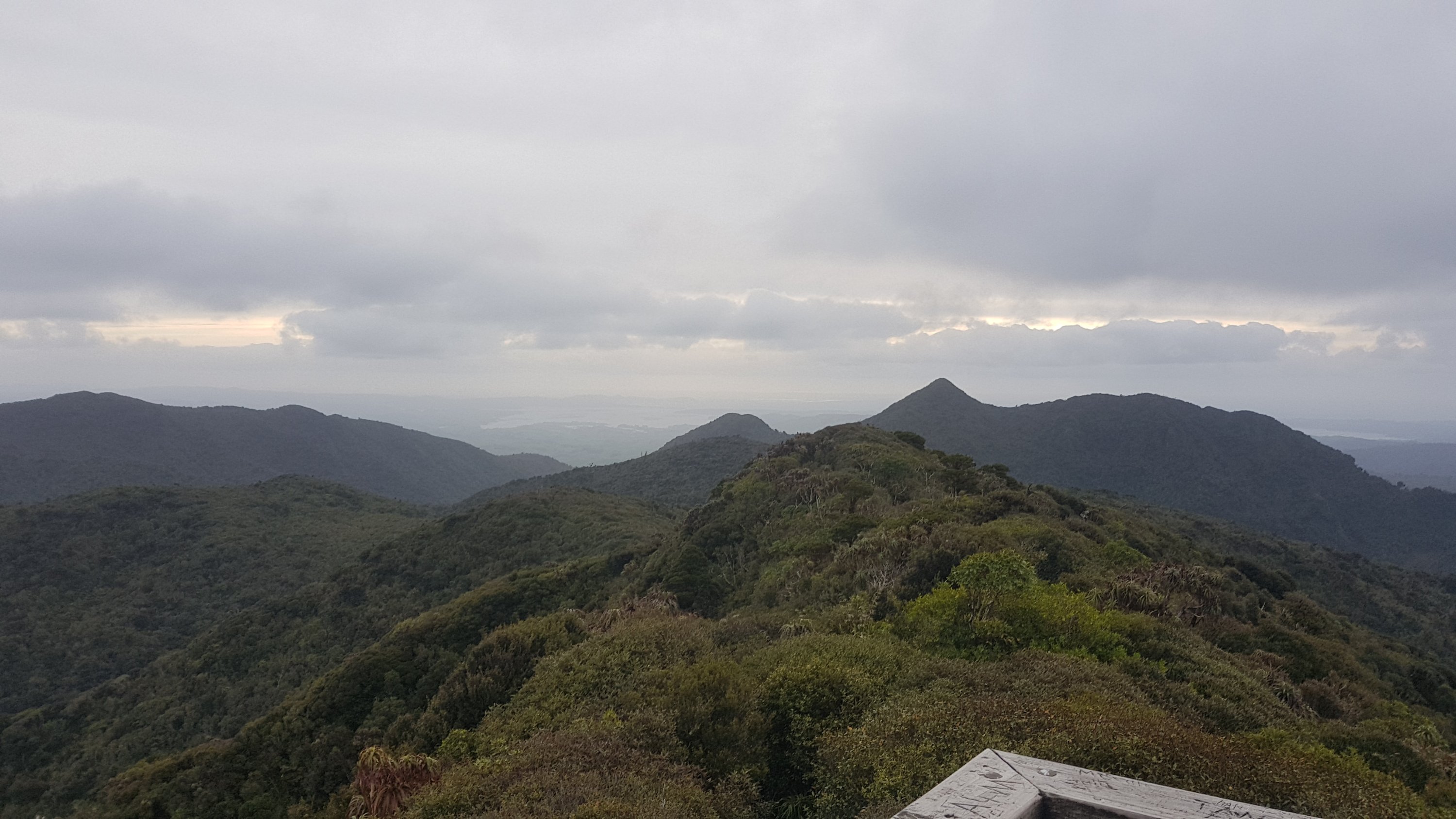
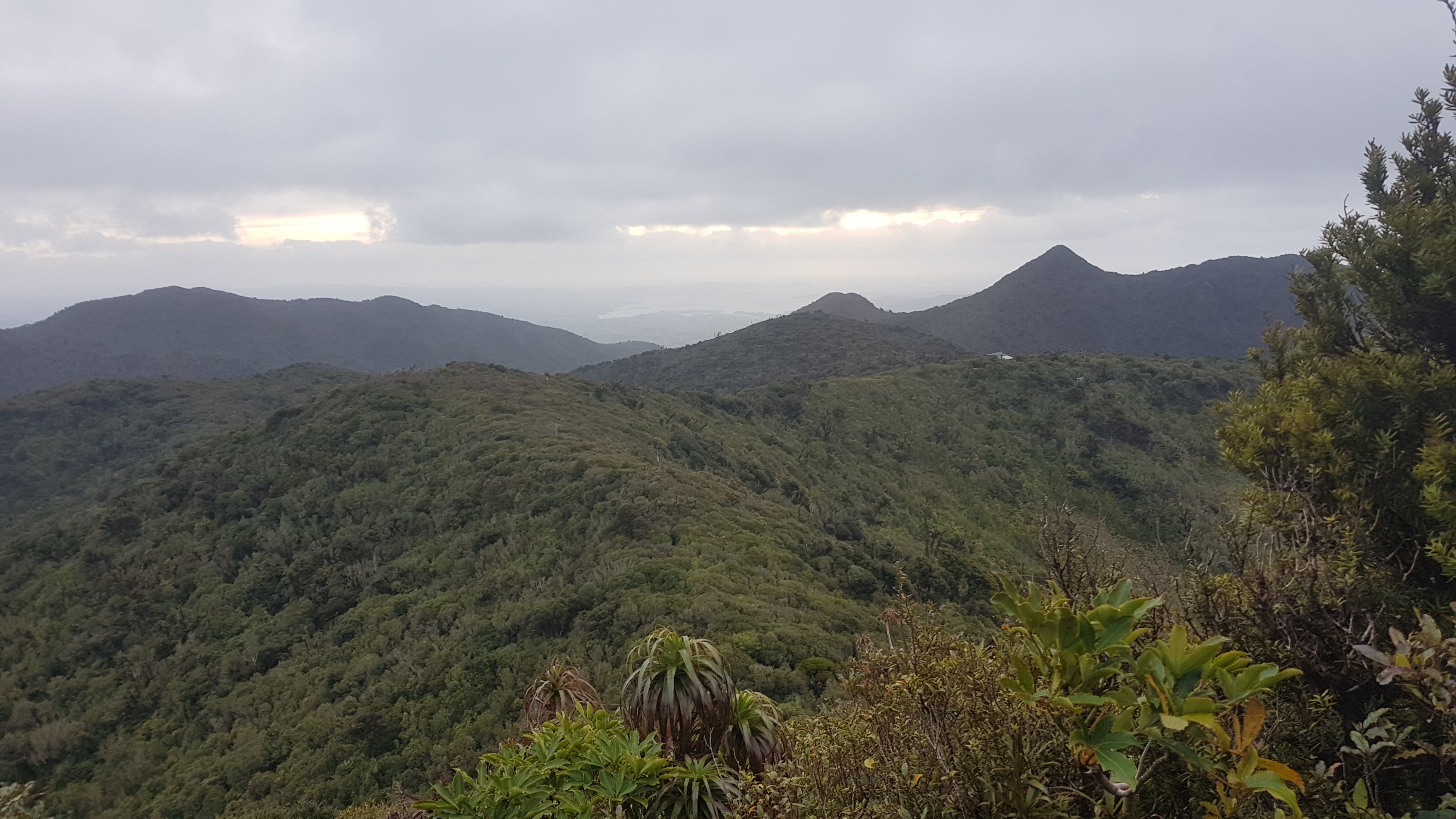
But finally, here’s the summit. You can go up here to see the view.
Steep stairs to the summit lookout
It was a bit hazy.
I was trying to see Te Awamutu, but I couldn’t spot it. I was fairly sure I was looking in the right direction.
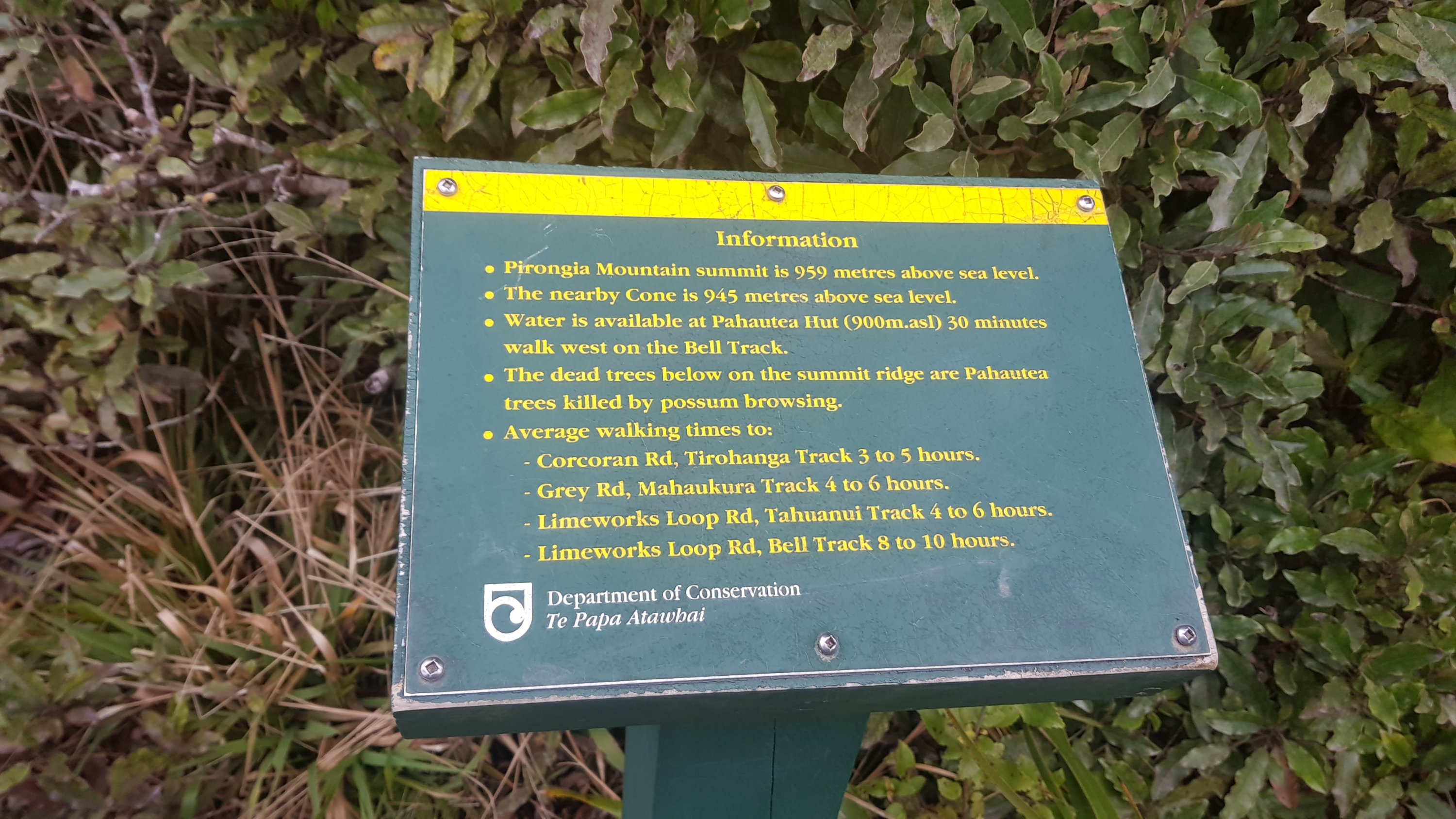
Here’s some information about the summit. It’s even higher than I thought.
Mt. Pirongia summit information
And you could see the roof of the hut from here.
Pahautea Hut in the distance
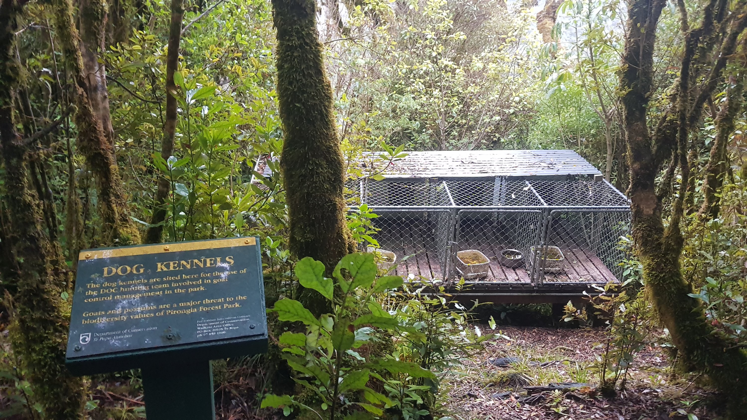
Thirty minutes to go and I’m at the hut. On the way I saw some dog kennels, which apparently DOC use to control goats and possums.
Dog kennels
I wonder if they walk the dogs up here, or if they bring them in by helicopter using the nearby helicopter pad.
Pirongia Helicopter Pad
Just before the hut, a guy with long blond dreadlocks went running in the other direction. He didn’t stop and talk for long, he was clearly on a mission, and a crazy one at that. But he did say that three other people were at the hut. I knew one of them would be Rhydian. I wonder who the other two would be?
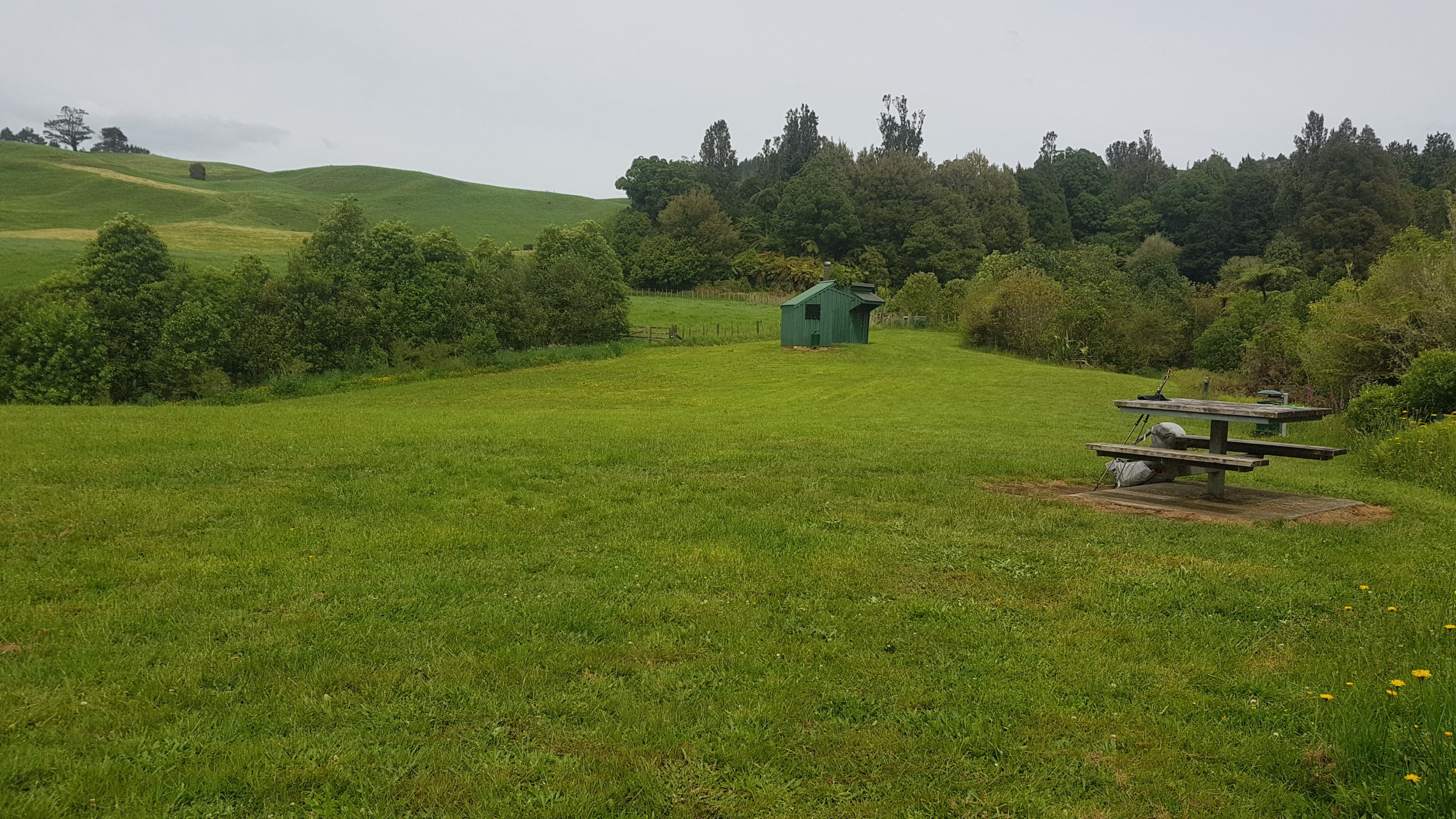
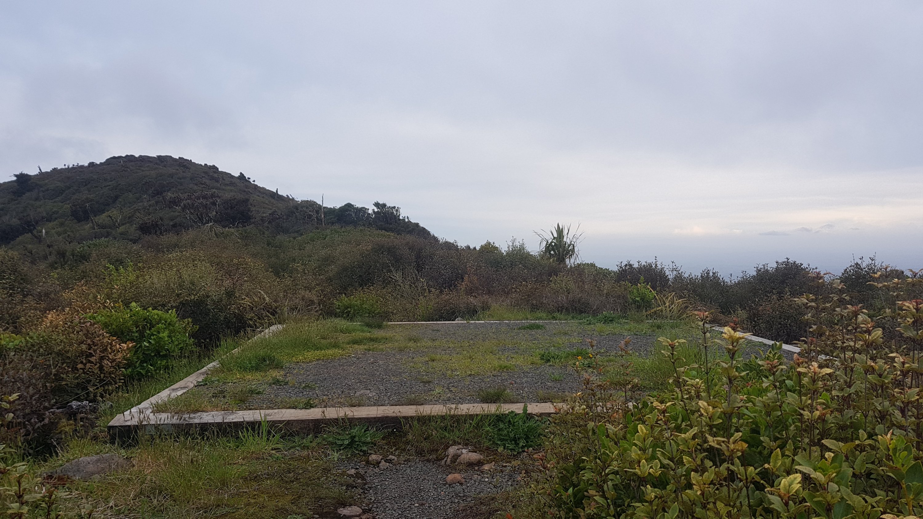
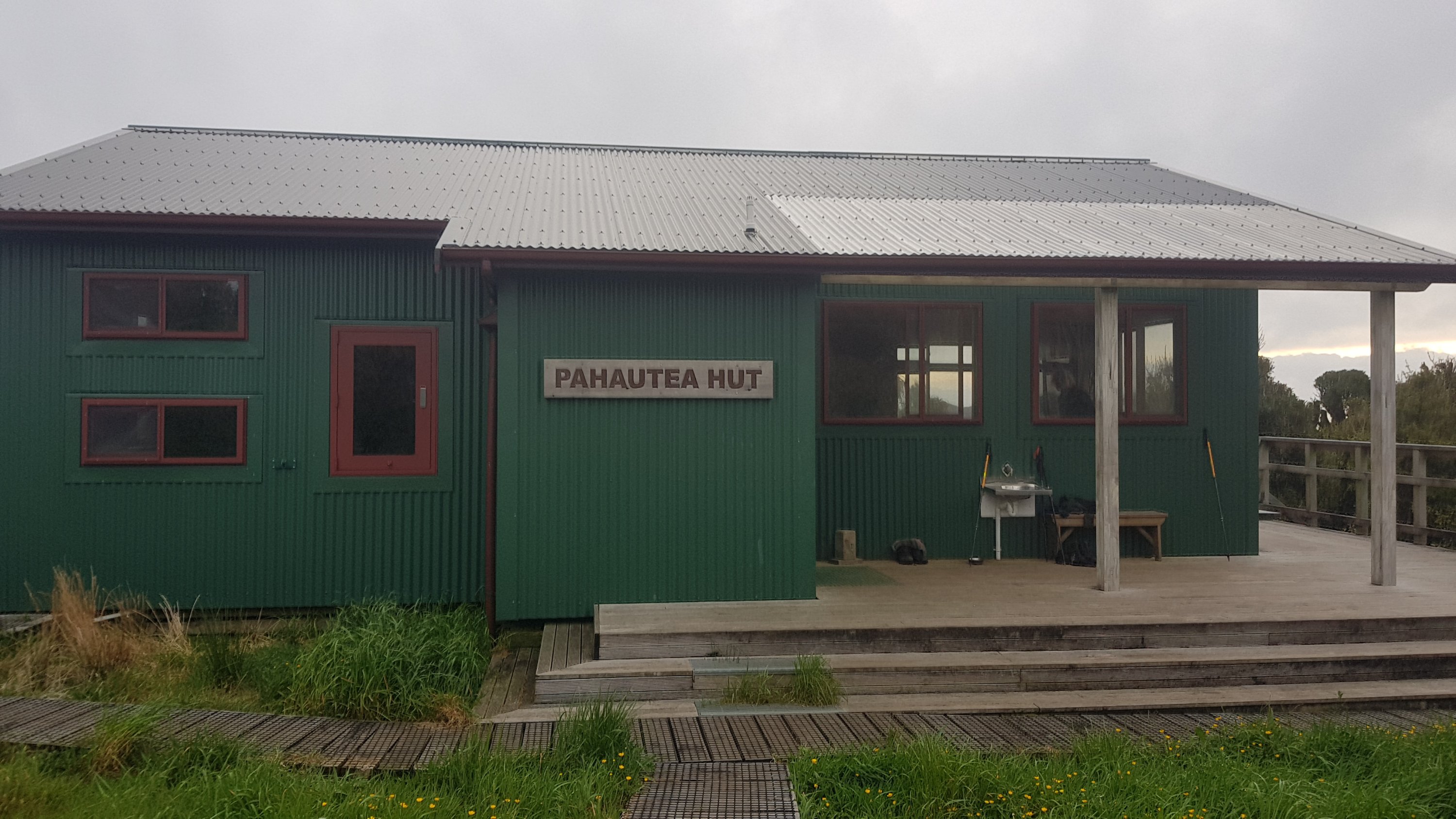
Finally, there’s the hut! I was so happy to see it.
Pahautea Hut
Rhydian was there, and the other two guys introduced themselves as Henry and George. Henry had seen my blog and he had previously asked me for information about how to cross the inlet to Marsden Point a few weeks back.
It was good to see a familiar face. I hadn’t seen Rhydian since Day 14, the first of my seven rest days once I got to Kerikeri.
I read a text message I got from Mum and she said luckily I wasn’t up here a day earlier because they found a dead body up here at the summit just yesterday. None of the three others in the hut had heard about that. I looked on the news websites and saw that it was a guy who had been missing for four or five months whose body had just been discovered at the summit. I’m surprised that the local Maori haven’t closed the mountain with a “rahui”. That’s what they did when a tourist died on the Tongariro Crossing a couple of weeks back. I believe it is to honour the recently deceased person.
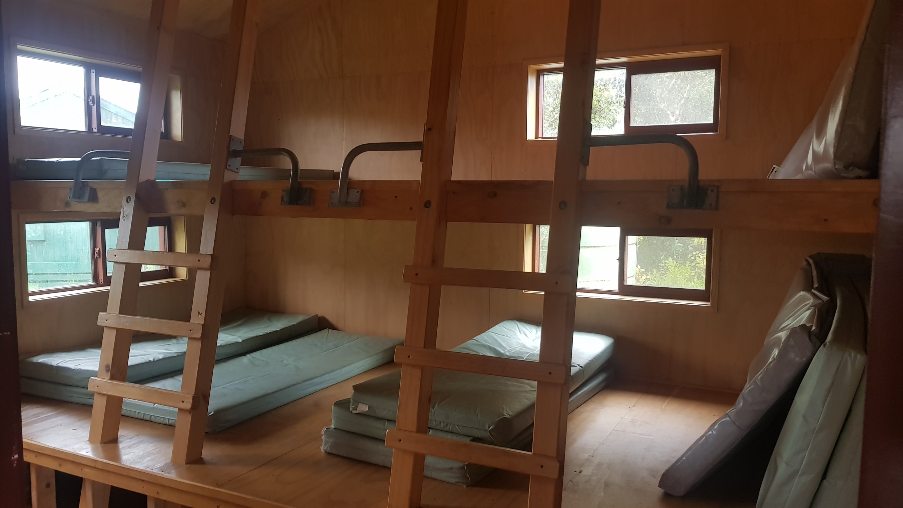
The hut is quite a nice hut, and I’m glad I finally got to stay in a DOC hut. It sleeps 20 people.
My room
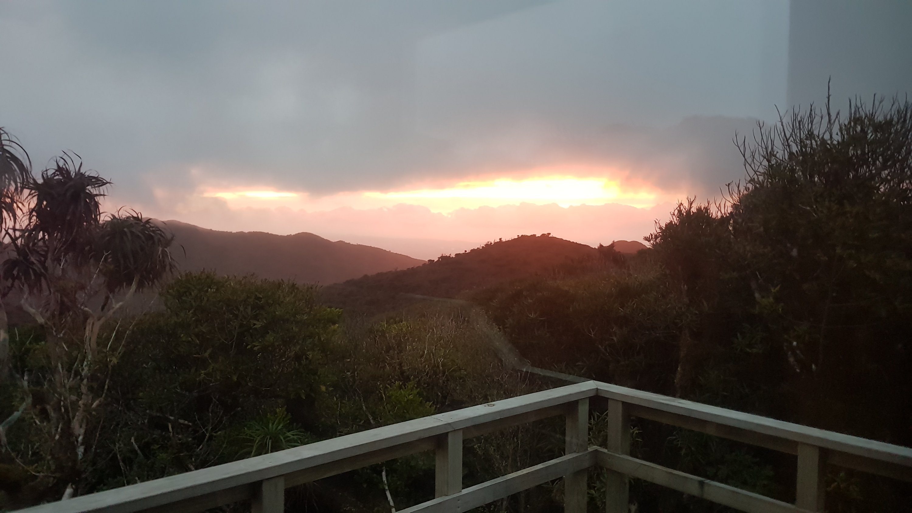
It was windy and cold on top of the mountain, so it was great to be inside. I was thinking about it, and it has been a few weeks since I actually felt cold. The weather has been so hot recently – I really hope it’s turning a bit cooler.
Date: 12 November
Distance walked: 14.3km
Trail covered: kms 805.8 to 820.7
Weather: hail, thunder, sun, wind, rain, you name it, I had it
Average number of minutes per kilometer down the mountain: 39
I think this first picture sums up the day well.
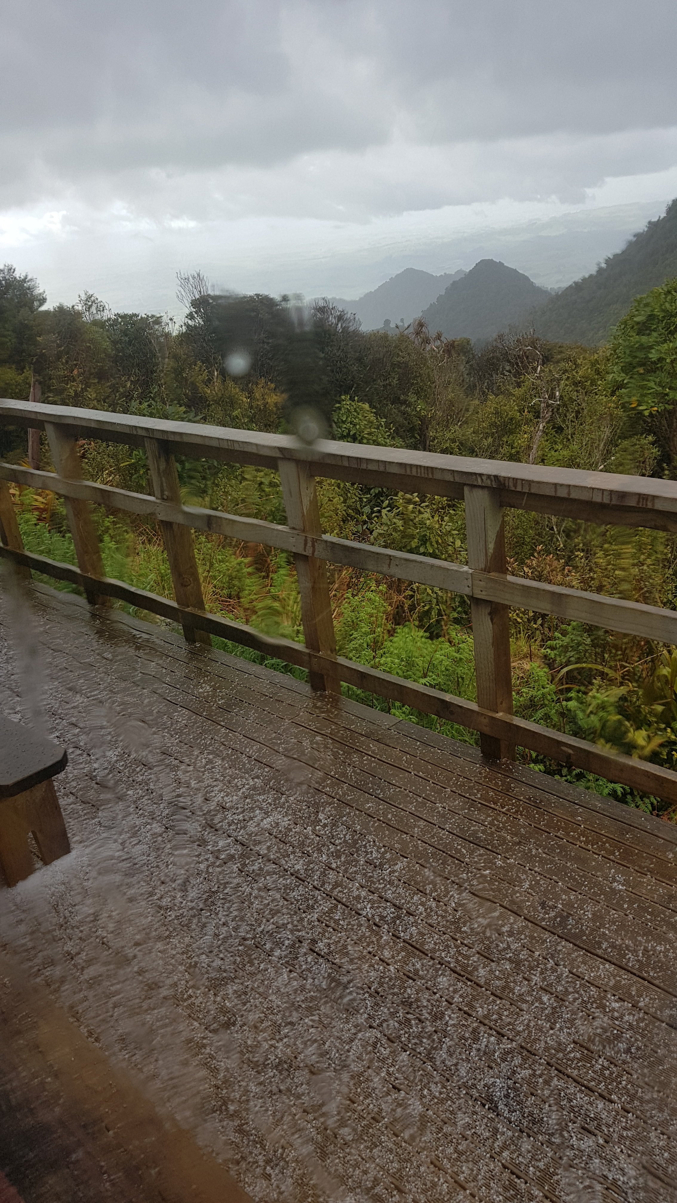
No, that’s not snow
Yes, just as I was ready to leave the hut… a hailstorm. Crikey, I did not expect that. Checked the weather forecast… oh yep, it’s right there. This is going to put a dent in my plan, which was to leave the hut after breakfast, have a leisurely stroll down the mountain, and meet my friend Oliver at 4pm. This seemed like a conservative time when I arranged it with him but this hail has delayed my start.
Henry and George had already left. That meant they were getting hailed on right now. I guess things could be worse. Henry and George are father and son from Taranaki which I forgot to mention yesterday. George has just joined his son for the Mt. Pirongia section of the walk.
The other hut room where the other two slept
I spent a bit of time in the hut writing some blog posts and chatting to Rhydian. He says he is going to have another day in the hut and attempt the 47km to Waitomo tomorrow. Good on him… ambitious… but good on him! The walk down from Pirongia is supposed to be very muddy, and therefore very slow going. I wonder exactly how muddy. I’m not looking forward to it, I’ll be honest. I have visions of Raetea Forest again. Surely nothing can be that bad.
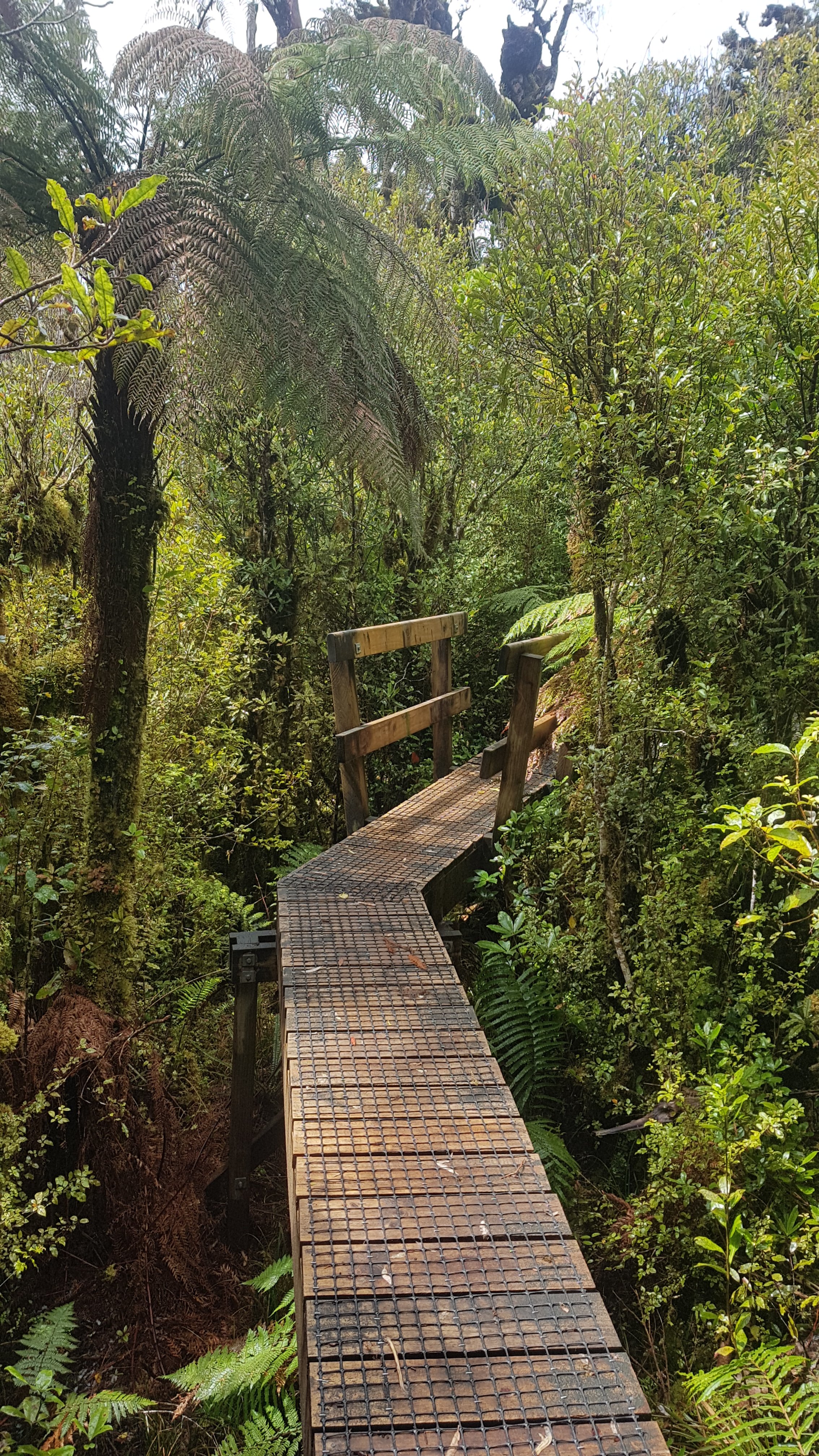
The first bit out of the hut is on boardwalk.
Along with the fresh hail
It’s very high boardwalk.
This is so narrow and high off the ground it was actually kind of scary.
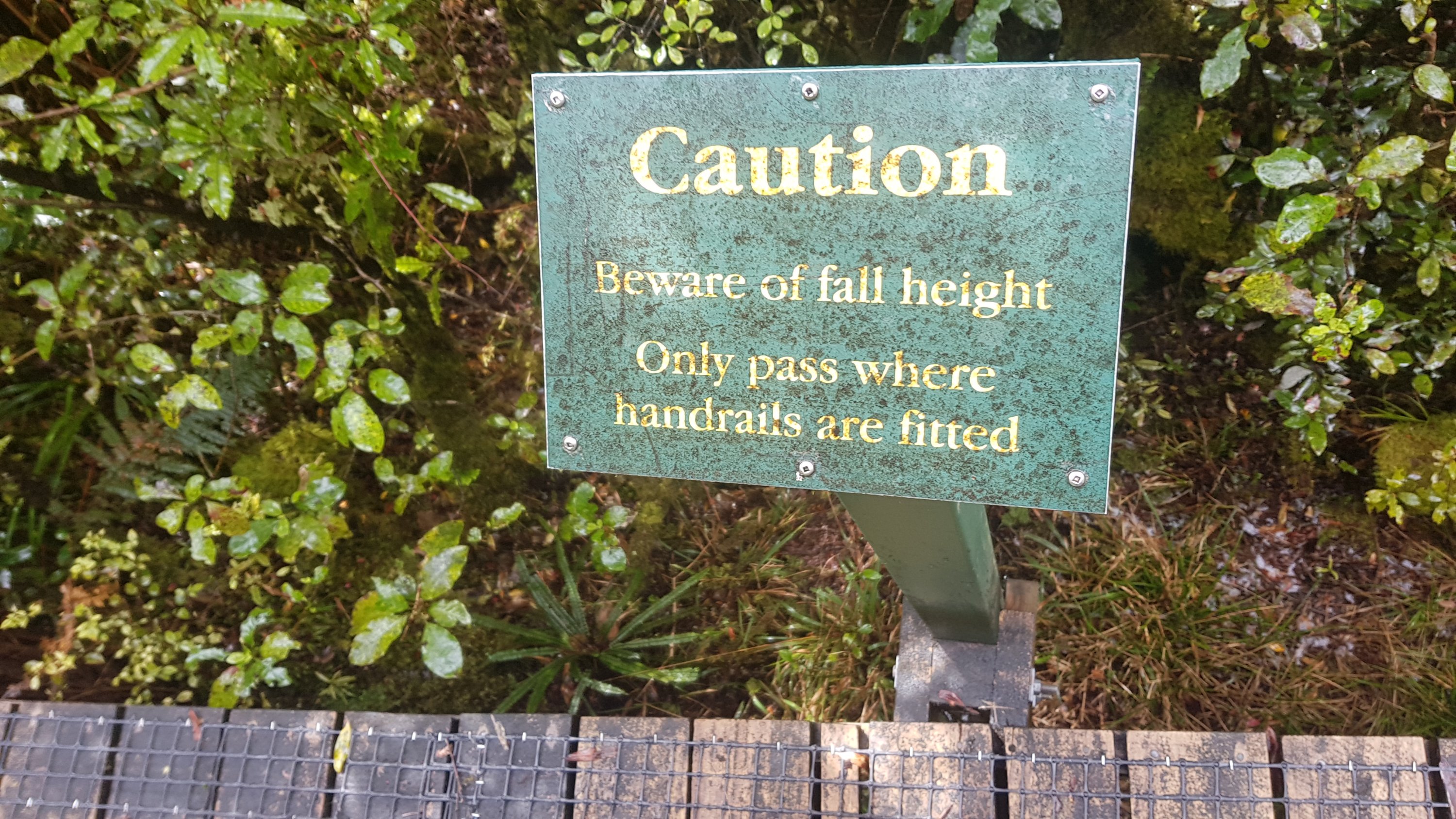
In fact, my 11am picture is even the sign telling you not to pass anyone on the boardwalk except where handrails are present. Good advice.
11am picture
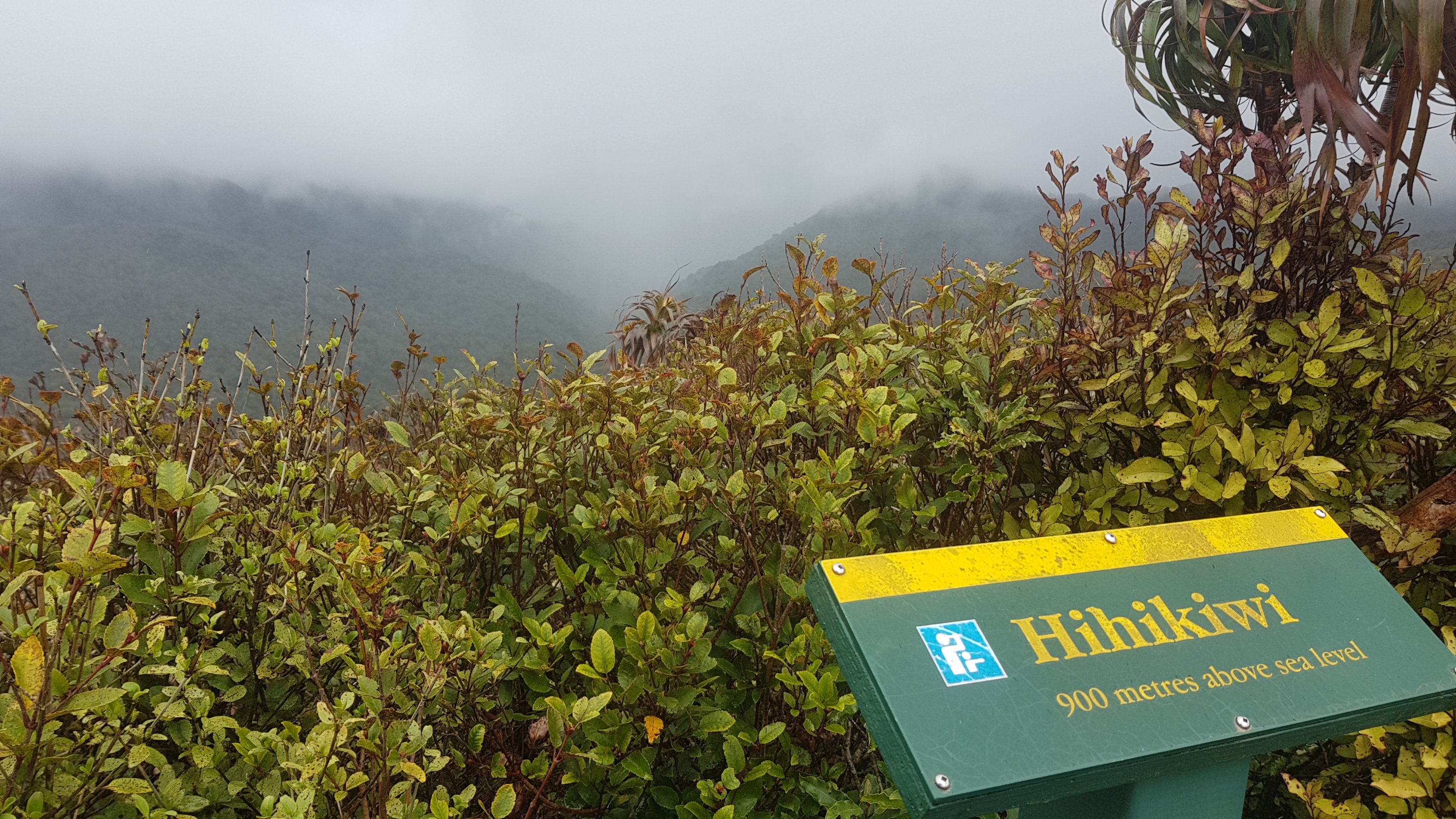
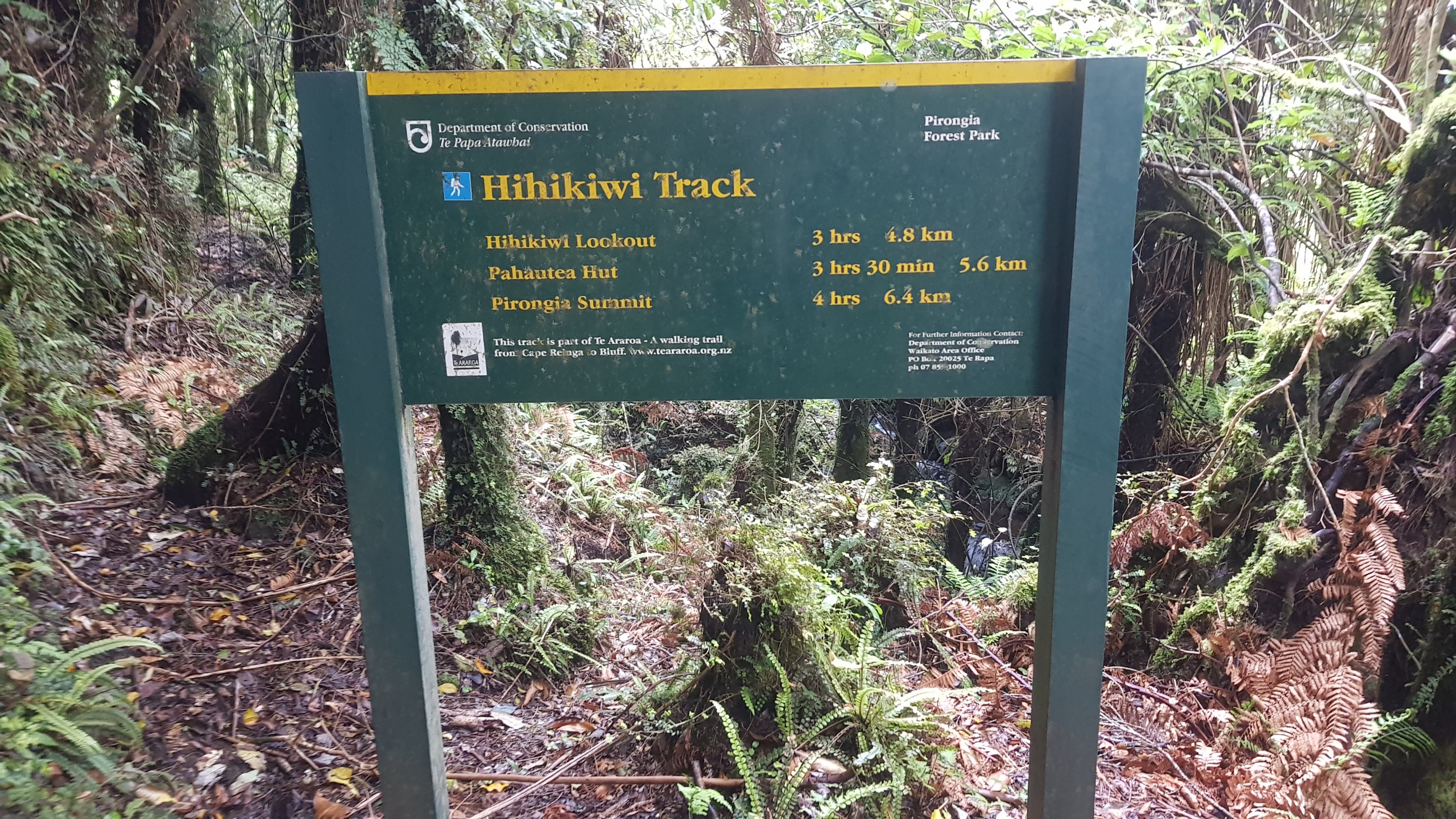
I soon saw this. This is the Hihikiwi Summit. See all the stairs… am I going up there? I bet I am!
Hee hee kiwi!!
Yep that’s where I was going.
View from Hihikiwi summit
Sadly though, in the short time between those two pictures the clouds moved in again and I couldn’t see the view.
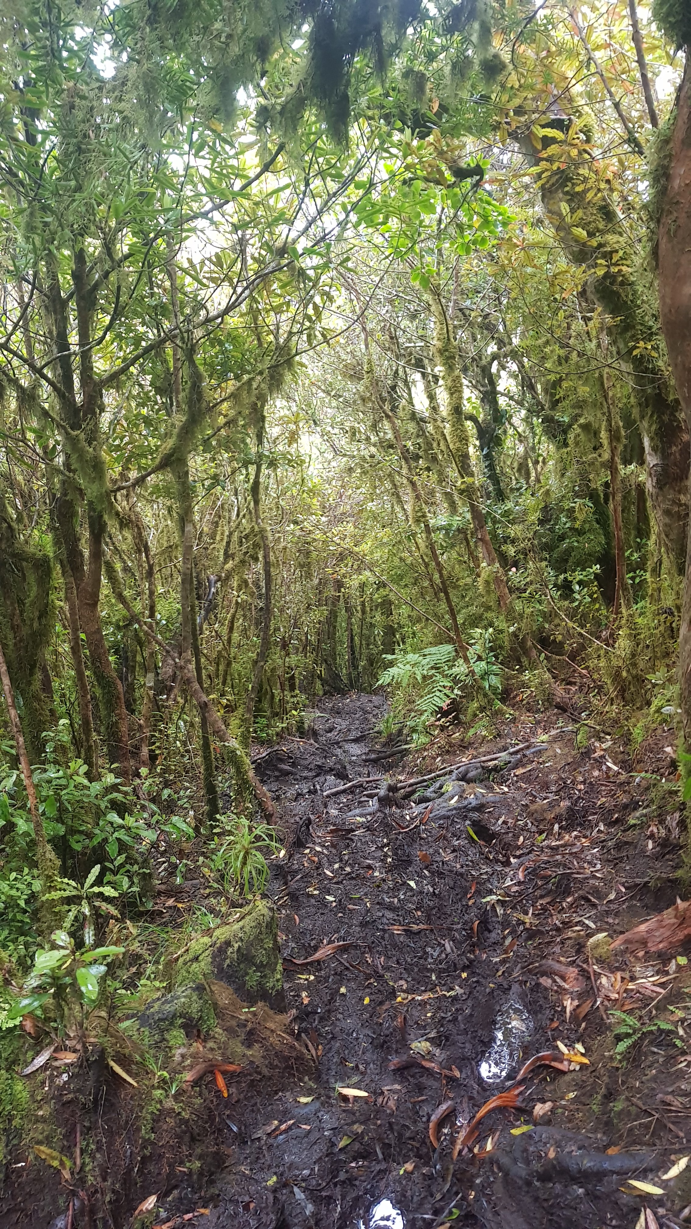
Here the boardwalk ended. And the mud began.
Mud.
And some steep climbs, despite the fact I was supposed to be going down.
I guess there was the odd nice view.
Nice view during the descent
But then back to mud.
Squelch squelch squelch.
And little bits of boardwalks which didn’t last long, and again, not sure why they were there.
Can you get to this without falling face first in the mud?
Maybe if DOC decide the mud is so deep that it’s dangerous, i.e. over your head, they build a boardwalk, I don’t know. Actually, it’s worth pointing out that one use for walking poles is to use them as a “dipstick” for testing the depth of mud before you step into it. If it’s deeper than in this photo, perhaps try somewhere else.
An “average” level of mud today
It really was slow going. Not quite as bad as Raetea, but almost. And because I was meeting Oliver today and had a deadline, I was getting frustrated with all the mud. It was exactly 5kms down from Pahautea Hut, if you believe the GPS watch. Those 5 kms took 39, 41, 47, 33 and 37 minutes each, respectively.
This sign says it is 5.6km. The times are about right though.
The descent was from 940 metres above sea level down to about 500. I’m very grateful that I did not have to walk down through mud all the way to sea level. I couldn’t have handled that.
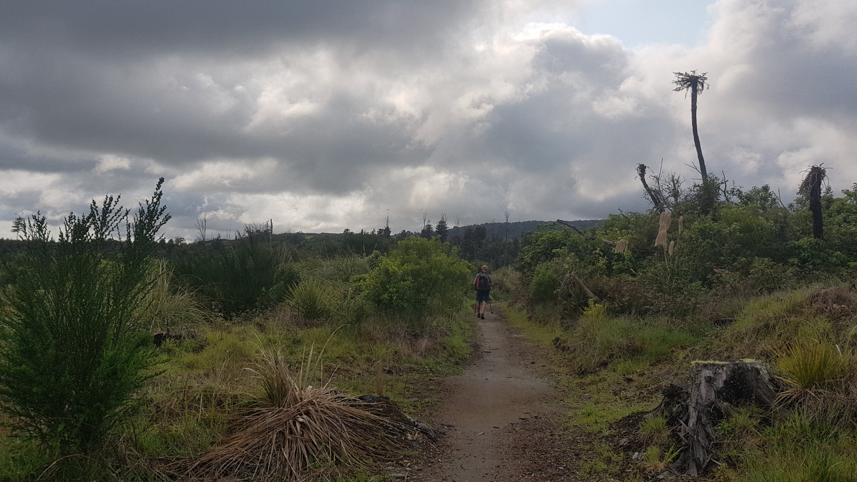
I knew the next 10km to where I was meeting Oliver was all road walking though, and I had 2 hours, so I was going to be on time at least. As luck would have it though, the rain started almost as soon as I came out of the forest.
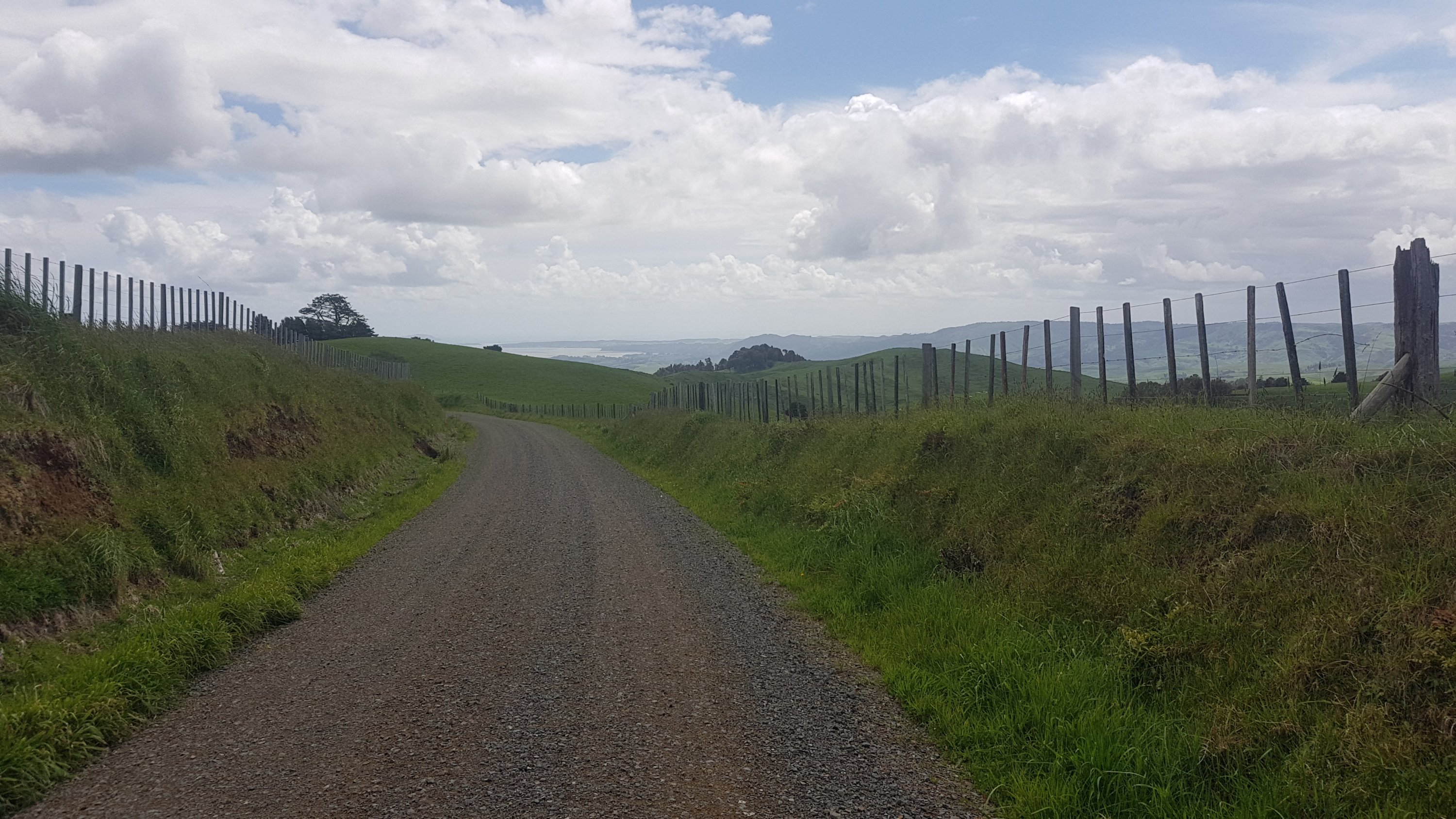
A rainy day on Pirongia West Road
It rained for a fair bit, so I can safely say this is the wettest I’ve been on the trail so far. But I’ve been lucky with the weather as you all know, and I was out of the mud now, so I didn’t mind. In fact, the rain helped get mud off my shoes and poles. And for the last hour of the road walk, the clouds cleared and the sun shone and so my stuff dried anyway. Can’t complain.
The view from Pirongia West Road once the sun came out
The road walking got a bit tedious but I was on a mission to get somewhere on time so I just focused on putting one foot in front of the other quickly.
You know what I don’t like about this sign pole? The fact they used three different fonts.
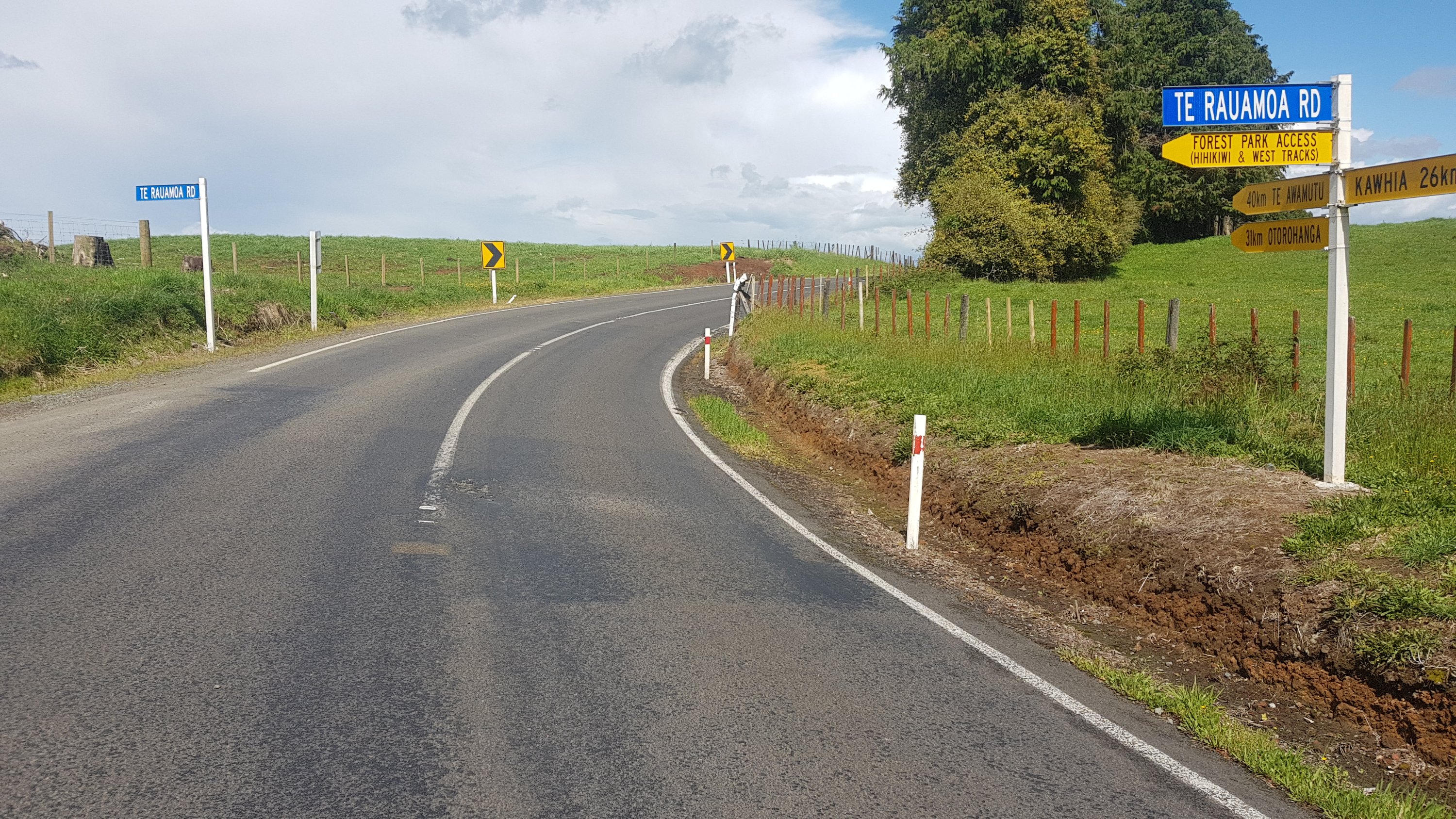
Onto Te Rauamoa Rd now…
Te Rauamoa Road view
Te Rauamoa is where I am meeting Oliver. I don’t know if there is anything there, I think it’s just an intersection that is close to where his farm is in Hauturu. To be honest, I don’t know where Te Araroa walkers stay in this area if they don’t know someone.
The final bit of walk was on State Highway 31. It’s the road to Kawhia and is quite a quiet road for a state highway. Maybe one car every minute or so.
State Highway 31
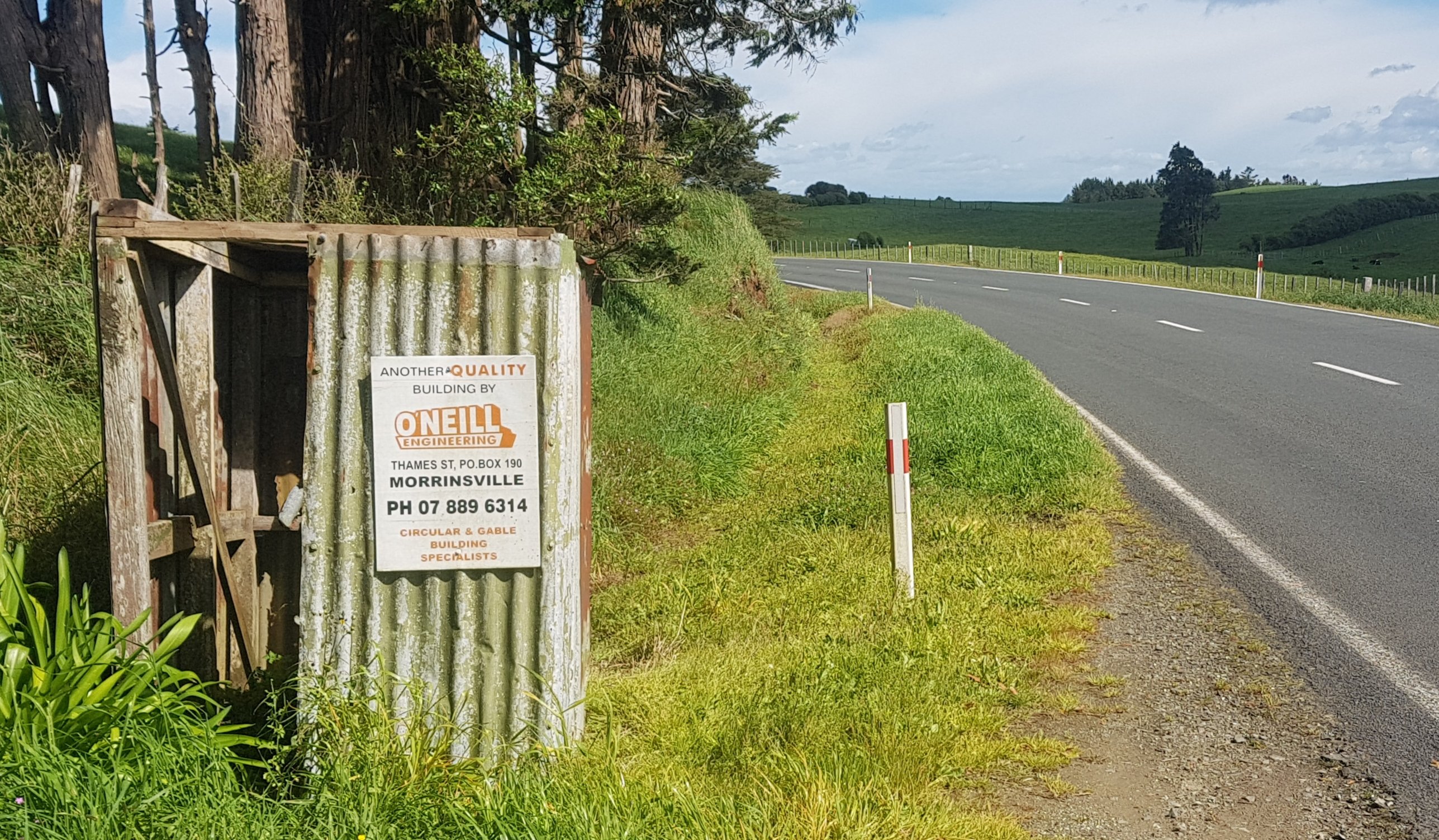
2.4km down here and I was at the meeting point. Not much to see on this road, except I did notice this. “Another quality building by O’Neill Engineering, Morrinsville”. Yep, if you want a rusted out falling apart shed with no roof on the side of the road, you know who to call.
Oliver picked me up and I got a milkshake and later a chicken burger and chips and cold beer in Kawhia. It was a bit late to see the animals on the farm, so we are going to do that tomorrow. But there was time for three games of Settlers of Catan. I like that game… especially when I win two games out of three.
Oliver, my other friend Sanj and me. Thanks Oli for the picture!
I also got to have a hot shower. And I’ll tell you now, I had to do a lot of scrubbing to get that Pirongia mud off my skin. It just doesn’t budge.
Date: 13 November
Distance walked: 29.9km
Trail covered: kms 820.7 to 853.5
Weather: overcast most of the day
Number of toppings on the free pizza: 6
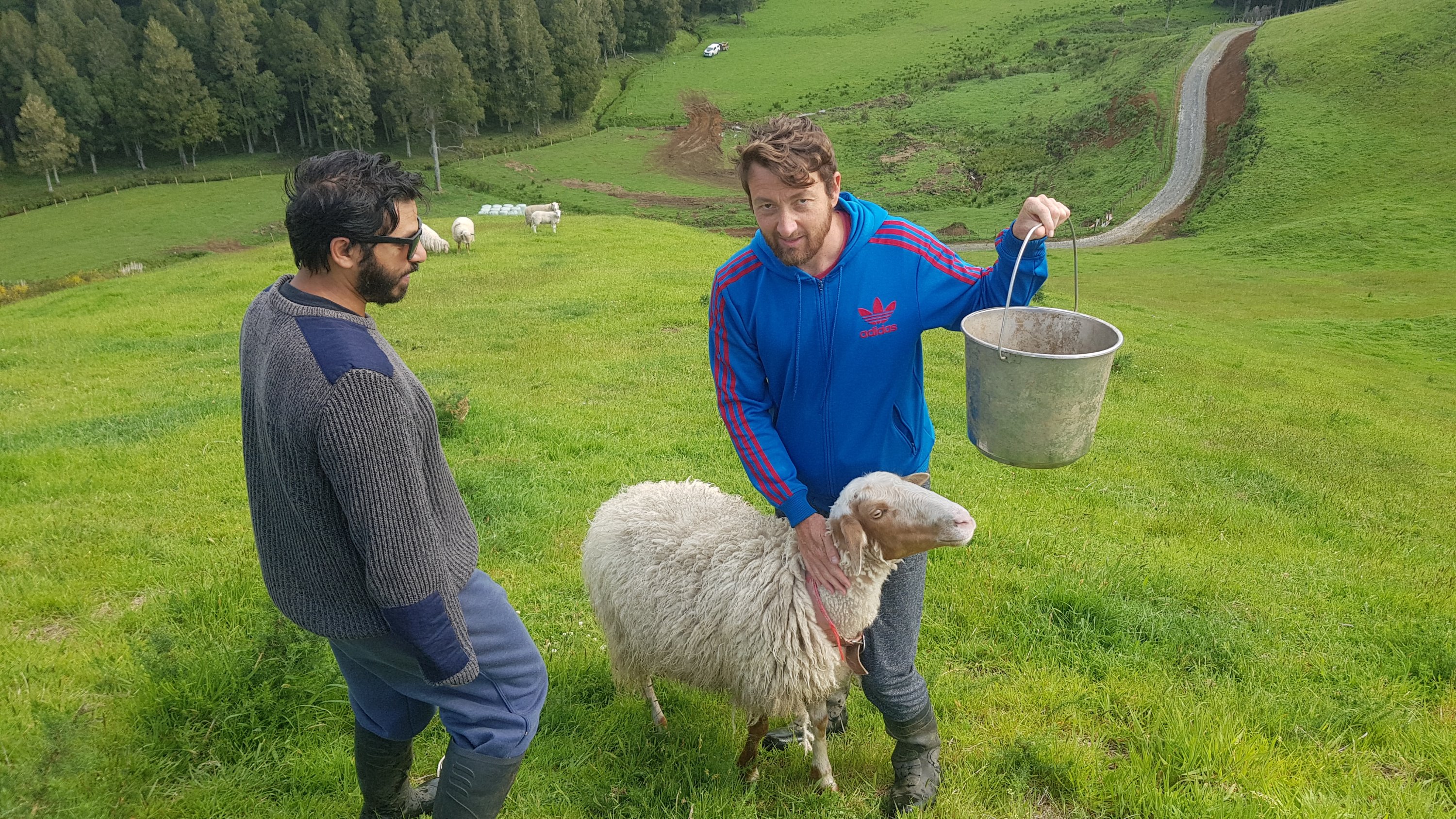
I woke up at Oliver’s place and had a nice breakfast of fried eggs and coffee with sheep’s milk – which was new to me. We sat around for a while and had a chat, and then I was all ready to start walking again, but not before a little trip to see the farm animals.
All ready to go
There were some piglets…
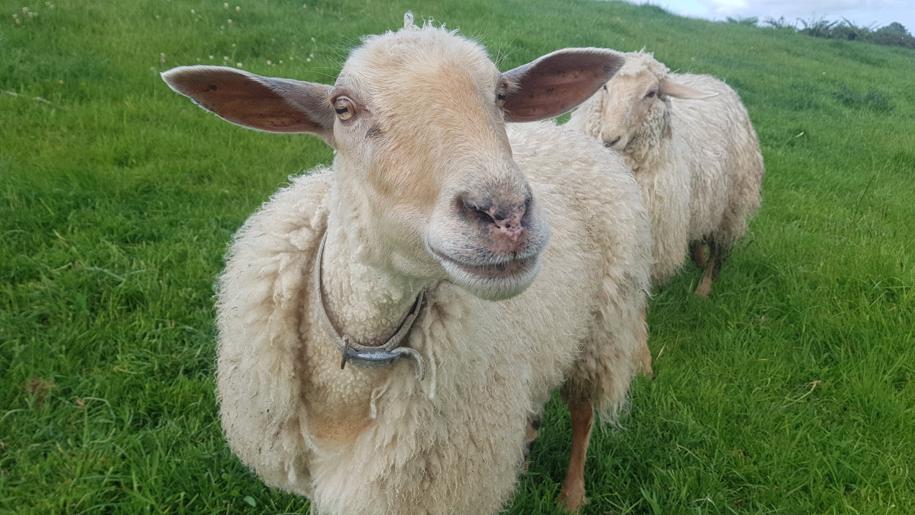
And sheep, which are much friendlier when they are hand-raised – unlike all the ones you see while you’re walking which always run off!
The farm has a nice view and it’s nice to walk around.
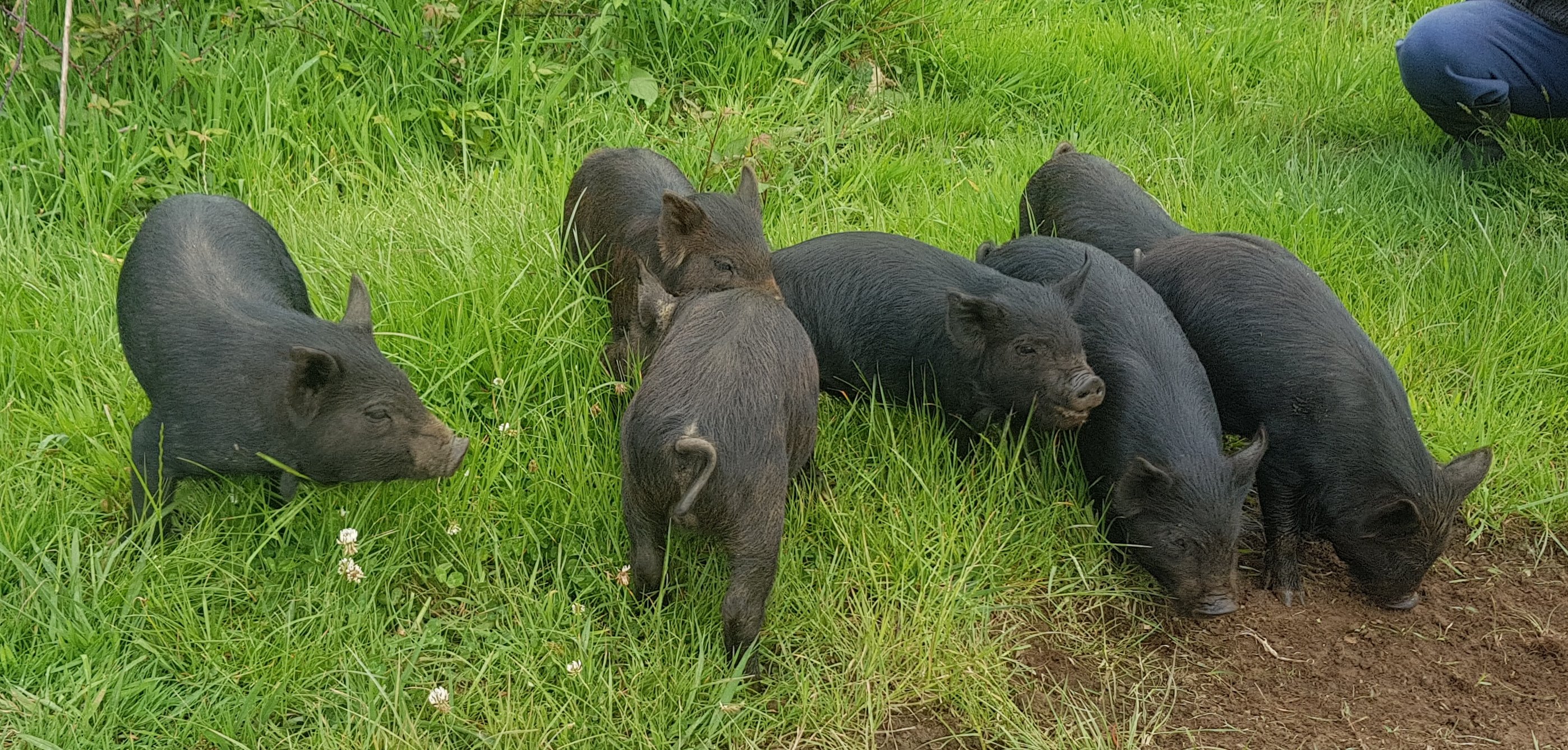
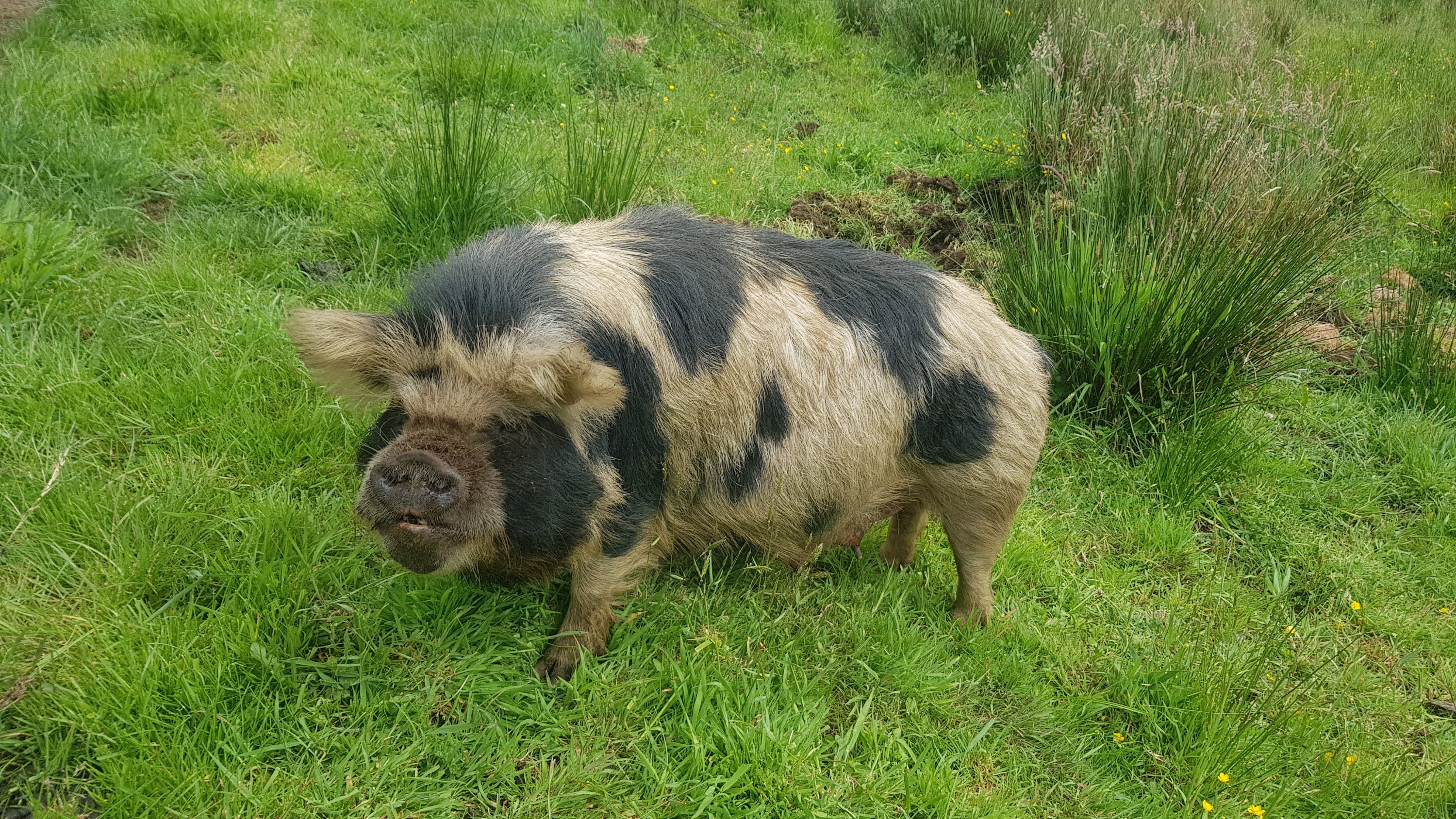
The little black piglets from above have a mother… she looks a bit different. They’re Kunekune pigs.
Kunekune
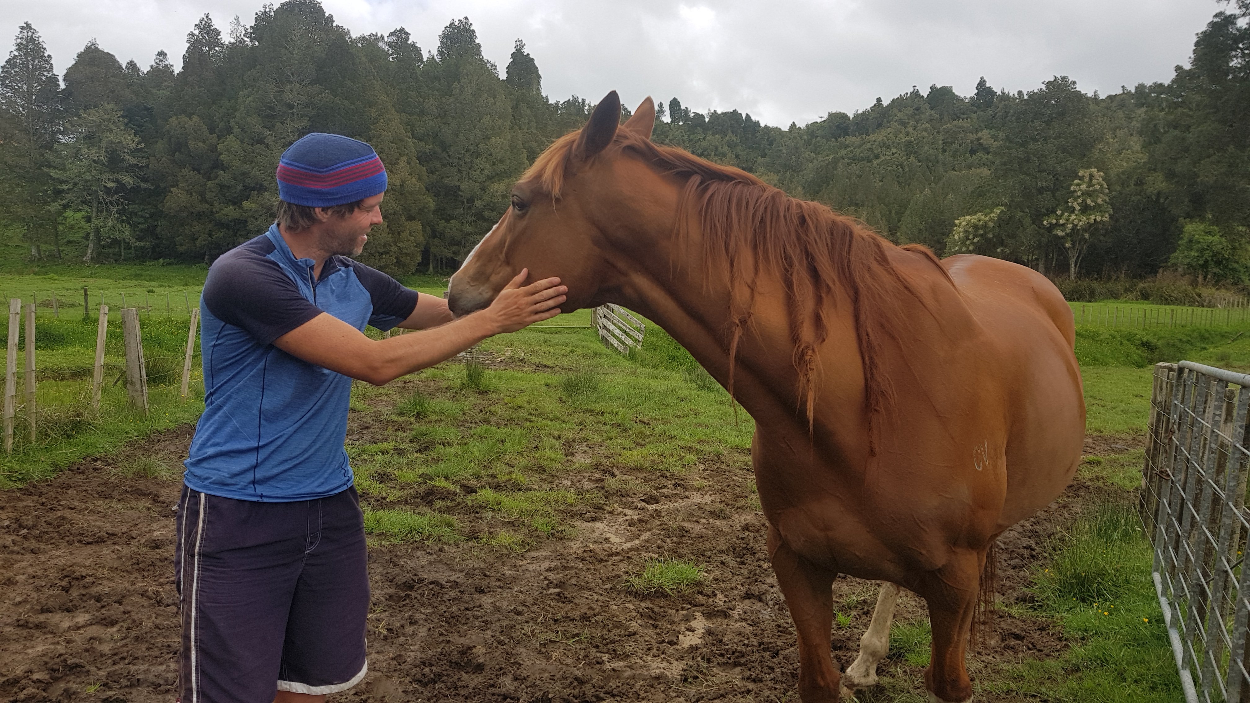
And a couple of very friendly horses.
Getting good vibes from the horse before my walk
The animals around here are very cute, and I thought I took a few videos of them running up to us when they thought we had food… but they don’t seem to be on my phone, which is really annoying. I did get one video of two of the piglets fighting, which was a bit of a laugh.
This is the first time where 11am has rolled around and I haven’t even started walking yet. By this time I was still being driven back to the point where I was picked up yesterday.
11am picture
I started walking at 11:40am, and my goal today was to make it to a privately-run hut in Waitomo by 8:30pm at the very latest, because my rule is always to make it to huts before dark so that I don’t annoy people who might be already sleeping. The hut was 32km away – if the terrain was easy then it would be an easy walk but if there were any tough sections then it might not be an achievable goal. I was a bit anxious.
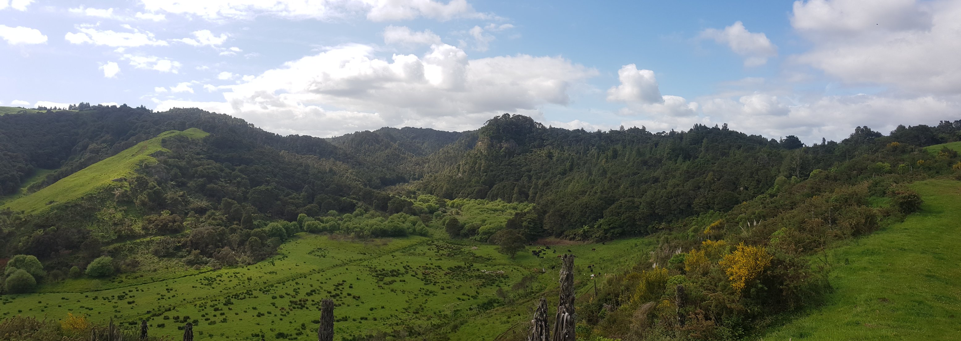
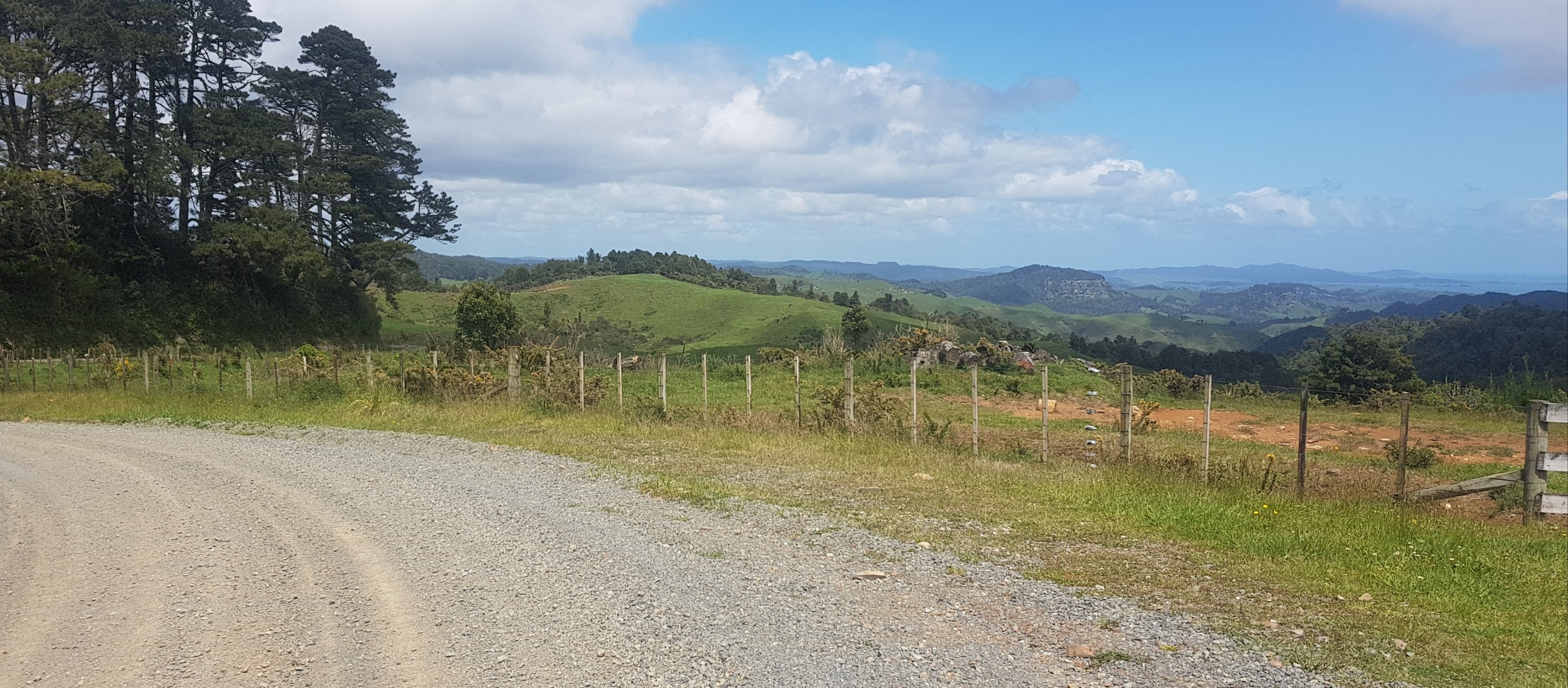
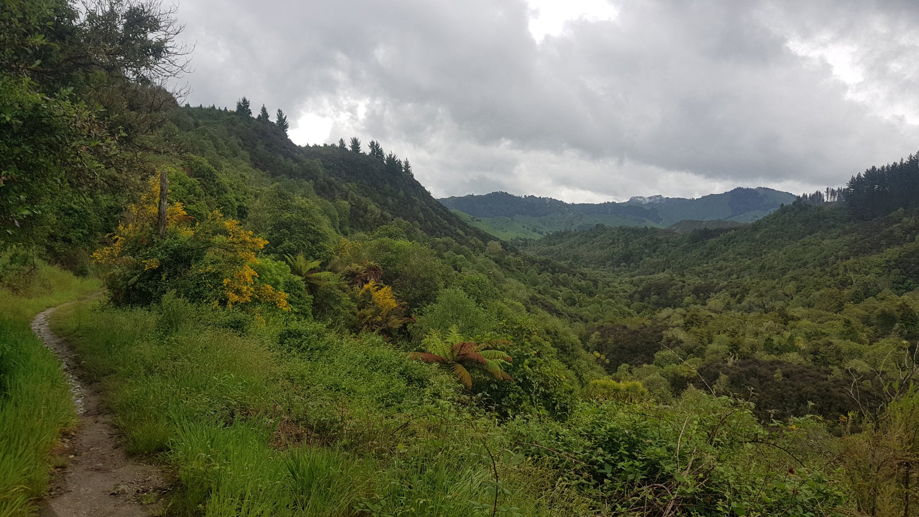
There was a bit of road walking at first. In the distance are some interesting hills. There are lot of these sorts of hills around the area, and Oliver’s farm has a big series of steep canyons on it which I’ve never seen in the farms further north.
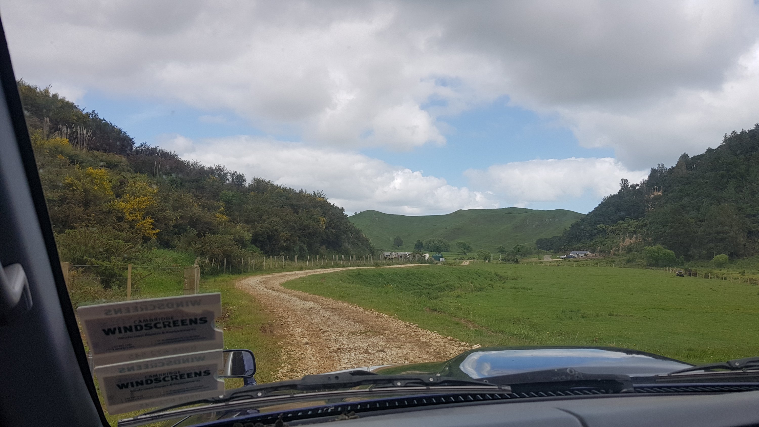
Kaimango Road
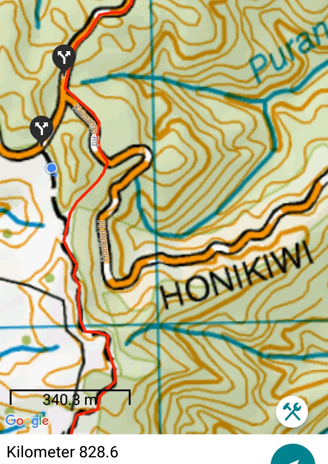
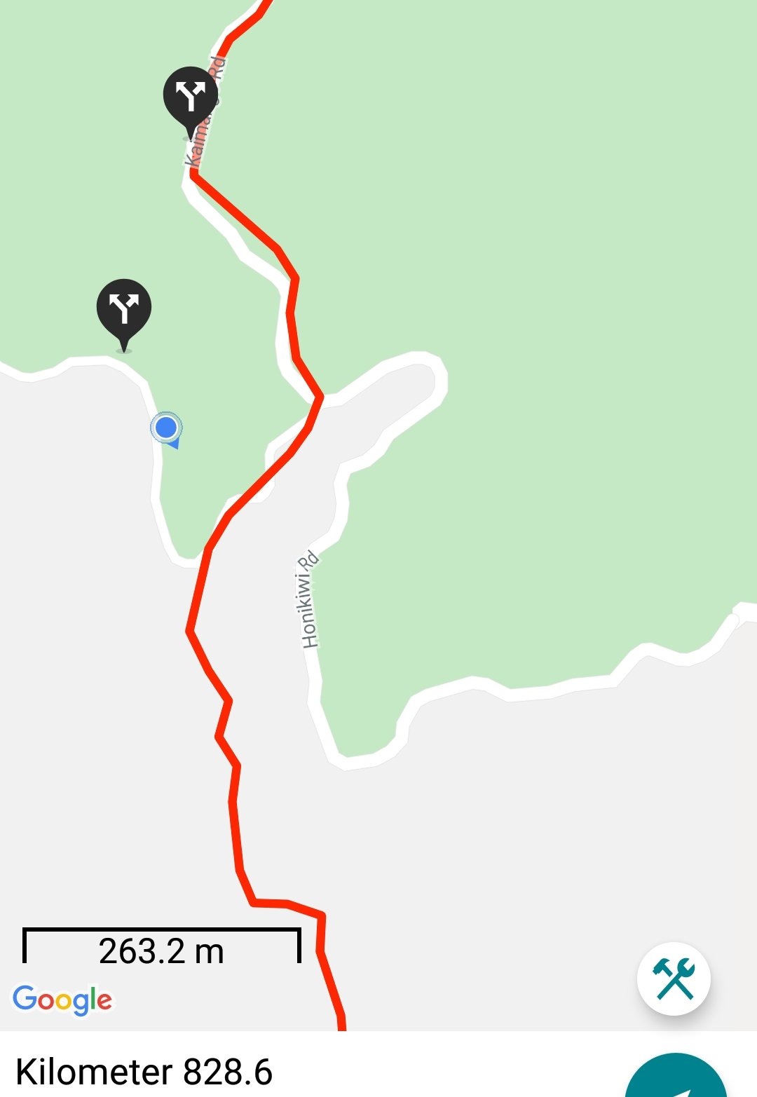
Once you reach Honikiwi Road, the red line is wrong. In the first picture, it looks like I’m off trail, but this is actually the way. It seems again that they’ve drawn the line based on Google Maps’ interpretation of the road alignment, but Google has it wrong. I remember that happening at exactly the 300km mark up north – Google had the wrong alignment of the road and the red line just blindly followed it.
You’re supposed to stay on Kaimango Road until you see this intersection with a marker pointing to the left. Don’t turn down Honikiwi Road.
Turn left from Kaimango Road here
It was an easy path at first, down a 4WD track through a farm.
Easy walk at first
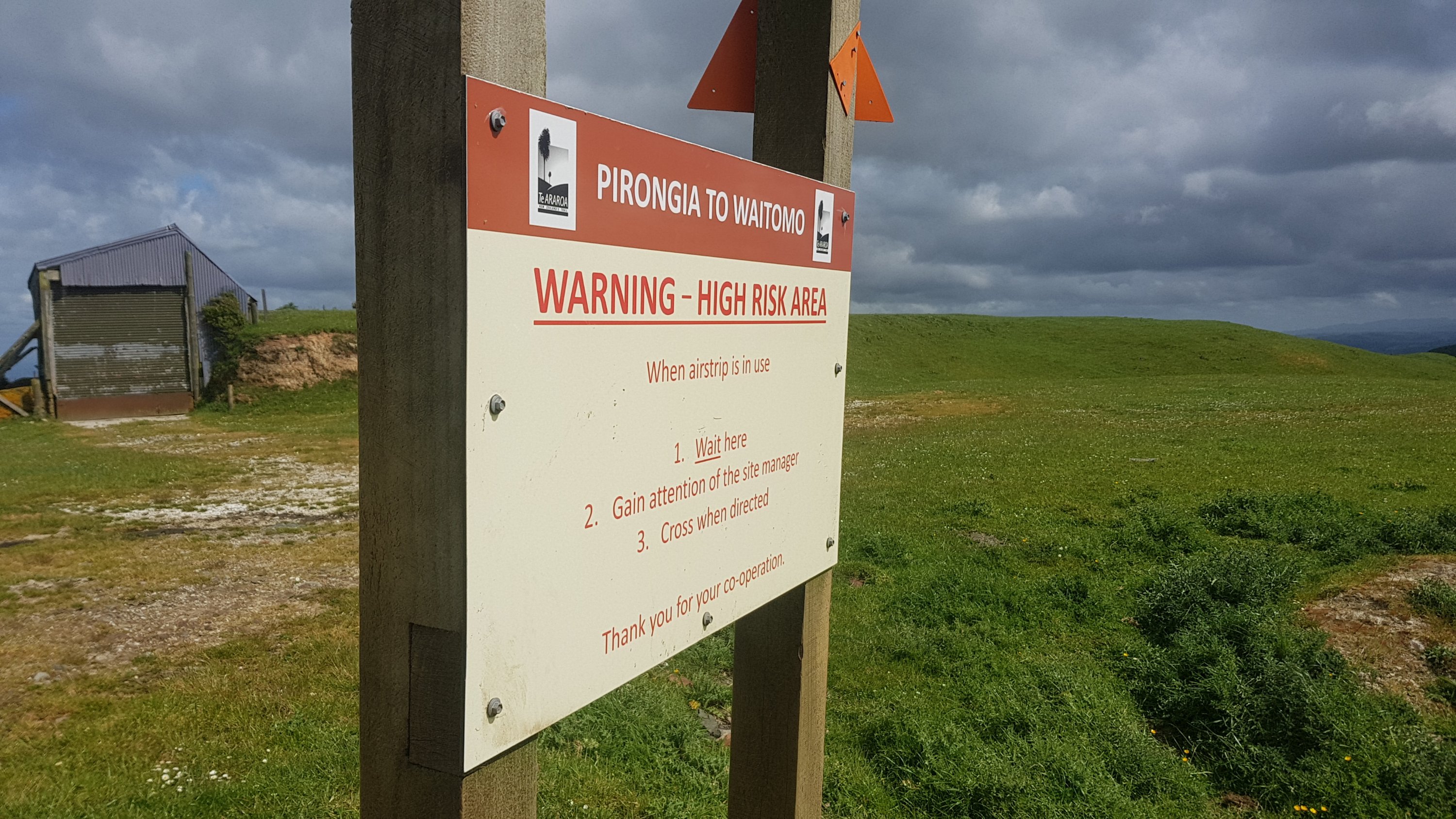
It was one of the many farms in this area with an airstrip. Don’t camp here, you might end up with an aircraft on top of you.
One of the many airstrips in the area
The terrain varied a lot today across the farm walks. The next bit was still an easy walk but it started to go into the bush.
And then around the corner was one of the most perfectly manicured bit of grass I’d seen in a while. I looked forward to going up there… but first I stopped for a break at this point. There was a little young goat on the other side of the gate that watched me the entire time.
Break spot
The walk had been easy up to this point and it looked easy up the hill so I put on my headphones and listened to some music. Although when I looked closer, the stile here attached to the orange marker actually took me down the right side of the fence there and along a different path. I didn’t get to go up the perfectly manicured hill at all.
The actual way
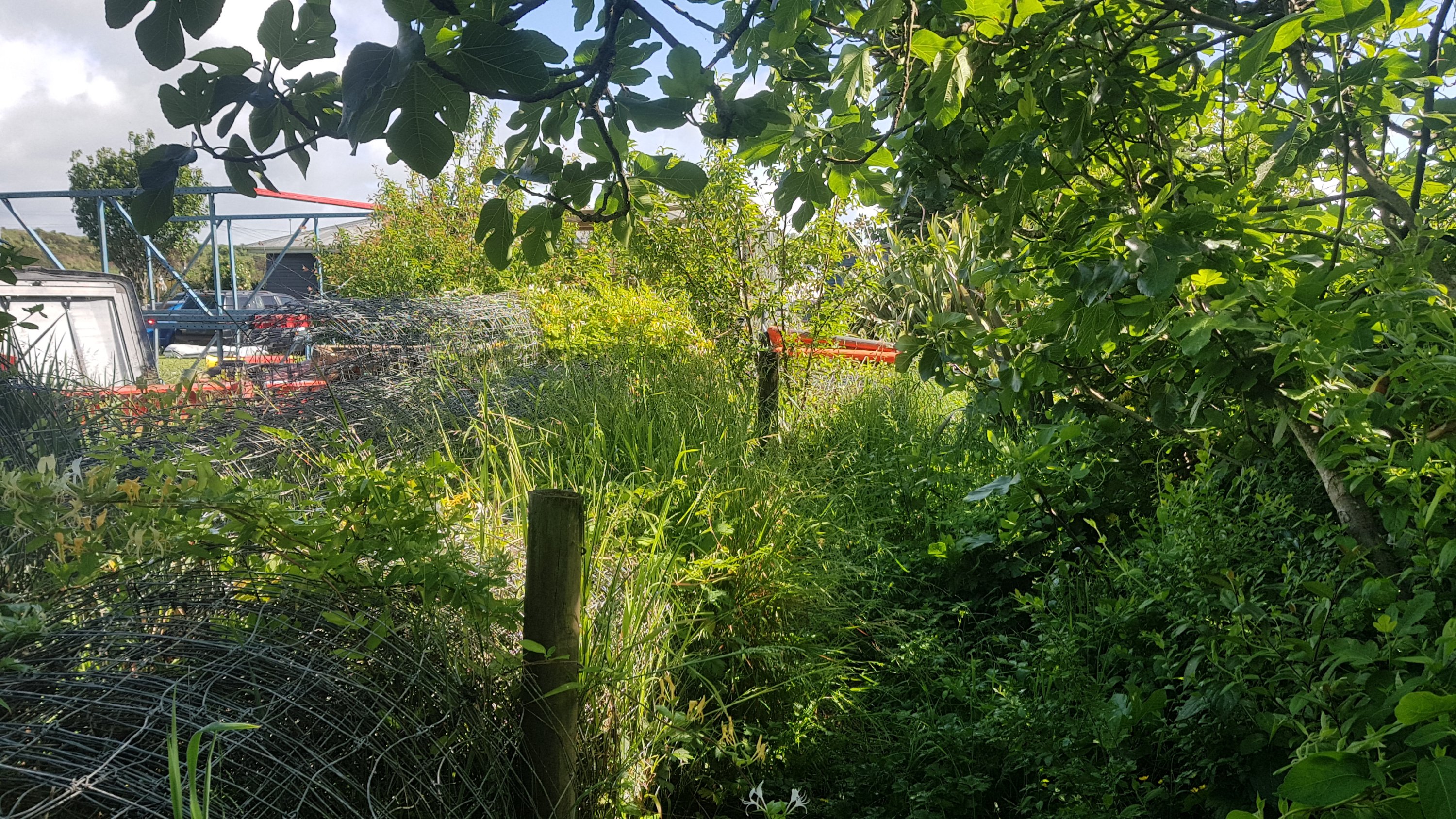
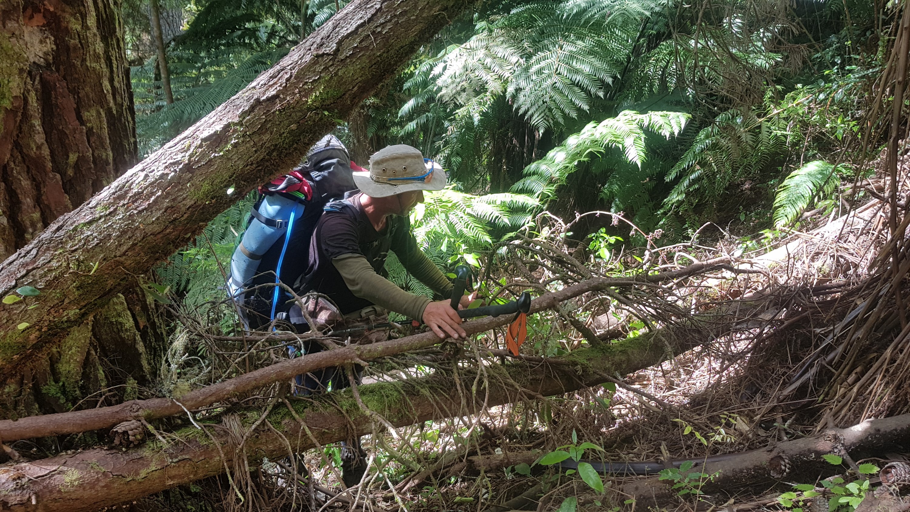
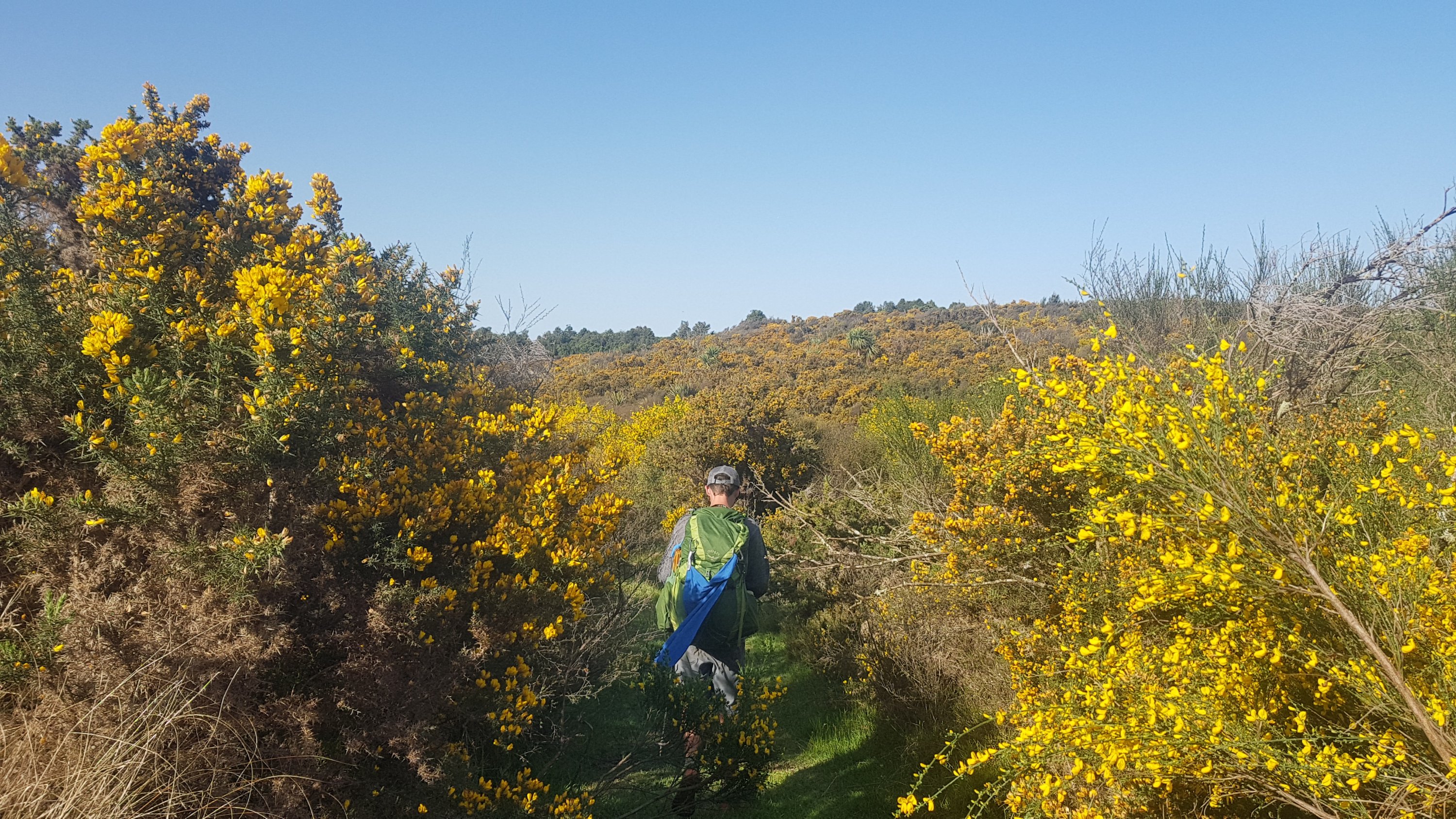
And the track started to get overgrown very fast. One particular section of note was this bit where I needed to crawl under all the vines. I really had to duck down low, in fact it was the first time I had to take my pack off and hold it in front of me.
Very low vines to limbo under
Then there was this bridge crossing the next stream. I really wanted to see the qualifications of whoever built this bridge. Although ultimately I was happy I didn’t have to go through the series of vines again.
A very “home-made” bridge
And then, it got muddy. Oh great, more mud. I had seen enough mud coming down Pirongia yesterday. I’ll spare you more pictures of the mud, but I will show you how overgrown the track is.
Overgrown track
There was quite a lot of mud for a few kilometers, so I took the music off partway through the mud so that I could concentrate. Funnily enough the song that was playing when this happened was “No one said it would be easy” by Sheryl Crow. Very appropriate.
There were also a lot of flies on this farm. Lots and lots of big black flies everywhere. Quite often the flies find you while you’re having lunch, but then you don’t notice them the rest of the time. This time though, I heard the flies everywhere.
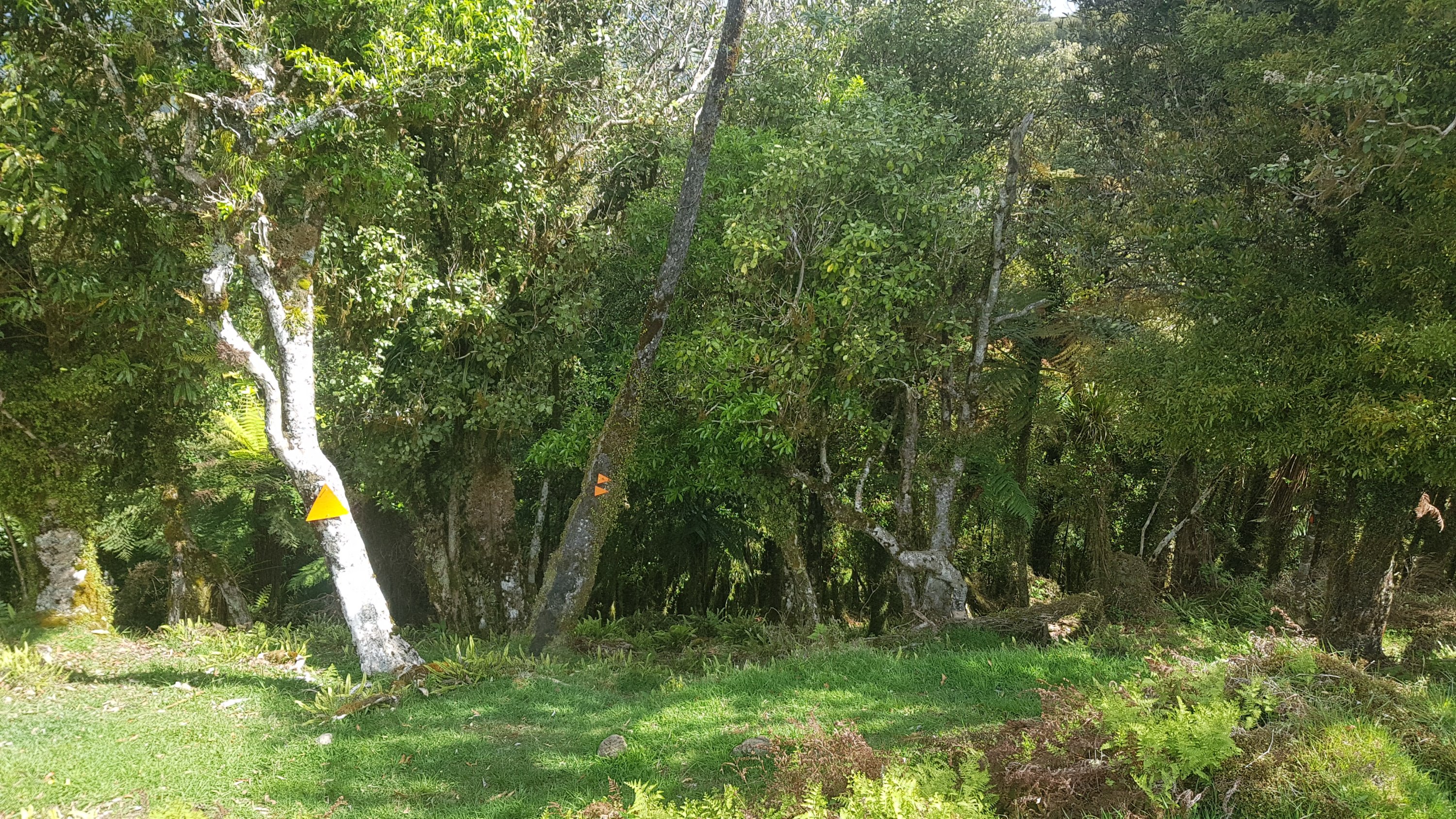
Another thing that got me going through this farm was the fact that someone thought it appropriate to put all the orange markers pointing down, instead of the usual way of pointing up. That was very disconcerting. It makes me feel like something big and scary is coming up and I should turn back while I still can.
Backwards triangles that point downwards
At least when coming out of this section there was another nice view as a reward.
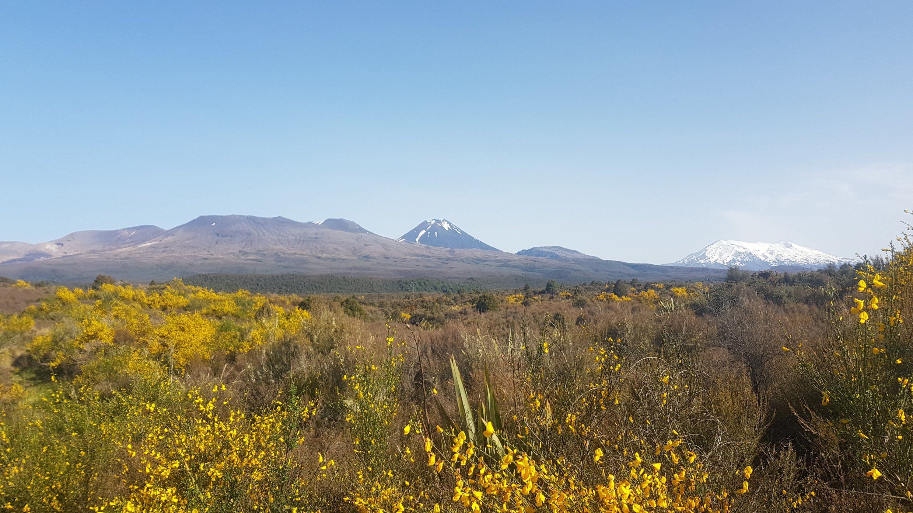
Mt. Pirongia on the left and Mt. Kakepuku on the right
Here were some sheep that were blocking the way. If this were cows I’d be worried the mother cow would get aggro at me but because it’s sheep I wasn’t worried at all.
Sheep annoy me because when they run away from you, they tend to run directly in the exact same direction that you’re walking, and even after 500 metres, or a kilometer, or in this case, a kilometer and a half, they just keep running in the same direction down the path, as if it were a cartoon. Why they just can’t run to the side and then they will be immediately out of the way is beyond me.
The same sheep, a kilometer and a half later after running away from me six or seven times
I had a look at Google Maps while I was walking along here, I’m not sure what prompted me to do this, but it showed me how far from anywhere I was. Google didn’t show any roads in the area, and I understand that Te Rauamoa, Honikiwi, Tihiroa and Hangatiki don’t even have any shops or anything at all.
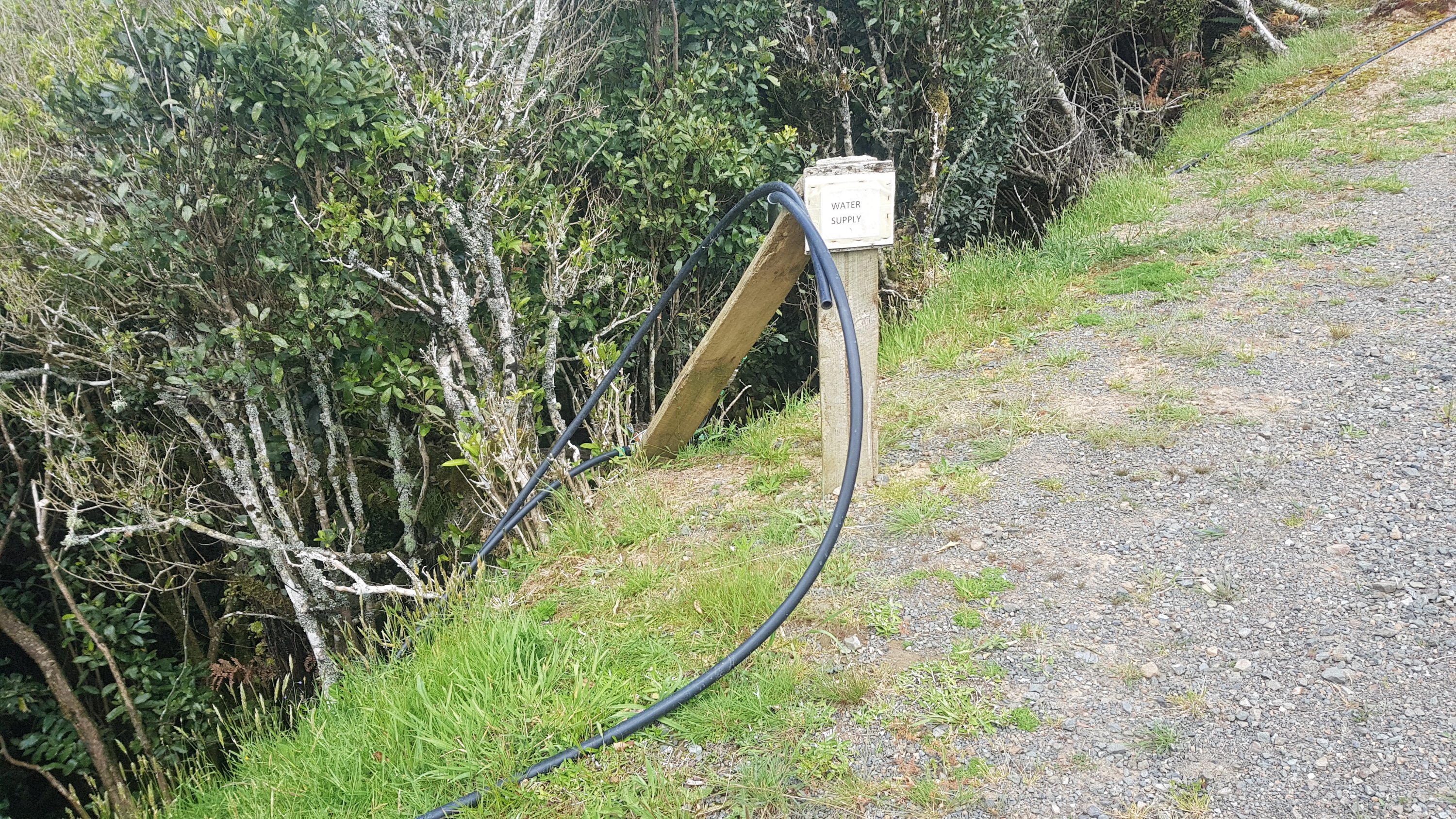
At this point there was a water supply, which I assume somebody kindly set up for the walkers:
Water supply
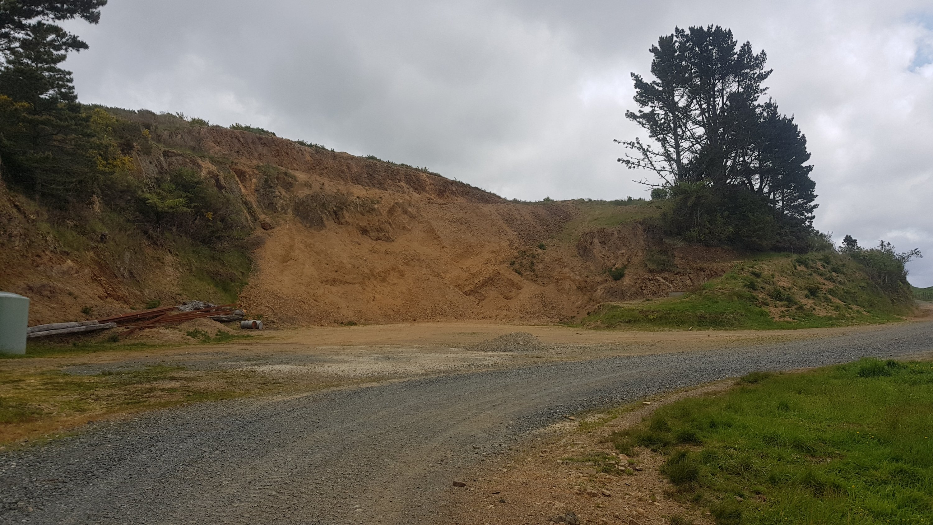
And just past this “quarry”:
Quarry
Was this sign:
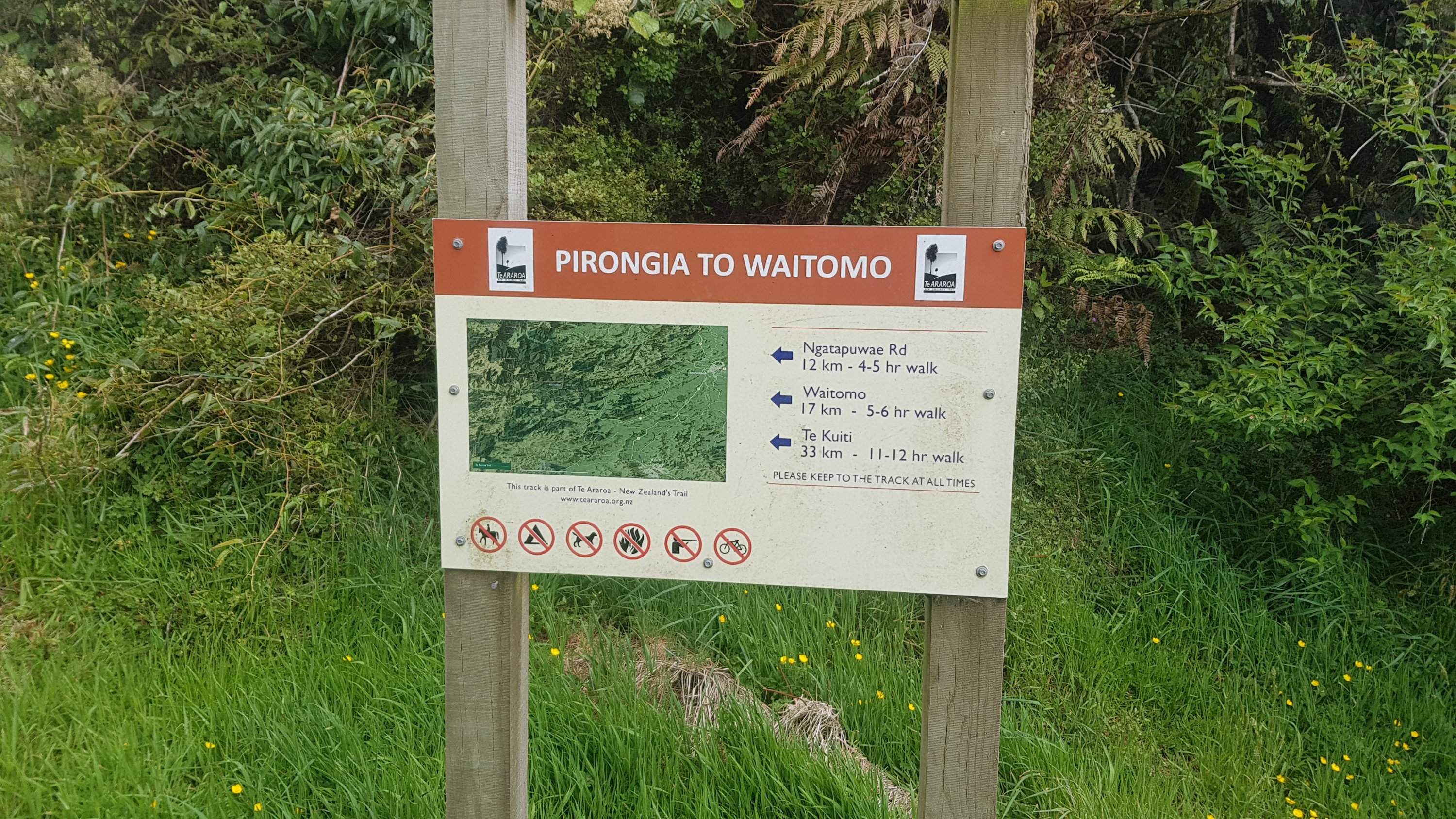
Pirongia to Waitomo information
Approaching this sign I thought about my deadline. It was 3:30pm at this point and if I was going to make my deadline of 8:30pm I had five hours to do the rest of the walk. So when I saw that Waitomo was a “5-6 hr walk”, that made me feel good, I almost always make these distances in less times that are stated.
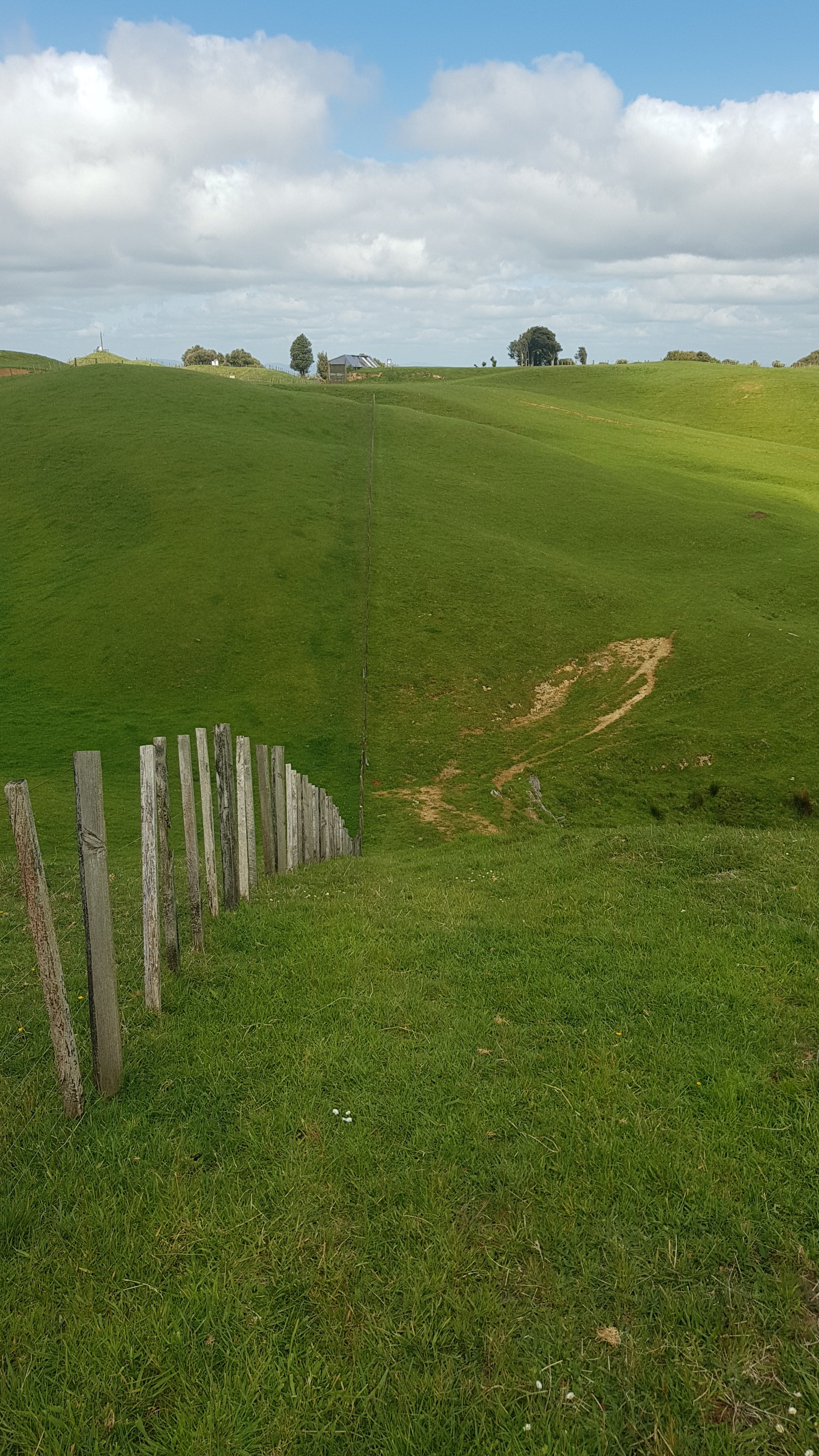
Up and down the fenceline
This section started off just walking along the fenceline for a long way. It went up and down quite some distance as you can see from the previous photo. And then it did it again. And again.
Up and down the fenceline II
At the top of the third “up ‘n’ down” was another airstrip. This one warranted a sign so I guess this airstrip must be in more frequent use.
Airstrip info
It also warranted a big red exclamation mark on the Guthook app.
The coming terrain – quite a lot of downhill coming up
As you can see from the elevation profile, there was a lot of downhill coming up. I had been hovering around the 400/500 metre mark ever since coming down from Mt. Pirongia – it finally looks like the rest of the downhill is here. I was very curious to see what was coming – these elevation profiles always make it look steep, but you just never know what you’re going to encounter.
And it looks like it’s down into the trees.
Ooh, this could be exciting
First though, to keep the suspense a bit longer, I decided to have a late lunch here. I didn’t get any cheese yesterday because I was in such a hurry all day – so I really didn’t want to miss it again today.
“Cheese check” day 3 – excellent
Here’s the path that followed – it was indeed walking down through trees.
And there were some excellent views again.
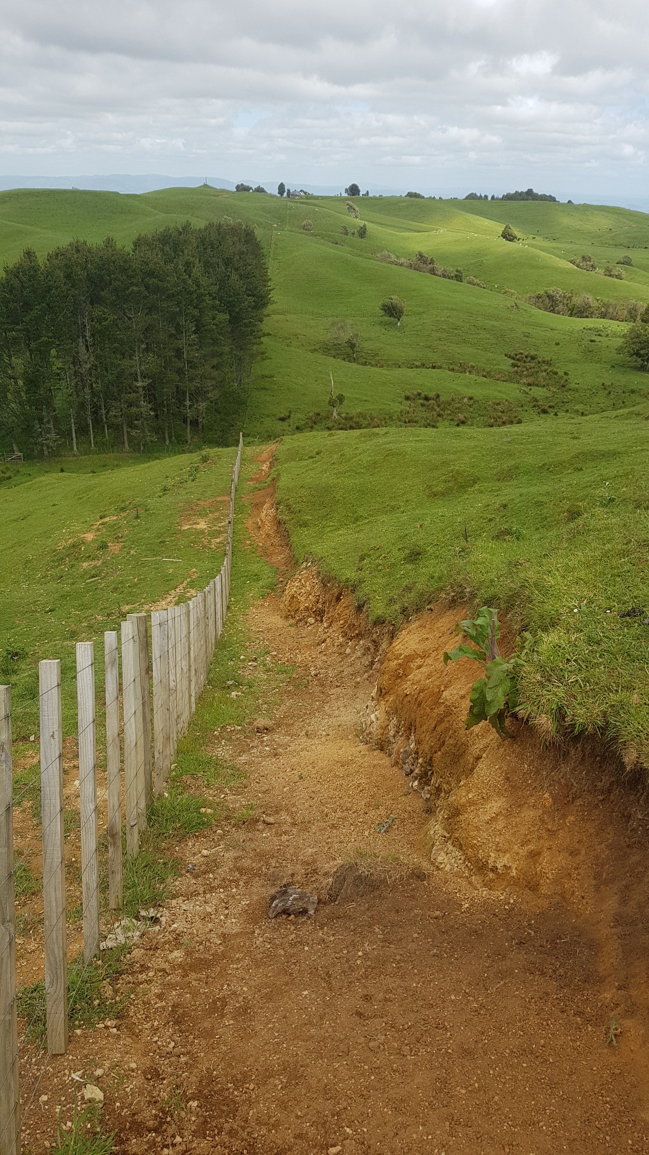
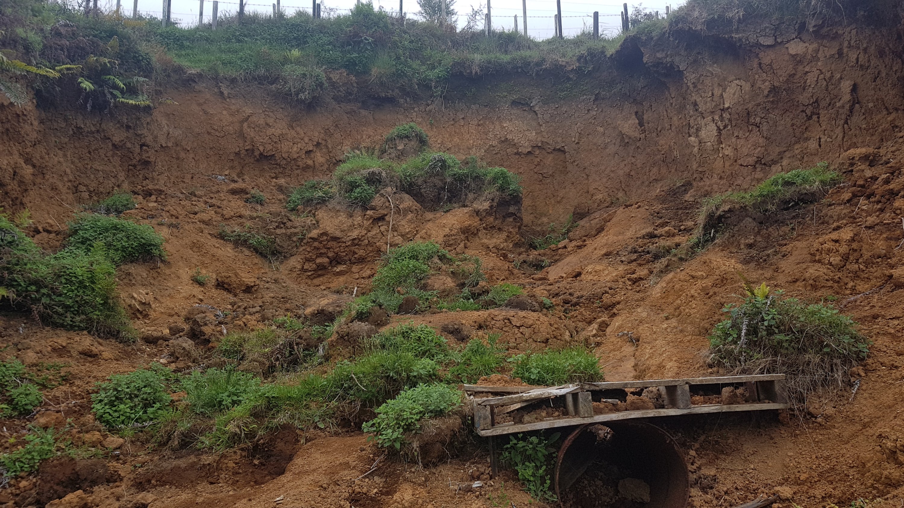
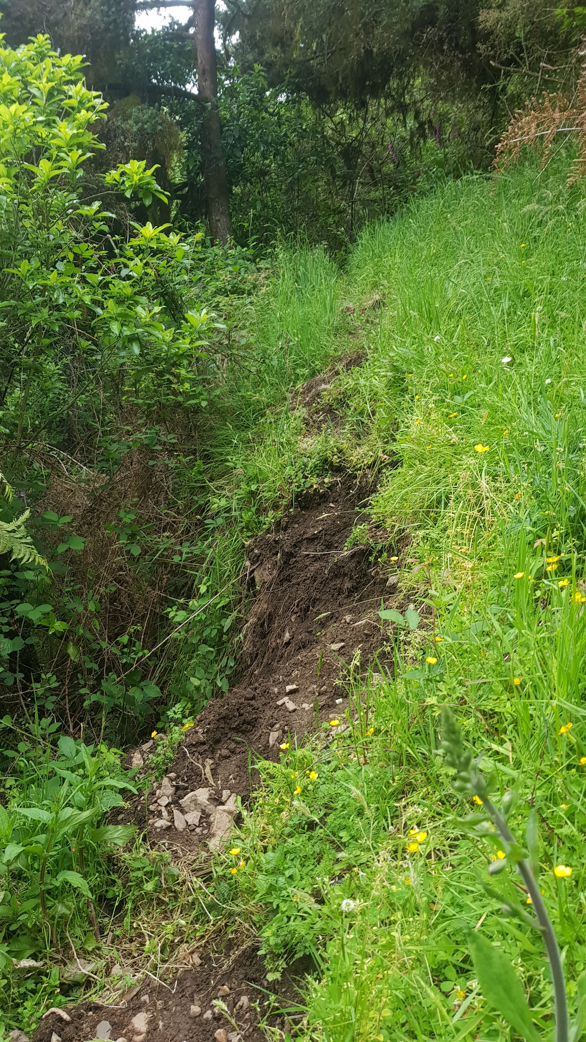
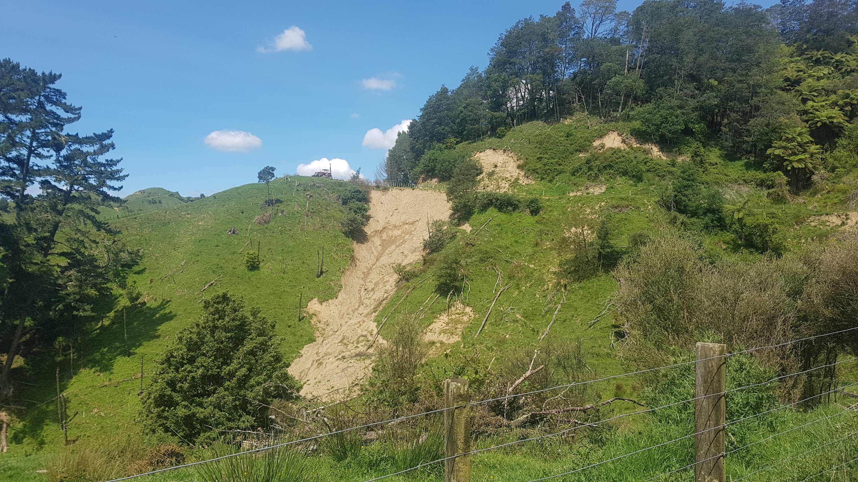
There’s one point past here that tripped me up. It might be just me but I thought it was worth mentioning. Soon you will encounter a slip and pipeline:
Looks like the ground gave way here at some point
And I looked down the hill and saw the dirt had gone a long way down the hill.
DON’T GO DOWN HERE!
As you might have guessed, I followed the dirt from the slip down here. I thought I saw a marker that pointed down here. It was steep, and I had to go down on my butt at one point because it was so steep and slippery. I thought to myself “jeez, I hope this is the right way” and “man, I’m glad I don’t have to go back up here”.
But then, I realised I was going off track. Oh no – I have to clamber back up here. And I got dirty shorts for no reason. Grrrrr. The right way is to just go past the slip – don’t go down the slip dirt!!
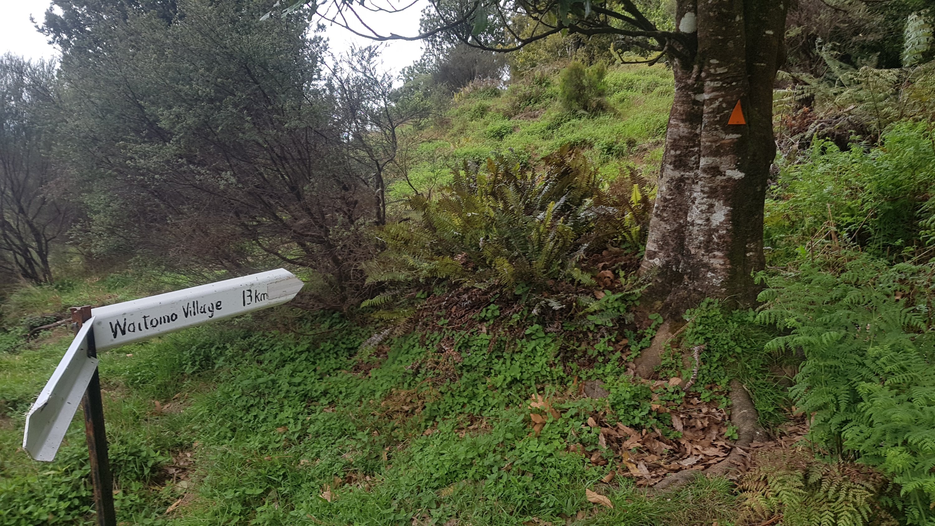
This was an interesting sign in the middle of nowhere.
Waitomo Village – 13km
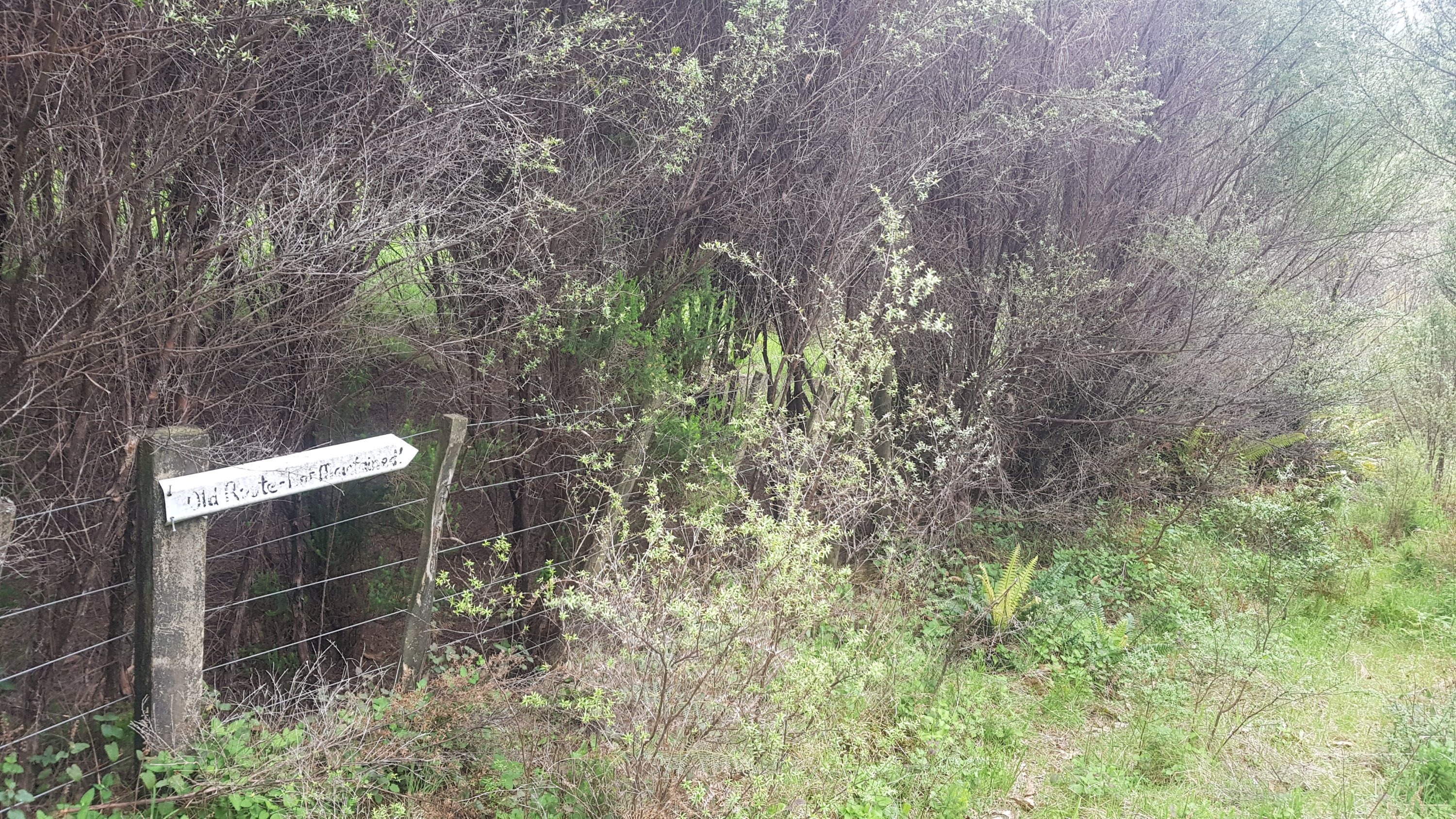
And next to it is this sign:
“Old Route – not maintained!!”
I was of course curious as to where the “old route” went. I looked on the topographic map used by Guthook and actually on there, the “old route” is still marked as the Te Araroa trail. This is the problem when people create maps but then don’t keep them updated. There are a few “Te Araroa” apps in the Google Play store but some of them are quite old and use trail maps from years ago. At least Guthook do a fairly decent job of keeping the route up-to-date each year (well they should when you pay $64.99 for it!).
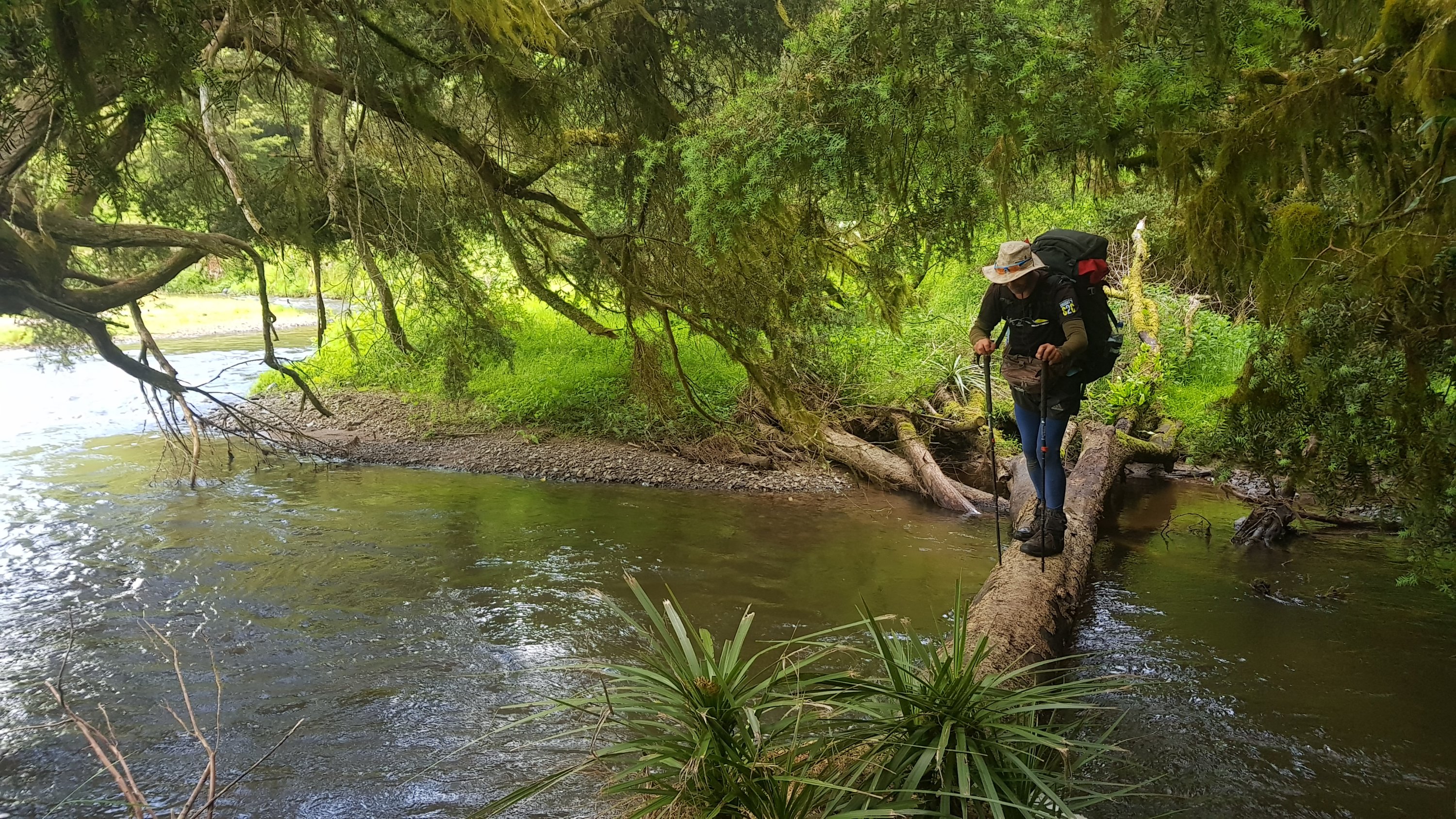
There was still more variety of tracks to come. A river crossing, where I took off my boots to avoid wet feet:
Moakurarua Stream
And Gorse City’s sister city – Gorseville:
A prickly track
And then some kind of bright red mud. This mud was alright – you didn’t get stuck in it although it was slippery.
Red clay
And a final bit which was officially a mountain bike track – which made it an easy walk for the last few kilometers.
All the clay and leaves and gravel roads today meant my boots kept getting full of “crud”. Today was the first time in a while where I could see why people like to wear gaiters on the trail, which stop foreign objects getting into boots. However I still am happy about not bringing them, the few days that I needed them so far are far outweighed by all the days I have felt that I don’t need them.
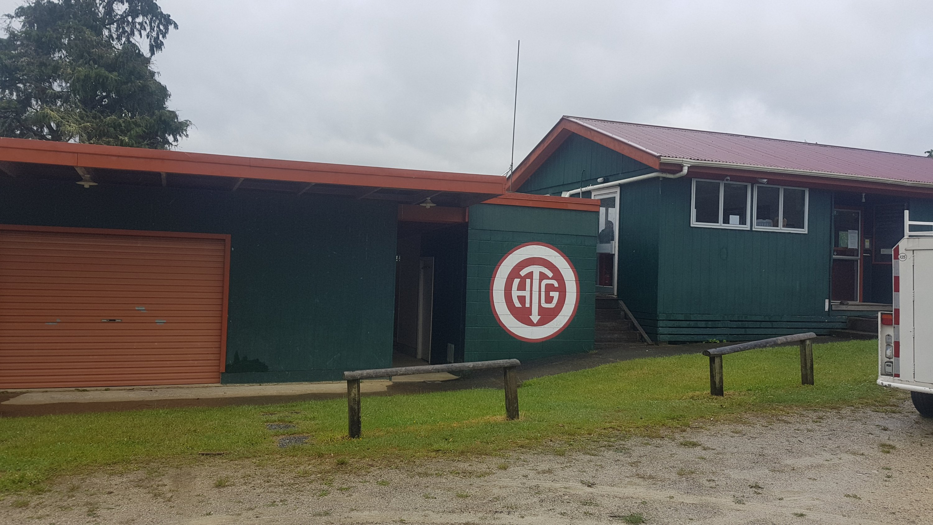
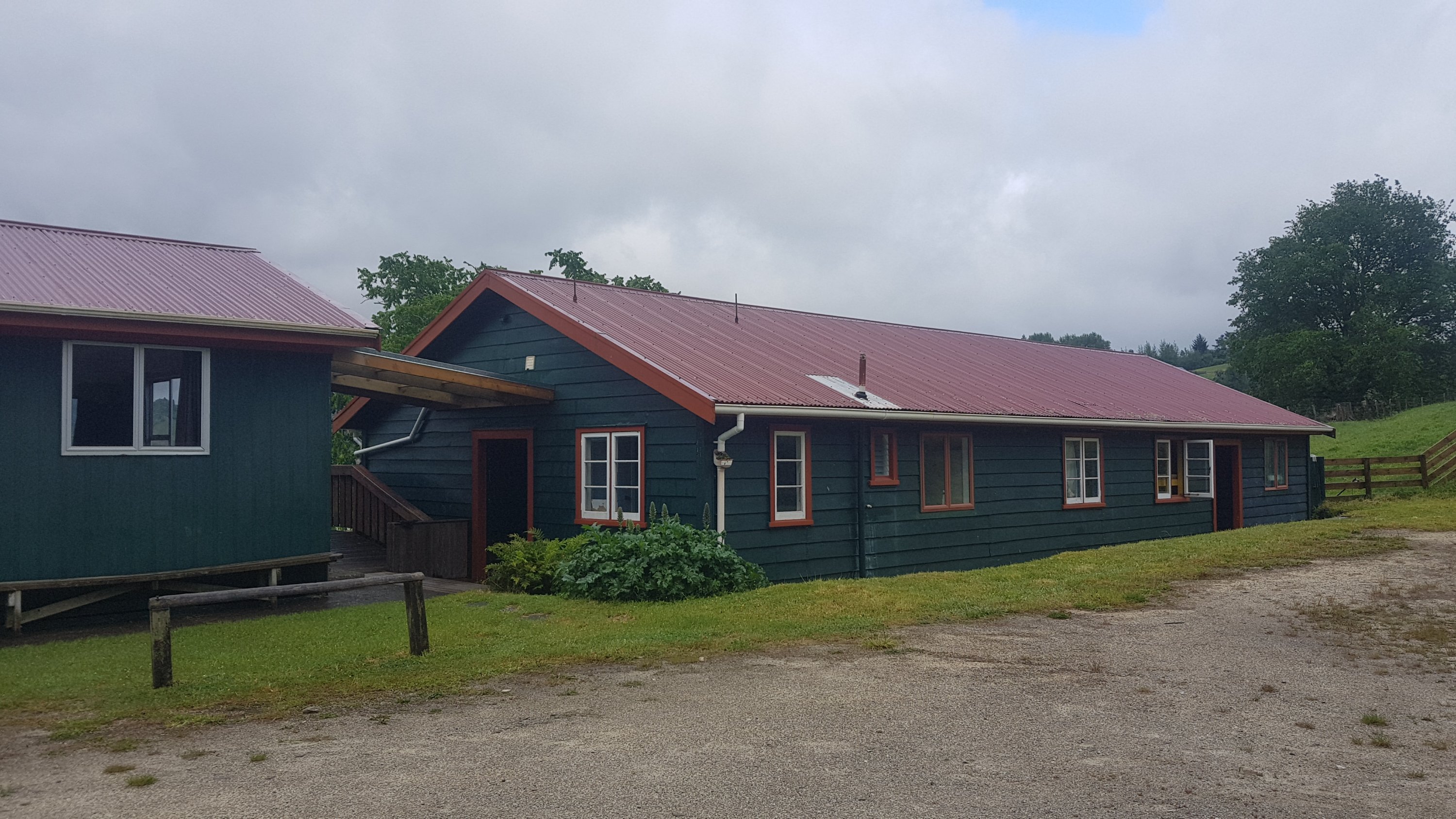
Because of the ease of walking the mountain bike track, I actually arrived at the hut at 7:15pm. It was called the “Hamilton Tomo Group Hut”. What’s a Tomo? I don’t know. Is it related to Waitomo, the town we were near? I’m not sure.
Hamilton Tomo Group Hut
This hut is a privately run hut and so costs $15 for a night, unless you are a member of some obscure organisations. It’s worth it though, the capacity I think is 35, and there are 7 rooms. Despite having a group of 11 high school students staying from Thames High School on a school camp, I managed to get my own room. Henry was also there and he had his own room too.
The main section
I got excited about the running water at the Pahautea Hut on Pirongia, but here there was even electricity! And the best part is, the teacher of the group of school students pointed out that there were 12 of them but they had 16 pizza bases, and so Henry and I were welcome to make ourselves each a pizza. I politely declined at first, but they were insistent, so we made ourselves one. The students even cut up all the ingredients so Henry and I didn’t have to do anything. Mine had on it cheese, capsicum, garlic, olives, hot sauce and herbs. I didn’t even have to share it. Thanks very much to the Thames High School group!
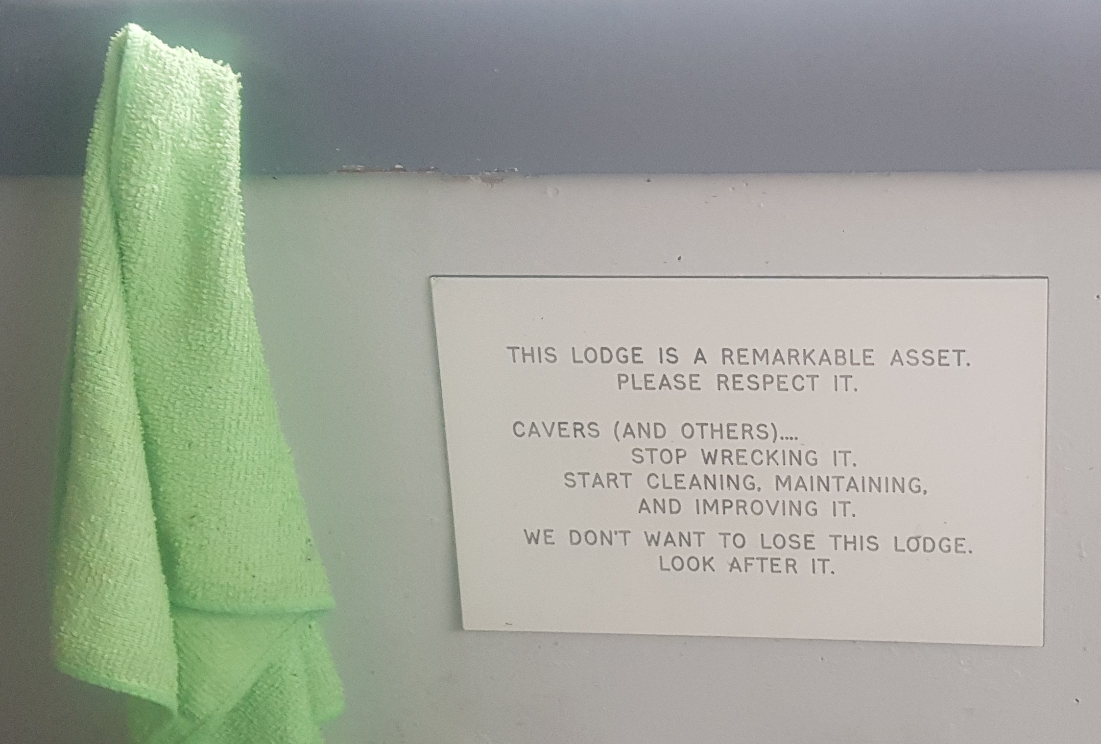
There was very much a nanny state going on inside the hut though. “Make sure you pay”. “Make sure you do your dishes”. “Don’t leave rubbish lying around”. And this one was a highlight:
I wonder if cavers are more prone to destroying the hut than others.
Today was a great day because of the sheer variety of tracks, there was a bit of everything today. Tomorrow I planned to meet my Dad in Te Kuiti at 1pm, however looking at the forecast there was a storm forecast for the morning, with the rain not clearing until between 10am and midday. That meant there was no chance of getting to Te Kuiti by 1pm, and I couldn’t really give a time as every time I try and guess what the rain is doing, I get it wrong. So I told Dad I’d start walking whenever the rain stopped and hopefully he could still pick me up.
The students were quite cool and talkative kids who were very interested in the details of Te Araroa. Although they weren’t quiet when they went to their rooms at 11pm though. Stomp stomp stomp, blah blah blah, shhhhhhh, stomp stomp stomp. It’s okay though, I was still writing my blog and I ended up getting a real good night’s sleep since I had my own room.
Date: 14 November
Distance walked: 16.6km
Trail covered: kms 853.5 to 870.6
Weather: Rained hard in the morning but we missed it
Am I running out of things to say in these factoids: yes, yes I am.
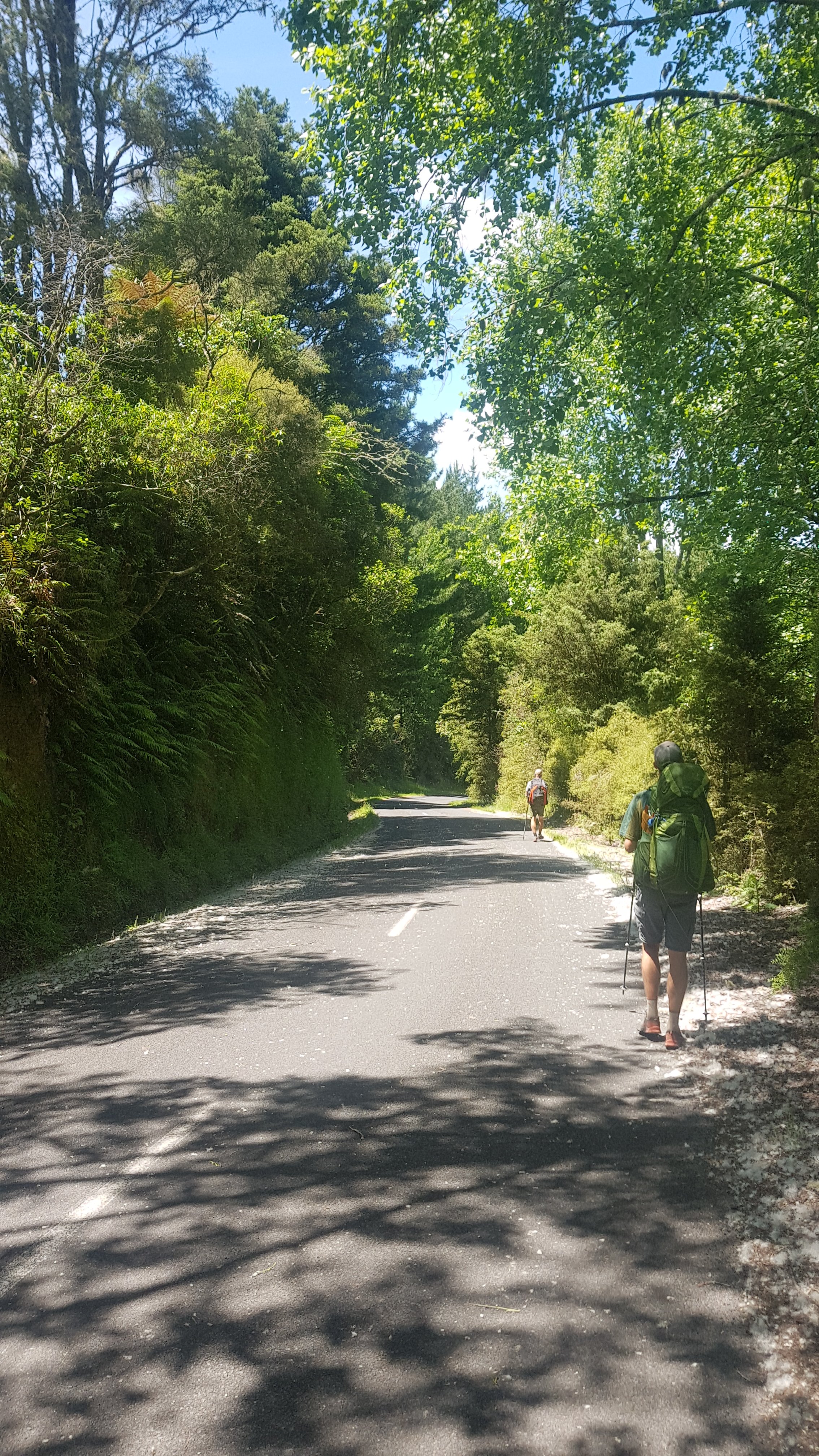
I woke up at 7:30am and the rain was quite light. It wouldn’t be pleasant to walk in but it wasn’t the great storm that the Metservice made it out to be. So I got out of bed, had breakfast, packed up my stuff and left at 8:30am. I didn’t mind a bit of rain if it meant that I would actually get to Te Kuiti at a reasonable time. I also convinced Henry to leave too and walk with me, so I had company today while walking.
And actually, the rain stopped pretty much as soon as we walked out the door. Excellent luck!
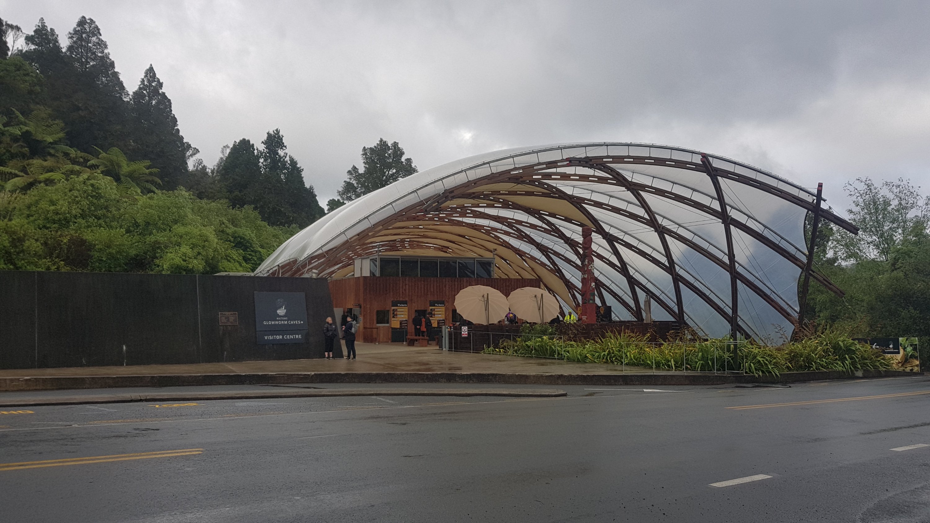
Walking past the entrance to the Waitomo Caves
I felt very lucky that yet again I had avoided the bad weather. The dark clouds were still around but at no point today did we get wet – well not wet from the rain!
The small town of Waitomo
Lots more farm walking today. Today really felt like simply a shorter version of yesterday. While writing up the blog for this day I really struggled to think of what to write, because it was so similar to yesterday and there were not a lot of things that happened that haven’t happened every other day.
Henry heading up the hill
And also more bush walking.
At least I had a companion today, that made the walk much more interesting.
Henry is a tall guy, 6ft4, and so it was interesting to see how he negotiated some of the lower tree branches and obstacles. Although he said he didn’t remember the very low vines that I crawled under yesterday. Maybe there was a real obvious way around them that I just didn’t notice.
The grass was long and because of all the rain, today my feet and shoes got the wettest they’ve ever been – after not too long I felt like I’d walked through a stream.
Guthook said that there were three major “up ‘n’ downs” today, and that was the first of them – up through the farm and down through the bush. The second of them was very similar – up a fenceline…
Fenceline walk into the bush
Along a bush track…
And down through a paddock which I assume was being prepared for crops.
The view while we were going down the hill was again a great view of the surrounding area, although we’re far enough south now that I don’t recognise any of the hills or surrounding landmarks.
At 11am we were still following markers down the hill.
11am picture – farm walking
The suspension bridge was a cool thing to walk across.
Suspension bridge
And straight after this was a reserve which was populated almost entirely with Kahikatea Trees. I didn’t know that, I learned it from the trail notes.
Reserve with awesome trees
There were more animals.
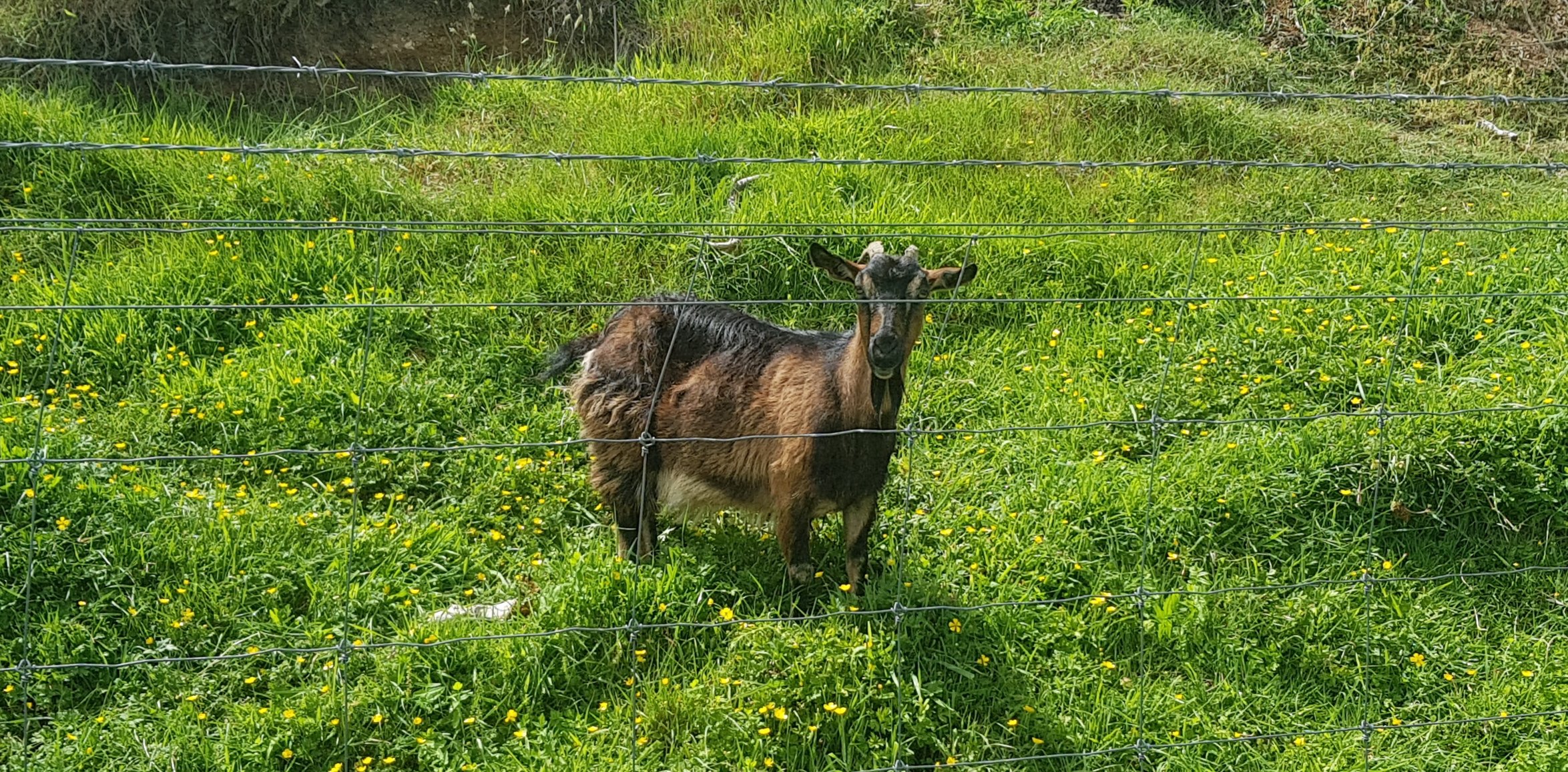
Young goat behind the fence
The two of us had a bit of lunch just before midday in the middle of the farm.
Cheese check Day 4 – it’s getting soft but still tastes perfect
And another airstrip.
Yet another airstrip
From this point we got quite lost. The line on the map just didn’t match where the markers pointed. And the guthook waypoints said things like “go uphill” when the markers pointed around hills. Where the actual line crossed a road there was no stile or gate or anything. So we did a lot of climbing fences, which was an interesting bit of added exercise.
We looked on the Guthook topographic map, and the red line went right past a “mast”. We could see it in the distance. So basically we just walked in a straight line up the side of a massive hill climbing any fences we encountered until we found some markers that were actually clear. You can see the detour in the map below just before Te Kuiti.
The mast in question
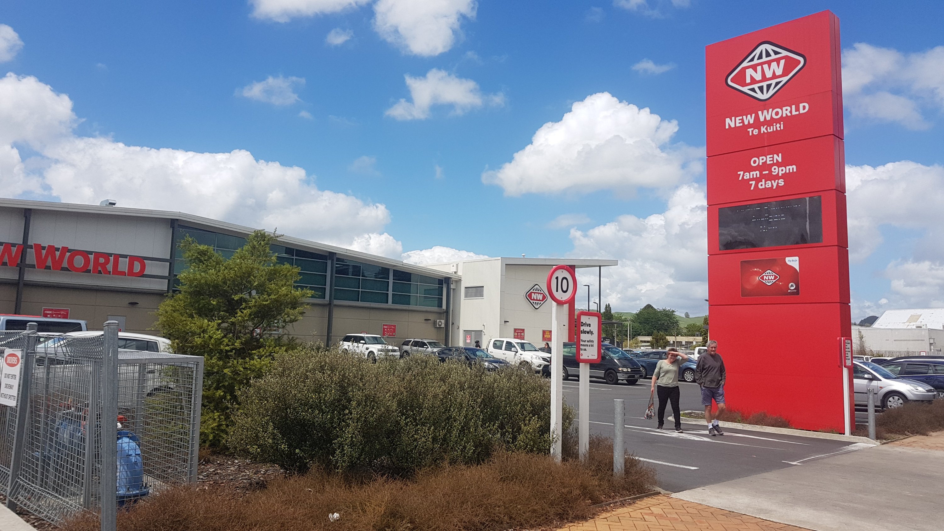
At least once you were past here, you could finally see Te Kuiti. I could even spot the New World, which was the agreed spot to meet my Dad, which was just past the bright red shed that is The Warehouse.
The end is finally in sight
There was one last bit through a tree graveyard:
Lots of deadwood
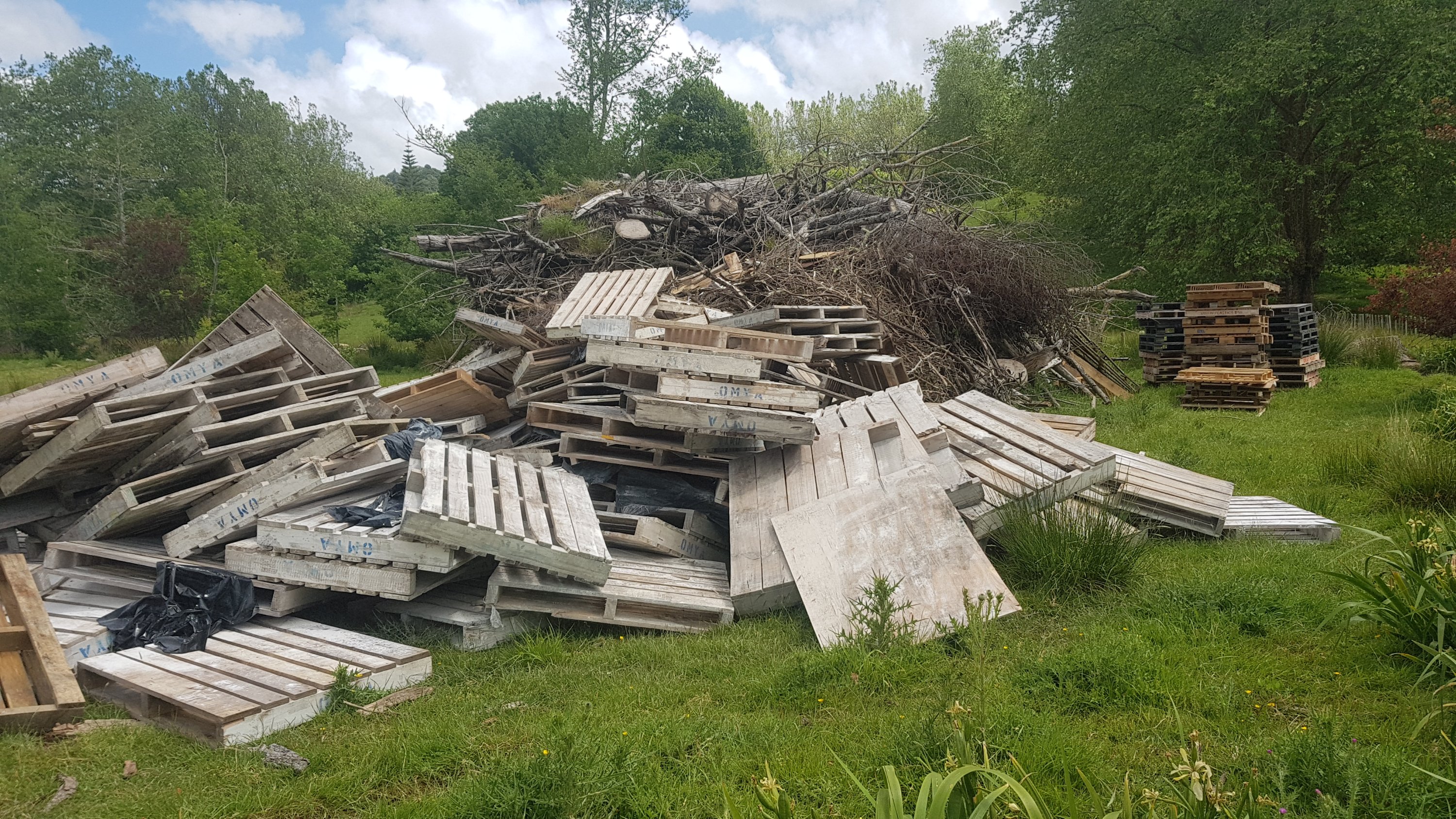
And a bunch of pallets:
Is this someone’s dumped rubbish?
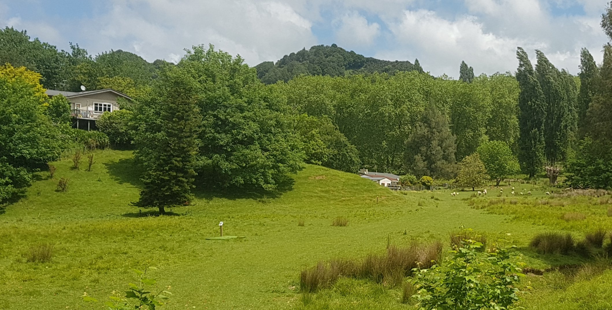
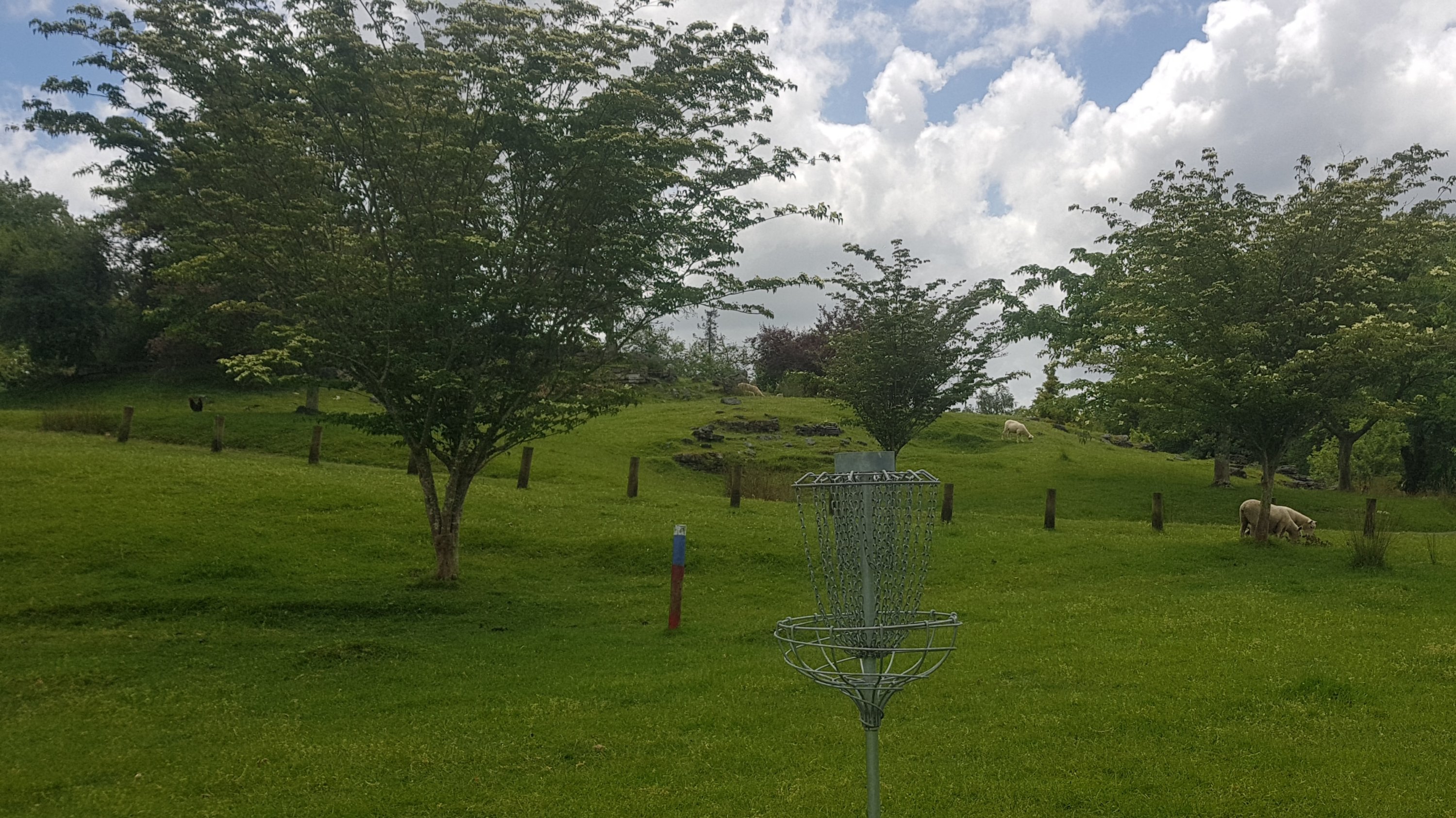
And we were in something called “Brook Park”. Here, there was something called a “disc golf” course. My understanding is that you have to throw frisbees from tees like this:
The tee is in the centre there
Into baskets like this:
The “hole”?
I bet it could be fun if you had any kind of coordination at all.
I left Henry at the Bosco Cafe which you pass just before you come out onto State Highway 3. I walked down SH3 into town (on footpaths, thankfully) and made it to the New World.
Final destination
We ended up driving back to the Bosco Cafe and having a bit of food with Henry before heading back to Te Awamutu where I spent the night.
Originally when I started this walk, Te Kuiti was kind of a “mini goal” in my head. The three main goals were getting back to my place in Auckland, then getting to Wellington, and then completing the whole trail down to Bluff. However, in my mind, Te Kuiti was a significant point because once past here, I don’t know any people until I arrive in Wellington, and also it gets a lot more remote. I have been relying a lot in the last week or two on my house and my friends and family in Auckland and Waikato. That will be ending tomorrow, and it will be back to simply walking when I feel like it, not walking when I don’t feel like it, and camping at a bunch of campsites. It’s been nice having a lot of people supporting me but in a way I’m looking forward to getting back to the “real trail”.
I have a feeling the next 50 days are going to be a lot different to the last 50 days.
Date: 15 November
Distance walked: 21.5km
Trail covered: kms 870.6 to 891.9
Weather: good temperature and breeze
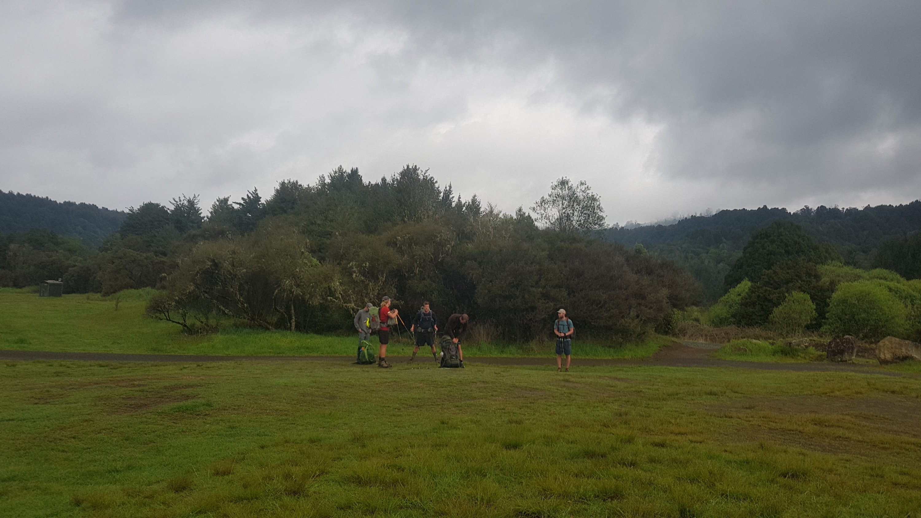
I woke up this morning feeling like a new era was starting. The first day of the second part of the north island. Mainly because I didn’t know what was coming and I dont have friends and family to call on now.
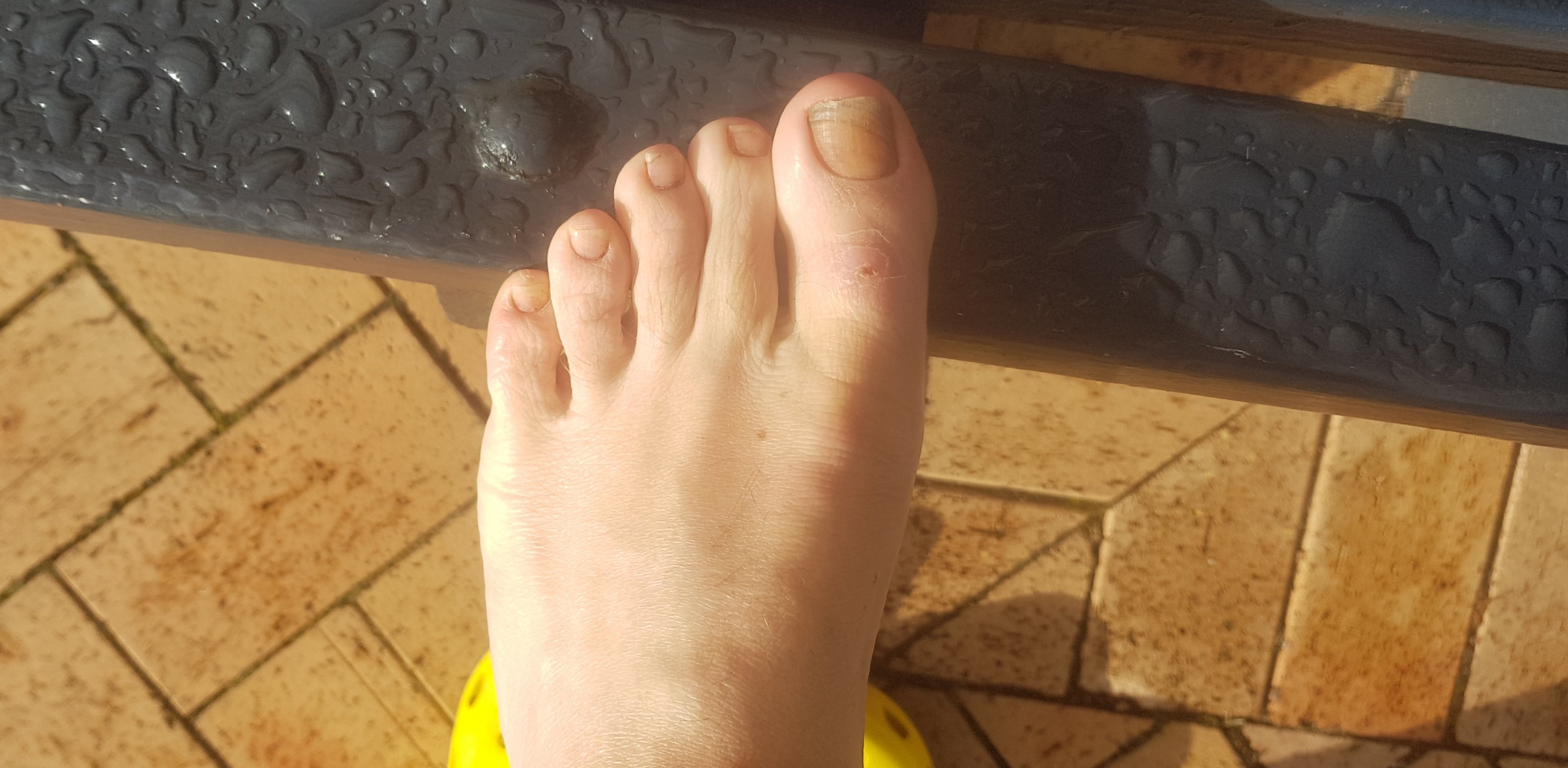
First I wanted to head to the doctor to see about my big toe.
A nice picture to start off
It has looked a bit puffy for a week now and the nail has always looked a bit weird but it was getting darker. The doctor had a look and said likely I’ve just bruised the toe, and the nail has been dead a long time. And to prepare for the nail to fall out. That 2 minute consultation cost me $75, but that’s what you pay in NZ as a casual patient. In Auckland it would have been $95.
And I had to talk to the doctor in a common area, with a family seeing another doctor mere inches from me, and two construction guys chatting loudly on the other side. When I pay $75 to see the doctor, I expect a private and quiet room. What I was provided at the Te Awamutu Medical Centre was unacceptable. I won’t be going there again.
So shortly after that it was off to Te Kuiti. Dad drove me there in his car since I stayed with him last night.
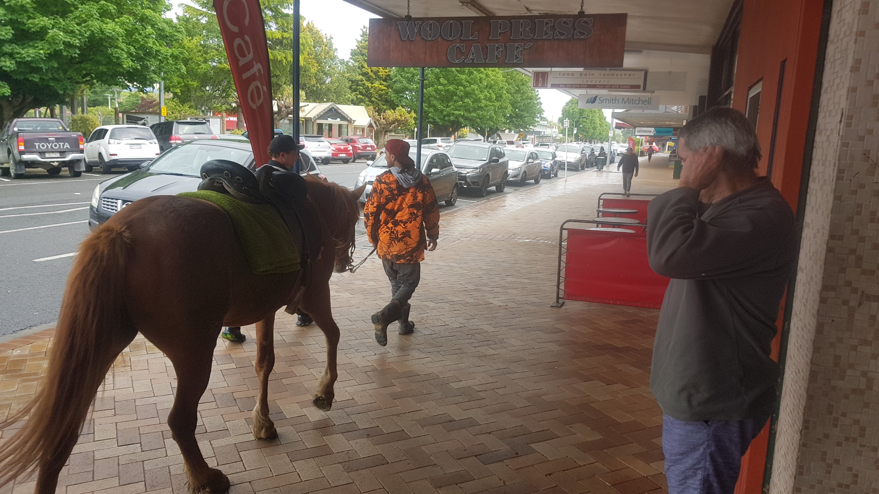
The first thing we noticed was a horse walking down the main street.
This was one of two horses on the main street today
We also noticed a guy in the cafe wearing a big pink dressing gown with the playboy bunny on the back. Sadly I couldn’t take a photo of that one.
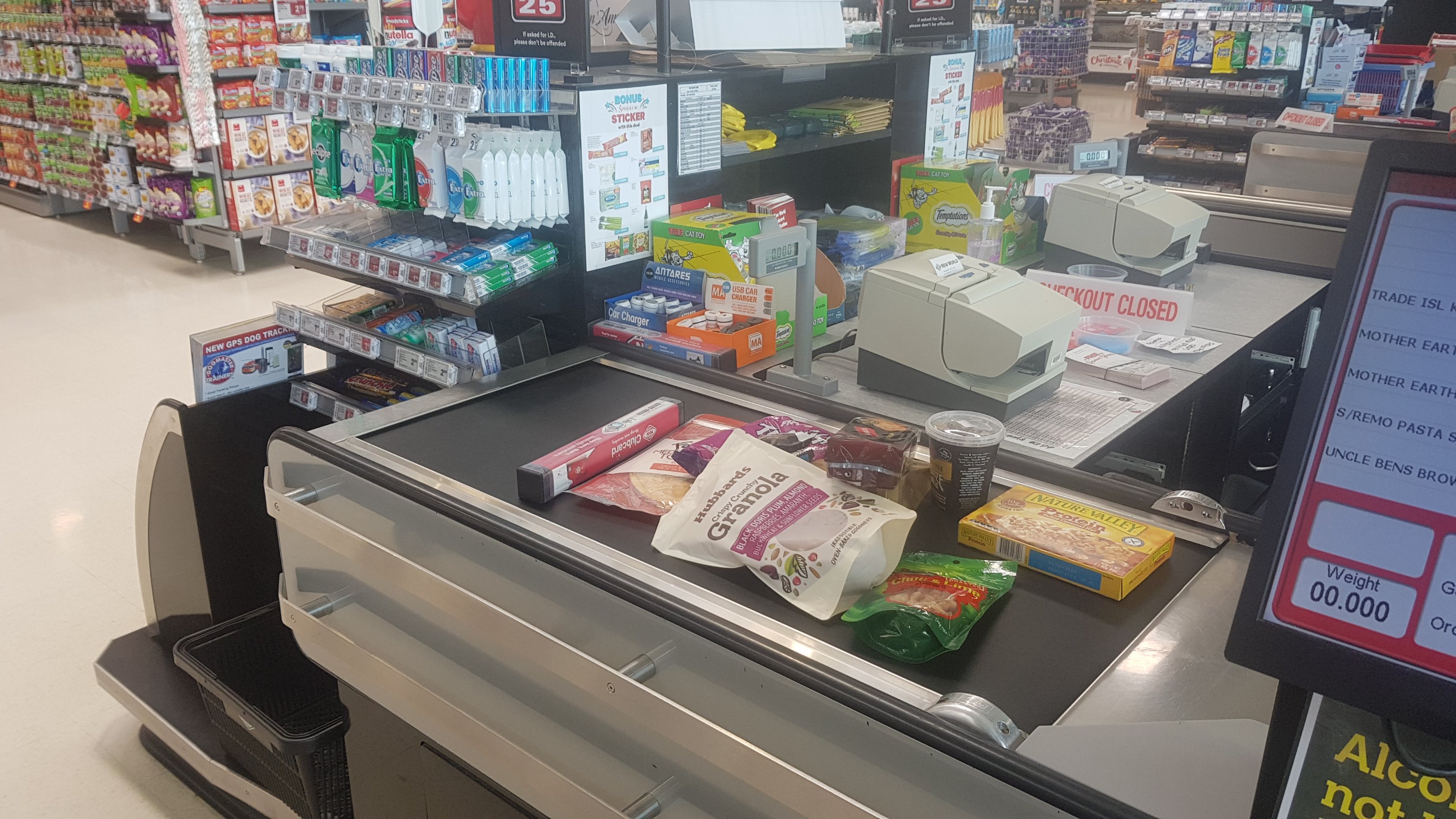
I bought a bunch of food since it is about 160km to the next major town, Taumarunui. It barely fit in my pack, but with a bit of shuffling things around, I made it work. It was 11am when my purchases were going through the checkout.
11am goodness
The woman at the checkout asked if I was walking to Bluff and did I know that I could just take a plane or a car. I didn’t have my pack or poles with me (they were still in the car) so I wasn’t sure how she knew I was walking. Maybe it was the ragged look, or the hiking boots. Or maybe it was the fact that four other hikers have just turned up and have also been buying food.
Two of them were Ethan and Alex, whose blog I have read and have been following Instagram, so I recognised them. The other two were Charlie and Peter, two brothers from Belgium. We all walked a short distance together but then one of the brothers had his Camelbak leak all through his pack and so the two Belgians went back to the accommodation to dry everything out.
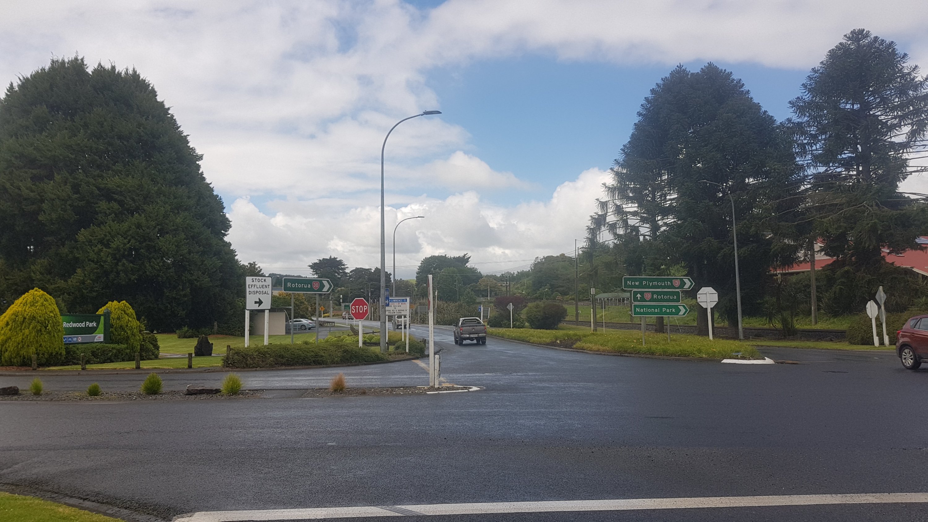
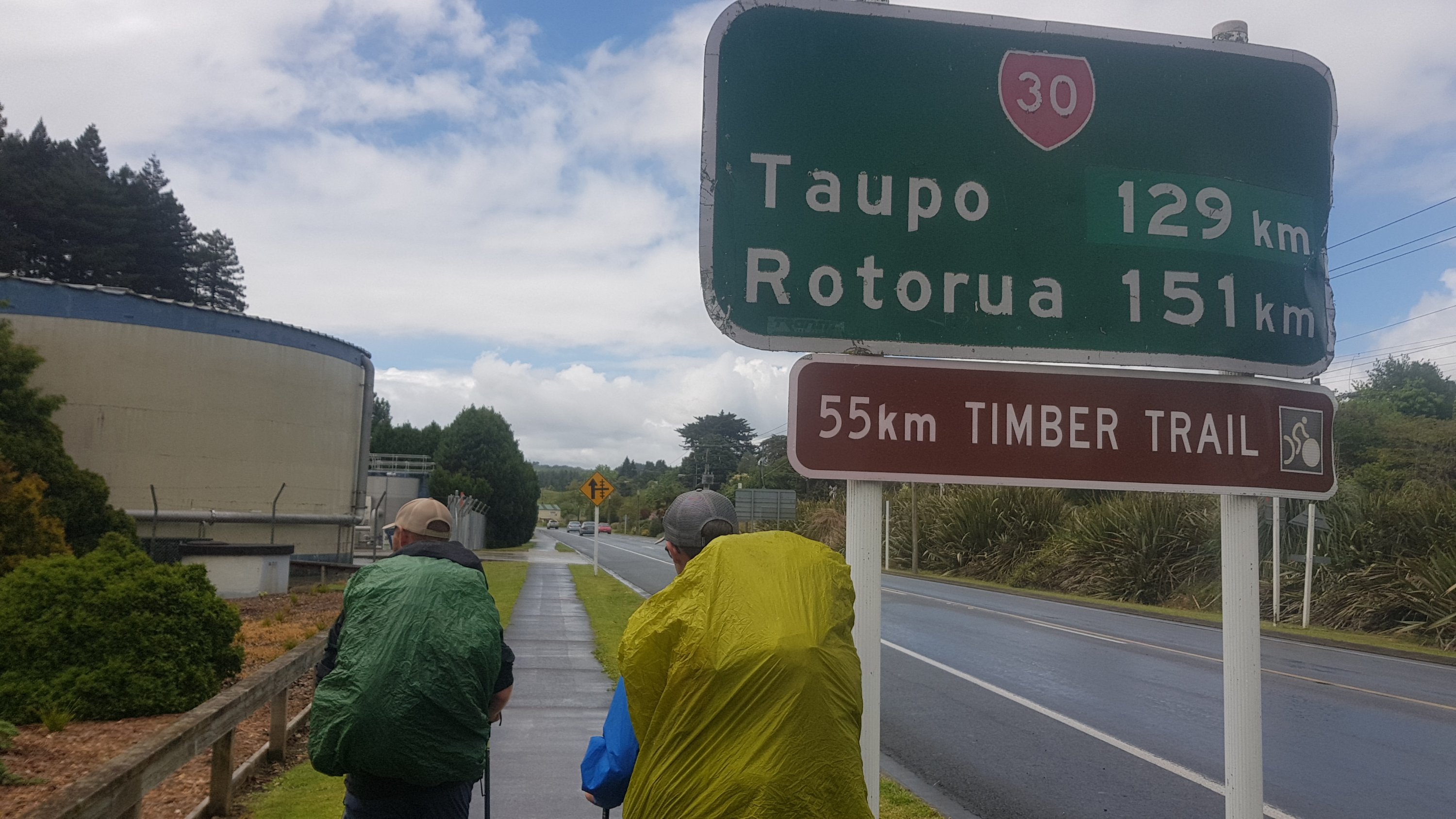
Straight ahead here onto State Highway 30
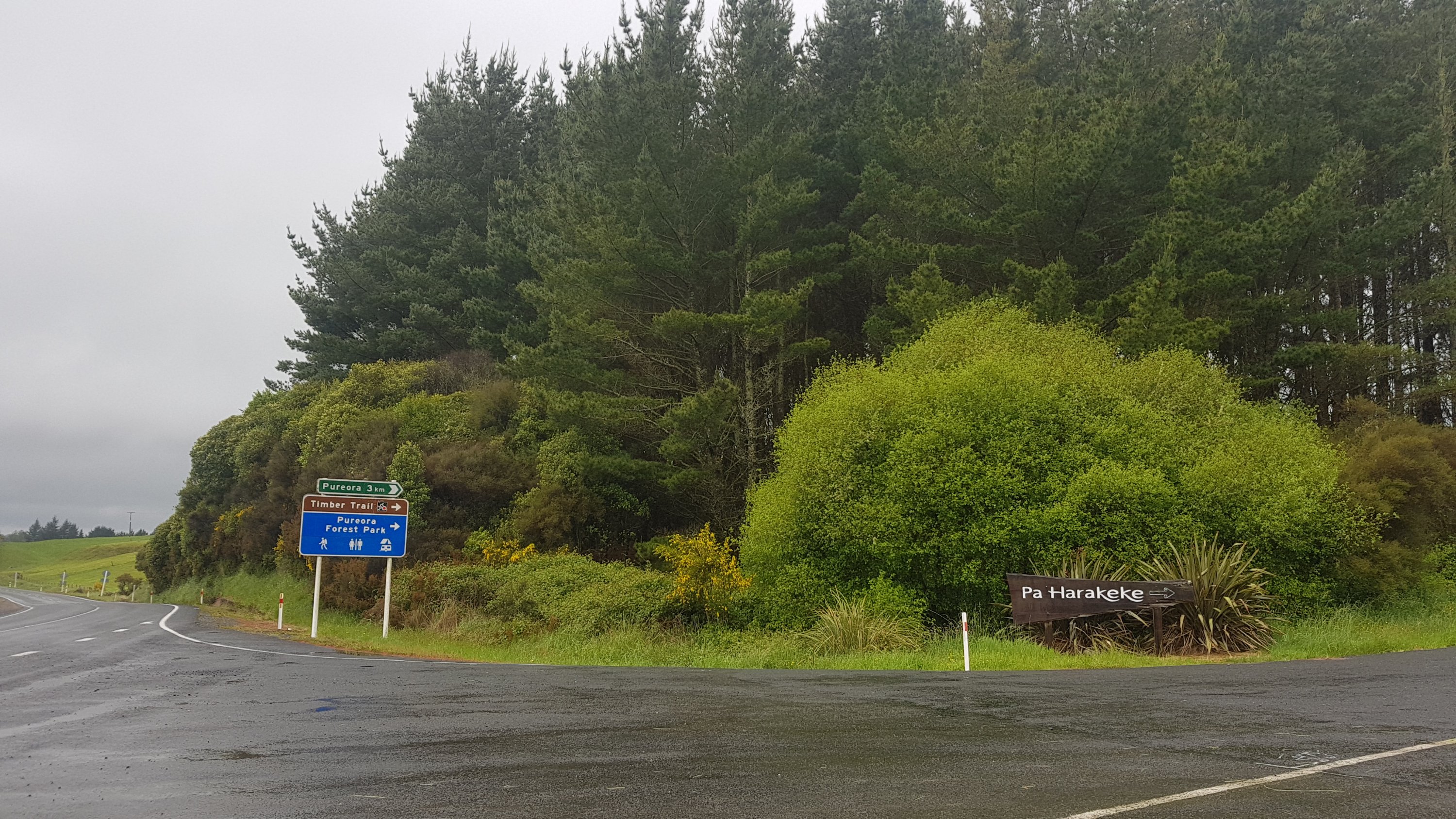
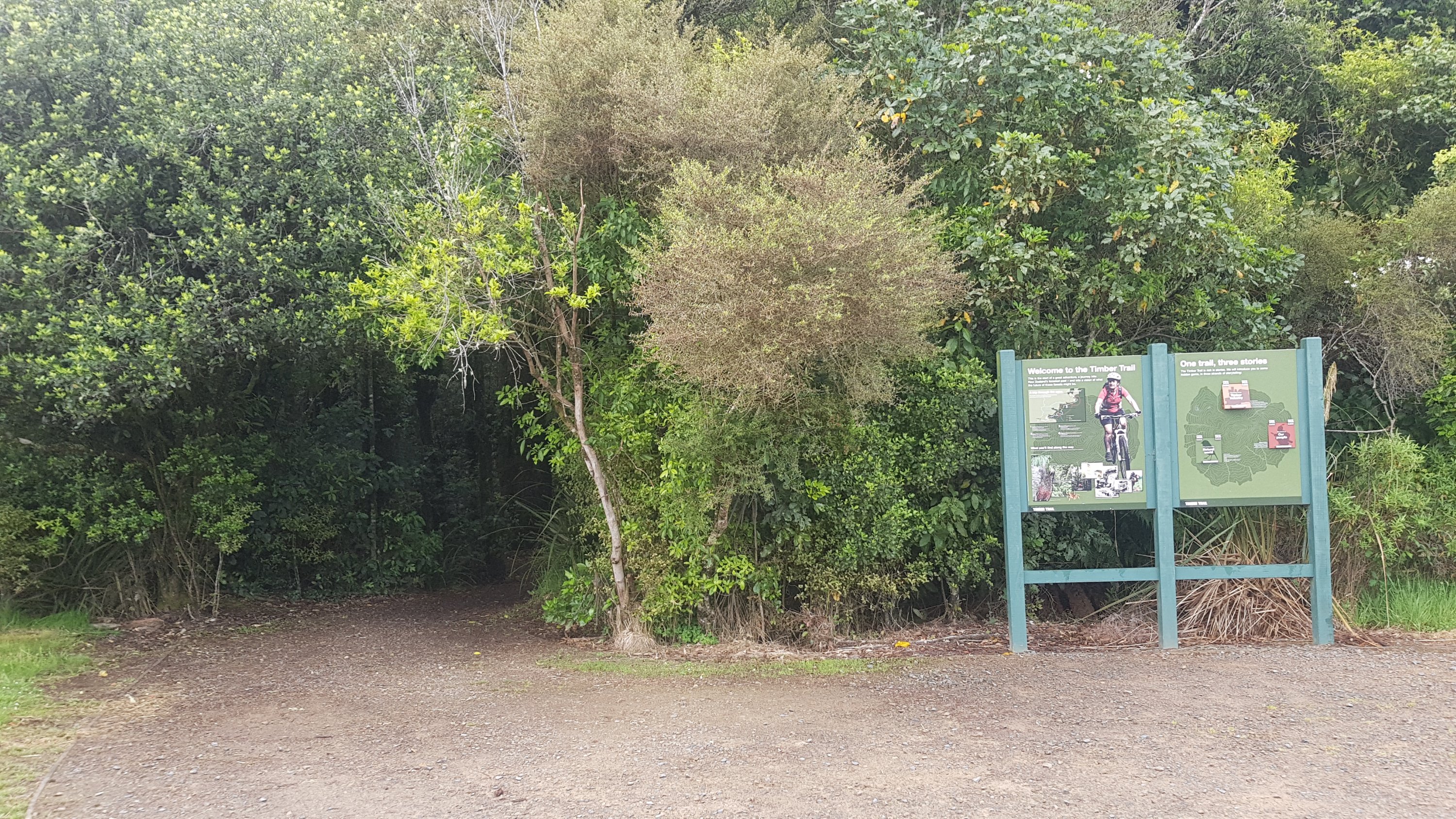
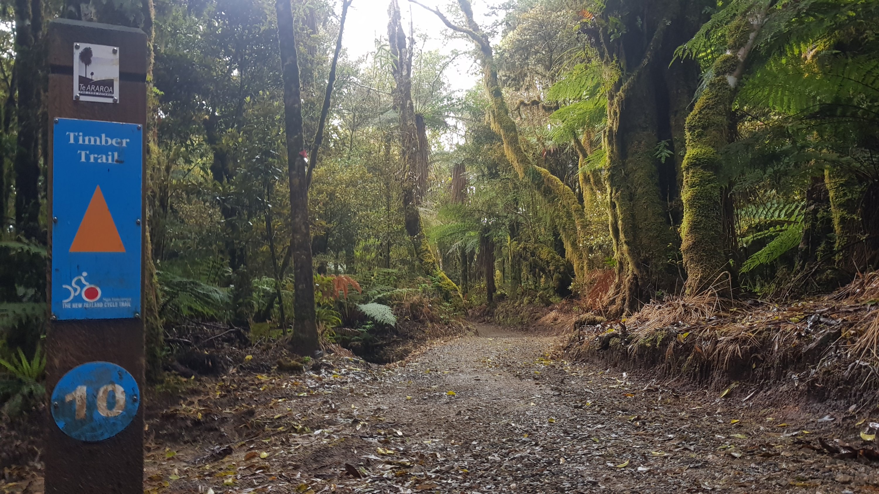
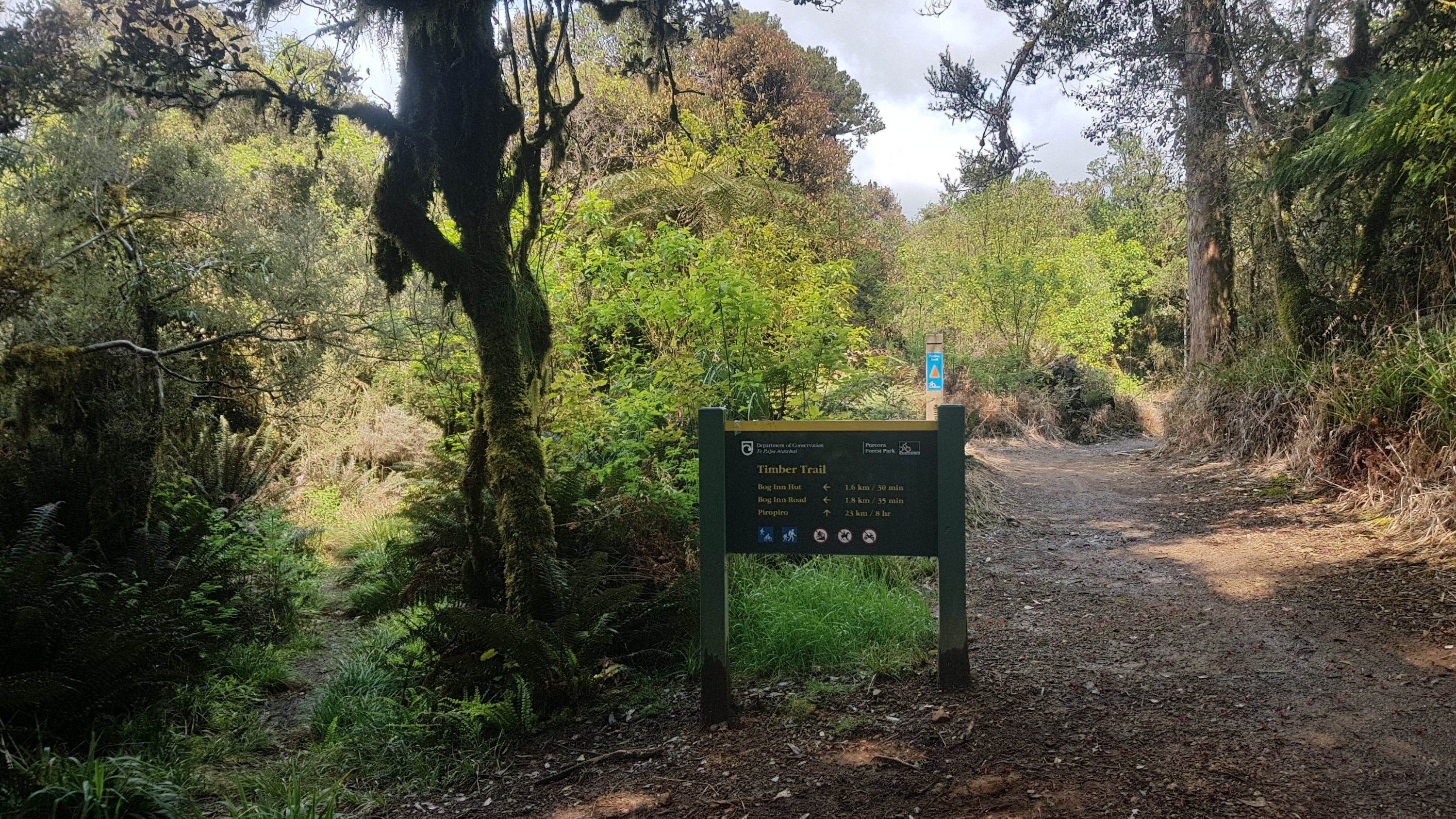
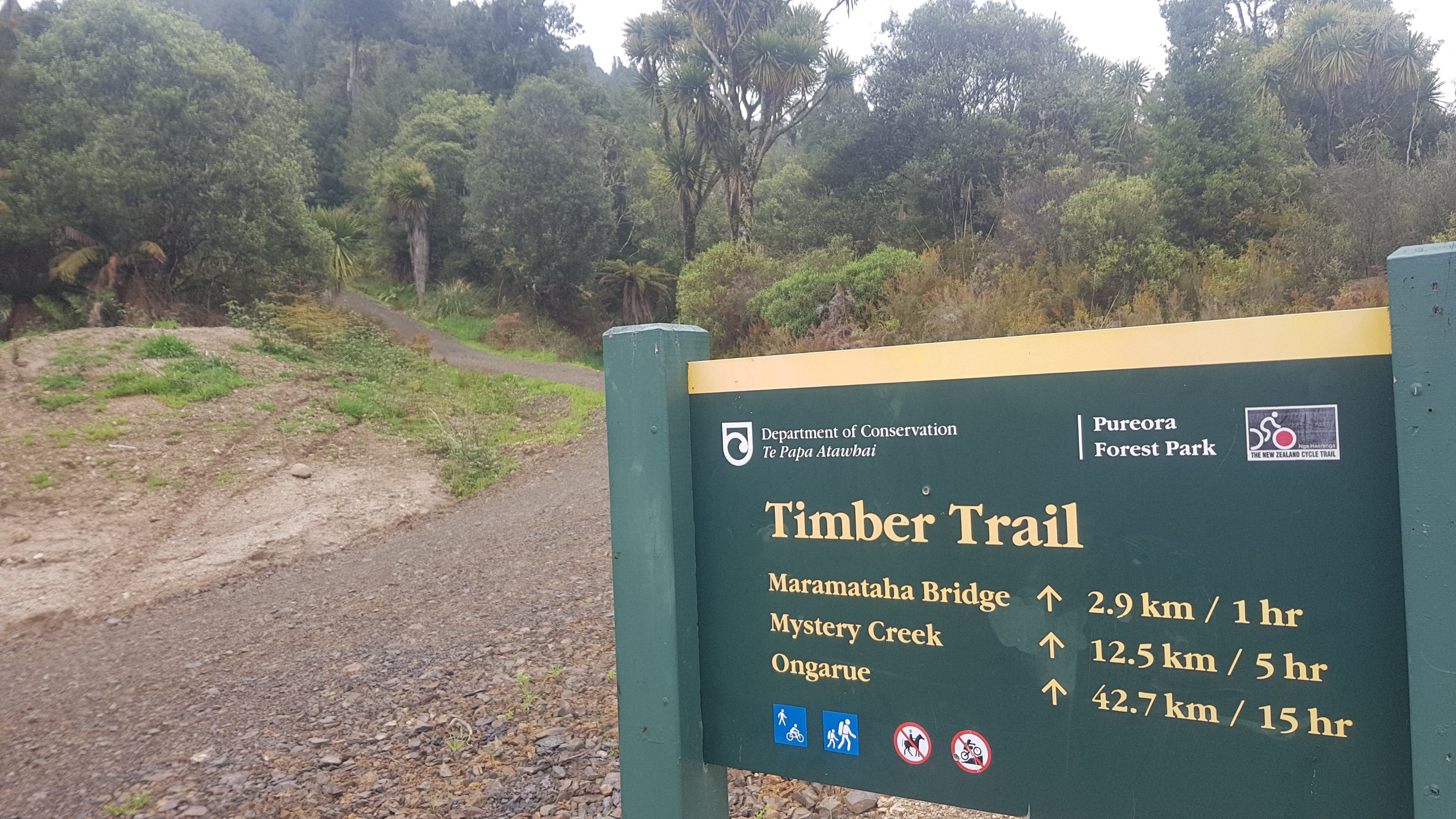
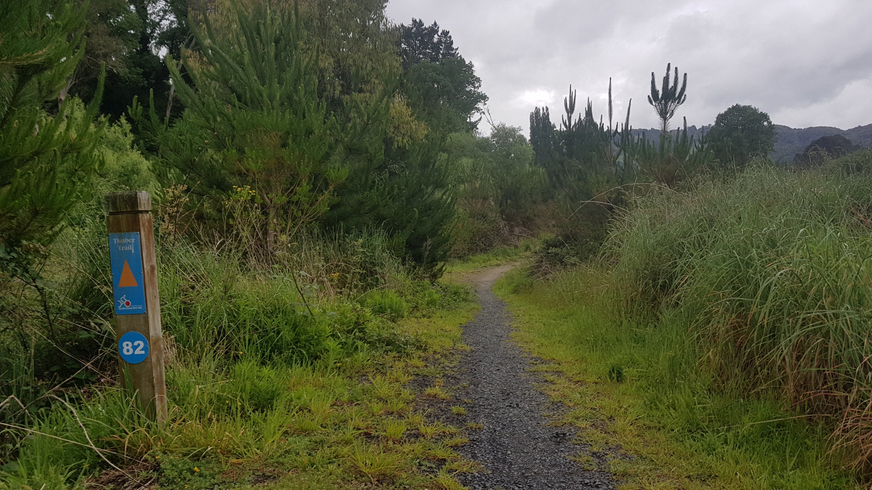
We were walking towards the Timber Trail – a long cycleway.
Timber Trail ahead
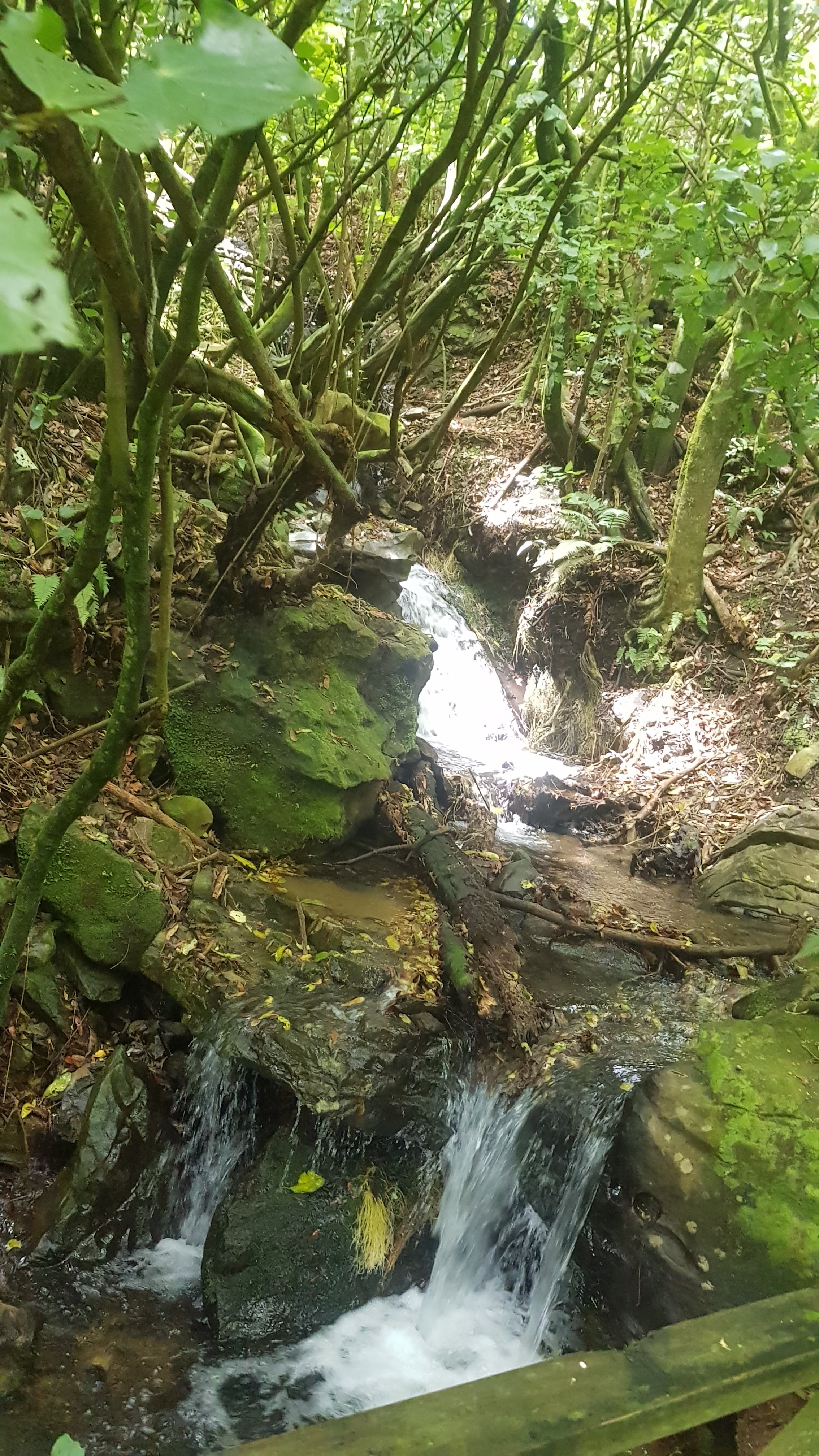
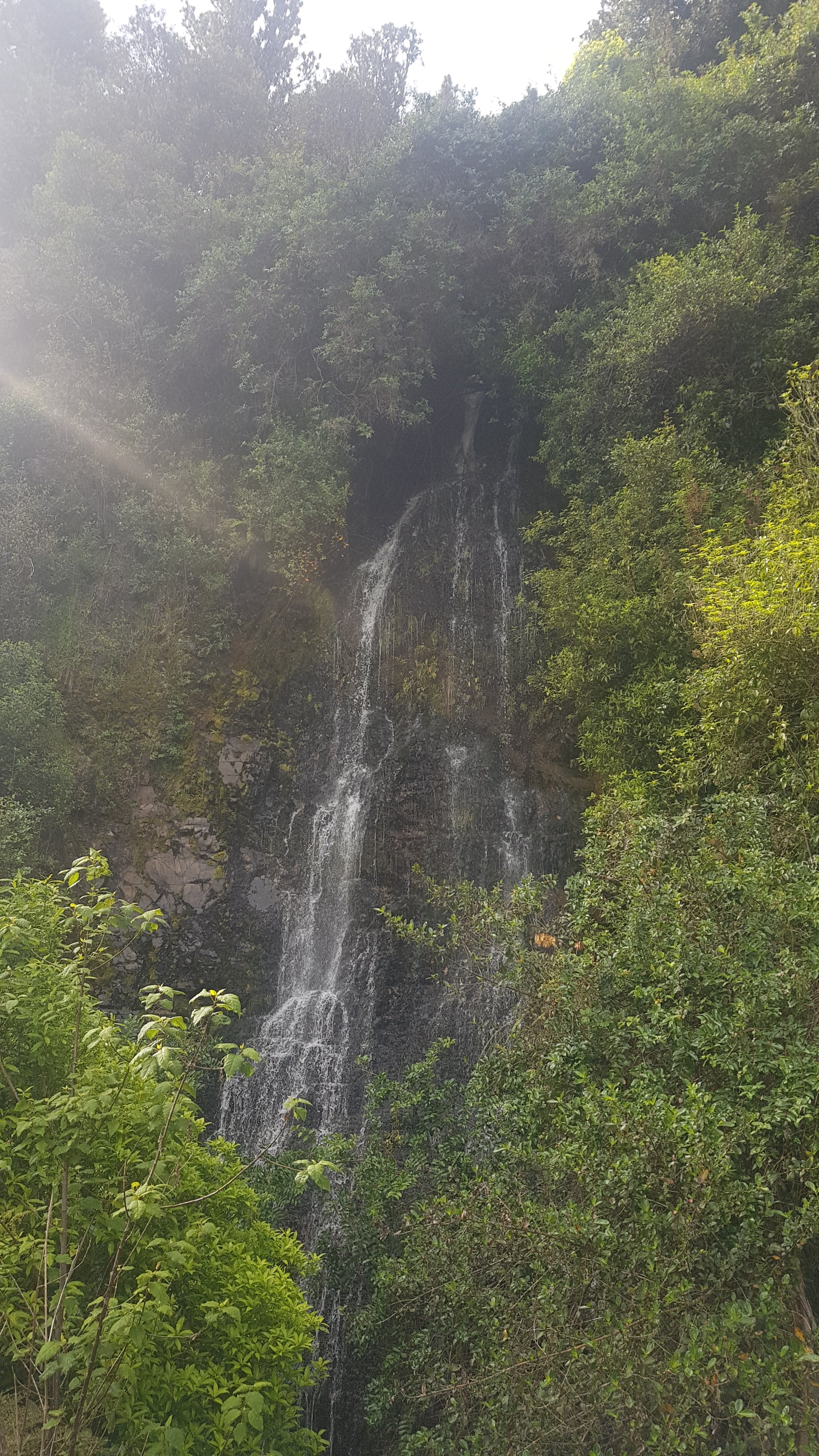
But first it was a riverside path. It went past one nice waterfall…
Waterfall 1
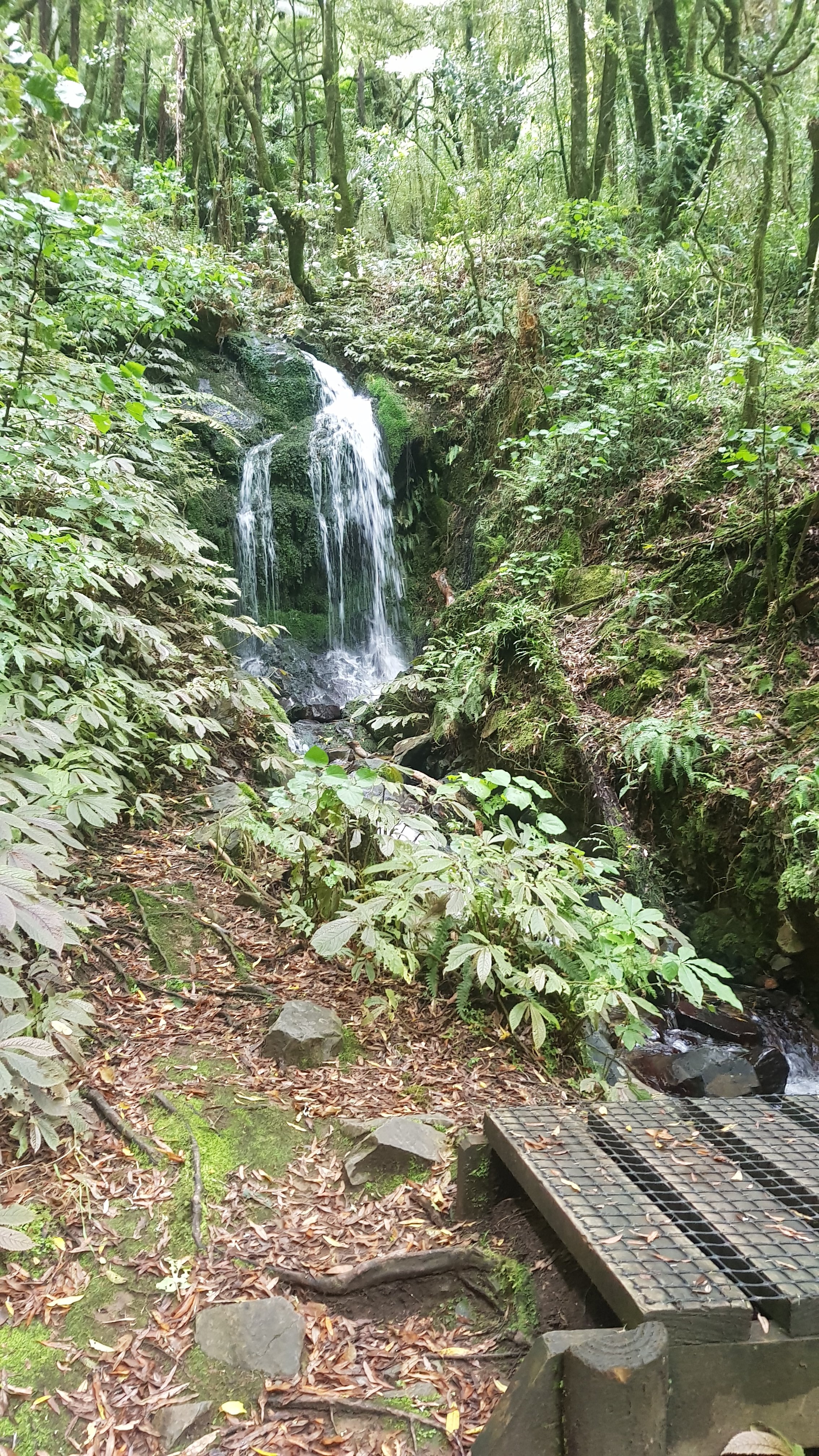
…and another nice waterfall…
Waterfall 2
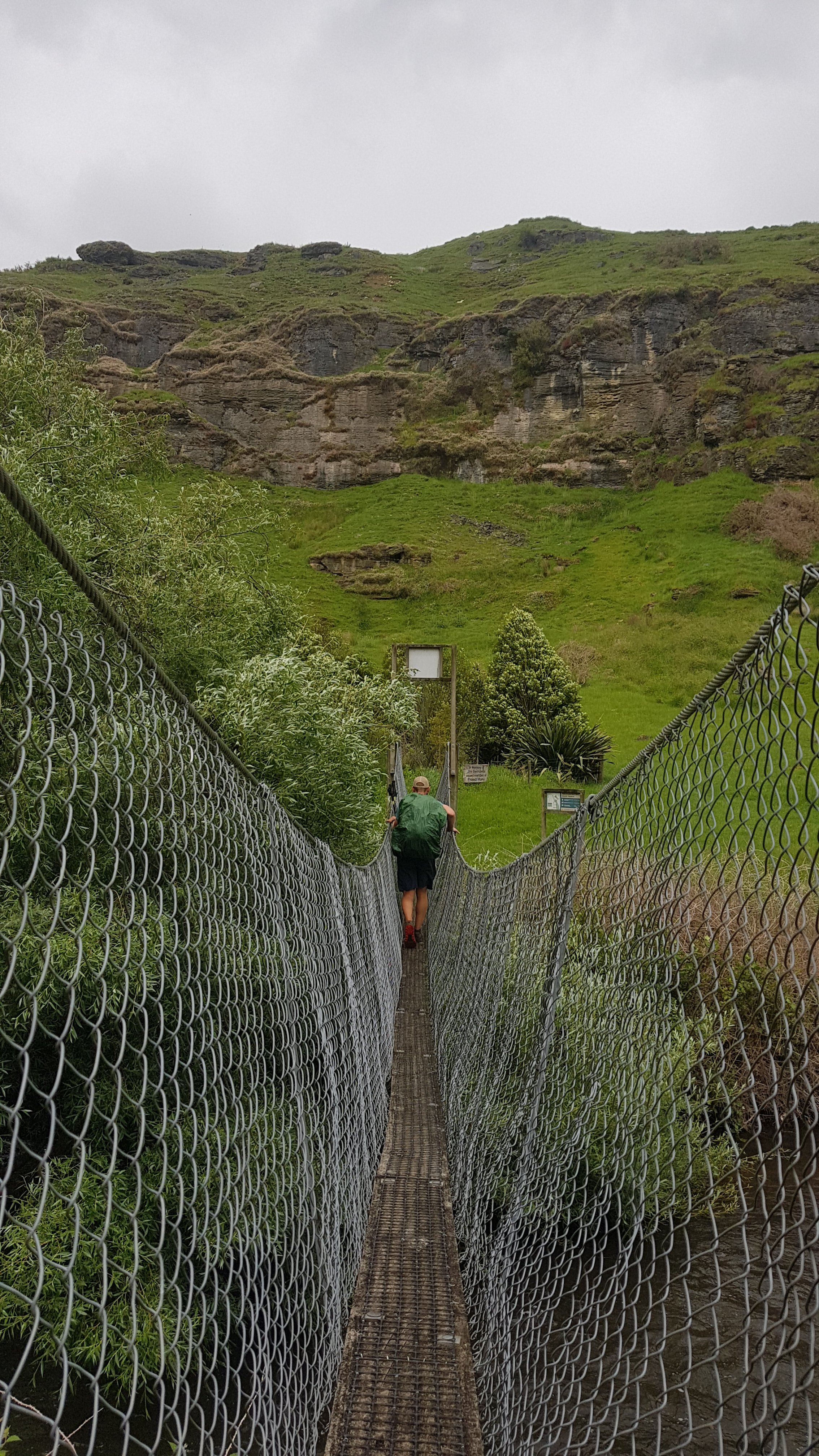
And then across a suspension bridge. Maximum one person at a time!
Alex crossing the suspension bridge
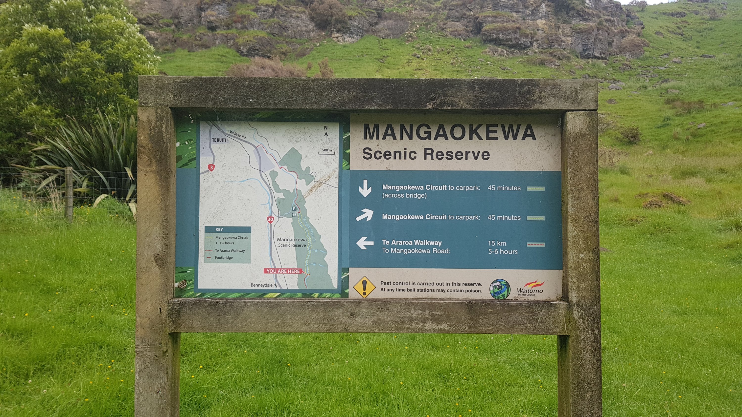
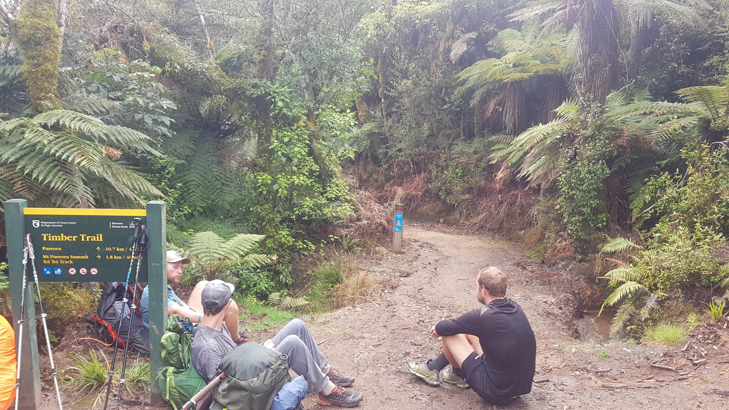
We had had an easy walk up to this point but now we were walking into something called the Mangaokewa Scenic Reserve.
And apparently it is 15km. To what exactly I don’t know. At this point I laughed at the 5 hour estimate. I boasted to Alex that I always do it in less time than it says.
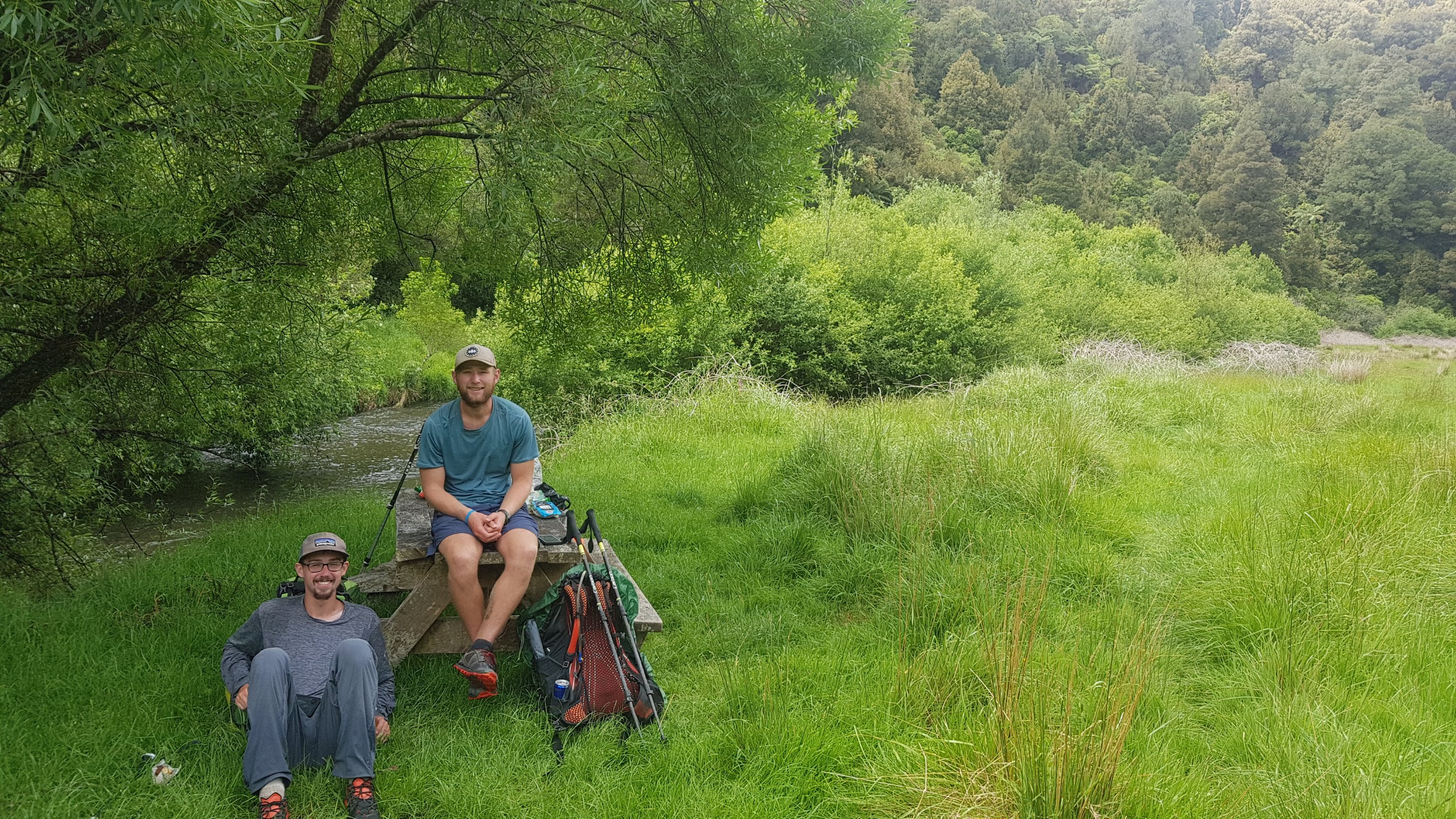
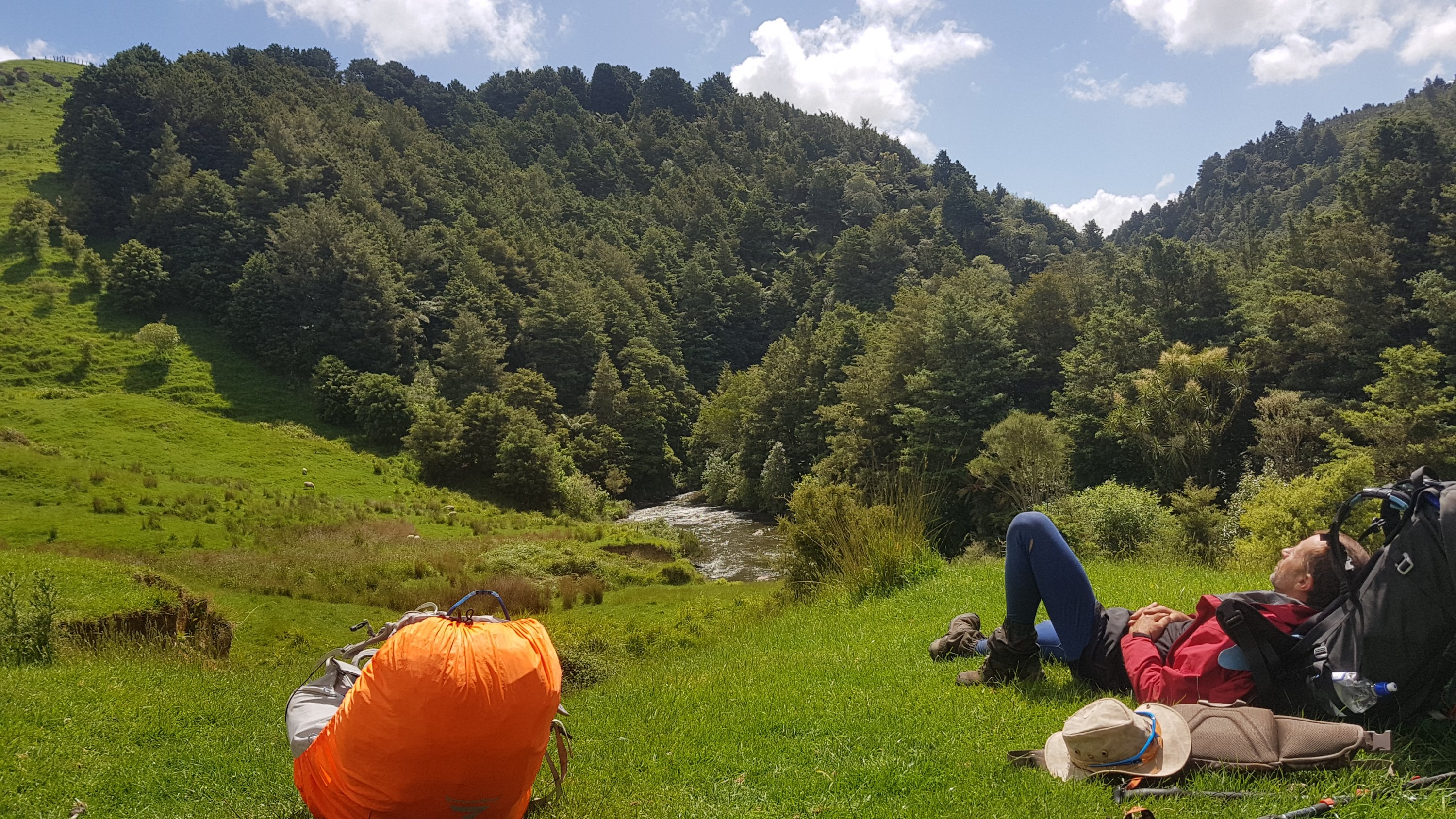
There was a picnic table here, so it was a good spot to have some lunch first. I have a feeling this is also the point that Henry walked to yesterday to camp at. Looked like a good camping spot.
Ethan and Alex, my two walking buddies for part of the day
The path started out okay…
And had nice views…
There was no phone reception most of the day though. Up a hill at this rock was some coverage and so I took a few minutes to finish off a blog post and send some messages.
Reception Rock
From here though the path began to get a little obscure. It was also quite hilly and a little rough. I lost Ethan and Alex here – they seemed to be mountain goats who could walk along any terrain with ease. Ease that I seemed to be in short supply of.
Leaving Reception Rock
After emerging from the bush, I saw Rhydian taking a break. I stopped for a bit and joined him. While we were resting, Charlie and Peter walked past and went ahead.
In the distance is the bush we emerged from.
Not long after was a couple of unexpected tables and chairs.
An interesting place to stop for lunch
And some awesome trees.
However again the path got a bit obscure.
Rhydian negotiating the path
And in some places, it was downright dangerous I thought. It went along the edge of quite a hill and some places, like here, was almost completely subsiding.
Not too happy walking along here. How long can the trail last like this?
Coming up to this bit, the advice was to walk up the stream – but the sign there says that you can walk along the log across the river, up the grass on the other side and then across a bridge upstream.
So that’s what Rhydian and I did.
Rhydian and “the log”
The bridge back across seemed to be made from an old container.
These two trees were interesting, they seem to have grown together.
The track became more varied. One minute it was blackberry junction…
I am very very prickly, sir
Then it was easy walking through farmland…
And then up the side of a great big hill.
I actually really liked this bit
Thanks to whoever built a new fence and didn’t incorporate the stile. That’s really helpful, thanks.
In case you can’t tell, I was being sarcastic.
The trail today was a lot tougher than everybody thought. The sun started to get low as the day went on.
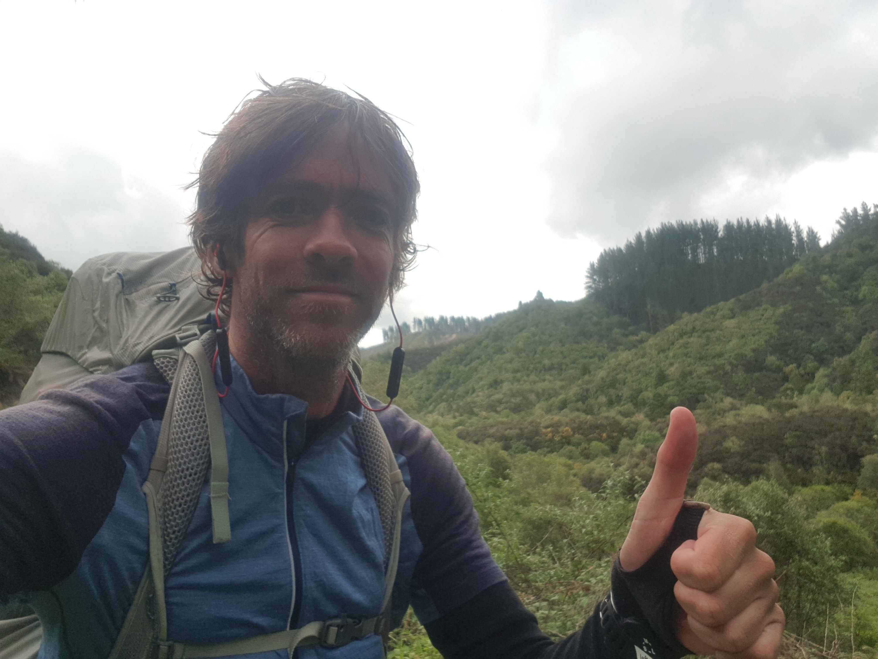
Who’s that handsome chap
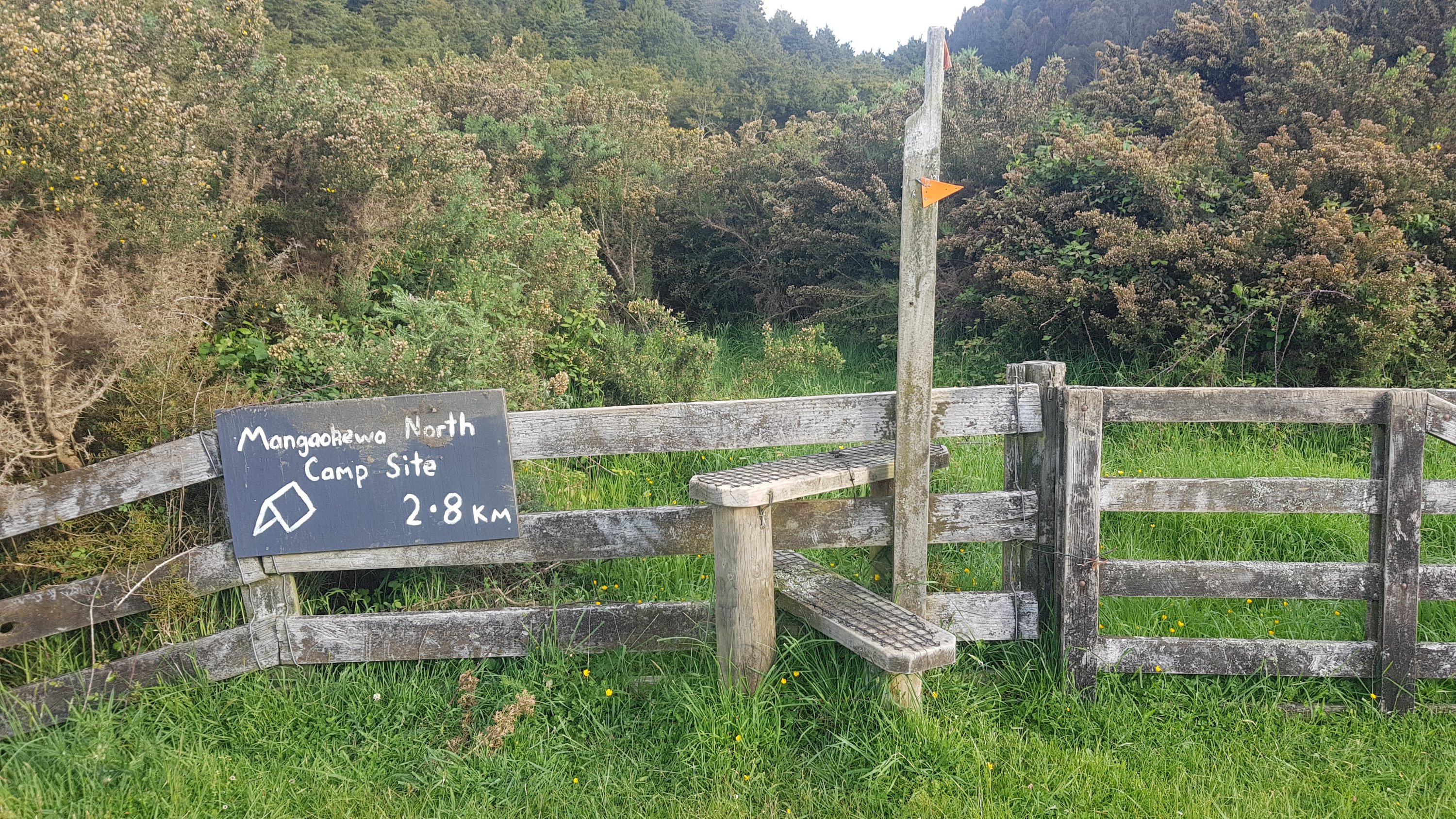
But finally, at least there was a sign. The end was in sight… well it wasn’t in sight yet but at least I knew it existed.
Mangaokewa North Camp Site 2.8km
The last bit was walking along the side of the forest in the background of this photo (avoiding the gorse in the foreground).
It was nice easy walking. And surprisingly, I caught up to Charlie and Peter. The reason soon became obvious, Charlie was limping quite badly and looked to be in a bit of pain. The three of us walked together until we found the campsite.
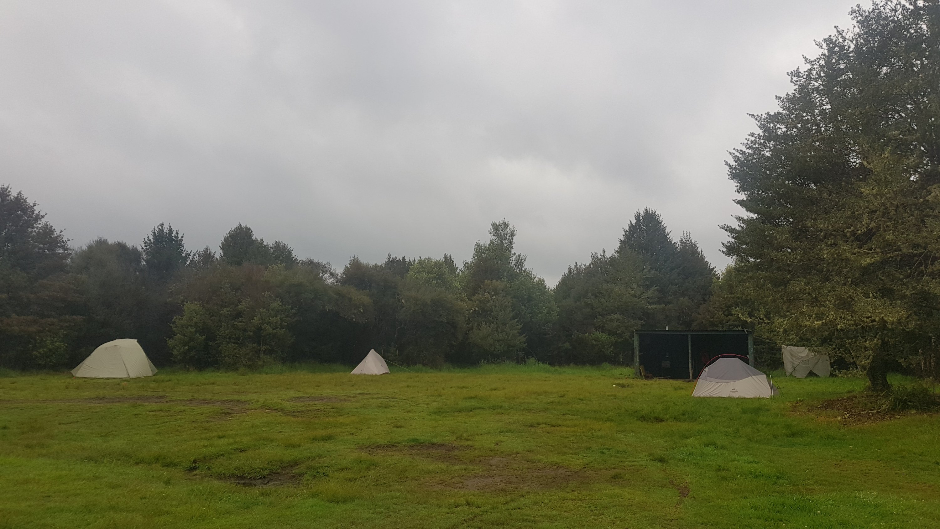
Mangaokewa North Camp Site 0km
However what happened next is that Guthook showed another campsite 2.7km beyond this one, and Alex and Ethan were not here so the three of us kept walking. About halfway down the road Alex and Ethan came walking back towards us, and did not look happy. They said that the other campsite did not exist, so they had walked quite a fair bit unnecessarily, So we all turned around and headed back to the first campsite we saw.
On the way, the farmer from the house up on the hill saw us and asked us if we were okay. We told him what happened and he gave us a lift on the back of his ute down to the campsite. And he also brought us a Speights beer each. That made the evening a bit nicer.
Thanks to this guy for dropping us off and for actually creating the camp site 👍
I laughed earlier on in the day about it taking 5 hours to do 15 kilometers but I think it ended up taking longer than the 5 hours. The terrain today was more difficult than any of us thought.
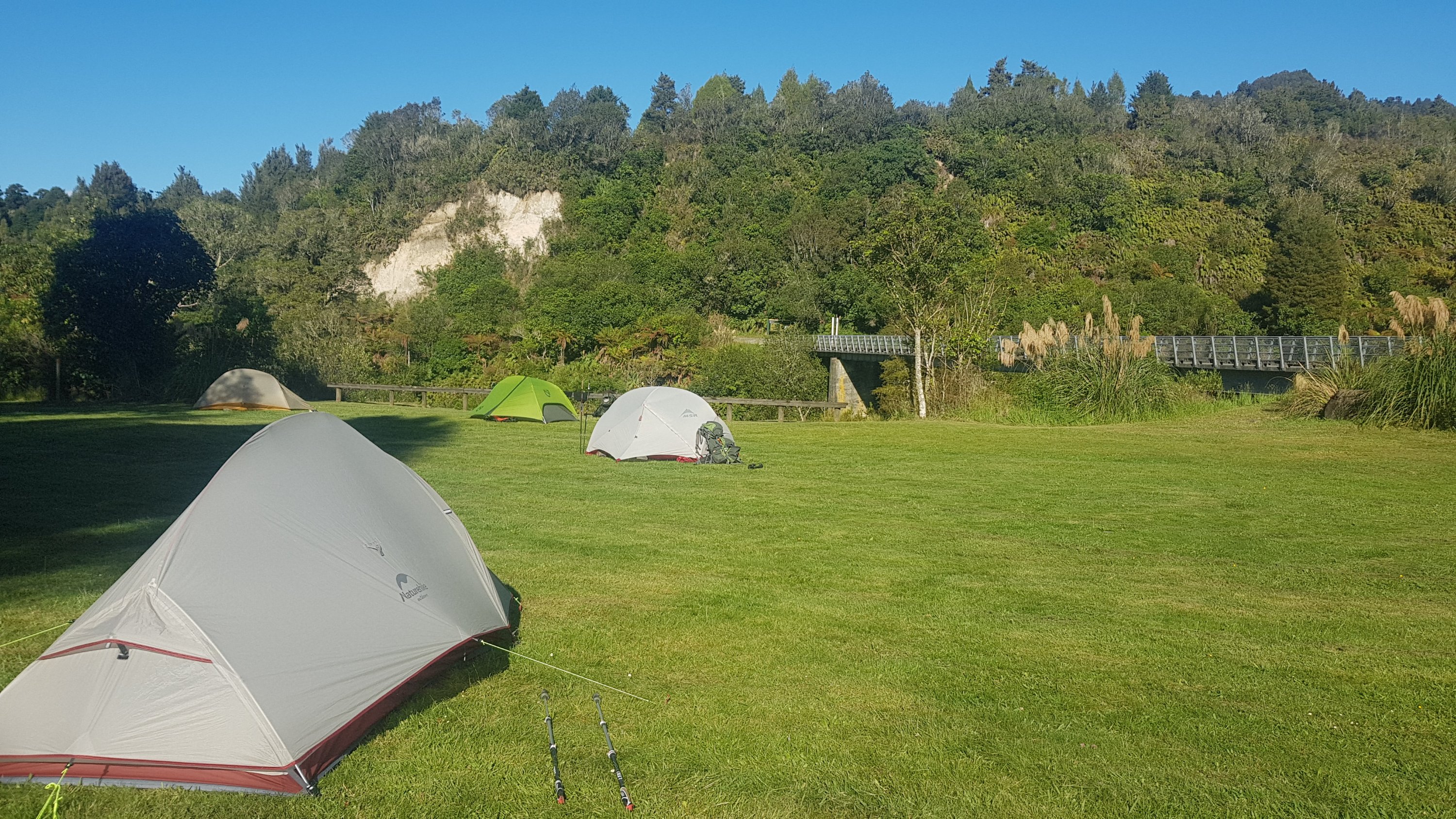
I set up my tent. This was the first time that I’d set up my tent since Puhoi about two weeks ago. I dried it at my house in Auckland so I figured it should be okay. And it was… except my sleeping mat had a bit of mould growing on the inside of it. I must have forgotten to dry it out while I was at home – how annoying. Hopefully the mould just looked ugly and it won’t affect the integrity of the sleeping mat.
And it seems my spare phone is dead too, which is annoying. Some people take paper maps as a backup in case their primary phone dies, I instead have two phones. So if my main phone dies as well before I can do something about it, then I’m going to be in a bit of trouble.
The other guys spent quite a bit of time cooking up quite an elaborate dinner of chicken, coconut milk and Thai spices. I was a little bit jealous as I only had my Uncle Ben’s rice and quinoa, but that tasted good too and I was ultimately glad I didn’t have to help with any preparation or do any dishes.
Dinner, but not for me
I looked at the visitors book and saw Henry’s name in there. He had called in for lunch, which must have meant he had a long and early day. I wonder where he stayed tonight – there’s no official campsite for quite a while and a lot of road walking coming up. Shame I can’t ask him – there’s no phone reception here.
It was cold tonight, and there were sheep bleating across the river from the campsite. They seemed unhappy about us being there and they didn’t stop letting us know it. Hopefully I will get a good sleep tomorrow because of the long road walk tomorrow – it is roughly 37km. At least there’s no rain forecast.
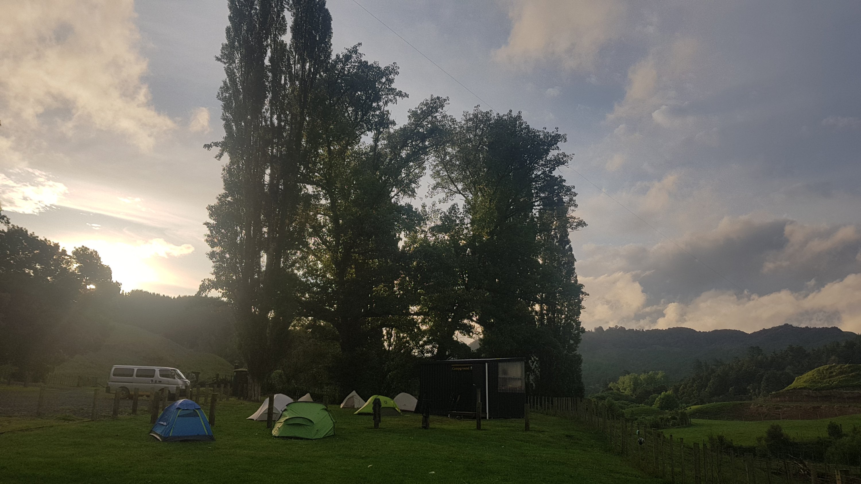
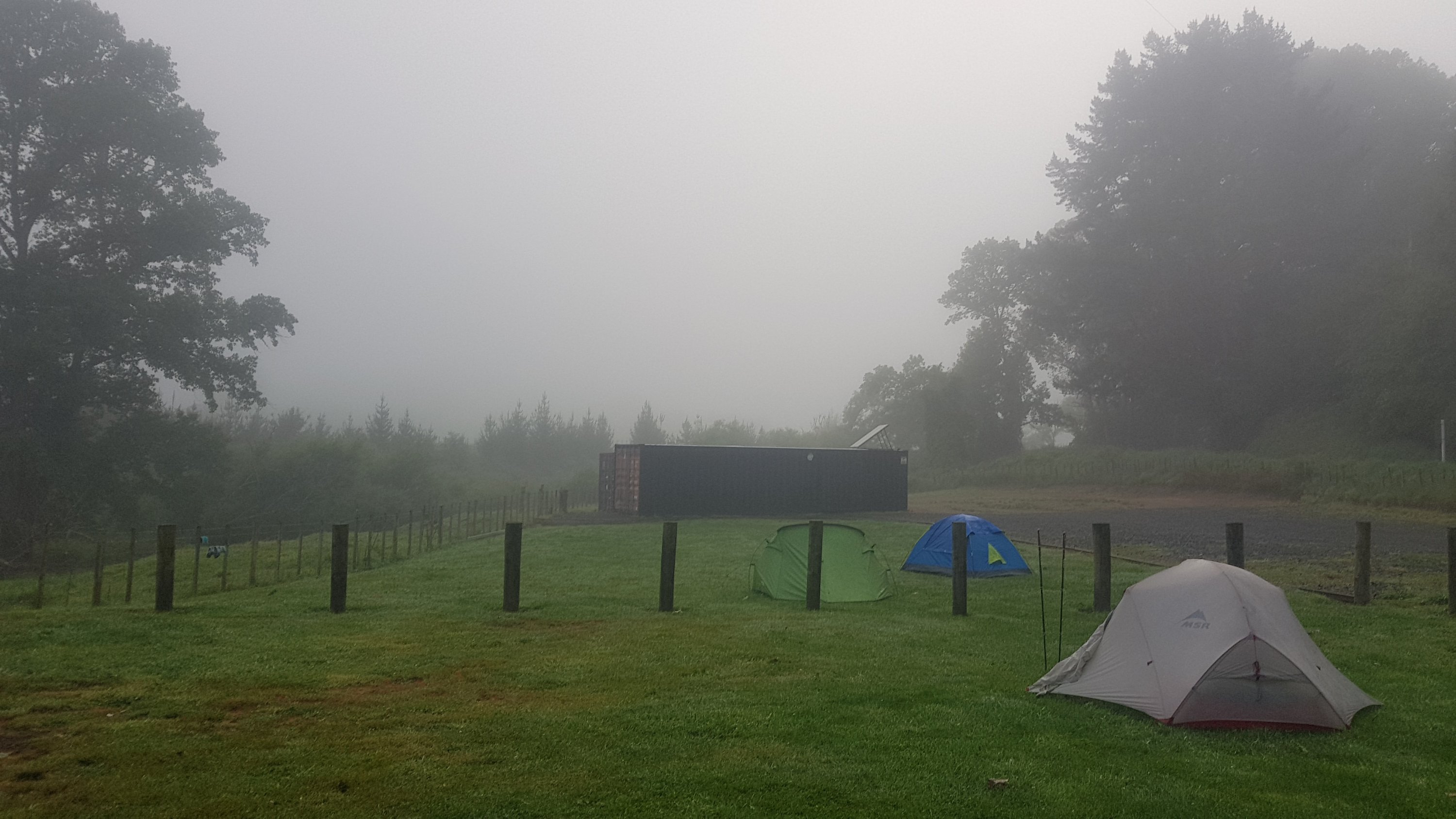
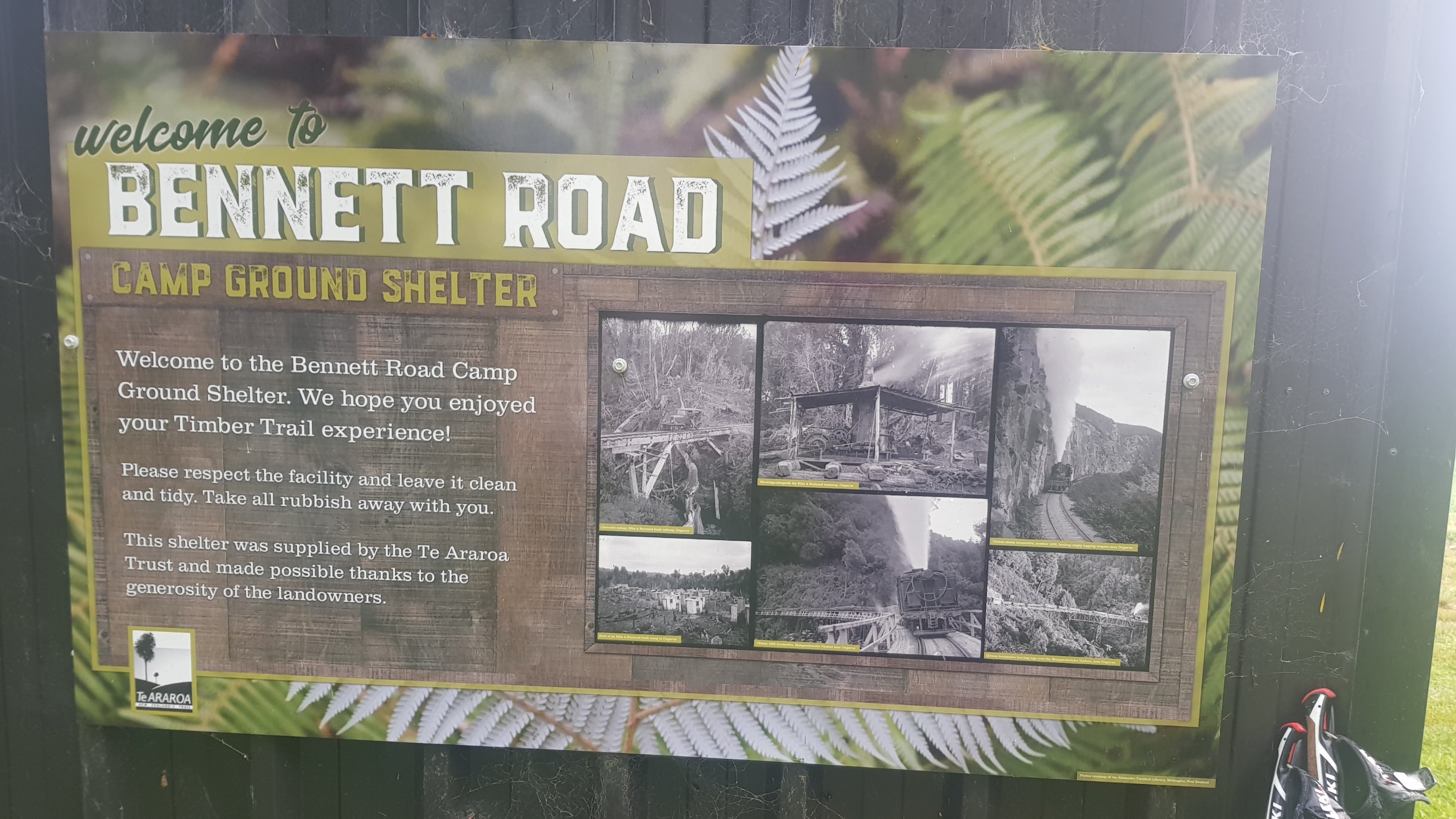
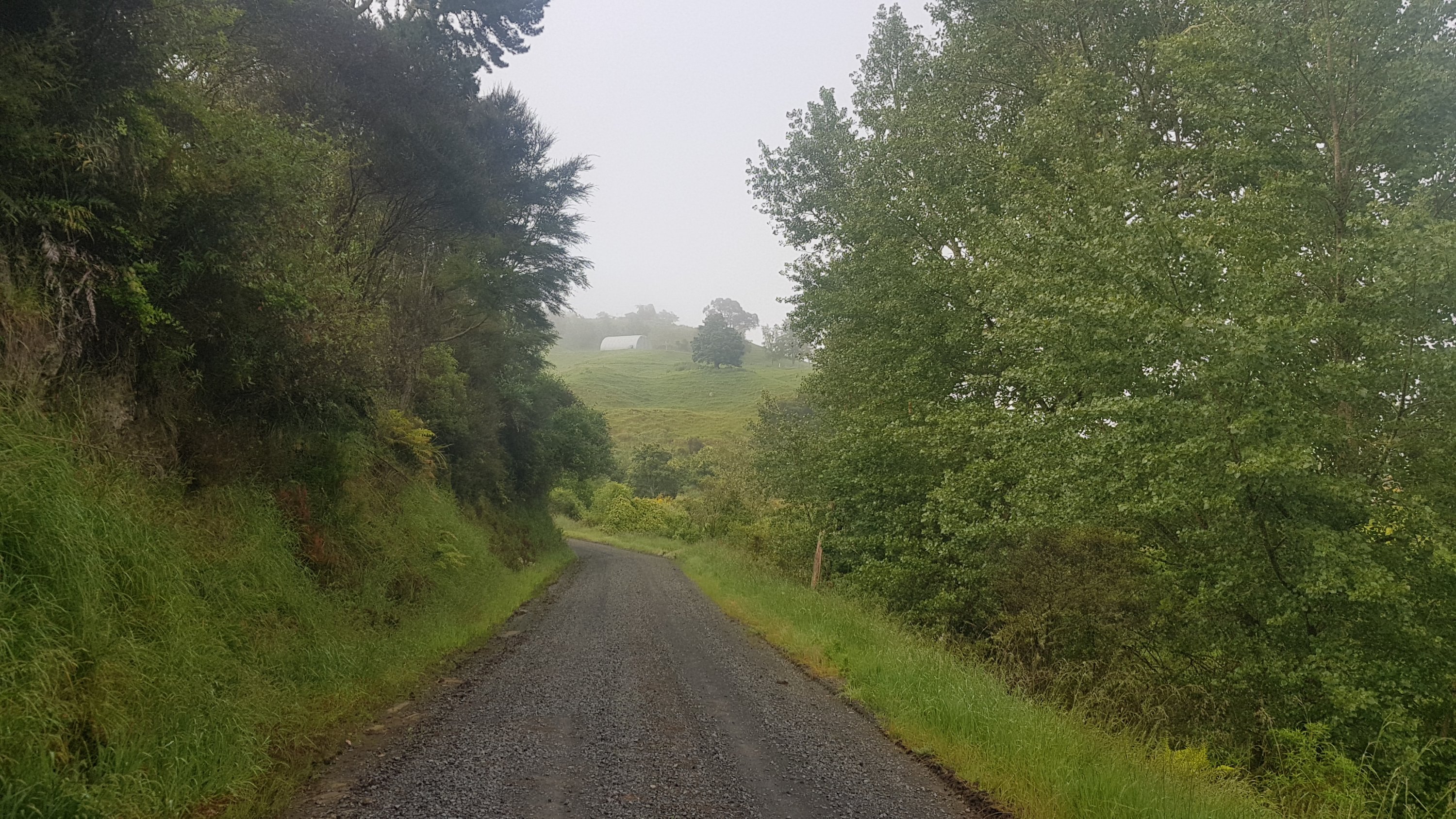
Date: 16 November
Distance walked: 36.7km
Trail covered: kms 890.9 to 927.4
Weather: mixed
There was a bit of rain during the night. It woke me up a couple of times, but then I’m a light sleeper – everything does. And in the morning the shelter table looked a little like the aftermath of a student party.
The morning after
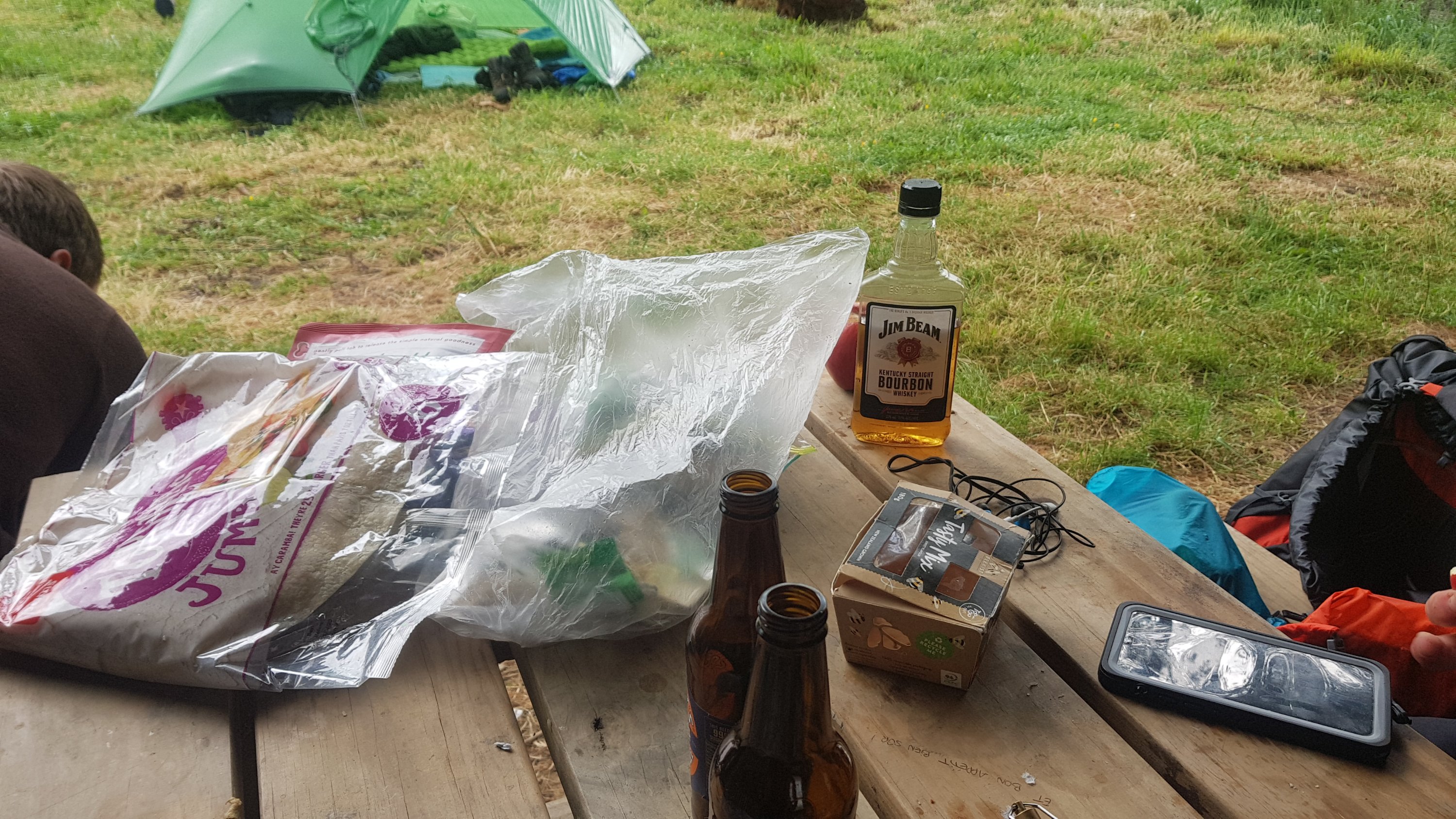
The four guys who I met yesterday are sharing food which is efficient, and one even bought bourbon. To be fair, I’d bring alcohol on the trip too if I didn’t have to carry it.
When I went to use the long drop this morning, I walked up to it and heard bang, bang, bang, bang coming from the inside of it. Wow, somebody either ate something really bad and they’re struggling in there now or there is a possum or something else trapped in there. I wasn’t looking forward to opening the door… however as I approached I could see through the mesh a bird trapped inside the little long drop building. I opened the door and it flew away. Phew, that could have been a lot more unpleasant.
The six of us knew we were in for day of road walking today. 37.5km of it, to be exact. So we didn’t waste too much time having breakfast and setting off, although Rhydian stayed behind a bit longer. I remember he always used to set off a bit later when we walked together in the first two weeks.
And they’re off!
We passed the point where mystery “non-existent campsite” was marked on Guthook. This is the point yesterday where the guys walked to expecting to find a campsite and didn’t. The building in the background is apparently not a shelter. Don’t try and camp here! The proper campsite is 2.7km north of here.
The “other” campsite – which is not a campsite at all
Here’s the first intersection where we turned left. Today might be a boring day but hopefully there will be some nice trees to look at.
The five of us split up fairly soon. Alex is the fastest, then me, then Ethan, and the two Belgian boys Charlie and Peter both seemed to be limping a bit so they lagged behind.
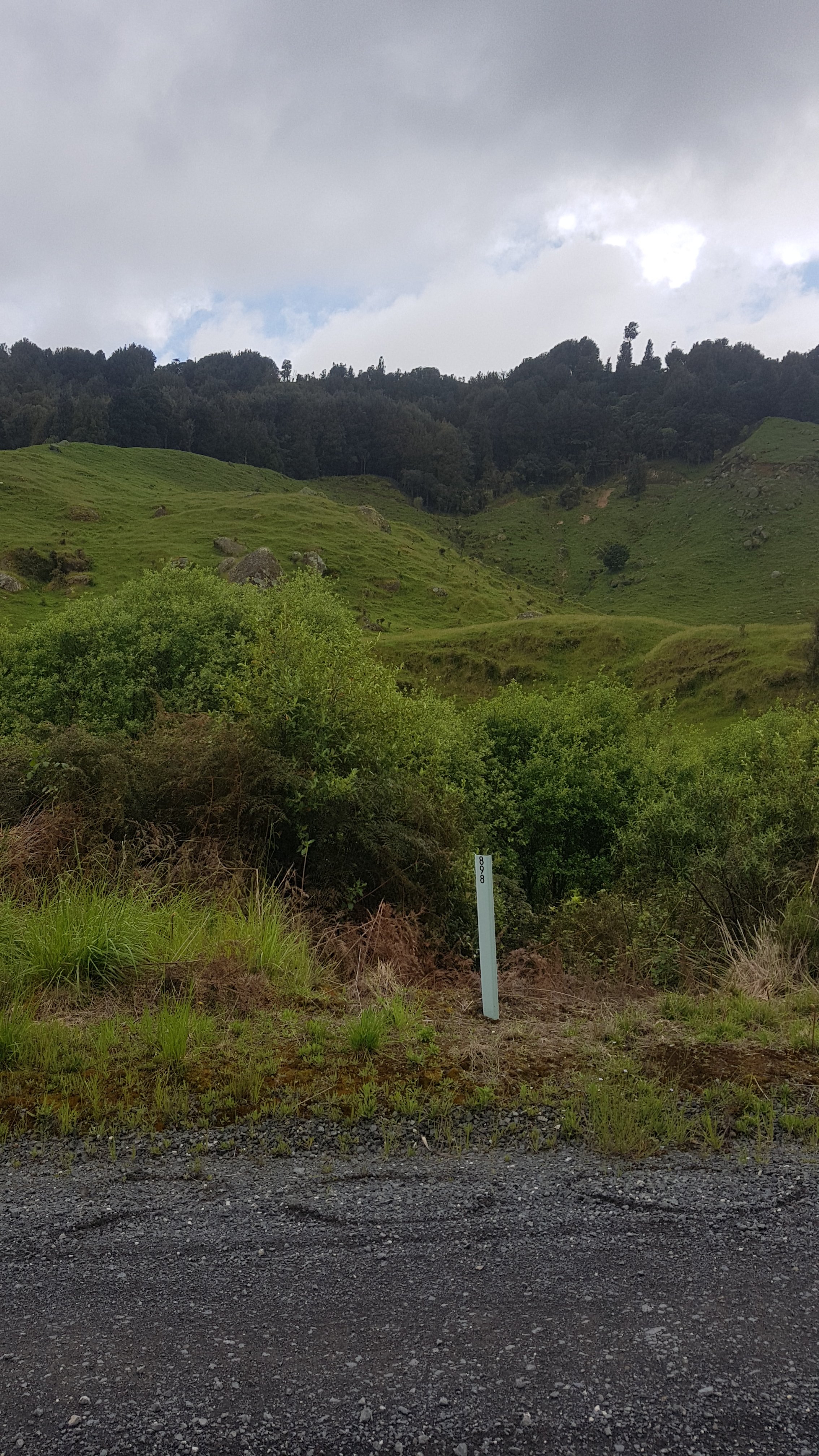
The 900km point was quite early on in the walk. I noticed where it was and tried to draw “900” in the gravel on the road. Ironically, it was right beside a big sign saying “898” which I think is the street address.
900!
From here on I knew not much was going to happen. I pulled out my iPod and it said those dreaded words “Connect to power”. Crap. I’m sure I charged it. Maybe I accidentally left it playing last time I stopped using it.
It’s okay, I have my phone and Spotify. Although there’s no cellphone coverage and so I could only listen to songs I had previously listened to or downloaded. That meant I ended up listening to Crowded House. It reminded me of Twilight Campsite and days 1 and 2 where I first was listening to these songs.
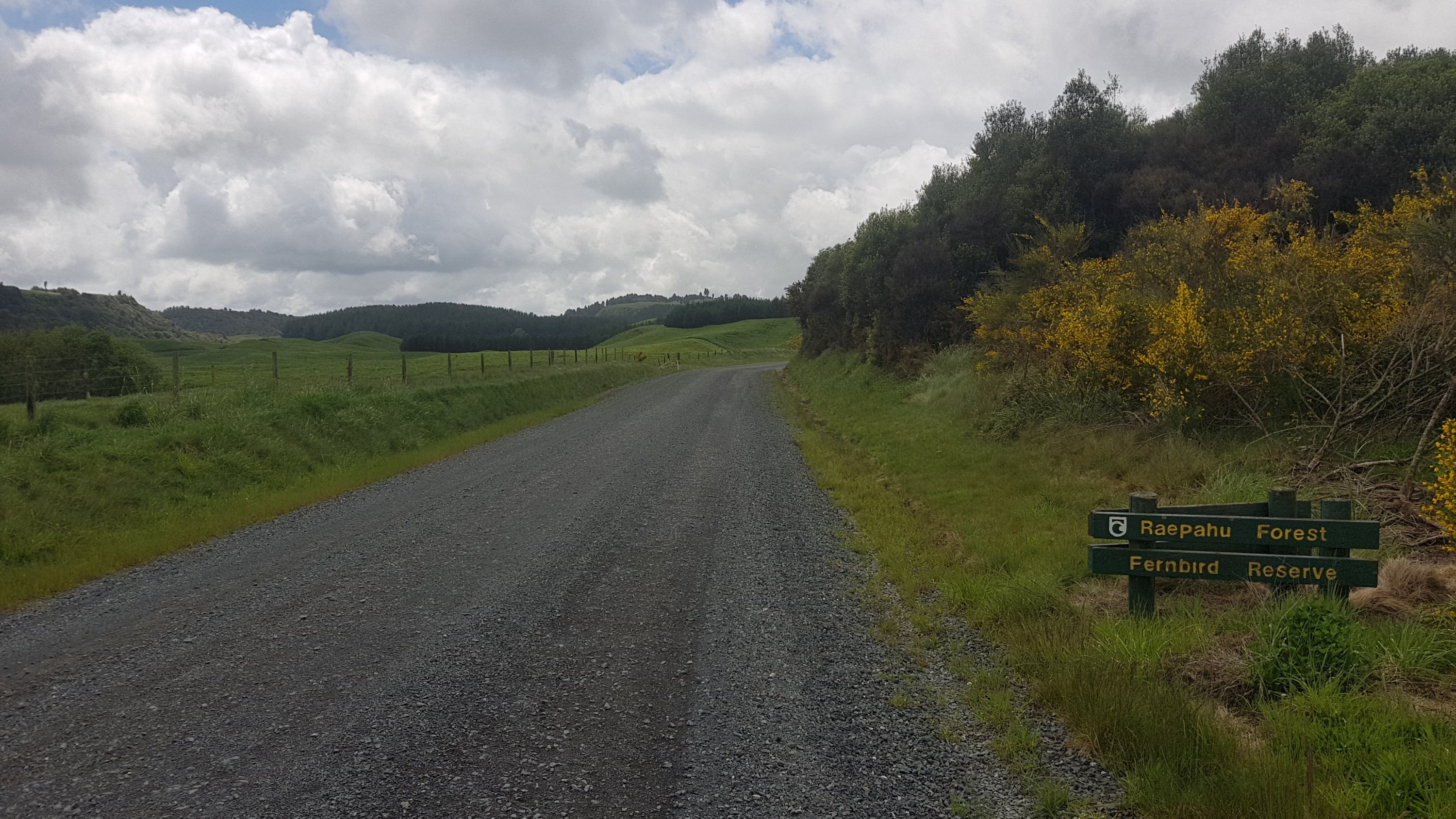
By 11am I was walking beside a forest called the Raepahu Forest.
11am picture – Raepahu Forest. Never heard of it.
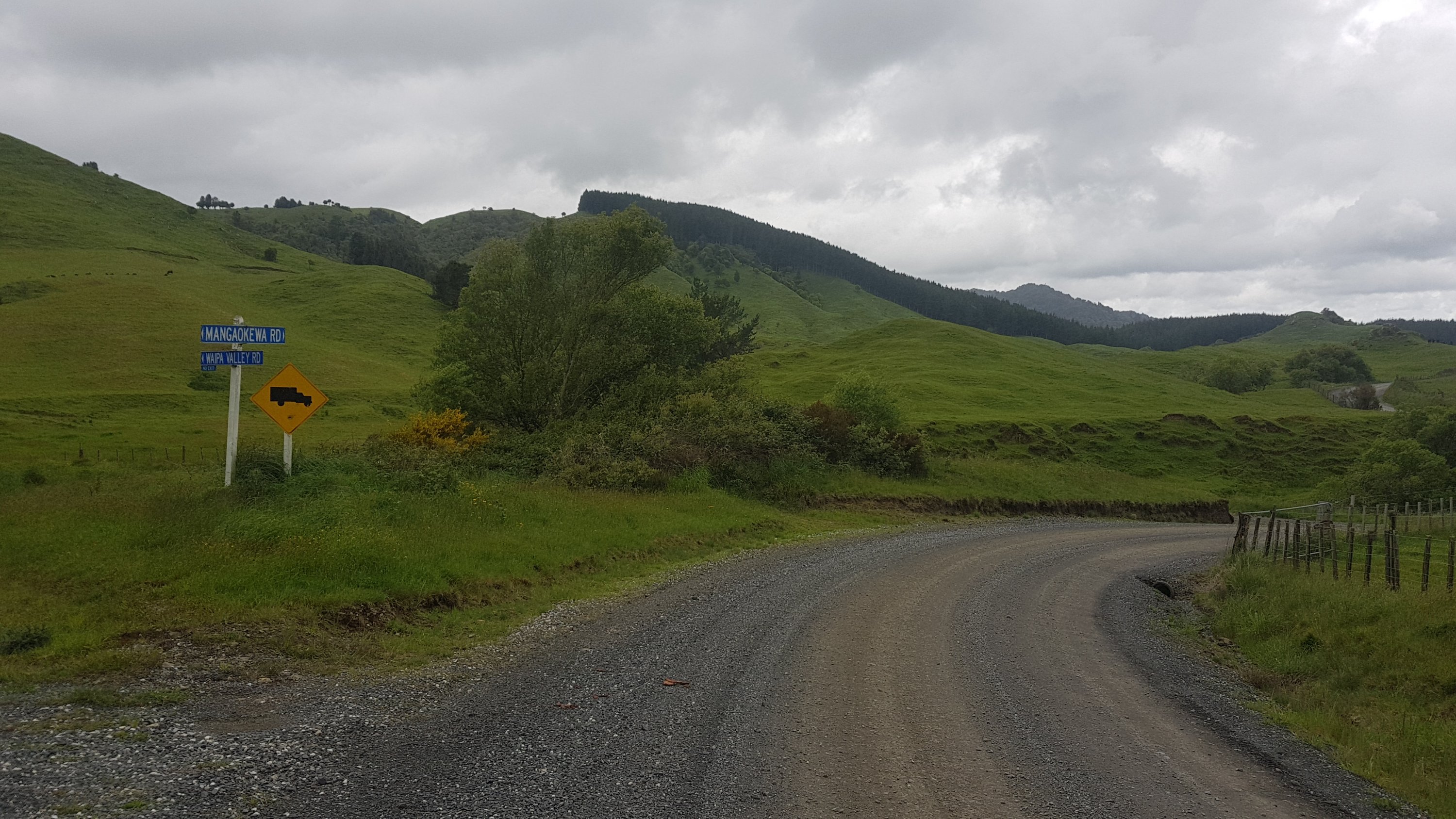
And here’s something interesting… an intersection!
Well, interesting by today’s standards…
I had a lot of time to think about stuff while I was walking. The first thing I wanted to do was to see if my pack started hurting by the end of today. Back when I managed a 61km day from Drury to Rangiriri it was relatively easy and I can only assume it was because I only had my day pack.
The other thing I kept thinking about is how Ethan keeps calling Te Kuiti “Takooty” and nobody knows what he’s talking about.
I passed Alex at 12km into the walk. He was waiting for the others. Peter and Ethan turned up while I was with him. Charlie was hurting apparently. He was 10 minutes behind, and apparently he was going to try and hitchhike to Pureora.
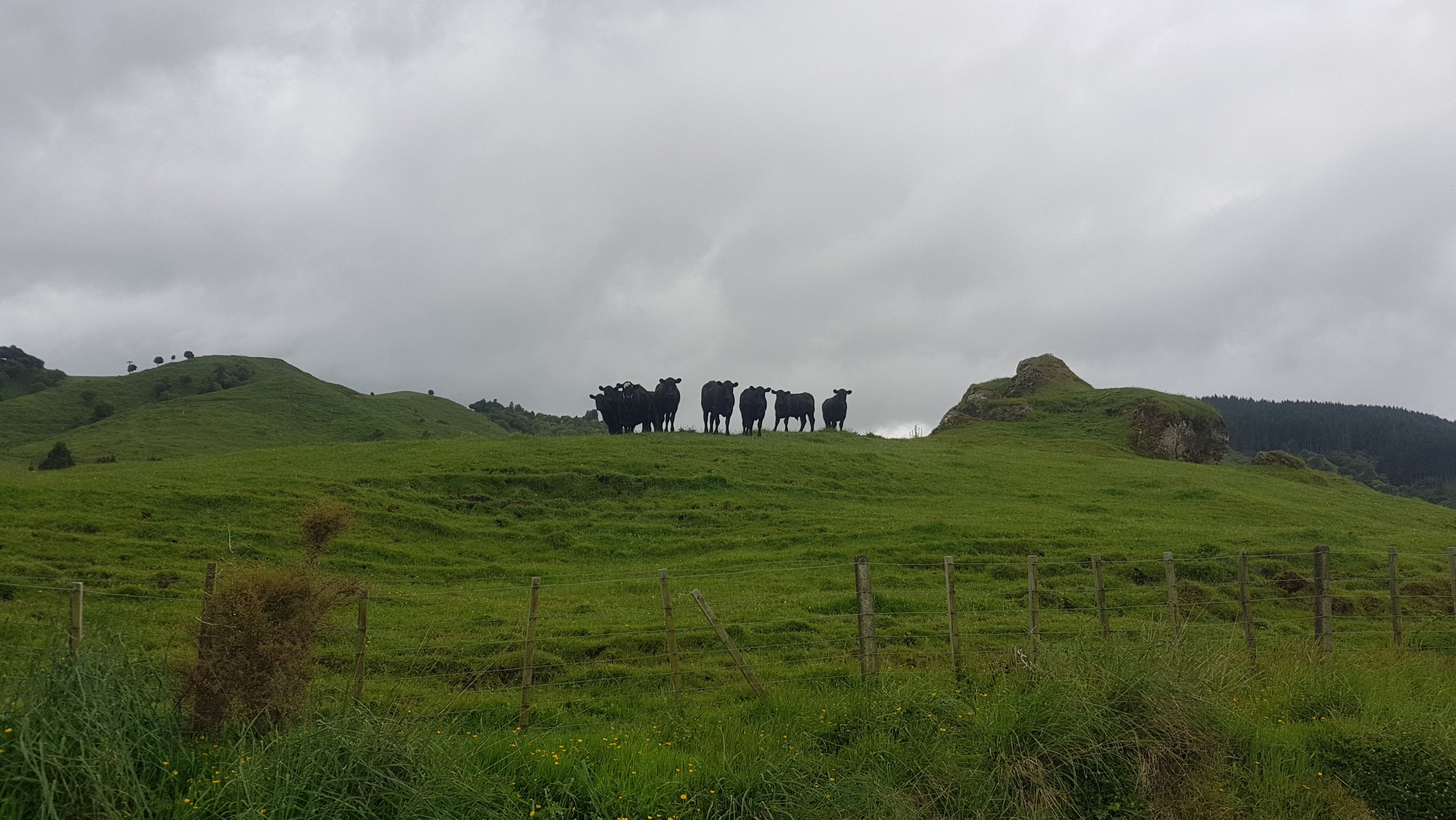
I left the guys and continued walking alone. I encountered these cows as I went around one corner.
The men (or cows) in black are waiting for me
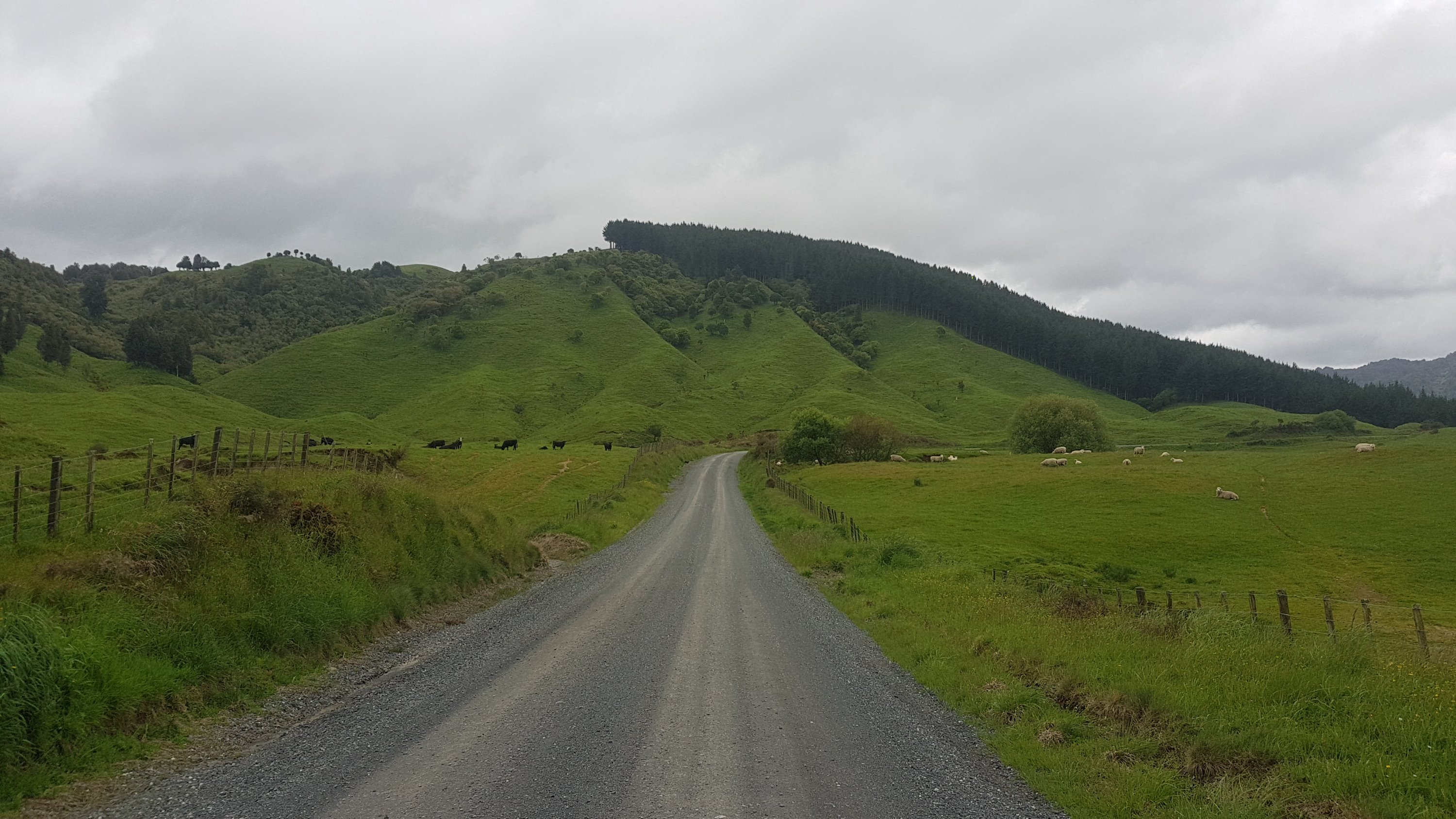
They followed me quite a long way along the fenceline, but didn’t seem mad. In this farm there were cows on one side of the road and sheep on the other.
And at one point there were *lots* of sheep. Almost every single one of them started walking away from me as I walked down the road, even the ones that were furtherest away. I felt like a god.
Sheepies galore
I wondered if Charlie would manage to hitchhike and get a ride. In the first 20km, only seven cars drove down the gravel road, and every single one of them was going in the wrong direction. It was weird that there were literally zero cars going east, all of them were going west. We set out at about 8am and it wasn’t until 1:15pm that a car passed me going the same way. And it didn’t have Charlie in it.
A nice tree
Here’s the intersection with State Highway 30 where people turn left and walk down the highway. Alex turned up less than a minute after I did, apparently he had been trying to catch me. Then Ethan turned up not long after. With the balloons on the post, it looked like we were having our own little party on the side of the road, although actually the balloons were for a kid’s party that we saw a few minutes before here.
Why are the two spellings of the street name different?
I got to have some more cheese and crackers, and this time the crackers were BBQ flavour instead of Sour Cream and Chives.
Cheese check Day 5 – still surprisingly good
Passed a marae…
Te Hape Marae
Then a woman came past with Charlie and Peter in the car. She runs Pureora Cabins and it seems this is one of the ways she drums up business. She looks for hikers, asks if any of them need a ride, and offers accommodation. It seems we now have Cabin 7 booked. $60 for 6 people. I’m not complaining, that sounds good to me, especially since we get beds and hot showers.
Alex walking just after where we saw the two boys in the car
The pack was really starting to hurt by now – we were about 30km in. I knew it already, but walking with a pack is much harder than without it!
And then, the rain started.
Oh jeez….
It rained for most of the afternoon. At the time though I didn’t feel too upset about it. It wasn’t too bad walking in the rain to be honest… even though the forecast yesterday said no rain today.
I was quite wet once we got to the turnoff to Pureora . I thought maybe there might be a place in this town to get a coffee. But no, there was no town, this place is just a DOC ranger’s cabin and a few privately run cabins, and that is absolutely all there is. Oh well. There is not going to be anything in the way of civilization for the next four days so no coffee for me.
Eventually we all got to Cabin 7. There is only one place near the cabin where you could get a tiny bit of phone reception so I messaged Rhydian and told him to come and join us, because there was a bed for him too. But there’s a big chance he won’t get the message if he doesn’t walk through the spot where there’s reception.
Spot the cabin with the wet hikers in it
By far the most annoying thing about the cabins is that the showers only had lukewarm water. It wasn’t hot at all, and I wasn’t brave enough to get under the water stream. Grrrrrr.
Everyone was sore and tired but the mood was good for the rest of the week on the Timber Trail, despite the forecast for tomorrow being light rain in the morning and heavy rain overnight. Rhydian never showed up though. Looks like my message never got through.
Date: 17 November
Distance walked: GPS watch said 33km, Guthook says 37km, the Timber Trail signposts said 40km, honestly who really knows
Trail covered: kms 927.4 to 964.5
Weather: threatening to rain all day but it never did, until the evening when we were in our tents
At 7am it wasnt raining after all. So we ate breakfast fast and headed off before 8am. On the way out I noticed this sign which I didn’t notice initially. Whoops, I wasn’t boiling the water first!
I’m publishing this post nearly 3 days later and I’m not dead…
The clouds were interesting but it felt like the rain would stay away.
Eerie morning cloud formation
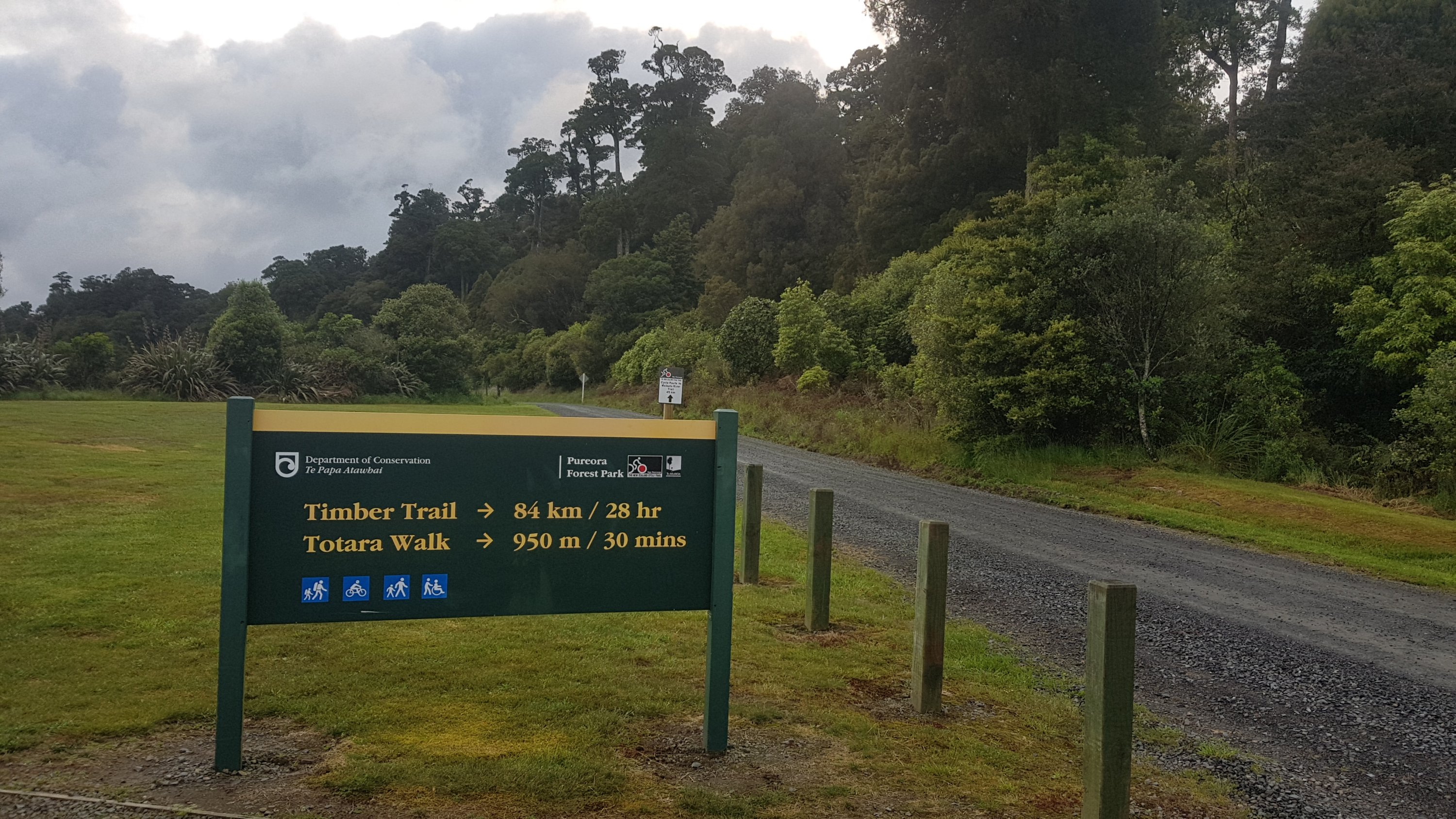
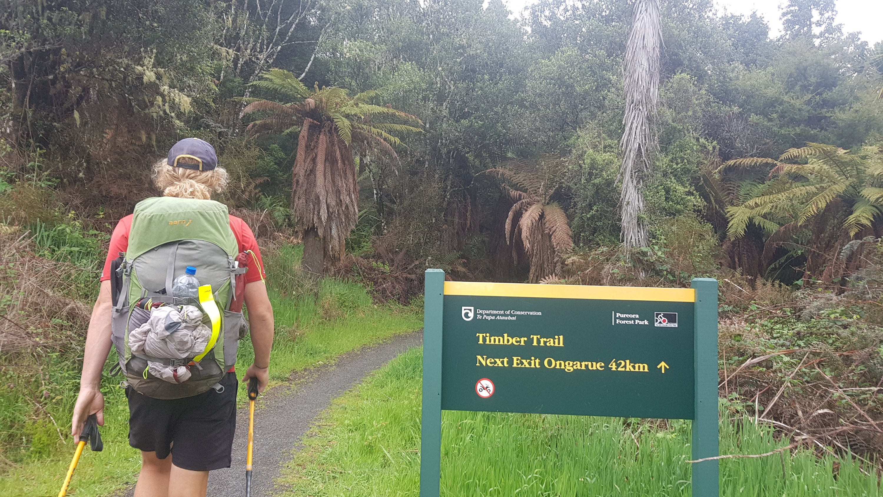
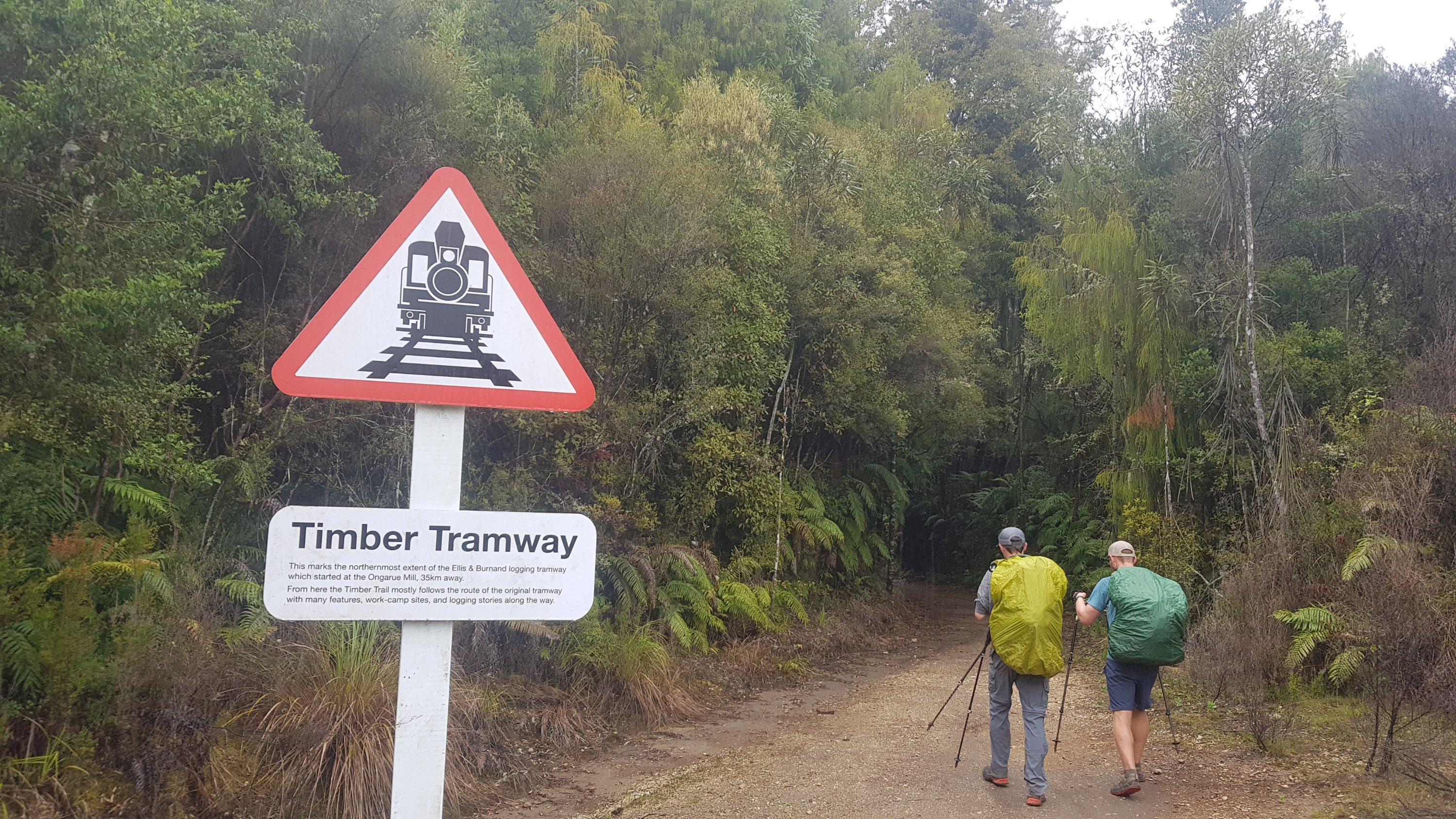
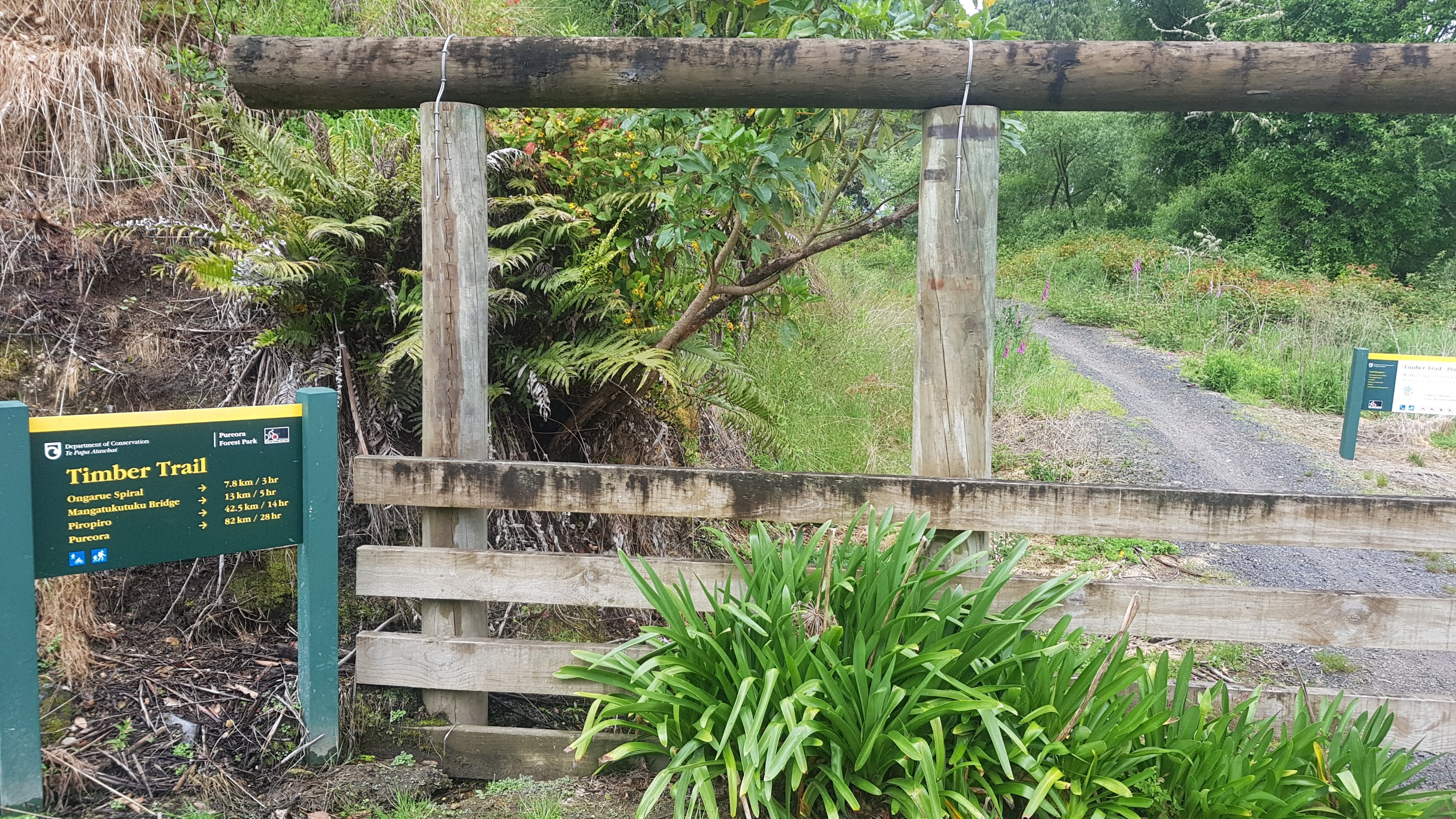
Ok, so this is the start of the “Timber Trail” – an 84km long cycleway through forest.
Timber Trail 84km / 28hr
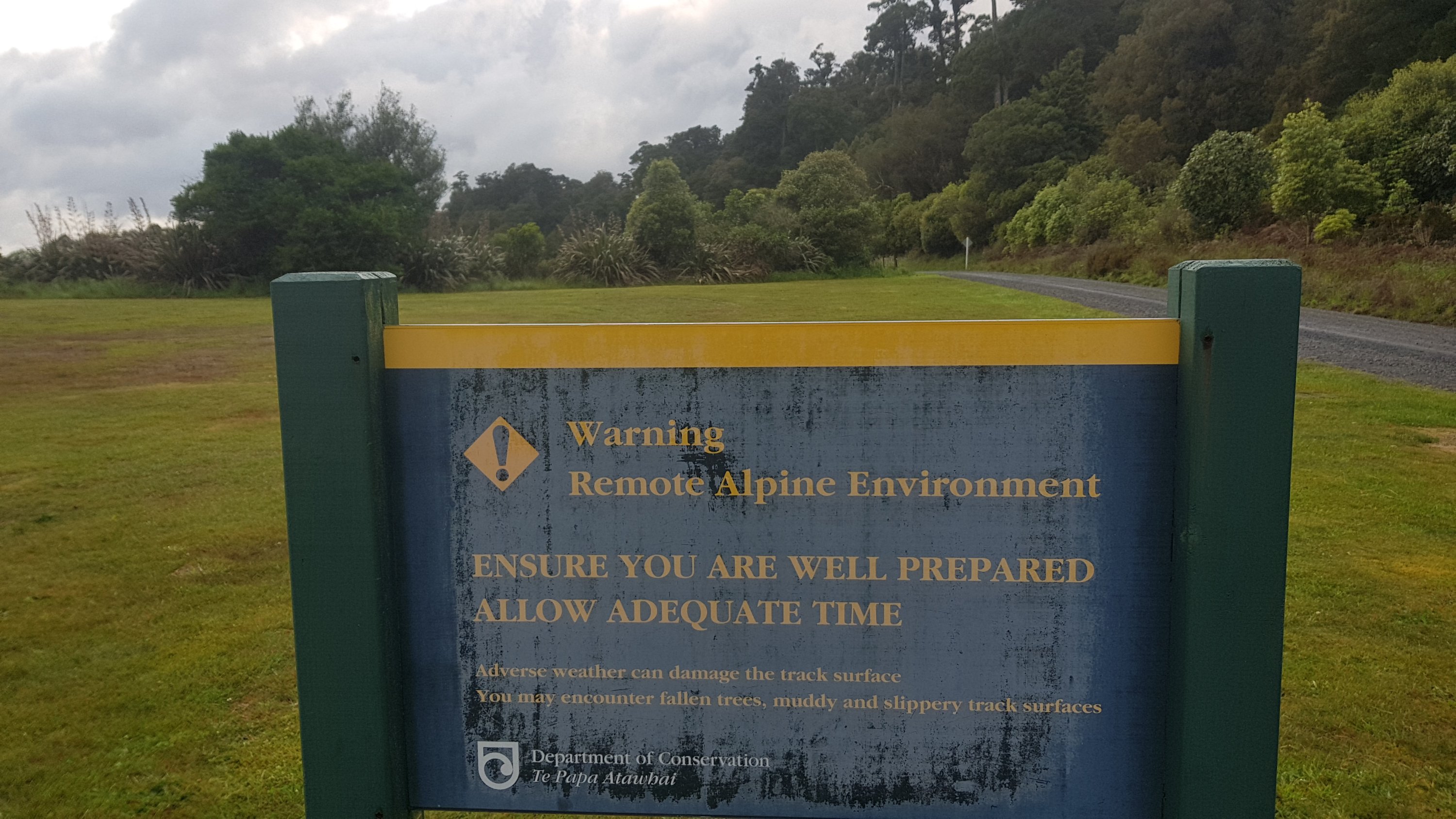
I was feeling good about it until I saw this sign…
Remote Alpine Environment…
It’s okay, I thought. I’m sure this is nothing compared to the Tongariro Crossing next week.
The actual entry to the trail
Straight away I knew today was going to be something cool.
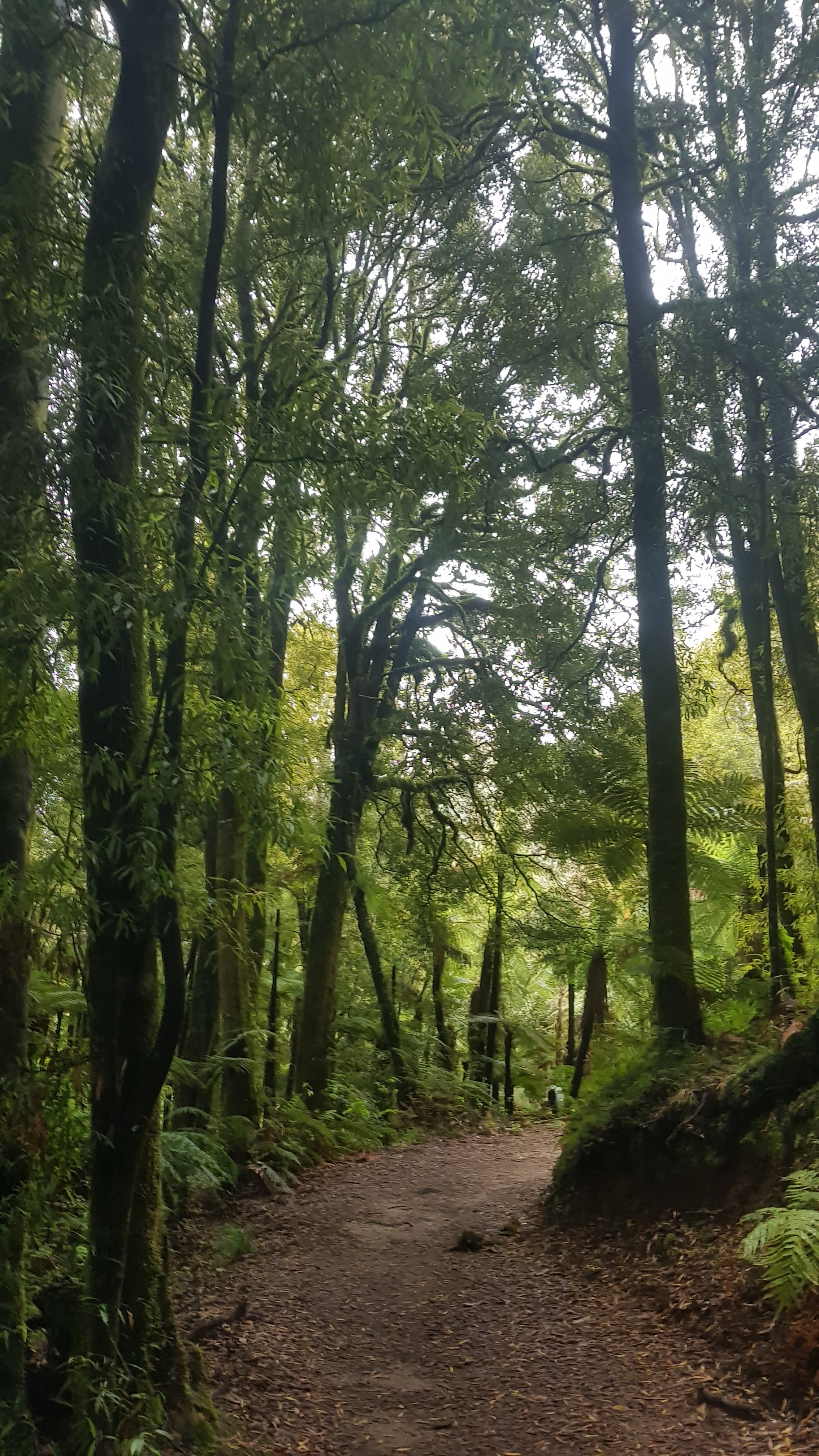
Early on in the Timber Trail
There are these signs every kilometer to tell you how far along the track you are.
I assume it means 4km, but I’m not sure
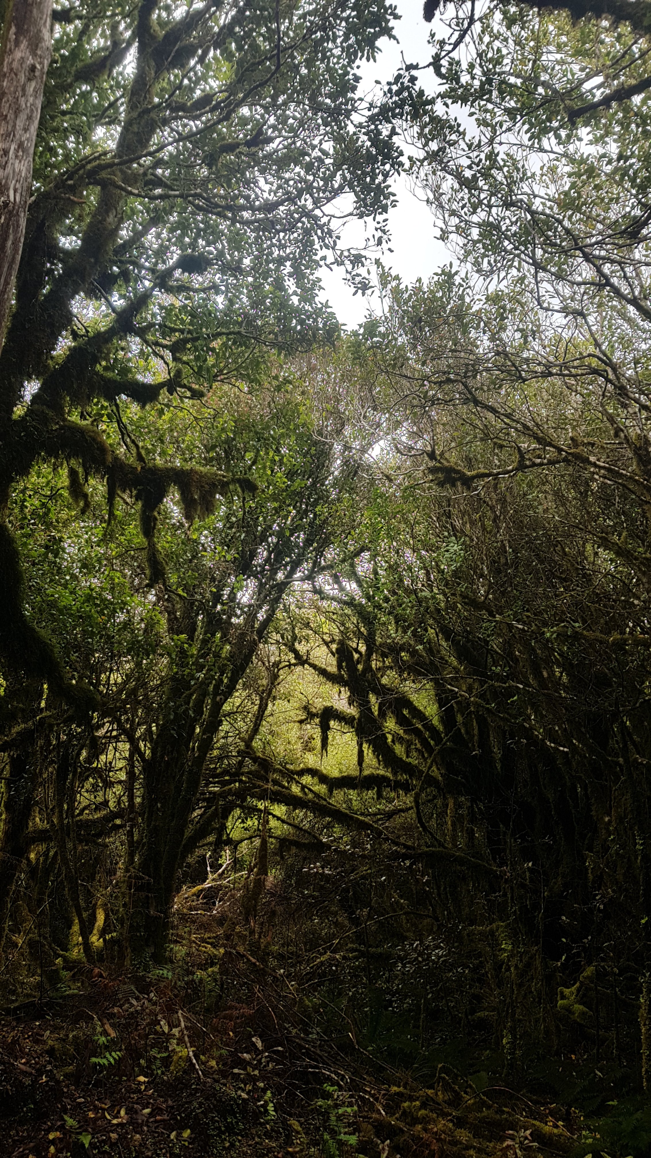
Mostly it was through forests, but the landscape did occassionally change.
And there appeared to be a Te Araroa sign attached to every marker that was a multiple of 10.
This is the point where you can turn off to a side trail that goes to Pureora Summit. Alex said he heard it had amazing views, but given how cloudy it was today we didn’t bother. We just had food here instead.
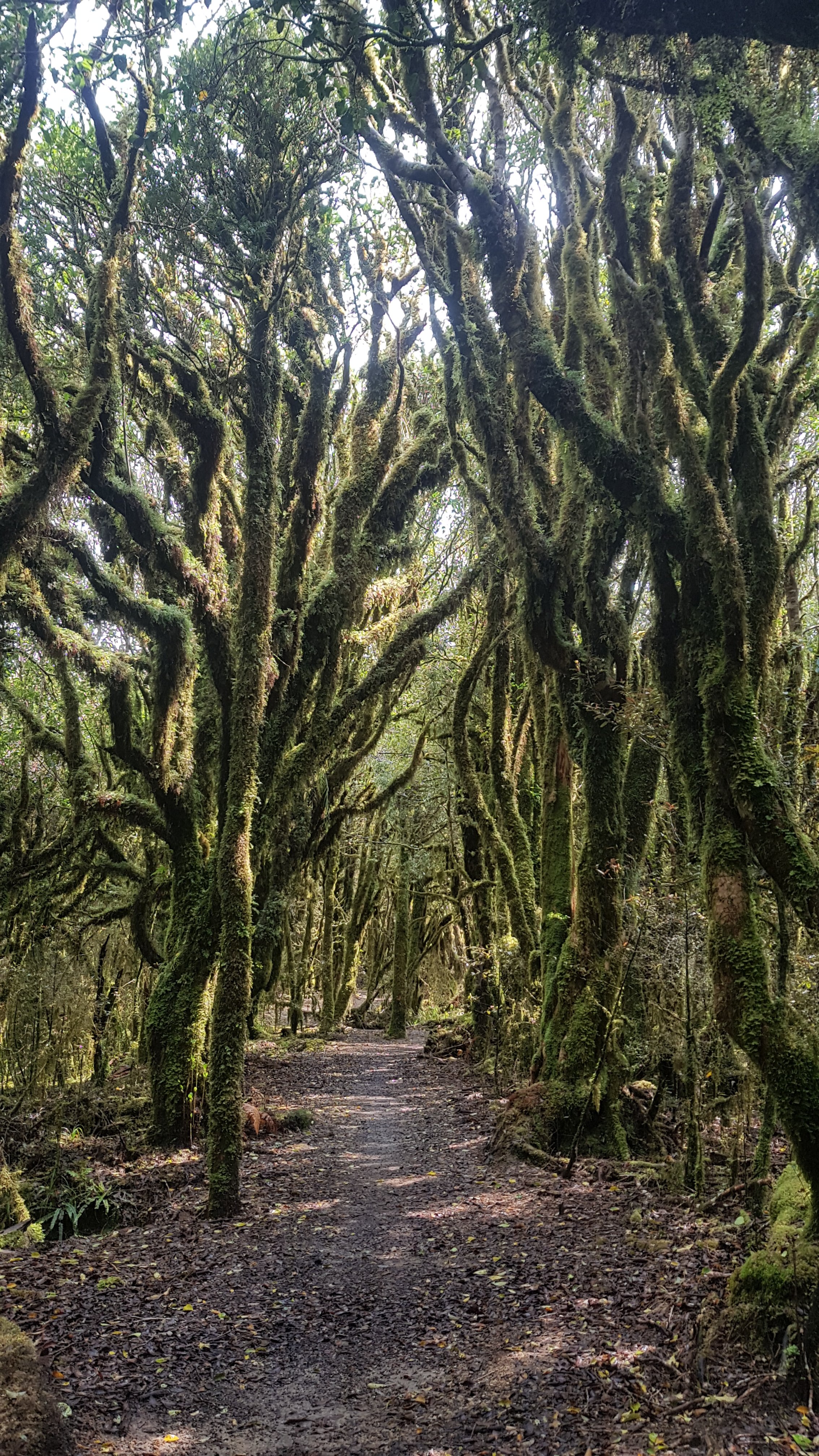
The trees in the next bit were quite spooky, but I really liked them.
I think this tree that I spotted at 11am was my favourite of all.
11am picture- spooky trees
Shortly after the elevation on my watch was reading the highest I had seen it so far.
1096m above sea level, apparently
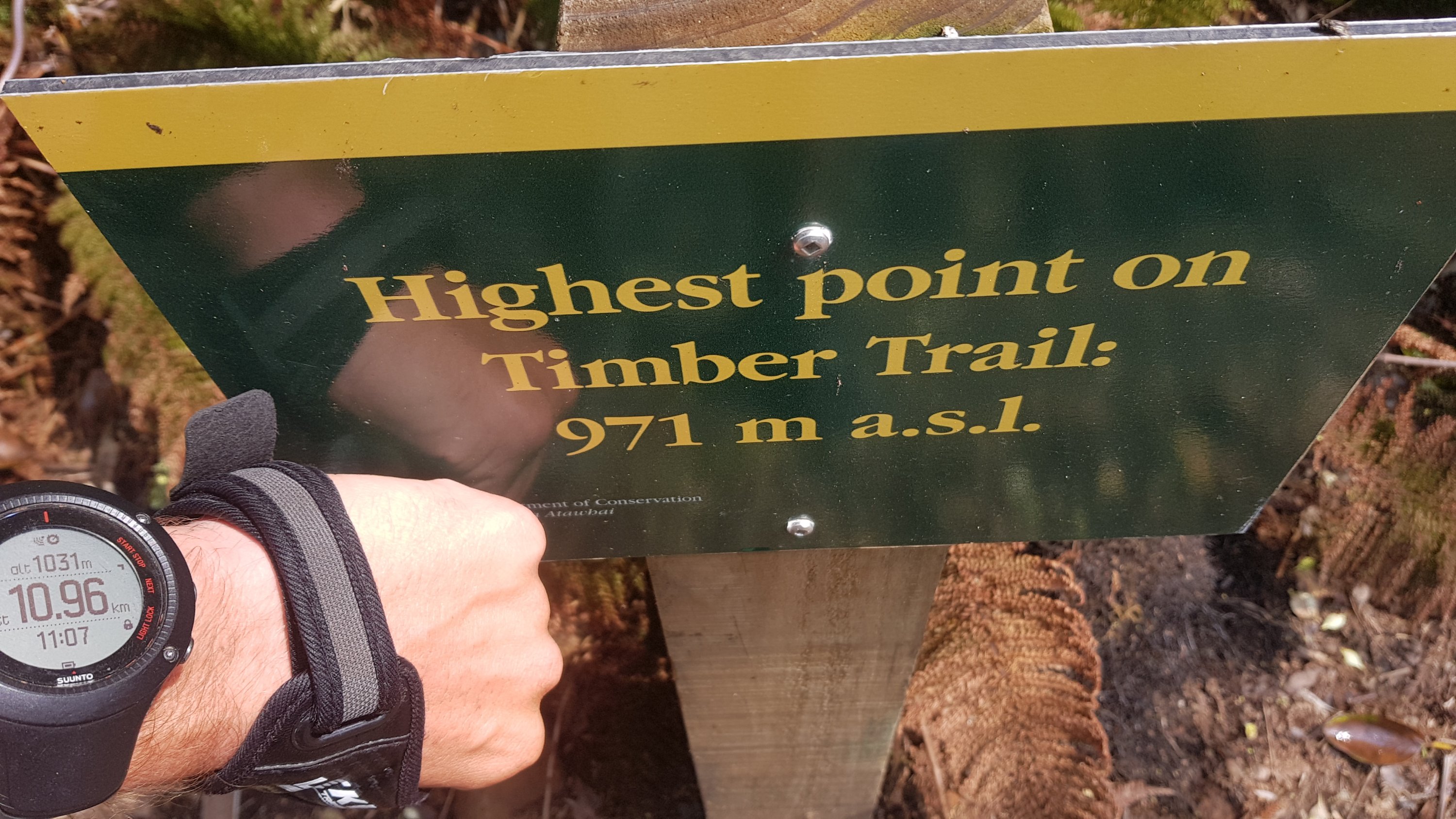
However, if you believe this sign, my watch is way out because the highest point is right here and it is only 971m.
39.Male.Timber Trail.
A bit more walking…
And I came across this which, according to the sign, is a view of Lake Taupo. I was surprised to see Lake Taupo off to the right hand side. I expected it to be on the left.
Lake Taupo
Somebody looks like they have carved two seats out of these tree stumps.
Fancy a sit-down?
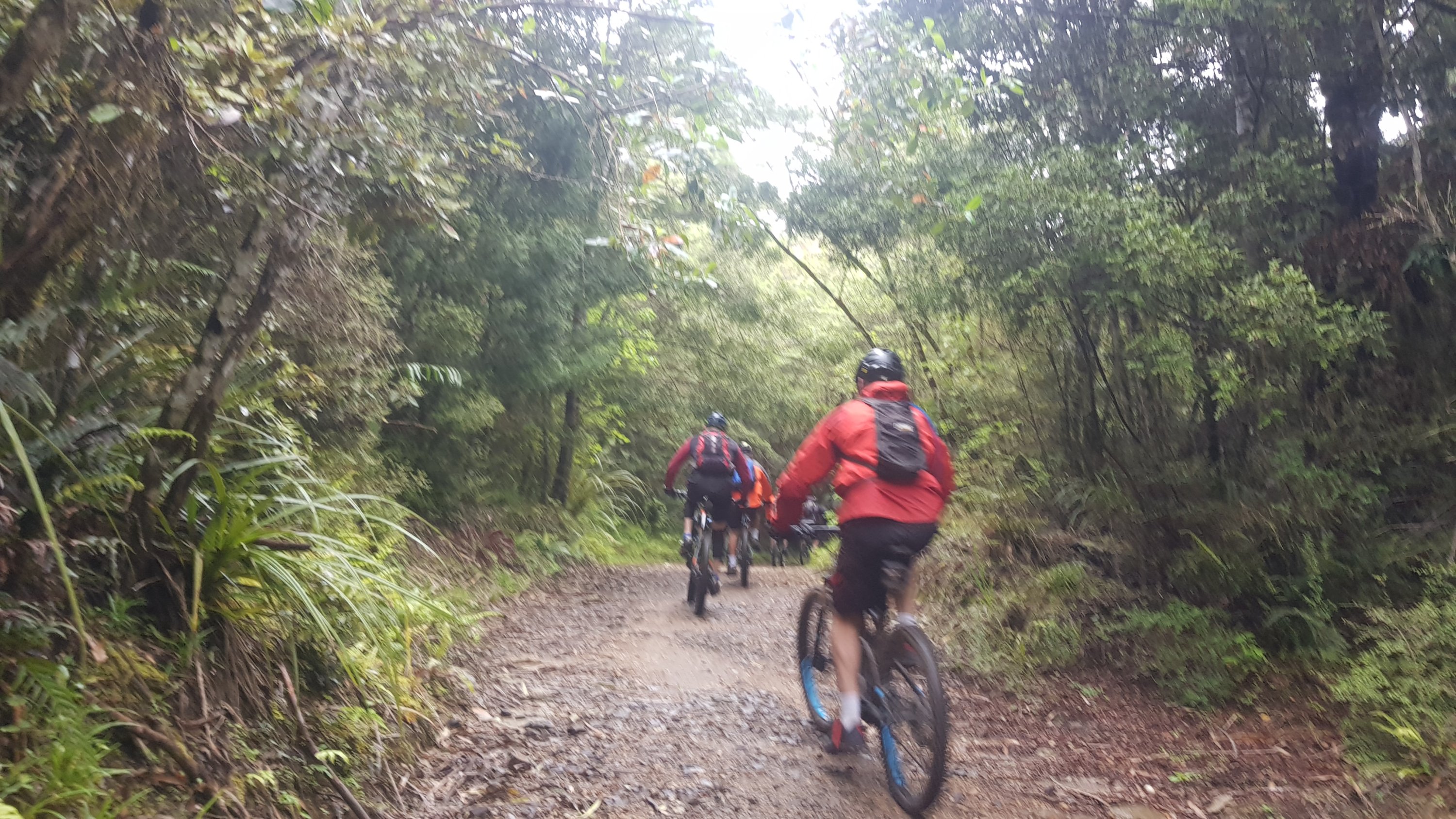
Alex walks fast when he goes uphill, so we didn’t see him again for a while. He also listens to music and it’s hard to get his attention while he’s walking. In fact today most of us were listening to music. That meant when cyclists want to get past us, it’s hard for them because we are in the way and we aren’t listening. I think some cyclists don’t like that. In fact, Ethan said that one of the cyclists rode up right behind him and actually touched the back of his pack with his front bike wheel.
This is the turnoff to Bog Inn Hut. It’s about 20km in and it’s one of the campsites recommended in the notes.
The Trail notes describe going through the Timber Trail in four days: Pureora -> Bog Inn Hut -> Piropiro Campsite -> Camp #10 -> Ongarue. But I’m with the American and Belgian guys and they want to do two long days, so I’m joining them for at least this long day. But that means skipping Bog Inn Hut.
I was actually happy because people have described it as “creepy”, “don’t stay here alone”, “full of rats”.
The trail is a cycleway so of course it has to be fit to be cycled, and that means it is generally well manicured. I think this bit here was the muddiest bit we encountered all day today:
It wouldn’t be Te Araroa without a bit of mud
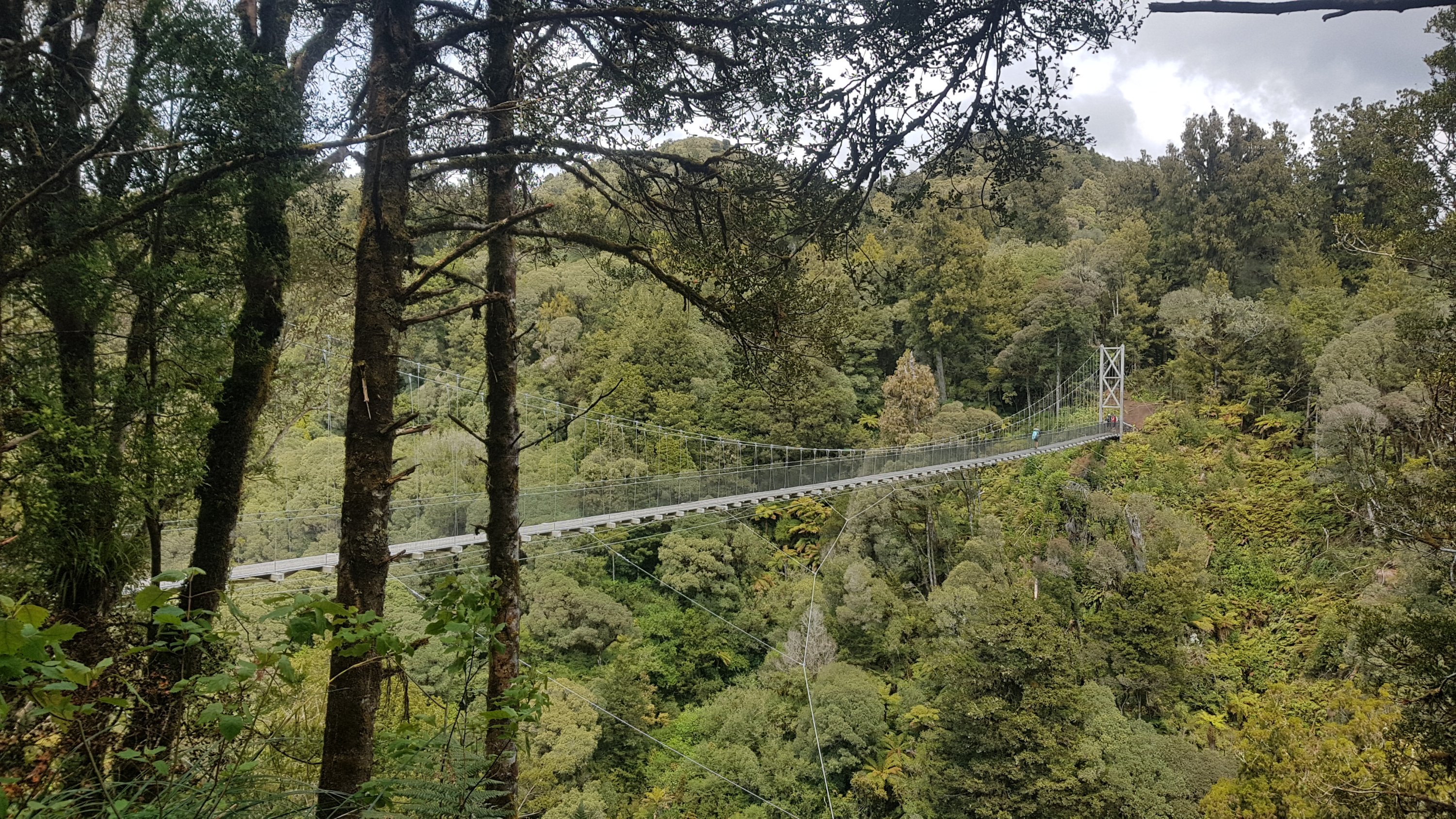
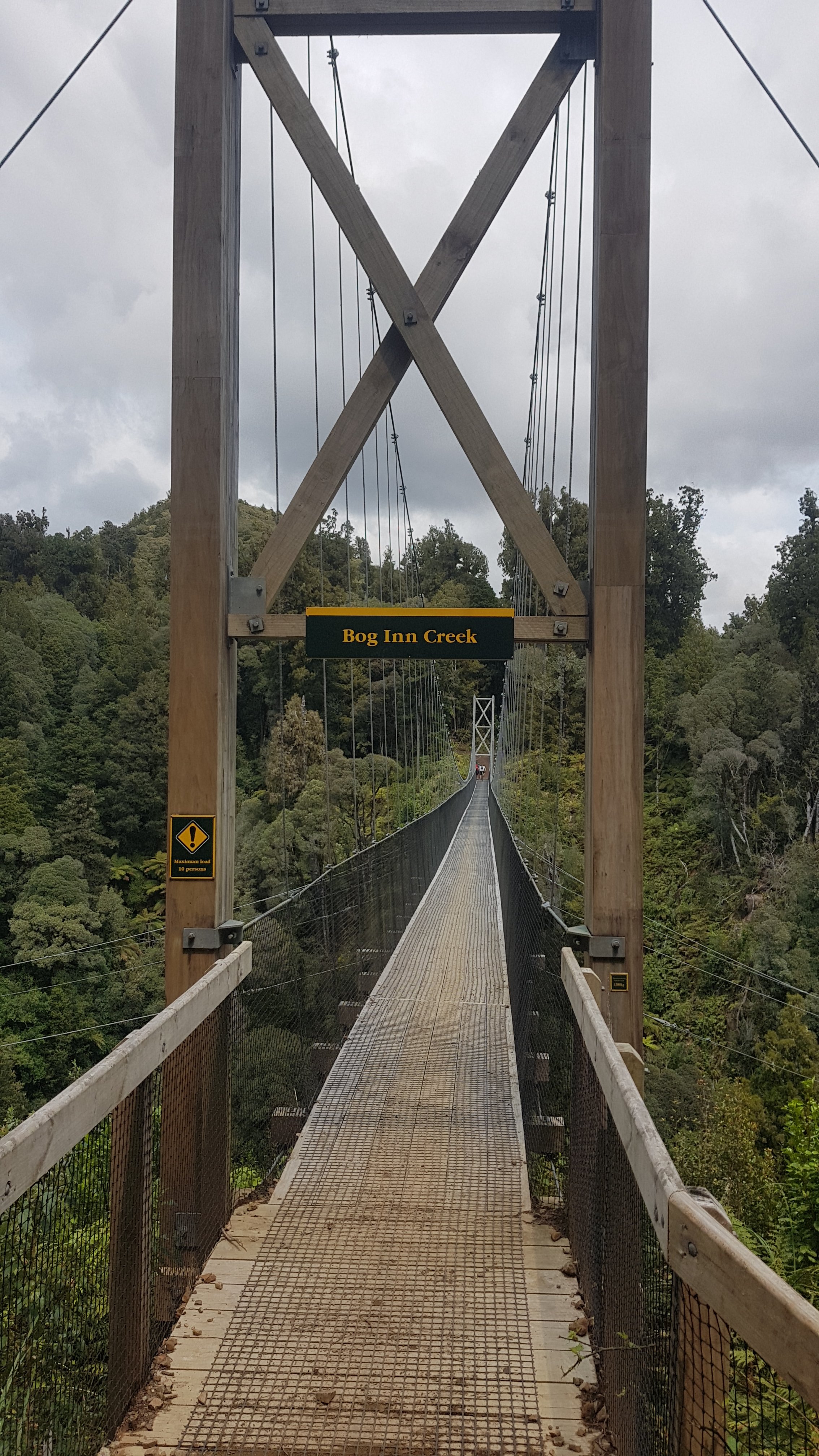
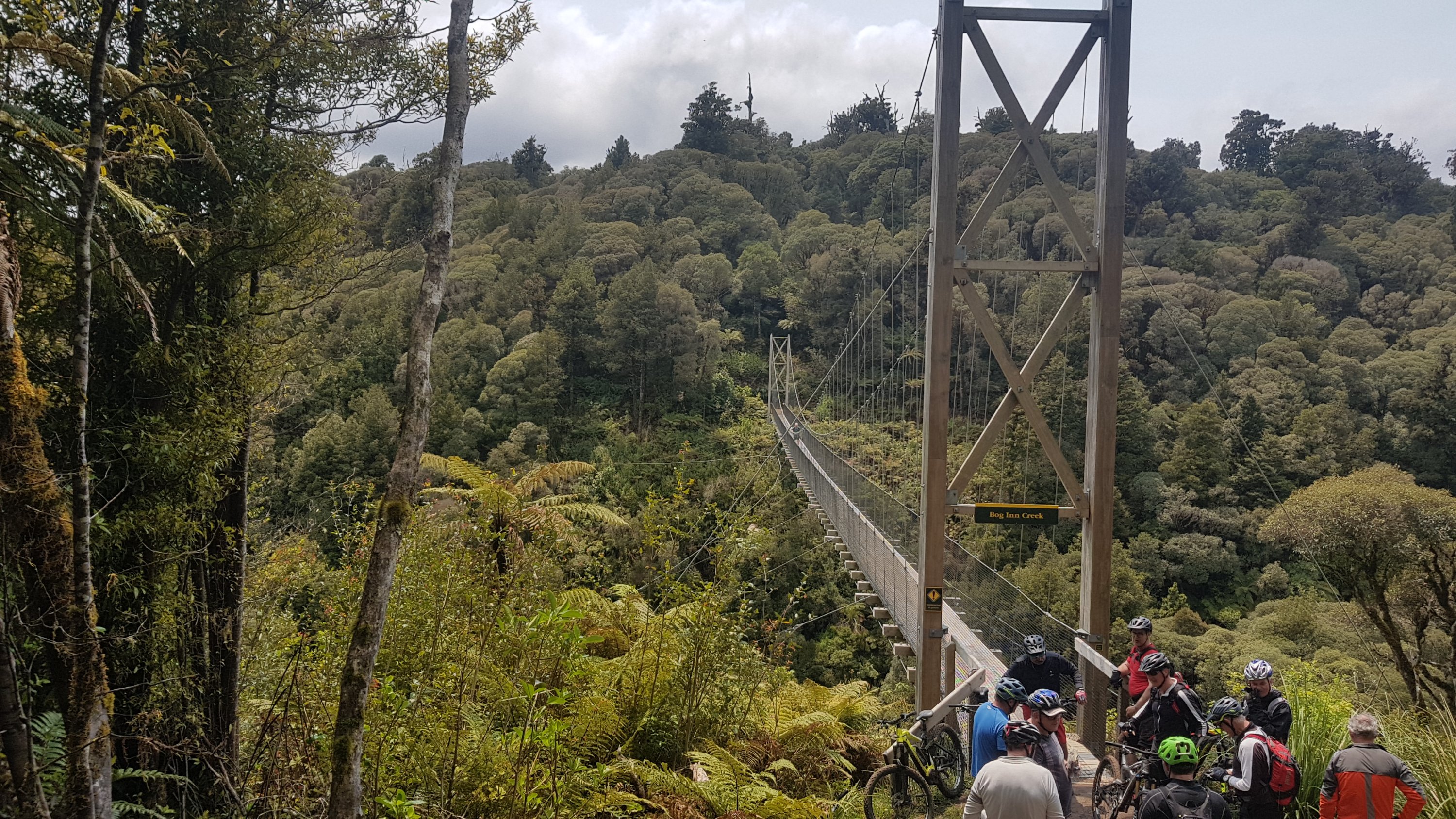
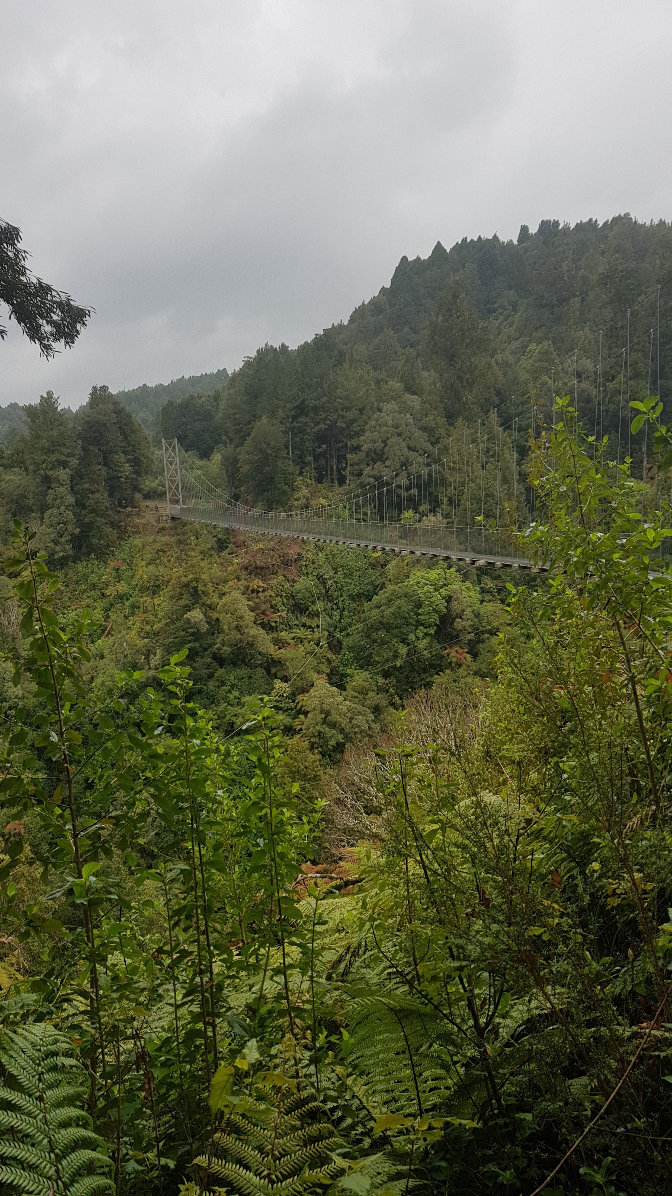
We also knew that there were a few suspension bridges on the trail. This is the first one that you encounter and it is one of the more impressive ones.
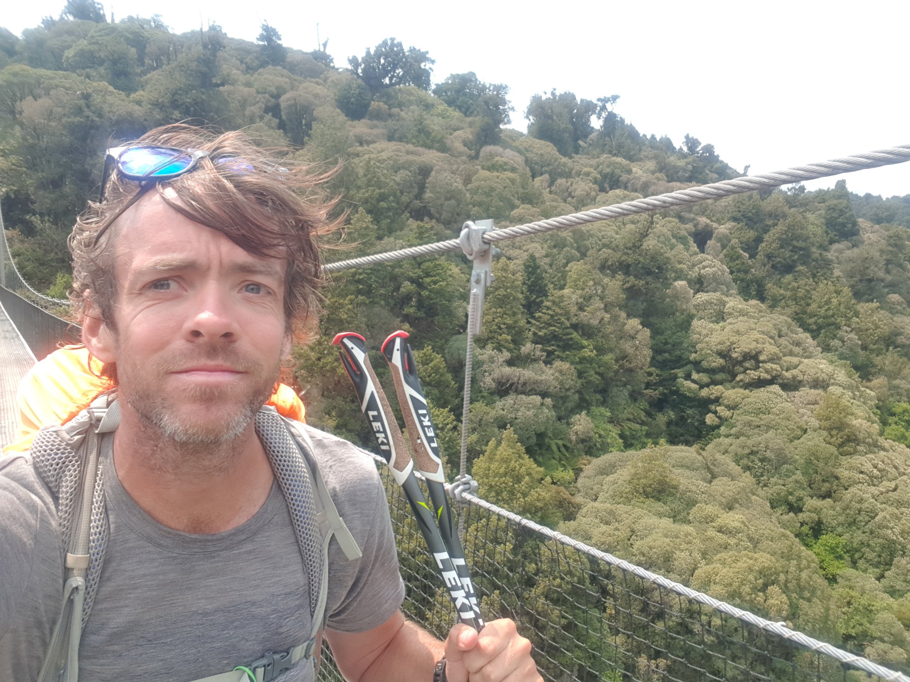
Bog Inn Creek bridge
It was long and wobbly and fun. But Ethan doesn’t like heights so the others had fun teasing him.
I felt okay walking across here but in the selfie I took, I look like I have a bit of hesitation. Although I think that comes from being scared about dropping the phone.
There was quite a gathering of cyclists at the other end. I think perhaps they were going to have lunch at this spot, but we snuck in first and took the seat.
Our spot
One of the cyclists asked me as I was walking across the bridge “what sort of music do you like to listen to while you’re walking?” At first I thought it was an innocent question but the more I thought about it the more I thought it was a dig at me for wearing earphones while walking.
It was good to have some lunch. The cheese is getting a bit soft… but it still tastes fine, and I can’t even remember how long I’ve had it now.
Cheese check day ??? – it is all gone now anyway
Here’s another suspension bridge just a short distance later.
I can’t remember how many of these the sign said there were… but it’s a lot.
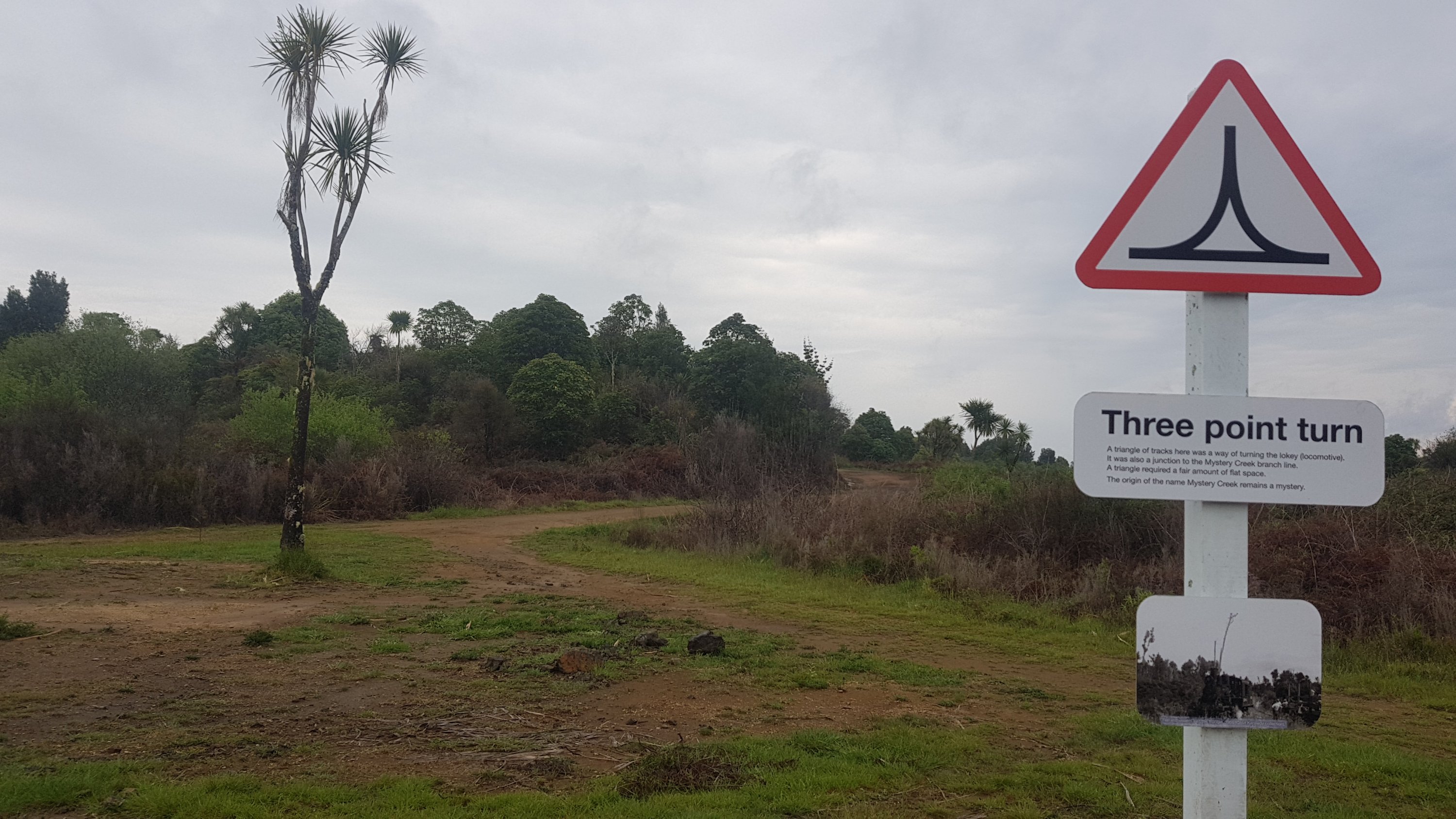
And here is a shelter made out of a big tree stump. It’s obviously not usable now, but apparently someone back in the day used it as a house when this was an active logging area.
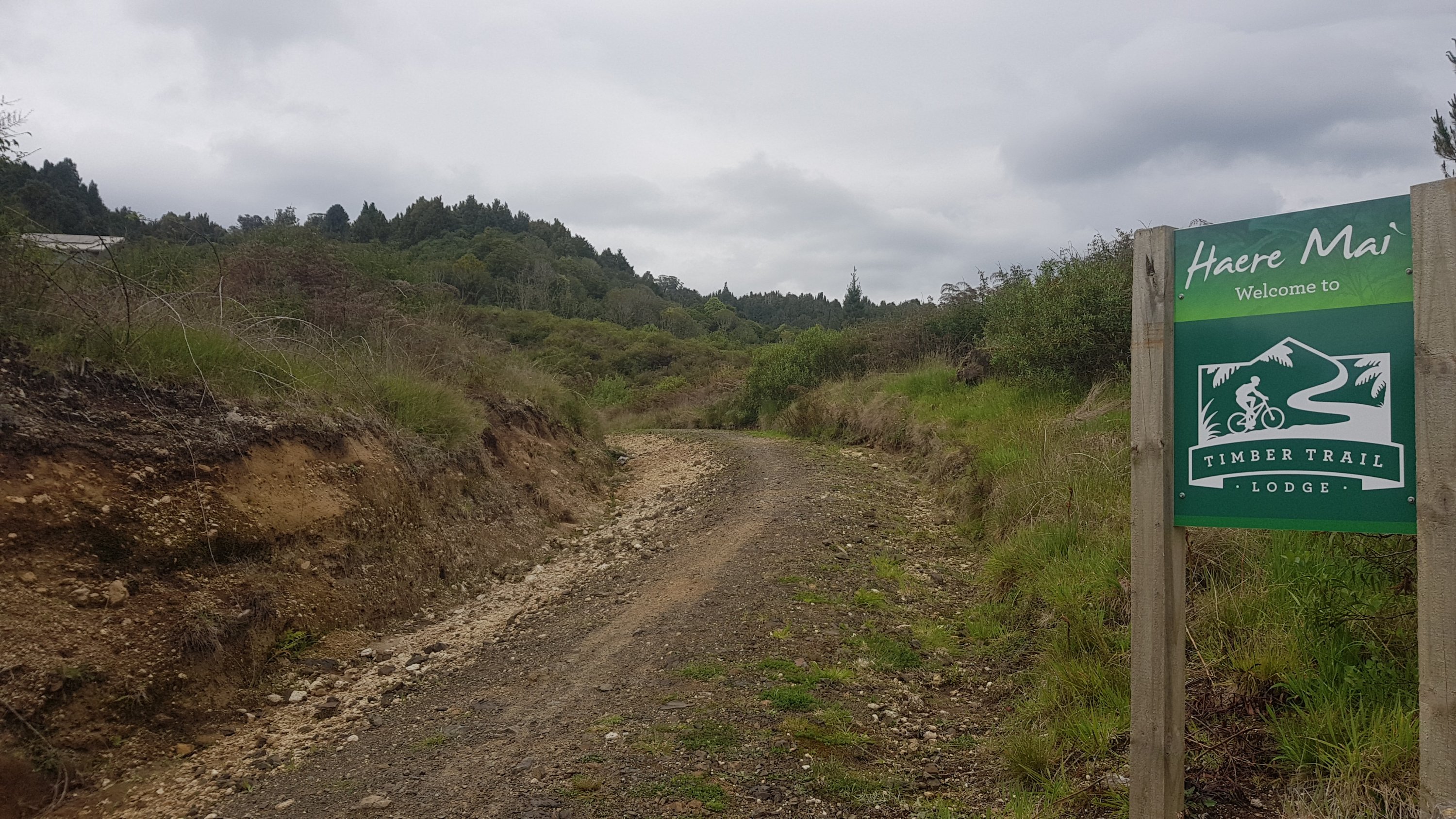
We walked past the Timber Trail Lodge.
Timber Trail Lodge up on the hill
All day we knew it was coming, and we also knew that they do beer and pizza. And we wanted some of that. But is that only if you stay at the lodge? We weren’t sure. We would find out soon enough, but for now we had to walk past it to the campsite which was another km further down, and set up camp. It’s supposed to rain hard tonight and so we want our tents set up while it’s still nice.
Looks promising, they’re encouraging people to go in
Just before camp is a distance sign. Oh wow, the others are planning a 45km day tomorrow to Ongarue. I don’t think I’ll join them for that, especially given the bad weather forecast. But no time to worry about that now, beer and pizza await!
Ongarue Trail Head 45km
Although I hear a loud buzzing noise. I hope it’s not more motorcyclists like the ones at The Bluff Campsite on Day 2. They were so annoying, and they scared off the wild horses.
Arrived at camp to see Henry there, which was a nice surprise, I figured he would be ahead. Thankfully there were no motorcyclists (I think the noise was just flies), but there was a Swiss family of 4 who are walking, and there were two other tents there but their occupants weren’t anywhere to be seen.
Yesterday I remember really wanting to get my boots and socks off all afternoon but today it was the pack. It really seemed to be weighing down on my shoulders today. I don’t know if some days I pack it differently to others, or what it is. In fact for the last few kilometers of the walk today it hurt to even raise my arms to take my earphones out of my ears. I was so glad to finally take it off.
Henry joined me and the other guys I was walking with and we went back to the Timber Trail Lodge. It was a nice place, we got there at 6pm and we had to order pizzas very quickly so that the guests that actually paid to be there could sit down for their fancier meals.
My selfie-taking skills today are below average
But we were allowed to drink as much as we wanted, they didn’t have any problem with us ordering drinks. Most of the guys got five beers each. I only got three, I thought that was definitely enough. And the pizza was good although a bit lacking on toppings.
Alex and Ethan with drinks
Had a quick look outside before I left, but the rain hadn’t started yet. We were expecting to have to walk back to camp in the pouring rain.
View from outside the lodge
There was the slowest Wi-Fi ever at the lodge, but it did enable me to check my emails. One thing I did learn was that there was an unfound geocache right where we were sitting at the end of the Bog Inn Creek Bridge! I was sad I didn’t know it was there one day earlier. I would have been first to find on my third geocache while walking. Oh well, it is what it is. I did actually find one other geocache today for the first time since Mt. Pirongia.
And my GPS watch was reading 32km while at the lodge, however the markers along the edge of the trail had reached 39. And Guthook said about 37. I can’t believe each of the measurement systems could be giving such ridiculously different readings. I’m getting so annoyed with the GPS watch way underreading that I think I’m going to stop reporting it after today and just use it for the red line on the map at the end of each blog post.
Everyone in a good mood on the way back
Got back to the camp and the rain was only just starting. I decided to sit in the campground shelter and write a blog post. When I finished that it was raining quite hard by this point and when I got back to the tent I realised i had closed the mesh tent door but left the tent fly door open. Uh-oh. My sleeping mat was quite wet but I dried most of the water off that with my little towel. There was a little pool of water in one corner of the tent which my iPod was very close to but luckily nothing important got wet. Note to self – close the tent fly door.
And for some reason my tent stinks. Its hard to describe what it smells like. Oh and somehow I got blood on my sleeping mat. So now the mat has mould on it at one end, blood in the middle, and rainwater at the other end. Lovely.
The weather is going to be bad overnight and probably tomorrow it seems. If it does rain hard tomorrow I had planned to spend tomorrow sitting in the lodge again waiting out the rain but I got the impression they wouldn’t like that. Oh well let’s see what happens. I really don’t fancy walking in the rain, like everyone else says they’re going to.
Date: 18 November
Trail covered: 41.8km (kms 964.5 to 1006.3)
Weather: very wet
So like I decided yesterday, I am no longer going to report on the distance that the GPS watch says I walked, because it so wildly under-reads. I had originally started including this because I wanted it to include any extra that I walked, like to and from accommodation or dinner, or things like that. But it just hasn’t been working out. So instead I will report how far Guthook says we have walked, by taking the difference between the two km markers.
Overnight I had a strange dream. I dreamed that I was at home and I was about to go back out to continue walking the TA after taking a break, but Mum got very emotional at the thought of me leaving. I woke up genuinely thinking that I was still at home, and I was surprised to find myself in my tent. Must’ve been the beers last night!
This morning I saw two new faces at the shelter table – the occupants of the two extra tents from last night – they were Abby and Jason and they are doing Walk for non-violence from Cape Reinga to Wellington. It’s surprising that there aren’t more people out there using the walk as a reason to raise money. Abby also said they were doing the walk to get fit and also have some fun too. I thought that was nice.
While I’m giving out links, here’s Alex and Ethan’s blog. It’s great and well worth a read, they go into as much detail as I do. I have linked to the day where I first met them!
Okay, time for a quick check of the weather. Wow, no visible rain yet.
The campsite this morning
I had a look down to the other end of the camp. Last night, Alex had set up camp at the other end of the campsite from where I had set up next to Henry. That was because he didn’t know Henry or any of the other walkers at first, and he wanted to use the shelter at the other end.
The campsite at the other end with Peter, Charlie, Alex and Ethan
I woke up at 6am which is becoming a regular occurence. Since there was no rain, I thought I would walk after all as there is no rain to wait out. I’m sure there will be rain at some point but at least I’m not starting out in it.
I had some breakfast, and before long the other five showed up and were waiting for me.
Oops, I’d better get a move on
Here is our day today. 42.7km to Ongarue. I might go that far, or I might not, I’m not sure, but the rest are. There is a campsite halfway which I could stop at… although if I end up getting rained on then I’ll probably want to keep going so that I dry out. If you’re wet, then walk until you become dry – that’s what Rhydian kept saying.
There is also a place on the sign called “Mystery Creek” apparently – must be different from the Mystery Creek near Hamilton.
Then there was this sign – “Next exit Ongarue 42km”. Wow, I guess that means no road crossings and no way in or out if something happens to you halfway in. Scary!
Henry next to the sign
There were more cyclists on the trail today. I always tried to keep left for them but that wasn’t always possible.
Finally managed to capture some of the MAMILs on camera, although there was not a lot of lycra on the trail today because of the weather
My pack started hurting early on today. I think even after 3km I noticed it. That doesn’t bode well for doing a 42km day walk today. Looks like I might be camping halfway along the way somewhere.
Here’s the Maramataha Bridge. It’s the longest and tallest of the suspension bridges on the trail and it was awesome.
Maramataha Bridge
It took a while to get across and because it was so long it was also very wobbly.
I know this photo won’t do justice to how high up we were but I’ll post it anyway.
Don’t look down
Peter clearly wasn’t afraid of heights.
Peter’s going to great lengths to get a good picture
I put my rain jacket on at this point because it was getting a bit gloomy.
But like usual, I walked with it on for 3 or 4 minutes and then I felt too hot and sweaty so I took it off again.
Misty walk through the trees
Signs along the way suggested that we would now be following an old railway line for the rest of the way. Excellent – that means there should be no steep ascents or descents today!
Timber tramway
Here is one such piece of information that we were told on the way about the train – here is the bit where they did a three-point turn.
“Mystery Creek remains a mystery”. I see what they did there.
We had “lunch 1” here. Quite often we also have “lunch 2” and even “lunch 3”. My 11am picture is Alex and Ethan packing up, and Peter in the distance already heading off.
11am picture
All along the trail were fairly large holes dug out in this shape. I wondered what they were for, and someone in the group suggested that’s where the rain collects after it rains so as not to flood the path.
These aren’t swimming holes… I think…
The path started to look a bit more like wetlands…
And there was some old “junk” lying on the side of the path. Remnants of an earlier time perhaps? Or has somebody cycled all the way here to dump their old rubbish?
Somebody should report rubbish dumpers to the council!!!
As it started to rain a bit, Peter went into this shelter to wait for his brother who again was limping a bit. This was the first shelter with an actual door on it – it was very cosy.
The fanciest shelter so far!
Here’s another piece of train history, the jigger turntable. A jigger is apparently any vehicle adapted for train tracks by adding wheels.
Jigger turntable
These little information signs were everywhere on the trail. I didn’t read many of them as there wasn’t time with the big days but I did like this one.
Payroll goes AWOL
It was about 12:45pm when the heavens opened and the rain poured down. I figured it probably would at some point but I hoped it would be after I’d made it to the campsite that was halfway.
I don’t know why, but I didn’t put my rain jacket back on. Perhaps it was because I thought the rain might be short-lived, but either way, it was a silly idea. The rain went on for hours – at least three hours. I just had on my tshirt and shorts like I always do and these quickly got saturated. “If you’re wet, walk until you’re dry” wasn’t going to cut it this time.
Many paths from hereon cut through rocks
So I just kept walking and walking through the rain. With any luck the rain would stop before Ongarue and I’d dry out walking the last bit. I just powered on and didn’t slow down too much because that would make me cold.
But then the wind started too. That made it even colder. I haven’t yet worn the gloves that I brought and this would have been the perfect time as my hands were freezing. But they were way down in my pack and no way was I going to try and find them in the pouring rain. I’ll just have to live with it for now.
I’m annoyed because I knew what the forecast was. I should have been more organised. My hands were too cold to take too many pictures. I did manage a couple though.
And this one of a large Totara tree.
Please, other hikers, stop asking me about types of trees. I only knew this one because it was on the information sign.
I passed the halfway campsite and there was a small shelter. Abby and Jason were in there. I decided to press on as stopping would make me get even colder and there wasn’t enough space in the small shelter to dry off and change clothes. I knew there was another shelter at marker 73 or 74 and that gave me something to look forward to. So as I was walking along, I just kept counting the numbers and looking forward to the next one each time.
Heh heh heh, heh heh heh, heh heh heh
There were actually quite a lot of places you could pitch tents along the way, and some of them even had toilets. So I’m not sure why the trail notes insist that you should use the four campsites that are explicitly mentioned in the notes.
I kept myself in a good mood by thinking back to other good times on the trail, and imagining myself in warmer places like on the beach. I told myself that would be me as soon as I was at the shelter. It gave me the power to keep going.
I also saw the first animal I’d seen anywhere on the entire Timber Trail – a small goat.
This was as close as I got to any animal.
I got excited when the shelter was getting closer… and then suddenly, there it was! What a sight for sore eyes!
I could finally go in, pull out my towel, dry off and change into my thermals and my other shirt which was dry. And unpack all my stuff and distribute it all over the shelter. It felt so good.
Like always though, of course I’m unable to change my boots, so I have to put wet boots on again. I was sure this morning that I had dry socks and boots for a few hours. Maybe it never happened and it was all another strange dream.
The others turned up 10 minutes after I got there. They had “lunch 2” but then continued on in the rain. But there was no way in hell I was leaving this shelter until I was 100% certain the rain had stopped. Even if that meant waiting all night.
Fortunately I only had to wait half an hour, and the rain stopped. I waited another 15 minutes to make sure it didn’t start again, and set off on the final 8km to the campsite at Ongarue.
Creepy
This tunnel was early on and was quite freaky. I had to turn on my phone’s torch.
Even creepier
Then there was the Ongarue Spiral – a section of railroad that loops around in a circle and over itself, although of course it was now the trail. The shelter was just before here, at the top of the bridge up there and the others were disappointed in the spiral. I think they thought it was going to be some kind of loop-de-loop like a rollercoaster, or at least some kind of tight spiral walkway downwards around a tree.
Ongarue Spiral information
It’s true though, it wasn’t that exciting!
It’s just one track that loops around and ends up above itself!
Coming up were a few rock falls. Here is one such rock fall:
Thanks for the sign. Given the conditions on parts of the TA so far, it’s possible walkers actually would try to scale the rocks.
And there must be more coming, because of this sign.
No stopping next 1000m
One problem though. I was at km 999.5 and that meant the 1000 km mark was coming up soon. So Mr. Yellowsign there can say No Stopping all he wants – Im stopping to mark the 1000km point no matter what!
I also stopped to admire the view.
Despite being largely dry now, I still was very keen to get to the campsite and the others had gone ahead and so weren’t with me to celebrate this momentous occasion. So I just drew 1000 in the ground quickly.
If I wasn’t so tired and so wet earlier this would have been a much bigger and grander monument to 1,000km.
And did a thumbs-up.
One third of the trail done now!
After this the trail changed back to farmland:
And then logging operations, which wasn’t as beautiful:
I kept putting one foot in front of the other, and watching the km marker numbers. There were markers back on Raetea Mountain back on Day 6, numbered 1 to 18. Each time you passed one of those, you would be so excited because it was such hard going and you were moving at approximately 1km/hr. On this trail, however, the markers largely passed without excitement, except when you got near the end.
Almost there now. This was the last circular km marker that I saw.
Got a glimpse of the campsite through a gap in the trees.
Not long to go!!!
But first, a chance to reflect on how far we had all come in two days. Pureora was 82km behind us, and apparently 28 hours – however we managed it in 16 or 17 hours. We had now completed the Timber Trail!
Yay for us
I really didn’t think I would manage a second long day today, and I was feeling good too. The pack was hurting early on but then after a while I just didn’t notice it. I don’t know if it was anything to do with the rain but for the first time in a while nothing was hurting.
There’s the free camp and shelter. It’s also the car park for people wanting to start the Timber Trail from this end. Although in saying that, I didnt see one single person walking or cycling northbound, which I found odd.
I was last to arrive this time. Henry, Alex, Ethan, Peter, Charlie, Abby and Jason were all there. And not long after, a French couple turned up in a kitted out van. Charlie went to talk to this couple to see if he could hitchhike with them to Taumarunui tomorrow, because he was hurting again. But apparently they were not going that way.
Nice sunset with all the tents up, and the French couple’s campervan
Tonight I really hoped to book accomodation for tomorrow so that I could simply walk into Taumarunui tomorrow without thinking too hard. There was already enough to plan tomorrow (namely the Tongariro Crossing and Whanganui River journey) to worry about accommodation as well.
However there had been hardly any phone signal for the last few days. There was a tiny bit of phone signal here – every now and again a notification of some kind would come through on the phone. But it wasn’t enough to load a web page or do anything like book accommodation. Oh well, I guess it will just have to wait.
There were “mobile phone reception” signs along the start and end of the trail (none in the middle) but I was so wet and cold that I didn’t stop at any of them. If it hadn’t been for the rain then I would have sorted something at one of these spots. Ethan did exactly that, stopped at one of these mobile phone reception spots and booked a room at a motel somewhere. Apparently they were full now.
With AirBNB you can always be sure of finding last minute accomodation in a big city, but in a town it might not be so easy. It’s alright. All I am looking forward to is washing and drying all my clothes which are mostly now wet through. Speaking of which, my Torpedo7 “waterproof” pack cover doesn’t seem to be very waterproof – the stuff in the top of my pack got quite wet. I wonder if it really did anything at all.
Henry pointed out the nice sunset which I wouldn’t have otherwise seen – too busy sitting in the shelter
The other guys may get away from me soon. I think they will want to do the Tongariro Crossing and Whanganui River canoeing faster than me, whereas I want to take my time and have a bit of leeway in case the weather on Tongariro is bad. Although I would like to join them because they push me to go harder than I otherwise would, and it would be nice to be on the river with people I know, instead of being paired up with a random group of people that I don’t know. Something else to worry about tomorrow.
I got into my tent. Yep something definitely smells in the tent. I can’t work out what it is. Nothing smells when I smell everything individually. It kind of smells like an infected wound, but I don’t have any of those. Not that I know of anyway!
And I hear snoring again. There was snoring last night too, but with the different arrangement of tents tonight it must be someone different. I can’t tell who it is! I’m really going to struggle in the South Island where most of the sleeping is done in huts and I will be in much closer proximity to people!
It’s all good though. I was warm and dry and in my tent and didn’t have to start early tomorrow if I didn’t feel like it. Hooray.
Date: 19 November
Trail covered: 26.8km (kms 1006.3 to 1033.1)
Weather: overcast, but no rain
Here’s the campsite this morning.
I feel cold just looking at this
It was so cold. It was cold during the night too. I was wearing my thermals in the sleeping bag. I had set up my tent under a big tree too, which was a mistake. Big raindrops were hitting the tent overnight and they were quite loud.
Information on the campsite. It’s provided free for us, which I think is great.
After a breakfast of porridge, I set off. I’d never set off wearing my jacket and thermals before. Everything I have is cold and wet from yesterday and nothing dried overnight despite everyone hanging their clothes up in the shelter. I still had one last pair of dry socks, and that was about it. Of course the boots were wet so they didn’t make any difference.
As I was walking, I thought to myself “do I really want to do this? Subject myself to this for another 3 months?”
The type of road for most of the day
Yes, I do want to keep going. Not every day is this bad, and tonight I will have a motel room with a bed and washing machine and hopefully dryer. That will be sweet.
Ok now that that thought is out of the way, I can focus on trying to get accommodation. After 1km or so, there was a good enough phone signal to search for a place to stay. There was nothing around on AirBNB, and not a lot of motels showed up when I searched for 2 nights, but searching for just tonight I found a room at the Alexander Spa Motel which sounds fancy but didn’t have great reviews. It was right in the middle of town though and it had a laundry so how bad could it be?
Great, now that’s done I can look at the scenery. Walking along here, I noticed bulls on the left and a train coming through on the right.
When I got closer to the bull, it had a real look on its face, like “I’m the boss here, and you know it, and so I dont need to show any expression”.
There were calves along with the cows in this paddock.
And I thought this calf peeking out from under its mother was very cute.
Hello there, I see you, little calf!
And this cute little sheep, who didn’t seem to care about me.
Despite all the cute animals, I was tiring quite fast. There was a comment on Guthook that suggested that after 15km of walking today, I would be at a cafe. The cafe is apparently only open on Tuesdays and Thursdays – lucky for me today is Tuesday. But does it exist? On this gravel road, I simply can’t imagine there being any shop here.
At 14km, there was a road over the river that joined with the nearby State Highway 4, and the road became sealed. There were still very few houses… but there was indeed a cafe!
I see a building, and an “open” flag!
It had some cute outside tables – at least one table for everyone that must live in this small settlement.
The place is called Taane’s Manor.
Tanne’s Manor – seemingly written in a stereotypically Irish colour and font
They have a very small menu, and the coffee comes from a push-button machine. But it was okay for a machine coffee. And their toasted sandwiches were pretty good.
“Breakfast 2”
At 11am I had just left the cafe and was walking through the small settlement of Okahukura where the cafe was.
11am picture – the settlement of Okahukura. I struggled to even find it on Google Maps to remind myself what it was called.
I still couldn’t work out why such a tiny place had a cafe. But I’m glad it did.
This tiny place also had a loud barking dog run out onto the road at me. I stopped and waited, because I saw the owner running out of the house coming to get it. I was annoyed at first, but once the dog came right up to me it actually turned really friendly, thankfully.
The rest of the trip was still more road walking. In fact it was road walking all day. I passed one field of sheep making a hell of a noise. I tried to record it on video – I wonder if you can hear them on this YouTube clip.
There was cotton all over the road and when a car drove through it it would all blow up in the air and cover me.
And here is a digger driving down the railway lines. It has wheels attached to the bottom. Does that mean this is an example of a “jigger” that I learned about yesterday on the Timber Trail?
Digger Jigger!!
Coming into Taumarunui, I found this fairly badly drawn piece of kiwiana.
I can make out the L&P bottle, the carrot and the kiwifruit, but what are the rest?
Oooh and now a dairy. Time for a milkshake. I thought about walking three more kilometers to go McDonalds instead, but nope, milkshake time.
Hillcrest Dairy
It was one of the best milkshakes I’d had for a while. Lots of icecream, cold, and the right amount of flavour.
Orange milkshake – scores 10 out of 10
A bit longer and I was in Taumarunui. I saw that the state highways now have 4 at the beginning of the number. People may notice that the initial digit of the state highway numbers in NZ increases as you go down the country. When I get to the “5” highways I’ll know I’m just out of Palmerston North and when I see the “6” highways, I’ll know I’m in the South Island.
The corner of State Highways 4 and 43
While I was walking, I had a think about the river section coming up, and I decided it would be cool to join Alex and Ethan even though they might go a bit faster than I’d like. Problem is, I didn’t know how to get hold of them. My plan was to go to their hotel and see if I could find them…. but one slight problem. The milkshake from before had made me need the bathroom – quite desperately!
So I continued through the town to the public toilet (no dramas there luckily). And after that, nearby I saw two unshaven people with all their wet clothes draped across a park bench. They had to be hikers, so I went over and talked to them. They were indeed – their names were Dmitry and Antoine. Rhydian had talked about them and I had seen their names in the various visitors books, but never met them before now.
And after talking to them for a few minutes, two more hikers turned up. They were Pascal, who I last saw on Day 5 at Ahipara, and Olivia, who I last saw on Day 26 at Marsden Point. I felt bad because I didn’t recognize either of them at first… it had been a long time, and Pascal’s hair had grown a fair bit.
Me, Pascal, Olivia, Dmitry and Antoine
Pascal and Olivia are far ahead but had to come back to do the Tongariro Crossing because of bad weather, and the other two are starting the river journey from here, so I won’t see them again for a while, most likely.
Interestingly Pascal said that he has already done the Whanganui River section and he said that he thought 5 days on the river was unnecessary. He said he wished he did it in 3 or 4 days because he was often bored in the campsites at the end of the day.
So now I know of at least 11 hikers in this town today. The four I met in the main street, plus Alex and Ethan, Peter and Charlie, Henry, me, and a Swiss lady who was also staying at my motel, but who was taking extended rest because of a suspected stress fracture. I didn’t talk to her but the manager told me about her. I hope she recovers!
After this I decided to go and check in to my motel room before trying to find Ethan and Alex. I put everything into the wash… but one problem – all I had to wear while my stuff was in the washing machine was my down jacket and my rain pants. I can’t be wearing those around all day. So I raced down to the SPCA opportunity shop to find a cheap second-hand shirt.
The shop was inside this arcade
The shop closed at 2pm and it was 2:04pm. Oh no! The door was locked, but people were inside and they let me in to buy a shirt.
The SPCA shop – once it had fully closed
I went back to the motel room to try on the shirt. Snug – but for only $2 I like it!!
My new threads
I’m going to keep this shirt until at least the end of the Whanganui River. All the rain recently has shown me that having one extra dry shirt is not a bad thing.
Ethan actually got hold of me on Instagram shortly after getting my shirt, so that was good – I didn’t have to go and find him. I told him I wanted to join his group and he said he’d do some orgaising and get in touch soon.
To kill some time I went out and walked a bit more of the trail, starting with the public toilets which is as far as I got before. I saw this large bird.
A big bird
This part of the trail goes down the main street, but then turns right and then does a dogleg and heads back in the direction it came from. Just before I got to this bit, I saw a bunch of high school students who obviously saw me – how could you not, I was wearing a bright red shirt, rain pants, and yellow crocs. When I did the dogleg turn, I ended up seeing the students again. So that they didn’t think I was stalking them, I spent some time looking at this memorial to people who died in World War I.
World War I memorial
I saw the students go down a side street, so I continued on. But once I’d walked as far as I could without crossing the river, I had to walk back to my hotel, and I saw them again! I bet they definitely thought I was weird.
On the way back, I saw this ambulance display:
I thought there was something weird about this baby.
And I also really liked these barriers. It looks like the barriers are really enjoying each other.
Very happy barriers
I grabbed myself a Thai takeaway – spicy noodles with Chicken – and went back to the motel to eat it.
So far I really can’t fault the motel. The manager was very helpful when I turned up, showed me around where everything was and even gave me free laundry detergent. The Wi-Fi was really fast, but unfortunately it stopped working at about 8pm and I had to switch back to my mobile data. That happens in a lot of motels though.
I never heard back from Ethan, but I know he was really tired and I know he’s spending another day in Taumarunui so I’ll talk to him tomorrow. I don’t have accommodation booked after today so I’m not sure what I’m going to do yet. I’d like a rest day, to be honest.
I realised soon that today would be a rest day in Taumarunui. I knew that today we had to organise the Whanganui River section of the trail today. Well, I say “we” – actually, Alex and Ethan have done all the organising. I’ve just tagged along, as have Charlie and Peter. For that I’m eternally grateful!
I woke to a message from Ethan about the river journey. He’d originally said that they wanted to take their time to allow for a bit of leeway in case of bad weather. But this was the message:
Ooh, not only is that a punishing schedule, but there’s no leeway at all – today being Wednesday and all! However, I’ve liked travelling with this group because they go at a good pace and so far I’ve been able to keep up with them. And so I checked the weather forecast – this is what I saw:
Wow, that’s a fantastic forecast. And they convinced me that 38km days are actually possible on those sections. Okay, I’m in. We have the canoe hire company coming to pick up our food at 3:30pm and they will take us to their office to do a safety briefing. I hope I feel less nervous after the safety briefing. Apparently I have a kayak and not a canoe, which I’m less nervous about, because I’ve kayaked before but never been in a canoe.
We can take heavier food on the river journey because it goes in the waterproof barrels in the canoes, and doesn’t have to be carried. The boys are already talking about many cases of beer. For some reason I just feel like taking pies and Bayleys. Not sure where that craving comes from.
I packed up my stuff in preparation for checking out of the motel, and Taco Terry watched on.
It’s been raining… again
While I was packing up, I had “Steamy Windows” by Tina Turner in my head. I have no idea how that song got in my head. And I only know those two words of the song. “Steamy Windows Brrrrrrrrgh! Something something something something”. I put it on Spotify to play it then had other music on while I finished packing up.
If I wanted to spend another day in this motel I’d have to change rooms which would be annoying, and the Forgotten World Motel is right opposite the New World and was $30 cheaper so I moved to there. And amazingly, they had my room ready at 10:15am when I arrived. Excellent!
The motel, conveniently across the road from BP, McDs and New World
I did one quick journey to New World to get my food for the next 5 days walking, and I’ll go back again in the afternoon to get the river journey food separately. I don’t normally take an 11am picture on a rest day but the alarm on my phone went to remind me and I thought “why the hell not”.
11am picture – me with my purchases on the main street
Then I had an early lunch at The Bakehouse Cafe. I always love The Bakehouse, their simple food appeals to my simple nature.
Chicken satay, drumstick, lolly cake and Blue V. I love it.
Saw this guy on the way back to the motel. Do you think that the owner got the rights to use Sideshow Bob’s likeness on the side of his van?
Always happy to see a fellow Simpsons fan
I’ve worked out that what must be stinking out my tent are a combination of my sleeping mat, which has all number of fluids on it and also inside it, and my stinky feet which got quite cut up after walking in all the rain. I don’t think there’s much I can do about the sleeping mat – I should have taken better care of it from the start. Hopefully some dry weather will take care of my feet. And just as I was typing this, an ad for some kind of foot care device came on TV. Gee, it’s not only Facebook that knows everything about you these days, it’s also regular TV!
Foot care device being advertised on TV. It’s definitely trying to tell me something.
I went to do some shopping in the afternoon. The weather is beautiful now and it’s supposed to stay this way.
Great weather on Taumarunui’s main street
Here are my purchases. Firstly, alcohol for the river ride. The canoe trip is a great chance to take alcohol since it doesn’t have to be carried. I have Jack Daniels and Coke, and I was going to get Baileys, until I saw that was $45 and this Irish cream was only $16, so that won out.
Today’s retail therapy
Secondly, a dry sack so that I can take a couple of things on the canoe without worrying they will get wet. And thirdly some freeze dried meals and smoothies.
And then here is all the food I’m taking on the river, plus a couple of other things I will buy from National Park, like cheese. I got my pie… I hope it survives the journey and doesn’t get crushed!
Saw Rhydian at New World. He said he is going to canoe from here in Taumarunui in a couple of days, and skip the Tongariro Crossing because he has already done it before. That might mean he is on the river with the rest of us once he reaches Whakahoro, which is where we are launching from.
Time to go to the canoe hire place. Here, we had to put all our food for the trip into waterproof barrels. It was a bit of a squeeze.
Charlie and Peter trying to shove everything in the barrels
All ready to go for Tuesday.
Next was the safety briefing. Here we learned about all sorts of things that were a bit scary for me… like don’t lean away from obstacles if you’re about to hit them in case the underside of the canoe hits them and breaks the canoe in half, and ensure you avoid the Eddy and hit the V. Whatever that means.
I should have been listening instead of taking photos
So this is apparently what we’re doing, if this makes any sense.
Plus another three days that aren’t on the map
While we were sitting around waiting for our transport, we were playing with the dogs…
And Alex noticed this power outlet which we all thought was a bit, shall we say, “inconvenient”.
Riiiiiiiight
It’s good to finally have a plan for the river section and to know that there’s nothing more that needs to be planned. Now there is just the formality of actually doing it. That’s the scary bit.
What it does mean is that we’re going to be doing the Tongariro Crossing on a Saturday… so there will be a lot of crowds. And apparently tourists do the crossing northbound, whereas we’re going southbound, so we’re going against the tide. We’re going to be starting early because of that, and also because of the big day planned for that day! Good news though is that it sounds like Henry will be doing the crossing on the same day.
I feel like now is a good time to do another “Wellington by Christmas” goal check. There are now 31 days until 21 December (day 87) and 661.9km to go. That means I need to do 21.4km per day. Ten days ago it was 22.5km per day so I’m ahead of schedule. And we have ten or so days coming up where every day is a fair bit longer than that.
If I can do 25.5km per day then I’ll be there by 16th of December (day 82), and if I can do 30km per day I’ll be there by 12th of December (day 78). What a difference a few extra km per day can make. Although there are the Tararua Ranges to contend with in a couple of weeks’ time.
Tonight I had a quick dinner consisting of an entire Apricot Chicken pizza at the place in this photo, right beside where I’m staying. All five of us had pizza here – there were two “BBQ Hawaiian” pizzas, a “Chicken and Feta” pizza and a “Garlic and Cheese”.
Pizza & More
And this “supa sundae” from McDonald’s for dessert.
Probably shouldn’t be eating so much on days I’m not walking… but whaddyagunnado
And now it’s time to rest in preparation for walking again tomorrow. Gee, with all this talk of the river journey today, I almost forgot that walking is why we’re all here. Tomorrow is not an early start because it is not a difficult day. It’s off to the big metropolis of Owhango.
Date: 21 November
Trail covered: 27.9km (kms 1033.1 to 1061.0)
Weather: beautiful
It is amazing how much different you feel after a reset – when you get to have a proper rest, and everything gets washed and dried, you sleep well in a bed, and then when you start out again, you almost feel like you’re starting over again. It’s almost as if the rainmageddon of Day 54 never happened. The rainpocalypse. The rainnihilation. The rainatastrophe. You know what I mean. The wet stuff that falls from the sky and makes you wonder what in God’s name you’re doing outside in such evil weather.
None of that today. There isn’t a cloud in the sky this morning.
Lurrrvly
Breakfast first. I walked down to Izzy’s Cafe, which is the same place as the Thai restaurant from two days ago. Cafe by day, Thai by night. Although they should stick to Thai. I got bacon and eggs and coffee. The eggs were done well, but the white toast was more butter than toast, the bacon was cheap bits instead of the good stuff, and the coffee tasted like rainwater.
Feeling totally unsatisfied I went to the bakery on the way back. As I got there, this vehicle pulled up and the driver also went to the bakery.
I lived in a semi-rural town for half my life and never did I see a farm vehicle of this size simply pull up outside the shop so the driver could get a pie. How Kiwi is that.
Back at the motel I packed up all my stuff, and then I realised I didn’t keep my socks out… and where were they? Right at the bottom of the pack, of course. So everything comes out of the pack. And I get my socks out, then it’s all packed up again. And then I realise I left my cheese in the fridge. Dagnabbit. Everything gets unpacked again.
I also spent a little bit of the morning stressing that my cans of Jack Daniels and Cola that I put into the waterproof barrels at the canoe hire yesterday will be making the other things mouldy as they were slightly wet. Oh well, at least most other things inside the barrel are sealed if that happens.
Met Ethan, Alex and Peter at McDonald’s. I didn’t get anything, I thought about it, but they were clearly very understaffed today. Here is Ethan waiting over 15 minutes just for one hot chocolate.
He’s got more patience than I’d have…
Ethan and Alex had to go to the post office to post their “bounce box” forward. A bounce box is a box that overseas hikers use that contains all your stuff that you brought to New Zealand and aren’t taking on the trail. It could also be used by anyone to buy multiple pairs of shoes or other things in advance and post them to various points ahead of time. So while they did that, Peter and I went to BP next door, as he needed some new sunglasses.
Peter’s new sunnies. The lenses looked a lot more orange in real life.
We walked down to the post office to meet the others and on the way Charlie turned up. He said this is the last day he will be hitching because his pain has mostly gone away, but also there aren’t any more road sections for a while after today. He was all ready with his hitchhiking sign.
Name me one person who doesn’t want to go to Owhango?
Inside the post office there was a bit of a dilemma. NZ Post have a thing called Poste Restante where you can send things to a post office and they’ll hold it for you. Apparently in the last two days, Whanganui and Palmerston North stopped providing this service. And Wellington is too far for the box to go. So some frantic last-minute calls and Ethan has arranged to send the box to the Whanganui Top 10 Holiday Park which is the terminus of the river journey. Crisis averted.
Alex writing the new address on the bounce box
There was one last thing to do before setting out. I’ve done the safety briefing for the Whanganui River but not the safety briefing for the Tongariro Crossing. Luckily I passed that with flying colours.
It was tough, but I managed it.
Just kidding. That was just me messing around in the kids playground across the road while waiting for the others to hurry the hell up. Charlie had started hitching 15 minutes ago. I bet he is in Owhango already and we haven’t even left Taumarunui yet.
Taumarunui roadside art
On the way out of town we got our first glimpse of the Whanganui River that we would be canoeing on from Tuesday.
River level sure is low at this point
Doesn’t look like we need to worry about it being flooded any time soon, although a lot can change in five days.
Here’s my 11am picture, these houses on the outskirts of Taumarunui:
It’s 11am, time to take a photo and fumble around trying to silence my phone alarm
We passed this on the road. Someone said that this was pure Mario Kart.
Do you see what they mean?
Suddenly I had a craving for a G&T Brownie, despite that being an extremely weird combination.
Mmmmm… G&T Brownie *Homer Simpson drool sound*
We also passed Taumarunui Canoe Hire after a few kilometers. This is the place we were driven to yesterday for the safety briefing and to sort the paperwork.
Hopefully this is the last time I have to type the word Taumarunui.
A bit further on I walked around one corner and said loudly “look at that!!!!!”
Mt Ruapehu on the right with all the snow, Mt Ngauruhoe (Mt Doom) in the middle and Mt Tongariro is the sad little hill on the left
I’ve seen these mountains many times before but not recently. I got a real shock seeing them because I wasn’t expecting it yet. The Americans stopped to take a bunch of pictures. Peter was well ahead at this point but he can’t have missed them. Of course the photo here doesn’t do them justice. They’re so big and impressive.
We passed this and tried to work out if we were somehow back in Rangiriri. And also we tried to work out exactly what type of animals this place is selling.
Is it a bull? A sheep? Or just a real ugly dog?
Ethan didn’t like getting too close to this guy:
They say ostrich, I say emu, what’s the difference? I don’t know!
And we saw our last glimpse of the Whanganui River until we launch the canoes onto it.
Bye river, I won’t miss you
A bit more cotton on the road…
I think it’s cotton anyway…
And the road turned to a gravel road.
Not bad scenery
I fell behind as I needed to pee and have a muesli bar. The Americans aren’t stopping for lunch today, which is odd.
Oooh look three people now! Is one of them Peter?
I tried to catch up and did eventually manage it, although Alex really was Speedy Gonzales today and none of the rest of us could keep up with him. Ethan and Peter and I did have a quick lunch on the side of the road.
I was looking forward to my Rocky Road Bites I bought but when I opened them not only had they partially melted already but they were dark chocolate. Eww. I’ll eat dark chocolate if I have to but definitely not my first choice.
So I got out my protein bar, and that was dark chocolate too! Grrrr. I’ve got to start reading labels. And Peter then pulled out his Green & Blacks branded 85% cocoa extremely dark chocolate. Apparently some people do like it.
Continuing on… about 9km to go now. Passed a bull that was big and scary:
And this fence that was useless:
And this ground that had fallen away:
It wasn’t until near the end of the day that we got to see the mountains again. And we figured what a great view this house must have:
The road walking was getting a bit old by this point.
It goes on and on and on
My pack wasn’t hurting my back too much today which was a surprise, especially after buying five days worth of food. I thought I needed to buy that much food because I thought there was no more real shop between here and the river… although I later learned that the town of National Park has a Four Square supermarket. Oops. I don’t remember that being there when I drove through last.
Here is a sign we passed. Whakahoro is 43km away and is where we launch canoes from but it takes five days to get there because Te Araroa takes such a ridiculous detour so it can include the Tongariro Crossing. But I’m glad it does, the crossing is probably the bit I’m looking forward to seeing the most, other than the North Island finish line and Bluff of course!
Which of these obscure places would you pick?
We arrived at Owhango and saw quickly the Owhango Hotel. Oh how I’d love a beer.
Everyone outside the Owhango Hotel
Charlie had already been in town six hours because he hitched, and said that the hotel only opens on Fridays. Well doesn’t that just rip your nightie. No beer for me. Okay fine, Owhango I know has a cafe, because I’ve driven through here before and also Charlie said he spent most of the day there. But it’s 4pm… is there any chance it will be open? The others continued on to the campsite but I left them and went to see.
Of course it’s not open. What kind of stupid, ridiculous question is that?
Since it was closed I went across the road and took a photo with this sign.
Latitude 39 Degrees South
This means the GPS should be reading S39° 00.000 however my GPS was reading S38° 59.775. In other words, about 200 or 300 meters north of where it thinks the actual line is. Weird. Why put a sign like that in if it’s not accurate.
While I was contemplating this, a hiker called Ellen walked past, coming south on the main road from Taumarunui. Hmmm, she sure looks like a TA hiker, but I’ve never seen her before. She said she walks sections of the TA but she’s not strict about the route. She is doing the 42 Traverse tomorrow like we are but it will take her two days whereas we are doing it in one. And then she will do a much longer version of the Tongariro Crossing which includes something called the Northern Circuit. Apparently this takes quite a few days.
By coincidence she is staying at the hotel, which was supposed to be closed. But we walked together around the back of the hotel and found the owner. He let us inside and I could buy a beer after all. Freaken A.
That selfie definitely did not go well.
After that I continued on to the campsite.
Nice final road to get there
Unsurprisingly, everyone else had already set up. No rush for me though, it was only 5:30 so still three more hours of daylight. Excellent.
Immediately after setting up
It’s a nice spot by the Whakapapa River.
The trail continues over the bridge tomorrow and onto the 42 Traverse.
A little something to get us excited about tomorrow
After a dinner we played some cards. I was Ethan’s partner in two games of Euchre against Charlie and Peter. We absolutely annihilated them both games. I think we may have been a but lucky with the cards though. Speaking of luck, look at this:
And this:
That’s phenomenal. Talk about lucky. Surely a forecast like this can’t be completely wrong.
Everyone else was in bed by 8.15. Apparently people are sore and tired from the shining sun all day. Yet I feel excellent, I’m not tired at all and still full of energy. Given that I’m at least 10 years older than all the rest of the members of the group, I have to say I feel pretty good about that.
Although Peter always manages to fit in some exercise before bed.
I went for a walk across the bridge to see the view from the other side.
Es nice
And managed to type up today’s blog post since everyone else went to bed so early.
Date: 22 November
Trail covered: 35.6km (kms 1061.0 to 1096.6)
Weather: hot
This morning we woke up to some of the worst condensation that has hit us so far. We all had tent flys that were completely saturated. I guess given the cold night and the crystal clear skies we shouldn’t be surprised! Luckily the sun came up and then they dried quite fast.
The others on their way out of the campsite
For various reasons which aren’t trail related I stayed back at camp about 45 minutes later than everyone else. So I got to watch them depart without me.
I saw Ellen from yesterday also go past. We had a quick chat but then she was on her way.
The gravel road which marked the start of the 42 Traverse
Today we were following something called the 42 Traverse. It’s a cycleway, kind of like the Timber Trail, but much hillier and paved with gravel instead of dirt. I saw the elevation profile yesterday at the start but here it was from a few kilometers in.
42 Traverse elevation profile
I was surprised by this, I thought we were following the whole 42 Traverse, but Guthook says that we only get up to 790m whereas the sign there says the high point is 910m. And I also don’t think we come out at State Highway 47 where it says. Oh well, time will tell I’m sure.
The scenery on this trail was less exciting than the Timber Trail, although there were a couple of nice points.
A nice waterfall
I also noticed this sign – “2500 kg maximum weight”. If you got to this point, and your vehicle was 2501kg, what would you do? There’s nowhere to turn around! I guess you’d be reversing all the way back up the 42 Traverse!
Along with a fairly standard speed limit sign
I passed Ellen quite early on as she is taking two days to do this section, so I probably won’t see her again. I also caught up to Charlie and Ethan surprisingly fast given that I didn’t leave until 8:45am and they left just before 8. They had a very early “lunch 1” apparently (or was it “breakfast 2”?) I found them negotiating the first water crossing.
We all got “just a little bit wet” from this one.
We stopped at this intersection and had a bit of lunch.
It was 11am and I just felt like something a bit different. What do you think of my lunch concoction?
11am wrap with marmite, cheese and pretzels
Off walking again…
The typical view for most of today
And Alex spied a river. We thought maybe it was the Whakapapa River which was the river we camped beside last night but after looking at the map we noticed it was in fact the Whanganui River. I thought yesterday was the last time we would see it.
The hills on this trail weren’t too bad, but they do get worse the longer the trail goes. At the second-to-last of the big hills, suddenly these beauties came into view again:
Mt Doom (Ngauruhoe) in the backgroundRuapehu also. Shame they couldn’t be in the same picture because of trees.
I even looked for a geocache at this spot… but came up empty-handed. I’m not sure but I think that’s the first time this whole trip I have looked for a geocache and not found it.
Another water crossing
Then we saw this sign.
Go this way
Ah, that explains the elevation and destination mismatches with the end of the 42 Traverse. We actually take this side trail – the “Waione Cokers Track”. I was enjoying the fact that the 42 Traverse was so well groomed but a bit of variety might be nice.
But 2 hours and 45 minutes for 12km? Up a steep hill? Is that right? Is that for cyclists or walkers? Let’s time it and find out. I got here at 1:45pm.
It started off okay…
Ethan negotiating the first section
But there were a couple of big water crossings. At this point here we weren’t even sure we were going the right way.
Is that where we go there, up that stream at the other end? Turns out yes.
Until we saw Charlie just hanging out in the middle of the river.
Not a bad place to have a rest, I suppose!
Then there were some big rutted 4WD tracks. This side trail is also supposed to be a cycleway. How any cycles get up here I’ve got no idea.
I ain’t bringing my cycle up here.
And some big muddy pools. Lots of big muddy pools.
Argh. Not more of this!
And this whole time the track was going up – up and up and up. It was quite exhausting and when I was nearing the top where the majority of the big muddy pools were, I was getting a bit over the day again. And when I finally thought I was out on the road, there was one more giant muddy pool to contend with.
Damn you last big muddy pool. I thought this was supposed to be the road.
Some of the muddy pools were not passable without going in them, or at least not without some clever acrobatics which I wasn’t willing to perform, so there were a couple of times I switched my hiking boots for my crocs and back again. I was in my crocs for the big water crossings and also the big muddy pools that didn’t have an available detour. Since my boots and socks are dry I really don’t want to get them wet again right now. Changing shoes regularly did take a bit of time, but I had plenty.
Ethan received a text at one point saying that the holiday park we were staying at had a store. Ooh I really hope I can get an icecream there. Surely I can. That gave me the drive to keep going.
We came out onto a road called “Access Road No. 3”. Imaginative. At this point it was 4:48pm. It had taken just over 3 hours from the 2 hours 45 sign. Damn you sign, you beat us.
Access Road No. 3
And then a little side track to the left, which Ethan and Charlie both overshot and I just blindly followed them. You’re looking for a kind of a driveway with all these yellow flowers.
The mountains were getting closer. That was getting me excited for tomorrow when we are all doing the Tongariro Crossing.
We got to something called “Mahaukura – the upper redoubt”. I thought it was funny that the main subject of the story here was “Te Kooti”, just a few days after I noticed how Ethan kept calling Te Kuiti “takooty” and then there is actually a Maori guy called Te Kooti.
Te Kooti sounds like a stand-up guy.
At least the last bit of the walkway today is through the easy grass of the redoubt.
Then a left turn onto State Highway 47 and a short walk down it, and I could see the Tongariro Holiday Park coming up on the right. Finally… at last.
Tongariro Holiday Park
I struggled to find the office to this place, I’m not sure why, as it was right by the entrance as you’d expect it to be. Must have just been a day of exhaustion. There were a lot of hills and a fair few challenging sections of track so I was definitely feeling it when I arrived.
I didn’t get an ice cream from the store – they had an incredibly small selection of stuff – but I did get a Bundaburg Lemon, Lime & Bitters and a Mars Bar. They were pretty good, as you’d expect.
Alex and Peter had oranised a cabin in the holiday park because with 5 of us it was only slightly more expensive than a campsite and not having to pack up a tent in the morning would assist with starting early.
Charlie had taken a wrong turn late in the day and Peter had gone looking for him. Here they are, finally making their way into camp, and they had picked up Henry along the way as well.
Here come the boys
There was only time for a quick chat and a quick meal of Back Country Cuisine freeze dried vegetarian pasta and then we were all in bed by 8:30pm. We have a long day tomorrow – getting up at 6am and leaving by 6:30am for the Tongariro Crossing. Let’s see how keen everyone is to get out of bed when the alarm goes off.
And finally, we were all wondering where the 42 Traverse gets its name. I just looked it up, and apparently it is named after the forest, which was originally called State Forest 42. So there you go.
Distance walked is the distance I walked according to my GPS Watch (Suunto Ambit 3 Run).
Trail covered is the number of Te Araroa virtual “km markers” I have passed.
Distance walked may be higher than Trail covered if I deviated from the trail, or it may be lower because the GPS Watch often under-reads the actual distance walked.