Date: 18 October
Distance walked: 15.1km 
Trail covered: kms 297.9 to 313.8
Weather: hot
Calories from sugar consumed after a visit to the dairy: at least 1,200
I woke up at 1:30am this morning due to huge blister pain from my new blister. It was so painful and it felt like it had its own heartbeat. I’d never felt that kind of pain from a blister before. Fortunately I took some Voltaren and it calmed down after half an hour.
I don’t know if it was related to the blister pain or not but I had really bad dreams overnight. Firstly for some reason I was back in Kaitaia and there were a bunch of scorpions in my bed. Then there was a guy running around shooting people and I got shot in the arm. Then I rented an apartment which first caught fire, then got flooded, and finally to top it off the key broke off on the lock. Plus there were many other weird bad dreams that I couldn’t remember clearly.
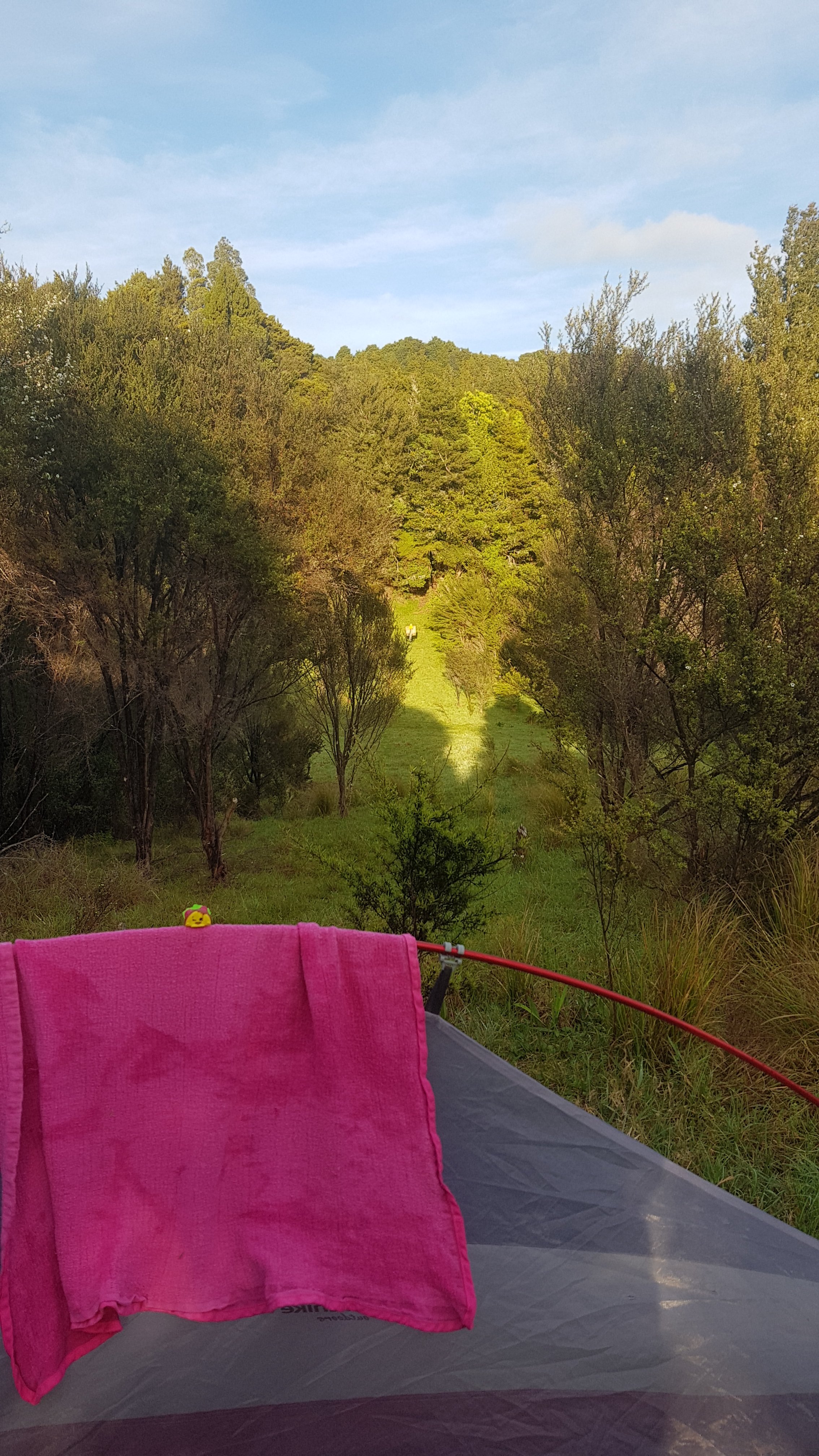
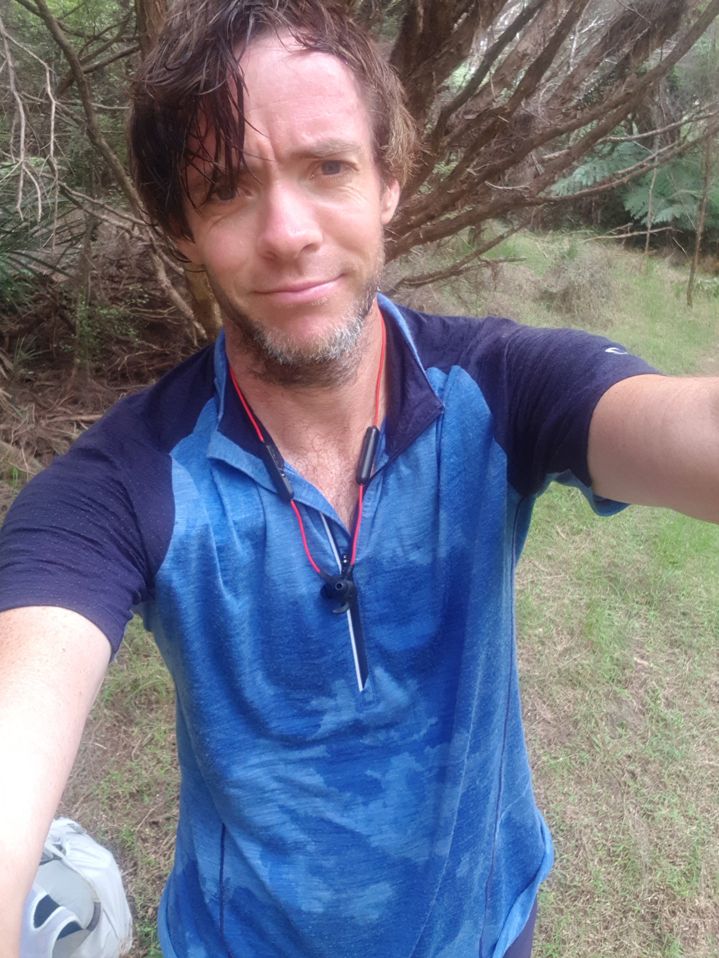
Taco Terry, the toy my niece gave me so I wouldn’t be alone, hadn’t made an appearance for a while so I thought I better show him the view this morning.
I also checked the 5 day weather forecast. Apart from scheduled rain overnight tomorrow, it’s looking really good. Excellent.
Nick and Robert left before 7am this time. I’m definitely not going to fit in with them since I’m hardly even awake that early. Oh well.
This morning there was lots and lots of condensation – the tent fly and all the ground around was absolutely soaking wet (but the tent was largely dry). So that meant packing away a wet tent fly and hopefully finding somewhere on the way to stop and hang it up in the sun.
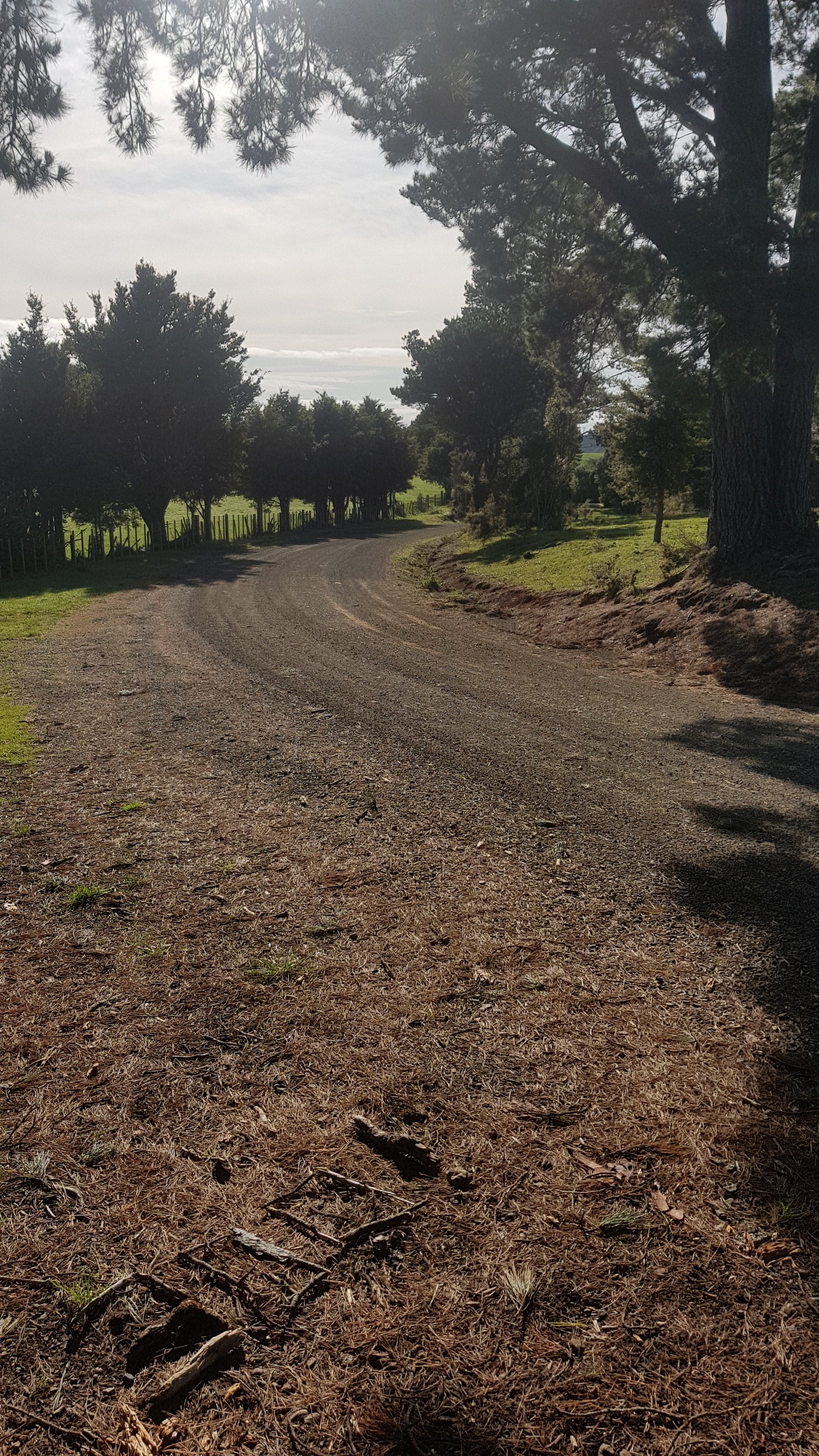
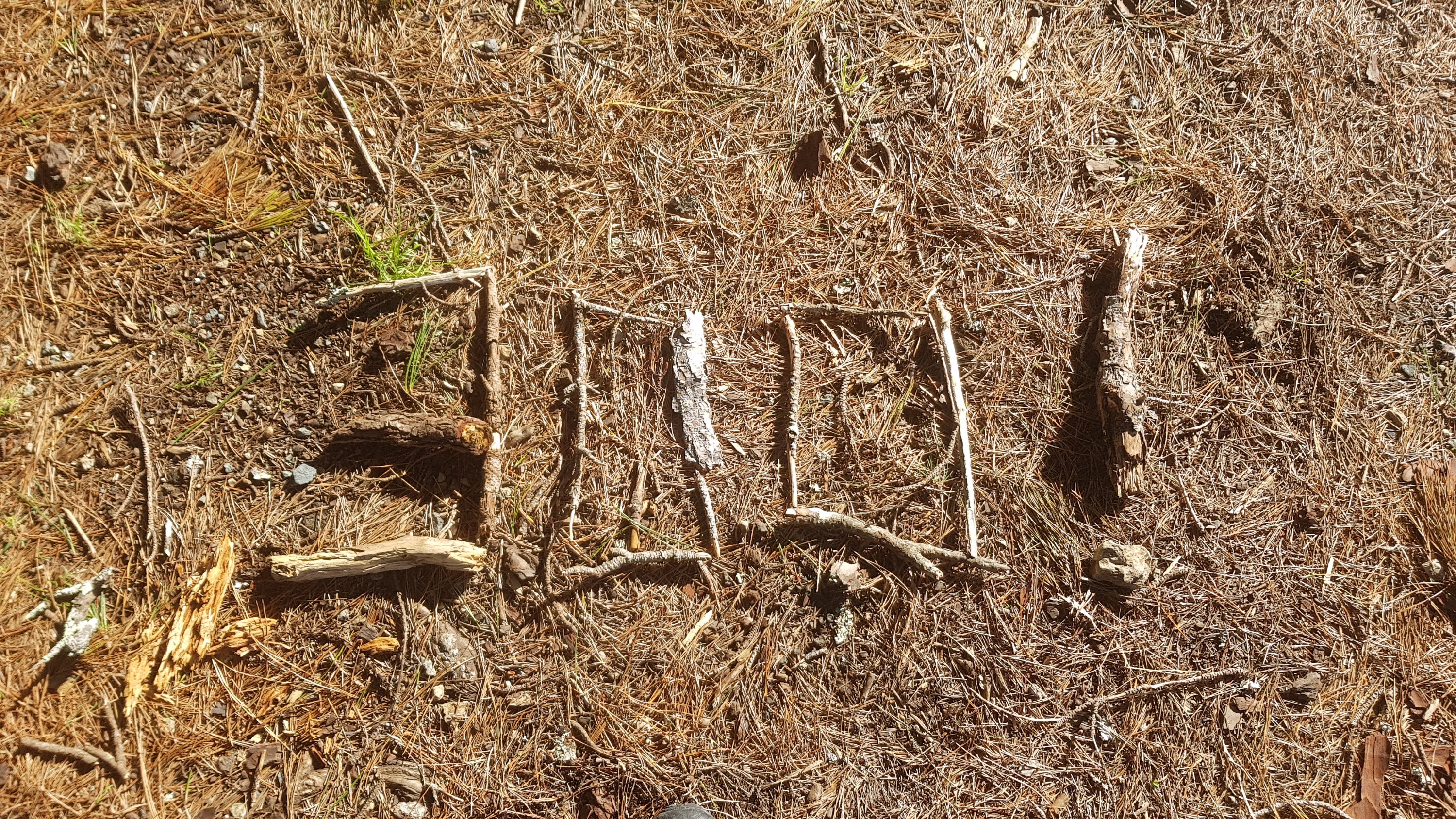
I passed the actual 300km point this morning. It was on the one small section of road walking required this morning. I thought about it – it took me 4 days to walk the first 100km, a further 7 days to walk the second 100km, and 12 more days to walk to this point. I hope this trend doesn’t continue! I did arrange a little pile of sticks to mark the occasion. I wonder if anyone else saw it.
Coincidentally this was the spot where there was supposed to be a turn to the right, but I couldn’t see it anywhere.
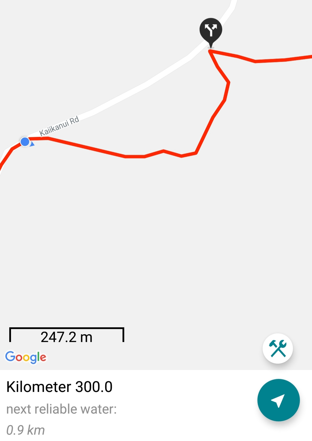
But the mystery was explained when I switched from Google Maps to the topographic map.
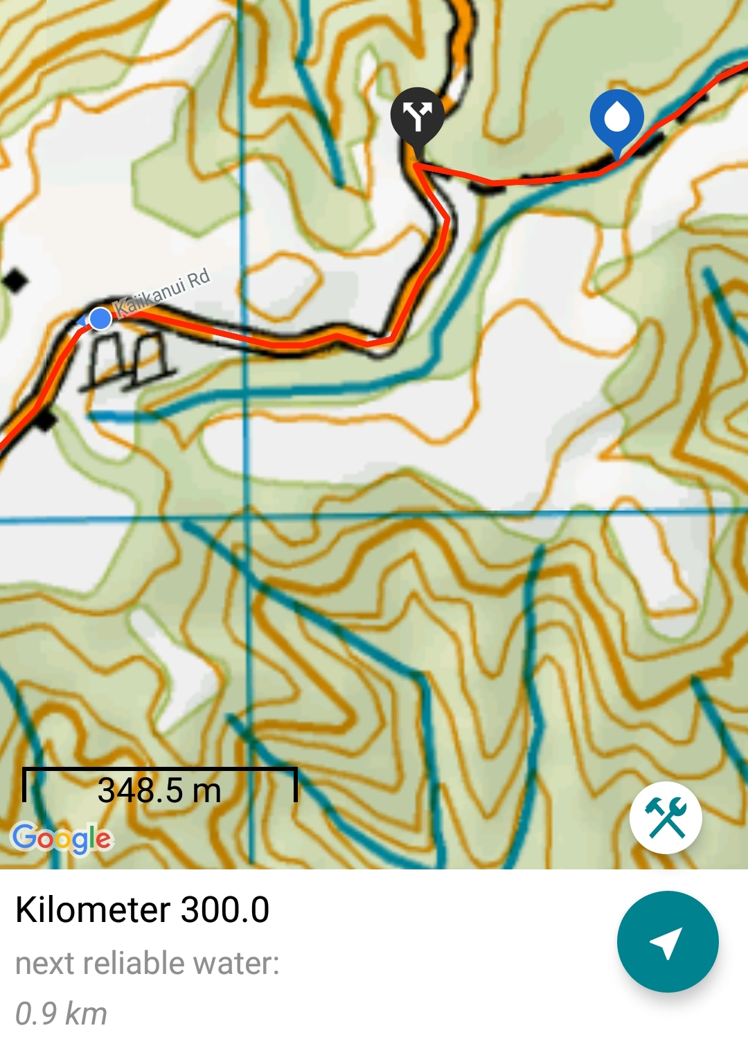
Google Maps shows the wrong road alignment – the path follows the road and there is actually no turn at all. Rare for Google Maps to be wrong!
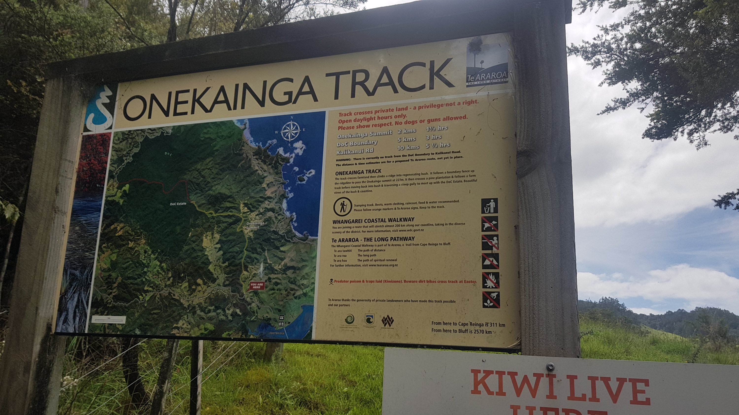
After this helpful sign…
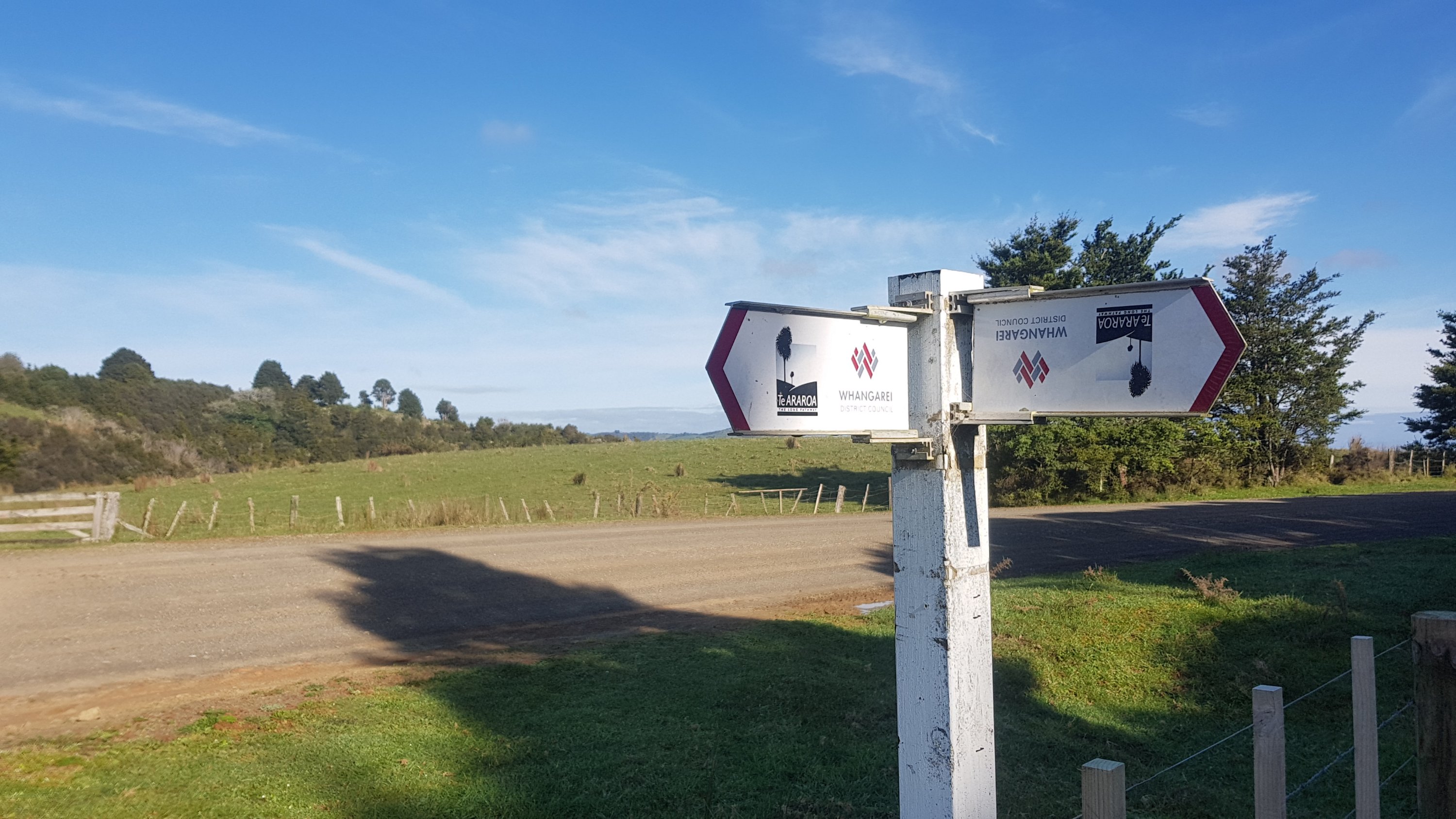
It was onto the Morepork track. The sign shows it was 4km / 2 hours which surprised me because the notes say this is an easy track and an “easy track” shouldn’t take this long.

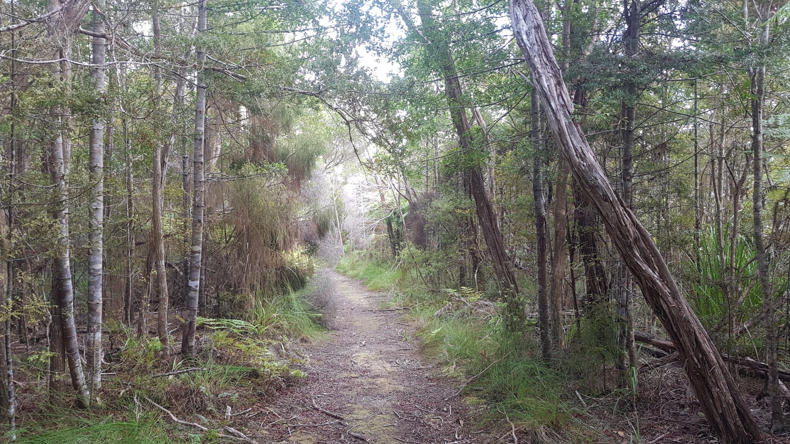
It only ended up taking one hour, though. It was an easy track.
At the end of the track I found this:
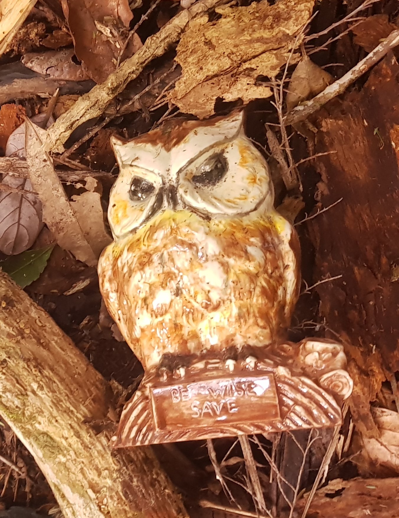
It’s a geocache so you have to know where to look for it. It hadn’t been found in nearly two years.
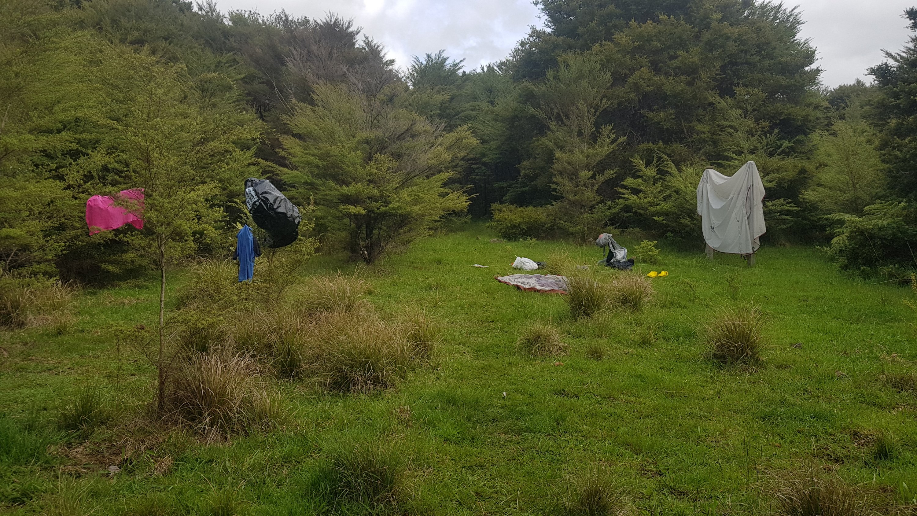
A bit further on, it wasn’t too long before I found a place to dry out my stuff. Here is my 11am picture – having a snack and taking over the whole place with all my drying.
There was another easy-to-find geocache at this point too.
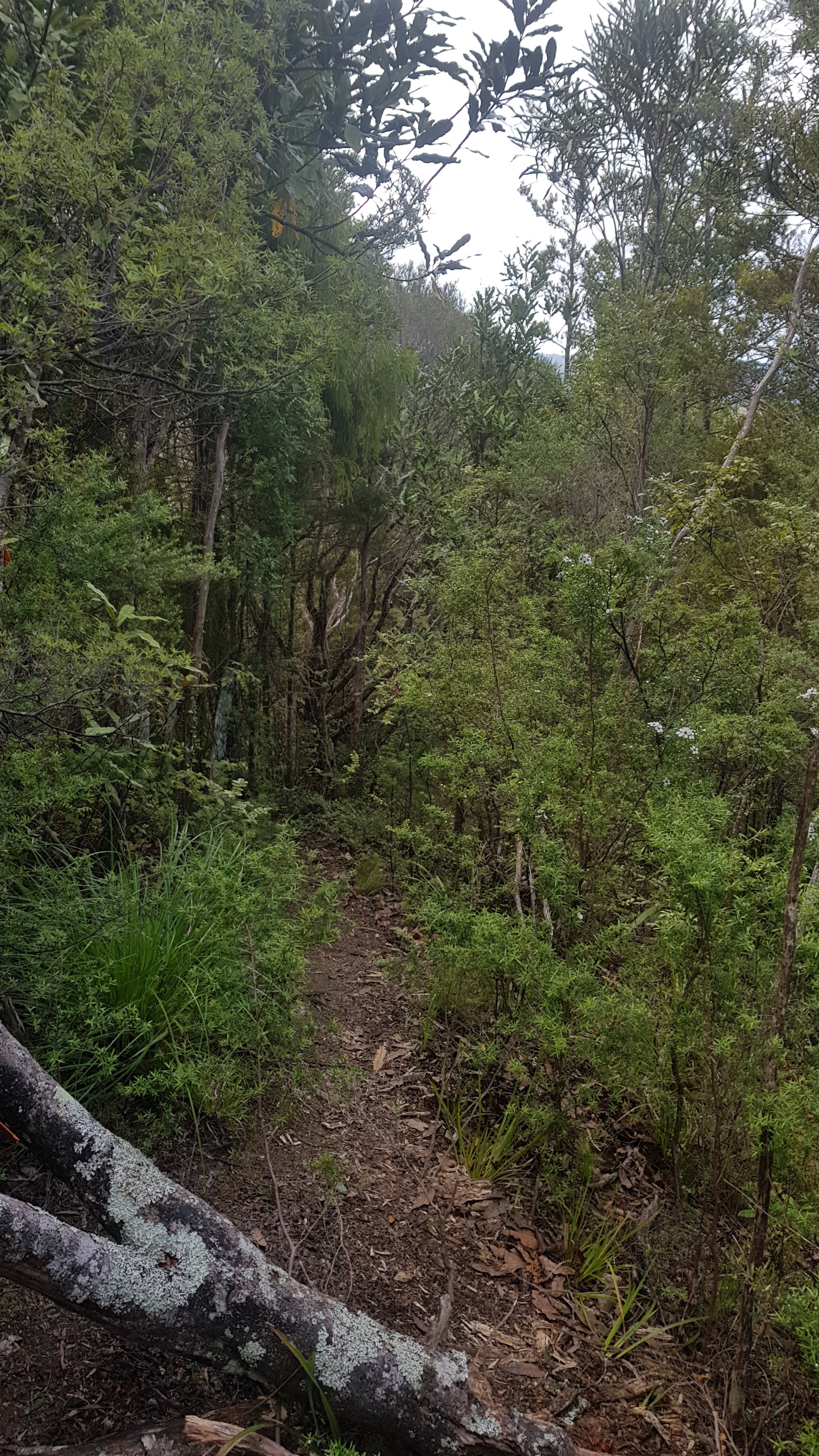
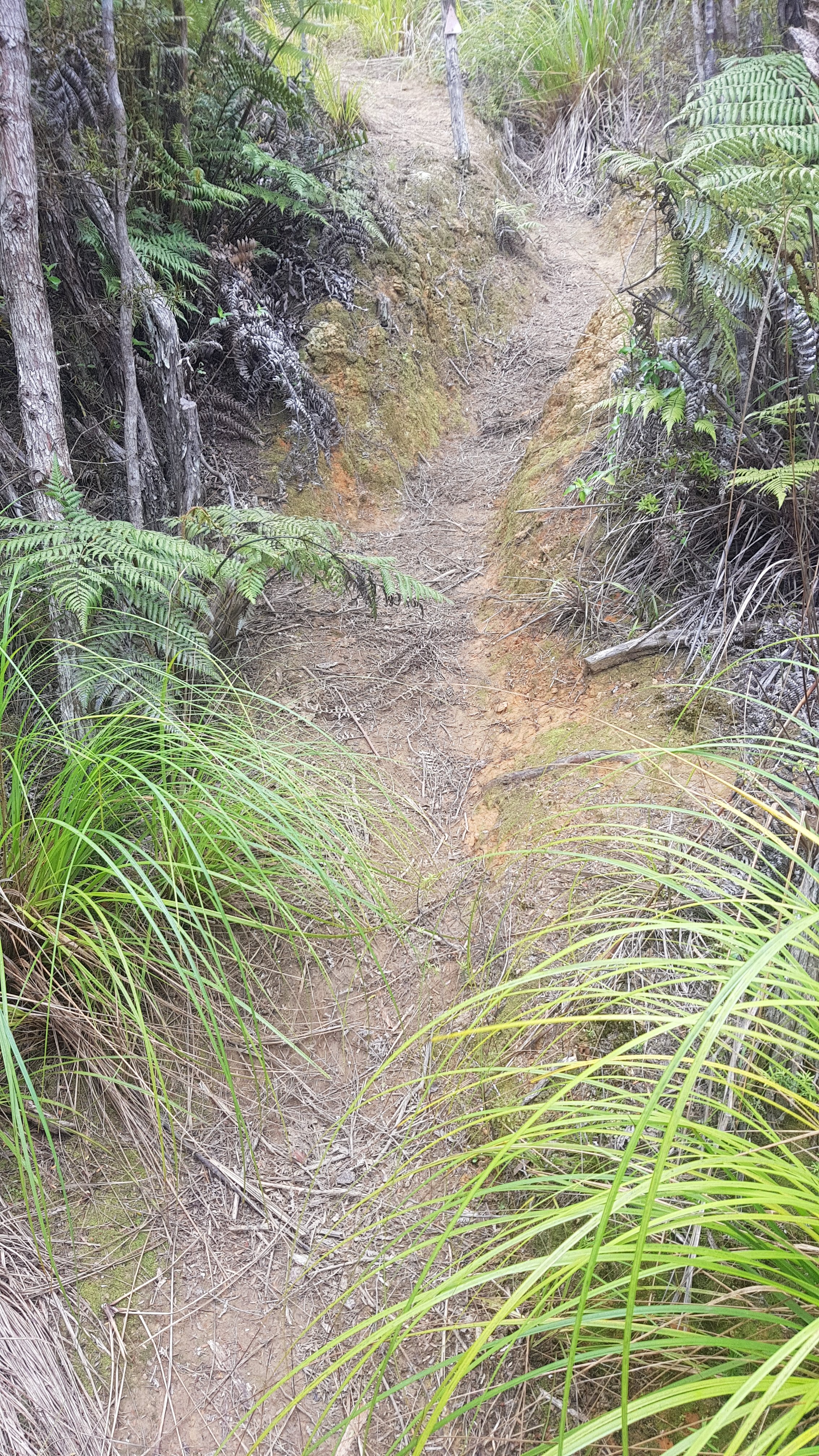
After the Morepork track was over, it became more like a typical tramping track – not too difficult though.
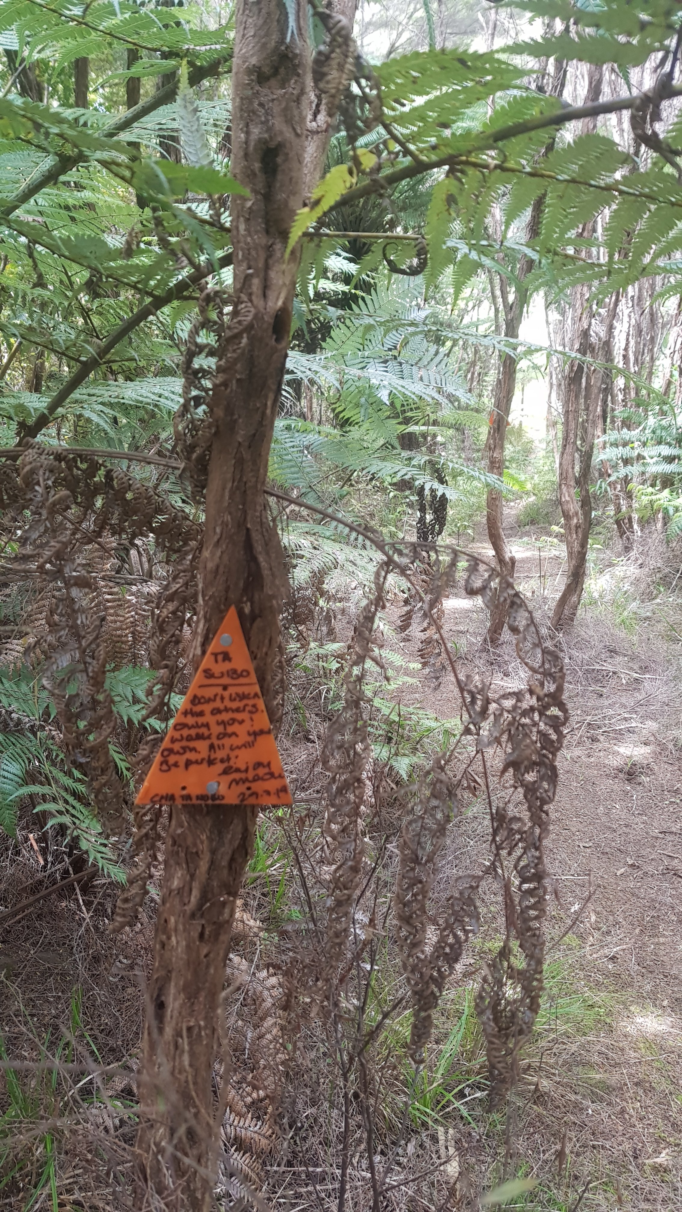
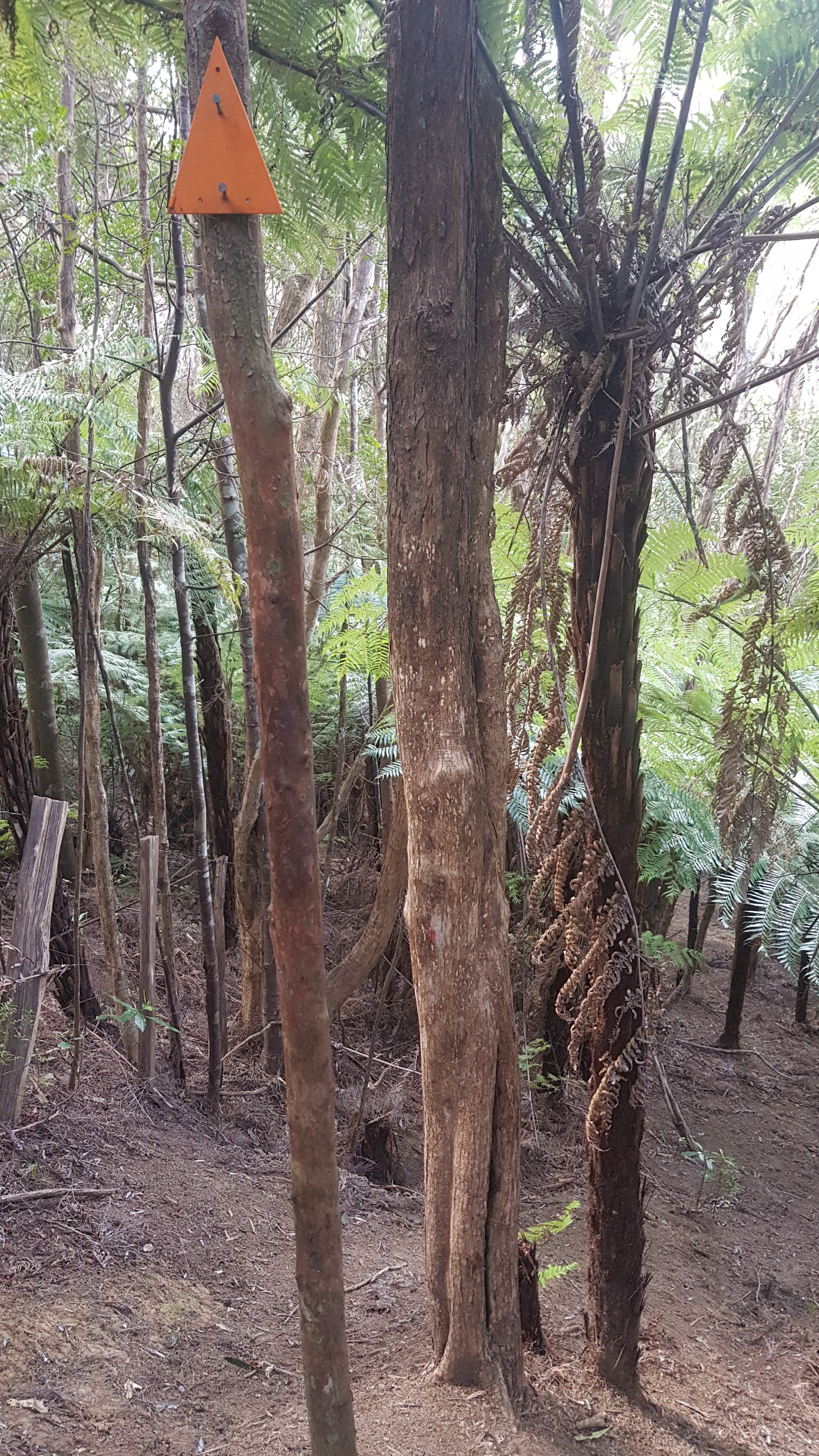
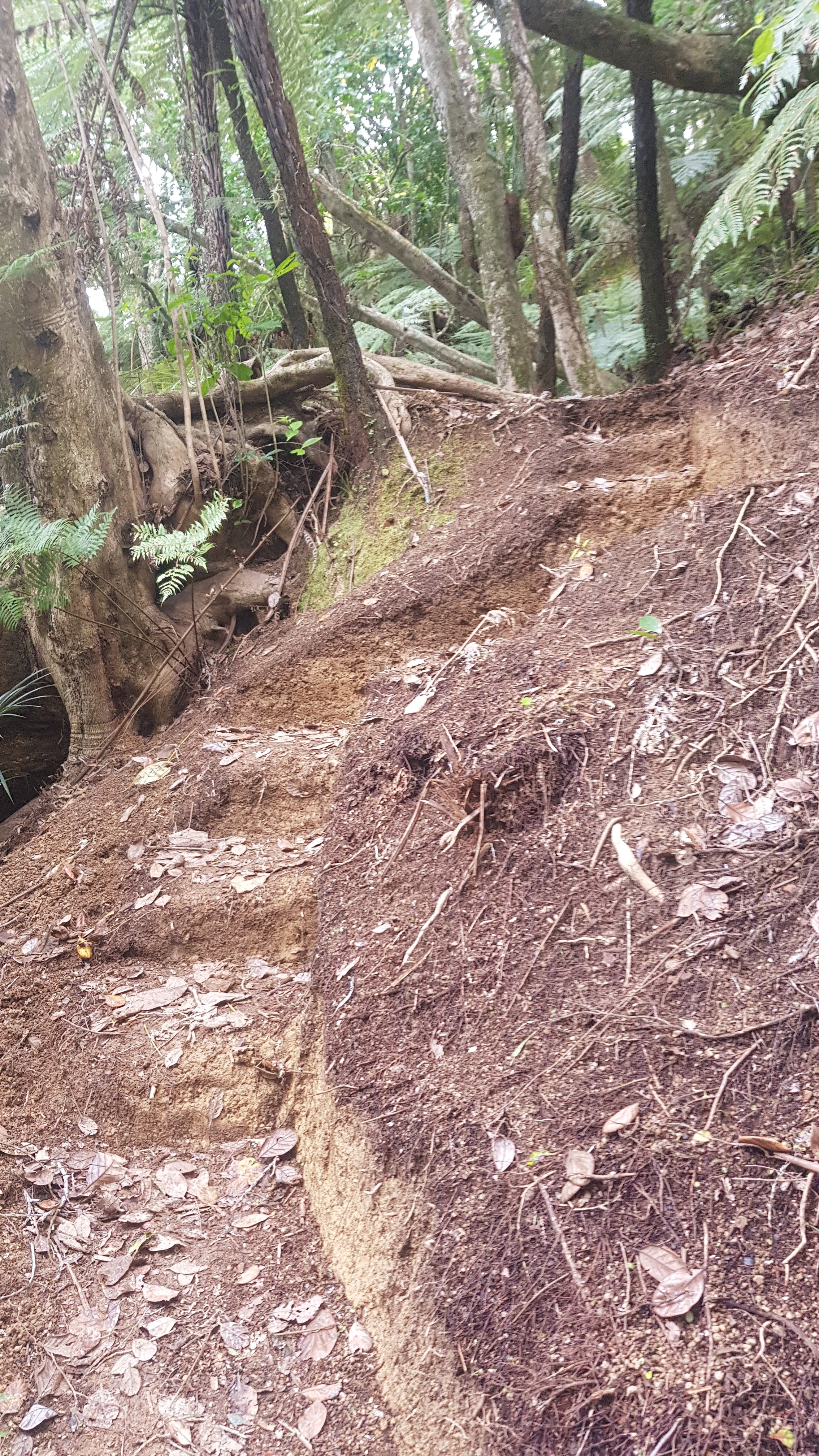
However I think somebody was taking the piss with this huge number of orange triangles.
This triangle was particularly inspiring, although I wouldn’t want to come here in the winter like this person. It would have made the tracks so muddy. There had been no rain so there was no mud in the forests today.
Yesterday was uphill most of the last bit of the day and that meant that today was going to start off mostly downhill.
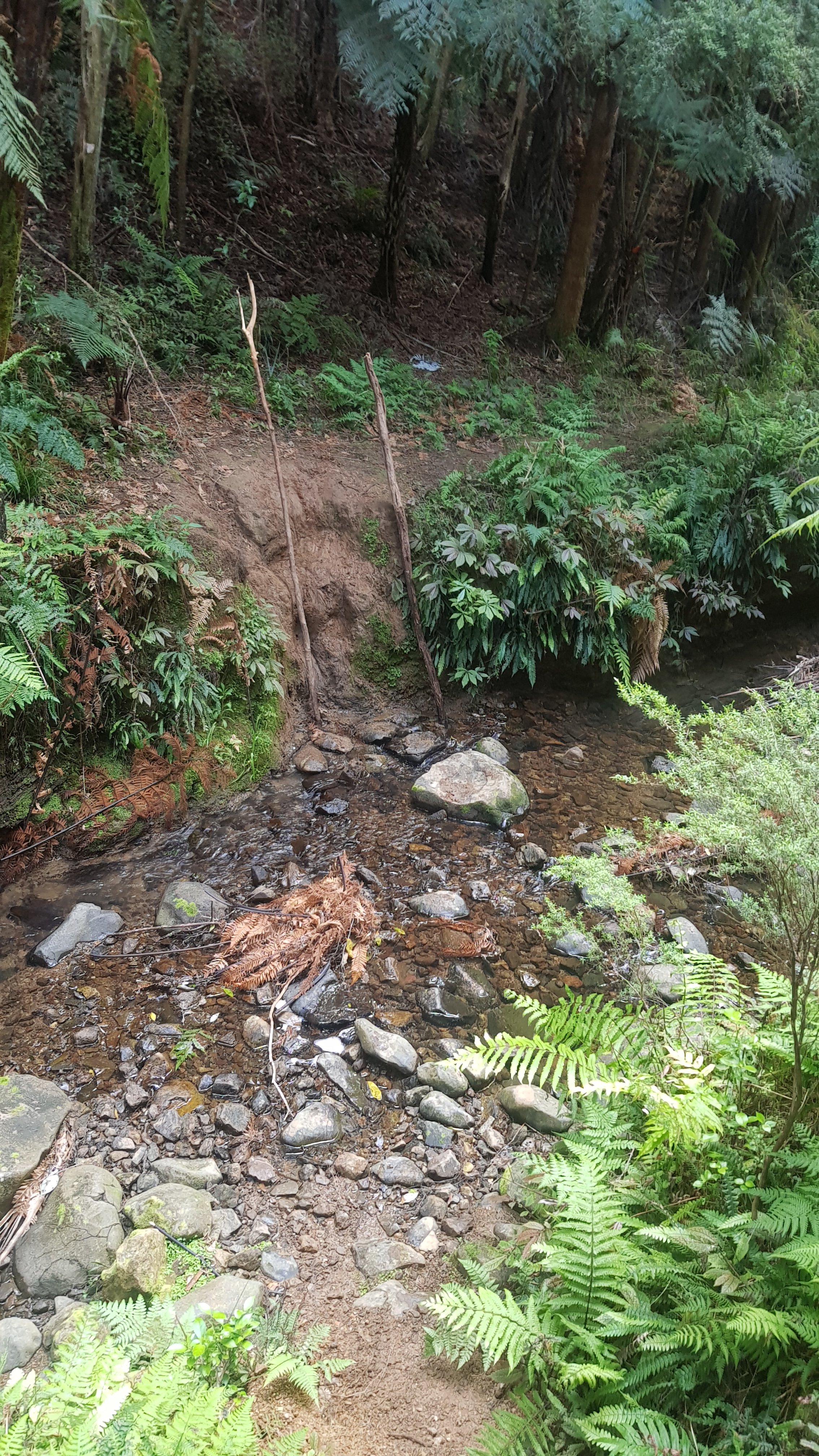
You had to cross this stream five times. I managed to keep my feet dry by crossing on large rocks each time – but the fifth of the five times required a bit of manouevring down a small but steep dirty riverbank.
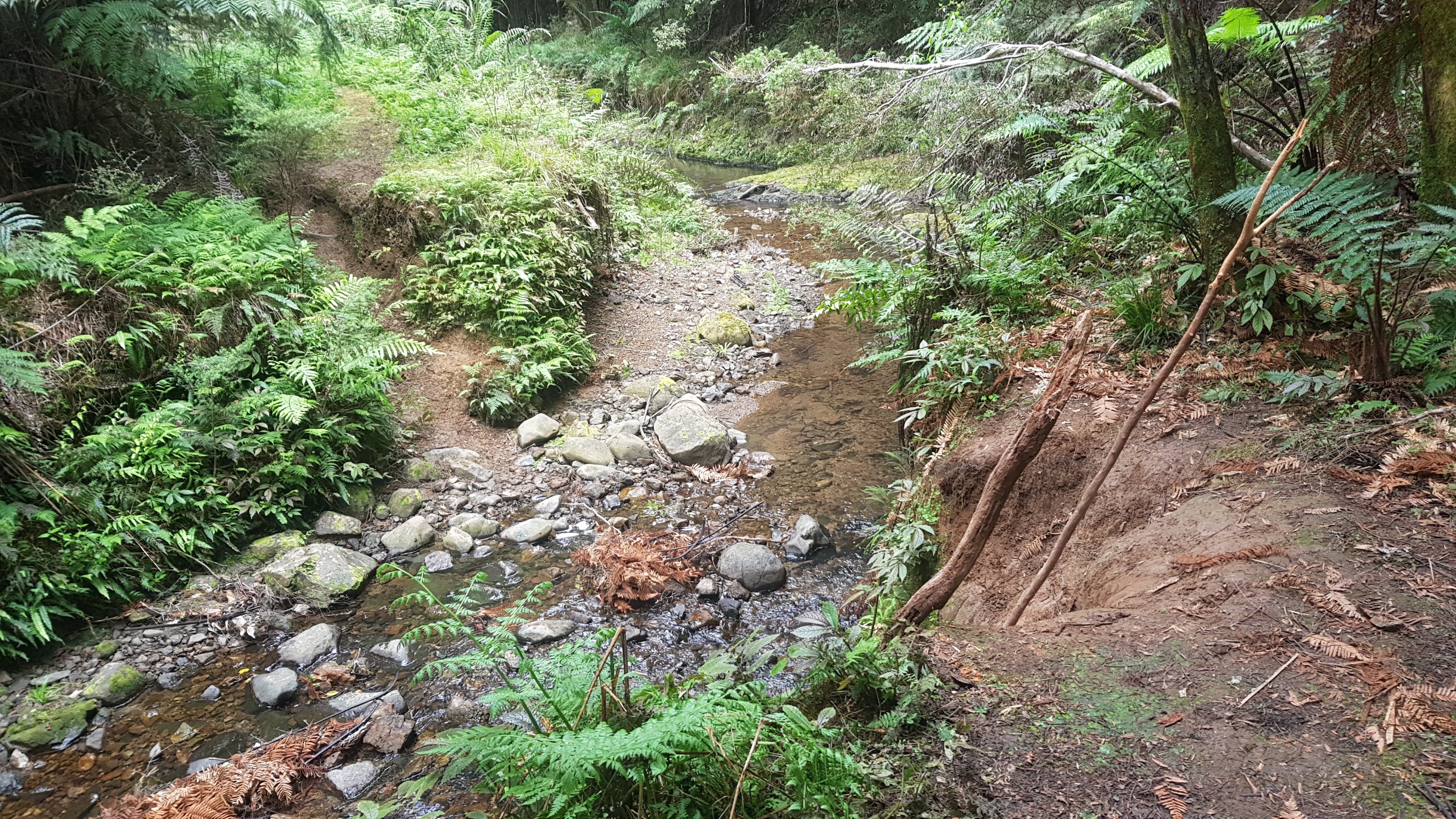
There were poles there in case you wanted to polevault – well that’s what I thought at first, but they were excellent for lowering yourself down the bank and not getting *too* dirty.
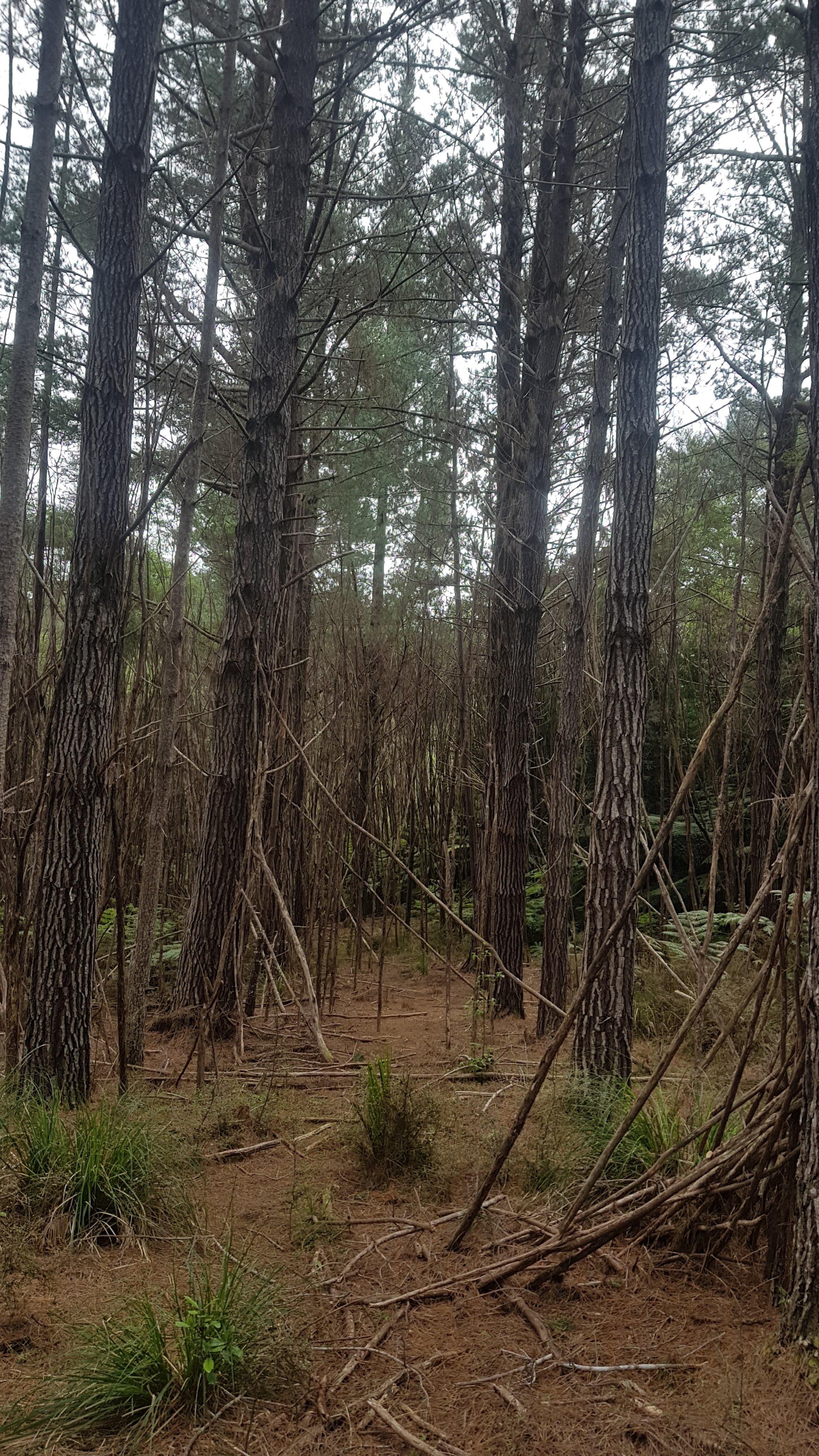
I encountered this amazing set of trees, but got a bit lost in the process. When you see this view, turn right!
After this, it was up again. Up and up and up, an elevation of 200 metres in a very short time. Although being the start of the day and having just had a lunch stop, it was no problem.
I was still sweating buckets every time I paused though.
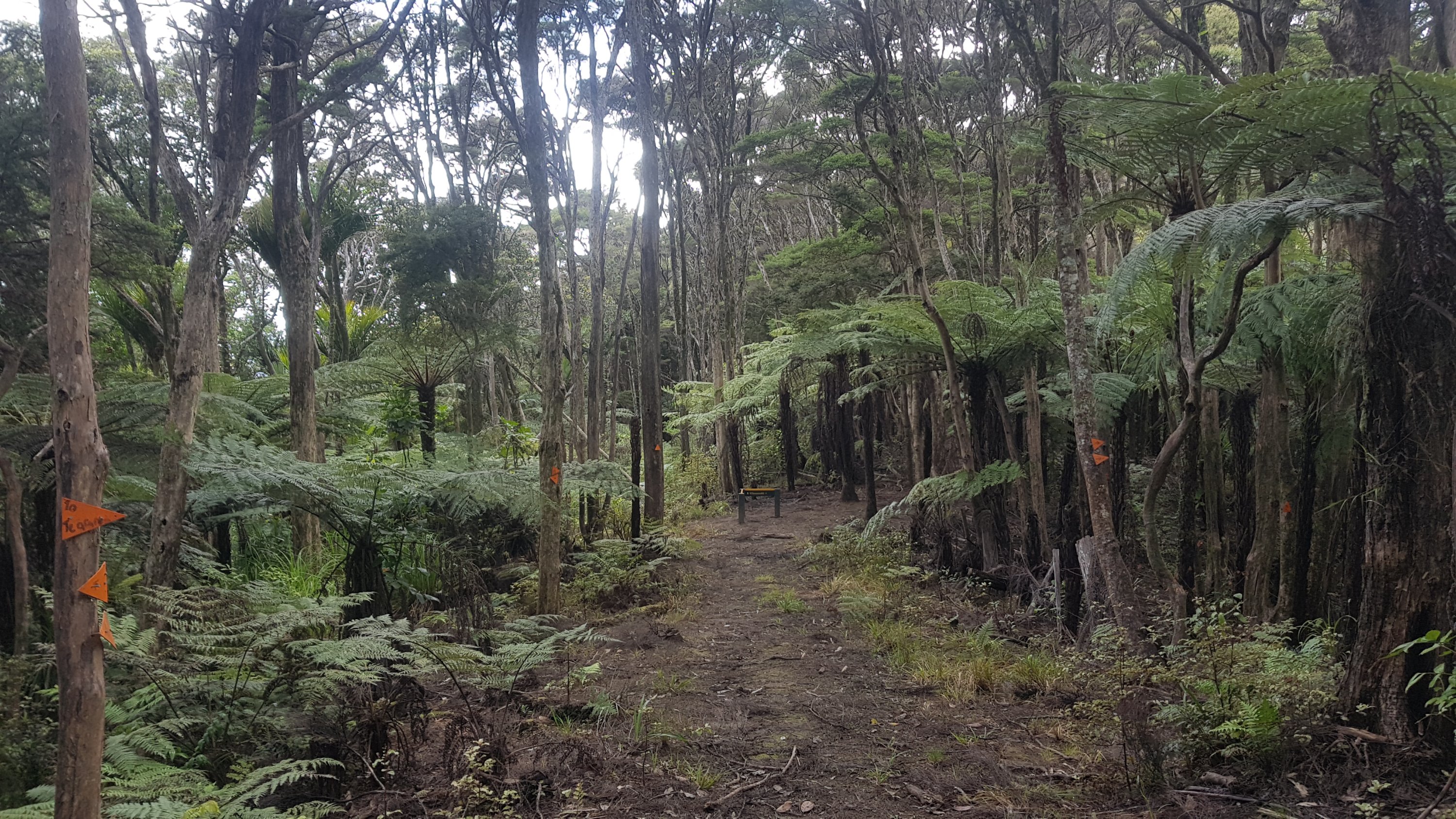
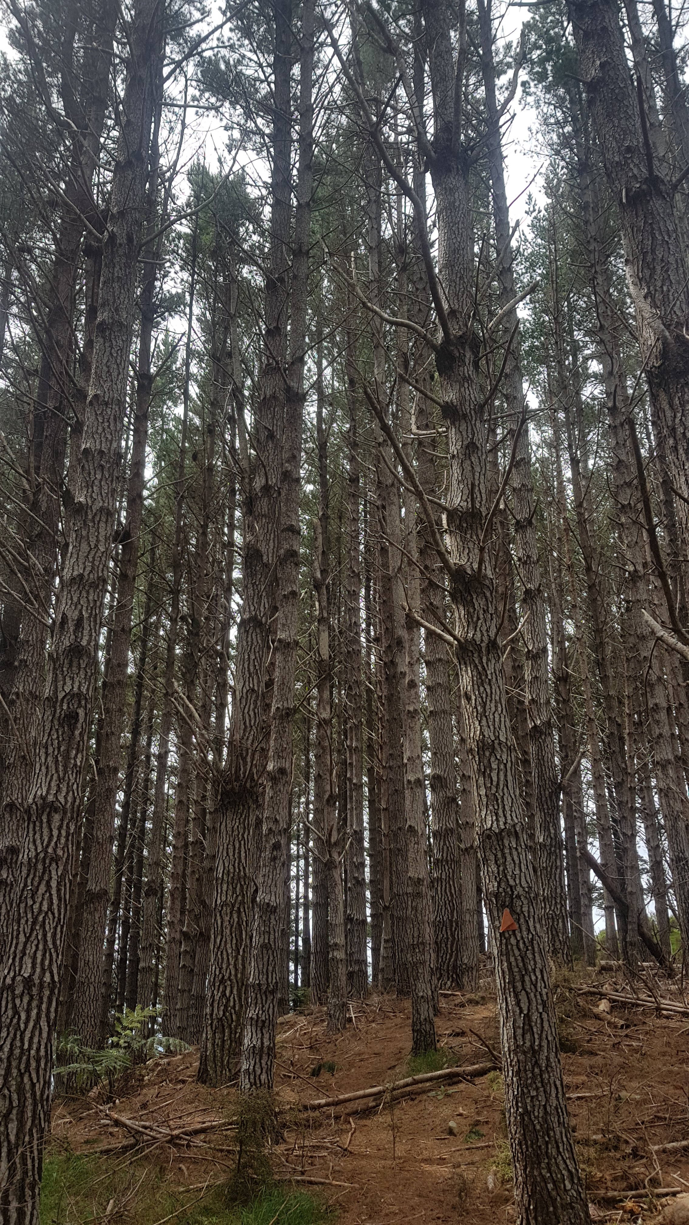
At the top of the hill were more cool trees. I really liked walking through here.
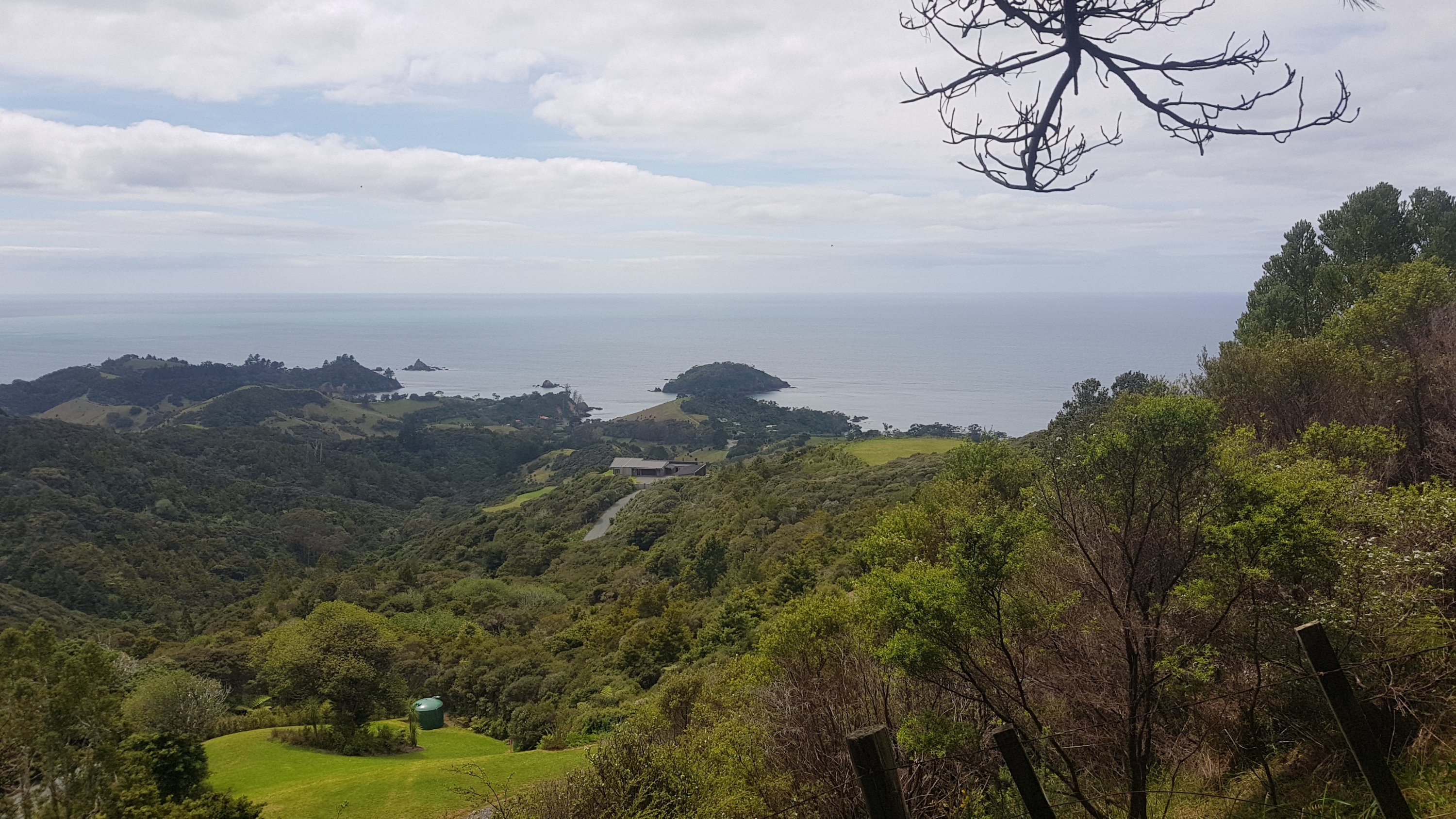
And also another house which has amazing views.
Then you had to come down again. On the way down the hill the second time I was sure I went off the trail, because there were only pink markers and no orange triangles. On Facebook I saw that pink means “trap lines” and we shouldn’t follow them. So I turned back and went back up the hill a few minutes to the last known orange triangle. But it seemed to point into a fence and a big area of impenetrable scrub. You’ll know the bit I mean when you encounter these stairs cut out of the hill.
You can see from map at the end of the post that I diverted from the trail a bit. I continued down the pink markers trail even though I was certain it was the wrong way. I had the topographic map open and knew that as long as I kept on the left side of the stream, I would rejoin the trail at some point. Sure enough that is exactly what happened. I never knew for sure whether I went the wrong way or not but I just couldn’t find the right way.
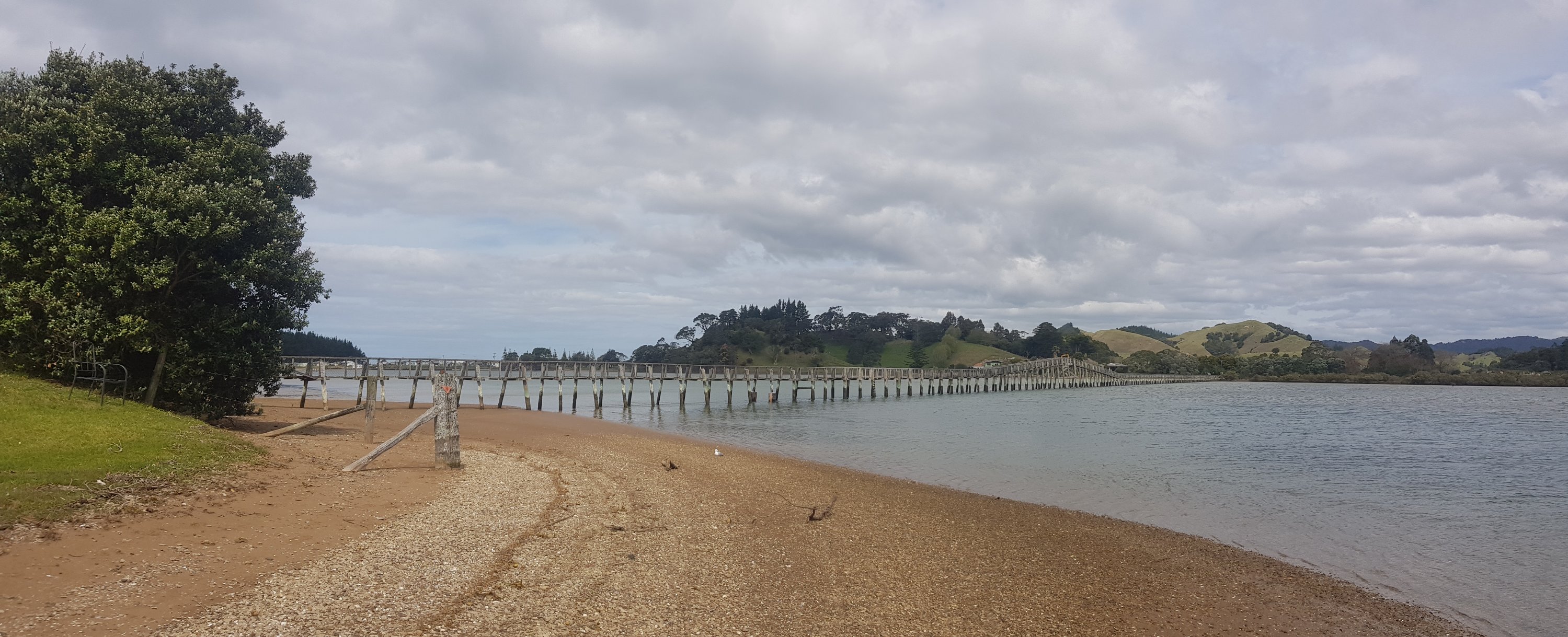
After this, a short road walk and then a short walk through a farm and along an estuary, and I encountered the Whananaki Foot Bridge, the longest pedestrian bridge in the southern hemisphere at 395 metres long.
I didn’t cross it today though. I was exhausted and there was a shop near here. They don’t do milkshakes, so instead I bought a Mammoth iced chocolate drink, licorice, peanut M&Ms, a V energy drink, a Calci Yum strawberry milk and possibly even something else I can’t remember. Perhaps I should have bought some fruit or something healthy. Oh well, what are you gonna do.
I decided I was too exhausted to go any further for the day. Right next door was the Whananaki Holiday Park where I set up my tent for $16. Nick and Robert were there too, and I saw from the visitors book that Frederick and Olivia, the two others at the Russell Forest Shelter two days ago, had been through yesterday. So they had done in one day what had taken me two. Nice work, although Olivia is an experienced hiker who only carries the minimum of what she needs to, so I bet that helps. And Robert mentioned that he thinks Frederick hitchhiked yesterday’s long road walk.
Later on a new hiker called Jeremy checked in, who had also walked from Russell Shelter in one day. I’m impressed.
I finally managed to wash my clothes and have a hot shower – it was long overdue. The shower was 50 cents. The best 50 cents I ever spent. For that you got four minutes of hot water. Lucky I only had one 50 cent coin or I could have been in the shower forever and spent all my cash.
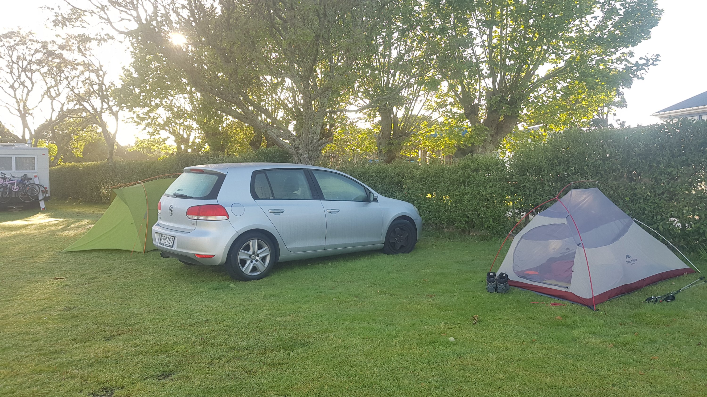
Two young German guys joined the campsite later who had a car and were doing a road trip around the upper part of the North Island. I sadly didn’t get their names but they did show me a bunch of cool videos they’d made from GoPro footage about their travels. They also showed me their matching tattoos that they got just the week before in Auckland, which featured a Maori design. I must say I’ve never seen two people with matching tattoos before.
They also showed me their car that they’d just bought. A Volkswagen – “fine German engineering” they told me. When I pointed out that it was missing a hubcap on the front driver’s side, they seemed surprised and argued with each other in German, I think trying to decide whose fault it was.
Lots of chats and stories tonight, it was really good. I got to catch up on my blog posts and have a good rice and pasta dinner. If I get a good sleep I should be ready to walk 26km tomorrow where you need to get a guy to take you across the water on a boat (the first of two such crossings coming up soon).
Today's walk on the map (blue = Te Araroa, red = today's walk):
I must say you held back at the dairy – I would’ve devoured much more than that lol.
I’m glad you managed to stay at that campground.
Great reading and pics Matt, really enjoying your daily blogs. Good you are staying injury free too.
DOC tends to use track times which are very generous on T.A. and other tracks which are easily accessible to the public. On tracks deeper in the hills, the times assume you are more competent and faster.
That does make some sense!