30 JANUARY 2023
About this time last year, some friends and I decided we were going to do the Routeburn Track. It’s one of New Zealand’s Great Walks and so the accommodation along the track has to be booked months in advance. I’d never done one of the Great Walks before (except the Whanganui River Journey, which in my opinion doesn’t count) so I was quite excited to go.
We picked a good time to do it weather-wise, on the 27th of January when we flew out from Auckland, a bout of severe flooding hit the city an hour or two after we flew out. It was some of the worst flooding the city has ever seen and we were one of the last flights to depart for several days because of it. We had great sunny weather in the South Island for a whole week while Auckland had endless rain!
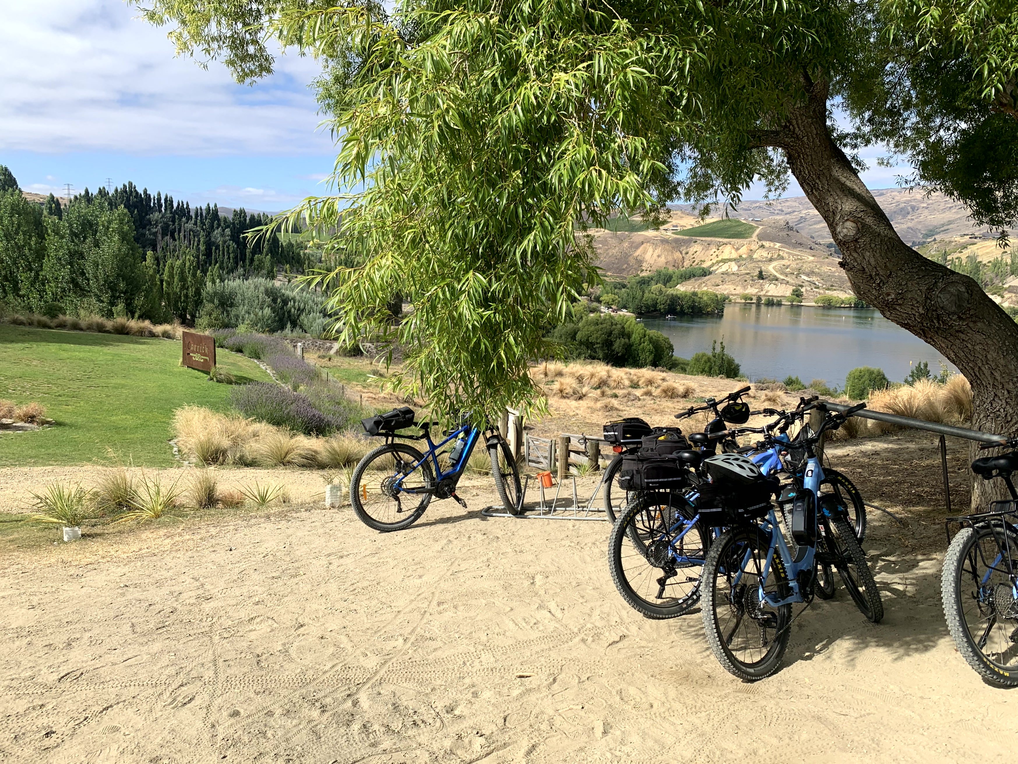
Before we did the Routeburn Track, we did an e-bike trip from Cromwell to Clyde, renting e-bikes at the start in Cromwell and then getting picked up at the other end and being taken back to our vehicle. It was a great 42km trip, highly recommended! Because of the e-bikes, very little effort was expended and we stopped at Carrick Winery along the way (but just for a coffee and a scone).
ROUTEBURN TRACK – DAY 1
We started at the southern end of the track, called The Divide, which meant a long 3 hour drive from where we were staying in Queenstown to the start. Even though it’s only 50km as the crow flies, the geography of the South Island means a 263km drive around.
We went via Te Anau which was a great place to get spat on by some Alpacas.

We’d organised with a local company to relocate our rental van from the start of the track to the end while we were walking, which meant much less hassle once we’d finished and could head straight to the pub afterwards.
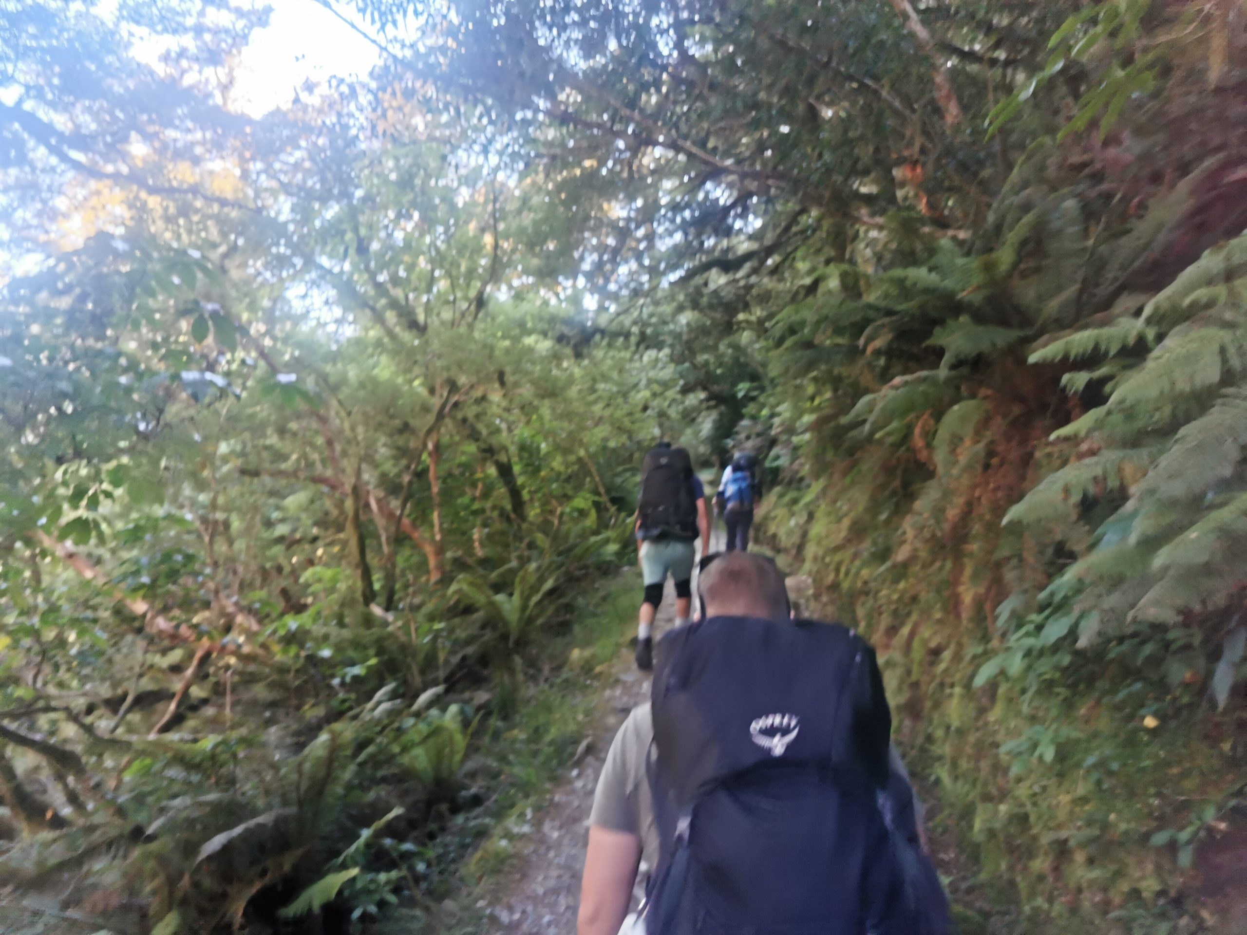
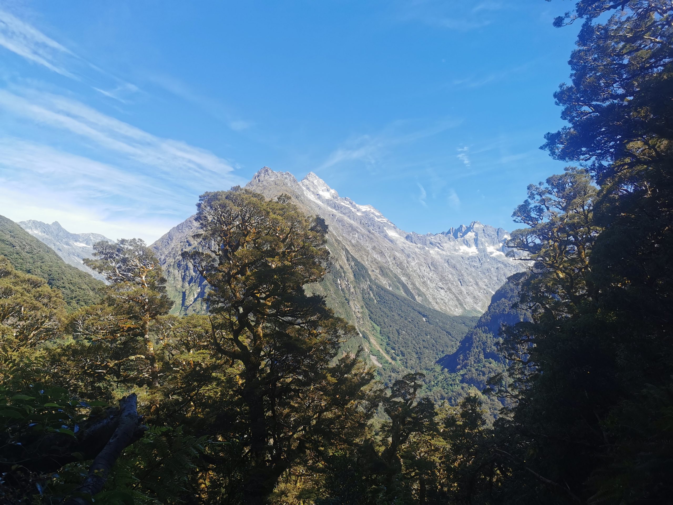
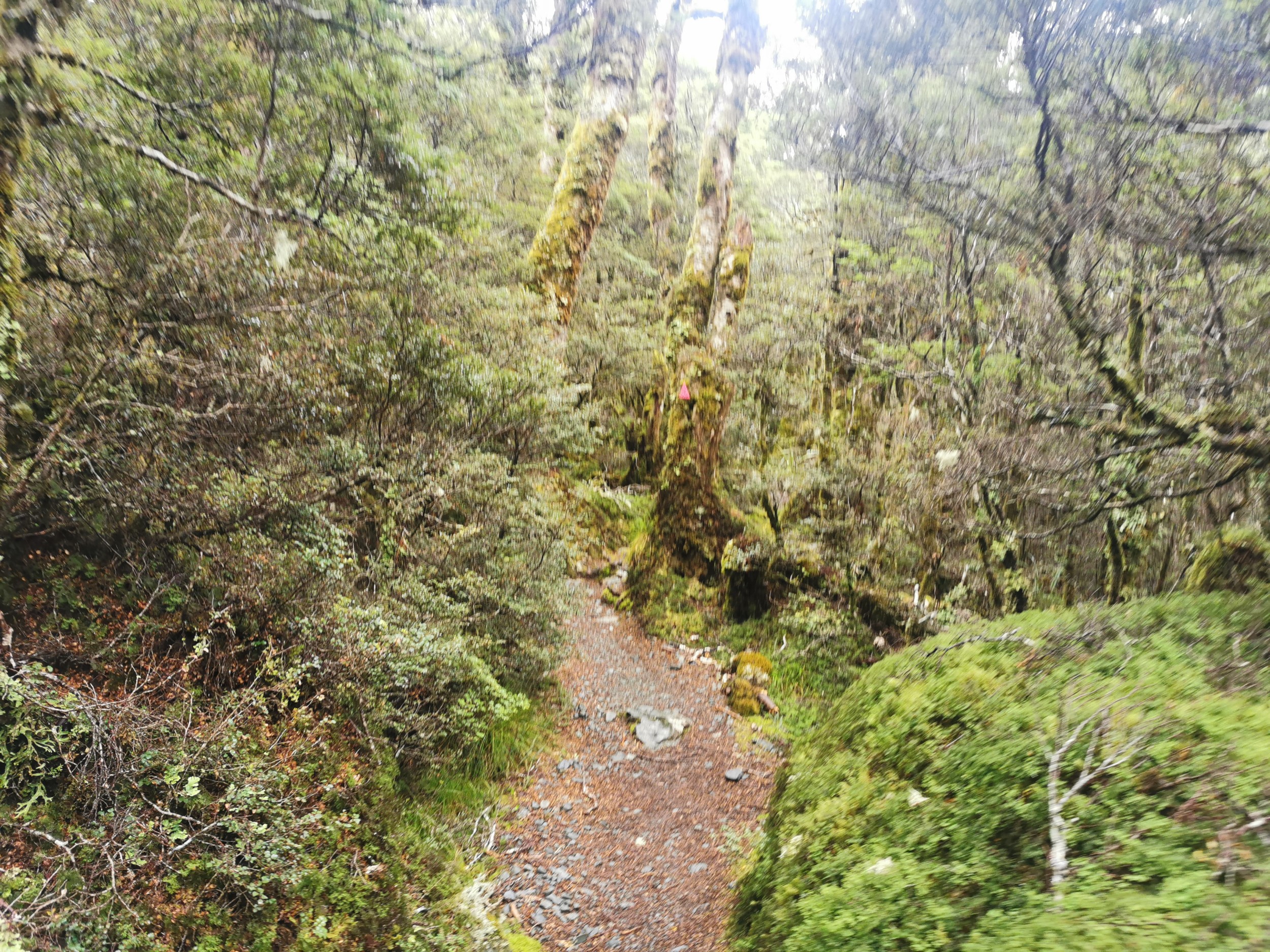
The track starts off as a fairly standard track through the bush.
But the mountain views quickly started to show.
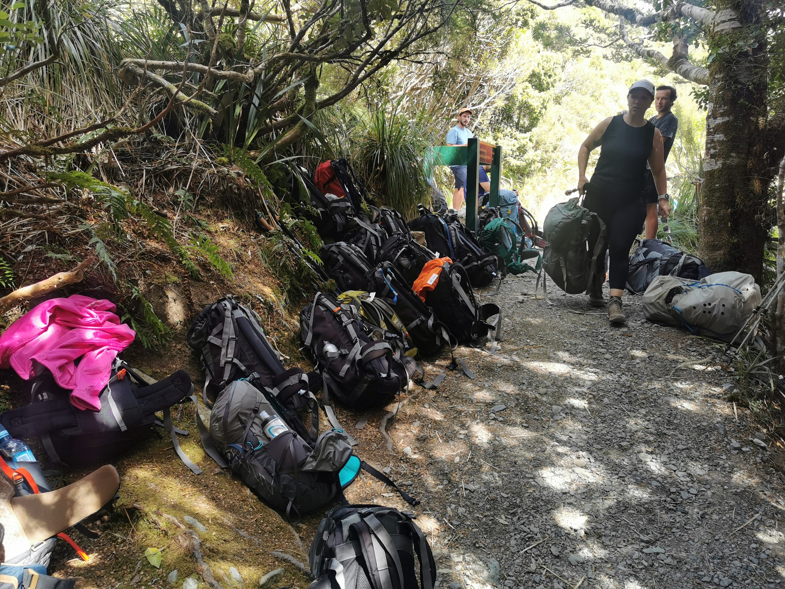
Not long into the walk is a side track called the Key Summit. We all took the 45 minute detour to go to the top.
The good thing is you can leave your packs at the junction with the main track. Seems we weren’t the only ones who had this plan.
It was obvious here that this track is very “touristy”. I’ve never seen any other hiking track in New Zealand with this many people. We found ourselves regularly stopping to let other people get past.
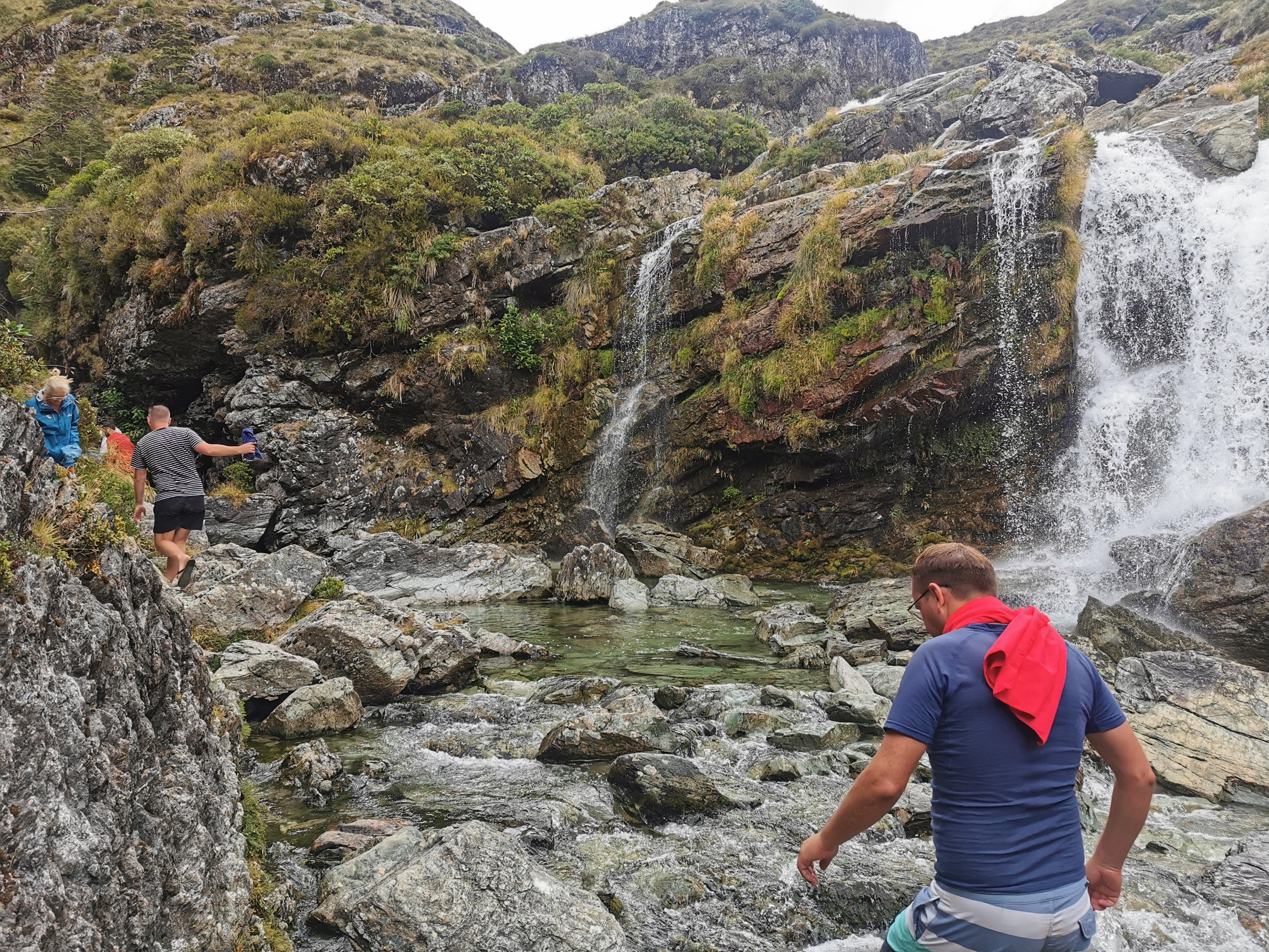
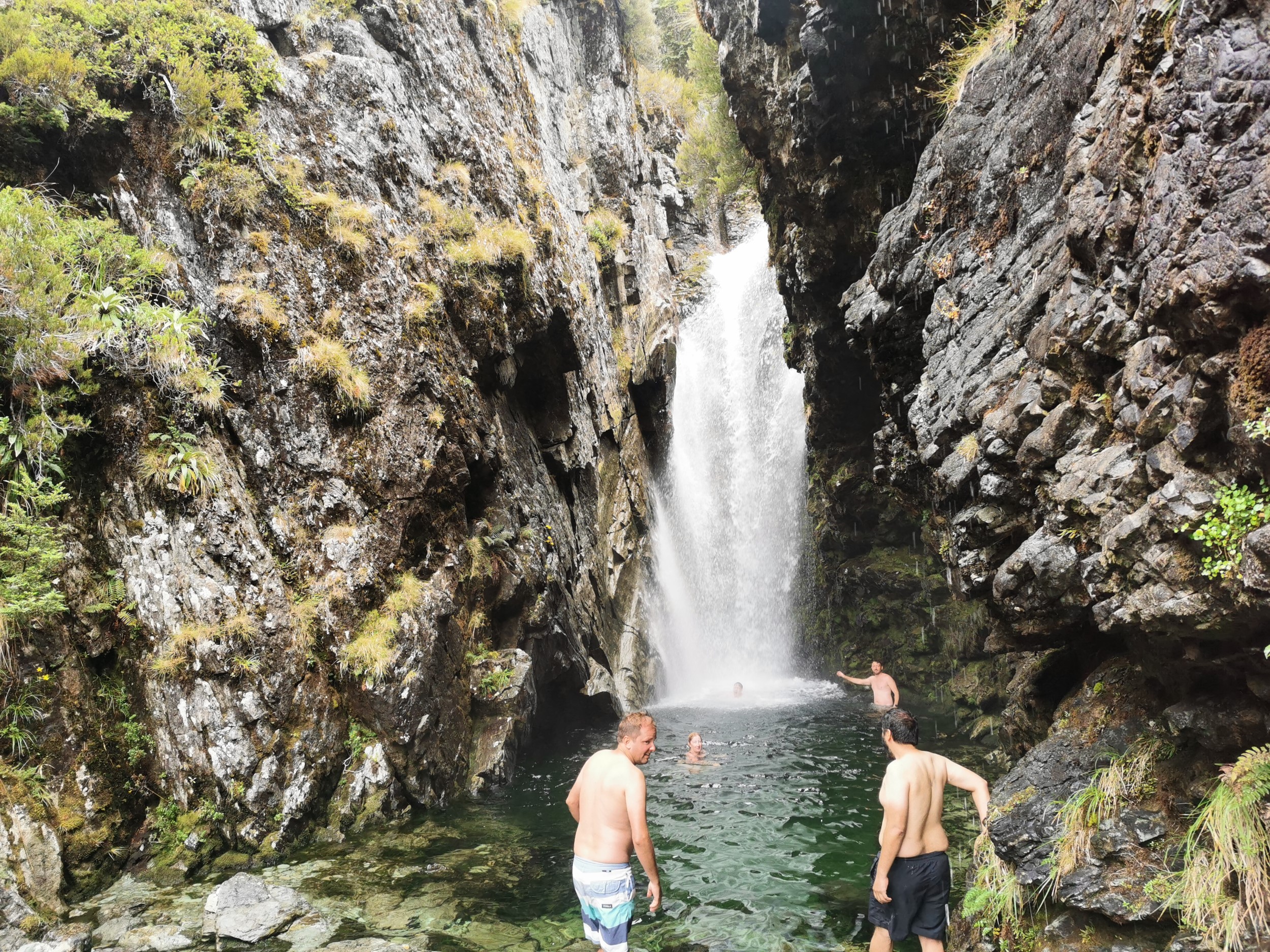
There was a beautiful waterfall at the high point of Day 1, which is 174 metres tall. A lot of people were swimming at the base of it.
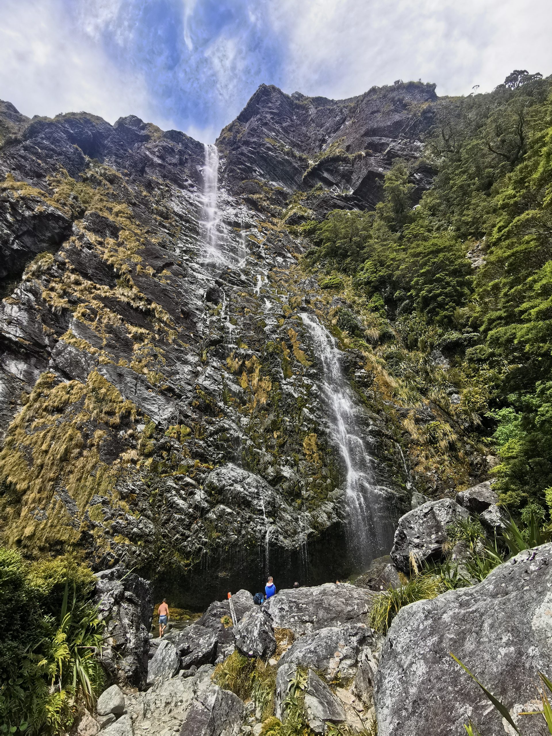
There’s also a “flood detour” to take if you can’t get around the waterfall. One of our group took the detour thinking that the detour was in place *because* of a flood. He said it was a lot more rough than the main track.
It was a very hot day today, and in general it was very still. When a breeze did blow, it was like heaven. We were constantly on the lookout for our first hut, Lake Mackenzie Hut. We thought we saw it and we were excited at how big and grand it looked, but it turned out to be a lodge that you can only stay in if you are doing a “guided walk”.
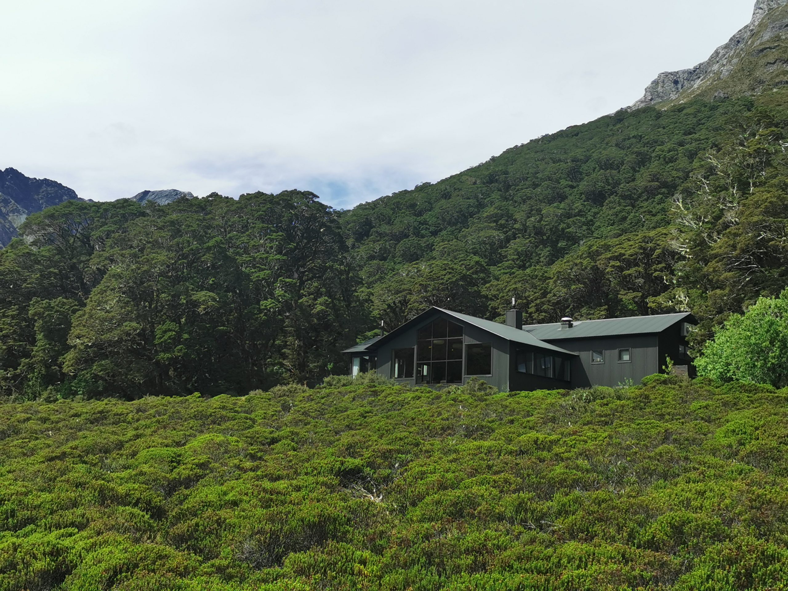
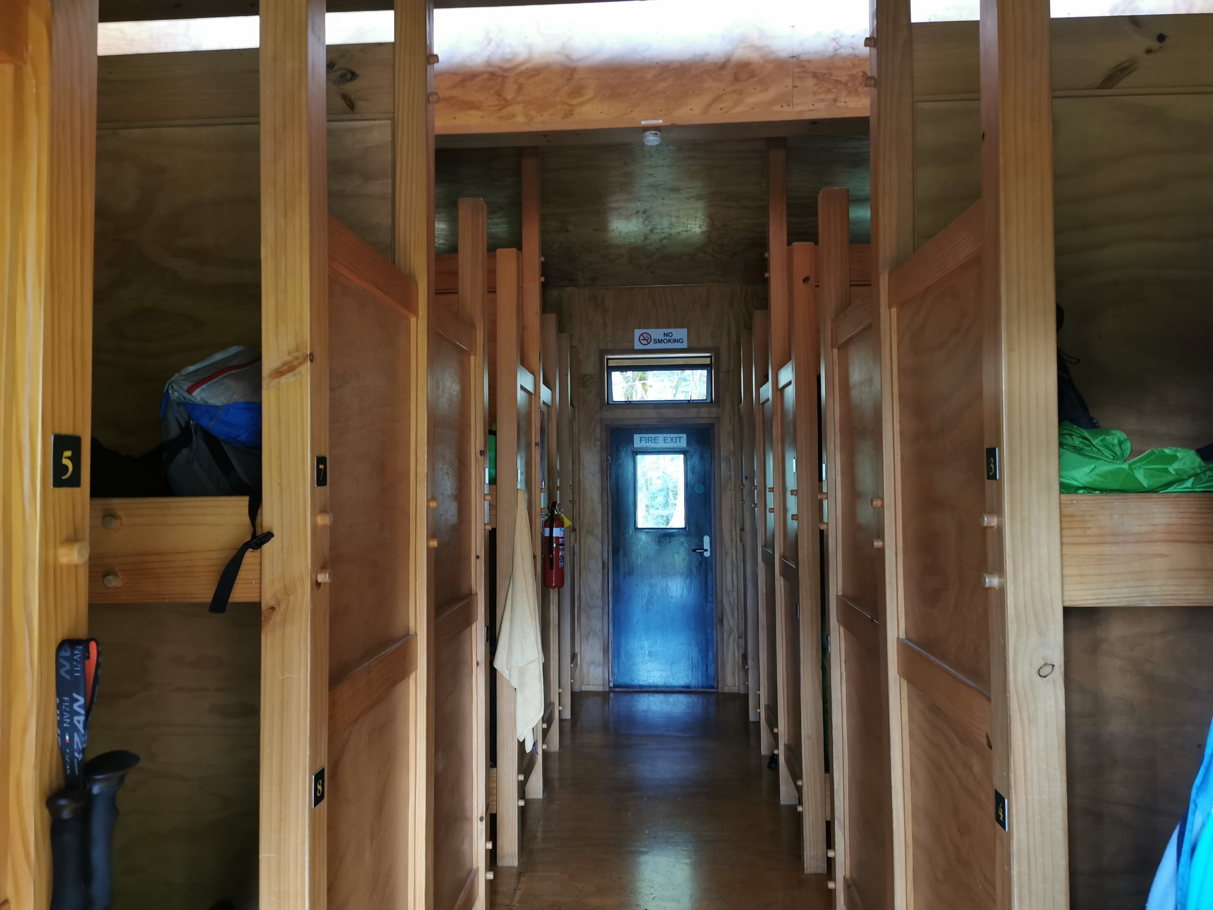
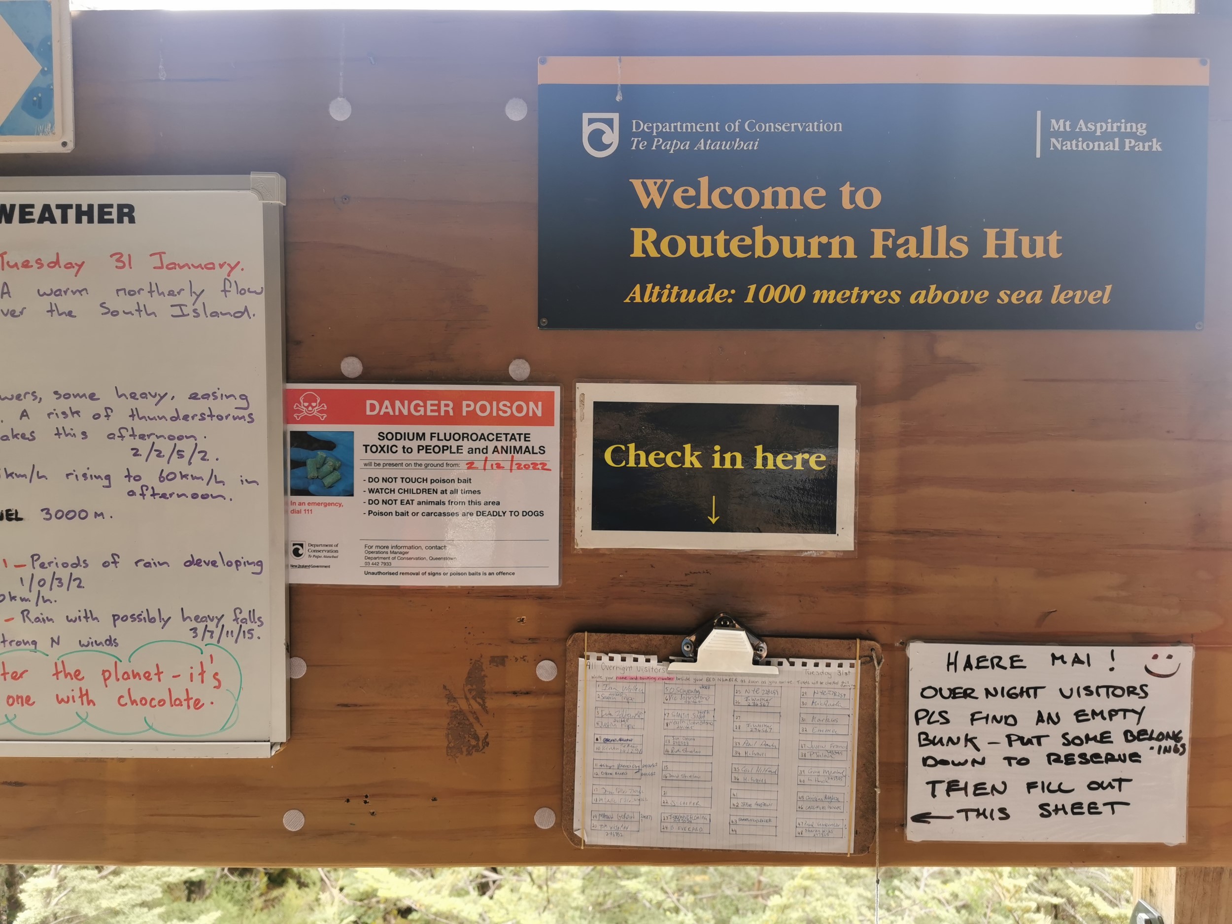
Still, the actual hut was pretty decent for a DOC hut. Much better than anything you’d stay in on Te Araroa. This is a 50-ish bed hut and because it’s on a Great Walk must be booked months in advance and costs a lot more than your standard hut. We paid $68 each, and thats the New Zealanders rate – people from overseas have to pay more.
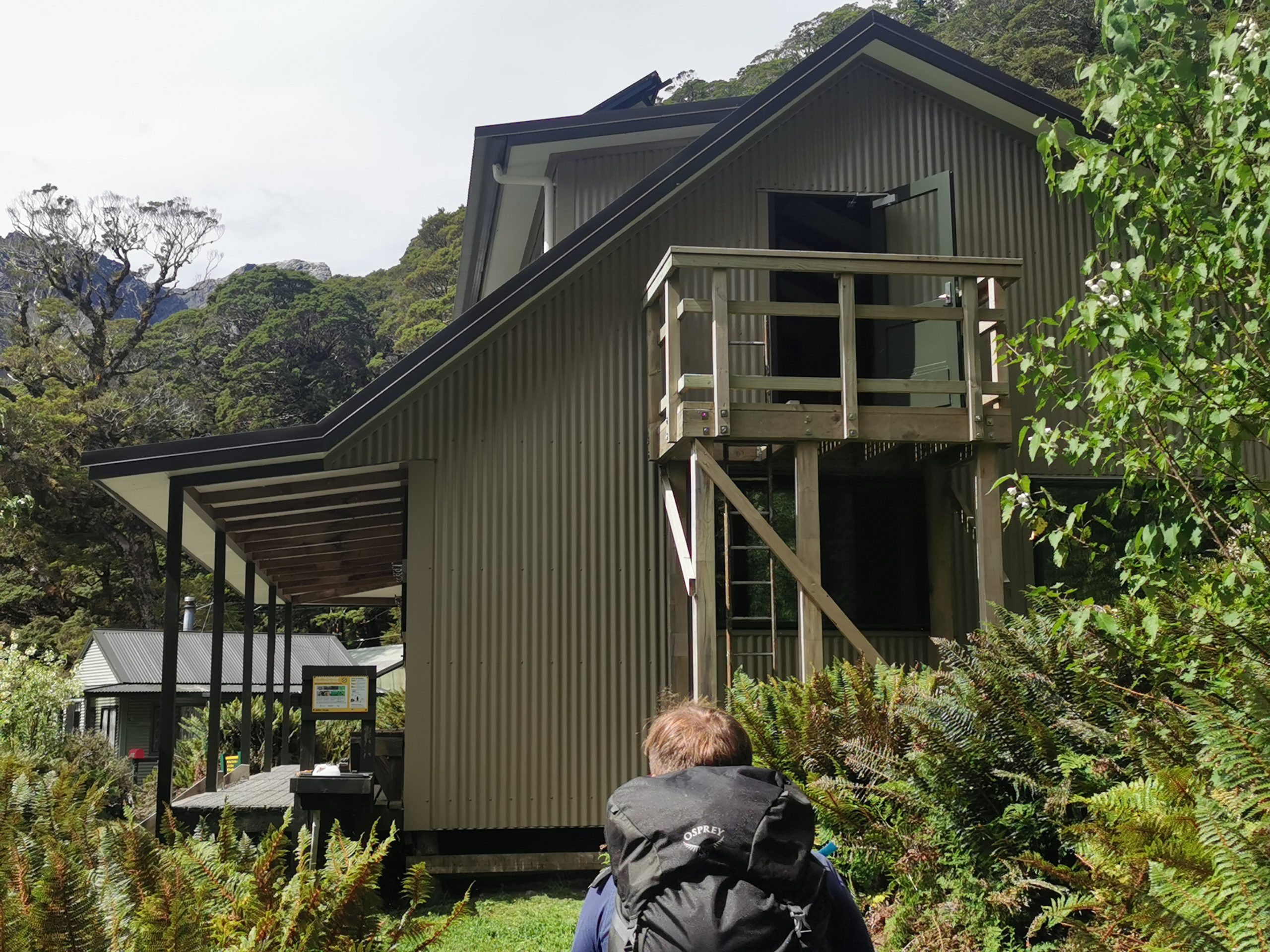
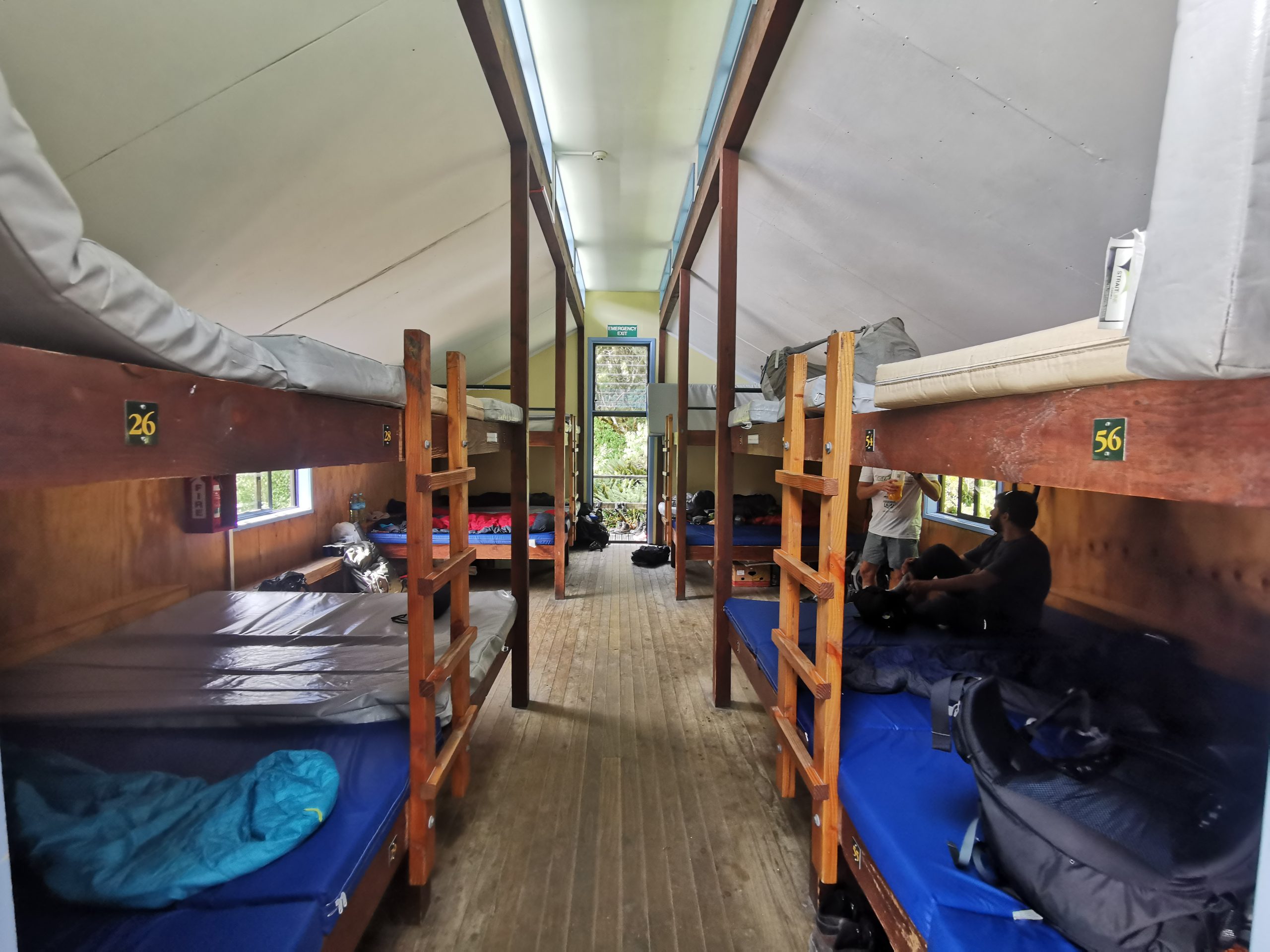
It had a big dedicated kitchen and dining space, and two separate places to sleep. One was upstairs in the main building, but it was cramped and had many beds lying side by side. We opted for the bunkhouse, a bit further up the hill but much more spacious and the beds were slightly more separated.
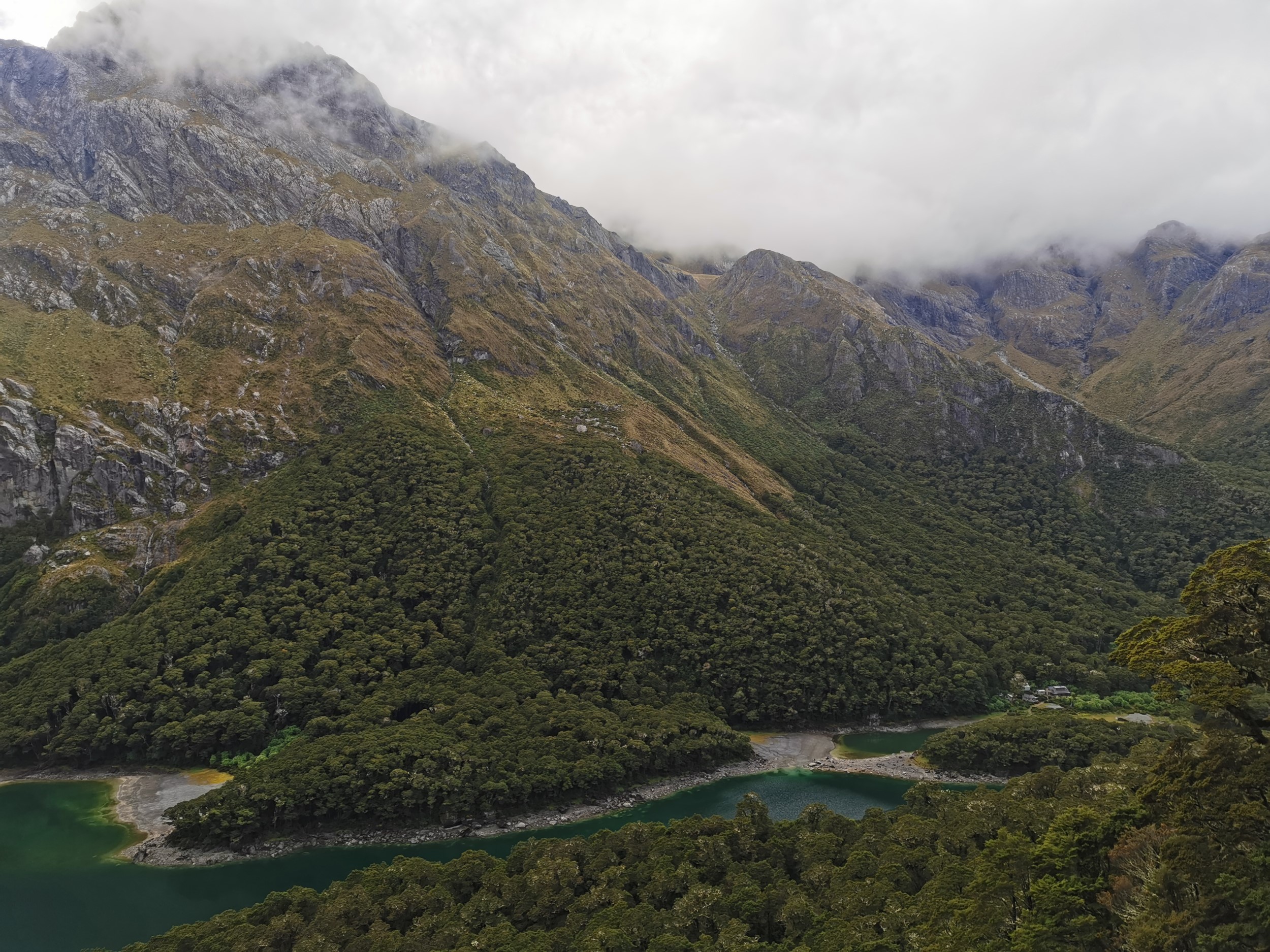
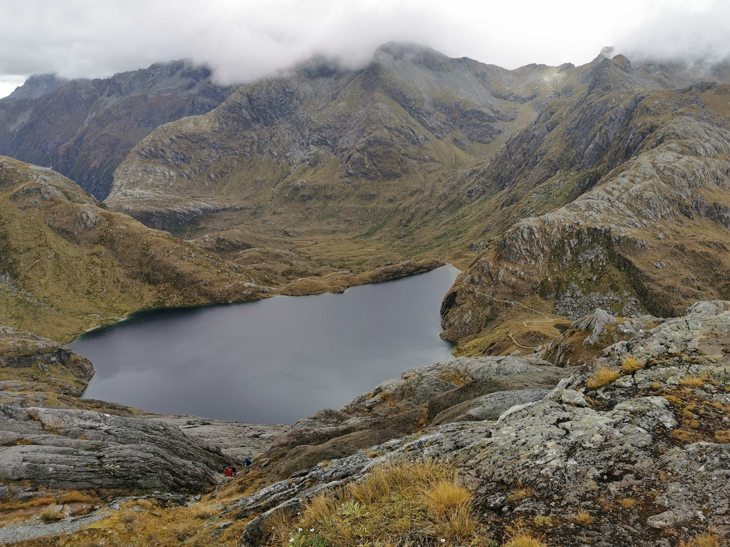
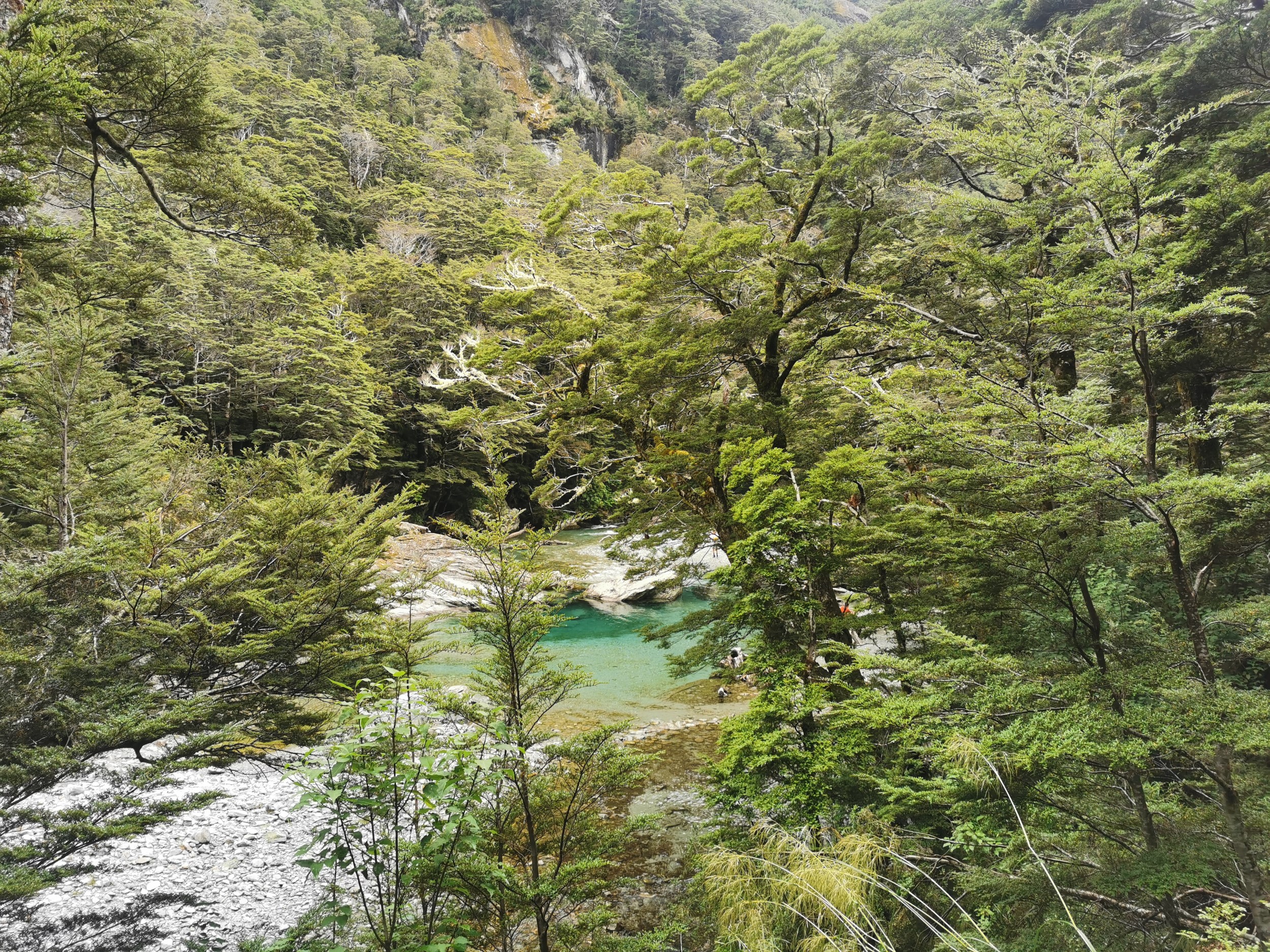
As you’d expect from a hut called Lake Mackenzie Hut, it was right next to Lake Mackenzie which was beautiful as well.
One member of our group put his stuff on a bed which had no stuff on it, but then got approached by someone else stating that they had already claimed that bed. It seems that person did not know about New Zealand’s universal hut rules which say that to claim a bed in a hut, you need to put some of your stuff on it.
The Hut Warden gave a talk where he started with “I’m going to keep talking until you all decide to leave” and he wasn’t kidding. It was interesting, he talked about the history of the area and told us the names of all the mountains and ranges, then told us about the birds of the area and how bird life has dramatically reduced in the last 100-150 years due to the introduction of rats and stoats. He has been the Hut Warden at this hut for a long time (I think 20 years) and he personally led the volunteer drive to get hundreds of rat and stoat traps along the path to start bringing the bird life back. It was interesting but because I arrived a bit late I had to sit on the floor which got a bit painful after a while so I couldn’t sit through the whole talk.
I also cant remember which mountain was which, he was describing where all the mountains were in relation to each other but because we were inside it was hard to visualise what he was talking about.
Even though it was a nice hut, with about 24 people in one room, there was bound to be some snorers, and on this occasion there was someone we dubbed the “Monster Snorer”. The snoring was unlike anything I’d ever heard before. We couldn’t work out who it was… but we hoped this person was not walking the same direction as us and therefore would not be present at the next hut.
Since it was so hot, I didnt even use my sleeping bag. I just slept in my very tiny sleeping bag silk liner. I could have just as easily slept directly on top of the mattress.
DAY 2
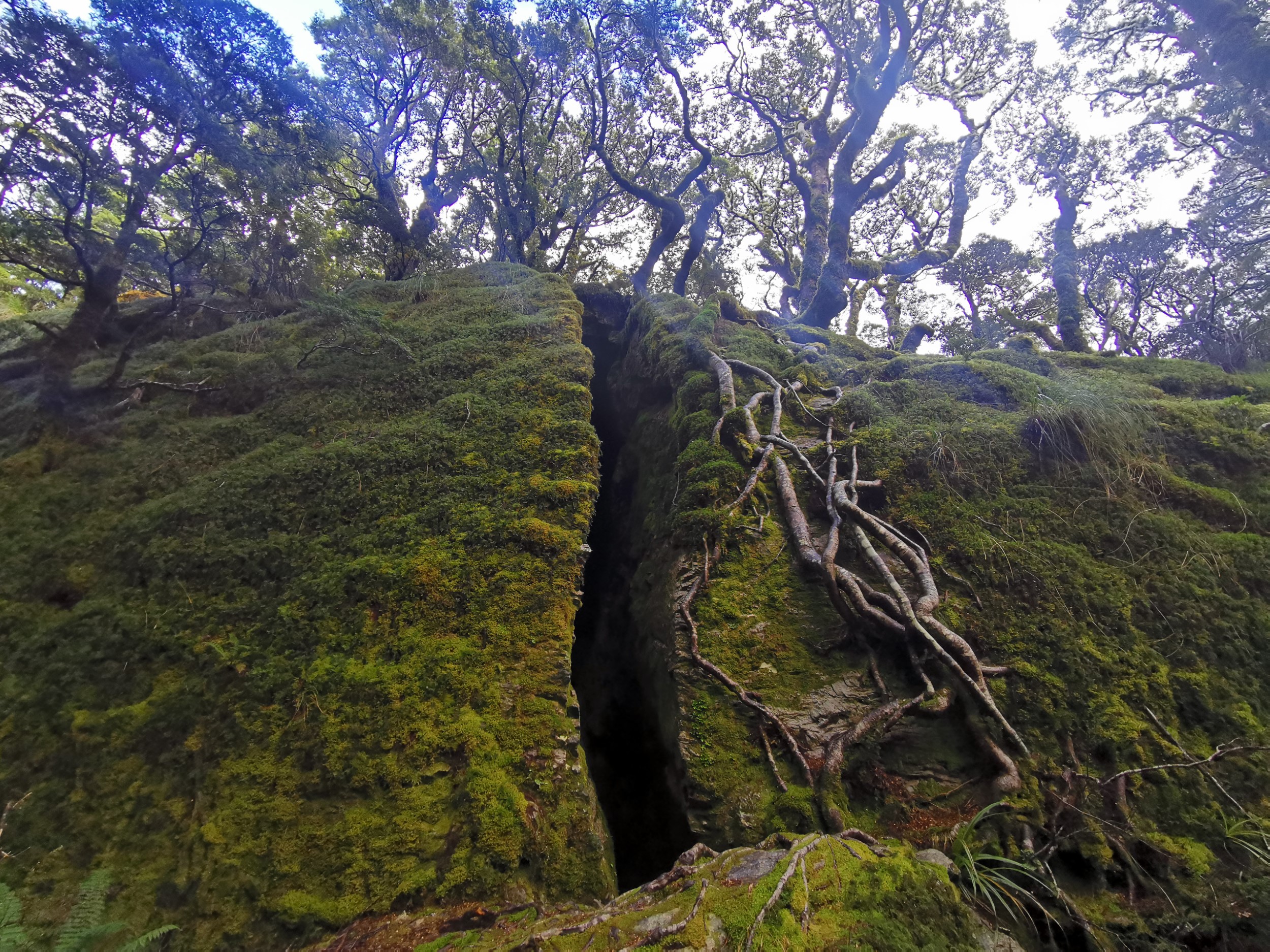
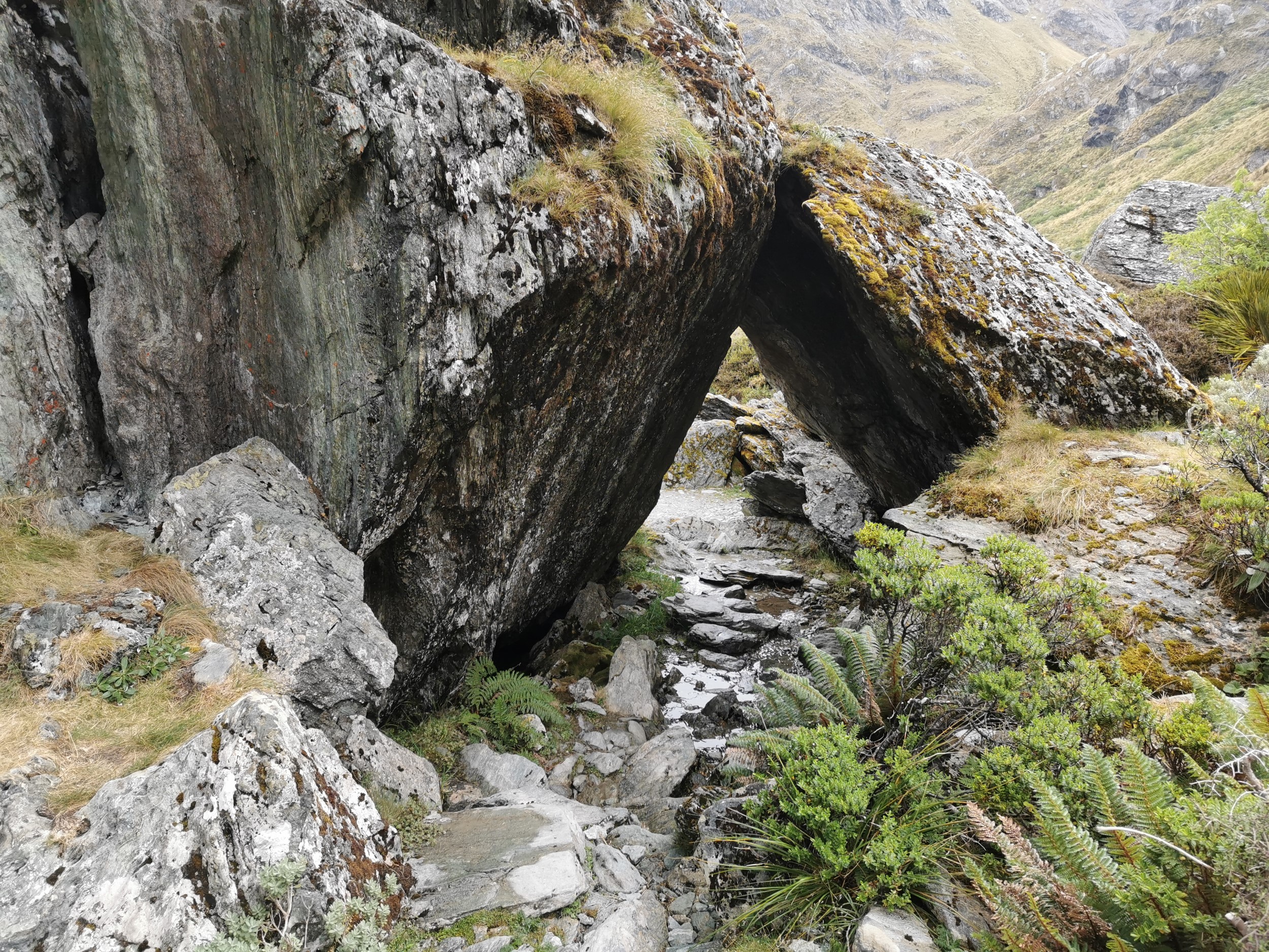
The second day began with a detour to see Split Rock, which is exactly as it sounds – a rock with a split in it big enough for someone to walk through.
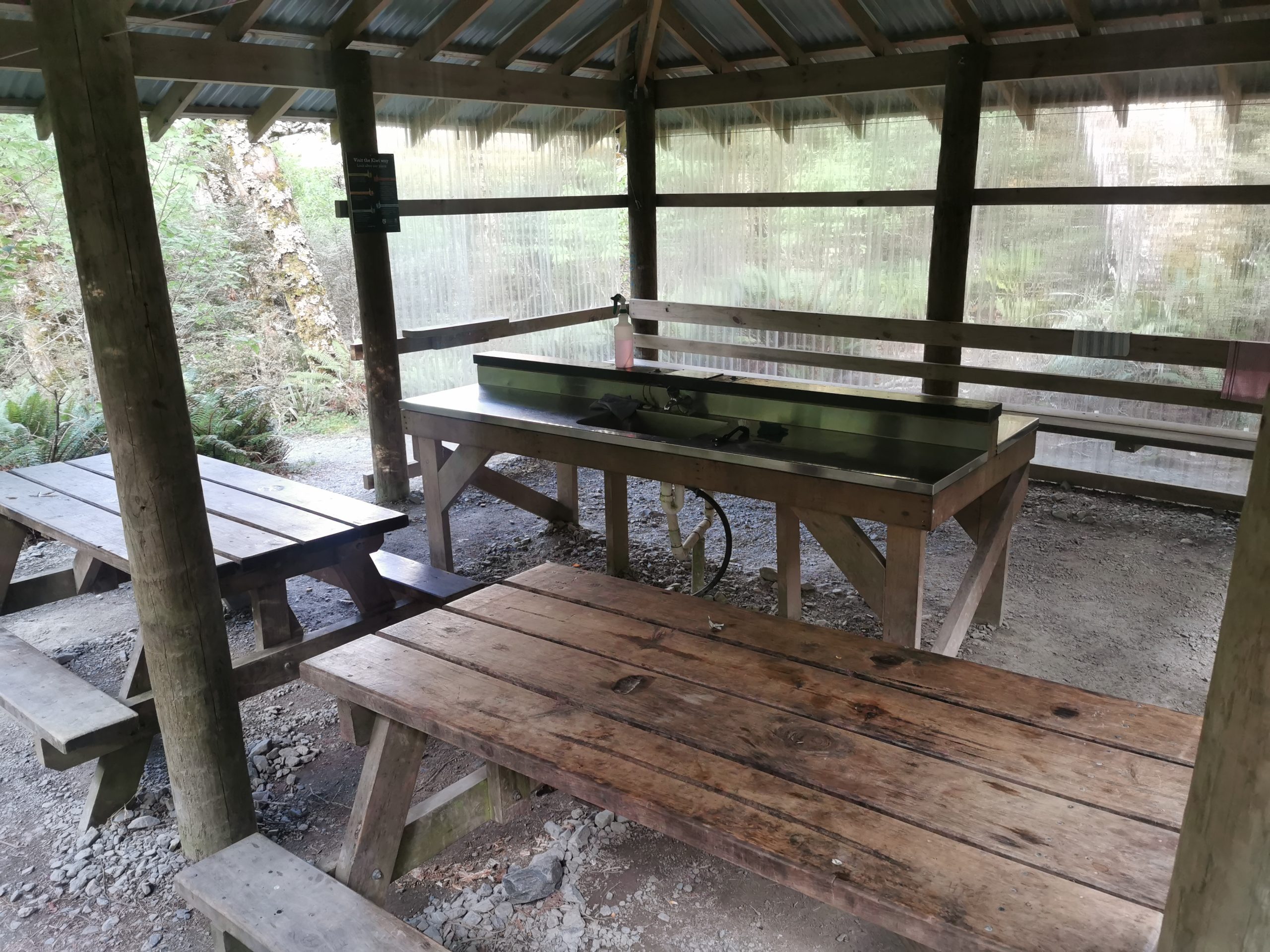
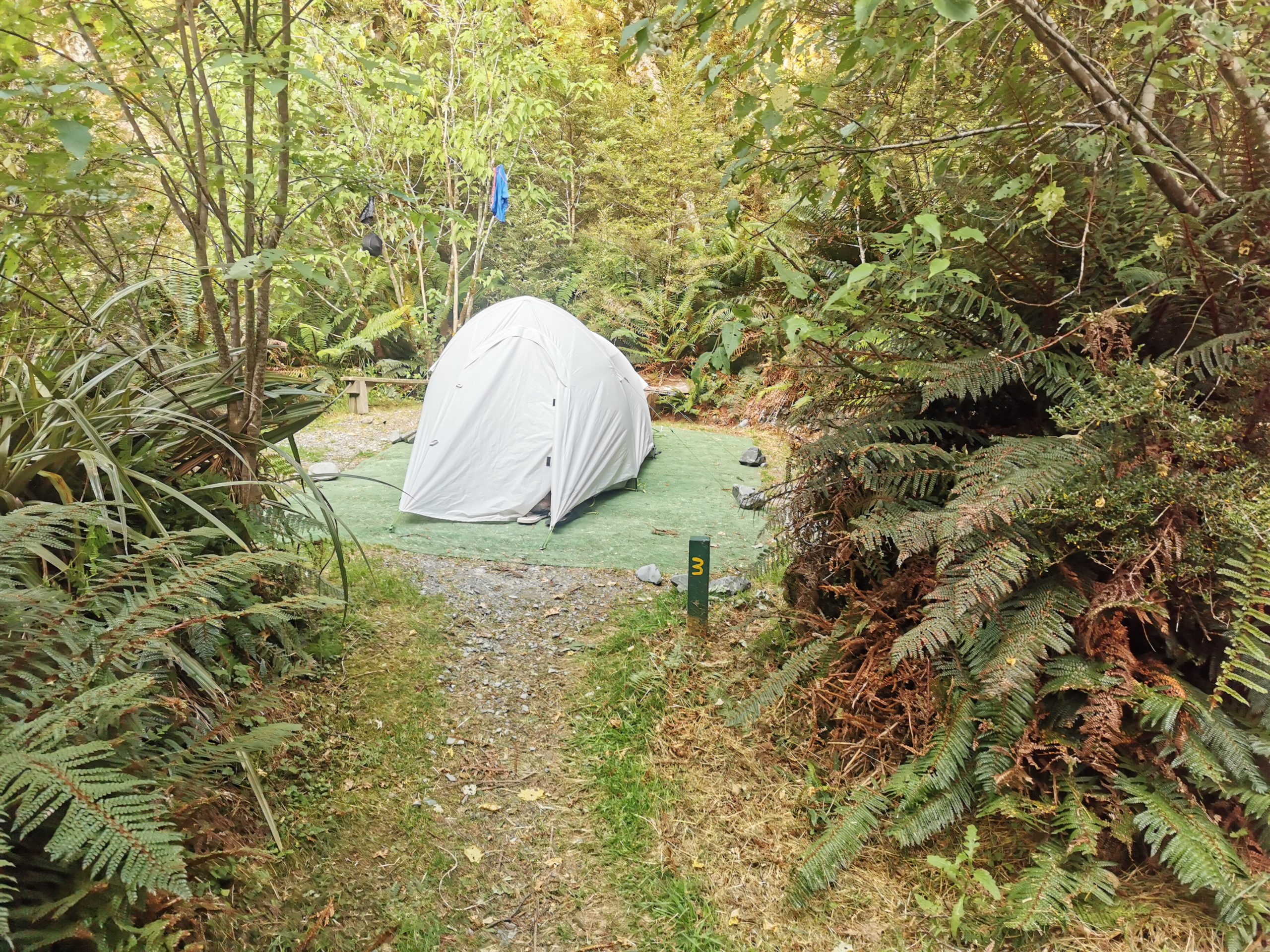
On the way we passed Mackenzie Campsite, which is another accommodation option and is apparently less likely to be fully booked if you book last minute. It has a shelter and several individual campsites all separate from each other.
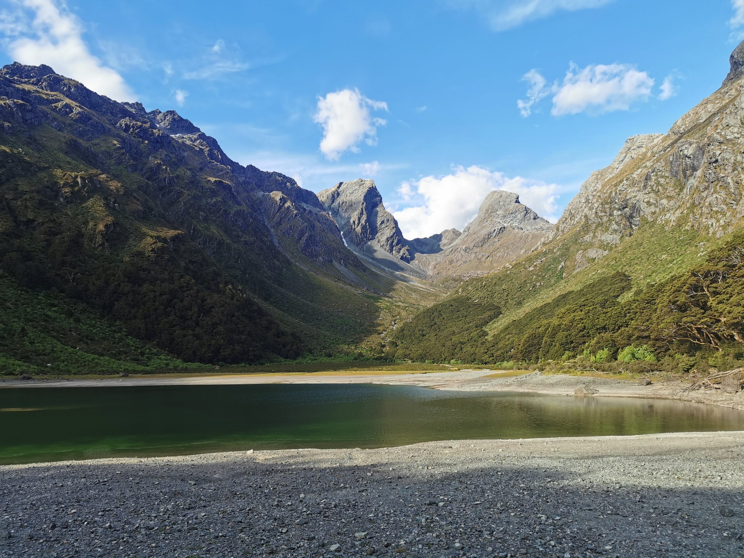
And its own little separate section of lake.
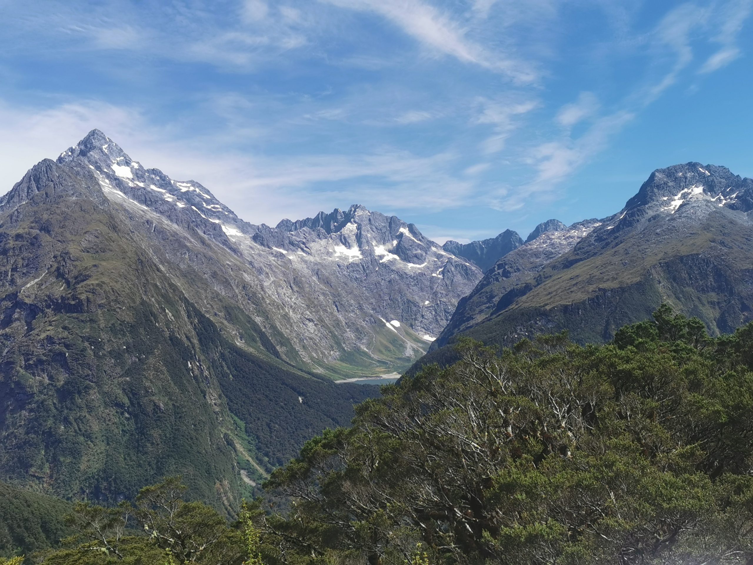
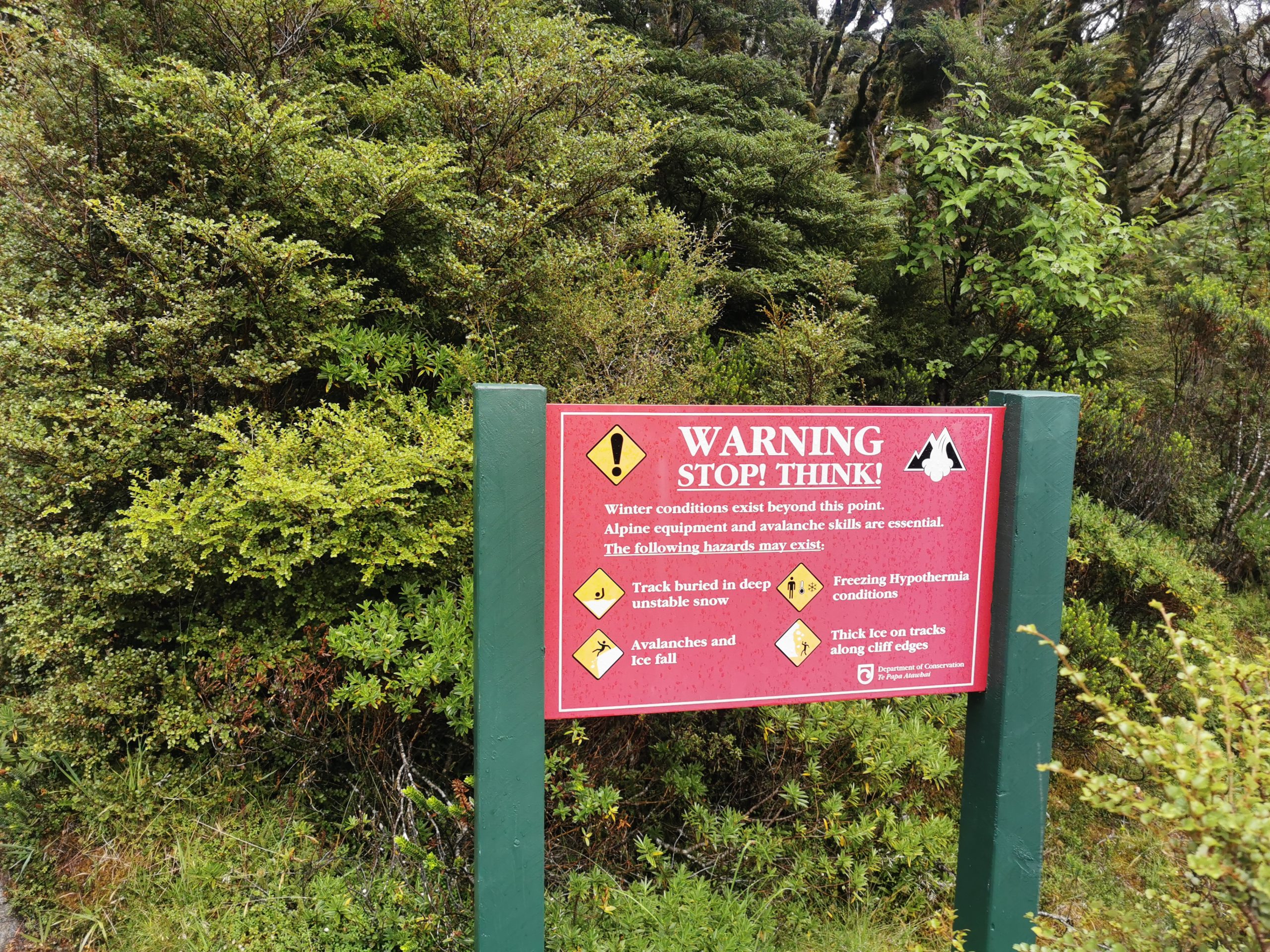
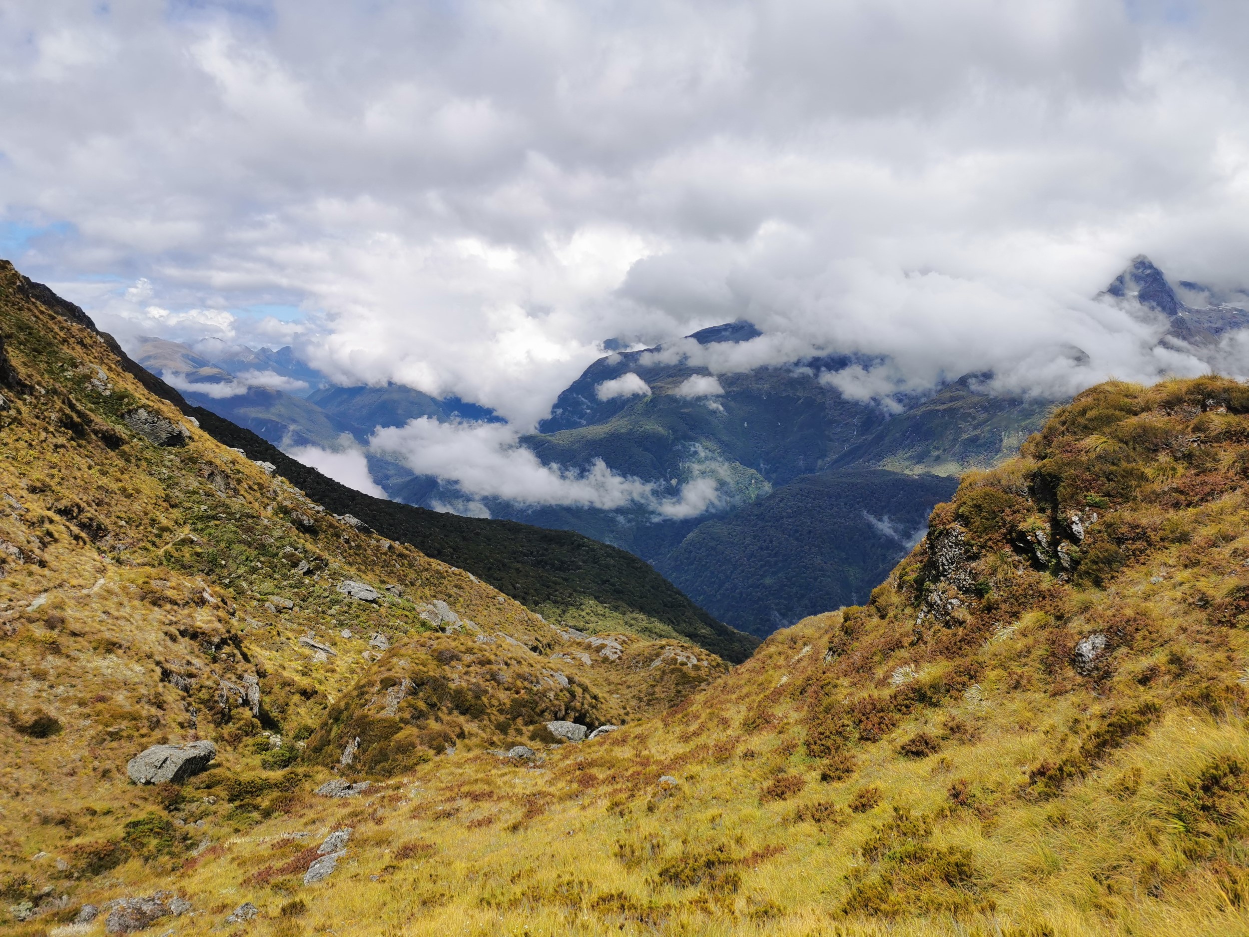
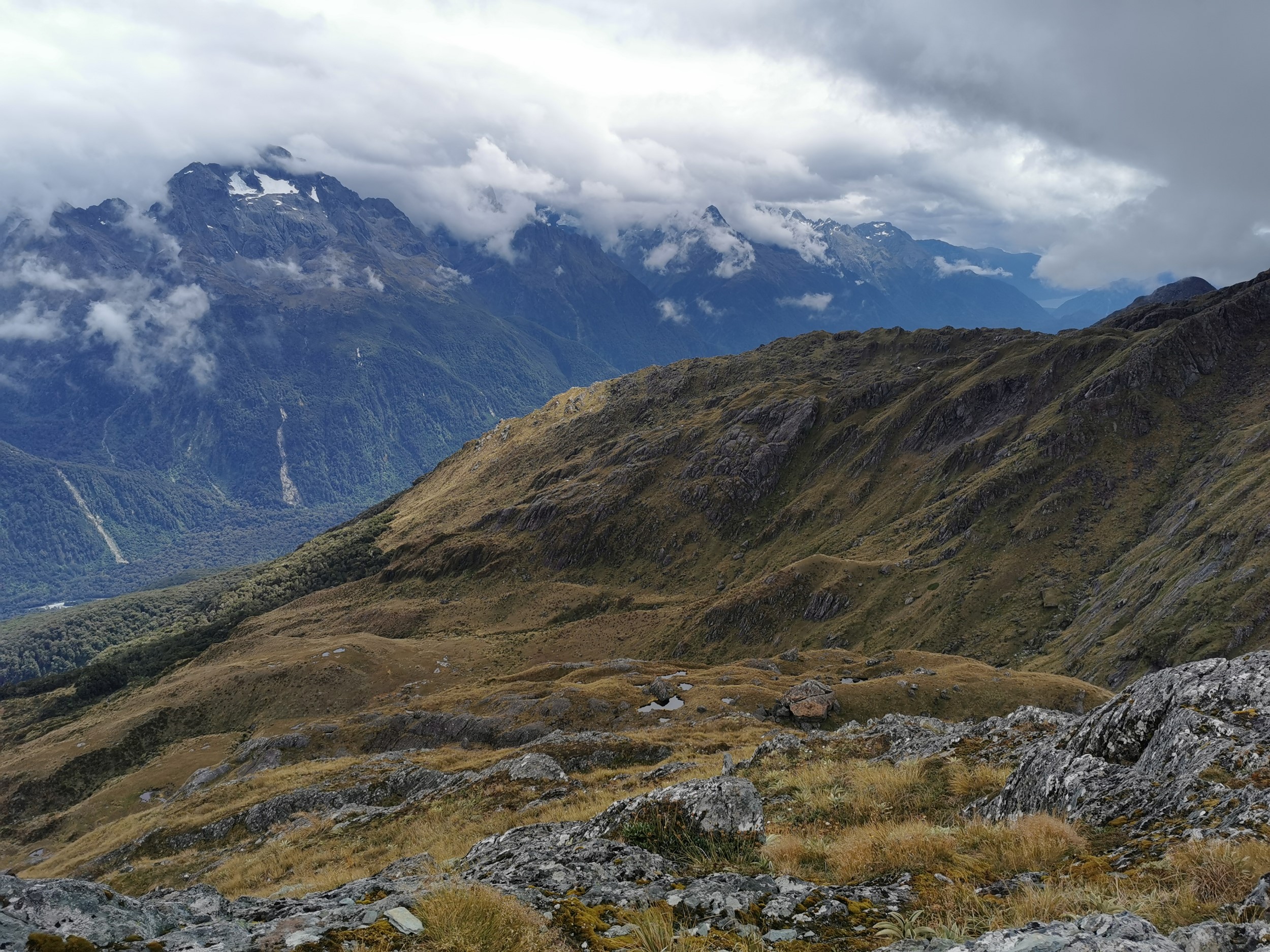
Today we are going up into the mountains and should be the day we experience the best views, however the weather forecast was looking “variable” so we weren’t sure what to expect.
It started through trees, with a noticably steeper uphill than previous sections, but not too difficult.
There was a fair bit of rain overnight, but it had mostly cleared by the morning. That did mean that walking through the forest was very humid and again there was no breeze. It didnt take long though until we were out of the trees and looking back towards the hut.
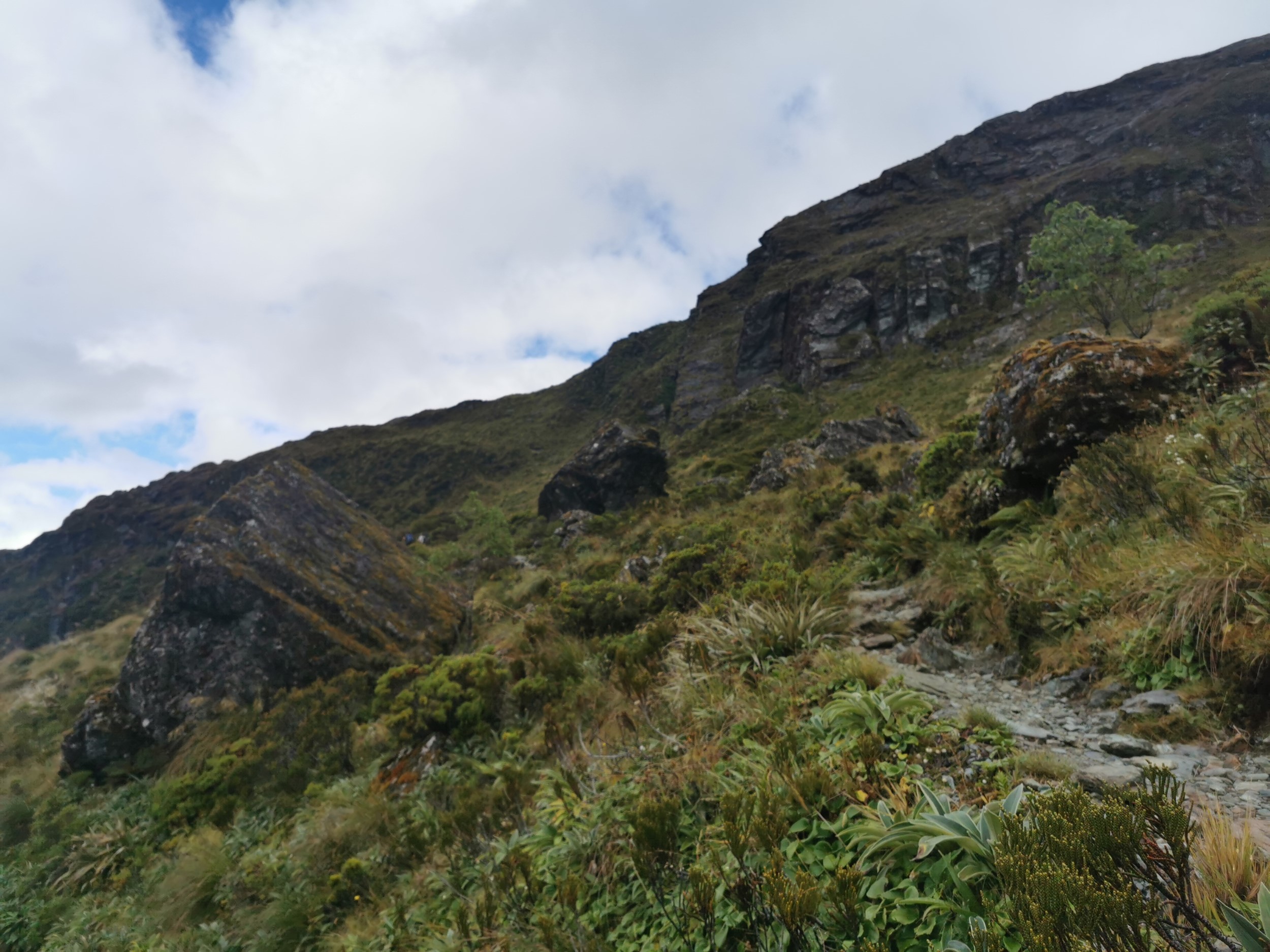
The track was nicely groomed and surprisingly less steep above the treeline.
Around one corner we saw a bunch of people stopped for lunch and so we figured that this is where the good views started.
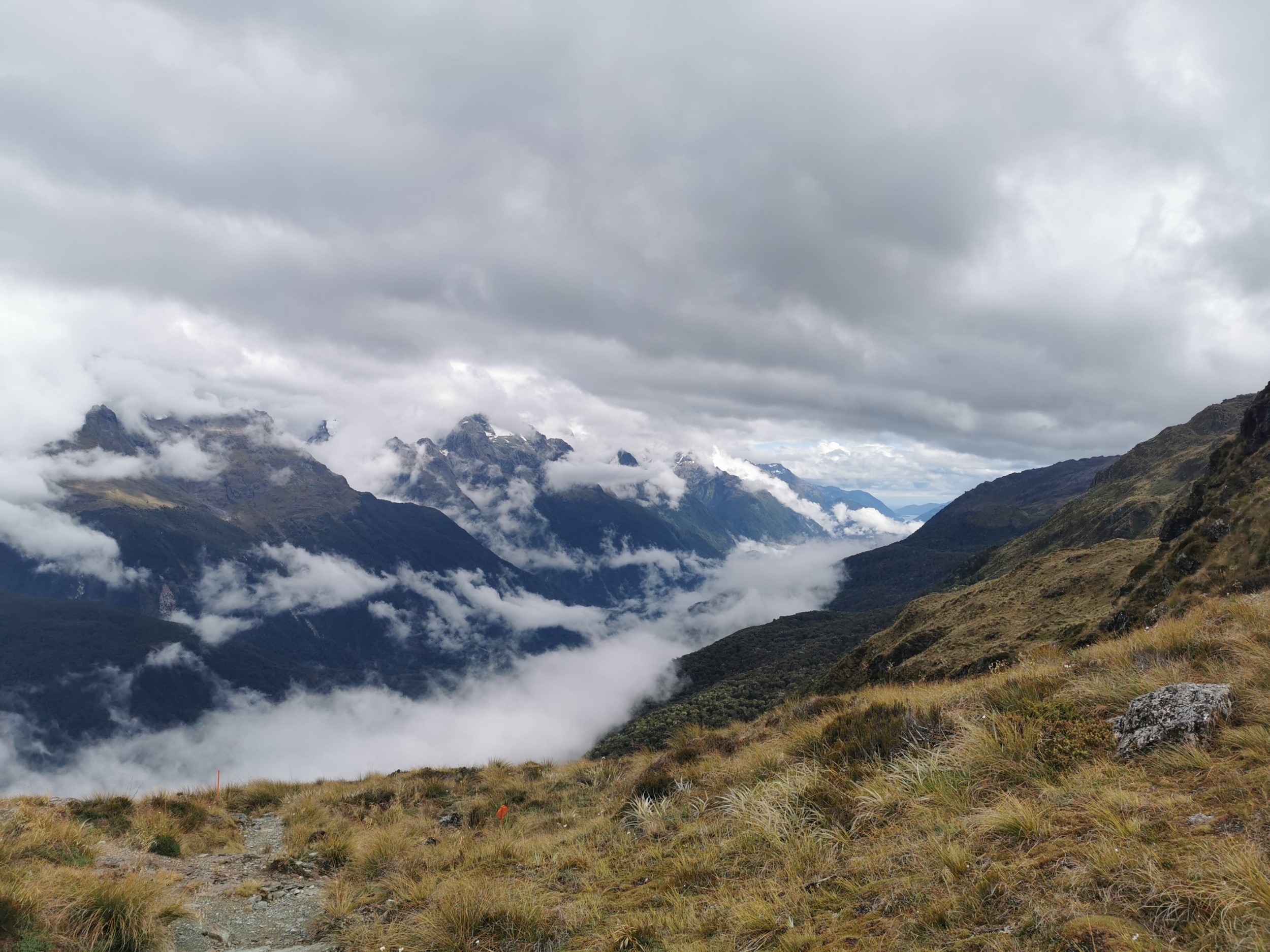
Some of our views were obscured by clouds… but overall it was not a bad day weather-wise.
And then I had my first ever sighting of a kea!
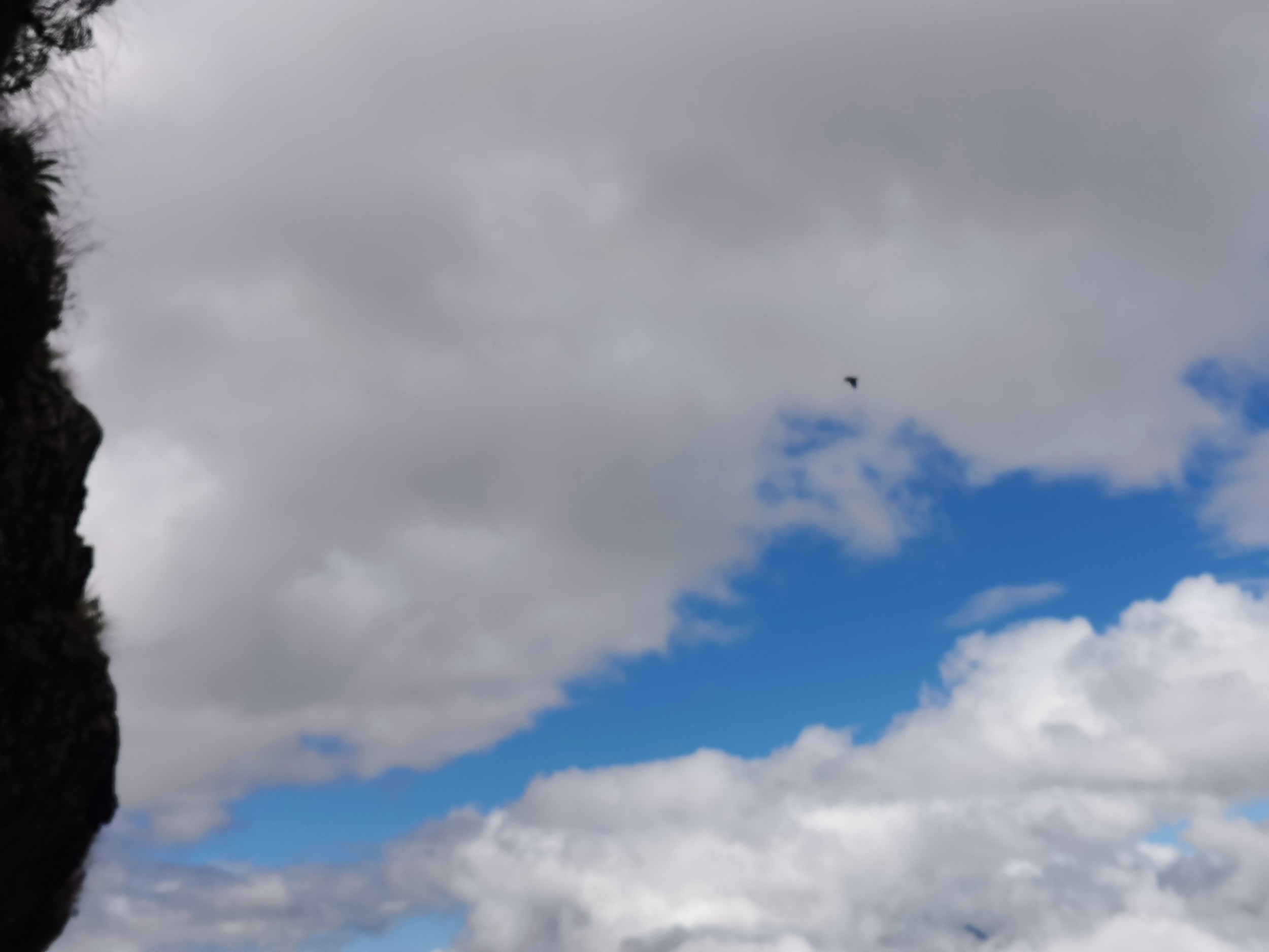
In the whole of Te Araroa I never got to see a kea, and I was always a bit sad about it. So finally I got to see one… but unfortunately this was as close as it got. I hoped I might get a closer glimpse of one at some point.
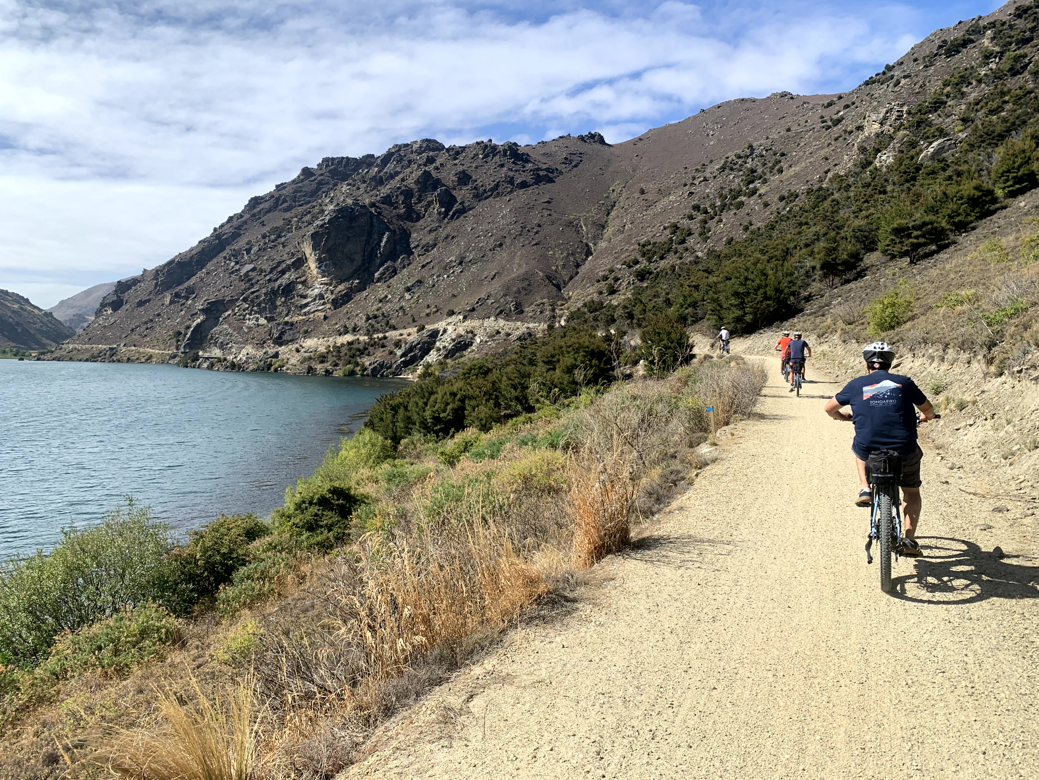
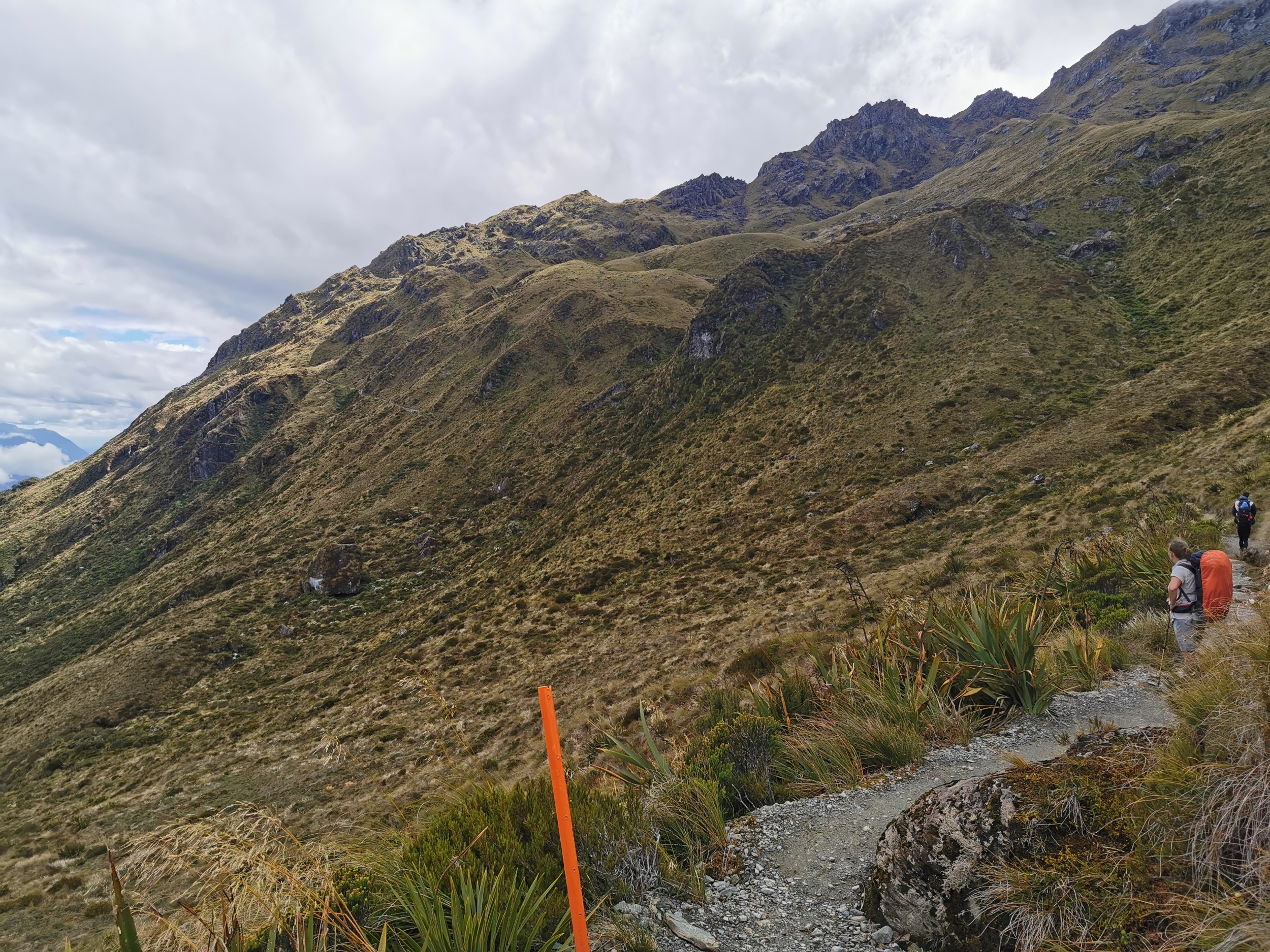
The track sidled around some hills for a long time. It was not a challenging walk – the most challenging thing was trying to get past the hordes of other people on the sometimes narrow track.
The views were still a little bit clouded over at this point.
There was a side track up Conical Hill.
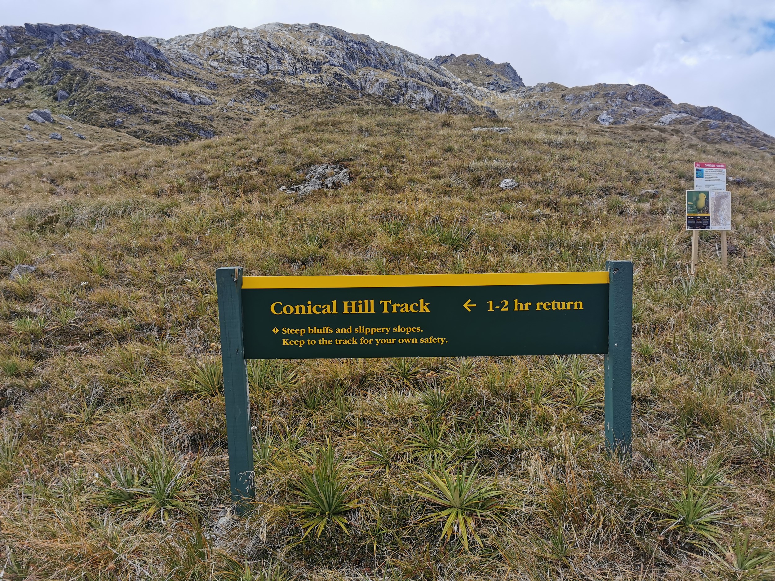
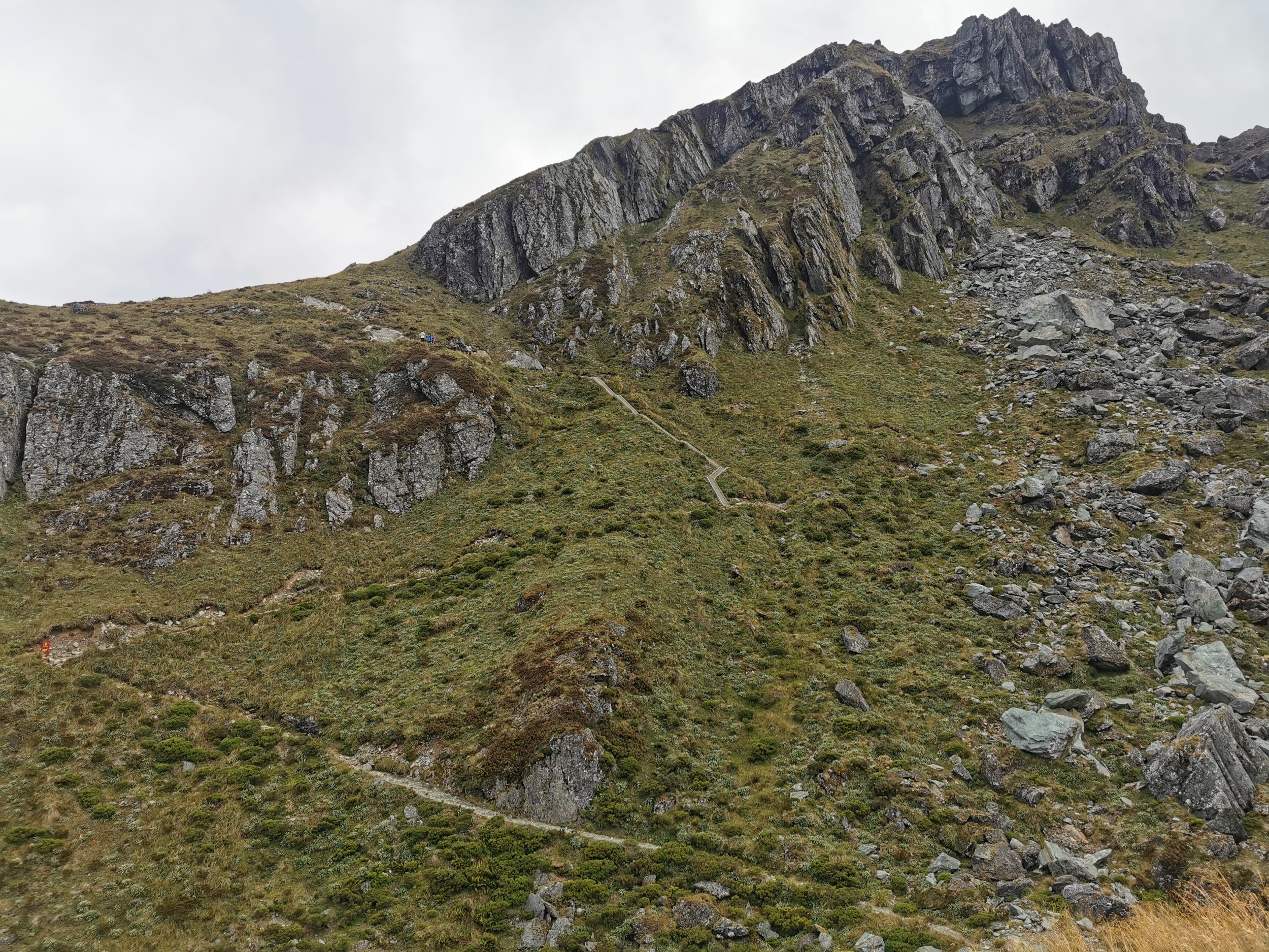
We hoped the views might be better from the top of this hill, but given its steepness only 6 of the group of 8 attempted to walk it (and only 4 of those 6 made it to the top).
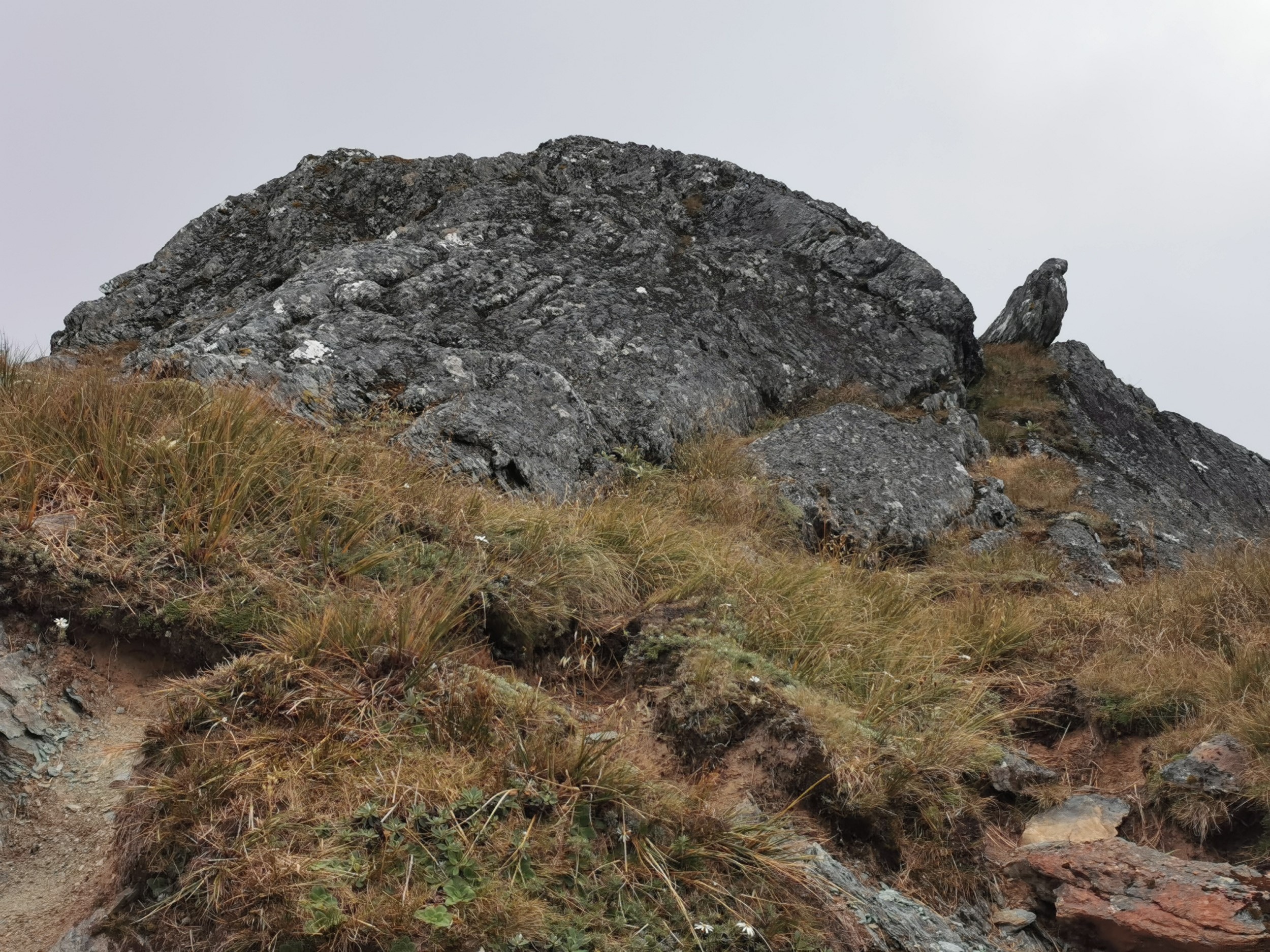
On the way up there is a great rock that in my opinion looks like an eagle!
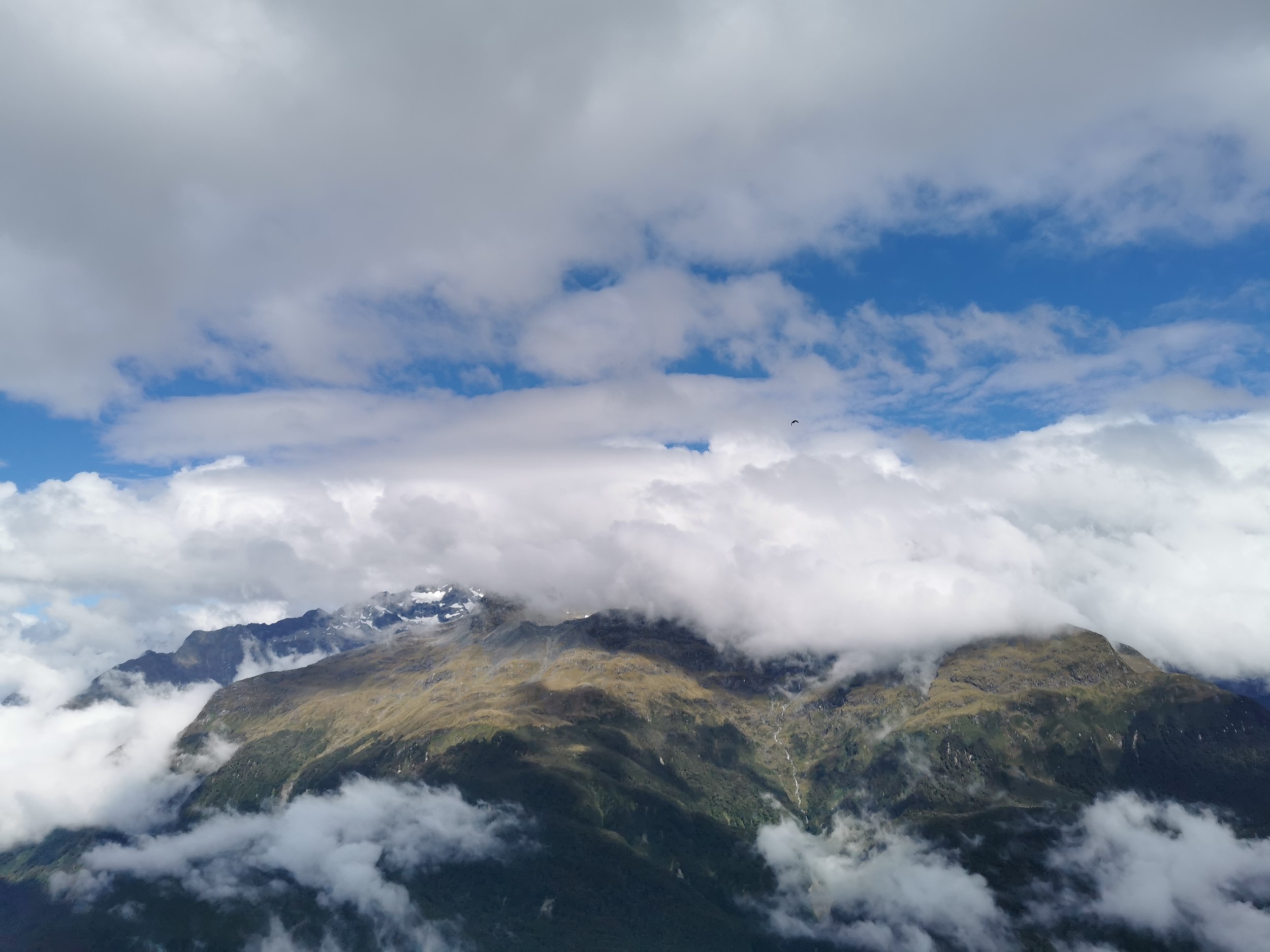
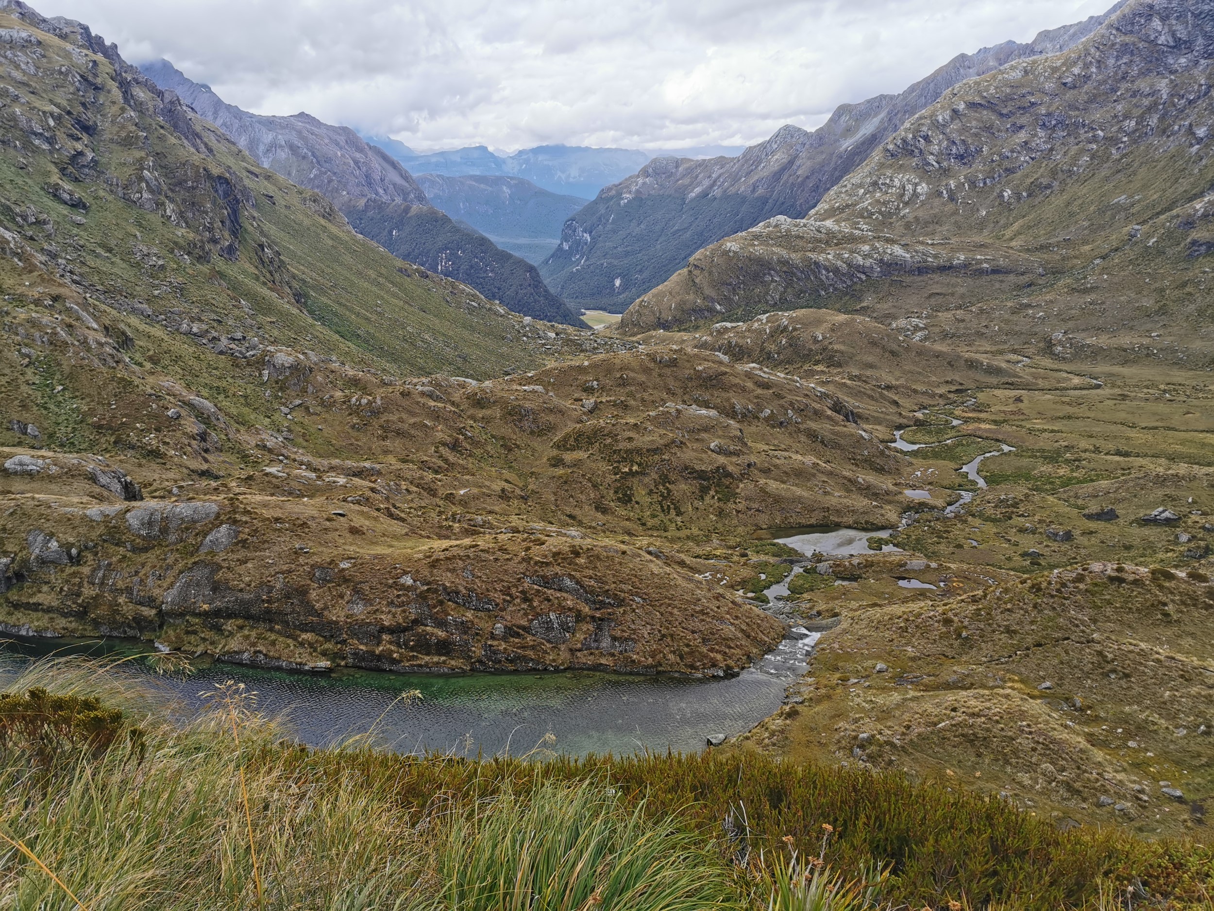
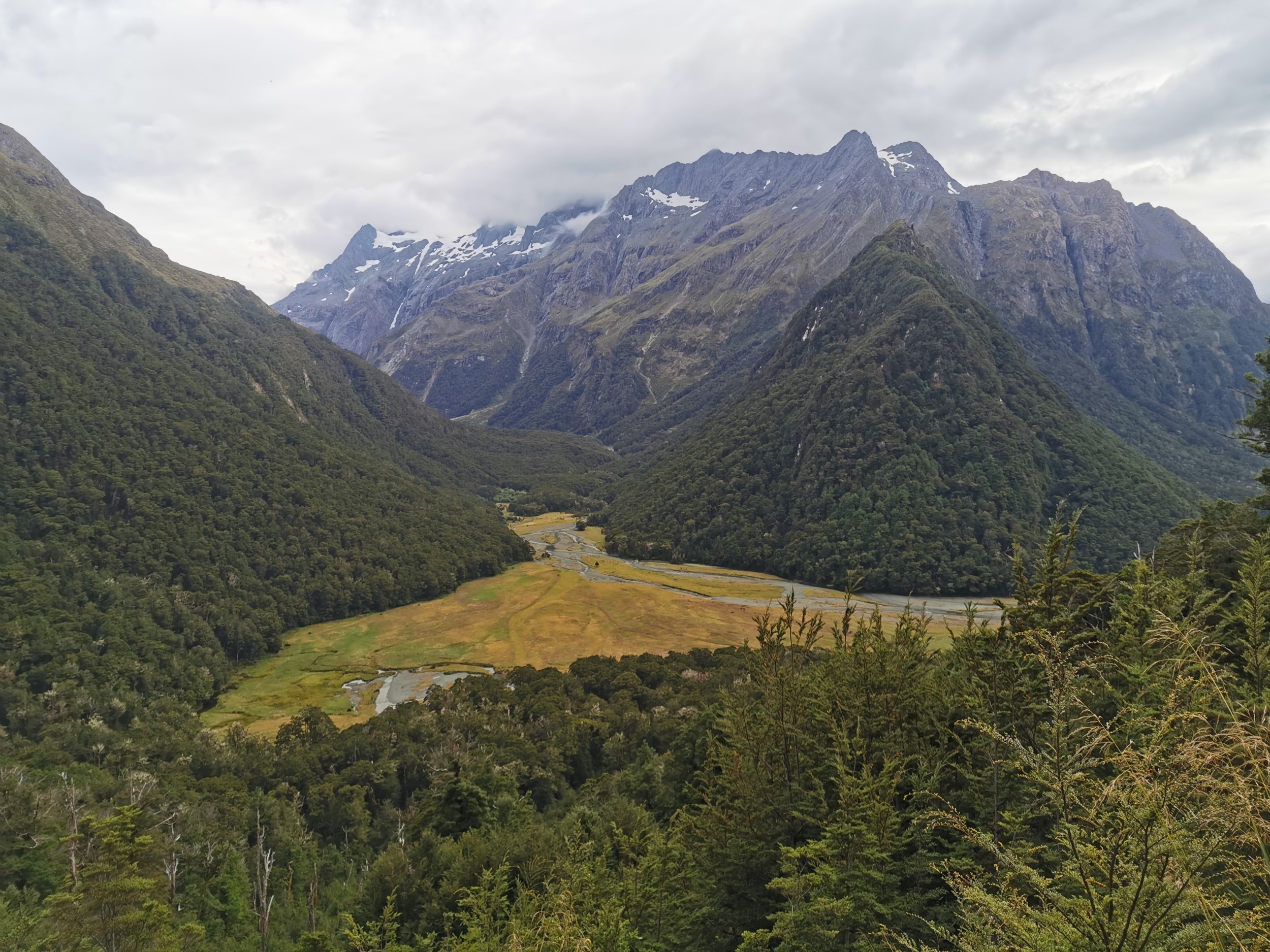
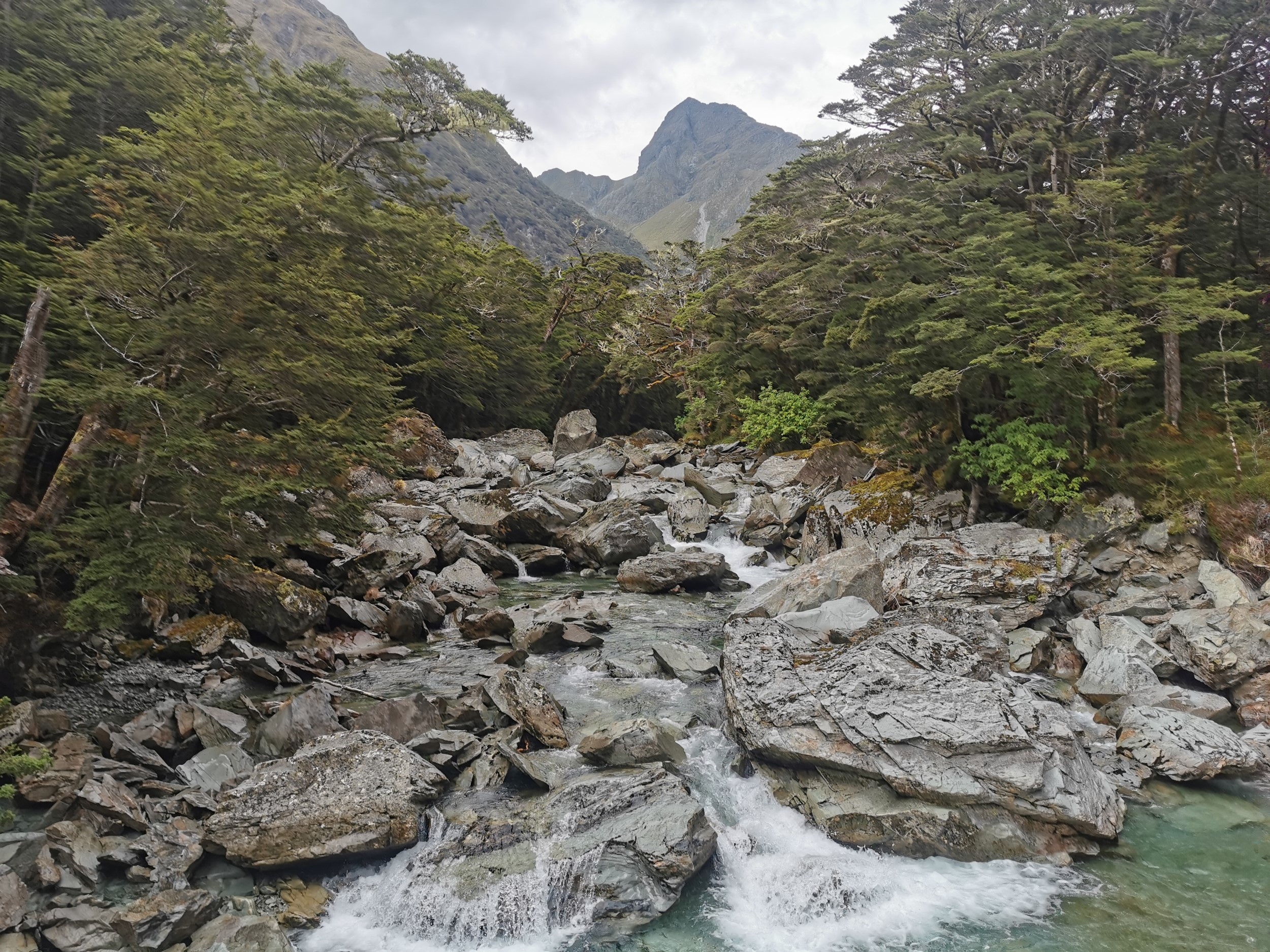
There was a decent view of Lake Harris which is where we would be walking next.
Unfortunately the cloud never fully went away, but it was still worth taking the side trip up here.
Continuing on, our next destination was Routeburn Falls Hut. There are two huts in the area, the other is Routeburn Flats Hut. But we chose Falls Hut because it breaks up the days better as the other hut is too close to the finish.
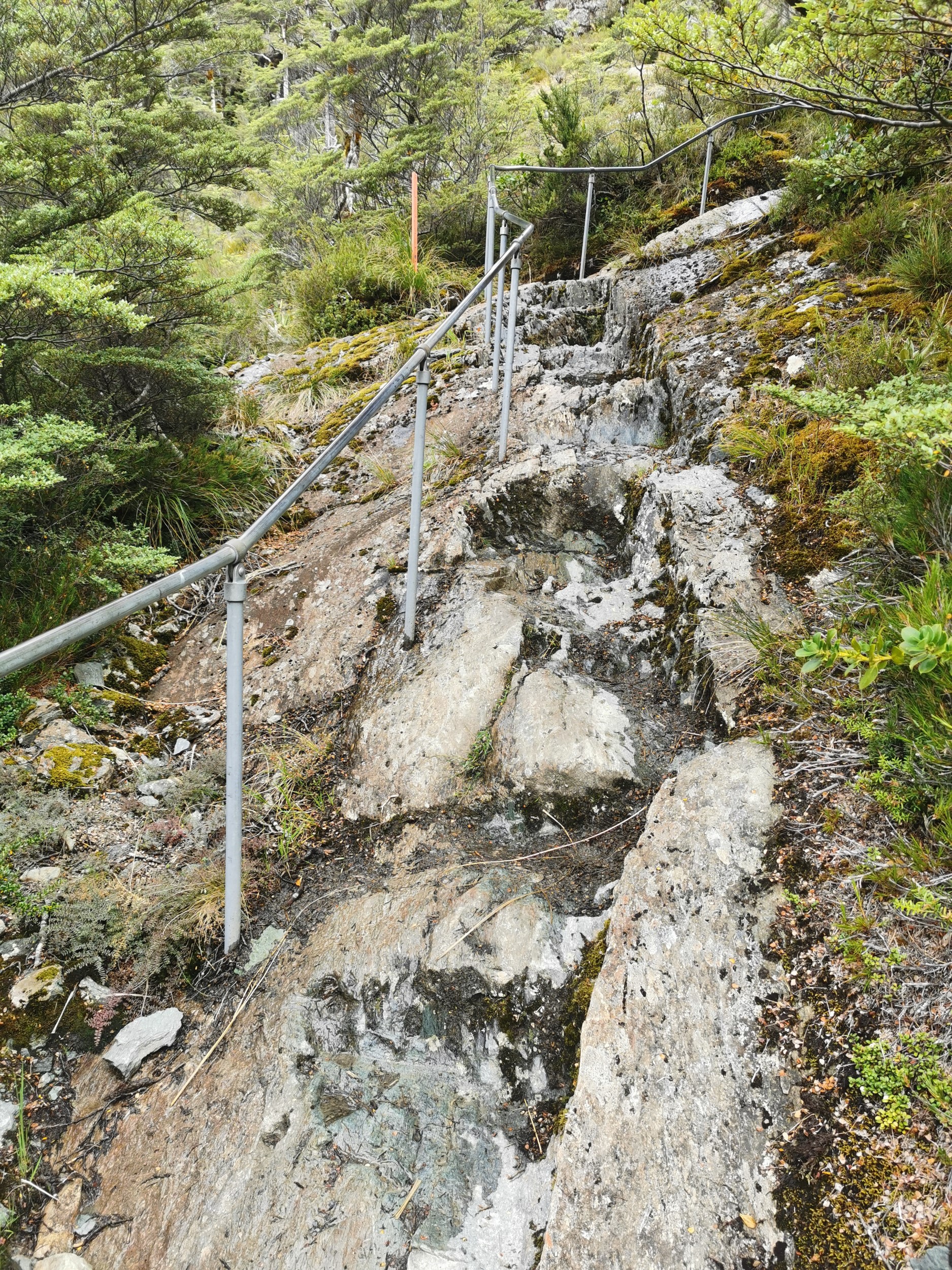
When you see the handrail you are getting close to the hut.
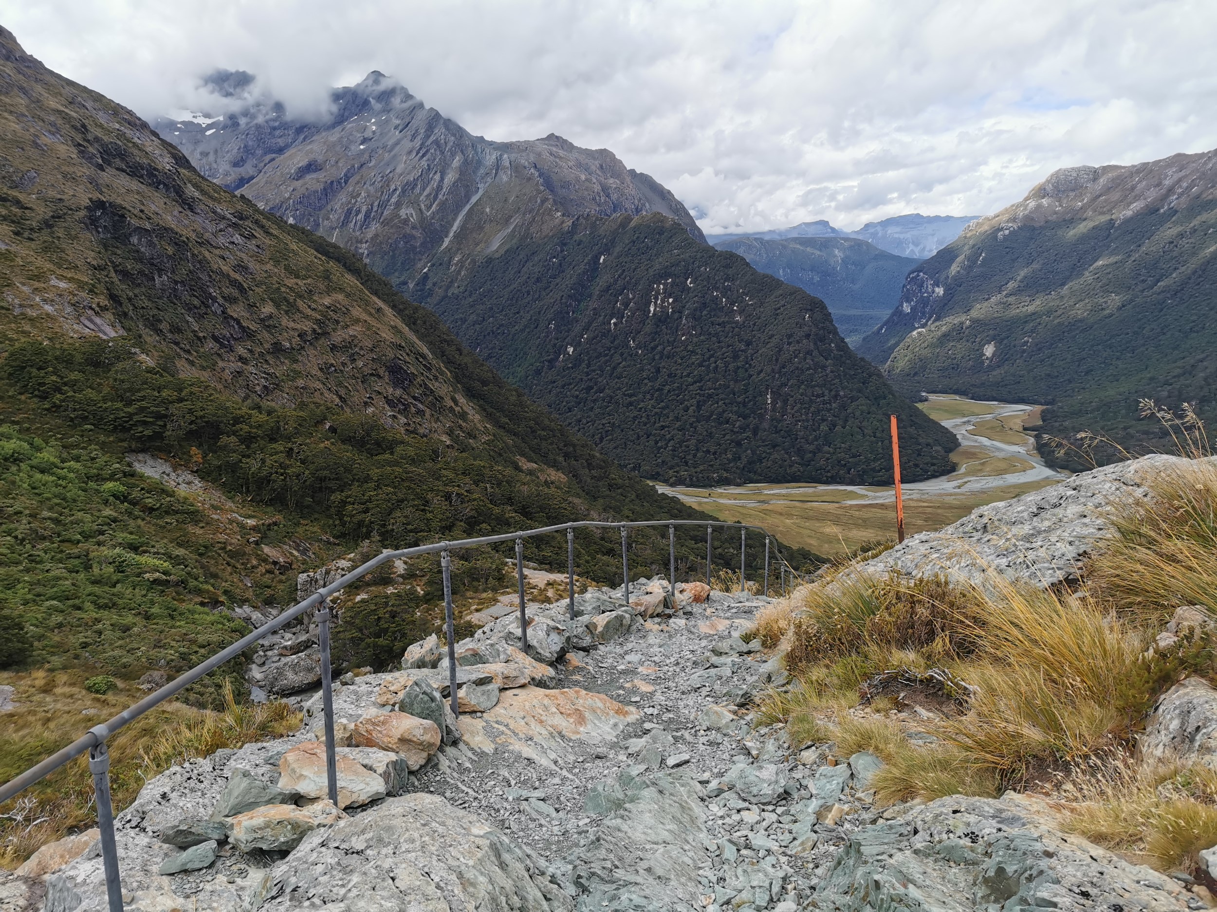
I can see why it was needed! I wouldnt want to fall on these rocks.
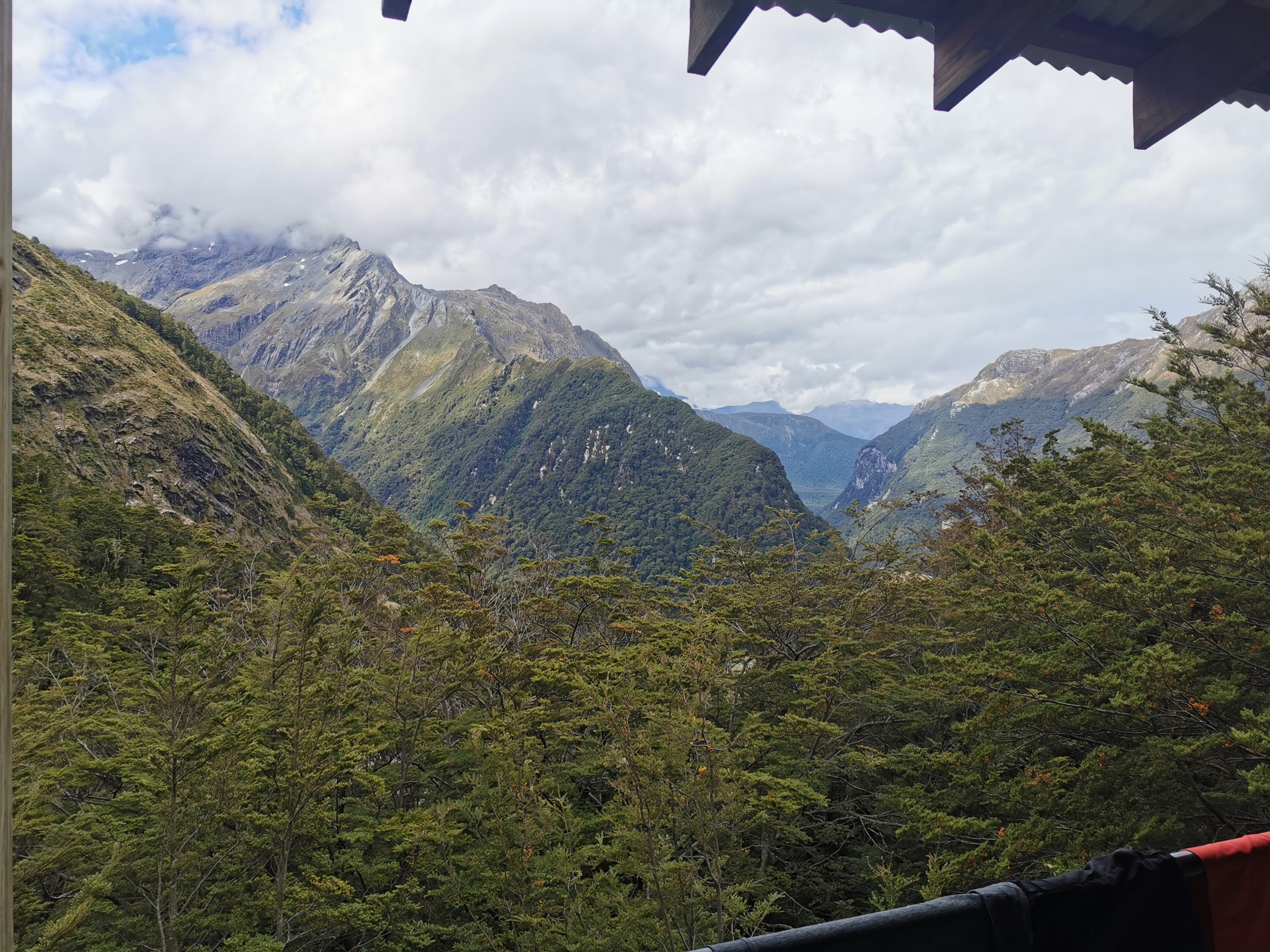
I didnt take any good photos of the hut. Only this one, and the only reason I took this one is because I thought I saw another kea.

I must have been too busy admiring the view from the main deck.
It was similar to the previous hut, in that the kitchen and dining area were separate to the sleeping area.
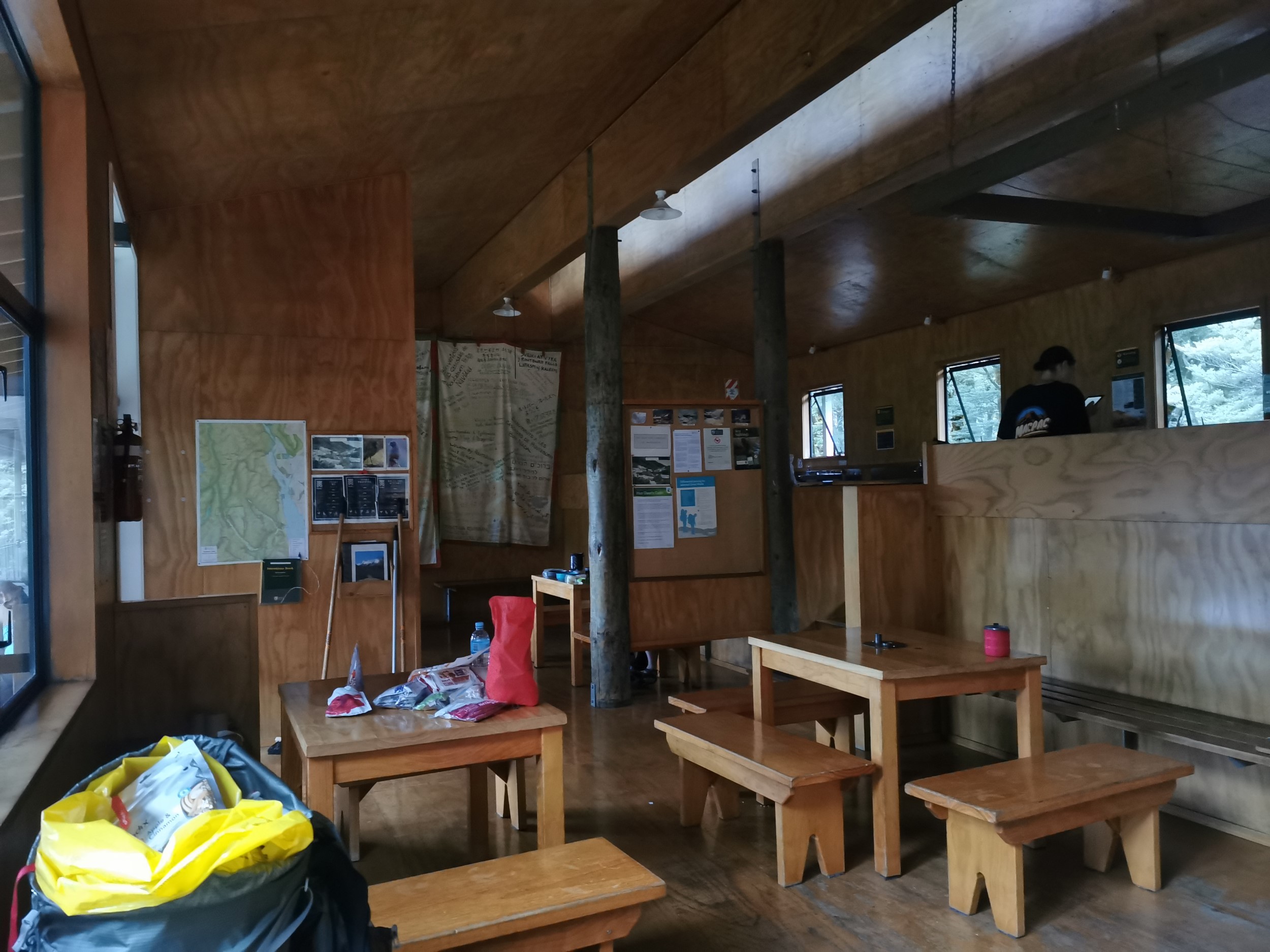
I liked the bed layout in this hut better, they were all a lot more private, in little groups of 4.
Although this time it was me that had a small argument with another person about trying to claim a bed that they said they’d already claimed. I let them have it but pointed out that you need to put belongings on the bed in order to claim it. It mattered more here because this hut was completely full and there were no bottom bunks available, only top bunks, so the bottom bunks were hot property.
It’s weird, in walking the entirety of Te Araroa I never even once had any disagreements about who had or hadn’t claimed a bed, whereas here it’s happened twice in as many days. Must be because this track is so touristy!
This hut also had two male and two female toilets, which was annoying because that meant there were only two toilets available for me at any one time. The toilets at the first hut were four unisex toilets which I found much more preferable.
We set off shortly after arriving to find the falls alluded to in the hut’s name. After a short but fairly treacherous walk across some rocks…
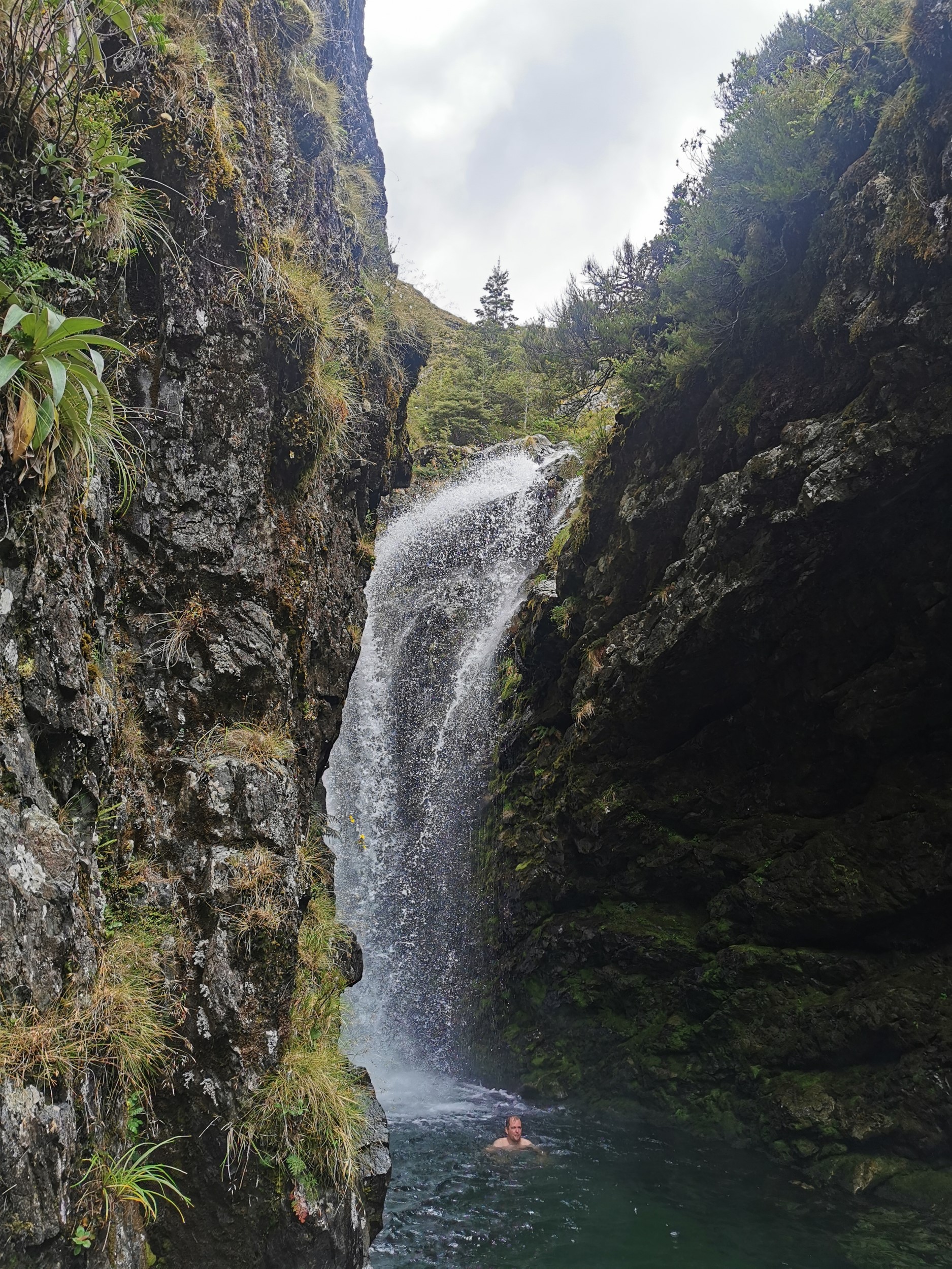
Lots of people were swimming here.
It wasn’t too long before we had our dinner and listened to the Hut Warden’s talk. This talk was a lot shorter, but it did include a competition – there was a big board in the hut that said “Merry Christmas and welcome to Routeburn Falls hut” in about 40 different languages. Whoever could identify at least 20 of the languages won a block of chocolate. Two others of our group and I managed to get exactly 20, so we won the chocolate. Another group got 19 – close but no cigar! So if you walk the track and want to win the competition, brush up on your foreign language skills! Some of them were really obscure languages too, ones I’d never even heard of.
And I’m happy to say that whoever the “Monster Snorer” from Day 1 was did not make an appearance at this hut… so I slept much more soundly!
It did cross my mind though that there are a large number of people sleeping in here with absolutely no ventilation. That doesn’t seem very Covid-19 safe. I know a lot of people don’t even think about that any more but it still crosses my mind in times like this. I didn’t want to get sick when I still have a week of hiking ahead – I’m planning on doing another hike immediately after this one, since I’m already down here with all my hiking gear!
DAY 3
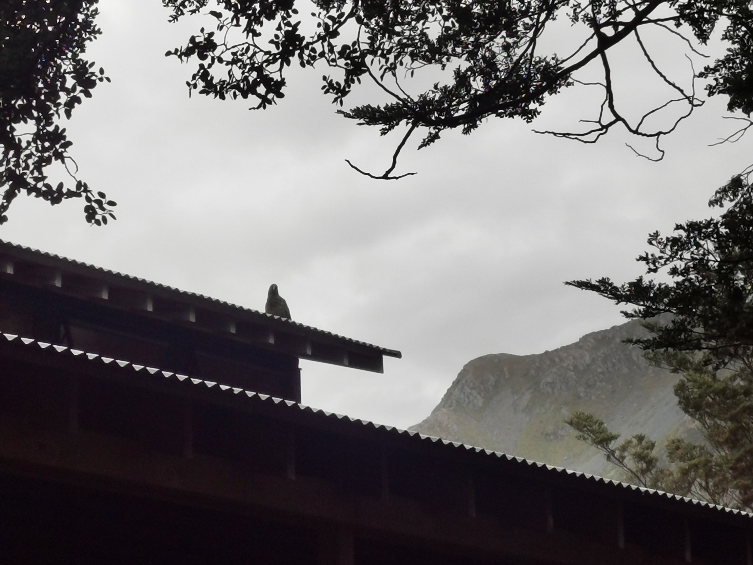
There was some commotion this morning when there was a confirmed kea sighting… so I raced out with my camera and after a couple of failed attempts I managed to get a picture of it om the roof!
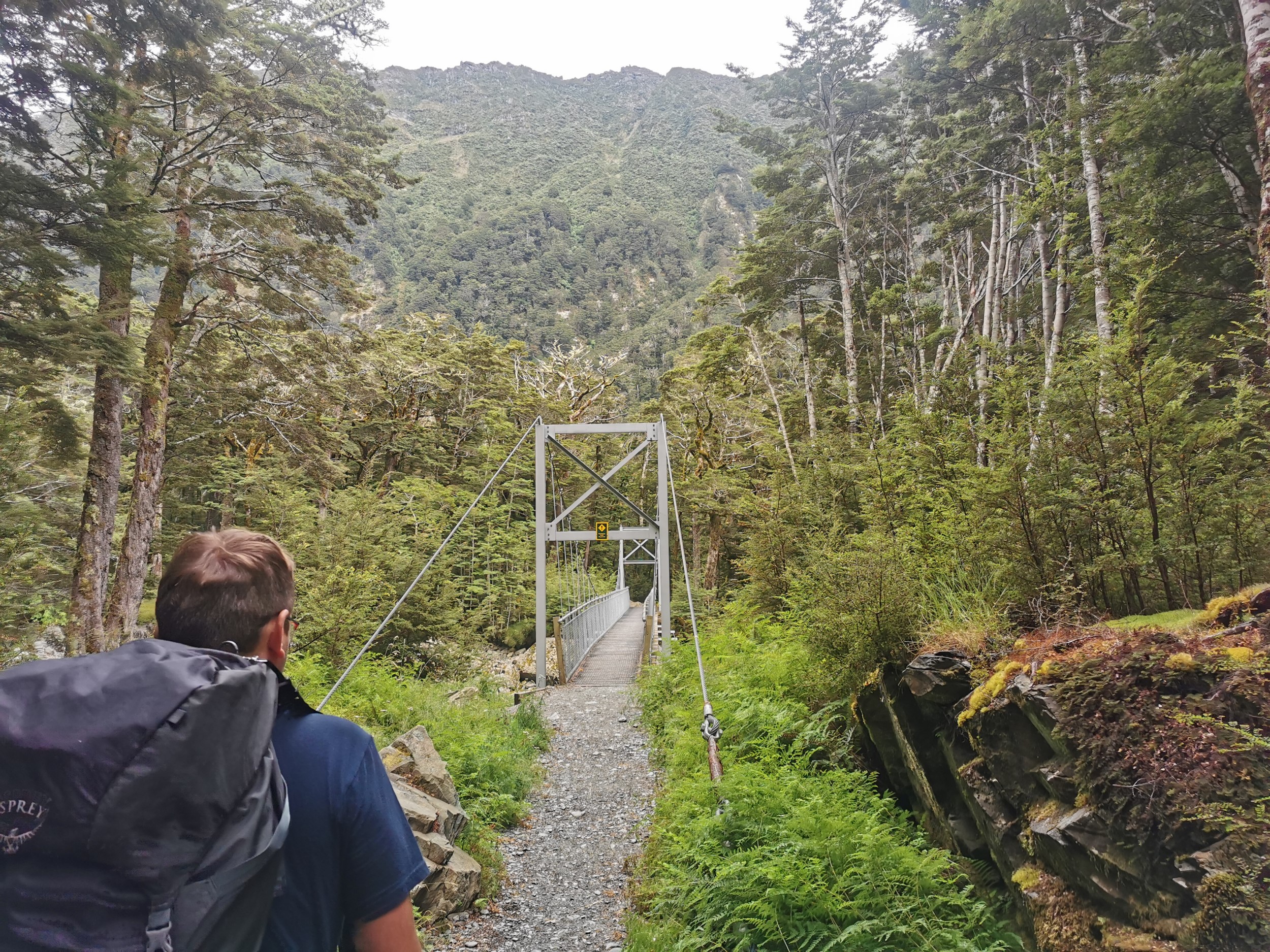
The walk today was entirely downhill into the Routeburn Flats.
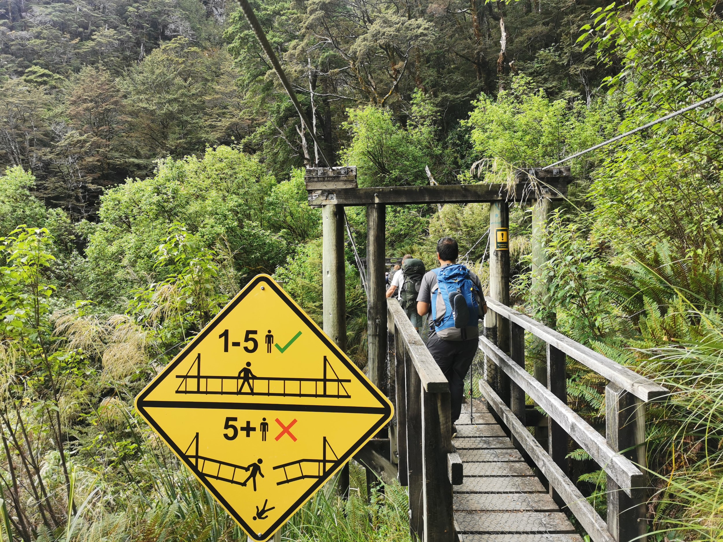
I saw the same sign as I saw several times on Te Araroa and it bugged me now for the same reason as it bugged me then… are 5 people allowed on this bridge at the same time, or not?
There was a small detour to the Routeburn Flats Hut which we didn’t do.
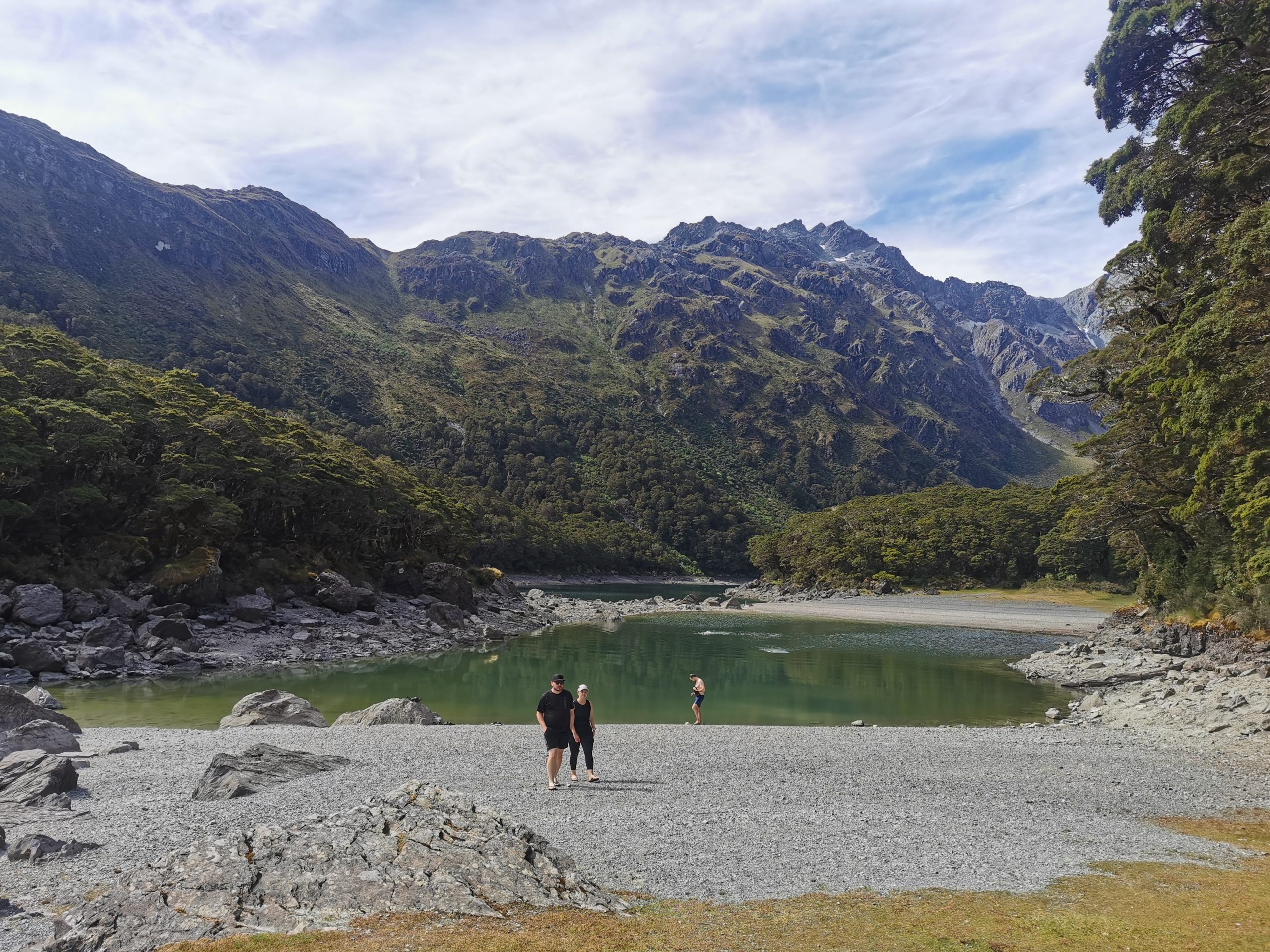
But we did do a small detour to go to Forge Flat – a little swimming “beach”.

I didn’t get in the water but when my friends did, they made weird sounds I’d never heard them make before. Apparently it was very very very cold.
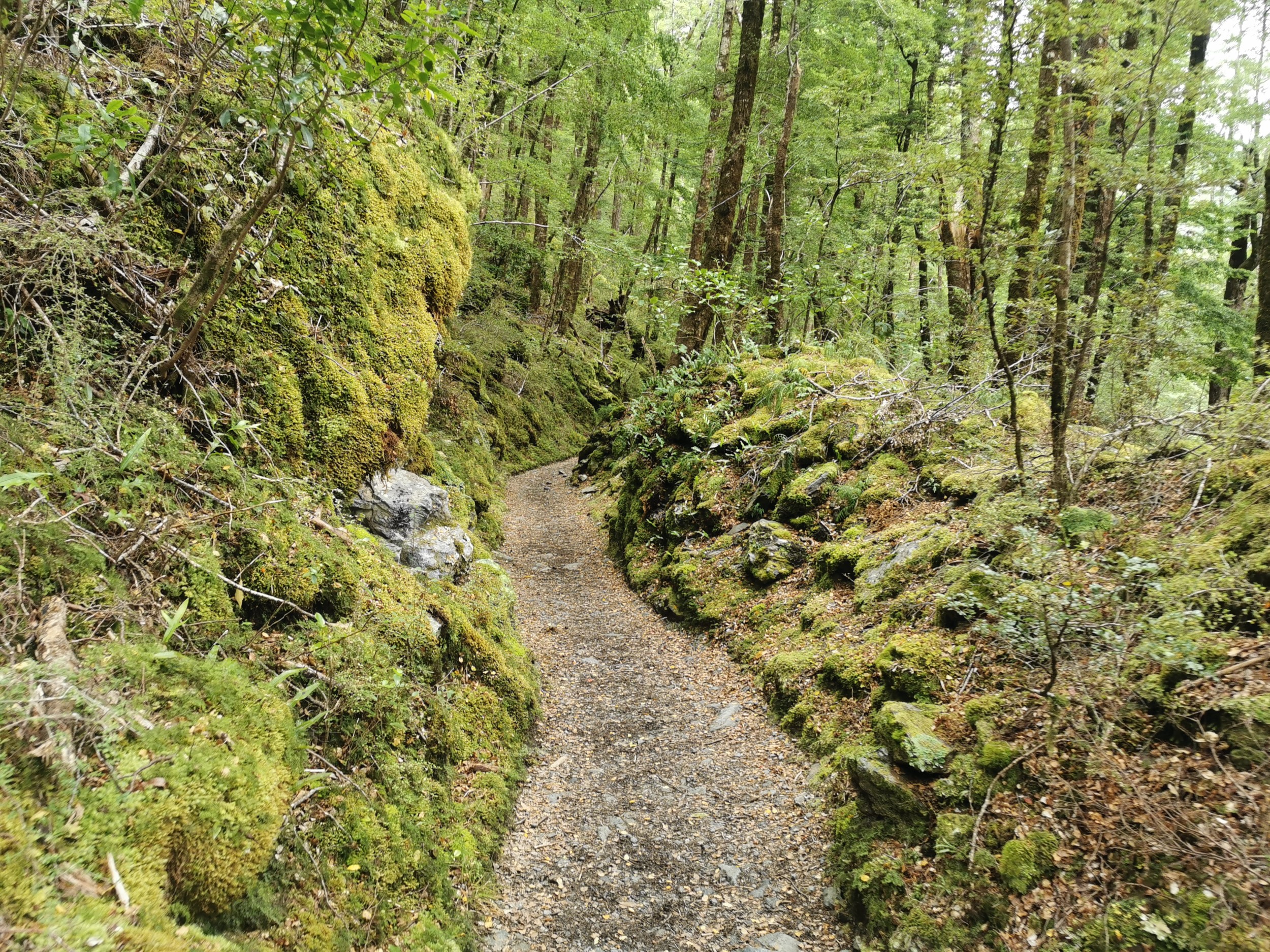
The rest of the path was very manicured. A lot of people do short day trips from this end of the walk.
Before we knew it, we had crossed this final bridge and made it off the Routeburn Track! The final day was an easy short day.
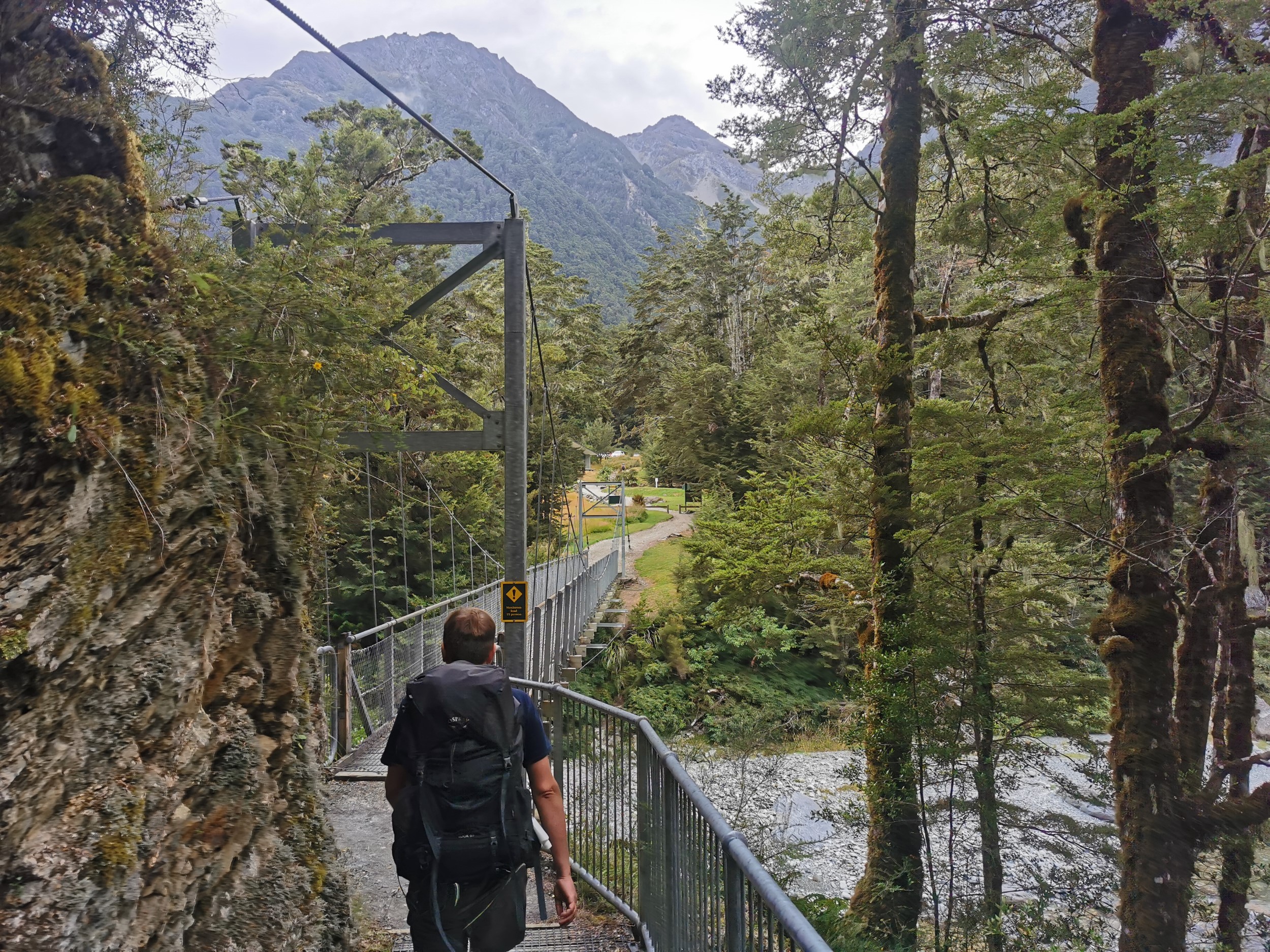
I am glad we did the track in this direction. The uphills were gradual and the downhills were a bit steeper so they were done more quickly.
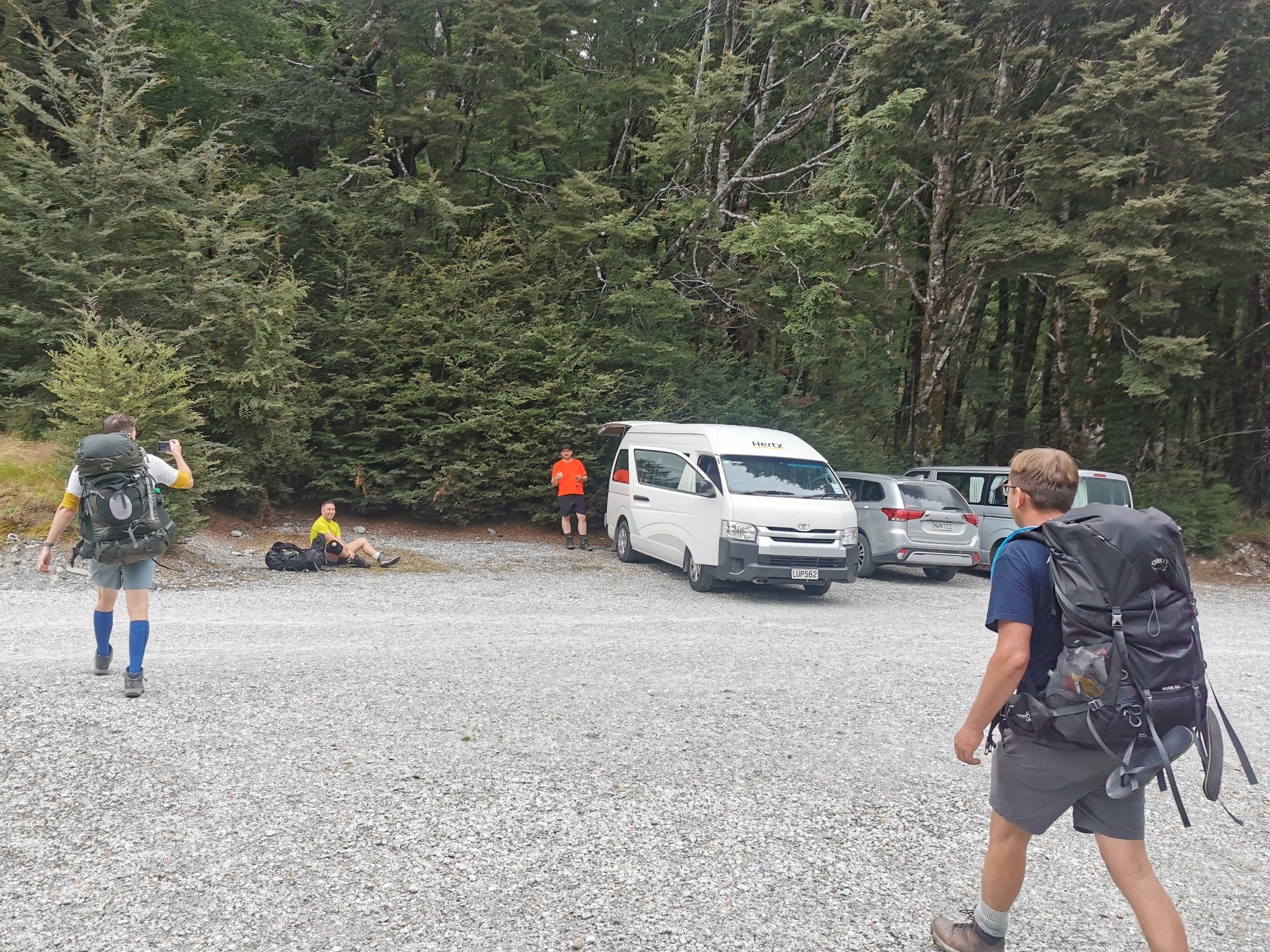
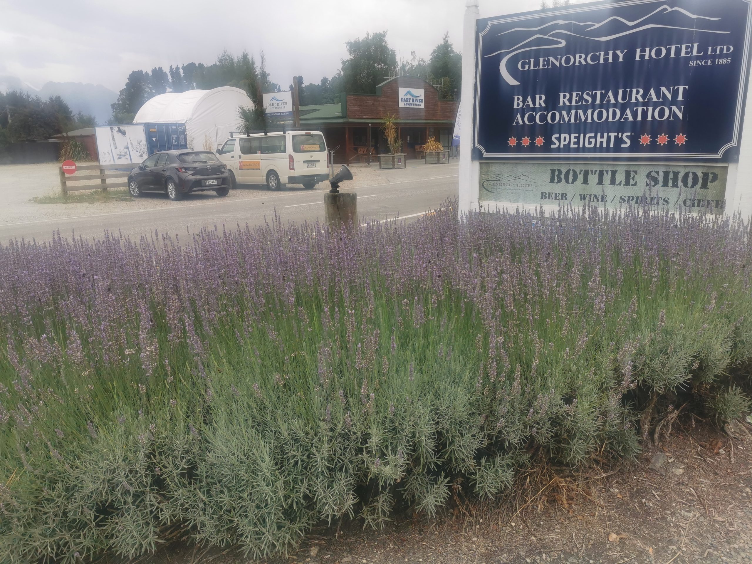
Our van was right where it should be. We drove it straight to the Glenorchy Tavern and had a pub lunch.
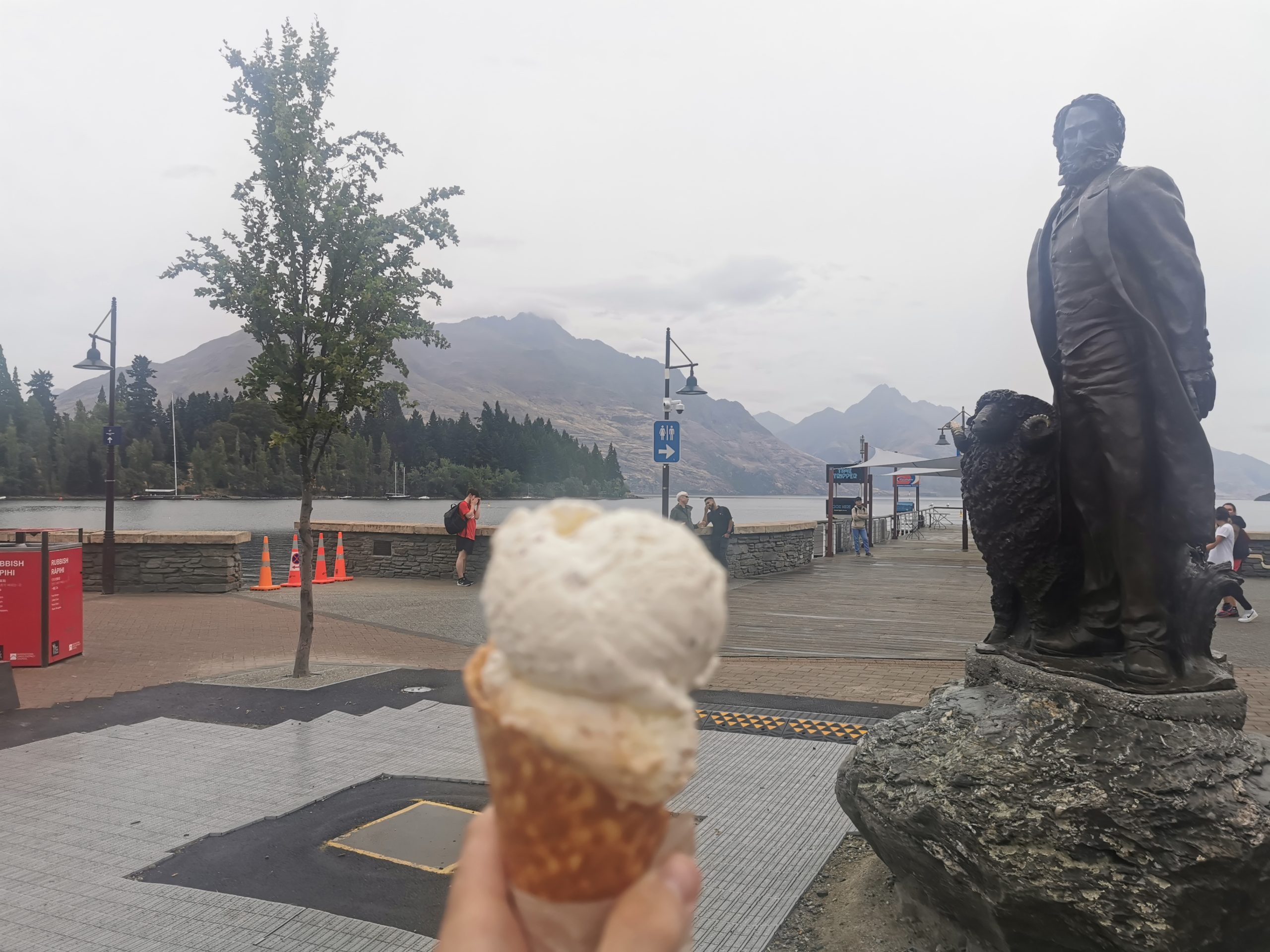
And then back to Queenstown for an ice cream!
The next day I caught a bus to nearby Lake Hawea and did four days of slightly more adventurous hiking. Click here to read about it.