Date: 19 October
Distance walked: 25km, plus a bit on a boat 
Trail covered: kms 313.8 to 340.9
Weather: pouring with rain overnight but sunny during the day
Milkshake satisfaction level: extreme
The wind and rain were very strong overnight and that made it hard to sleep. Nick and Robert left early again. But before they left we confirmed we would meet at Nikau Bay Campsite which was just past Ngunguru. The owner of the camp will pick you up in his boat and take you across the water.
I left a bit later so that I could catch up on blog posts and dry out the tent fly. Luckily the tent itself remained largely dry.
I walked with Jeremy all day, the other hiker who arrived at Whananaki late last night. He told me that he had also hitchhiked a lot of the roadwalking because he had a time limit which doesn’t allow him to walk every kilometer of the trail.
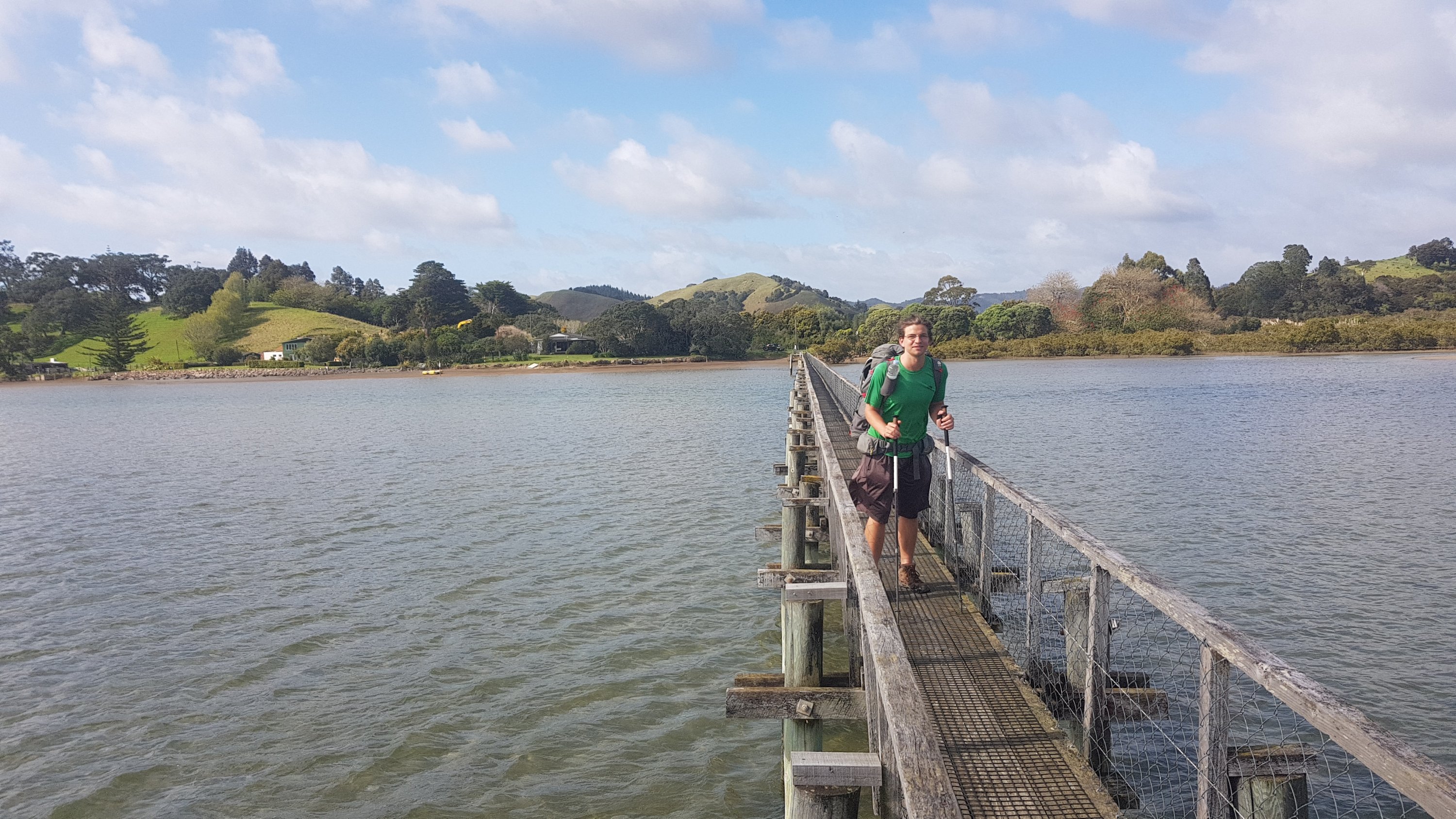
Our first mission was across the southern hemisphere’s longest foot-bridge which I saw yesterday.
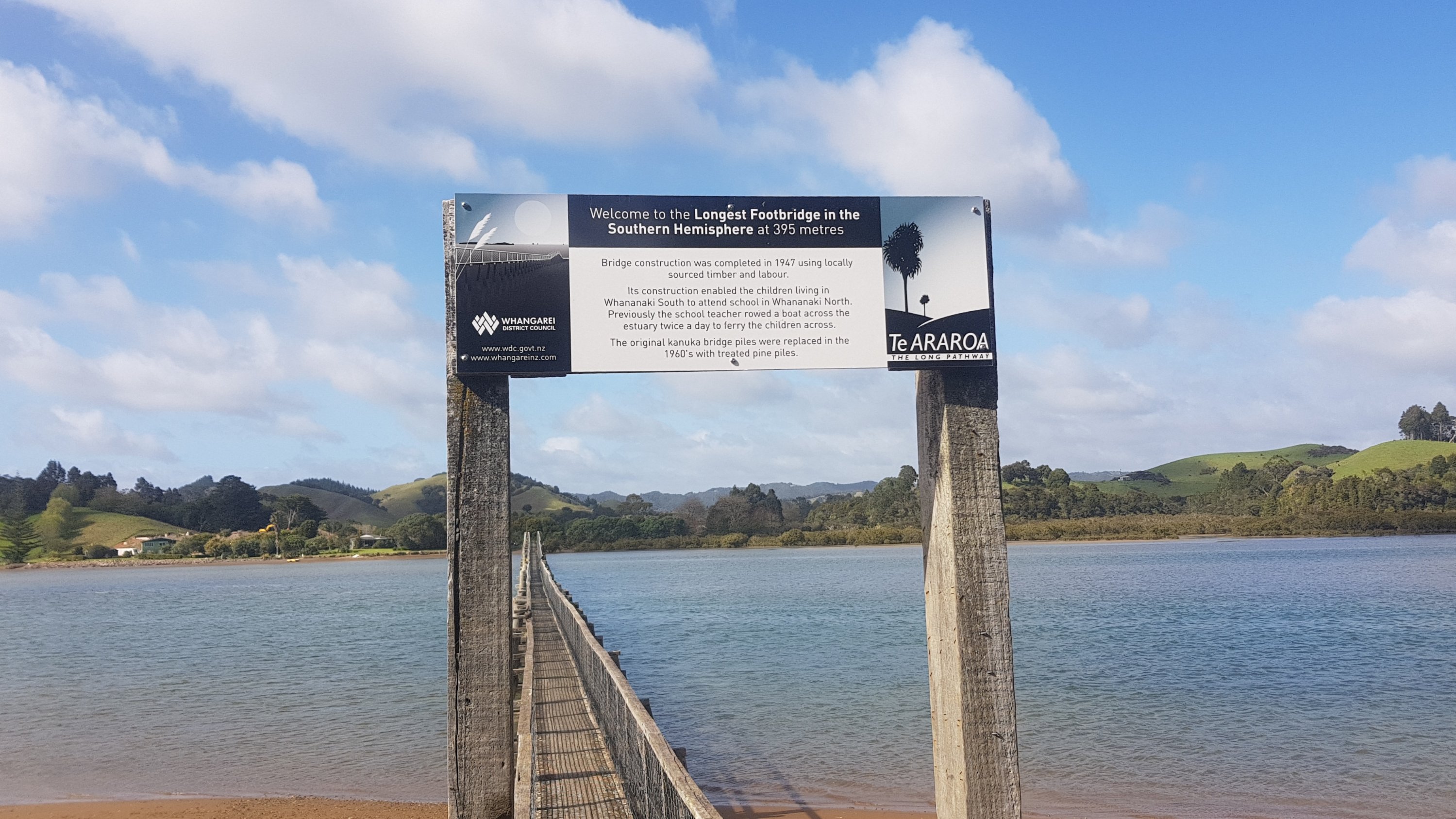
It was interesting when you were right out in the middle of the water. I hope whoever built this had some qualifications.

It was narrow and so when people came the other way, someone had to wait in one of the little passing bays they had available.
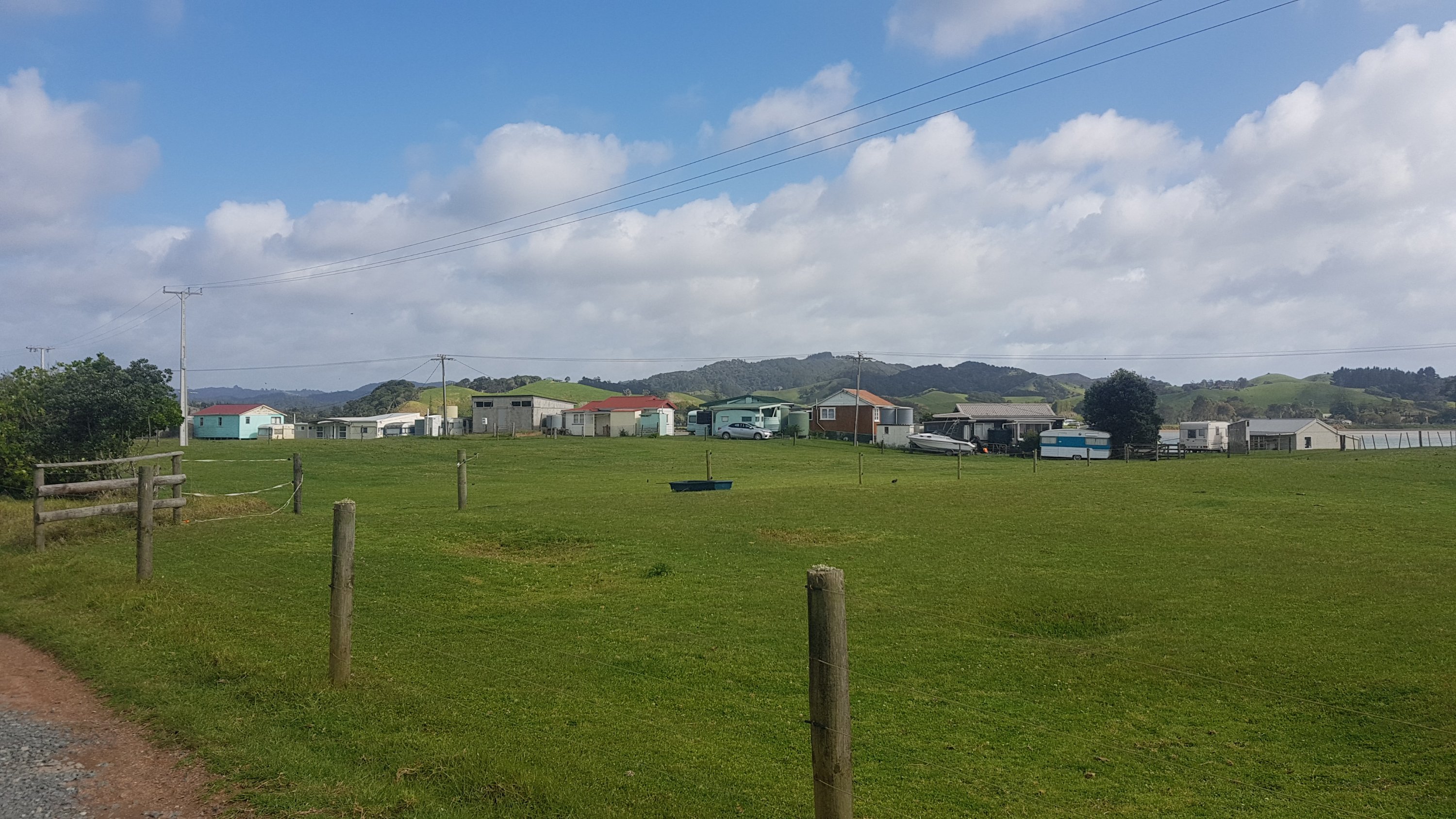
I liked some of the baches on the south side of the inlet. Some of them were quite rickety.
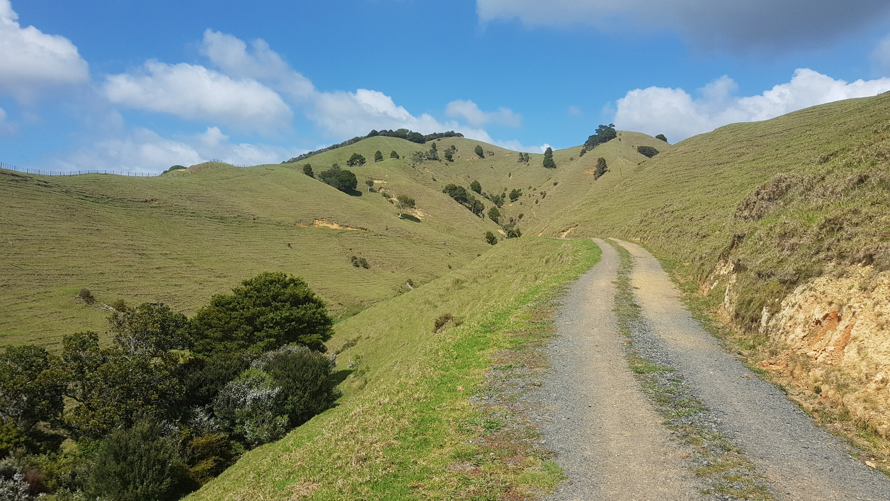
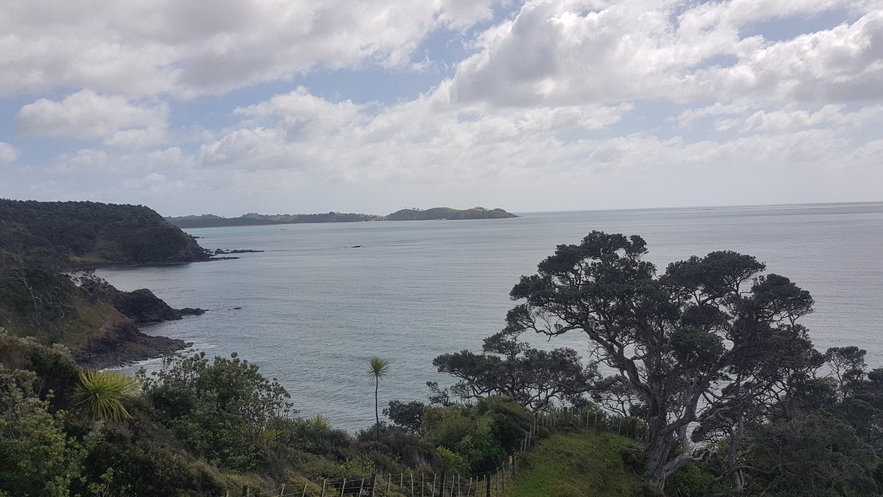
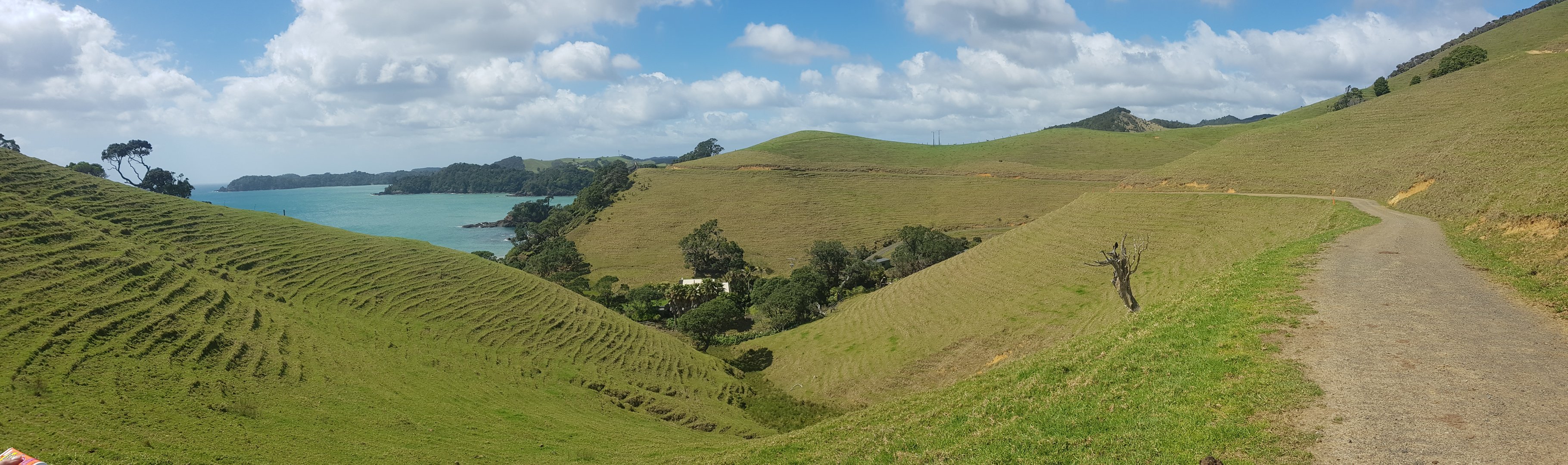
After the bridge was the Whananaki Coastal Walkway.
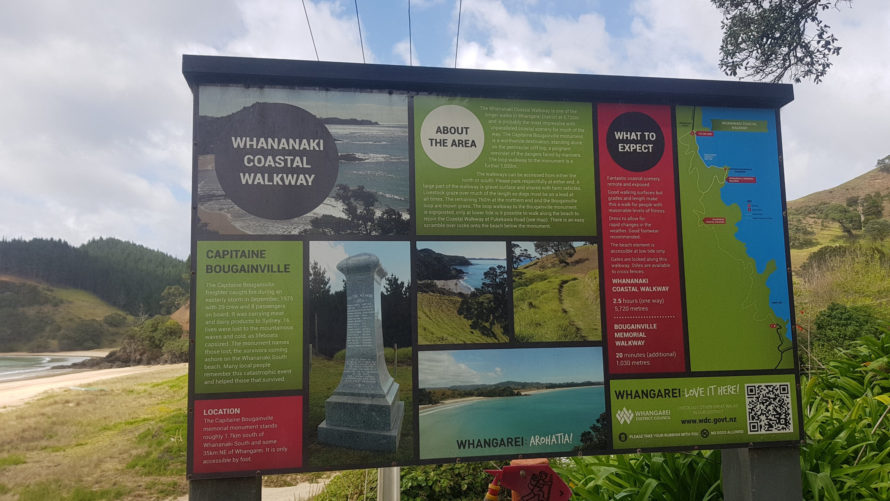
It was mostly through farmland.
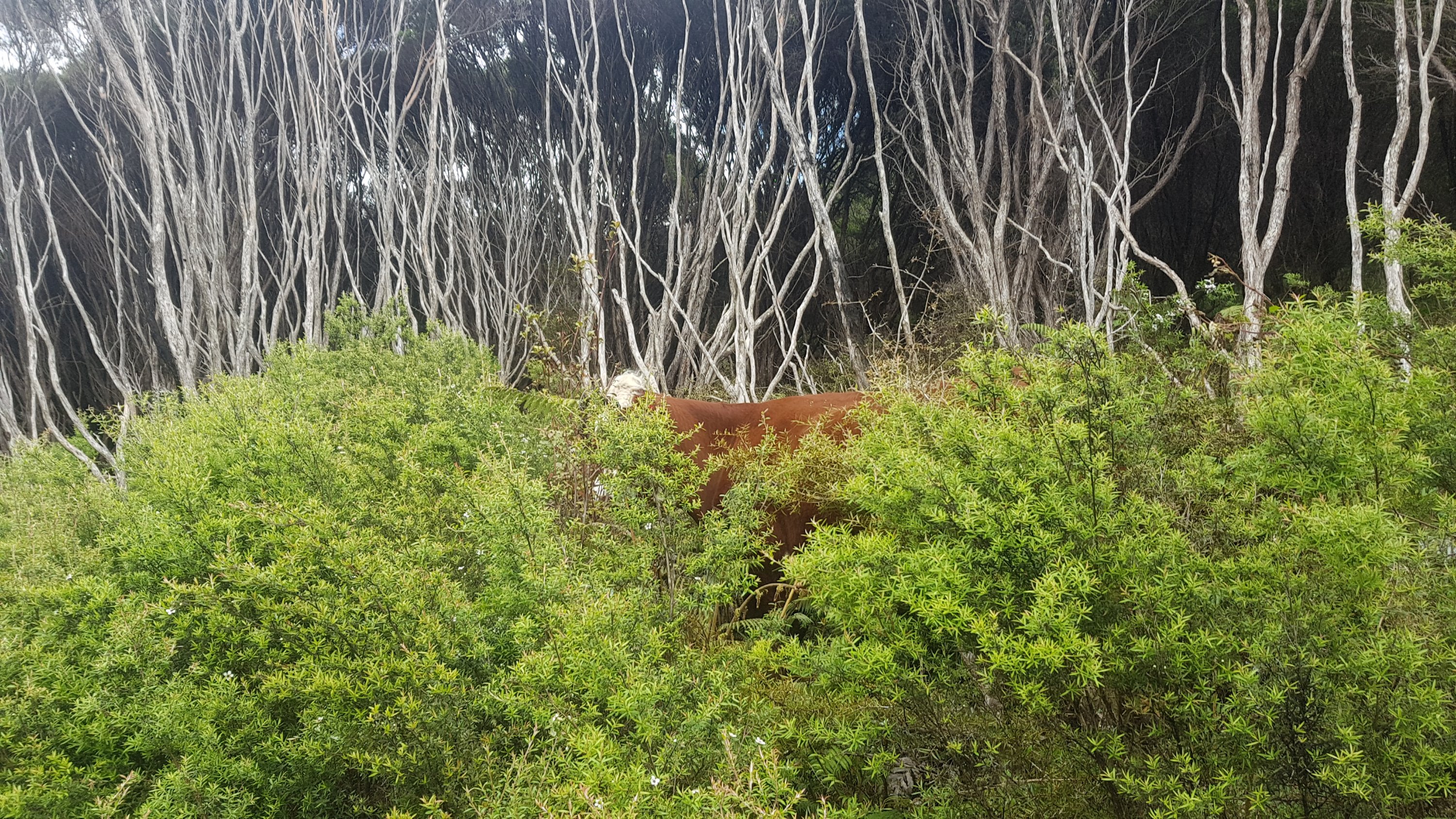
Here’s today’s cow picture. I don’t know if this will become a regular thing, but we did see this cow trying to stealth camp. We think he was trying to get out of paying the DOC camping fees.
Here’s my 11am picture – we were partway along the coastal walkway by this point.
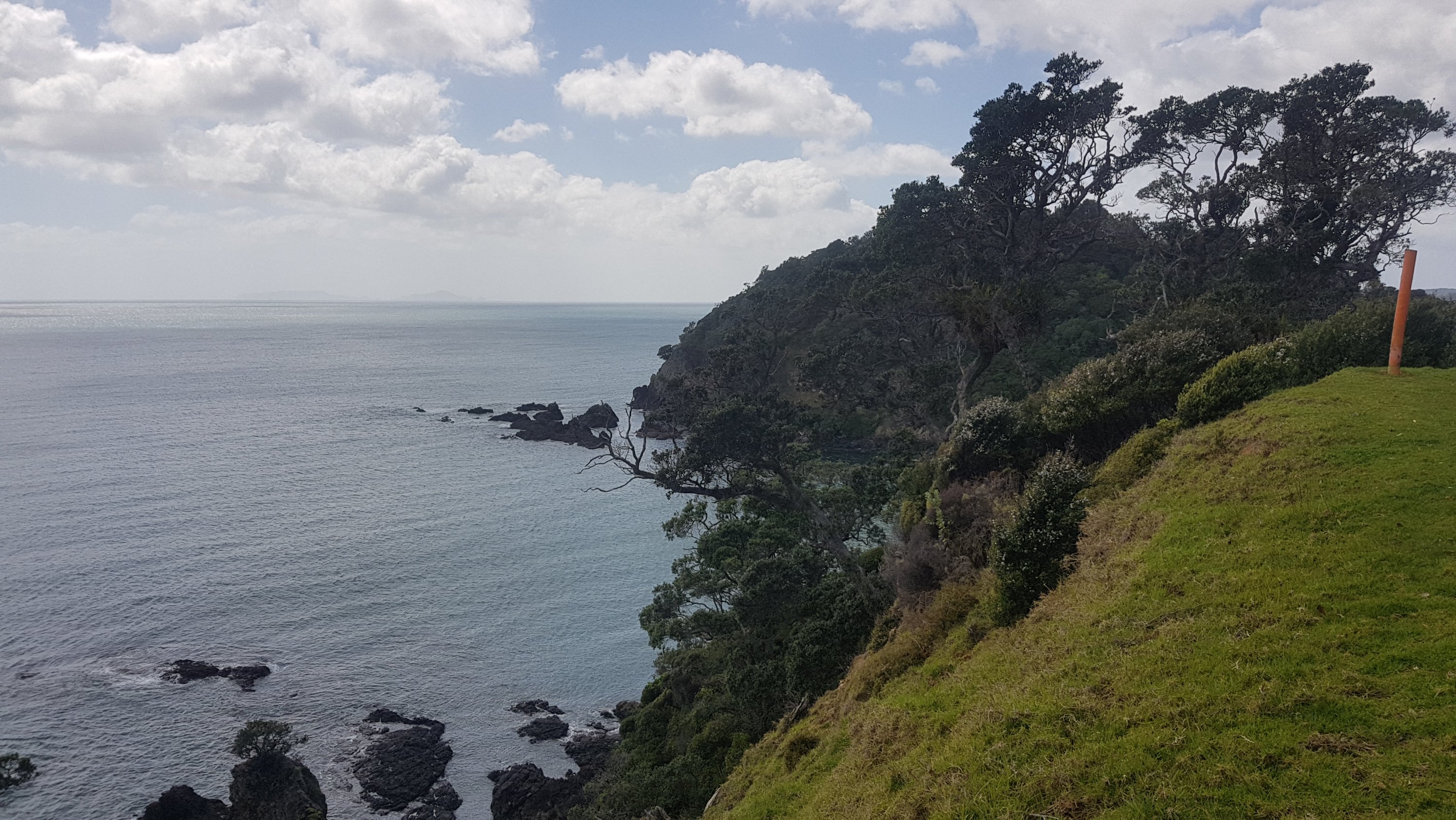
There were lots of nice views from here.
Jeremy and I talked a lot the whole day. He is from California and he went to the California Institute of Technology, which is the same place the characters in the TV show The Big Bang Theory work.
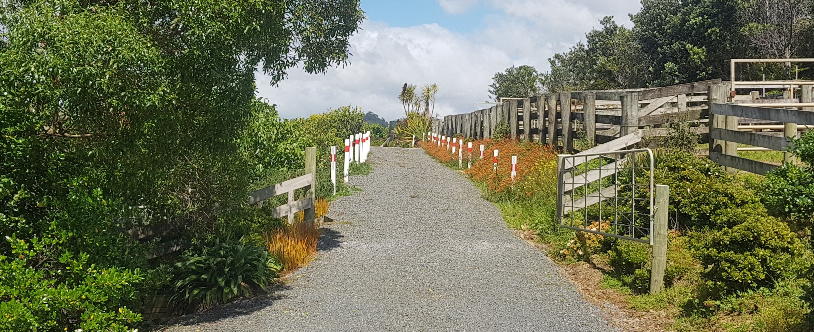
Once off the walkway, I came across this interesting series of “road edge marker” posts. How clearly does one need to define the edge of one’s driveway? I assume it’s to stop people driving in the garden, but then it kind of ruins the garden!
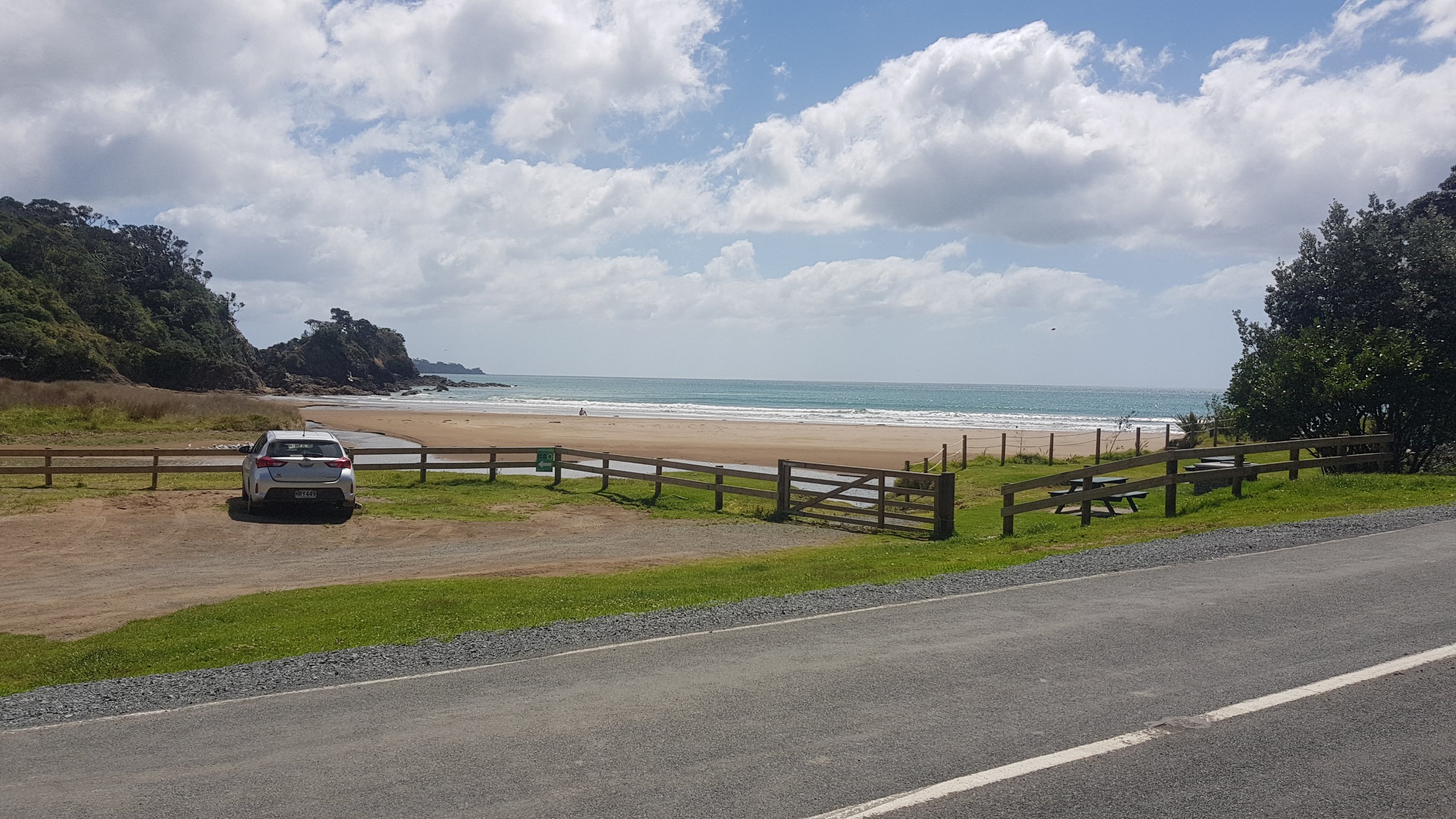
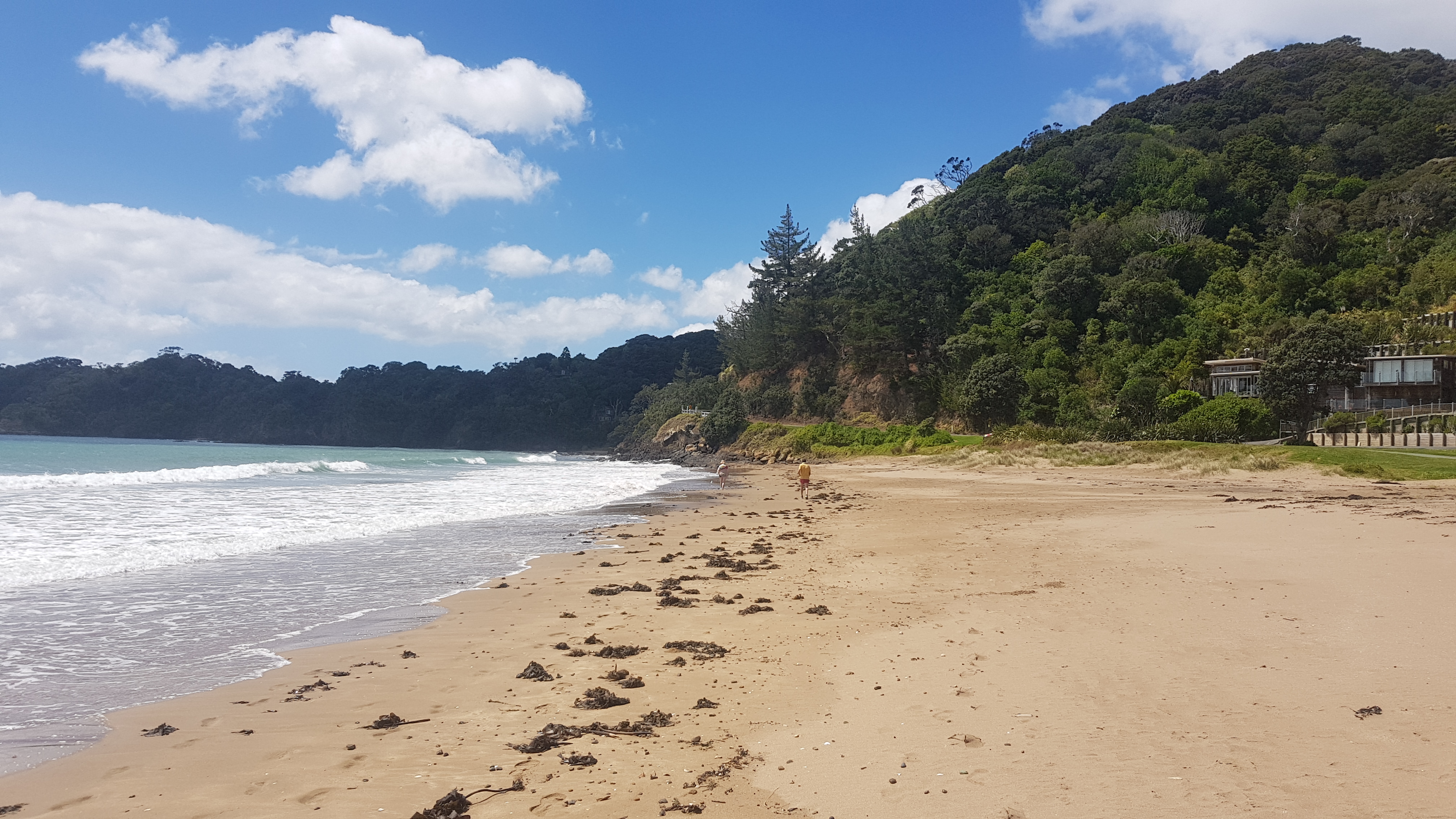
There was a bit of roadwalking to get to Matapouri, one of two towns with stores we would pass through. I was looking forward to getting a milkshake again. But first we had to get there down a standard winding road with no shoulder. At least we could pass some beaches on the way.
At a few of these spots you are allowed to camp for a maximum of one night. I had planned to camp in one of these spots yesterday but I was exhausted and stopped at Whananaki Holiday Park, I was glad I did, because I got to charge my devices, do my laundry and have a shower.
We even got to walk down two of the beaches. It was nearing high tide but that wasn’t a problem.
Matapouri was 12km from our starting point today so it didn’t take too long to get there. The milkshake was one of the better ones. I got orange today. It had the right amount of flavouring, was not too runny and was cold. Jeremy got a milkshake too and agreed with me. He also got a battered hoki which he said was great.
The only other thing I was looking forward to was some fresh fruit. It’s normally too heavy to carry and so it was a special treat today.
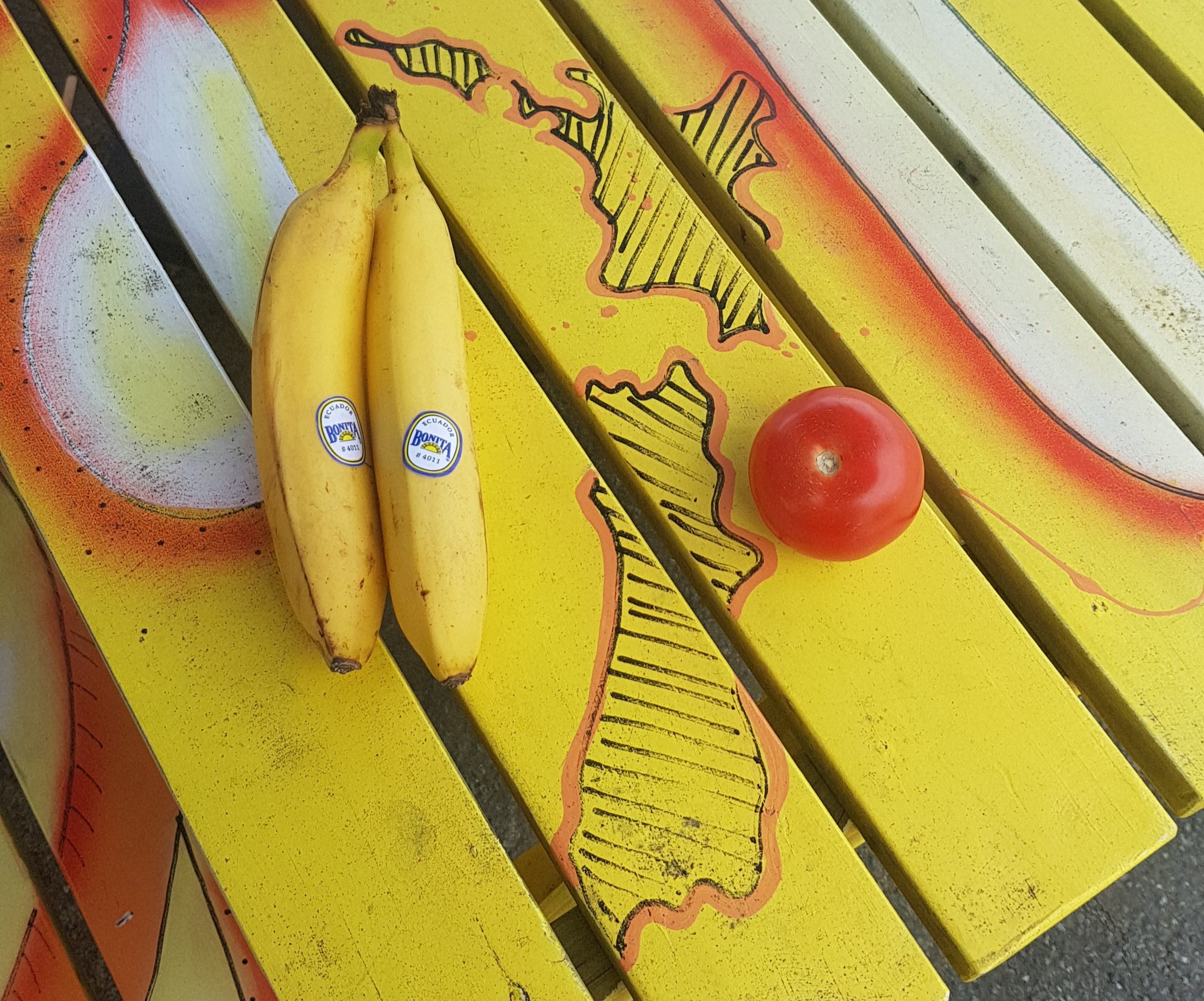
Their selection was limited so I got two bananas and a tomato. I’ve never eaten a big tomato by itself before, but it tasted excellent. I think I really need to make a rule that when I stop at shops, if I have food in my pack already then the only thing I’m allowed to buy from the shops is a drink and fruit. And maybe one treat as well – although no treat this time.
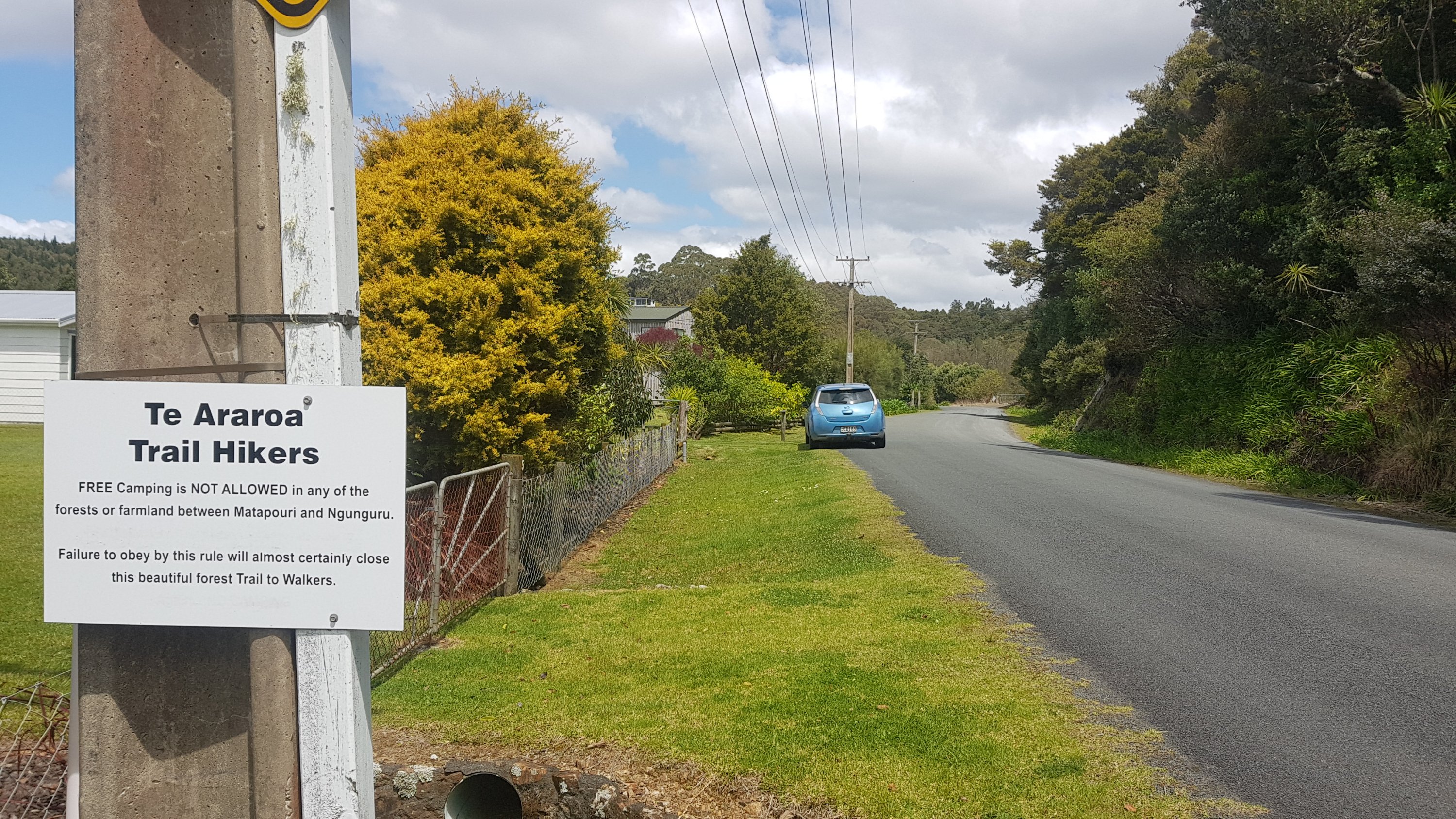
If you didn’t camp in one of the spots by one of the bays, then that was the last chance you have before Ngunguru, as this sign just out of Matapouri told us.
Most of the rest of the way was a forest track. I did encounter this though. Normally the orange markers are directional and they point to where you’re supposed to go. So what do I do here?
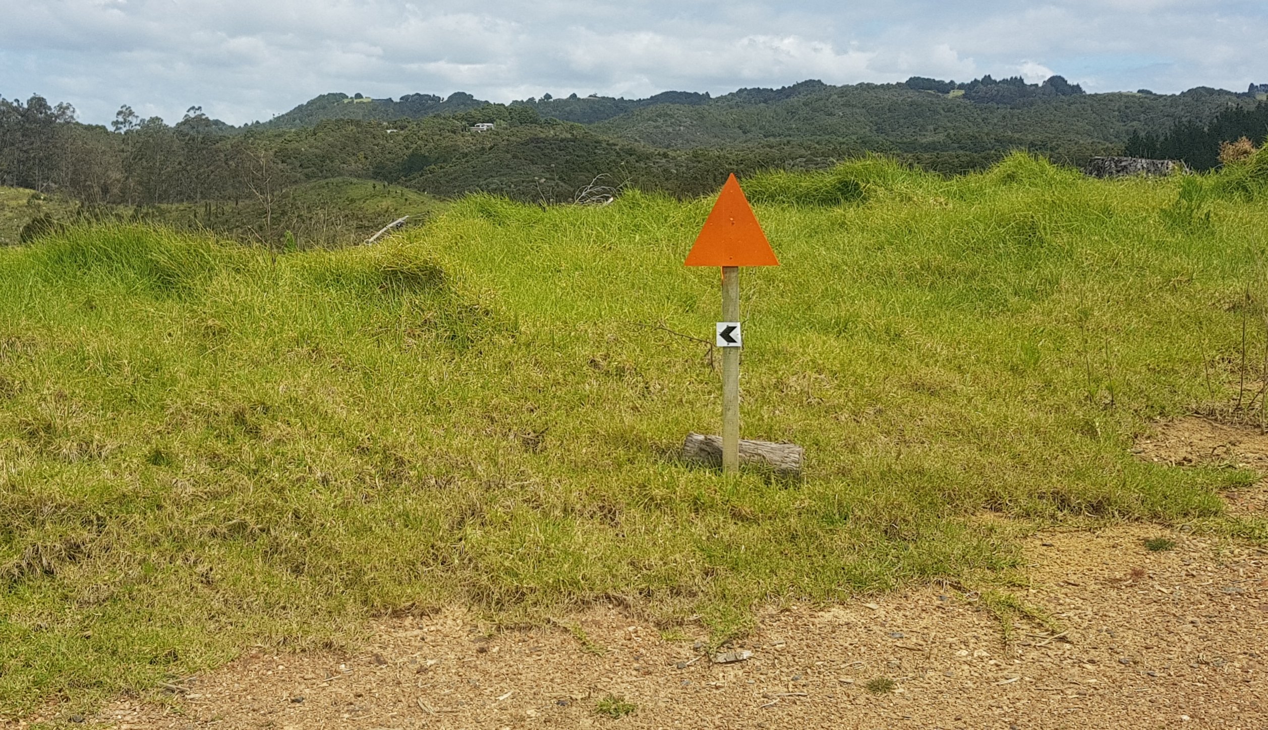
I guess the trail ends here for me then. Lucky Jeremy was there today, to guide me the correct way. Actually he was good at spotting markers while we were talking, whereas I am not good at doing two things at once.
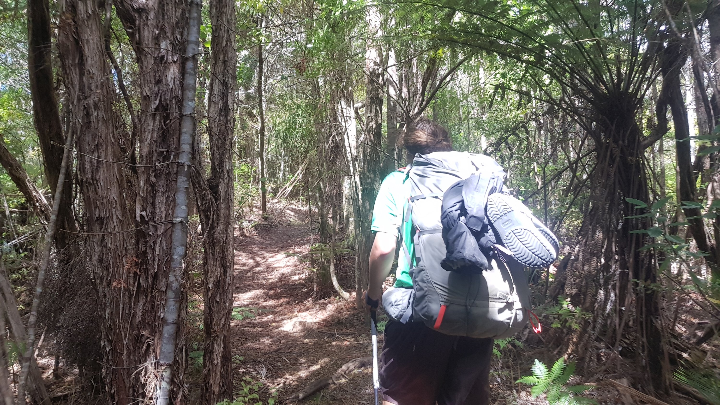
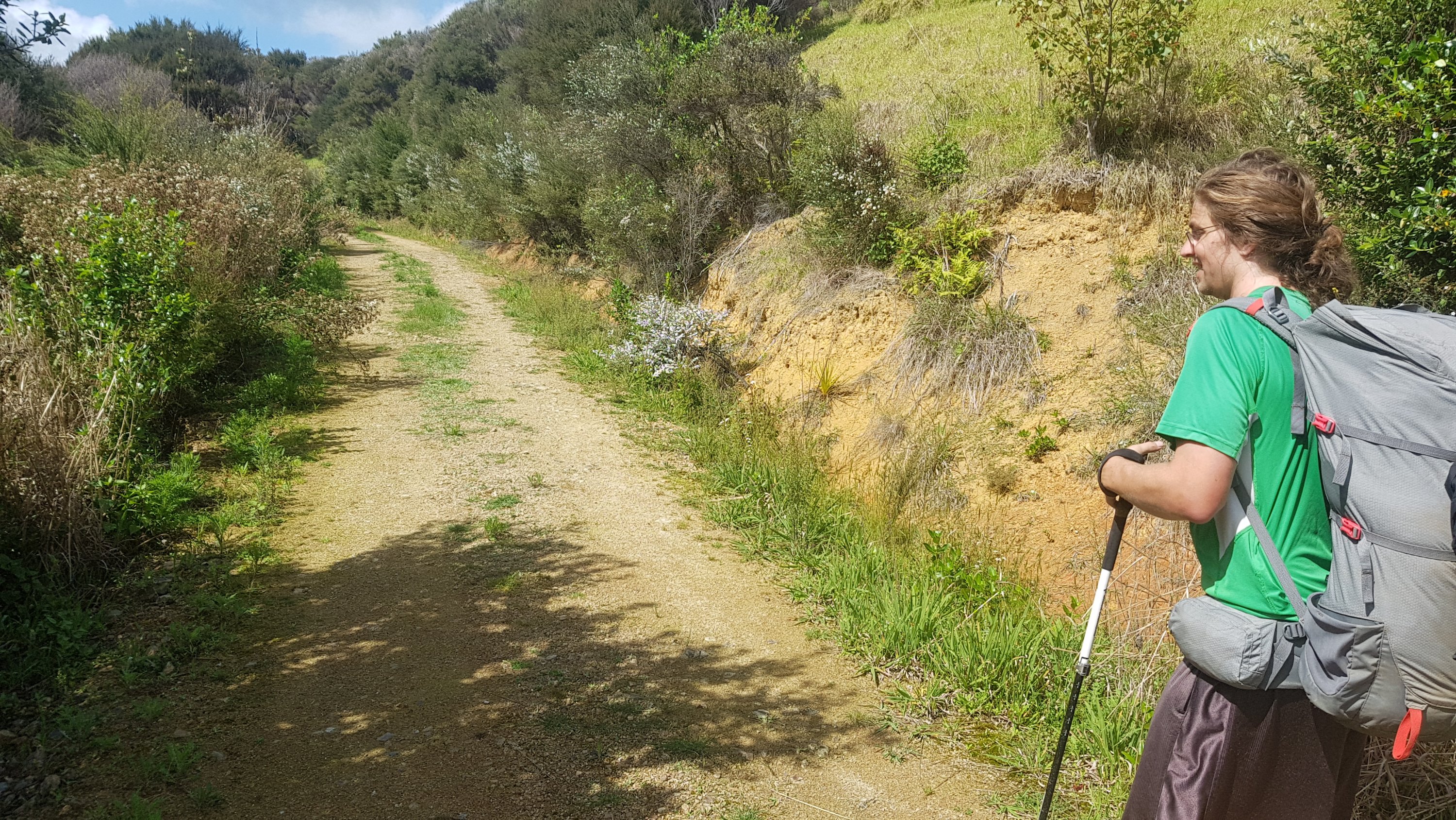
The track was a fairly standard forest track, a little bit of up and down, up to a 130m elevation. I liked it, it was just what I felt like today. We also met up with a local at one of the stiles, who walked with us for a bit of the walk.
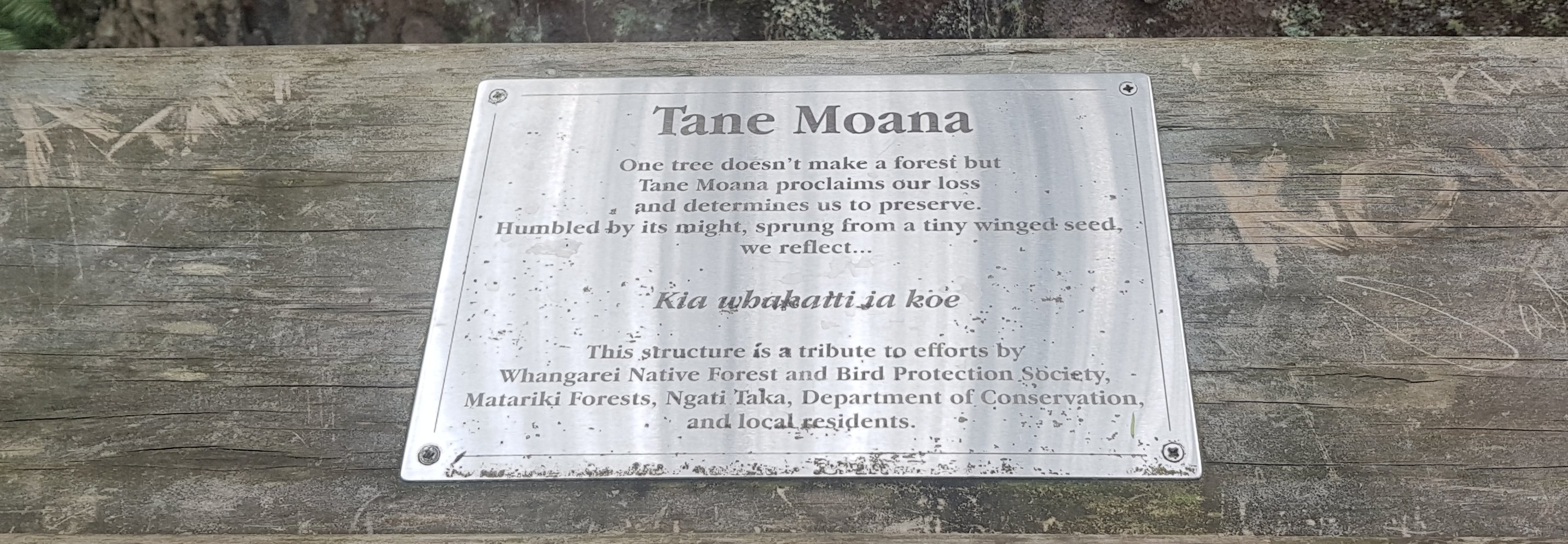
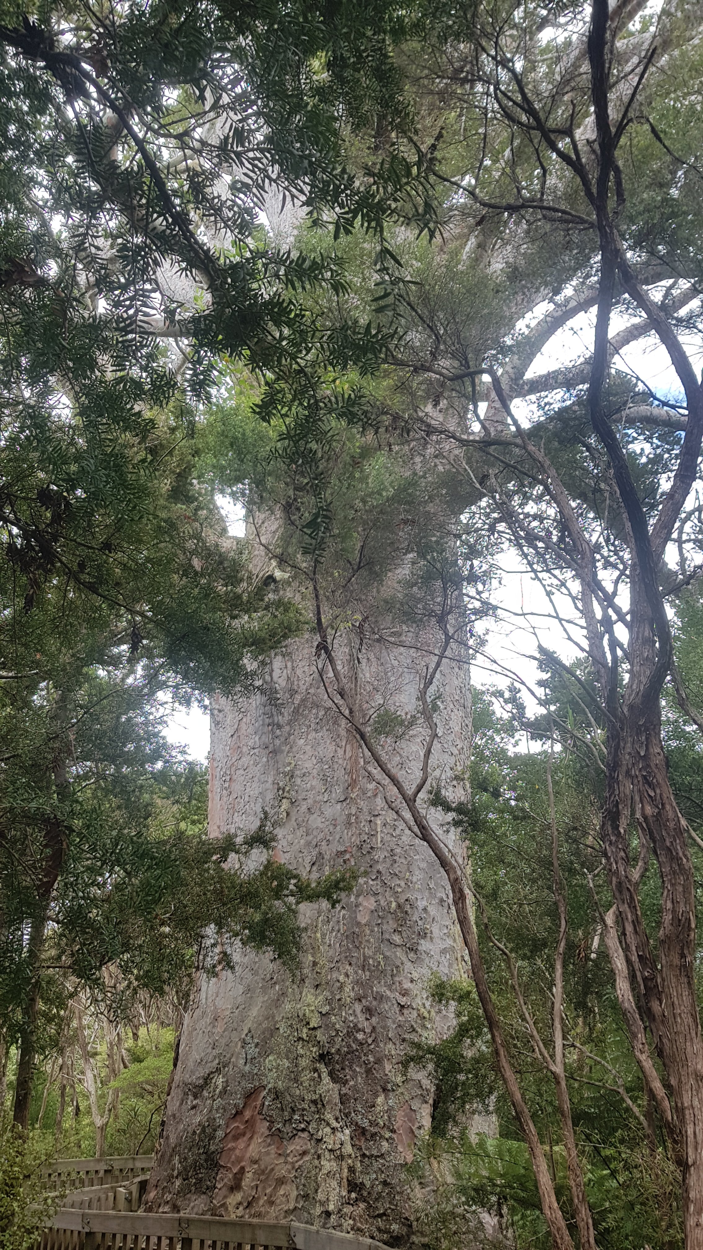
At one point it was a quick 30 second detour to see Tane Moana. There wasn’t a lot of information about this tree at the site but the local who was with us told us that it’s slightly smaller than Tane Mahuta, the largest Kauri tree in New Zealand. Although this one looked a lot bigger because you could walk right up to it.
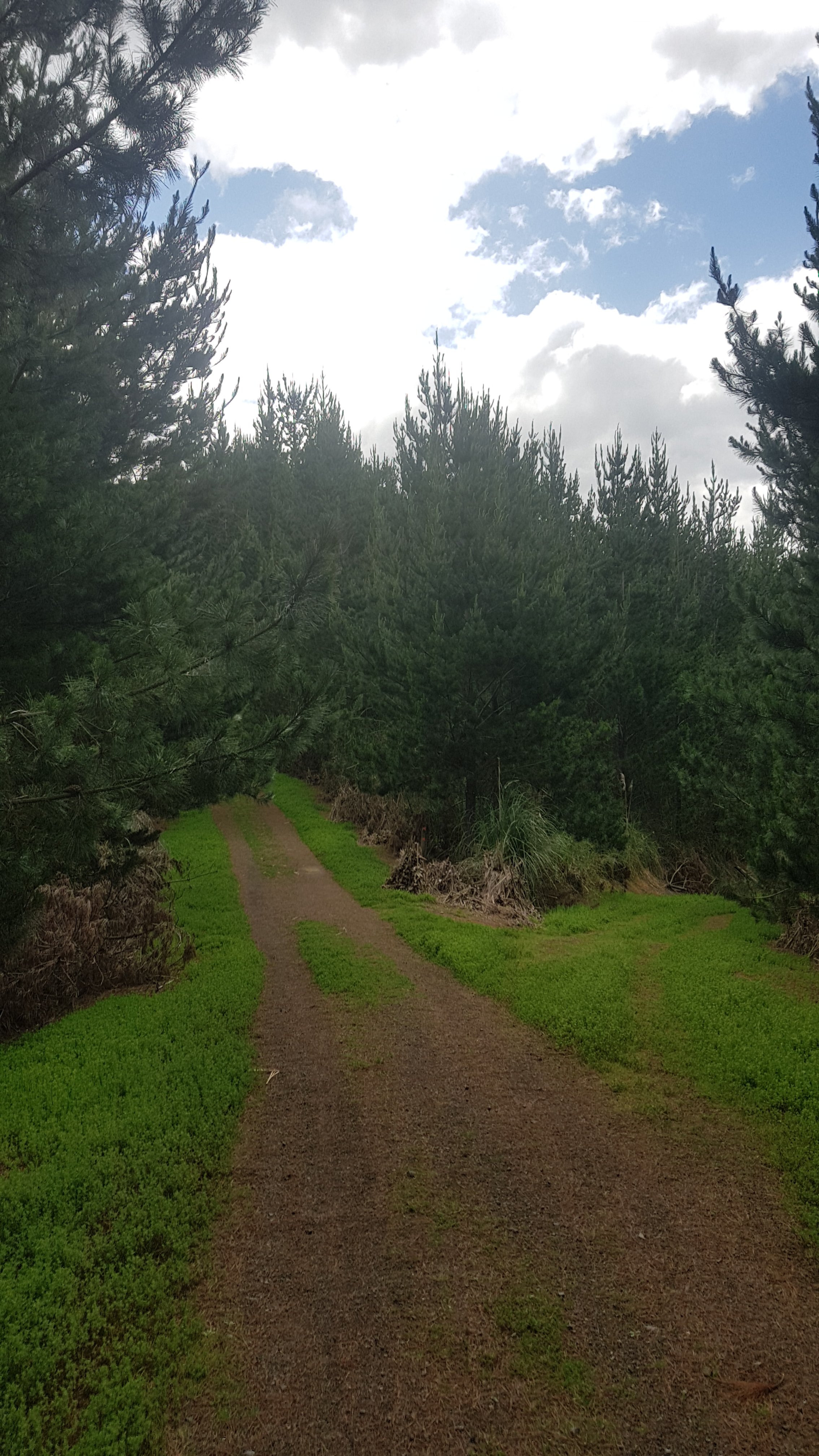
From here it was a nice easy 4WD track walk down to a gravel road.
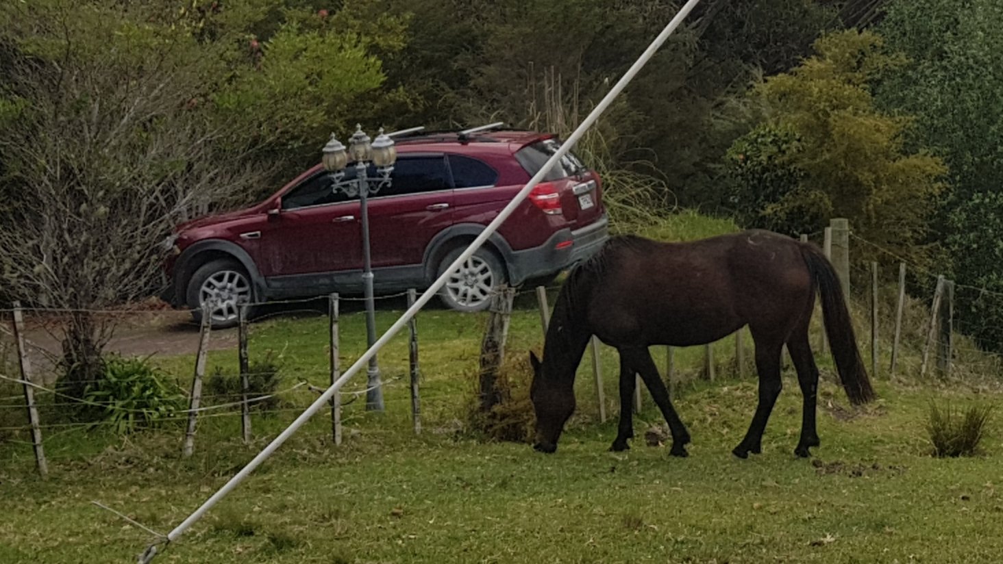
It went through a bit of farmland before the road, where I saw a horse eating next to an interesting light fixture.
While walking down here we were talking to our local friend about how to pronounce the next town, Ngunguru. He wasn’t sure, he lived elsewhere apparently. My understanding is it is noo-noo-roo. At the campsite last night Robert called it nun-garoo, like a kangaroo but the “nun” version. I thought that was a very Aussie way of saying it. Some signs in the area just shortened it to “Ngu”.
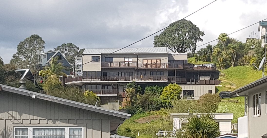
As we walked into Ngu-nungaroo, I was fascinated by this huge house up on the hill. I had no idea what sort of building this was or why they needed so many rooms and levels.
The town had a fish and chips store and a general dairy. It even sold Lotto tickets which I haven’t seen since Kerikeri. Jeremy bought some cheese and some bread. I was very jealous, but I don’t want to carry those bulky and heavy items. All I bought was a Whittakers sante bar and a Blue V.
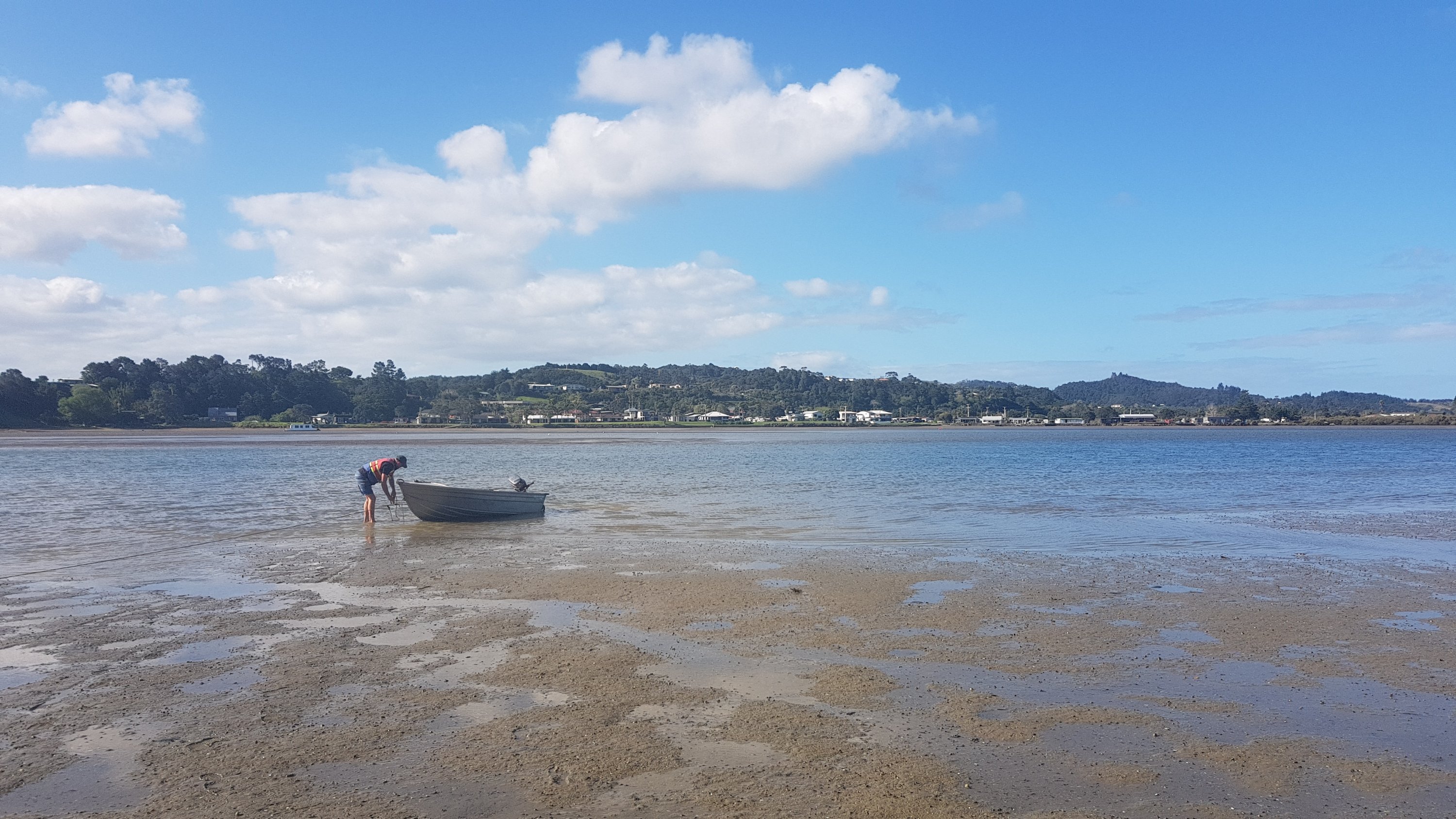
While he was doing that, I sent a text message to James, the owner of the Nikau Bay Eco-Camp which is across the inlet. He said if we text him when we’re at the store, he will come and get us in his boat at a spot 1km further down the road.
It’s official, it’s even got the Te Araroa badge on the little jetty. The cost is $10, or for $30 you can get the transport and a room in a cabin. I opted for the second option as we have an early start tomorrow as the next section of trail is only passable at low tide, unless you want a massive road detour.
It was a short but nice boat ride across the inlet. I had to take a selfie to mark the occasion, however it’s hard to look good when the wind is blowing in your face and the sun is shining so you can’t see the phone screen.
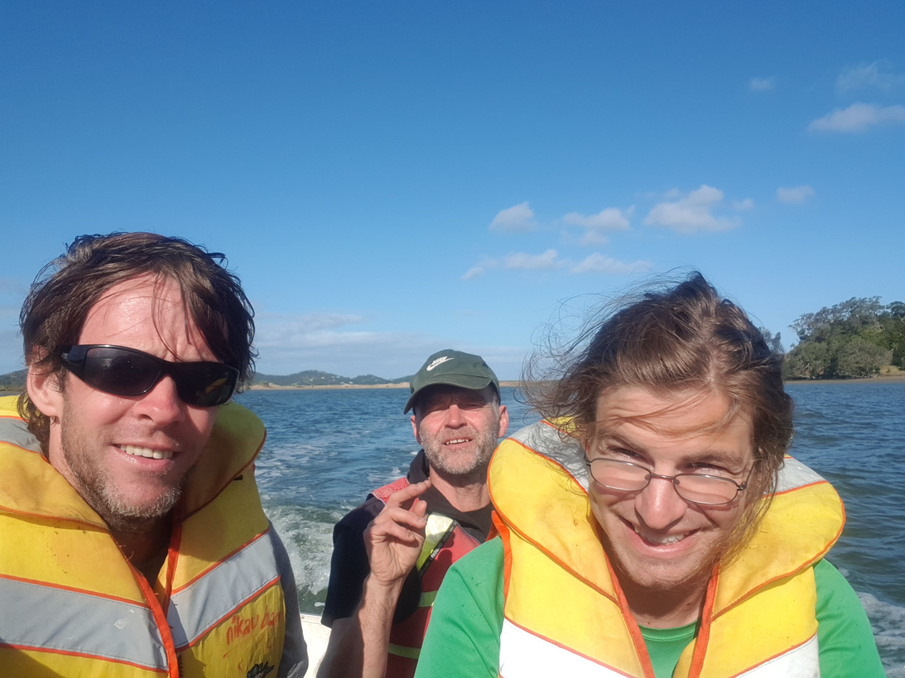
Turned up at camp at 5:30pm, and true to their word there was Nick and Robert.
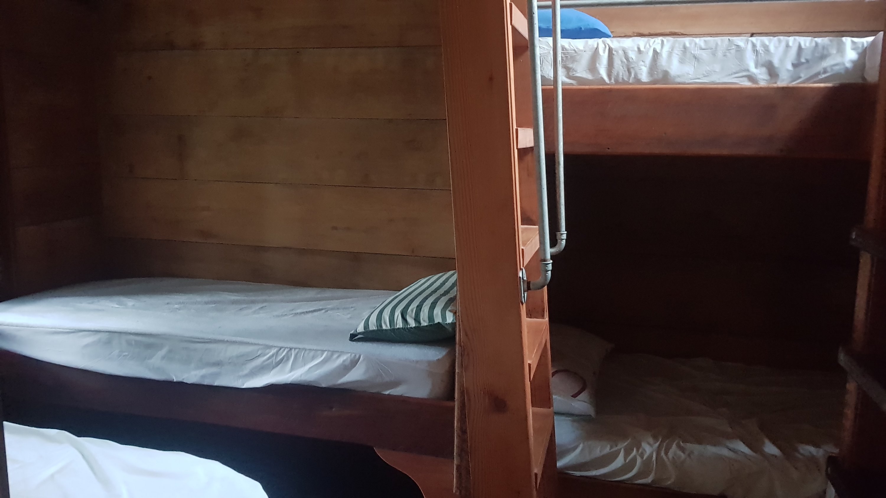
Jeremy left us at this point, he wanted to get some more mileage in. By 6pm Nick and Robert were heading off to bed. They had their tents set up so that meant I had the cabin with at least 8 beds all to myself.
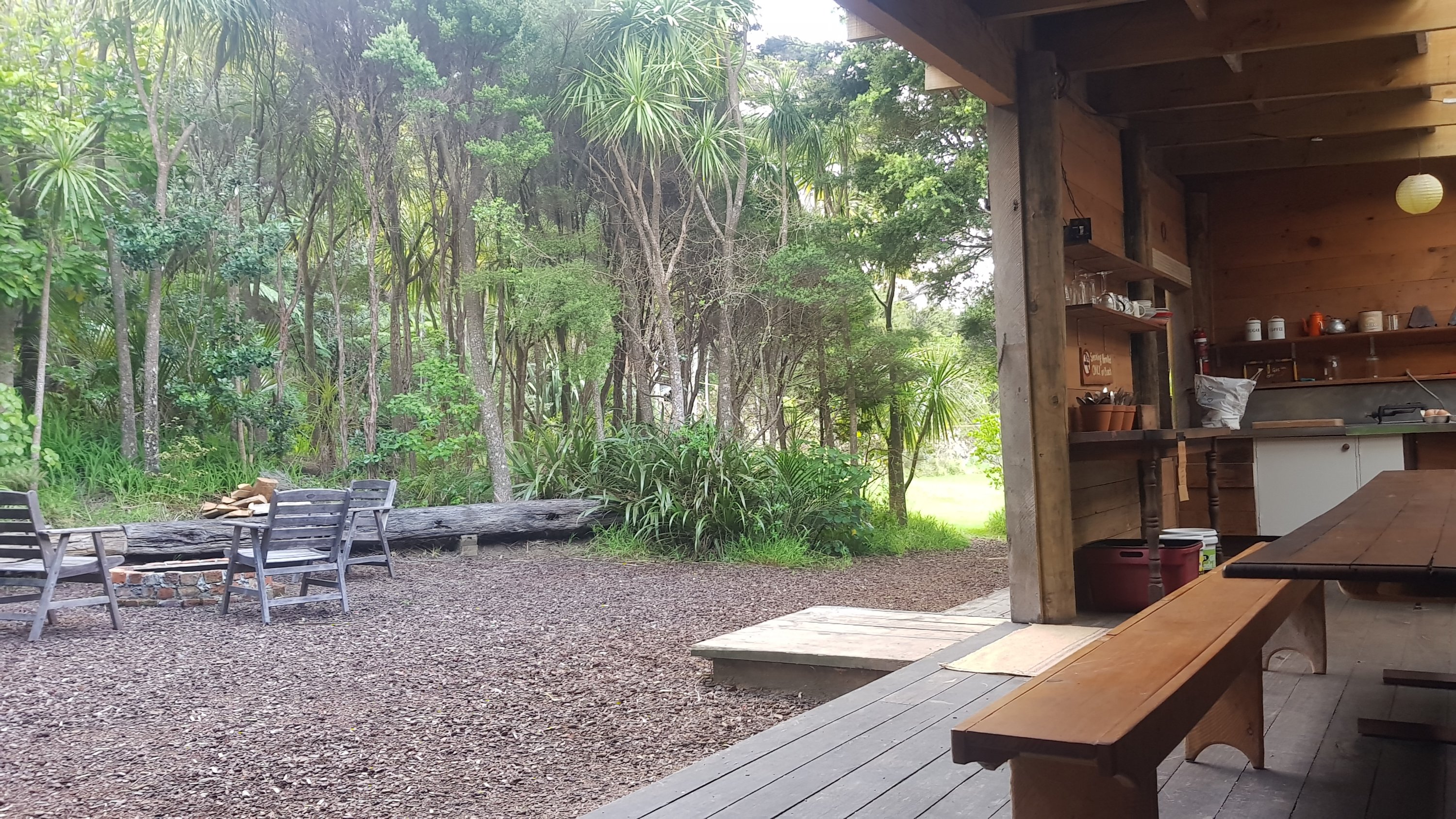
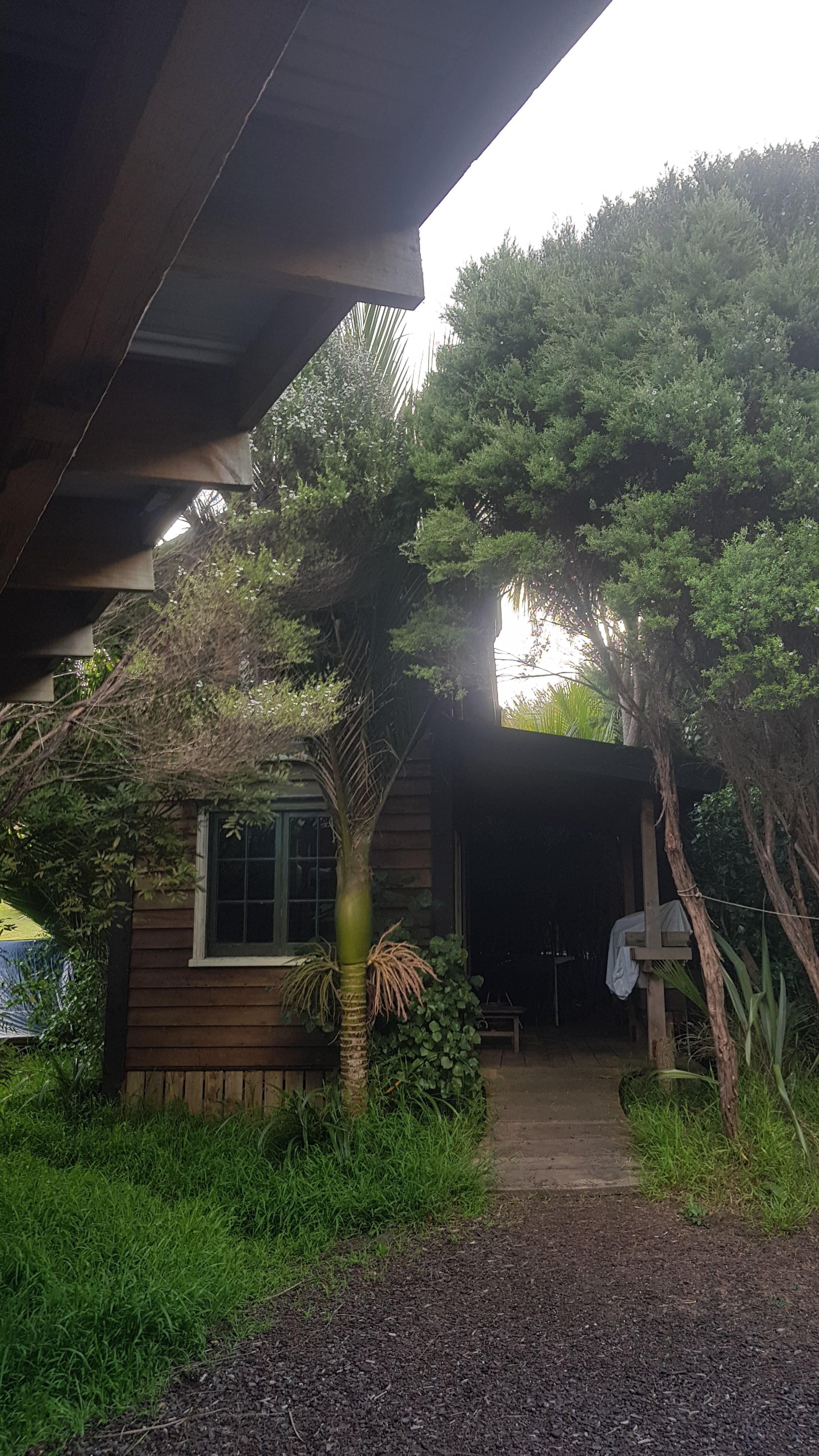
This place is quite nice, it has a few buildings, a shower and toilet and gas for the kitchen, but no electricity.
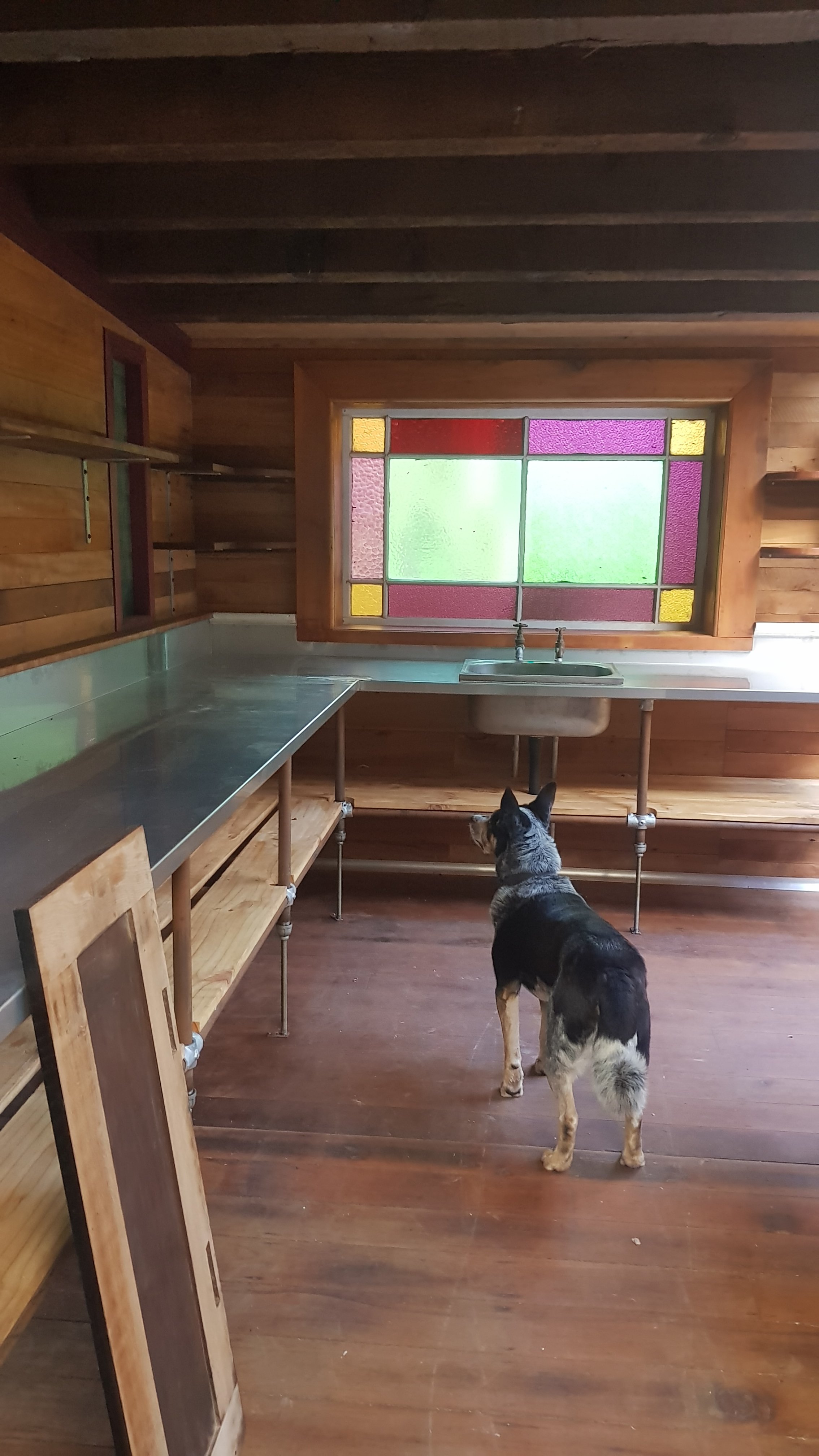
There was also this cool dog whose name was Rusty. I tried to get him to look at the camera but he would not stop staring at this corner, for what felt like hours.
Here’s the little room with the beds:
And here are the beds themselves. It’s a nice little cabin but it’s very small and cozy so hard to get a good picture.
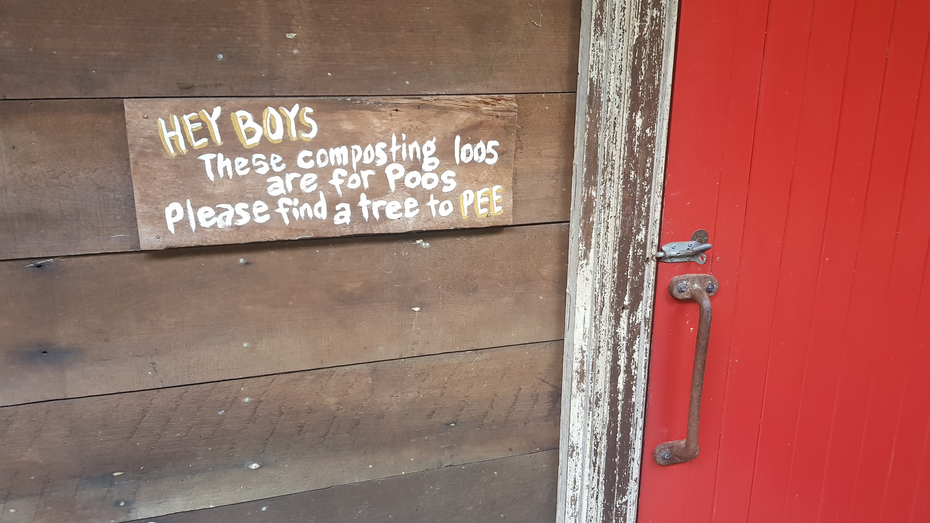
If you need to pee, you do it against a tree. Hey, that rhymes.
Coming up tomorrow is a crossing that can only be done at low tide. It is 5km from the camp and low tide is 6am tomorrow so that means a 5am start… or we wait around until 5pm. I’m looking forward to getting some decent mileage tomorrow and Nick and Robert are early risers, and it would be good to have them there for my first real estuary crossing. So a 5am start it is.
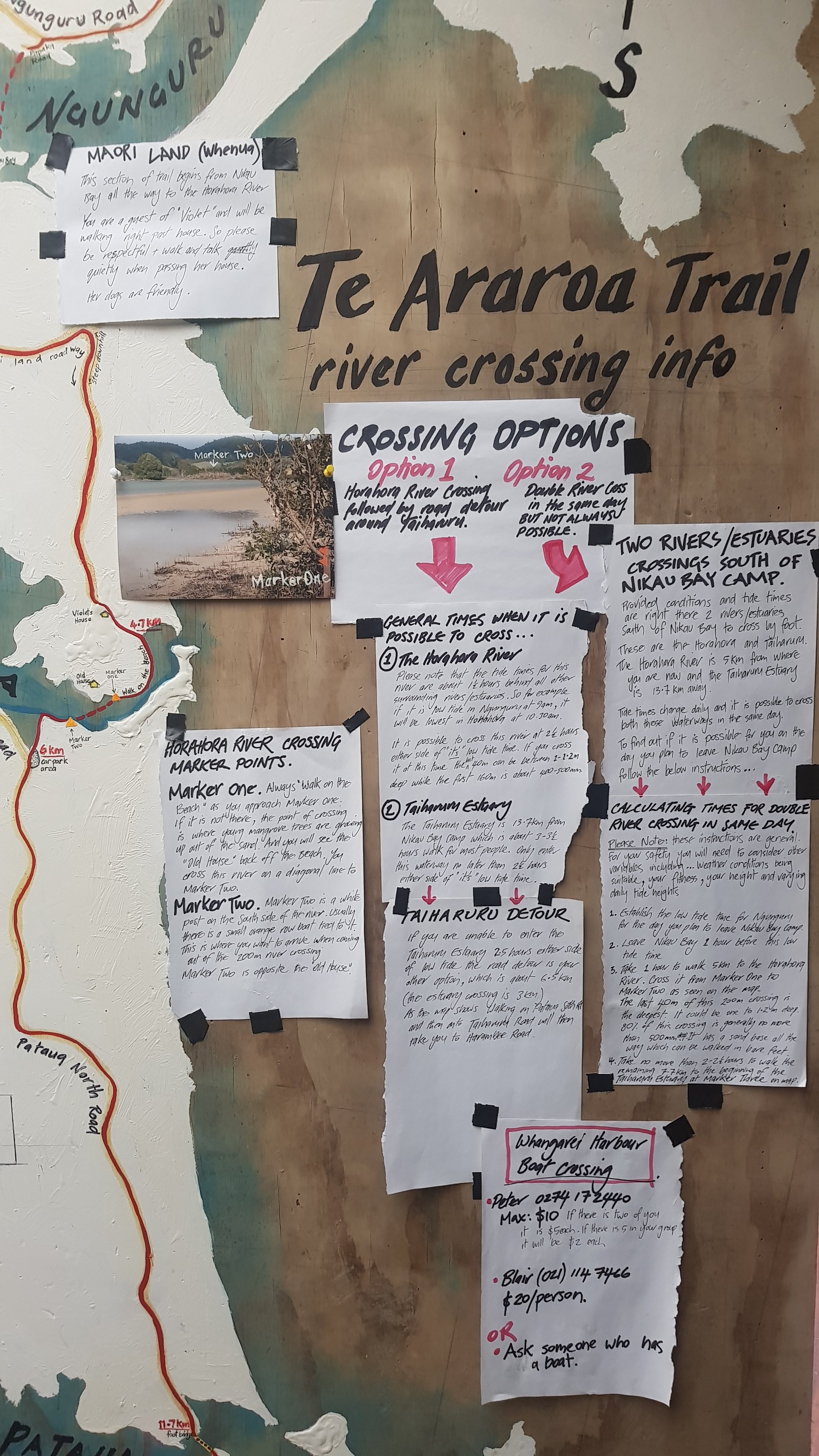
There are a couple of other water crossings too. Luckily James has a massive wall of information covering all the crossings in great detail.
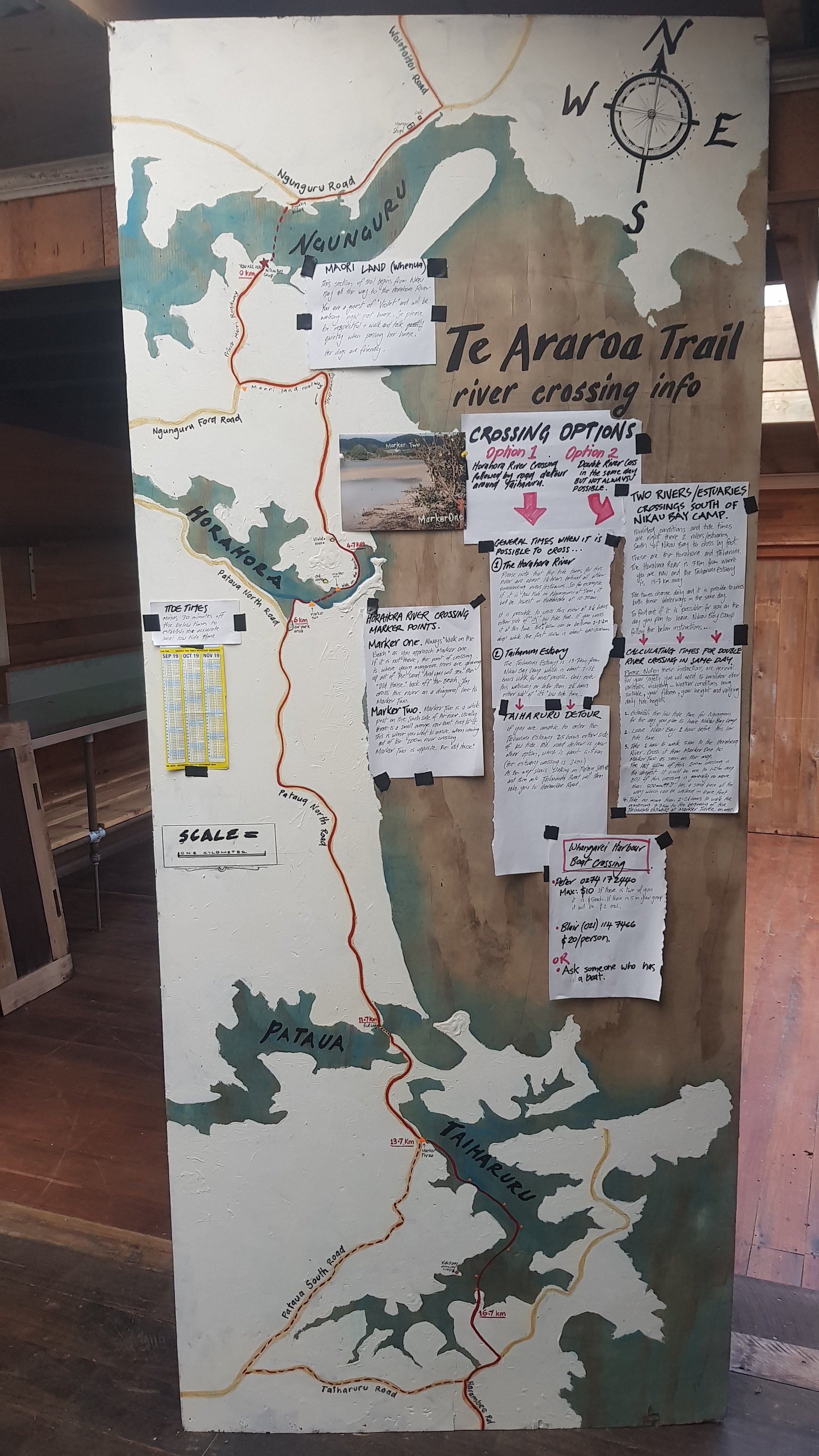
Here’s a closer version of the text if you want to read it. Click on the image for a larger version.
One thing that is good is that we’d heard that it costs $100 to get a boat to cross the upcoming bit of water between Whangarei Heads and Marsden Point… although that must be outdated because there are two guys who will take you across for $10-ish. They’re retired apparently so don’t even need too much notice. Amazing what a bit of competition can do, I suppose!
I didn’t sleep that well last night due to the wind and rain, so I better get an early sleep tonight. It’s now 9pm and I’ll be sleeping very soon.
Today's walk on the map (blue = Te Araroa, red = today's walk):
If you need a bed/shower in waipu damon’s dad lives there, they are happy to host you…
Hi Matt, how often do you need to charge your devices? What are you using?
Thanks
Chris
P.S. Great blog! Thanx
Thanks! I have a 20,000mah battery pack which keeps my phone and other things charged for four or five days. I assume that I will stay in a place with electricity at least once every four days or so. In the south island where there aren’t so many power outlets, I will have to rethink things.
Love the detail and cool pictures
you sure are seeing some great sights, i wouldnt like to have been
a part of the gang that built the bridge.
Cool bridge! I might have been scared walking over that.