Date: 23 November
Trail covered: 34.2km (kms 1096.6 to 1130.8)
Weather: perfect
Wow it’s the big day! The day I’ve been looking forward to for most of the trail so far. The Tongariro Crossing! My alarm went off at 5:58am. At 5:59am Alex was up and encouraging everyone to get out of bed. It didn’t take much encouraging, everyone was onto it. I guess people are looking as forward to today as I am.
Our goal was to leave by 6:30am. I wasn’t ready to leave until 6:32 and we left at 6:34. It seems a massive bowl of cereal takes longer to eat than you’d think.
Henry was in the holiday park too with his girlfriend Erin. They planned to drive to the car park to save the 7km of road walking up to the start. Charlie and Peter got a ride with them. We laughed at Peter for getting a ride because he hasn’t been hurting and therefore has no reason to skip sections. When they left Ethan said “Goodbye Charlie. Goodbye Cheater, err I mean Peter”. We all laughed.
We started off with the road walk down State Highway 47 and then onto 46.

Henry’s car passed us at about 6:45 and everyone was hanging out the window and waving and they were tooting the horn. Alex walking right in front of me was so zoned out with his music he didn’t even see or hear them.
We passed the 1,100km point of the trail somewhere on State Highway 46, but I’ve decided not to mark every single 100km now. 100km is nothing these days! I’m going to mark the 1,500km, 2,000km, 2,500km and also the finishing point of the North Island section (and obviously the very end also).
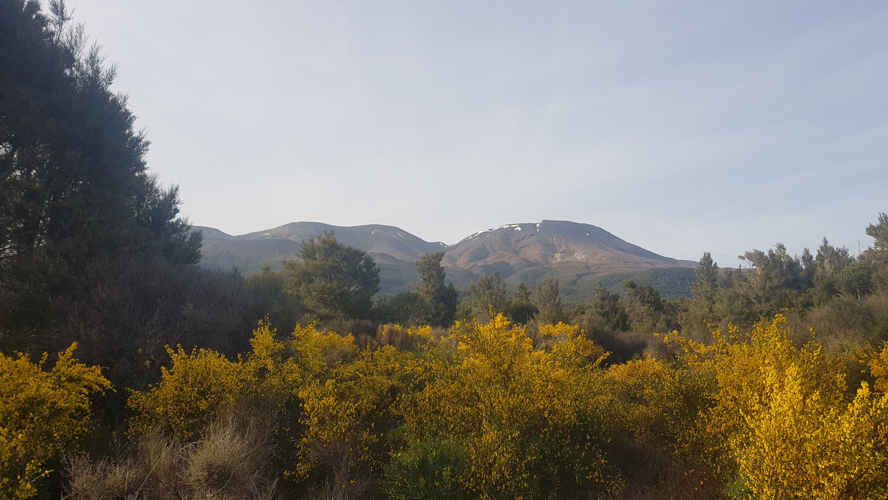
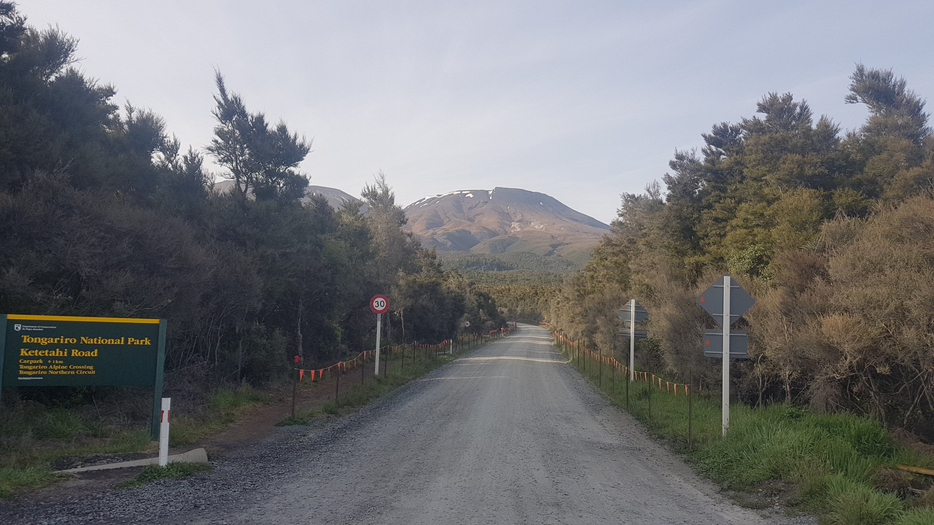
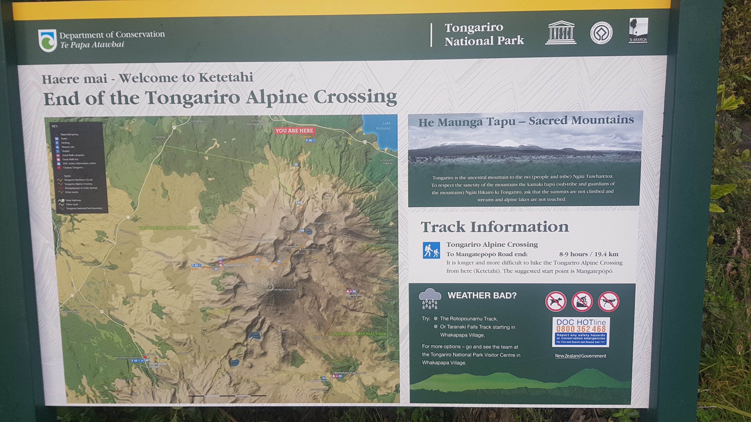
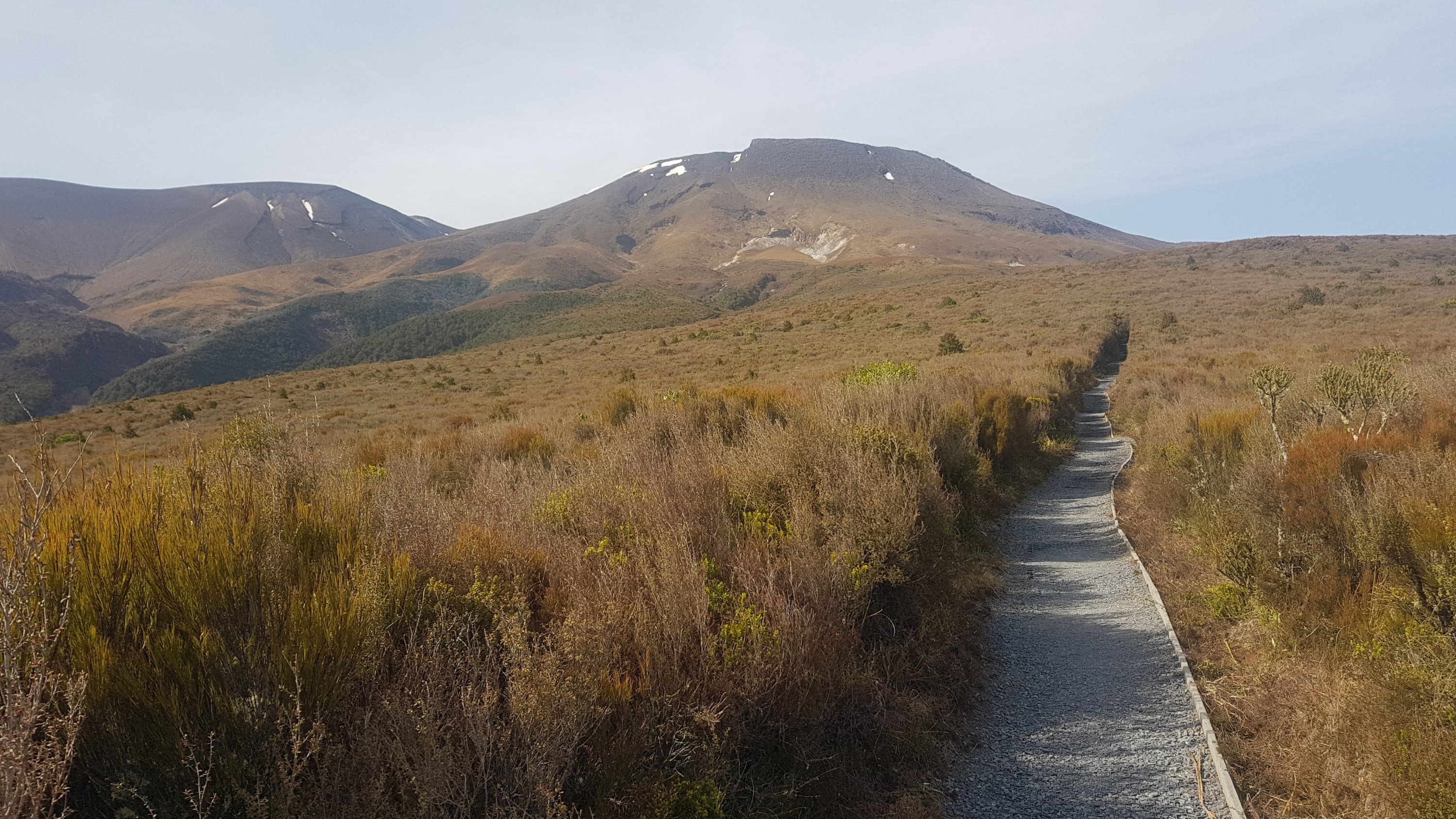
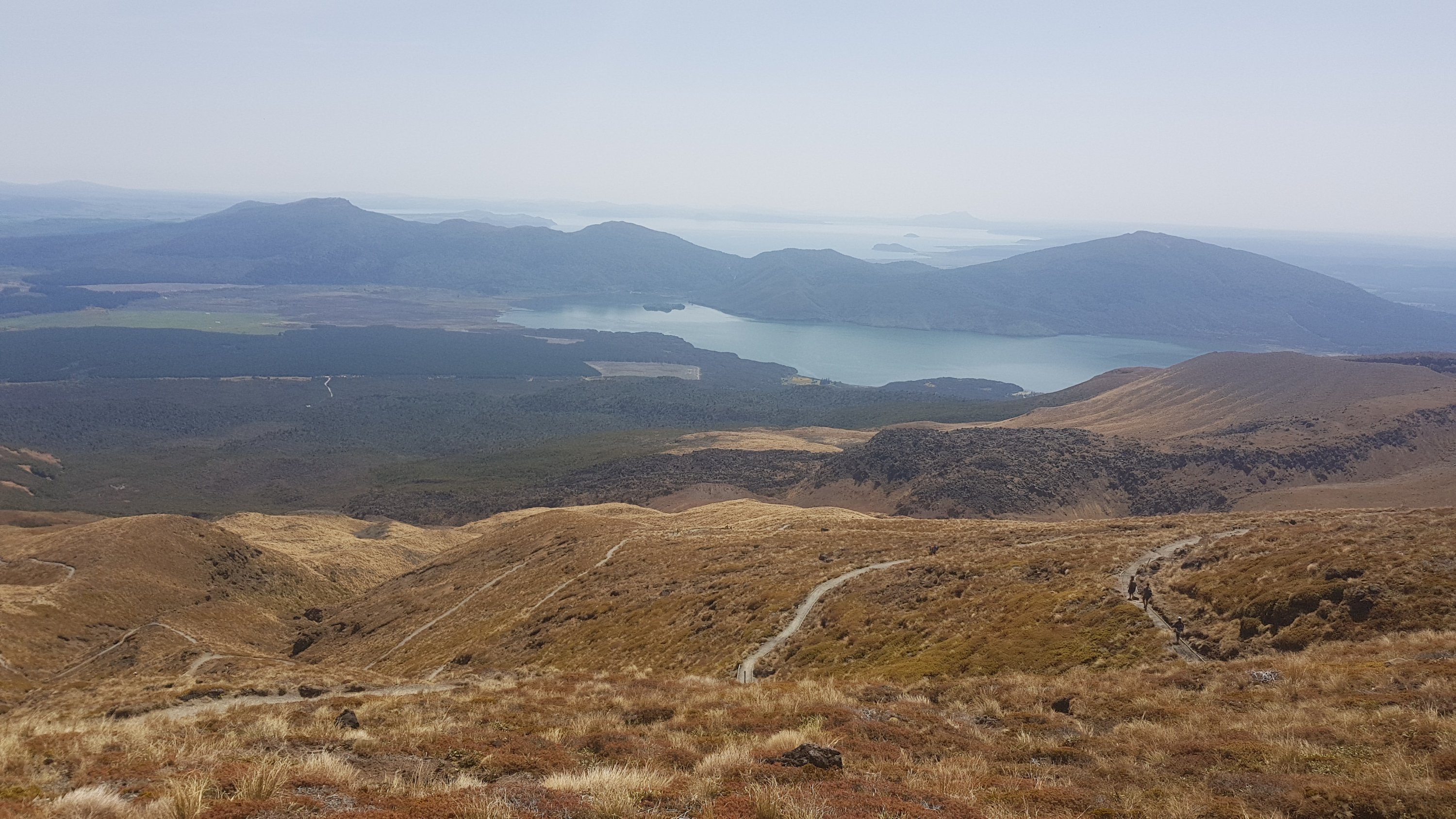
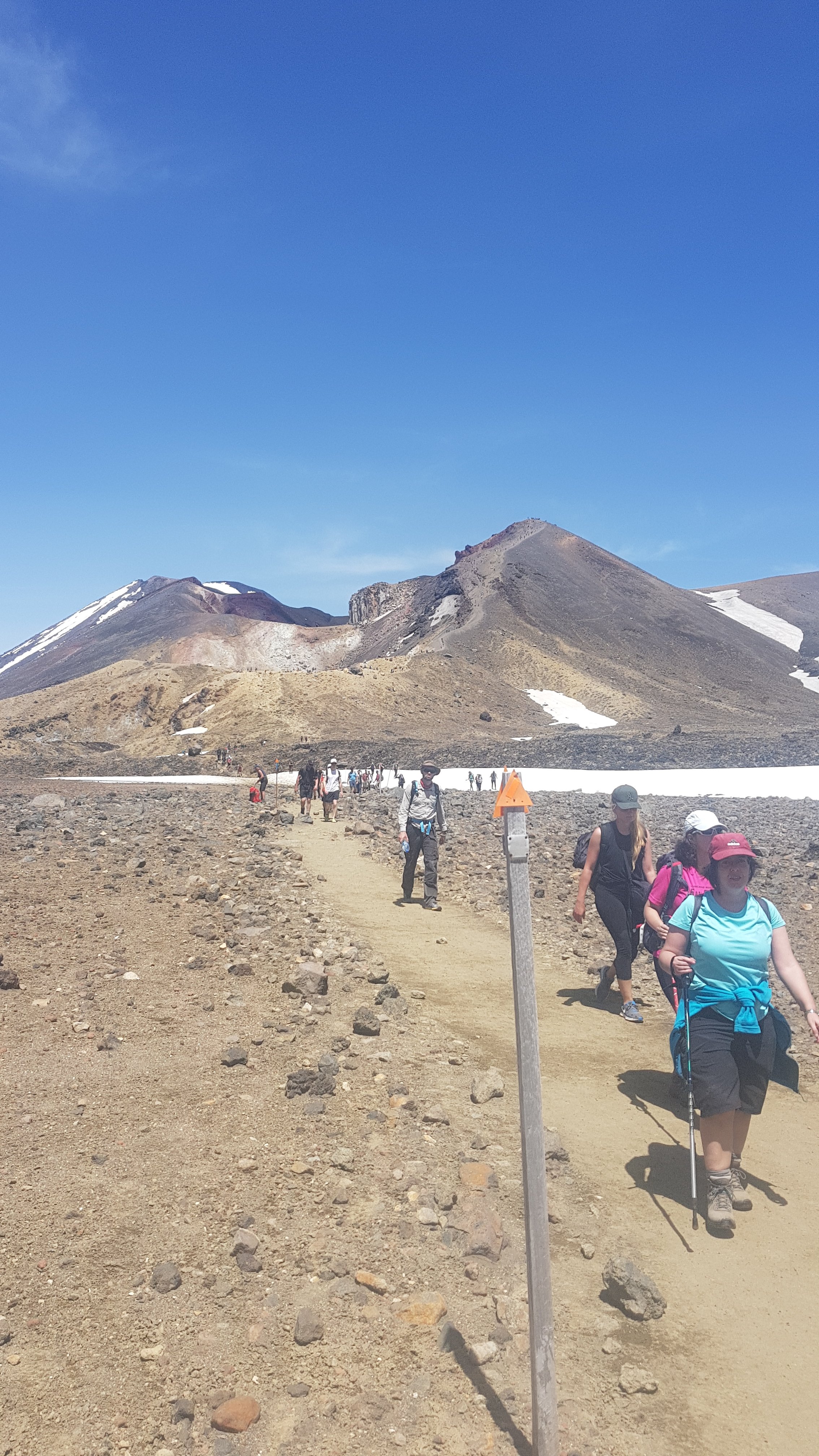
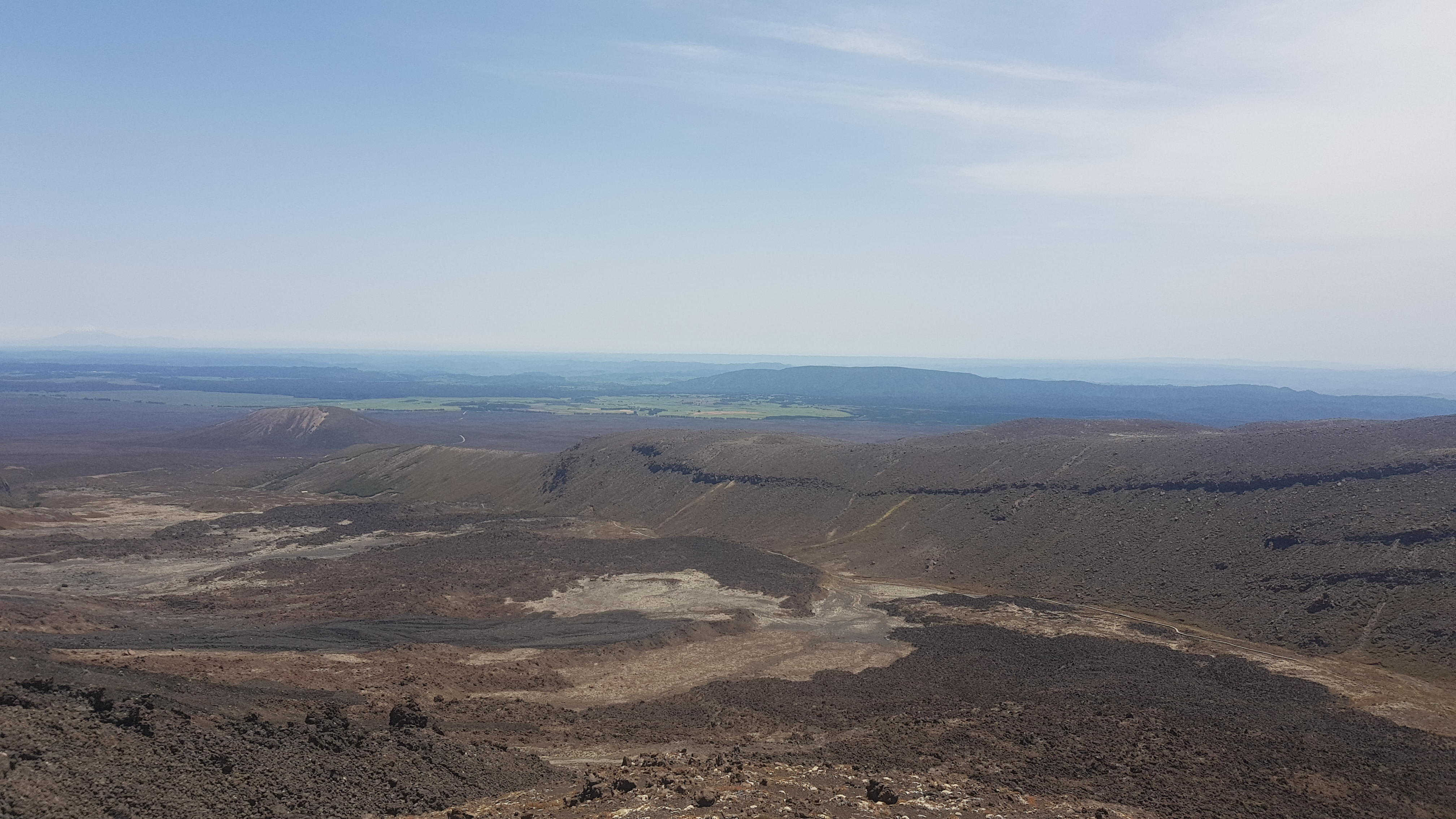
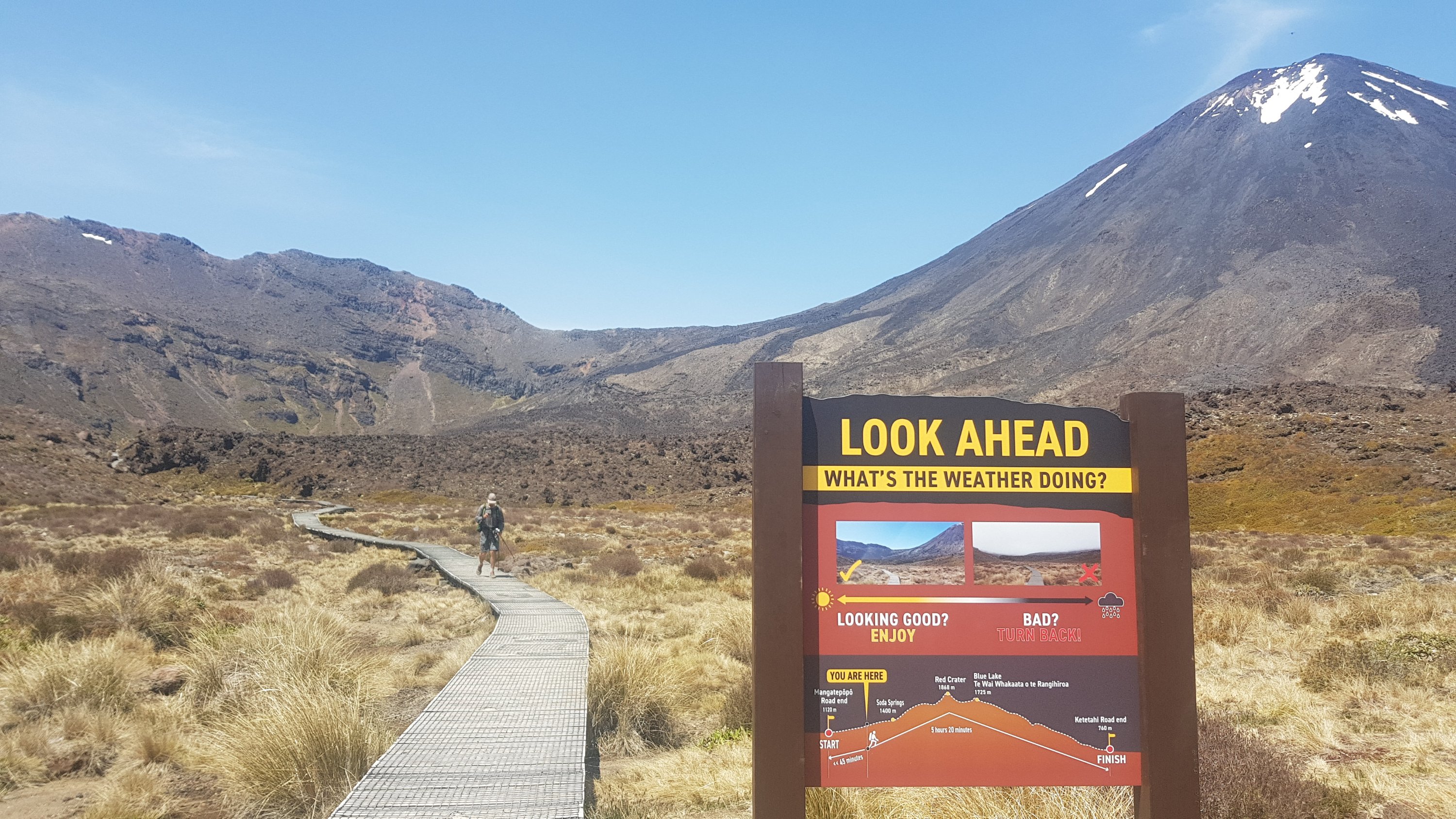
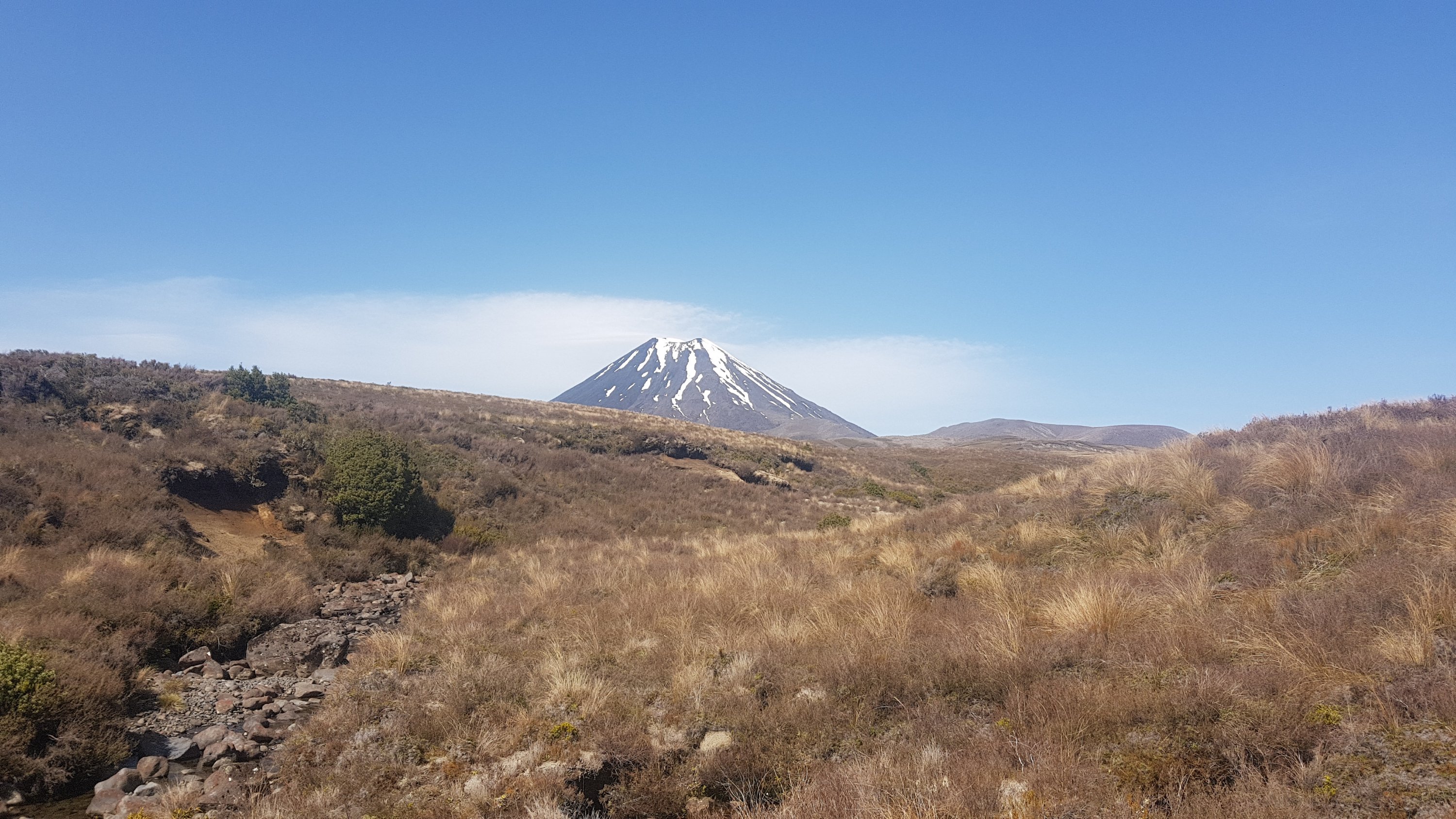
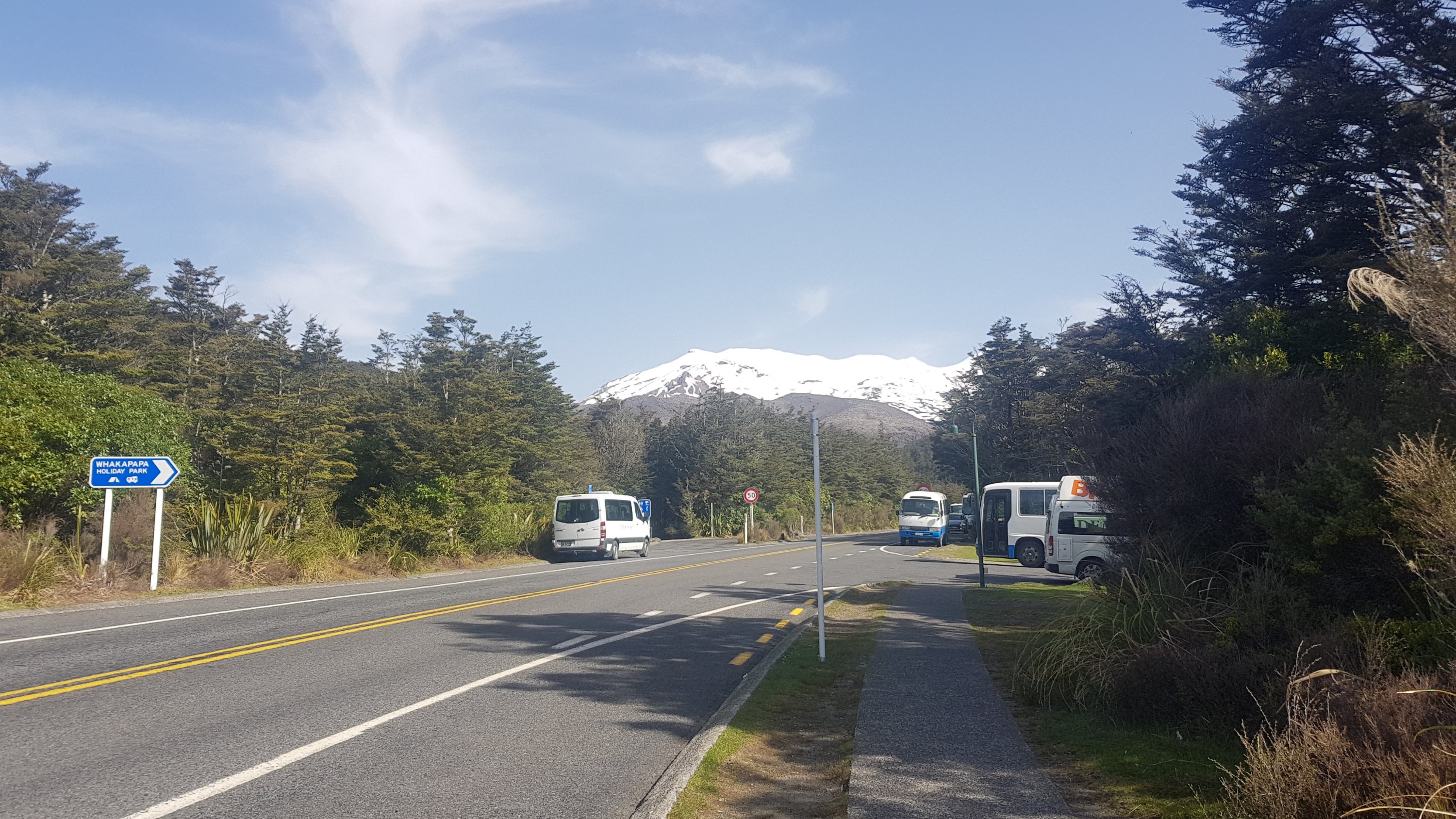
After the road walk, we turned into the road leading up to the car park. I liked the view from here.
The first thing we noticed was the great big stop sign.
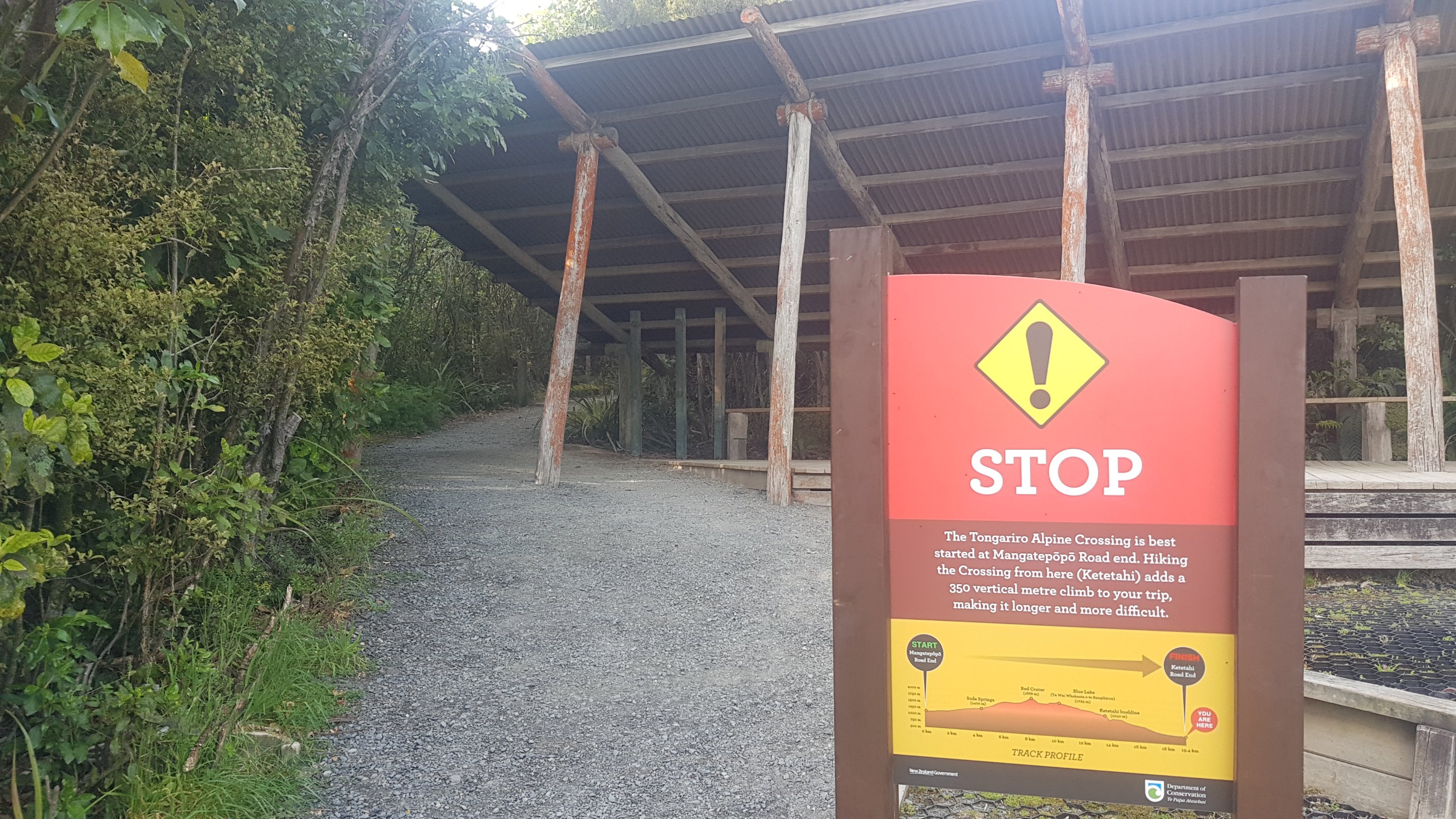
This was here for several reasons. The first is that the climb is 350 metres higher if you start from this end, i.e. you start 350m closer to sea level. The second is that you’re going against the tide this way. You’ll encounter the hoards of tourists and other people going northbound if you do it this way, and apparently the path is tight in places. About the only people who do the crossing in this direction are Te Araroa hikers. That sign made us feel like badasses. Real adventurers!
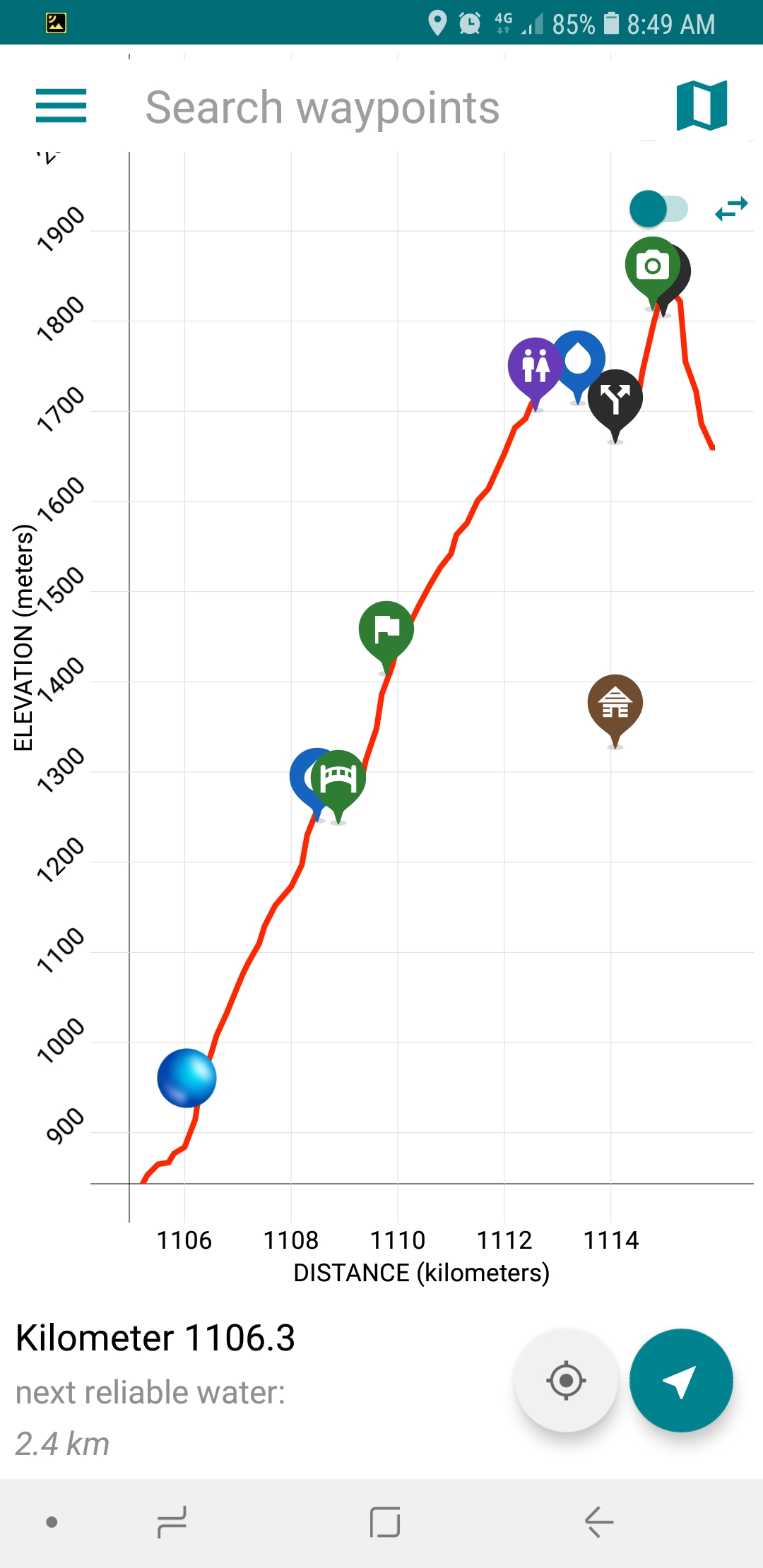
Here is the guthook elevation profile for today. Daunting.
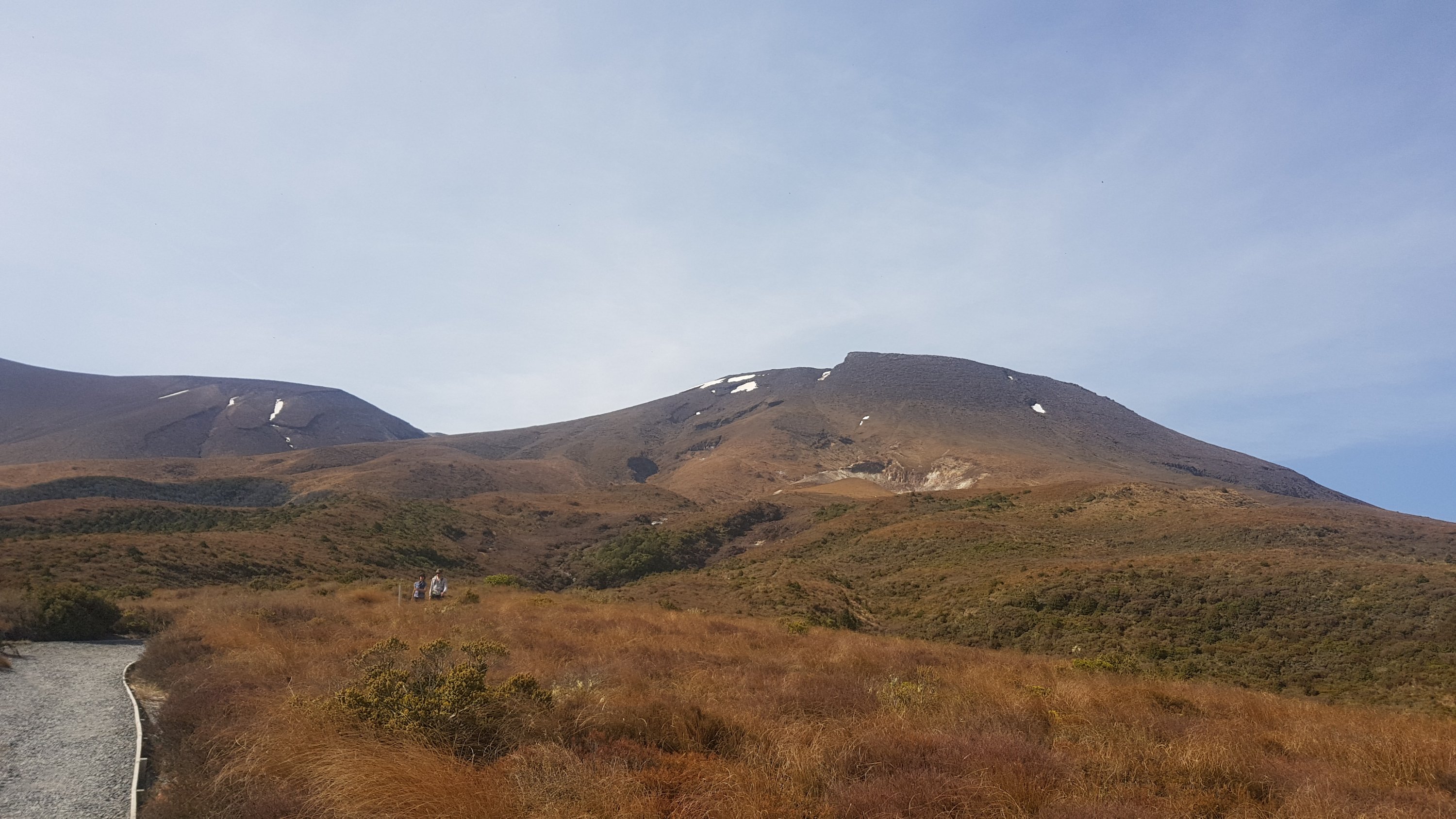
We tried to have a guess at how many people might be on the track. Apparently on a usual weekend there are between 1000 and 4000 people. The crossing may or may not have been closed recently (we have heard differing reports) and the weather today is glorious so we think there might be 8000 or so people. I can’t remember how we came up with that number but it seemed reasonable. We thought the only thing that might stop people is it’s still November and not the middle of summer.
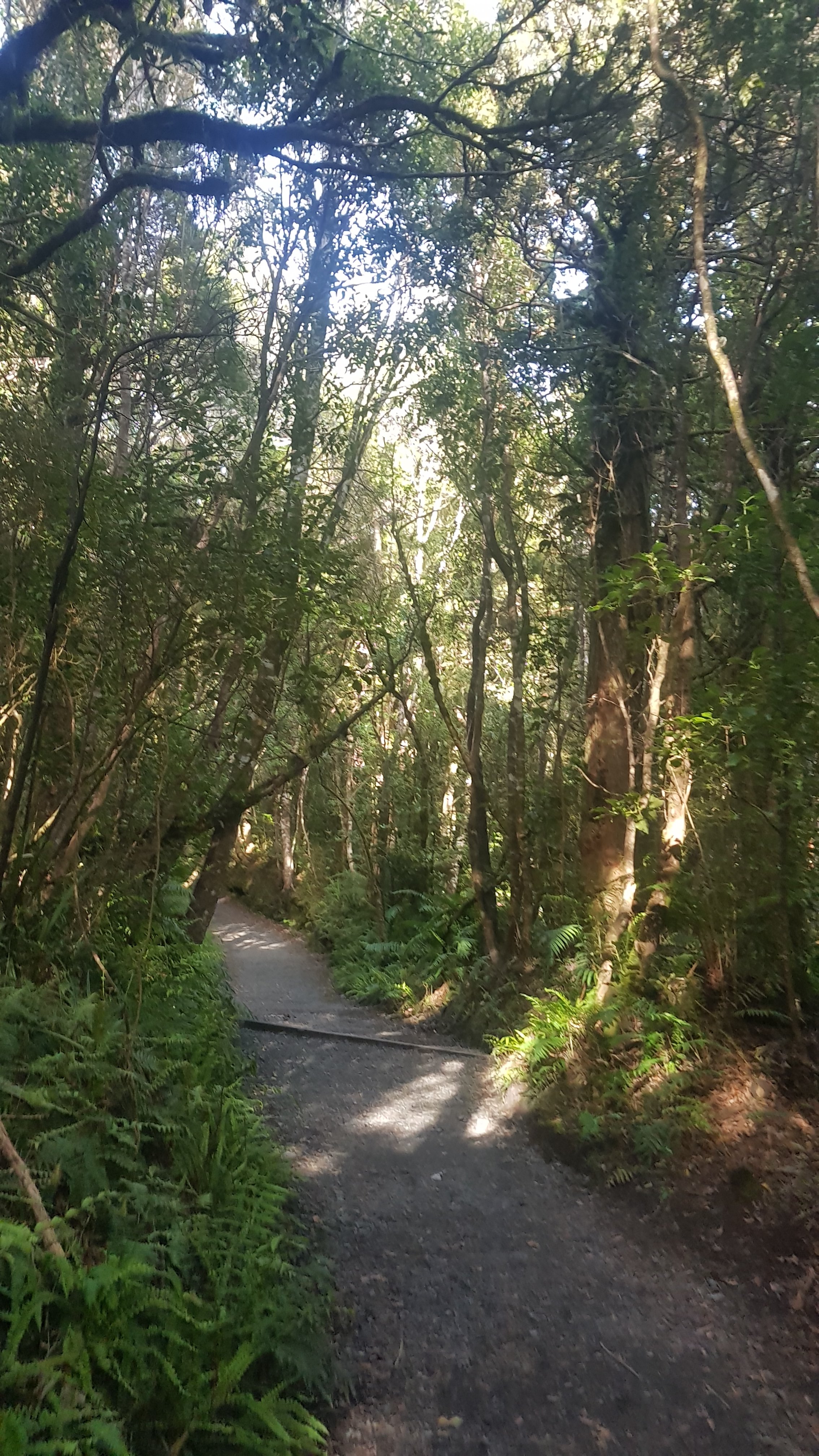
The path was initially a bush track, which was a surprise because when you drive around this area the landscape looks really barren. In fact, one of the most dangerous stretches of State Highway 1 goes near here and it is called Desert Road because of the landscape. So I’m sure we will be seeing some different landscapes soon.
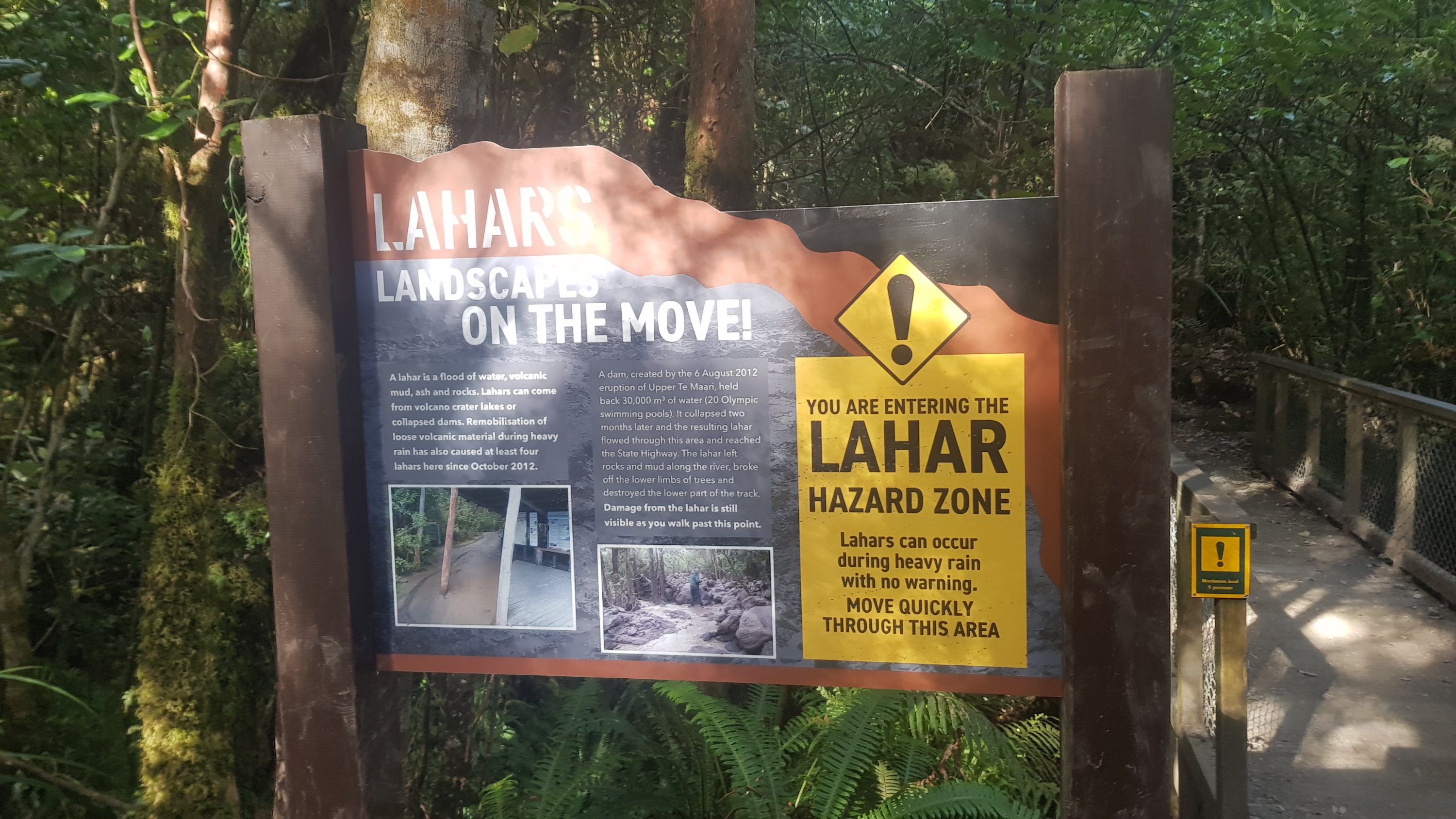
There were quite a few things reminding you that you were on an active volcano – for example, this sign:
And the streams had big signs saying not to drink from them. The streams were a weird metallic grey, almost silver.
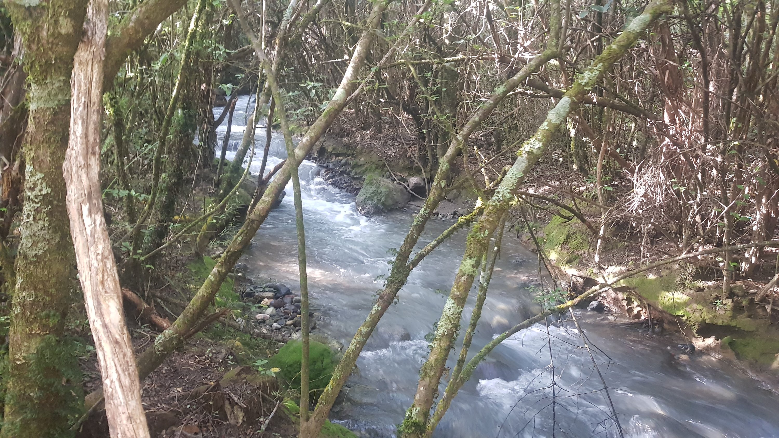
I definitely don’t want to drink from that. However apparently there is no drinkable water on this trail. I hope the four litres I have will be enough!

There were lots of stairs going up this side.
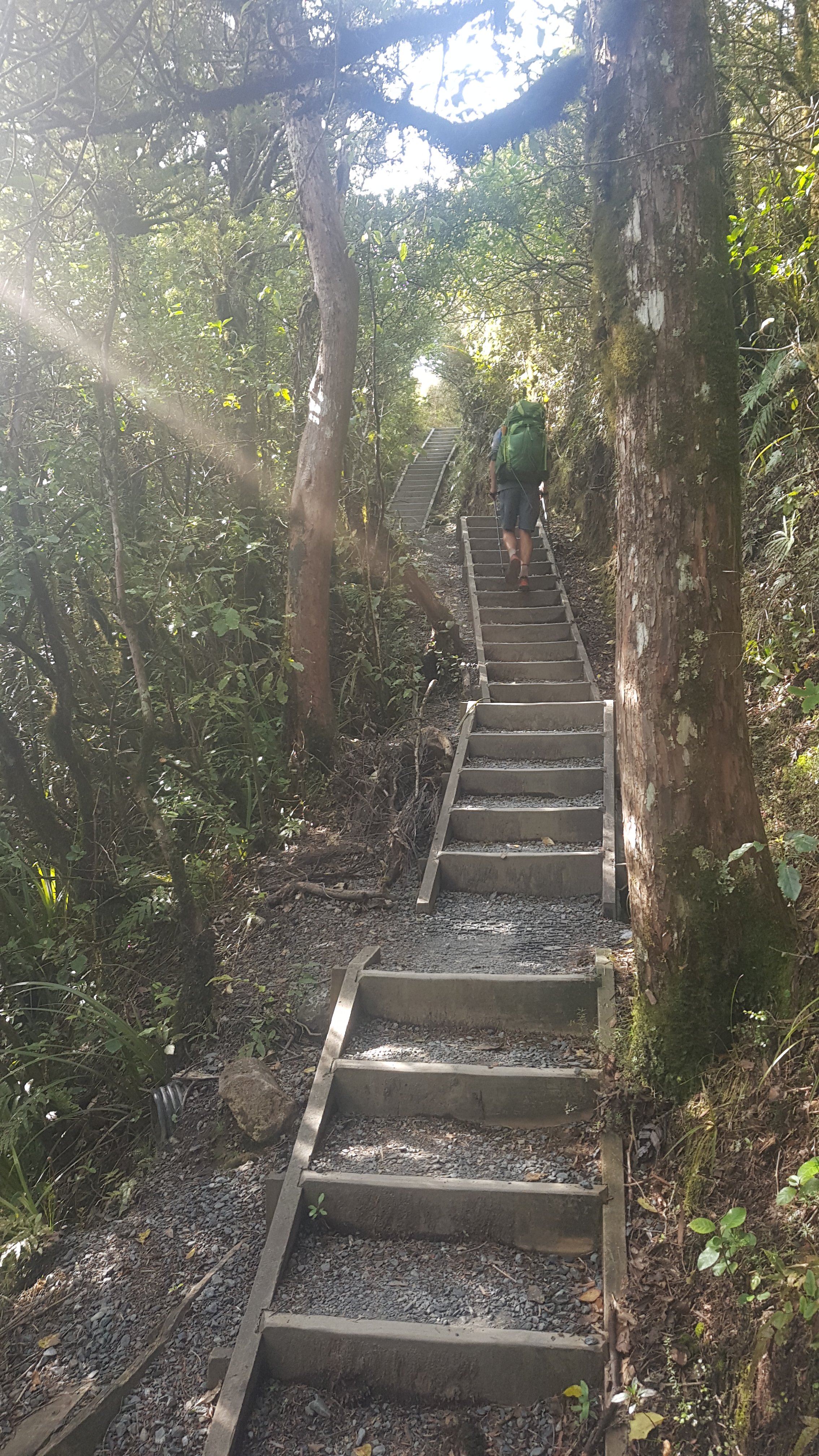
I walked with Ethan for this bit and I said that I bet the first people we encounter in the other direction would be people running it. It’s a tough climb but I bet there will be someone crazy enough to run it. I mean, I saw the guy at Pirongia summit who was running it.
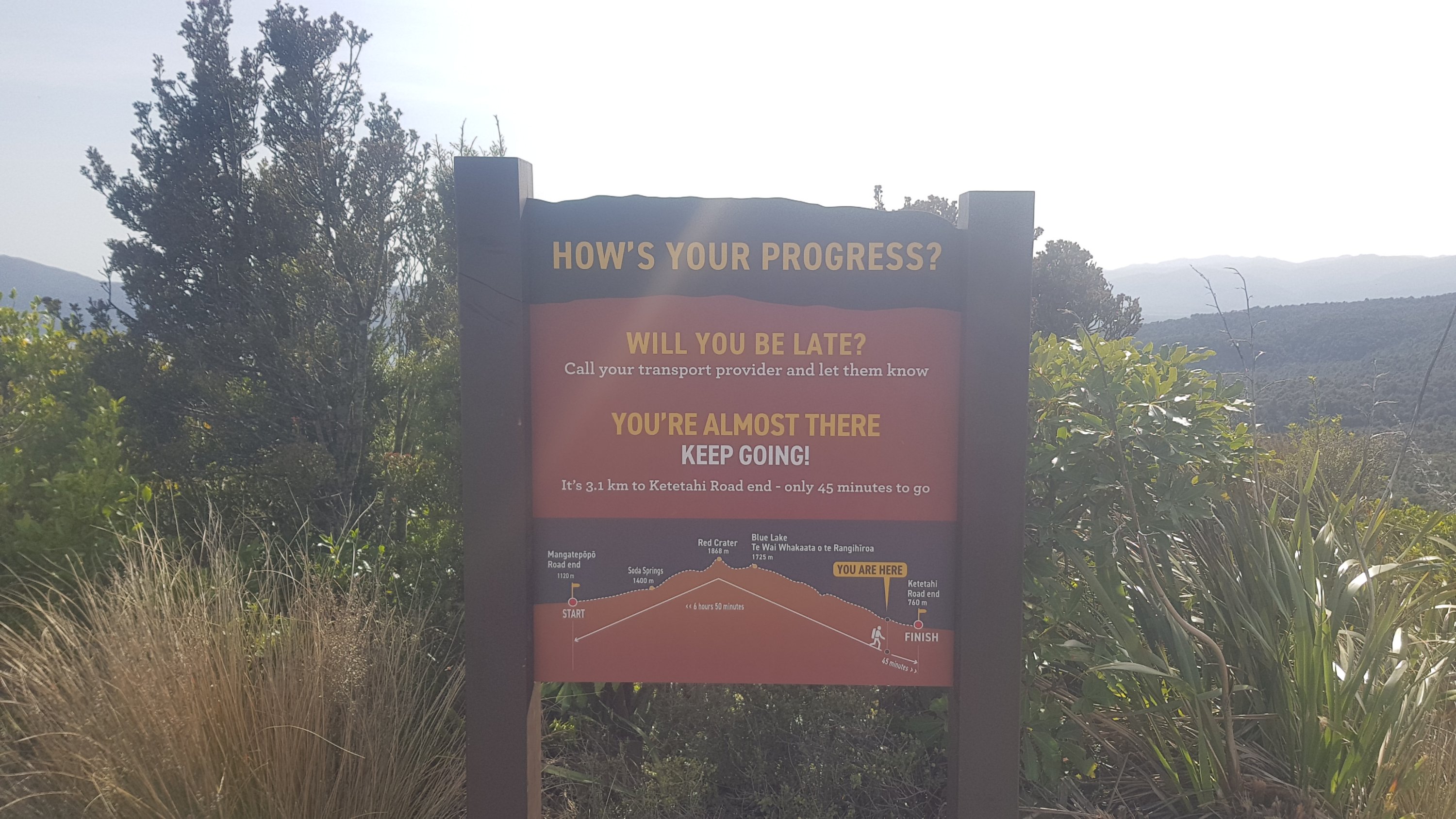
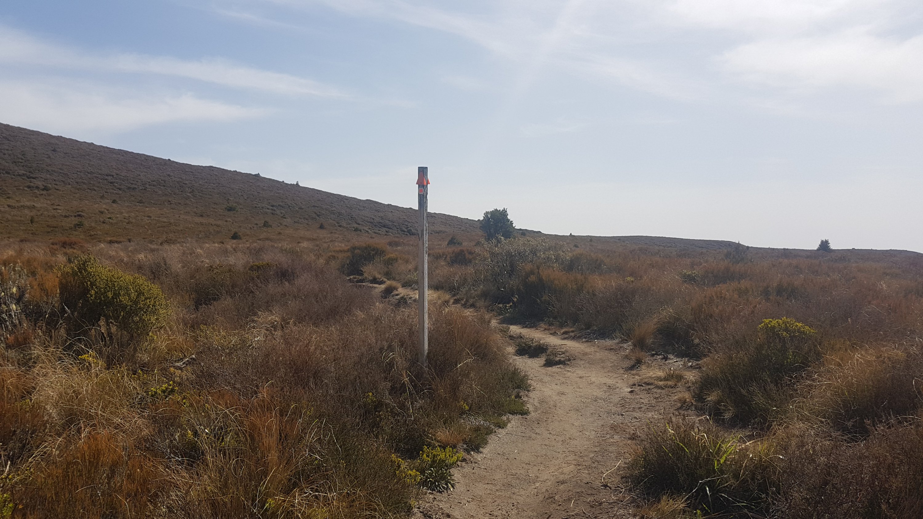
The stairs were tough going. After a while I reached this sign, and it showed that we still had a hell of a long way to go up.
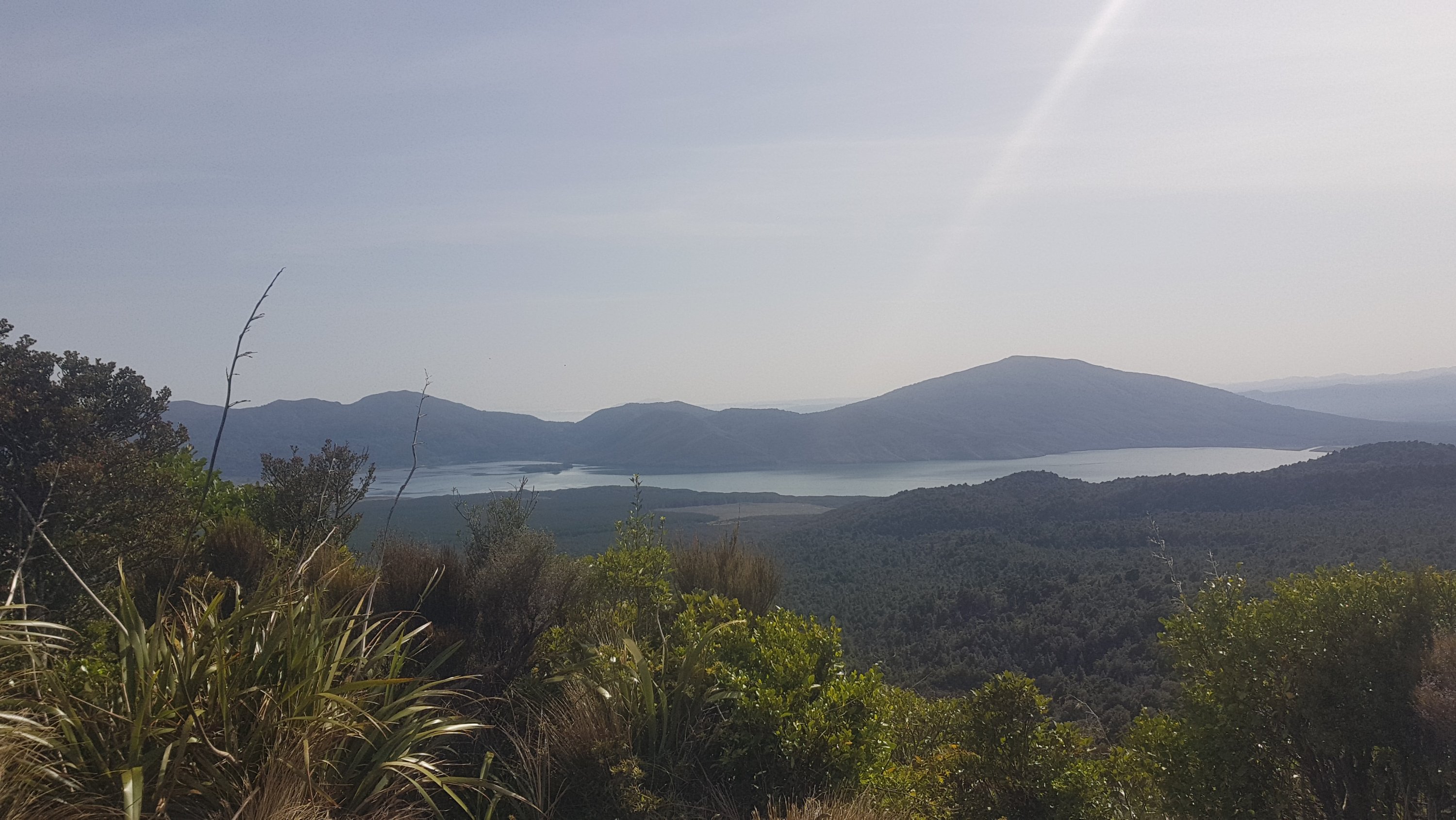
At least it was the first time we had a nice view of something.
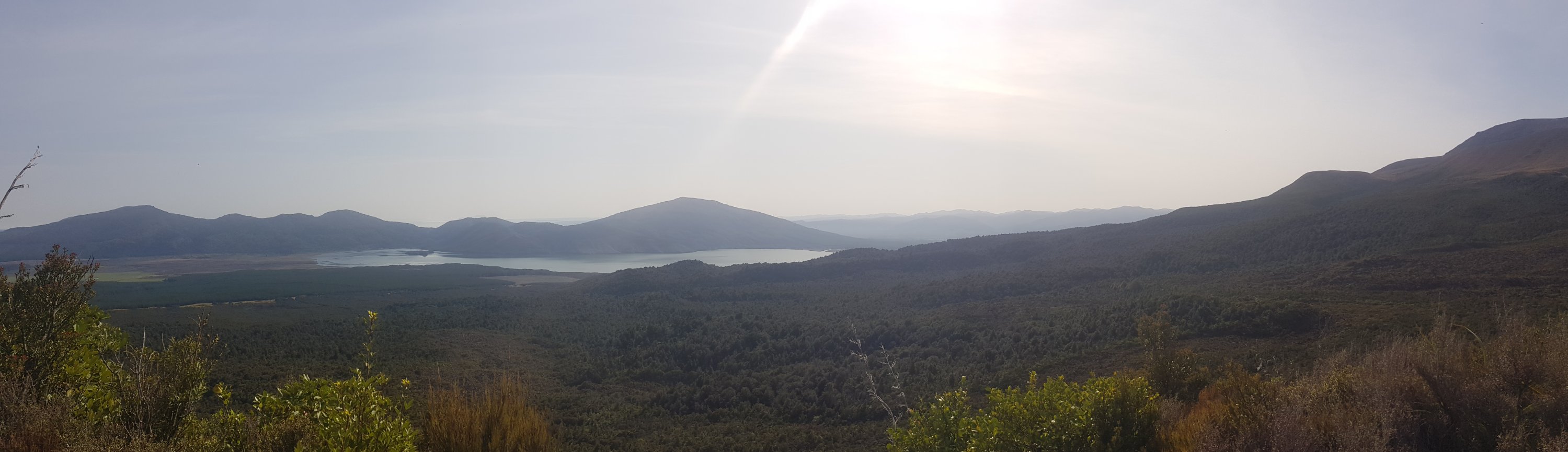
Some things today are really going to require the panorama mode on my camera.
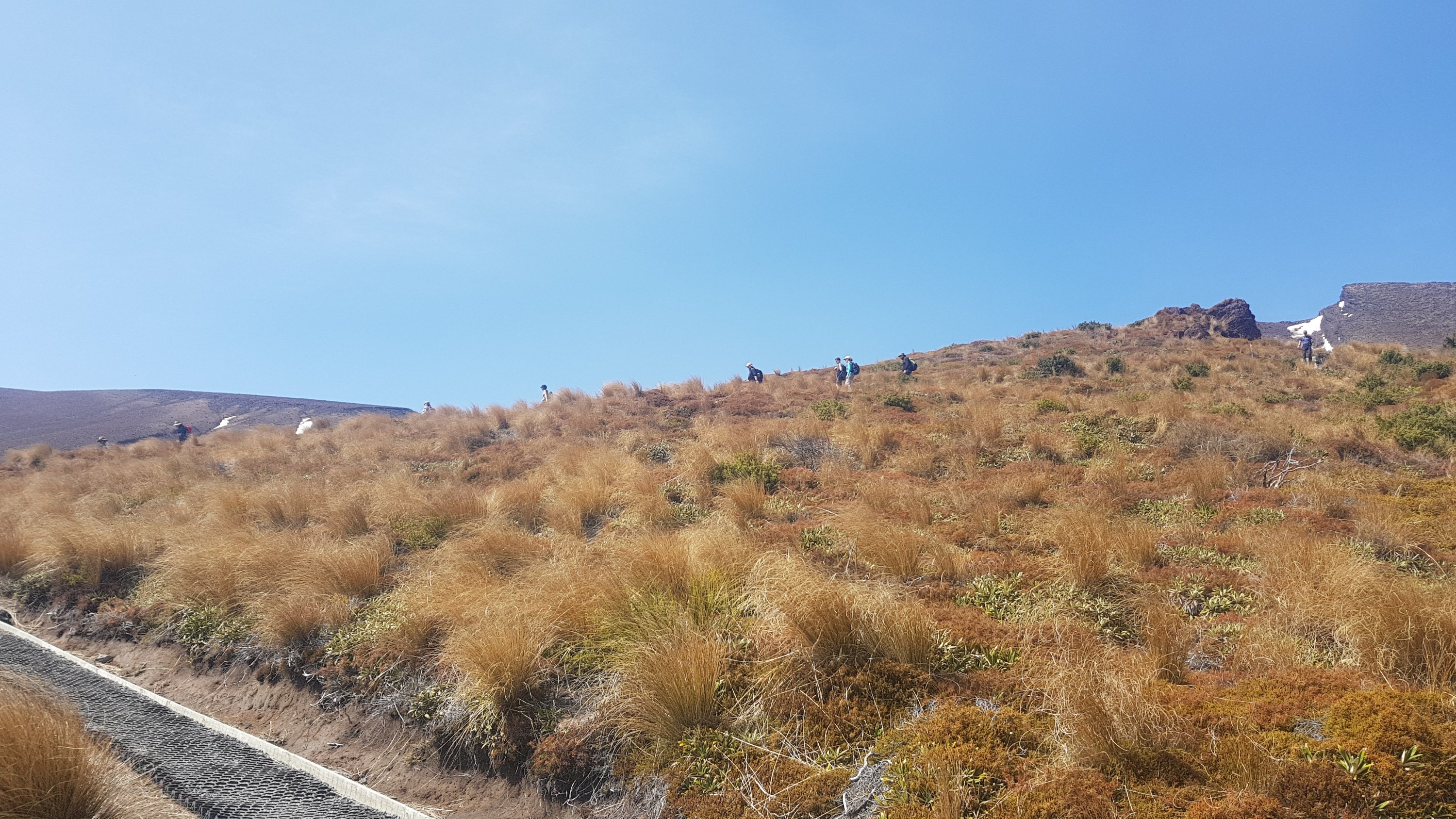
Up to the summit the track was mostly like this the rest of the way. I got quite exhausted early on, which I was surprised about because going up Pirongia was nowhere near as hard as this.
I stopped quite a few times and Ethan got away from me so I was walking up by myself. And at one point the first two people did come down the other way.
They were not runners like I assumed. I stopped and talked to them and they said they started really early and weren’t “dilly-dallying”.
And then 10 or 15 minutes after that the flow of people going the other way started to increase.
I stopped for quite a few snack breaks. At one such break you could see how the track winds its way up the side of the hill.
At 11am, about 15 minutes later, the view hadn’t changed much. I did actually see two runners at this point though.
But once we got high enough, snow!
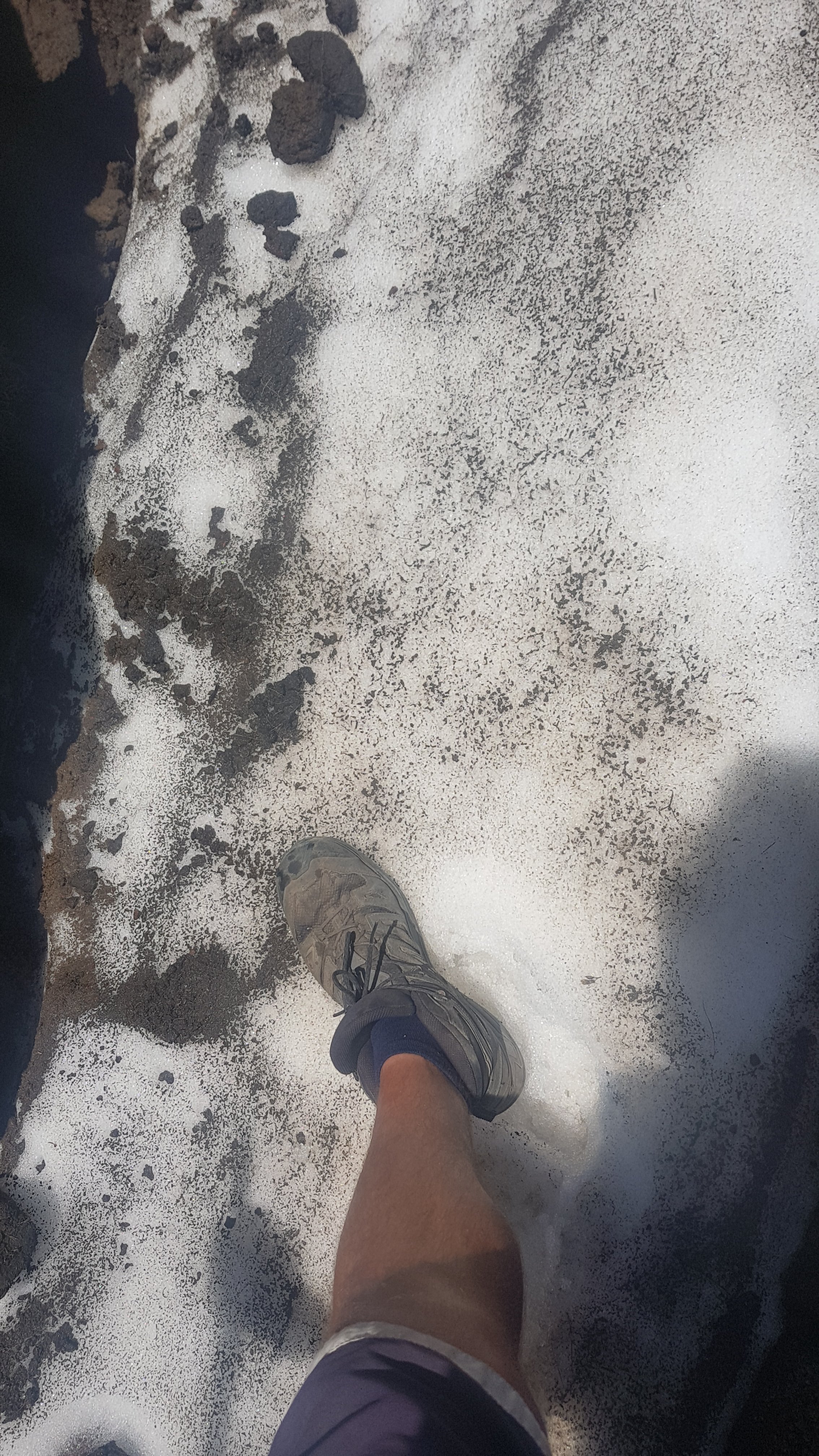
Not a lot of snow at first, but at least it was snow.
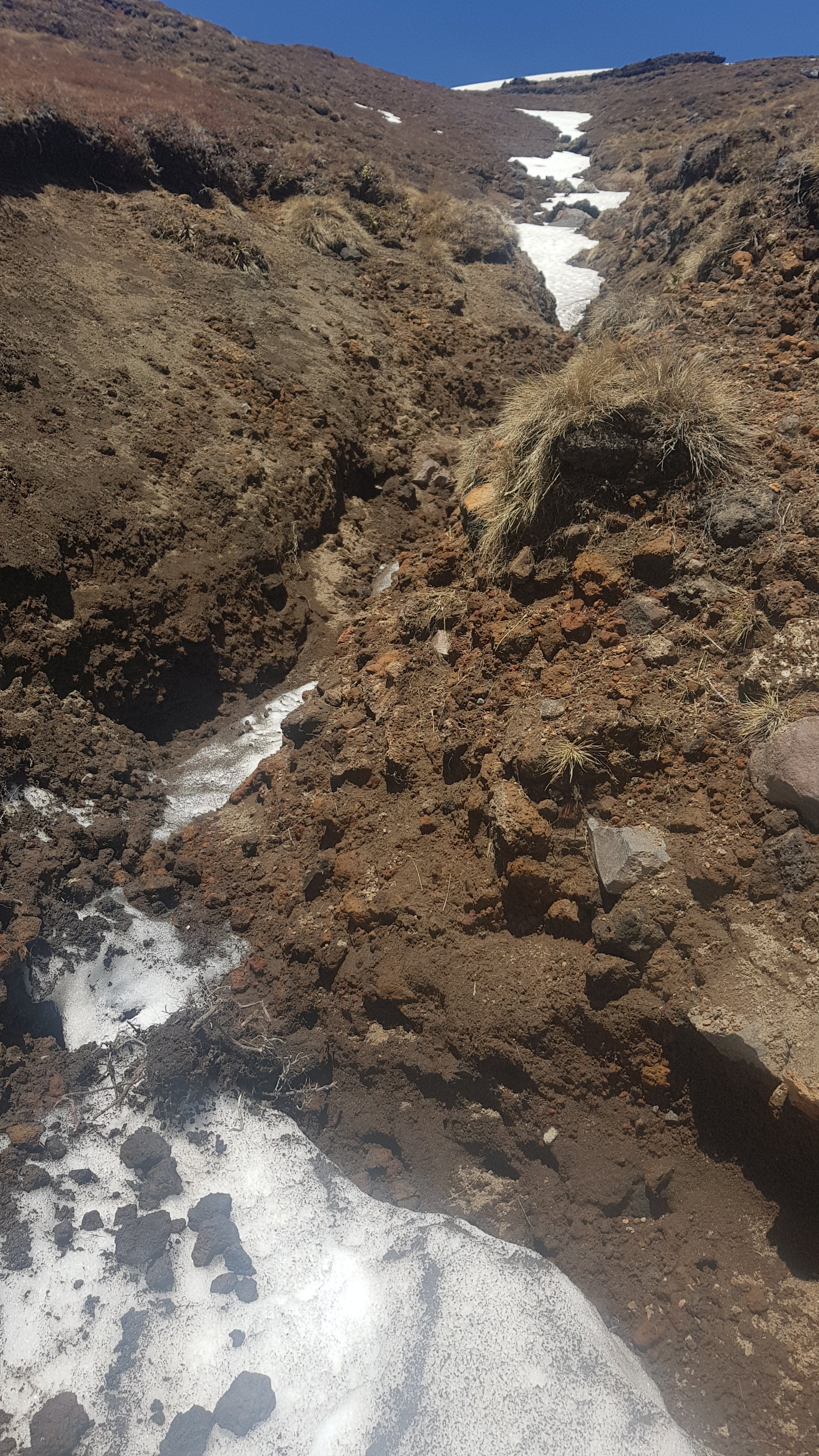
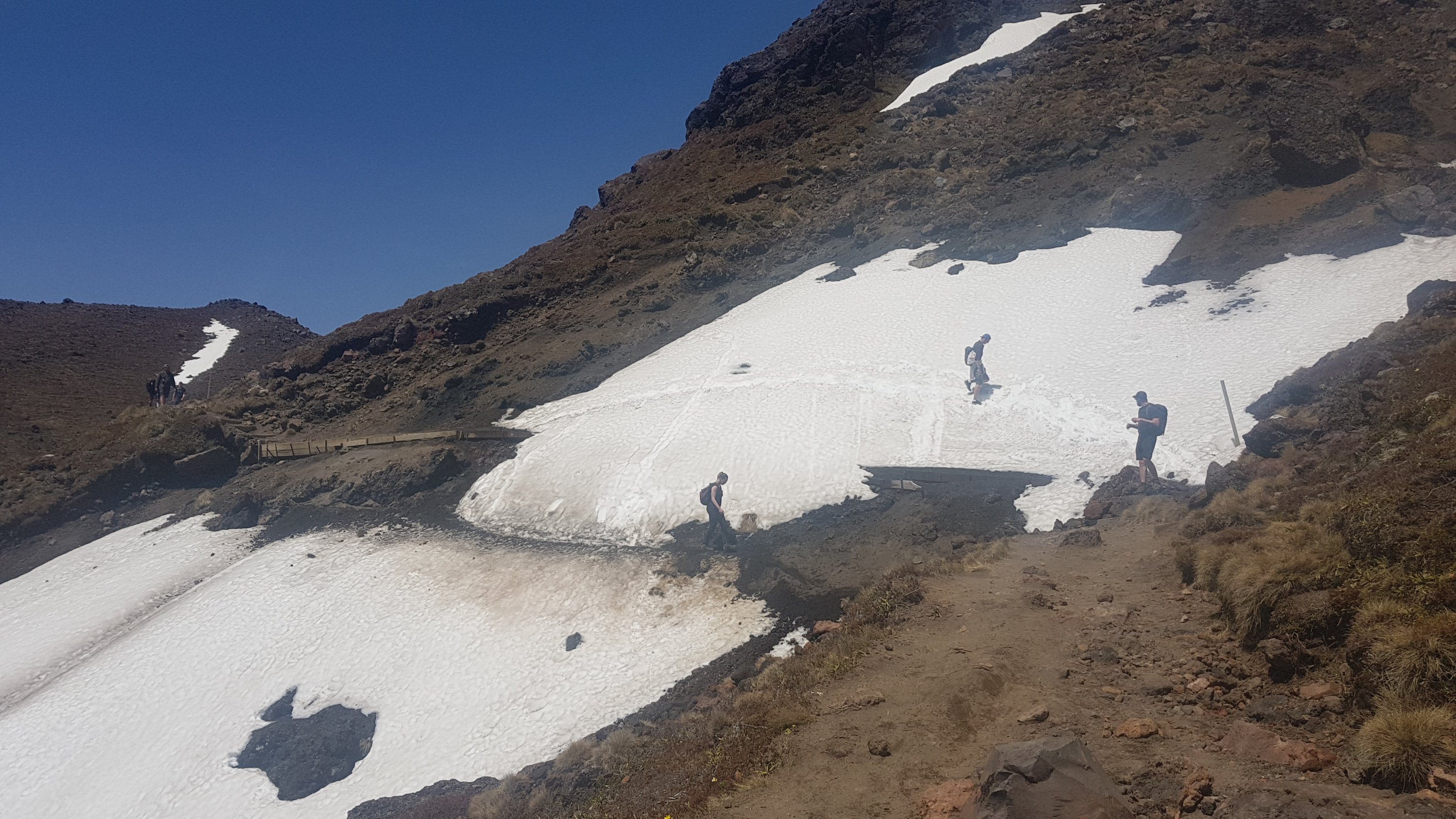
And then a bit of snow that I actually had to cross. This would be challenging if there were a lot of people.
Once over a ridge I could tell that what was past here was something special.
I asked a guy passing if I was at the summit yet. He laughed and gave me an emphatic “no”.
I just about missed the Blue Lake to my left because I was too busy looking at the snow on the other side!
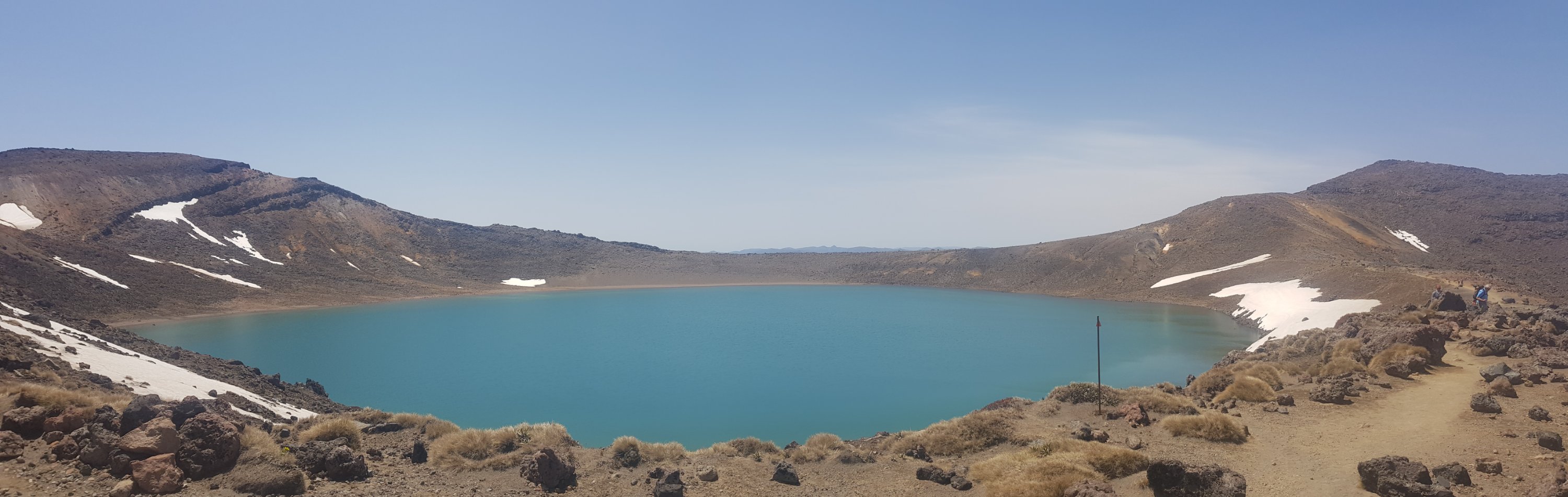
Although everything is so big and grand up here, I’m sure I would have seen it eventually!
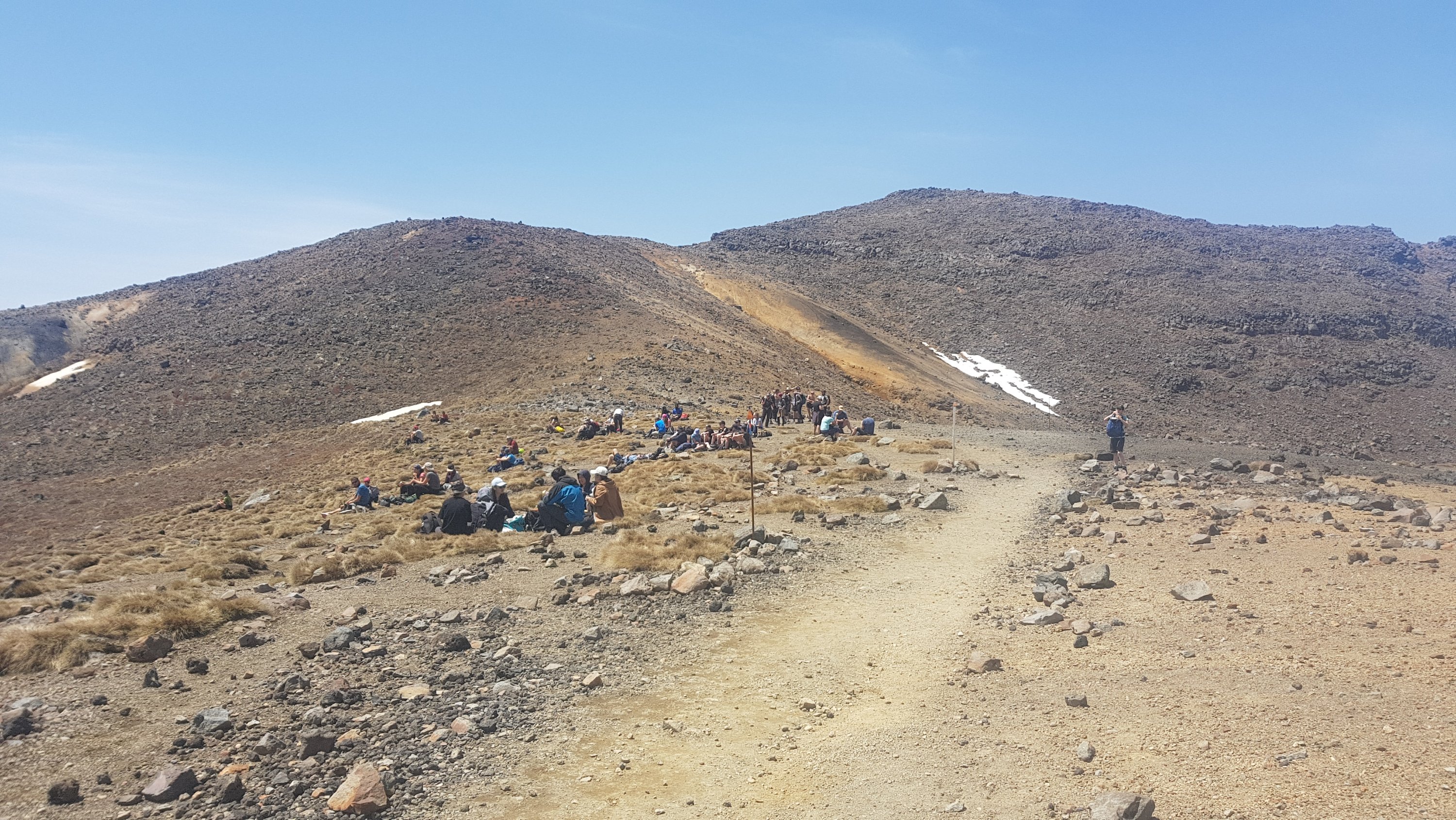
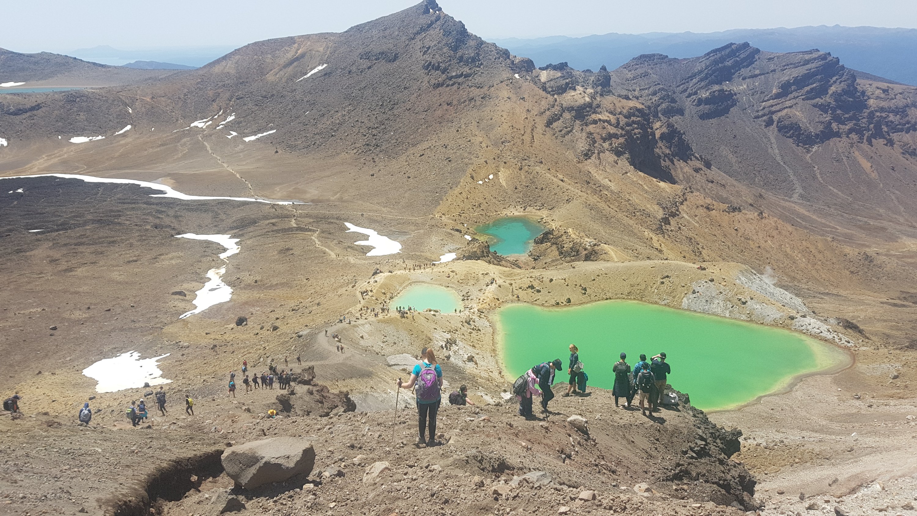
Past here there was a big group of people sitting admiring the Blue Lake. I guess for people going north, this is the first spot they see it. The tourists were out in force here. The sound of the Chinese language could suddenly be heard louder than the sound of anything else.
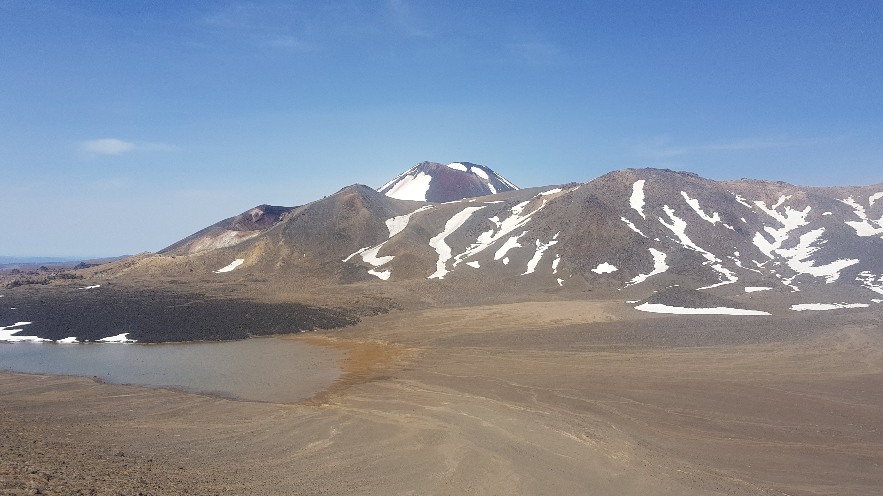
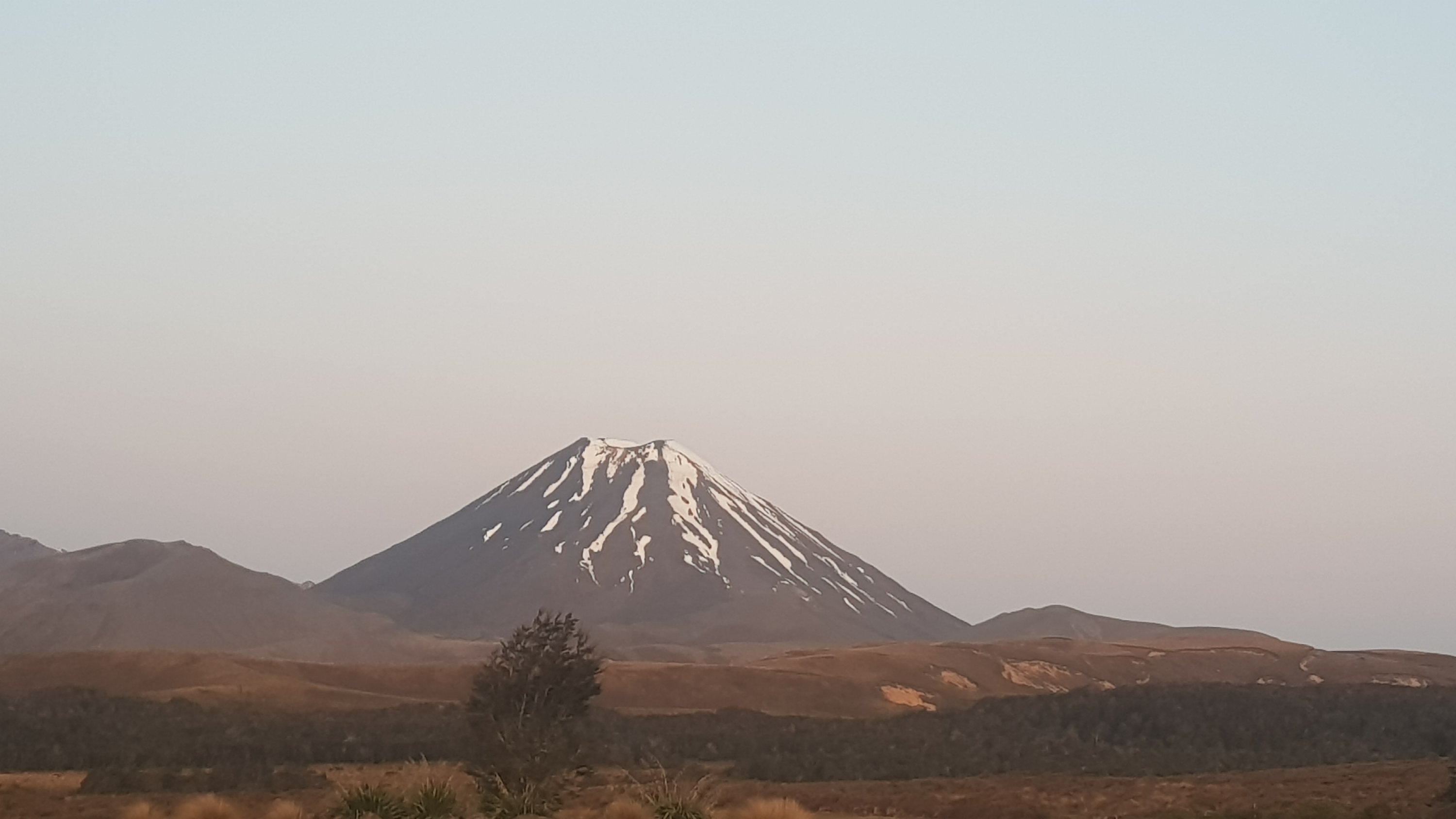
From here it was down a bit and across a path cut across the landscape. And then up a steep hill to Red Crater which was the highest point on the track. You can see it to the right in this picture, the little point without snow just to the right of Mt Ngauruhoe (which was really close by this point!).
The stream of people in the other direction was in full steam now. I hadn’t passed anyone going the same direction as me and nobody had passed me. There was almost nobody else going southbound.
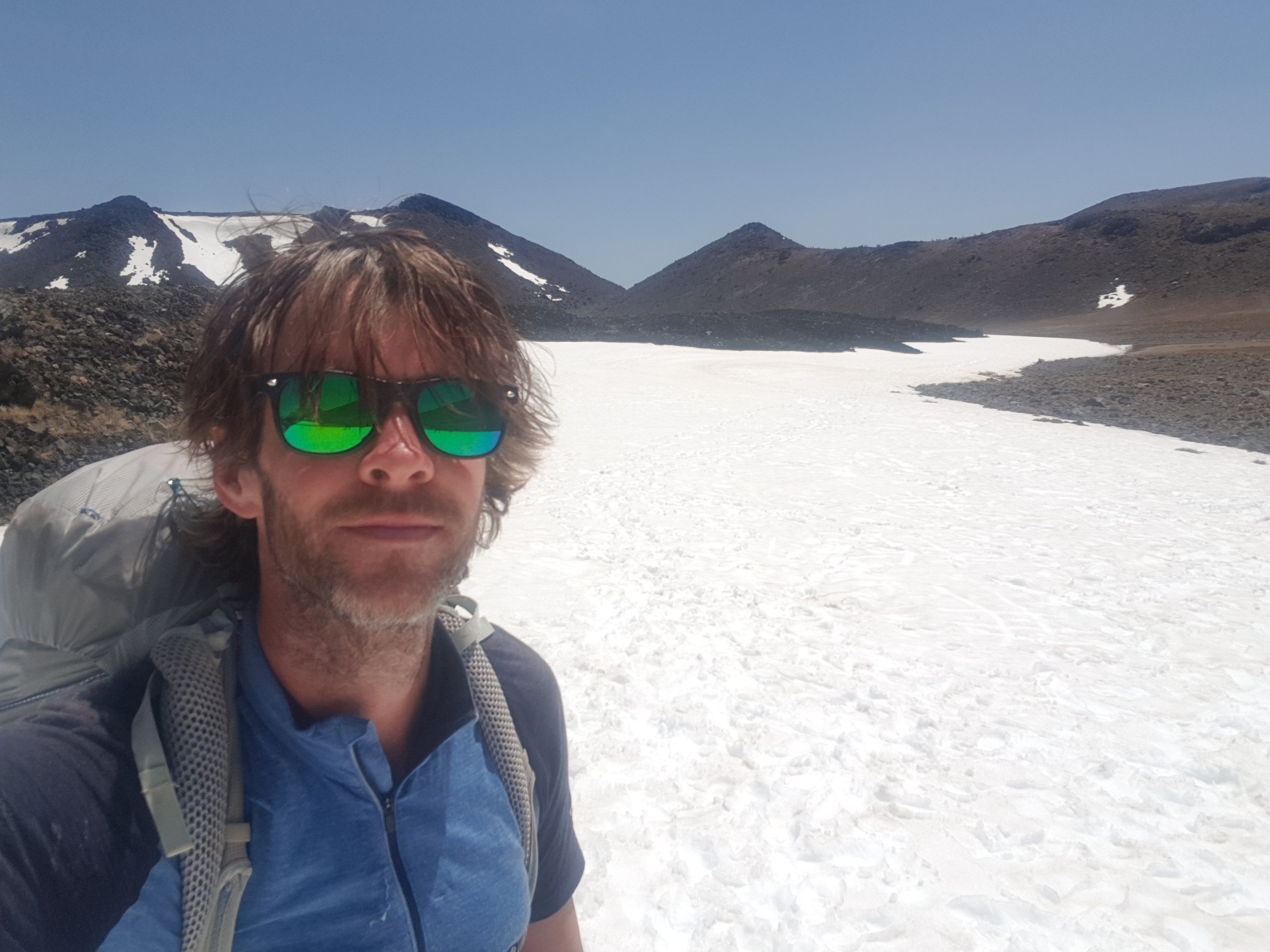
This was the first real decent bit of snow that wasn’t treacherous, and so there were a lot of people throwing snowballs at each other. The rest of my group was ahead so I just took the opportunity to take a selfie.
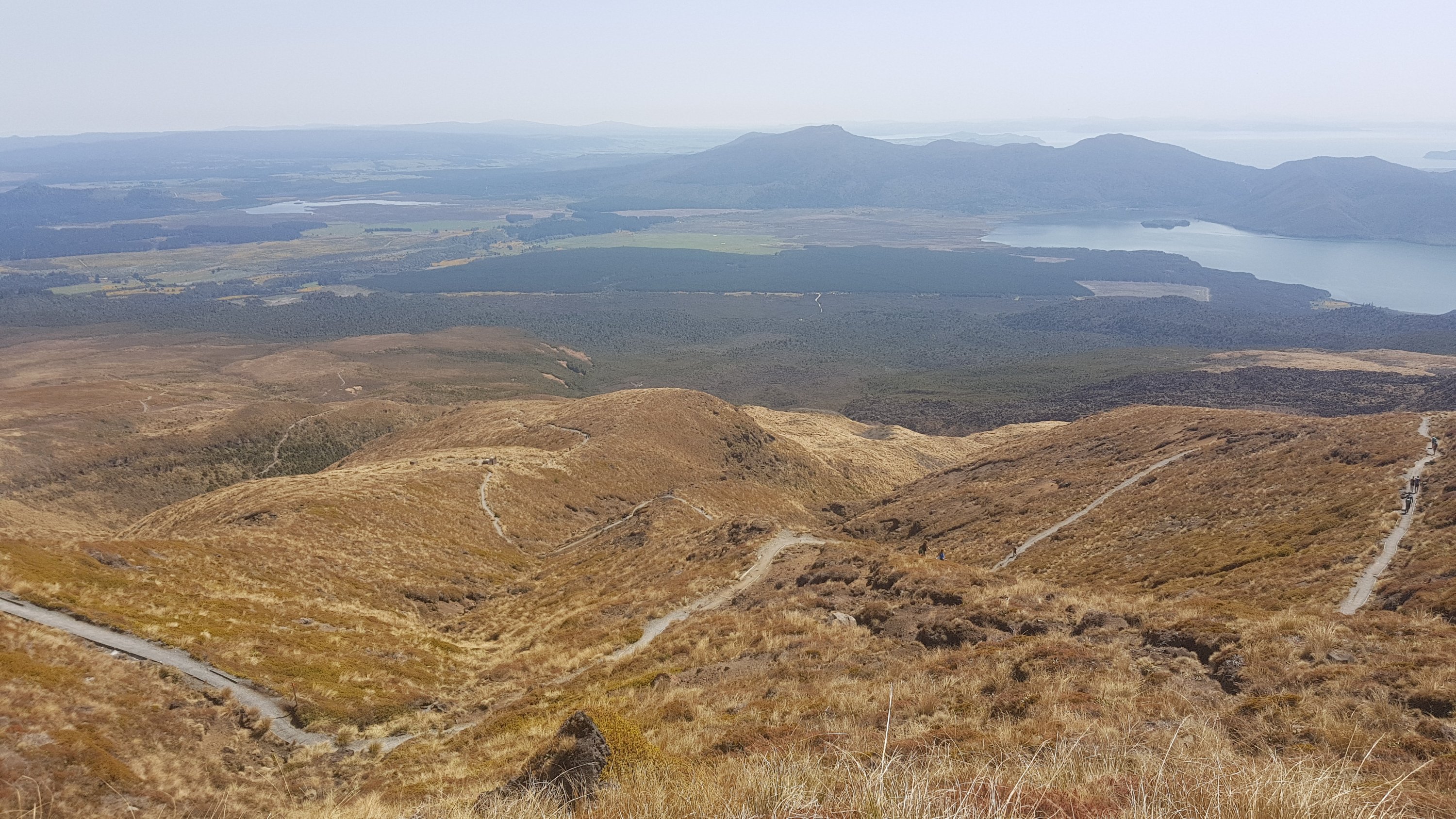
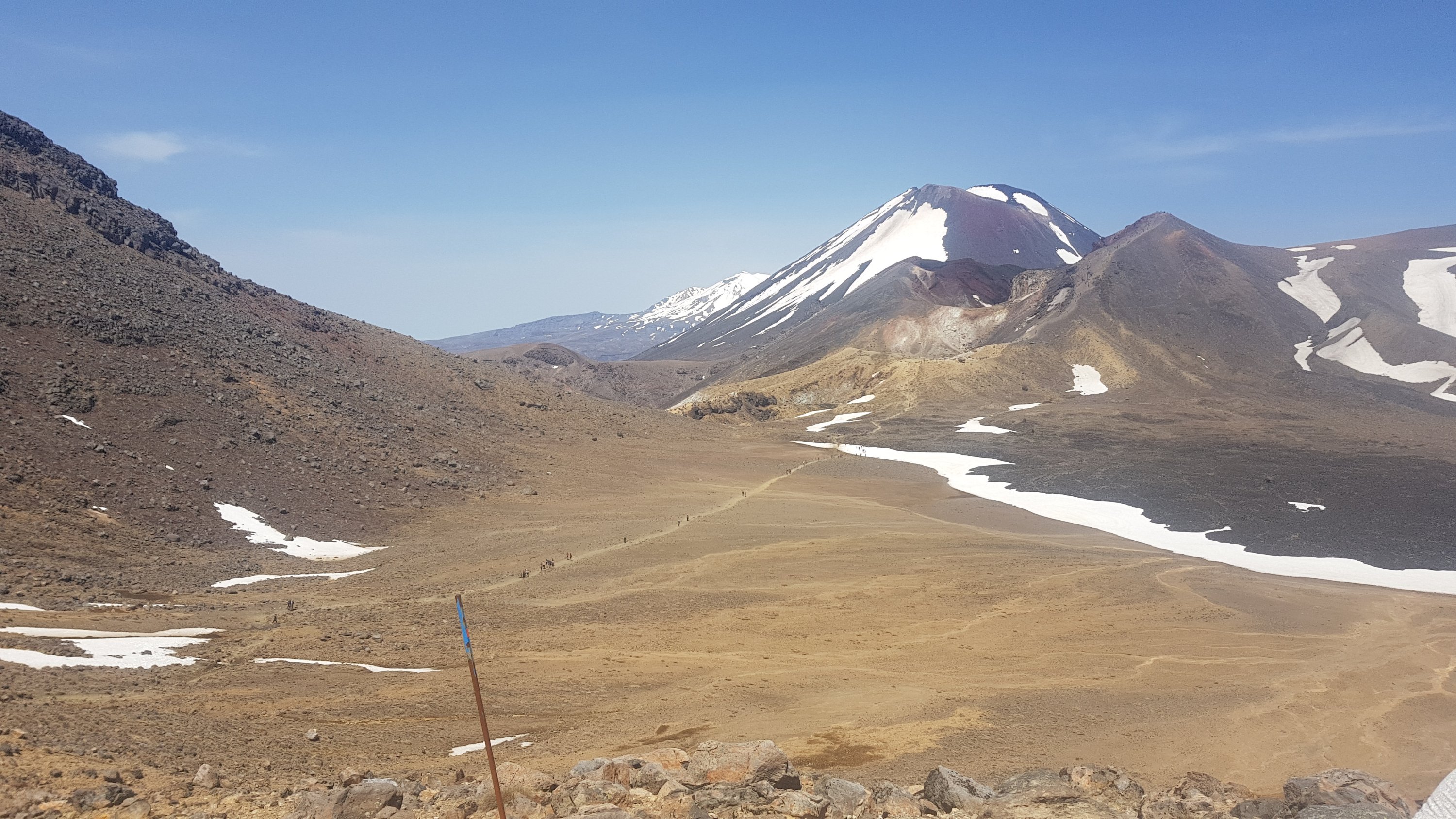
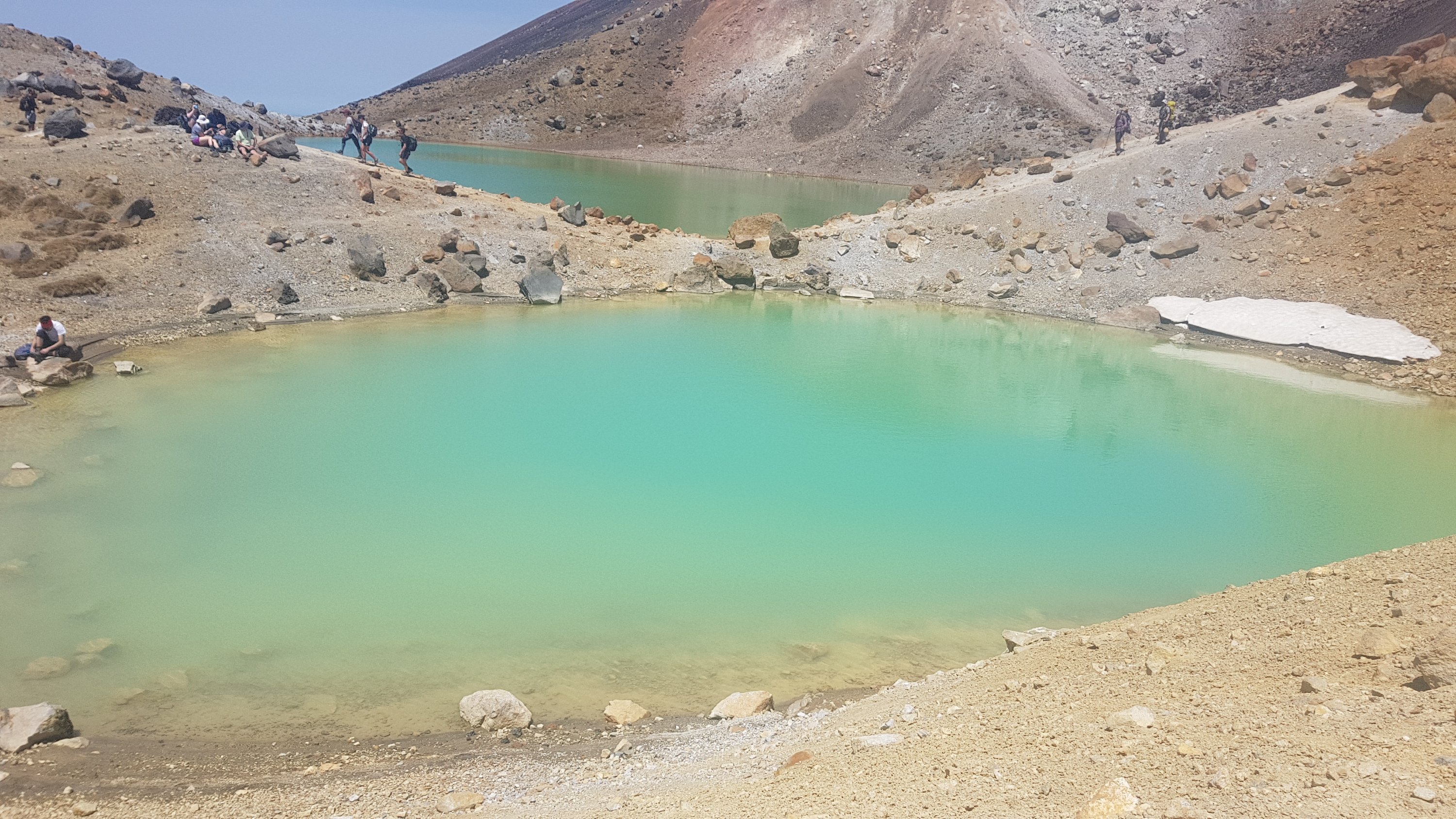
Here was the first view of the Emerald Lakes…
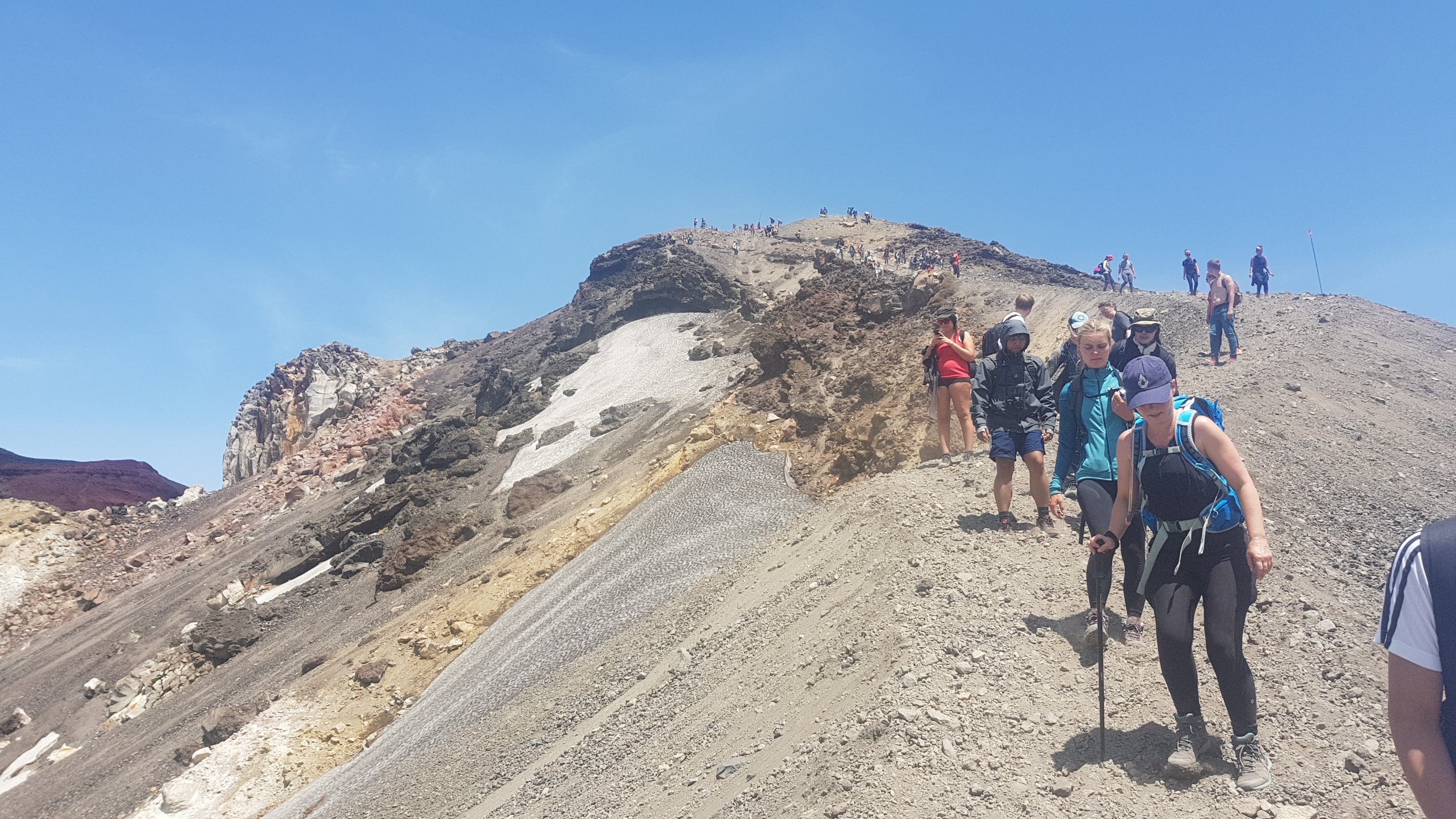
And the beginning of the ascent up to the highest point. This bit looked quite tough going down, you could see people slipping and struggling with poles and holding hands to form a chain… but going up was a killer. It felt like a 45 degree incline (even though I’m sure it wasn’t) and I could only take a few steps before needing to stop and pause.
As I was walking up here an American girl asked me if I was okay as I was really puffing and wheezing after a particularly strenuous bit. I told her I was going up as opposed to everybody else who was going down and she wanted to know why so I took the opportunity to tell her about the TA. She seemed to think it was cool.
And of course the view got good from up here.
And there was a geocache called “Emerald Lakes” halfway up this tough bit. It was a good excuse to stop for a bit and it was really easy to find. That made a change after failing to find the one on the 42 Traverse.
Even with several breaks this bit was tough. I was so happy to get to the top. Time for another selfie!
And a look back where I’d come from.
I had made it up to the highest point on the North Island section of Te Araroa – Red Crater at 1,886m above sea level. I think that in the whole of the mountainous South Island, we only go above that elevation once so we definitely achieved something today.
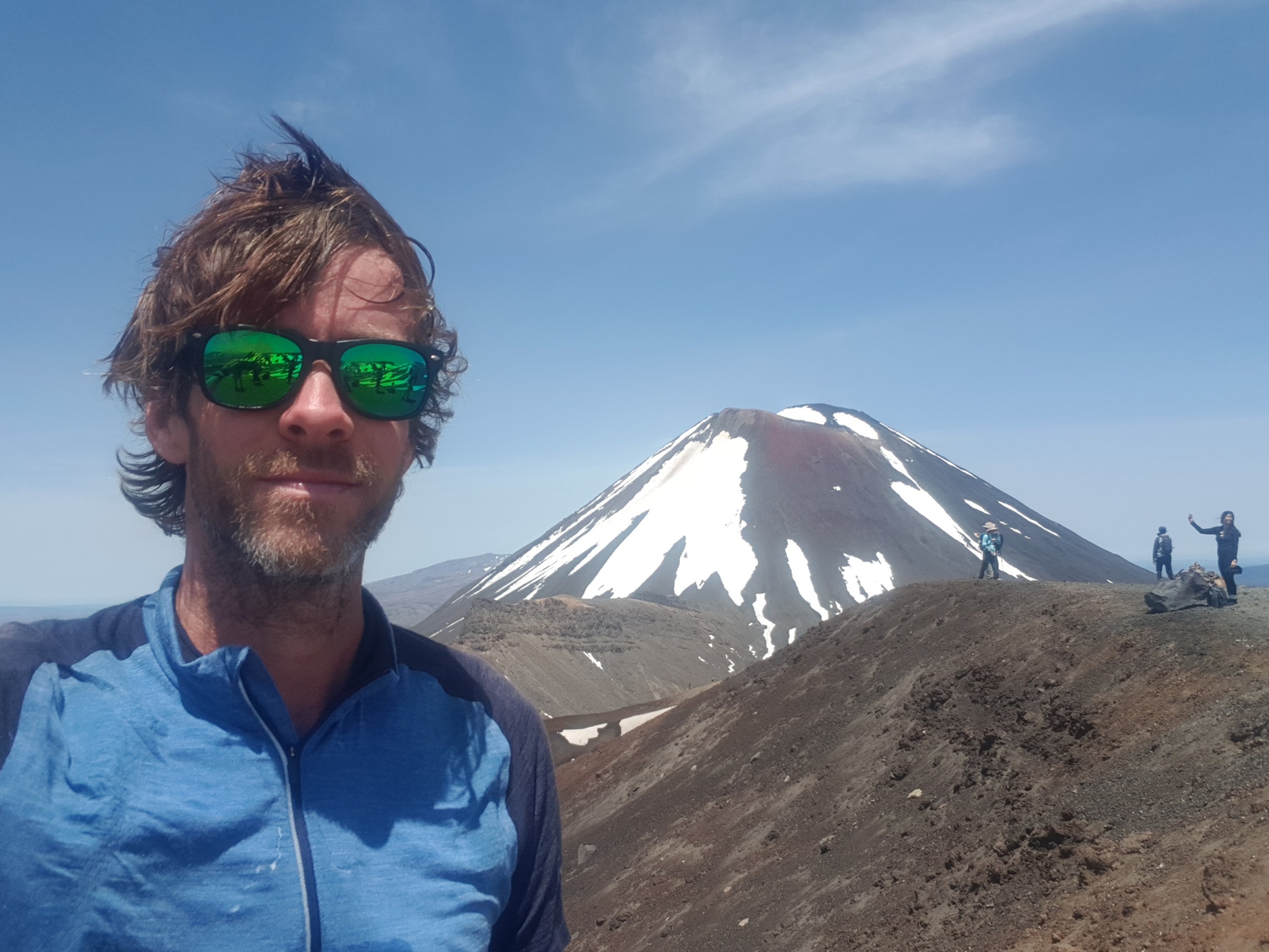
I really love how Mt Ngauruhoe looks from this angle. I’m ashamed to say that I’ve never seen any of the Lord of the Rings movies, where this mountain features as Mt Doom. I will have to rectify that after the trail.
I saw Alex at the top as well. He must have had a long break, because he was walking so fast this morning. I only saw him for 2 or 3 minutes, because he went back into mountain goat mode and raced down the hill at top speed. I was back with Ethan though. Nice to have a bit of company.
I also saw a guy carrying quite a large boulder up to the summit. When he got asked by someone else why he was doing it, his response was simply “I’m on a mission”. I wonder if the boulder was due to self destruct in 30 seconds.
And surprisingly once we passed the summit, the tourists suddenly stopped. I guess they come up in shuttles or something. It was quite spooky how quiet it suddenly got.
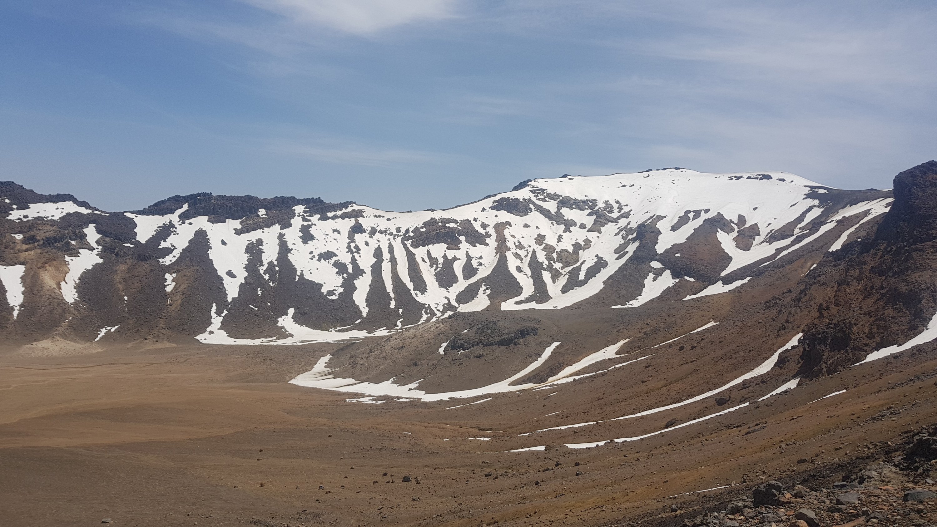
It was a very different landscape coming down the south side. It was just rocks and a featureless landscape. But if you look in the far distance of this picture you can see Mt Taranaki (just):
This side was much less beautiful than the way we came up. I guess too that I’d already seen this view many times before when I used to go snowboarding at Mt Ruapehu nearby.
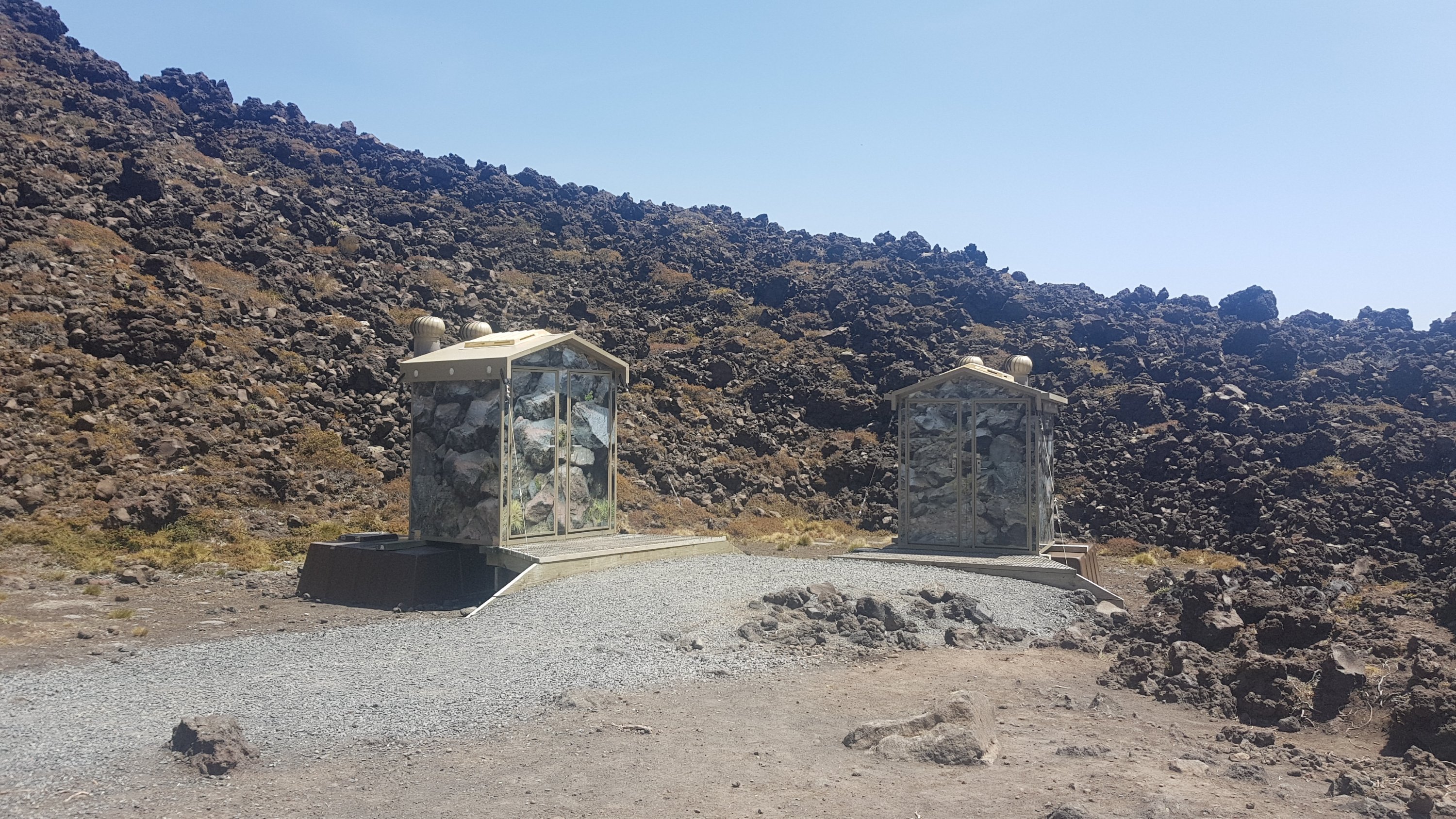
I wonder why they needed to make all the toilets camouflage colour. Did the iwi insist? Is it so they can’t be seen from a distance and spoil all people’s photos?
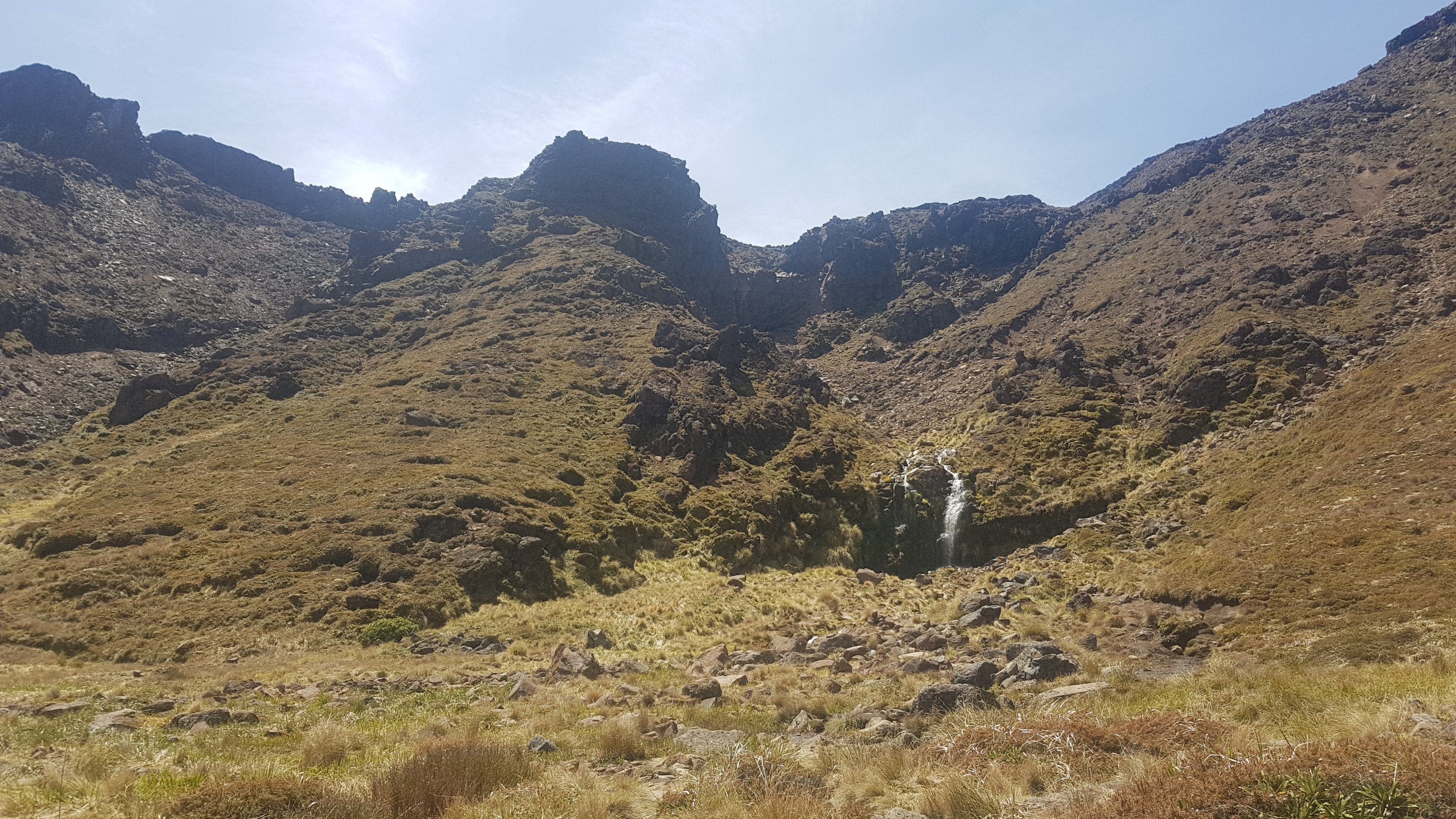
A waterfall called Soda Springs was one of the only points of note on this side.
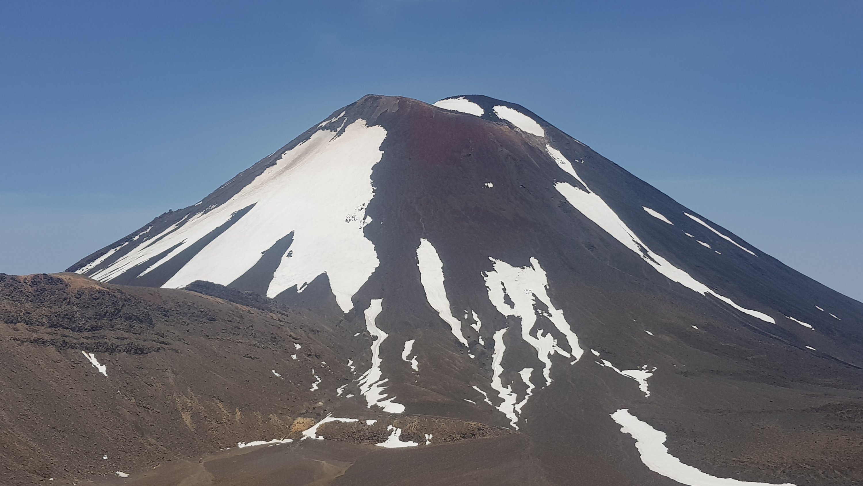
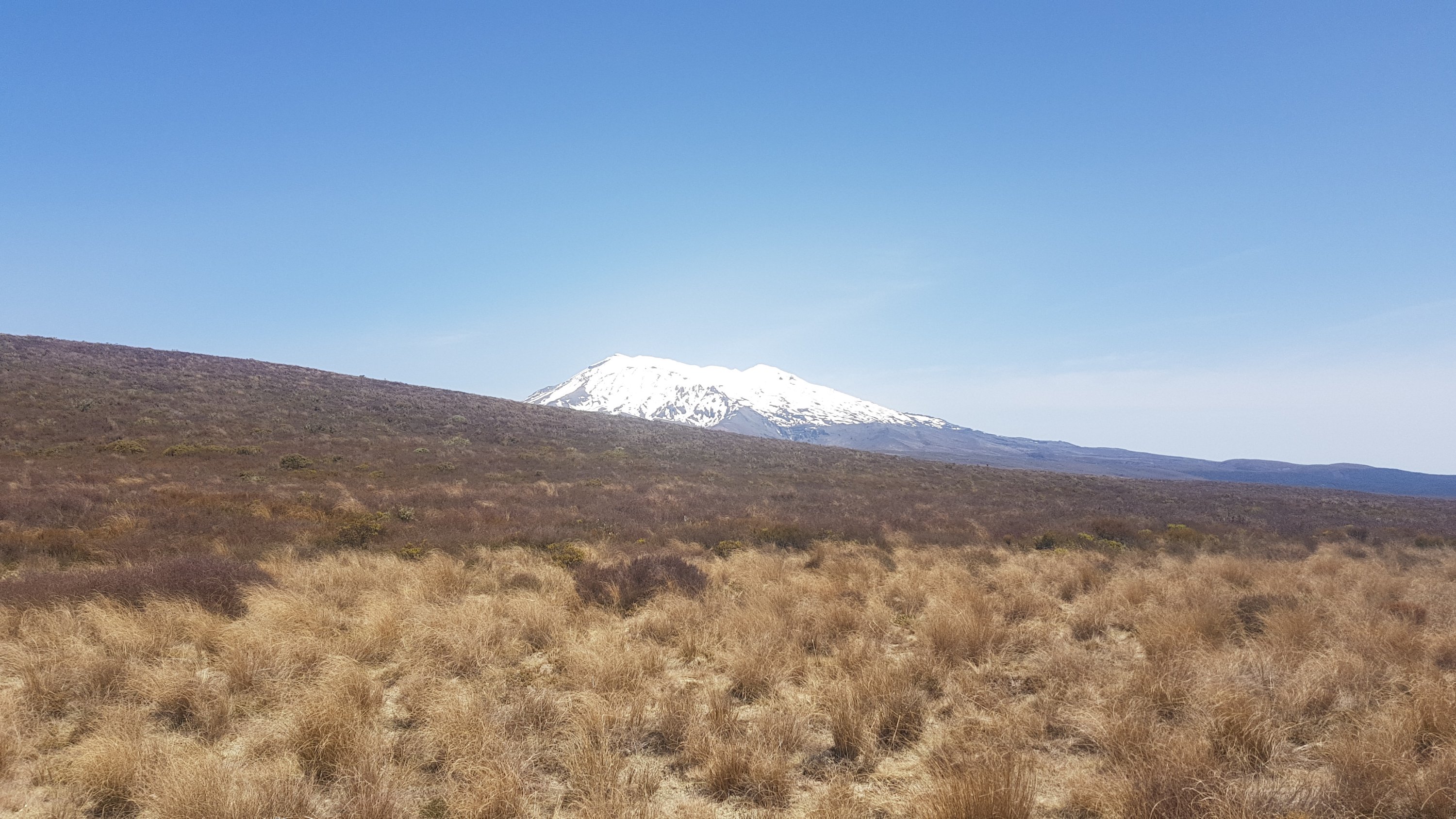
Even the view of Mt Ngauruhoe from this side isn’t as good. I did like the weather warning sign though. Today we were definitely on the correct side of the weather scale.
I had expected to see Mt. Ruapehu by now. We hadn’t seen it all day. I guess Mt. Doom was hiding it. But after a while, suddenly, there it was.
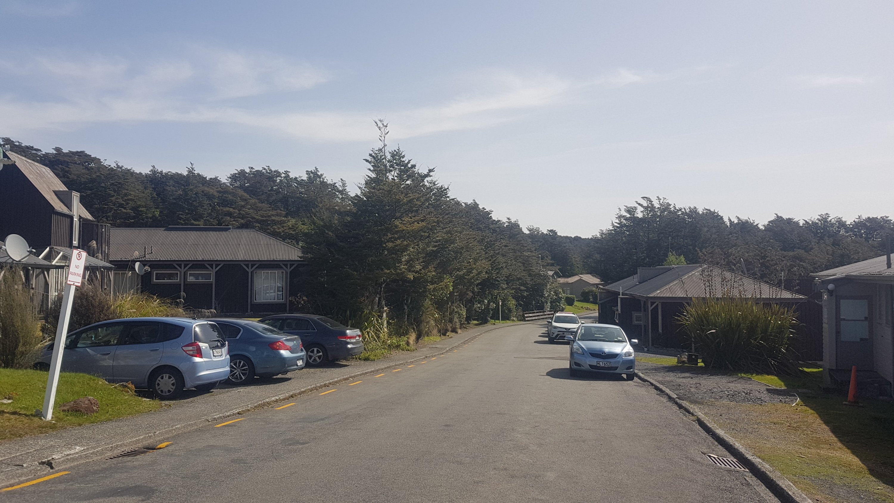
At the southern end of the Tongariro Crossing (the end for us, the start for most people) is the Mangatepopo DOC Hut. I didn’t make the short detour to see it but some TA hikers stay there. It needs to be booked in advance because the Tongariro Crossing is considered a “great walk” and huts and campsites on the great walks need to be booked during peak season. When we passed the turnoff, Peter emerged, saying he had spent an hour or two in the hut relaxing. Wow, he must have moved fast (but then he did skip the 7km of road walking this morning).
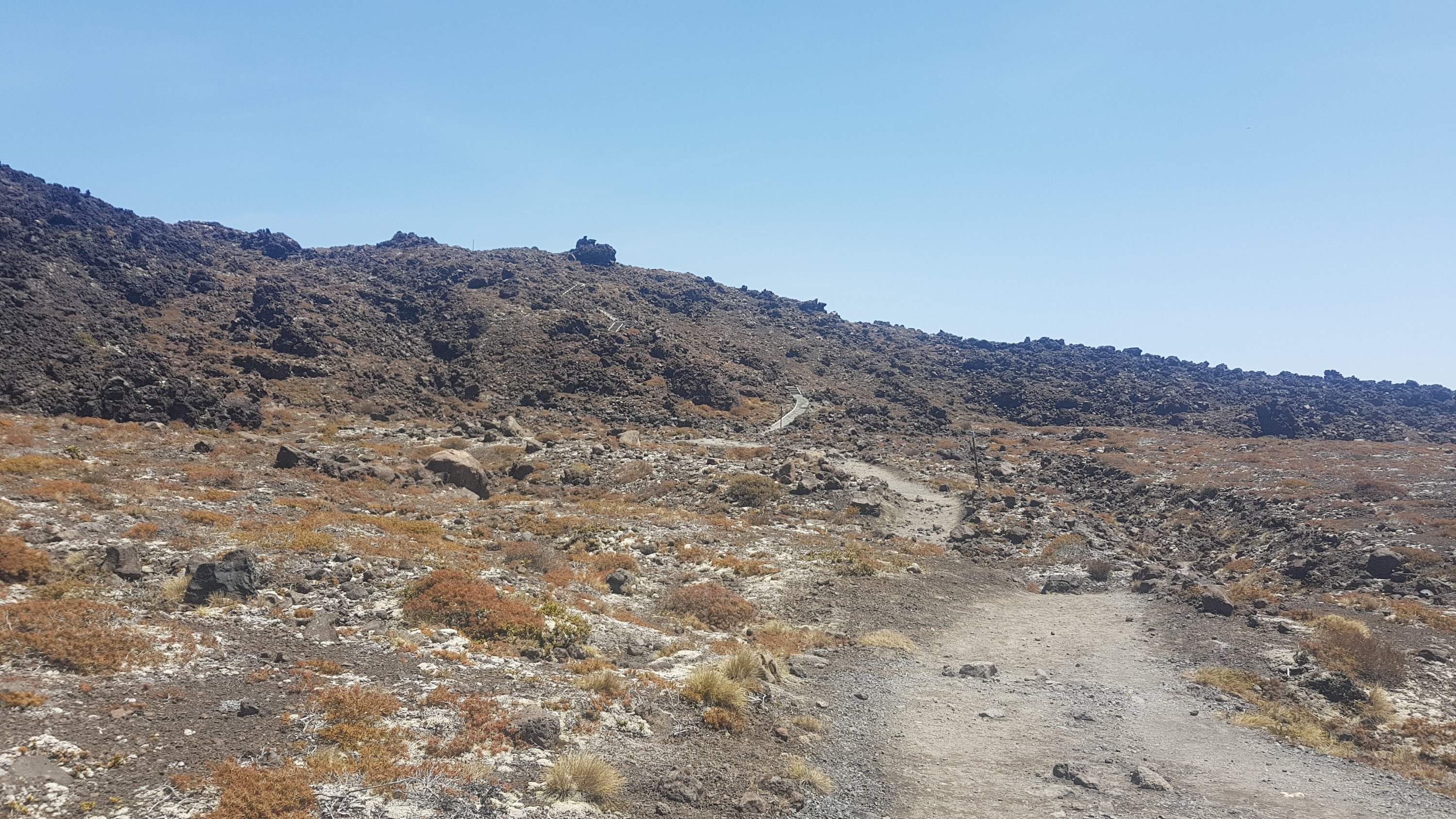
Near the hut is the car park for the start of the crossing. TA hikers however turn to the left and continue down a path like this to Whakapapa Village.
Hehe… Whakapapa Village. The “wh” sound is pronounced like the “f” in English and so it sounds like a swear word when you say it. I have been to this village many, many times in my life because of the snowboarding here and even now I still giggle when I have to say the village’s name.
There are quite a few streams on this bit of the walk. Thank God too because the 4 litres of water I brought on the walk was long gone by now. But is this water drinkable? Or is it volcanic? It doesn’t look discoloured. I sampled a bit of the water at one point. Tasted okay, so I filled up one of my water bottles. I found out later that everyone else did the same thing. We all seem okay!
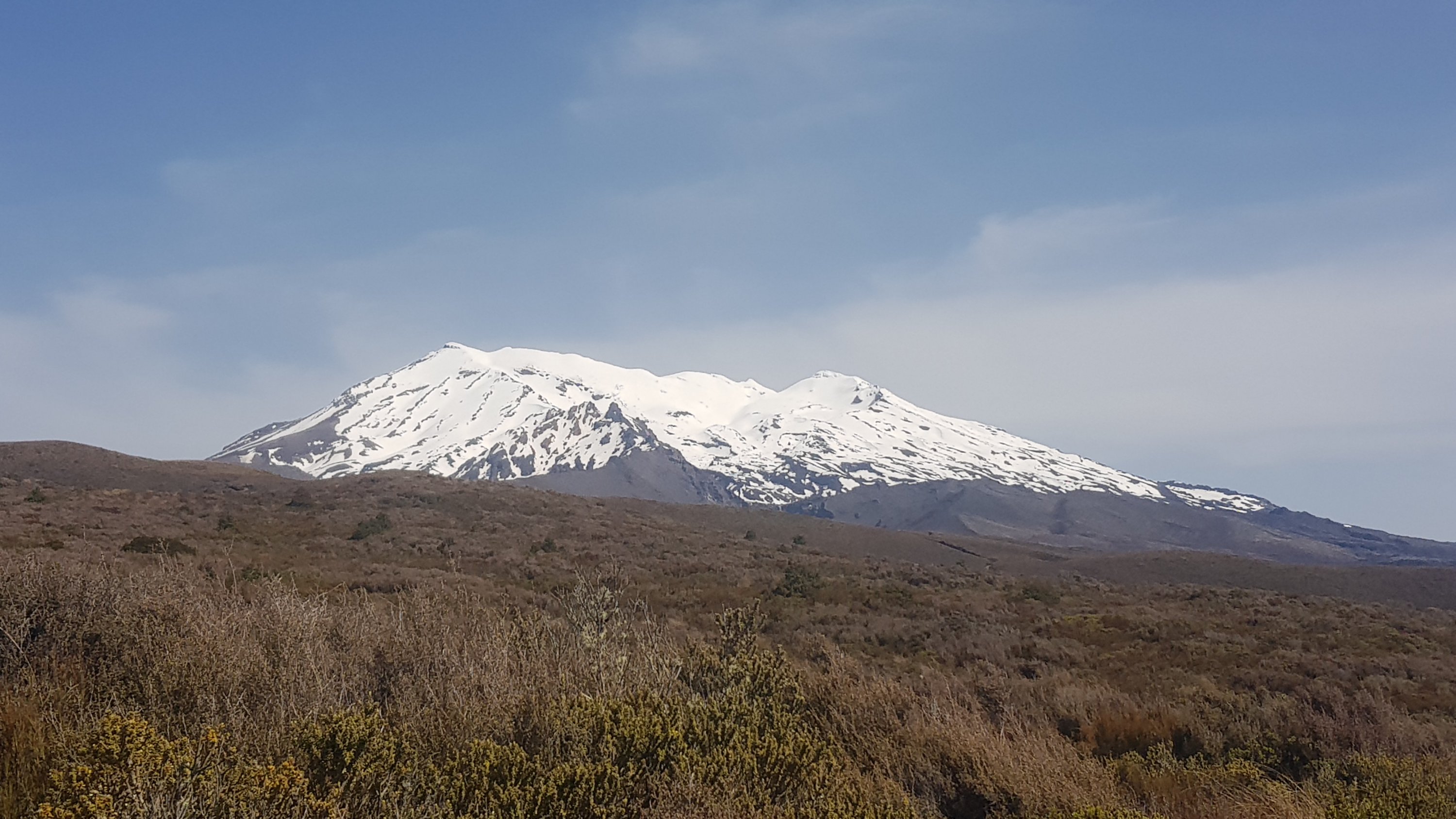
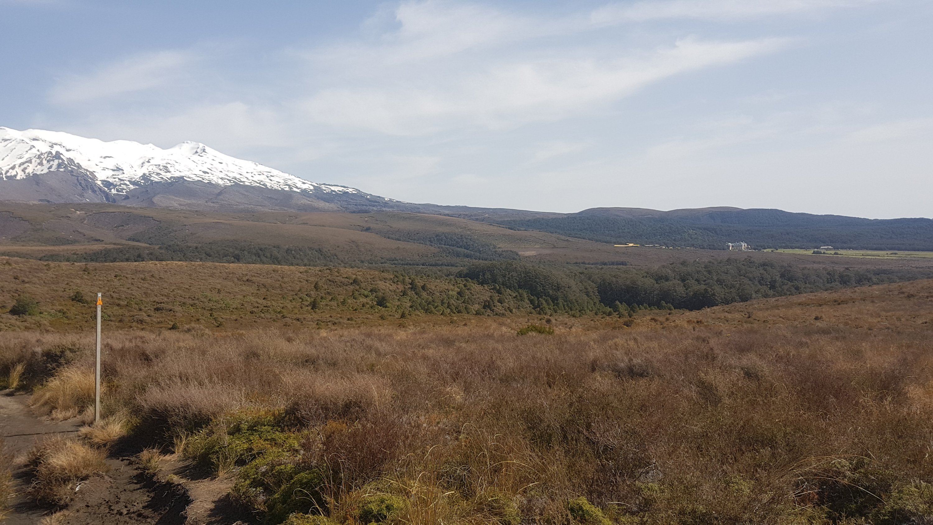
The view of Mt. Ruapehu got better as the walk went on.
And I never get sick of looking back at Ngauruhoe.
After a long day in the sun though, I was really looking forward to seeing some sign of the village. It had all been mountains and rocks up to this point. Surely, the village has to be around this hill:
It was indeed! You can just see The Chateau in the distance on the right.
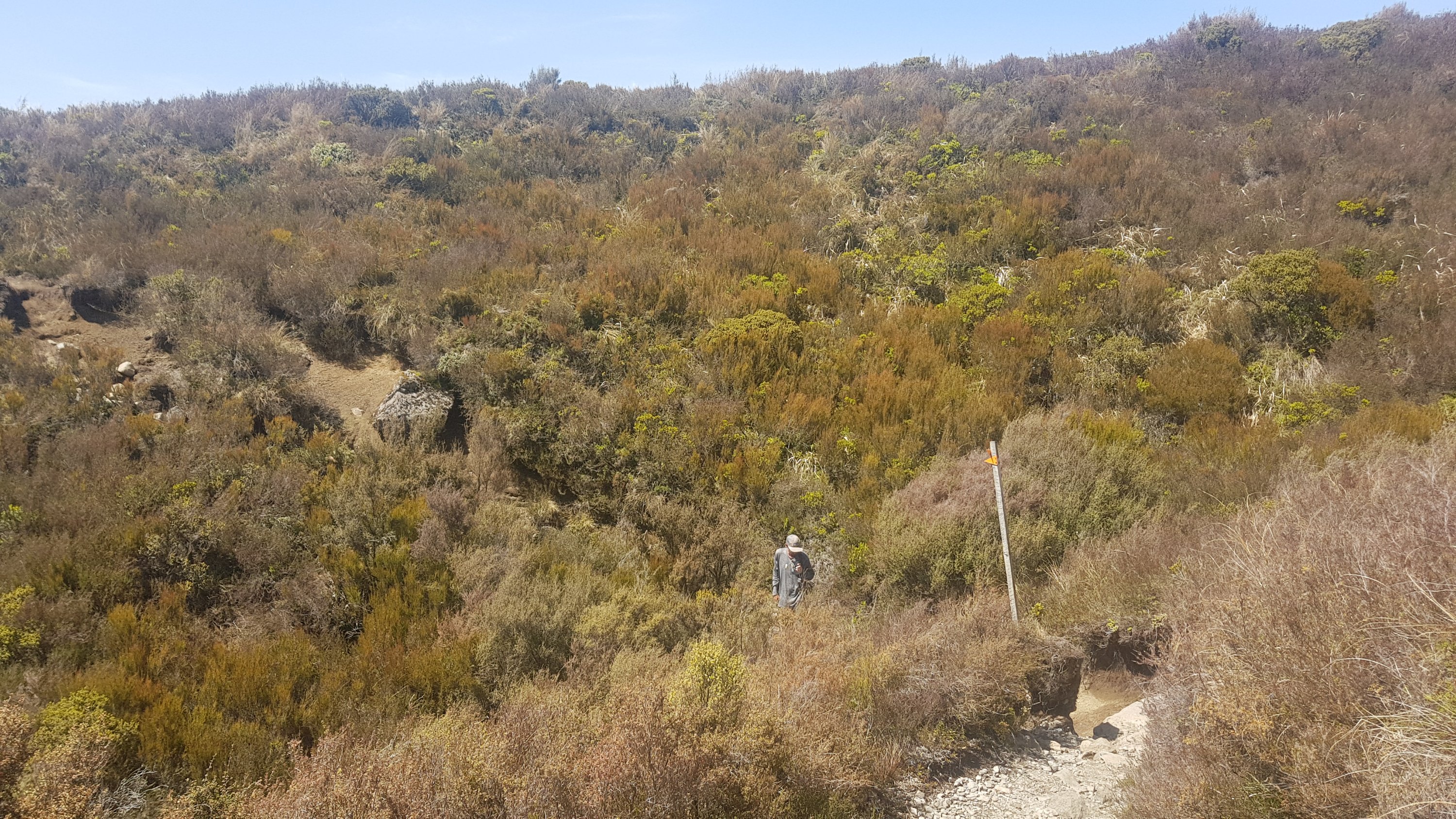
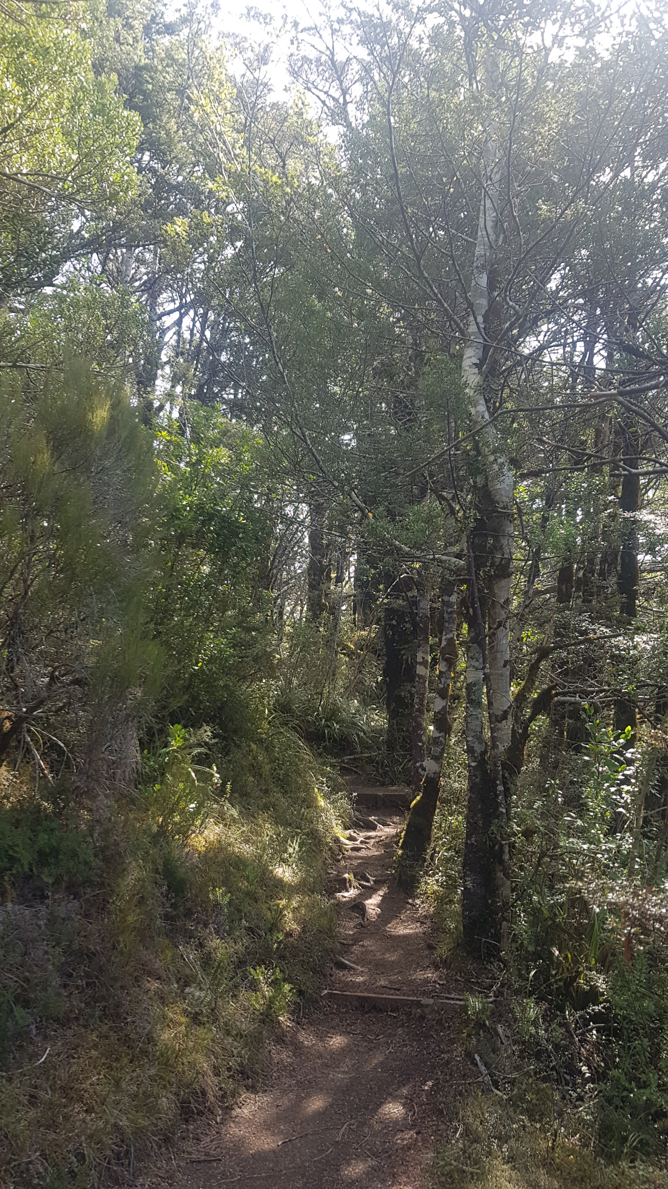
I pressed on in the heat, and the closer I got to the village, the nicer the paths became. I think there are quite a few walking tracks to various things in Whakapapa.
And finally, here’s the first view you get of the village once there:
A left turn and there’s the blue sign for the holiday park. Hooray.
It was really good to have a shower. Before getting in the shower I did notice how ridiculous my tan lines are now.
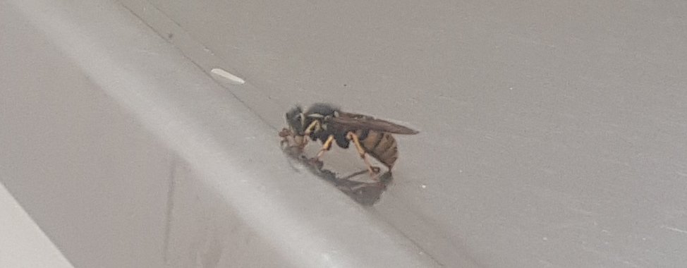
And there was the biggest wasp I’ve ever seen by the handbasin.
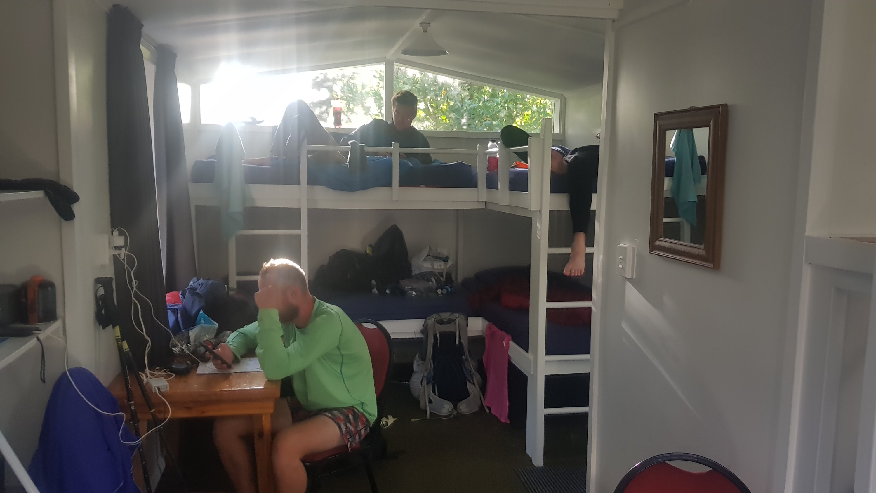
We again had booked into a cabin which was the same price as at Tongariro – $27 per person for five of us. Although this one had air conditioning! Well, it had an air conditioning unit. I’m not convinced that it did anything except blow recirculated air.
After that monumental day it was definitely time to go for a beer and dinner in the village. We knew there was a bar in the village and so we had been looking forward to this all day. On the way we saw The Chateau up close.
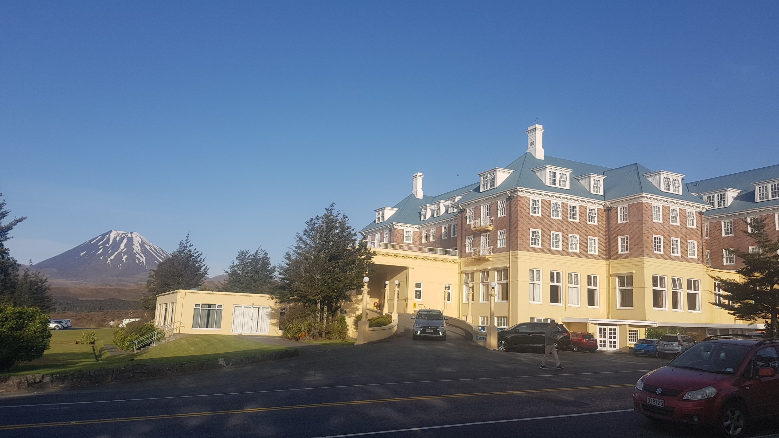
From memory having gone there once many years ago, it was quite a fancy place. We saw a lot of people having a formal dinner in there. They probably wouldn’t let us in!
We weren’t headed there though. We were headed here (across the road):
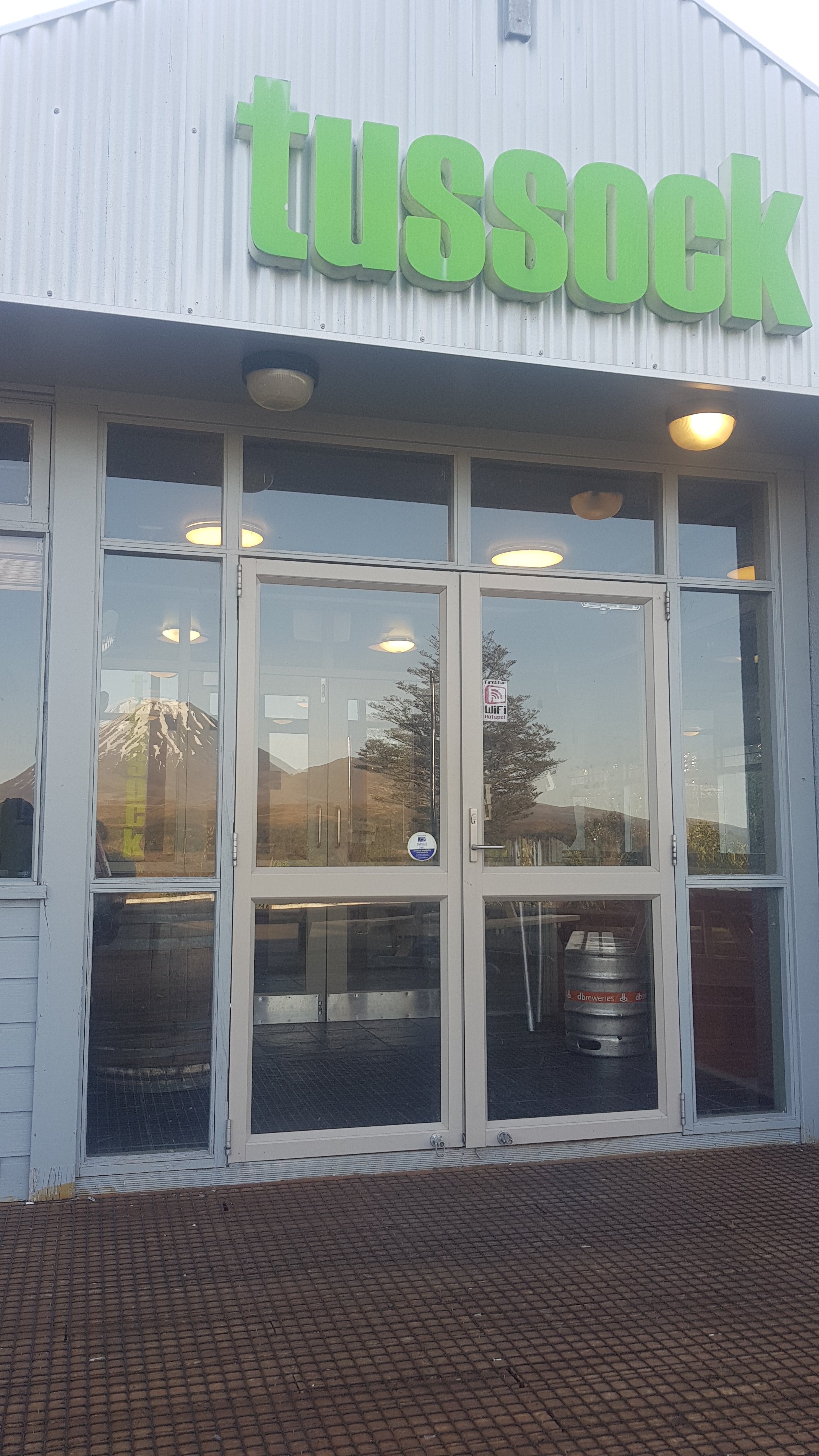
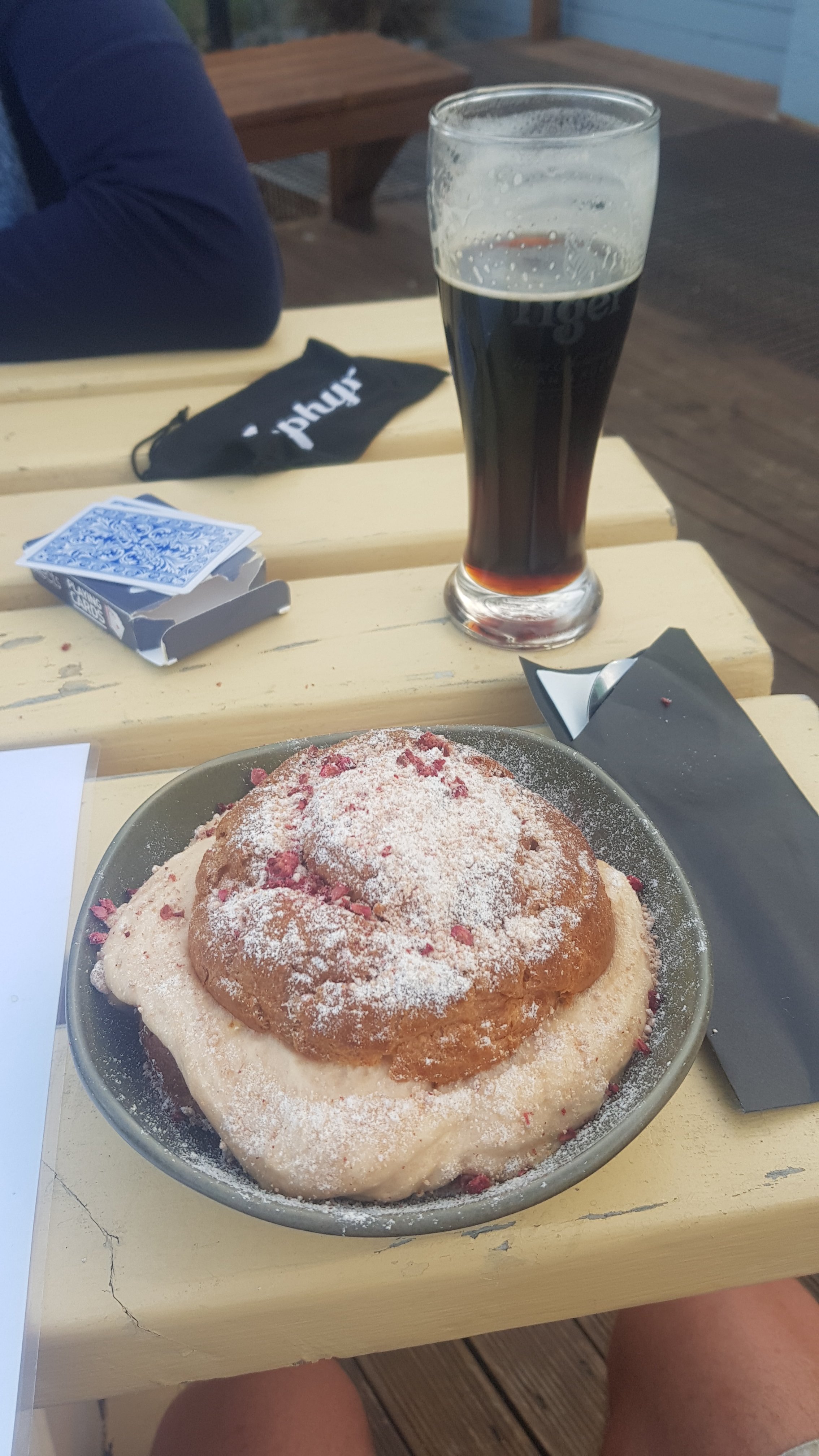
I have still been craving an Espresso Martini ever since Day 1, and still haven’t had one. Unfortunately I couldn’t get one from here either. But they did have Monteith’s Black on tap, which is a fantastic beer. I had a couple of those, a vegetarian burger, and this thing which is called a Tussock Snowball – a jumbo profiterole with caramel mousse, rum and raisin ice cream and toasted white chocolate.
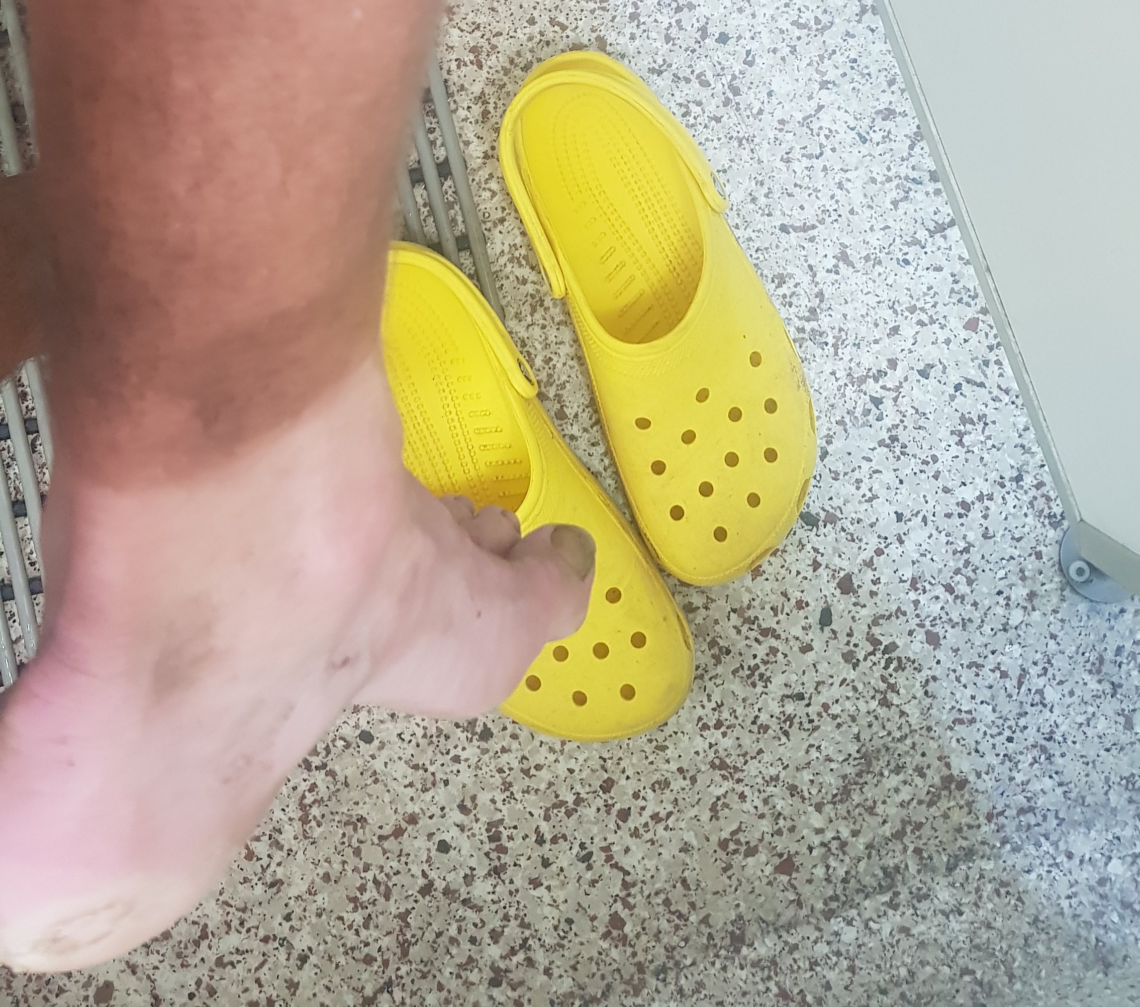
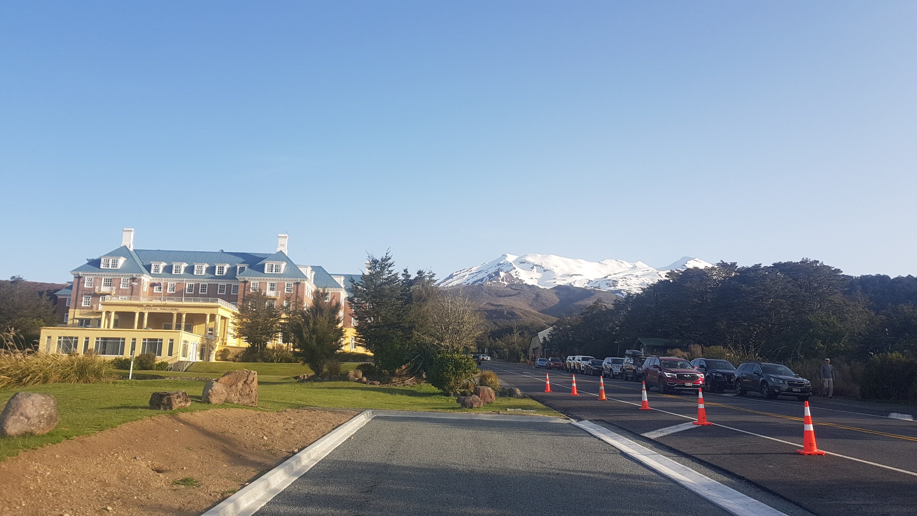
One of the subjects discussed today while walking down the mountain was favourite cocktails. And so we thought “to hell with it”, let’s go to The Chateau. The worst that can happen is we get turned away because we are stinky hikers. Well we didn’t get turned away, despite the yellow crocs, and I got my Espresso Martini!
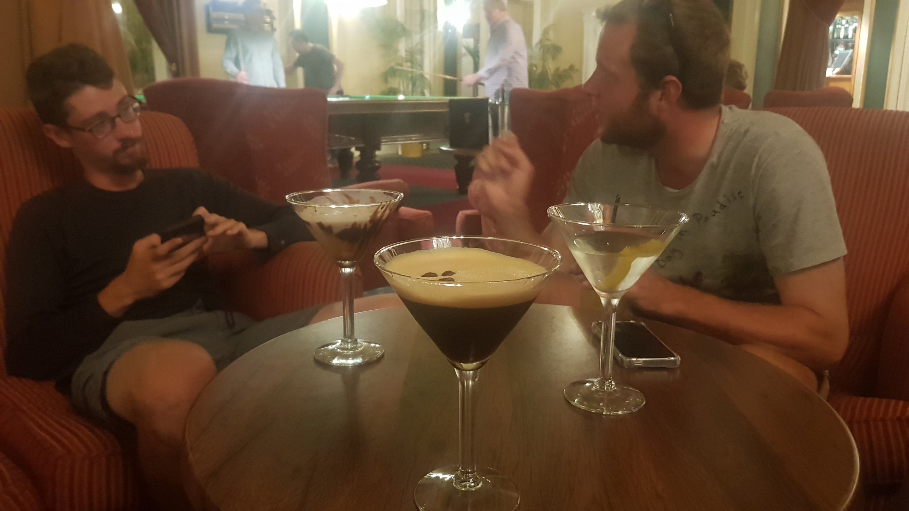
It was good, but not very alcoholic. And the service was real slow, with just one waiter for the lounge area and one guy making drinks. It was 10 minutes before we even got any table service and then at least another 20 minutes before we got our drinks.
When I got my drink I said “awesome, I’ve been waiting two months for this” – referring to the amount of time since I was initially craving it on Day 1. However I think the waiter interpreted that comment as a dig at the slow service and he didn’t look happy. I tried to explain what I meant but I just kept digging myself further into a hole. Oops. Oh well… the service was slow anyway!
We just got the one cocktail because you could see the exhaustion on everybody’s faces. Then we went back to the holiday park and went to sleep.
I realised that I never saw Henry today. I wonder how he got back to his car or what he did after the crossing. He is doing the river journey three days after the rest of us so that his girlfriend can join him, so I might not see him again until close to Wellington if he catches up again.
Everyone today said that this was the best day so far and the steep section up to Red Crater was probably the toughest individual section on the entire trail. But we are glad it is over as we are exhausted and sunburnt.
Today's walk on the map (blue = Te Araroa, red = today's walk):
It sounds like an awesome day. I’m glad the weather was good for you and how awesome that you got the Espresso Martini to celebrate the achievement.
I can definitely confirm that even as a runner, it is difficult to run up that track. I’ve done a run that does a full circle around Mt Ruapehu, and it uses the same last part of the track you walked, after the bit where you turned left. I loved it and I’m doing it again next year. If / when you get on Facebook next, I tagged you in a pic that I took of Blue Lake at Sunrise.
Great blog post 😀 I laughed about the waiting 2 months for the cocktail. At least the chateau let you in though! Such a beautiful building.