Date: 25 October
Distance walked: 28.7km 
Trail covered: kms 412.2 to 440.4
Weather: overcast
Butts in the mud: 1
Today was really an emotional rollercoaster.
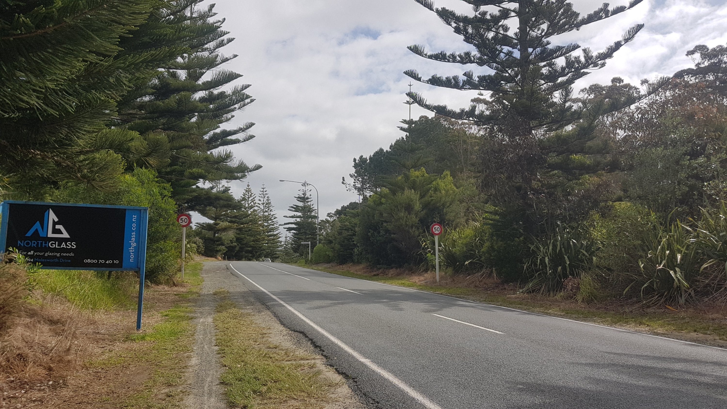
It started off well. I realised I could walk without any pain, at least for now. I went to the Waipu Cove dairy to get coffee, because the Cove Cafe didn’t open until 9 and I was there at 8:20am. The coffee from the dairy was not as good as the coffee from the cafe but that was to be expected, and it was passable.
Even though the ultimate goal today was Mangawhai Heads, a relatively large town, I still had to carry a full load of water because with my foot hurting as recently as last night, I wasn’t sure if I’d actually make it there. Just in case I was in for a night in the forest, I had to stock up on water. The Guthook app showed no water sources available between Waipu Cove and the possible camping spots so I took over 2 litres with me.
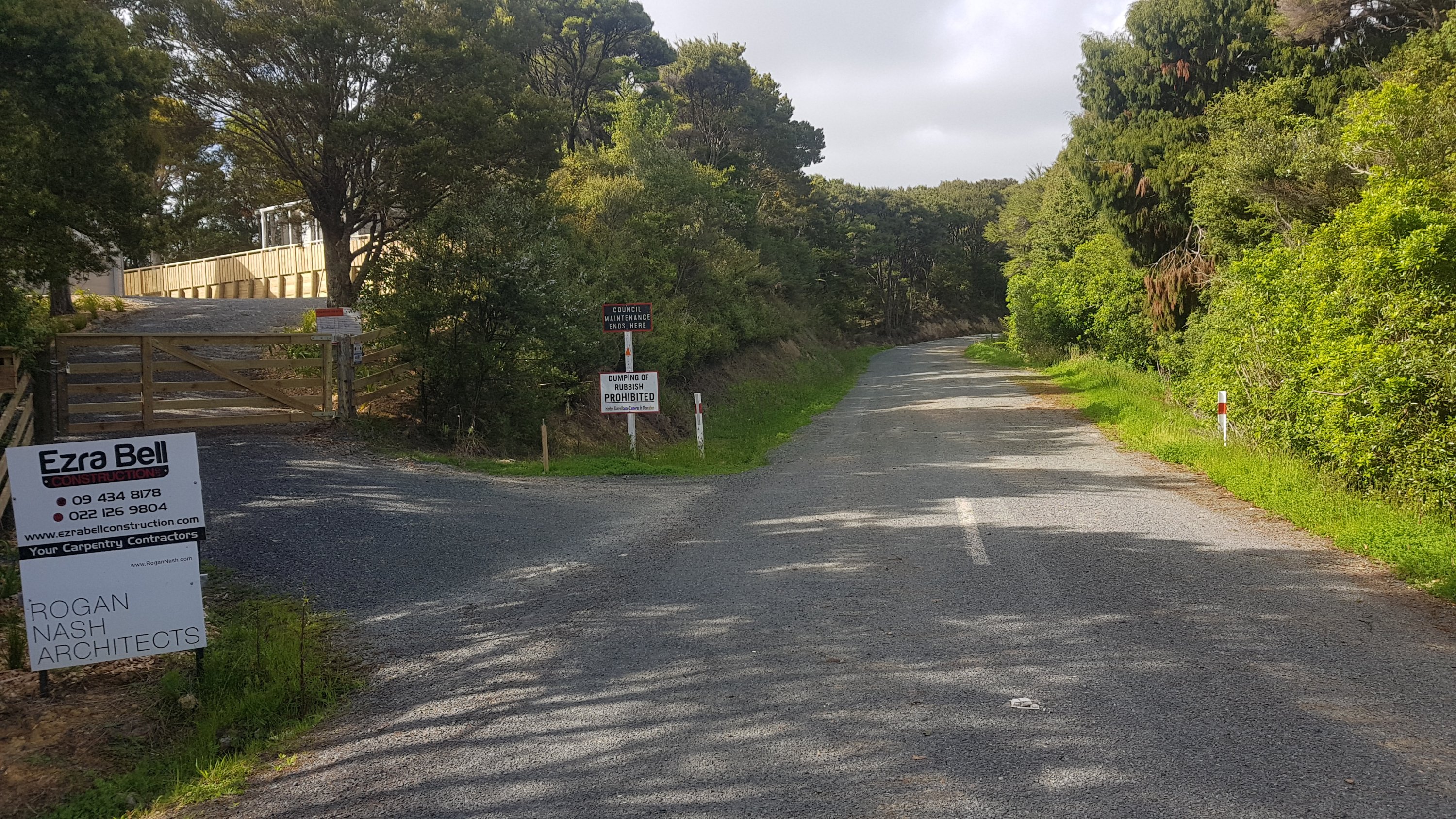
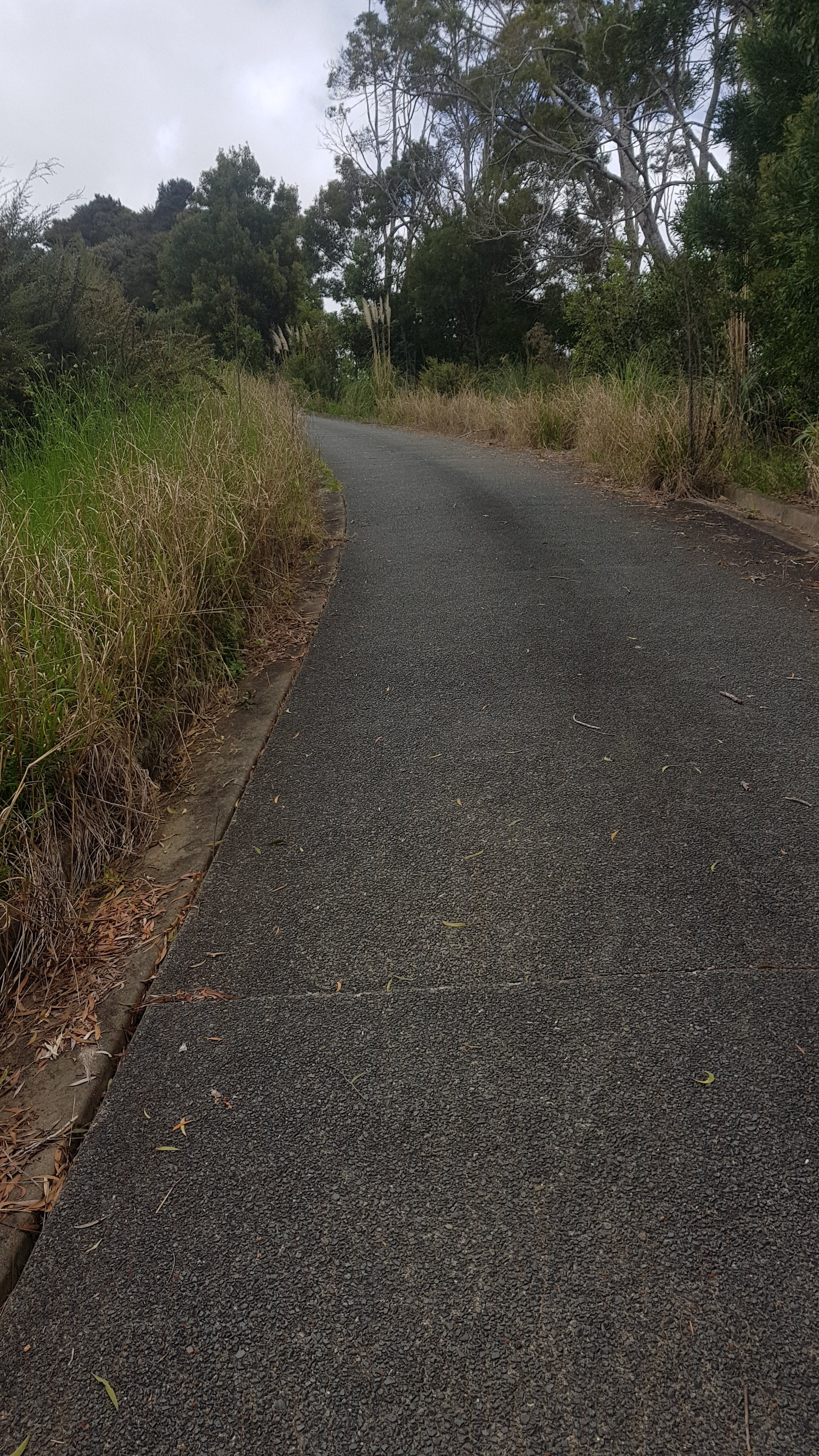
I returned the key and went north to rejoin the trail where it continued up Cullen Road. It was a 275 elevation change uphill but because it was over a long distance, it seemed easy.
After 6km, where I felt like I was largely at the top of the hill, I was happy because my feet didn’t hurt. The two rest days must have done what I’d hoped they’d do.
But then suddenly, at 6.5k in, I got sudden pain in my other foot. Not my right foot, which is the one that I’ve been resting for the last 2 rest days and the 7 rest days that I had the week before… this time it was the left foot. It hurt so much I could barely walk.
HOW THE HELL IS THIS POSSIBLE???? 😡😡😡😡😡😡😡😡
I have literally just rested two and a half days. I have never had any pain from this foot since the swelling I encountered after 90 Mile Beach on Day 4. This makes absolutely no sense.
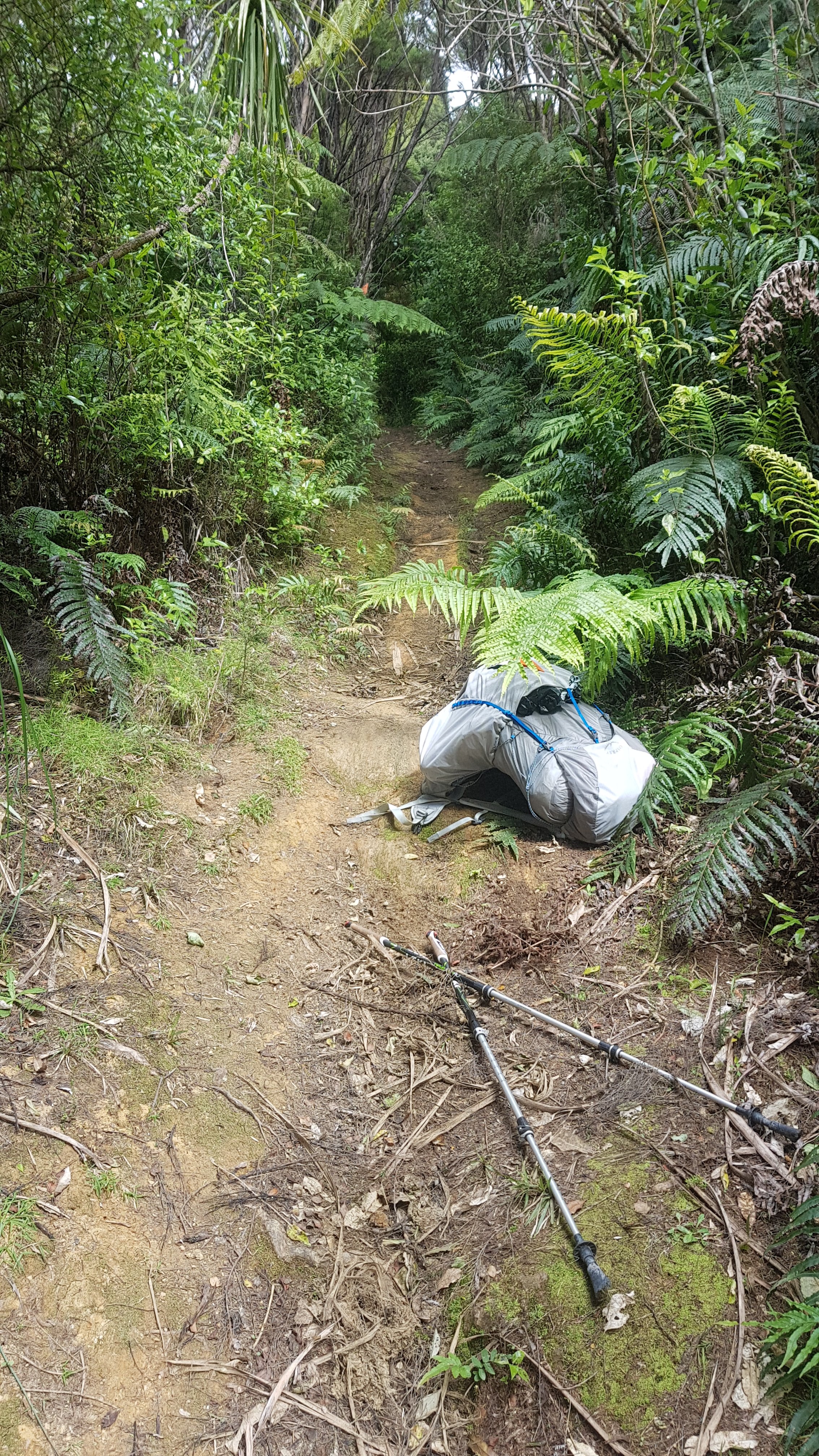
I sat down where this happened but it was very exposed and windy and unpleasant. So I hobbled down a further two kilometers into the bush, which seemed to take forever.
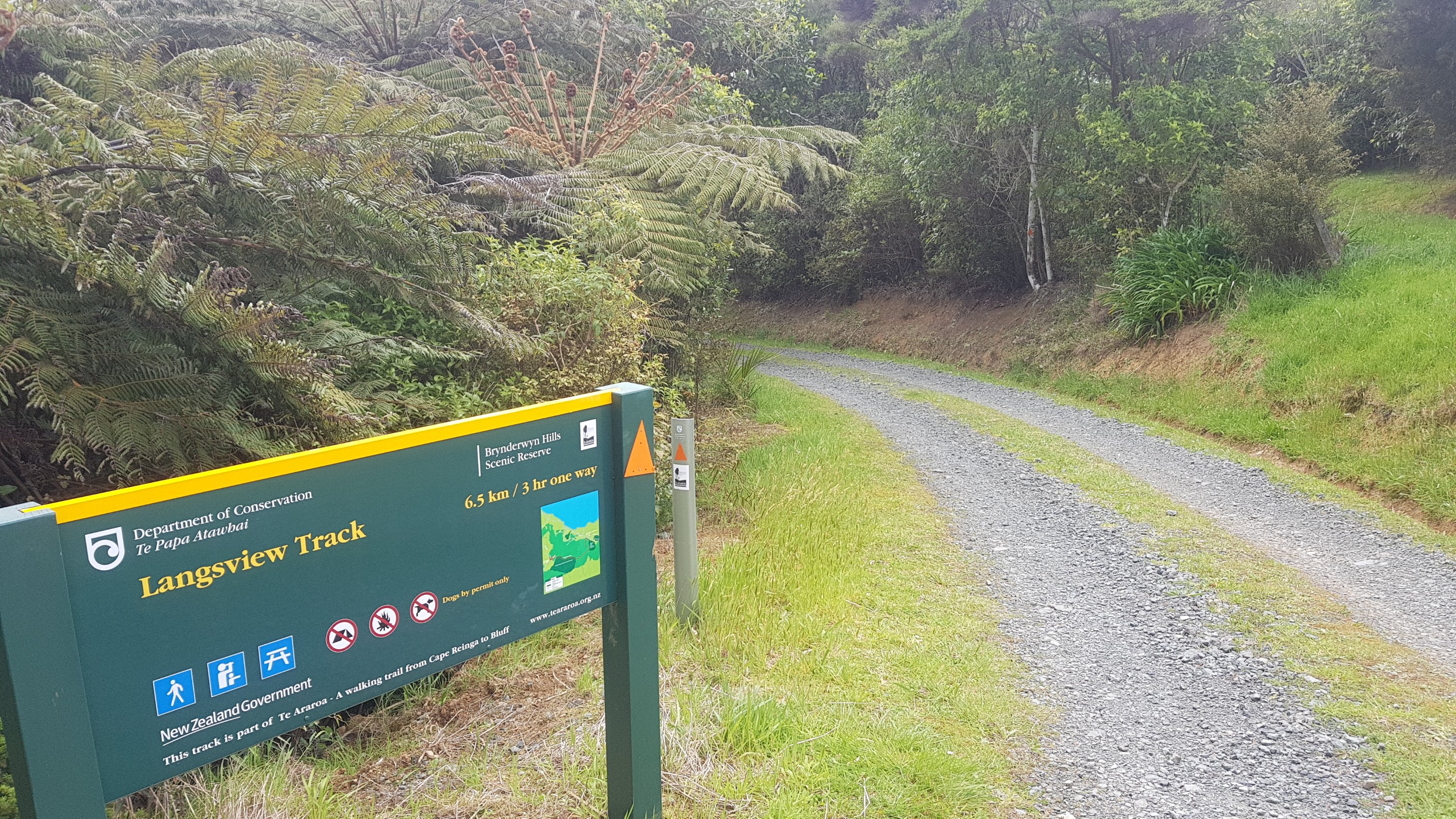
The first part of the walk was called Langsview Track.
Passed a lot of private property.
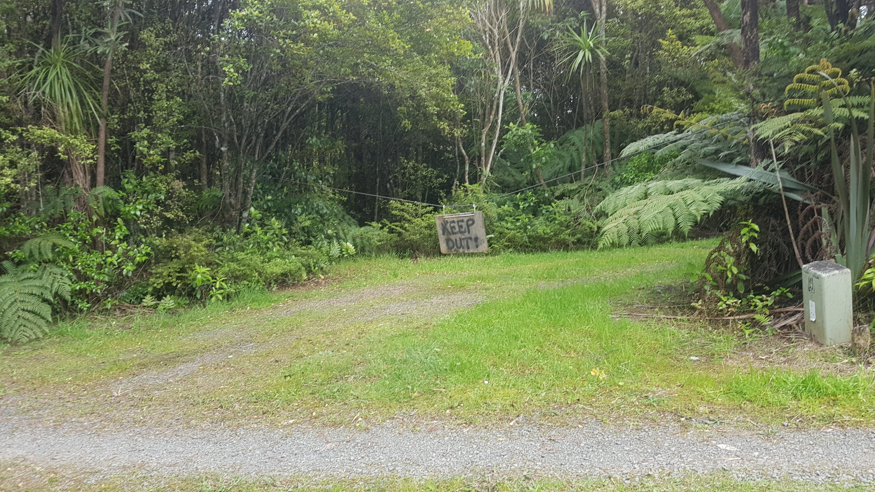
And a lot of keep out signs.
And not long after that, probably two minutes into the bush, is where I fell flat on my butt. The first time that I’ve fallen properly. That really did not help my mood. I think I fell because 1, I was in a bad mood anyway and 2, I forgot to take the rubber tips off my walking poles once I came off the road and therefore on the slippery dirt I had less support and grip than usual.
So with my left foot in a lot of pain and having just fell on my butt, I nearly broke down and started crying.
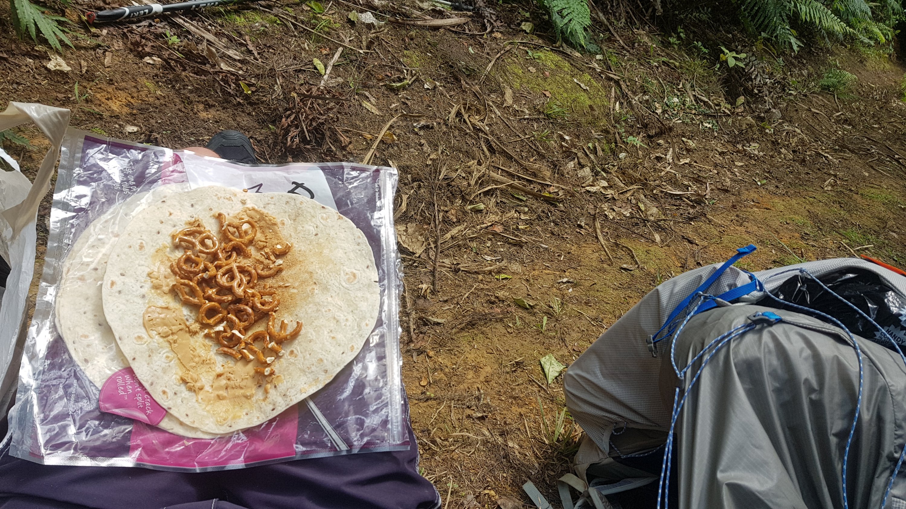
Fortunately I didn’t cry… I just sat exactly where I fell and had some food and rested. 11am passed during this time and so my 11am picture is the wrap I made for myself at this point. I’ve run out of pretzles now. Must get some more at Mangawhai Heads Four Square – if I make it that far and don’t die here in the forest on a track that is graded “easy”.
After sitting here for 45 minutes, I got up and was happy to find my left foot was no longer sore. Just one of those things I guess. The universe trying to even things out? Or just tell me to go slow, perhaps? Who knows. But I did go slow from here on despite being an easy track.
Saw this in the ground.
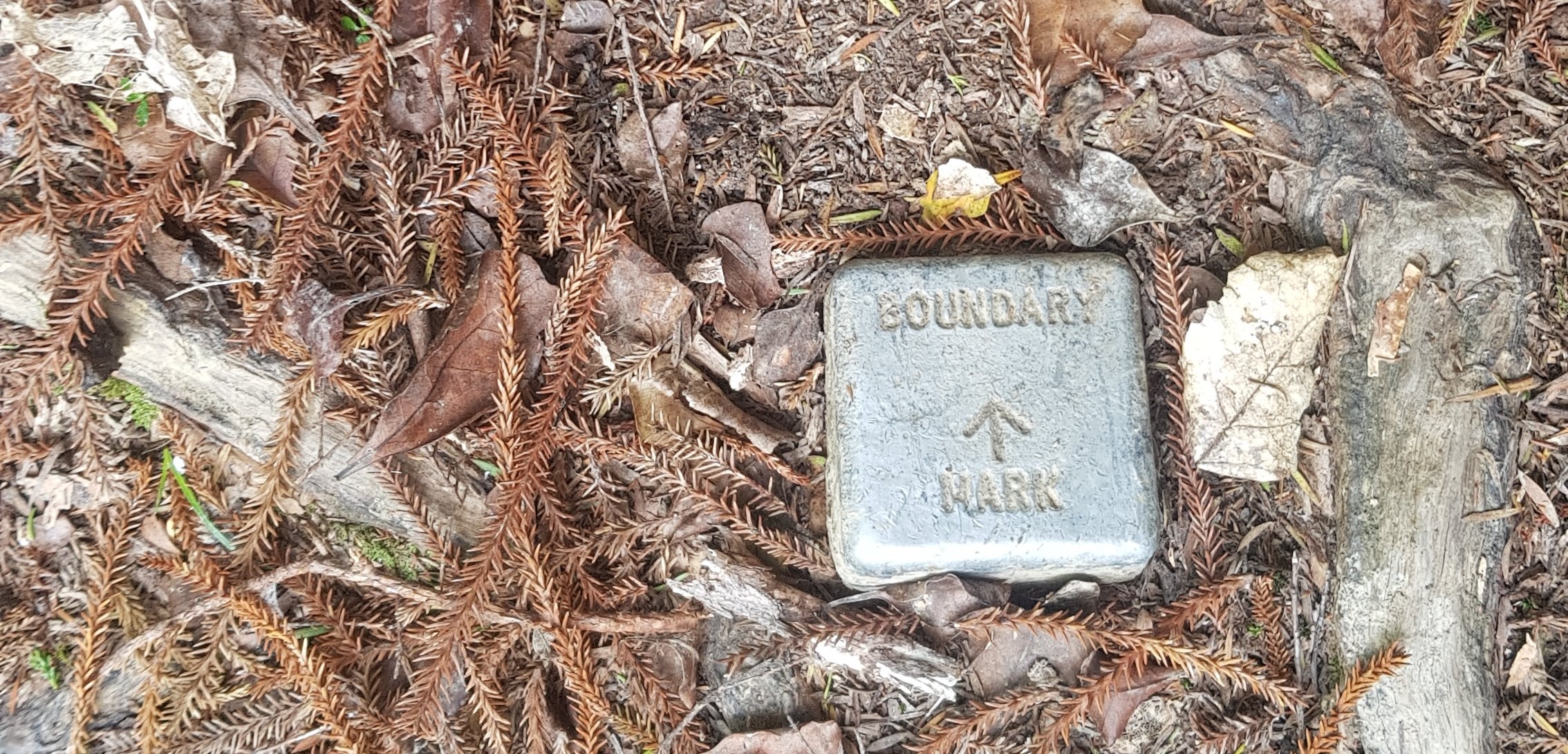
I looked at the map to see what it might be the boundary of. It could have been the boundary of the upcoming house’s land, or it is the boundary of the Whangarei District and the Kaipara District.
After a bit of gorse, which luckily I didnt have to walk right through:
I came across this. I really wasnt in the mood to go bush-bashing.
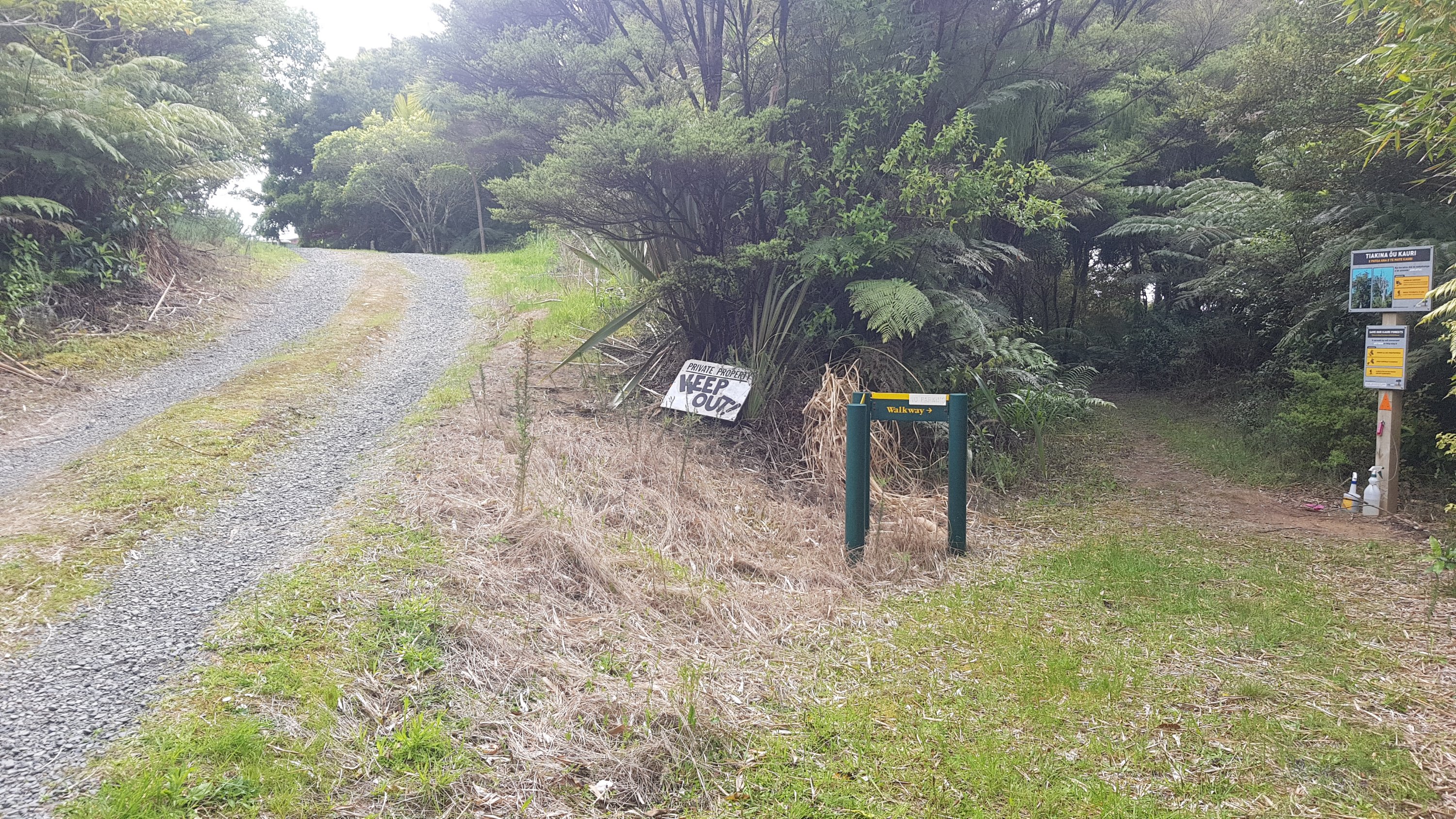
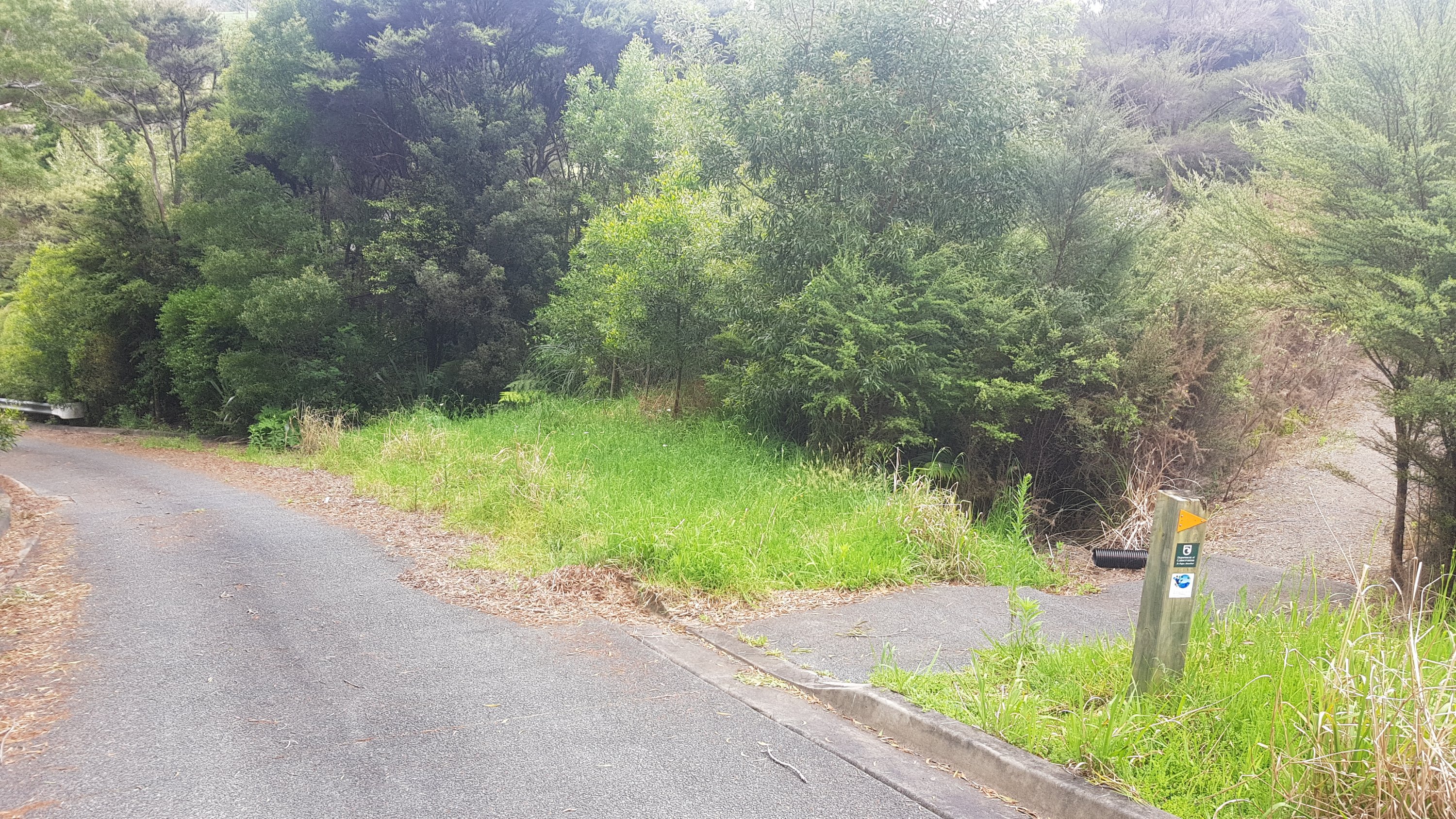
Luckily you don’t have to go that way. You turn left and go this way…

I started seeing these signs:
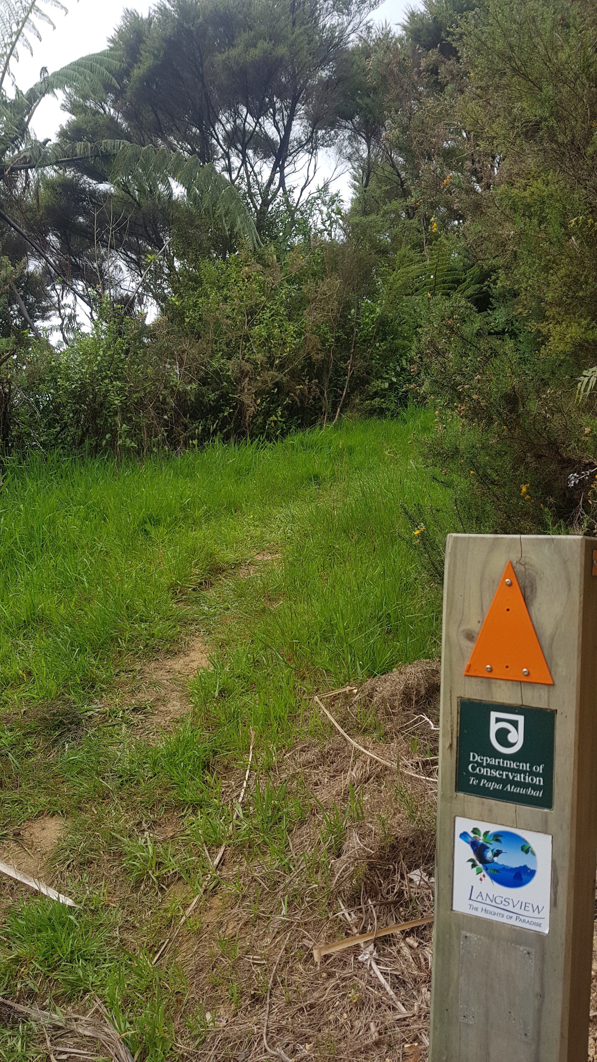
Just before I took that photo there was a huge black blowfly on the “PA” of Paradise. I shooed it away before I took the photo but then I immediately wished I hadn’t because it really epitomized the mood up to this point. I really didn’t feel like I was in any kind of paradise.
I know I’m whinging a lot. The thing is I don’t want this to be one of those blogs that only show smiling faces and beautiful scenery and people who make heart shapes with their thumbs and forefingers in front of sunsets. I want it to be an honest recollection of my trip.
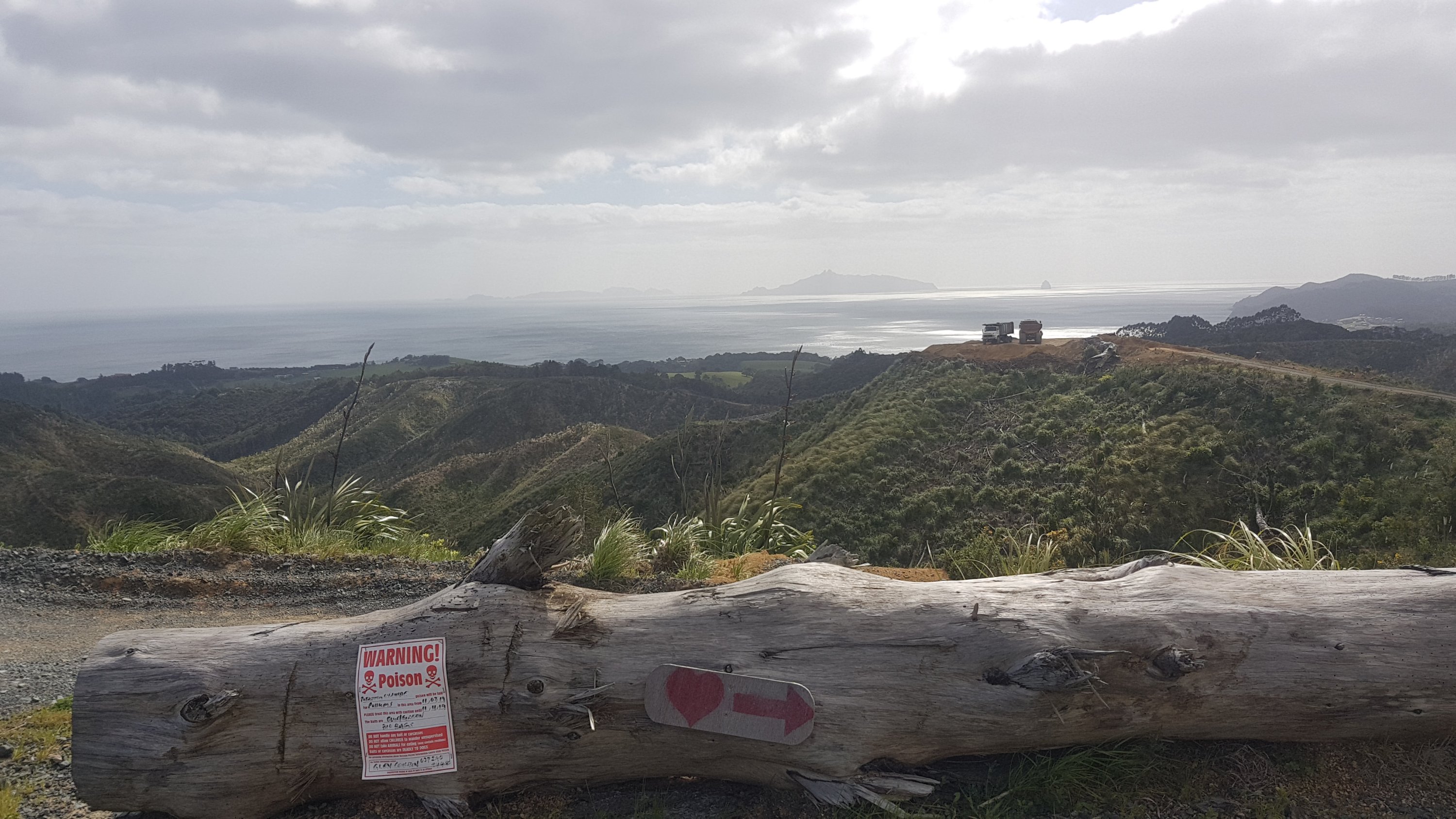
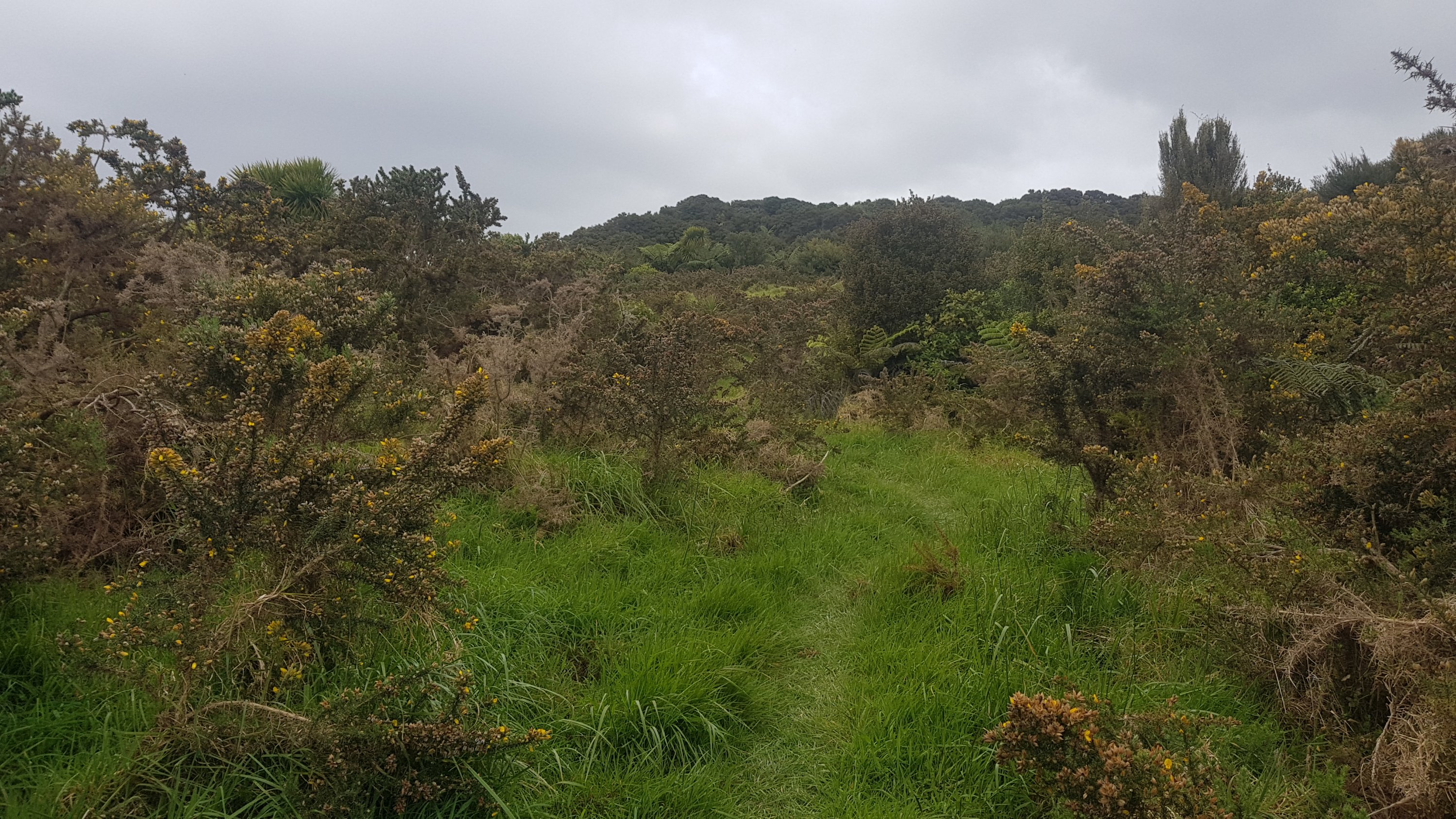
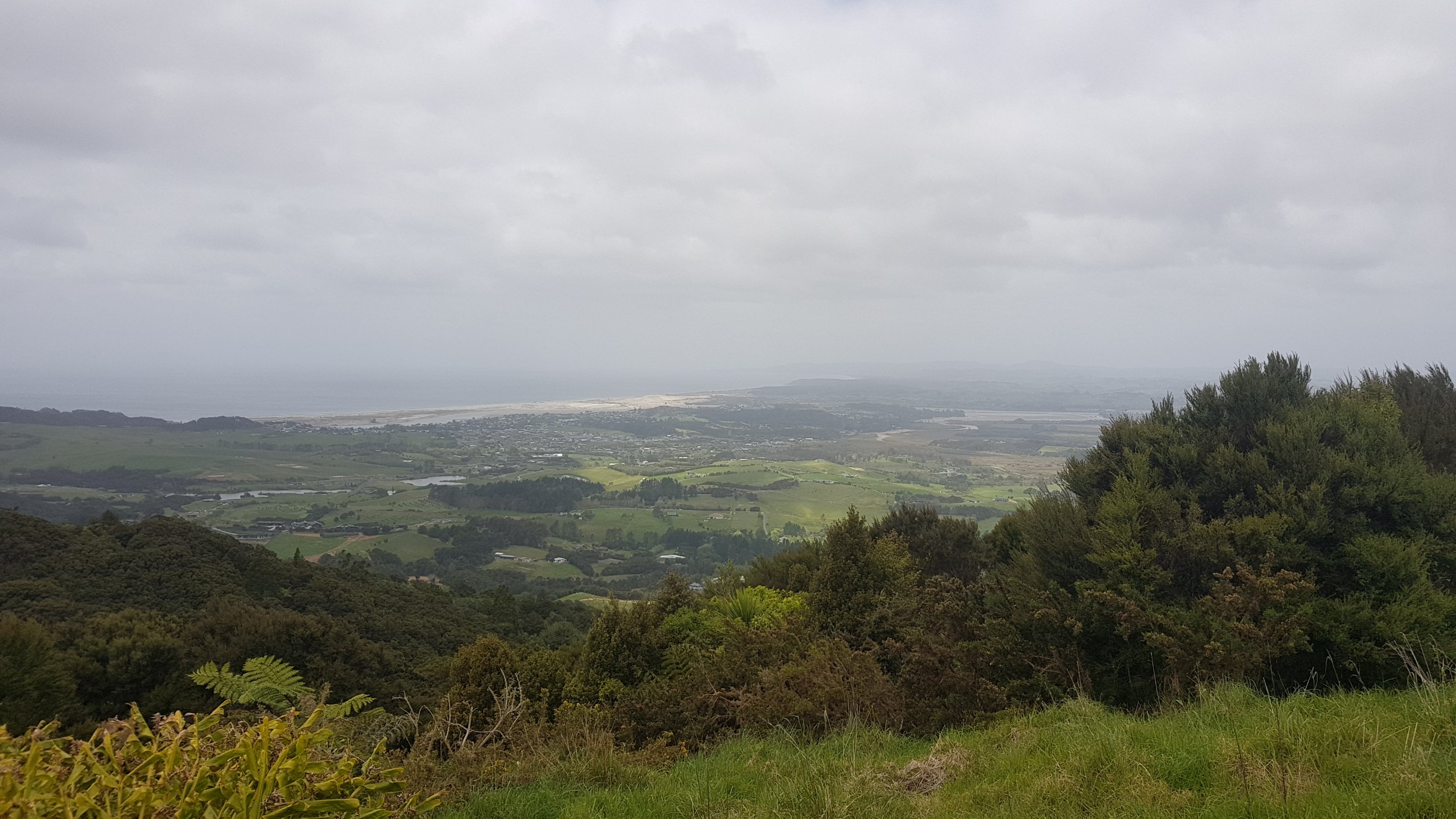
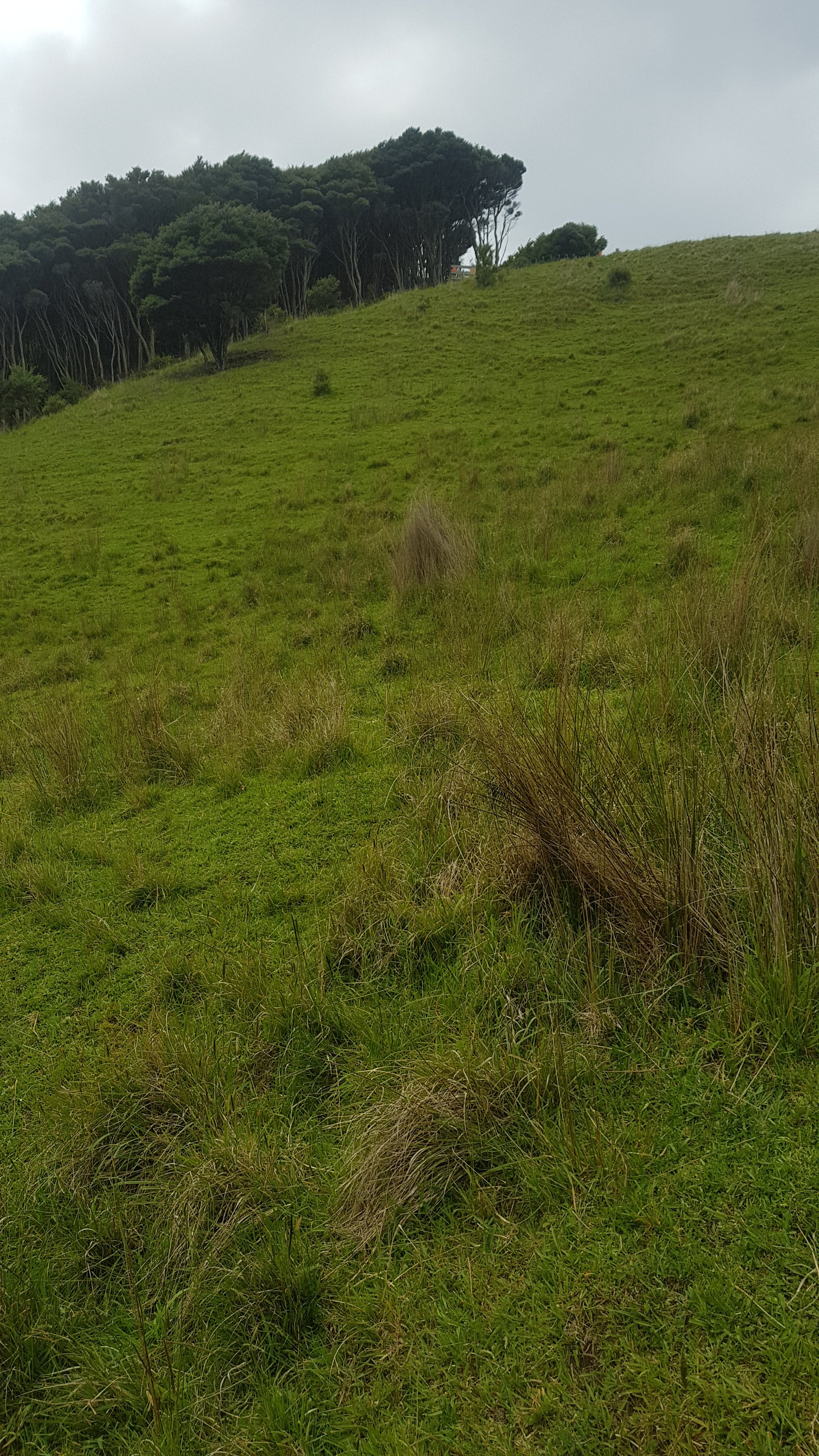
Things did start to look up though, when I saw this view of where I had been out one side:
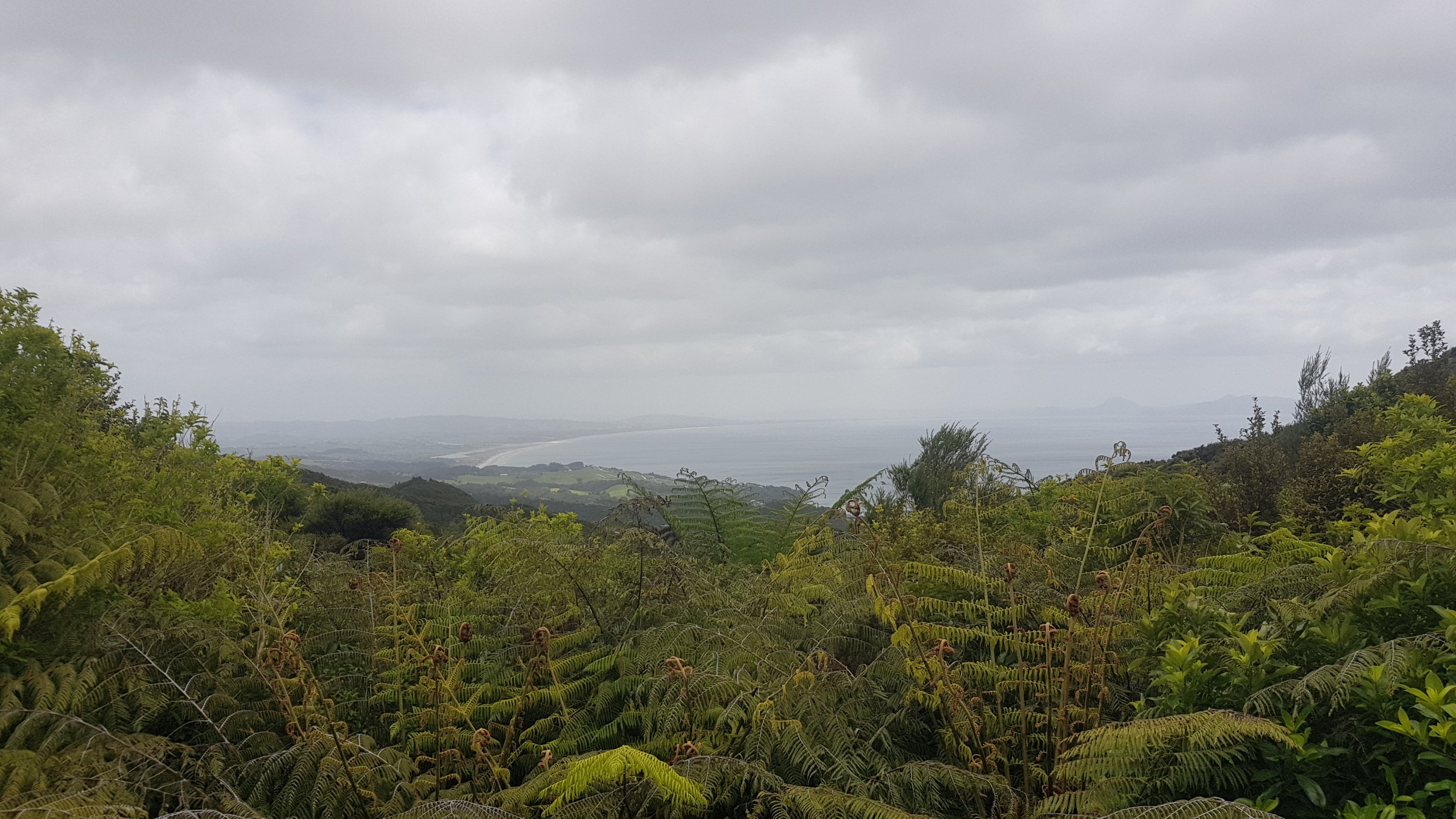
And where I was going out the other side:
Came across this house, and had to skirt around it to continue on the track.
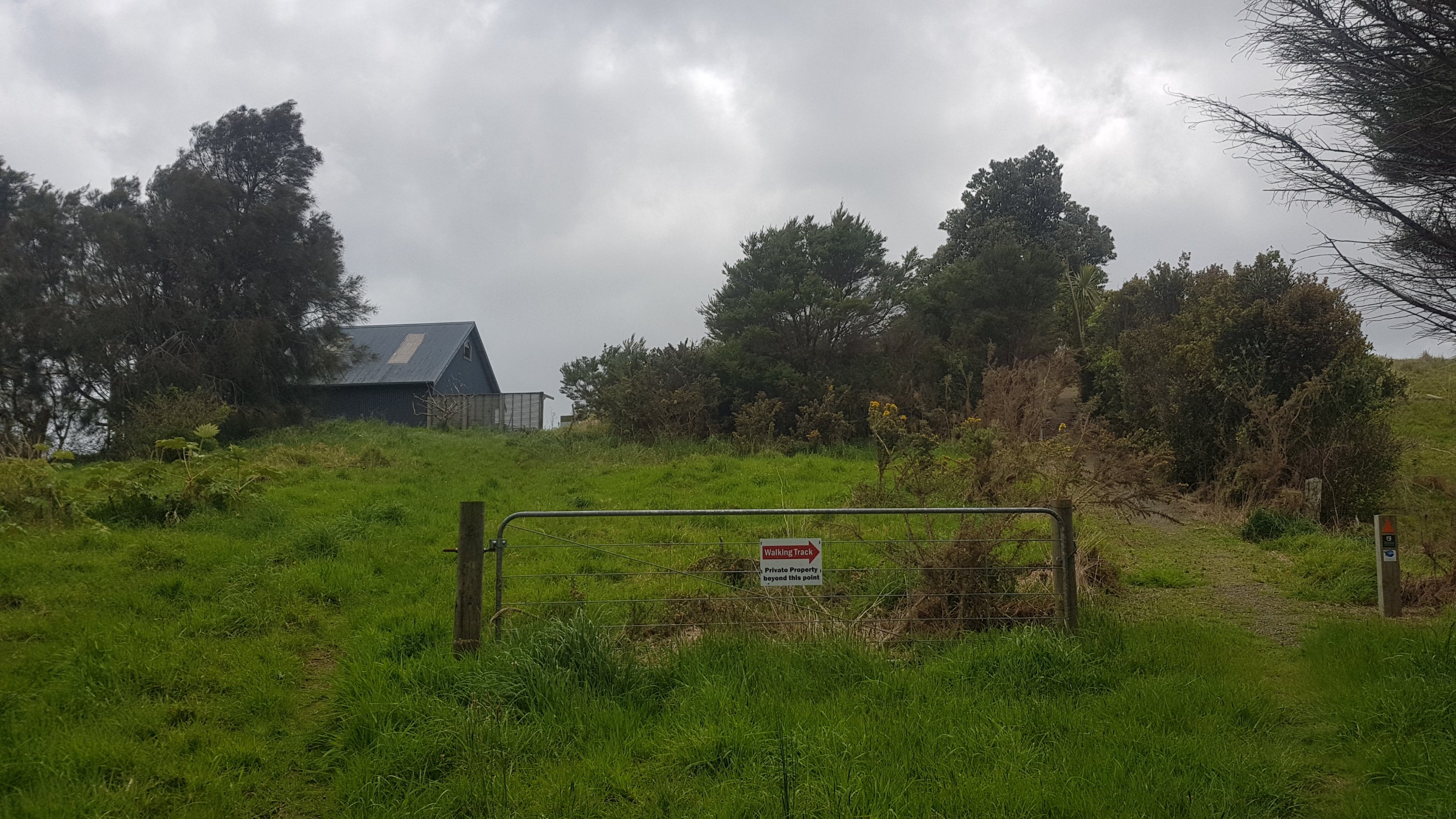
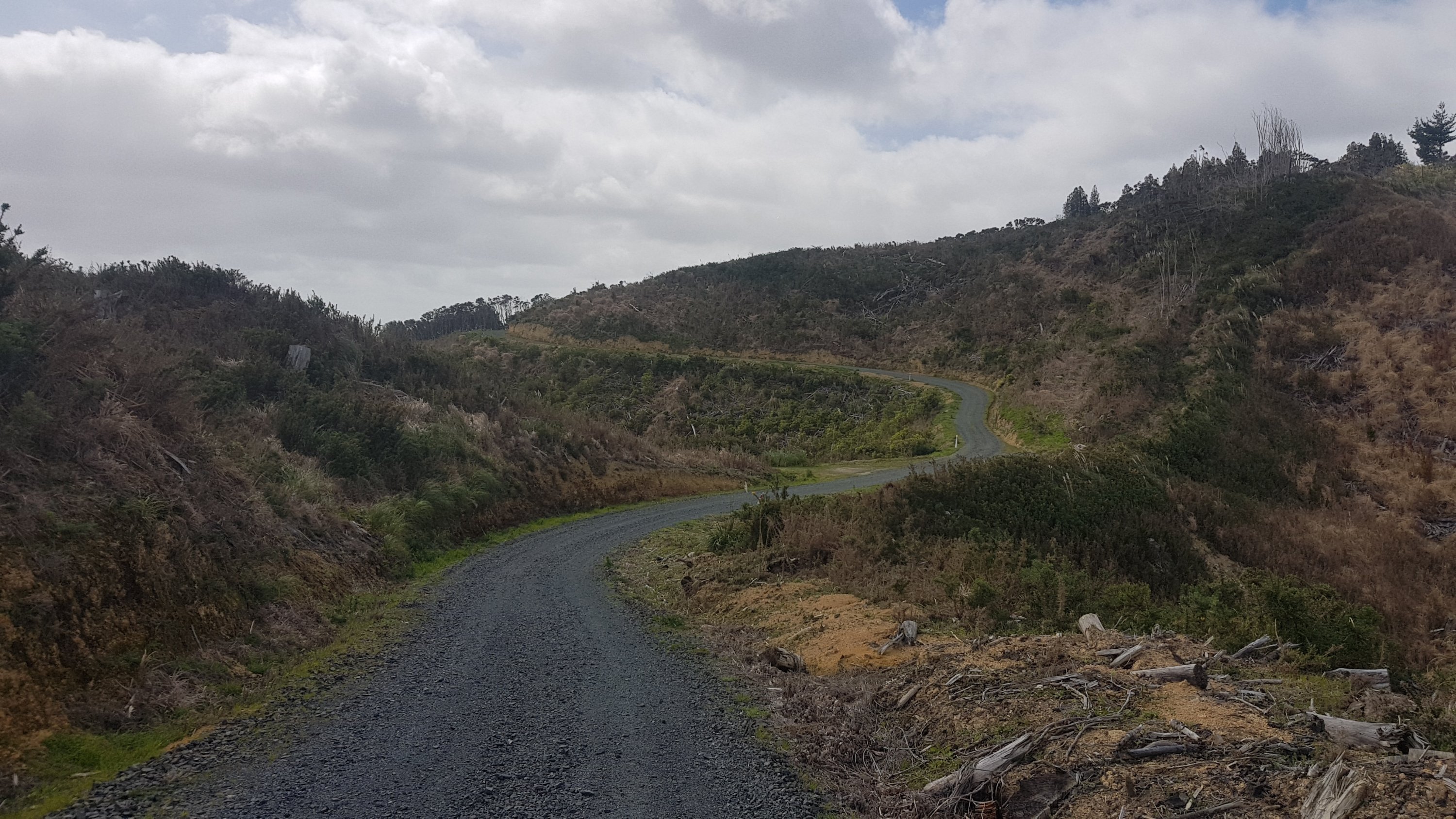
I just couldn’t see how anyone accessed this house. It was so high up and into the bush. But it had trailers and vehicles and other big things that must’ve got up there somehow. I guess it should have dawned on me that once you’d gone around this house, there was a road that will take you all the way down to the main road. It was a dirt road at first, and then a sealed road, but it was surprisingly steep.
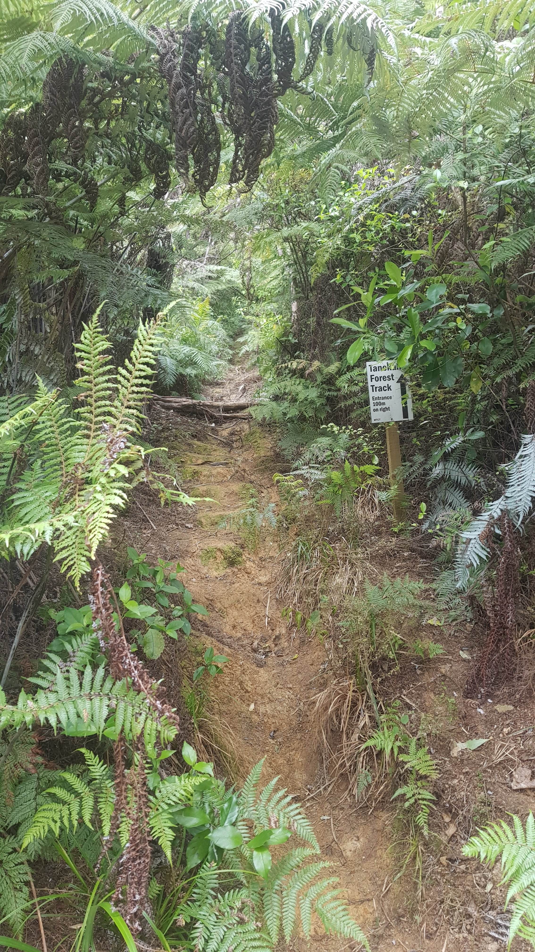
Just before the main road though was this little detour down a well-formed bush walk path. I say detour, but if you look at the map in the middle of the walk, it is actually “the way”. It must avoid something… maybe a dangerous stretch of Cove Rd? Trust in The Creators……
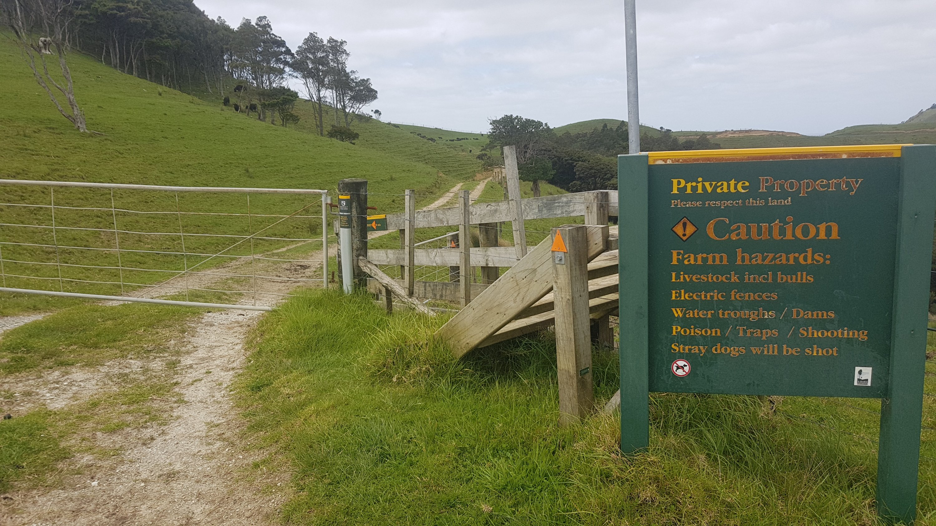
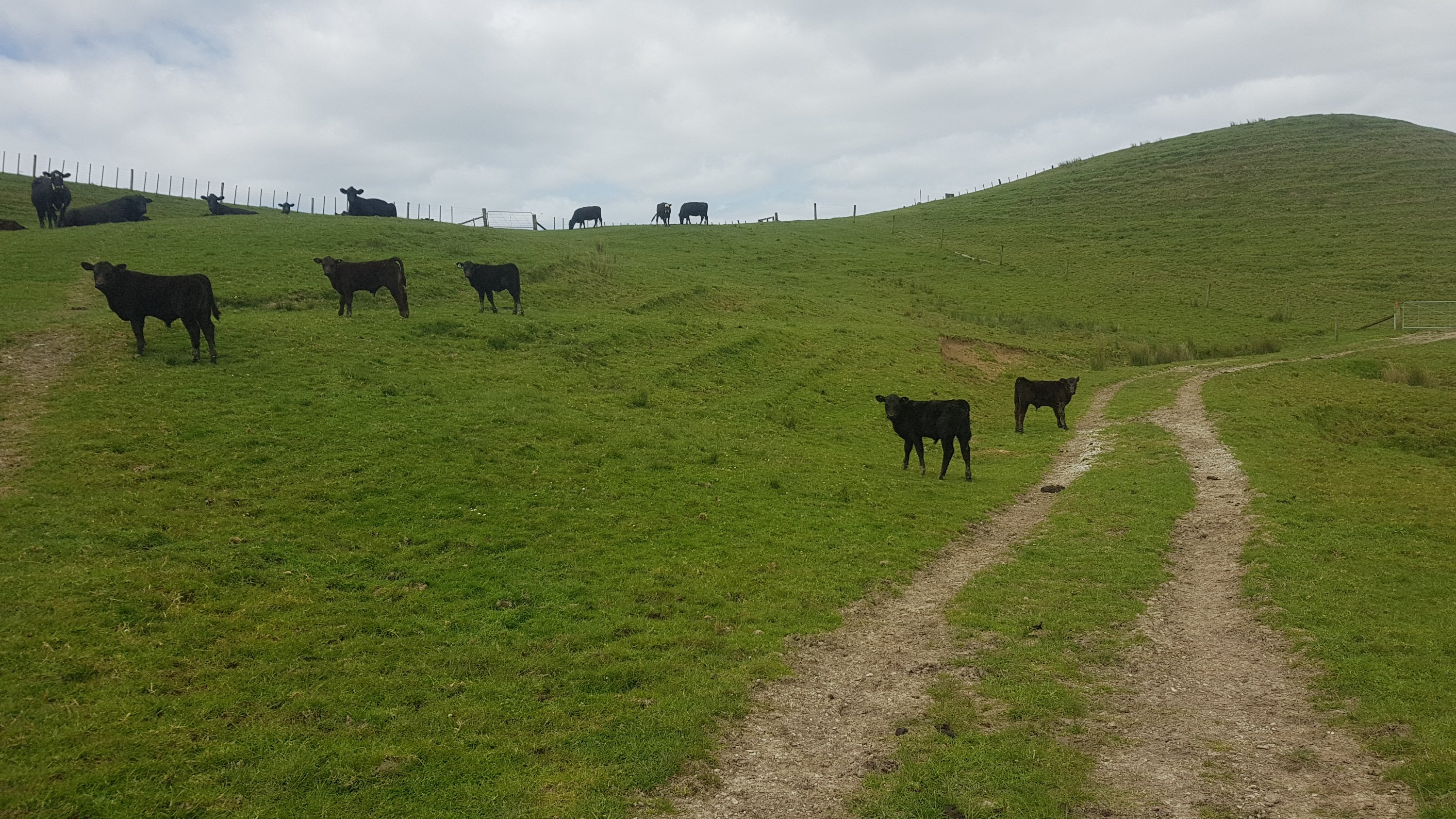
Once that was over, there was some more road walking, although the road just suddenly turned into a farm without really any obvious delineation.
This must have been one of those areas where the TA Trust negotiate with the landowners to get access across private farmland to join the Mangawhai Cliffs Walkway.
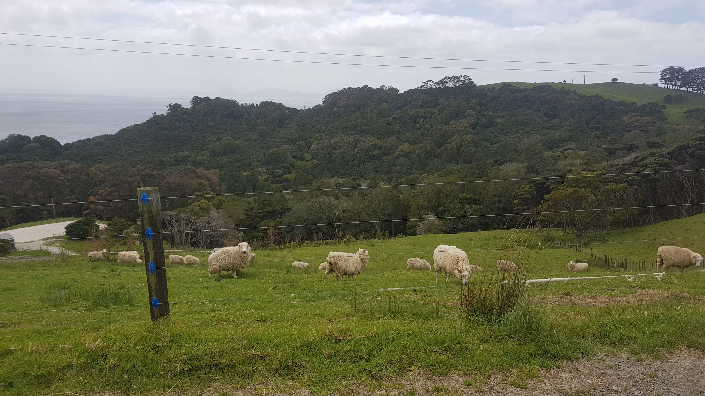
There were a lot of cows, of course.
And these ducks, which I felt kinda sorry for.
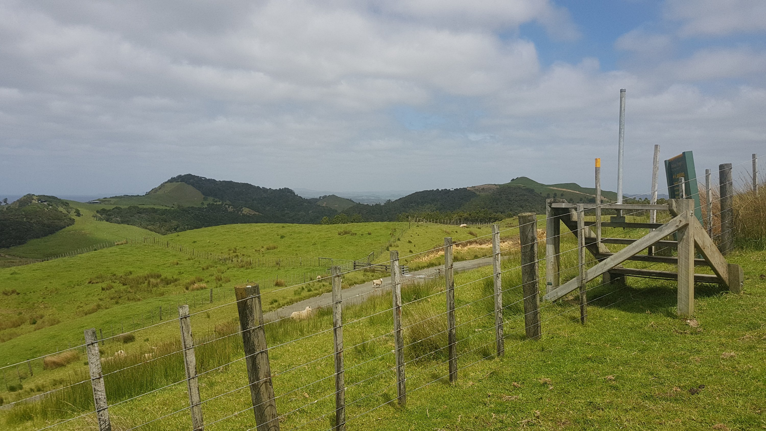
The views weren’t too bad in places, and the usual stiles had been replaced by nice sets of stairs.
I still felt like I was being watched.
And then it got quite steep.
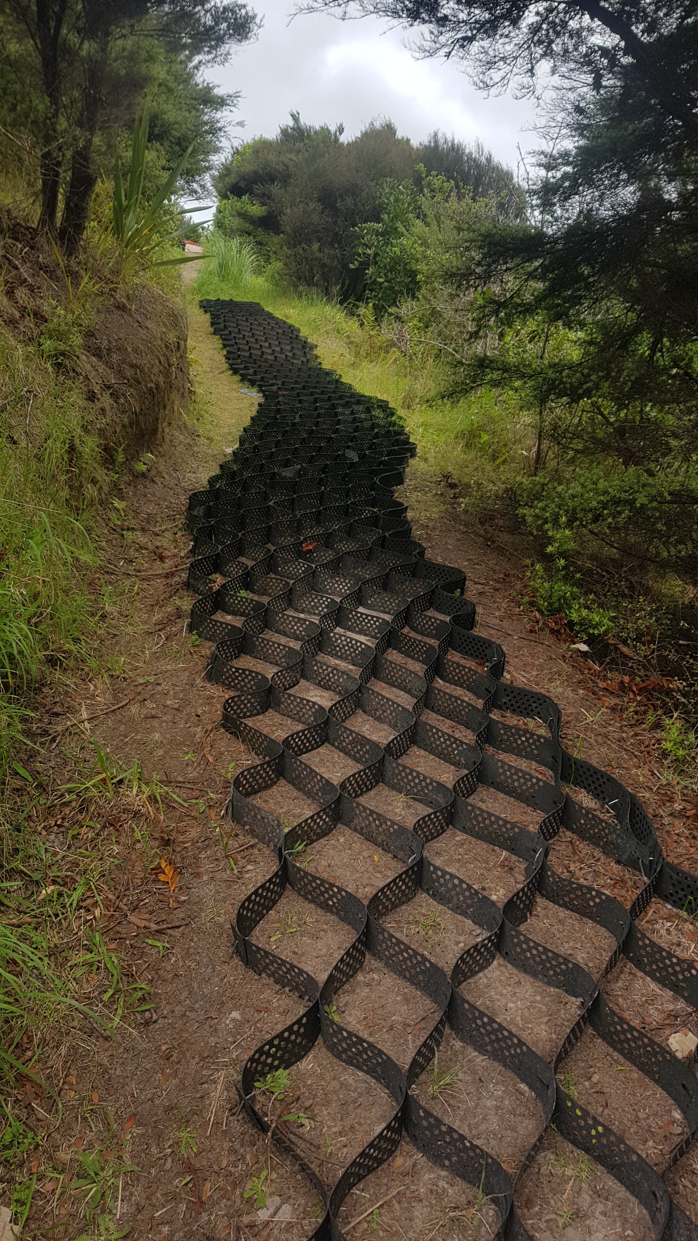
After this was forest. Some more unfinished stairs…
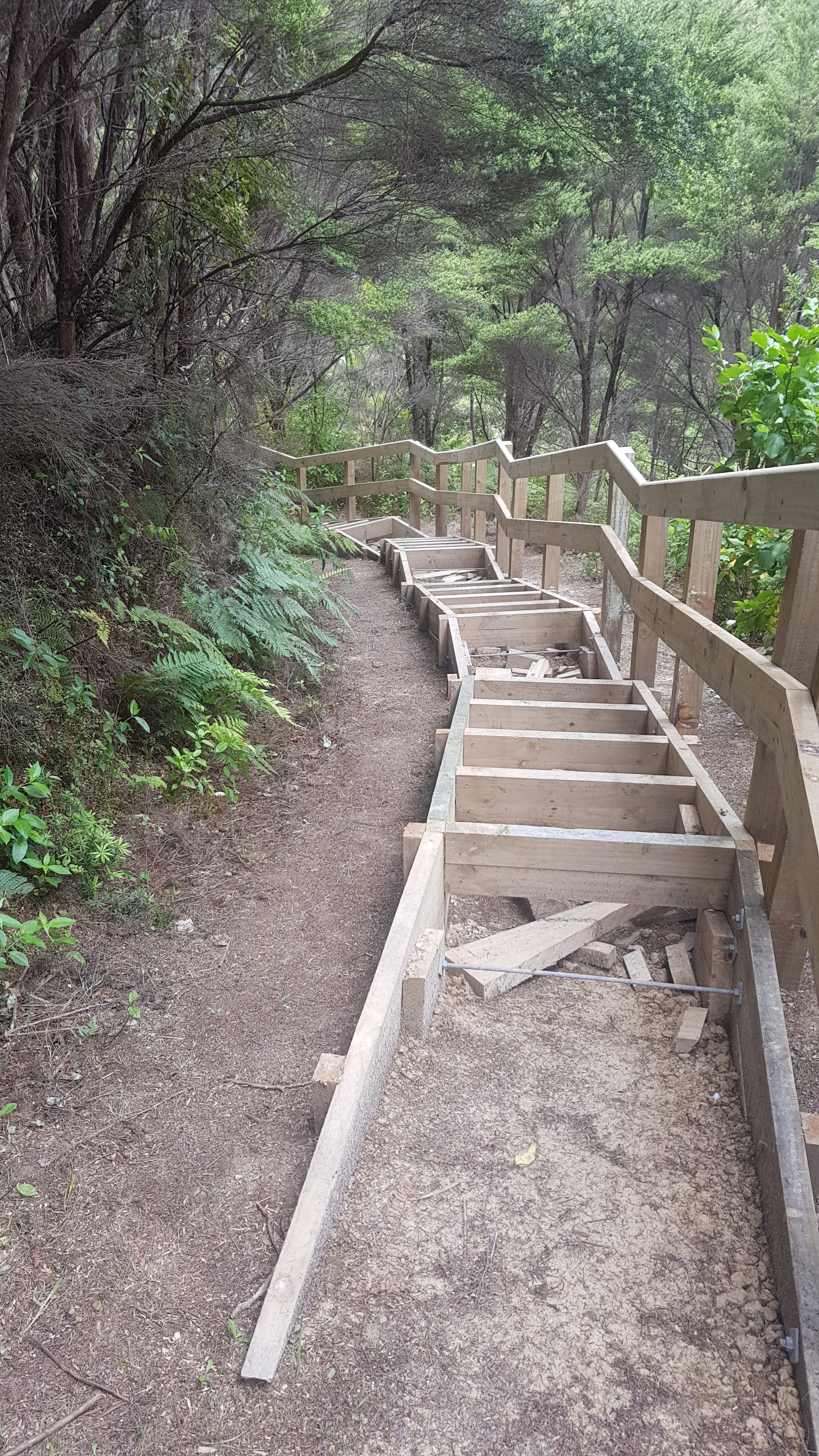
And some more unfinished pathways…
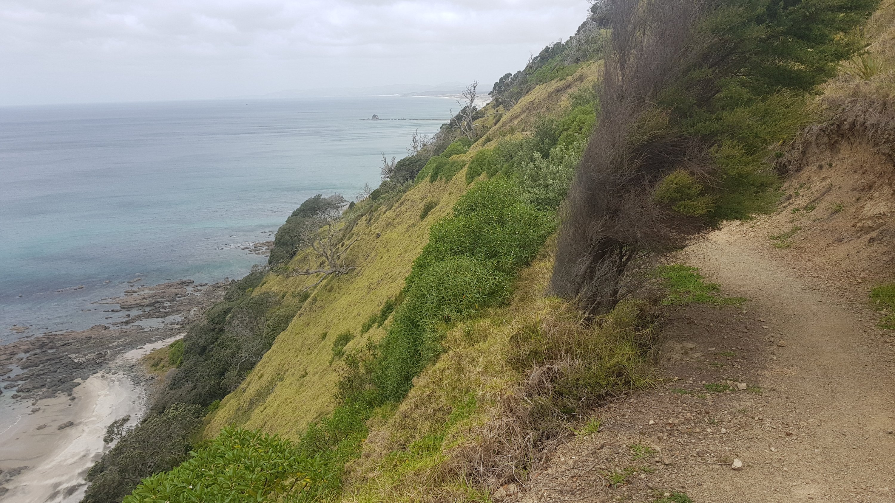
And finally I was out on the Mangawhai Cliffs Walkway. I had done this walkway a few years ago with some friends. Back then we walked up to this point and then back down to the beach and along the coast, which can be done at mid to low tide.
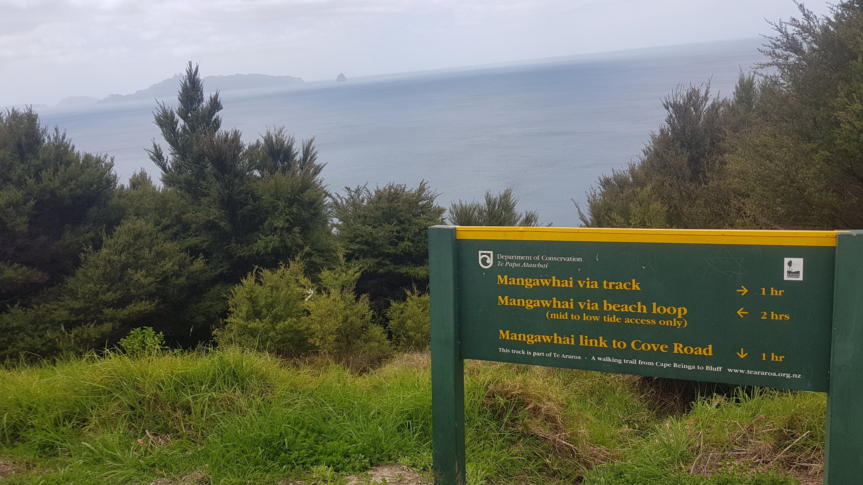
Te Araroa goes via the track, which means it’s shorter to Mangawhai Heads and also not tide-dependent. It’s a well formed track and stairs which for most of the walk looks like this.
And this, once you get closer to town.
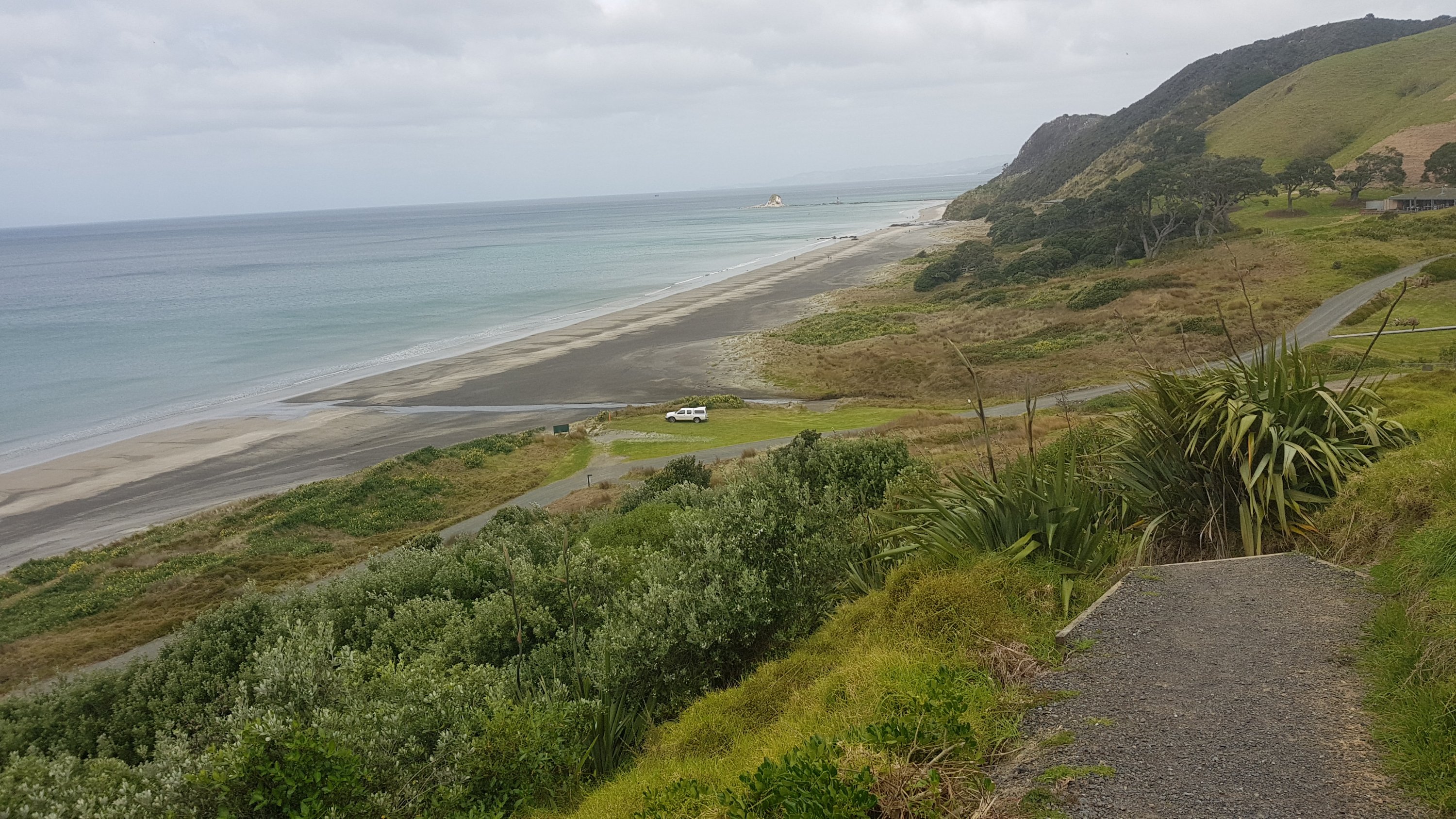
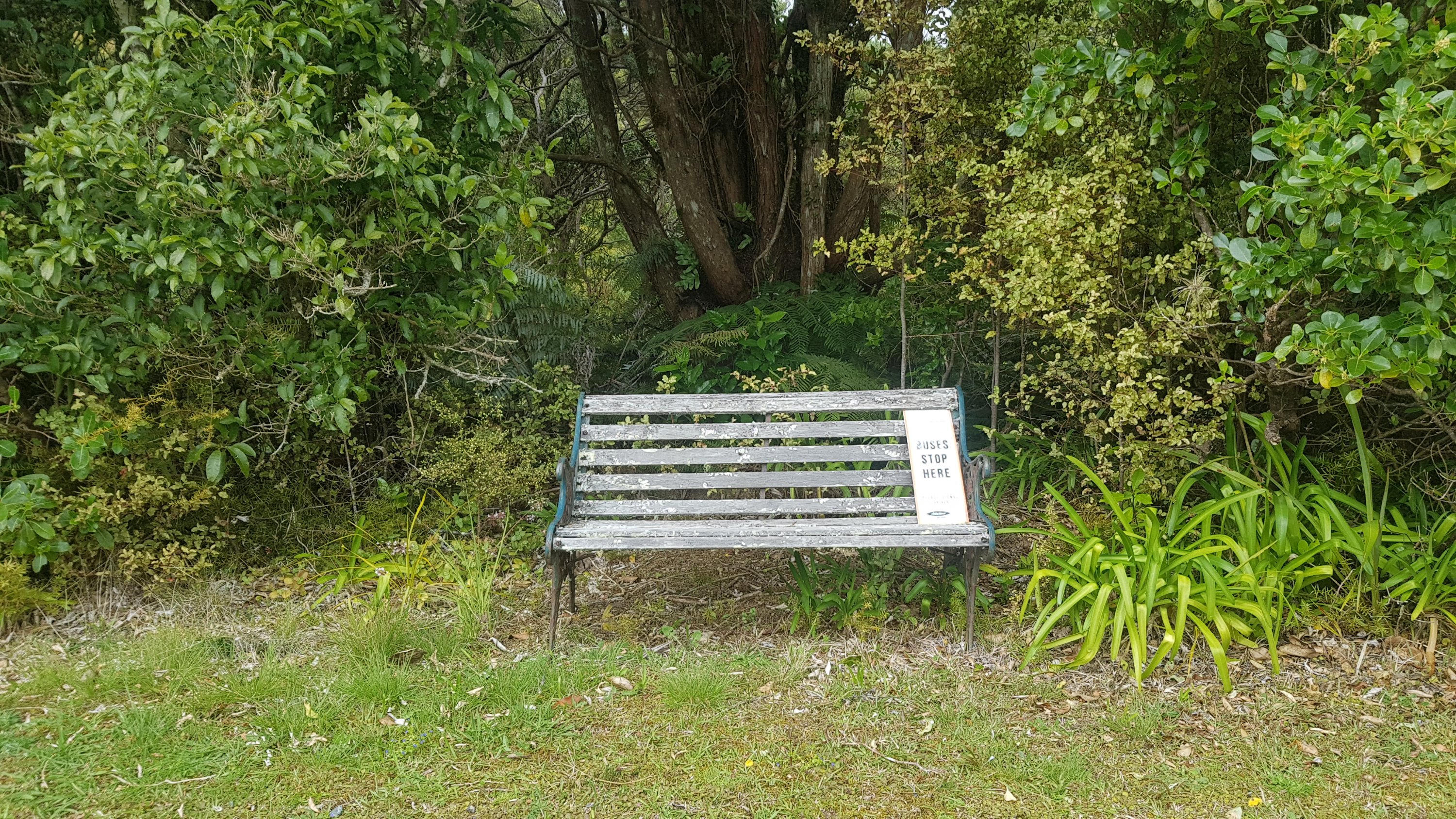
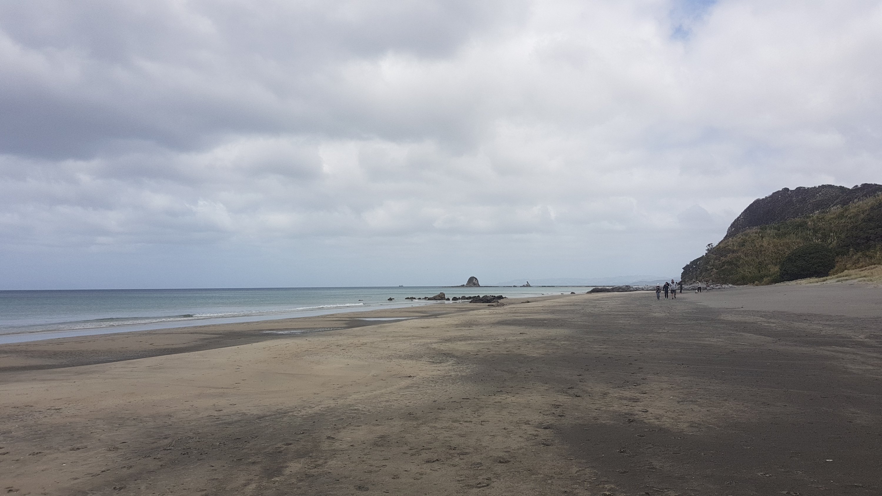
There’s a short walk along the beach.
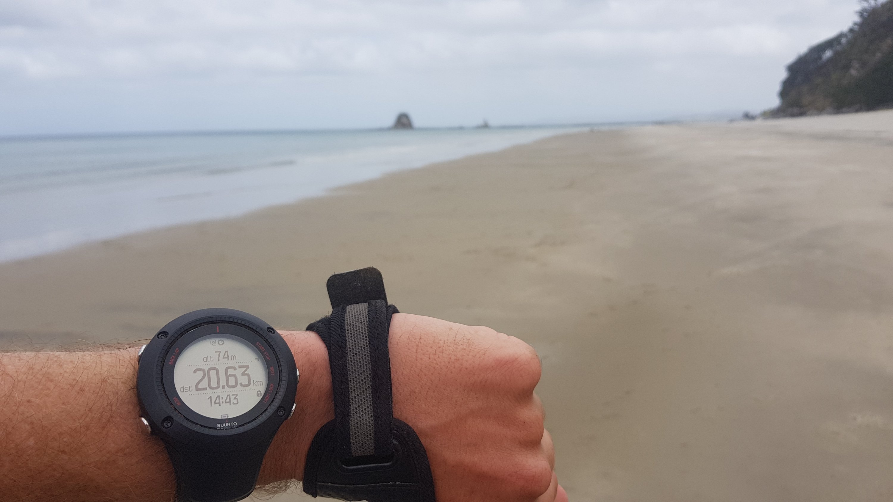
I looked at my GPS watch at this point. When it is on the “low accuracy” setting that I have it on to save battery, one of the quirks is that, while the distance is reasonably accurate (it often reads about 1 or 2% less than you’ve actually walked), the altitude is often wildly inaccurate. Which is kind of a shame because it would be nice to know sometimes how much further there is to climb or descend, but the Guthook app can tell you that if you switch to the “elevation view”.
At the end of the beach is the surf club. It was pretty quiet around here today – today is the first day of the Labour Weekend holiday, but not really until 5pm when all the Aucklanders start driving up here after they finish work.
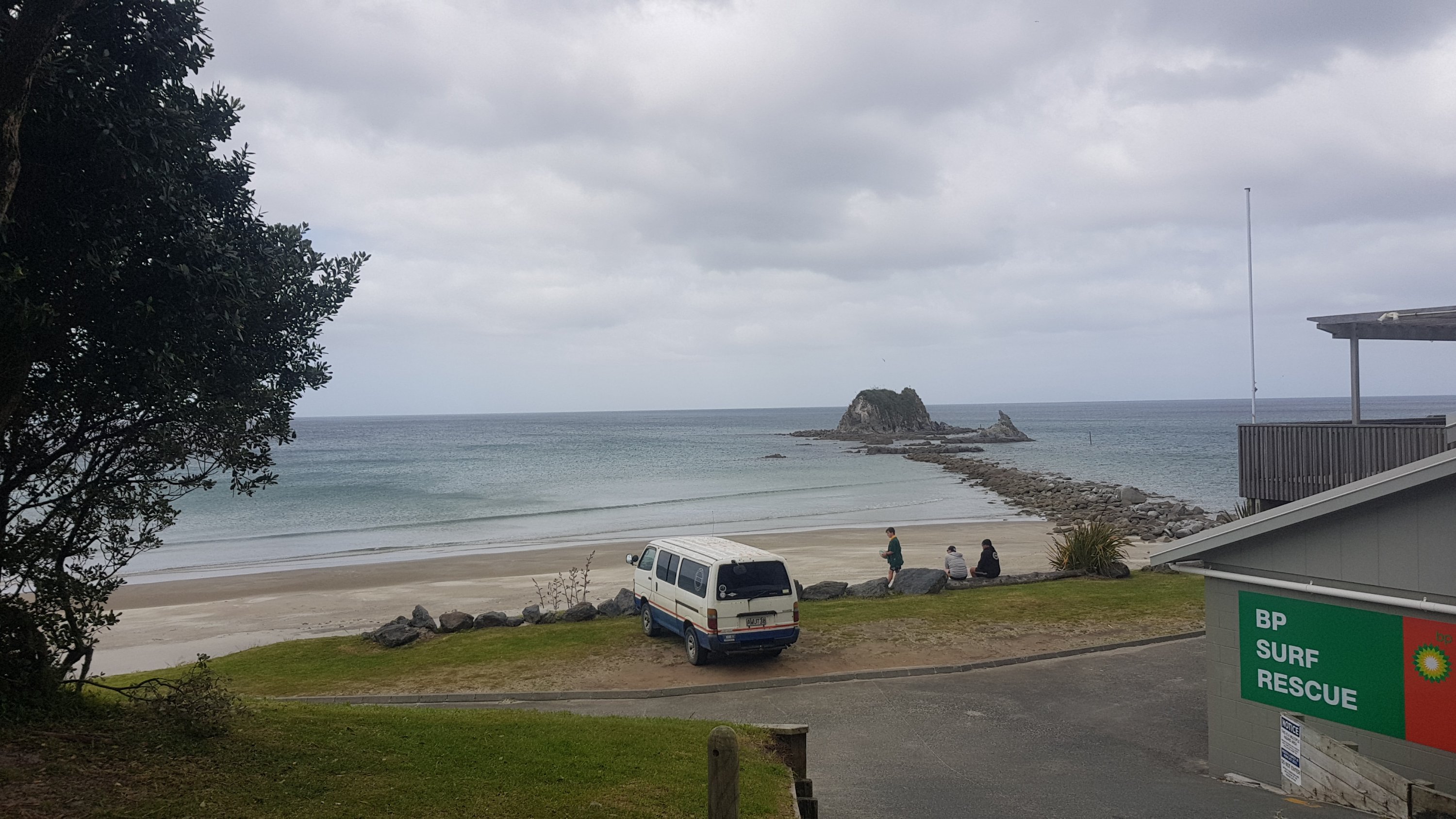
I saw the mostly empty carpark. The few other times I’ve been here with friends, this carpark is absolutely chocka-block and getting a park here is like winning the lottery.
Thing is, if you can’t get a park here, and in summer you often can’t, you’re completely out of luck – the roads leading up to here are all no-parking zones. You have to park in the front yard of someone’s house, and pay them $5 or $10, or you go without. I looked in people’s front yards as I was walking, and didnt see any entrepreneurs today with their “park here” signs out today. I bet they’ll come out tomorrow when the long weekend officially starts.
Not long now and I had reached the entrance to the Mangawhai Heads Holiday Park.
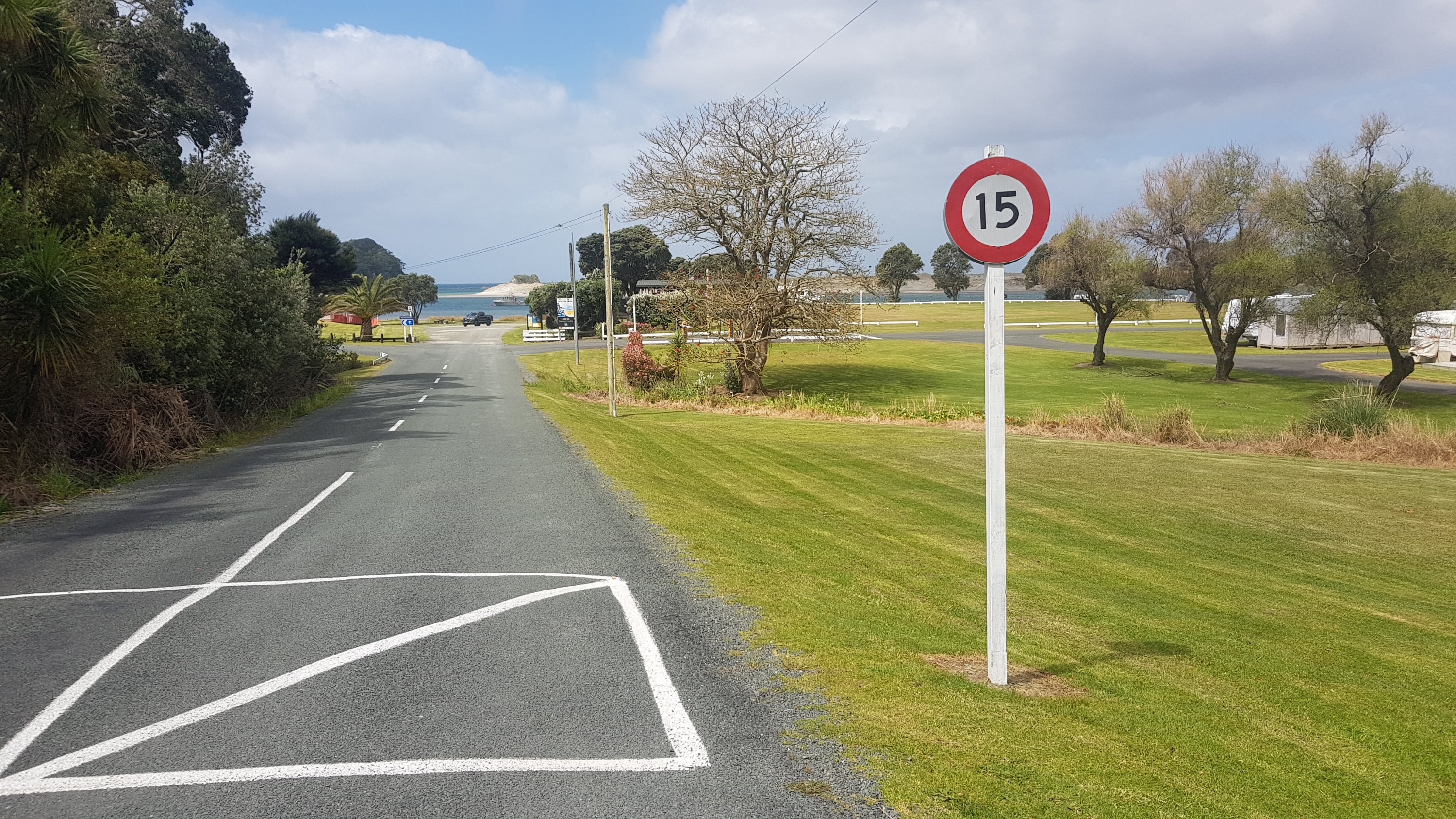
Being Labour Weekend, I had to plan beforehand where I was going to stay. All cabins / rooms / backpackers were almost certainly full. So it was either holiday parks, which hopefully had some tent sites available, free camping in the bush, or something a bit more creative. I had heard of a “trail angel” named Mark offering accommodation in Mangawhai Village, separate to Mangawhai Heads and a further 6 or 7km away. Apparently Mark only offers it to hikers and not to the general public. Seemed almost too good to be true… but since nothing was really hurting, surprisingly, I figured I could walk another 6 or 7km.
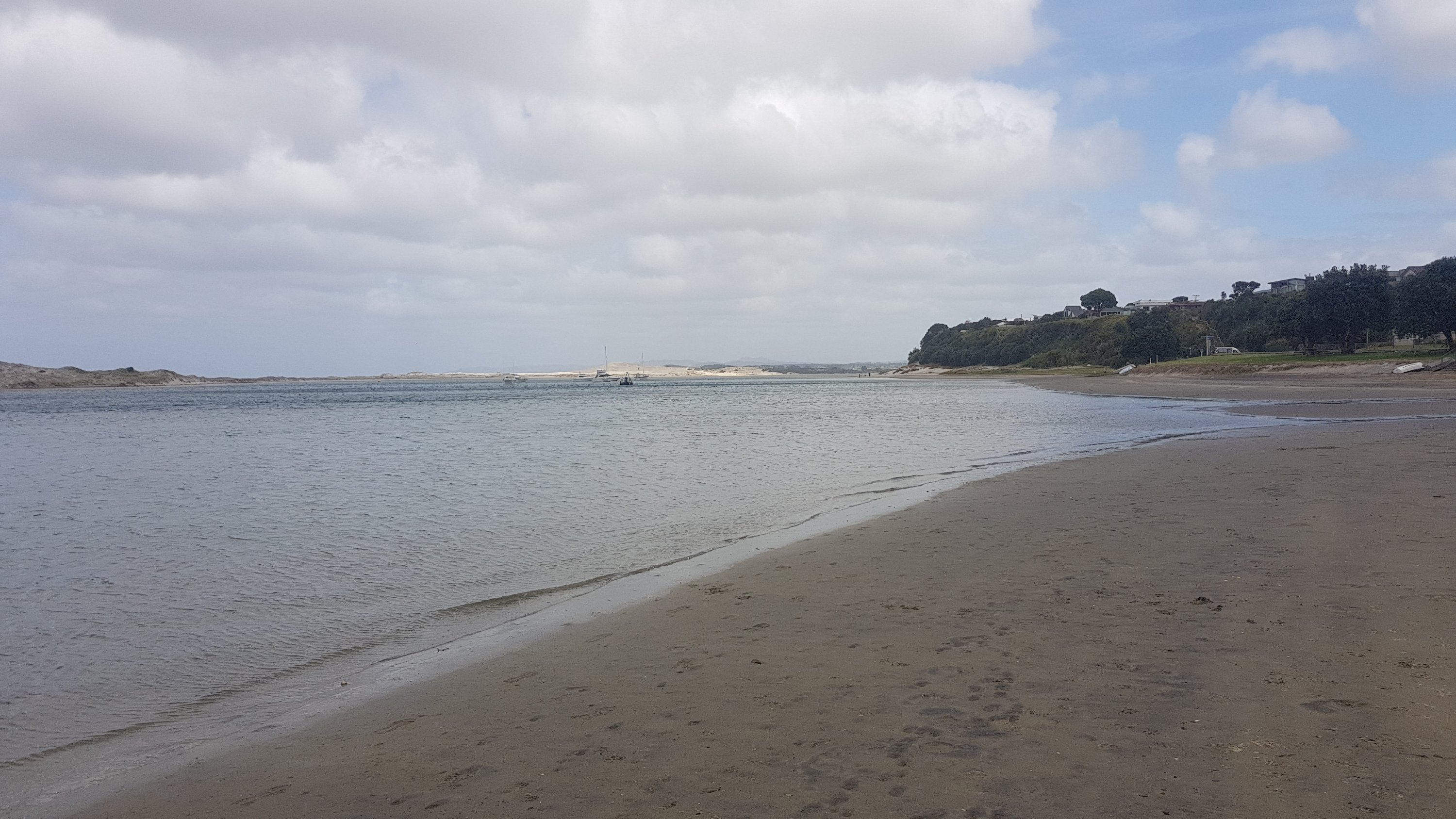
I sent Mark a text message, to see if his generous offer was available on Labour Weekend, and continued down a bit of beach. Mangawhai Heads beach is weird. This bit of the beach is not a swimming beach, instead it’s a flat bit of water trapped between here and a large sand hill.
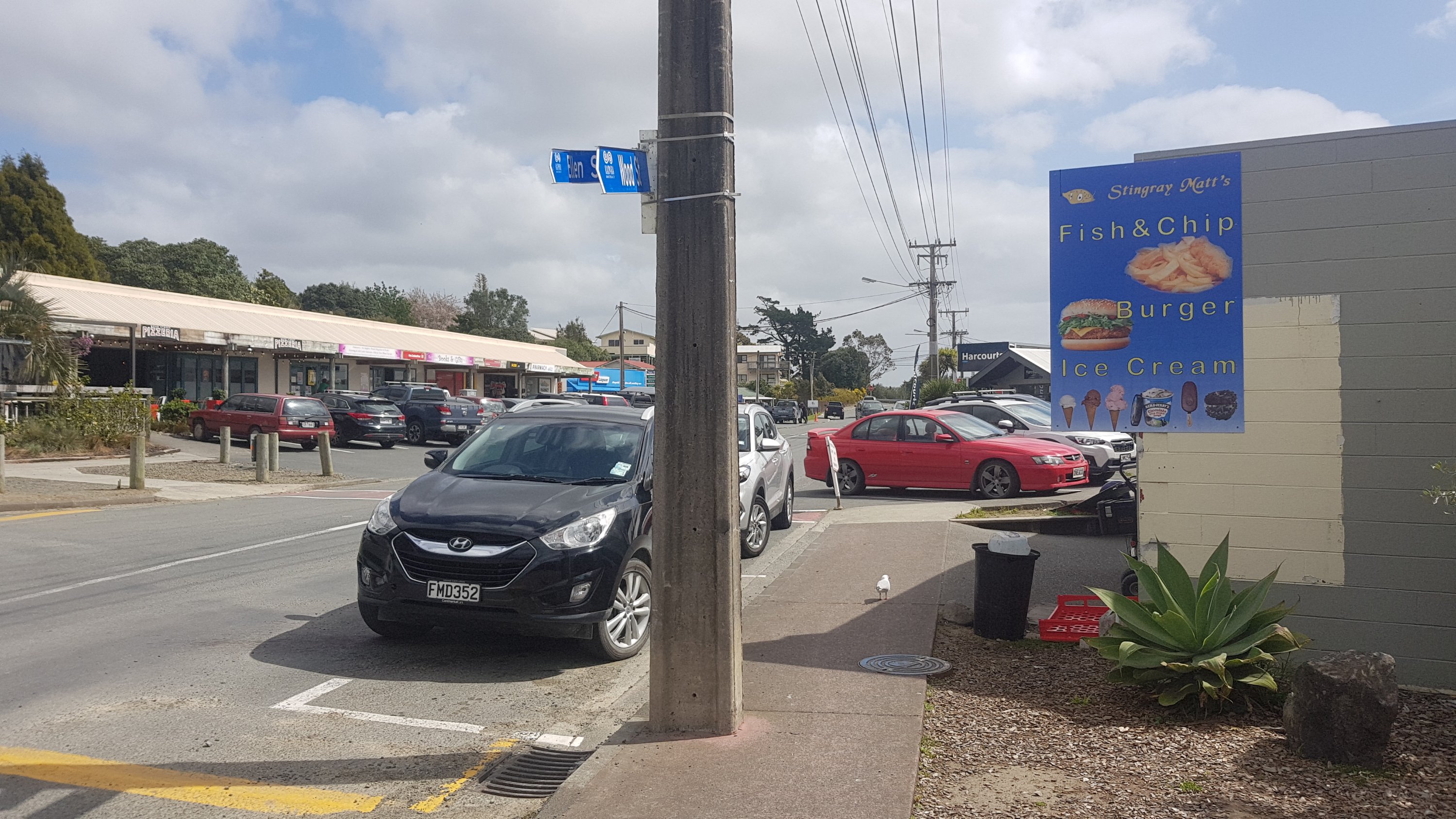
Up some big stairs and into the town, finally, I can get some food! I felt like a milkshake of course. Looks like I can get one at Stingray Matt’s.
But first, even though it was further on, I wanted to go to Four Square because it was late in the afternoon and soon it would be overrun with Aucklanders doing their shopping. Although, judging by the traffic in the town, I’m too late…
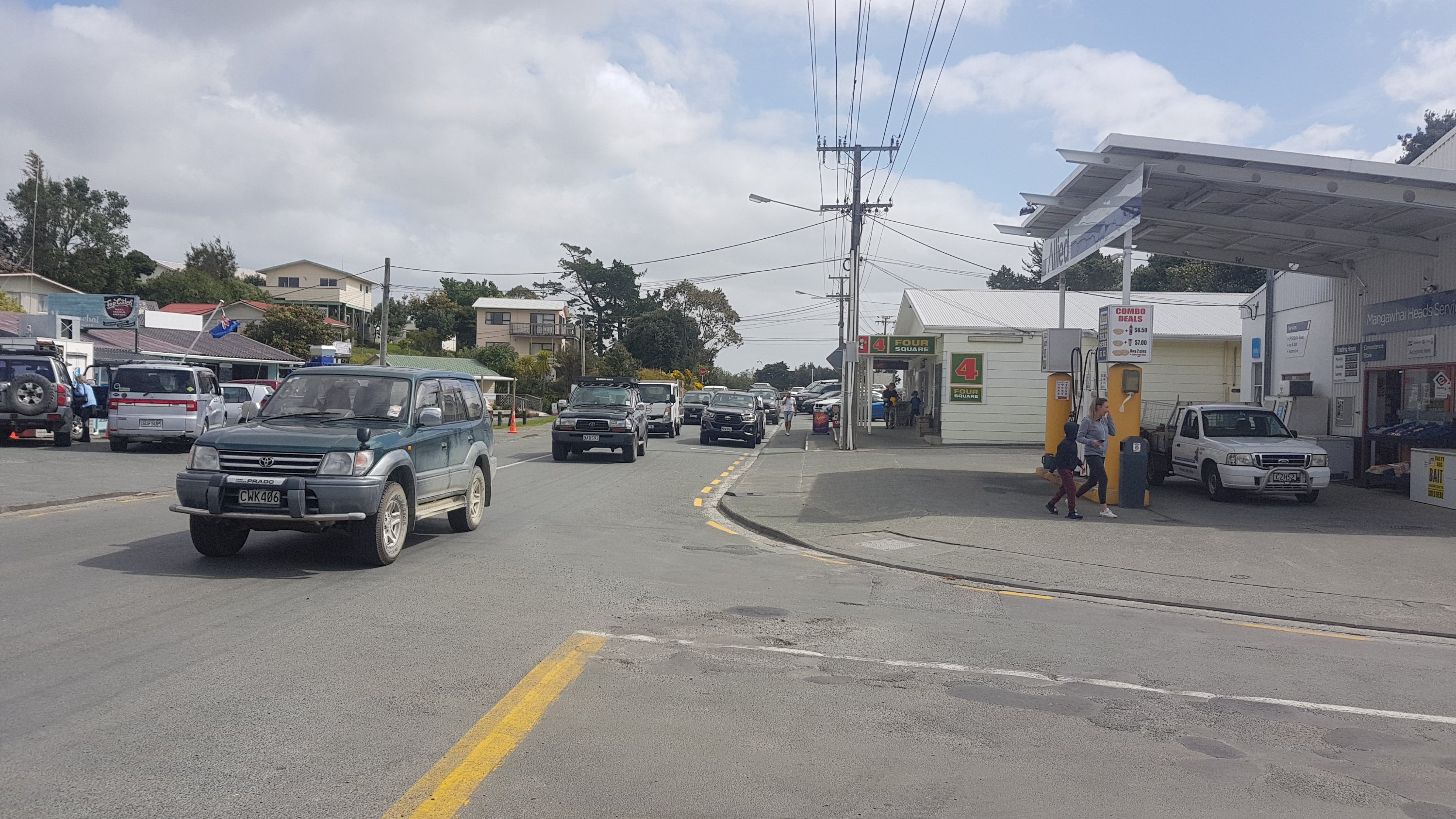
The supermarket was pretty busy. Maybe it was just because I had my big pack on, or maybe because nobody would move the hell out of the way.
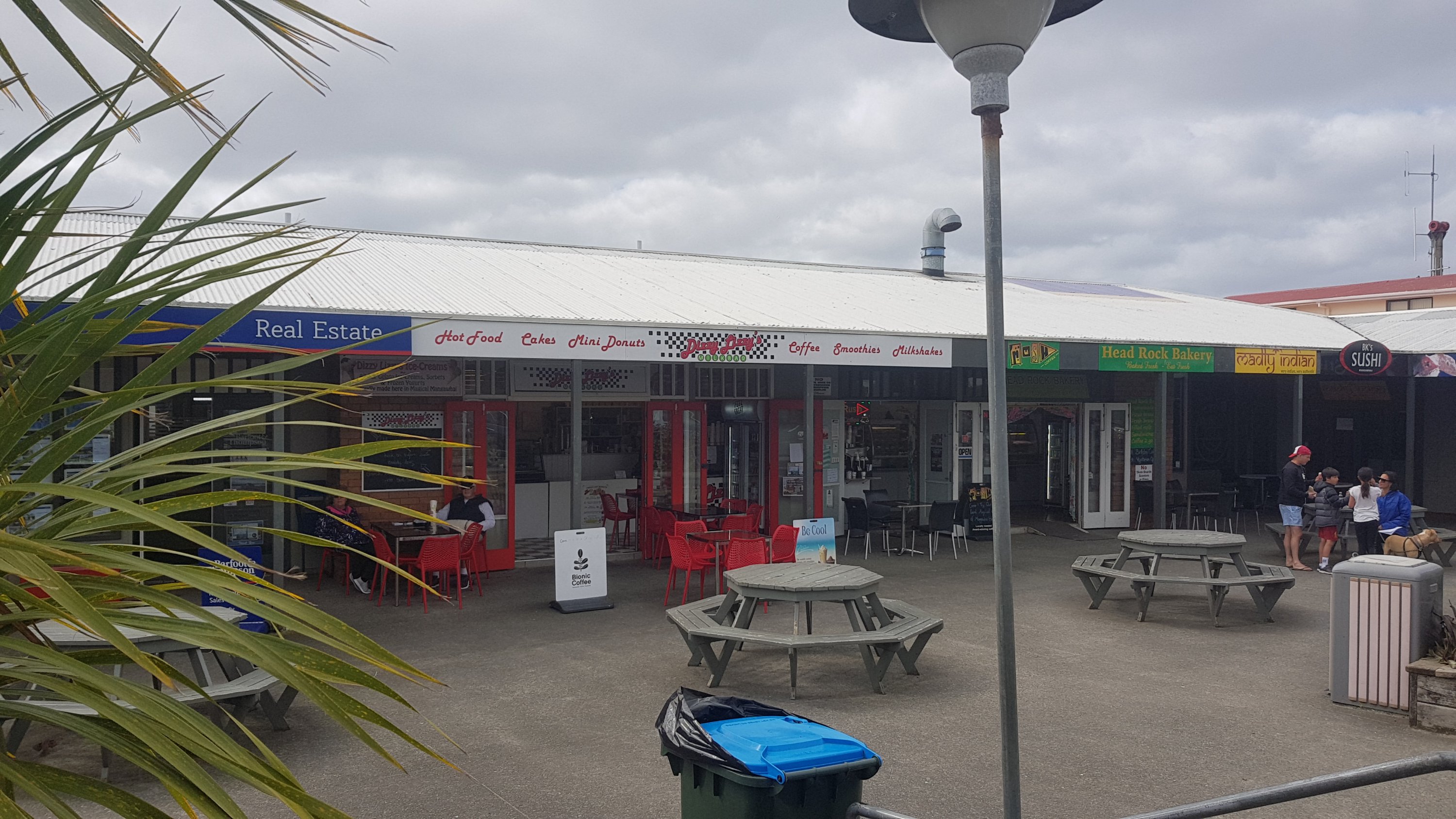
I survived, and I went back to get my milkshake. I chose Dizzy Lizzy’s instead. Stingray Matt’s had the same milkshakes you get everywhere, which are usually cold and nice and taste good, but I felt like something different. I hoped that Dizzy Lizzy wouldn’t let me down.
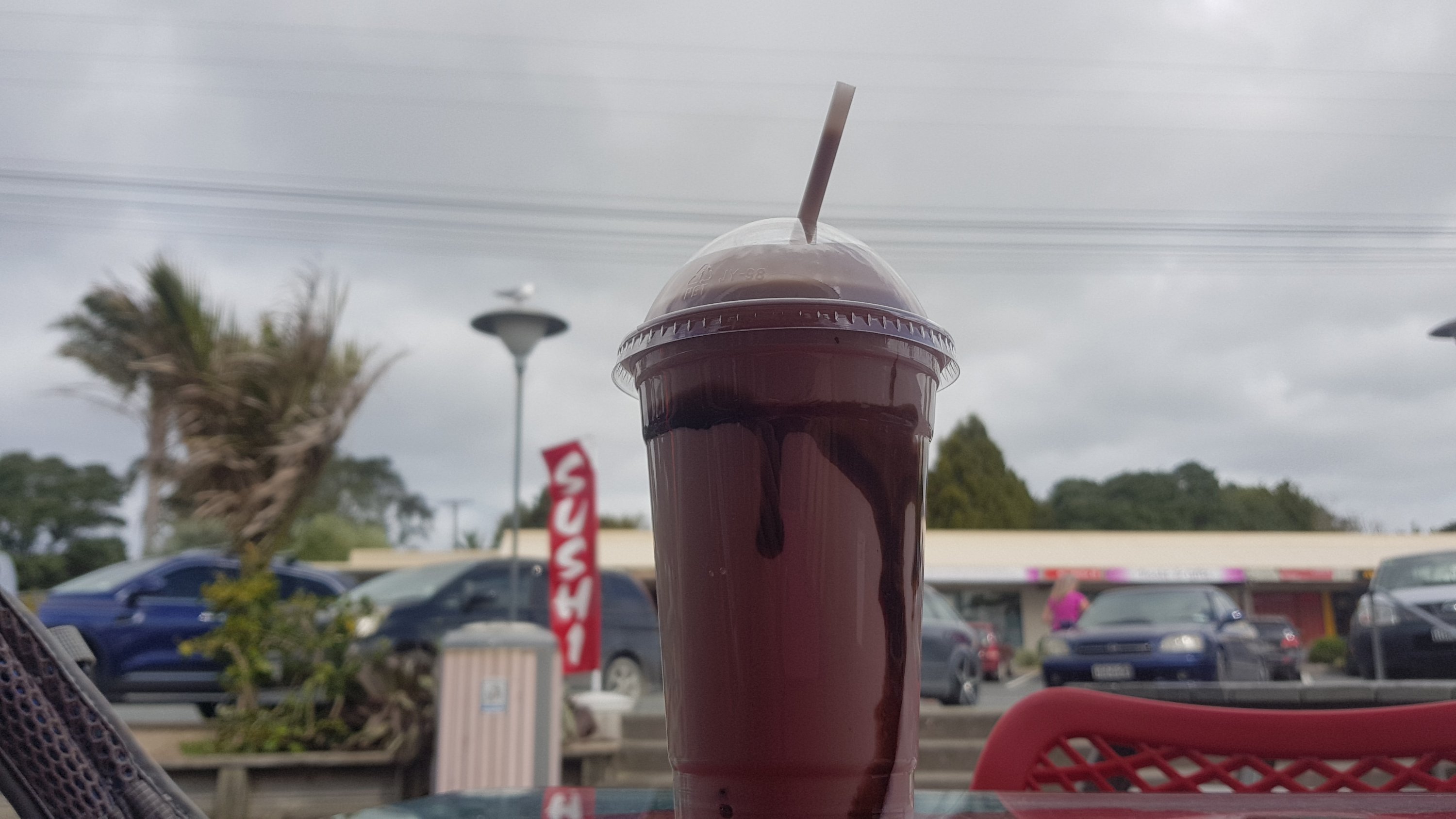
This chocolate milkshake was creamier and richer than others I’ve had. It wasn’t very cold though, but I was happy.
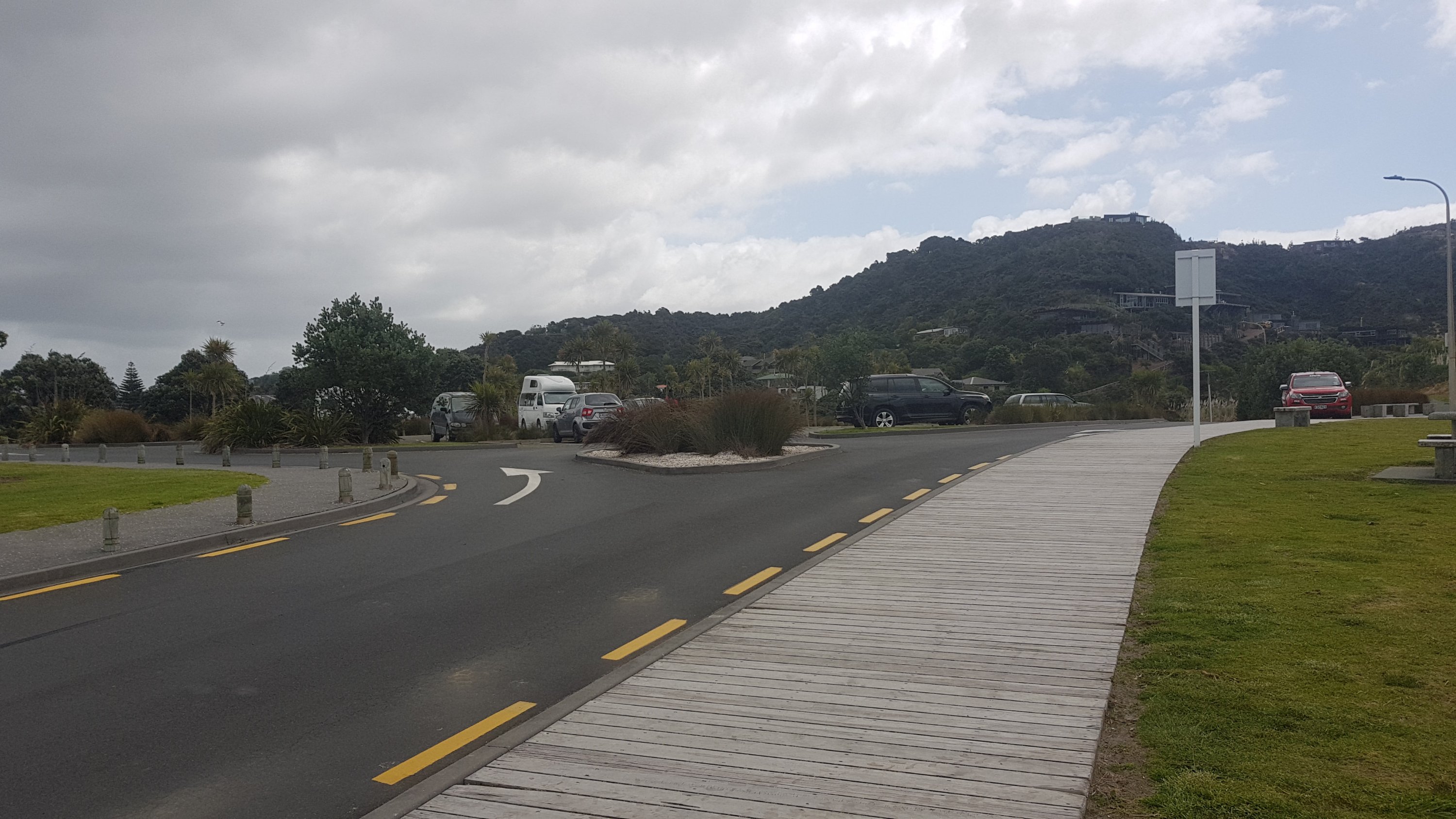
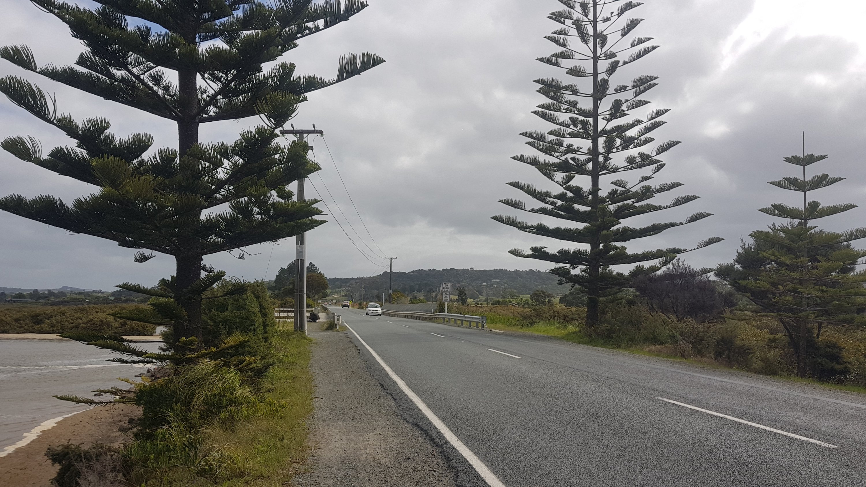
I got text confirmation that Mark’s place was available. Fantastic. So I continued out of town. I was apprehensive about the road walking, because again from past driving I remembered the road being narrow. But I was pleasantly surprised at the size of the shoulder.
And then there was a dedicated walkway once you crossed this bridge.
The walk was fine. I just hoped the weather gods would again be nice to me. I can see rain clouds in the distance. Would they hold off at least until I put my tent up? And would my tent survive the wind?
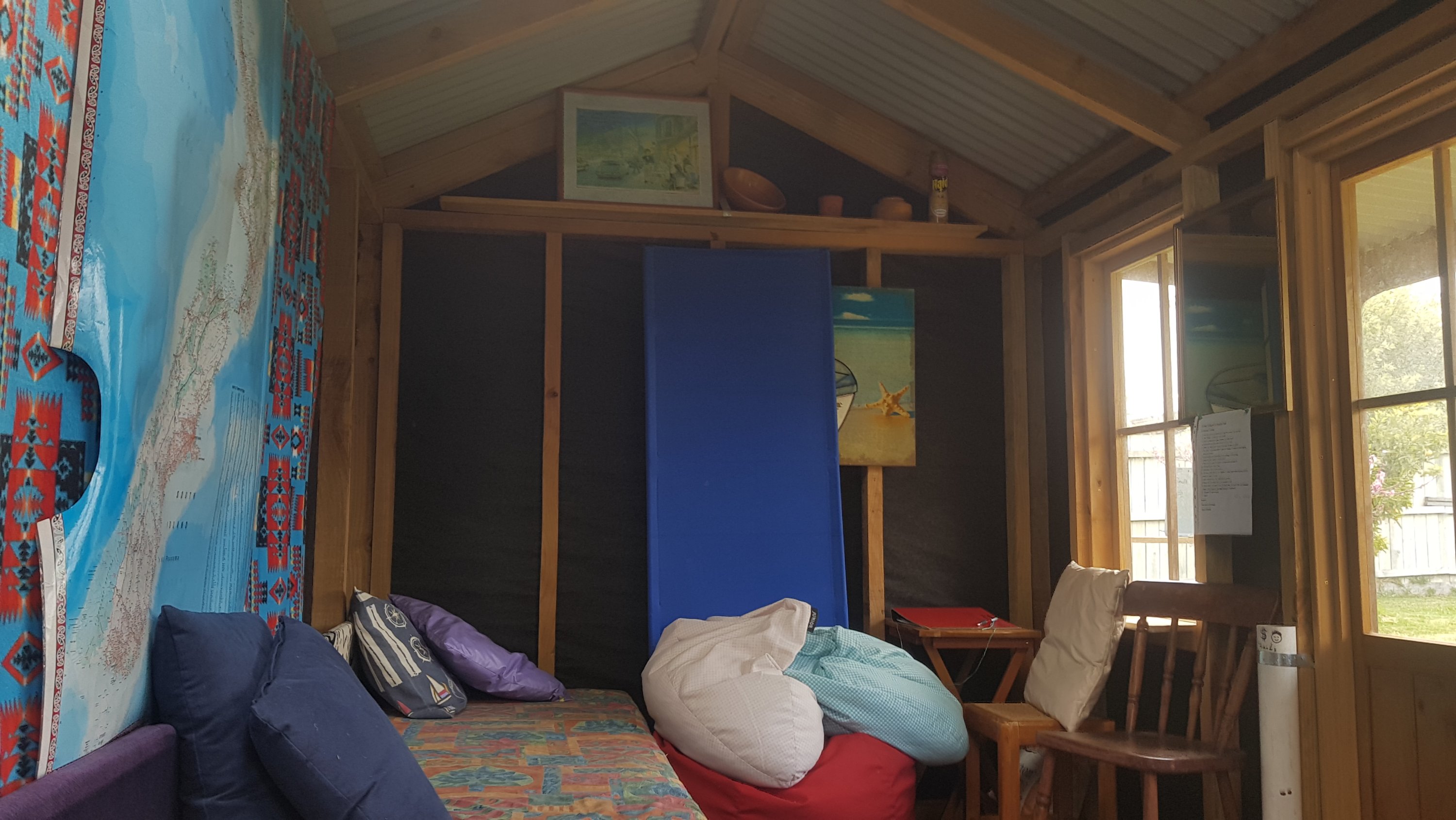
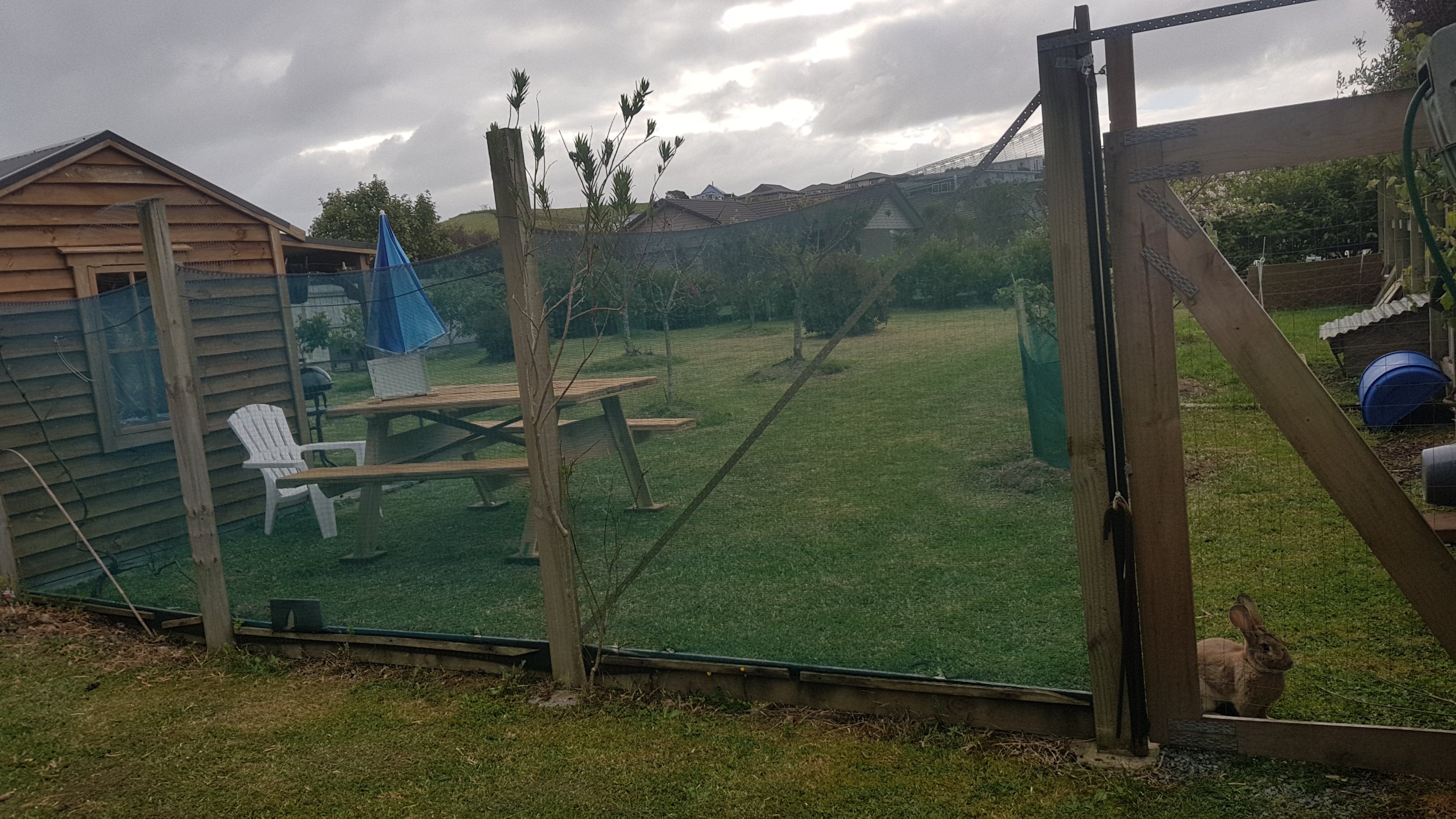
Well… I got to Mark’s place… and was pleasantly surprised at what I saw.
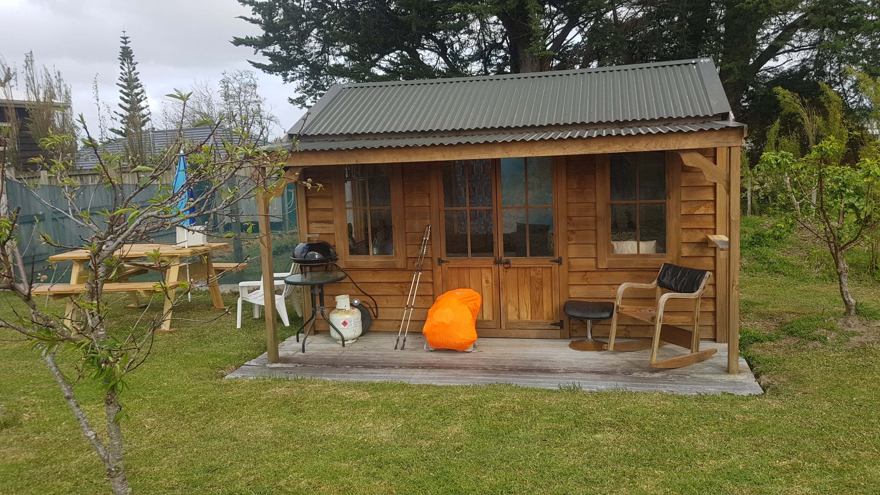
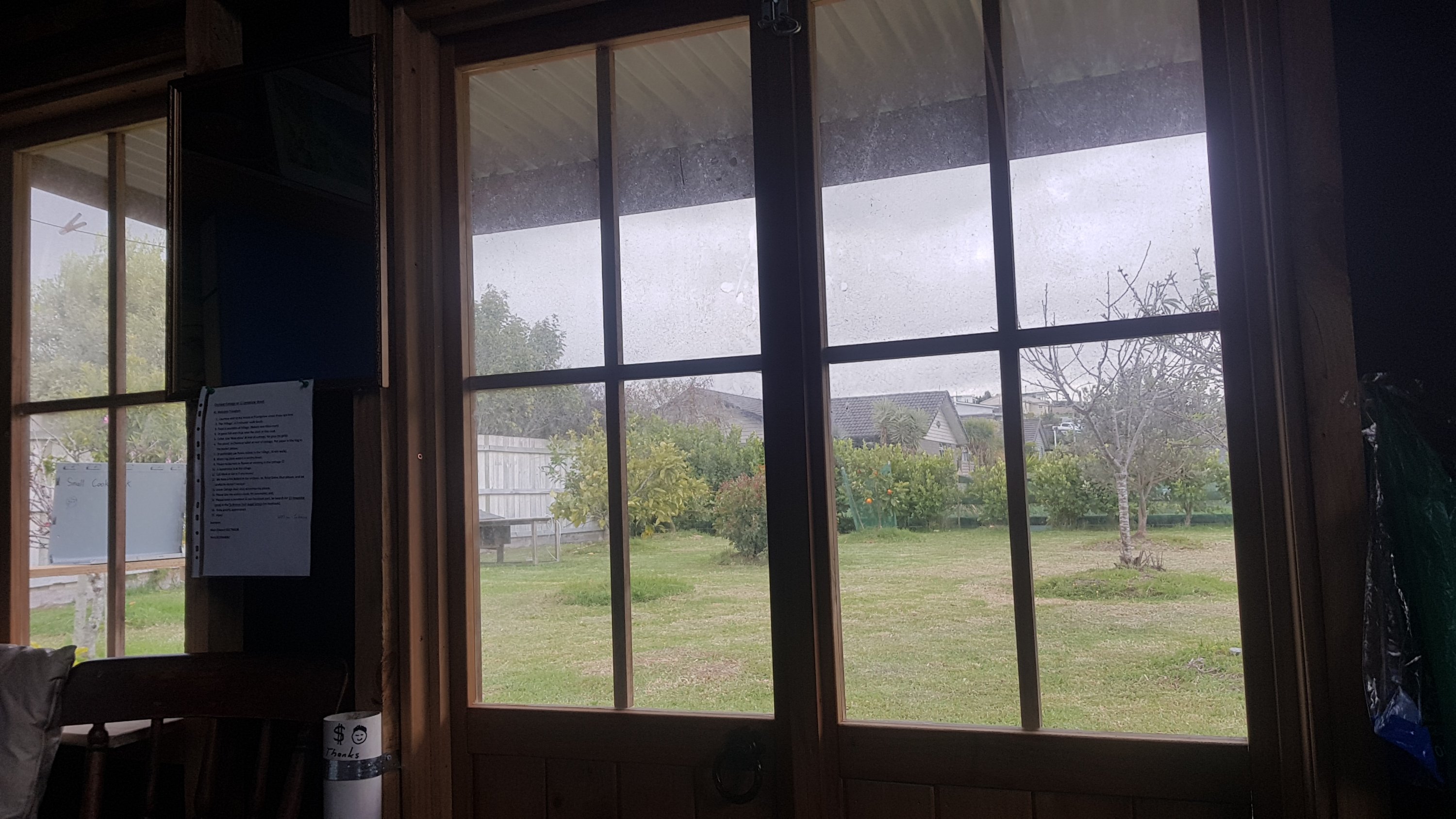
There is actually a little cabin here. Not only did I beat the rain, but I get to sleep inside!
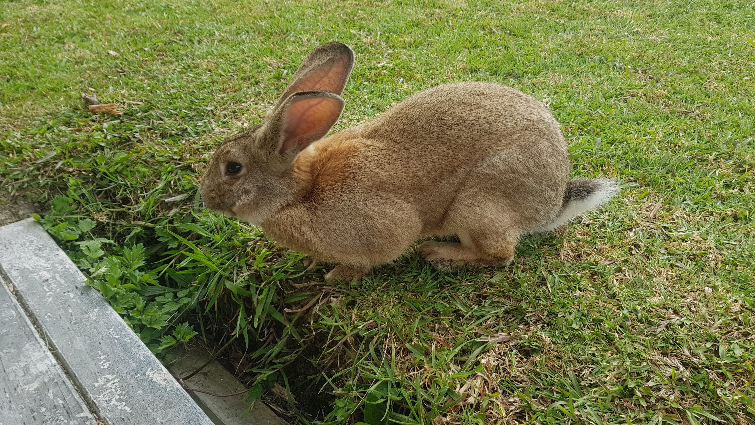
There is also Stu the pet rabbit, who has absolutely no problems coming right up to people. He scared the hell out of me at first.
Mark uses the grounds as an orchard. They’re next to his main house.
Mark came over a bit after I arrived and to make things even better he brought me a beer. We had a chat about Te Araroa. He and his wife did it last year and they made it 90 or 95% of the way but his wife was swept down a river towards the end and broke her arm, so she wasn’t able to finish. That sounds terrible, in fact it sounds like every hiker’s worst nightmare.
I got some Chicken Chow Mein from down the road and came back to the cabin. And only then did it start raining… but by now I was cosy inside and I didnt have a care in the world. Thank you yet again, weather gods.
I wrote my blog entry, and as you can see it is long and unnecessarily detailed, so once that was over there was just time to watch one TV show on my phone and go to sleep.
So after a bad start to the day, it ended very well. I don’t hurt too much, and my accommodation is awesome and I even have it to myself. No wind thrashing against the tent, and no Aucklanders clogging up the holiday parks. And in the morning I can have breakfast at the chocolate shop, called Bennetts of Mangawhai. These chocolates are sold in Auckland and I absolutely love them and I have been looking forward to going to the shop here for a long time… but it’s always been closed when I’ve driven through. Well not this time! I am not leaving this town until I enter that chocolate shop and spend at least $50.
Here is the link to Mark’s place on Facebook.
Today's walk on the map (blue = Te Araroa, red = today's walk):
Wow Mark has a great set-up there. I’m glad the new pain went away. Enjoy the choccies!
Take it easy Matt, the auckland milestone isn’t far sway. Your next stop is Pakiri beach, an absolutely idyllic spot, Tash will be the most welcoming person you meet since Tania and Paul.