Date: 5 December
Trail covered: 38km (kms 1476.8 to 1514.8)
Weather: threatening rain all day and windy in the exposed places
I woke up at 7:30am. Today isn’t a rest day… I have to drag myself out of bed.
First things first. I headed to Countdown where I bought what I hoped would be 7 days worth of food (when combined with the little bit of food I still had yesterday), because we might have to walk as far as Waikenae and we may get stuck in the Tararua Ranges if the weather is bad. So here it is:
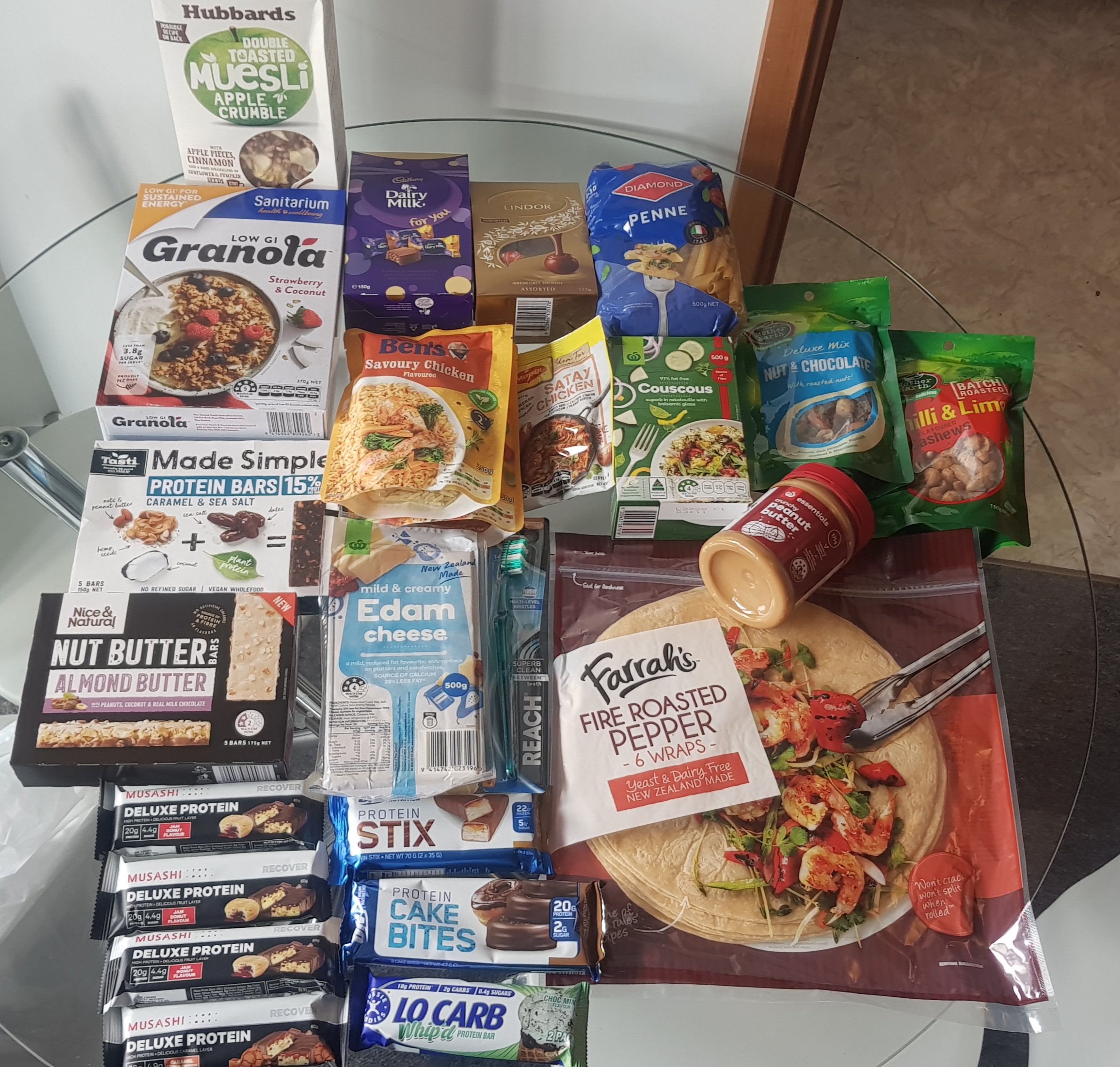
I was worried that I should have got more chocolate – I just have the two small-ish packs. And I realised later that I forgot to buy crackers to go with the cheese. Too bad.
On the way to Countdown I got a message from Ethan saying that the other four just woke up. Since they still have half of the trail through Palmy to do, I will be starting ahead of them today… unless I mess around too long.
I checked out of my motel room right on 10am and walked into The Square, which is the very centre of Palmerston North. I worked out that there was a bus to where I left the trail yesterday, and it leaves at 10:20am. So once I was confident I knew where the bus would leave from, I had 10 minutes to kill.
I contemplated taking Uber, but if there is genuinely only one Uber driver in this city then the bus might even be quicker. Plus the bus is $2.50 and Uber is $12.50.
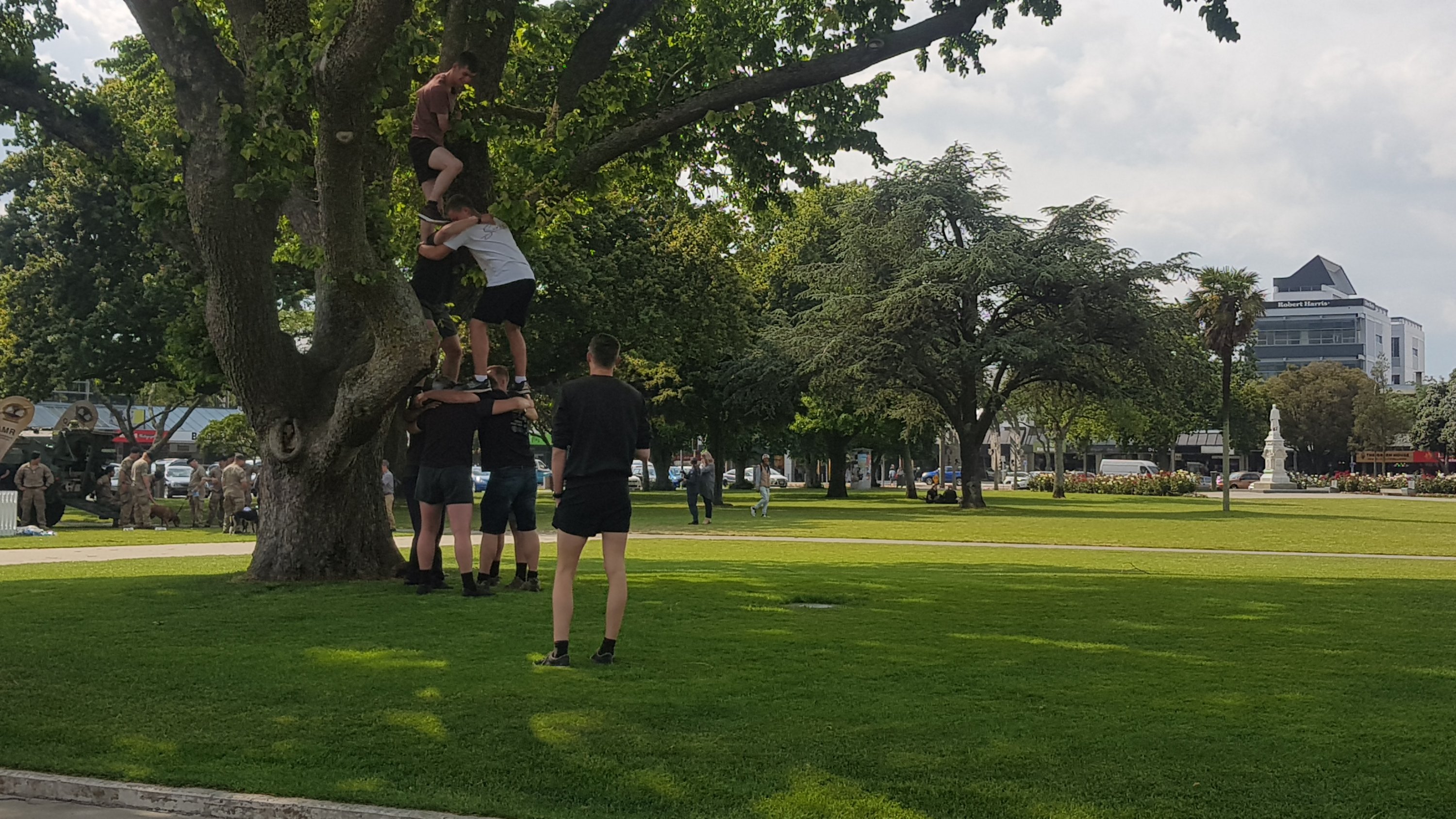
In The Square, I saw these people up in a tree, I’m not sure exactly what they were doing.
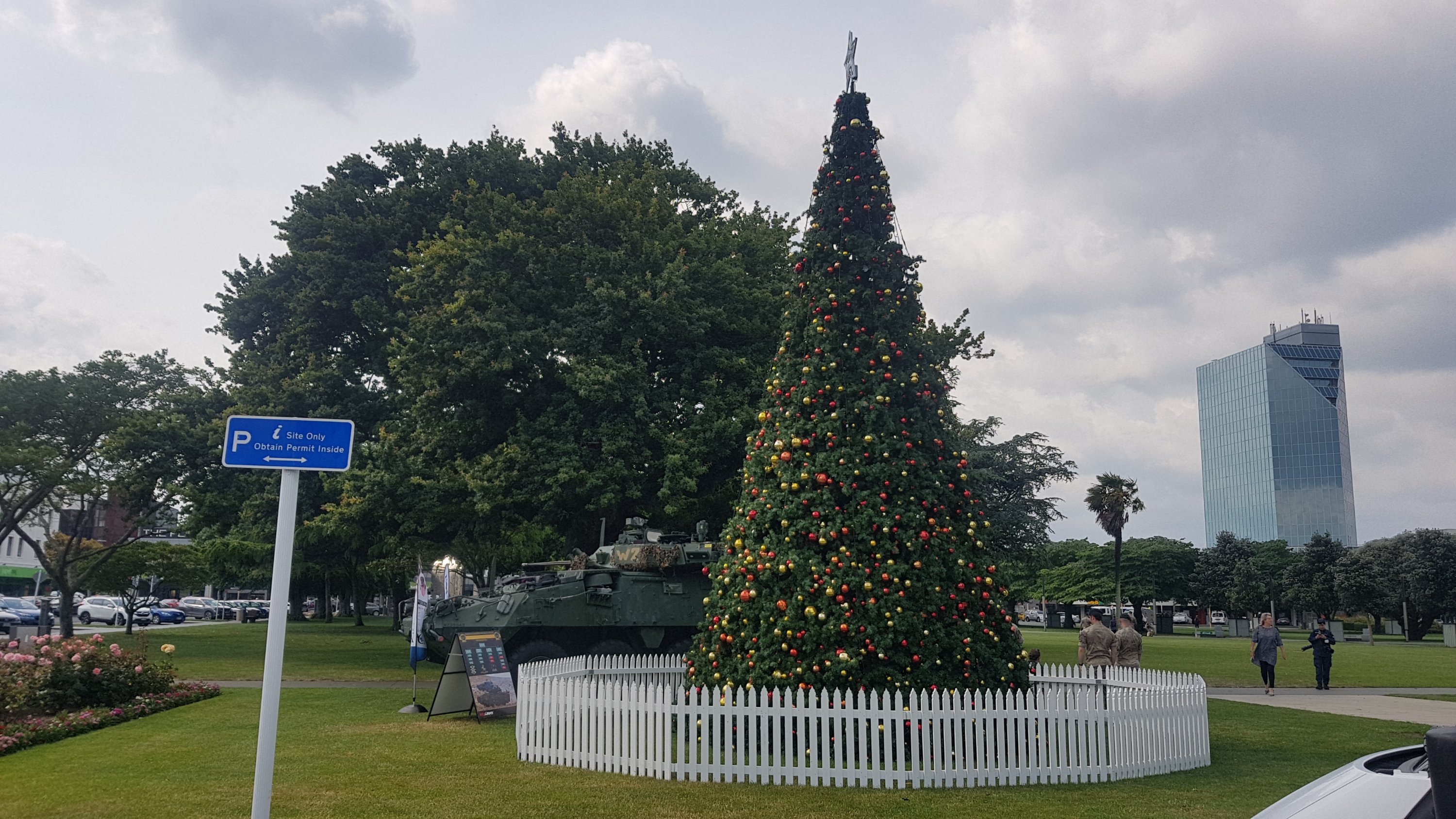
There was also a big Christmas tree set up, right next to the Army guys.
The bus turned up a couple of minutes late, but here it is.
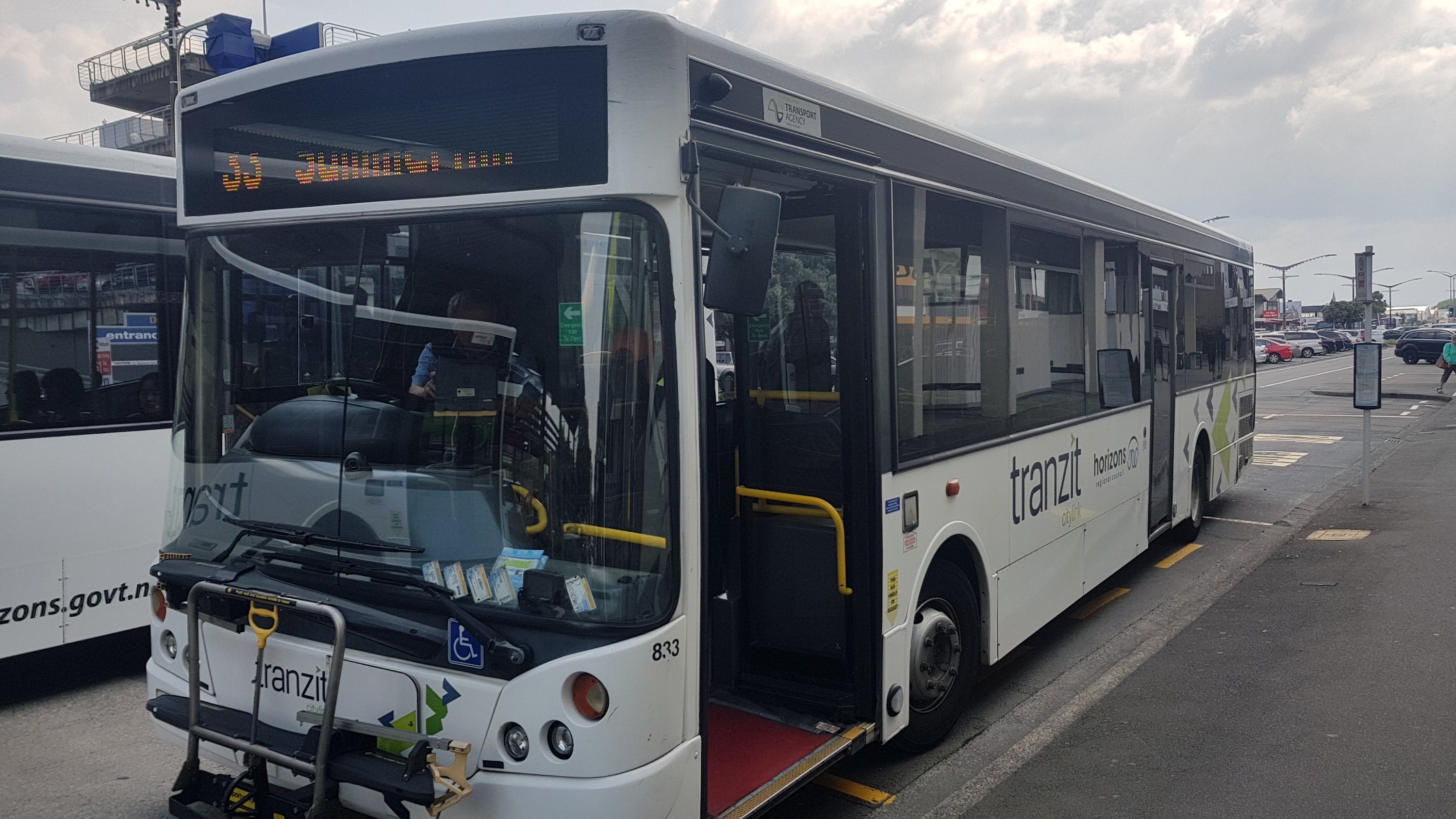
There were a few people on the bus this time, although compared to Auckland buses where you’re often standing, this actually was very luxurious.
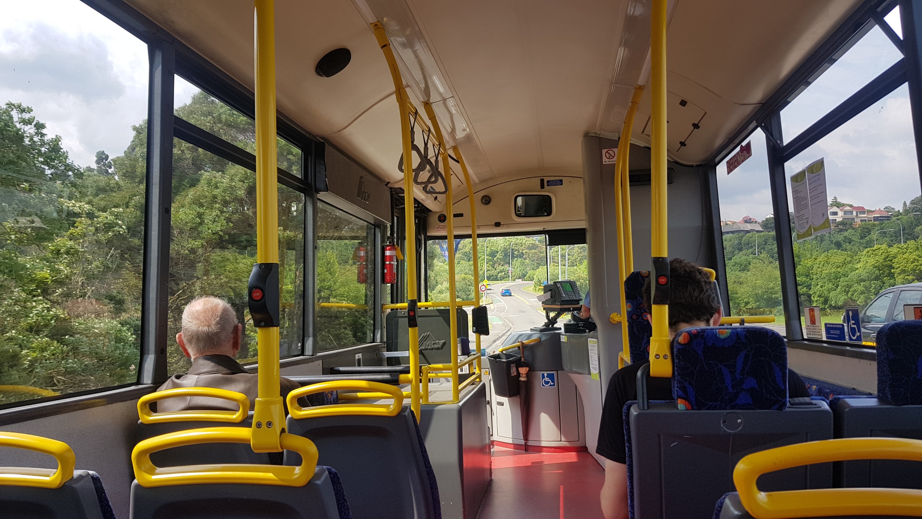
The bus driver didn’t seem to notice when I pushed the STOP button and drove two more stops before letting me off. Oh well, I’m already walking potentially 40km today. What’s another 500 meters?
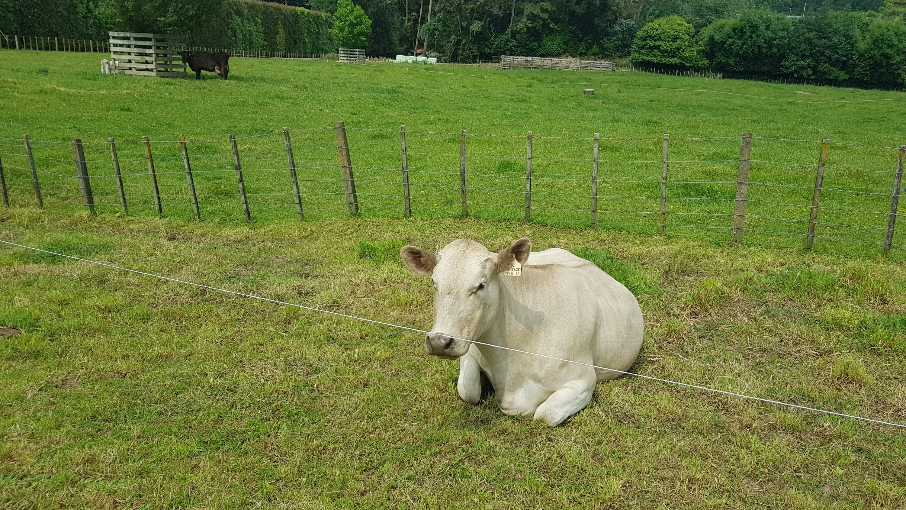
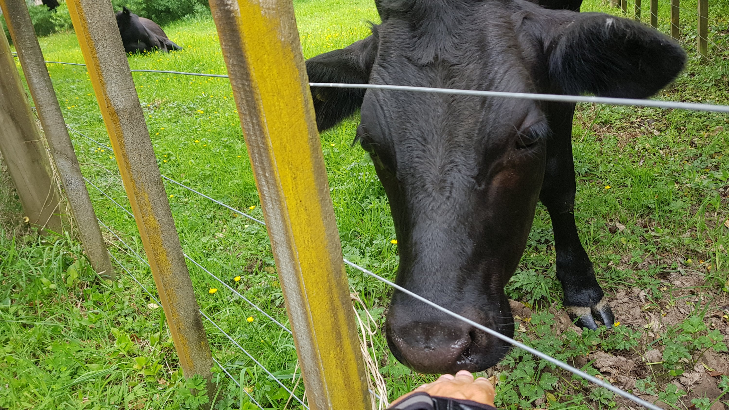
It was almost 11am by the time I started walking. Here’s my 11am picture – a cow that was completely just chilling on the side of the road:
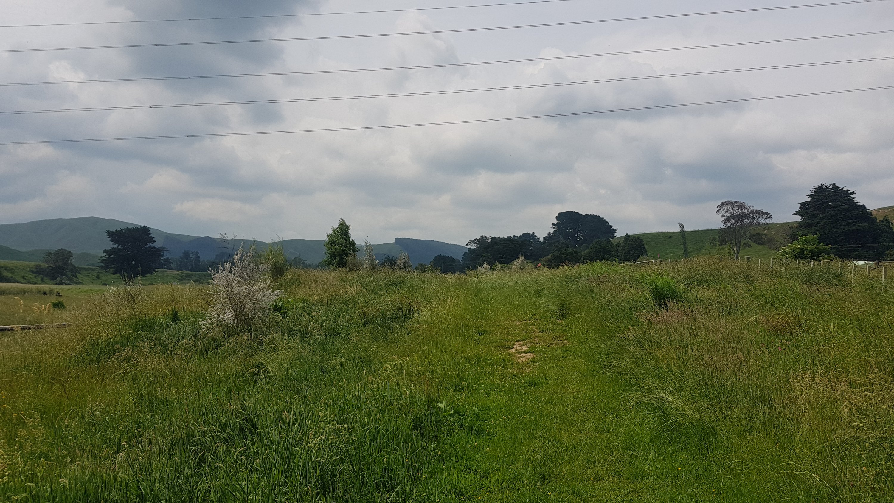
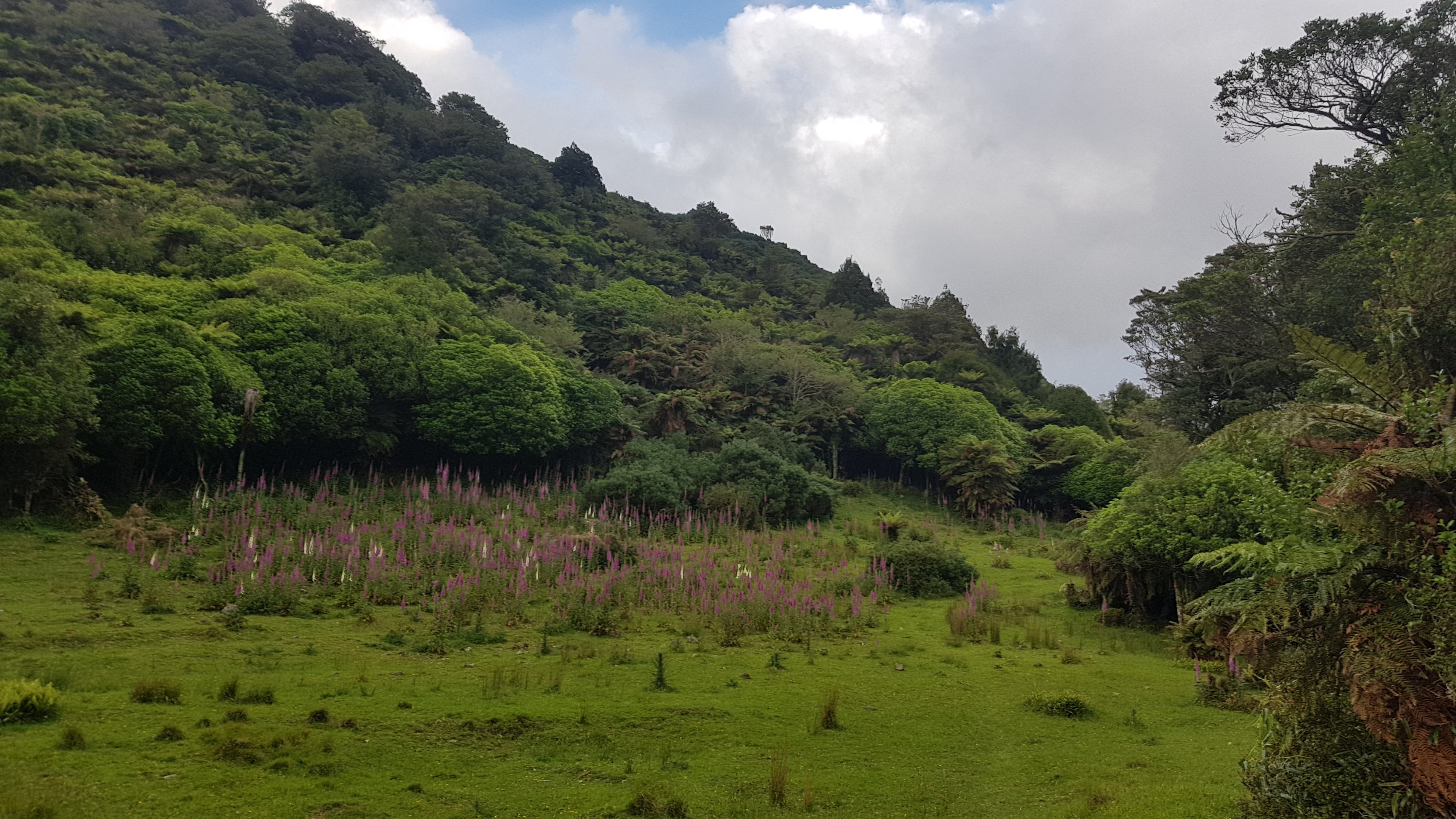
I didn’t really have a plan today. There are a fair few places to camp and even two shelters with 40km of here. So it’s one of those good kind of days where you can just go as far as you feel like. One of the huts is right on the halfway point (km1500.1) and so Alex mentioned that as a possible end point for today, although that would make tomorrow quite long. Let’s see what happens.
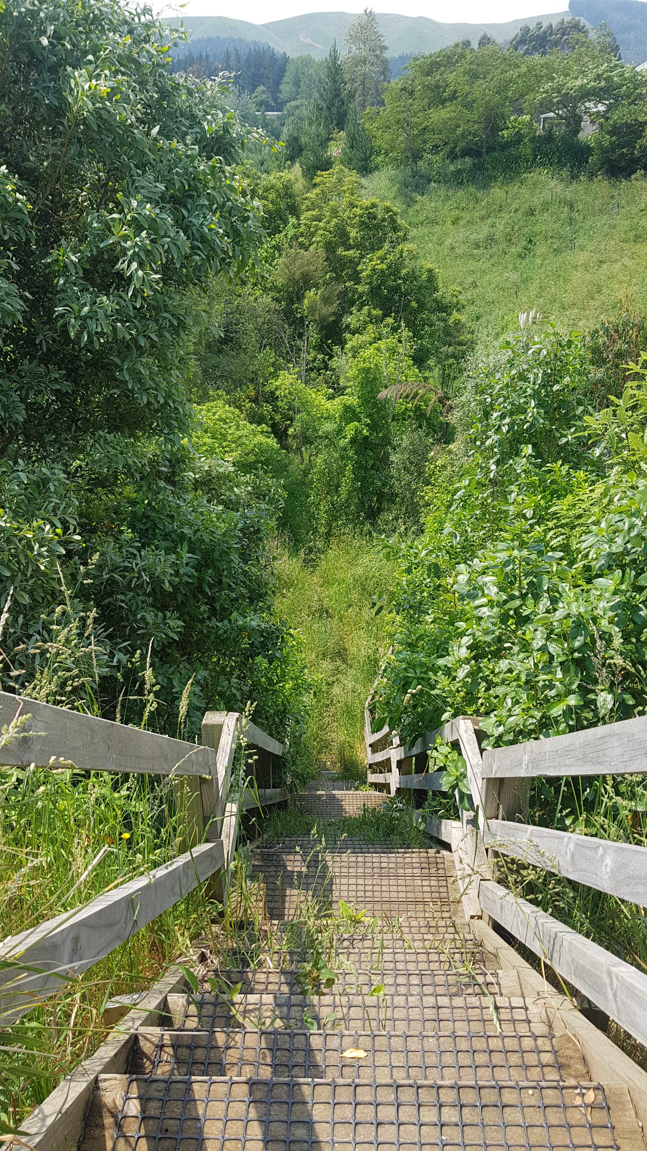
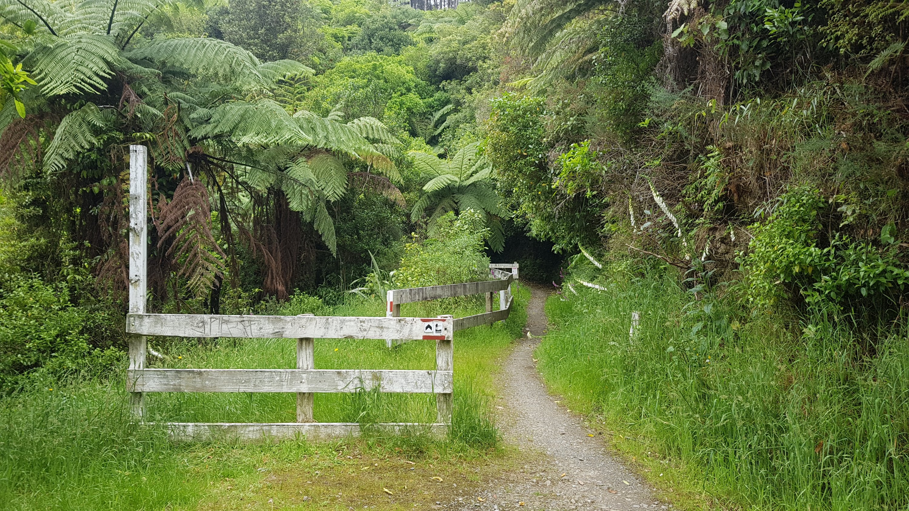
There was a bit of road walking coming up, but also some other paths on the map that could be anything. This was one such path, early on:
It came complete with a lot of stairs at one point.
There were two geocaches along this section of trail. And while I was here, for the first time ever, I managed to get a cow to come and sniff my hand!
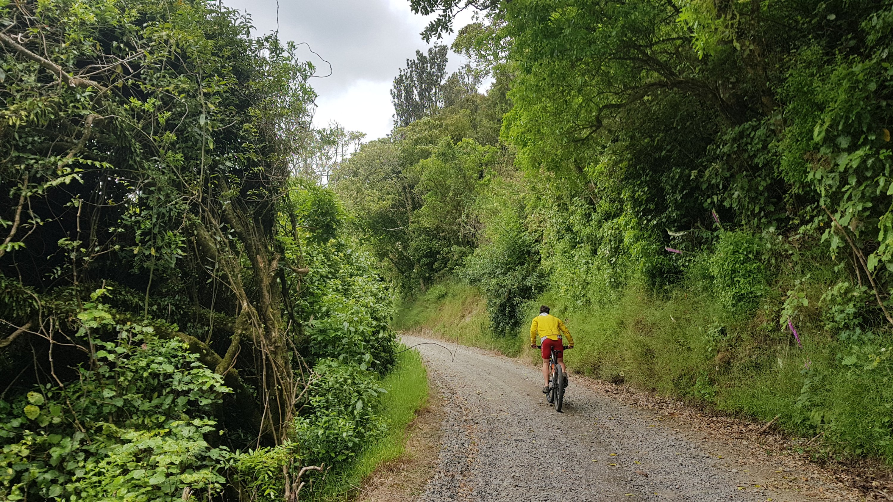
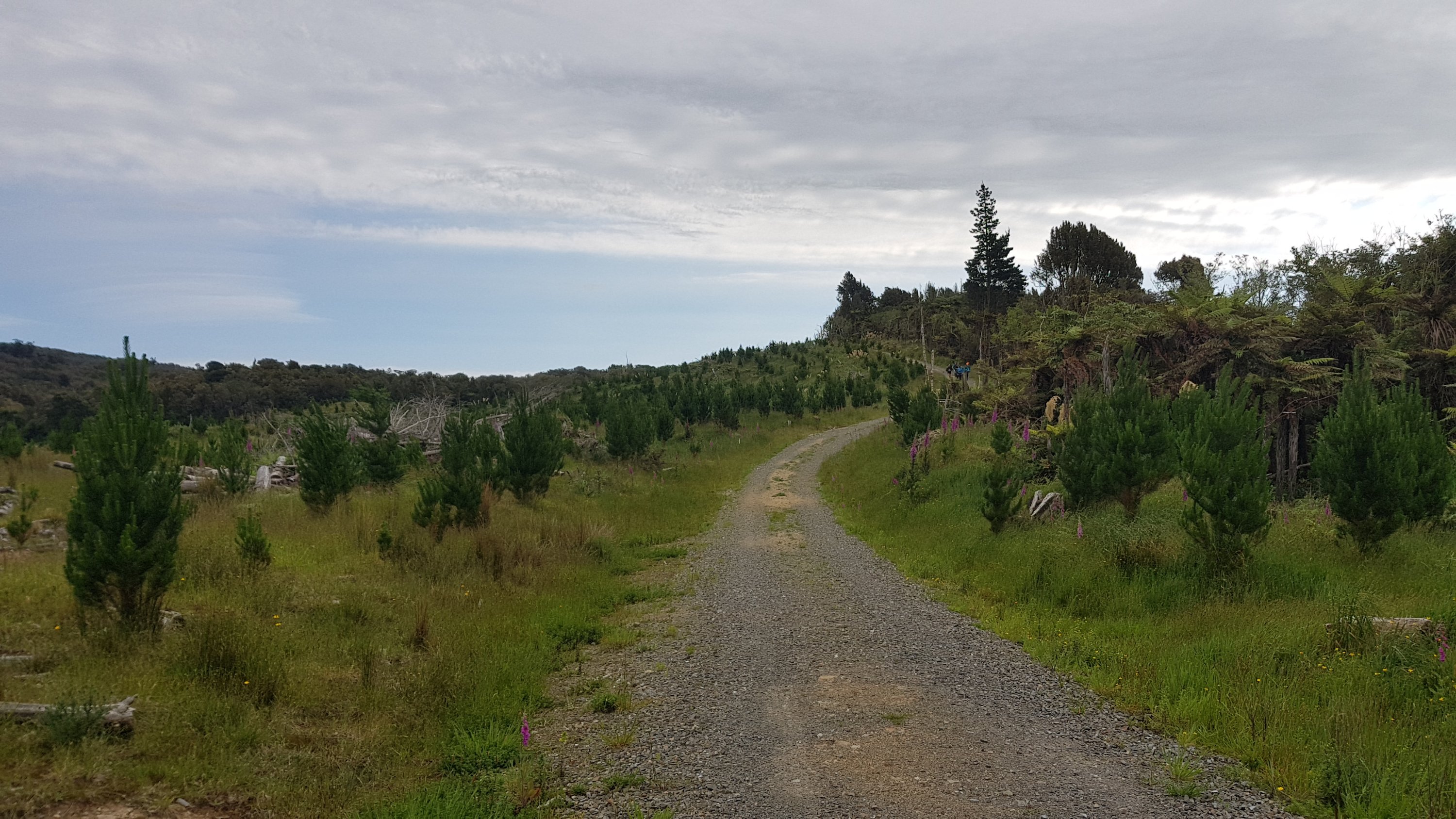
There was a bit of gravel road after this. I didn’t know at the time, but it leads to some mountain bike tracks. Hence I got passed by a cyclist on my way up the road.
I had read in the trail notes that there is supposed to be a road closure along here – from 586 Turitea Road onwards. It’s supposed to be every weekday from 5:30am until 2pm, and today it’s Thursday and it’s now just after midday. But last night, I looked for details of this road closure on the internet, perhaps on the council website. There was nothing at all. The detour would be down State Highway 57 and I didn’t like the sound of that. So I thought I’d take my chances, and if the road was actually closed, then I’d have an hour or two lunch break while I waited.
Turns out there was no road closure. This is the point right here where it was suggested that it would be closed:
So I kept on walking. I never saw anything that suggested there ever was a closure or that there will ever be one.
There was this sign though, a bit further on, instructing all walkers to leave the road and follow a marked path along the fenceline.
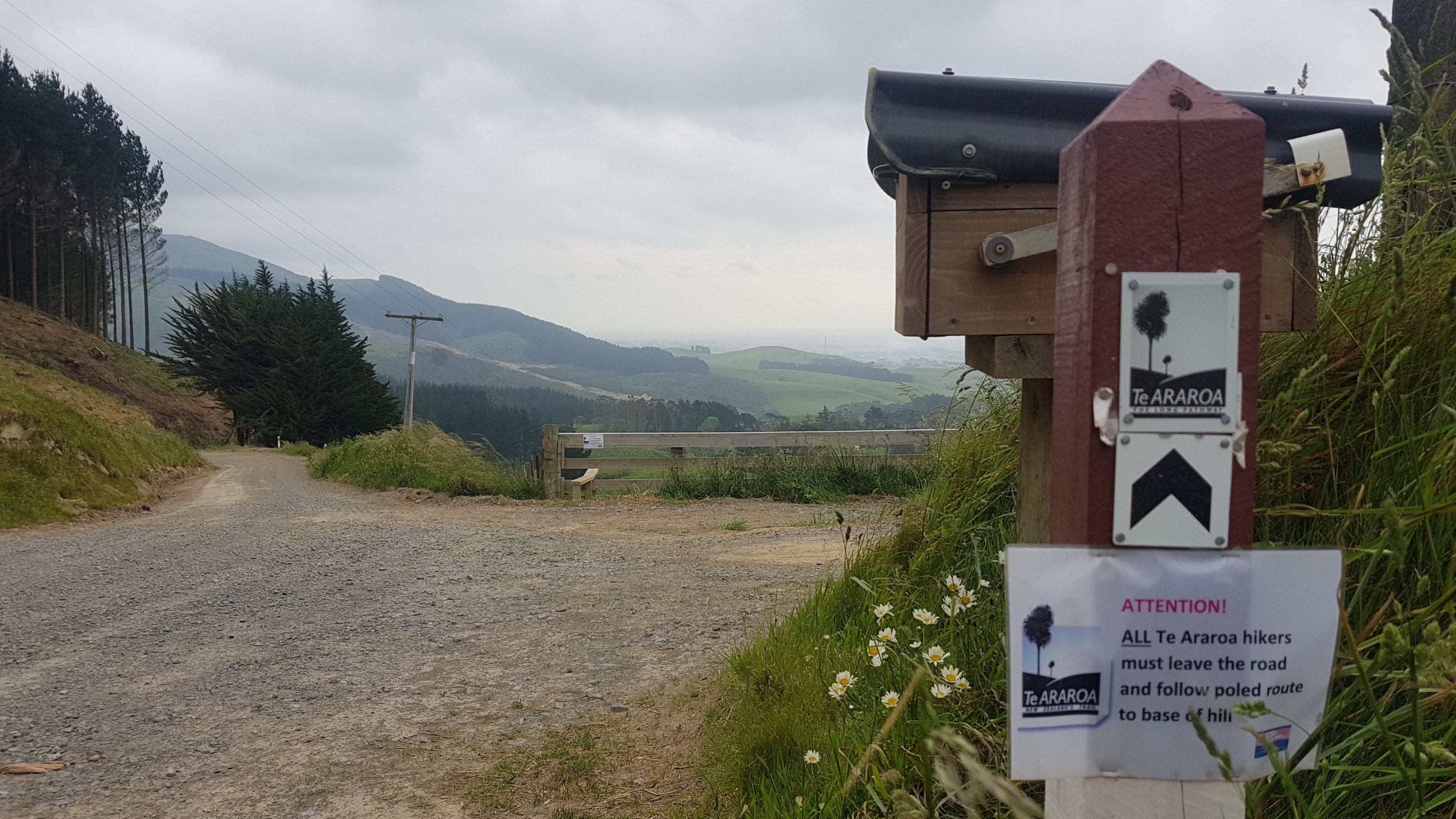
Hmm… easier said than done. It took me four attempts to get over that stile. The first attempt failed because it was so windy, I got taken aback at how difficult that made climbing over a stile which has nothing to hold on to. You of course can’t see how windy it is in a photo, so I tried to capture it in a quick video. Not sure how well it will turn out.
I tried a second time but then realised my hat would blow away in this wind. So I retreated and tightened the hat a bit. On my third go, I thought nope, the hat has to come off, so I replaced it with my beanie. Finally, fourth time lucky, I made it over and walked down the hill.
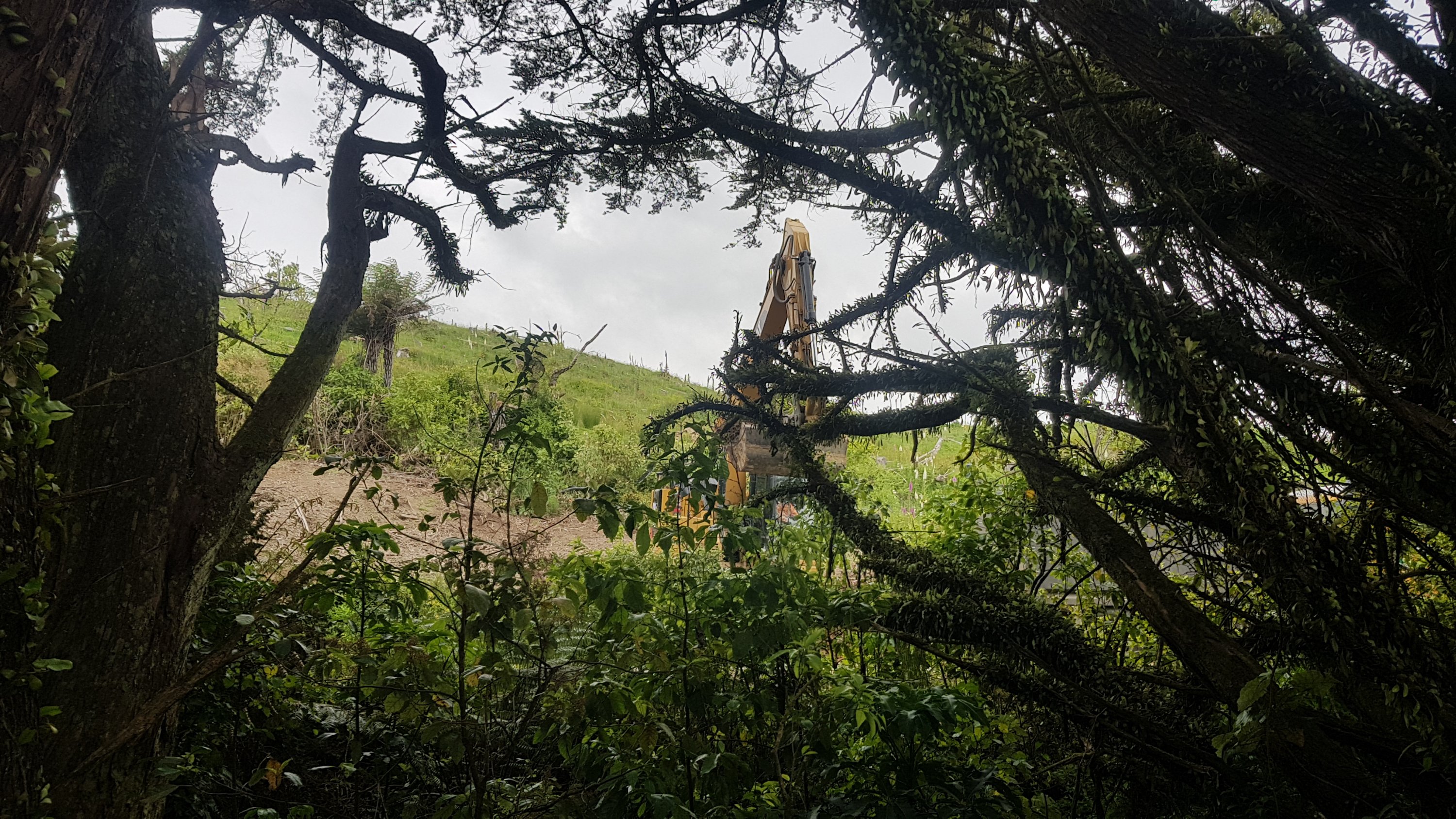
The detour appeared to be getting us away from some road works:
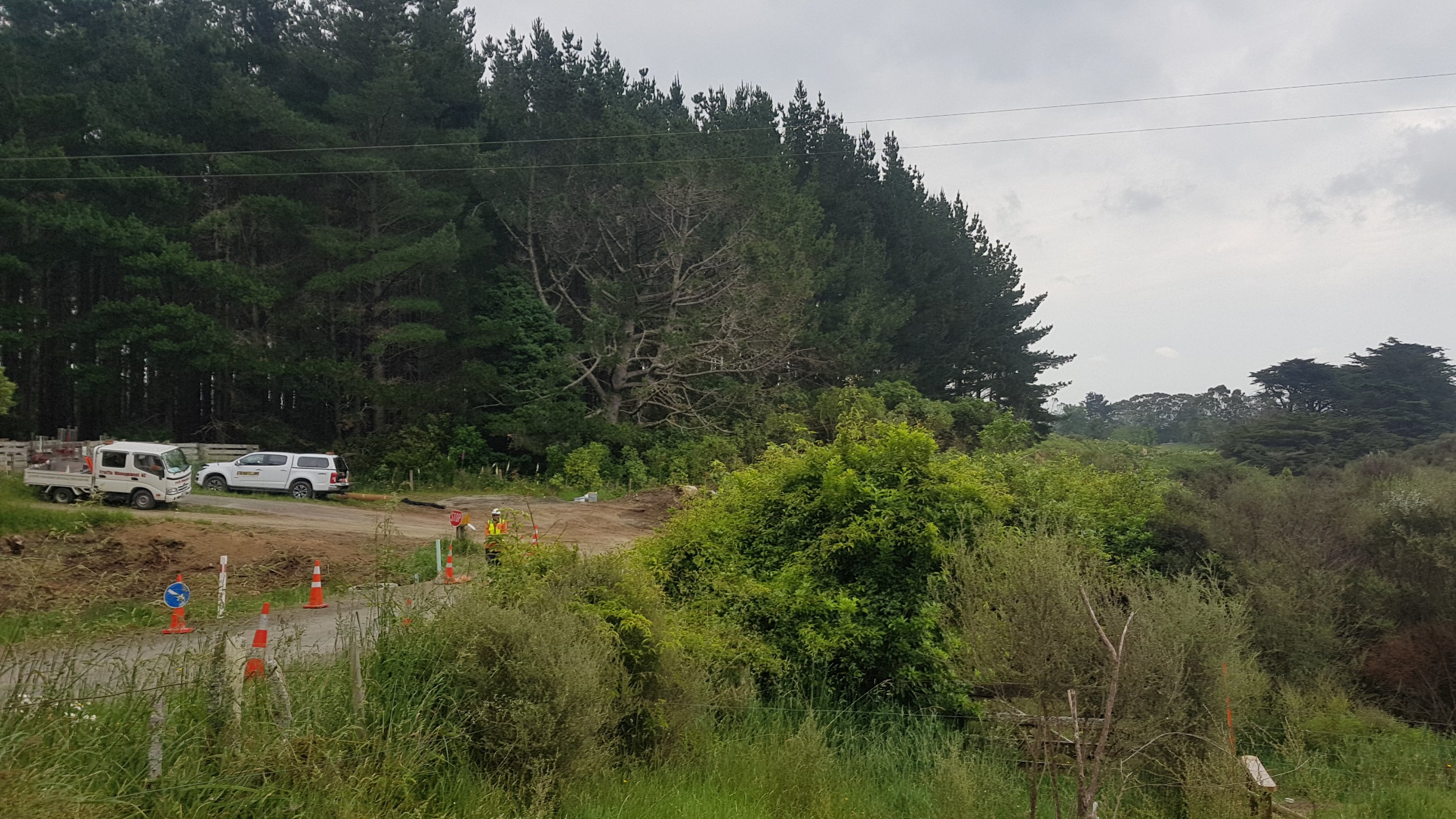
Something major was going on, but you couldn’t quite see what it was.
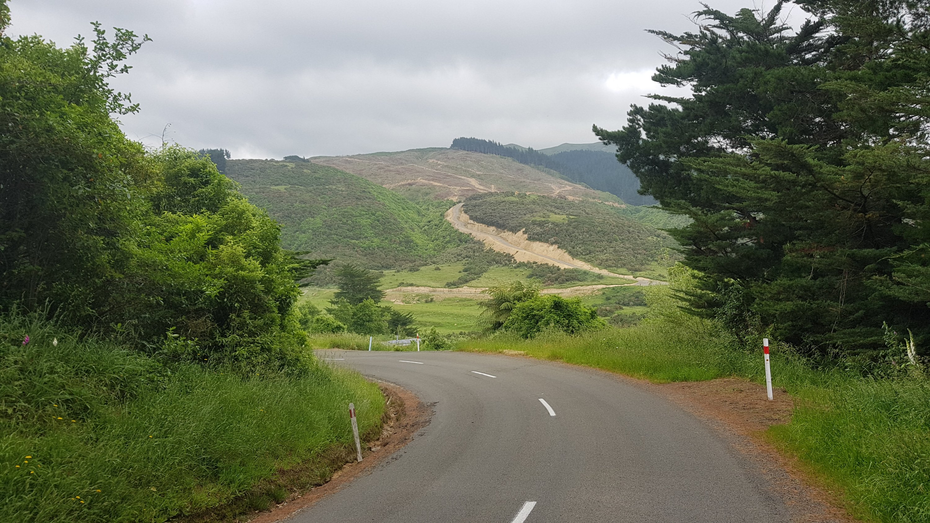
Not long until the road section starts again.
Here’s the first camping option: Kahuterawa Reserve.
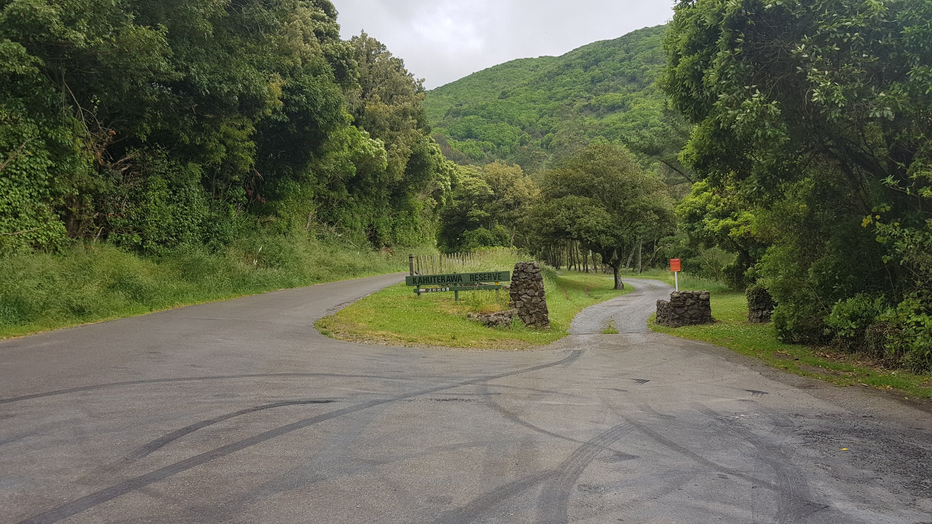
It was only just after 1:30 by the time I got here so clearly this isn’t where I’m stopping. I didn’t even go in to look.
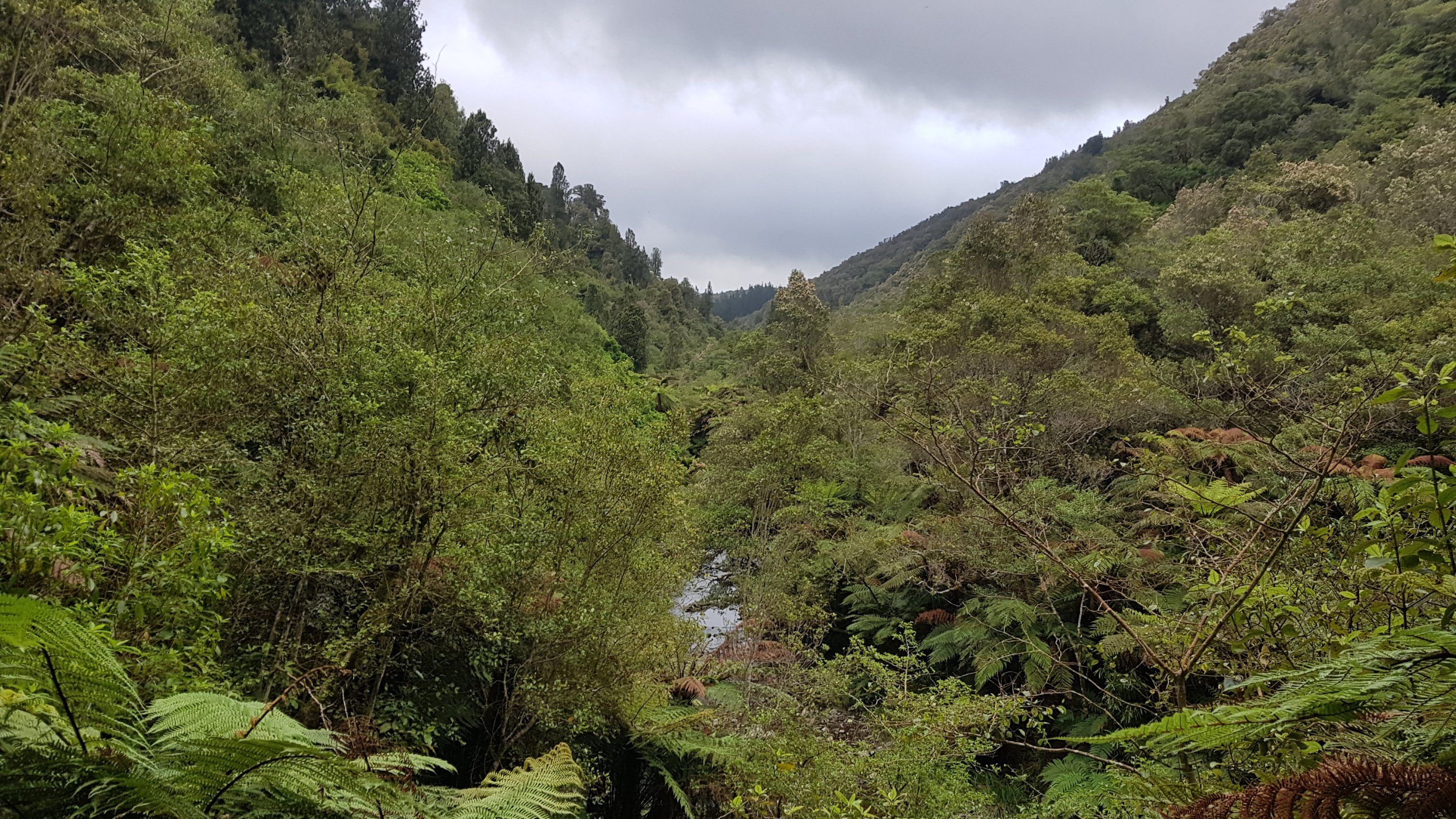
After this came a bit more road and then the mountain bike paths. I saw one other cyclist loading his bike into his car at the end of his run but didn’t see any cyclists actually using the paths.
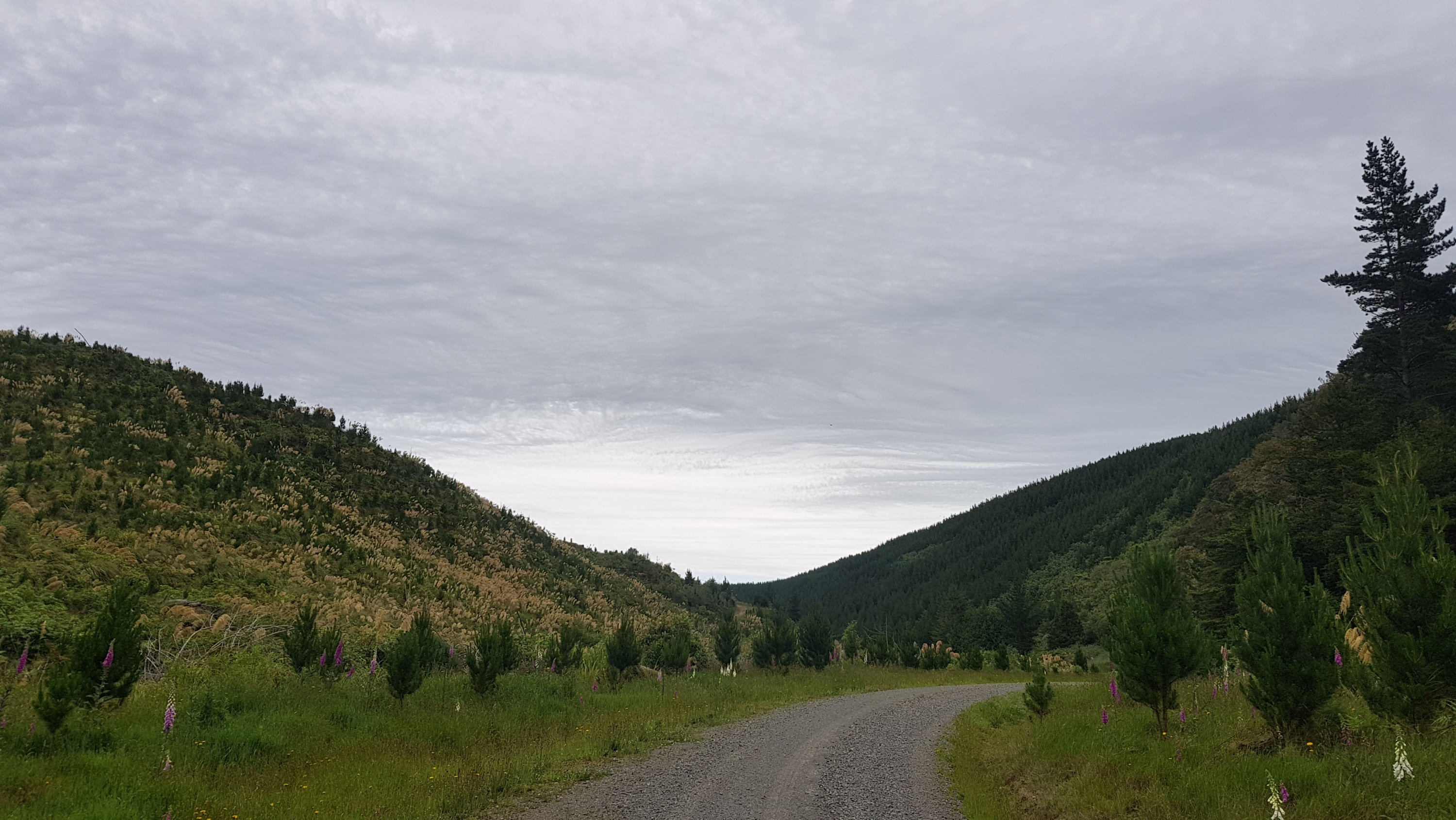
And I never had to go up the steep path in the earlier photo. The gradient, despite going up four or five hundred metres, is quite gradual today.
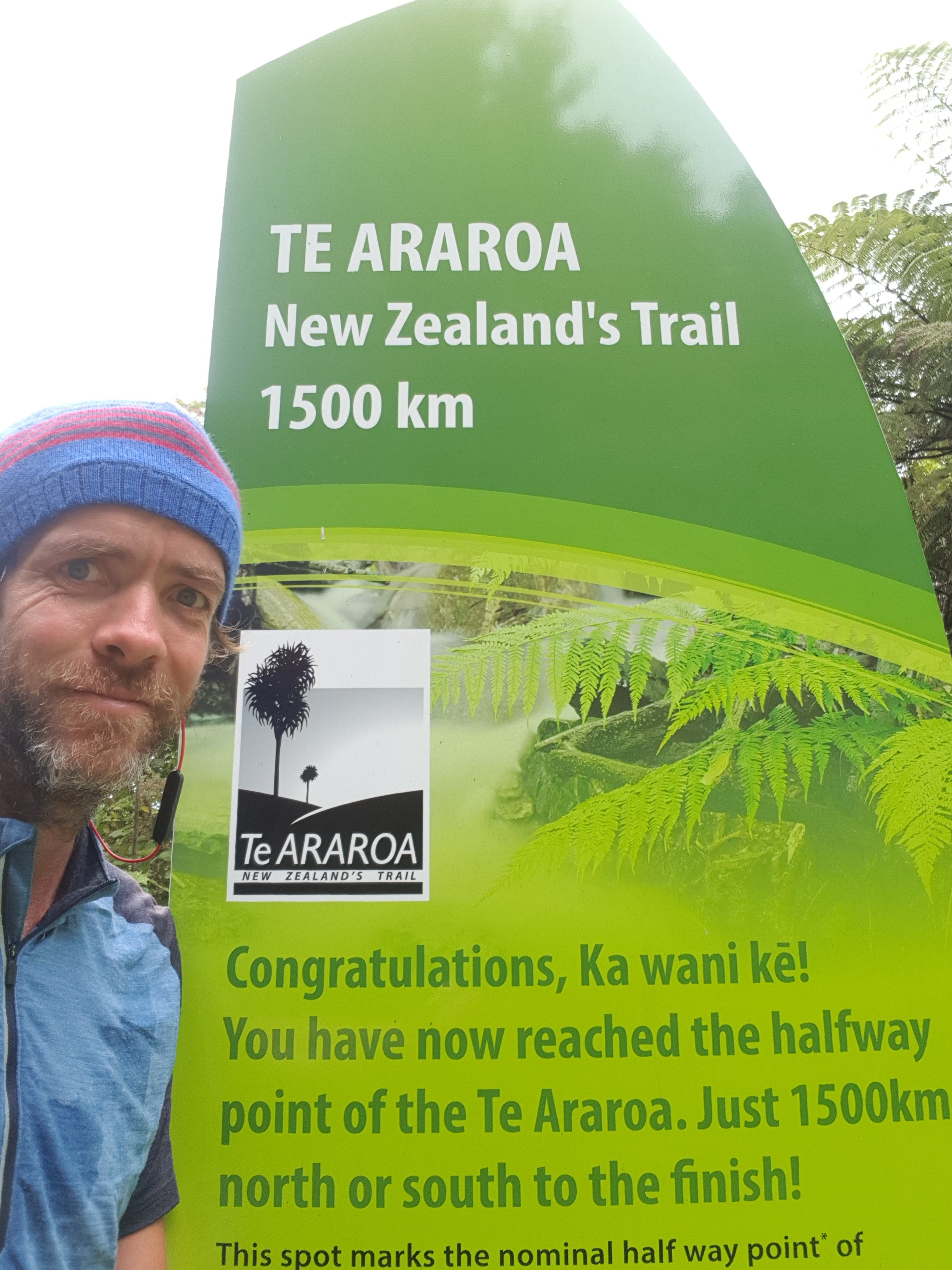
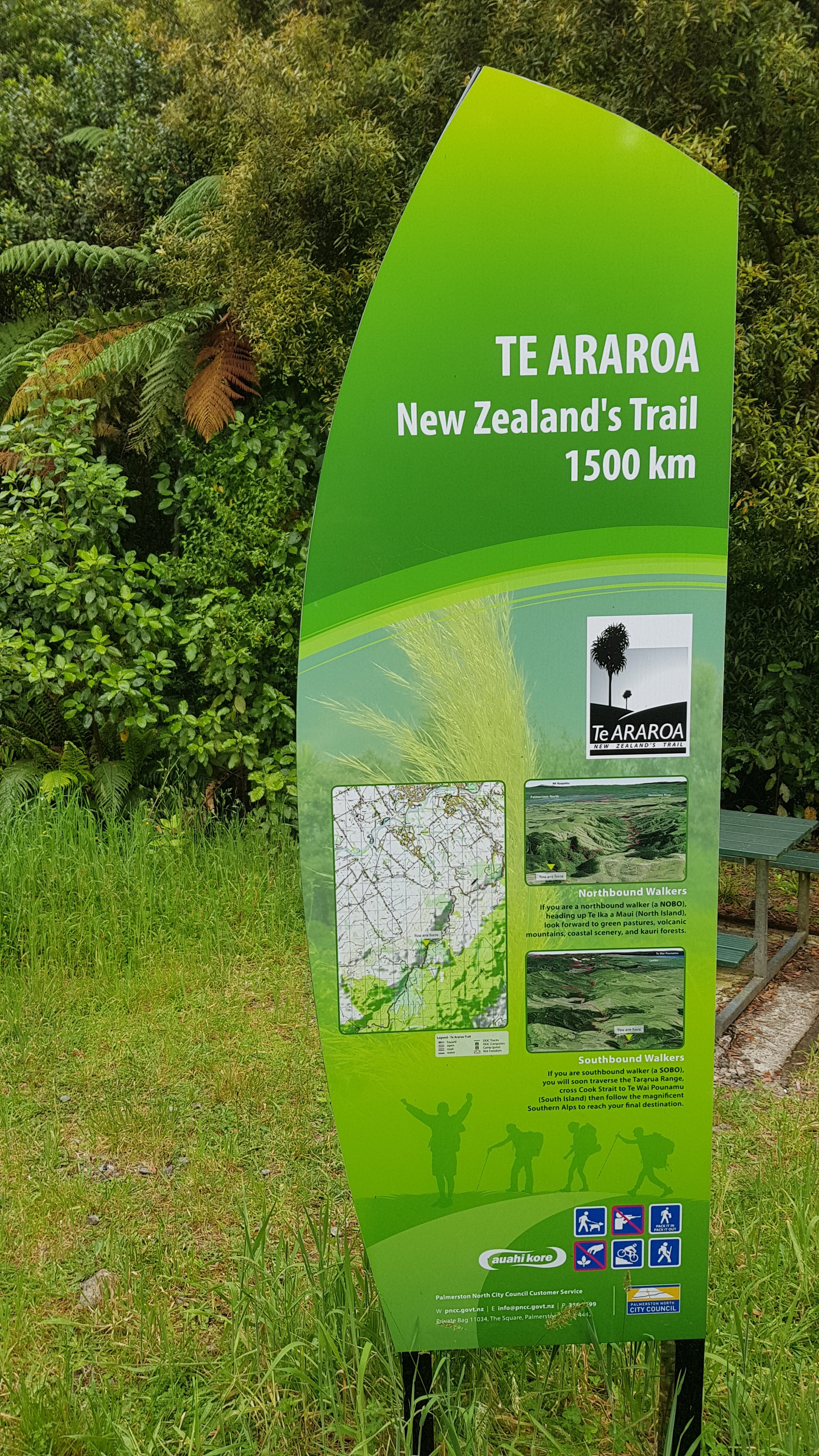
What I did see though… is this!
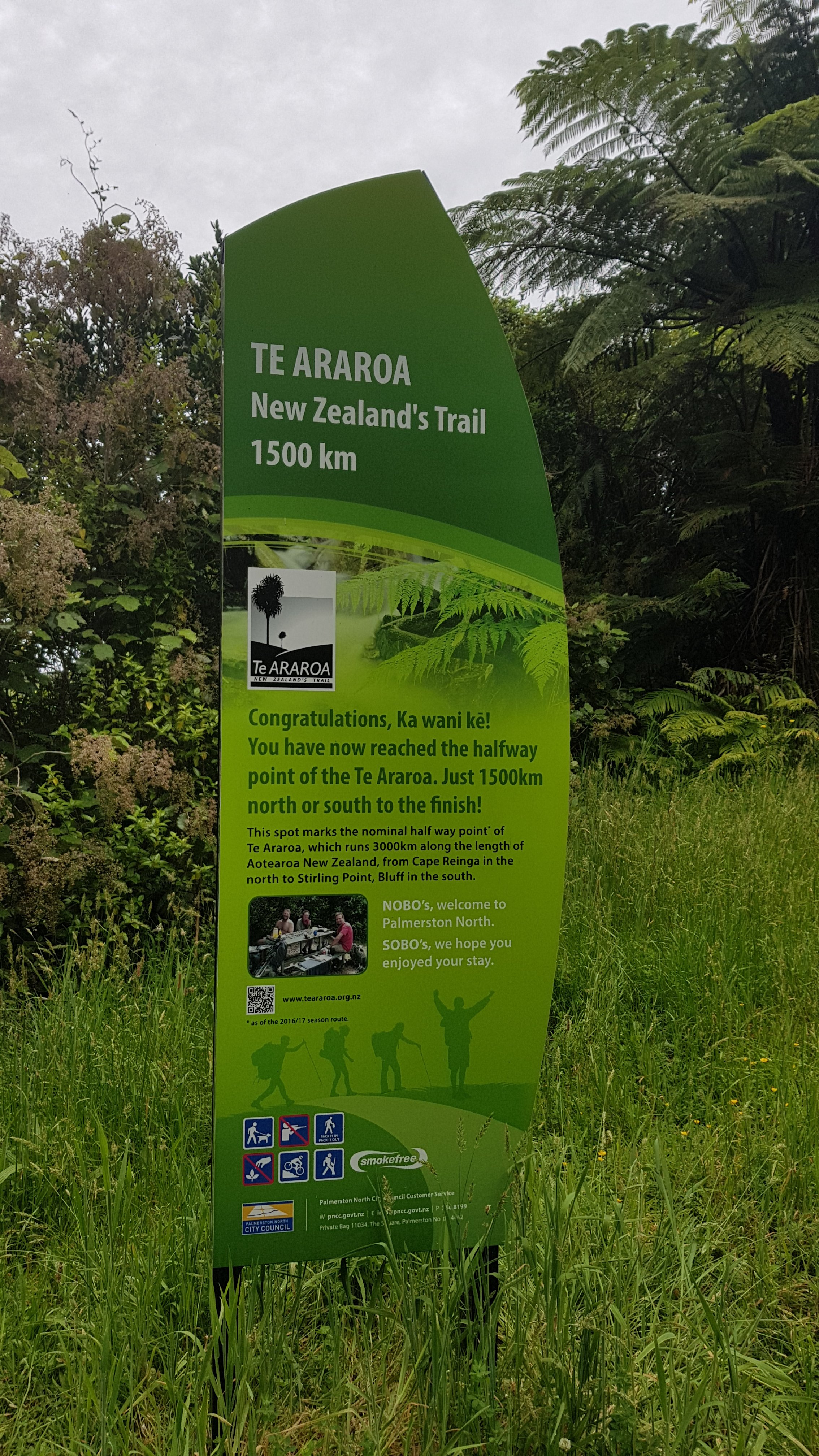
This was the halfway point three years ago. Now, it’s actually about four and a half kilometers short of the halfway point, but I didn’t mind, I still took a selfie with it anyway.
Here’s the other side of the board.
Graham, from a few days ago at Mt. Lees Reserve, said that one of the guys on the Palmerston North City Council is a big Te Araroa fan and of the outdoors in general. That might explain the big signs all over the place and the absolutely fantastic markers everywhere. Good on you, PNCC.
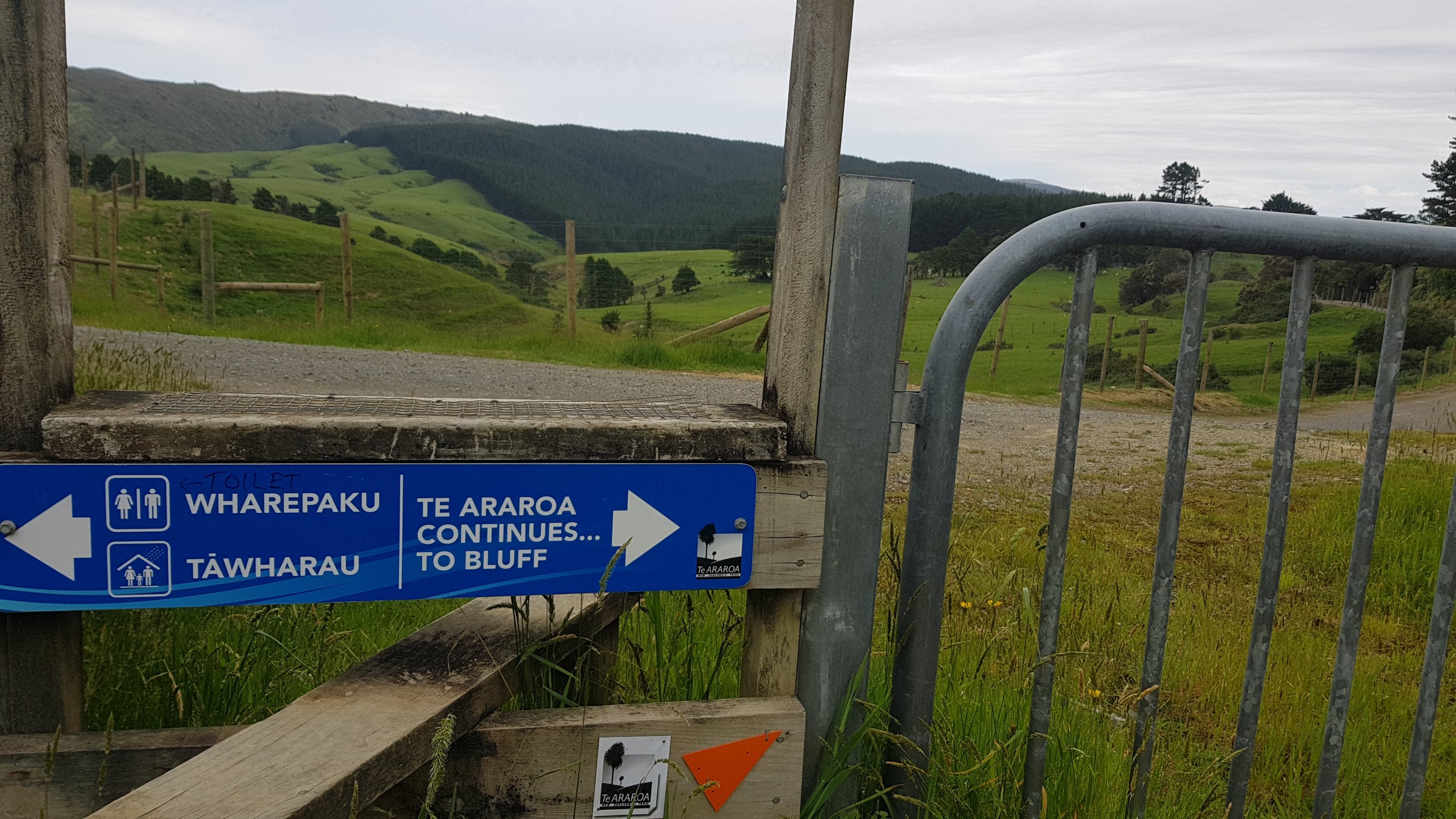
I’ll keep an eye out for the actual halfway point. Although for now I have this big gate to deal with. Have I gone the wrong way? Has the good signage let me down?
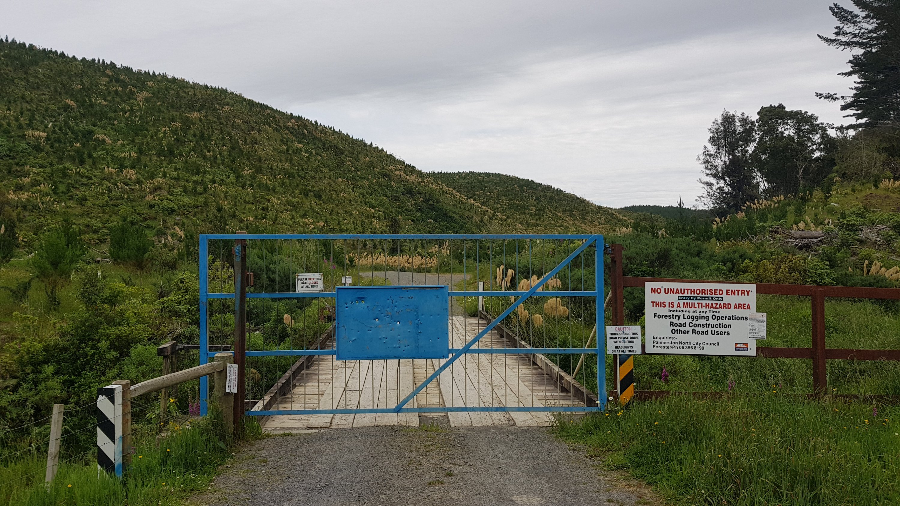
Looking back, there is a sign, and crossing the stile beside it means you can get around the gate.
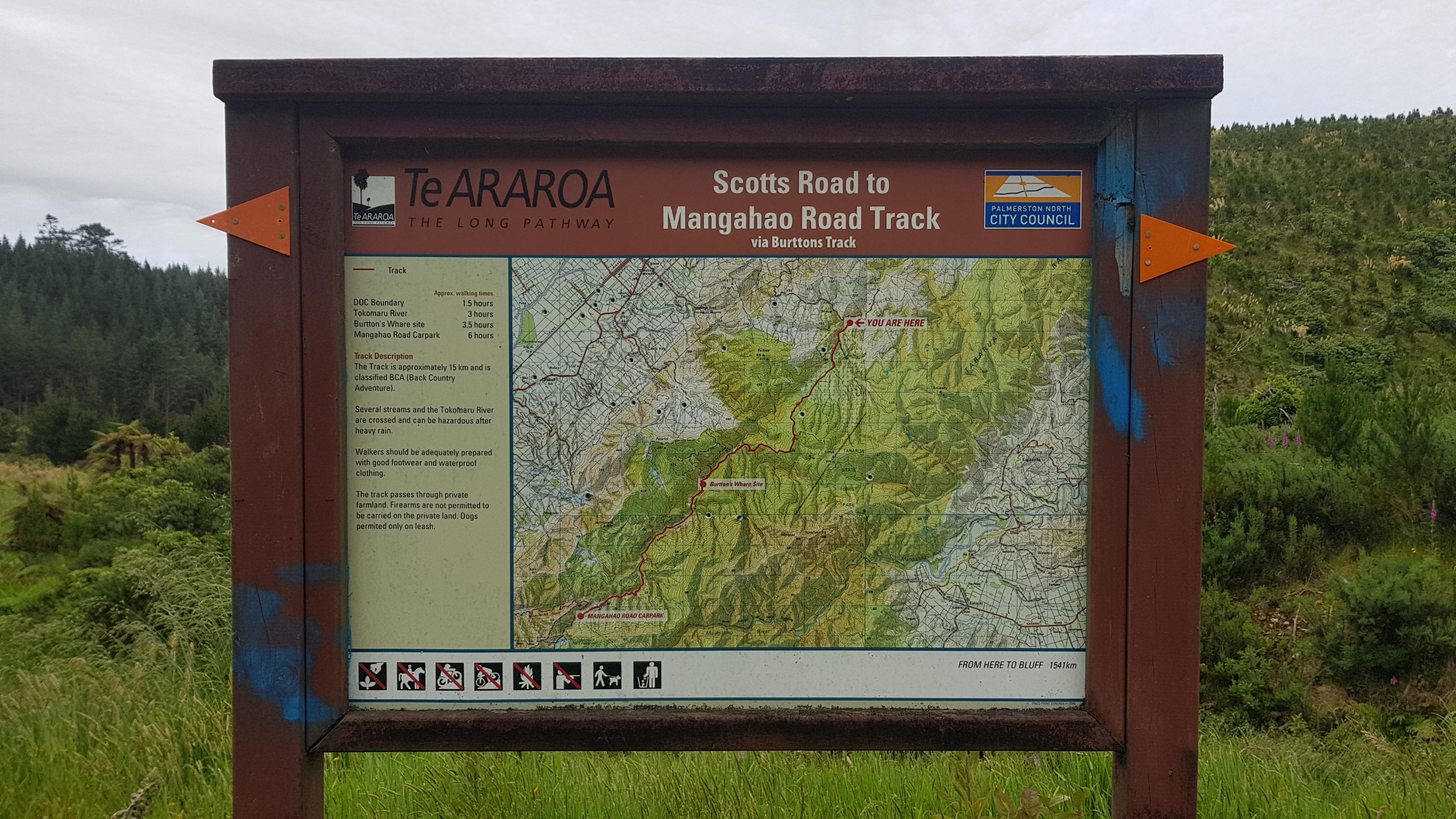
It’s interesting to note that on that sign, after not long ago being told we’re halfway, Bluff is suddenly still 1,541km away. Also, there’s quite a warning about river crossings. We haven’t had any rain for two days so it should be fine. The forecast said it would be raining this morning, and clearing in the evening but so far it hasn’t rained at all today.
I stopped to look at this formation of clouds. It’s one of those things that doesn’t look that impressive in a photo but it really was in real life. The clouds looked like they were moving in waves, as if they were waves in the ocean.
This right here is the actual 1500km point. I didn’t mark 1500 in any way – the sign from earlier took care of that. I’ll just take another selfie instead.
Even this isn’t technically the halfway point either. The trail is actually about 3005 kilometers, so halfway is about 1502.5. But whichever of those you consider to be the halfway point, I passed all of them today.
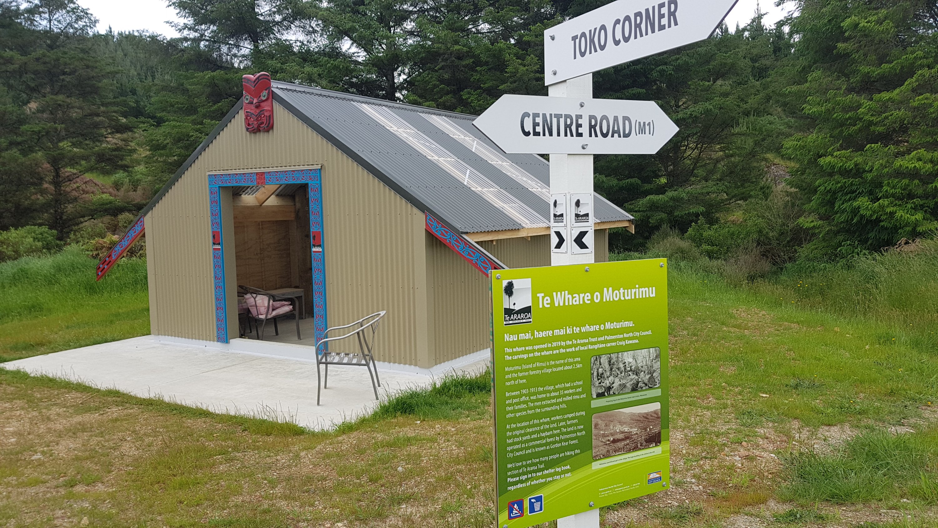
And the hut that is at 1500.1 is just around the corner. And it’s very cool. Guthook calls it Motu Rimu Hut, but I’d say it’s more of a shelter since it doesn’t have any mattresses.
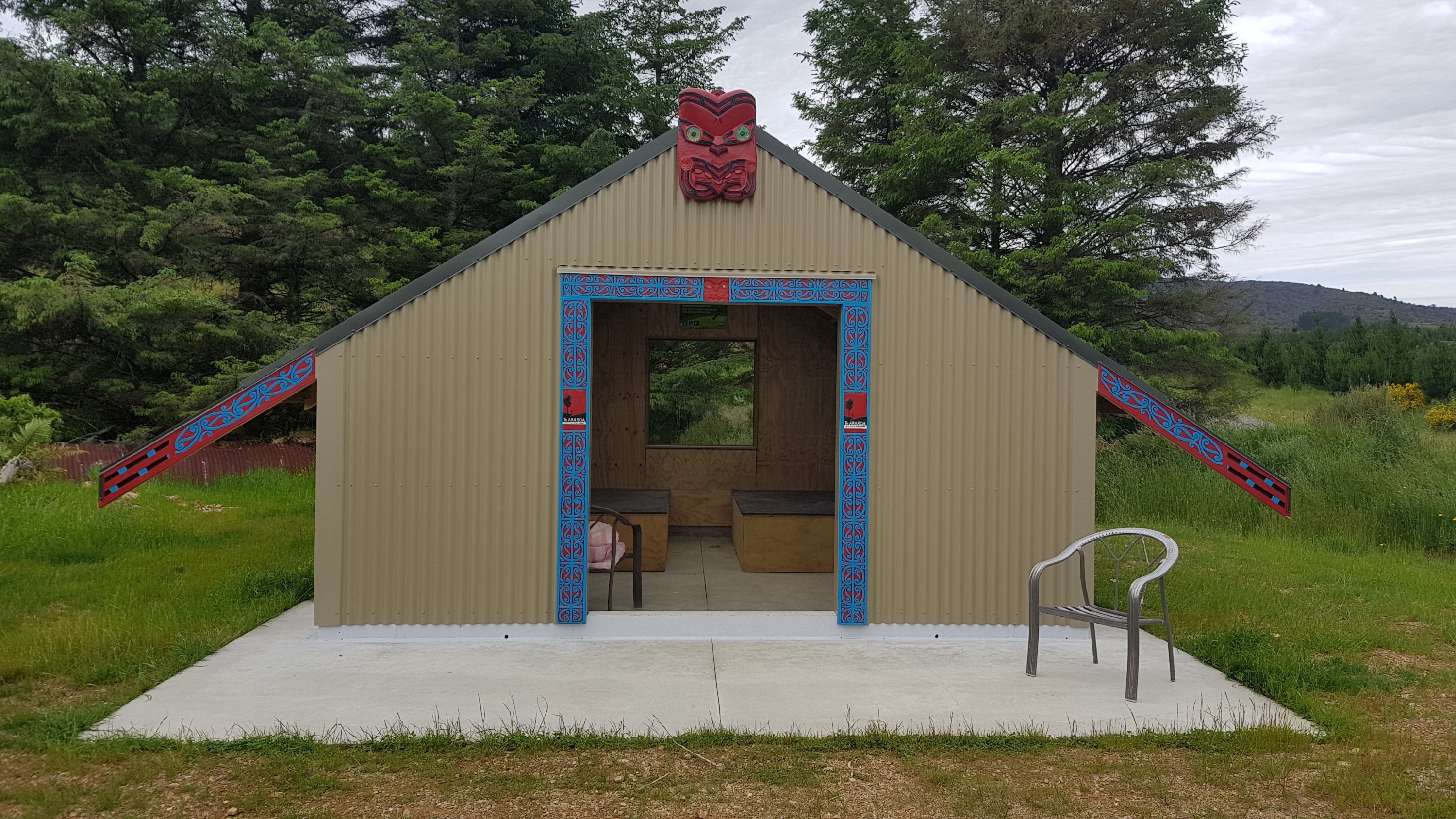
Turns out it’s actually a “whare” if you believe this sign.
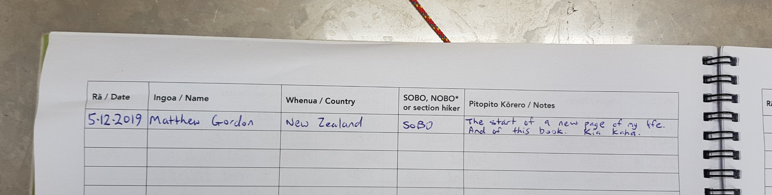
I had a look at the “visitors book”. I was interested to note that there were lots of people through a few days ago but nobody yesterday or today.
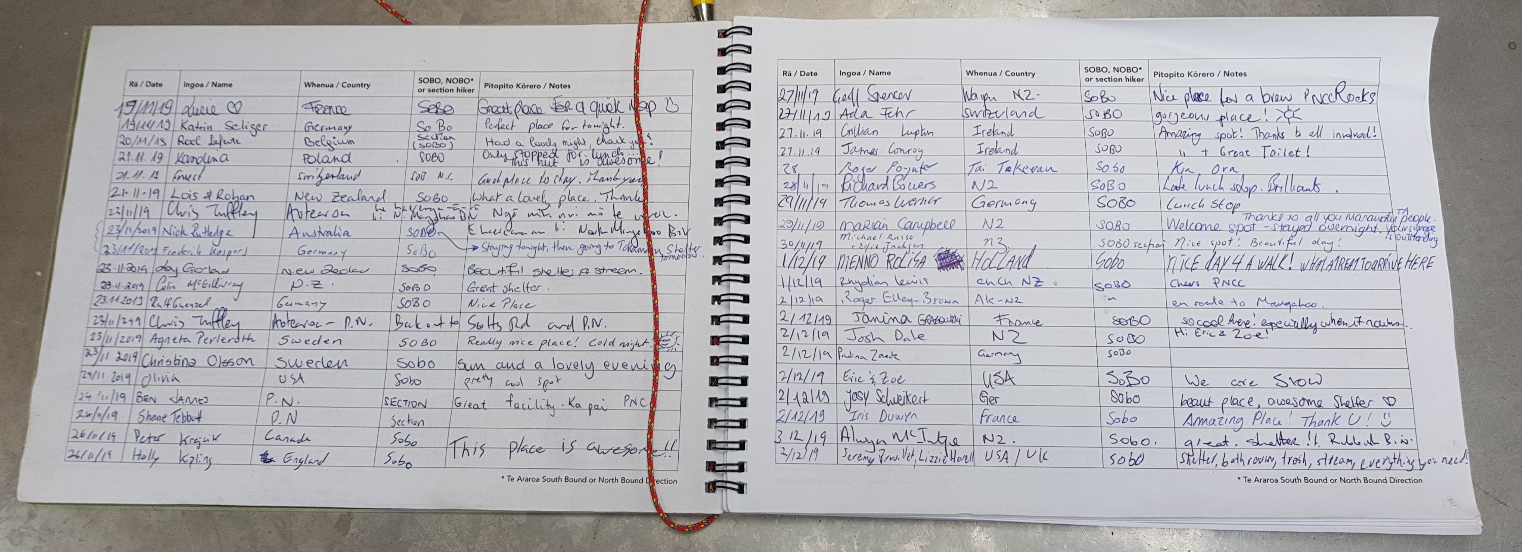
I got to start a new page.
This would have been a nice place to stop, and this is where Alex was expecting to make it to. But I had only done 23km and I wasn’t feeling tired. There is the “Tokomaru Shelter” 14km from here, which has quite good comments on Guthook, and also several places to camp in the bush by the sounds of it. I don’t know what the track is like from here, but even if it takes me four and a half hours to do the 14km, then it would still be light – just. And given that there doesn’t appear to be anybody ahead of me, I probably don’t need to worry about waking anyone up. So that was my plan. Tokomaru Shelter by sunset, and camping in the bush if the track was harder than expected. I don’t know exactly how far behind the boys are though. There’s no mobile coverage around here.
Here’s the first bit of track. I saw six hikers coming towards me – you can just see them in the top of the picture.
I was interested to find out who they were, but five of them were school aged and didn’t seem interested in talking to me. The one adult said hi but didn’t stop or ask anything so I just kept on going.
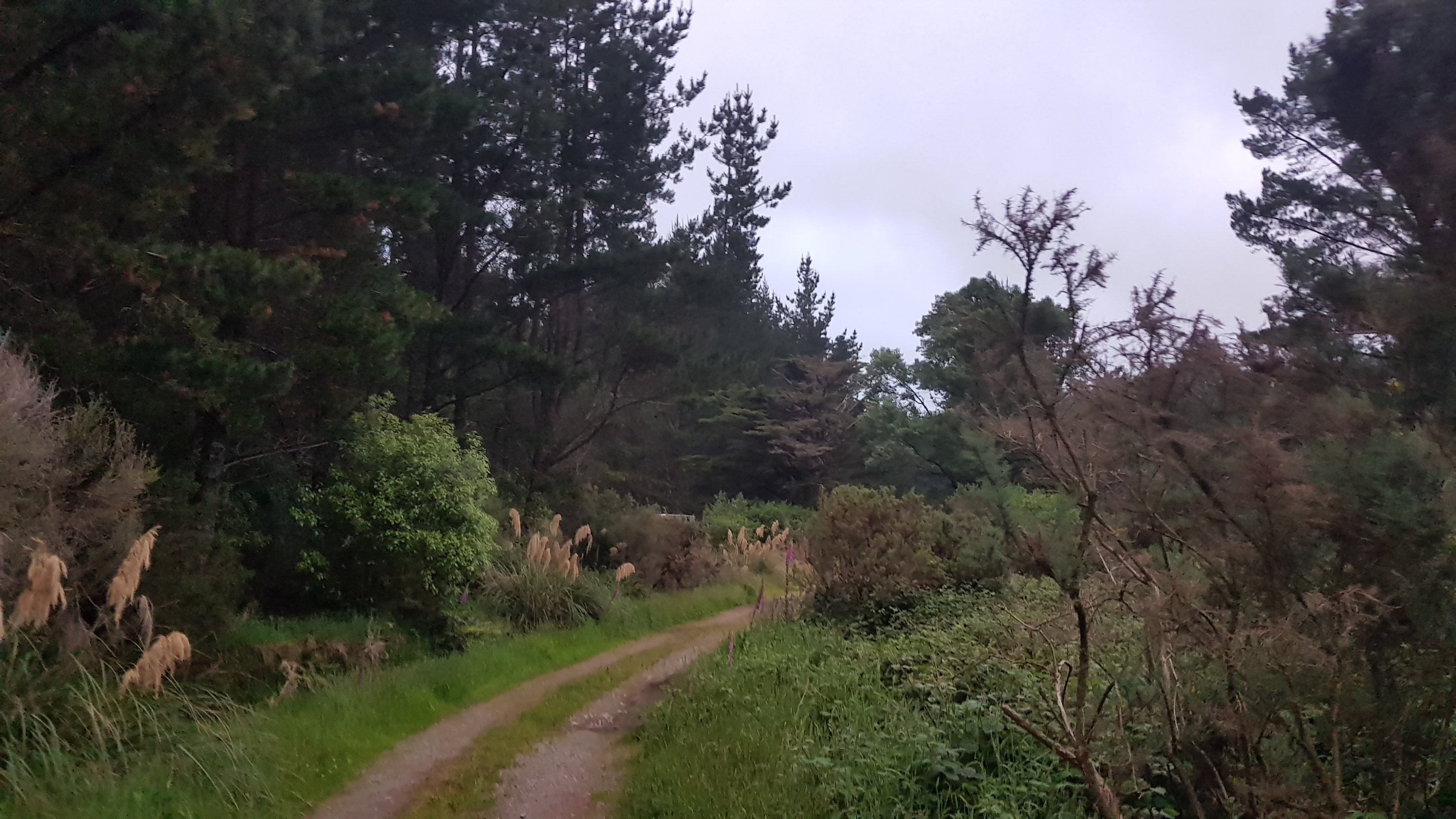
This only lasts for about 1km. After this you’re onto Burttons track.
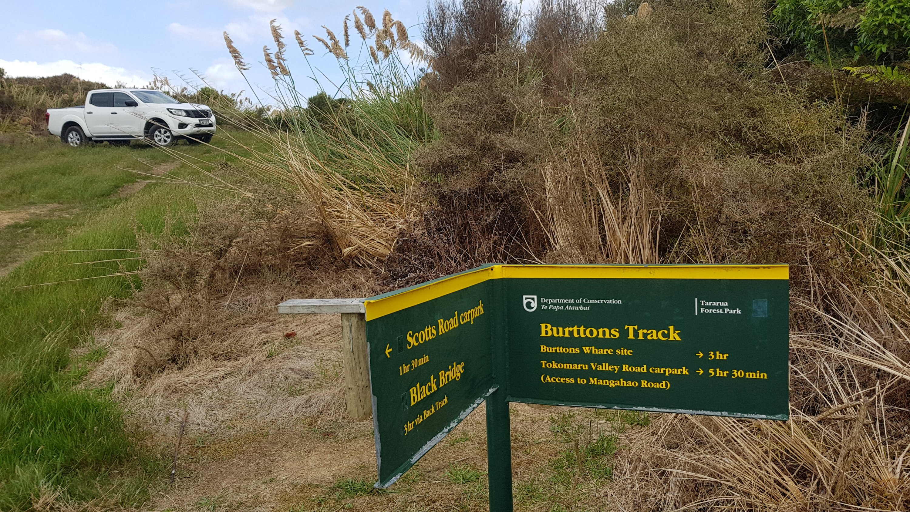
Hmm, 5 hours 30 to get to the carpark – that will mean a late finish. I looked on the map to try and find where the carpark is, but couldn’t spot it. Surely the shelter must be some distance before the carpark. I haven’t yet seen any shelter on the side of a road. Also how did that ute get up there? We’re still inside the big gated area.
I did look on Guthook and apparently it’s muddy from here for the first bit. Uh oh.
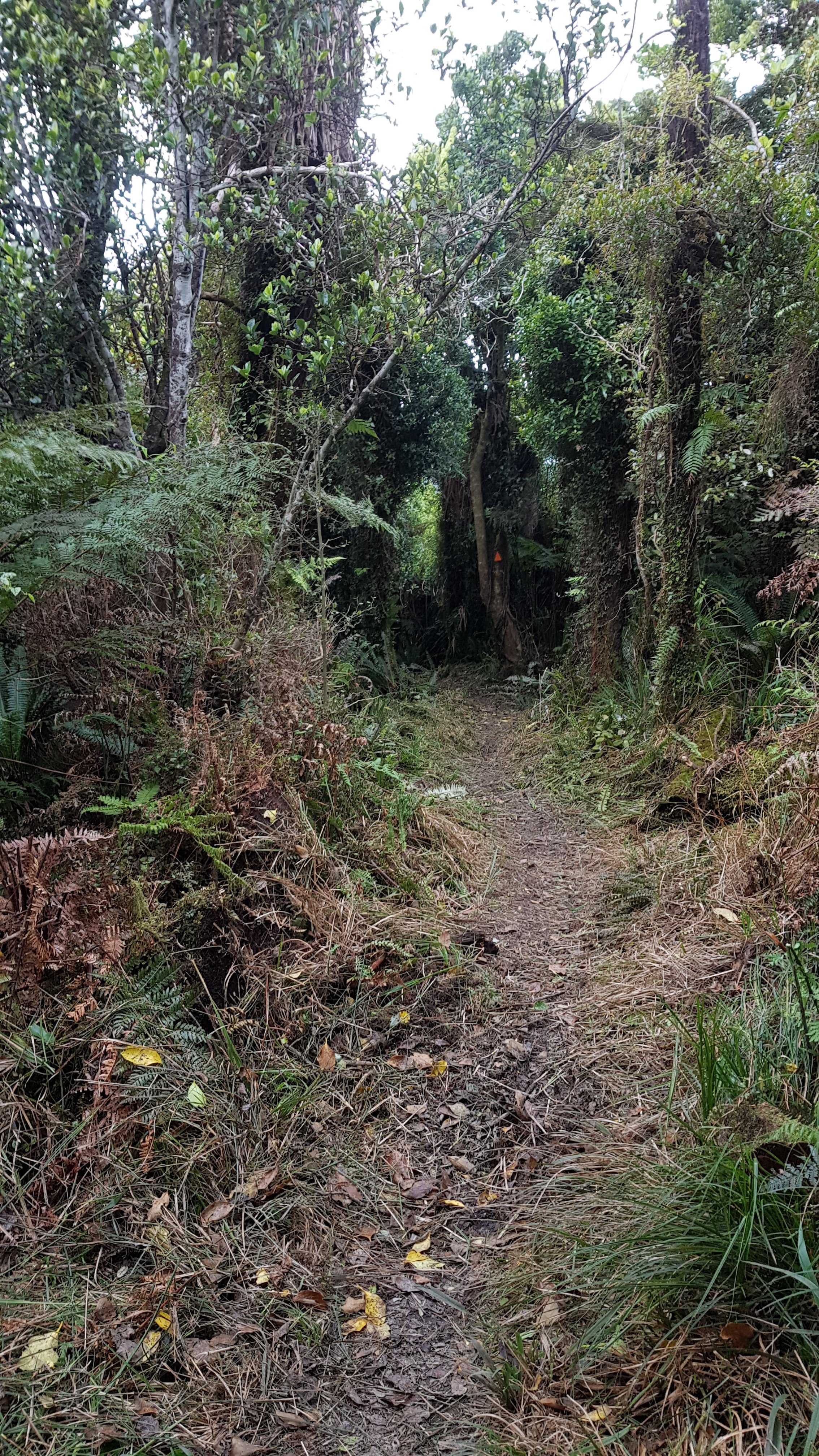
The track was well formed for almost the entire track. In fact it looked like people had come through here very recently with a weed-whacker. It was a little bit muddy, but not too bad – I’ve definitely seen worse.
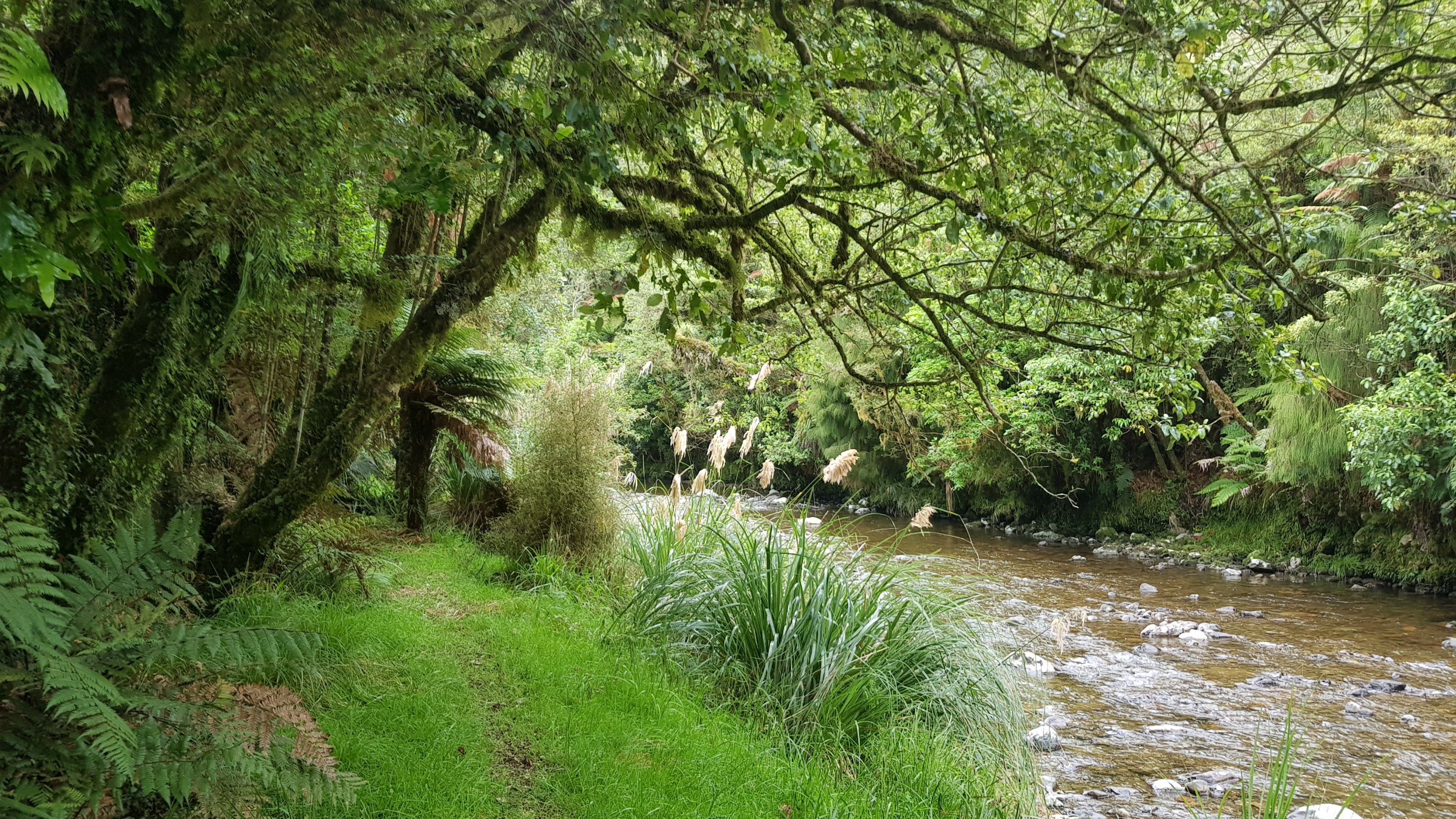
And there were definitely a lot of river crossings.
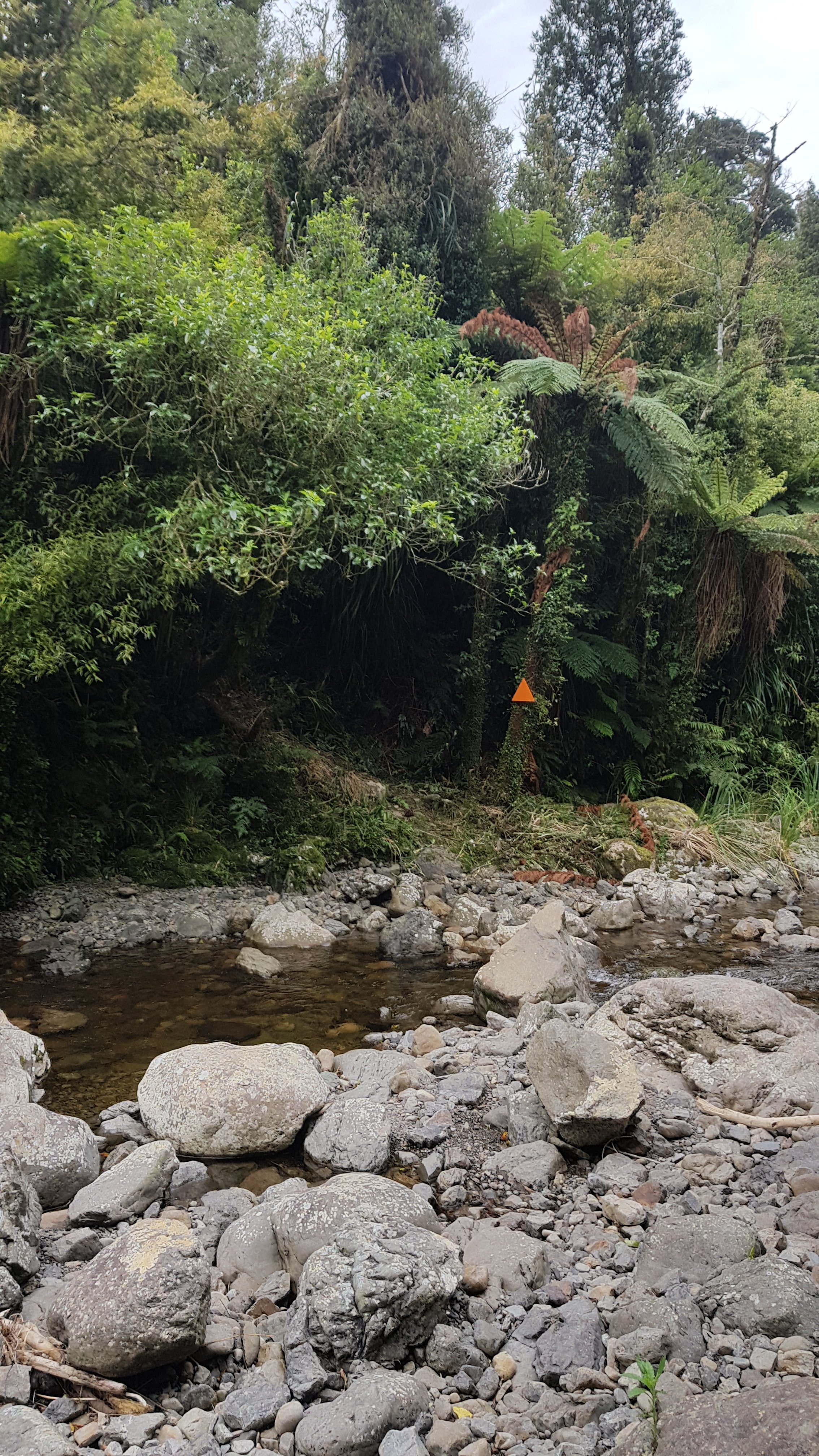
And walking alongside rivers.
Here’s the guy that this track is named after. I thought this was quite an interesting story.
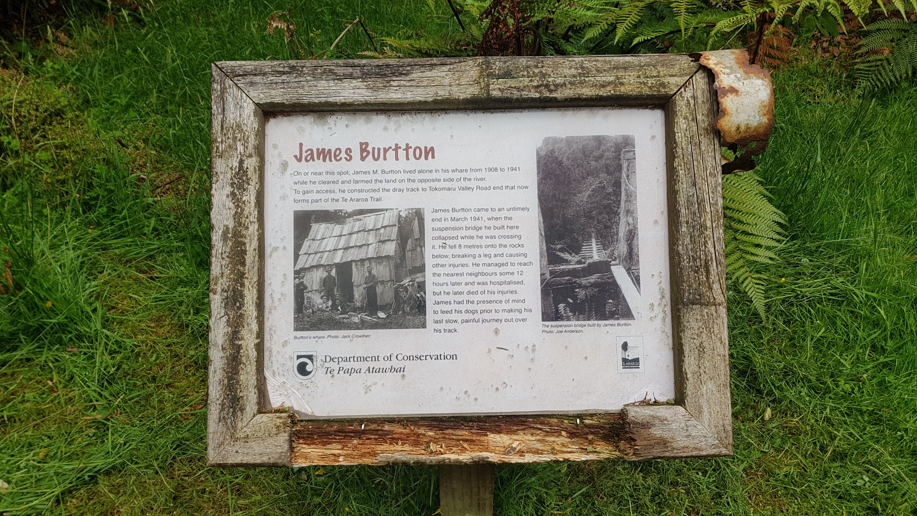
And this is the site.
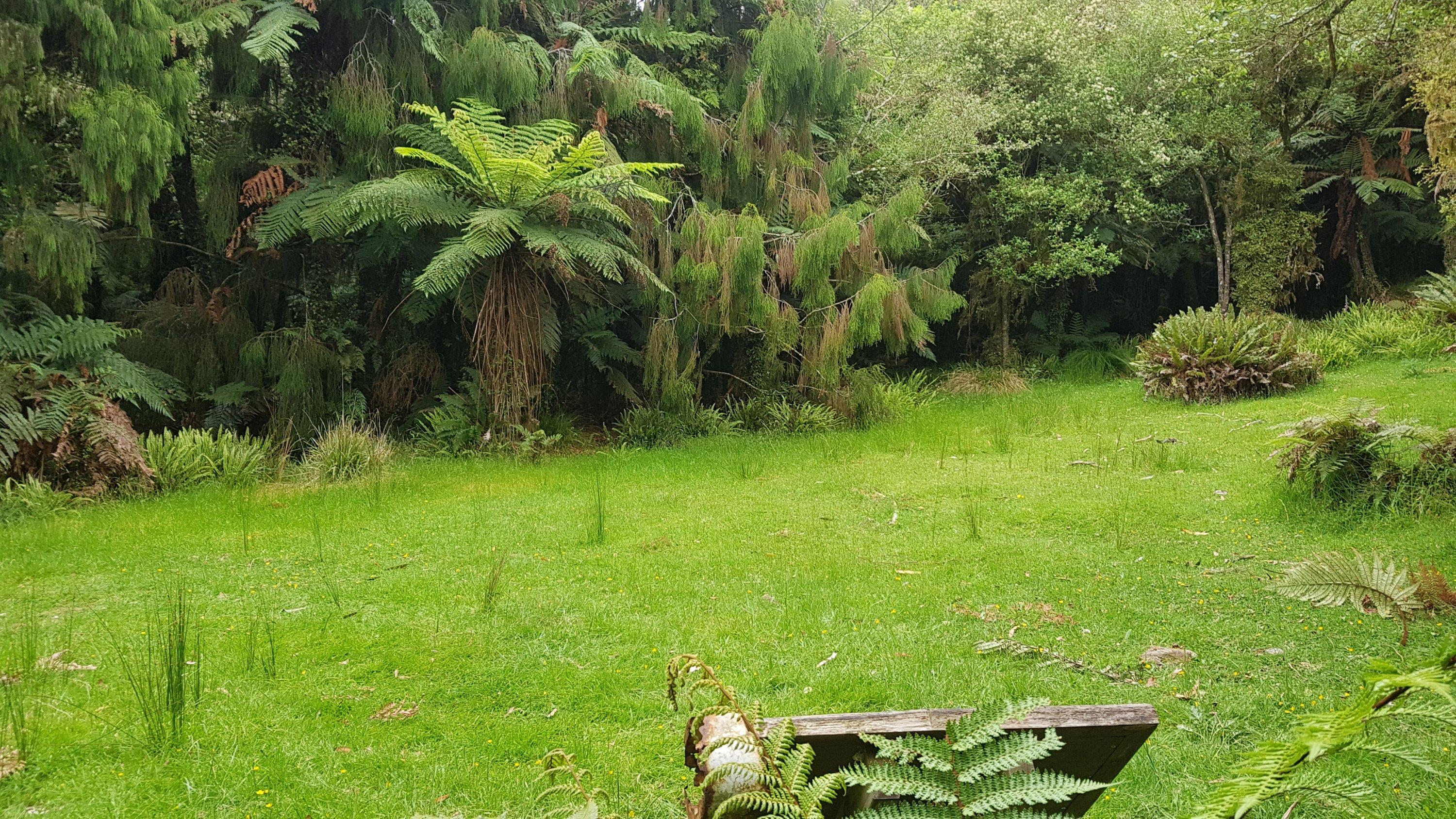
The track varied a bit between different landscapes. The second half of the track is through private property.
I was starting to get a bit exhausted by this point though. Even though the track wasn’t too challenging, the river crossings were annoying and it was really humid so I was sweating a lot. I was trying to go relatively fast to get to the shelter by sunset but also because the rain looked like it could start at any moment – it was threatening all afternoon and the sky was getting greyer and greyer.
I also was slipping a few times, which caught me off-guard. I had a look at the grips on the bottom of my boots, and they’re definitely not in good shape – the ones in the middle have worn away. No wonder I’m slipping.
I was also making silly mistakes like tripping which I often do once I get tired. So I felt much relief when I saw the top of a building, about 1km earlier than I had anticipated.
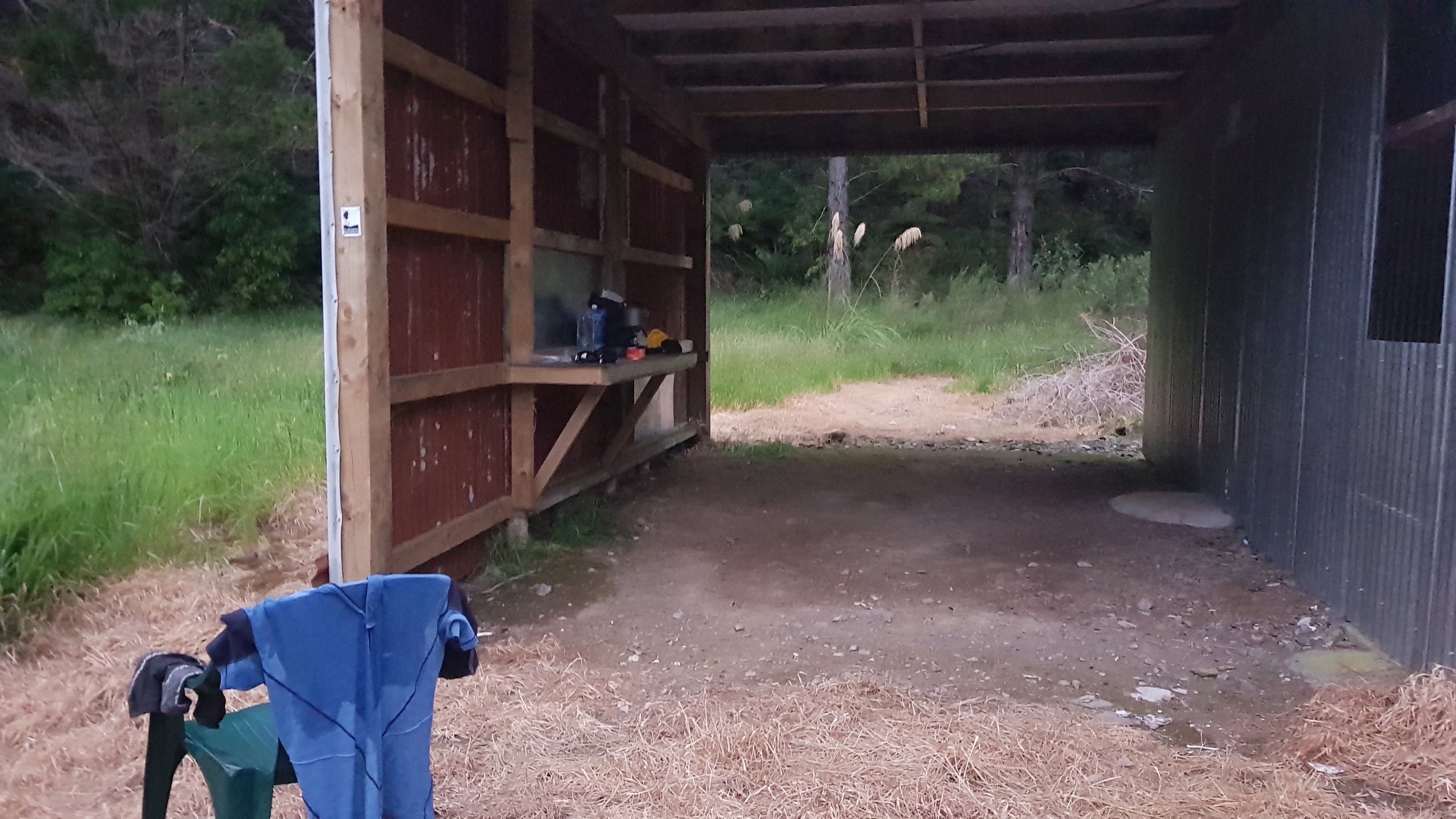
And there it is! A real sight for sore eyes. And nobody else is around, it seems.

I had made it at 8:20pm, which meant slightly less than four hours between the two huts. I quickly got some water from the nearby stream and started cooking dinner. And I normally wouldn’t change clothes in the evening but my shirt was drenched from sweat and it was cold so tonight I had to.
After I put some pasta in, the white ute from before drove past, and then reversed and parked near me. The driver came and talked to me for twenty minutes or so. His name was Glenn and he said he is a local and has a key to the gated area. He talked about all sorts of things, like how the shelter here used to be really dilapidated but it’s better now (I’ll take photos tomorrow). He also talked about the Tararua Ranges.
Once he left and the sun went down, it was quite spooky being in the shelter on my own. There’s no electricity of course. The wind picked up from time to time and made something bang on the side of the building – probably tree branches. But it’s clean and there don’t seem to be any sandflies or other bugs inside, nor any rats.
A lot of comments in the guest book for this shelter say “tough going today”, and then an entry from today says “DOC Maintenance – track clearance mostly done now”. So it seems the track has been cleared for me early today! Excellent!
There was also another entry for today for the six hikers I passed earlier. Alex, Claire, Victoria, Isabella, another Isabella and Theo. It says they are “NOBOs” (going northbound) and that they just started. I’m surprised then that they didn’t stop and talk to me! And they’re officially the first NOBOs that I’ve passed – which is something I’ve been waiting for but I figured it wouldn’t happen until the South Island. Although really, I’m waiting to see when I will pass the first NOBOs who started at Bluff, and they don’t usually start until December because of the weather patterns and snow down south.
This shelter has locks on both the inside and the outside of the door. I hope the outside lock doesn’t engage while I’m inside. It’s a bolt that points downwards so it potentially could. Why would you need to bolt the door from the outside, I wonder? I did my best to ensure that it stayed unbolted and I could actually get out tomorrow.
I don’t know what kind of track is in store for tomorrow and there’s no phone coverage here so I don’t know the weather forecast, so tomorrow is very much an unknown. I just wrote my blog post and went to sleep. It’s cold tonight so it felt good to get into bed. Things kept going bang outside when the wind picked up though. After the chair falling over I’m not sure what else could be making noise. I’m not going to find out though – I’m way too warm and comfy in my sleeping bag. There’d have to be a nuclear meltdown for me to get out of it.
Today's walk on the map (blue = Te Araroa, red = today's walk):
Matt grab some new shoes before the Sth Island. Trips and slips are the lead cause of accidents and you’ll be able to cross lots of terrain trusting your feet will grip. It’s good to see you are going to do the South Island. Thanks for your blog. I love it
Thanks! You’ll be happy to know I’m heading to Otaki right now to get new boots. Stay tuned 🙂
Great plan!
that sure was a great array of food you bought matt ,be careful of the river crossings .good luck
with the next part of the hike mate.
Yes, new shoes is a must for safety. Thanks Hilary for that sensible advice. Great comment you entered in the visitors book Matt. I thought the James Burtton story was interesting but a sad end to his life.
Congratulations on making the half way mark. That’s an awesome milestone!
Congrats on the halfway mark 😊