Date: 16 January
Trail covered: 29.7km (kms 1943.9 to 1973.6)
Weather: not a cloud in the sky for most of it
Because of the noise from people upstairs I woke up earlier than I hoped.
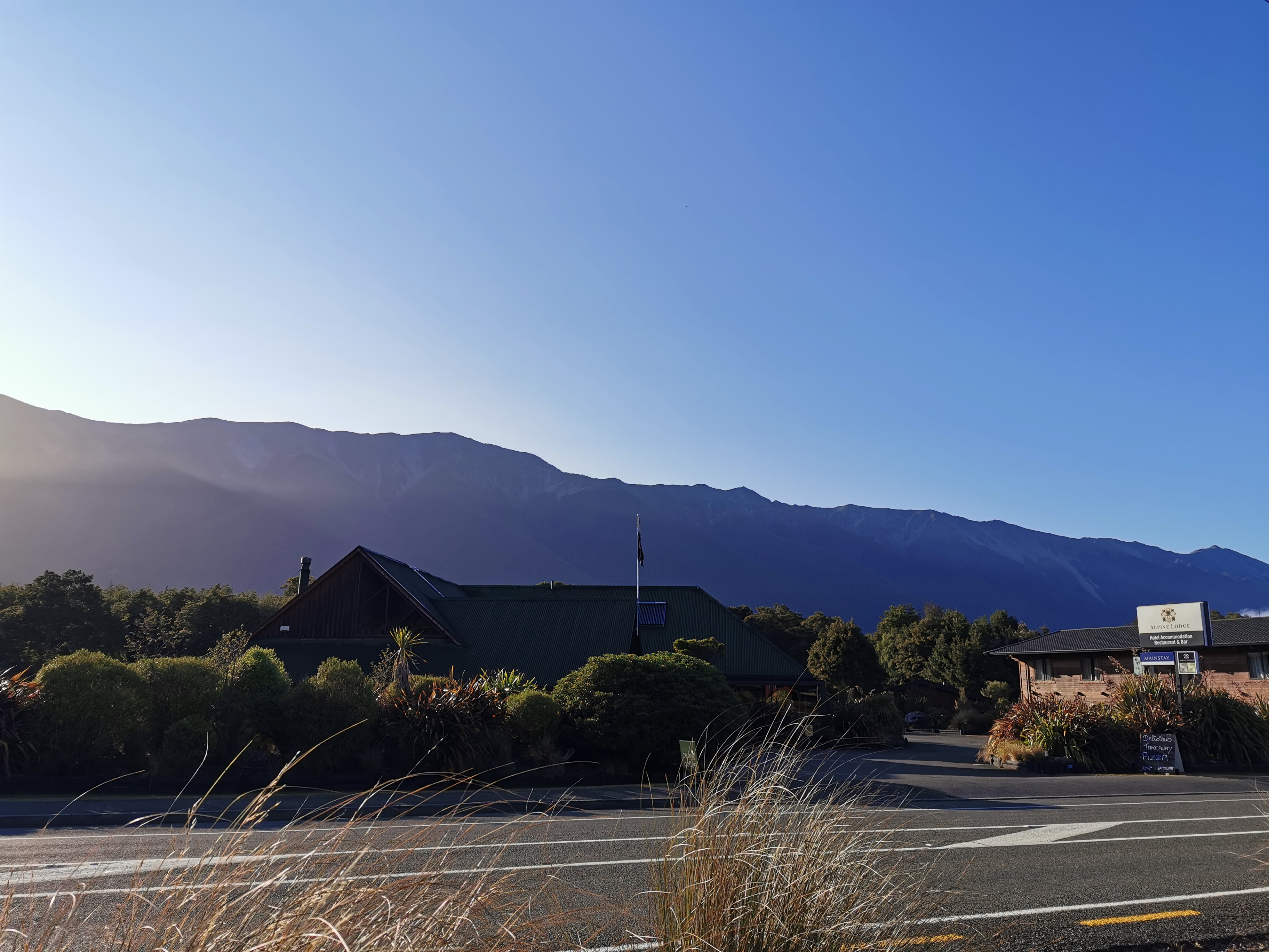
The café at the general store didn’t open until 9am and the Alpine Lodge was doing a buffet breakfast which wouldn’t be good for walking so back to Dine Hard it was. Again the coffee was good but the food was average, and this time I was the only one there.

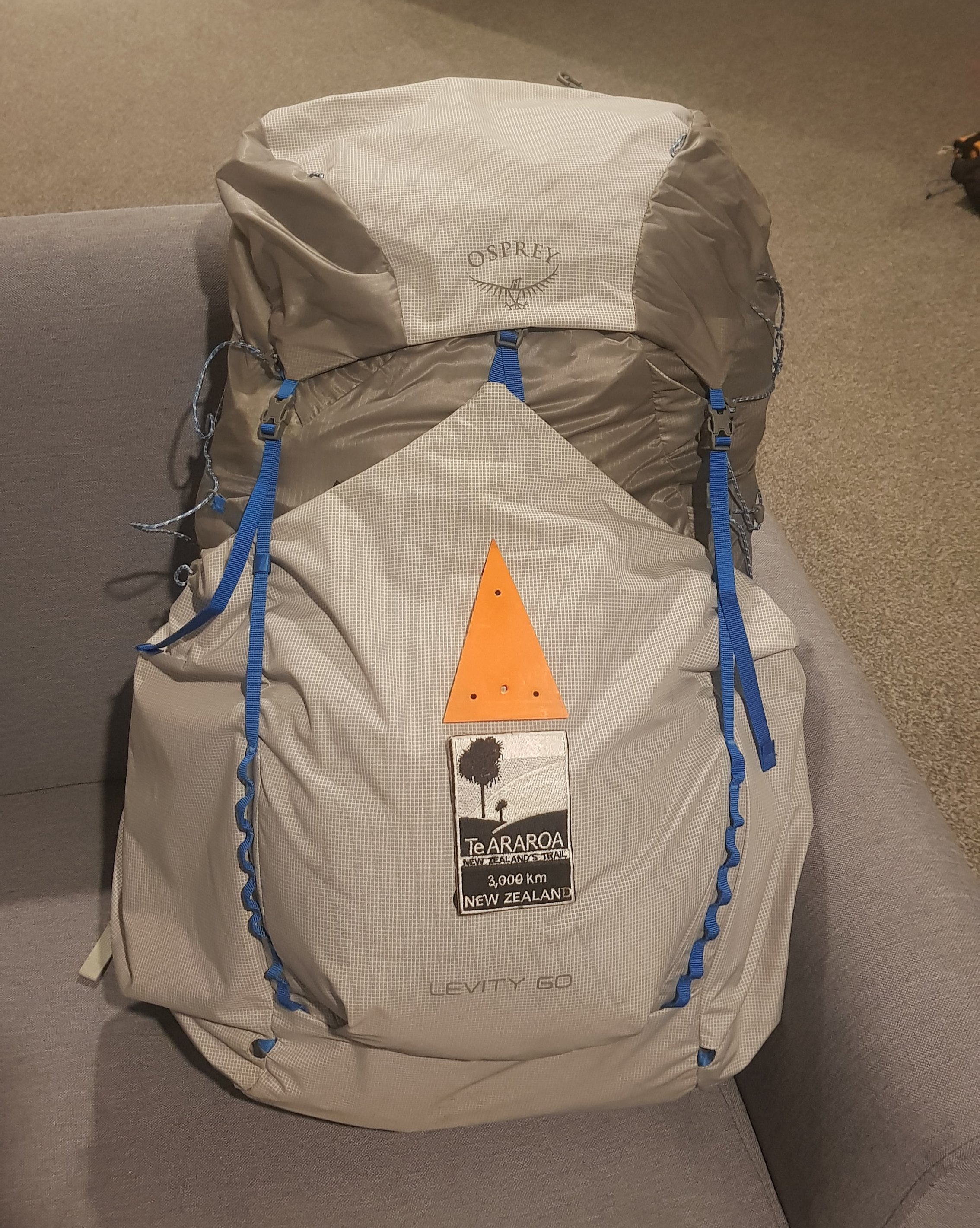
First, a toenail update. If you don’t want to hear about it you can skip this paragraph! As much as I tried, I didn’t manage to remove my toenail in St Arnaud. I tried and it is very loose but it’s still very much connected on one small bit of one corner. There is a nice shiny new toenail growing underneath which I figure is going to force the old one out soon. I just have to be very careful not to pull on it before that happens (and very gingerly put on my socks each day). If you are a bit sick and twisted and want to see what it looks like, click here (but be warned, it’s pretty gross).
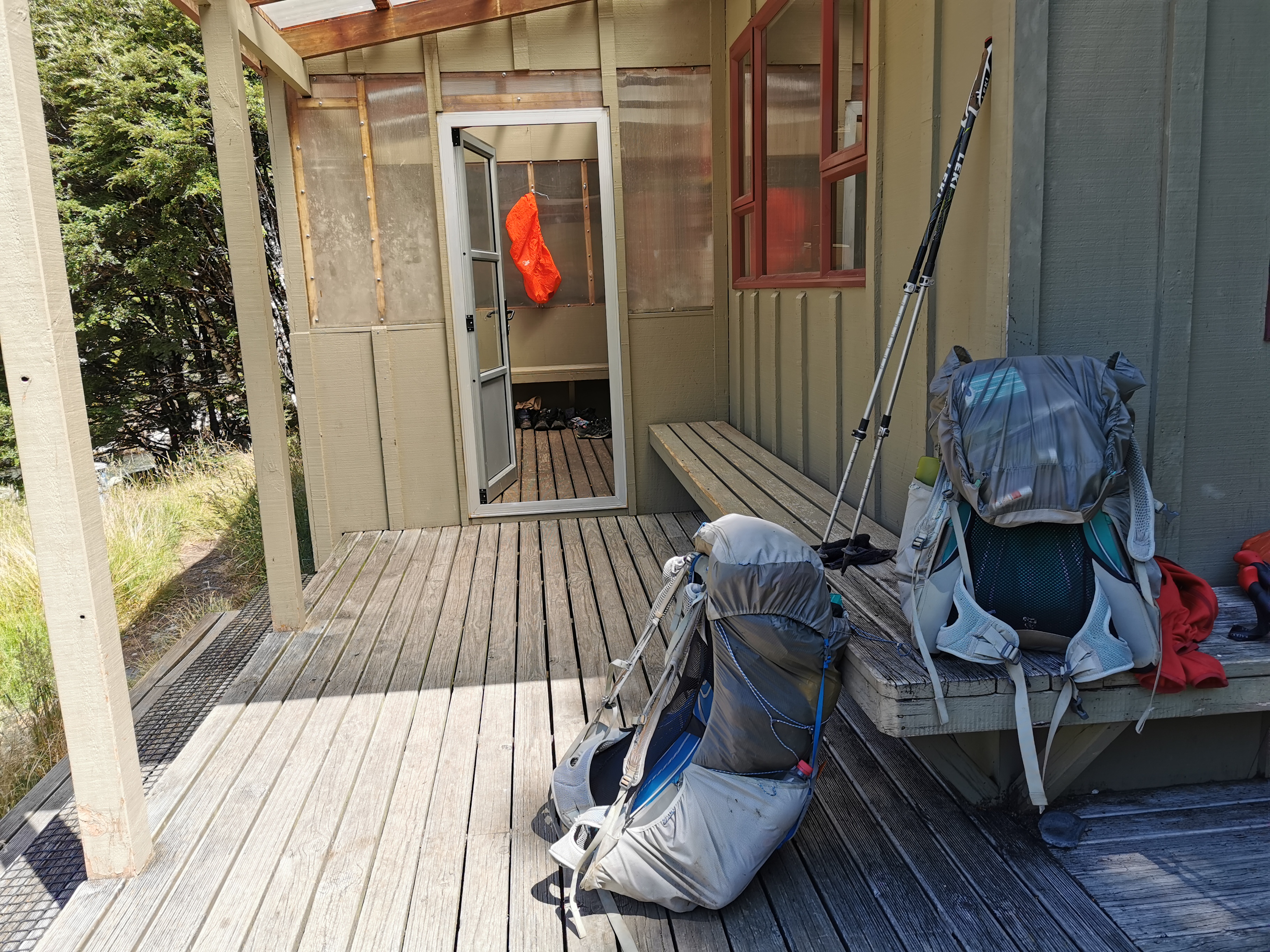
I went back and packed up (ensuring not to forget my cheese). Surprisingly it was a real struggle to fit everything into my pack. At Pelorus Bridge when I had eight days worth of food it seemed easy but here I only had six days worth and it just wouldn’t fit in. That can only mean one thing, that I bought too many snacks.
After unpacking and repacking everything a few times this was the best that I could manage.
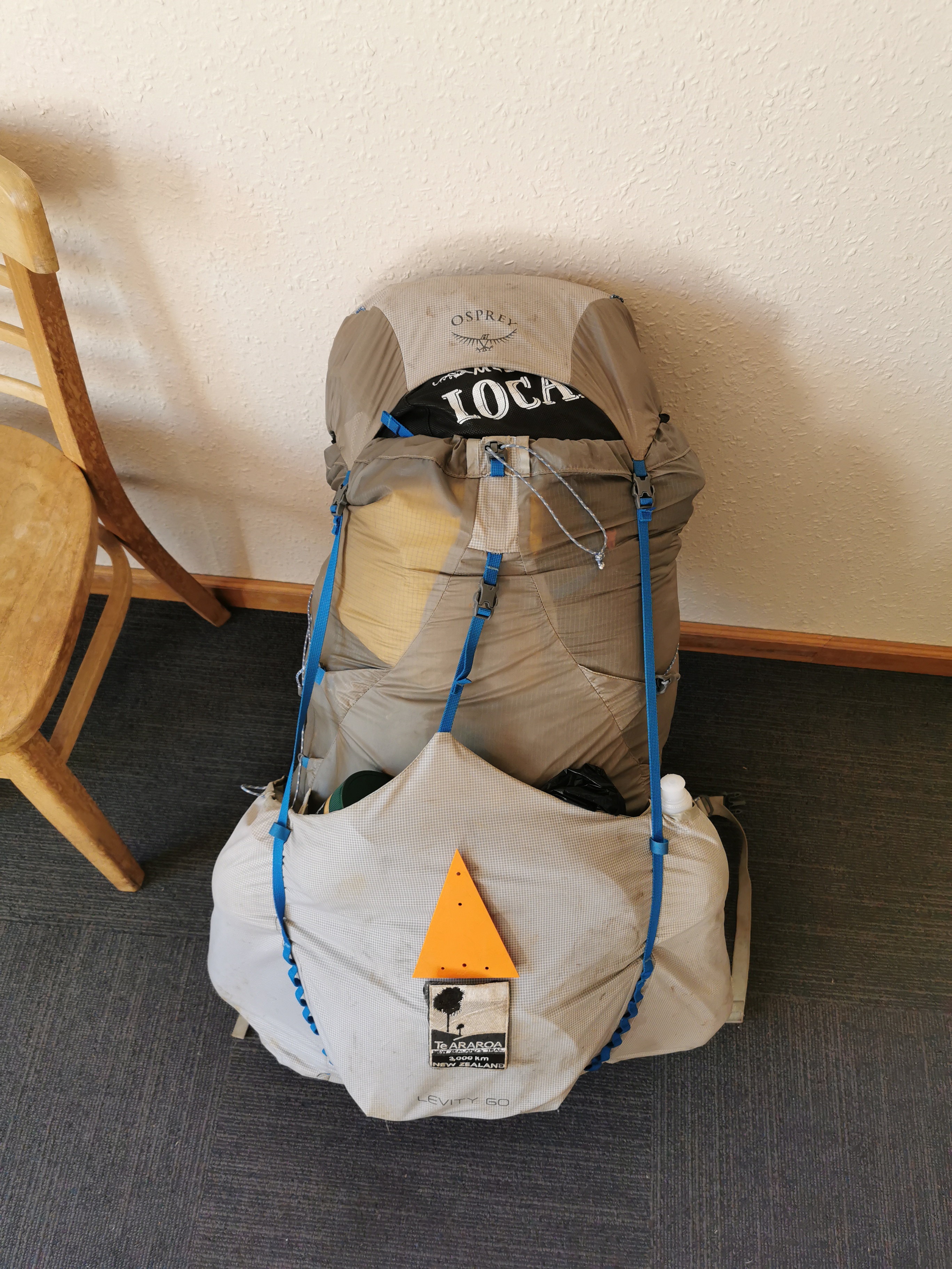
It was at this point I noticed a huge pen mark on my pack. How did that get there? I was a bit annoyed about it, I mean the only pens around are the ones in the huts with the intentions books. Someone must have done it, although I’m sure not on purpose.
Oh well, I decided that if that’s the worst thing that happens to me on this trail then I should count myself lucky. Besides, my pack is pretty dirty now.
Especially when you compare it to at the beginning.
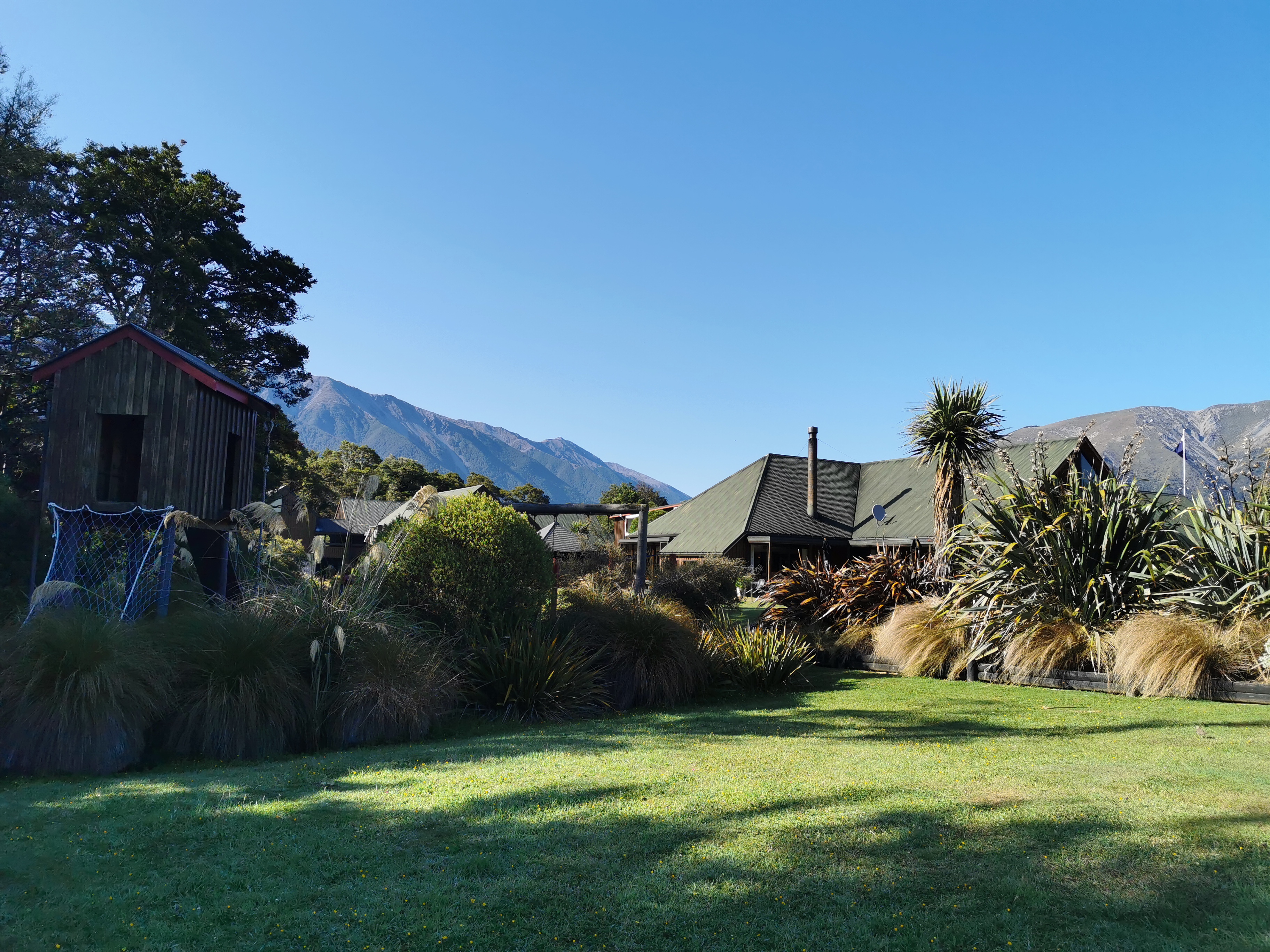
The trail today goes around the back of the Alpine Lodge:
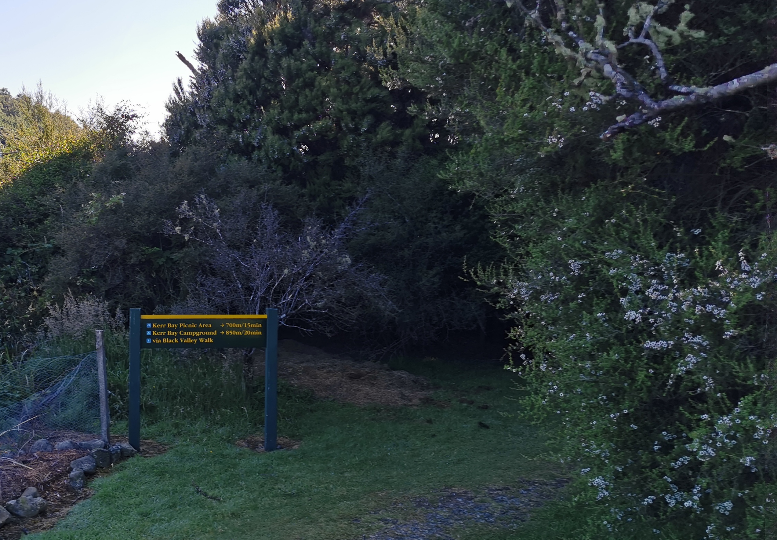
And through this little walkway:
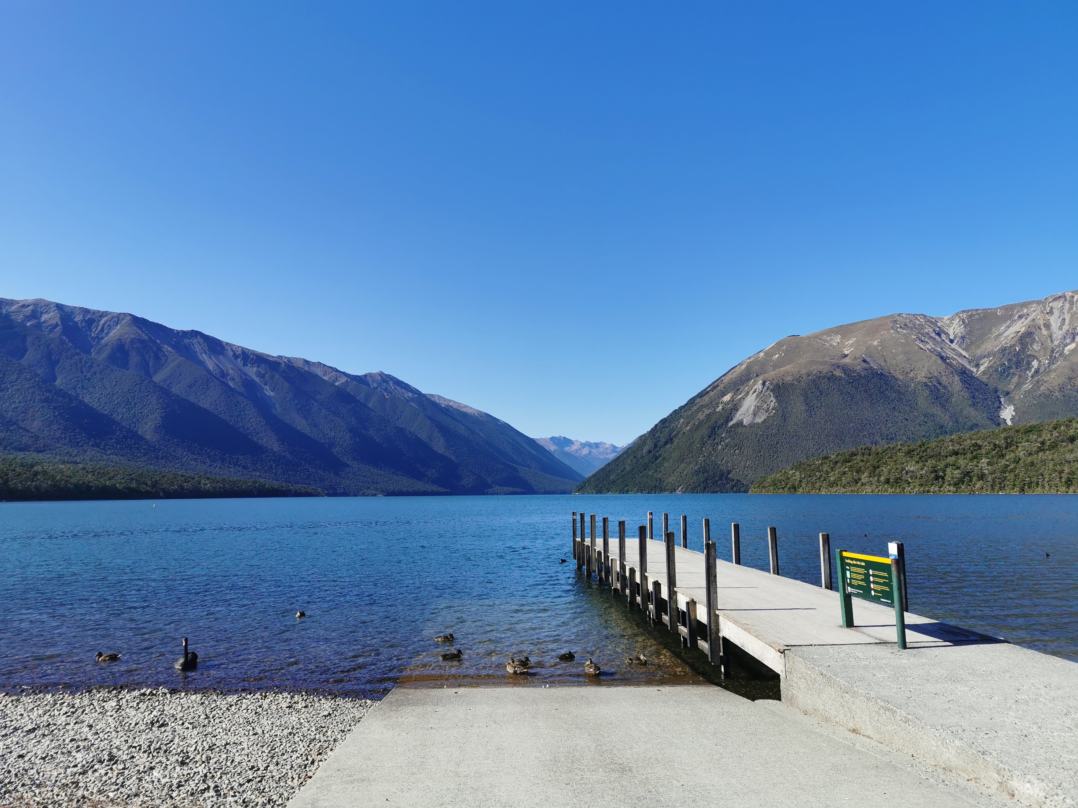
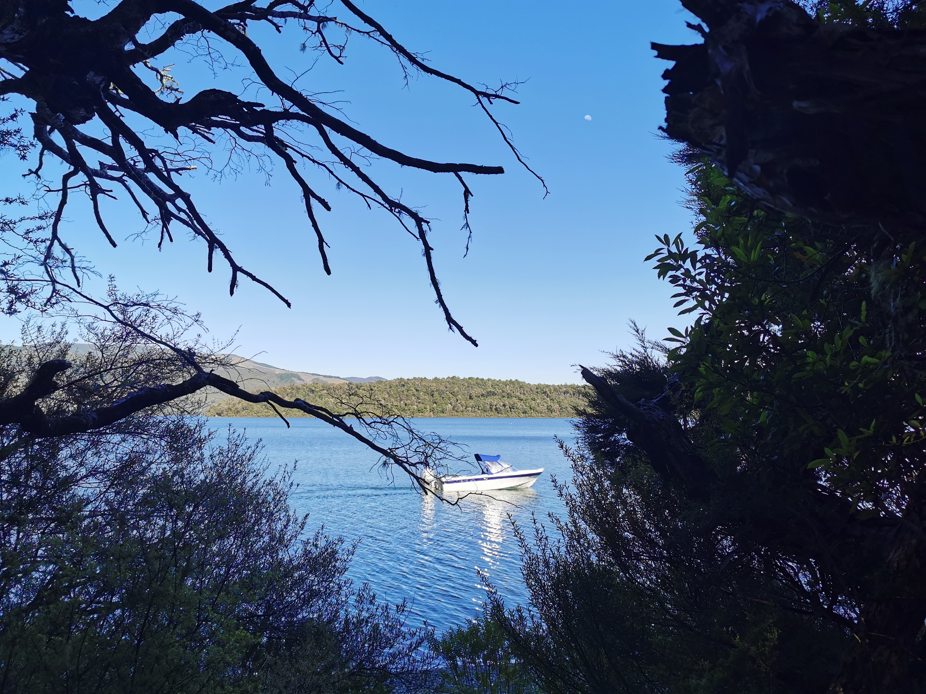
I went a bit off trail to take a photo from the little jetty. It’s very beautiful here.
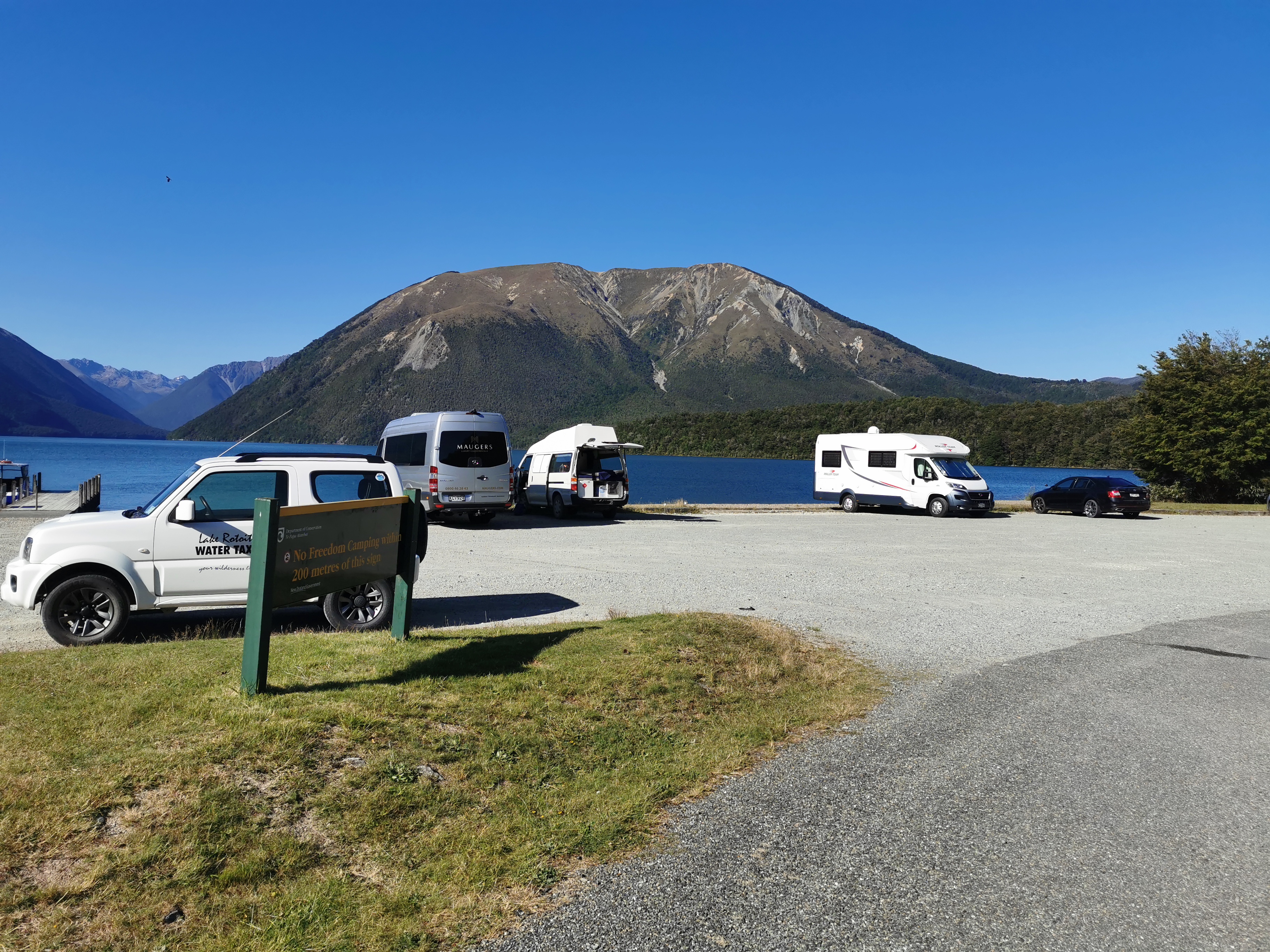
I saw a sign back in town saying no freedom camping anywhere in St Arnaud. Here’s another one that says no freedom camping within 200 metres of this sign. Seems some people didn’t get the message.
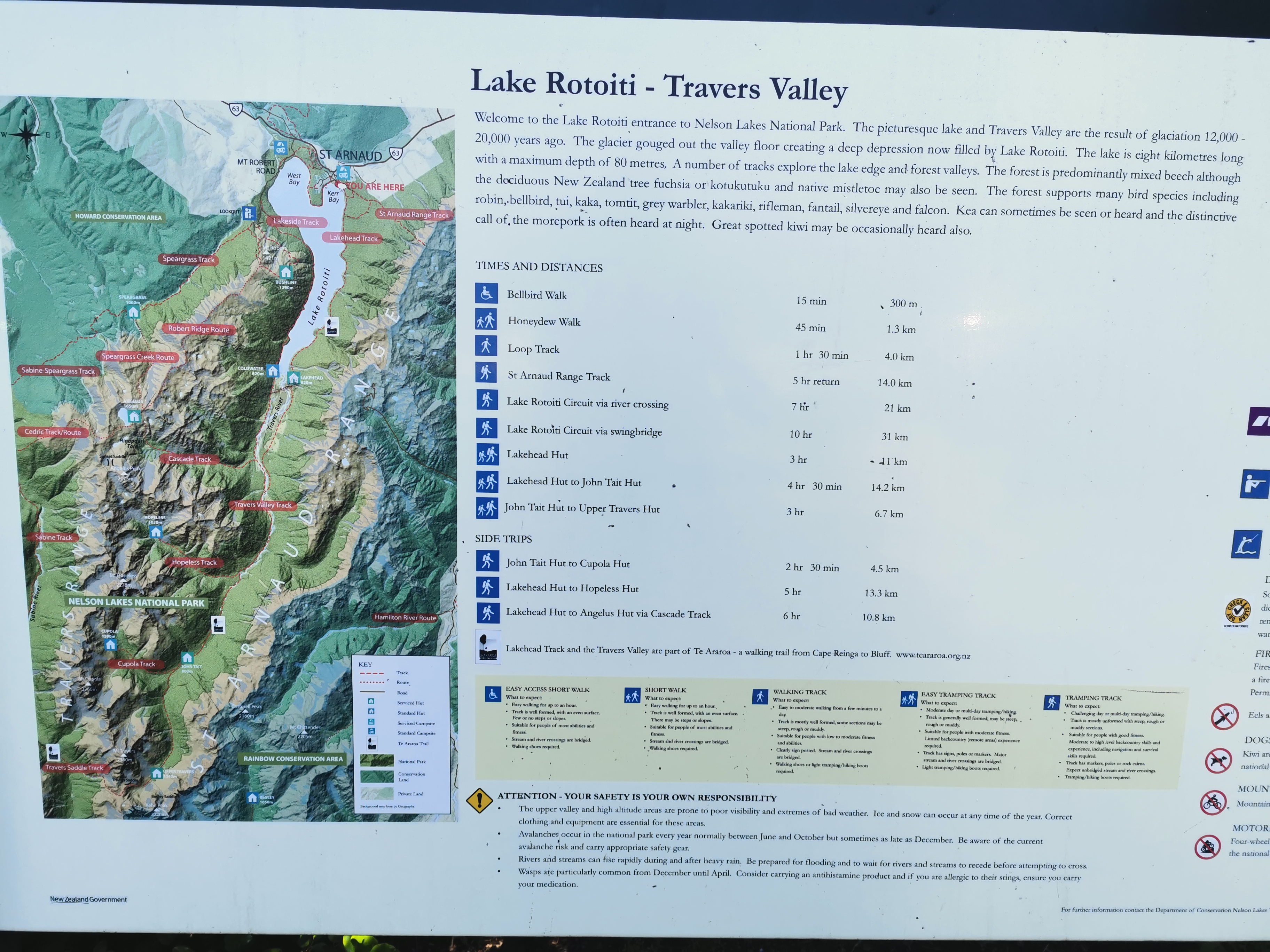
Here’s the usual information about the track I’m about to undertake.
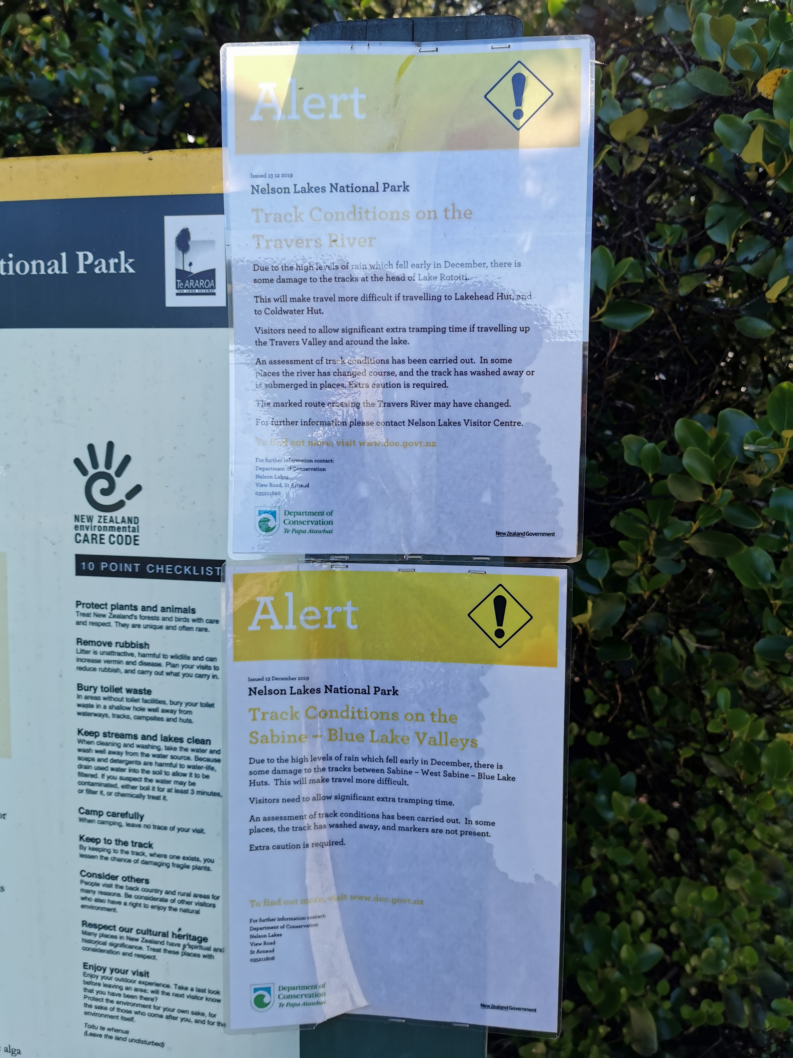
There are also alerts about washouts due to heavy rain in December. Both of those alerts seem to affect where I’m going so I will look out for the washouts.
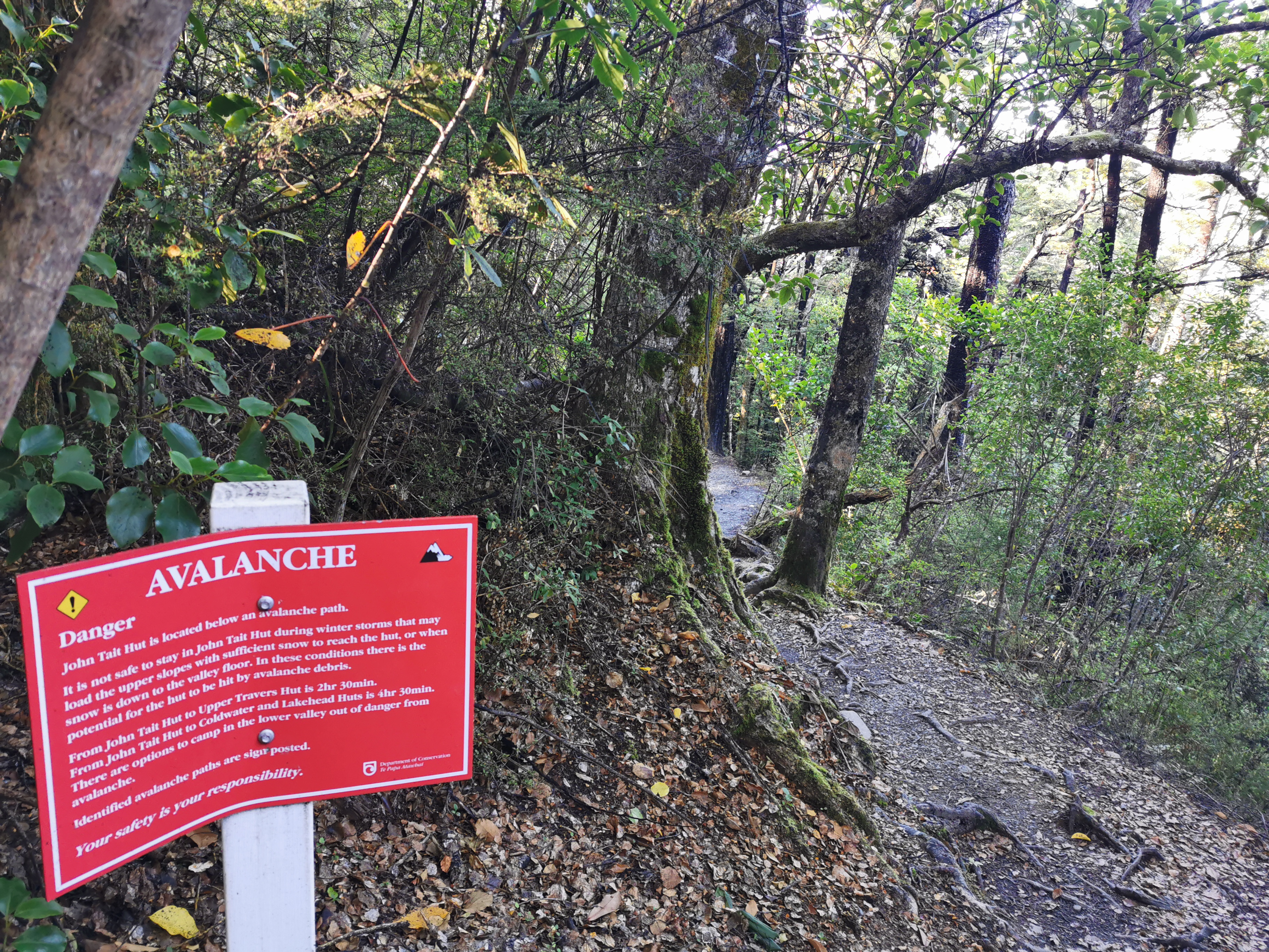
There are avalanches to watch out for too, with big red signs. Luckily that’s only May until November. There’s no snow around now.
Today there are three huts I’m going to try and get to. The first is Lakehead Hut, oddly enough at the end of this lake, and it is advertised as 2hr30 away. Then there is John Tait Hut which is a further 4hr30 and finally Upper Travers Hut which is 3hr further. I’m hoping to get all the way to Upper Travers because it makes the following days more convenient – there are a few sections coming up advertised as 6-8 hours.
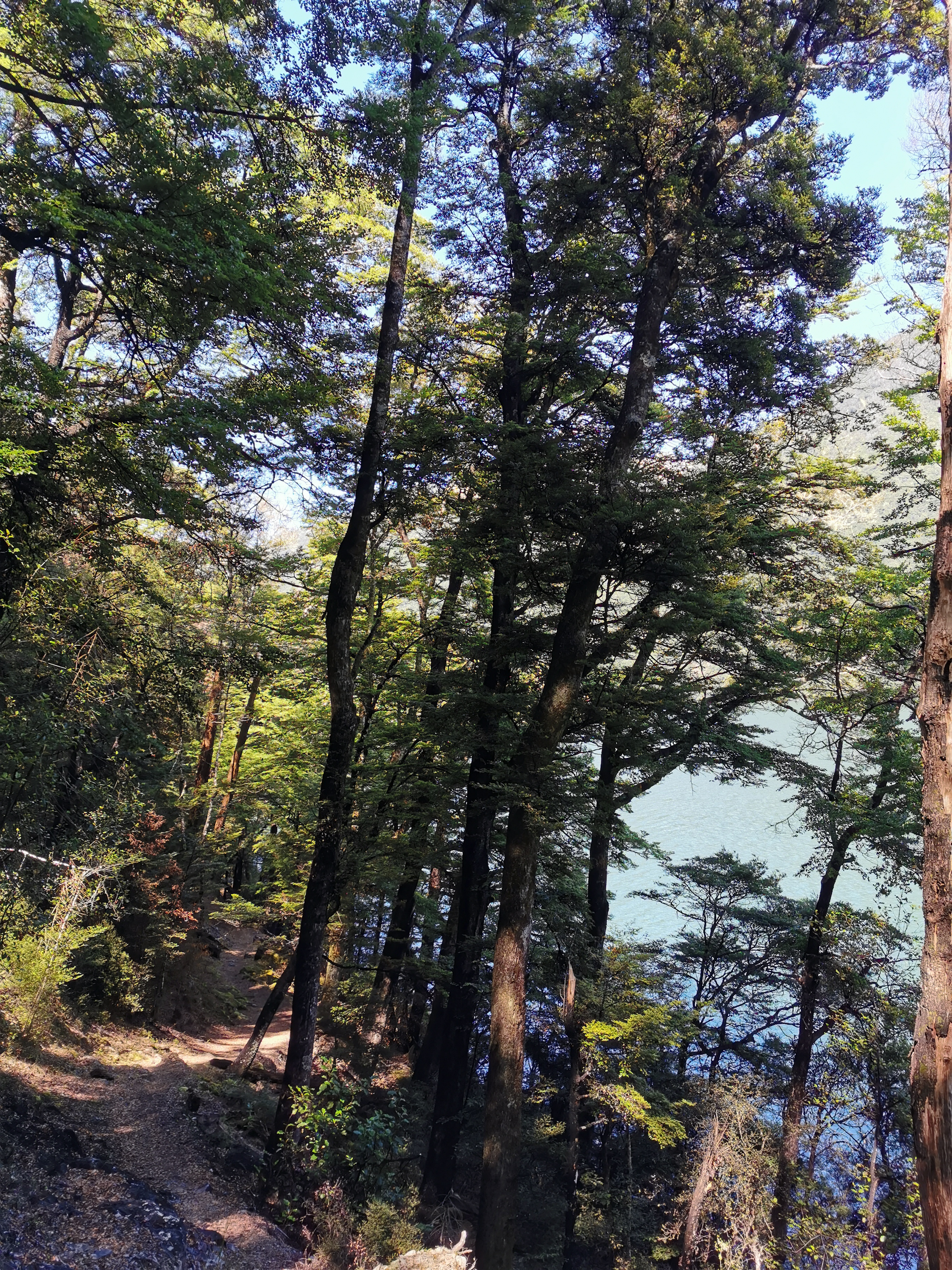
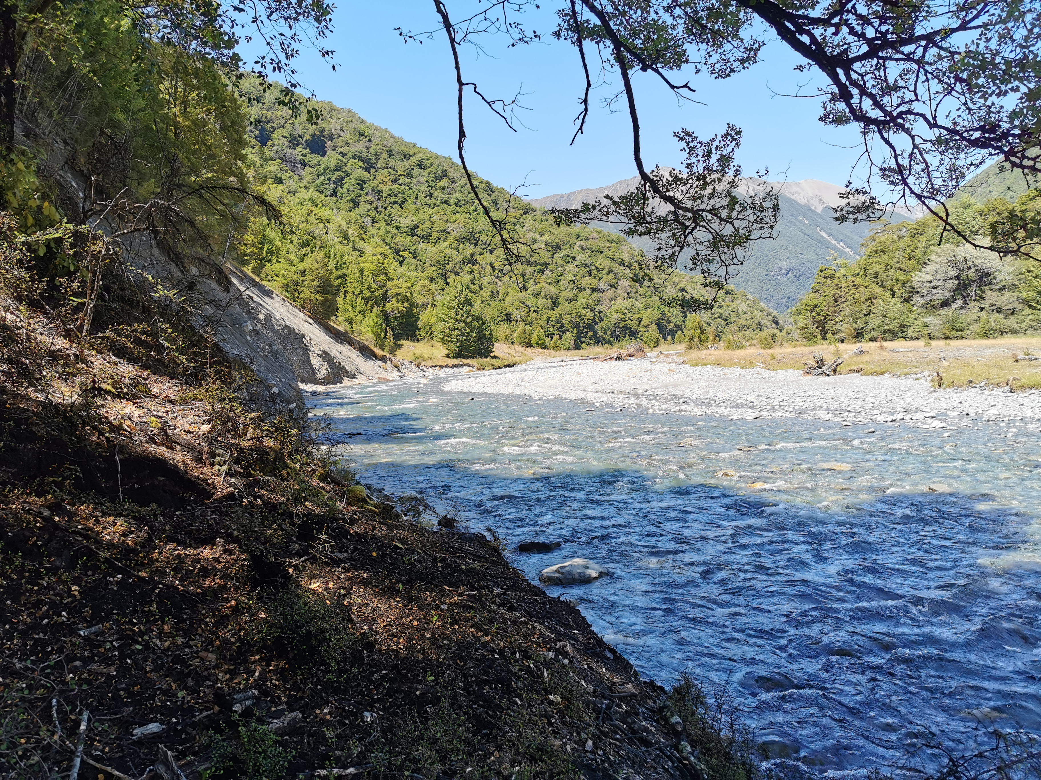
The path went right beside the lake all the way to Lakehead Hut but you couldn’t see much because of all the trees most of the time.
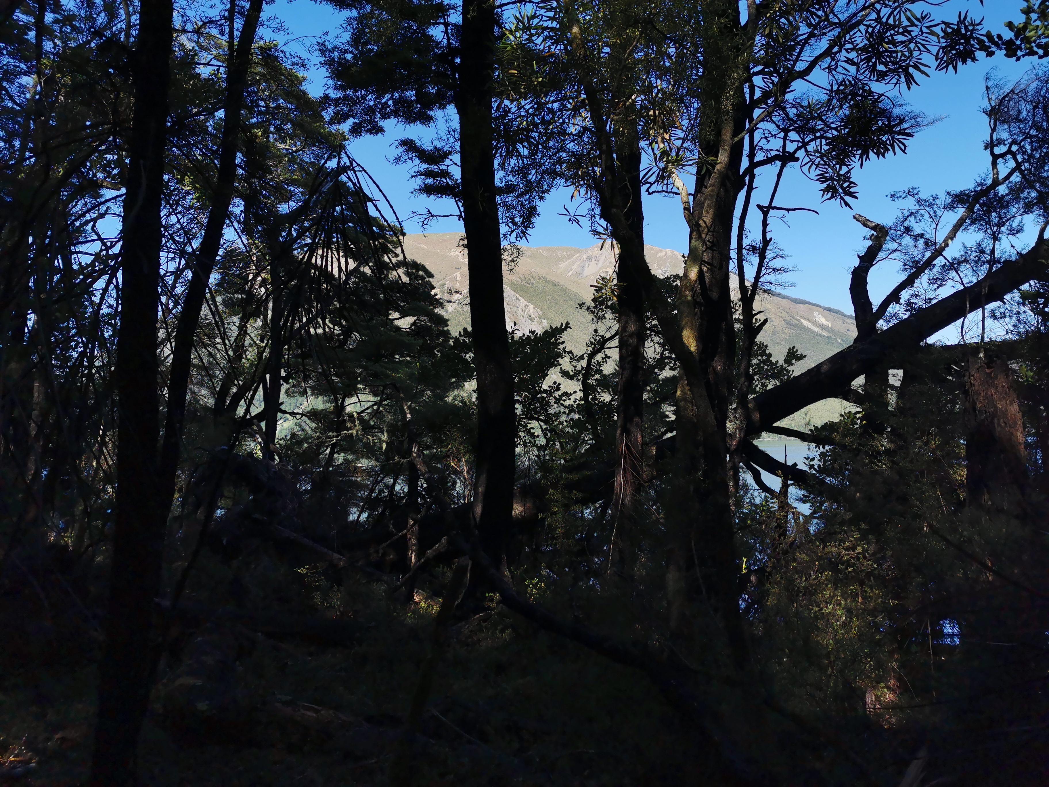
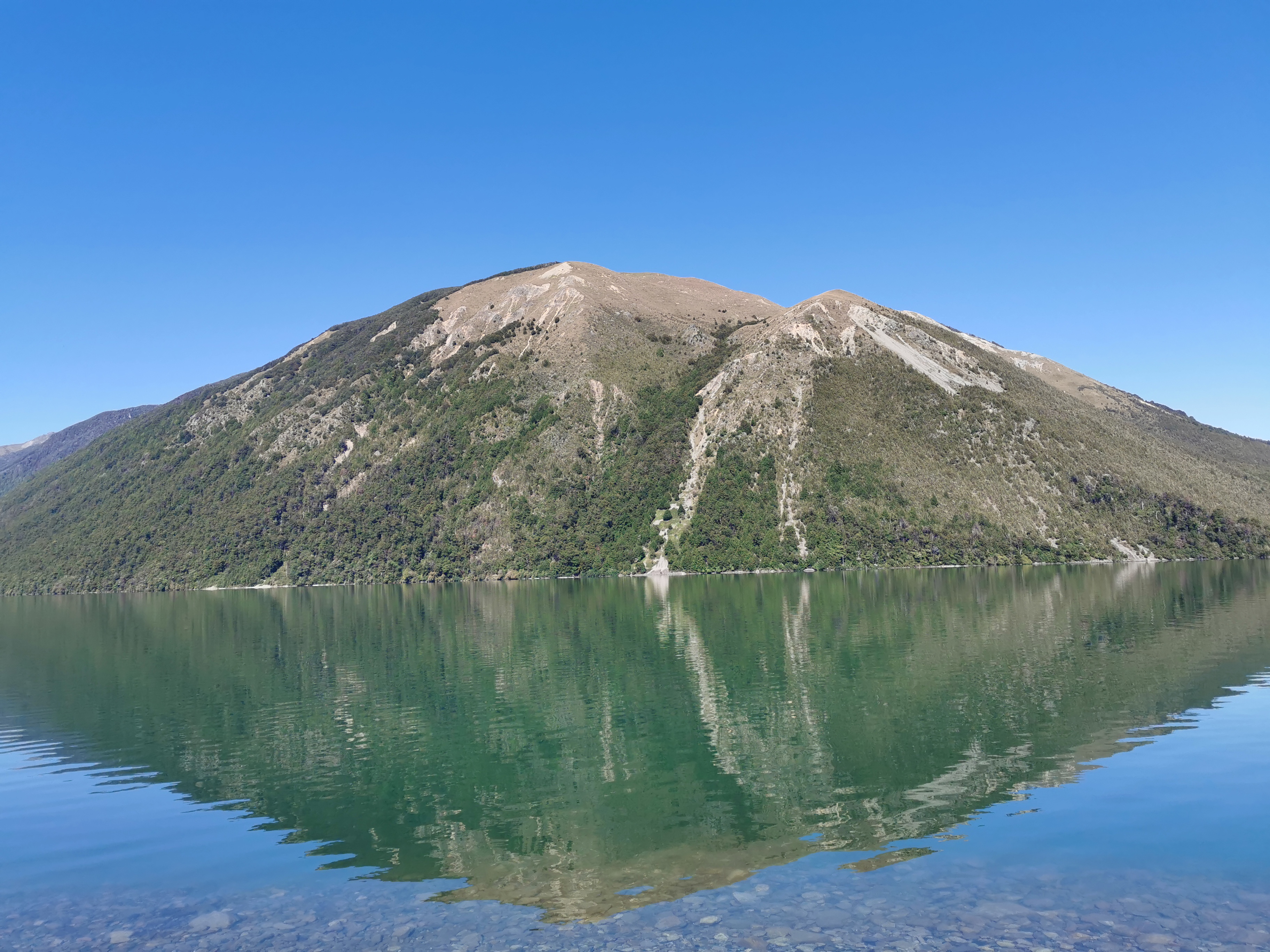
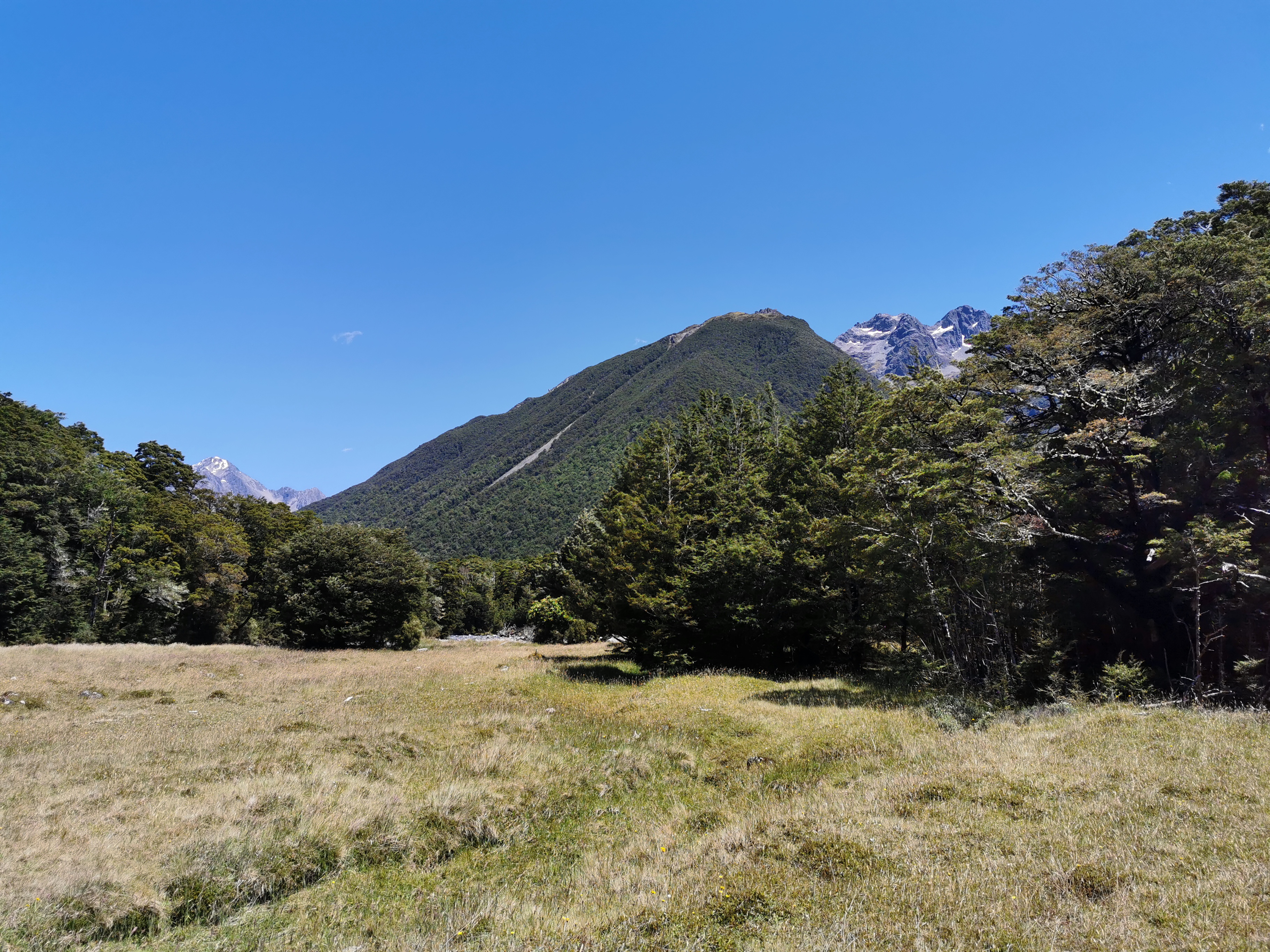
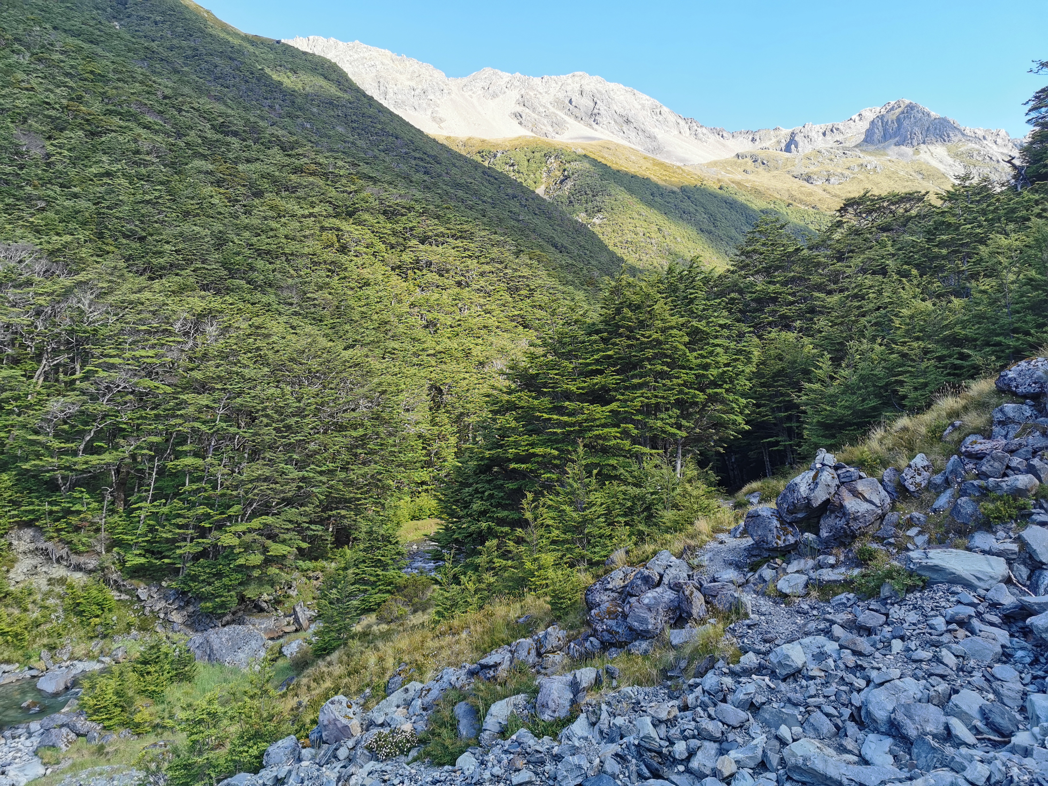
However at one point you could get a good view of the mountain that dominates the skyline above St Arnaud. I’ll be honest though I never bothered to ask anyone what the name of it is and can’t work it out from the map.
I took a wrong turn soon after this and ended up on the lake’s edge, but I wasnt really complaining.
My 11am picture is further down this track.
There were a lot of people going the other direction. One lady with kids asked me to tell the people behind her that all the kids are okay and accounted for. I bet there’s an interesting story behind that. Another guy said “you look very professional, like you’re going a long way”. I’ll take that as a compliment.
Two hours after leaving St Arnaud I was at Lakehead Hut, where there were just two day visitors who arrived by water taxi and started the walk back to St Arnaud shortly after I arrived. No photo of the hut this time but here is the inside.
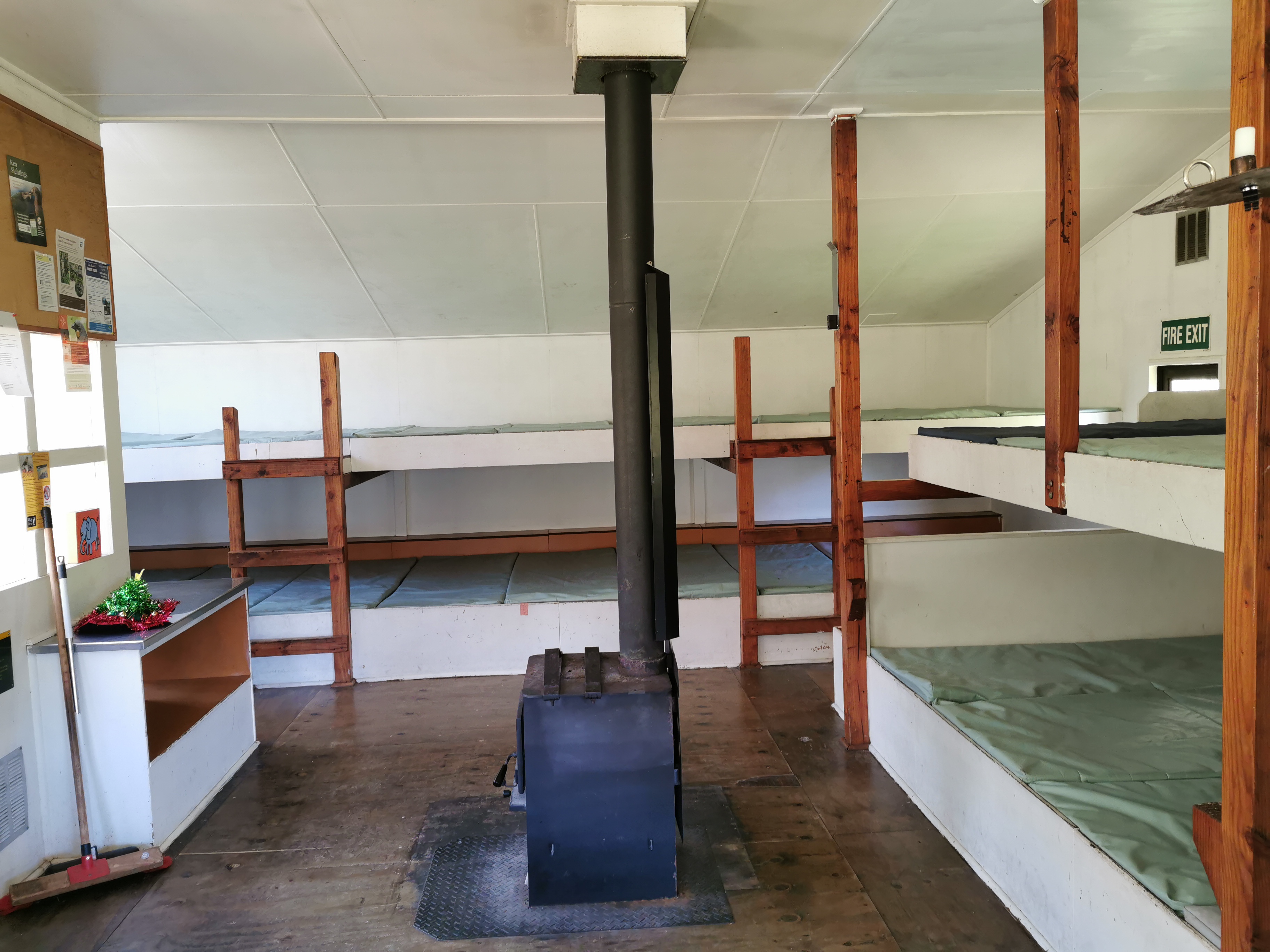
The huts are much bigger on this section of trail. One of the upcoming huts tomorrow has 34 beds. I’m not sure how many this one had but it is at least 25.

I wrote in the intentions book and noticed Michelle has been through. Nobody else I know was nearby. I was the first one to write in the book today.
I briefly had Lunch #1. The problem was that I didn’t want to take all the food out of my bag in case I couldn’t pack it in again. So I just had what was on the top, which of course was the Russian fudge and the raspberry licorice. Not a very healthy lunch… I must remember to pack better after dinner tonight.
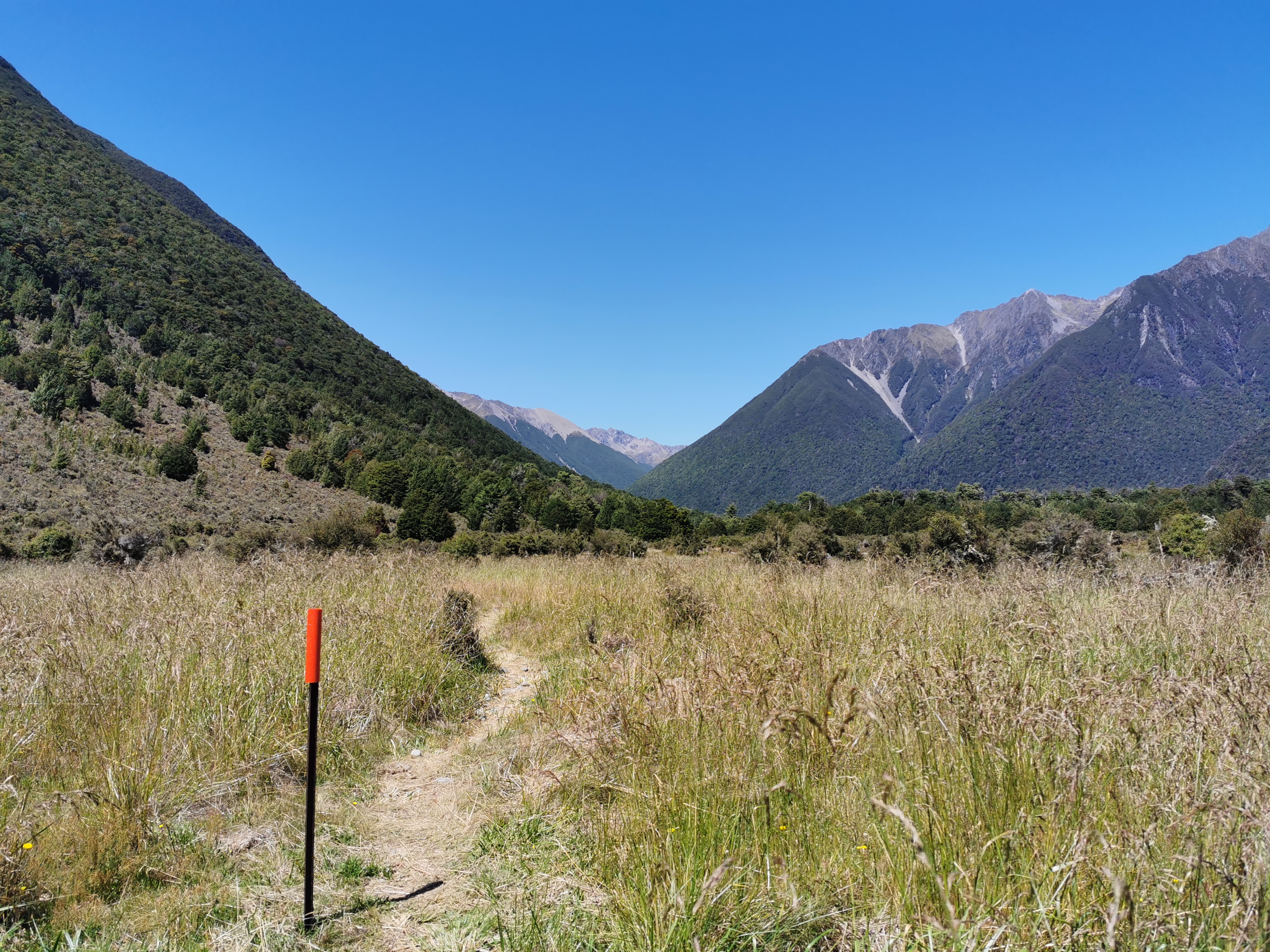
Then it was time to set off down the grassy flats.
I was in a good mood today. I found myself singing out loud to the music playing on my iPod. It was “Sight for Sore Eyes” by M People. “You’rrrrrrreee… a sight for sore eyes. Mmmmmm hmmmm!”
That is what I think huts are after long days of walking – sights for sore eyes.
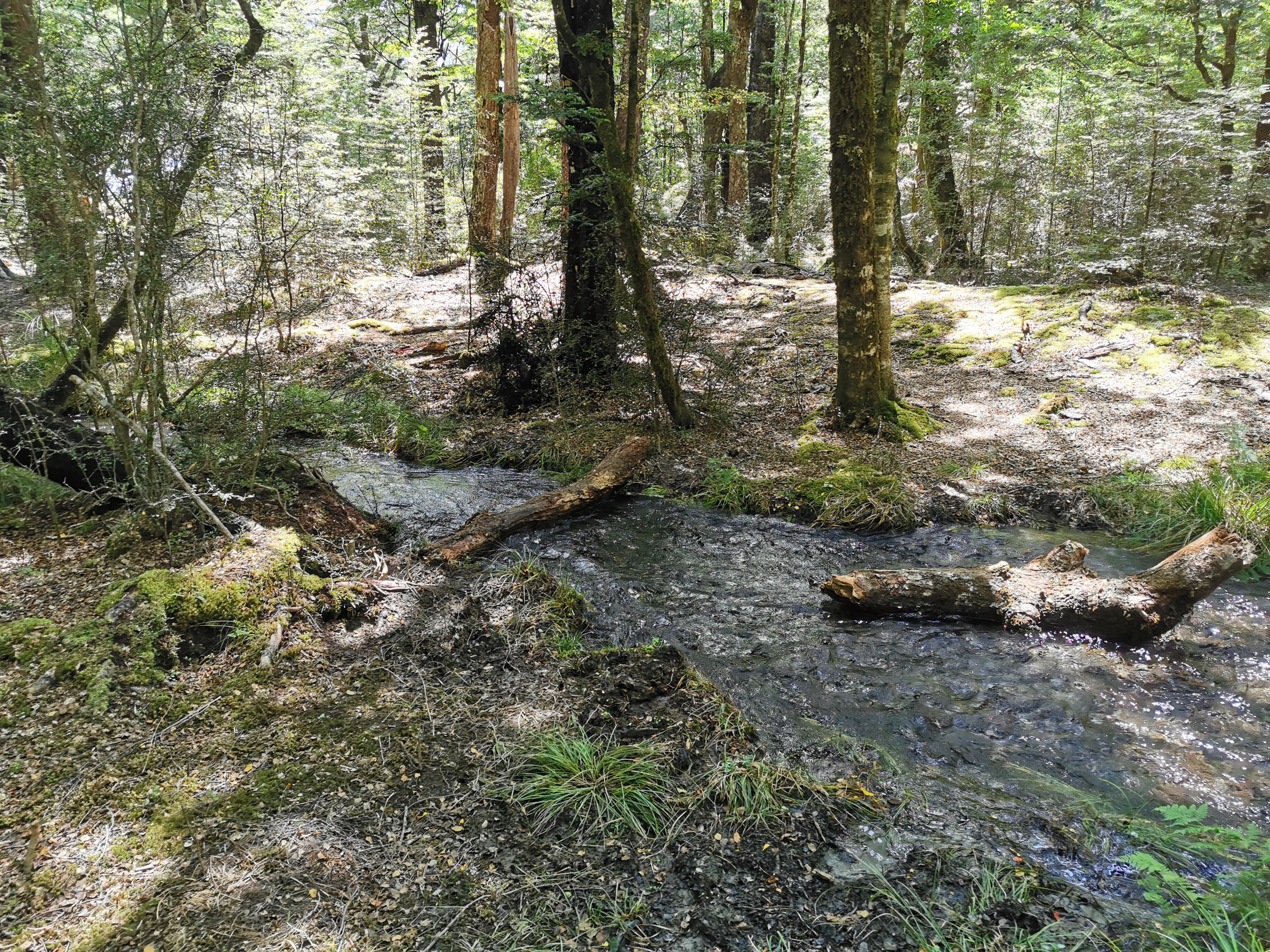
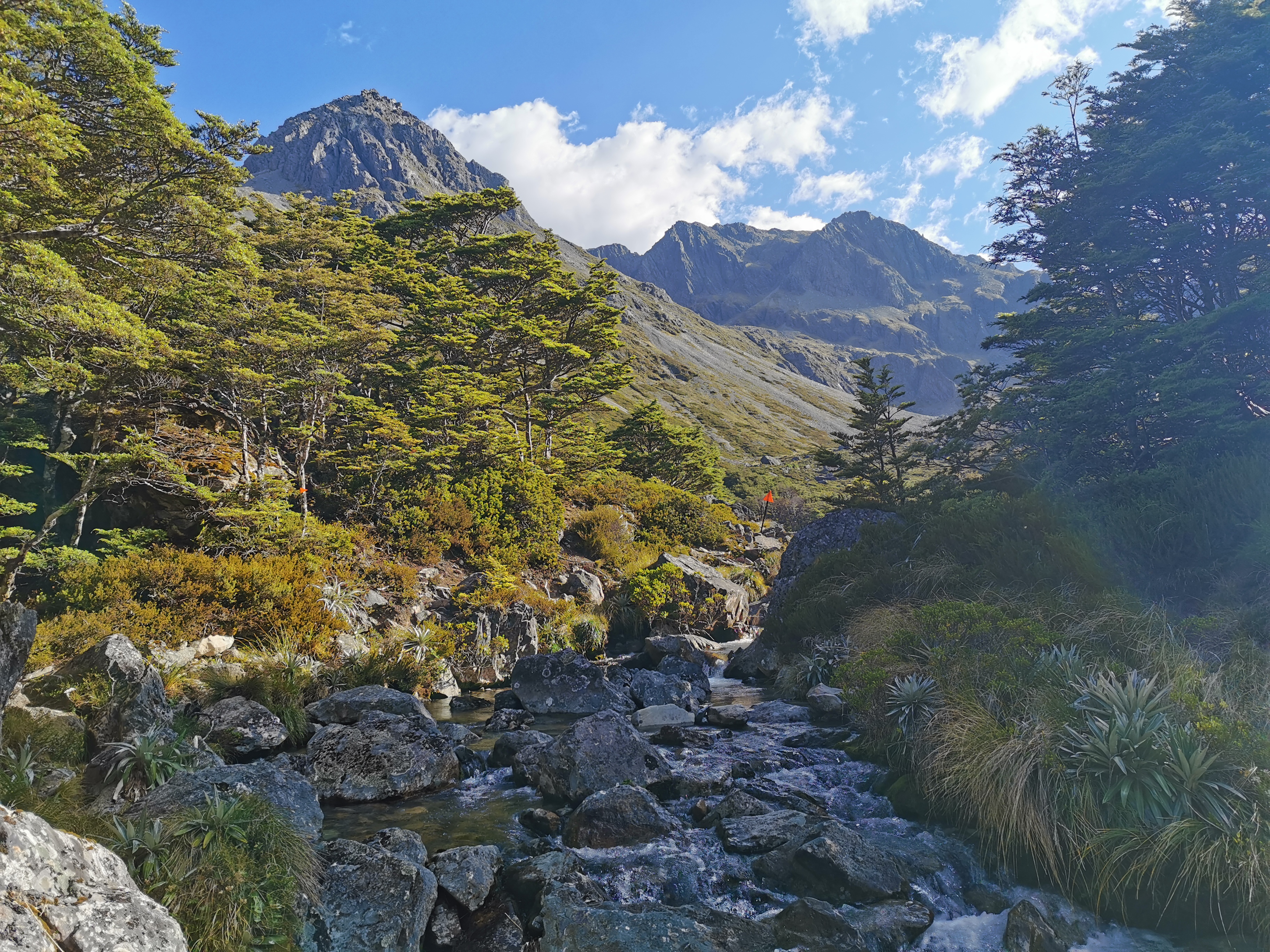
There were quite a few places where people had set up logs across little streams. Hope my balance is good. Here is one such log:
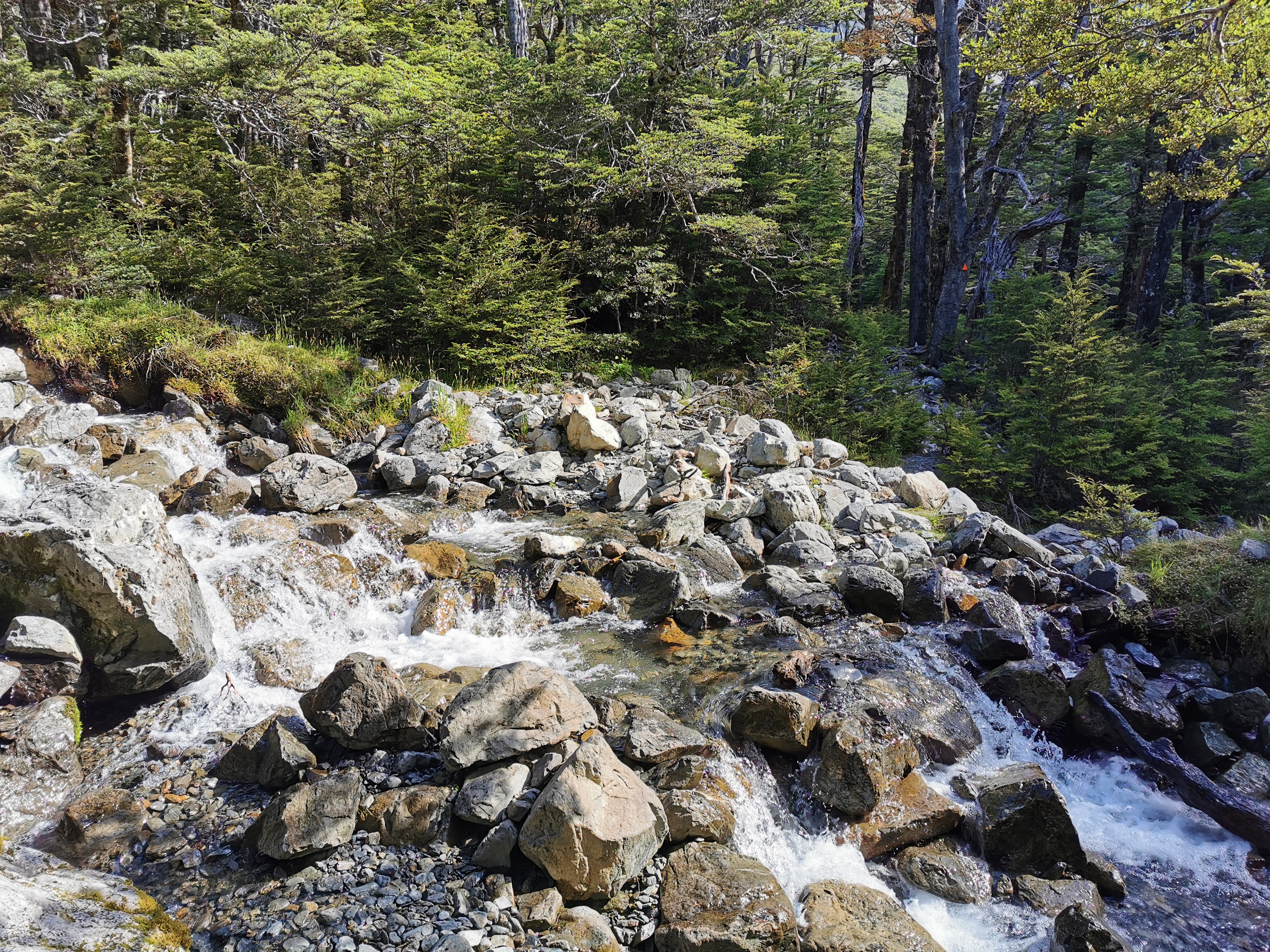
And this looks like the first of the washout mentioned on the earlier signs.
Although I’m not sure. I got to this point and it looked like the trail just stopped. There was evidence of people just hauling themselves directly up the bank so I did exactly that. It was tough going but it brought me out onto a well groomed path where the markers continued – maybe I just missed a marker somewhere. Not sure.
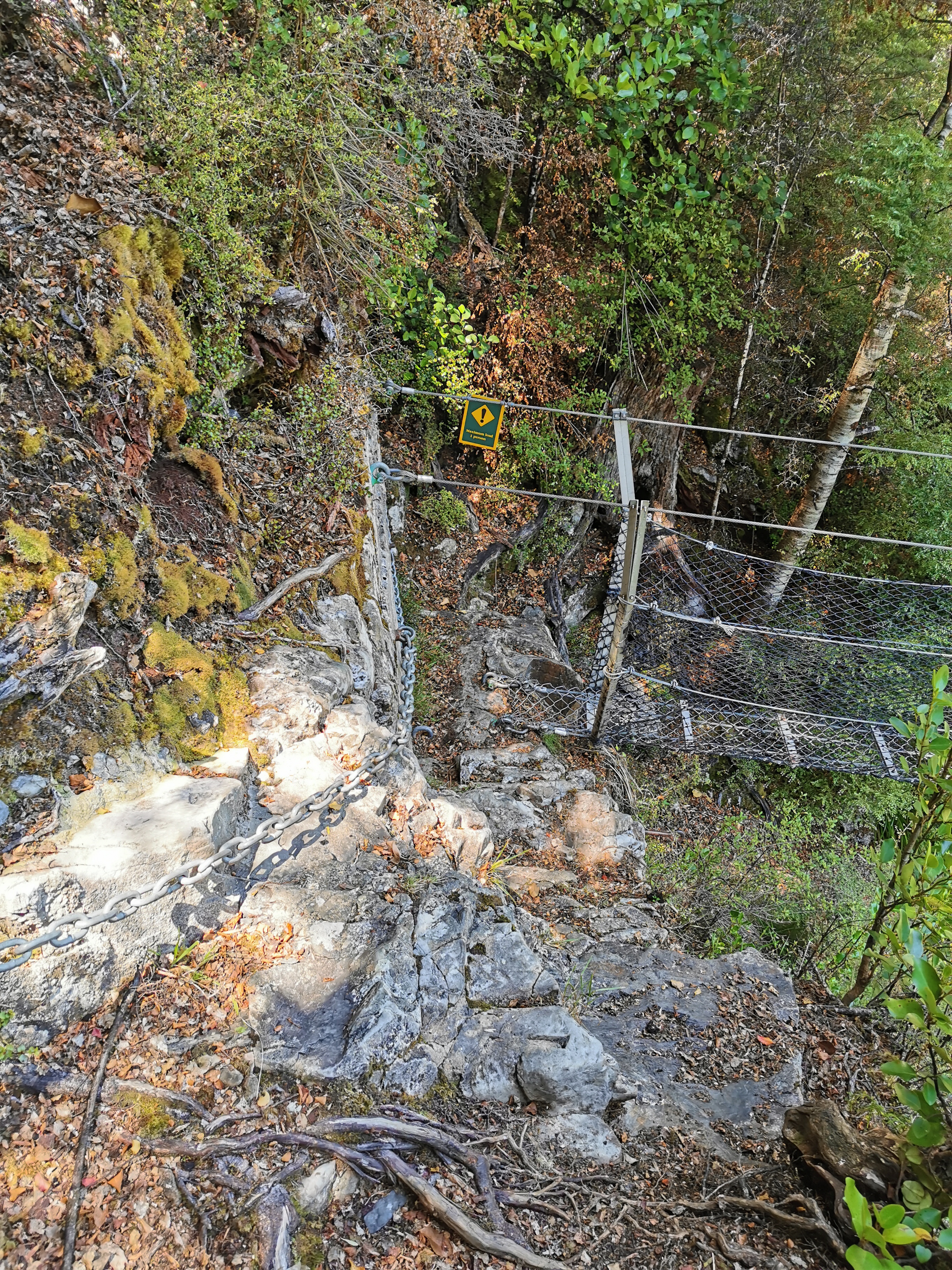
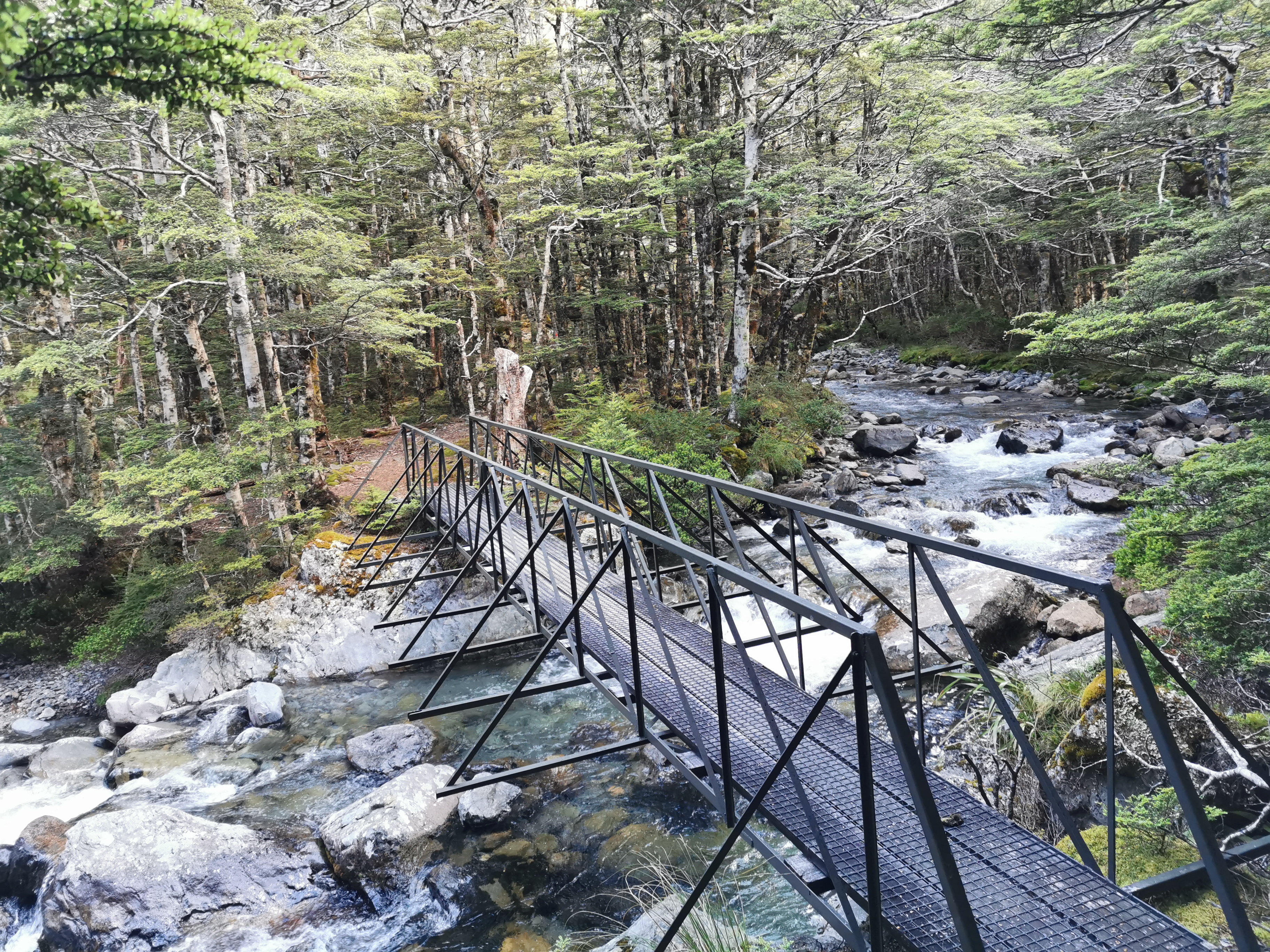
Here’s the first swingbridge of the day.
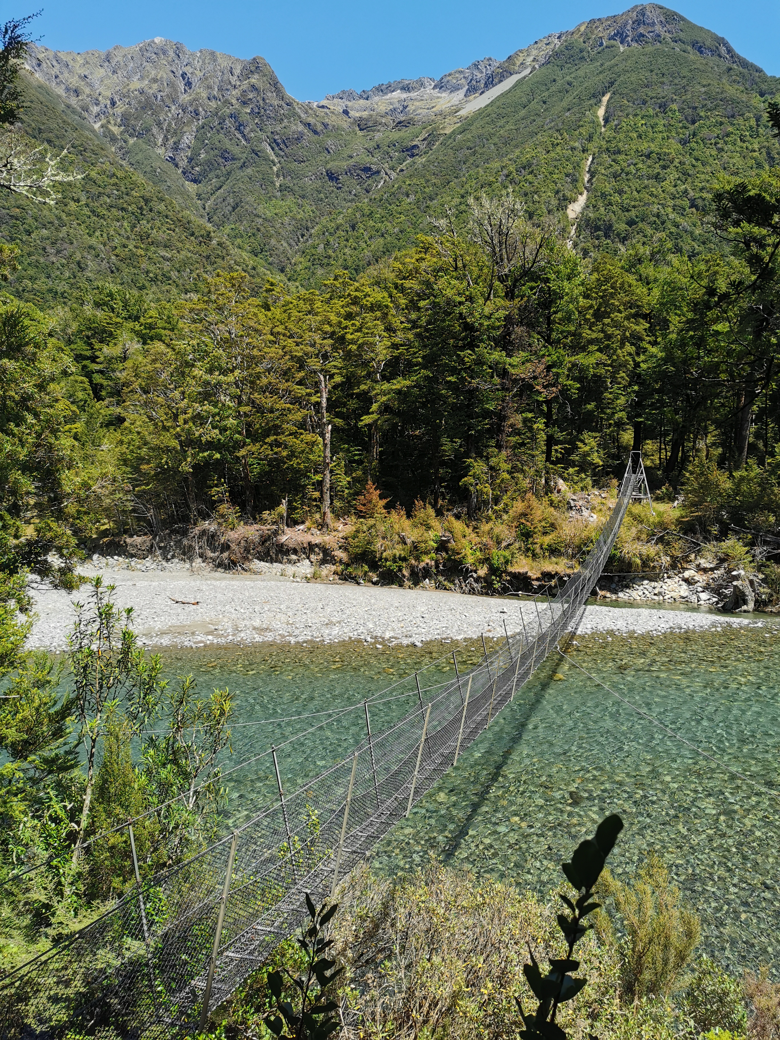
It’s the usual scary wobbly variety. This one even has a scary approach, that requires a chain to pull yourself onto it.
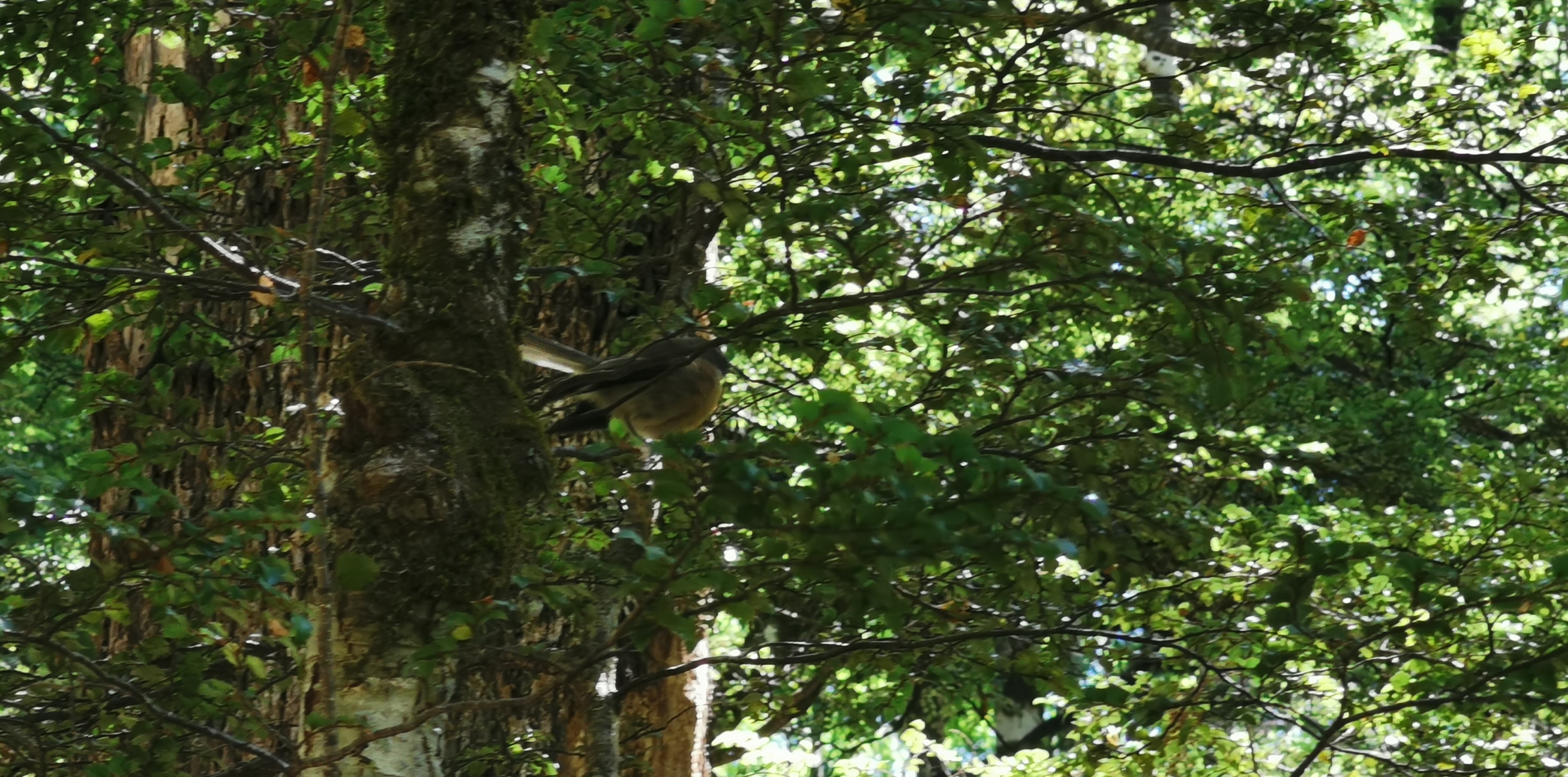
Lots of fantails here. I always tried to take photos of them but never could with my old phone. Even with my new phone with the good zoom I didn’t get a great picture.
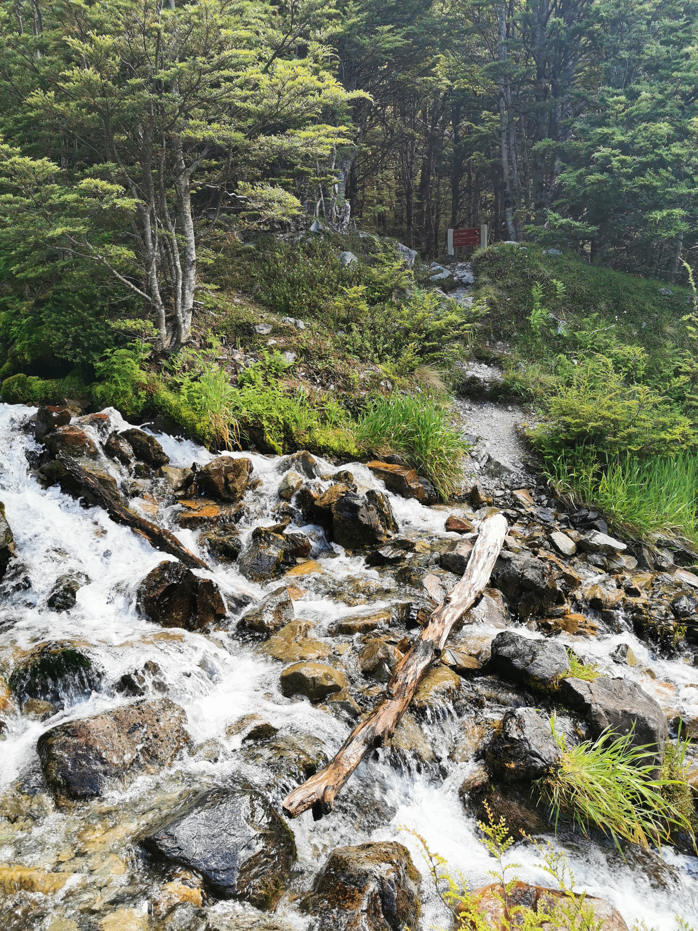
Here’s another potential washout – this one has a clear sign.
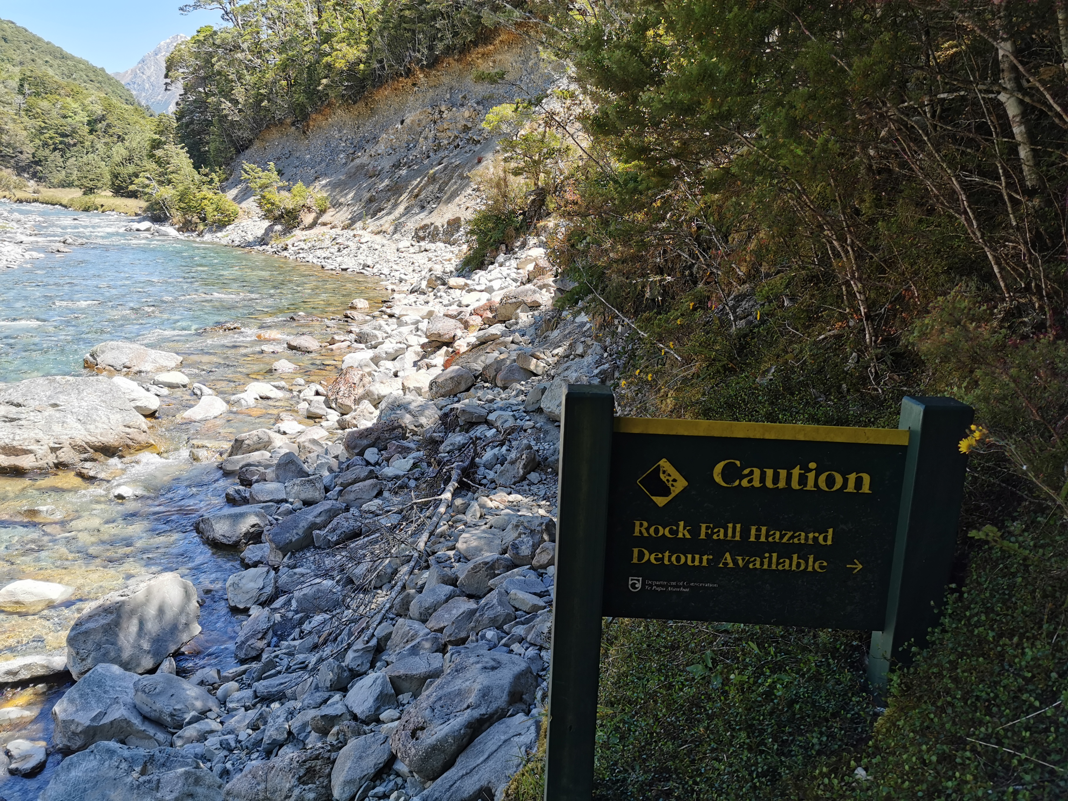
This one though, I ignored the sign and just kept walking on, since the detour was once again straight up the side of the hill. It was clear that you can still get around. Just don’t dilly-dally.
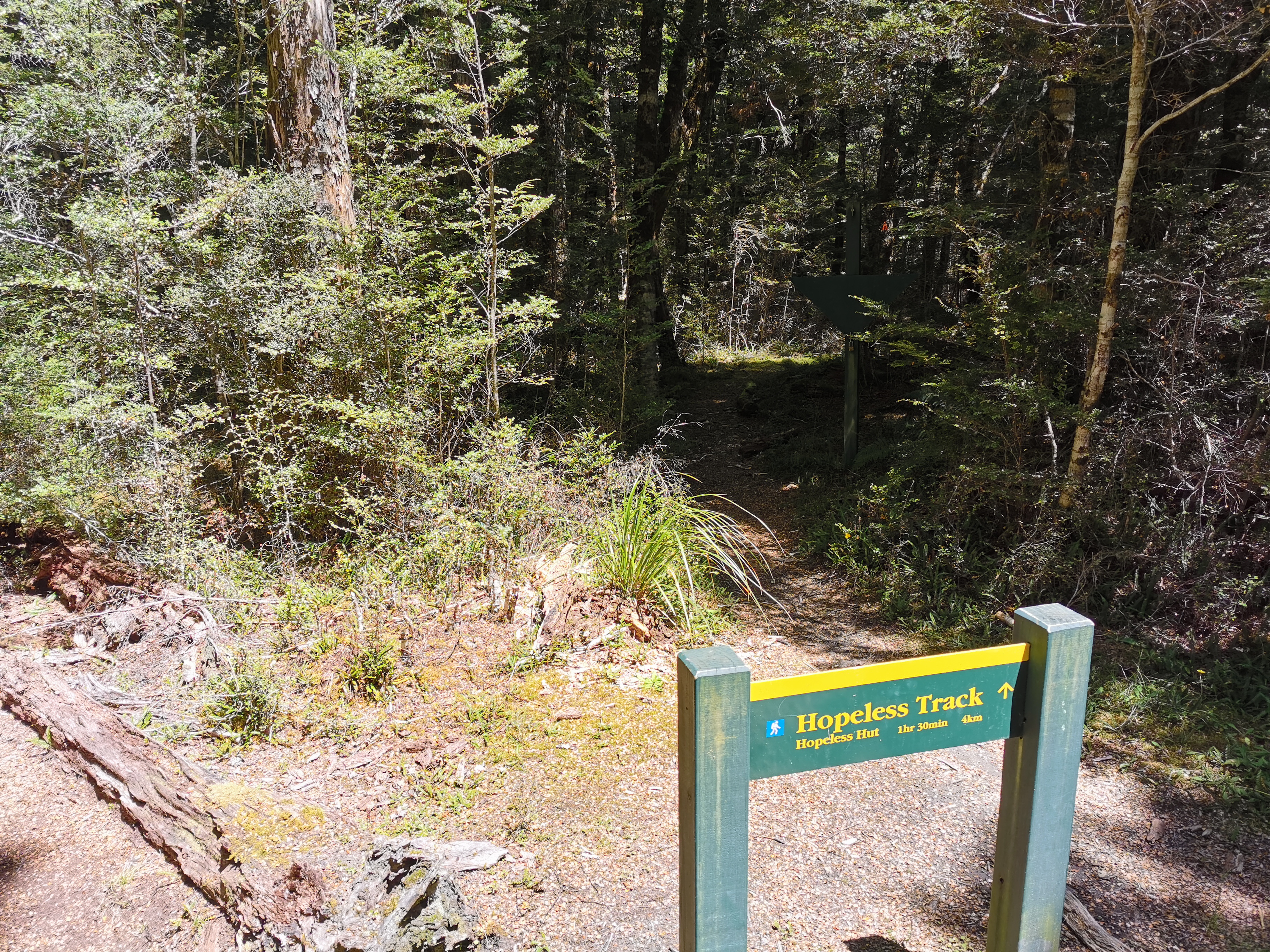
Here’s a sign to the Hopeless Track and the Hopeless Hut. Great names.
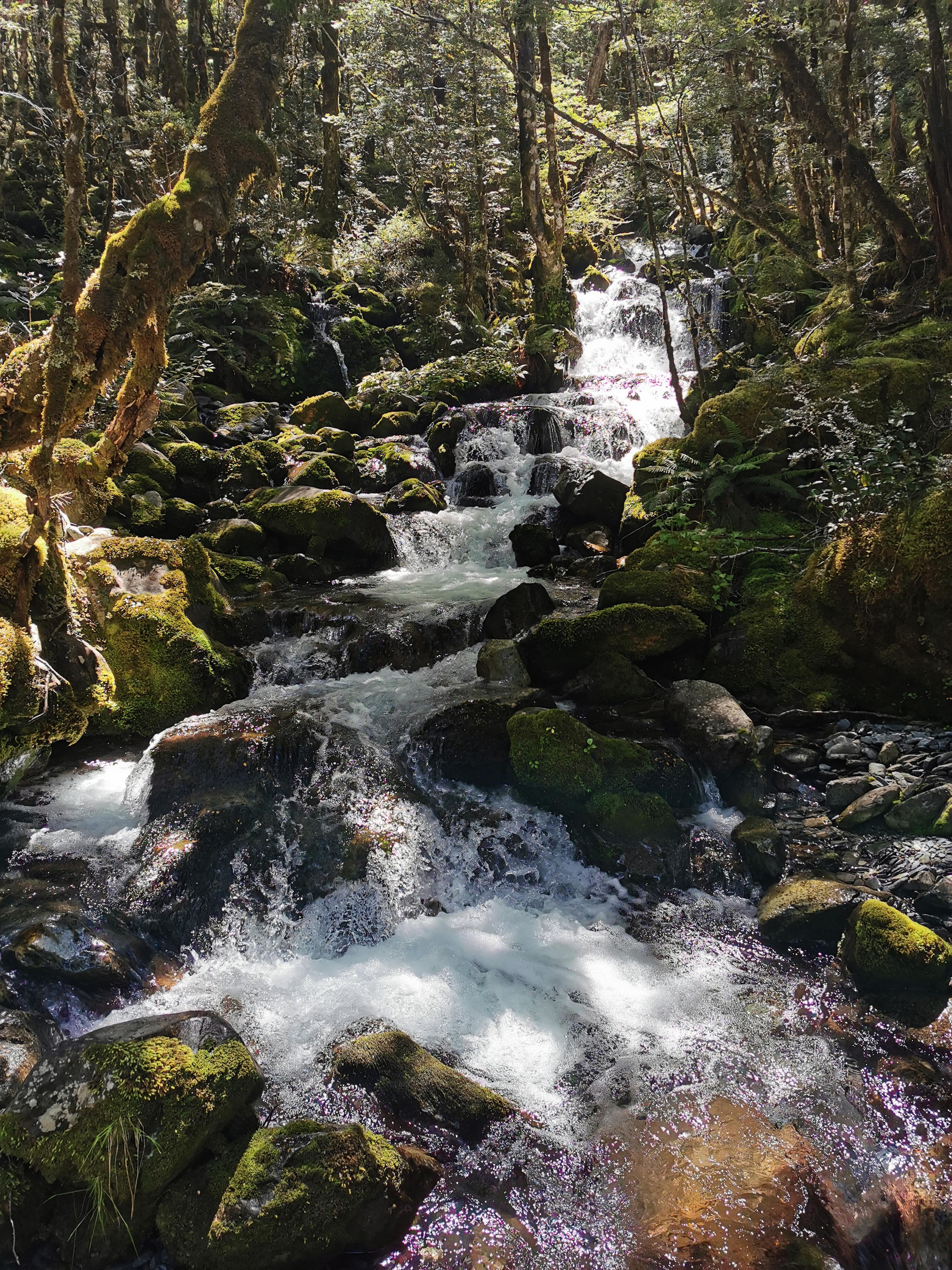
And normally I don’t take photos of the waterfalls but this one was nice.
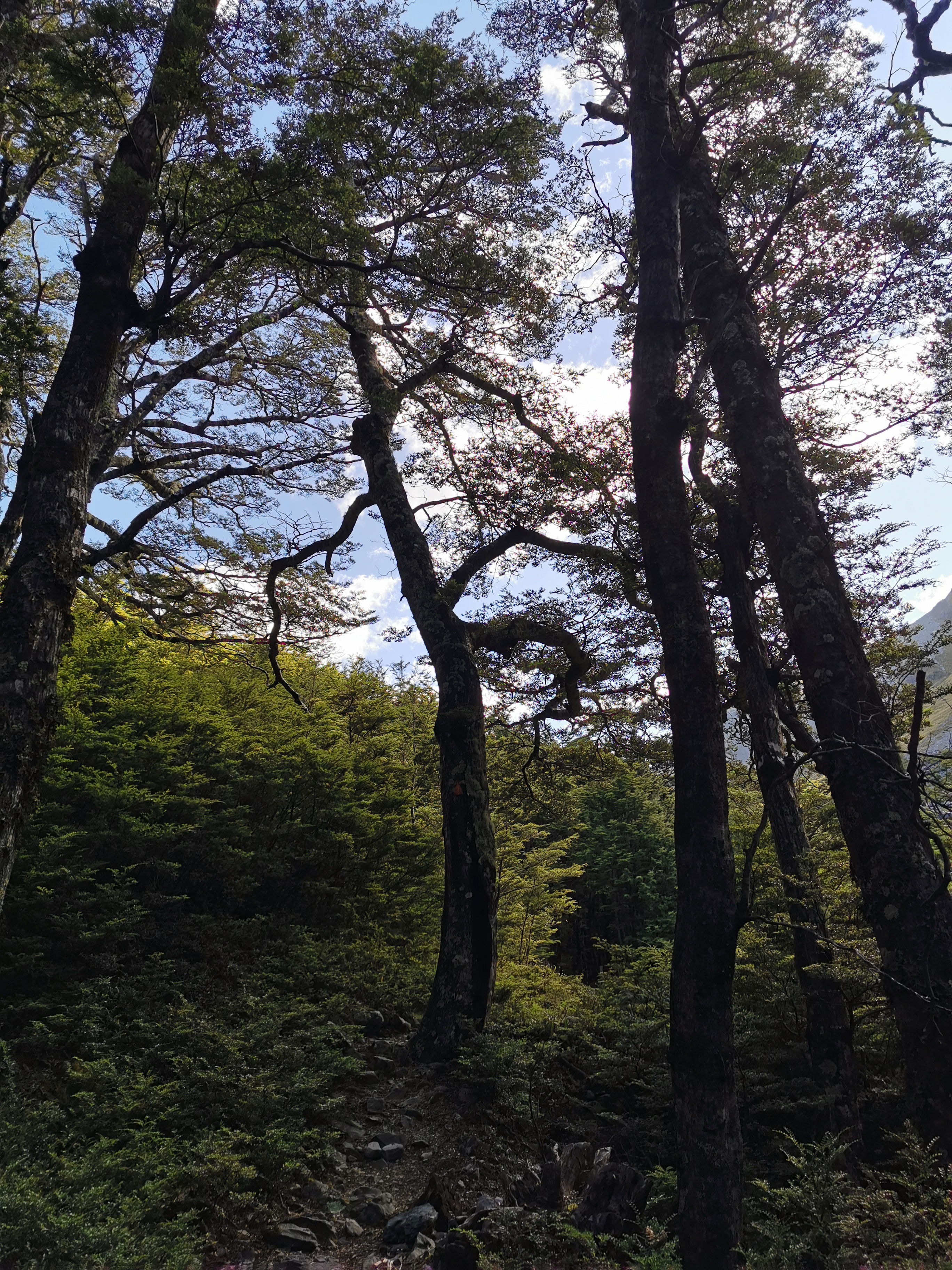
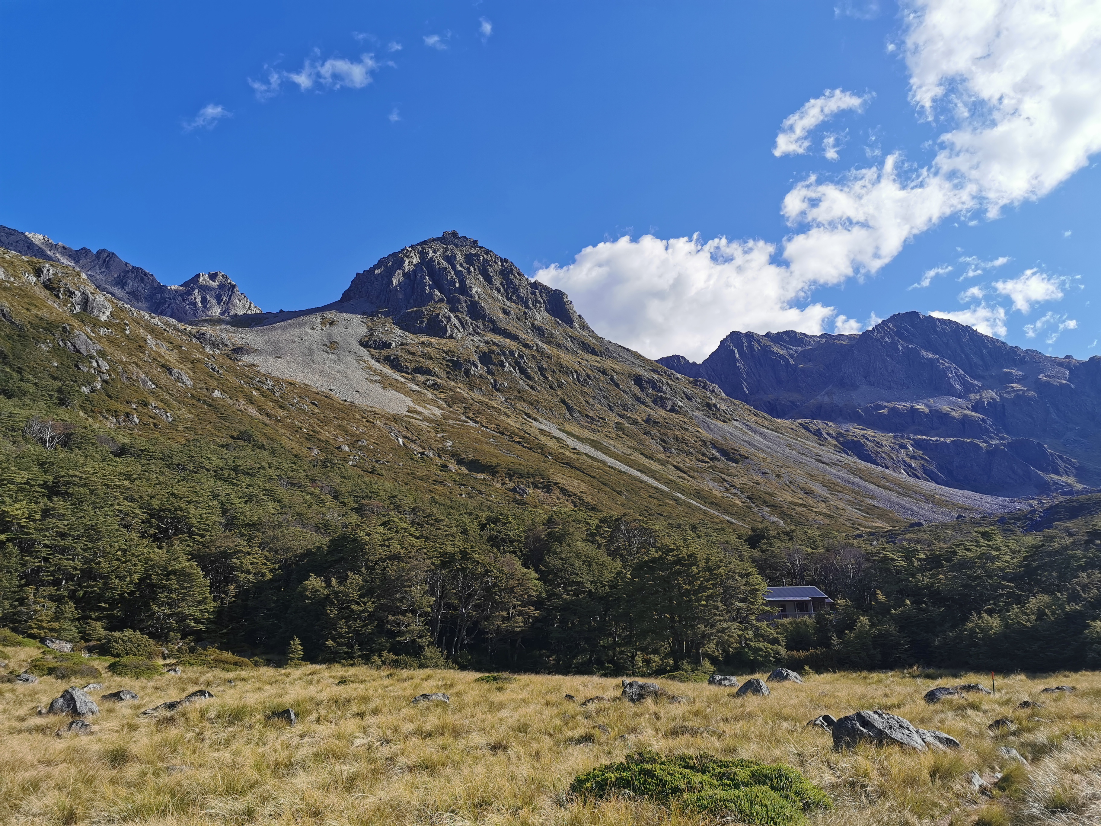
Coming up to John Tait Hut I finally saw the first cloud for today. It’s been so hot so I’ve been thankful that most of the walk today is under trees. Most of the walk tomorrow will be above the treeline. I better remember to put on sunscreen since it is supposed to be the same kind of day tomorrow.

It took three and a half hours to get to there from Lakehead Hut. There I met Sabine, who is the first person I’ve seen with the same pack as me! I’m really surprised it has taken this long to spot another Osprey Levity!
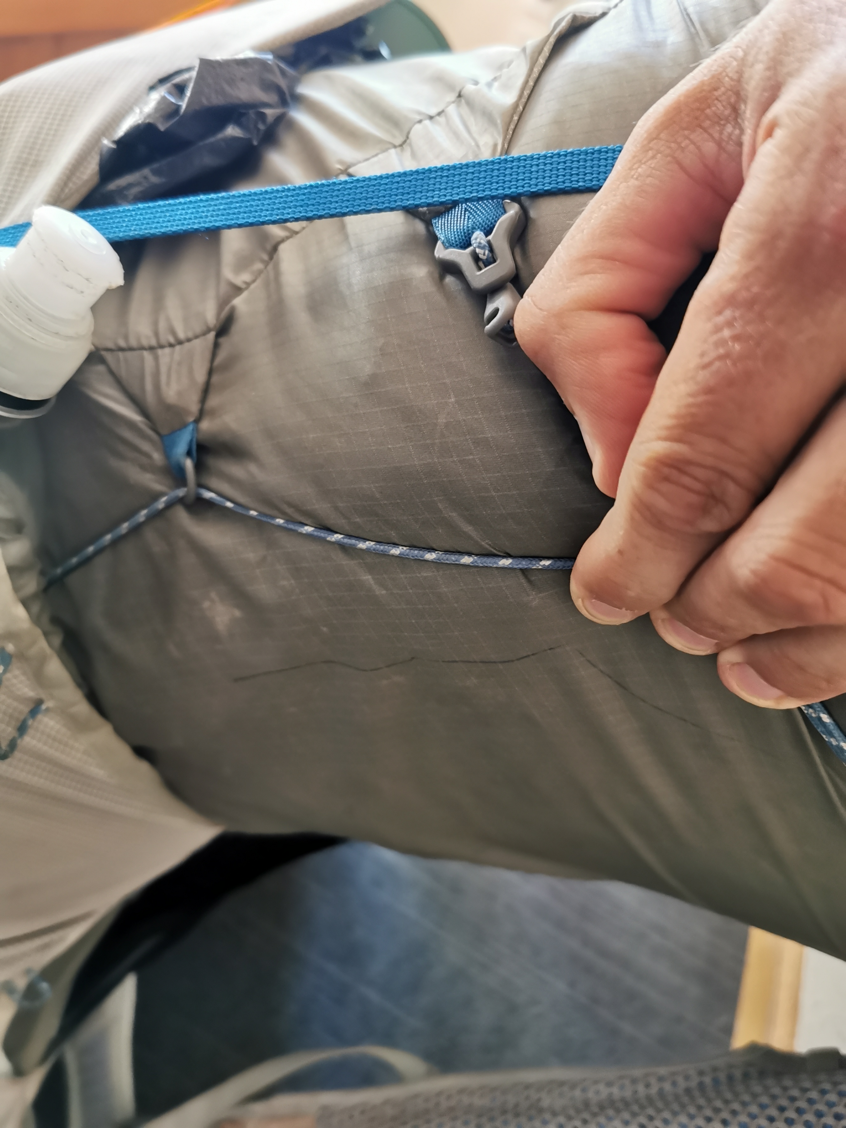
She showed me how the mesh on the back of hers had a hole in it, which she fixed with floss. I showed her how the blue handle broke on mine a few days ago. But we said we were both happy with our packs.
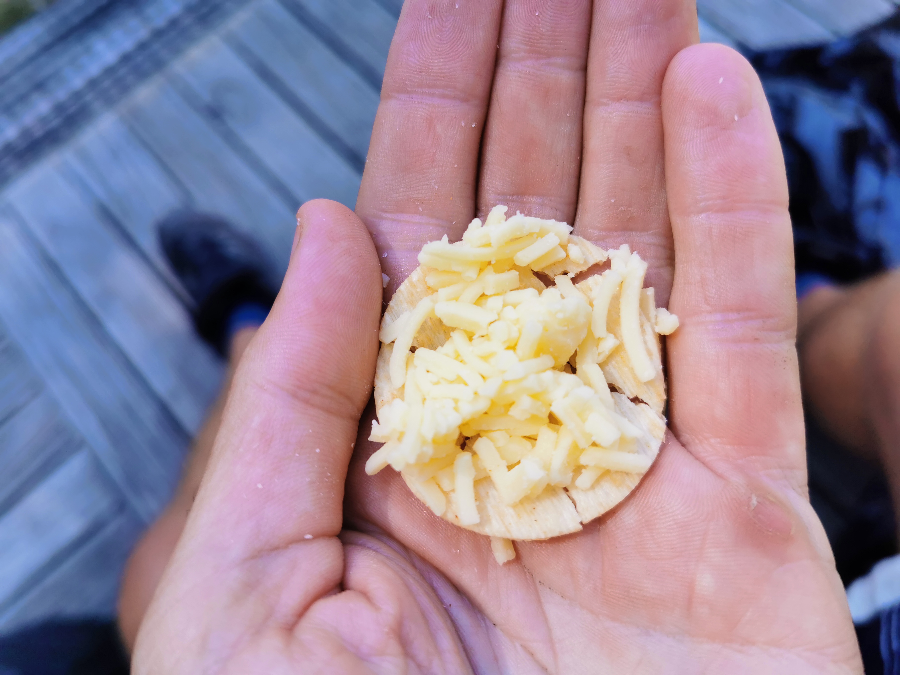
This time I dug down and got the cheese out. Grated cheese on crackers really doesn’t work. I possibly should’ve bought the big 1kg block of cheese instead.
Again at this hut there were lots of people on short trips. It was just Sabine and me doing Te Araroa.
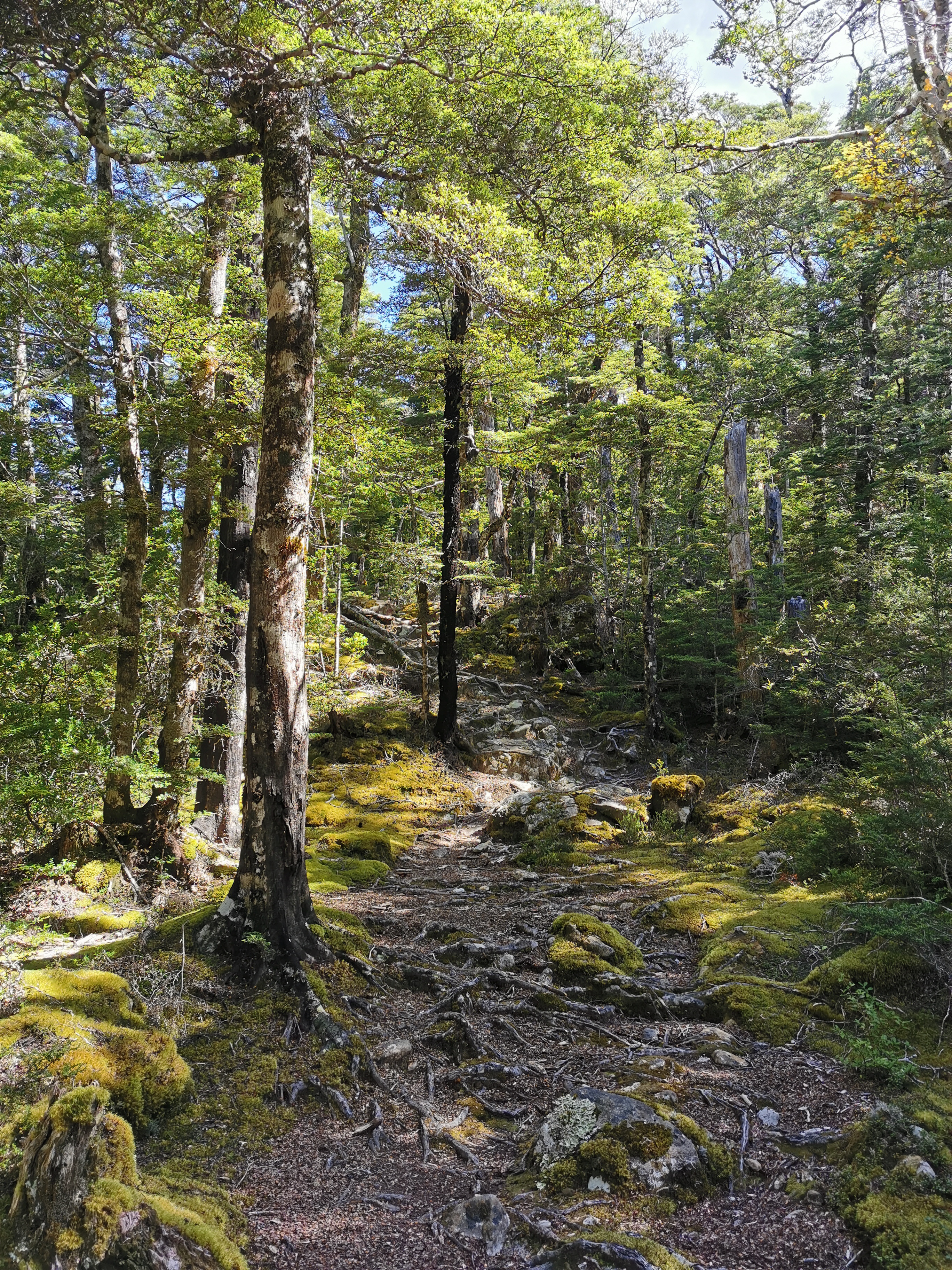
There haven’t been any notable hills so far, except for the one around the first washout. The next bit though has a 500m climb over 6.7km. Doesn’t sound too bad. This path is definitely more touristy than the paths in the Richmond Ranges.
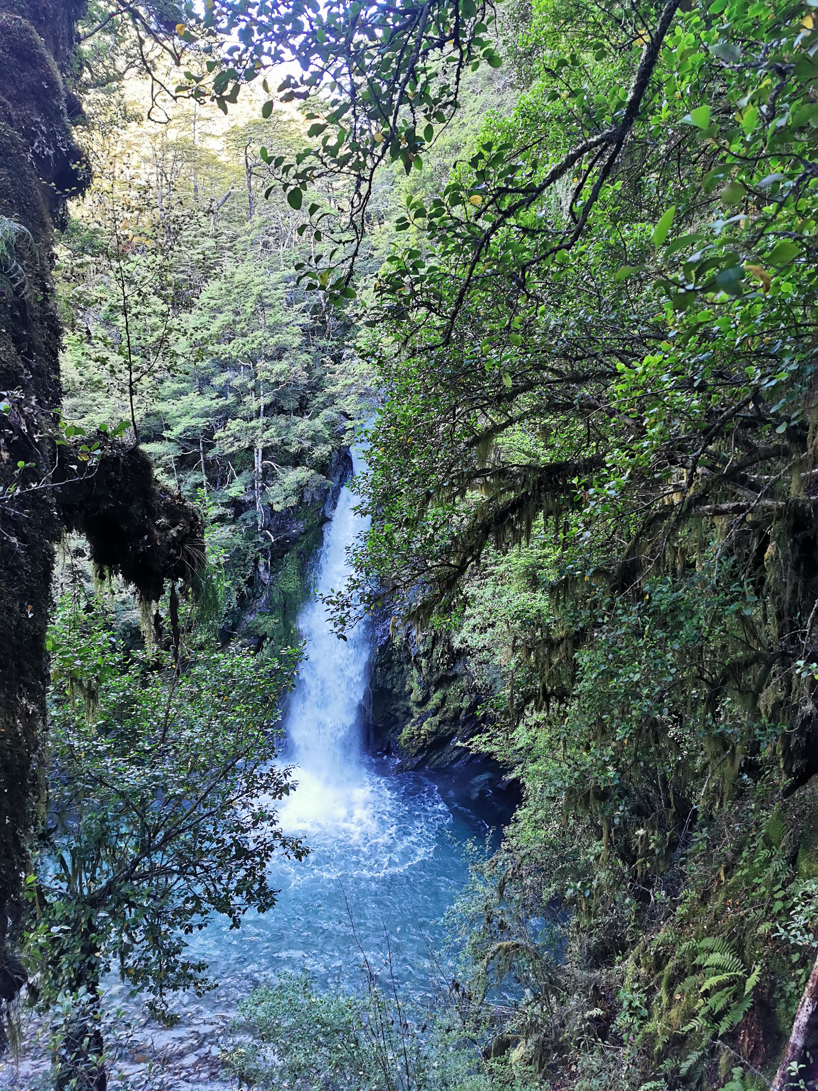
There is a two minute detour to see the Travers Falls. I wasn’t going to do it because the path was quite steep but a comment on Guthook said it was worth it, so I did.
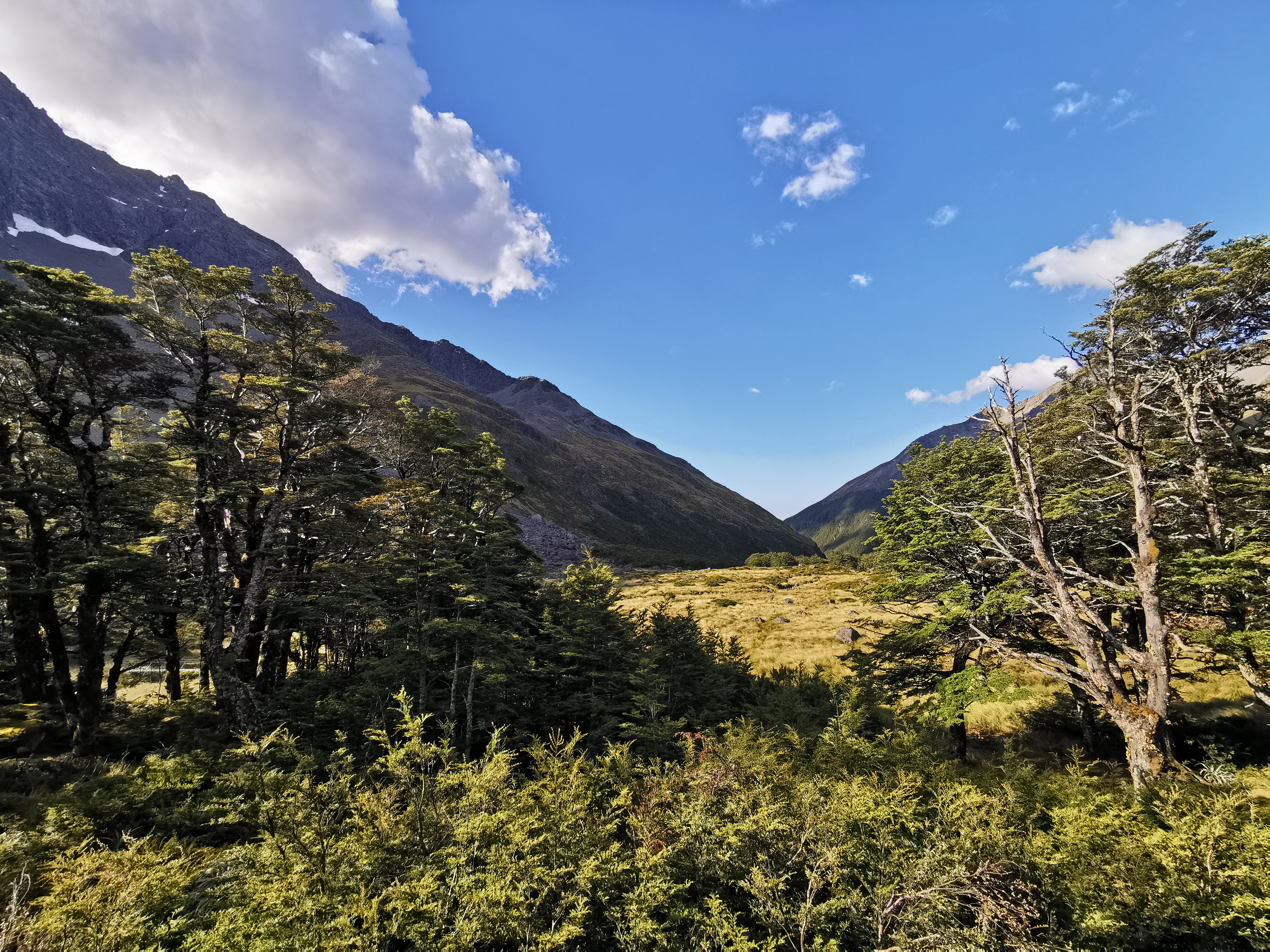
The path briefly exited the trees and the view changed.
It was soon back into the trees though. And you know a path is touristy if the rivers are bridged!
Oh wait, there’s now an unbridged river crossing. I guess I jinxed it.
That crossing looked quite dangerous at first but just walking 15 metres up the hill meant there was a much easier place to cross.
There were signs around for avalanche zones. You’re not supposed to dawdle through here during avalanche season. Lucky it’s summer so I can dawdle and dilly-dally all I want.
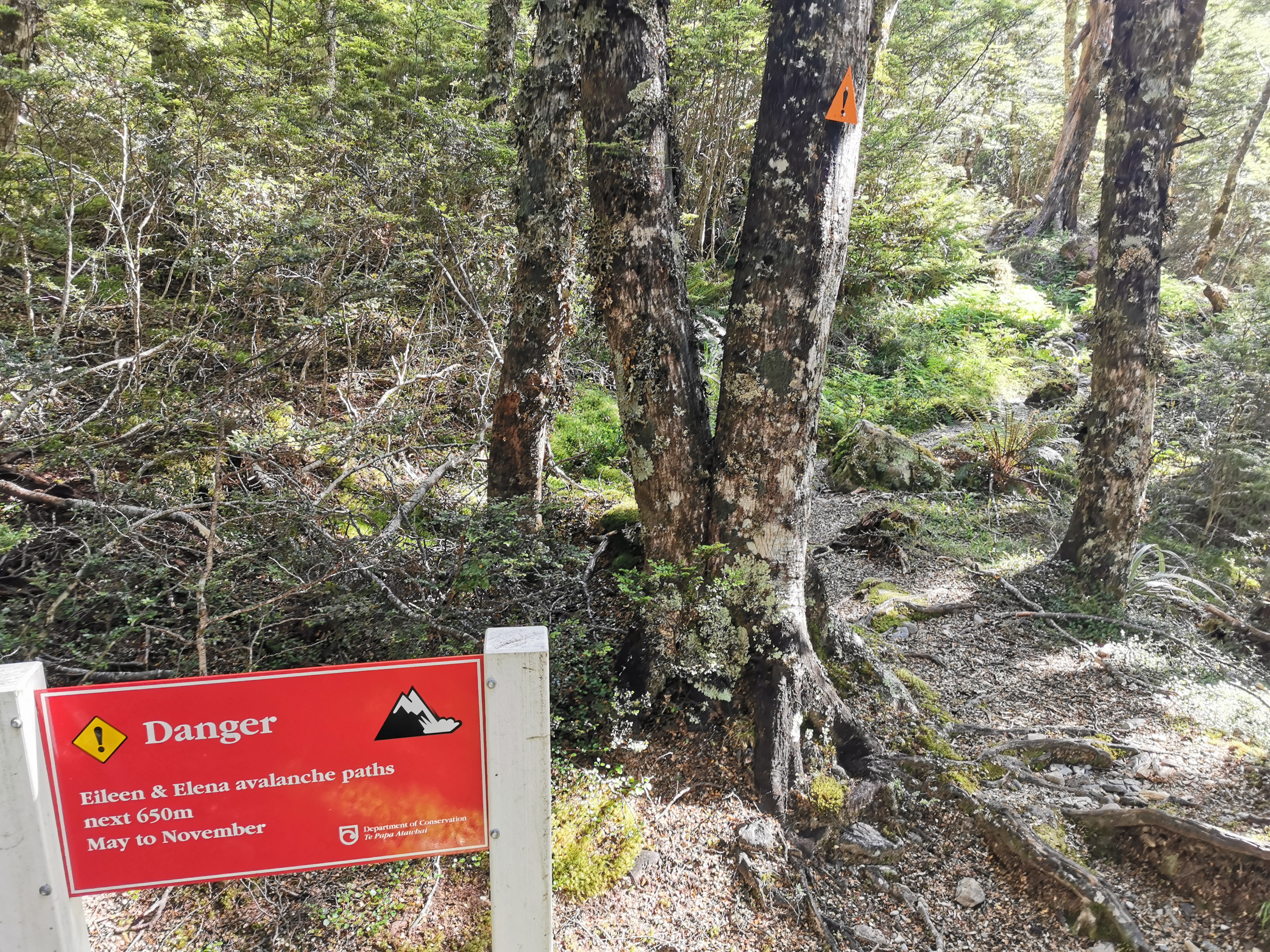
They seem to name the zones too. And they always seem to be women’s names. I figure maybe they have the same names as the peaks above but then they name hurricanes after women too. So who knows.
No way am I using this log to cross. It looks sketchy.
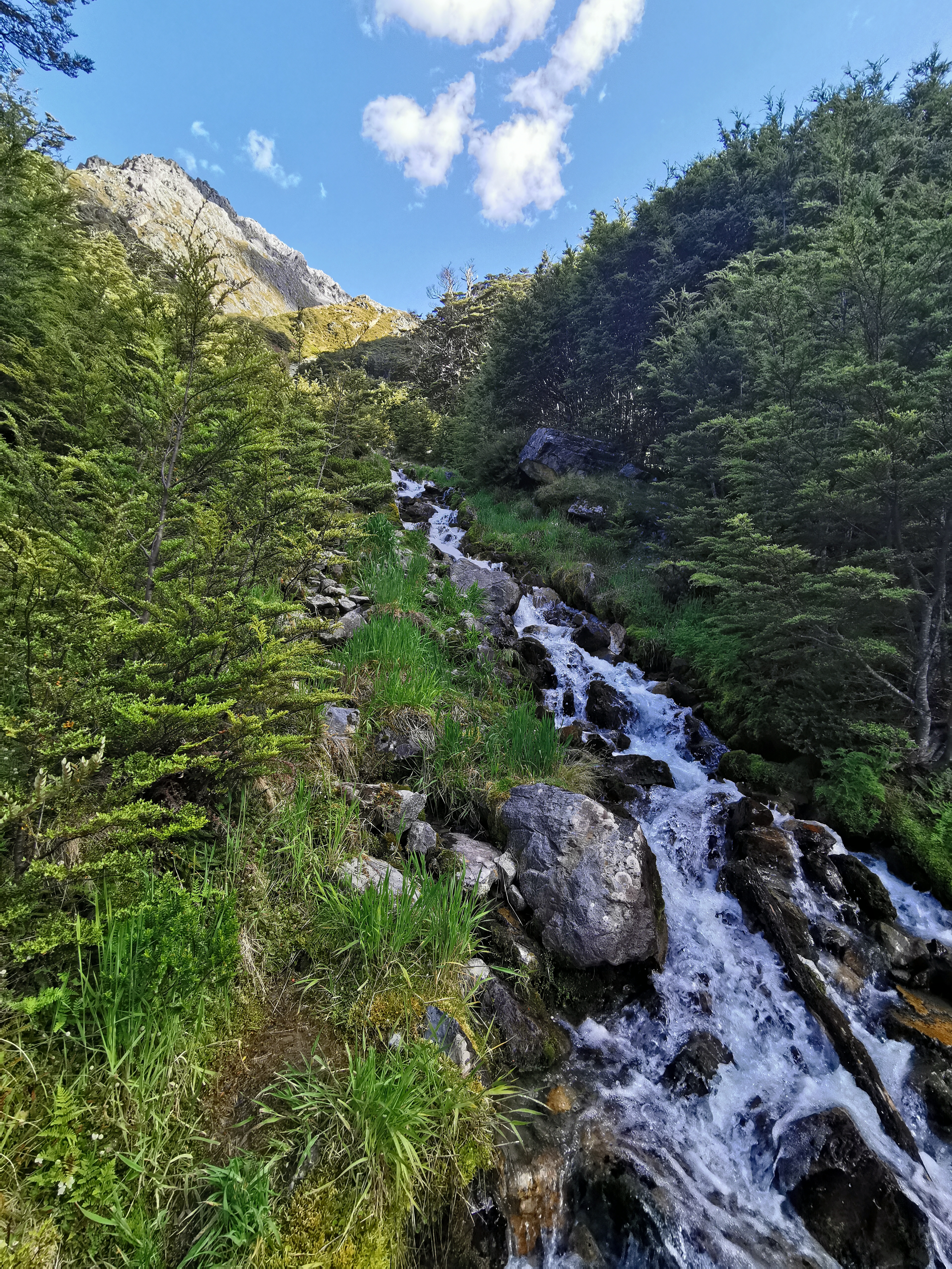
It is crossing a beautiful waterfall though, it looks like it is coming all the way down the mountain.
Here is the last bit to walk down before arriving at the hut – the left side of this river.
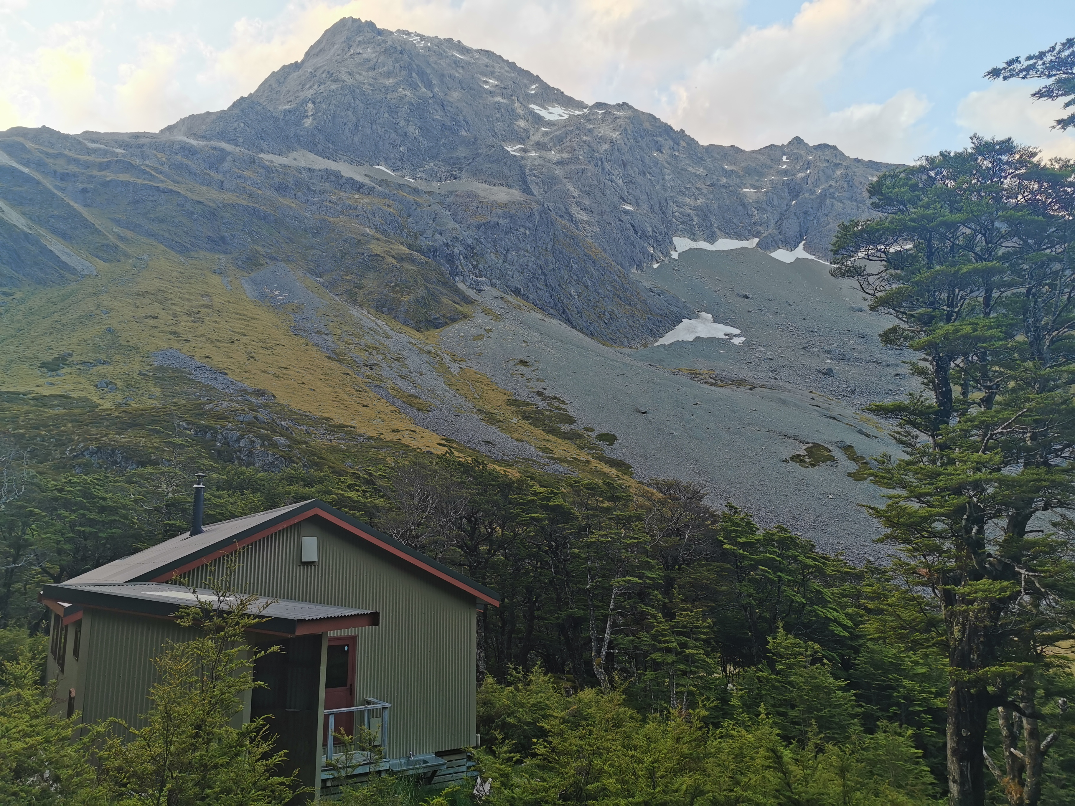
And once across this field, there it is!
It had a nice view from the front:
And a nice view from the loo:
At Upper Travers Hut there were a lot of people. Michelle was here as well as Sabine and also Dave and Baxter, a father and 14-year-old son walking the trail together. Here’s their Facebook page. There were also a lot of people just doing shorter walks.
We divided at first while eating dinner into the TA table and the non-TA table. But after a while most people talked to most others.
It has been a while since I walked a 30km day. Oh wait, my watch says that I walked 30.2km… but Guthook says I only walked 29.7km. That’s not fair – my watch normally under-reads but not this time! I don’t know whether I walked 30km today after all.
Today's walk on the map (blue = Te Araroa, red = today's walk):
Yay, Upper Hutt! And cool name for a cafe.