Date: 31 January
Trail covered: 30.9km plus at least another km trying to find a good river crossing point (kms 2115.1 to 2146.0)
Weather: wet and windy until lunchtime, then it cleared up
It was very cold in Camerons Hut during the night. I was sure the cold was coming up through the plastic hammocks and the howling wind all night under the door and in the holes in the walls of the hut didn’t help. Plus the hammocks were uncomfortable. I had to constantly switch sides to stop my legs hurting. Although at least there were no rats or mice present that I noticed.
Despite that, when you’re staying on your own, it’s very easy to sleep in. I woke up at 8:30am – a lot later than usual. Since this hut is only a few kms from the previous No. 3 hut, all the other hikers from that hut came past while I was having breakfast. All except Timon, who knowing him would have come past while I was still asleep. All the other hikers as they came past came inside to talk to me briefly.
It rained most of the morning, and each time I thought the rain had taken a break, it started raining again. The three day old forecast that I looked at at Boyle Village said that there would be rain in the morning and then it would be fine. I decided that I’d wait in the hut and give it until 11am and then if it was still raining then I’d just go. At 10am I looked outside and saw this rainbow… does that mean it’s clearing?
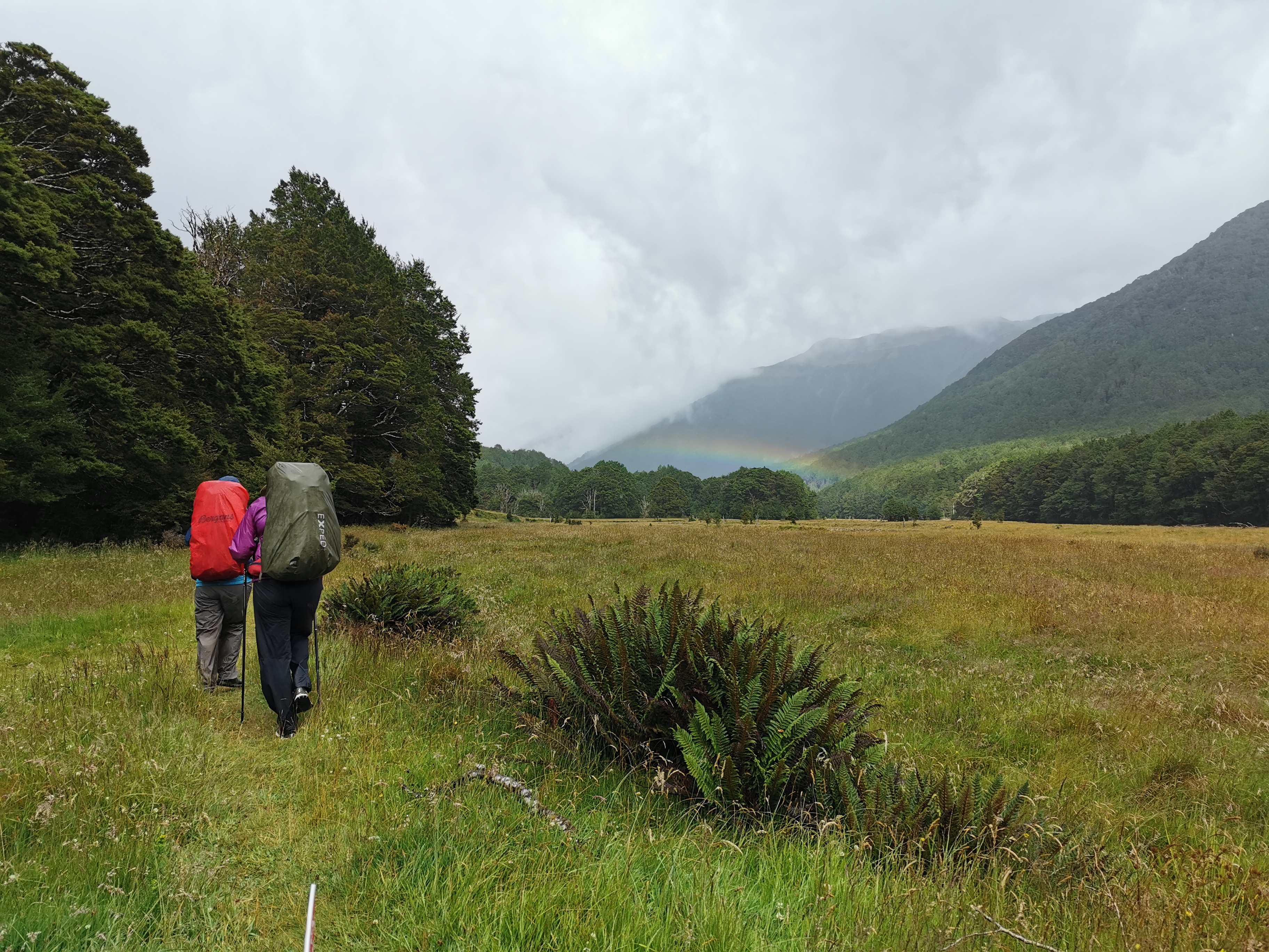
At 10:55 the rain still hadn’t stopped so I left. I was starting out behind all the hikers from yesterday despite sleeping in the hut ahead of them. My 11am picture is just leaving the hut.
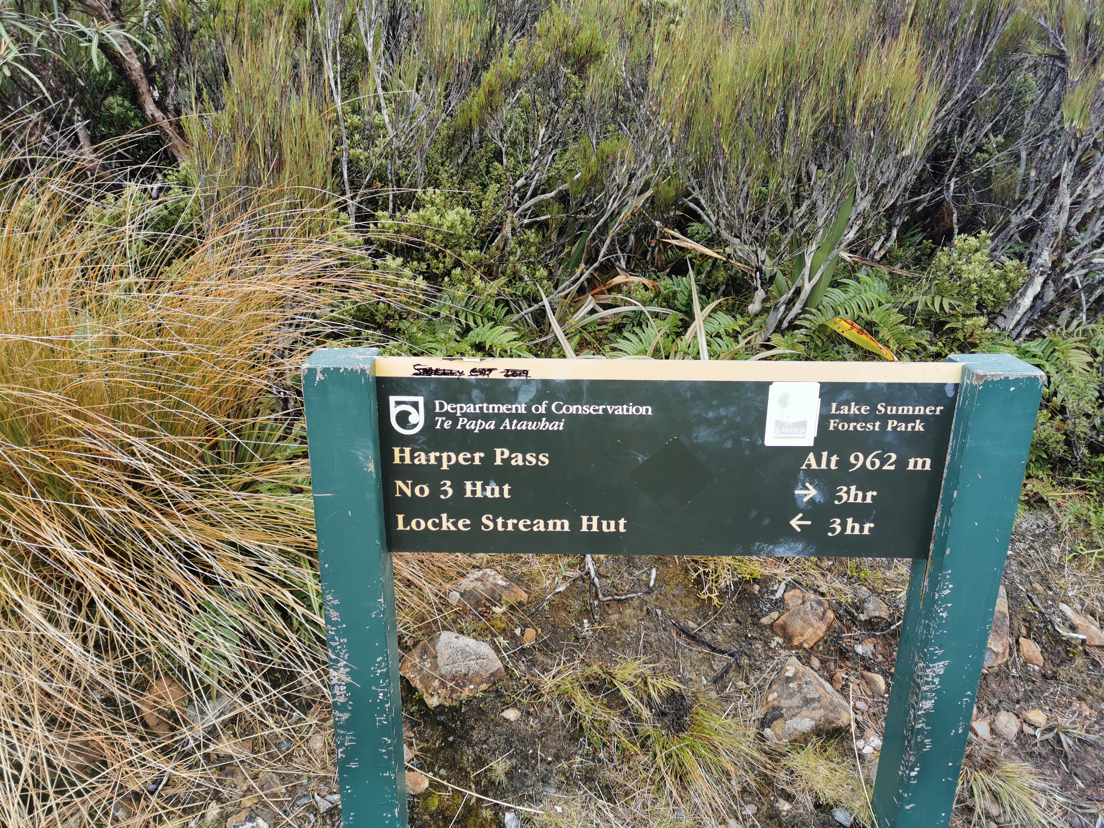
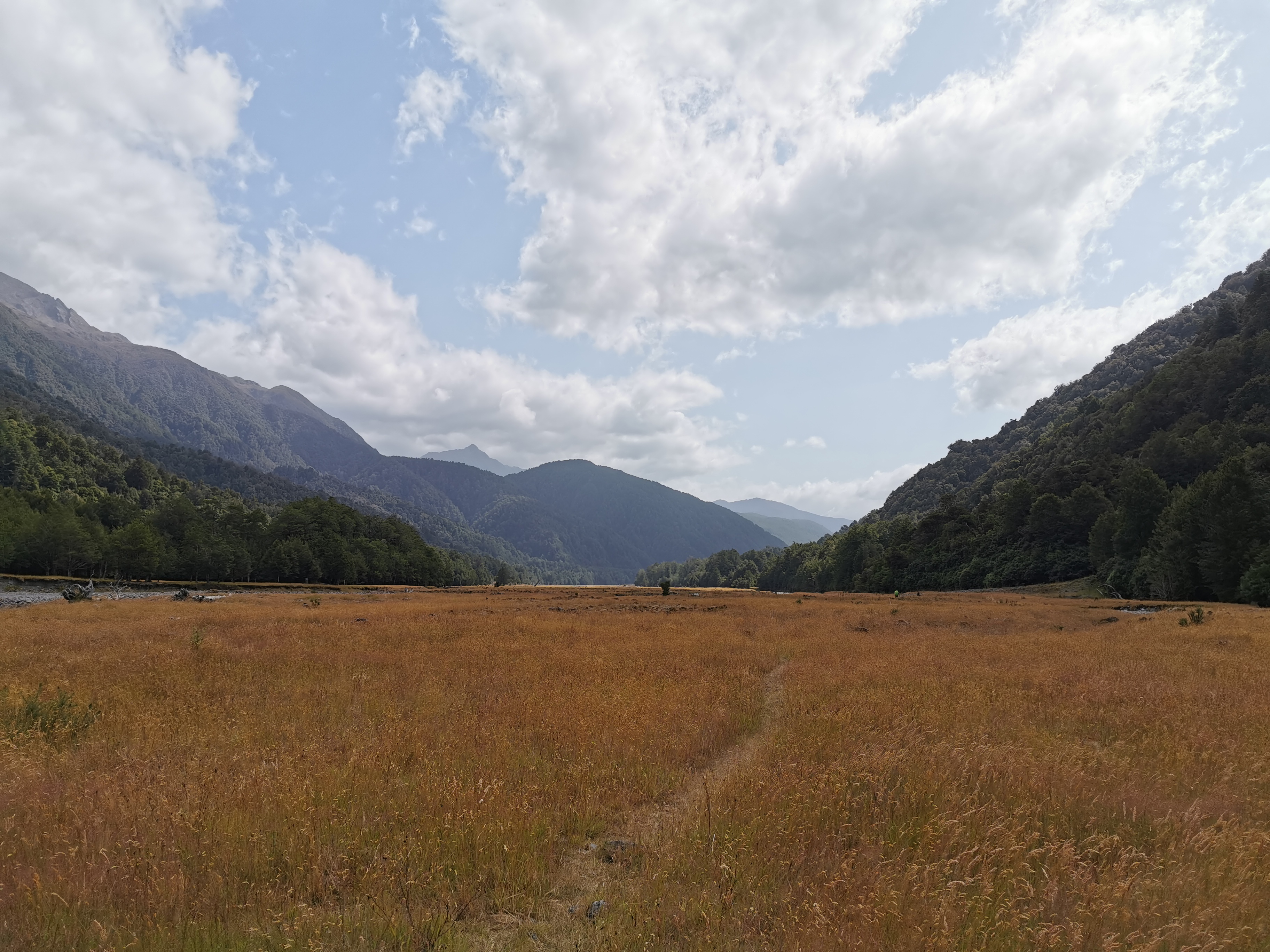
Today my ideal destination is Morrison Footbridge, about 33km away. It would put me in a good position to do the entire Goat Pass section tomorrow and end up at the Bealey Hotel tomorrow night. But since I left so late today, that is looking like a big ask. On the way there is Locke Stream Hut and Kiwi Hut as options.
I’m a bit annoyed at myself for trying to wait out the rain. If I got wet in the morning I would have dried out later anyway.
Here’s a familiar sight recently…
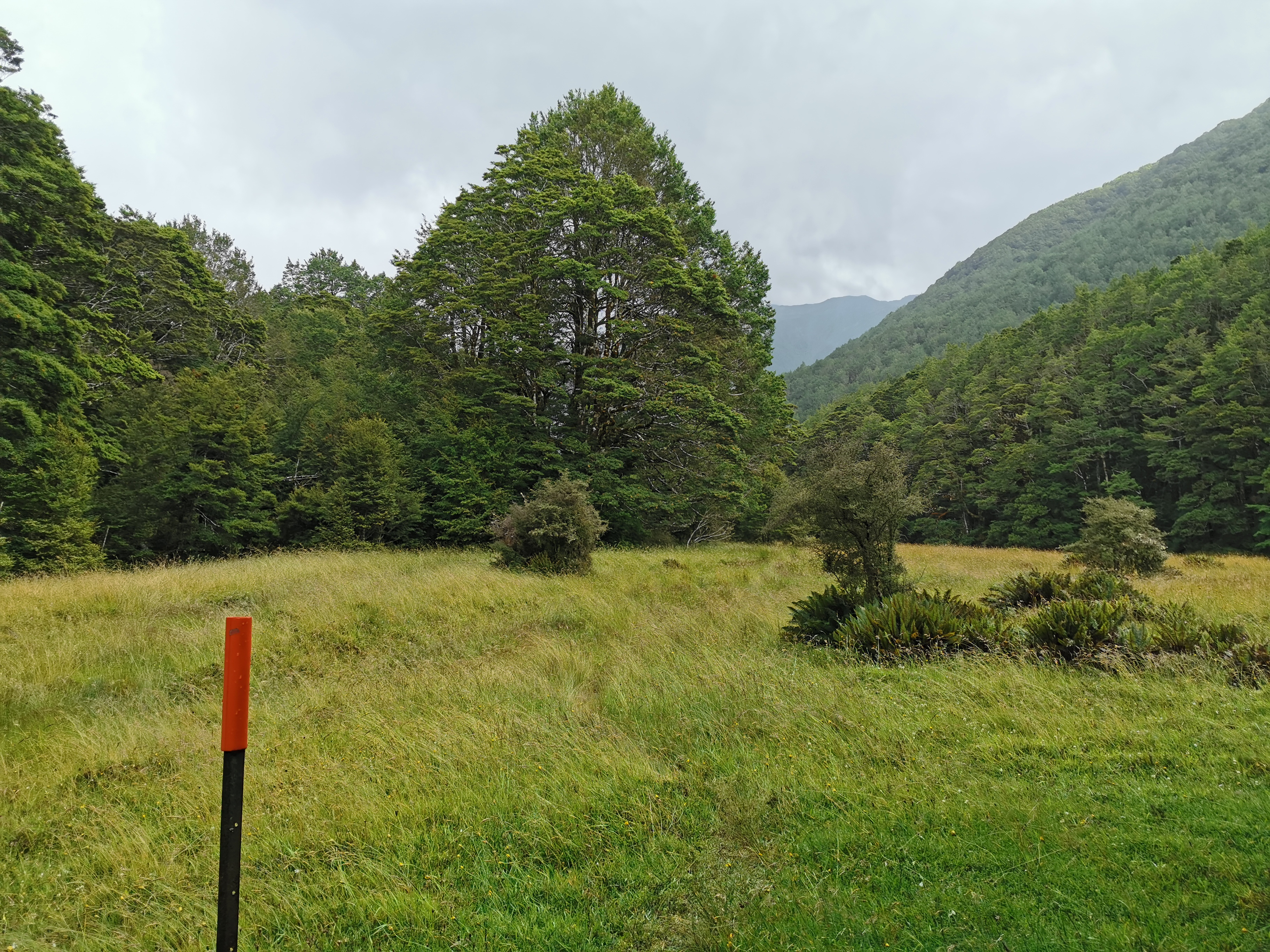
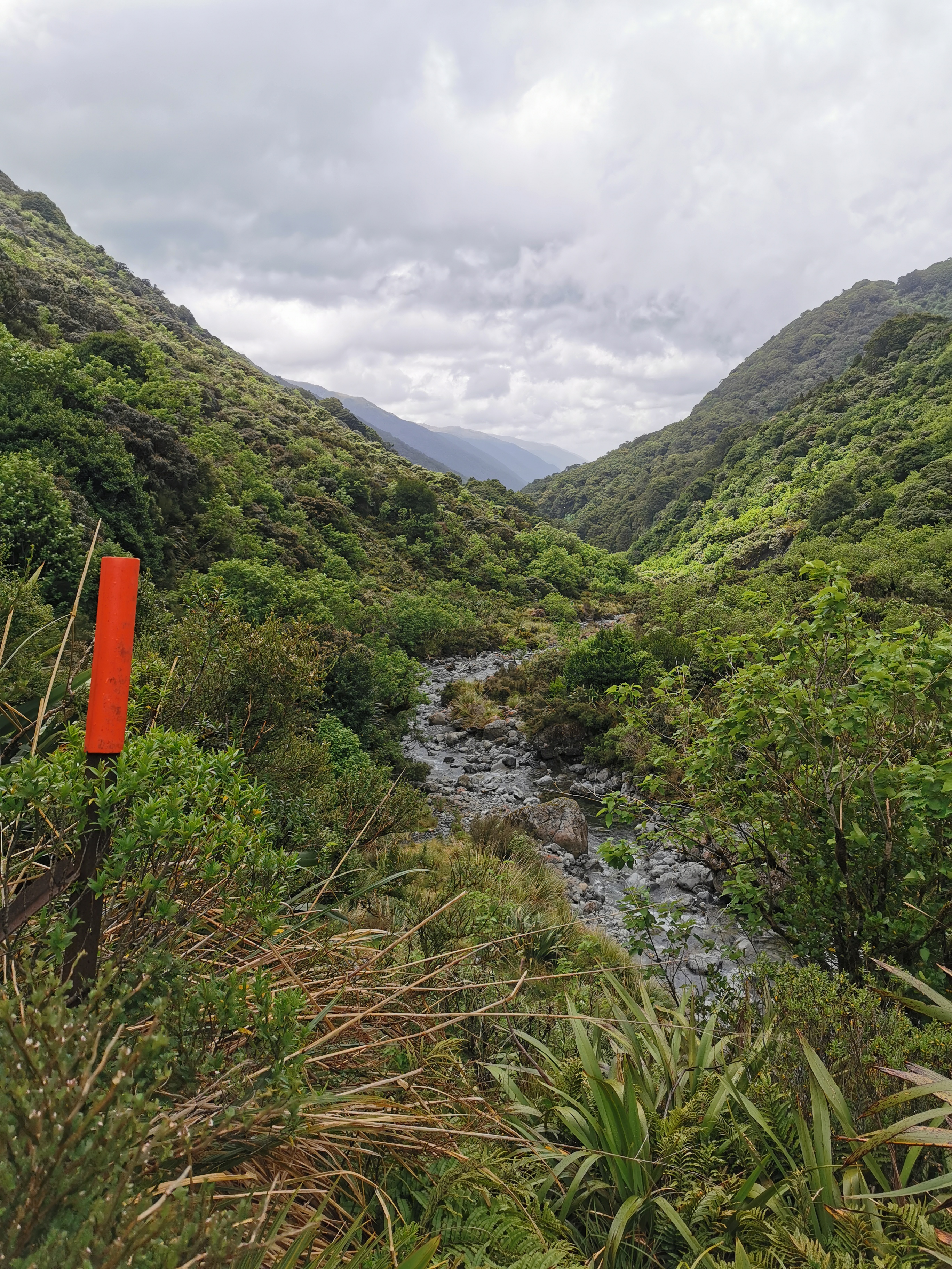
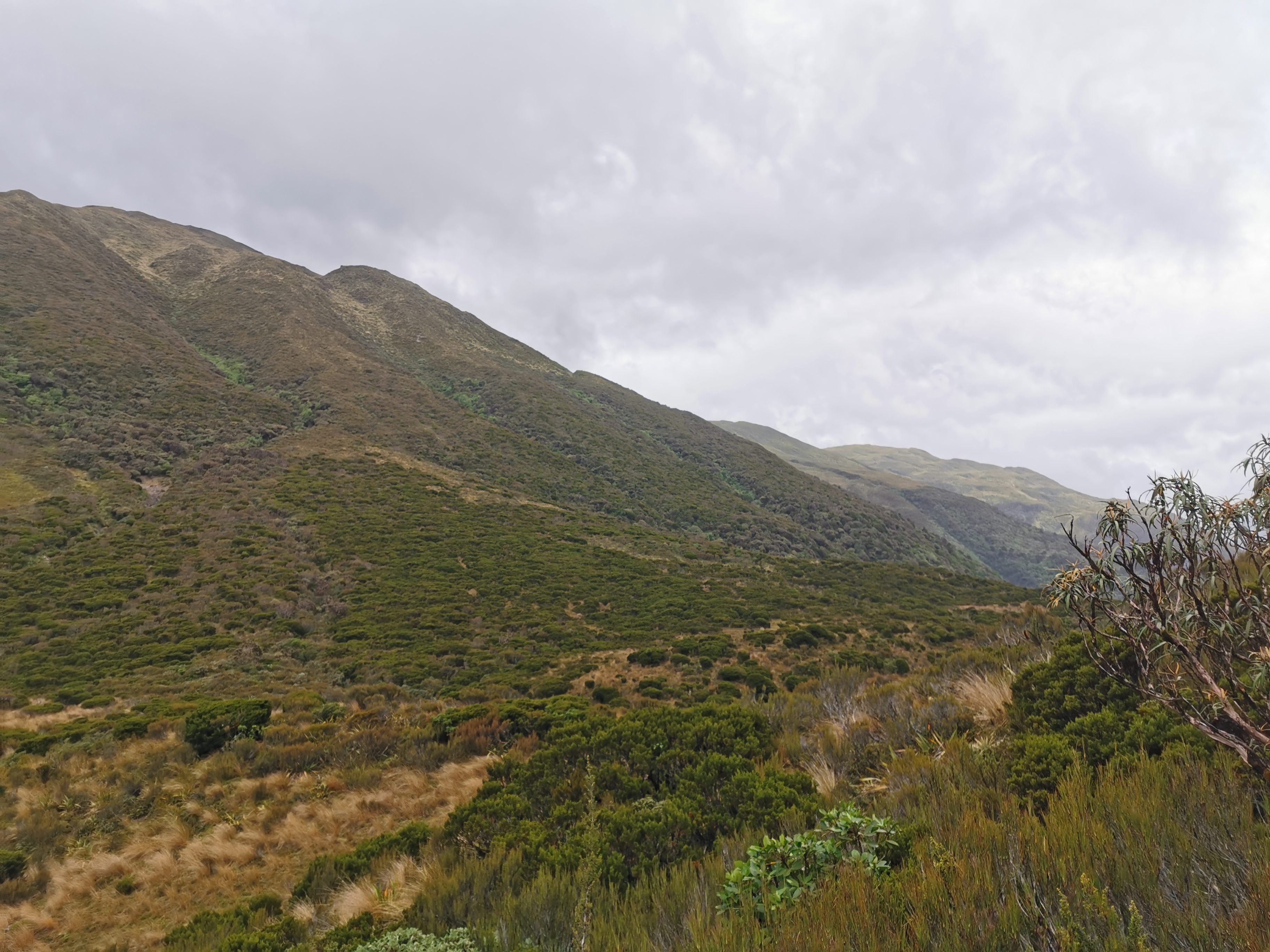
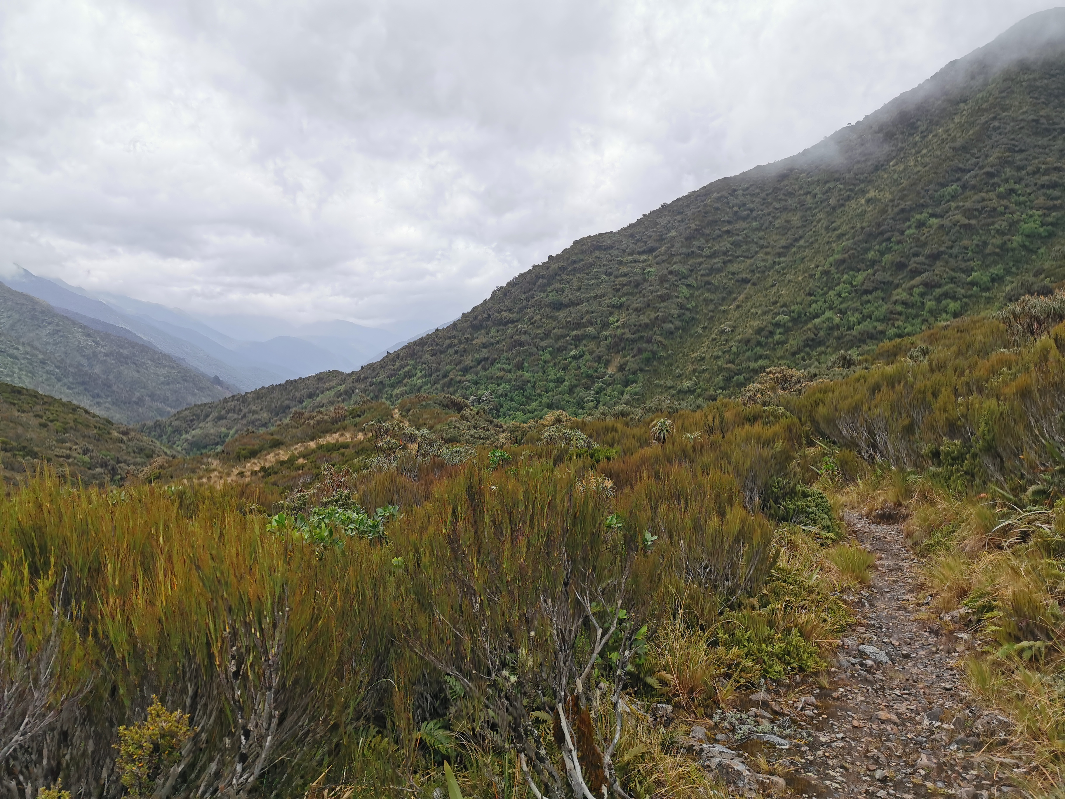
The valley started narrowing as I approached Harper Pass.
And it got a bit steep in places.
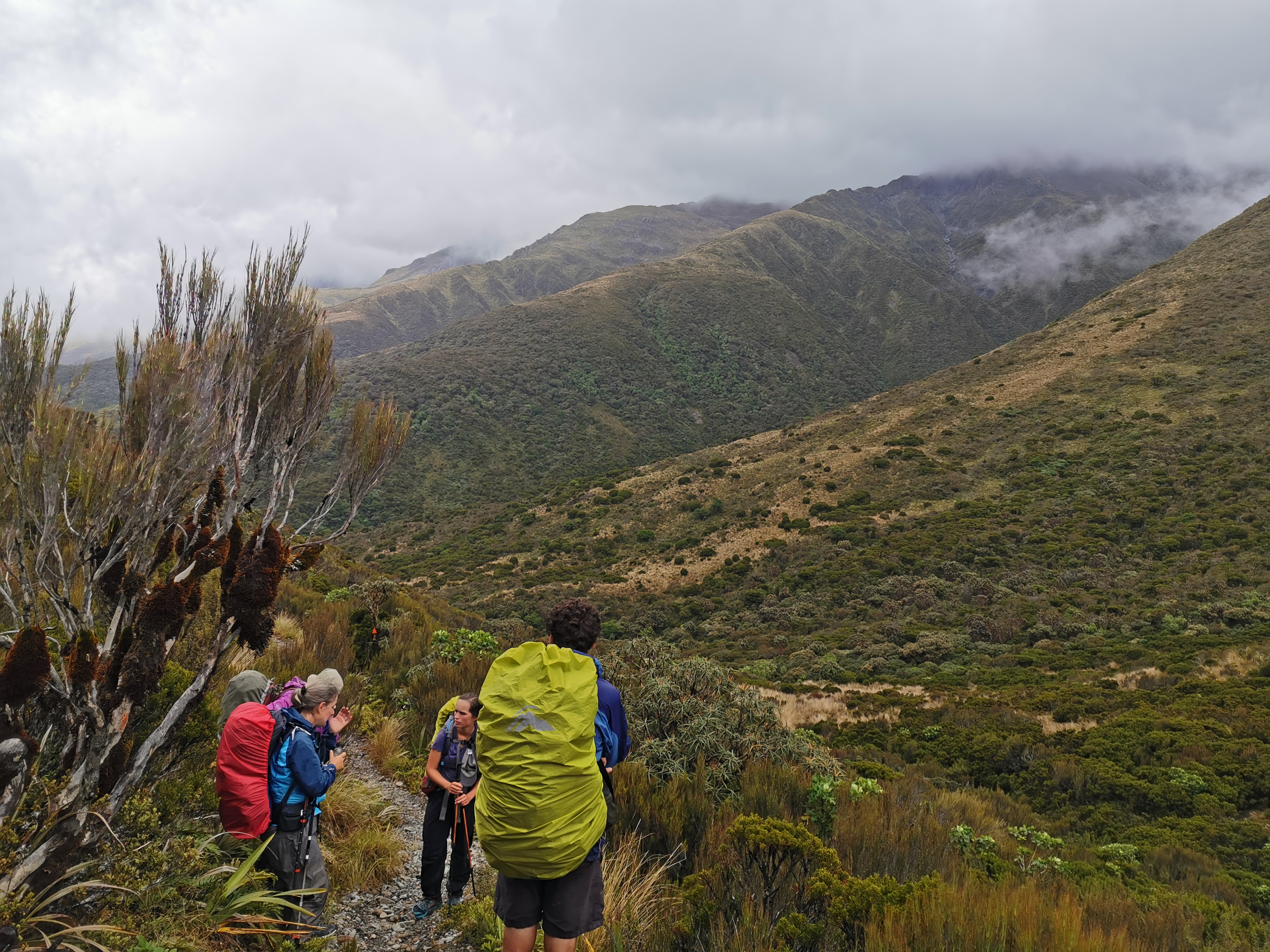
Over the morning I started to catch up to and then pass the people from the previous hut one by one.
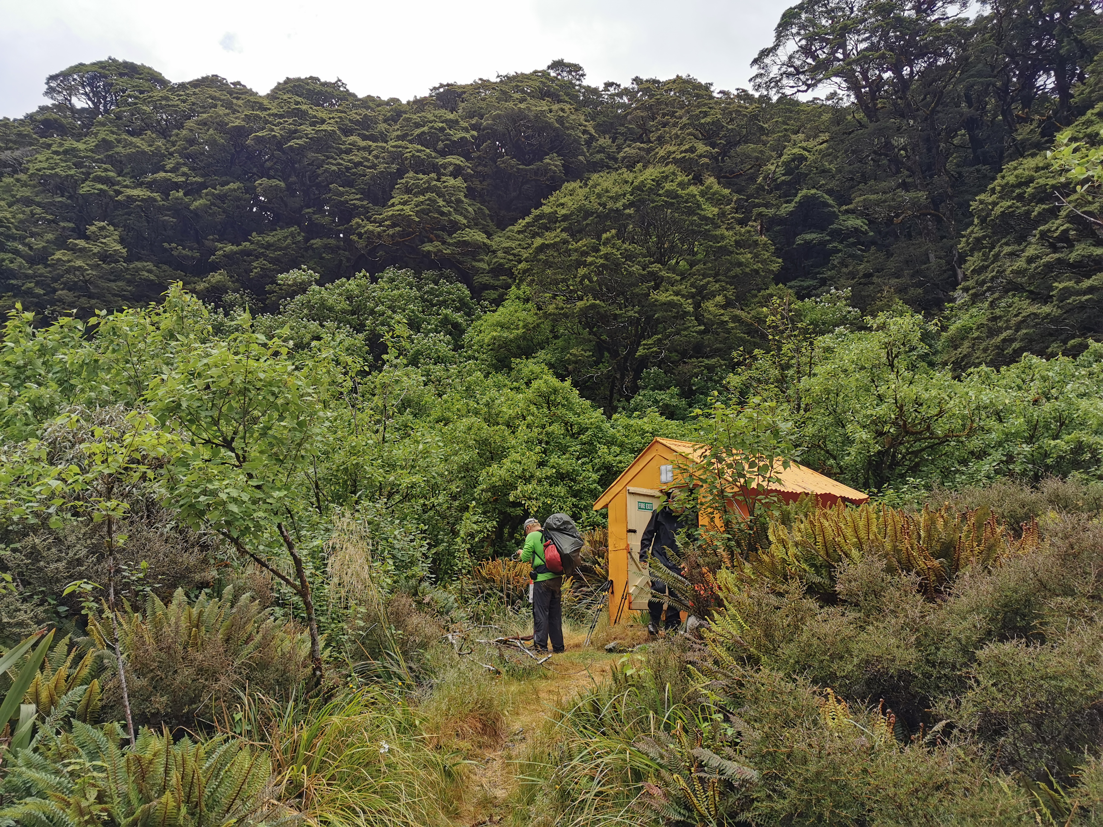
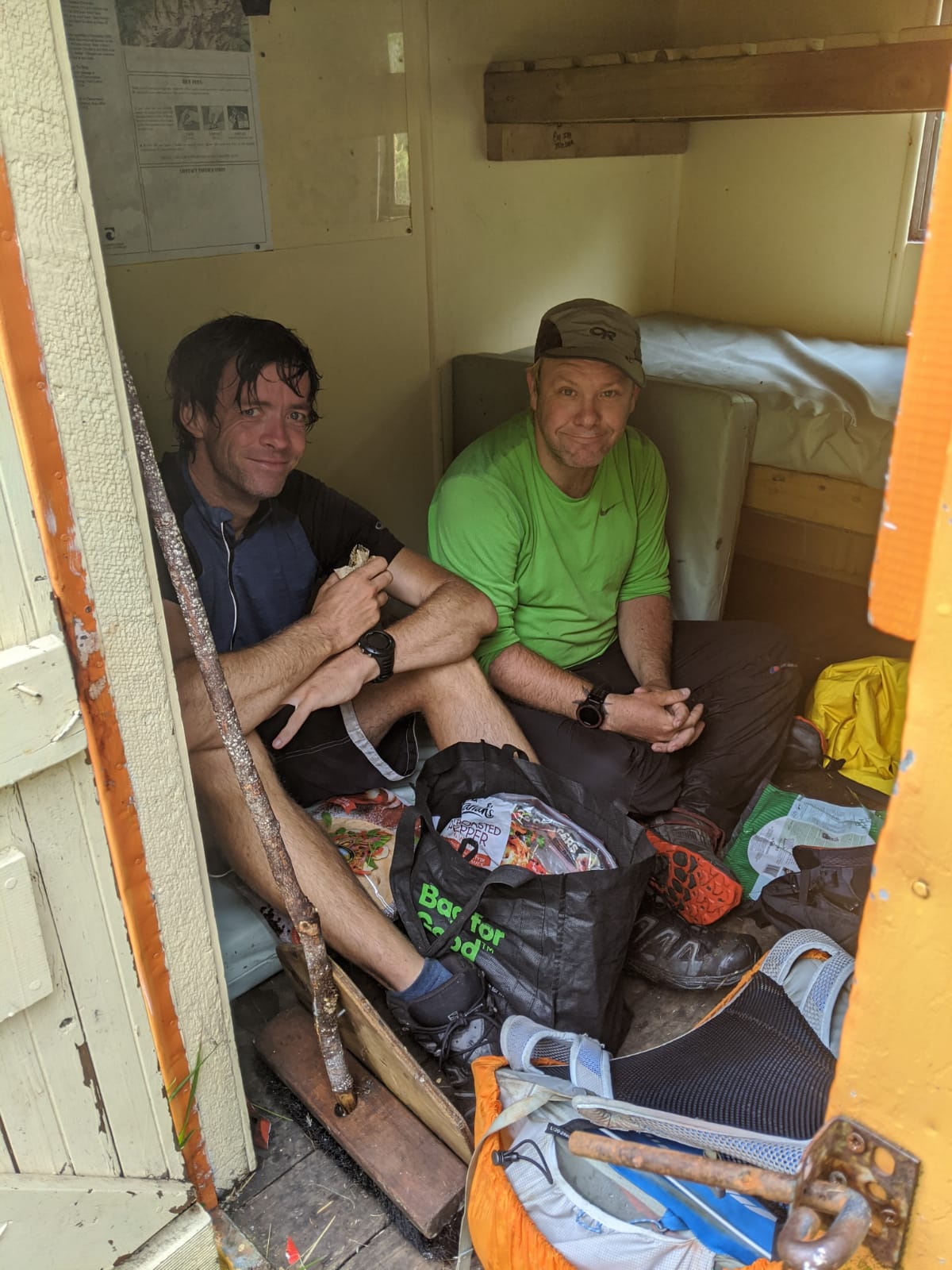
It wasn’t long before I encountered Harper Pass Bivouac. A tiny little orange building with just enough space for two people to sit down and have their lunch. I’d just met up with Ben before I arrived, so we filled up the whole space.
I couldn’t spend too long here if I wanted to make my destination, so I continued on. As I started to go up Harper Pass, the views became nicer.
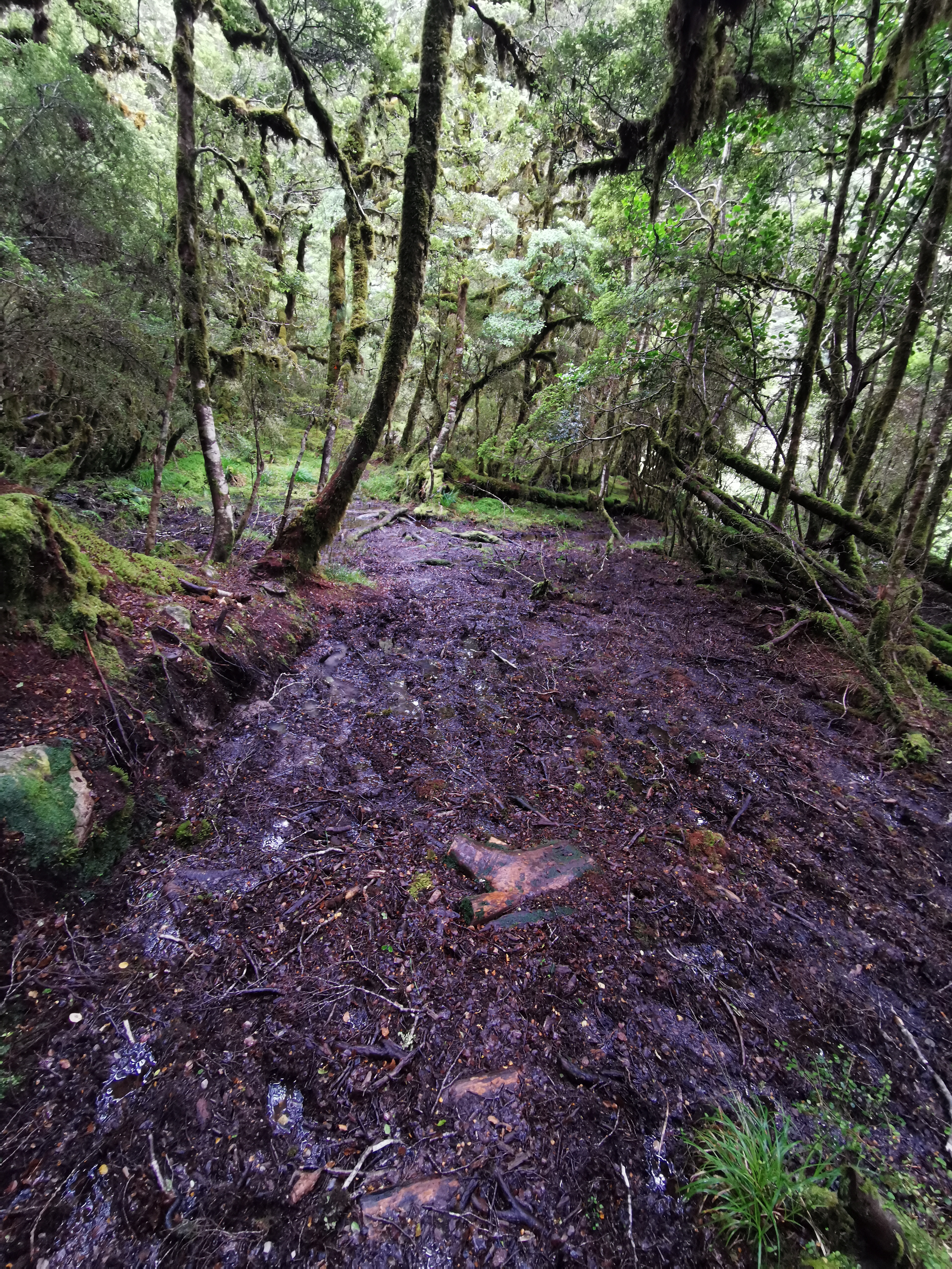
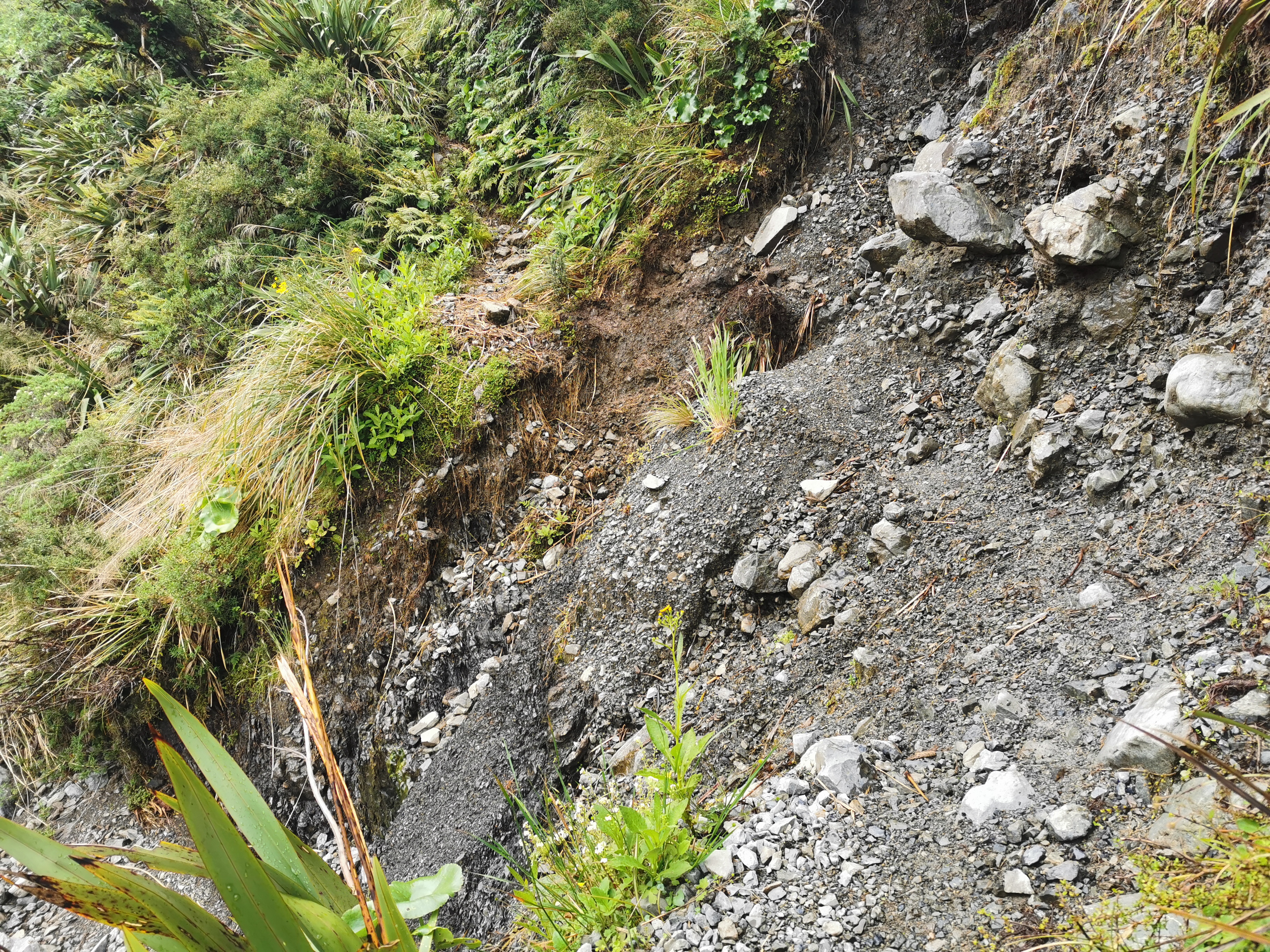
There were the usual precarious washed out sections where you really had to watch your footing.
I passed most of the remaining hikers at the top of Harper Pass. The only people in front of me now were Timon, Florian and Pierre.

One section coming down from the pass was a bit confusing… The arrows pointed along the top of here:
But is there really enough space to walk along the top of here? Or am I supposed to clamber down the stones? The answer is to fight your way through the trees and stay on the ridge.
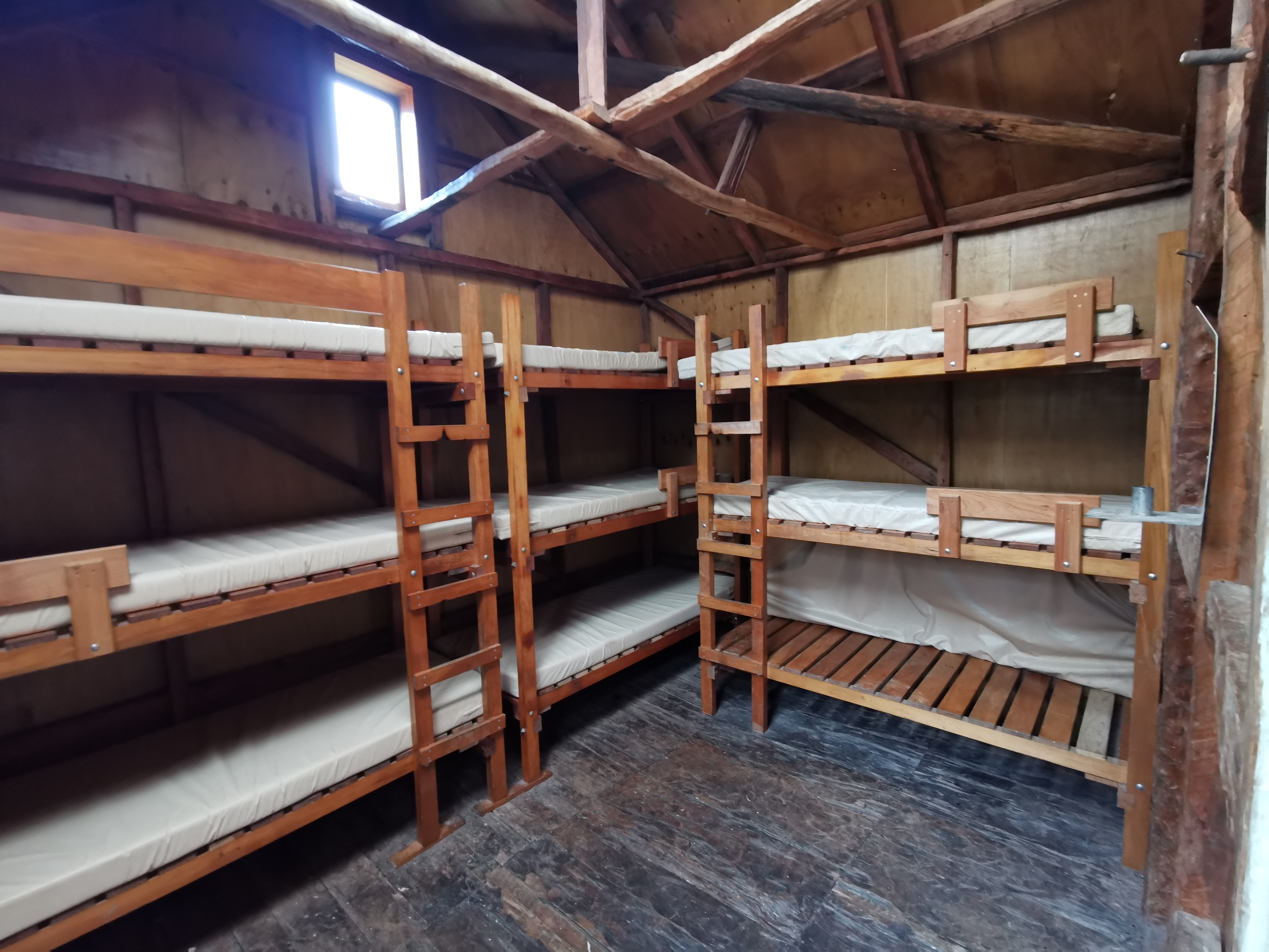
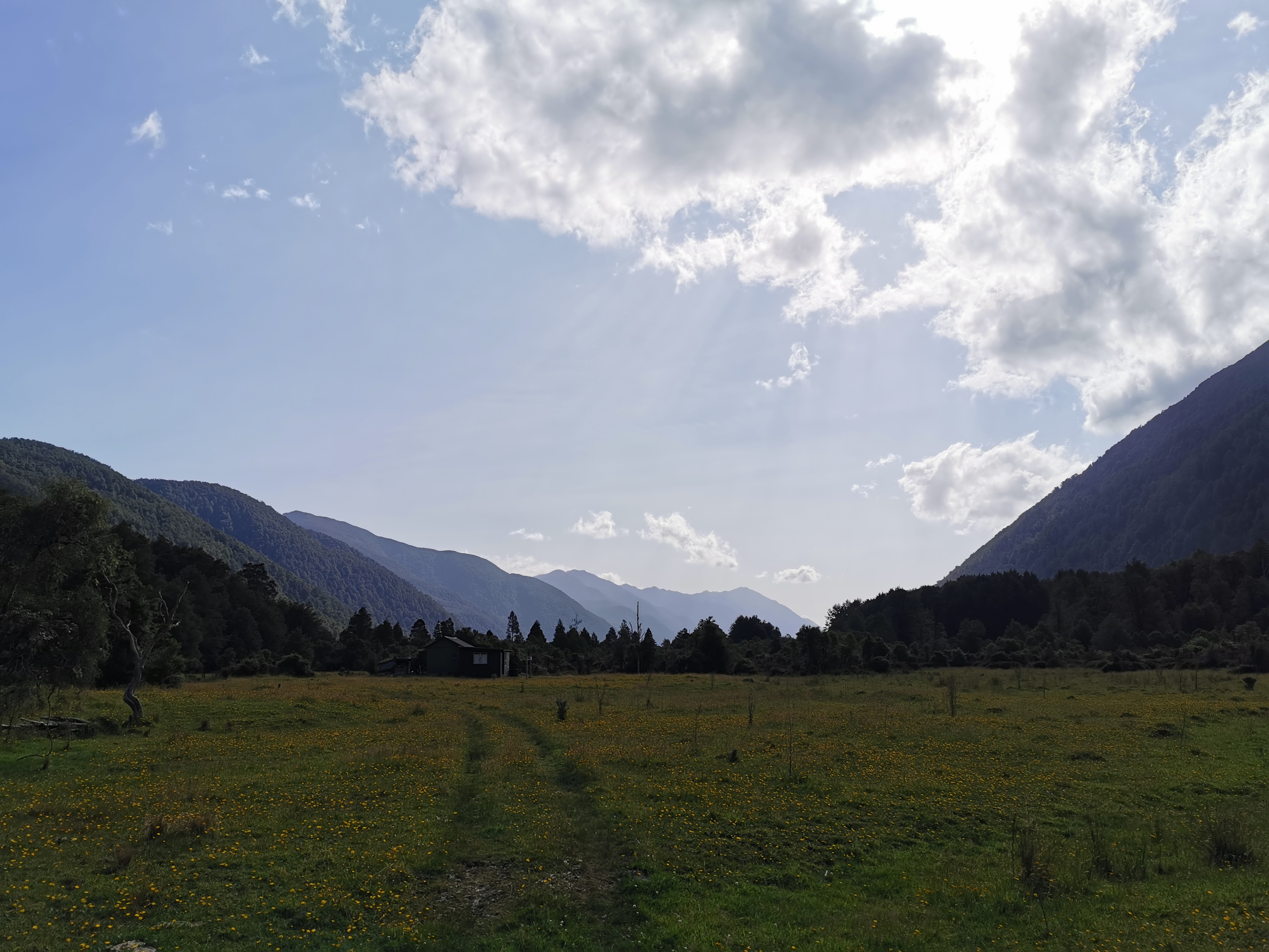
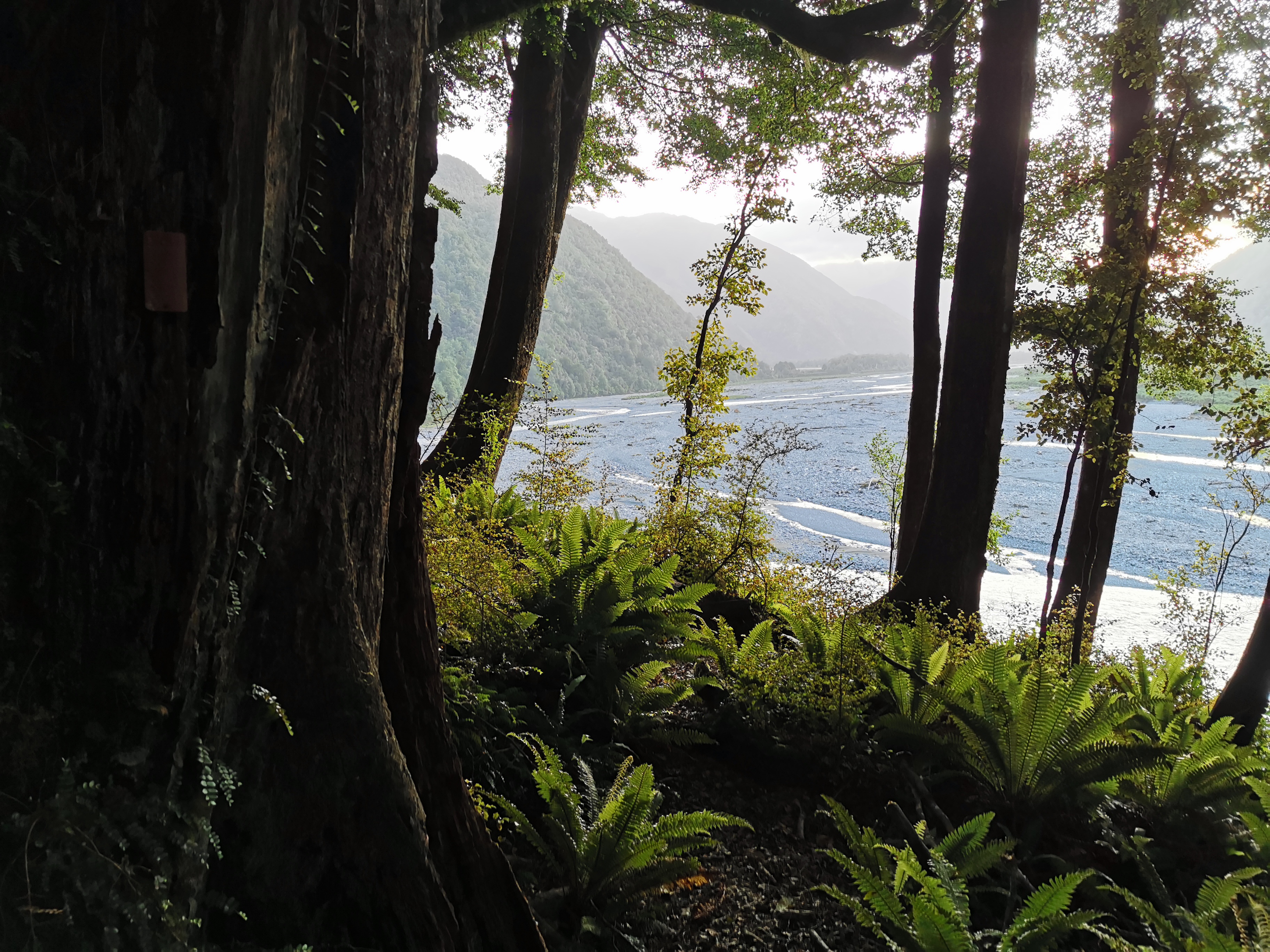
The next hut to look out for is Locke Stream Hut. Here it is:
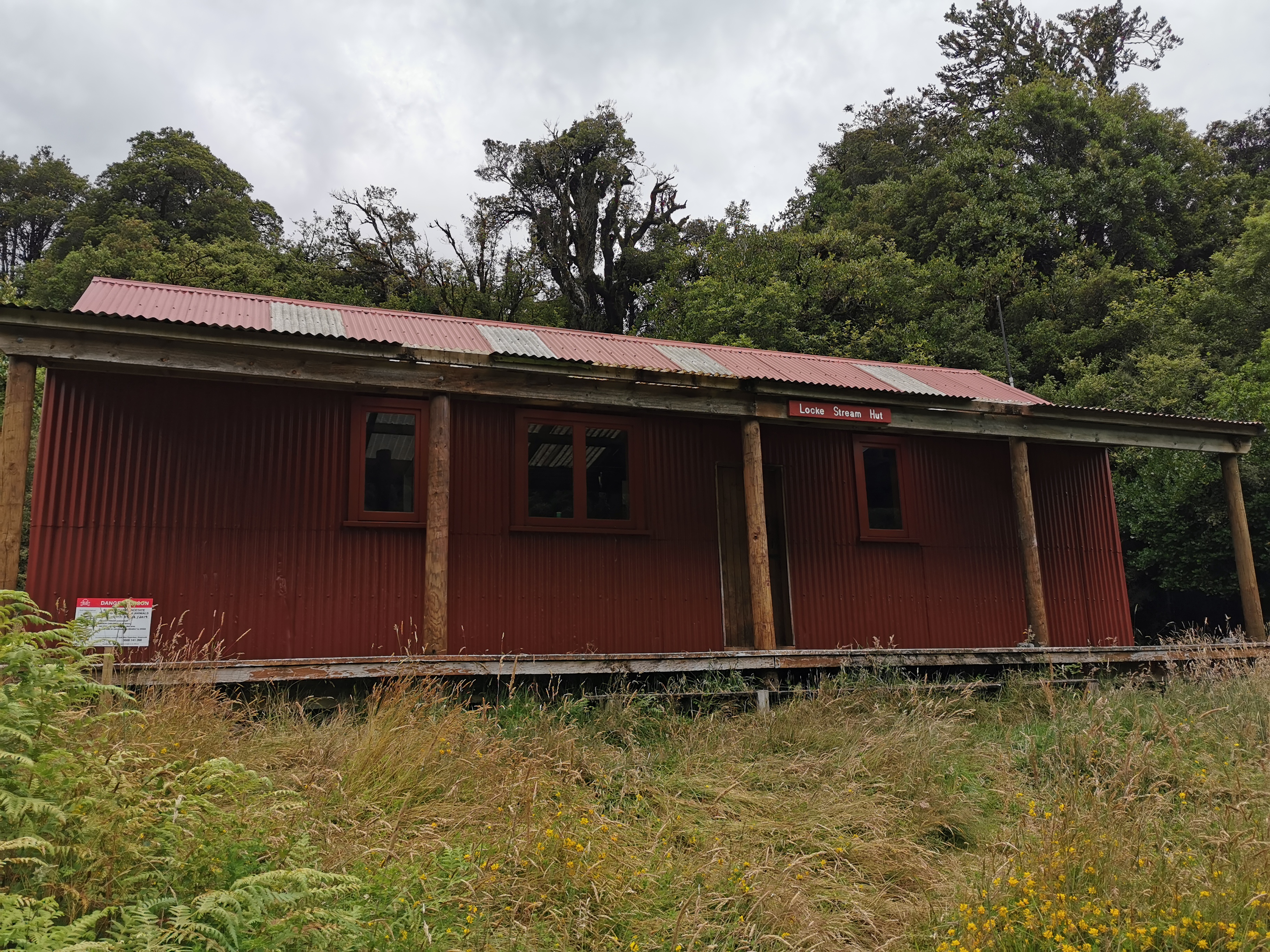
It is the first hut where DOC has freely admitted there are rats. They ask you to refill the bait stations while you’re there. I guess that’s why somebody felt the need to write this on the door.
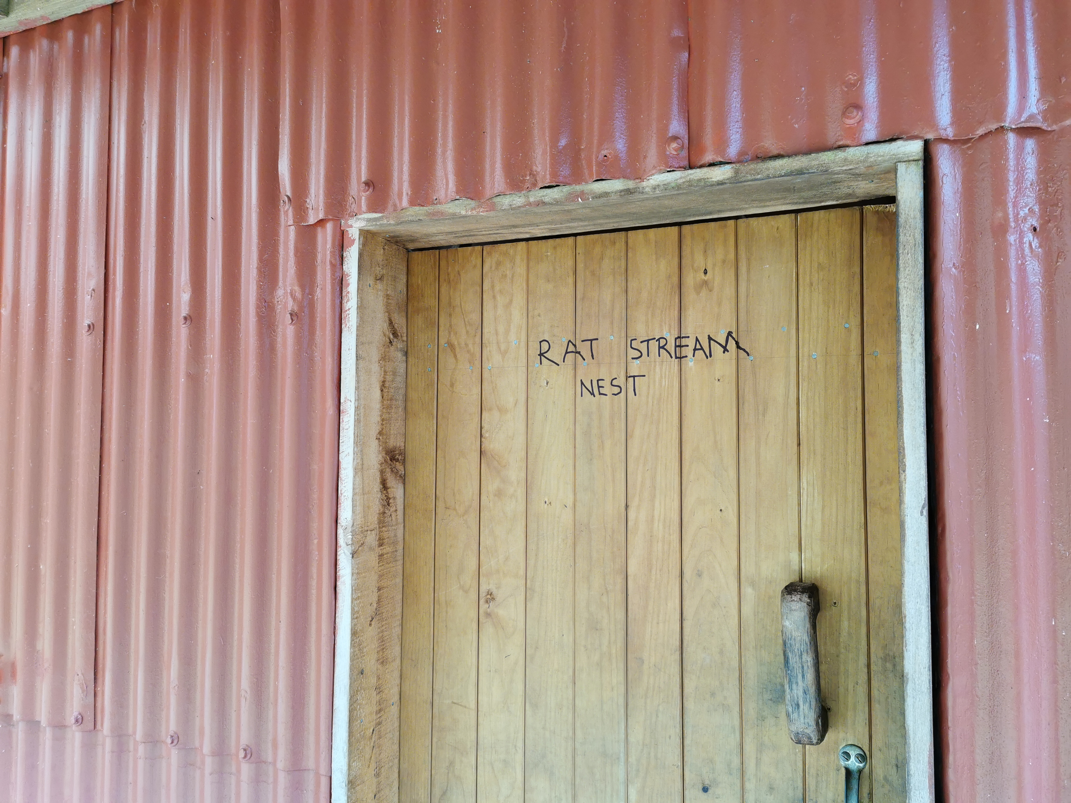
I’ve said it before and I’ll say it again, this kind of thing is unnecessary, please don’t write silly messages on the huts and buildings! It’s not cool!
The sun was well out by now. The fact I was wet earlier in the day meant nothing now because the sun had dried everything out.
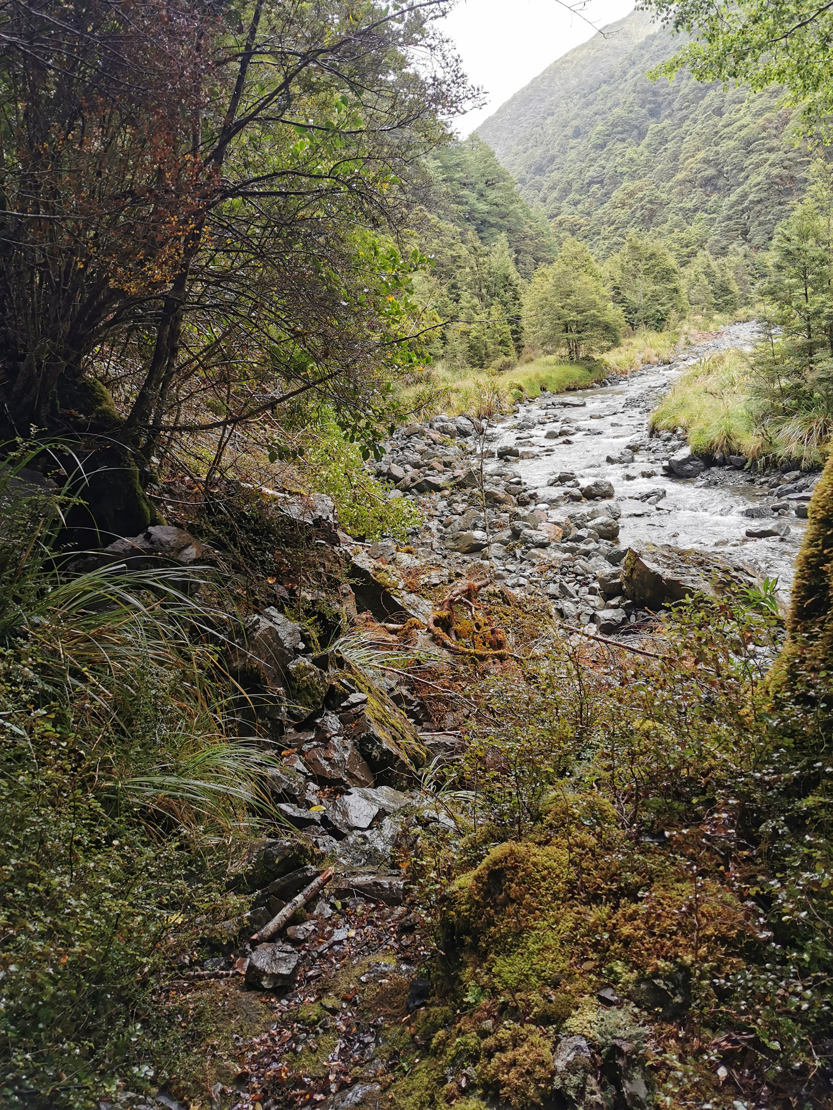
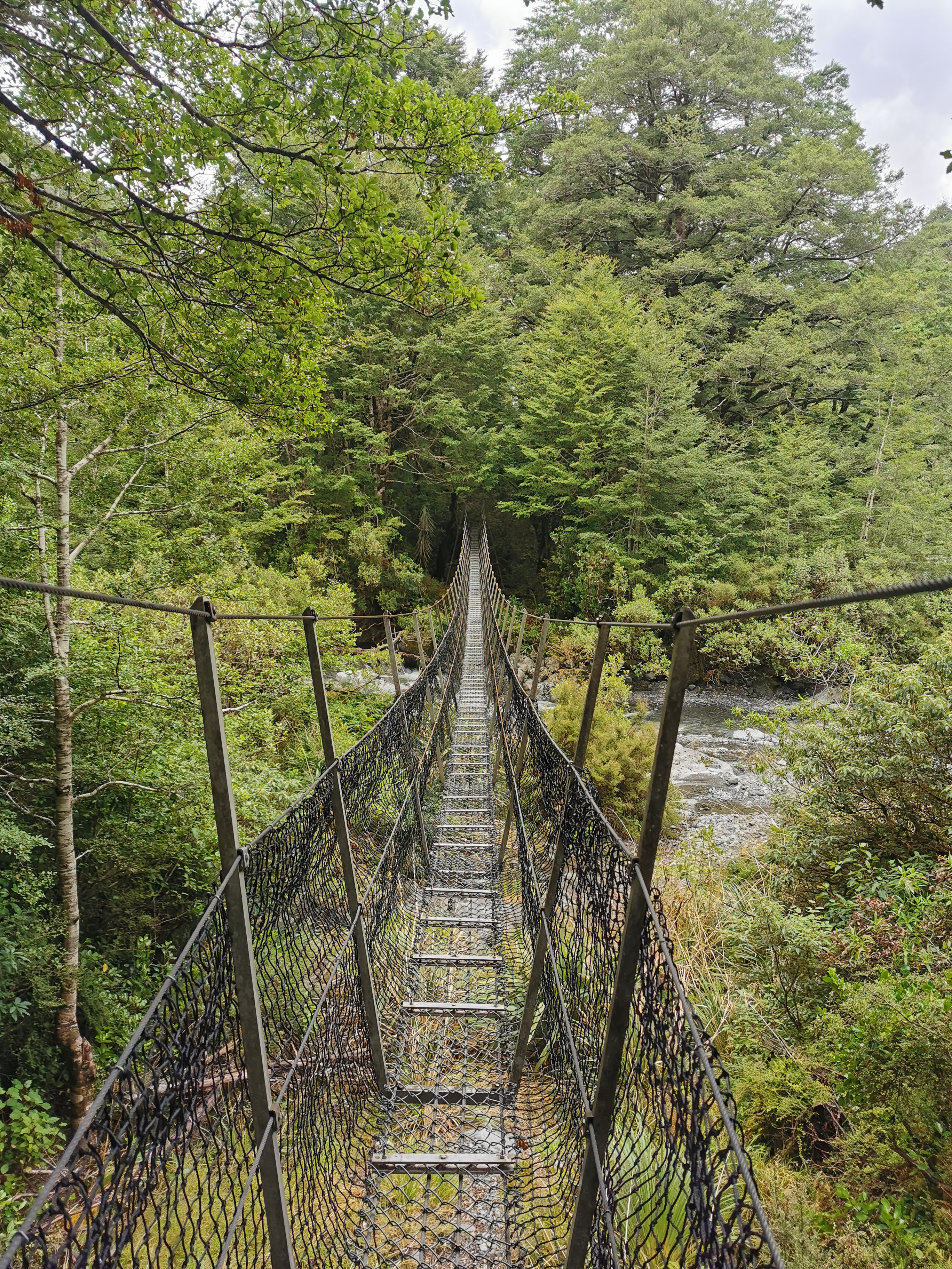
After a very quick lunch #2 here I pressed on. I came to the Taramakau river. I had been told that from this point, there were lots of rivers on trail and there was no point trying to keep your feet dry. So this was the first time on the whole trail I walked through the water with my boots on.
In a way it was refreshing. I could now walk through the rest of the rivers and not care about getting wet feet. And the water is actually refreshing on your feet and legs when the sun has been out. And it saves time changing footwear. I was hesitant before because I thought the boots might never dry out, however my boots got wet in the rain at Hope Kiwi Hut a few days ago and they dried out from that so I know it is possible to dry them.
It wasn’t long before I saw a green pack cover in the distance. It can’t be Timon as he’d be too far ahead and it can’t be Florian as his pack cover is blue… so it must be Pierre.

I saw shortly after that Florian was with him, so I picked up the pace to try and catch them. Pierre saw what I was doing and so he started jogging. I think he was just having a bit of fun and didn’t want to genuinely get away from me… although we had joked this morning at Camerons Hut that we all wanted to be first to Kiwi Hut because it was only a 6-bedder.
I did manage to catch the two of them after 10 minutes. Florian said yesterday he spent 3 hours in the hot pool. It drained all his energy and he didn’t think he was going to make it to the No. 3 hut.
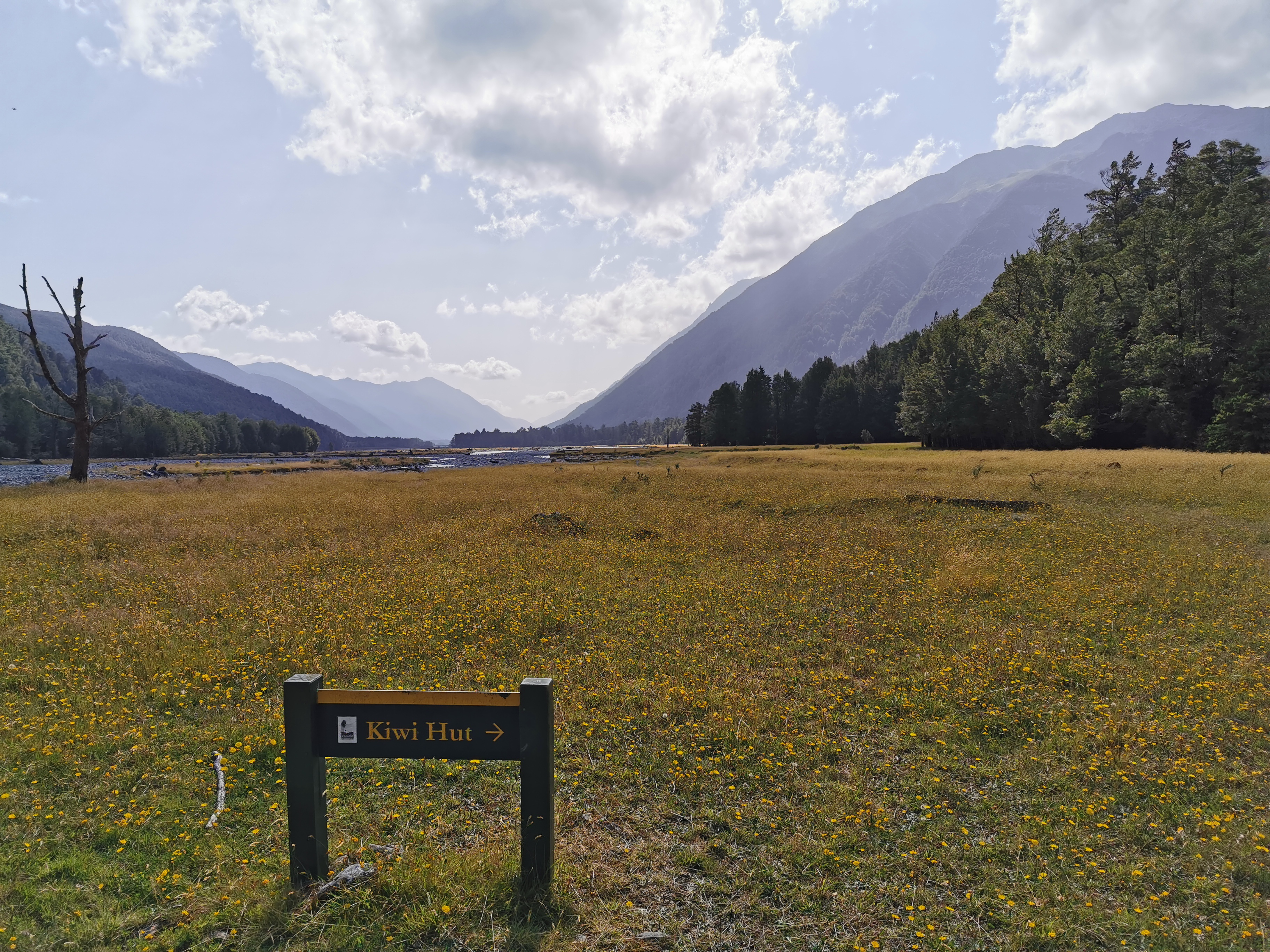
After a bit more walking the two of them detoured to Kiwi Hut, as it’s not directly on trail. I decided not to join them as it would tempt me to stay there. Just in case the weather is bad in two days (Sunday) like has been forecast, I don’t want to be stuck due to river crossings on Goat Pass just before the Bealey Hotel.
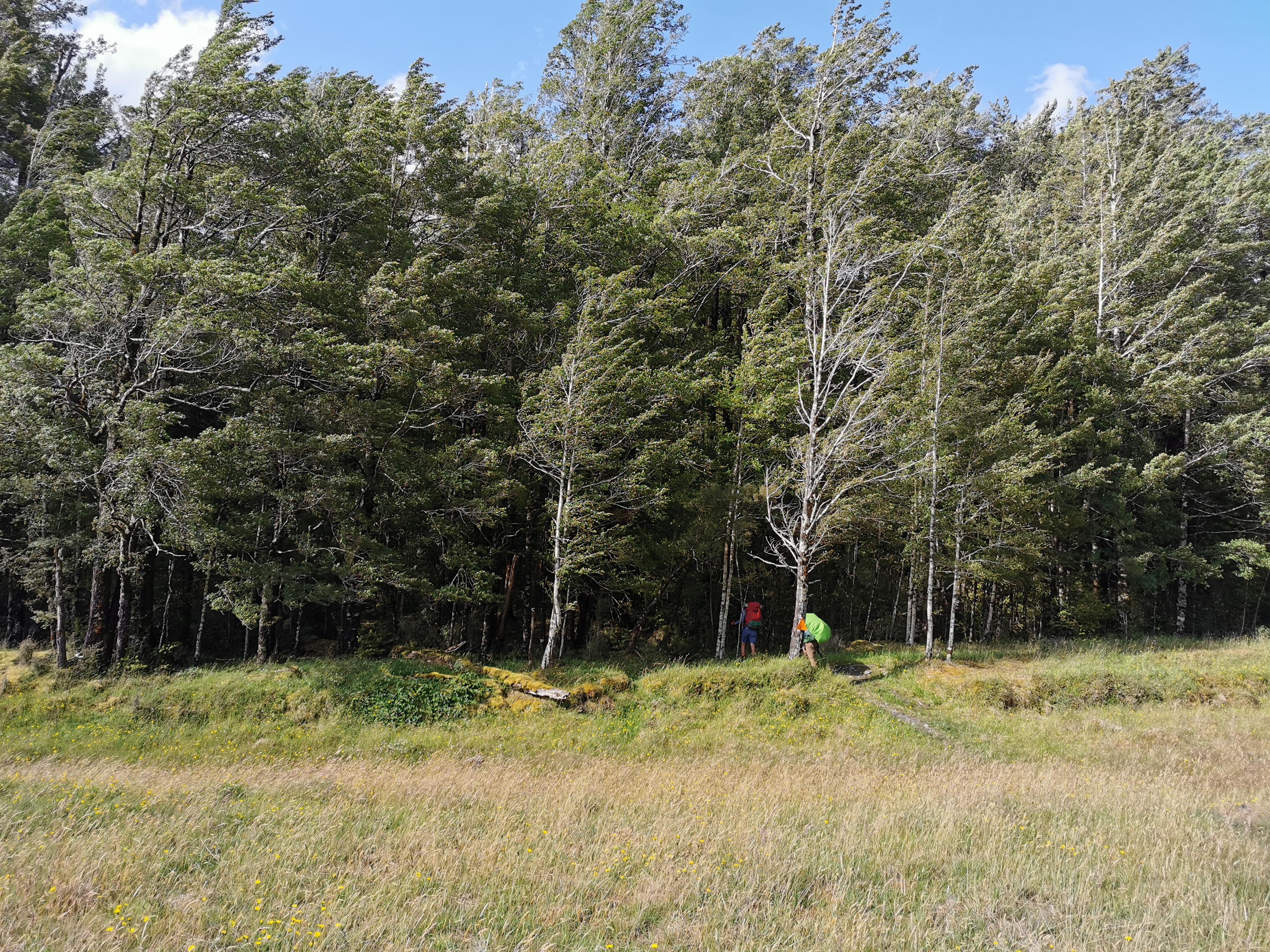
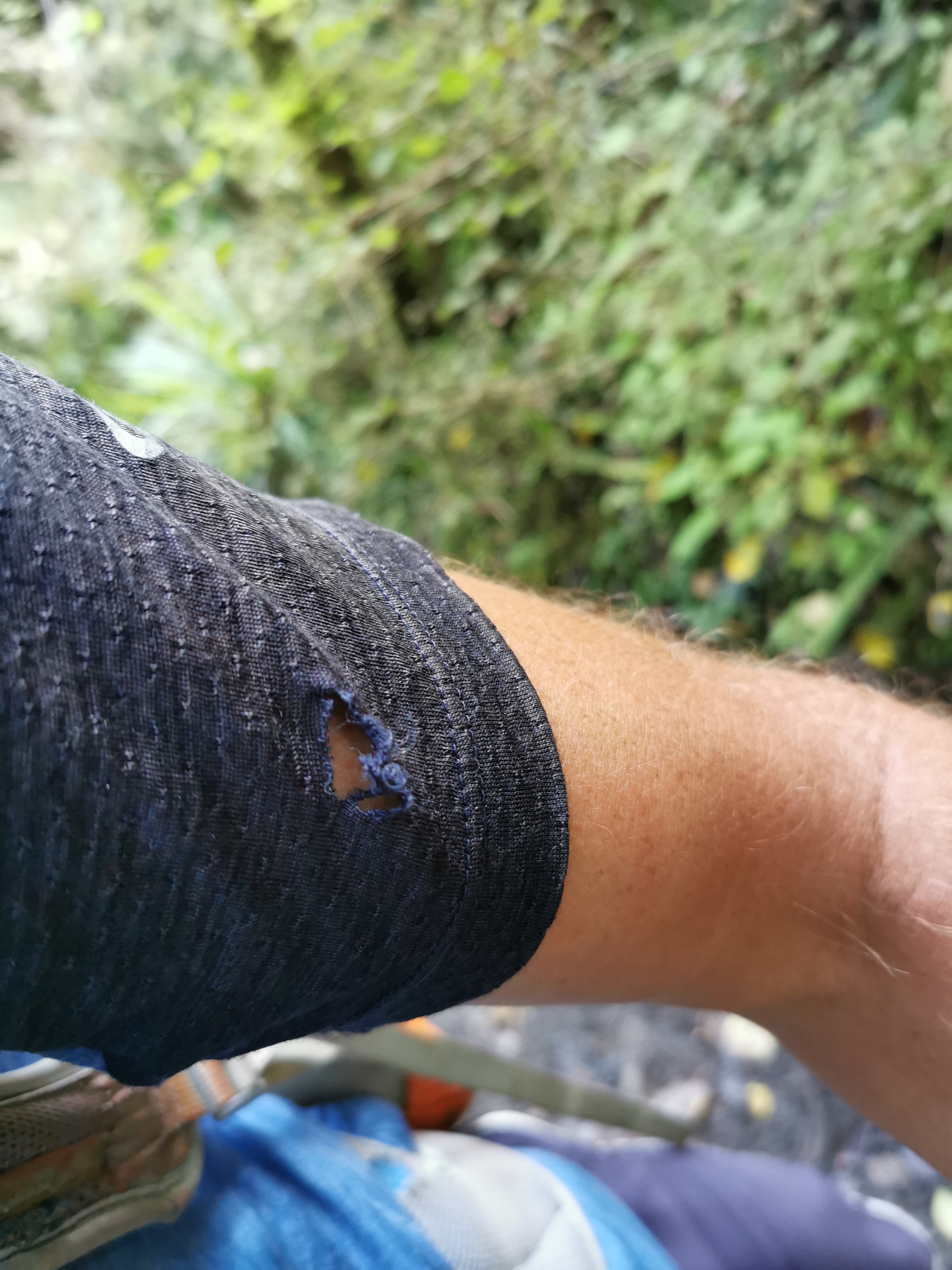
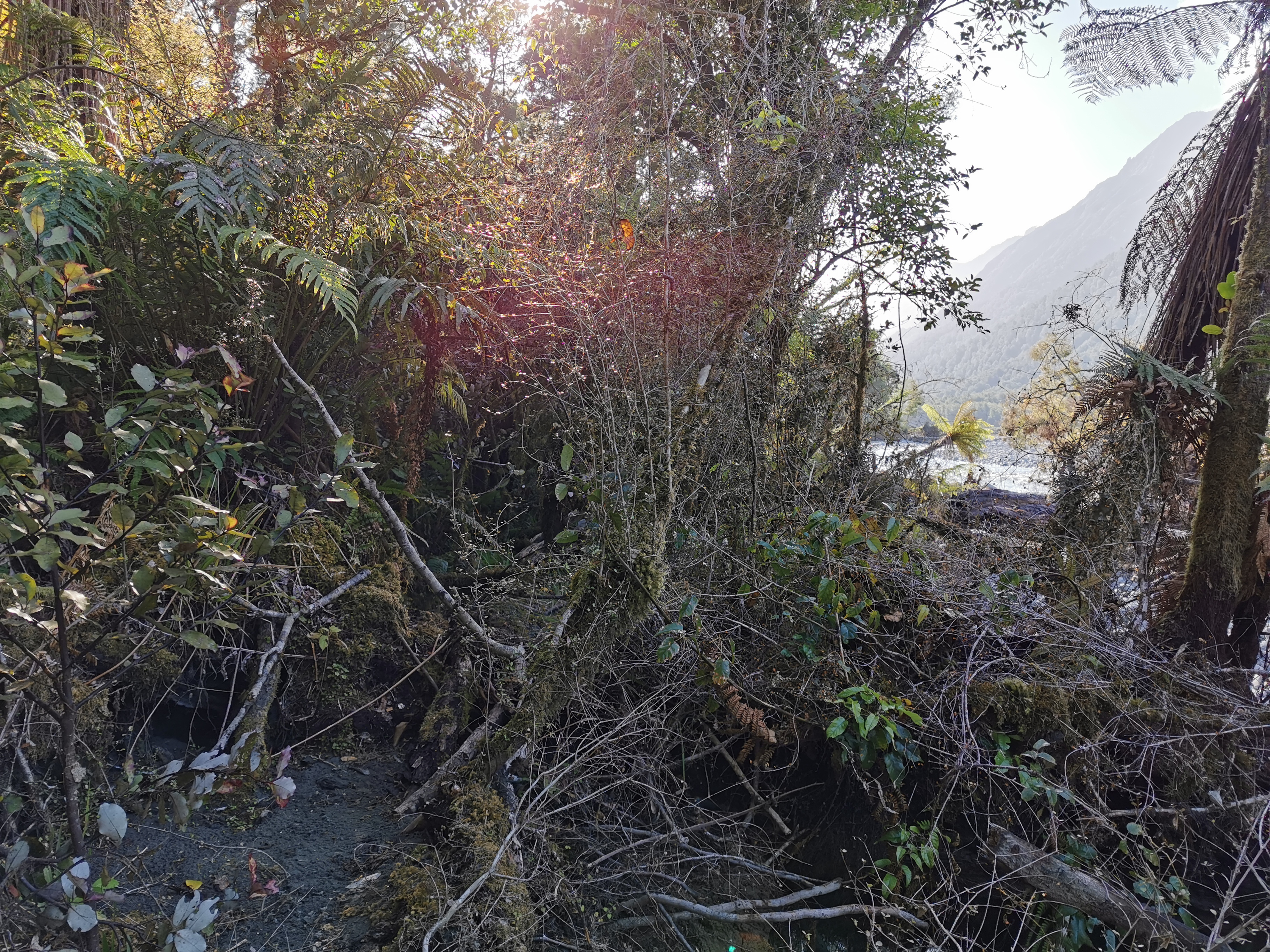
Walking through the bush a bit further on, for the first time I put a hole in my clothes when my shirt snagged on a tree branch. How annoying.
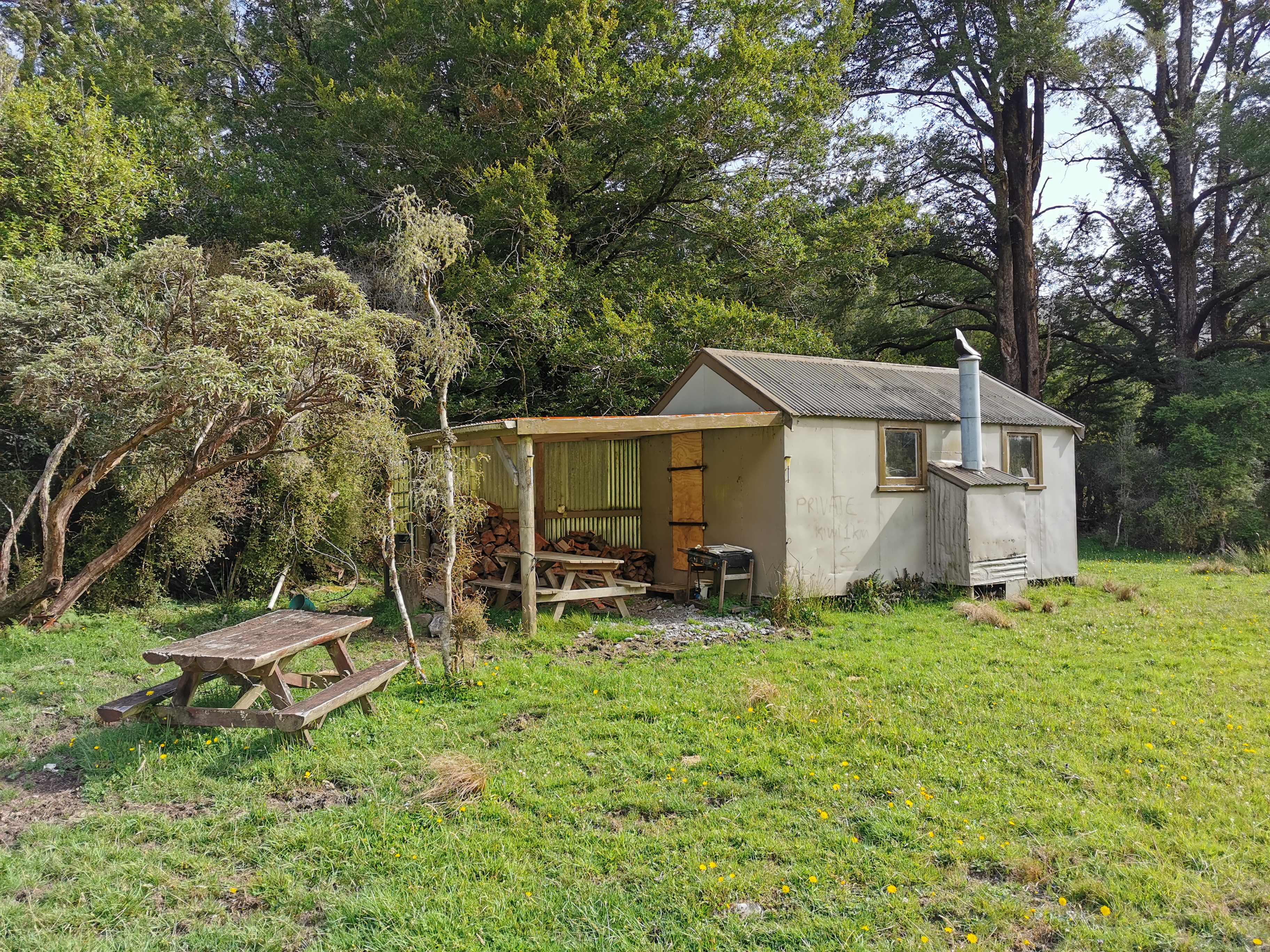
The markers after here were non-existent. The only choice was to follow the map, firstly past two private huts:
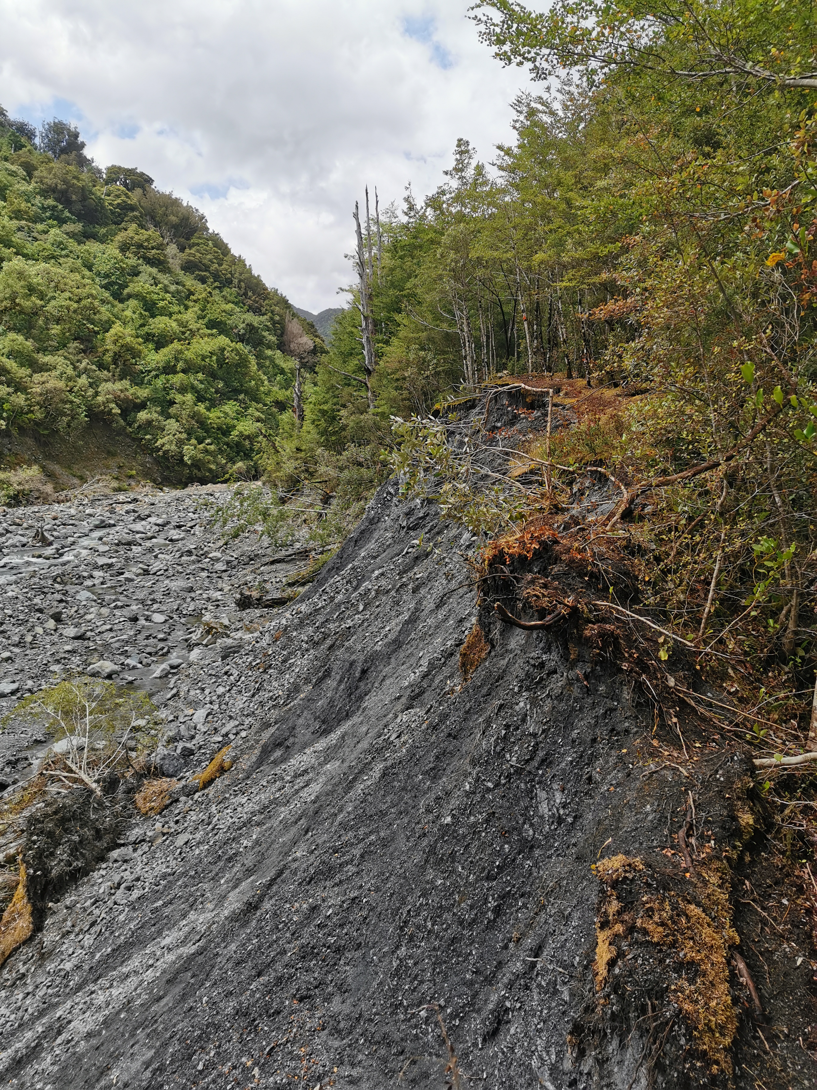
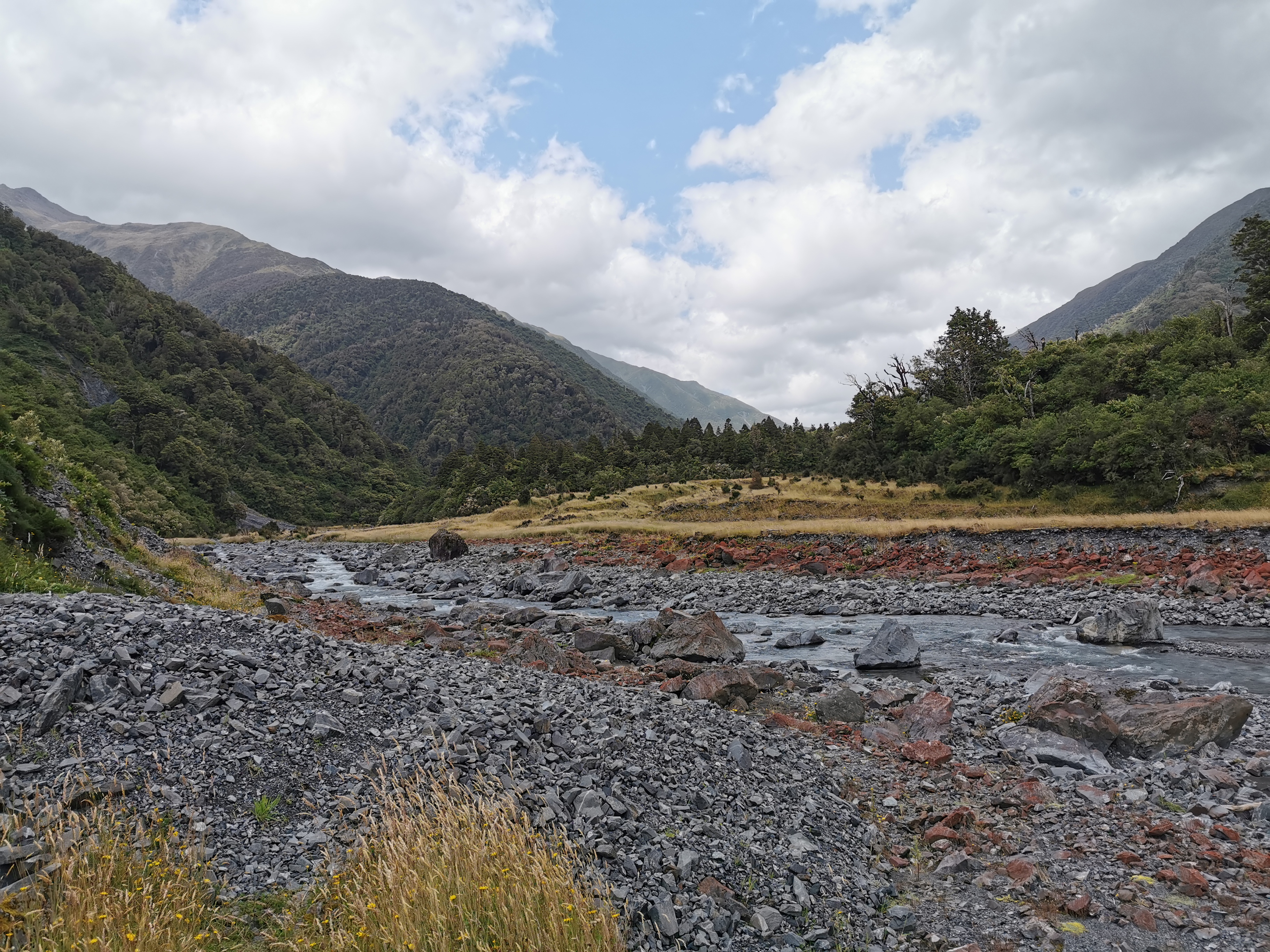
And then down to the Taramakau River again. This time though it was not a nice river crossing. In fact it was the first river crossing I’d done where I was genuinely scared. I spent almost an hour and walked about a kilometer and a half trying to find a good crossing point.
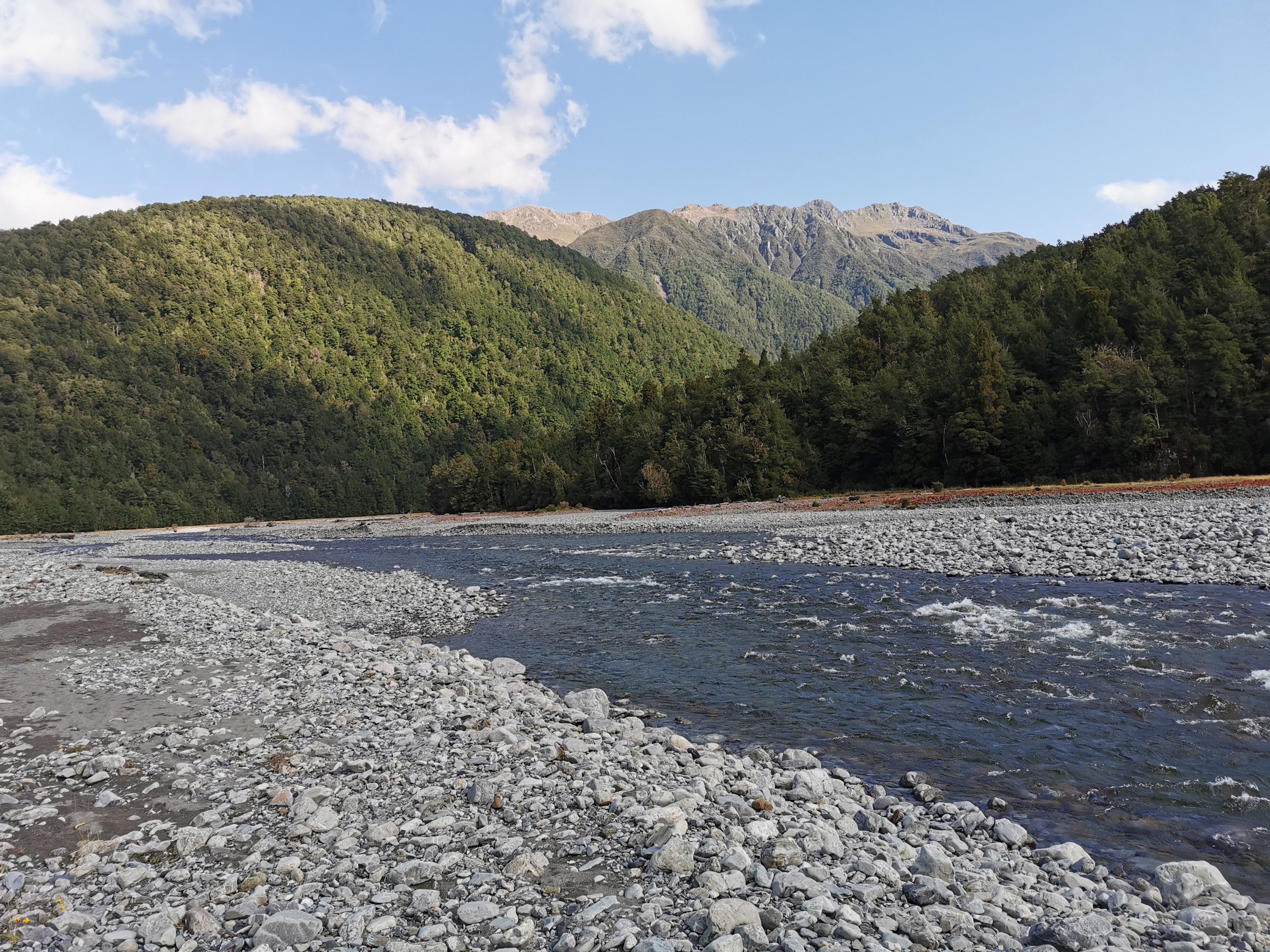
The first place I tried to cross got too deep and too fast fairly quickly, so I retreated and looked further. The second place I tried was better, but the water was still flowing quite fast and my poles were shuddering when I put them in the water. I moved slowly, one limb/pole at a time, and slowly made my way across. It was very satisfying to reach the other side. I was really surprised such a scary crossing didn’t have any markers.
I thought I’d start up a “scariness scale” for river crossings since a lot of them are due to come up in the next week. This one was 8 out of 10. If it was 9 or 10 out of 10 I would not have crossed it.
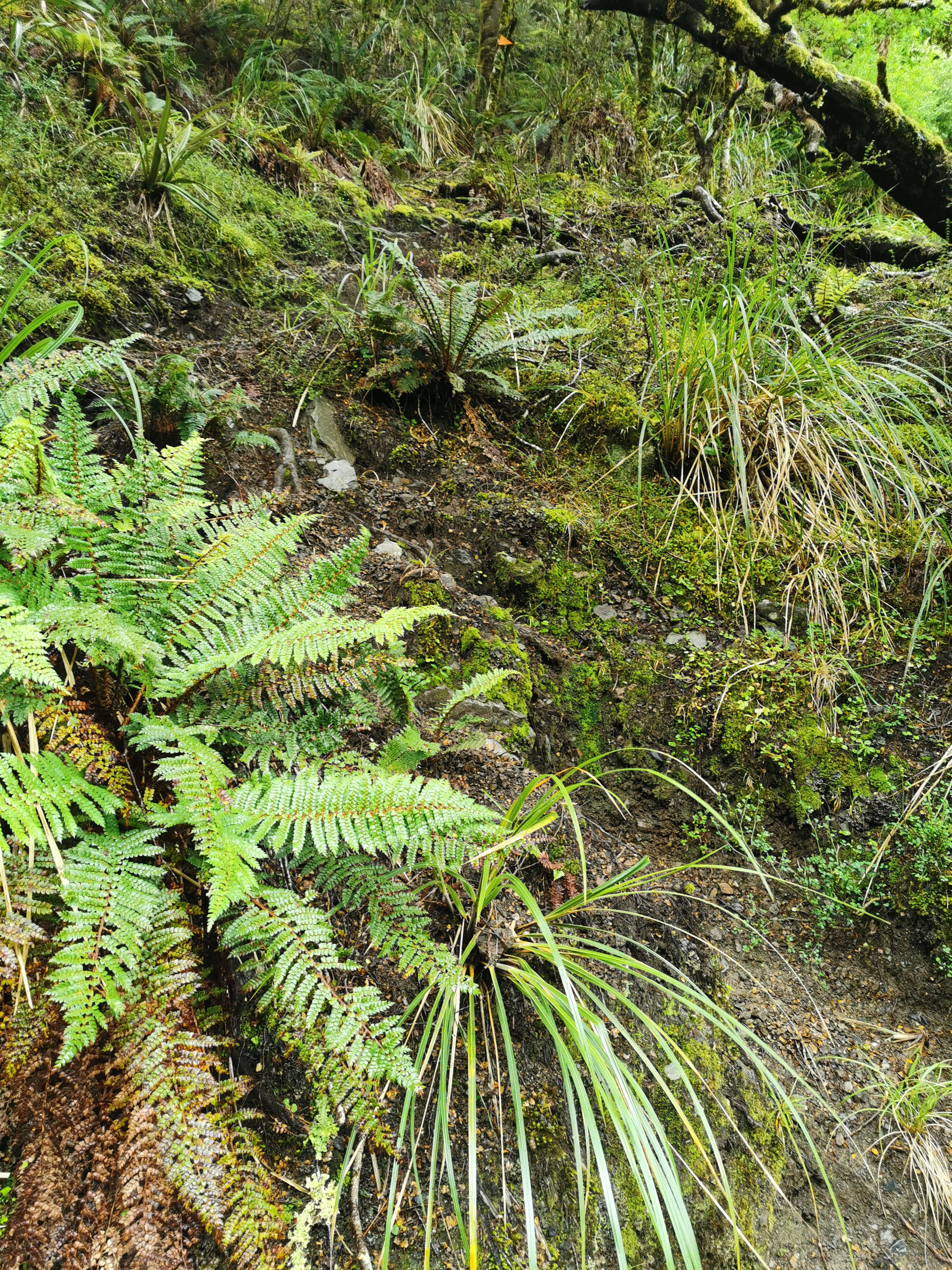
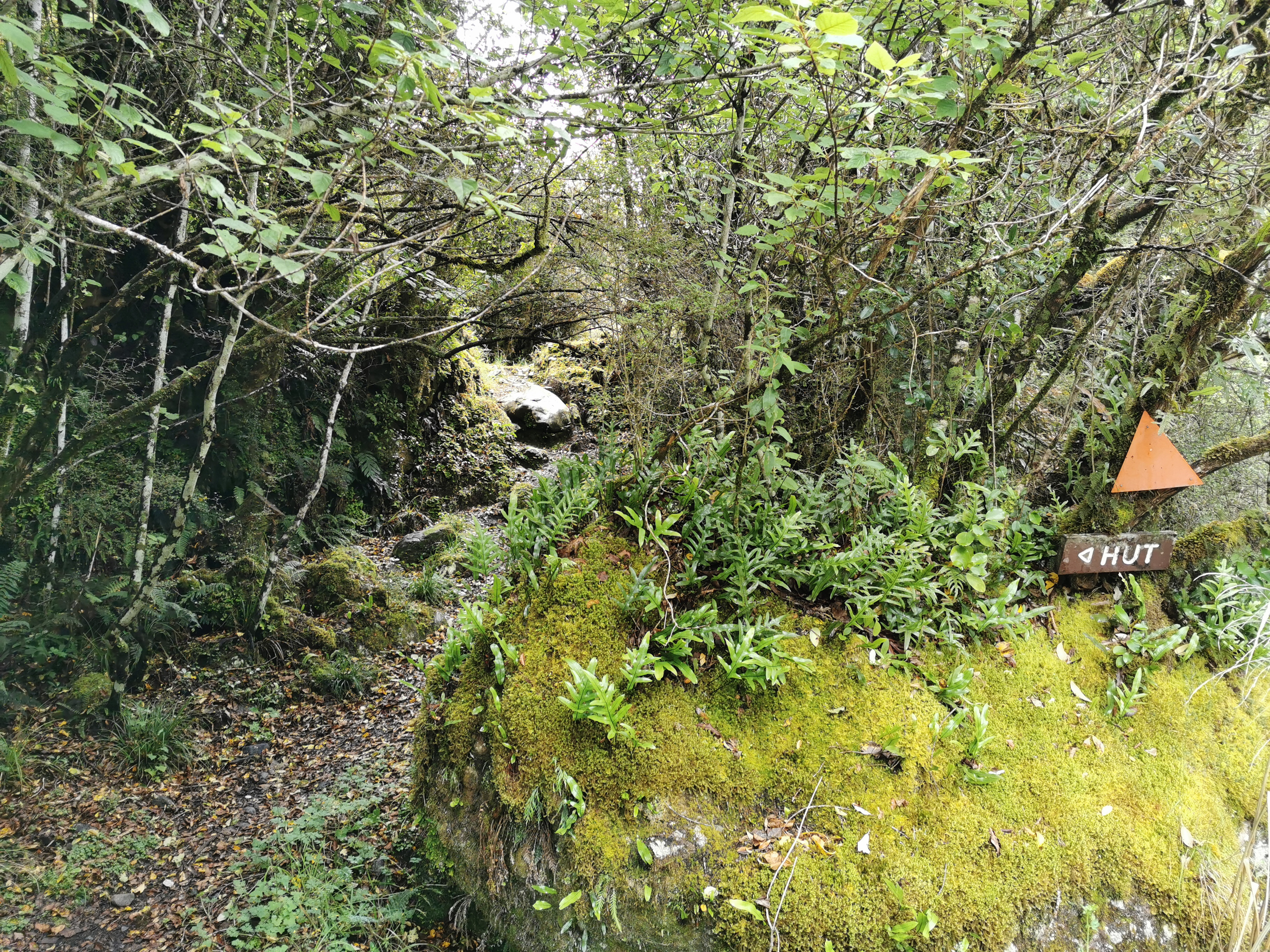
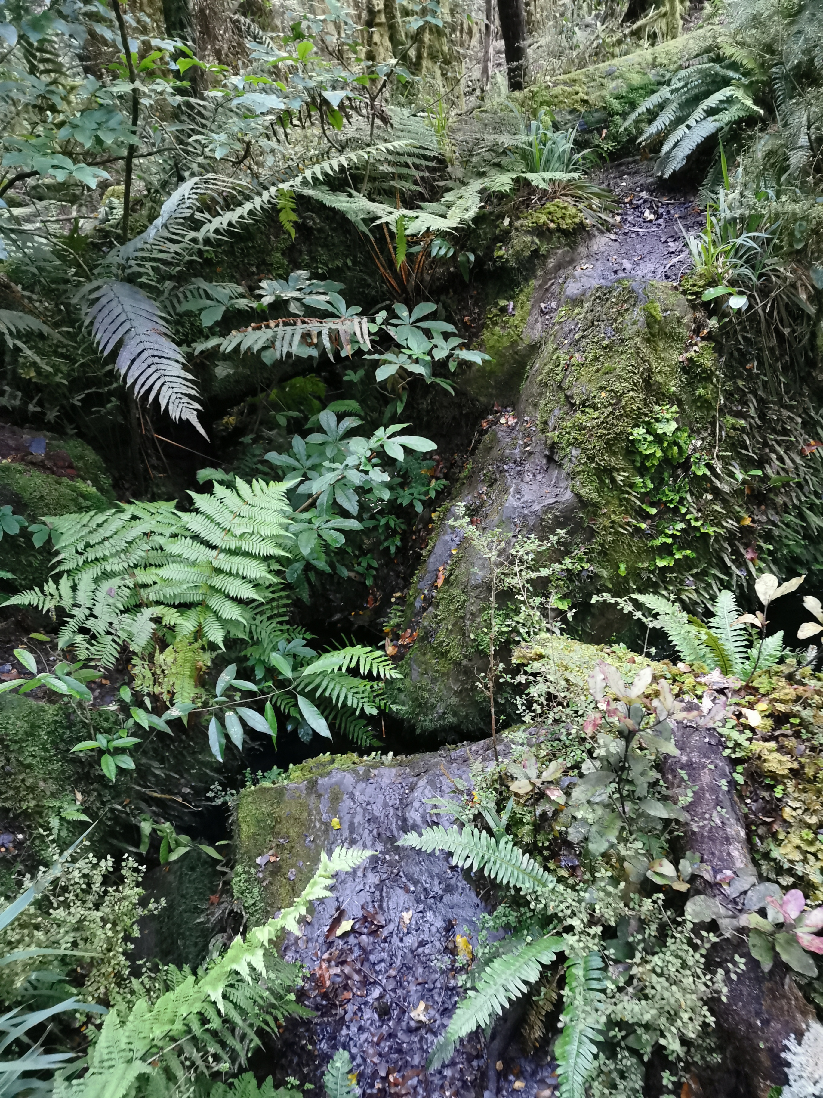
The lack of markers continued for a long time yet. At first there was a fairly obvious path through the scrub:
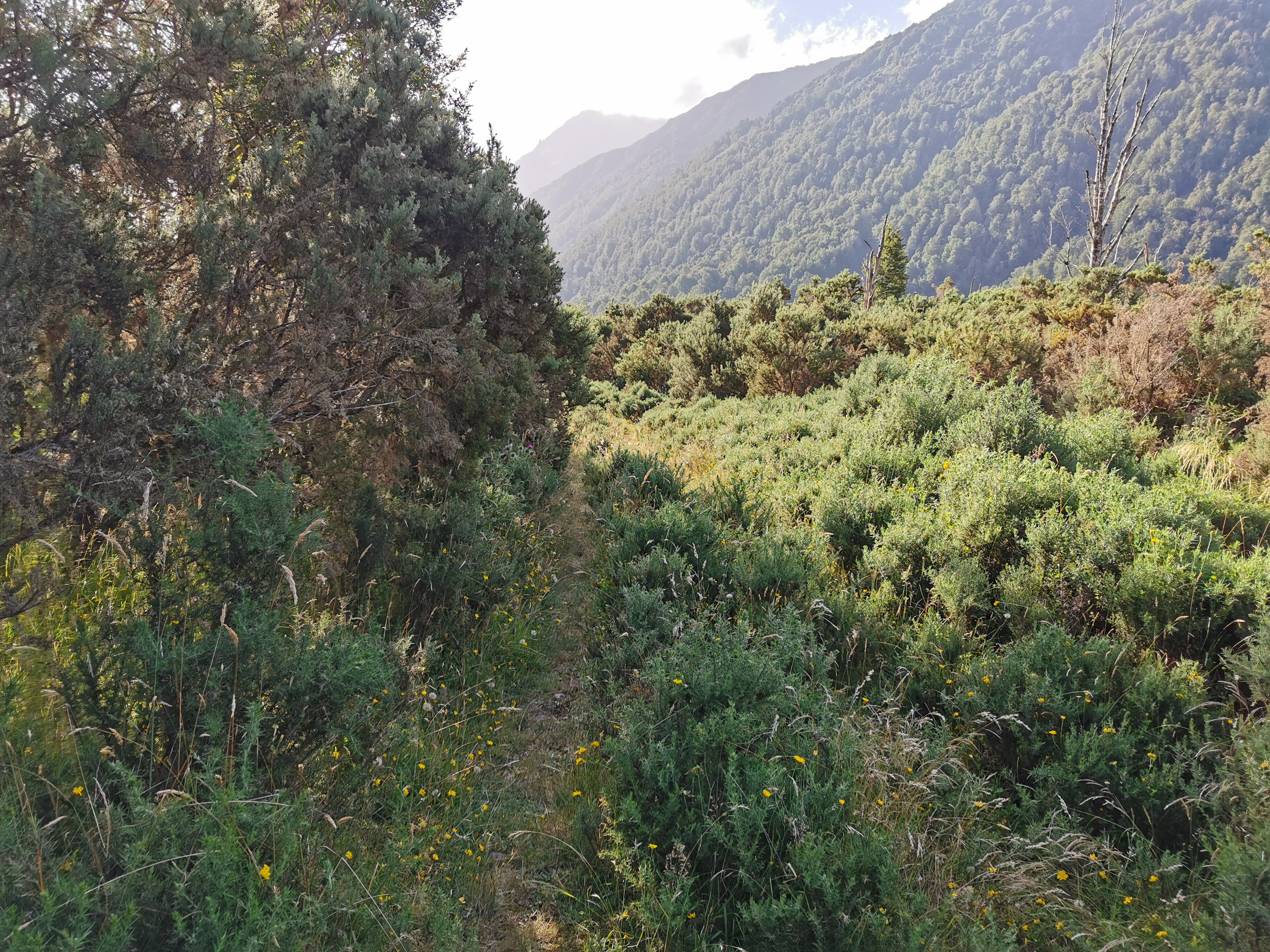
But then after a while it just got overgrown and you had no choice but to wing it and just follow the river. If you were lucky there would be a few footsteps here and there to reassure you that you were going the right way.
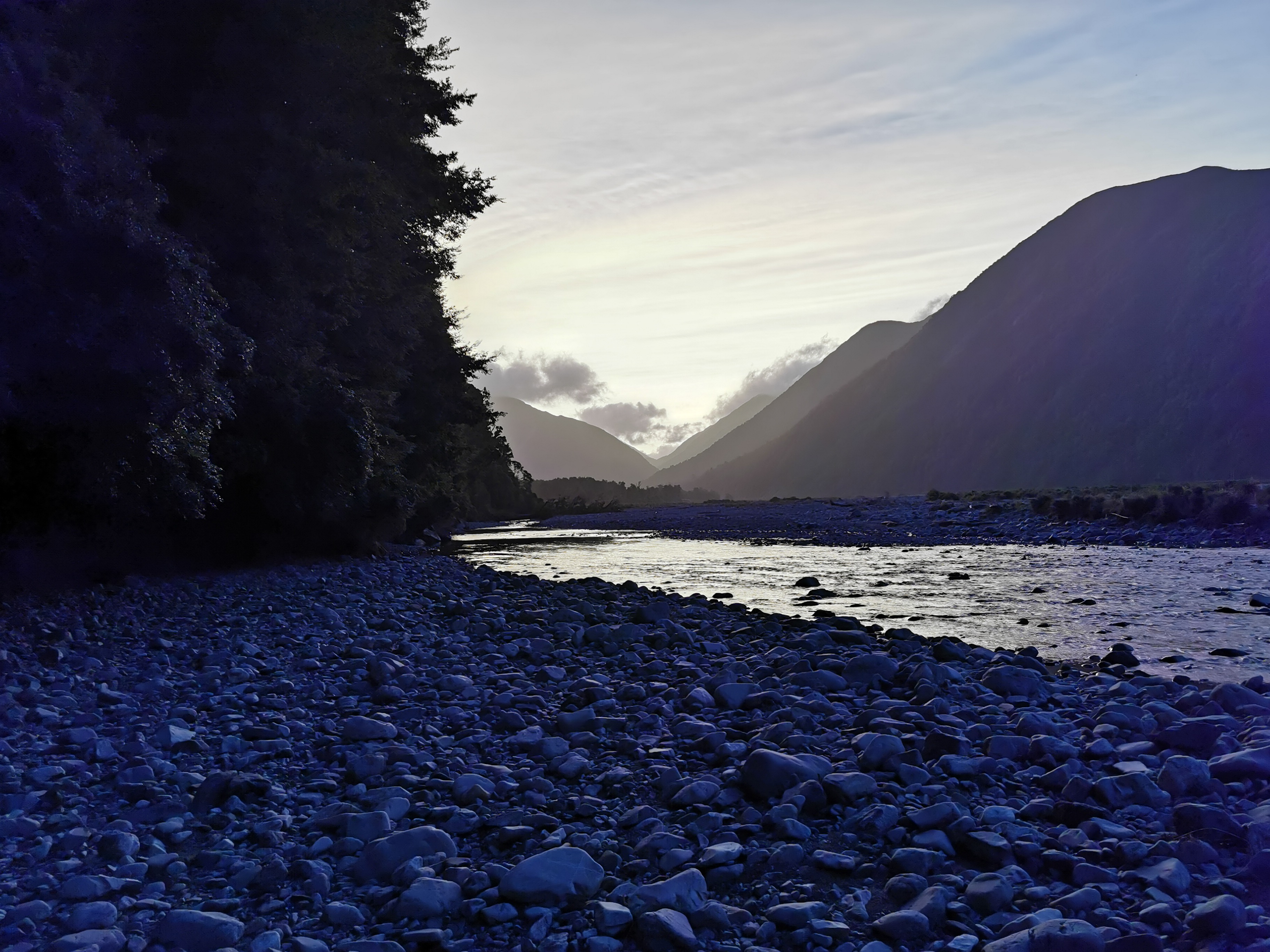
And then, rocks.
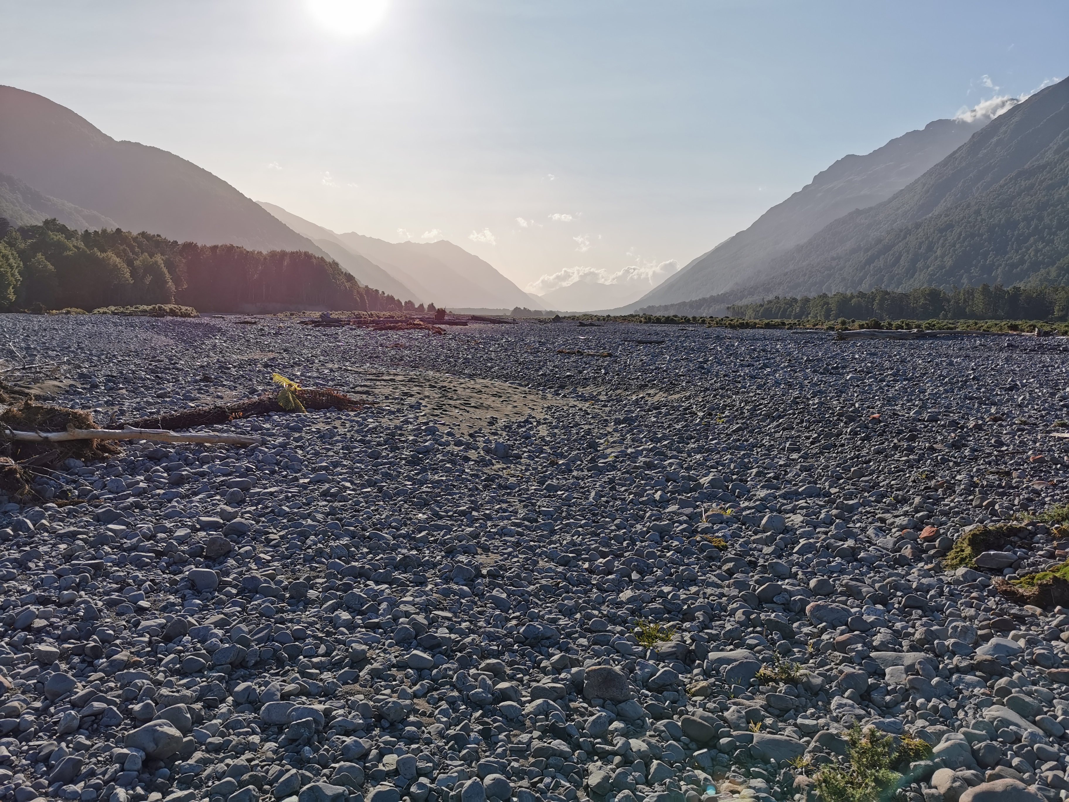
Rocks, rocks and more rocks. Rocks for days. Rocks forever. Rocks up the wazoo. It was another case of just following the river. The rocks went on for over an hour.
I was aware that if these rocks kept up, then there would be nowhere to camp, and it was getting late. 7:30pm came and I was still walking along the rocks. It was kinda nice though. Just walking in a dead straight line with no change in scenery meant I could just relax and enjoy the surroundings. I did enjoy the walk along the rocks. But since the others detoured to Kiwi Hut I felt a bit alone again. And I missed Taco Terry still!
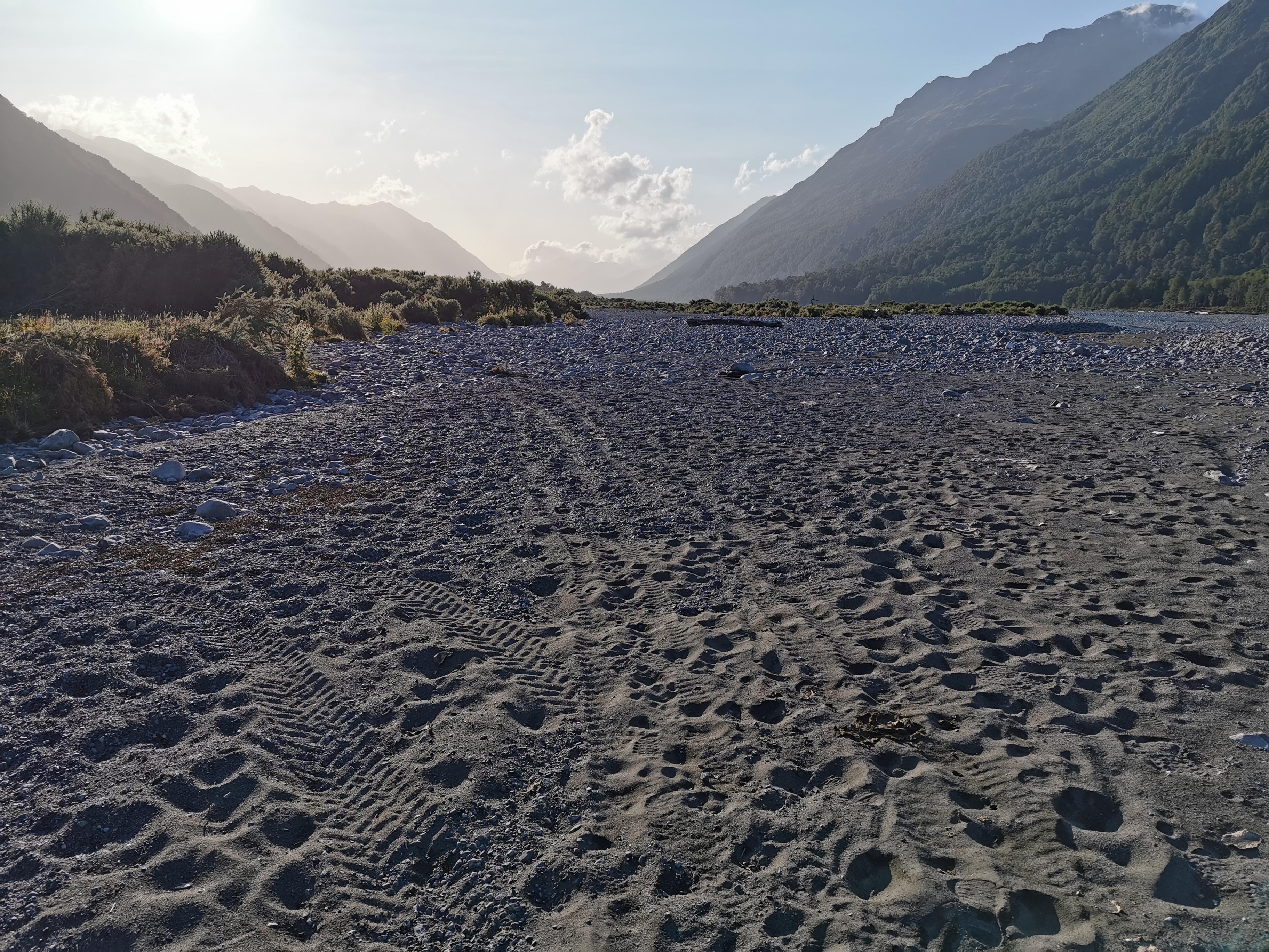
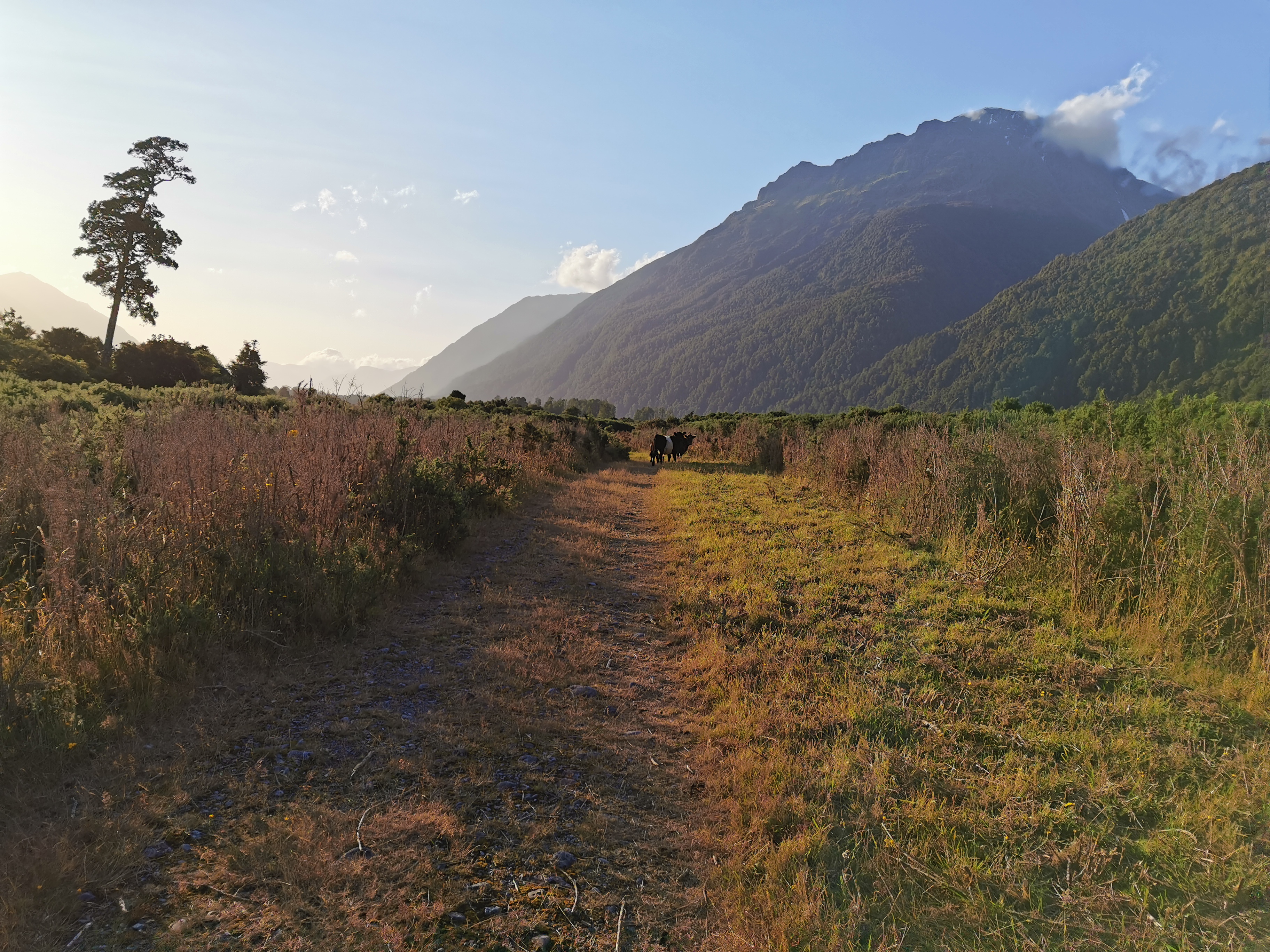
Once the rocks were over, the path went through gorse again, with plenty of flat pieces of grass to camp. The problem is there was lots of cow poo… and where there is cow poo, there are usually cows. I always think it’s not a good idea to camp where animals are present so I kept going.
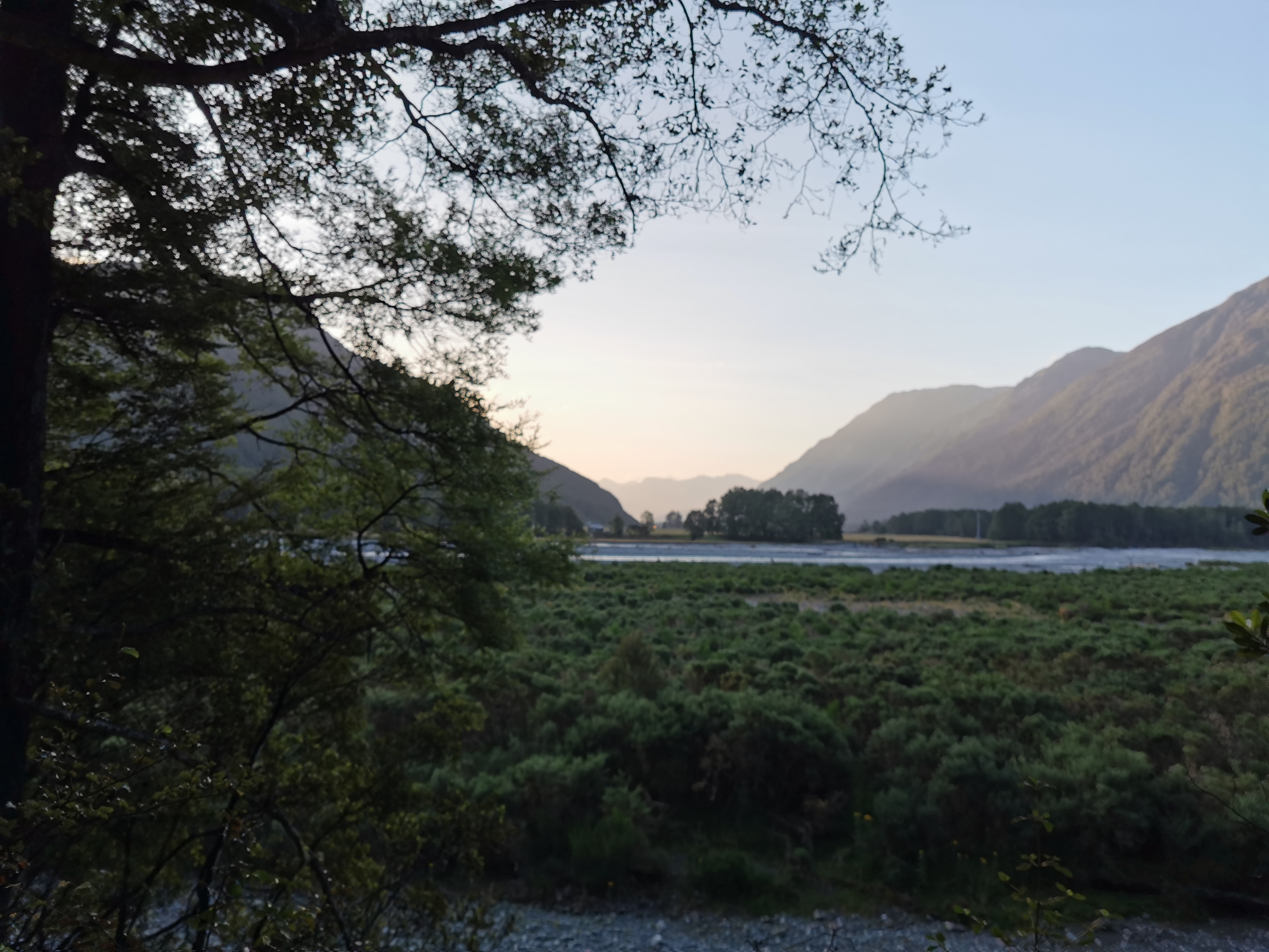
The track then went back into the bush, which could have been a good camping spot but there was no water source so again I kept going. I knew the Otira River would be coming up soon. Maybe there’d be good places to camp there.
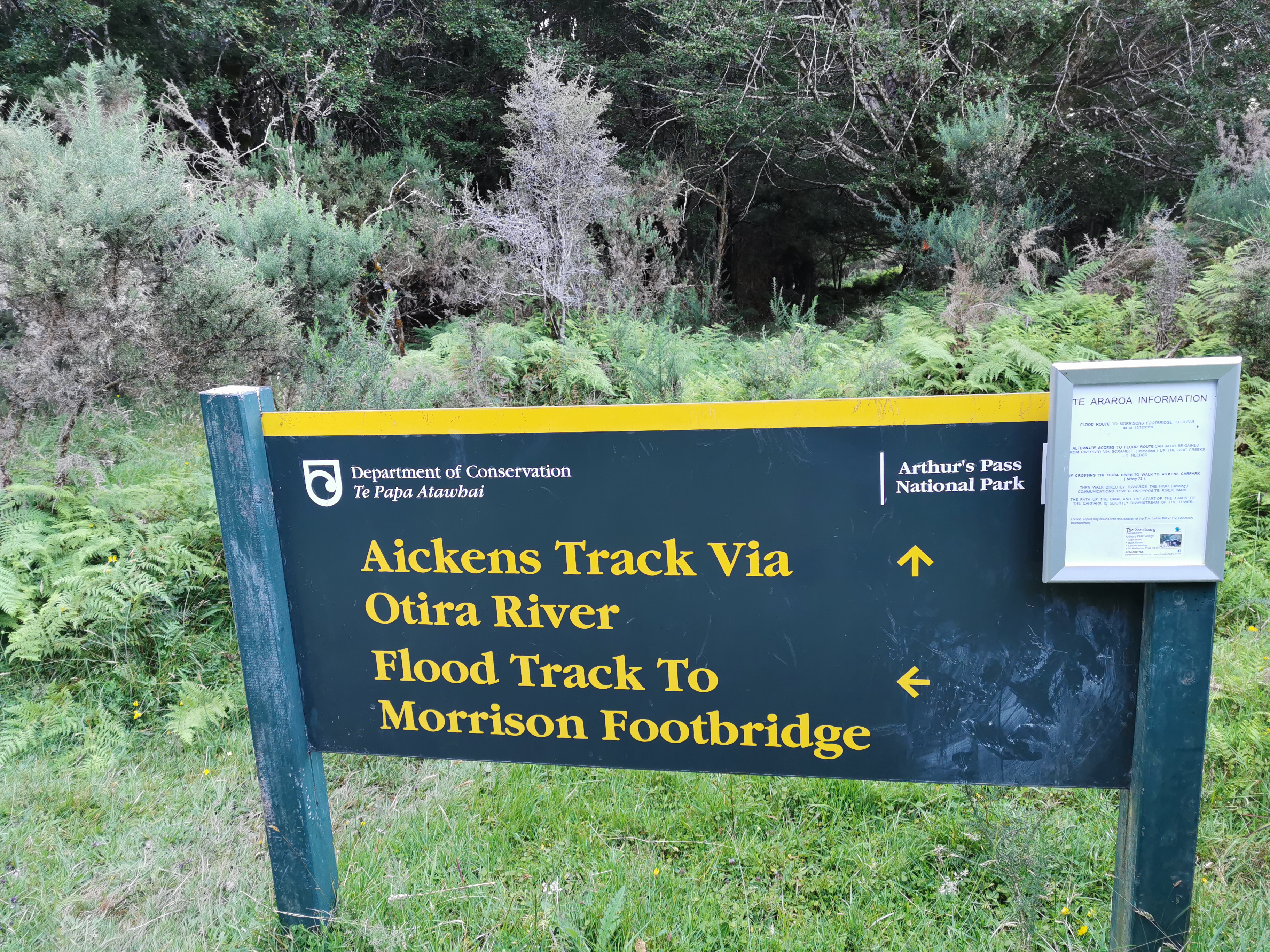
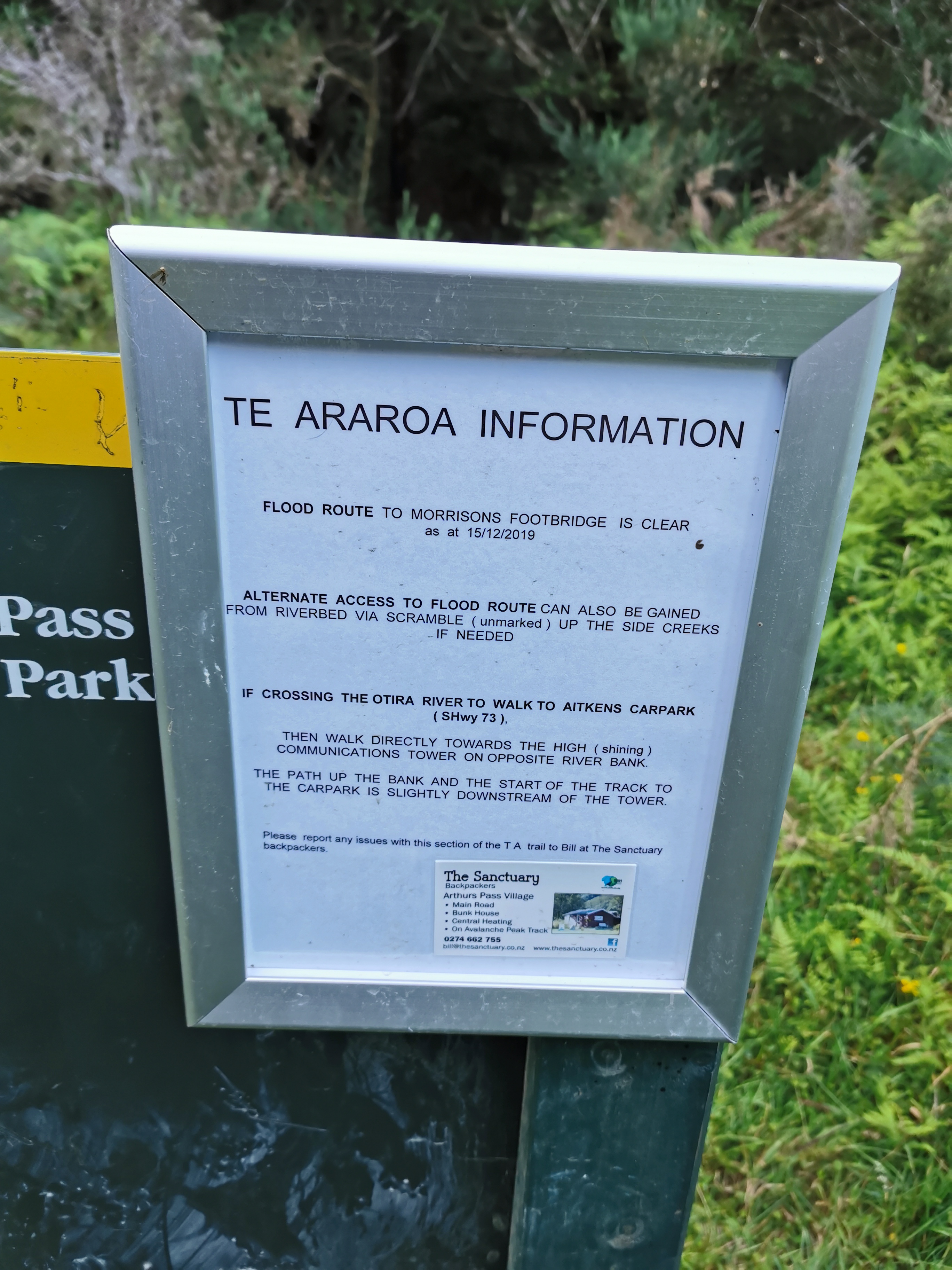
The next section was the flood track.
I thought since we were going near the river that there’d be a good place to camp soon.
But no, the track started going up.
And up in the bush the narrow path was quite overgrown. Again, nowhere to camp here. And it was getting dark. I wasn’t worried though. Morrisons Footbridge was a few kilometres away and if I was desperate I could do the last bit in the dark. I got my headlamp ready in case I needed it.
At this point I could hear motorbikes on nearby State Highway 73, which was the first time in a while I’d heard vehicles. Morrisons Footbridge is right beside the highway but there’s no town at that point or anything notable.
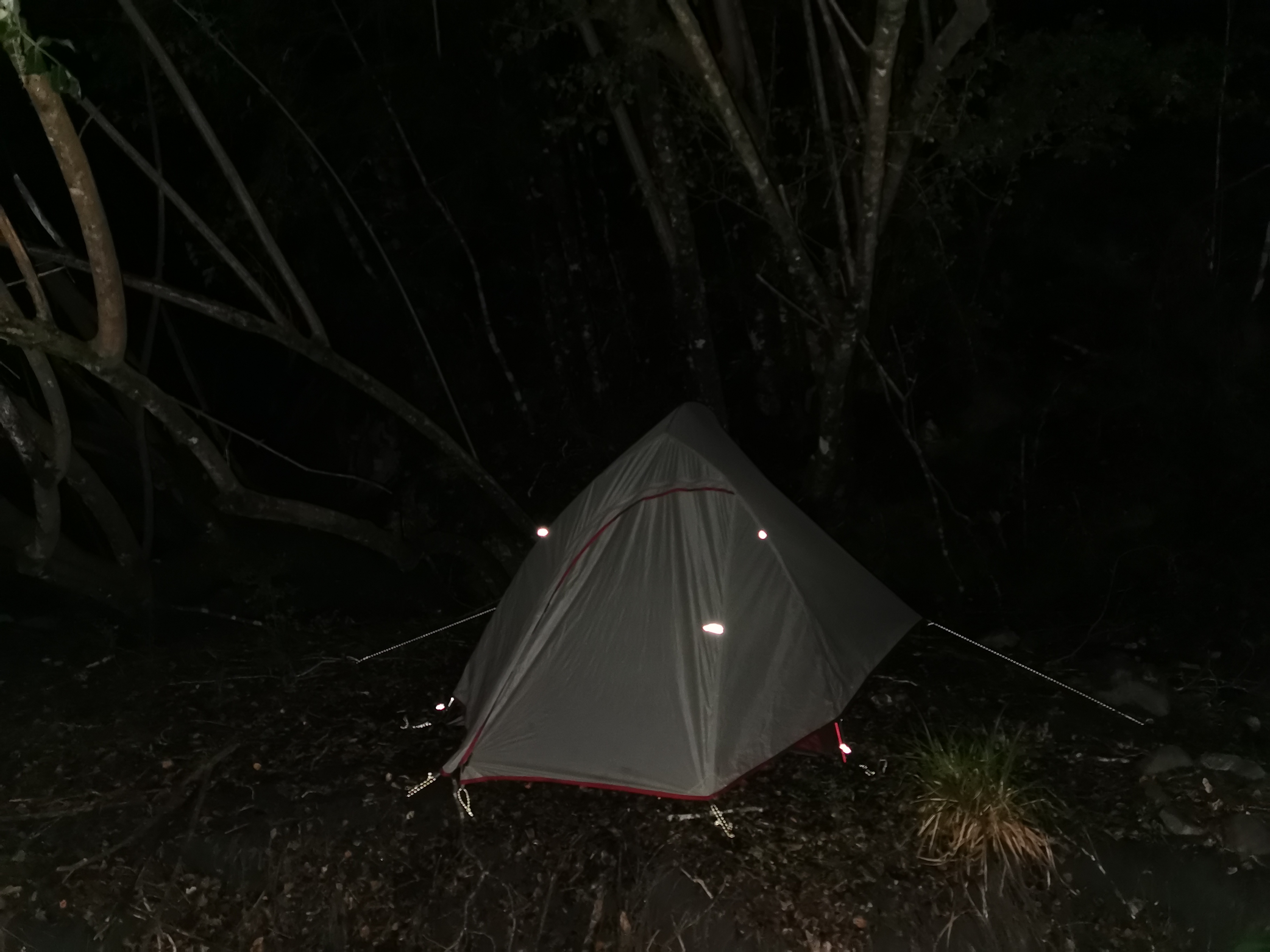
At one point the track did go down by the river and by this point is was 9:20pm and it was dark in the bush.
I decided this was going to be my camp spot for the night. There still wasn’t much flat land around but I found a little space underneath a big tree.
So I almost made it to my intended destination but not quite – I was 1 or 2km short. I was again a little annoyed at myself for not starting until nearly 11am, knowing that I would have dried out from the rain and I ended up leaving in the rain anyway so waiting it out didn’t even work.
It’s okay though, that just means I need an early start tomorrow. I decided I’d aim to leave in the morning at 6:30am. The trail notes say that the remaining part of this section will take 14 hours. That’s doable… but it would be nice to make the Bealey Hotel at the end of the section in time for dinner.
Because of the long day, the lack of flat ground and the sandflies I wasn’t able to cook any dinner so I had to settle for cereal for dinner. Damn, I really felt like something hot for dinner. As well as the cereal I had a lot of my snacks knowing that at the Bealey Hotel tomorrow I can get the food box I sent myself from Christchurch.
I could hear the Otira River since it was so close, and I could also hear trucks on the highway across the river.
Since I was walking in wet boots today for a lot of the day I was getting abrasions on my second toes (the little piggies that stayed home). I hope they don’t turn into blisters. It’s going to be the same tomorrow for the Goat Pass section tomorrow. Apparently there is a lot of rock climbing tomorrow as well as river crossings. It made me think of the big rock structures that needed to be climbed back on Mt. Rintoul in the Richmond Ranges. I hope it’s not as scary as that tomorrow.
Today's walk on the map (blue = Te Araroa, red = today's walk):