Date: 2 February
Trail covered: 37.9km (kms 2177.2 to 2215.1)
Weather: wet at first
I think there are a couple of things worth pointing out before we go any further. First is the weather forecast for the next two days.
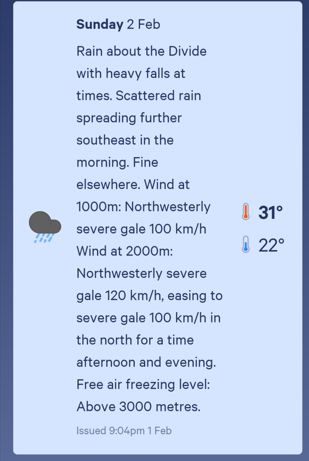
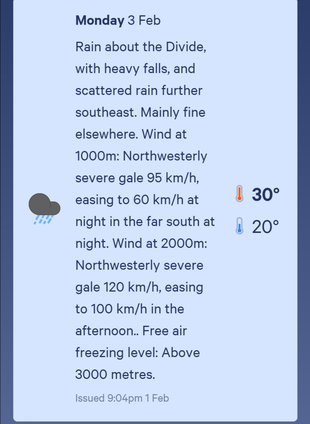
Pretty grim. The next is the logistical nightmare of the next couple of sections. You see, coming up soon are two breaks in the trail – the Rakaia River and the Rangitata River. Both these rivers are uncrossable on foot and therefore the trail simply stops on one side of the river and restarts on the other (like it does when crossing from the North to the South Islands). You can see it on the map at the end of the post.
However, there aren’t many options for getting around these rivers. The ends of the trail are in the middle of nowhere and so there’s no public transportation and very little traffic to hitchhike. It’s a massive 60km or 70km road walking to walk around each river. There’s a shuttle but it has to be booked in advance, and there is no phone reception either in Bealey or between Bealey and Lake Colridge where the first section of trail terminates. And given the awful weather forecast above, even if I could call the shuttle, how would I know what day I’d be at Lake Colridge? I could be stuck today with uncrossable rivers. You can see the problem.
Most people get to Lake Colridge and then either take a shuttle to Methven or manage to hitchhike there. Methven is a good place to resupply since there’s not a lot of resupply options in the week or so after there. Here’s the thing though – the previous section between Boyle Village and Bealey was supposed to take six days and I’ve done it in four, and the next section is scheduled to take four days but I reckon because of the bad weather I’m going to attempt to race through it and do it in one and a half or two days. Since I just picked up a food box and I had food left over from before, I’m carrying seven days worth of food for a section that will only take two days. My pack is unnecessarily heavy. I do miss the prunes and dried peaches I had in my last lot of food though.
It’s already raining this morning so I tried to put my pack cover over my pack but it’s a struggle to make it fit.
One of the guys staying in the Bealey Hotel shared accommodation is training for the Coast To Coast and he is apparently sponsored by Radix Nutrition who make freeze-dried meals similar to the Back Country Cuisine ones. He offered me a few and despite already having way more food than I needed, I’m never one to turn down a freebie so I accepted. But then two of the three he gave me were salmon and I don’t really like salmon but of course I was too polite to say so. So now I’m carrying two meals I won’t even eat. He did give me a free range chicken one though which will be nice. And once in Methven I can put the two salmon ones in the free food box in the campground and hopefully get some good karma (there’s always a free food box at every campground).
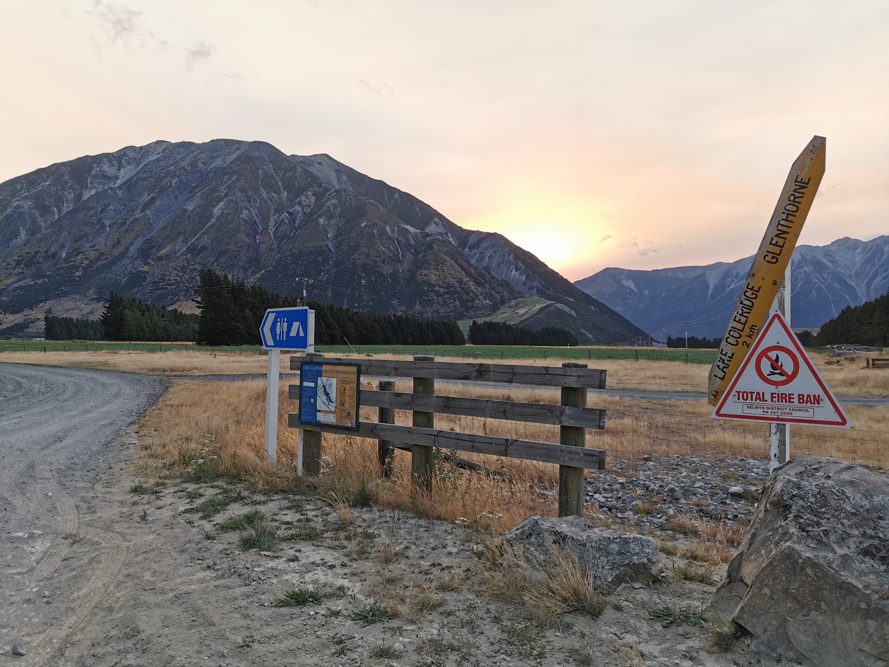
I was having a bit of a lousy morning. I didn’t sleep well because of the noise of the shared accommodation and the fact it’s been so hot at night. It’s already raining outside and my shoes are wet. Plus I didn’t know what to do about the logistics at Lake Colridge. I decided to just wing it. I’ll get to Lake Colridge and hopefully run into other people who have booked a shuttle. If not then there is apparently phone coverage somewhere near the village, possibly off trail a bit, so I’ll organise something there.
To try and improve my mood I treated myself to a fresh pair of socks since yesterday’s were wet through. Also I didn’t want the abrasions on my toes from the wet shoes yesterday to get any worse.
I talked to Dave and Baxter before leaving and they said they were also continuing on despite the fact it’s already raining. Their destination is Hamilton Hut, about 19km south of here. There are a lot of huts on the path today but once past Hamilton Hut there is nothing until a Campsite at Harper Village which is a further 19km on. I’m trying to go as far as I can to beat the weather and if I’m gonna make 38km today I better get a move on.
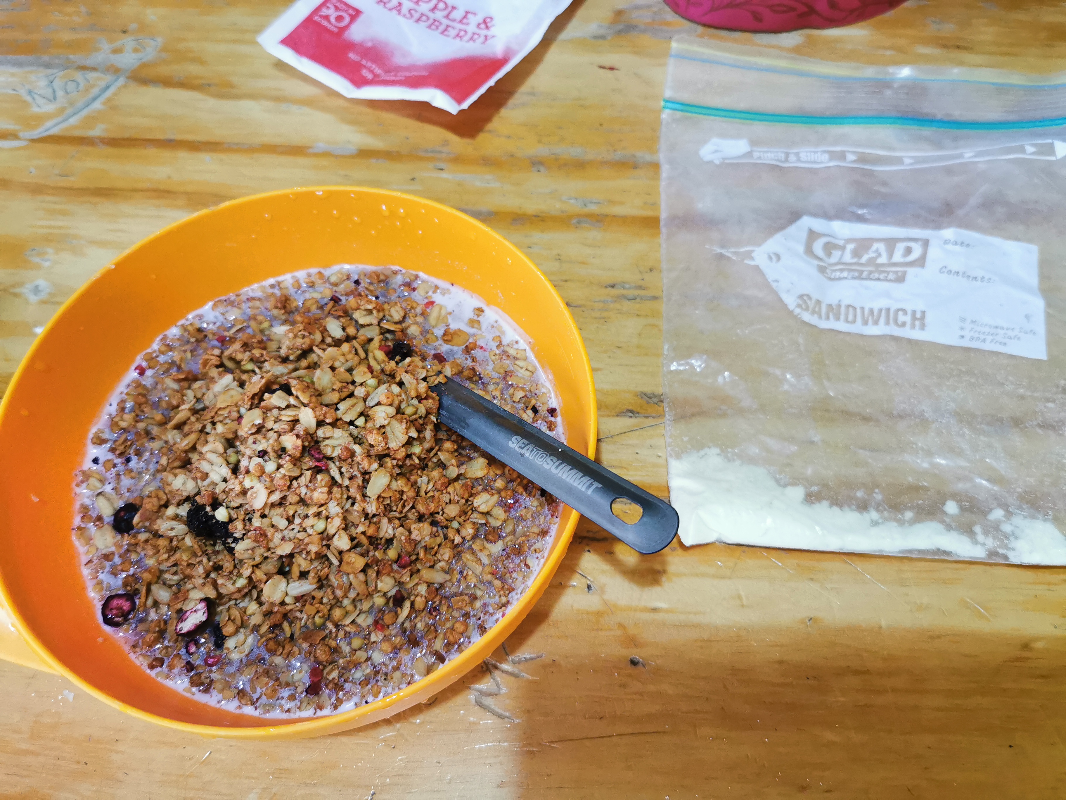
I did have a quick cereal breakfast leaving just enough milk powder for some pasta tonight. The “pasta meals for one” that I have require milk.
I left at 9:30am and it occurred to me once I put my pack on that everything is starting to smell bad. Even my rain jacket stinks, which was surprising. With that going on and the fact the rain is due to get a lot worse, it was really hard to get into a good mood this morning.
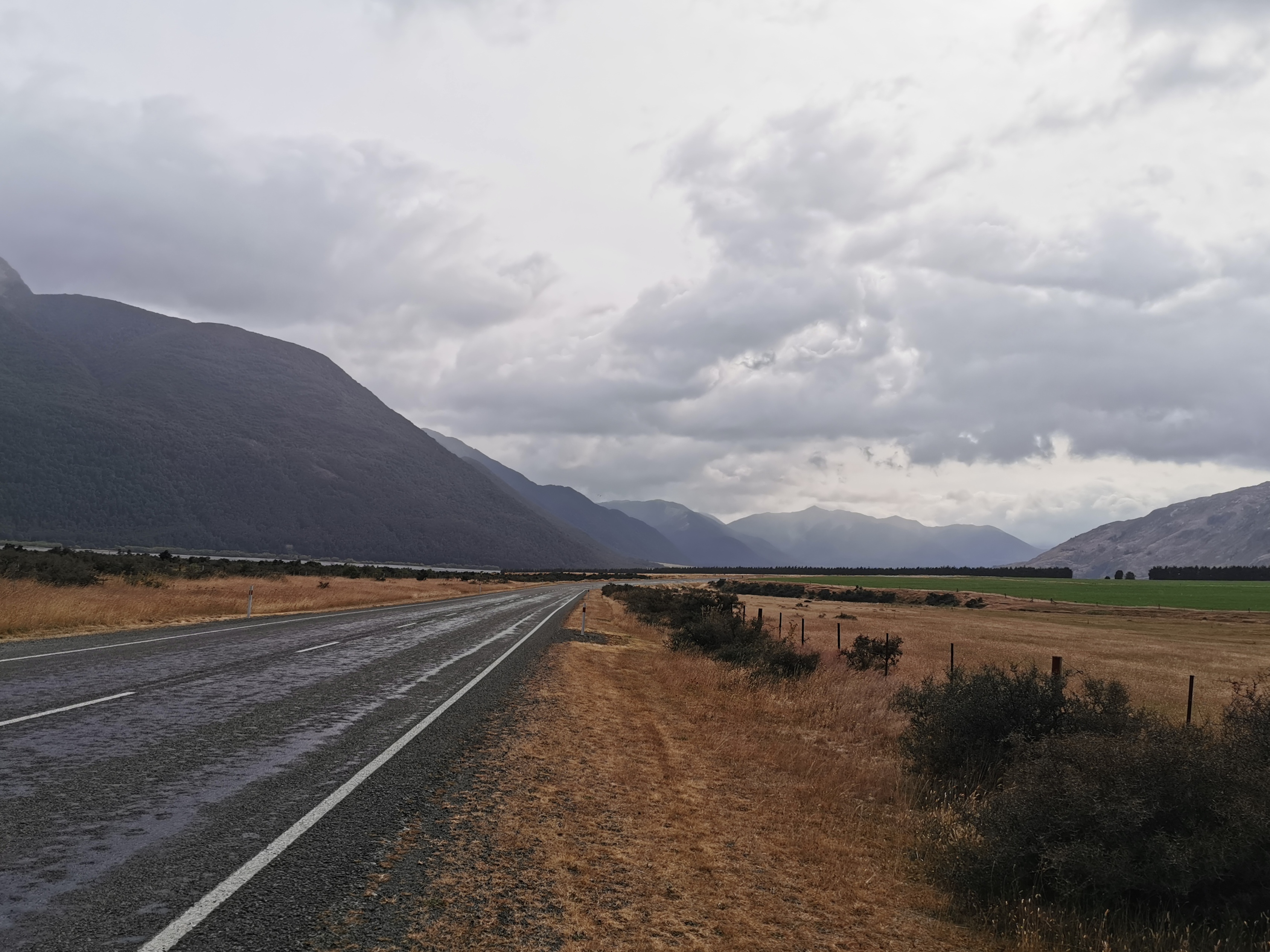
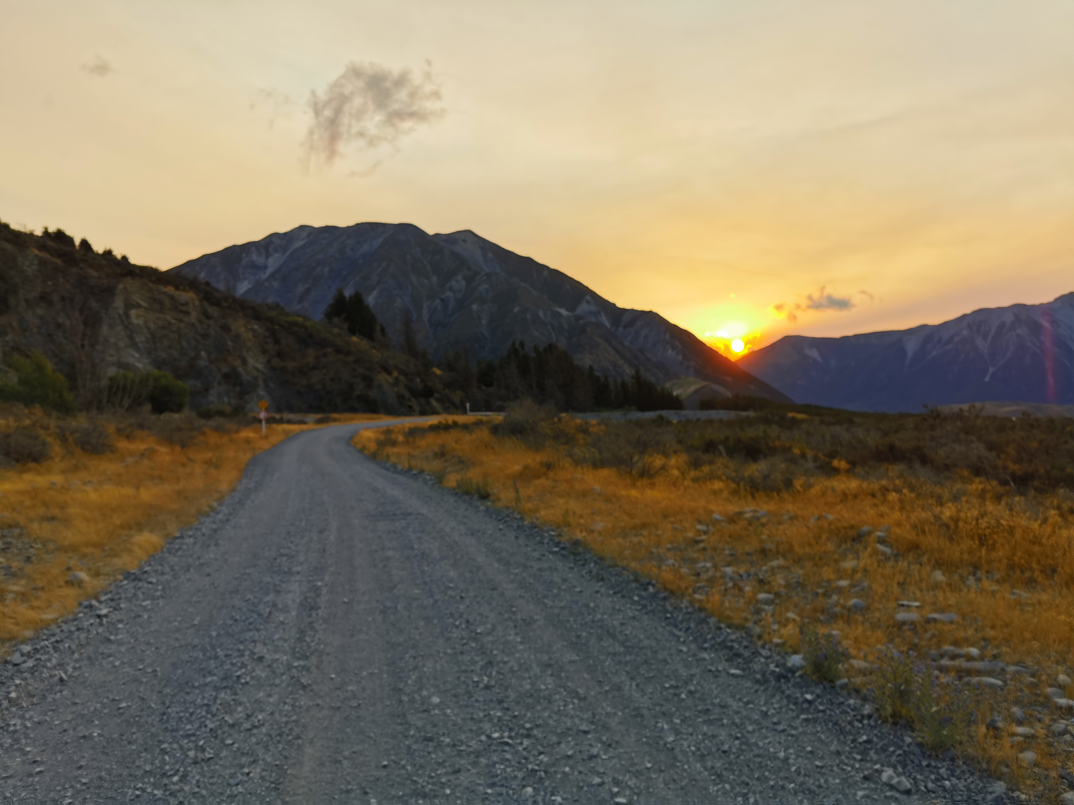
The first few kilometers today are down State Highway 73 again.
There was a very strong wind behind me on the highway. It was very helpful actually… however once I reached here:
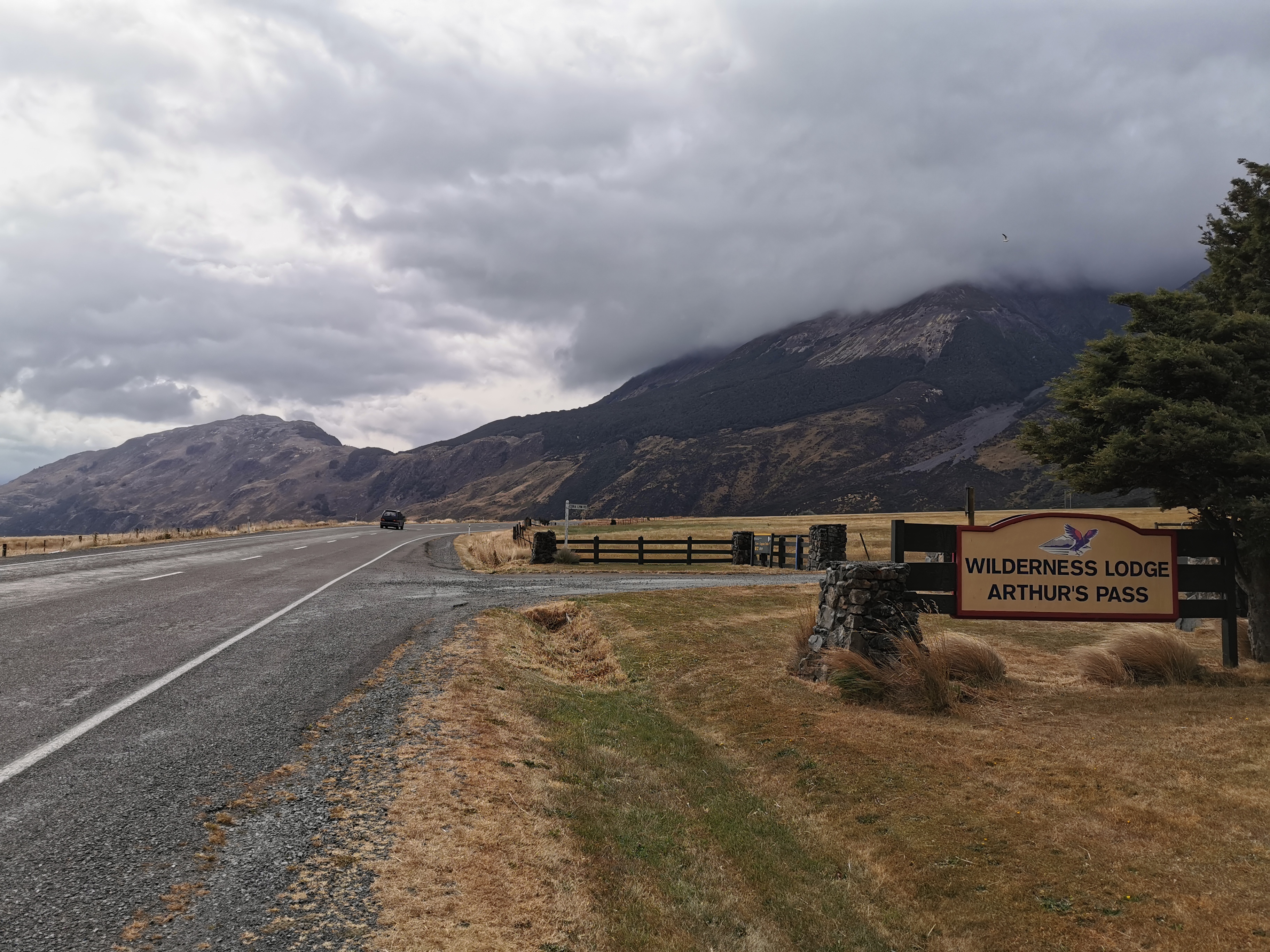
I knew I had to turn right twice and once that happened it’s likely the wind would be blowing right in my face.
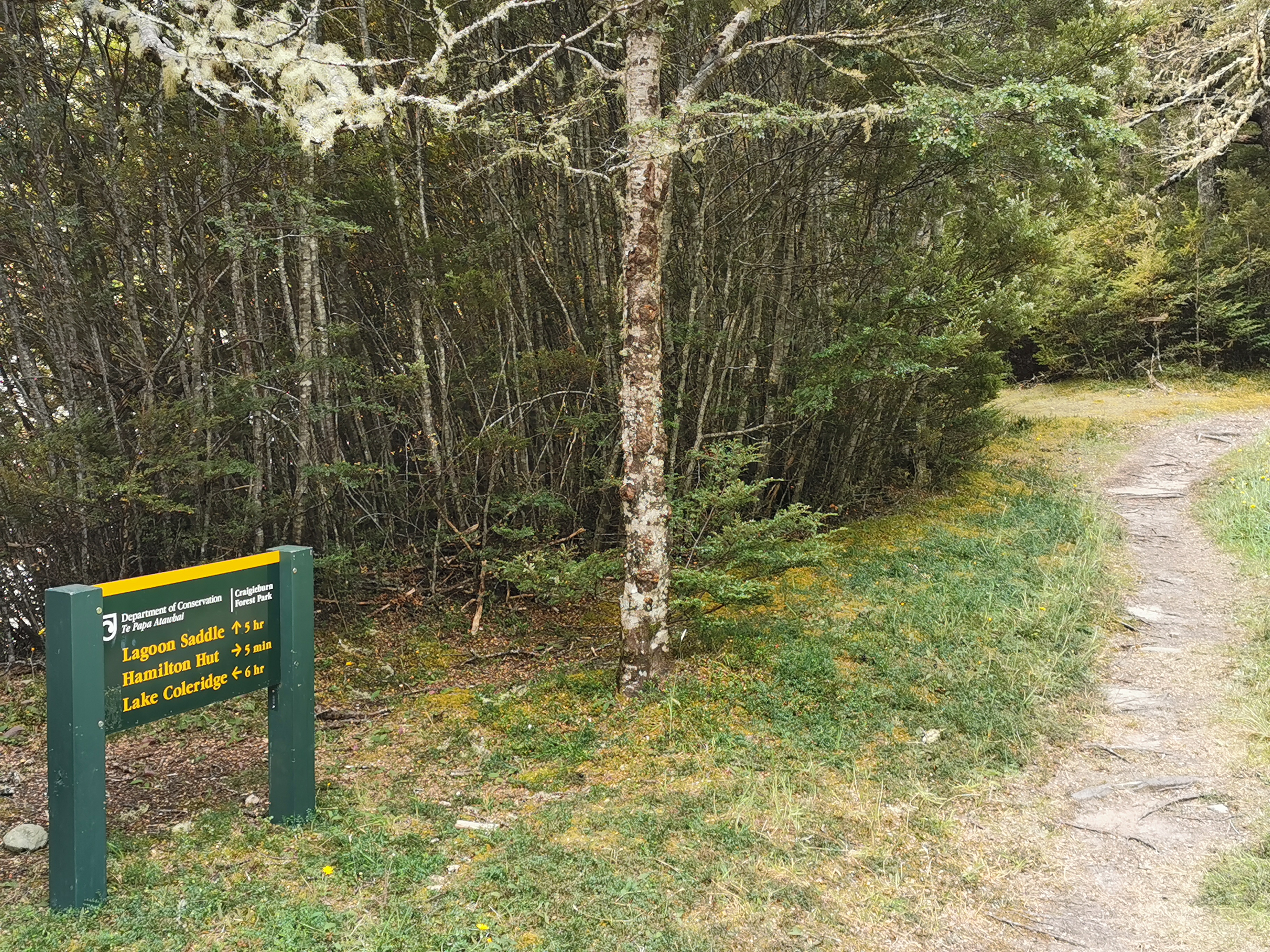
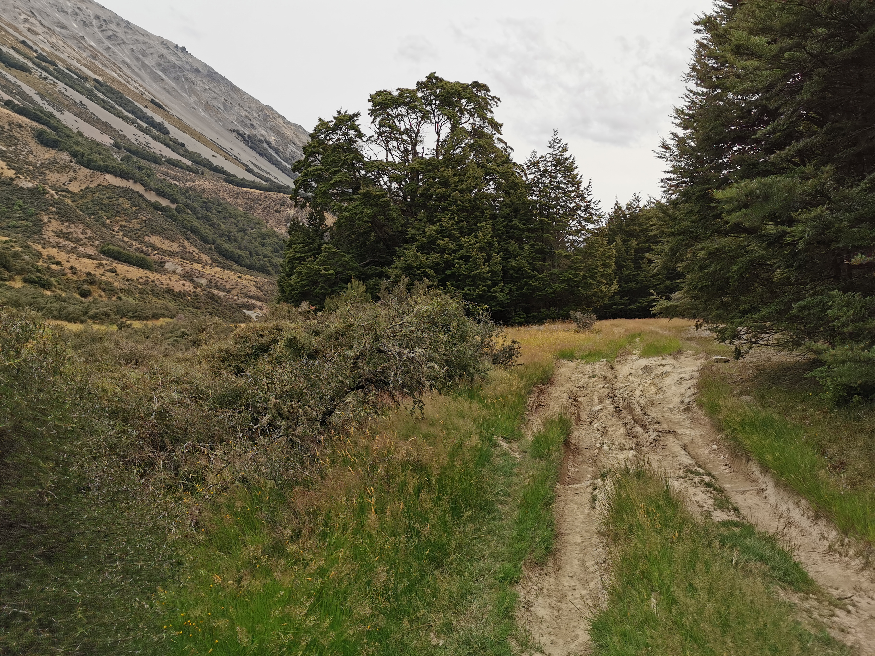
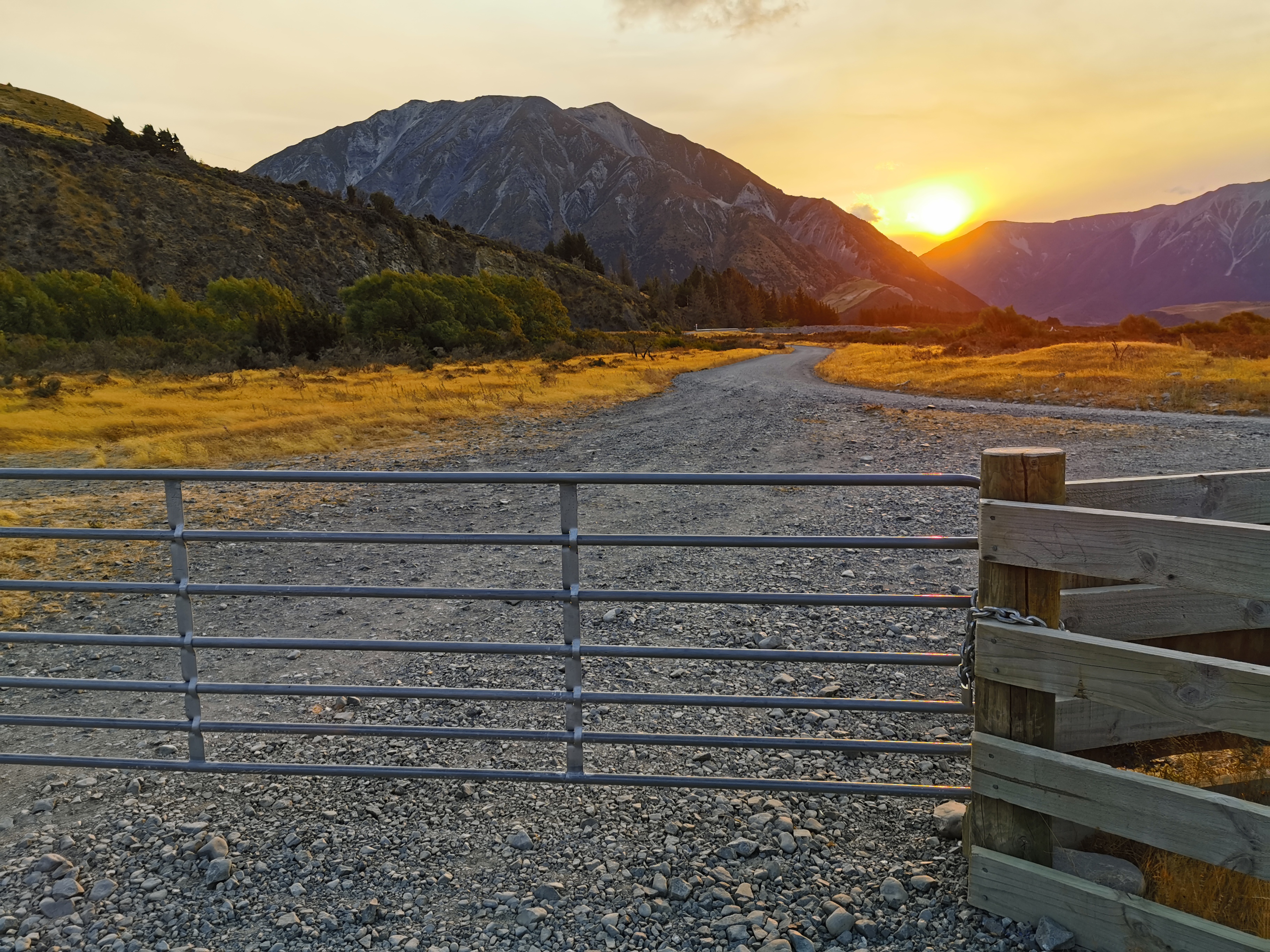
Here is the car park for the “Cass-Lagoon Saddles Track”.
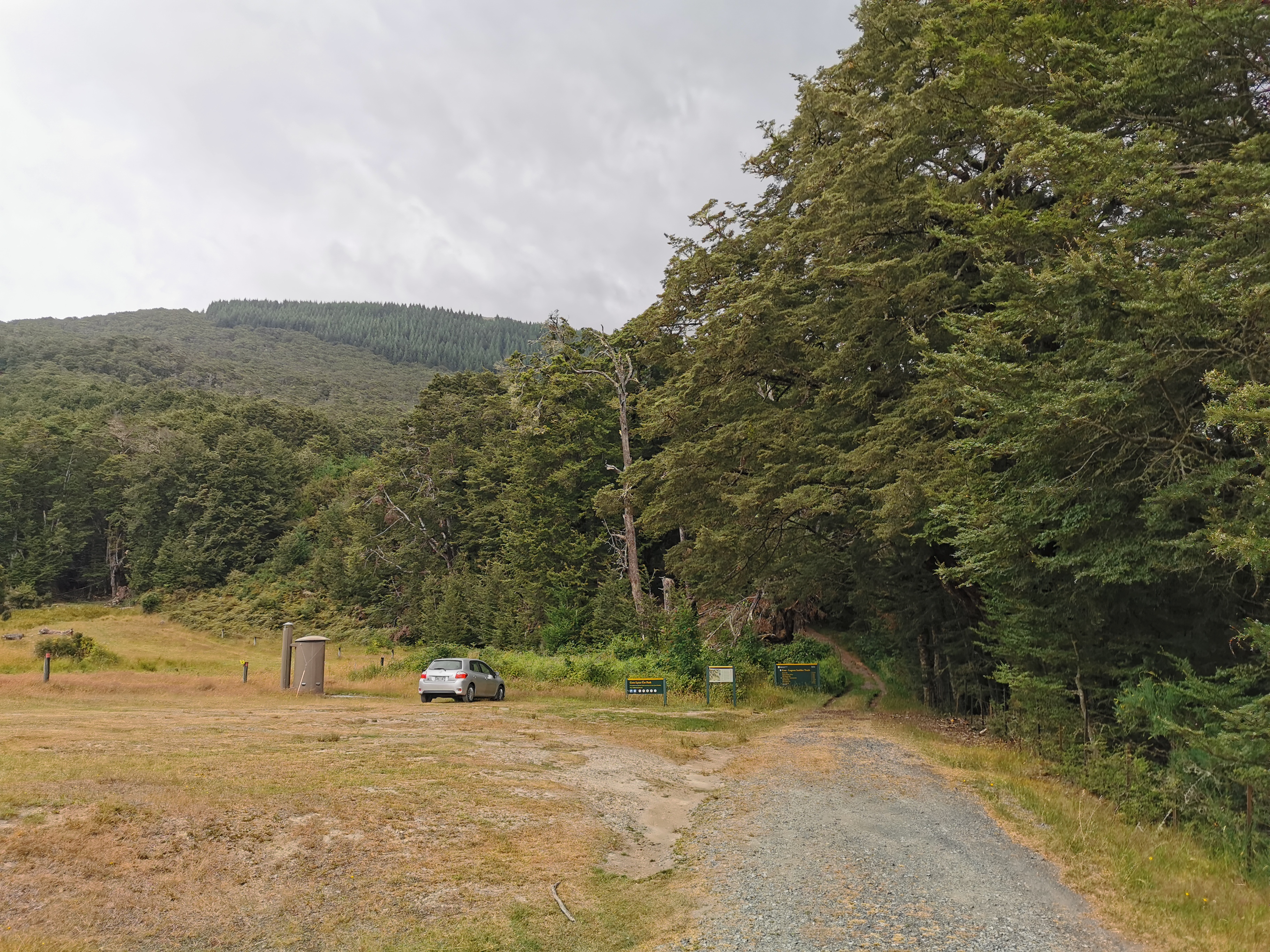
Like always, if there is a car park then I figured the walk must be a little bit touristy and therefore might be fairly well groomed and marked.
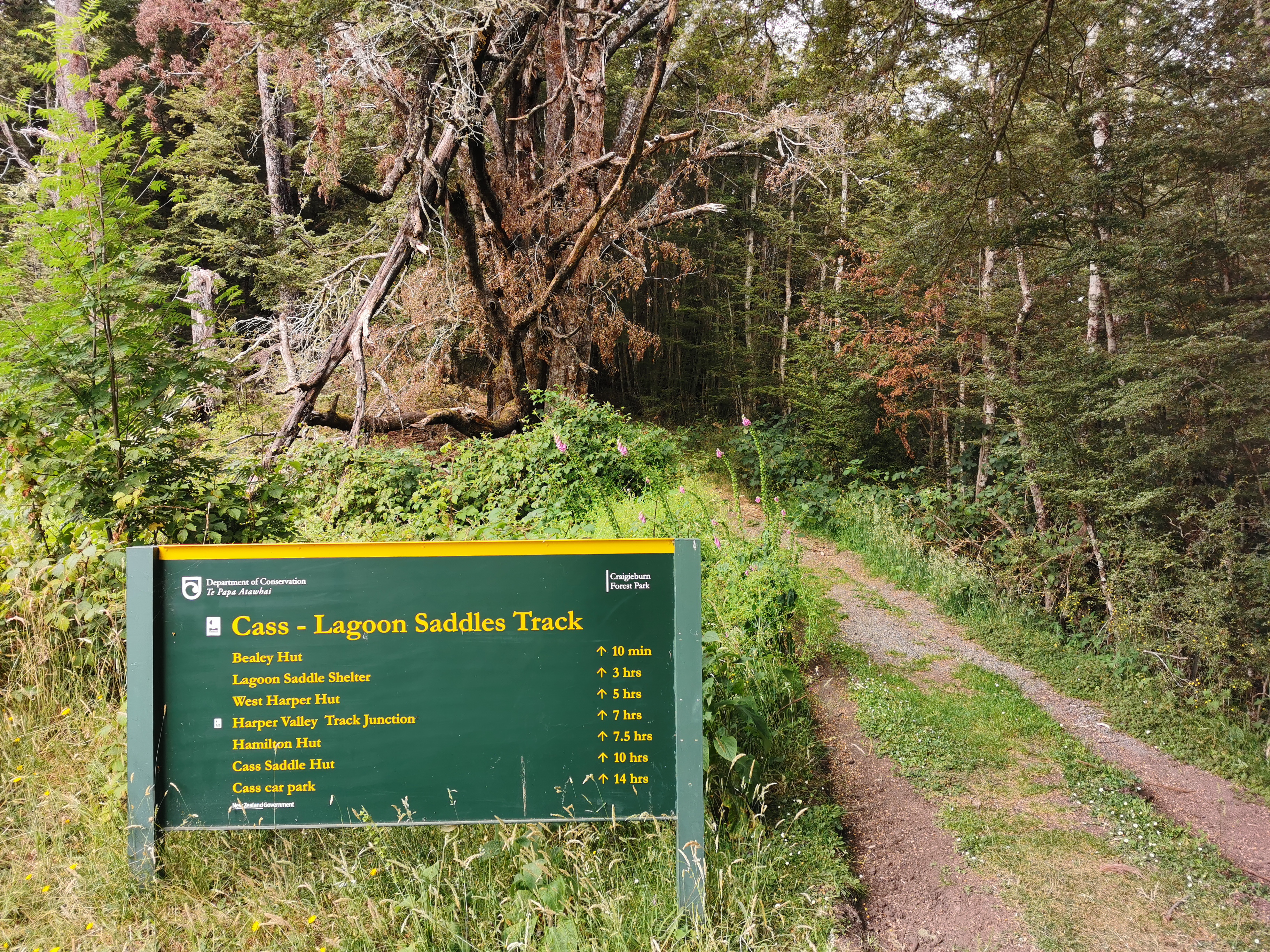
This sign says Hamilton Hut is 7.5 hours away and by now it was 10:15am. That means an ETA of 5:45pm, which doesn’t leave much time to then do the 19km after that to the campsite. At least at a campsite it’s okay to turn up after dark if required. Time to go.
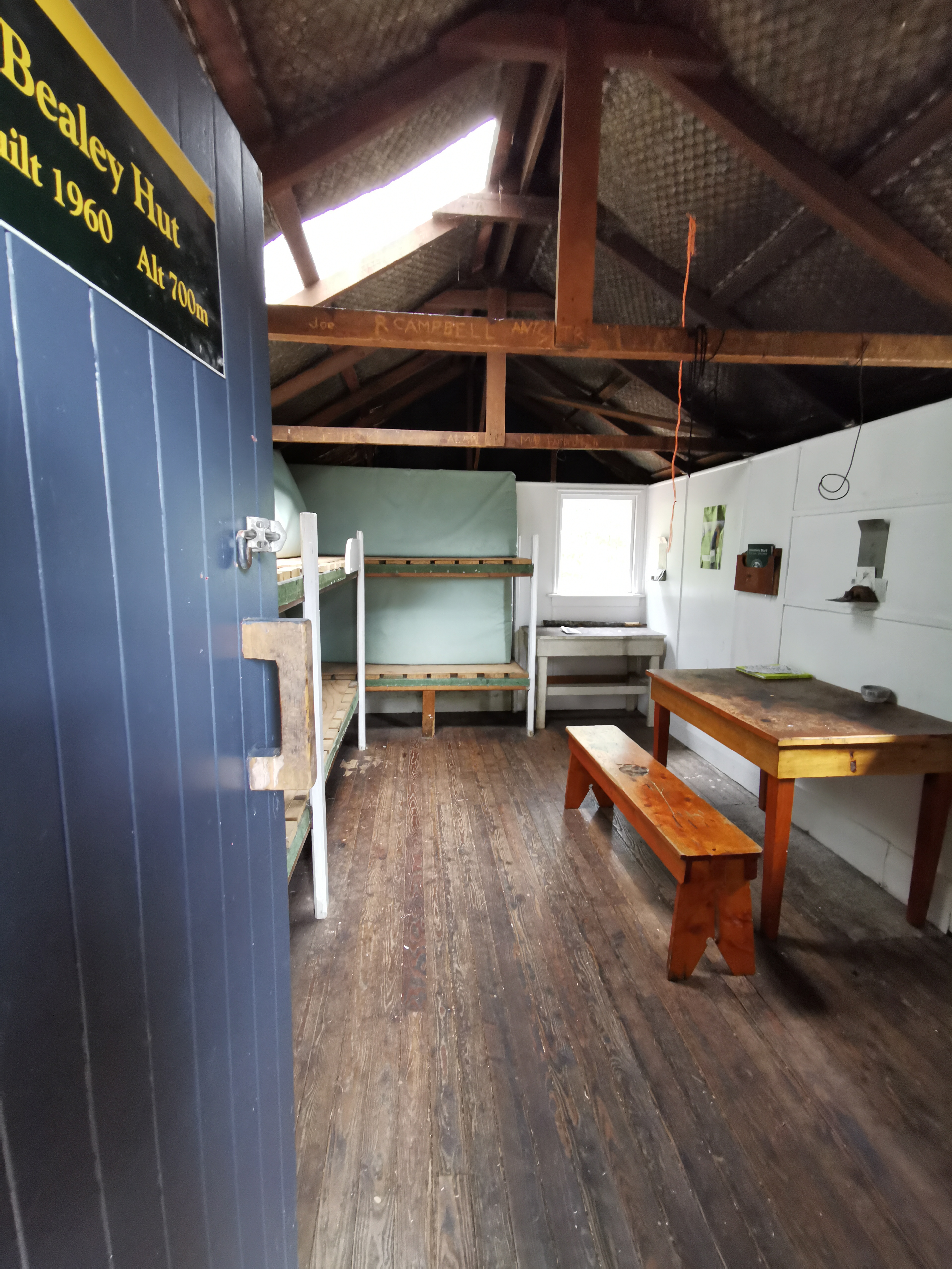
Bealey Hut is just five minutes up the path. It’s surprising to see a hut so close to the road. Normally they’re at least a few hours’ walk from the road.
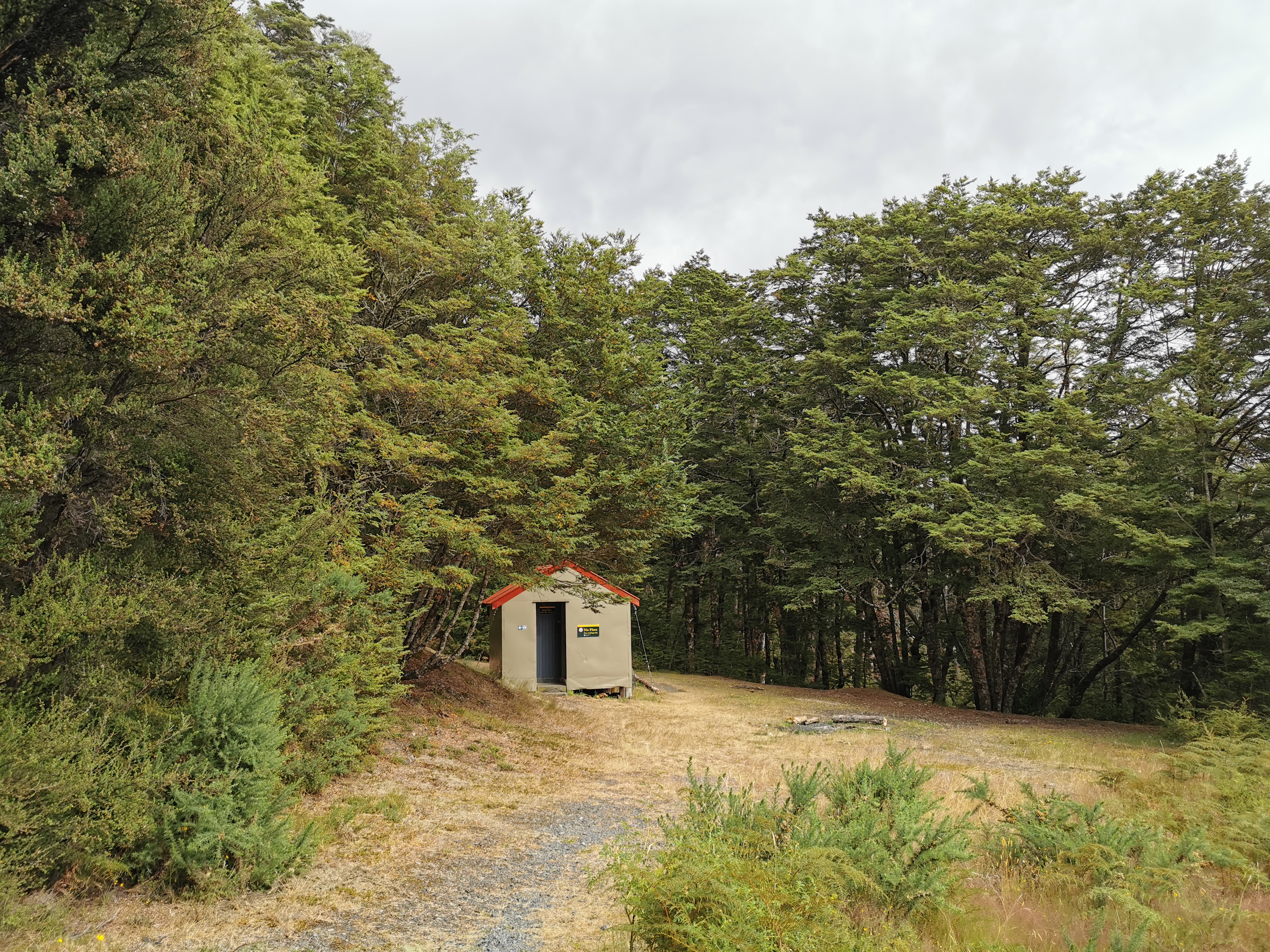
I almost skipped going to the hut but I thought I better not. It’s only a two minute detour off the path. I stopped in and wrote in the intentions book.
I noticed my heavy pack quite early on. With the long days I’ve been doing everything is starting to hurt a bit. And the start of this path is a slog up a hill with a 500m elevation change. I couldn’t have done Goat Pass yesterday with such a heavy pack – climbing up all those boulders.
I stopped a short distance up the steep hill to remove my rain jacket. I was of course drenched in sweat already. With the big hill and muggy conditions it’s gonna be unavoidable. Pretty sure it will be an on off on off day for the rain jacket. I had a snack while I was stopped because of the small breakfast I had earlier and also to try and perk myself up. I was still feeling pretty miserable.
Up until this point I was listening to Linkin Park. To try and lighten the mood I put on some cheerier music to try to get me out of my funk. I remember saying to myself at the start of the whole TA that my success on this trail will depend on how well I sleep and how wet I get. That’s going to be tested here today I think.
It just so happened that where I stopped to take off the rain jacket was right beside a geocache. It had been a while since I found one. This one was an easy find.
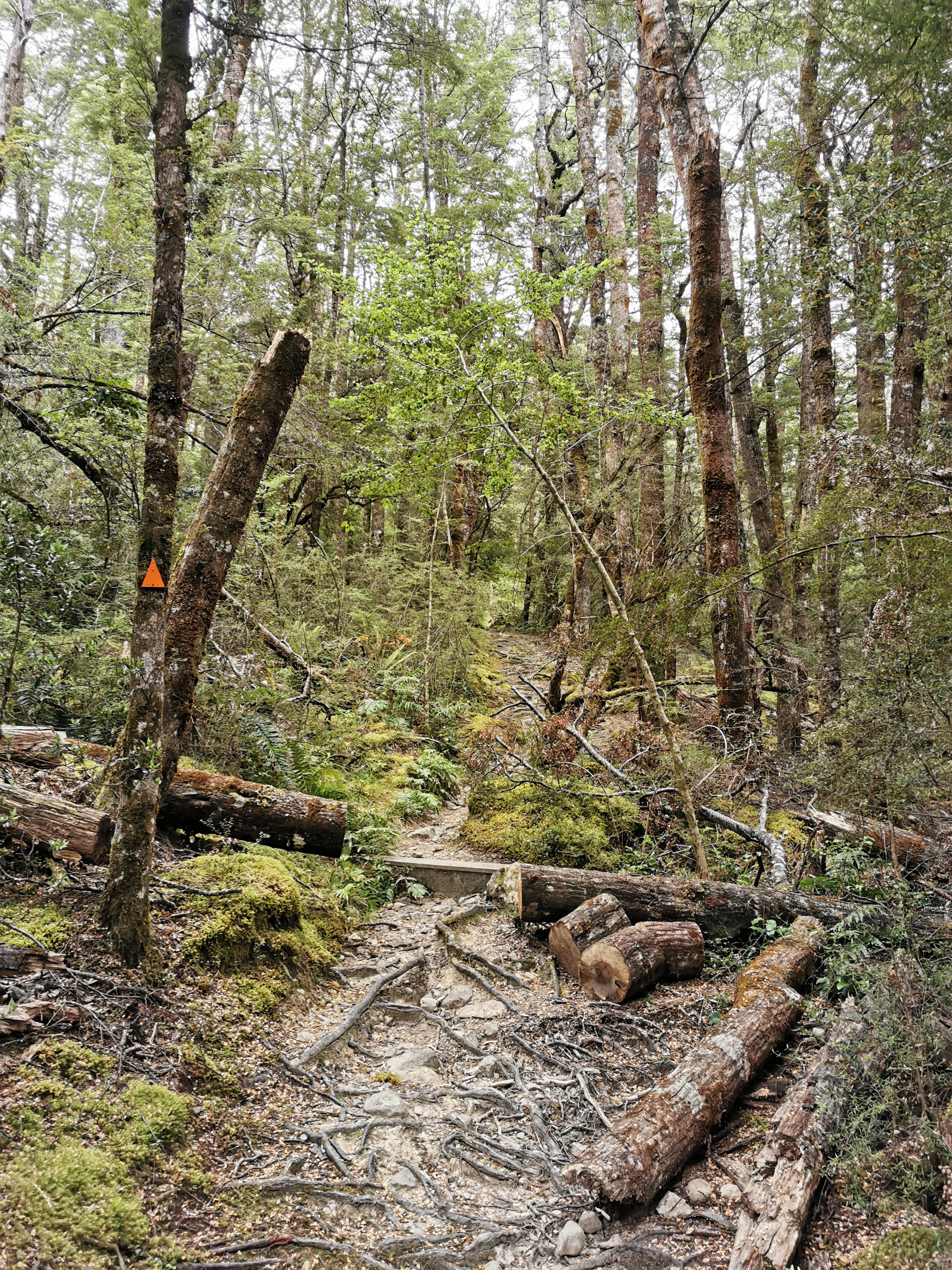
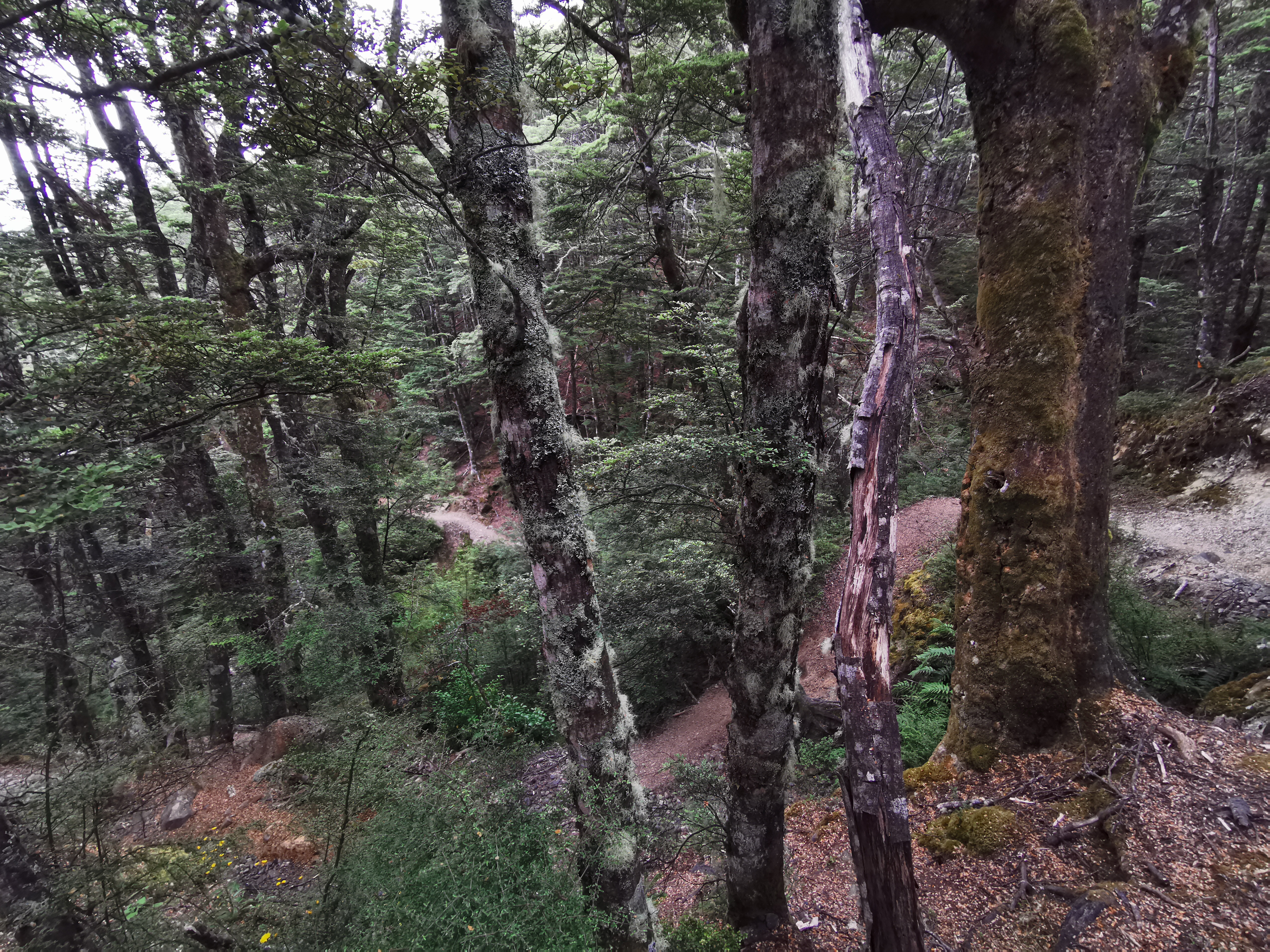
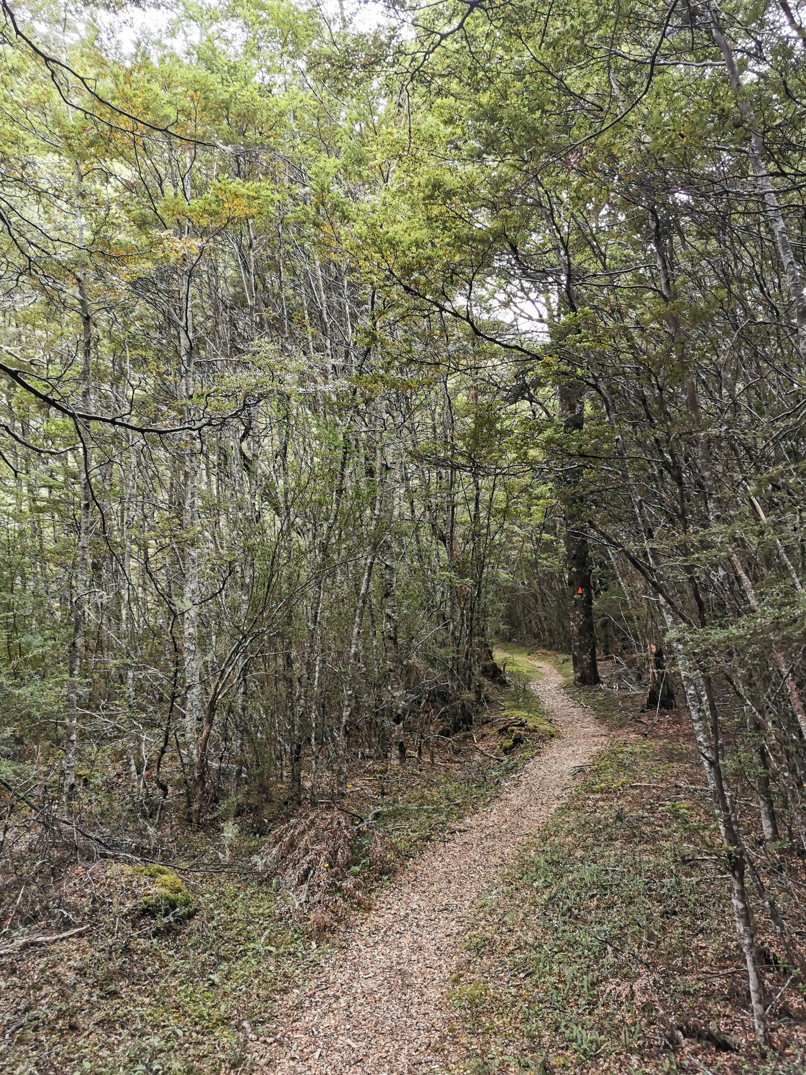
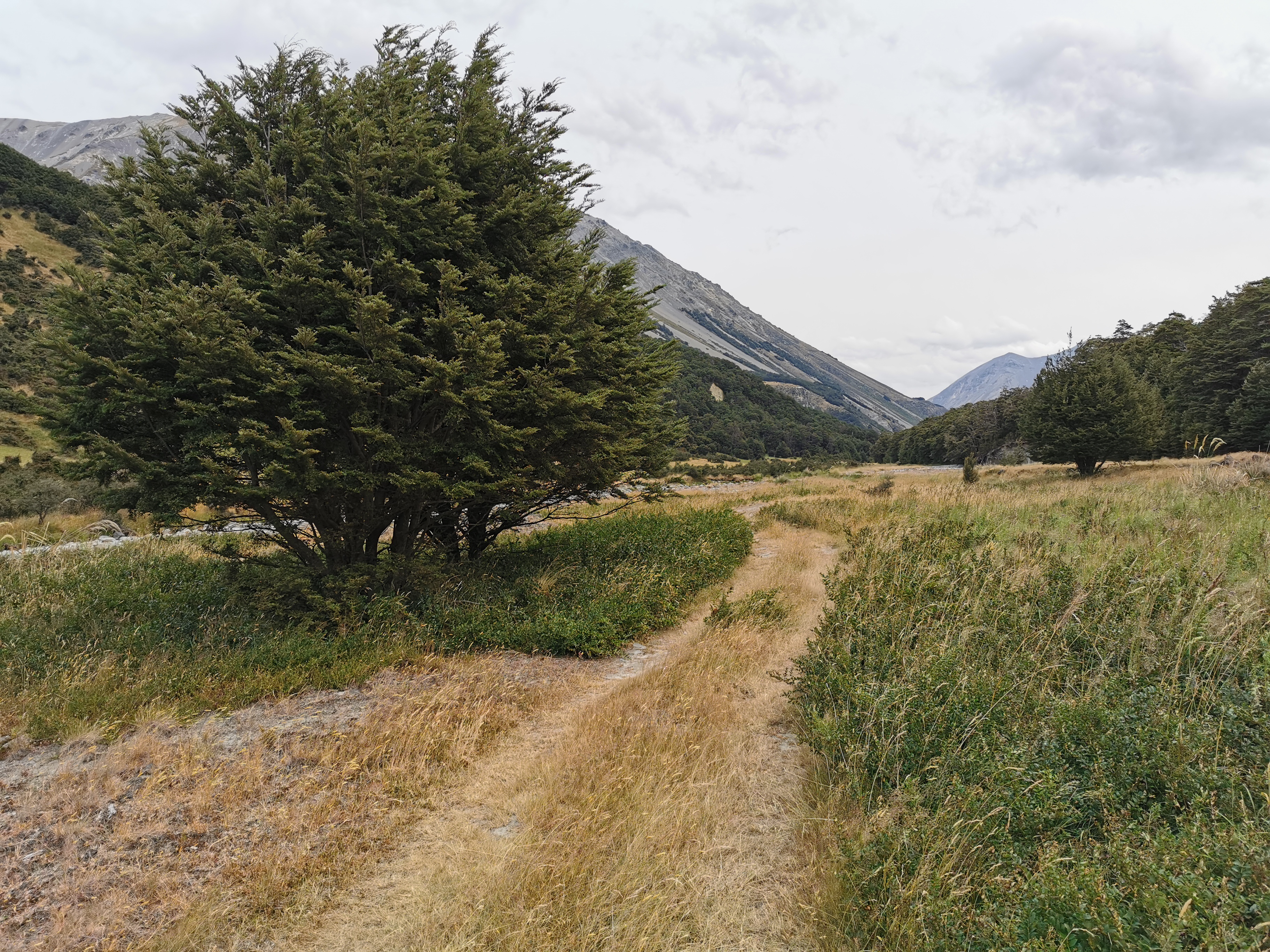
My 11am picture is walking through the forest.
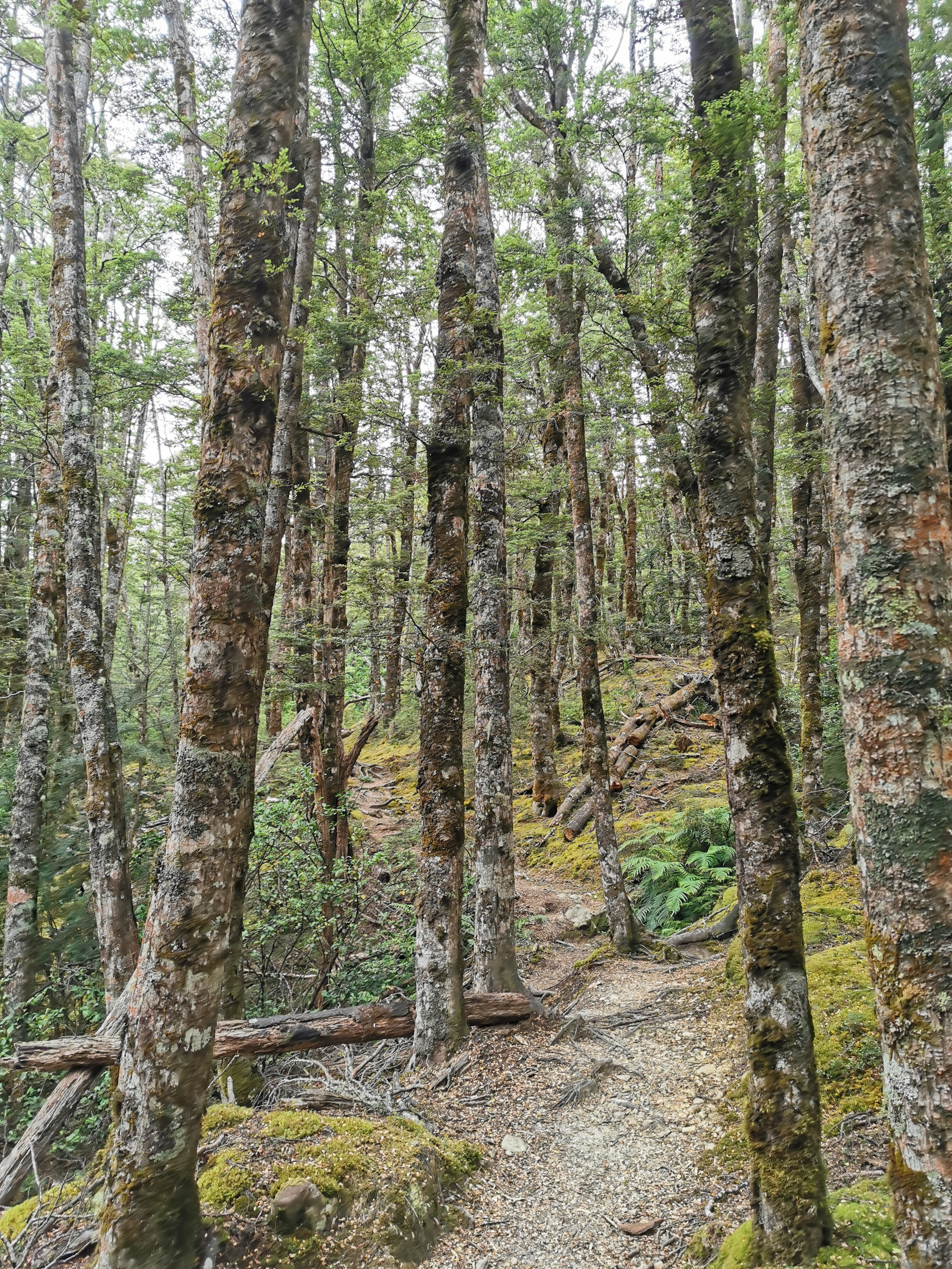
The music did help with my mood, especially when I started singing out loud to it. And the fact that I was in the forest meant the wind wasn’t blowing on me. That was good. Another thing that was good was that the big woolen socks that I put on were absorbing the water from my wet shoes but seemed to also be keeping my feet warm. And the rain was slowing rather than increasing. Maybe this day won’t be so bad after all.
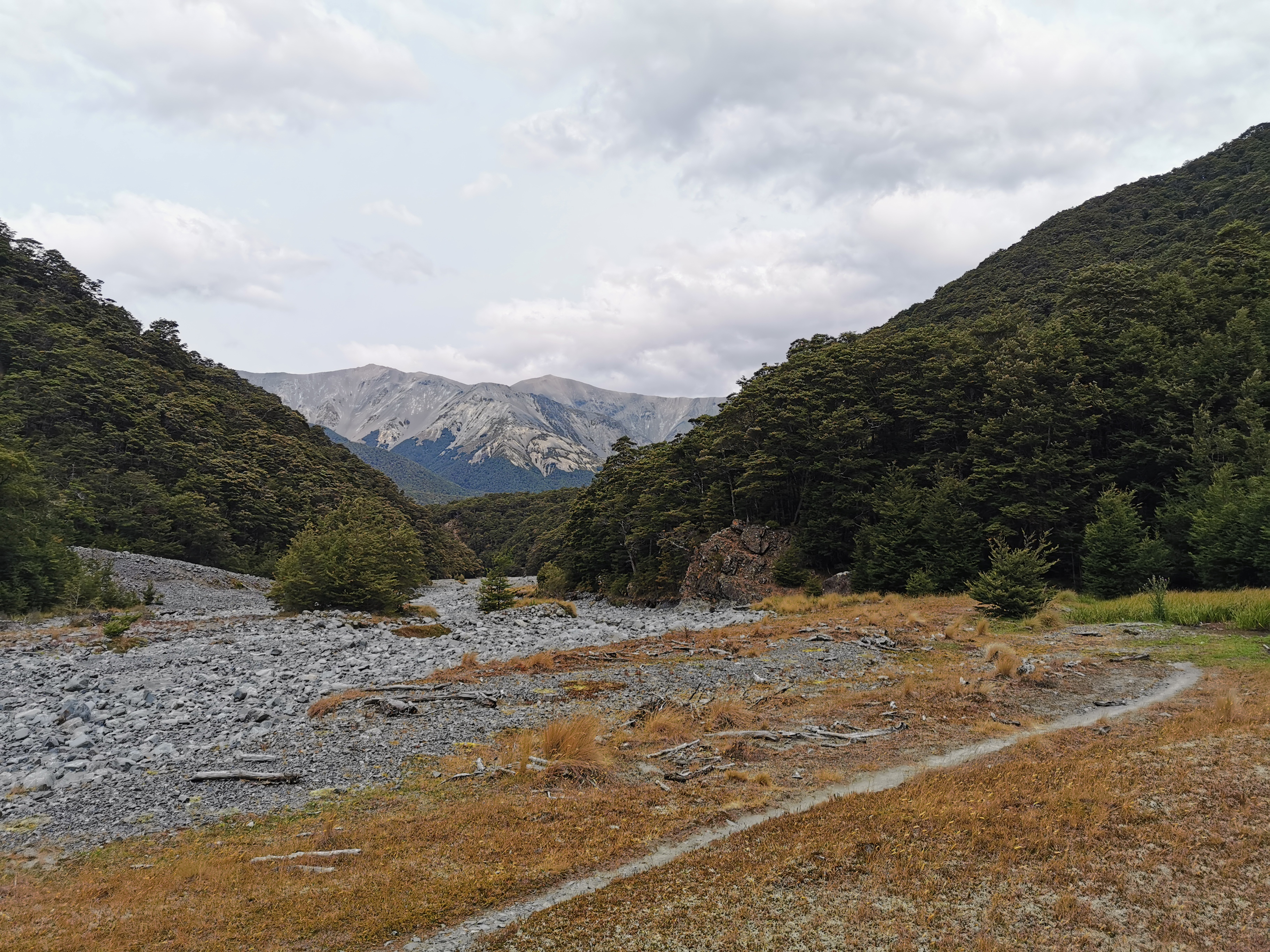
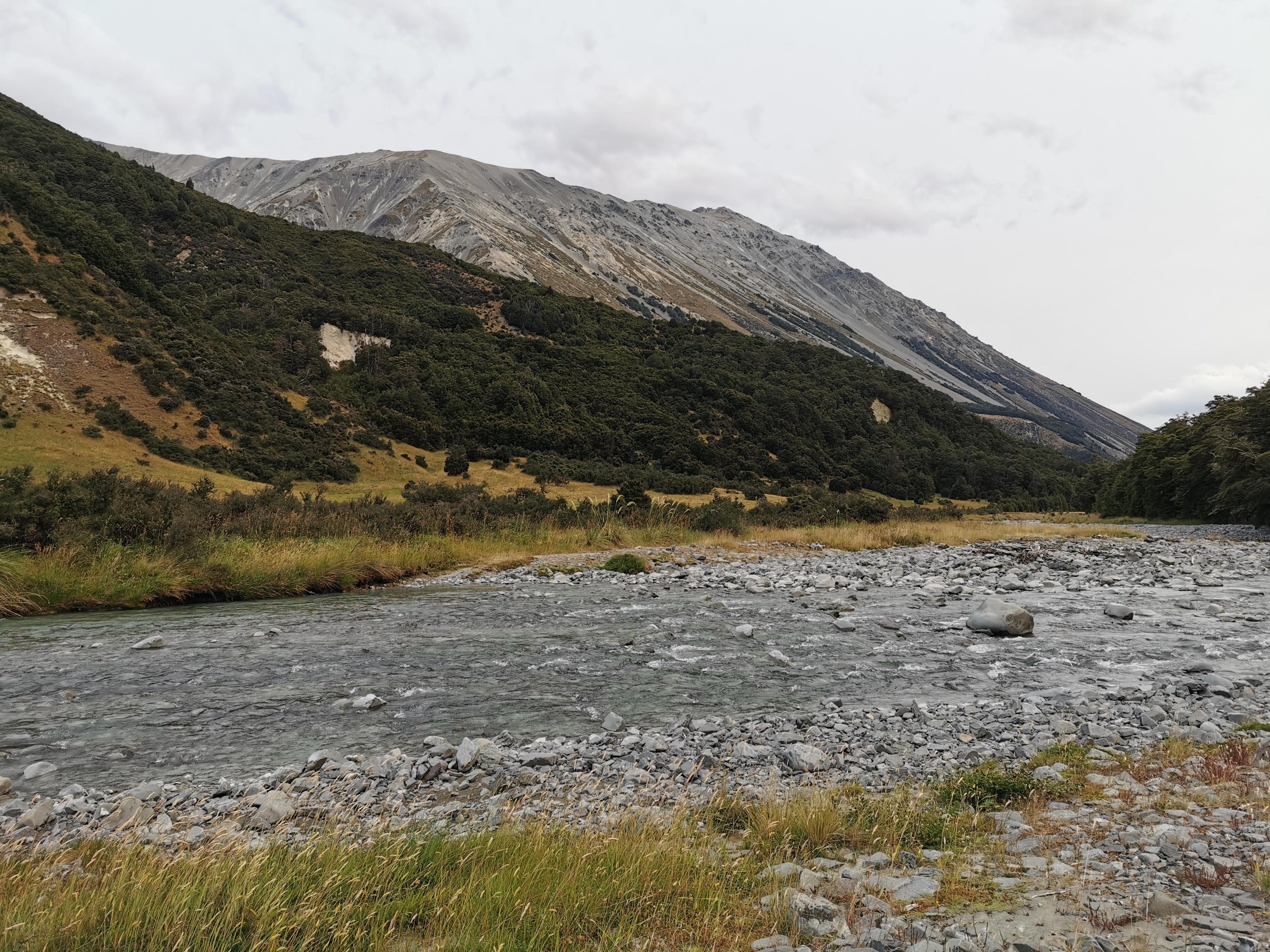
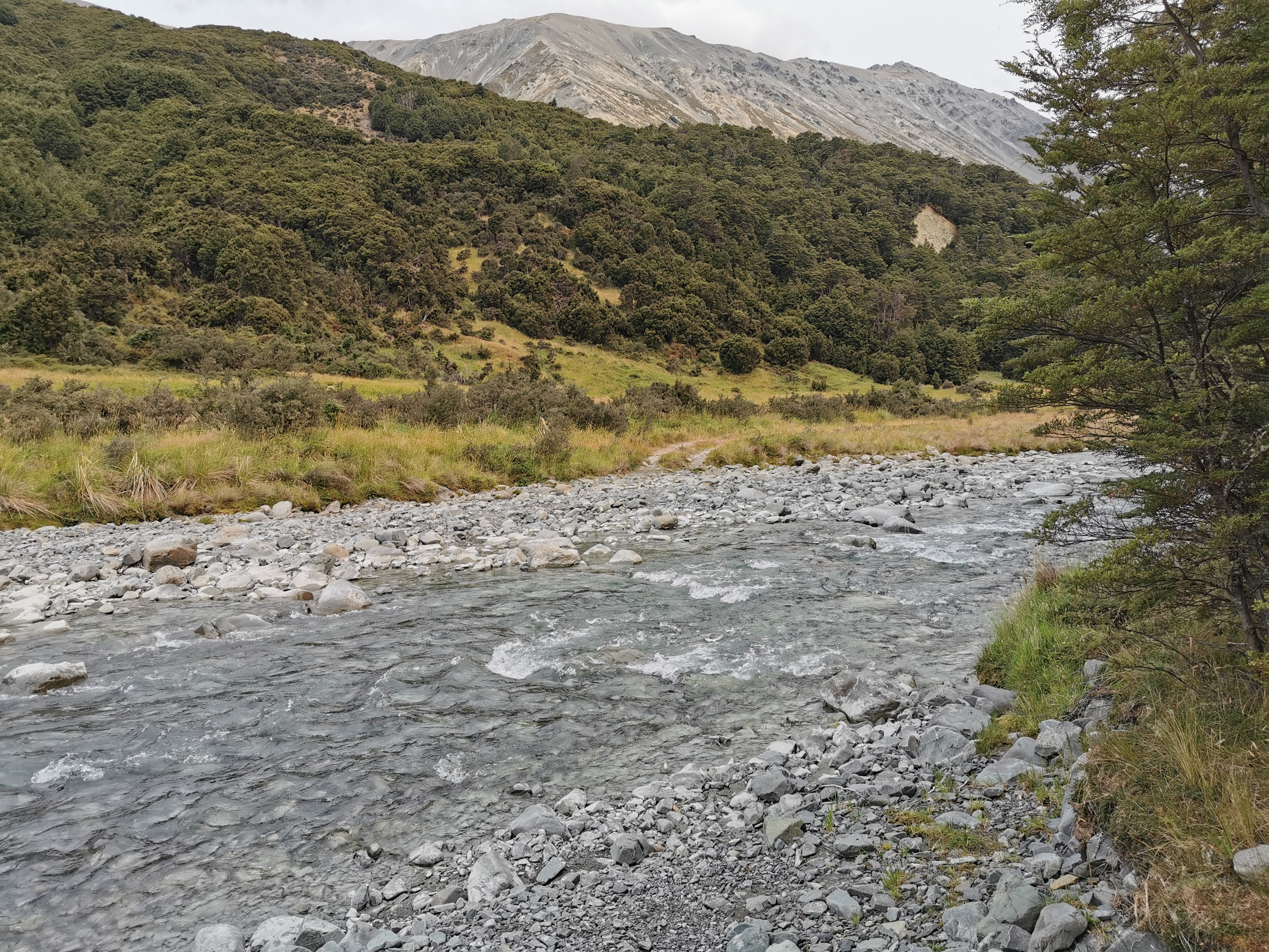
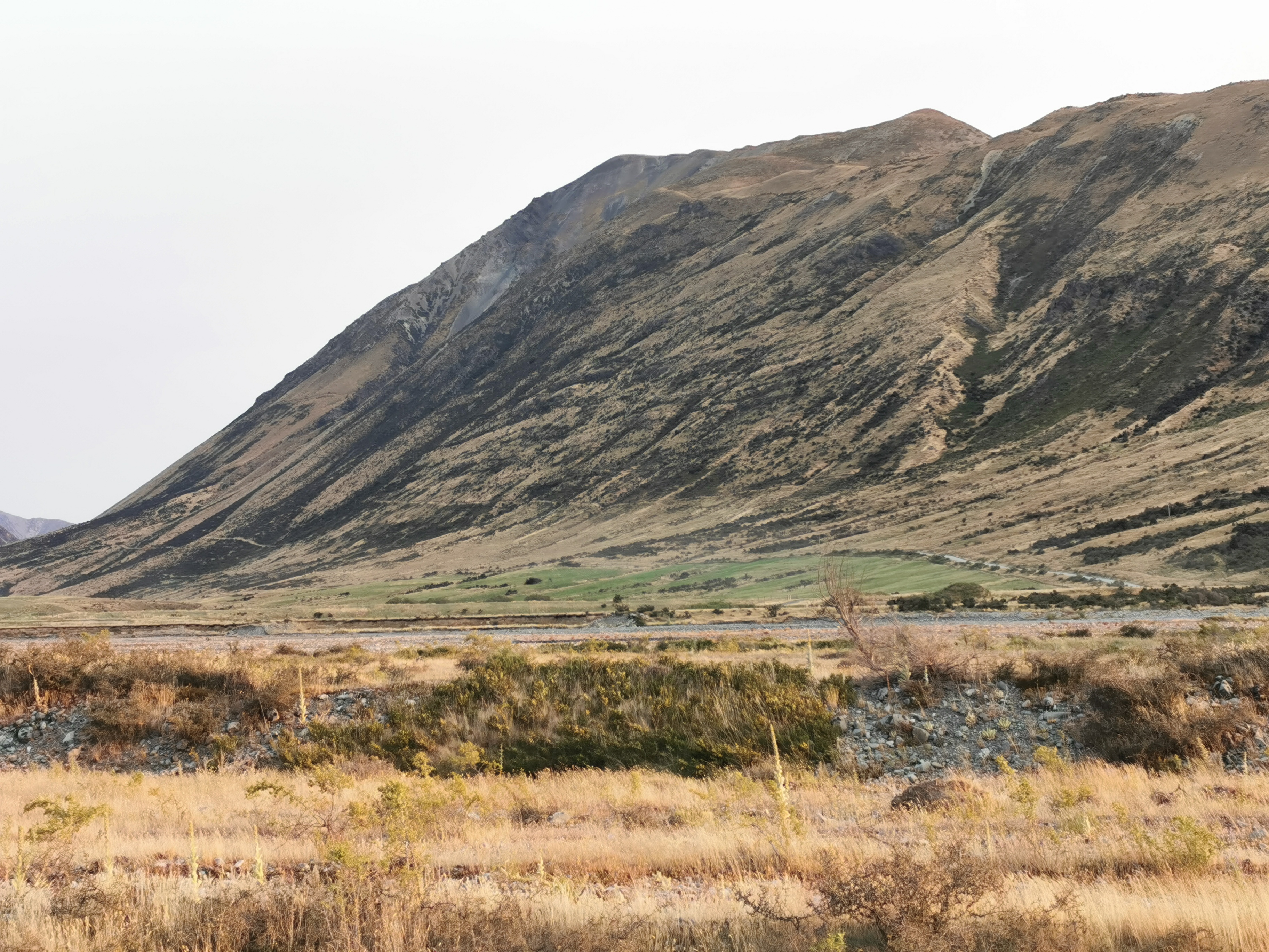
Once above the treeline the view was pretty good.
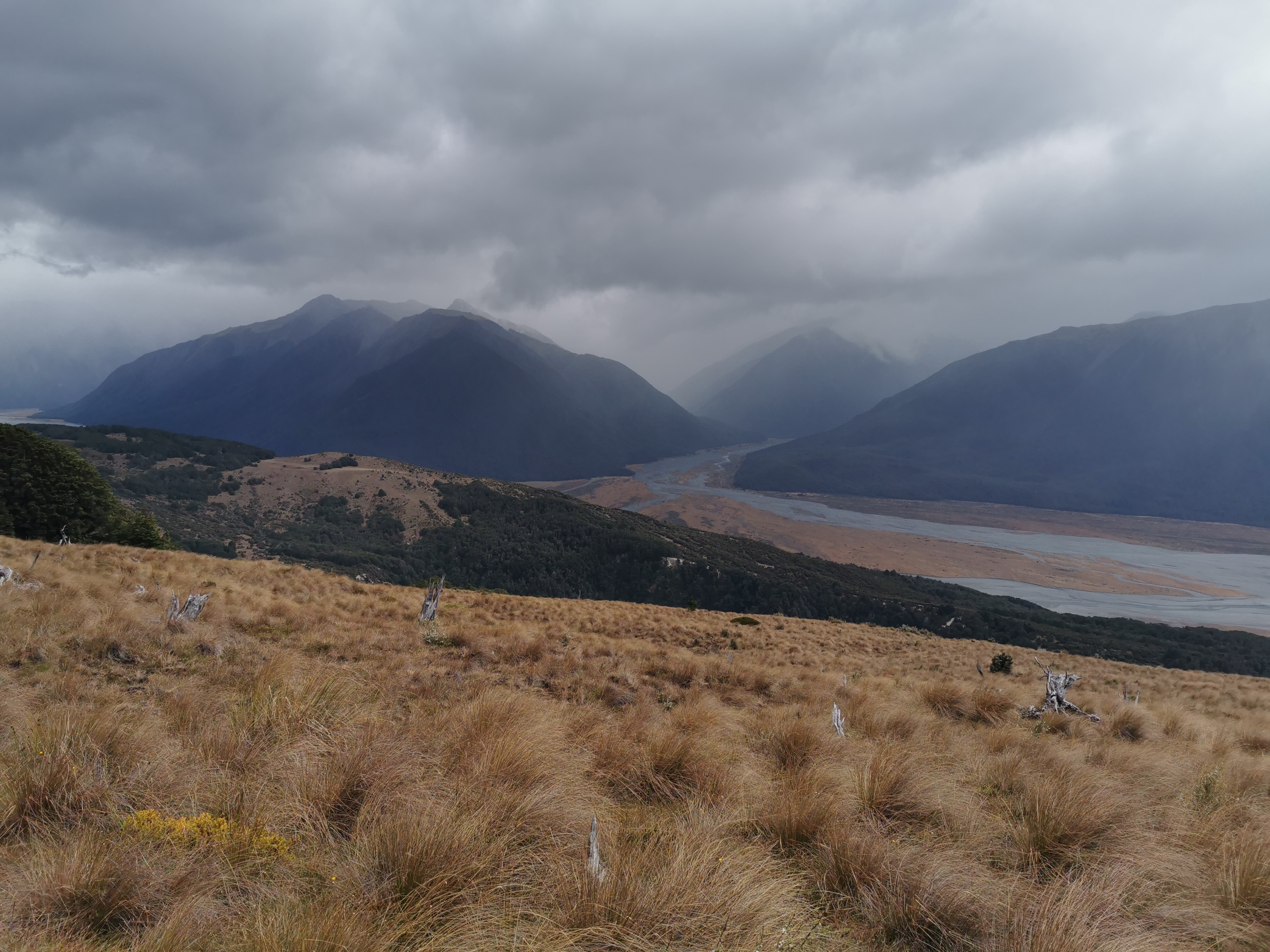
That picture is the Bealey River that I followed yesterday. What was interesting is that yesterday the river was not very big, and there were a lot of rocks either side. From here, today, I couldn’t see the rocks. Is that because the river was now swelled because of the rain? Or has the rain just turned the rocks a darker grey and I just can’t see them? It was hard to tell because it was a bit cloudy.
I tried to zoom in on the phone camera and for the first time I realised it has a 50x zoom setting. Wow, that’s a lot of zoom. Let’s try it out now.
Hmm, that doesn’t really help me. I still can’t tell if the river is up from yesterday or not, although it kinda looks like it is.
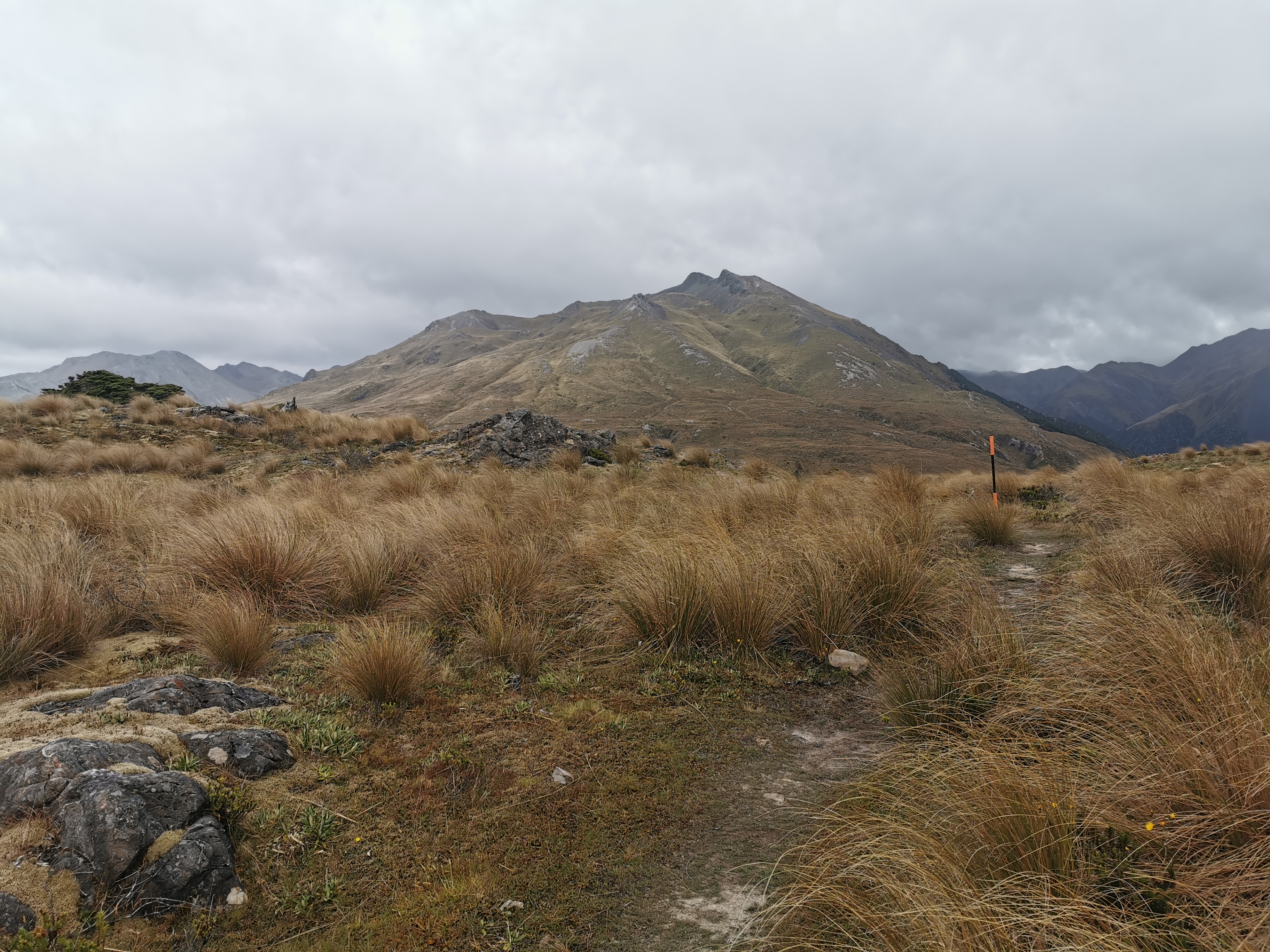
Despite the exposed summit, the wind wasn’t blowing too hard. It was actually quite nice being up there and admiring the view.
I met two people called Rob and Nina going the other way. They heard me singing to myself which was a bit embarrassing. They mentioned to me that while they haven’t crossed the rivers beyond Hamilton Hut today, the other rivers they’ve seen on their travels today don’t look higher than usual. That’s more good news.
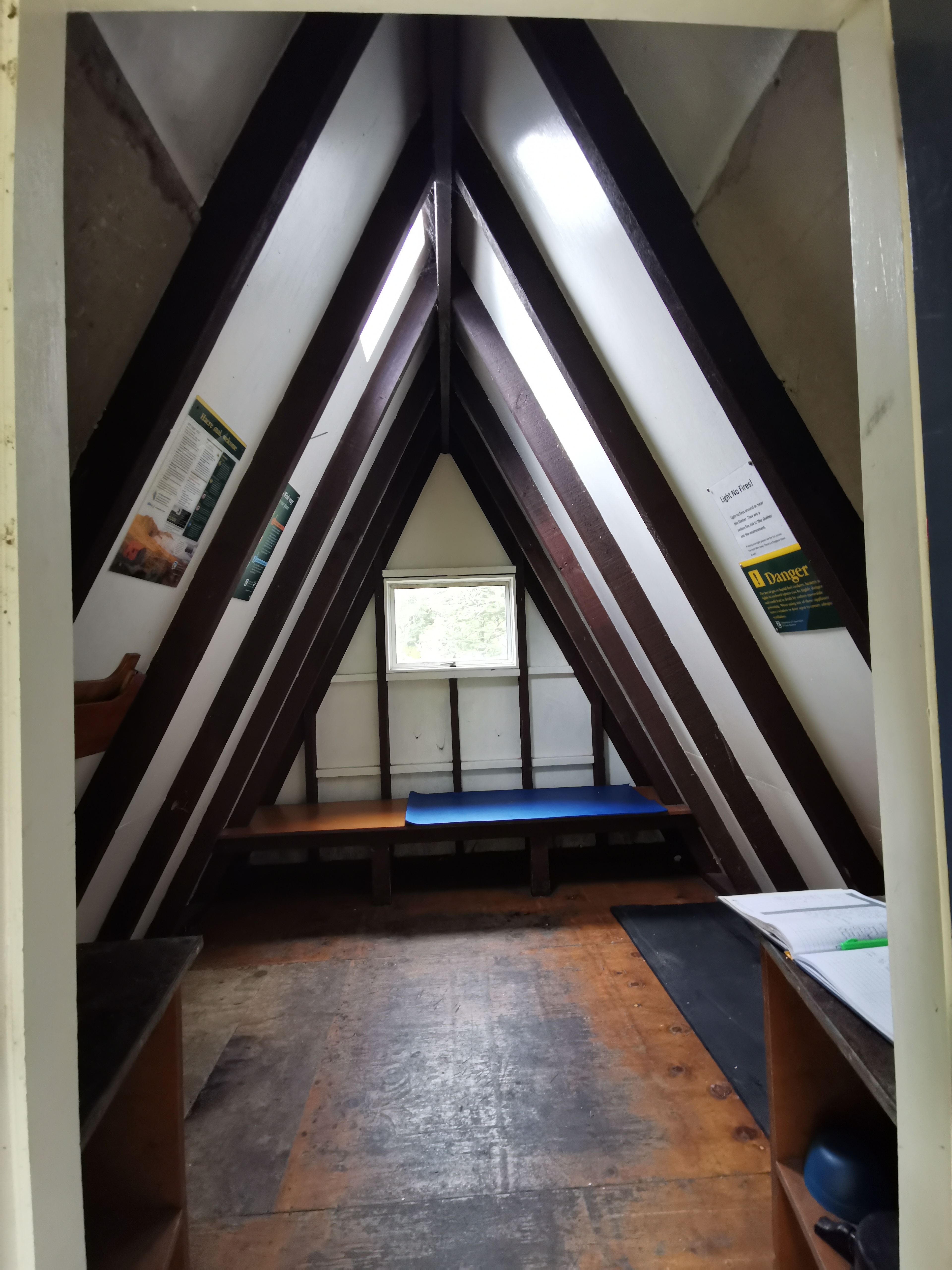
Here’s the first “hut” today – the Lagoon Saddle Shelter.
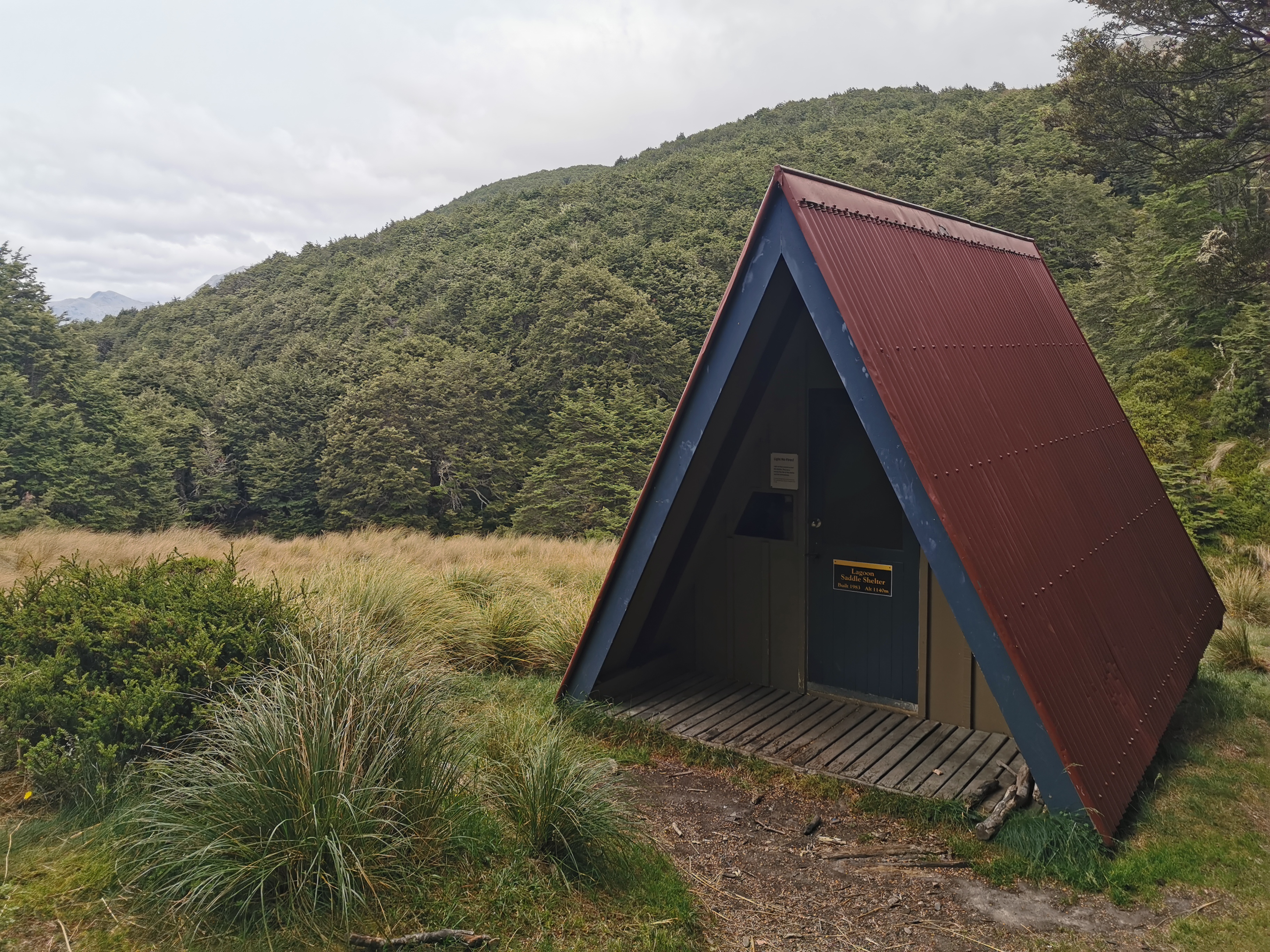
It’s a neat looking building and was quite cosy inside, although interestingly there’s nowhere set up for sleeping. I had lunch #1 here.
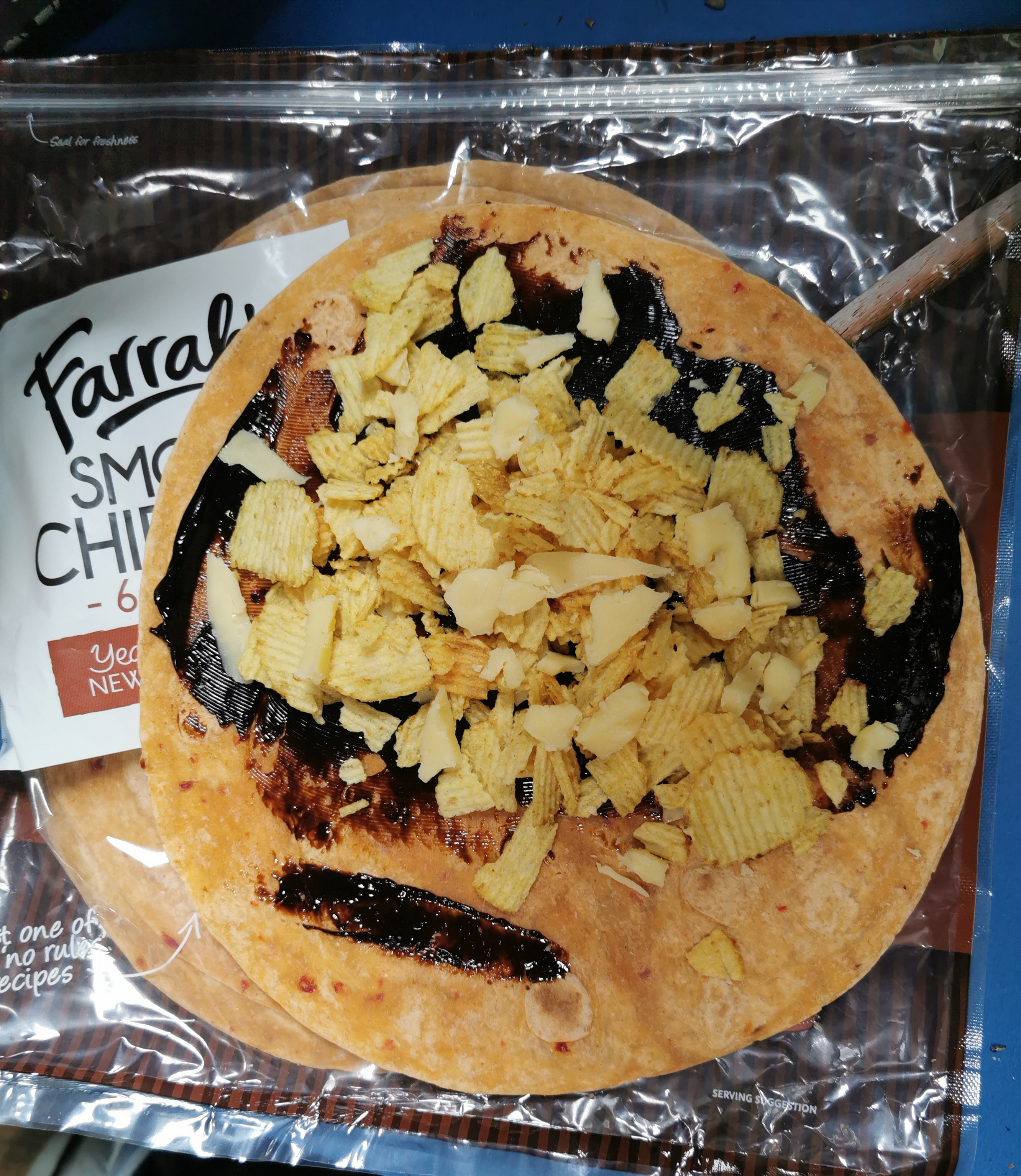
My lunch consisted of my new favourite wrap. Marmite, cheese and potato chips on a Smoky Chipotle wrap.
And also this fantastic Iced Mocha drink – another impulse purchase at the Bealey Hotel.
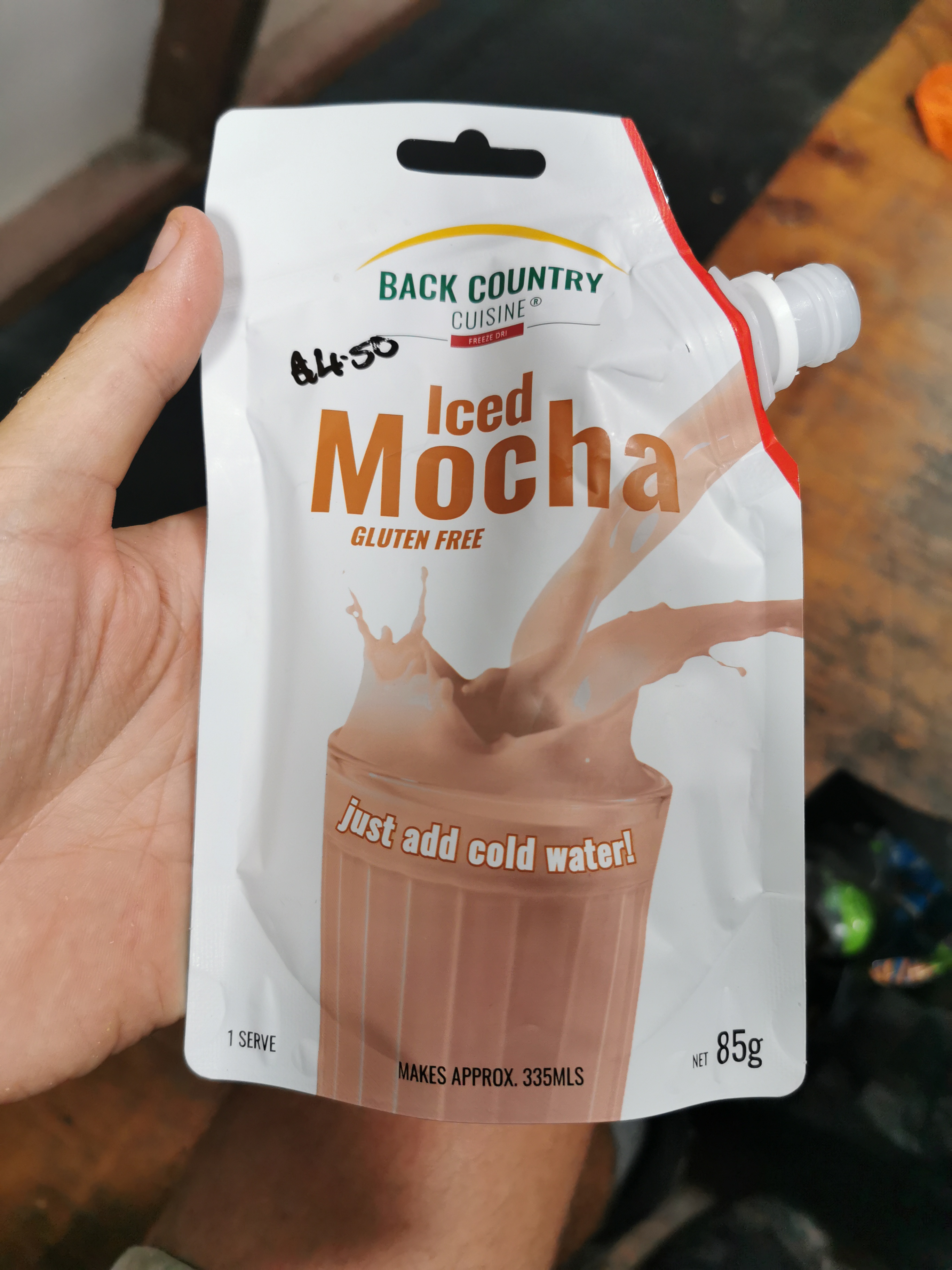
I think I’ve raved about these before, perhaps back in the first week. They taste so nice. The only problem is that they cost $4.50 and it takes no more than twenty seconds to drink them.
Time to continue on, back into the forest. There is apparently another hut right here, less than 100m from the one I just had lunch at, but I never saw it. It must have been hiding.
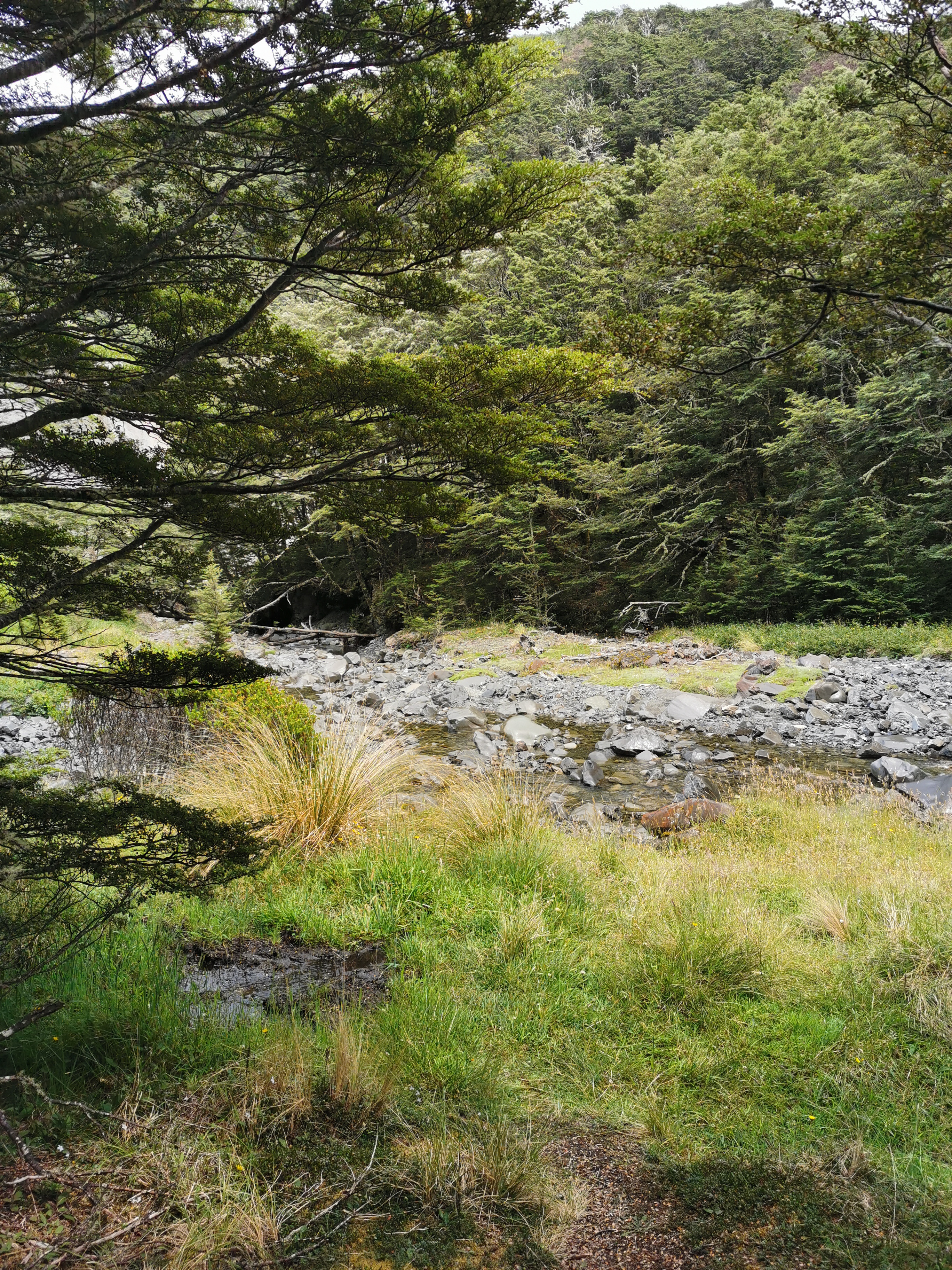
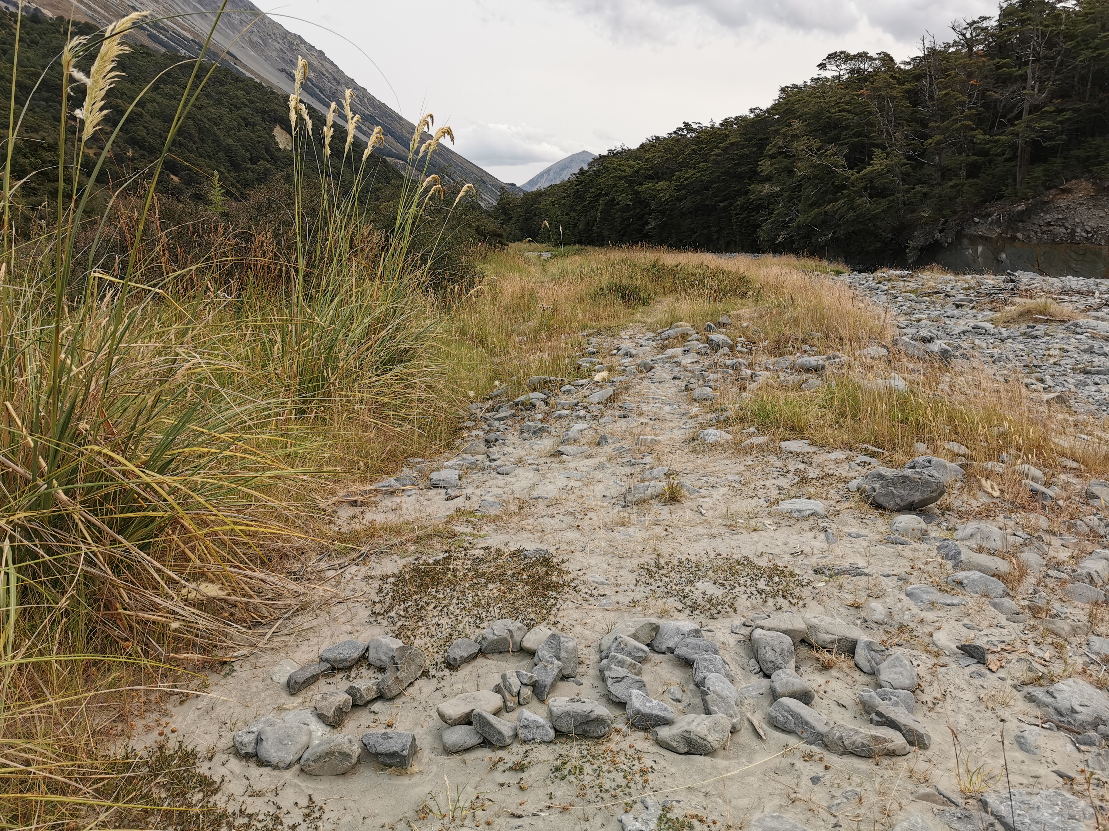
It wasn’t long before the trail appeared to reach a dead end. At this point, it simply reached the river and stopped.
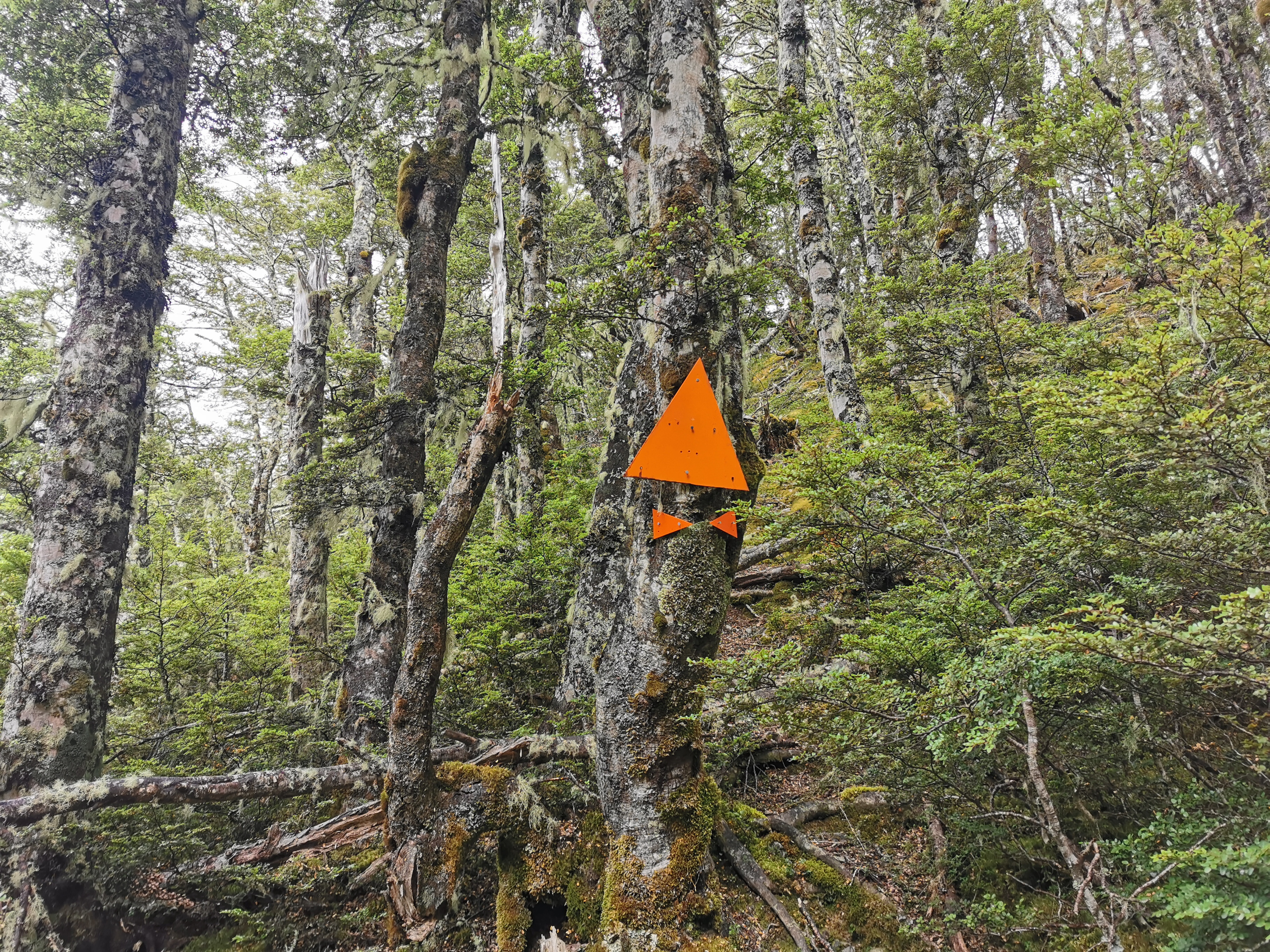
The next photo was looking behind me. There was a marker there so I at least knew I was in the right spot here.
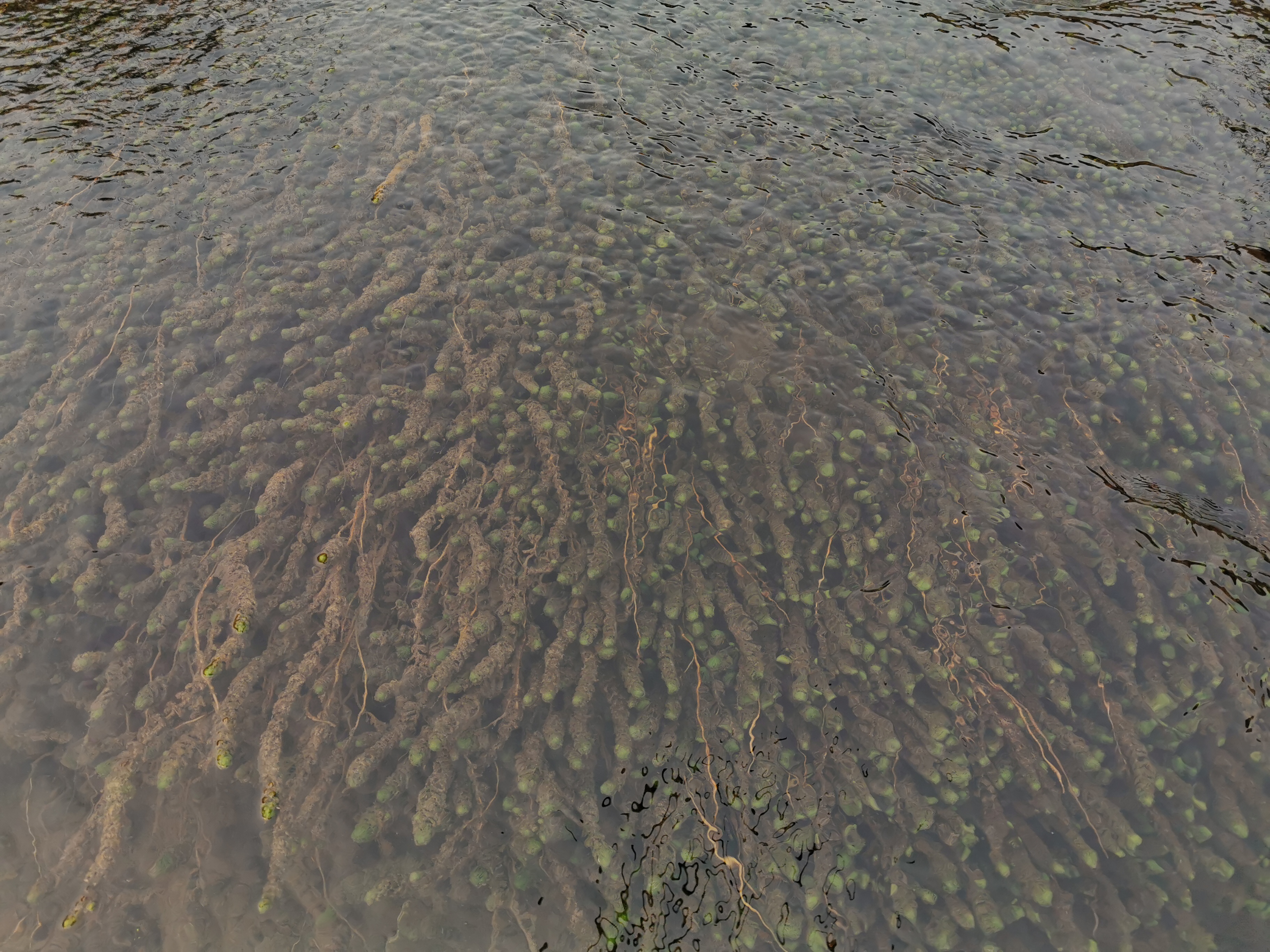
But where to now? I tried a bunch of different paths that led nowhere. That could only mean I’m expected to go down the river. That’s fine and nothing new, but I like it when the river crossings are marked so I don’t endanger myself for no reason.
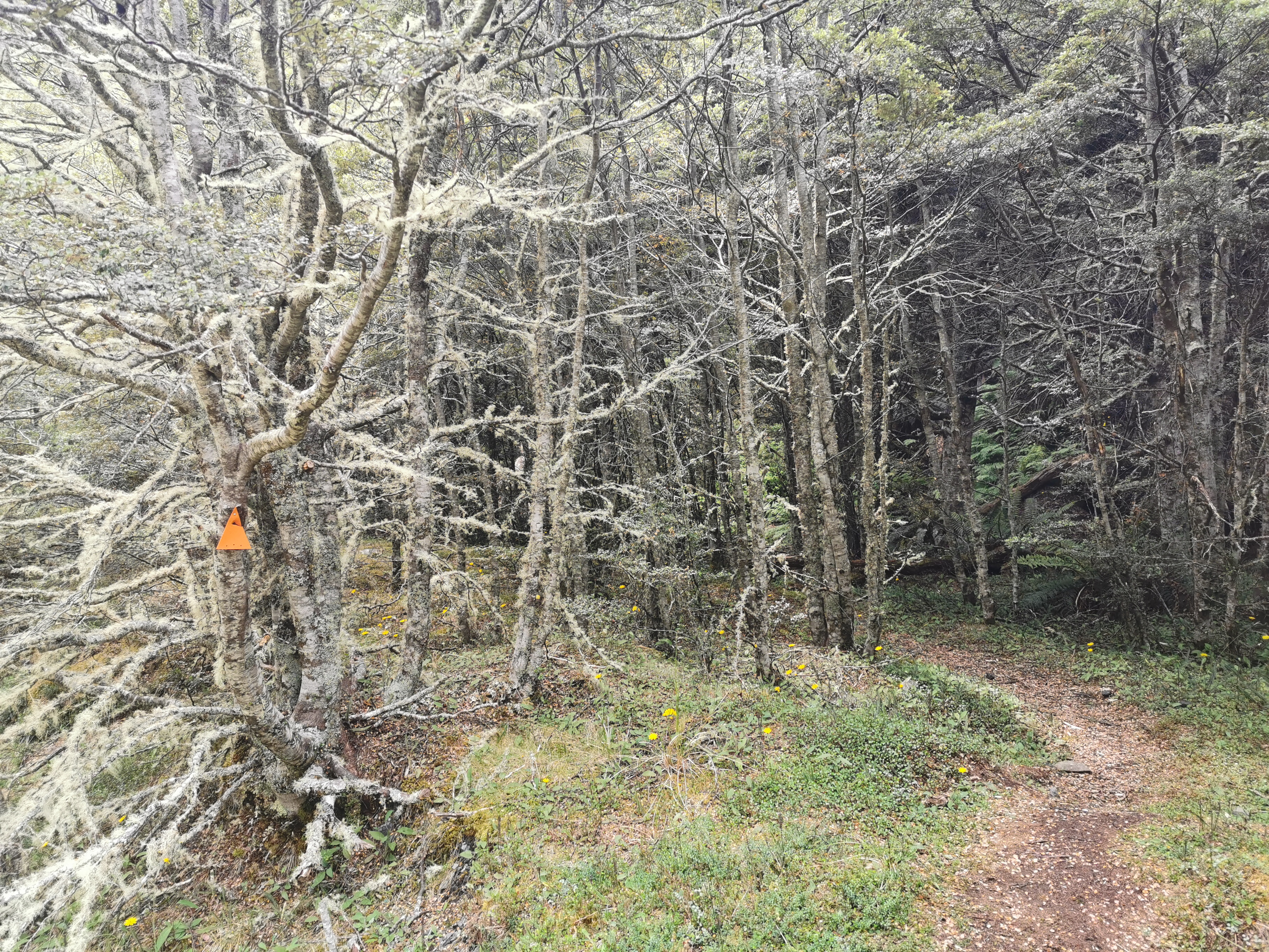
The trail went in and out of the forest. Near this particularly slippery section,
I met someone else going north. She was from Quebec and she said she’d had no problems with river crossings, and she also said the section of trail beyond Hamilton Hut was easy. That’s great news. I told her some information about what was coming up next for her and we continued on.
Then soon after I met an American girl, also going north, who also had no problems with the river crossings. “Piece of cake” is specifically what she said.
Suddenly I was in a much better mood. The rain had stopped, I had a great lunch and the news for the upcoming section was all good.
Throughout the day I met about twelve people going northbound. That’s a lot of NOBOs, in fact possibly more NOBOs than I’ve met on all the rest of the trail combined. It must be about that time of year.
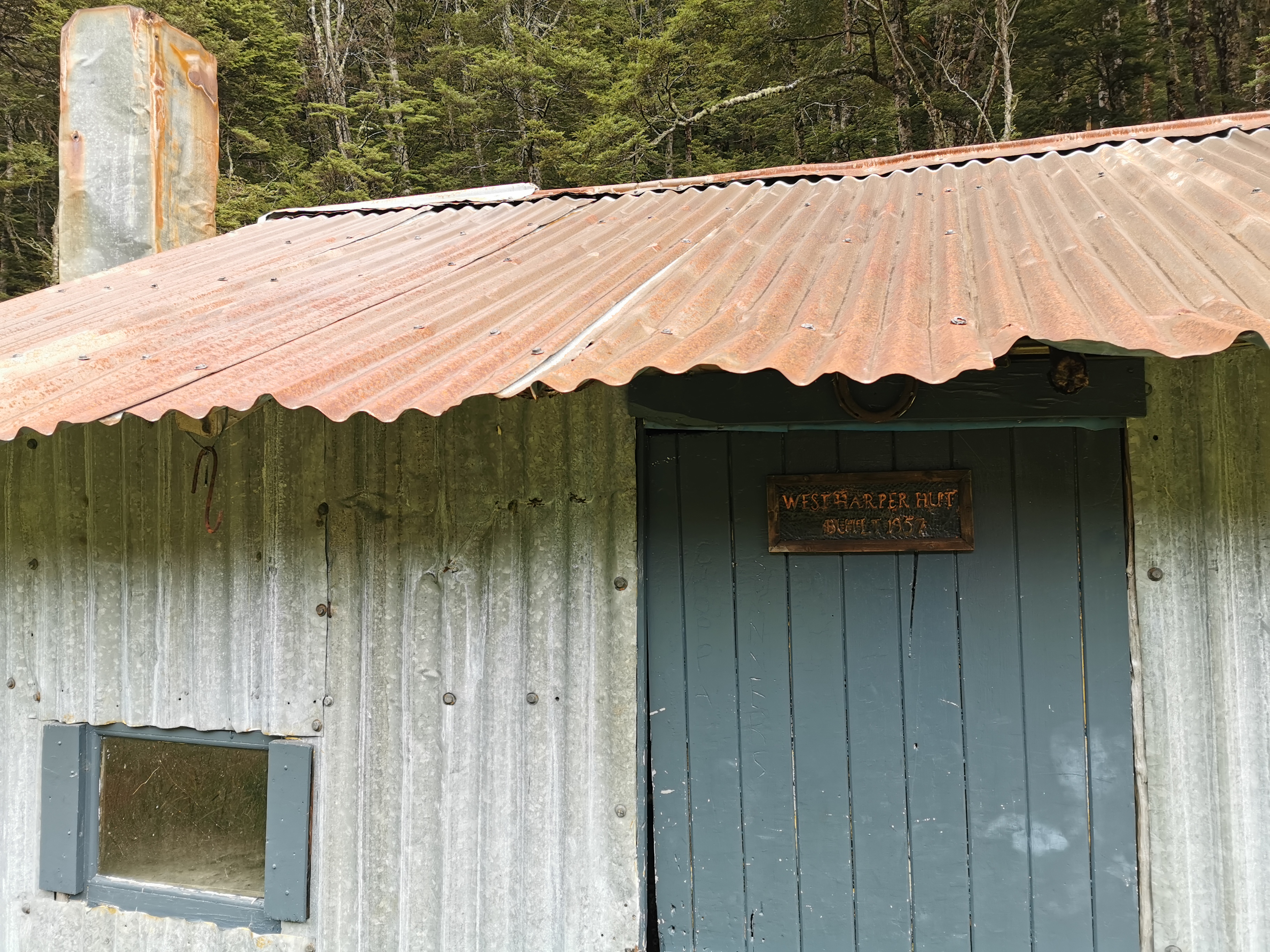
The next hut is West Harper Hut.
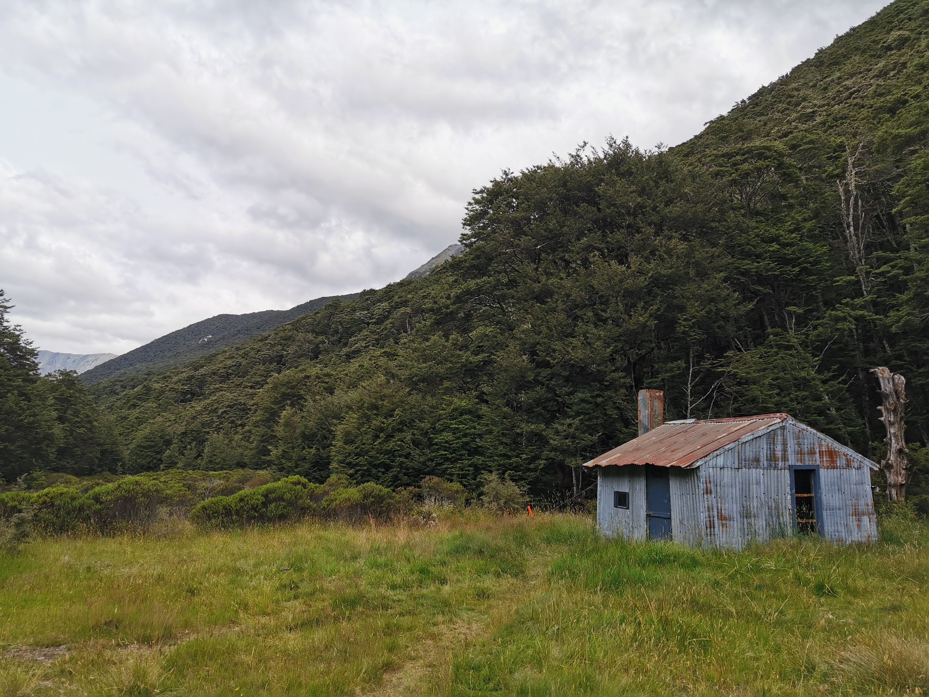
From the outside it looked a bit like Camerons Hut, where I spent the night three nights ago.
I wonder if it looked the same inside as Camerons Hut?
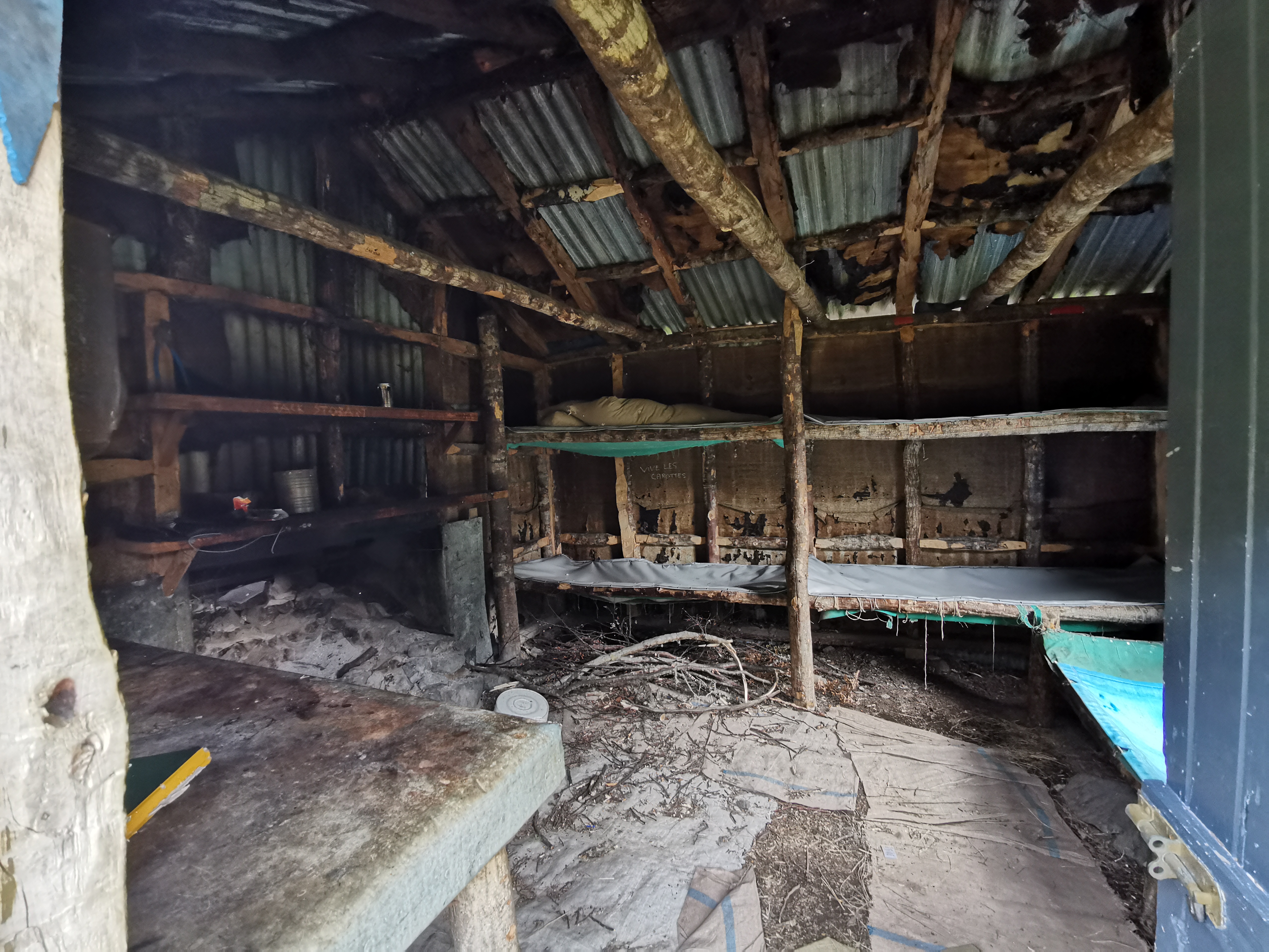
It most certainly did not look the same inside. Camerons Hut was not particularly comfortable but this was something else. I did not spend a lot of time here.
I did notice though that the majority of northbounders I passed didn’t write in the intentions book. I wish everyone would, so that the fullness of the upcoming huts can be anticipated.
At the hut I heard a bird noise I never heard before. Like a crow but higher pitched. Then it made a sound like “blebl lebl lebl lebl lewwwwwwwww”. Is there any chance that could be a kea? I’ve got no idea! But I didn’t fear. Time to step it up a gear and get out of here. I had one last jeer and left with the hut in my rear (okay that’s enough of that).
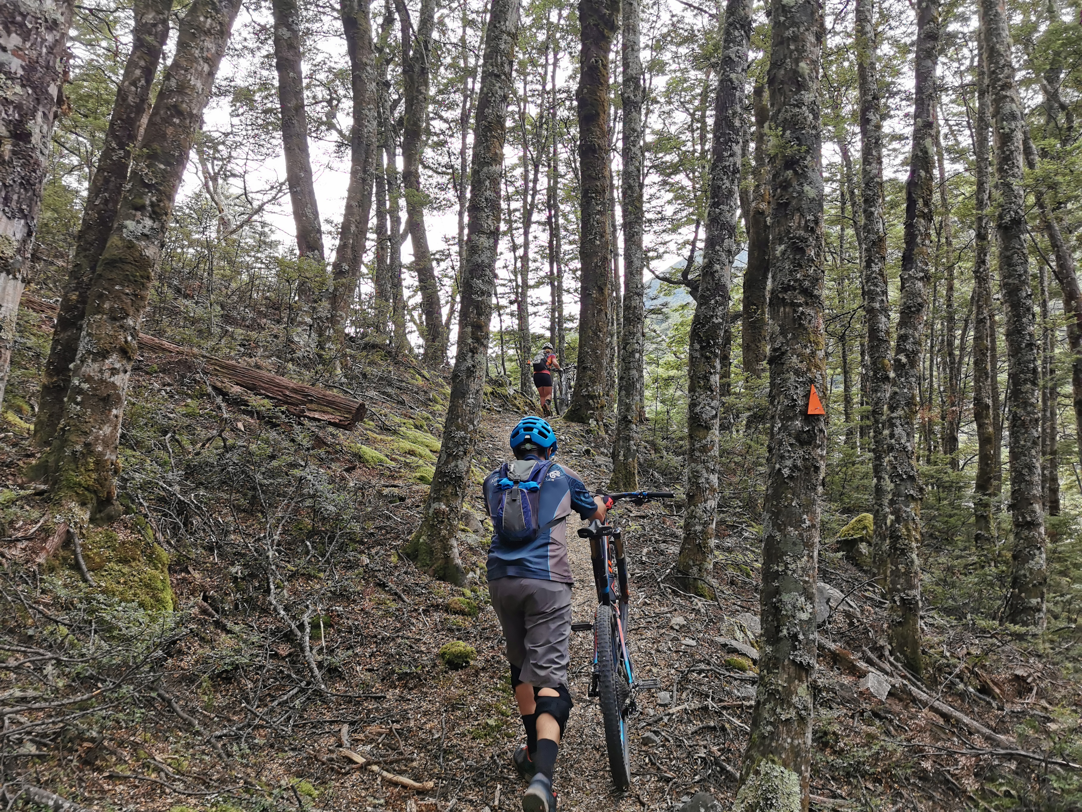
From here the trail got a fair bit easier. I even saw some cyclists when I stopped to get water, although each of them were pushing their bike.
The last guy I met going northbound was very chatty and we talked about all kinds of things. I mentioned I’d had no injuries since Waipu Cove “touch wood” and he suggested I touch his wooden walking pole. And it was only a short time further on that my left leg started to hurt. Clearly on this occasion, touching wood didn’t work.
I was quite conscious of the time. I’d been setting myself goals in my head. 16km by 3pm, 19km by 4pm, 22km by 5pm, etc. That way I’d get to the campsite (38km) not long after 10pm.
I got to the Hamilton Hut turnoff in 6 hours 20, not quite the 7.5 hours on the sign but I didn’t cut off as much time as I hoped.
It was a 10 minute detour to go and see the hut, and it’s a really popular hut apparently, but I didn’t get to see it. I just pushed on.
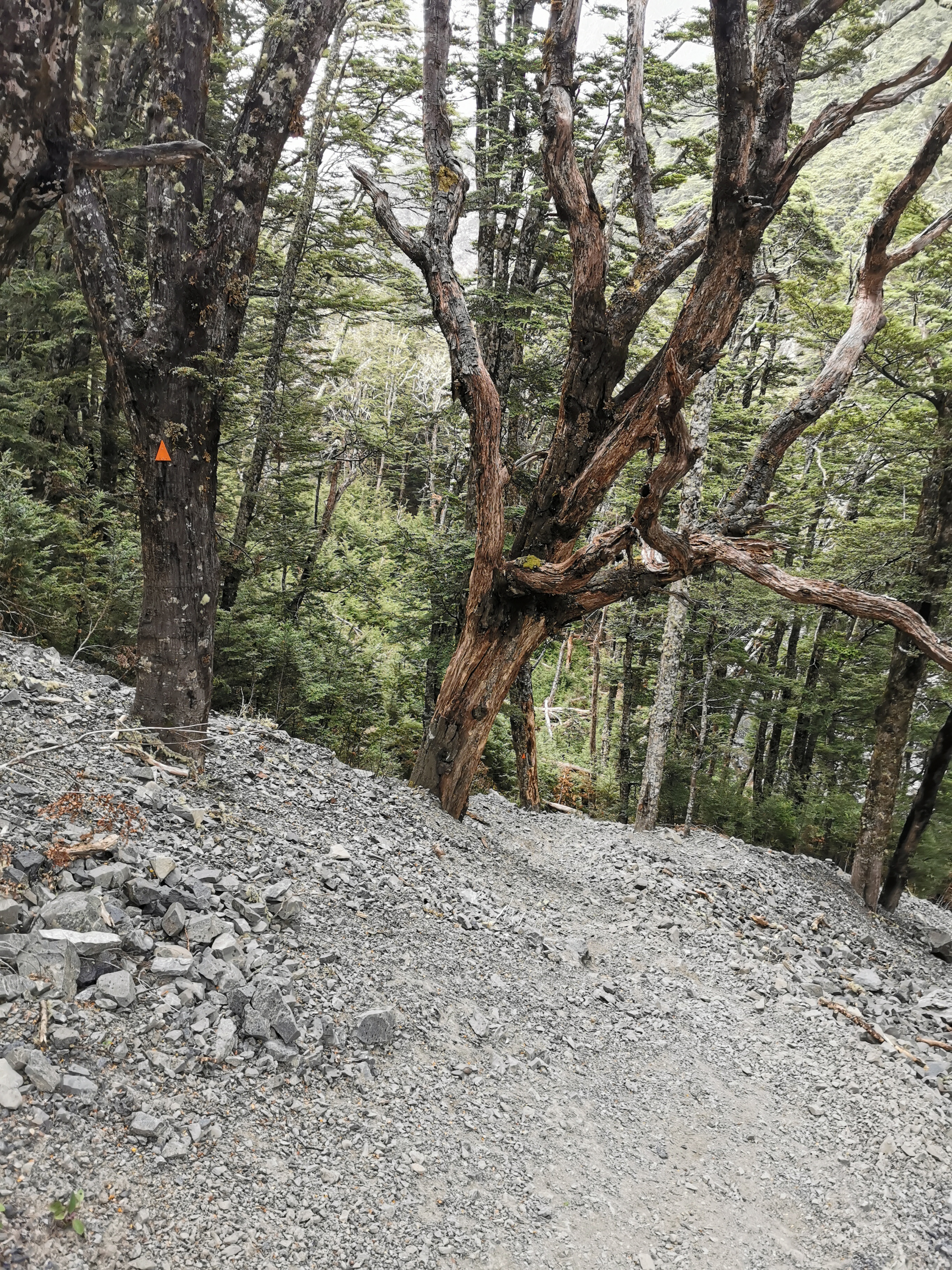
After the Hamilton Hut junction, the trail did indeed get easier. It was following a 4WD track in and out of the Harper River for about 13 km.
The trail notes say that if you don’t want to go through the river that it is possible to follow the left side of the river downstream without actually going in it. However I really didn’t believe that was possible. There was a lot of bush and at one point a cliff that had fallen away. And the 4WD track was so easy, I had to go that way to make efficient use of time.
So that meant getting my newly dried boots wet again. That’s okay, I remembered that it actually felt nice coming up Goat Pass with wet boots. And there was a comment on Guthook for this section by “John Goes Places” saying “just get your feet wet and embrace the suck”. So I did indeed do just that.
The river was really refreshing actually in the late afternoon. Maybe I shouldn’t be afraid to swim in it on days when I’m not on such a time pressure. If anything it might mean I’ll smell less.
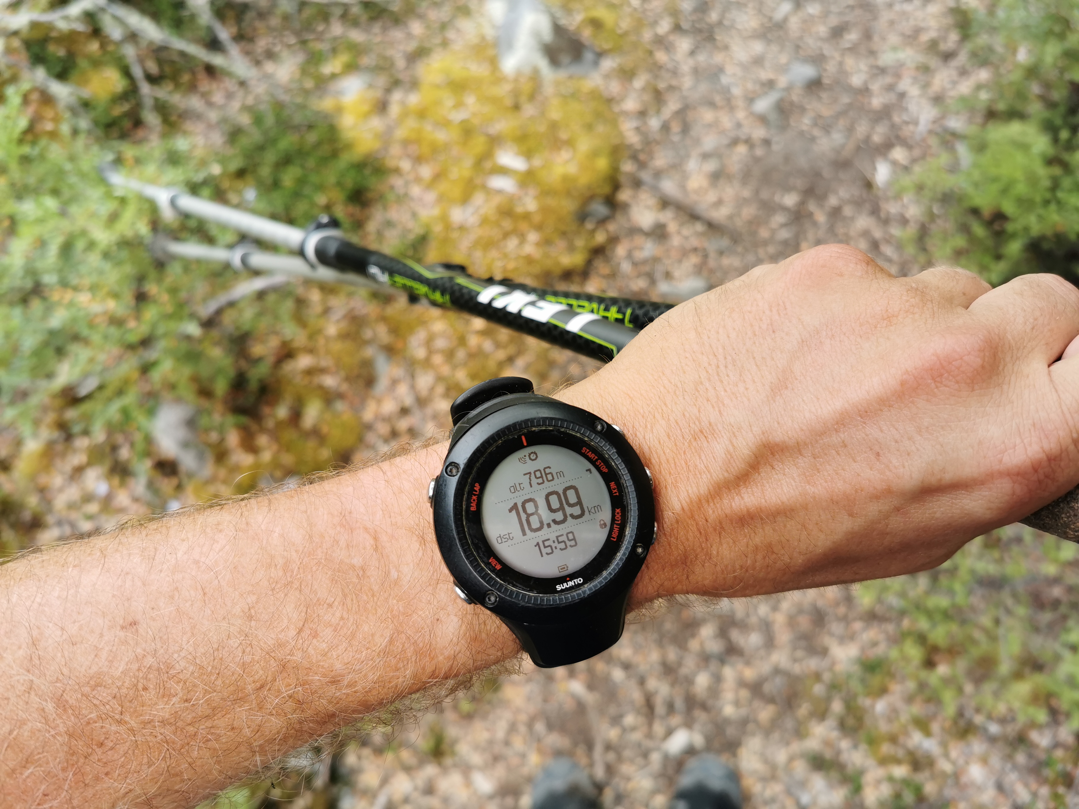
A surprise along here was this 2,200km marker, although like the 2,000km marker it was a bit early, according to Guthook. The app reckons I was only at km2198.7.
My left leg was starting to hurt fairly bad now. It was the same sort of pain that made me take a week off in Kerikeri and Whangarei in the third week. I was worried about it, but I always had the dire weather forecast in the back of my mind and so I kept on walking through the pain, even though I wasn’t happy about it. Plus there were absolutely no hills in the 19km between Hamilton Hut and the campsite. That hopefully will help with my leg pain.
One landmark that I passed was “The Pinnacles”.
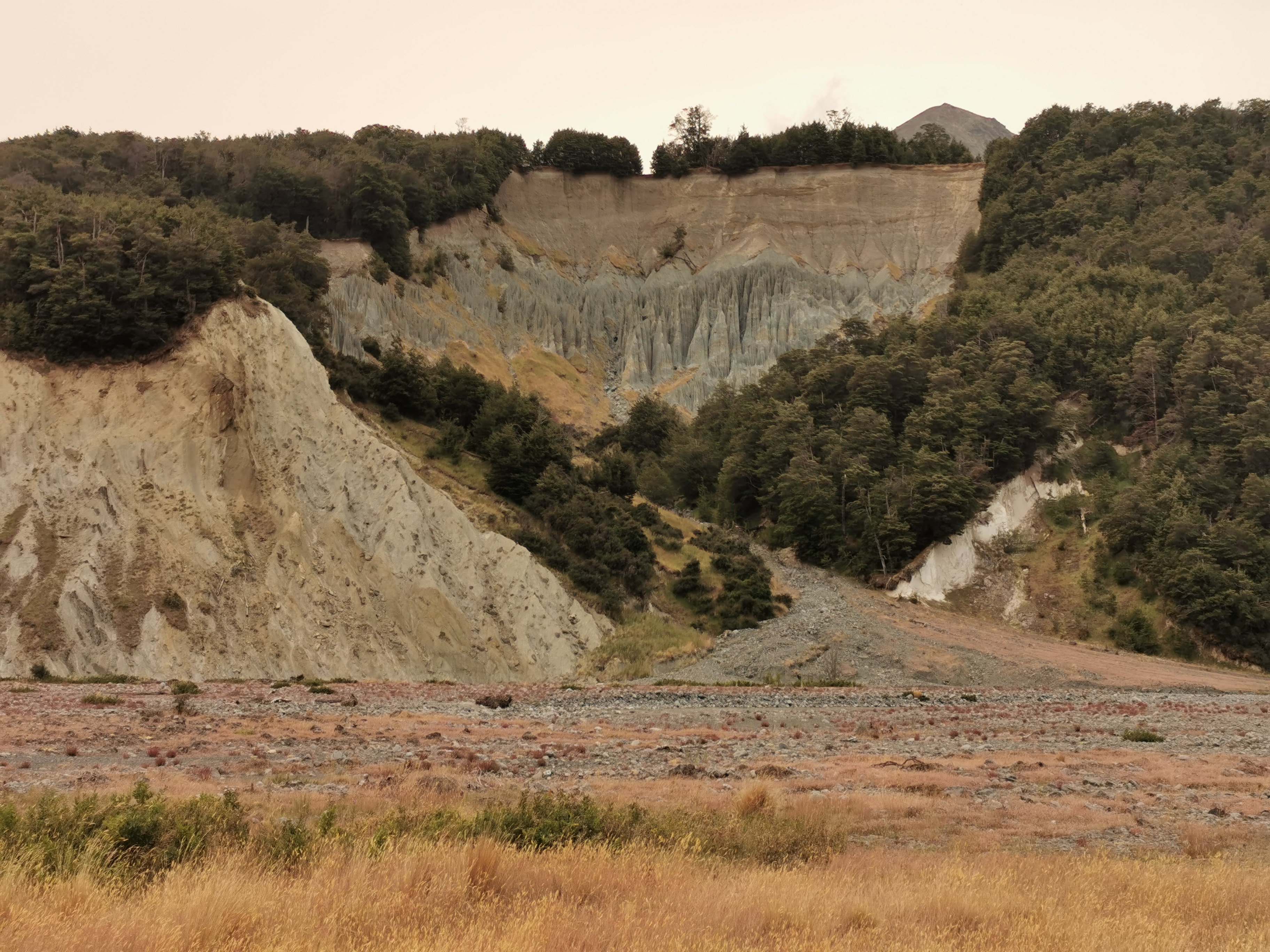
It was an interesting series of pointy rocks, but I don’t know much more about them than that. I know there are other places in New Zealand called The Pinnacles too, for example there’s a place in Coromandel with that name.
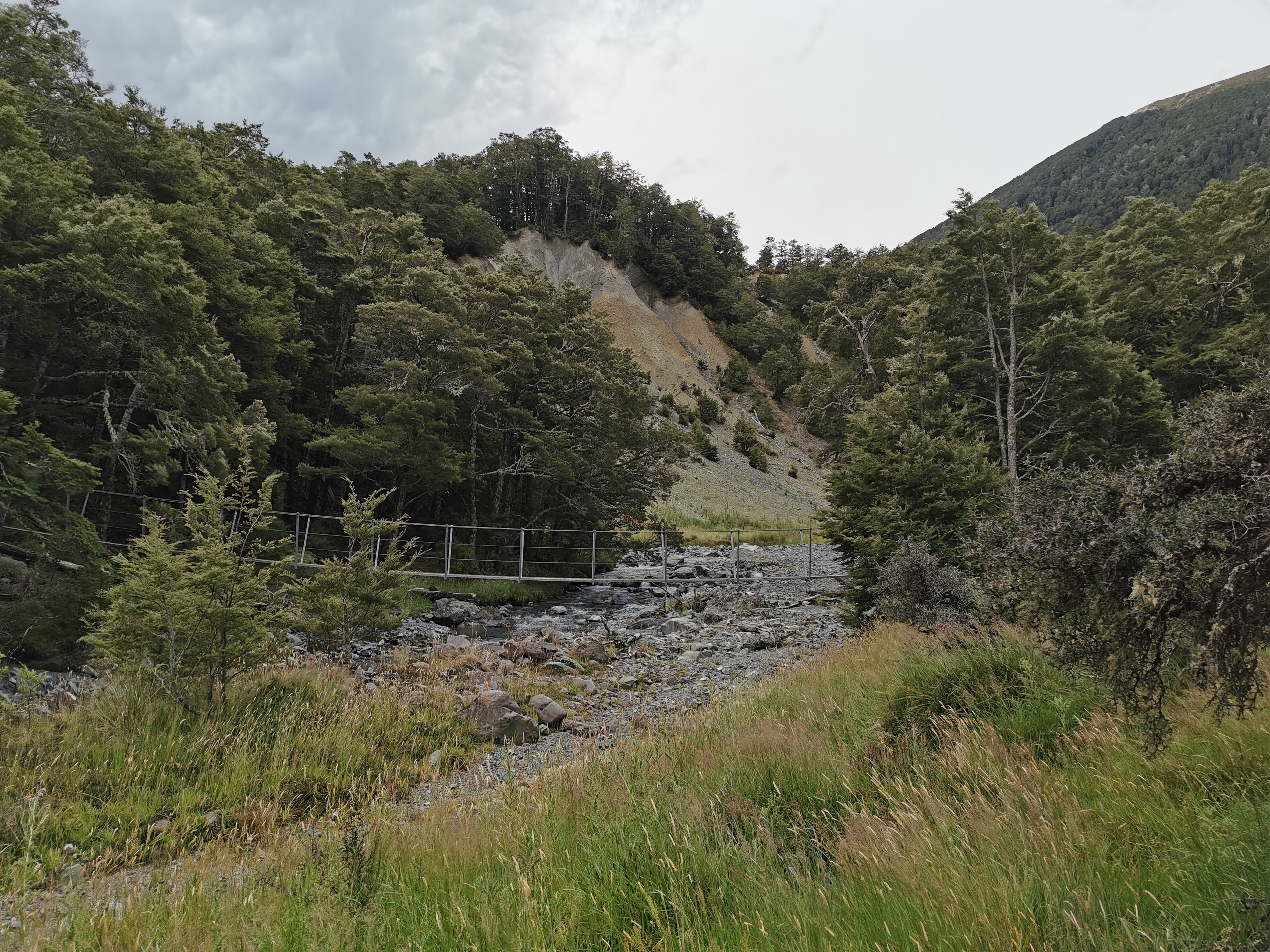
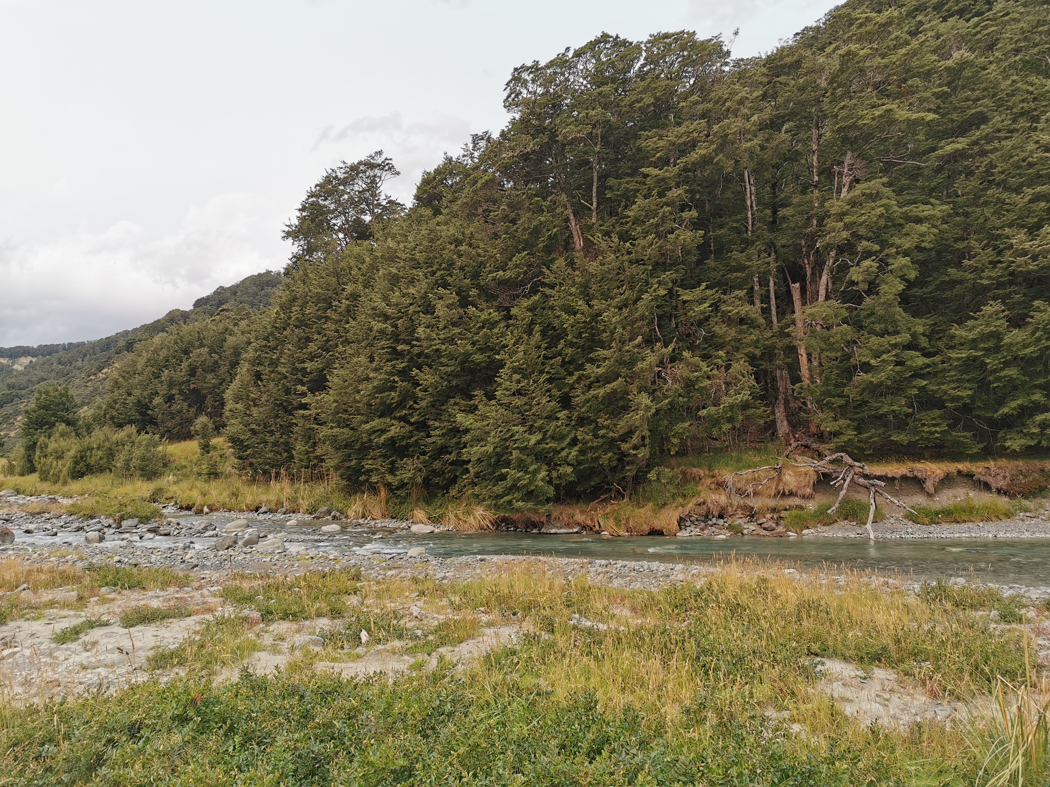
This spot is worth mentioning:
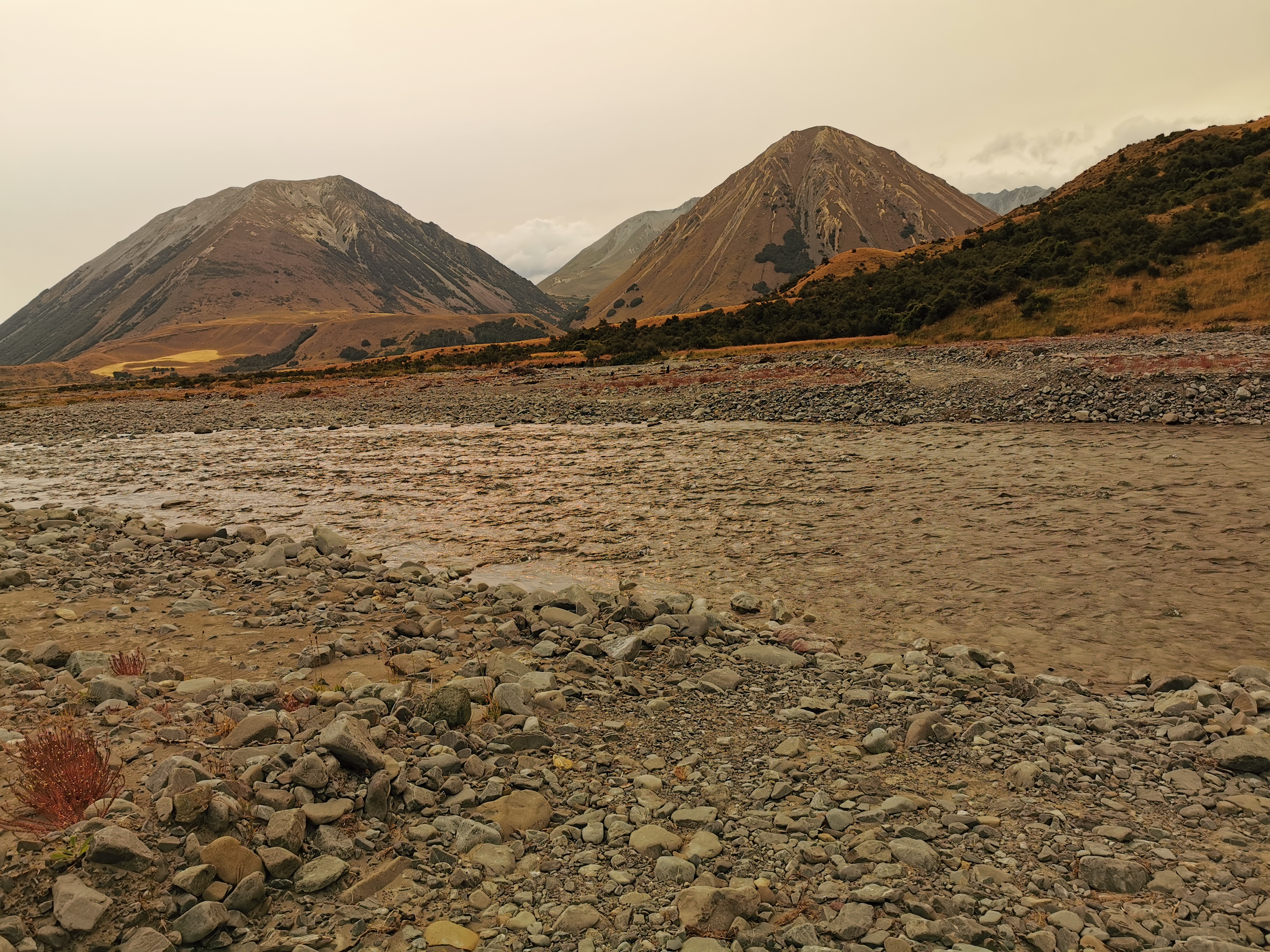
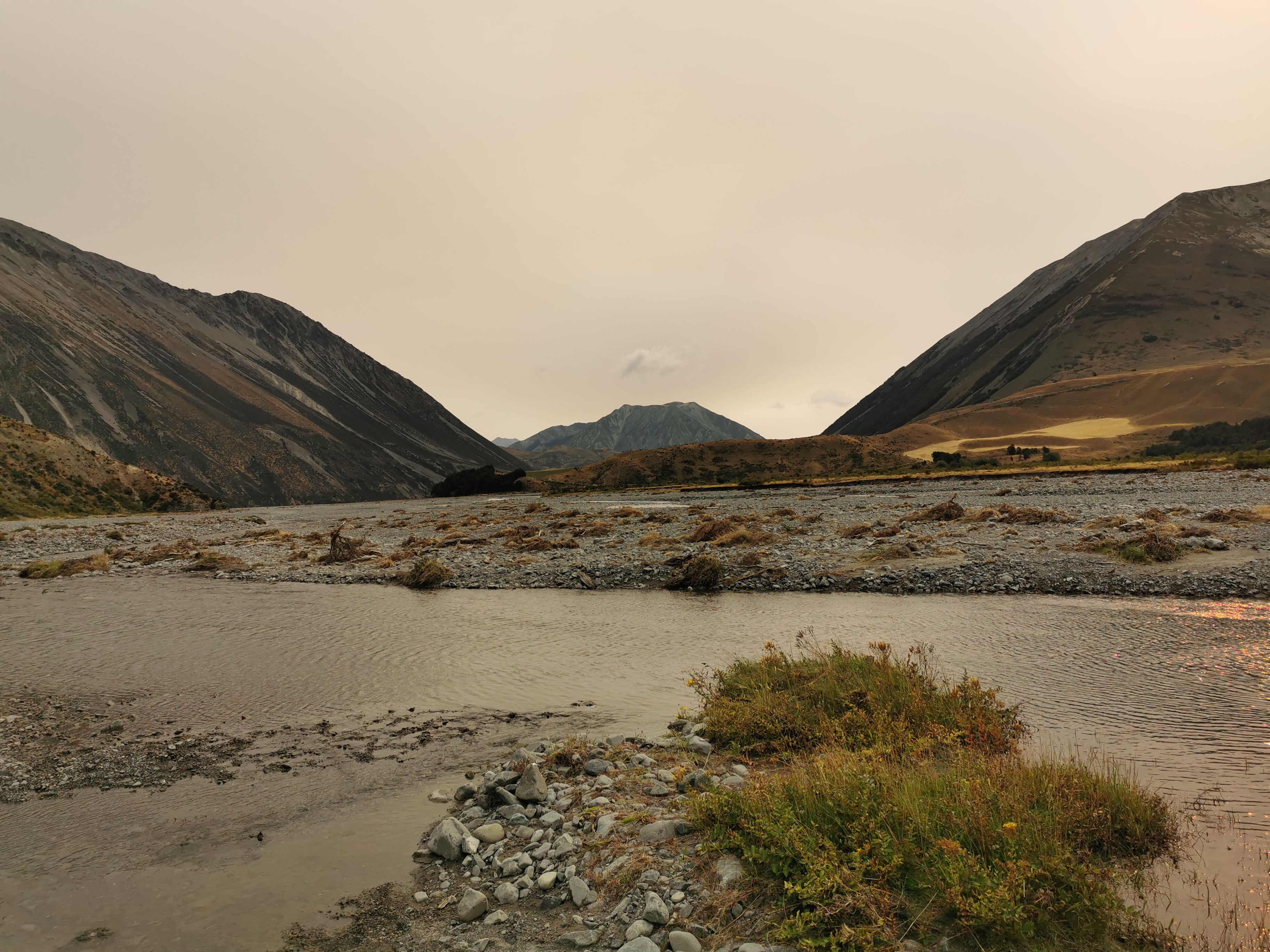
When you’re at this point, this is the last time that the Harper River is crossed. It’s easy to spot because of the two fine specimens of mountains in the background. The one on the left is named Gargarus, and the one on the right is Mt Fitzwilliam.
I didn’t notice at the time, but when I looked at my photos later I noticed the same orange haze over the area that descended on Auckland a few weeks back during the Christmas Break. I’m surprised I didn’t notice it at the time because it looks really obvious in these pictures compared to the ones from earlier in the day. I did notice that the sun was much redder than usual but I didn’t think much more of it. It must be the smoke blowing across from the Australian bushfire again.
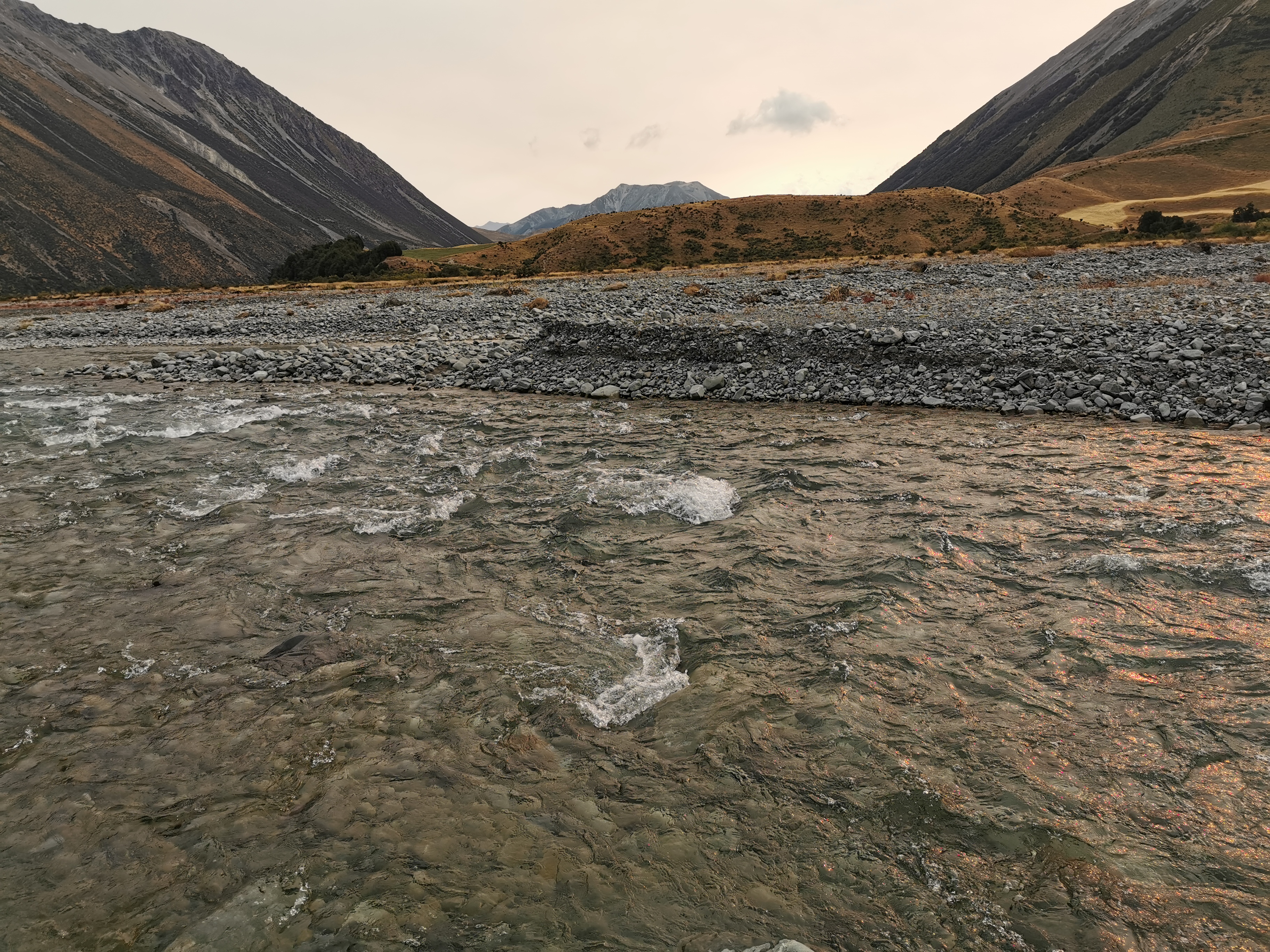
I crossed the final crossing of the Harper River. Its scariness rating was 2/10.
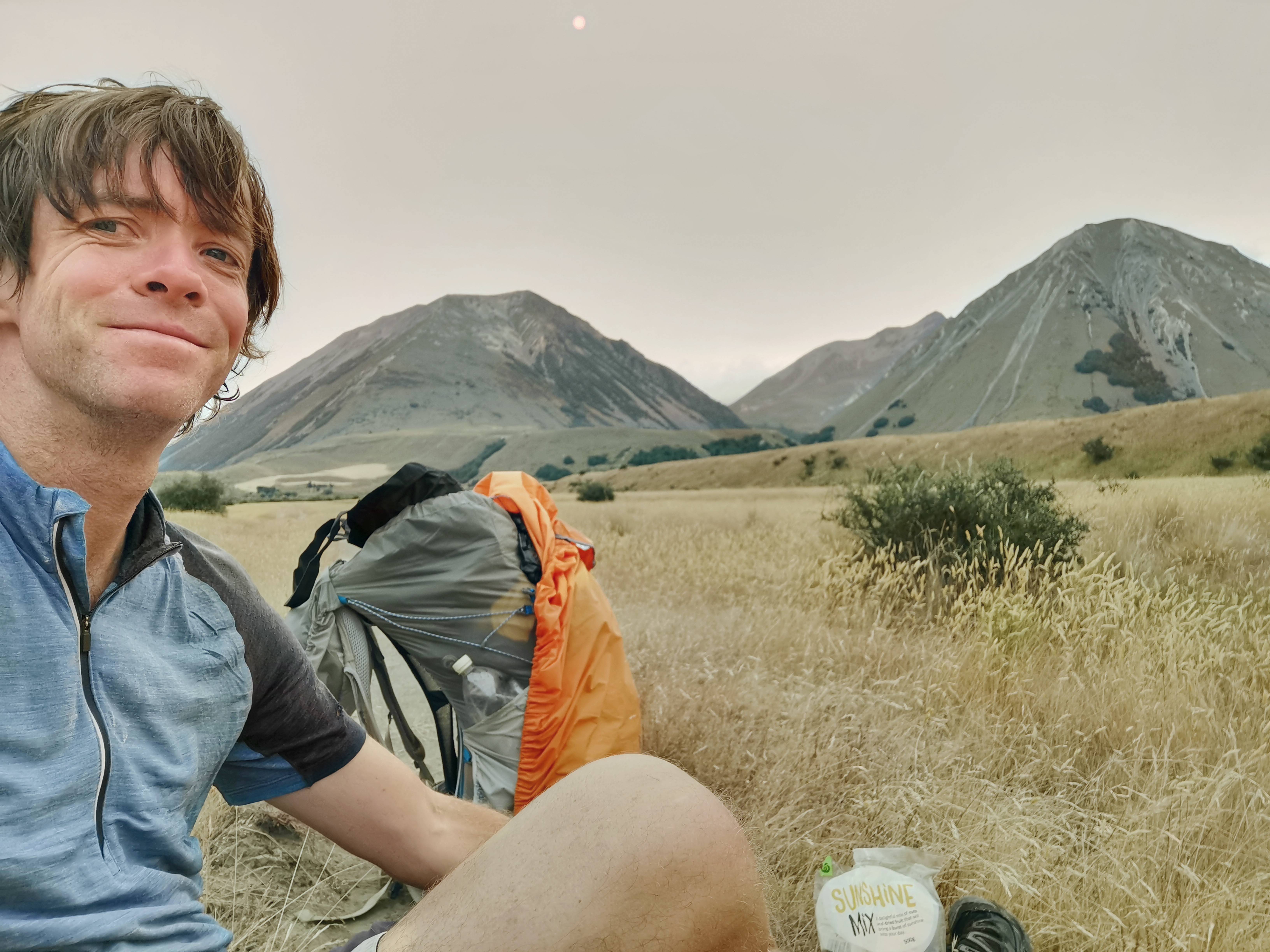
Not long after, at 6:25pm, I got hunger pangs. I’d never actually stopped for lunch #2 so I wasn’t surprised. I sat down and just had a mix of nuts and fruit called “Sunshine Mix”. While I was doing that, I took some time to just sit and look and admire the scenery and take in the grandness of my surroundings. I suddenly felt like all the problems I had at the beginning of the day had gone, and I had no problems in the world. It was When I’ve finished the trail maybe I could do meditation or something. It would be nice to have this feeling all the time.
There was one last river crossing – the Avoca River. This is the one I’d been dreading all day. Let’s have a look…
It was deep but hardly flowing at all. Scariness level 1/10. What a fizzer. All that worrying for nothing.
But wait! Not long after, another river crossing! This one didn’t even have a name on the topographic map and so I was surprised it was fairly notable. It was moving quite fast. I gave it a 4/10 for scariness. I really hope that’s it with the river crossings now.
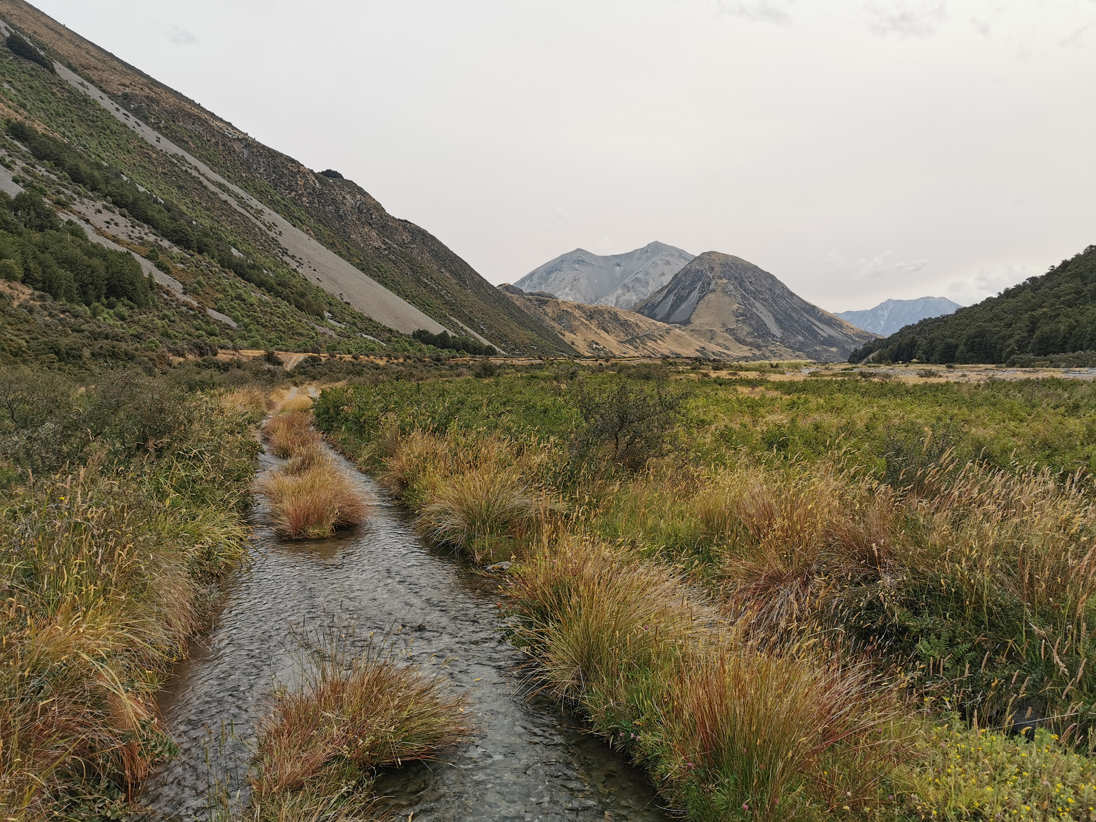
The 4WD track ended at a place called Glenthorne Station – a big cattle and shep farm. The trail went around the edge of it.
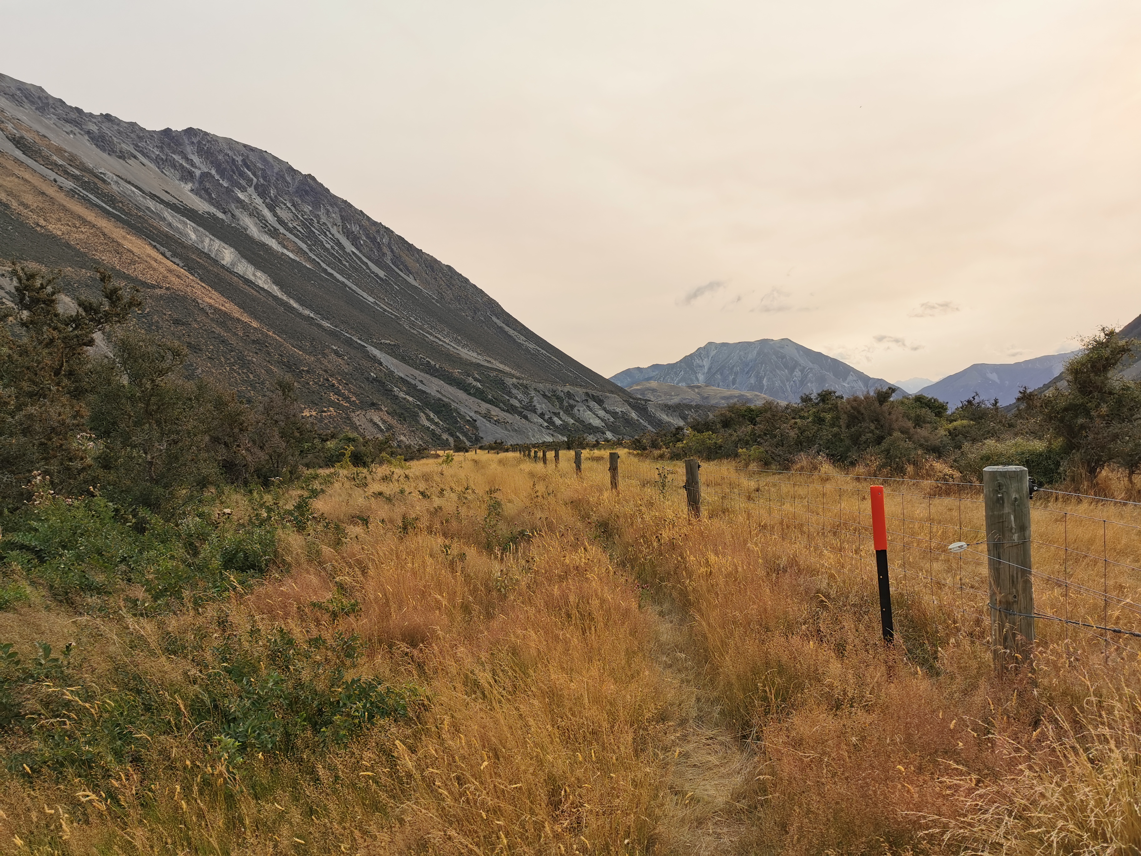
That’s Mt. Ida in the left of that picture. The Harper Campsite is near the bottom of that mountain and then the road walk to Lake Colridge tomorrow goes around the back of it. After a bit more walking I could even see the road in the distance.
I had it in my head that tomorrow’s road walk was 22km, but I looked at Guthook while walking and it said that Lake Colridge Village is 28km from the campsite. Gee, how did I get that wrong?
That’s gonna be a long walk tomorrow since if there is a shuttle coming it will turn up between 2:30pm and 3pm. And right now there is still 5km to the campsite and everything hurts now. Every single step hurts in both legs. No wonder people take four days to do this section. I really ought to leave the long days until I have a lighter pack. But I can’t change the weather forecast, even though this time it seems to have been wrong.
All this walking in a dead straight line gave me time to think. My brain completely went into its own little world. I thought about what I’d write in my final Facebook post once I get to Bluff, what car I’d buy myself once this is over, I started reliving the first day of the trail, anything to take my mind off the walking and the pain. Luckily there was nothing in the way, I completely zoned out. If there was any obstacle in the pathway I would have walked right into it.
In fact it was hard to know how much further to the campsite. The GPS watch started going haywire. Whole kilometers were taking only 5 minutes if you believe the watch (I wish). And there were again times where the Guthook line didn’t match reality. It was trying to take me right through the middle of the farm.
With about 2km to go the wind really picked up again. That meant it could be hard to sleep tonight if the campsite is exposed.
After what seemed like forever, I reached the end of the track and came out at the road, just as the sun was setting.
With the ease of the last 19km of terrain, I had made really good time, in fact it wasn’t even 8:30pm yet. Since it was still a respectable time, while I was walking along here I took my phone off flight mode and also turned on my backup phone, in the hopes that one of them would have cellphone coverage. I thought I read that there might be some here. That way I could call the shuttle and them to expect me tomorrow.
Sadly no, I didn’t get signal on either phone. Shame.
It was one more kilometre to Harper Village where the campsite was.
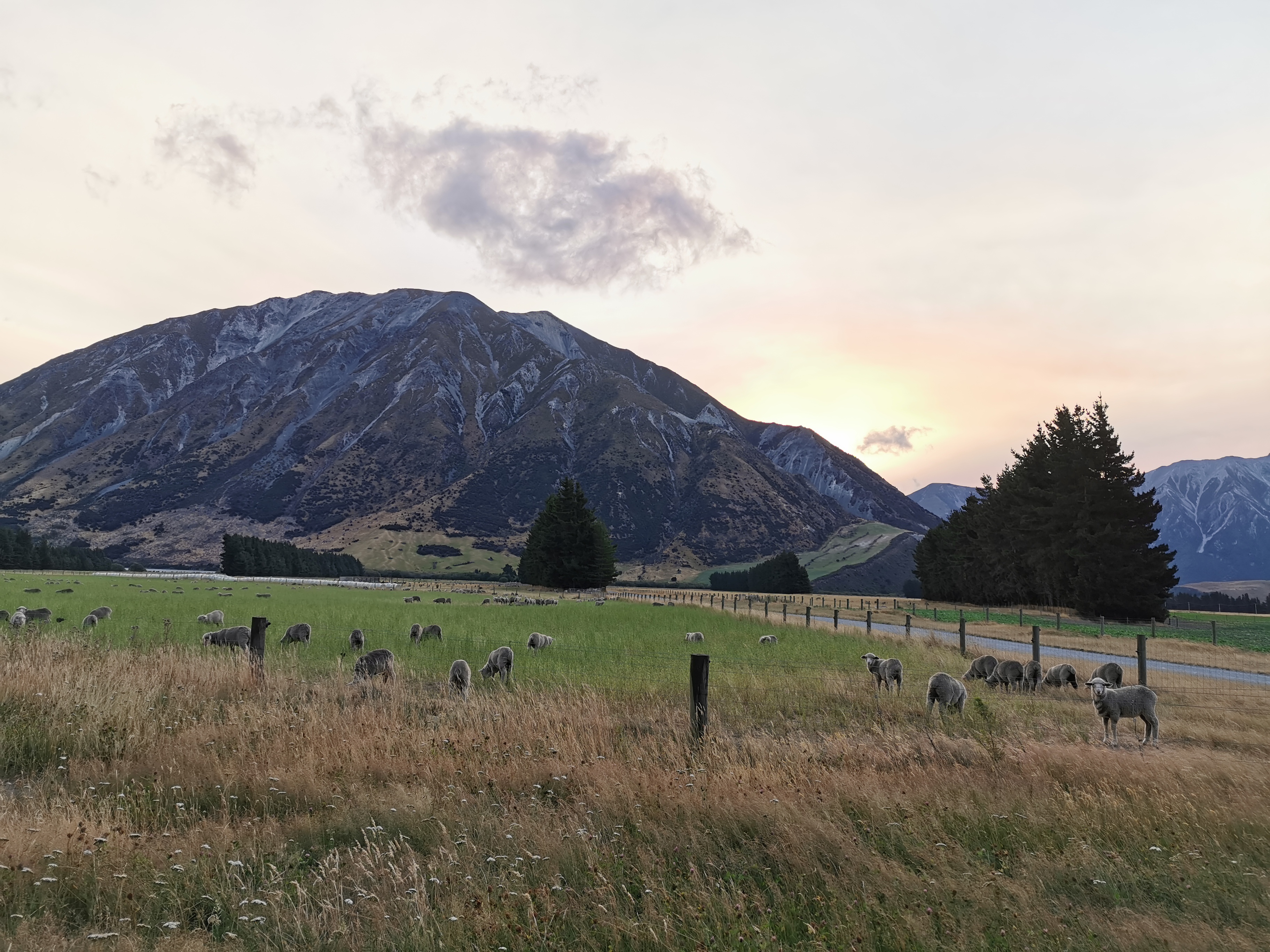
I saw my first South Island sheep! And they look different here!
The campsite is, for some reason, run by Trustpower.
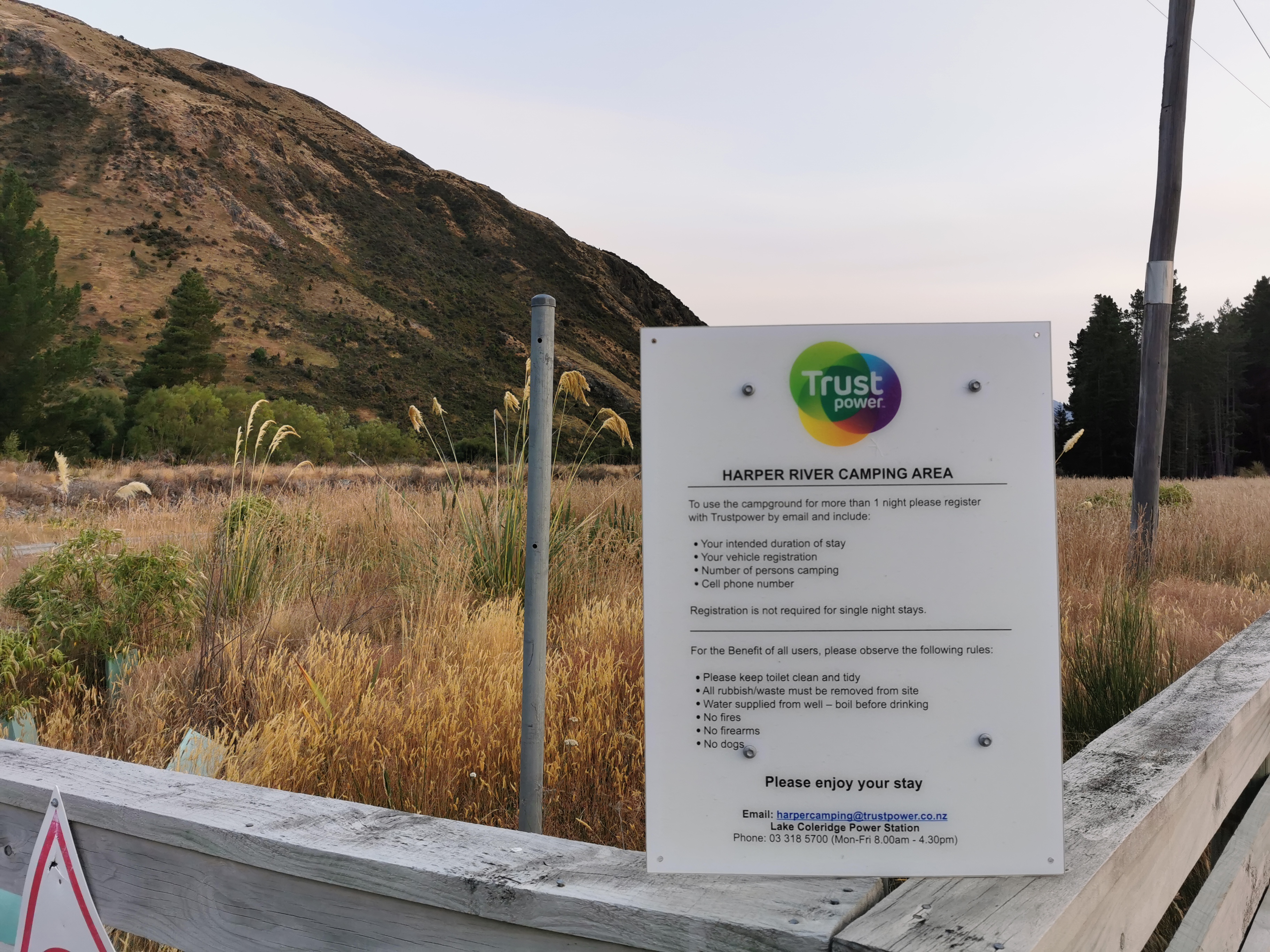
Trustpower have power generation facilities both here and Lake Colridge. Apparently there’s a guy called Kev who works at Trustpower and he calls into the campsite sometimes to see if people need a lift to Methven. I bet he won’t be around this late though.
I hobbled into camp at 8:45pm. Wow, fifteen tents are already set up here. Surely someone here has organised a shuttle for tomorrow. The first people I talked to were going northbound but they pointed at the tents of people going south who they reckon have organised a shuttle. Sweet. They’re asleep now but I’ll catch them in the morning.
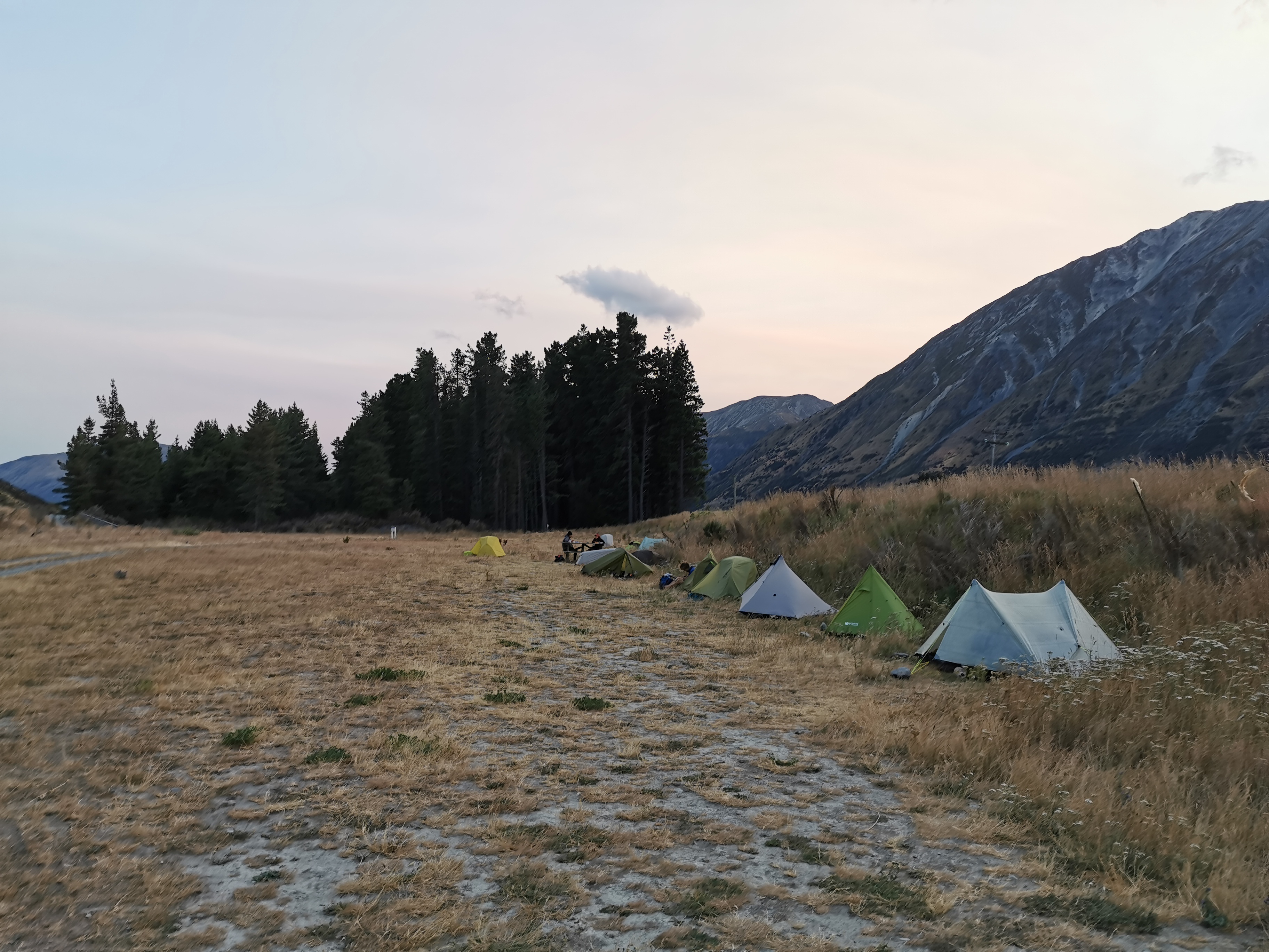
After walking all day by myself it’s a bit of a shock to have so many people in a campsite in the middle of nowhere. It all felt very different from the first two weeks when I was always alone in the campsites (until Rhydian turned up).
I looked at the trail notes… Now I know where the 22km came from earlier. There is in fact 22km of road walking but then there is also a “lake track” and an “arboretum track” before you hit Lake Colridge Village. So that explains that. I will have to leave before 7:45am tomorrow to get there in time.
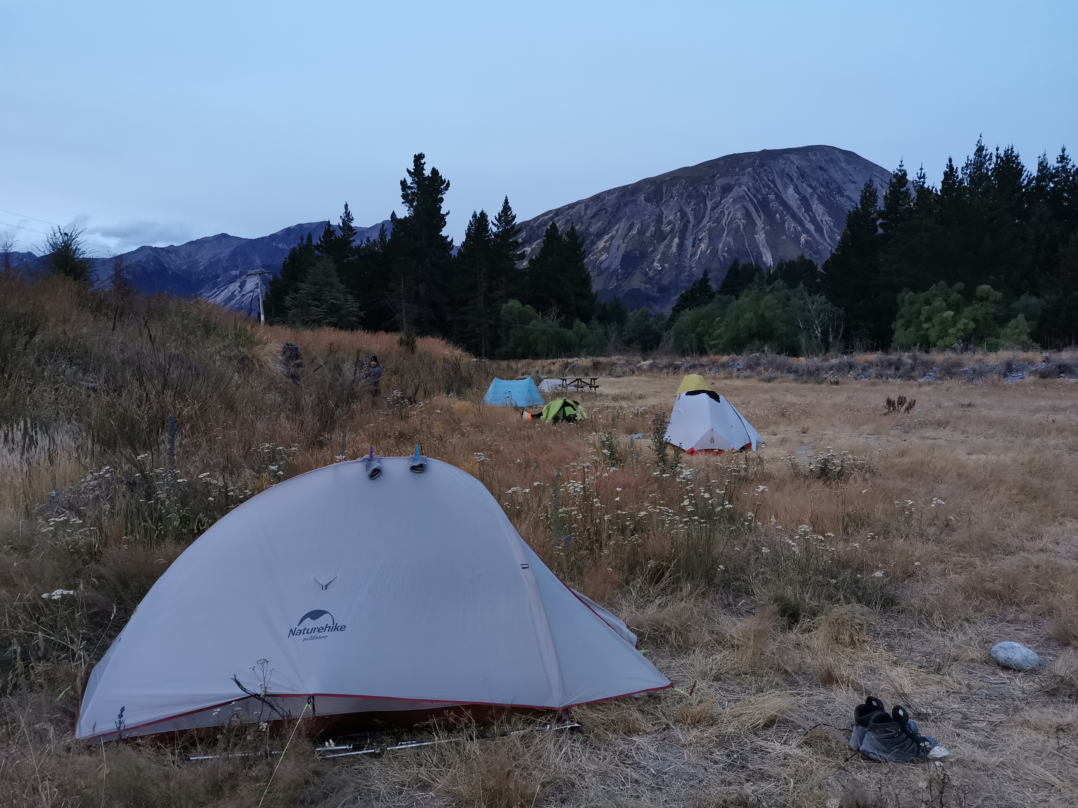
By the time I settled down it was still very windy, and hard to get the tent pegs into the ground because of the rocky ground. Not a good combination! I set up my tent the best I could and then went over to the picnic table to have dinner. When I got back to the tent two tent pegs had already come out in the wind. I put them in again and weighed them down with rocks. I also put rocks inside the tent in all four corners, which should be fine. The wind is strong but nowhere near the wind levels from Havelock back in December.
And actually there is just the right amount of wind: a bit so that the temperature is cool, not so much that I’m concerned about it, and the best part is… it keeps the sandflies away! It seems they don’t like wind! I could make a nice pasta dinner at the picnic table with not a single sandfly coming after me. It was excellent and a great end to a long day. I could even take my time getting my stuff organised and getting into the tent, and no bloody sandflies anywhere. Actually I tell a lie, one lone sandfly did make its way inside the tent. It was quickly dealt with.
Today's walk on the map (blue = Te Araroa, red = today's walk):
They might be merino sheep. High country sheep do tend to look a bit different – more lean and rugged looking.
Matt, let me correct you on your erroneous belief that the wrist-straps on trekking poles are only so you don’t drop them!
The wrist-straps are as important as the poles themselves! There are heaps of videos on YouTube to show you how to use them – WATCH at least one!!
Here is one:-
https://www.youtube.com/watch?v=7q2YwOE4okA