Date: 11 March 2021
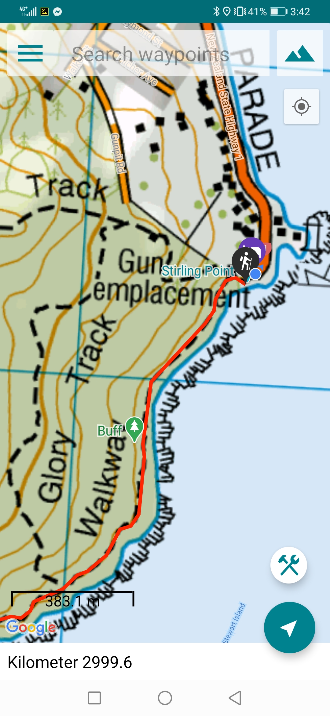
Trail covered: 35.8km (kms 2963.8 to 2999.6)
Weather: overcast and cool
Wow… It’s the last day. It’s been a real long time coming. And the worst bit for me (right now at least) is that last year, before lockdown, I had thought of all these things I was going to write about in the last entry. But I didn’t note any of them down and taking a year off the trail has made me forget everything. Oh well… Let’s just start at the beginning of the day and see how this goes!
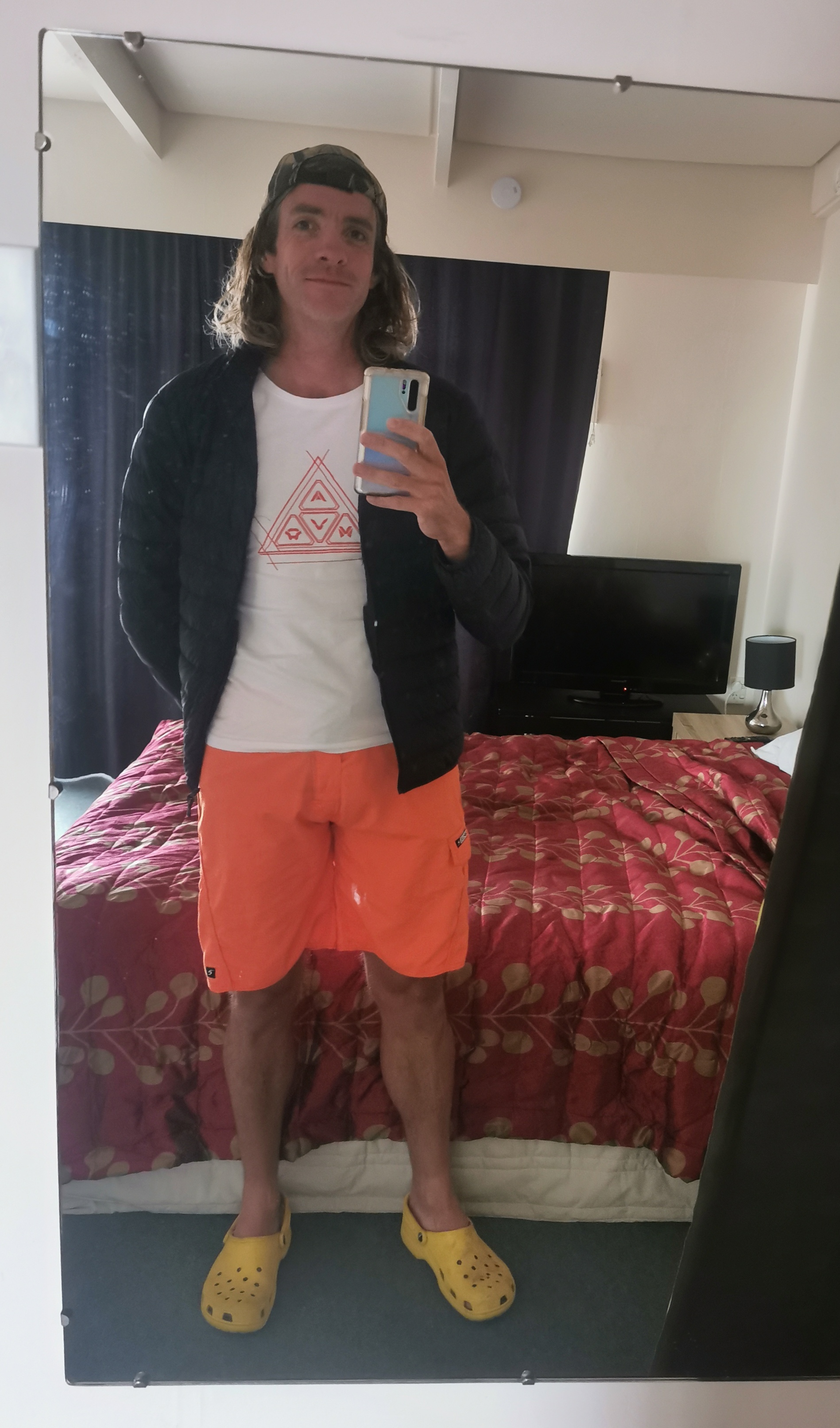
Actually let’s start with yesterday. One thing I had to do in Invercargill yesterday was buy some new clothes. Both my hiking shirts are getting quite disgusting and there was some mud on my shorts from the Longwood Forest which just wouldn’t come off. Not a great look when you’re out and about.
So I had a look in the local Invercargill thrift stores and found this shirt and a pair of orange shorts. They’re actually orange swimming togs, but I got them because I figured they would be great in assisting cars on the busy walk down State Highway 1 today with seeing me. Also we all know I’m a fan of bright colours.
I didn’t do a lot else on my rest day other than have a walk around the city and go to the cafe. I also caught up on all my blog posts.
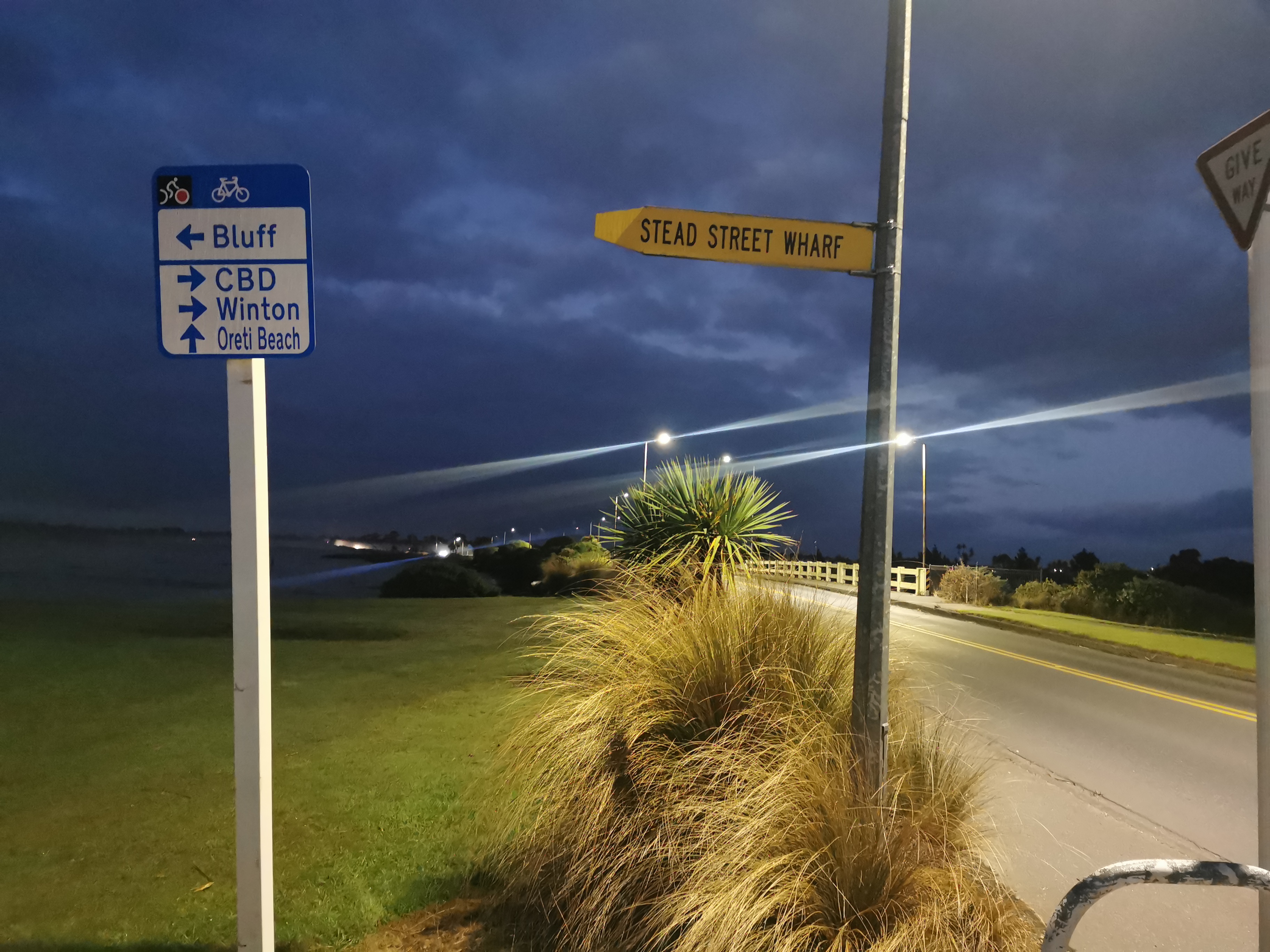
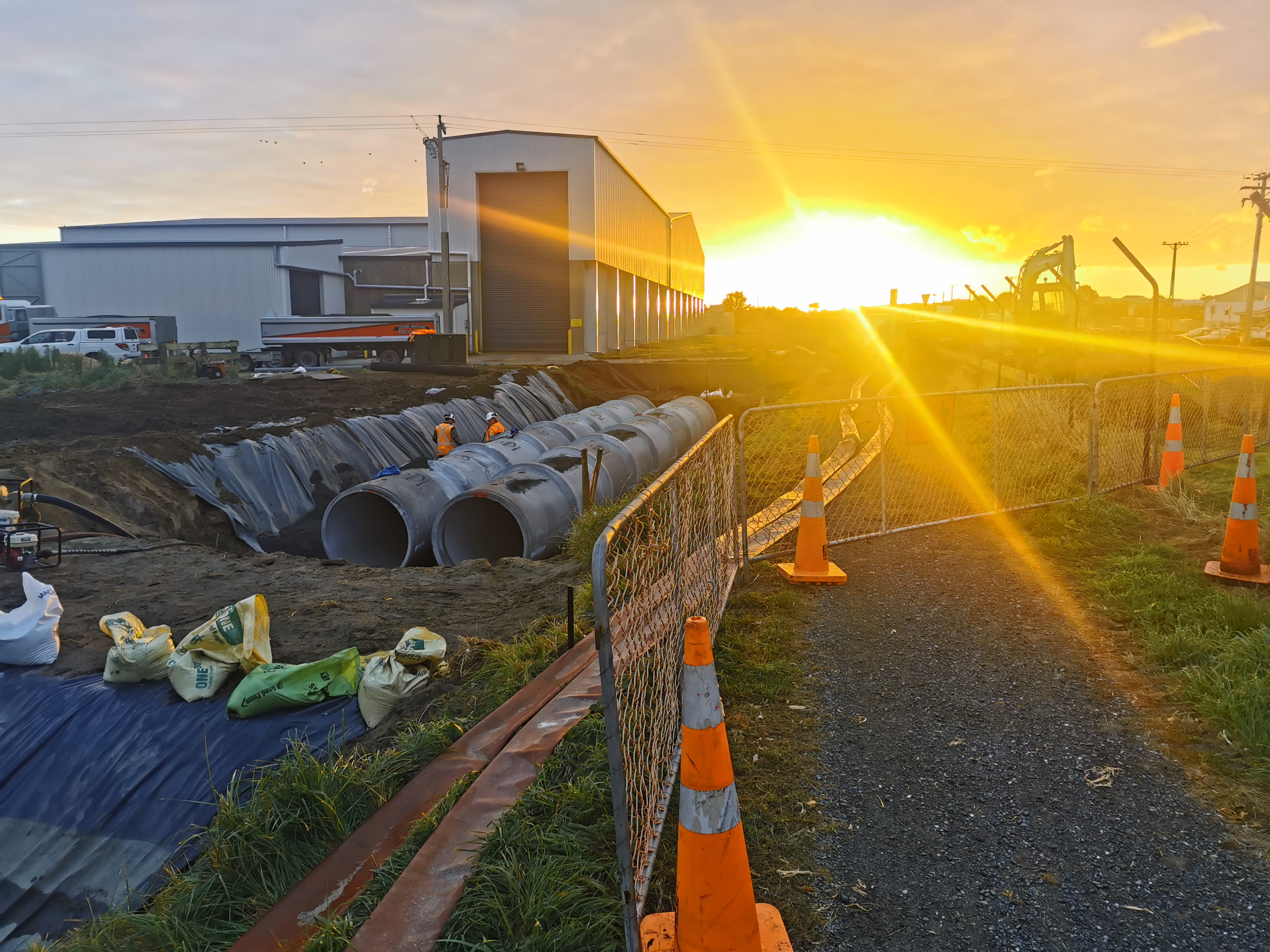
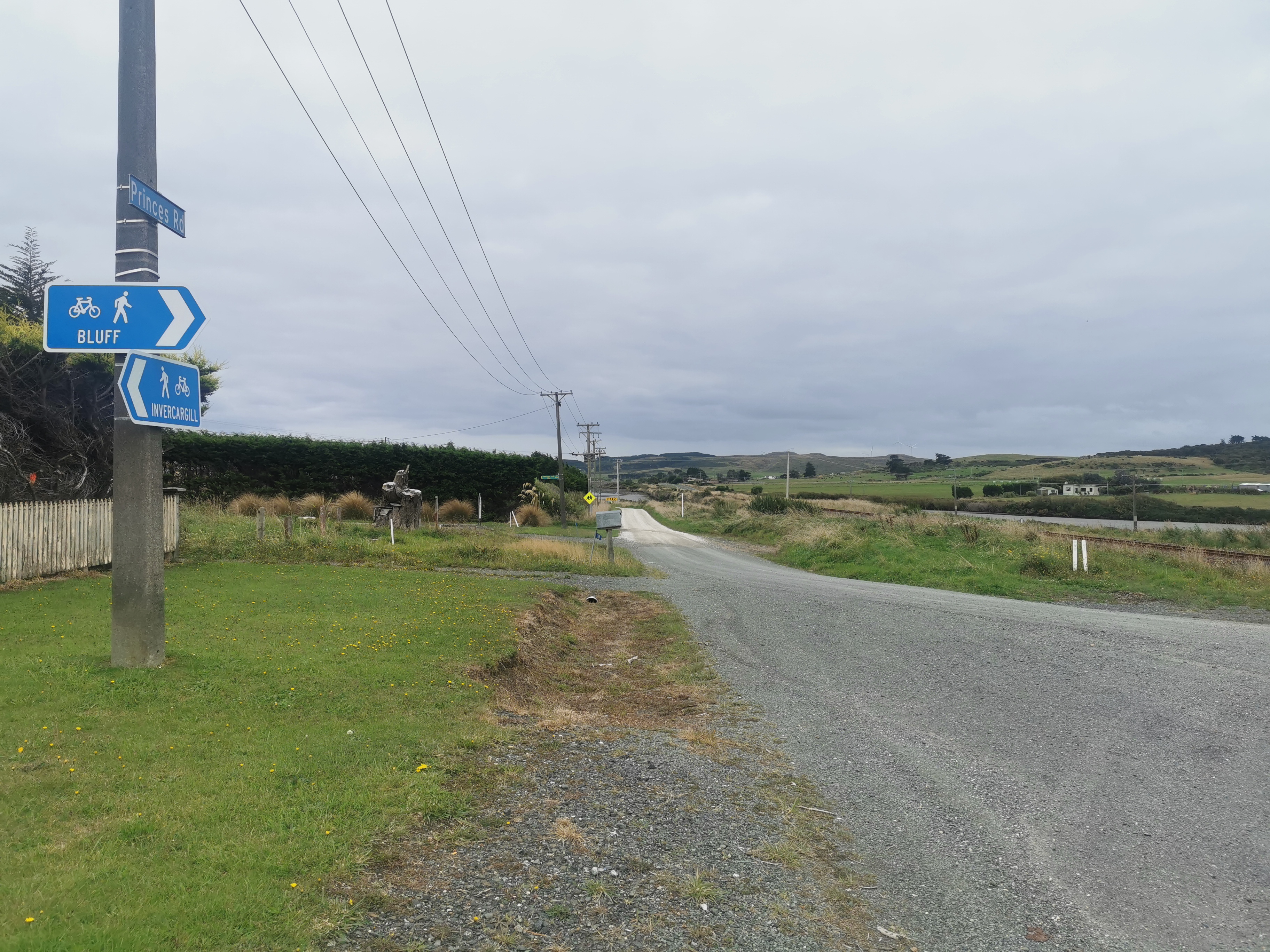
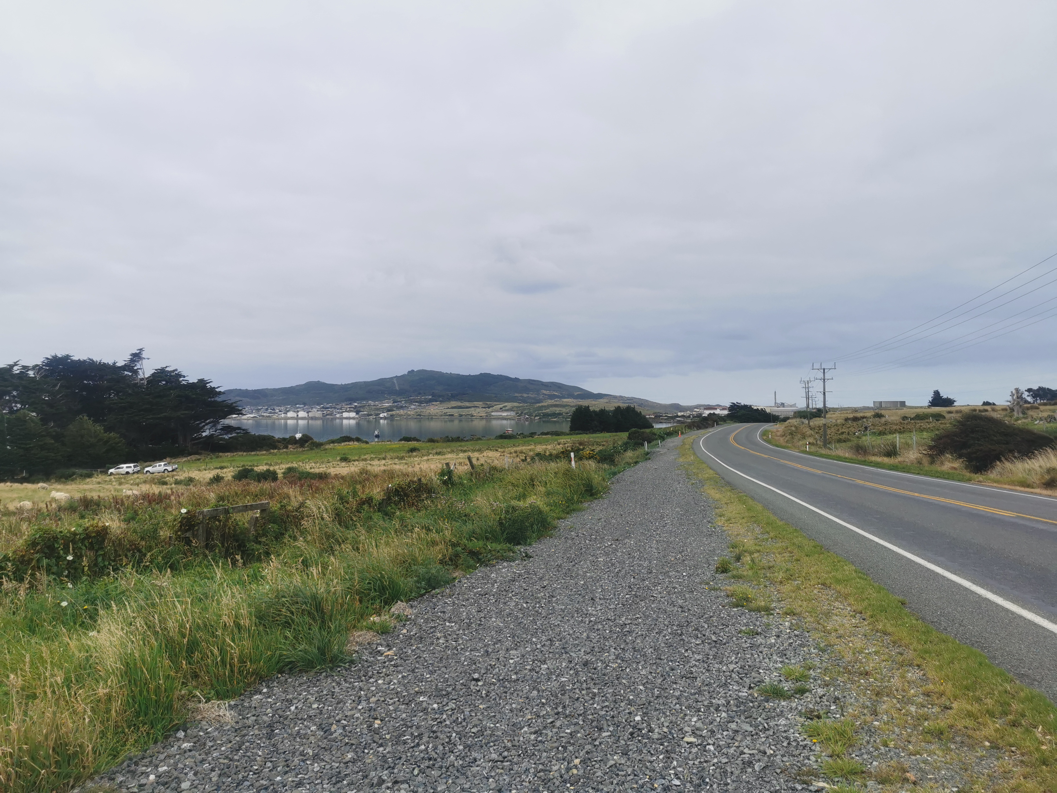
At least there’s no indecision about the destination today. The terrain today is 3 or 4km through the city streets back to the trail (turns out it’s quite a bit more than the 1 or 2km I originally thought it was), then 10-ishkm along a pathway by the estuary, then 15-ishkm along the side of State Highway 1, then 7km going around Bluff Hill to finish at the “Bluff Signpost” at Stirling Point.
I woke up at 5:30am – I’m leaving half of my stuff in my accommodation here in Invercargill and walking with a light pack to Bluff, then I’ll finish the walk, get back to Invercargill somehow and then spend one more night here. I thought about spending a night in Bluff but I decided walking with a light pack for the 35km walk today would be nicer.
I didn’t waste any time getting out of bed. I had packed last night and so I just threw on some clothes and grabbed my pack and left. Although before setting out, I shook and shook and shook my boots trying to get all the little stones out of them from the previous beach walk. Heaps and heaps of stones came out however I still felt stones in my boots after walking a short distance.
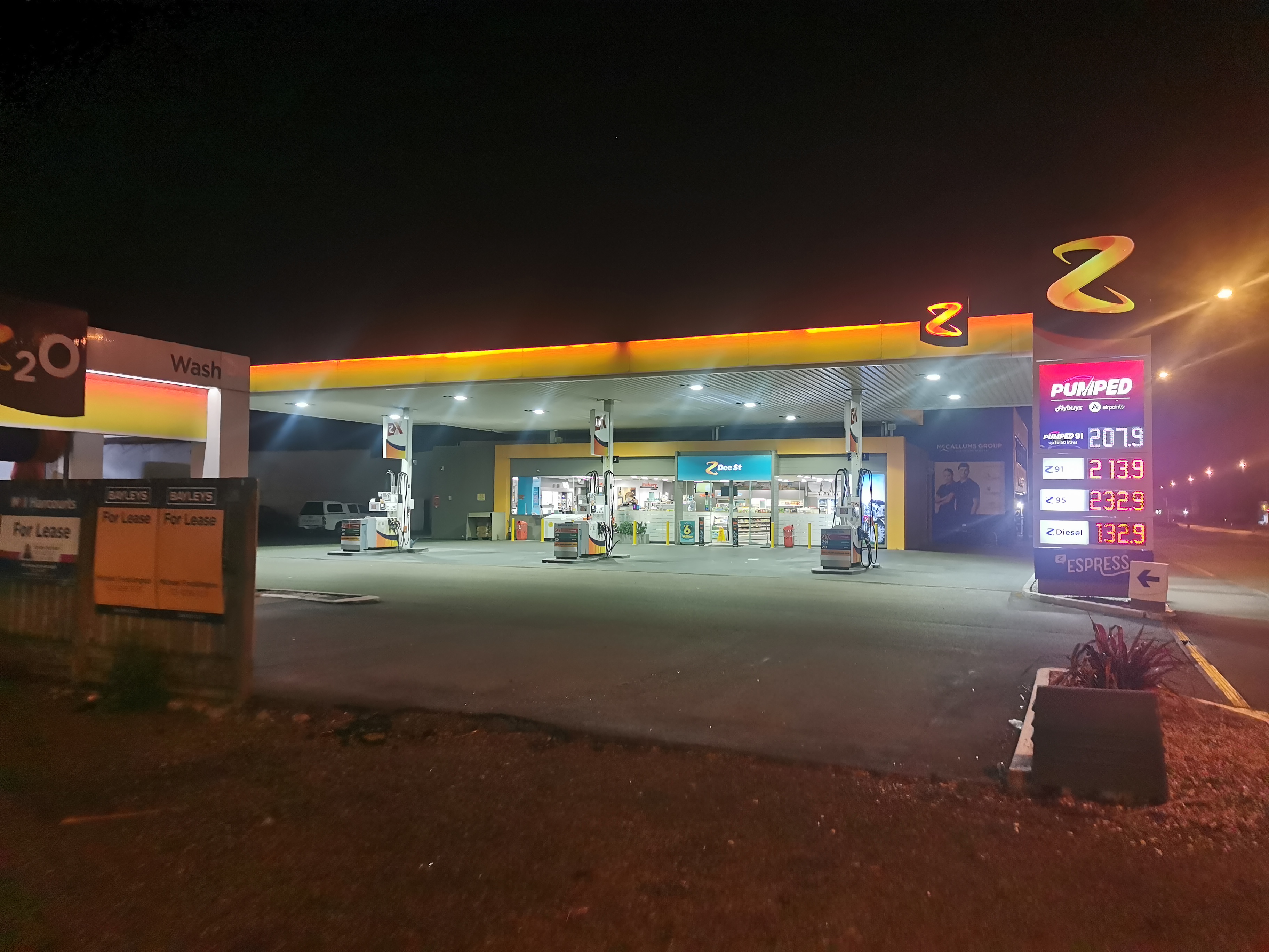
I didn’t have any food in the motel so I was relying on going to the Z petrol station for breakfast. However, as I turned up to Z I realised that McDonald’s is right across the road… and open!
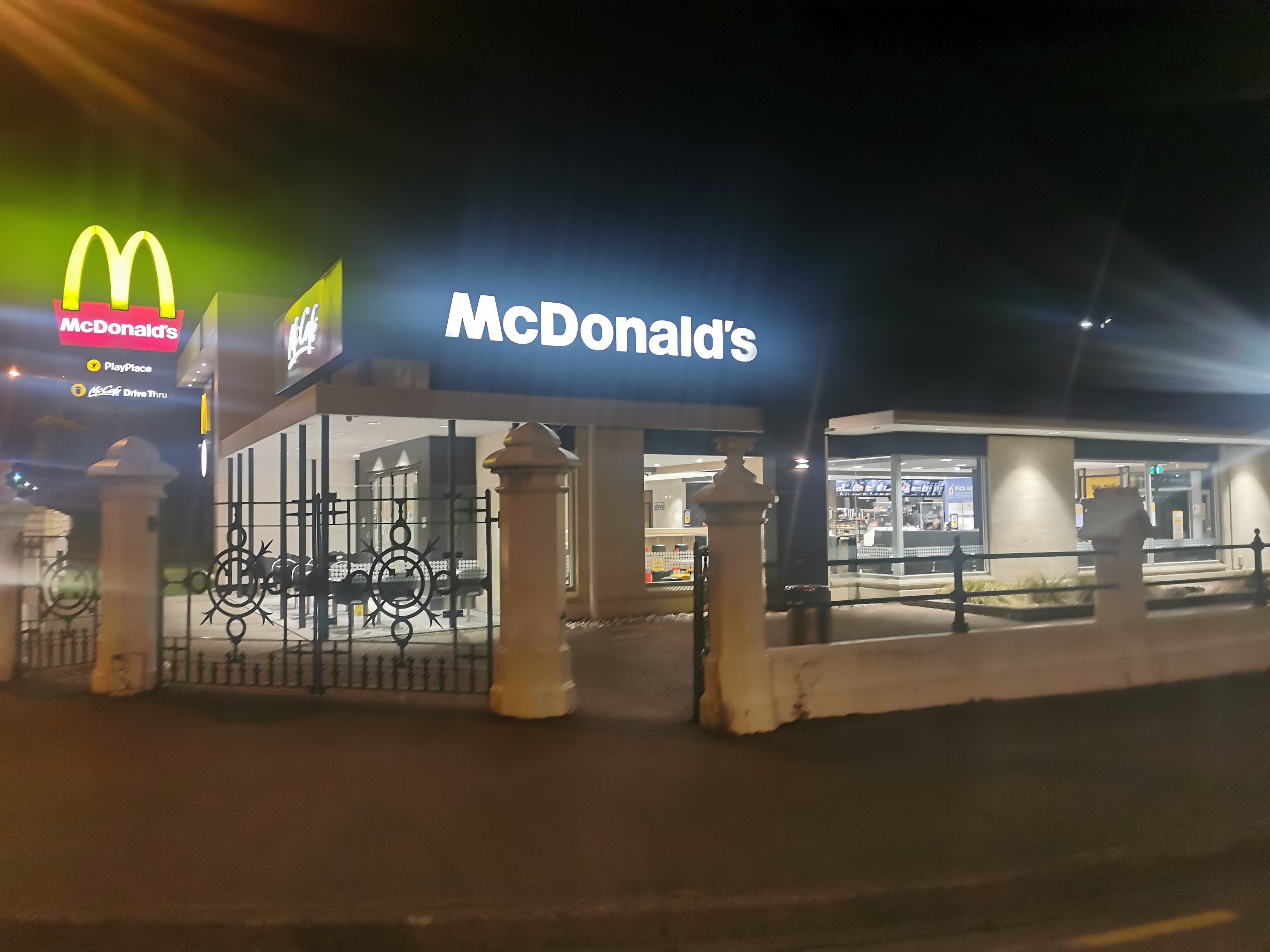
I was worried it might be open for Drive Thru customers only at that time of the morning, but nope the restaurant opened at 5am, so that was perfect.
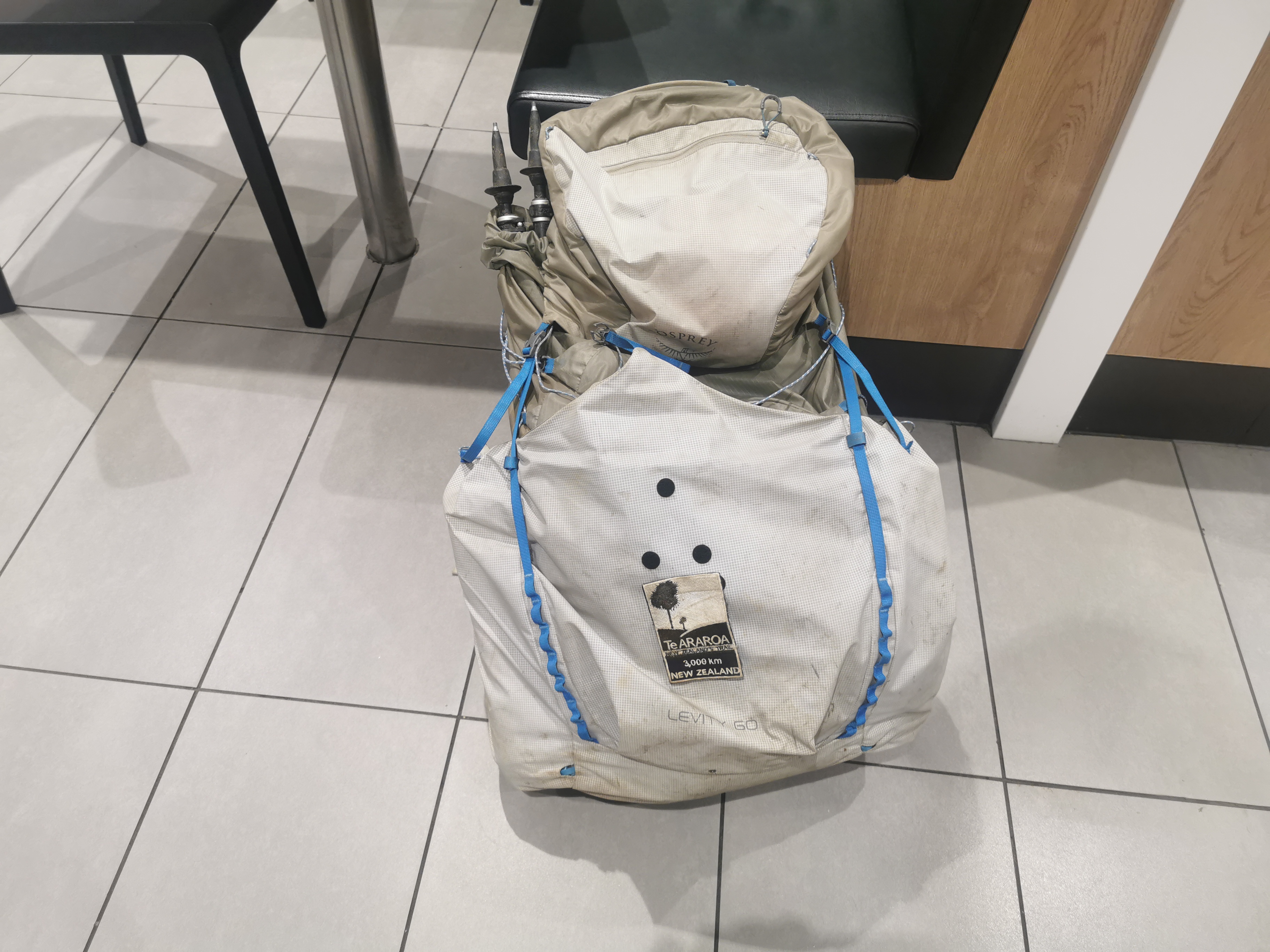
I looked at my pack sitting there beside me and it looked quite a bit more “pathetic” than usual due to having taken a lot of things out of it.
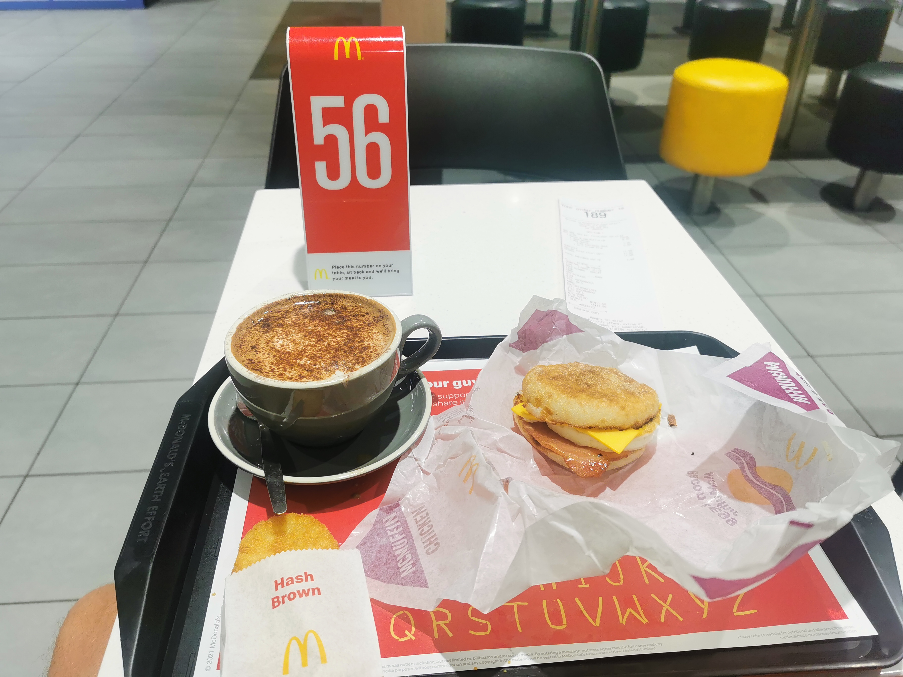
After a bacon and egg mcmuffin and coffee I did quickly race back across the road to Z to get a couple of things for lunch, as I know there are no food places anywhere on the entirety of today’s walk. The guy who served me at Z said he drives in from Bluff each day for work and always sees hikers on the highway. He said it must be about 20-25km. I pointed out it’s longer than that because, well, it’s the TA.
It was still dark in the city and some of the roads I went down in the city centre near the railway lines didn’t feel like the greatest roads to be walking down.
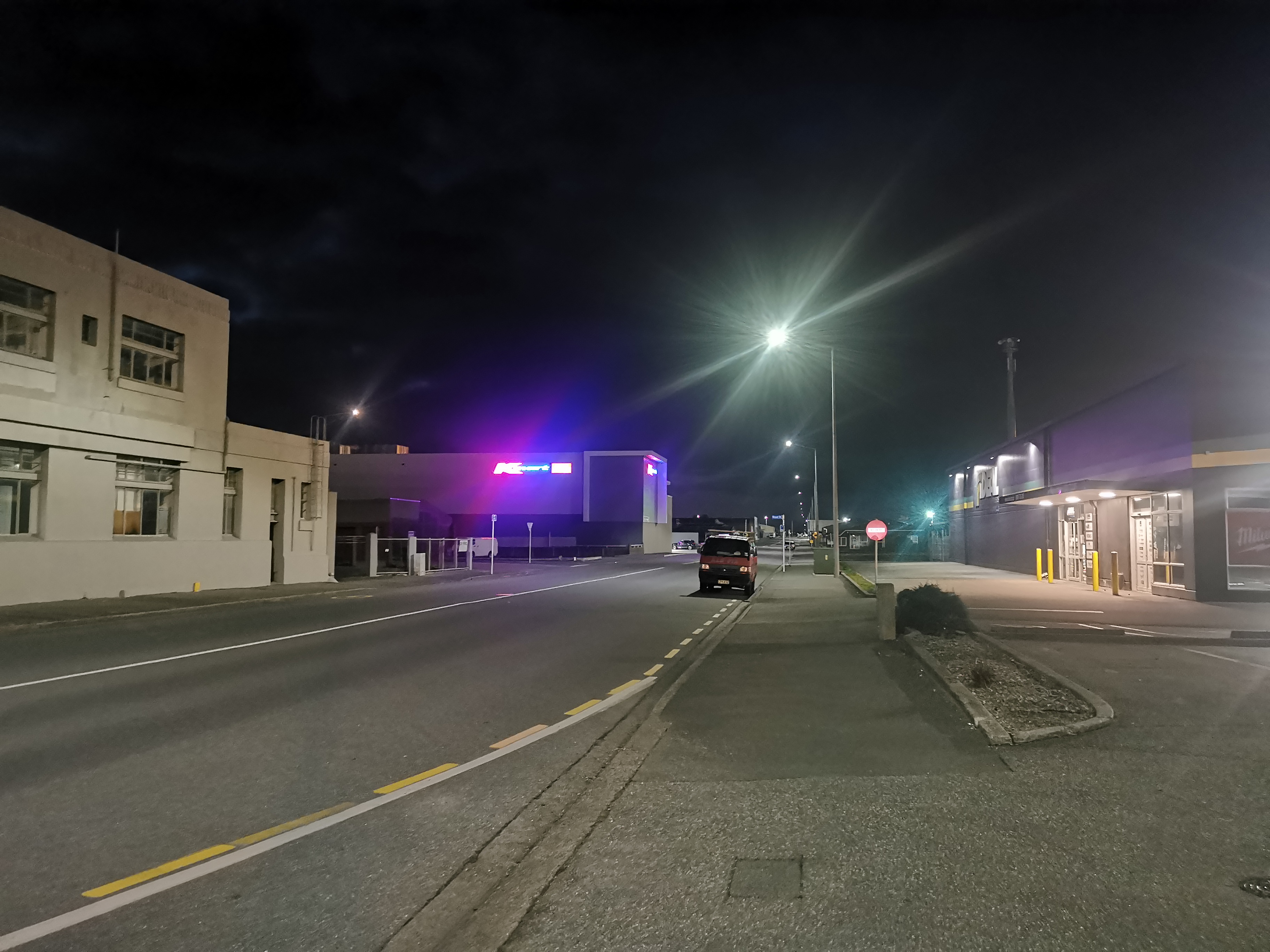
This is my first time in Invercargill. About 10 years ago, I had a strange dream that I went to Invercargill and it was full of skyscrapers, kind of like Las Vegas. Ever since then, I always wanted to visit Invercargill and see if it really was anything like that. I can categorically state that it isn’t.
Soon I went back over the ugly bridge from yesterday.
While I was crossing I thought to myself “what I really feel like are some sheep nuts”. And lo and behold, I was in luck!
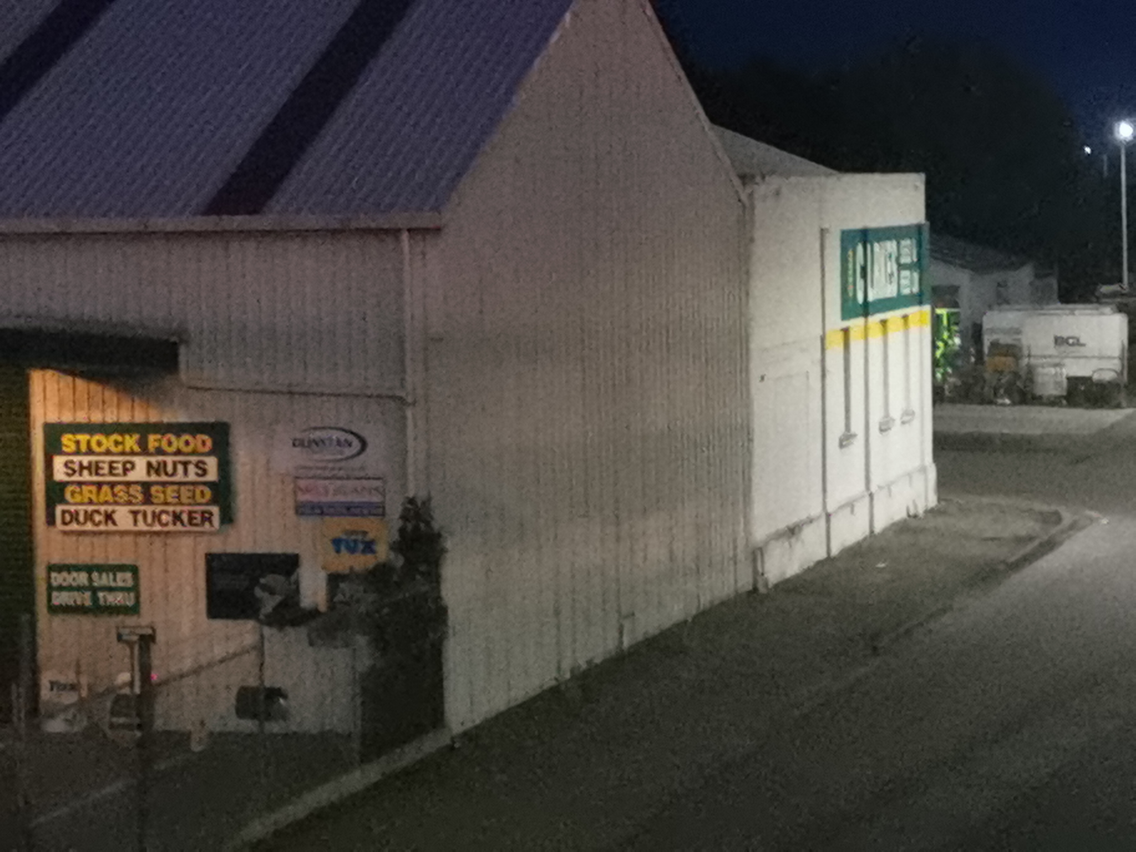
Well I thought I was. Turns out it was closed. Bummer.
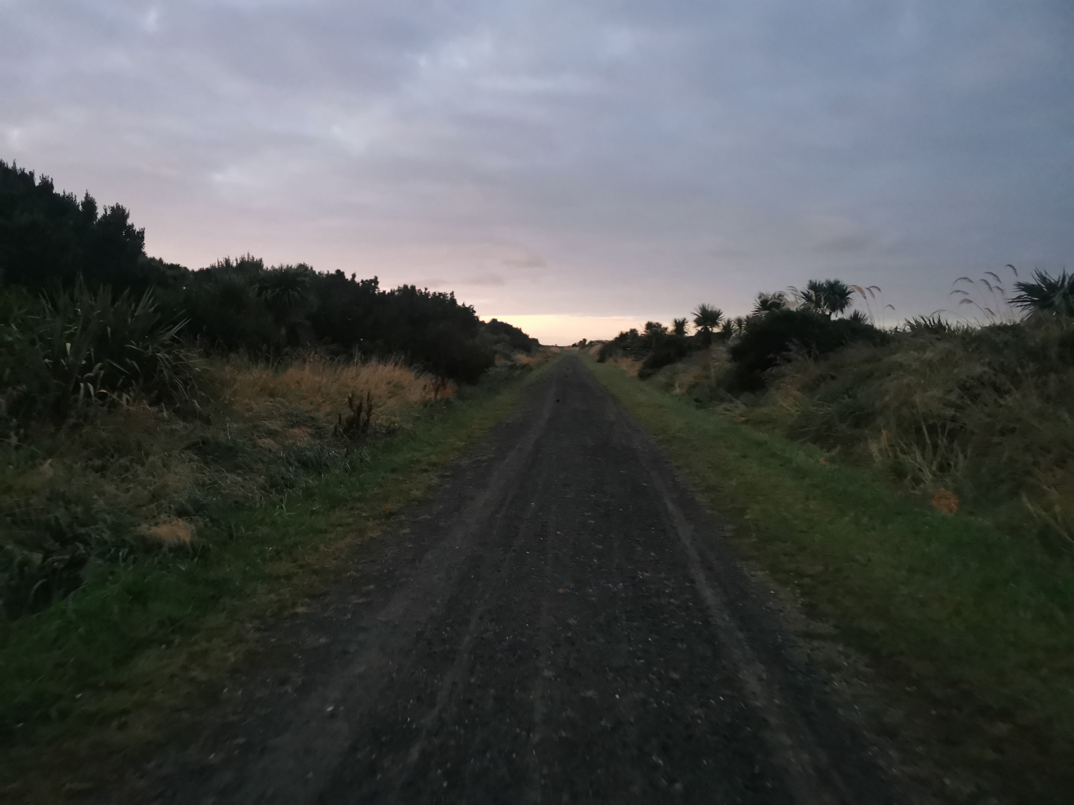
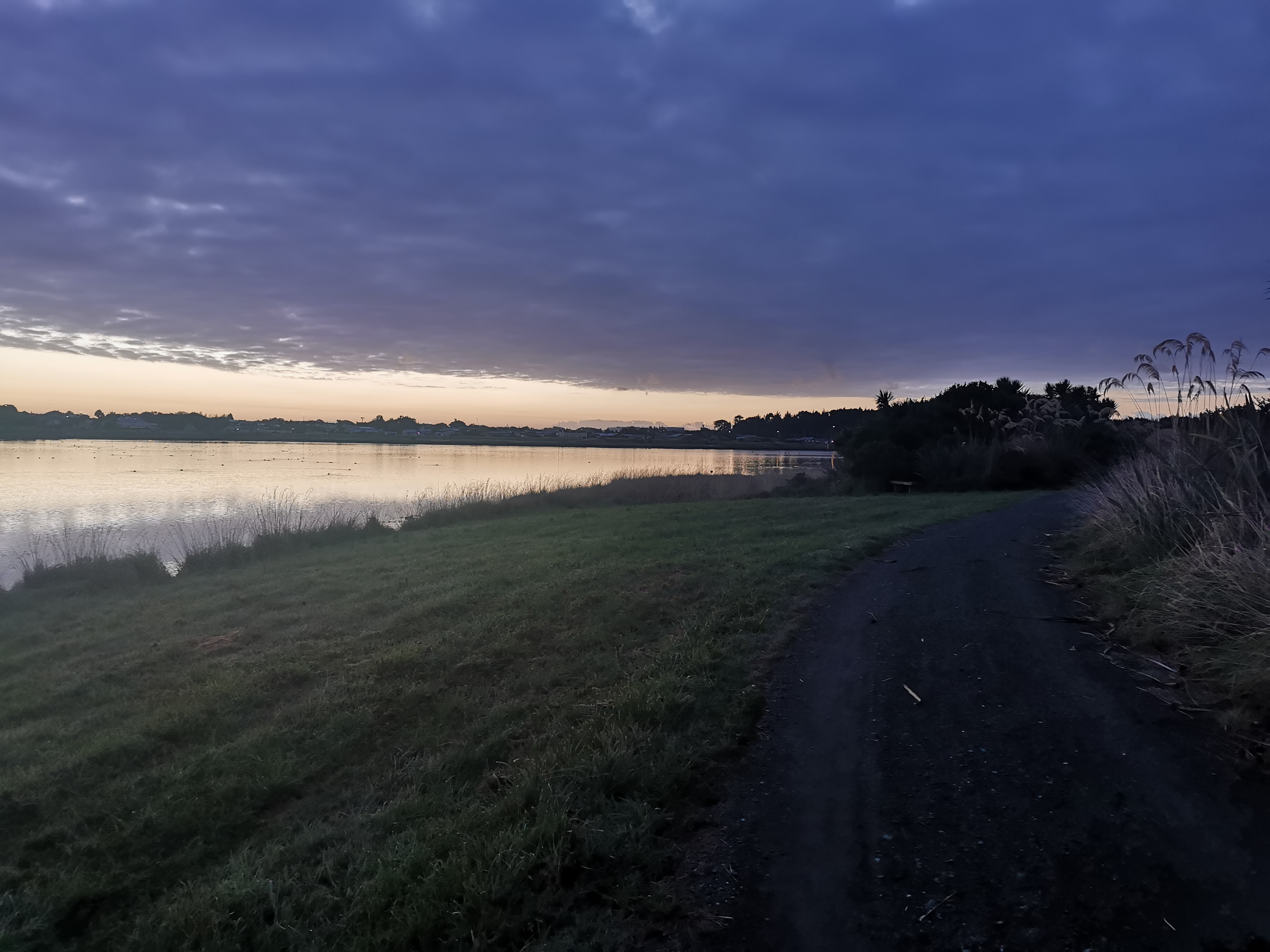
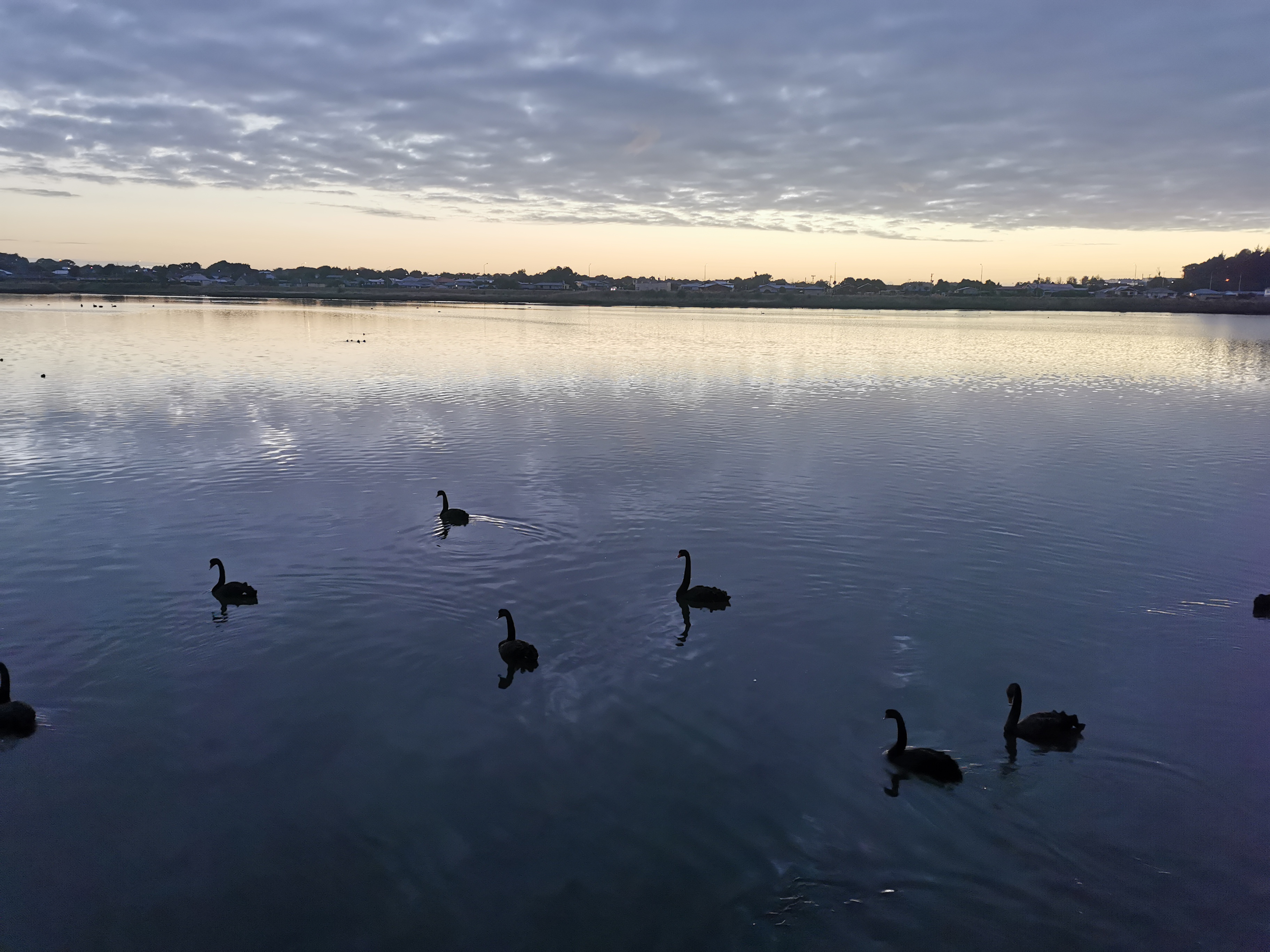
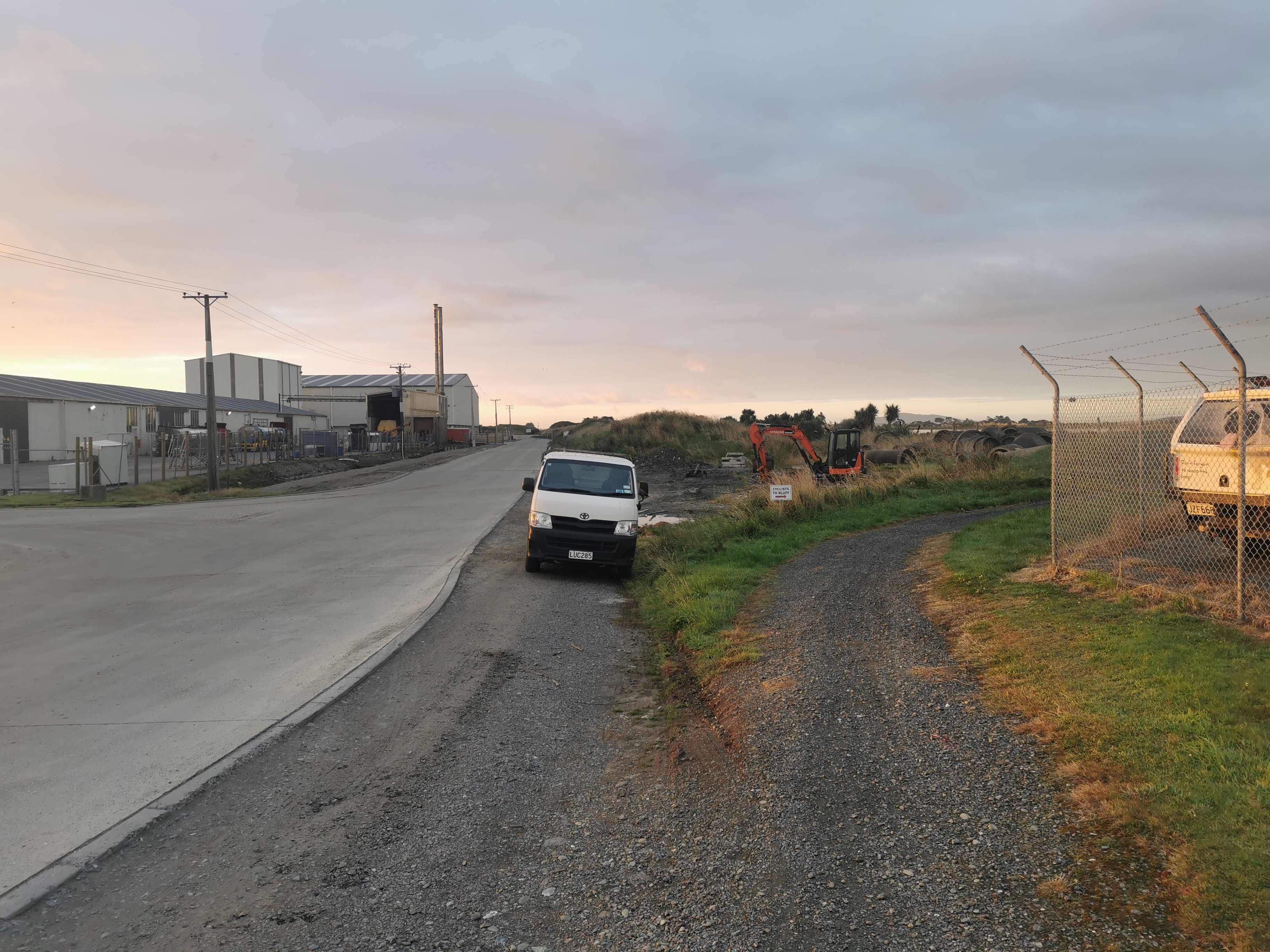
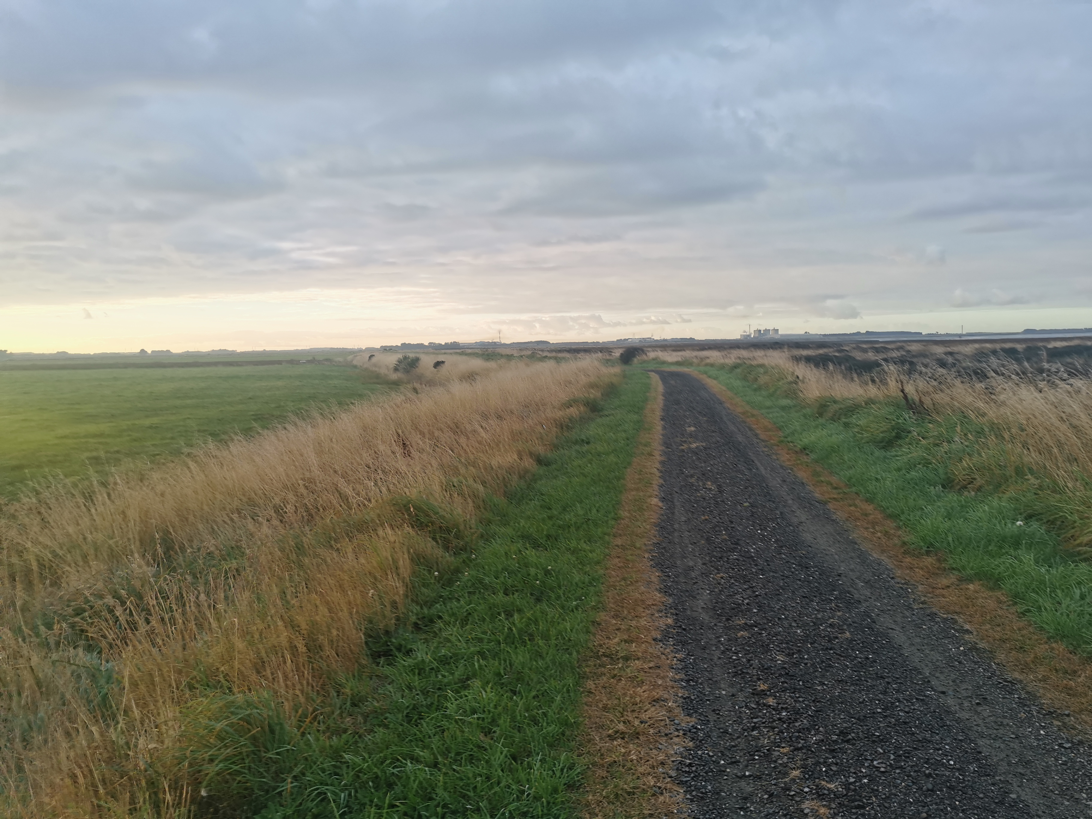
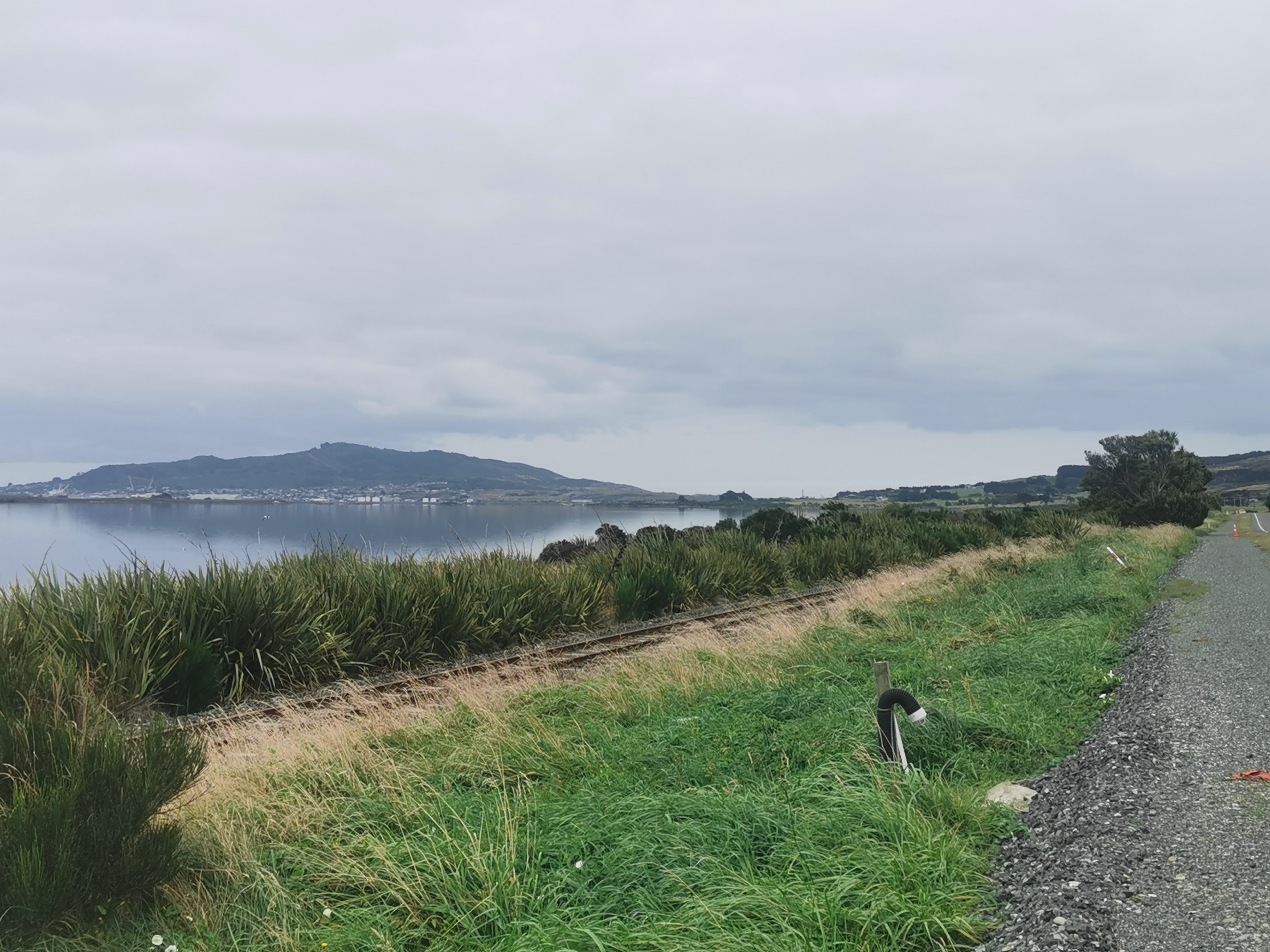
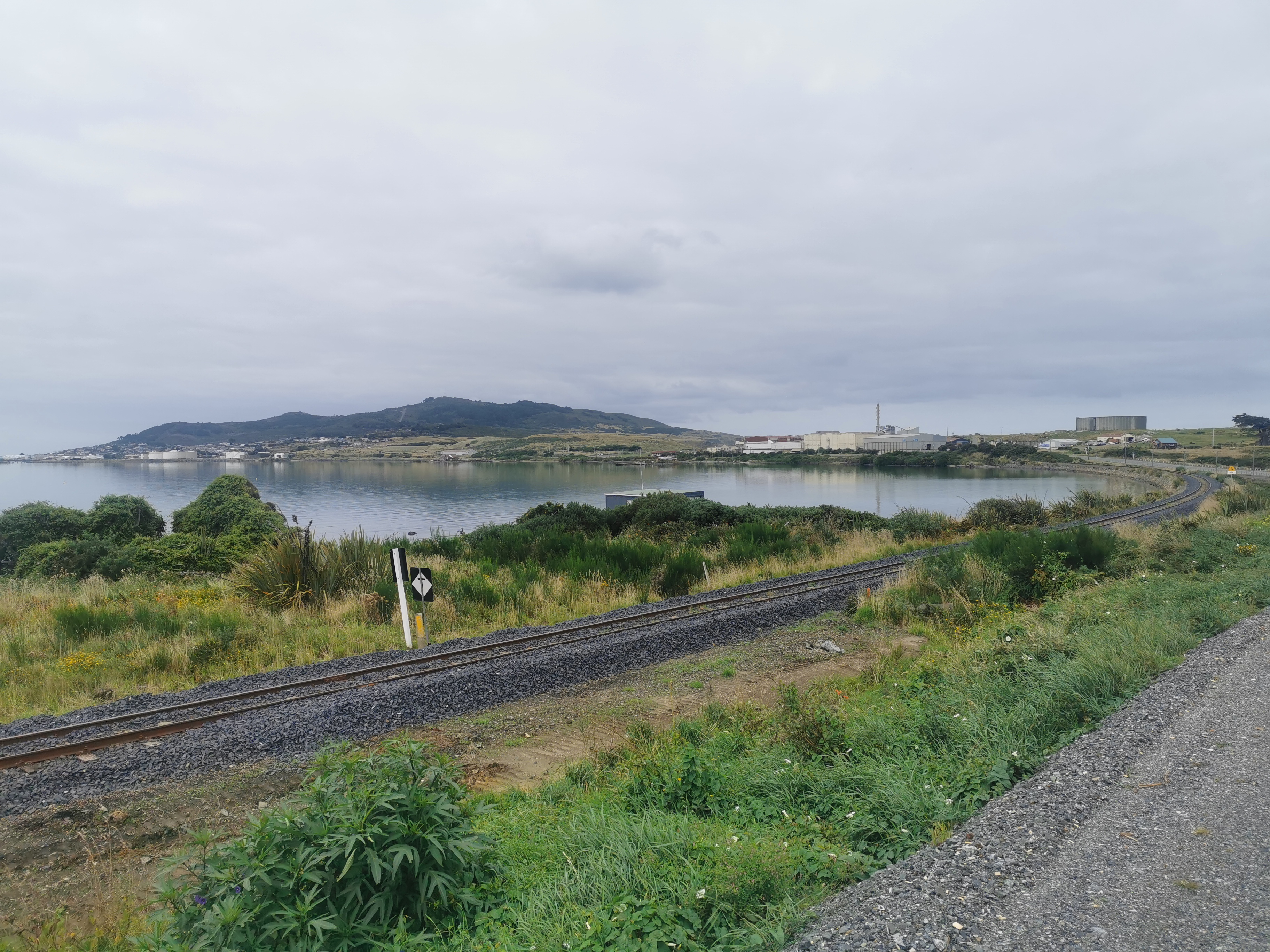
I rejoined the trail at the start of the “estuary walk”.
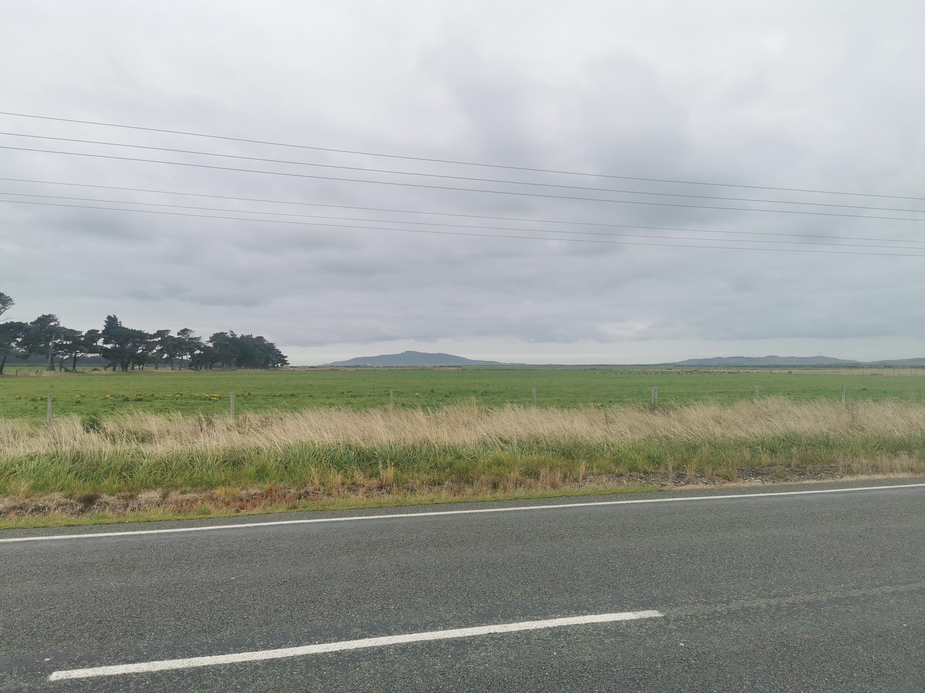
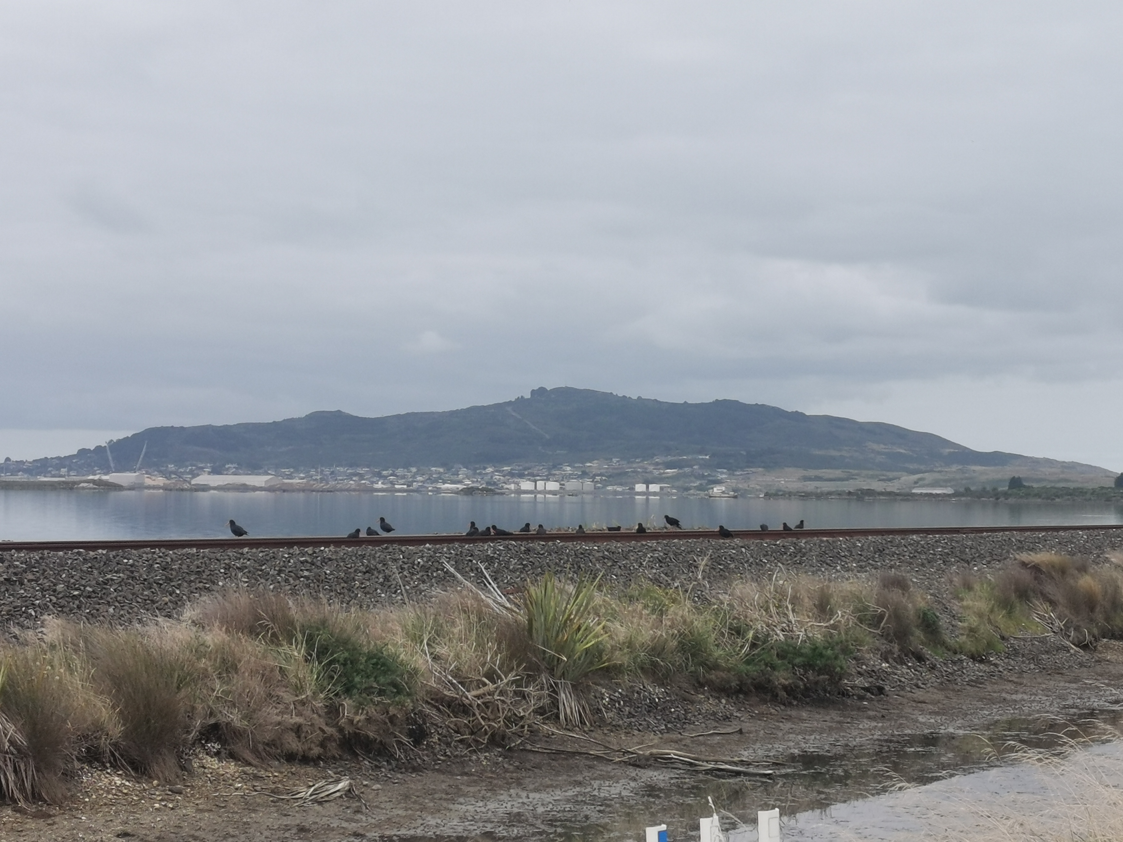
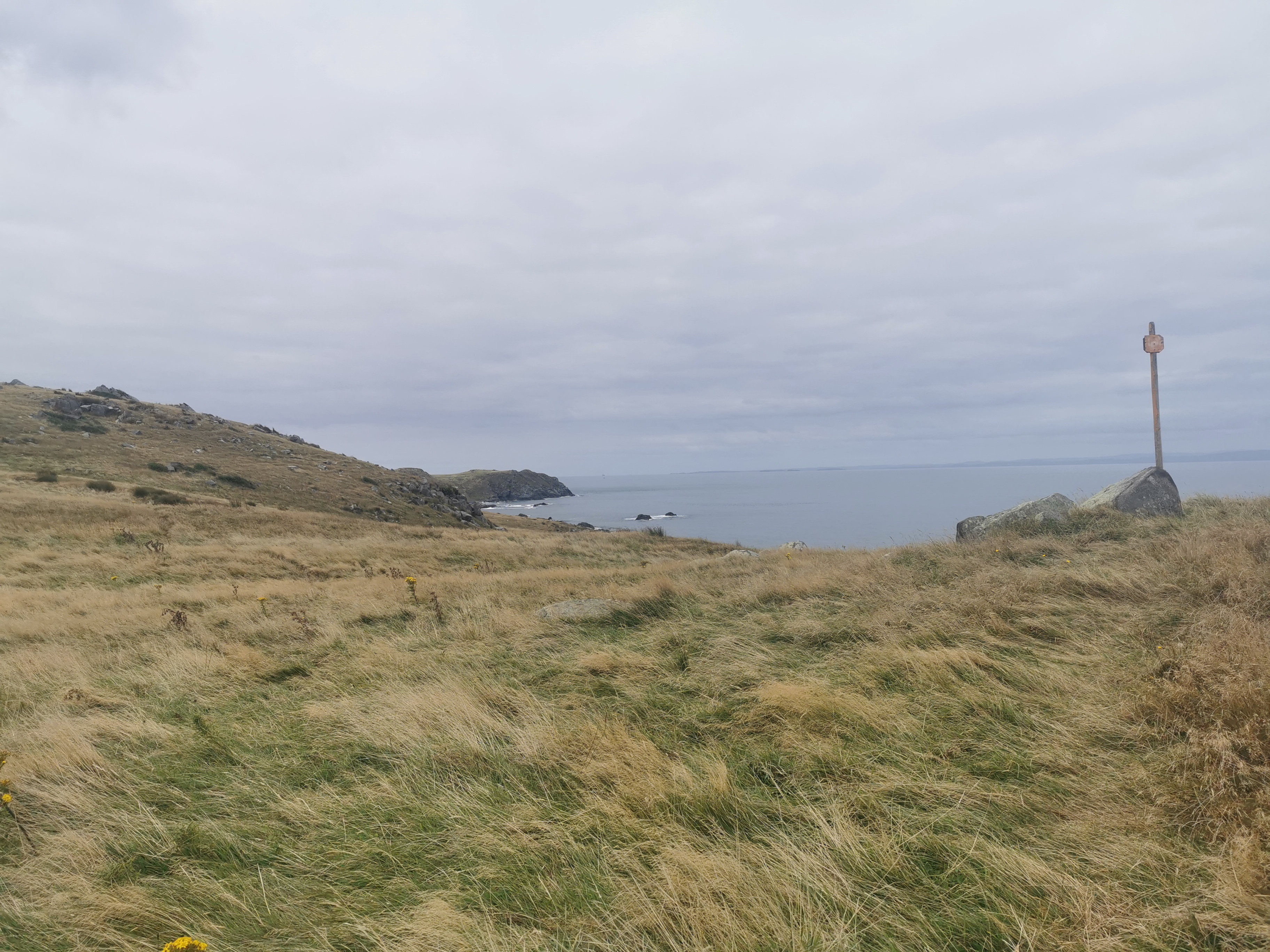
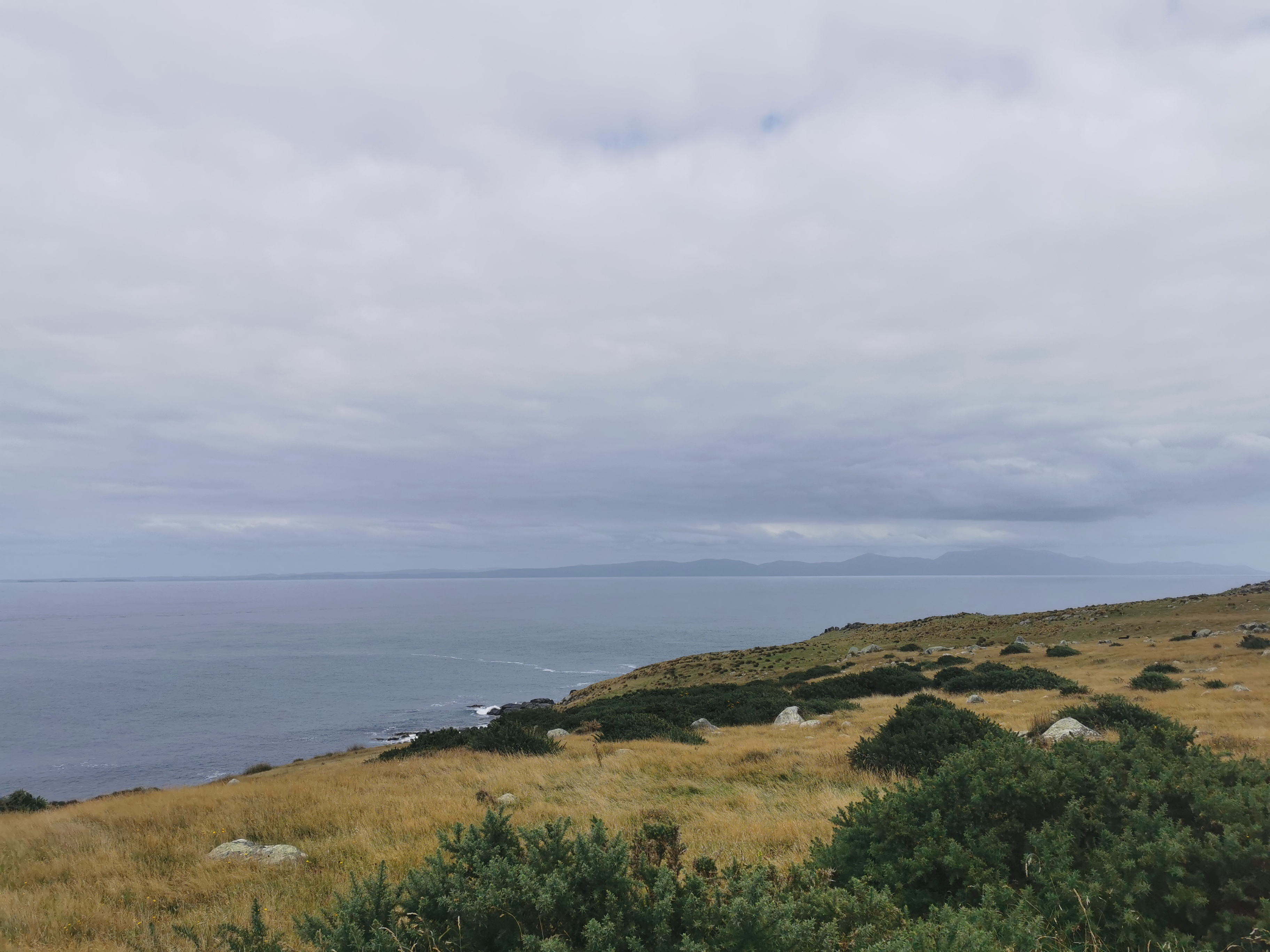
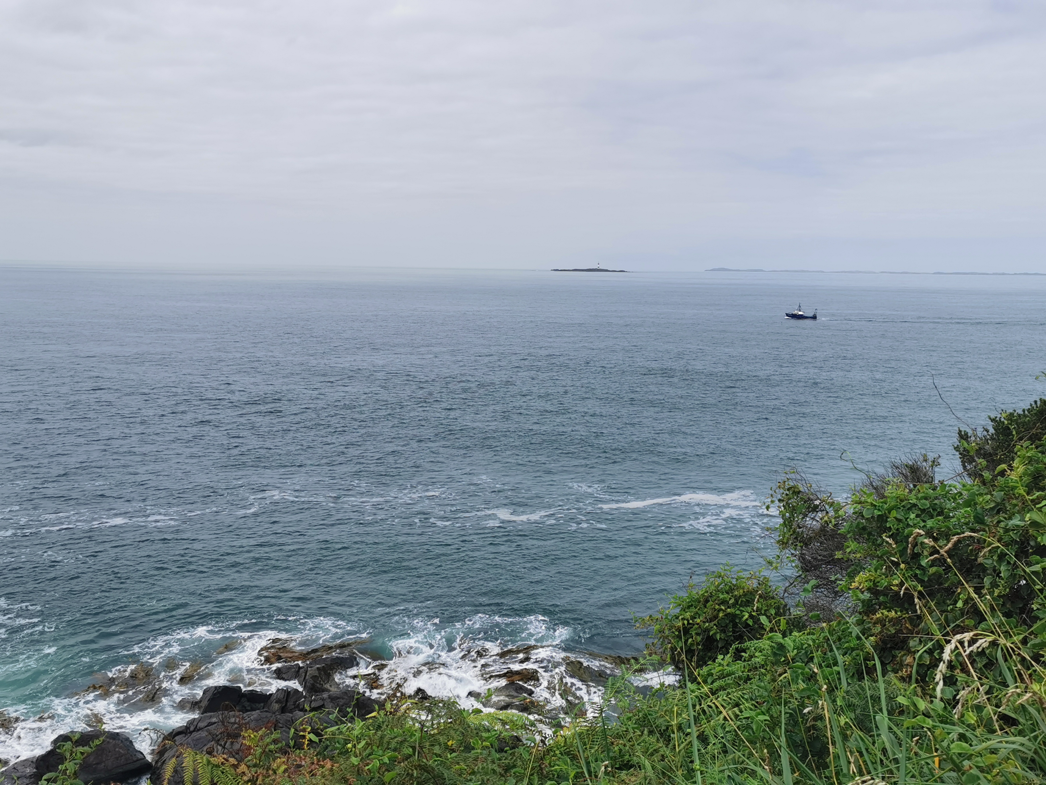
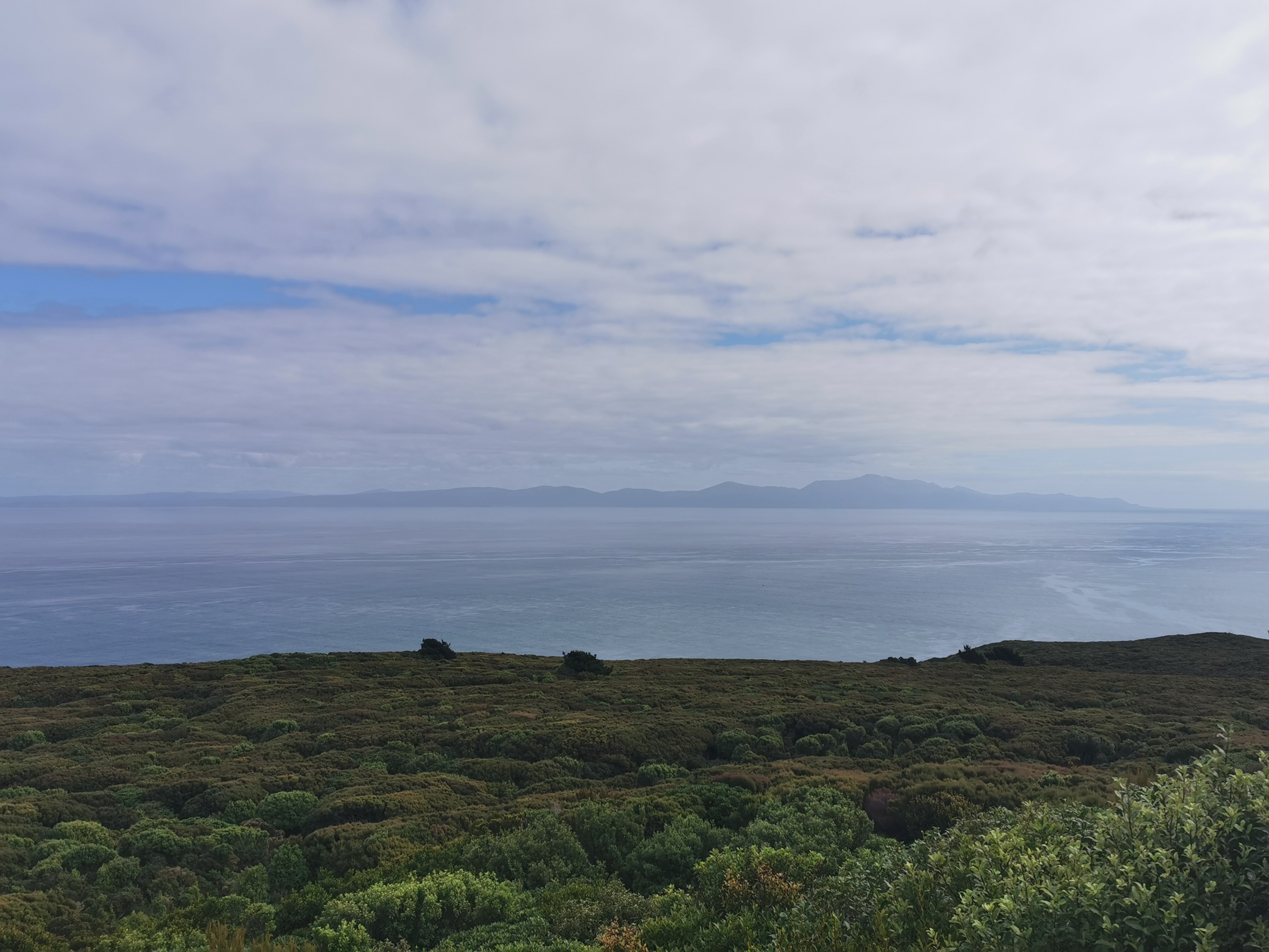
Like last time I was at this junction with Nicola, you could see Bluff Hill in the distance. It seemed weird to think that today I’d be walking right up to and around it.
But wait a minute… After a short time, I could see two hills that looked like Bluff Hill. Uh oh, that’s awkward.
I don’t know which of these two is actually Bluff Hill and I can’t even work it out from the map. It’s possible that what I’ve been saying is Bluff Hill all this time was in fact something else. I know I did it with Stewart Island, but that was intentional (I promise)!
My legs were a bit sore this time starting out. Of course it’s possible that I overdid it along the beach. On previous occasions I would have had to be careful and walk easy for a while. That wasn’t going to happen today – I’m making it to Stirling Point today even if I fall down dead at the bottom of the signpost.
It’s possible they’ve been hurting because I haven’t been walking with my poles this morning like I have every other day. Since my pack is so light and it’s all flat, I put the poles in my pack.
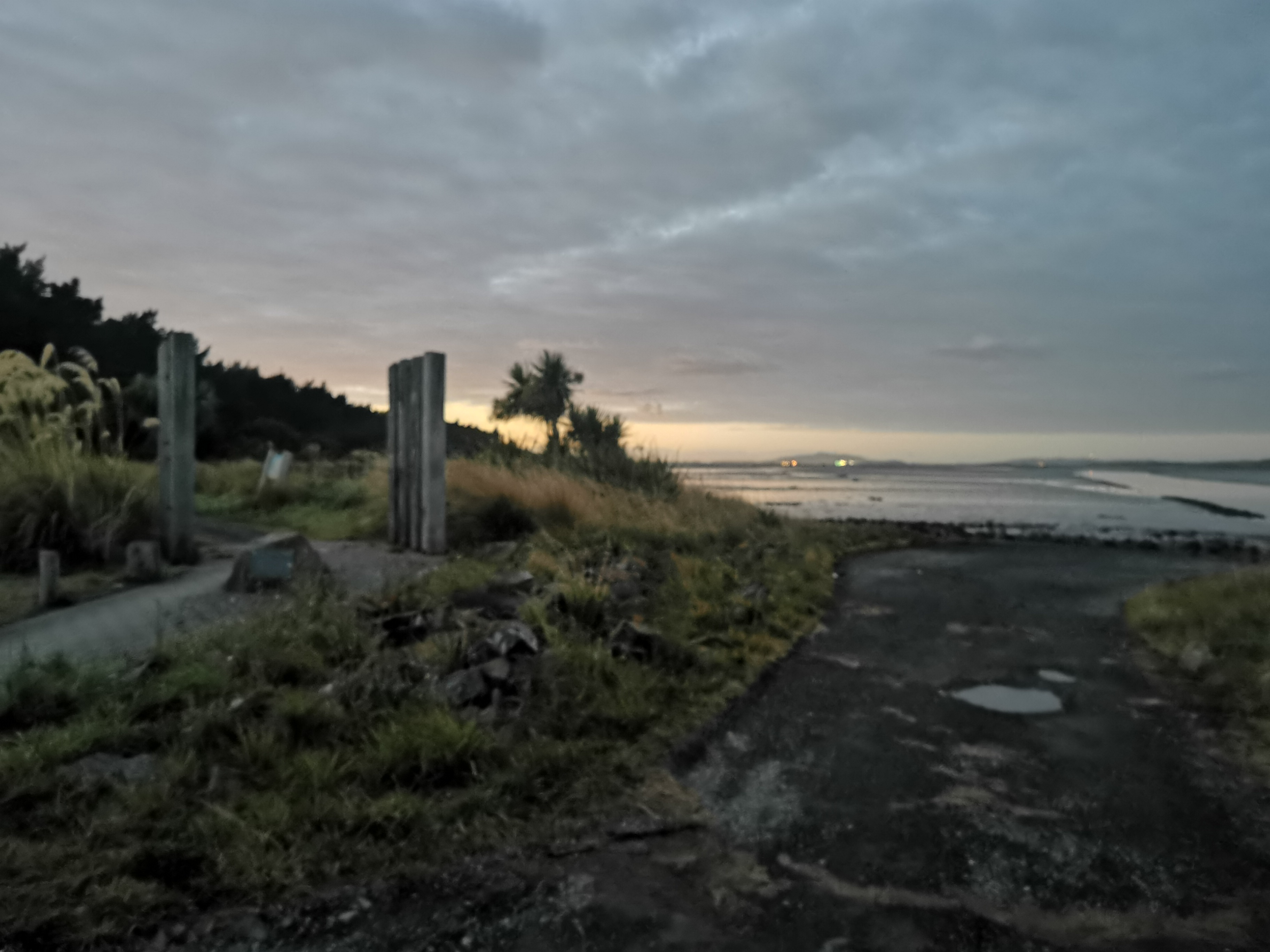
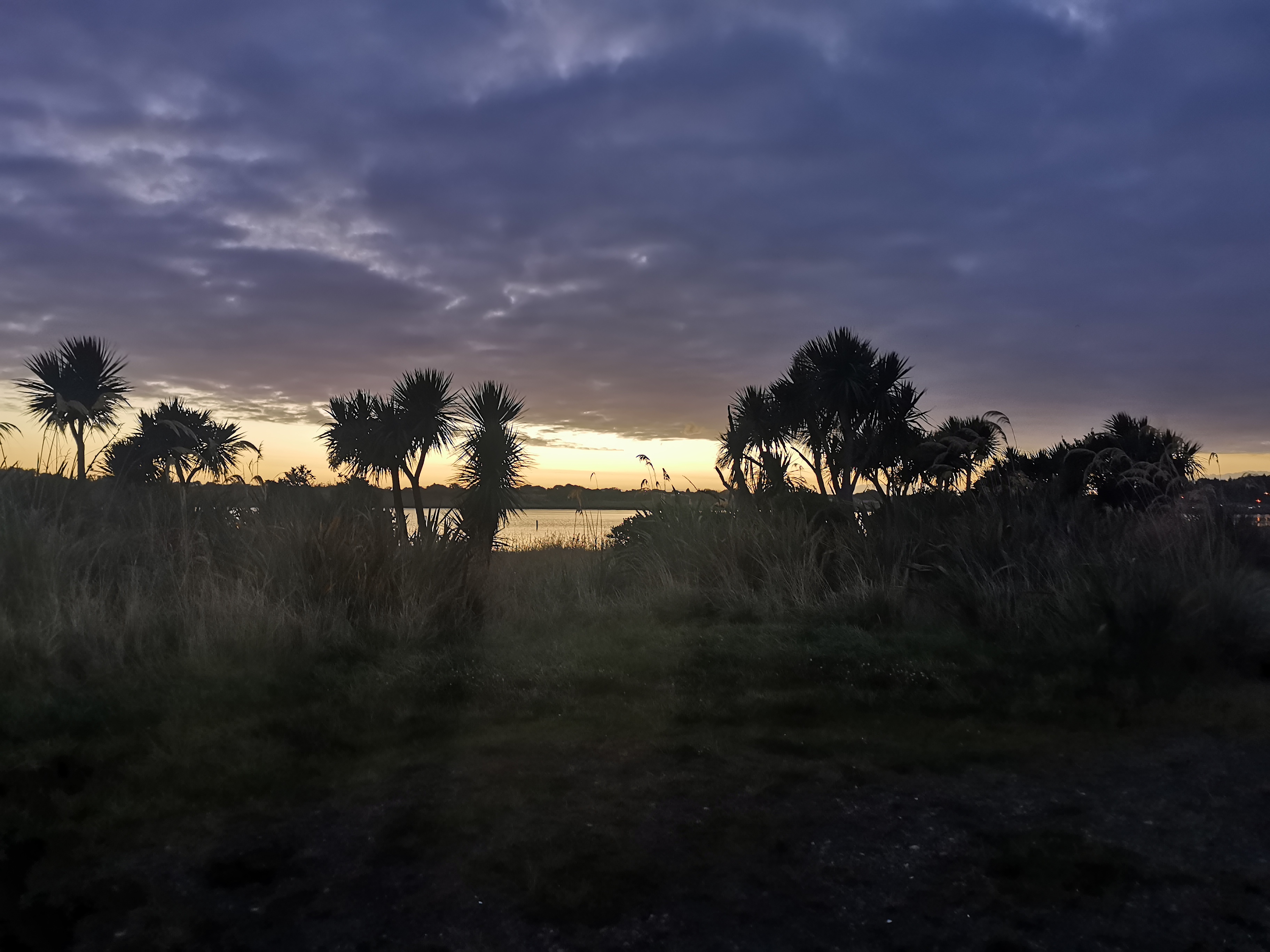
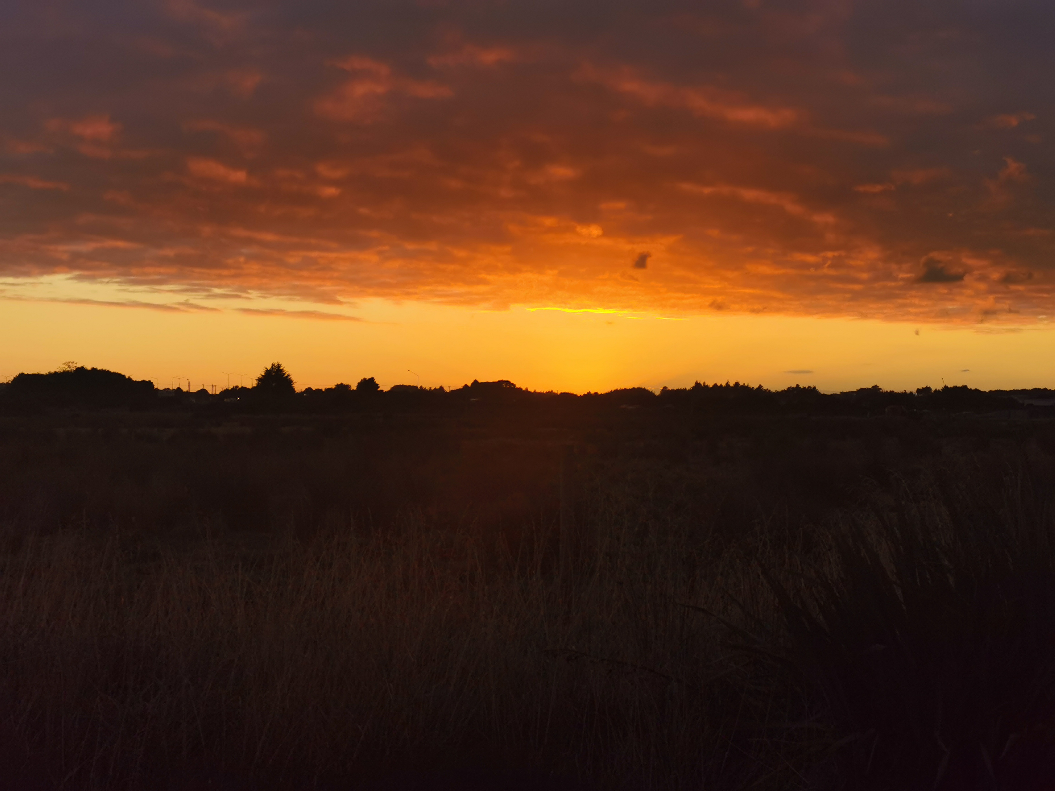
I was looking forward to seeing the sunrise, as I knew from two days ago in Colac Bay it was about 7:30am. There were a few clouds around, just like that day, but I was optimistic.
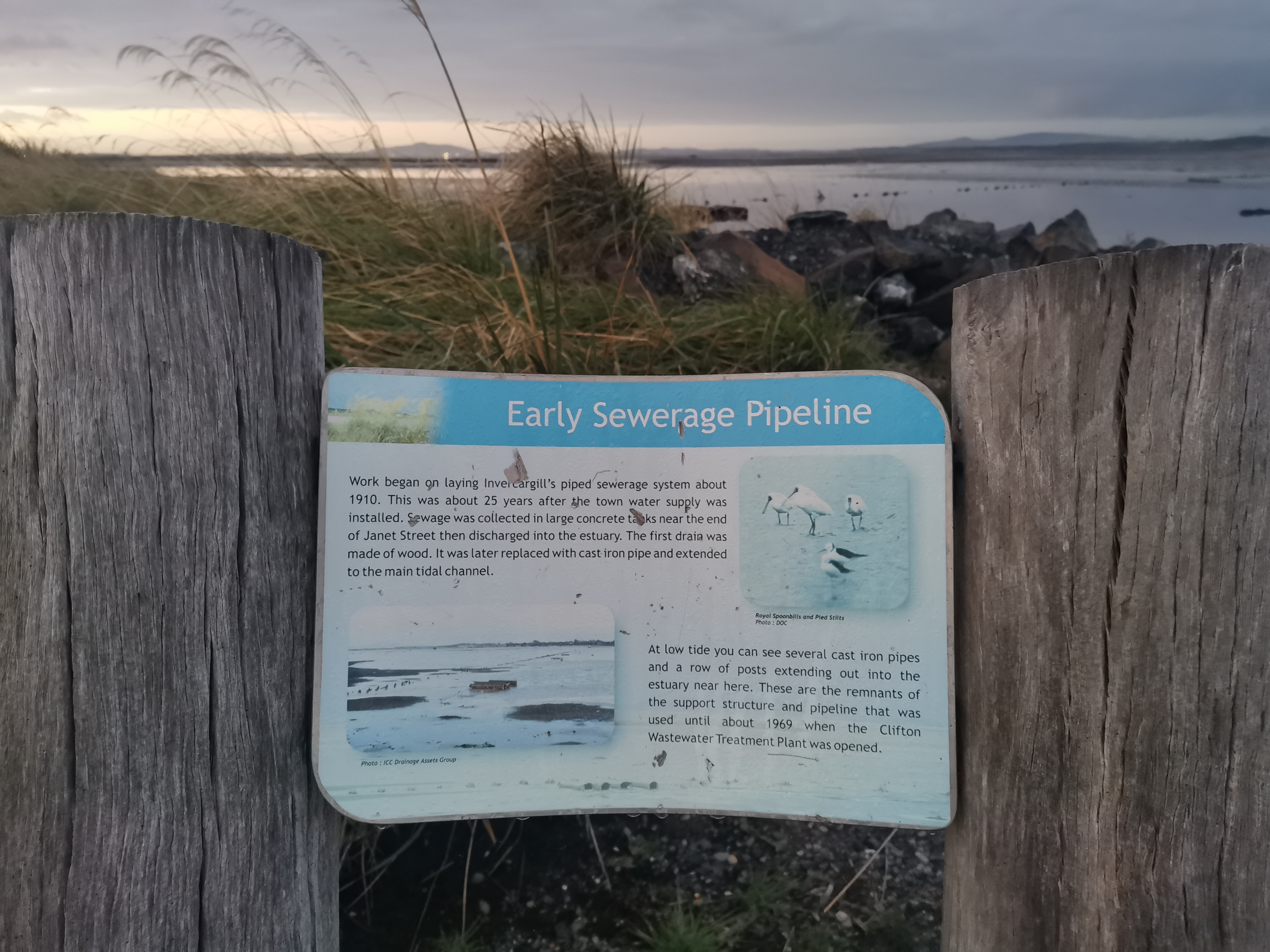
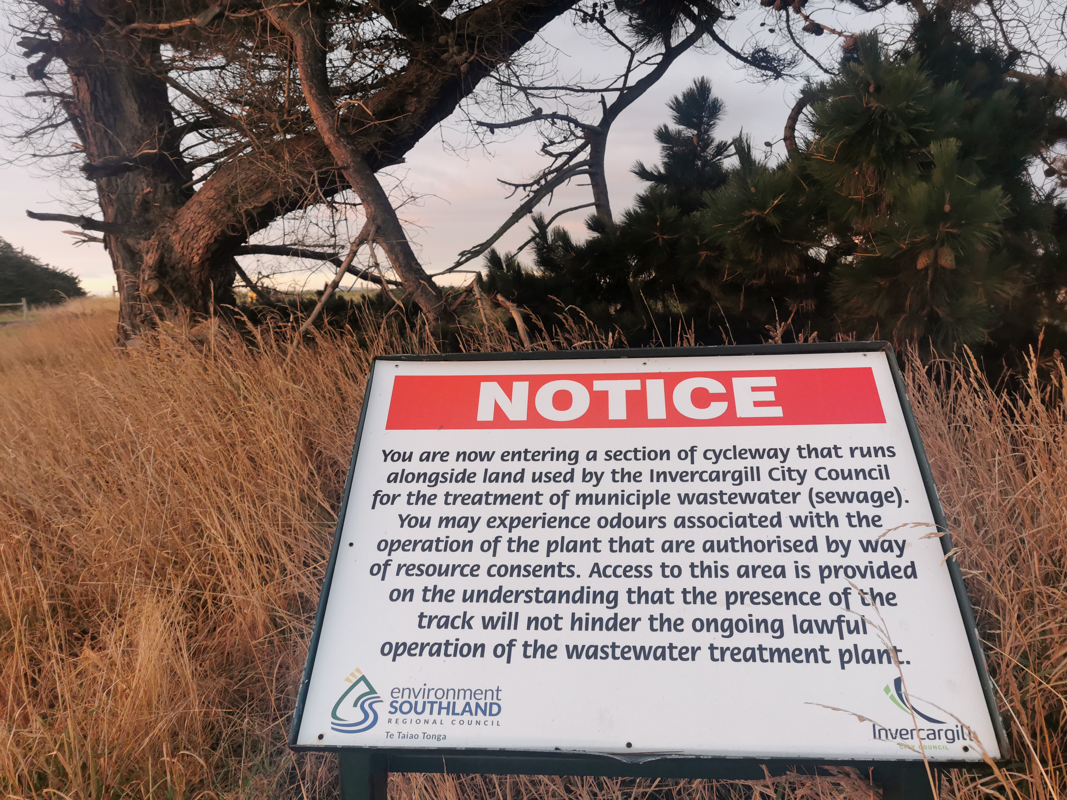
There were a lot of signs around explaining the use of the estuary as sewage ponds – so that was enlightening.
The sunrise started to come through slowly and it looked really nice.
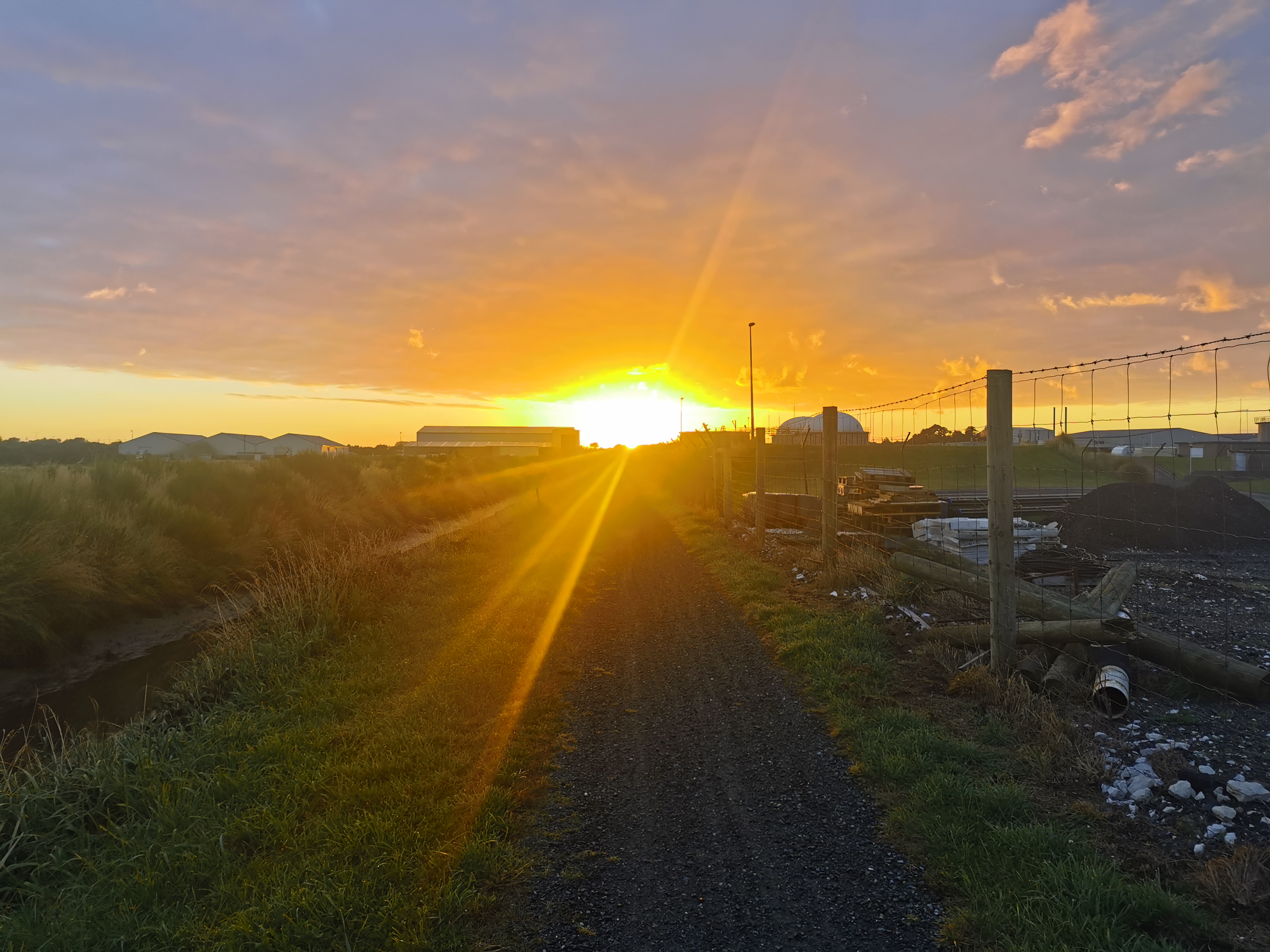
As the track took a clear distinct turn to the east to go around the sewage treatment plant, the sun came up in full force, right into my eyes.
I almost couldn’t see where they had closed the track and I almost walked right into it.
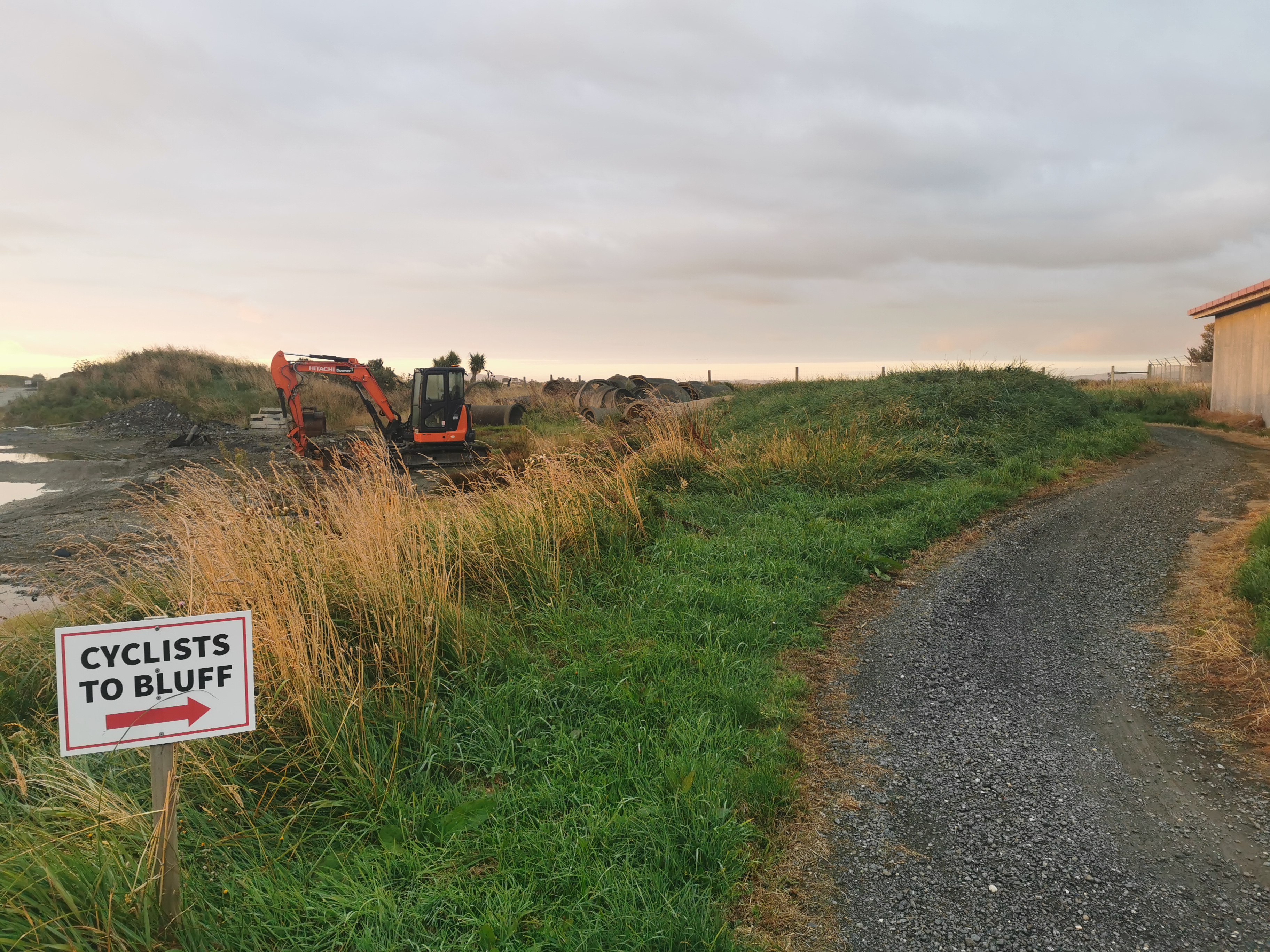
It was okay, you just had to go around the path onto the grass. There was no major detour or anything. But the path does go through the middle of an uninteresting industrial area briefly, so follow the signs.
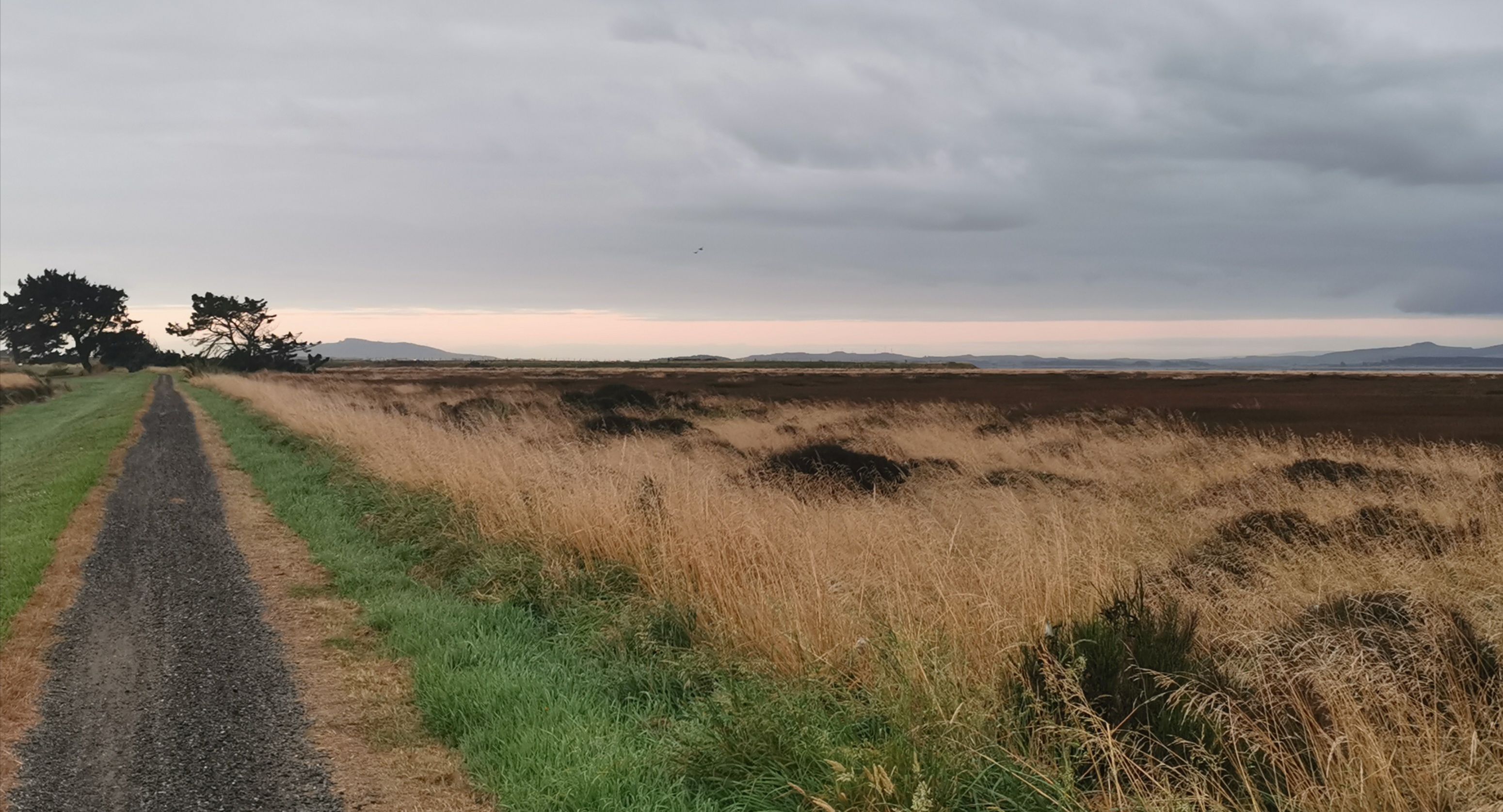
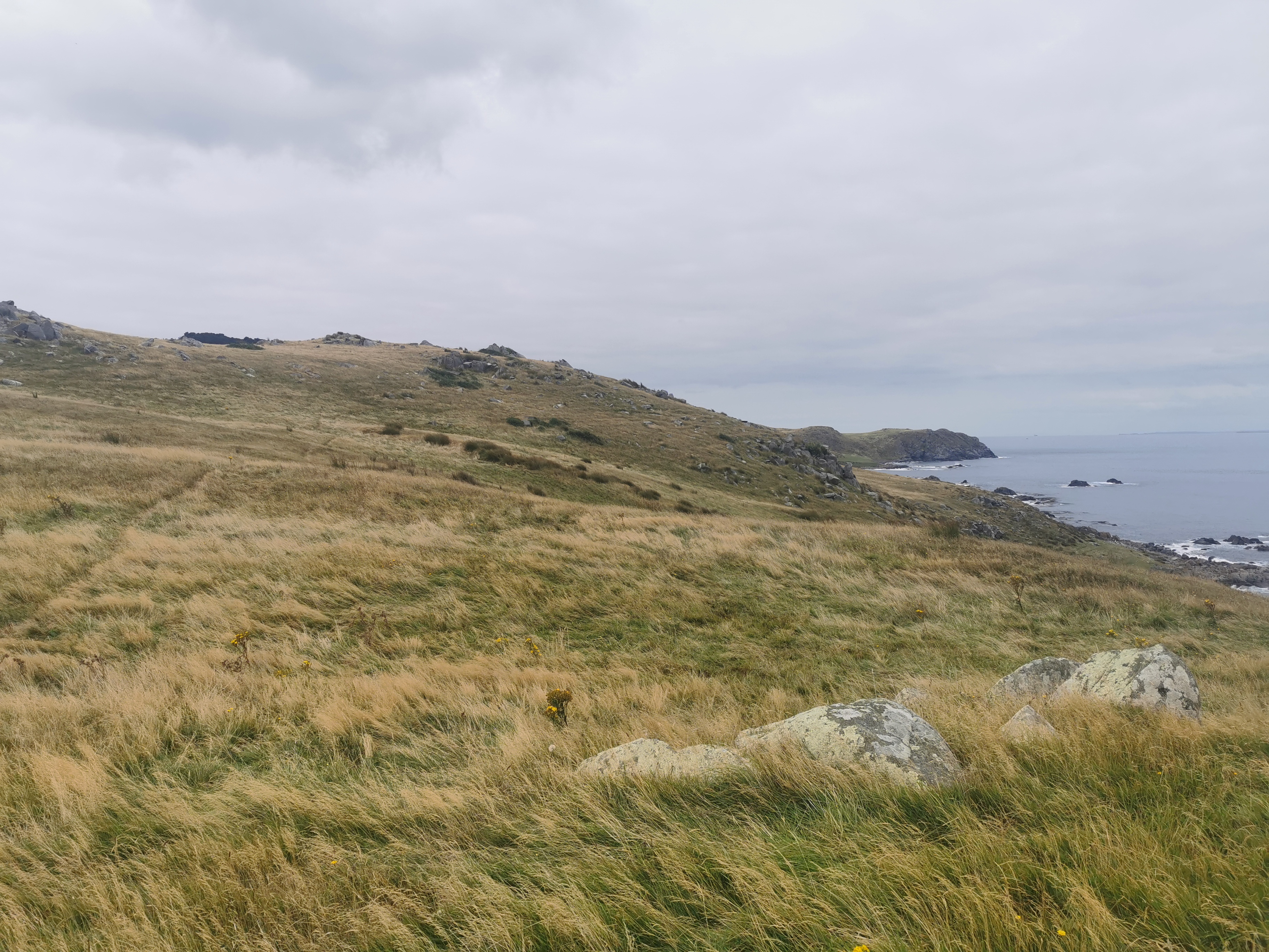
There was a lot of time to contemplate stuff on the estuary walk. I saw very few people so it was mainly an uninterrupted walk down a straight gravel pathway.
I contemplated about one big “what-if” that had been on my mind a lot. At one point in the past I had decided that I would make it to the finish line by February 29, 2020. I thought that it would be cool to finish on a leap day. The “what-if” I had was what if I didn’t keep walking when my leg started hurting at Hamilton Hut? What if I spent the night at Hamilton Hut instead of racing out of there and walking another 40km on it through to Lake Coleridge? Would I have not got so severely injured and would I not have had to take a month off to recover? If that was the case, I would have finished the trail during the 2020 season instead. But would the injury have just surfaced further down the trail instead? I guess there’s just no way of knowing.
I also contemplated about Day 1 where I was really excited about the upcoming adventure and I was making up songs in my head and singing them out loud while I was walking. There was definitely none of that now. There were the songs that were playing at McDonald’s earlier this morning stuck in my head, annoying the hell out of me.
- Sierra Sierra, Sierra Sierra, Sierra Leone-y. Sierra Leone-y.
- Sierra Sierra, Sierra Sierra, Sierra Leone-y. Sierra Leone-y.
That’s quite a bad song. The other one in my head was almost as bad.
- Compu pu pu pu pu pu pu pu pu pu pu pu pu Computer Games. Badap.
- Compu pu pu pu pu pu WOOP pu WOOP pu WOOP pu WOOP pu Computer Games. Badap.
That second one stuck in my head for many hours. I didn’t want to get my iPod out because I wanted to enjoy the peacefulness of the estuary path and then wanted to be safe on the highway walk. Also, apparently people toot at you when you walk along the highway – the same way they did when we walked into Invercargill – because they know you’re finishing the TA. I wanted to make sure I heard that.
Towards the end of the estuary walk I met two more people going northbound. That was very surprising! What was even more surprising is that they already completed the trail southbound in 2015 and they’re now doing it northbound – just the South Island at this stage.
The interesting thing is that I found myself extremely jealous of them. There is clearly part of me that doesn’t want to end the trail today.
Nicola and I were discussing this a while back. What are the chances, if it were possible, that when each of us reaches Bluff, we have the desire to simply turn around and start the walk again going northbound? It’s been done before by a few people. Nicola’s reply was “no chance”. I thought about it, and after much deliberation I put the chance for me at about 10%.
It must be weird when you’re a northbounder and you’re just starting out. You’d see all these southbounders who were just finishing the trail as you were starting, and I can’t quite imagine how that feels. The same doesn’t happen when you’re a southbounder, because of the seasons – I didn’t see my first thru-hiker going northbound until the South Island, almost two thirds of the way through, in the Richmond Ranges.
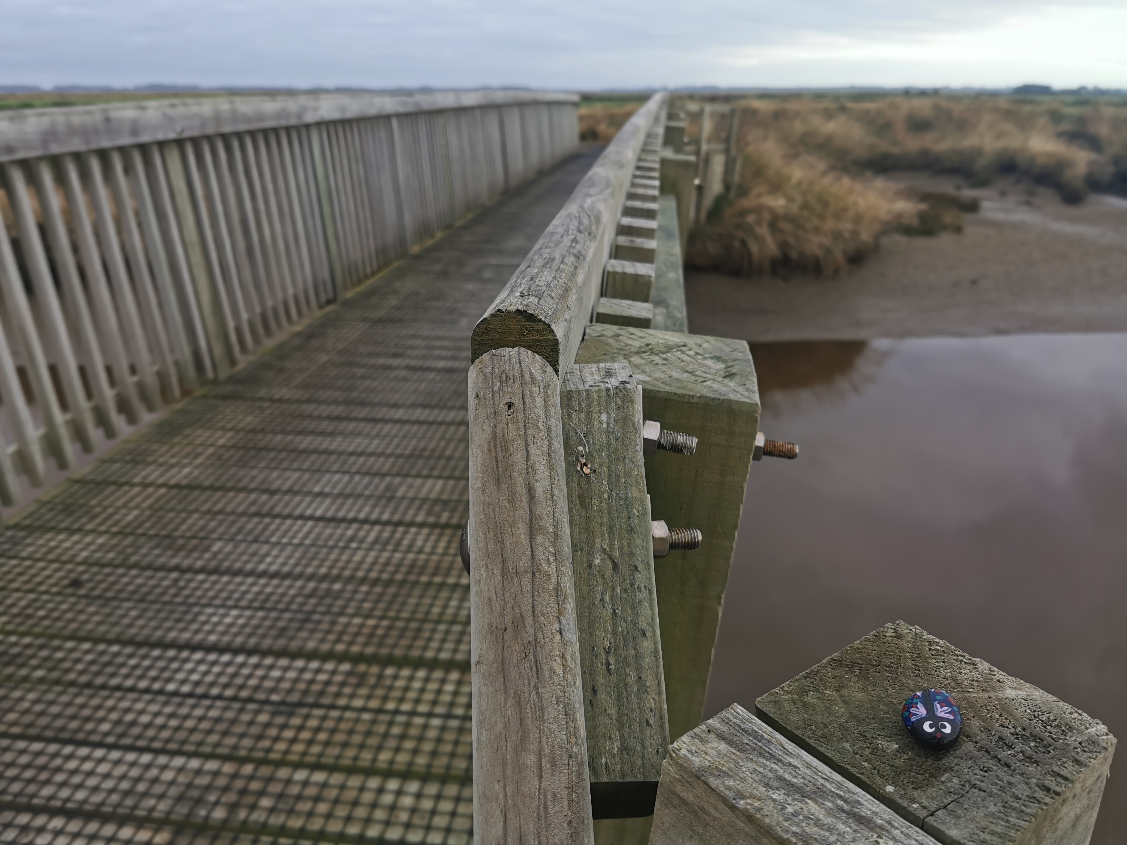
I also found a geocache under one of the bridges that I had to cross. It contained a little rock painted to look like a cute little bug so I took it with me. I hope it will stay with me and remind me of the last day of the trail, since I no longer have Taco Terry with me.
I kept a fairly steady pace throughout the morning. I wanted to get to Bluff early so I could hang out there a while and still be able to hitchhike home. I hadn’t brought my tent – I figured if the worst happened and I was unable to hitch a ride back to Invercargill then I’d just walk back in the middle of the night.
There was a big part of me as I was walking that made me wish that I was spending the night tonight in Bluff. That way I could take my time today. I mean, the view isn’t changing much, and the road walk will be long, so there’s not a lot of reason to slow down, but it would be nice to stop worrying about it. But that would have meant I would have to carry my full pack, and it was definitely nice walking with a half-weight pack.
I was looking on my phone to confirm that the whole rest of the walk after this path is in fact highway walk. There was talk a while back about continuing the walkway all the way to Bluff so that at no time to hikers have to walk on the road. I found this story online:
https://i.stuff.co.nz/national/118320724/te-araroa-trails-final-section-set-to-be-completed
It says that the path is “due to be completed in 2020”. Well it’s now 2021 – I wonder if the path has been completed? Surely it would be mentioned in the trail notes if it was. The trail notes say that the highway walk is still required.
When I saw the logging truck go past in front of me,
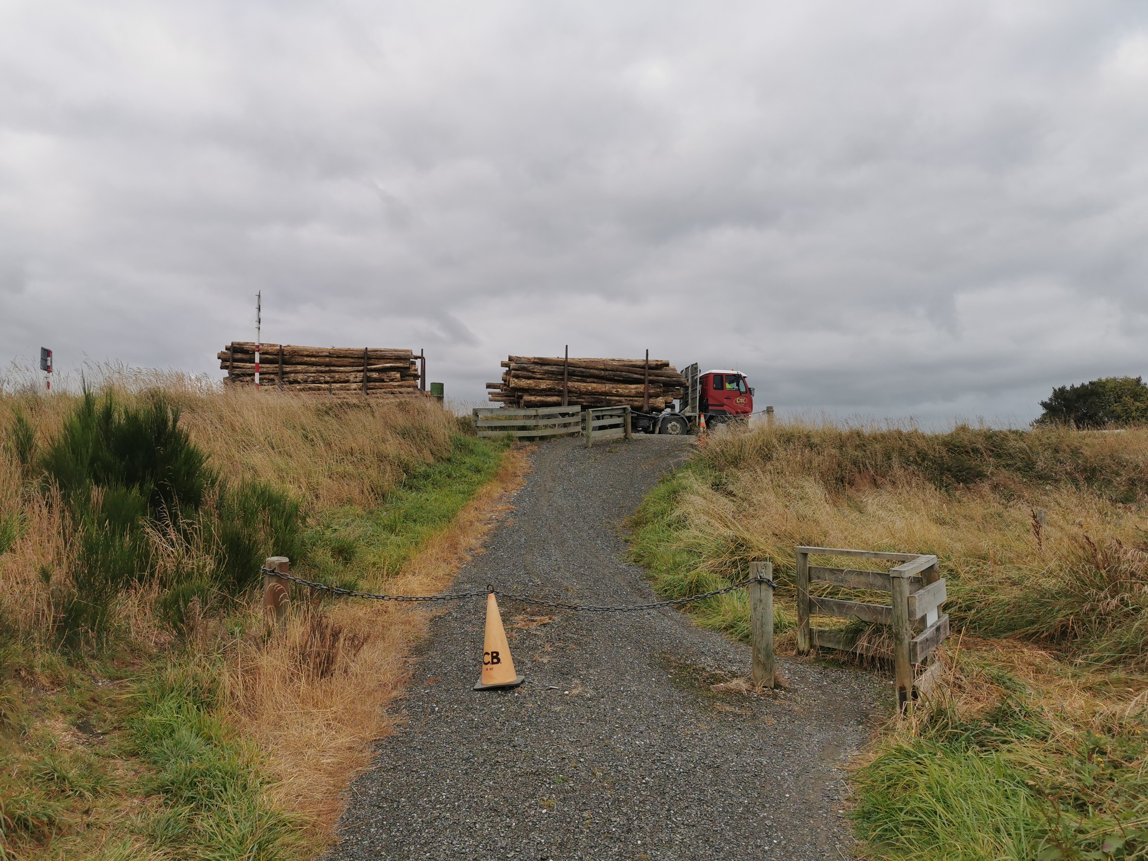
I figured this was the end of the estuary path, and I was right.
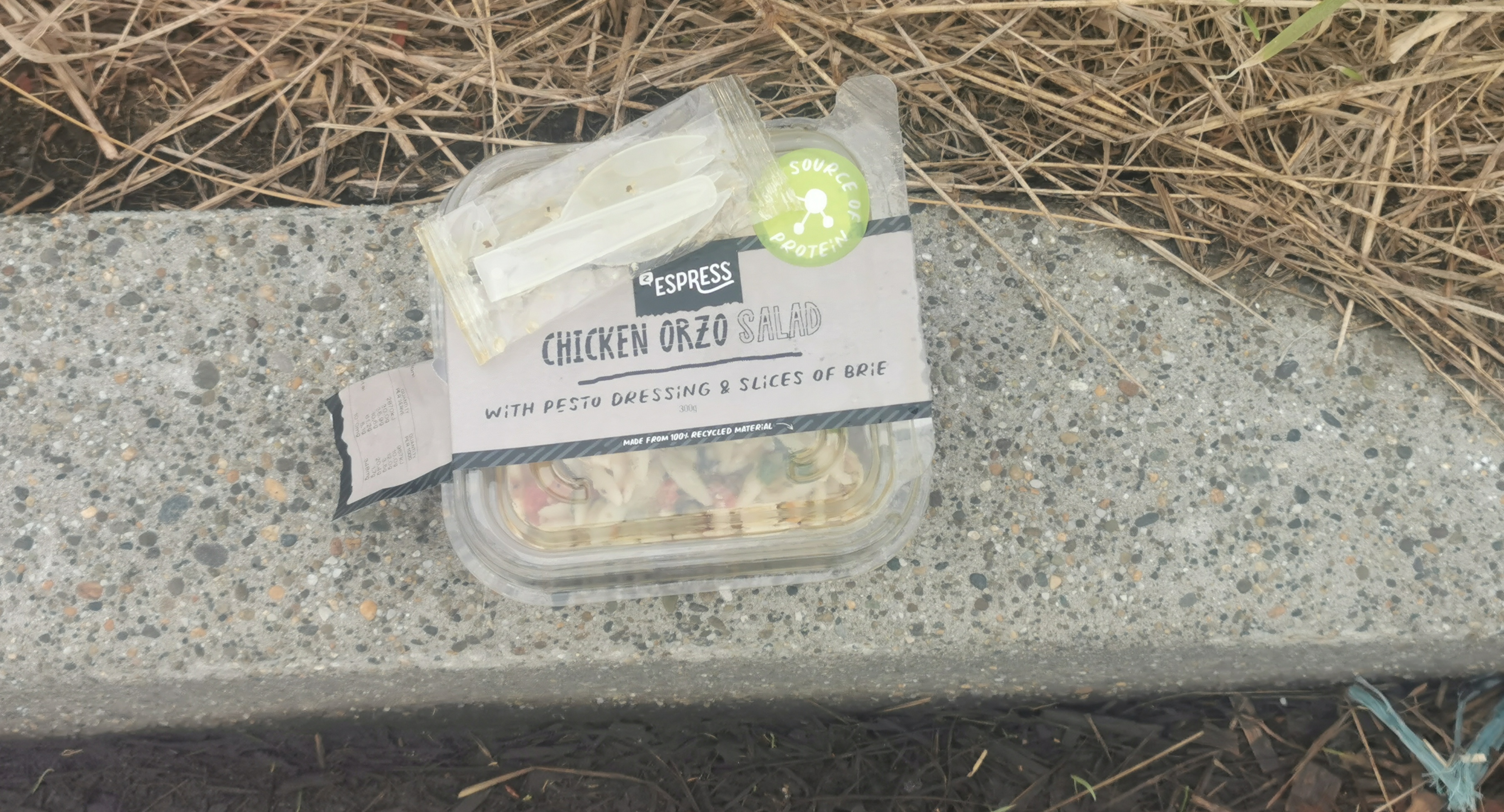
I went to get a snack, and I realised that the chicken pasta I bought for lunch had leaked and oil had gone over some of my stuff, mainly on my pillow. That was annoying, one – because I had to eat it then and I wasn’t that hungry yet, and two – my pillow now smells like pesto and oil. It’s now a pestillow.
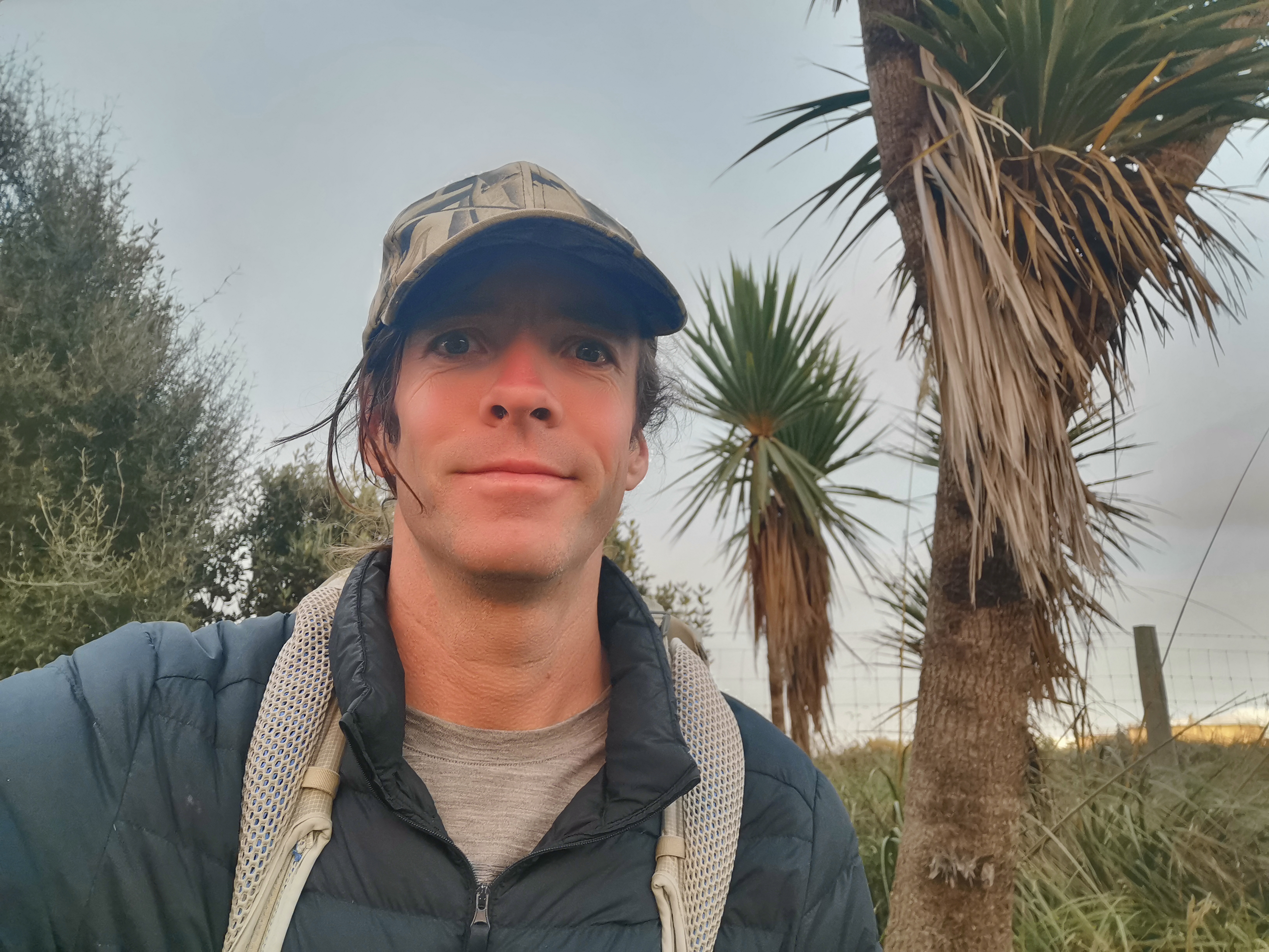
While I was stopped here I also put on my bright orange pack cover, to make it easier for the cars to see me. That and my new bright orange shorts means I should be seen a mile away.
One good thing though… all the pain in my legs from earlier has now gone. I guess walking with a lighter pack has made quite a difference.
It looks like there’s kind of a path continuing from here… But the sign clearly points towards the highway. Oh well, so much for that. It’s still getting built I guess.
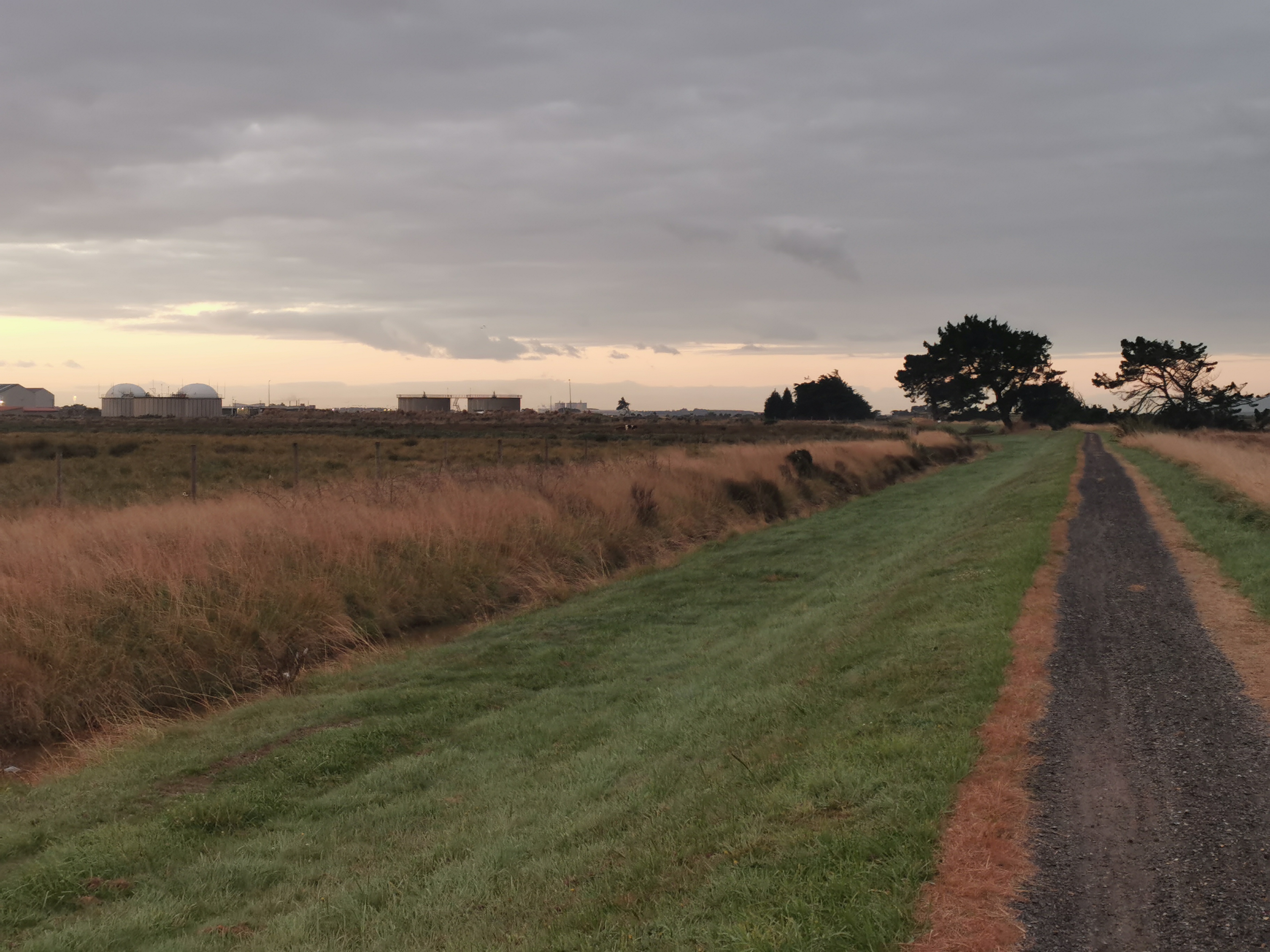
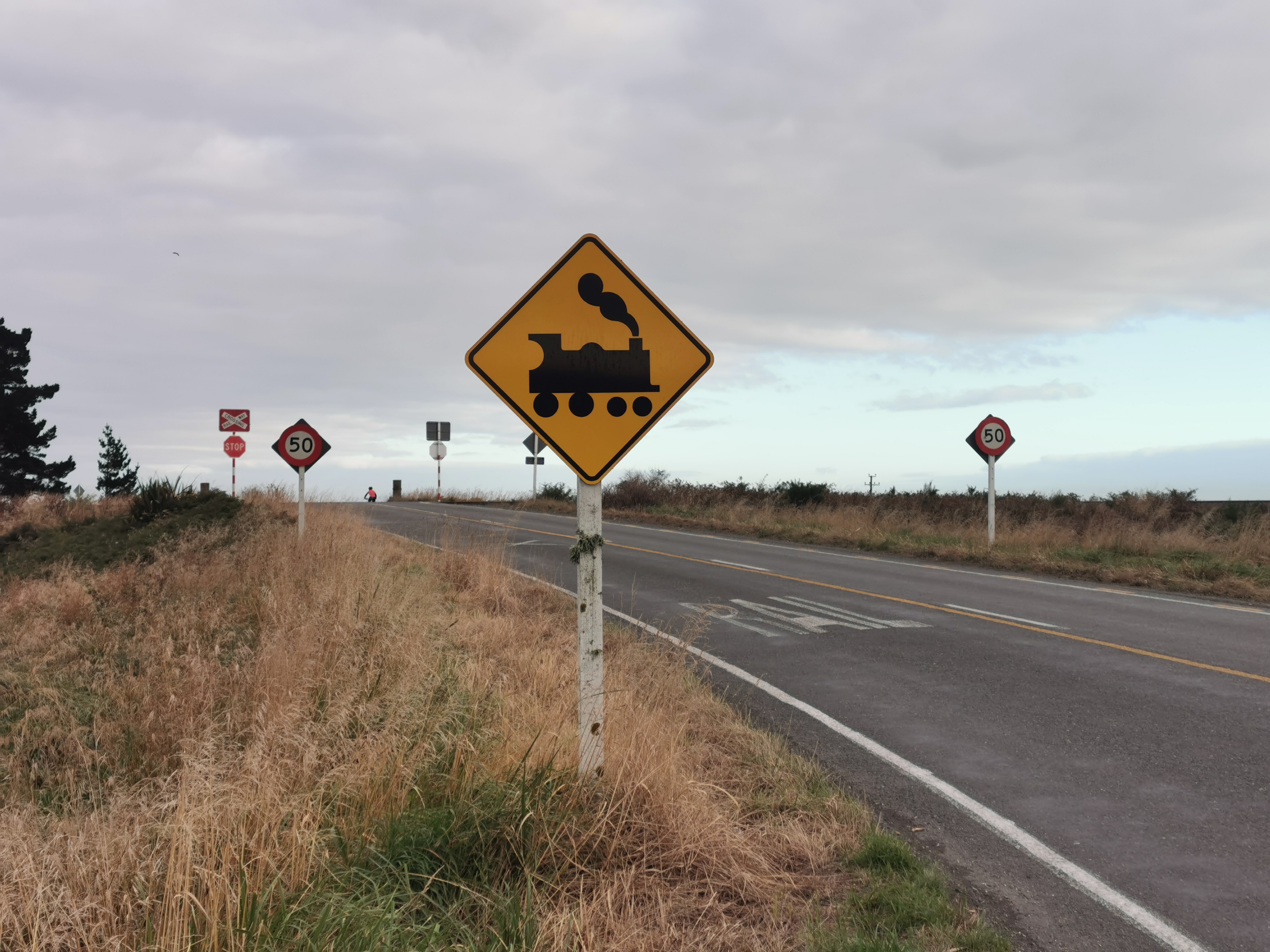
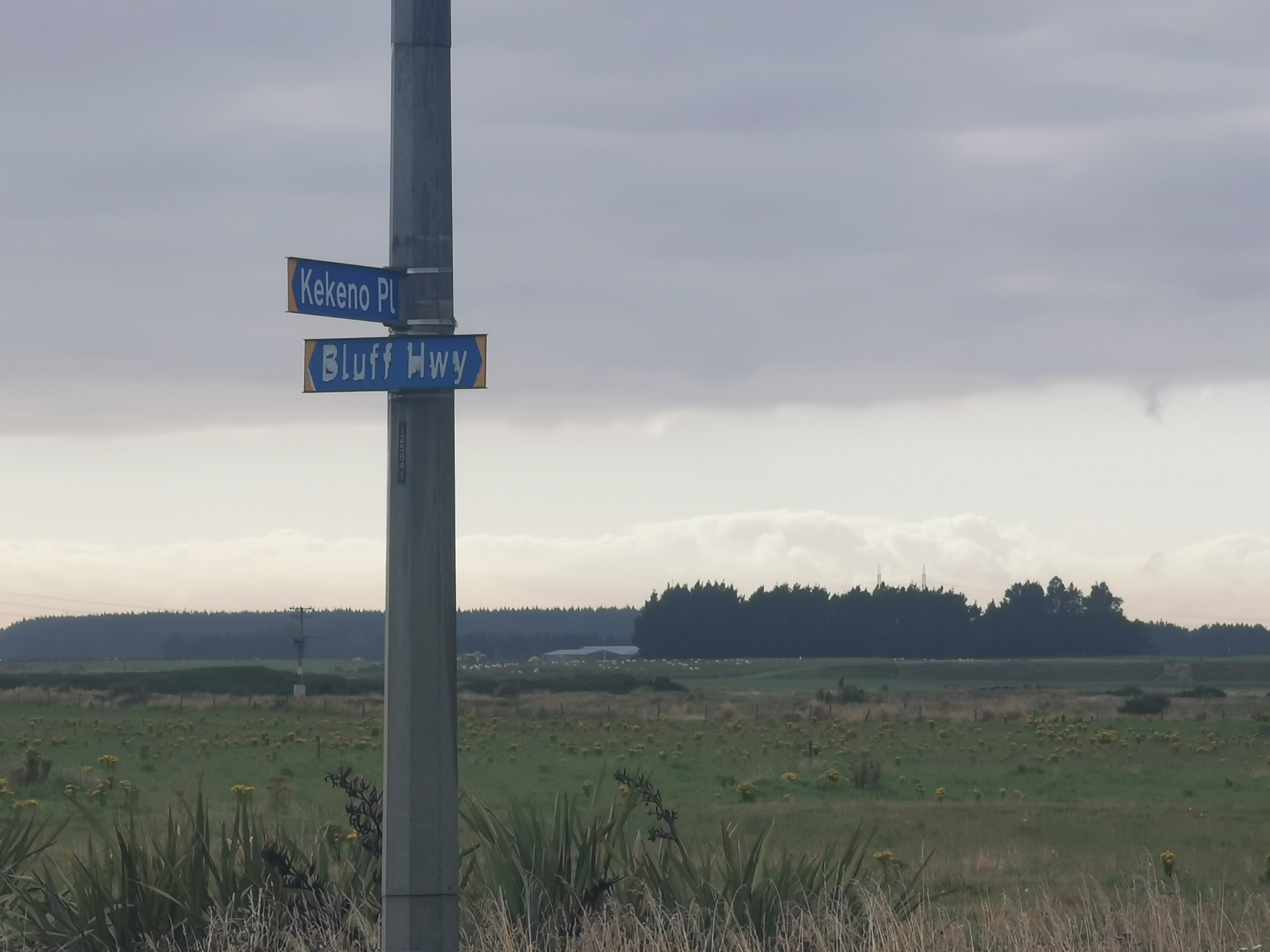
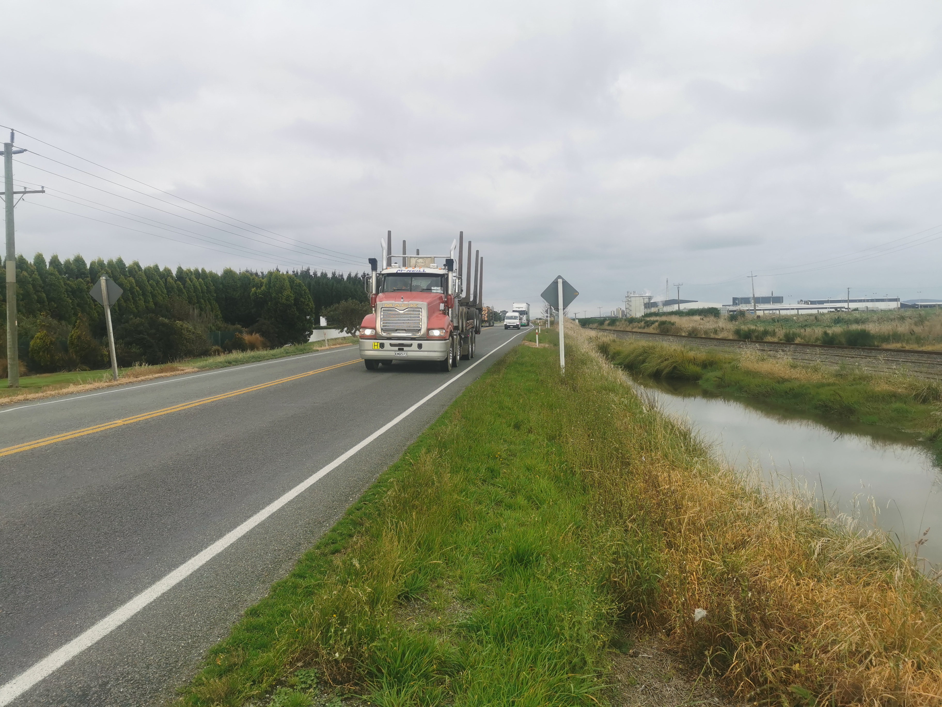
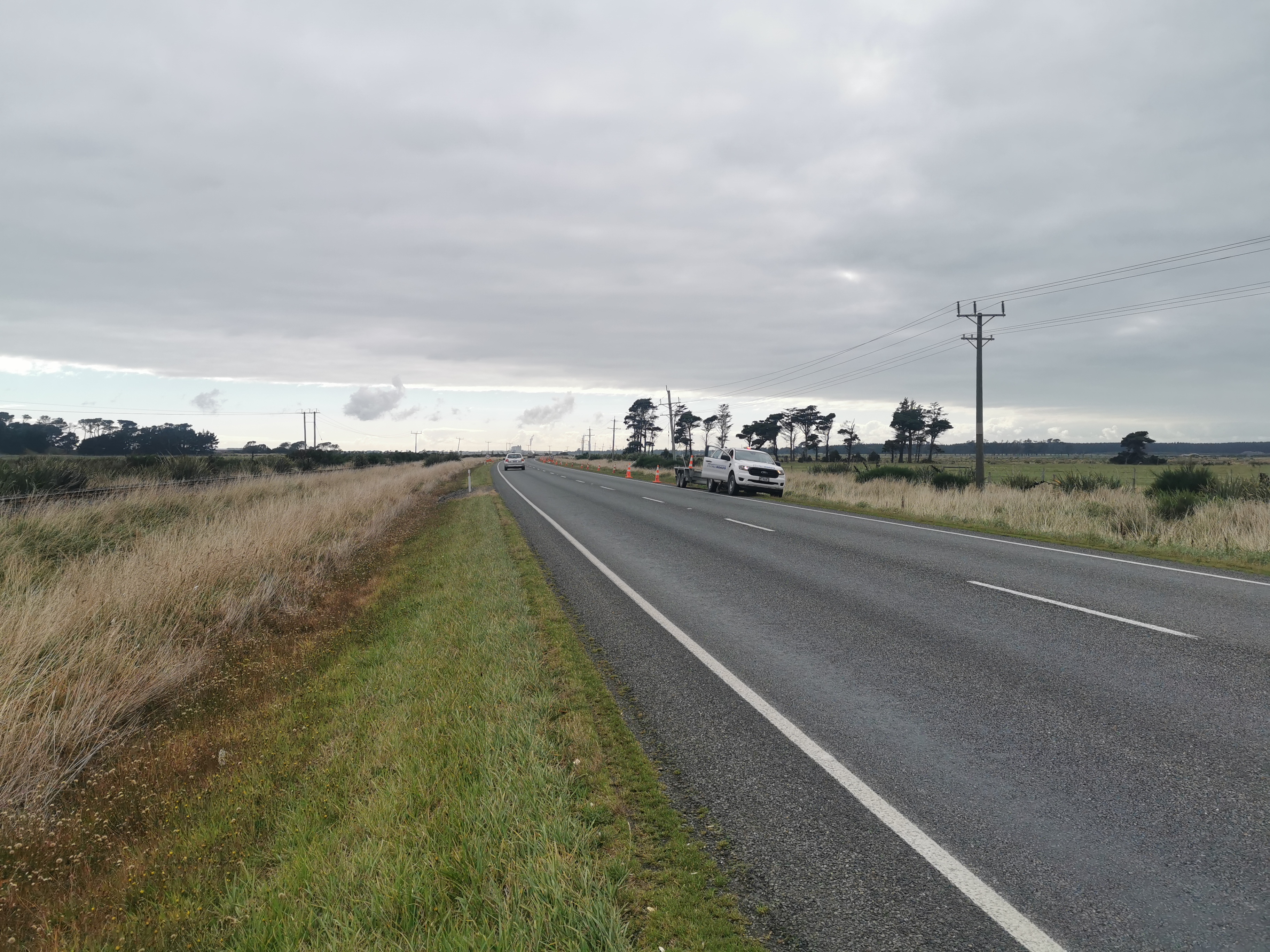
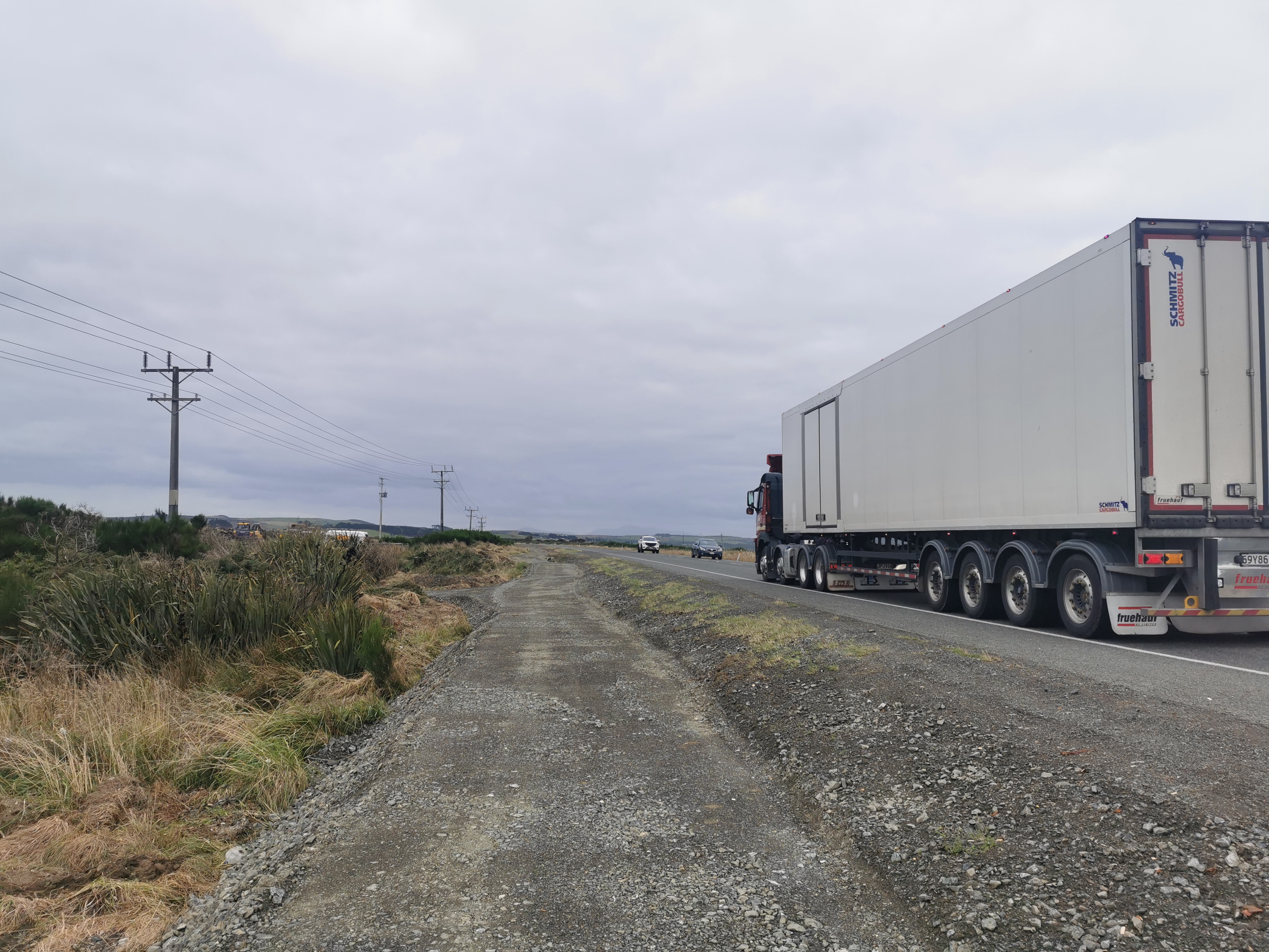
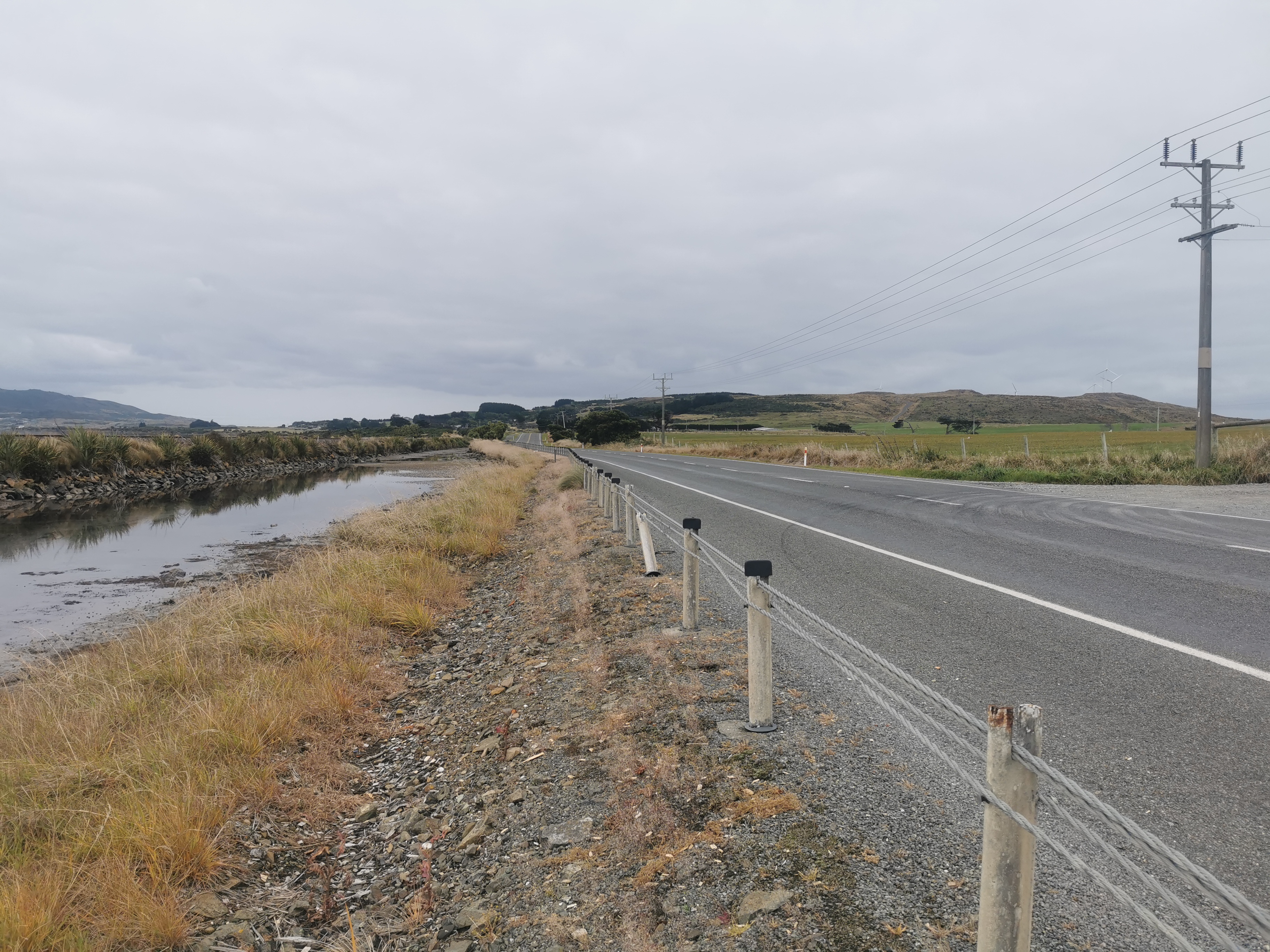
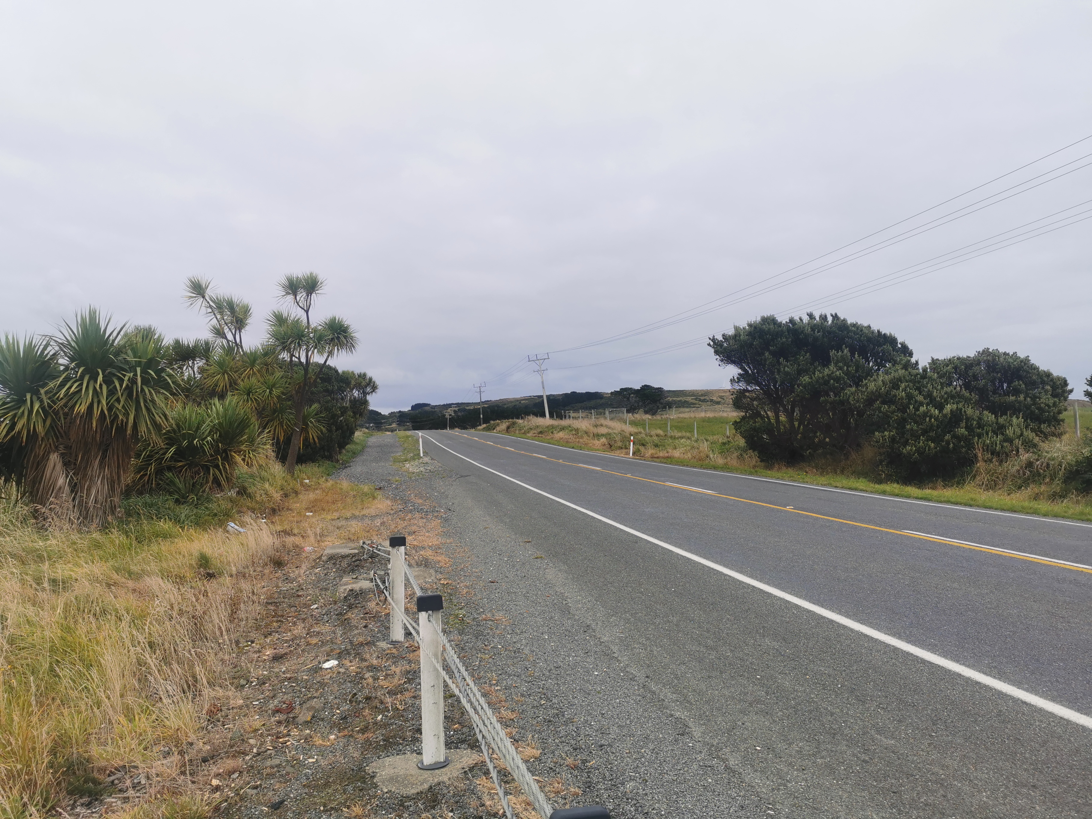
Okay… It’s now time to move onto State Highway 1. TA hikers going south haven’t seen Highway 1 since arriving at Picton at the top of the South Island.
There were a surprising number of trucks on this highway. At least there was always space to move over for them when they came past. The traffic would come past in groups. My guess is that the slow trucks hold up the cars and so they get bunched up, either that or there are some kind of roadworks going on doing the same thing.
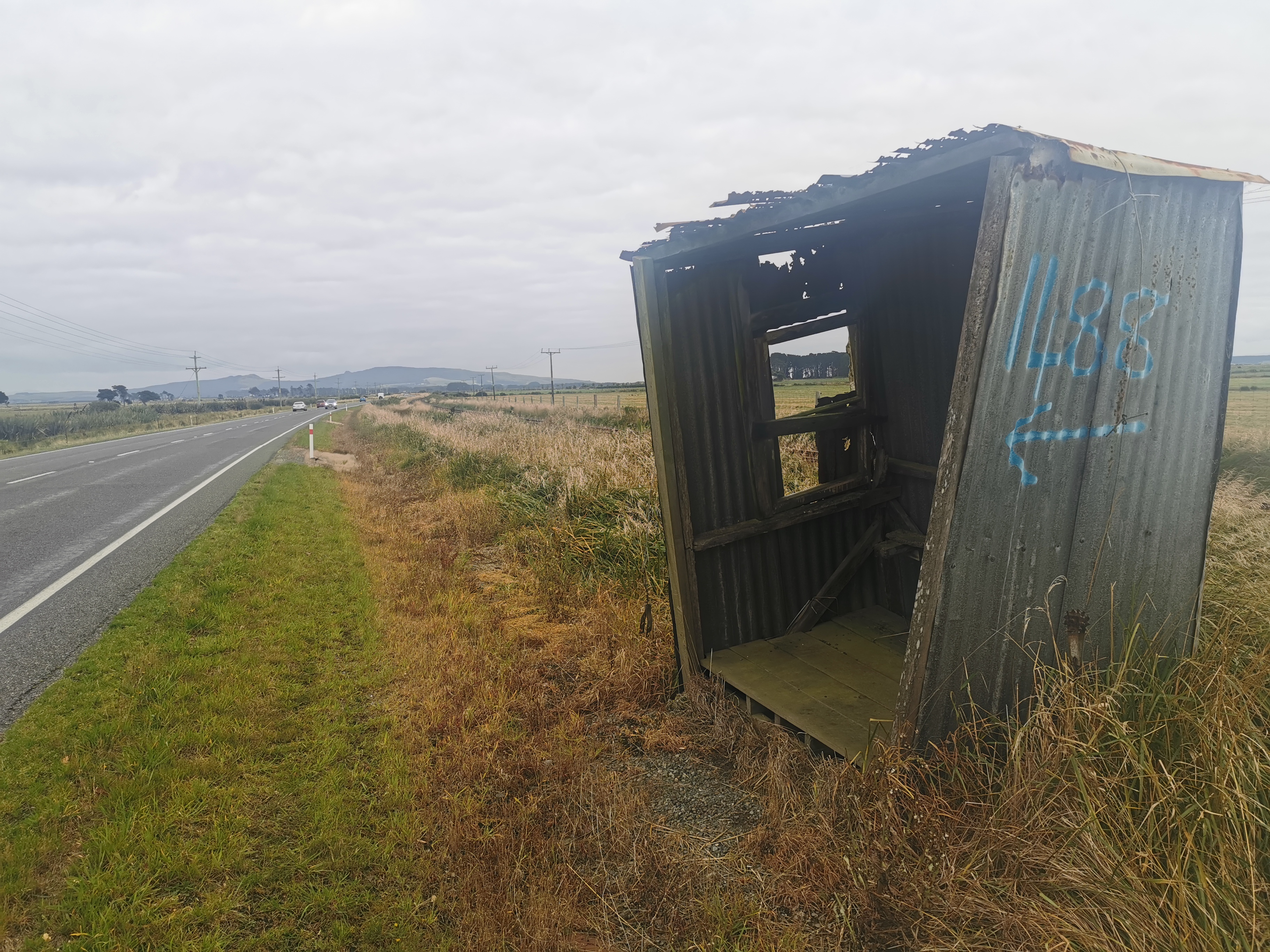
There were a couple of shelters here.
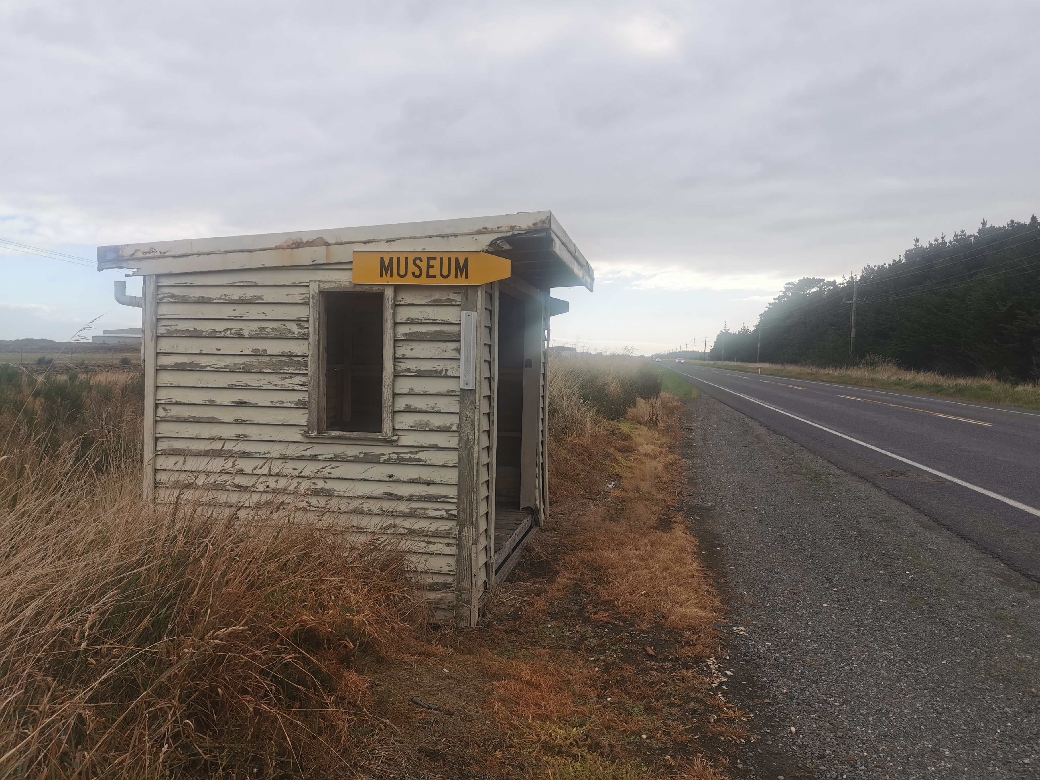
One was in particularly bad state.
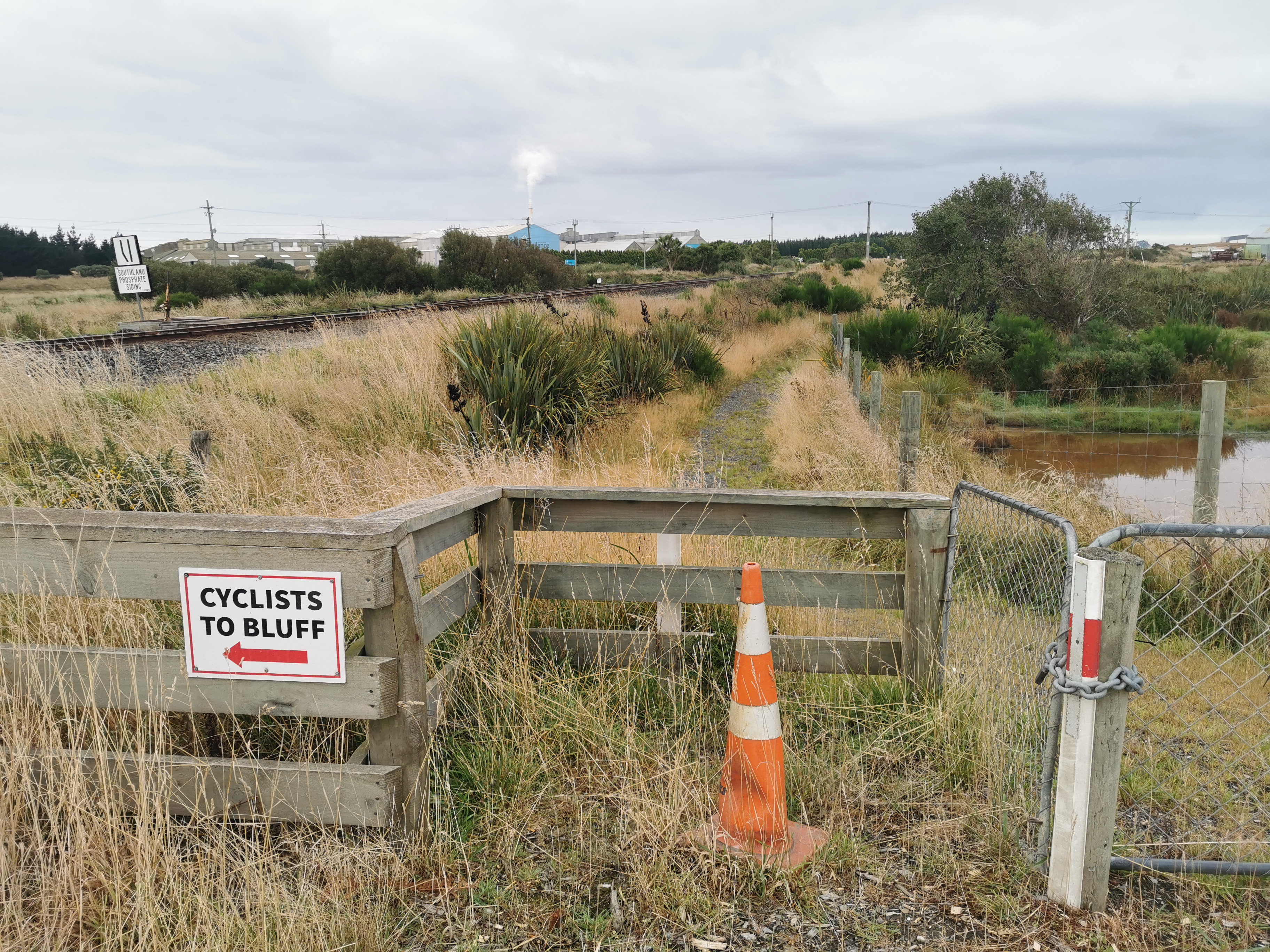
I walked 5km in an hour on this highway and not much happened, until I came up to some roadworks and one of the workers came over to me. He and his team were building the aforementioned path to Bluff, and apparently it is 60% done – in fact they’ve been building from the Bluff end, and currently it starts just up ahead. That’s awesome. Apparently it will be fully complete in two months from now.
He said that my orange shorts and my pack cover could be seen from a long way away. That’s good, that means they had the desired effect.
He also talked to me about the weather, as usually happens when locals come and chat. Apparently the calm conditions I was expecting today are very very rare down here, and it’s always windy or raining or both. Yesterday was “abysmal” apparently. People’s final photos they take at the finish line always seem to be taken in nice weather so I wonder if people are always waiting for a good day.
It’s good that this guy stopped and talked to me. The path is down off the road and on the other side from where I was walking and if he didn’t mention it there’s a small chance I simply wouldn’t have seen it!
11am came past just as I’d moved onto the new section of path. So my final 11am picture is this one of a truck whizzing past me.
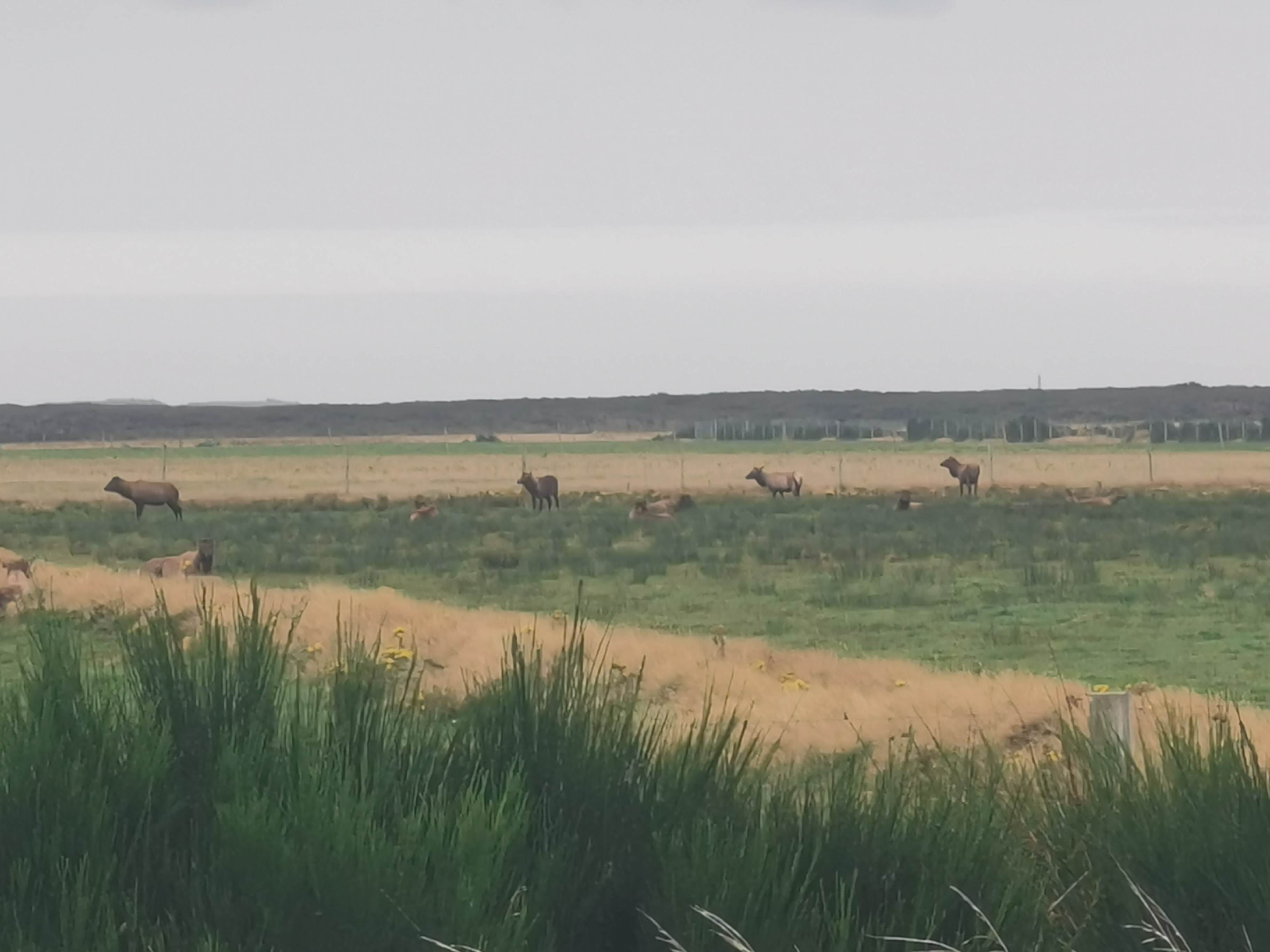
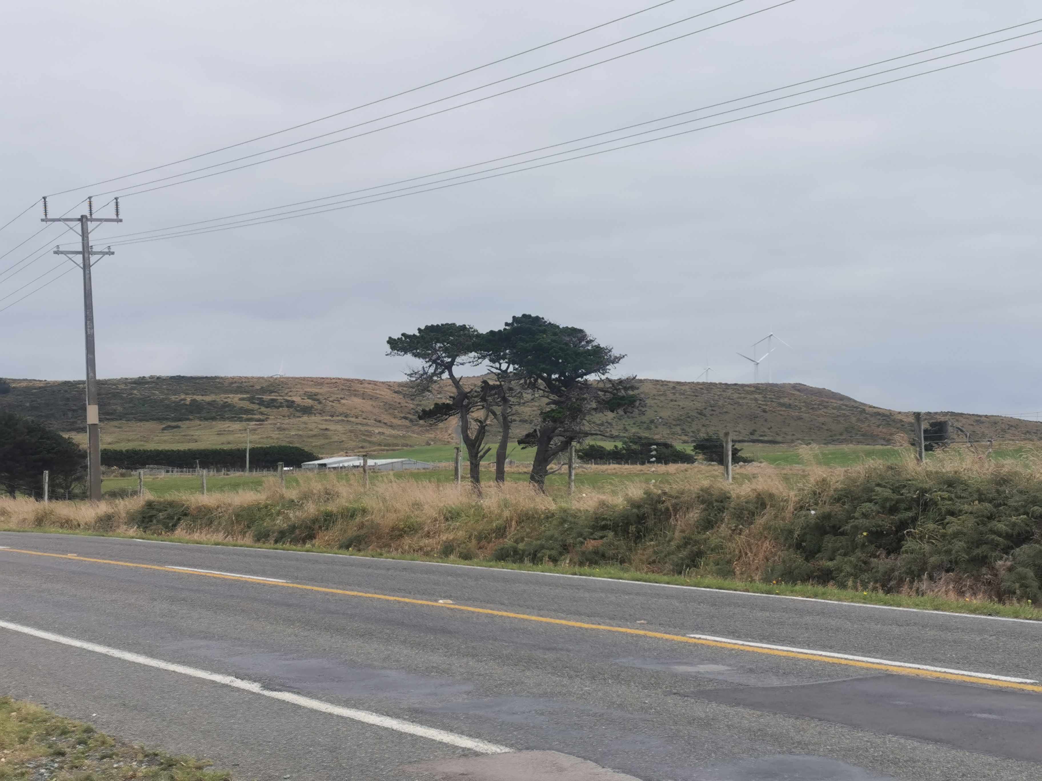
At one point I heard a strange noise – it was definitely an animal, but it sounded like a drowning cow. I looked in the field but the animals were far away and I couldn’t make out what they were. I took a zoomed-in photo on my phone but that didn’t really help.
The road worker also mentioned that some people found it hard to follow where the path actually went. I was surprised by that, it seems to go entirely in a straight line, and when it doesn’t, there are big signs.
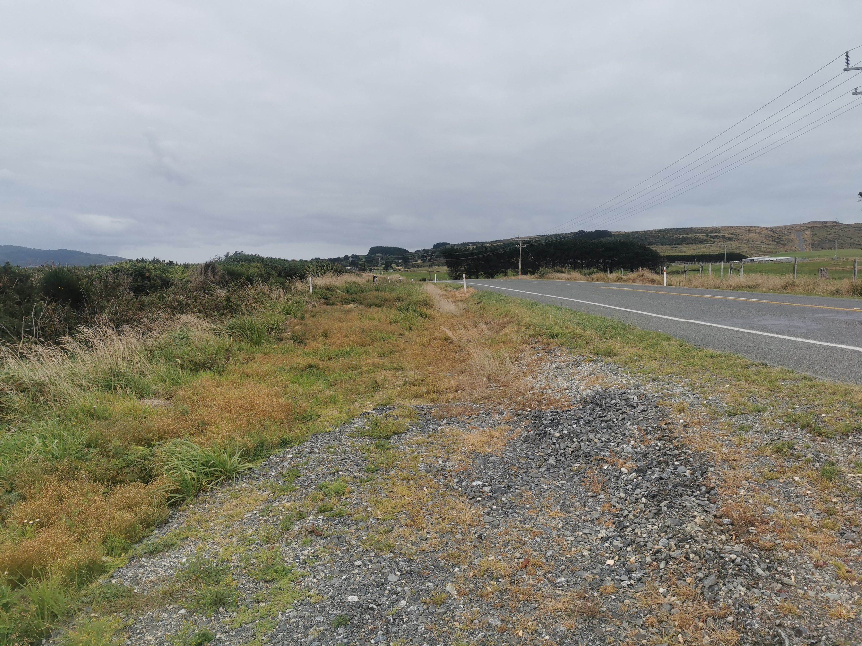
As it goes on though, it stops and starts. It stops whenever there is a wire barrier on the side of the road, and restarts again afterwards. It’s quite uncomfortable walking on these sections.
I was following the map, and as I reached the end of the road walking section, I realised I had not heard any tooting by any passing cars. That was kind of sad – perhaps with my bright clean orange shorts and the absence of my walking poles I don’t look like a TA hiker.
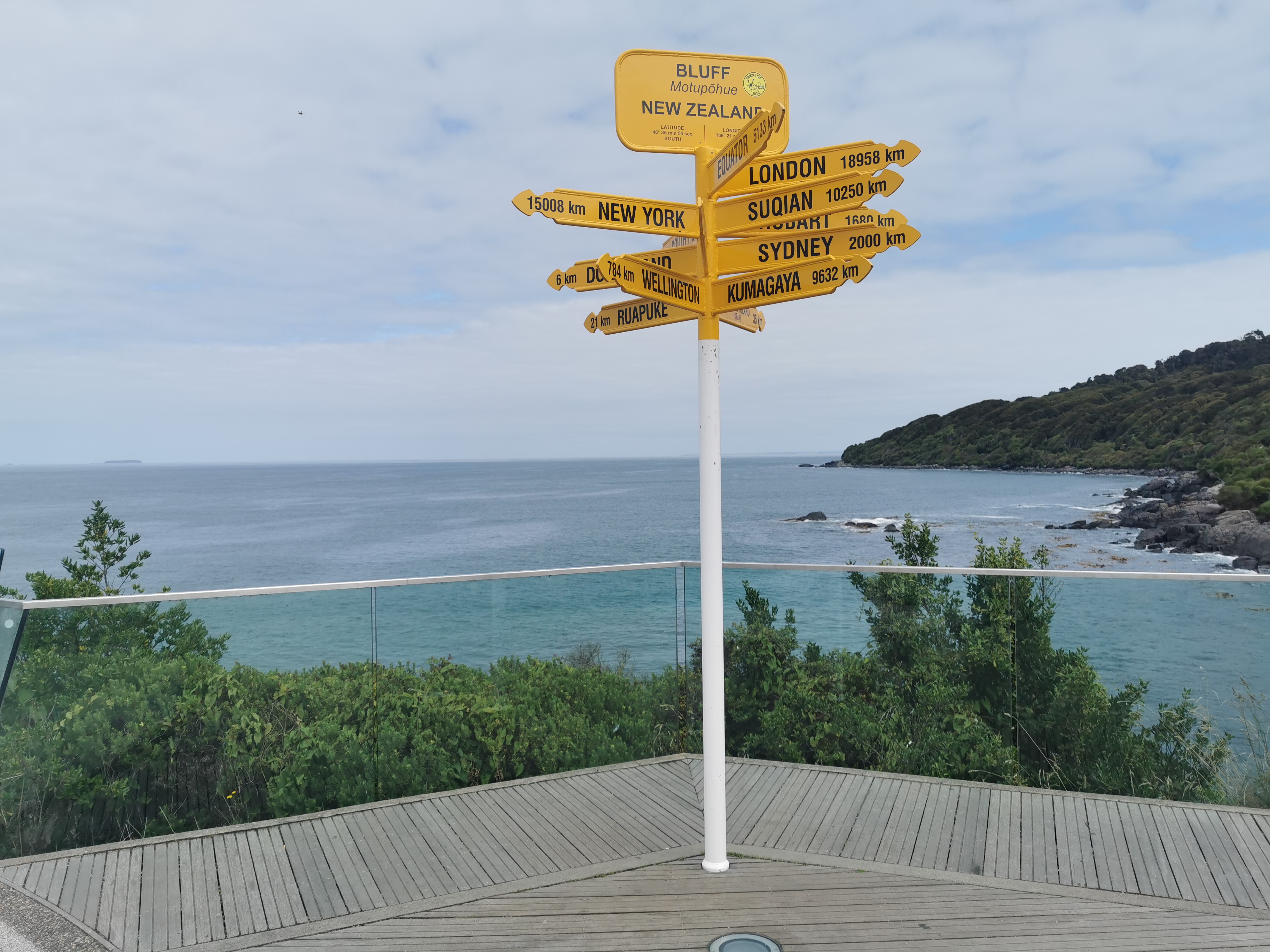
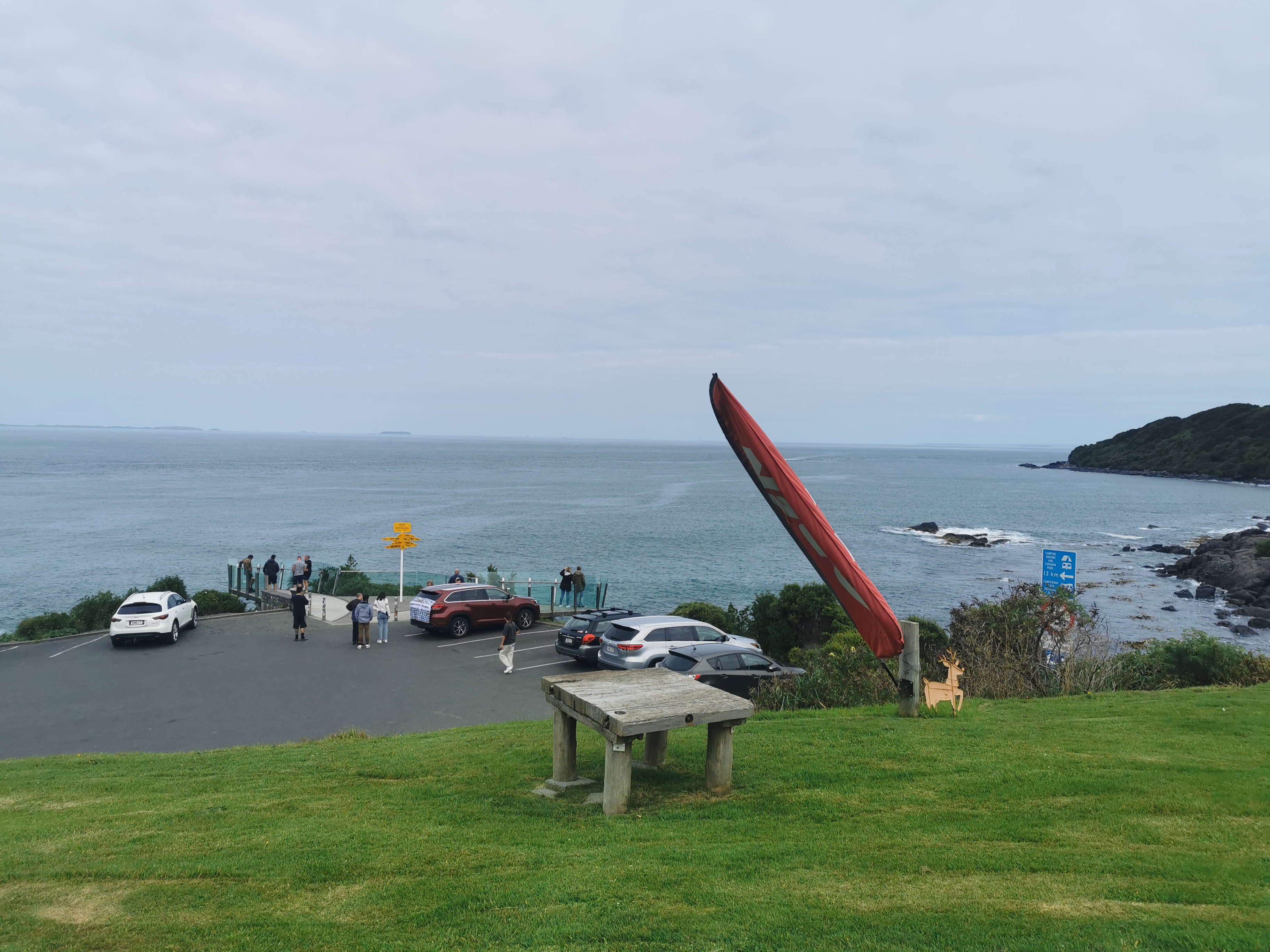
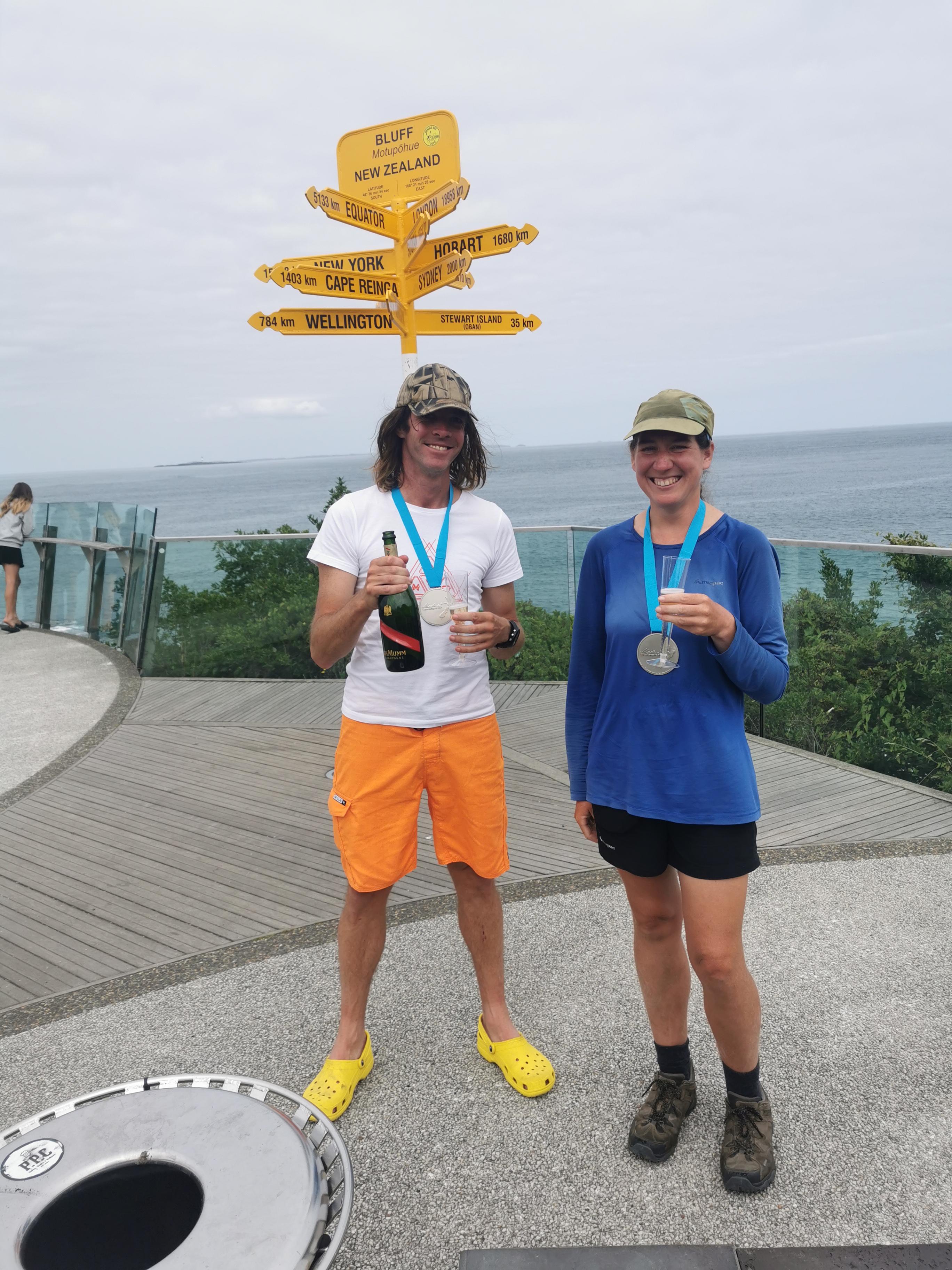
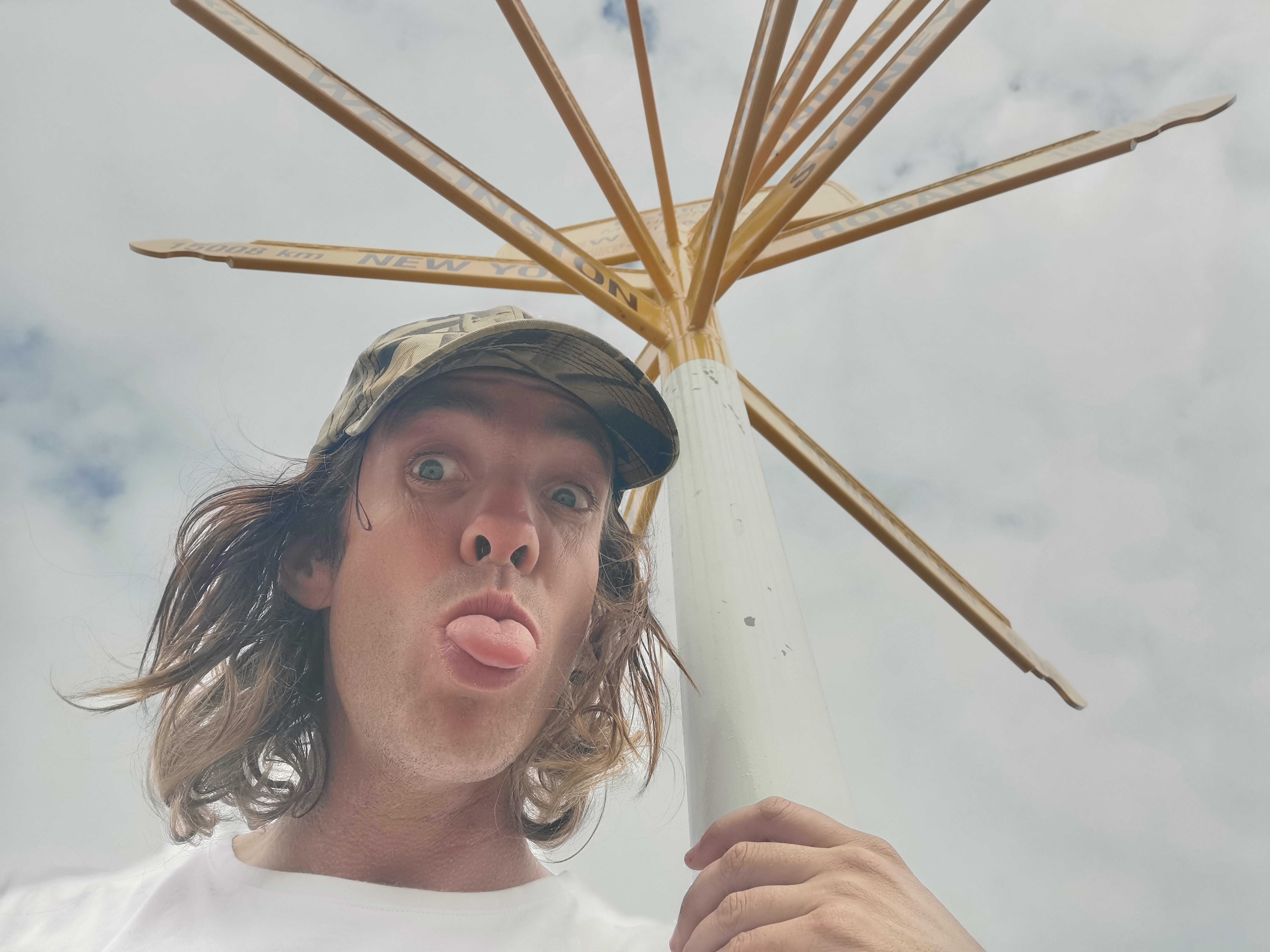
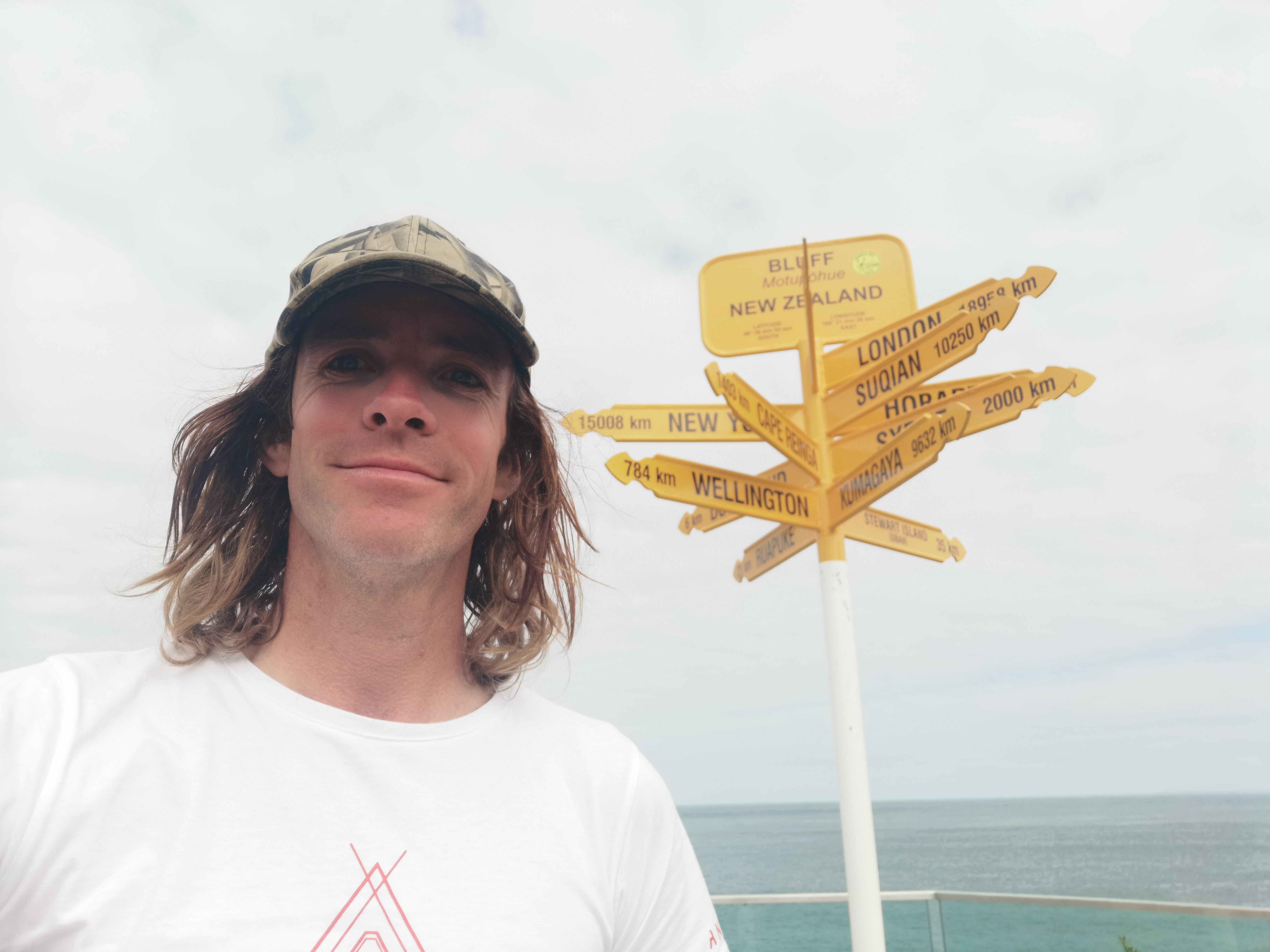
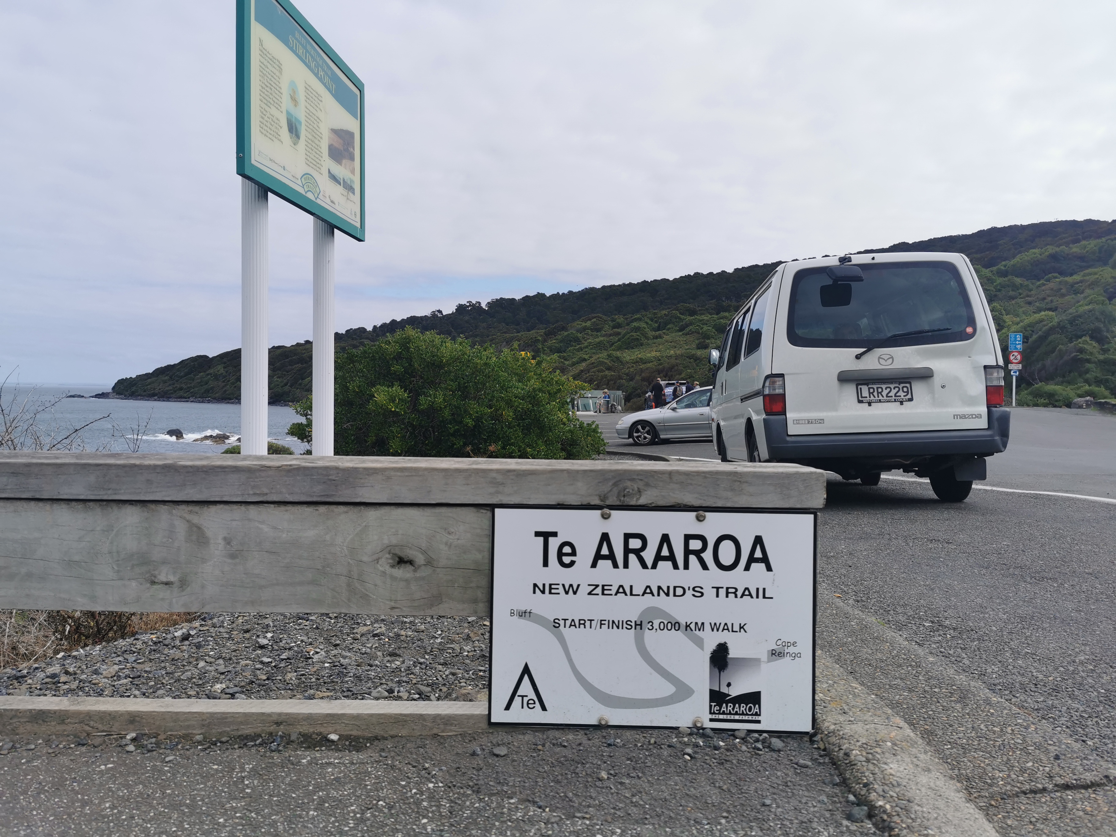
At 12:30 I reached the “Bluff Sign”. Not the finish – not the Stirling Point signpost – this one.
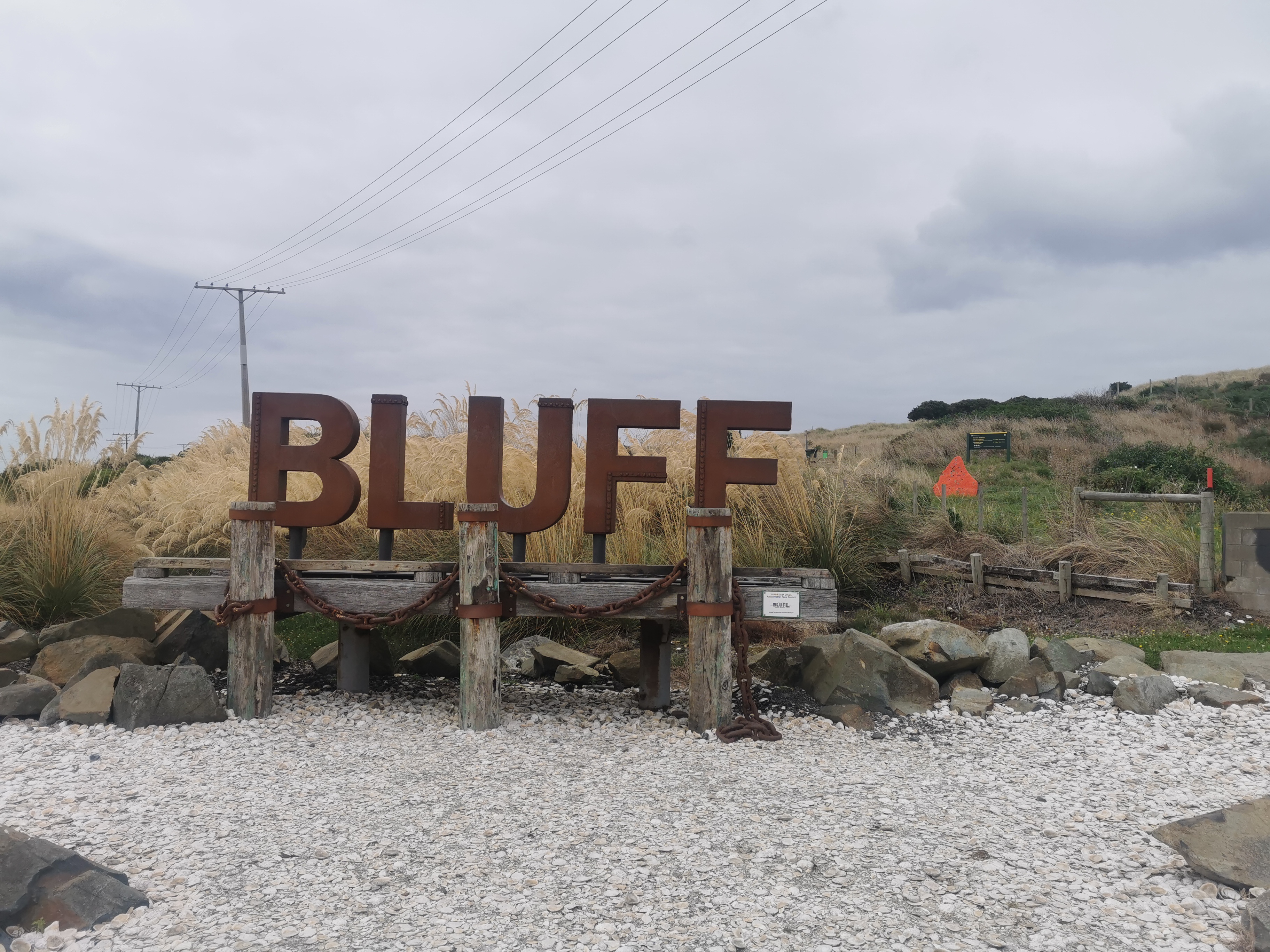
I’d forgotten this sign existed actually, despite having seen it in a lot of Instagram photos. I stopped here and had the remainder of the food I’d brought. There was nobody else around, and nobody else turned up while I was eating food, so I wasn’t able to get anybody to take my photo with the sign.
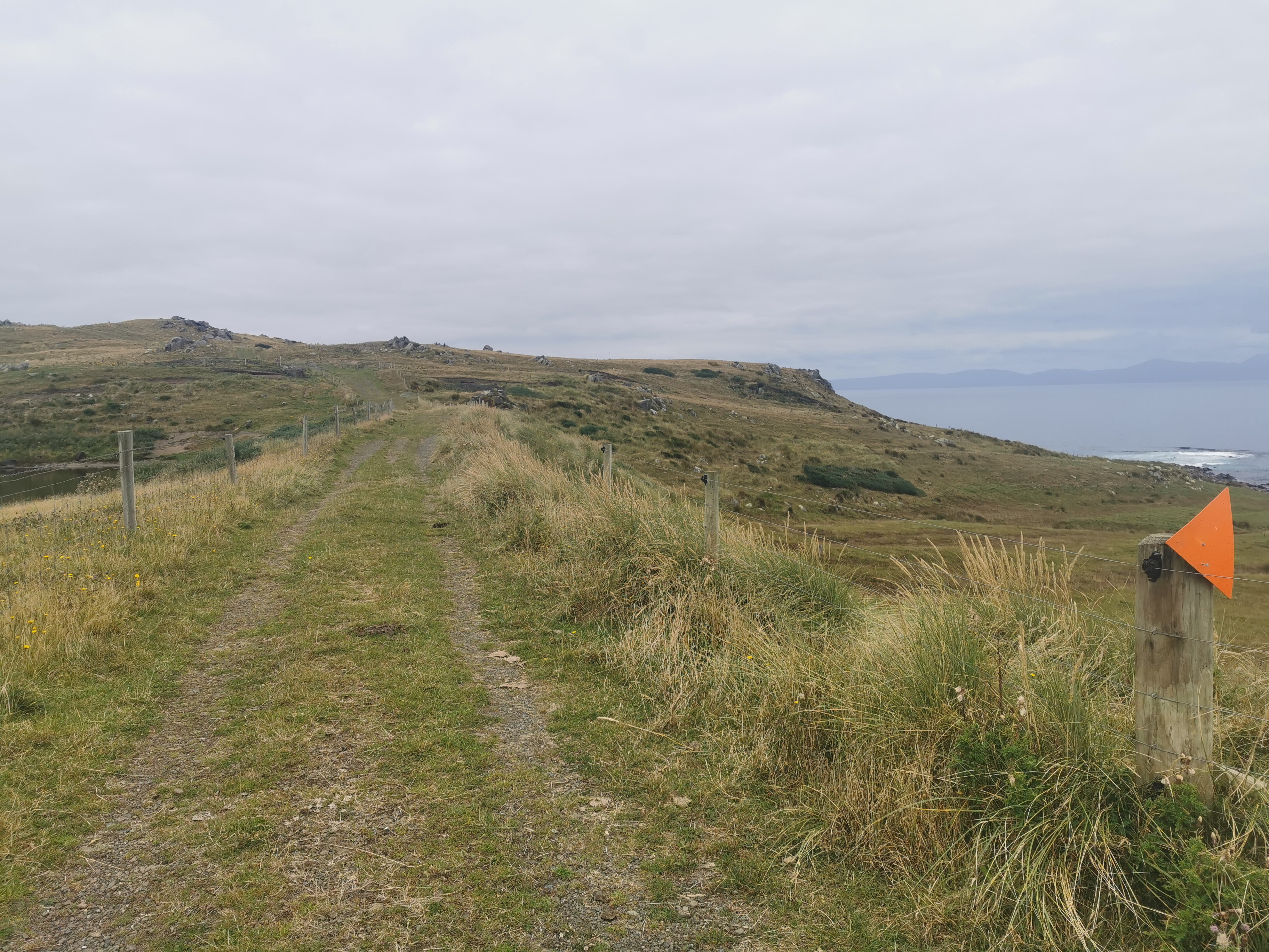
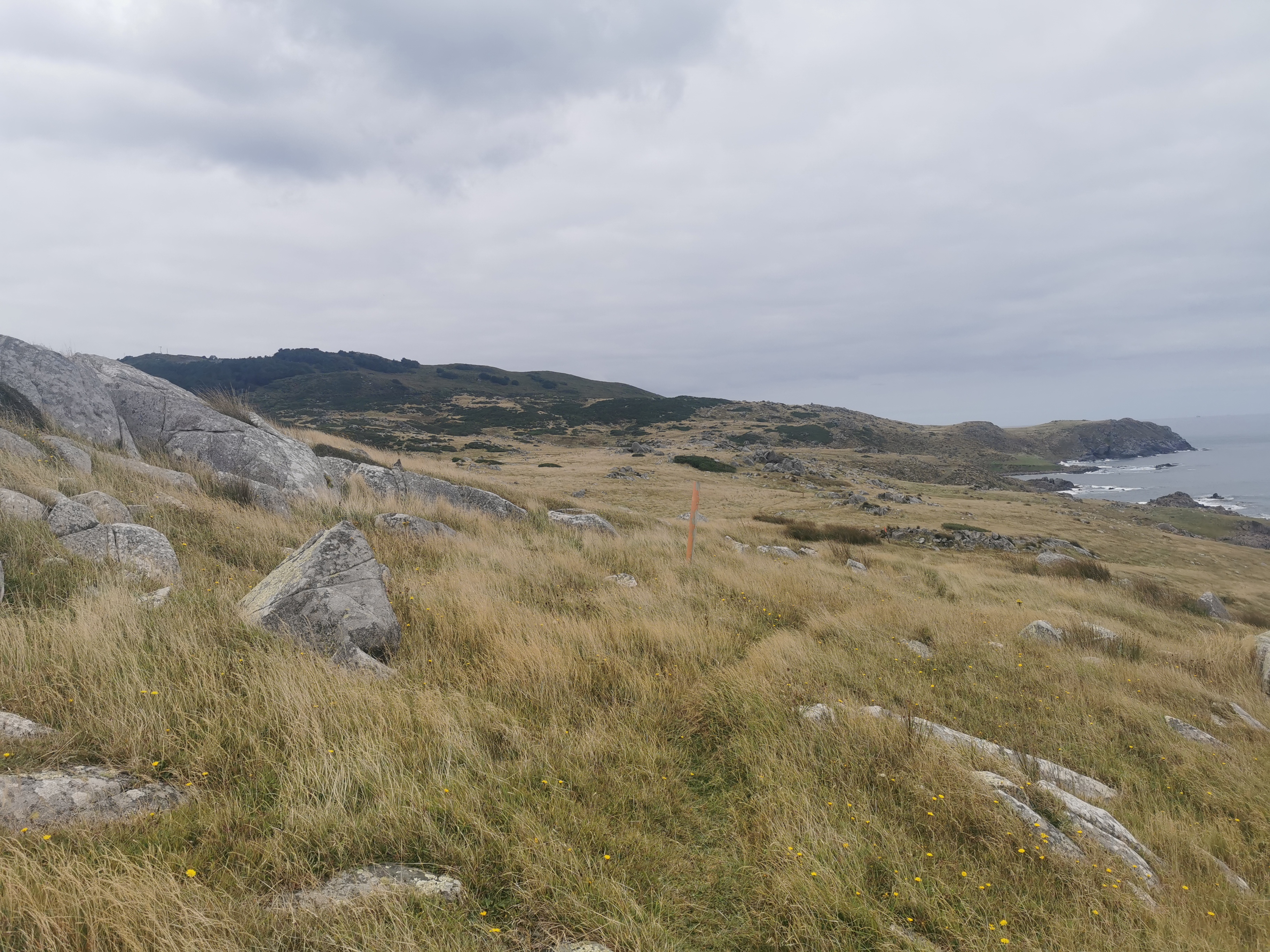
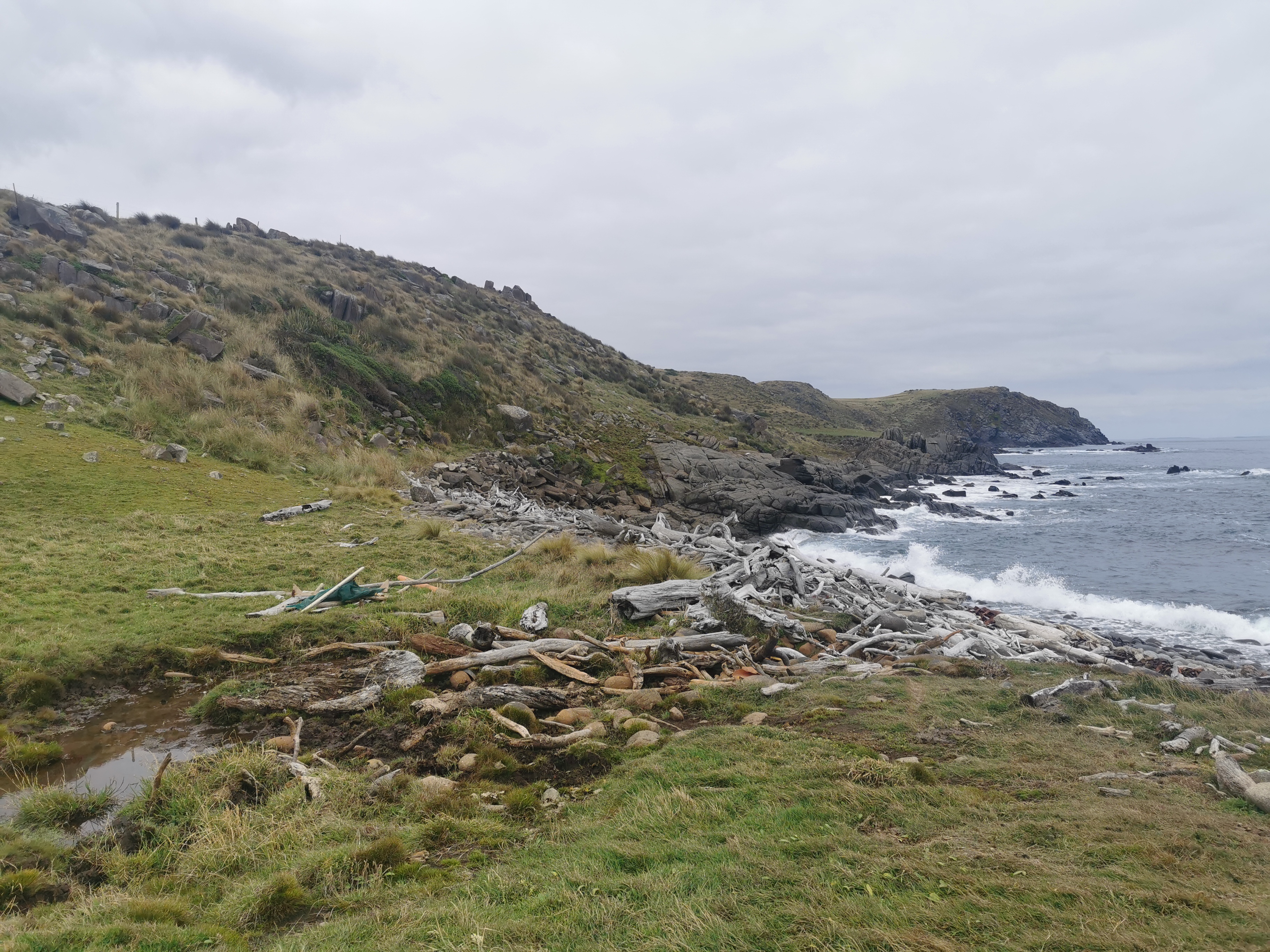
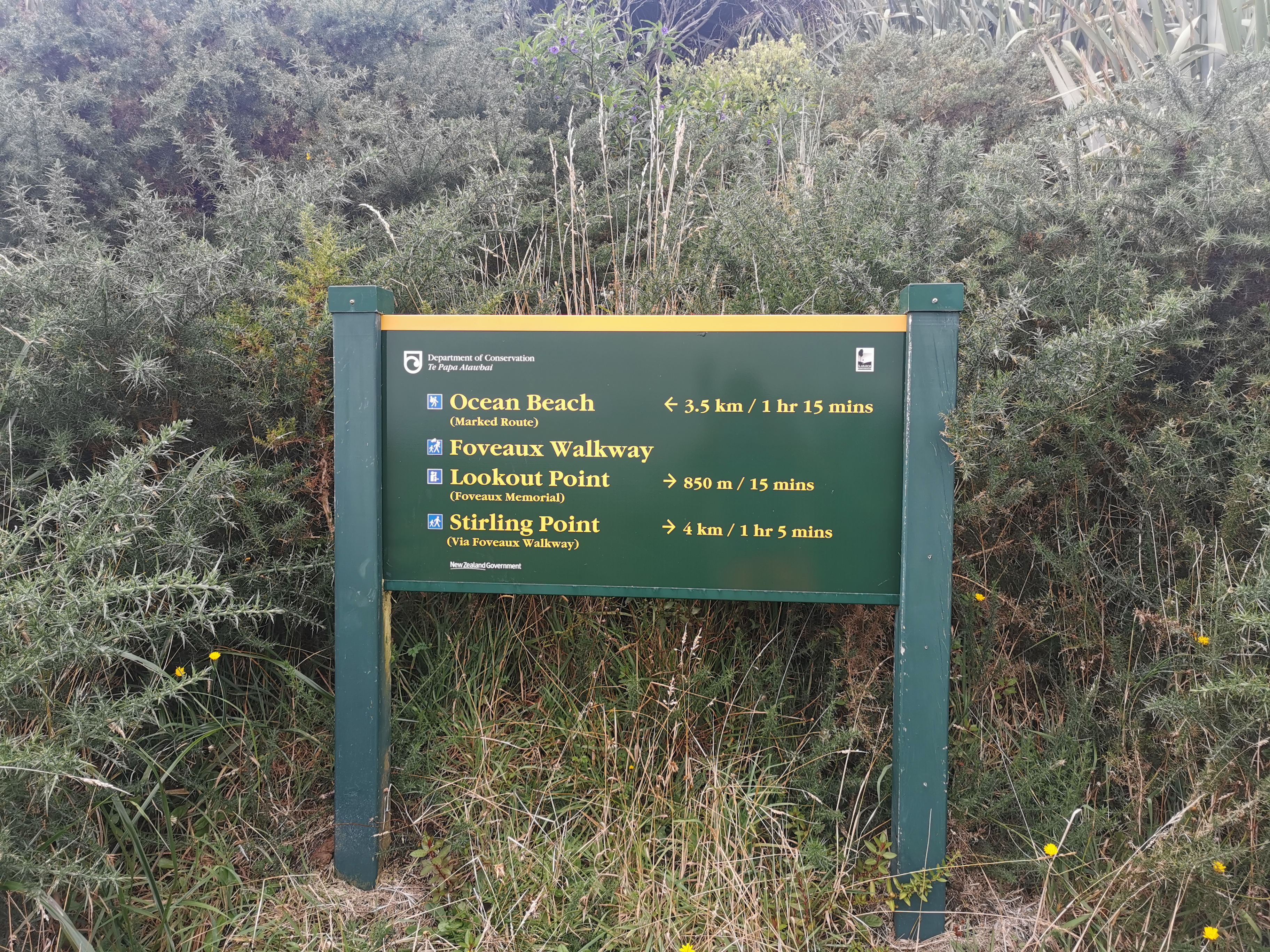
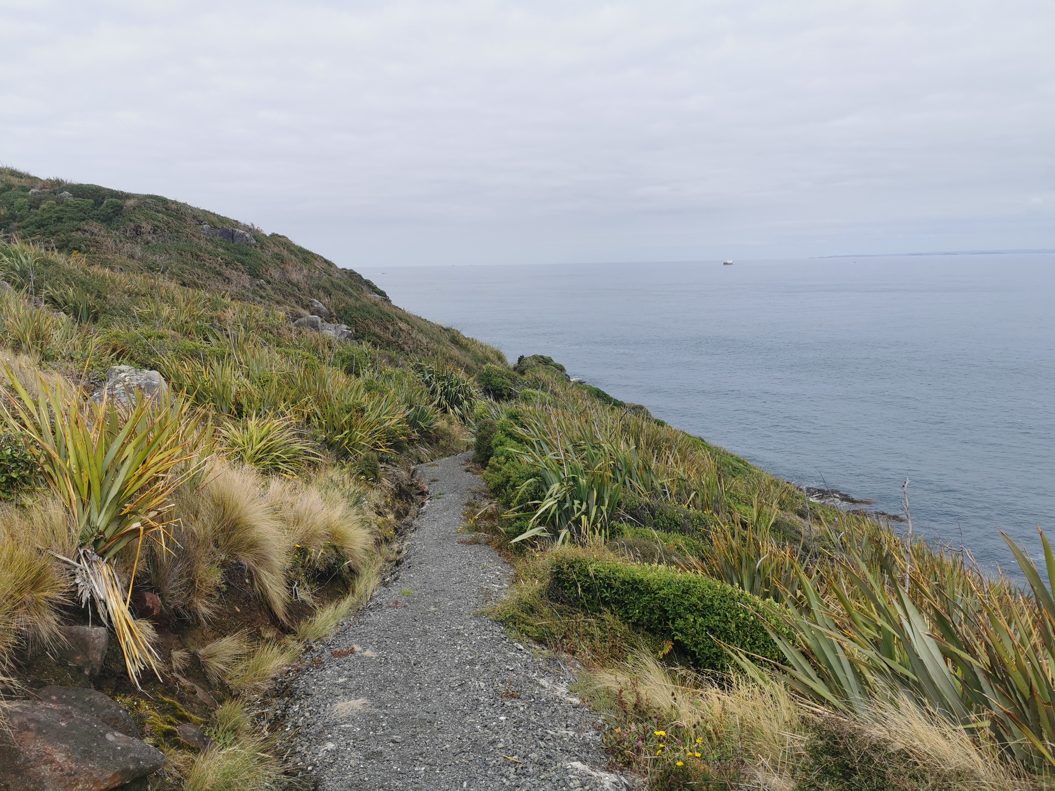
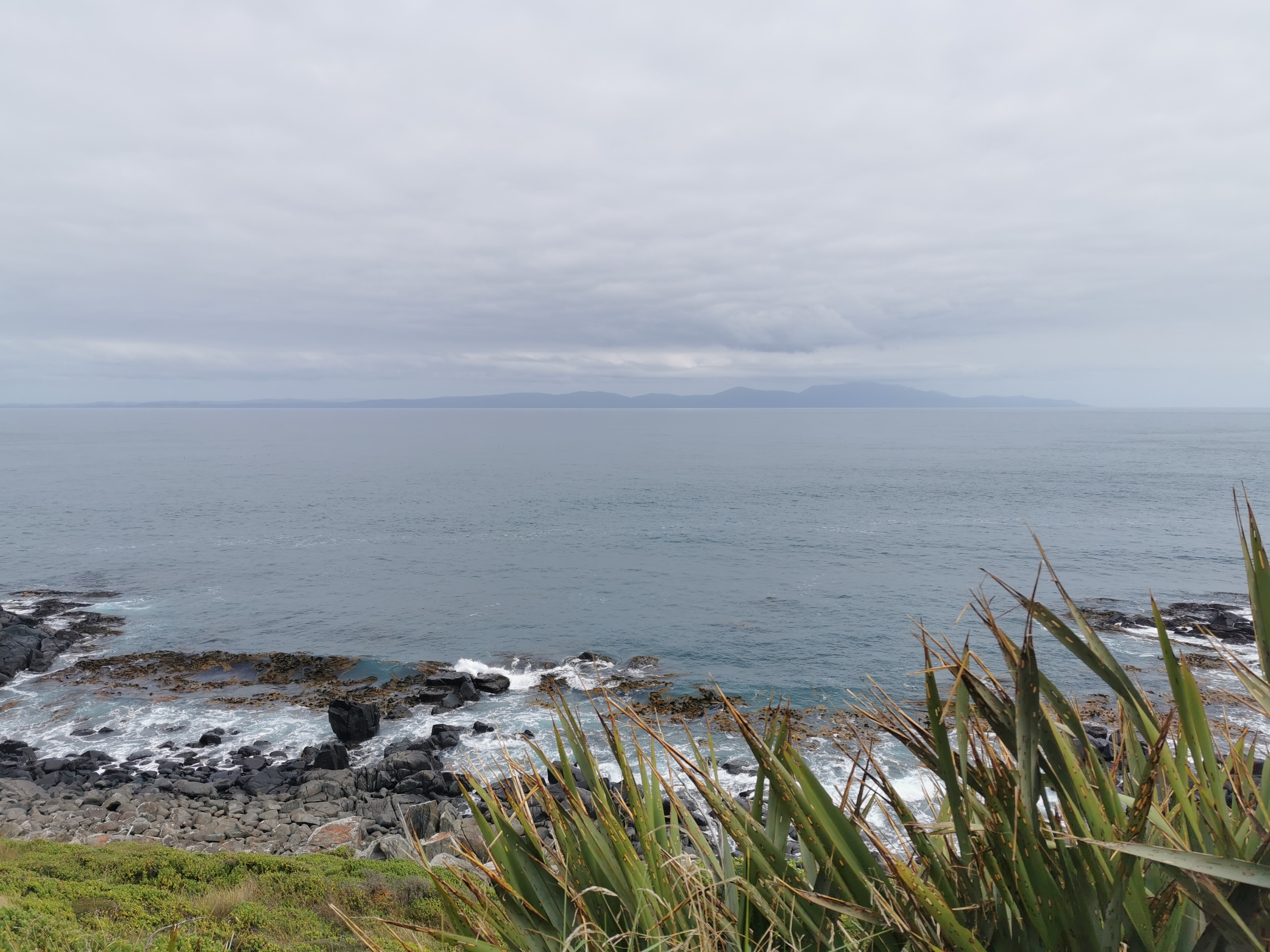
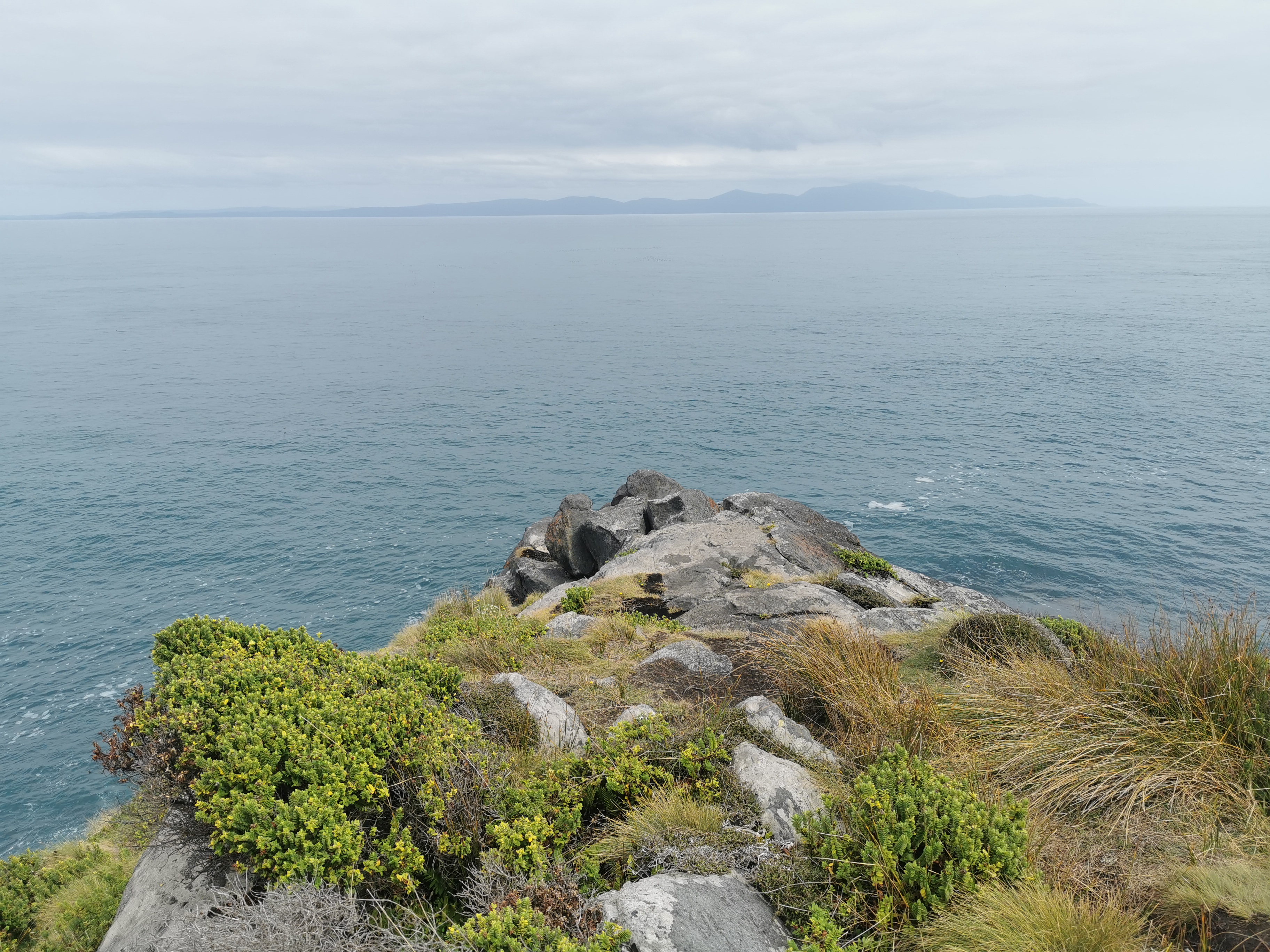
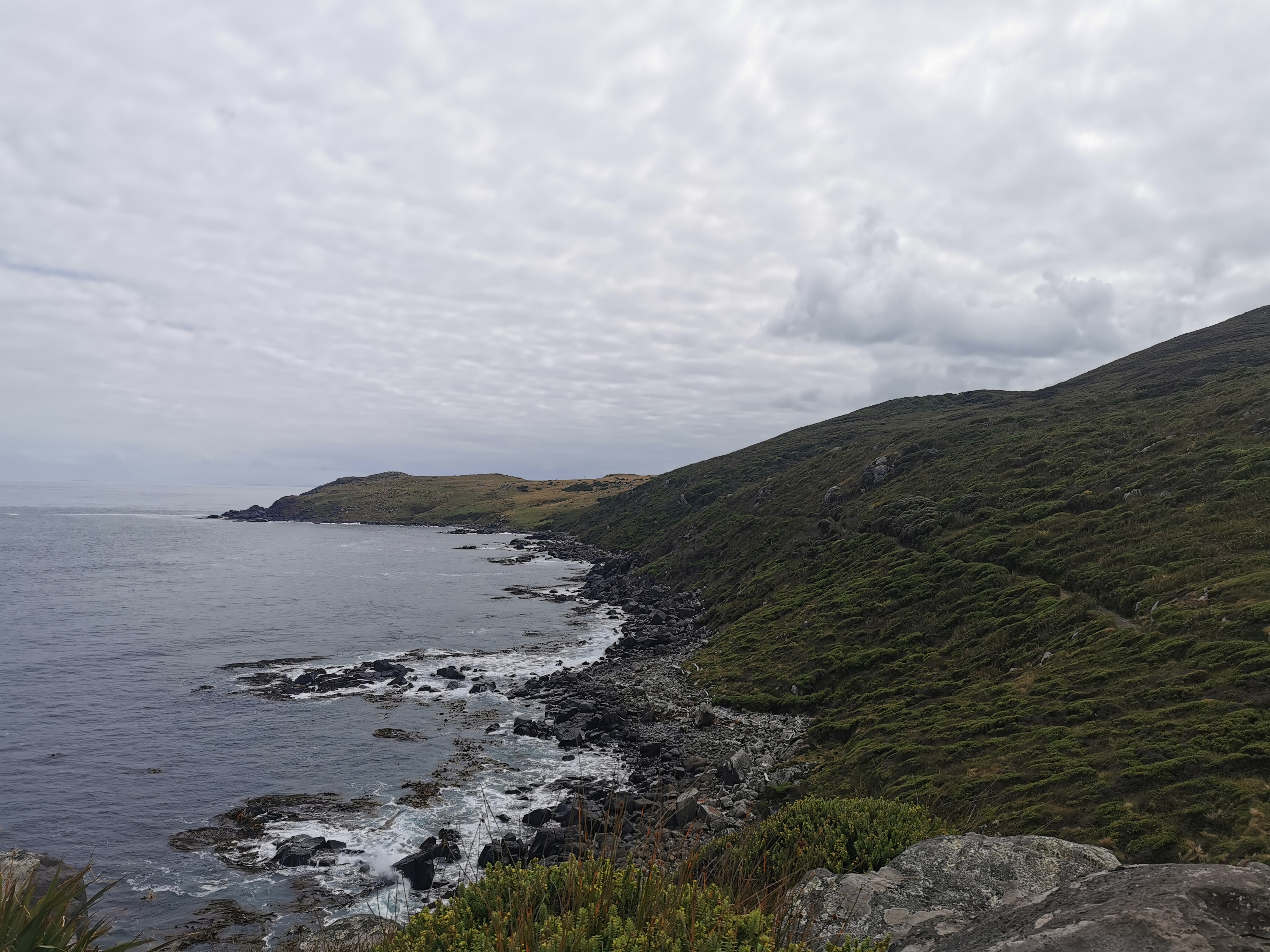
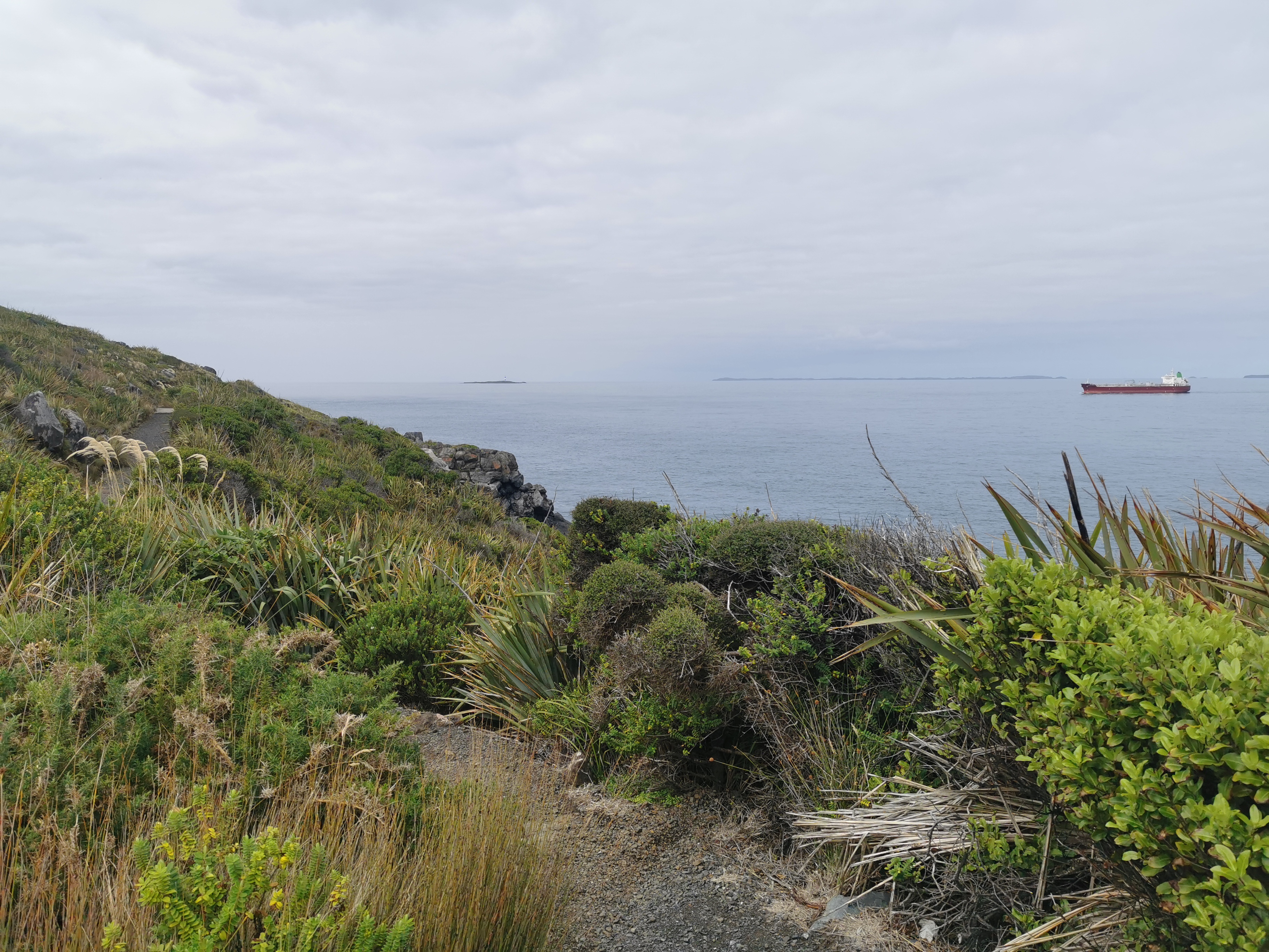
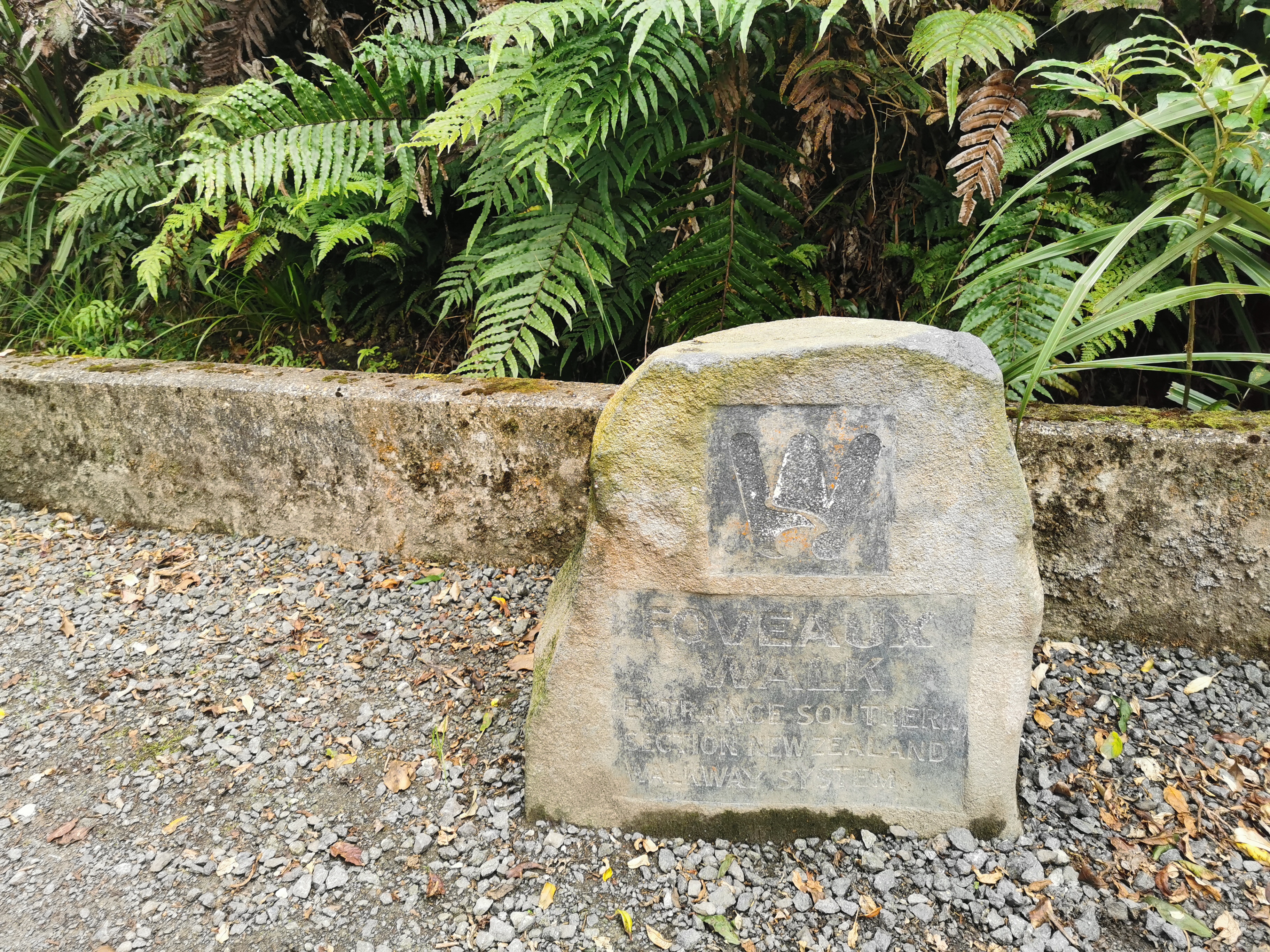
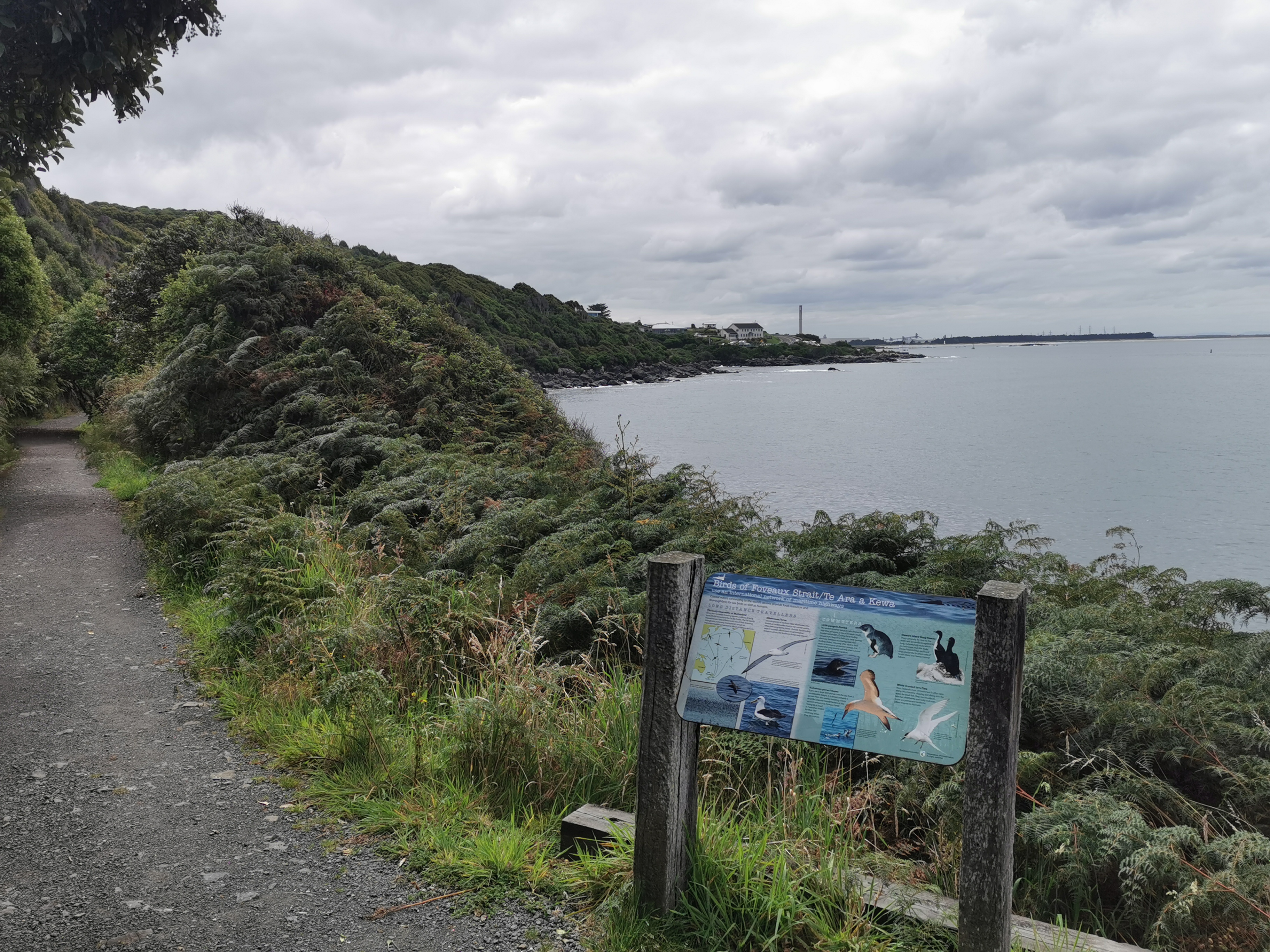
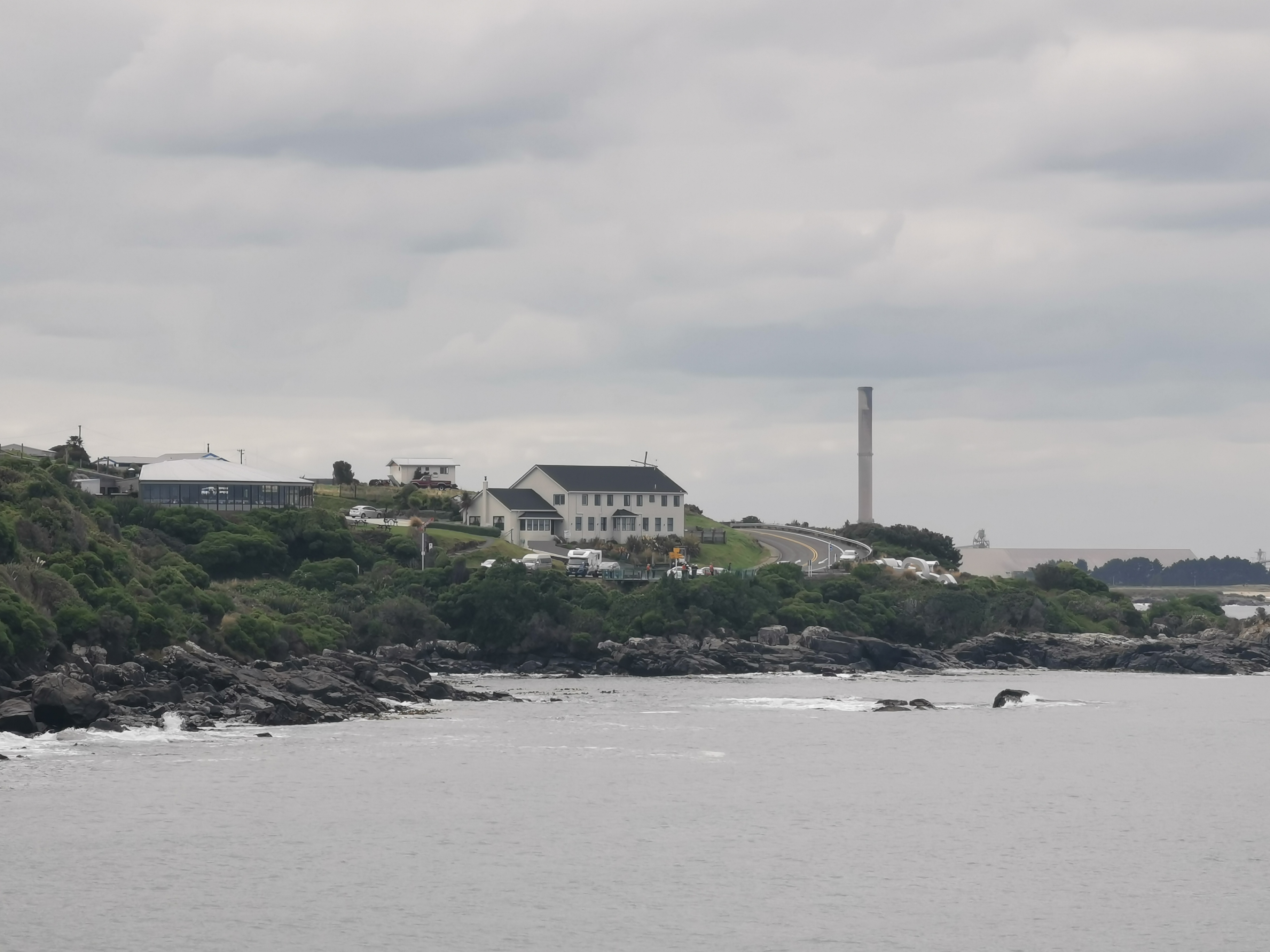
Stirling Point is actually really close to here along the highway… However in true TA fashion the trail detours and goes right around the bottom of Bluff Hill, so there’s still 7 or 8km to go by this point. It follows the entirety of what is called the Foveaux Walkway.
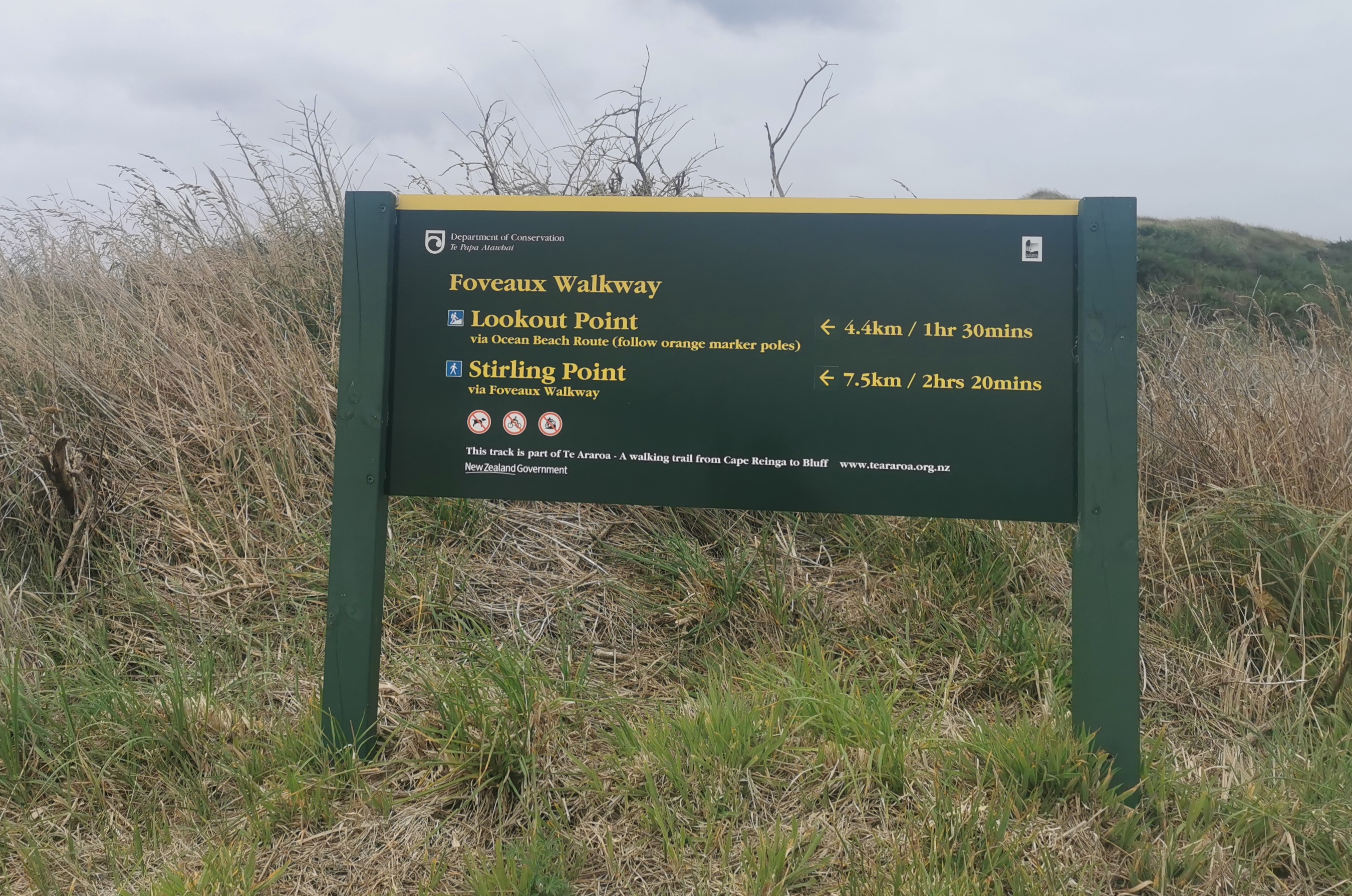
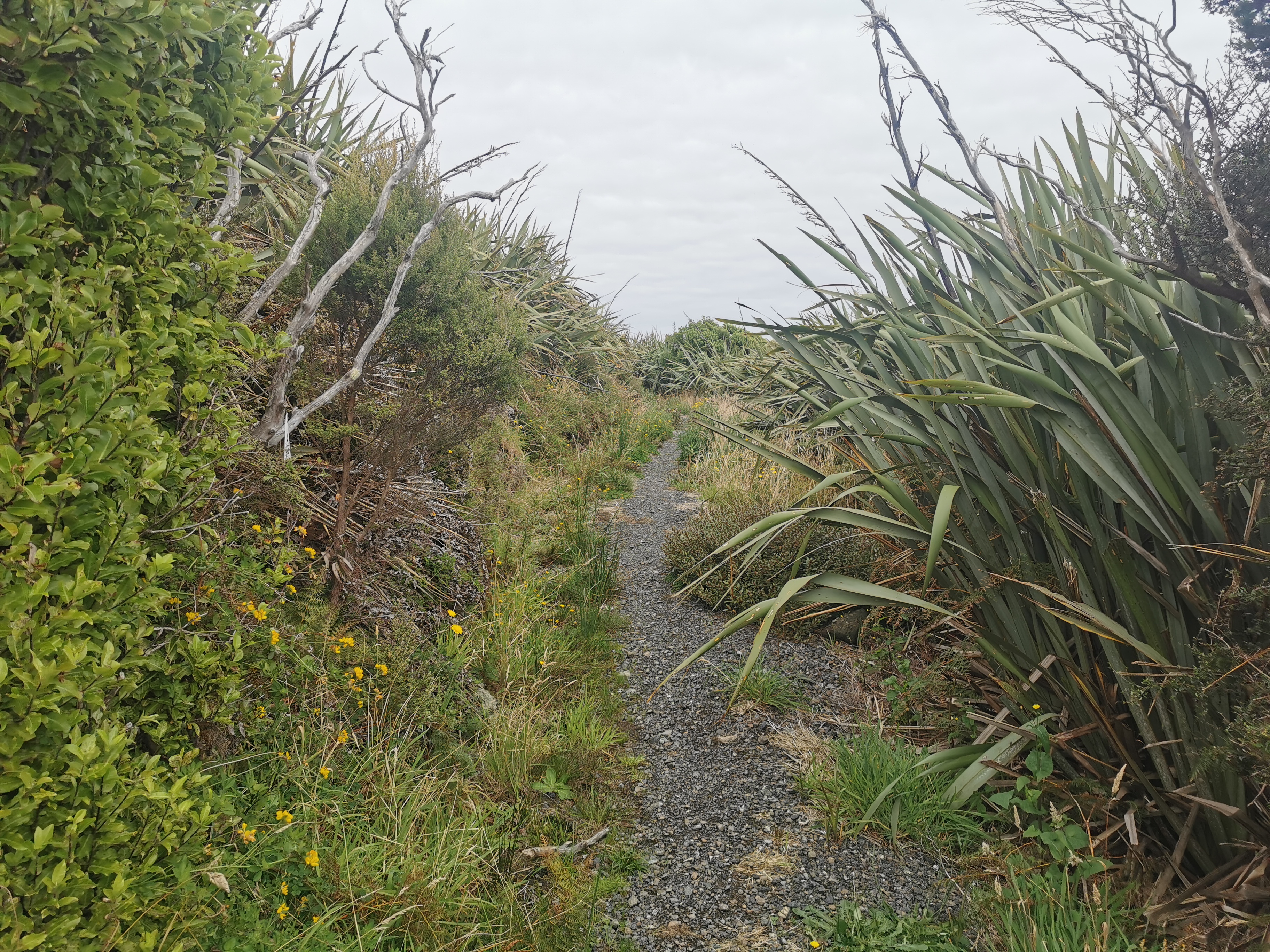
Last year, and in previous years, half of this walkway has been closed, and it only reopened in late 2020, so I felt fortunate I didn’t have to take the detour… which was right over the top of the hill.
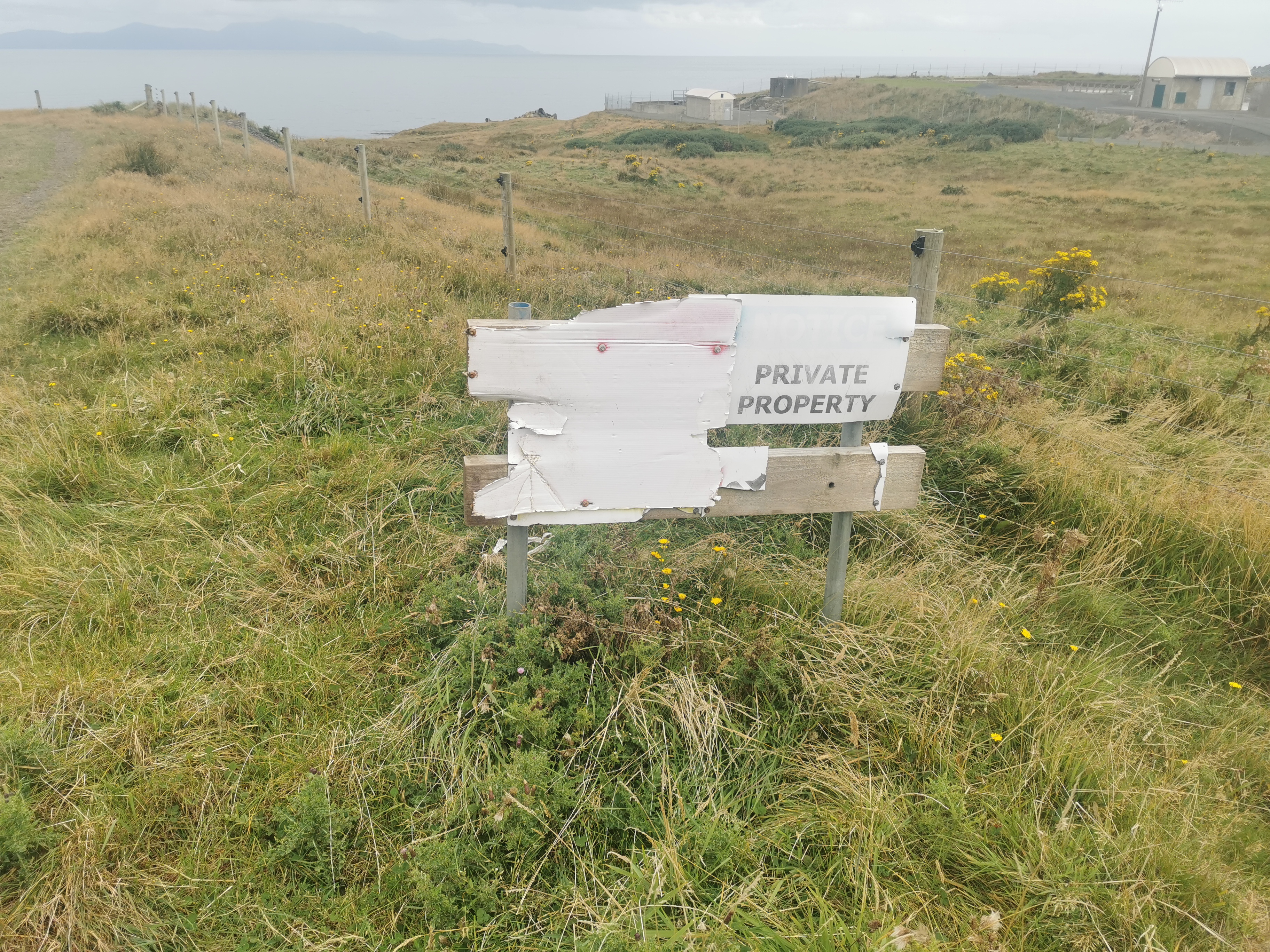
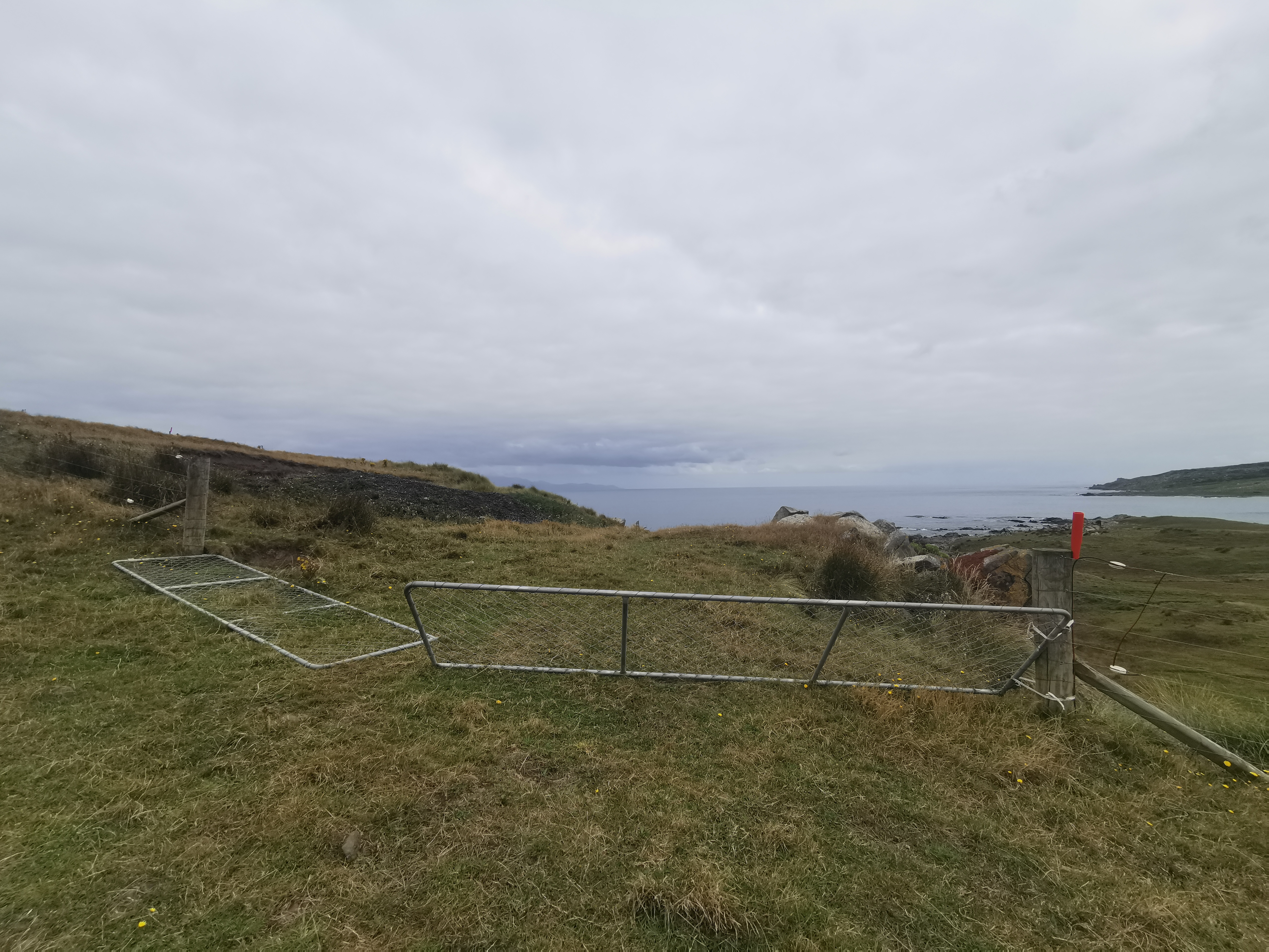
The walk got off to a bit of a strange start, with weird fences,
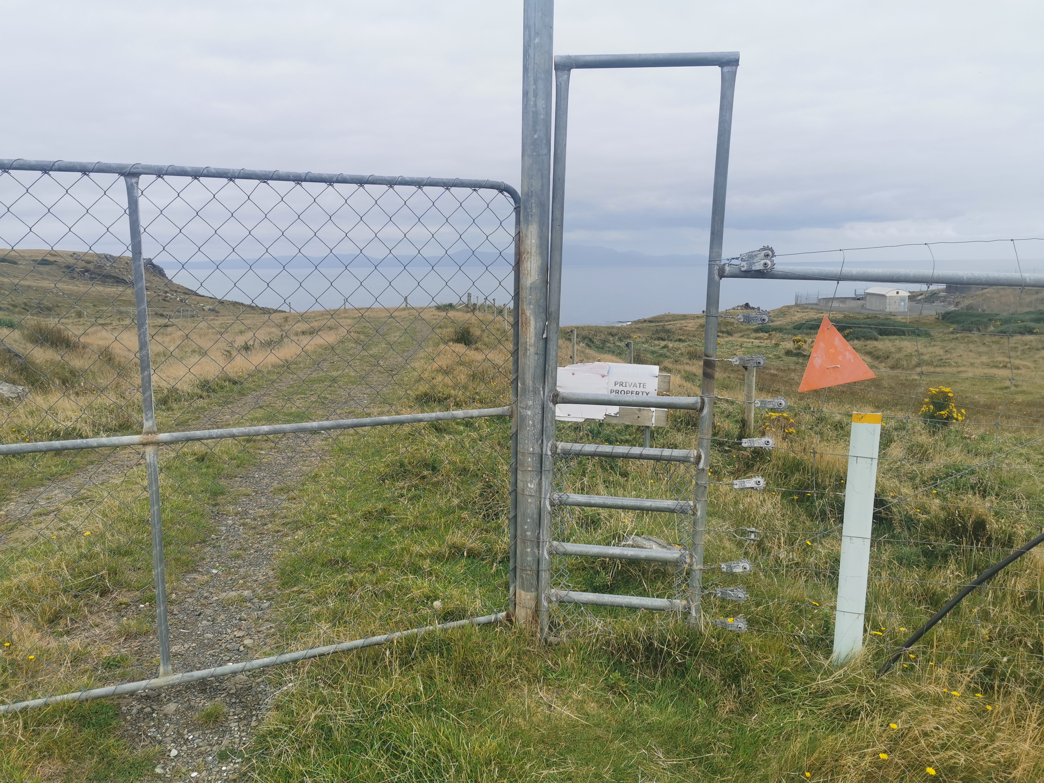
and old private property signs.
I think part of the reason this walkway has been closed for a while is because of access rights issues, but it’s good that it’s open now. This is a great way to finish.
I did get my poles out of my bag and walk with them, because the ground was a bit uneven and the last thing I want to do is injure myself in the last 2 hours.
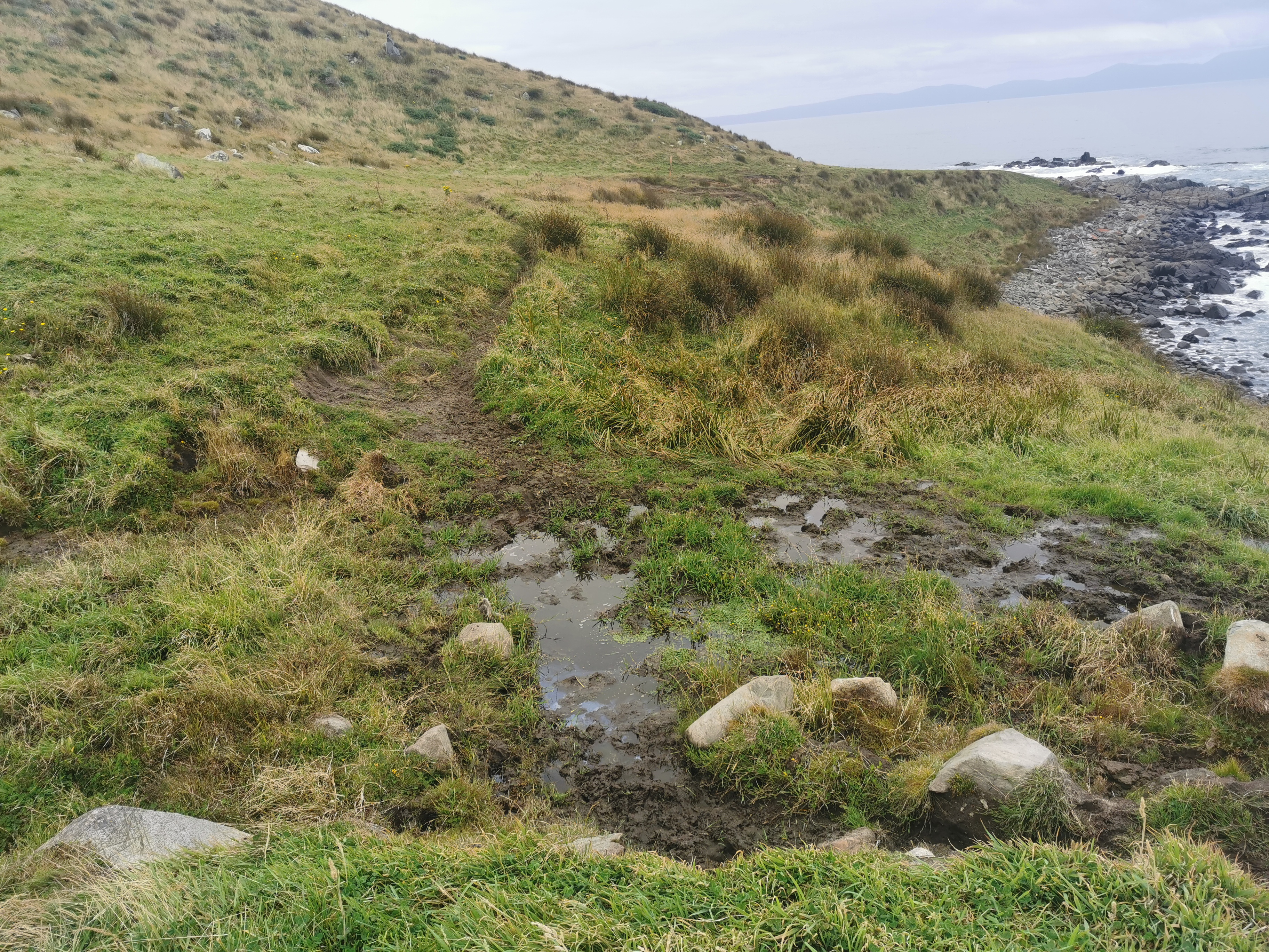
I didn’t want to get my boots muddy again though – they were completely dry and quite clean after walking on the road for so long. Lucky each time there was mud there was a way to get around it. Usually this involved pushing pieces of ground with the walking poles until you found a bit that wasn’t squidgy.
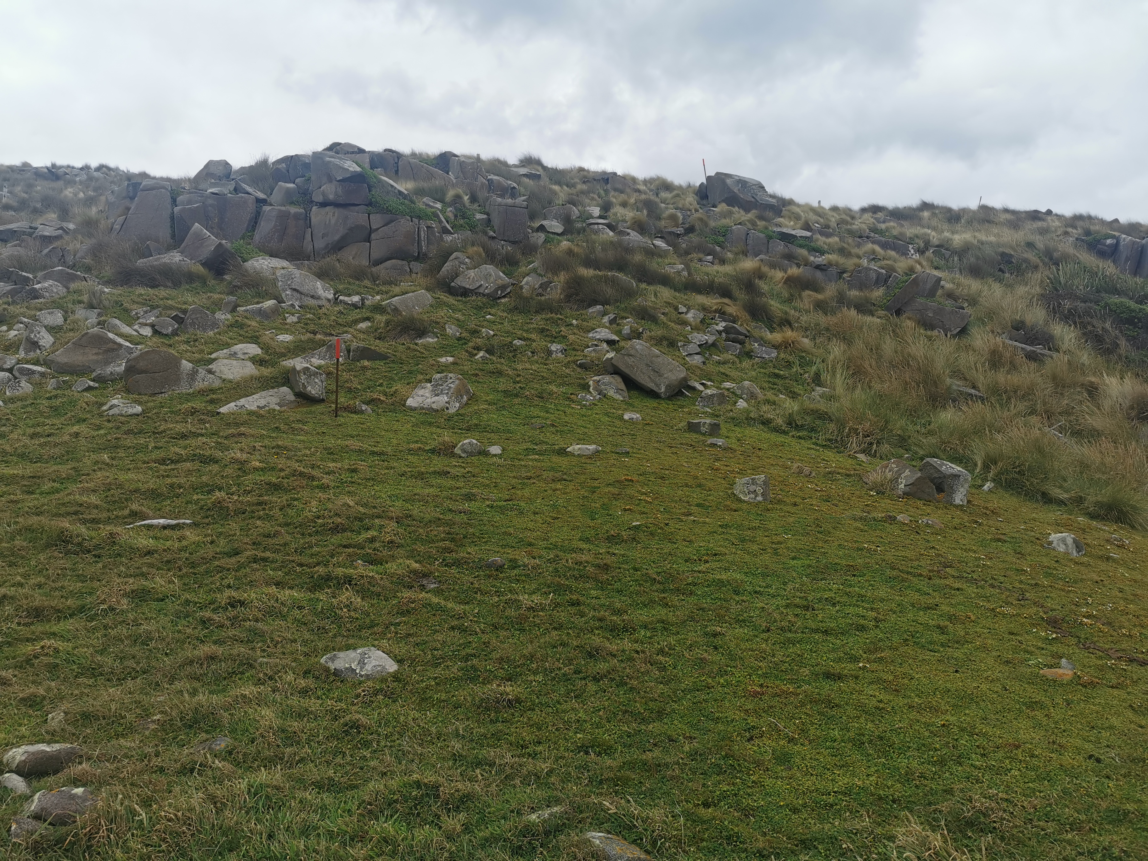
This bit was quite steep. I said the other day there was no more elevation remaining. This was nothing compared to hills of the previous sections, but after having completely flat terrain for the last 60km it felt like a challenge.
After 3km the trail moves into the bush. At this sign,
I switched into the same blue shirt I have been wearing for 90% of the trail, because I wanted to be wearing it for the final photos. Up until now I had been wearing my secondary grey shirt whch I’ve been wearing a lot less. There are so many memories in that blue shirt.
I also took off the pack cover that I’d put on earlier and packed it away. I felt a twinge of sadness – I’m almost there now and that’s the last time I will need to use the pack cover.
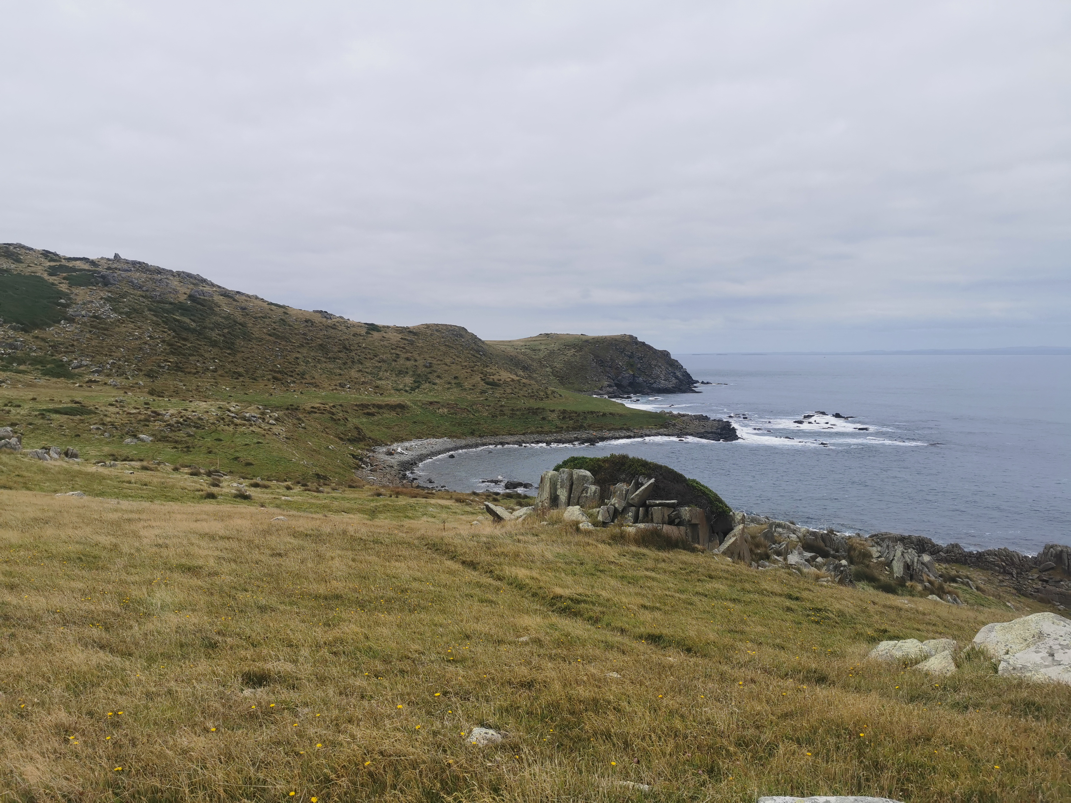
Soon after I saw this guy up on the rocks. I guessed he was posing for an Instagram photo.
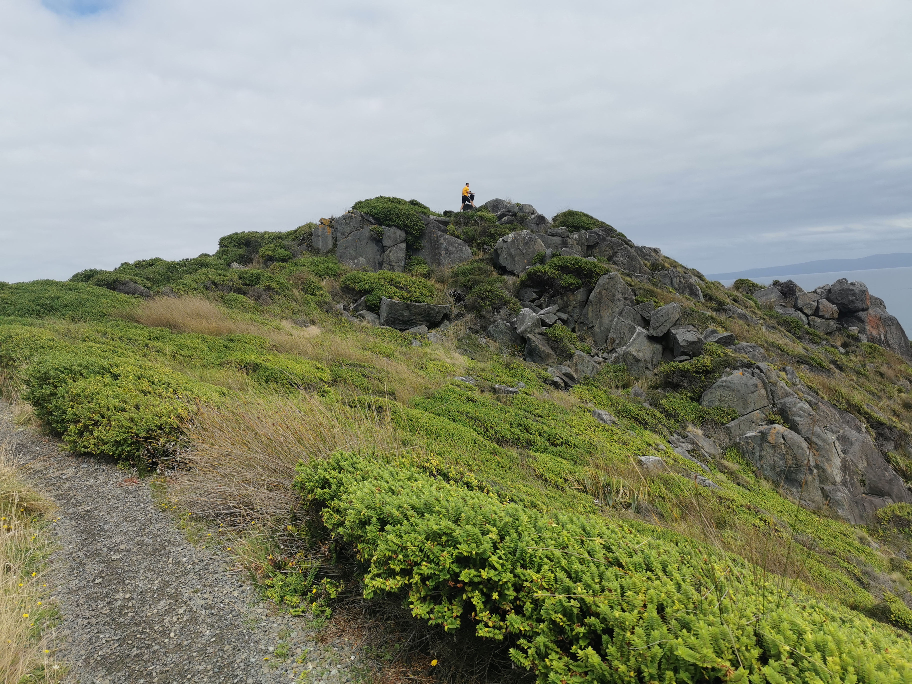
But he was actually sitting up on the area known as Lookout Point having a rest.
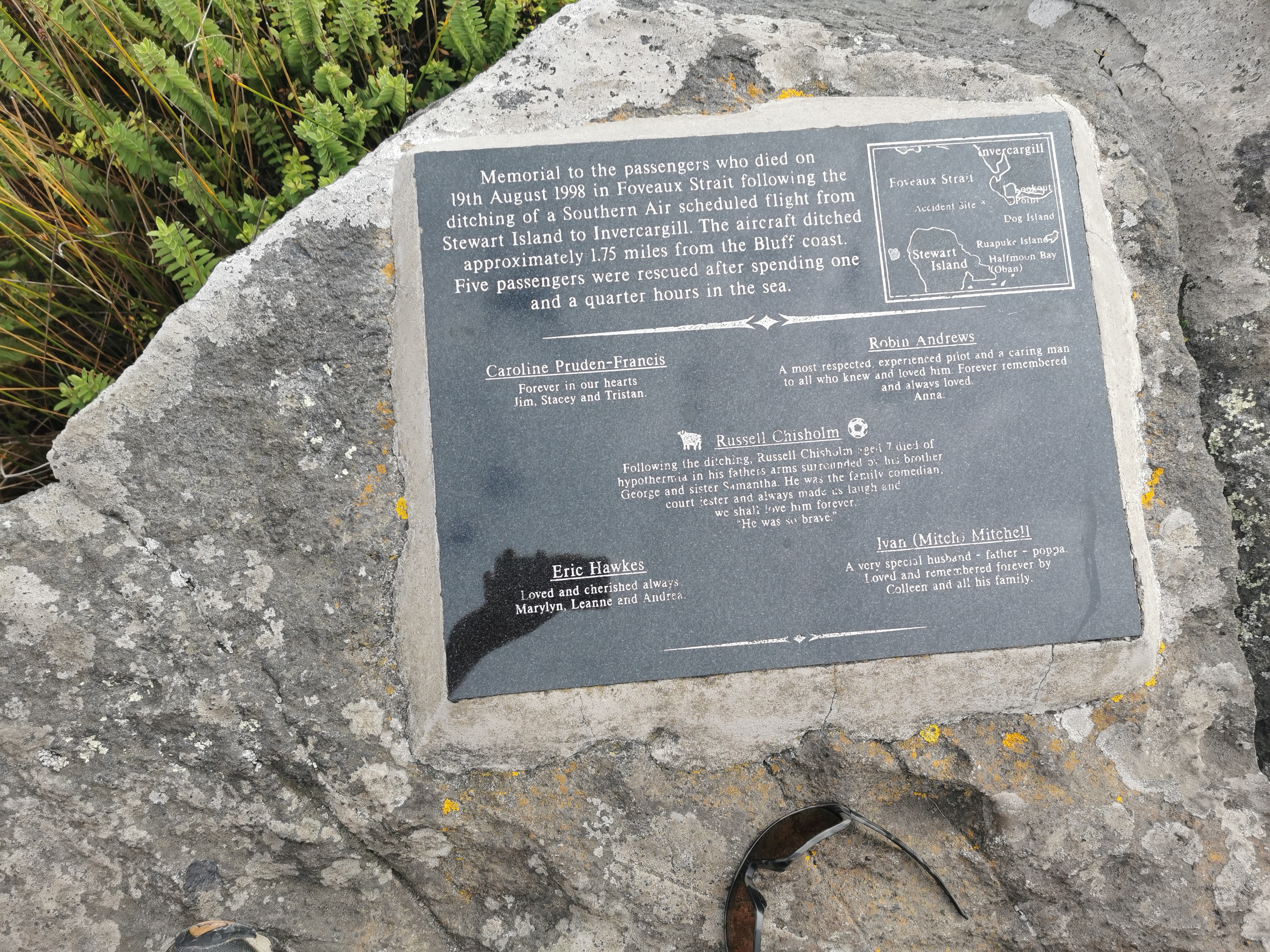
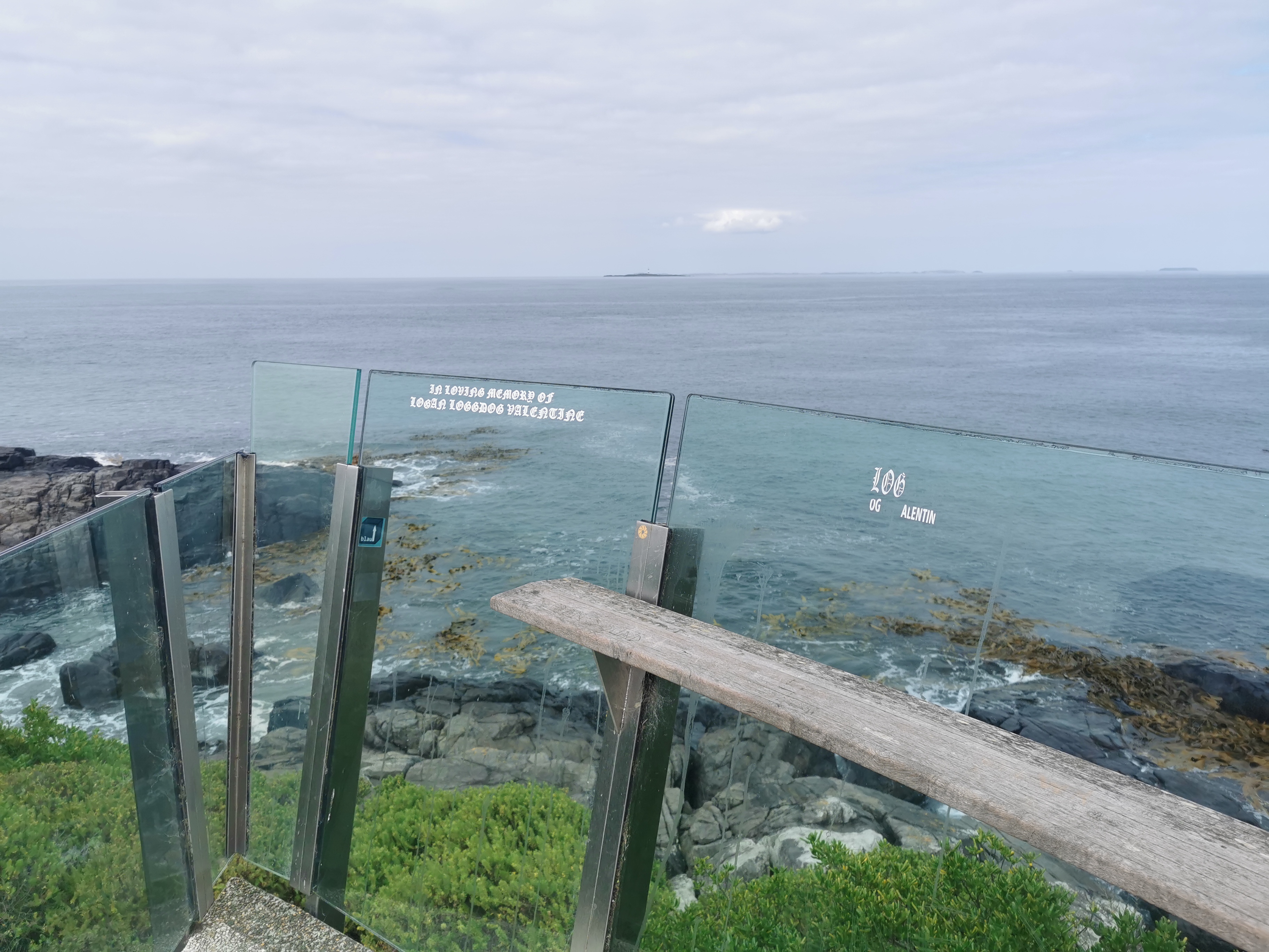
He had run over the top of the hill. I joined him and noticed the memorial on the point.
I also had a chat to him. It turns out he was from Te Awamutu as well, which was quite amazing. We got talking about the trail, and he asked me what some of the best bits were. I felt a bit overwhelmed thinking back over the best bits of the trail and as I started replying to him I could hear my voice starting to break so I excused myself and kept walking.
Once he was out of sight, my emotions got the better of me and I let out a few tears. I was kind of surprised, but it did go some way to answer a question had on my mind for a long time – “how would I react when I got to the end?”
I wondered if spending almost a year off the trail would make arriving at the finish line underwhelming. I remember last year while I was walking before lockdown hit that I thought I’d probably get emotional upon reaching the end. It seems that has turned out to be the case. But I’ve shed a few tears with nobody around now. Hopefully that will be the end of it.
I also thought what I would have answered to the guy who asked me about what the best bit of the trail was, had I been a bit more composed. I mean, I’ve written already about what I thought the best walks on the trail were. But were the best experiences the days with the best scenery? Or the days where I met cool people? Or days that are great for other reasons, like the sheer excitement of the first day?
I think the best memories have been the people, more than the scenery. Hypothetically, if I had’ve walked the trail on my own without encountering anyone else, it would have been a lot less fun and I would have grown tired of it a lot earlier.
It’s also the reason I’ve been thinking that if I ever did another long distance trail, it would be one that a lot of people do, for example the Appalachian Trail on the east coast of the United States – apparently 2 million people walk some part of that trail each year. That’s a lot of people.
This last section of the trail has been different than I expected in some ways. While it has been quite remote, there has been a lot more cellphone reception than I expected, and more roads, which made it quite different to the long Richmond Ranges section. It was weird to not have huge mountain ranges to walk over. It was also weird to have an eight day gap in my bank statement entries.

It’s also weird that the trail is now slightly less than 3,000km – Guthook shows it as 2,999.6km. It must be all the diversions and alterations since last year. But that’s okay – the goal is to finish Te Araroa, not to walk 3,000km!
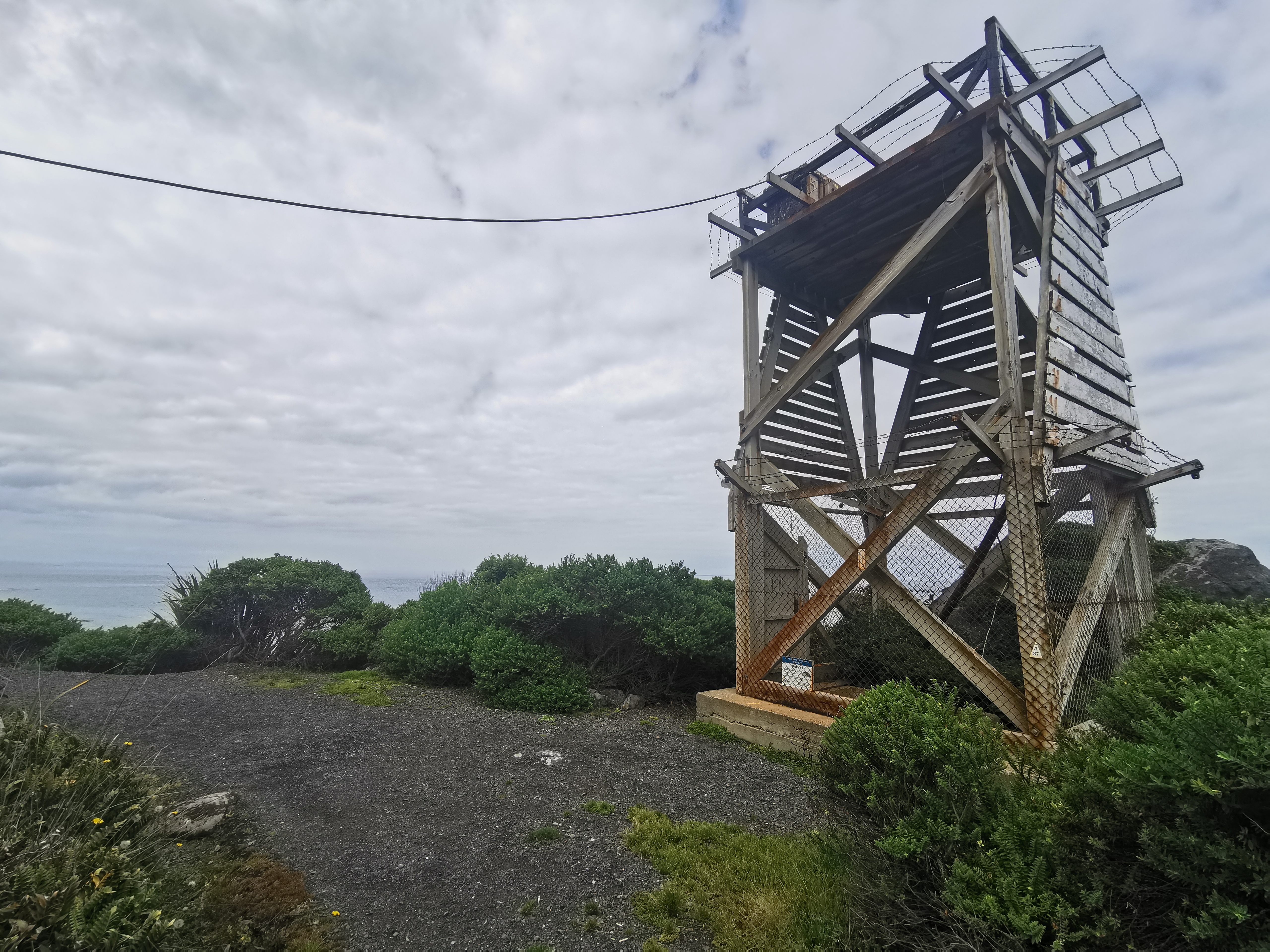
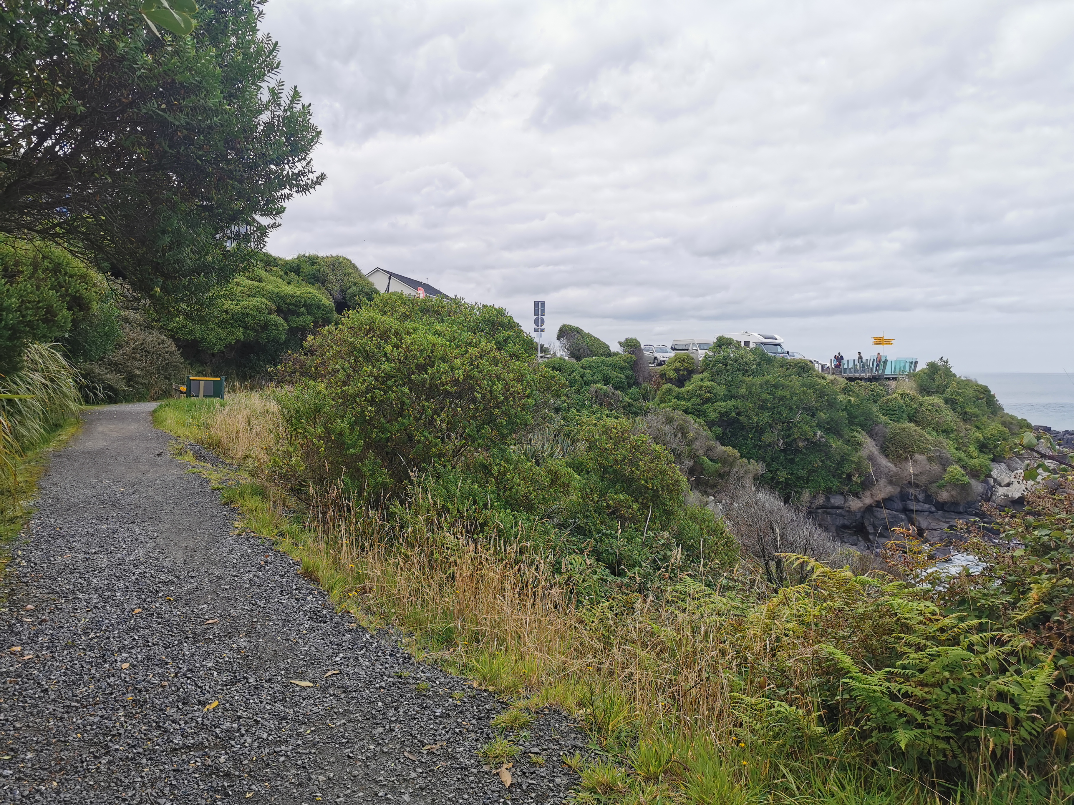
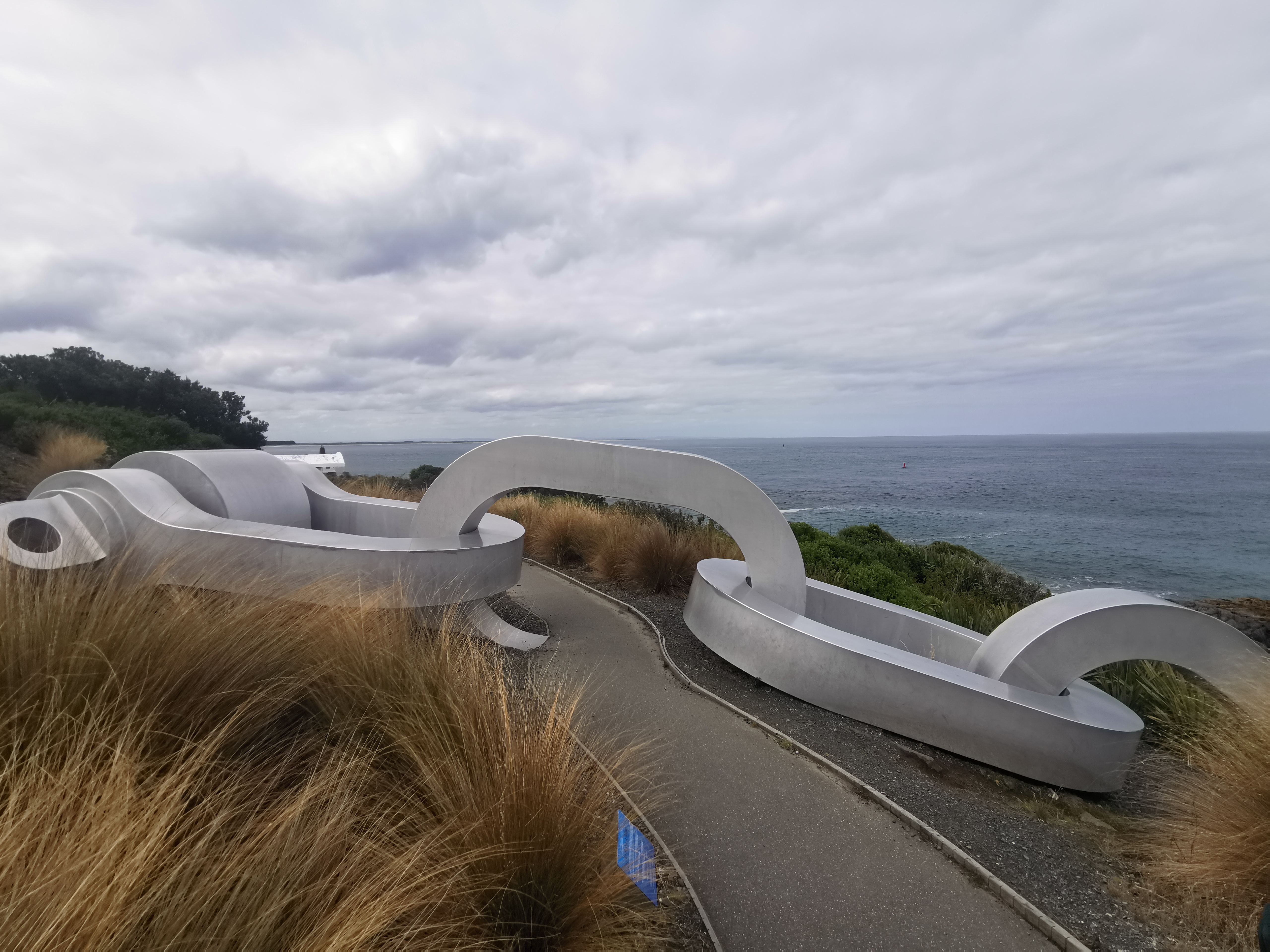
As Stirling Point was getting closer and closer I was walking quite fast but part of me also wanted to stall so that I could stay on the trail for longer. It seems I actually wasn’t looking forward to reaching the signpost. So I slowed down a bit and wasted some time looking at this structure but never really worked out what it was.
I also distracted myself by finding a geocache. It was an easy find, so that only distracted me for five minutes.
Once that was over there was nothing remaining between me and the finish line but a short, flat section of the Foveaux Walkway, so I couldn’t stall any longer and had to keep walking.
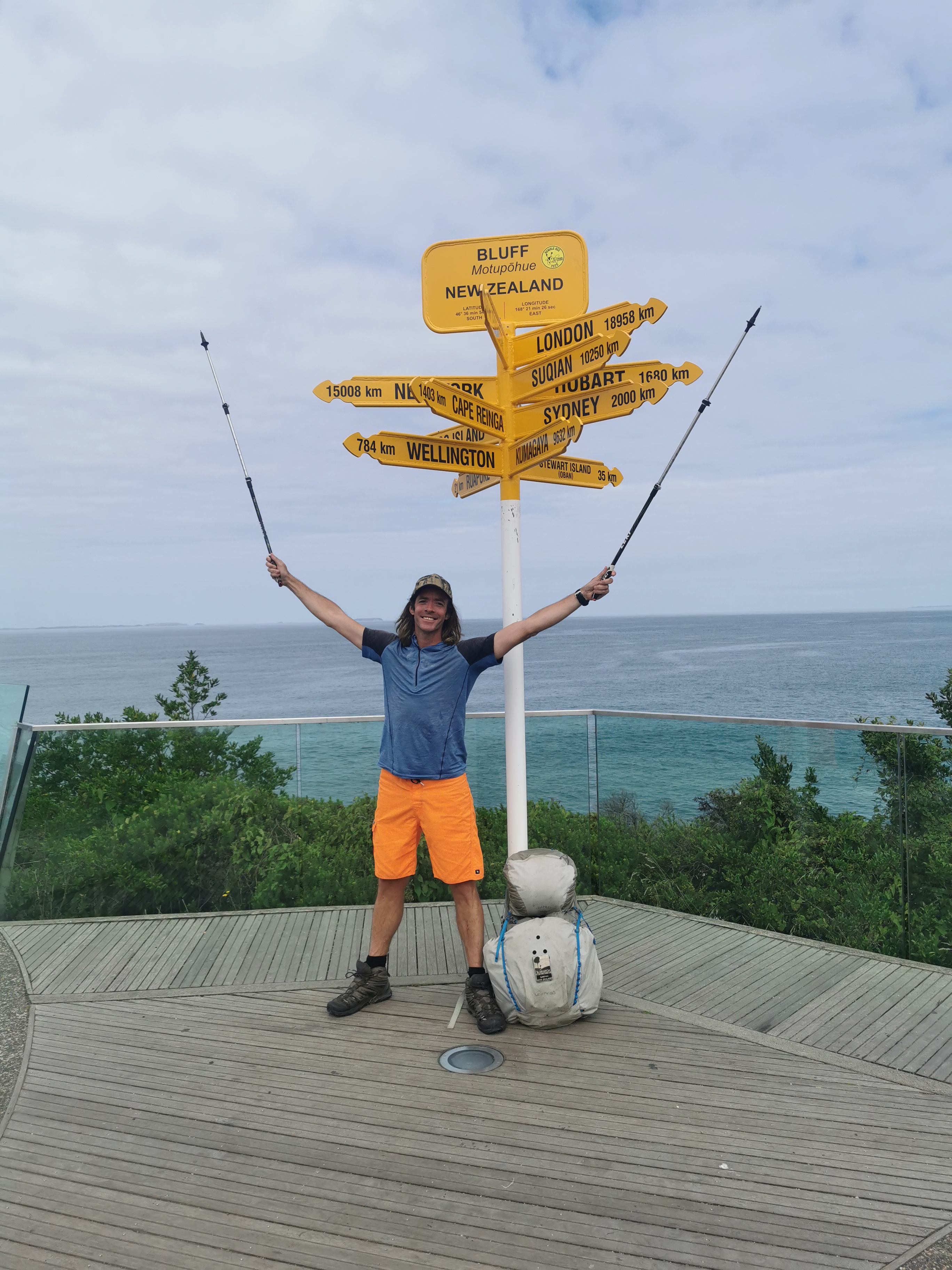
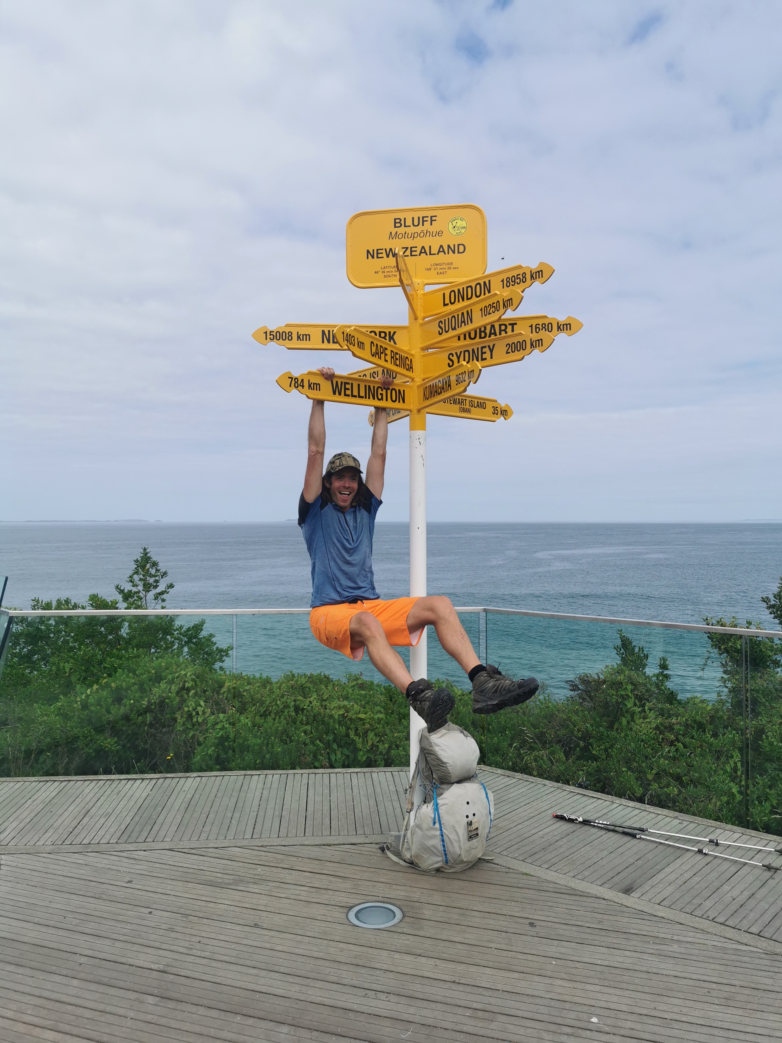
Soon after I could see the sign at the finish line in the distance. There appeared to be lots of people there so at least there would be people there to take my photo. I’d feel like if I didn’t get a photo of myself at the signpost then perhaps it never really happened. I still even now have a hard time believing this whole walk has even happened.
I rounded the final corner… waited for some people to finish taking their photo, and went over and touched the signpost. And that point right there was the point where all the emotions of the last 168 days decided to come out at once. I moved myself over to the side away from the people and just cried. The tears just kept coming and coming until a local came over and put his arm around my back and asked if I was okay. Then I had to make at least some effort to compose myself. His name was Greg and he had just cycled 10 weeks across New Zealand and had earlier arrived at the same spot. We gave each other a hug and it all felt better. He helped me take some photos.
I then spent a while just hanging out and contemplating. I also thought of Nicola who was scheduled to finish today too. I was sure it was unlikely that she had finished before me – she had previously expressed contempt at the idea of getting up before 7am.
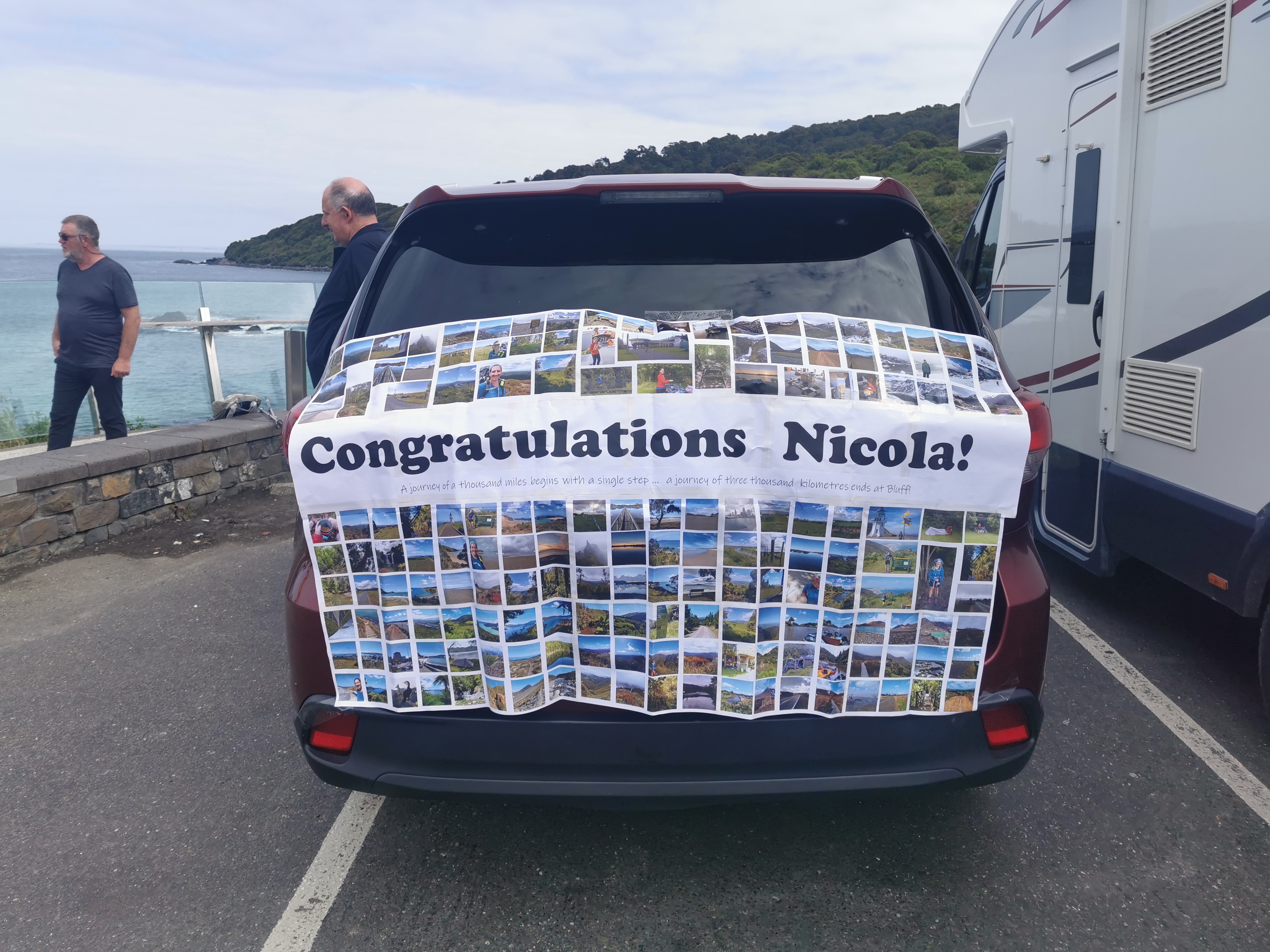
I looked around and saw two people who were waiting for someone. I asked if they were Nicolas parents and I was right. Nicola had mentioned that they were hoping to come and meet her and it was good that they had made it.
They also offered to give me a ride back to Invercargill afterwards which was wonderful. Although I guess that means I’m not going to simply turn around and start going back northbound right now. That didn’t feel like the worst idea in the world right then.
They had set up a big montage of all Nicola’s photos from Instagram on the back of their rental car. I thought that was cool.
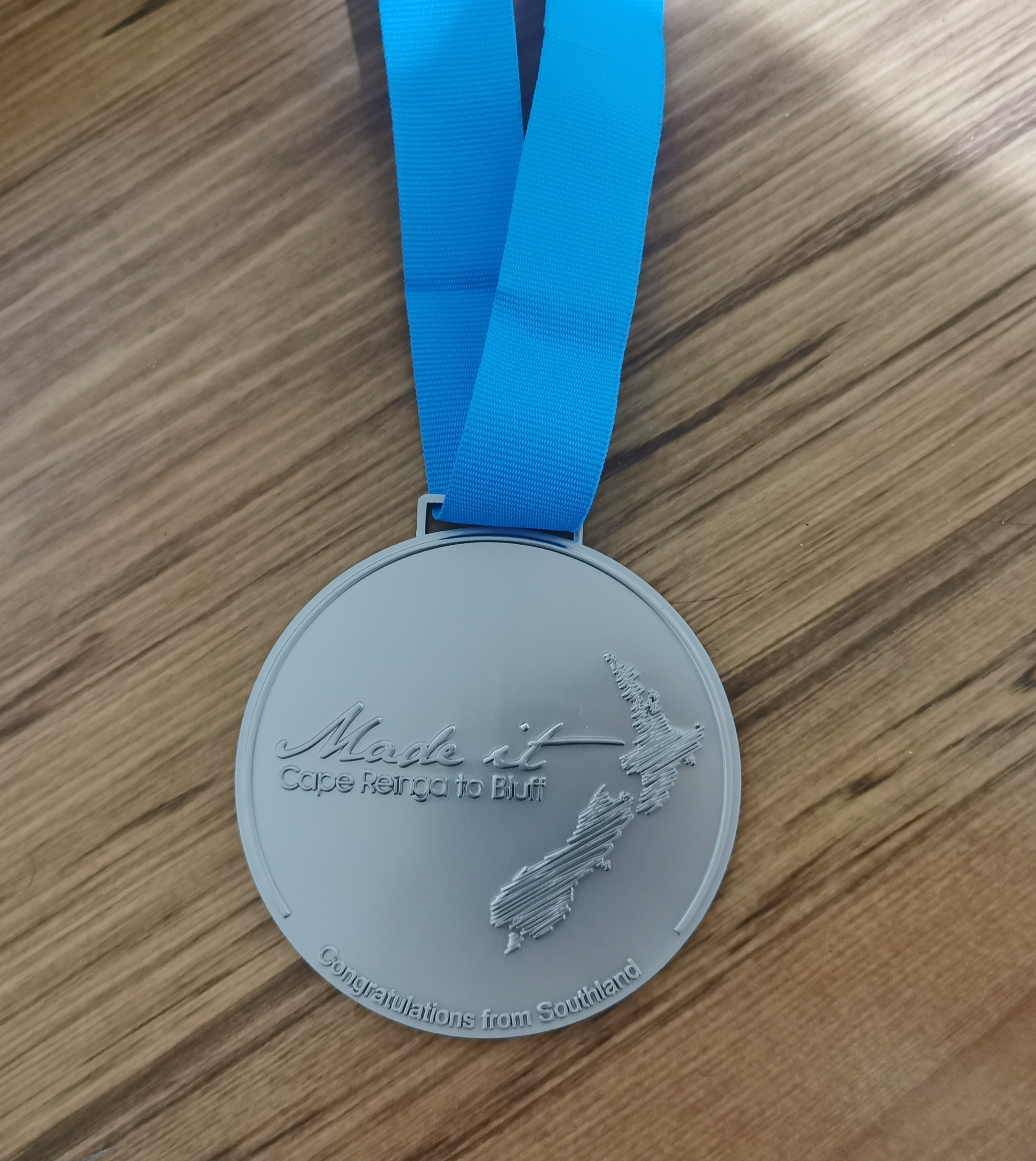
There were reports that you could go to some cafe in Bluff and sign the wall, or go to some other cafe and get a free medal, but the town centre of Bluff was quite a walk away, so I went up to the Oyster Cove restaurant right beside the signpost to see what they had.
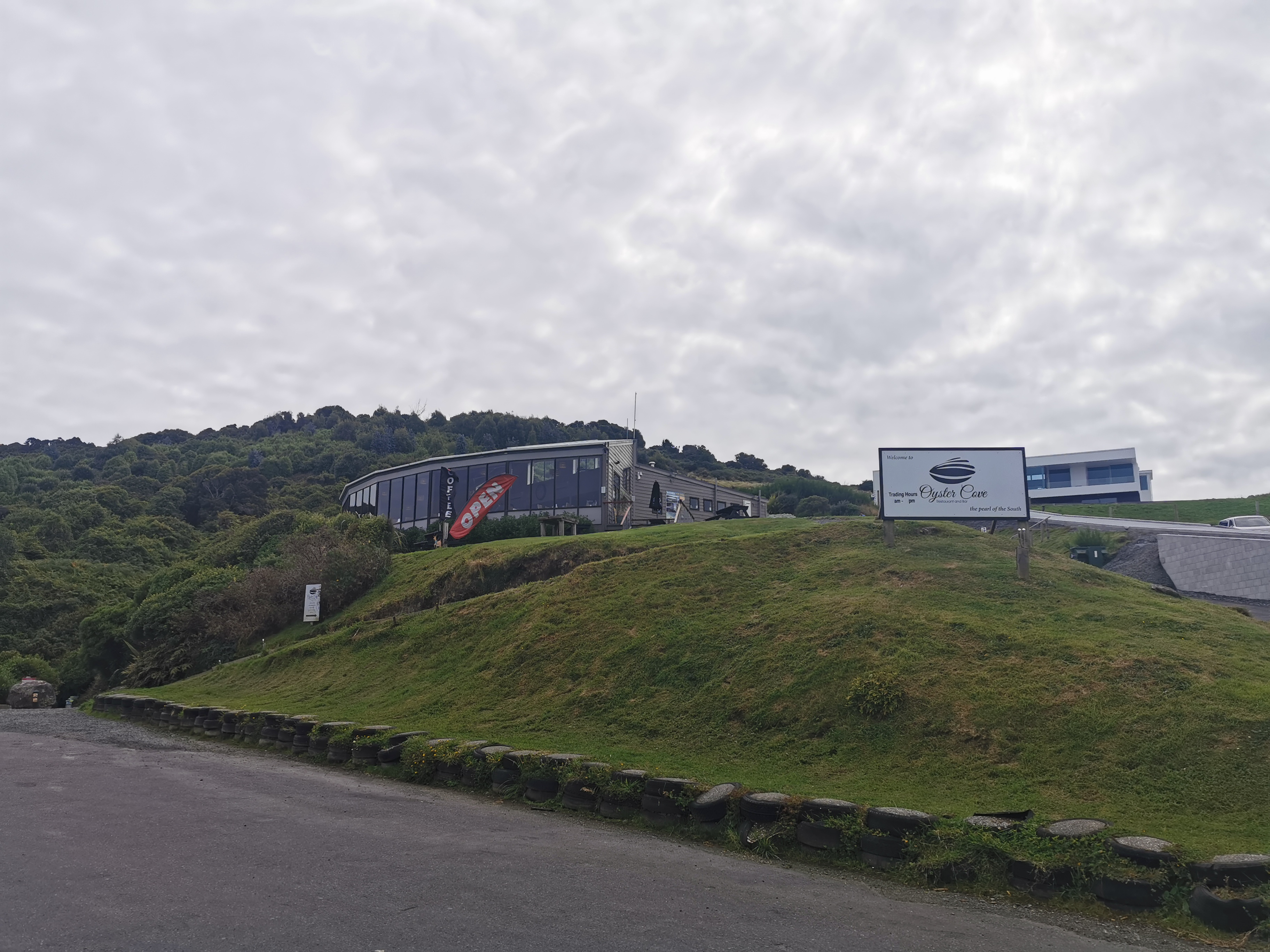
They sold medals for $10 each, so I bought the last two they had, one each for me and Nicola. I also bought an iced coffee, which cost $13.30. I wasn’t sure if that was meant to be the price or if they had made a mistake. But I didn’t question it because it was busy and the staff member was both serving and making coffees so I didn’t want to stress her out.
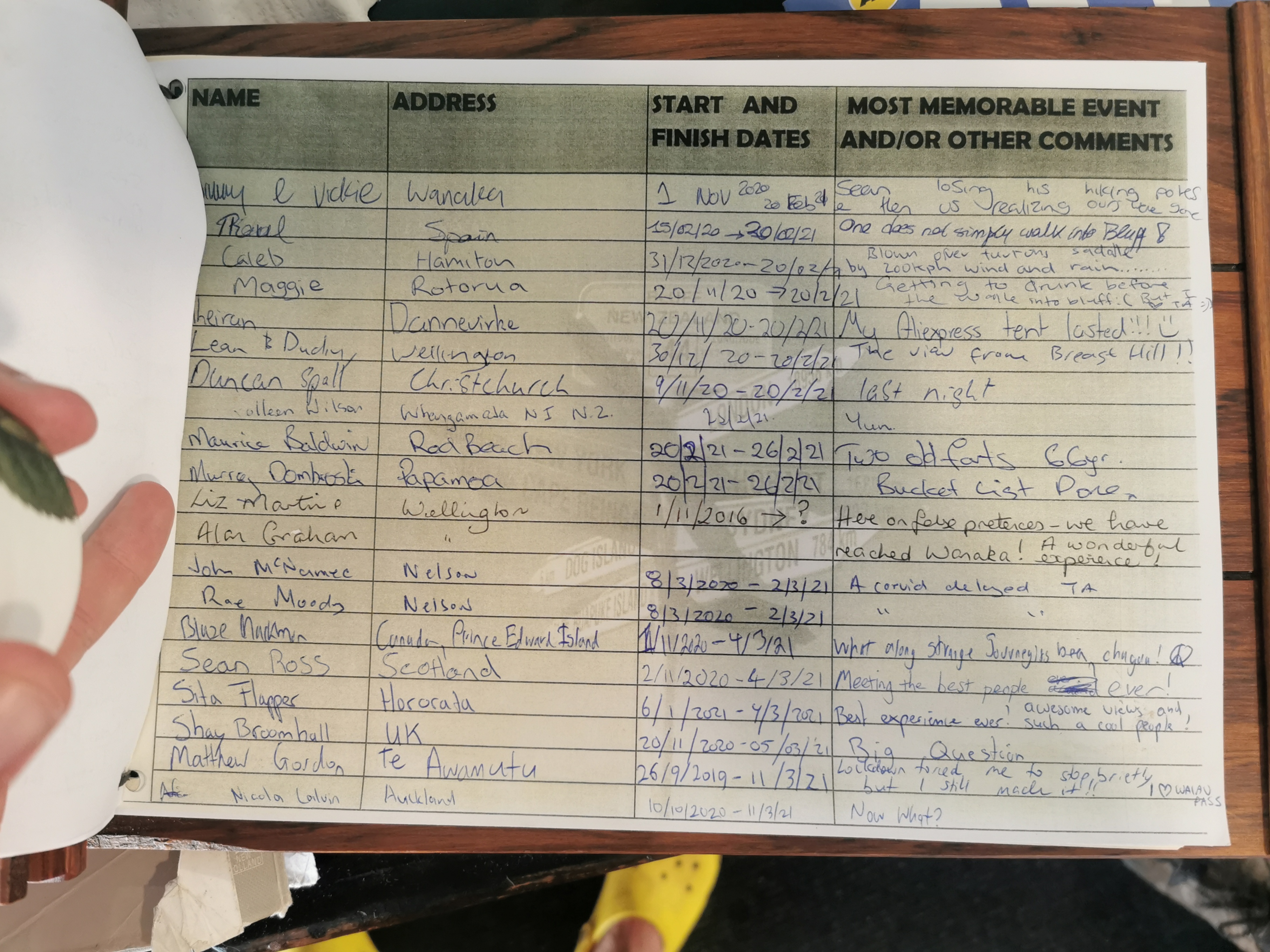
The restaurant also had a finishers’ book, so I signed that as well.
Oyster Cove was infamous last year for being the source of what was known as the “Bluff Covid-19 Cluster” – they held a wedding last year where a recent returnee from overseas picked up Covid-19, attended the wedding and spread it throughout the wedding party. It became New Zealand’s largest Covid-19 cluster during the initial Level 4 lockdown. Luckily that is firmly in the past now.
While I was in the restaurant I saw Nicola arrive so I gave her a few minutes with her parents and then I went down and put the medal over her head. We joked on a previous day that we expected the mayor of Invercargill, Tim Shadbolt, to be there and put the medal on our heads for us. But since he wasn’t, we did it for each other.
Nicolas parents had brought some champagne and they were nice enough to let me have some. It tasted so good.
Groups of people would turn up at the sign, there would be a big flurry of activity while everyone took everyone else’s photo, and then it would go quiet again. We took our fair share of strangers’ photos that afternoon.
We sat around talking for a while. I walked around the area bit, and Nicola made sure to go and sign the book too.
Earlier in the day while I was walking I wished that I had booked a night to stay in Bluff, although after I went to Oyster Cove and got a medal, signed their book, and took a bunch of photos, I felt like I had achieved everything I wanted to achieve in Bluff and I was ready to go. Plus it was nice not having to hitchhike back.

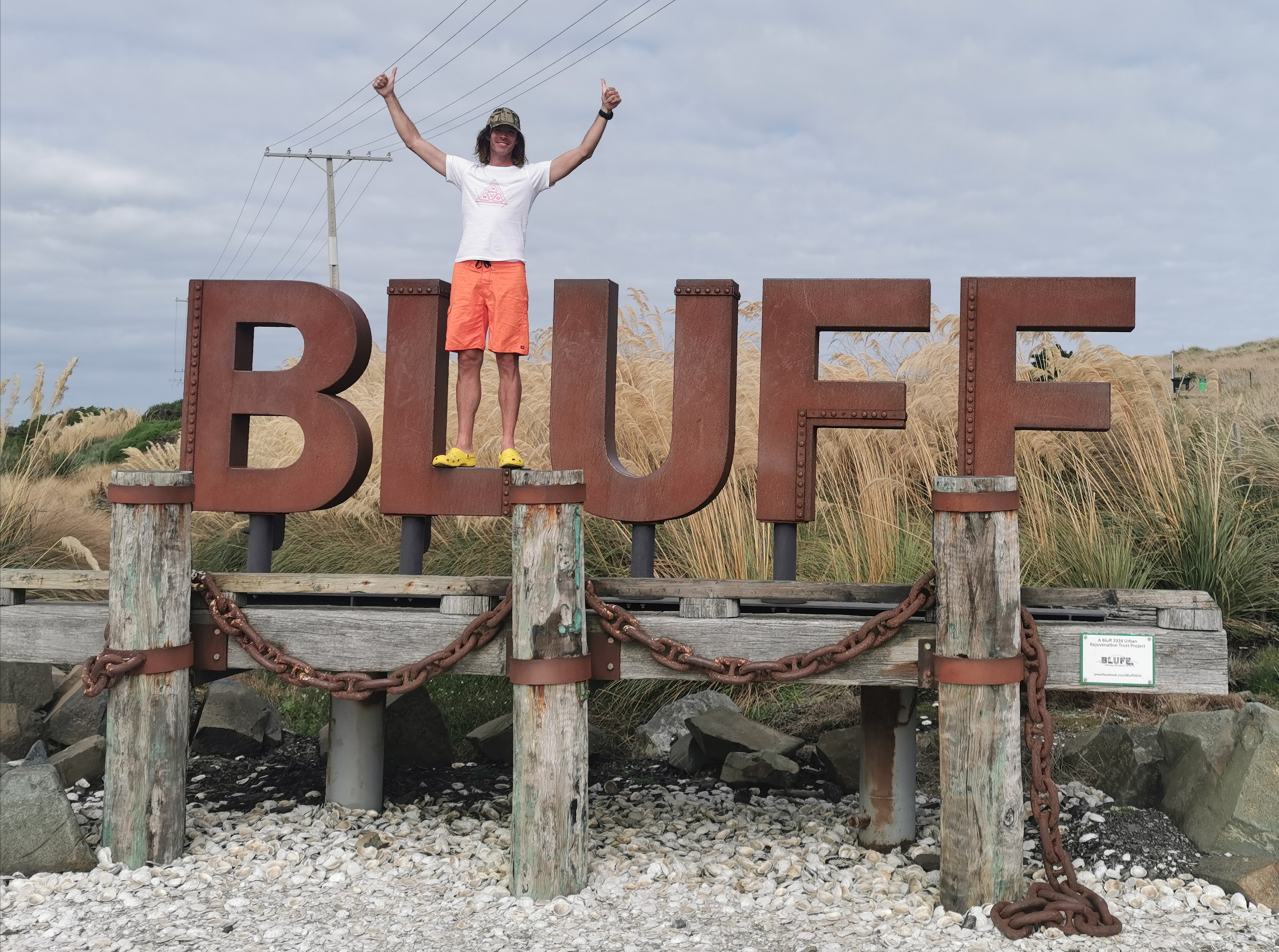
After we felt like we had spent enough time at the signpost, we drove back towards Invercargill. We stopped to get some Bluff oysters (well they did, they’re not really my thing) and we also stopped at the BLUFF sign to take photos. I was happy to get some photos of myself at this spot too.
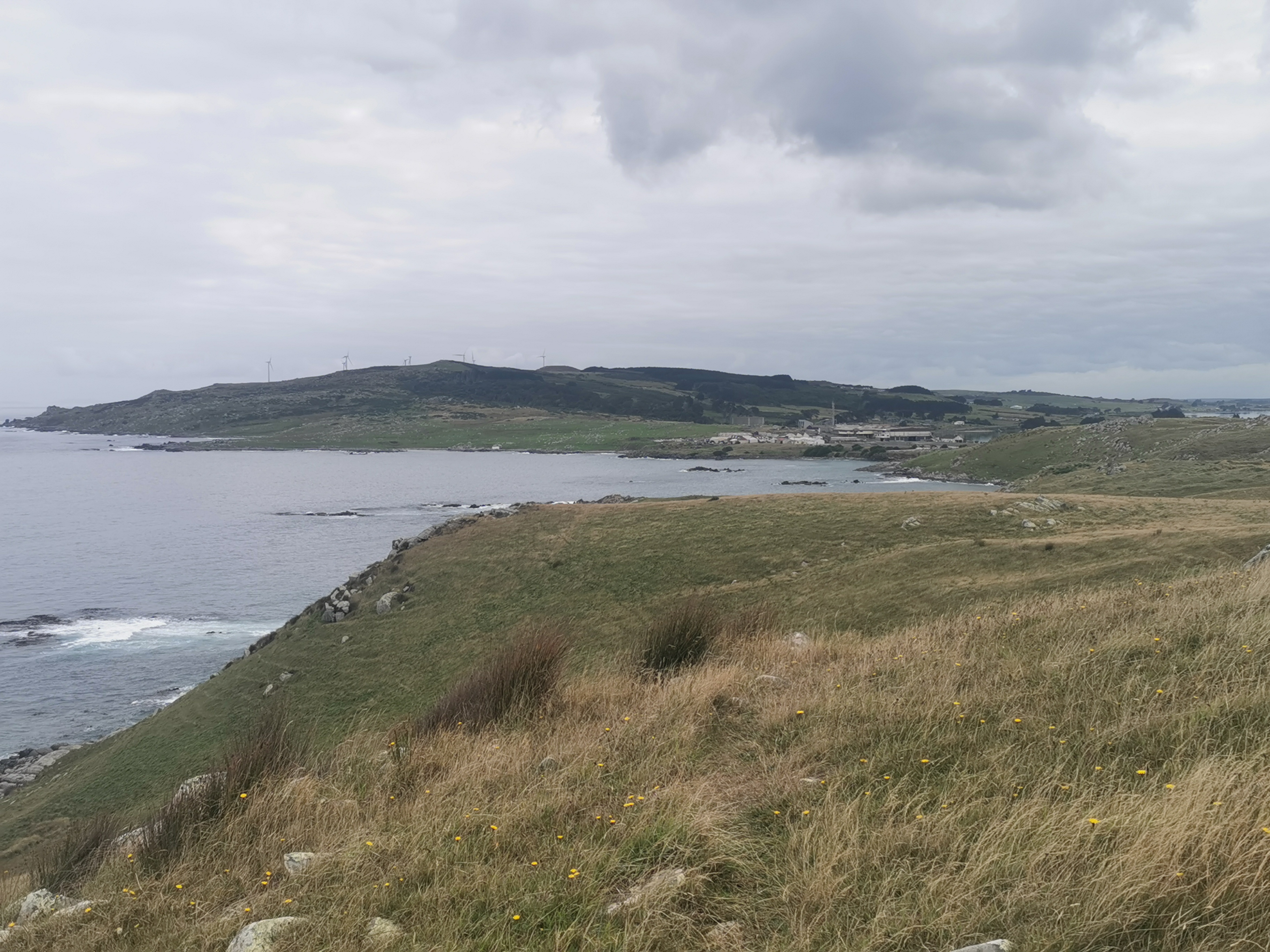
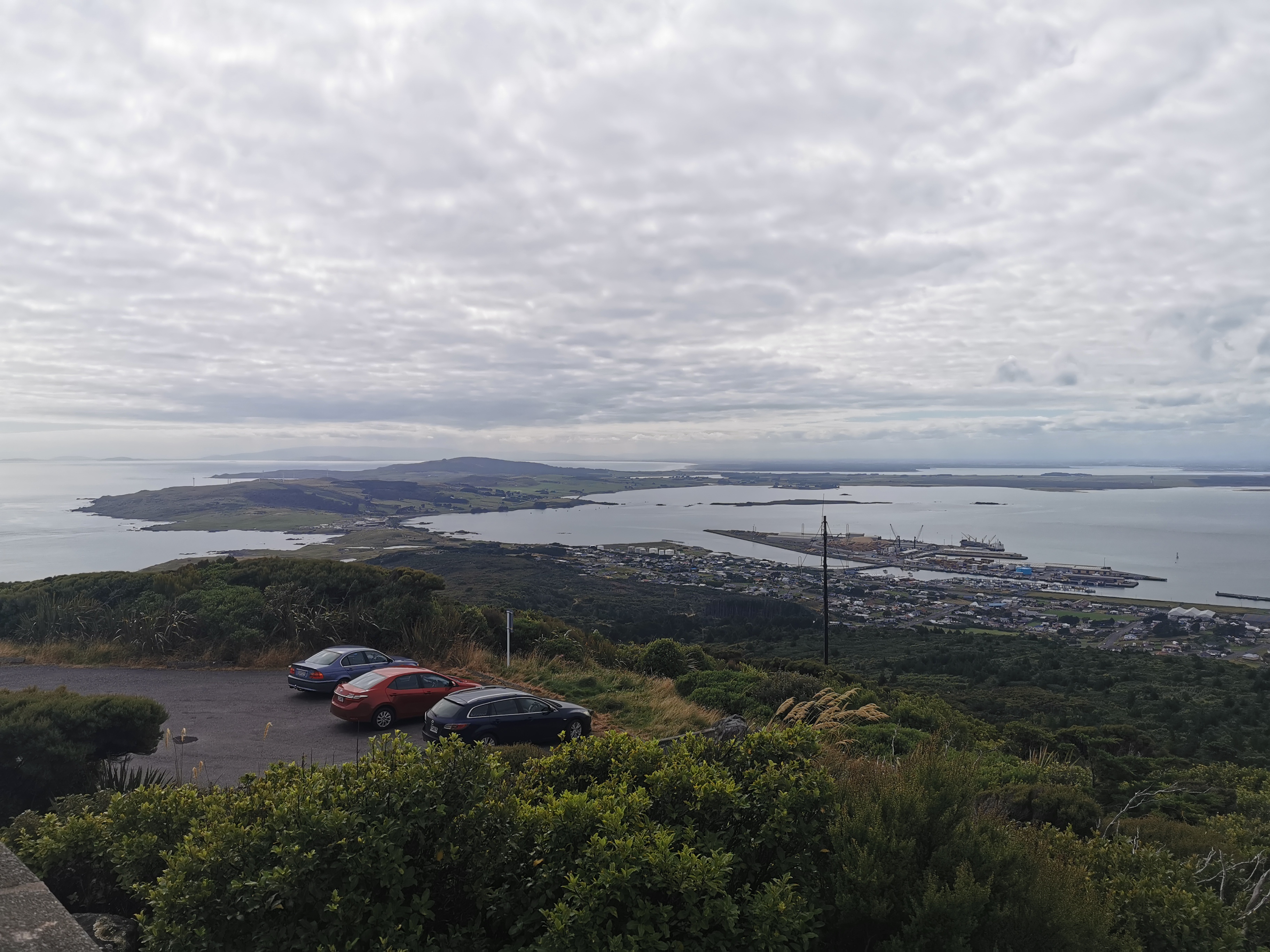
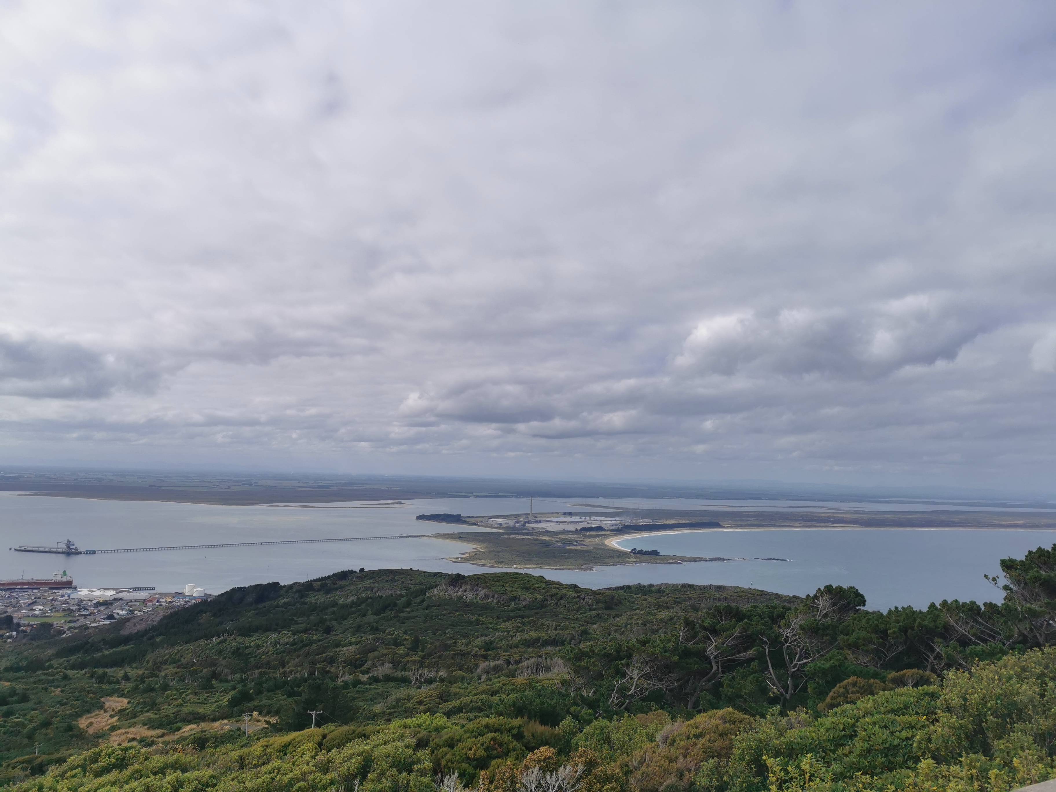
We also drove up to the top of Bluff Hill. There was a great view of the area from the top.
I didn’t even realise I walked so close to both coasts along this section – when you’re walking it it’s hard to tell.
They dropped me in the middle of town and I got Lone Star for dinner.

Well, thanks for reading. All the comments from all of you have been wonderful. And if I ever do manage to get out one day and walk something like the AT, I’ll start a new blog for sure.
Until then… at least I’m not going home to another lockdown!
– Matt 🥂
Today's walk on the map (blue = Te Araroa, red = today's walk):
Well done Matt! Awesome effort! I have loved reading your blog and all the photos. Congratulations!
Well done, Matt.
Helluva country we live in 🙂
Wow, Wow, Wow !! This has been absolutely awesome Matt. I have thoroughly enjoyed reading every word and loving all the fabulous photos that you have shared with us all over these last months. Its just been a fantastic journey. I didn’t want it to end, I was loving it so much, but it HAS come to an end, and you can be so proud of yourself. What an achievement. Thanks for all of it. I’m secretly hoping there will be a next time, somewhere out there, who knows where? ,and I for one will be following right along with you. Thanks for the memories you’ve shared. WELL DONE !!!
Thanks Lin for always leaving nice comments!
Congrats Matthew!!
Celebrations when you get back.
You have finished. Well done Matt. It has been a pleasure following along through your blog. Your attention to detail and all your photo’s has added to the pleasure.
Congratulations and well done.
Well Done Matt,
I certainly enjoyed following you over the past year and a bit and would certainly follow you on your next adventure.
Will your blog remain on the Te Araroa web site for future reference, I have already looked back at your preparation and equipment blogs?
I hope it will remain there! It should always remain and be accessible by Google.
Cool
Hi Matt, you may remember me from 1 year ago when I walked Rangitata to Tekapo with you and Kristy. Congratulations on finishing your journey. Such an achievement.
Incidentally I stayed in Hamilton hut last thursday night and someone had your yellow krocs on so I took a photo of them too.
Hello, I do remember! I never saw another pair of yellow crocs so I’m glad they’re out there
Congratulations Matt. It’s been wonderful following your adventures.
Thanks Noeline! Nick just picked me up from the airport, isn’t he nice
Congratulations, what a fantastic achievement Matt! I will miss reading your updates, you should put them all together and publish a book. Fantastic effort.
Lin has stated it exactly as I would have done. Sure will miss your blog (although I have saved a lot of it on my laptop,ha ha)
Incredible achievement Matt, very well done. If you get a hole drilled into your new pet rock you could clip it to your pack or wear it around your neck on your next venture, albeit a bit heavier than Taco Terry.
Cheers
Congratulations.
It was a pleasure to read and discover your many photos.
I learned a lot of new things helpful about the trail with your story.
I can’t wait to read your next adventures.
Congratulations! I found your blog from the Te Araroa website and have really enjoyed reading it. Like others have said, I’m sad it’s come to an end, but I’m happy for you. Well done and thank you for sharing your incredible adventure.
LoL @ Pestilllow.
Congratulations man. What you’ve done is truly awesome!
It sounds like it was a fitting end to an epic journey. It seems like ending in Bluff would be nicer than ending in Cape Reinga where there is nothing around (awesome views and probably easy to hitch, but no food, no locals, etc).
Congratulation! This is epic! And also your blog is so interesting to read. Well done Matt.
Hats off!
Congratulations Matt, huge respect to you for overcoming all of the unforeseen hurdles in completing the trail. And thanks for the epic blog really gives a great insight in to the Te Araroa. Good luck for the future
Ditto to everything Lin said.
I’m so proud of you. Xx
Thank you for the blog. I know how much effort and time it has taken to write. Thank you for the honesty of emotions that you have shared. That is one of the things that sets your blog apart.
Thank you for introducing us to your walking mates. I have enjoyed meeting them, especially Nicola.
Thank you for the location tracker. I have watched you move down the country (albeit slowly) and with the map set to satellite, I was able to see the terrain and surroundings of where you were. It felt like “I was there”.
I will miss the blog but at least now we can have our Friday breakfasts once again.
Looking forward to sharing the next walk with you and everyone else.
so cool. What a journey! Have very much enjoyed your detailed account of the walk.
A friend and I are keen to walk the Camino de Santiago in a couple of years, if the world has opened up again by then. I love the idea of just walking every day for a month or so, though wonder how the body will hold up given my sedentary office occupation.
Great stuff! I may have to buy some yellow crocs. Really enjoyed your photos and your writing.
Well done Matt. A fantastic achievement. Proud of you. We have just got back from a three week road trip down to and around the South Island so have binge read your final blogs this afternoon. I have really enjoyed all that you have posted. Time to relax now.
I don’t want this to end. It’s like coming to the end of a great book that I couldn’t put down. And wondering what am I going to do next without these blogs to read. I have laughed. I have worried about whether you were going to survive that gale force winds night. And I have cried reading this blog today. I can only imagine your emotions when it’s brought so much emotions to us readers just reading about your final day.
Thank you for sharing so honestly and so beautifully your amazing journey. So glad you went back to finish it. Good luck to planning the next adventures as this is just the beginning ;).
Nice one bro 🙂 I finally managed to catch up.
Congratulations on completing the whole thing! I read your blog during lockdown last year, and was a bit gutted that you didn’t get to do the bit in my backyard, so I’m really glad you came back to finish it, and I could continue reading. Great writing, very honest.
PS. The animals are possibly wapiti hinds?
Just finished reading your whole blog – congratulations on completing it!
Super inspired to go for it next year
I will use your blog as a kind of second trail notes
Love you writing. Thanks for sharing
Thanks! I’m glad it has inspired you! 🙂
Maybe one day I’ll be able to do the TA too. Until that time some shorter tramps and reading hiking blogs will have to do. I enjoyed the detail and all your photos and especially your milkshake reviews. Sad I’ve come to the end of it, I even embarrassingly got a bit teary at the end.
You and me both 😀
I’ve just finished reading through your blogs… stumbled across it on through geocaching. Thank you for sharing your experience on the trail, it sounds incredible. Hiking the TA is still a dream for me right now but hopefully someday I’ll be able to have as epic an adventure as yours 🙂
I hope you get to do it one day as well! I’m glad my logs on the geocaches I found led somebody here.
I just finished reading through your blog and thoroughly enjoyed every minute! You should truly publish a book. Your blog is the perfect blend of personal stories, useful technical trail information and great photographs and anyone thinking of doing TA would certainly benefit from the read. Congratulations on such a major accomplishment! I look forward to the next one, maybe the AT? I live on the east coast and have done day hikes along some of the AT in Virginia. It won’t disappoint. Best of luck!
Hi Matt, I’ve been following your South Island blog alongside my 17 year-old son’s TA journey as you seem to have an uncannily similar pace, outlook on life & sense of humour! Niall spent last night at Telford Campsite, hopefully he didn’t experience the same wind you did. Thank you for allowing me to share both of your journeys with your excellent, engaging writing style & photos.
Just finished your wonderful account of the TA. Really enjoyed it. I found your writing style engaging and humorous.
I think for most people taking 3 months or more away from work and family would be a challenge. Maybe something I can do when I retire (body -willing).
We’ll done and all the best.
It’s too late to say… But, congratulations!!!
I’m Japanese and have been reading your blog because I also want to challenge Te araroa this September.
Thank you for the information you showed on this blog and the stories which motivate my feelings for Te araroa. Every time I read your blog, I imagine how I could feel if I were there and that makes me excited and nervous as well.
In the scene you can’t handle your emotion and cry when you were approaching the Bluff just after being asked for the best part of the Te araroa by the guy, I cried also.
Anyway, take care of yourself in your adventure life!
Ryuya
Thanks for the kind words 🙂