Date: 3 February
Trail covered: 29.6km (kms 2215.1 to 2244.7)
Weather: gale force winds and hot
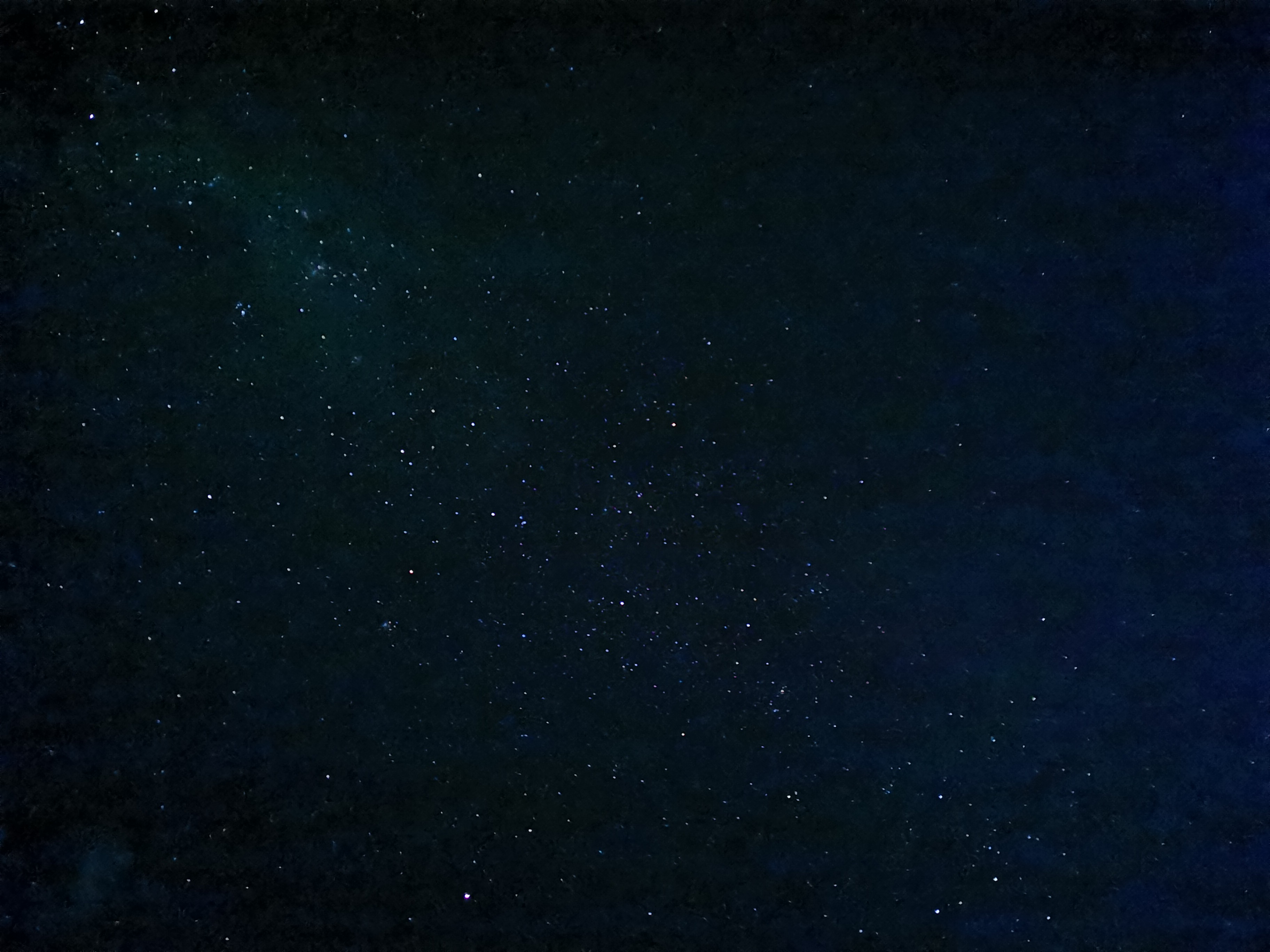
During the night the combination of hot and windy weather and sore legs meant I lay in my tent wide awake. I didn’t feel tired at all. At 1am I went outside the tent to check on the tent pegs because of the strong wind and to open the little ventilation door at the back of the tent to try and let a bit of the wind inside the tent to cool it down. As I was getting back into the tent I looked up and saw the stars. They were amazing, it was like almost every space in the sky had a star there if you looked far enough into the distance. It was like looking at the ends of the universe.
I tried to take a photo with the night mode on my camera. Of course I knew that it wouldn’t even be close to what I was seeing, but I was surprised that it did at least capture something.
The wind picked up at 1.30am. I hope nobody else’s tent blows away (or any of their other stuff). I’m the last tent downwind in the line of tents so I’d be hit with it.
I think it was probably about 2am when I finally did fall asleep. Of course then the alarm woke me up a few hours later at 6:30am.
When I woke up a few people had gone already. Not the occupants of the two tents that had organised a shuttle, though. I went and used the loo first. I had to queue for the toilet for the first time ever since starting the trail. I’m surprised that doesn’t happen more often honestly! While I was queueing, there were a few spots of rain which seemed unusual as there were hardly any clouds above us. Did that mean the forecasted torrential rain was going to come today?
I talked to a guy called Simon, who had booked the shuttle. Uh oh, it turns out Simon is getting picked up from Lake Georgina, which is near Lake Colridge but not on the same road. That’s a bit of a pain. I’ve asked Simon if he would ask Wayne who drives the shuttle to detour into Lake Colridge. He said he would ask, but I have no idea of the likelihood of the shuttle actually detouring to get me. I figured that there must be NOBOs who will be dropped off at Lake Colridge, so the shuttle is likely to come past. I mean, there were 16 of us here last night!
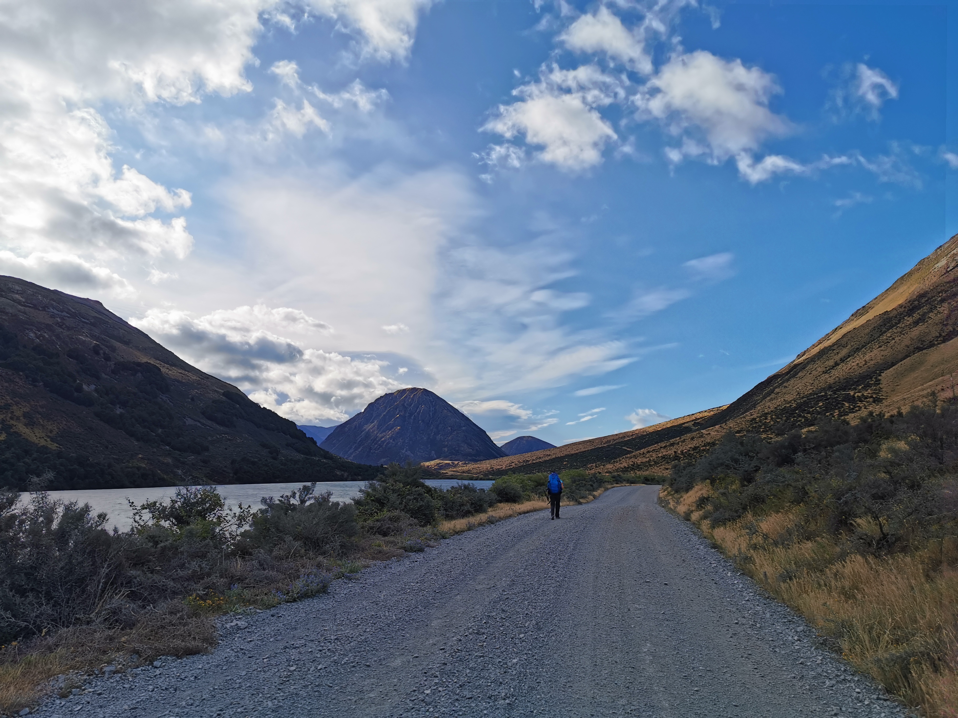
I had some breakfast and had left by 7:45am. The shuttle would turn up sometime after 2:30pm if it was going to so that leaves nearly 7 hours to walk 28km, at least 22km of which is on the road. I can’t waste too much time.
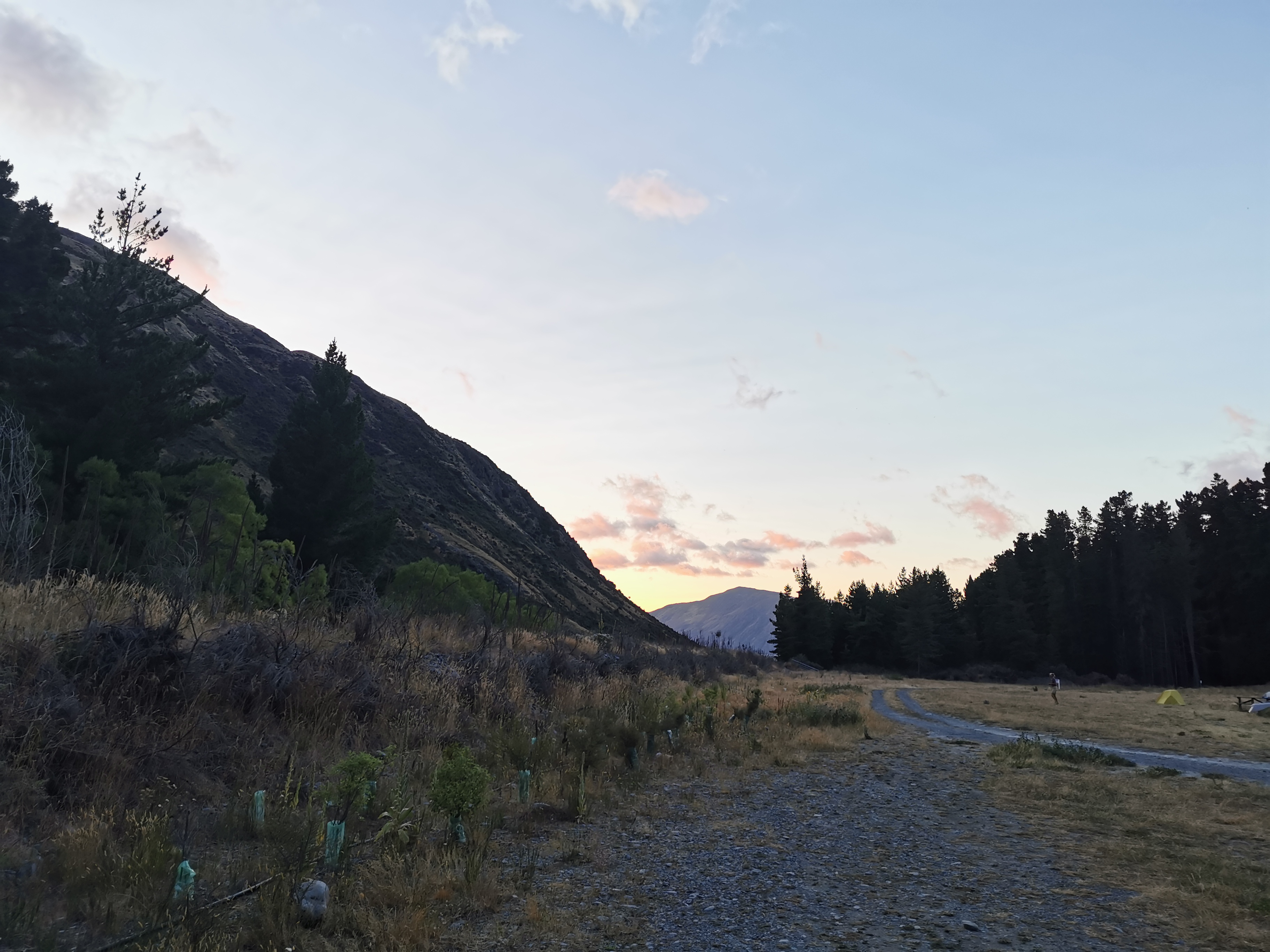
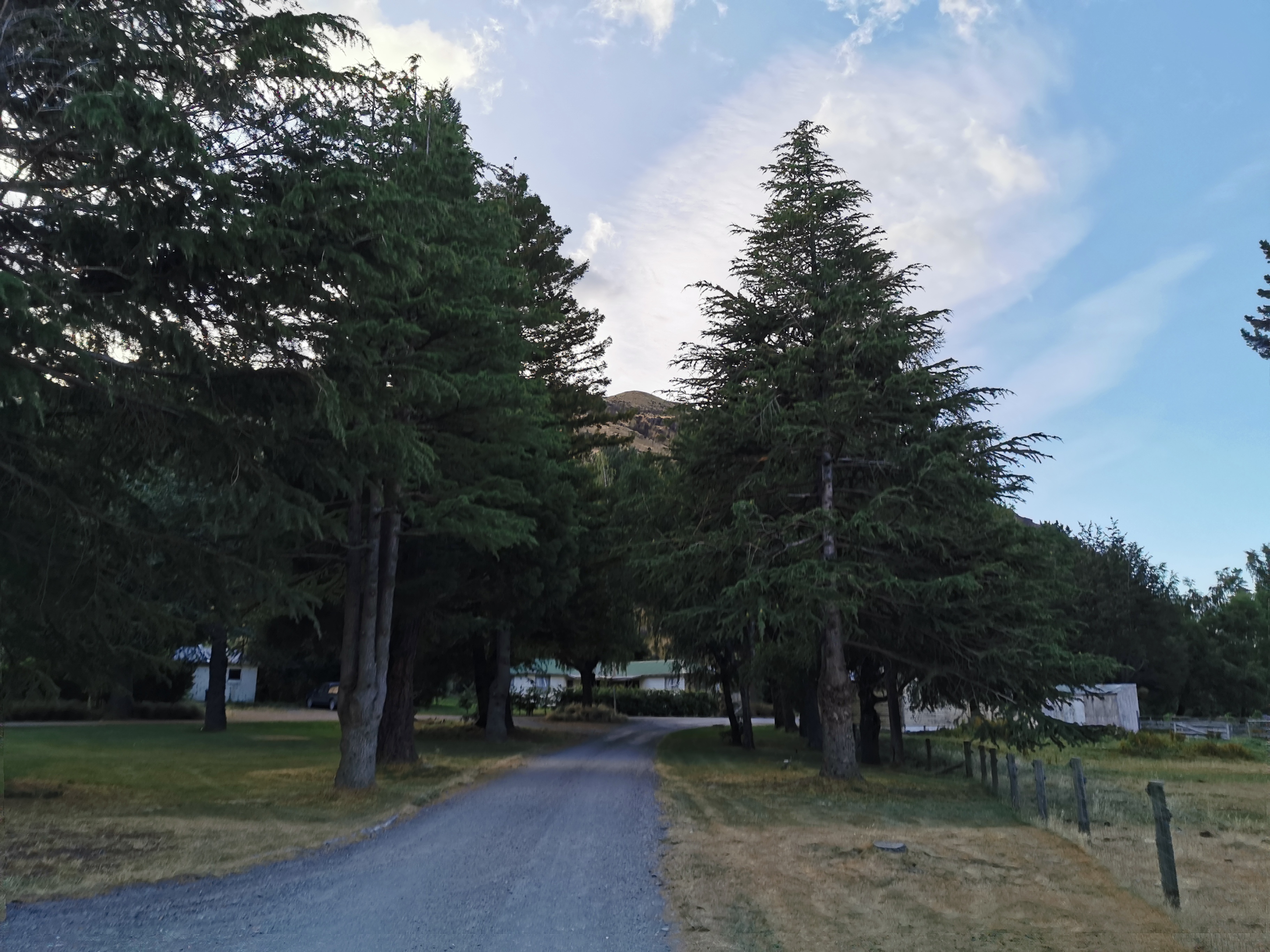
On the way out I realised that Harper Village really doesn’t have much. Just a few industrial buildings, a few houses…
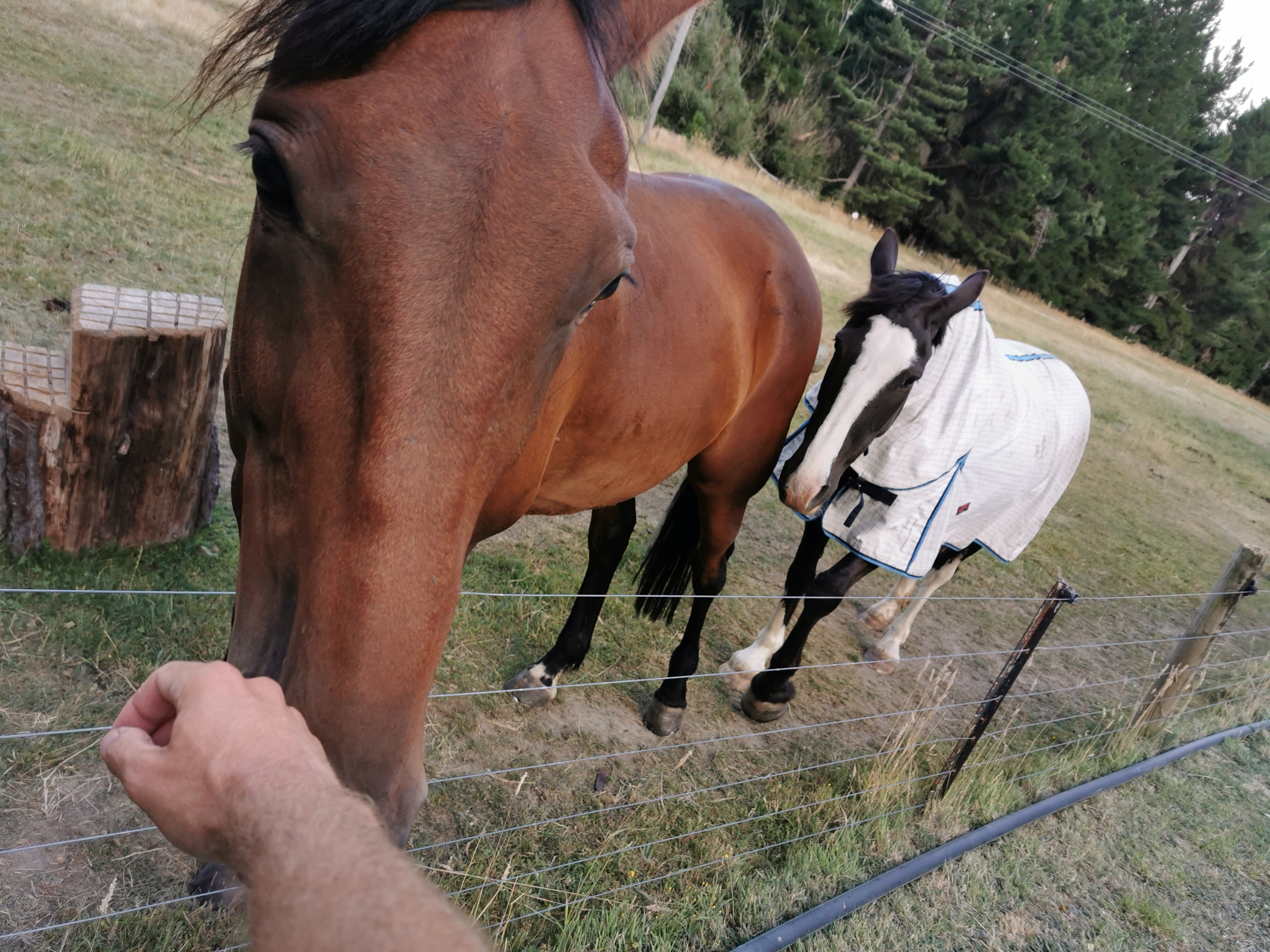
… and a couple of friendly horses.
I also noticed this sign.
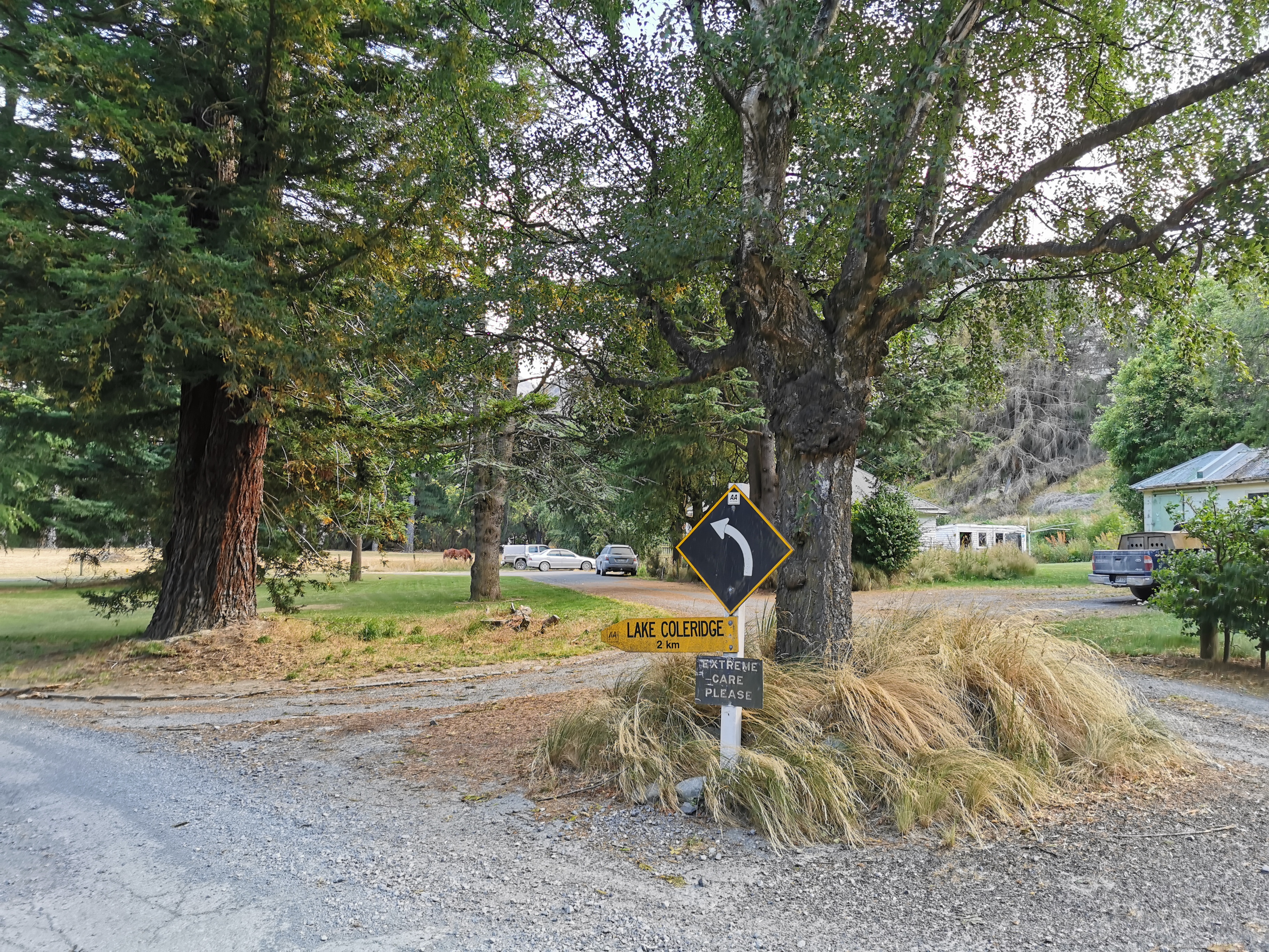
These old black and white signs were around when I was a kid but I haven’t seen one since then, in several decades. I know it doesn’t sound like much but I was excited about it.
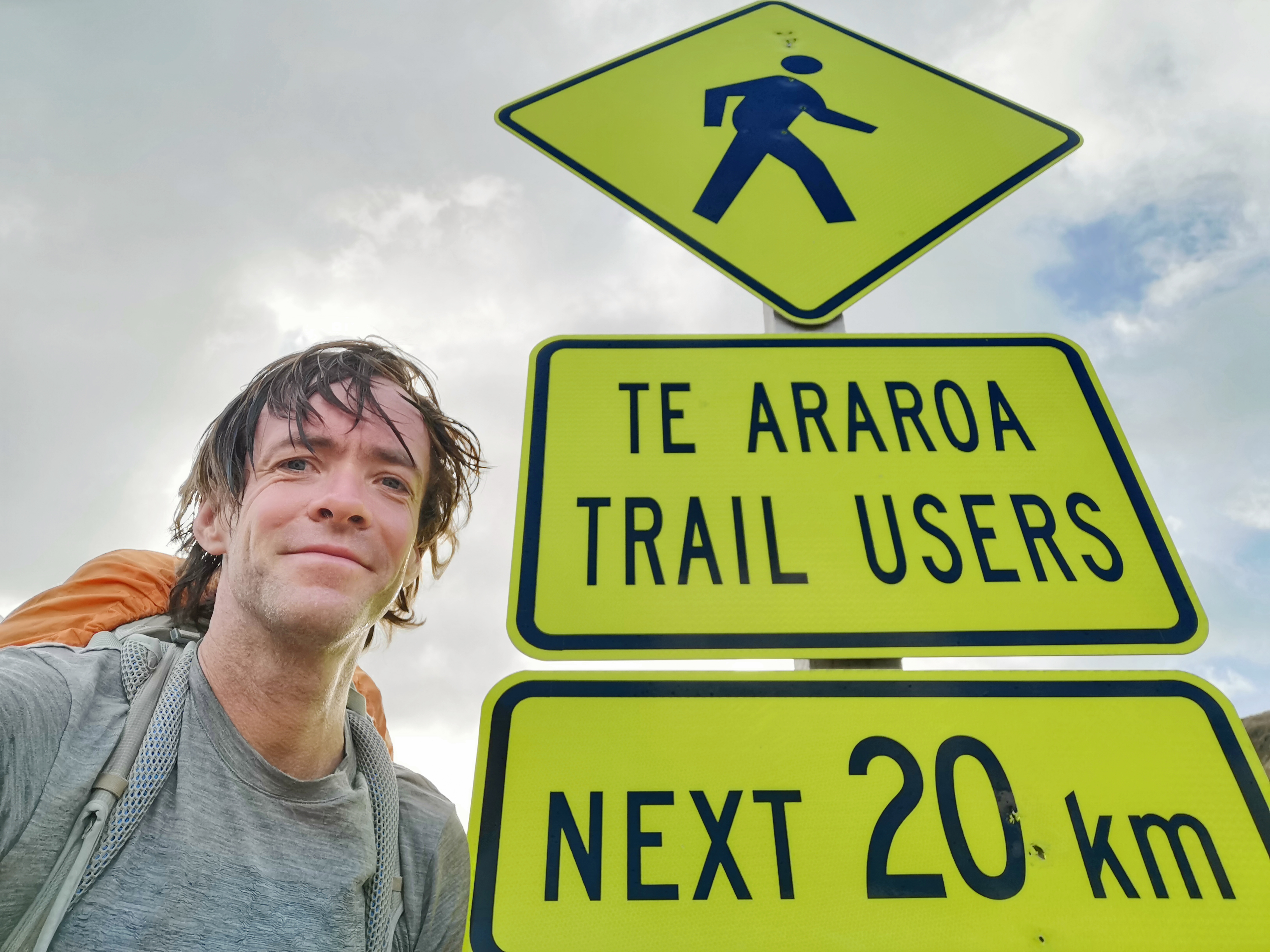
Here’s another cool sign. It’s one I’ve seen on many Instagram feeds and Facebook posts. For some reason I thought it was further south.
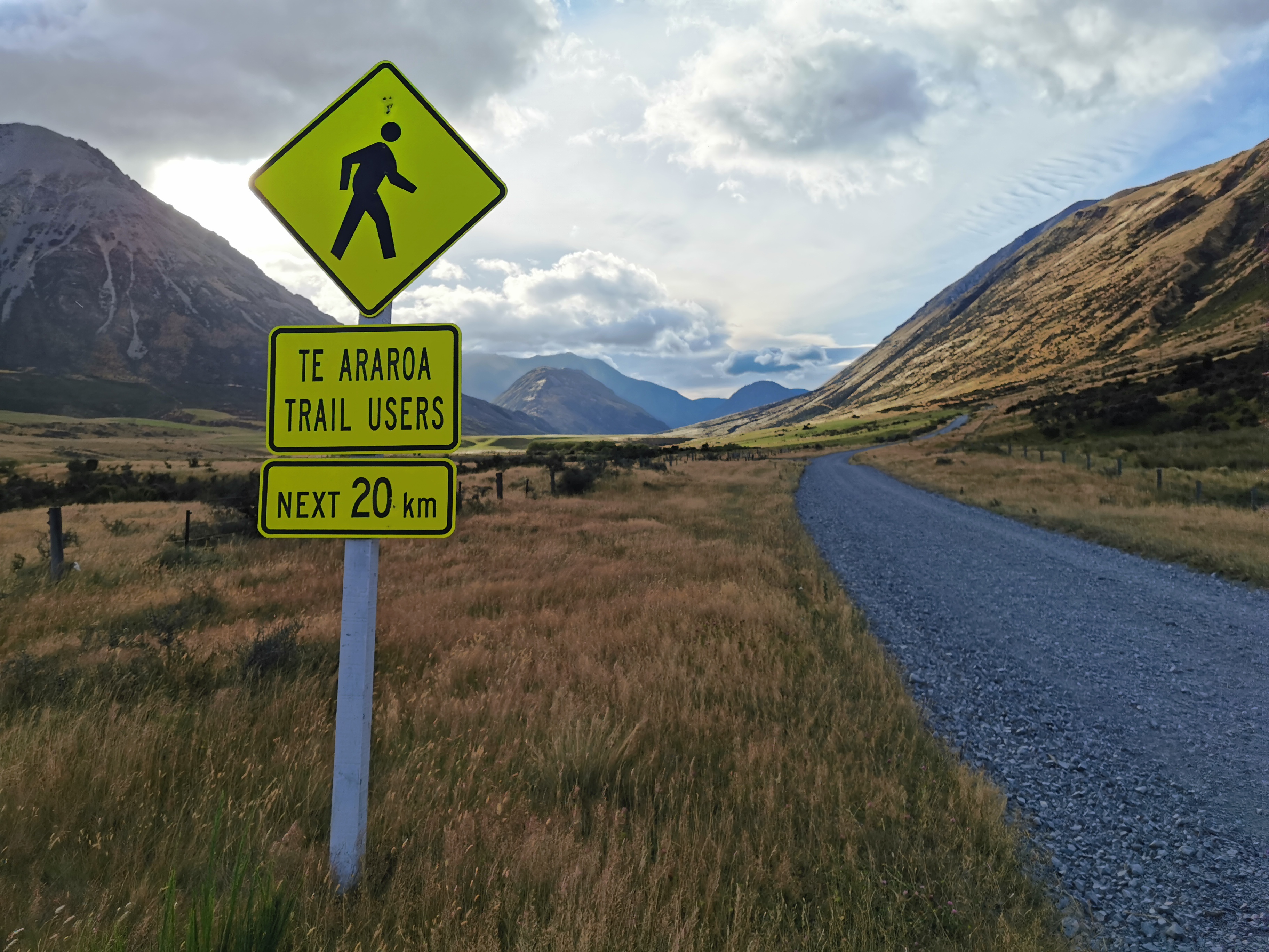
Can I get a selfie by it?
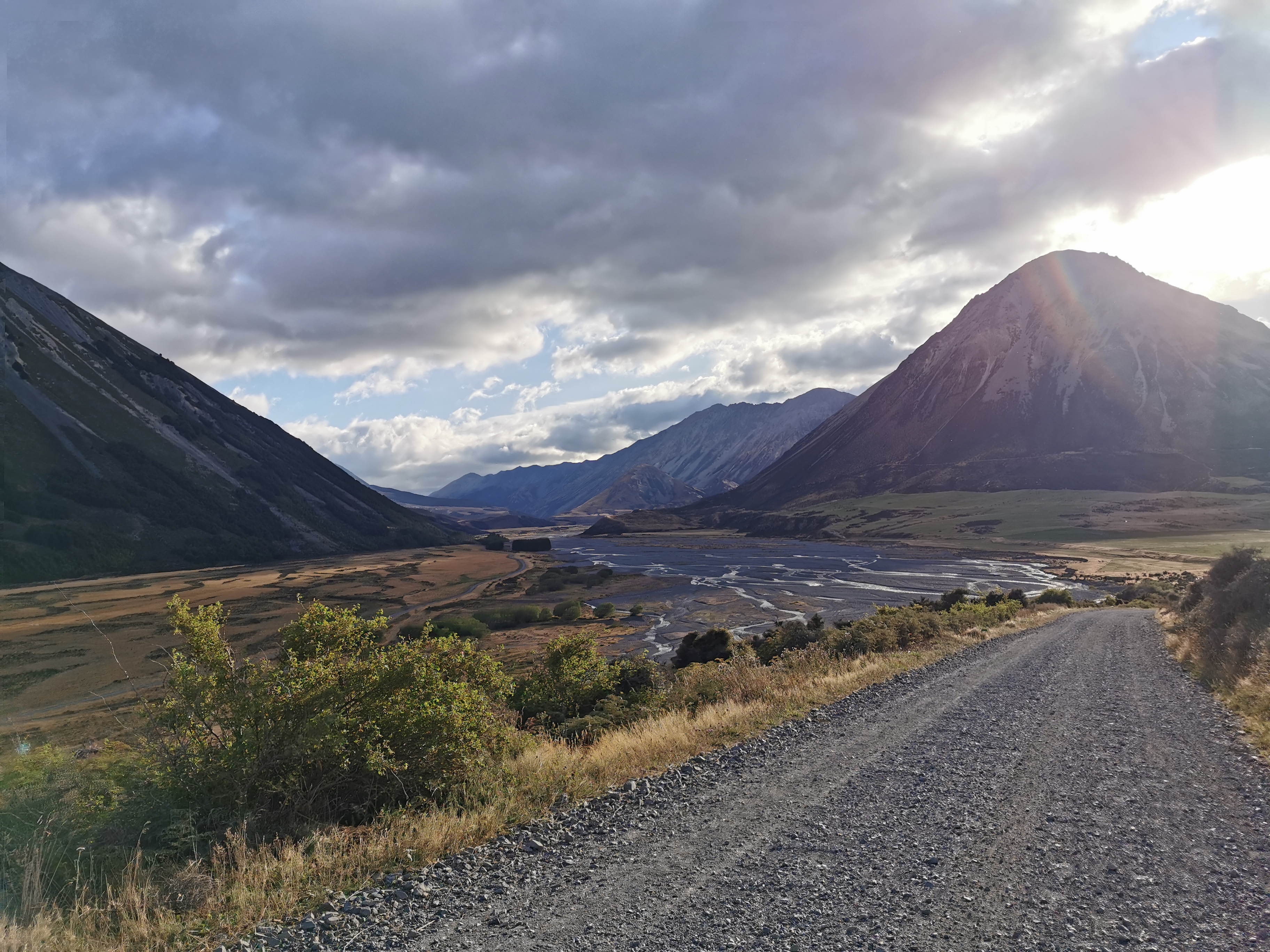
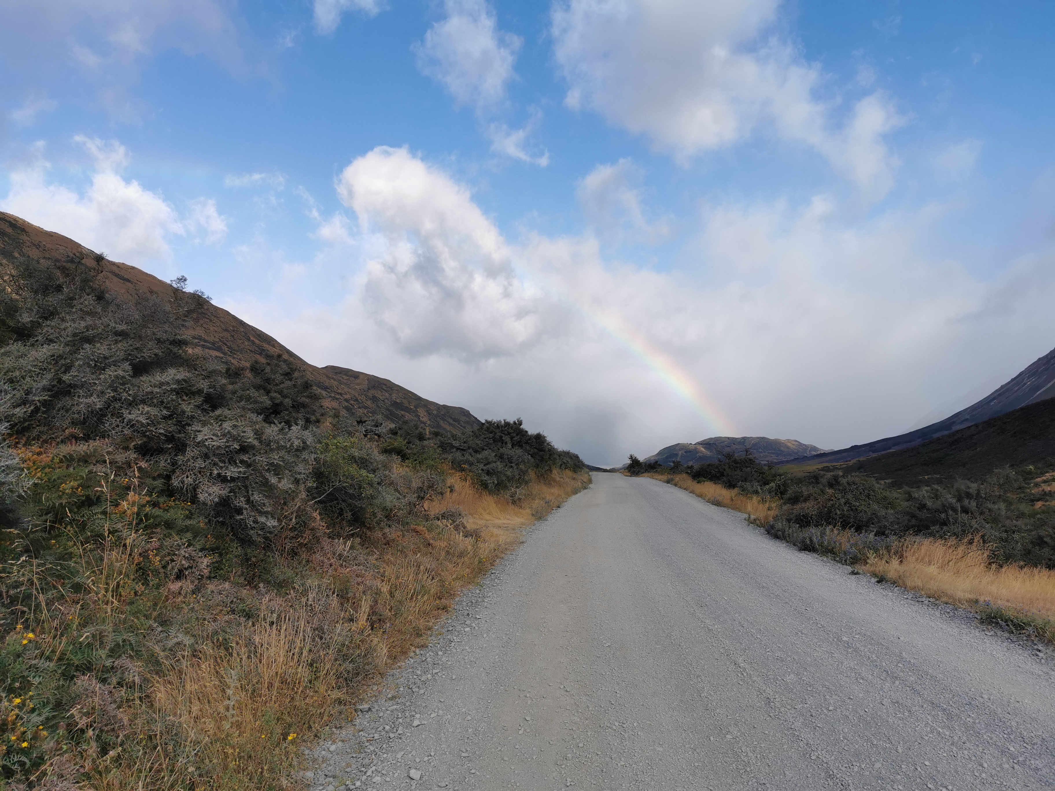
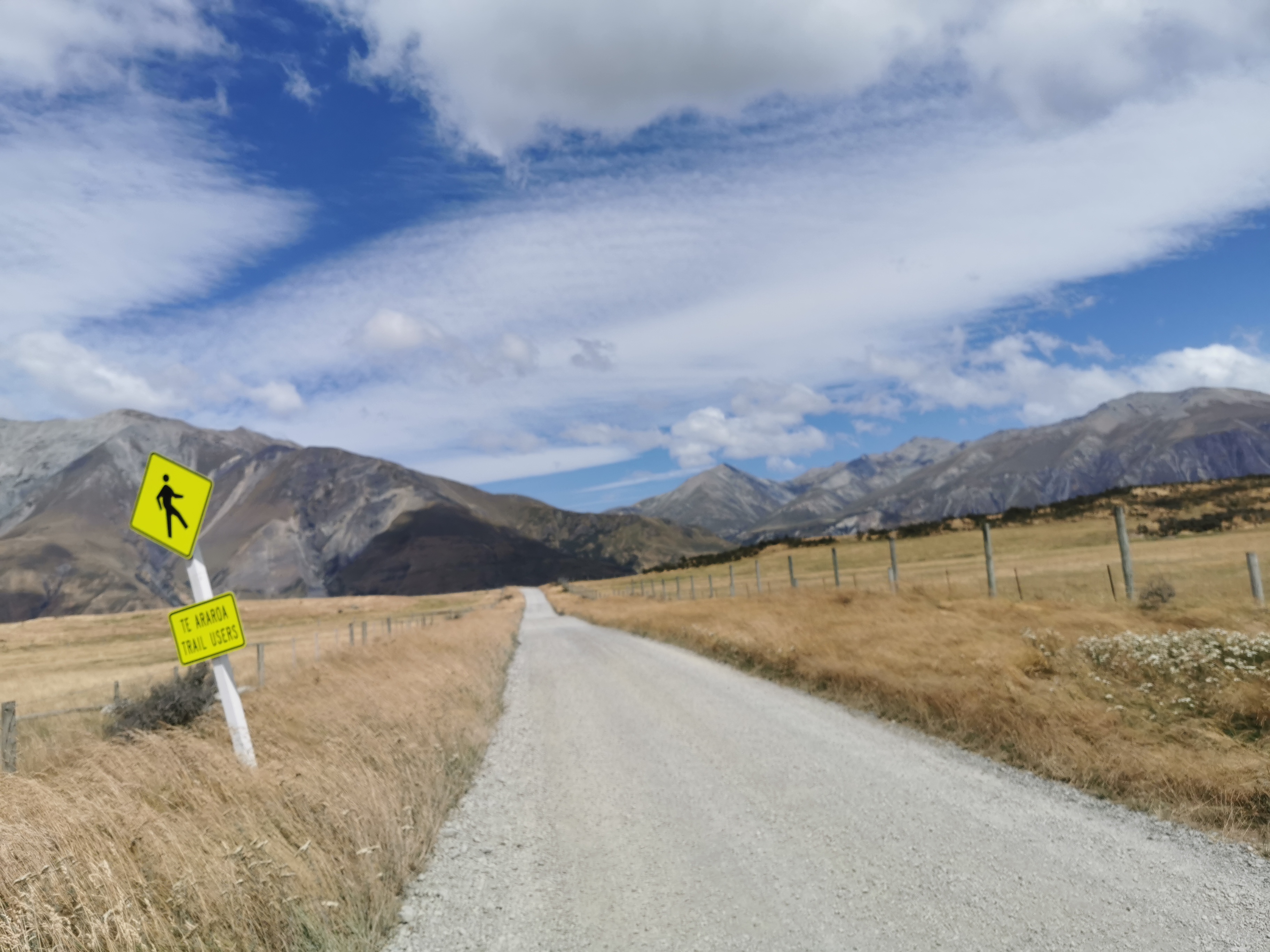
The view didn’t change much for the 22km of road walk.
There was a rainbow at one point. The rain cleared after a short bit of walking, and it got hot.
There were a few toilets on the way, but every single bit of grass and toilet and reserve had “no camping” signs.
While walking I passed a European girl. I didn’t get her name, mainly because she had her headphones on while walking and she was walking down the middle of the road. That’s really dangerous! I mean I know there weren’t a lot of cars on this road, but I saw a couple each hour, and she really wasn’t paying attention. But it wasn’t my place to say anything.
About 10 minutes after I passed her, a loud car horn pierced the air. I bet I know what that is. Somebody tooting at this girl trying to get her to get out of the way.
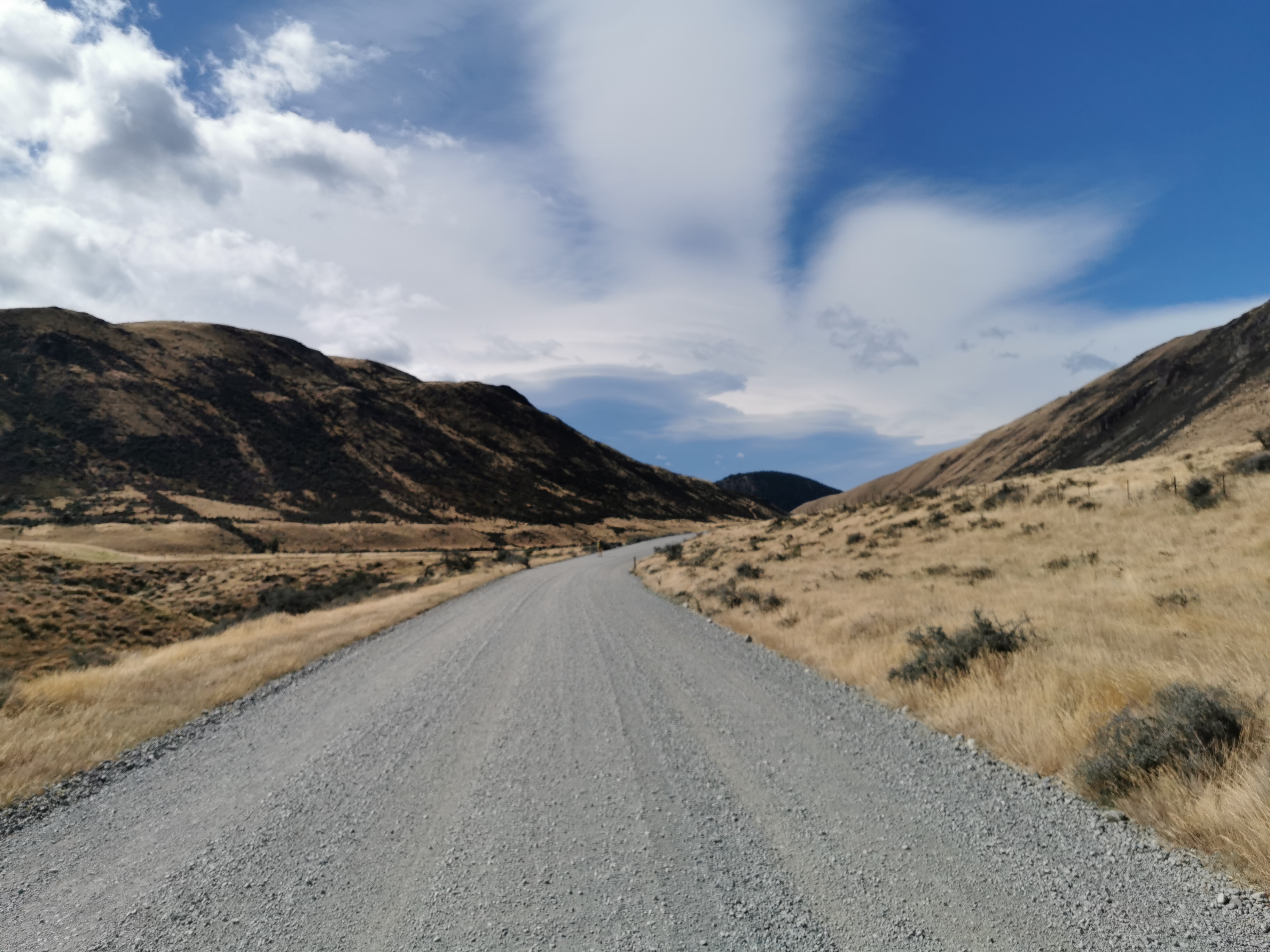
Here’s my 11am picture. It’s another piece of the same road.
I caught up to a guy called Steven from the Netherlands. We walked together for a while, and we had the same pace so it was nice to have a bit of company.
The wind was behind us almost all of the road walk. It was gale force at times and would blow us from side to side on the road. I’m so glad it wasn’t blowing into our faces. It was hard enough walking with my sore leg. Having a headwind probably would have made me break down and curl up into a ball on the side of the road. I feel sorry for the northbounders today, if there are any!
Steven was trying to hitchhike instead of walking all the way to the end of this section of trail at Lake Colridge, so when he stopped to filter some water I left him behind as I had to keep walking.
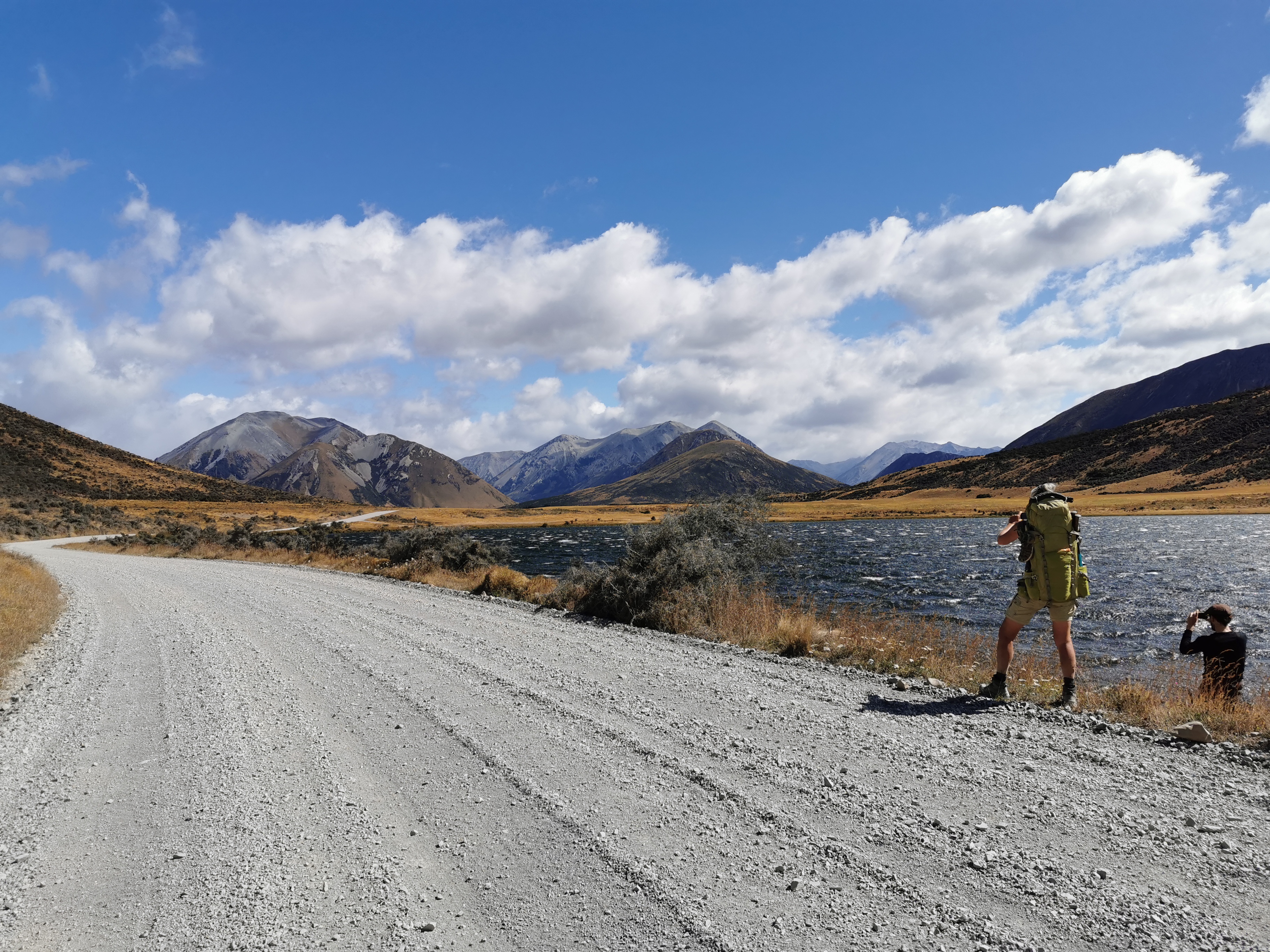
I also passed two others who were taking a photo of this view. I think this might have been Lake Georgina where the shuttle was going to meet Simon today.
My left leg really started to hurt again by the end of the day. And 22km is a really long way to be walking on the road, especially at a fast pace.
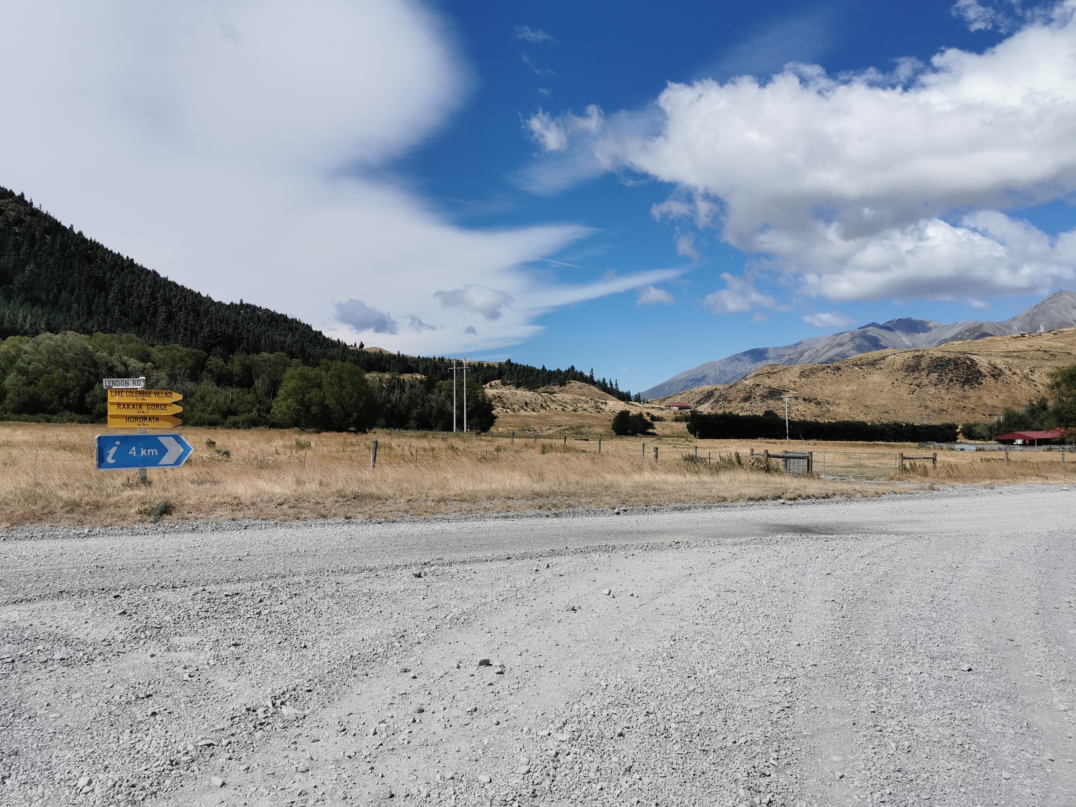
After 21km on the road you encounter this intersection and have to make a hard turn to the right onto Homestead Road, and then walk one more kilometer on the road. It was from this point where the gale force winds hit me in the face. For 1km I got to learn what it would be like to be someone going north on this section today. It wasn’t pleasant, in fact when the wind was at its worst I had to just stand there and wait until it died down, as it was simply too strong to walk through.
After the road walking was a section of track called the Lake Hill Track.
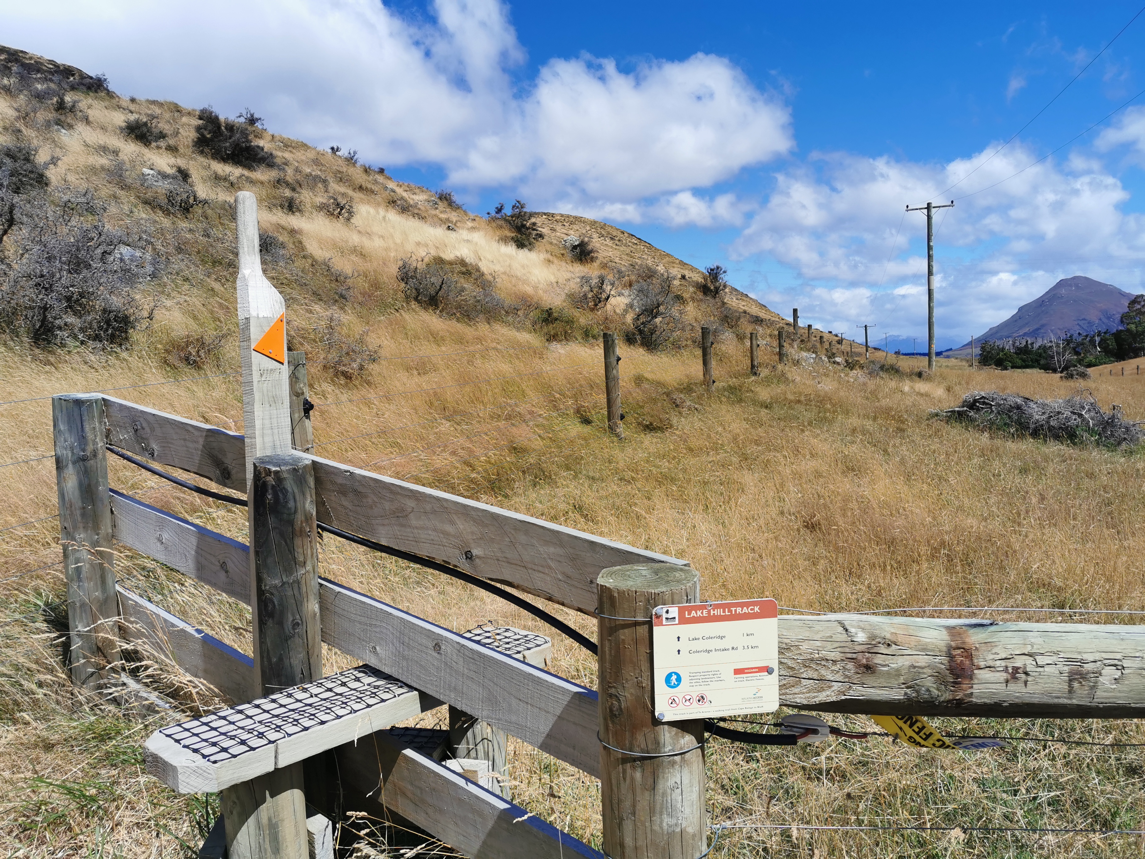
It was described as being adjacent to private property. Oh no, that is “TA speak” for an unmaintained, narrow and deteriorating track through the back of somebody’s farm. Sure enough that’s exactly what it was.
It was an easy track at first as you can see above, however then it deteriorated really fast. It was overgrown:
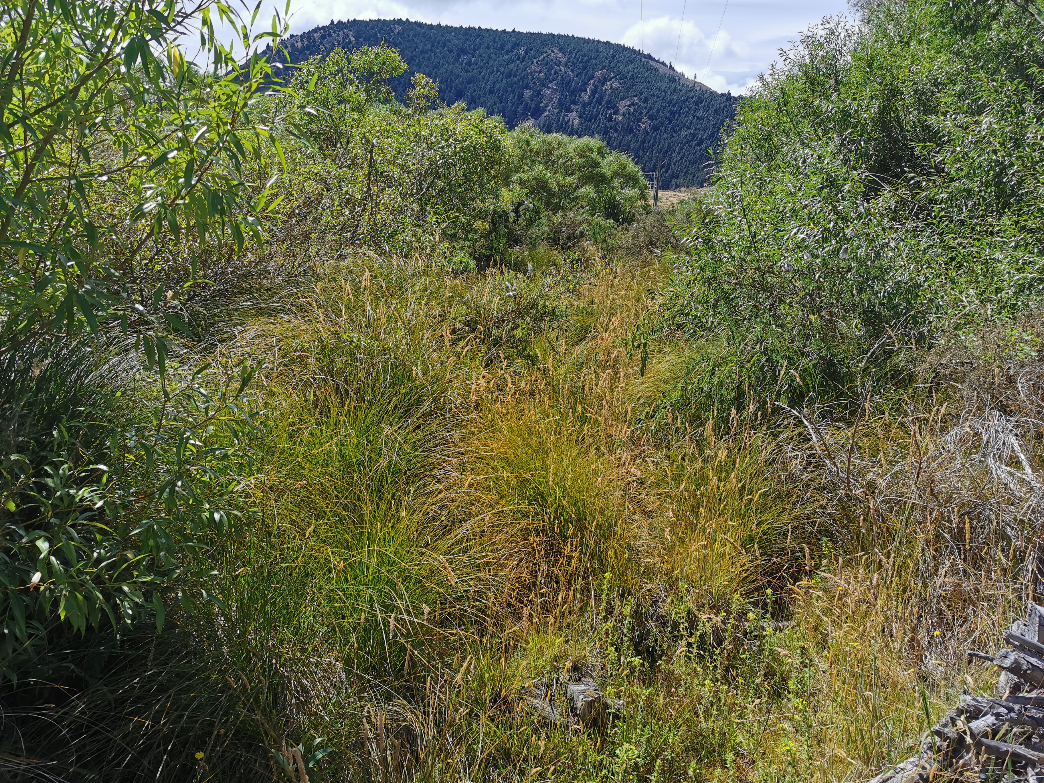
And swampy:
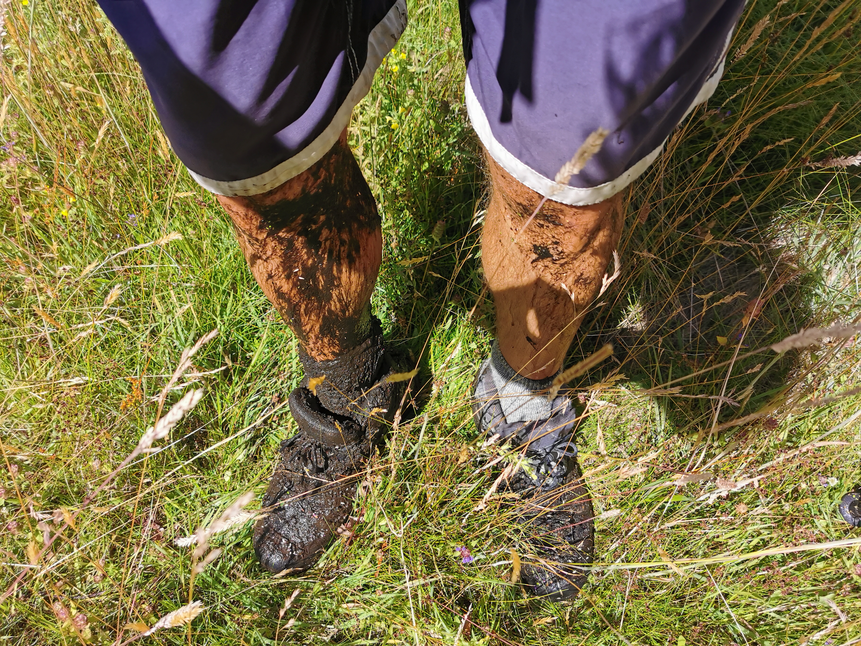
And had every spiky plant known to man.
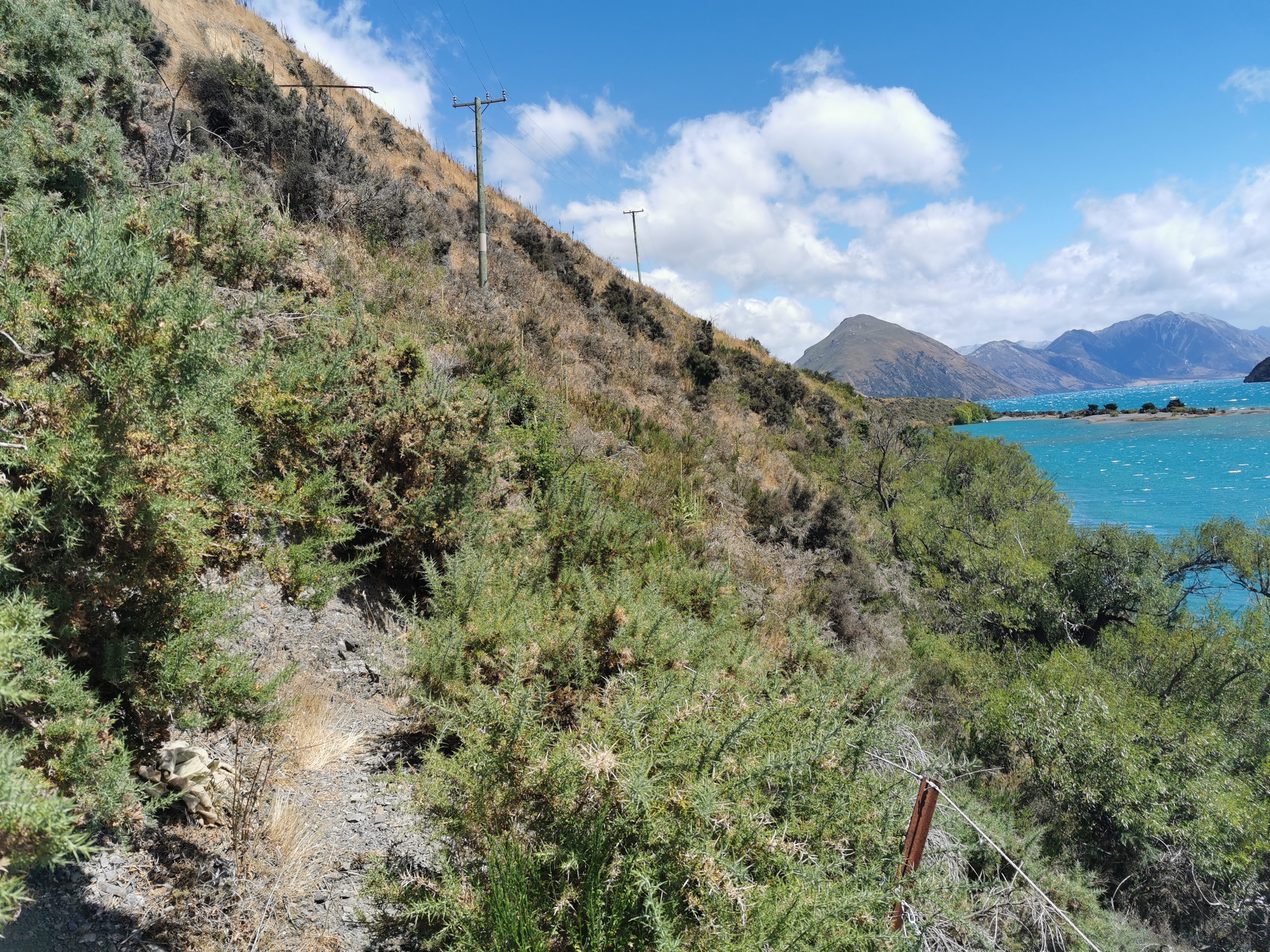
It had Lake Colridge right beside it though, that was its only redeeming feature.
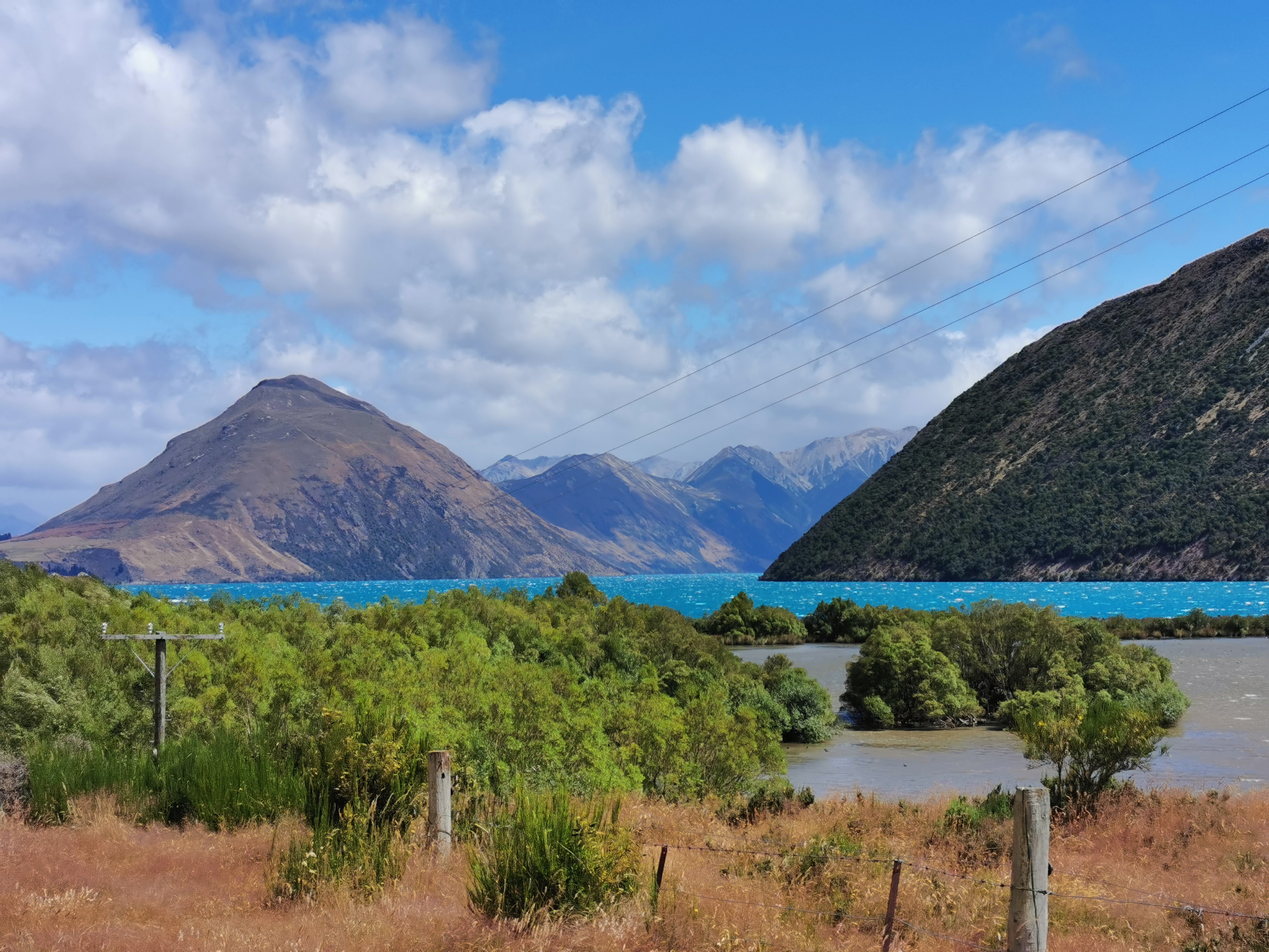
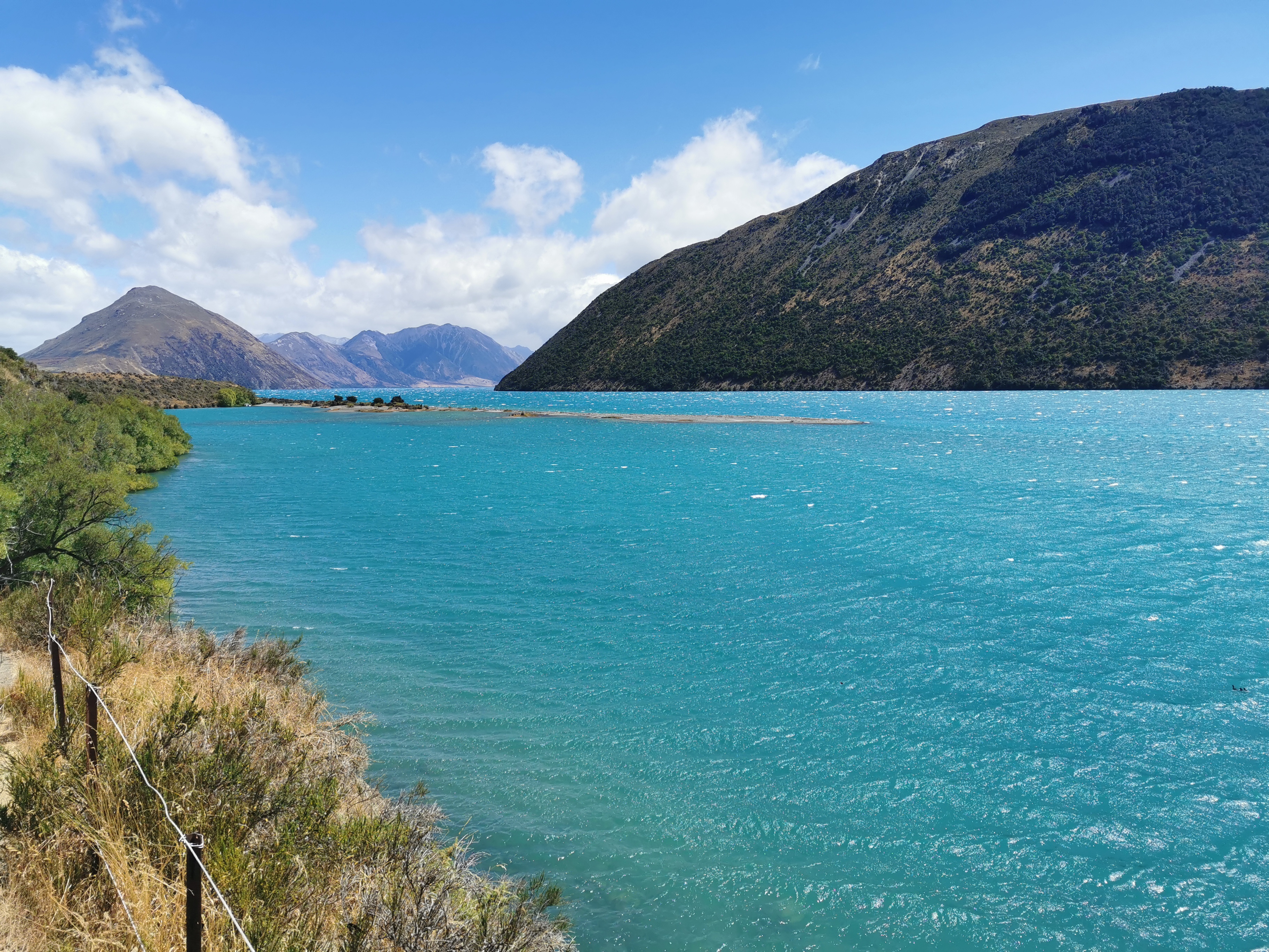
Lake Colridge is a very beautiful, very blue lake. If it weren’t for the beauty of this lake, I could very well have declared this the worst section of trail ever… but that could have been the exhaustion and soreness talking.

The track got better as time went on and then it was back onto the road again. A guy stopped and I hoped he might offer me a ride but he asked me if I had seen a dog around and when I said no he thanked me and drove away.
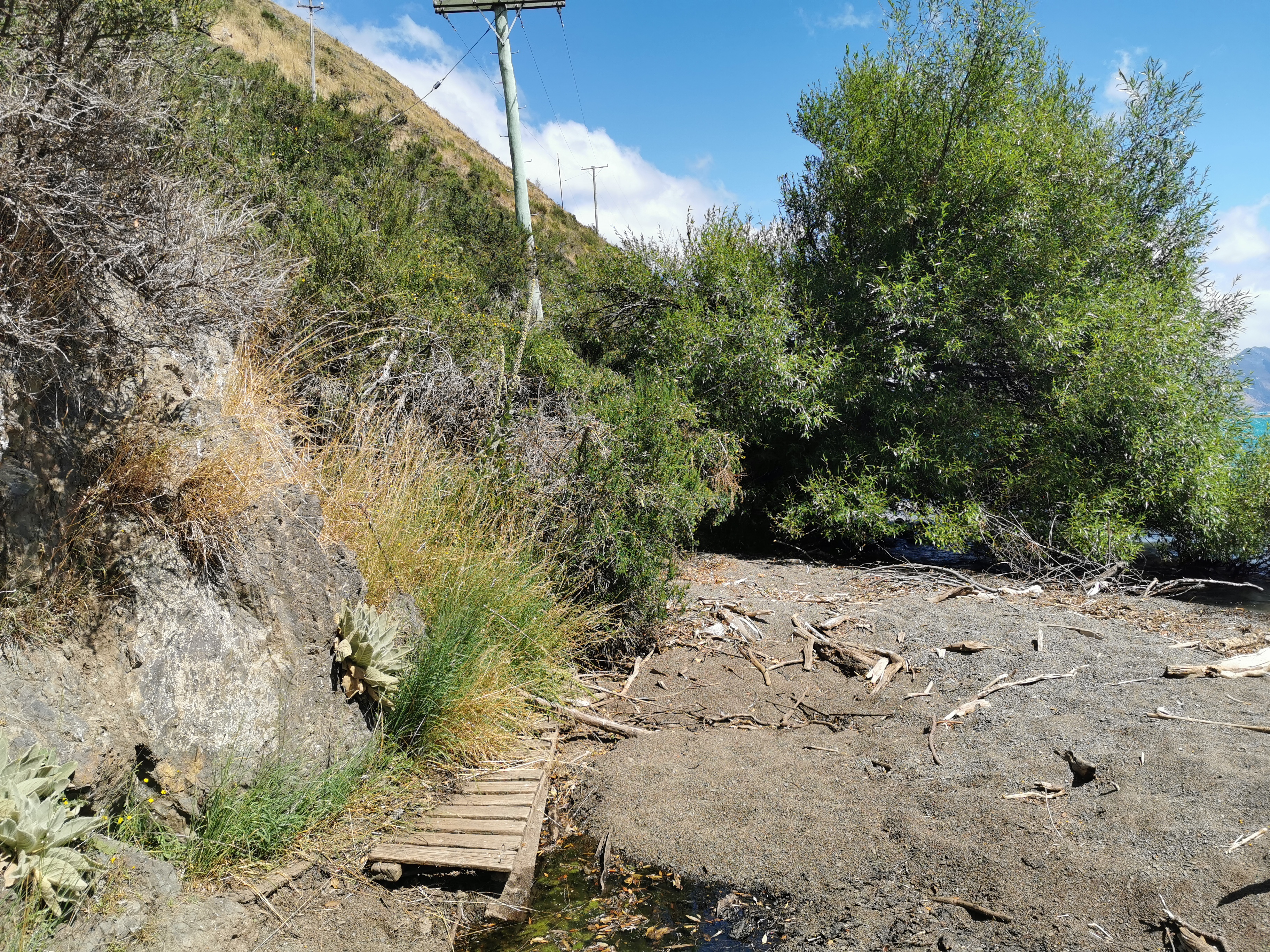
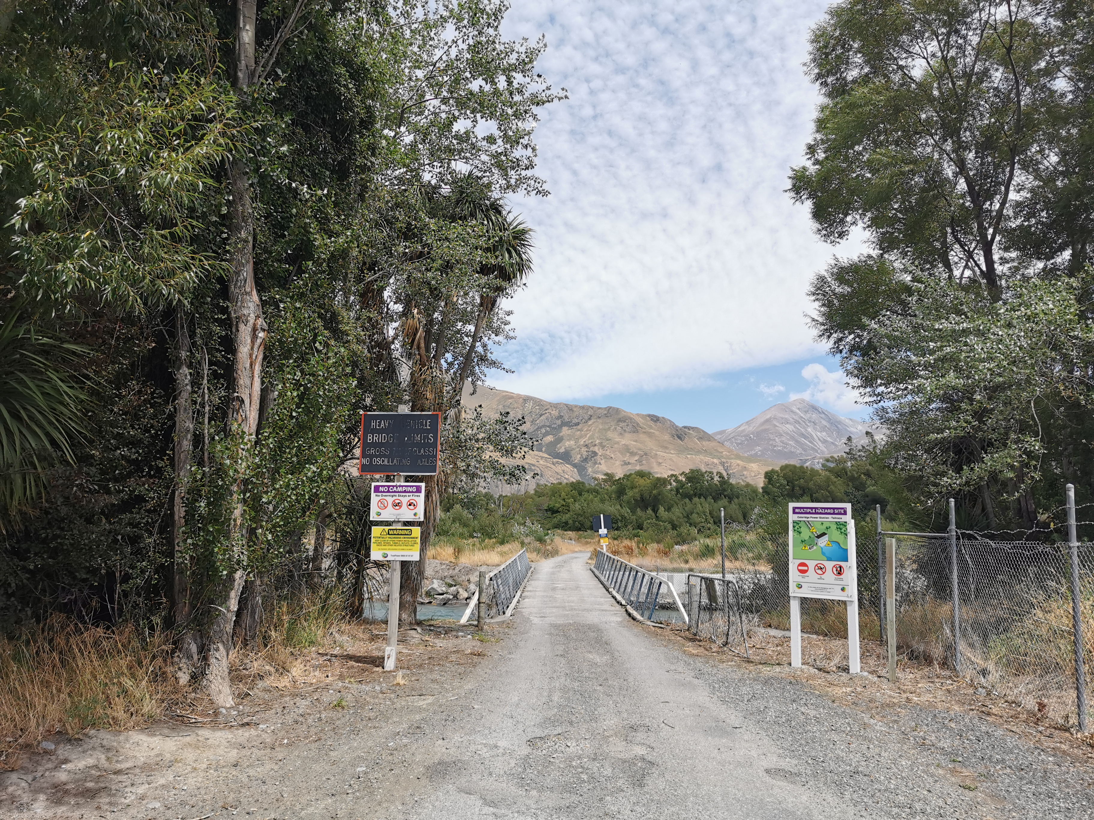
The last bit before Lake Colridge village was the Arboretum Track. It went alongside some pipes used by the power plant.
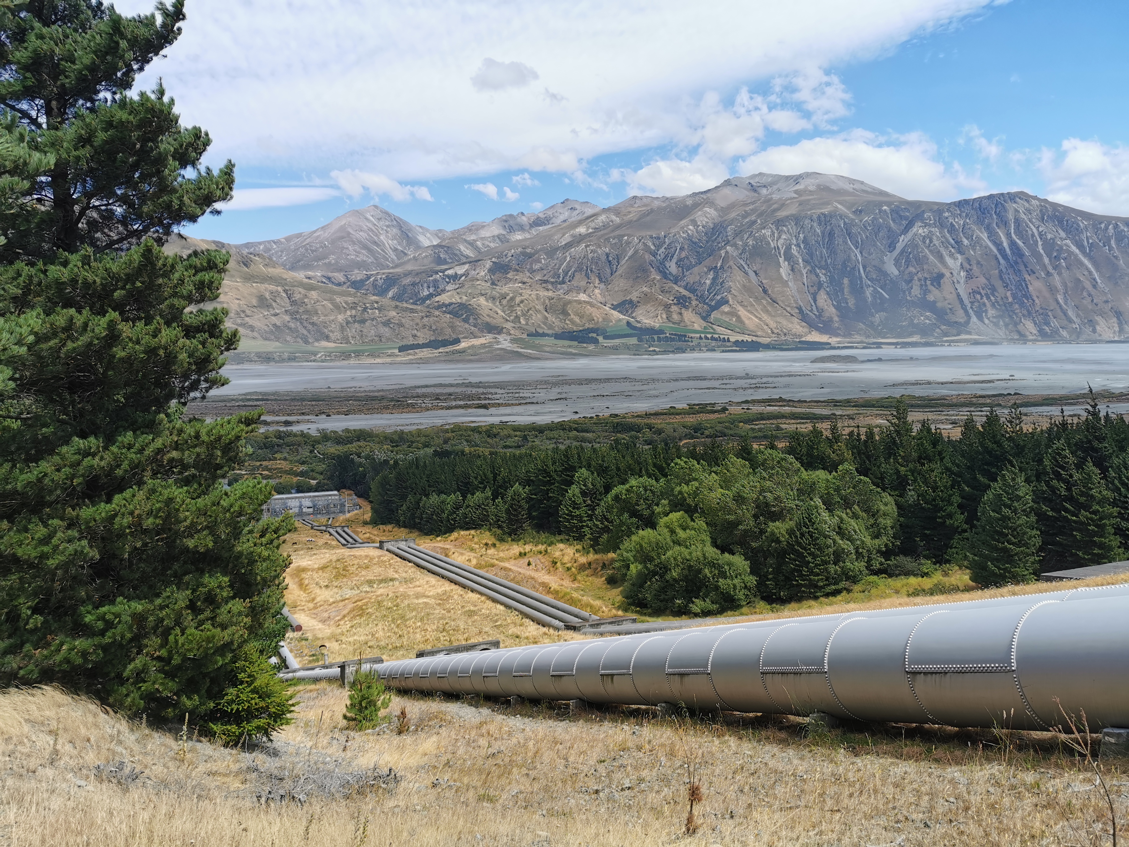
This was also the first spot where I could see the Rakaia River, in the background of the photo above. This large, braided river is the reason the trail ends at Lake Colridge and restarts on the other side of the river. This river is very dangerous and the Te Araroa Trust don’t recommend that anyone attempt to cross it. I certainly won’t be giving it a go.
Sure enough the Arboretum Track went through a bunch of trees – although a lot of them were simply dead pine trees.
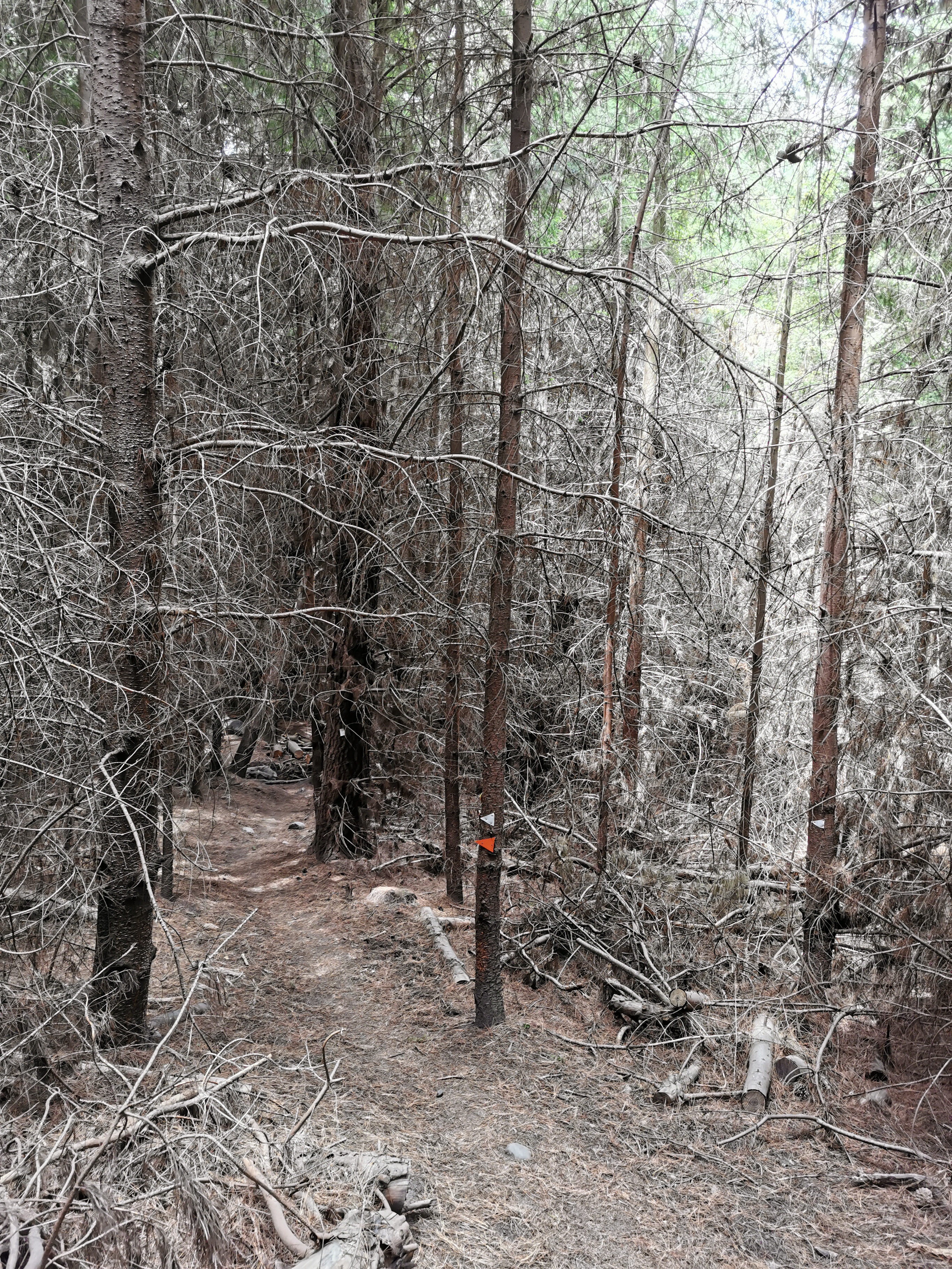
This was a nicer track to walk down though than the Lake Hill Track, that’s for sure. There was also a bit of phone reception coming down this track, so I used that opportunity to call Wayne from the Alps2Ocean shuttle. It went straight to voicemail which likely means he is out driving. Since it’s an 0800 number, there’s no way to send him a text message. Oh well.
Coming into Lake Colridge Village at 1:45pm, it was clear that this is similar to Harper Village. There is nothing here but a power plant and a picnic table.
It’s not going to be easy to hitchhike out of here if the shuttle doesn’t turn up. Luckily one of the guys working at the power plant said hi to me as I walked past and I asked if he could take me into Methven. He said that if I was still here at 5pm (over three hours away) then he would be able to. That was reassuring.
There was also the Lake Colridge Lodge in town which was going to be my backup option for accommodation if I couldn’t get a ride out of here but there was a big sign saying “lodge closed”. Well, there goes that option.
Three other TA walkers were already here, but they decided to walk towards Methven at the same time as hitching to increase their chances. My leg hurt too much to be doing that. So I sat in this spot near the picnic area and power plant sticking my thumb out towards any vehicle that came past (which was maybe one every twenty minutes).
While I was waiting around another TA hiker came and joined me at the hitchhike spot. I kind of hoped that wouldn’t happen because a car is much more likely to pick up one hitchhiker rather than two. But I can’t very well tell him to go away.
One lady stopped and said she was going to Windwhistle, about two thirds of the way to Methven. I declined the offer as I had faith in the power plant guy who said he’d pick me up later but the other hiker accepted the offer. So at least that meant I was by myself.
Another couple stopped but said they weren’t going towards Methven.
Nearly two hours passed, and at 3:30pm it definitely appeared as if the shuttle wasn’t coming today. That sucked.
At about 4pm some contractors doing gardening at the power plant stopped to give me a ride into Methven. Hooray, it was starting to get hot sitting there in the sun for over two hours. They were cool guys. They said that they always see walkers along this road.
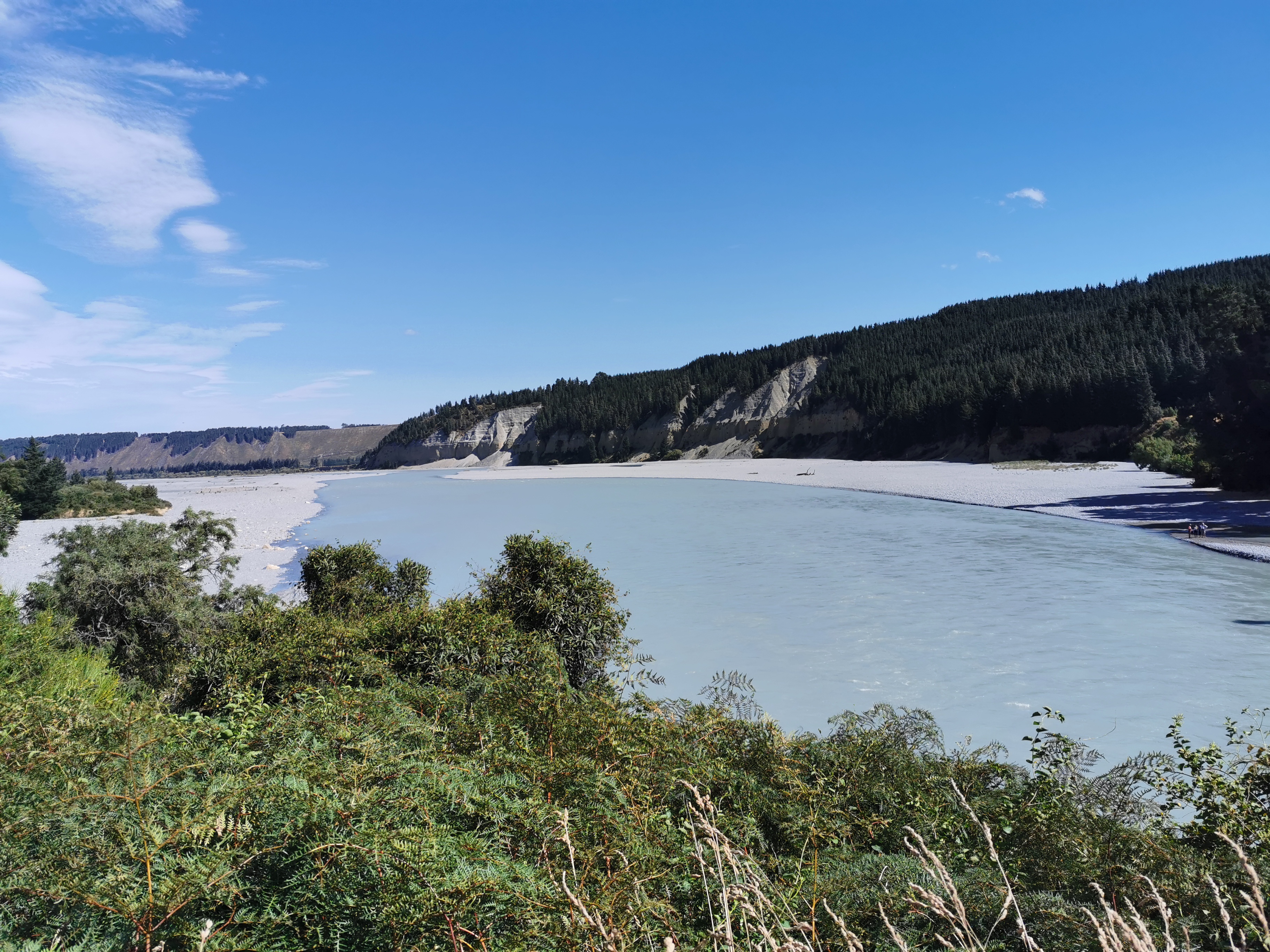
While driving, when we passed the Rakaia Gorge we stopped and I took a photo of the Rakaia River. As it flows through the gorge the braids of the river all join together. This is one of only two roads in the whole South Island to cross this river, the other being State Highway 1 out on the east coast.
It would be very very difficult to hitchhike directly to where the trail restarts on the other side of the river. Almost every hiker spends the night in Methven because the campground is apparently really hiker-friendly and cheap, and it’s a good chance to resupply. So that was always my plan.
The contractors dropped me at the Methven Campground. There already were Julie and Susan, Troy and Jordan, Brad and Lisa, and at least two other hikers. Most are waiting out the rain tomorrow and then we will all be starting on Wednesday (two days from now) on the south side of the river. The owner of the campground is going to take hikers there who want to go.
And also… I couldn’t believe it, Rhydian was there! He was so far ahead of me a few days ago.
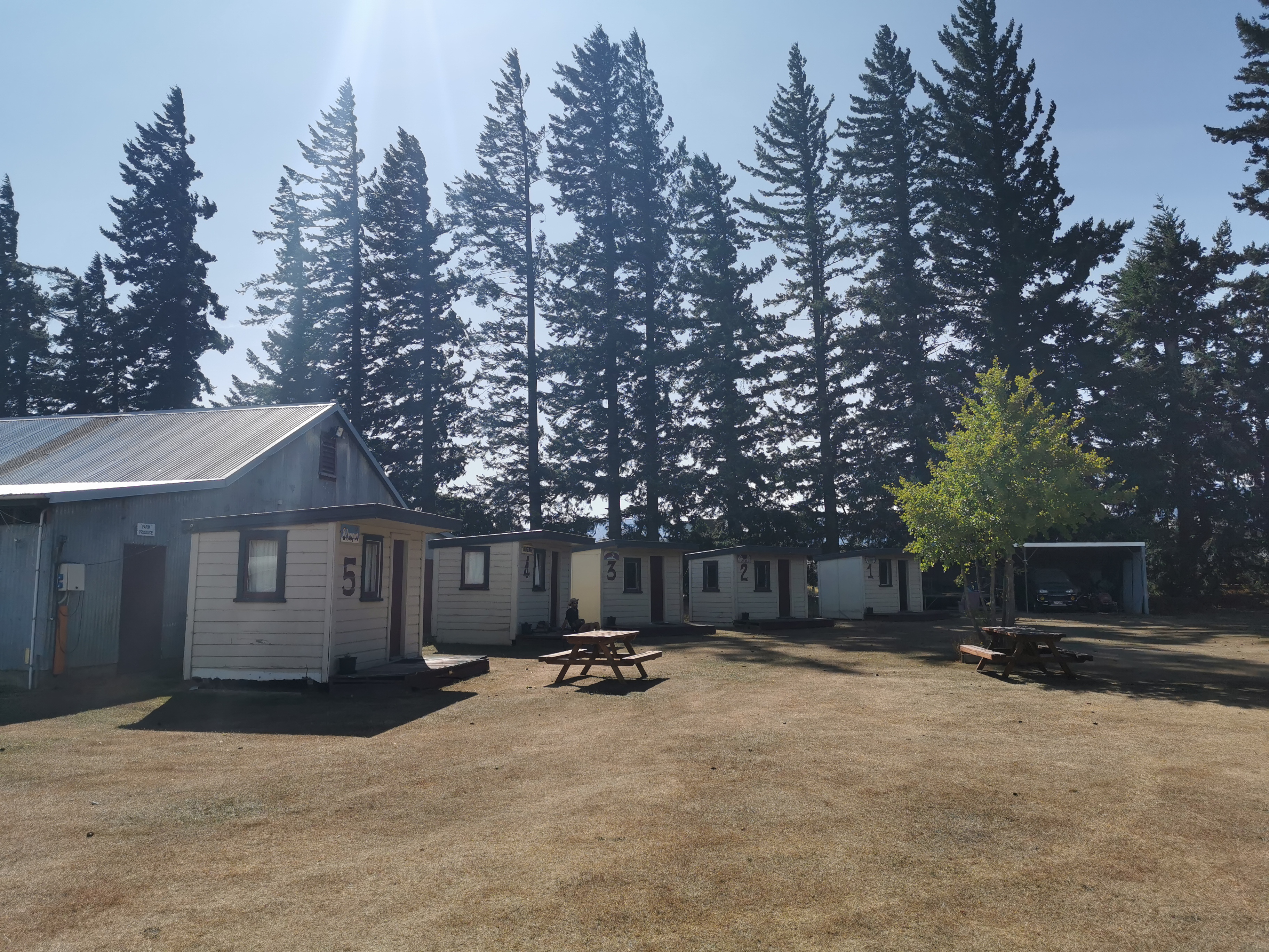
I got one of these little cabins. As expected it was like a sauna inside. But for only $25 a night, that really isn’t too bad. I booked in for two nights because I definitely need a rest day for my sore leg, and to be honest it’s hurting so bad I might even need more than one rest day.
I did go for a walk with Rhydian into town to get a beer. We had two each and caught up with all the trail gossip then I got food on my own. I bought way too much food like I always do in towns.
When I got back to the campground at 8:30pm I saw Rhydian in the kitchen and he was with two new hikers called Becks and Dermot. Becks had been reading my blog and recognised me. We had a chat for a while but then I had to excuse myself and go and lie down because I was feeling a little sick from eating so much. Pretty much as soon as I lay down on the bed I fell straight into a deep sleep with the door and window to the cabin wide open and no sheets or sleeping bag on me.
Today's walk on the map (blue = Te Araroa, red = today's walk):
Good luck with the sore leg and the rain, enjoy your rest days
Cheers! There are worse places to be stuck.
I can see you’ve had a few rest days in Methven now as your ‘My Current Location’ marker shows you’re still at the campground. We’re hoping your leg hasn’t become a big problem for you and that you’ll soon be on the move again. All the best.
Thanks, yes that’s correct. It took a week to fully recover when this happened on day 12 and I fear this will be no different.
That’s really bad luck, but walking 3000 kms on mainly rough terrain carrying a large pack IS a big ask on the body.