Date: 4 March 2021
Trail covered: 20.9km (kms 2799.4 to 2820.3)
Weather: sunny but cold
Overnight I definitely feel like I was annoying the other people in the hut, I had to keep changing sides that I was sleeping on every time something started hurting, and when both sides hurt once I had no choice but to lie in my back, and that’s when I start snoring. Although everyone in the hut seemed to be snoring at one time or another.
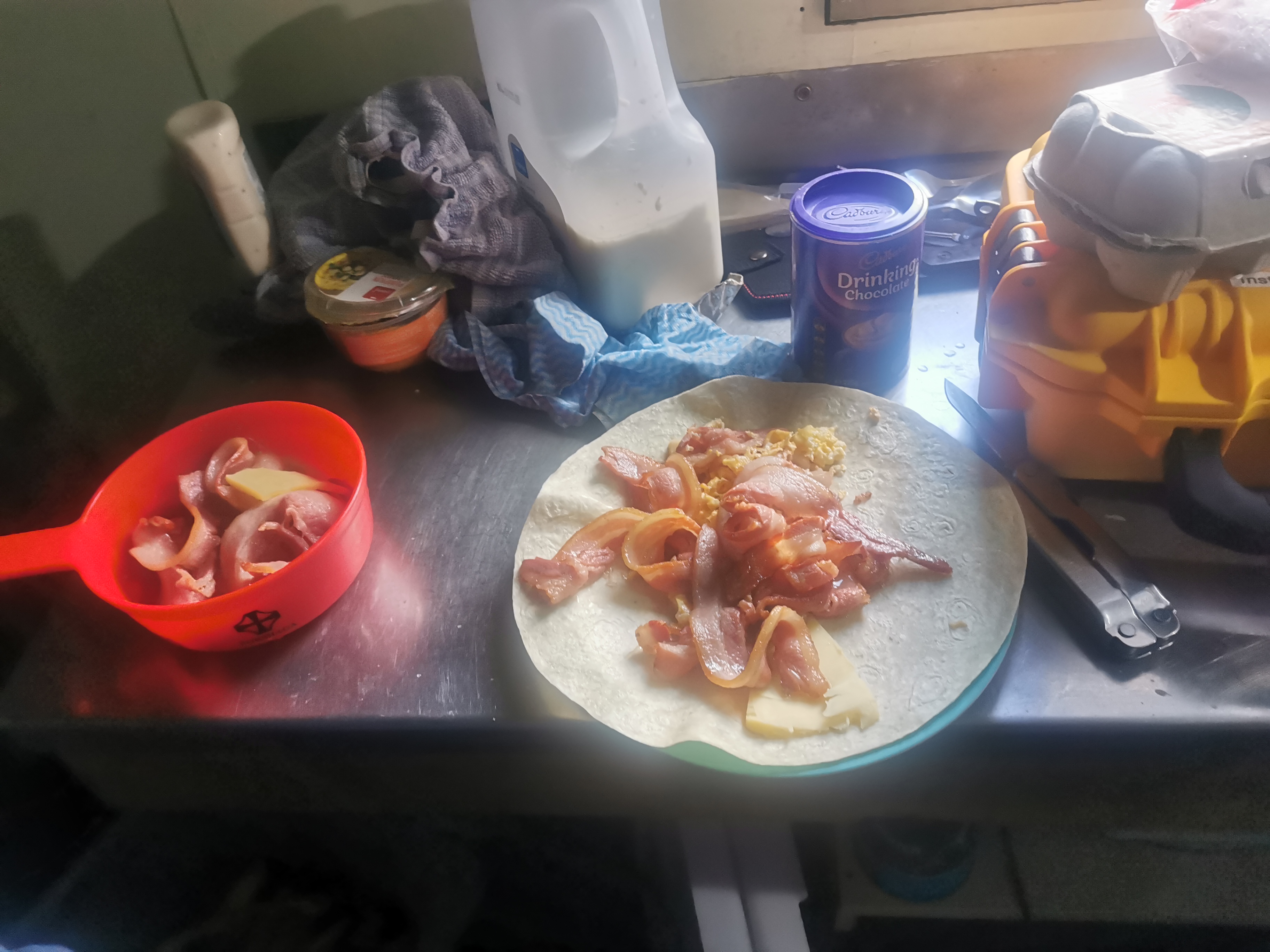
The DOC staff can’t have been too annoyed though, they were nice enough to give us some of their bacon and eggs for breakfast which was awesome of them. Nicola and I both had some on a wrap with cheese.
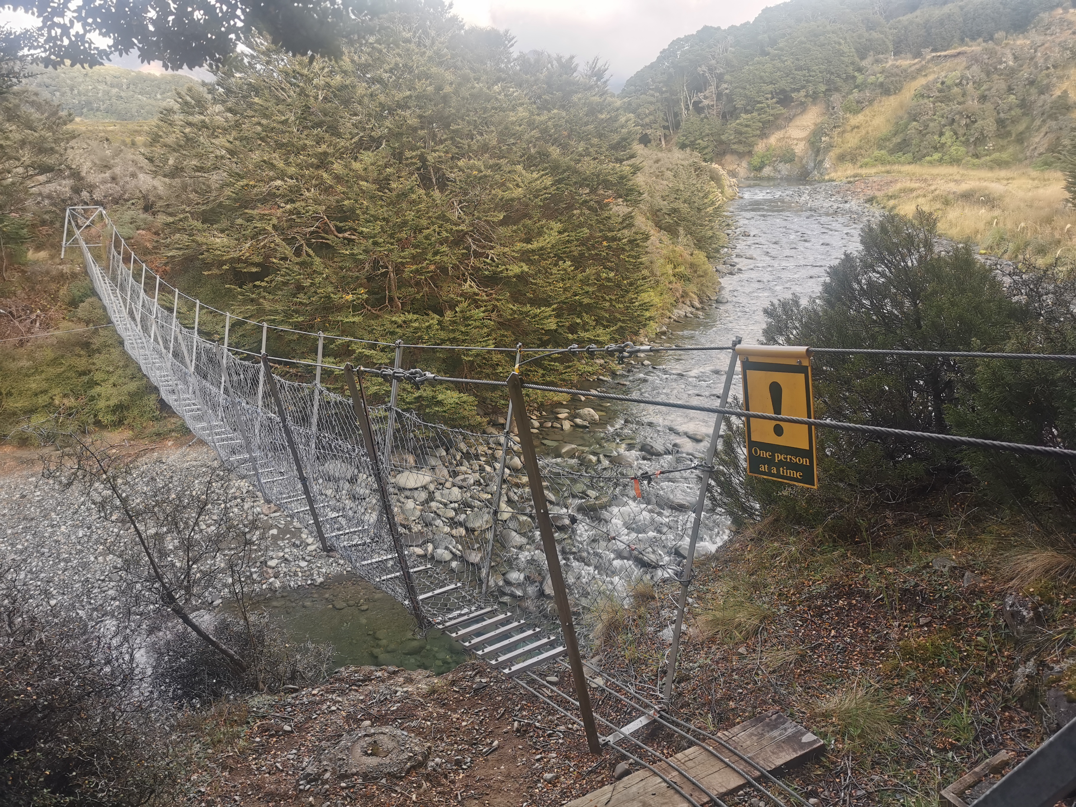
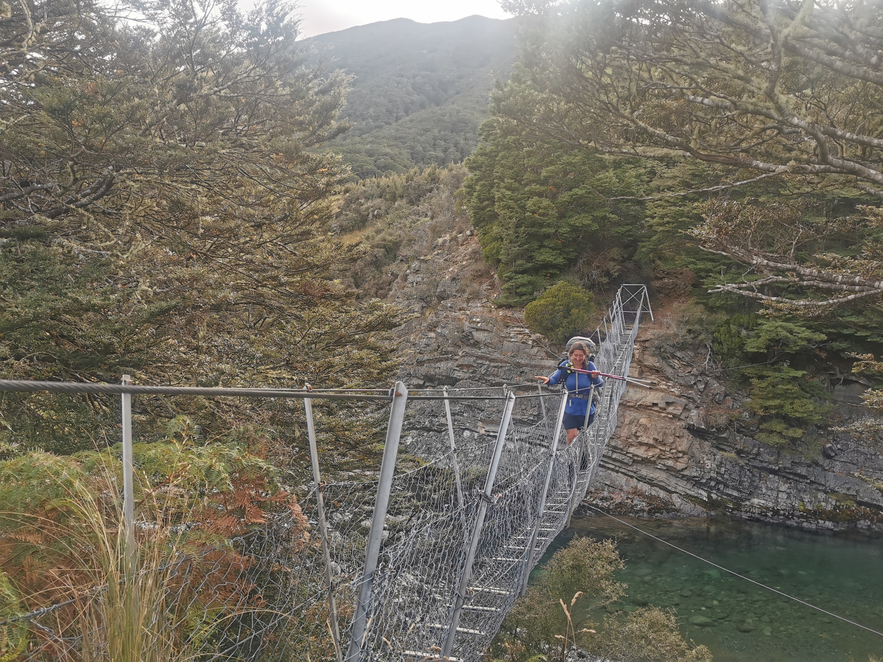
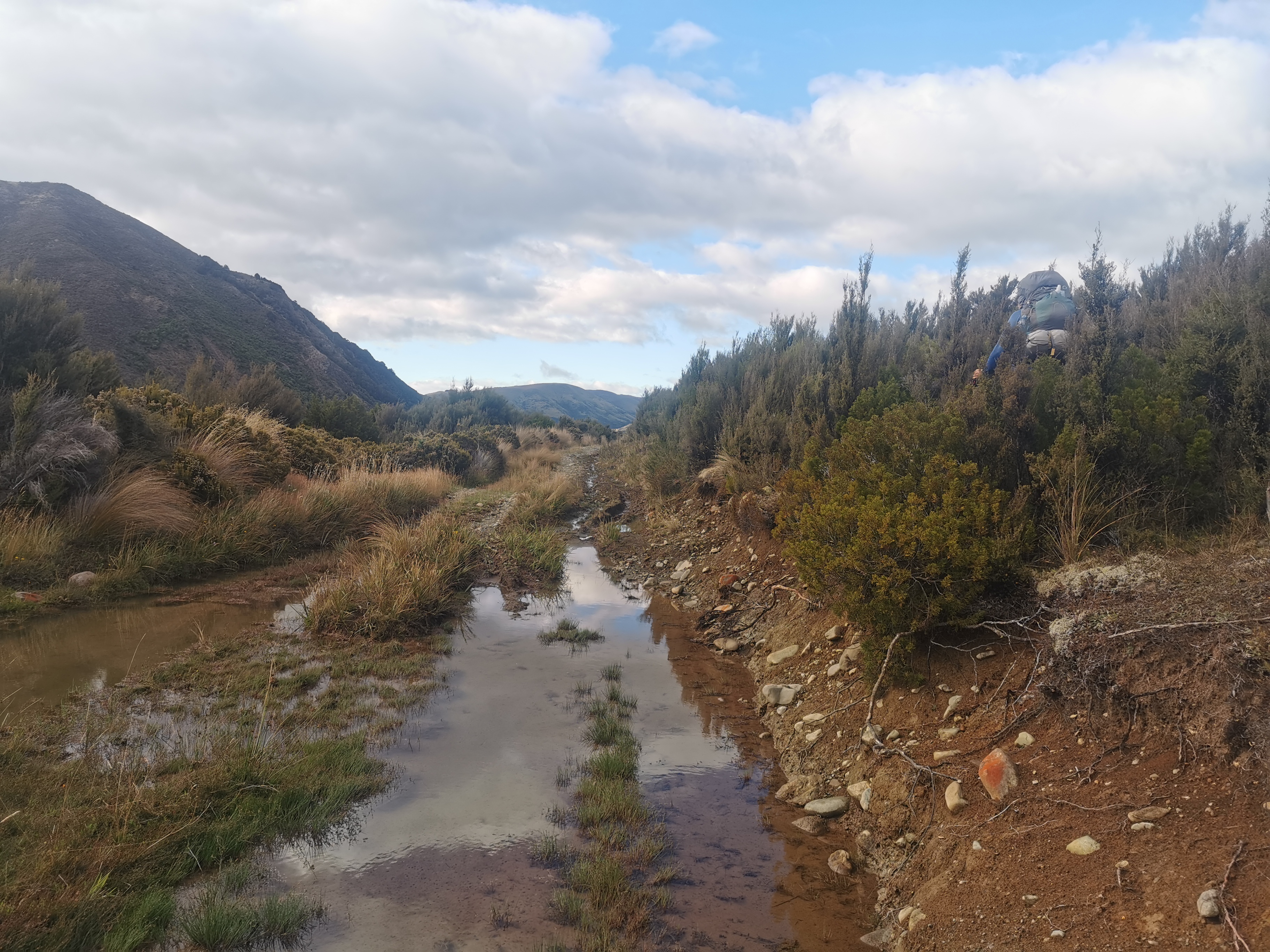
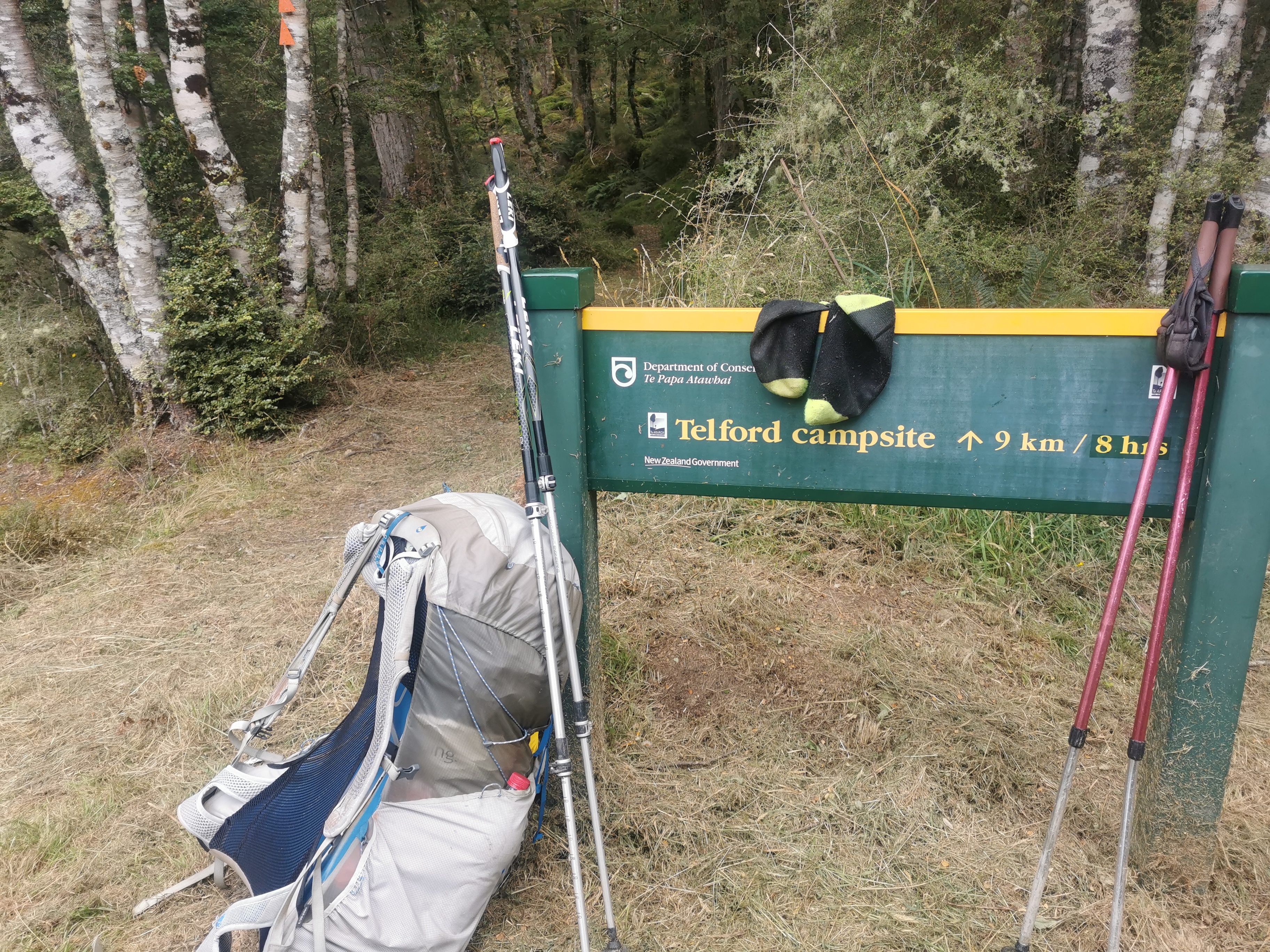
Time to leave and time for the usual swingbridge.
We set off from here down a 4WD track which we weren’t expecting.
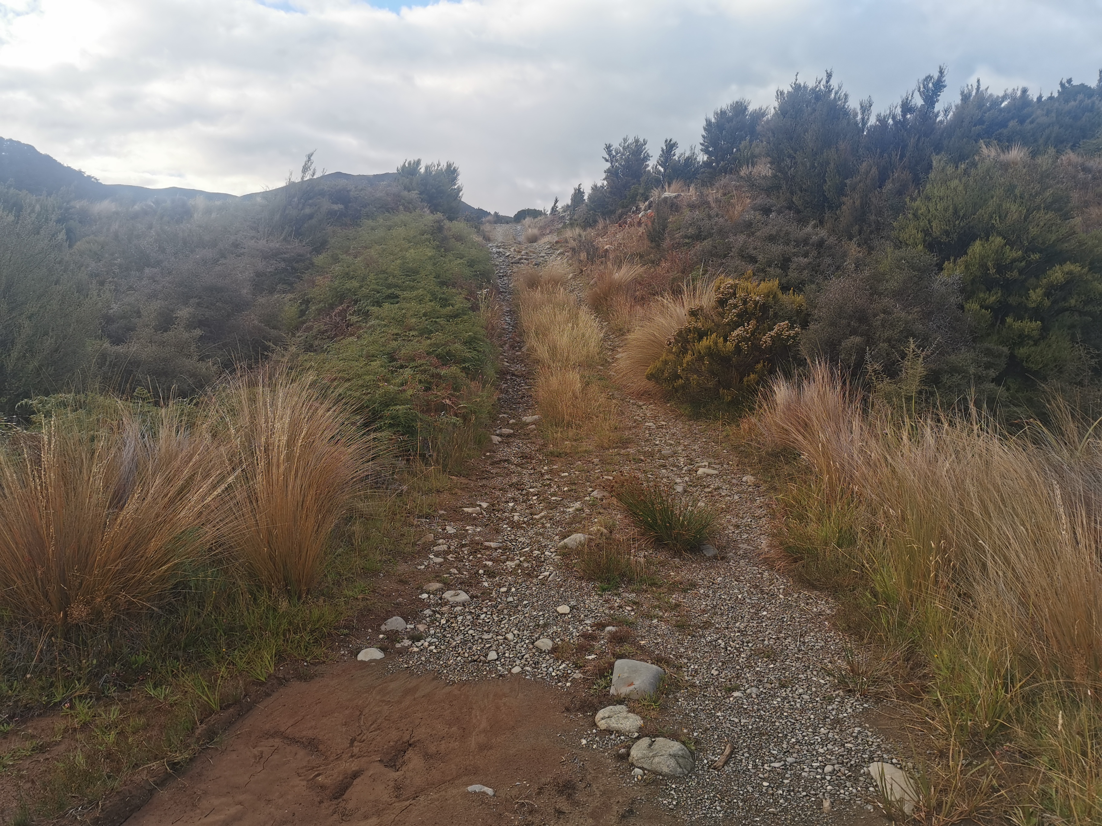
It was really easy going, except for the odd muddy section.
After 10 minutes or so I had a feeling something wasnt right. Yes indeedy, we’ve gone the wrong way. So all the way back to the swingbridge we went.
Almost all the way back to the hut, we saw markers for the path we should have taken. Not entirely sure how we both missed them. I think we just wanted the 4WD track to be the way.
As we set off down this new path, we heard the roar of chainsaws in the distance. No doubt it was DOC doing their job.
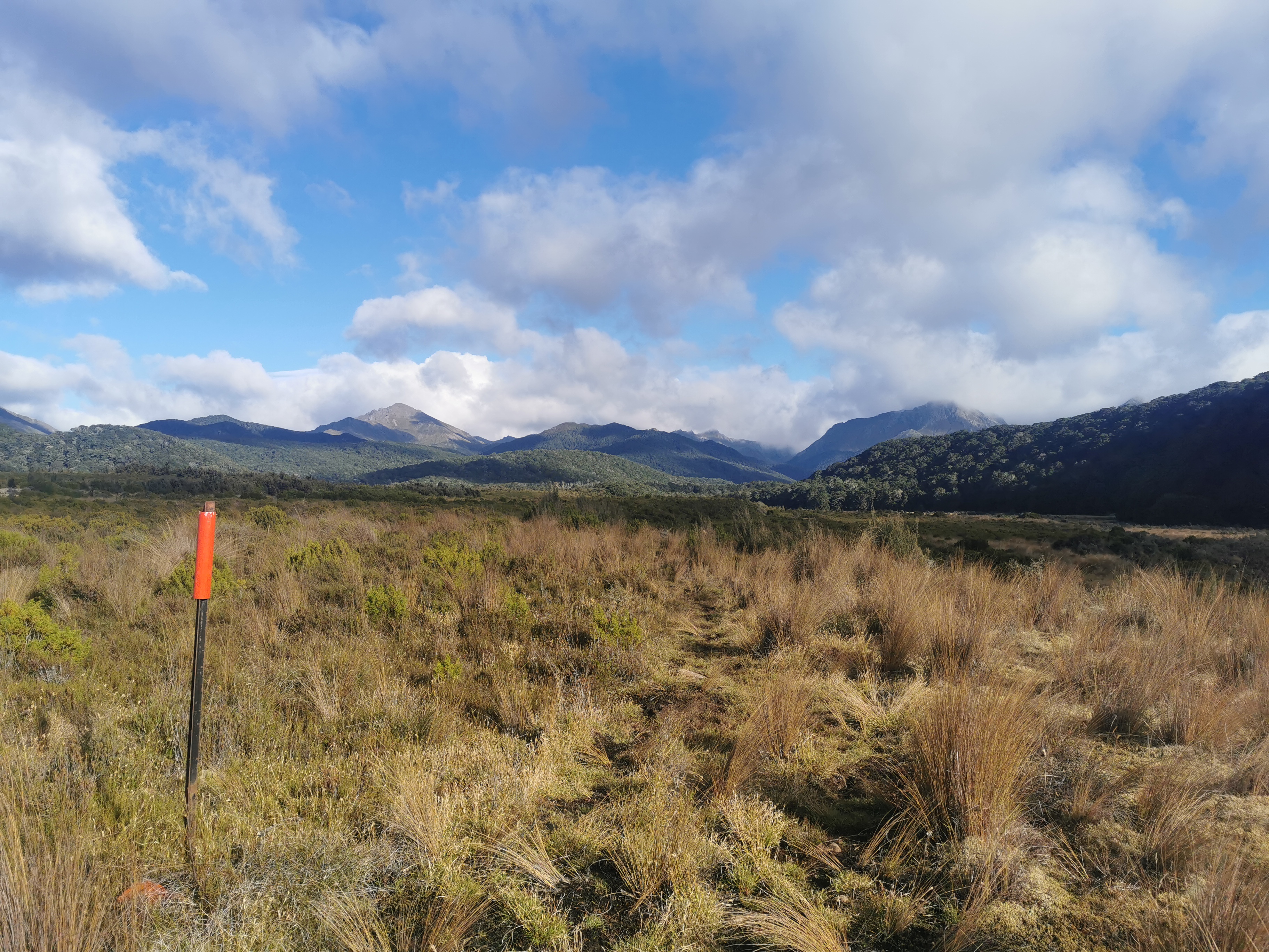
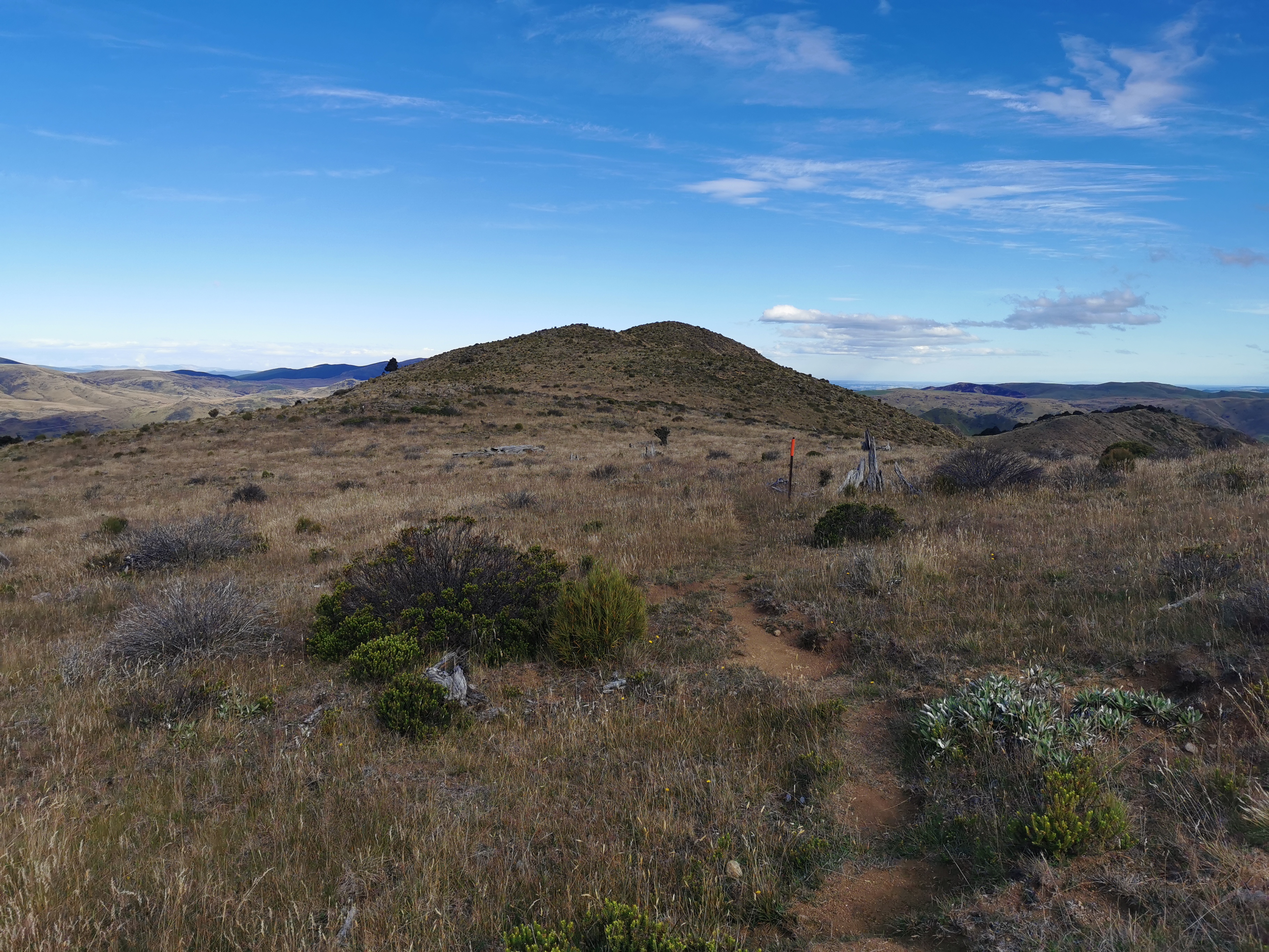
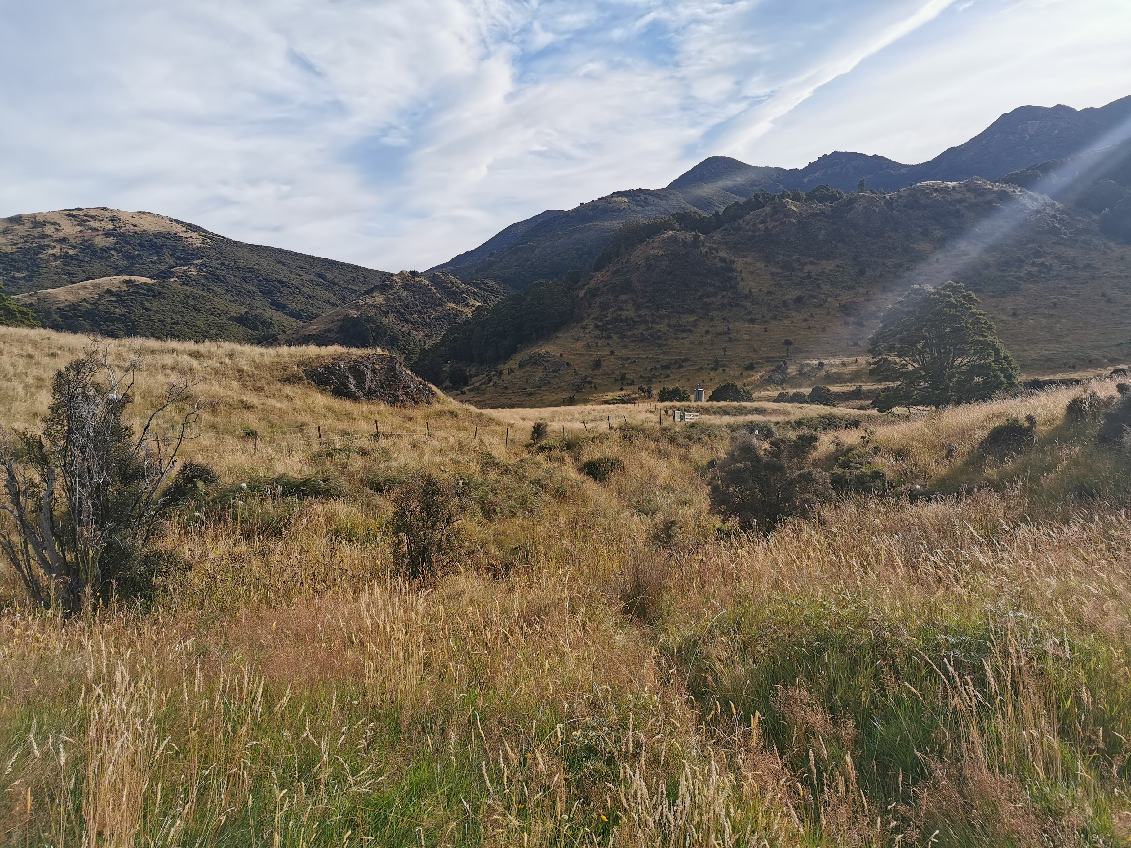
Nicola and I walked across this interesting landscape. I couldn’t help but think that you probably don’t have to walk far off the path and you would have touched land that nobody else in human history would ever have touched before.
This landscape only lasted for 2km at the most, and then it reverted back to forest.
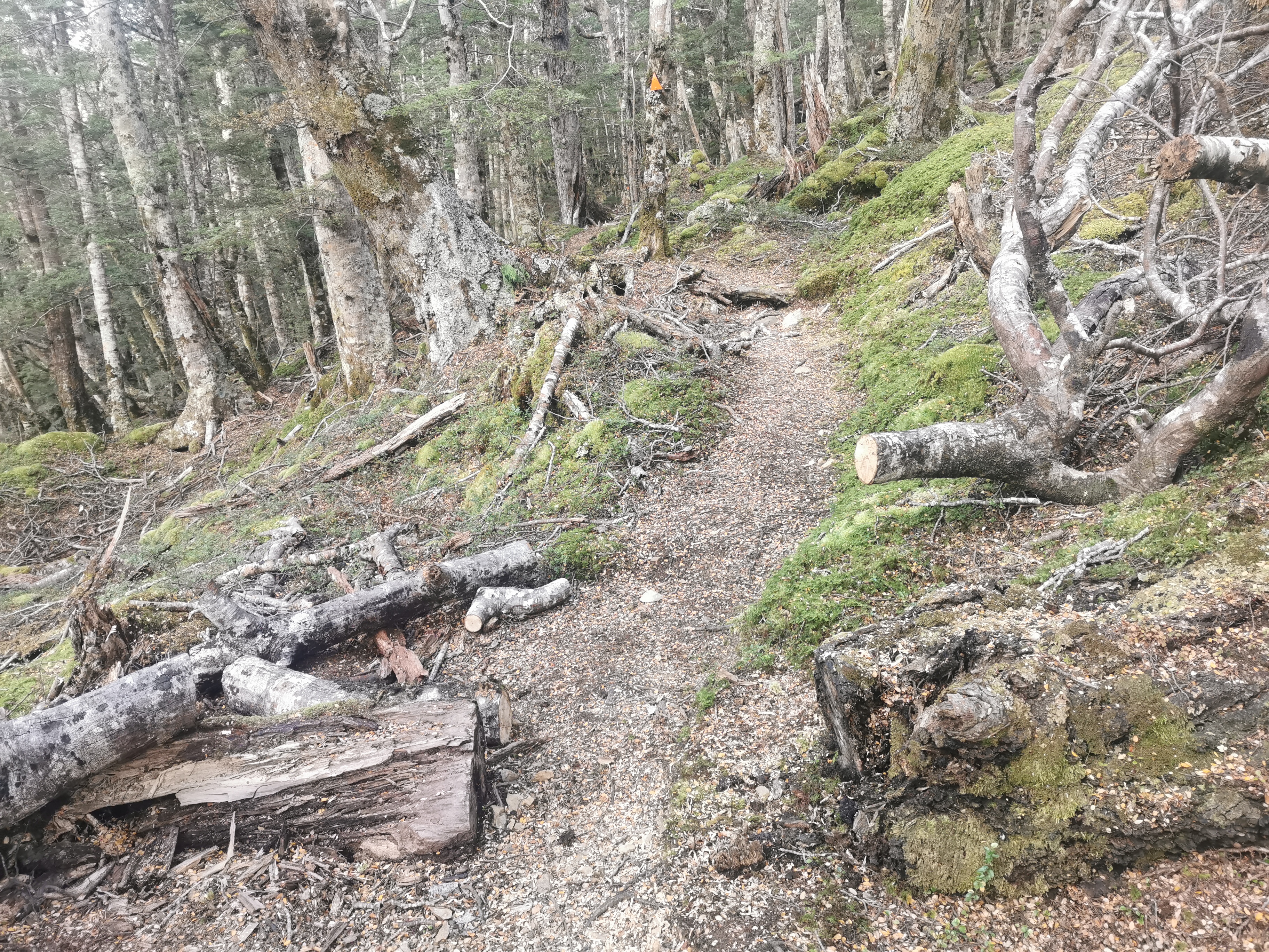
You could see evidence of their track maintenance, in particular scrub clearing:
And chainsawing fallen trees.
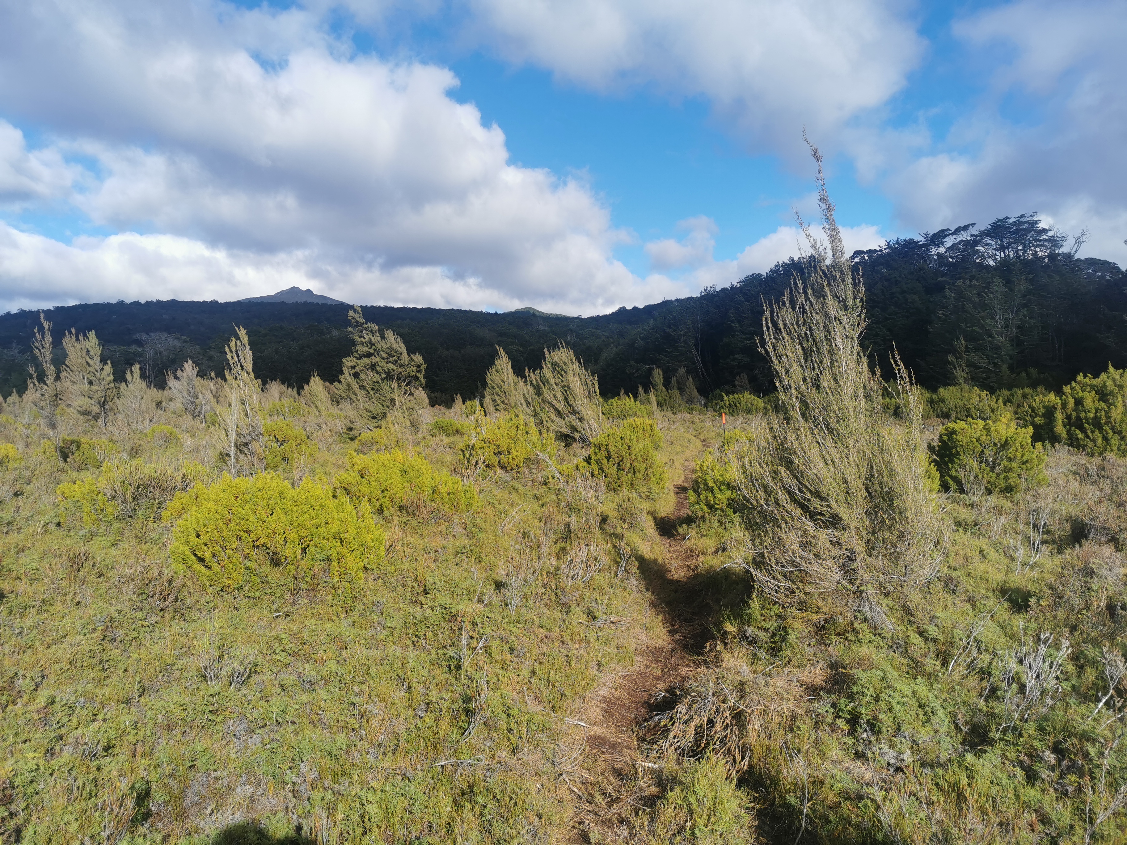
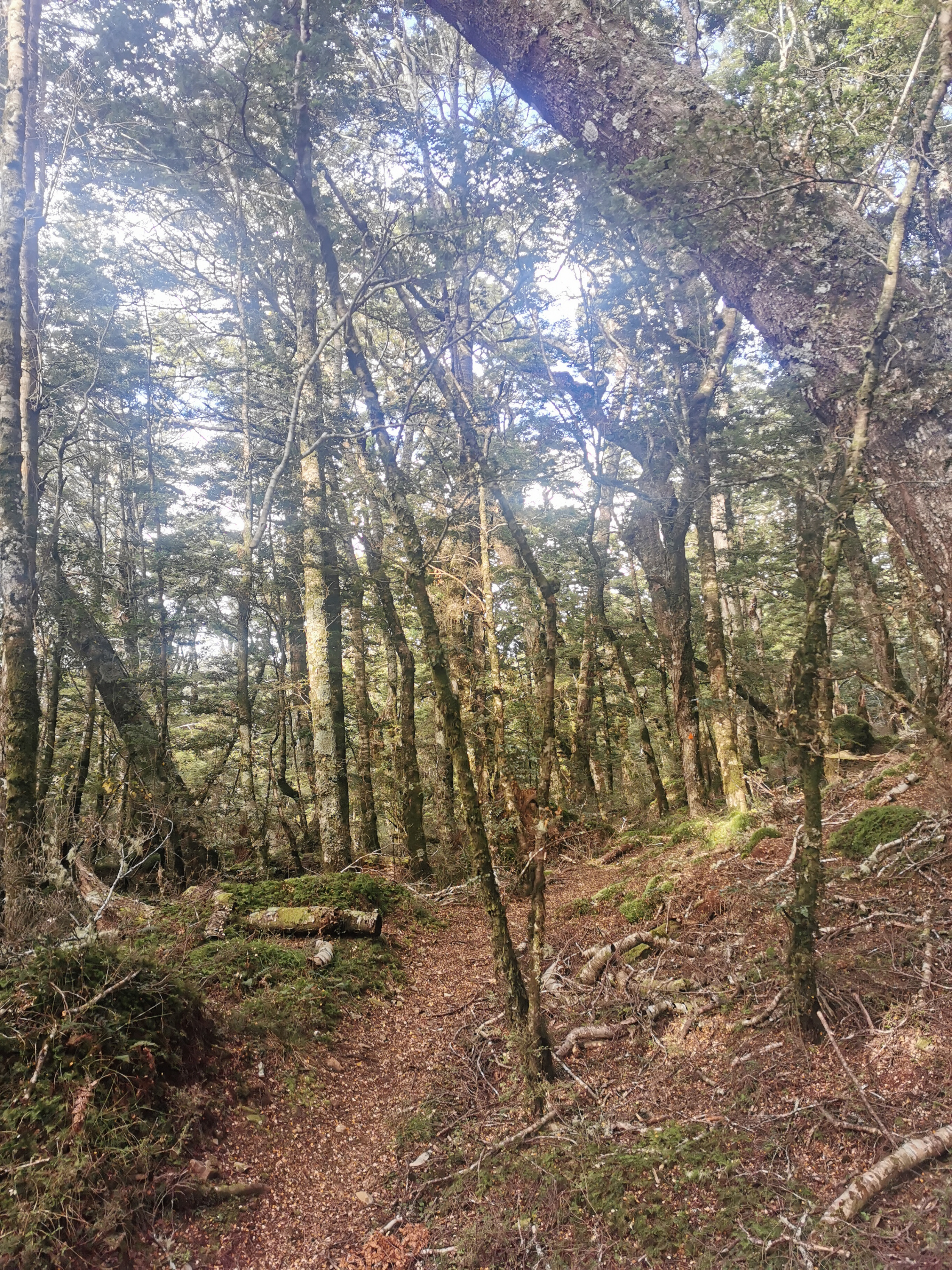
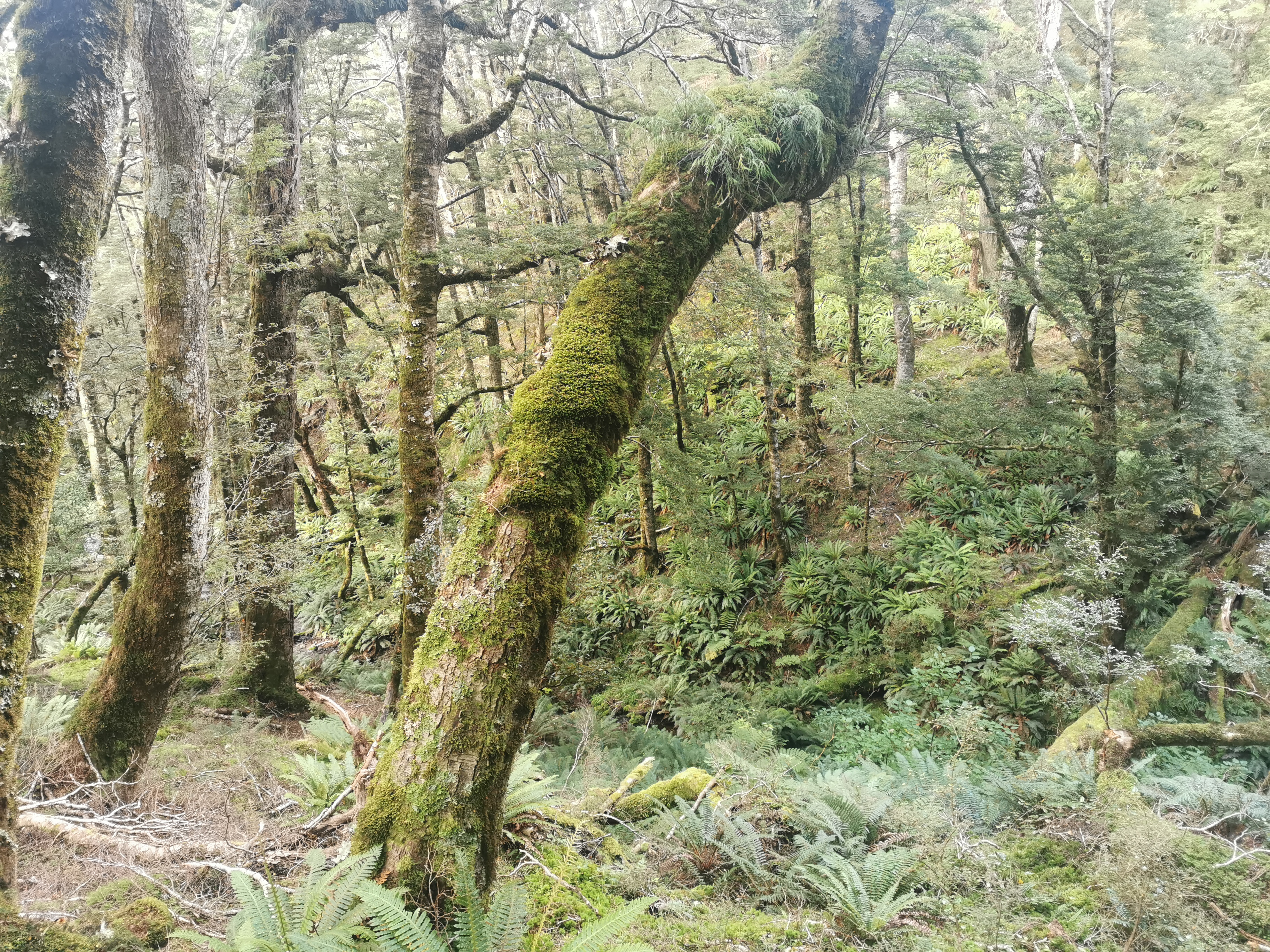
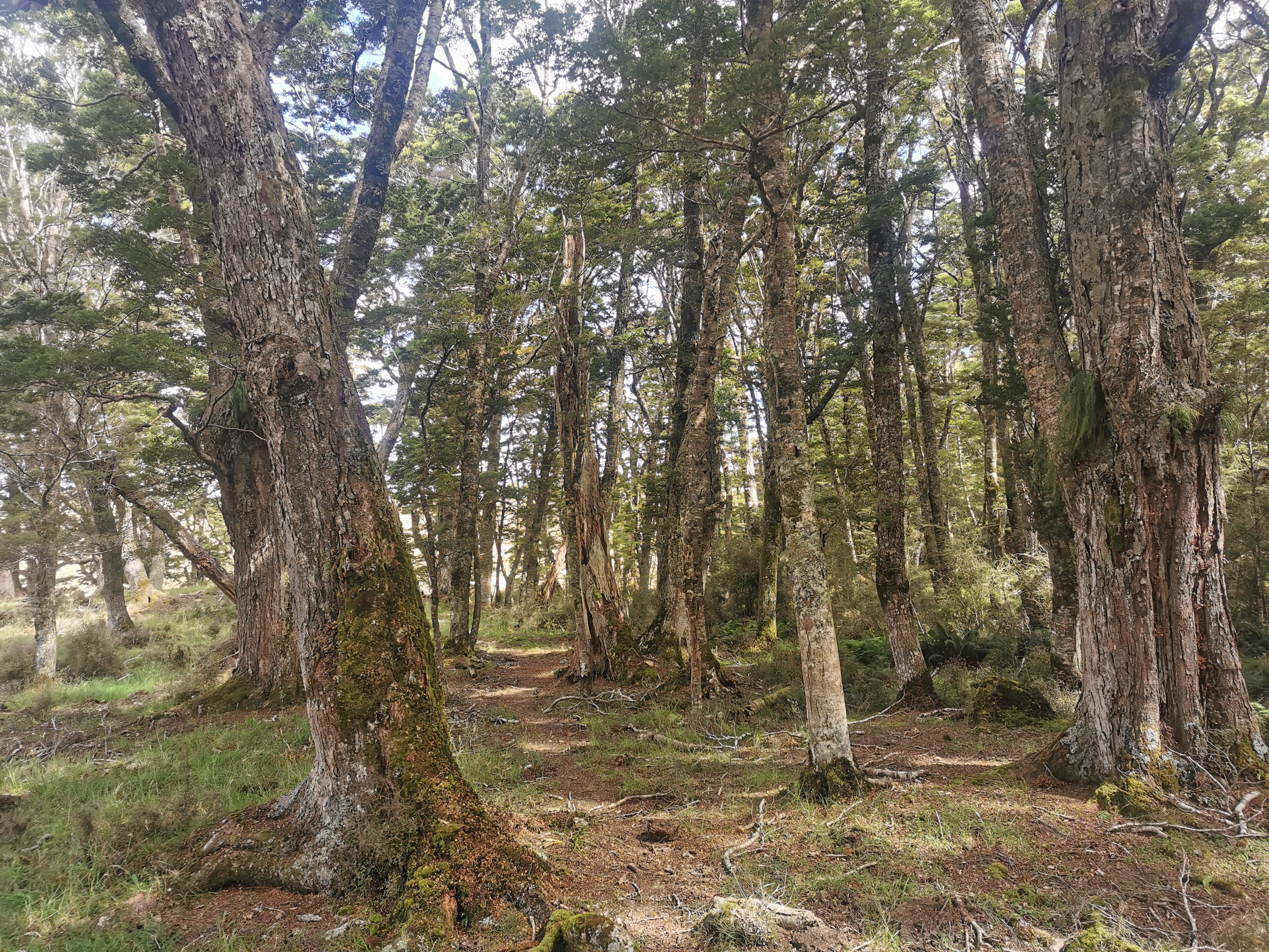
The forest section was like yesterday – mainly an easy path, a few bits of mud and a few steep sections but it was nice. The best part was that it was all forest all the way to the next hut!
Here’s my 11am picture… More forest.
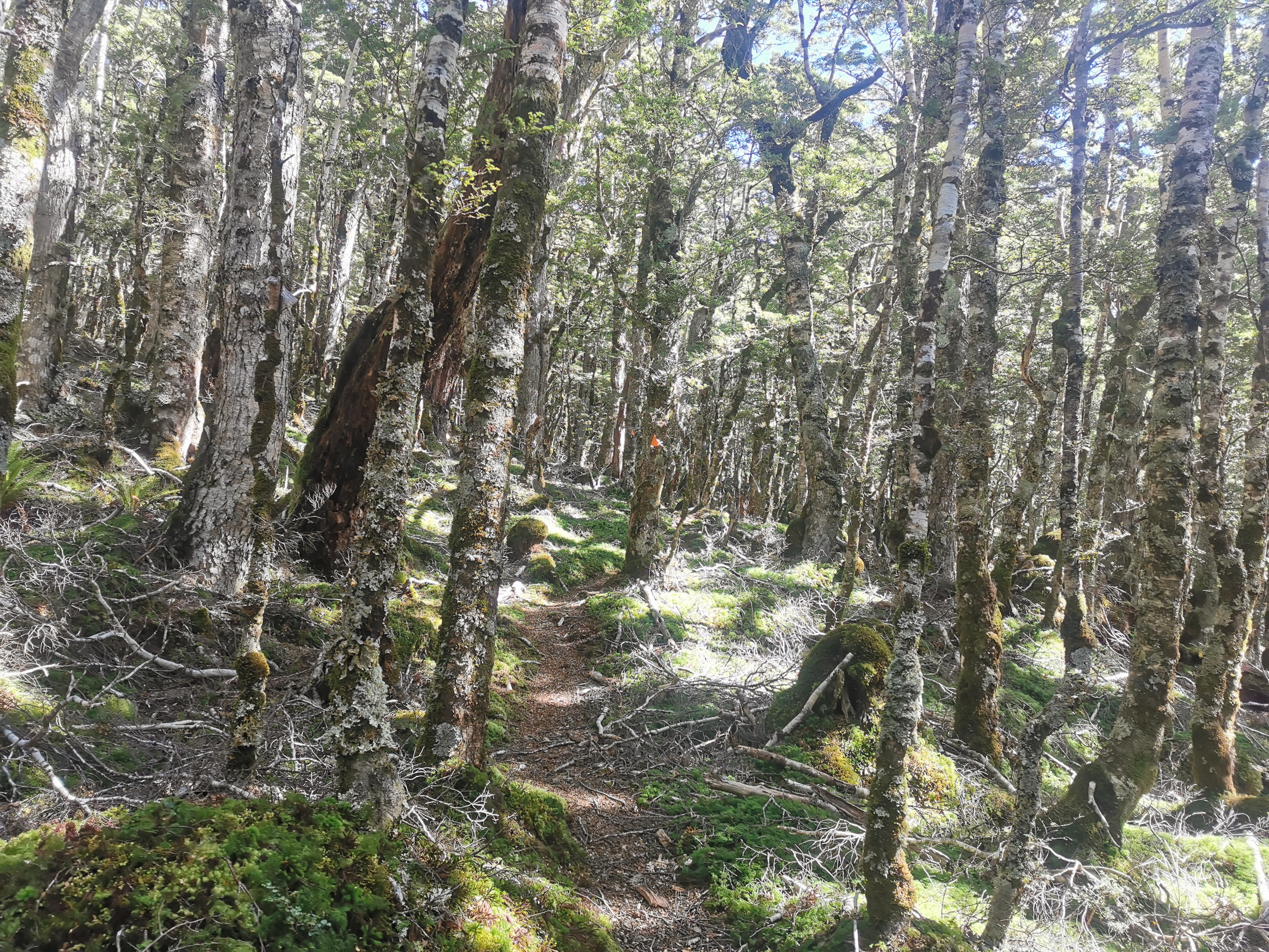
It’s hard to take photos in the forest, often they come out with all the green washed out. I like the next photo though… but the problem with this one is that it doesn’t show just how much you could see from the one spot. It was so much more impressive in person.
We had four fantails following us briefly which was nice. While we were chatting, Nicola did mention she’s “over” the walk and just wants to get to Bluff. Lisa said it too yesterday… and come to think of it Shay also said the same thing.
This section has been a bit tiring but I’m still fresh and so I’m still enjoying myself. I remember feeling a few times last year where I was “over it”. Of course you have good days and bad days on the trail.
This sign was at a junction, with more scrub clearing equipment:
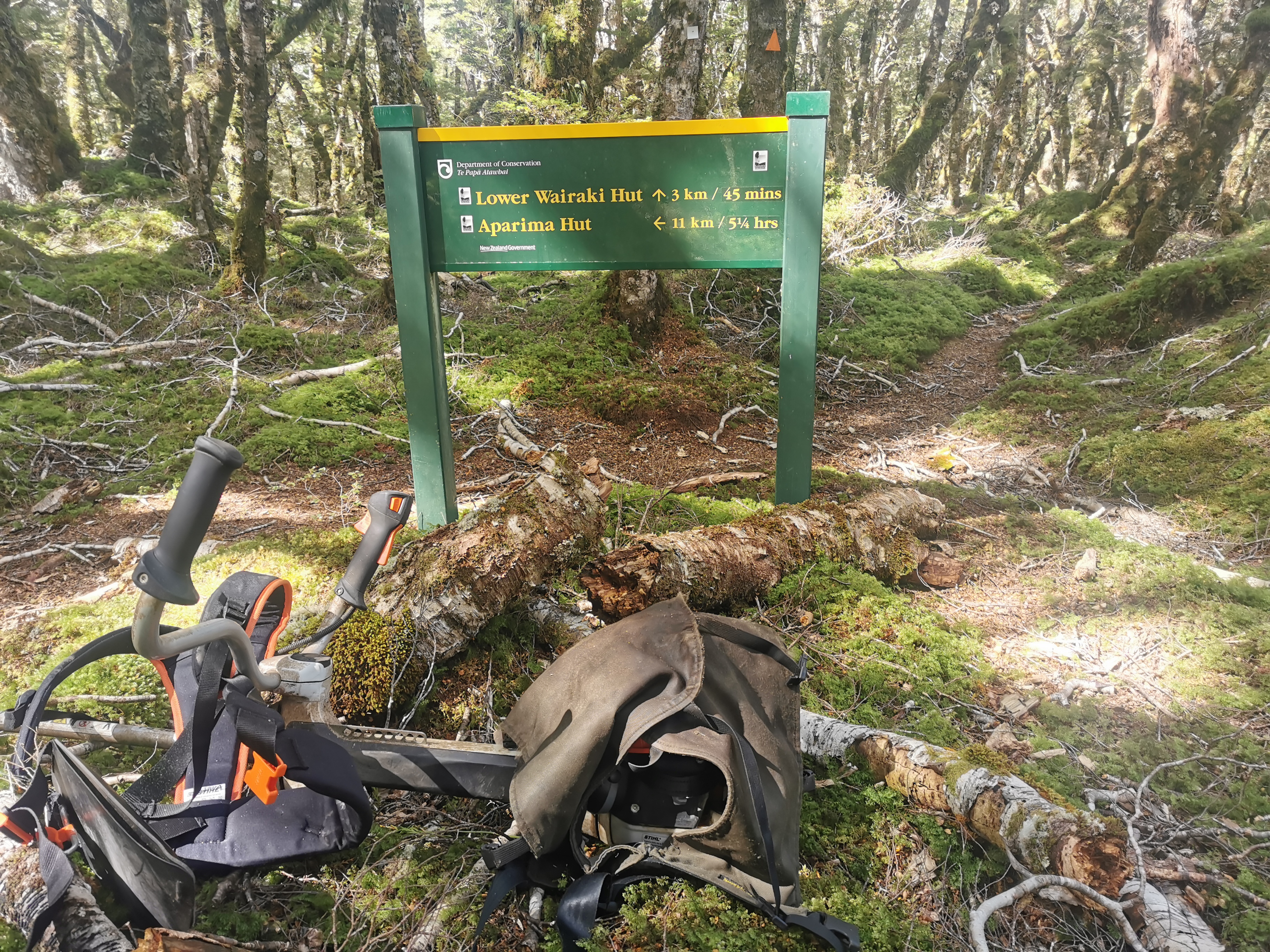
Only 45 minutes to go 3km – it must be easy if a DOC sign says it! And it was easy.

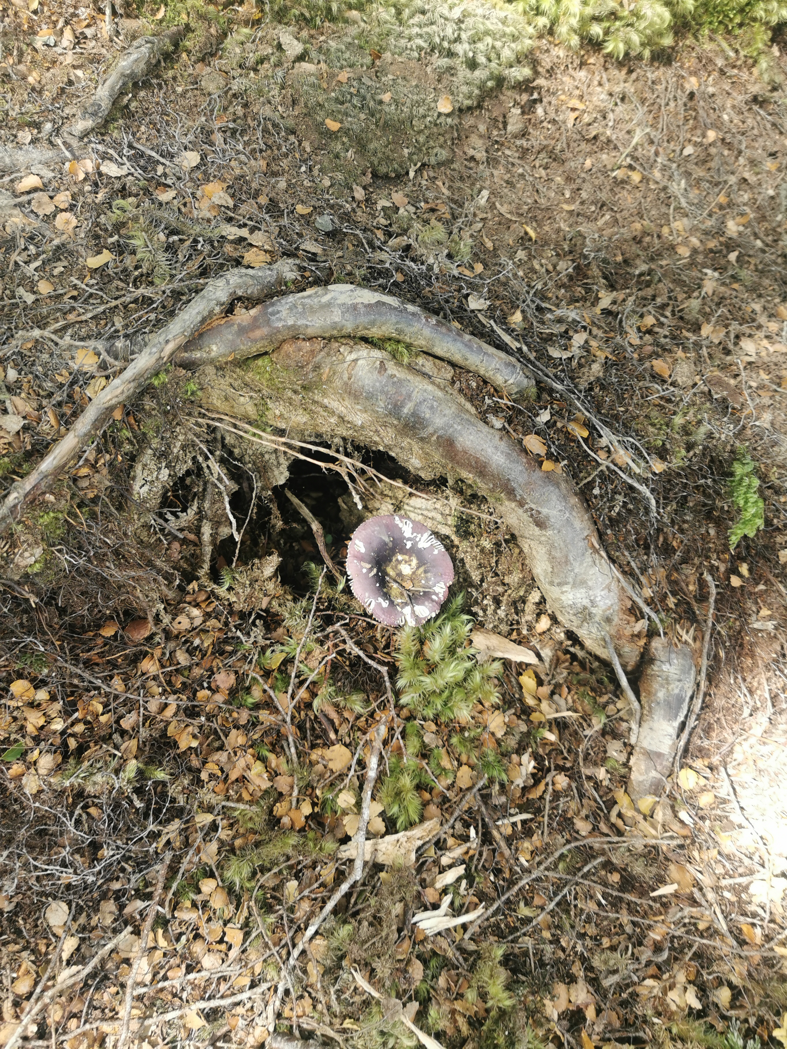
We started seeing lots of these big purple mushrooms. They were much more purple than this photo makes them look.
It did get quite muddy just before the hut though, and at one point Nicola fell and ended up with a fair bit of mud on her.
Between the sign and the hut we saw three people going northbound. One girl on her own said she was doing as much of the South Island as she can before it gets too cold. The other two didn’t have hiking poles so we figured they were casual hikers… But what are they doing way out here in the middle of nowhere? I really wish I asked them!
There was a fairly large river crossing immediately before the hut though. Of course we can’t have people with dry feet!
Here’s Lower Wairaki Hut. What a sight for sore eyes!
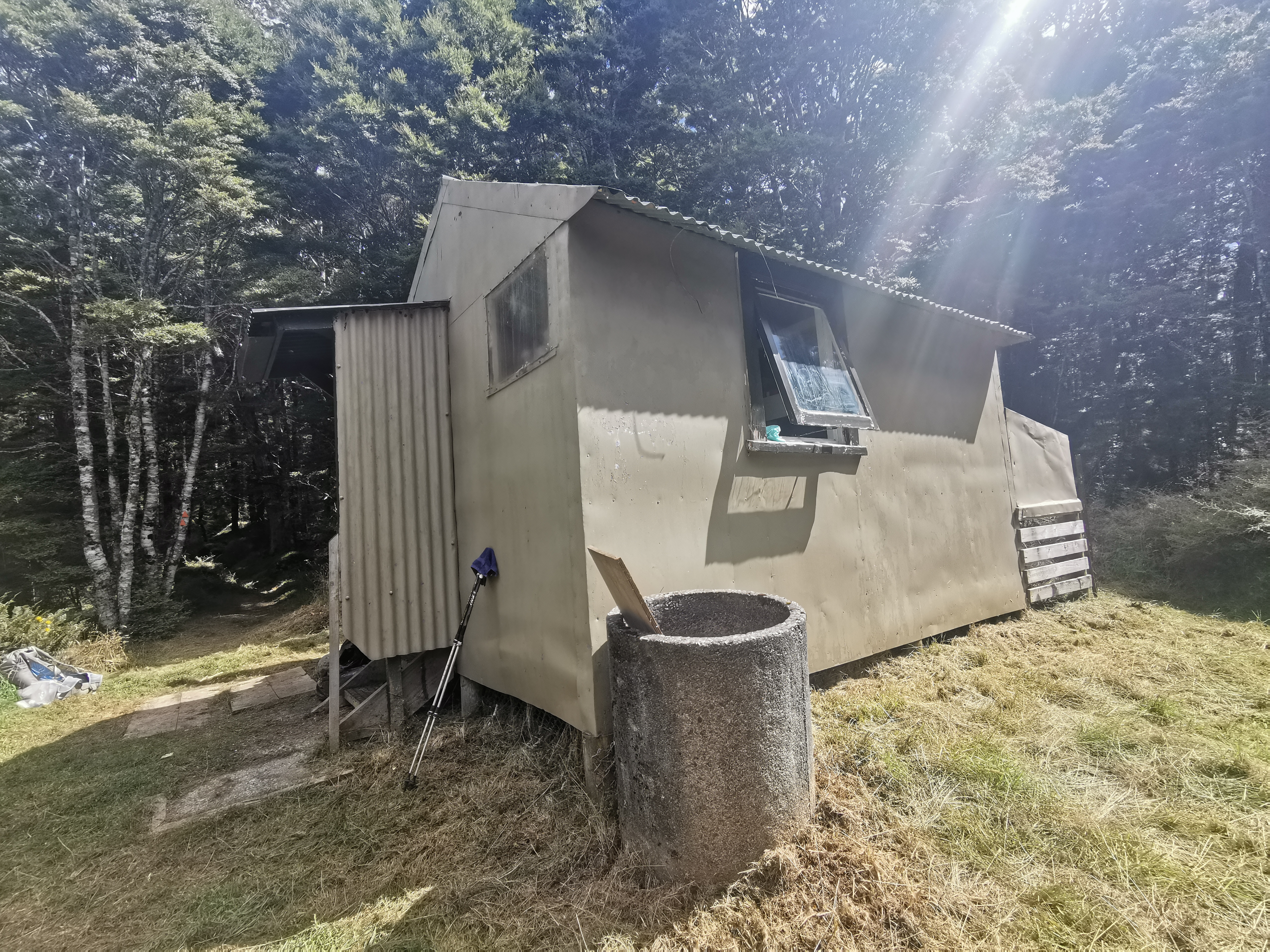
It’s an old 4 bed hut. Lots of equipment belonging to DOC staff was around but no people present. I didn’t want to go into the hut because I couldn’t be bothered taking off my wet boots and socks but then the large number of sandflies got the better of me.
There was no mention of the three NOBOs in the hut book. But what there was in the hut was some Toasted Muesli – one thing I really wish I brought. I was so tempted to steal some, but I was a good boy and didn’t touch it. They also had a big pile of bananas which were going bad and they probably wouldn’t get eaten but I didn’t touch those either.
It was only 2:30pm so we pressed on. This sign outside the hut says 8 hours to the next point of interest but we had both heard multiple accounts that it takes nowhere near 8 hours so we weren’t worried about arriving after dark.
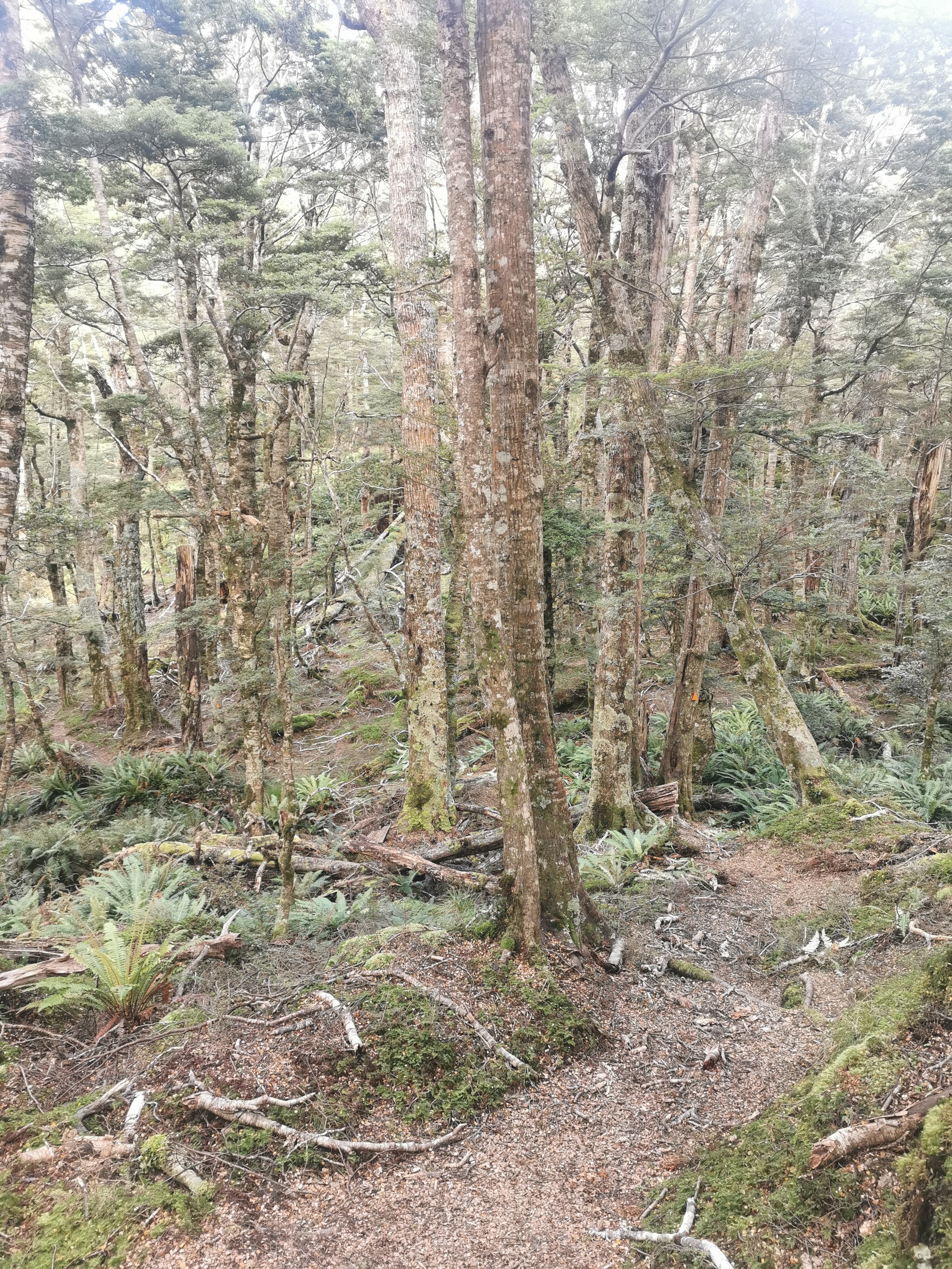
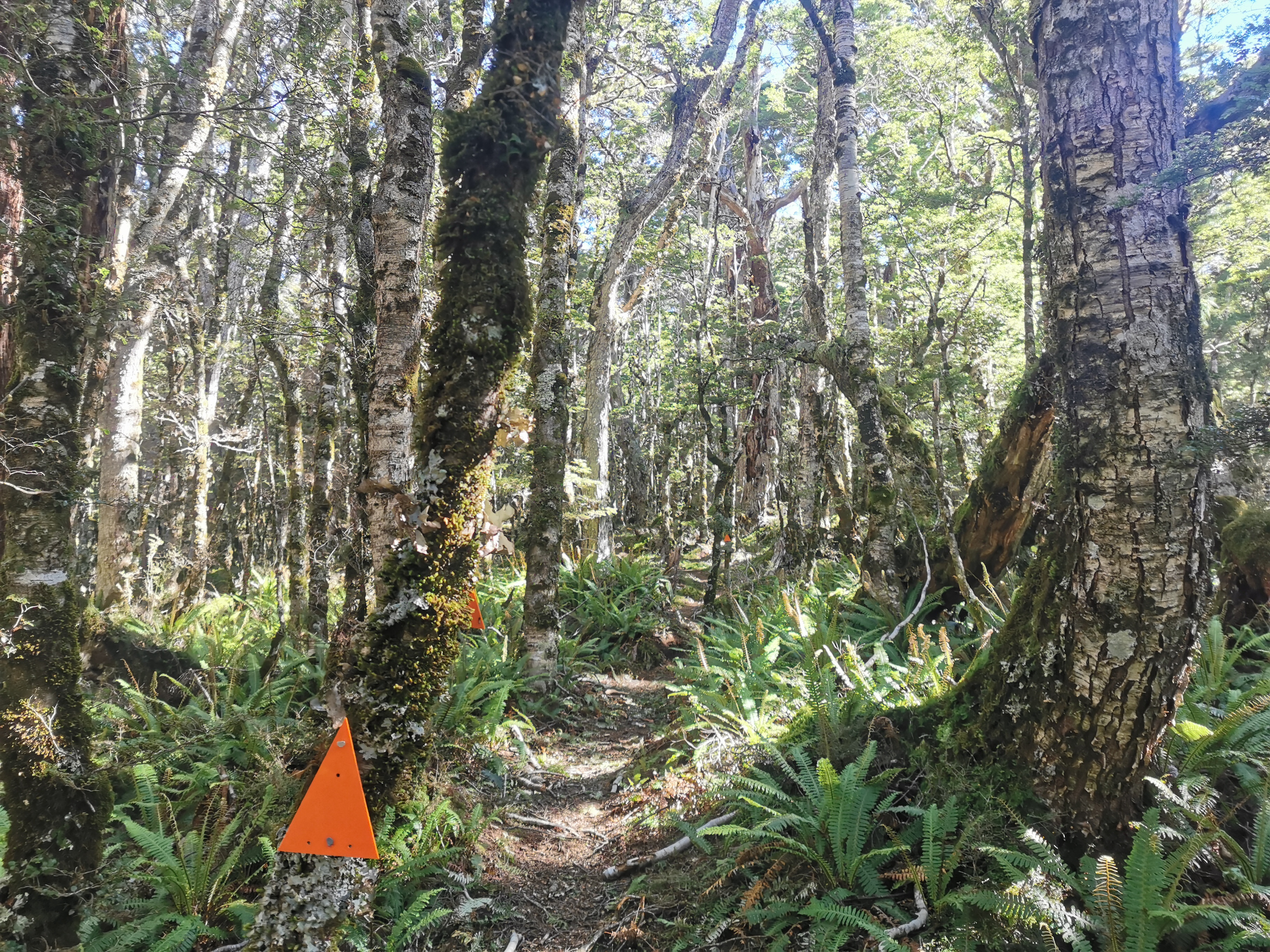
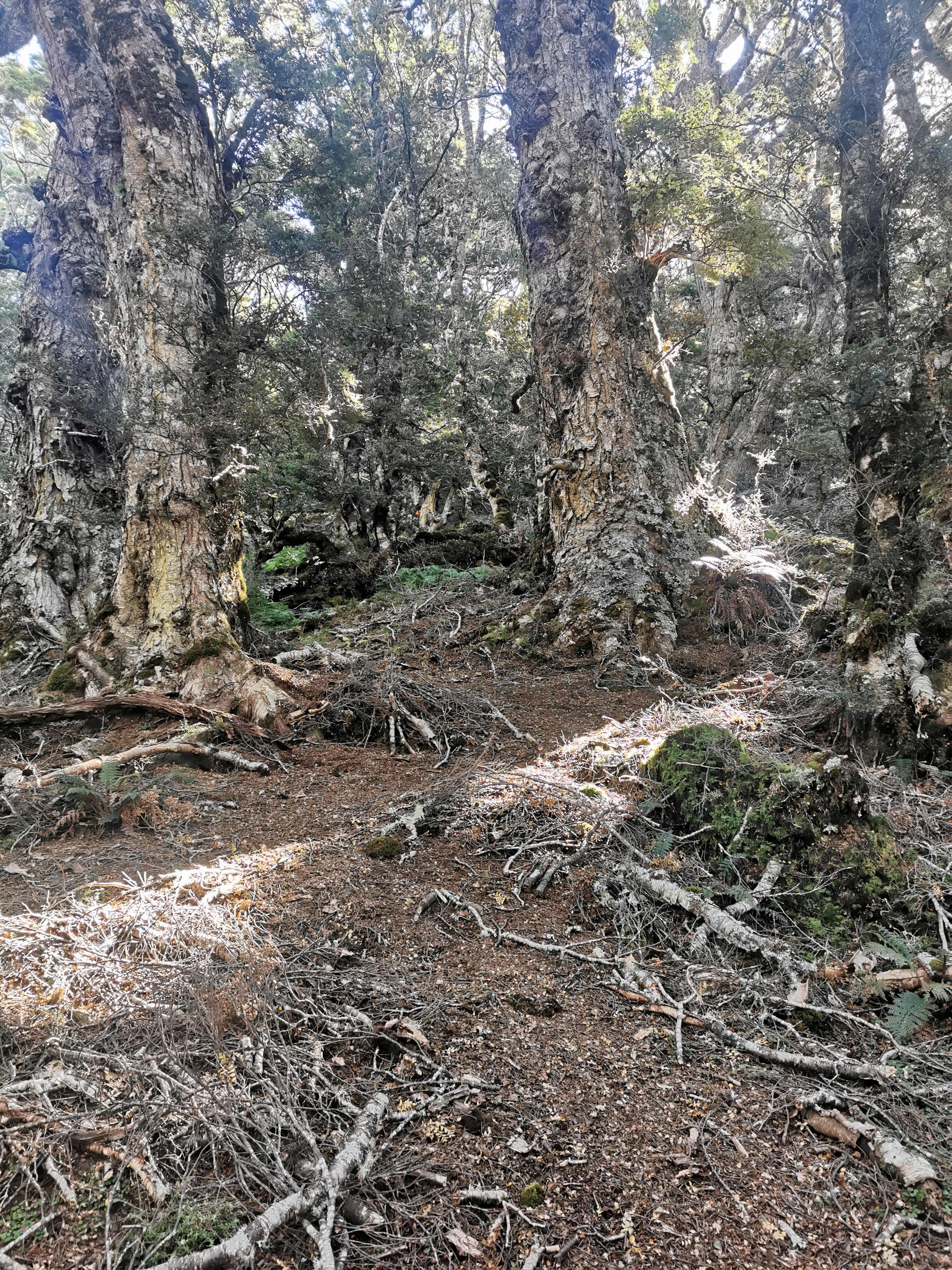
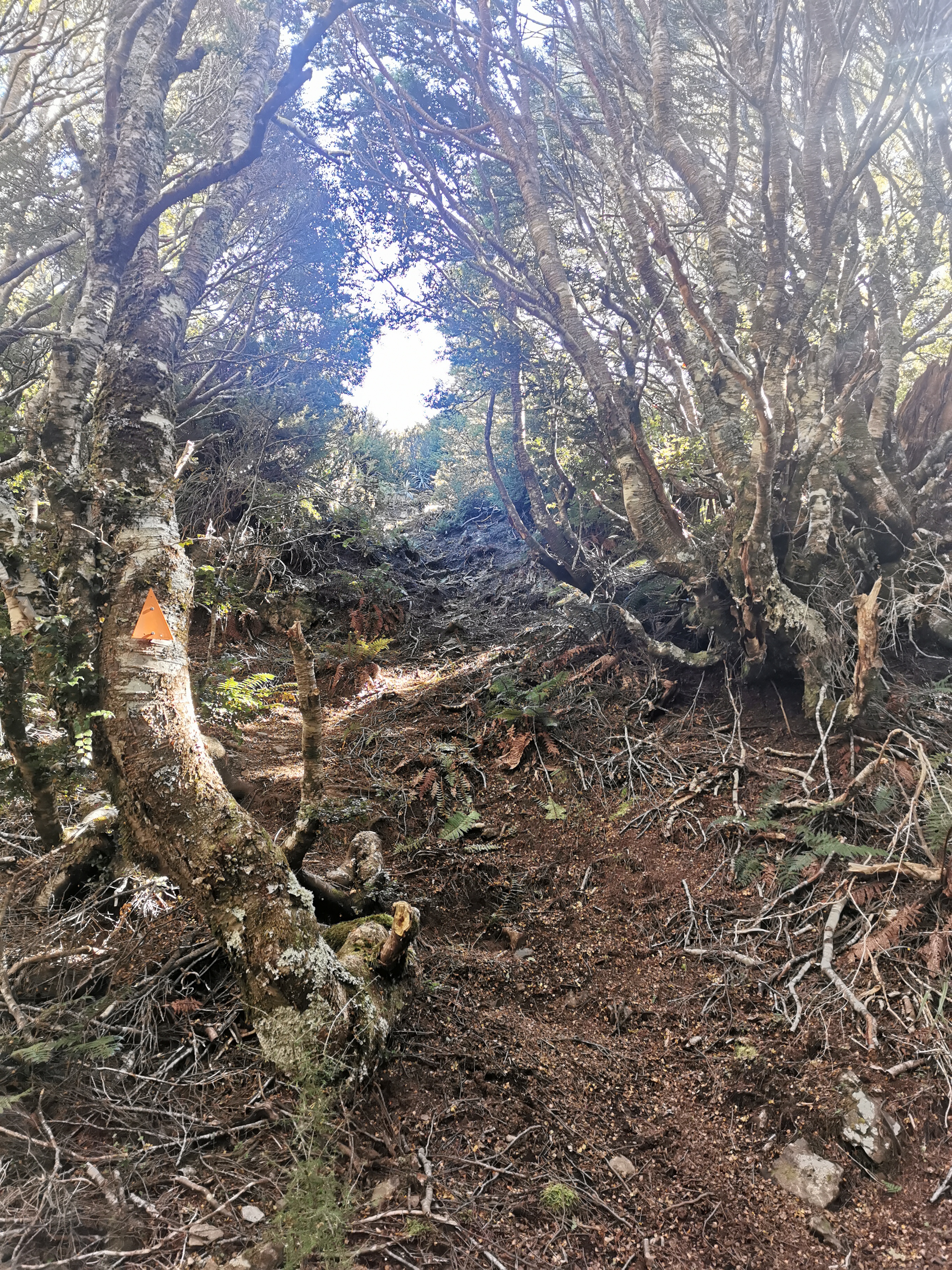
It started off going through forest again. This forest at first wasn’t as dense as the previous one.
But quickly it changed to the same type of forest as the last few days.
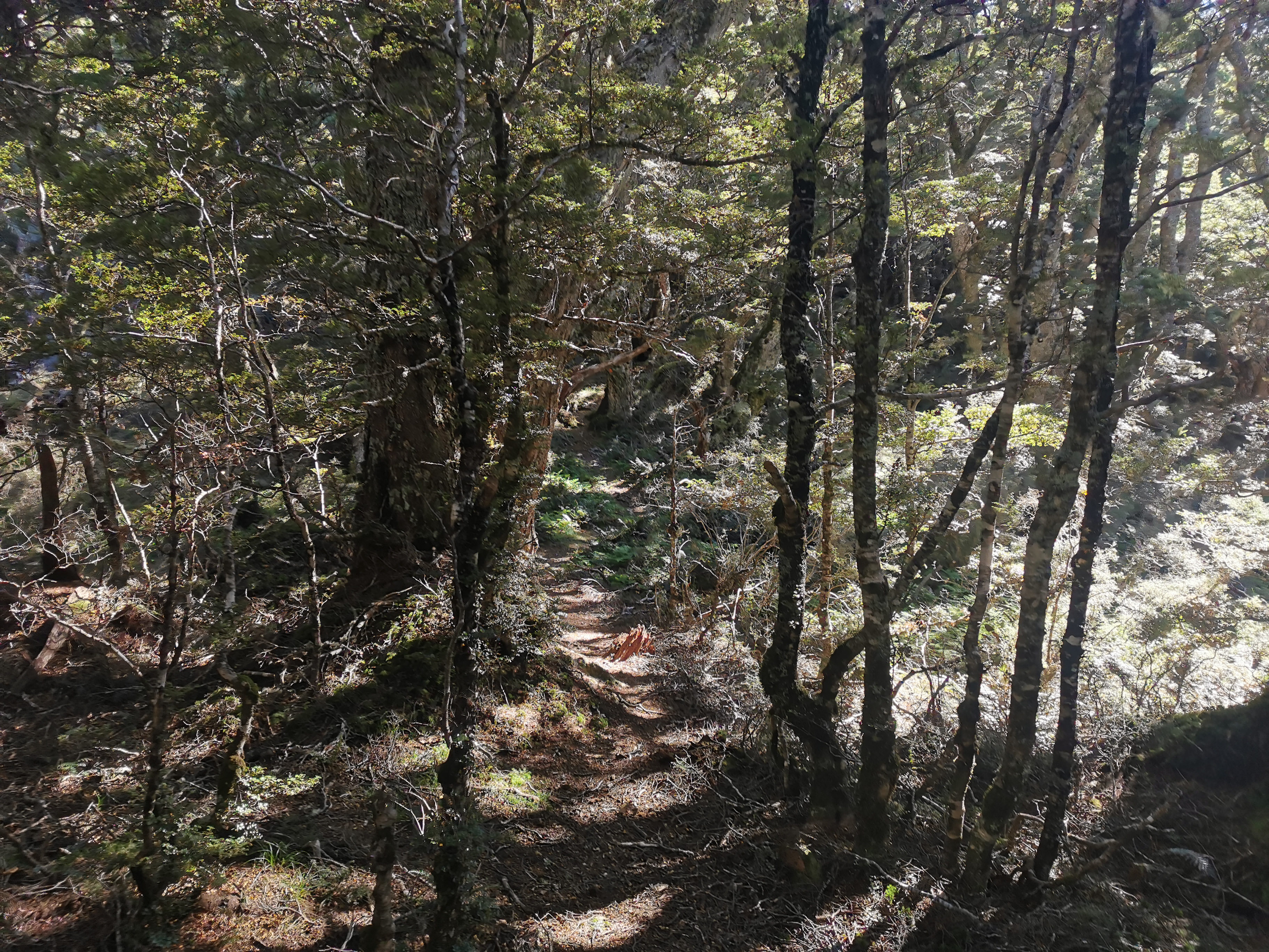
And it went up. Gradually at first, but always up.
And then up more steeply.
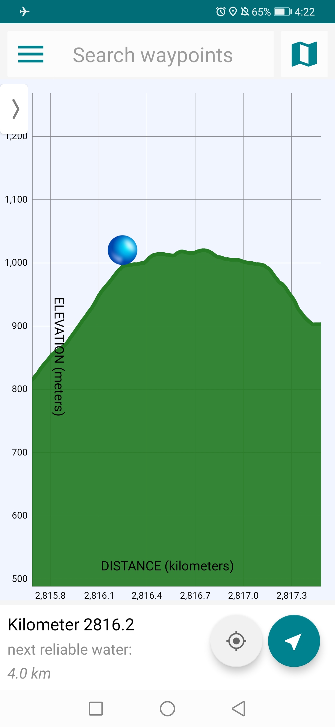
It’s a climb up to over 1,000m. This is the highest point on the section of the trail between Queenstown and the finish. The ascent never took a break but it was manageable. I just took small steps so that I didn’t have to keep stopping. Other times my plan is to walk quickly to the next marker and then stop for a few sections to catch my breath. That wasn’t going to work this time.
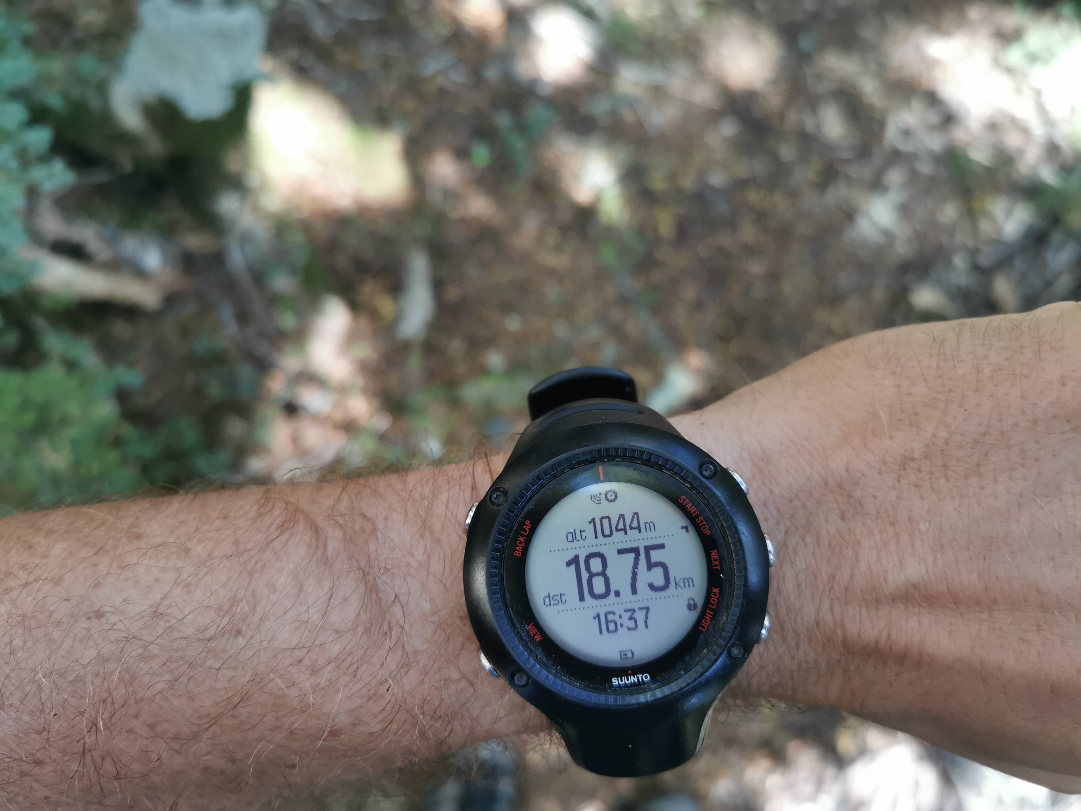
After an hour and a half, it was nice to see this on the elevation profile:
And this on my watch:
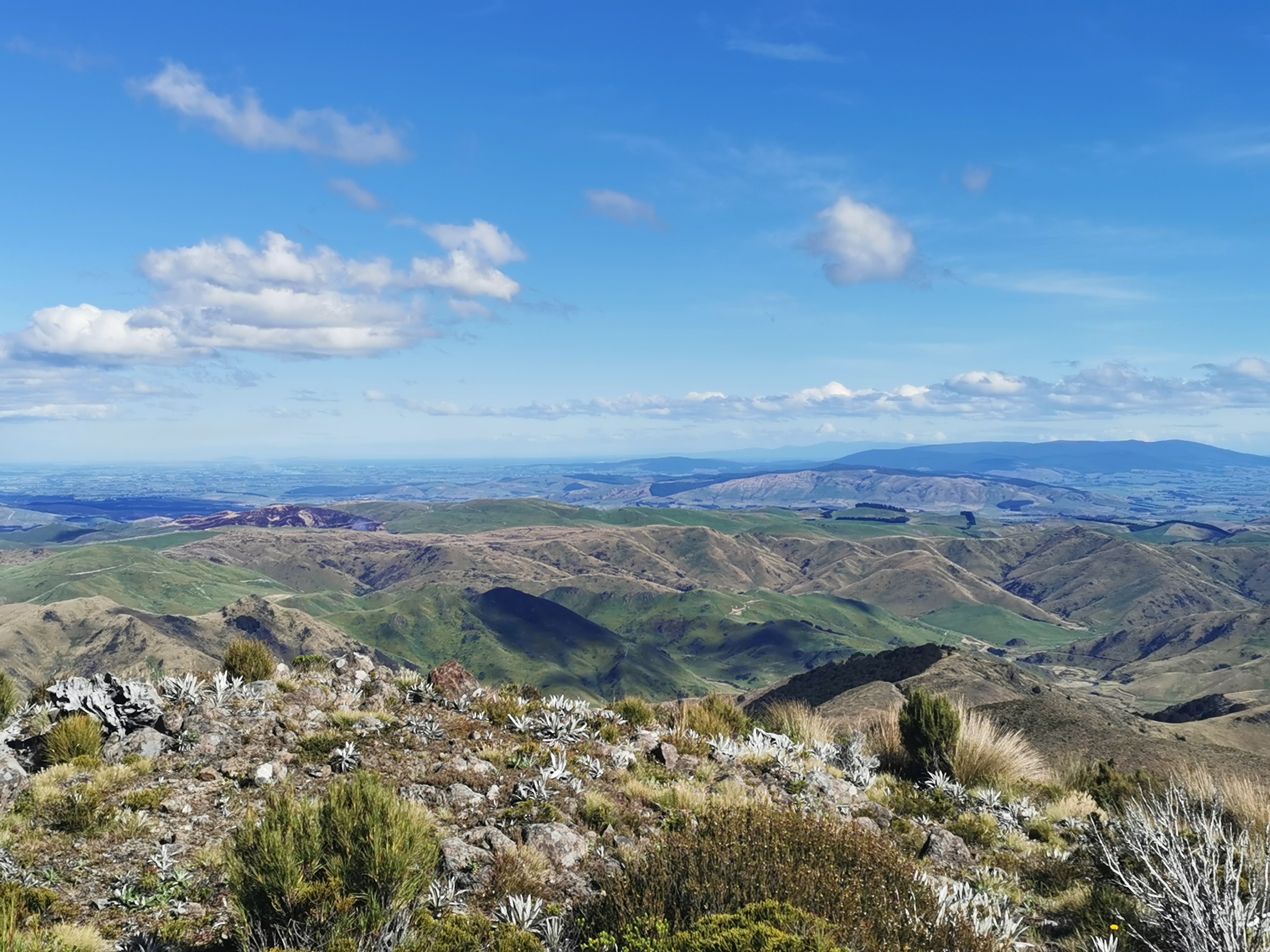
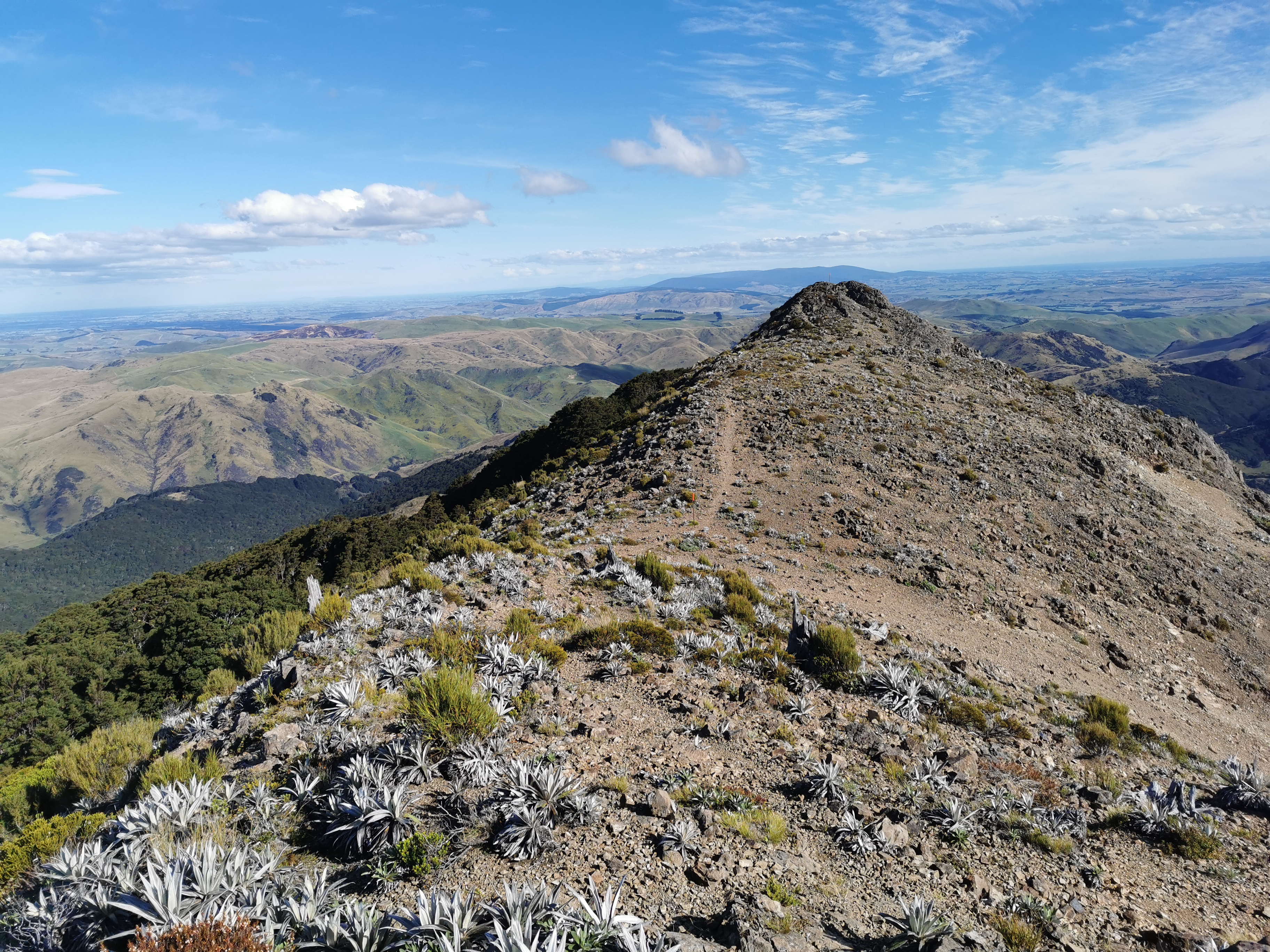
But we hoped for a view, and didn’t get one. All we got was this.
Damn, no nice view. We kept going… and there was this little bit of clearing poking out between the trees. I wonder if this clearing has the nice view we were hoping for?
You be the judge!
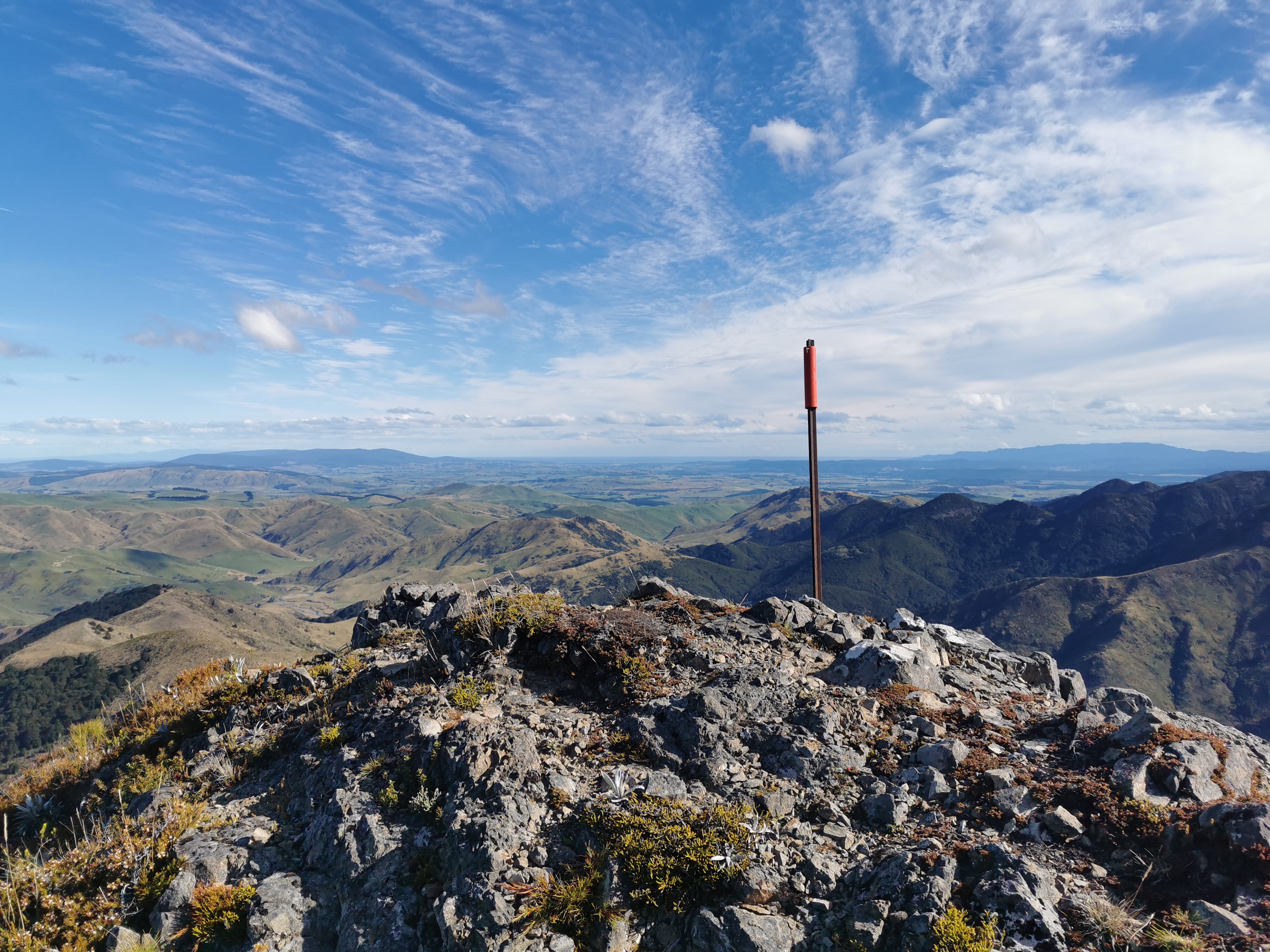
Okay… Here’s what Nicola and I figured we were looking at after consulting the map. Bluff is the tiny bit of land that sticks up on the left way in the distance. Next to that is the south coast, although that’s hard to see in this photo. On the right in the background the dark green hills are Longwood Forest, which we enter in three days from now. Between us and there is two farms which we cross in the next two days, and beyond the forest poking out to the left in the centre of the picture is Stewart Island. Today is the very first day in my life that I have seen Stewart Island.
And what’s great is that the end of Te Araroa is literally in sight now.
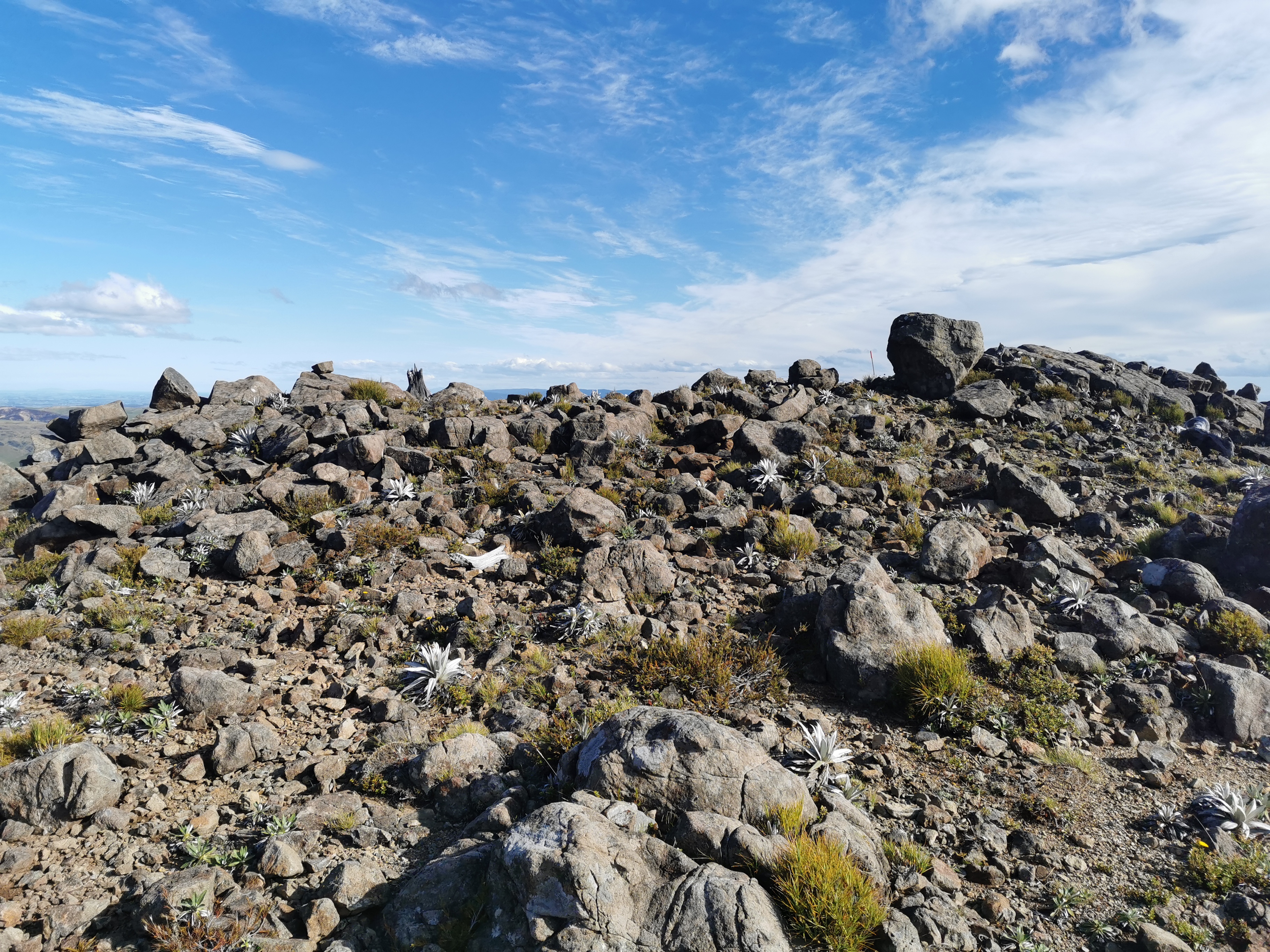
Panning the camera to the right and there’s this:
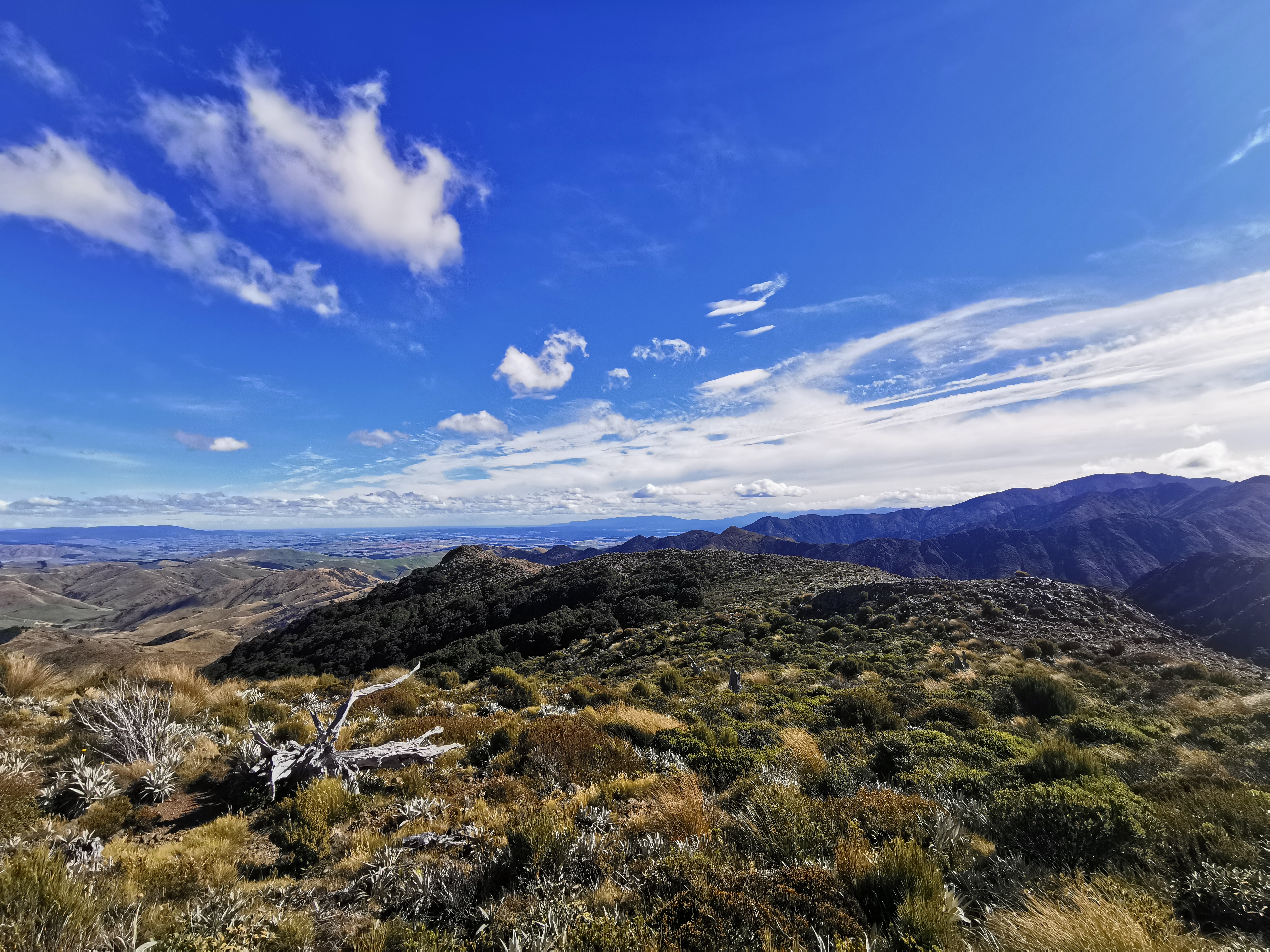
This is what we’re walking down to get to the next campsite. But first, one more picture!
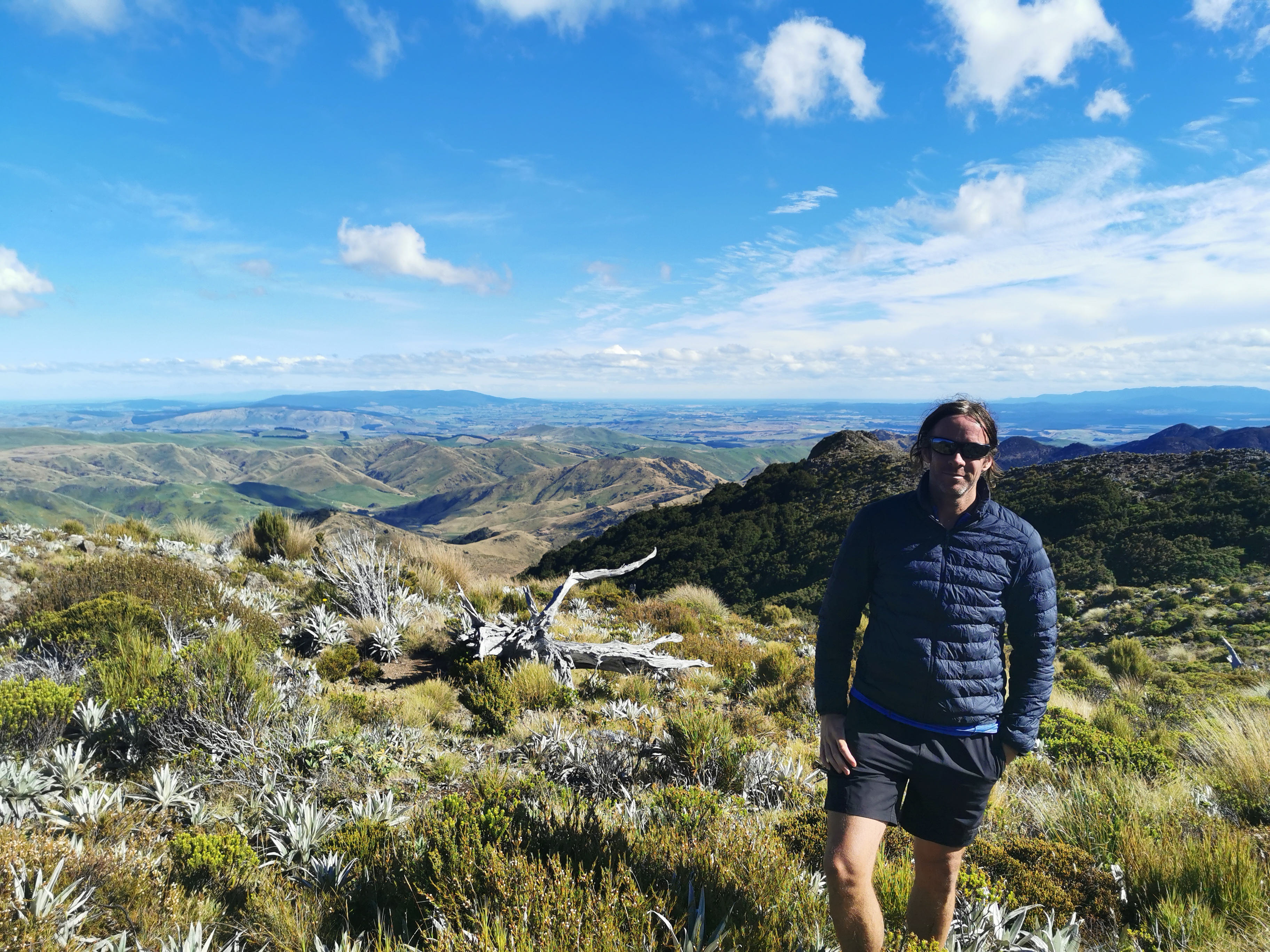
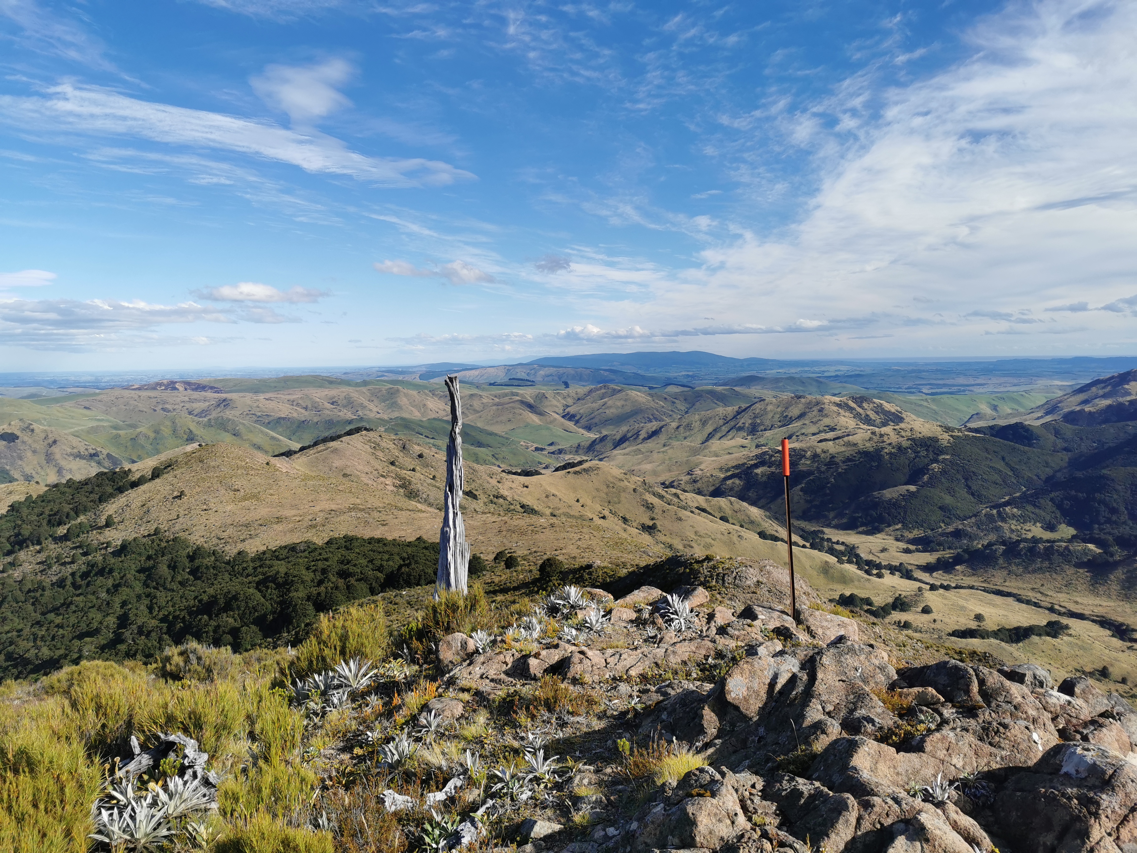
As you can see I put my jacket on up here. It was freaken freezing.
We spent quite a while admiring the view. We figured the reason it says 8 hours on the DOC sign is that people spend 4 hours up here checking the view out.
We did eventually head down though. We had to walk across rocks. It reminded me of a smaller-scale, less scary version of Mt. Rintoul.
Then a grassy section. I managed to slip over on this bit twice. So that makes one fall for Nicola today and two for me.
There was a tiny bit of 4G, enough to update the weather forecast. And it’s definitely improved.
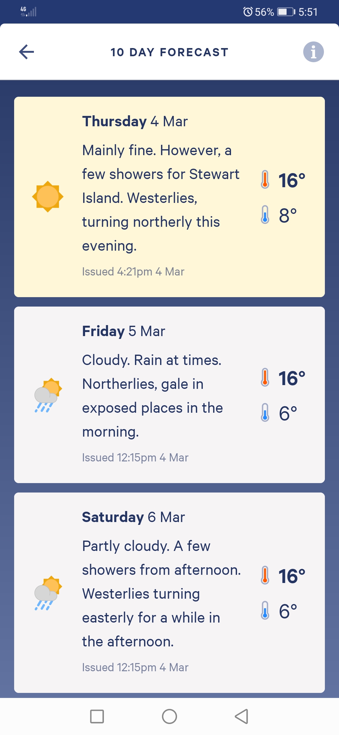
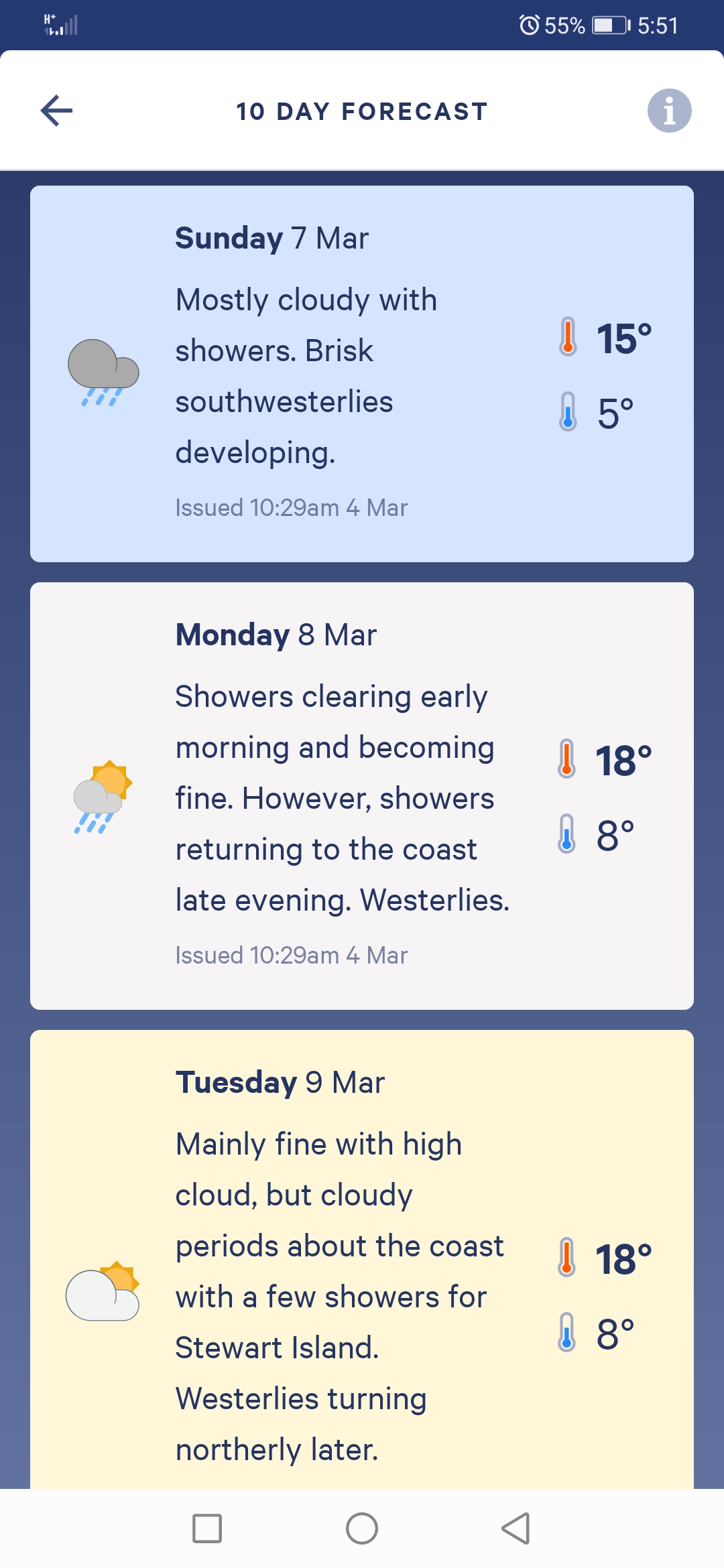
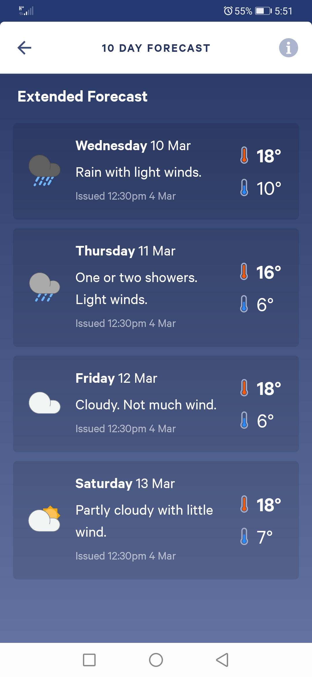
The fact that the heavy rain keeps getting pushed further and further back each time makes me very happy indeed. Now there no big rain forecast until a week from now.
We also booked Birchwood Station Hut via text message while there was coverage. It’s the only easy option between the two upcoming farms to sleep and so most people take it. It costs $20 which sounds quite expensive but for that you apparently get electricity and a hot shower. I’m definitely looking forward to that.
After walking down from 1,000m elevation to 430m, Nicola was first to spot the long drop of the campsite in the distance.
We passed a big sign with a lot of disclaimers.
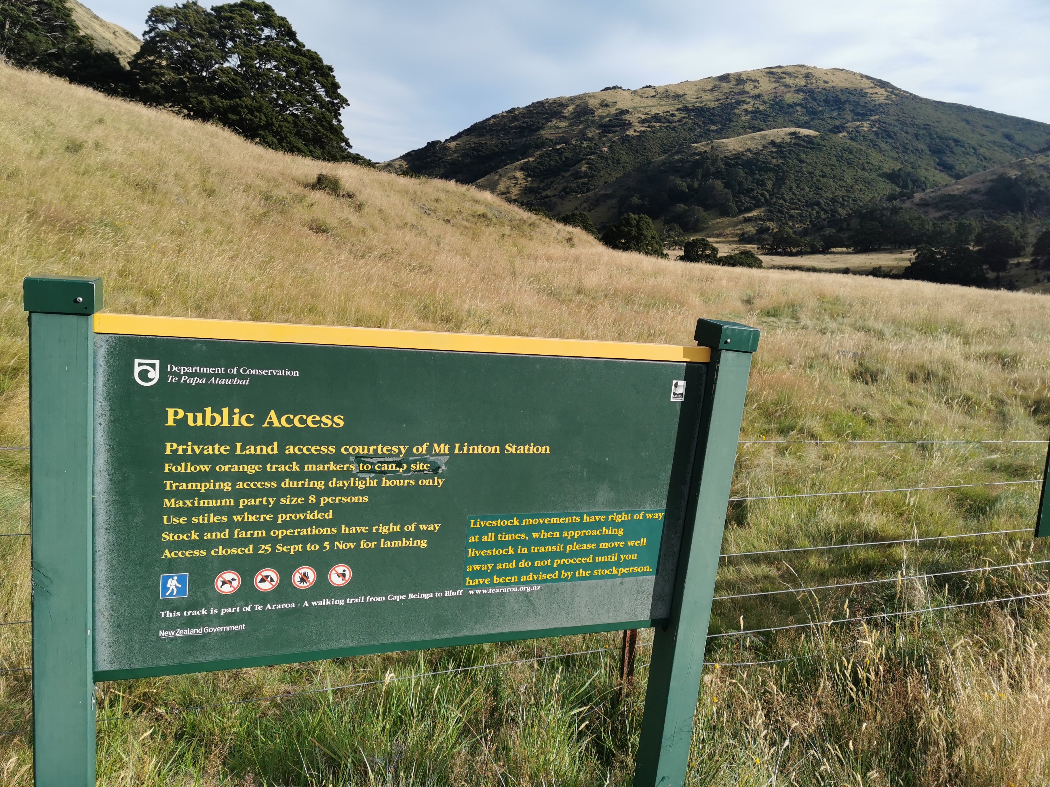
This is the boundary of Mt Linton Station, which I think I read is New Zealand’s biggest farm. We cross it tomorrow. The DOC guy said this morning that the owner isn’t happy about the public crossing his land. Apparently a hiker broke into a private hut on the farm and ate food once, and people were camping and lighting fires on the farm. So it’s important to be respectful! Apparently there isn’t a viable alternative to send TA hikers through this part of the country so we are fortunate to be allowed to pass through.
At the campsite it was quite windy, and as the forecast mentions above, gale force Northerlies are scheduled for the morning in “exposed places”. I hope we don’t wake up with broken tents.
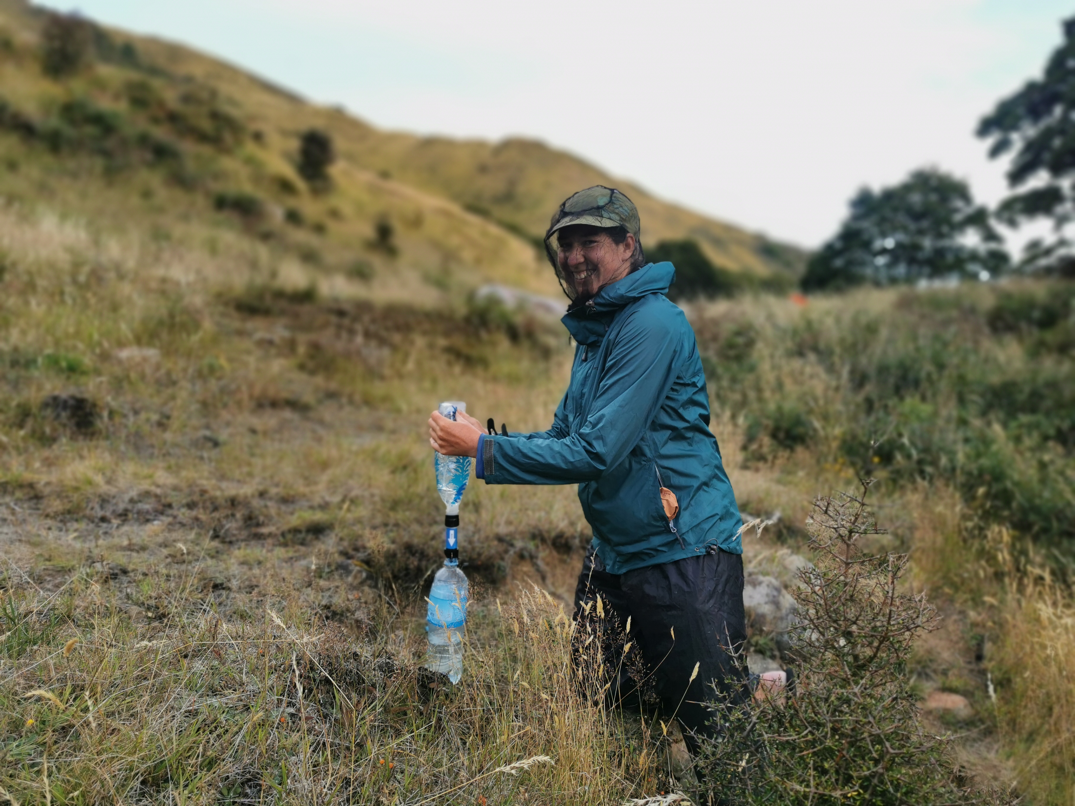
I hoped that the wind would keep away the sandflies, but no, it did not. They were out in droves. I wanted to set up my tent and retreat quickly into it but it was really cold and so I wanted a hot dinner first. So I had to sit outside and get swamped by these annoying little demons. I sprayed my arms and legs but that didn’t stop them going on my face and in my hair and my ears and my mouth and my hot chocolate.
Nicola had the foresight to pack one of these face coverings. I was jealous!
I had my dinner and raced into my tent. This is my first night sleeping in my tent since I was on the TA last year. It’s so cold, I’m lying in my sleeping bag wearing my jacket and all my clothes from today and I’m still cold!
Today's walk on the map (blue = Te Araroa, red = today's walk):
Boobs for Paul haha!
As always Matt, I am blown away by the detailed blog you post for each day and your stunning pics from your journey. happy trails
Thanks Bruce!
Those are some truly remarkable views.
ditto, love the views, and the detailed account of your journey. Enjoy the last leg!