Date: 6 March 2021
Trail covered: 27.2km (kms 2847.2 to 2874.4)
Weather: perfect – overcast and cool breeze
We slept in a bit longer than usual today. I think it’s because we had real mattresses. We only woke up because someone came into the hut, took the electric jug and then left again. Rude.
Then we discovered there was no electricity. Why is that, I wonder? Did they turn it off on purpose? Is it on a timer? Is it a power cut?
I debated whether the hut was worth $20, sure it was big but there was a toilet with no loo roll, a shower with no shampoo and not even any way to pay.
We made our breakfast using our gas cookers and shortly after Sarah (the owner) turned up with her three young kids. She wanted to cook bacon and eggs on our cooker because they had no power and wanted to use the gas in the hut. So at least we knew it was a power cut for the whole region and they didn’t just turn ours off.
Sarah and Nicola and I chatted and Sarah said that tents have most definitely been shredded at the Telford Campsite. I felt lucky that mine was still intact.
The three kids were cute and we spent time talking to them and discussing with them which of the three had the cutest beanie. But when breakfast time came they complained the whole time about who got more bacon and eggs and who got theirs in a bowl instead of a plate and that they had to eat outside and they didn’t want to. Luckily it’s a big hut so we could stay in the bedroom while they did that.
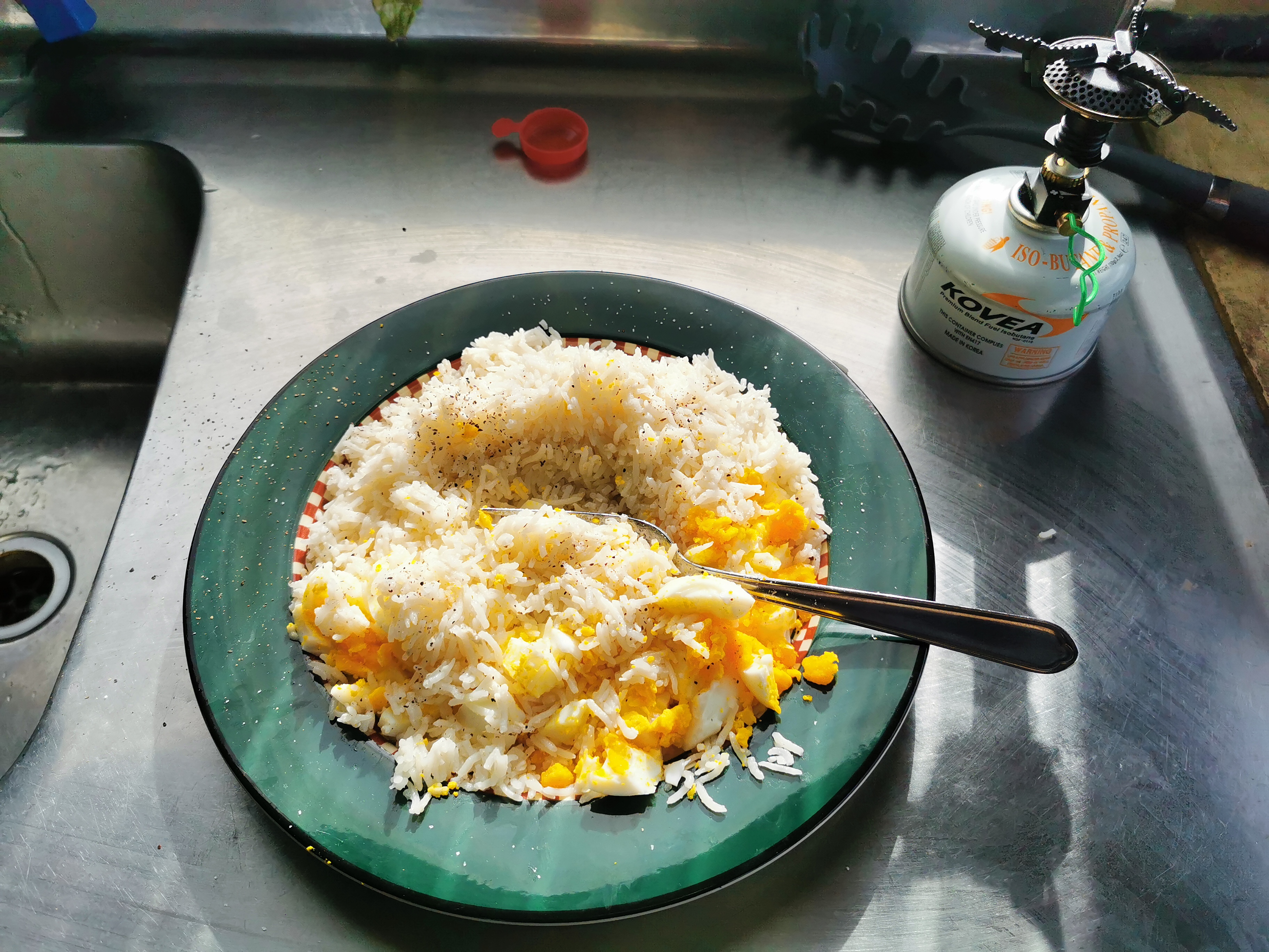
The power came back on not long after I’d finished making my breakfast. That was annoying as I would have liked porridge in the microwave. For some reason I can’t get porridge cooked on my gas cooker to taste as good as when it’s done in the microwave, even though I’ve had it for breakfast 30 or 40 times on the trail by now.
It was really cold this morning, and I had really cold feet all night. Plus I’ve got so many different blisters and rashes from constant wet socks. I tried different methods of putting tape over them.
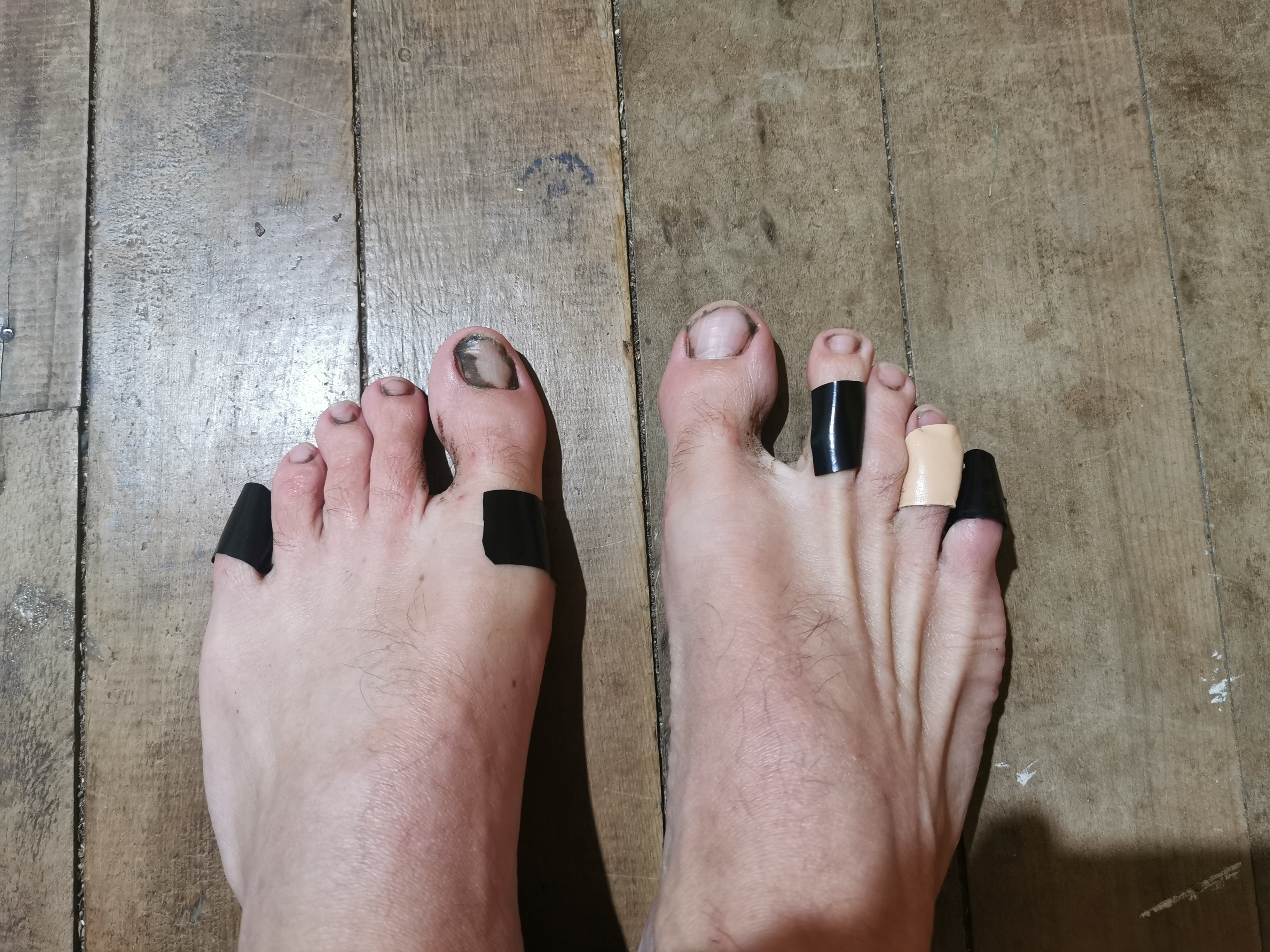
I do have one pair of clean and dry socks but I’m saving them for closer to the end.
On the wall of the hut is an ad for Merriview Hut, which is our destination for today. It says on the ad “some supplies available”. I wonder if that includes chocolate!
From this hut, you can cut through the back of the property to rejoin the trail, but that skips 2km of road walking on the actual trail, so of course I didn’t do that. Nicola did though.
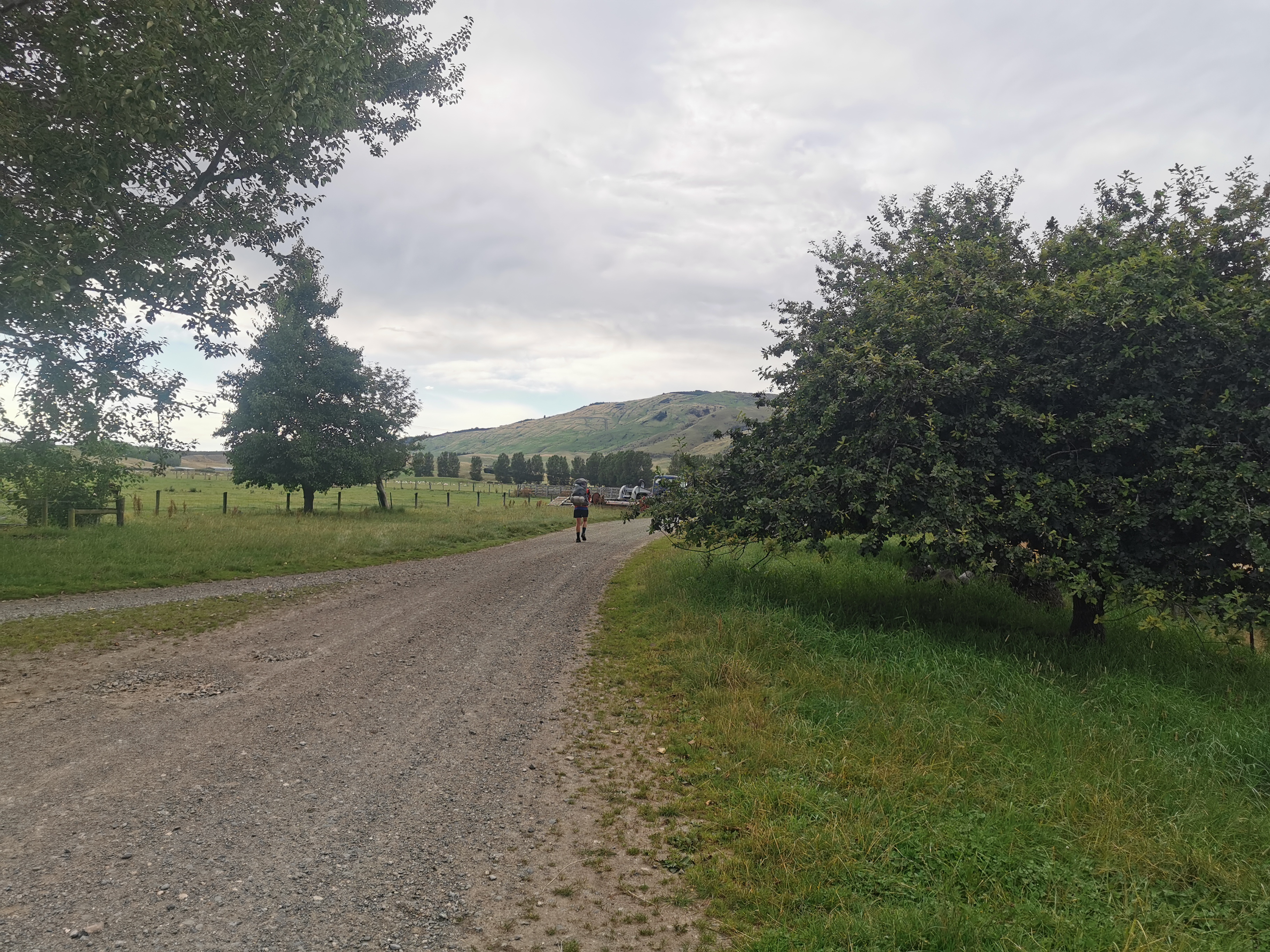
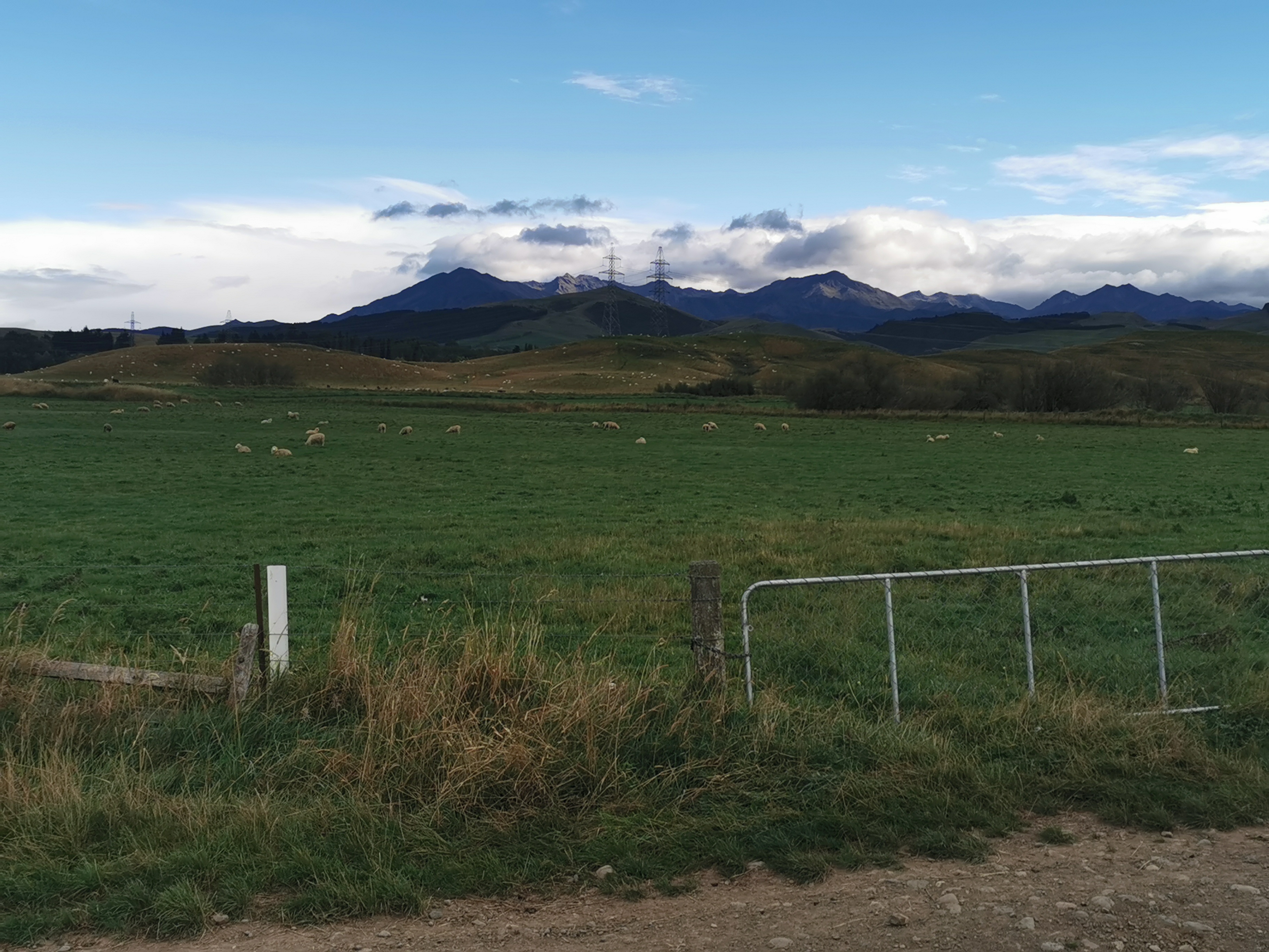
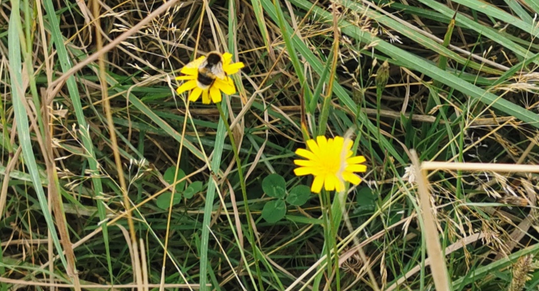
There wasn’t much to see on the short road walk to the beginning of the next section, but I did see some rainbow sheep.
Went left here…

And saw more sheep.
And a gravel road.
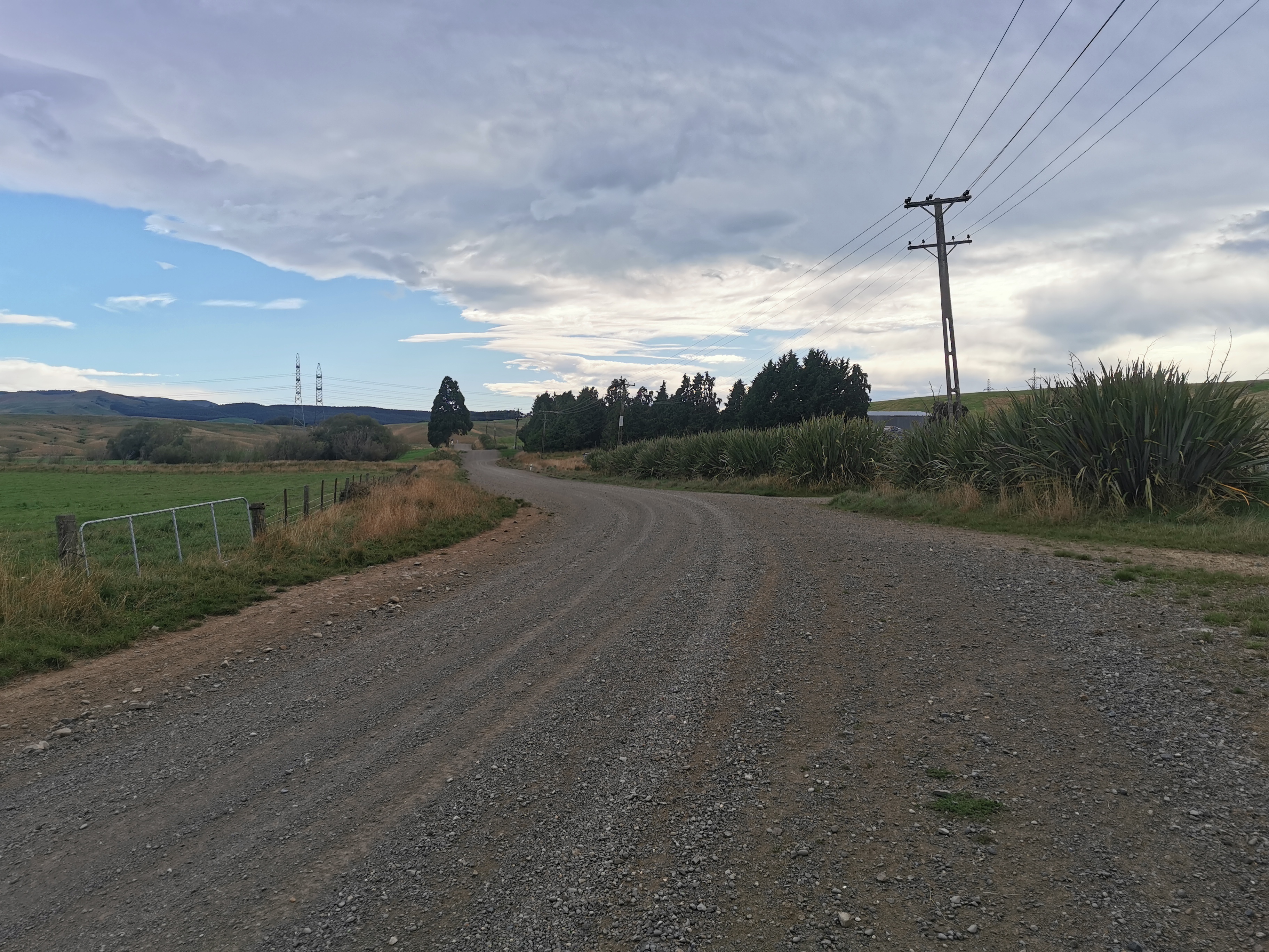
I got stopped and questioned by a couple in a car why I was taking the long way. They obviously know the area and the trail. I tried to explain to them why.
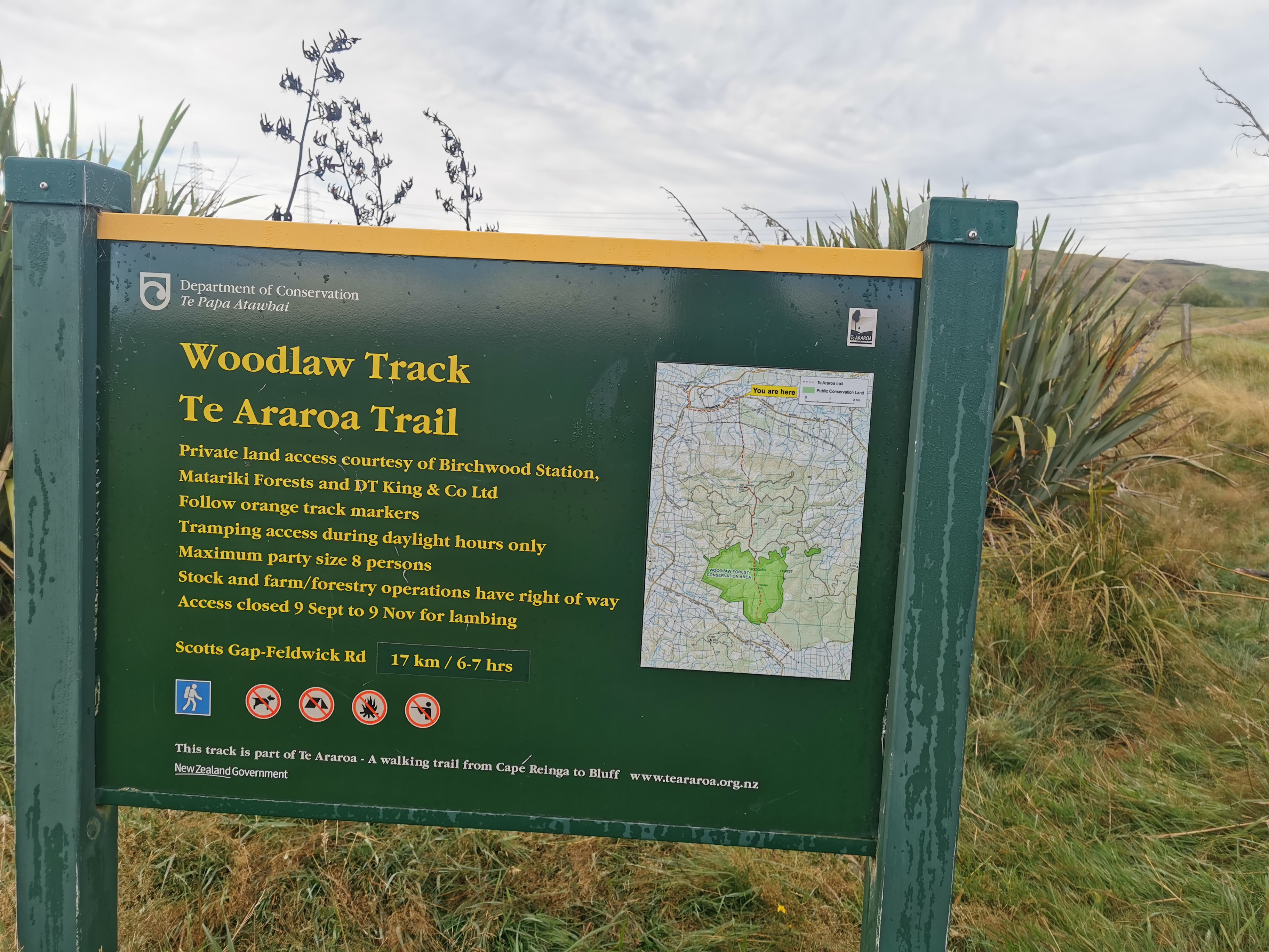
Here’s the information for today’s section. The first part is part of Birchwood Station. Sarah and her family seem much more hiker-friendly and don’t mind people on their land. Thanks Sarah!
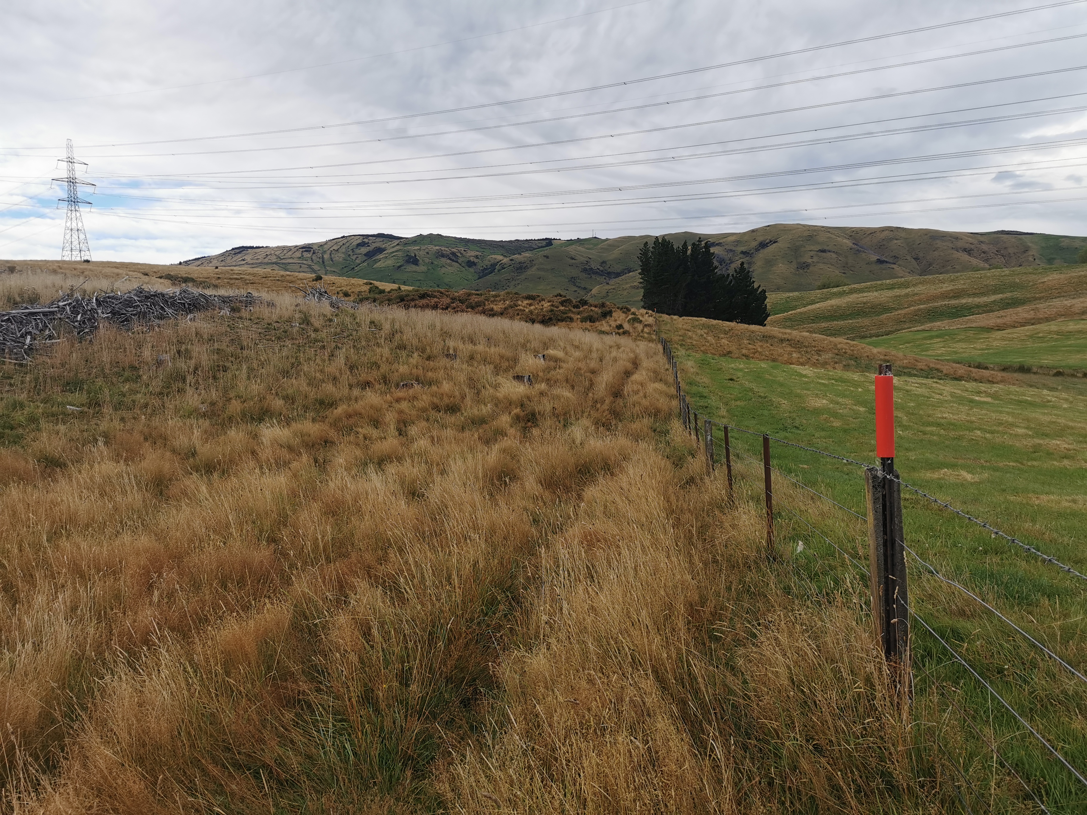
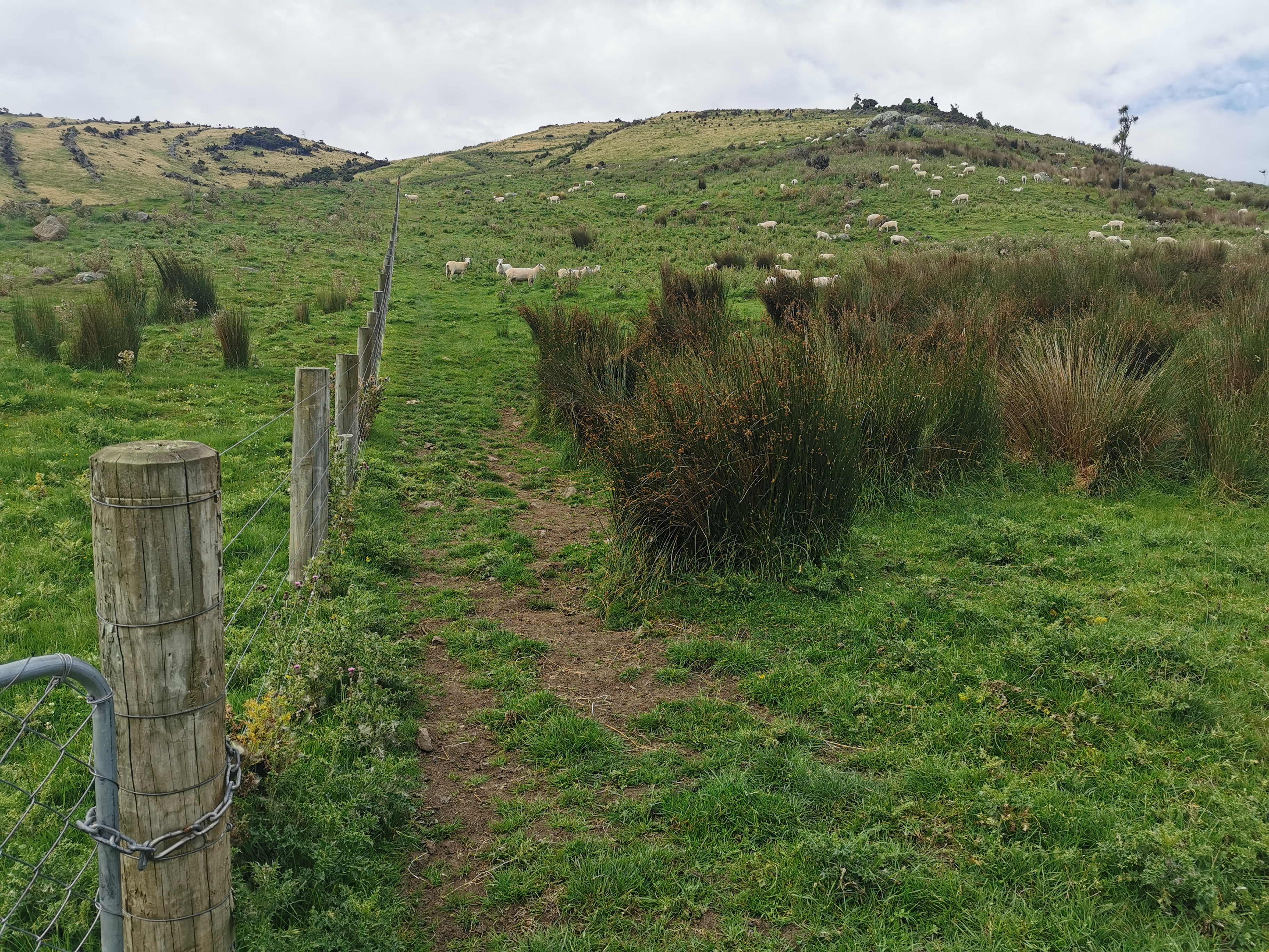
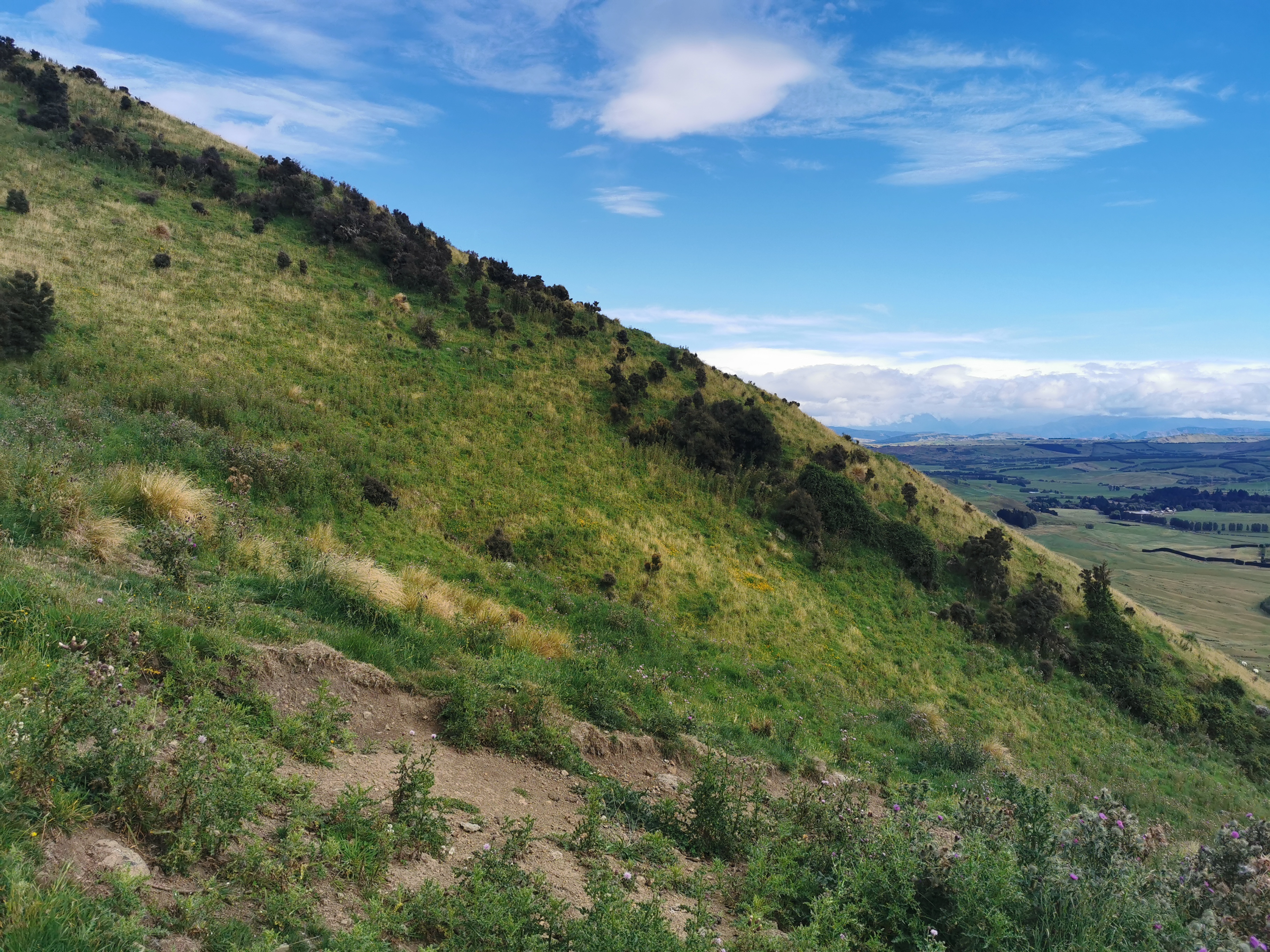
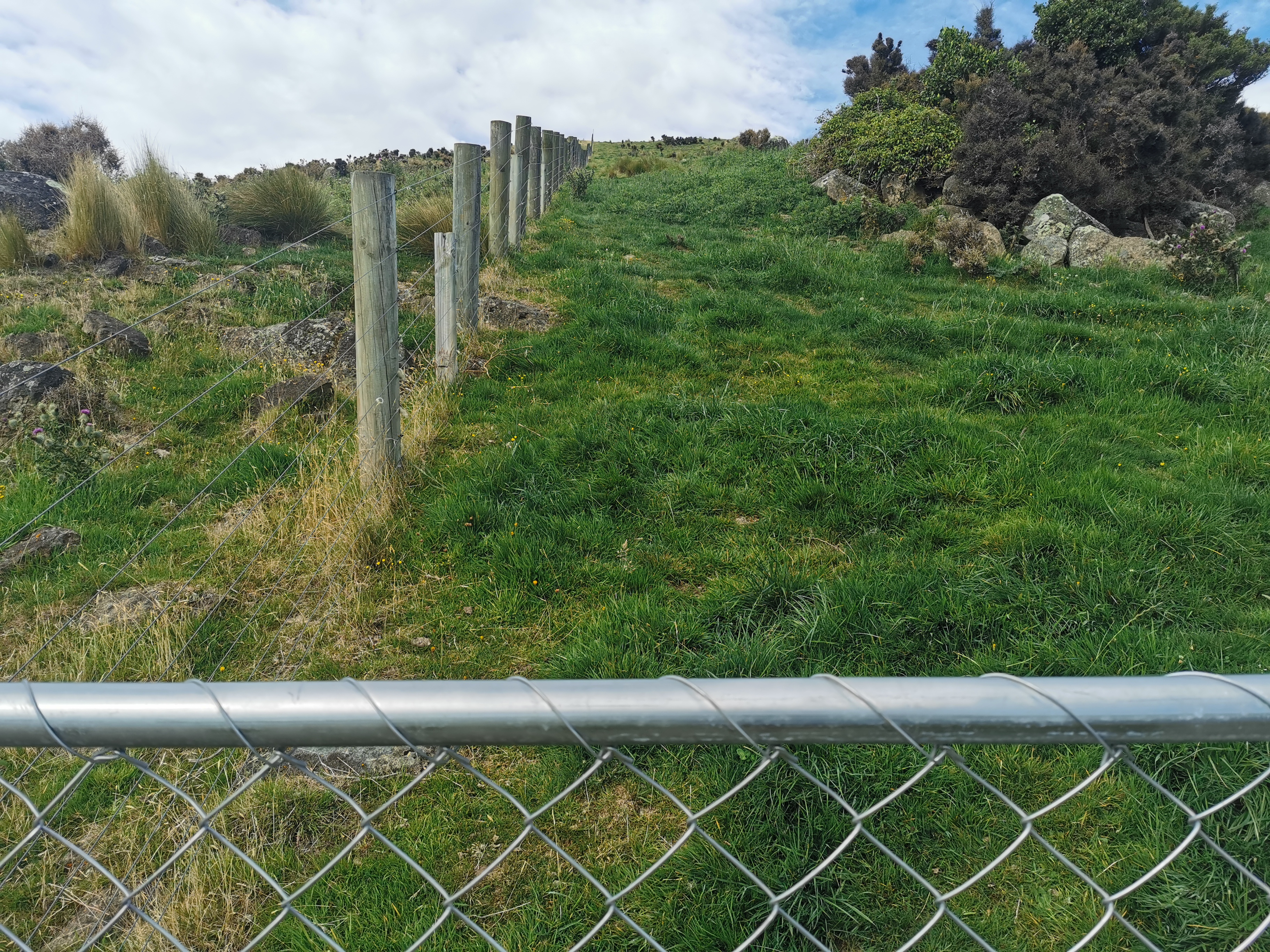
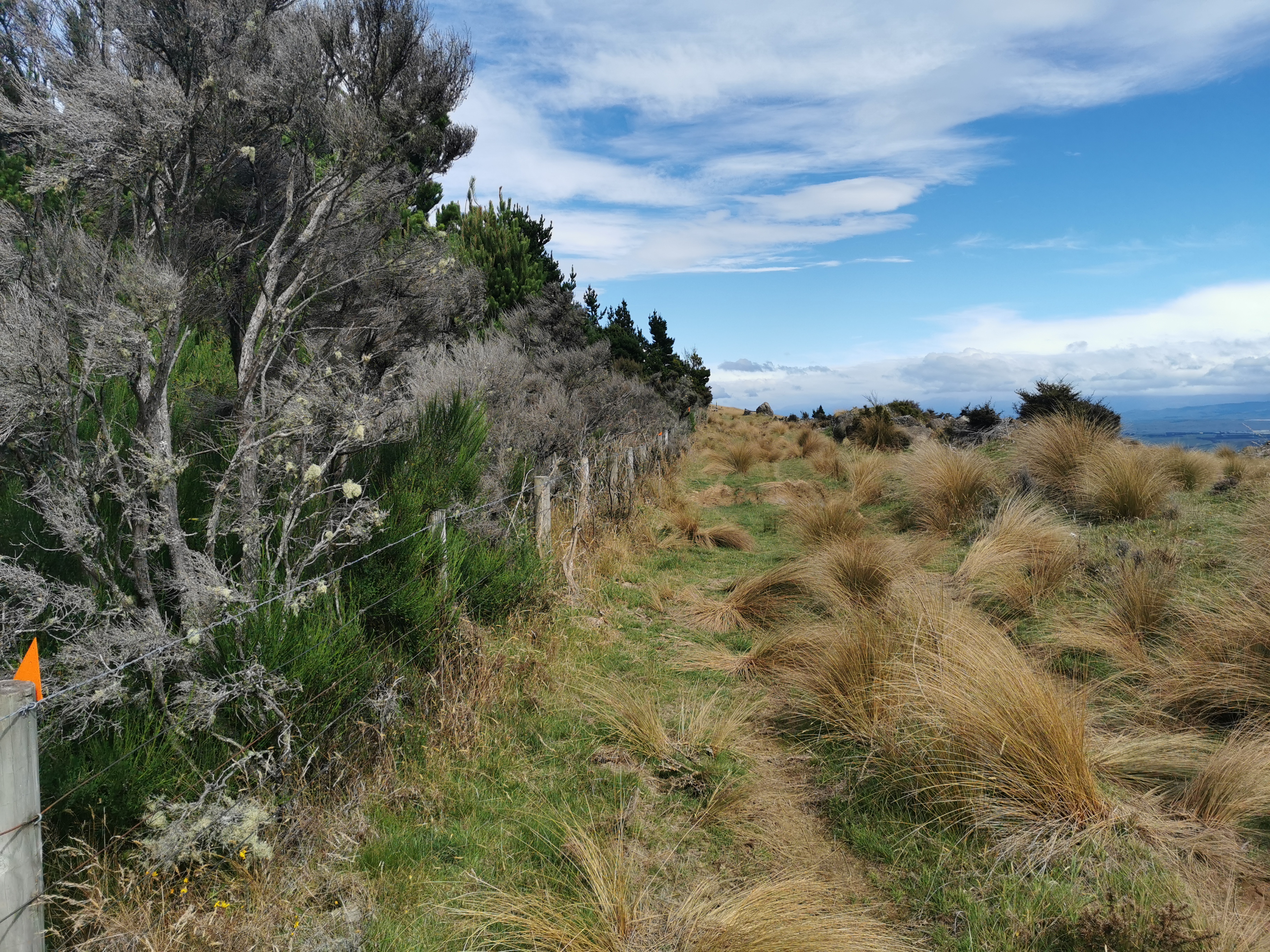
The walk through today’s farm is going straight up the fence line and over this hill.
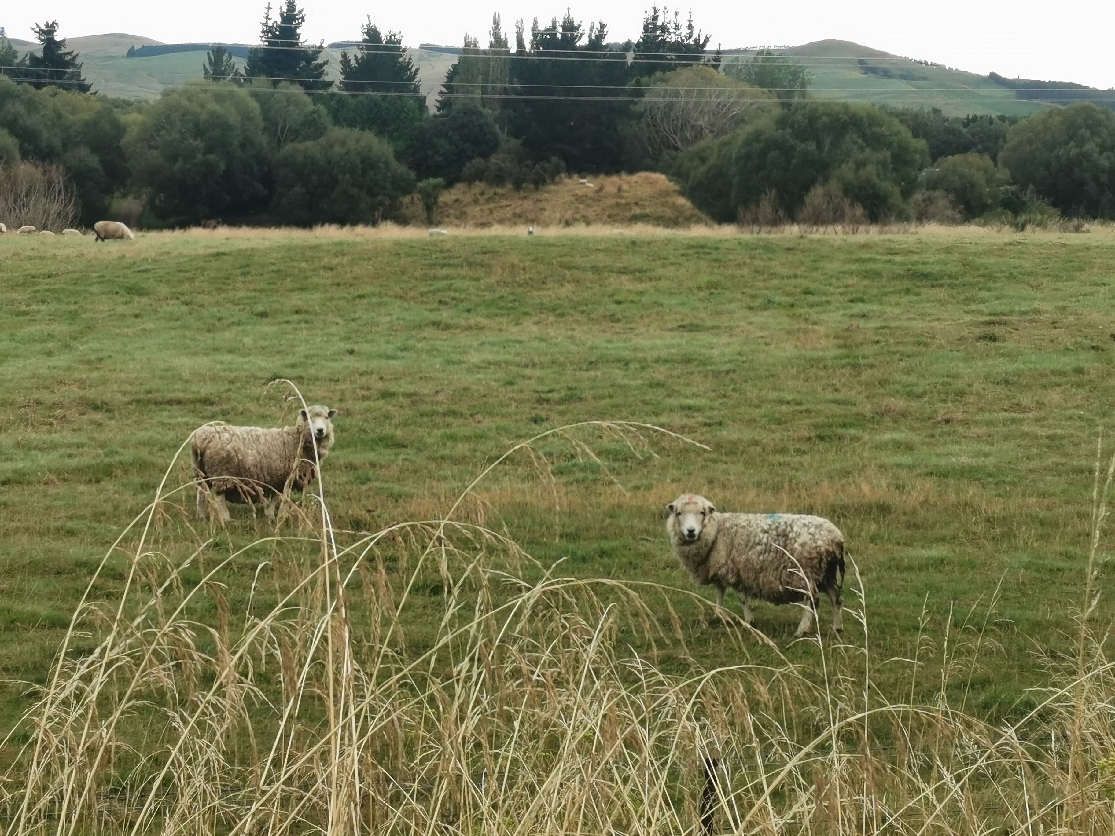
It wasn’t generally muddy but I managed to step in this red mud…
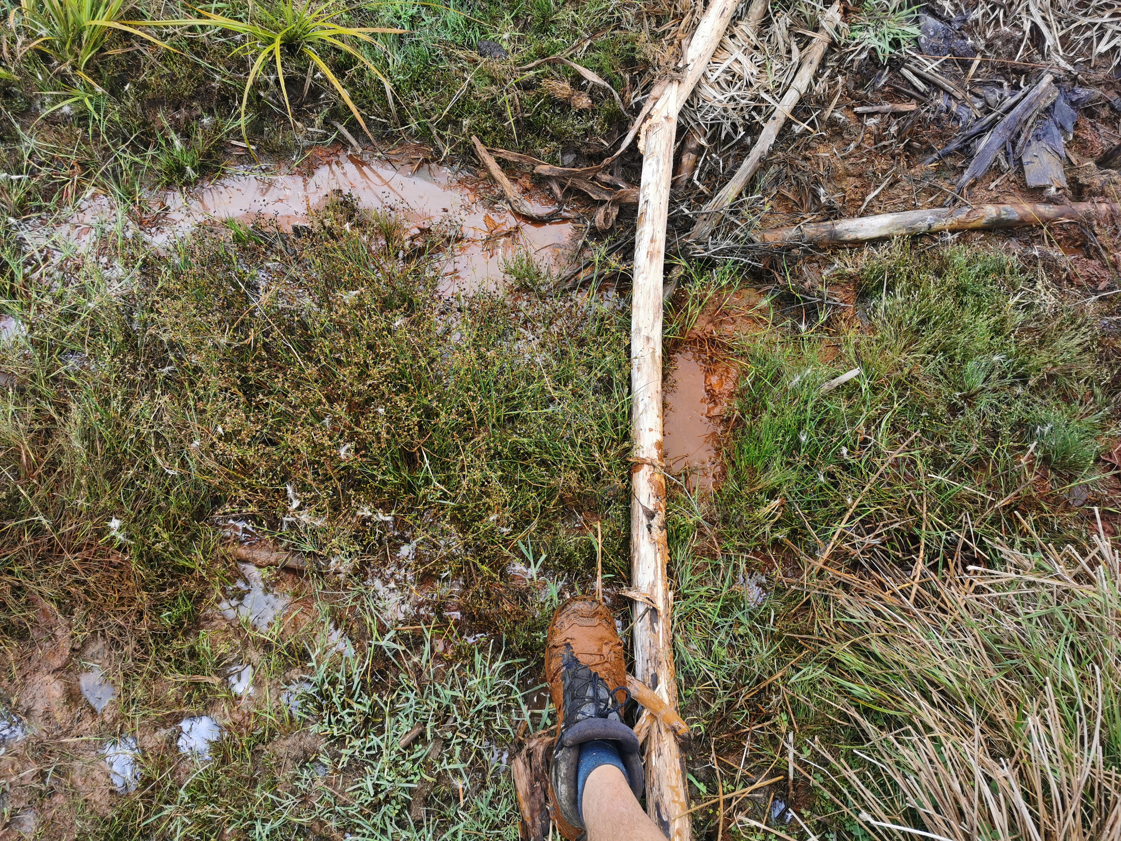
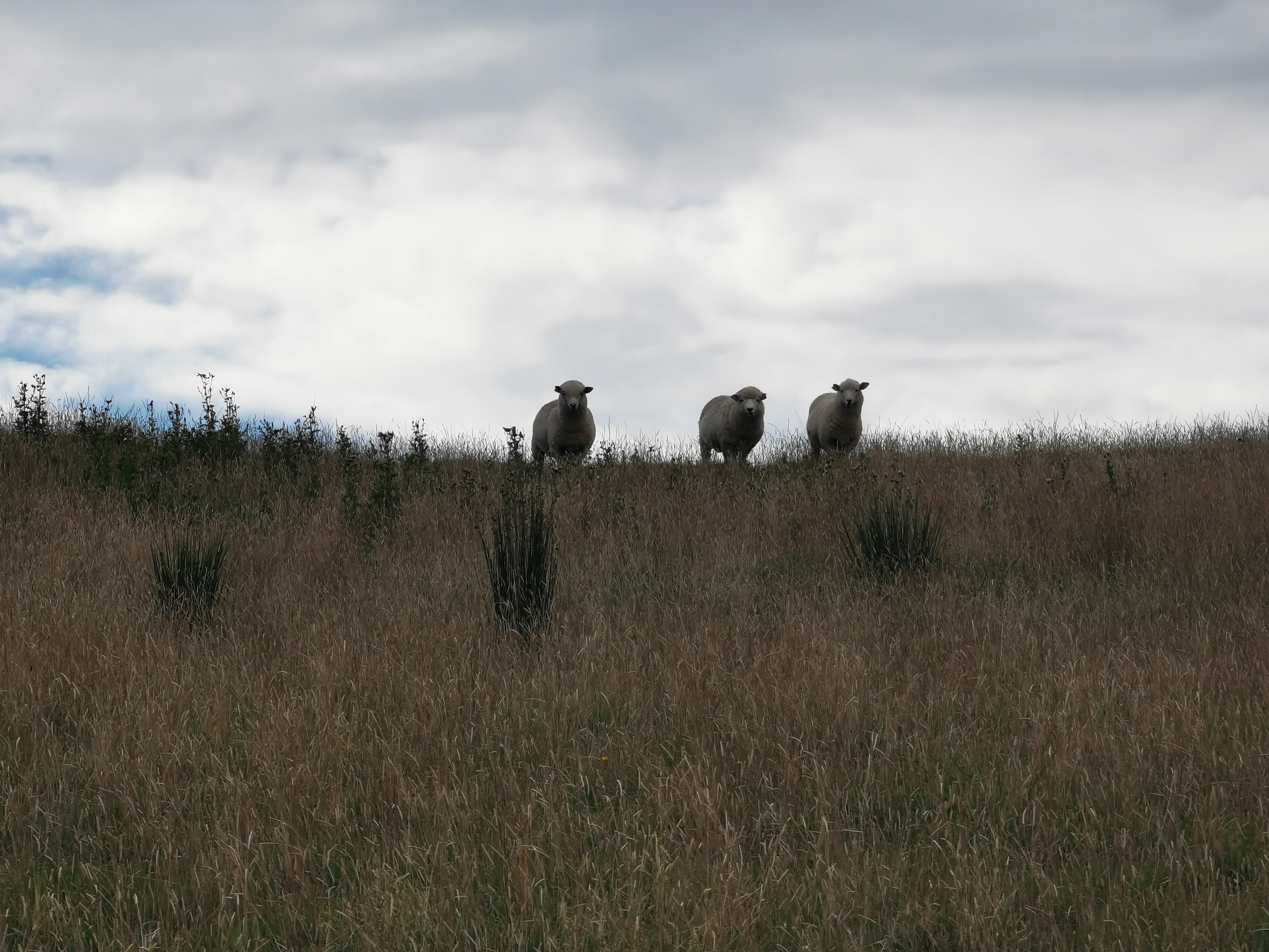
…while being watched by these three sheep.
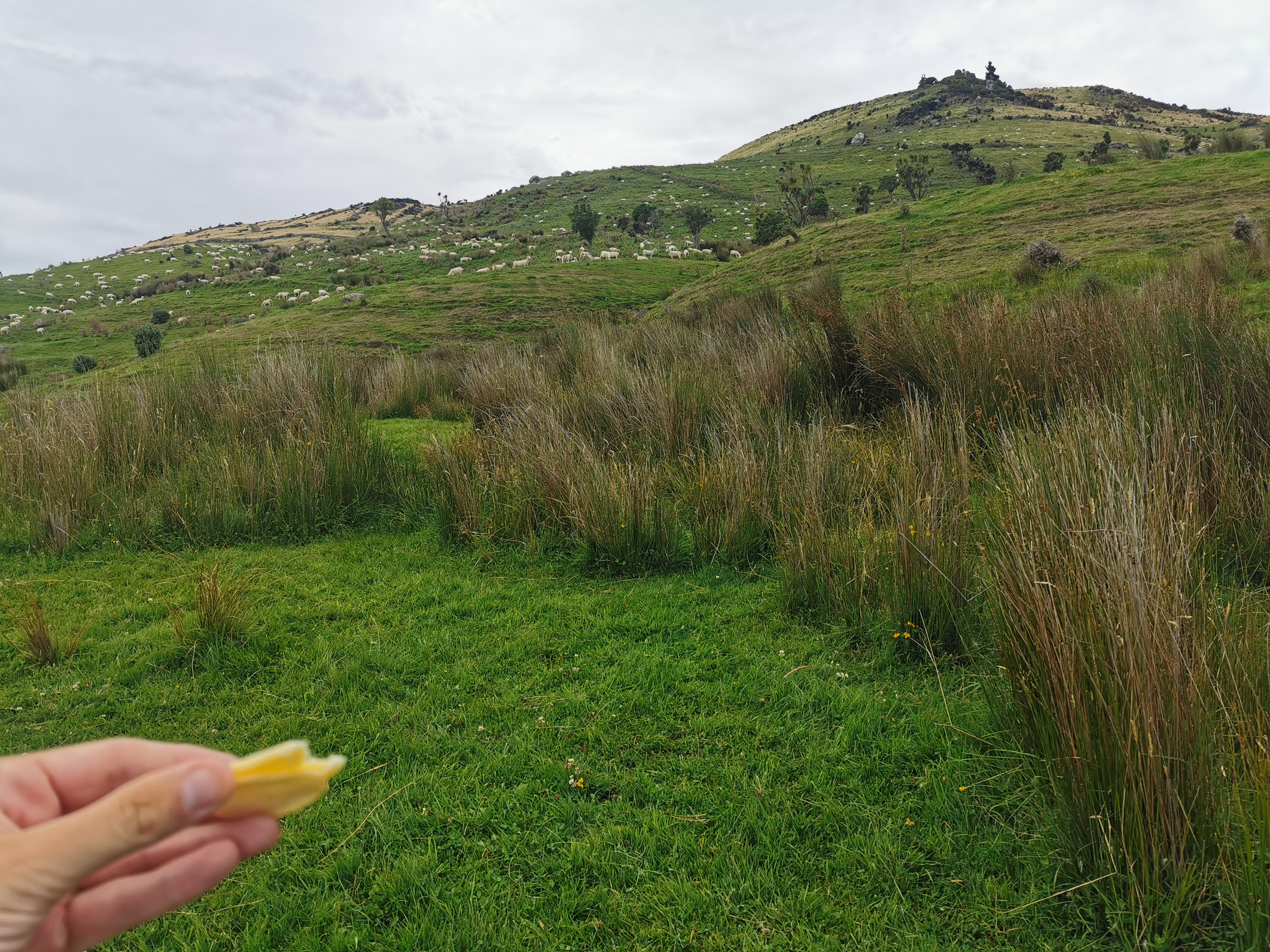
My 11am picture was as I was having a quick snack, before making my way up the steepest part of the track.
Okay, here goes nothing. Time check: 11.12am. From here it is a 350m increase in elevation over little more than one kilometer.
It’s hard to get a good photo of a hill as you’re going up it, so here’s a photo of the hill next to me which was the same steepness.
Once you get to the gate it is not so steep.
At this point it was 11:35am. I looked at the topographic map and I was already three quarters of the way up. Awesome. The ground is good, it’s standard grass and isn’t full of bumps and lumps. When it’s steep like this it’s a little challenging for sure but you make quick progress. I like it.
However higher up its scary to turn and look back because it’s so steep and a long way down.
There are perfect weather conditions today which helps. Overcast and a slight cool breeze.
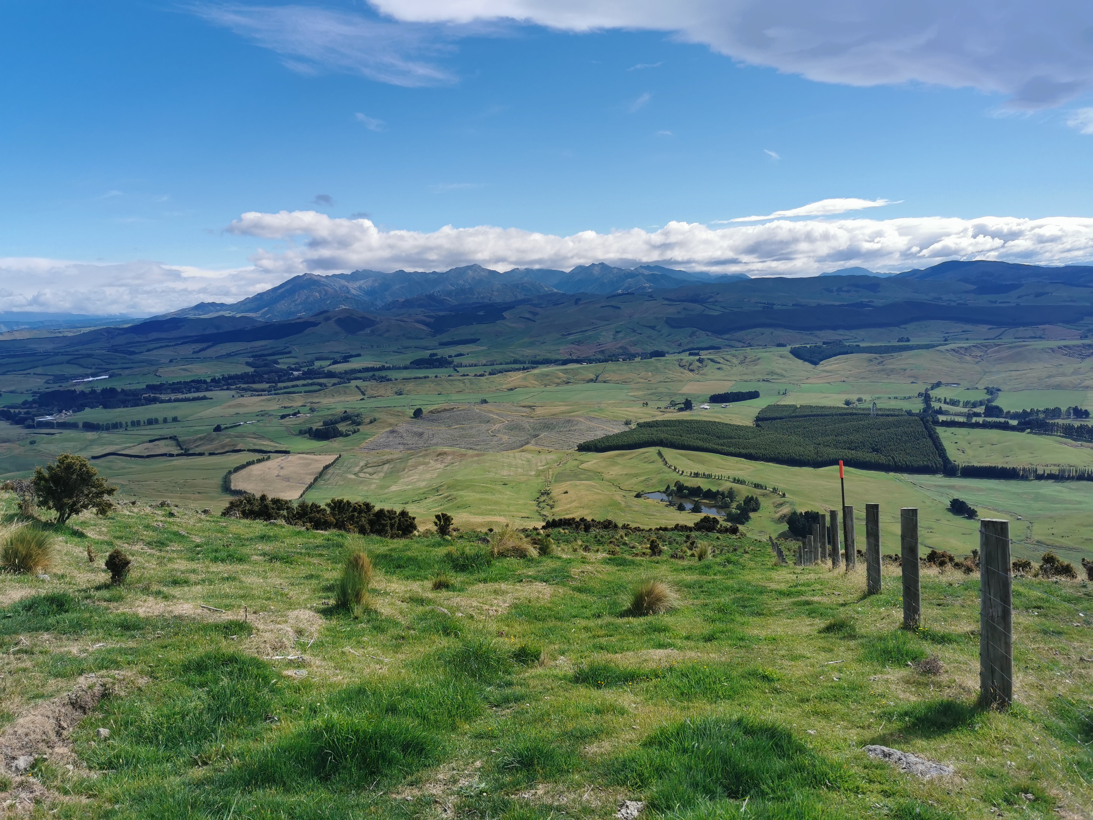
I walked a bit more and then suddenly there it is. The trees which I knew from the map marked the top. It took 31 minutes to get here from the time check. I really thought it would take longer.
I met up with Nicola at this point. She was having lunch at the top of the hill. We started walking together again. We discussed such things as the best places that we have found on the trail to dispose of a dead body, if we ever needed to.
For a while now it was walking along easy logging tracks.
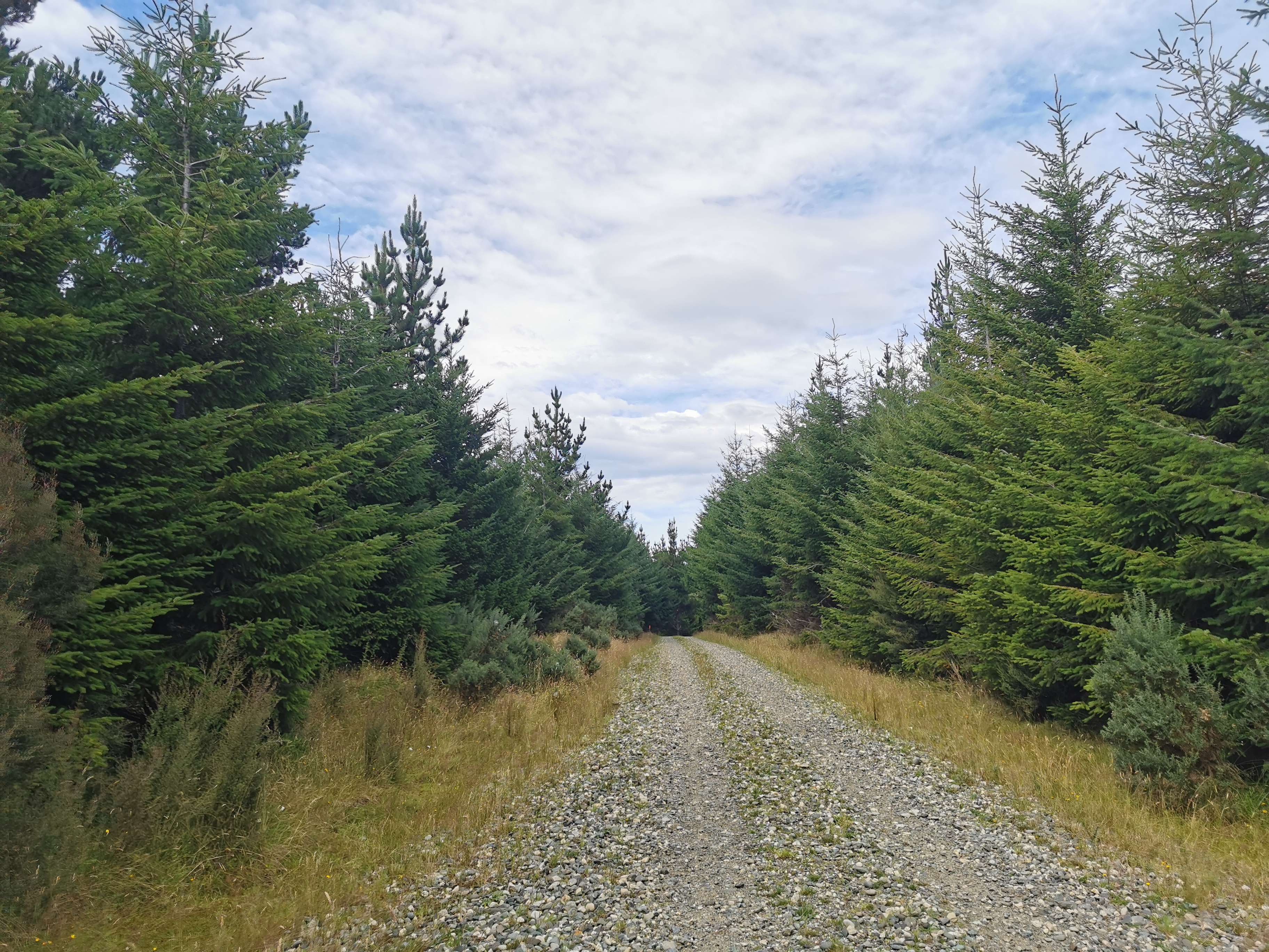
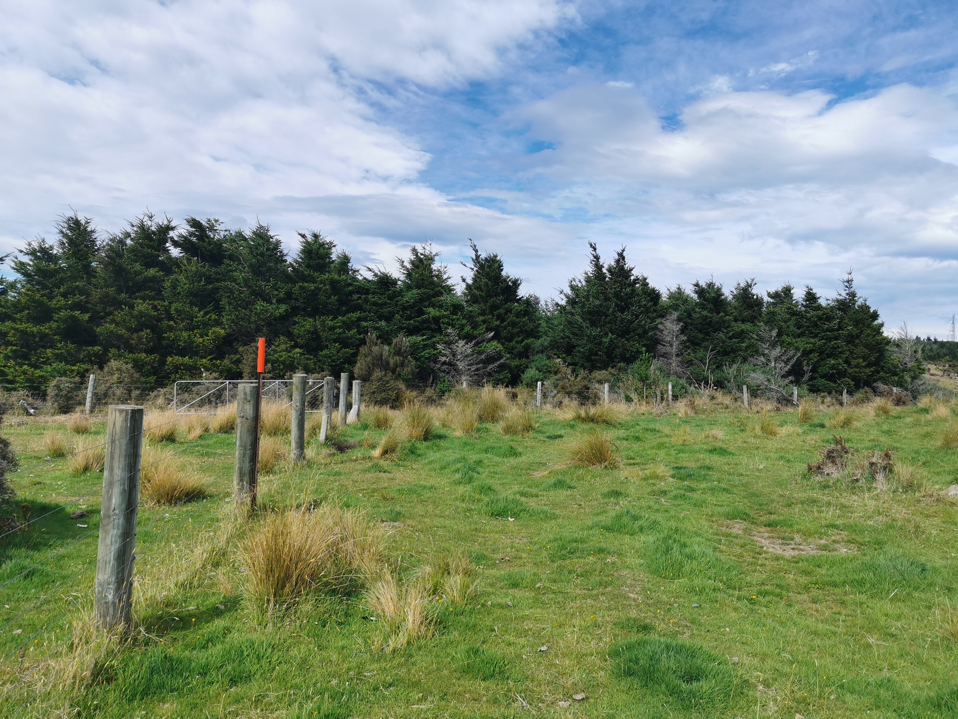
Soon you can see that the pine forest is ending and the conservation land begins.
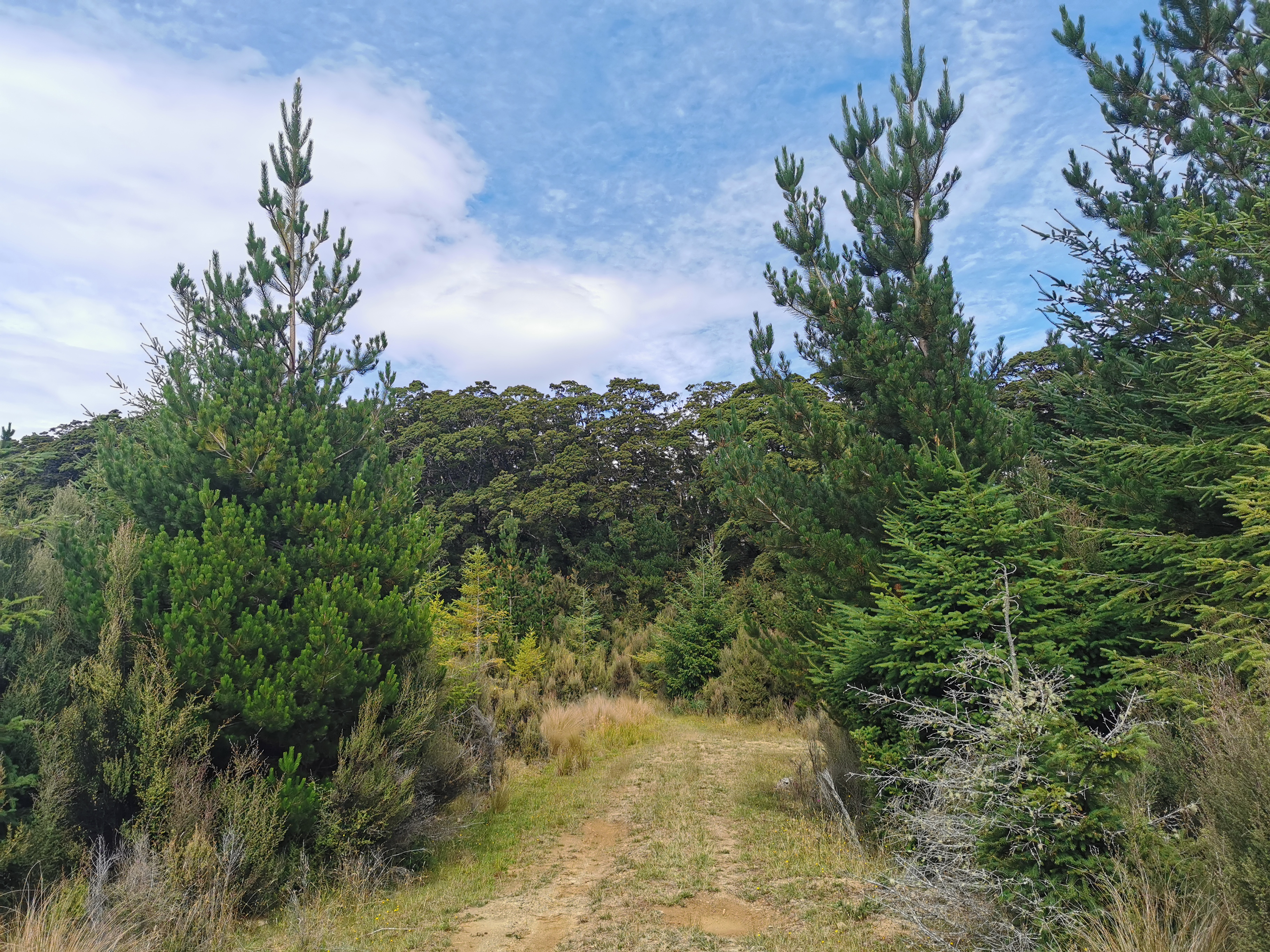
Connecting the two is a narrow and overgrown piece of track.
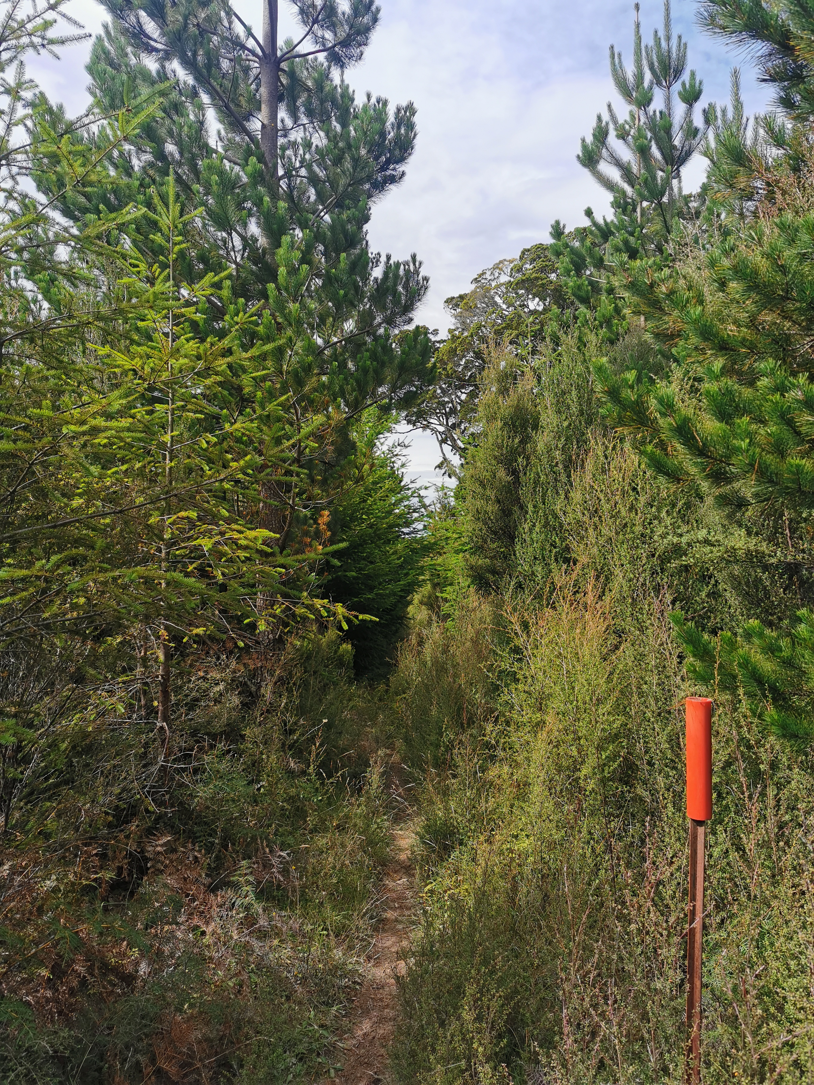
The path through the forest has not had scrub clearing or chainsawing done for a while…
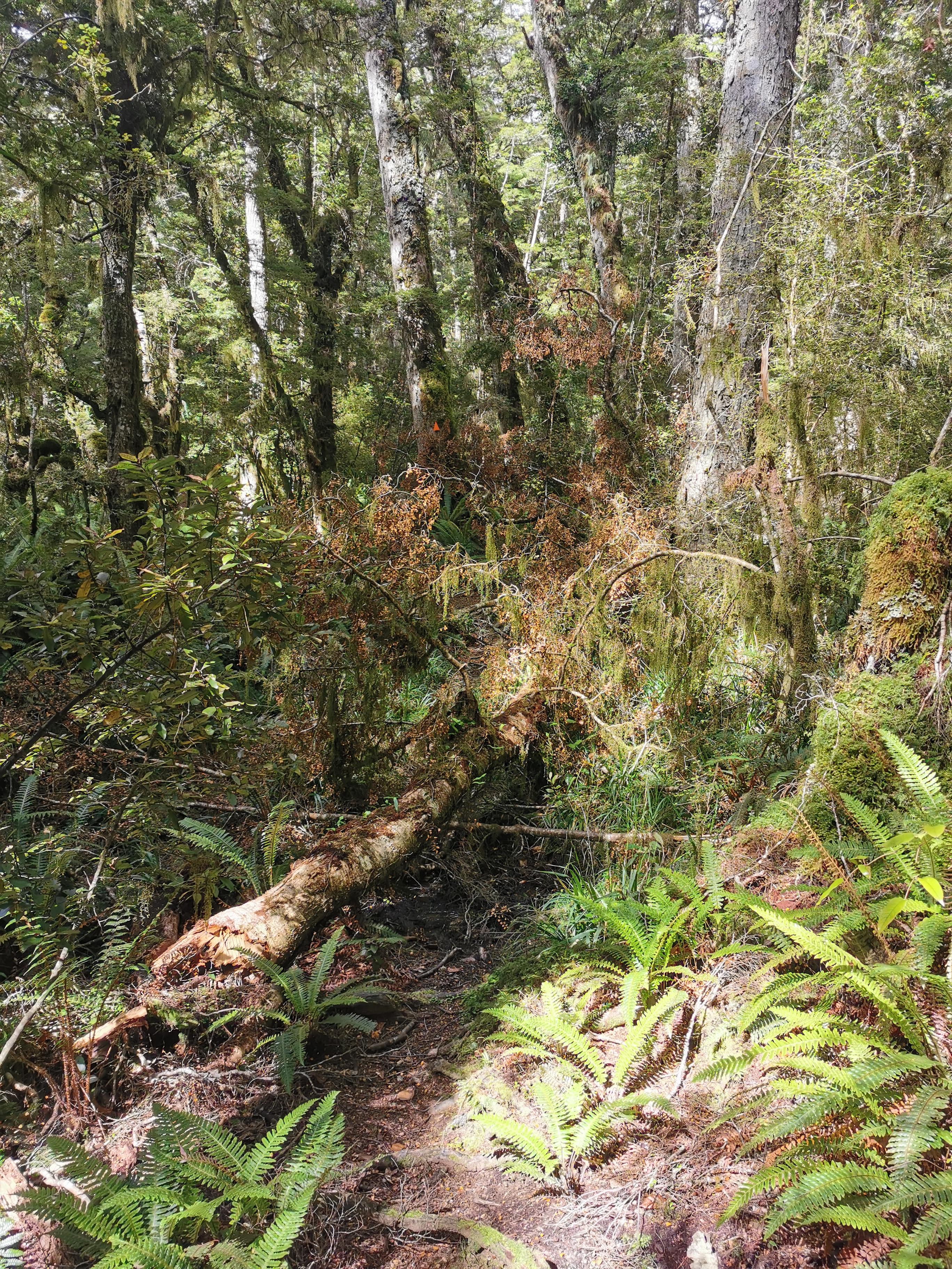
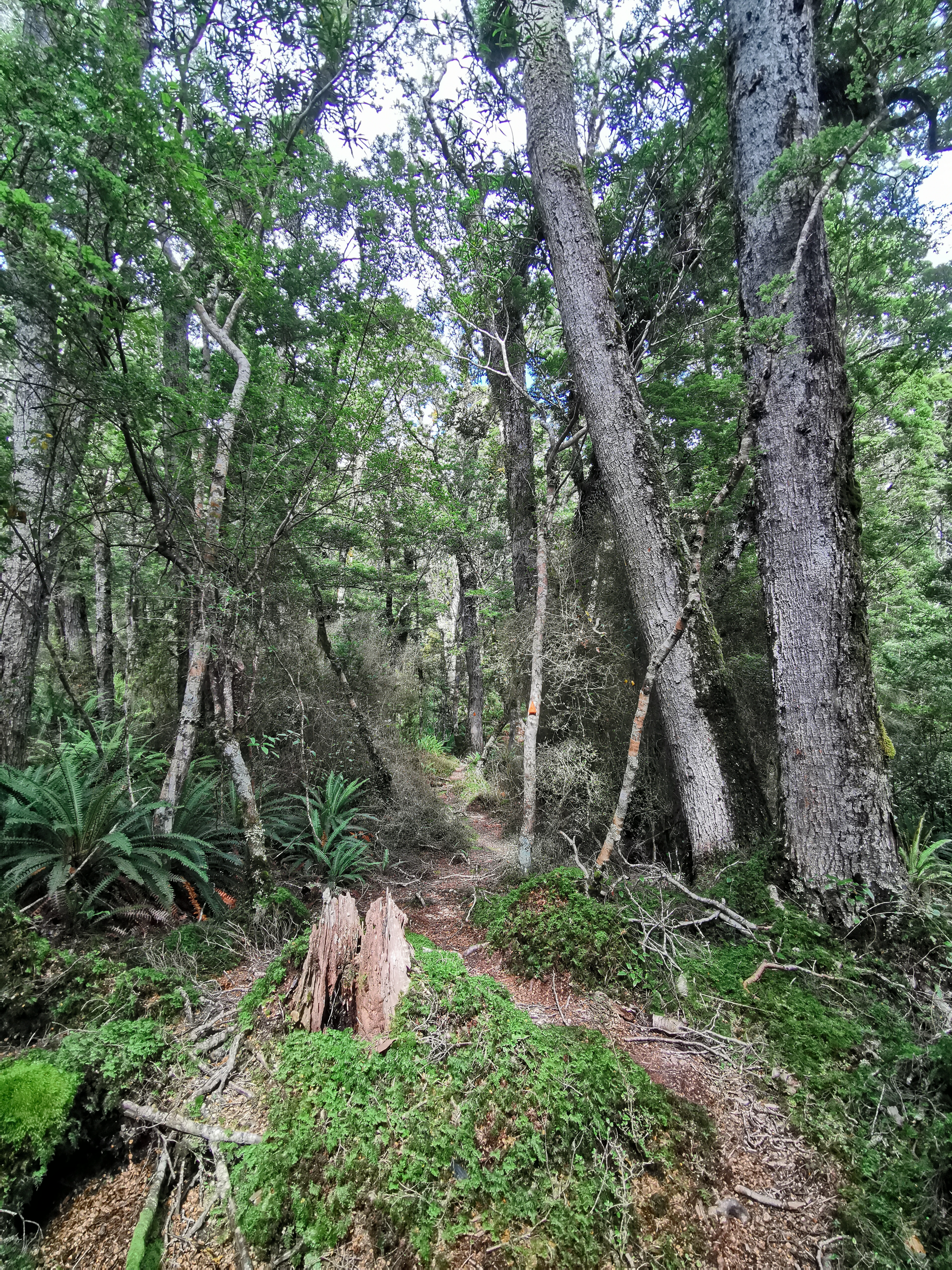
But it was generally in pretty good shape. You go up a short distance first, and we had lunch at the highest point.
Then you go all the way back down the 350m you climbed earlier. It didn’t take us long to get down, although the red line was way off so we got a little lost at one point. The sound of tuis was a welcome sound all the way down the hill.
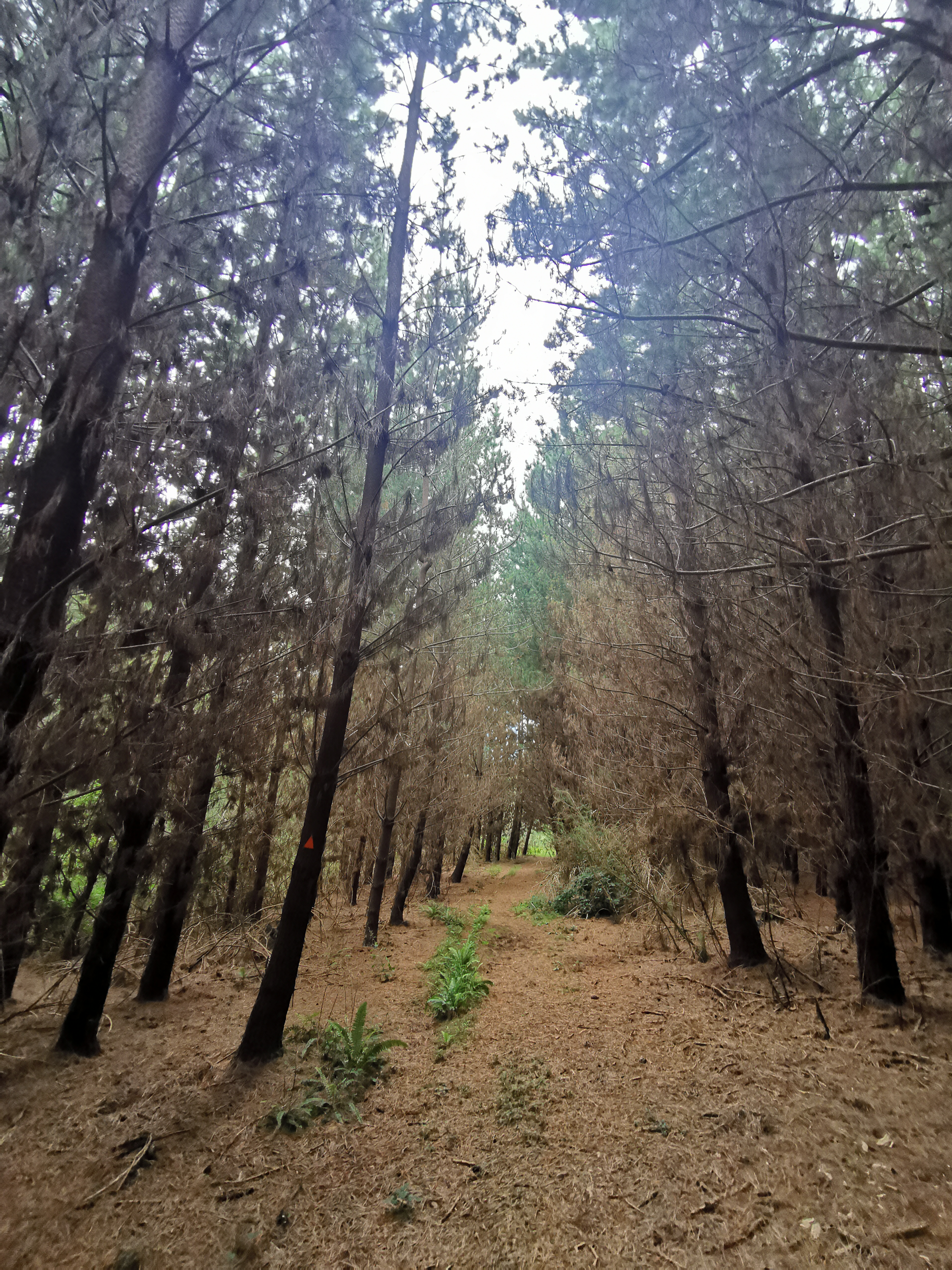
It reverted back to pine forest at the bottom. This bit was particularly spooky as it seemed they were all dead. Nicola said it was apocalyptic.
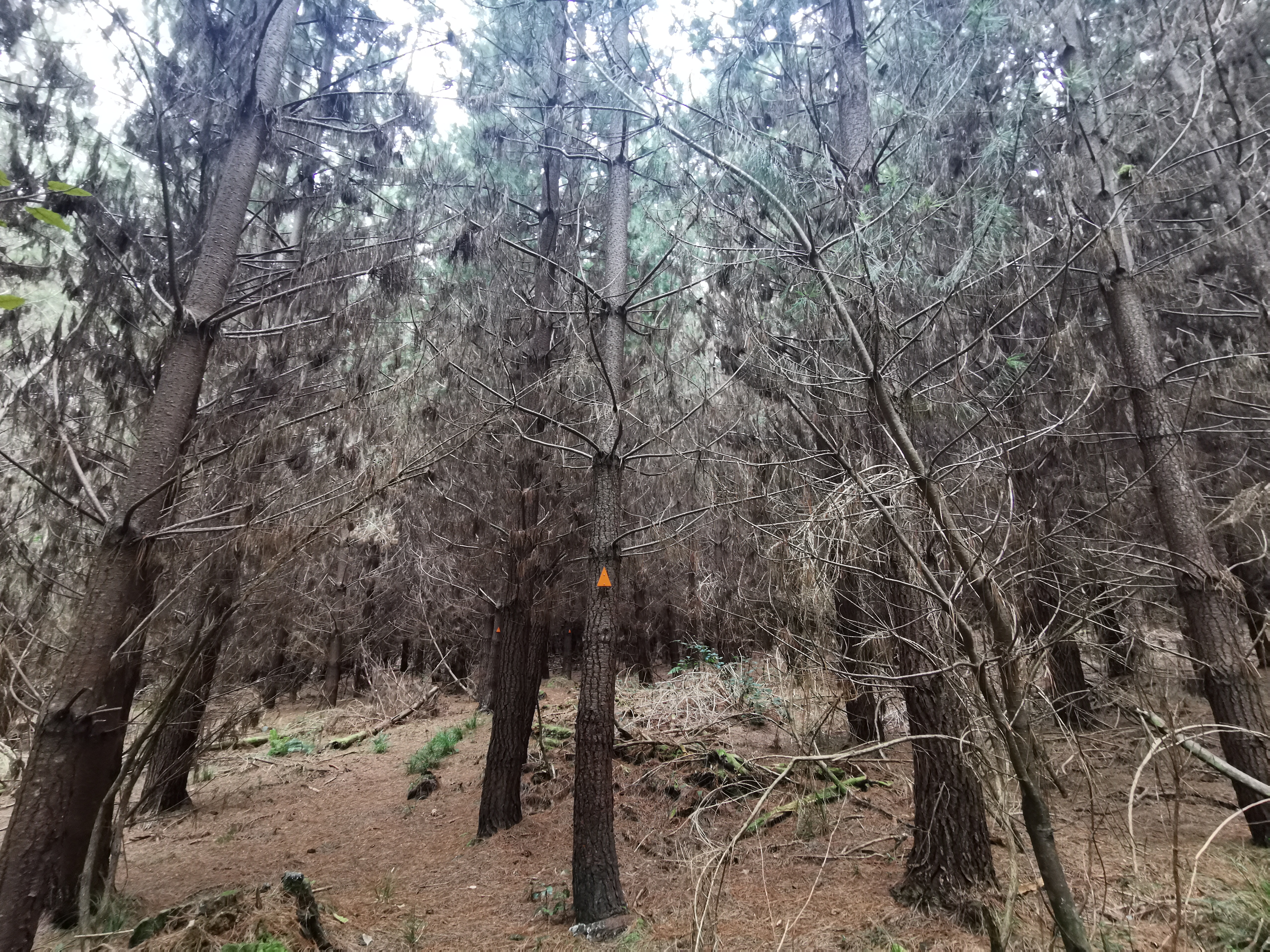
But the weird bit was that all the tops of the pine trees were green and so the whole of each tree clearly wasn’t dead.
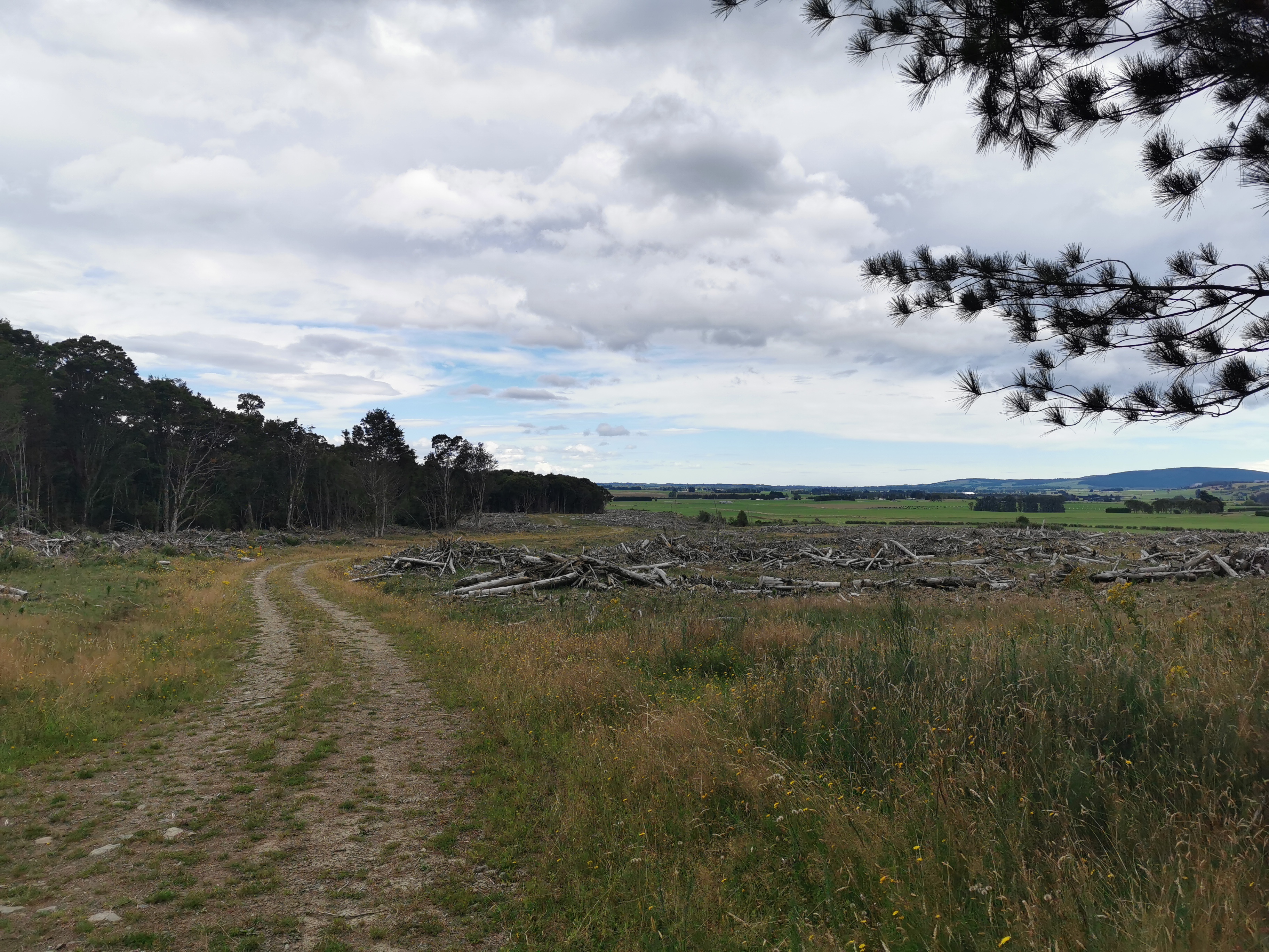
The last bit before the next road walk was a track along where some trees had been felled.
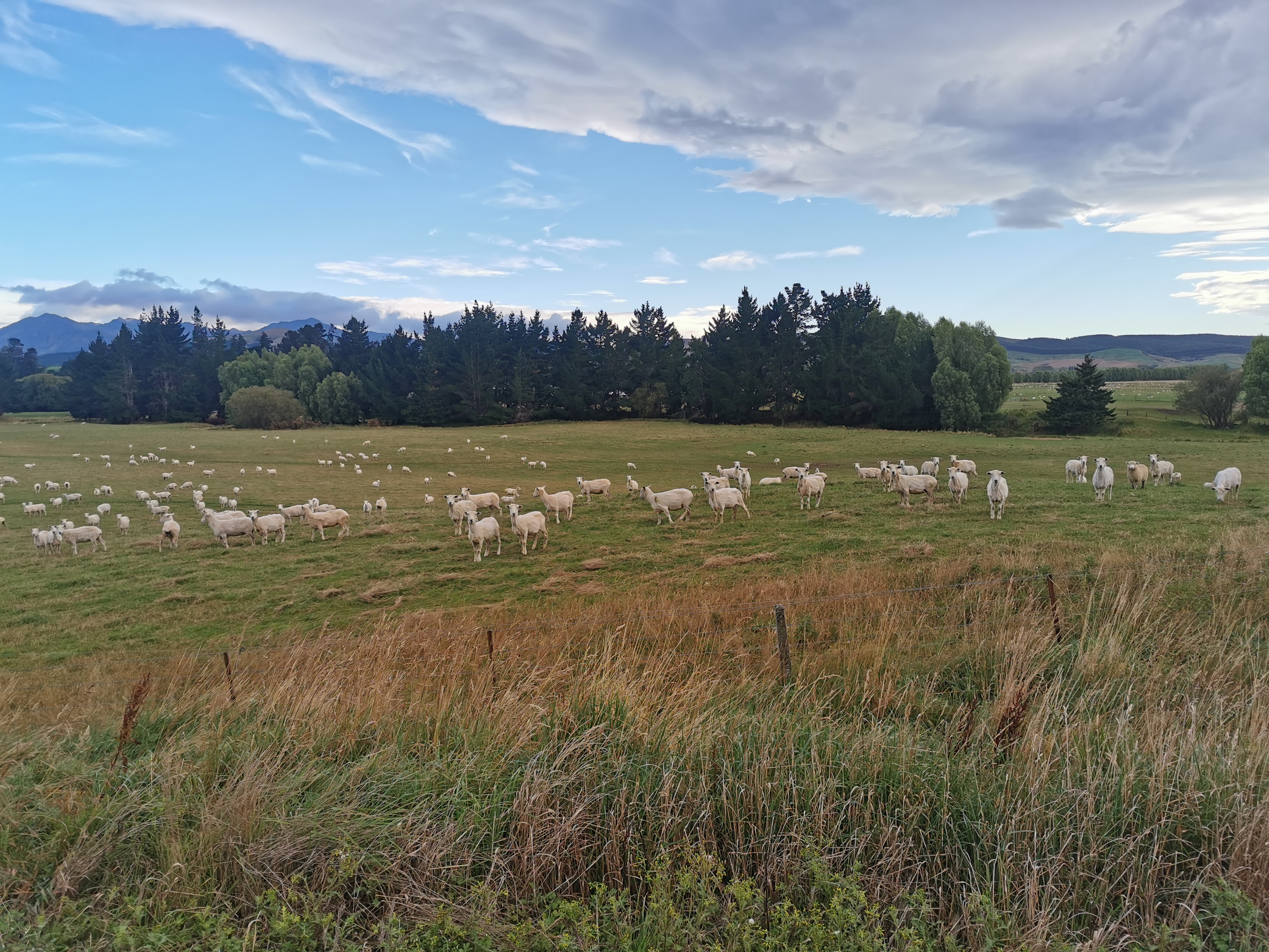
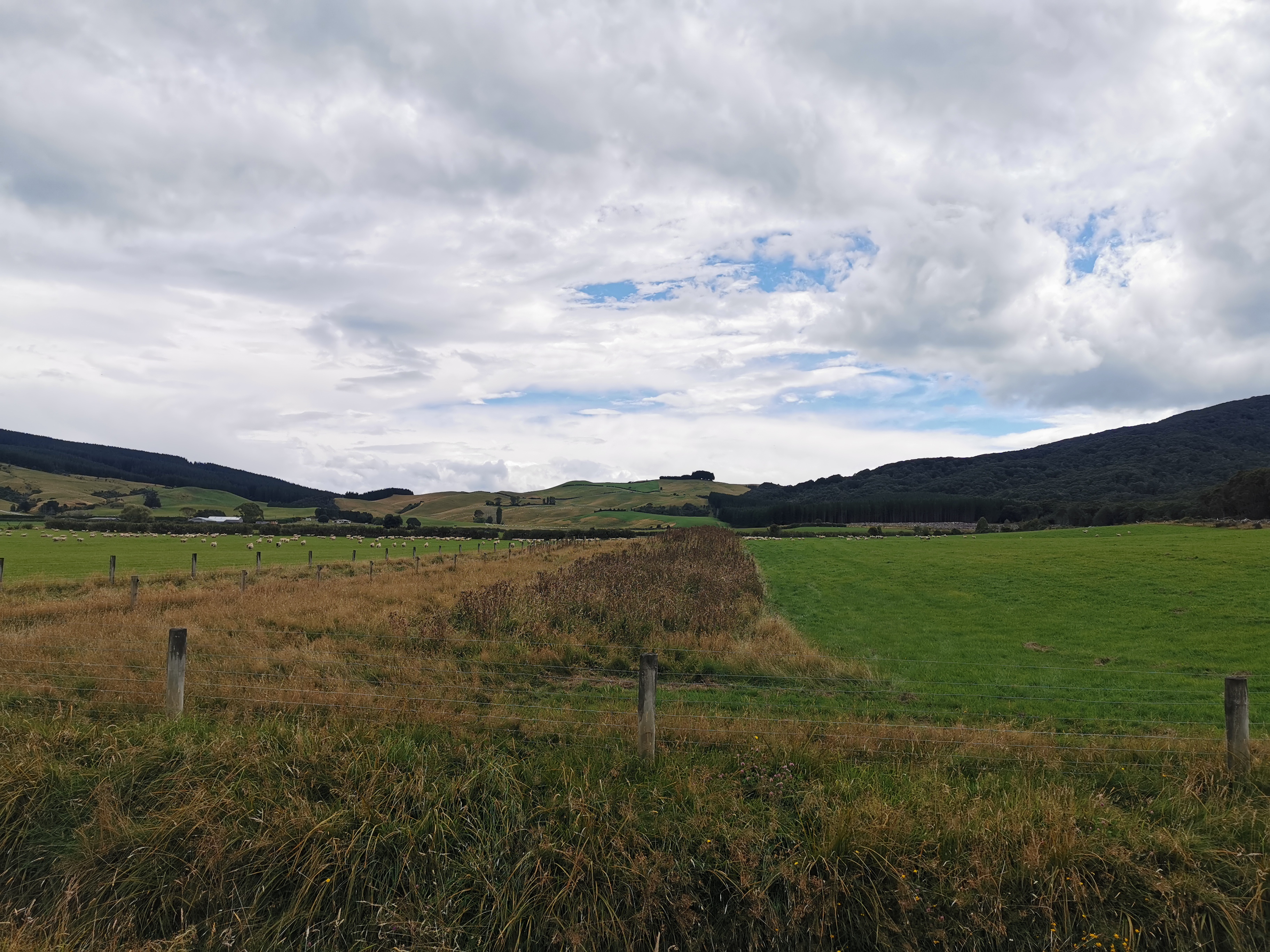
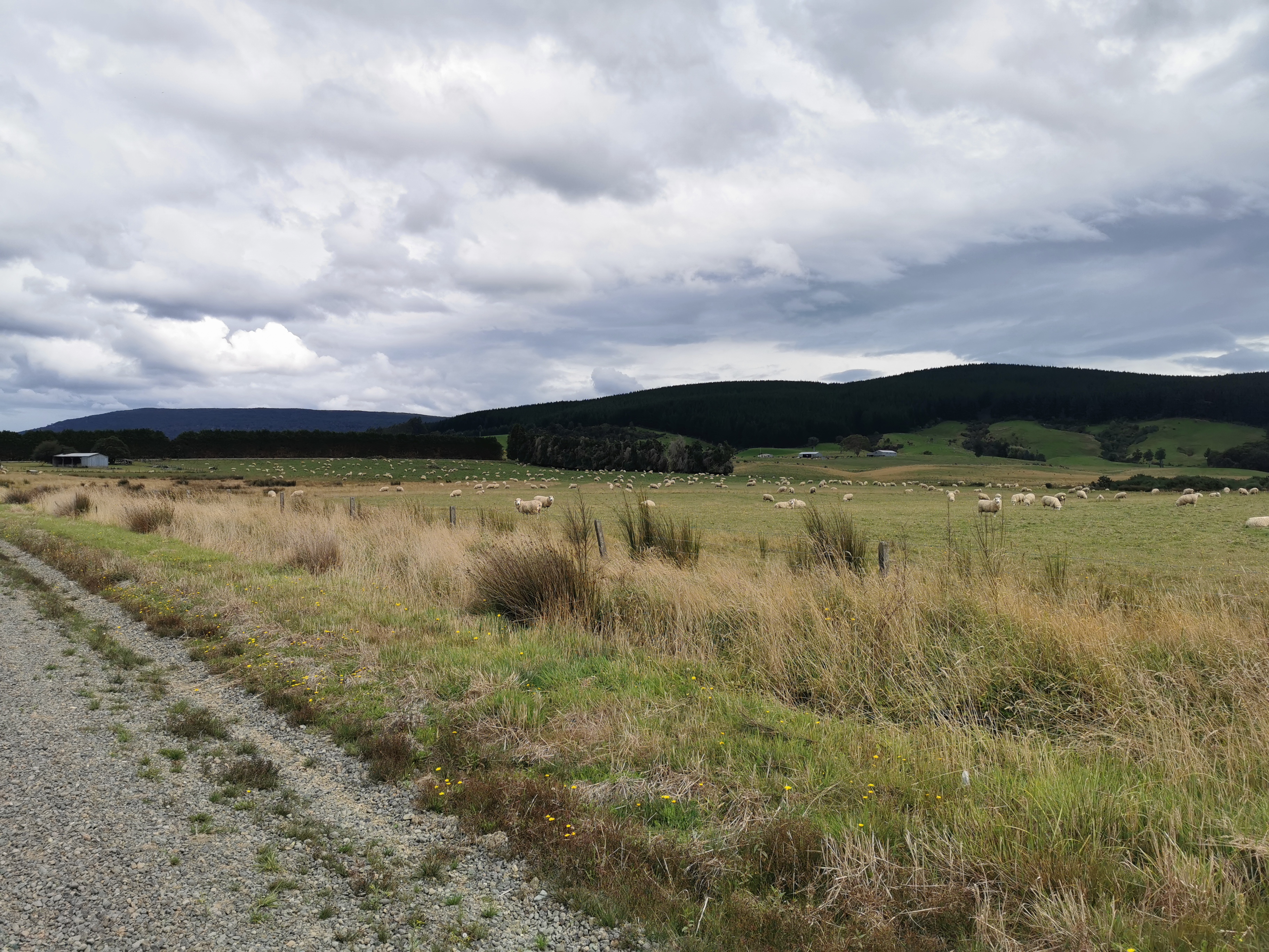
We walked past two fields of sheep. We were nowhere near them, but it just took one sheep to run away and that caused every sheep in both fields to run to the exact opposite corner of the field. Normally they run only a short distance away but this was different for some reason.
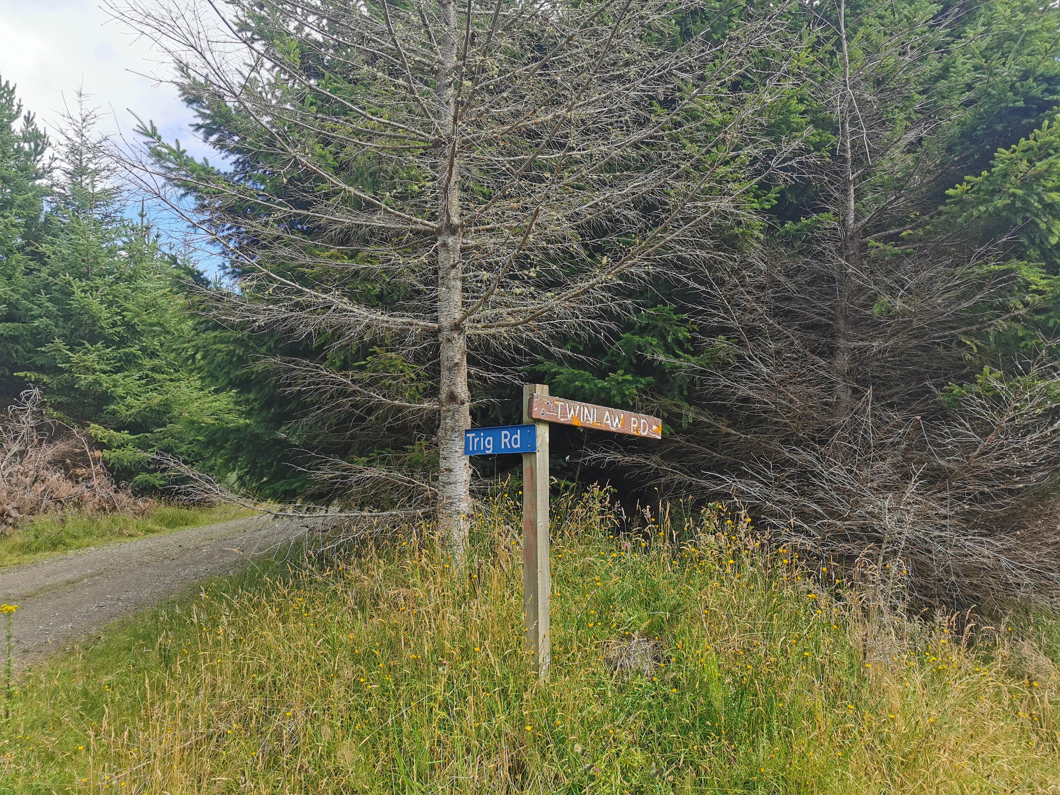
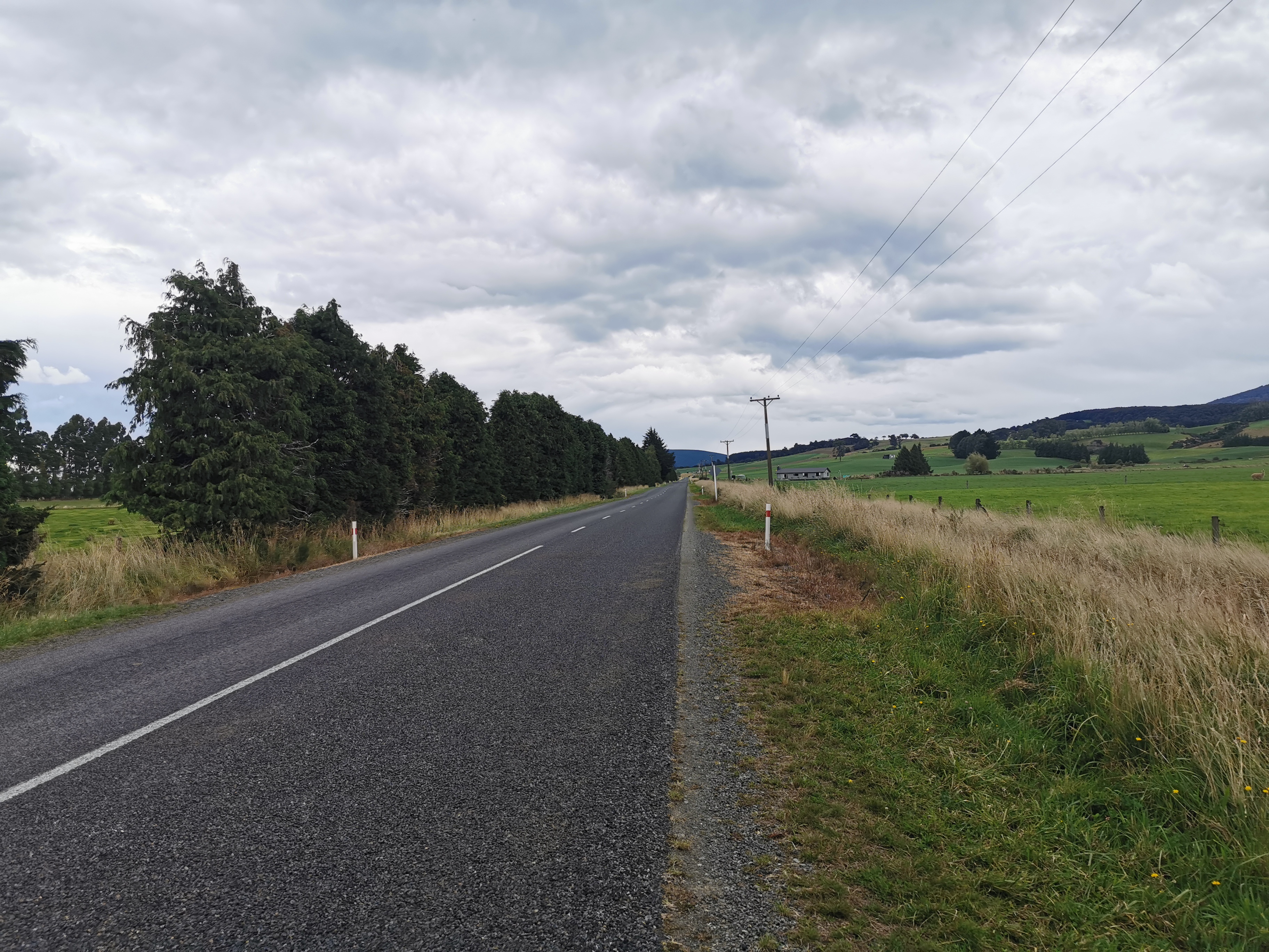
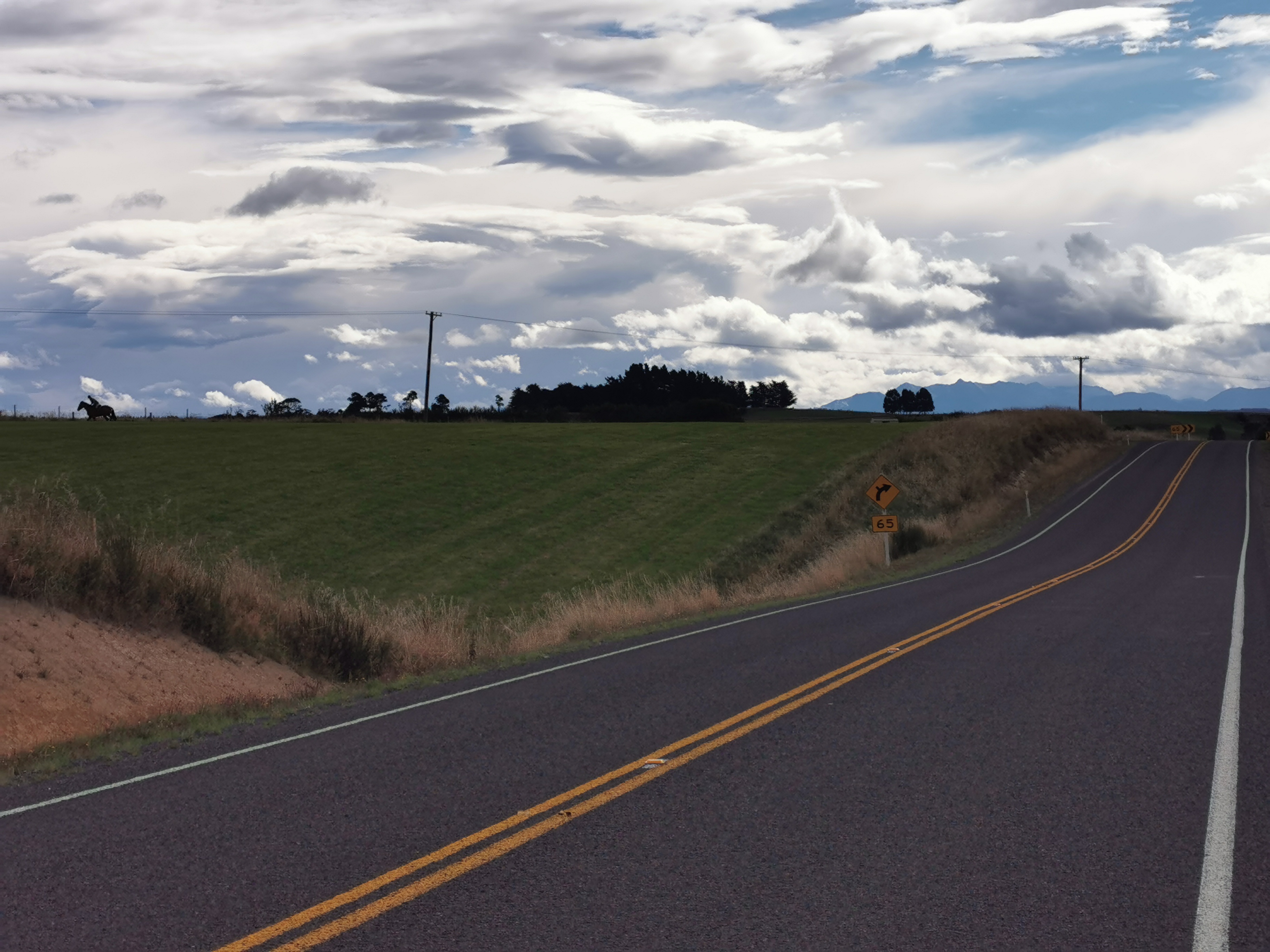
Now it’s time for a road walk.
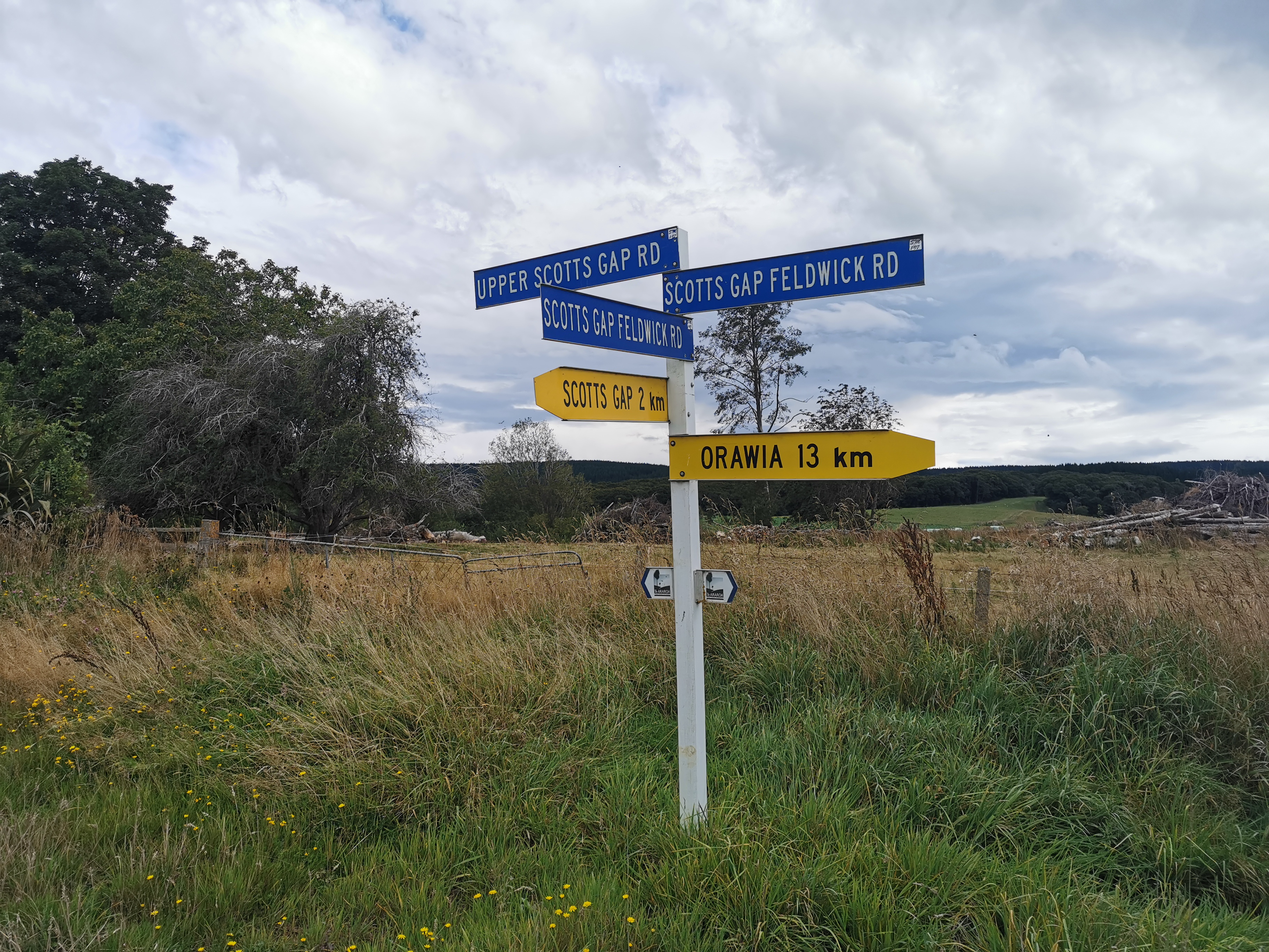
Normally the trail turns down Hewitt Road…
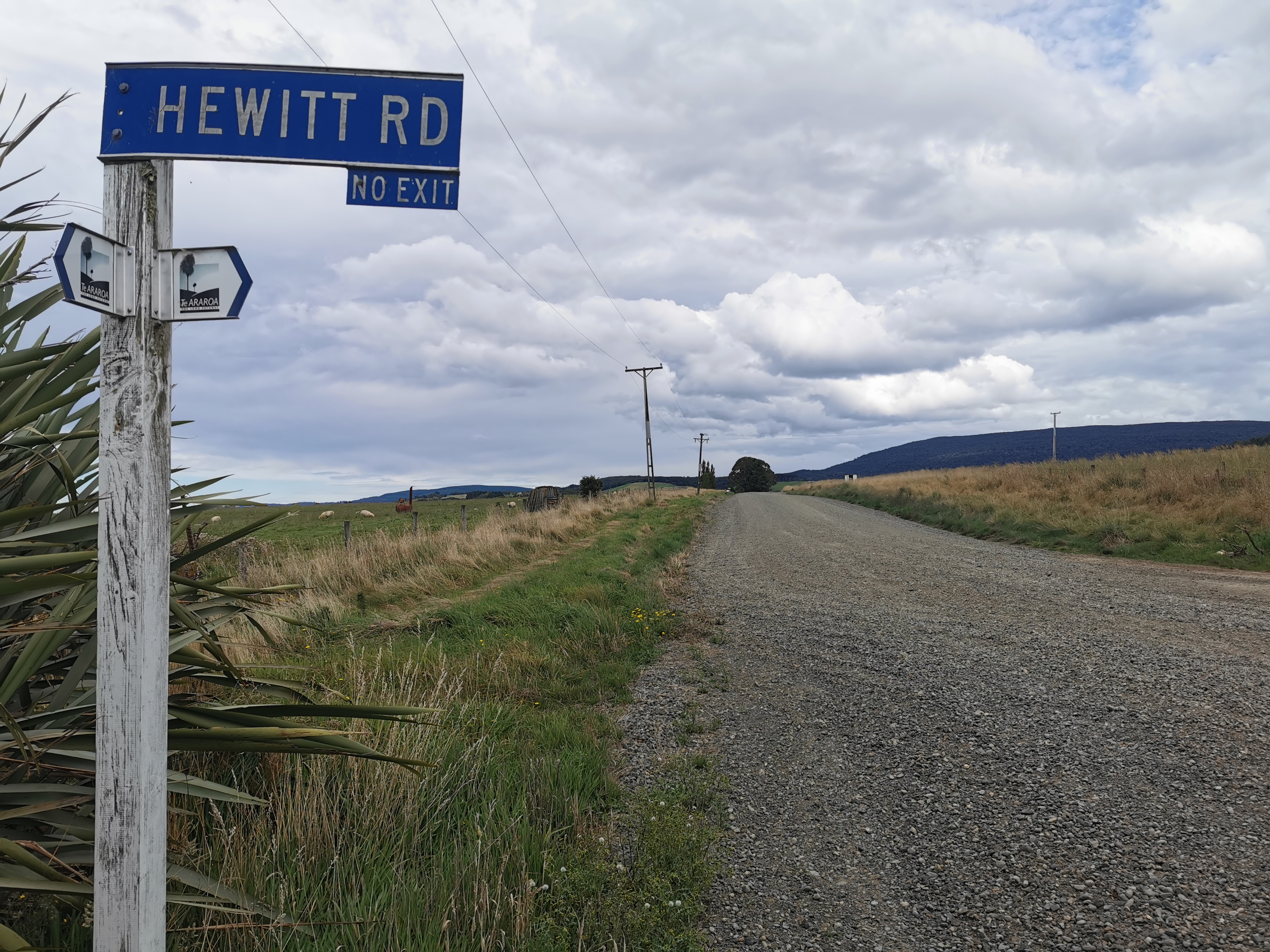
But this time it is closed for forestry.
So that means a further detour on the road is required.
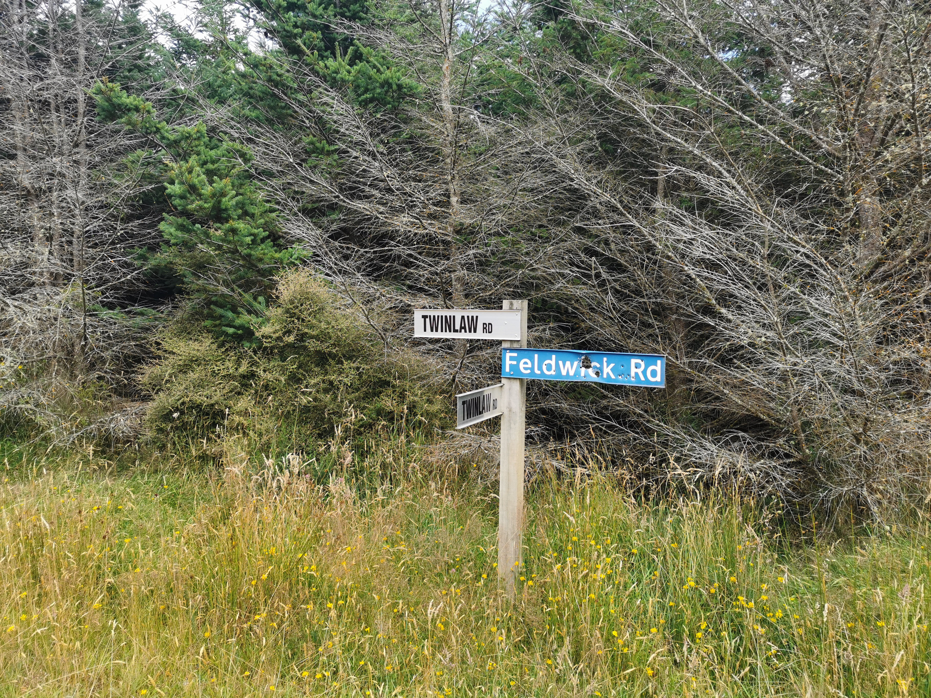
The detour involves two sealed roads in addition to the gravel road from before which is actually part of the TA. One I call “Dead Straight And Goes On Forever Road”:
Okay apparently it is called “Lower Scotts Gap Road” as you can see from Guthook. This map makes the detour pretty clear once you see where the blue dot is, which is where I was at the time.
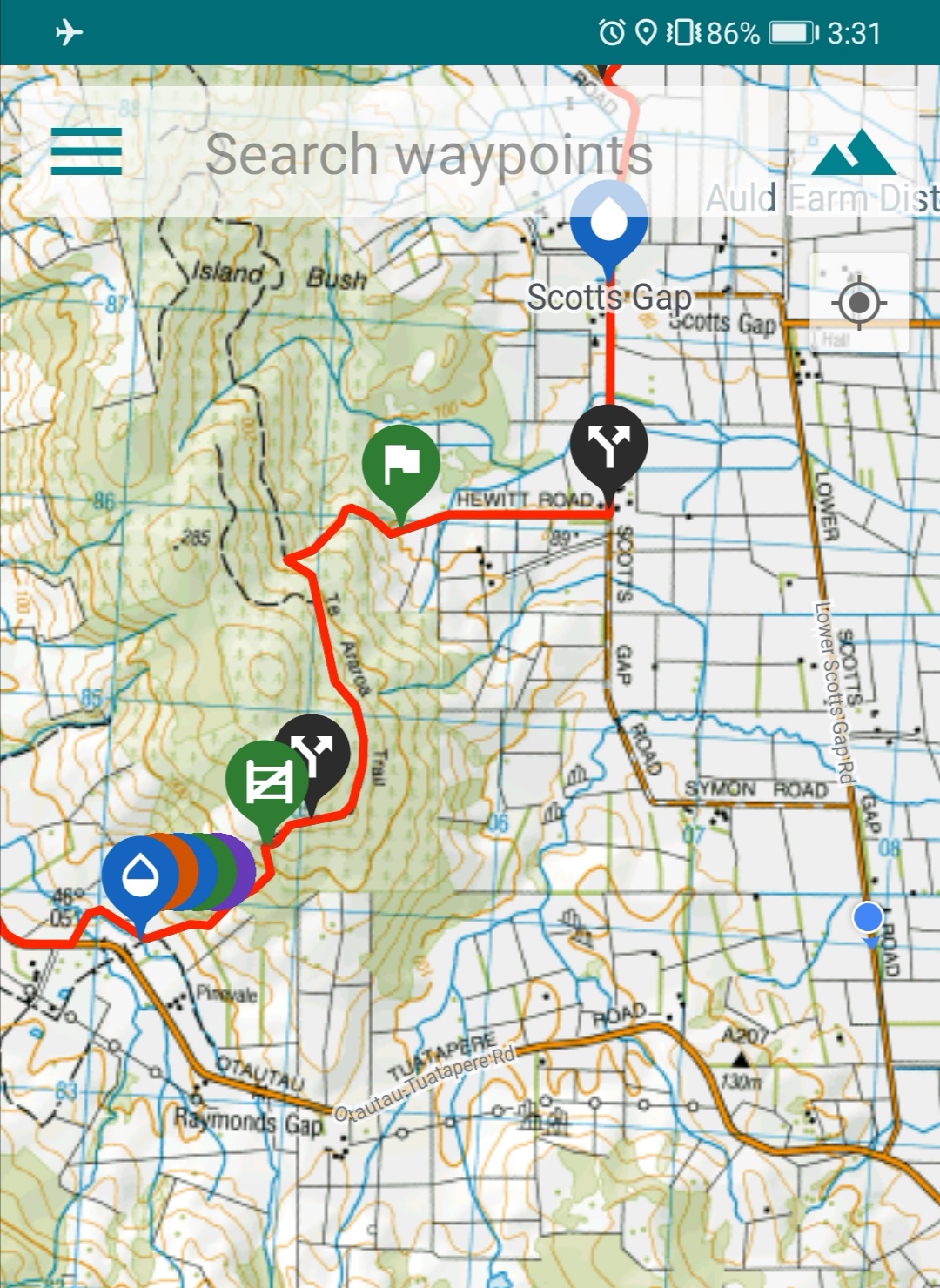
Once you reach this intersection
You turn right into what I call “Not Dead Straight But Goes On Longer Than Forever Street”, otherwise known as “Otautau-Tuatapere Road”, which arguably is just as much of a mouthful.
At the top left of the previous picture you can see Longwood Forest, in which we will be spending the next day and a half.
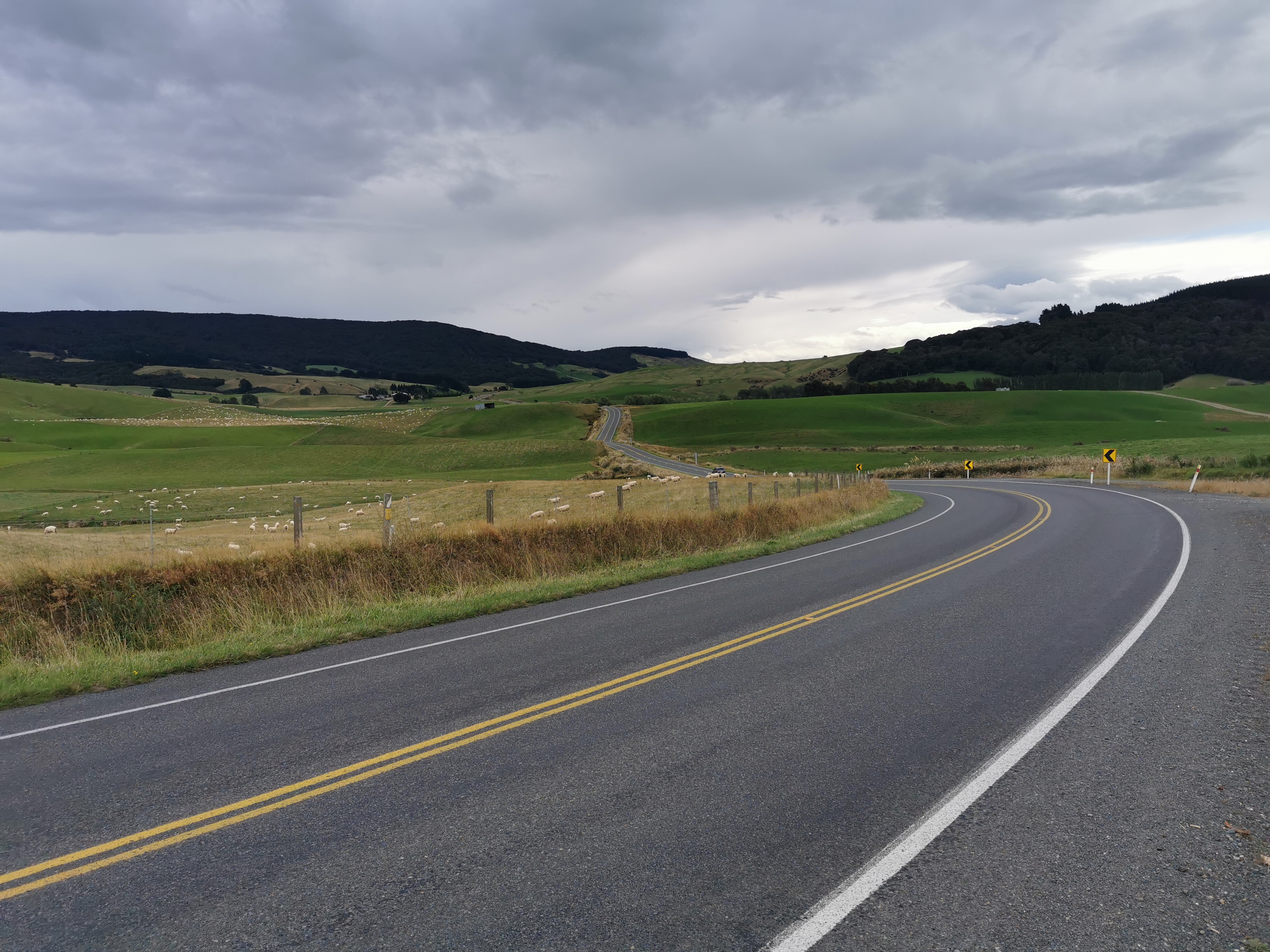
There wasn’t a lot of note on this extremely long and uneventful road. It was necessary to move over when cars came past. And Southlanders like to litter it seems. So much litter on this road.
While walking realised I smell better despite wearing most of the same clothes as the last week. The hot shower last night really helped. And things didn’t hurt so much. I just generally felt fresher.
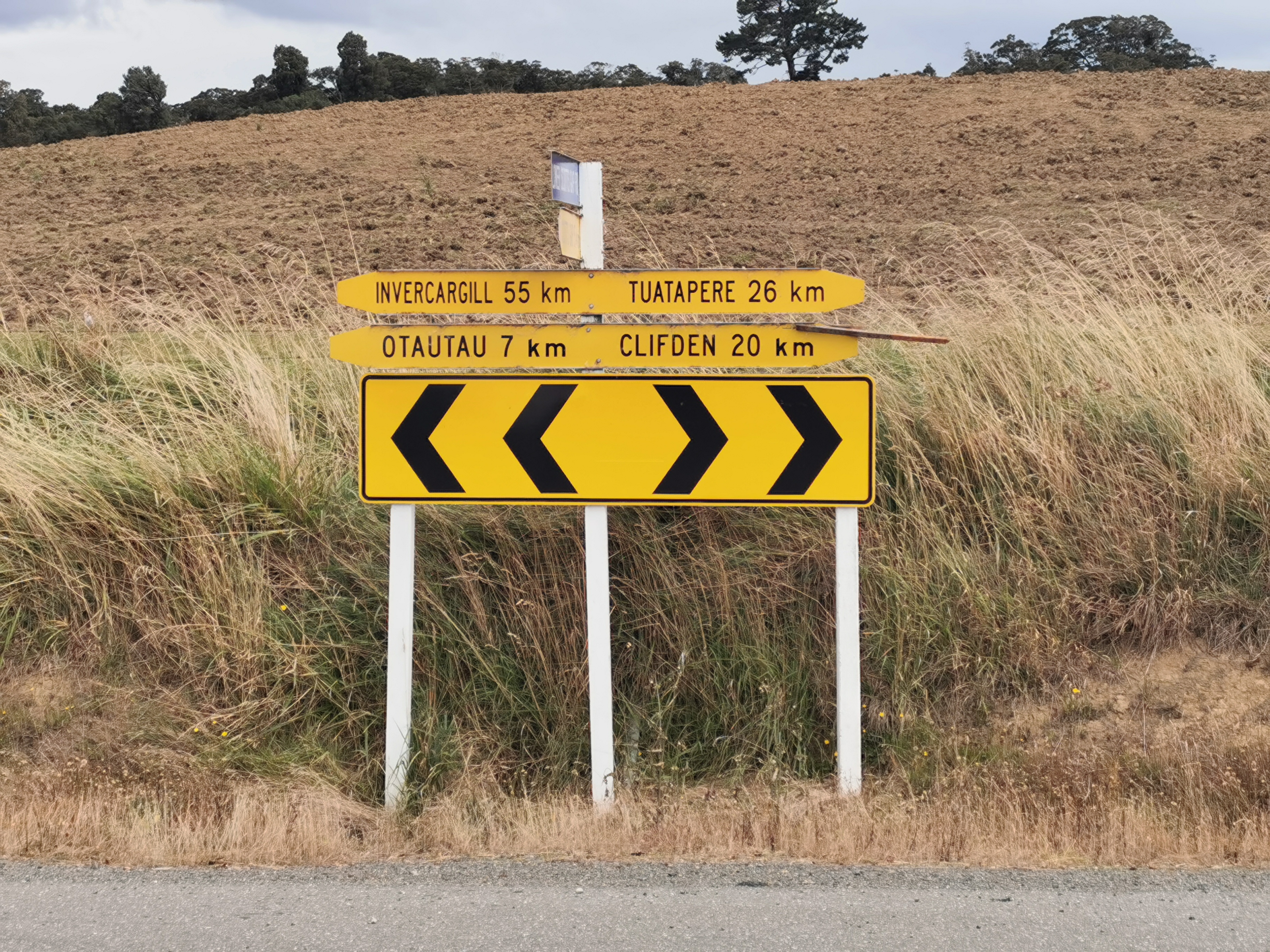
After what felt like forever, there was this sign:
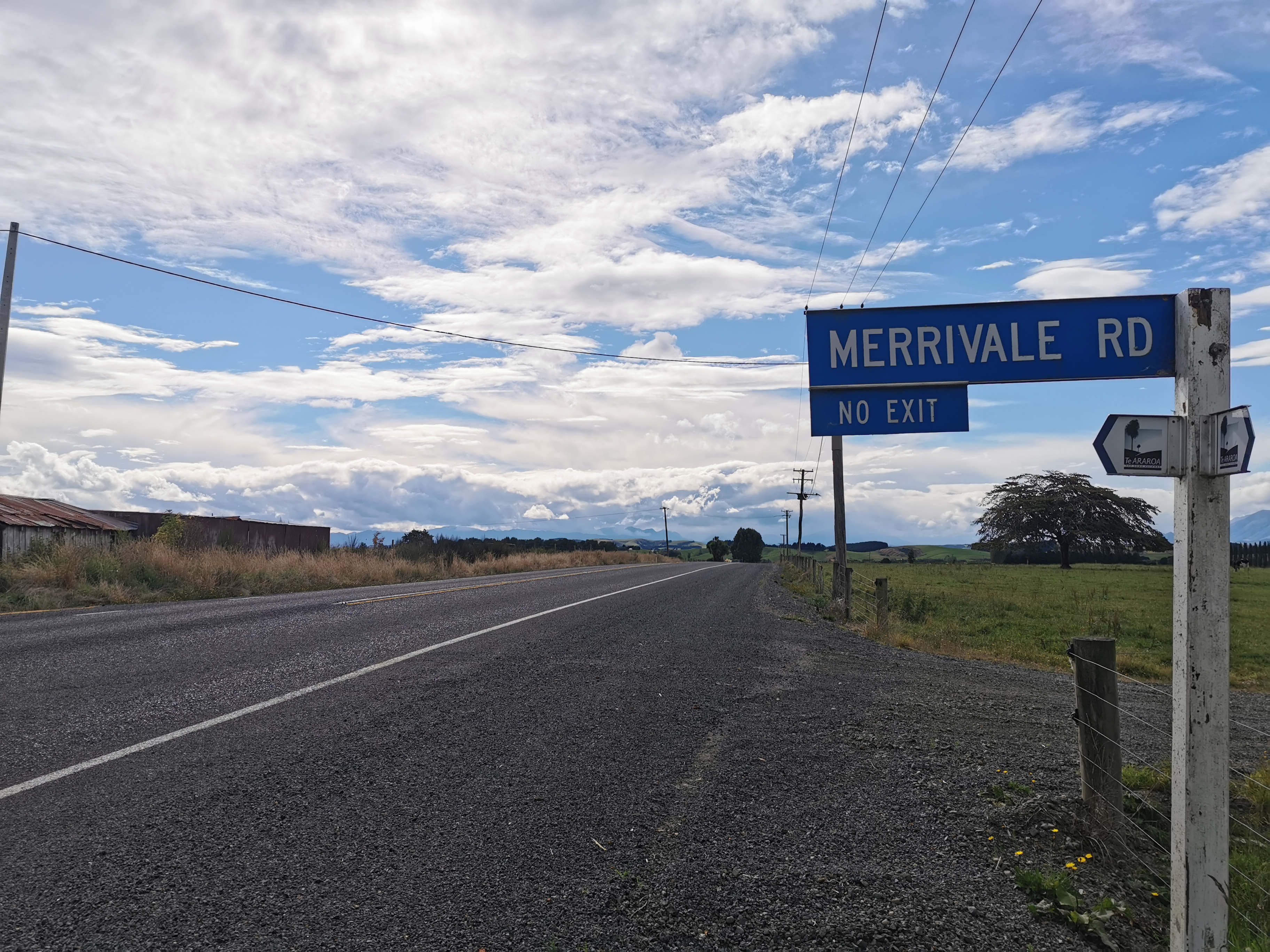
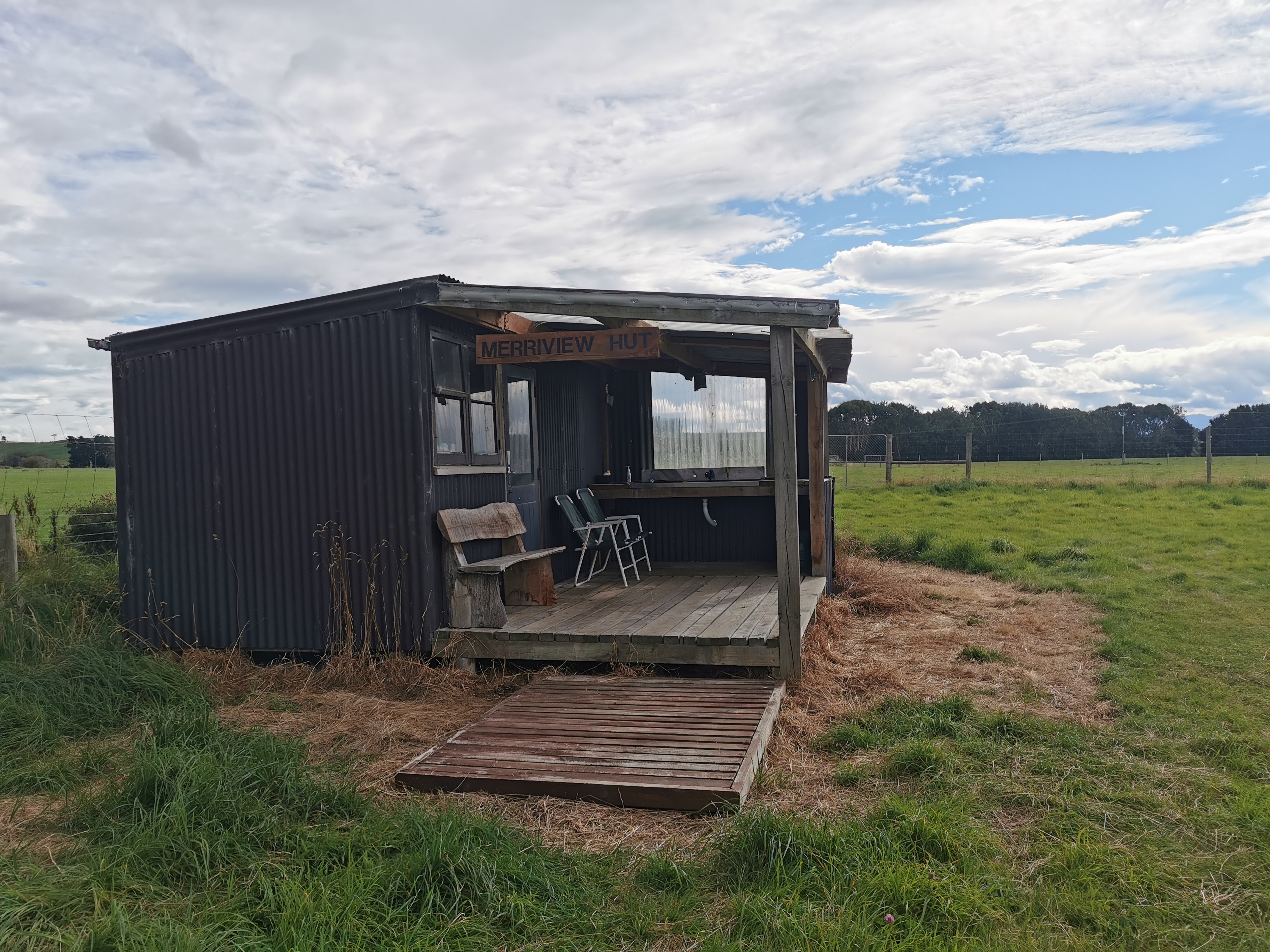
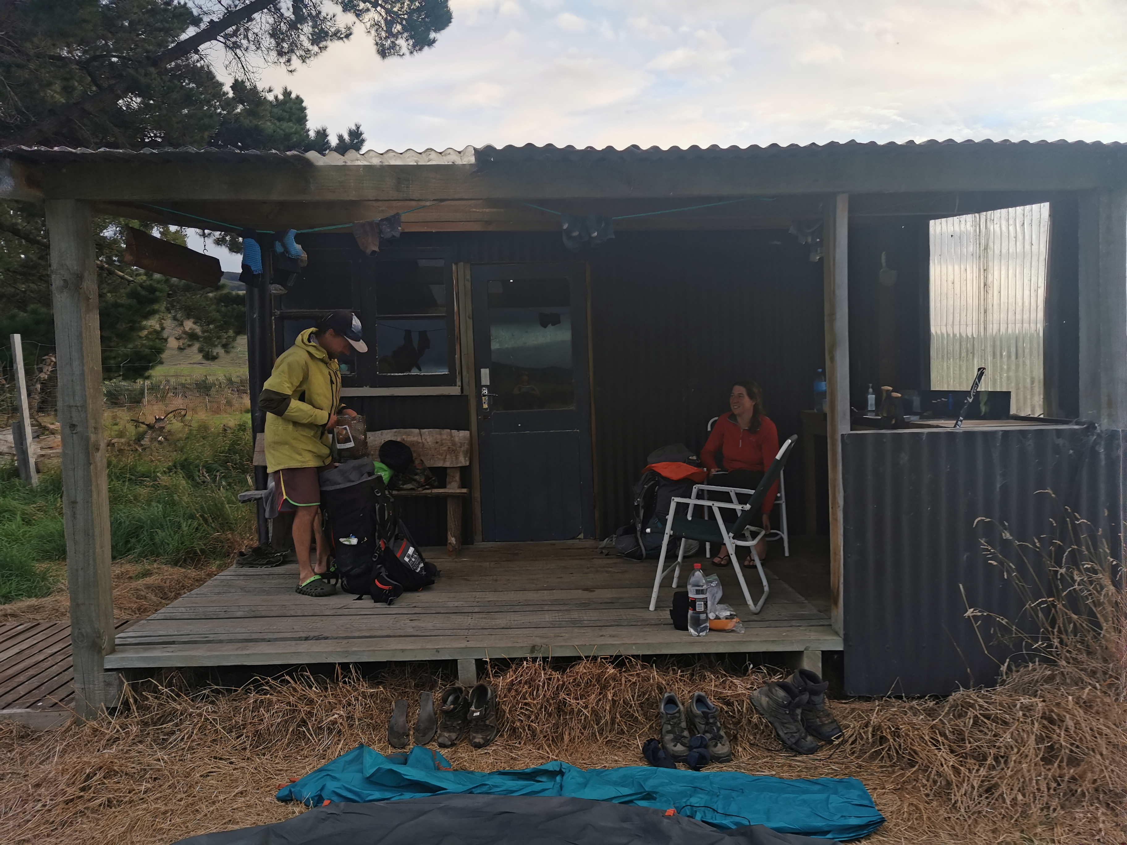
And shortly after, the quaint little Merriview Hut. What a sight for sore eyes!
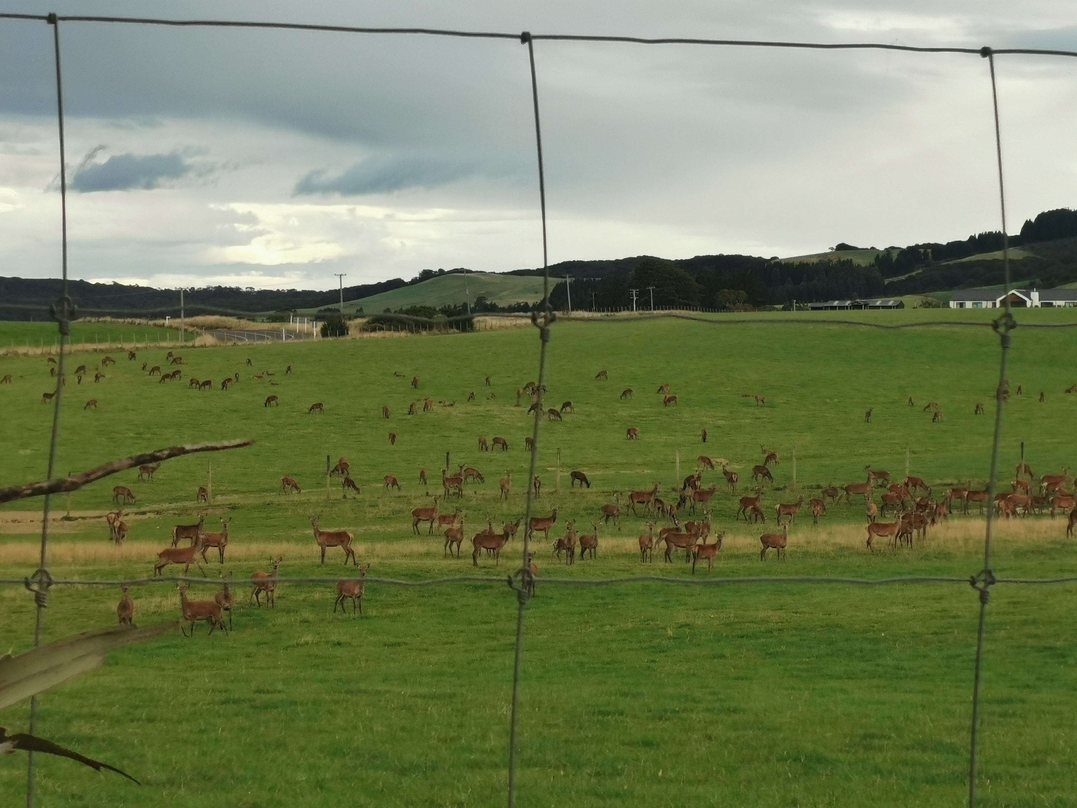
There were a lot of deer across the road. Unfortunately they all scampered like sheep when I went to take their photo so this is what I got.
The hut was fairly basic but it does have clean running water. It does not have many “supplies”, sadly, only eggs, 2 minute noodles, insect spray, rice and milk powder. There was definitely no chocolate, but the eggs were from the farm and I had two with my rice. They were delicious.
I left all of my remaining dinner food here in the hut for others except for one backcountry meal for tomorrow. There is no really bad weather forecast so I should not be held up in Longwood Forest.
I hope the Colac Bay Tavern isn’t closed on Mondays, as it will be Monday when I arrive there. There is 4G at the hut so I decided to check the Internet, but sadly Google doesn’t list its opening hours. I’d be gutted if I got there and it was closed. I’m looking forward to a beer and a burger!
Nicola and I had food and sat outside for a while. The hut has a great little deck to sit on, and there were very few sandflies. It was a great place to just hang out.
Two northbounders turned up at 7pm. They were Peter and Maggie. They said they have done from Cape Reinga to Boyle Village southbound already but there is a week and a half of bad weather forecast at Arthur’s Pass and so they’ve skipped ahead to do this section.
I asked them about Martin’s Hut, where will reach tomorrow, and if there are any rats there. They said no, but they also said they didn’t stay there because Maggie is a “princess” and didn’t like the hut… so they stayed in a tent instead.
I would like to take the time to point out these ridiculous socks that Maggie was wearing.
Peter said that it’s supposed to rain tomorrow… so I looked up the forecast and yes, so it is. Weird, I thought I looked at the forecast not long ago and it was good. That’s a shame… and when I went into the hut to bed at 8:30pm it started raining. That will make for an interesting day tomorrow if it is still raining in the morning.
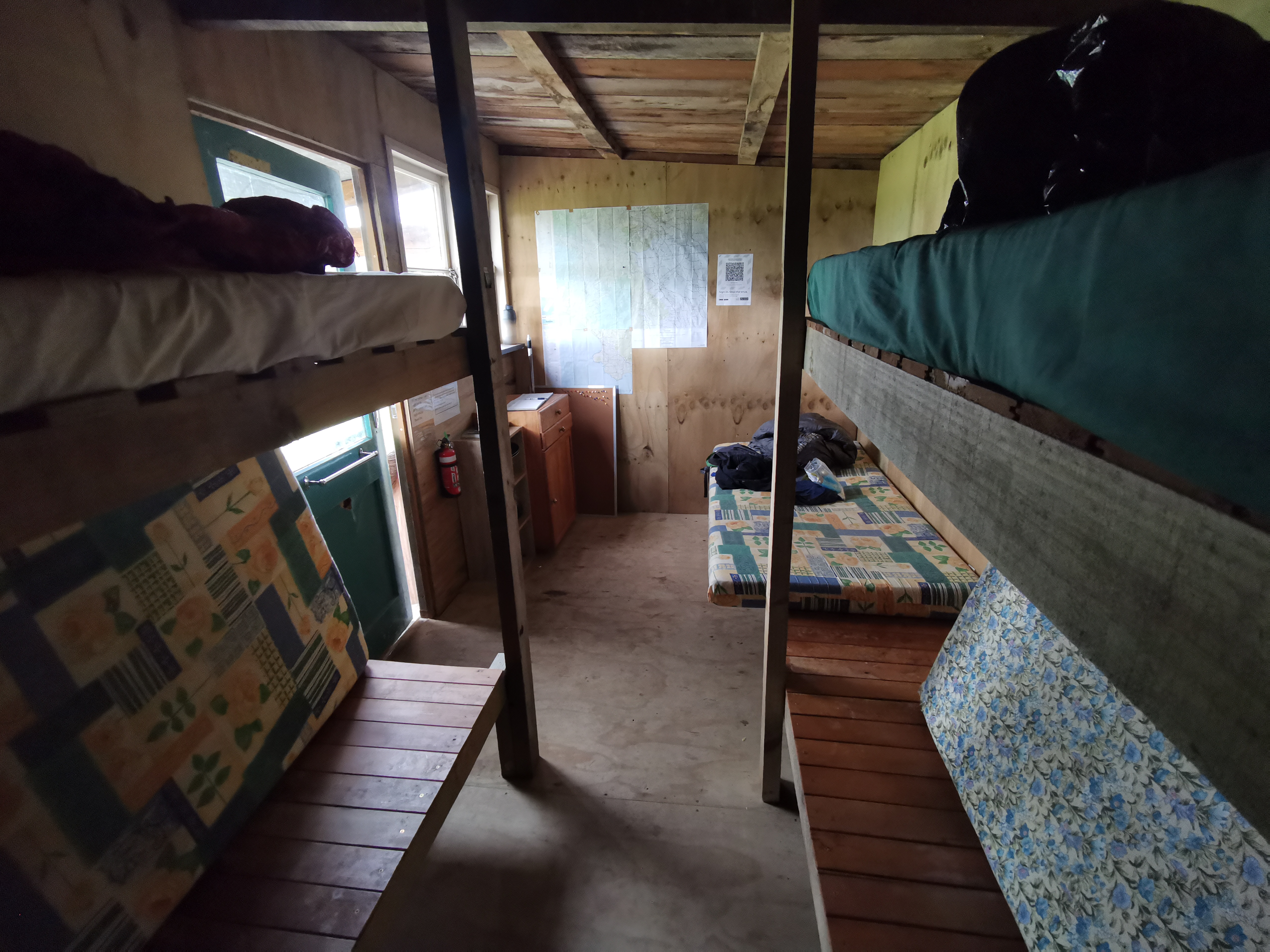
I got into bed and realised the mattresses here are narrower than ones at other huts. I’m on the top bunk so I hope I don’t fall out during the night!
Shay was listed in the visitors book here as staying here 3 days ago. In that case he has probably made it to Bluff already. I checked his Instagram, and he has indeed. Nice work Shay!
I remember before Telford Campsite two days ago that I figured that walking across the two farms yesterday and today would probably be similar. I was very wrong! Mt. Linton Station was a real farm walk but this was just up a giant hill, through a forest and then a road walk. They couldn’t have been more different.
Today's walk on the map (blue = Te Araroa, red = today's walk):
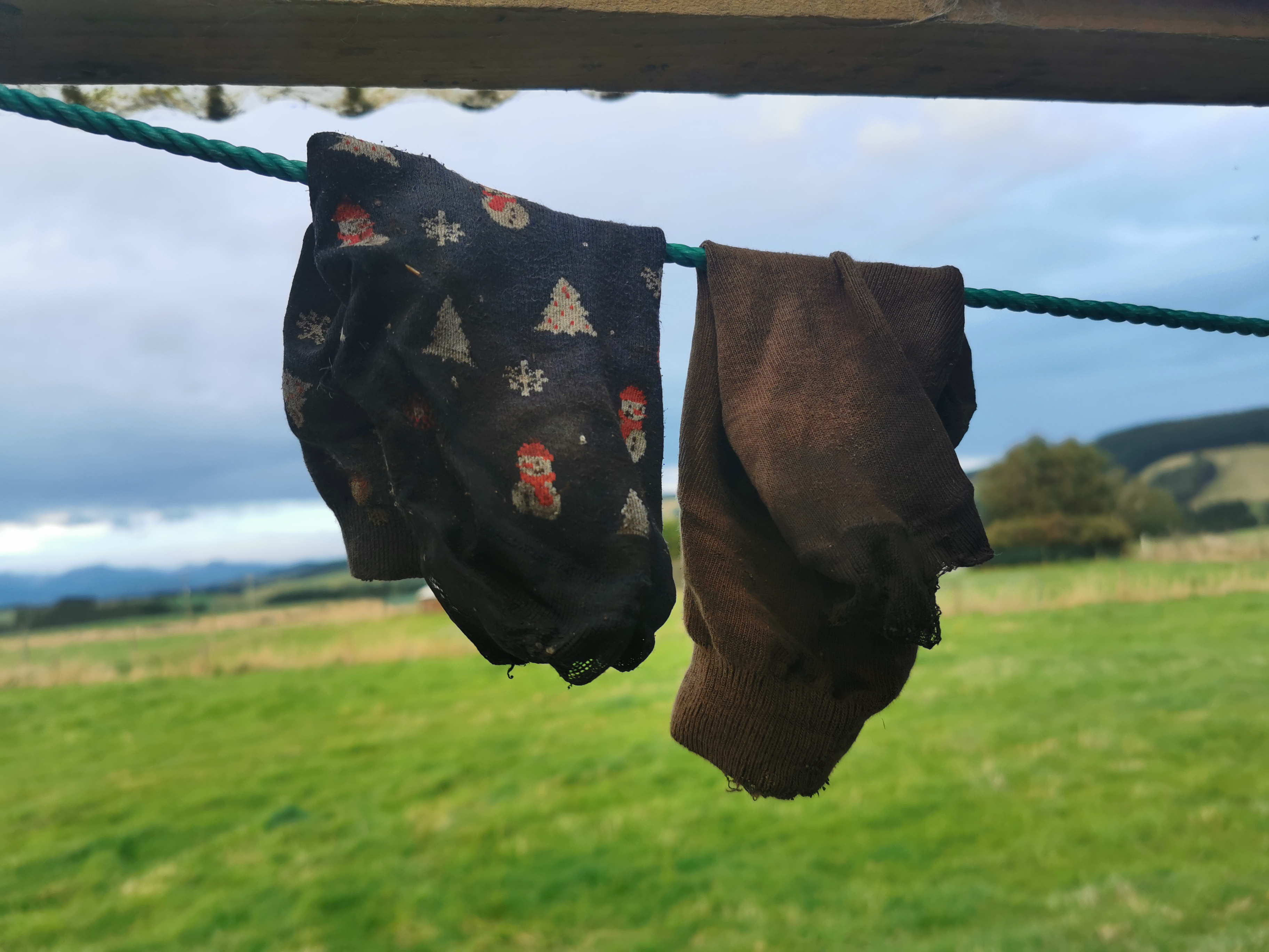
LoL, Christmas sock.
Drink!
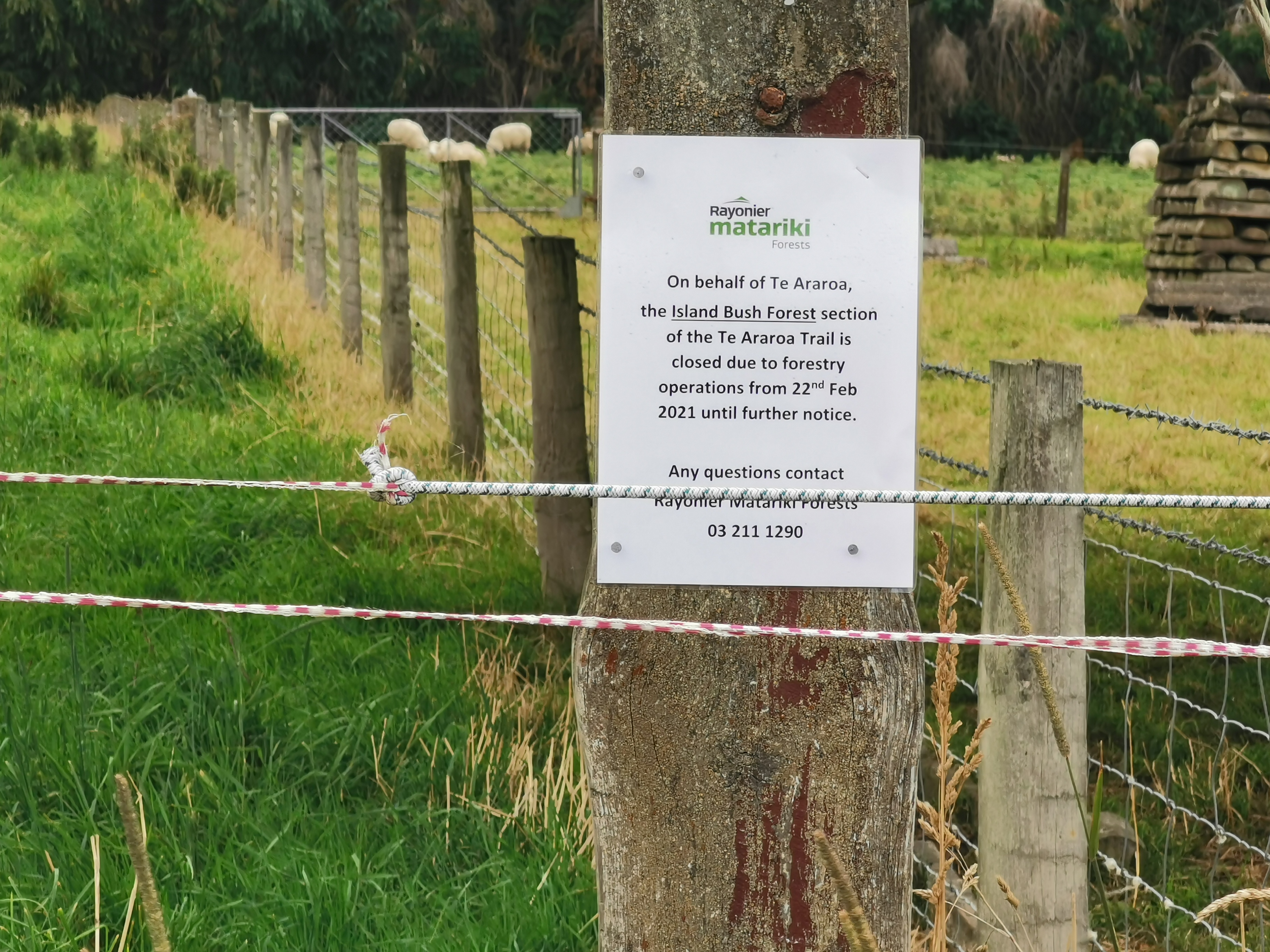
Island Bush is right at the back of the farm where I grew up. I hope they open it back up again soon, I’d like to walk through there myself.