Date: 9 March 2021
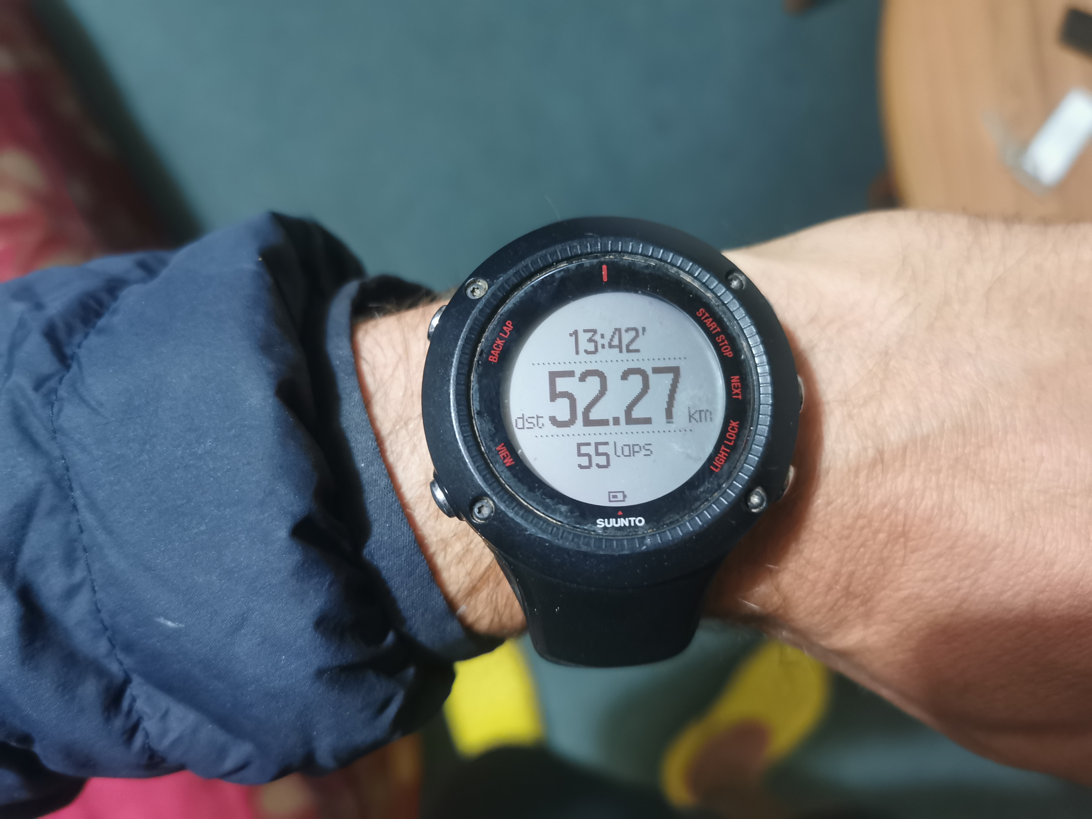
Trail covered: 44.3km (kms 2919.5 to 2963.8)
Weather: overcast / sunny
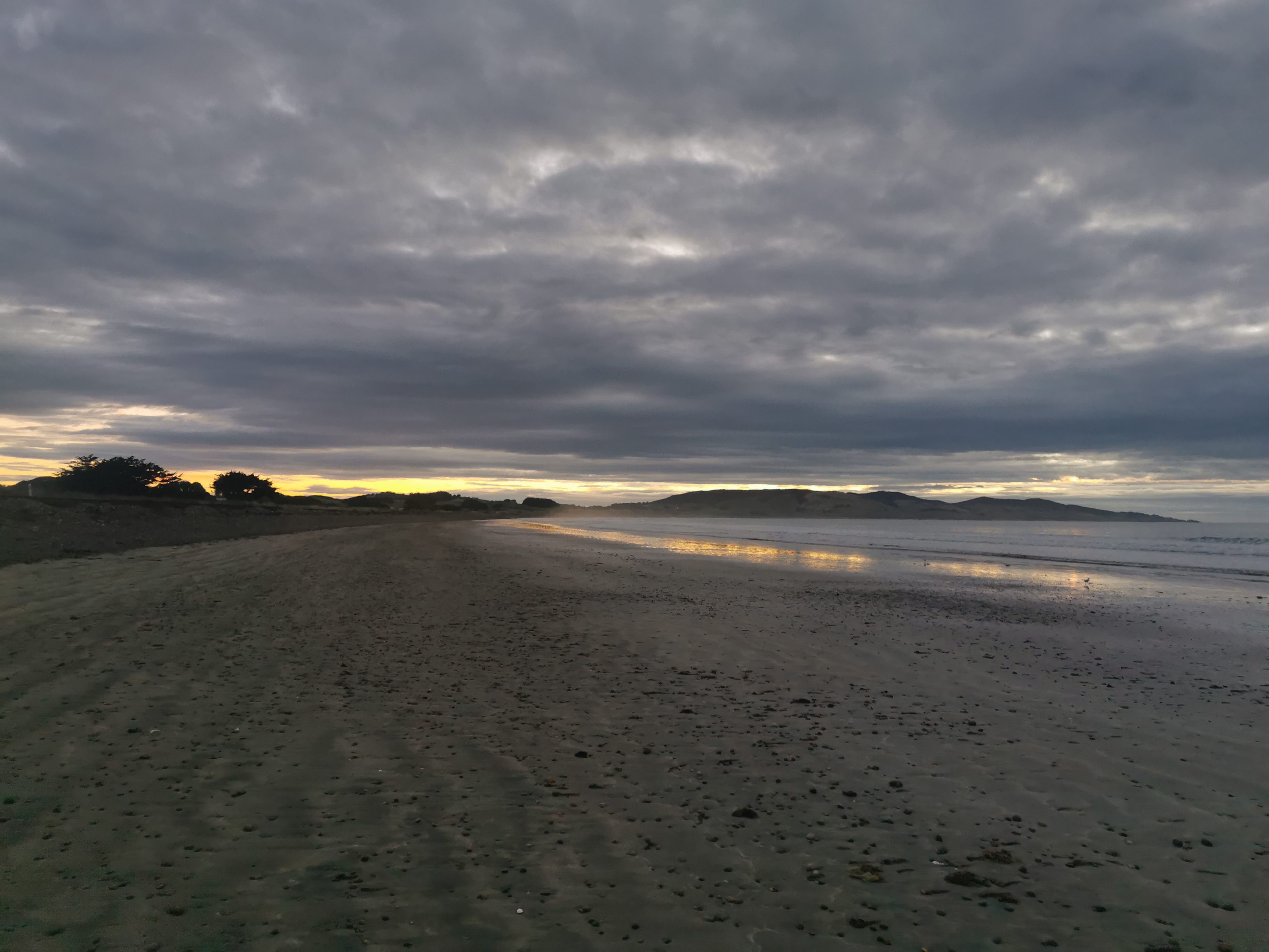
I said yesterday I was going to get up early and leave at dark to watch the sunrise along the beach. I was mostly serious, but when Nicola said she’d join that meant I actually had to follow through with it.
I got up at 6:30am and Nicola’s light was on in her room. I had my last morsel of food in my pack for breakfast, namely the last wrap.
I also heard what sounded like a baby crying softly, and I thought I’m glad I’m not near that room. But it wasn’t a baby at all, it was this cat with a very strange meow.
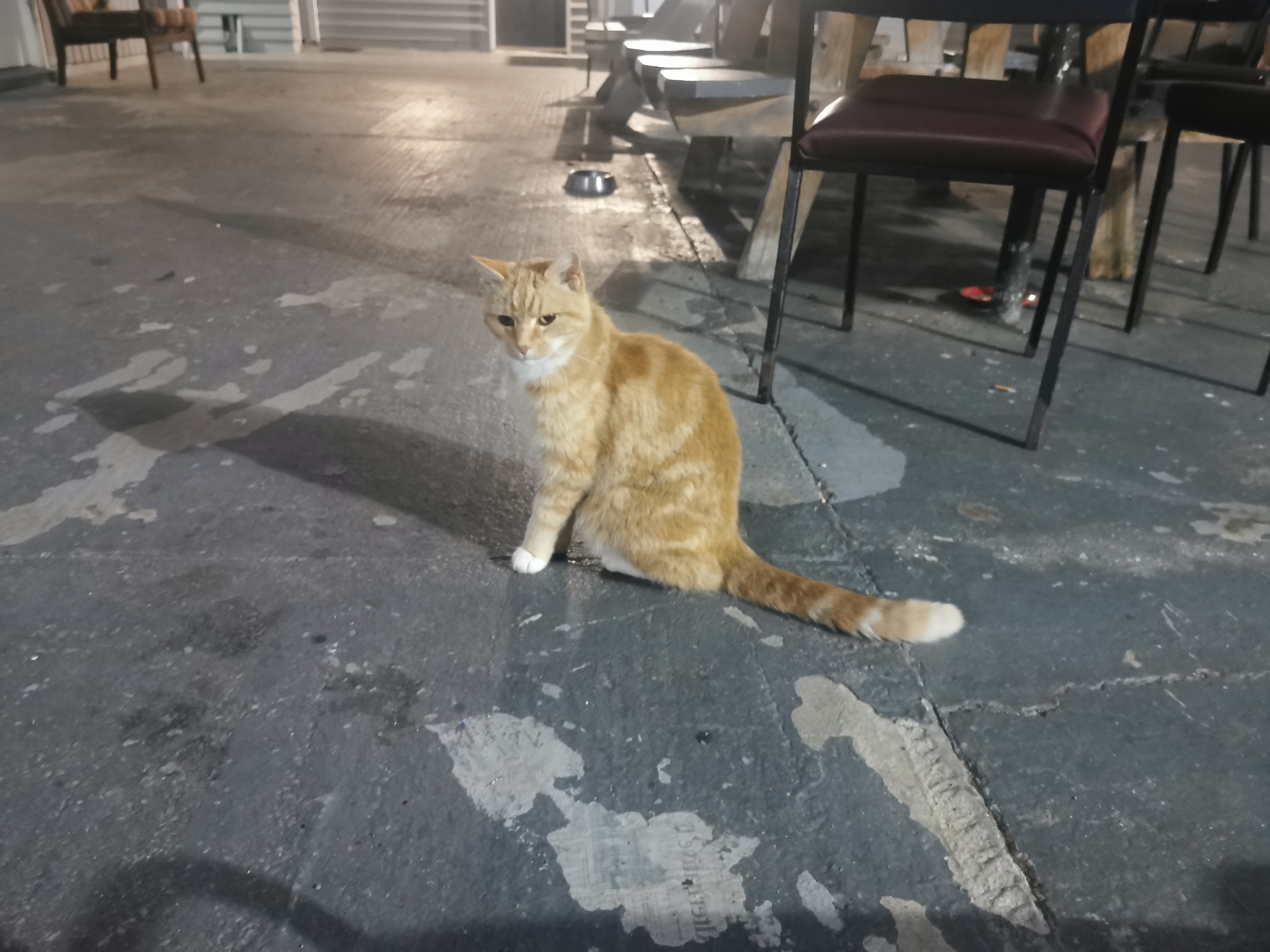
It was really friendly and I spent a lot time patting it. Which meant I almost missed the sunrise!
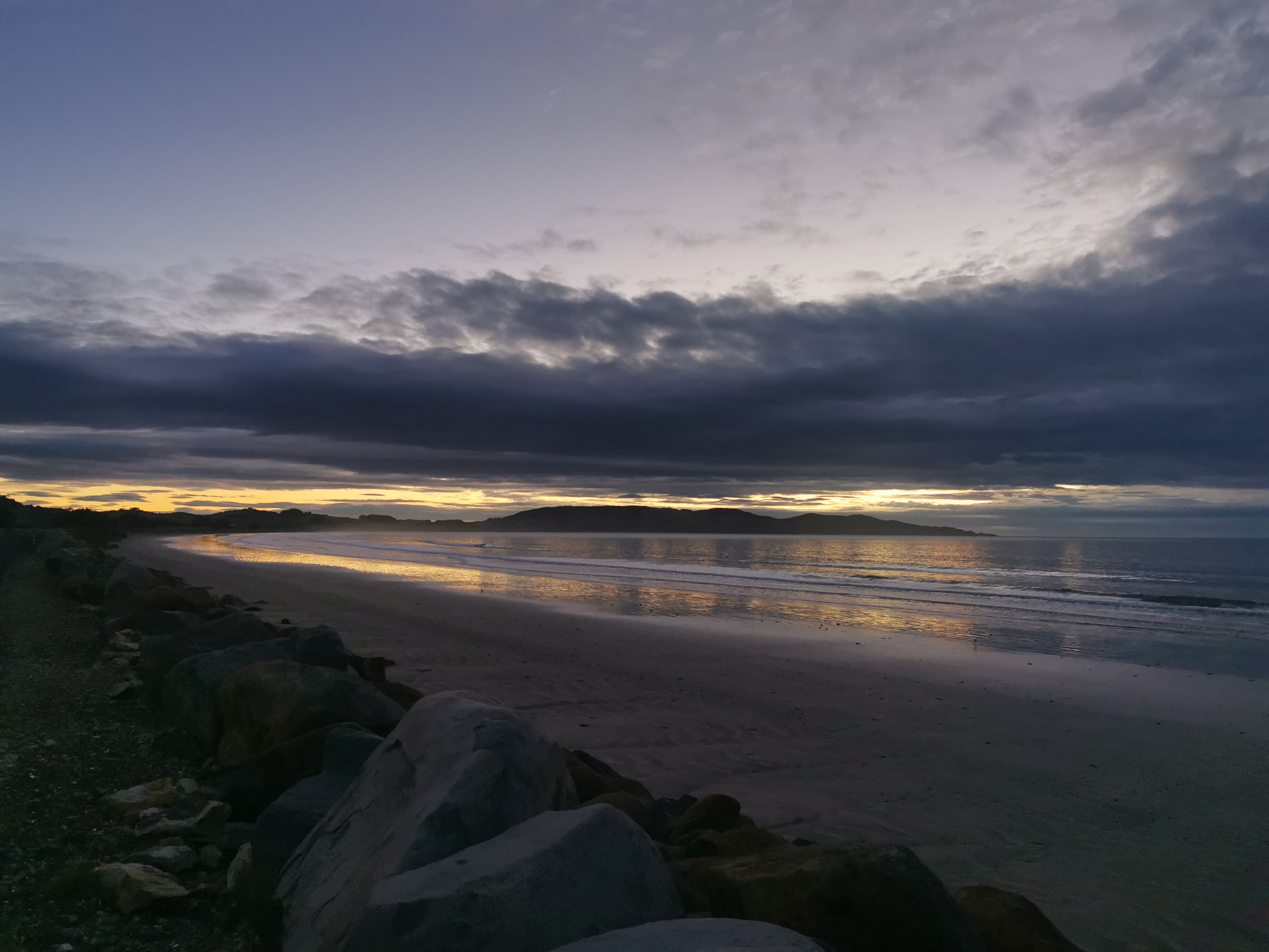
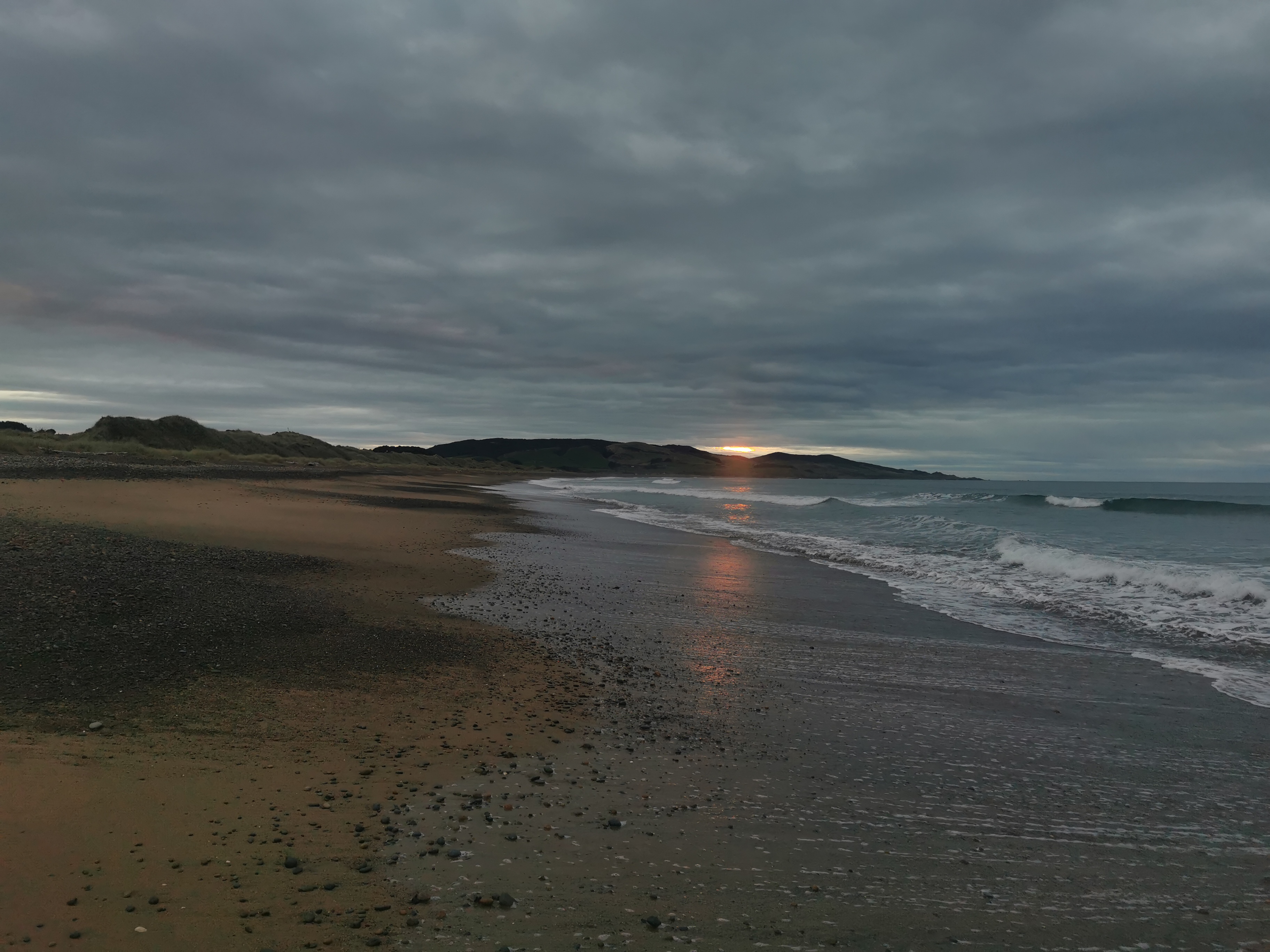
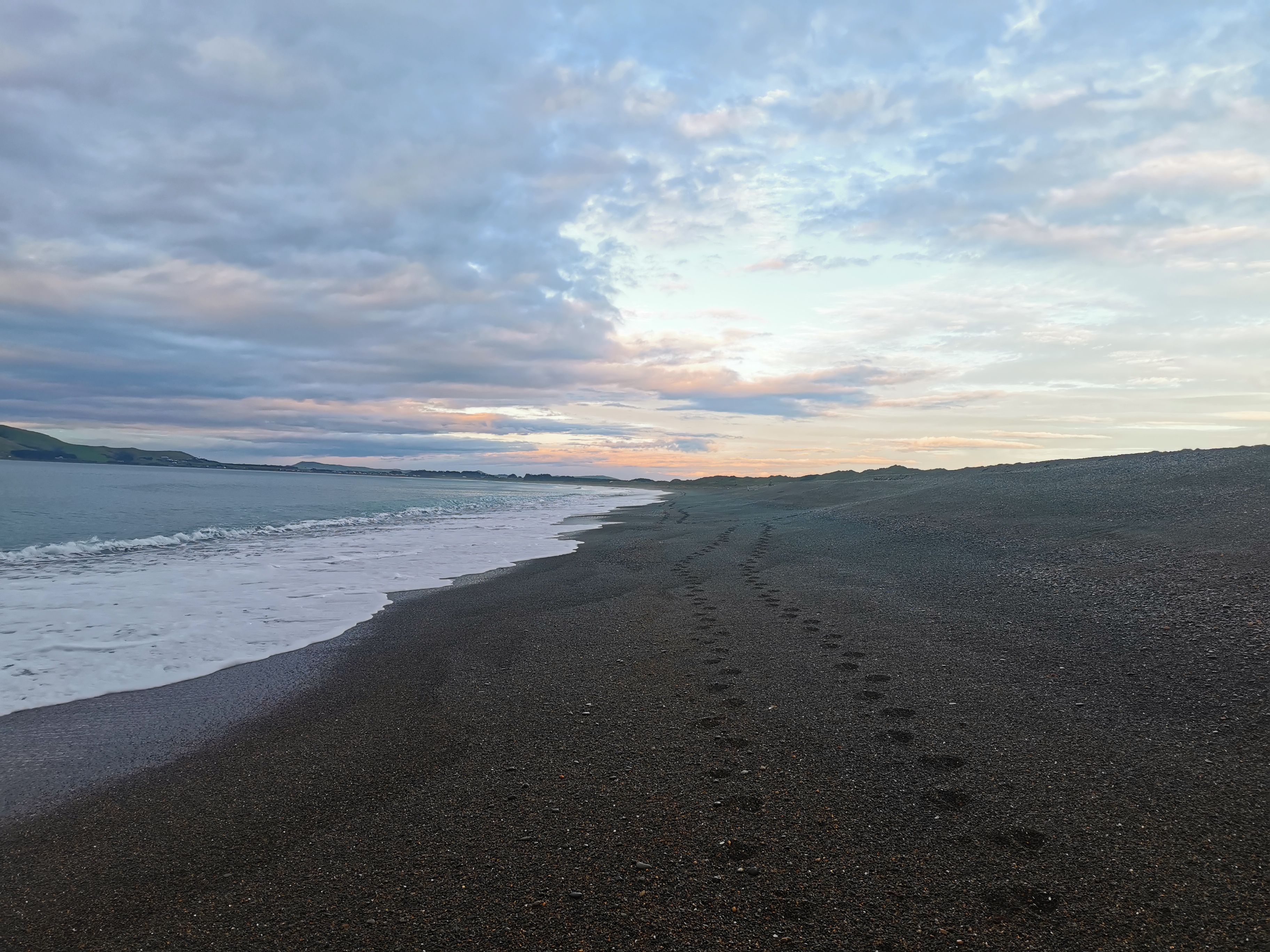
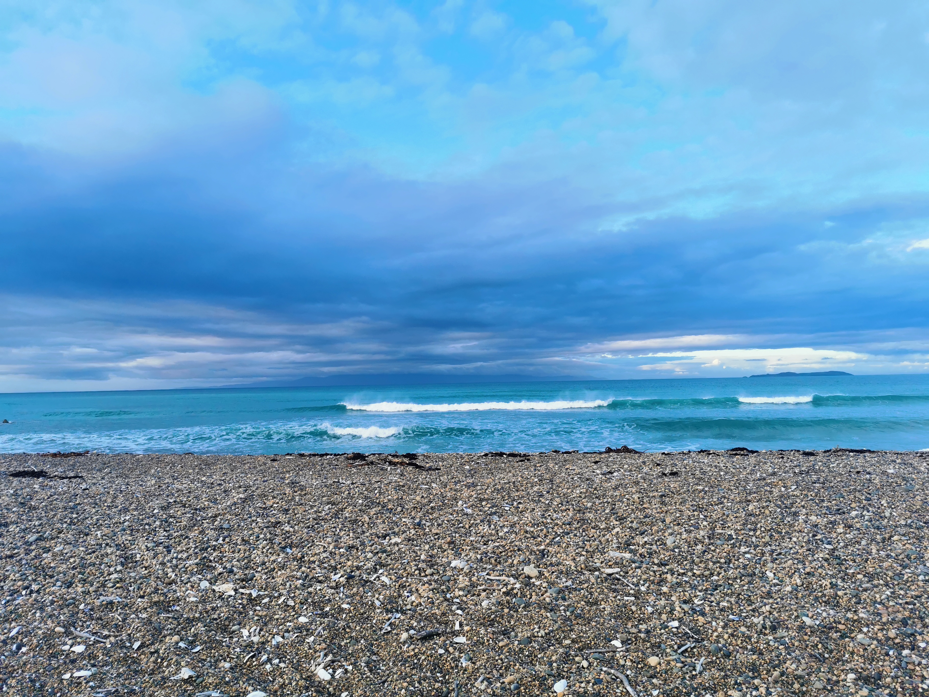
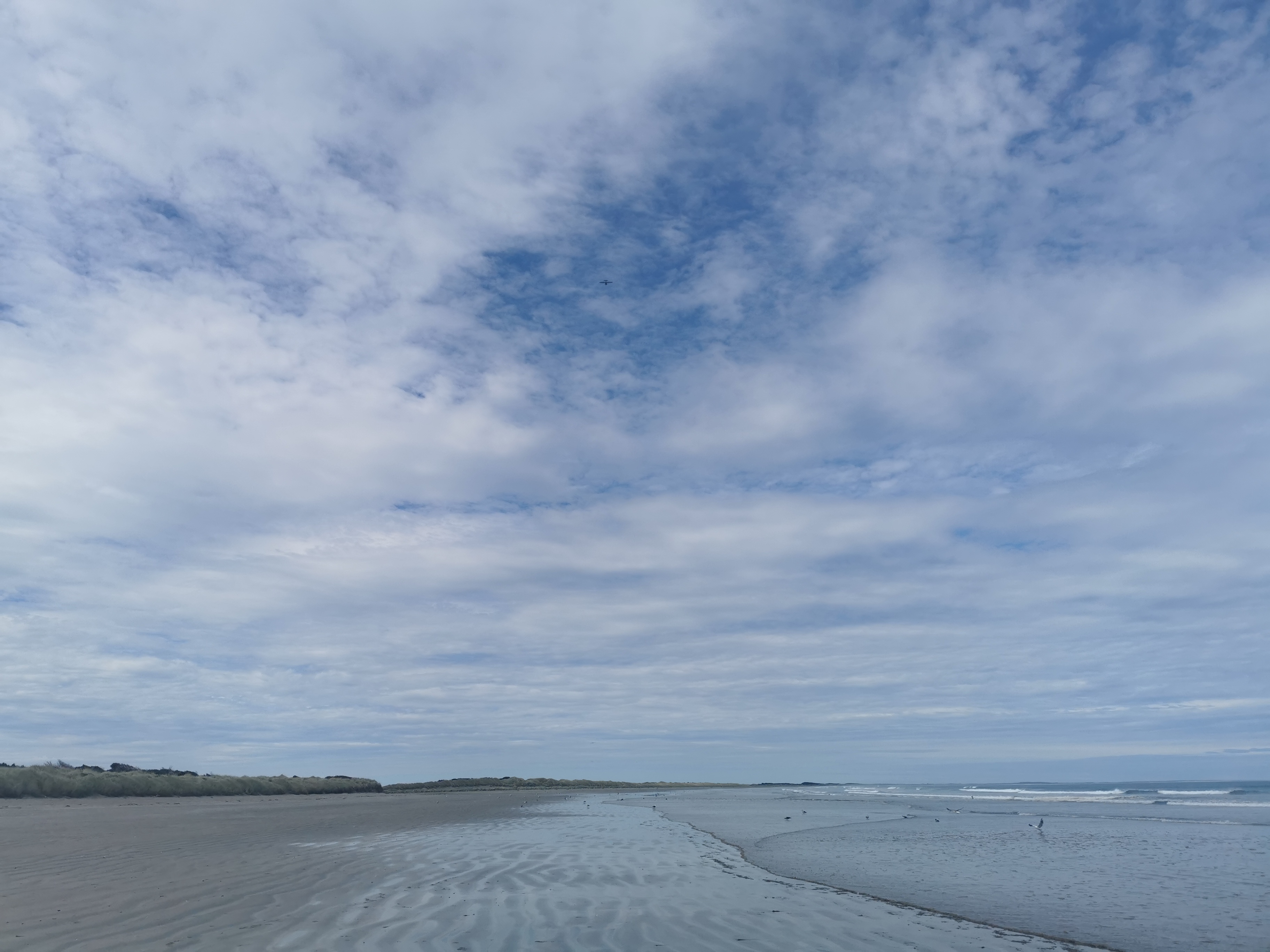
It was a bit cloudy, but I’m glad I got up earlier than usual to see it.
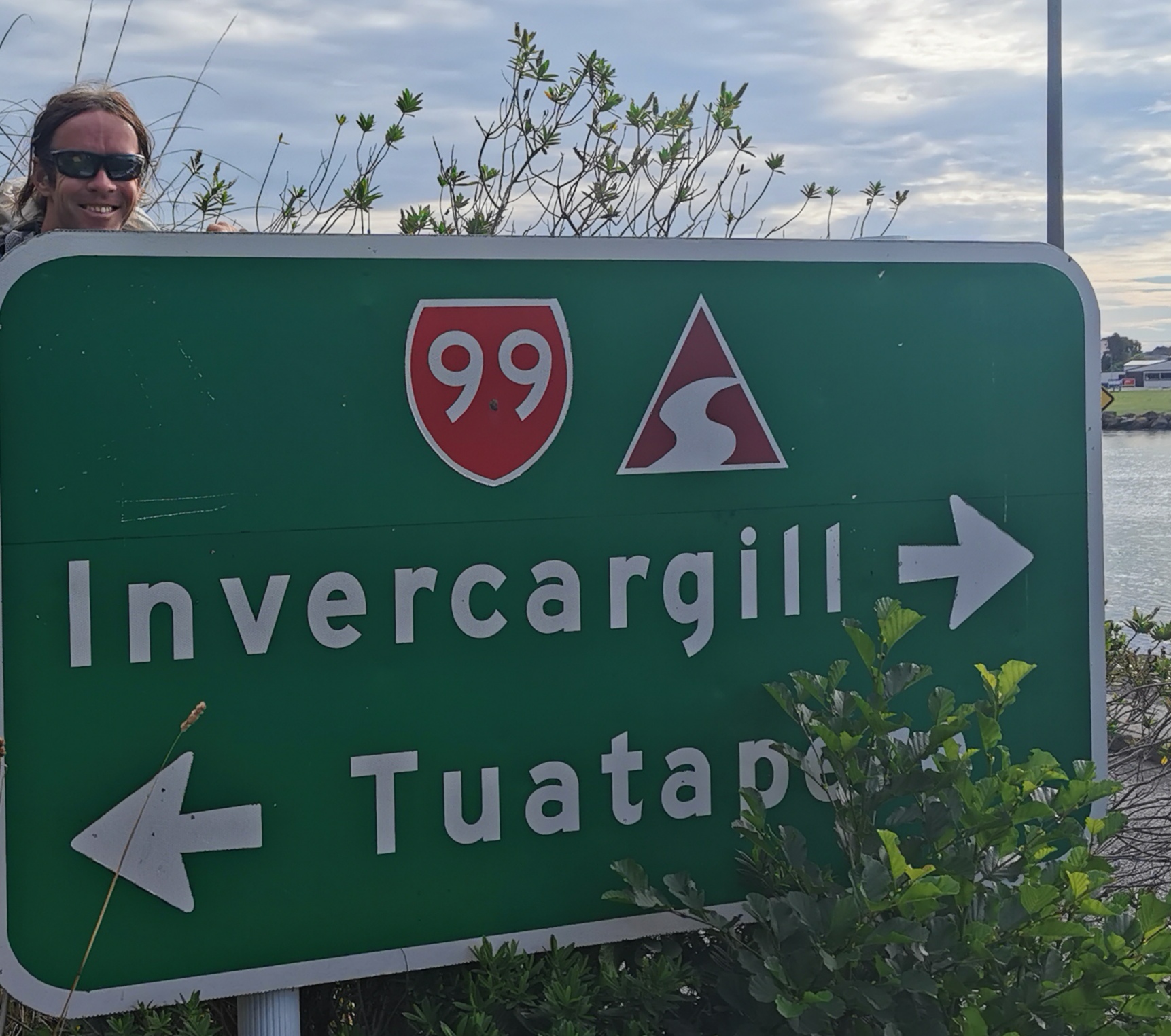
Also it was good to leave early because the destination today is Invercargill, some 45km away. It’s going to be a long day, but we figured since it’s mostly beach walking we should be fine. However, from high tide to low tide is 6 hours and since we’ll be walking longer than that, we’re definitely going to hit high tide at some point. It’s always easier to walk a beach at low tide.
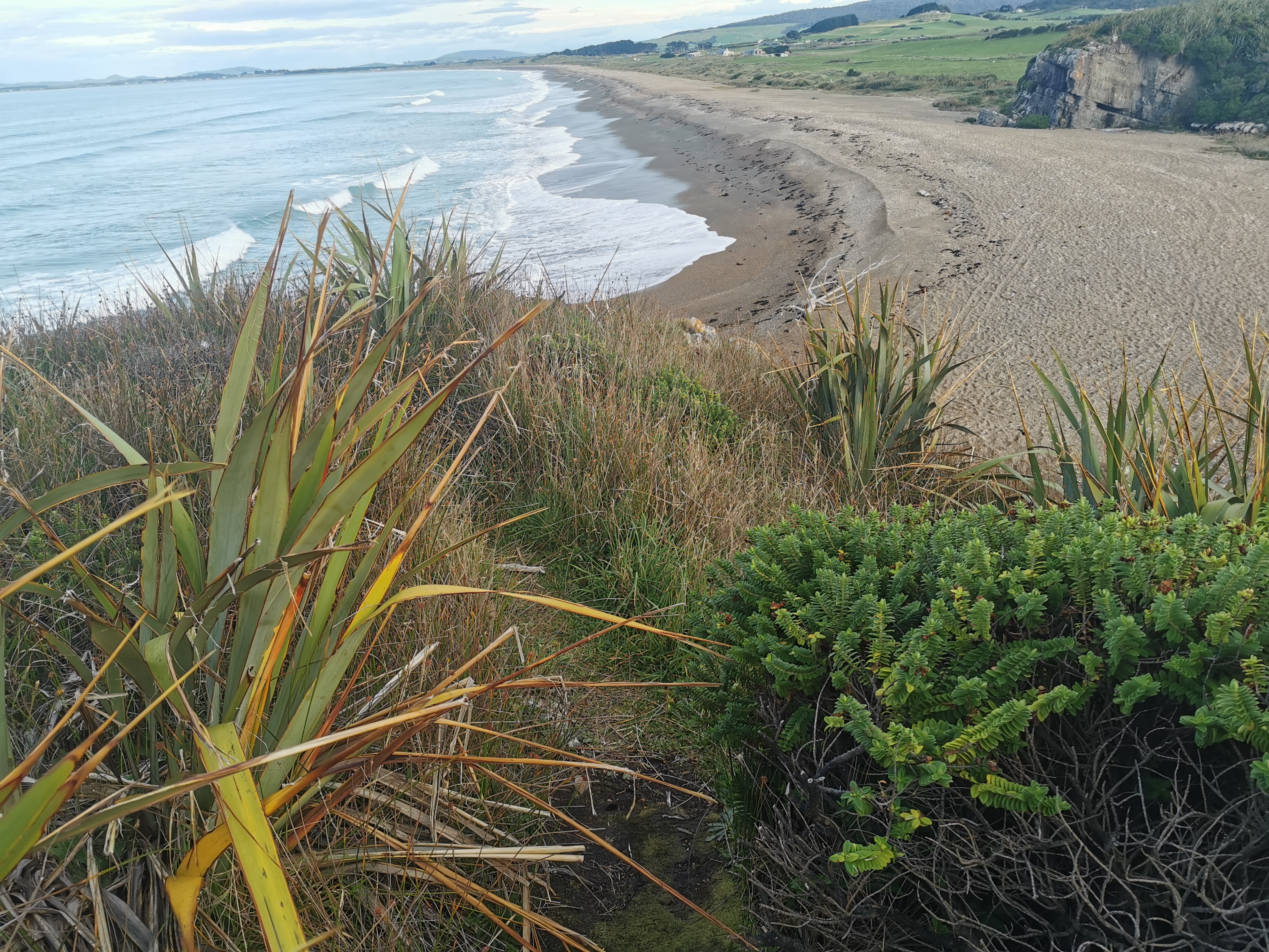
There are two sections of beach walk today. The first is between Colac Bay and Riverton, which is about 12km, and between Riverton and Invercargill, which is about 25km, and some walking through the two places.
Towards the end of the section to Invercargill we knew there’s a river crossing that should be done between mid and low tide, and low tide is at 5:30pm today, so we are walking at high tide to start with. We started along the road that went alongside the beach, but it ended very quickly.
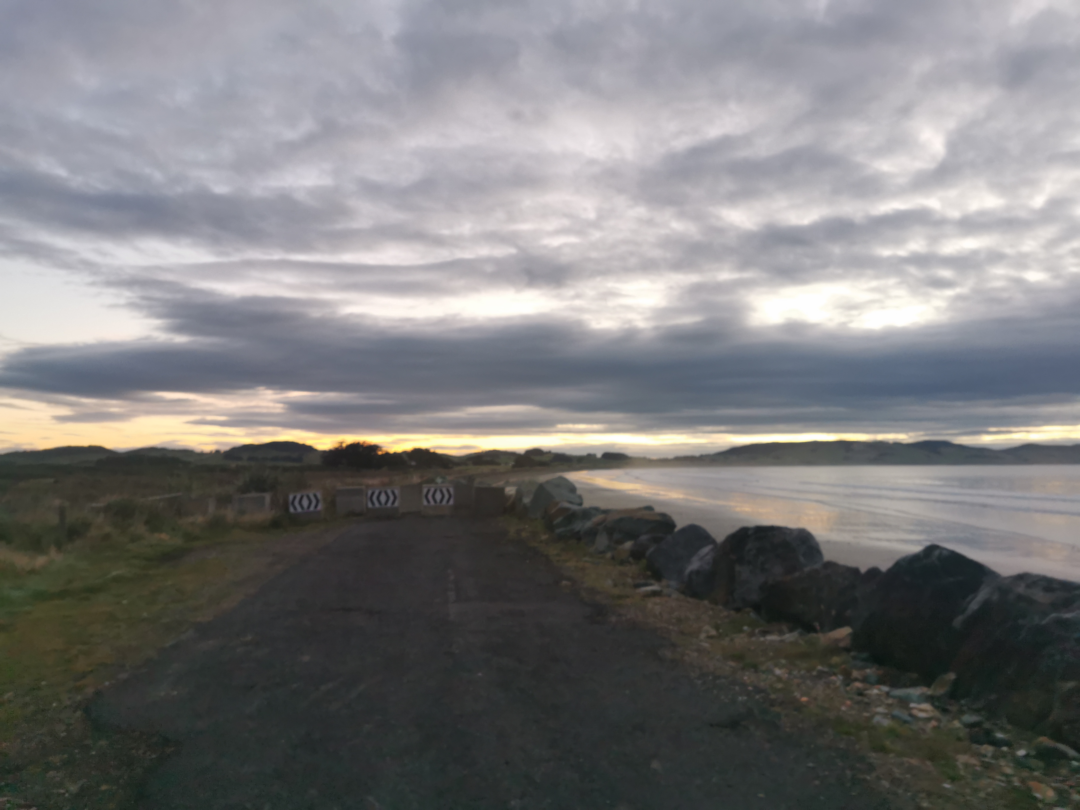
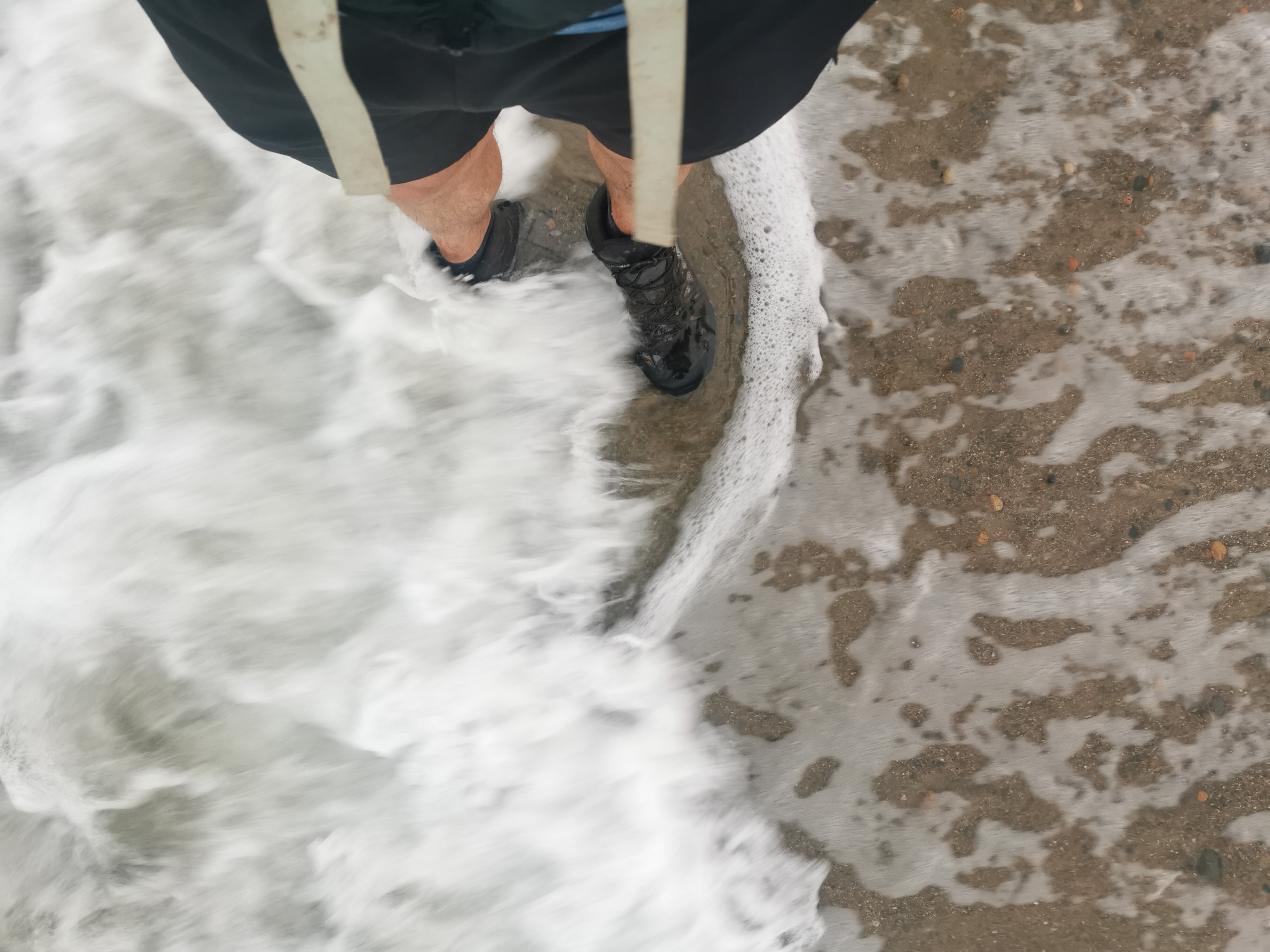
So we moved onto the beach. The first part of the beach was okay to walk on. And I walked trough the water in an attempt to get all the mud off my very dirty boots.
The clouds started to come in and we saw the last glimpse of the sunrise before it vanished completely.
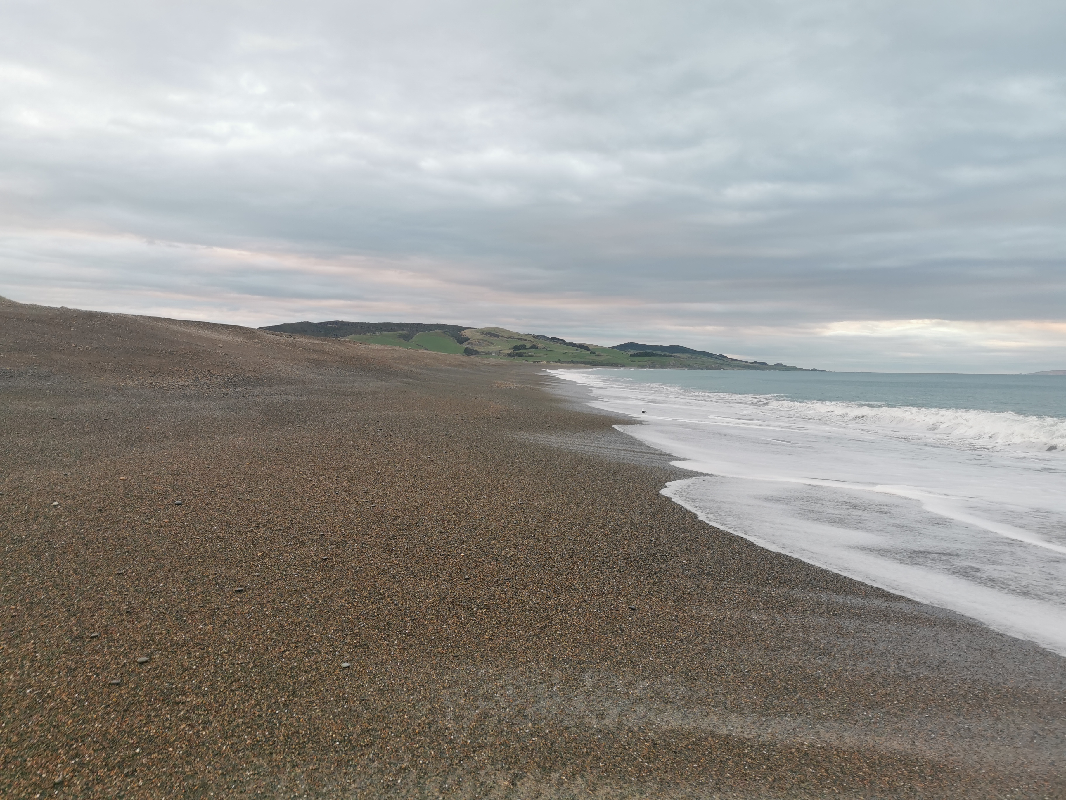
It wasn’t long before the beach changed to pebbles instead of sand. That, combined with the high tide and sloped beach made it suddenly surprisingly difficult to walk on.
There is a road after an hour though – Tihaka Beach Rd.
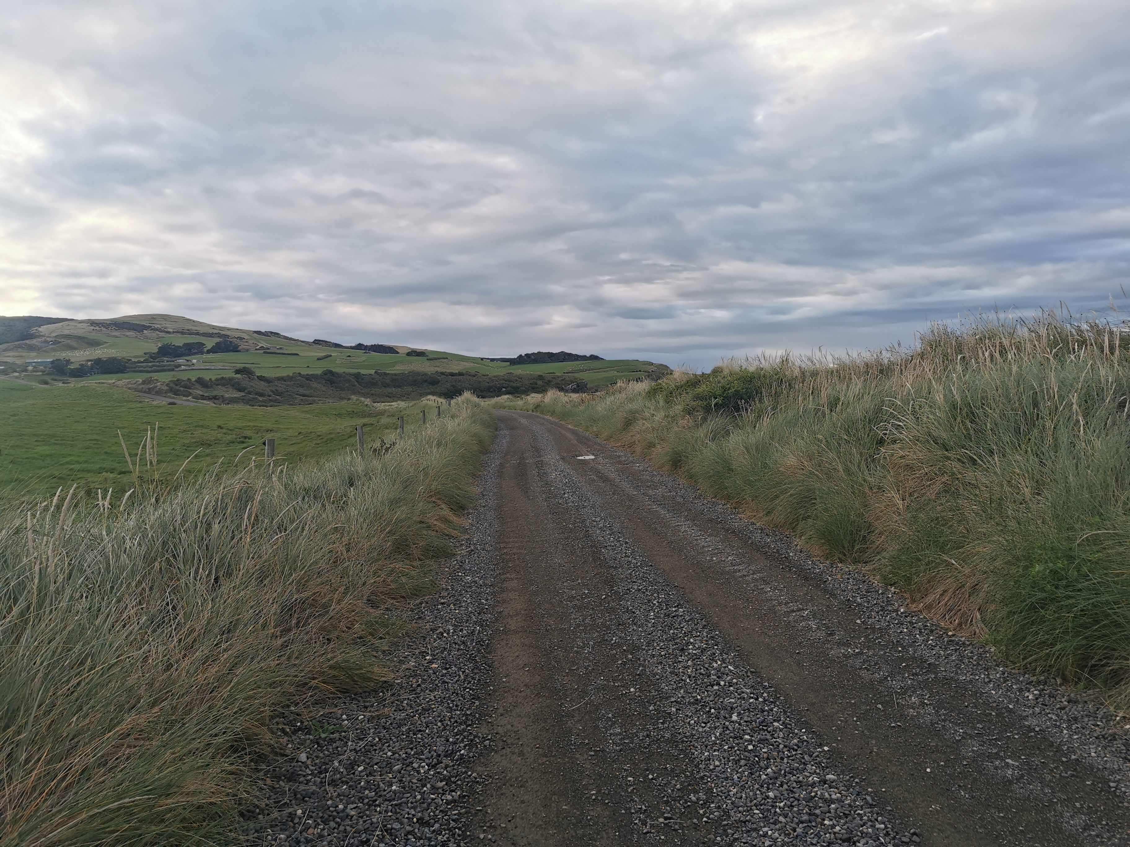
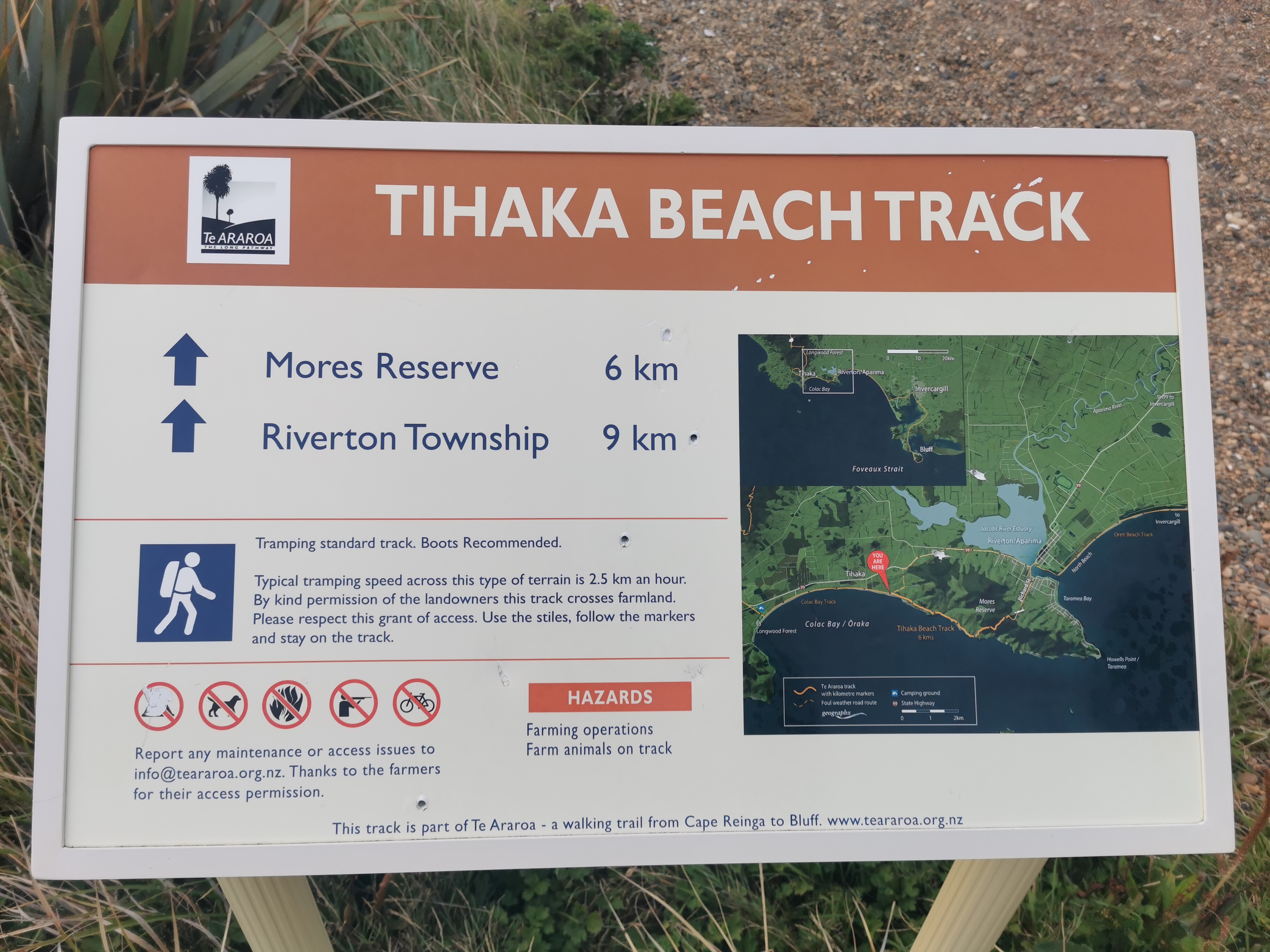
Then you end up at the Tihaka Beach Track. The beach here has a few rocky sections and this track takes you around the rocky sections and up through the farm. I’m not sure if you can get around the rocky sections at low tide or not, which would have been easier, but since it was high tide we had to follow the track.
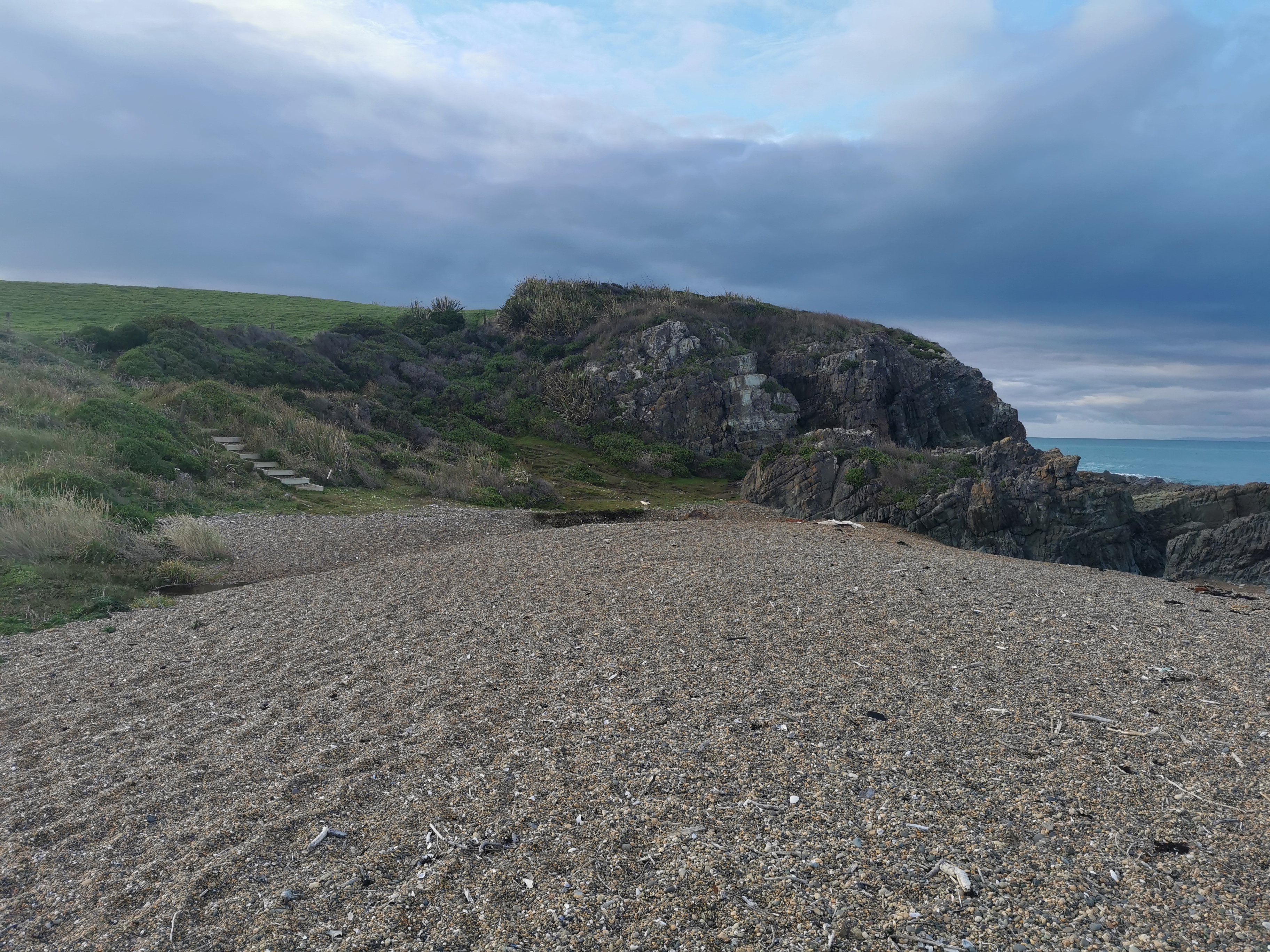
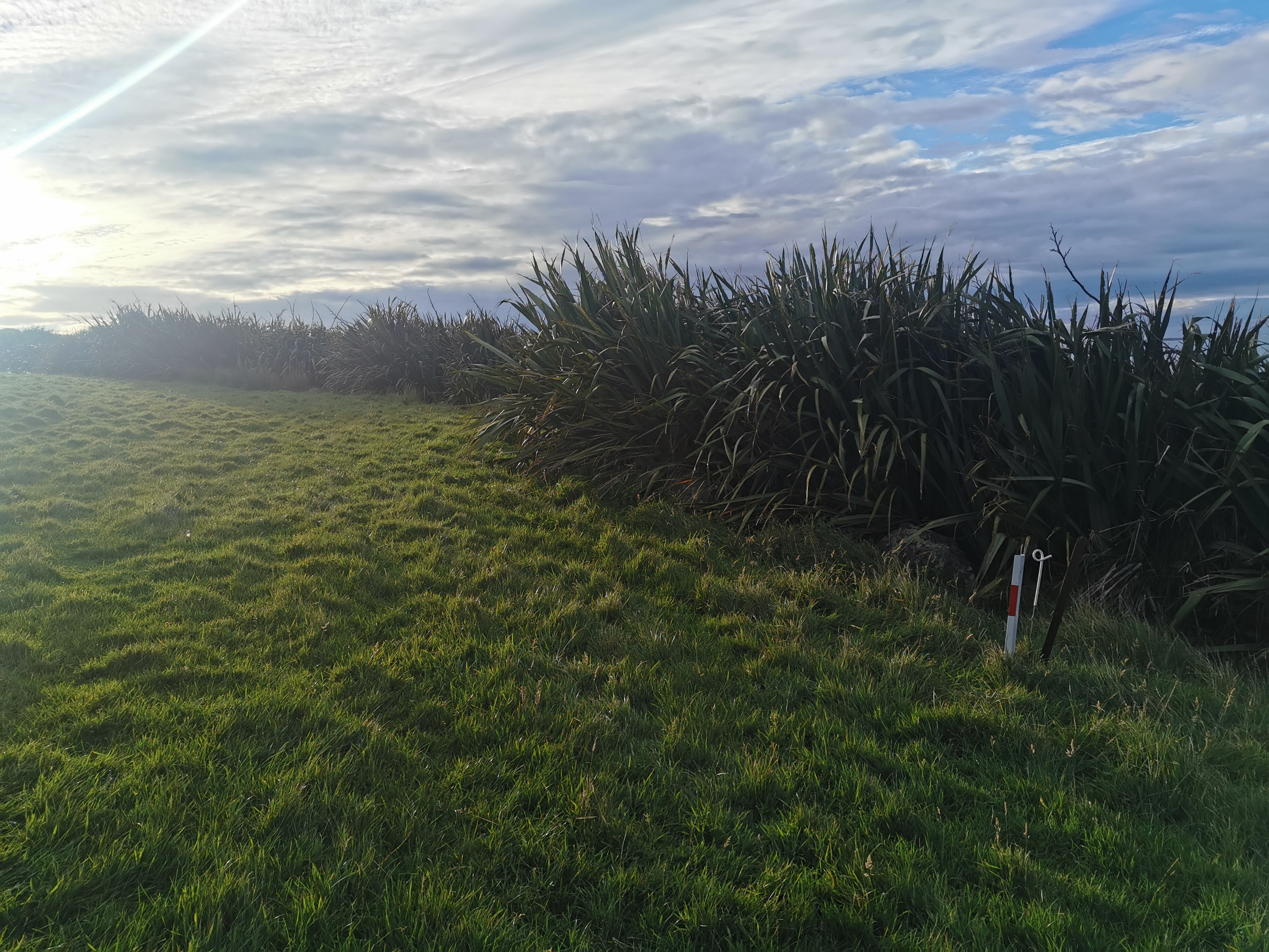
The path is quite narrow in places and takes you up and down into different bays.
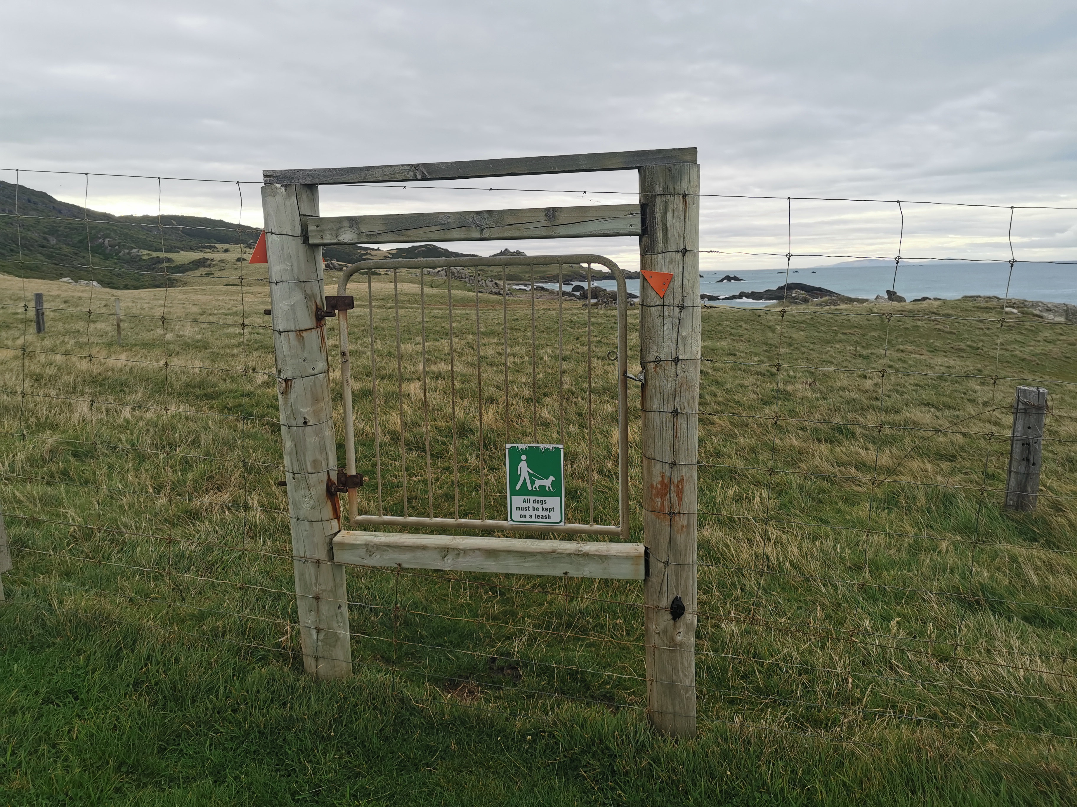
Make sure you follow the various markers. If you don’t, you’ll end up in some paddock somewhere with no way out.
It was about this time that the sun came out from behind the clouds, and Nicola and I both stopped at exactly the same time to take our jackets off.
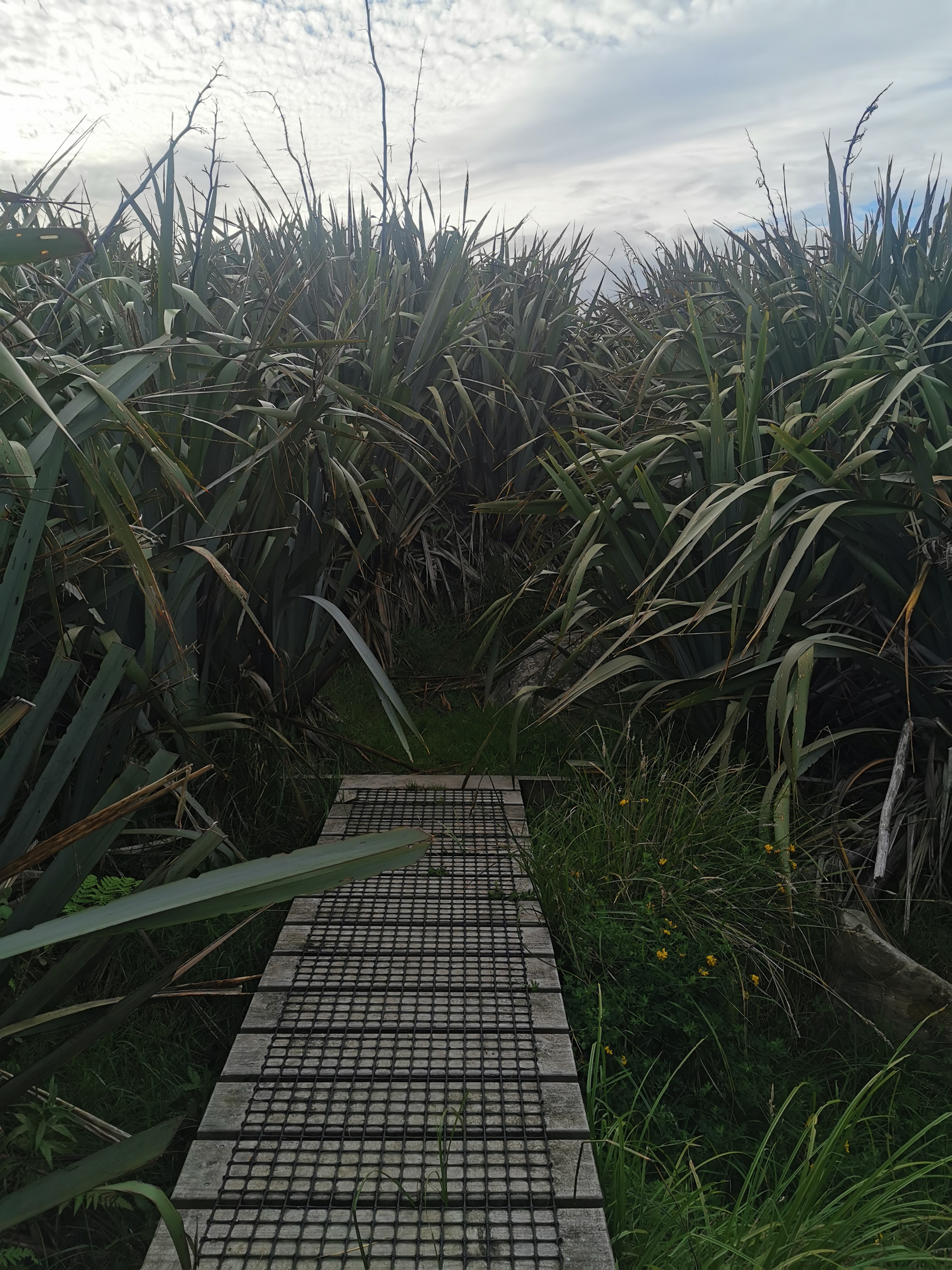
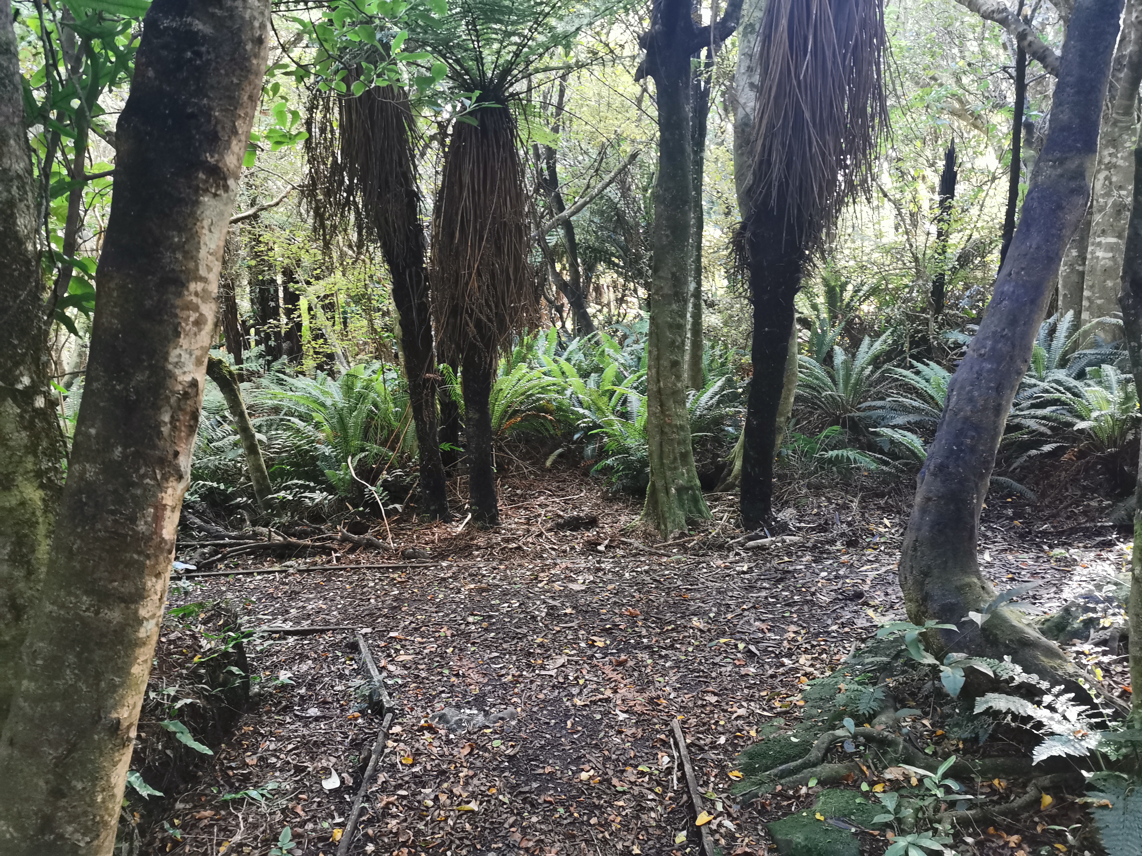
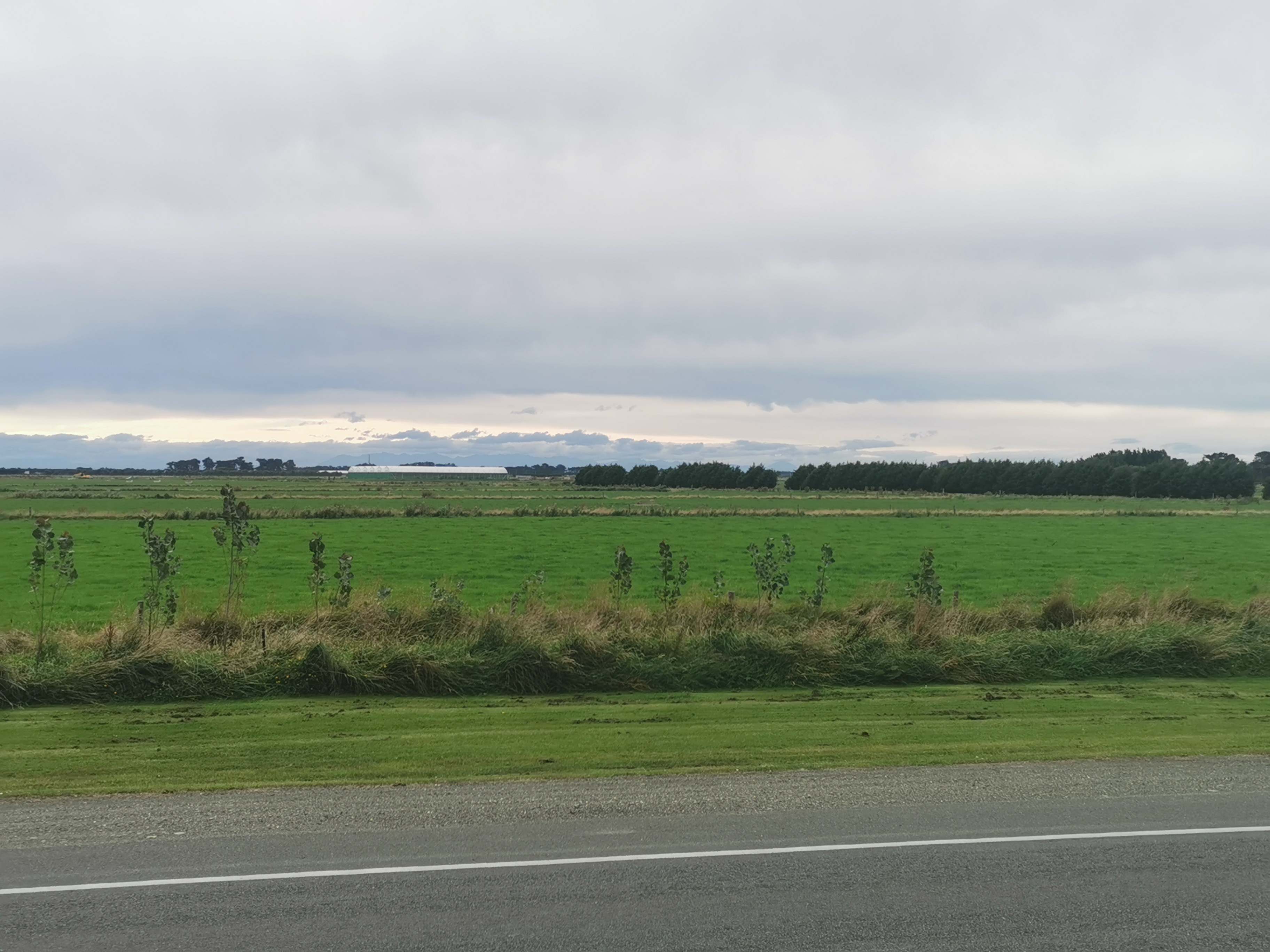
Some of the track was walking on flat grass, but some was fighting through overgrown plants or walking through huge flax bushes like this.
There were bits of mud though, which made walking through the water to get clean boots earlier totally pointless. The view was consistently nice though.
I don’t know how I took this next photo – I don’t know why the colours are so much more vivid than the other photos. I know I accidentally set the phone to night mode at one point. Perhaps that’s what did it.
Once you climb through here:
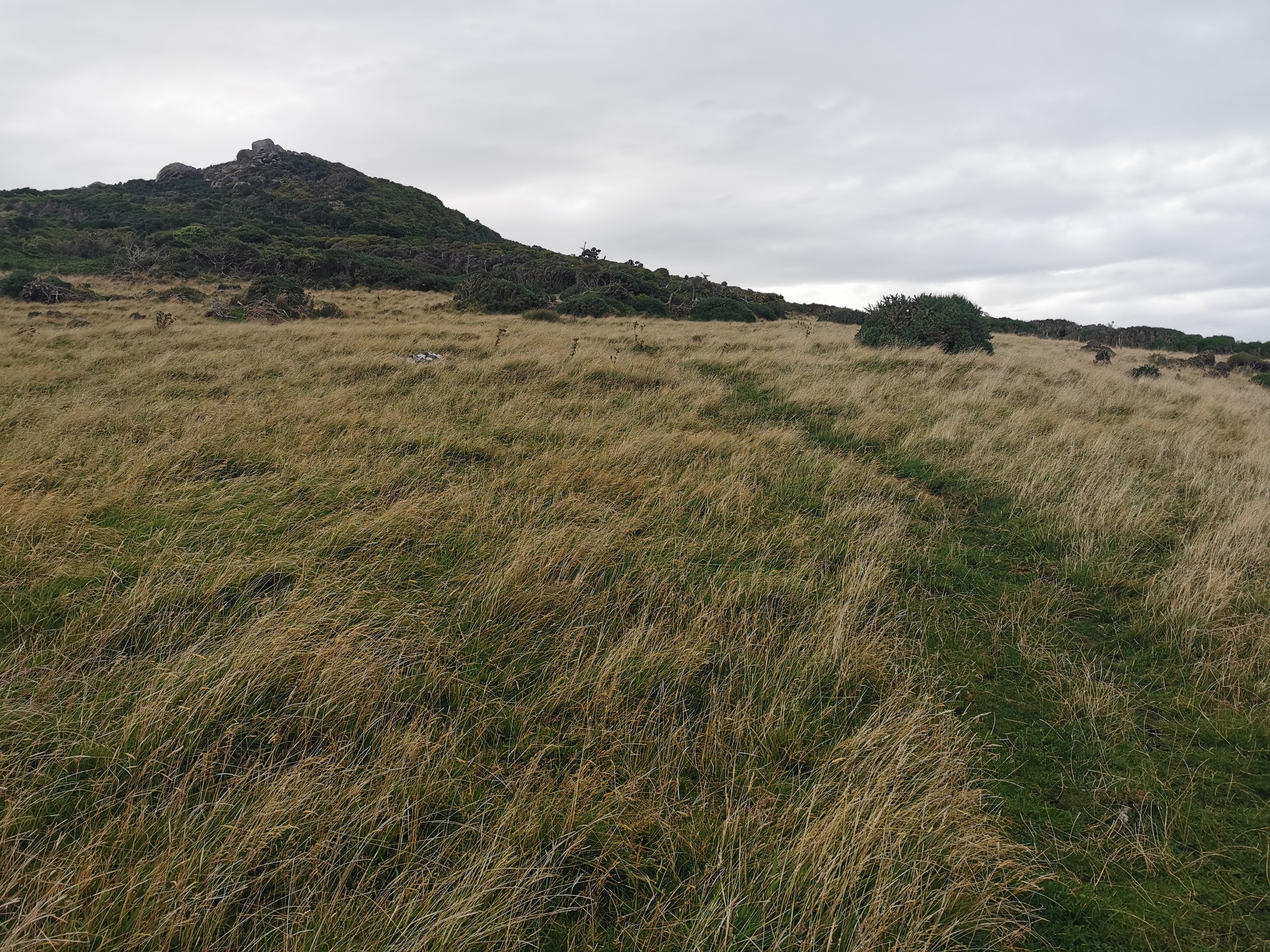
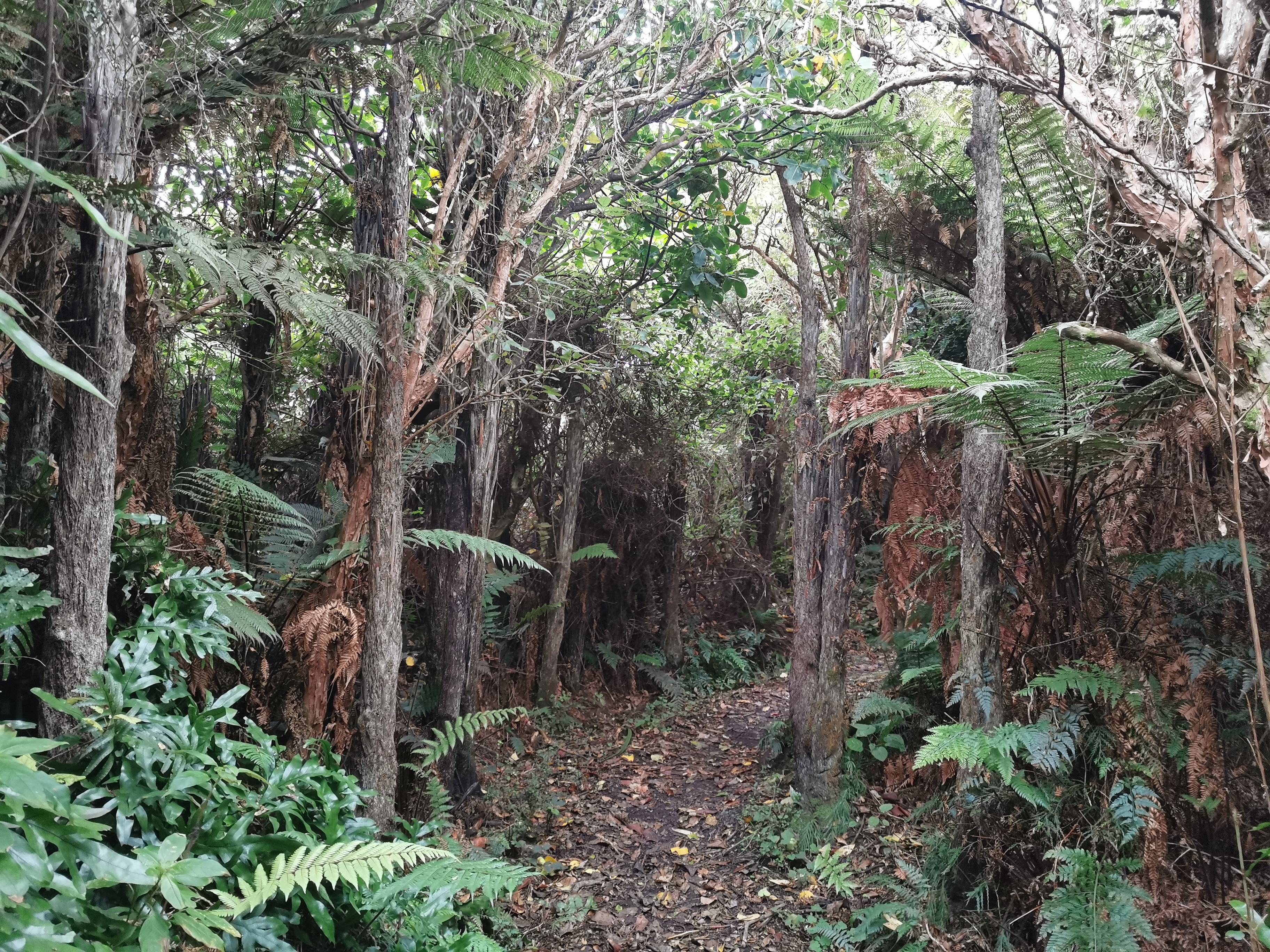
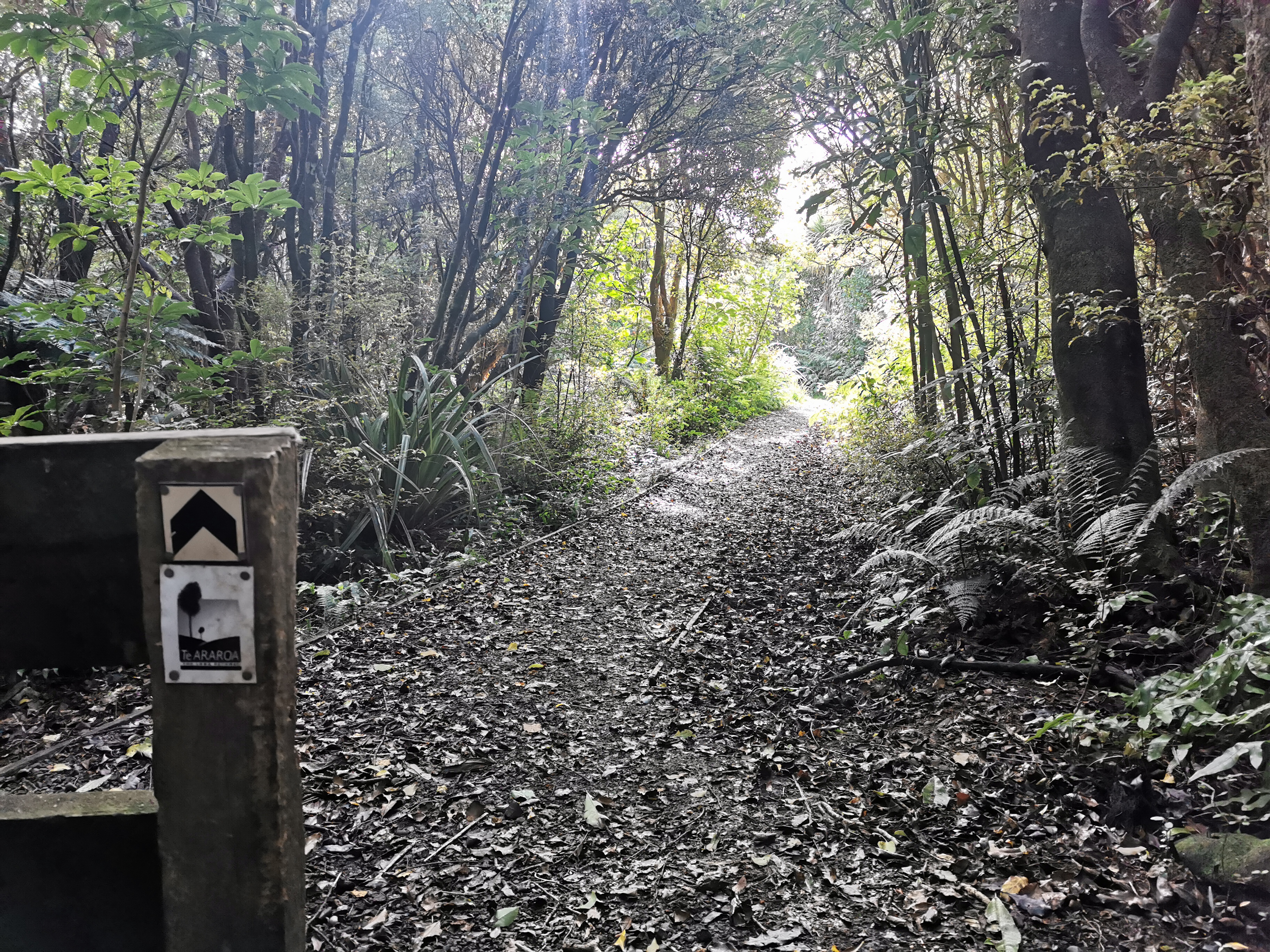
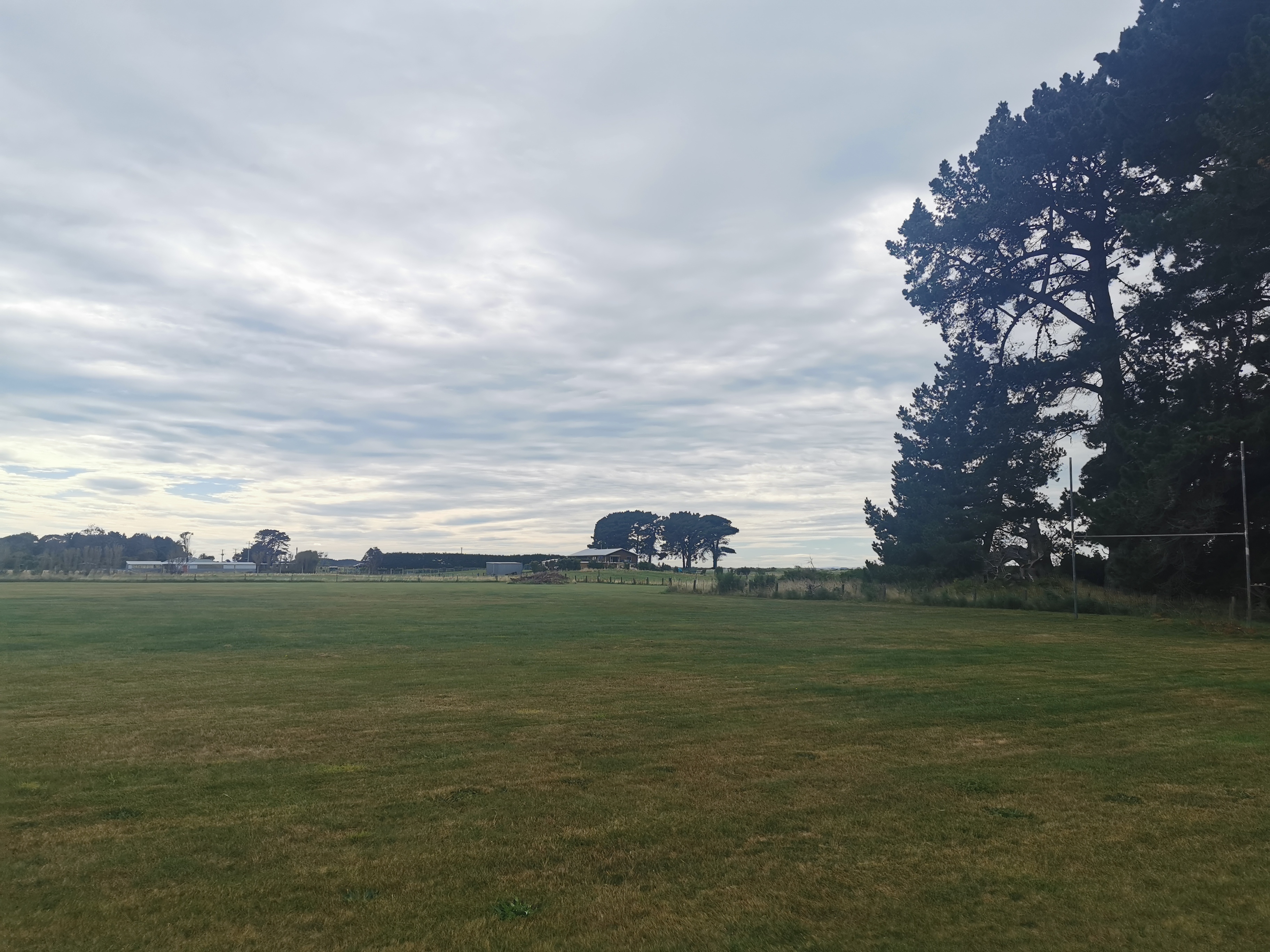
You’re now in the Mores Scenic Reserve, and you start going up.
And it gets very overgrown.
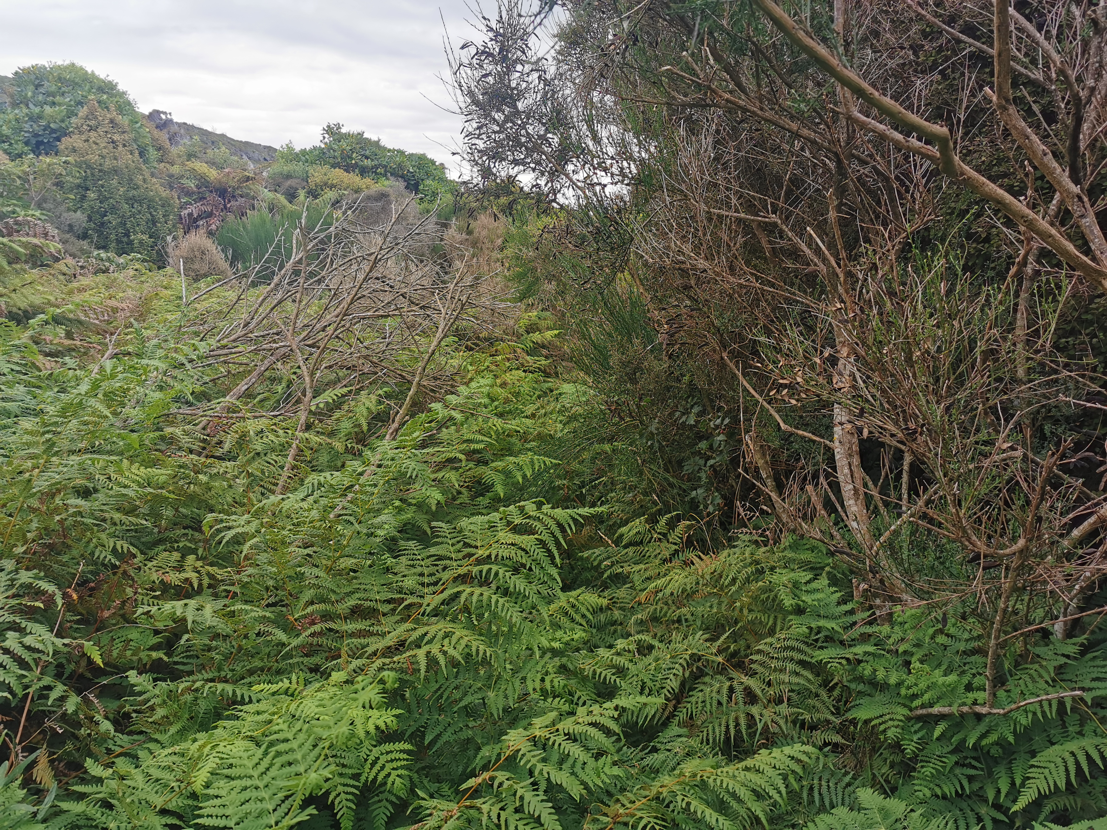
And there’s lots of gorse. There has been almost no gorse in the South Island part of the TA, until now. Perhaps all of the South Island’s gorse is concentrated here.
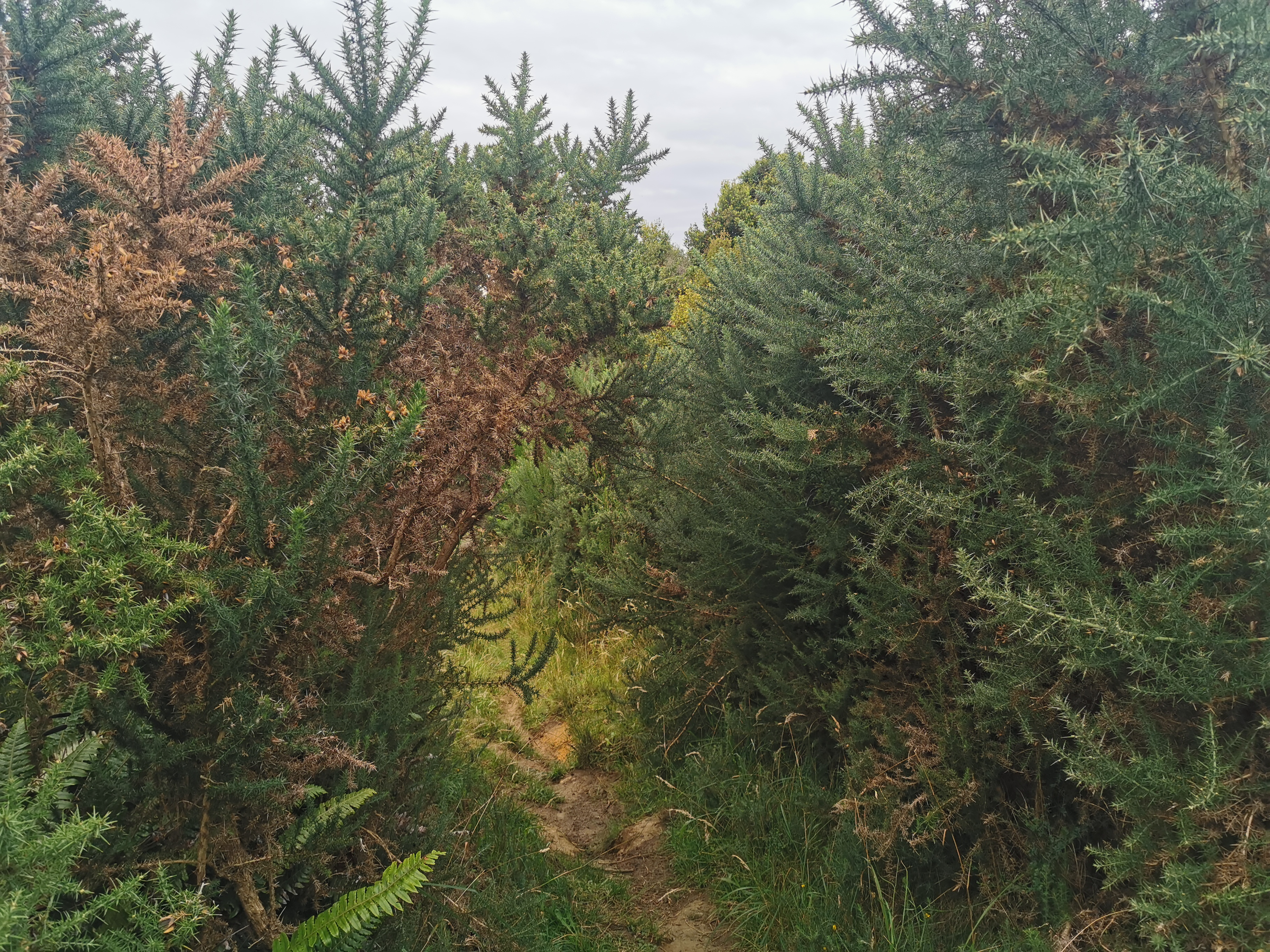
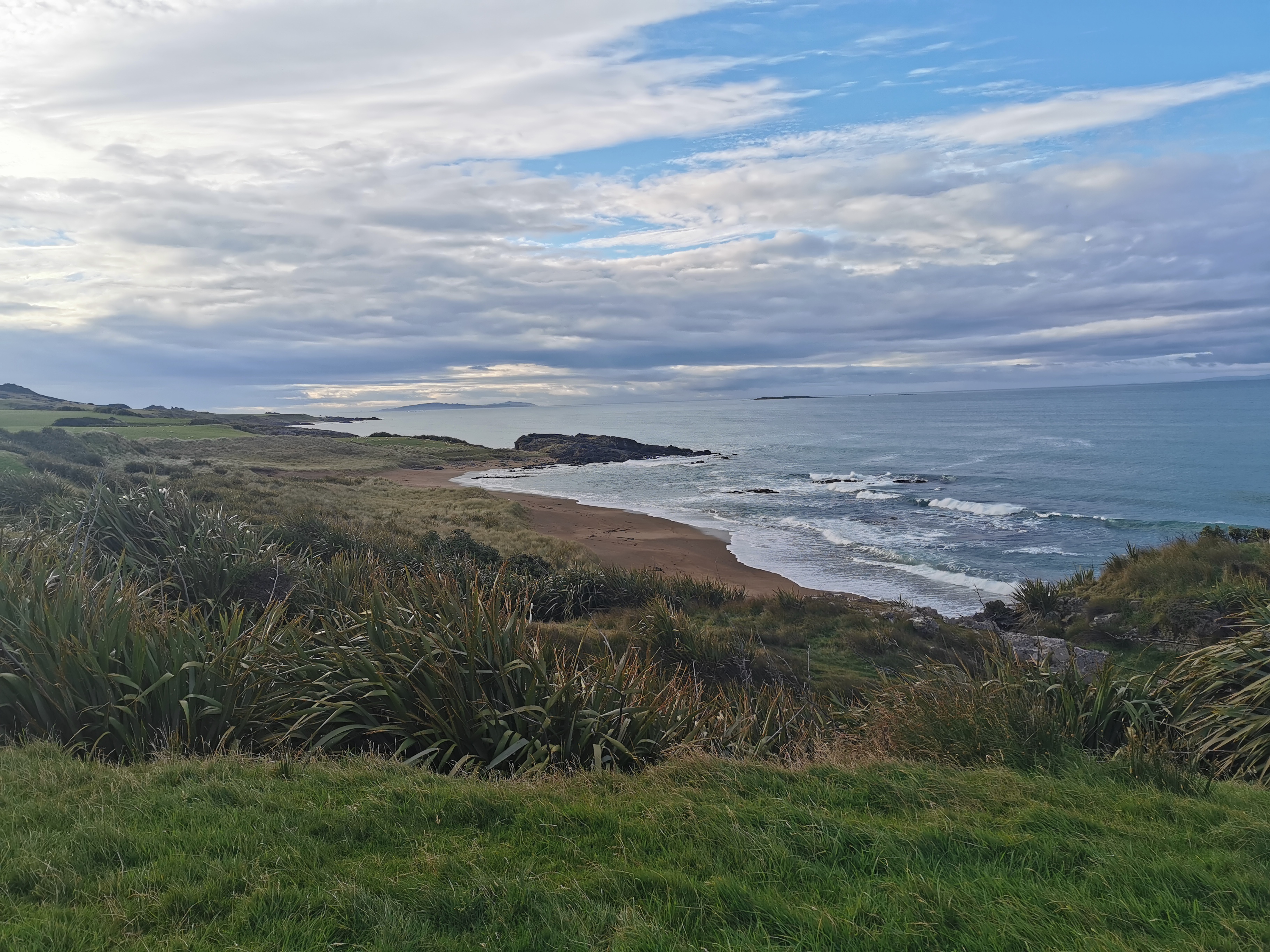
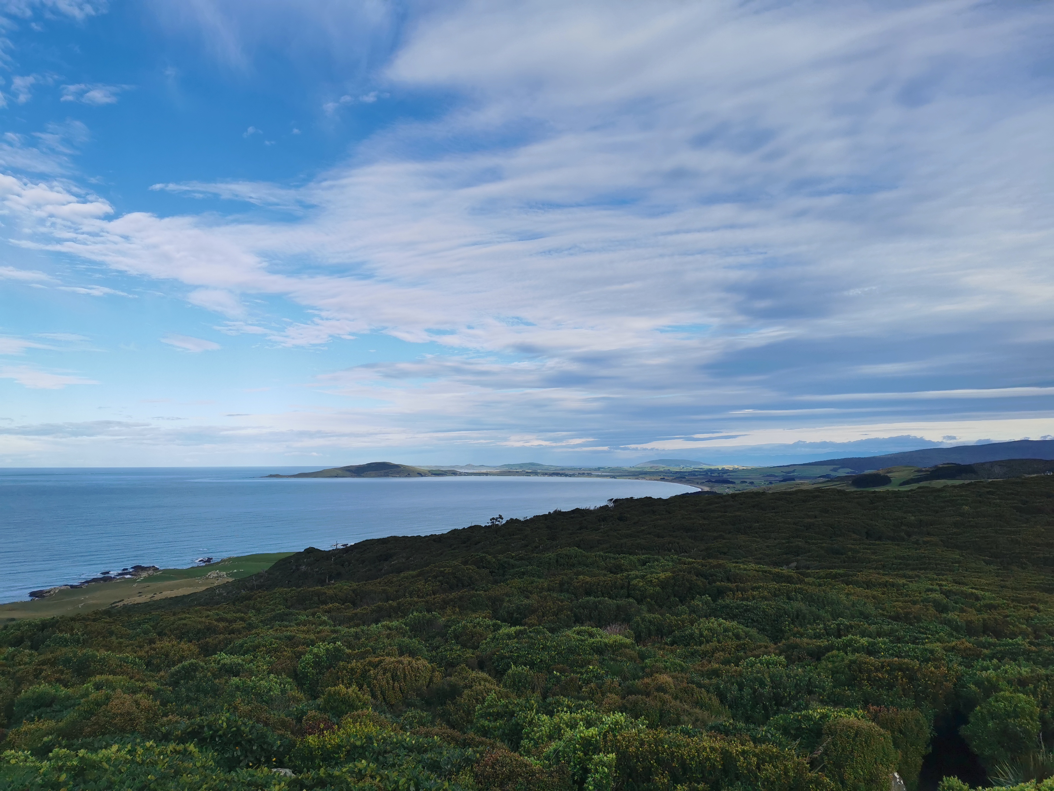
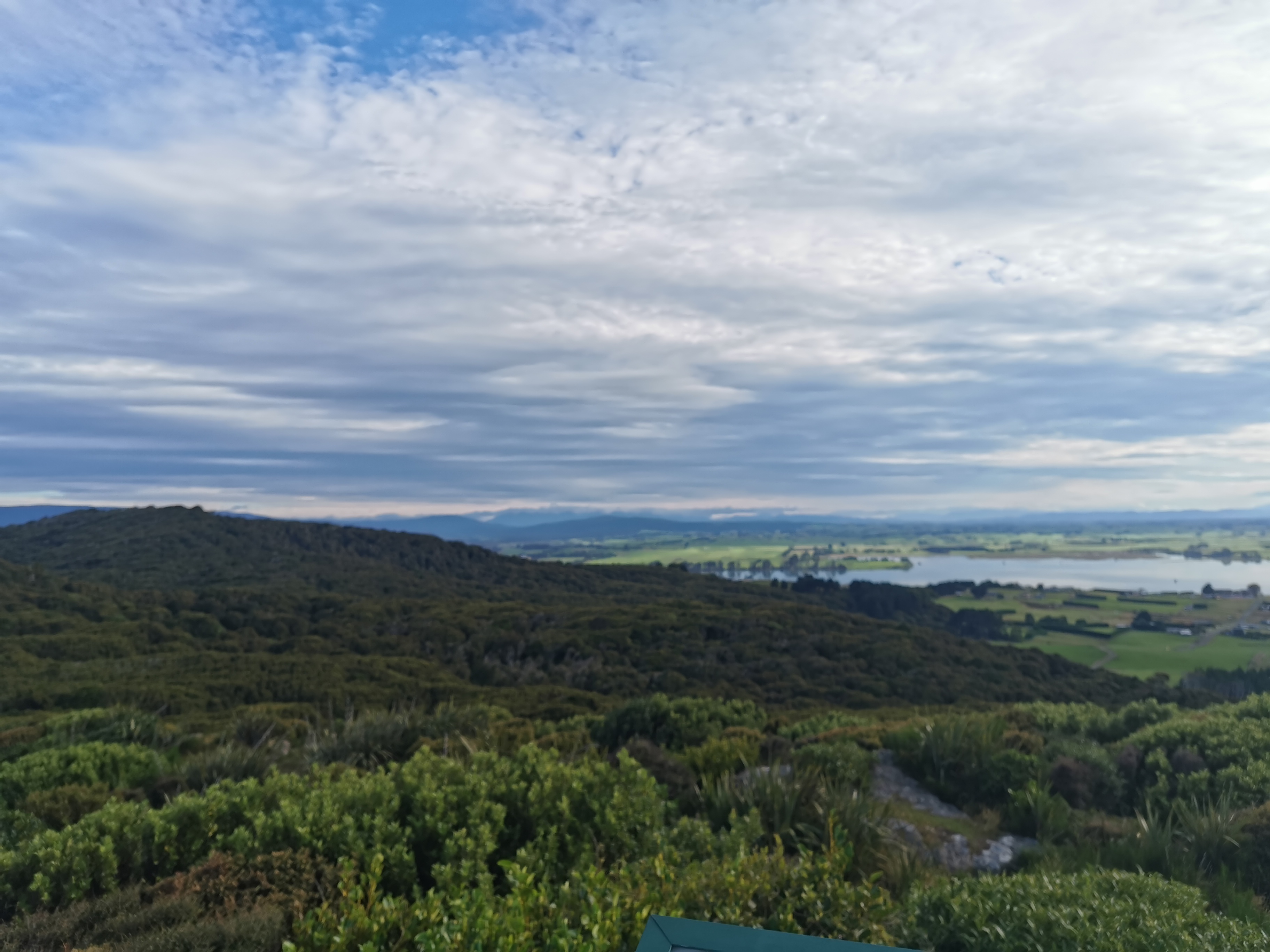
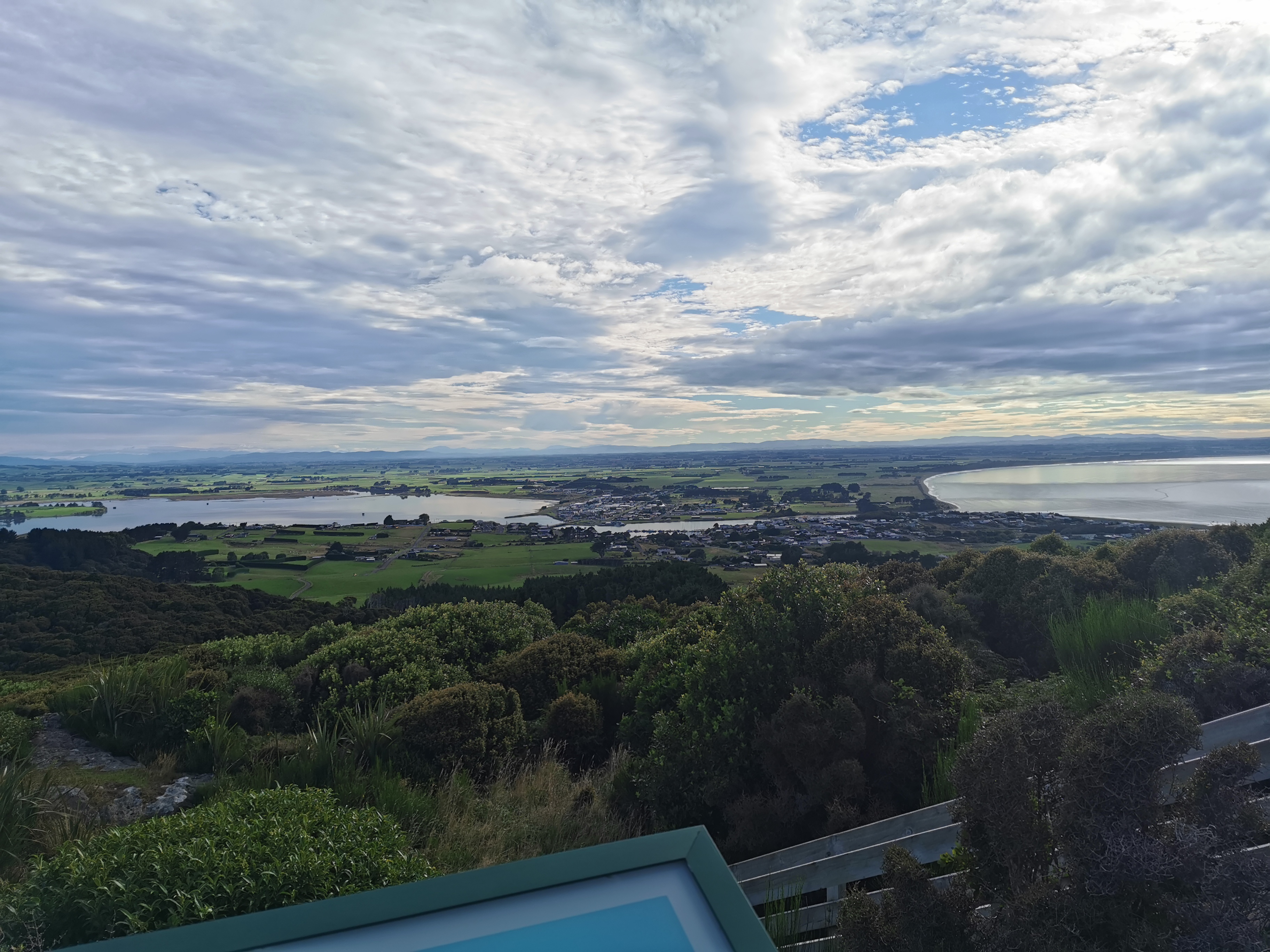
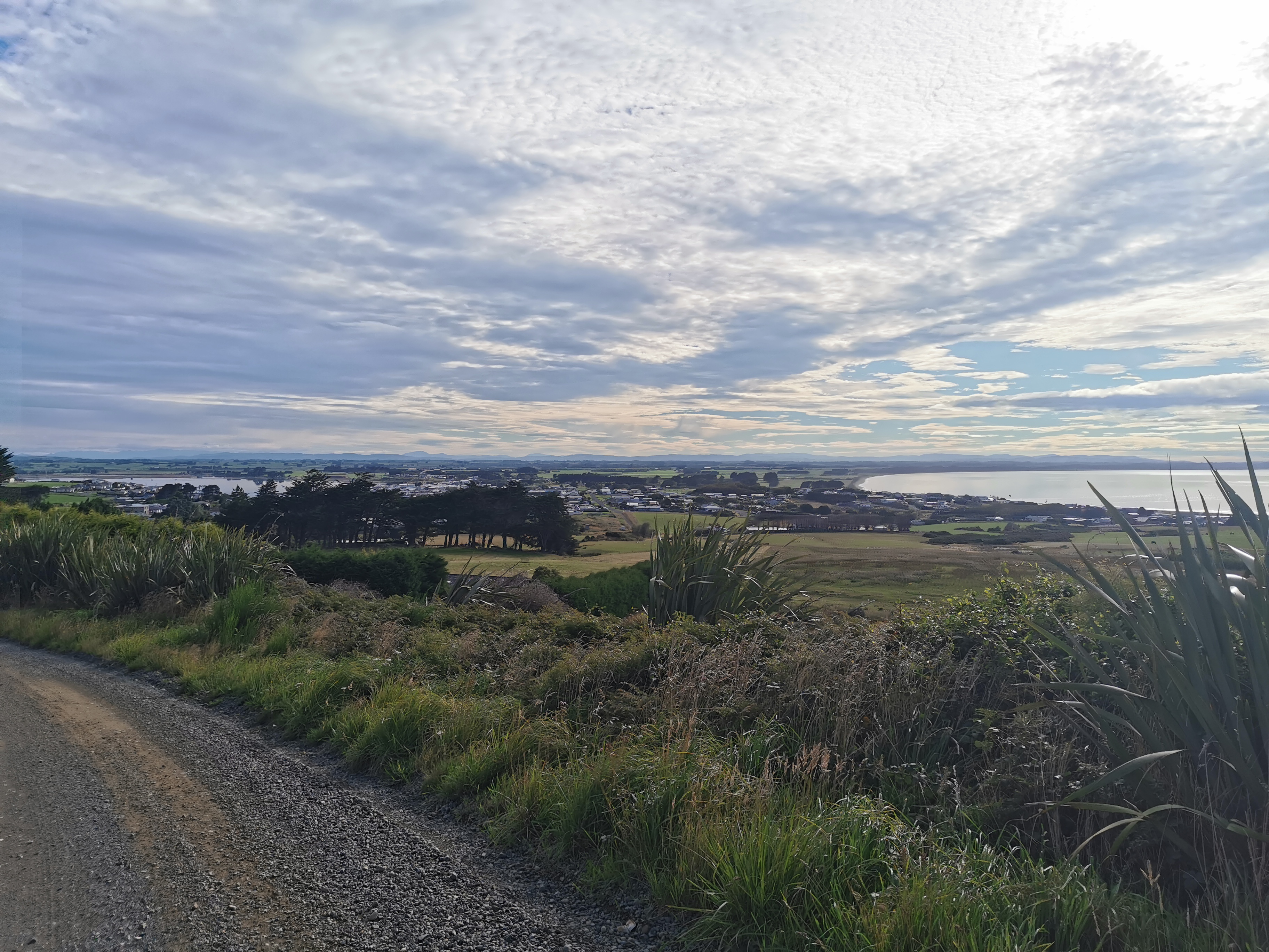
At one clear point where you cross a fence, the path gets a lot more touristy, but still consistently up. It was surprisingly steep.
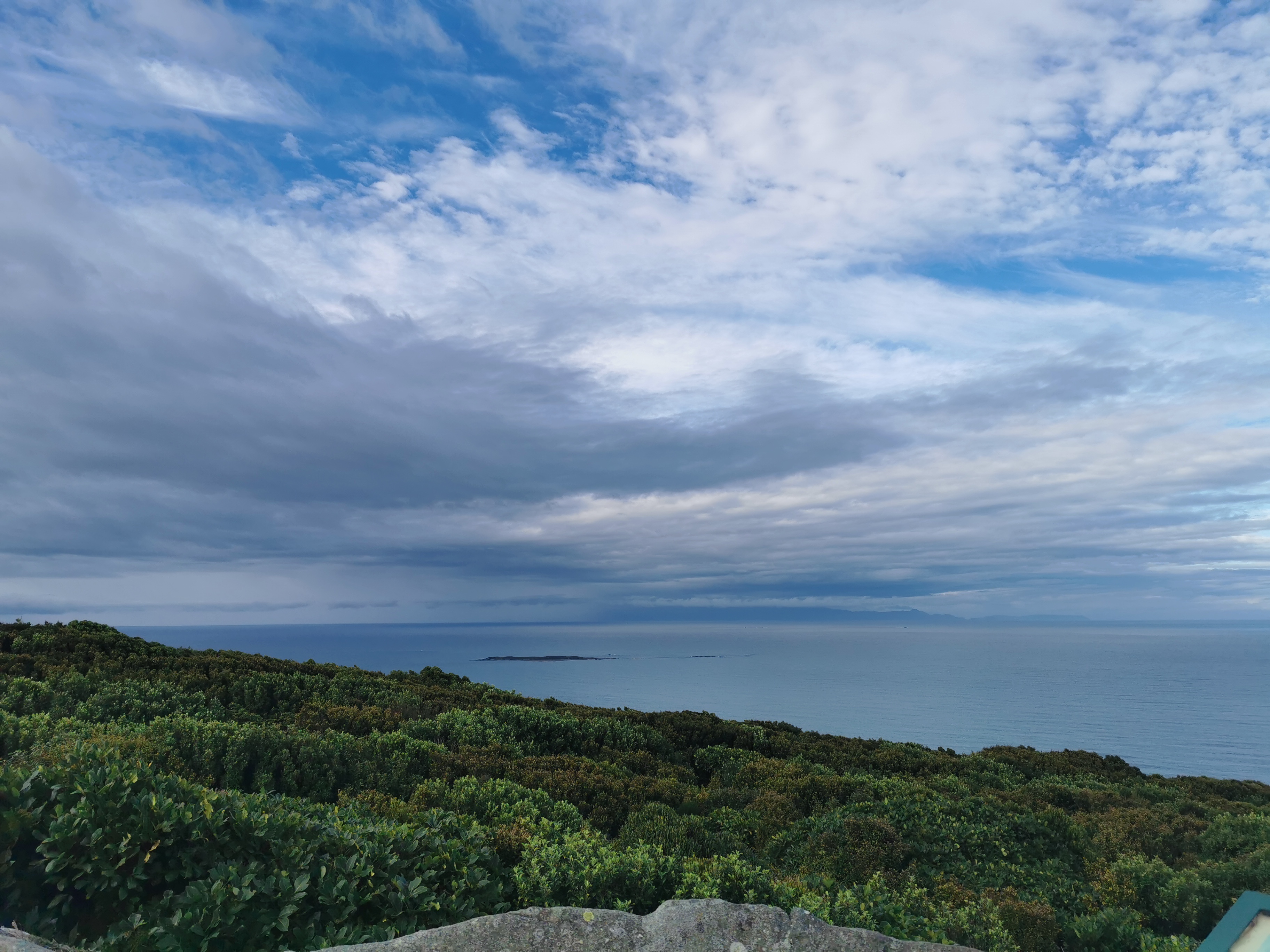
You reach an intersection with no indication which way to go next. I assumed we needed to go right, which continued uphill.
It turned out that going right takes you to a lookout. So it was a couple of minutes off trail but the views were amazing – it was completely worth the short detour.
A quick stop here and we followed the other path, which shortly after had the TA symbol on it.
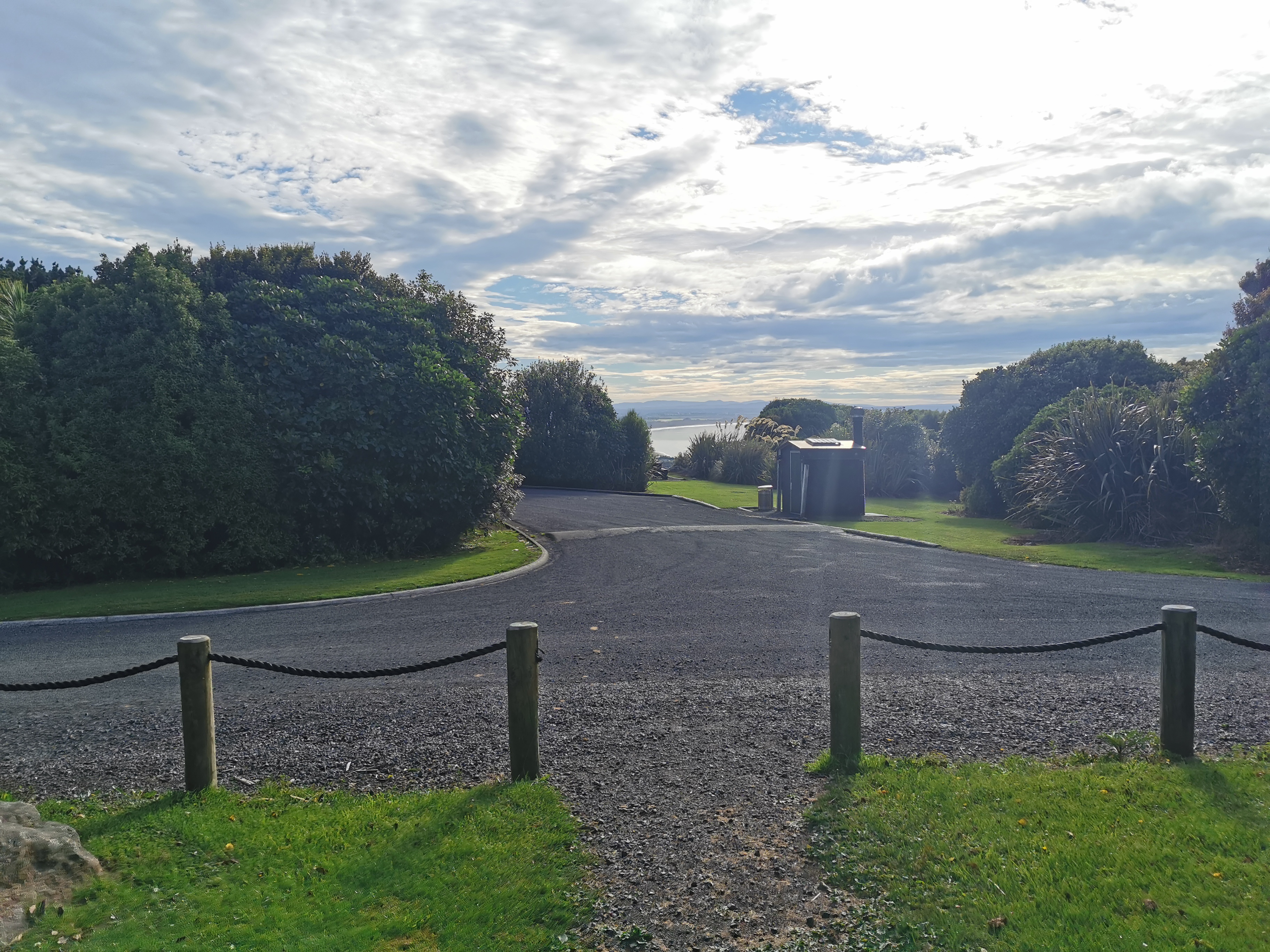
You emerge from the forest at a car park. I took a photo of the car park, because I take photos of everything. I wasn’t going to include it here, but since Nicola thought it was funny that I photographed something so mundane, I have to include it now.
We headed down the road…
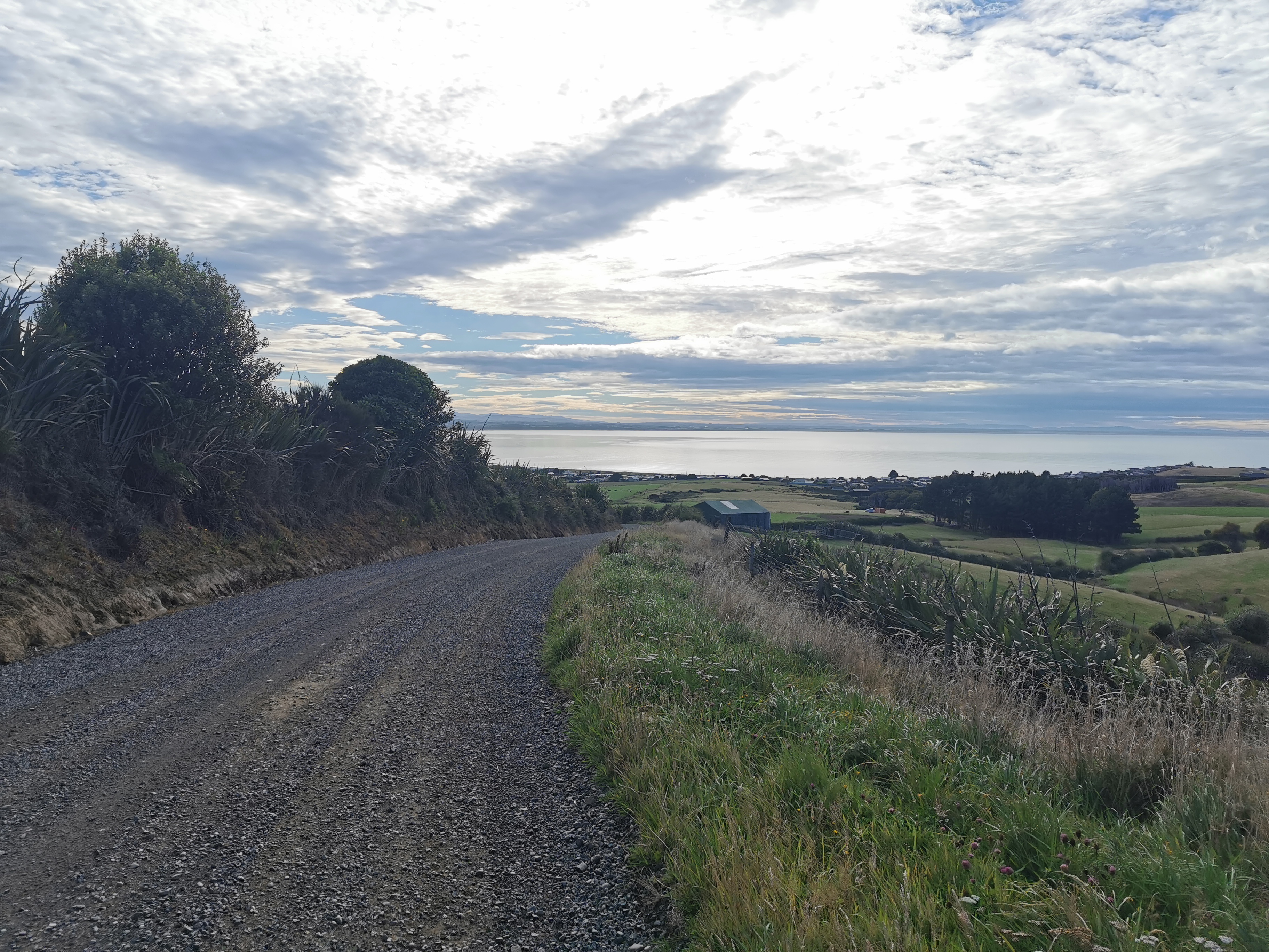
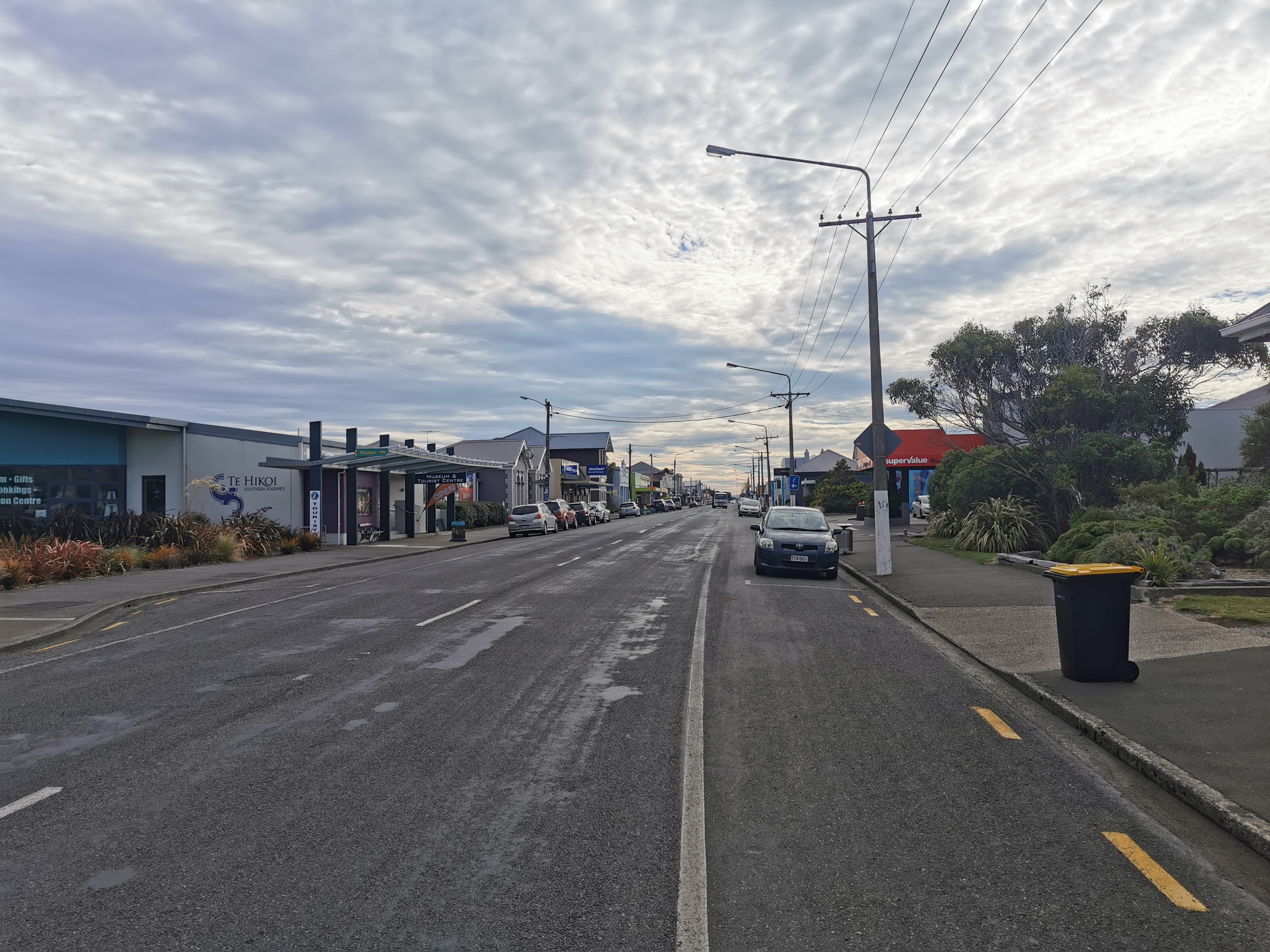
And into Riverton.
As we walked along here a woman from the petrol station crossed the road to come and talk to us. It’s always nice to talk to the locals but we had both been three and a half hours without any kind of real food and so we wanted breakfast.
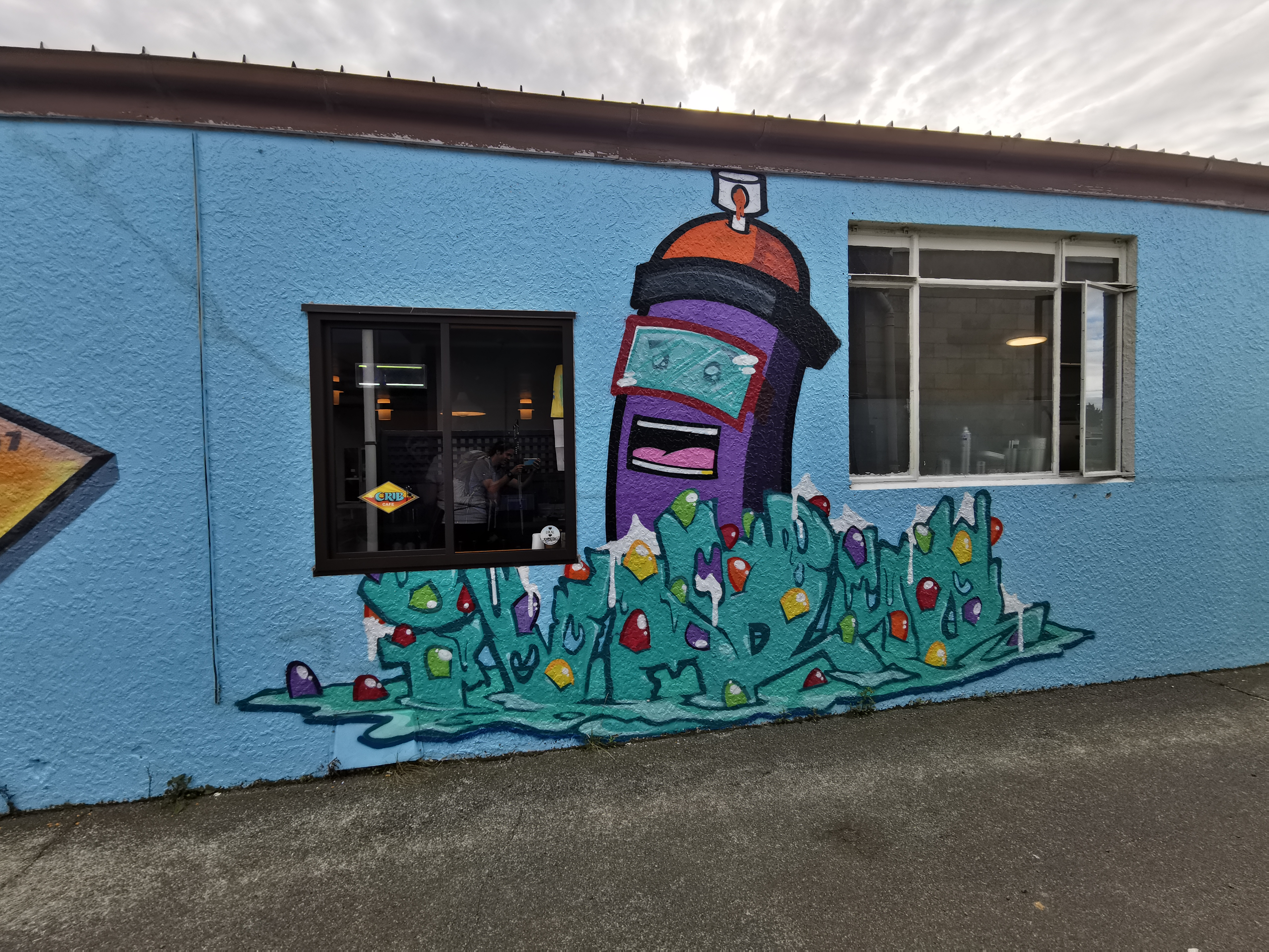
Nicola had done her research and found the most popular cafe in town was called The Crib Cafe. When we came across it, I had high hopes for it, not least because its mascot is a helmet-wearing purple hot dog emerging from a melting bed of goody-gum-drop ice cream graffiti.
We sat down, and the people that sat down at the table next to us asked questions about the section we’d just walked. They were section walkers and they had clearly done their research because they knew about the Raetea Forest. I think only TA hikers know about Raetea. It was nice to talk to these two but my fondness for them decreased when the waitress served them first despite us arriving before them. Grrrrrr.
We ordered second and it ticked over to 11am while we were waiting for food.
The coffee and food in the cafe was amazing. I got two coffees because they were so good.
We looked up the population of Riverton and it is 1,430. About half that number seemed to be in this cafe, and almost all of those people were over 70.
Nicola had booked into a hostel later today but I hadn’t organised anything so I did that in the cafe too. It’s weird looking up accommodation in the city – suddenly you have all these different choices instead of just staying in the next hut.
What’s annoying about Invercargill though is that all the accommodation seems to be in the north of the city, whereas the trail runs through the southern end. After walking 45km today, I really didn’t feel like I’d want to walk another 2km to the accommodation. But there seemed to be no choice, and I booked the cheapest place I could find where I got my own bathroom.
We needed to get food for today’s walk and we both wanted to go to a bakery but the only bakery in town is closed Mondays and Tuesdays. Today being Tuesday, we went to the Supervalue supermarket instead.
So many people talked to us in the supermarket. Mostly what I’d call “old dears”. One woman said she saw us while she was driving and we both looked very happy. That must’ve been because we were either about to have, or had just had, coffee.
We also saw and talked to the guy with the huge swanndri from Colac Bay. He was still wearing it.
Earlier when we got to the café I changed out of my wet boots and put on my crocs. I decided to leave them on for the first part of the upcoming beach walk.
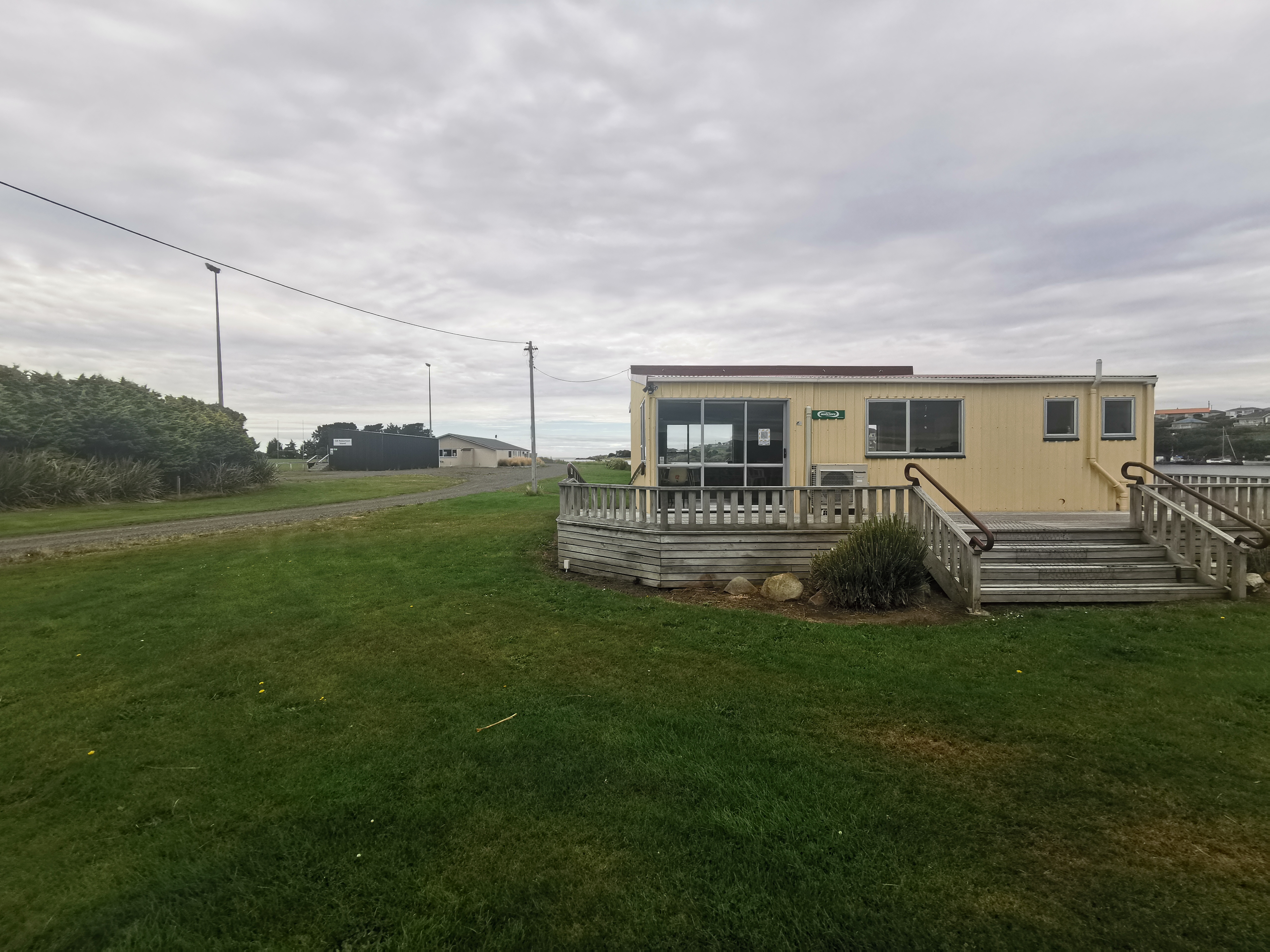
The beach walk from Riverton starts off by this hall.
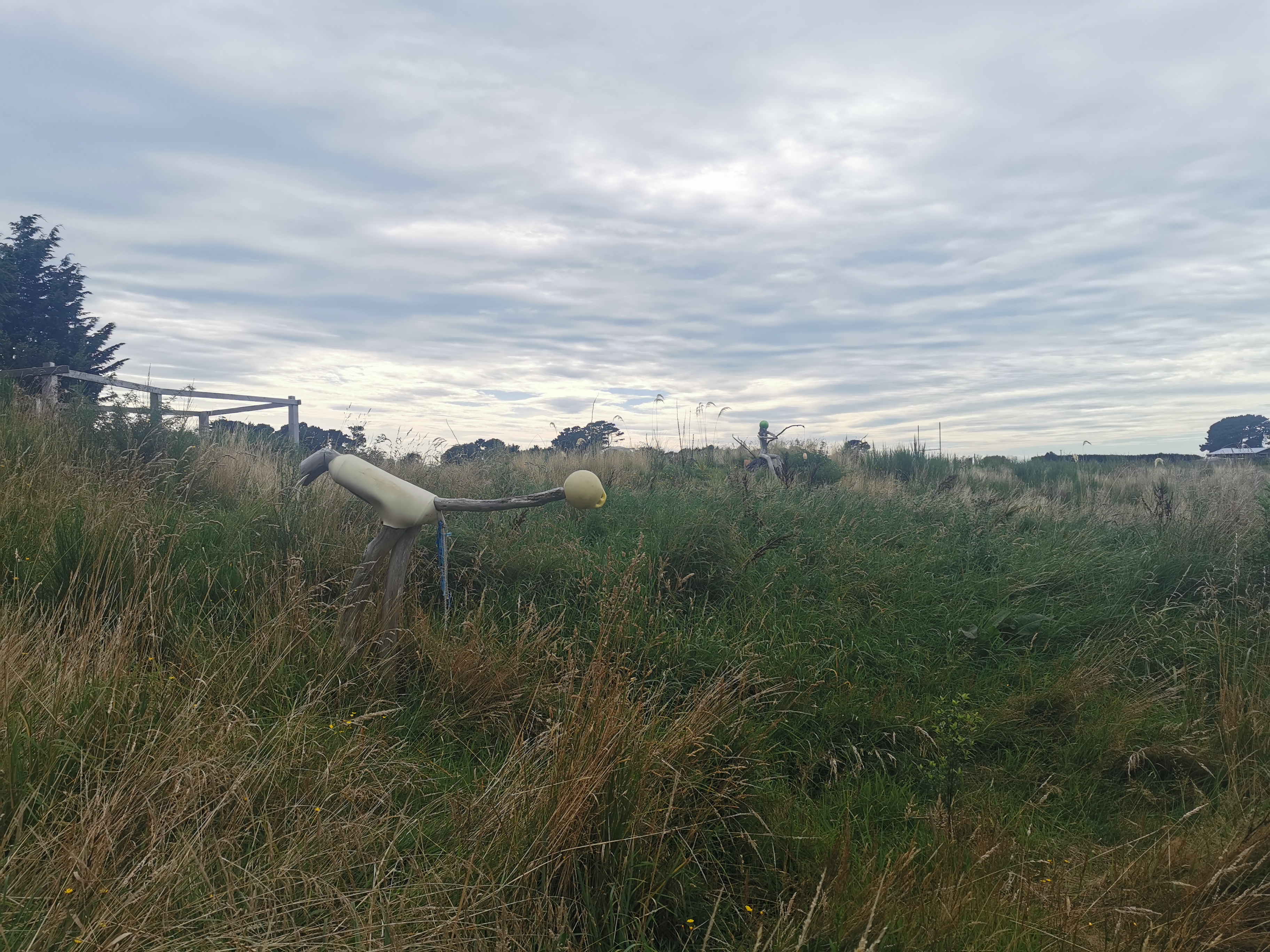
And goes past these sculptures.
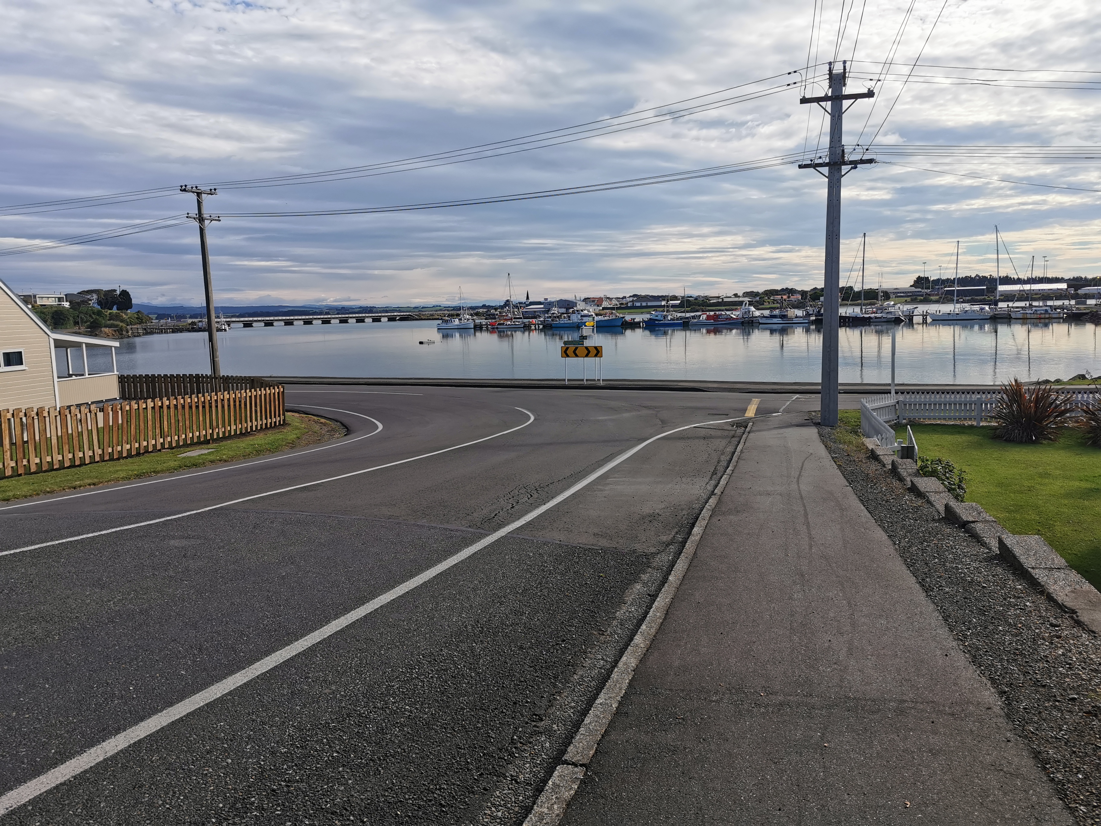
Then emerges here, but don’t cross here like we did, that’s wrong. Instead, follow the perimeter of it and stay by the water.
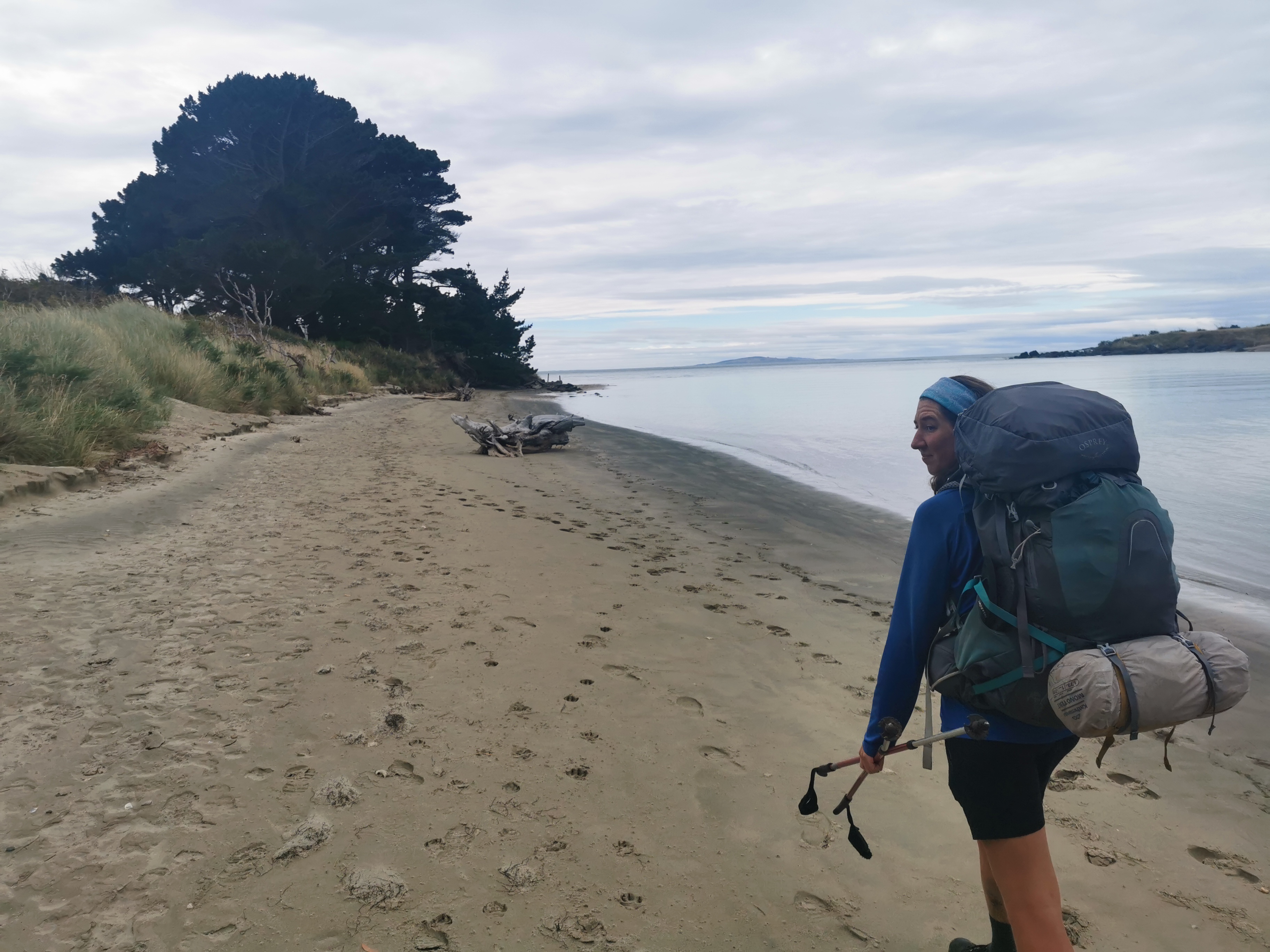
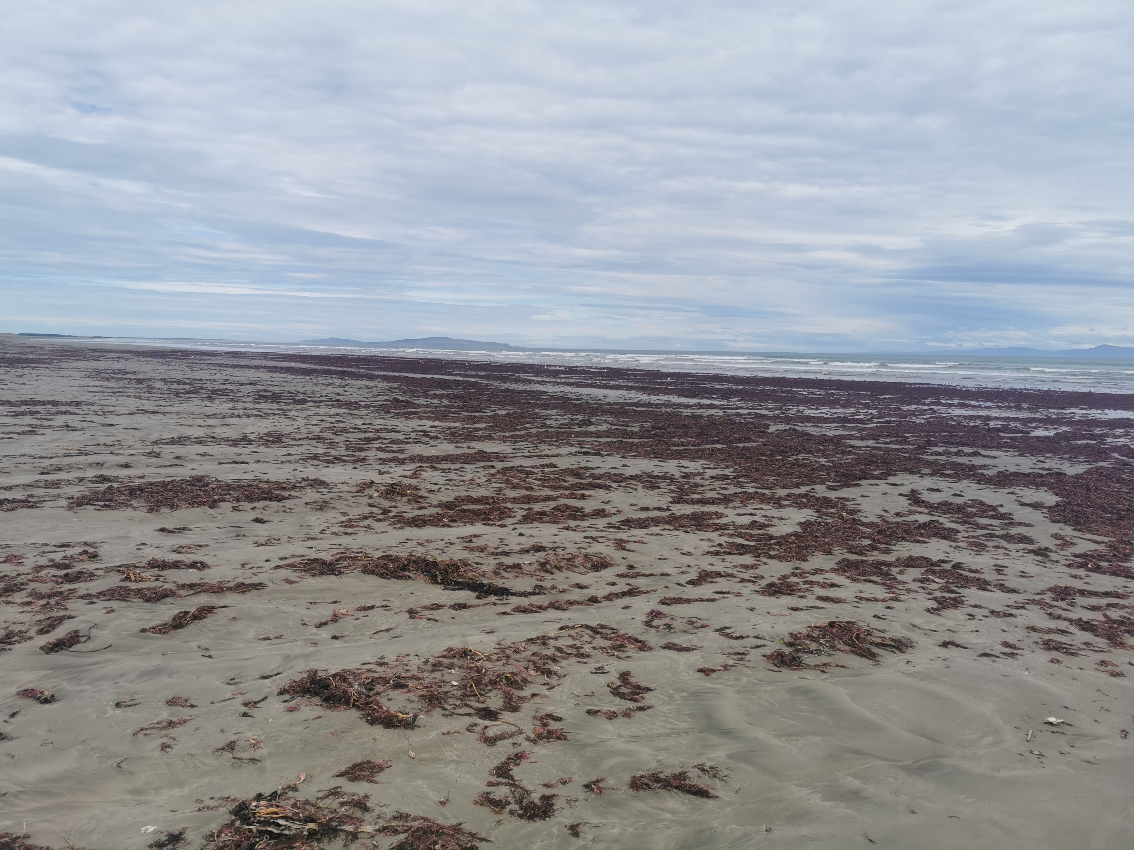
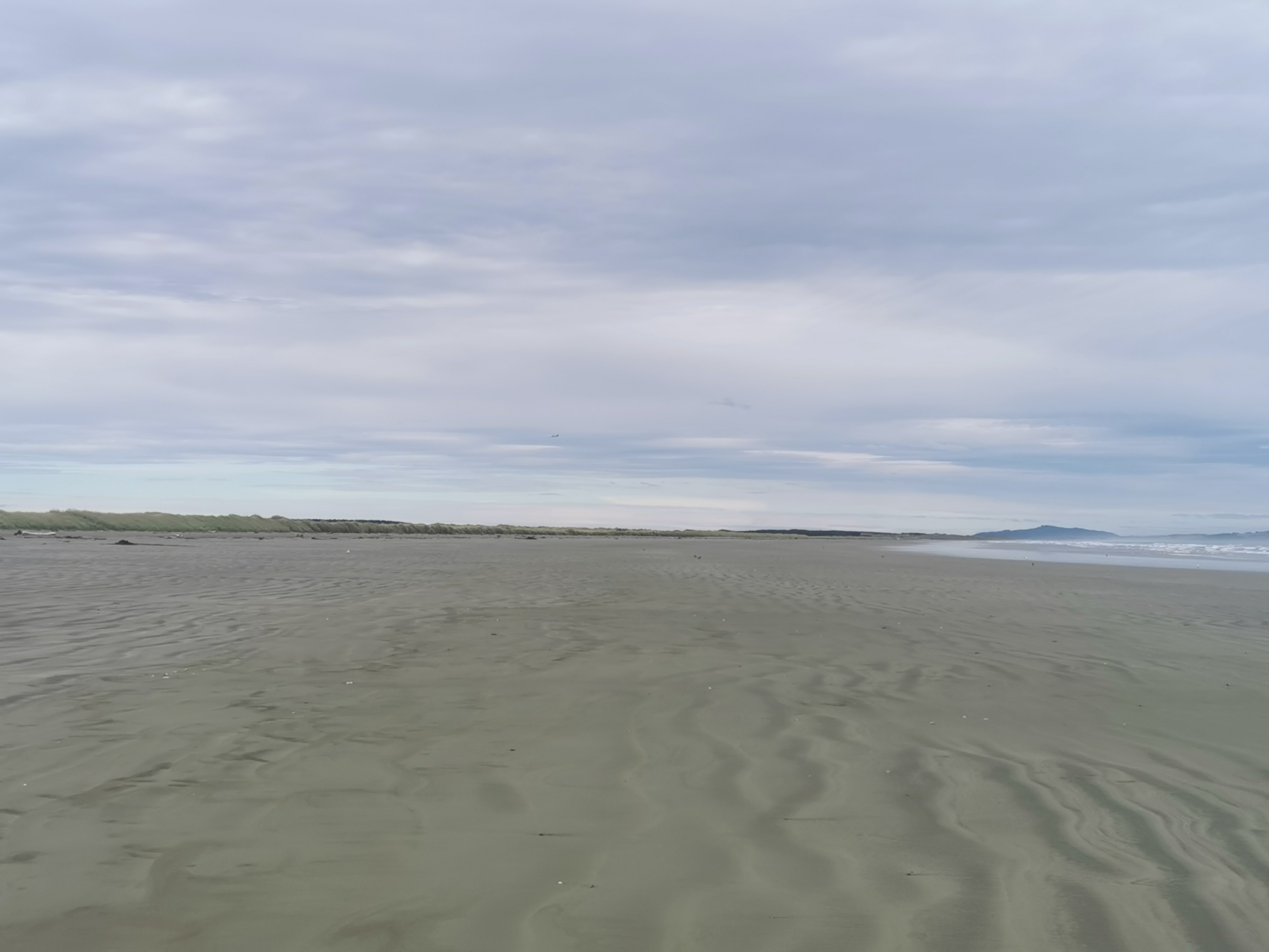
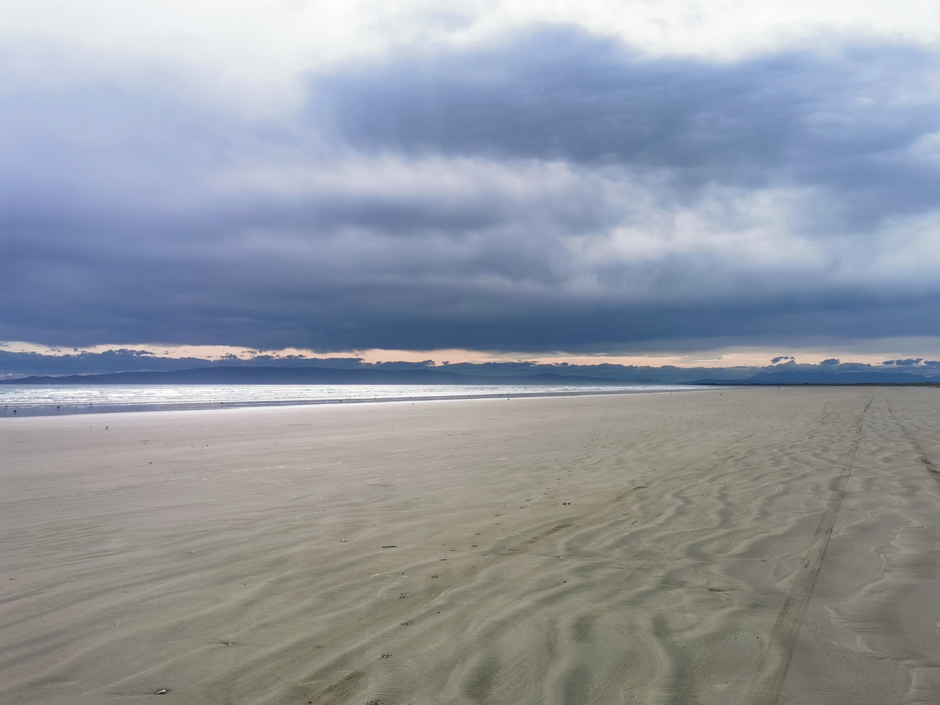
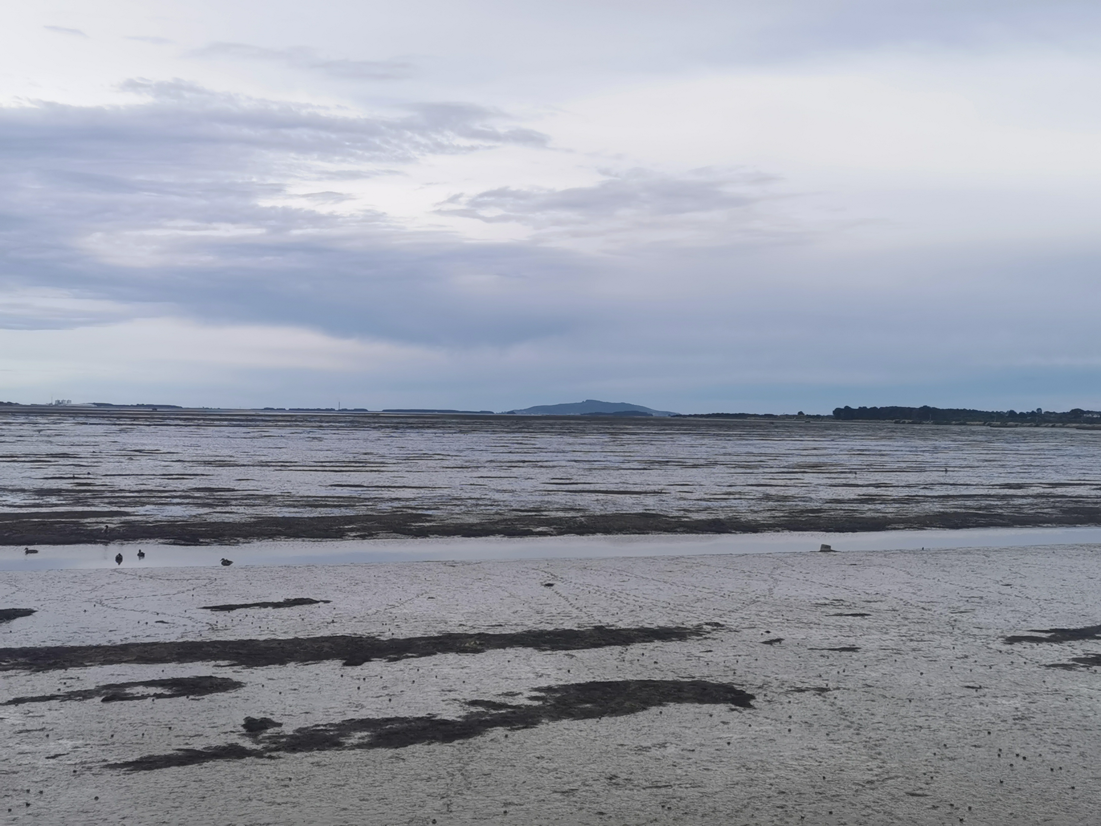
It was nice to see that this beach had proper hard sand to walk on, not the pebbles from before.
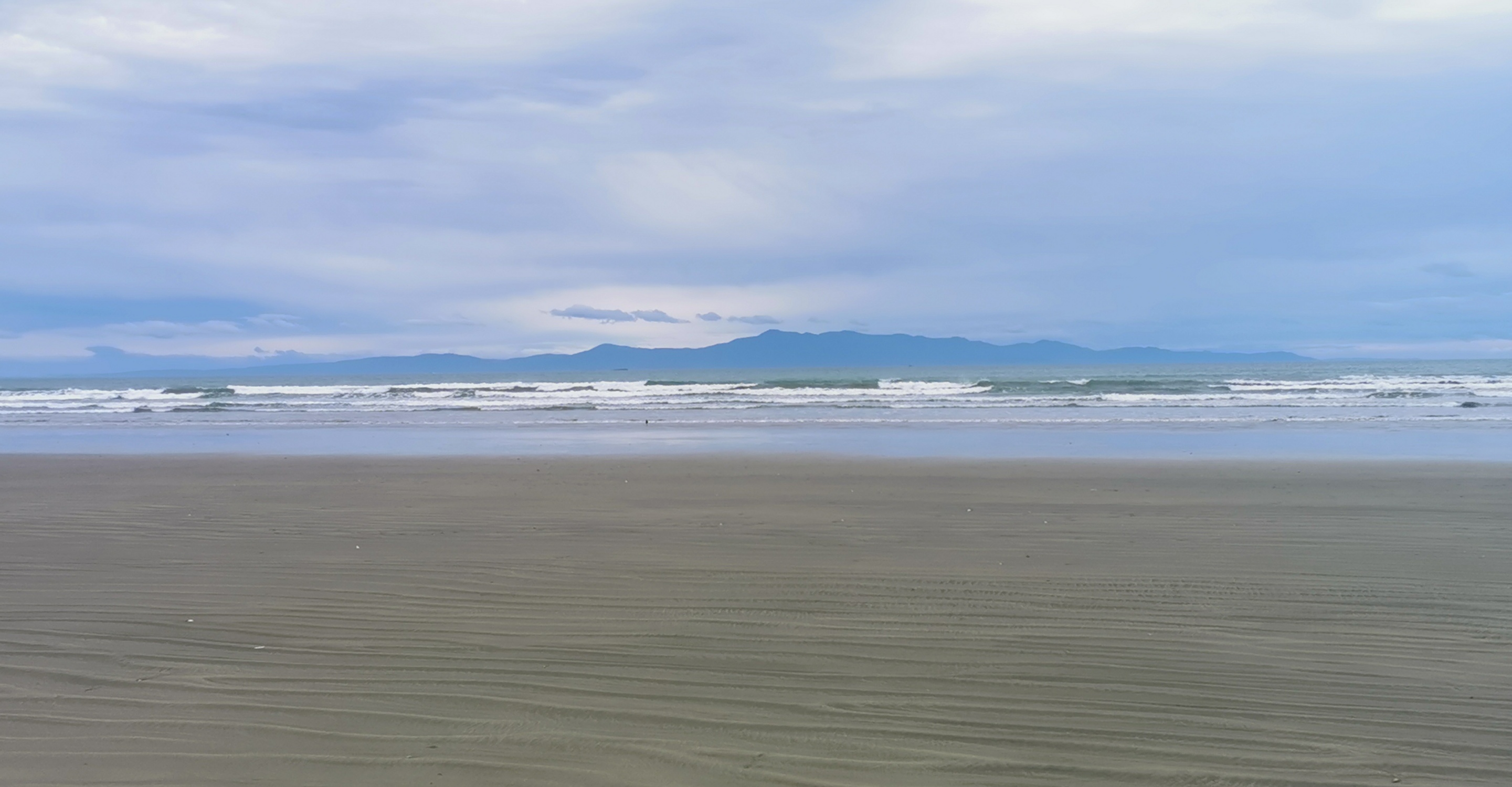
From here on the hours of beach walking started. Nothing changed much.
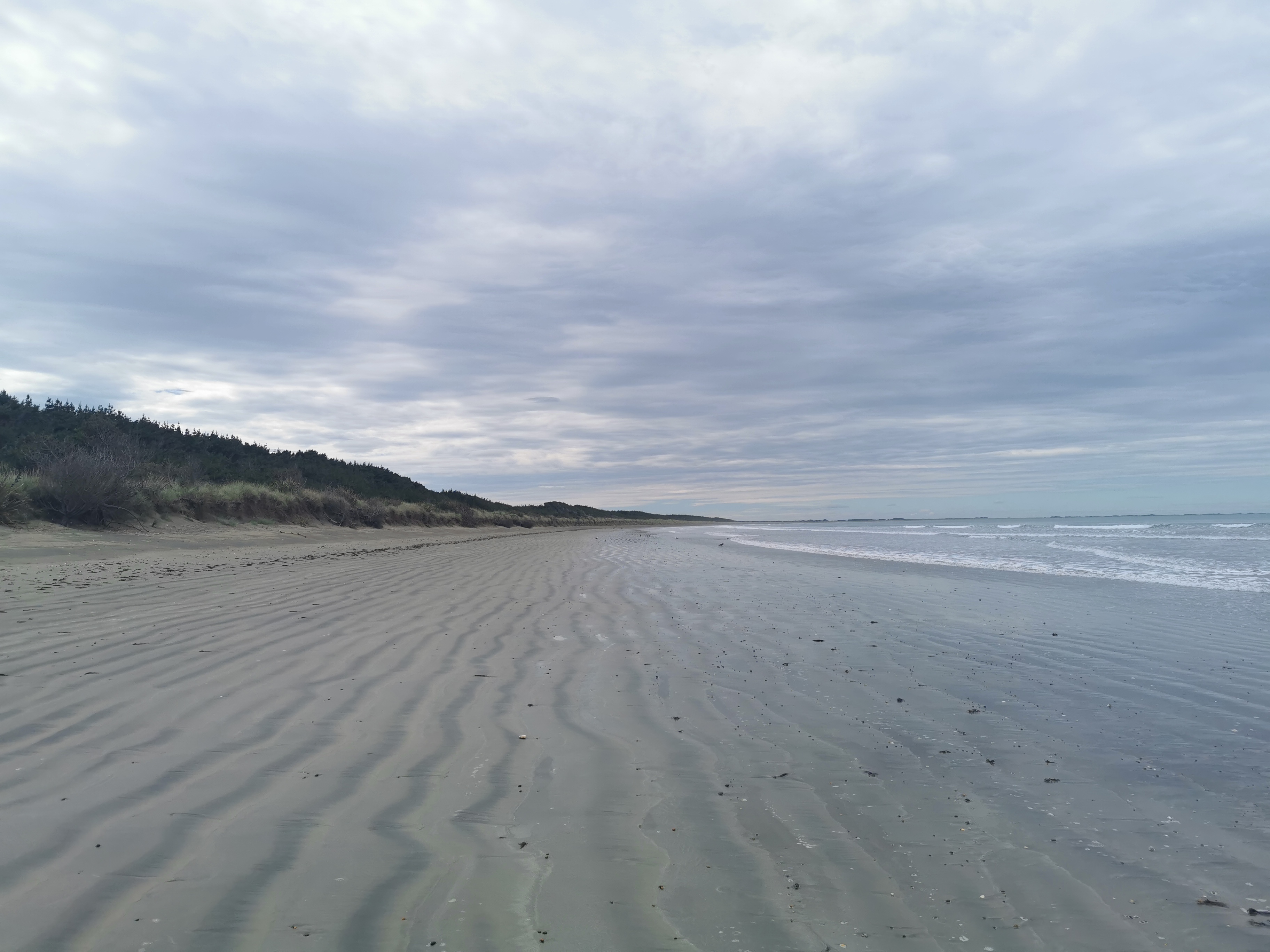
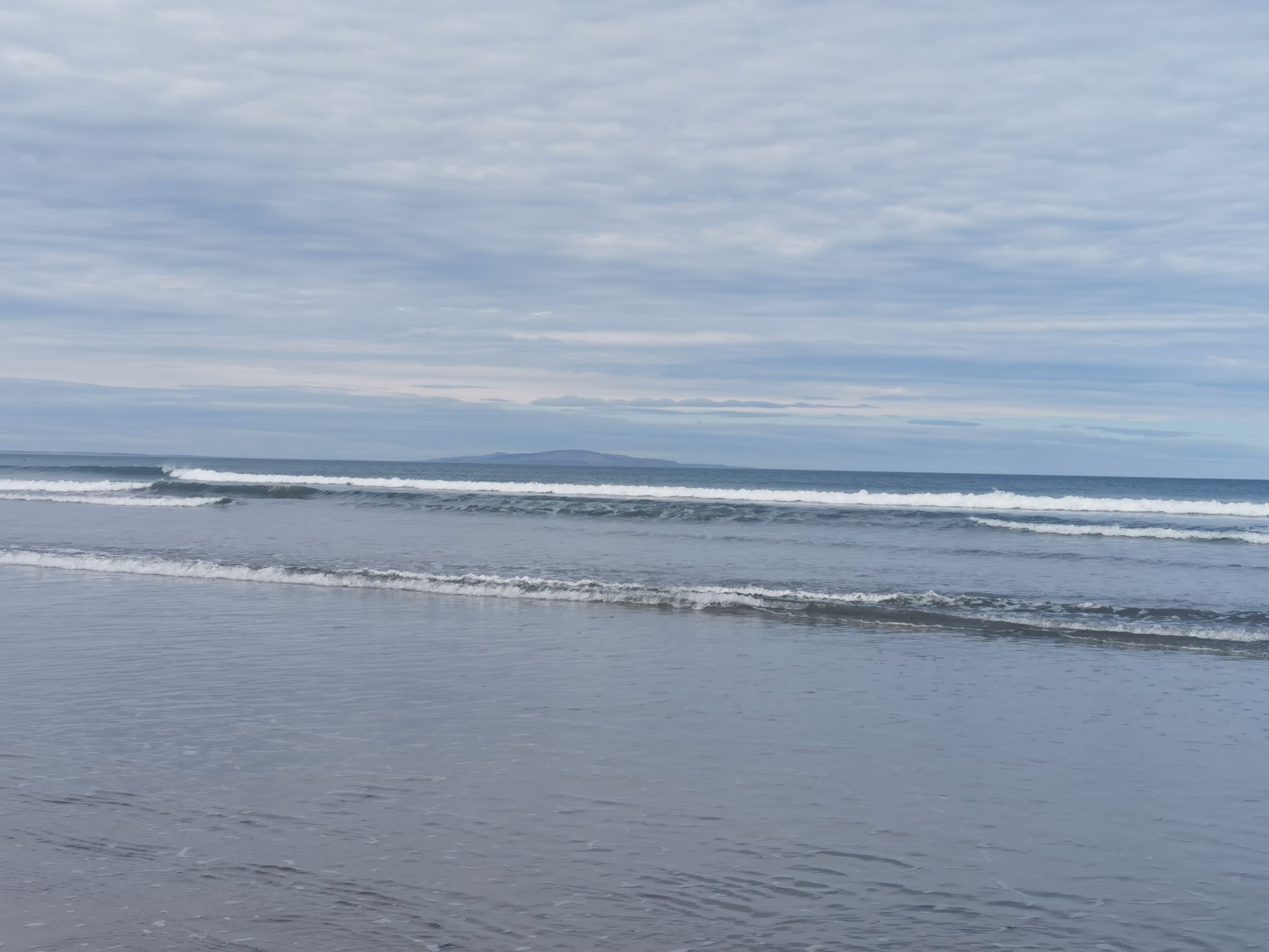
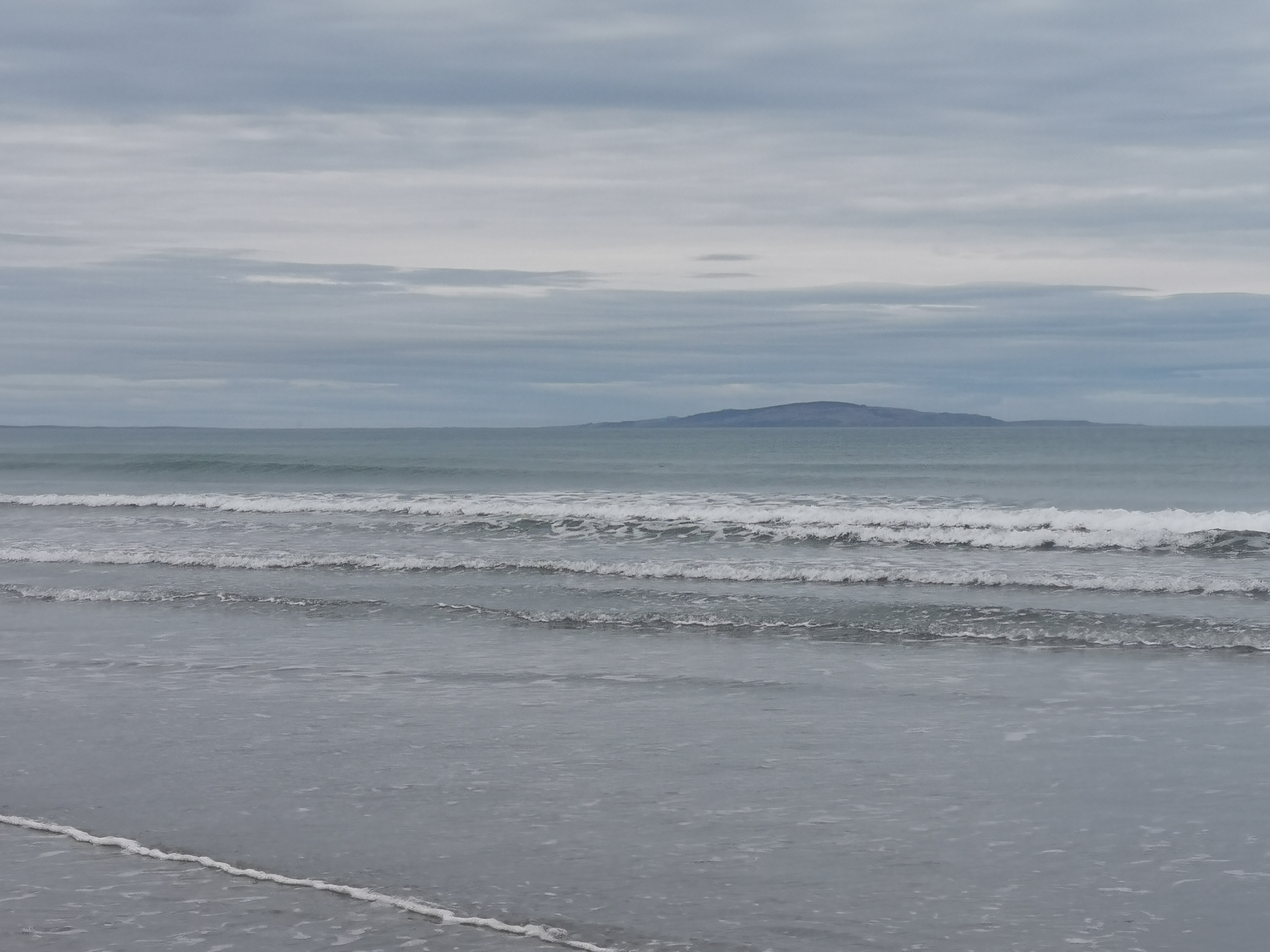
Stewart Island was beside us in the distance the whole way, which was pretty cool.
We out on music and just walked – for hours. The view barely changed and we never saw any other people.
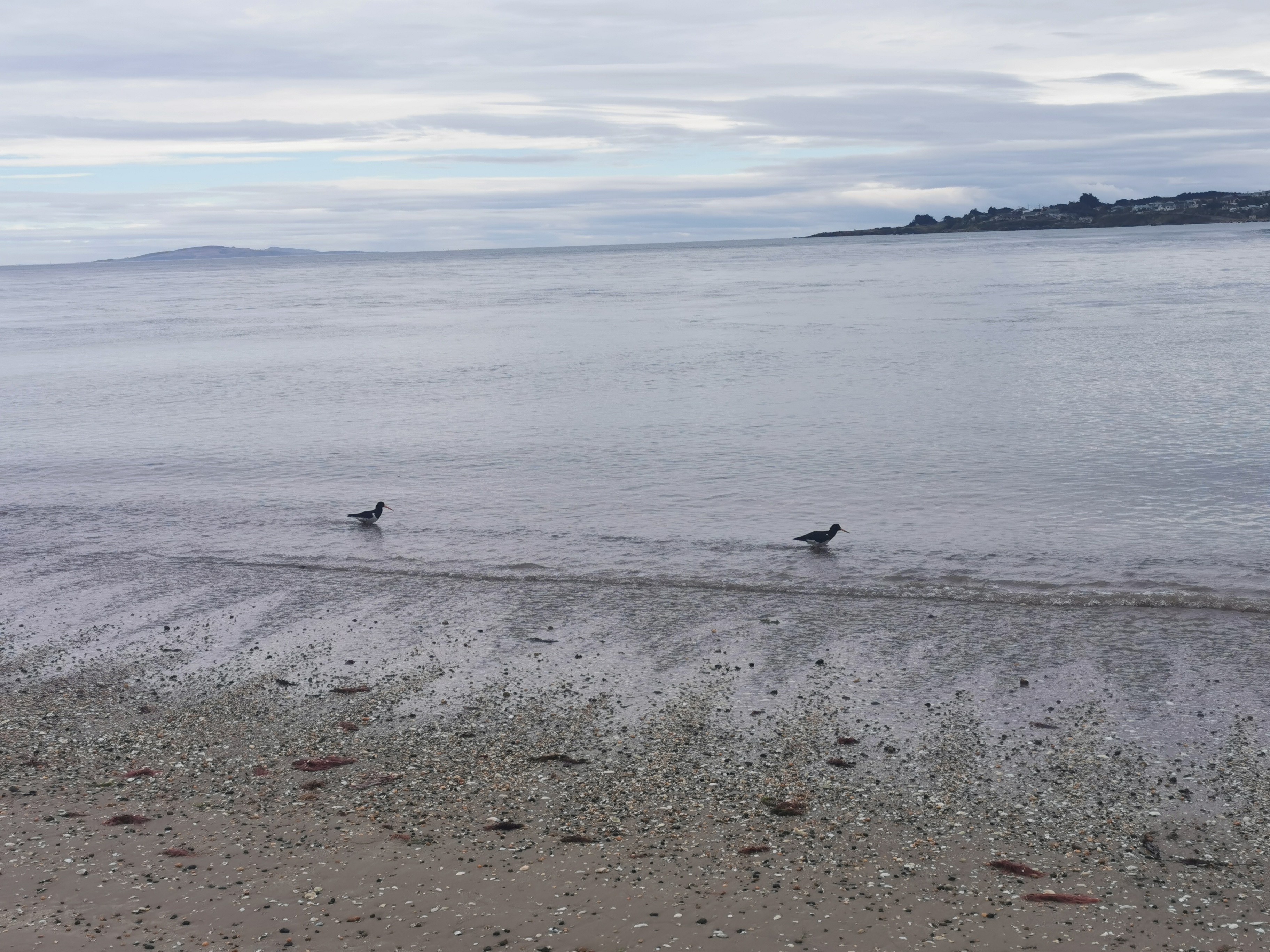
We saw dolphins… well more specifically Nicola saw dolphins and tried many times to point out to me where they were, but I was blind and couldn’t see them at first. But I did eventually. We thought they were Hector’s Dolphins, as they had the rounded fins. They were cool, but too far away to get any sort of photo.
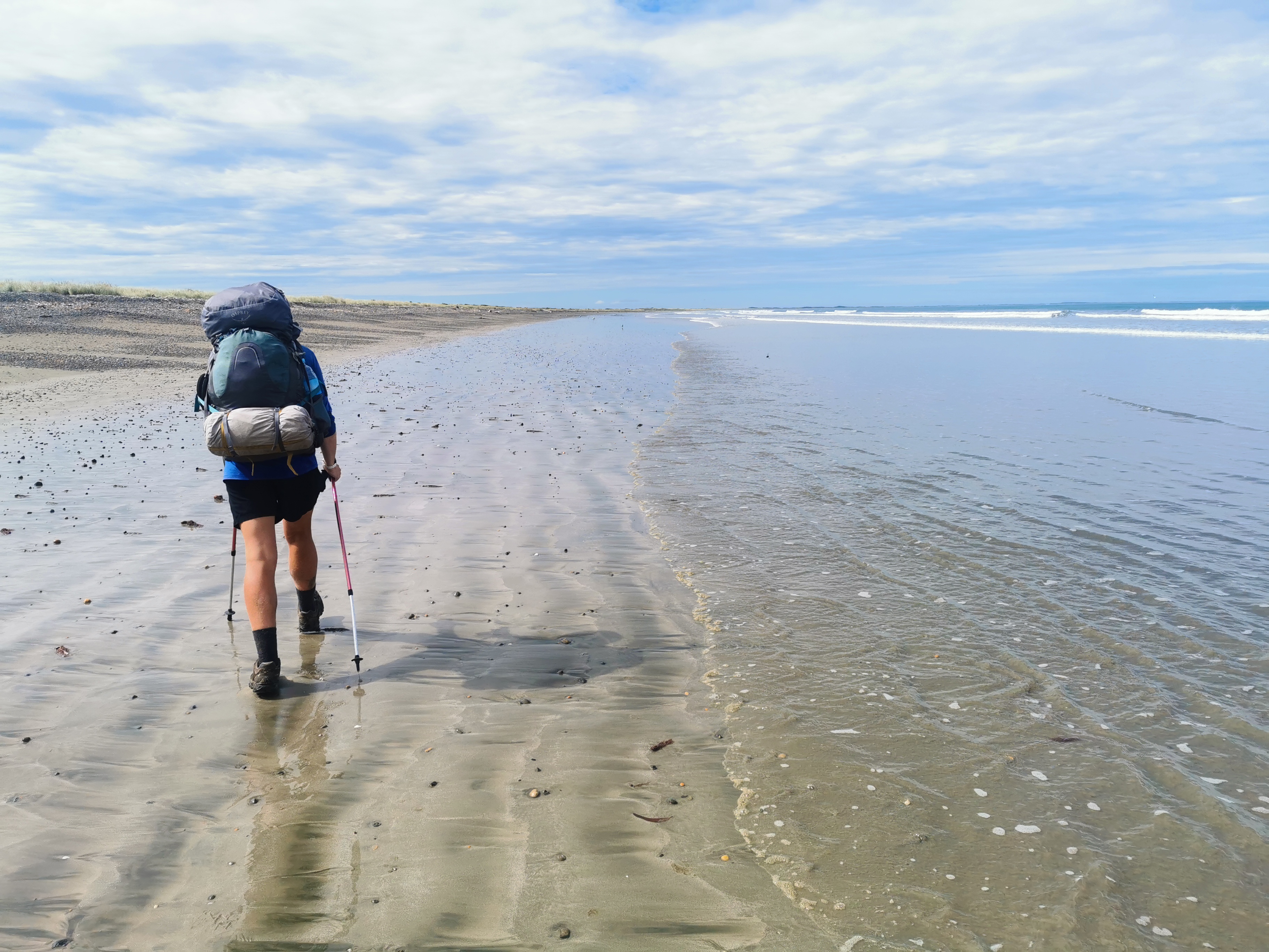
It felt weird to know there was no more elevation for the rest of the walk – it’s all at sea level. The concept seemed so unusual after the terrain of the last week.
At first thought we would be late arriving in Invercargill. But the beach was so easy to walk we had plenty of time, and in fact we might now actually be early for the river crossing.
At the 20km point of the day I changed back into boots. It started to hurt walking in crocs.
At the 26km point everything about my legs started to hurt. It made me appreciate the effort people like Shay go to to do the “100k challenge” – doing the whole 100km from Martins Hut to Bluff in one go. It certainly isn’t going to happen for Nicola or me.
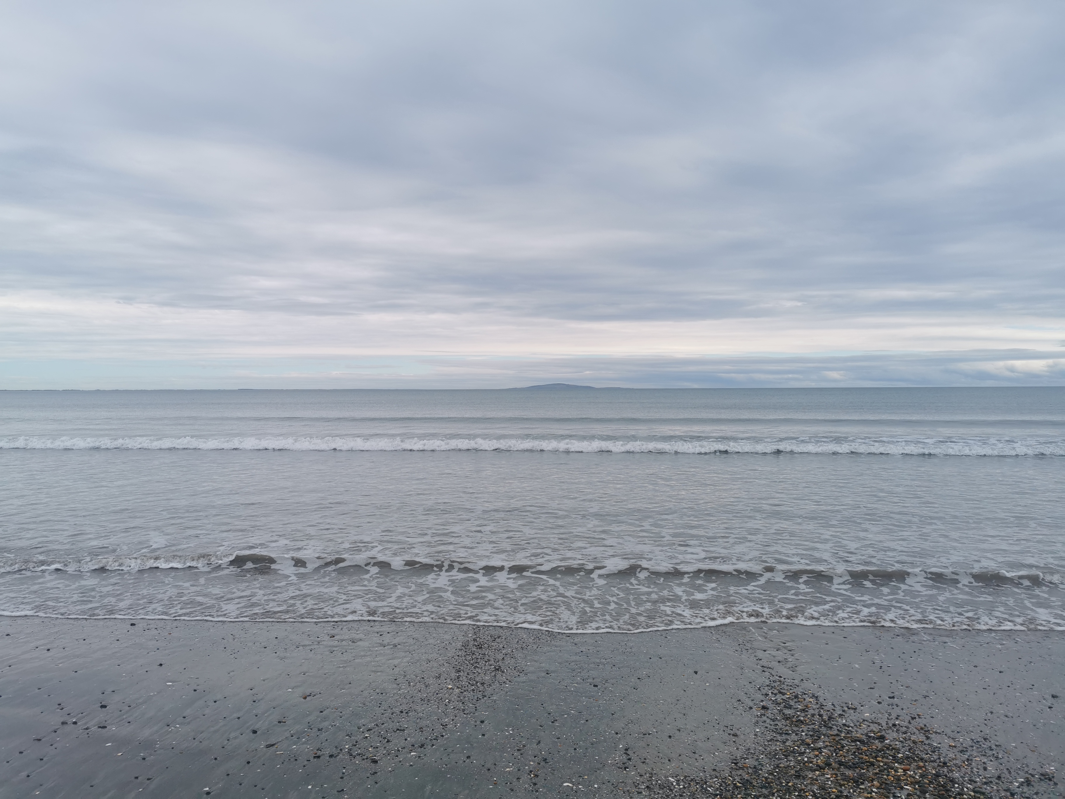
We arrived at the river crossing at 2:45pm – almost three hours before low tide – but it was no obstacle.
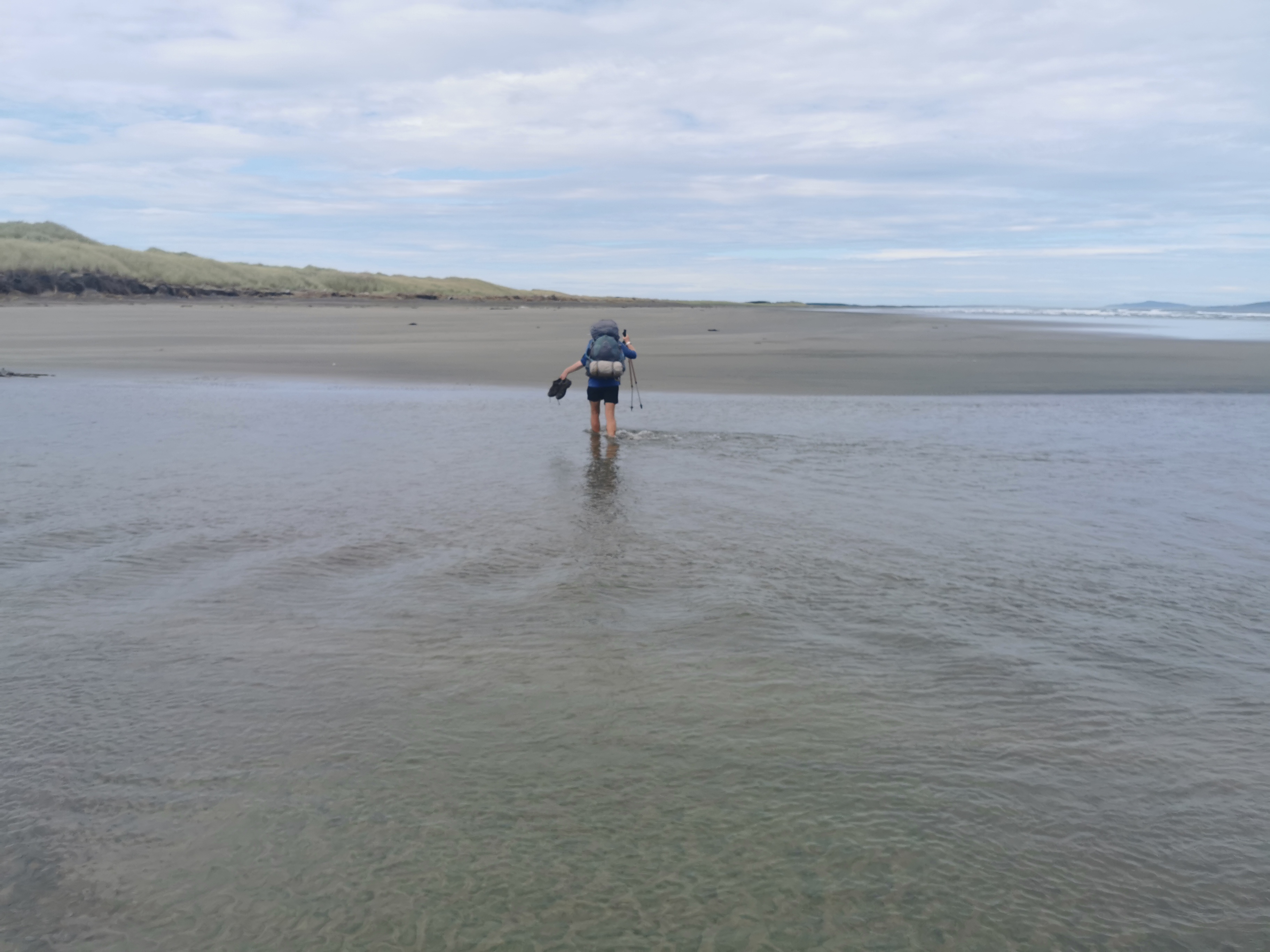
We stopped on the other side of the river and had our supermarket lunch. While I was there I picked up a green bottle that was on the beach, again hoping I’d get more good karma from it. It seemed to have worked yesterday.
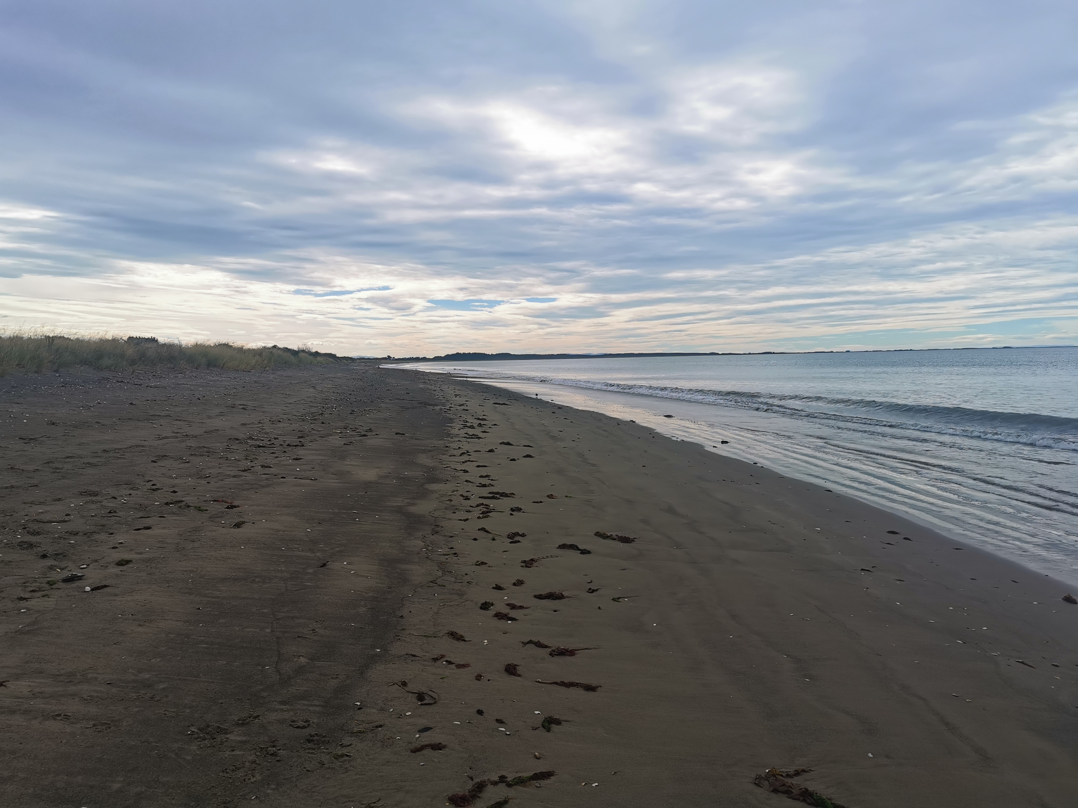
For the rest of the beach walk after the crossing, we walked staring directly at Bluff, but despite there still being quite a bit of beach left, Bluff never seemed to get any closer.
It was easy to make the comparison with 90 Mile Beach back at the start of the walk. It was almost unthinkable that back then I walked down the beach for four straight days. At least this was just one long day.
Throughout the whole beach walk, we never saw another person until there was about 1km to go. We saw a lady with a very cute chocolate lab dog which came bounding over to us to say hello.
By the end the tide was way out. There was ample room for everyone – cars, people and dogs. And I didn’t even realise until the end, but we had had a tail wind the whole way.
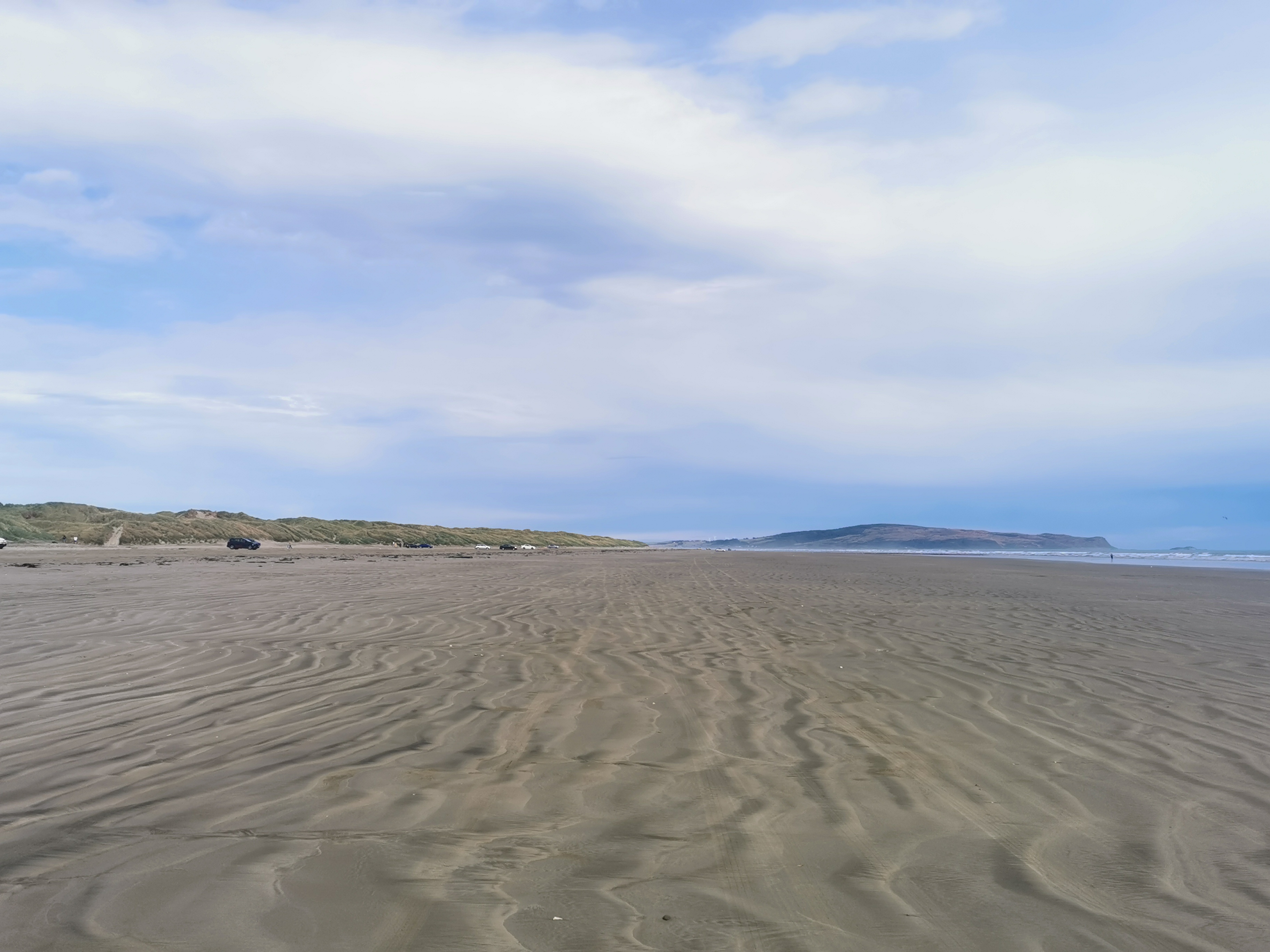
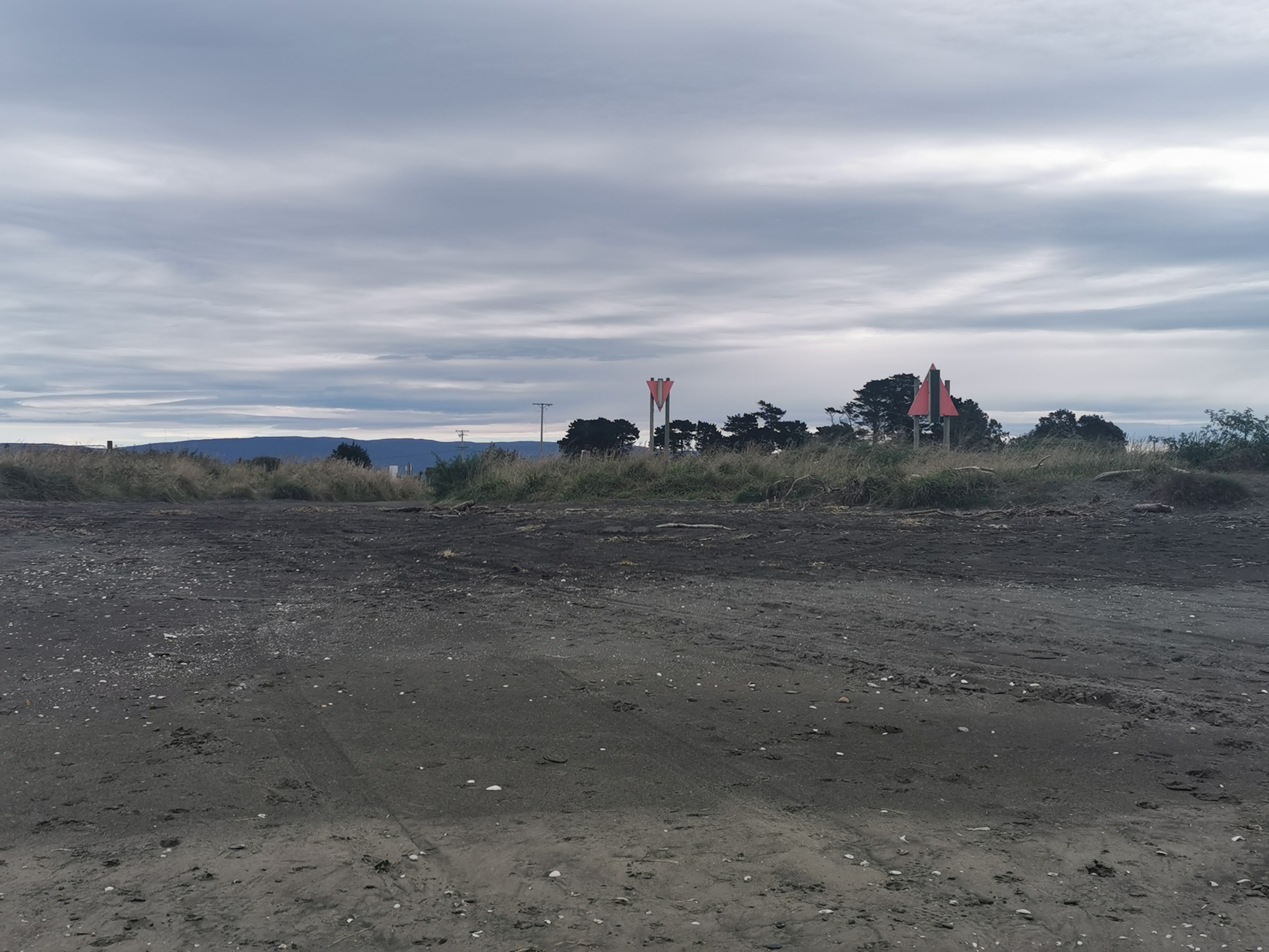
Once we saw these cars, it was time to get off the beach. Lucky they were there, because there’s no marker or anything to direct you off the beach. You need to pay attention.
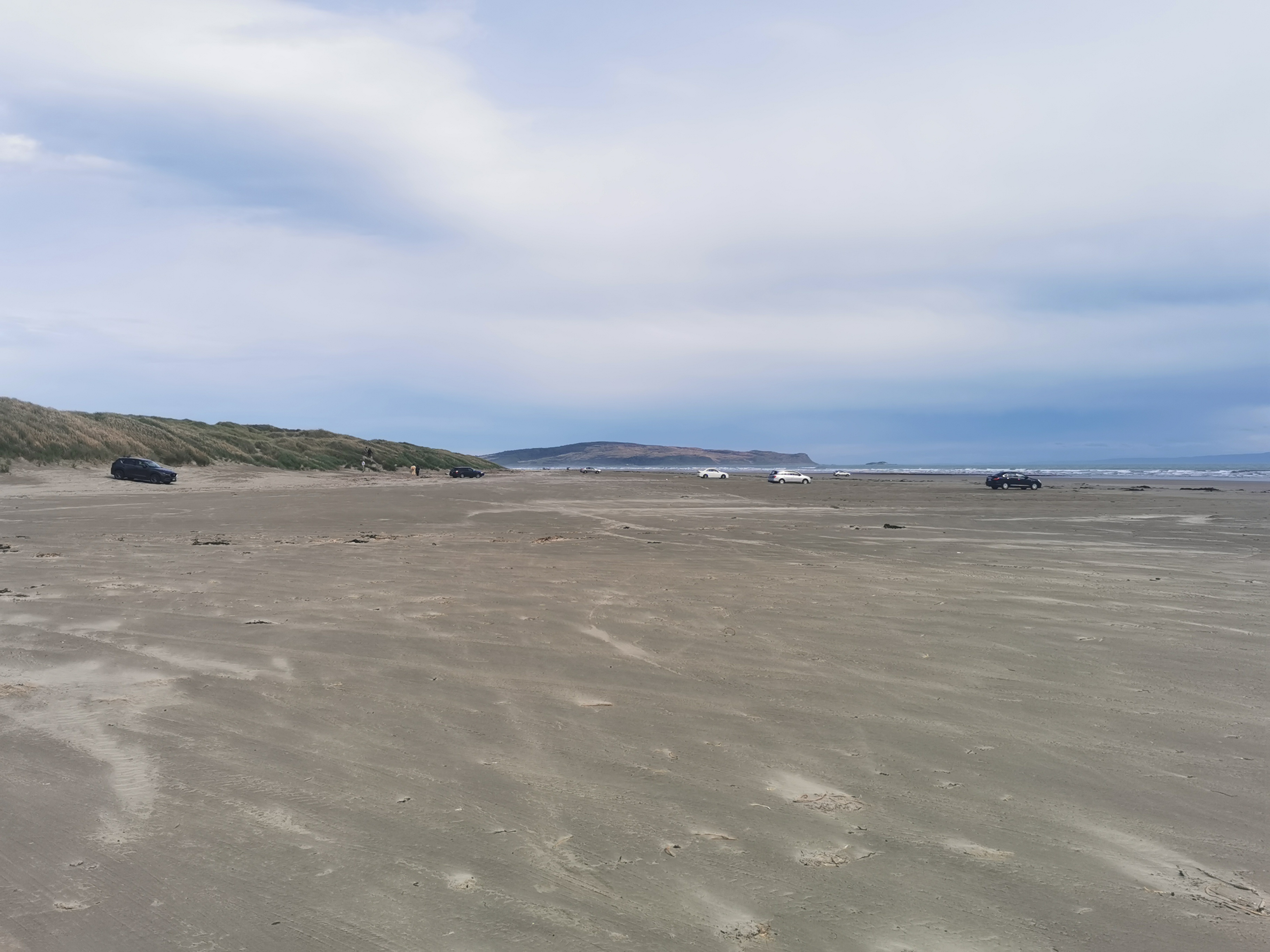
I was surprised at the types of cars that could drive across the sand. Not all attempted it though – like this car.
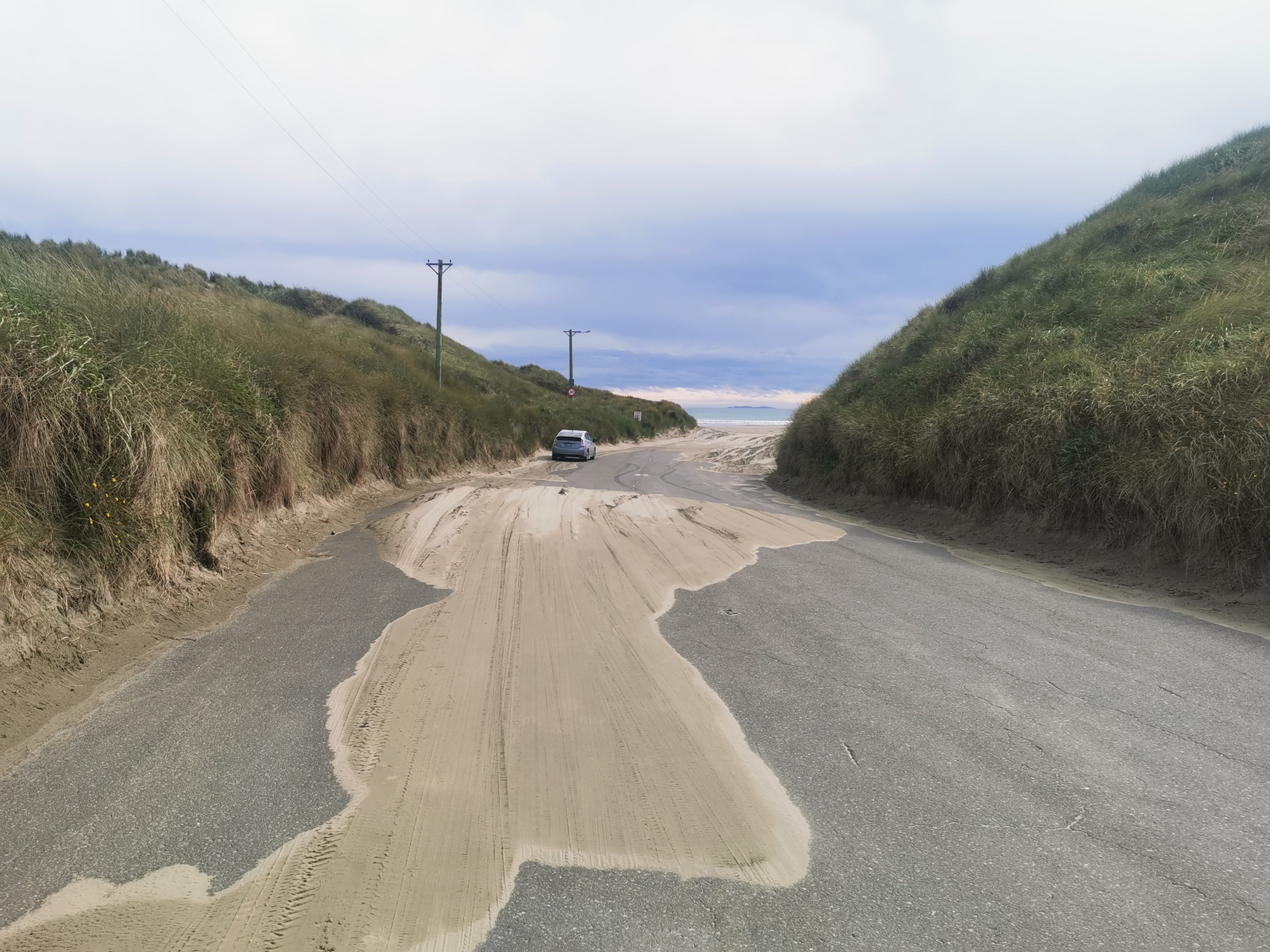
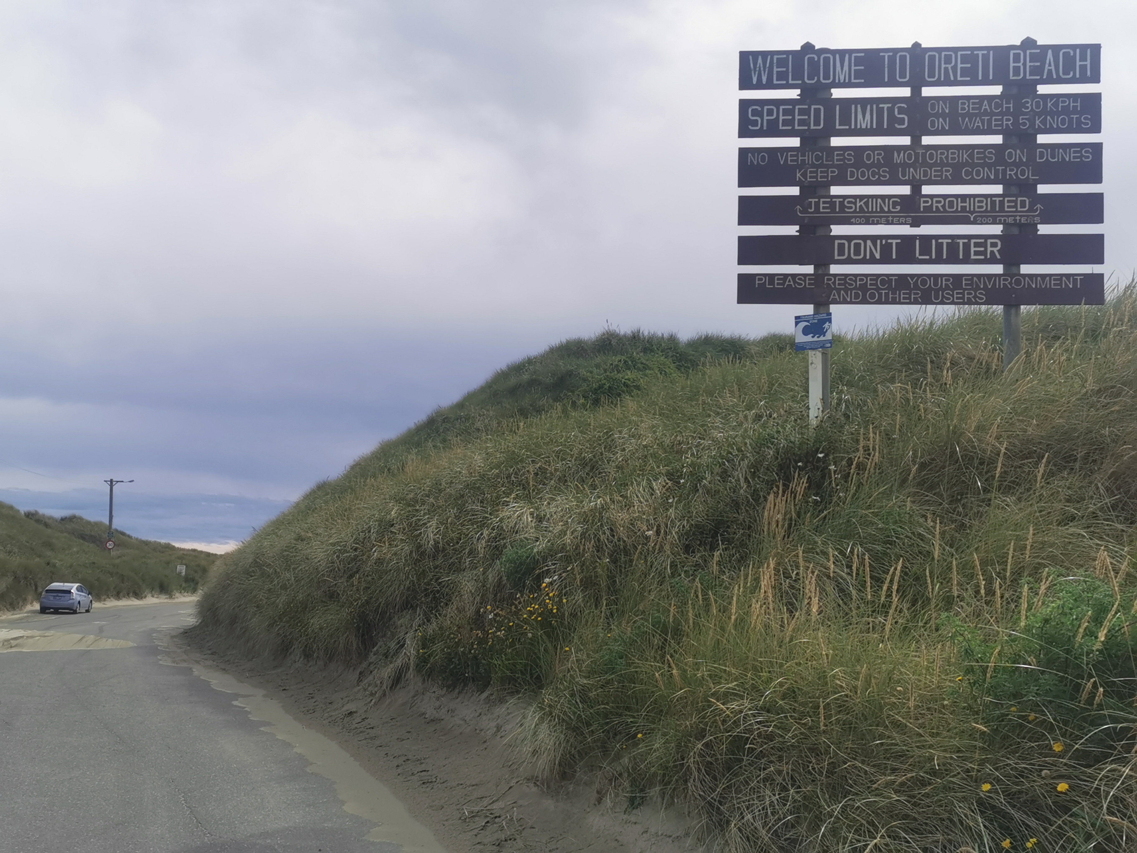
Should have mentioned that the name of this beach is Oreti Beach. It was the place where Burt Munro set an open beach speed record back in the 50s, and correspondingly was a key filming location in The World’s Fastest Indian.
From here there’s a gravel footpath for a while – another one of those footpaths designed by a guy who had a few too many Friday beers.
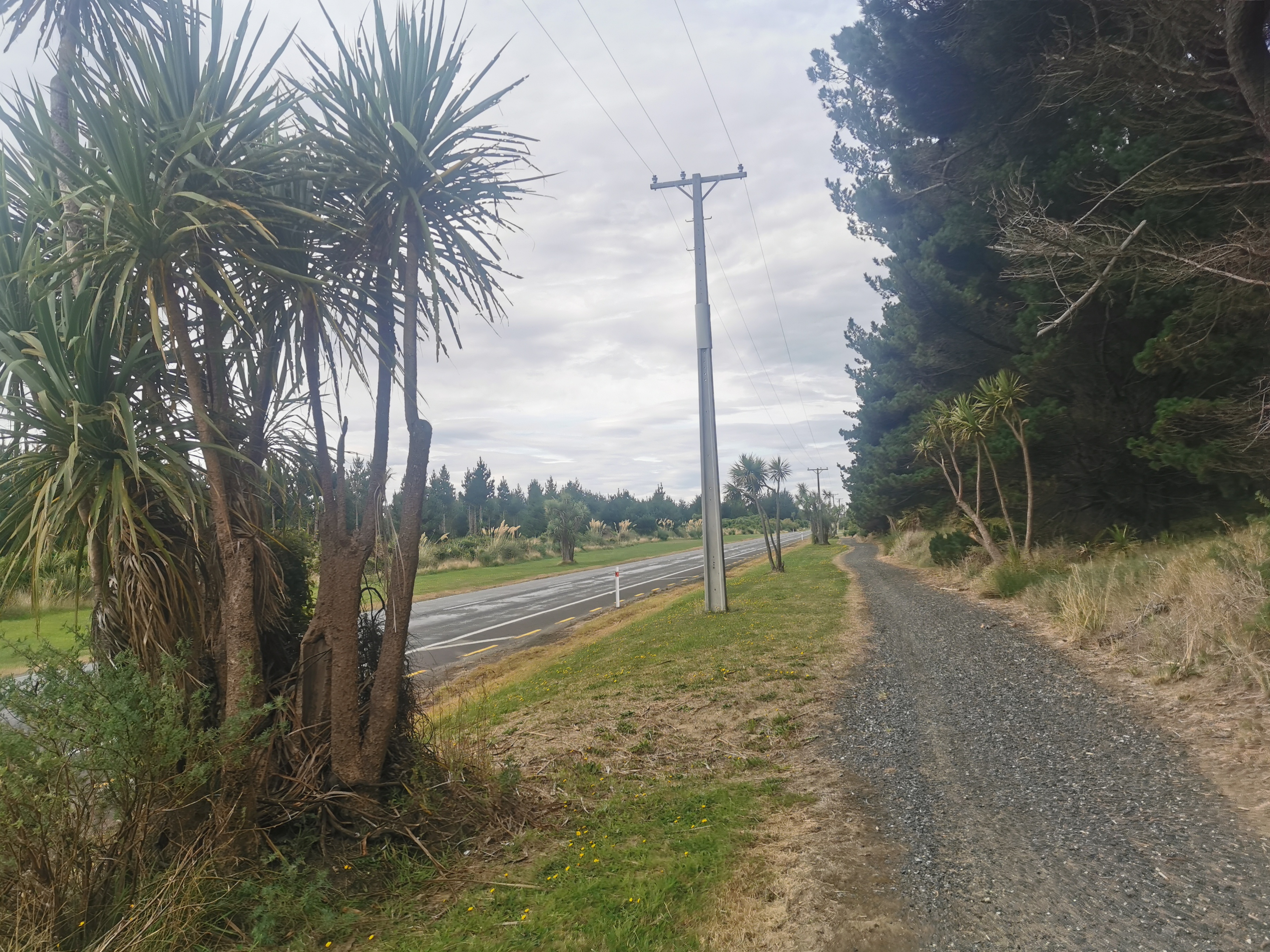
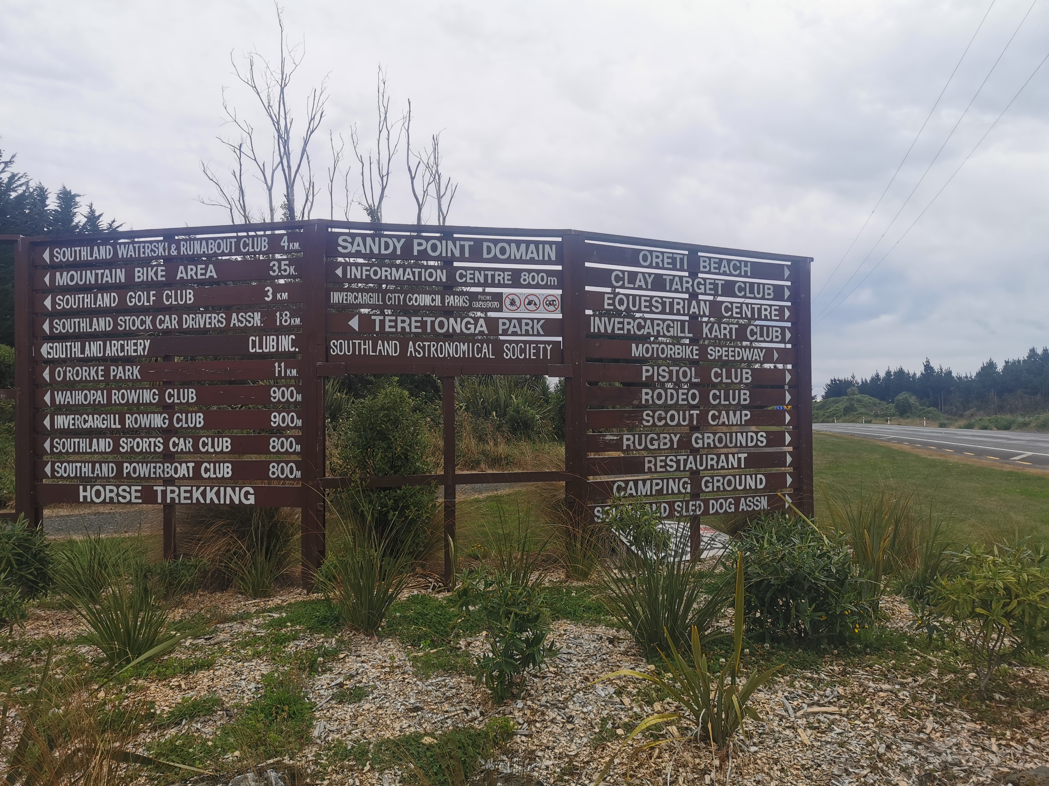
This whole area (known as Sandy Point Domain) looked really empty and desolate, but if you believe this sign, a lot happens here.
There’s a holiday park along here, which I bet TA hikers use, but I don’t know anything about it.
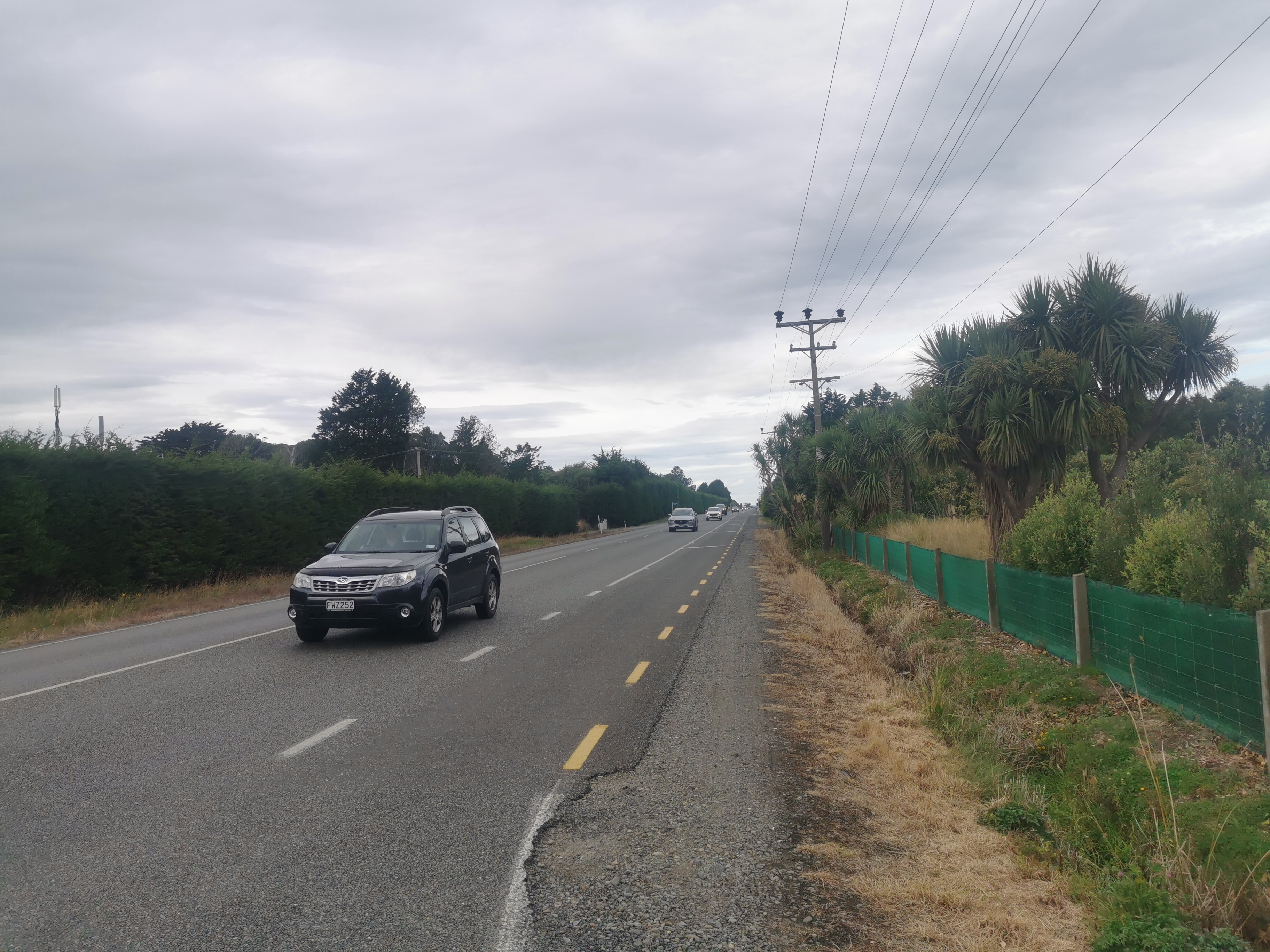
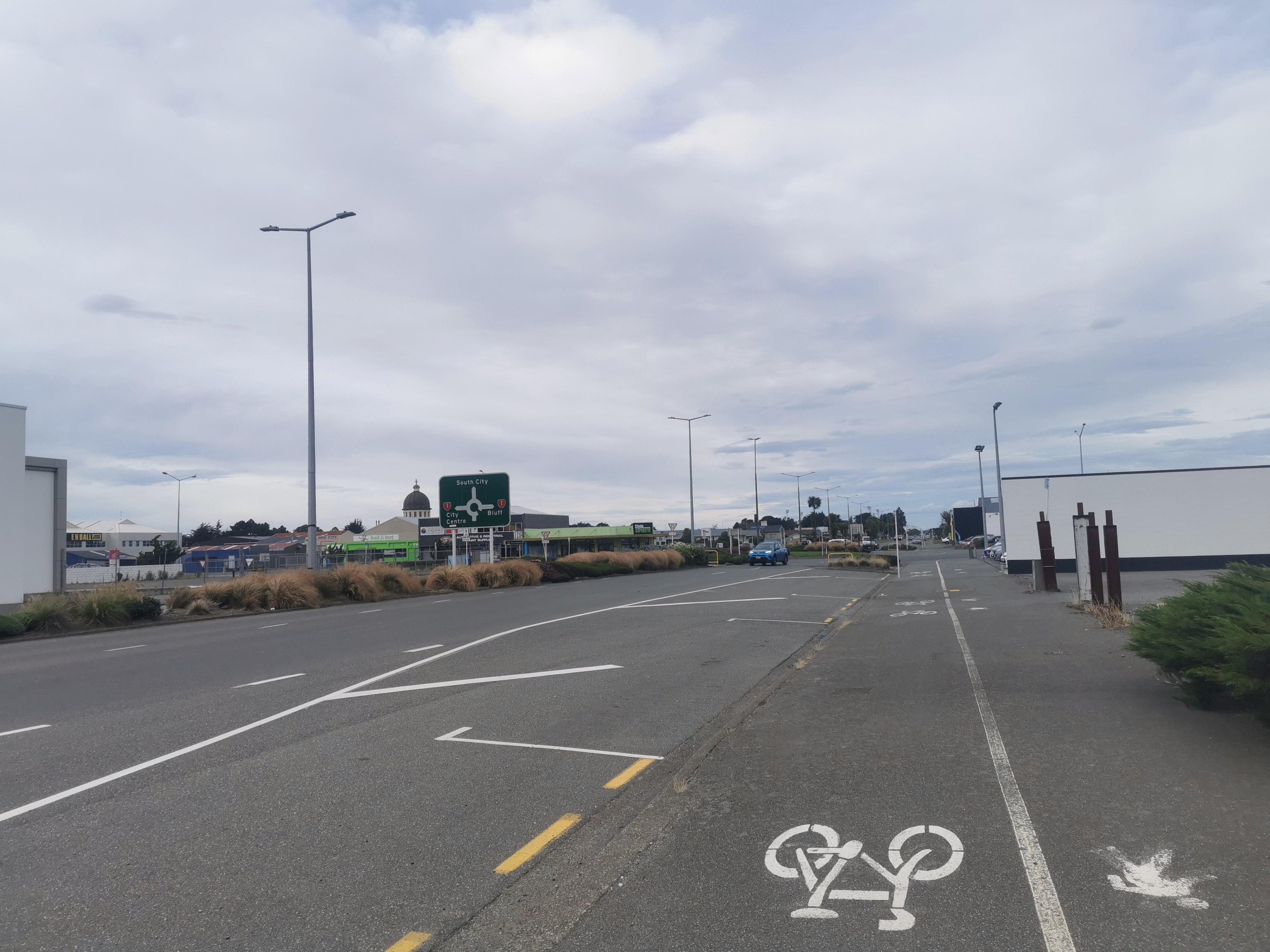
The footpath doesn’t last forever, and you’re thrust onto the shoulder of quite a busy road in an area known as Otatara. The fact it was 5pm and this appears to be the main road out of Invercargill to the west didn’t help.
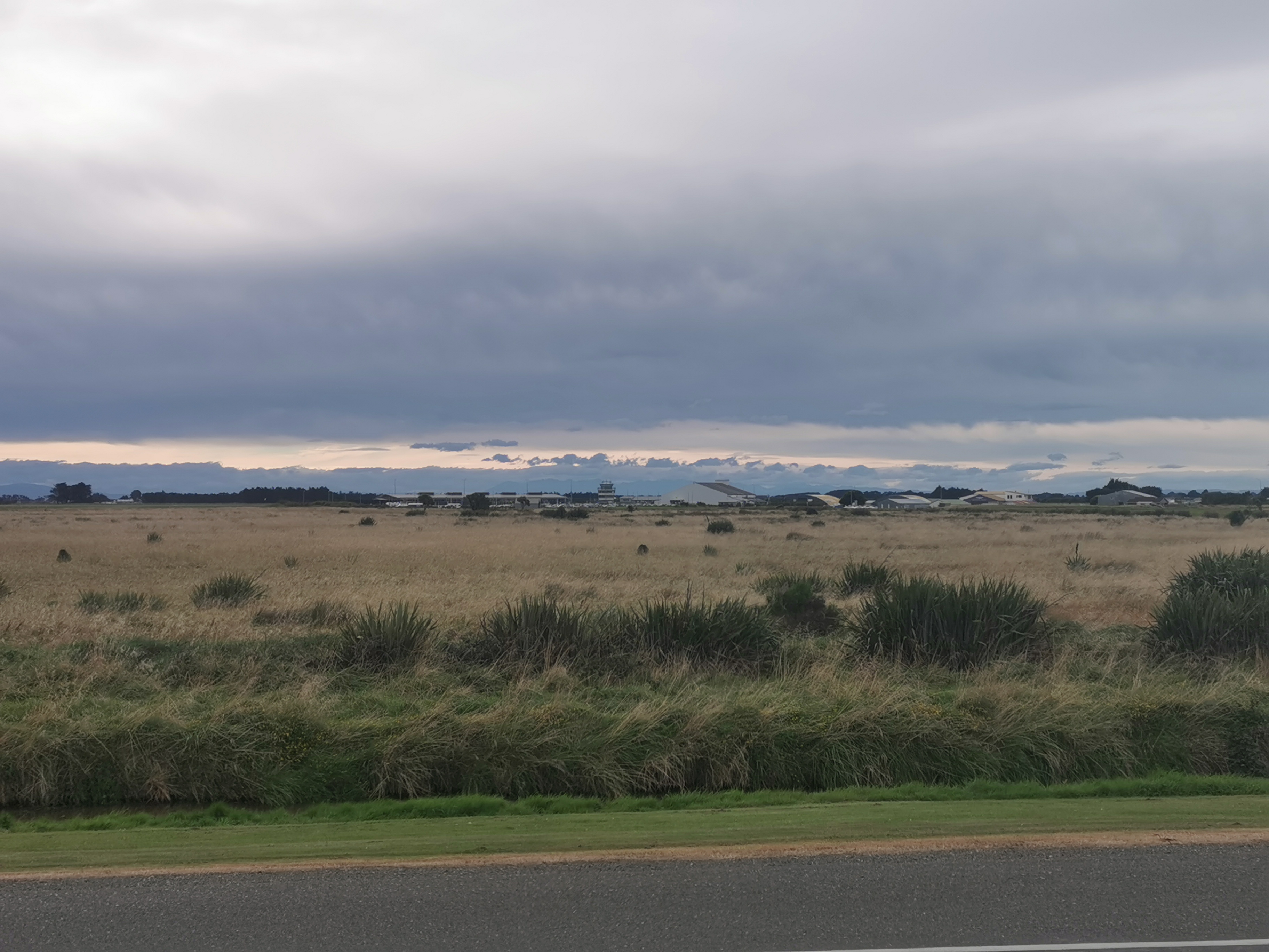
Once you get near Invercargill Airport, you end up with a raised footpath.

I thought at first that this big green building was the airport, but Nicola laughed and said Invercargill is not that small.
Looking to the right soon after, you could see Bluff again.
And looking to the left, you could see the actual airport.
Walking between the beach and the city along this straight road took another hour and a half. We got tooted at and waved at by people at least four times – they knew why we were there and what we were doing. It felt good.
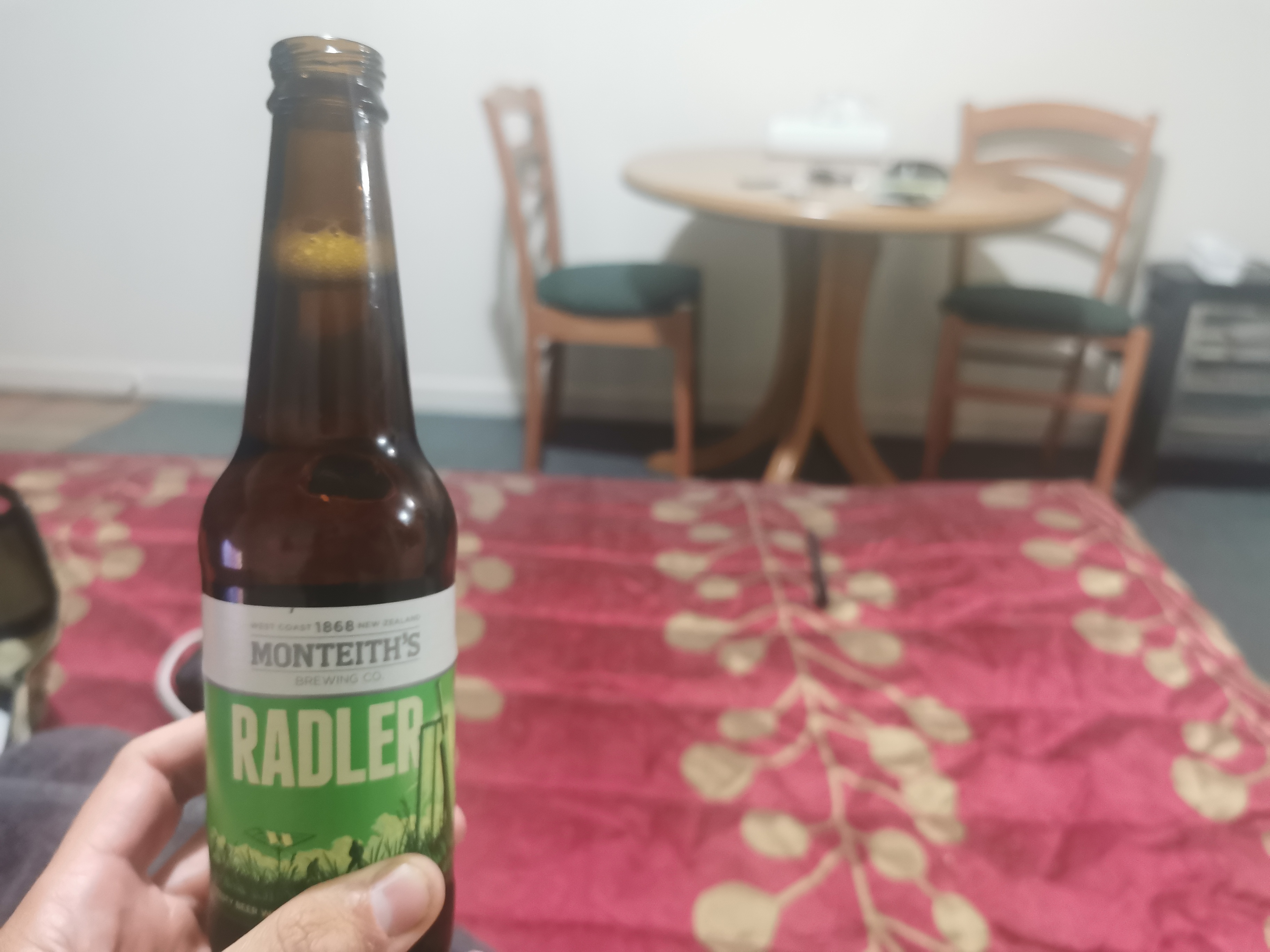
At one point a guy called Aaron cycled up to us and offered us a beer each. That was nice of him – the only condition was that we had to pose for a selfie with him because he is in competition with his sister to see who can hand out the most trail magic. I was hot but I didn’t drink the beer immediately.
Once you’re past the airport, the trail turns to the right to head to Bluff but we continued on into the city to find accommodation. We’d walked 45km already and as we expected, didn’t feel like walking the remaining 2km to our accommodations. I checked if there is Uber in Invercargill. There isn’t. I was going to check for buses, but Nicola said she already checked and they stopped at 6pm. God, what sort of hick town is this. Of course 6pm had just passed. We were both hurting all over so much by this point but we continued walking.
Looking at the map below it seems funny to complain about the short extra distance into the city but we really felt it at the time.

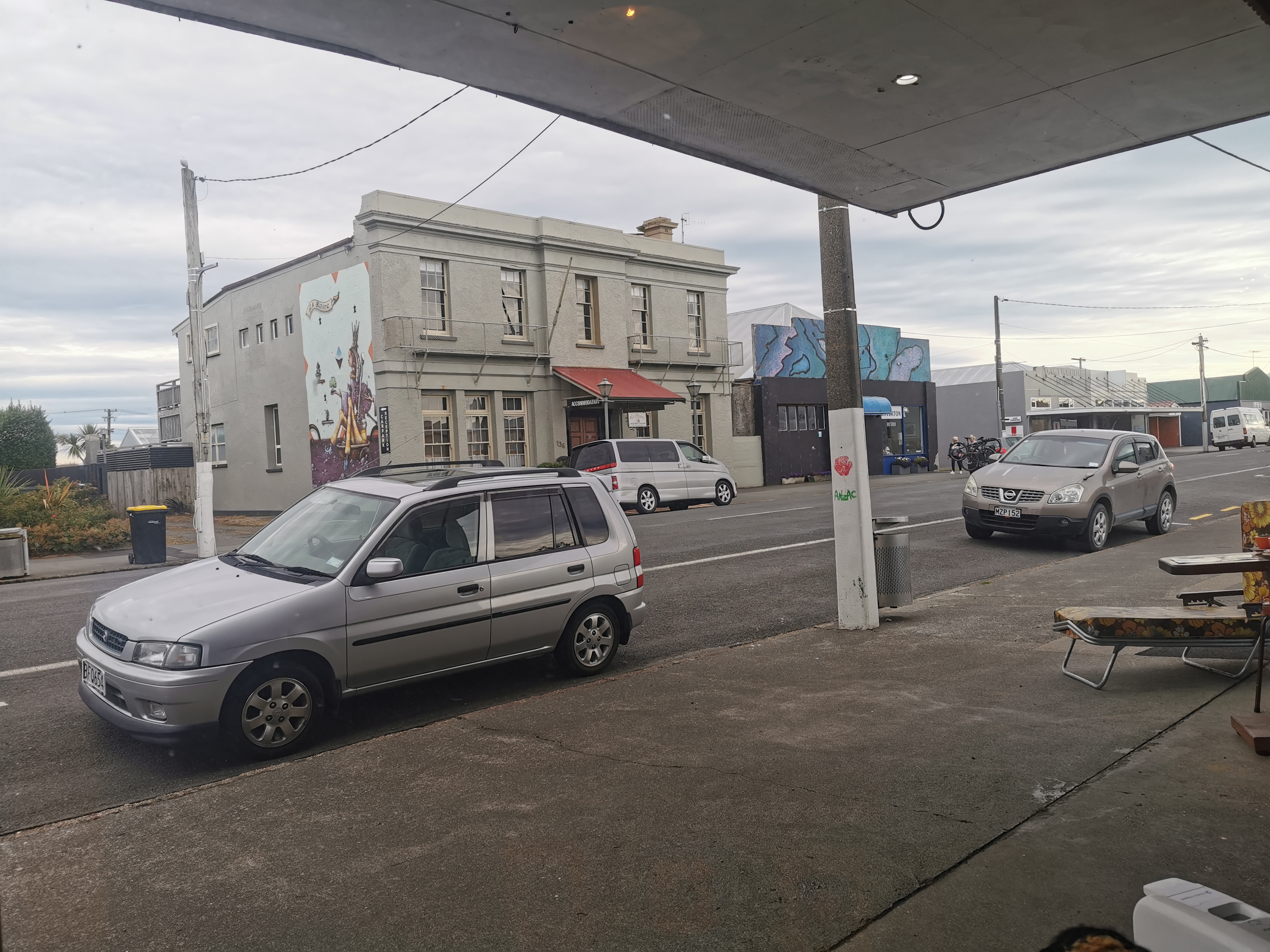
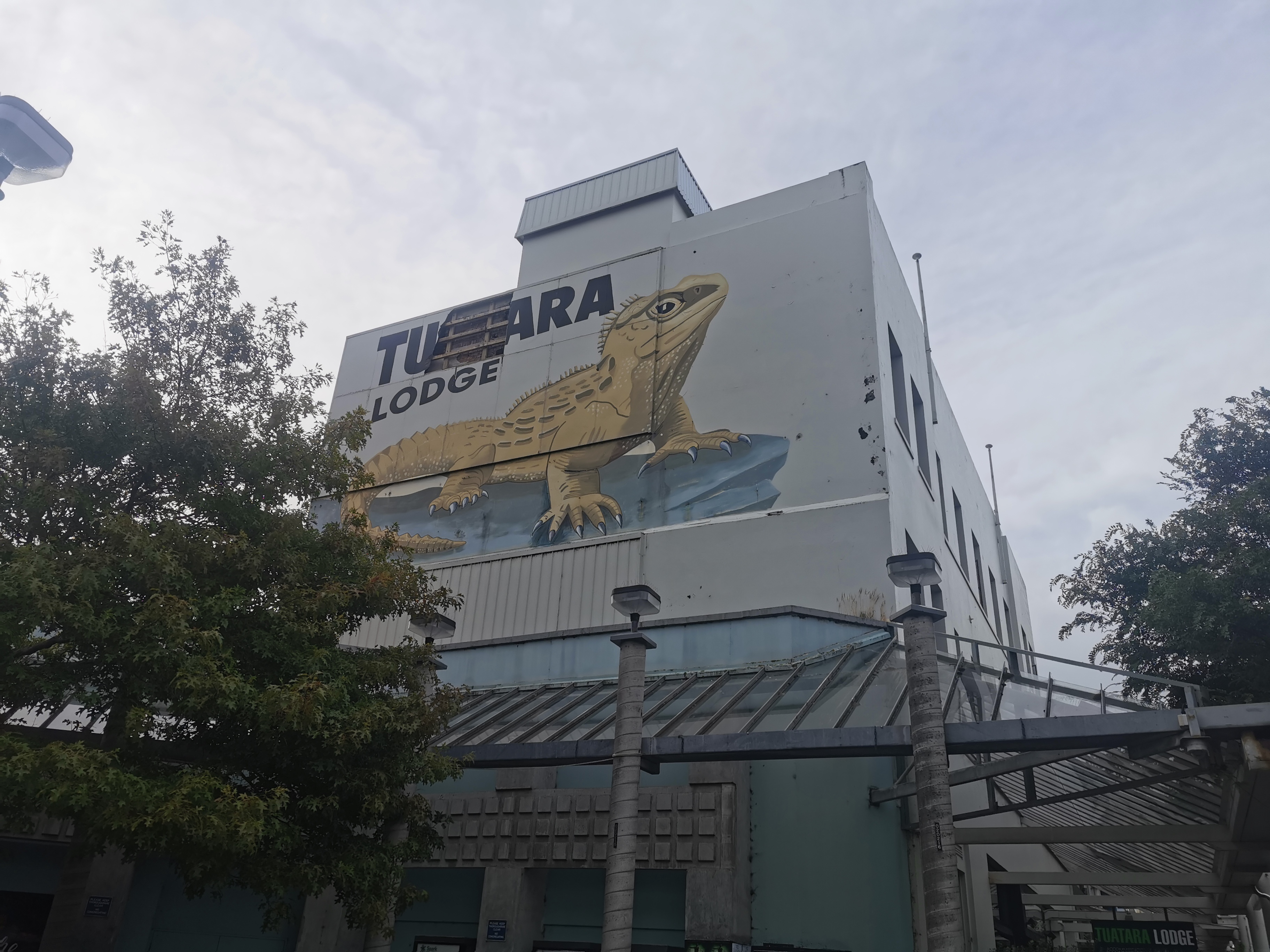
Tuatara Lodge seemed to be the closest backpacker accommodation to the trail…
…but Nicola said liked the look of another one better.
We left each other at this point, and suddenly I was on my own again for the first time in a week, which was a weird feeling. But we were both pretty sure we’d meet up again at Bluff.
I hobbled through the city and to my motel – 45 on Avenal. It had average reviews online but how bad can it be?
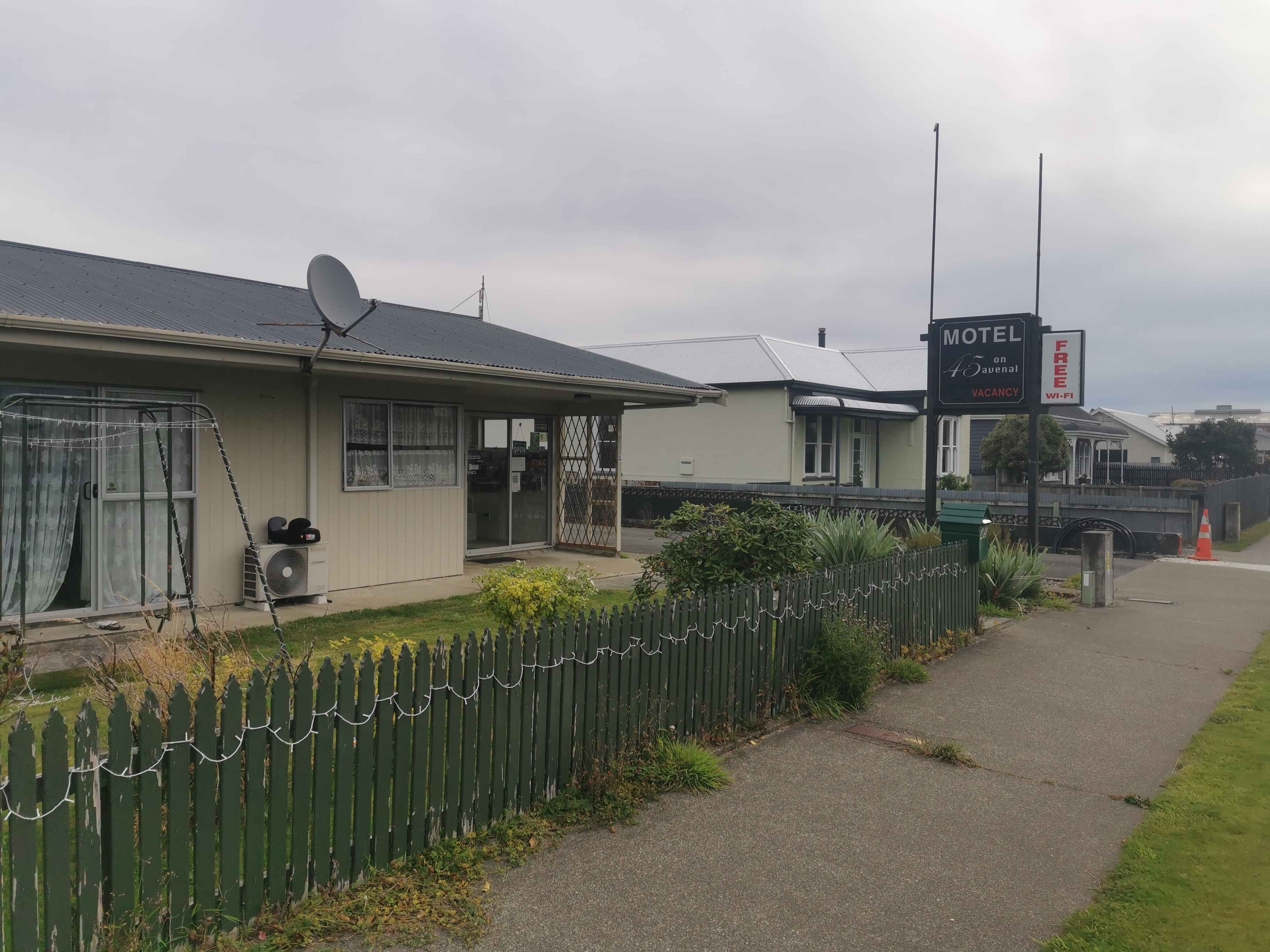
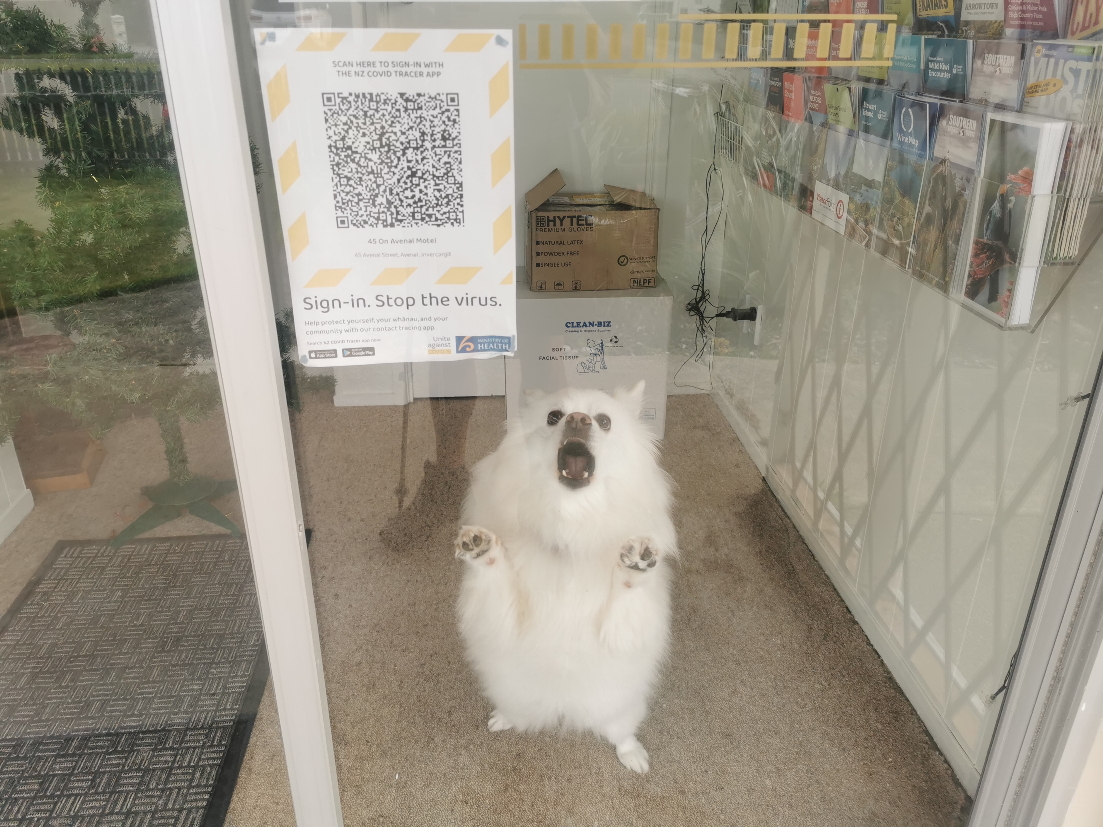
Pressing the buzzer at the door brought out the loudest, yappiest dog I’d ever heard. Definitely not very welcoming!
But I checked into my room okay. The motel seems quite empty – the only other person here seems to be the one right outside my door having a conversation on speakerphone. Typical. I think he’s in the room next door.
I really had a craving for Indian food and despite hurting a lot, I managed to walk the kilometer and a half back to the city to go to the closest Indian restaurant (Indian on the Crescent). They seated me at the very back of the restaurant, I assume that’s where they put the hiker trash.
I ordered Butter Chicken Medium and was told by the waitress their medium is considered spicy by some, and was I sure. I decided I was sure.
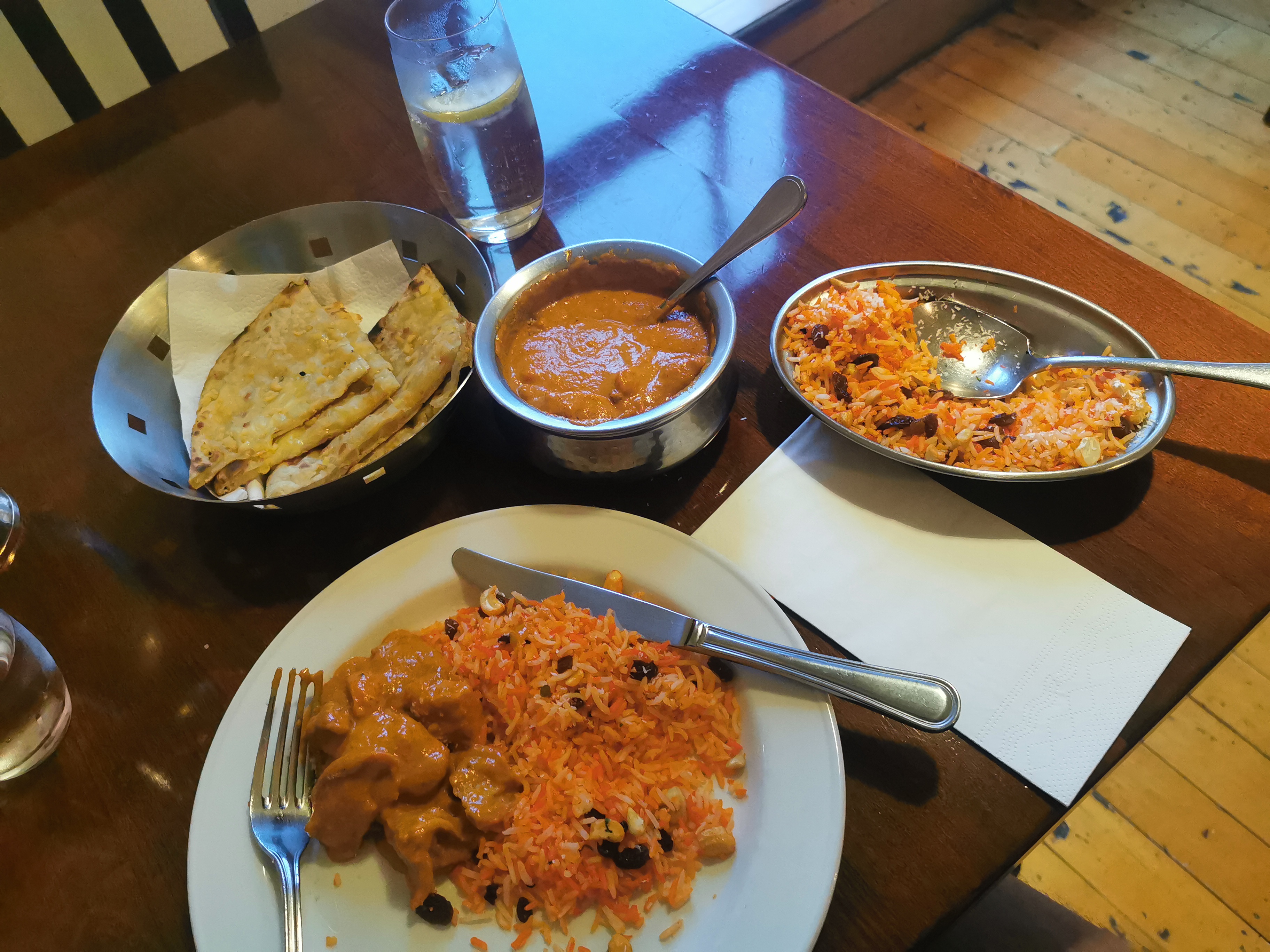
The food was excellent. Medium spiciness was fine except it burnt my sunburnt lips.
It was dark by the time I finished and hobbled back again to the motel. I noticed a lot of boy racers in this city. The same lowered and modified cars passed me multiple times on the walk back. They seem to go up Dee Street and then once they reach the KFC they U-turn and go back the other way. And then they do it again. I can’t really talk, when I was a boy racer in Hamilton we used to do “the laps” of Victoria St.
It was finally nice to settle down. I’d done a big day.
And the beer I was given earlier was nice after all that walking.
I looked at my feet and they’re in bad shape. Rashes and blisters are everywhere, and I have two big holes in my right foot. I won’t show the photo here but you can click here to see it. I’m not sure if these were caused by stones in my boots as I was walking, or what’s done it.
One more day to go!!
Today's walk on the map (blue = Te Araroa, red = today's walk):
I feel emotional already and you still have 1 day to go! I wish you were walking it with Nicola. Doesn’t seem right that you’re not.
When I was travelling NZ in 2009 I drove through Invercargill to get to Bluff and literally the only thing I remember about the former was that the town still had their Xmas decs up in February. The March Santa made me smile 😃
Ooh, that foot looks sore. A well deserved curry after a big day.
I’m so glad we don’t compare my steps to your steps. 🙂