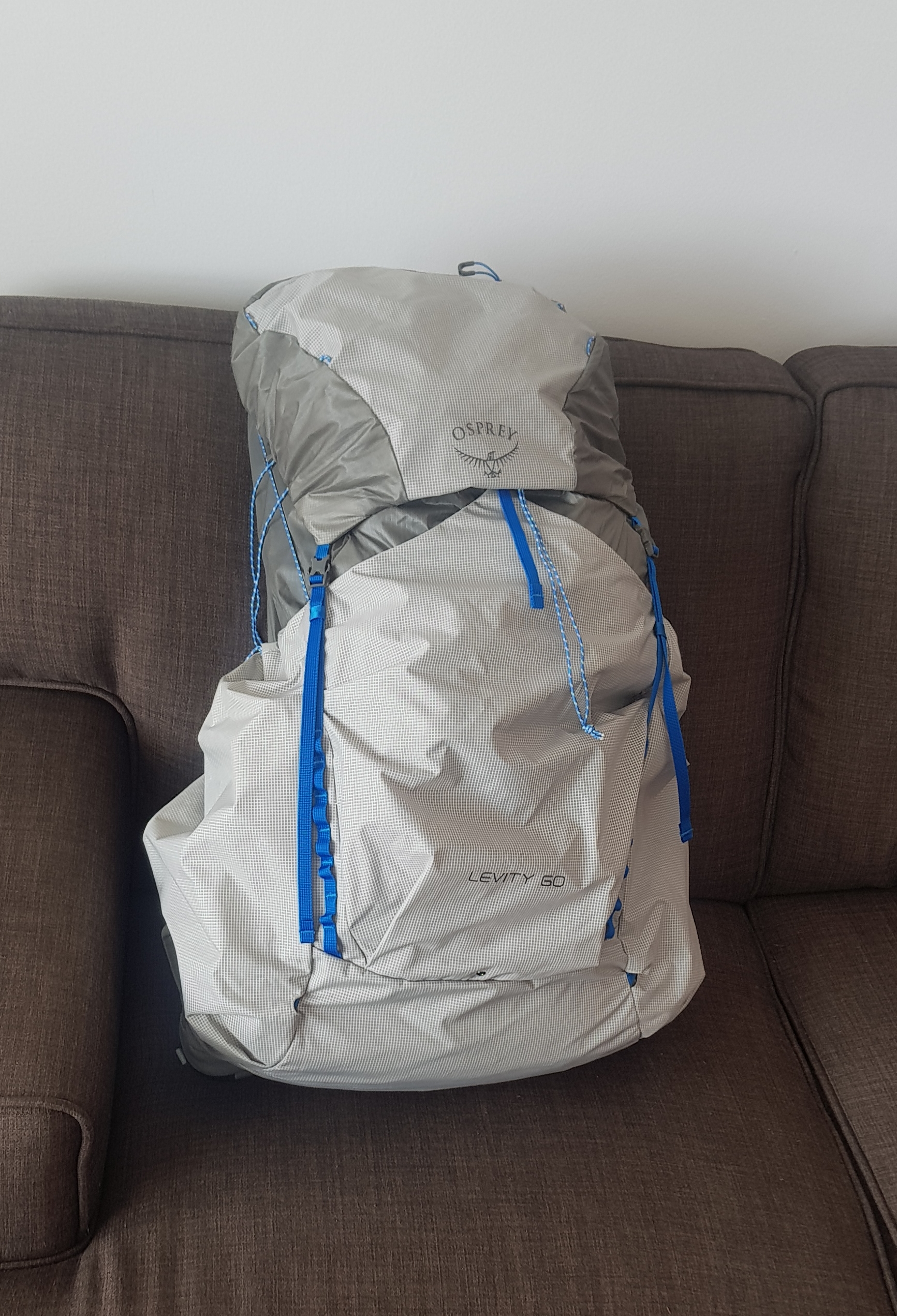
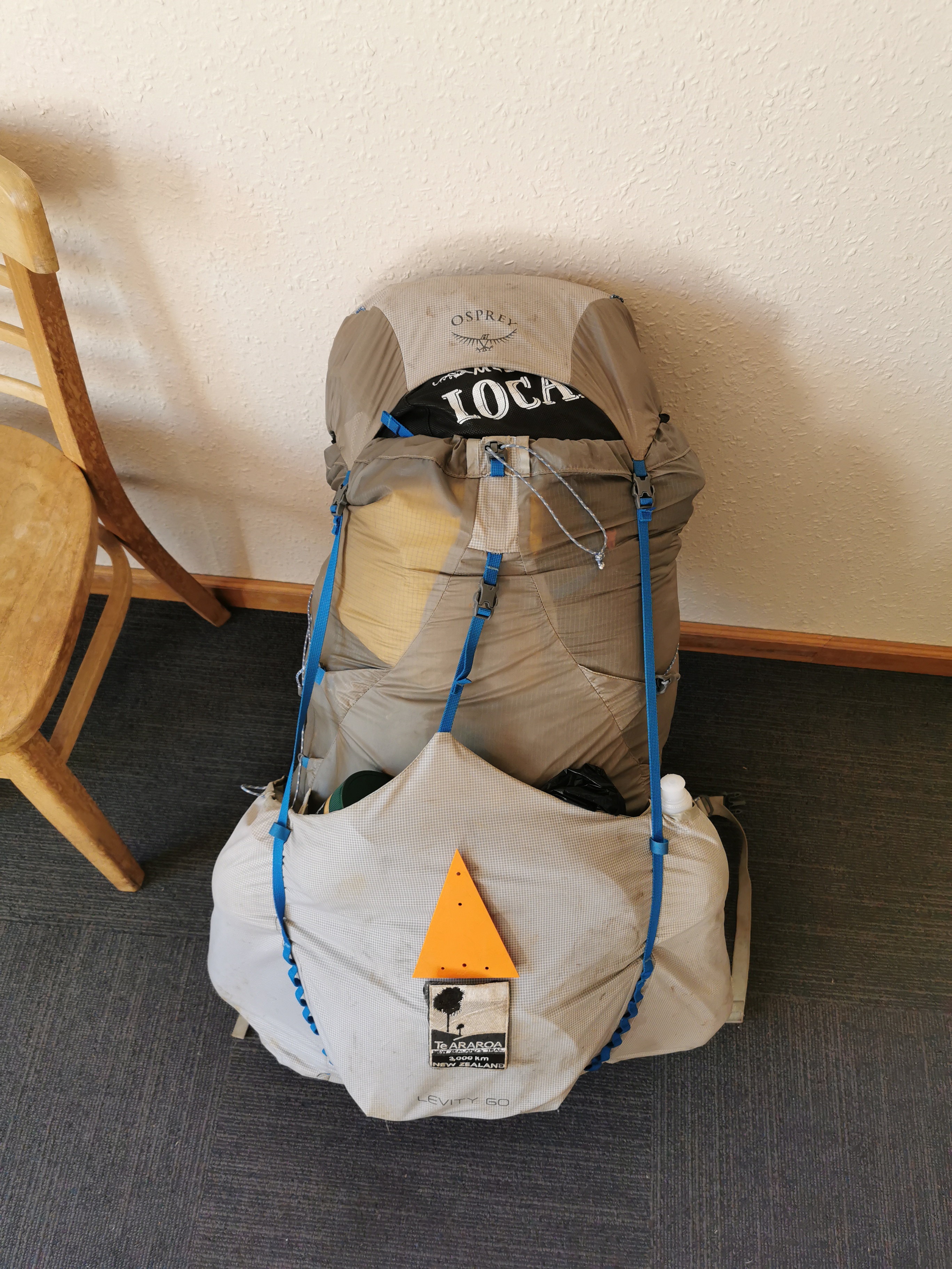
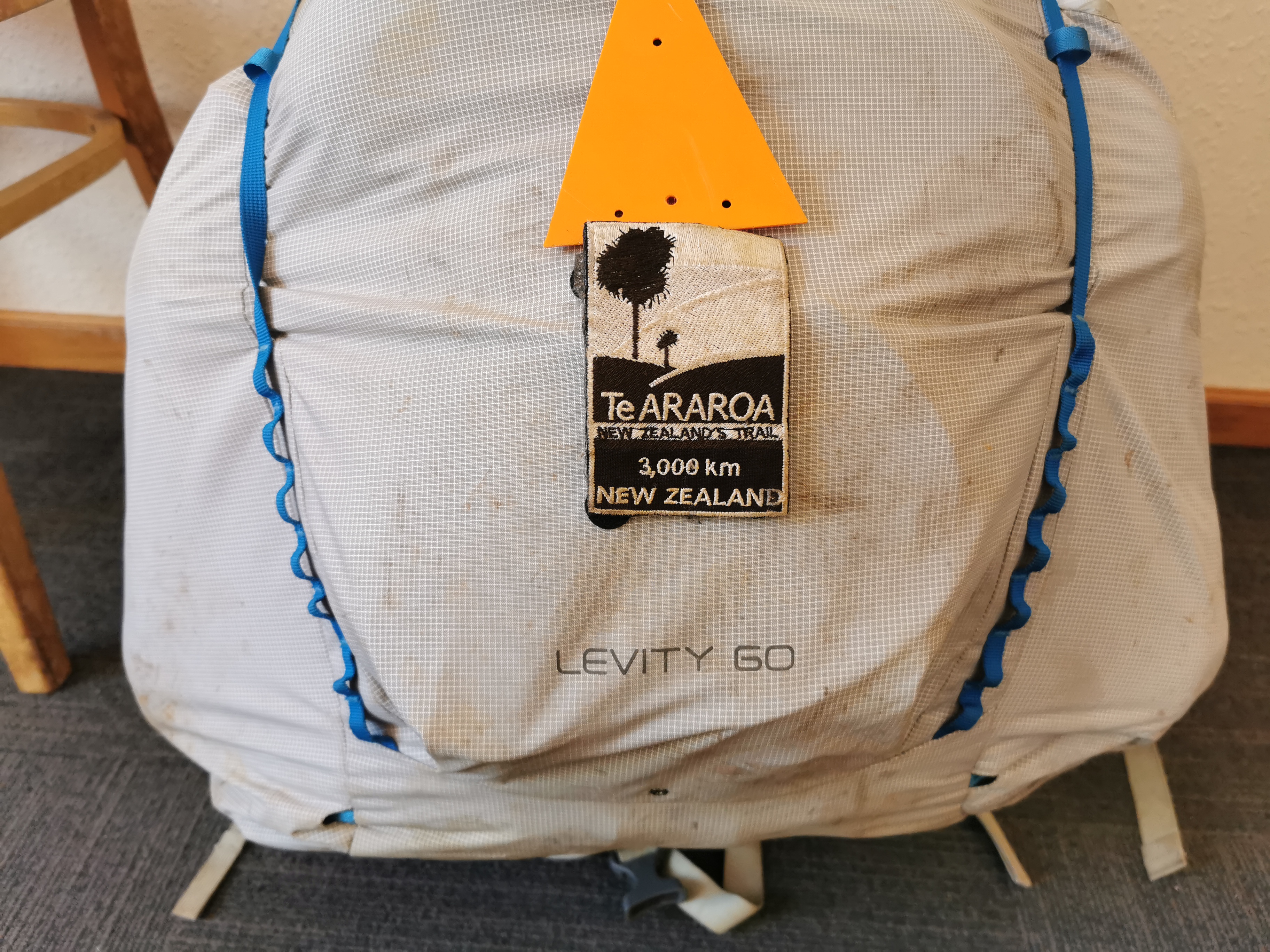
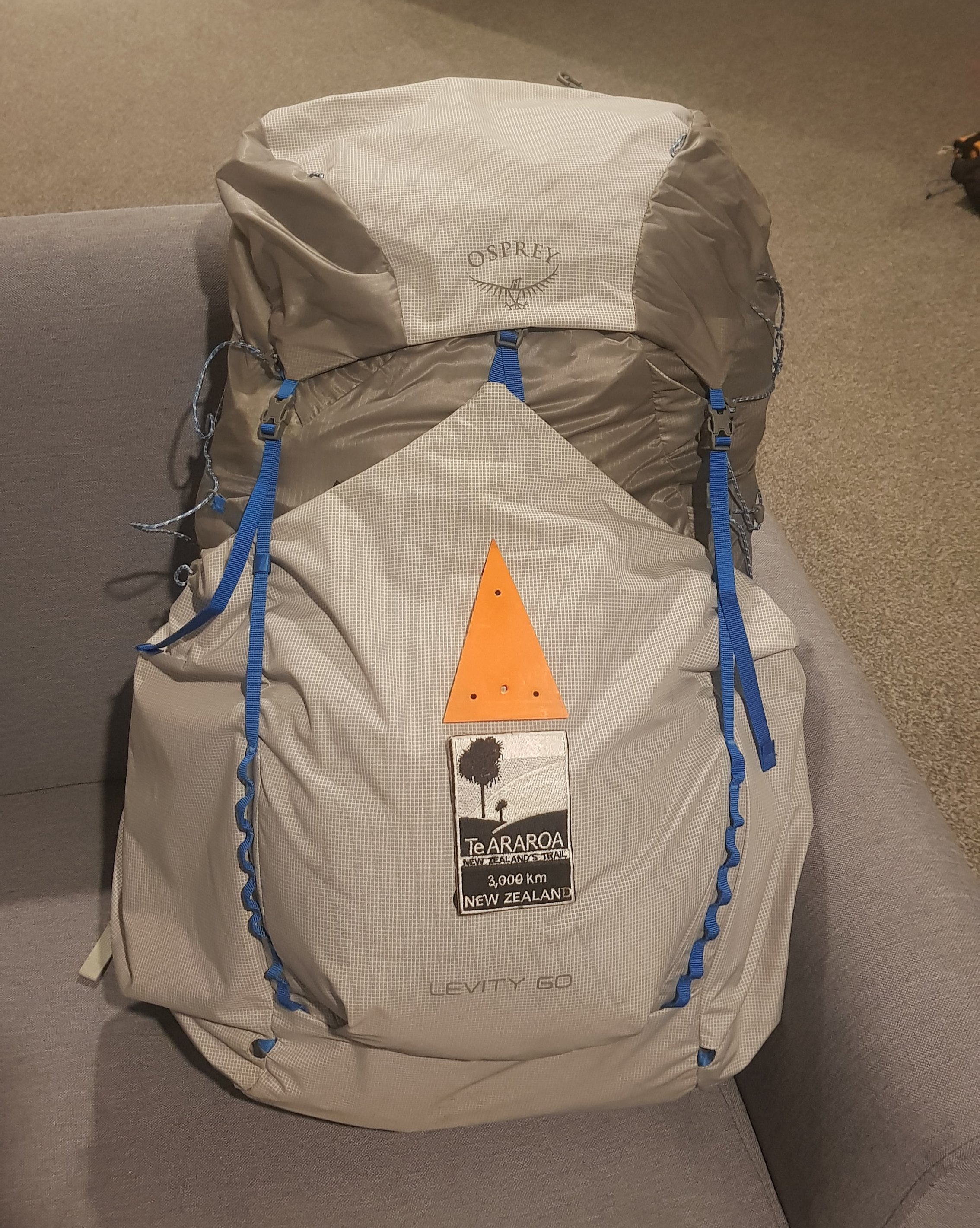
Osprey pack ready to go, minus the Te Araroa Trail patch which I want to attach to it
With exactly a month to go before I start, I realised I haven’t actually done any “training” yet. I always walk a lot, but I’ve never carried a full pack for very long before. I bought the Osprey Levity 60 pack two weeks ago when I was in Melbourne and carried it around Melbourne for a few hours with a 6kg or so weight, but I thought I better start walking on weekends with it fully loaded.
So yesterday rolled around, and since it was a nice Saturday with little rain forecast I piled a lot of cans and other things into the pack to make the load 11.3kg, and went out for a walk.
I live close to Mount Eden and that was my first stop – to walk up to the top of there. My calves were burning as I was walking up the hill but the pack itself felt good. I kept trying to pull the bottom of the pack down, but I think that’s because it’s a smaller pack than I’m used to carrying. I spent quite a while with the salesman in Paddy Pallin getting it fitted and learning about it, and also I got the Large version of the pack so there was nothing longer.
I’ve never had a bag that sits away from your back before. It was weird but very nice to finish the walk without a sweaty back! However it did mean I wasn’t used to the way the pack sat on my back – I could feel the things in the top of the pack on my shoulders and the things at the bottom but not the things in the middle obviously.
I was also trying to follow the trail route to test out my mapping app. So the next stop was Cornwall Park and One Tree Hill. This is where I noticed something interesting. The trail notes for the Coast to Coast Walkway (this section) say that you have to walk “up to One Tree Hill summit”, however every map I have seen shows the trail going around the edge of the park and completely bypassing the summit. The perfectionist in me was uncomfortable about this. Do I have to walk up to the summit or don’t I? I would hate to tell people in the future that I walked Te Araroa, and they say to me “cool! How did you like the summit of One Tree Hill?” and I’d say “actually I didn’t do that bit” and they’d say “hmmmmmmmmmm…..”
The council website for the walkway shows the path going to the summit. And you go to the summit of Mount Eden, so why not One Tree Hill?
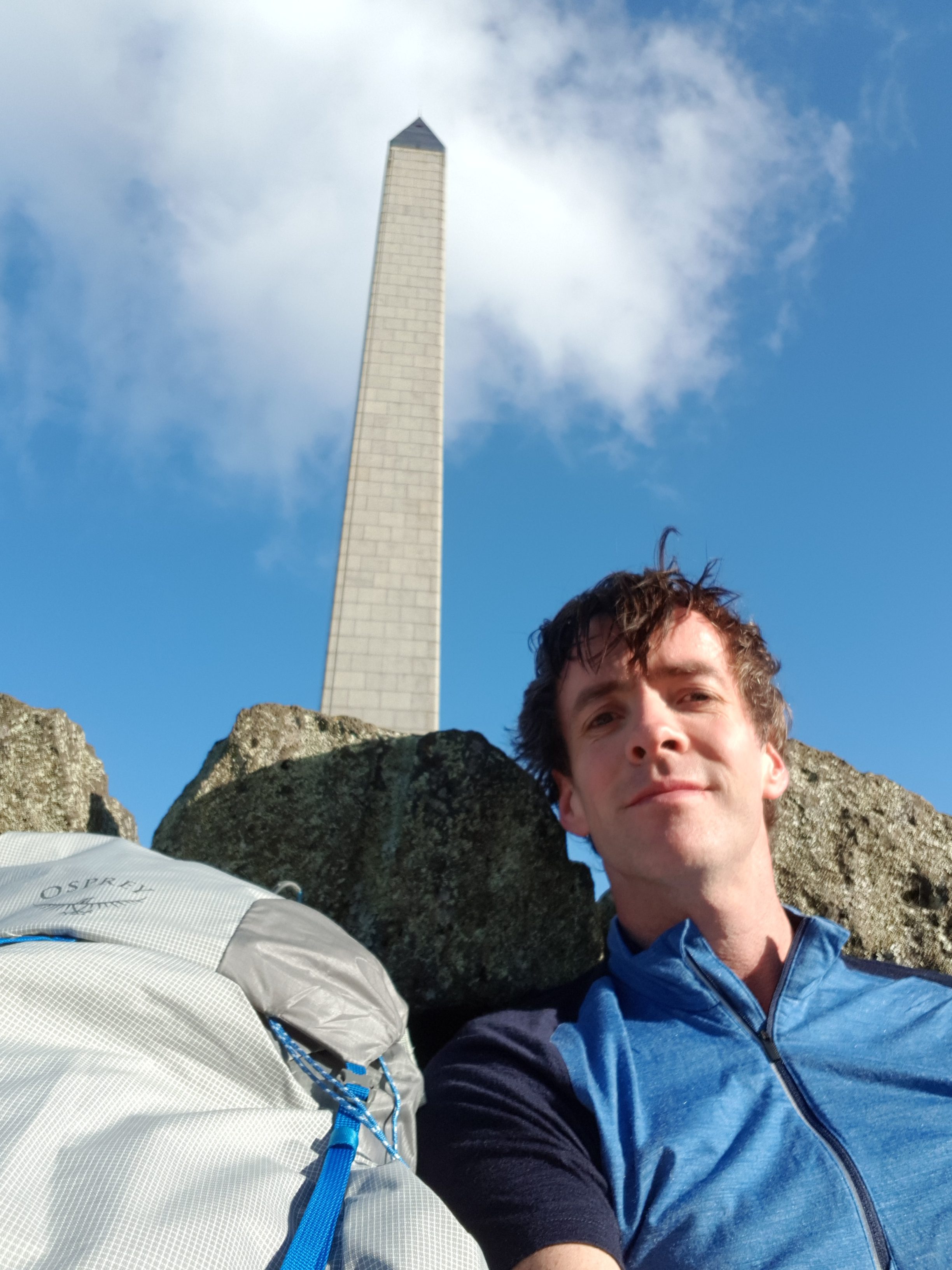
Summit of One Tree Hill
I’m not going to pester the TA Trust about this sort of little thing though. They do a great job providing the trail route in different formats and all the trail notes. Well, maybe after I’ve given them my donation I might ask them 🤣 🤣
I did end up walking up to the summit on this occasion and I took a photo from the top. I was going to ask a tourist to take a photo of me and the pack and the obelisk all in the same picture, but I think it would have been unfair to get them to frame the photo exactly how I would want it. so I settled for a selfie 😁 I won’t post any pictures of the view from the top, because as a local I’ve seen the view a hundred times! But there are a selection of other photos that I took yesterday below.
At the summit it was very windy and the wind was very cold. But yet I couldn’t be bothered taking the pack off my back to get out my wind jacket. Not because it was heavy or awkward, but because the only access into the pack is via the top and I’d have to take everything out in order to find the jacket. Clearly the way that you arrange things in the pack is going to be important. Besides, I thought, I can handle the cold, the cold doesn’t affect me. So I just kept walking with my merino shirt and my shorts. Even when a few spits of rain started, I didn’t stop and take my waterproof pack liner out of the pack, again because I couldn’t be bothered, but also because the rain was just a few spots.
I really should have taken the time to find my jacket. I was cold to the bone once I got home. I turned the heater on and sat under it for a couple of hours. But it makes me glad that on the trail I’m taking a wind jacket, a rain jacket, thermals, and two shirts.
One thing I noticed about the pack is that the inner layer of nylon is very thin – to be expected for such a lightweight pack I suppose. I’m going to have to be very careful about spiky or sharp things inside the pack piercing the fabric. Which is okay, because I plan to keep everything inside in a rubbish bag or a dry sack anyway.
I’m not going to write a full-on proper review of the pack until I’ve been walking with it for a while. But my walk today was decent, it was 14km and I only had a very slight twinge of back pain after the 14km which went away after I took the pack off. This is why I’m doing these walks – to prepare myself for walking with a pack like this every day.
This time one month from now I will be on the bus to Kaitaia!
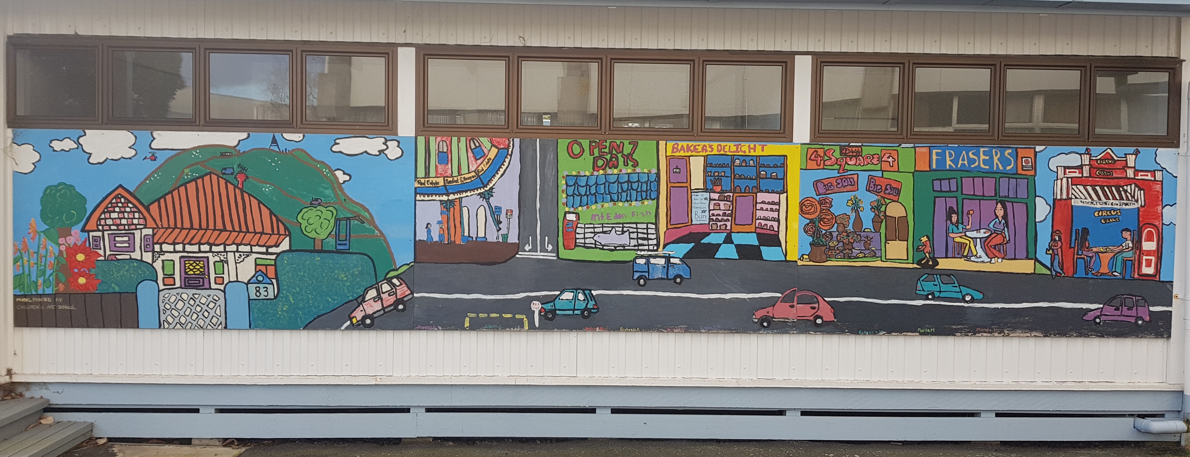
Cute lamb on One Tree Hill. The mother sheep paid me no attention at all.Daffodils in Cornwall Park – it must be springA mural at the nearby Intermediate School showing landmarks of Mount Eden
I’m a freelancer and my contract that I have been working on since January finished yesterday. At 5pm when I left work for the last time I joked with my friends that my mid-life crisis officially started at that point. I turn 40 next year and so I’m due for a mid-life crisis. However, I’ve decided to embrace it rather than fear it. Instead of buying some kind of ridiculous sports car or another typical mid-life crisis thing I’ve decided to walk Te Araroa instead 😁 😁 😁 and besides, I already have a ridiculous sports car.
After work I went to have a few drinks with some friends and like someone who is nearly 40, I was home and tired by 9.30pm.
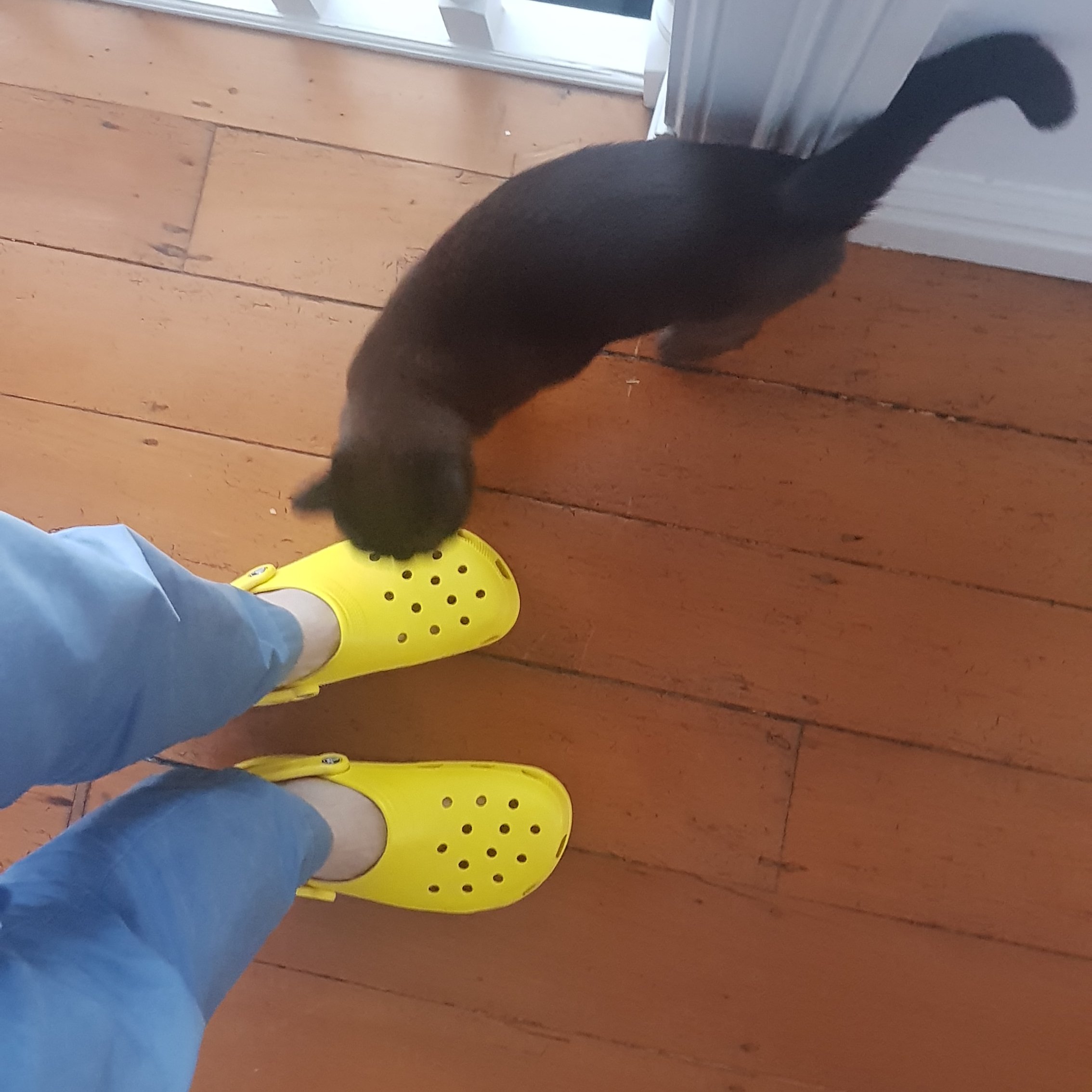
Yellow Crocs
I celebrated my final day at my contract by buying some Crocs, because once on the trail, after a long day of walking and getting wet feet and shoes the last thing I will want to do is walk around camp or wherever with wet shoes. I was going to just take jandals for this purpose but I like the idea of having another pair of shoes that can be used for river crossings. Maybe I might be prepared to take my trail shoes off and put the crocs on to cross rivers, but I understand there are so many river crossings that people get sick of changing their shoes too often.
I never owned a pair of crocs before and I think they look alright, but it seems the general consensus is that they are definitely not fashionable. You can see the cat liked them (the neighbour’s cat), or was intrigued by them at least, but the reactions from my friends who saw them yesterday were not positive. Oh well, I don’t care. I have a bright yellow car and am often teased for it and so since I won’t be driving my car for a long time, I felt like I needed a bit of yellow to take on the walk (although these are officially called “lemon”).
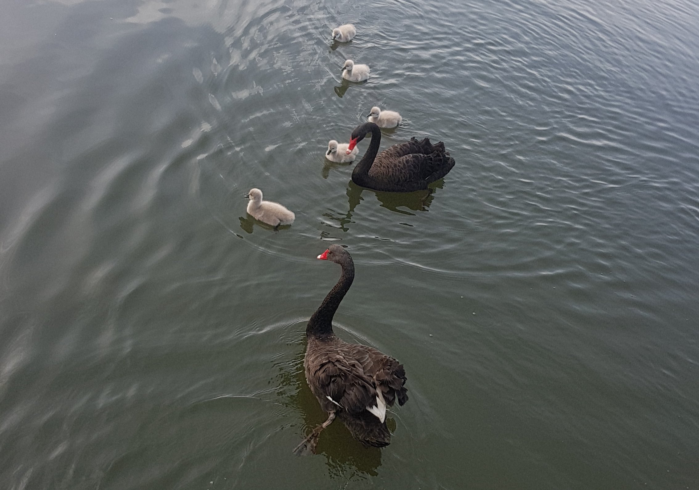
Geese and chicks
It is definitely spring, I could tell because in the last week I saw the local Albany Lakes geese with their young. And I could also tell because it is still raining all the time, despite the sun shining.
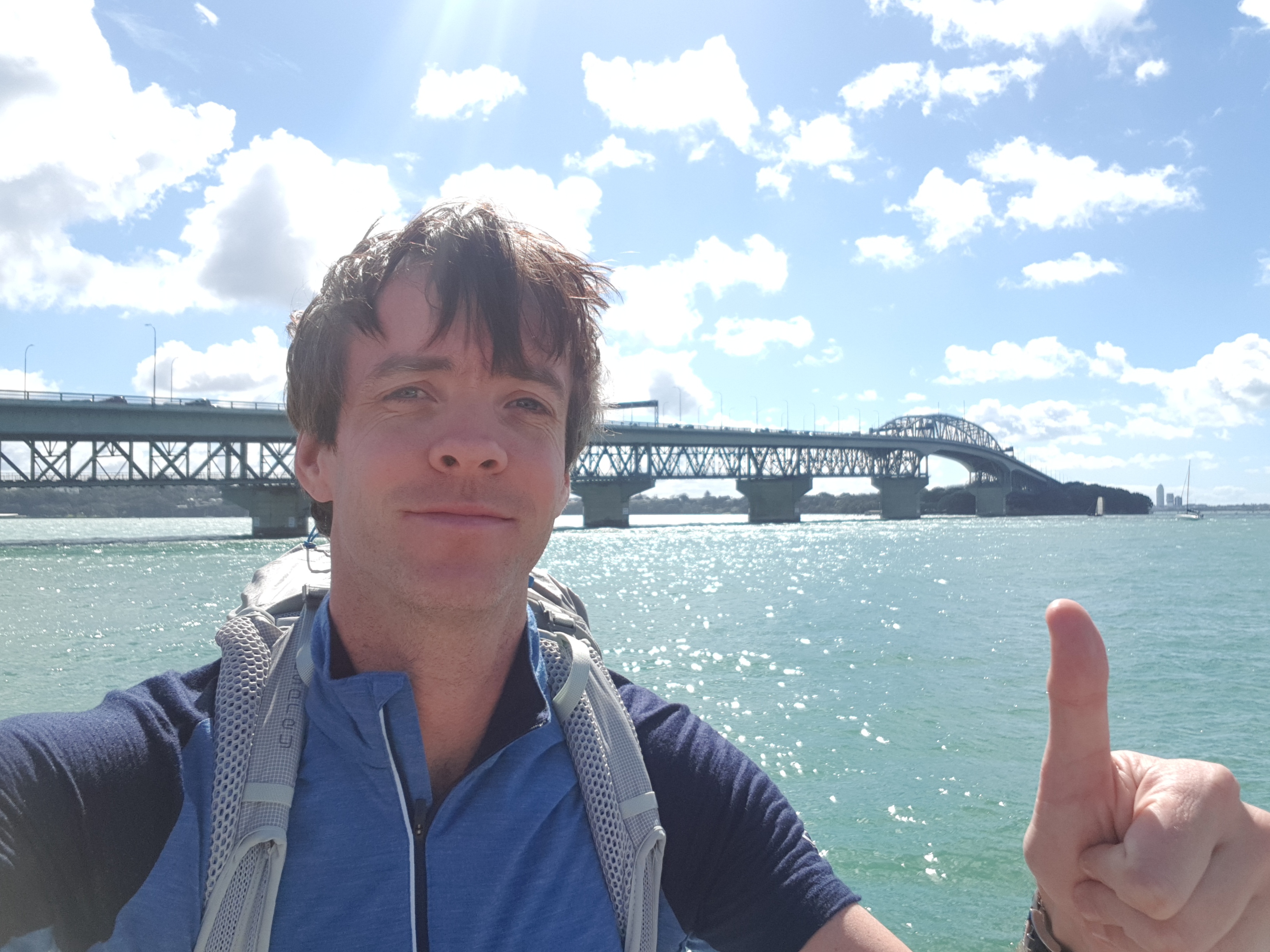
Today was a beautiful day so I went for a walk again with my pack. I loaded up my pack to a weight of 14.5kg which I would say will be the heaviest my pack is likely to get, at least in the North Island where there are lots of towns so I don’t have to carry too much food. The pack actually didn’t feel too heavy when I first put it on, but after 5km or so I could feel the pain in my back a bit. It never hurt a lot though, but I only walked about 9km this time because I had a bit of a cold last week.
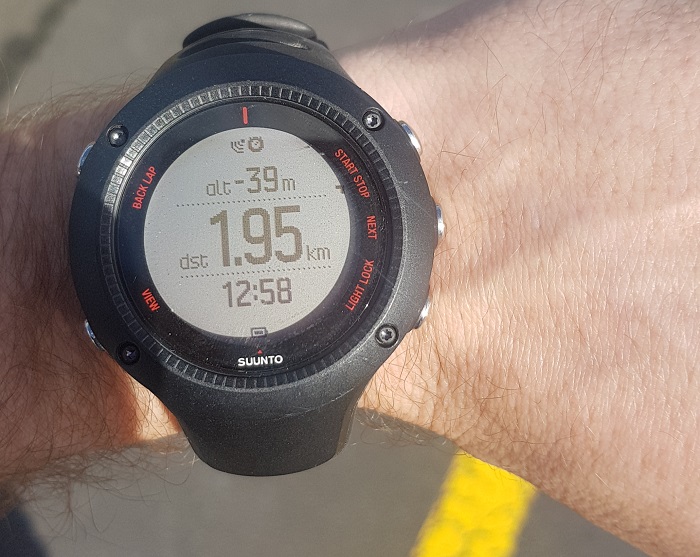
I’m underwater, apparently
I also wanted to try out my GPS Watch (Suunto Ambit 3 Run) on the “low accuracy” setting, which uses a lot less battery, but I wasn’t sure how accurate the GPS is on this setting. You can see the map below. The watch showed 8km, but when I measured out the course on Google Maps, it came up at 9.7km – quite a difference. I’m a bit of a stats geek so
this discrepancy bothers me a little bit. I was walking around and around the city streets not in a straight line so that might explain the discrepancy, lots of twists and turns which the low accuracy setting doesn’t capture correctly – you can see it cuts right across some of the roads. Maybe it won’t be such a big deal when I’m generally walking in a straight line. But I know when you have it on the high accuracy setting, the battery on the watch only lasts about 6 hours or so. With the low accuracy it is reported to last 100 hours.
Also, if you believe the watch, I was 39 metres below sea level at one point, as you can see from the photo!
Date: 10 November
Distance walked: 11.5km
Trail covered: kms 763.1 to 773.8
Weather: humid but with a nice breeze while I was walking. Storm in the evening while I wasn’t walking.
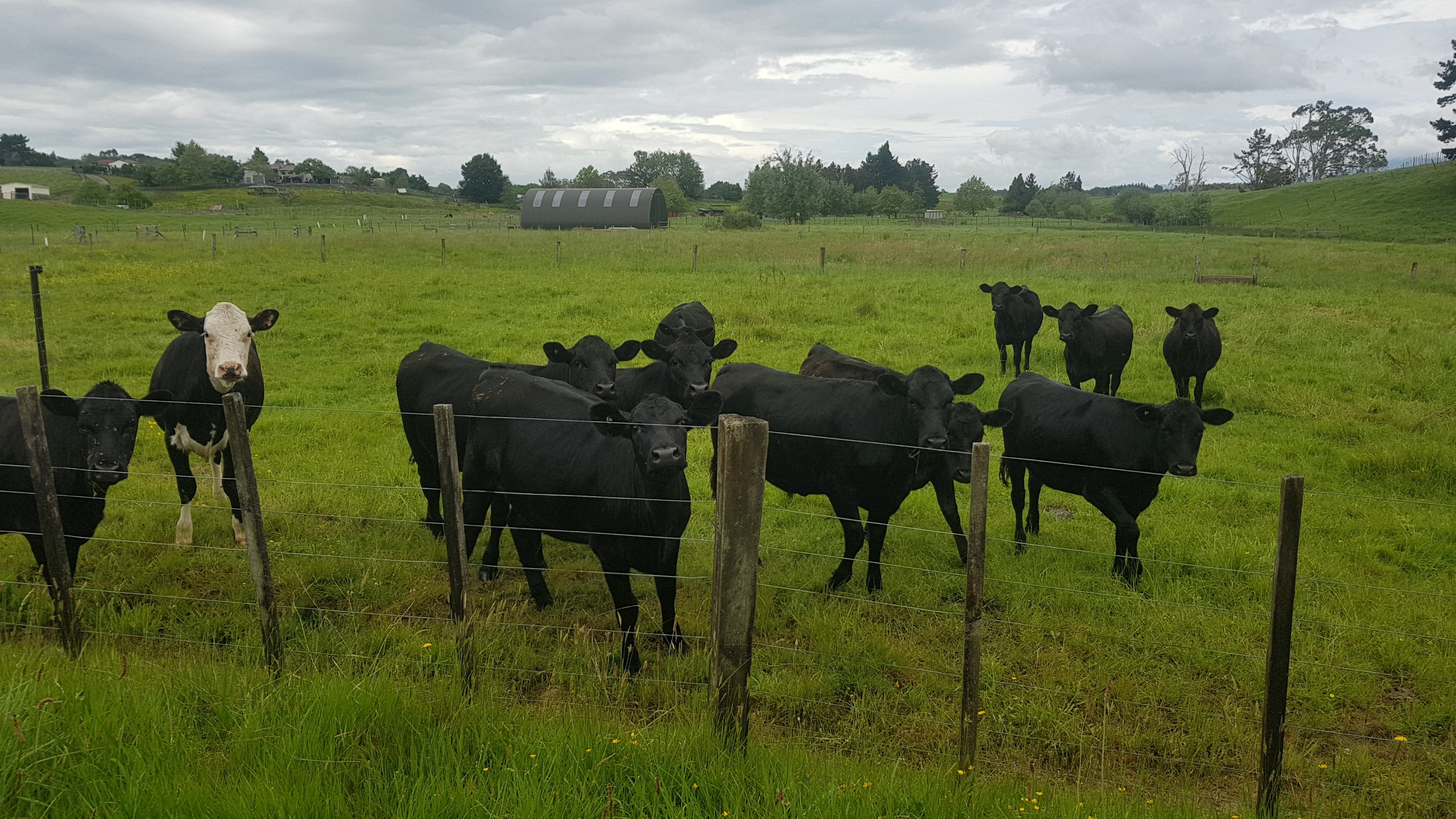
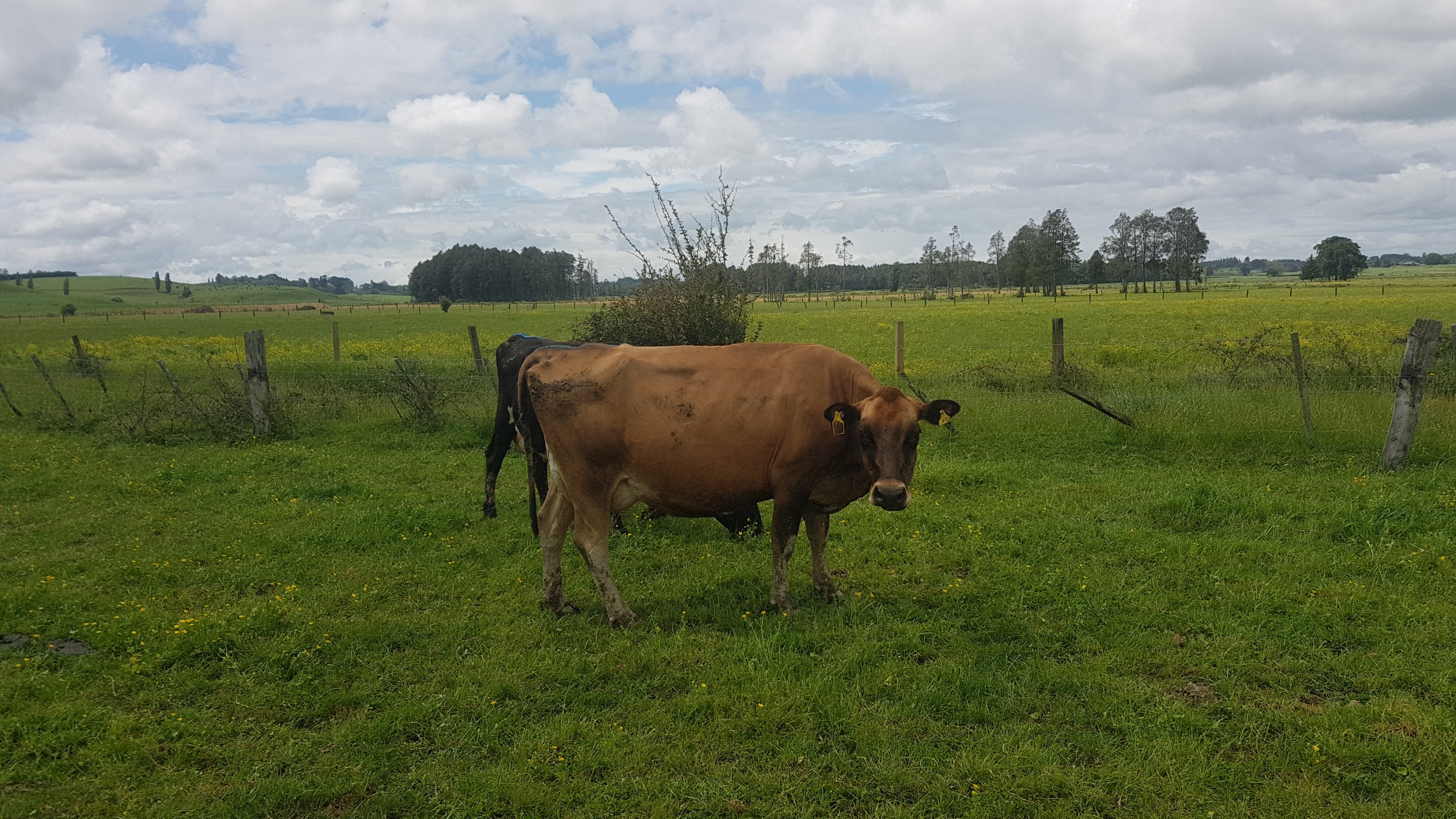
Interest that the cows showed in me: zip
Set out today after a bit more of a sleep-in than usual. There was a bit of fairly heavy rain in the morning but with only 10km to go, I could definitely relax and take it easy and was able to wait for the rain to stop.
I’m doing the short distance so that I can see my Dad and Whatawhata is really the only place he could pick me up from so that’s as far as I’m going. Plus with feeling a bit exhausted the last couple of days and having done some 50km and 60km days recently, a short day will do me good.
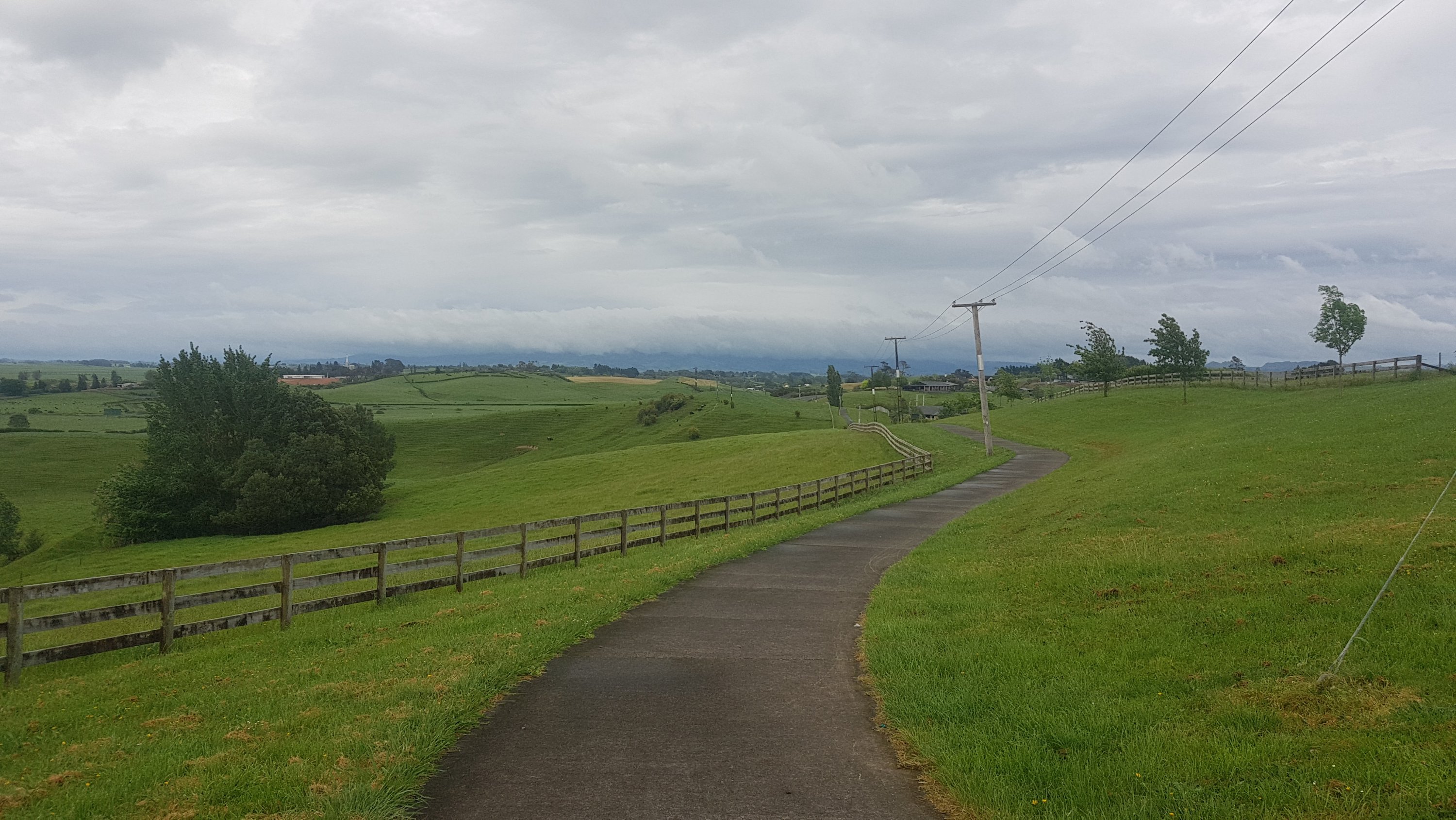
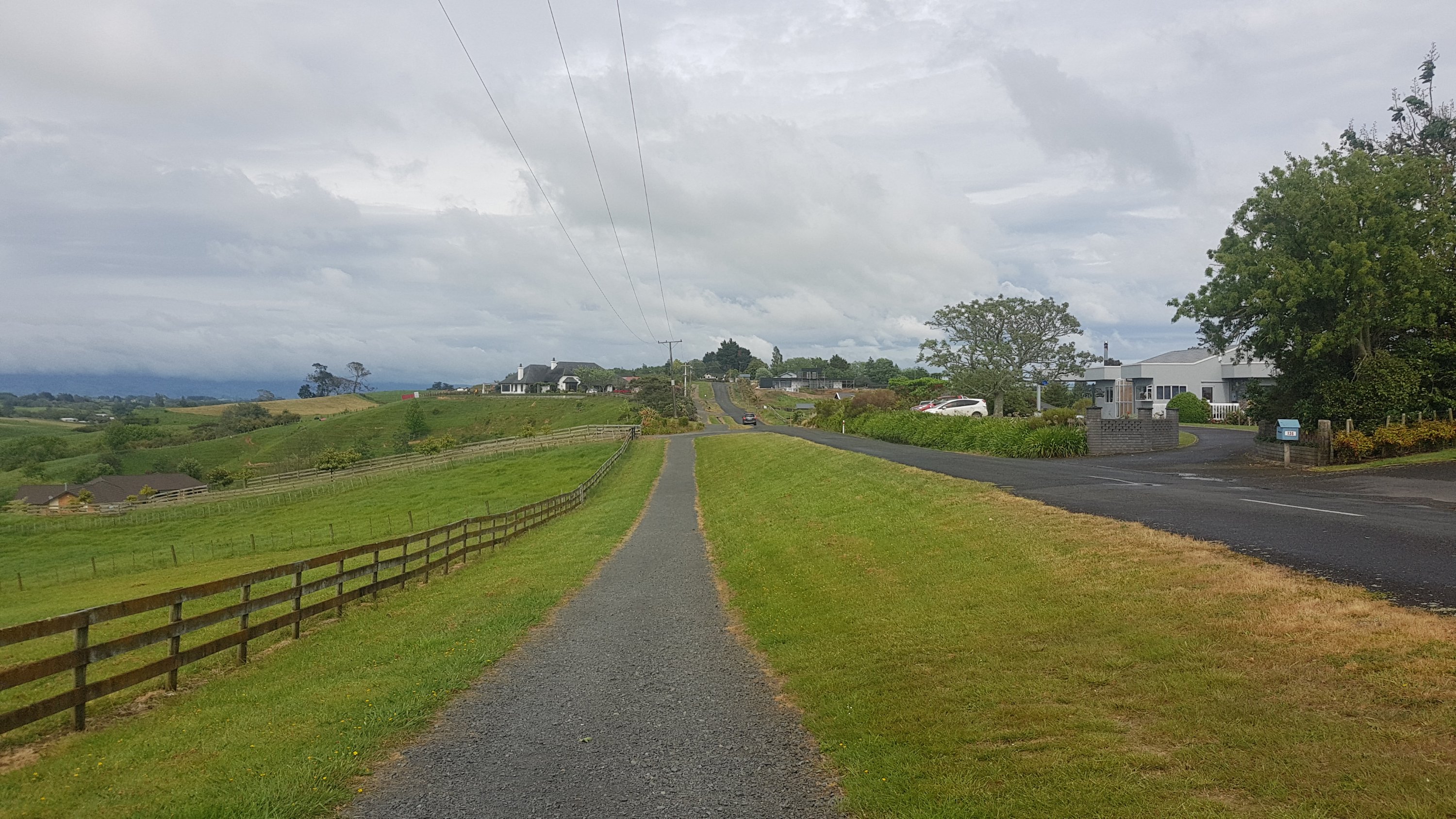
The path just out of Hamilton is a nice relaxing park walk.
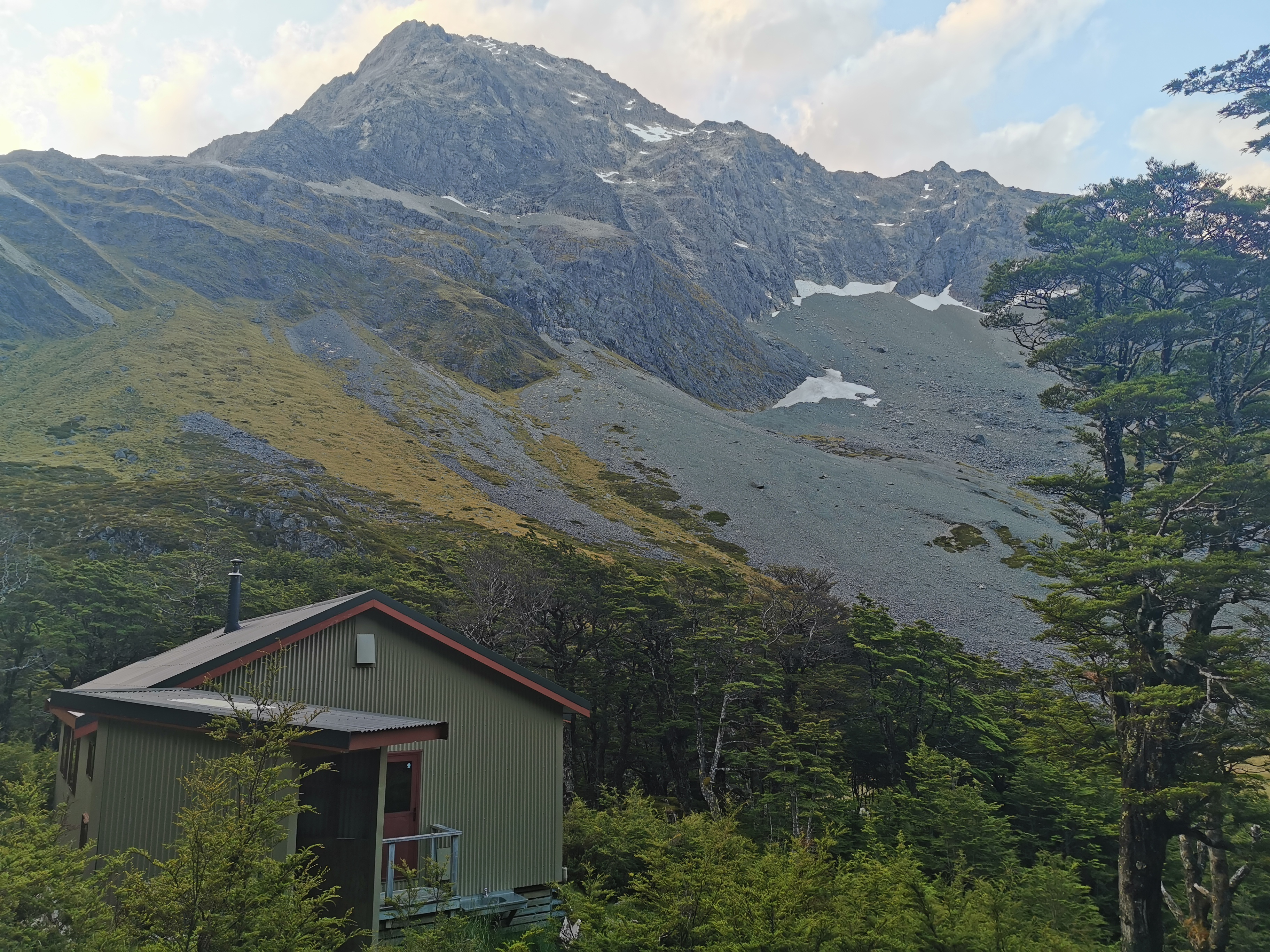
Tills Landing
Although, that’s Mt. Pirongia in the background, under a lot of cloud. I’ll be climbing this tomorrow.
Then a bit of road walking. I think this is the first time I’ve seen a footpath that is almost wider than the road itself.
Wallace Road
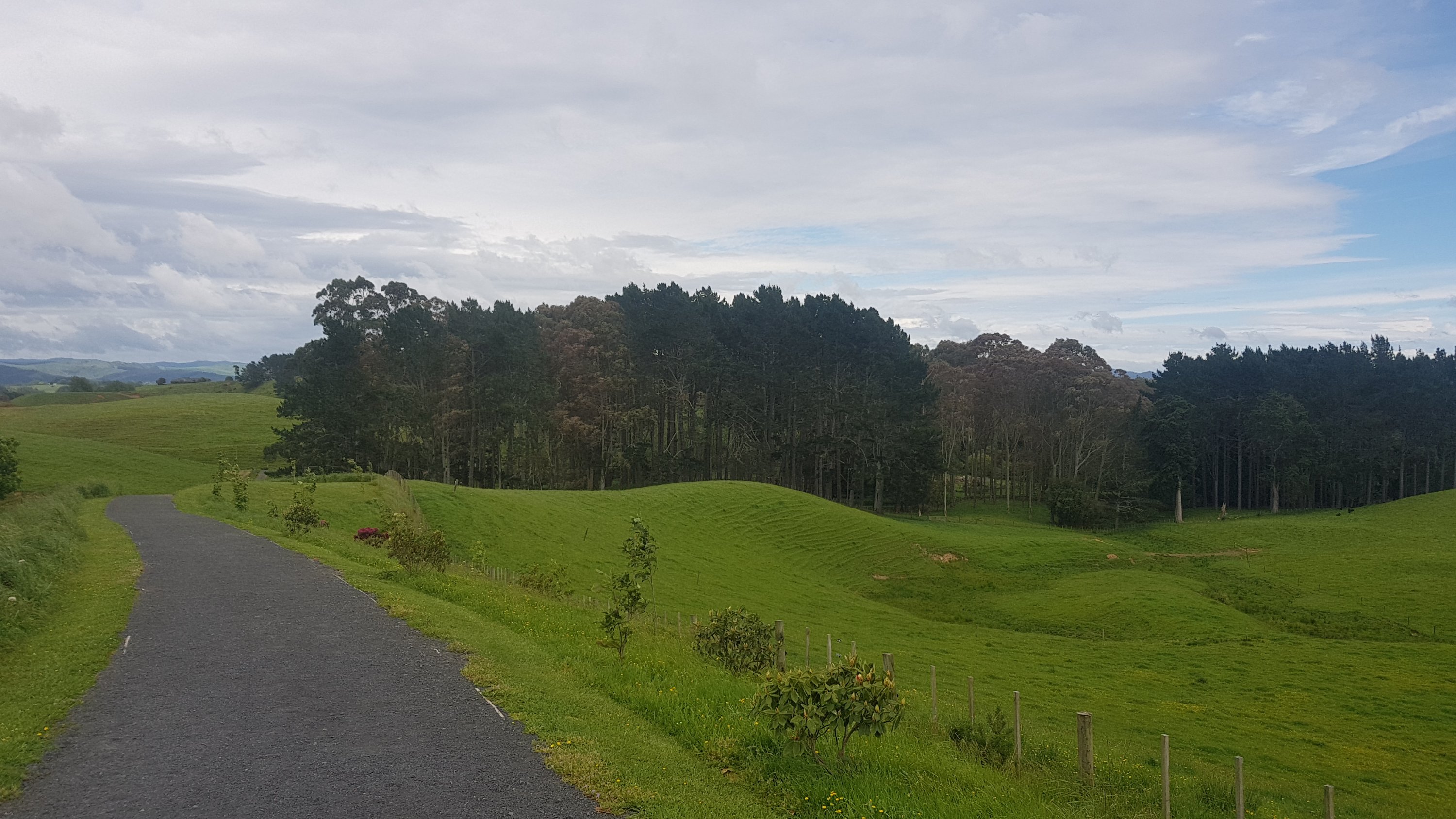
At the end of this footpath is the Taitua Arboretum. I don’t know exactly what an Arboretum is but there were trees.
Taitua Arboretum
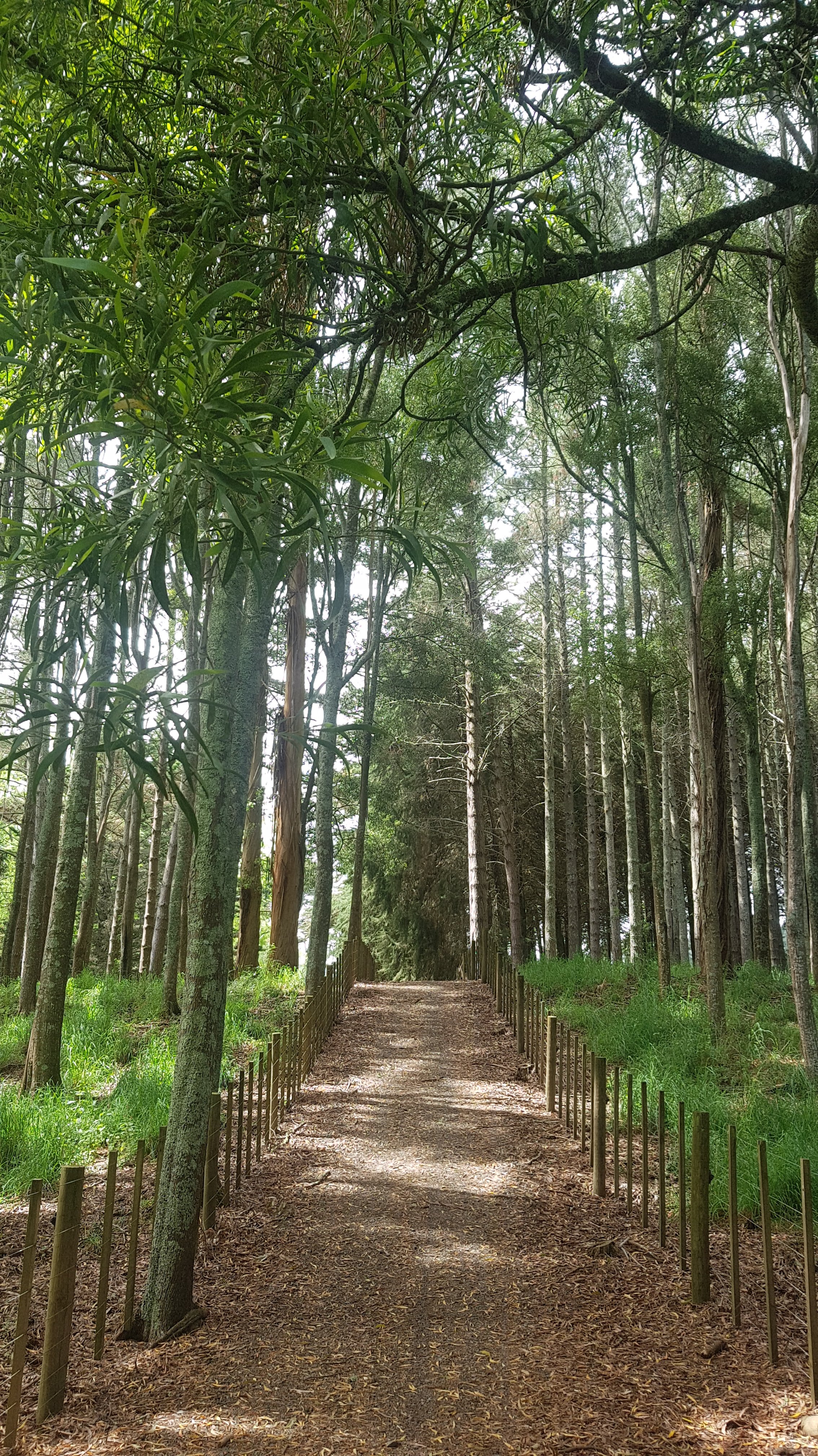
It was a nice walk through the trees.
At 11am I was looking at Pirongia, and the clouds were starting to clear.
11am view of Pirongia
Some very curious cows were down the end of O’Dea Road and they followed me down the fenceline. When I went up to them though, they backed off, but then continued to follow me down the fence.
More curious cows
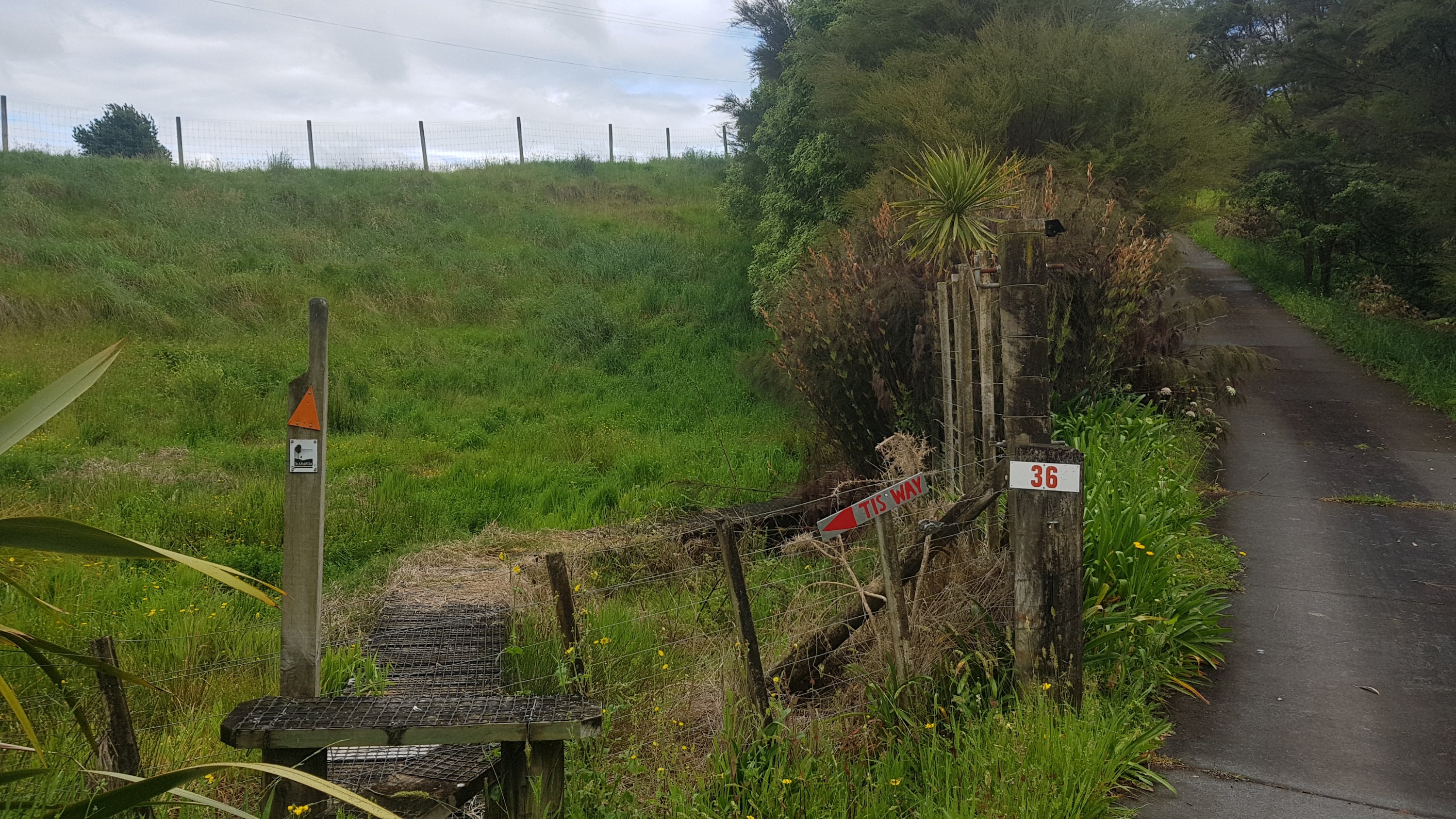
When you approach the end of O’Dea Road it’s not immediately obvious where to go, until you look around a corner and see tis.
“Tis Way”
It is a few kilometers walk across this farm and it starts out being a boardwalk of sorts.
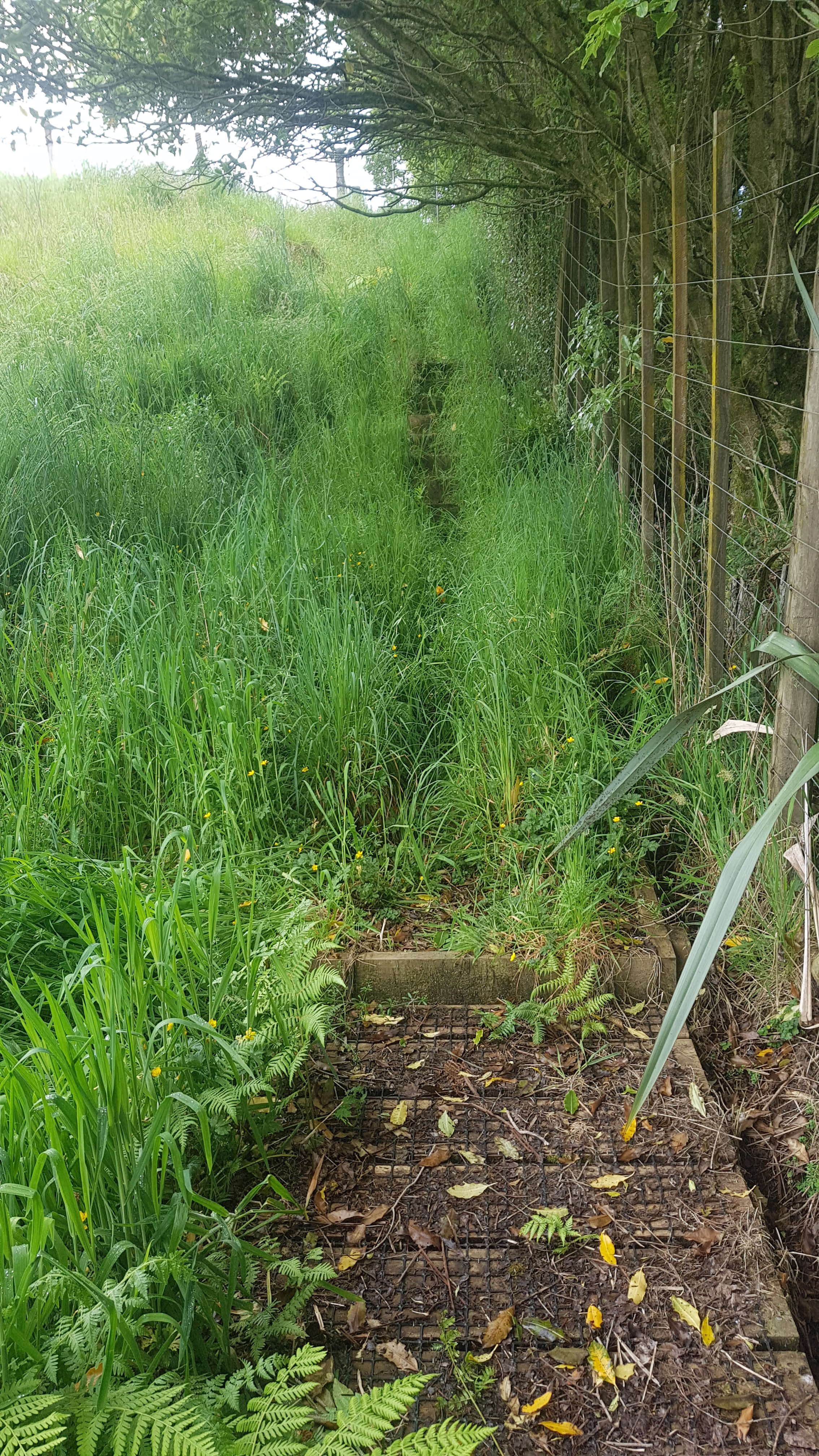
But then there is a fair bit of very tall grass.
Prepare to get very wet if it has been raining!
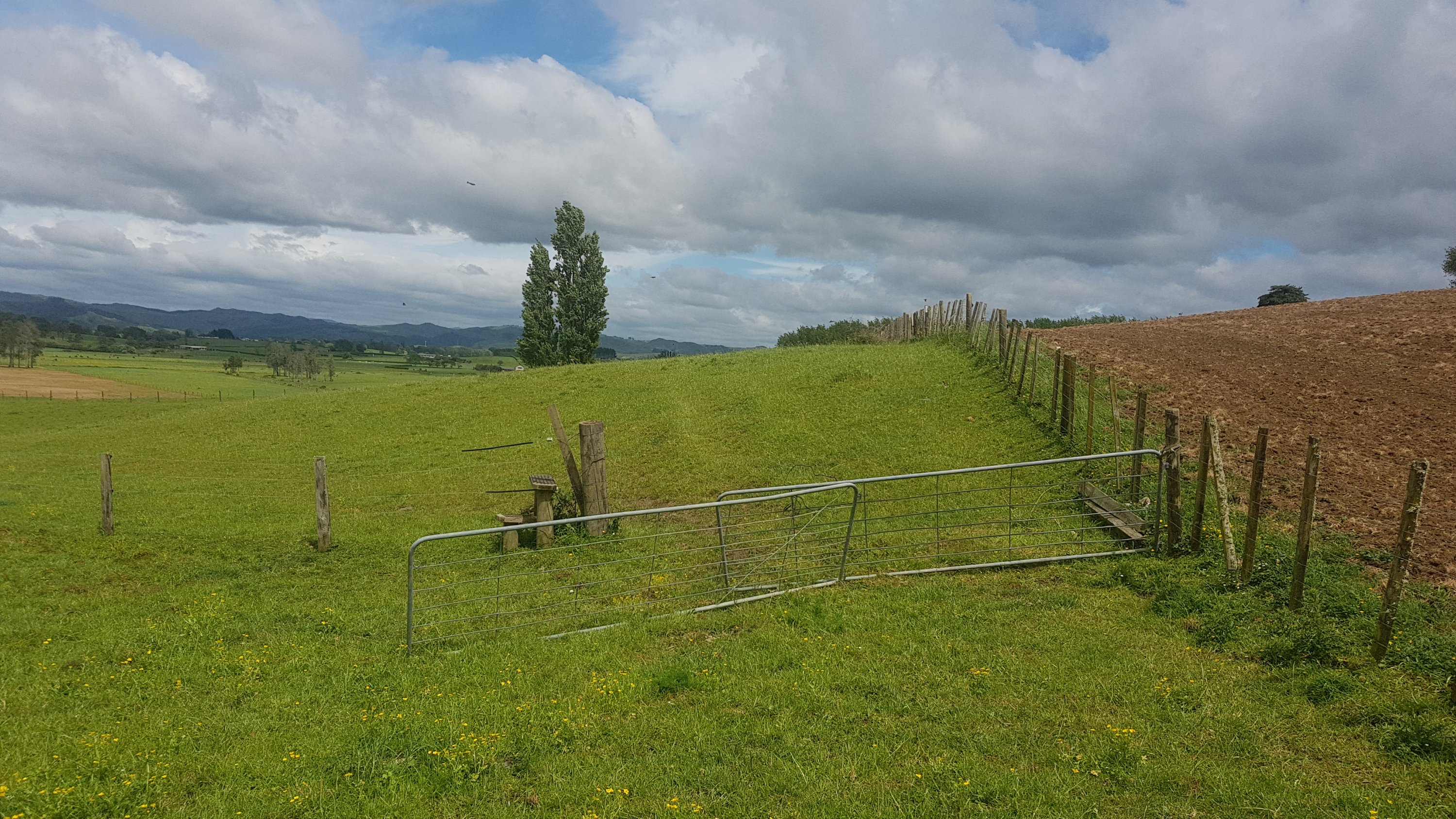
It’s a very standard farm walk after this. But I did notice the “kiwi ingenuity” here – two gates joined together with a bit of wire.
Real classy gate
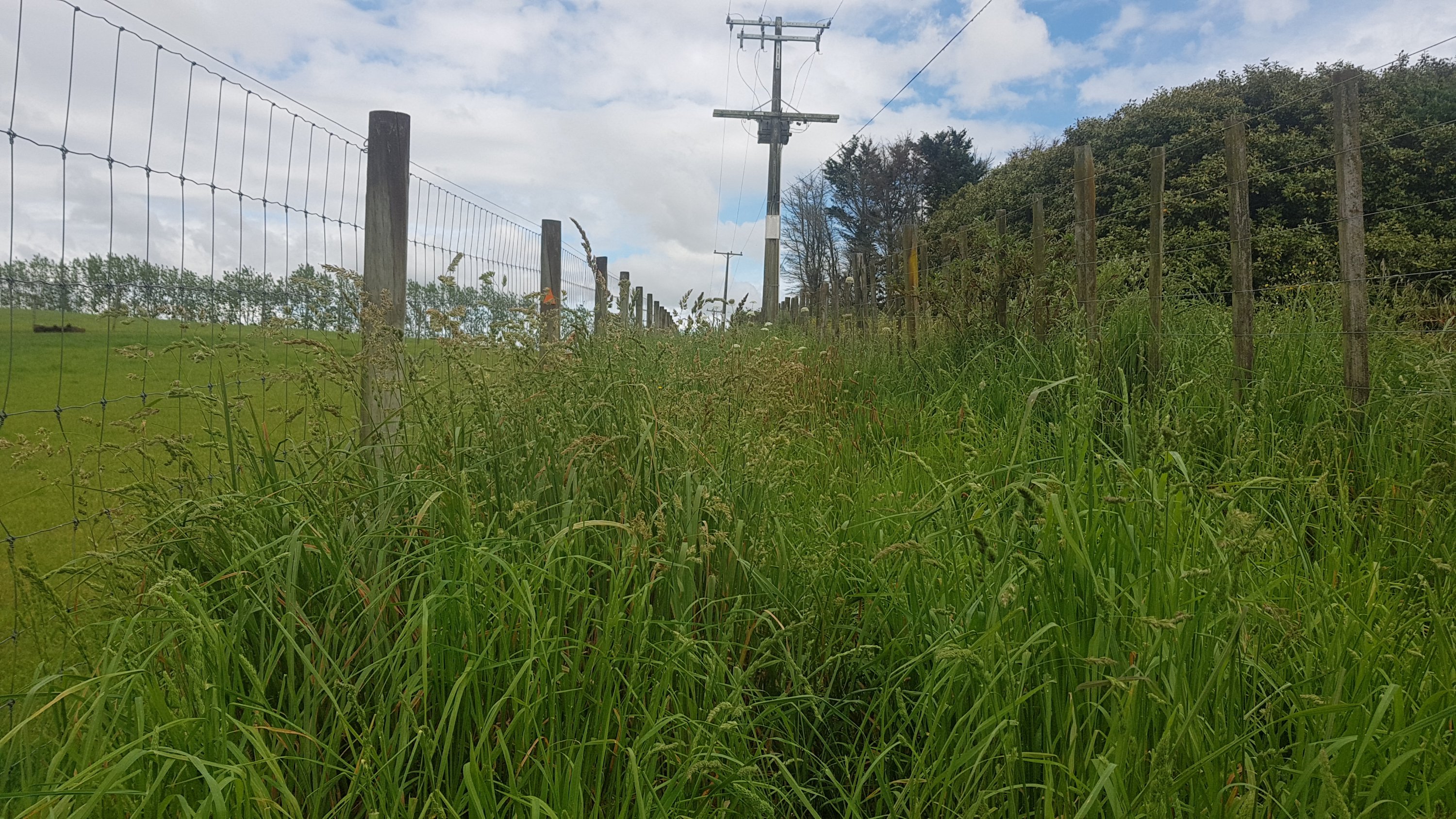
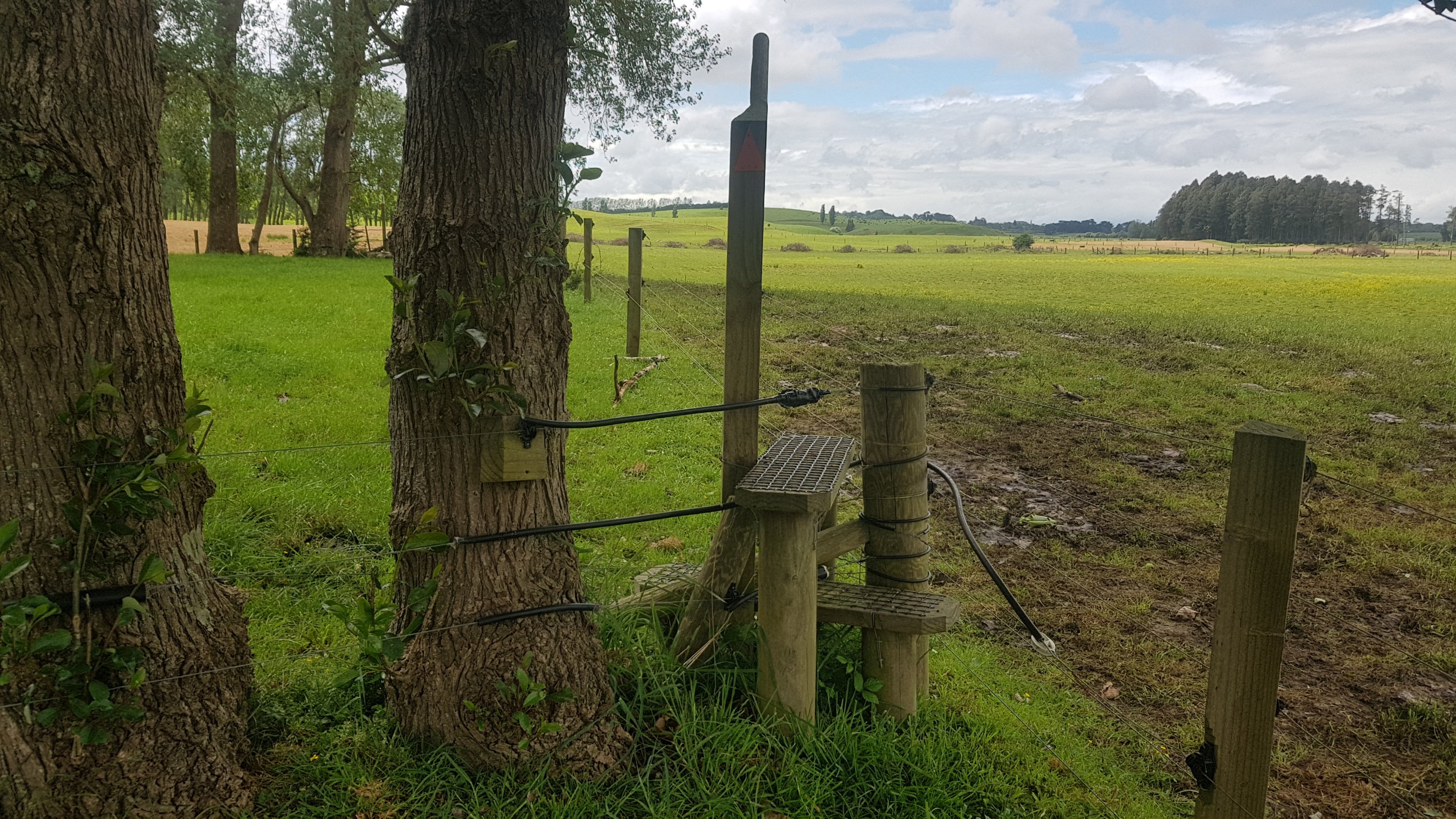
And I thought this stile would be the first place I feel the zap of an electric fence – there are a lot of electrified wires here.
It was only 8km in by this point and I really was starting to notice my pack on my shoulders. I’ve been walking with just a day pack for over a week now and only started again with the pack yesterday so I guess I just have to get used to it again.
My Osprey Levity pack does hurt my shoulders a bit though. I wonder if a heavier pack would have more padding. And tomorrow I will have to take a fair bit more food and water once I head out into the countryside – it is a few days to the next town, either Waitomo or Te Kuiti.
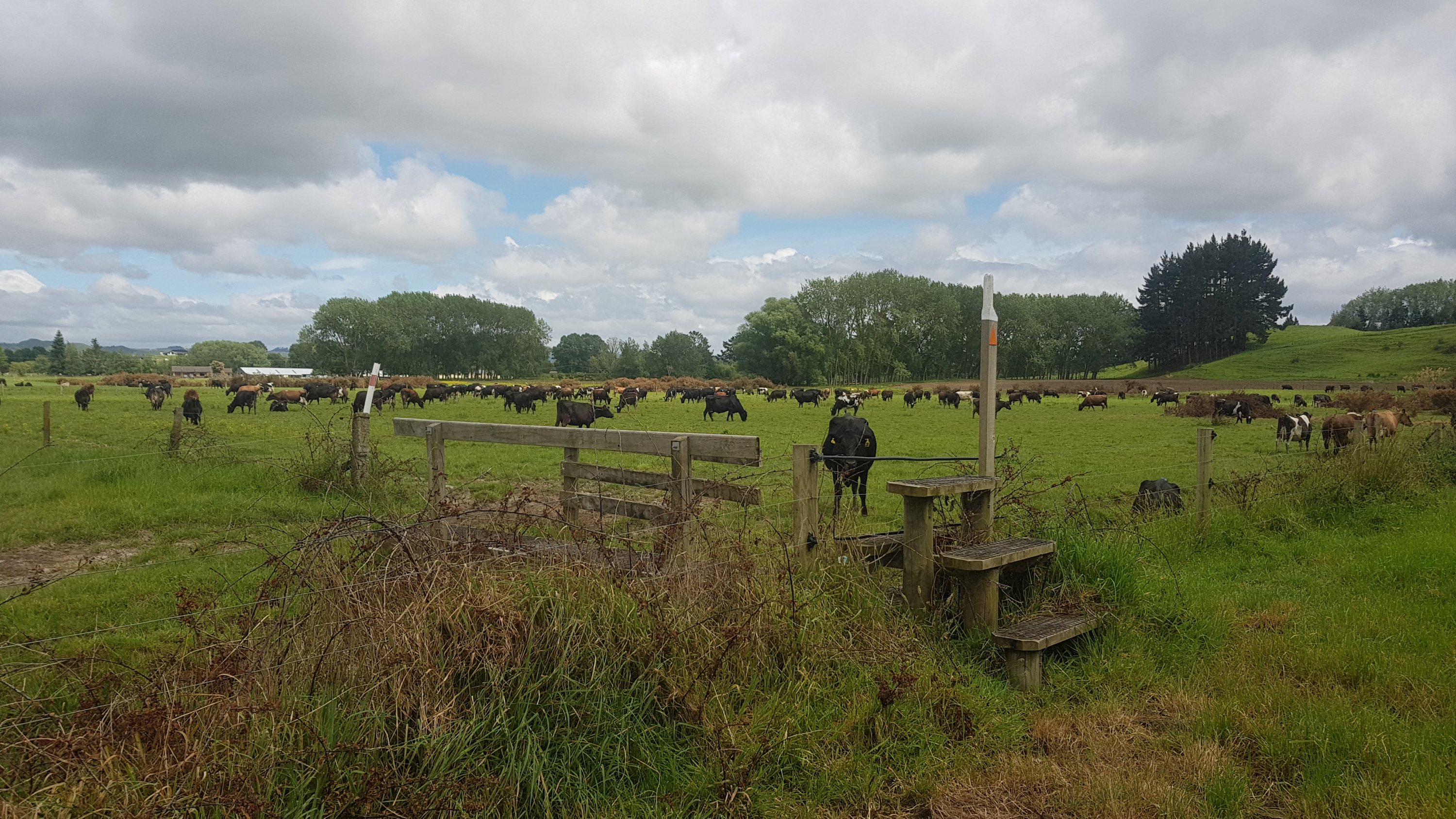
The last bit of the farm was walking through this field of cows.
Find your way through this lot
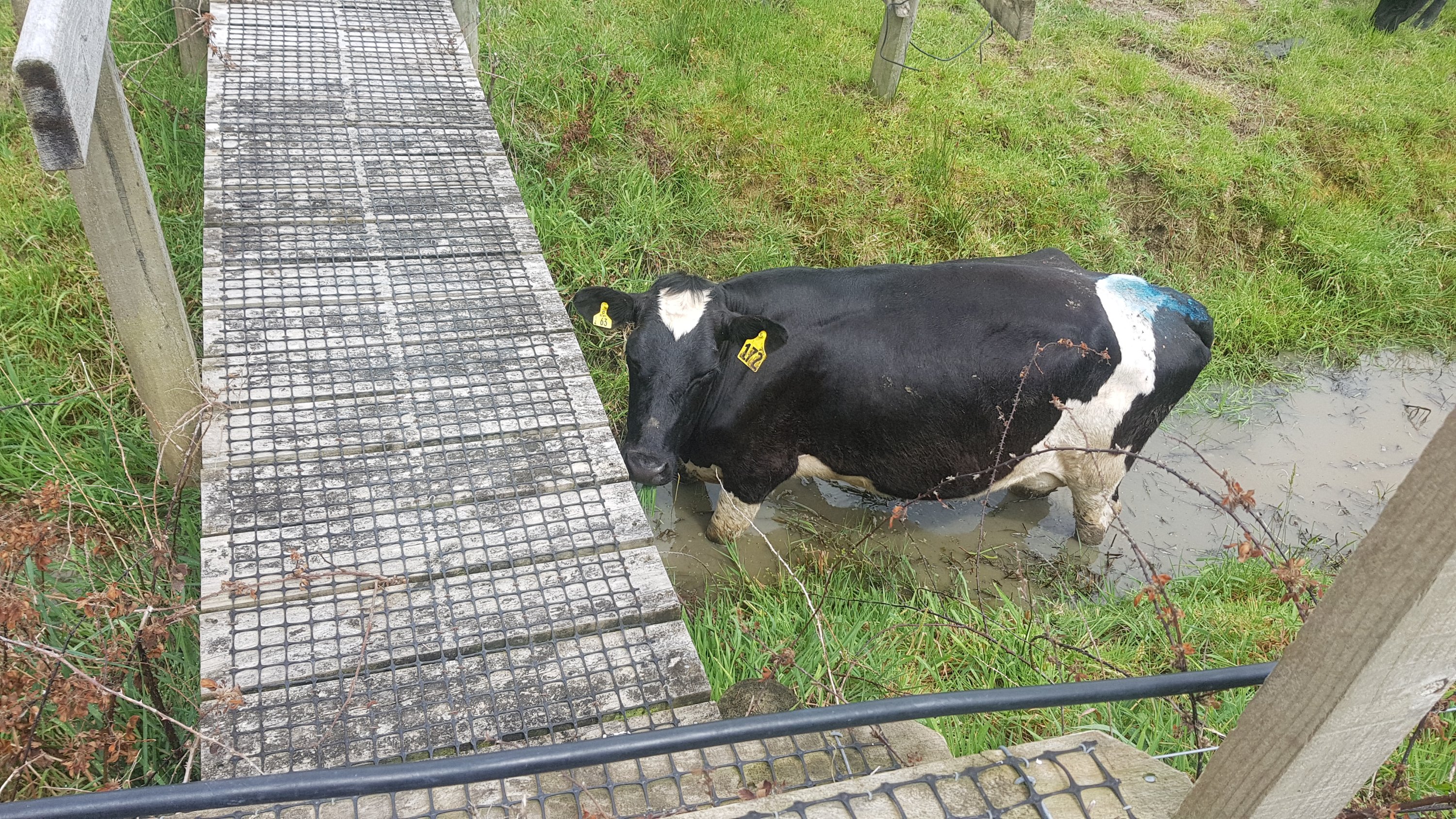
The first cow noticed me… not sure why it was down hiding under the bridge on the dirty water.
But after that they really paid me no attention at all. They barely moved and some didn’t even look up.
This one looked at me at least
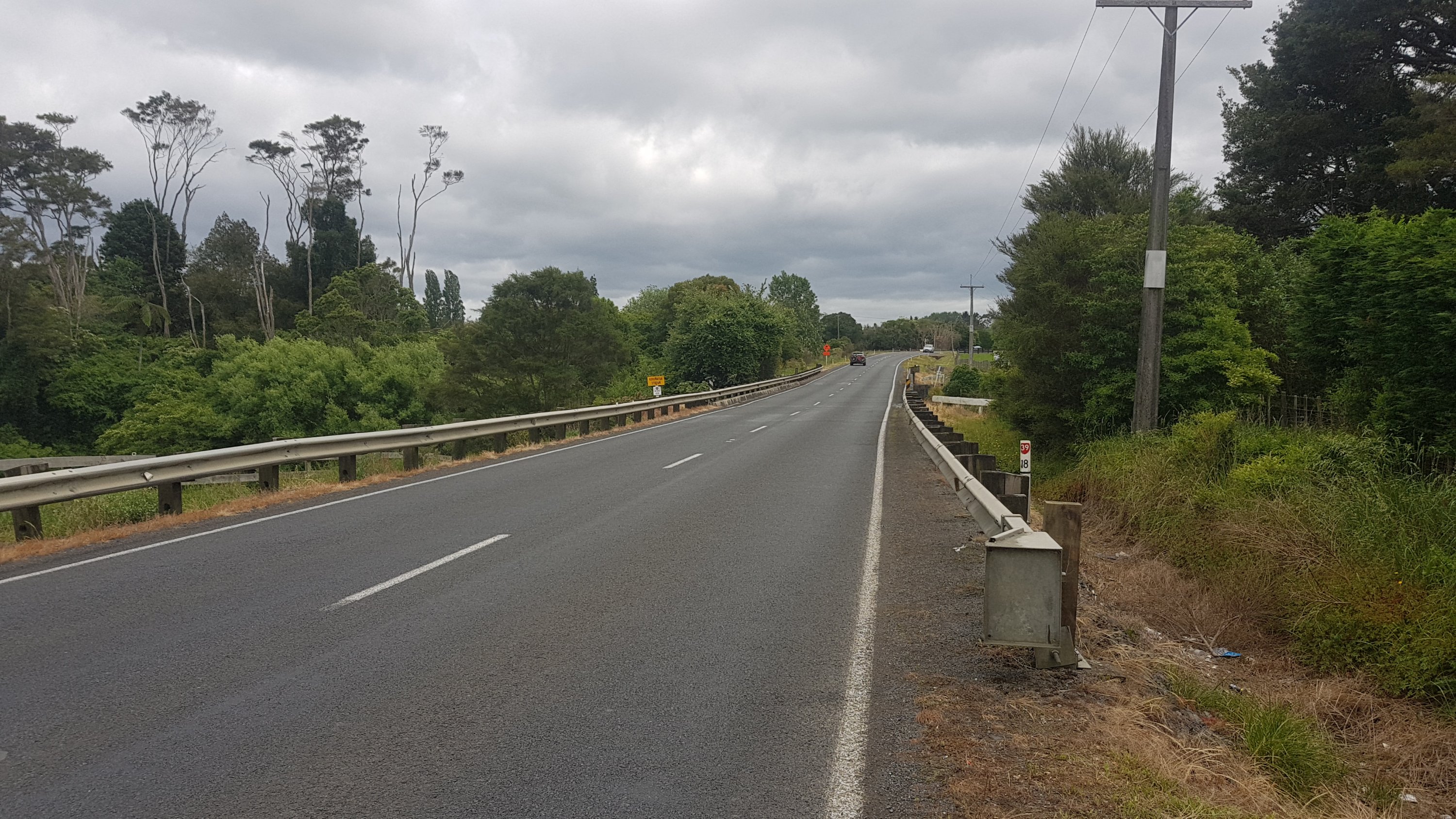
A short walk down Walsh Road and then right onto State Highway 39. Not too long down here thankfully, and there was a shoulder to walk on, except for the usual bridge with no walkway.
Koromatua Stream bridge
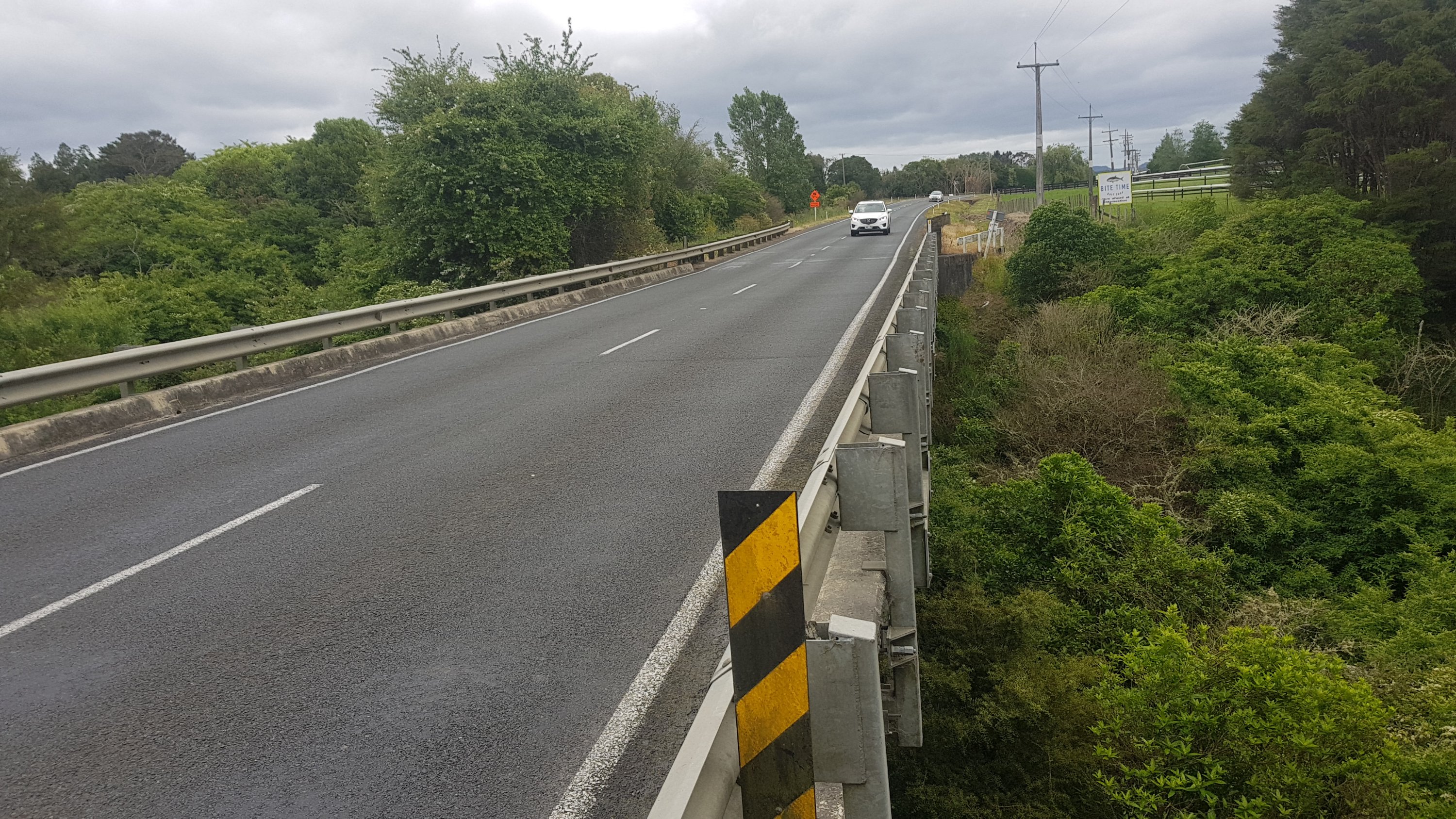
You can actually walk on the outside of the barrier right up until this point, but then you have to again wait and then run the gauntlet once no cars are coming.
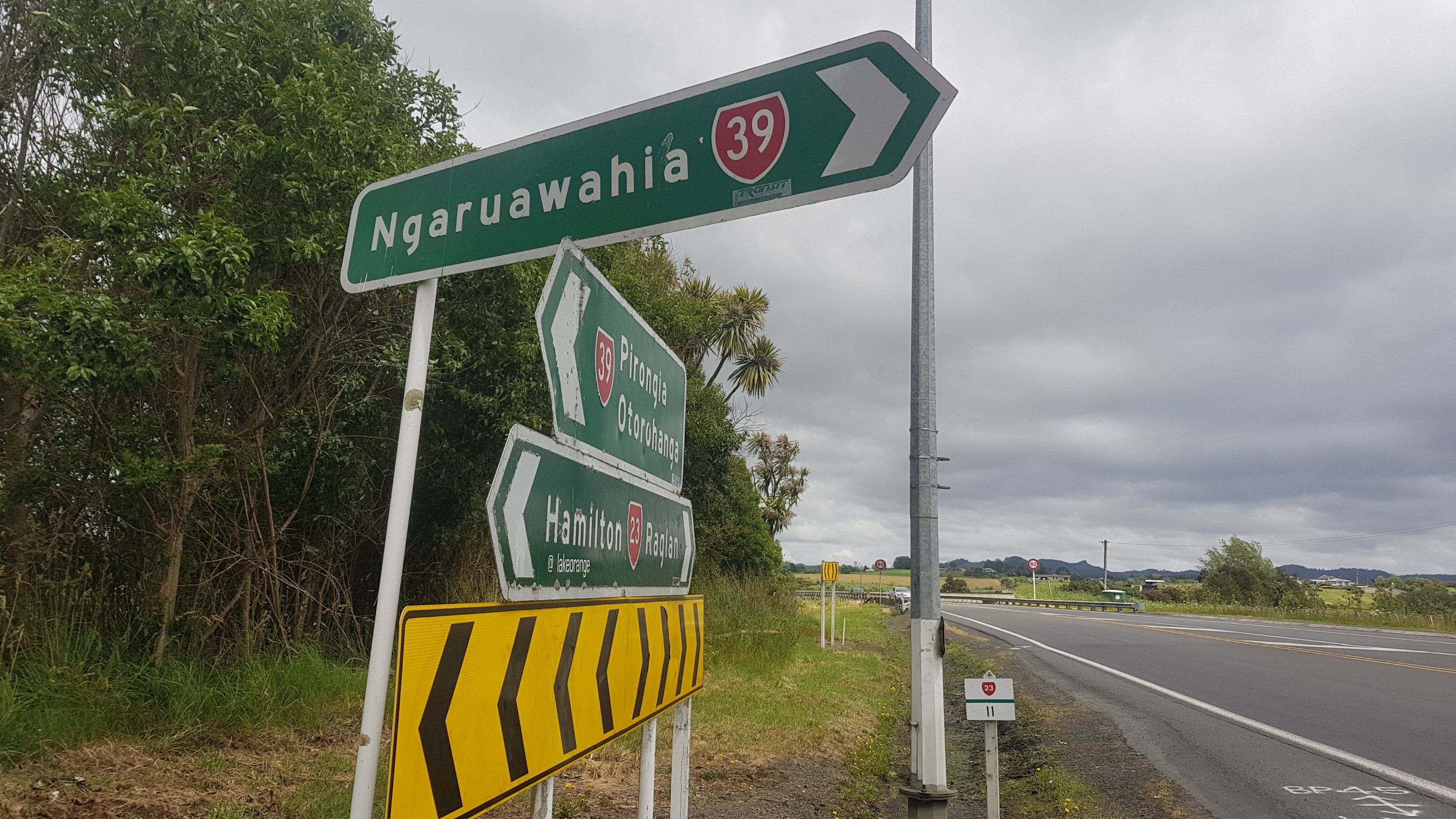
And then, once you arrive into Whatawhata, you even get the pleasure of walking on two state highways at once!
And you even have to cross the busy road at this point.
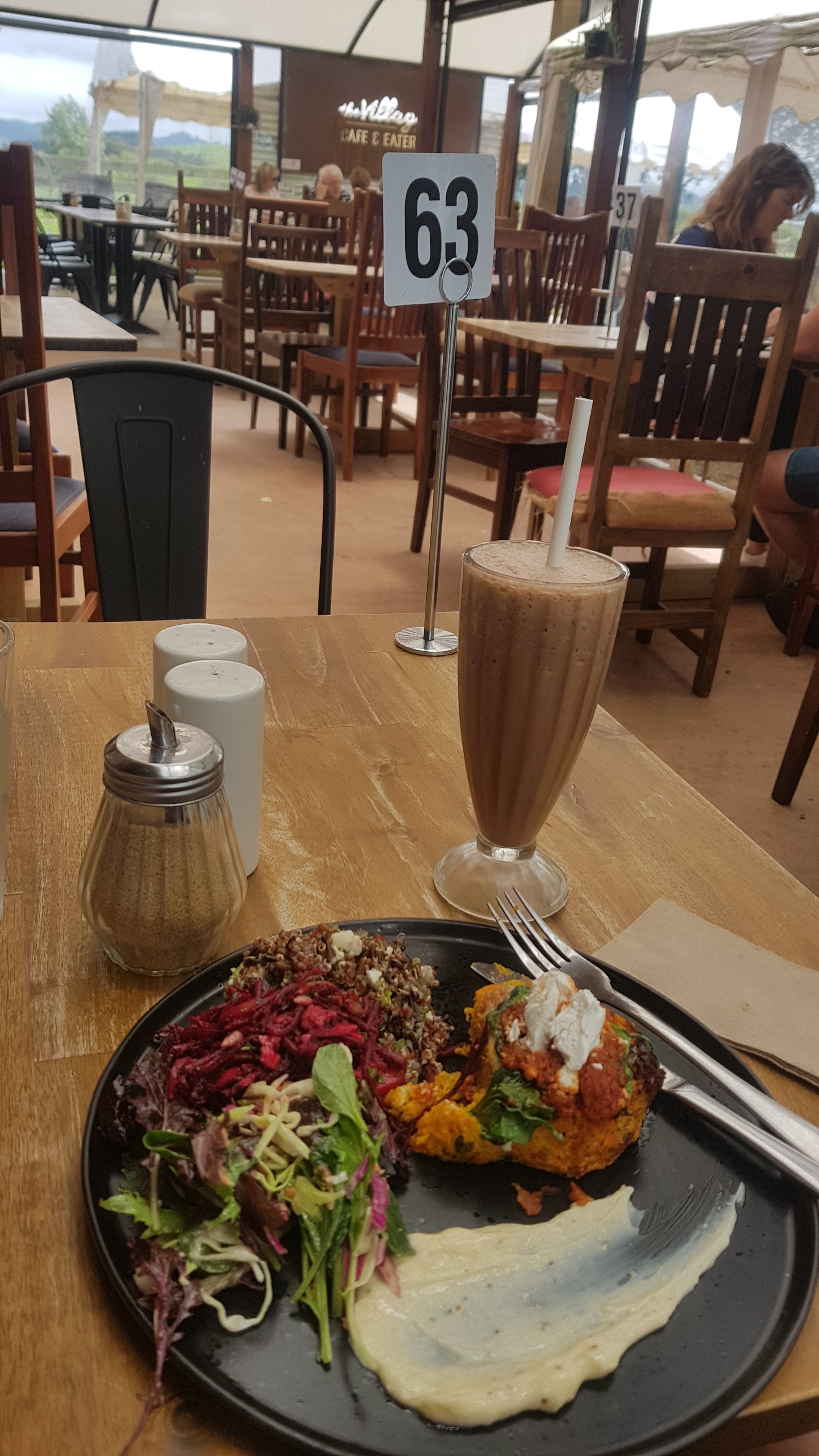
Once you cross here, you’re in Whatawhata. There are a few cafes here and a petrol station. This is as far as I went today – my Dad picked me up from here and I stayed with him in Te Awamutu. While I waited for him I had a bit of lunch at the Village Cafe and Eatery. I finally got my salad that I had been craving for the last few days – it was great.
While I was eating I spent a bit of time trying to work out how to pronounce Whatawhata. “Wh” in Maori is usually pronounced “f”, so I figure the pronunciation is “fotter-fotter”. But I’ve been told by more than one person that “wh” in the middle of a word is pronounced “w” as in Mangawhai (Manga-why not Manga-fai) but that would mean that the town is pronounced “fotter-whatter”. I’m sure that’s not right!! It wasn’t so important to learn the correct pronunciation of Maori place names when I was young but there is more focus on getting it right now which I think is good.
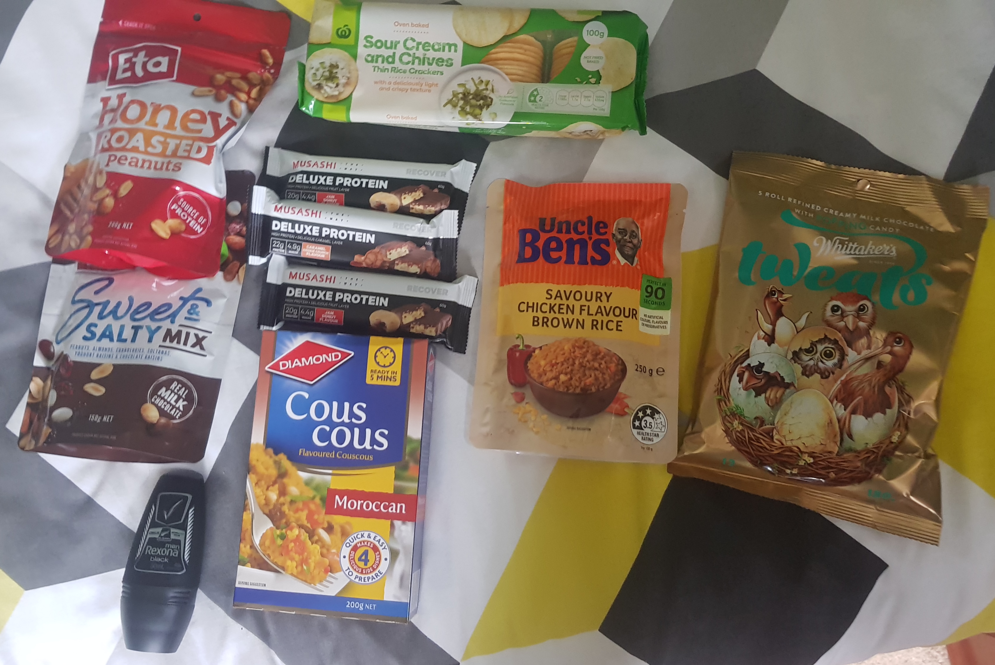
I got to my Dad’s place at about 2pm, so I had a bit of spare time. I bought some groceries from Countdown.
Everything I bought today, except the block of cheese which is in the fridge
Apart from these I still have porridge, muesli bars, a few wraps and two back-country cuisine dehydrated meals I bought yesterday from Trek N Travel in Hamilton.
As you can see from the photo I am going to try bringing anti-perspirant. I struggle with my own smell after a week or so and so maybe this will help. It is worth the extra weight I think, especially given that I am getting much hotter and much sweatier recently. If it doesn’t do anything I can always discard it. Plus it says “All Blacks” on the packaging. Maybe if I use this deodorant I will turn into a rugby player.
I then spent a bit of time checking on the progress of my goal of getting to Wellington by Christmas. If I use the date 21 December as my goal date then that gives me a few days to relax there and hang out with friends.
There are 41 days until 21 December and 921.7 km to go. That means I need to do 22.5km per day. Definitely doable.
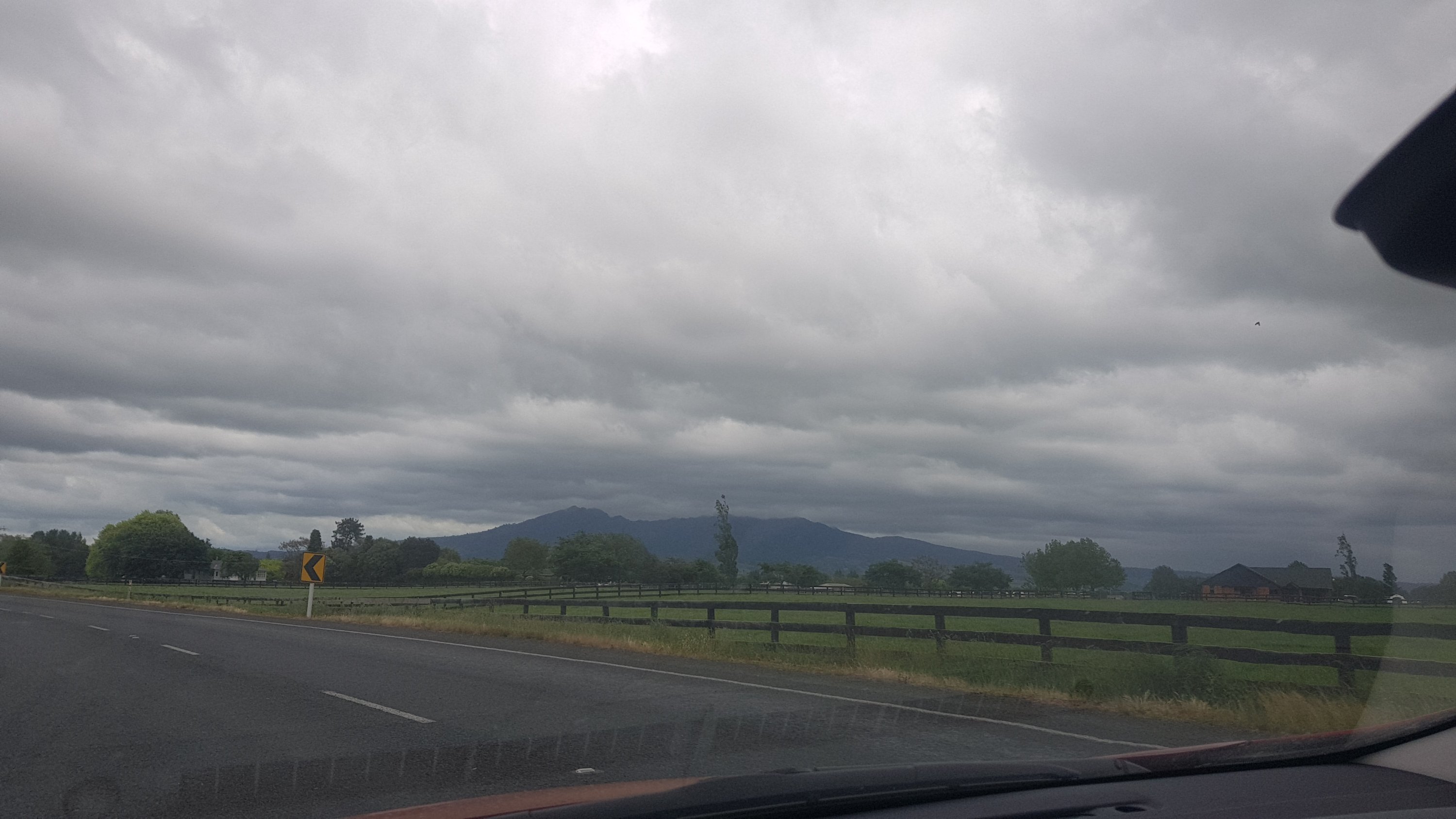
The rain started at 3pm. When it started I thought “I’m glad that I’m not up Pirongia right now”. Eric and Zoe said they were going to wait out the storm before heading up Pirongia. If so then I will see them tomorrow. If not, then they’re getting very wet right now.
View of Pirongia from the car
It rained a lot in the afternoon and evening. Again I’ve been spared a drenching. I’m definitely going to have to provide a sacrifice to the weather gods soon.
Tomorrow will be a 9am start, but not before another coffee at the Village Cafe and Eatery.
Date: 9 January
Trail covered: 9.6km, plus 1.5km to go and see a lookout (kms 1825.7 to 1835.3)
Weather: Beautiful
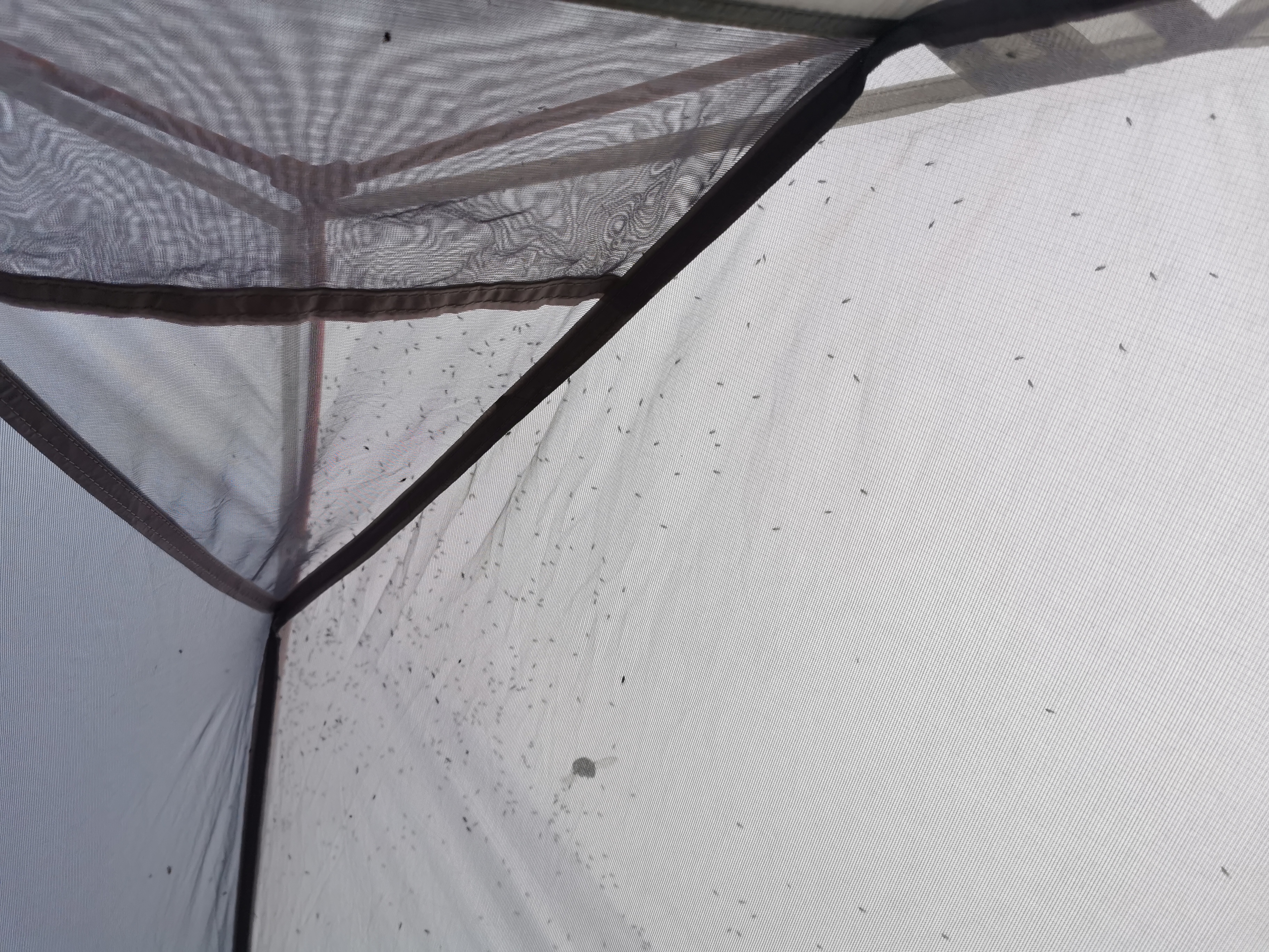
When I woke up this morning, I noticed what I called a “sandfly nightmare” at the top of the tent.
Just a few sandflies…
Ive never seen so many sandflies in one spot. To help with the commotion there was also a bumblebee stuck under the tent fly and it was making all the sandflies jump all over the place. The noise from all the sandflies sounded like rain.
I woke up to find every single other person had already left – this included all seven people in the hut and the occupants of the four tents. Yay – I have the morning to myself. I can dry and organise my stuff and there is absolutely no hurry.
The thing that struck me this morning is that the bumblebees here are more annoying than the sandflies. There are heaps of them and they follow you around and don’t leave you alone. And also there were little wasps in the toilet. They get into the toilet through the little holes in the loo that water is supposed to drain out of. Bugs and insects in the toilet while you’re using it are very annoying.
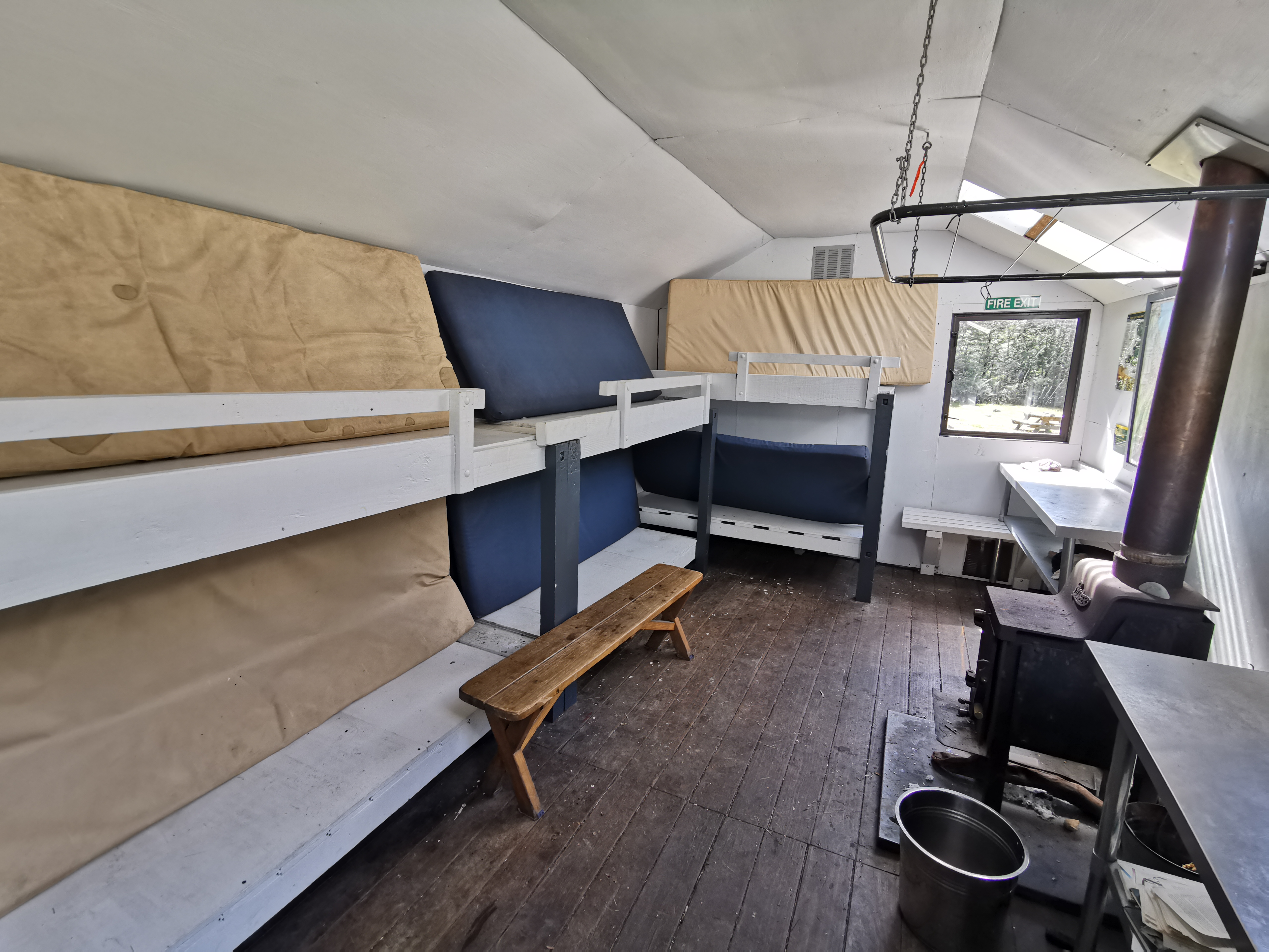
I discovered that my phone has a “wide angle” setting – very cool. I used it to take a picture inside the hut.
Photo of inside Captains Creek Hut taken with the wide angle setting
I took my time having breakfast and packing up. It wasn’t until nearly two hours later that I was ready to leave, at 10:35am. I noticed from the intentions book that Tina and Matthew from yesterday had come through this morning while I was asleep. I guess I would probably meet them again today if they went at their same slow speed.
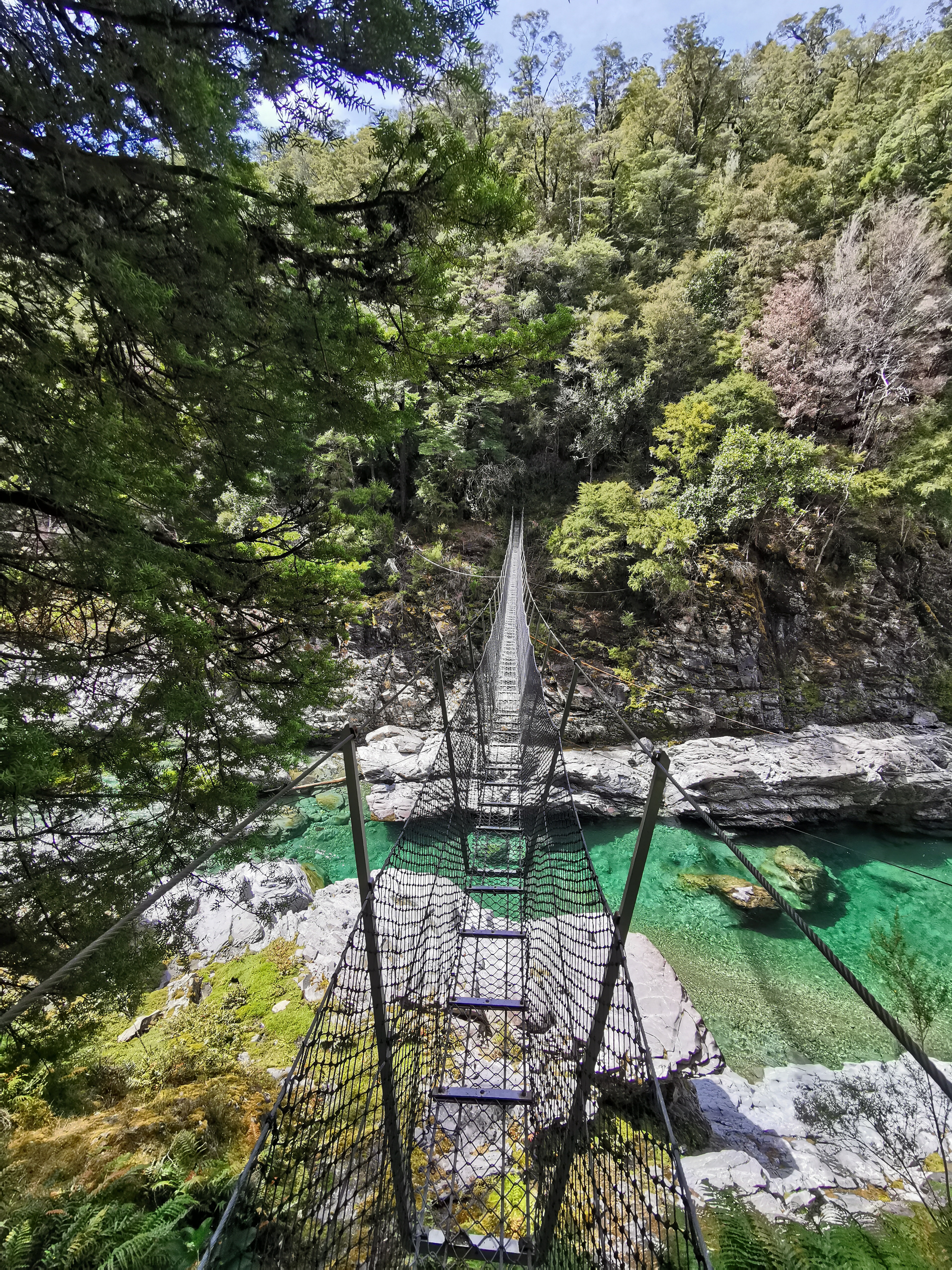
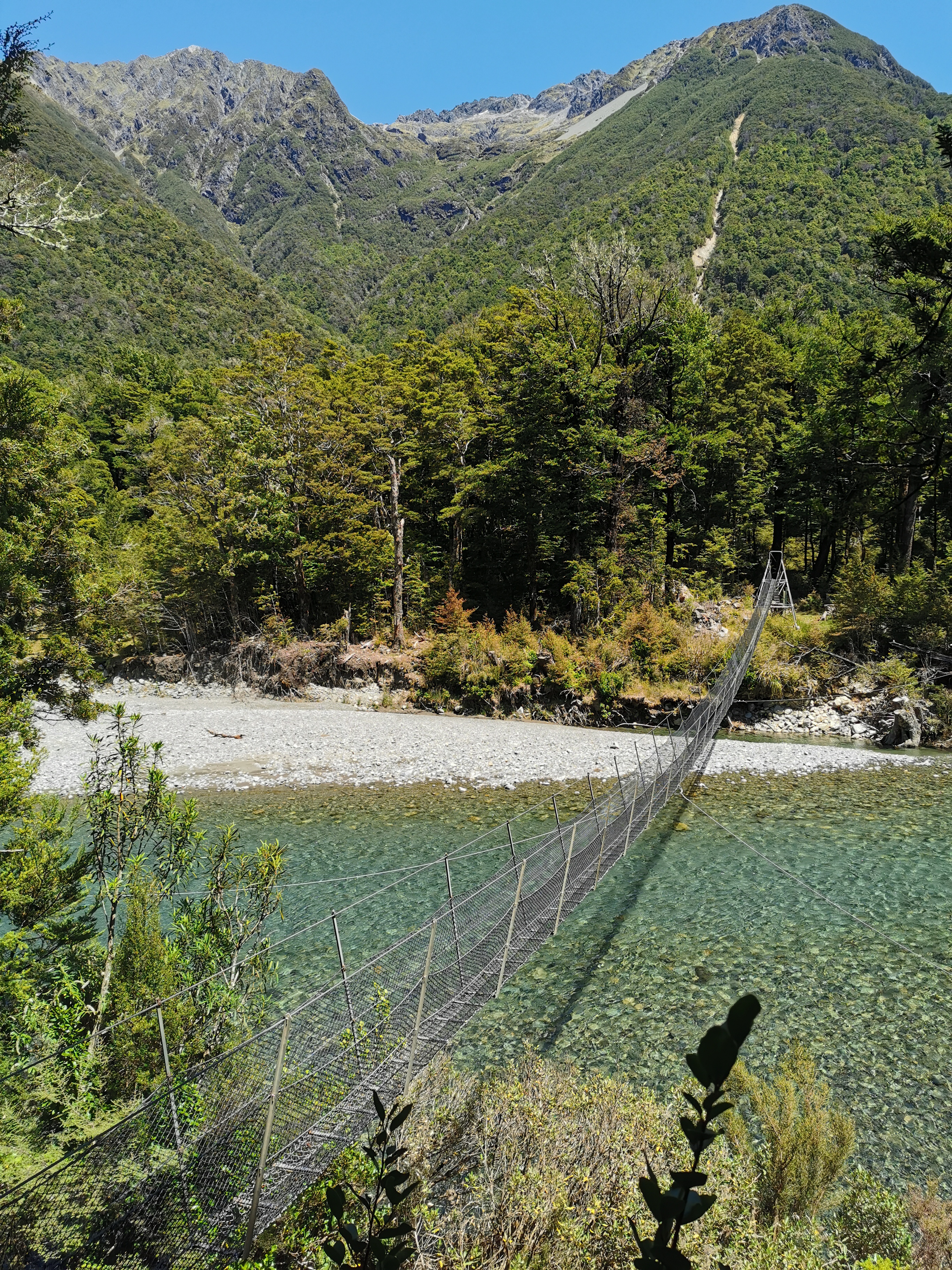
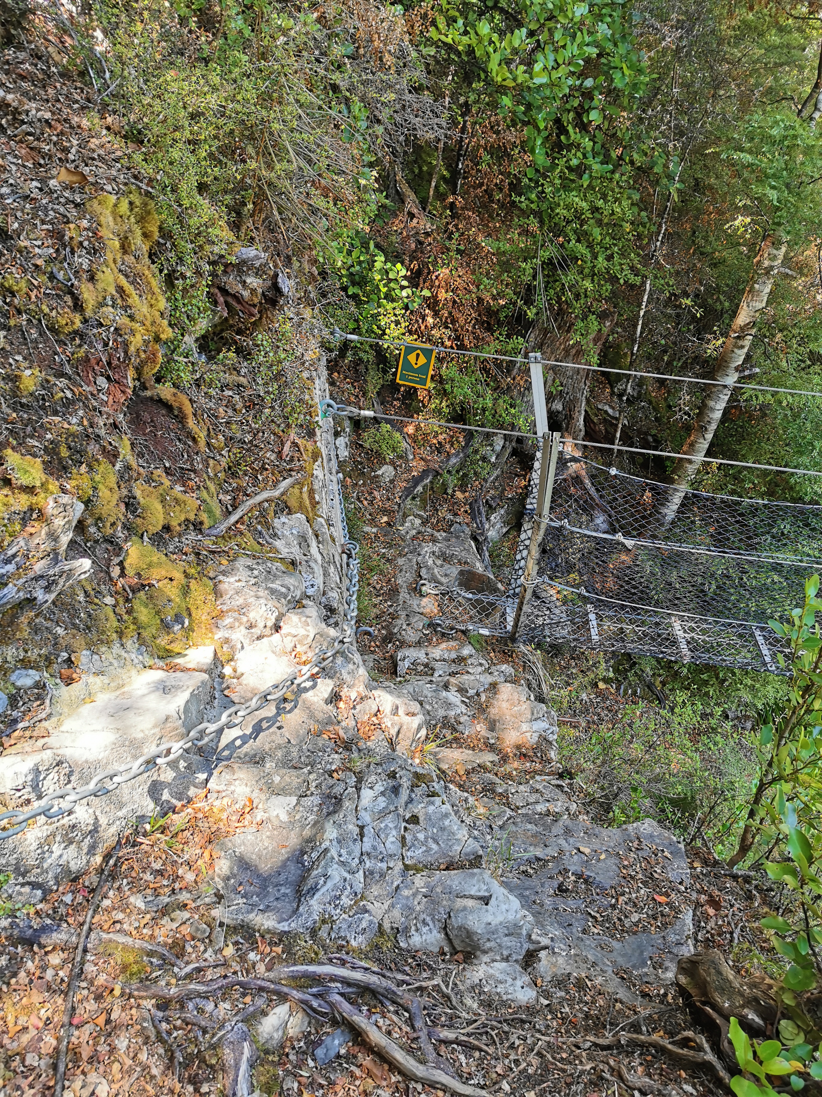
Just past the hut is another swing bridge. This was another scary swingbridge where you can see the river when you look down, and it wobbled a lot. Maximum 1 person as well!
Scary swingbridge #2
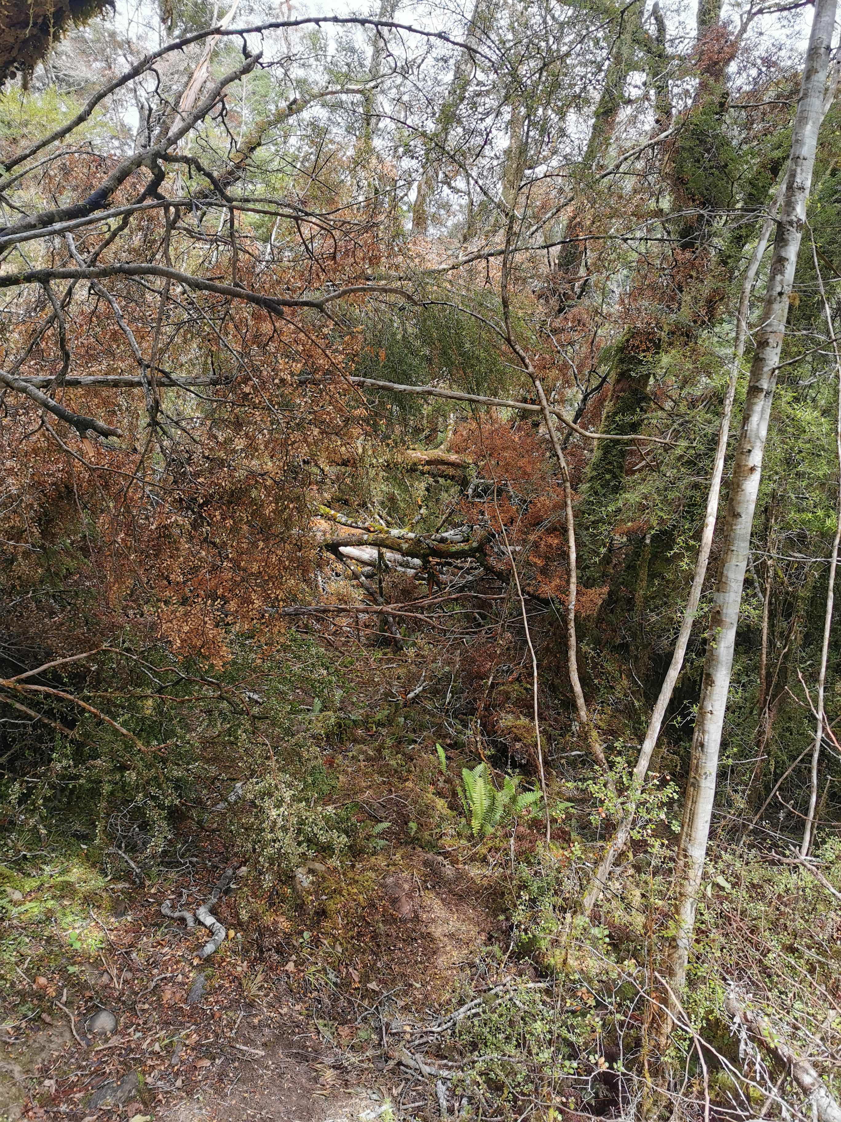
I remembered the 11am picture today. It was this particularly troublesome bit where trees were blocking the path and I genuinely couldn’t work out where to go.
11am picture – fallen trees
It took a fair bit of trying different paths before I found one that took me around the trees, as they were too big to climb over.
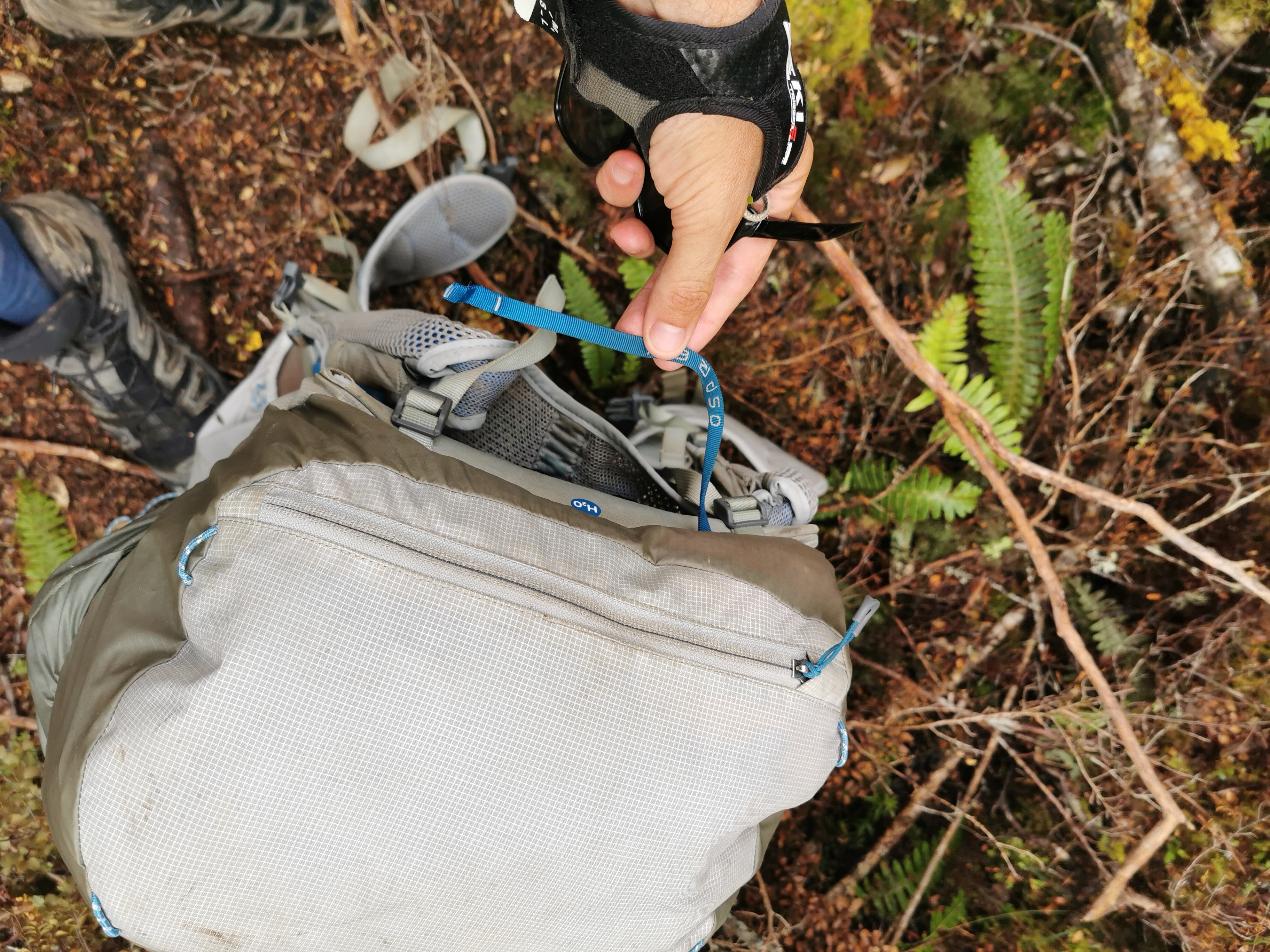
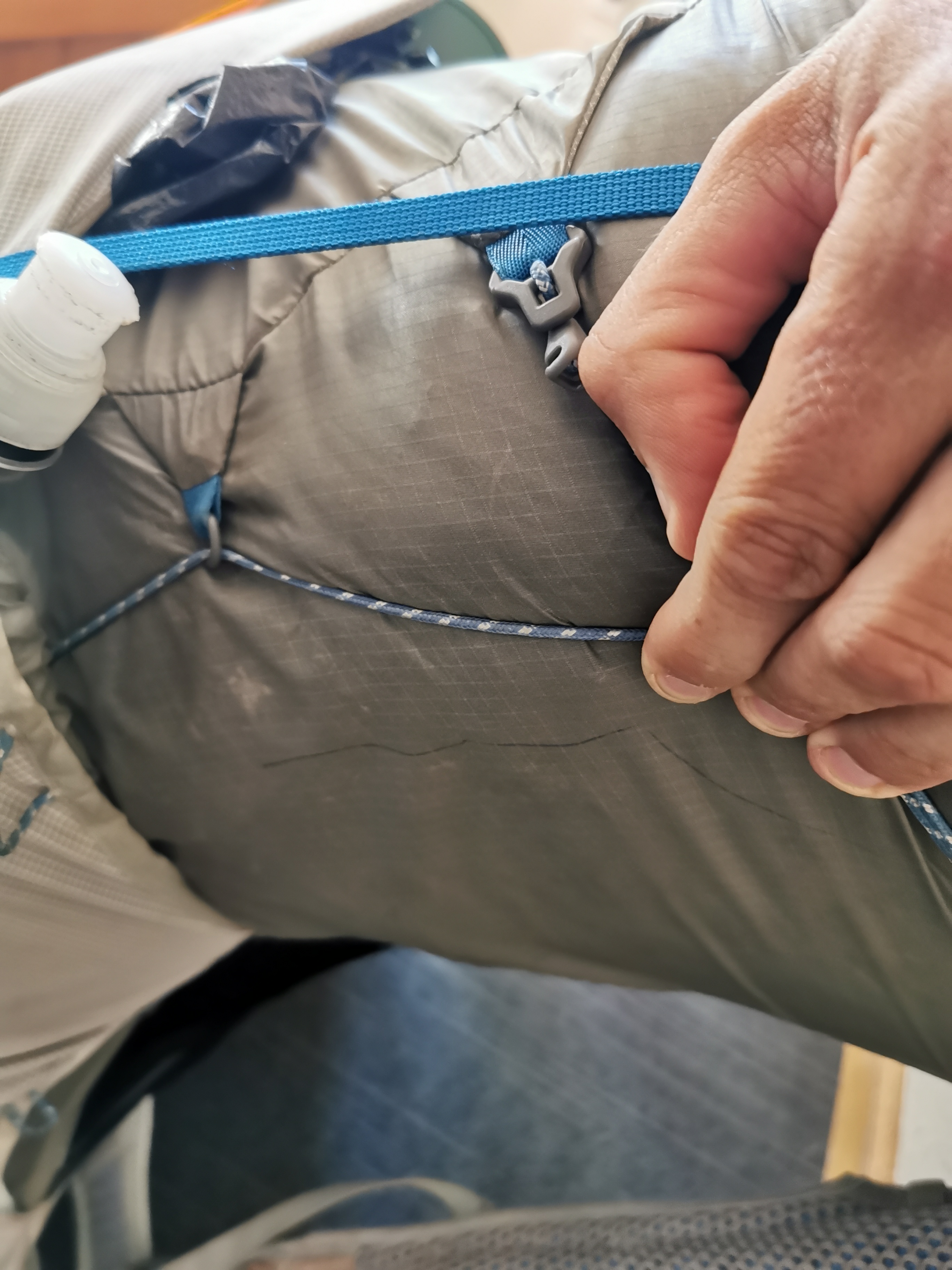
This was also the point where the little strap at the top of my pack broke off. This doesn’t affect the pack while it’s on my back but it is the strap I used to carry it around when it wasn’t on my pack. It’s annoying that it has broken. Now I have to carry it by the big straps which makes it fall to one side when I lift it.
Aargh
At least the pack can still be carried on my back just fine. What if one of the main two straps breaks? I’ll be screwed then!
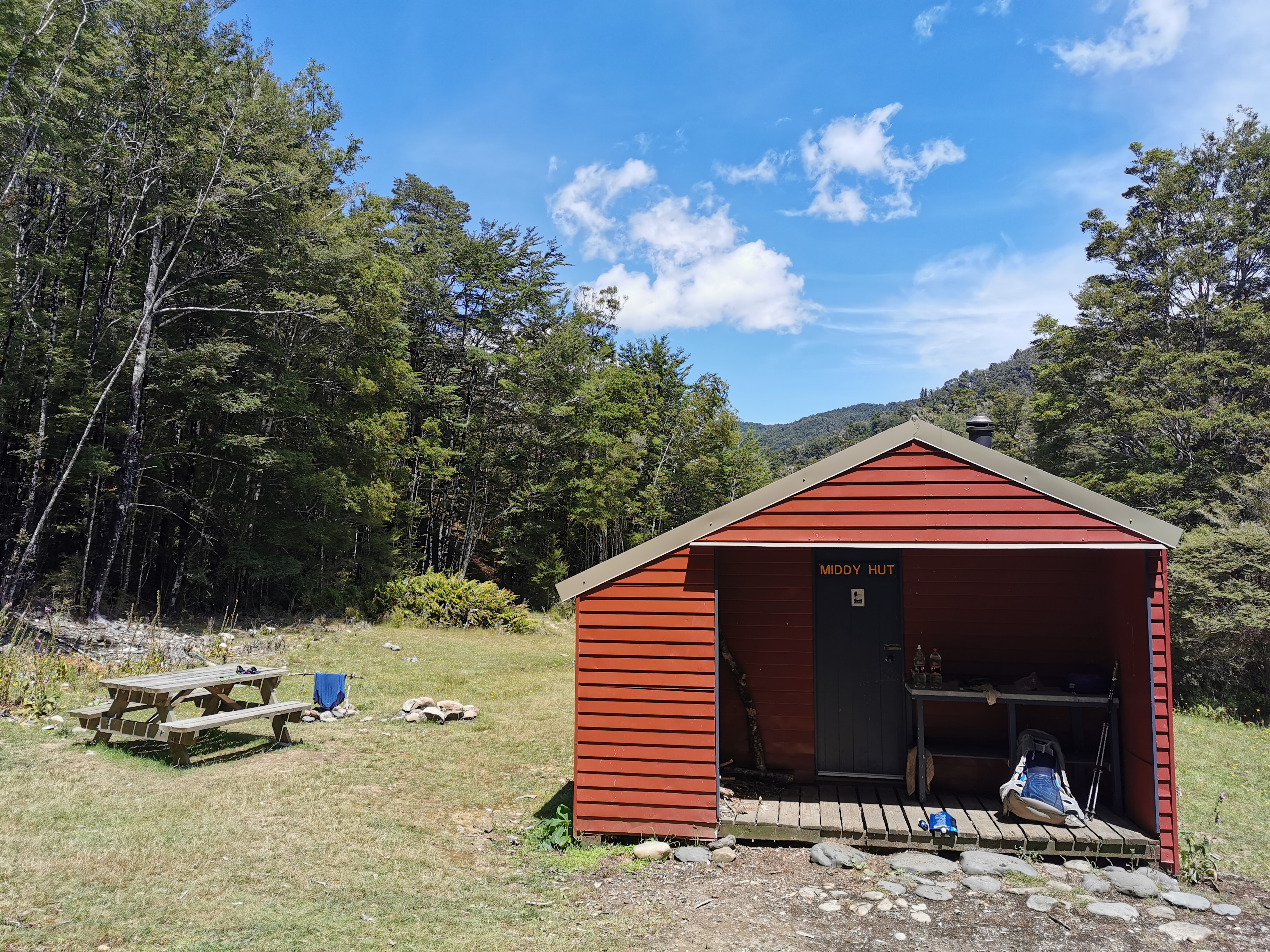
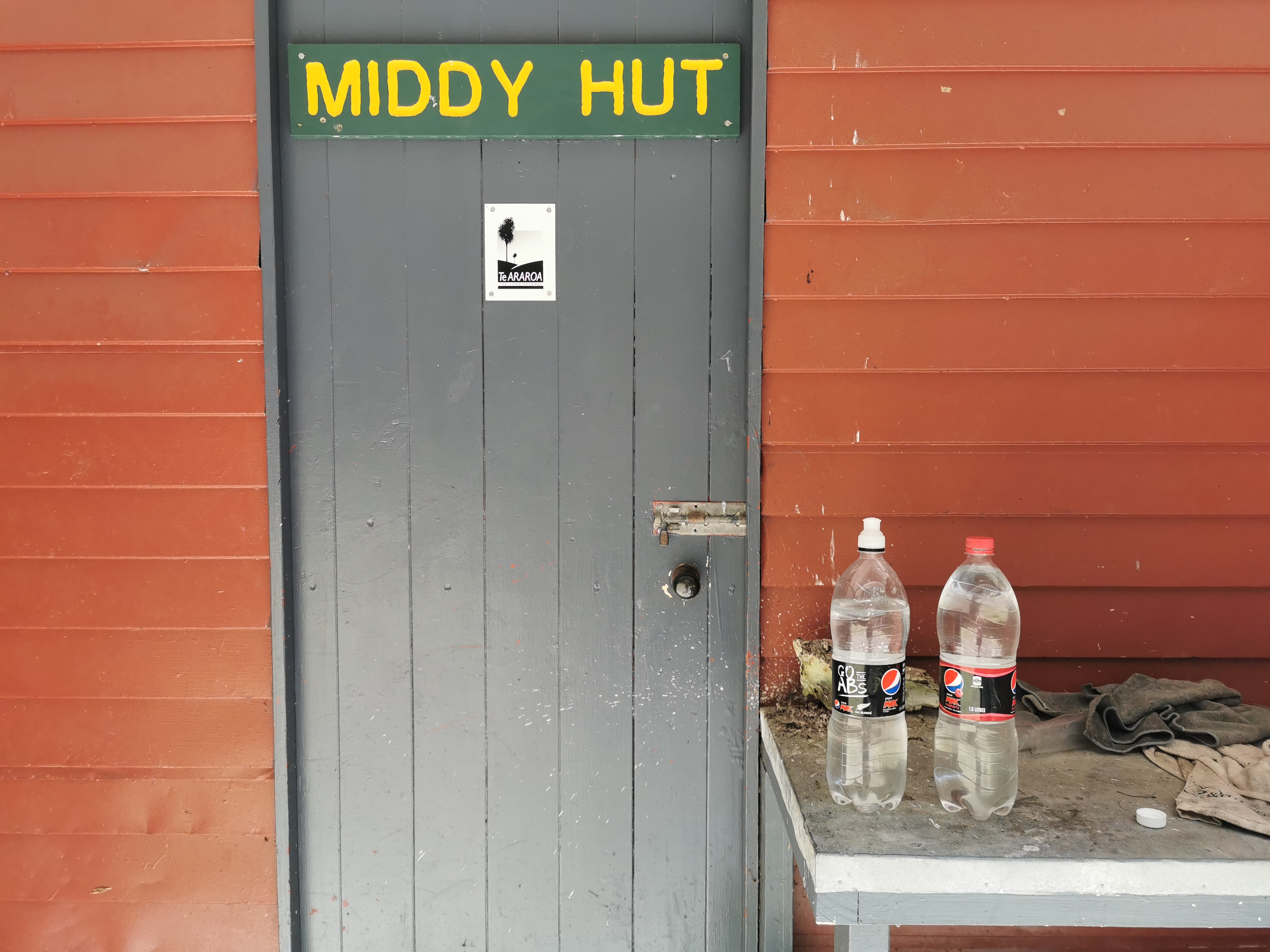
The first hut today is Middy Hut.
Middy Hut outside
Inside it is an exact replica of Captains Creek Hut from last night – with one important difference.
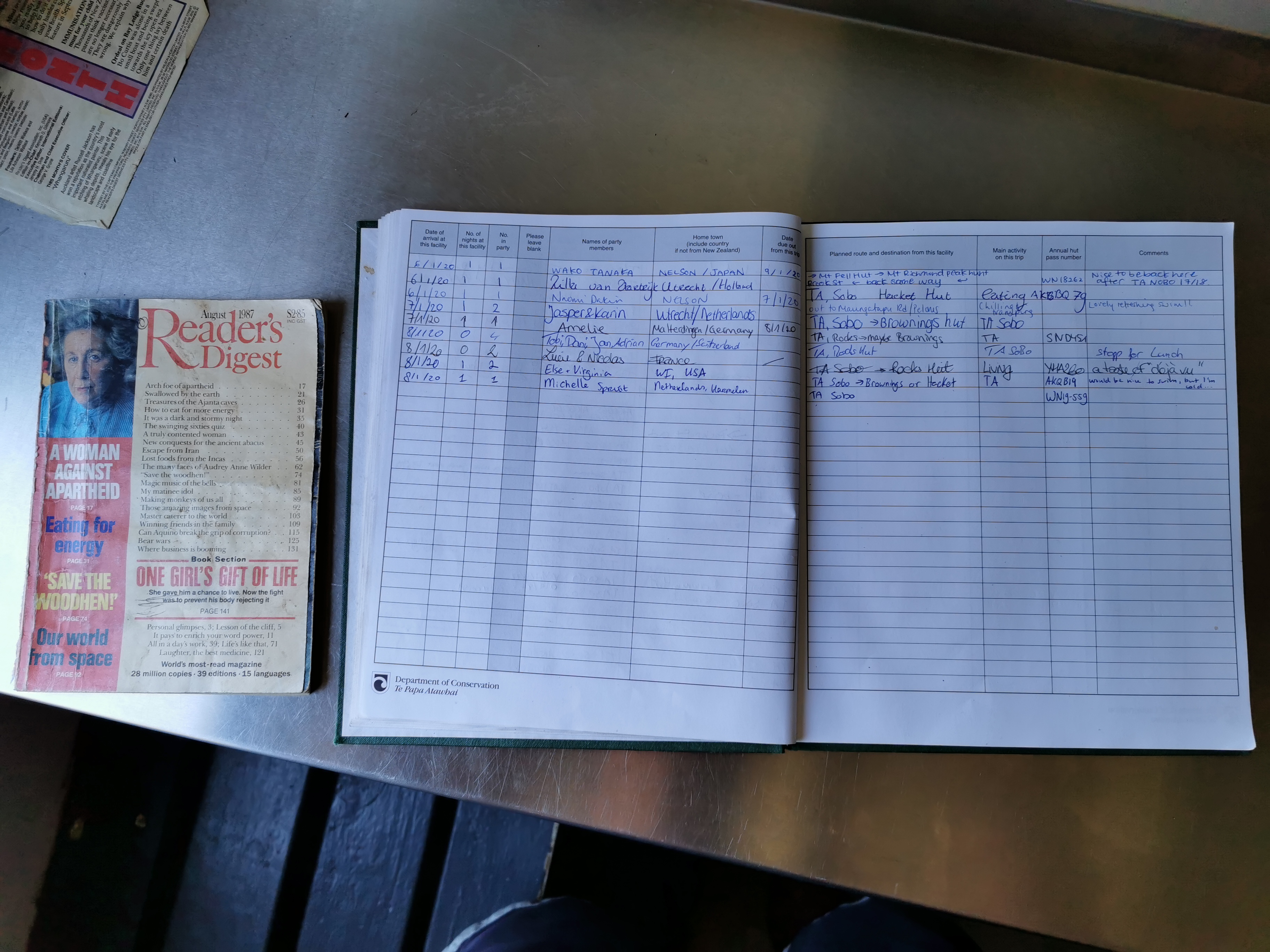
A 1987 copy of Readers Digest as well as the intentions book
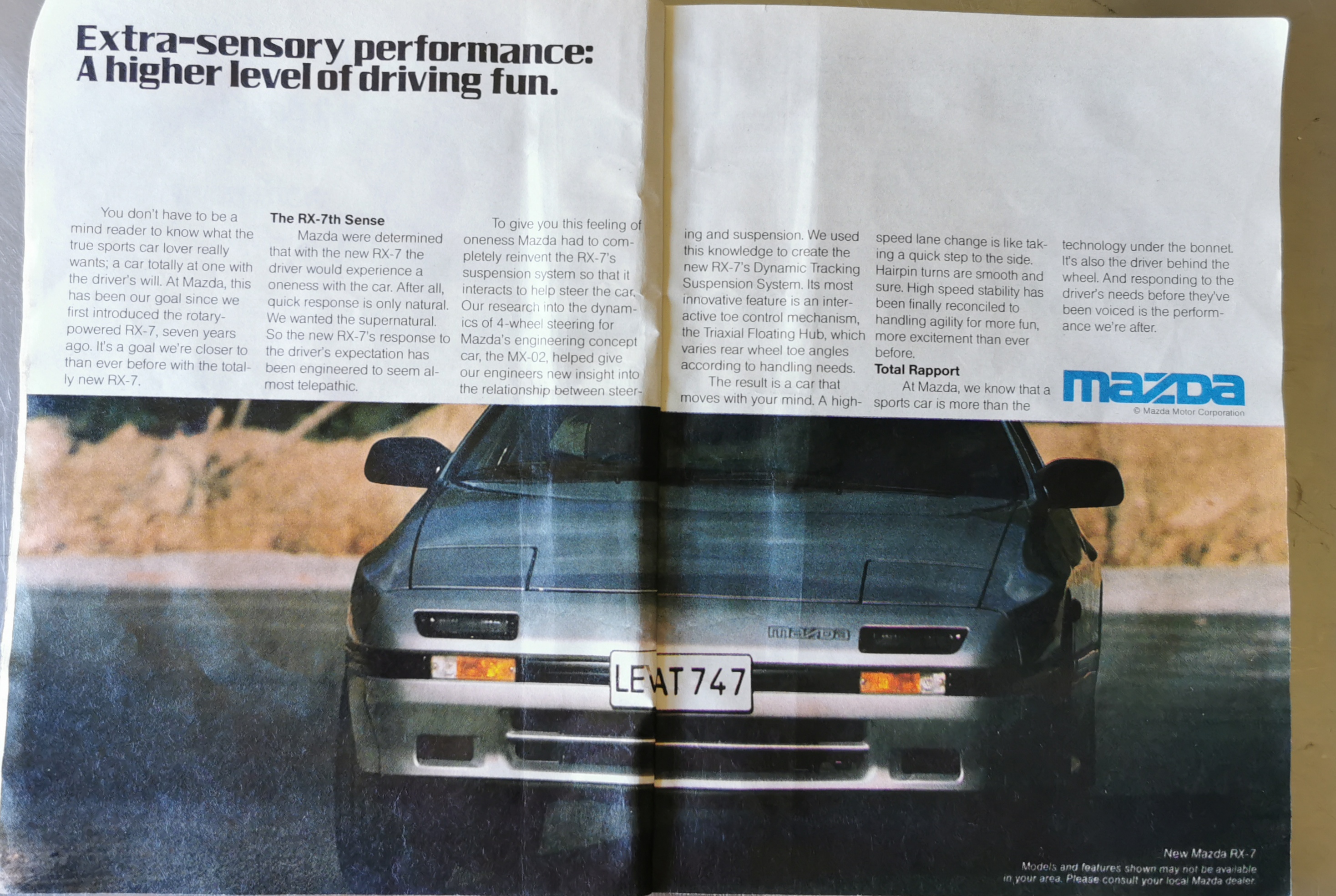
This hut has a copy of the magazine “Reader’s Digest” from 1987. Talk about nostalgia. And inside was this ad, which made me really smile.
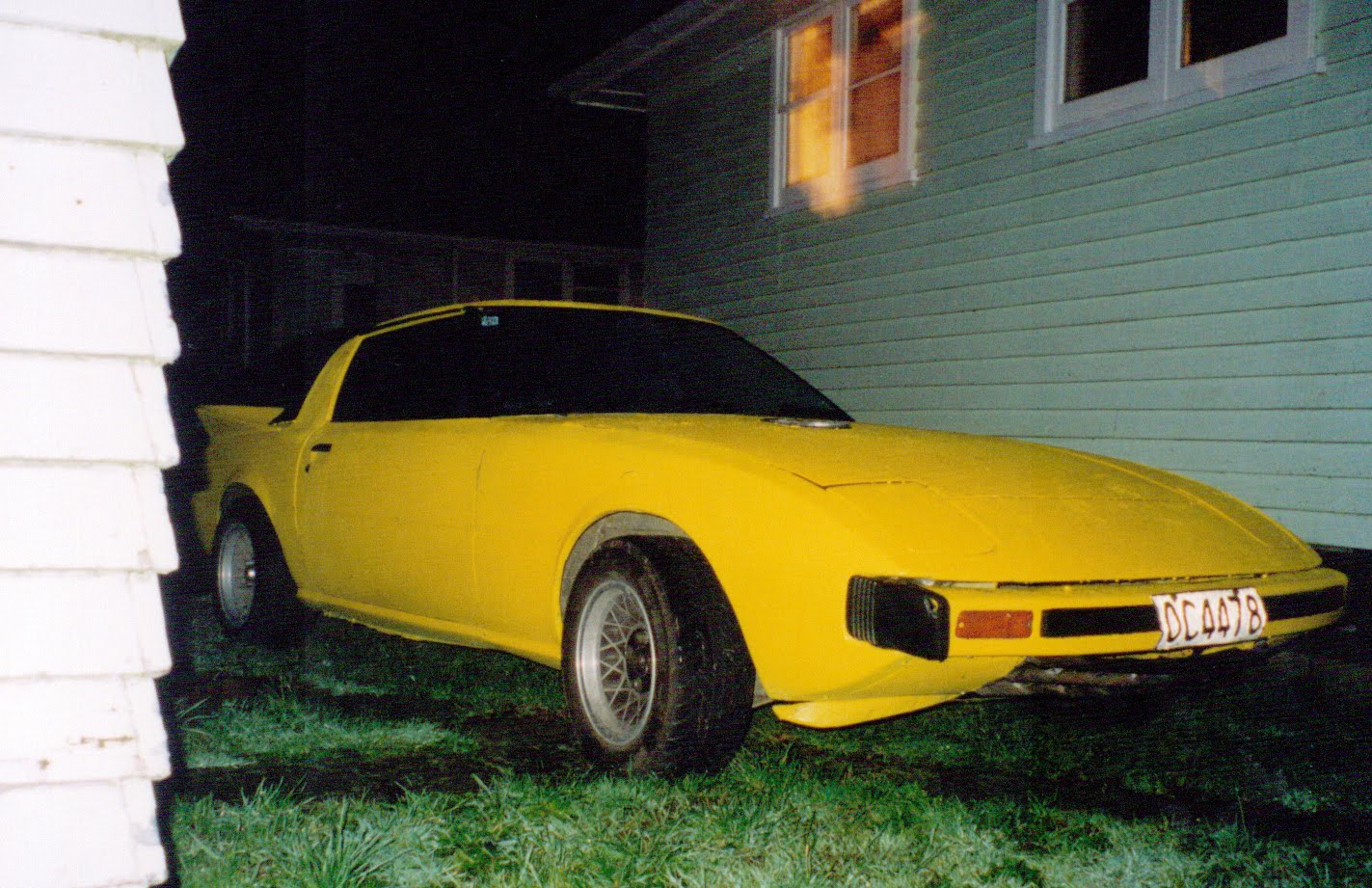
An ad for the new Mazda RX7. I am known for having ridiculous cars, and when I was 20 I had two of the very first RX7s – the “series 1”, which explains why my username on geocaching.com and other Internet sites is nzseries1. Here’s the first one I had…
Photo taken in 2000
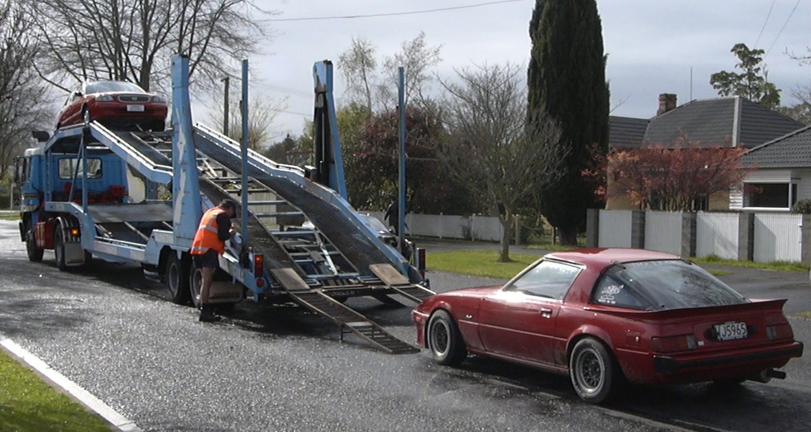
It was a particularly troublesome car and when it blew up soon after I got it, I replaced it with this one, which was much more reliable and I had it for three years:
Photo from 2003 – my second RX7, being loaded onto the car transportation to be taken to the people who bought it off me who lived in the South Island.
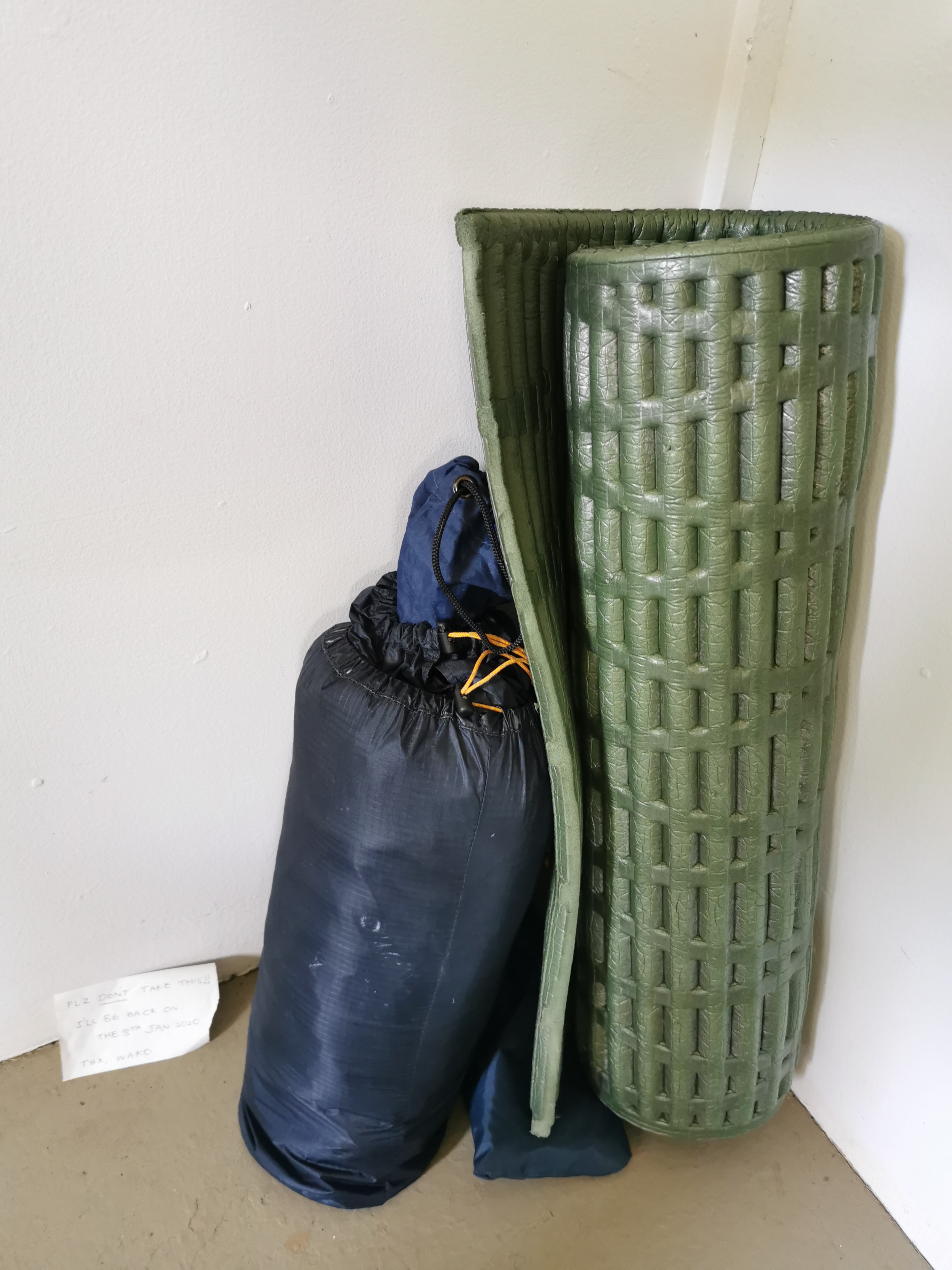
There was nobody else at Middy Hut, although someone had been there because they left this sleeping bag and mat there, along with a note.
“Plz don’t take this! I’ll be back on the 8th of January 2020. Thx, Wako” – given that it is now the 9th of January, Wako is late!
I took the time to fill up my two brand new water bottles that I got during the Christmas break. It’s nice to have new water bottles that don’t have all the crud that builds up in plastic bottles over time.
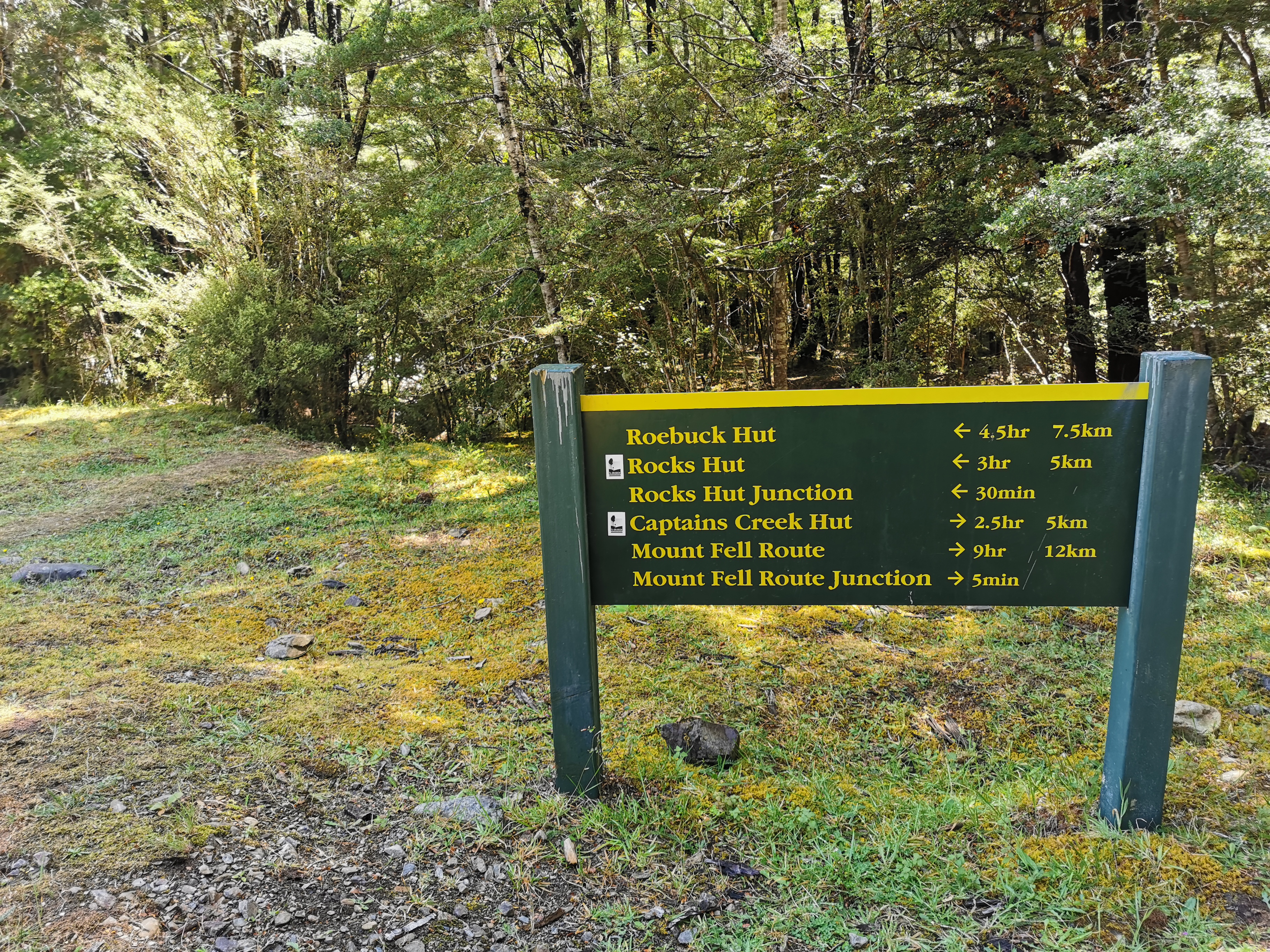
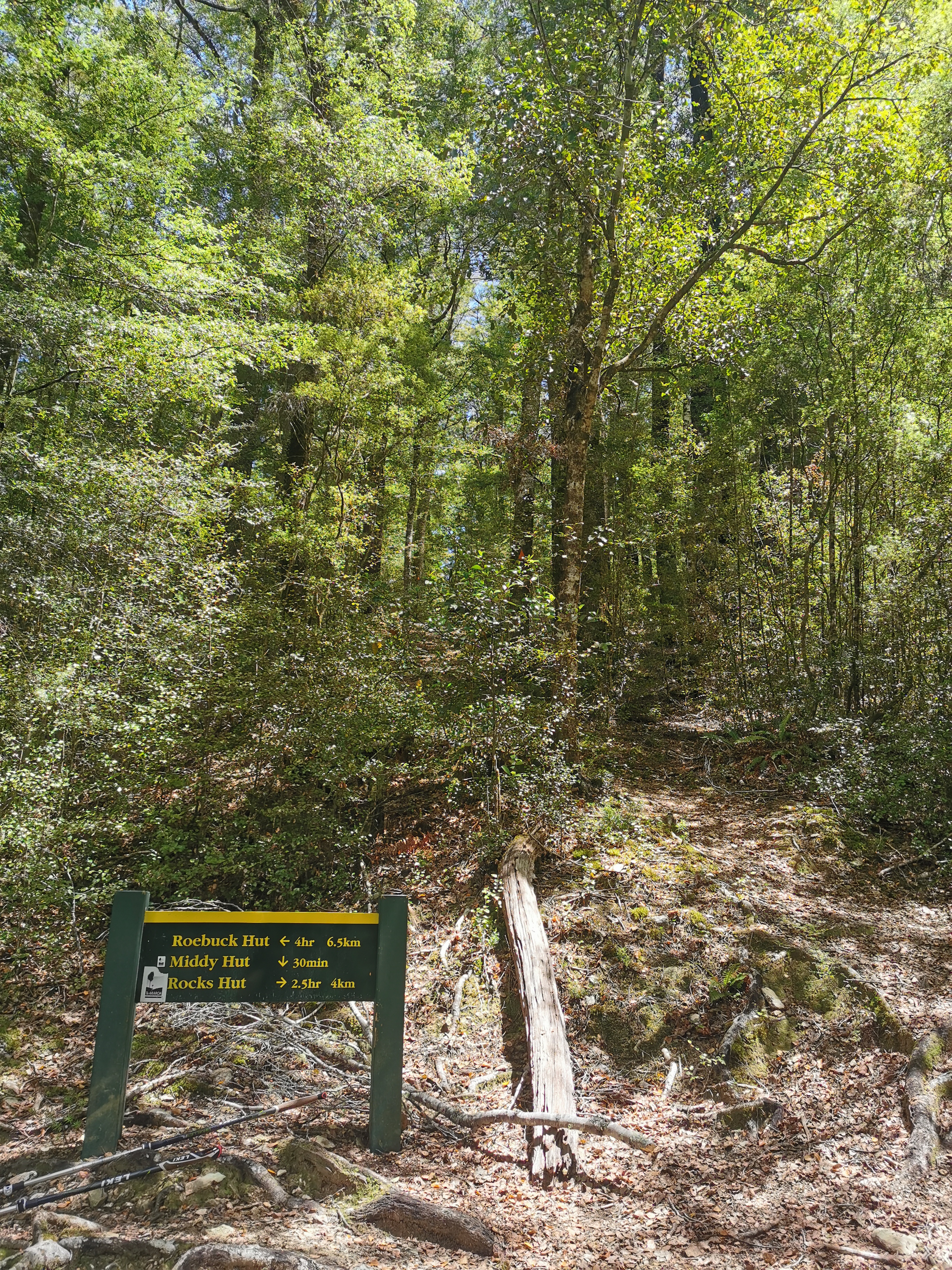
From this point the next hut is Rocks Hut and it’s all uphill…
After another swingbridge of course.
Make sure you keep going up at this point (in the next picture) and don’t start heading left! I think the trail used to go left to Roebuck Hut but now goes via Rocks Hut.
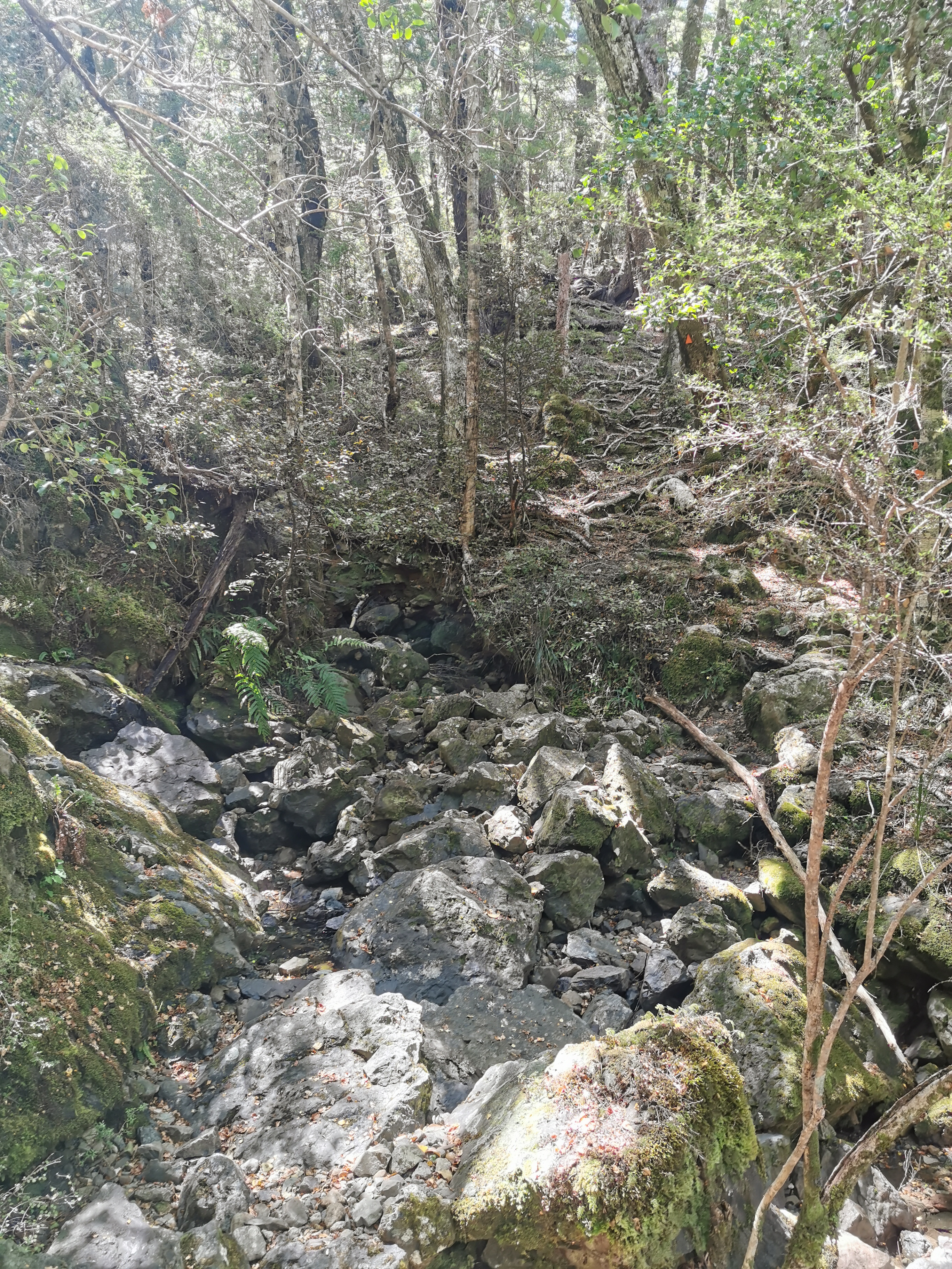
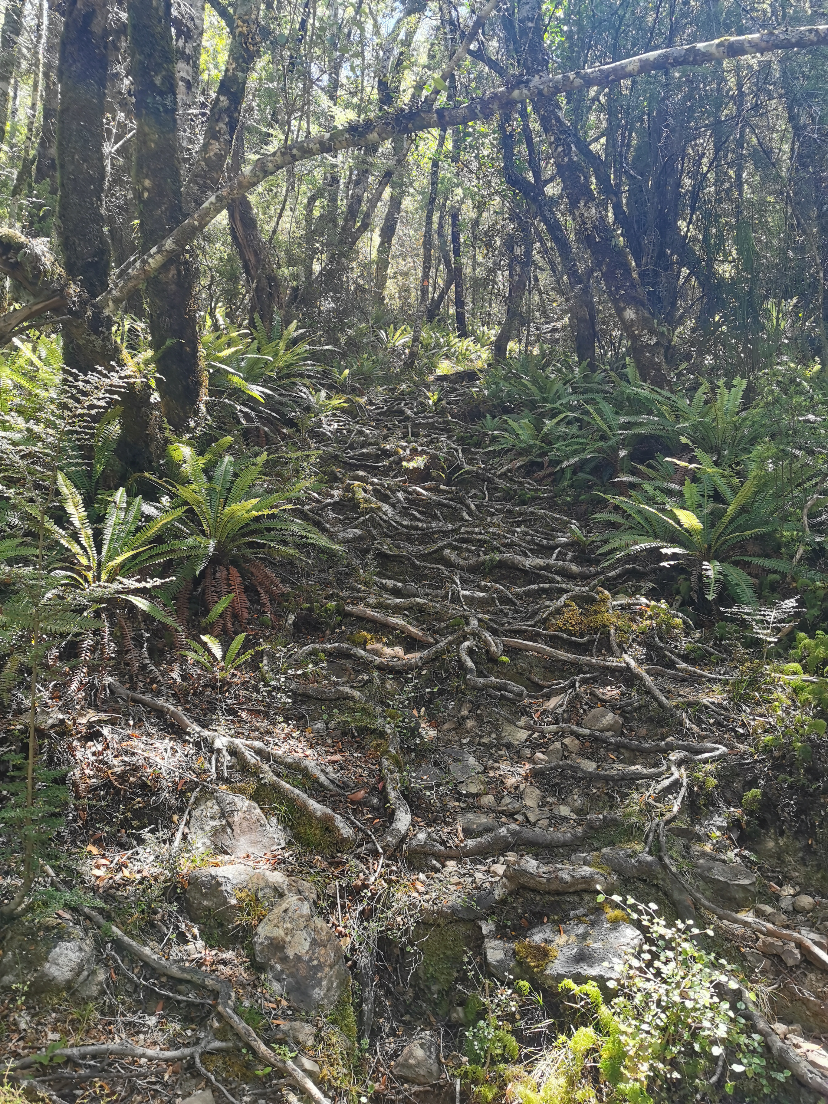
It was uphill the entire way but the path was mostly well formed again.
This bit was a bit rockyAnd this bit a bit “rooty”
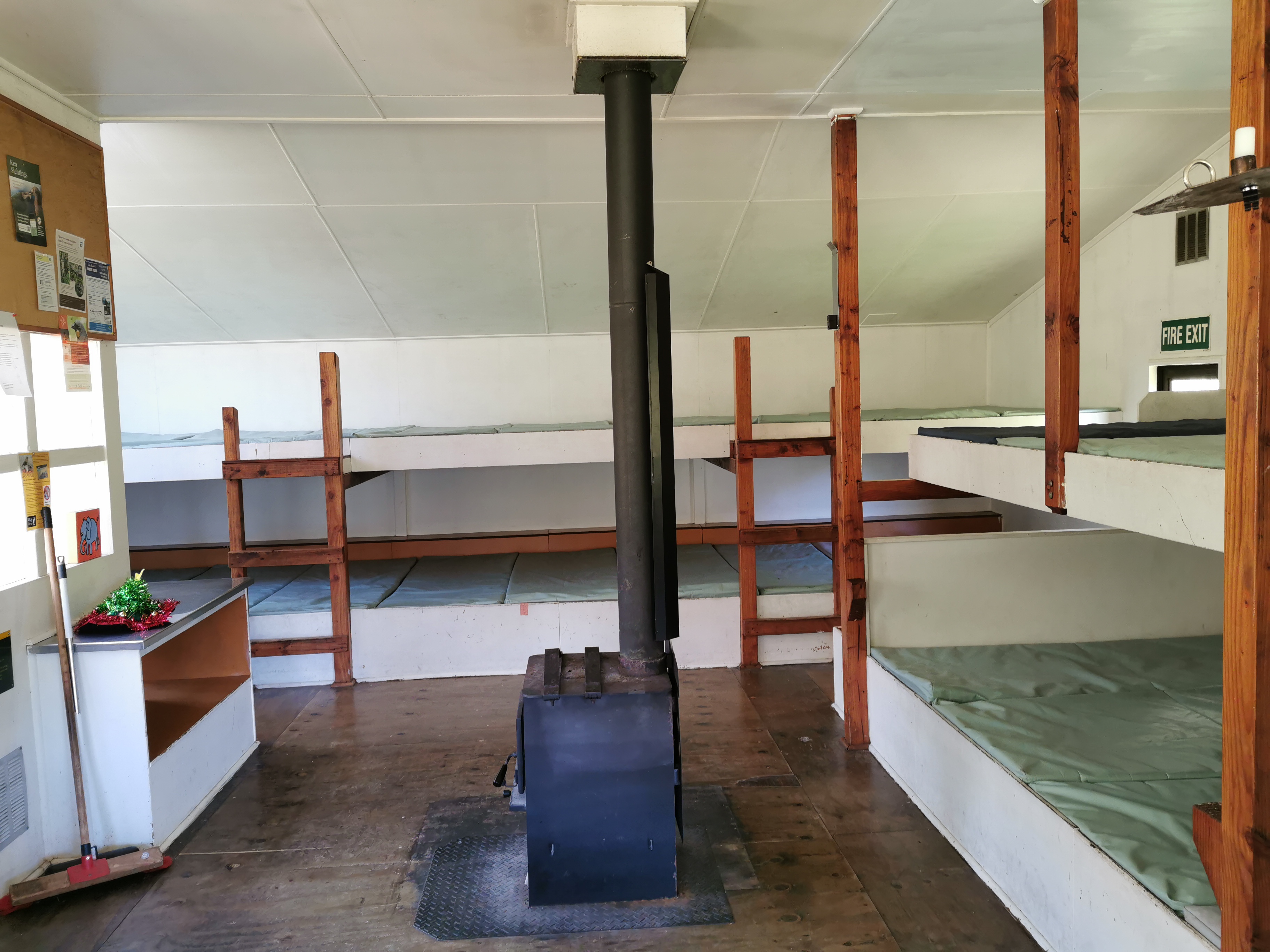
I reached Rocks Hut just after 3pm. About half the people from last night were around. There was also a Dad and his two teenage boys who had walked up from Nelson and another father and son duo who had done the same thing. Since Browning Hut (the next hut on the trail) is signposted as 11km/4hr30 away I decided to stay here for the night. I can have a relatively early night and have an early start.
Since there 16 beds in this hut we will all get to sleep inside tonight.
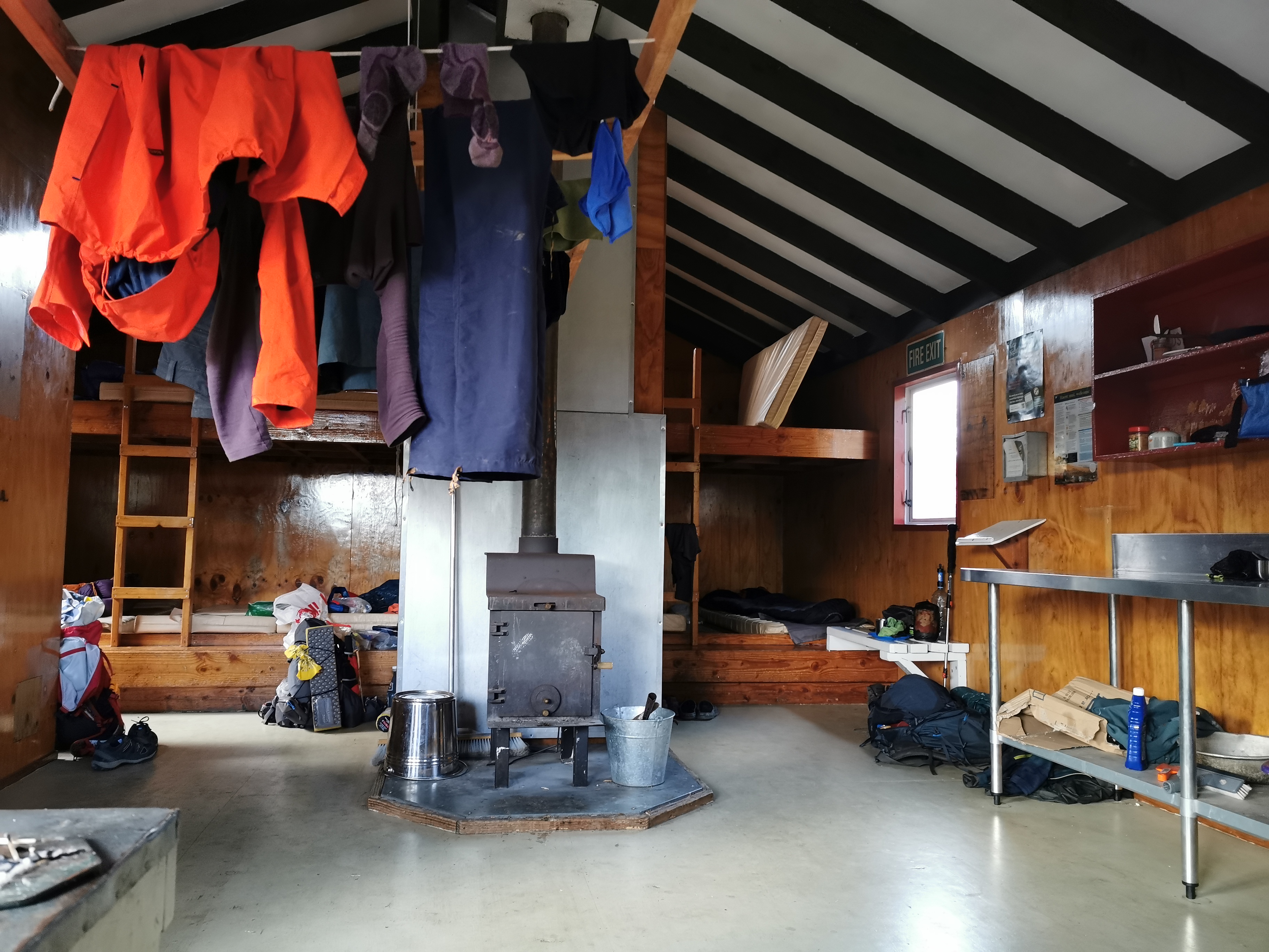
Inside Rocks Hut
If I want to reach Boyle Village on time I need to be doing more kilometres per day than this – I did less than 10km today! However I got my sleep-in this morning and I’m feeling really good and the early start will help tomorrow. Although Alex and Ethan would never have let me get away with a 10km day!
Last year I planned to get to this point and then get to Nelson and fly back to Auckland for Christmas, but if you remember the bad weather at Havelock made me change my plans. This is the route I would have taken:
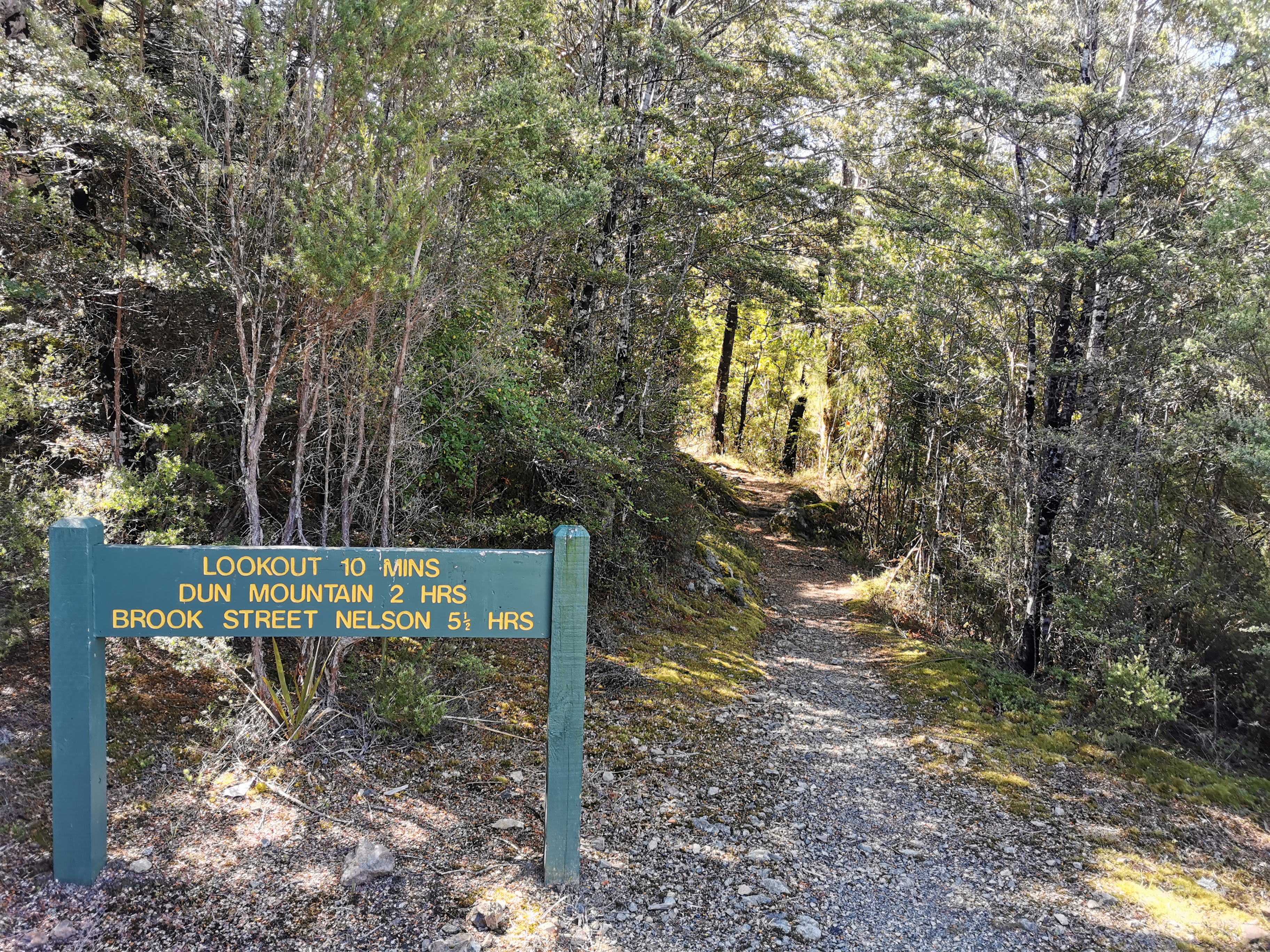
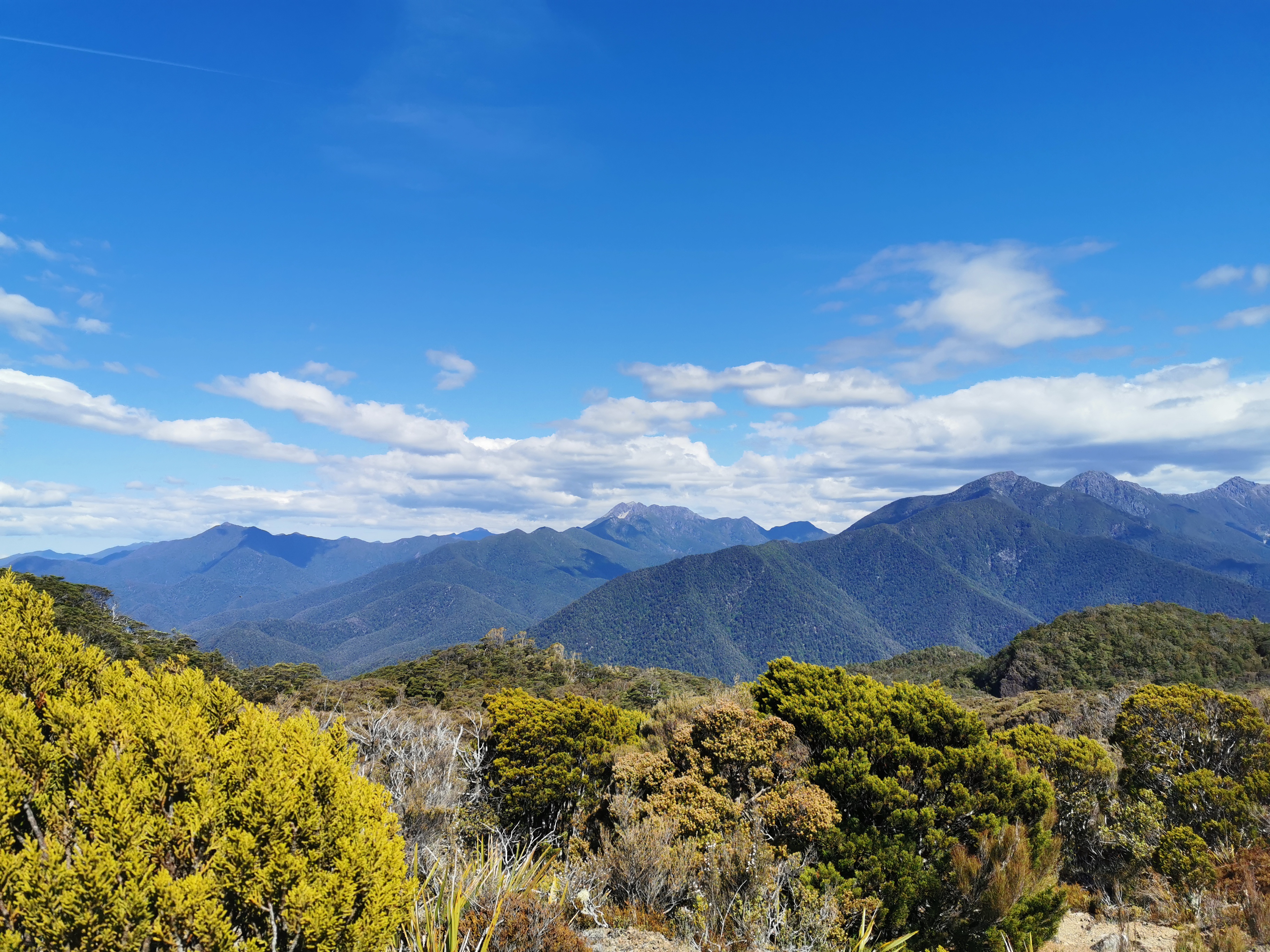
According to that sign there is also a lookout, so I thought I might as well go and have a look. It’s quite a nice view I have to say! And there was a geocache here!
View from the lookout
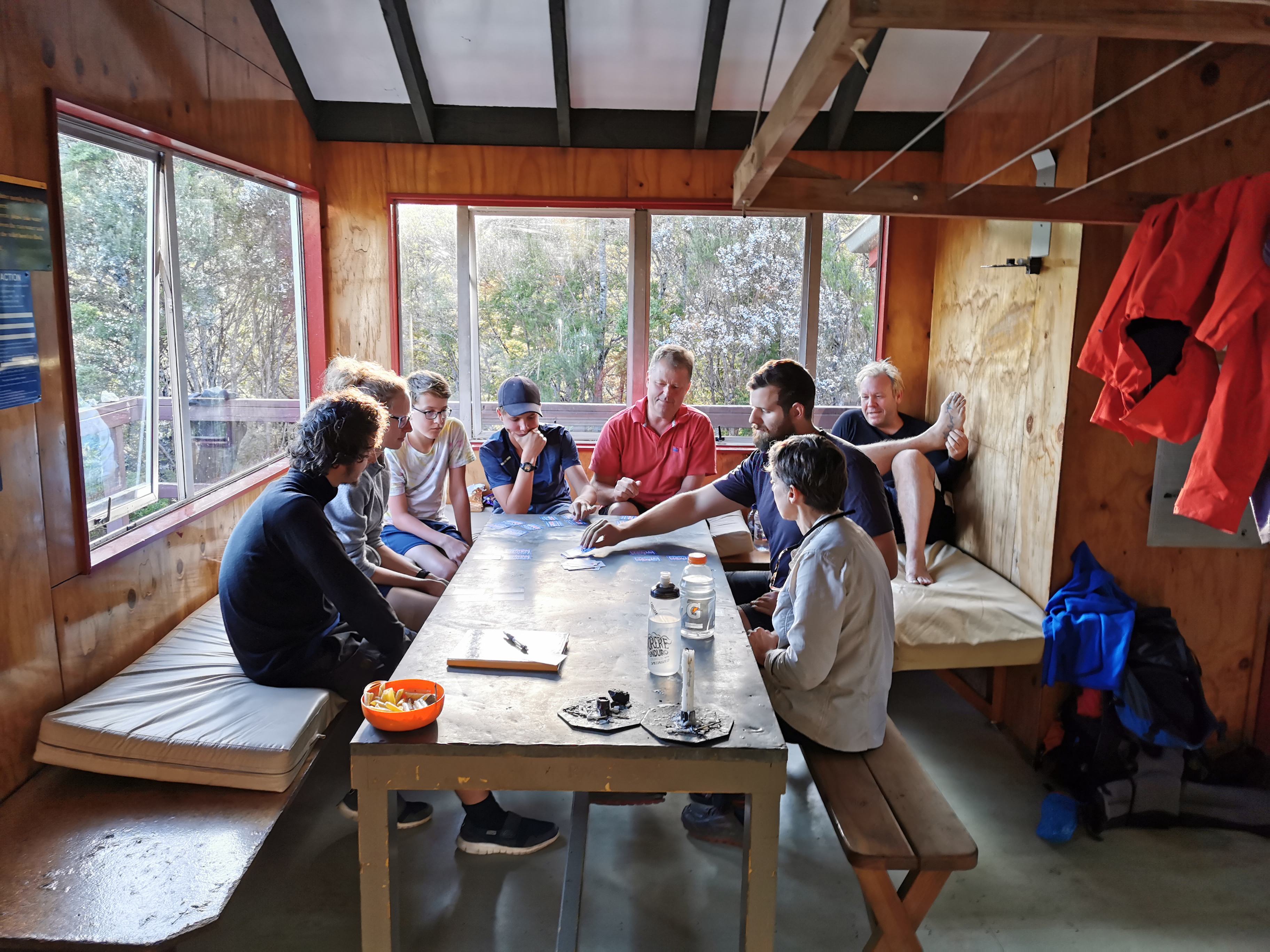
Back at the hut, almost everybody was joining in a card game called kaboo.
Kaboo
It’s quite a fun game but it’s stressful because it’s one of those games that requires quick reactions. I played a couple of rounds but then excused myself to go and make dinner, partly because I was hungry but partly because the game was stressing me out.
Most people were in their sleeping bags and in sleep mode by 9pm. Although not before most of us admired the not-too-shabby sunset.
Date: 16 January
Trail covered: 29.7km (kms 1943.9 to 1973.6)
Weather: not a cloud in the sky for most of it
Because of the noise from people upstairs I woke up earlier than I hoped.
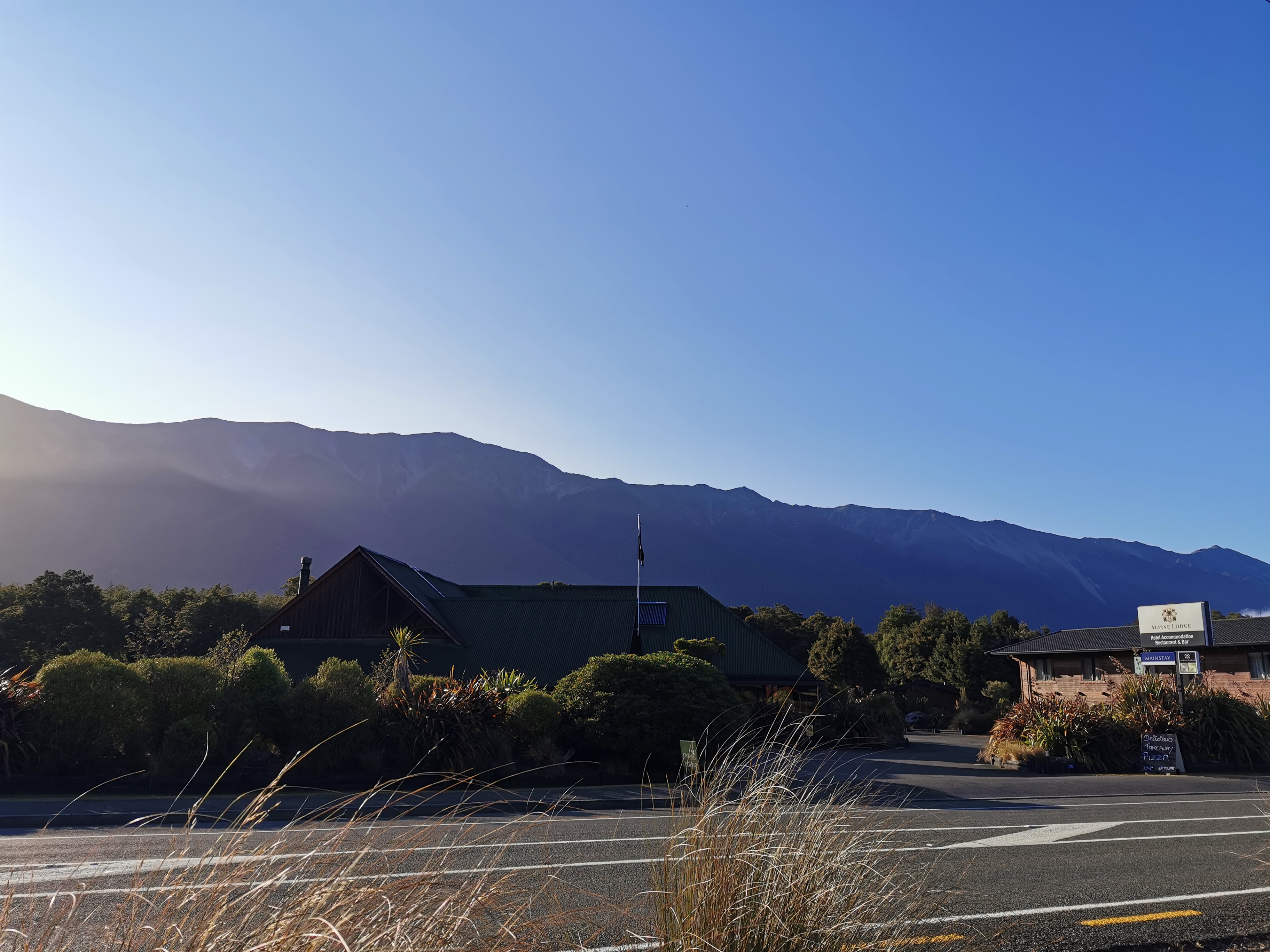
View of the lodge
The café at the general store didn’t open until 9am and the Alpine Lodge was doing a buffet breakfast which wouldn’t be good for walking so back to Dine Hard it was. Again the coffee was good but the food was average, and this time I was the only one there.
I’m very glad they have Bruce Willis’ image at Dine Hard!
First, a toenail update. If you don’t want to hear about it you can skip this paragraph! As much as I tried, I didn’t manage to remove my toenail in St Arnaud. I tried and it is very loose but it’s still very much connected on one small bit of one corner. There is a nice shiny new toenail growing underneath which I figure is going to force the old one out soon. I just have to be very careful not to pull on it before that happens (and very gingerly put on my socks each day). If you are a bit sick and twisted and want to see what it looks like, click here (but be warned, it’s pretty gross).
I went back and packed up (ensuring not to forget my cheese). Surprisingly it was a real struggle to fit everything into my pack. At Pelorus Bridge when I had eight days worth of food it seemed easy but here I only had six days worth and it just wouldn’t fit in. That can only mean one thing, that I bought too many snacks.
After unpacking and repacking everything a few times this was the best that I could manage.
Everything jammed in there
It was at this point I noticed a huge pen mark on my pack. How did that get there? I was a bit annoyed about it, I mean the only pens around are the ones in the huts with the intentions books. Someone must have done it, although I’m sure not on purpose.
Pen mark – grrrrr
Oh well, I decided that if that’s the worst thing that happens to me on this trail then I should count myself lucky. Besides, my pack is pretty dirty now.
Dirty pack
Especially when you compare it to at the beginning.
My pack back on day 13
The trail today goes around the back of the Alpine Lodge:
And through this little walkway:
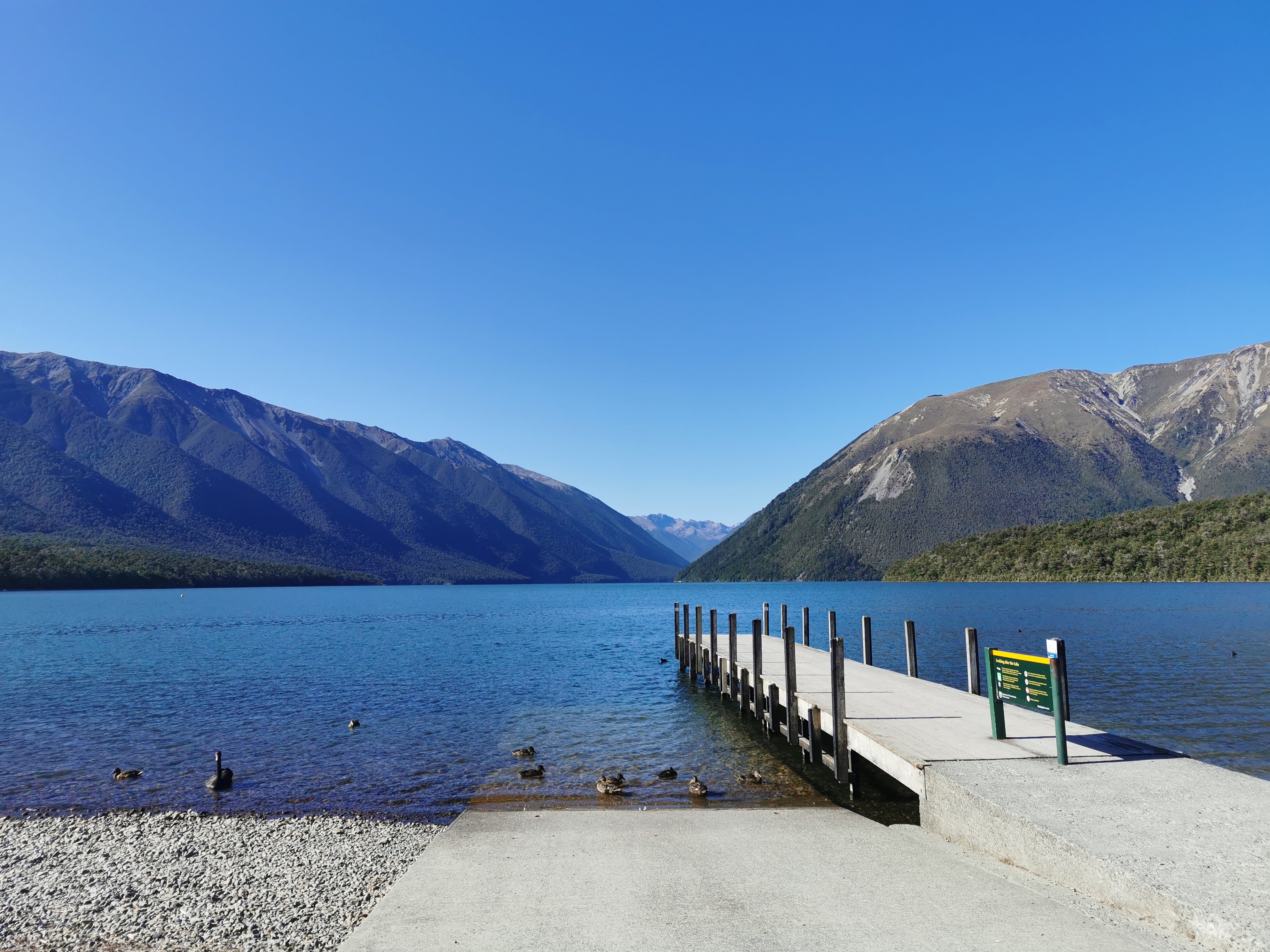
I went a bit off trail to take a photo from the little jetty. It’s very beautiful here.
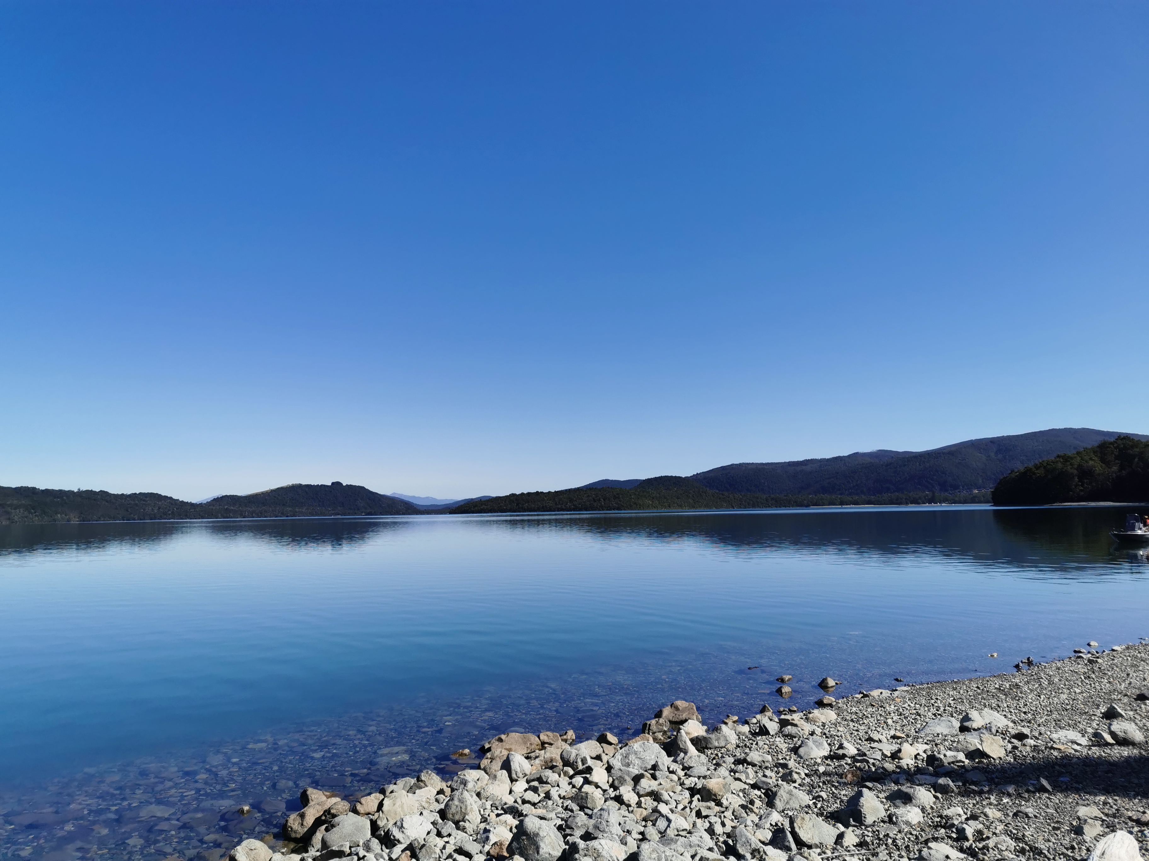
Lake Rotoiti
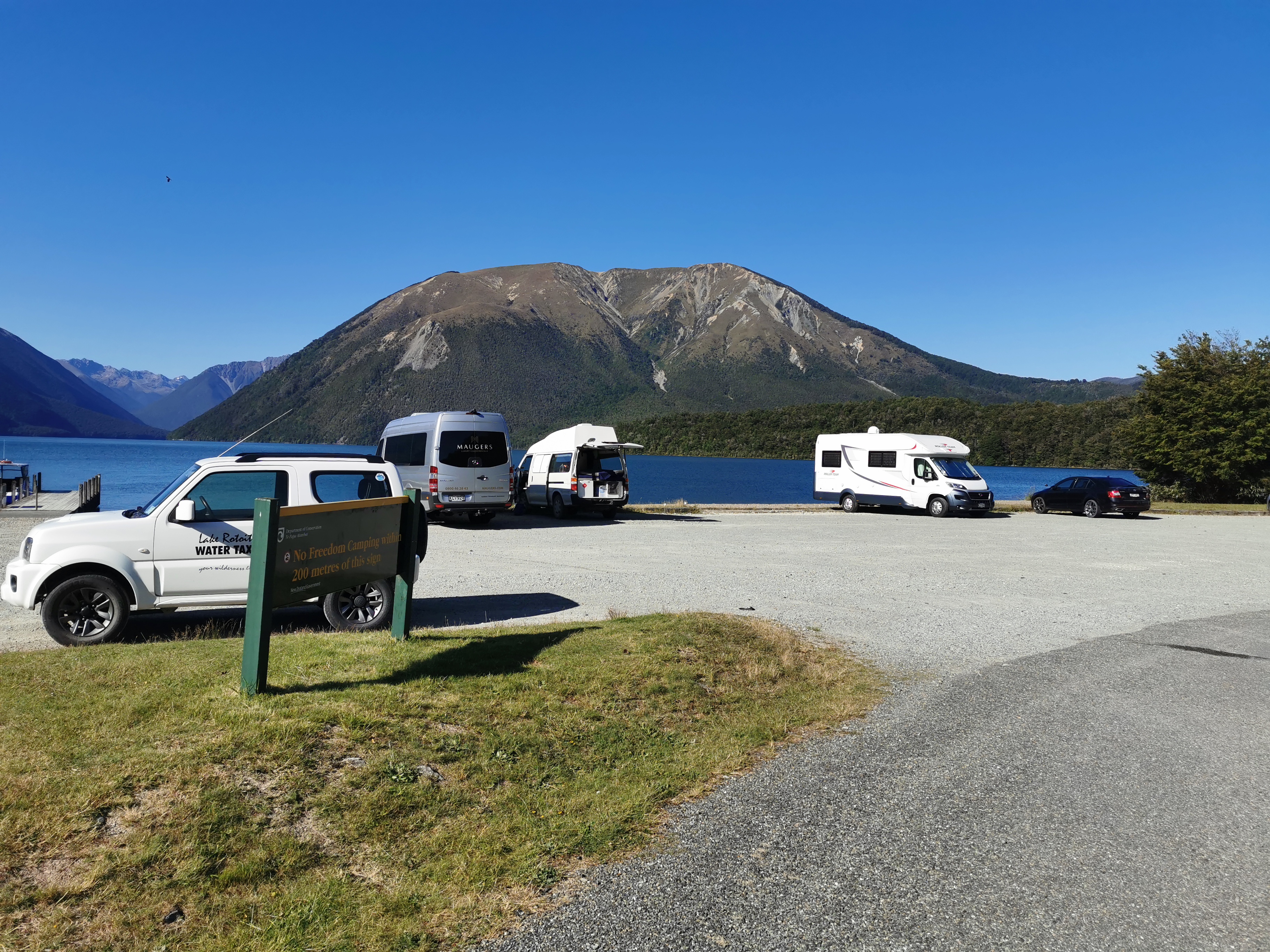
I saw a sign back in town saying no freedom camping anywhere in St Arnaud. Here’s another one that says no freedom camping within 200 metres of this sign. Seems some people didn’t get the message.
Oi, you lot, be gone
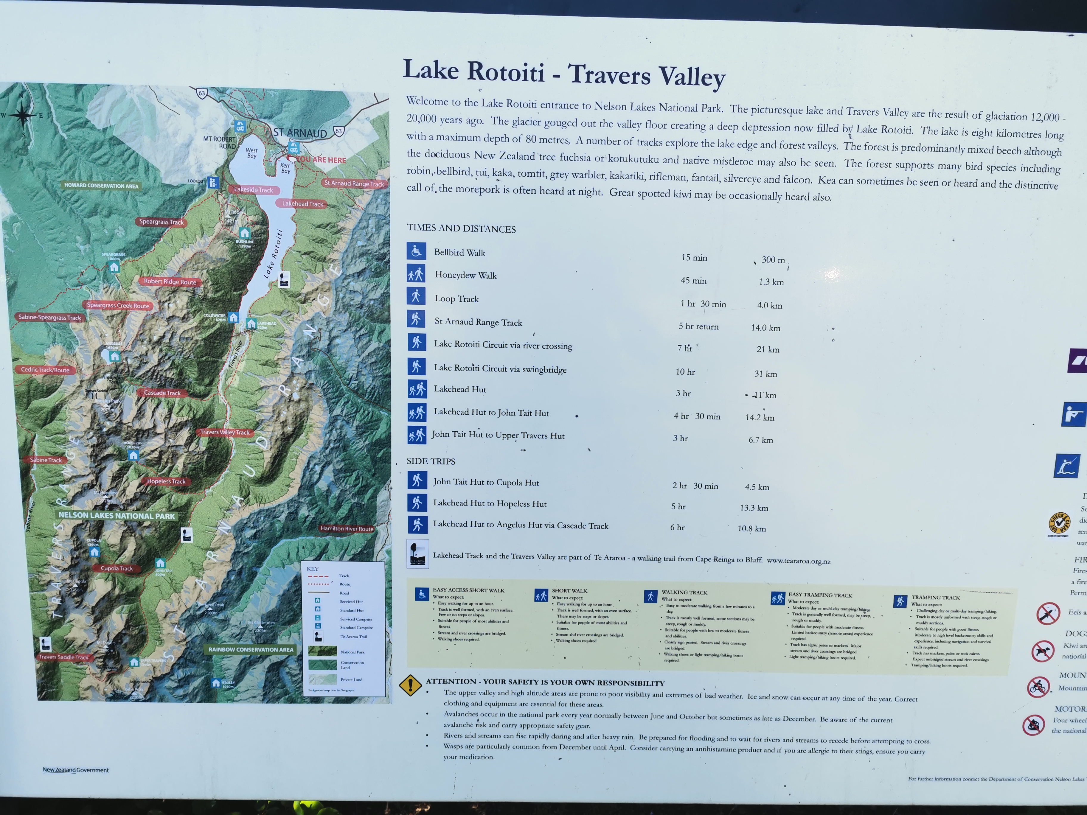
Here’s the usual information about the track I’m about to undertake.
Lake Rotoiti – Travers Valley information
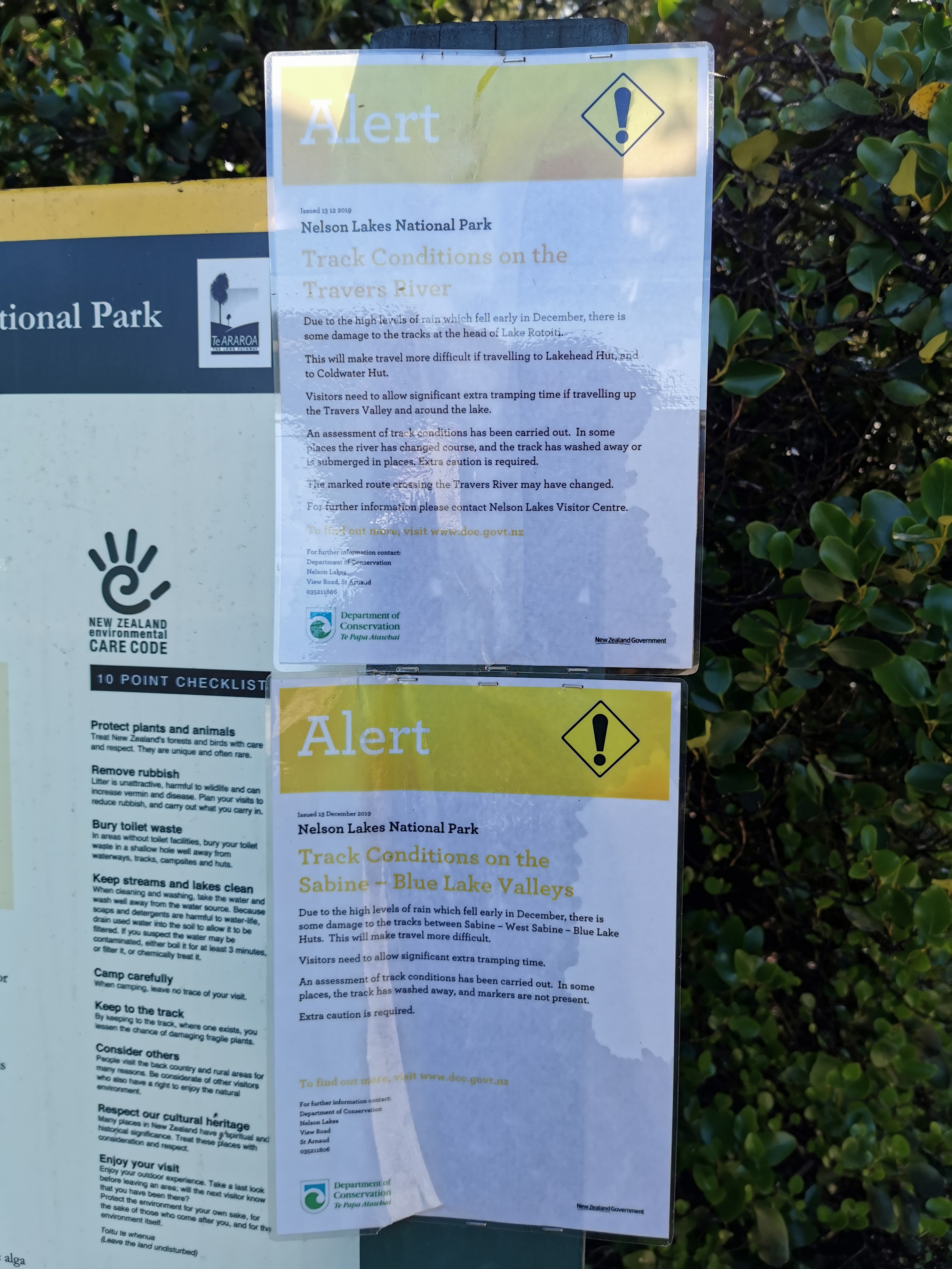
There are also alerts about washouts due to heavy rain in December. Both of those alerts seem to affect where I’m going so I will look out for the washouts.
Alerts!
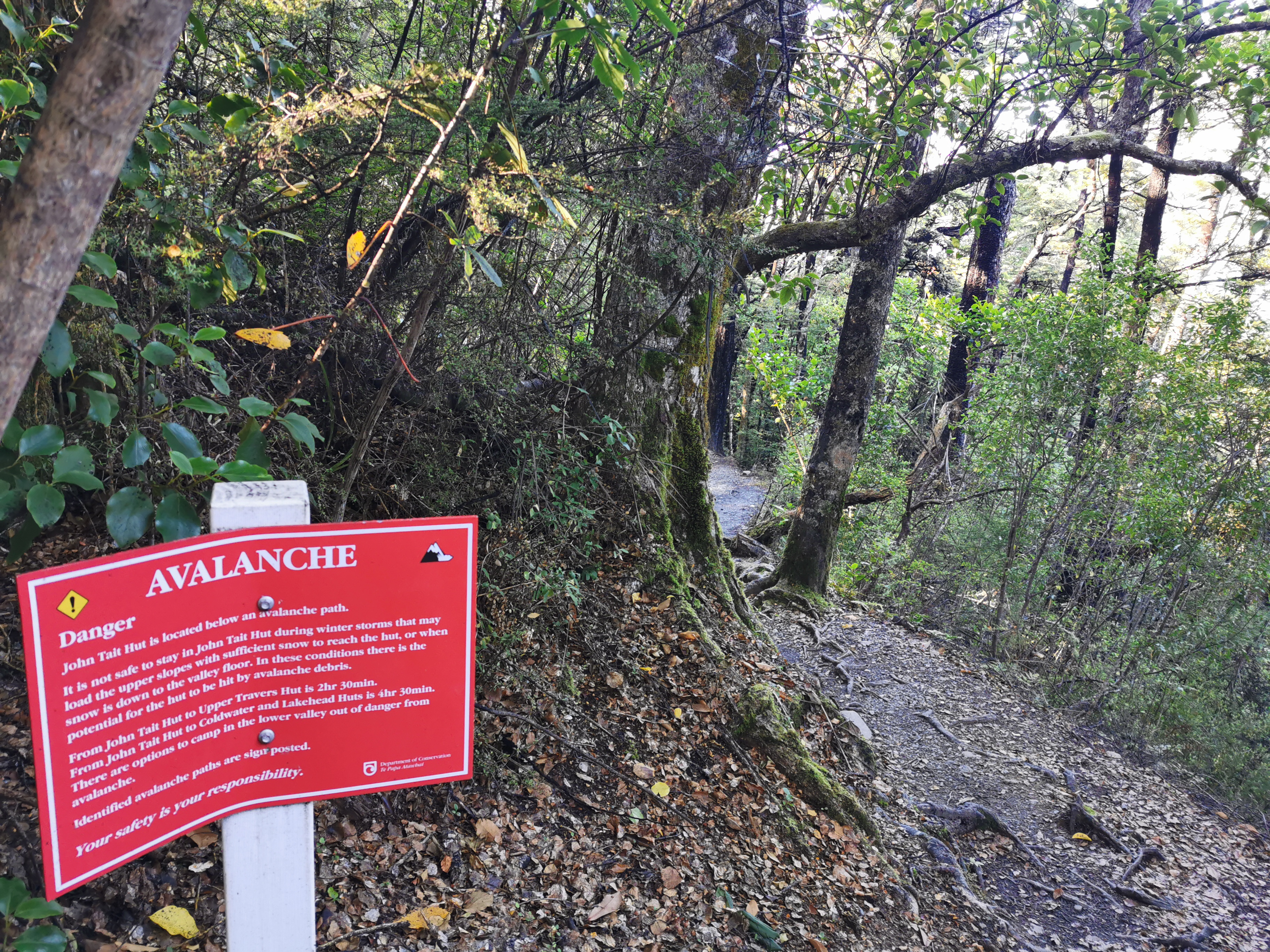
There are avalanches to watch out for too, with big red signs. Luckily that’s only May until November. There’s no snow around now.
Avalanche warnings May – November
Today there are three huts I’m going to try and get to. The first is Lakehead Hut, oddly enough at the end of this lake, and it is advertised as 2hr30 away. Then there is John Tait Hut which is a further 4hr30 and finally Upper Travers Hut which is 3hr further. I’m hoping to get all the way to Upper Travers because it makes the following days more convenient – there are a few sections coming up advertised as 6-8 hours.
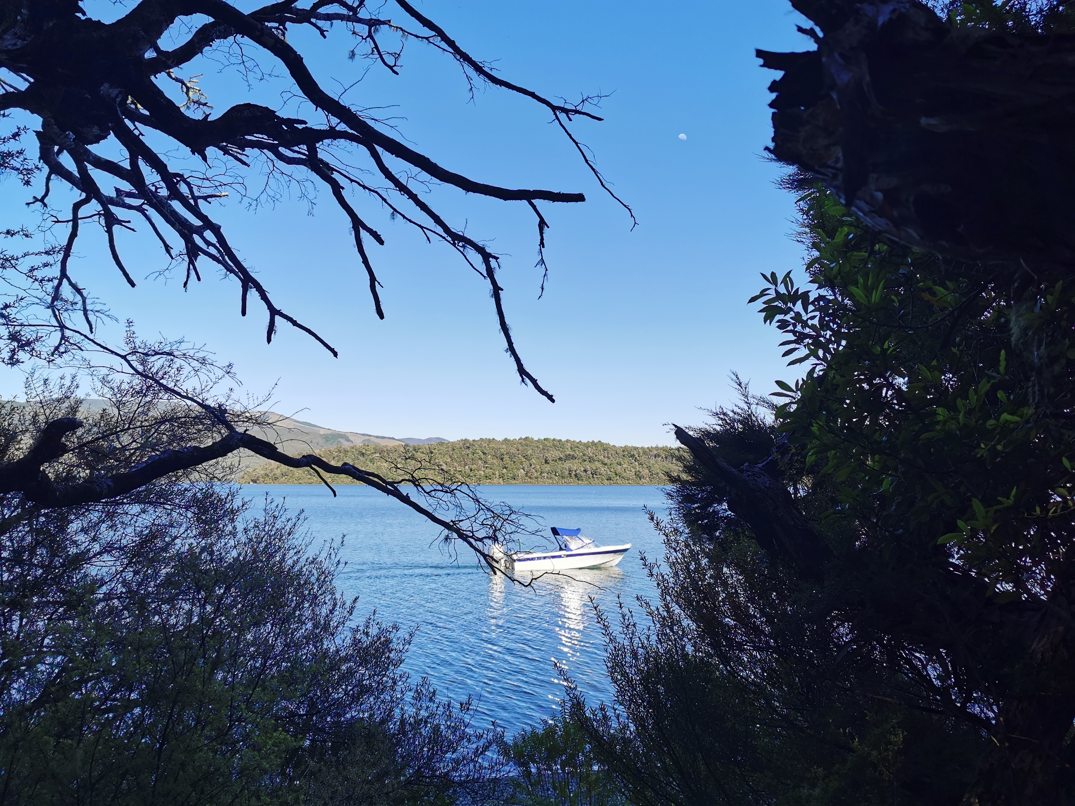
A lone boat on the lake
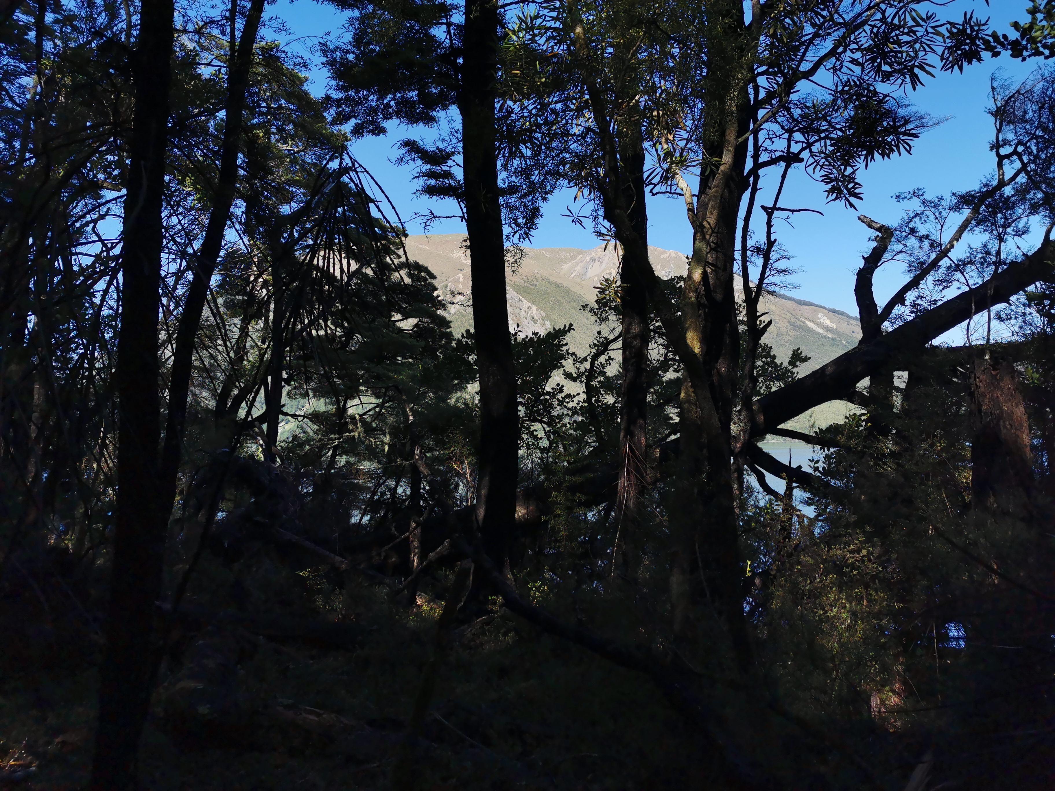
The path went right beside the lake all the way to Lakehead Hut but you couldn’t see much because of all the trees most of the time.
A beautiful view, behind the trees
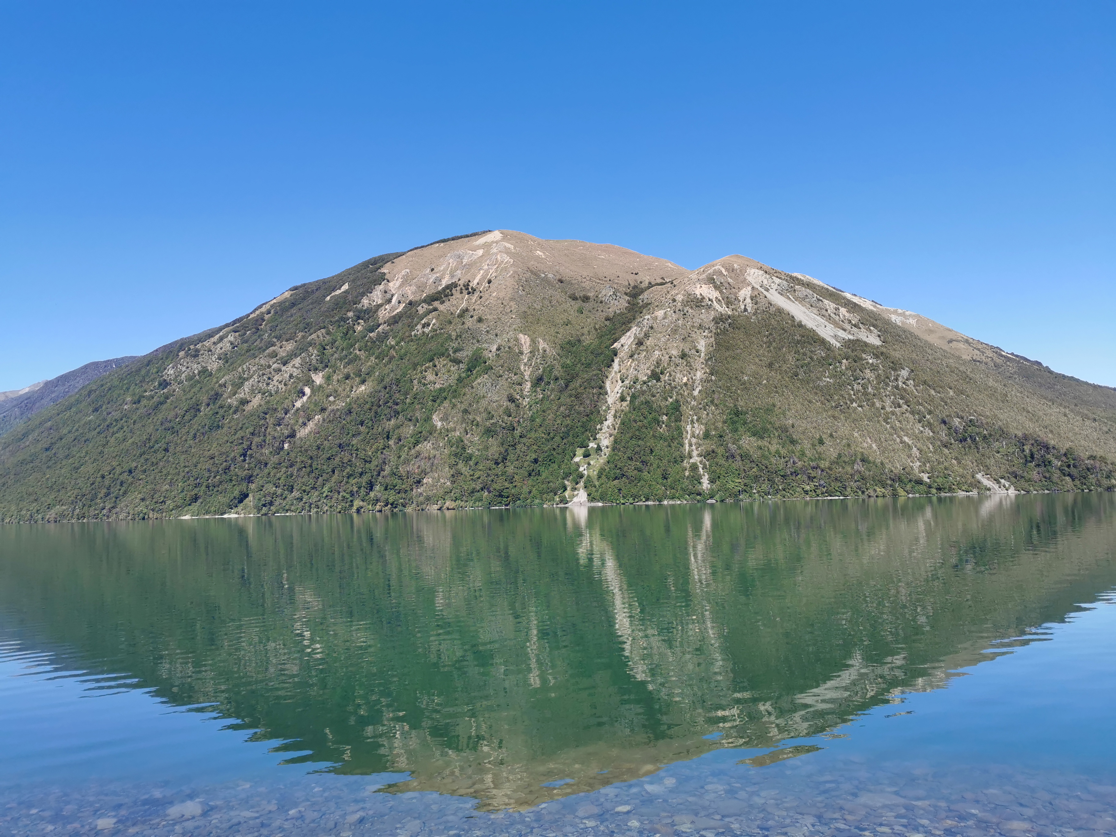
However at one point you could get a good view of the mountain that dominates the skyline above St Arnaud. I’ll be honest though I never bothered to ask anyone what the name of it is and can’t work it out from the map.
Mt. Something-or-other
I took a wrong turn soon after this and ended up on the lake’s edge, but I wasnt really complaining.
If I was hungry, this would have been a great spot to just chill out and have lunch
My 11am picture is further down this track.
11am picture – the typical view for this first section of today
There were a lot of people going the other direction. One lady with kids asked me to tell the people behind her that all the kids are okay and accounted for. I bet there’s an interesting story behind that. Another guy said “you look very professional, like you’re going a long way”. I’ll take that as a compliment.
Two hours after leaving St Arnaud I was at Lakehead Hut, where there were just two day visitors who arrived by water taxi and started the walk back to St Arnaud shortly after I arrived. No photo of the hut this time but here is the inside.
Fairly standard
The huts are much bigger on this section of trail. One of the upcoming huts tomorrow has 34 beds. I’m not sure how many this one had but it is at least 25.
The view from the balcony and where I’m going next
I wrote in the intentions book and noticed Michelle has been through. Nobody else I know was nearby. I was the first one to write in the book today.
I briefly had Lunch #1. The problem was that I didn’t want to take all the food out of my bag in case I couldn’t pack it in again. So I just had what was on the top, which of course was the Russian fudge and the raspberry licorice. Not a very healthy lunch… I must remember to pack better after dinner tonight.
Then it was time to set off down the grassy flats.
I was in a good mood today. I found myself singing out loud to the music playing on my iPod. It was “Sight for Sore Eyes” by M People. “You’rrrrrrreee… a sight for sore eyes. Mmmmmm hmmmm!”
That is what I think huts are after long days of walking – sights for sore eyes.
There were quite a few places where people had set up logs across little streams. Hope my balance is good. Here is one such log:
Time to test your balance
And this looks like the first of the washout mentioned on the earlier signs.
Washout ahead
Although I’m not sure. I got to this point and it looked like the trail just stopped. There was evidence of people just hauling themselves directly up the bank so I did exactly that. It was tough going but it brought me out onto a well groomed path where the markers continued – maybe I just missed a marker somewhere. Not sure.
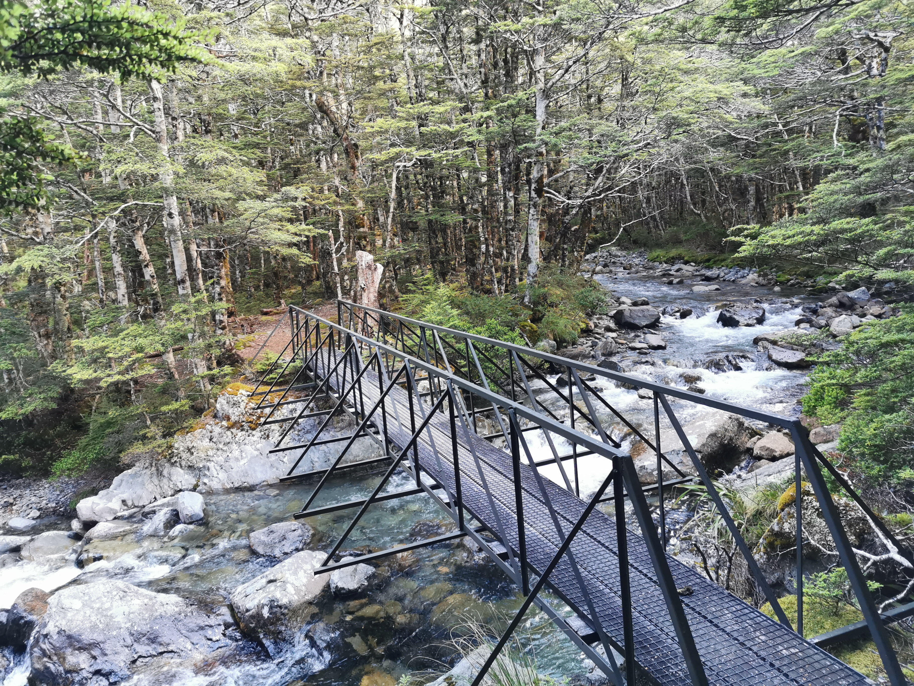
Here’s the first swingbridge of the day.
It’s the usual scary wobbly variety. This one even has a scary approach, that requires a chain to pull yourself onto it.
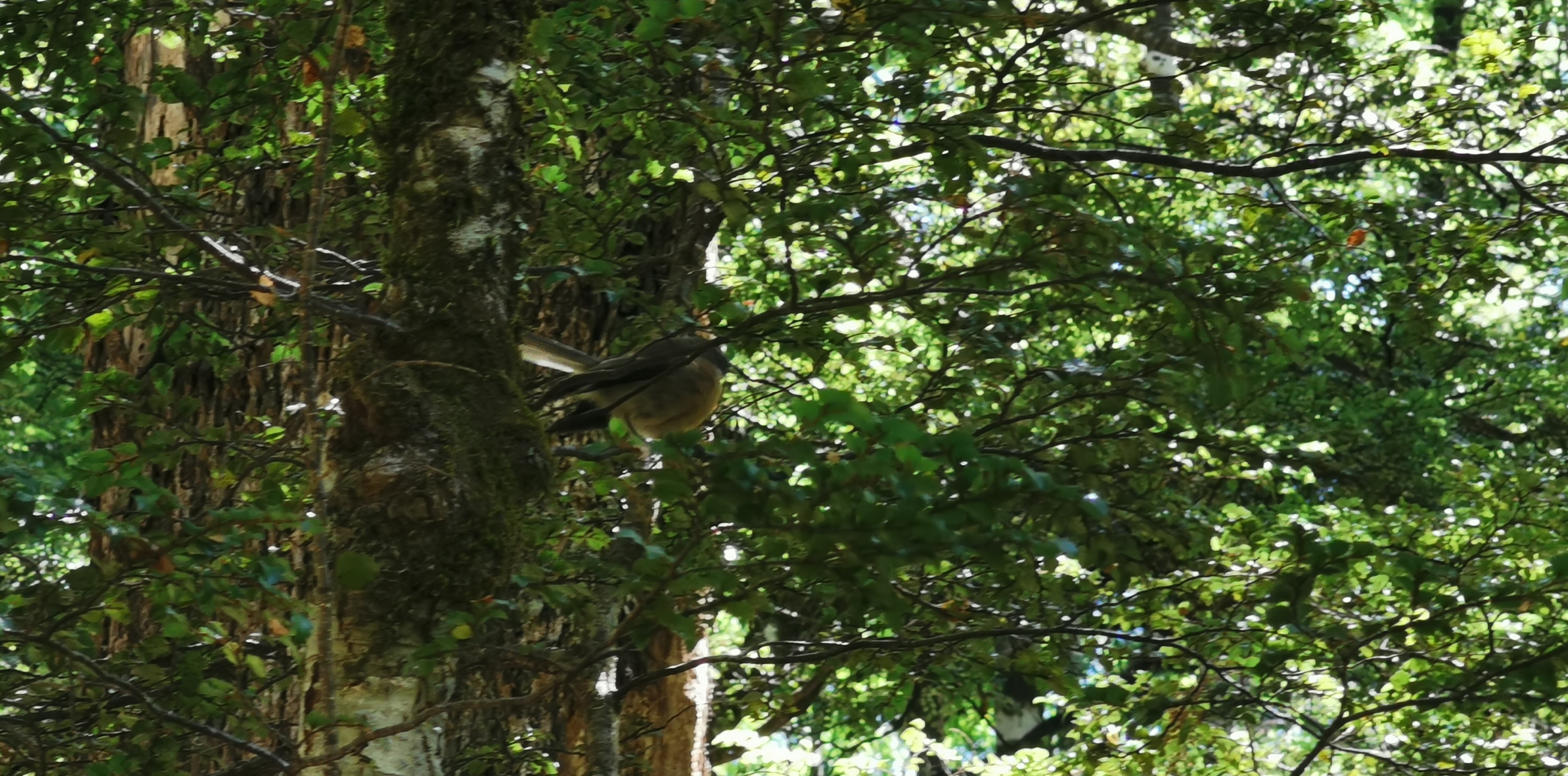
Lots of fantails here. I always tried to take photos of them but never could with my old phone. Even with my new phone with the good zoom I didn’t get a great picture.
See the piwakawaka in there somewhere?
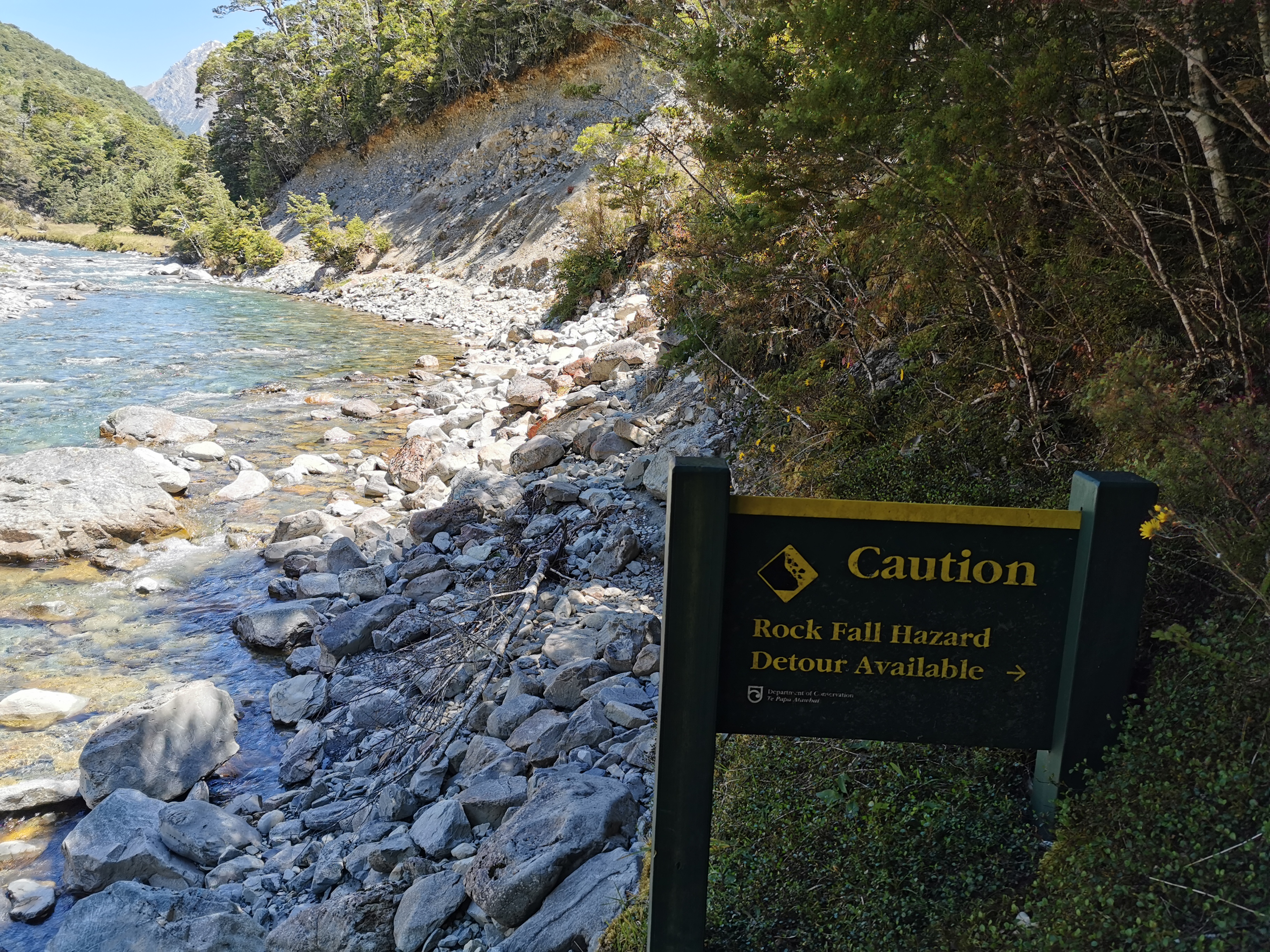
Here’s another potential washout – this one has a clear sign.
Caution – rock fall hazard, detour available
This one though, I ignored the sign and just kept walking on, since the detour was once again straight up the side of the hill. It was clear that you can still get around. Just don’t dilly-dally.
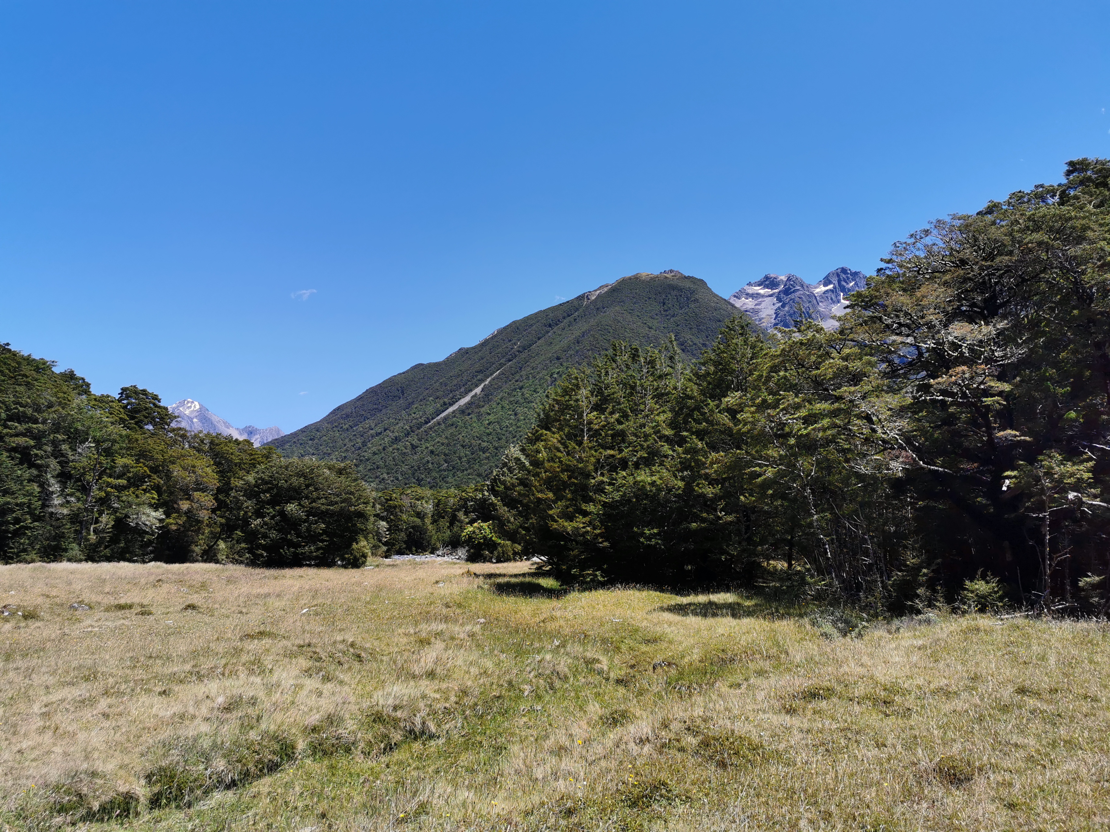
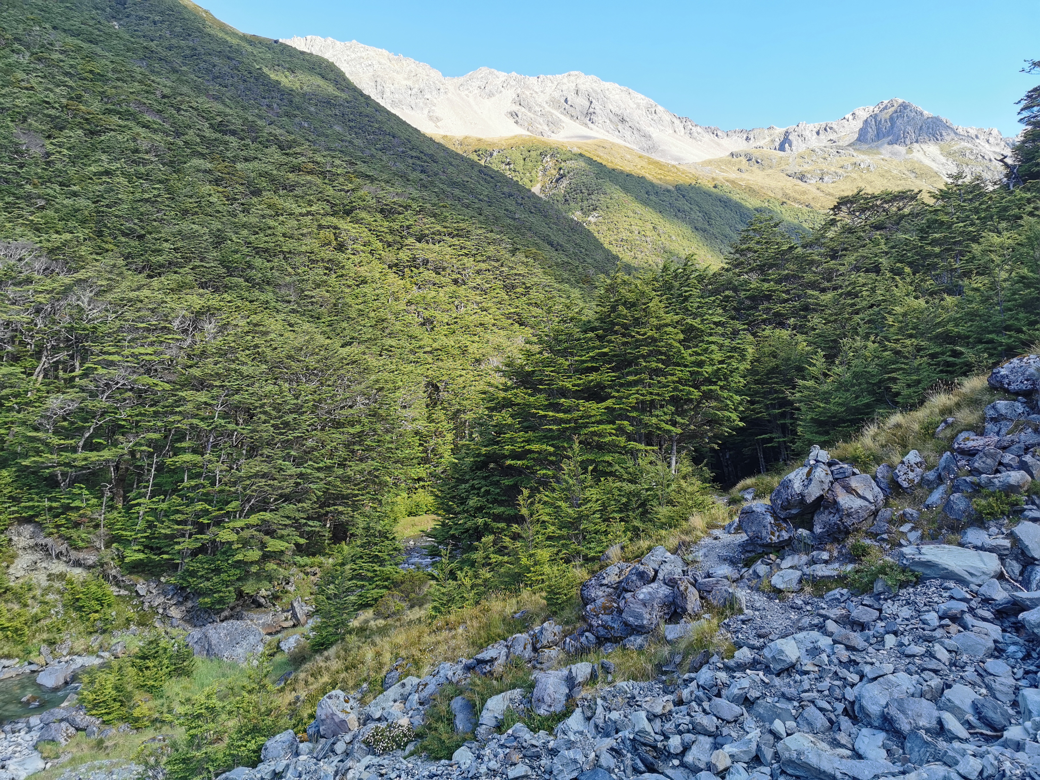
I can see two snowy peaks now
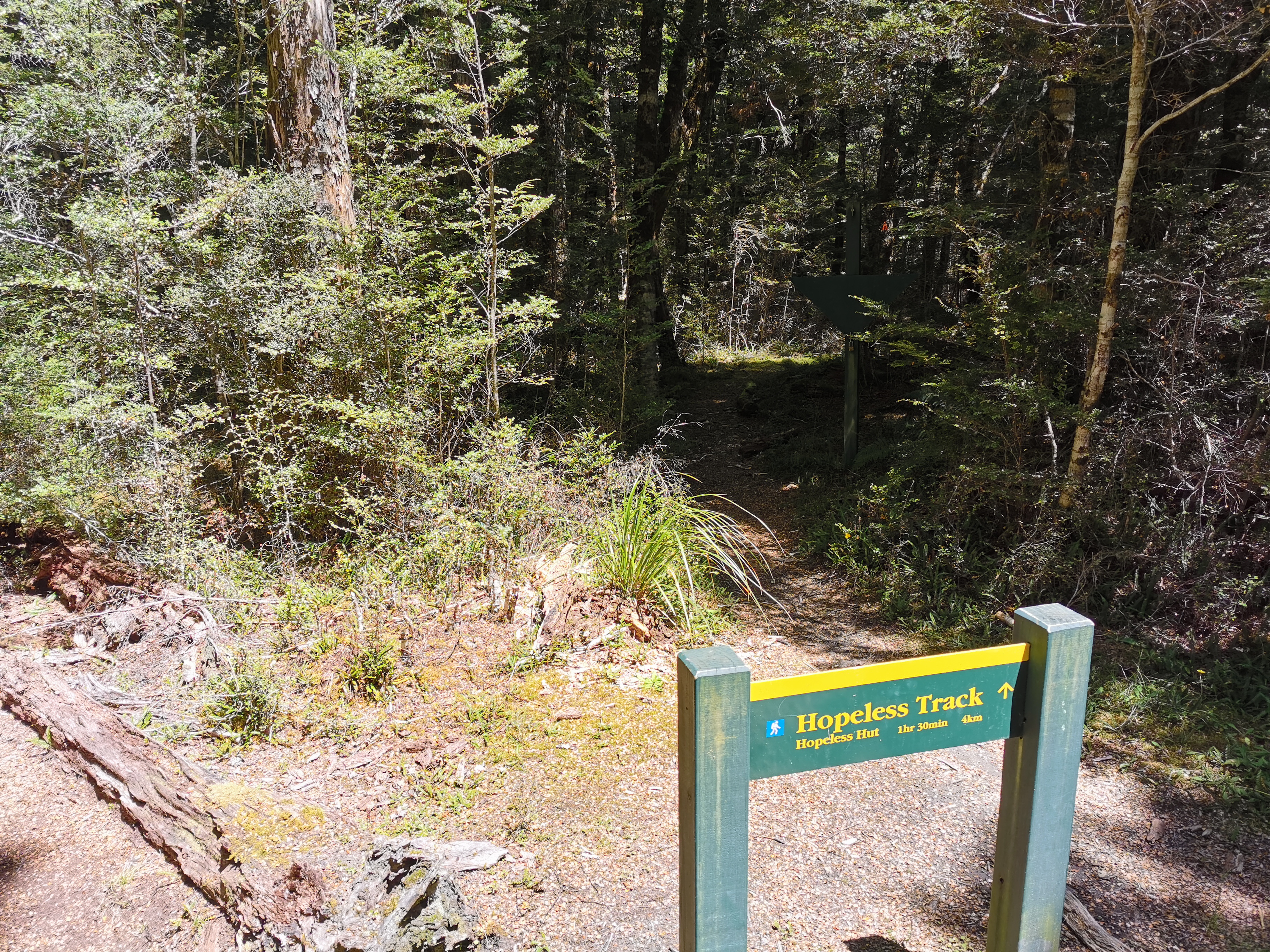
Here’s a sign to the Hopeless Track and the Hopeless Hut. Great names.
There’s also a closed-up diamond shaped sign in the background. I really want to know what it said, but it was locked and I couldn’t open it.
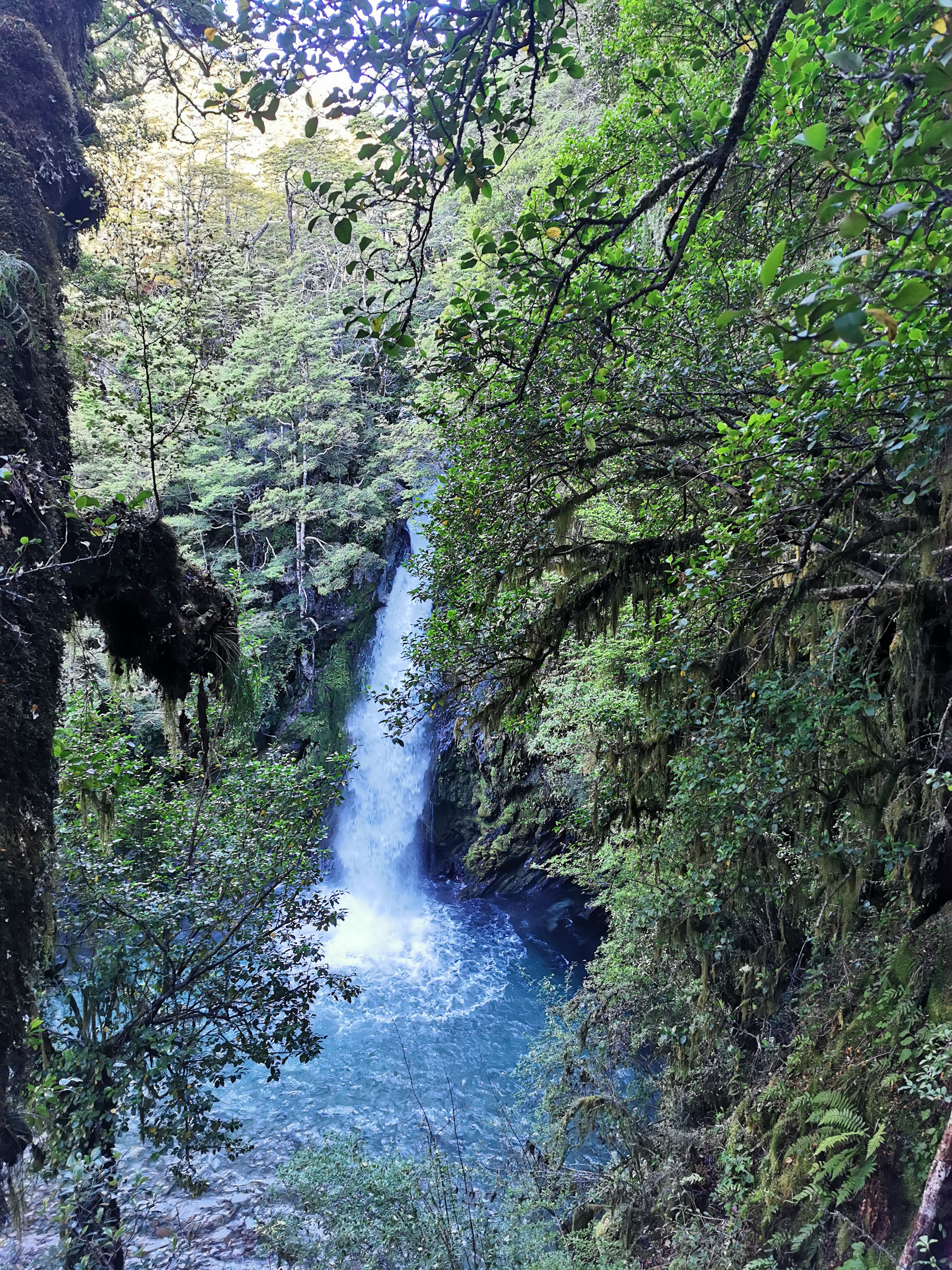
And normally I don’t take photos of the waterfalls but this one was nice.
Coming up to John Tait Hut I finally saw the first cloud for today. It’s been so hot so I’ve been thankful that most of the walk today is under trees. Most of the walk tomorrow will be above the treeline. I better remember to put on sunscreen since it is supposed to be the same kind of day tomorrow.
John Tait Hut, and some clouds
It took three and a half hours to get to there from Lakehead Hut. There I met Sabine, who is the first person I’ve seen with the same pack as me! I’m really surprised it has taken this long to spot another Osprey Levity!
Hers is actually the “Osprey Lumina” – the Women’s variety of the same pack
She showed me how the mesh on the back of hers had a hole in it, which she fixed with floss. I showed her how the blue handle broke on mine a few days ago. But we said we were both happy with our packs.
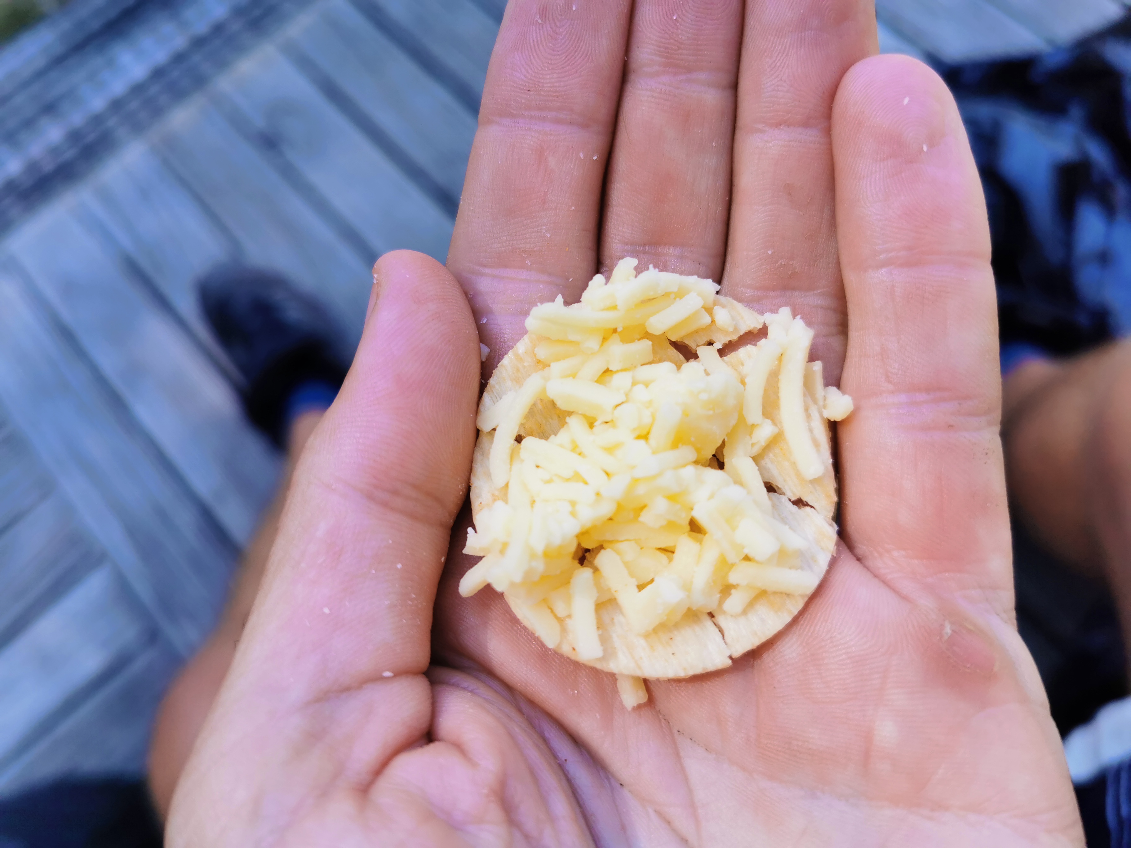
This time I dug down and got the cheese out. Grated cheese on crackers really doesn’t work. I possibly should’ve bought the big 1kg block of cheese instead.
Still tastes the same, just not as convenient
Again at this hut there were lots of people on short trips. It was just Sabine and me doing Te Araroa.
There haven’t been any notable hills so far, except for the one around the first washout. The next bit though has a 500m climb over 6.7km. Doesn’t sound too bad. This path is definitely more touristy than the paths in the Richmond Ranges.
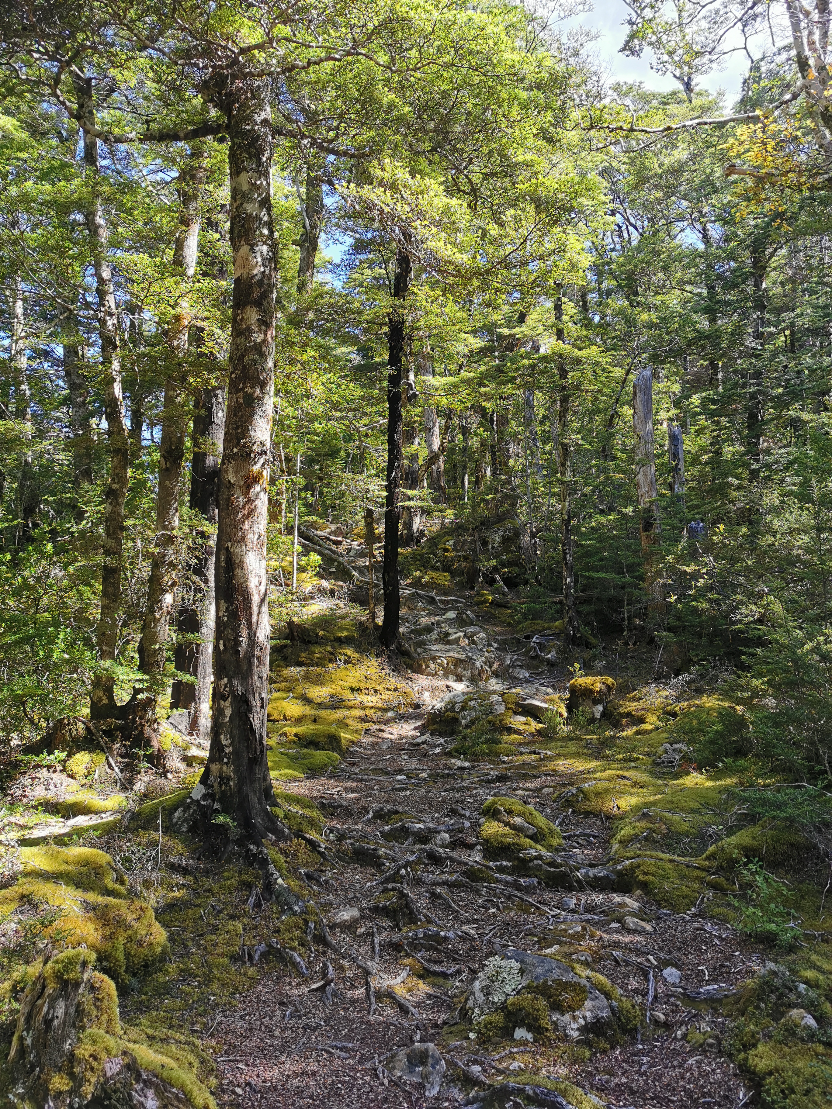
A typical mossy path
There is a two minute detour to see the Travers Falls. I wasn’t going to do it because the path was quite steep but a comment on Guthook said it was worth it, so I did.
Travers Falls – very beautiful
The path briefly exited the trees and the view changed.
It was soon back into the trees though. And you know a path is touristy if the rivers are bridged!
They’re making it too easy…
Oh wait, there’s now an unbridged river crossing. I guess I jinxed it.
That crossing looked quite dangerous at first but just walking 15 metres up the hill meant there was a much easier place to cross.
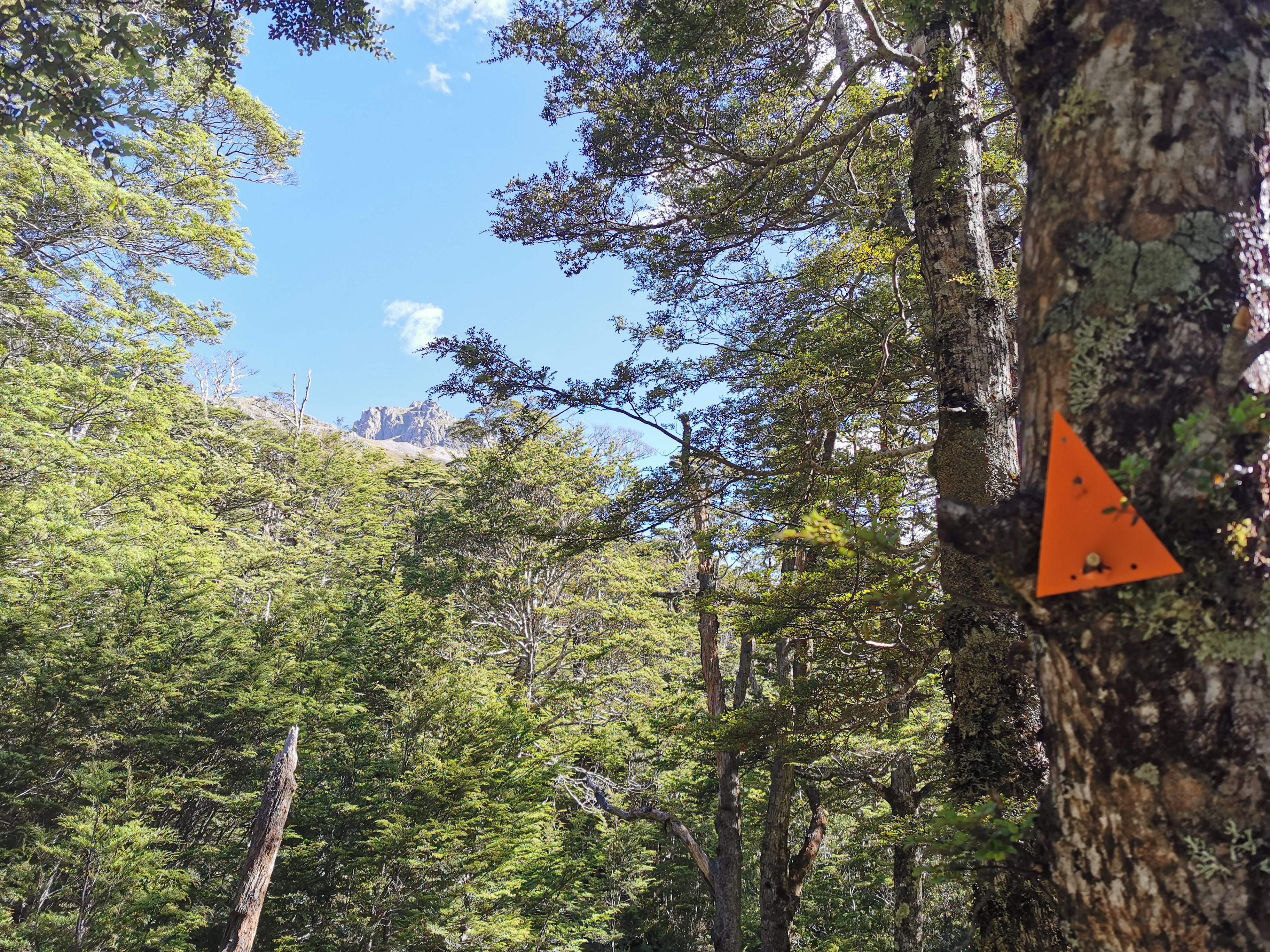
These peaks are getting closer now. I also like the “Kiwi Ingenuity” way this triangle has been jammed onto the tree, although it feels a bit like desecrating the Holy Parchment
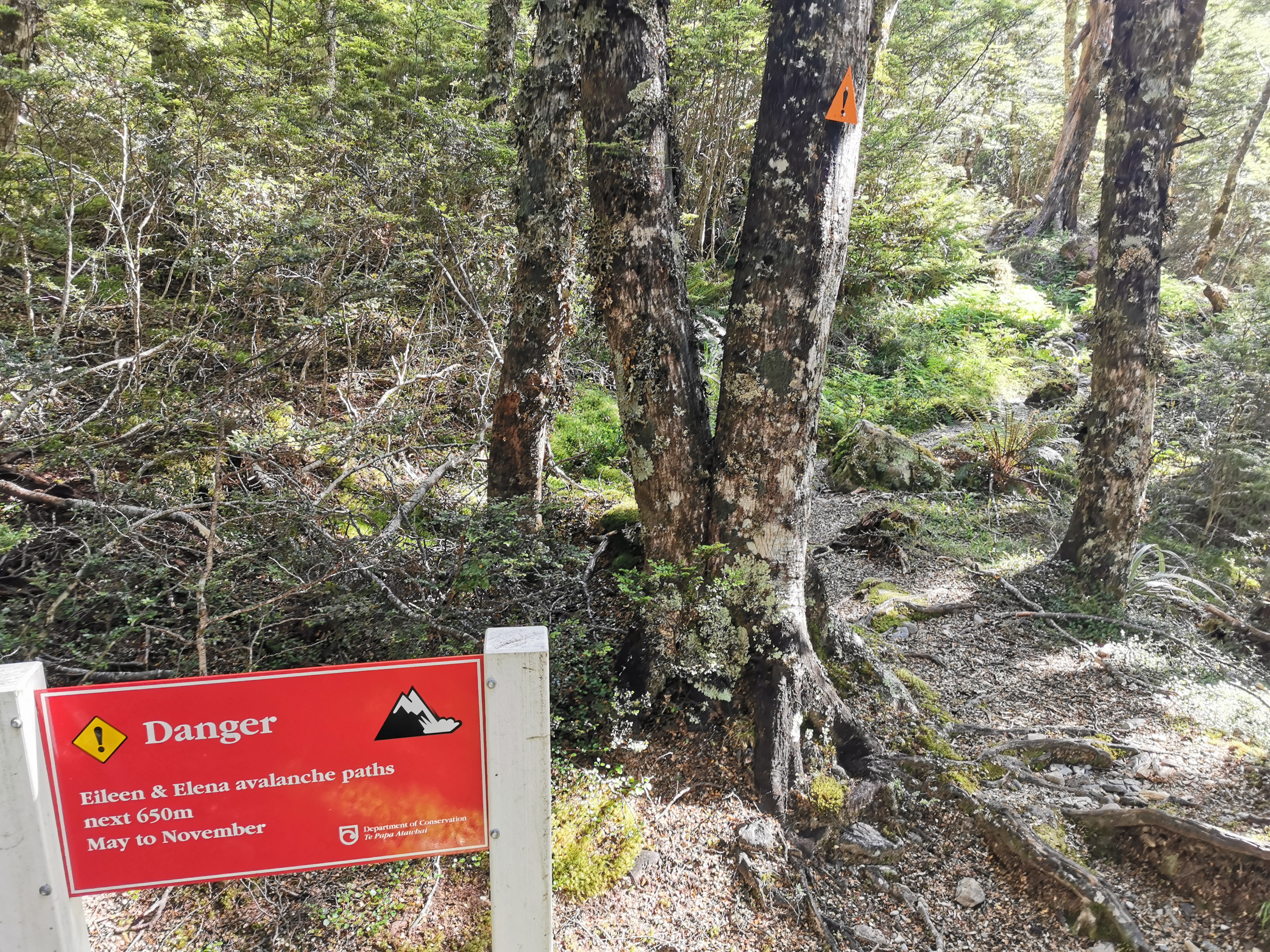
There were signs around for avalanche zones. You’re not supposed to dawdle through here during avalanche season. Lucky it’s summer so I can dawdle and dilly-dally all I want.
Danger – Eileen & Elena avalanche paths
They seem to name the zones too. And they always seem to be women’s names. I figure maybe they have the same names as the peaks above but then they name hurricanes after women too. So who knows.
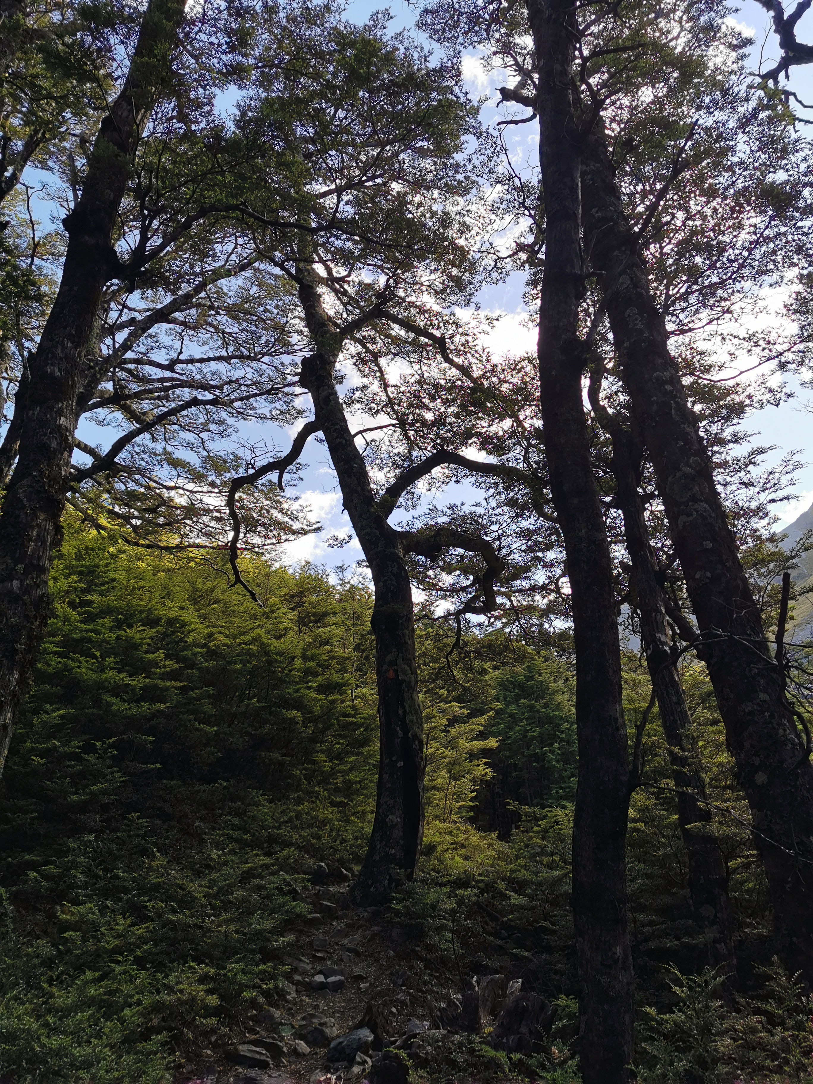
The trees suddenly change at this spot
No way am I using this log to cross. It looks sketchy.
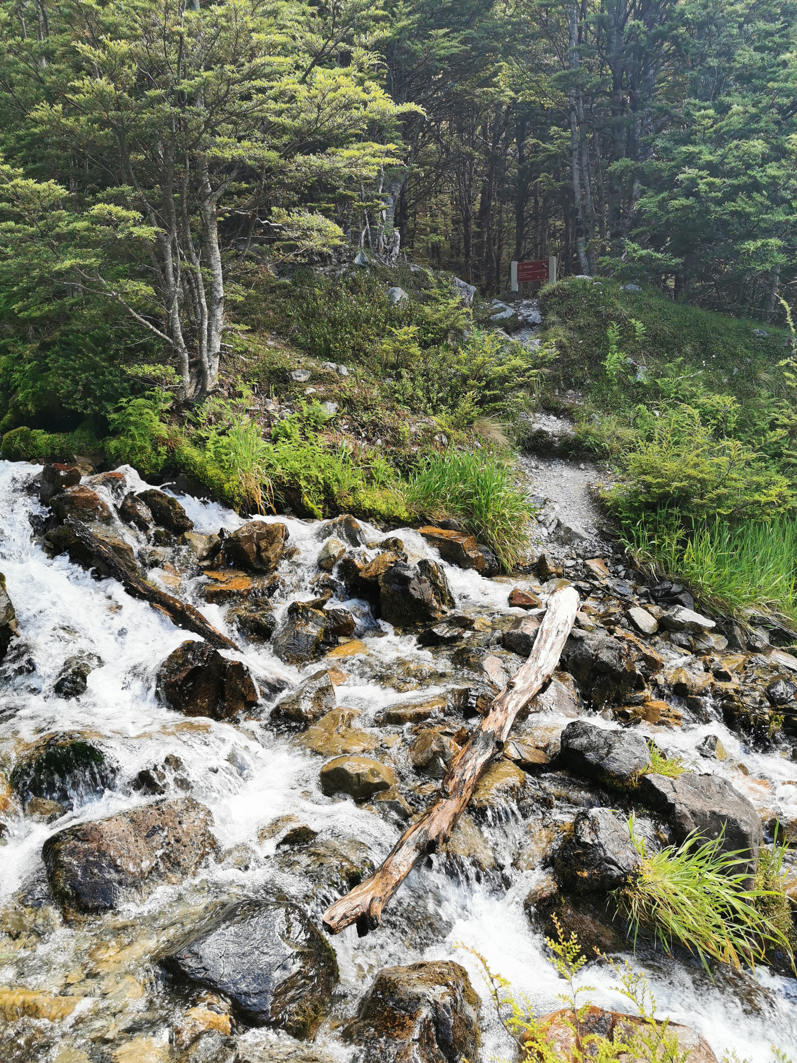
It is crossing a beautiful waterfall though, it looks like it is coming all the way down the mountain.
Here is the last bit to walk down before arriving at the hut – the left side of this river.
And once across this field, there it is!
A sight for sore eyes, as somebody said once
It had a nice view from the front:
View from the front of the hut
And a nice view from the loo:
At Upper Travers Hut there were a lot of people. Michelle was here as well as Sabine and also Dave and Baxter, a father and 14-year-old son walking the trail together. Here’s their Facebook page. There were also a lot of people just doing shorter walks.
We divided at first while eating dinner into the TA table and the non-TA table. But after a while most people talked to most others.
It has been a while since I walked a 30km day. Oh wait, my watch says that I walked 30.2km… but Guthook says I only walked 29.7km. That’s not fair – my watch normally under-reads but not this time! I don’t know whether I walked 30km today after all.
Distance walked is the distance I walked according to my GPS Watch (Suunto Ambit 3 Run).
Trail covered is the number of Te Araroa virtual “km markers” I have passed.
Distance walked may be higher than Trail covered if I deviated from the trail, or it may be lower because the GPS Watch often under-reads the actual distance walked.