Date: 4 November
Distance walked: GPS watch said 55.5km but I know that it was at least 58km 
Trail covered: kms 584.7 to 642.3
Weather: not a cloud in the sky
Percentage of the day that there was not a cloud in the sky: At least 90%
Okay, first I’m going to describe what I’ve been thinking about recently. I actually did proper calculations to determine what the likelihood of making it to Wellington by Christmas is. The southern point of the North Island on the TA is km1695.5 and I’m currently at km584.7. So that leaves 1110.8kms and 50 days to do it. So that requires 22.2kms per day. Doable. Or, assuming 5 rest days, 24.7kms per day. Slightly less doable, but not impossible.
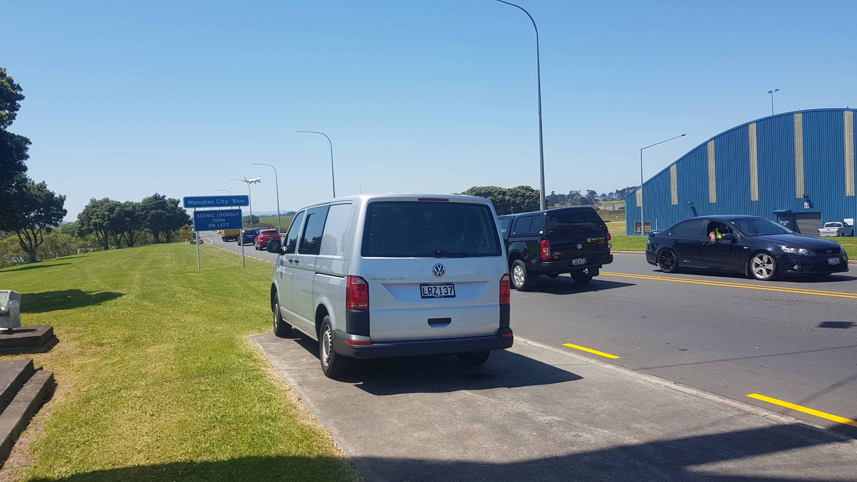
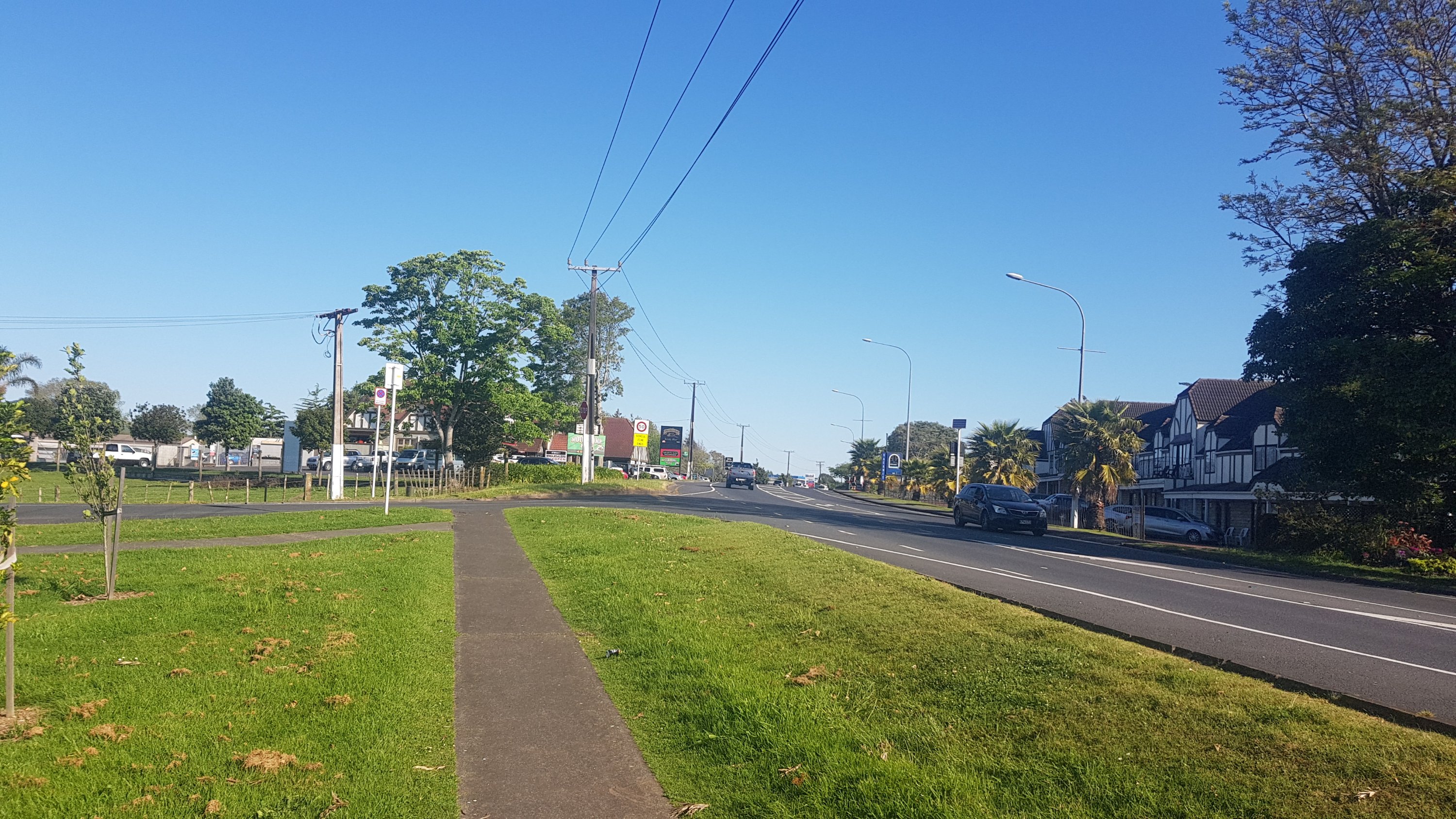
So while I’m in Auckland, which is my home and mostly road walking… could I bash out a lot of kilometers in a short time, leaving my pack at home? I reckon I can. So first check – how far south does public transport actually extend in Auckland that is still on the trail? Turns out, the answer is Drury, and more specifically, the bus stop outside the Mobil in Drury. That’s 57.5km. That’s now my goal for today. Walk to this point today, and get the bus and train home tonight.
And if I decide that I can actually walk that distance, then I will have a rest day tomorrow, and on Wednesday go back to the point where I left off and walk from Drury to Rangiriri which is roughly the same distance. Then I’ll walk to Ngaruawahia the next day and after that get the bus back to Auckland. Then after that I’ll continue walking properly with my pack. Three days walking without a pack with two rest days, meaning I’ll cover 156km in 5 days.
Anyway now that’s out of the way. I have to leave early if I want to cover that kind of distance – so I was off at 6:30am this morning, and straight up Mount Eden. The sunrise at the top was nice.
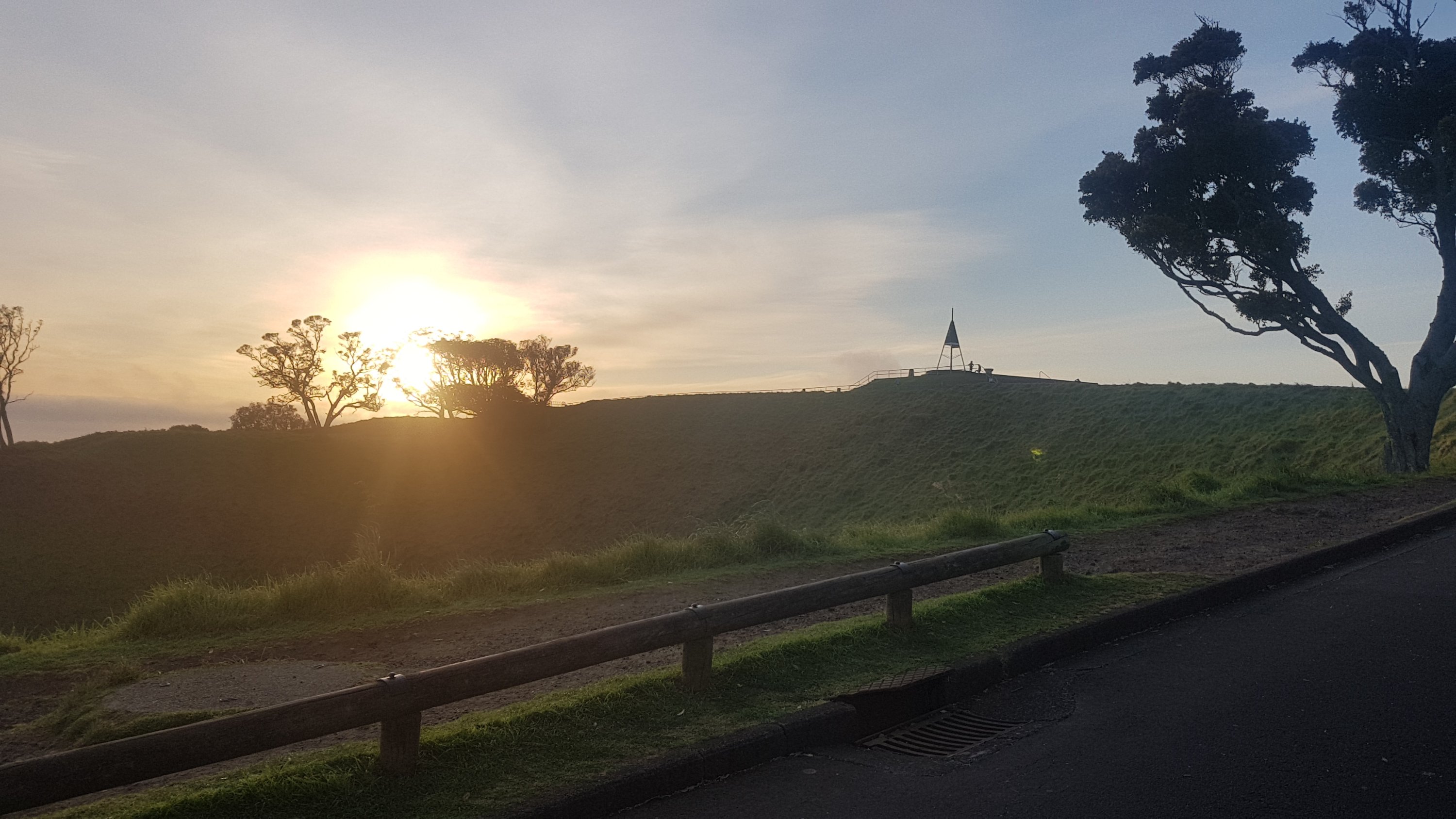
I’ve been up this mountain probably about fifty times but I don’t get sick of the views from up here.
I was already feeling good that I didn’t have my usual pack. All I had was this pack that I was given at university in 2001 by ASB Bank when I signed up to their student account. It’s going bloody well after 18 and a half years. I only had a water bottle, battery pack and charger, a small amount of food, my keys and my wallet.
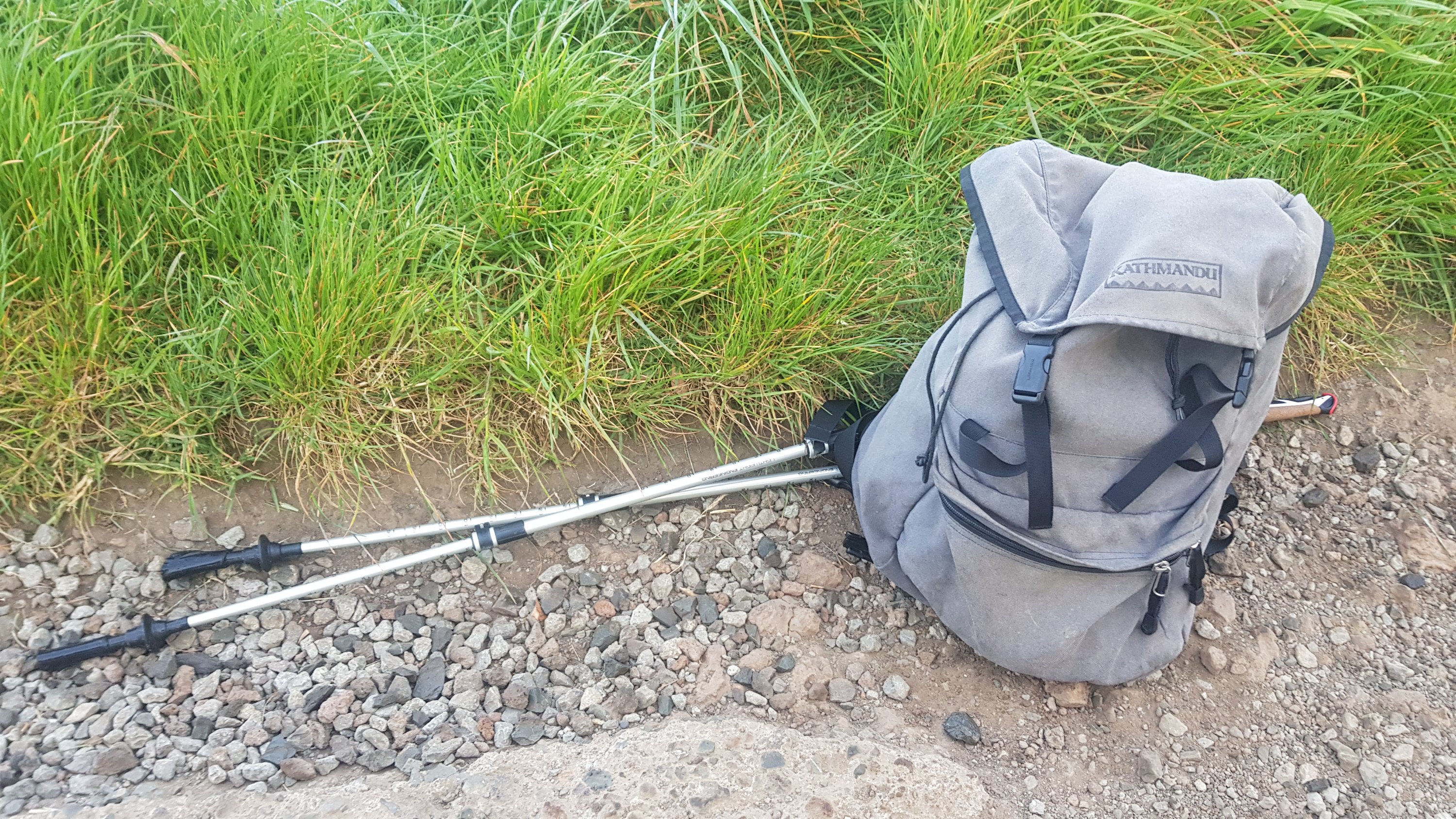
I decided not to walk with my poles initially. The bag was so light and the path was well formed so by using the poles I felt like I was just adding unnecessary work. So they got retracted and put in the pack.
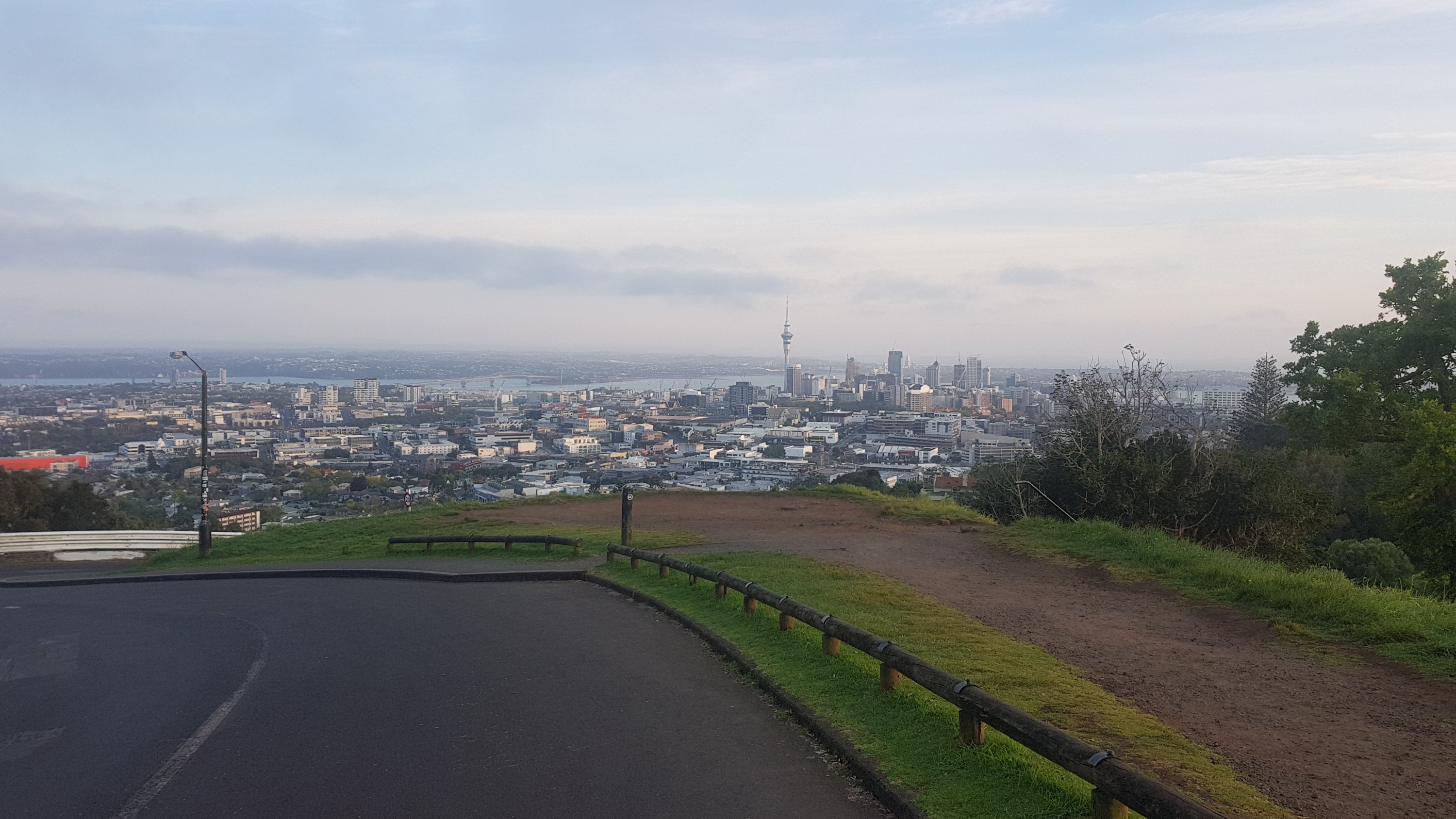
From the far side of Mount Eden you can see One Tree Hill, the next peak to walk on. Though curiously you don’t walk to the summit of this one, just around the base. And yes One Tree Hill used to have a tree on it, until about 20 or 30 years ago. A protester cut it down. Right now I can’t remember why.
One Tree Hill is the closest place to central Auckland where you can always find sheep, and sometimes you can go right up to them as long as you’re cautious and quiet.
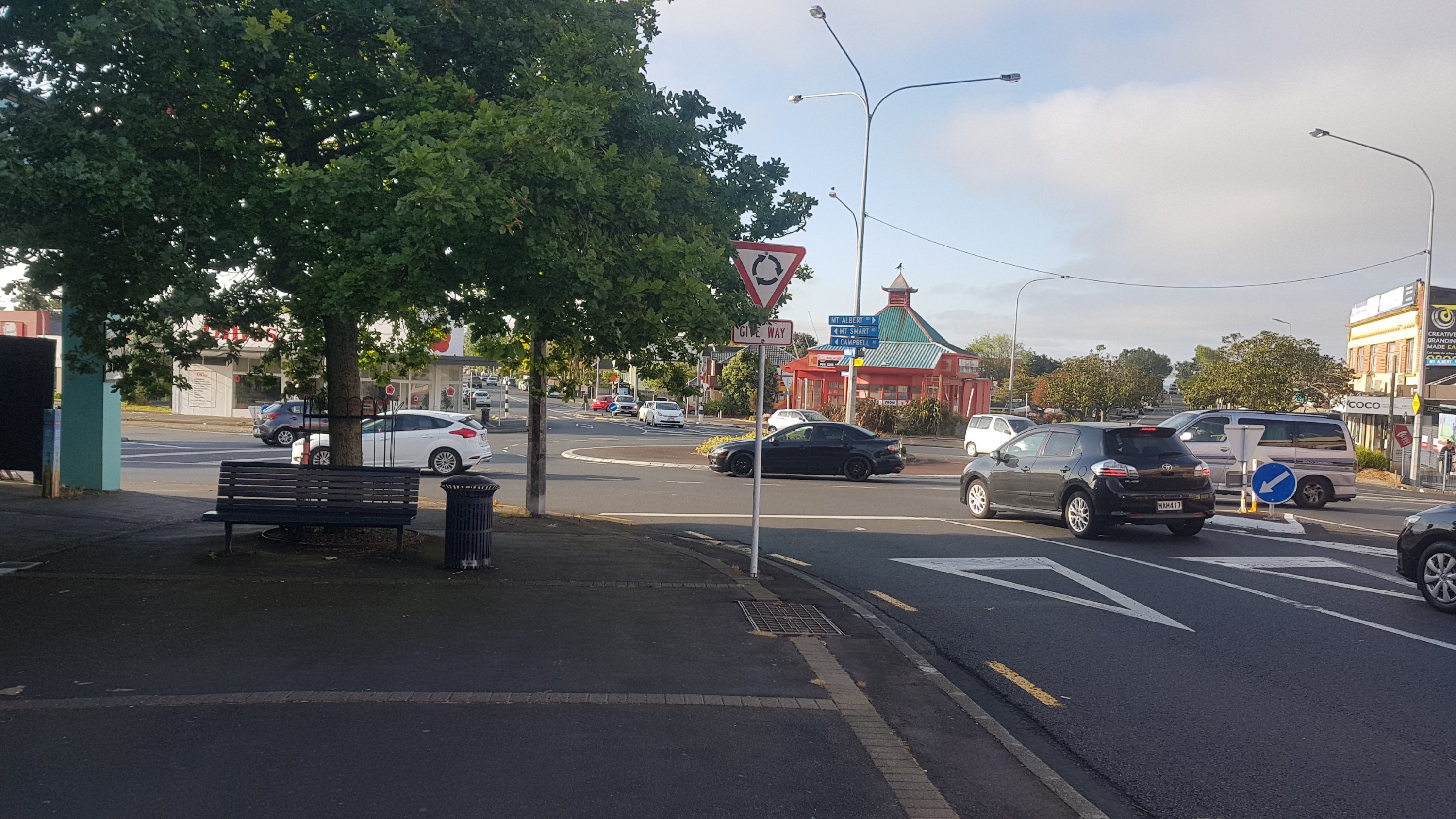
Then you end up at the Royal Oak Roundabout. One of two major roundabouts in Auckland with five roads coming off it, the other being Panmure Roundabout. These roundabouts terrified me when I was a new driver.
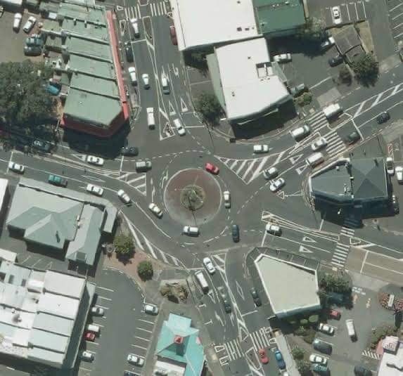
This one is much easier to walk around though, there are pedestrian crossings on all five roads.
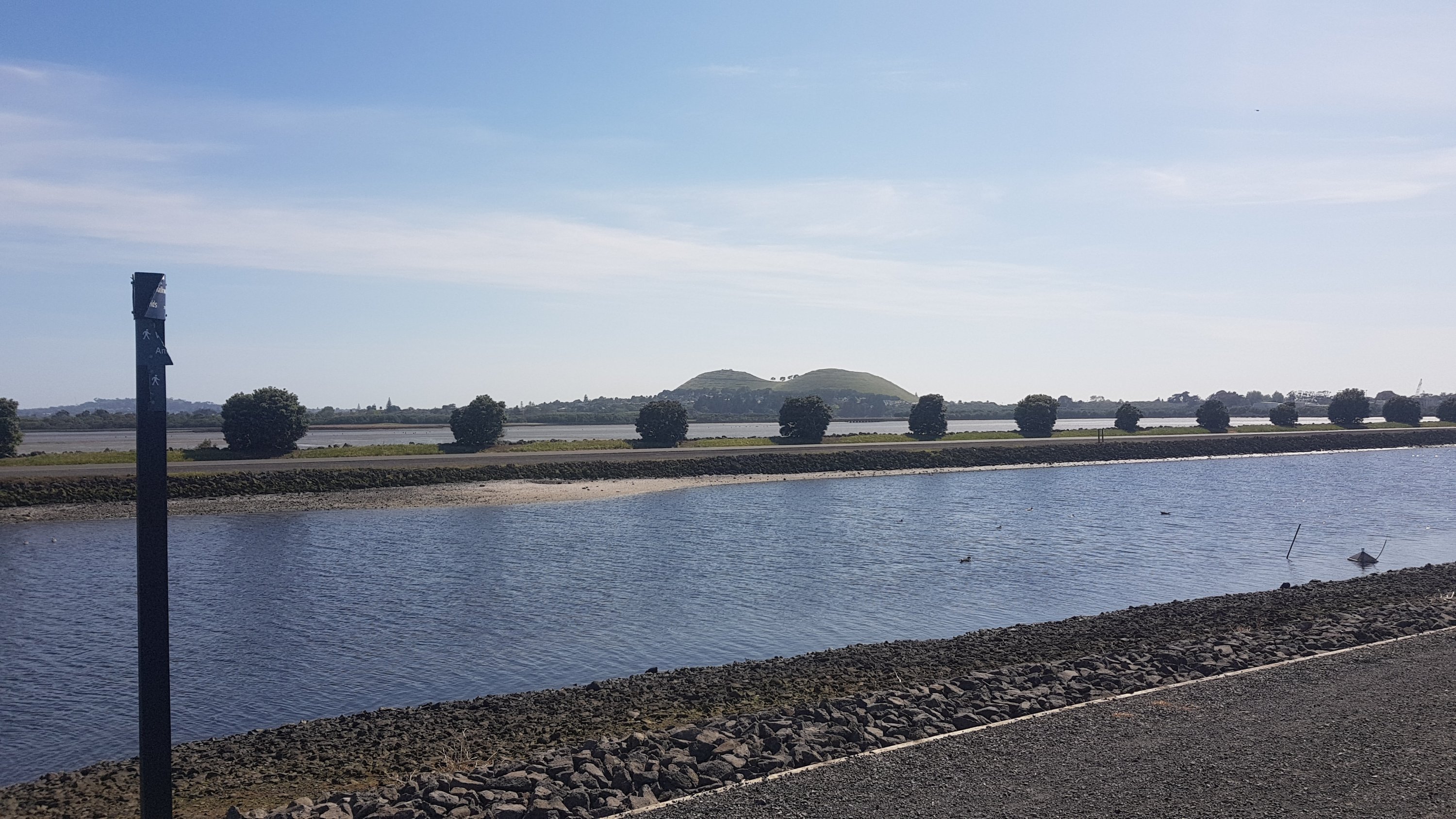
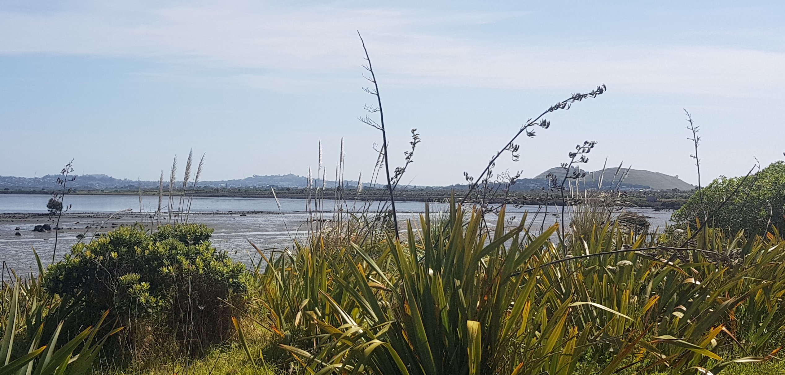
Then along the Onehunga walkway. You get a clear view of Mangere Mountain from here.
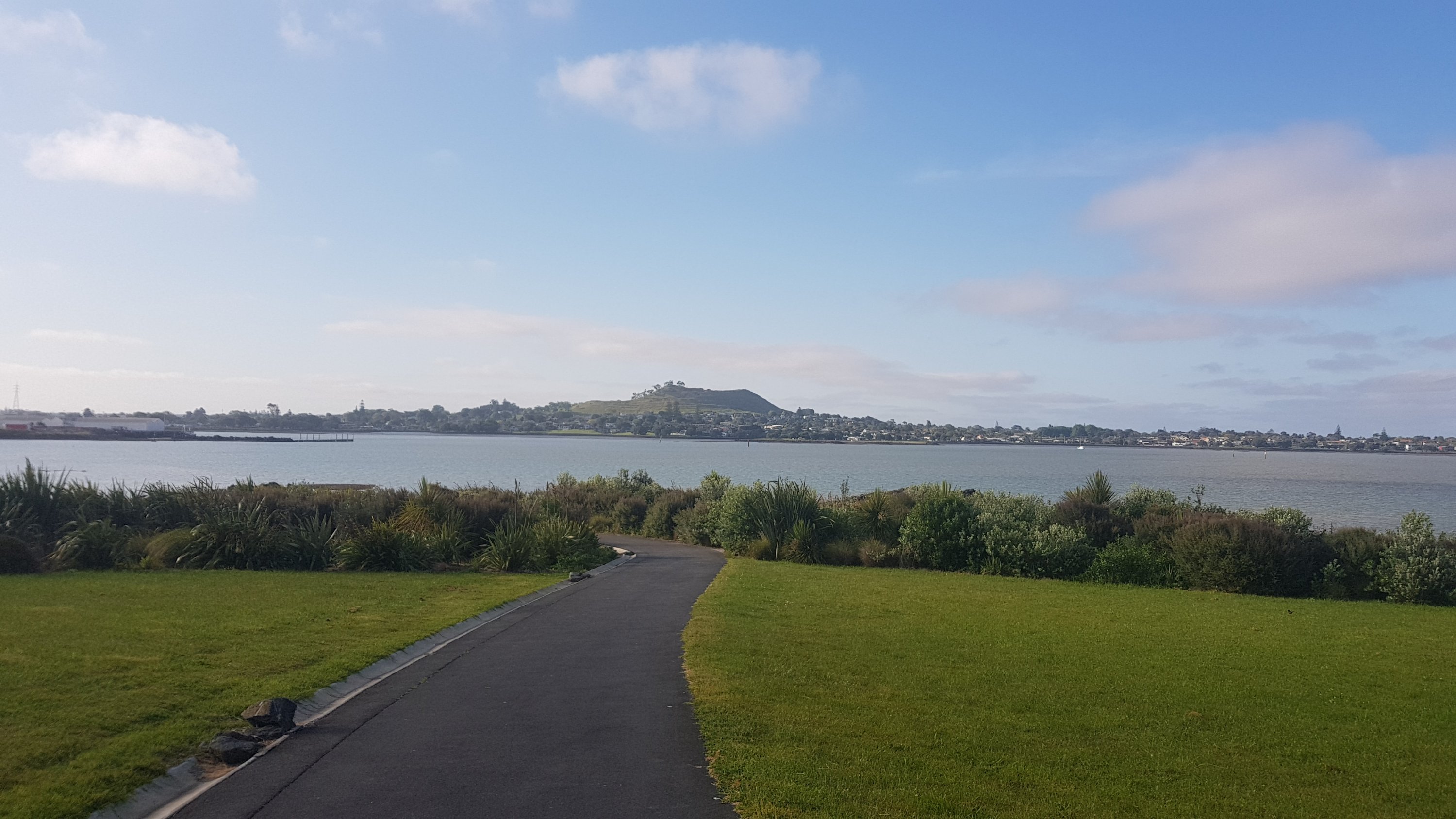
You don’t walk up here or even around here, but it’s a prominent landmark in this area. But first you have to cross the Manukau Harbour to get to it. Thing is… the bridge shown on the Guthook and Trail App is closed, and has been for some time.
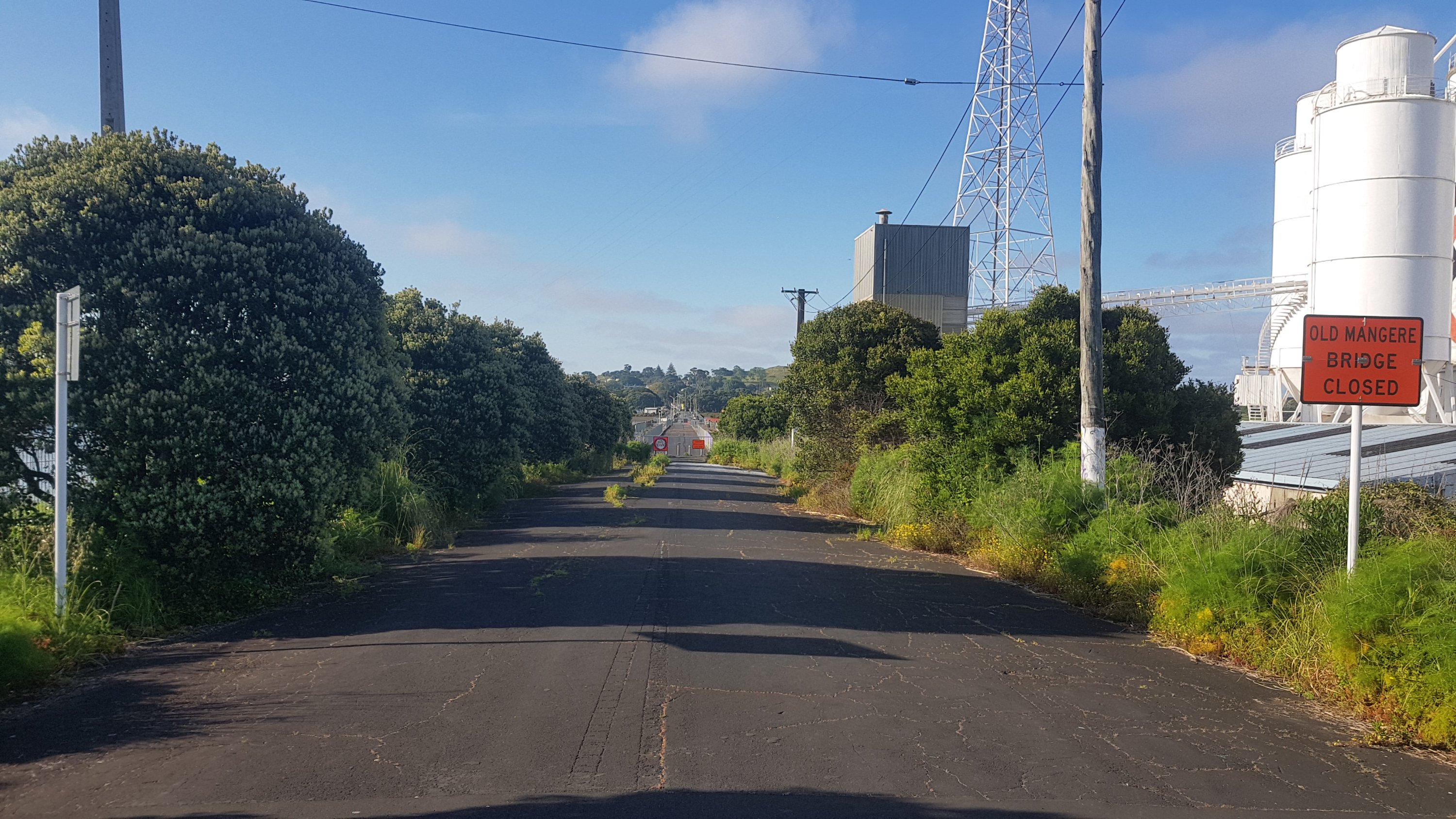
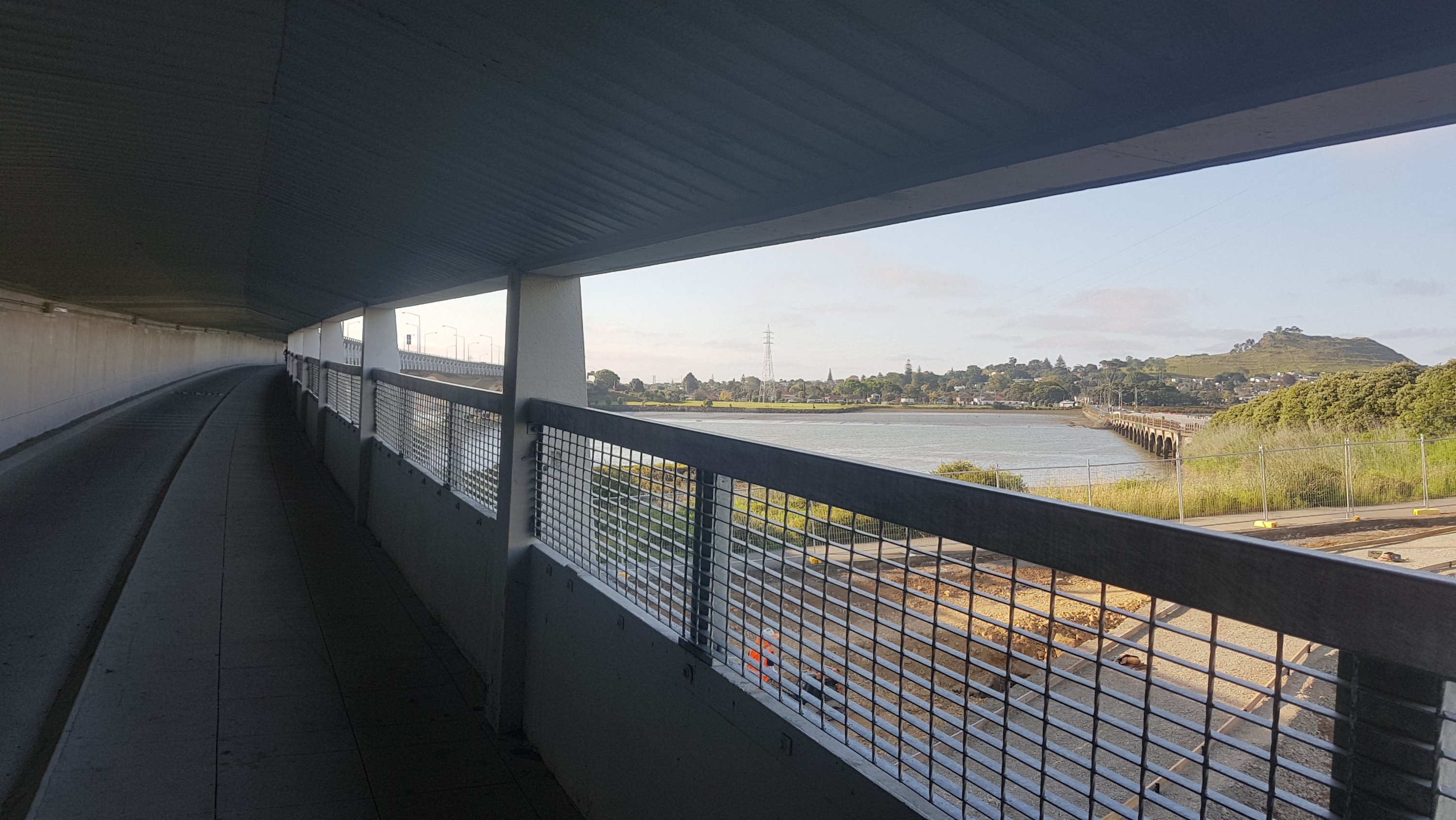
So instead, you have to walk under the motorway which is a small detour. It’s a much less appealing place to walk, but it does the job and has a nice view (and a low headroom). You can also see the “Old Mangere Bridge” which is the one that’s closed, and apparently getting rebuilt.
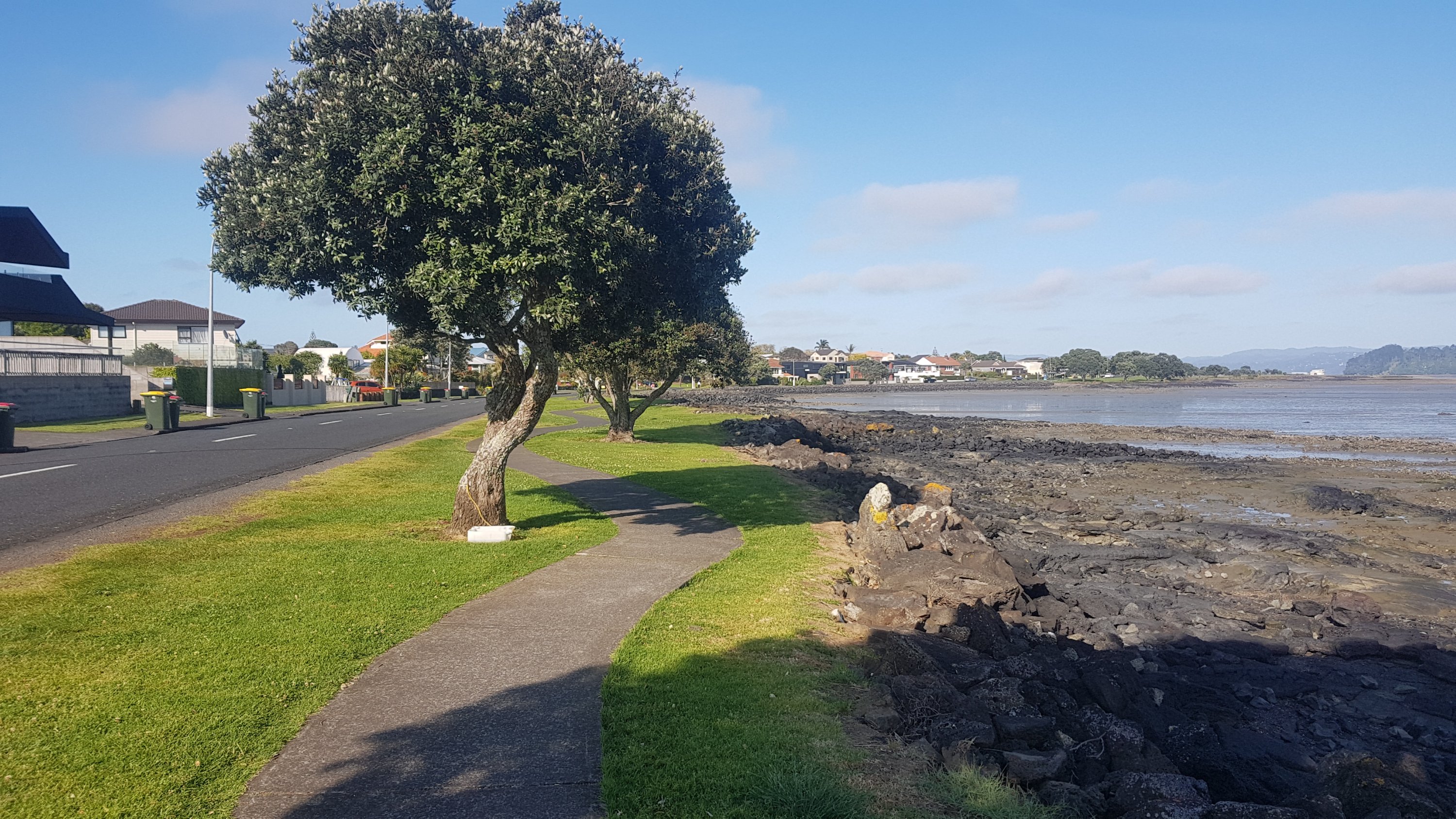
Then you walk along Kiwi Esplanade, which is a nice walk but the pathway was designed by a drunk guy on a Friday night after work. Could this pathway really not have gone in a straight line?
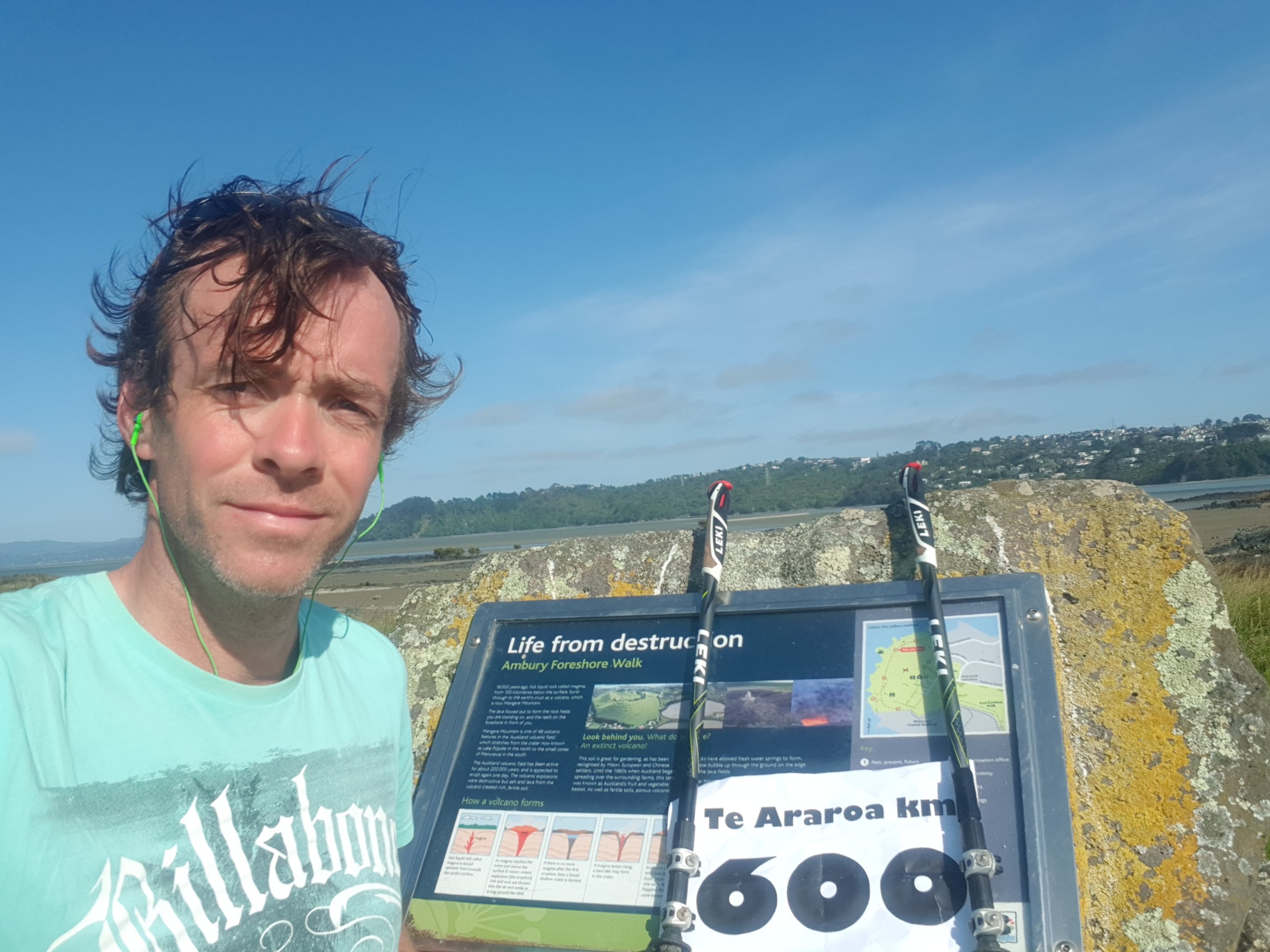
I knew the 600km mark was coming up, so I looked out for it. But I noticed something unusual – the Trail App and Guthook disagree on where the marker is. They’ve always been in sync up until now. Here is where the 600km mark is, according to the Trail App – the Manukau Yacht & Motor Boat Club.
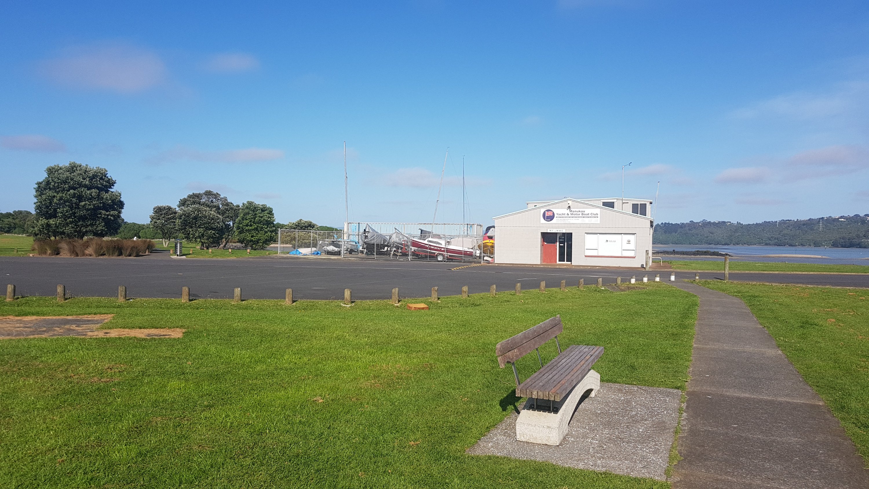
But since I’ve always been following Guthook, here was the “actual” 600km mark – 900 metres later at the Ambury Foreshore Walk. I cranked out a sheet of paper that I prepared earlier at home. I planned to ask anybody around to take a photo of me holding it, but there was nobody around. And it was windy… so here’s the picture to mark the occasion.
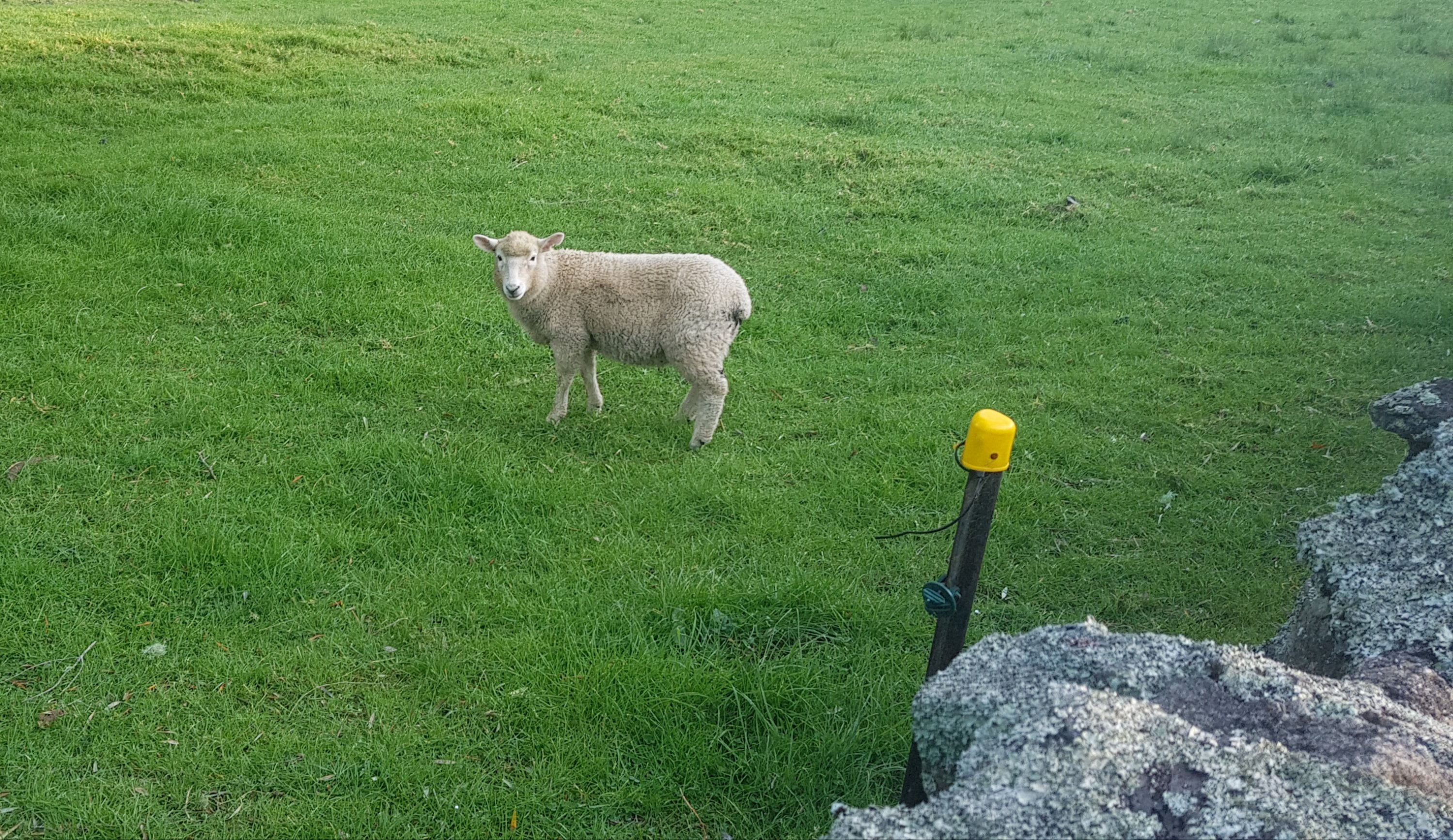
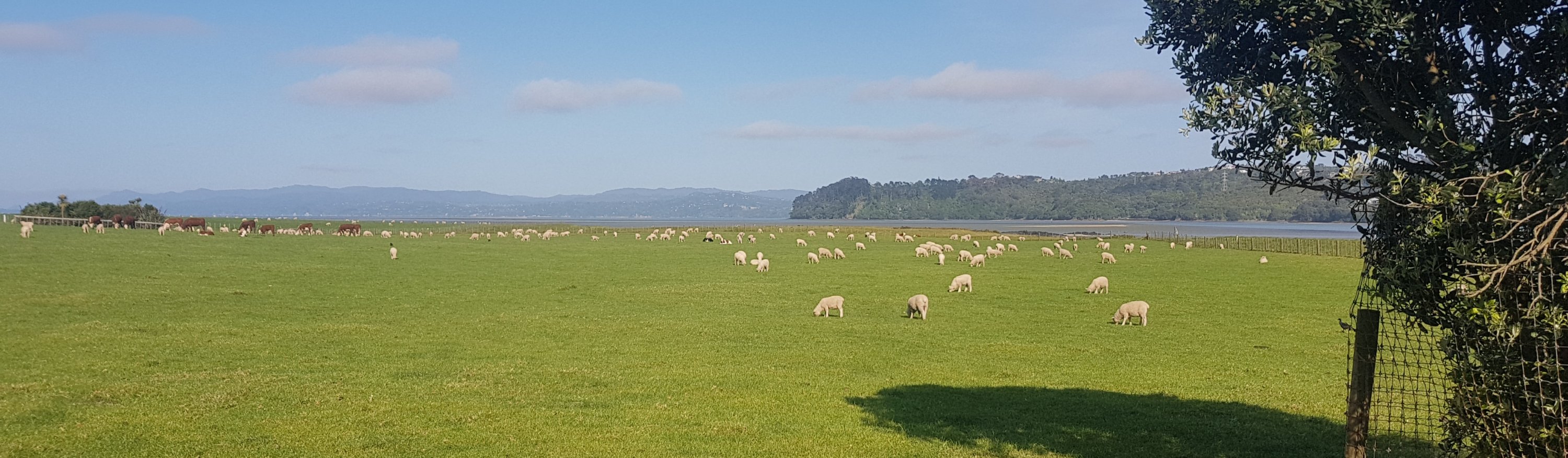
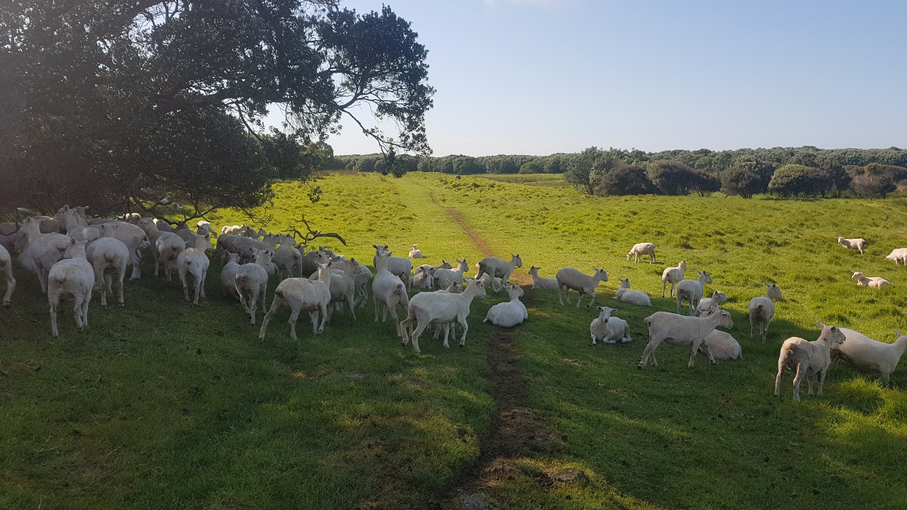
Ambury Regional Park has very few people around… but a *lot* of sheep (and a few cows).
These ones were blocking the pathway.
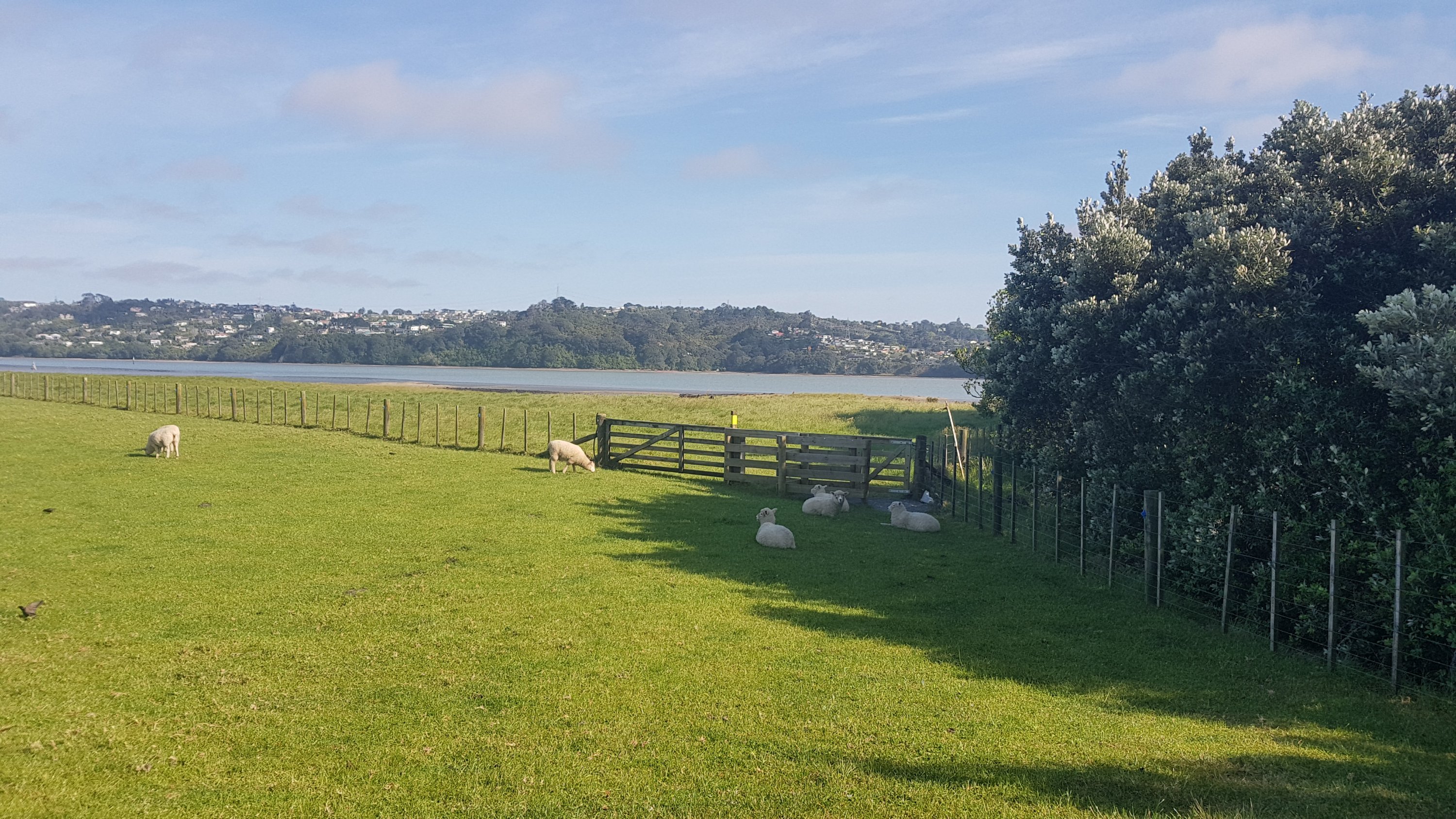
They moved quickly enough.
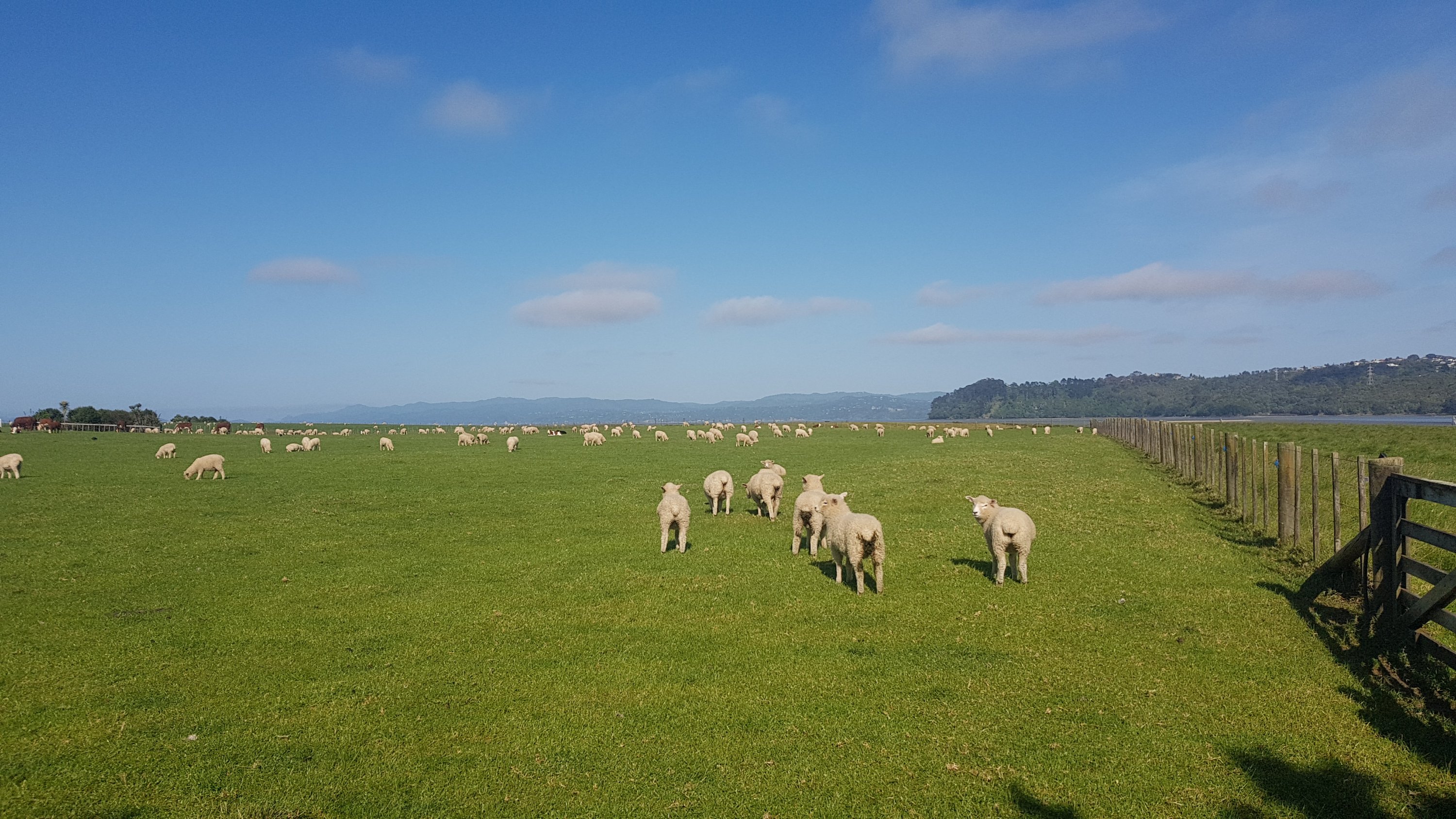
Uh oh… more sheepies blocking the path. It’s getting hot now, and the clouds have all gone. I feel bad shooing them away from the shade.
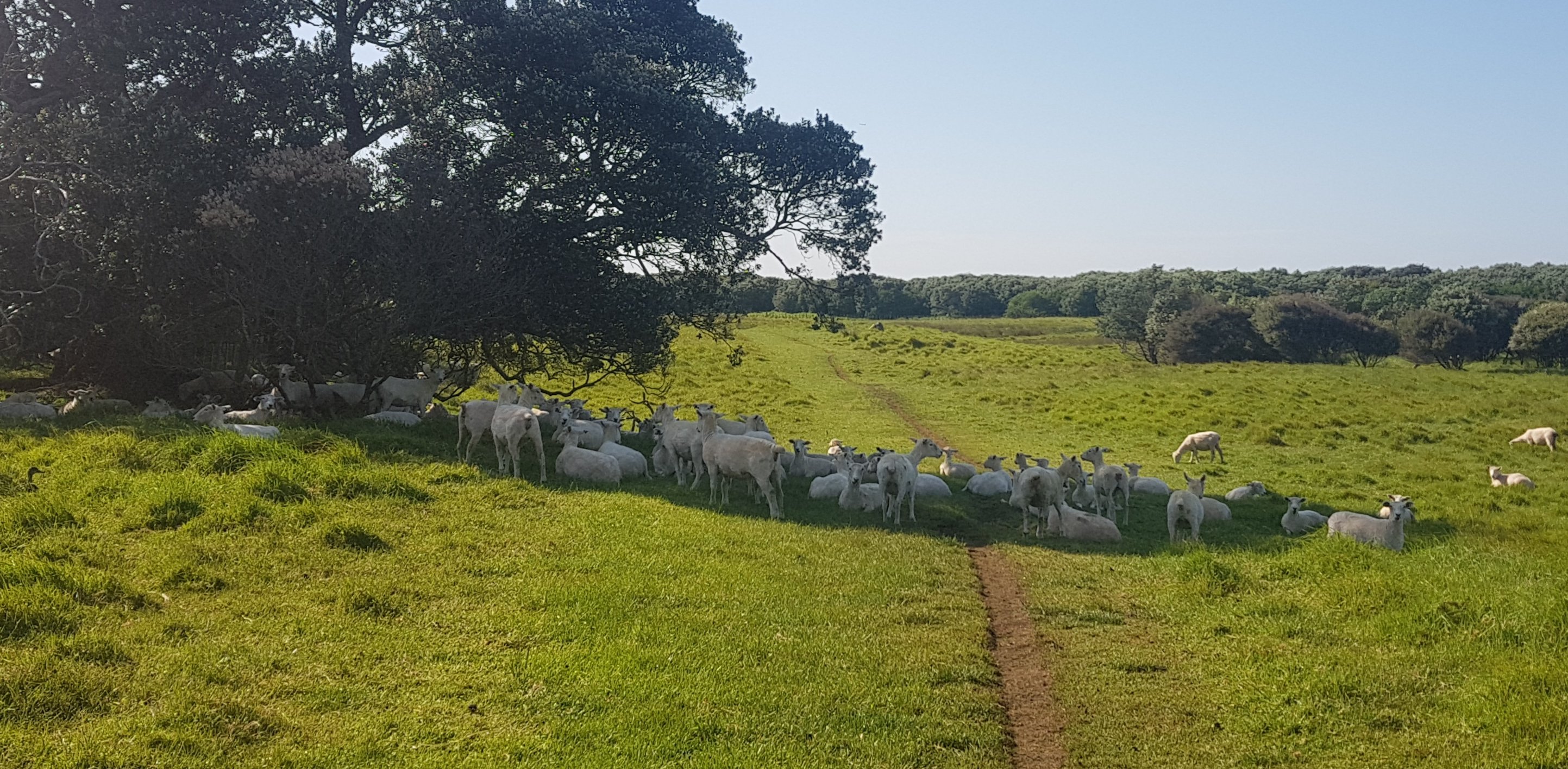
Sorry sheepies, you’ve got to move.
Now just a note – please don’t use the word “sheeps”. The plural of “sheep” is “sheepies”. Saying “sheeps” really singles you out as a clueless tourist.
I liked walking around the park, but I did get my poles out at this point and started using them again since it turned into farmland. After a while it turned into the Watercare Coastal Walkway, which wasn’t quite as wonderful but still not too bad. It goes right beside the Mangere Wastewater Treatment Plant. A bit stinky.
It was along here I went about 400m off course. You can see it in the map below. At one point I followed the “Watercare Coastal Walkway” sign but the TA goes a slightly longer way. I could have kept going along this path, but it would have been considered a “shortcut” because it would cut off some distance. That’s cheating… so I backtracked and continued the proper way.
It was also at this point that my sunglasses broke. These $10 sunnies that I got on Day 5 lasted 35 days. Not very long.

And then, a bit of good ol’ juvenile Kiwi humour.
And speaking of juvenile humour, Mangere Mountain from this angle really looks like boobs.
And actually, you can see the three main peaks of the walk so far all from right here. Mangere Mountain is closest, One Tree Hill is in the middle and Mount Eden is in the left, so far away now that you almost can’t see it.
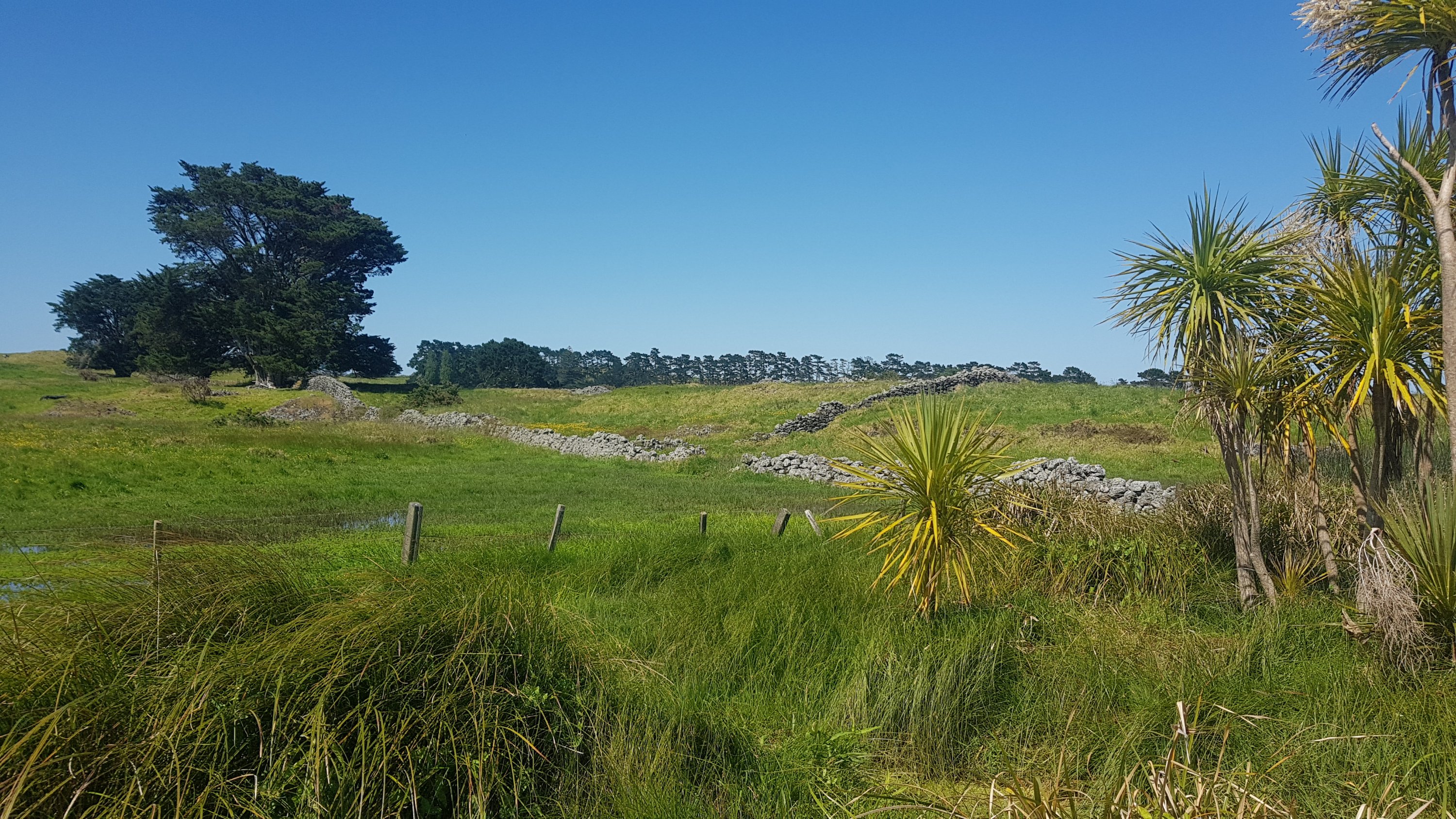
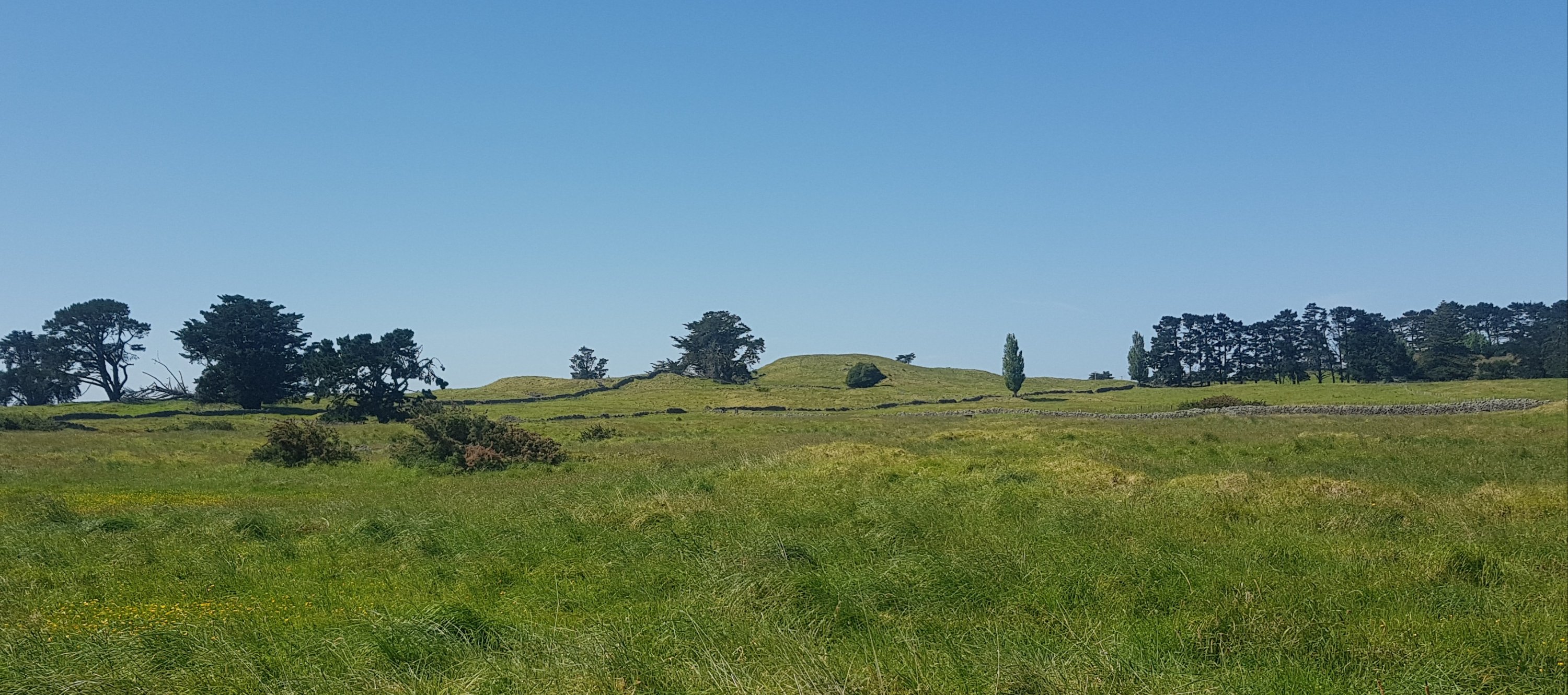
Next was through the Otuataua Stonefields Reserve. I’d never been through here and I was looking forward to it. The stone fences reminded me of farms that you see a lot in England – bordered by stone fences instead of the type of fences you see everywhere here.
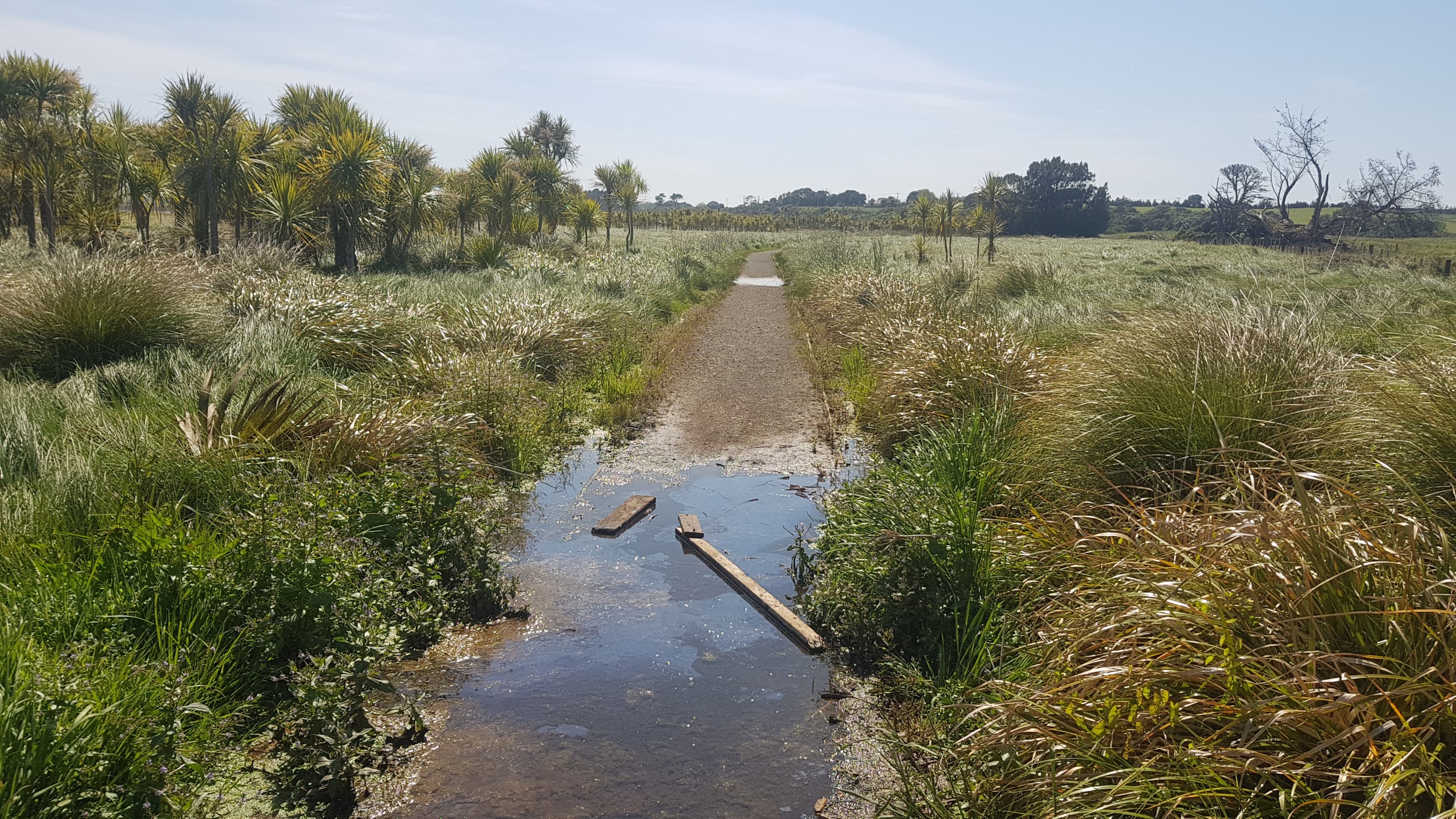
Like everywhere today, the path was well formed and dry, except for this one small bit. Thank you to whoever put large pieces of wood down. They saved me getting my shoes wet.
And next was the Ihumatao Quarry. This is where I met Mark and Jolanda – they had set off from Ambury a short time ago. It was great to have someone to talk to for a while.
In the news a few months back, Ihumatao was the site of a lot of land protests. I haven’t been watching the news since I started the trail – quite frankly, I’m quite happy not knowing what other things are going on around the country and around the world right now. But I was talking to my Mum yesterday and she said she hadn’t heard anything about the protests in the news recently.
But… we found ourselves blocked by a road block. It was protesters blocking the road. And they have done a real job of it.
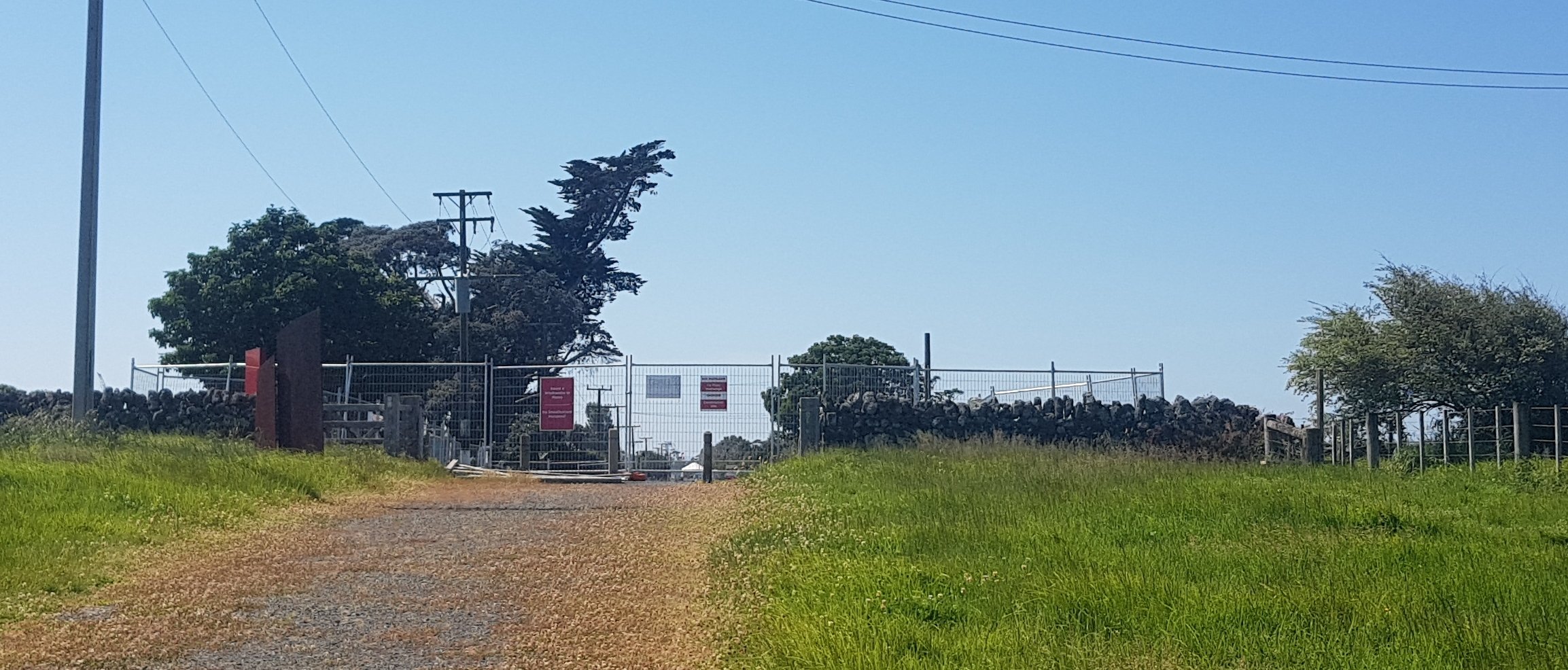
The three of us were refused access to the area. I don’t want to get into the politics of the protest too much but I wonder if they really have the right to deny us entry to a public road. Regardless, we took a detour through an avocado orchard, which was easy and you were allowed to take five avocados each, according to the sign.
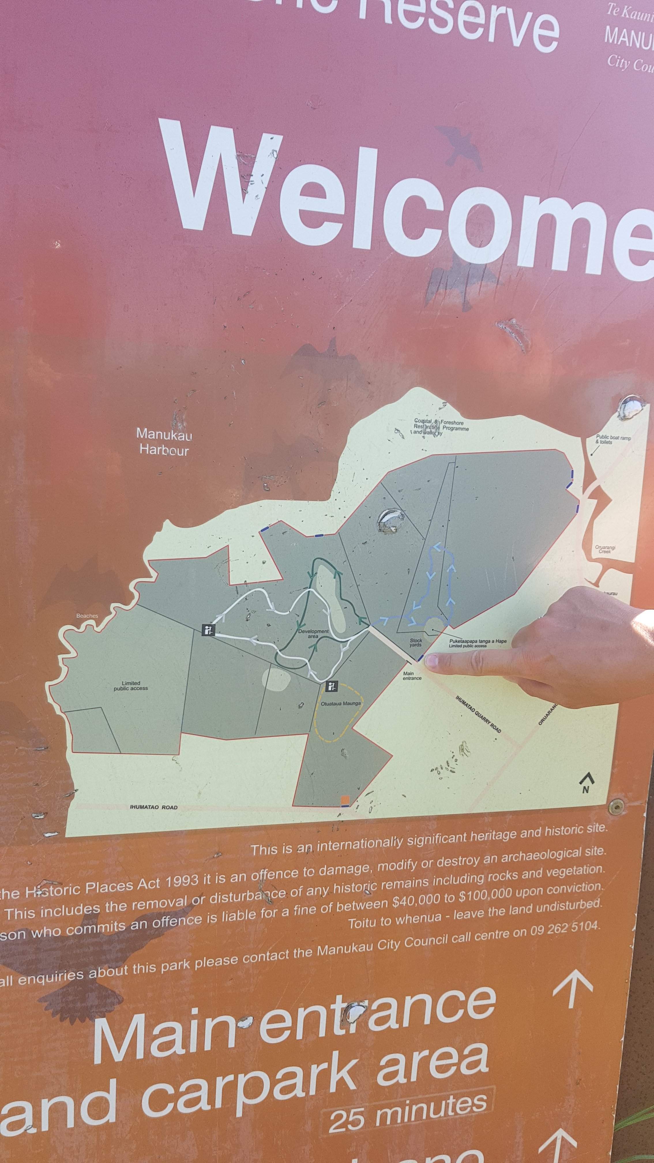
If you need to follow the detour, when you first see the blockade above, and you are on the path in the picture, look to the right and you will see the entrance to an avocado orchard which has a small Auckland Council sign. Follow the fenceline on the left of the orchard and it will bring you out on the next road south, and you will rejoin the trail shortly after. Again, you can see it in the map below.
My 11am picture is us trying to figure out if the detour we had just taken was across private or public land. We worked out it was on public land. Jolanda’s finger here is pointing at the point of the blockade.
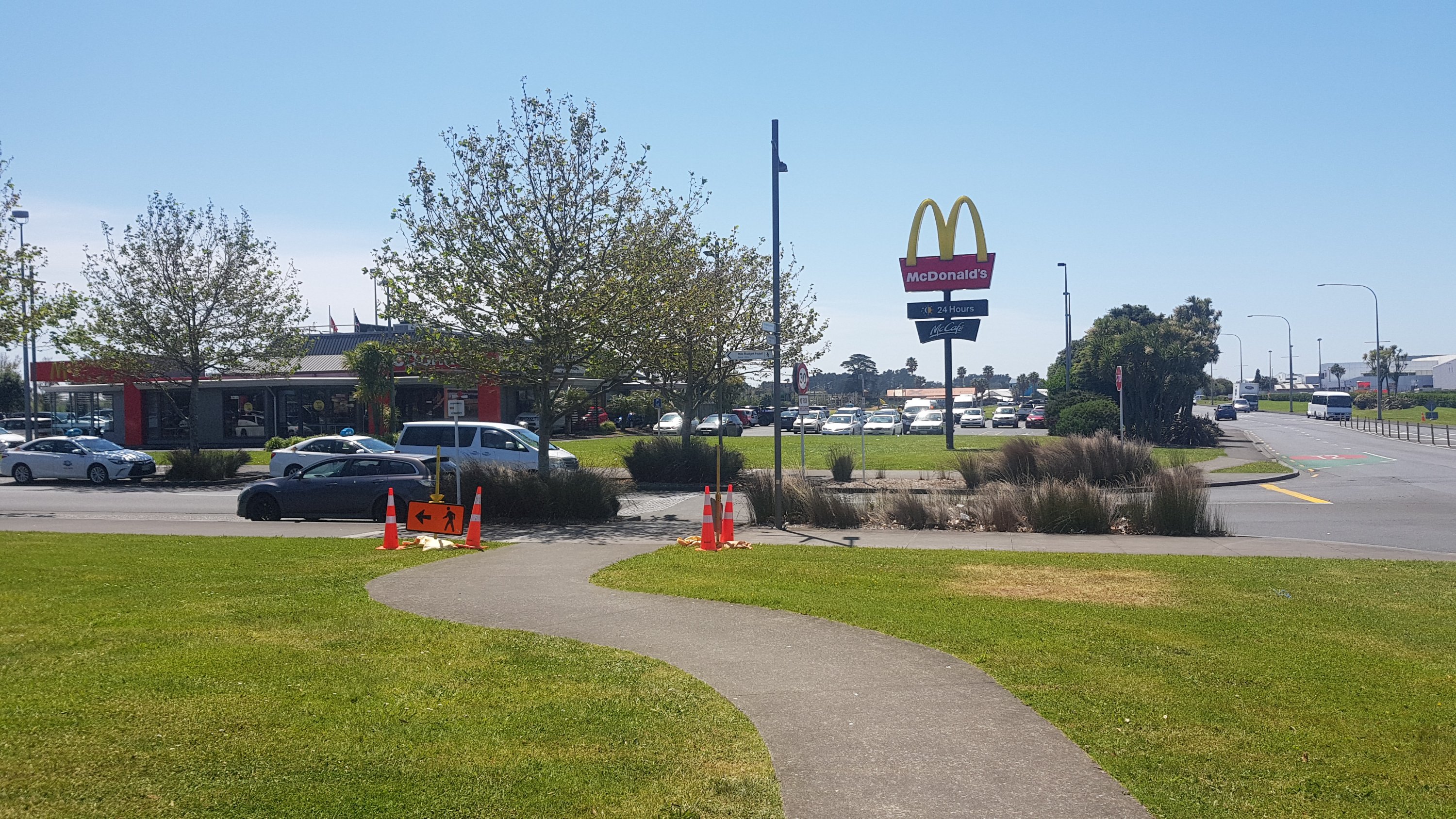
Not long to the Airport now. I was looking forward to having McDonald’s! Although… when I realised that the McDonald’s is actually inside the airport terminal, and that required a bit of a detour, I just stopped at the first Z petrol station that you come to (called Z Skyway).
When I walked in… I saw this:
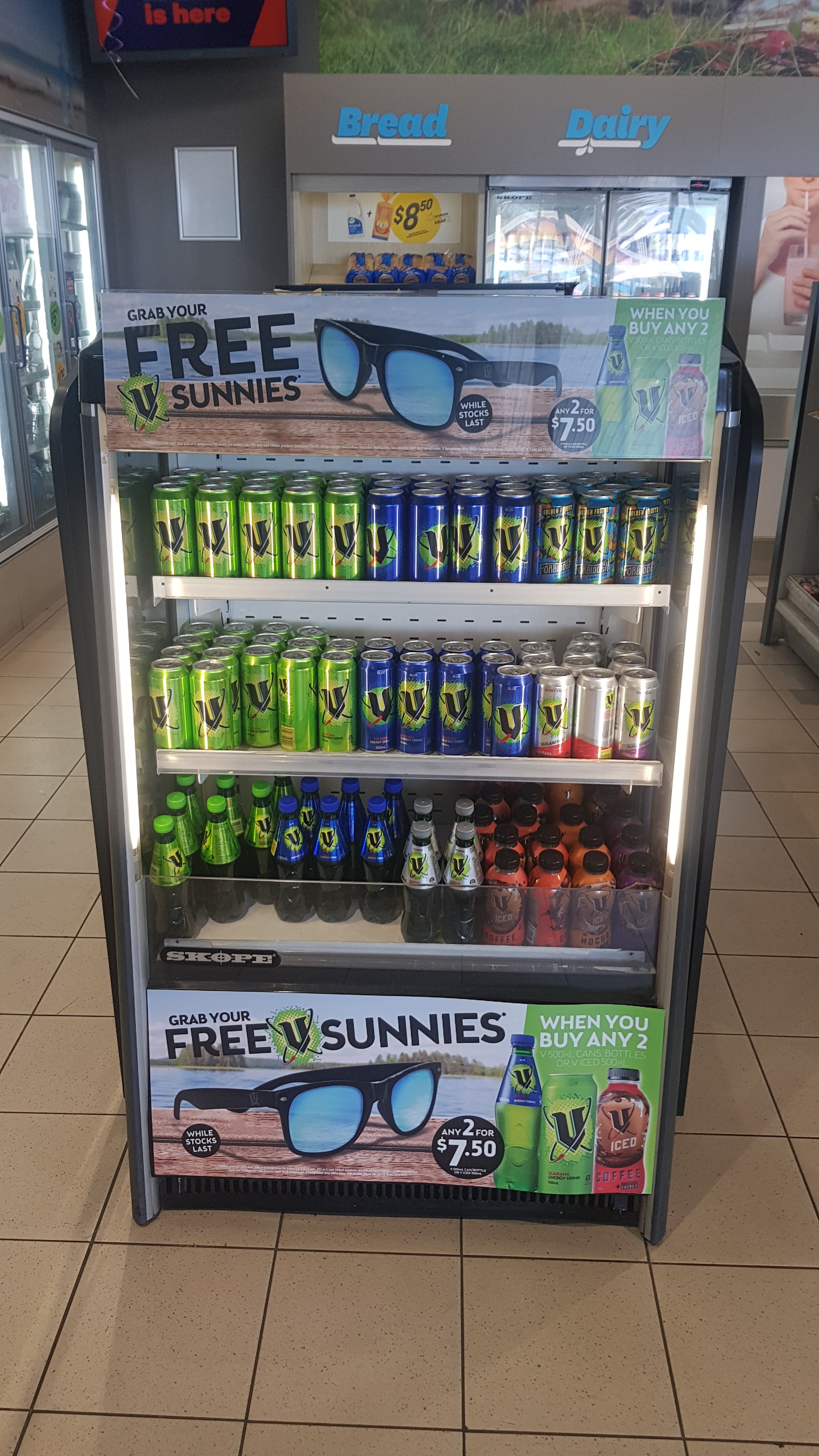
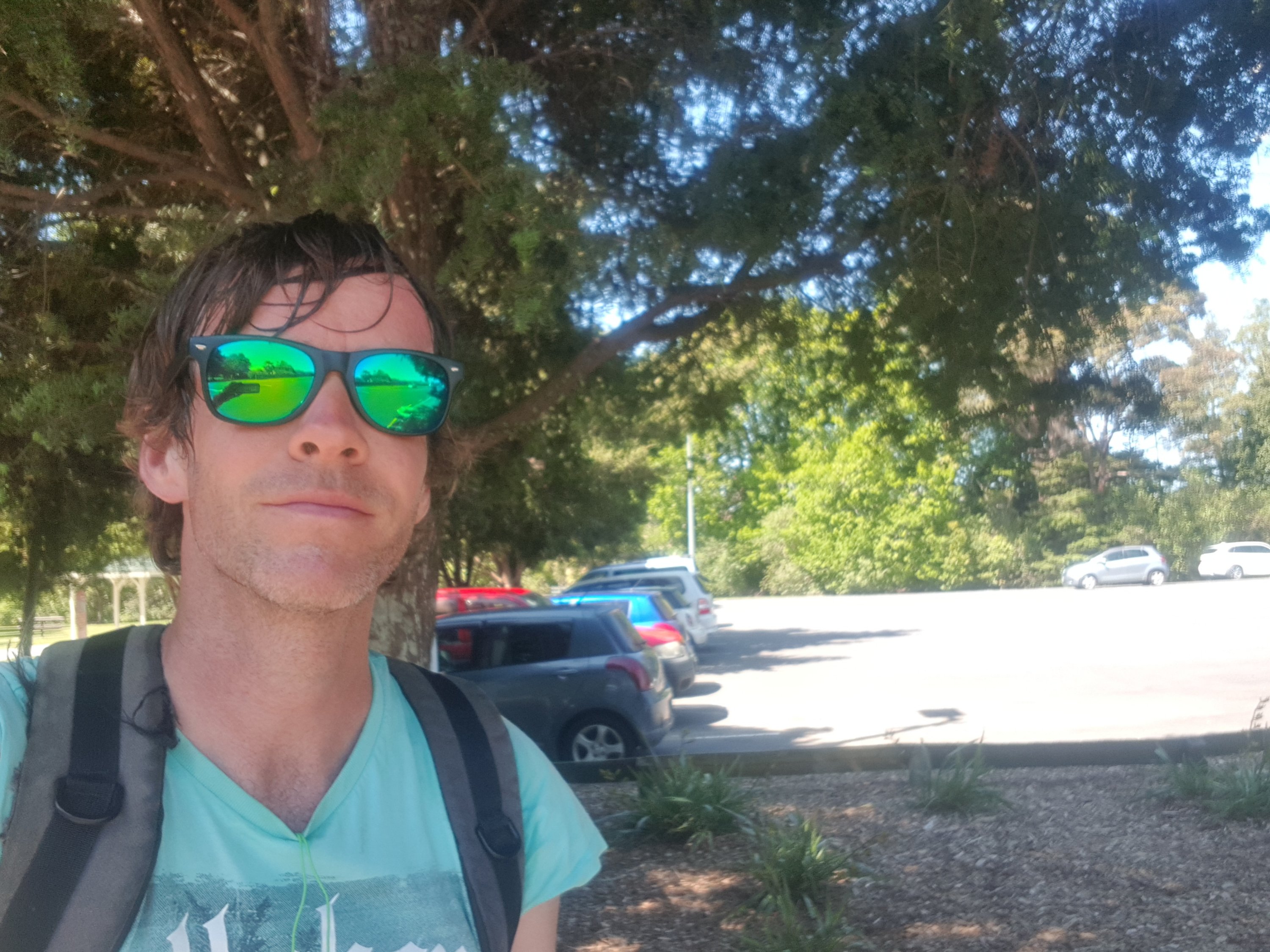
Free sunglasses… for buying my most favourite cold drink in the world! Yes please! What perfect timing – I had just broken mine two hours before, and I finally got some new ones.
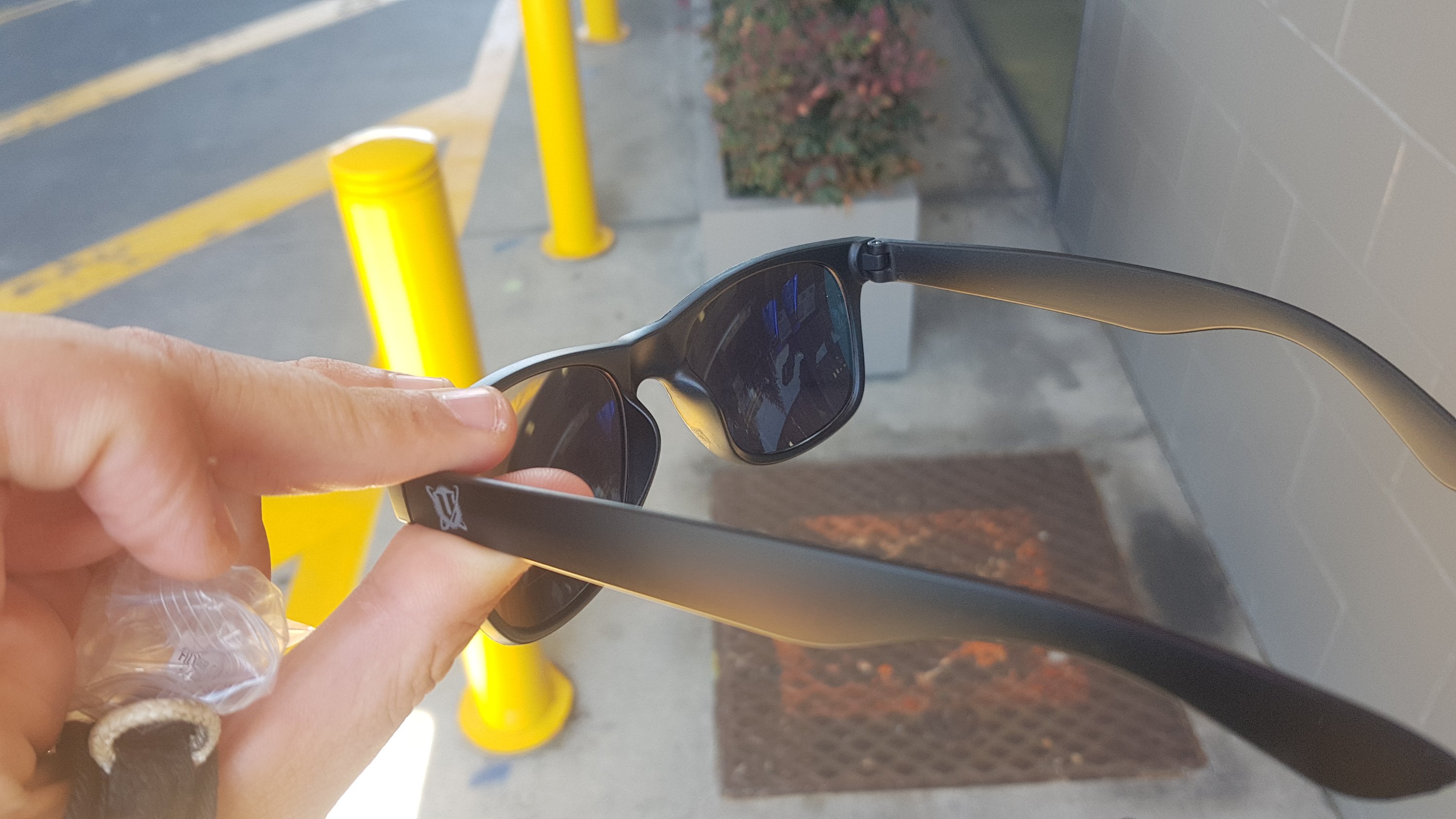
I put them on and had my lunch.
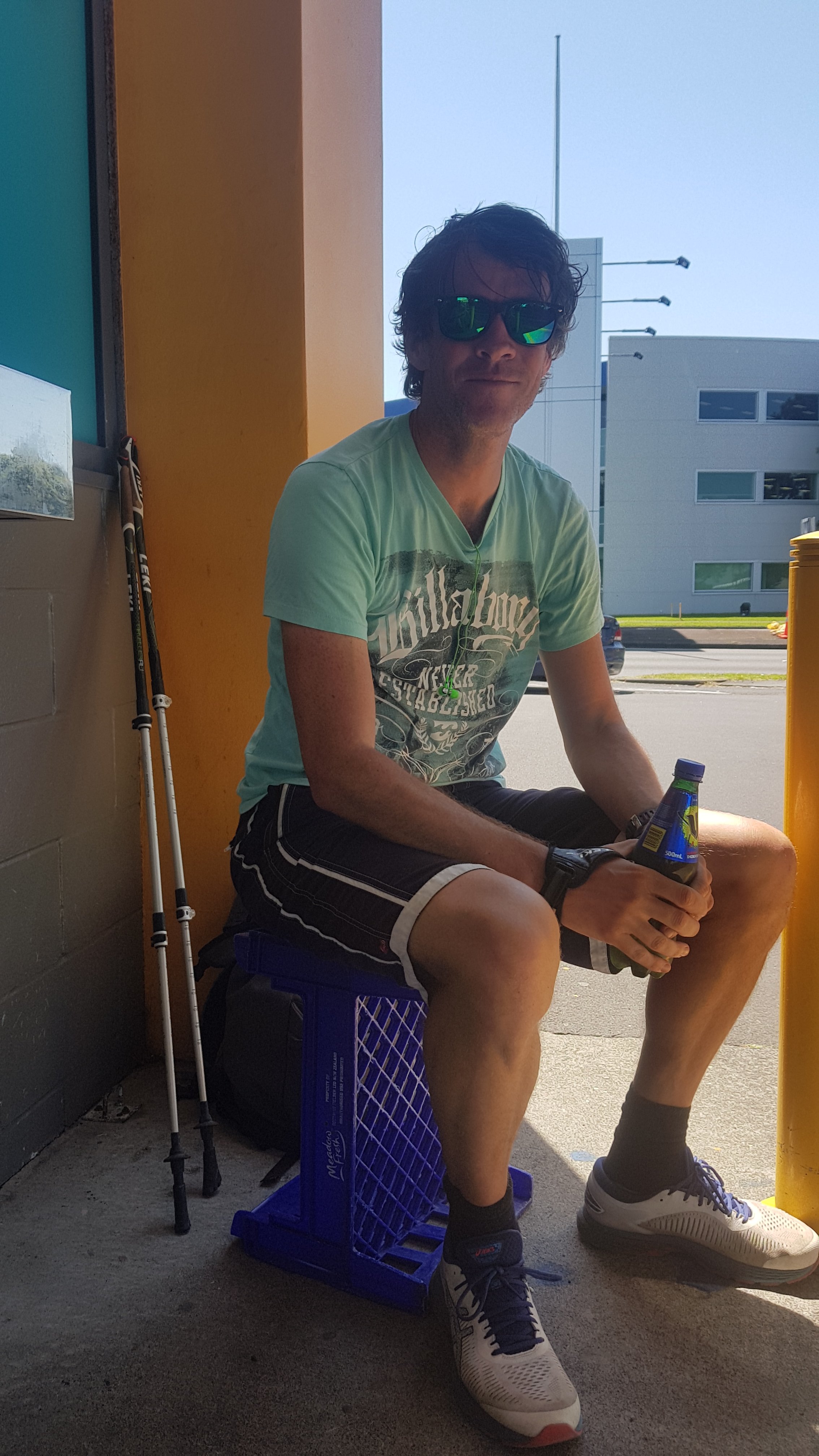
There are few things to point out from this picture. First – thanks to Jolanda for taking it. Second – I’ve been wearing my running shoes today instead of my trail runners or boots. Good choice since the day was almost all on roads. Third – the lenses of my new sunglasses are hideous colours. Fourth – the Z has great coffee and some good pies but nowhere to sit, so I had to sit on a milk crate. Fifth – I’m wearing a different shirt. This shirt really rubbed on my nipples and they were quite raw by the end of the day. I should have anticipated this, as it used to happen all the time when I used to go running, and I used to put waterproof tape over them to stop them rubbing. However, the more I thought about it, that probably doesn’t happen normally because my usual pack straps across my front and so that would stop the shirt moving around and stop the rubbing. Ok fine, I shouldn’t blame the shirt, I should blame the pack.
I left Mark and Jolanda at this point as they were taking it easy but I had a long day ahead so couldn’t dawdle for too long.
And I completely forgot about this McDonald’s just around the corner! I really thought the only McDonald’s was in the airport itself.
I guess that the universe wanted me to get the free sunglasses. If I had gone to this McDonald’s instead of the Z, I might not have noticed the deal. Although, there are four Z petrol stations between the Airport and the next 10km. They really want the business of people driving to the airport.
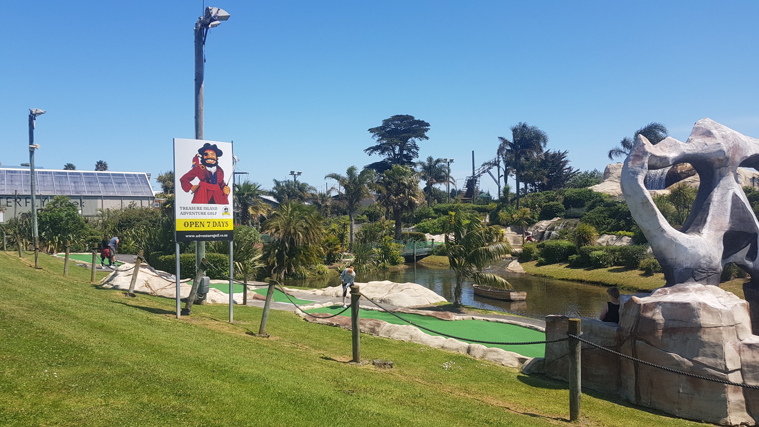
I passed this mini golf course. This golf course always bring back memories – in 2003 I flew to the USA for a few months and I played mini golf with my family while we were waiting for my flight.
I saw this too.
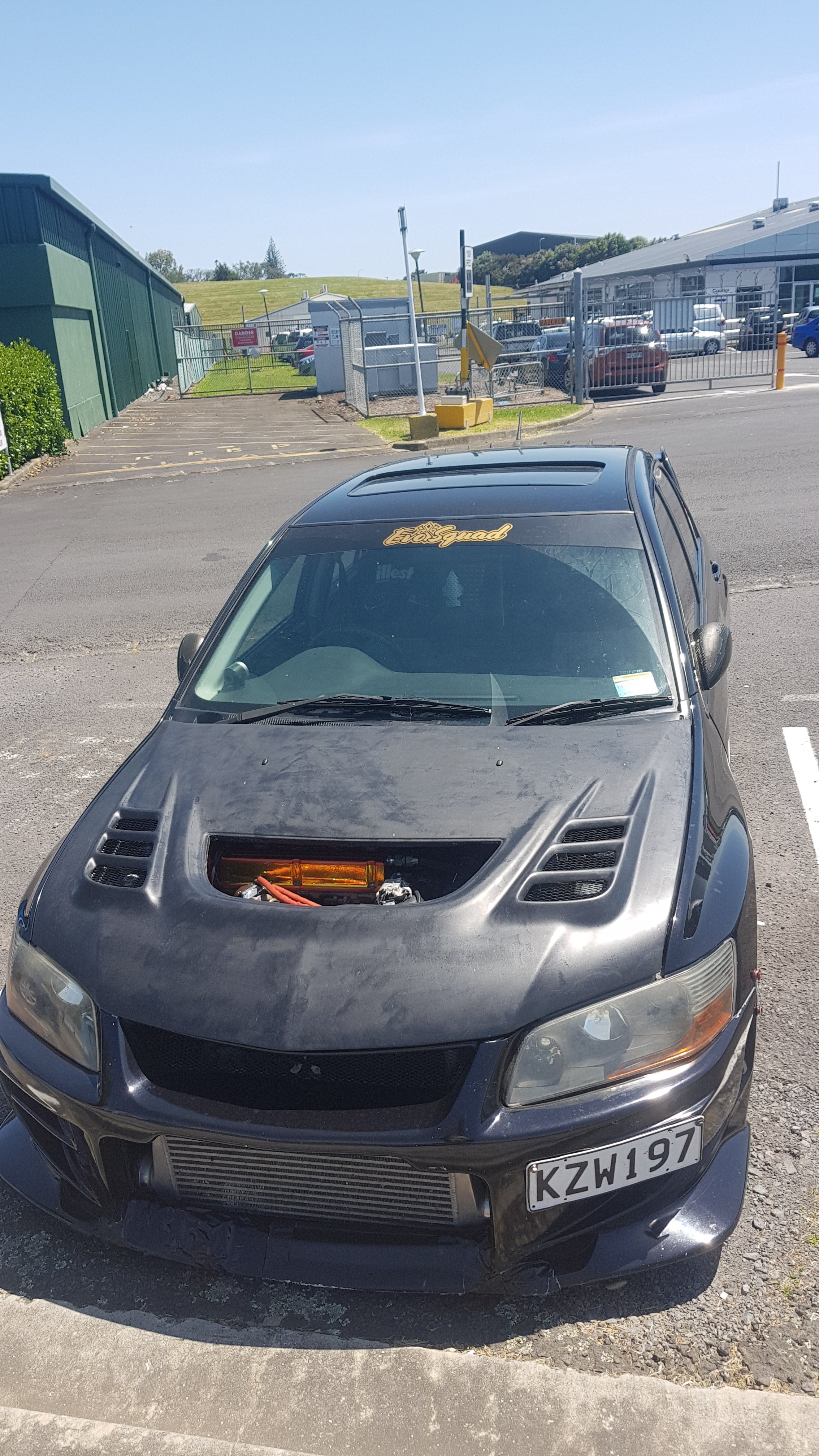
This caught my eye because it’s the exact same make, model and year as my car but it’s clearly been heavily modified. I wondered if the scoop was missing the grill on purpose or if it had just fallen out. You could just reach in and touch the pipes.
I also saw this. Don’t speed around the airport!
There’s a camera in there which will send you a fine if it detects you’re speeding. They call them “traffic safety cameras”.
I also discovered that State Highway 20B, despite being the road to the airport from the south, has a footpath along a lot of it.
And where there was no footpath, at least there was a shoulder. You also get to see the planes coming into land. Here’s an Air New Zealand plane arriving.

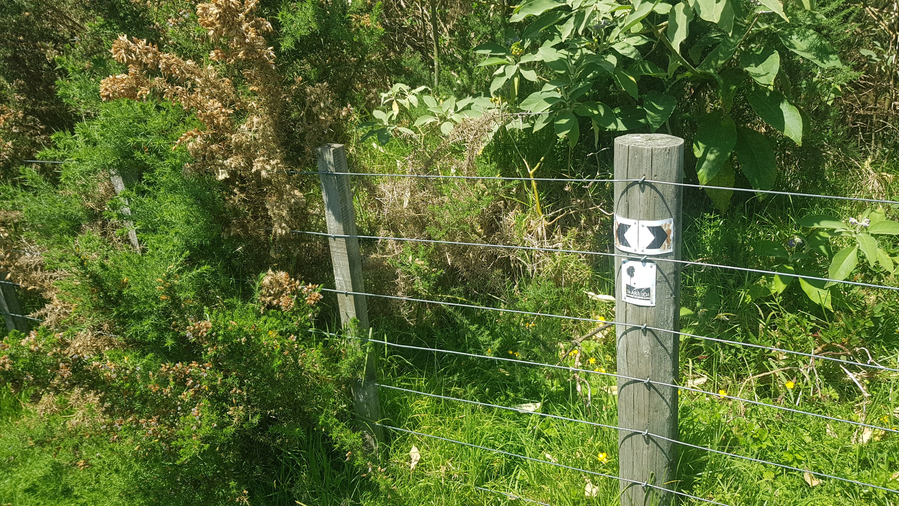
A reserve comes after this, and also a bit which I think is somebody’s farm. There’s lots of gorse, but fortunately you don’t have to push through it.
And it’s well marked.
Once you come out of here though, you really do hit the industrial area. People who are hitchhiking bits to save time – I really would suggest hitching the entire section after the airport – potentially until you get to Ngaruawahia (although I don’t know exactly where to yet because I’m only at Drury). The section once you turn onto Wiri Station Road is rather depressing.
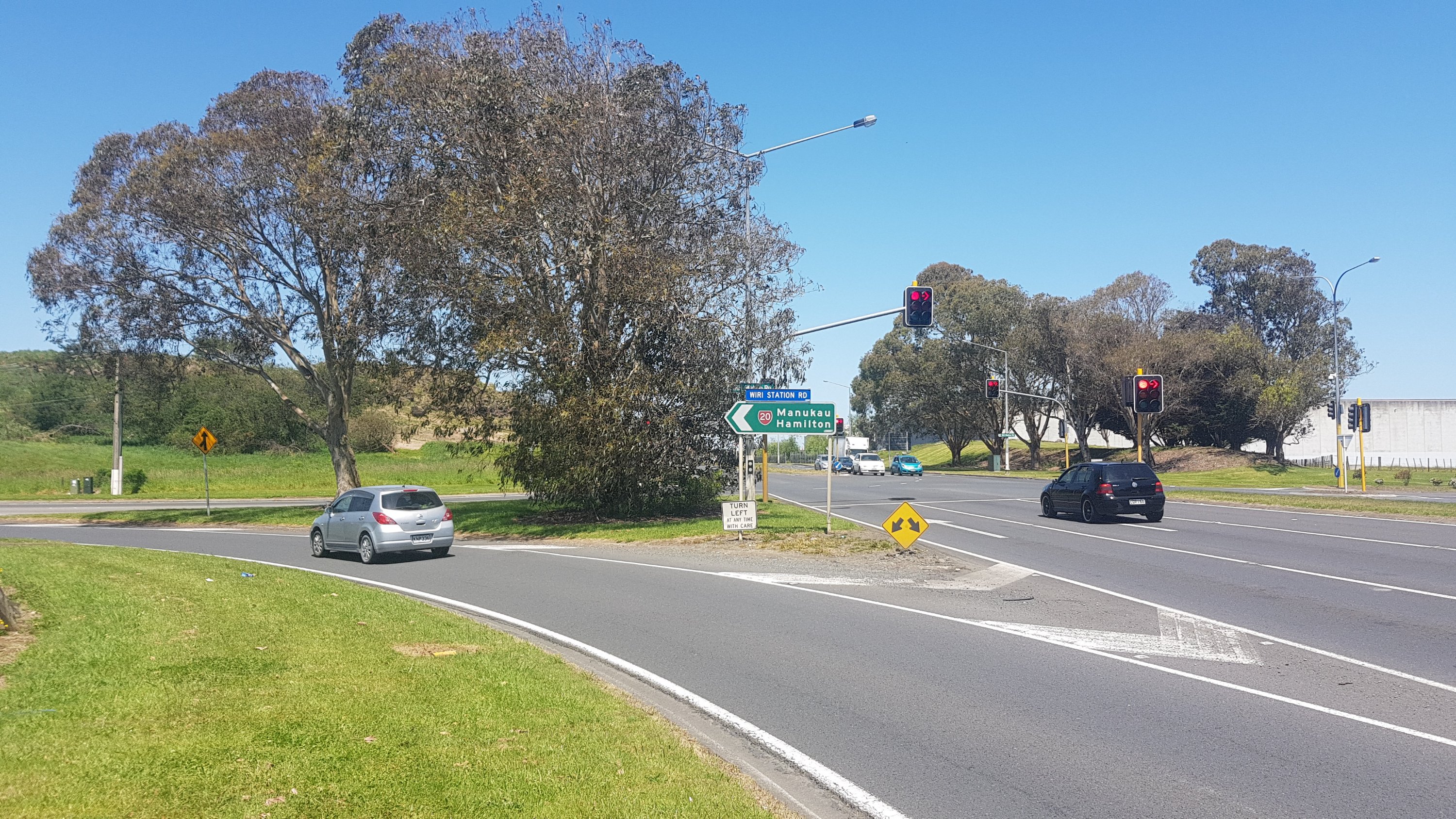
When I reached Totara Park, I had to take a selfie and send it to my friend Nick, as we always said we were going to do a lot of running in this park together. Although so far, we’ve only done it twice.
And from here, it is down a road called Porchester Road. This is long, and straight, and residential, and boring. Lots of dairies if you need anything. Although I did get a “real fruit ice cream” at the start of the road, and had to explain to the operator there why he keeps seeing people with hiking poles walking past. And I also saw one of my friends, Helaman, from university – he saw me and did a u-turn and we had a chat. I had not seen him for many years and had no idea he had even moved to this area. That was a nice unexpected surprise.
After a long time walking on this road though with not much happening, I was excited to see this:
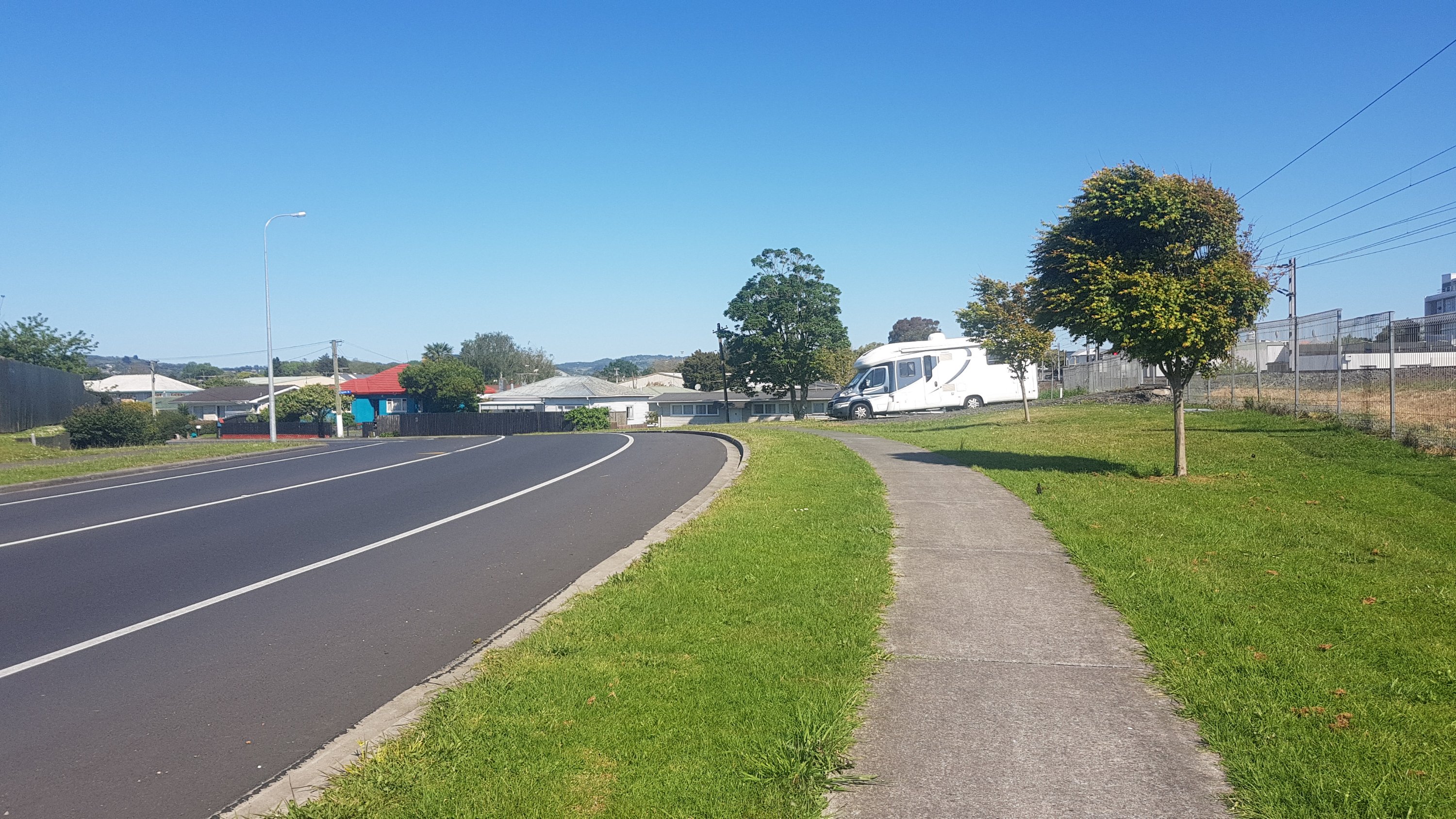
No I don’t mean the campervan. It’s the bend in the road. If you can’t appreciate it, you haven’t had the pleasure of road walking on a perfectly dead straight piece of road for what felt like over an hour.
It had been so hot all day. I was starting to get quite burnt. I put on sunscreen when I left the airport but I don’t like reapplying it because it just runs down your face with your sweat and ends up getting in your eyes. But the sun was shining intensely all day, so maybe this time I should have. And I ran out of water, and it was surprisingly hard to find. All the Central Auckland playgrounds and parks have water fountains but in South Auckland none of them do. I was really starting to struggle.
In Papakura I still couldn’t find any water so I actually did a small detour and went into the “Massey Park pools” and asked them for water. I think I was being an inconvenience because it was a busy afternoon with parents bringing their kids in but the lady was nice and she went and filled up my water bottle with water. I could have bought it from the shops along the way but if I had to keep buying water I would have spent a ton of money.
Walking through Papakura I met up with Barry from Dunedin. He was walking fast and I had to pick up the pace to catch up to him. We were chatting as I saw signs pointing to Drury.
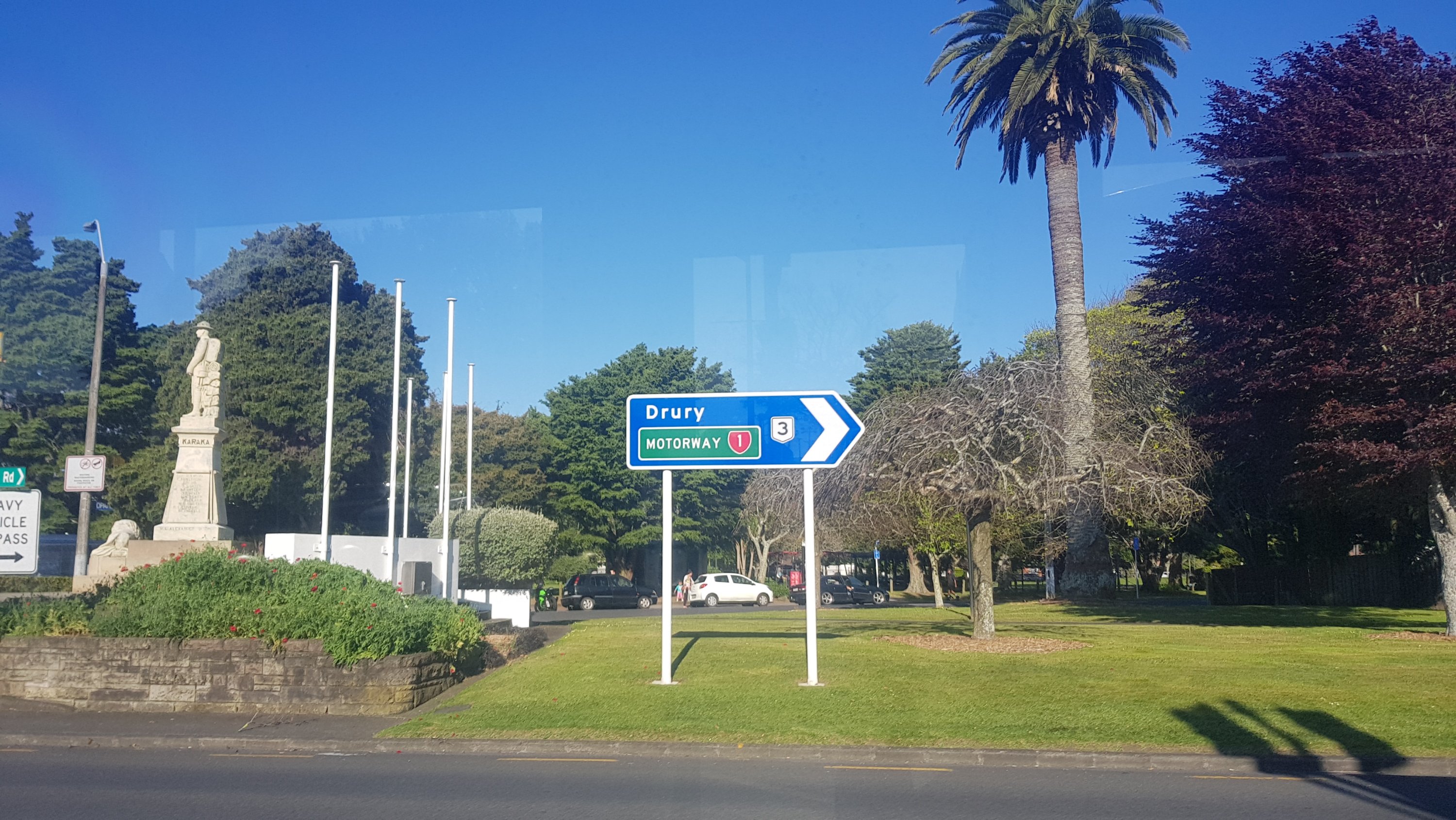
I was getting close to my destination now – the Mobil at Drury. We had a good chat about all sorts of things… and eventually in the distance I saw a hint of blue…
And not much longer before I was right outside it.
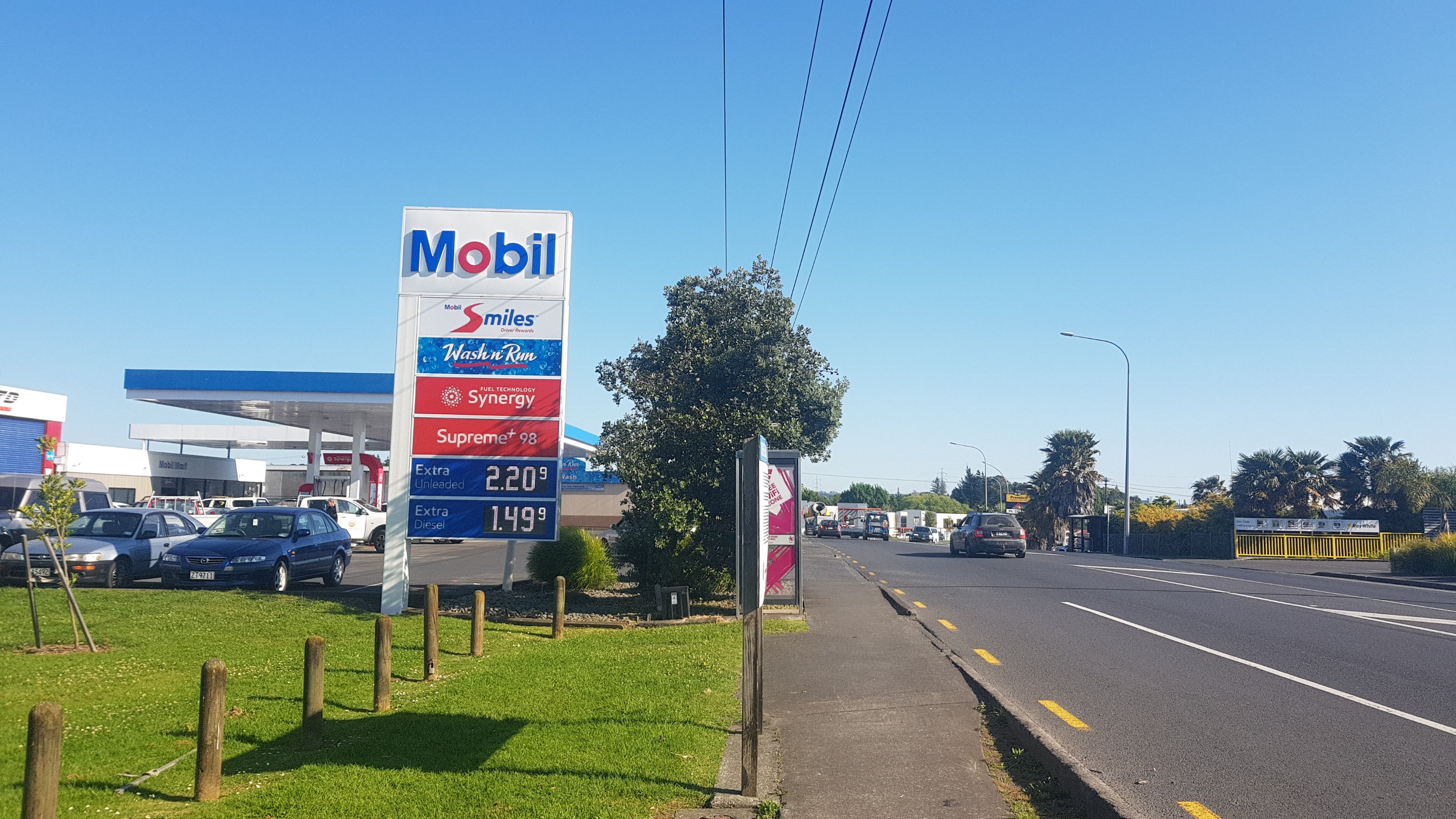
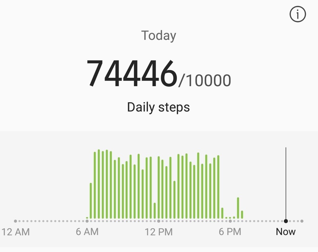
The bus stop on the other side of the road is where I would wait for my bus to go back to Mount Eden to go home. I said goodbye to Barry who was staying just a bit further up the road. I also looked at my watch…
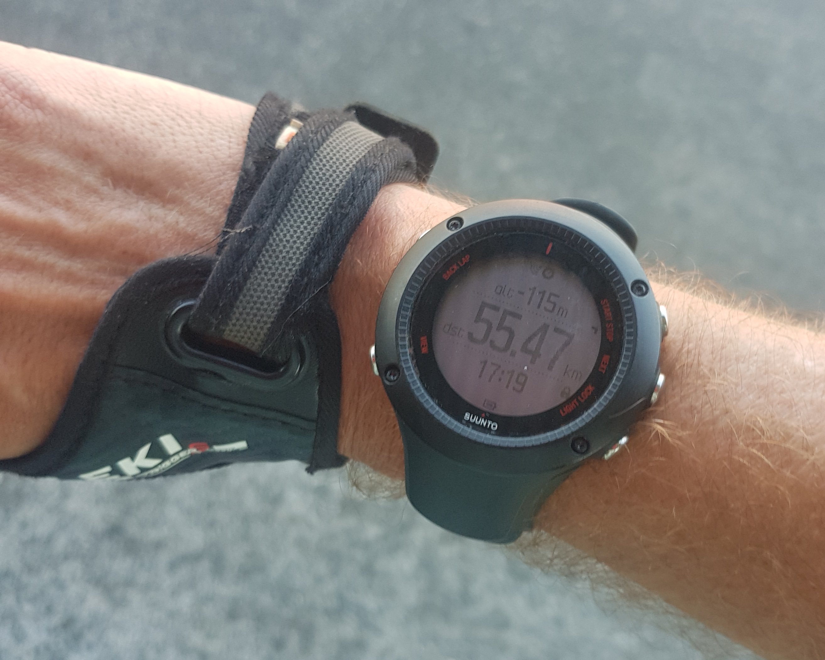
Now I know that according to Guthook, I had walked 57.6km. And, I had detoured and backtracked over one kilometer today. My watch should be reading at least 58.5 – it’s reading 3km under what it should. I’m quite annoyed about how much it under-reads in the city. Looking at the map below, I can see why – the line cuts most corners and in some places, especially around Greenlane, Royal Oak and the southern end of Porchester Road, it’s wildly inaccurate (in each of those places I followed the trail exactly). I wanted to put it on high accuracy mode today, since I knew I was walking through city streets, but I knew that the battery would not last long enough to track an 11 hour walk. Oh well, I guess it doesn’t matter. I know how far I’ve walked!
I had arrived at 5:19pm though. Since I started at 6:30am I thought that wasn’t too bad for a 58km-plus walk. That makes me confident that I can walk from Drury to Rangiriri on Wednesday and arrive in Rangiriri at a reasonable time. There is a bit of farm walking I believe in that section, but I have a few hours leeway up my sleeve and so I’m confident.
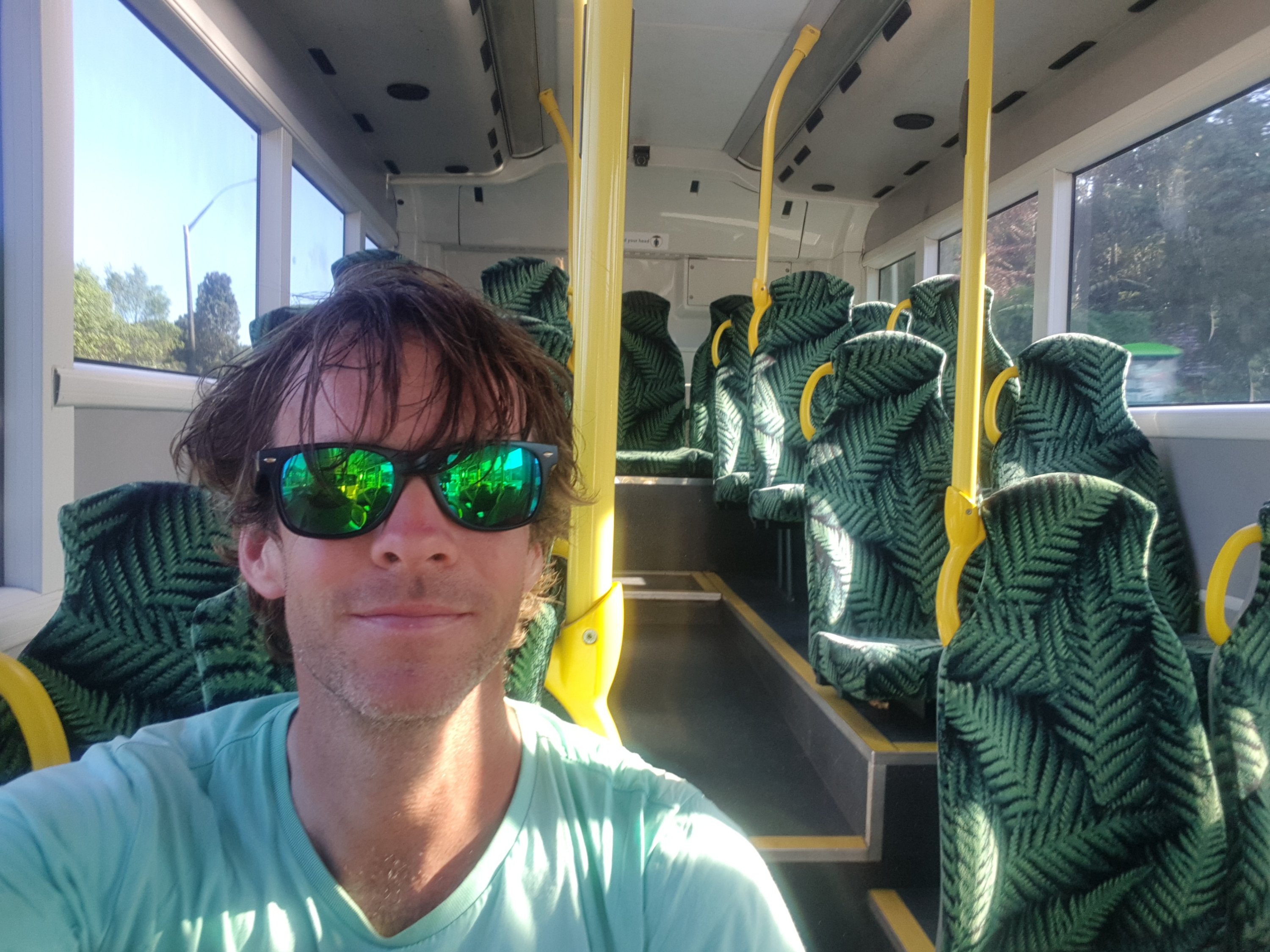
I got on the bus, and I had the bus all to myself the entire way from Drury to Papakura Train Station.
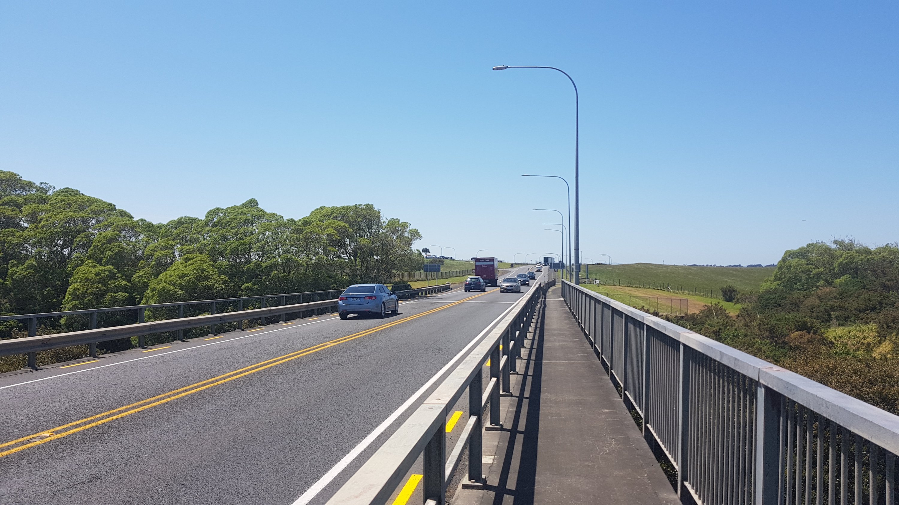
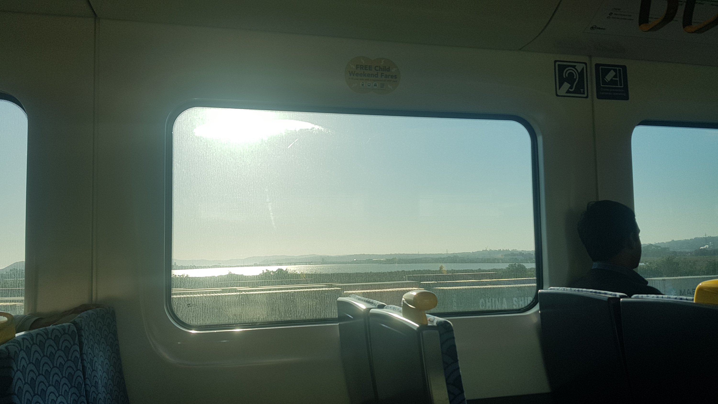
And then I took the train from Papakura to Mount Eden. From the train I could see the State Highway 20 bridge that I walked along earlier in the morning.
This meant transiting through the Newmarket Train Station. Back in 2003 I took a train from this station, and back then, there were no display boards, and the trains themselves didn’t have a destination written on the front of the train, or anywhere on the train for that matter. You had to actually go up to the driver in person and ask him where the train was headed. Things have improved there now… but only very slightly.
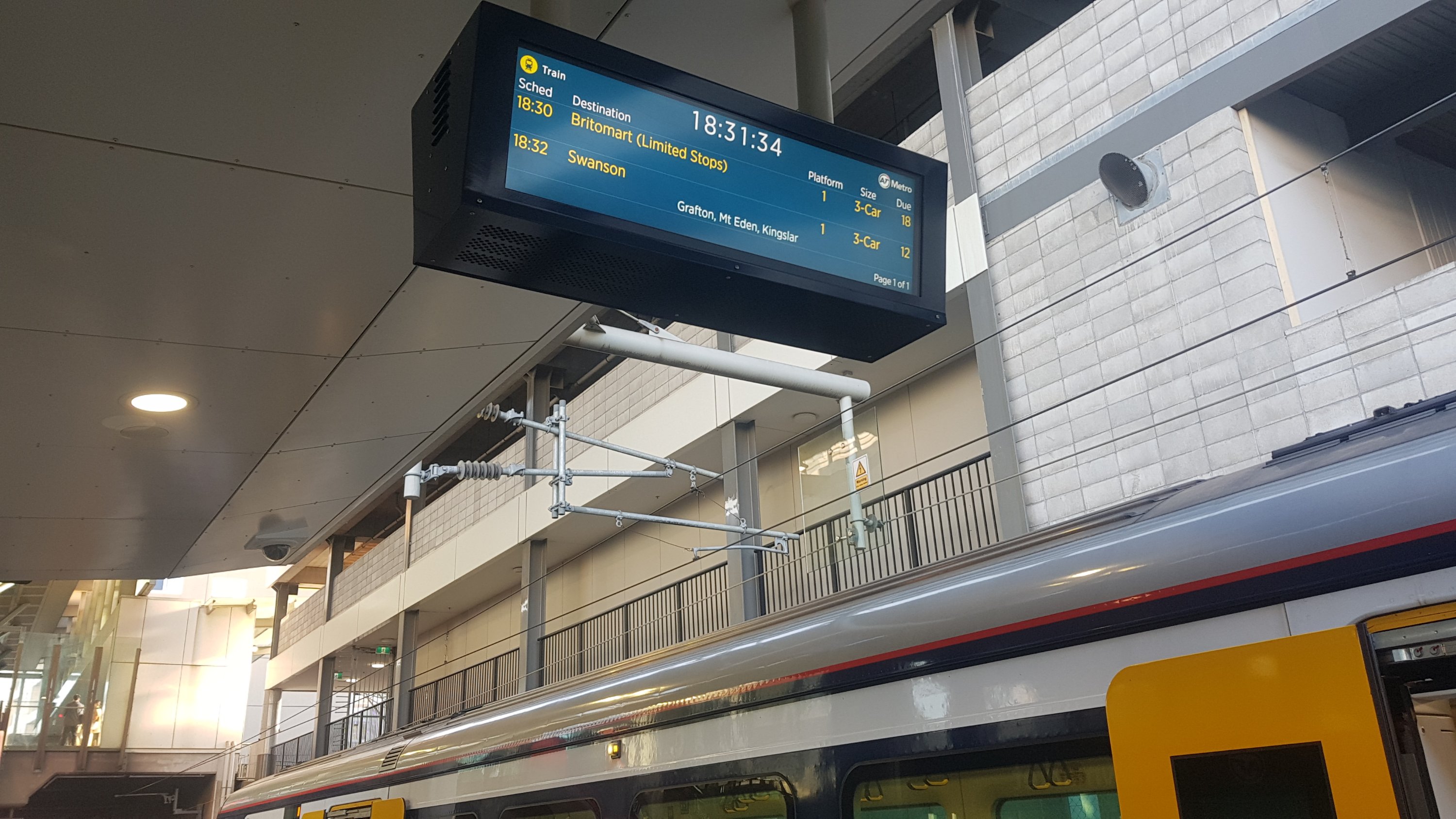
In the twelve minutes I was at this station, I heard three “your train has been moved to a different platform” announcements. Fortunately none of them were my train – I’m not sure I actually could have walked up the stairs to the other platforms. The 18:24 train towards Swanson (the one I needed) just disappeared from the board, and never showed up. The actual train can’t have just vanished, surely, so I always wonder how this actually happens. And then, the next train was supposed to come at 18:32, however a train going to Britomart just randomly turned up on the platform. And the display board got confused. You can see it above, it says the train is 18 minutes away but actually that’s the train right there in the picture and left less than a minute later.
My train did eventually turn up, a fair bit later than what the boards said. I’ve said it twice in three days now… but you clearly don’t have to be a genius to work at Auckland Transport. Sorry to my friends who actually work at Auckland Transport! I pity anyone that has to travel from this station on a regular basis.
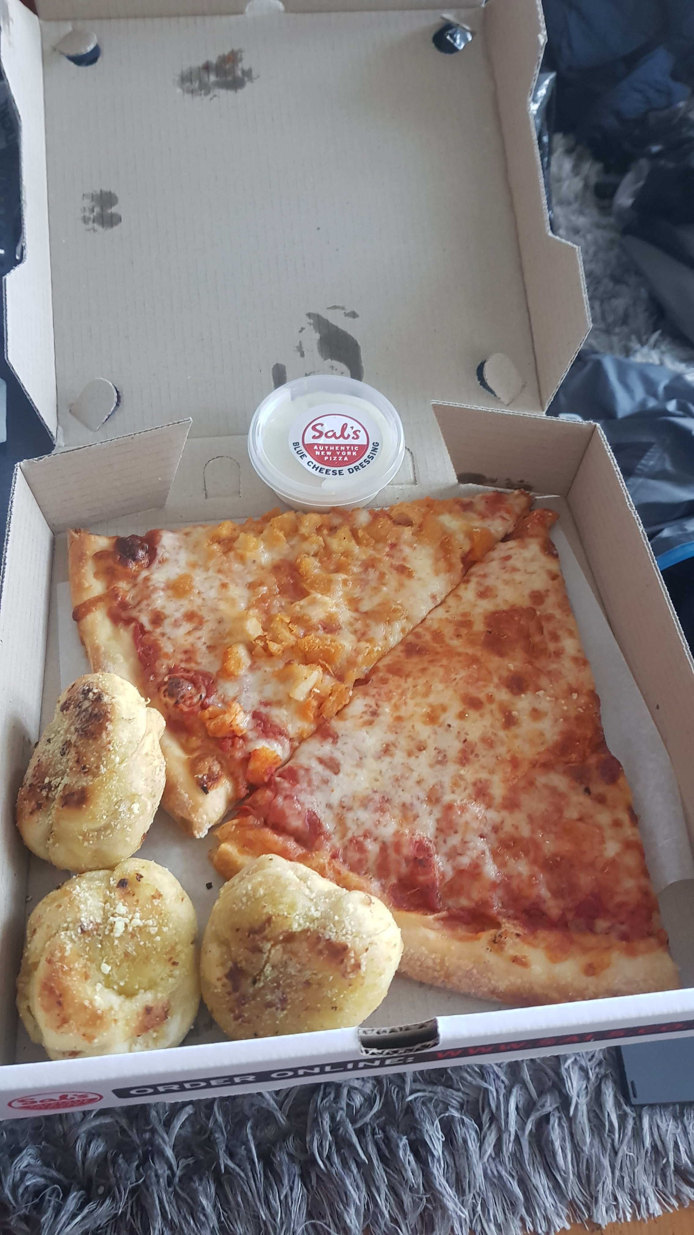
Once home I had Sal’s pizza. I was in the public transport mood so I was going to get the bus to go get it, but I knew they’d never let me carry it home on the bus, so I had to go home first and get my car.
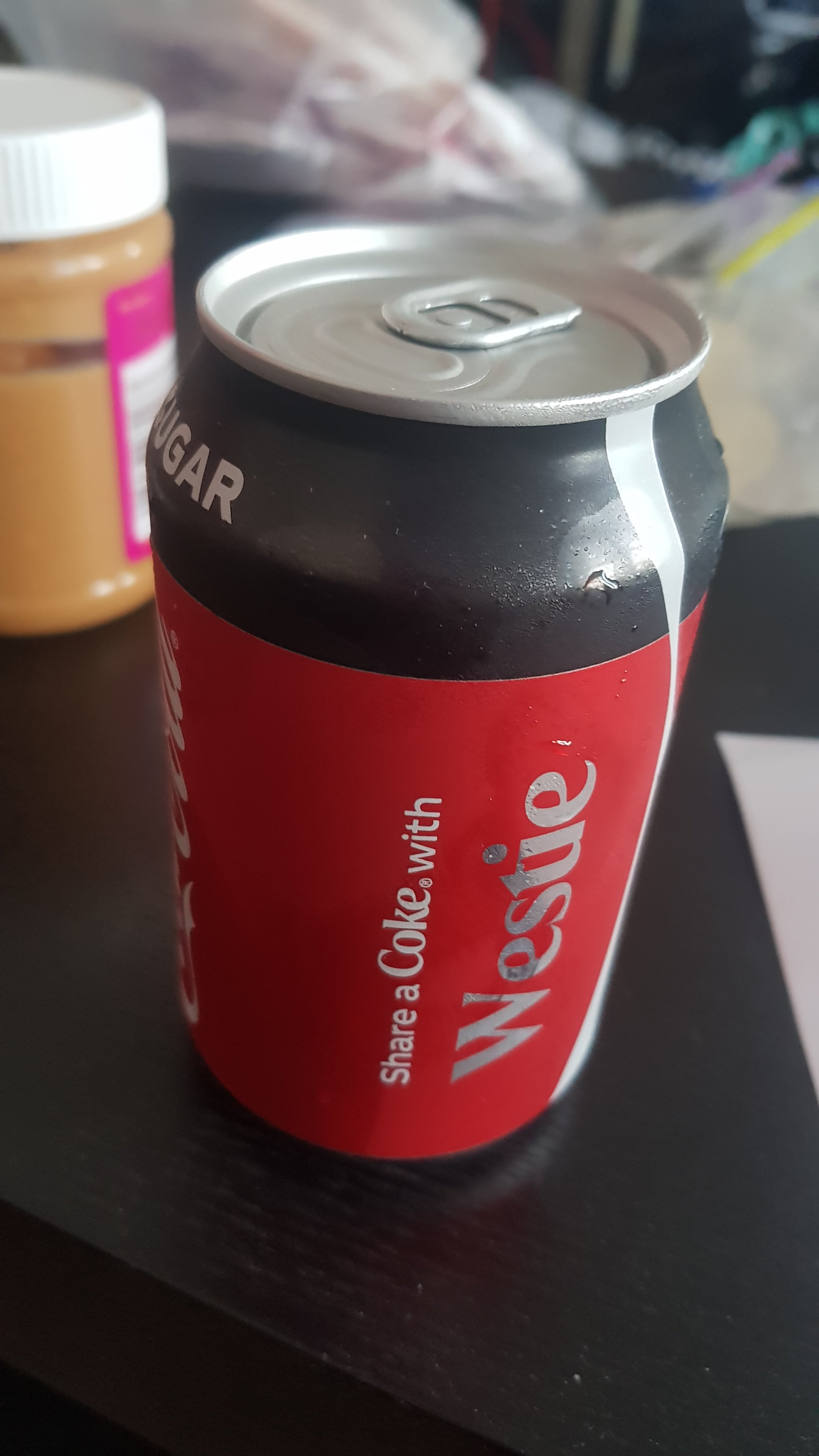
I also got this interesting can of Coke. Nick emailed me a picture of a can of Coke a few days ago which said “Have a Coke with Bogan” and so it was quite a coincidence that I grabbed this can. I’ll let Urban Dictionary define “bogan” if you don’t know what it is. A “Westie” is basically a bogan from West Auckland.
And I got this from Sal’s – which I think must be gram-for-gram the most expensive ice cream in the world. $6.90 for a 120ml tub. It looks big because it’s close up but trust me, it’s tiny.

I sat on my couch and ate all this… and then I just couldn’t get off the couch. I was hurting a bit, but honestly not as much I was expecting to. Still, it was a challenge to get off the couch, and I thought there’s no reason to if I don’t have to. When it started getting dark, I was excited to realise I could reach the light switch with my walking poles so I didn’t have to get up off the couch.
I have a feeling that I’m going to be on this couch for the rest of my life. Perhaps I won’t bother going to Wellington after all.
Today's walk on the map (blue = Te Araroa, red = today's walk):
I’m assuming you have plenty of mates in Hamilton that you can call on for a ride / somewhere to stay when you’re in that area? My sister lives in Ngaruawahia, if that helps any?
Cheers! I should be good though. I’ve got most of the waikato covered
It’s so weird looking at once very familiar scenery. I remember getting so bored driving down porchester road because it was so straight, so I can only imagine how boring it would be to walk down.
I remember that day of mini golf, from memory I didn’t do as bad as I thought I would.
We are certainly not on the track, but let us know if you need anything (including a rest month – can’t believe you can hit that many steps in a day) when you get close.
Clever planning and amazing new steps record. A well deserved reunion with your couch. Well done.
For the record, Mother and Stepfather do not live in West Auckland, they live in Rodney District, therefore they are not “Westies”. I have nothing against Westies whatsoever, however you know how obsessive I am with getting this sort of thing correct 😀 I bet you knew I would be itching with irritation when I read that…. The part of Rodney they reside in is ‘Northwest’ of Auckland, and therefore would not quality as “Westie” status.
Also for the record, “smattering” is indeed a word.
The pizza looks awesome, and the sunnies were clearly meant to be.
Thank you Hannah for putting the Westie record straight.
I would also like to add as a daily newmarket train station commuter that the service and the display boards are awesome.
Sheep is the plural for sheep!!
I don’t think anyone really believed it was sheepies 🙂