Date: 13 November
Distance walked: 29.9km 
Trail covered: kms 820.7 to 853.5
Weather: overcast most of the day
Number of toppings on the free pizza: 6
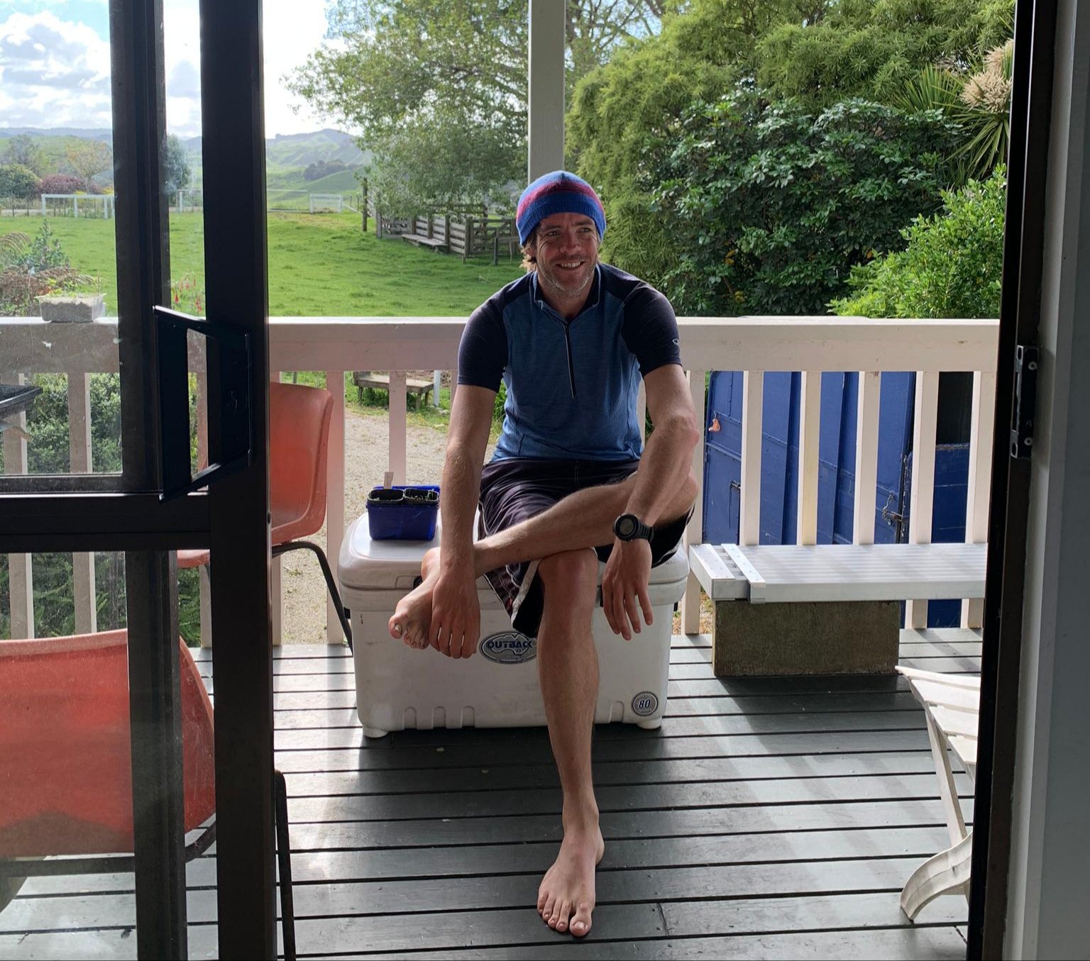
I woke up at Oliver’s place and had a nice breakfast of fried eggs and coffee with sheep’s milk – which was new to me. We sat around for a while and had a chat, and then I was all ready to start walking again, but not before a little trip to see the farm animals.
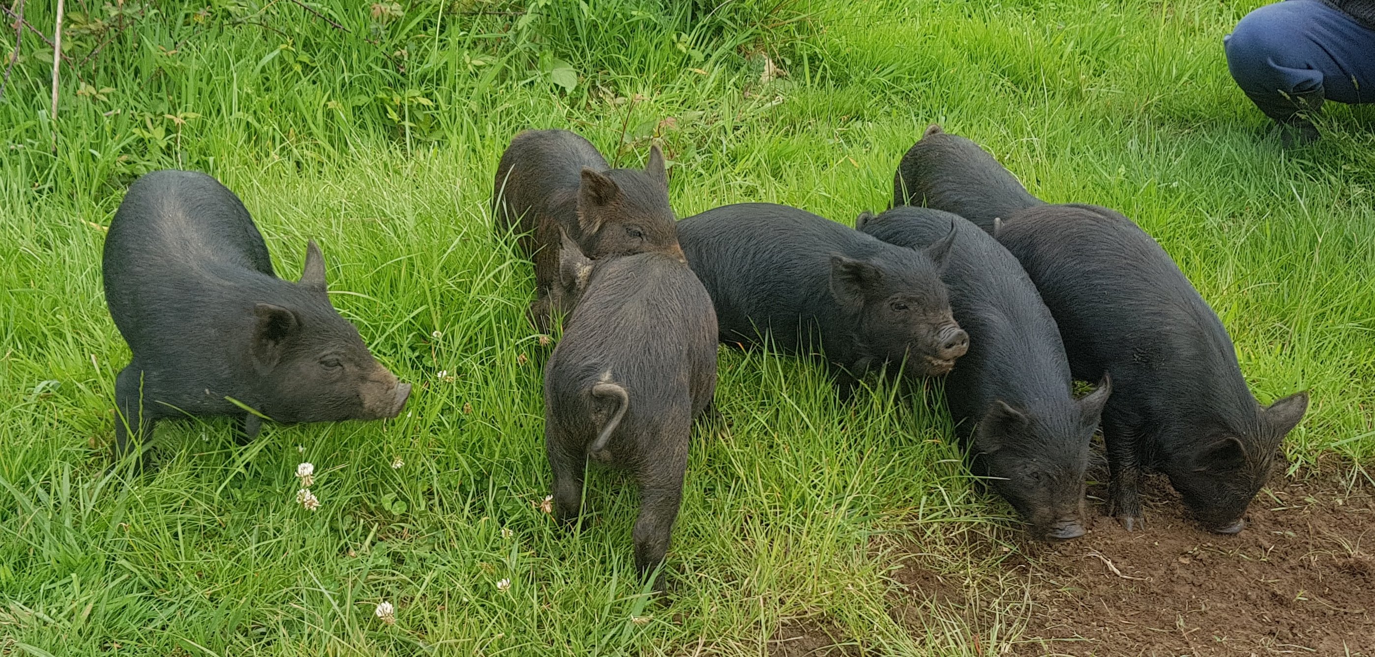
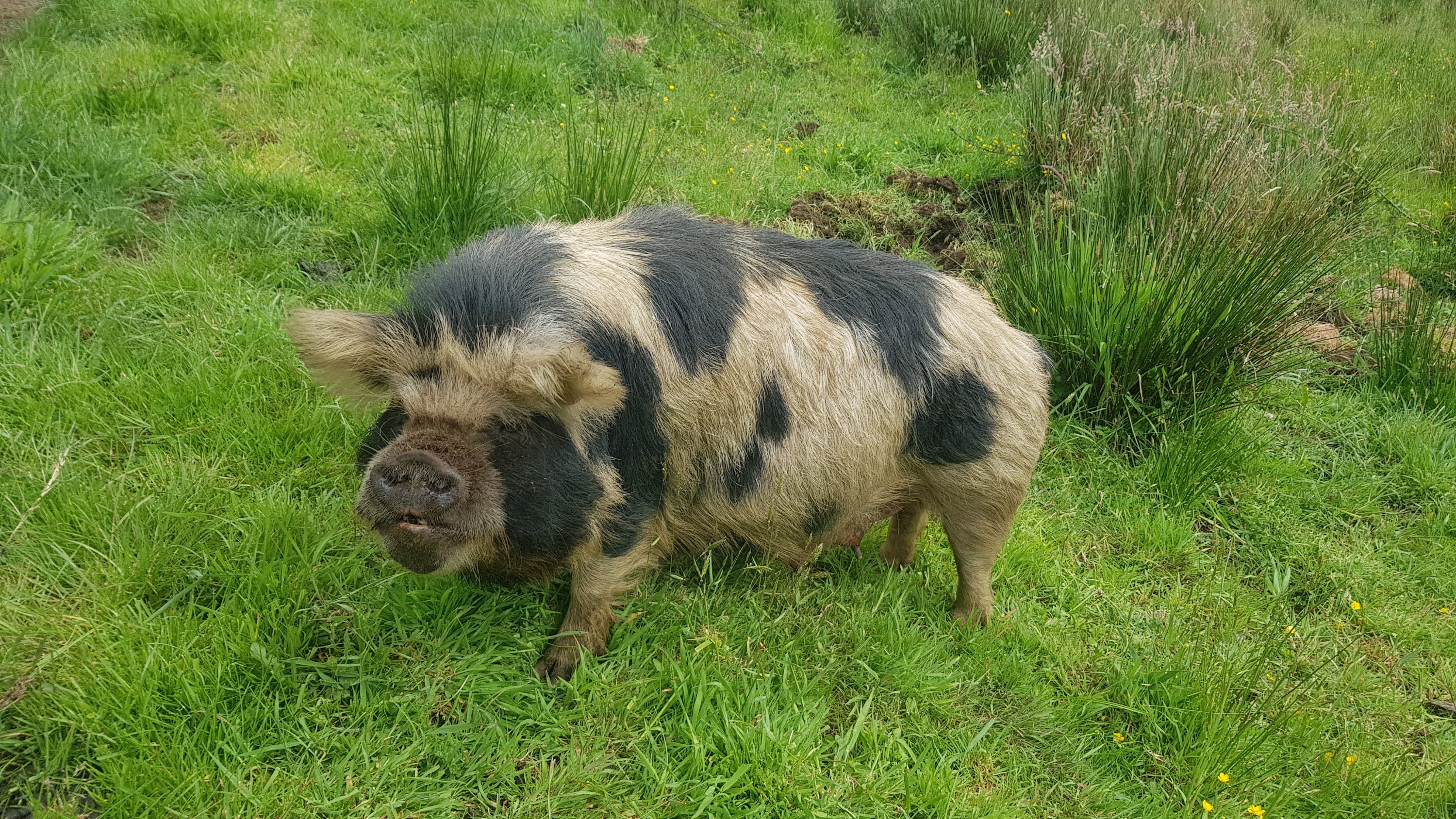
There were some piglets…

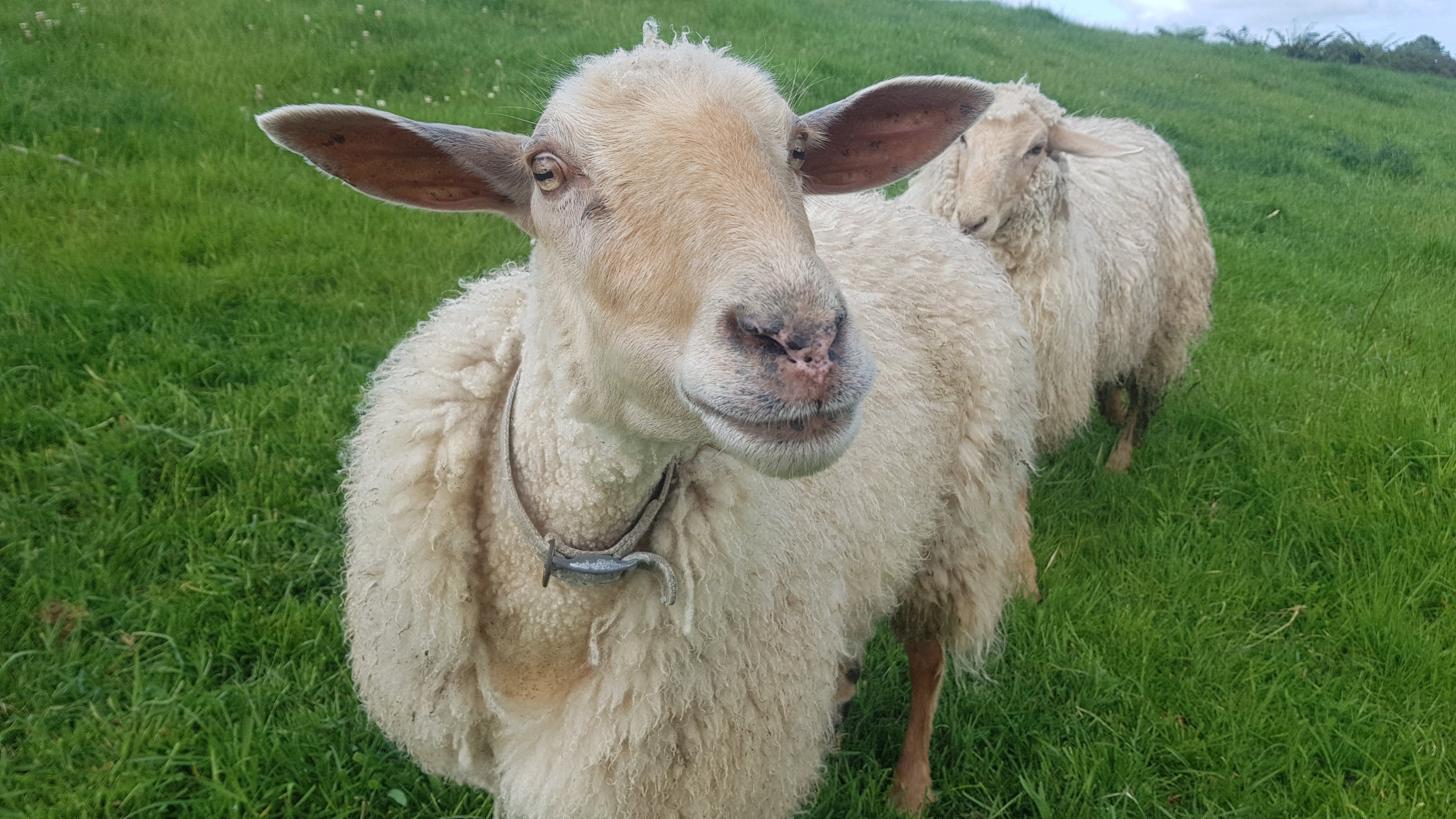
And sheep, which are much friendlier when they are hand-raised – unlike all the ones you see while you’re walking which always run off!
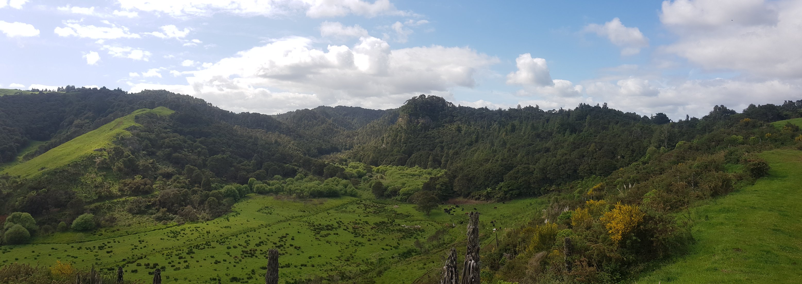
The farm has a nice view and it’s nice to walk around.
The little black piglets from above have a mother… she looks a bit different. They’re Kunekune pigs.
And a couple of very friendly horses.
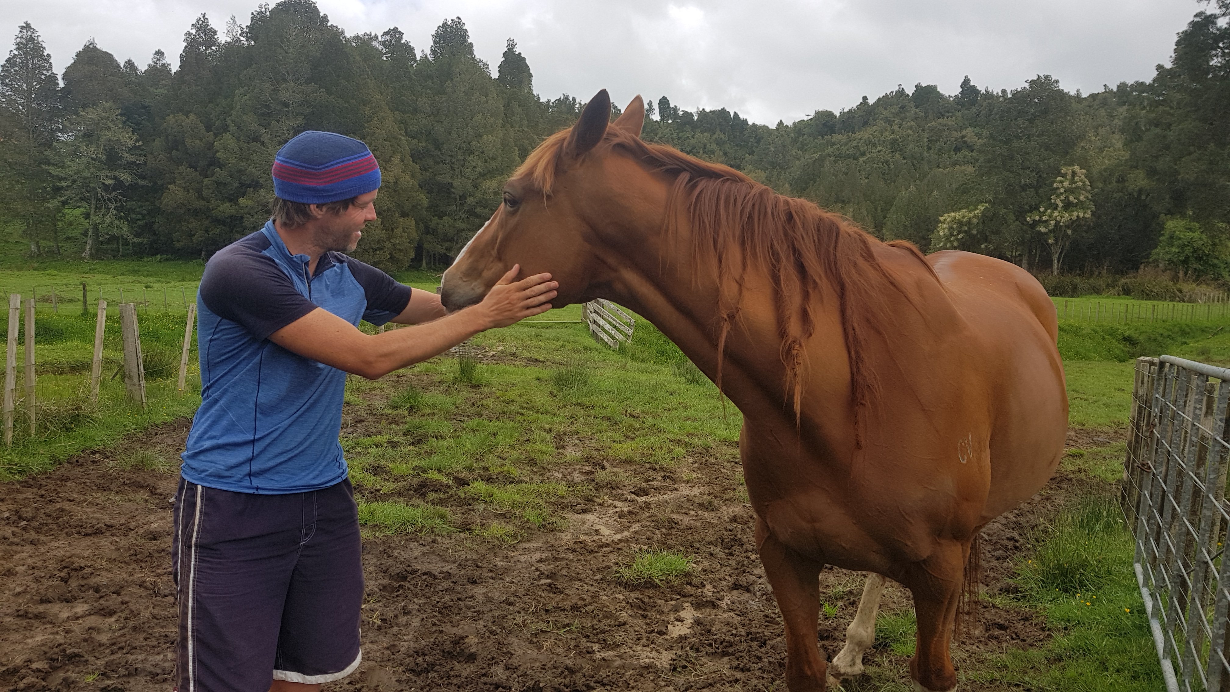
The animals around here are very cute, and I thought I took a few videos of them running up to us when they thought we had food… but they don’t seem to be on my phone, which is really annoying. I did get one video of two of the piglets fighting, which was a bit of a laugh.
This is the first time where 11am has rolled around and I haven’t even started walking yet. By this time I was still being driven back to the point where I was picked up yesterday.
I started walking at 11:40am, and my goal today was to make it to a privately-run hut in Waitomo by 8:30pm at the very latest, because my rule is always to make it to huts before dark so that I don’t annoy people who might be already sleeping. The hut was 32km away – if the terrain was easy then it would be an easy walk but if there were any tough sections then it might not be an achievable goal. I was a bit anxious.
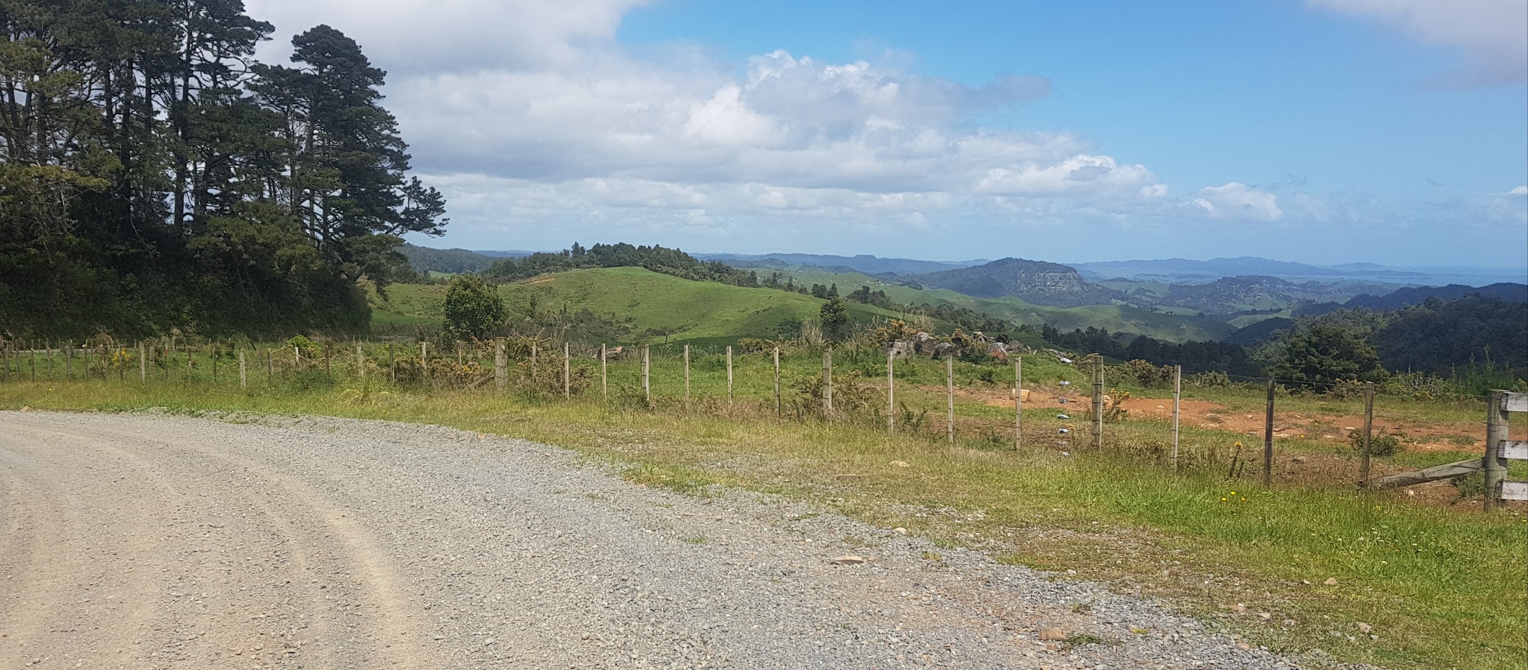
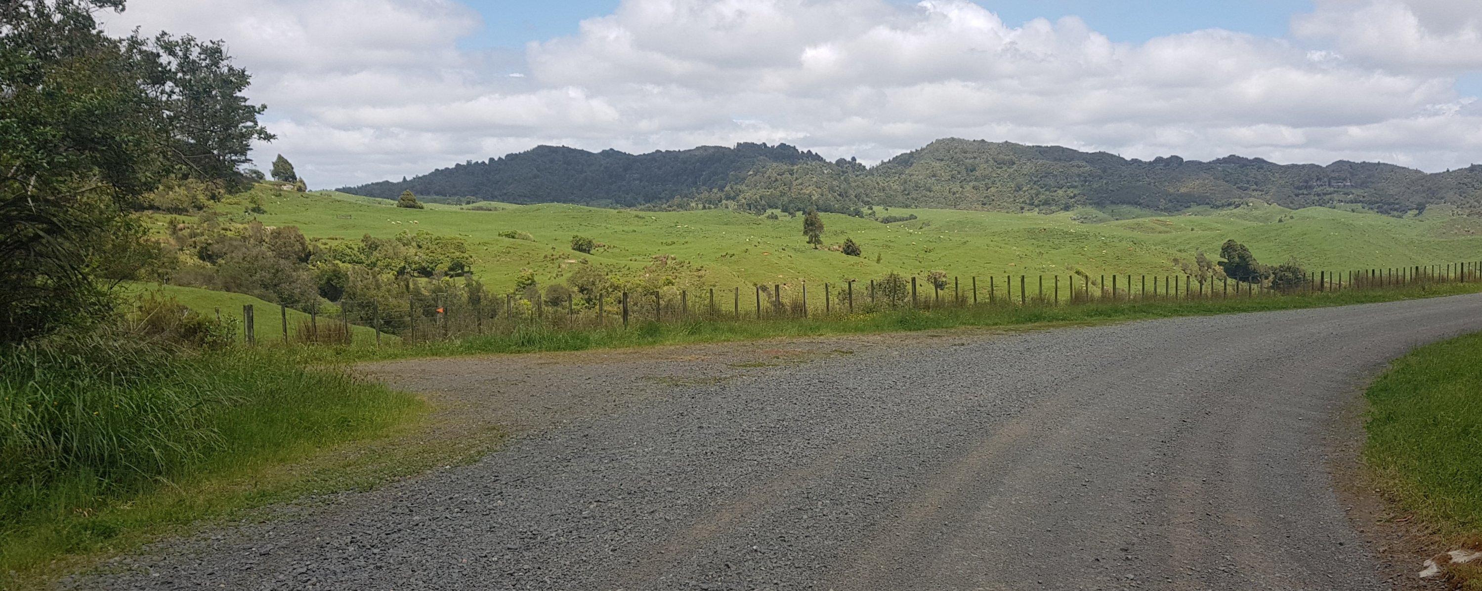
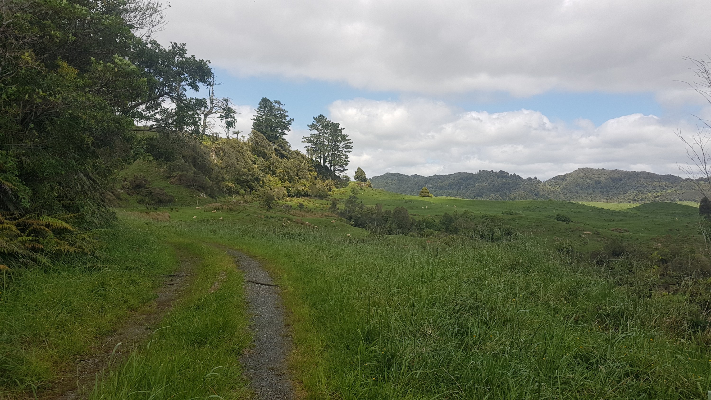
There was a bit of road walking at first. In the distance are some interesting hills. There are lot of these sorts of hills around the area, and Oliver’s farm has a big series of steep canyons on it which I’ve never seen in the farms further north.
Once you reach Honikiwi Road, the red line is wrong. In the first picture, it looks like I’m off trail, but this is actually the way. It seems again that they’ve drawn the line based on Google Maps’ interpretation of the road alignment, but Google has it wrong. I remember that happening at exactly the 300km mark up north – Google had the wrong alignment of the road and the red line just blindly followed it.
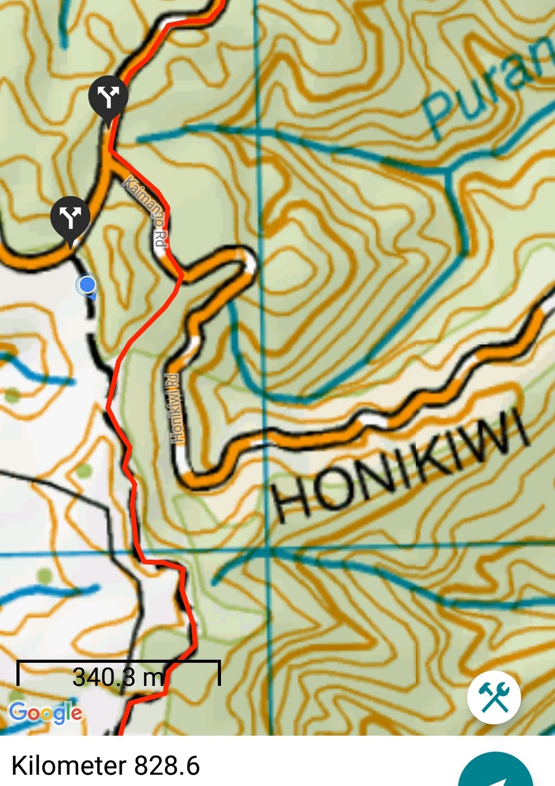
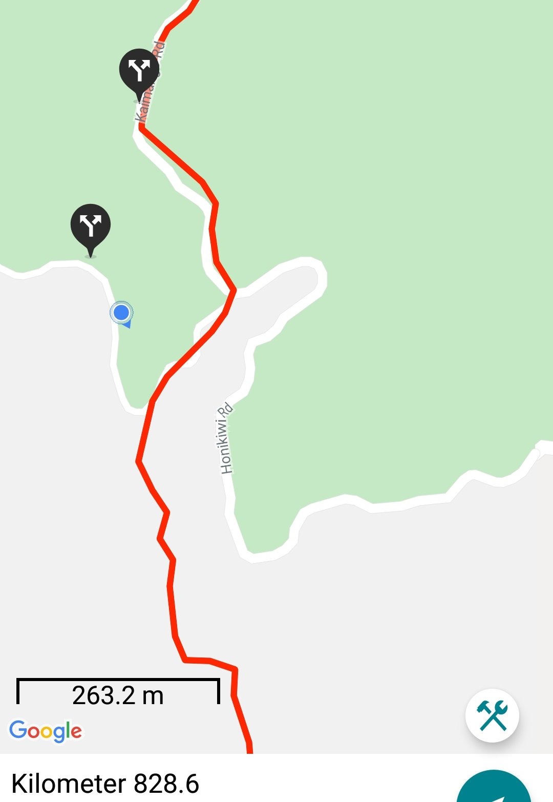
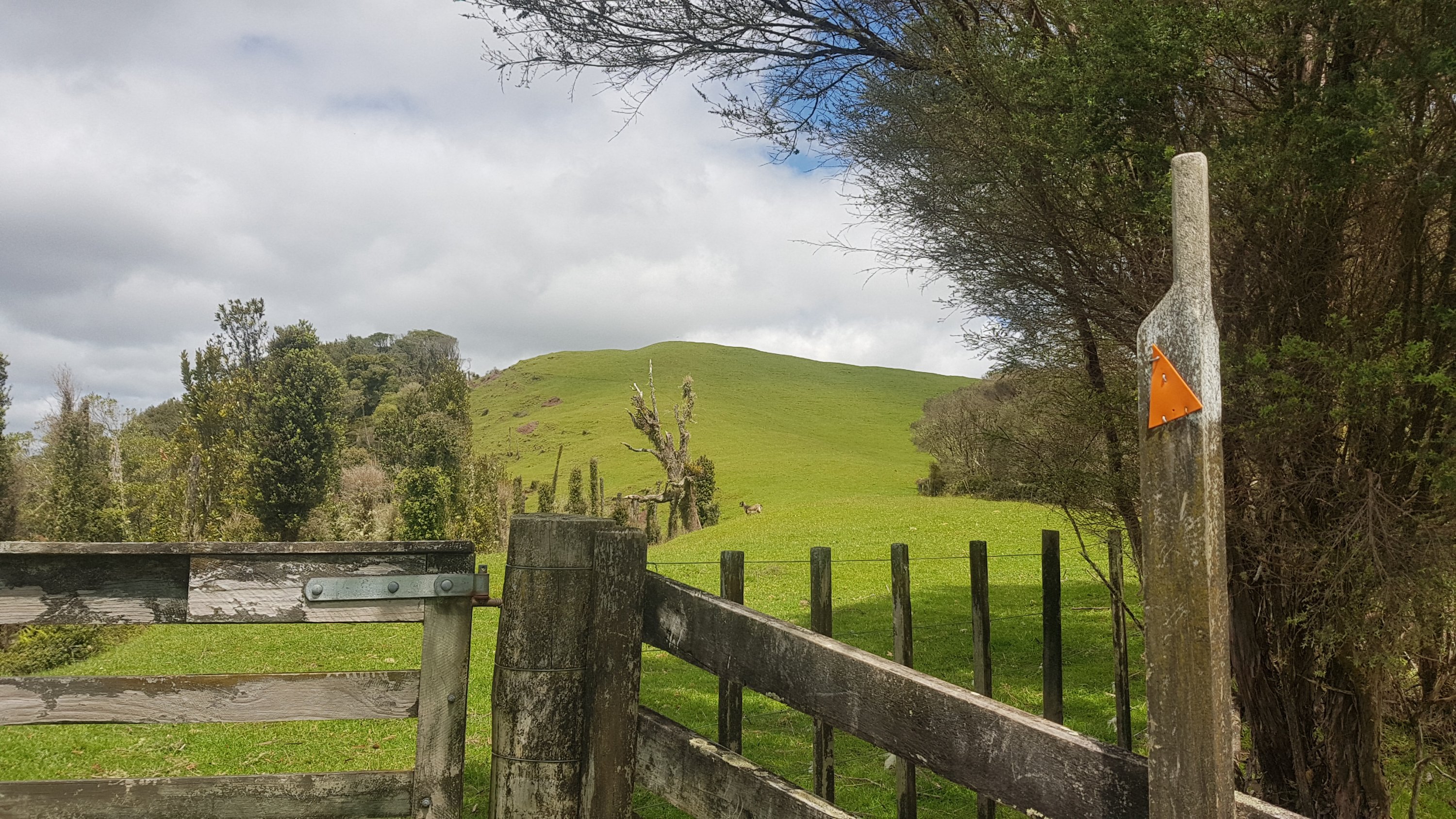
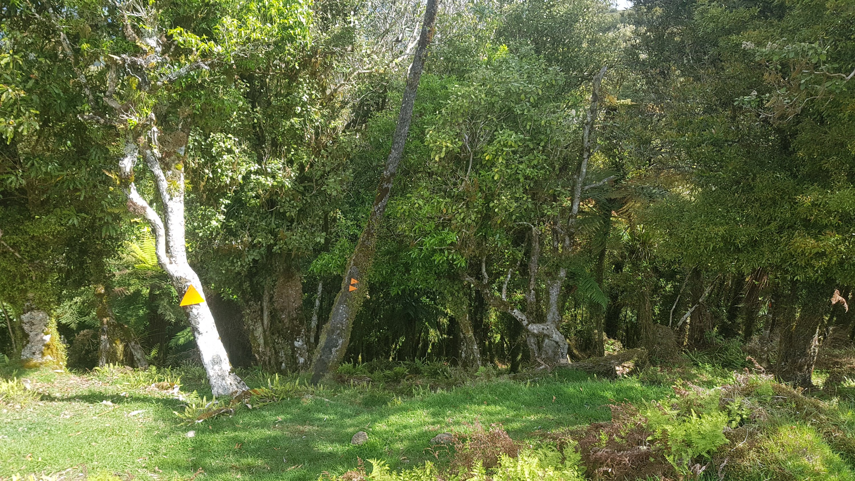
You’re supposed to stay on Kaimango Road until you see this intersection with a marker pointing to the left. Don’t turn down Honikiwi Road.
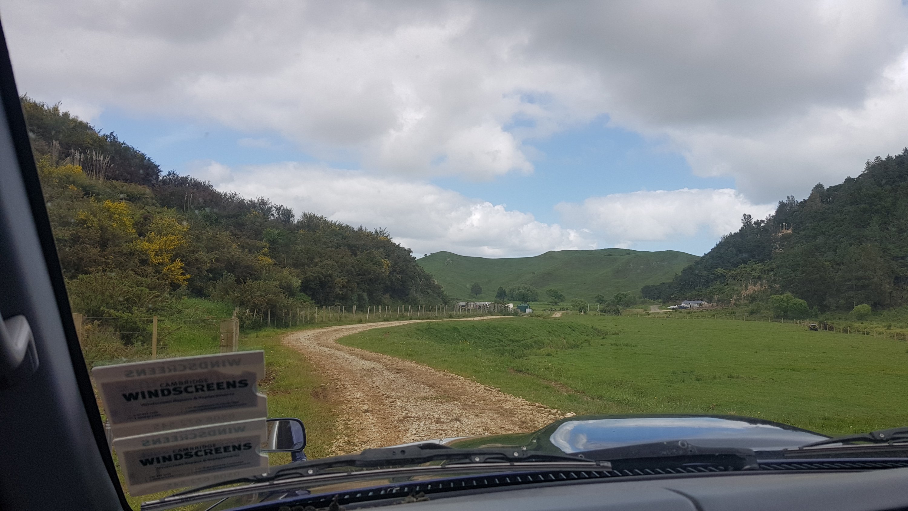
It was an easy path at first, down a 4WD track through a farm.
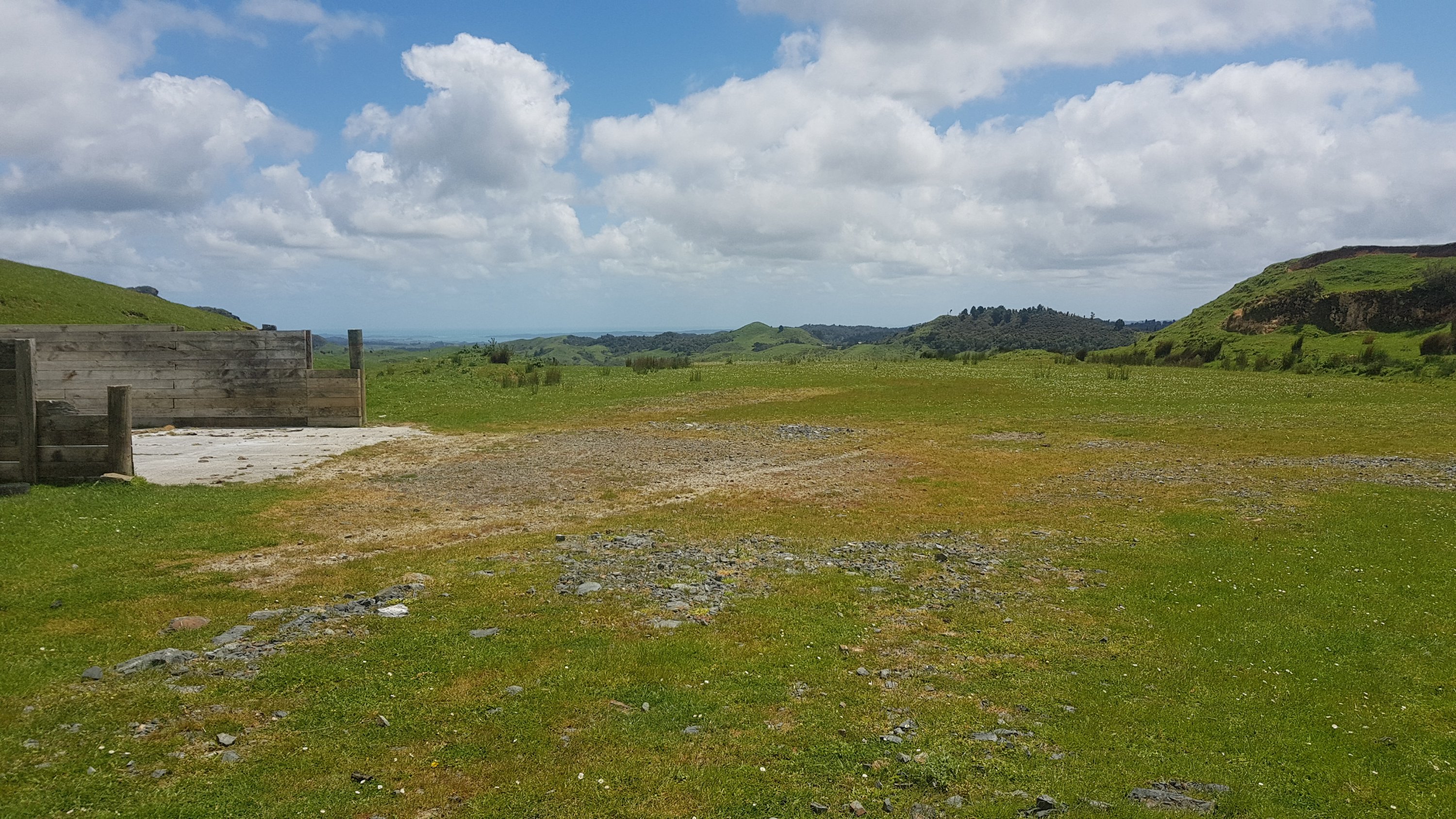
It was one of the many farms in this area with an airstrip. Don’t camp here, you might end up with an aircraft on top of you.
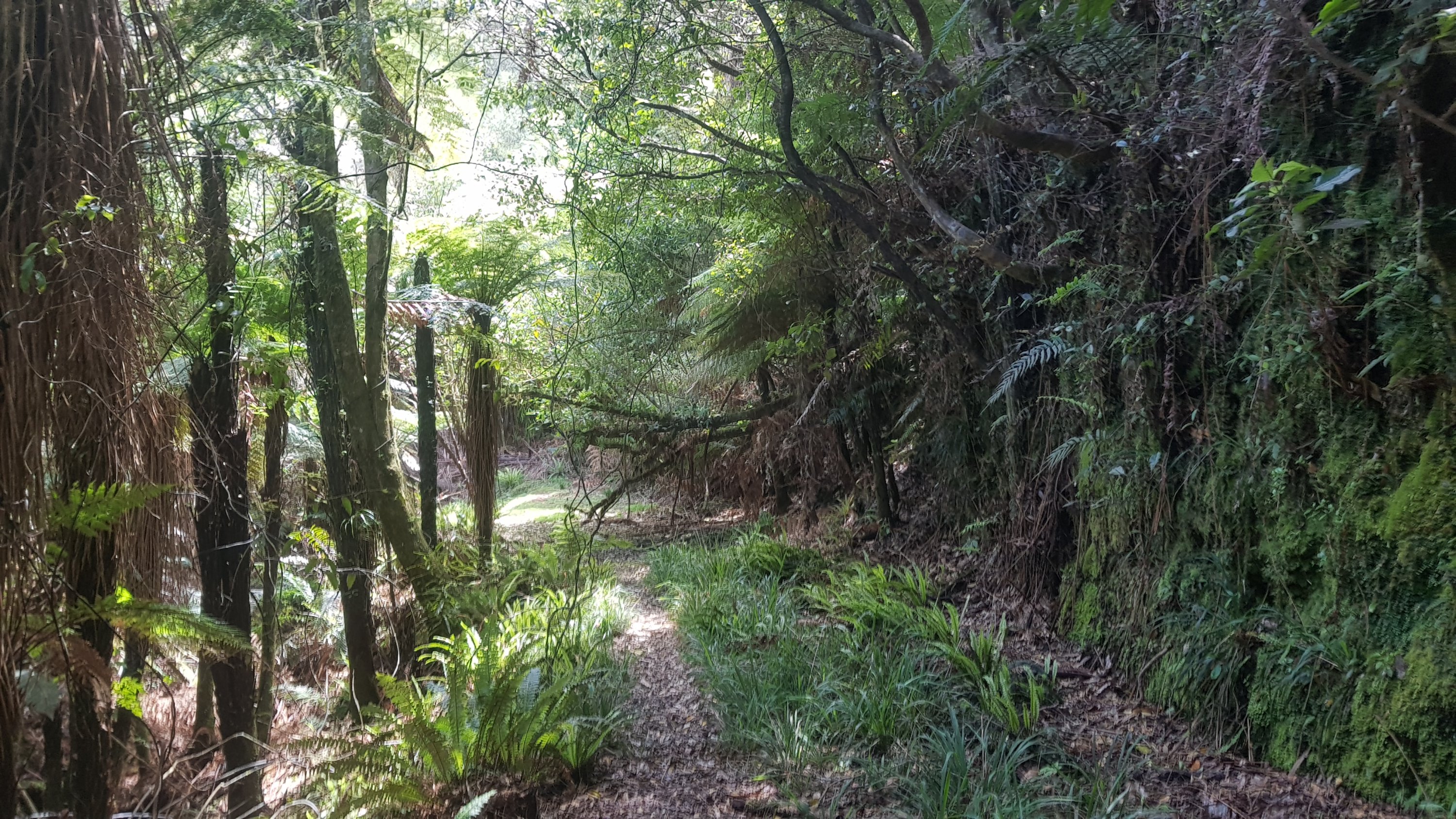
The terrain varied a lot today across the farm walks. The next bit was still an easy walk but it started to go into the bush.
And then around the corner was one of the most perfectly manicured bit of grass I’d seen in a while. I looked forward to going up there… but first I stopped for a break at this point. There was a little young goat on the other side of the gate that watched me the entire time.
The walk had been easy up to this point and it looked easy up the hill so I put on my headphones and listened to some music. Although when I looked closer, the stile here attached to the orange marker actually took me down the right side of the fence there and along a different path. I didn’t get to go up the perfectly manicured hill at all.
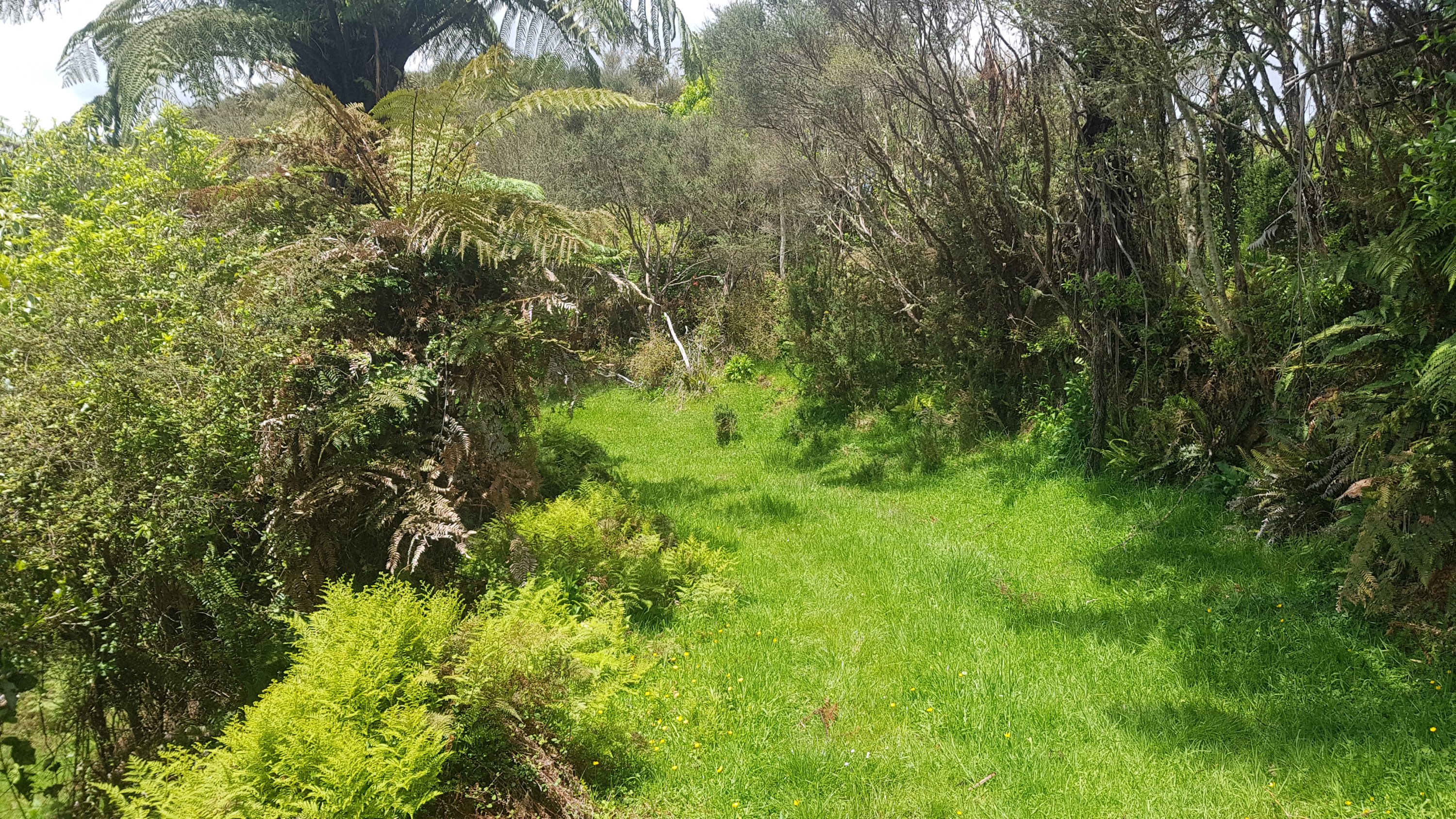
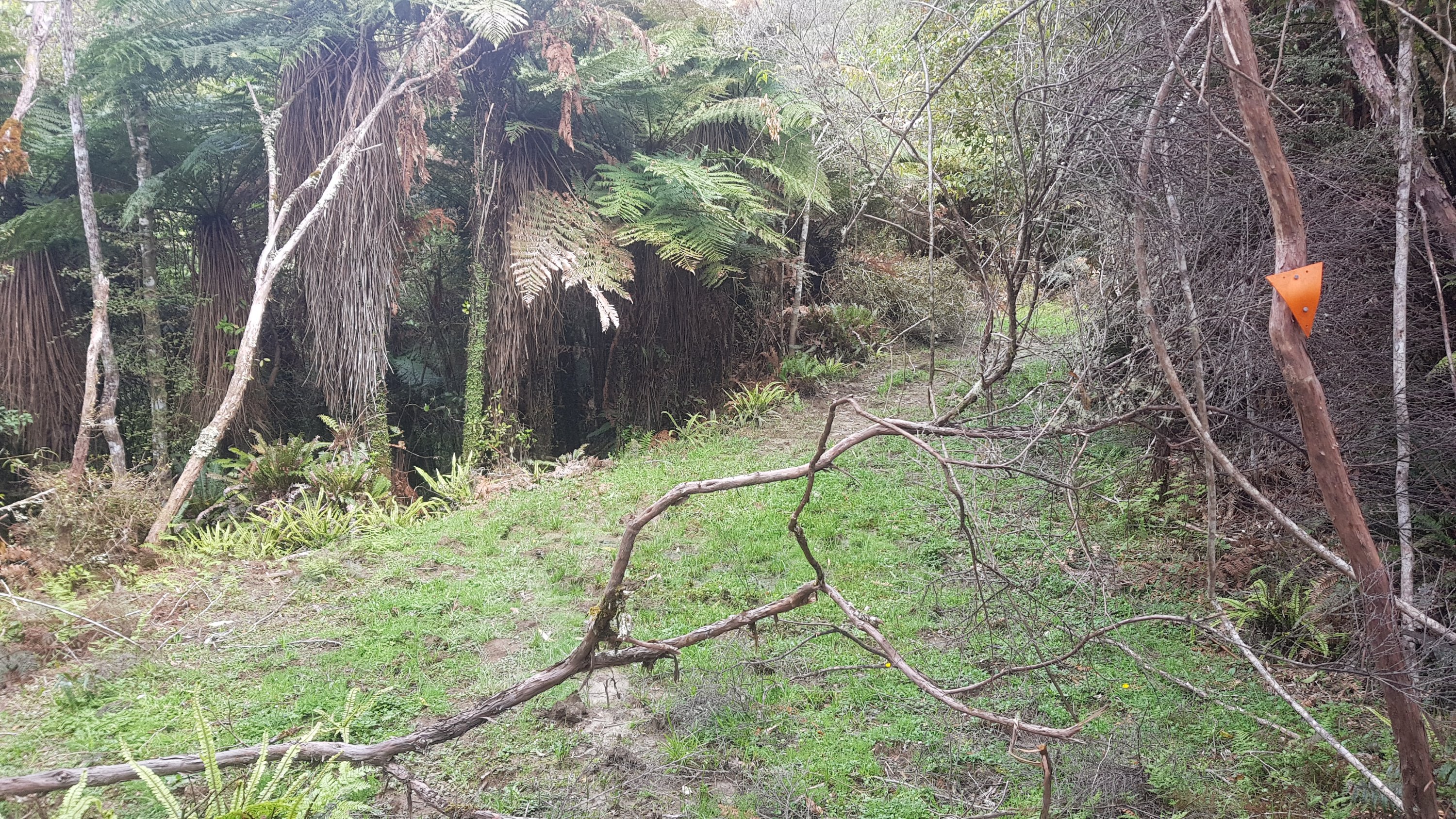
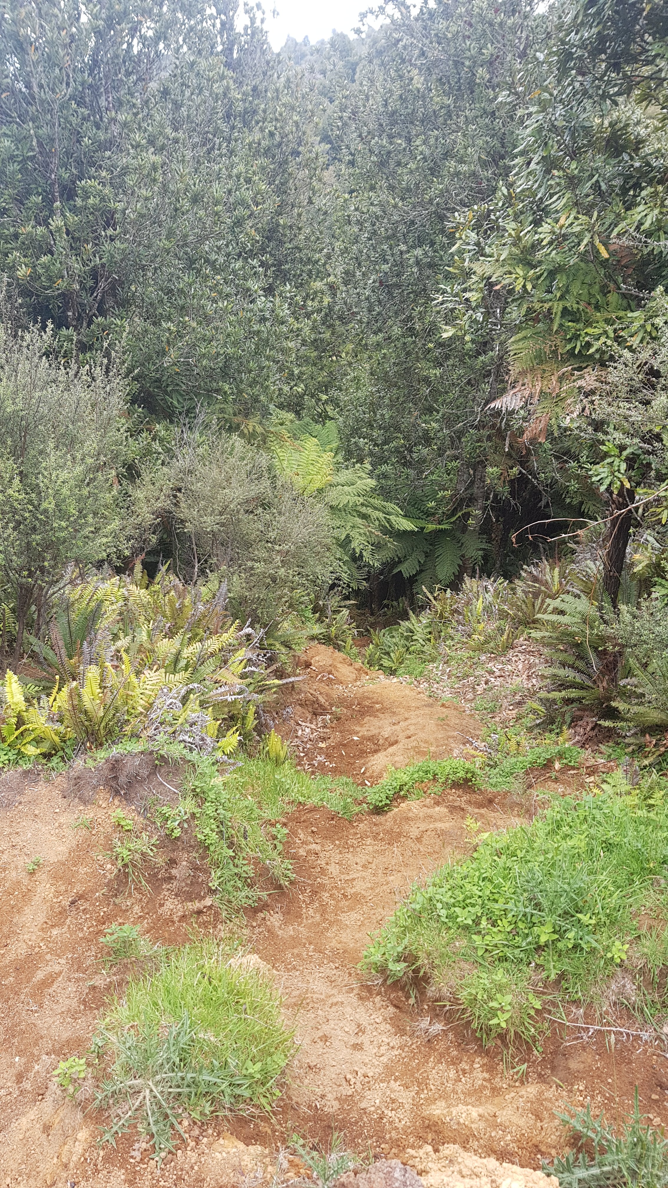
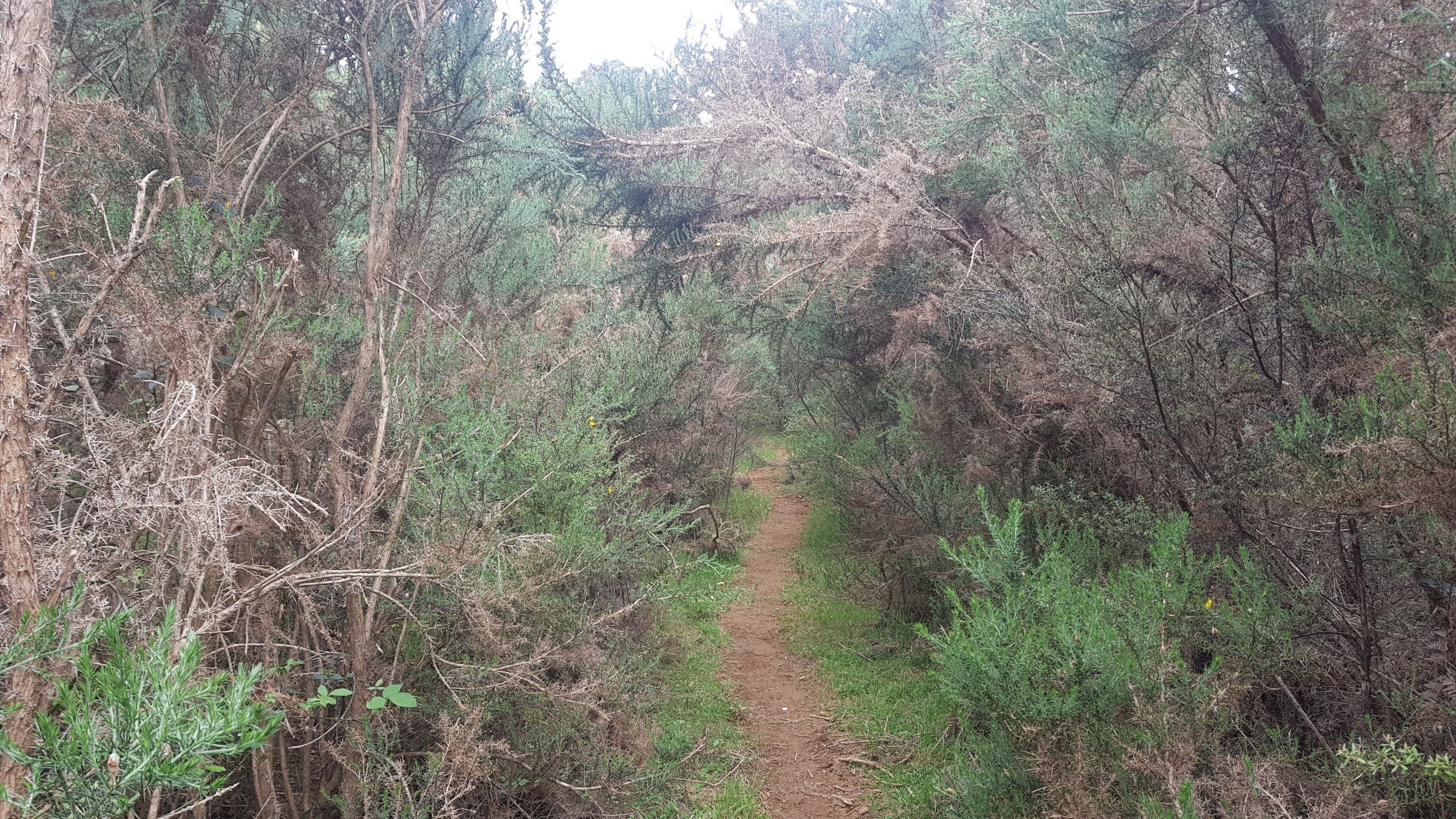
And the track started to get overgrown very fast. One particular section of note was this bit where I needed to crawl under all the vines. I really had to duck down low, in fact it was the first time I had to take my pack off and hold it in front of me.
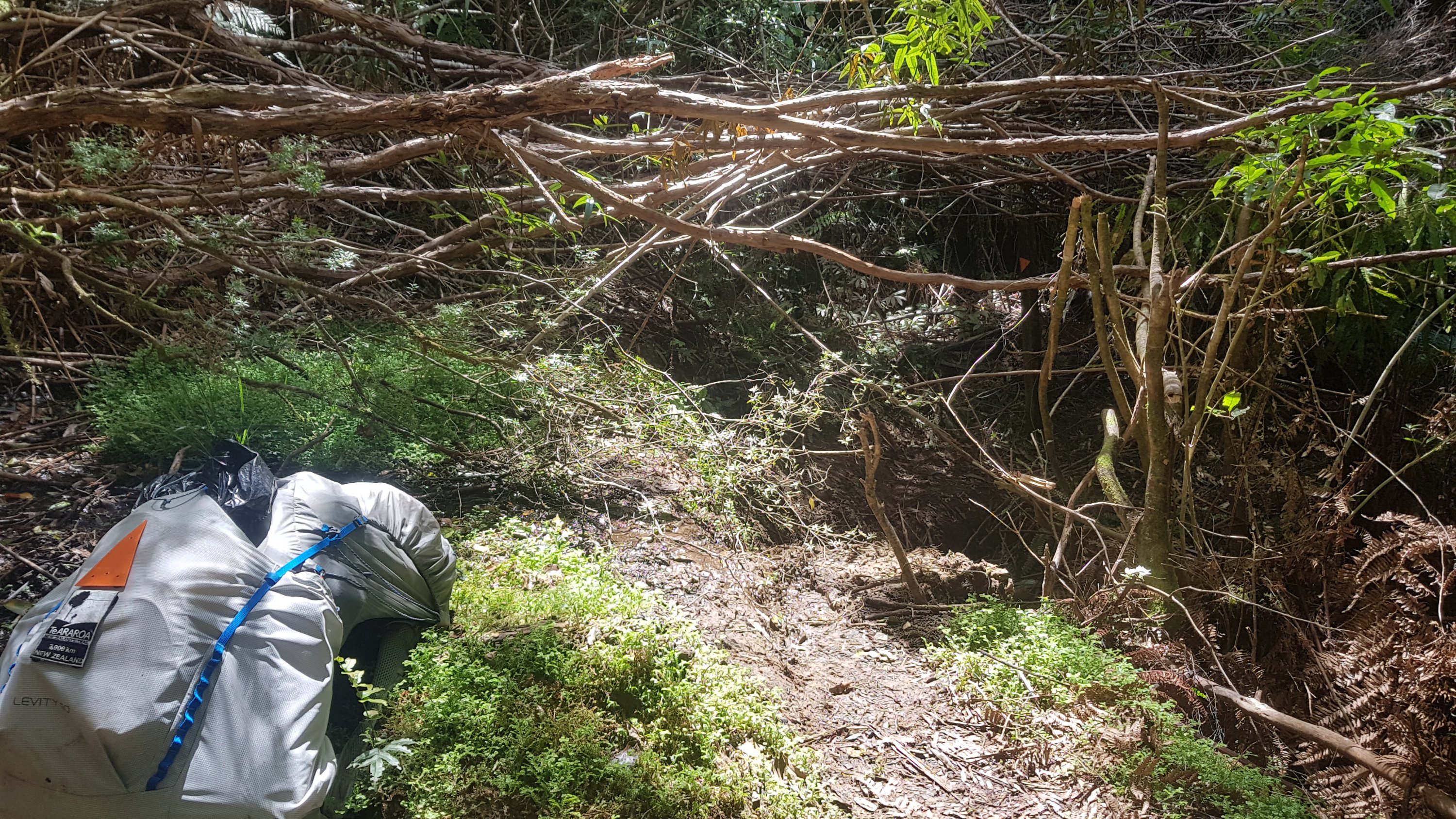
Then there was this bridge crossing the next stream. I really wanted to see the qualifications of whoever built this bridge. Although ultimately I was happy I didn’t have to go through the series of vines again.
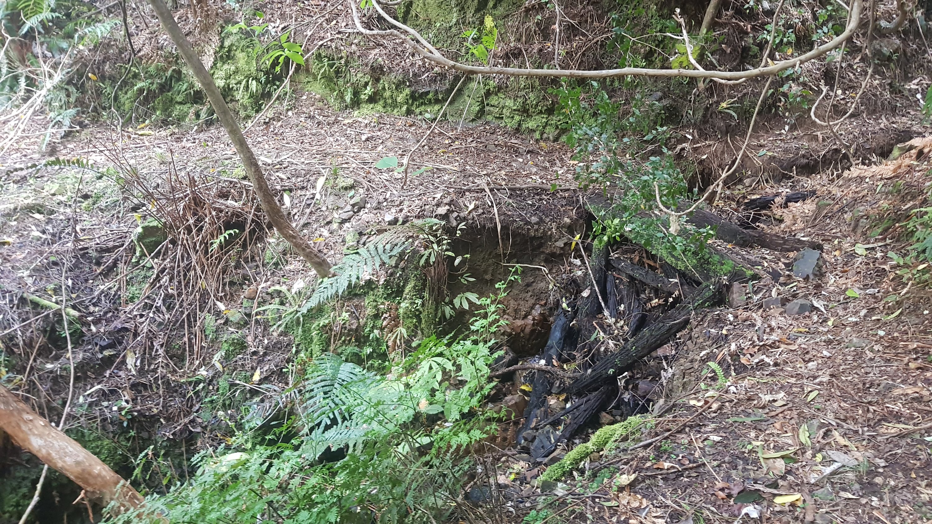
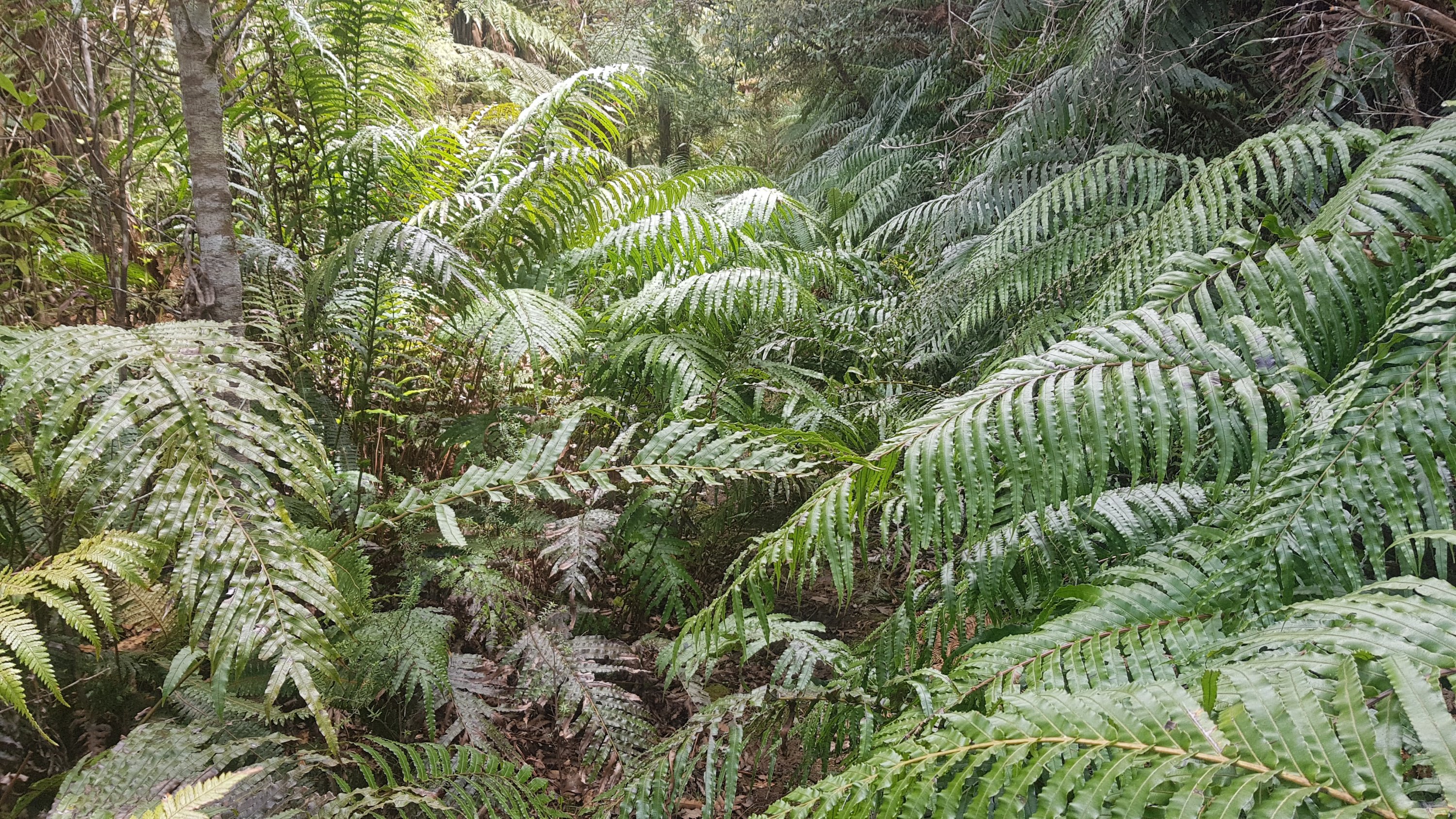
And then, it got muddy. Oh great, more mud. I had seen enough mud coming down Pirongia yesterday. I’ll spare you more pictures of the mud, but I will show you how overgrown the track is.
There was quite a lot of mud for a few kilometers, so I took the music off partway through the mud so that I could concentrate. Funnily enough the song that was playing when this happened was “No one said it would be easy” by Sheryl Crow. Very appropriate.
There were also a lot of flies on this farm. Lots and lots of big black flies everywhere. Quite often the flies find you while you’re having lunch, but then you don’t notice them the rest of the time. This time though, I heard the flies everywhere.
Another thing that got me going through this farm was the fact that someone thought it appropriate to put all the orange markers pointing down, instead of the usual way of pointing up. That was very disconcerting. It makes me feel like something big and scary is coming up and I should turn back while I still can.
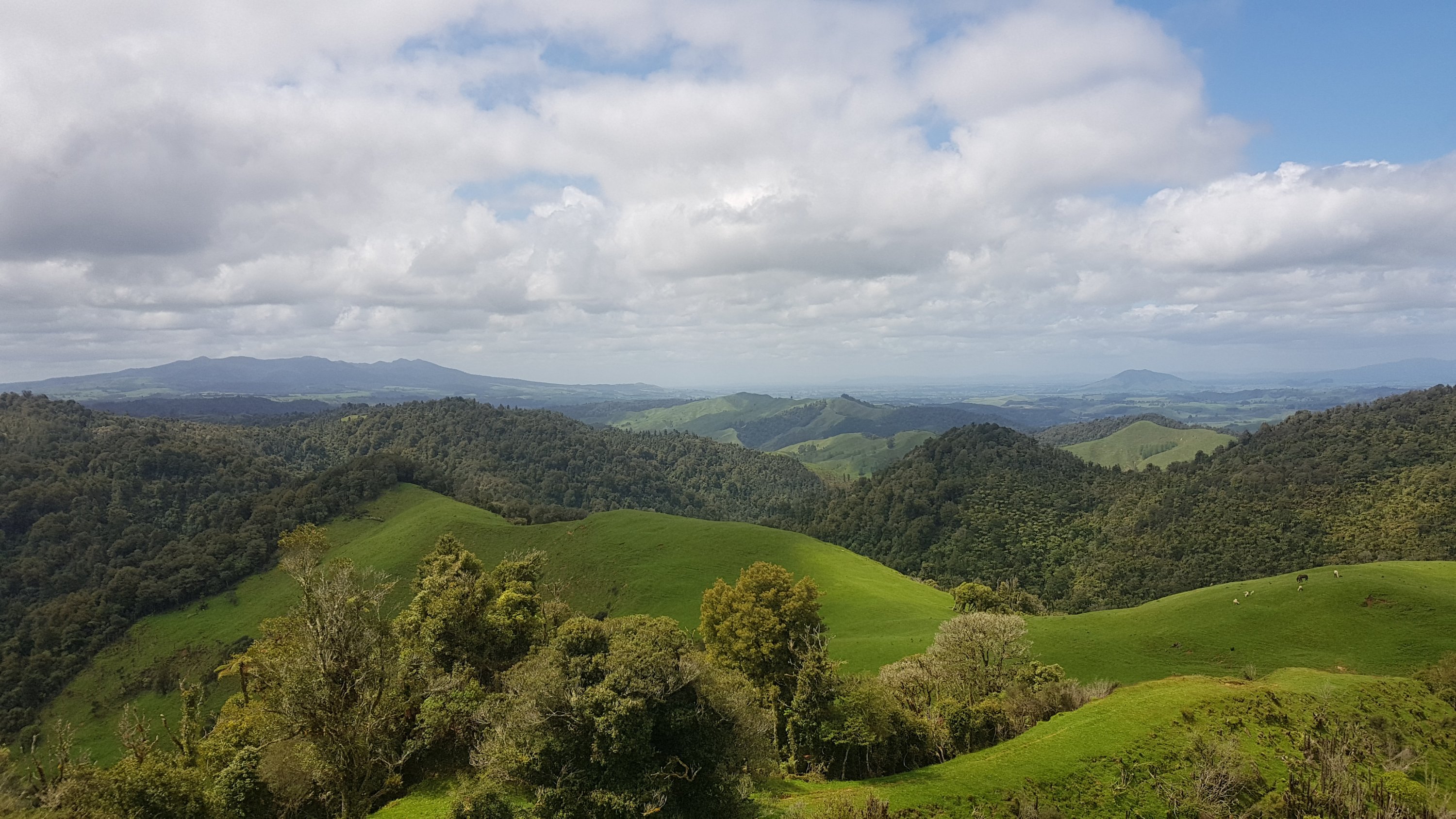
At least when coming out of this section there was another nice view as a reward.
Here were some sheep that were blocking the way. If this were cows I’d be worried the mother cow would get aggro at me but because it’s sheep I wasn’t worried at all.
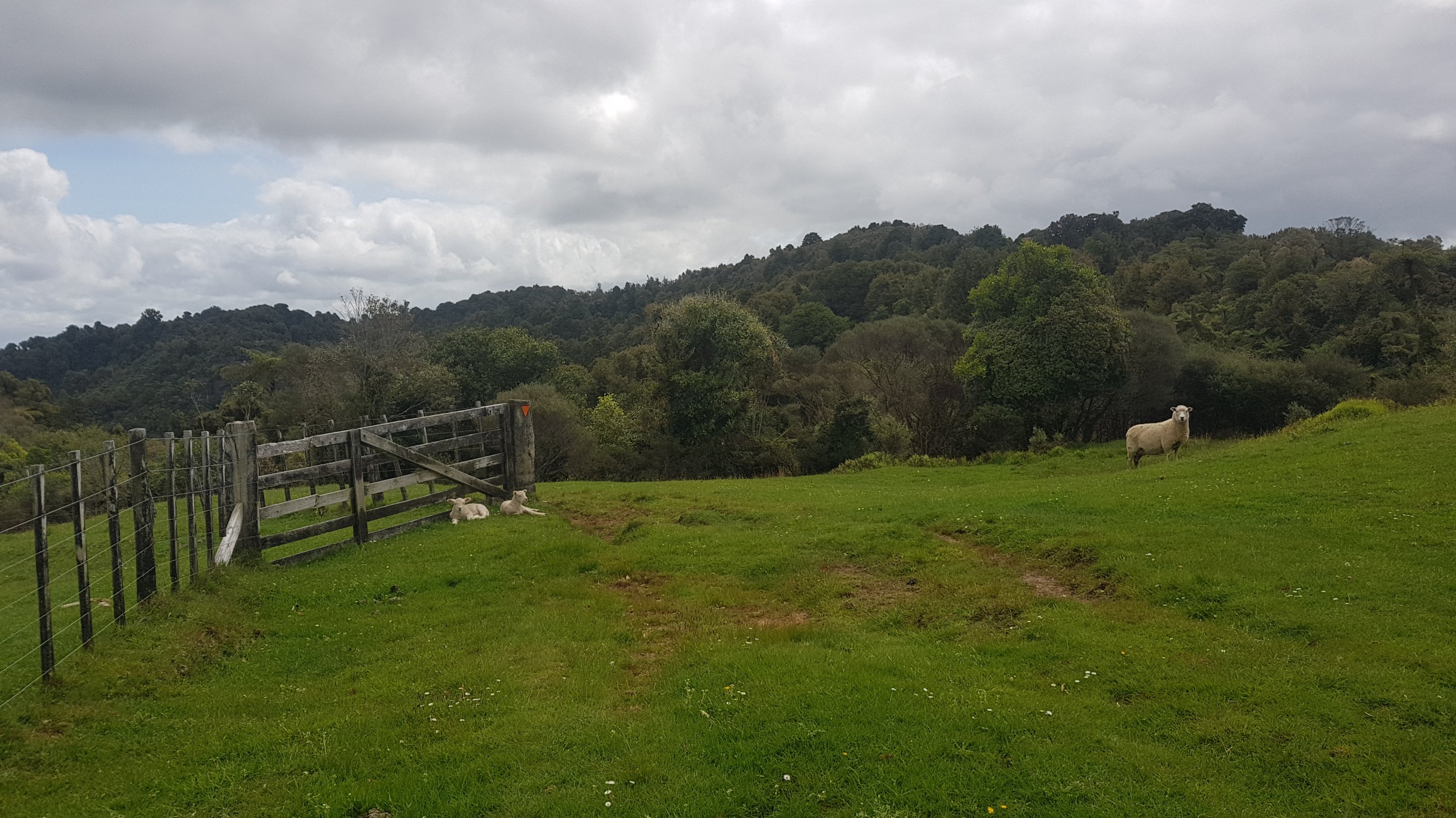
Sheep annoy me because when they run away from you, they tend to run directly in the exact same direction that you’re walking, and even after 500 metres, or a kilometer, or in this case, a kilometer and a half, they just keep running in the same direction down the path, as if it were a cartoon. Why they just can’t run to the side and then they will be immediately out of the way is beyond me.
I had a look at Google Maps while I was walking along here, I’m not sure what prompted me to do this, but it showed me how far from anywhere I was. Google didn’t show any roads in the area, and I understand that Te Rauamoa, Honikiwi, Tihiroa and Hangatiki don’t even have any shops or anything at all.
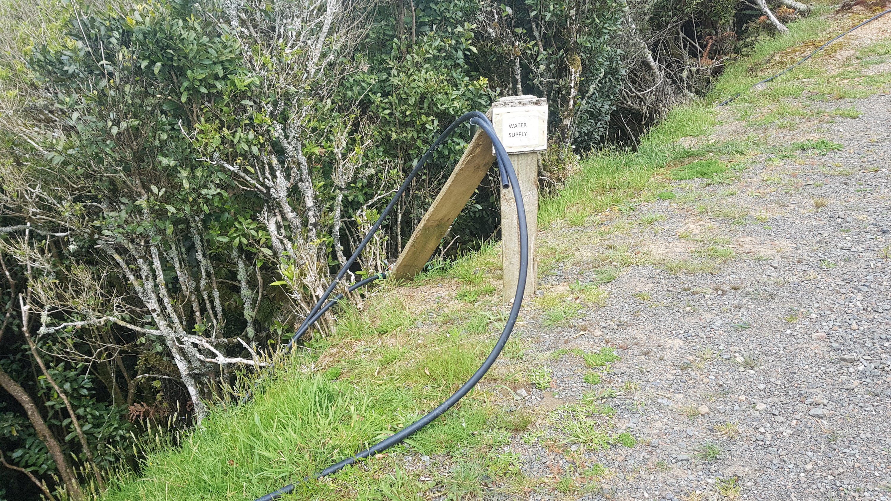
At this point there was a water supply, which I assume somebody kindly set up for the walkers:
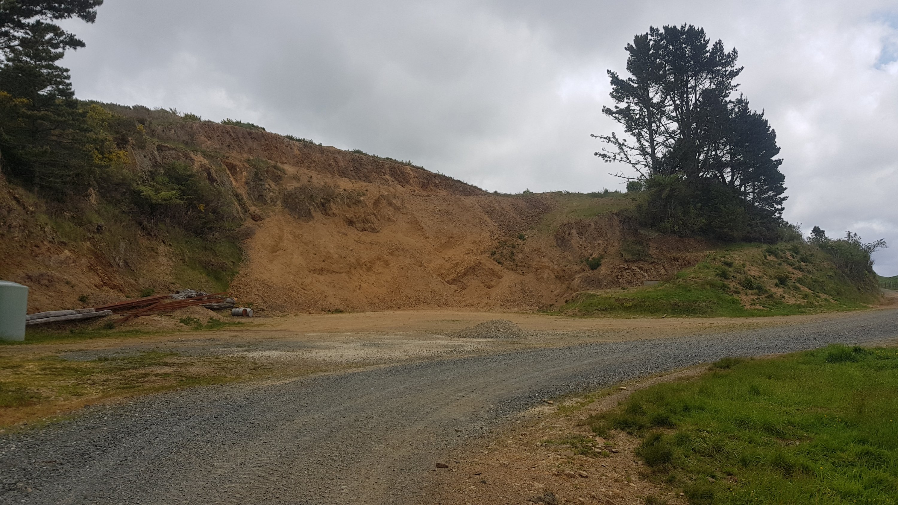
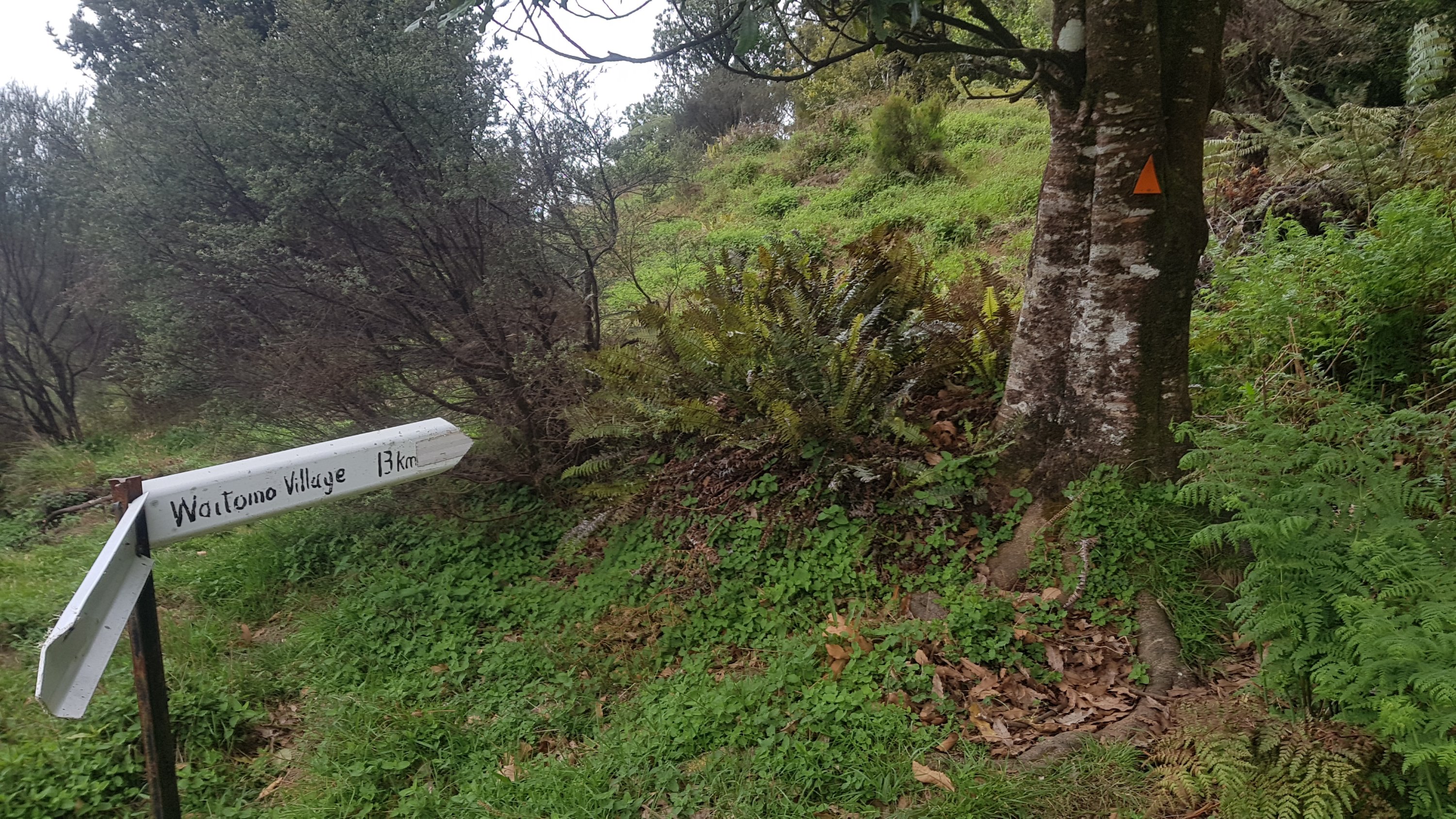
And just past this “quarry”:
Was this sign:
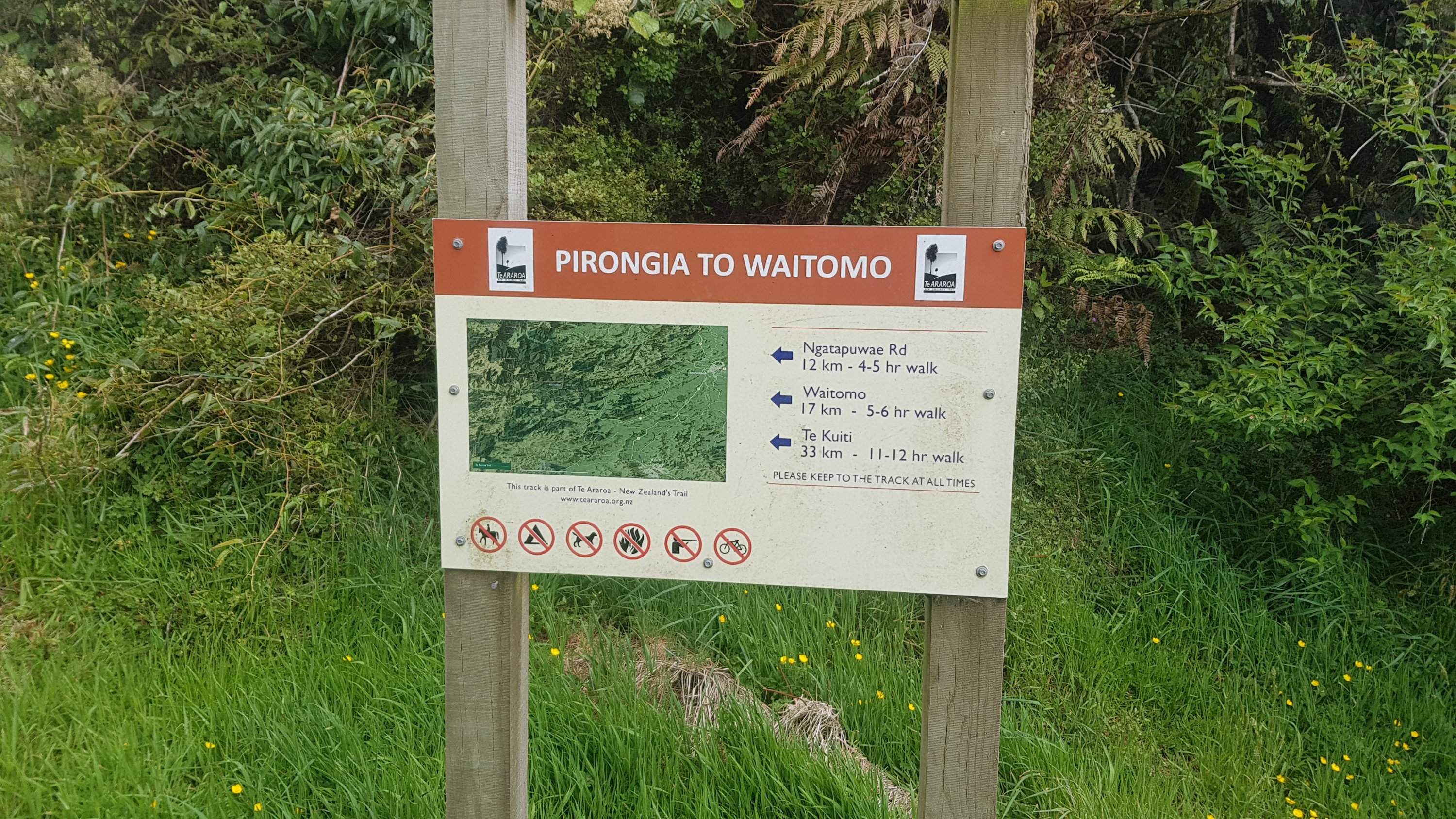
Approaching this sign I thought about my deadline. It was 3:30pm at this point and if I was going to make my deadline of 8:30pm I had five hours to do the rest of the walk. So when I saw that Waitomo was a “5-6 hr walk”, that made me feel good, I almost always make these distances in less times that are stated.
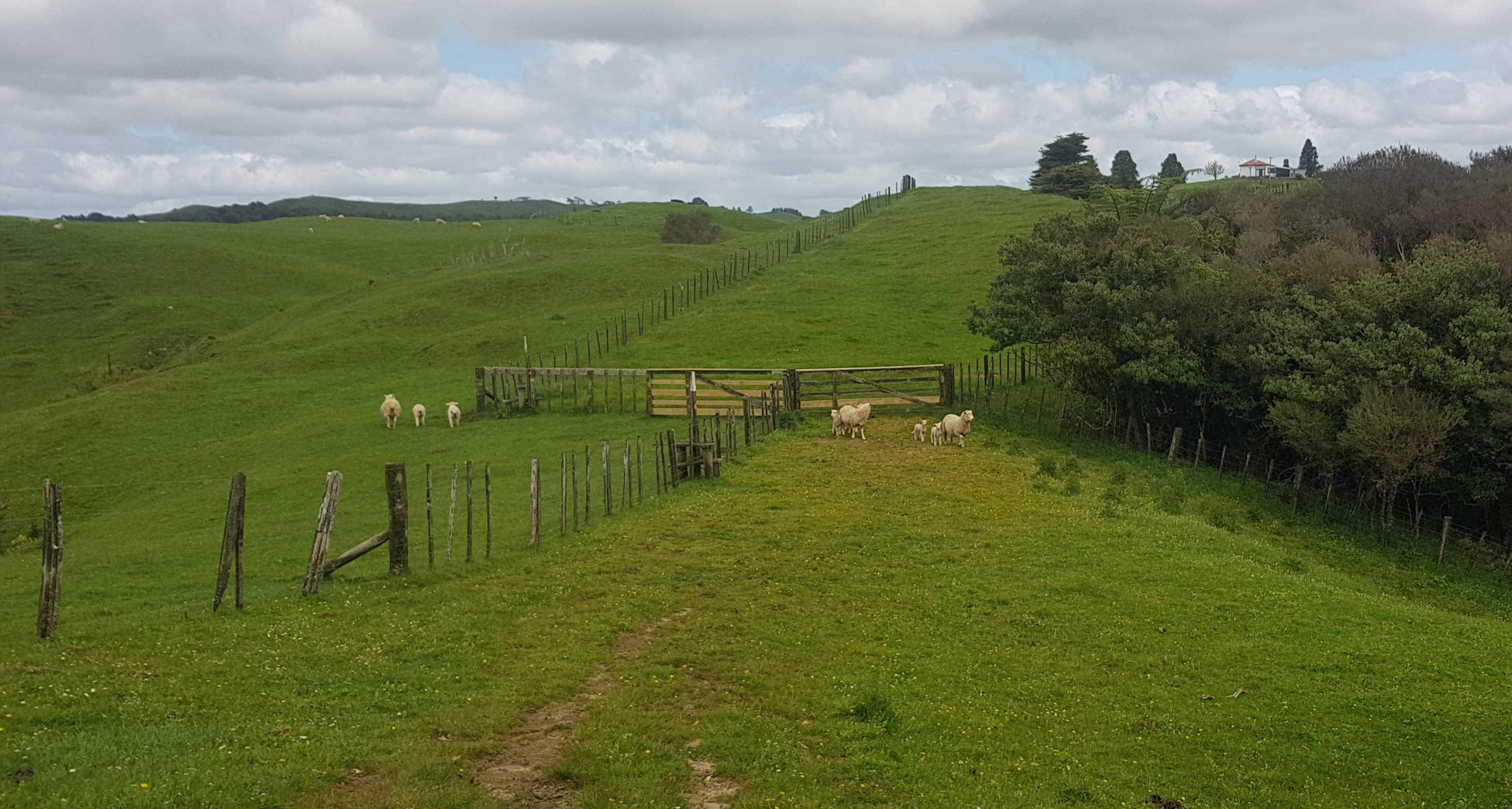
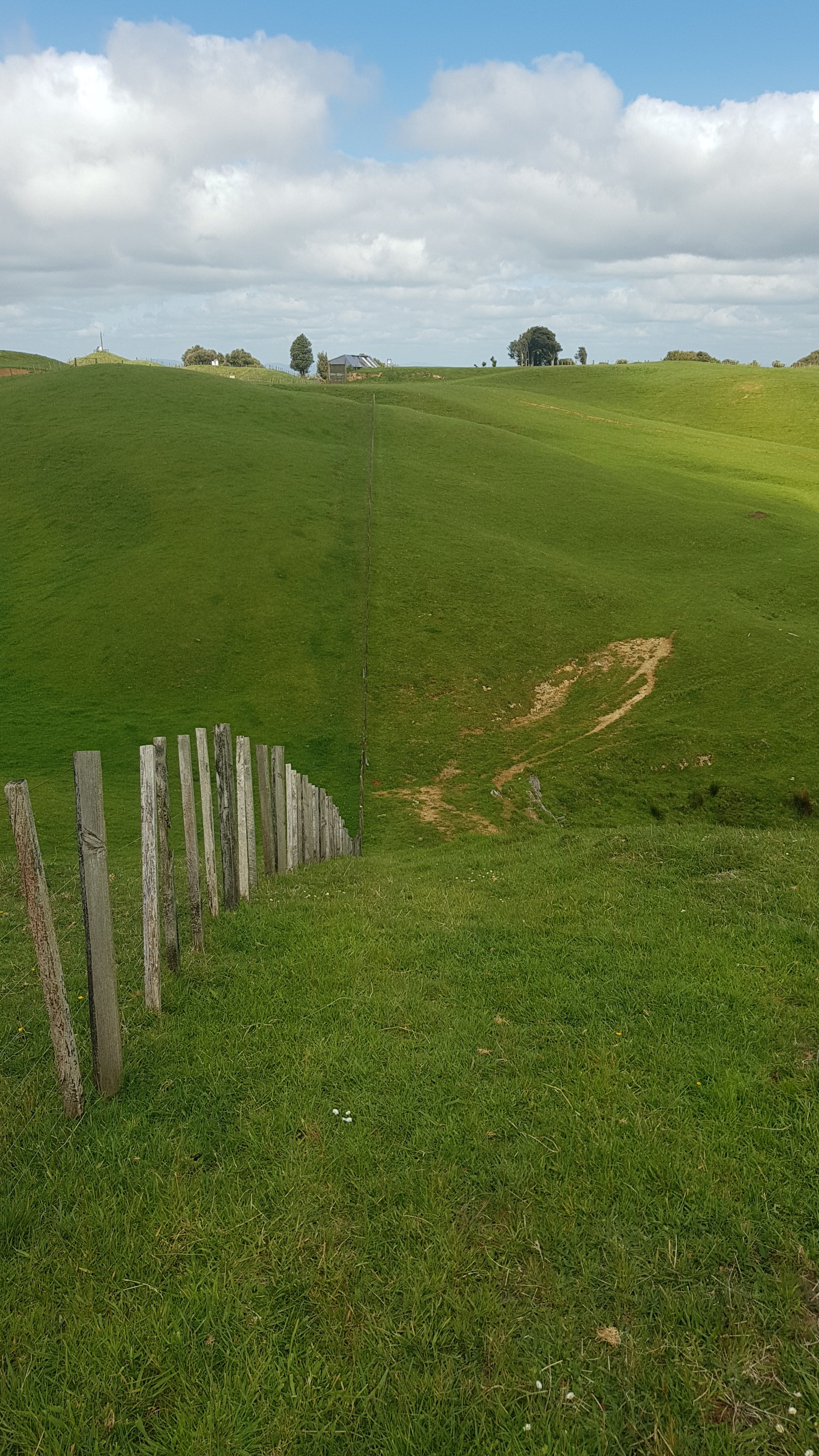
This section started off just walking along the fenceline for a long way. It went up and down quite some distance as you can see from the previous photo. And then it did it again. And again.
At the top of the third “up ‘n’ down” was another airstrip. This one warranted a sign so I guess this airstrip must be in more frequent use.
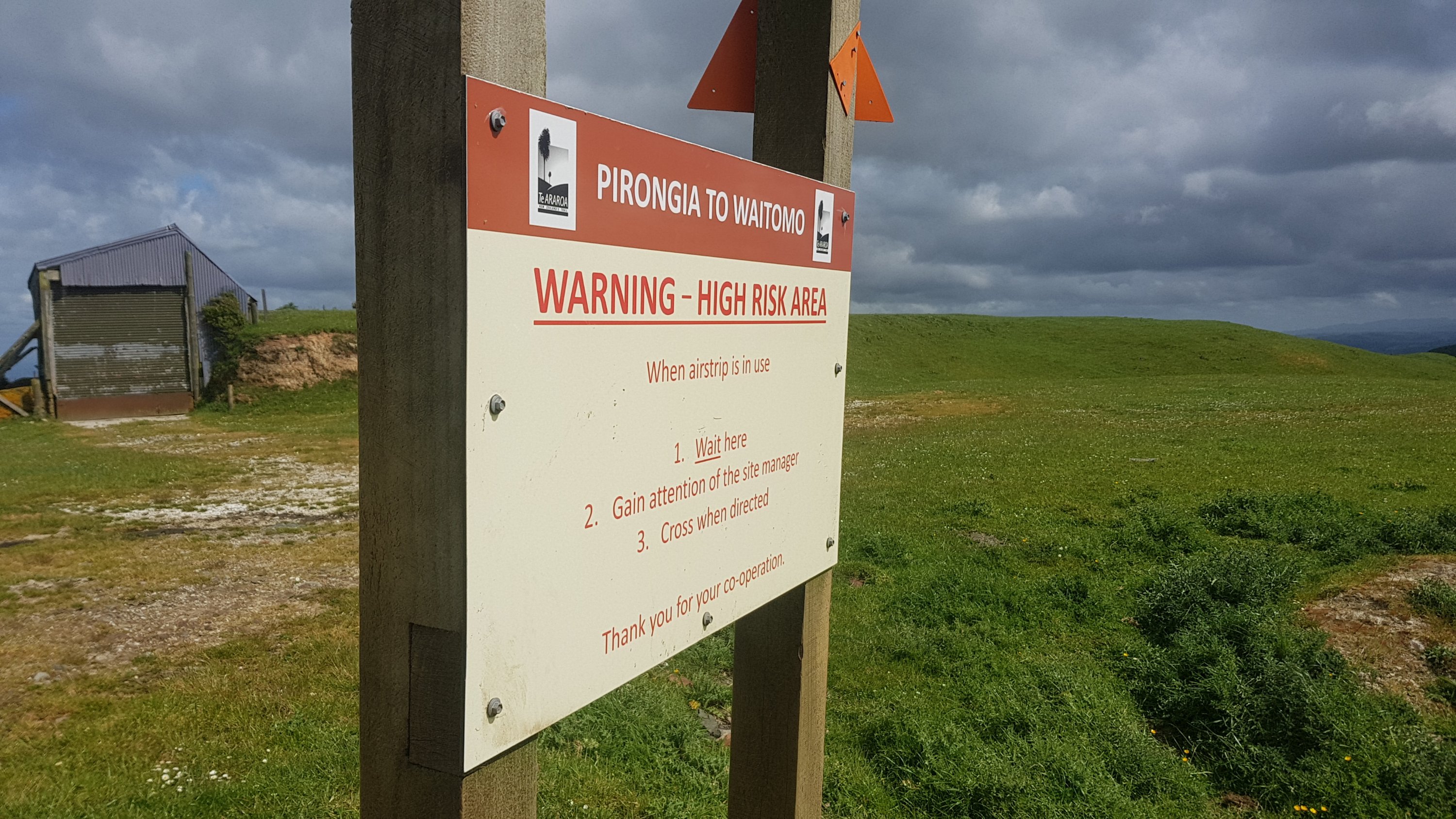
It also warranted a big red exclamation mark on the Guthook app.
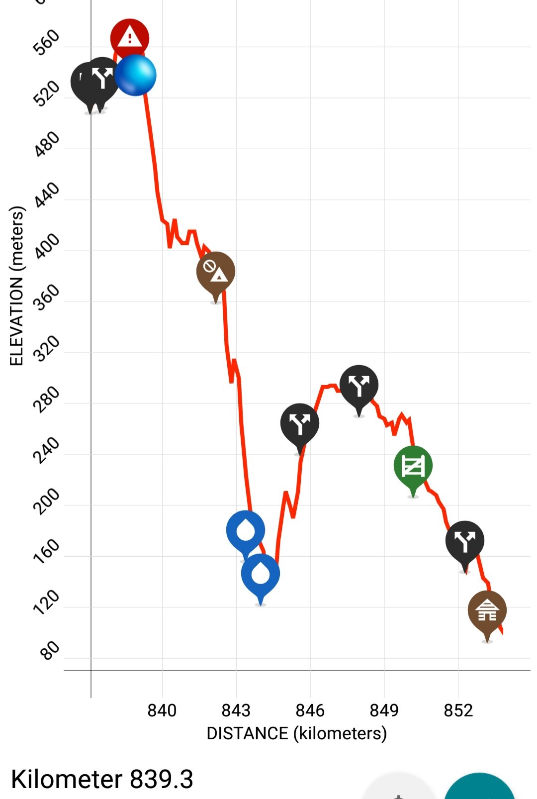
As you can see from the elevation profile, there was a lot of downhill coming up. I had been hovering around the 400/500 metre mark ever since coming down from Mt. Pirongia – it finally looks like the rest of the downhill is here. I was very curious to see what was coming – these elevation profiles always make it look steep, but you just never know what you’re going to encounter.
And it looks like it’s down into the trees.
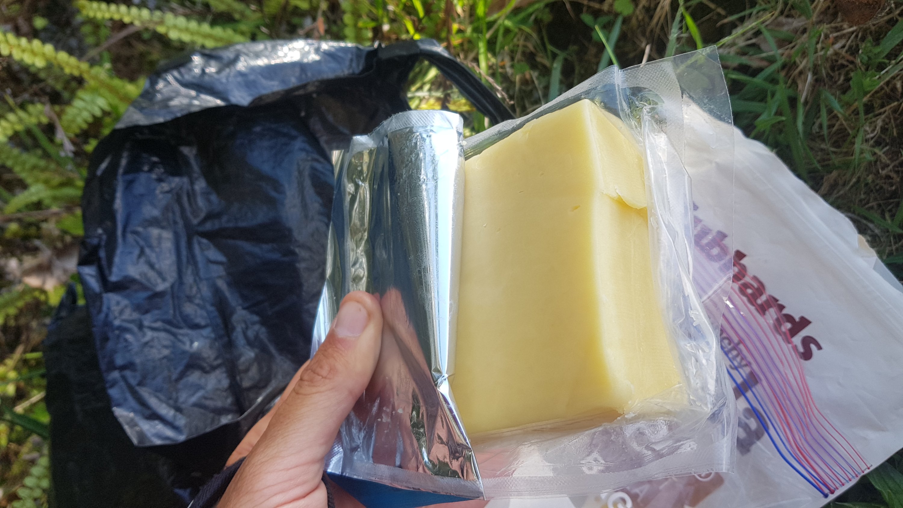
First though, to keep the suspense a bit longer, I decided to have a late lunch here. I didn’t get any cheese yesterday because I was in such a hurry all day – so I really didn’t want to miss it again today.
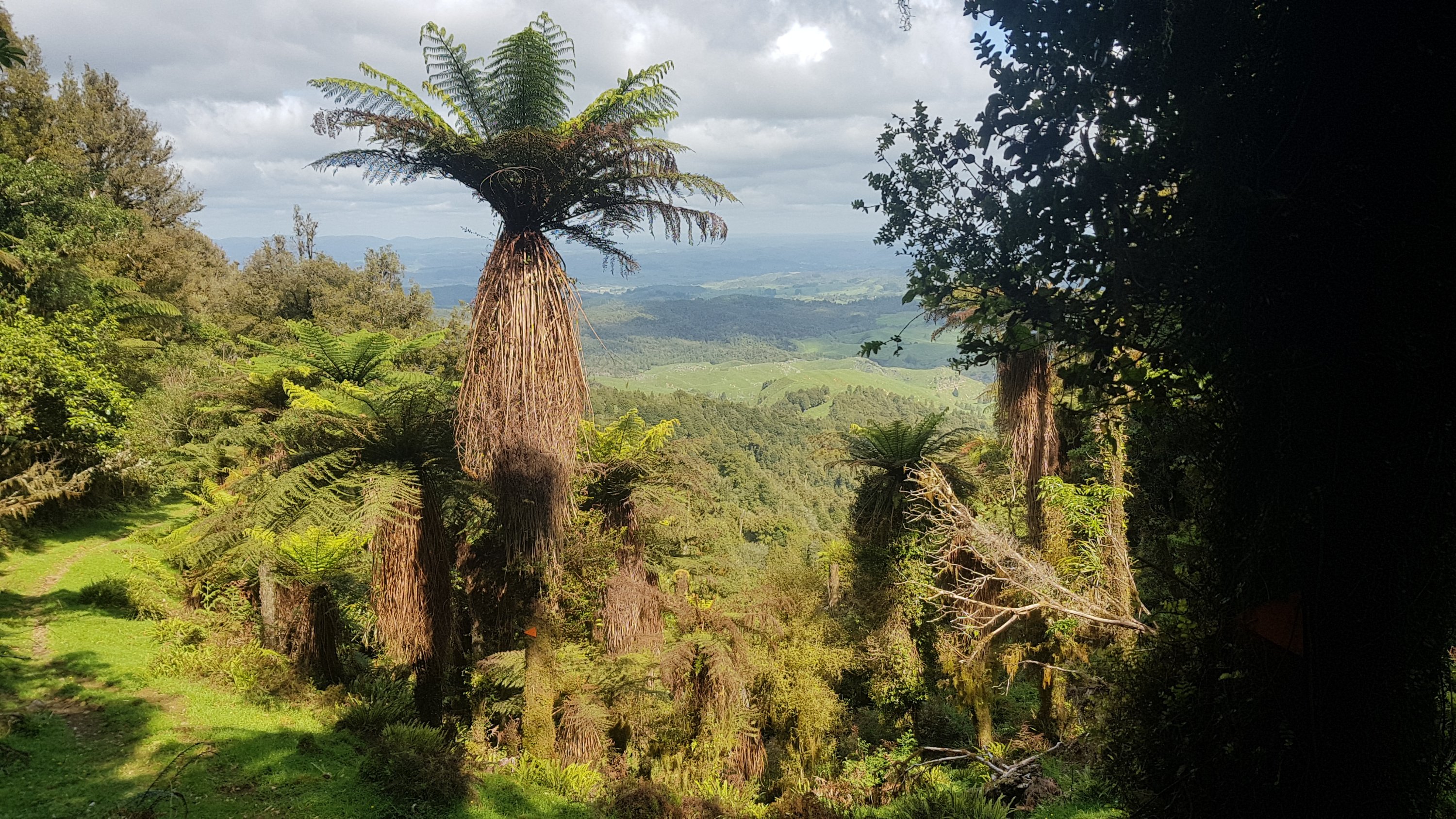
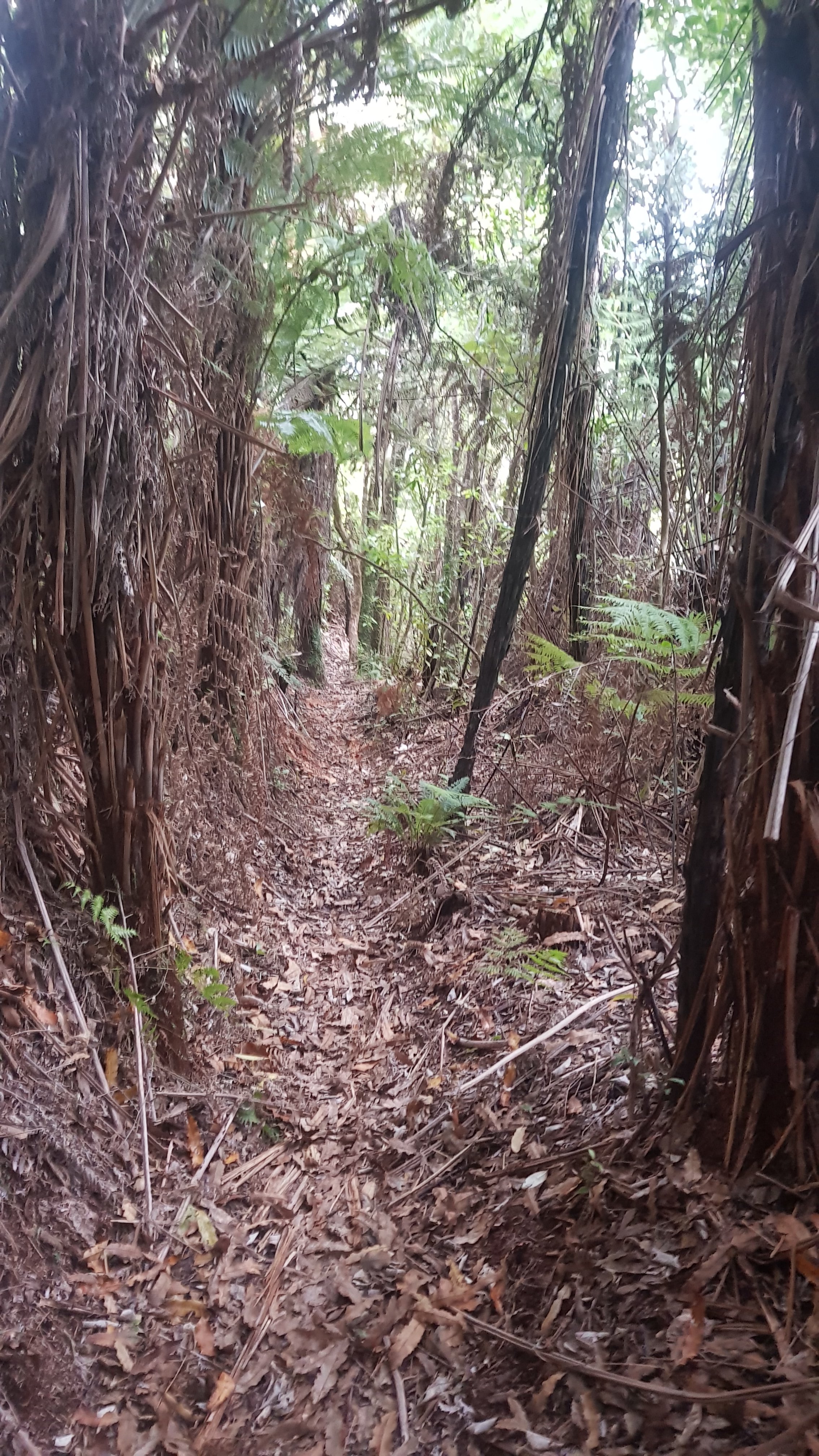
Here’s the path that followed – it was indeed walking down through trees.

And there were some excellent views again.
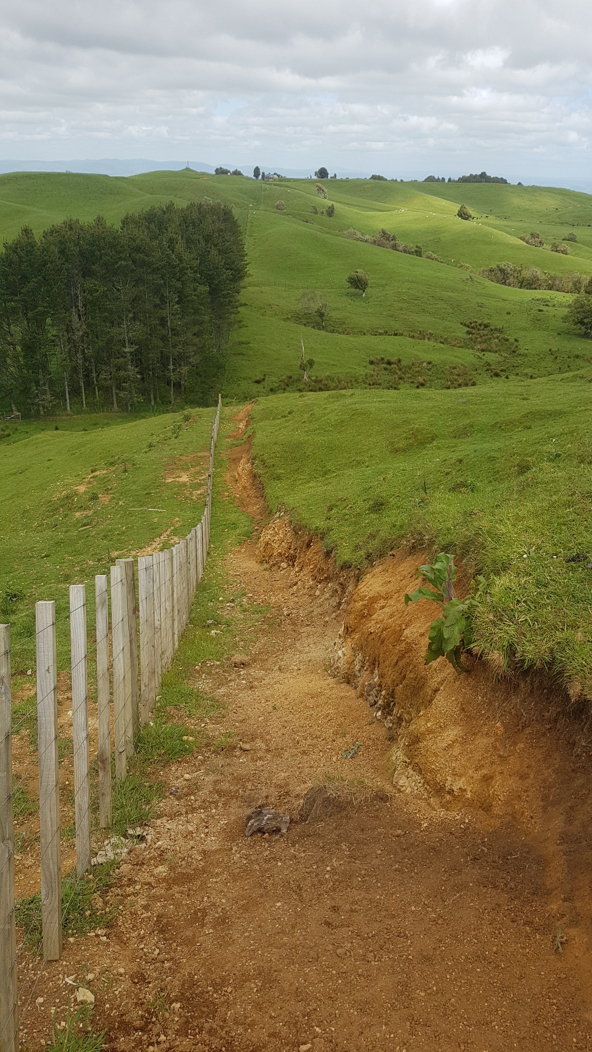
There’s one point past here that tripped me up. It might be just me but I thought it was worth mentioning. Soon you will encounter a slip and pipeline:
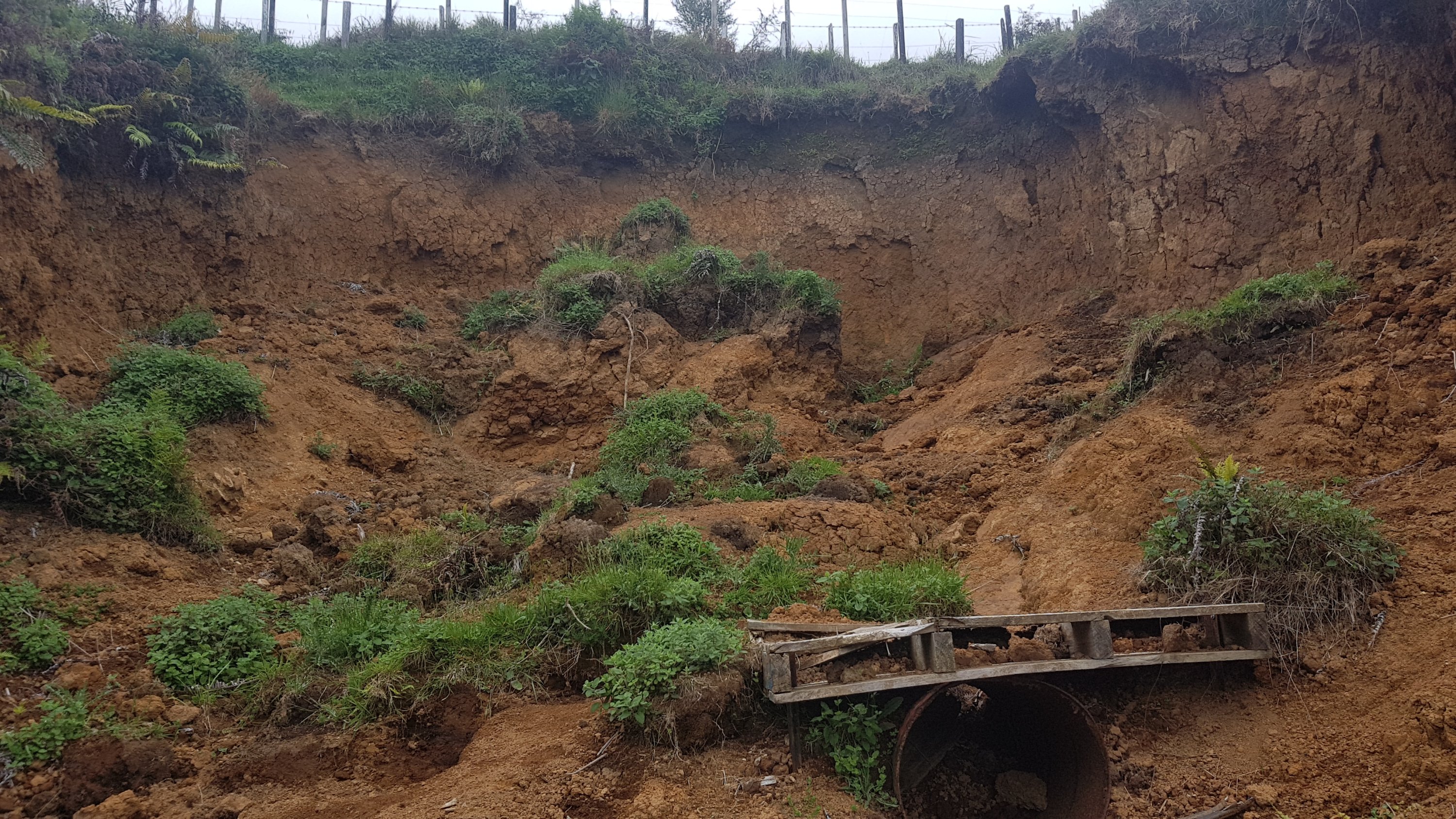
And I looked down the hill and saw the dirt had gone a long way down the hill.
As you might have guessed, I followed the dirt from the slip down here. I thought I saw a marker that pointed down here. It was steep, and I had to go down on my butt at one point because it was so steep and slippery. I thought to myself “jeez, I hope this is the right way” and “man, I’m glad I don’t have to go back up here”.
But then, I realised I was going off track. Oh no – I have to clamber back up here. And I got dirty shorts for no reason. Grrrrr. The right way is to just go past the slip – don’t go down the slip dirt!!
This was an interesting sign in the middle of nowhere.
And next to it is this sign:
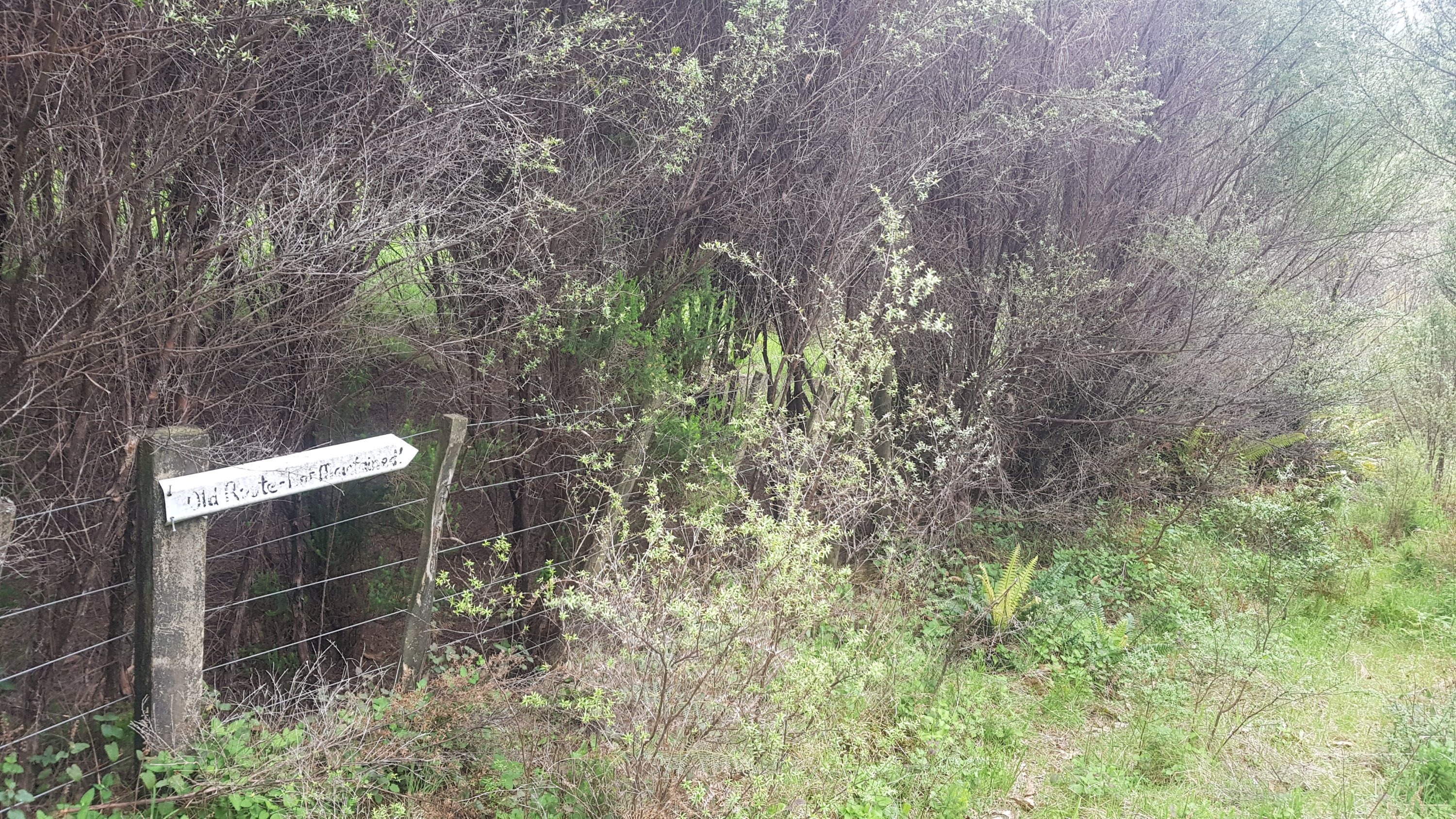
I was of course curious as to where the “old route” went. I looked on the topographic map used by Guthook and actually on there, the “old route” is still marked as the Te Araroa trail. This is the problem when people create maps but then don’t keep them updated. There are a few “Te Araroa” apps in the Google Play store but some of them are quite old and use trail maps from years ago. At least Guthook do a fairly decent job of keeping the route up-to-date each year (well they should when you pay $64.99 for it!).
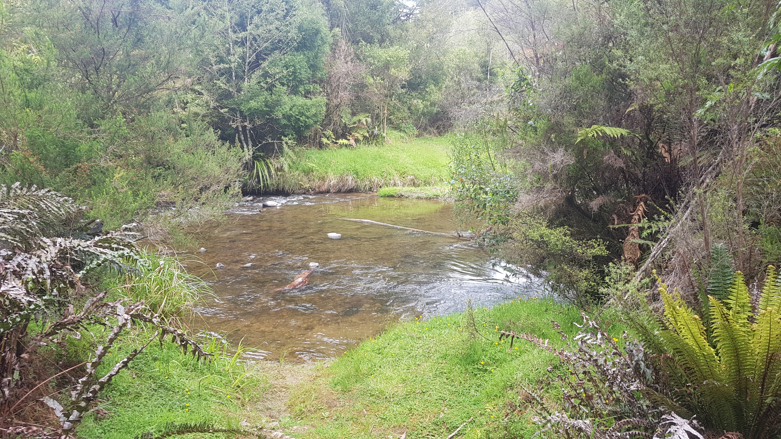
There was still more variety of tracks to come. A river crossing, where I took off my boots to avoid wet feet:
And Gorse City’s sister city – Gorseville:
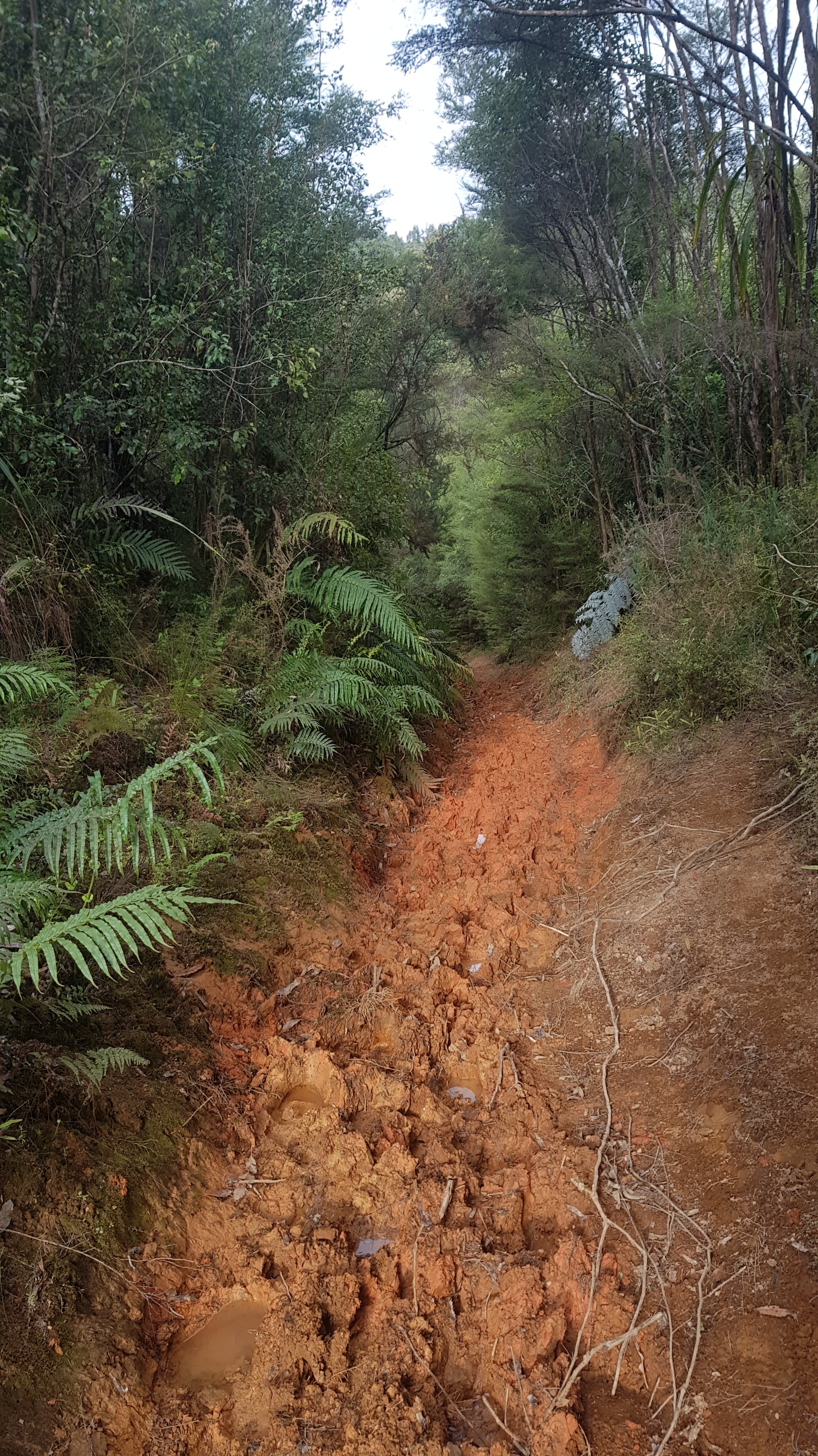
And then some kind of bright red mud. This mud was alright – you didn’t get stuck in it although it was slippery.
And a final bit which was officially a mountain bike track – which made it an easy walk for the last few kilometers.
All the clay and leaves and gravel roads today meant my boots kept getting full of “crud”. Today was the first time in a while where I could see why people like to wear gaiters on the trail, which stop foreign objects getting into boots. However I still am happy about not bringing them, the few days that I needed them so far are far outweighed by all the days I have felt that I don’t need them.
Because of the ease of walking the mountain bike track, I actually arrived at the hut at 7:15pm. It was called the “Hamilton Tomo Group Hut”. What’s a Tomo? I don’t know. Is it related to Waitomo, the town we were near? I’m not sure.
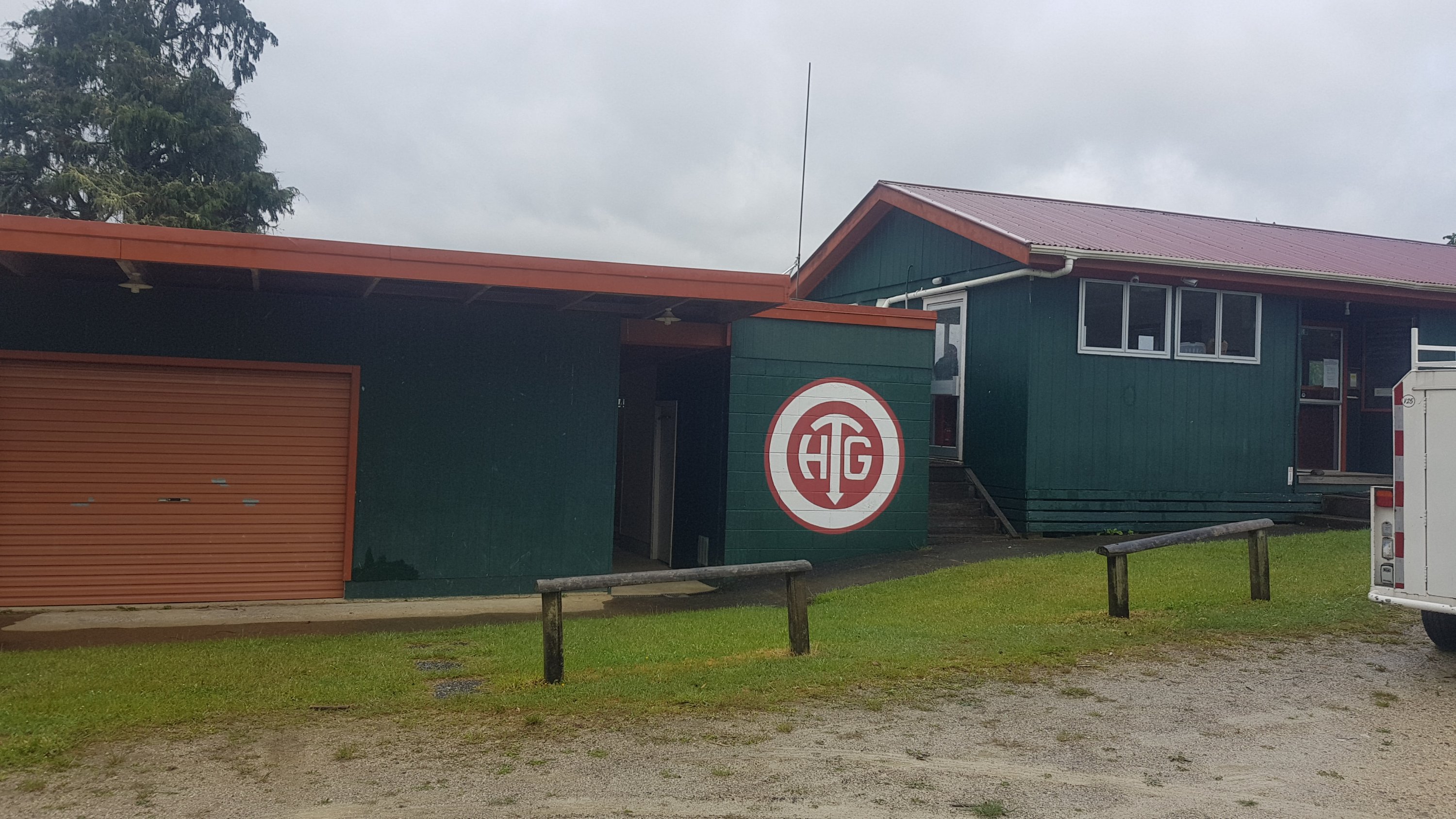
This hut is a privately run hut and so costs $15 for a night, unless you are a member of some obscure organisations. It’s worth it though, the capacity I think is 35, and there are 7 rooms. Despite having a group of 11 high school students staying from Thames High School on a school camp, I managed to get my own room. Henry was also there and he had his own room too.
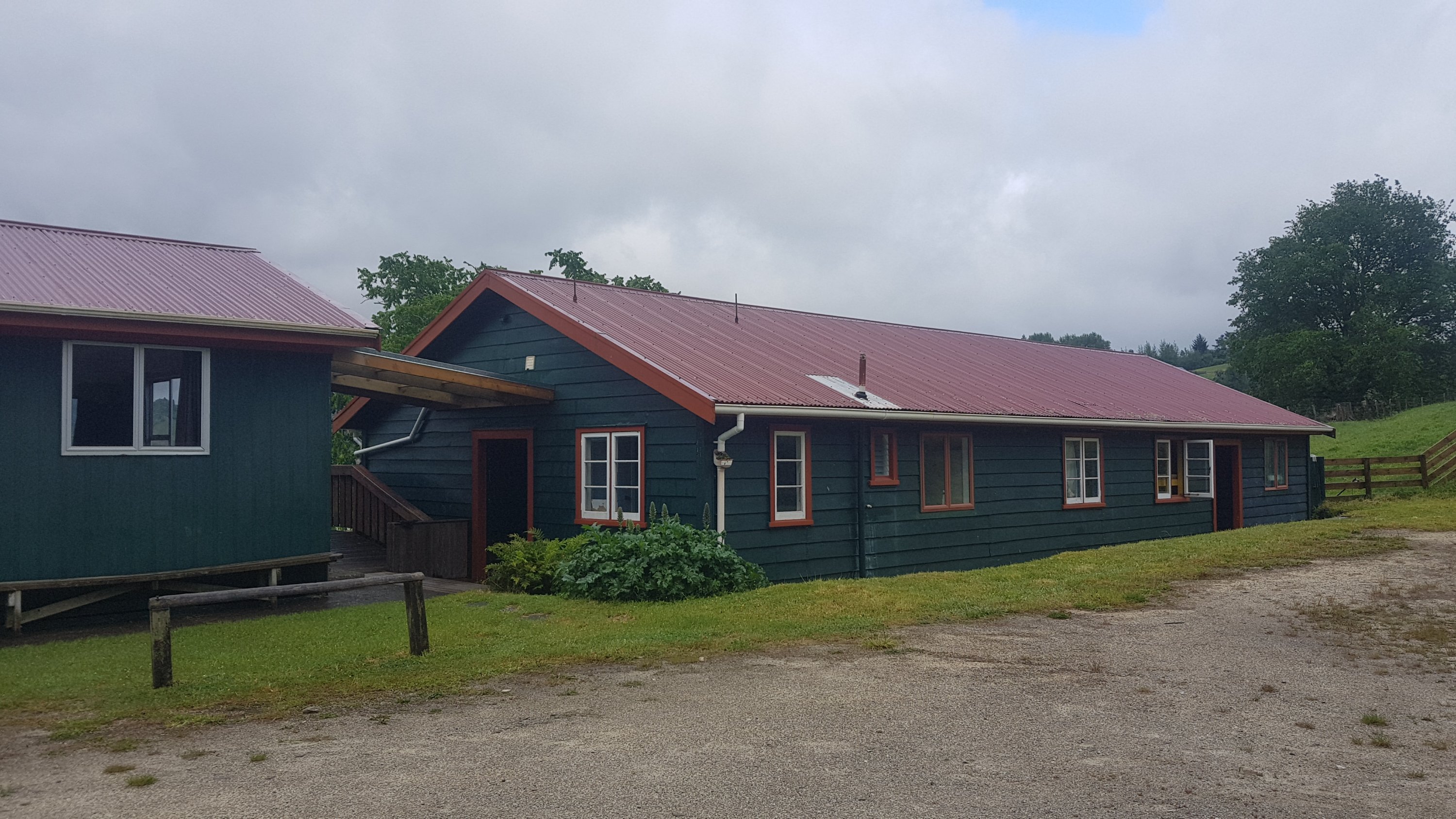
I got excited about the running water at the Pahautea Hut on Pirongia, but here there was even electricity! And the best part is, the teacher of the group of school students pointed out that there were 12 of them but they had 16 pizza bases, and so Henry and I were welcome to make ourselves each a pizza. I politely declined at first, but they were insistent, so we made ourselves one. The students even cut up all the ingredients so Henry and I didn’t have to do anything. Mine had on it cheese, capsicum, garlic, olives, hot sauce and herbs. I didn’t even have to share it. Thanks very much to the Thames High School group!
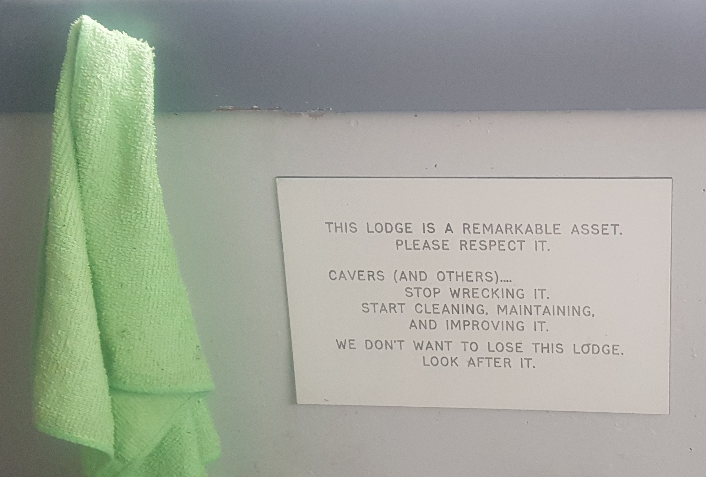
There was very much a nanny state going on inside the hut though. “Make sure you pay”. “Make sure you do your dishes”. “Don’t leave rubbish lying around”. And this one was a highlight:
Today was a great day because of the sheer variety of tracks, there was a bit of everything today. Tomorrow I planned to meet my Dad in Te Kuiti at 1pm, however looking at the forecast there was a storm forecast for the morning, with the rain not clearing until between 10am and midday. That meant there was no chance of getting to Te Kuiti by 1pm, and I couldn’t really give a time as every time I try and guess what the rain is doing, I get it wrong. So I told Dad I’d start walking whenever the rain stopped and hopefully he could still pick me up.
The students were quite cool and talkative kids who were very interested in the details of Te Araroa. Although they weren’t quiet when they went to their rooms at 11pm though. Stomp stomp stomp, blah blah blah, shhhhhhh, stomp stomp stomp. It’s okay though, I was still writing my blog and I ended up getting a real good night’s sleep since I had my own room.
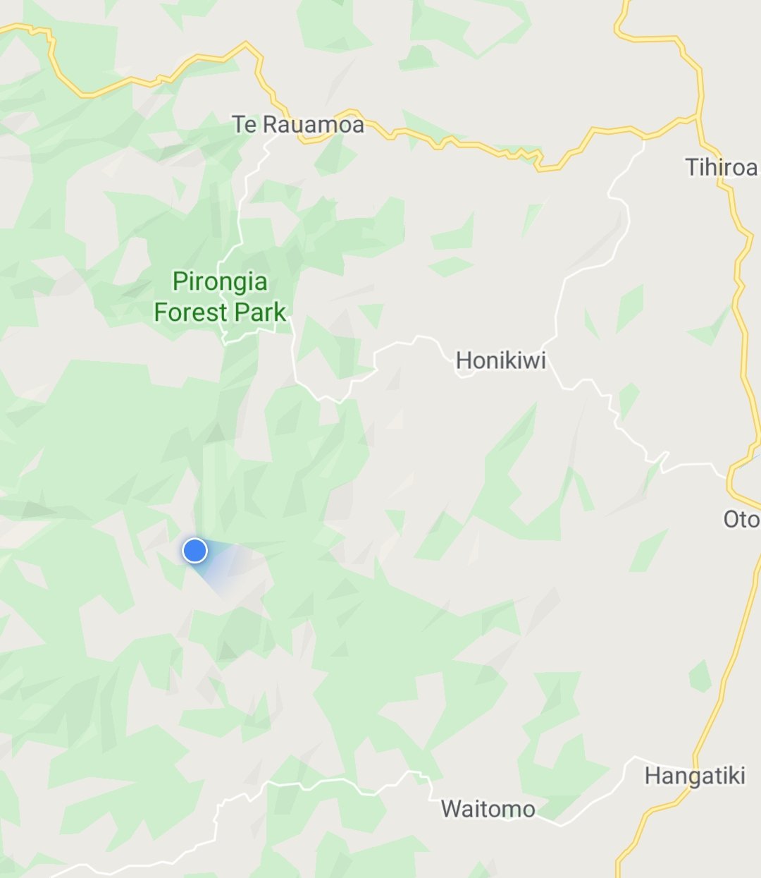
Today's walk on the map (blue = Te Araroa, red = today's walk):
Another great post Matt. I SO enjoy my daily ‘fix’ of TA info and I always giggle at your dry sense of humour. Keep it up please!
Yeah your humour is great..and so well written.
Cheers!
A Tomo is like a deep hole in the ground caused by subsidence.
Not sure how that relates to the Hamilton Tomo group though, unless they’re into caving ?
Enjoying your blog !
Well Waitomo is full of holes in the ground. Maybe that is it!
I am a bit surprised my son doesn’t know what a tomo is. But then I did grow up in the King Country and he didn’t.
I fell in one on our farm when I was about 7 years old. I remember clinging to the grass on the edge of the hole with my legs dangling until my brother went and got my dad to pull me out about 20 minutes later. I often wonder how deep that tomo actually was.
I’m also surprised my brother just didn’t push me down and pretend he didn’t know where I was.😂
Best piglet fight ever.
Also I bet that pizza was very welcome.
Oops I replied to Mum’s comment!
Mum that is scary about the tomo! I hadn’t heard that story.
No I really had never heard of it! Or that story!
Thames High School is my old school and we stayed there on a caving trip back in 2014! The teacher offering the pizza would have been Trif who is one of the most awesome people I know and helped get me into the outdoors back when I was at high school. I’ve been enjoying reading your journey on Te Araroa and I can’t wait to start mine in November. Crazy to see a personal connection reading through this, it’s a small world!
I still remember the night in this hut well, it was a cool place to spend a night and the kids were great. Your comment makes me wish I made more effort to get people’s names!!