Date: 13 December
Trail covered: 47.4km (kms 1625.8 to 1673.2)
Weather: a real mixture
“Almost 50km today” I thought as my alarm went off at 4:58am. “No snoozing”. “Get out of bed right now. Otherwise Alex and Ethan will beat you to Wellington”. We definitely can’t have that.
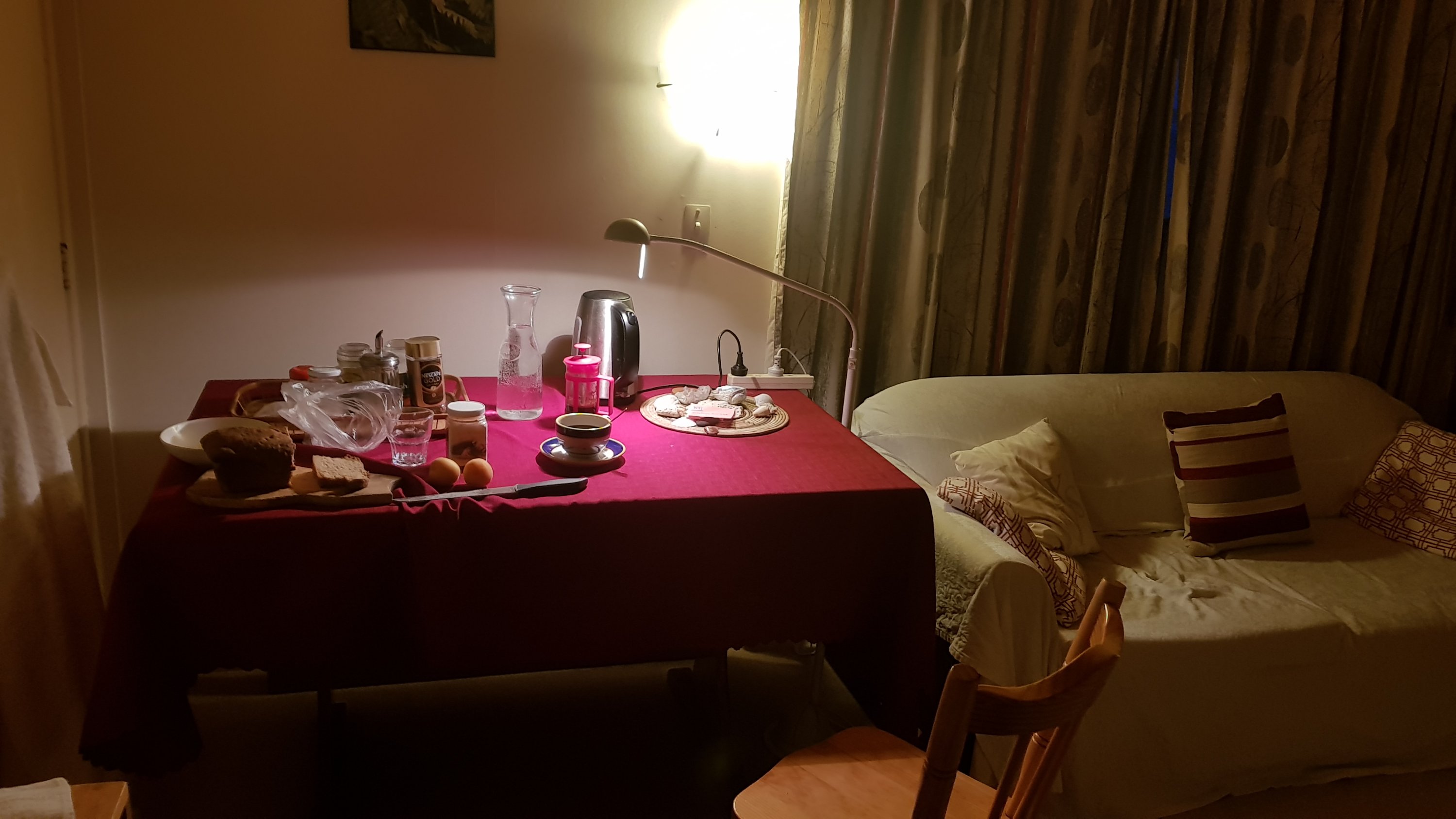
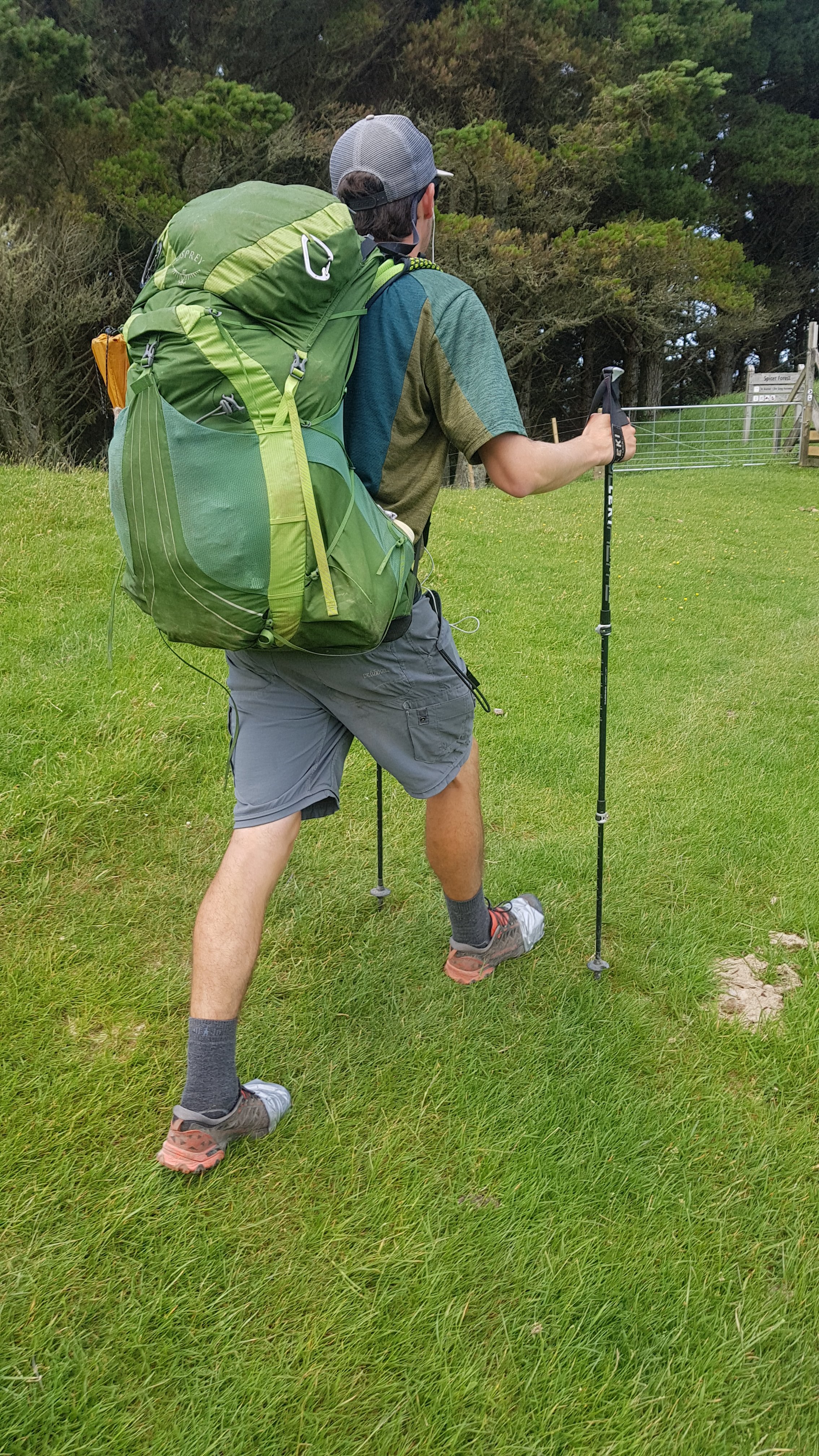
I had the bread, butter and honey with coffee that my AirBNB host had left for me the night before which was nice. I also had the remaining apricots that I bought yesterday. Then at 5:30am I was off to the Escarpment Track.
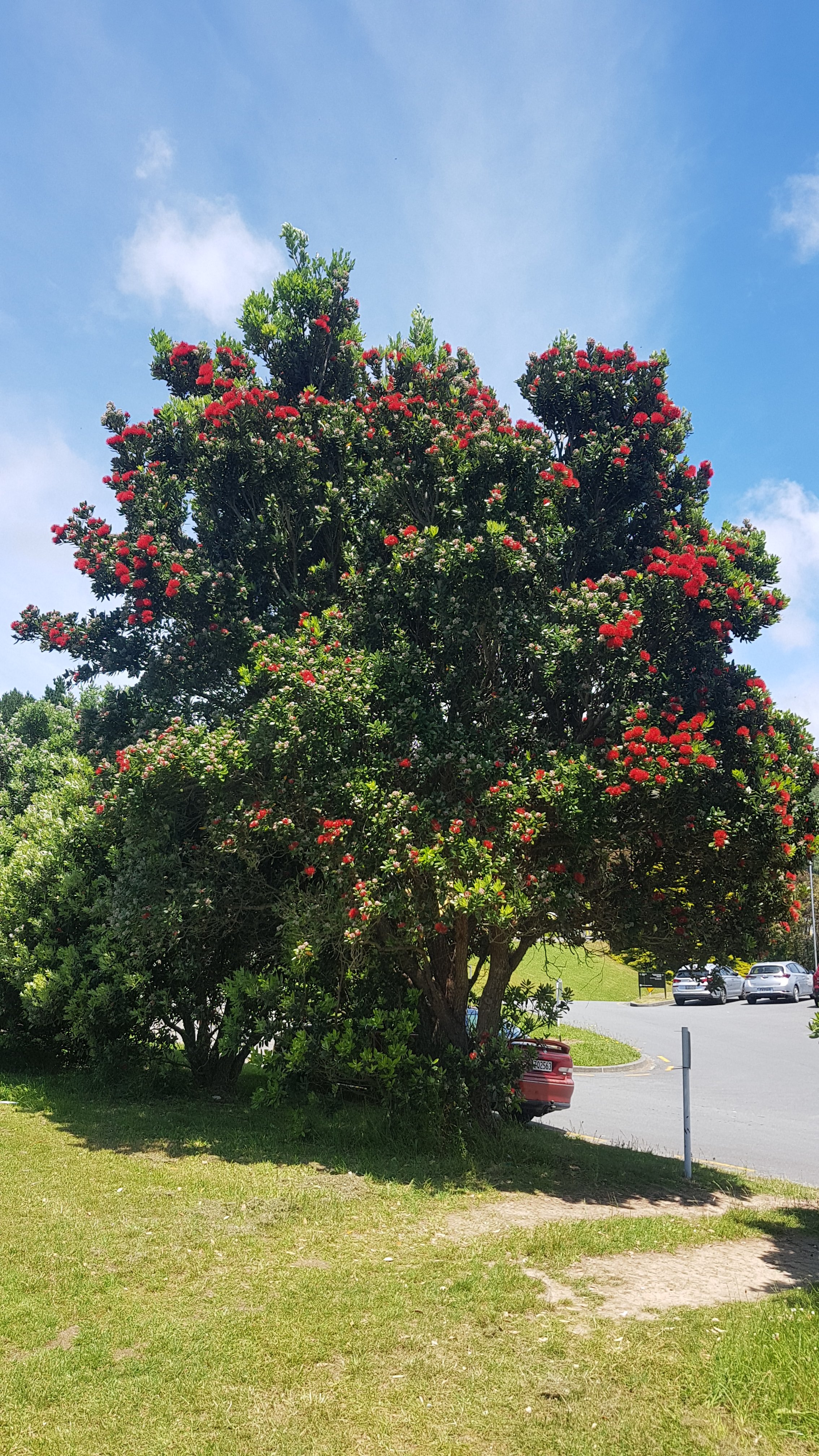
First I had to continue down the last bit of the beach that I missed yesterday. It was a nice start to the morning’s walk.

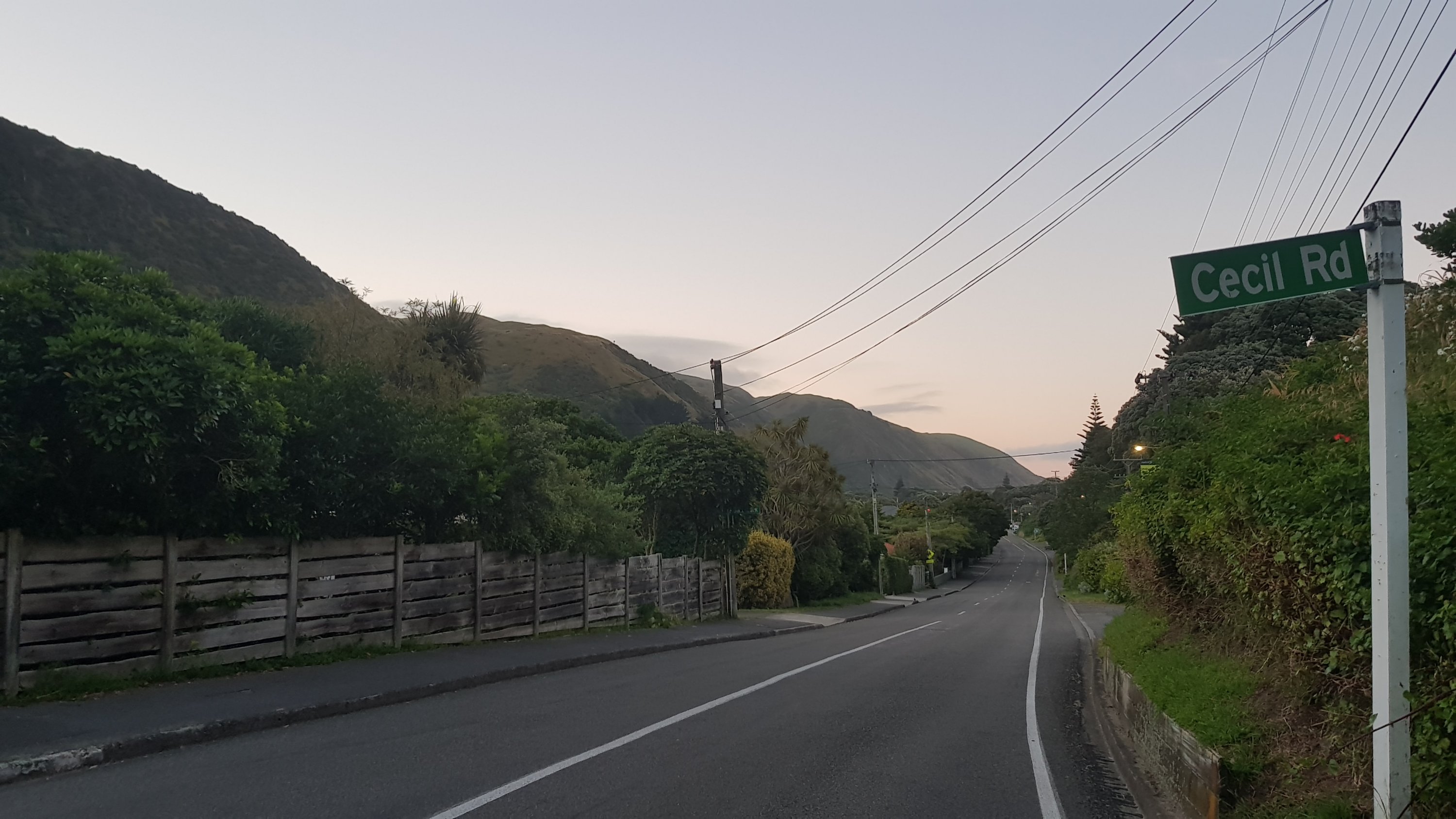
There was a short walk through Paekakariki town but nothing was open yet.
To make sure I stayed at a fast walking pace I put on the fastest music I had on my iPod. I had to look back to the stuff that I listened to when I was a university student. First it was Rancid’s album from 2000 which is basically punk rock with a lot of screaming. Then three albums by a group called the Suicide Machines which, despite the name, is a light hearted punk band where the guy sings about his new girlfriend and his Vans shoes and other such topics. At least for the first album. The second album turned into a lot more screaming about “fighting the system” and then the third album changes into a pop record where he sings about liking his dog better than his girlfriend and how he buys it presents.
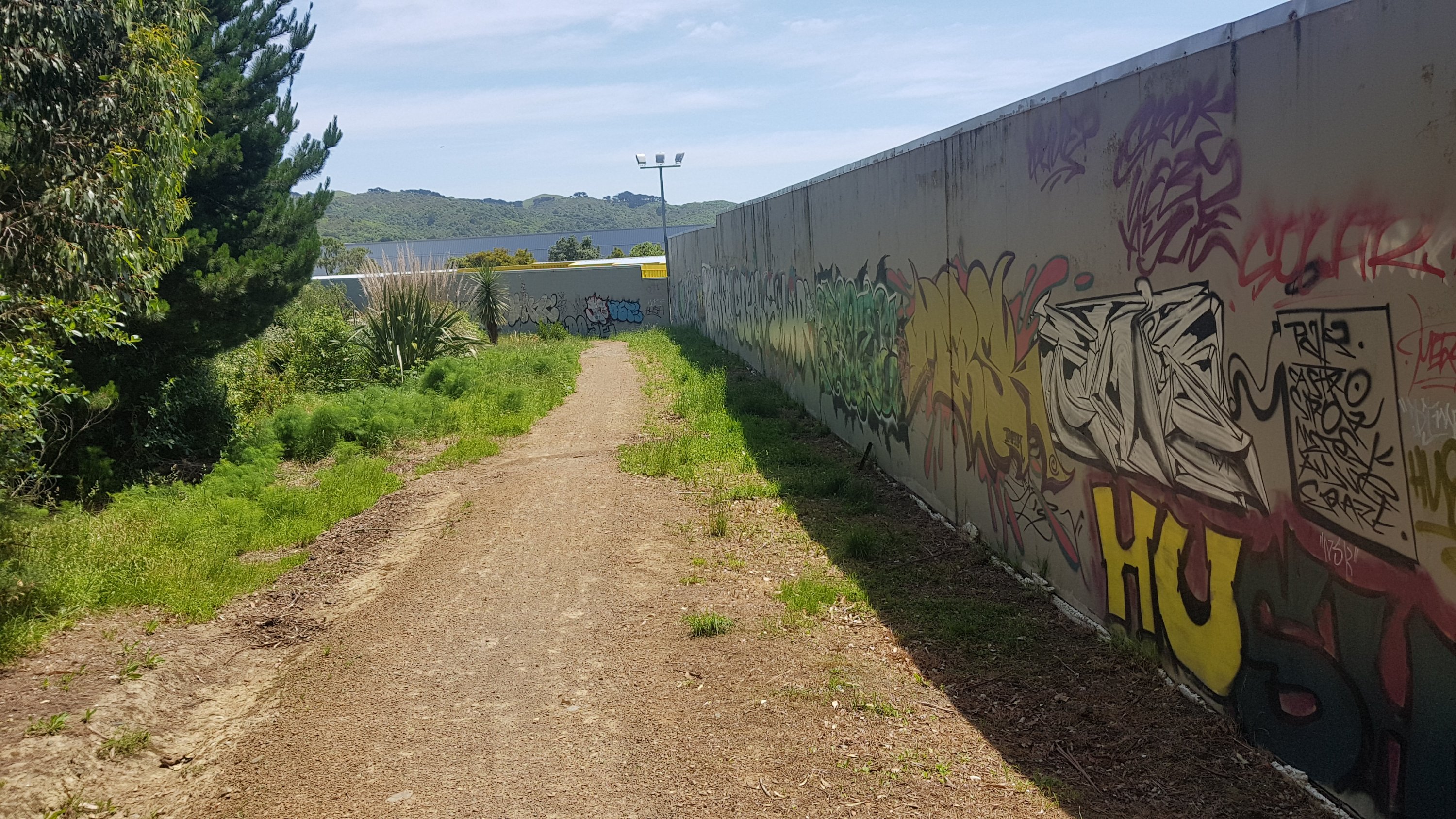
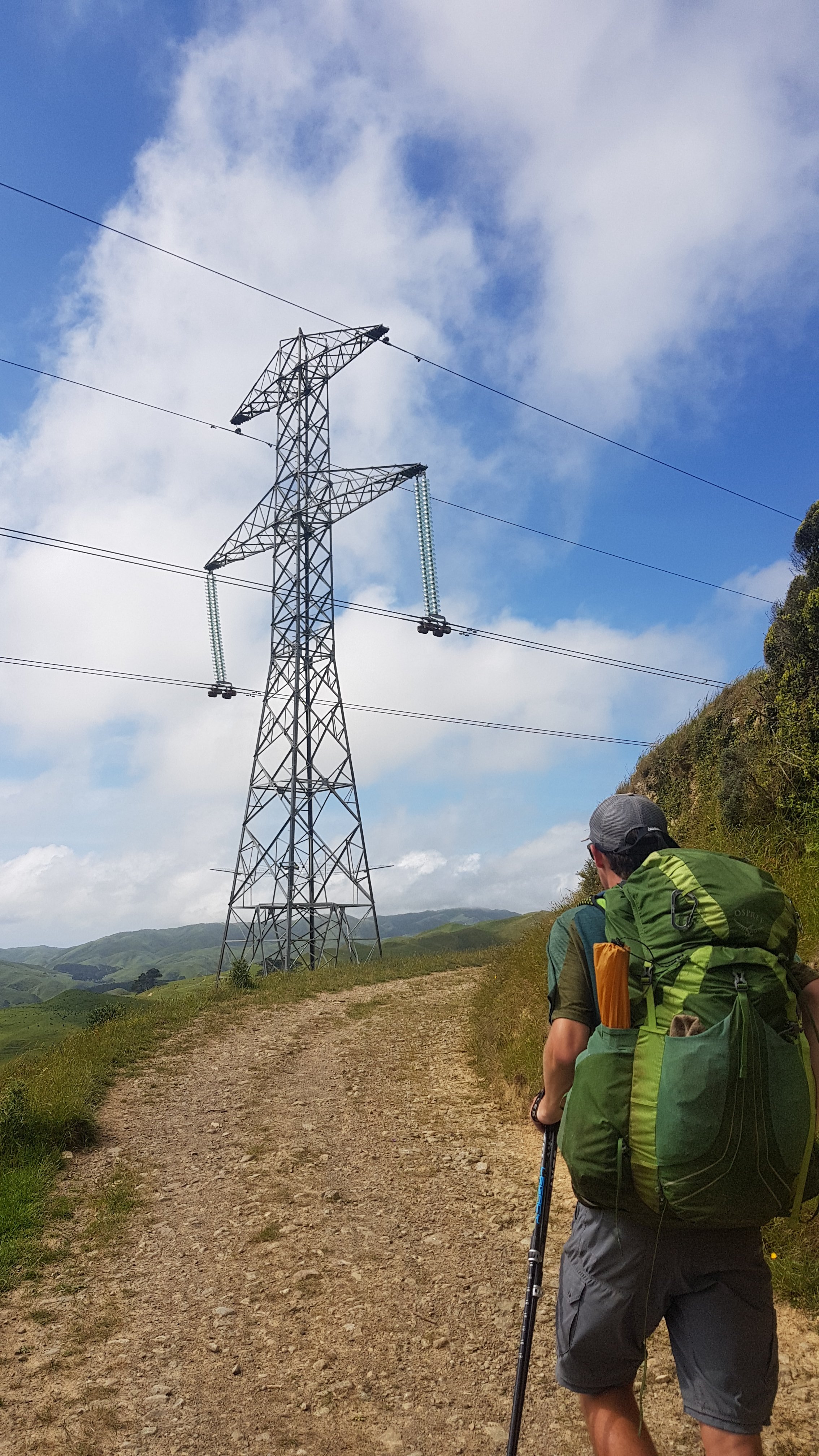
State Highway 1 was actually quite busy at 5:45am – lucky there is an underpass to go under it. Lots of people commute from here to Wellington early, I’m guessing. I could easily hear the highway and also the train over my music.
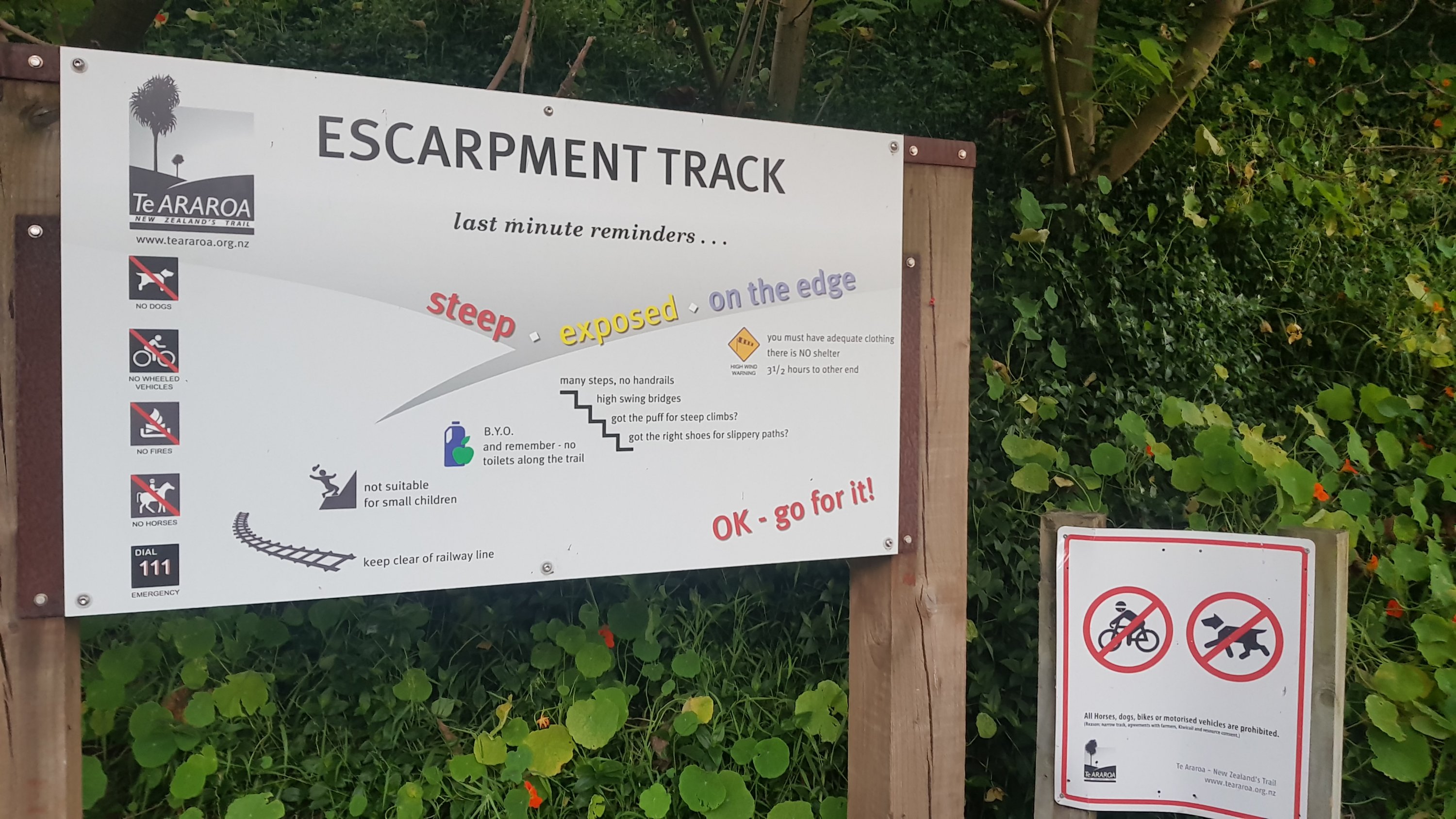
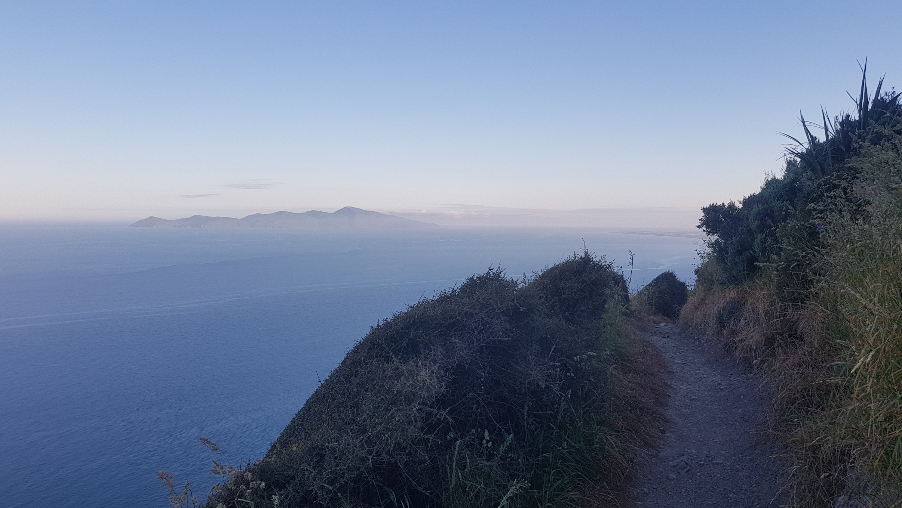
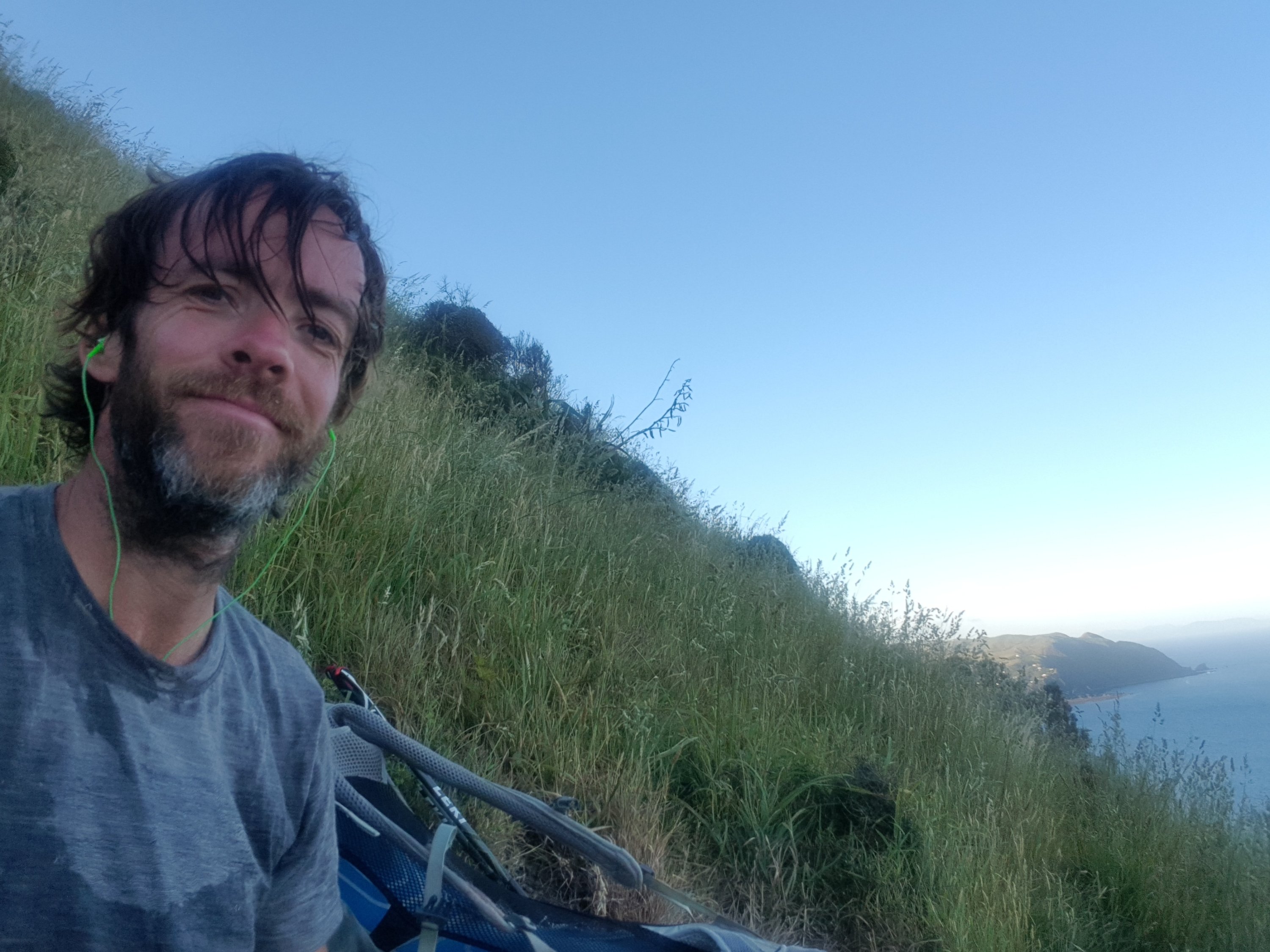
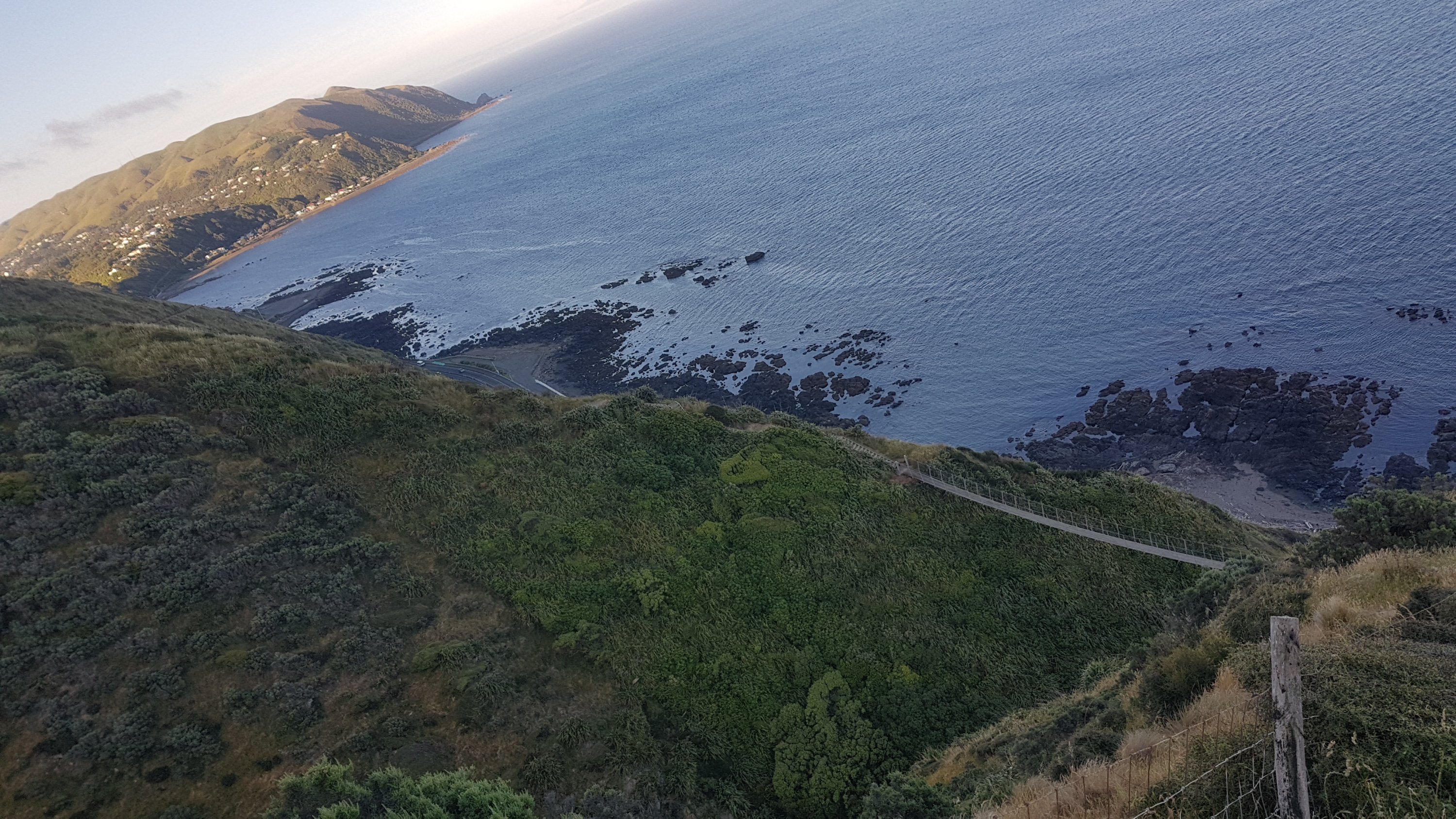
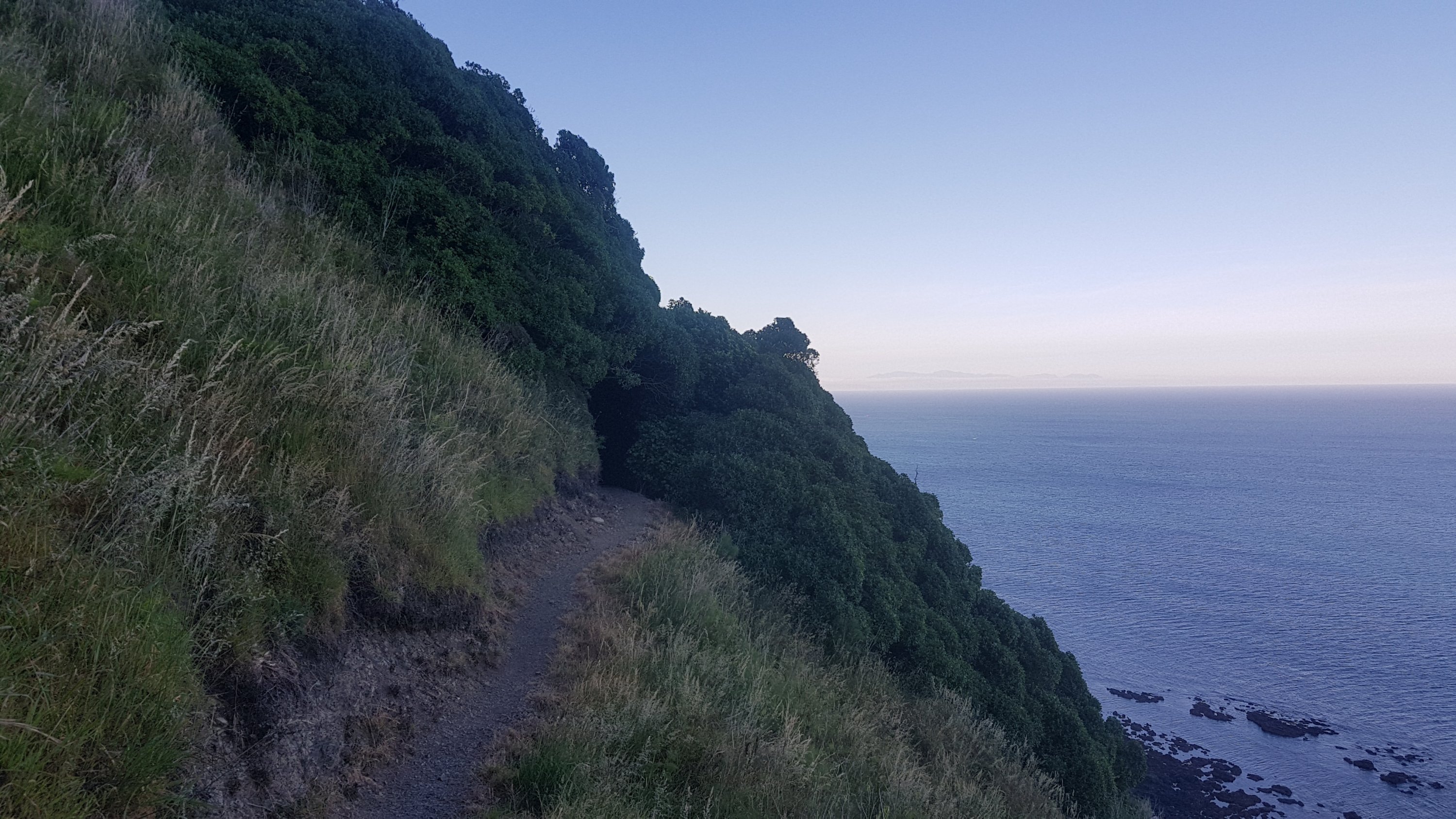
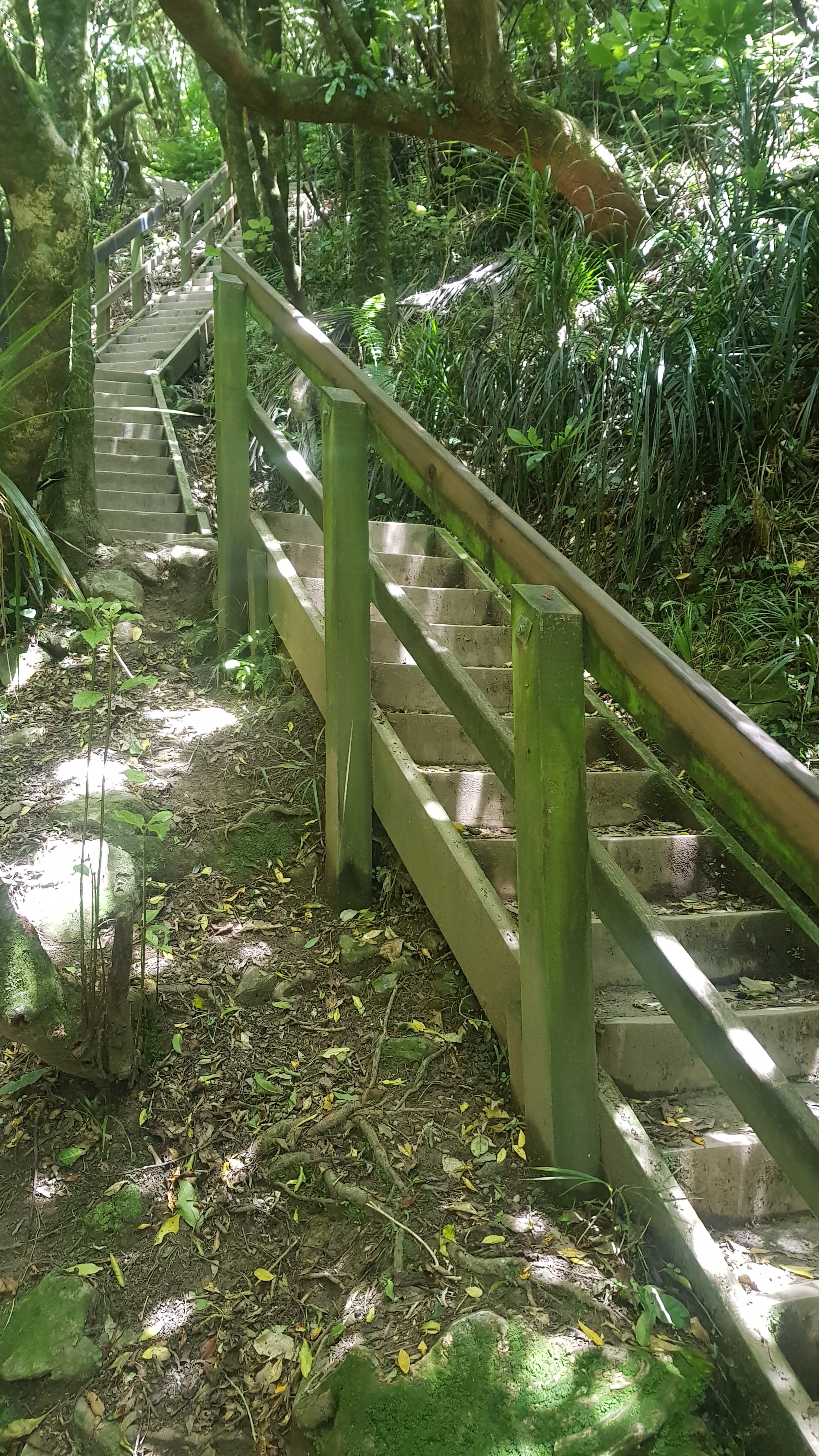
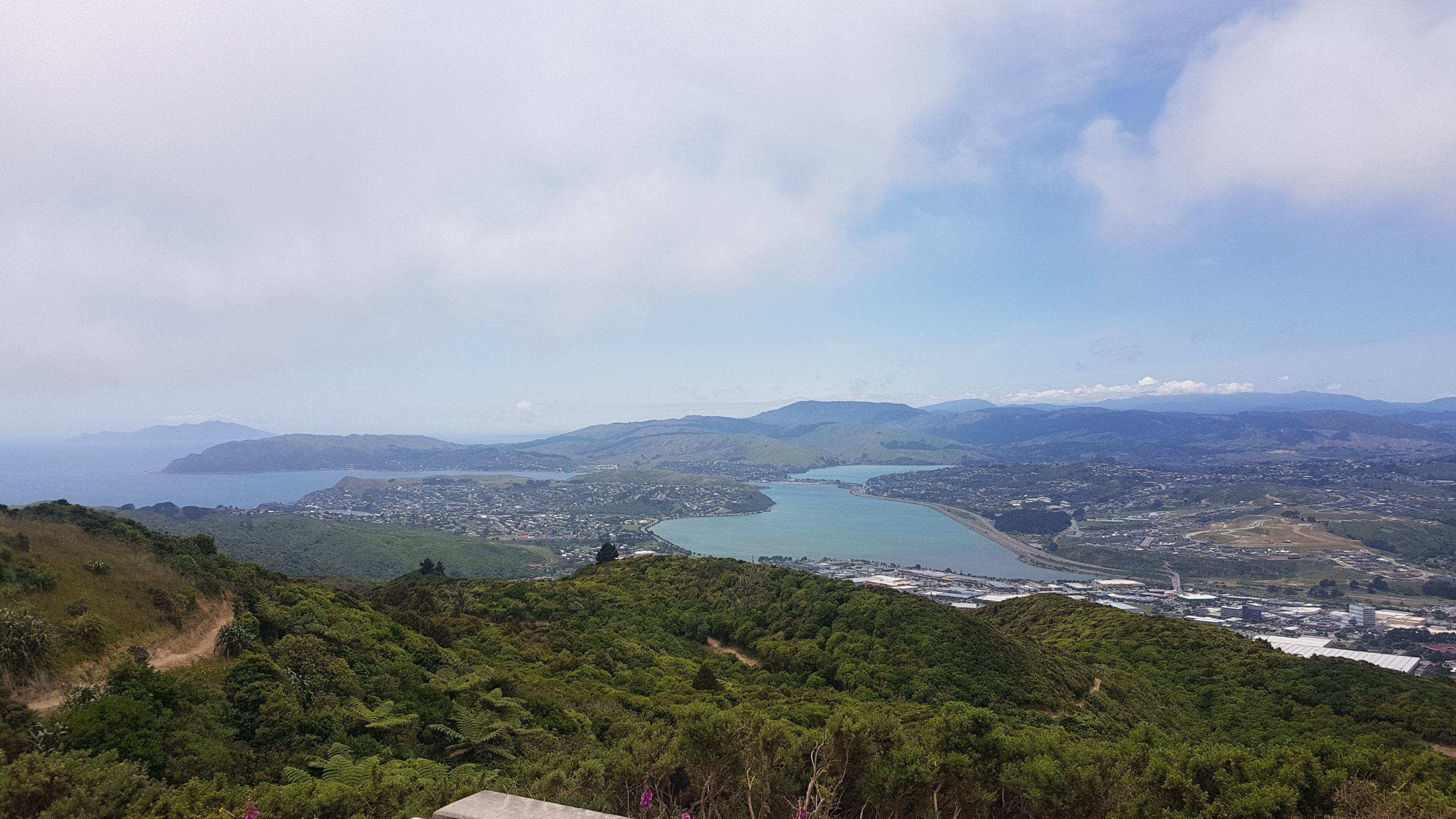
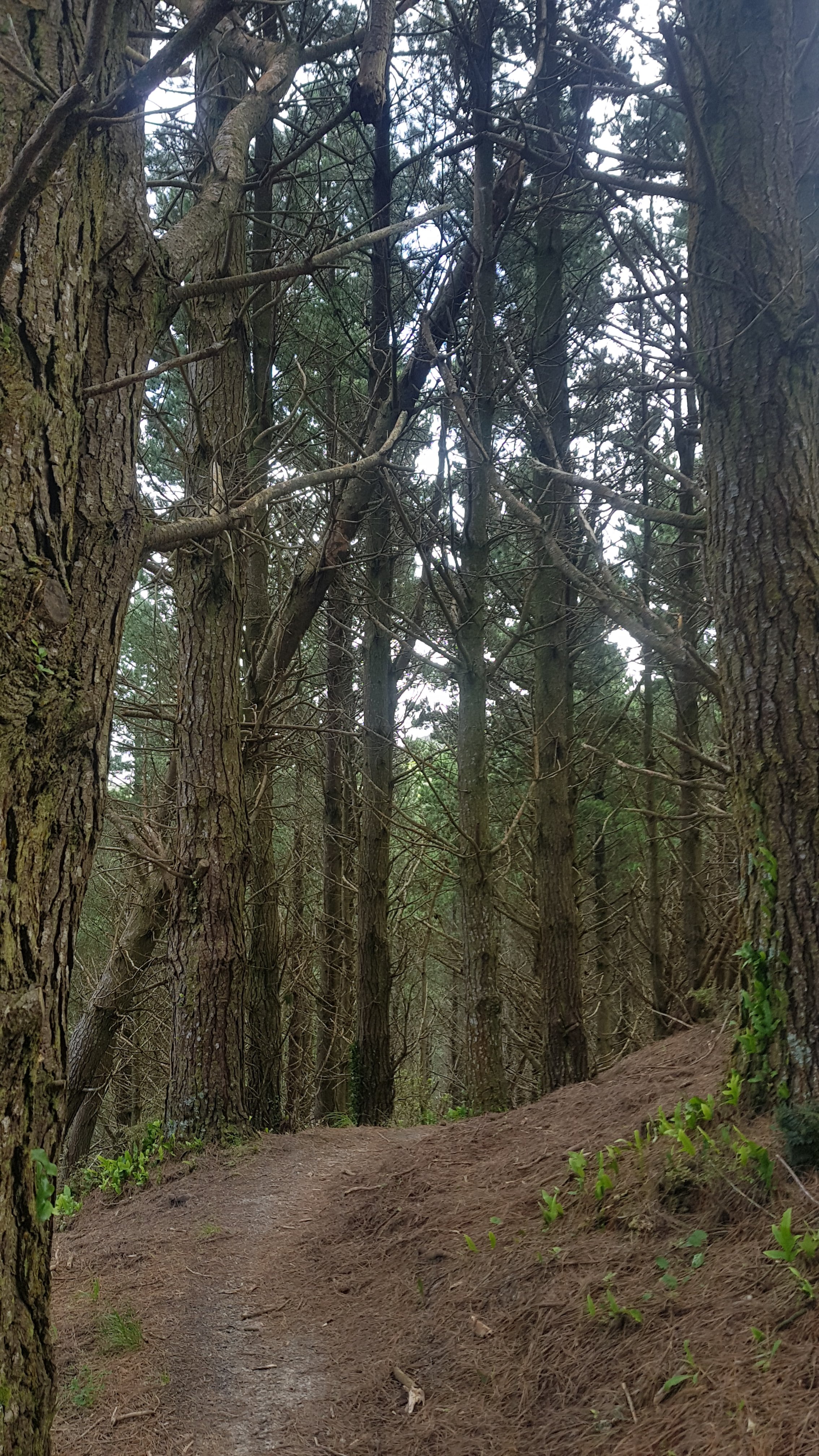
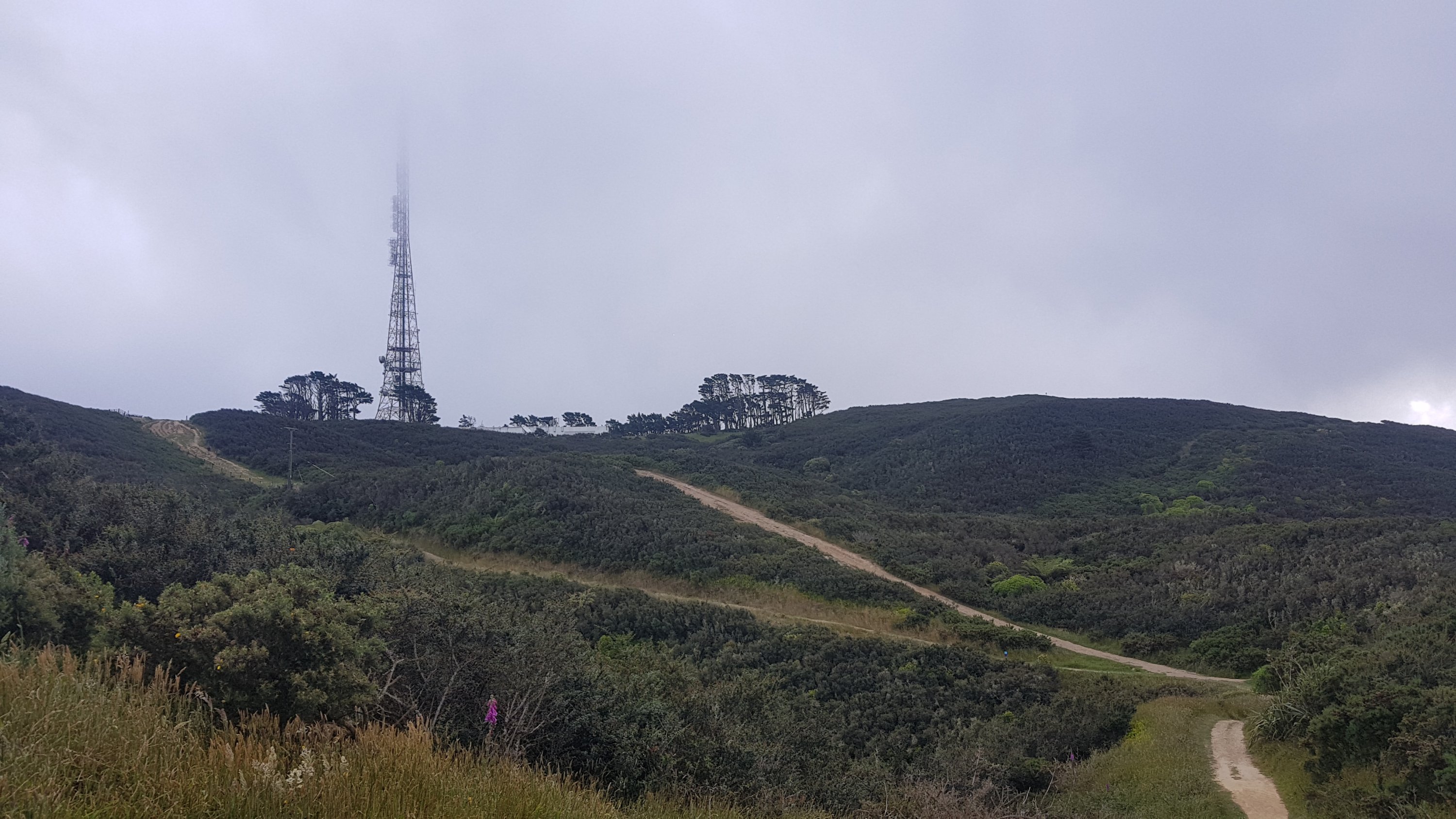
The Escarpment Track was a really cool track.
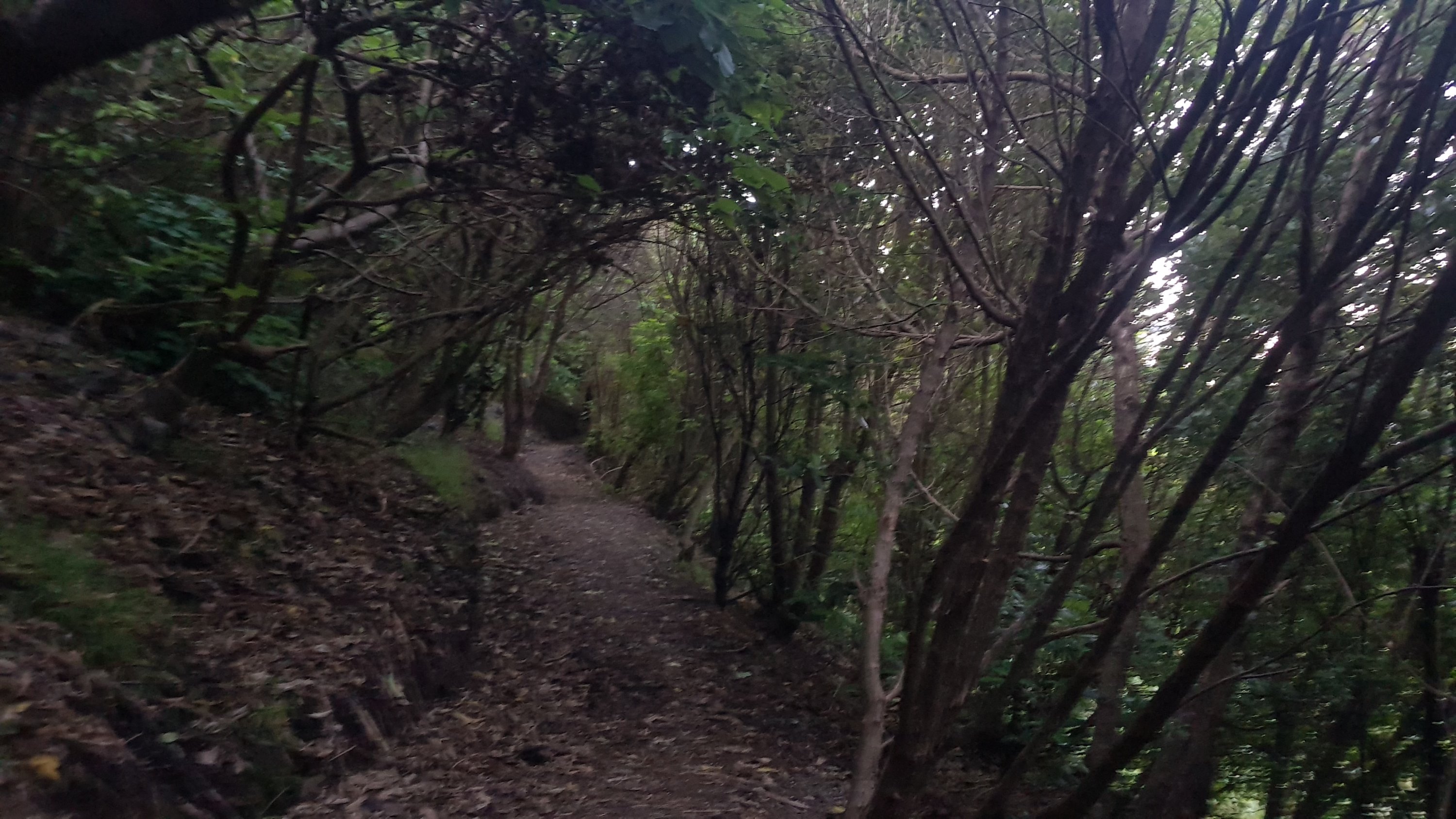
At first it was through trees like a lot of previous paths…
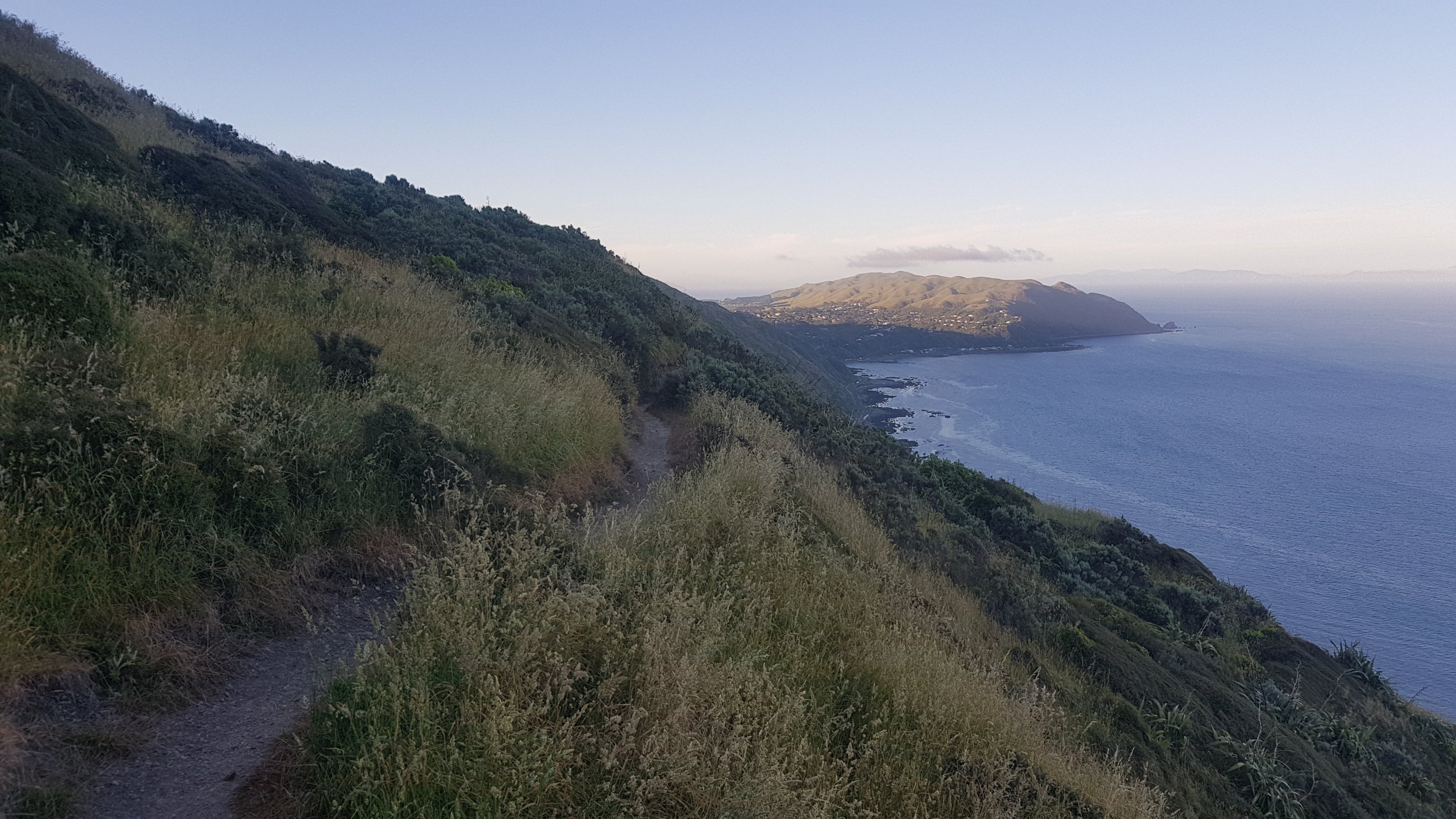
But then it was mostly this kind of thing.
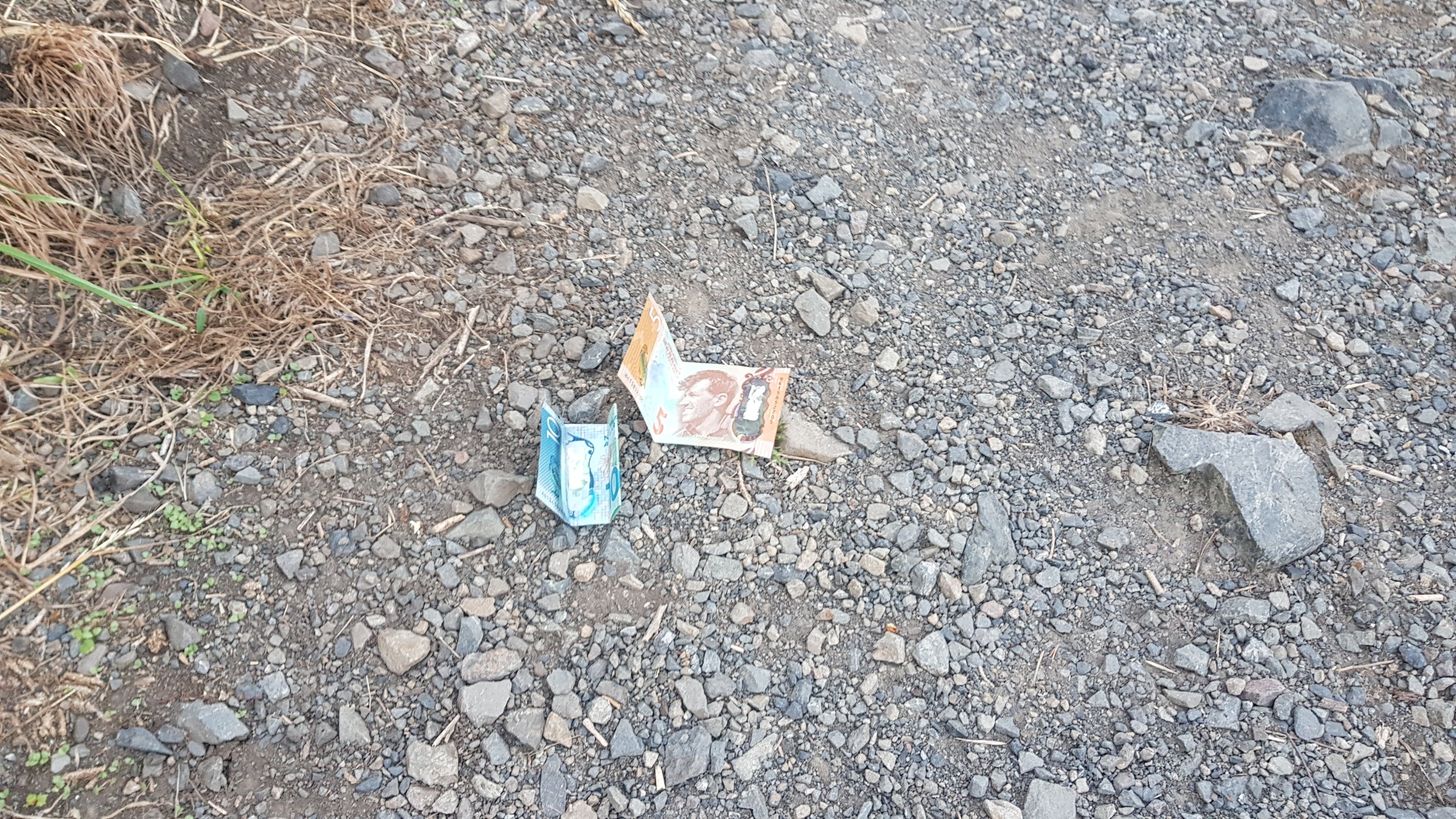
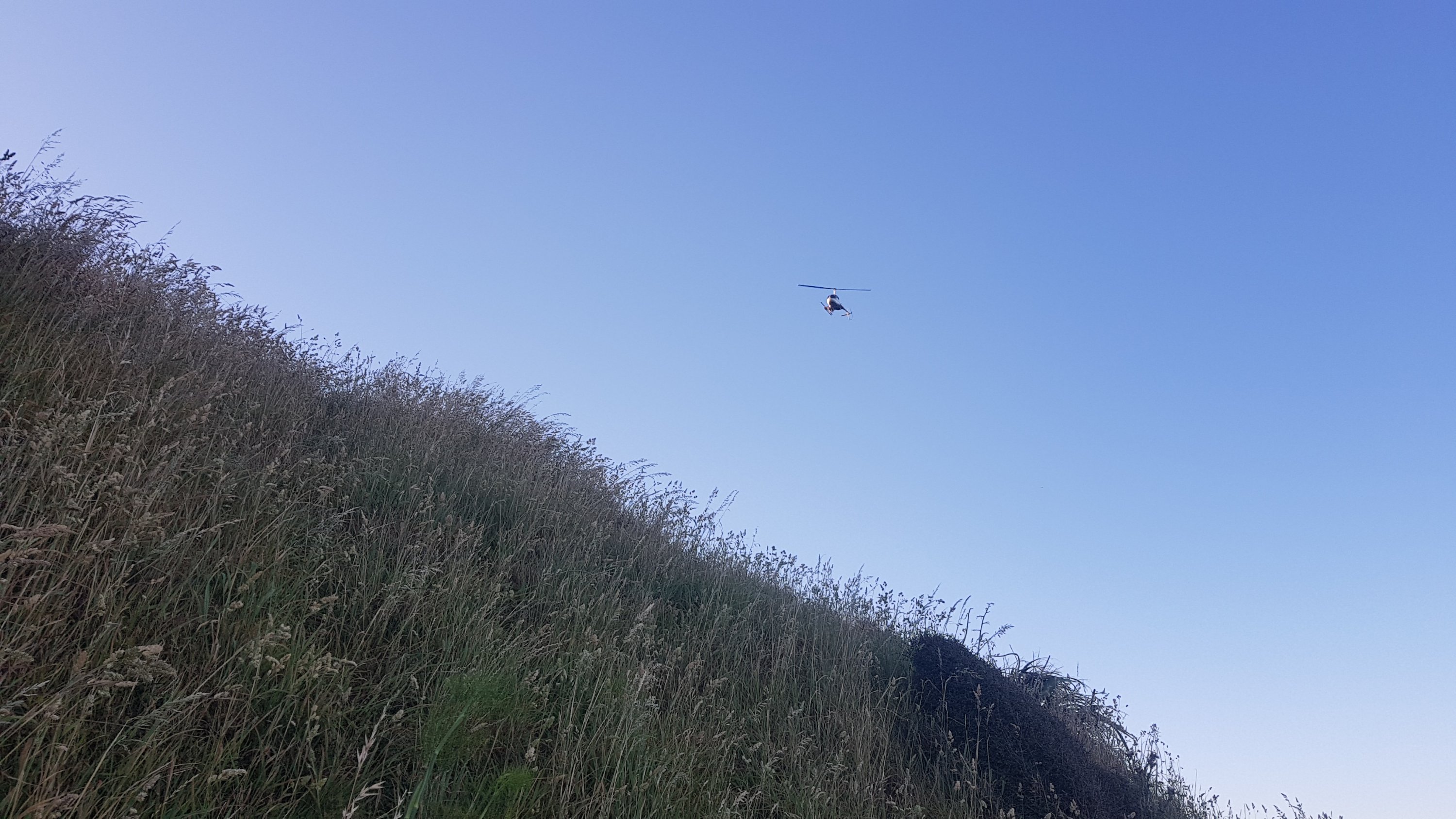
And look what I found! Today is starting off to be a good day.
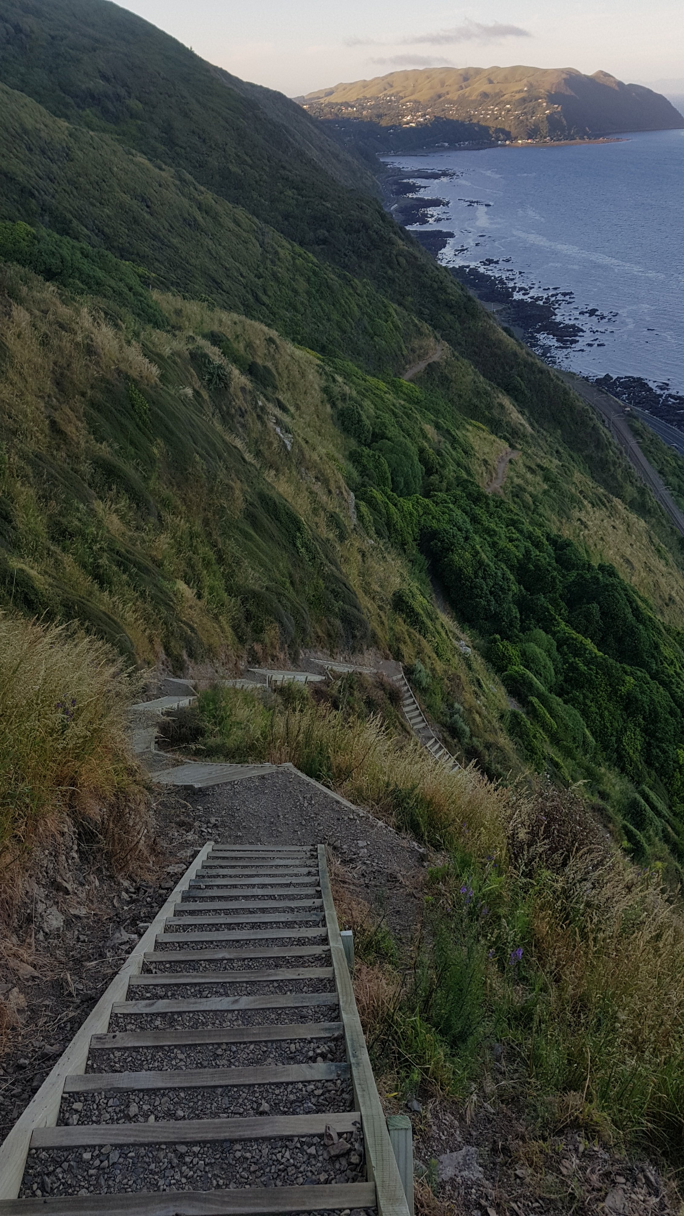
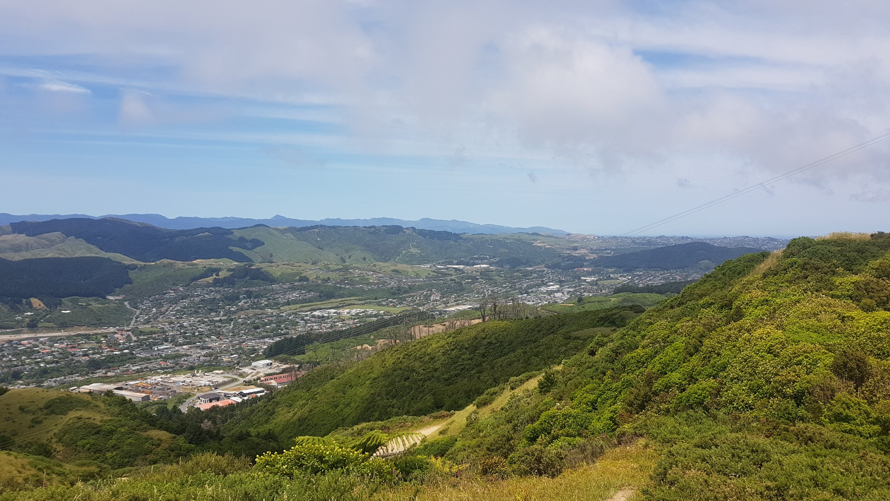
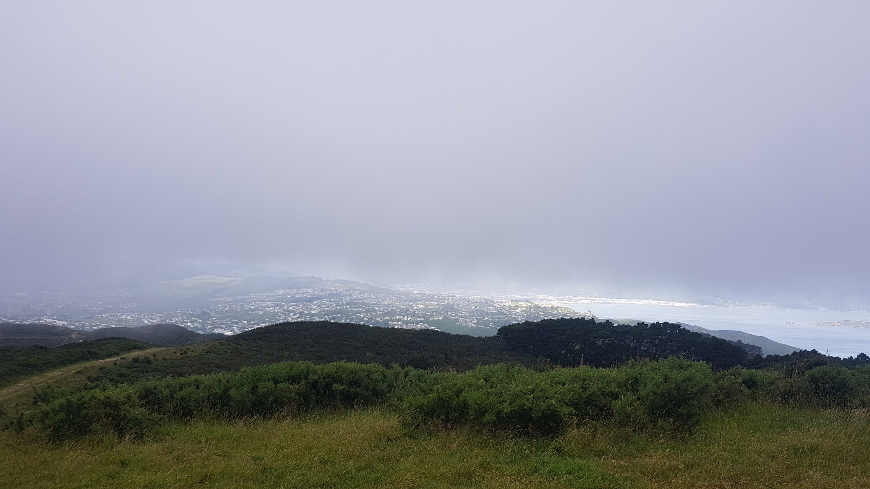
It was steep at first but not for too long and the views were always fantastic.
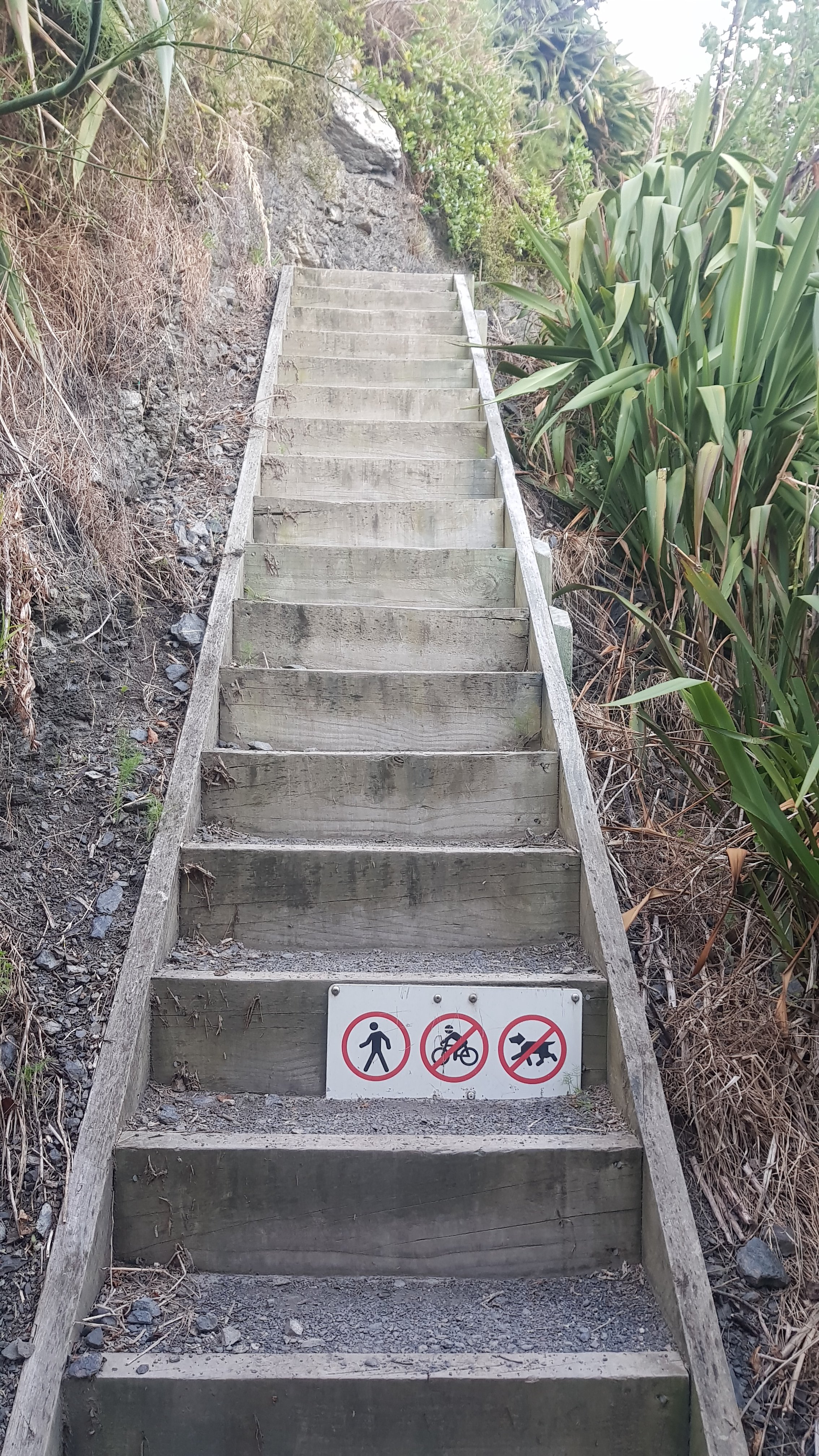
The sign in the previous photo confused me a bit at first, because I lived in London for a long time and in the UK a symbol inside a red circle means “prohibited” – so the sign above on the stairs would mean pedestrians prohibited.
Because I was on the track so early there was nobody else on it and also the sun never shone on me because of the big hills blocking it, making it the perfect temperature all morning.
I also found a geocache, which required walking off the path and across a 45-degree gradient to look under a flax bush. Kinda scary.
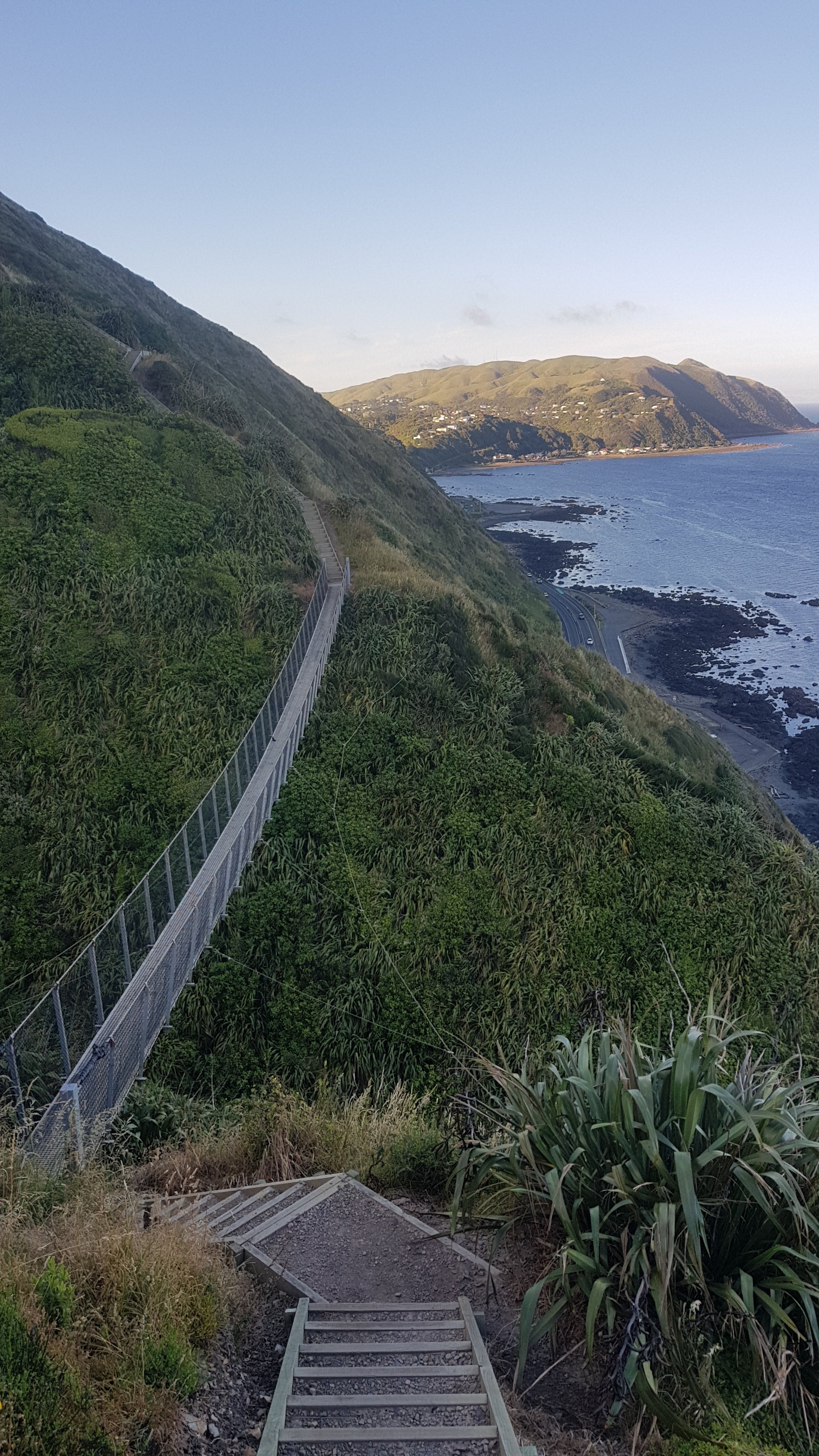
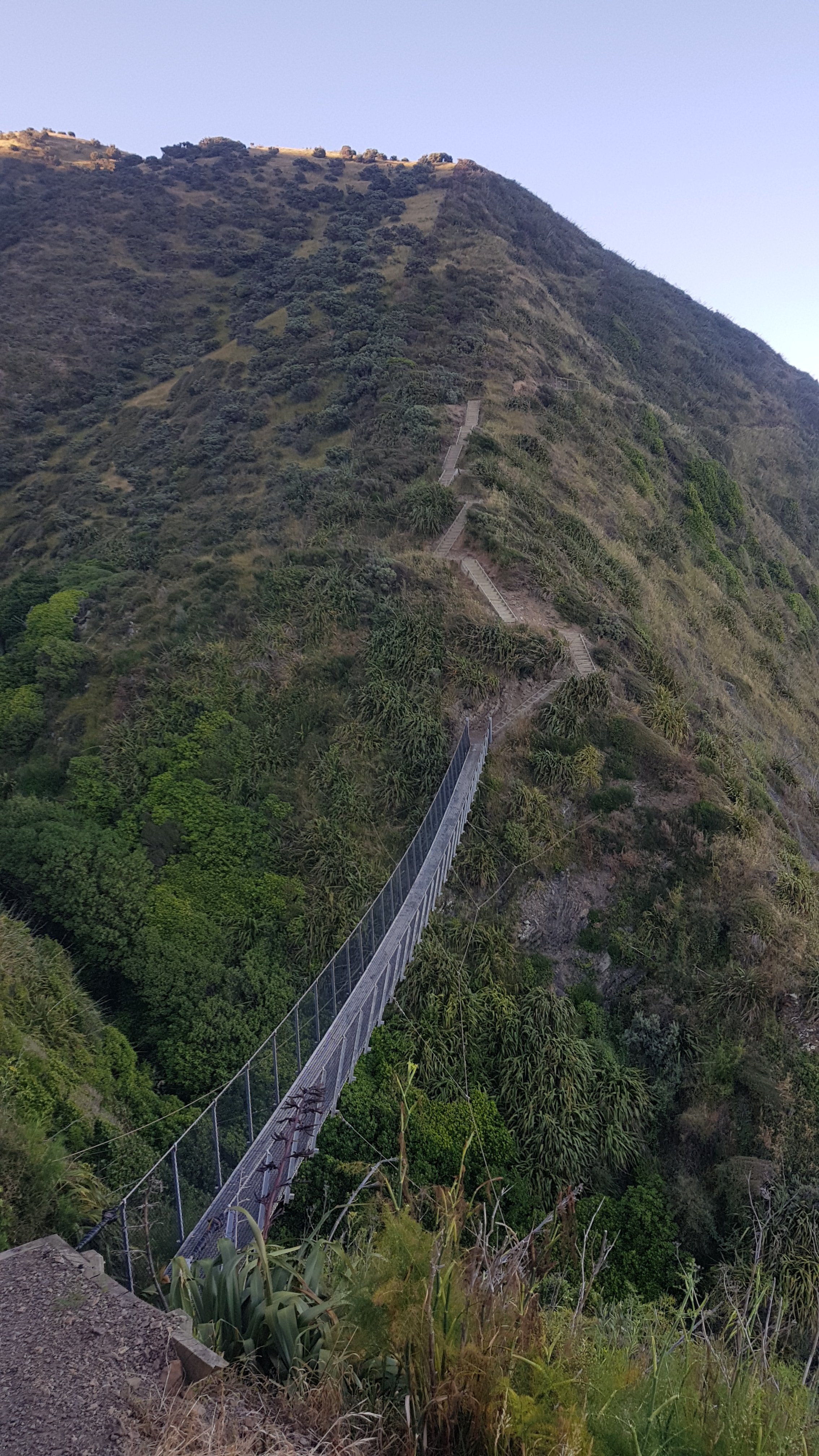
After the highest point there were a lot of stairs down.
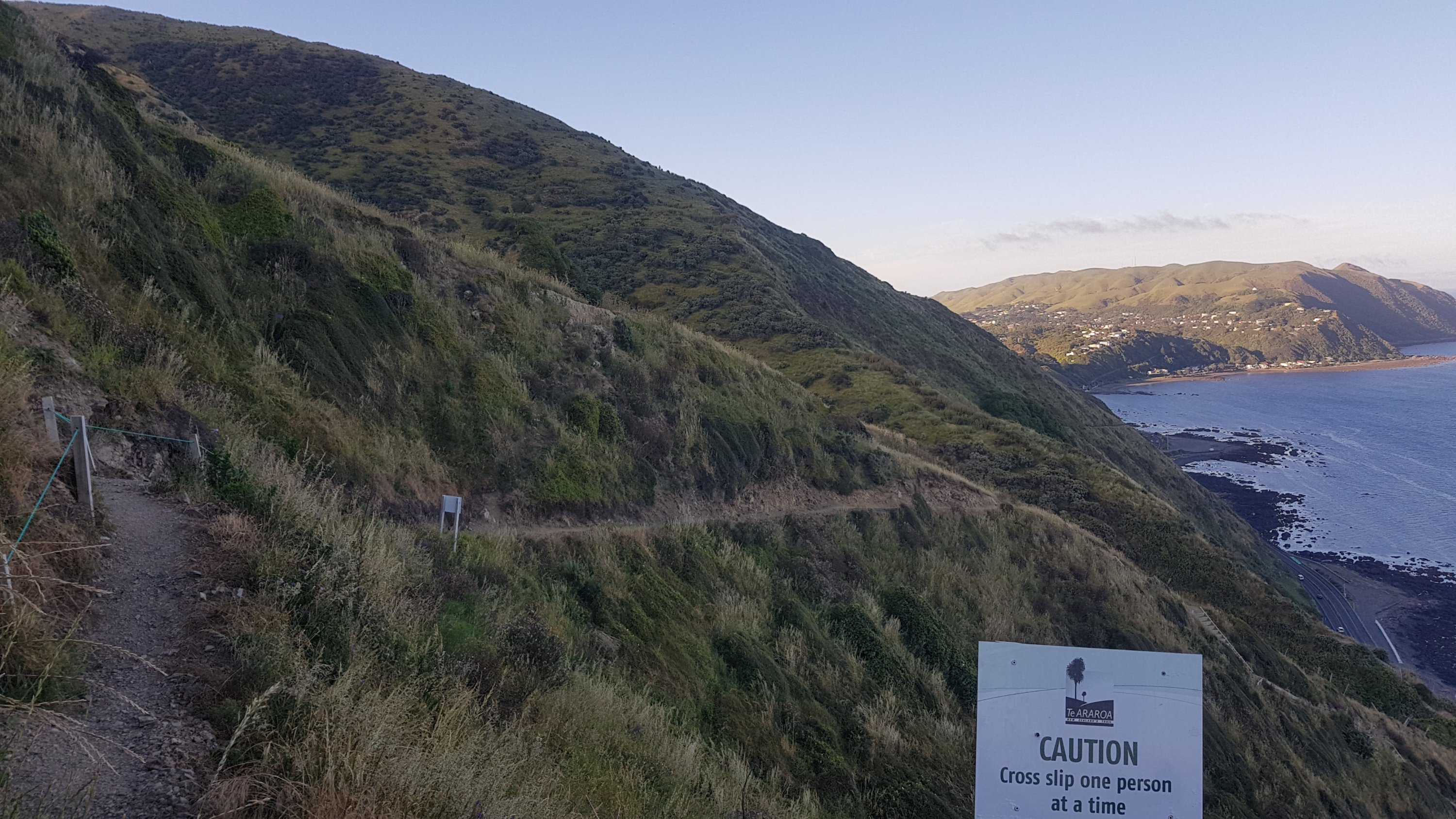
I wondered how often they check this path for slips. There is no exit from this path except for the beginning and end and so I can’t imagine how frustrating it would be if you got 80% of the way and had to turn back.
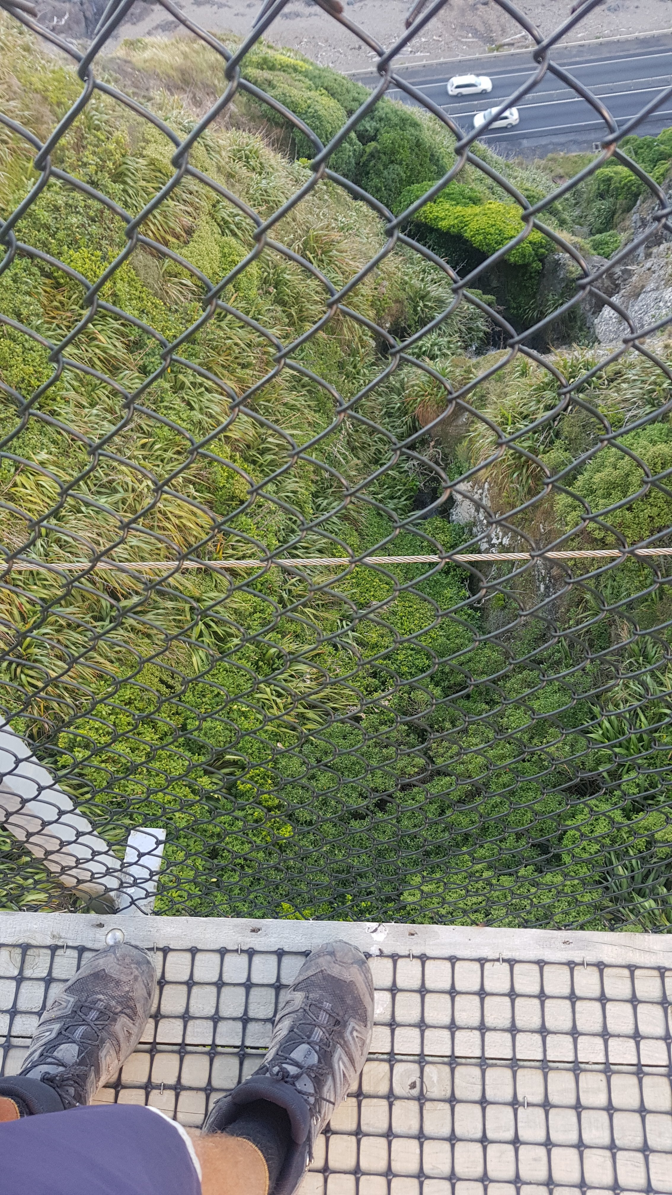
There was the obligatory swingbridge…
With the obligitatory “shoes” photo.
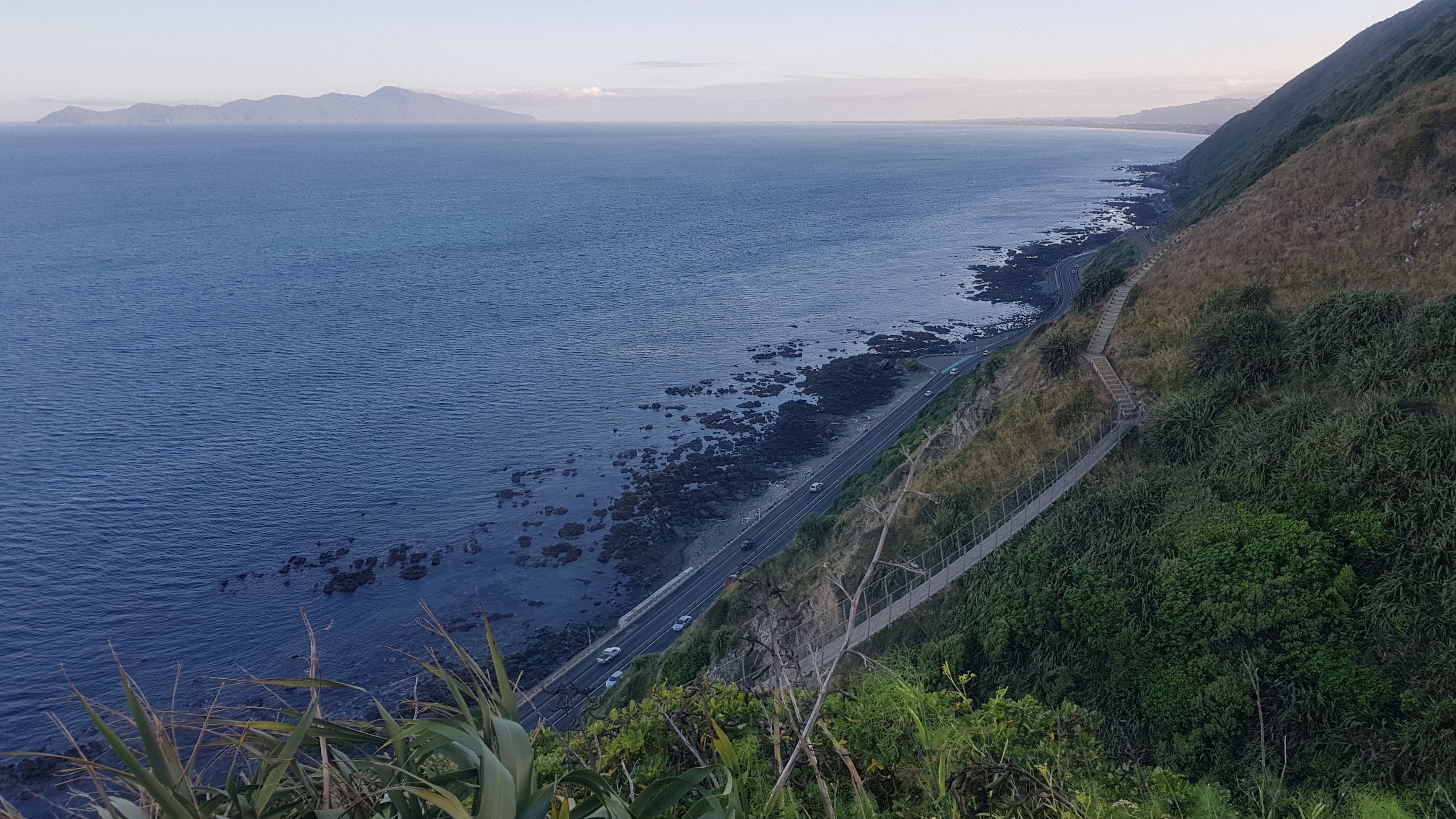
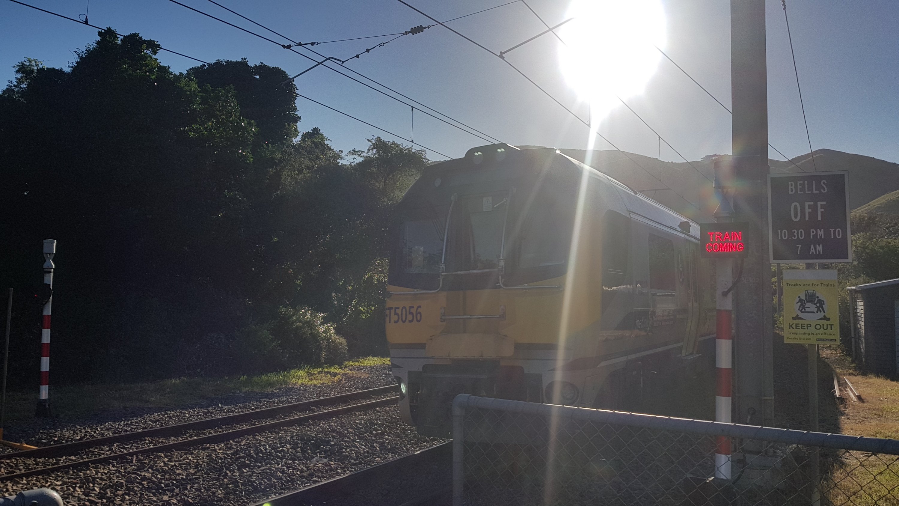
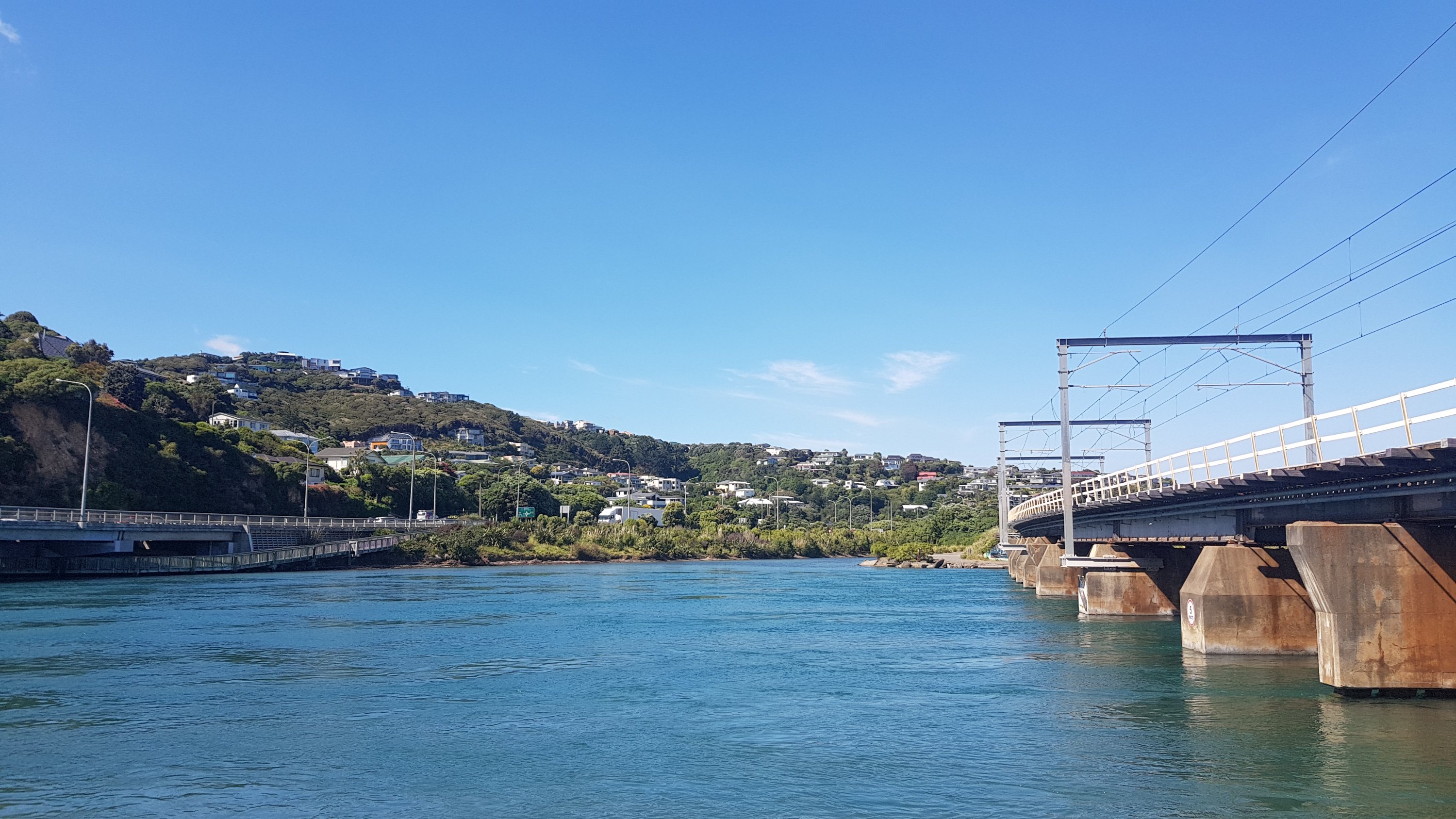
Once all this is over you walk alongside the railway lines for a while and then eventually cross them.
Looking at the time on this last photo, I completed the Escarpment Track in 1 hour 45. Exactly half of the 3 hours 30 that the sign at the start suggested it would take.
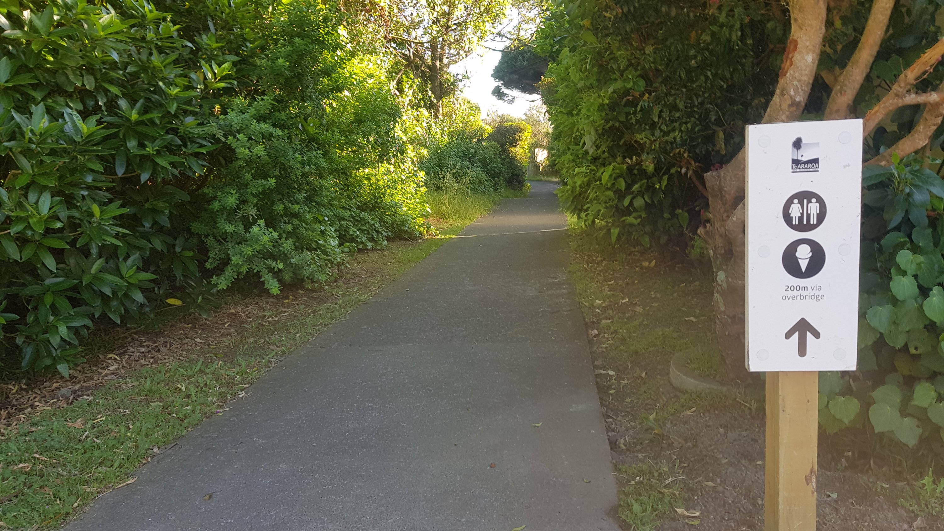
There was a small amount of residential street walking.
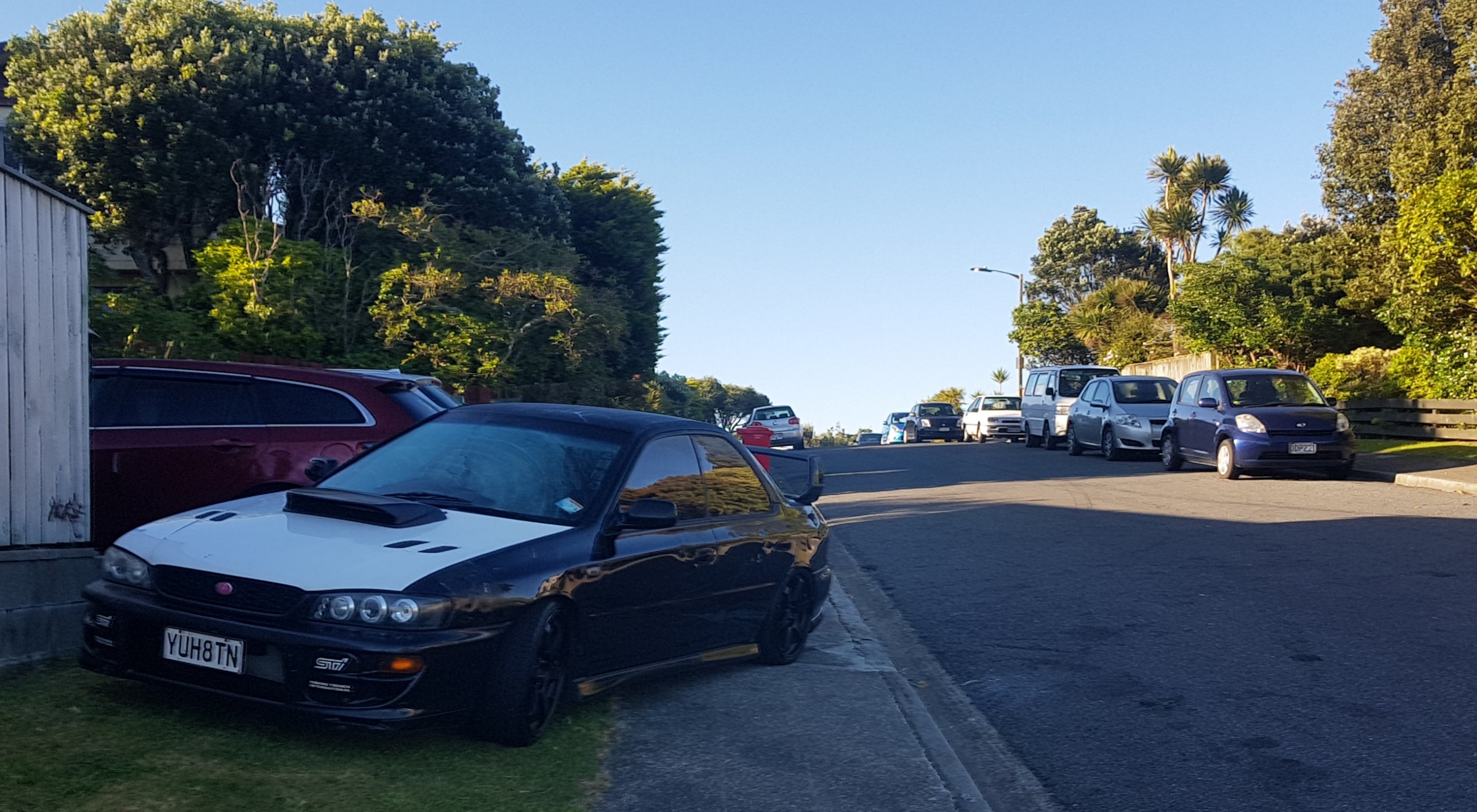
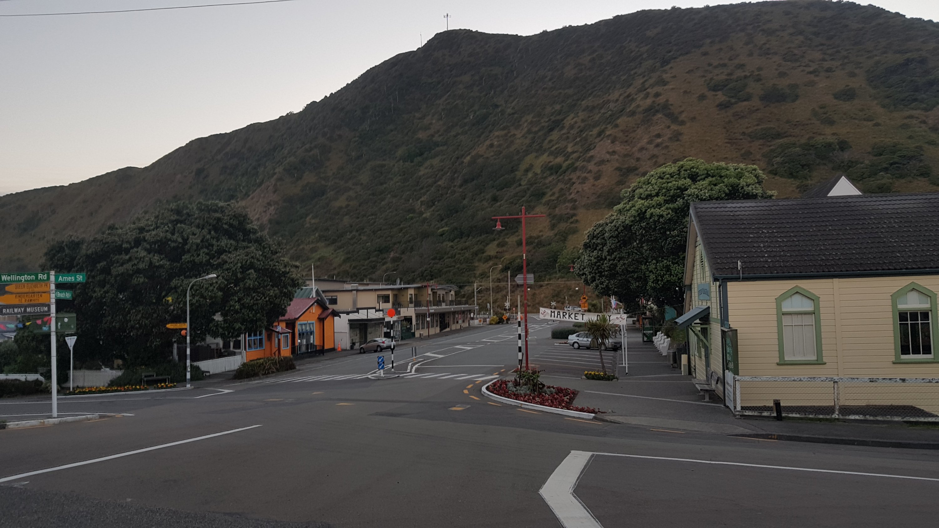
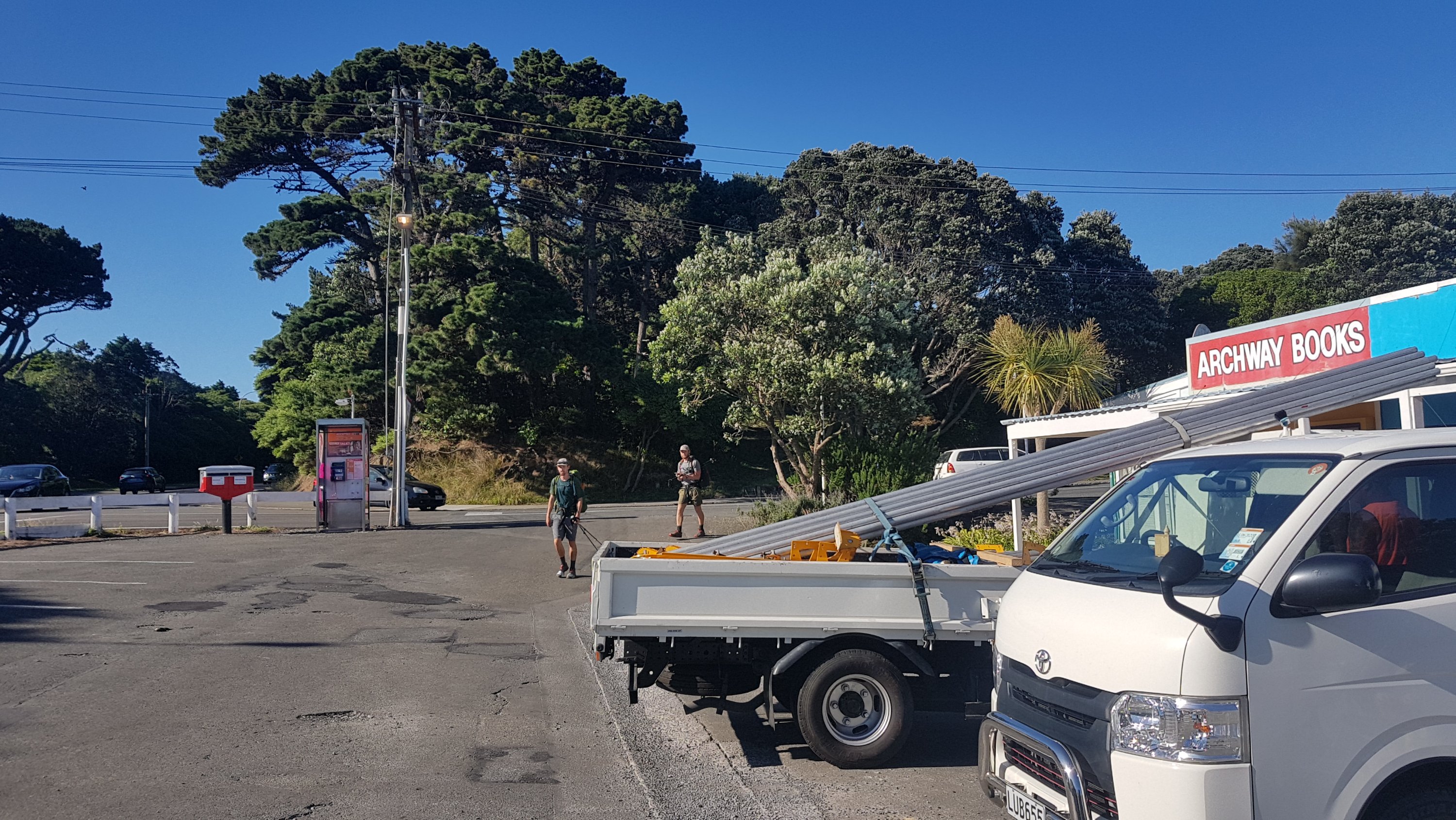
I was really looking forward to getting a coffee (what’s new right) while walking the Escarpment Track and so I got excited as I was coming into Pukerua Bay. Although the town didn’t appear to have a lot based on Google Maps – in fact the only thing it seemed to have was a dairy.
Surely if the dairy is the only shop in town then it will also serve coffee. Surely a town can’t exist without a place that sells coffee!
Well… after the weird series of twists and turns that the trail takes through the town… the dairy was closed! At 8:15am! Come on…
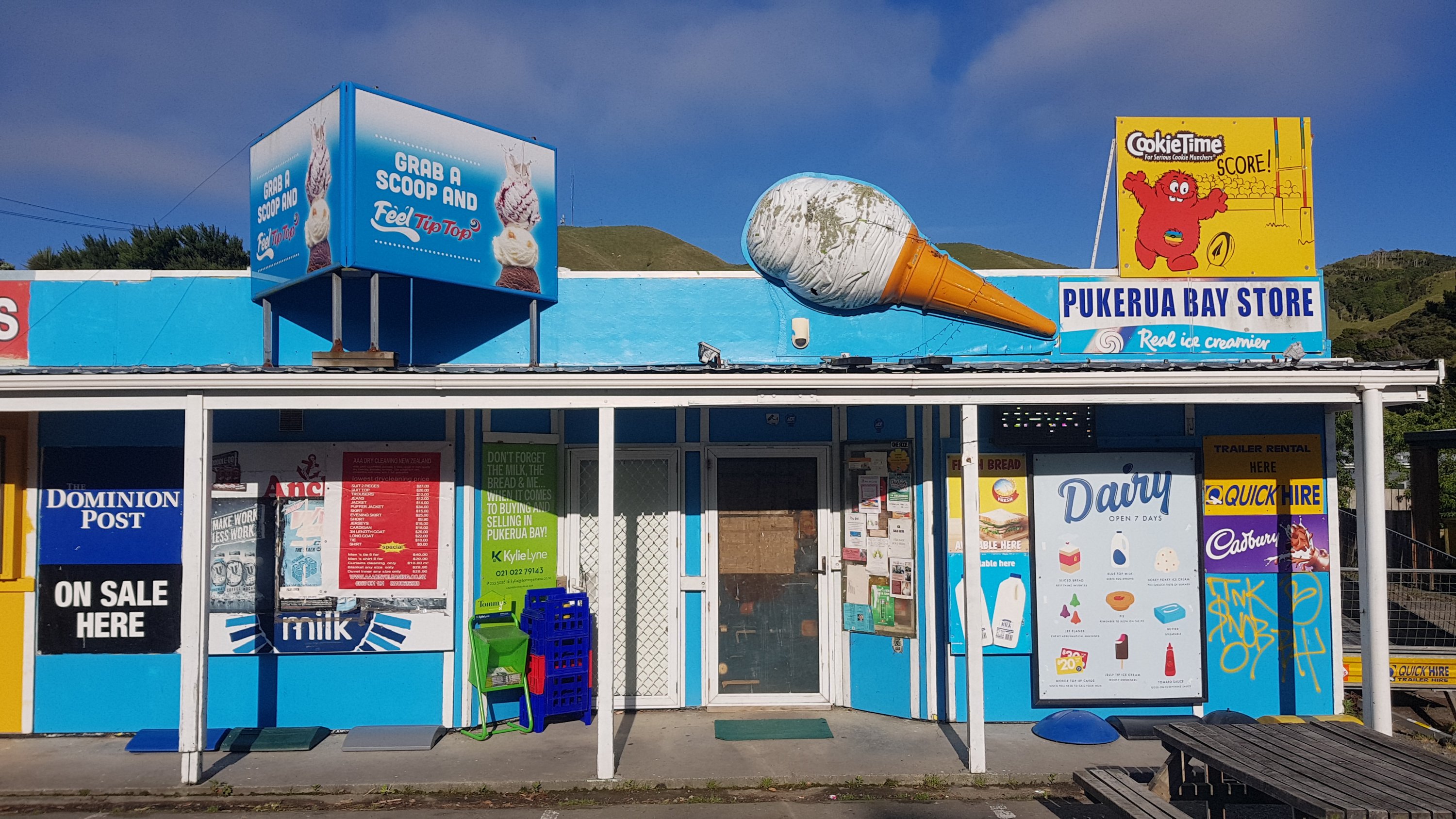
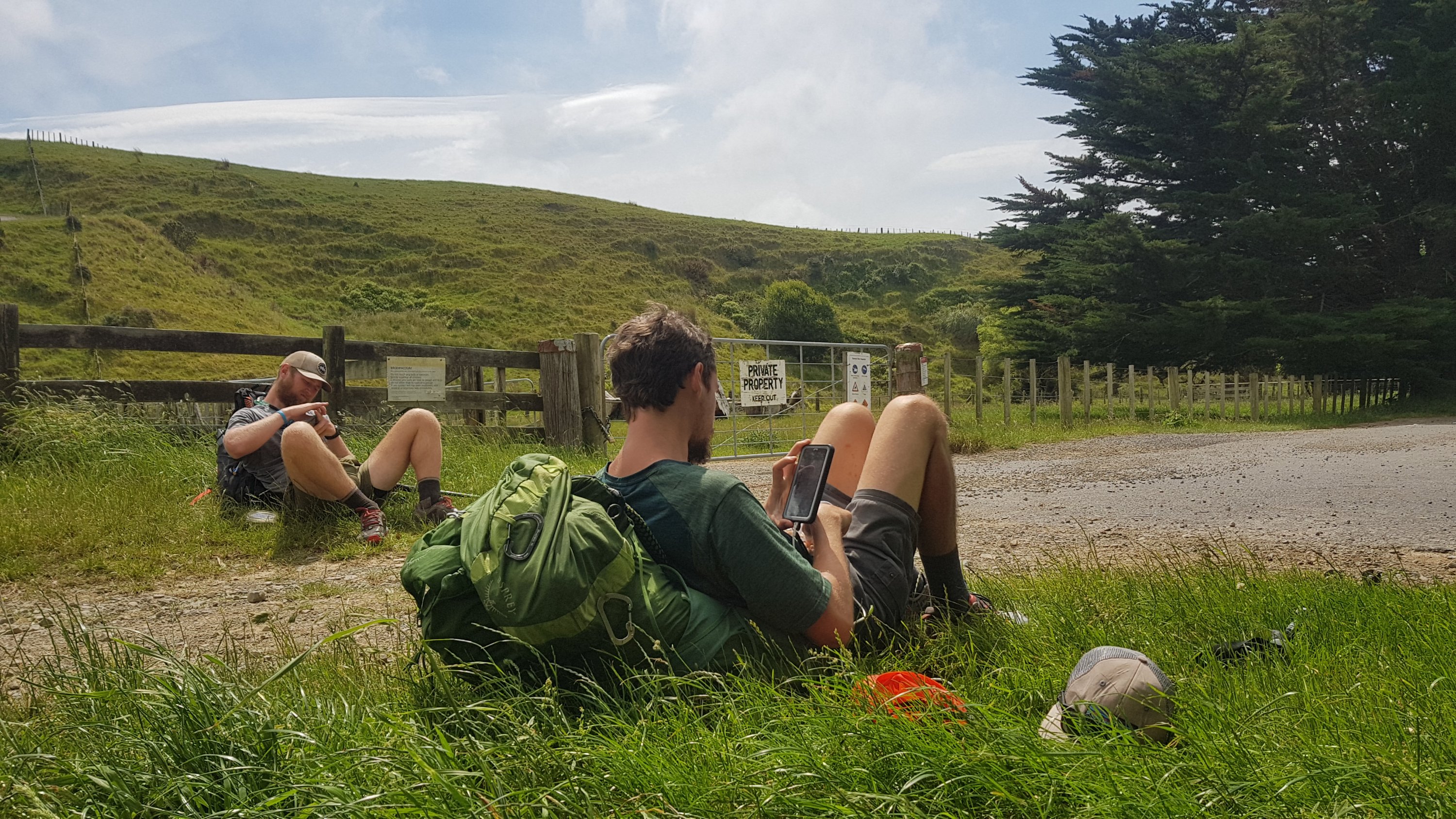
Ethan and Alex were just finishing up at their AirBNB so I waited for them at the dairy, and in the meantime I ate two muesli bars from my pack and a few pieces of chocolate.
Just as Ethan and Alex arrived the owner of the dairy showed up and opened up the dairy. Bad news… they don’t sell coffee. Gee, I was quite surprised.
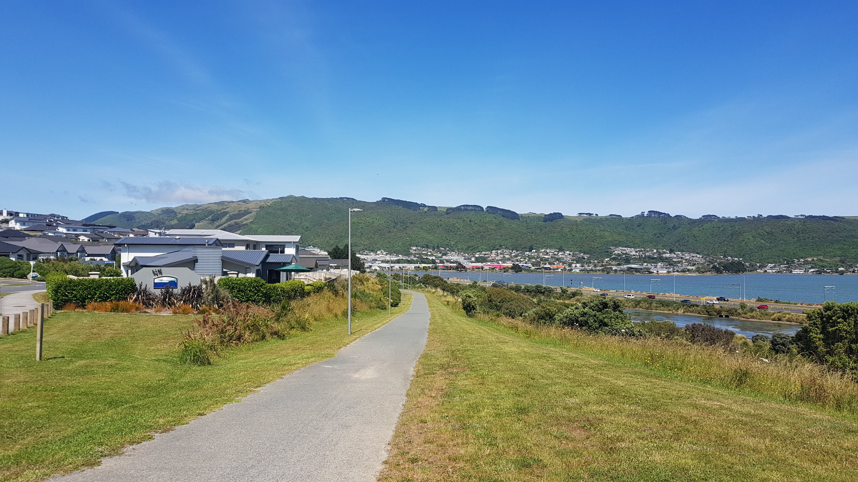
I settled for a one scoop ice-cream and the three of us continued walking. The path from here to Plimmerton was alongside the expressway but at least it was a dedicated wide footpath and it wasn’t along the road margin.
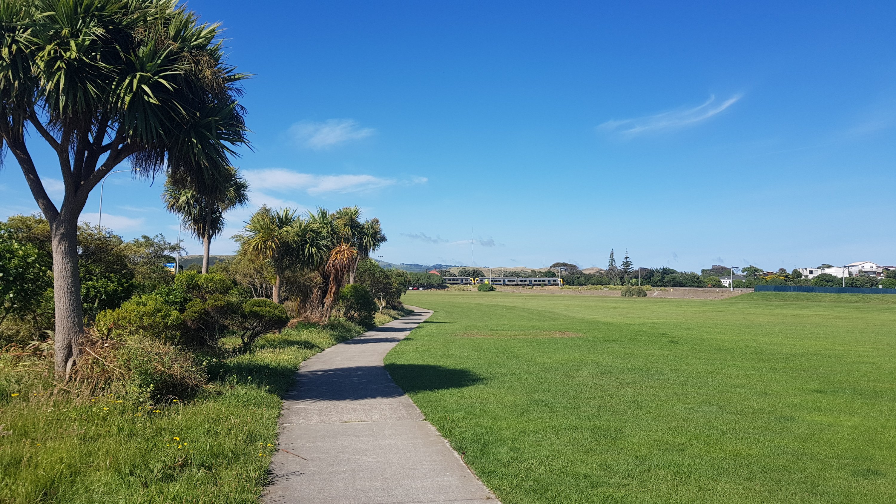
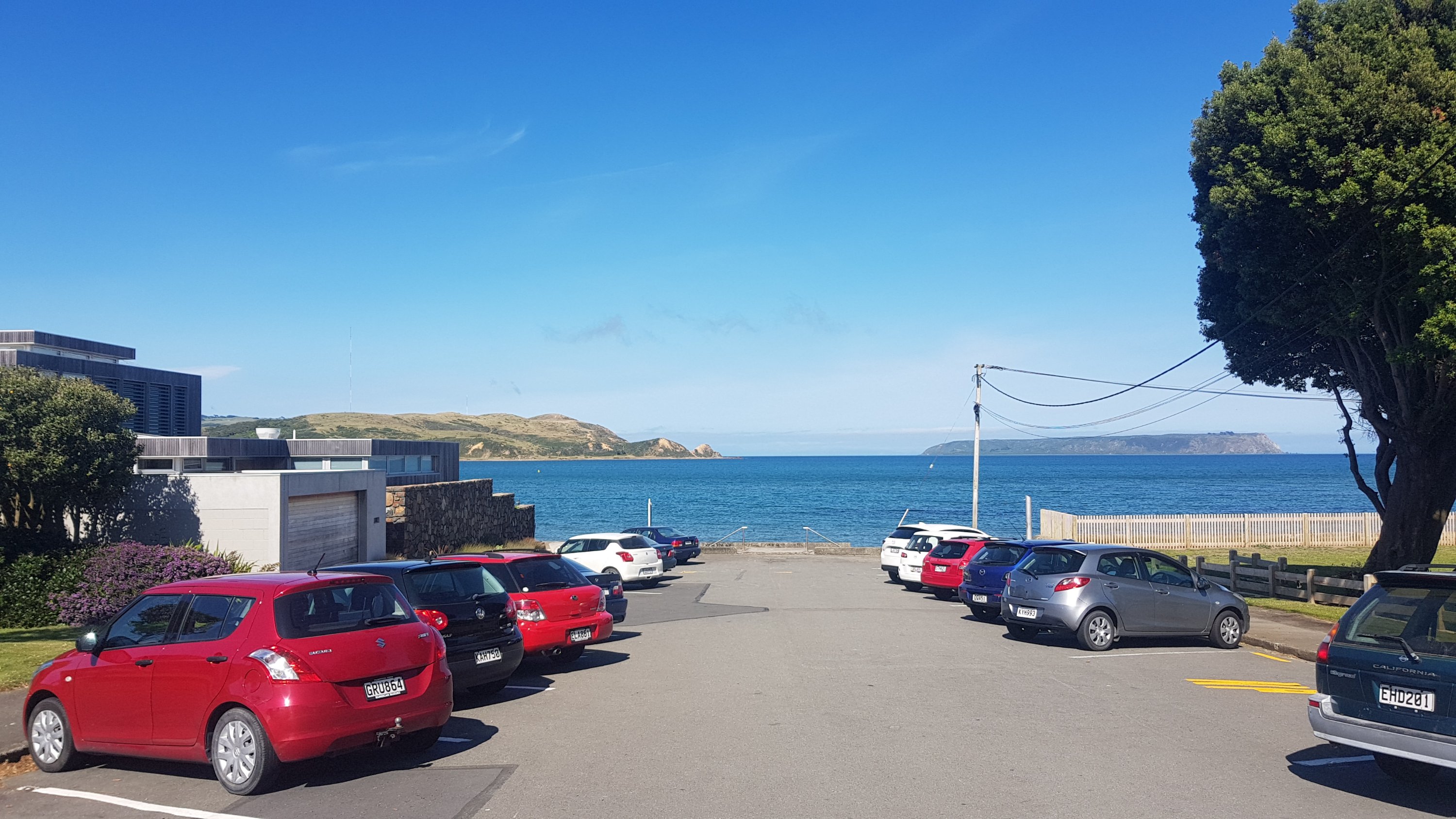
In Plimmerton we didn’t stop since the city of Porirua is not far over the bridge and we could get some decent food there. It was a nice little spot though with some good chances to see the bays that are coming up.
Along the next town of Mana we played a game called “guess how much this house is worth” which started when Ethan pointed out a huge house and asked what I thought it was worth. It had four stories and was quite modern but was also right on State Highway 1. We used a website called Trade Me Property Insights where you can type in the address of any house and it gives you a price estimate. I guessed $1,250,000 and the correct answer, according to this site, was $1,180,000. Not a bad guess.
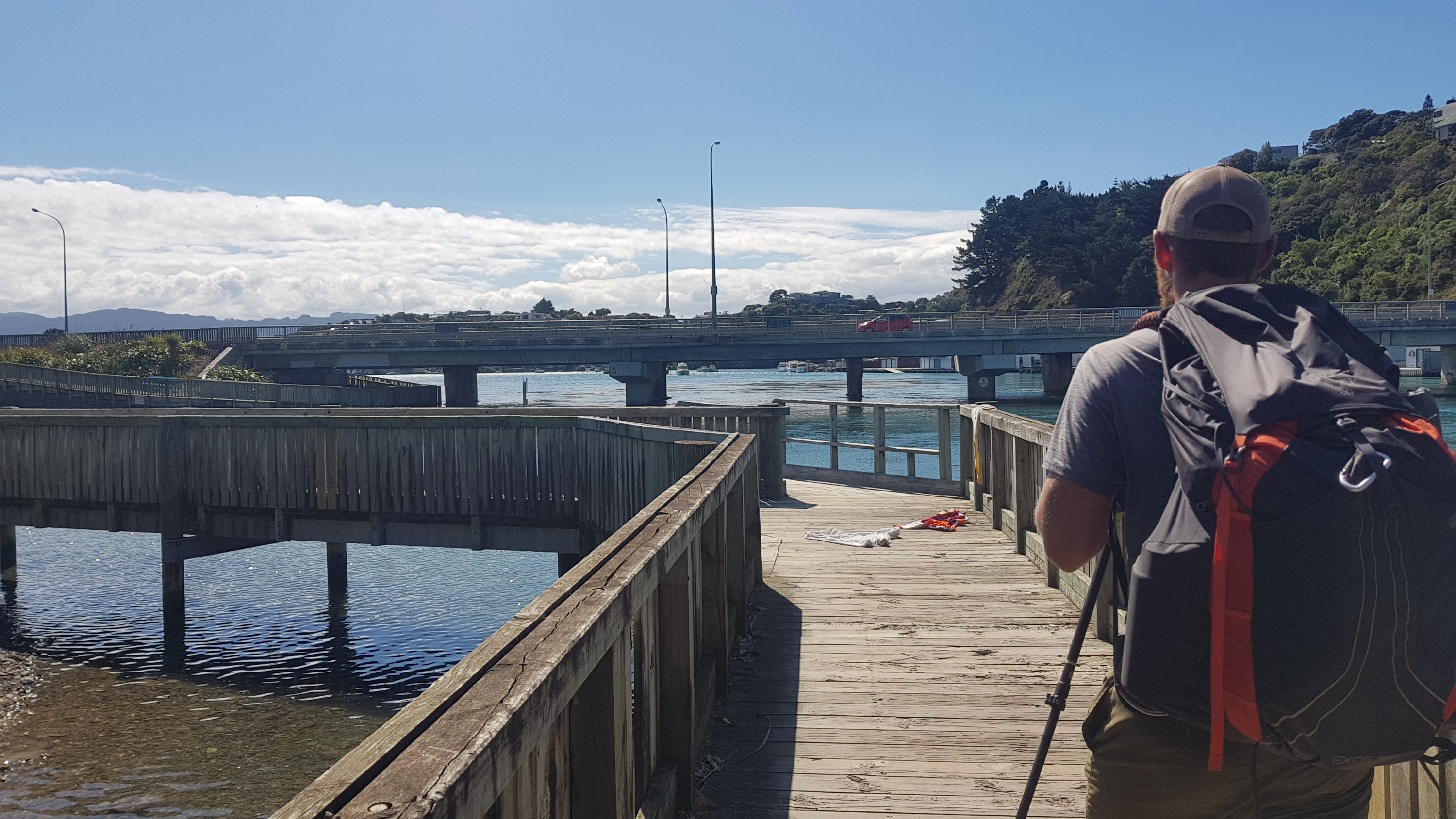
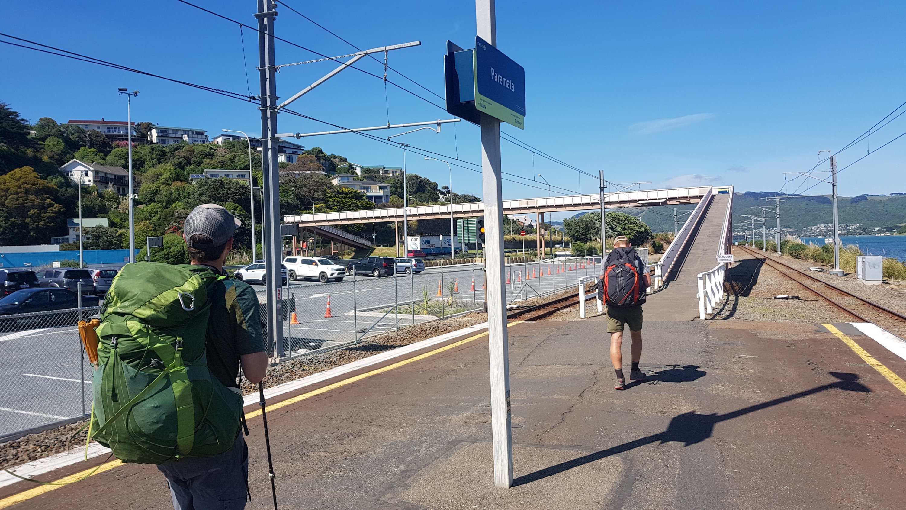
When you get to the Paremata train station, you actually have to go onto the platform because you need to take the big pedestrian overbridge. Thanks to Ethan for working that out.
You walk through something called the Adrenaline Forest.
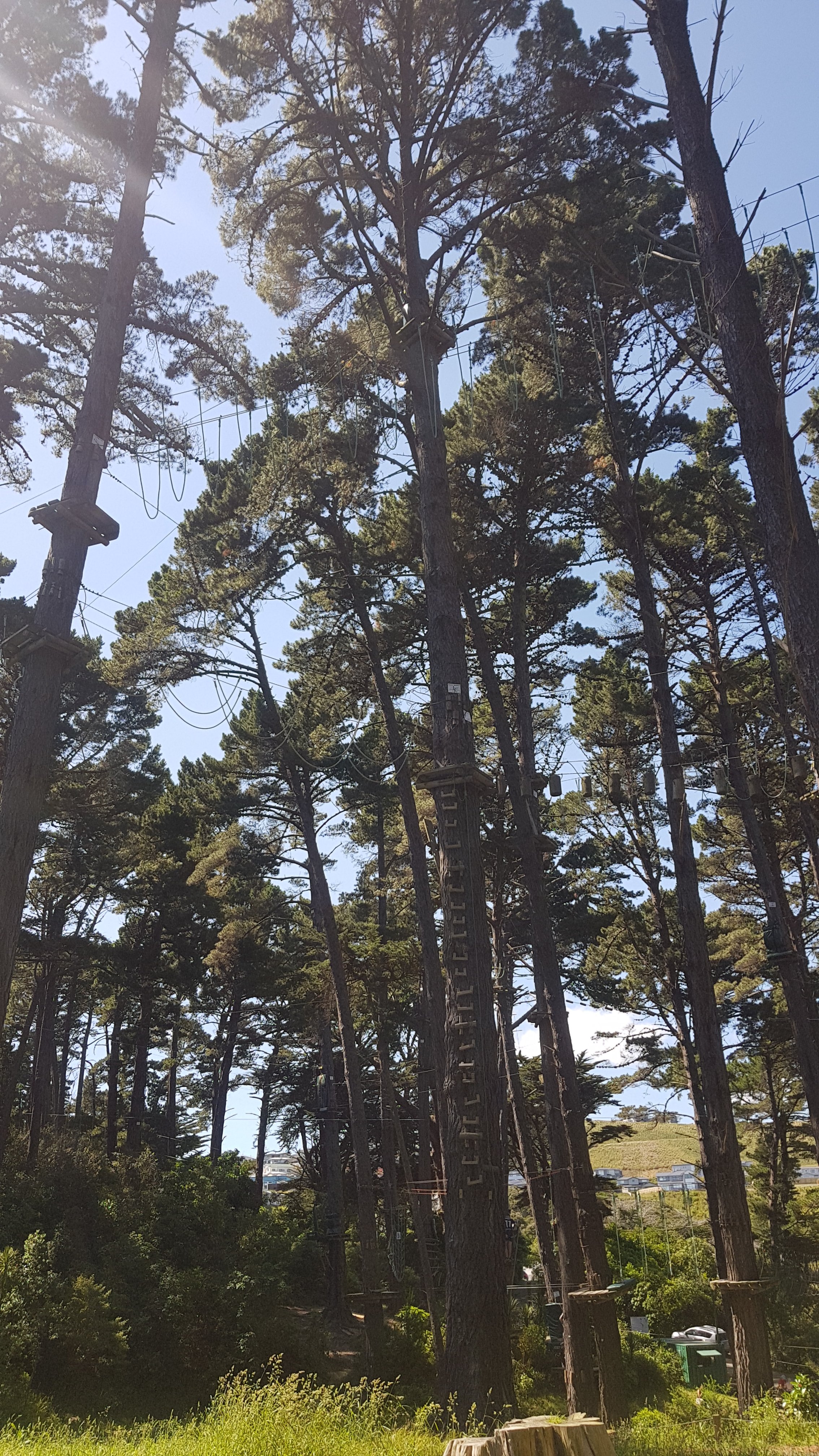
We wondered if this place sponsors the trail in some way, because you leave the road, walk through this business, then come out on the same road further down. Or maybe it’s just part of the TA Trust’s desire to get the trail off the road as much as possible.
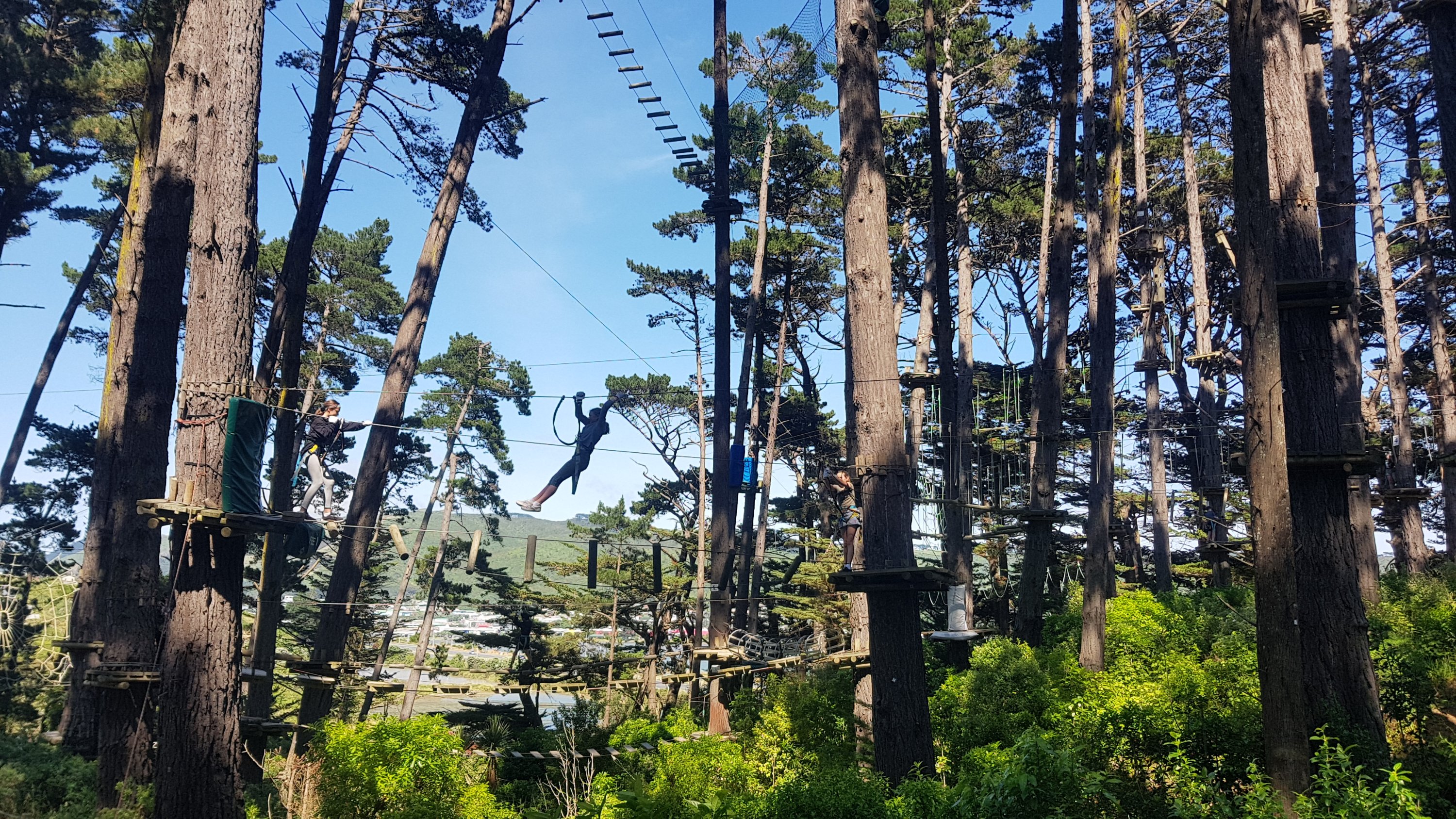
The Americans were surprised at the lack of staff watching the kids who appeared to be latching themselves to the pulleys and cables without assistance. Apparently in the States that would never be allowed.
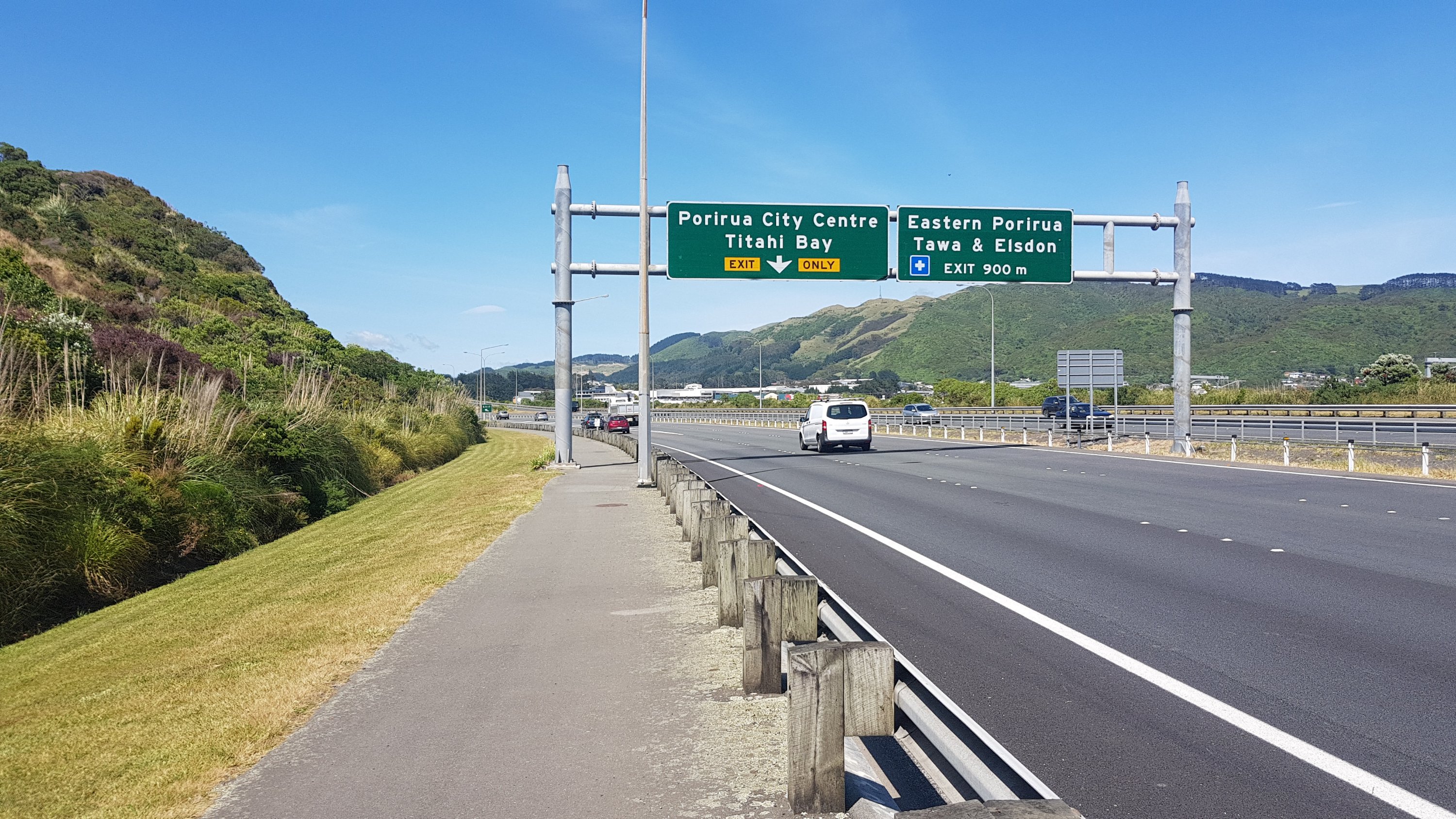
We walked beside the expressway at 11am for a while but at least it wasn’t for long.
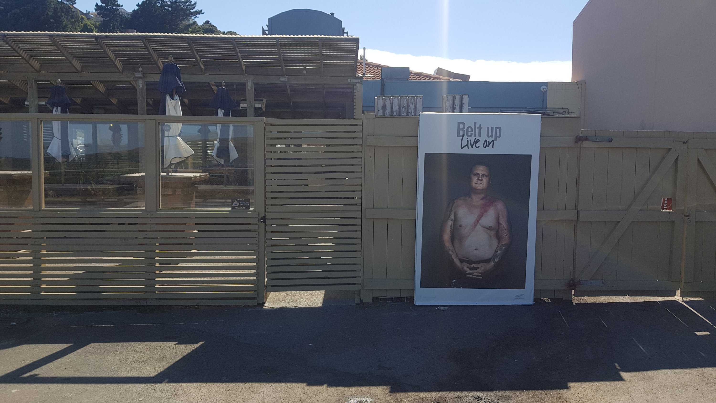
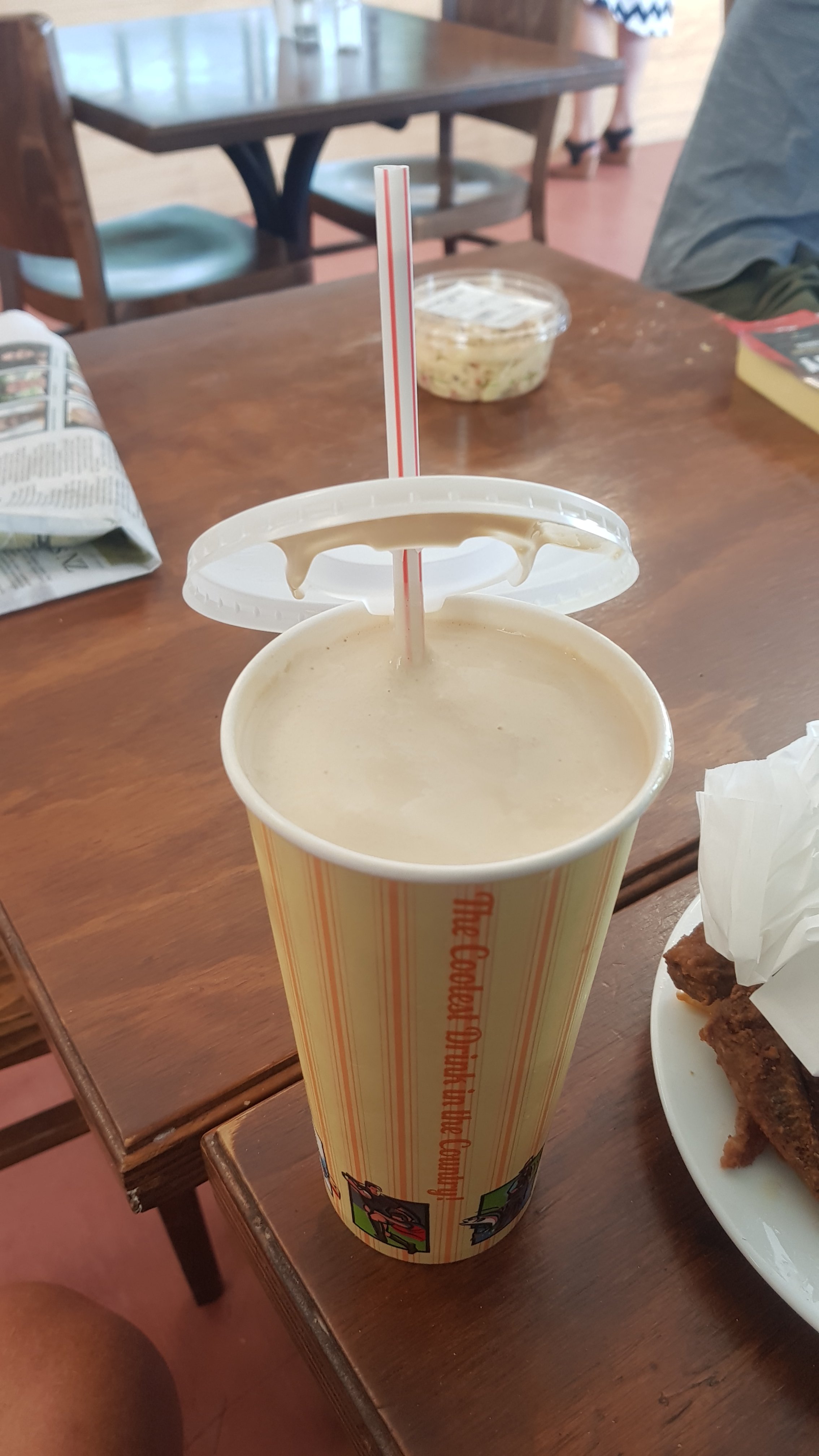
We decided that Porirua is still a good place to stop for lunch, and found a fairly standard bakery with a fairly good selection. Since I only had a small breakfast at 5am and it was now midday I was quite hungry, also consisering that there was no coffee or anything in Pukerua Bay. I’m not ashamed to admit I had three pieces of fried chicken, chips, a piece of cake, a small can of blue V, and a large iced coffee. That really should have been sufficient but then I saw up on the menu something called a “coffee thickshake”. Wow, two of my favourite things together in one delicious milky drink. But I was already so full and it would make for a very uncomfortable climb up Colonial Knob (the next peak) if I had this as well. But I had to try it.
What followed were the most uncomfortable 4 hours of walking on any point of the trail and, to be honest, of my whole life. Every twenty seconds the milkshake would “resurface” in the form of a hiccup or a burp or some other uncomfortable feeling. This of course was totally self inflicted, and I should have known better because the same thing happened when I had a big lunch and cider at National Park and walked uphill after that, and also just yesterday after Waikanae when I had a record amount of coffee in the morning. At least yesterday I could stop and rest for an hour but today I was with Alex and Ethan and didn’t want to lose them. So I pressed on through the pain.
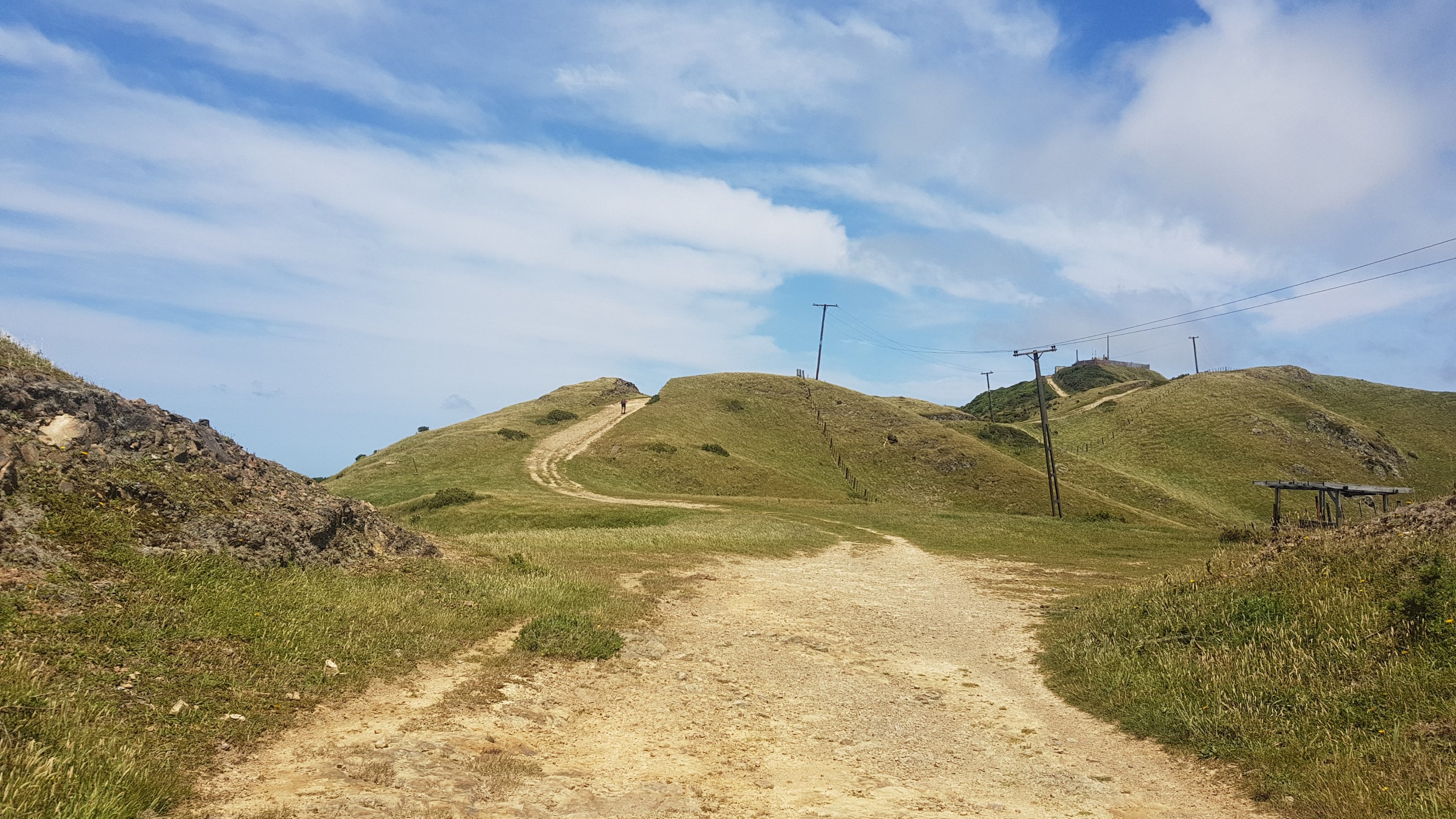
Colonial Knob was a lot steeper than any of us expected. For a city centre walkway it sure went up high, and there sure were a lot of stairs. I was happy that there were quite a few people coming down because it gave me a chance to pause and rest for 30 seconds. And the milkshake plus all the other lunch I had made it three times as bad as it needed to be. Plus Alex was in his usual “mountain goat” mode and wasted no time at all in getting to the top fast.
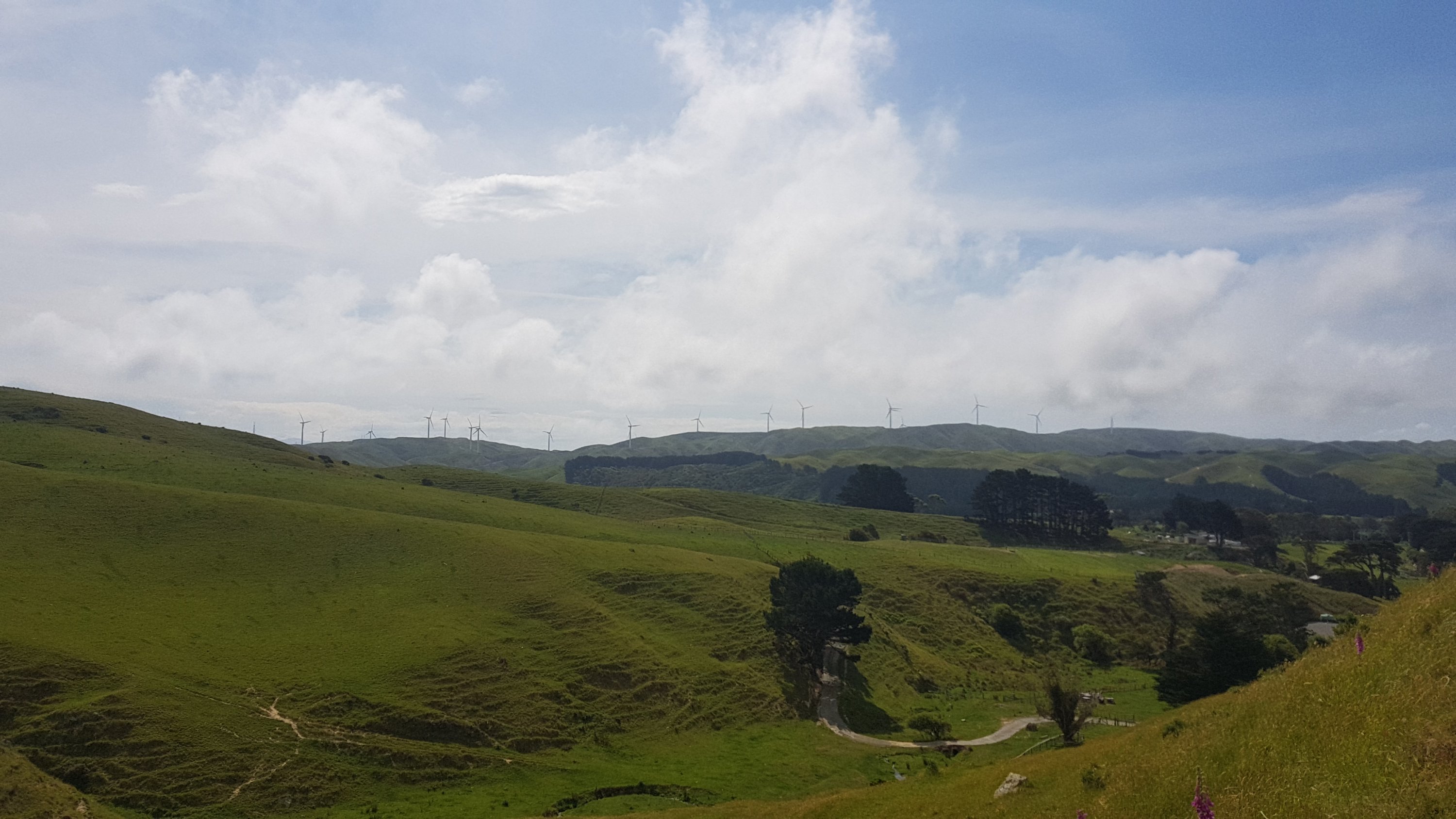
We got our first good view of the area. I think this is Porirua, I’m fairly sure that Wellington itself doesn’t start until over the next lot of hills.
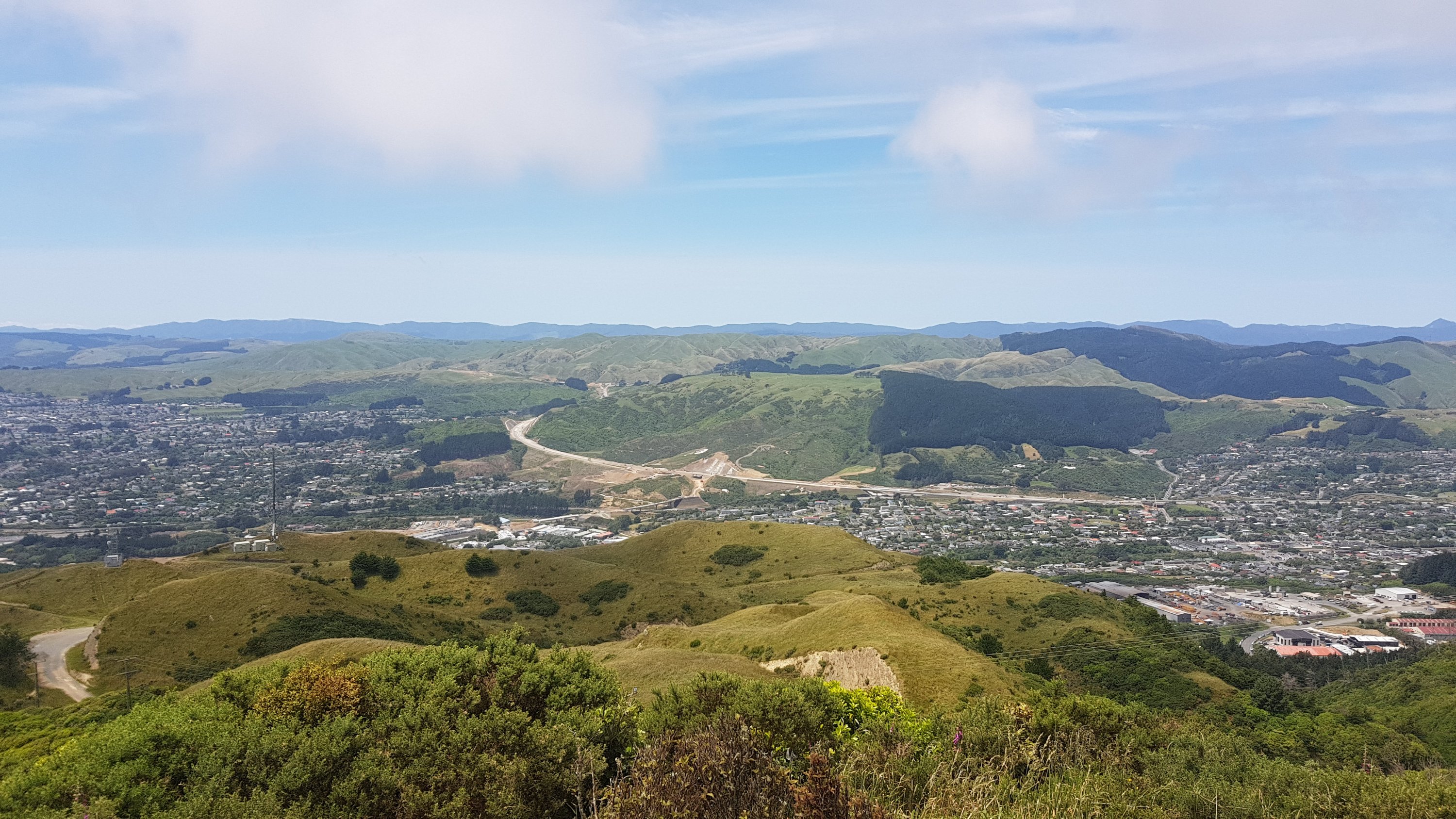
After the viewpoint we had to keep going up. Luckily it was not quite so steep and it was mostly a 4WD track, but I was still feeling quite uncomfortable.
The descent was through farmland:
And forest:
I laughed at Ethan who has duct-taped his shoes. They’re falling apart quite badly but he only needs them to last two more days.
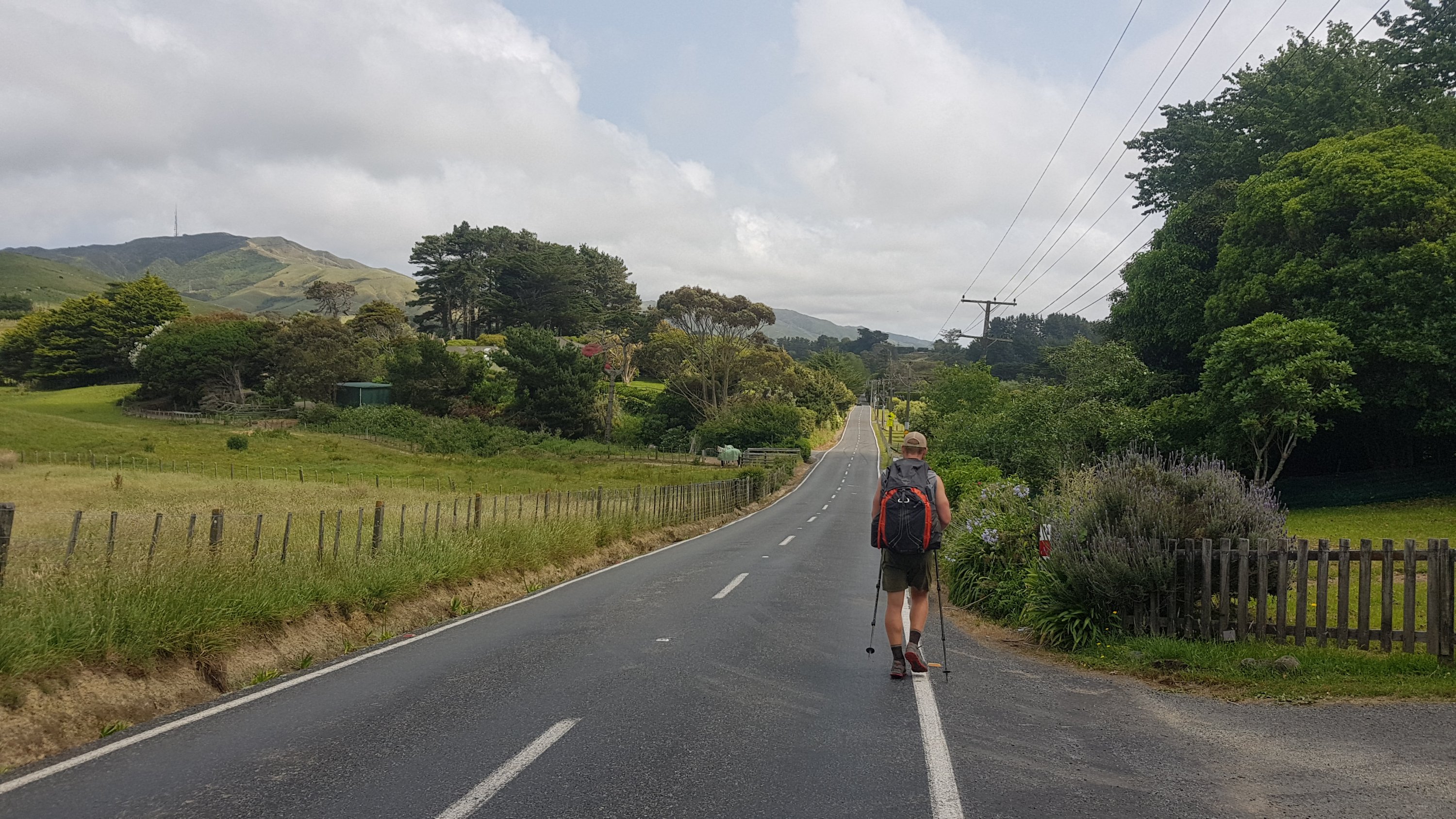
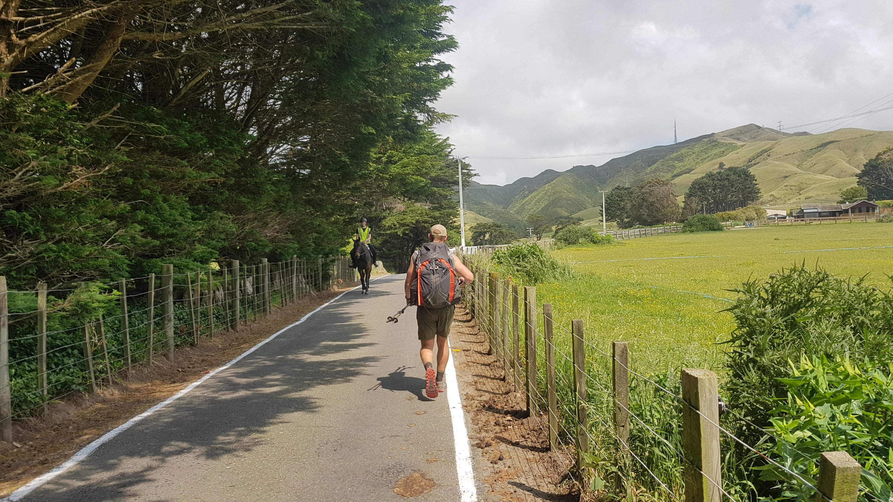
Once down the other side it was a couple of hours on Ohariu Valley Road – a fairly standard road walk during which time I organised myself a ride on the Bluebridge ferry to Picton for Monday (2 days away) which was $54, and then a ride with Beachcomber Water Taxis to Ship Cove where the trail restarts in the South Island. If you mention on the phone that you’re a TA walker you get the Beachcomber ride for $50 instead of the usual $71.
Bluebridge departs at 8am and Beachcomber departs at 1:30pm arriving at 3:30pm so Monday is going to be mostly relaxing on the ferry and not much walking.
We took a little break before the next climb which is up Mt. Kaukau. I’ve been up here before a long time ago and don’t really remember it but I reembered it being fairly easy going and quite pleasant at the top.
Well, on a normal day it would be easy going. I had already walked 30km with a full pack by this point. While I had recovered a bit from all the food at lunch, it was still there and noticeable.
And something I didn’t expect… the wind. Oh wow, the wind! Wellington is often called Windy Wellington but this I didn’t expect.
The wind blowing right in my face combined with still feeling a bit sick from lunch made me feel really nauseous. And the wind kept changing direction every minute or two – one minute it would be blowing from in front and then from the side and then suddenly there it is behind you. The whole way up I had to use half my energy not to get blown off the track and the other half trying not to throw up.

Fortunately we didn’t get rained on. The wind never let up though, it was exhausting. We still had to walk along a ridgeline before dropping down into the suburb of Ngaio. As soon as you start dropping down you are so thankful for the reduction in wind levels.
I walked with Ethan and Alex to the house of the “trail angel” they were staying with. I then continued a few streets further up to stay with my friend Kathryn. She is the first person I’ve seen from my “old life” since Day 51 in Te Kuiti when my Dad dropped me off at New World – almost a month ago now. It was very nice to see a familiar, friendly face.
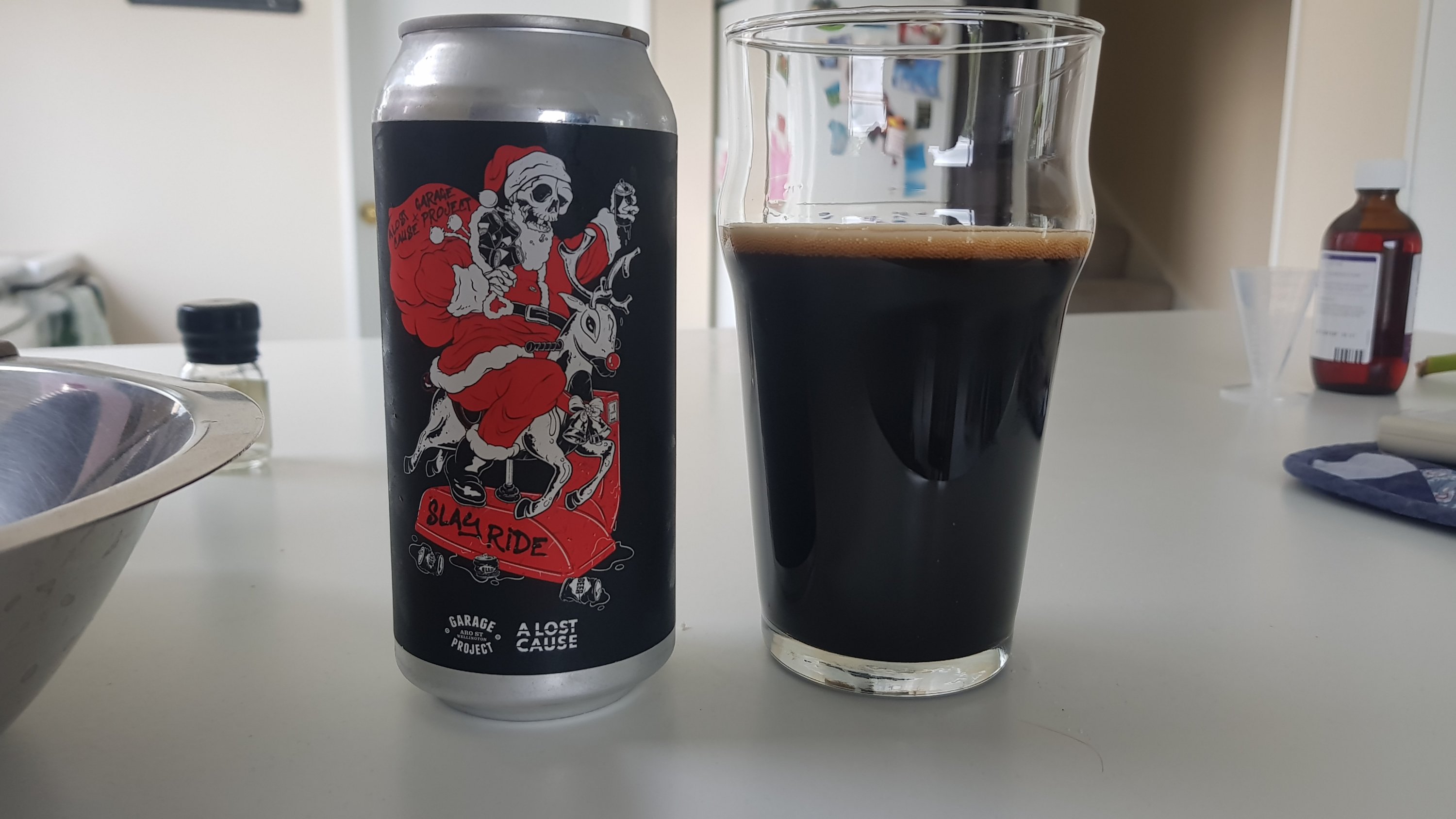
Kathryn had a selection of craft beers to choose from (how very Wellington). The one I chose sounded very nice, and it was, but it wasn’t mentioned until after I chose it that the percentage of alcohol in this beer was 10.6%. Because of the uncomfortable state of my stomach today I couldn’t finish it all.
I have my own bed for a few nights which is fantastic. Although while carrying my pack up the stairs I kicked my big toe (the one with the dead toenail) on the wall so hard that it actually partly ripped off the toenail. It hurt bad all the rest of the evening and now I’m certain the nail is going to fall off very soon. Don’t worry, there’s no picture… yet!
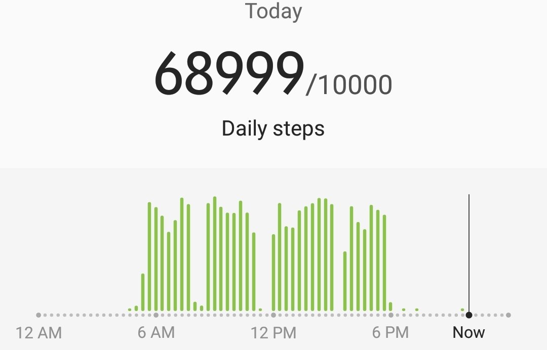
Today the total distance was about 49km – the furthest distance I’ve walked where I had a full pack the entire time. It wasn’t too bad though, because there wasn’t much food or water as there is only one more day of the North Island to go.
Just one more day and that’s it! And I get to do it with just a day pack!
Today's walk on the map (blue = Te Araroa, red = today's walk):
Pity you didn’t notice the coffee thickshake on the menu before ordering the iced coffee! Your eyes were definitely bigger than your belly, as Pop used to say.