Date: 19 December
Trail covered: 38km (kms 1744.6 to 1782.6)
Weather: warm, fine, cloudy, cold, gale winds, downpour (in that order)
What a day today was – emotionally and physically exhausting. There wasn’t anything particularly unusual about the trail today… but the day was really about to take its toll on me.
It started out with a quick breakfast at the shelter of the Cowshed Bay campsite:
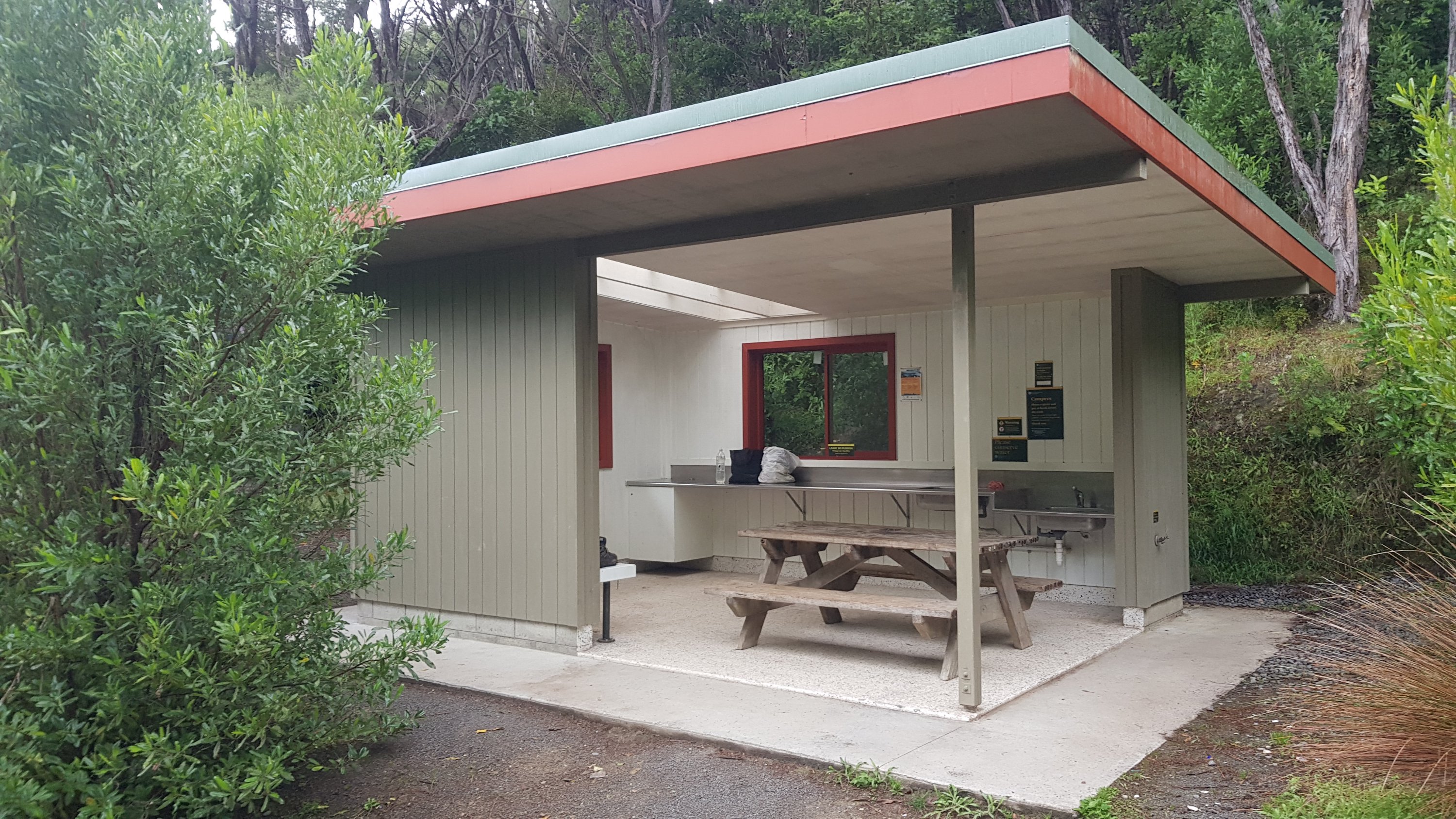
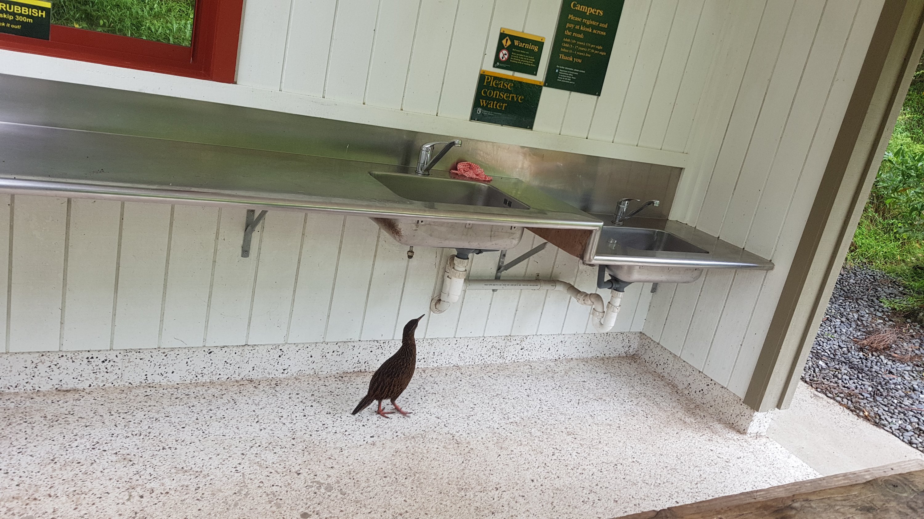
Keeping it away from the weka of course…
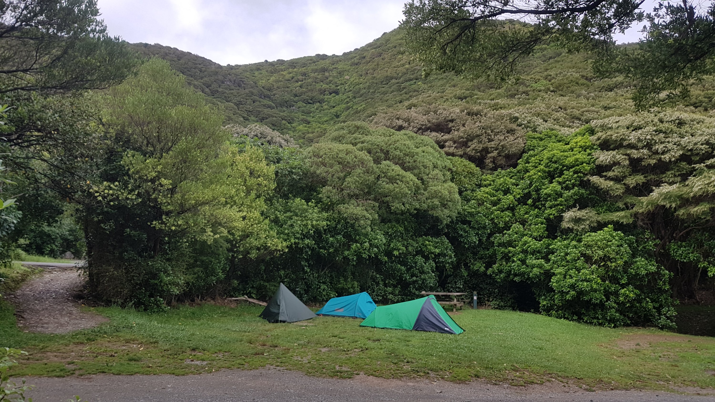
And then I went down to pay my camp fees. There was a whole second section to the campsite that I didn’t know about, and there were three tents hidden away down there. I wonder who they are!
To stay at this DOC campsite costs $15. You are supposed to take one of the envelopes and put your money in there and deposit it in the box. Then you’re supposed to take the little tag from the envelope and attach it to your tent to prove you paid if the ranger comes around. That meant you were supposed to pay before setting up camp, which I didn’t do. I wonder if many people didn’t pay at all? There were only six envelopes in the stack. If each tent at the campsite tonight used one of the envelopes, the supply of them would be exhausted already. I bet a lot of people don’t pay.
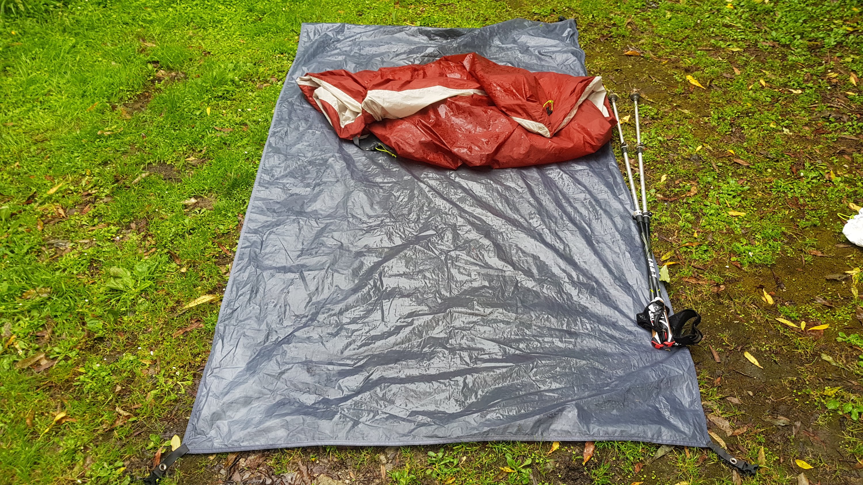
The area around my tent was still pretty wet and the base of my tent was very wet as well as the groundsheet on both sides.
I can’t work out how the groundsheet gets wet on both sides.
I left the campsite at 7:45am, after Rowan had already left about thirty minutes before. Now to head back up the Cowshed Bay side path and back to where I left the trail.
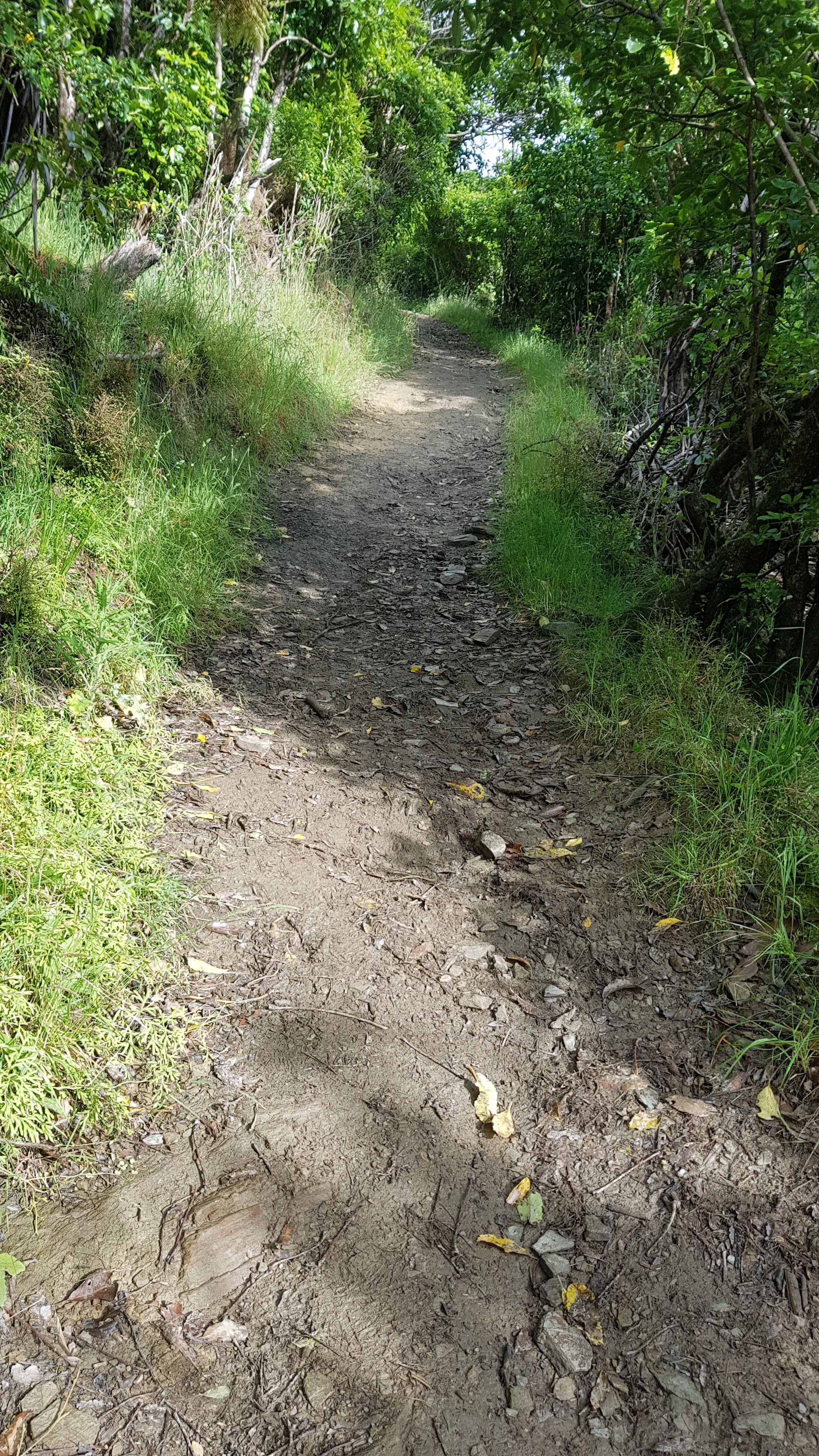
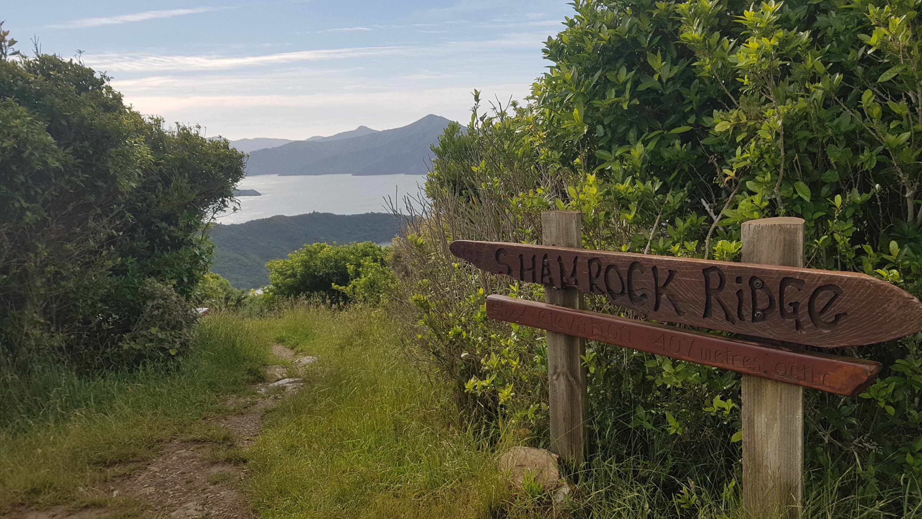
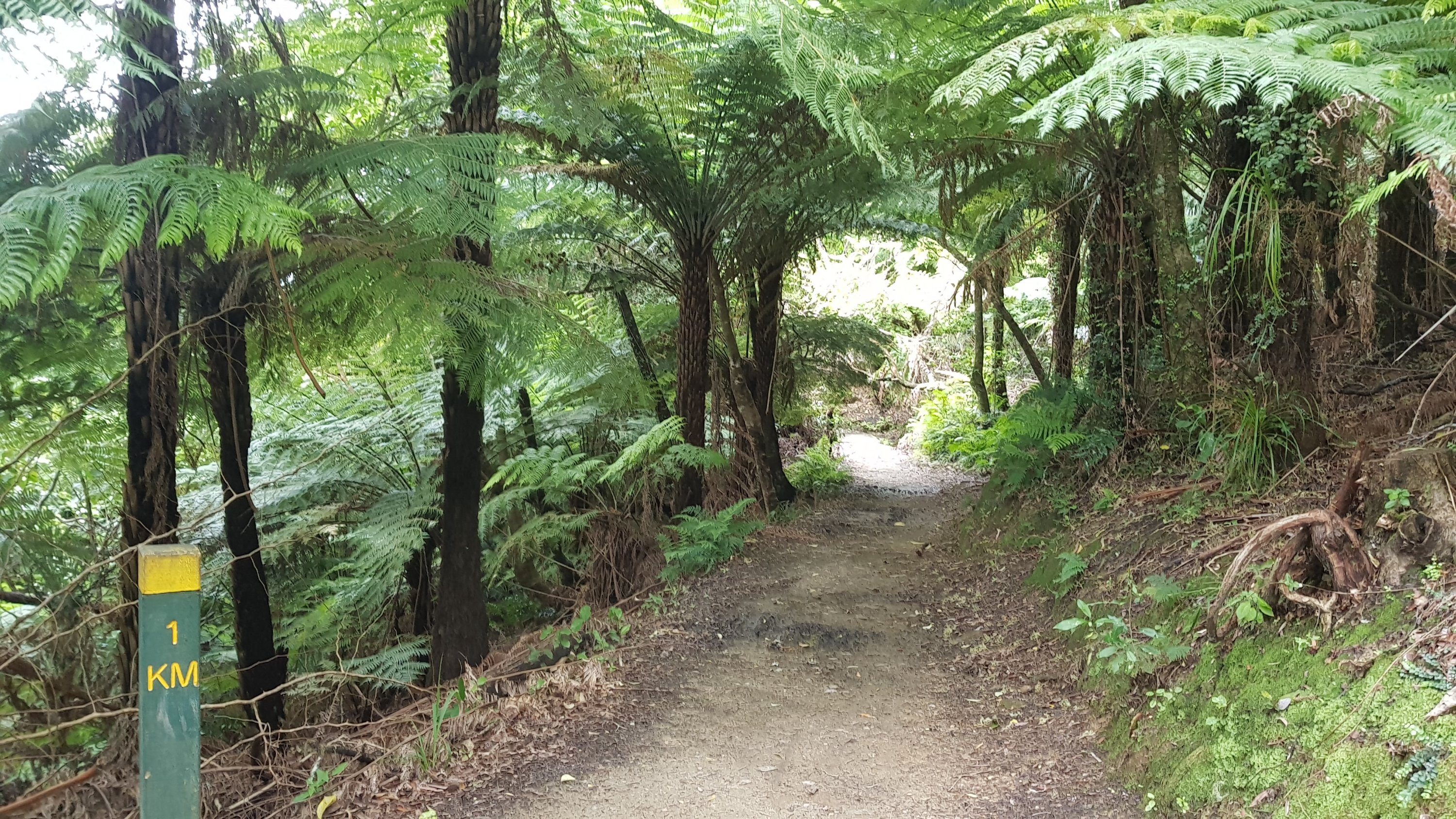
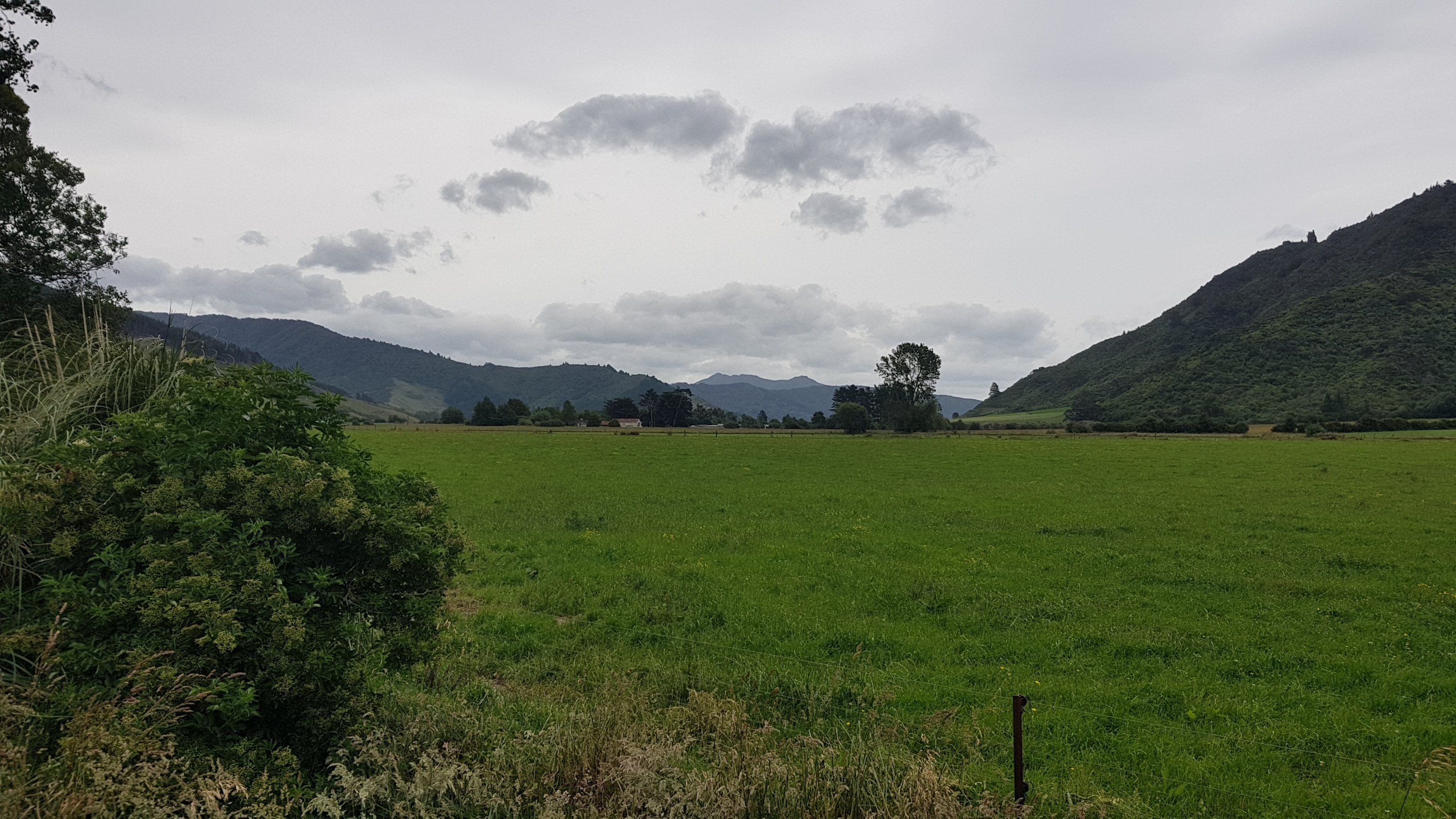
The path here starts off very steep. It starts off at 100m elevation, or 0m if you stay at Cowshed Bay like I did, and it climbs to 407m quickly.
You can see the little settlement of Portage:
And here’s the view from the top of the big hill.
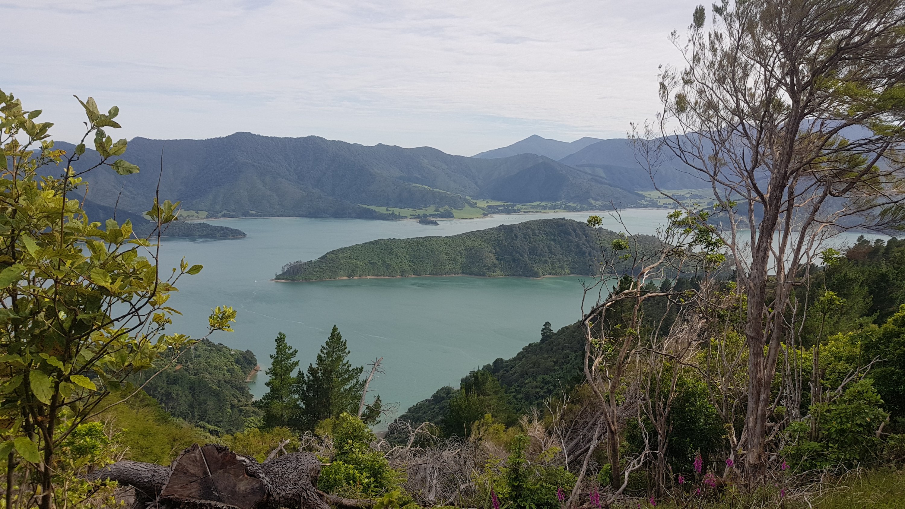
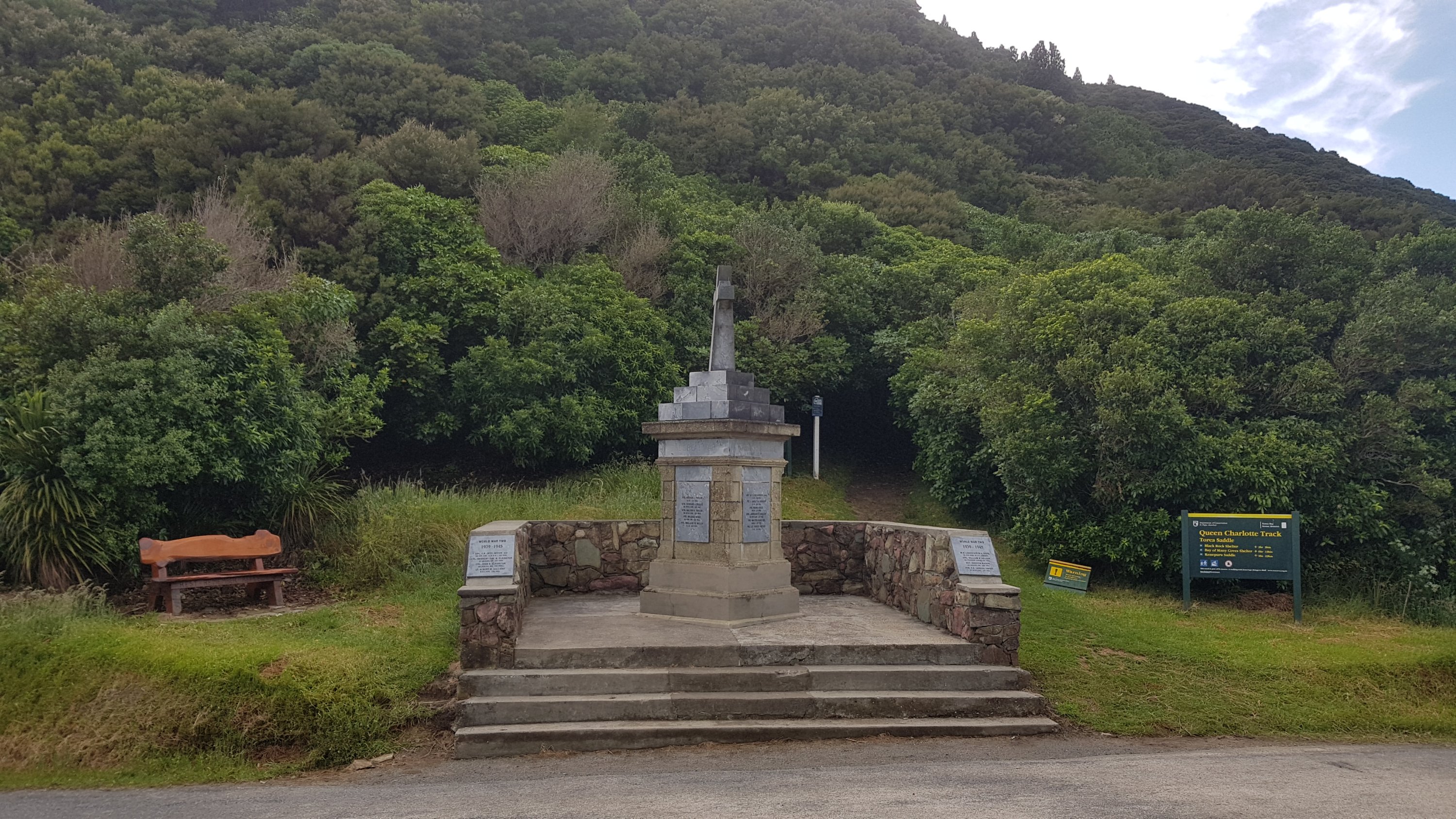
The top of the hill is called Shamrock Ridge. There are lots of little names along this section for any sort of hill, landmark or clearing.
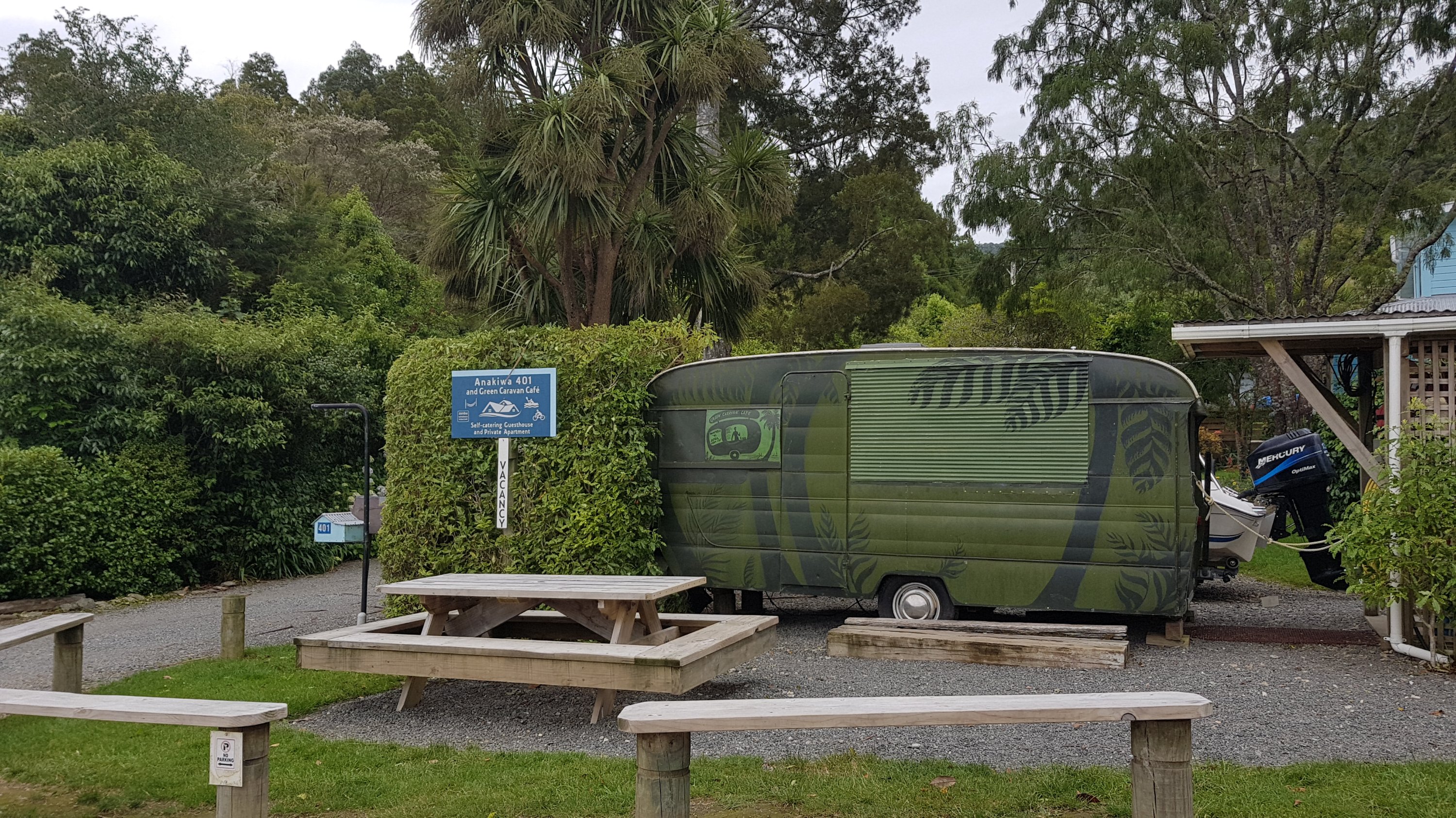
A bit of walking and you come to the turnoff to the Lochmara Lodge.
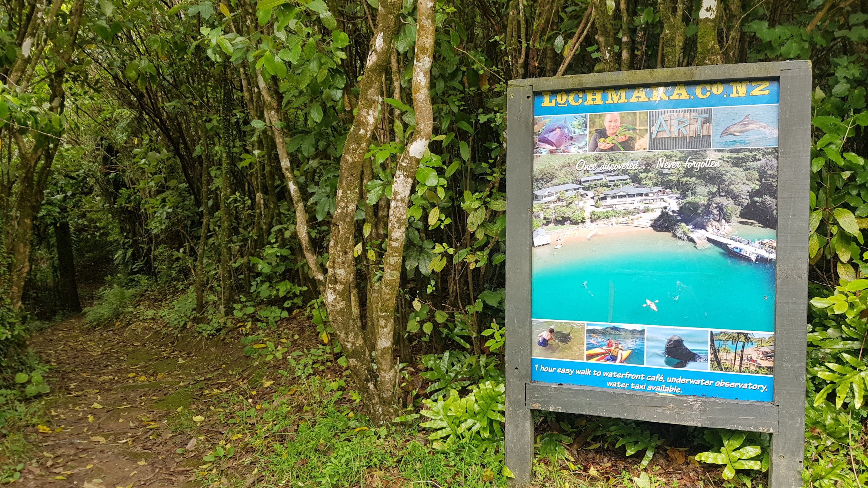
I had heard people talking about this place but wasn’t sure if I knew it or not. Had I stayed here in February? I can’t remember. I remembered the other four places we stayed like it was yesterday – Furneaux, Punga Cove, Bay of Many Coves, Portage. But I couldn’t remember staying here.
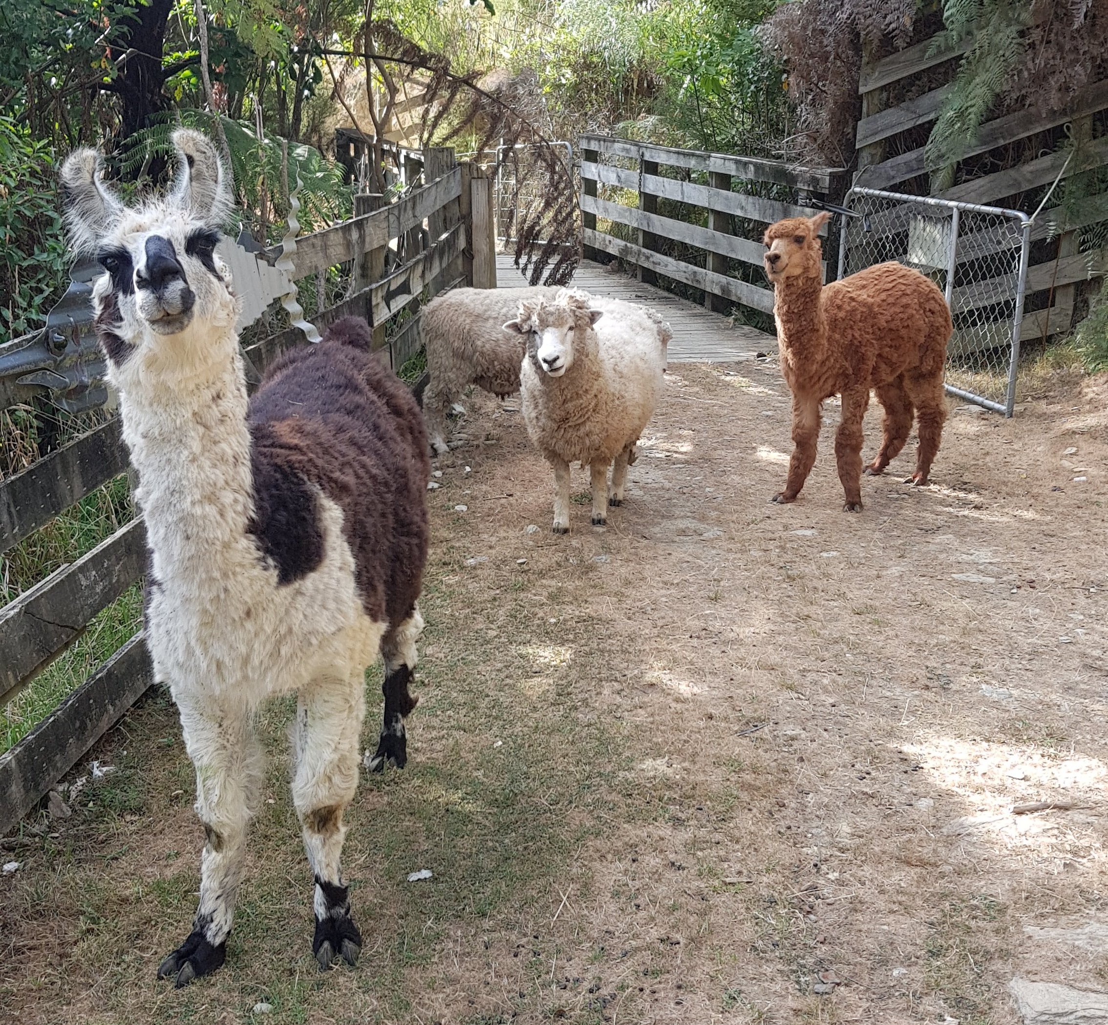
Afterwards I looked through my photos on February and yes, we had indeed stayed here. Ah, the place with the animals! I remember it now.
It wasn’t that this place wasn’t good, it just wasn’t as memorable as the other four. From memory it was overrun with kids – it was more “family-friendly” than the others.
And now that I look above at the advertisement for Lochmara, I can see it contains the text “once discovered, never forgotten”. Oops! Sorry Lochmara, that seems to be untrue this time!
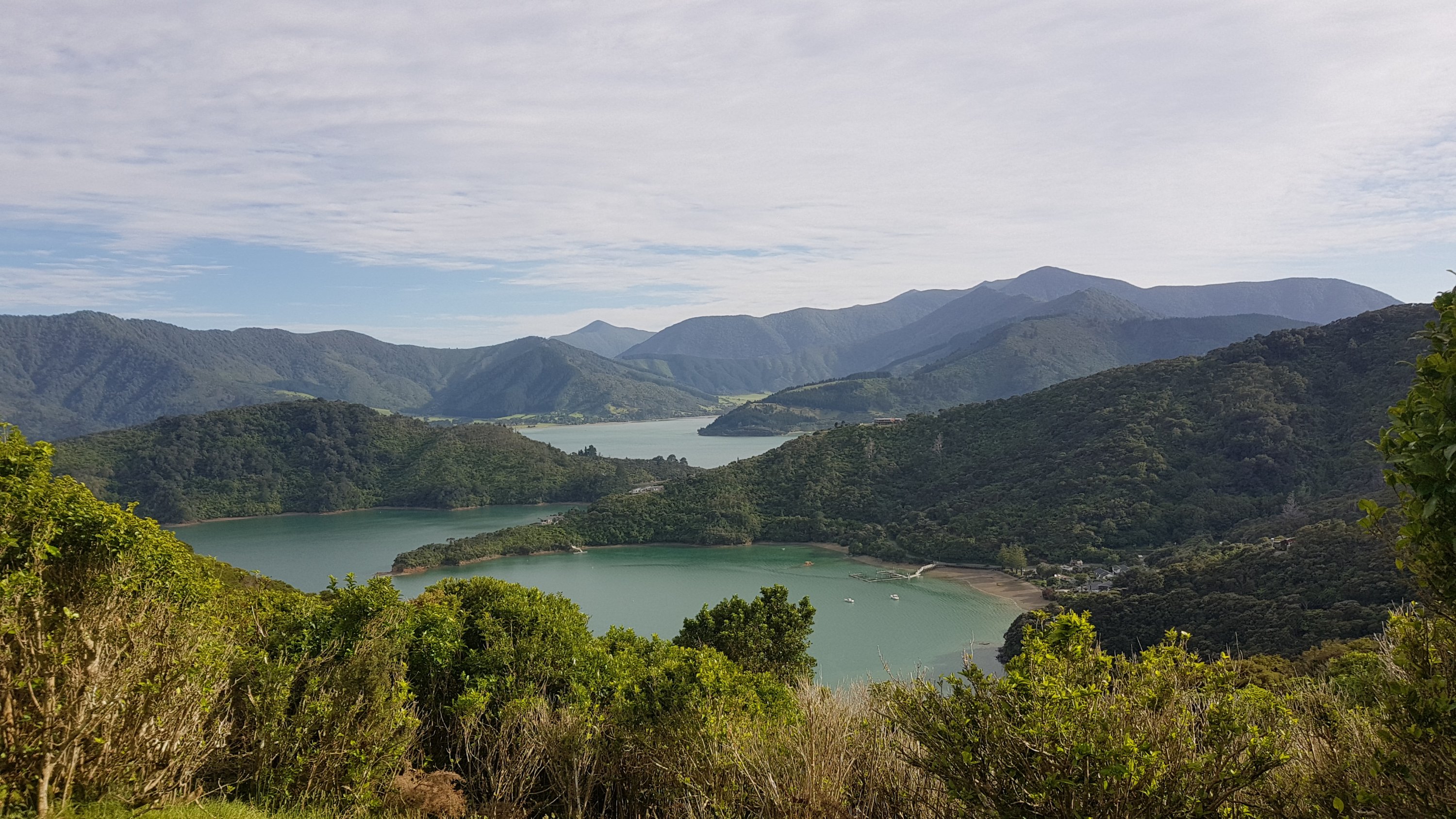
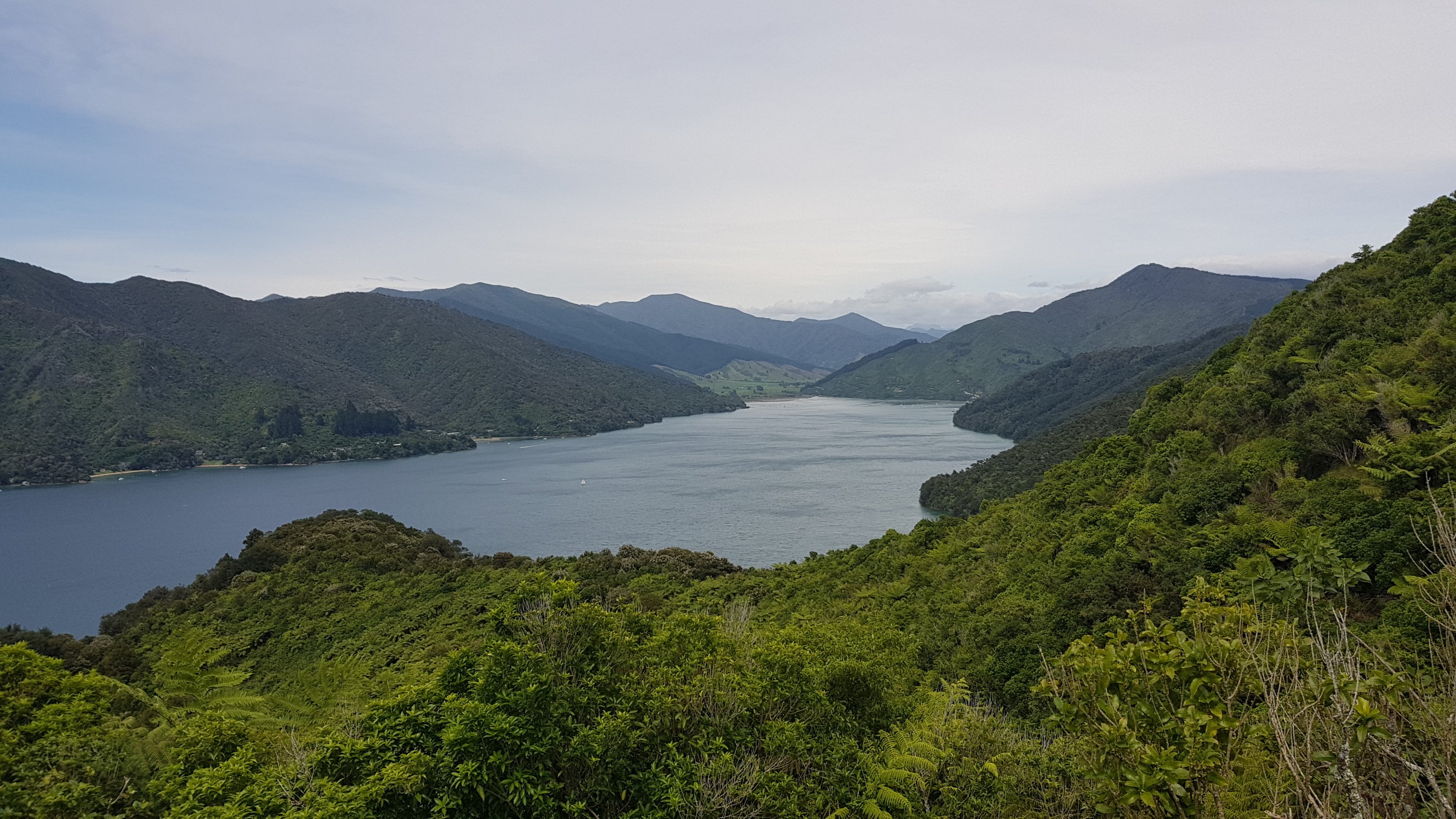
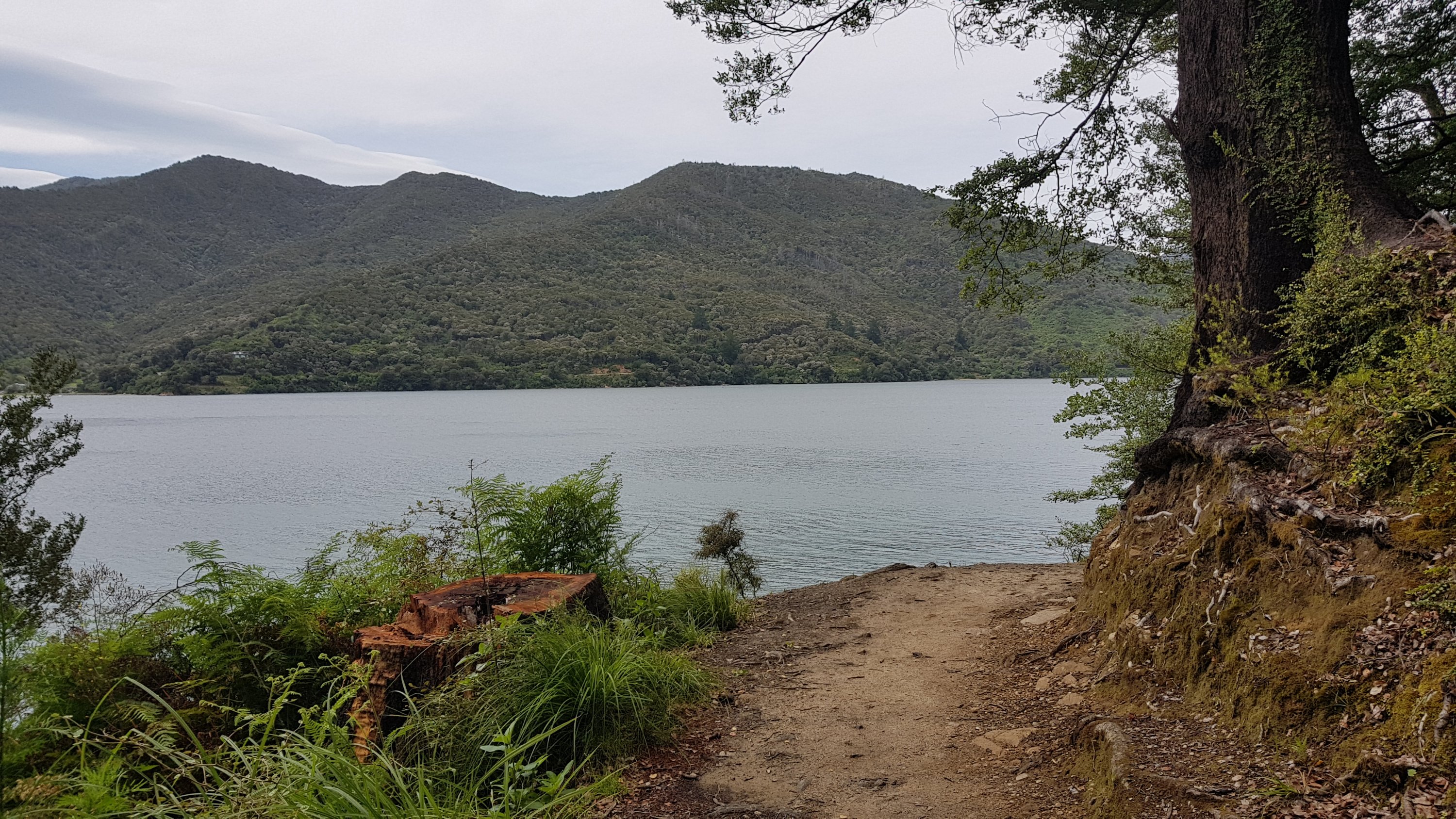
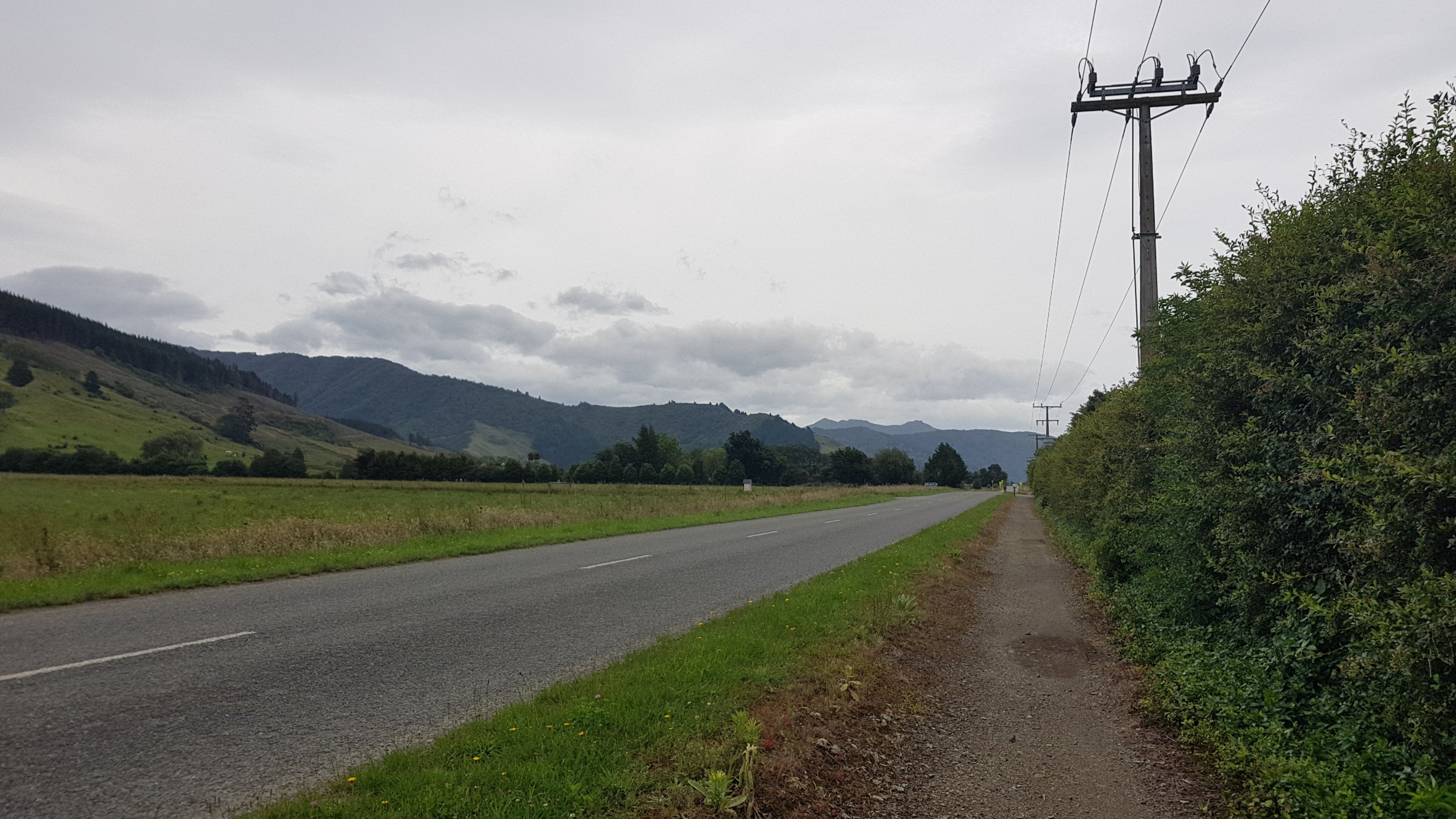
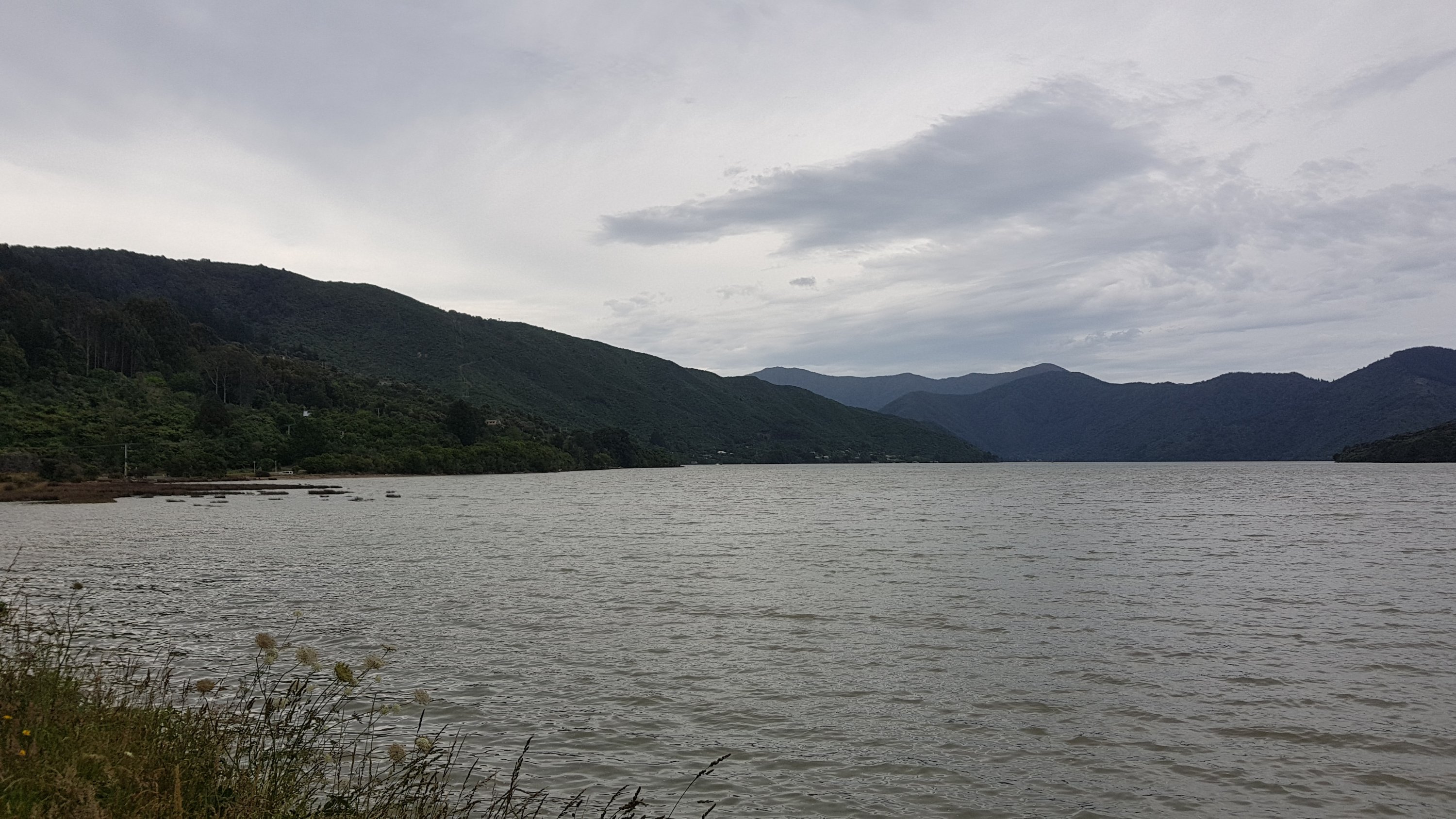
The walk to Anakiwa takes you along the end of the Queen Charlotte Sound.
At 11am I was passing opposite this settlement.
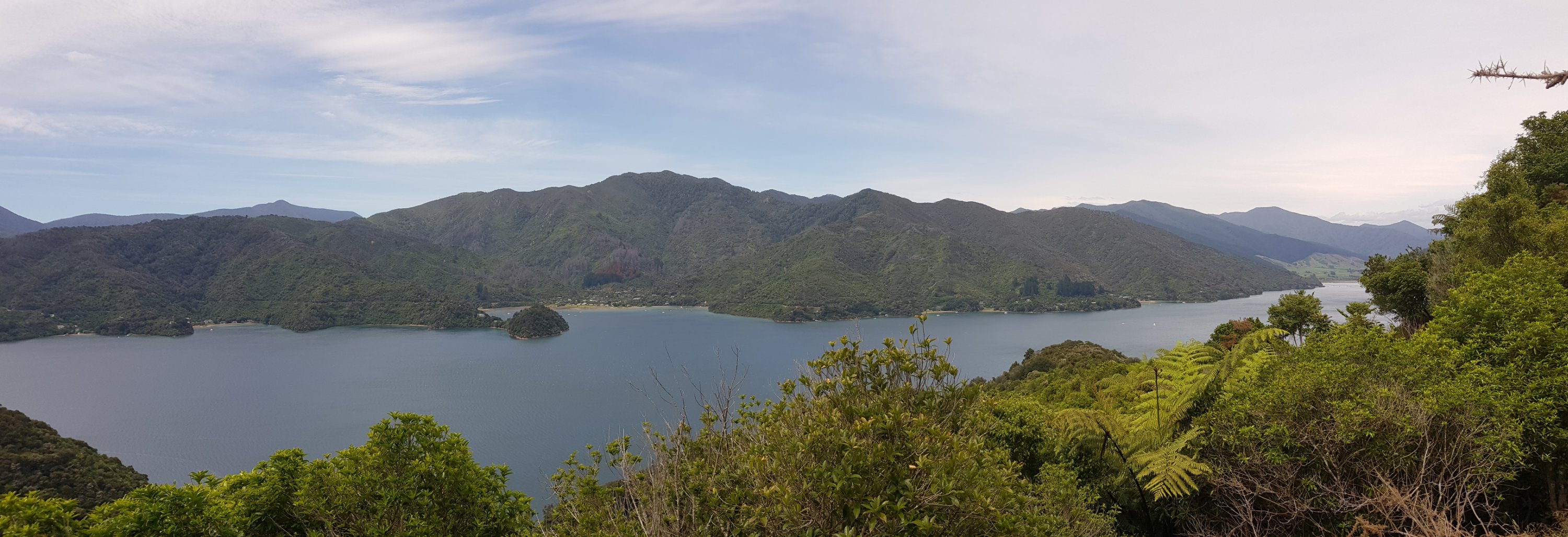
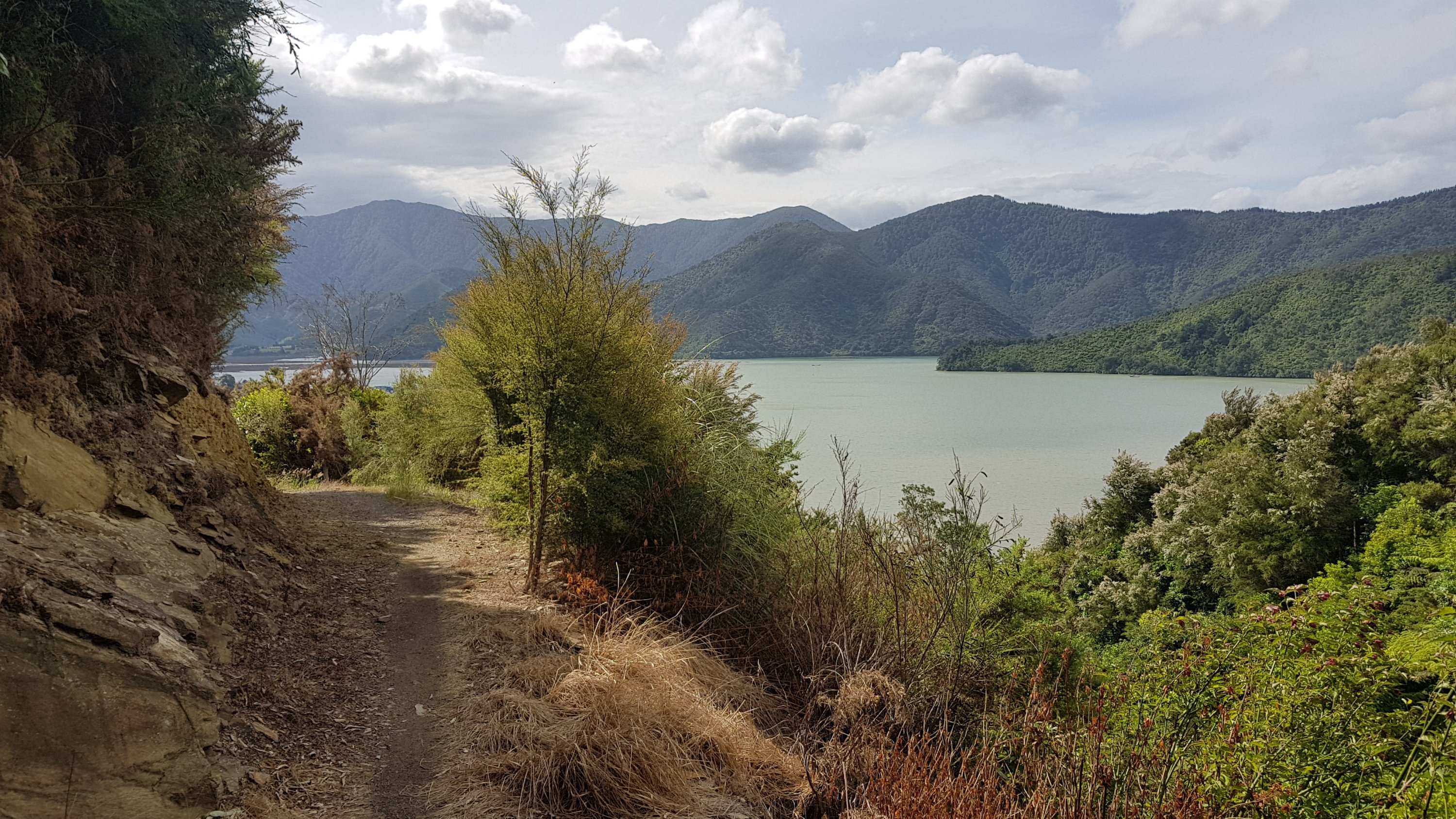
The last ten or so kilometers before Anakiwa are quite close to the water.
I passed quite a few other people walking today – I guess the fine morning weather brought them out. There are a few places you can access the track from a road so that also gets people here too, I’d say. For the last 6km especially, there were a lot of other walkers, and even two cyclists.
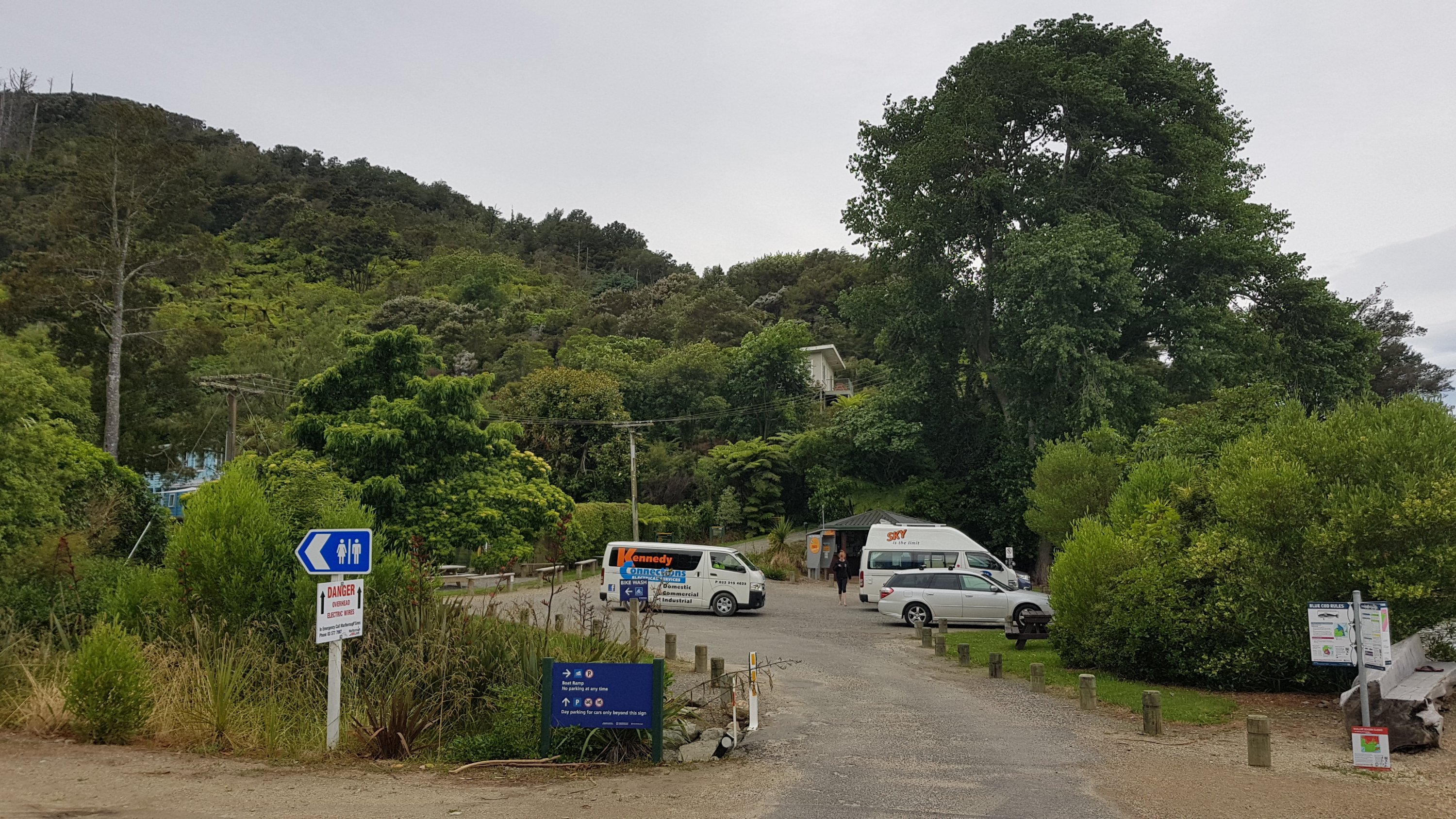
Once at Anakiwa, I located the Green Caravan Cafe. I knew from the February trip that it didn’t open until 1:30pm, so I wasn’t surprised to see it closed now.
When I did this last section of the track in February, I had been thinking what it would be like if I was walking Te Araroa. Back then we all felt a big sense of accomplishment finishing the Queen Charlotte Track and I remember think how much more I would have to go if I was on Te Araroa. I looked at the map at that time and realised I would have hardly made even a dent in the TA. Well, it definitely feels like that now – that was all just a 71km blip on a 3,000km trail! A beautiful blip, but a blip nonetheless.
I saw Meredith and Nova at the shelter. They were waiting for their ferry from Anakiwa back to Picton which wasn’t until 3pm. I mentioned to them that they will be joined by the Howick College group soon because their ferry is at 4pm. They didn’t seem to like that idea. Apparently at one of the campsites the college group were all sleeping in the cooking shelter because they didn’t want to set up their tents, and therefore they were taking up all the space.
The girls also said they did come into Furneaux while I was taking my rest day there but I didn’t see them because they arrived at 11am and I stayed in my room until lunchtime before going to the bar. They then said I might see a guy with a ukelele up ahead and I said yeah, that’s Rowan, he was my campsite buddy last night. Apparently he is only just in front of me now.
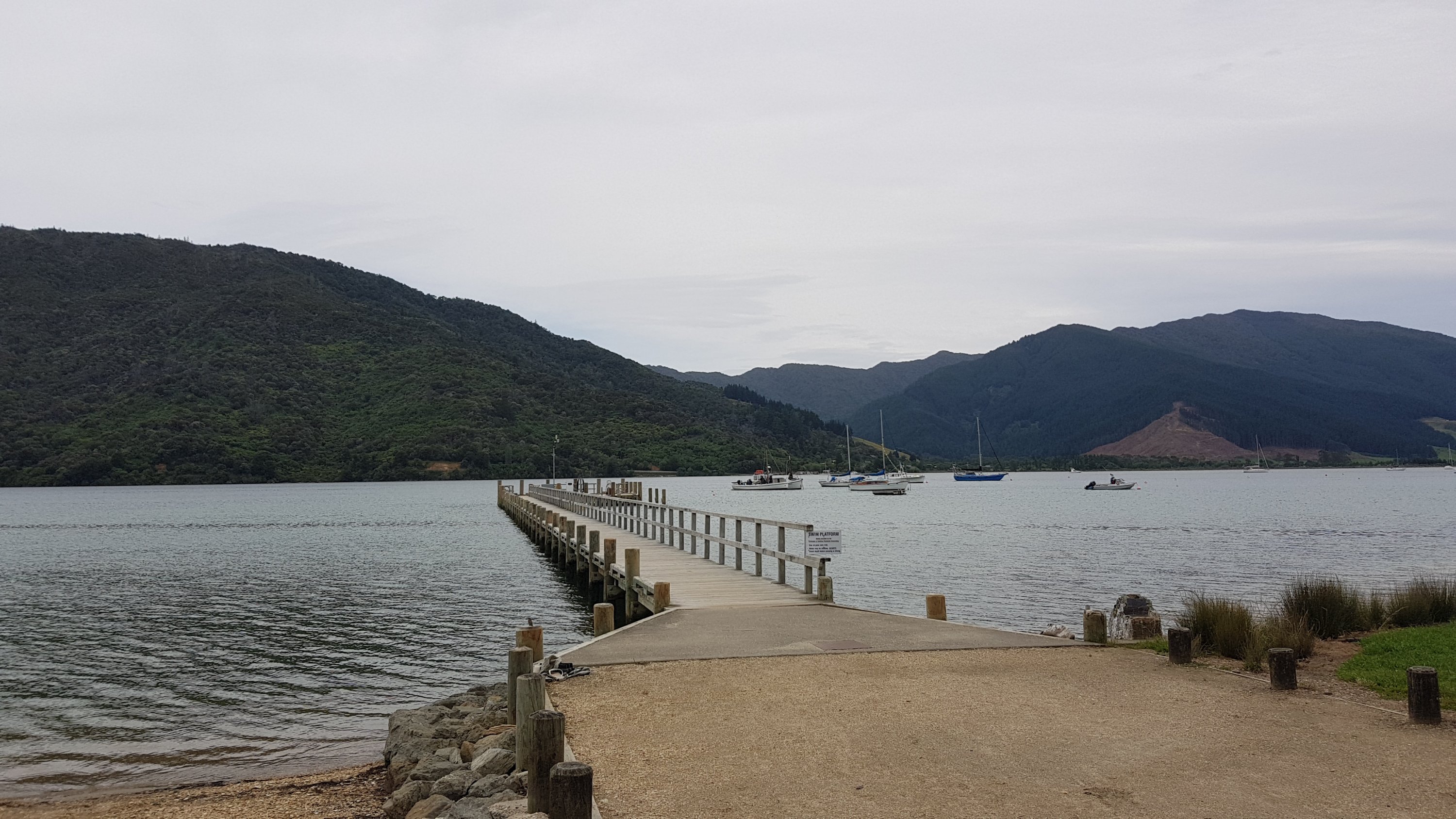
Here’s the jetty at Anakiwa. This is where a lot of the others get a water taxi back to Picton and it’s as far as we walked back in February. That means everything past this point is all new to me. Exciting!
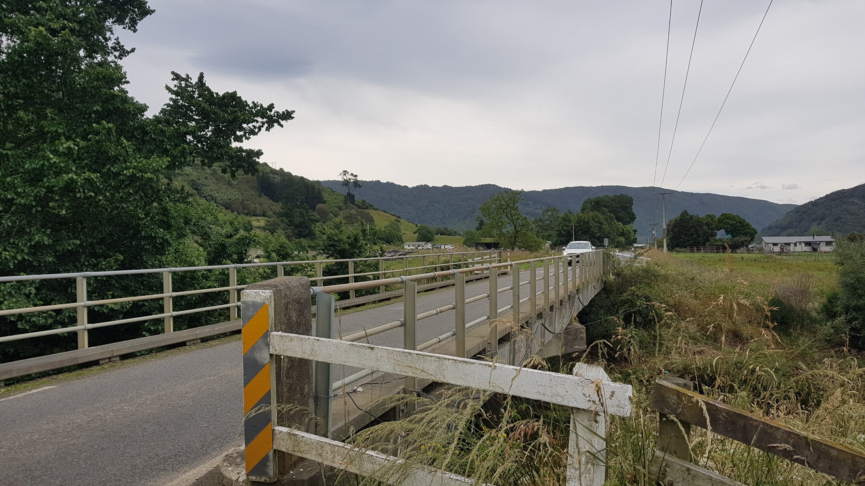
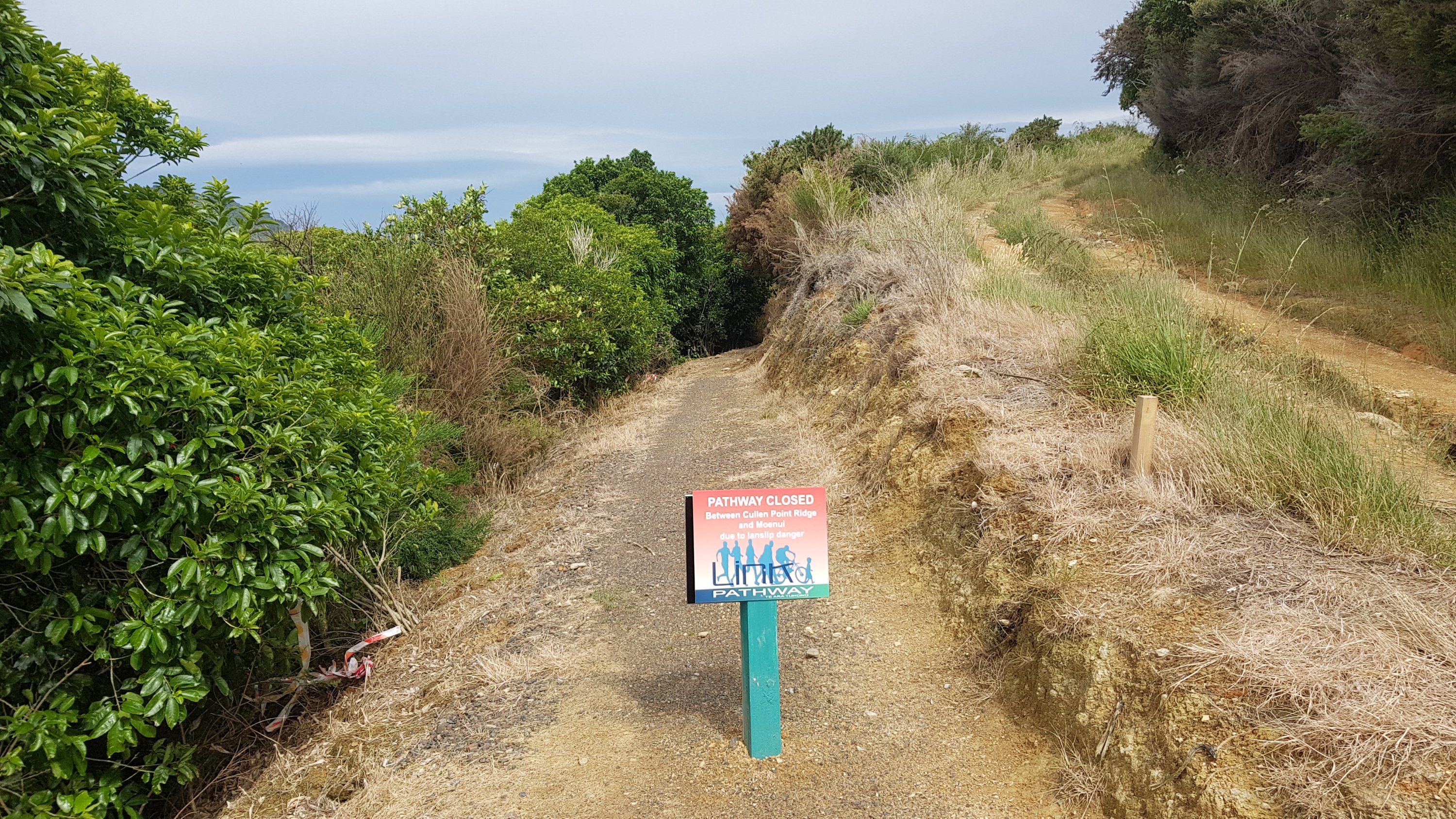
Don’t miss the Link Pathway which is just after this point. It is set down off the road and you might miss it like I did! It’s much safer than walking on the road.
The thing with the Link Pathway is that it’s supposed to take you all the way from Anakiwa to Havelock, but like most well-intentioned pathways and cycleways in New Zealand, it’s only partly complete. It’s good for a while, and then you’re suddenly dumped back onto the dangerous open road. In fairness though, the Link Pathway did make up more than half of the walk between these two places, and it was a really nice path.
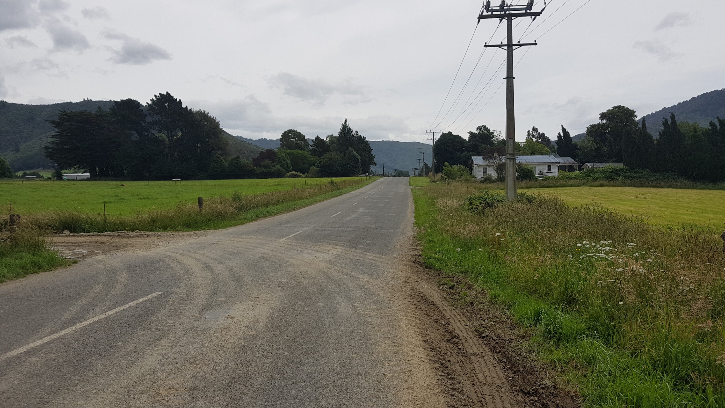
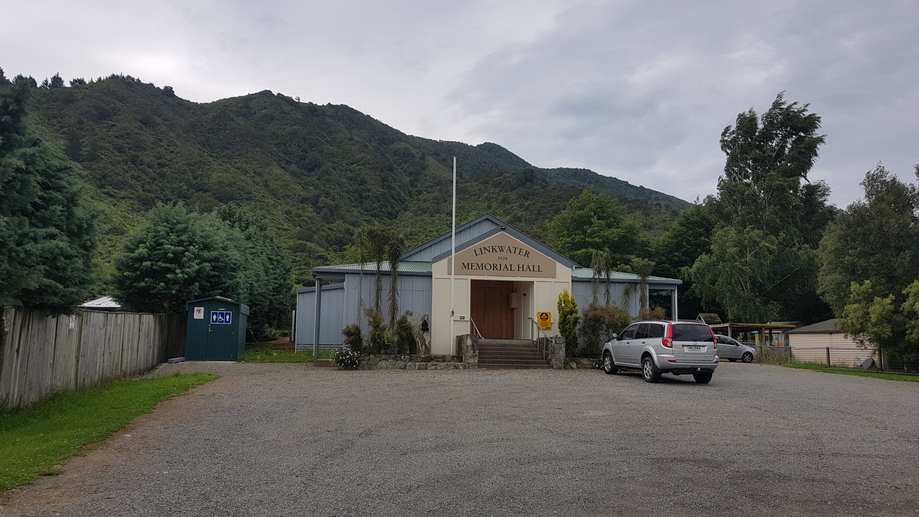
The only other place encountered between Anakiwa and Havelock is the small settlement of Linkwater. It has a hall, a fire station and a school.

Fortunately a bit further on there is also a Challenge petrol station if you desperately need a chocolate bar, or the Queen Charlotte Tavern across the road if you want something a bit more substantial like I did.
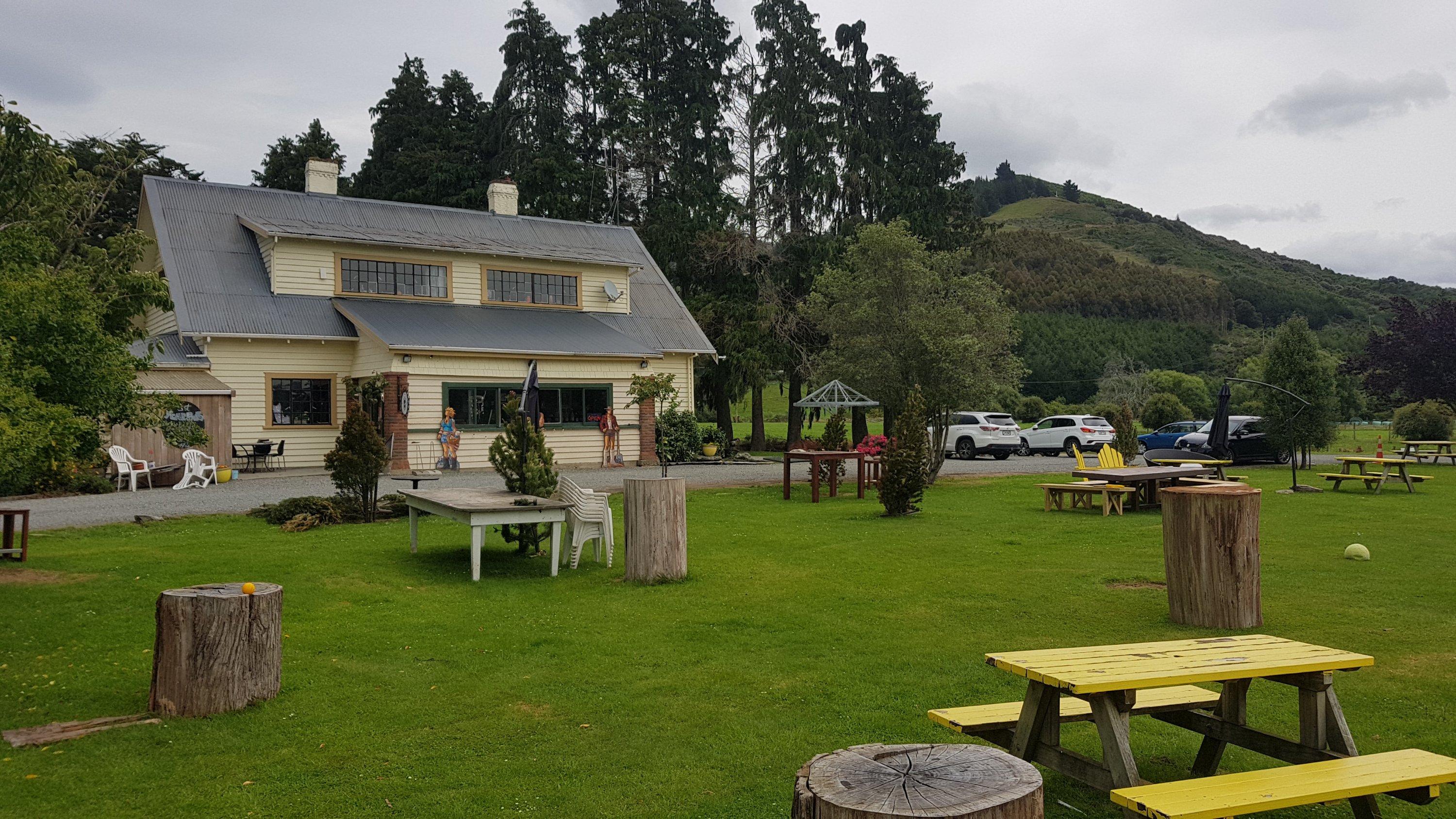
I got a chicken burger from here. The food comes with a lot of fries. Then a bit more walking, sometimes down the pathway and sometimes not.

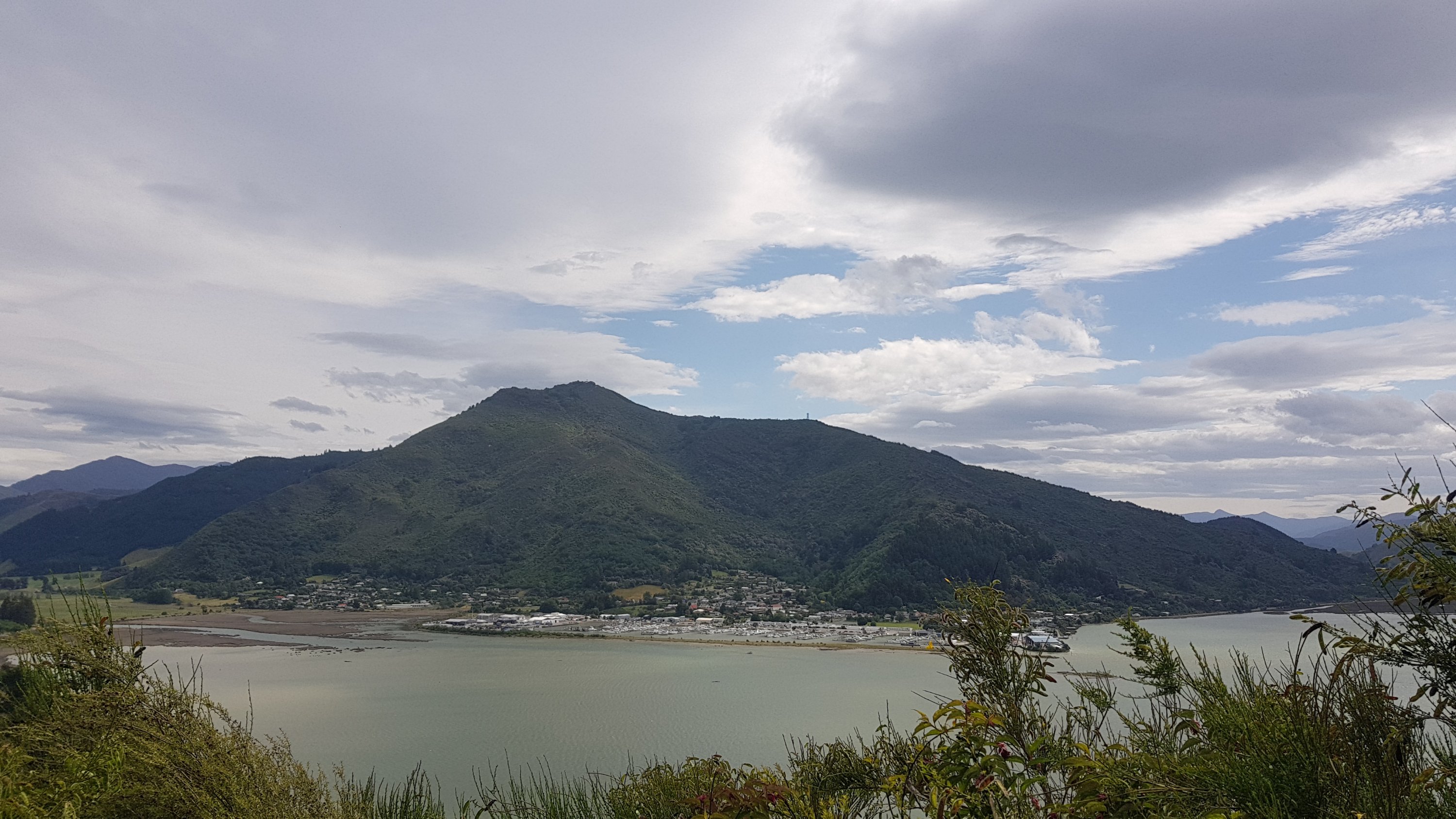
The red line on the Guthook app (and also the one in the official TA Trail App) doesn’t match the trail over the hill, which is unusual. I started to become worried that I had taken a wrong turn… but I was following the Te Araroa signs so I was confident. The trail directed me onto the winding road that went around the point, which seemed wrong. But the reason became clear when I followed a sign up a hill and then saw this:
After this sign there was a view of Havelock. It looks like a nice town from here.
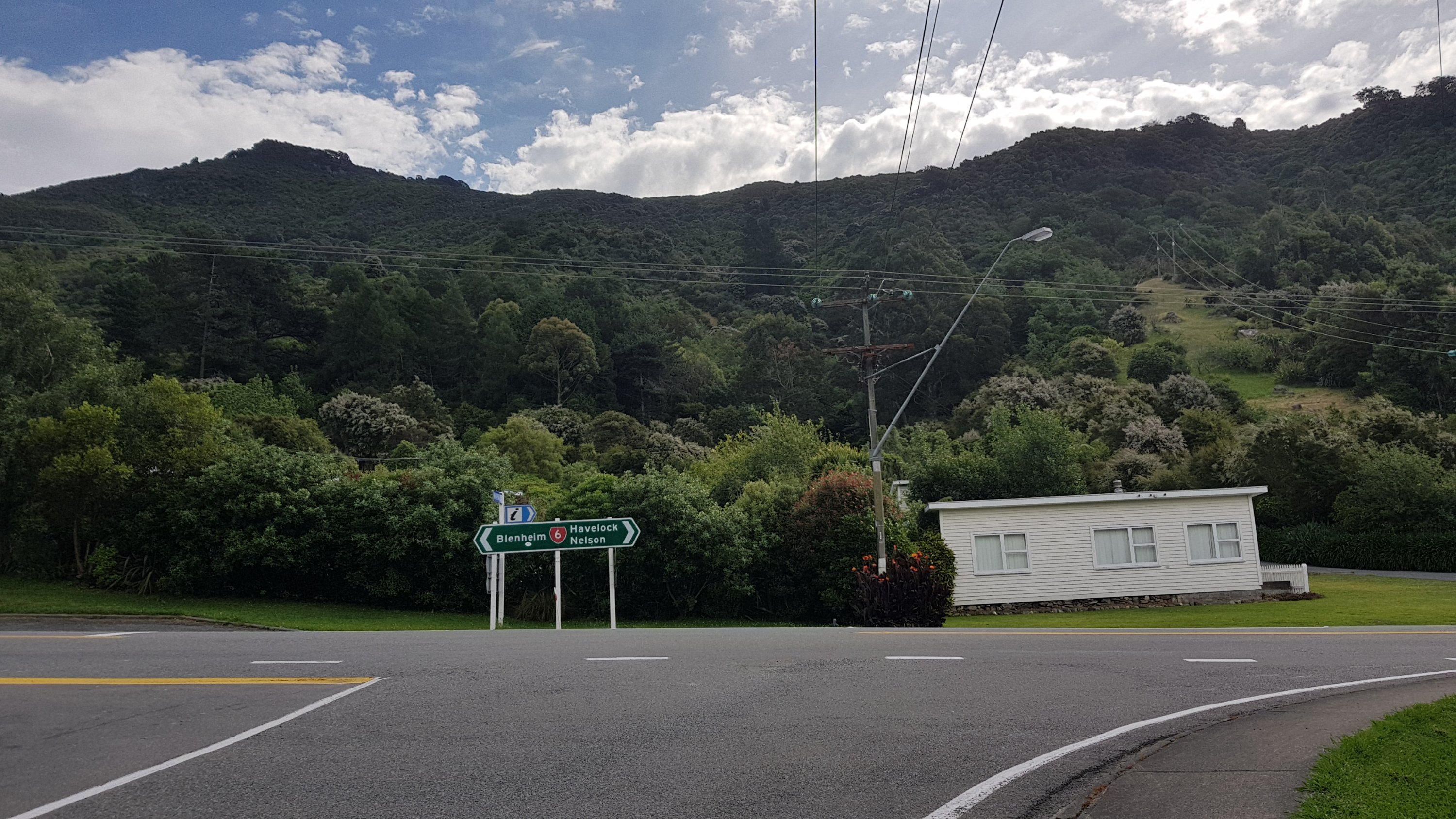
Here’s the first time I’ve seen a “6” highway. Seems appropriate that this is almost the 60% point of the trail (should hit that tomorrow). Then there will only be the “7”, “8” and “9” highways to go and that will be the end of the trail.
As I walked into town, I was surprised that I hadn’t seen Rowan. I didn’t see him anywhere, despite being told that he was only just in front of me at Anakiwa. But I did see the Havelock mascot – seems to be a green bean on a surfboard.
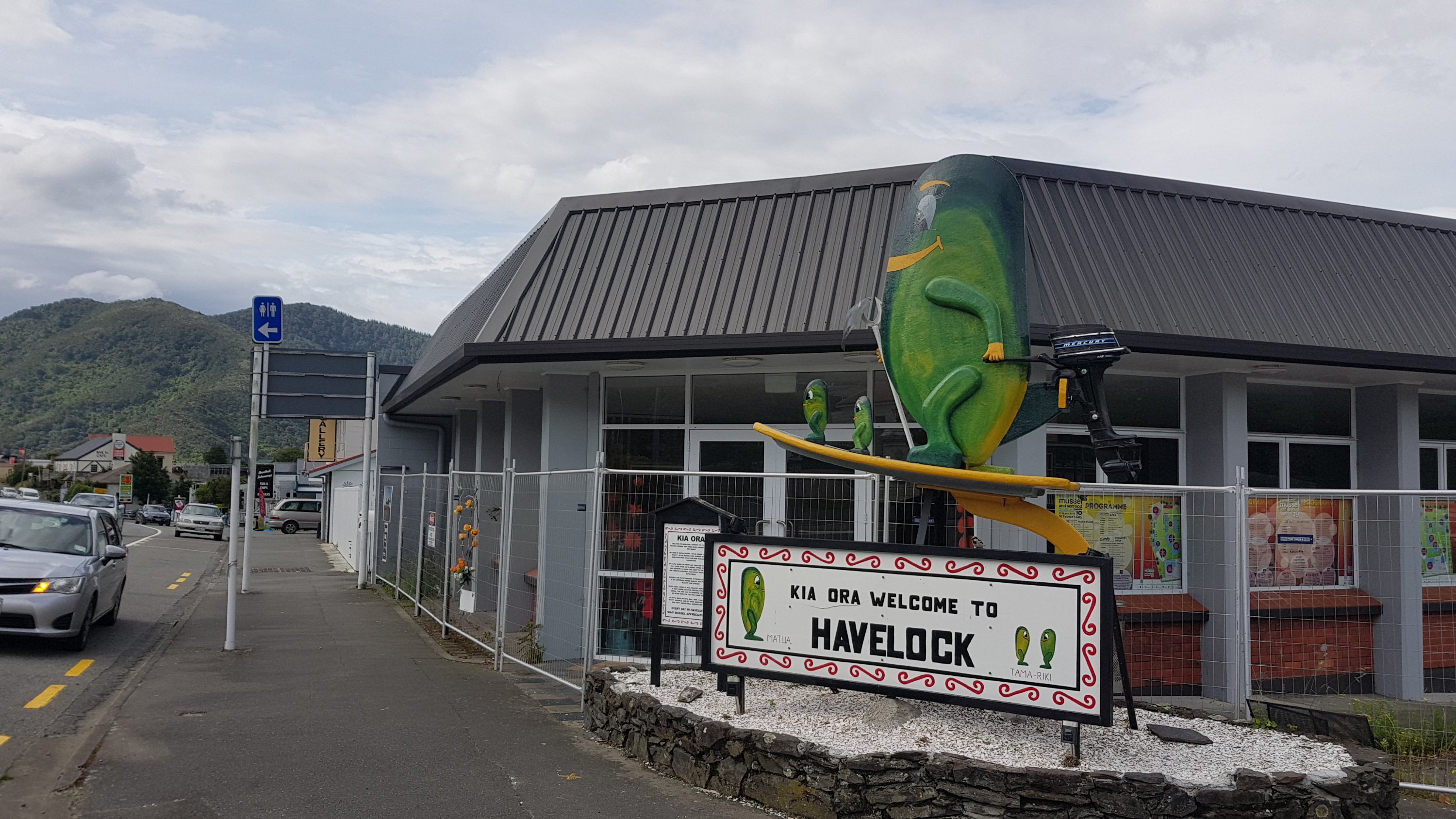
I did see other signs as I walked around that Havelock is the “green-shelled mussell capital of the world”. I guess that’s what the mascot is – not a green bean!
I got a few groceries from the Four Square – I really had a craving for fruit. I got blueberries, cherries, peaches, nectarines, and some Just Juice. Then I got a thickshake from the Fish & Chips across the road.
And then I saw Rowan. It turns out he got a ride from Anakiwa to Havelock – I guess that means he is not a purist! He didn’t have his pack with him so I asked him if he had set up at the holiday park. He said he checked into the backpackers. I had considered the same idea when I walked past it but my tent was wet from the night before and since the sun was shining, checking in at the holiday park would be a good chance to dry my tent.
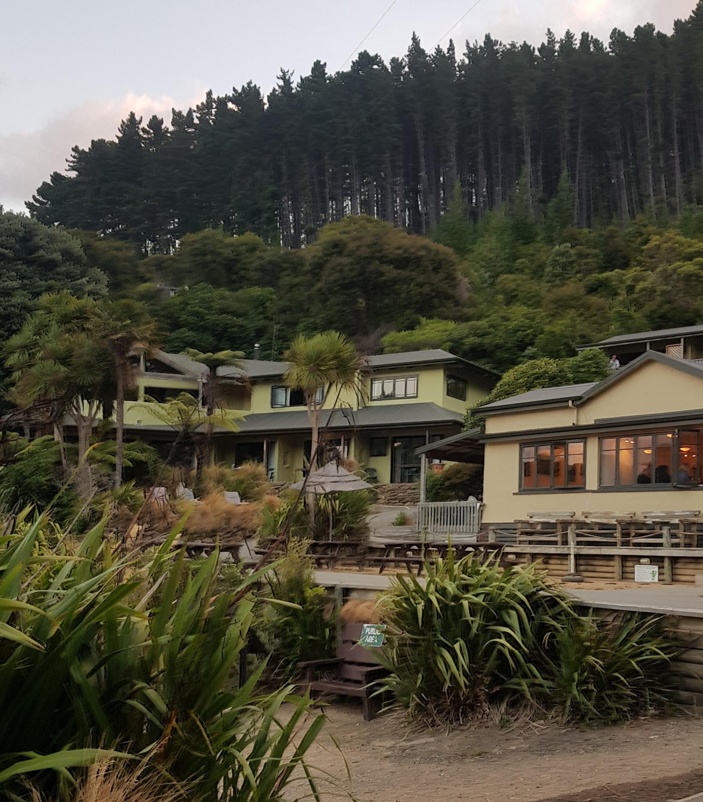
I wandered over to Havelock Holiday Park and set up tent. Surprisingly, I felt absolutely knackered. Everything aches, and I have a headache. It was a surprise given that I had felt good all day. I wonder what has happened.
The holiday park owner said that I looked sunburnt, so maybe that’s why I wasn’t feeling good… but then I’m always sunburnt. She also didn’t know where Te Awamutu is. Most people north of Whanganui know where it is when I mention that I’m originally from there. Between Whanganui and Wellington the response is usually “oh yeah, I think I know where that is” but in the South Island people don’t seem to have heard of it. It’s only fair I guess – I probably couldn’t name where 75% of small towns and villages in the South Island are either.
It started raining after I set up my tent, which was a bit unexpected given how sunny it was a minute ago. I went over to the shelter by the kitchen to do blog writing.
But oh no… the tent site they’ve assigned me is right next to Coughey McGee. He coughs so incredibly loudly, and it is every 90 seconds without fail. He has to be the loudest cougher in the South Island. And he’s now come to the kitchen to cook dinner, right next to where I am – of course.
People that know me will know that I often struggle to concentrate when there is loud noise, and it is especially bad when it is sudden loud noise. This guy could stop me getting any sleep tonight if he coughs all night. I definitely couldn’t concentrate on my blog writing because of it. If it hadn’t just rained and I hadn’t unpacked all my stuff I would have gone and asked to switch tent sites. I know that this might seem like a bit of an extreme reaction to some people but for some reason it’s just one of those things that is really hard for me to deal with.
I figured I’d go try the shower. The sign at the entrance said that the shower is $1 per 8 minutes and that any coin is accepted. I only had 50 cents so I figured that would give me 4 minutes. But nope… the shower took my 50 cents and gave me no hot water. Apparently the machine only pro-ratas the hot water once you reach the initial $1 minimum. I retreated back to my tent, fifty cents poorer, and realising how bad I actually smell.
I noticed that there was a very loud wind, although it was mostly in the trees and not hitting the tent. On the plus side the noise should drown out the coughing if I’m lucky. My tent survived the strong winds at Twilight Campsite on day 1, so I know my tent will withstand this. I didn’t give the wind another thought at this point.
Not long after I got back to the tent I got a massive cramp in my right leg. It was so painful and I couldn’t move myself into a position where it went away.
I don’t know why the day started off so well but then suddenly started to go so bad. Maybe my body is trying to tell me that it wants an extended rest. I need to get back to Auckland for Christmas and I’d always planned to fly back on the 23rd or 24th of December – three or four days from now. I started to consider the possibility that I should stop here and fly back to Auckland tomorrow night instead.
It was about 9pm when I realised that Coughey McCougherson and the shower stealing my fifty cents were the least of my worries. The wind suddenly and unexpectedly really picked up. Soon after that I heard people outside the tent discussing if it was safe to be sleeping in tents or not. It was hard to hear everything but the consensus seemed to be that we were protected by trees and the worst of it simply blows over top of the tents. But the tent was flapping very hard.
At 10pm it became gale force. The tent poles were bending and trying to lift off the ground. I’m trying to think of words to describe the sound I could hear, and it’s difficult. It was kind of like what the end of the world might sound like. Like the sound a dam would make if it burst and the stream of water careered through the valley destroying everything in its path. As long as this keeps up there is no chance at all of getting any sleep. It is now much, much worse than it was at Twilight, and so this is definitely a big test for the structural integrity of my tent.
At 12:30am… it’s still bad. There was one occasion where the wind was exceptionally strong and I was certain that the tent would definitely come down… but it didn’t. I started to pack important things into my two dry bags in case the tent collapsed and I had to abandon it. Clothes into one bag and electronics and my headlamp into the other. I also had a midnight snack and took some Panadol which made my headache go away. I thought I could use the time to concentrate on catching up on blog posts but I was too tired and disoriented to focus.
At 1:30am the rain was now torrential to go with the gale force winds. I was pretty sure I’ll be waking up either in a big swimming pool or somewhere in Kansas, possibly on top of a wicked witch.
At 2:30am it was still bad. How did I miss this in the forecast yesterday? I swear the forecast must have changed quickly. I’m very annoyed at myself for not checking into the backpackers.
I got thinking. It’s a given that I need to be in Auckland for Christmas. My plan was originally to walk to either Hackett Hut or Rocks Hut, about three days south of here or two days south of Pelorus Bridge, and both of these huts have accesses to Nelson where I could get a flight. But right now I don’t think I can go on. Everything aches and hurts, I’m sick to death of this constant bad weather and I just want to sleep in my own bed.
So since I can’t sleep I started thinking about what to do tomorrow (technically now today) assuming that I won’t actually get any sleep which is looking very likely. I looked at accommodation options in Pelorus Bridge, but there’s nothing there except the campsite – that’s even if I’ll even be able to do any walking tomorrow. There are more gale force winds forecast tomorrow night – “gusting 120km/h about the Sounds” – that’s stronger wind than now if you believe the forecast.
Realistically I thought that I really only had three options for tomorrow – walk to Pelorus Bridge and camp, walk a further 19km past there and make it to Captain’s Creek Hut, or take a rest day off in Havelock. I didn’t want to go through the hell of gale force wind and rain while in a tent two nights in a row, so Pelorus Bridge was out, and given how much I was hurting when I arrived in Havelock earlier, I wasn’t confident I could do a 40km day, so Captain’s Creek Hut was out too. The thought of spending a rest day in Havelock filled me with dread too – I’ve had too many rest days recently. So that was out too. That’s all the options I could think of.
At 3:30am after dismissing all the other options I booked flights back to Auckland for 5pm tonight. It is three days earlier than I planned to be back in Auckland for Christmas but I didn’t see any other option. $309 is what a last-minute ticket from Blenheim to Auckland cost me, plus $18 for a bus to Pelorus Bridge to the airport. That means that I have to walk from Havelock to Pelorus Bridge. I know I can at least do that.
Flights from Nelson were a bit cheaper but Nelson Airport is a difficult airport to get to. It has no bus or any form of public transportation, whereas Blenheim Airport has the Intercity bus stop right outside the entrance.
At 4am I needed the toilet. It gave me a chance to check the tent and the ground around. The ground, needless to say, is very wet. The wind and rain have died down to about half of what they were, so I attempted to finally get some sleep.
At 5am Mother Nature had other ideas. The wind was back up to gale force strength and the rain had become torrential again. Once again there was a particular point around this time that I was certain that the tent wouldn’t survive one particular gust of wind… but again it did. I lay down, hoping once again that the tent would survive the entire night and resigned myself to the fact that I would not be getting any sleep tonight.
EDIT Two days later – I realise that this sounds quite dramatic and the day after it all happened I was able to joke about it. But I wrote all this as it happened and I want this blog to be an accurate reflection of my feelings at the time so I’m leaving it all as-is.
Today's walk on the map (blue = Te Araroa, red = today's walk):
Well done Matt, that answers my query on your tent.
So glad you don’t edit your posts after the events. It wouldn’t be the same.
I agree, it would have been a shame to edit the post as the blog is a true reflection of your experiences on TA. ♥️