Date: 10 March
Trail covered: 9km, plus at least another 1km with detours and extra bits (kms 2313.8 to 2322.8)
Weather: sunshowers
Anka woke up before me even though she isn’t going anywhere today. She was cooking bacon and eggs. What an excellent thing to do on a day off!
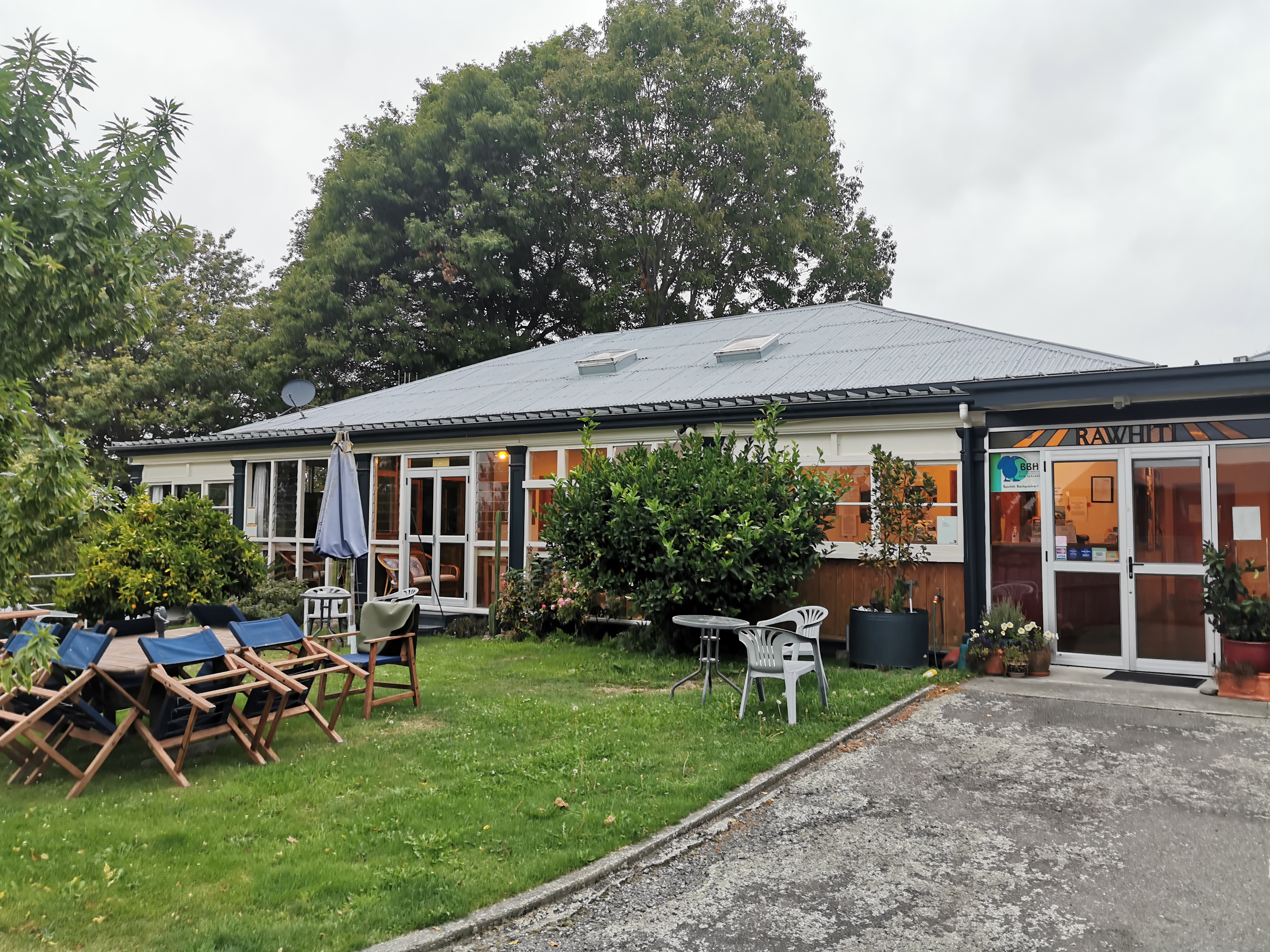
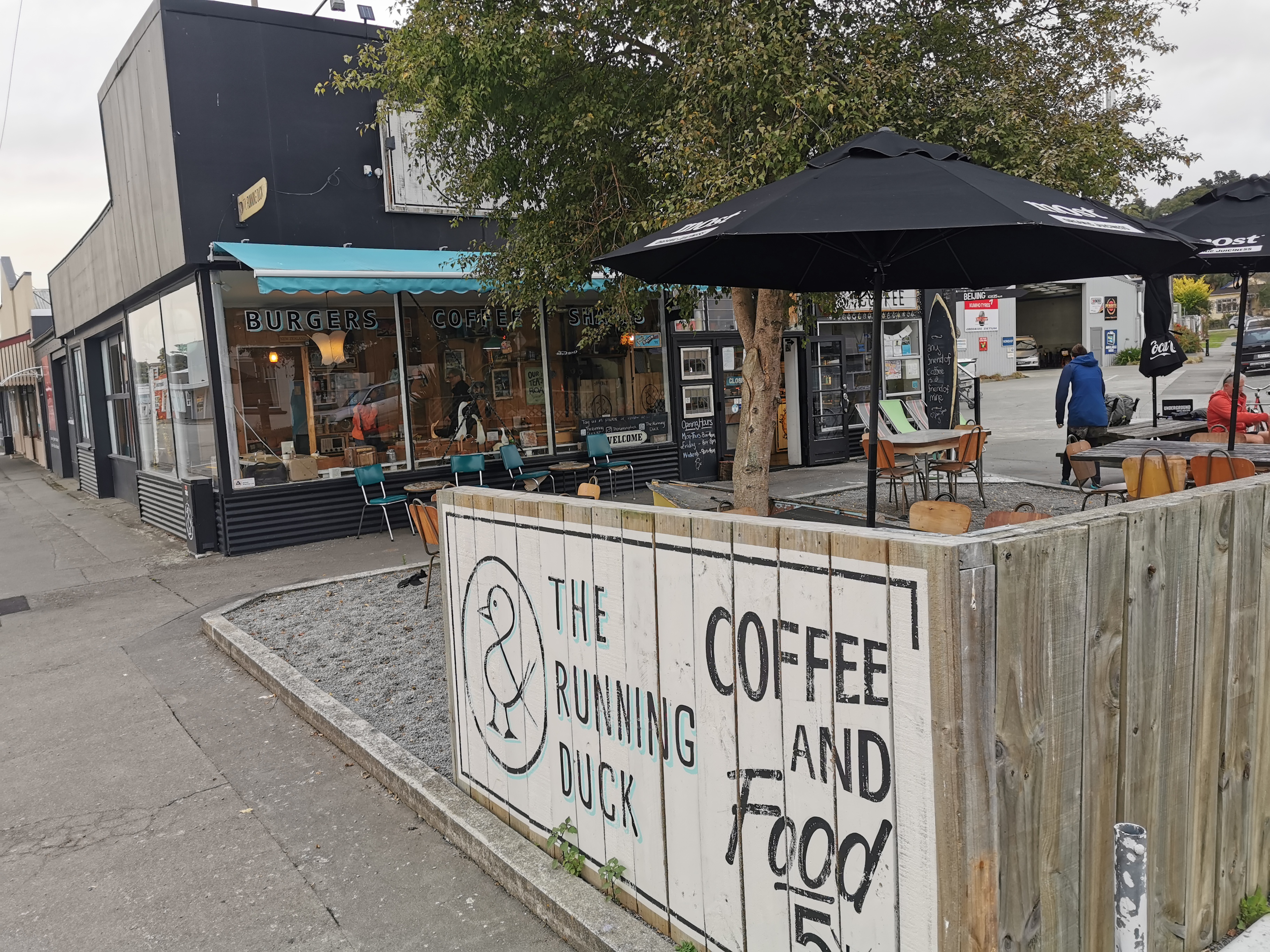
Since Wayne was picking me up at 8:30am from the Running Duck cafe I thought I’d go there for breakfast. I’d woken up earlier than planned (7am) and the cafe didn’t open until 8am. I met up with two new people who were staying at the backpackers too. They were Christie and Michael who were also getting the shuttle and we had a quick chat, then while they finished getting ready I headed down to the cafe and got there at 7:50am.
I stood outside the door of the cafe looking pathetic and they let me come in ten minutes early, which was nice. Christie and Michael arrived shortly after and we talked about the trail. Christie is walking the whole trail southbound and Michael is just joining her until Tekapo. They’re both from Christchurch.
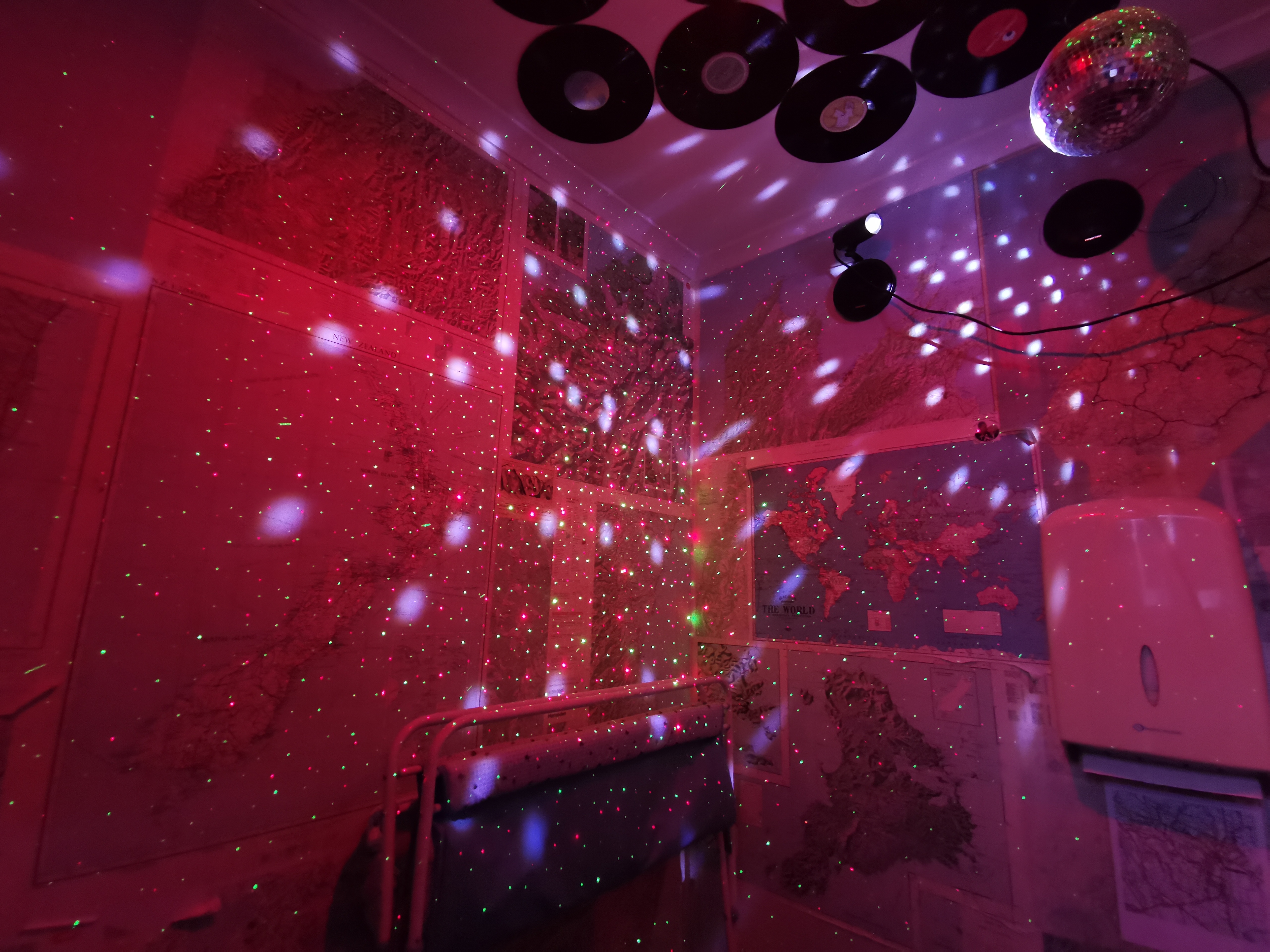
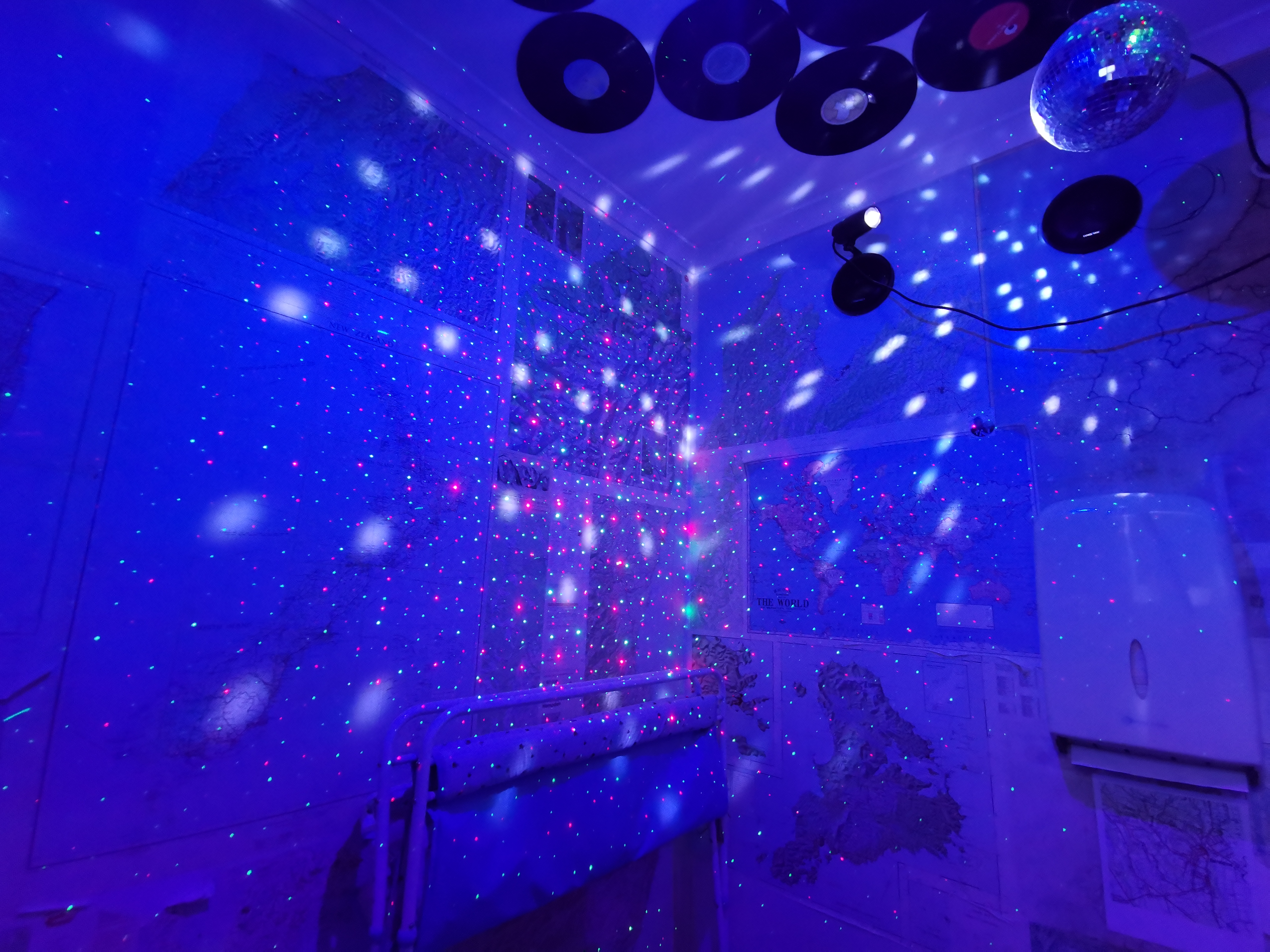
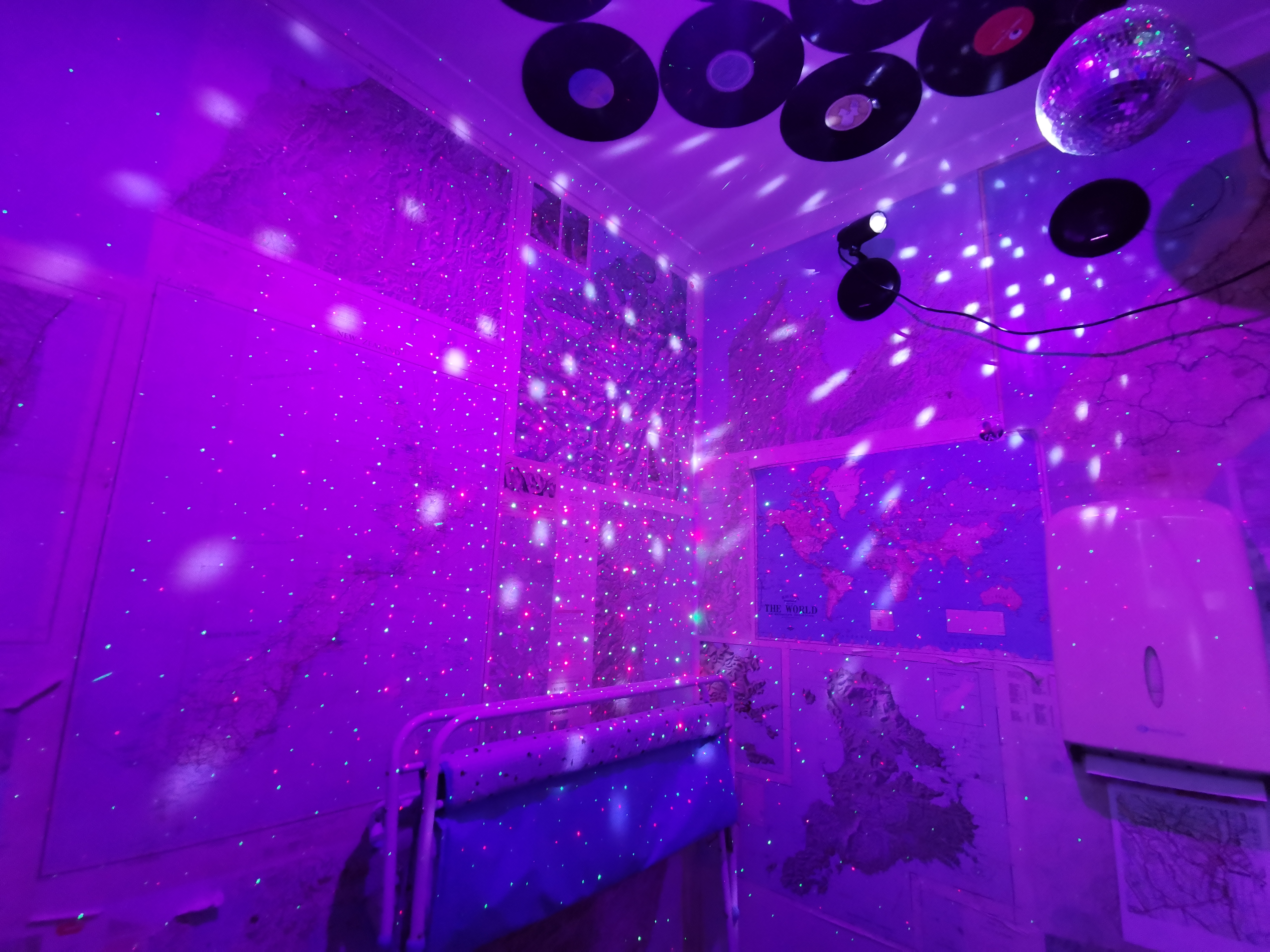
You should see the toilet at this place. It has party lights and a disco ball.
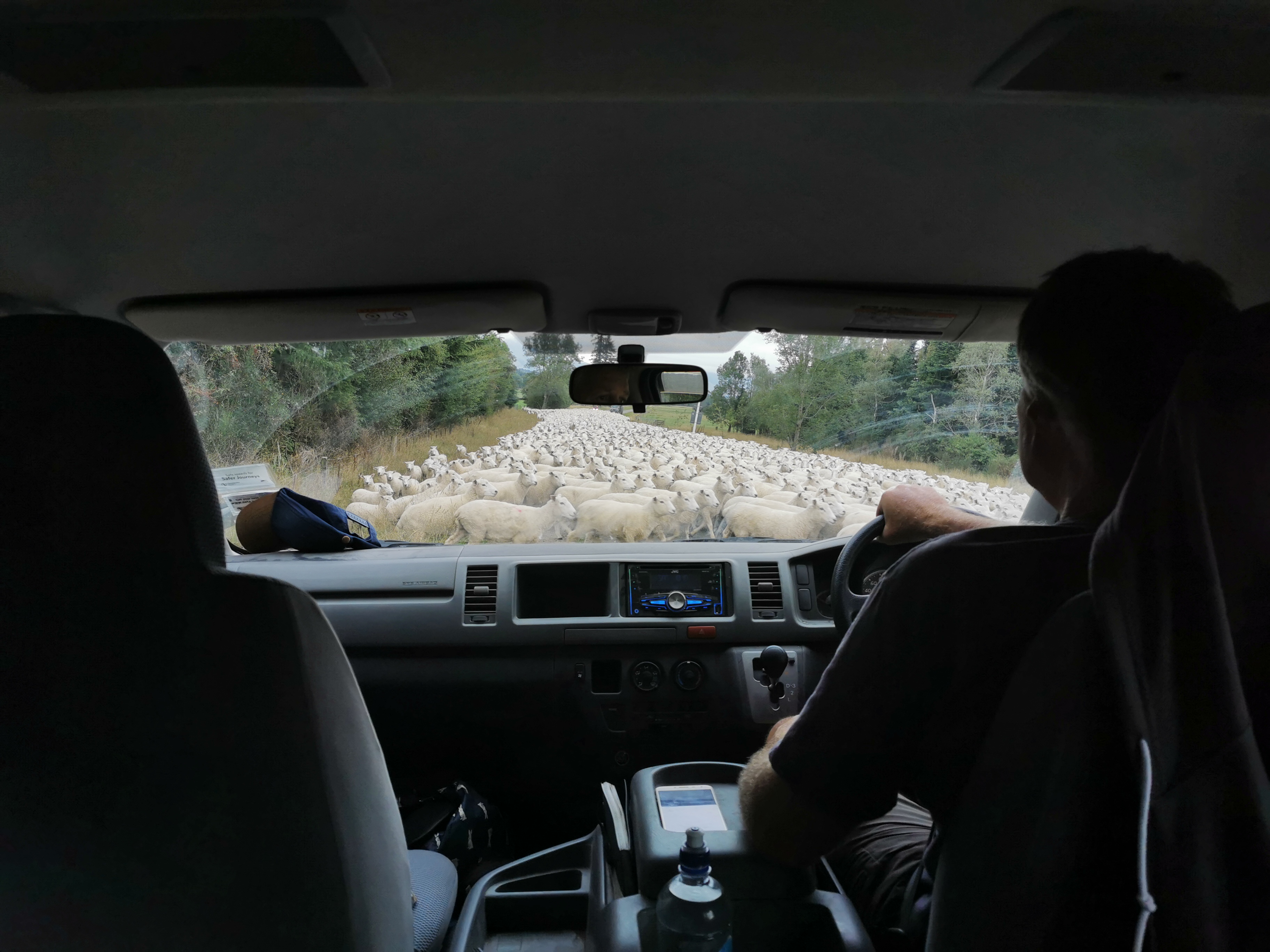
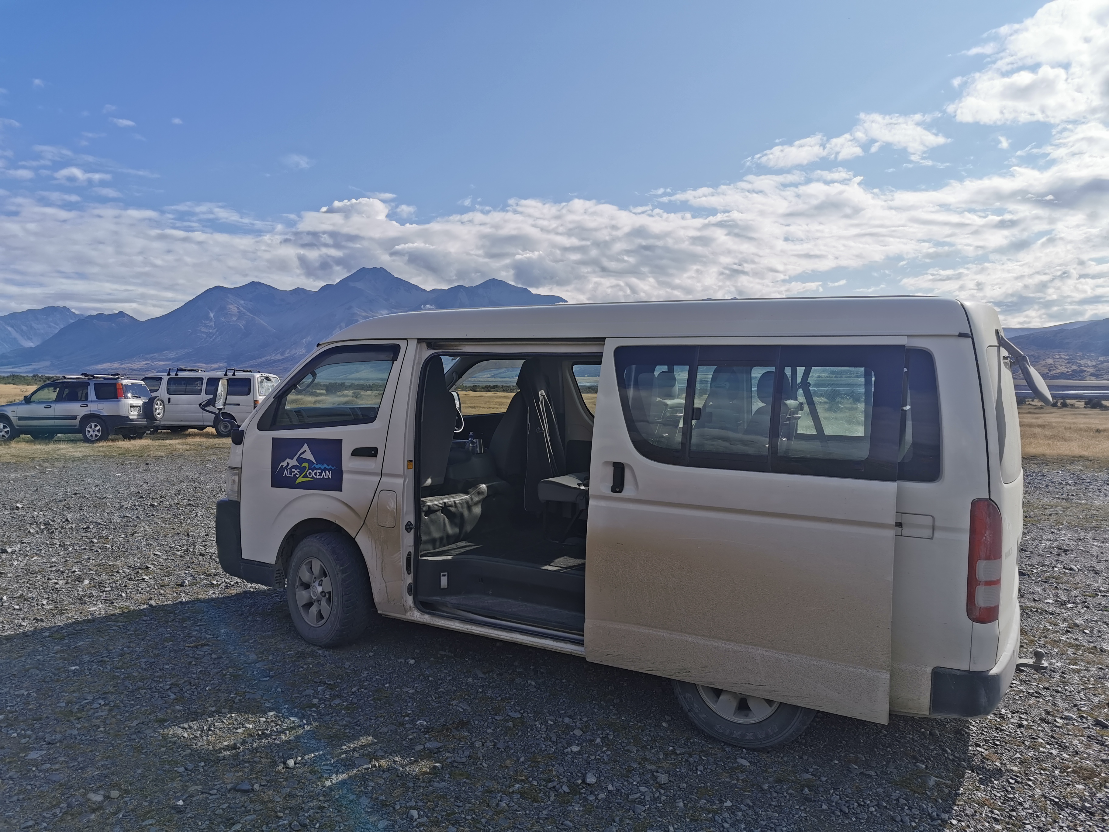
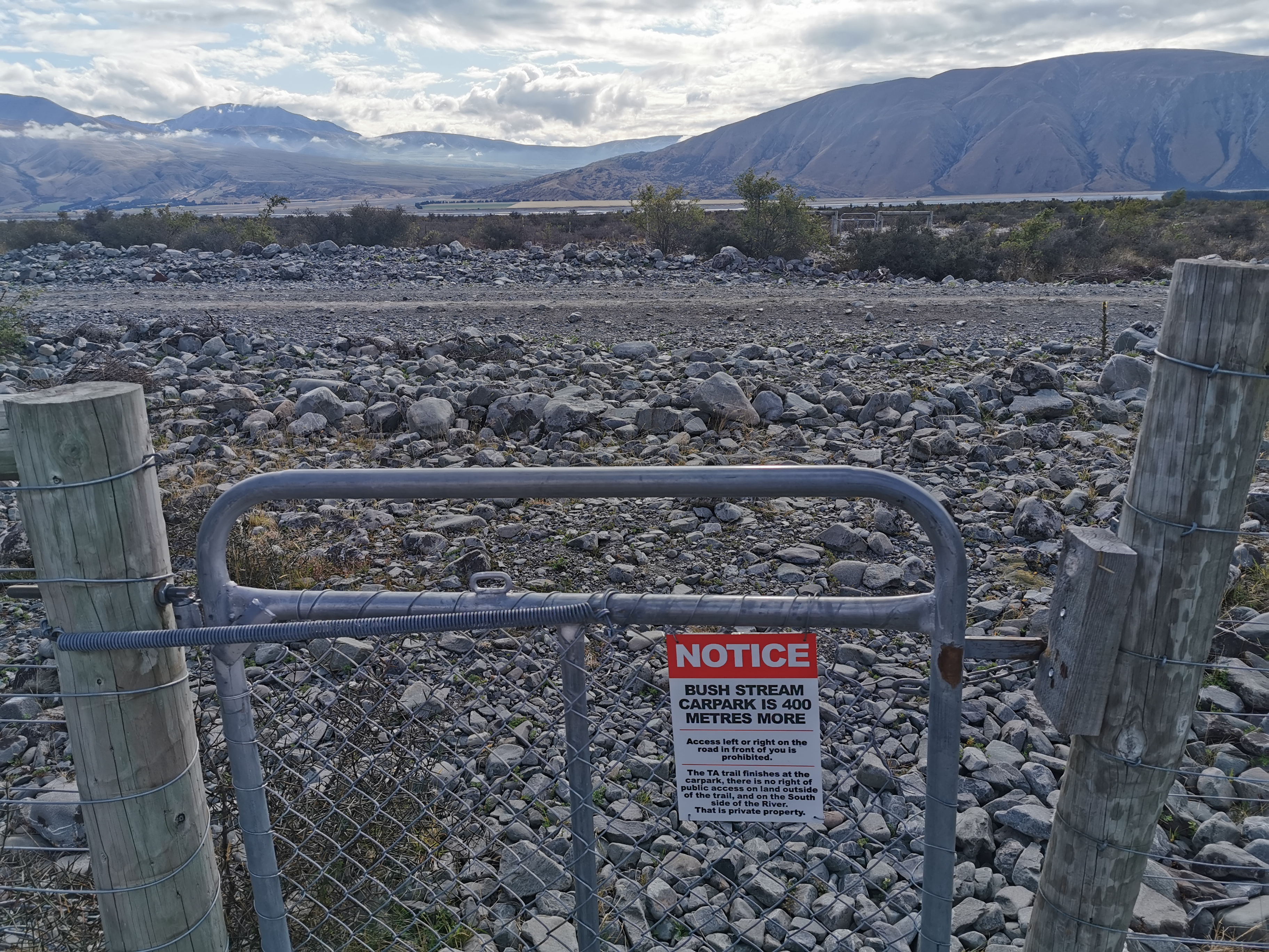
Wayne arrived on time to take the three of us to the Bush Stream car park. It seems that everyone else is taking a rest day, including Chris apparently.
The varying weather forecasts show really different things today. Metservice says “rain about the divide” but Metservice says “rain about the divide” every single day. Geraldine had a fine forecast but Ashburton Lakes had “potential thunderstorms”. Another forecast that Christie uses (yr.no) said fine in the morning and rain in the evening. Who knows what will happen.
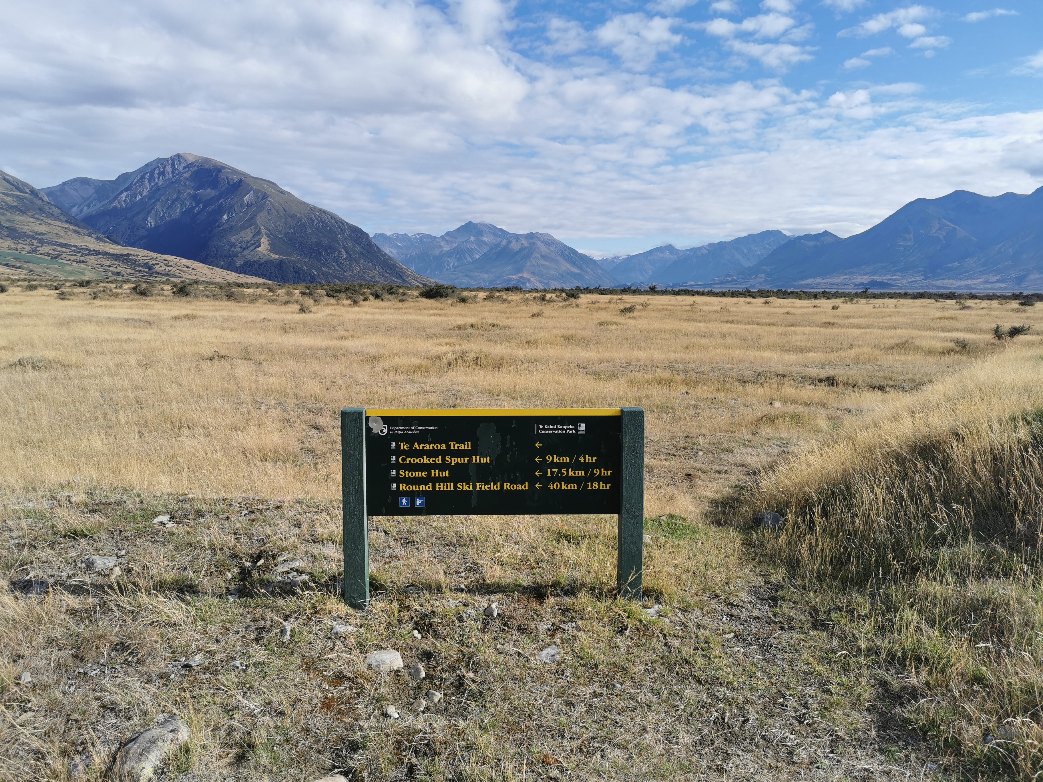
Walking to the cafe earlier it was spitting a bit but while driving to the trailhead the weather looked good. I’ll get to the first hut today, which is Crooked Spur Hut, and see what the weather is like and decide if I go on or not. Christie and Michael’s plan is to stop there.
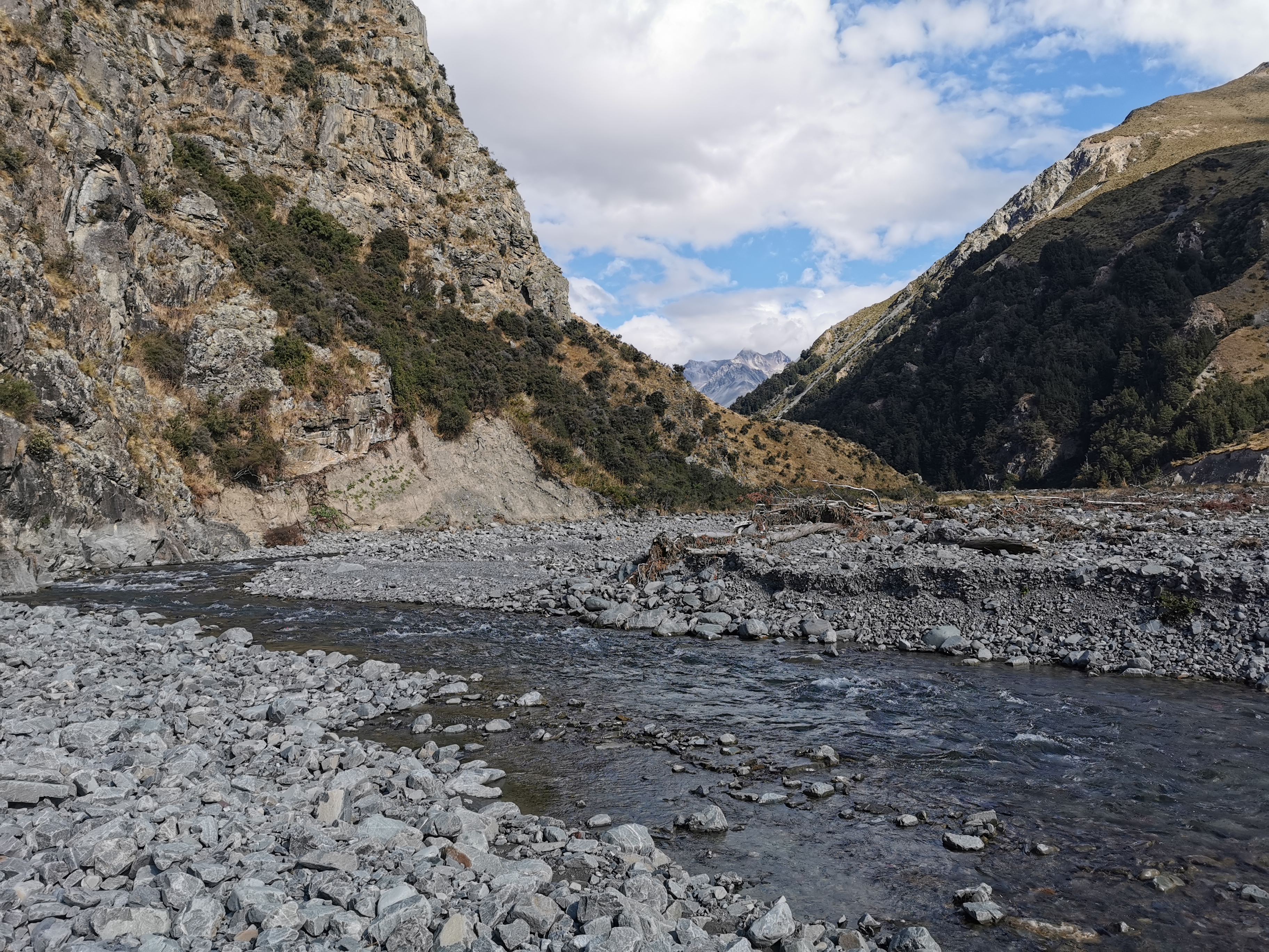
On arrival the weather was stunning. I could see the hill where we finished our walk yesterday.
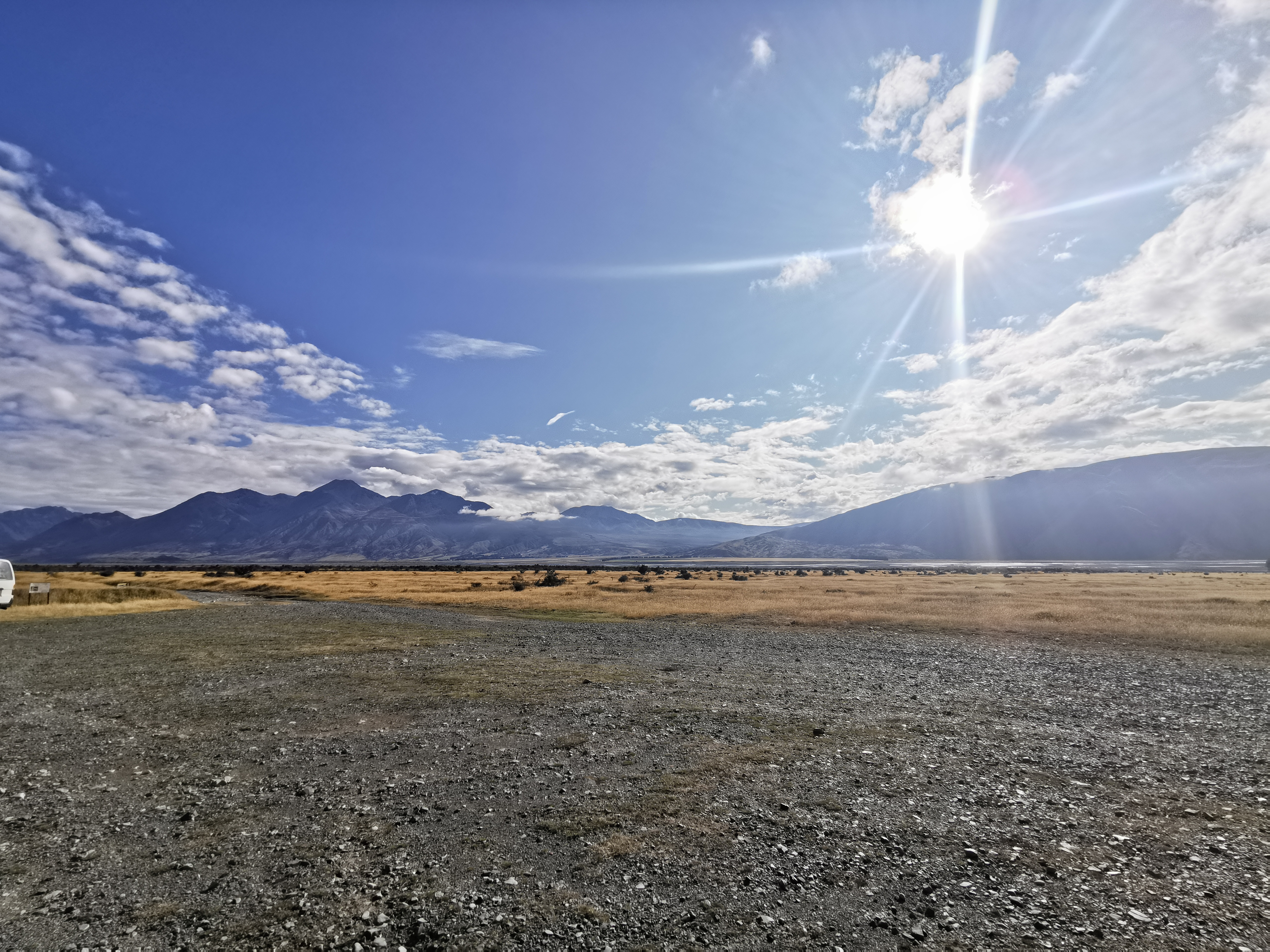
Looking at the Rangitata River, it looked crossable today, but of course that’s easy to say when you’re looking at it from a distance.
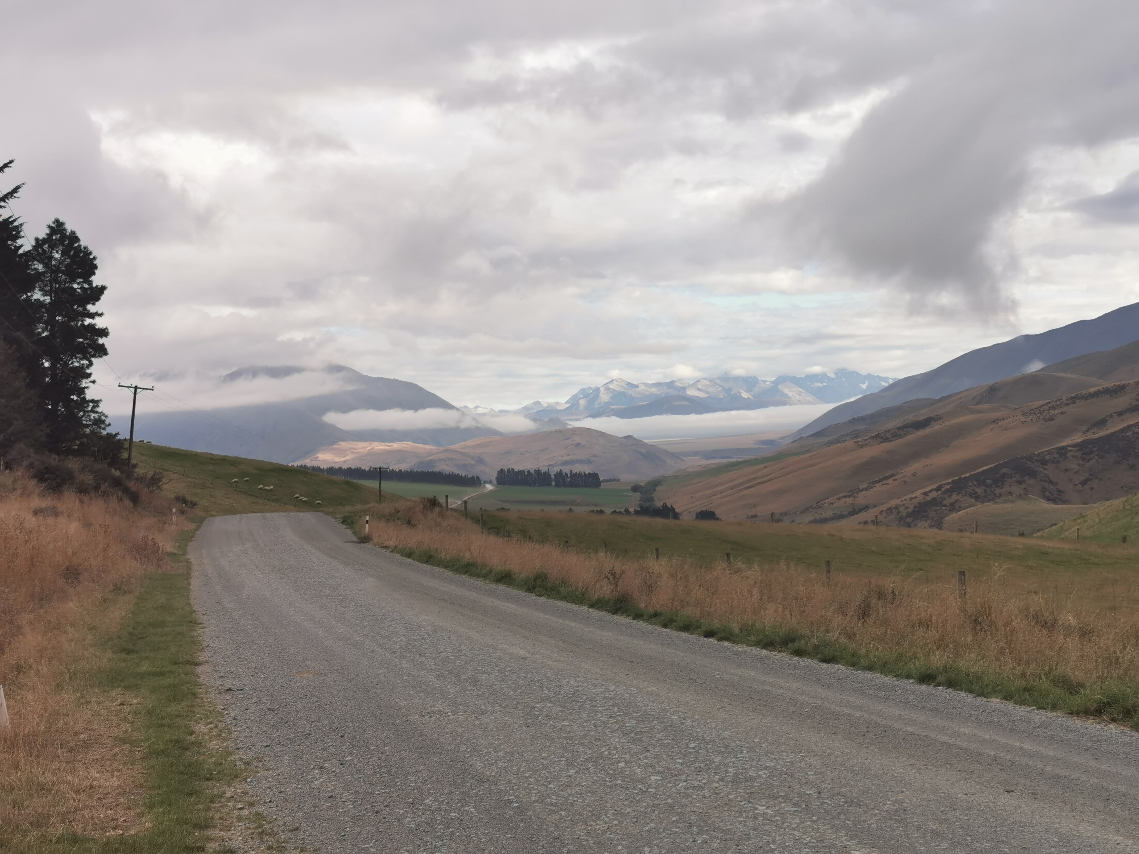
Interestingly Wayne dropped us off 1km from where Guthook said the trail started, but it was the right place because the DOC signs said so. So at first there was an extra 1km of walking that isn’t even account for. Rude.
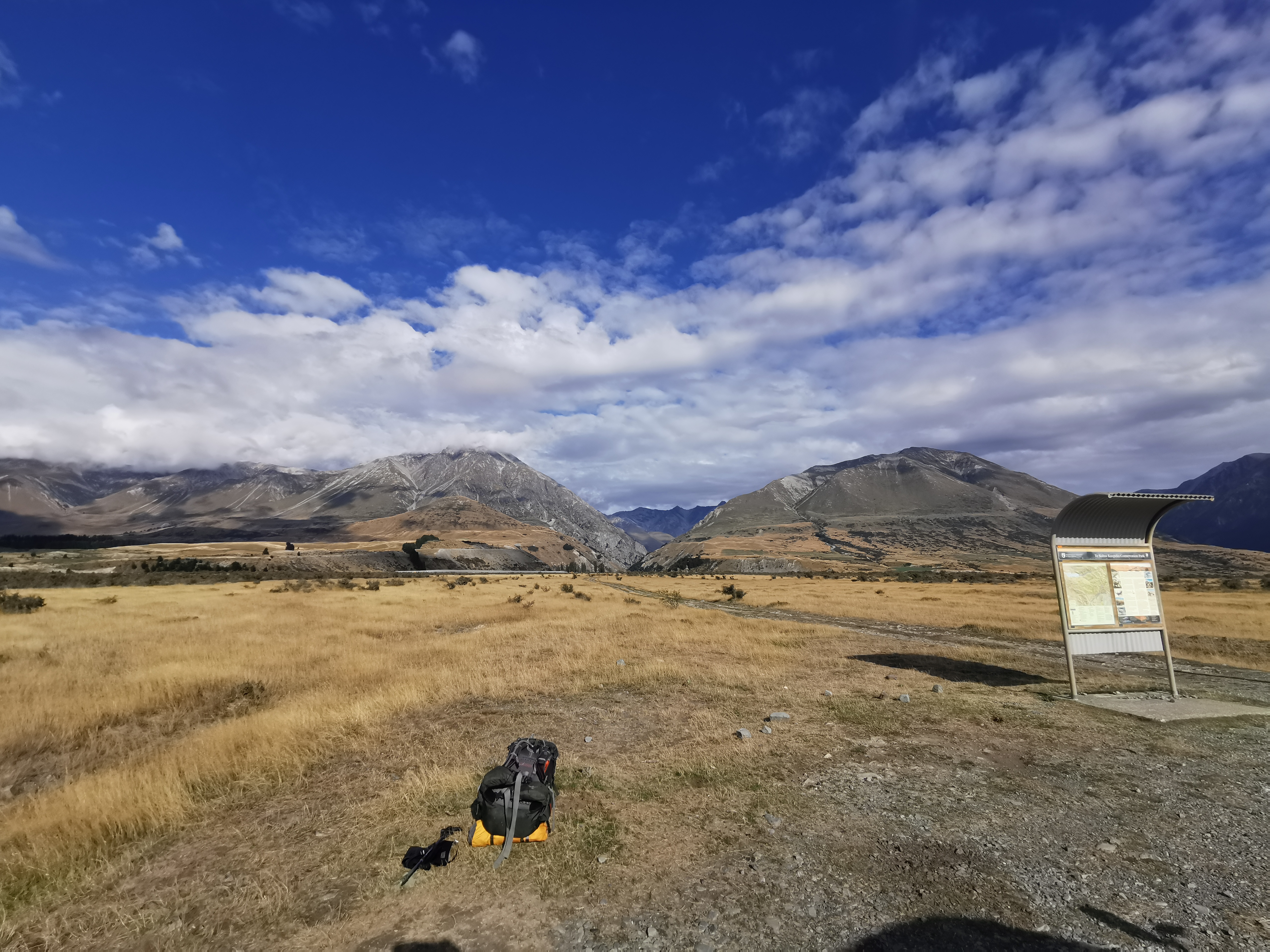
There is a toilet at the car park, and there were also two cars parked there.
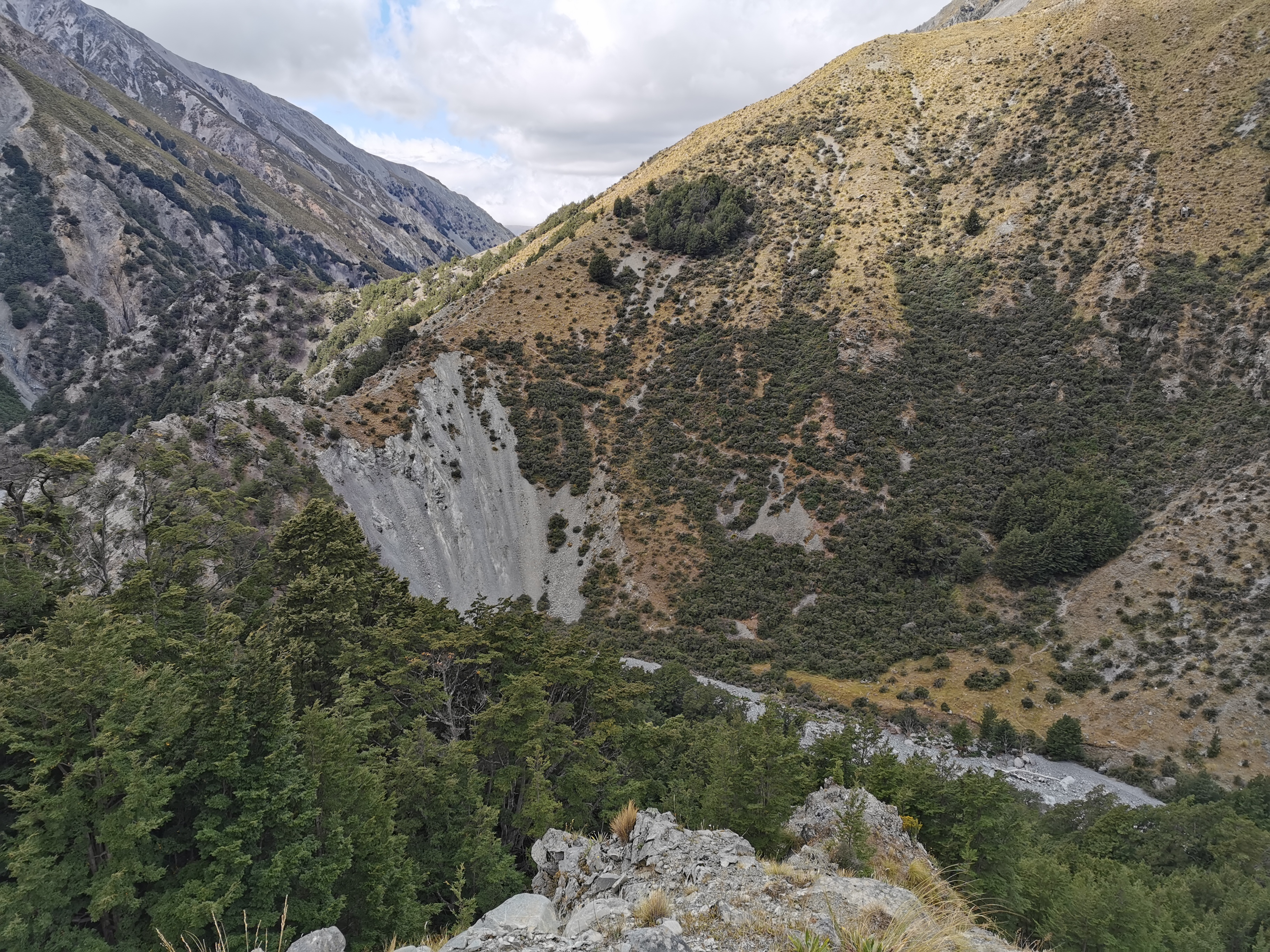
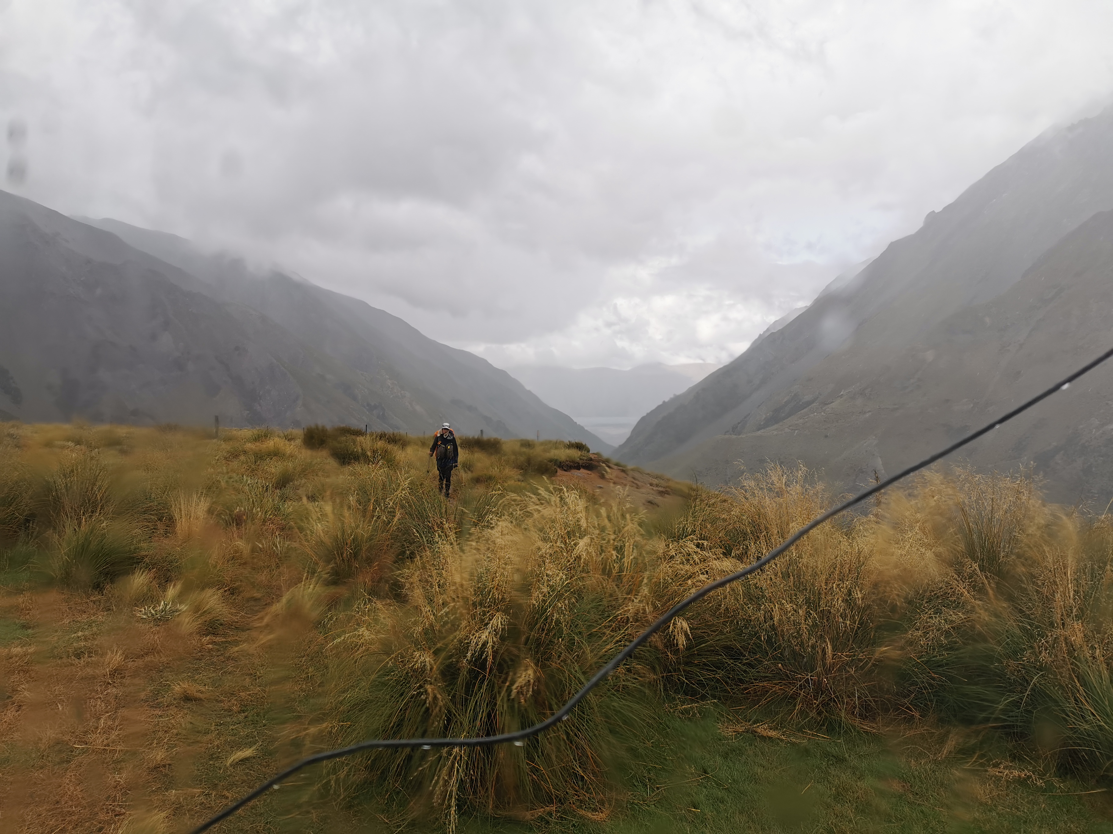
This area is called Mesopotamia. There’s nothing around – it really just is tussock and mountains.
It would be really hard to hitchhike to this spot. It was a long way from Geraldine down a very questionable gravel road and you have to go right to the very end too, which surely almost nobody would do on any given day. I wonder if Chris will attempt the hitch tomorrow.
I started walking from the carpark without the other two as they were taking their time.
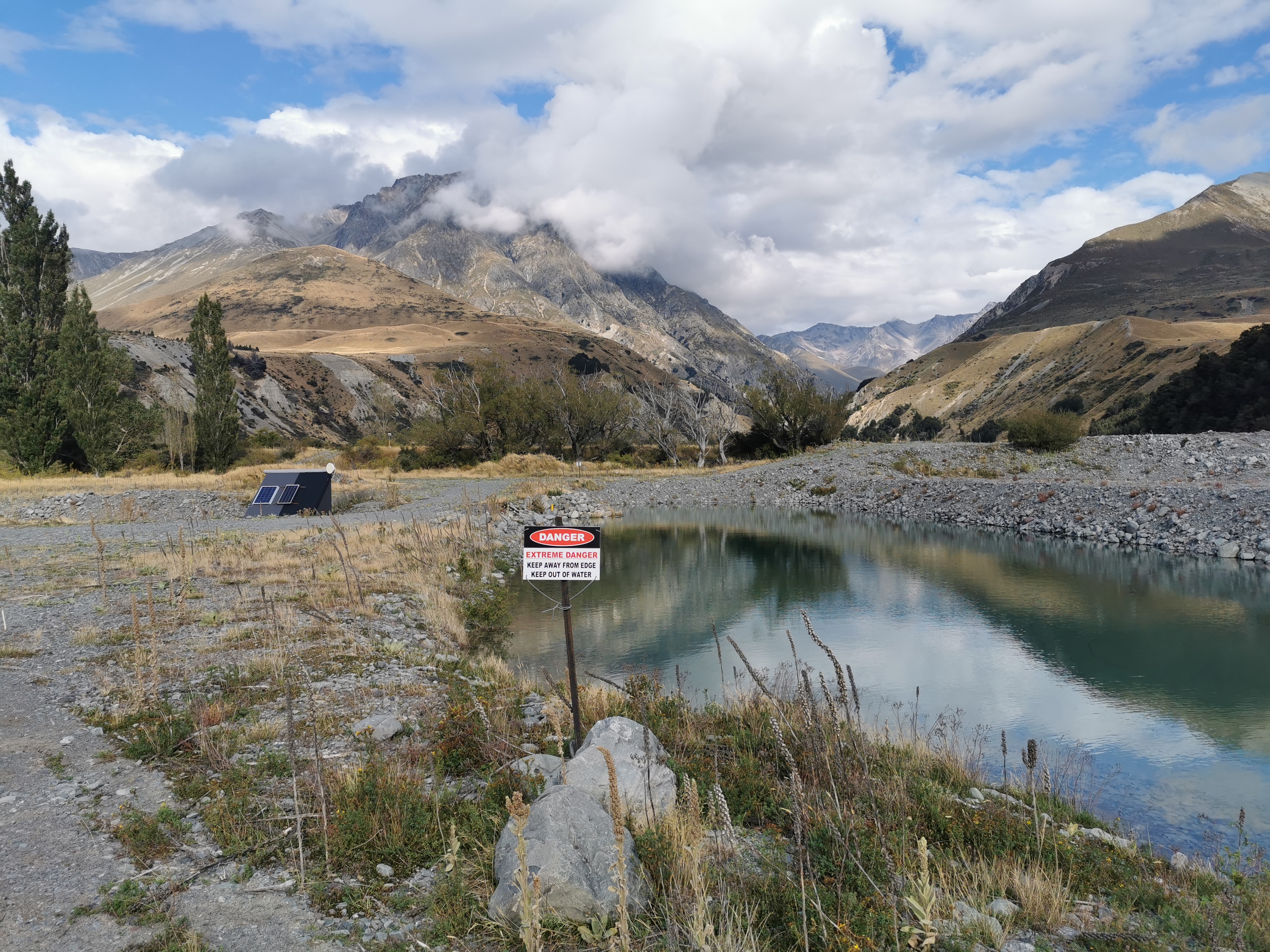
There was a weird piece of water with a big danger sign which seemed way out of proportion to the actual level of danger it posed.
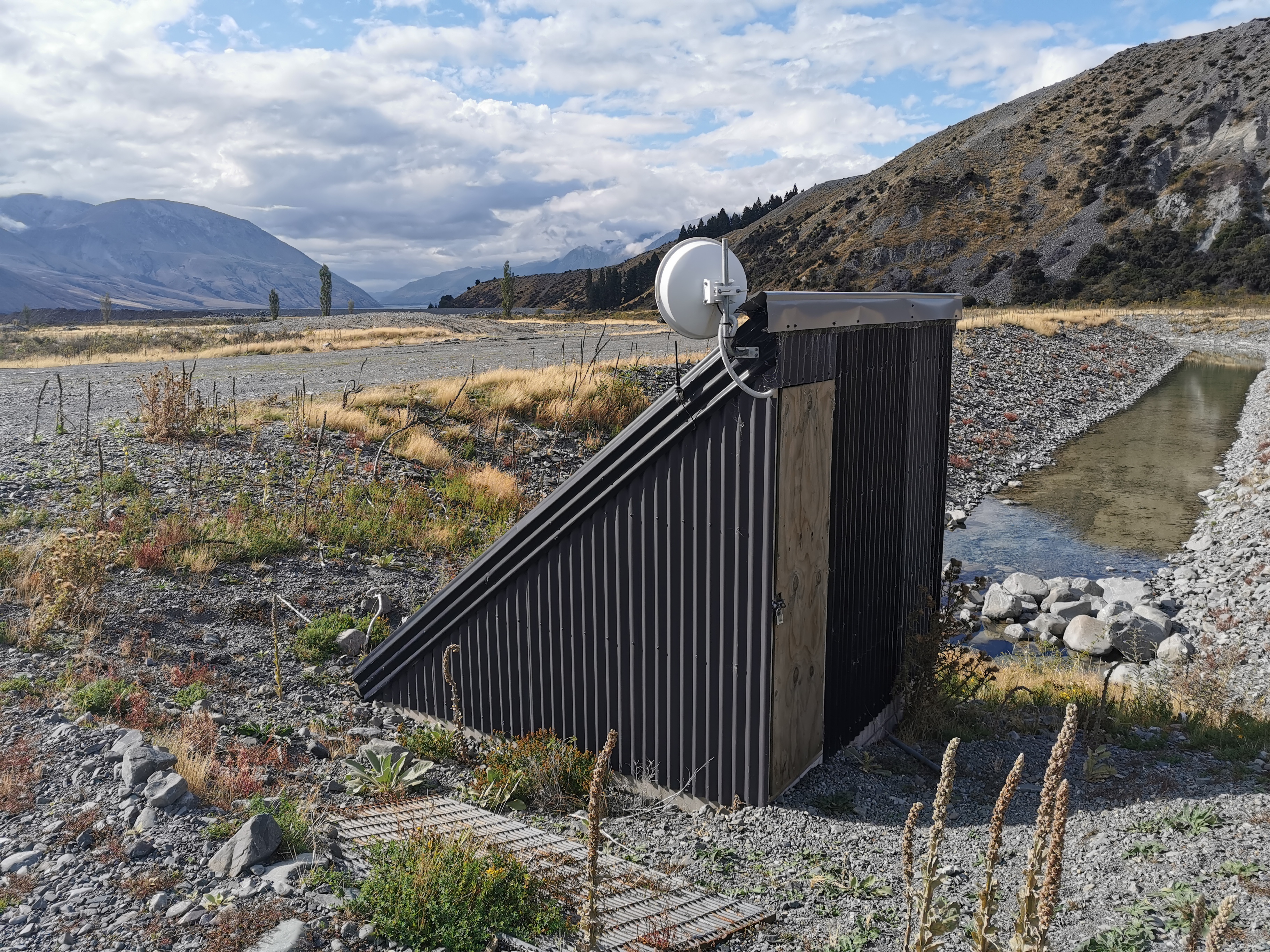
There was also a weird building with solar panels and some kind of receiver but it was locked and I couldn’t work out what it was.
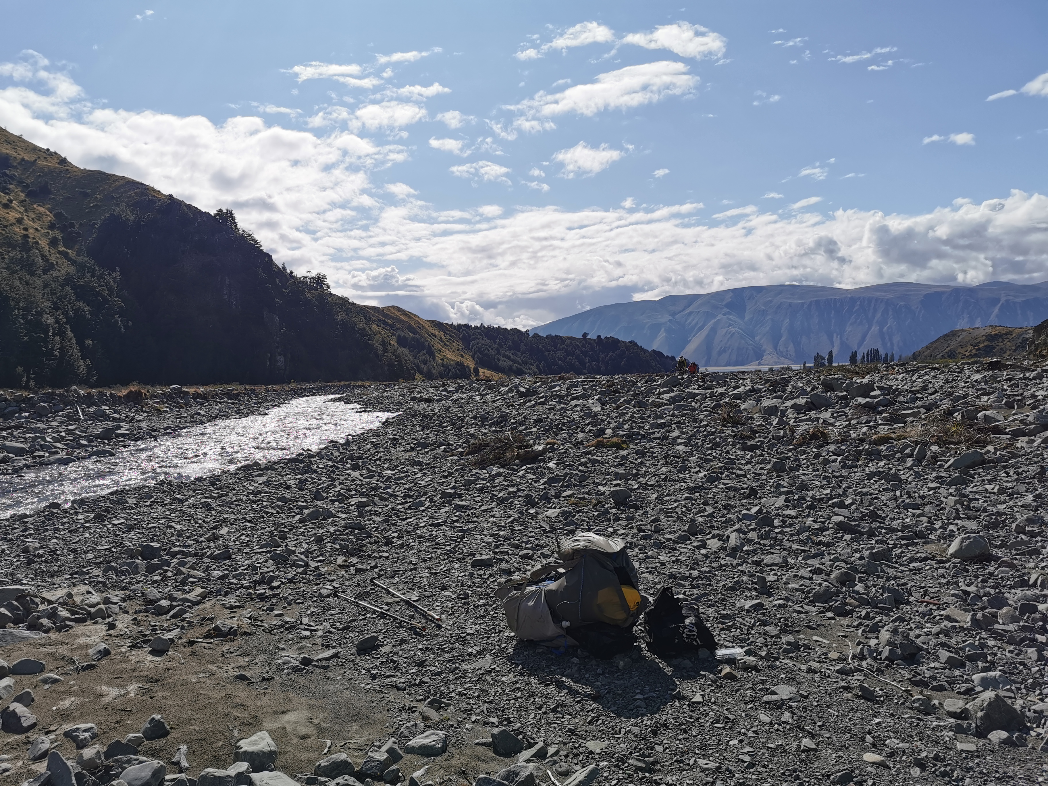
The map made it look like we were following Bush Stream all the way up to the hut so I told myself I’d change into crocs at the first crossing. But surprisingly, the first 3km were on a 4WD track.
As I was walking on my own I wondered to myself if I would have the hut to myself if I continued to the second hut, Stone Hut. It would be spooky. The only hut I’ve had to myself so far was the very old Camerons Hut.
After 3km was the first stream crossing, so the crocs went on.
Most of the rest of the day was walking up the stream. At 11am I had stopped for a quick snack and waited for the other two. With all the stream crossings it would be good to have other people around.
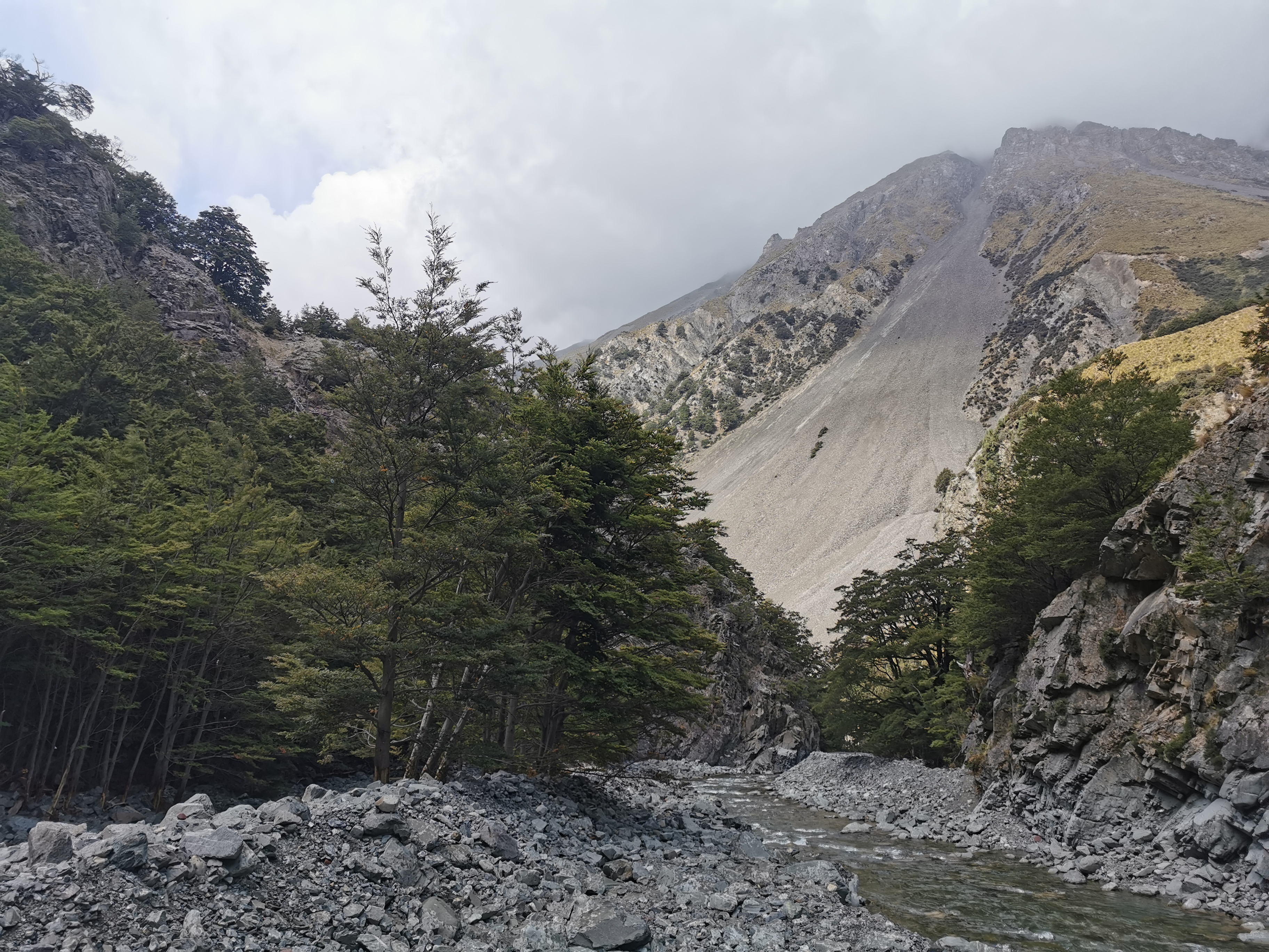
While I waited for the others I looked at the Guthook comments for the upcoming section. There was an interesting comment saying not to go over the hill before the hut as there is a landslide and it’s not passable, and instead continue following the river upstream. The notes say that the hill avoids a “gorged” section of the stream so it might be harder to cross that section, however I don’t think there’s been a lot of rain recently except for the constant showers two days ago.
We saw two hunters going the other way. I stopped and talked to them. They immediately commented on the crocs. A bit different to the hunting gear they were both wearing! I asked about the upcoming hill and what they thought. They immediately said “it’s unnecessary” to go over the hill. They didn’t say impossible, they said not necessary. They said they went over the hill on the way in but used the river on the way back. Interesting. The purist in me thinks I should attempt the hill.
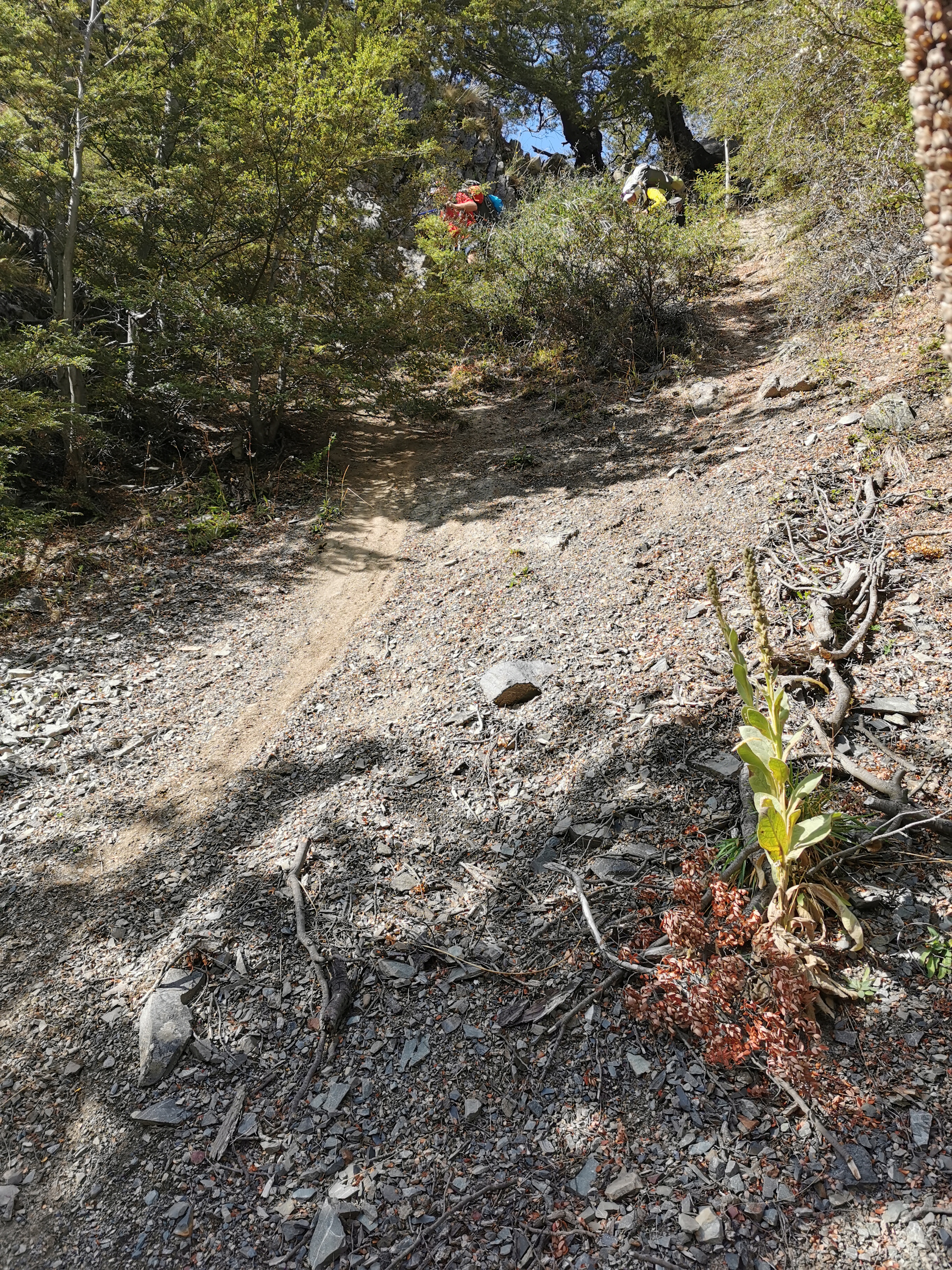
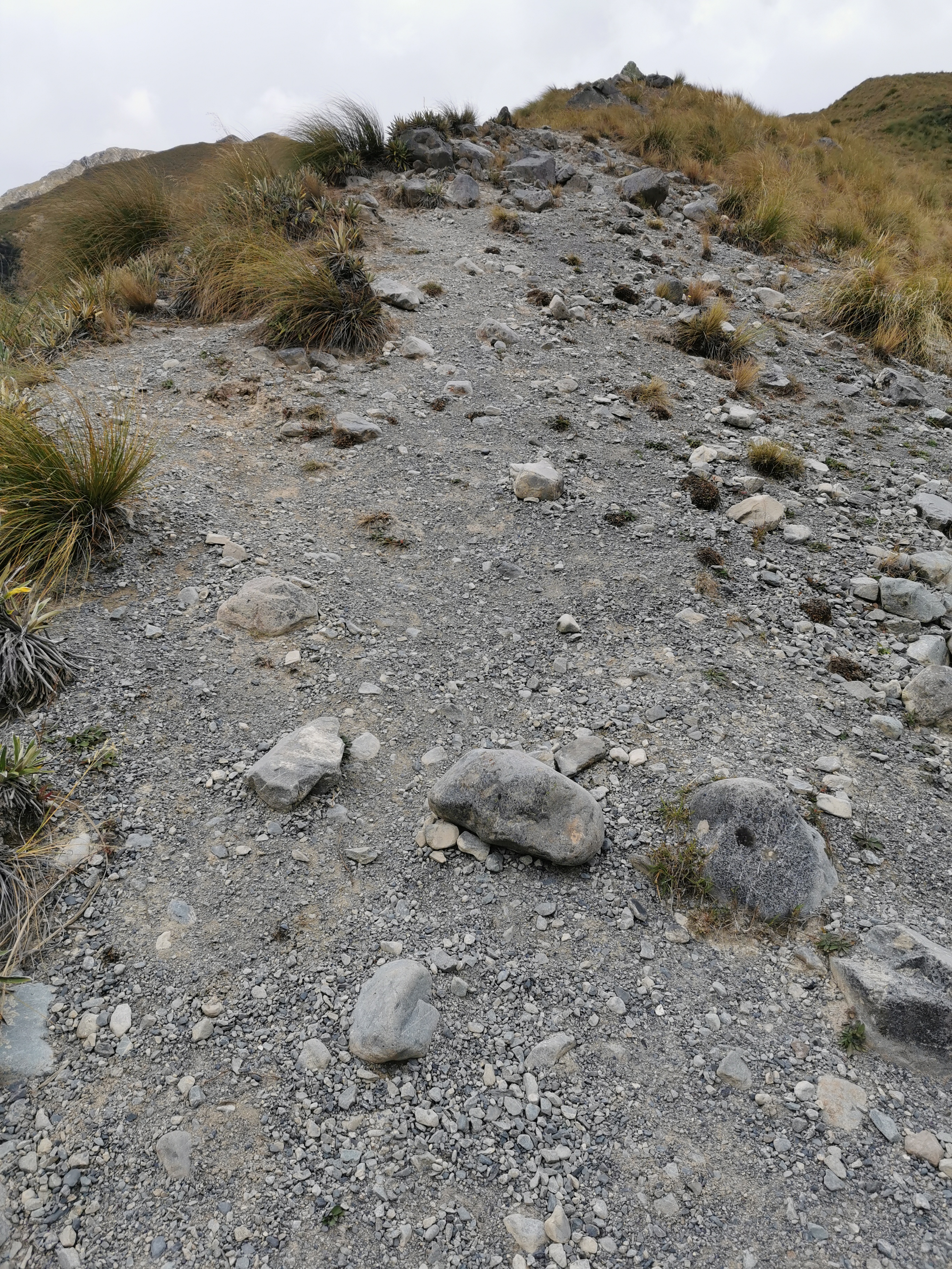
Not long after that we went over a spot called Sawtooth Bluff. A solitary marker pole suggested we go up a very steep hill to avoid the river, despite the fact that the river seemed completely passable. So we did, and we really weren’t sure if we were going the right way. It was very steep, in fact coming down was probably the steepest bit of trail so far.

I had to slide down on my butt. You can see in this photo on the left the path my butt made as I was sliding down.
Maybe this is the hill that the hunters meant… whereas the hill I was asking them about was a much bigger and longer hill later on just before the hut. It’s hard to say. However if the other hill is as bad as this then I’m not doing it, it just felt dangerous.
I changed into my boots to go down the very steep hill but changed back into crocs as more crossings were coming up.
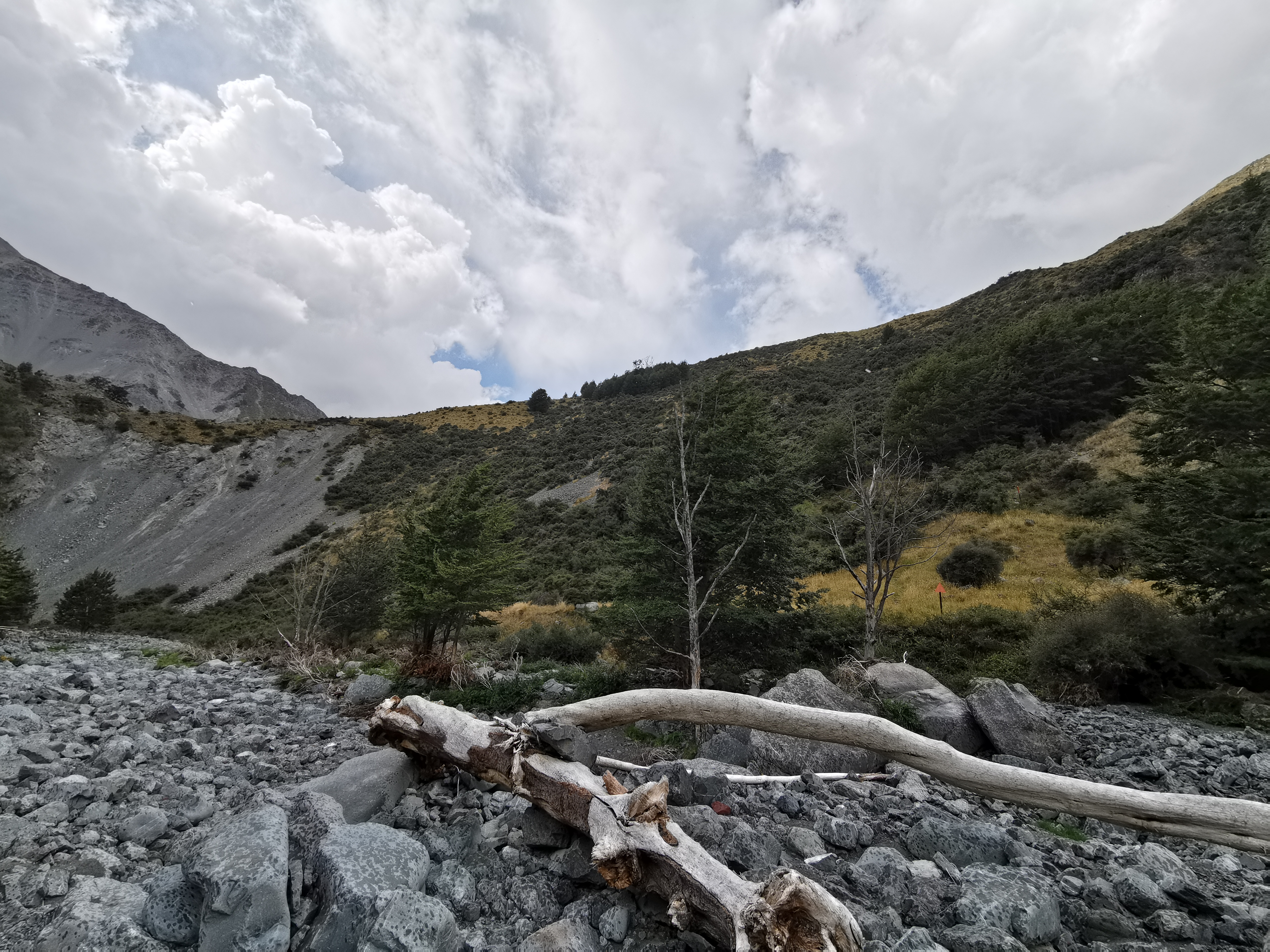
The three of us decided to stop for lunch on a big log. Just as I sat down and started unpacking my food, some quite dark clouds appeared above the hill. It looked like rain was coming, so I had my food very quickly and then continued on alone.
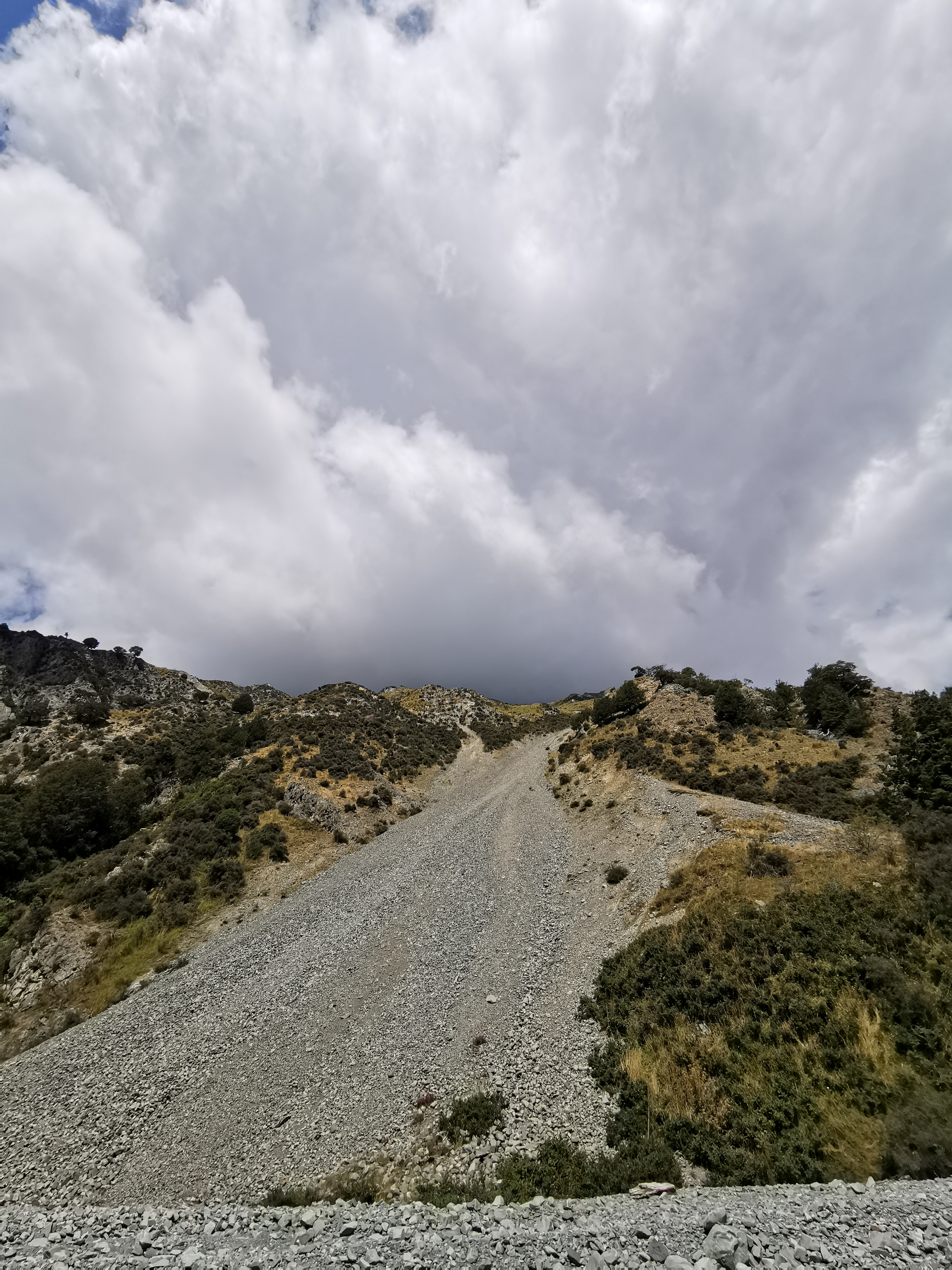
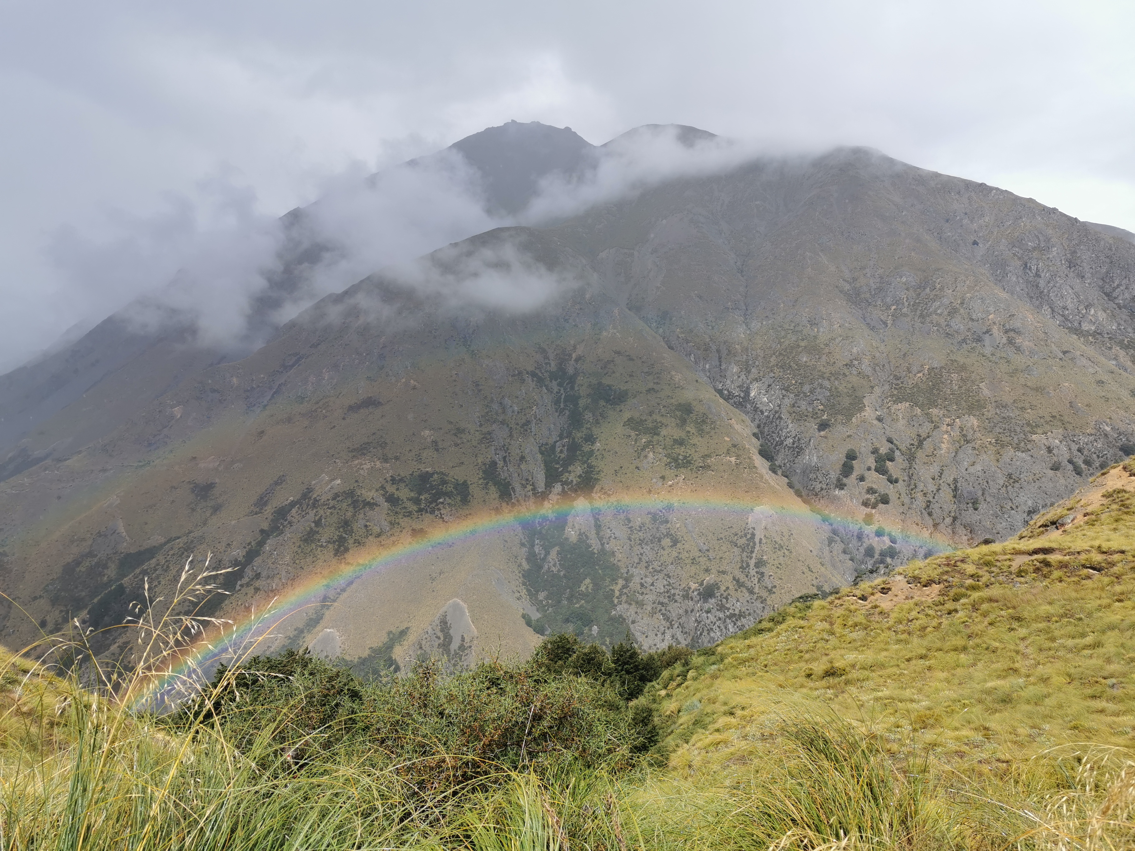
It was only about 15 minutes after that that the sunshowers started. They weren’t heavy but enough for me to put on my rain jacket and pack cover. It was weird having rain when there were no clouds immediately overhead and the sun was shining.
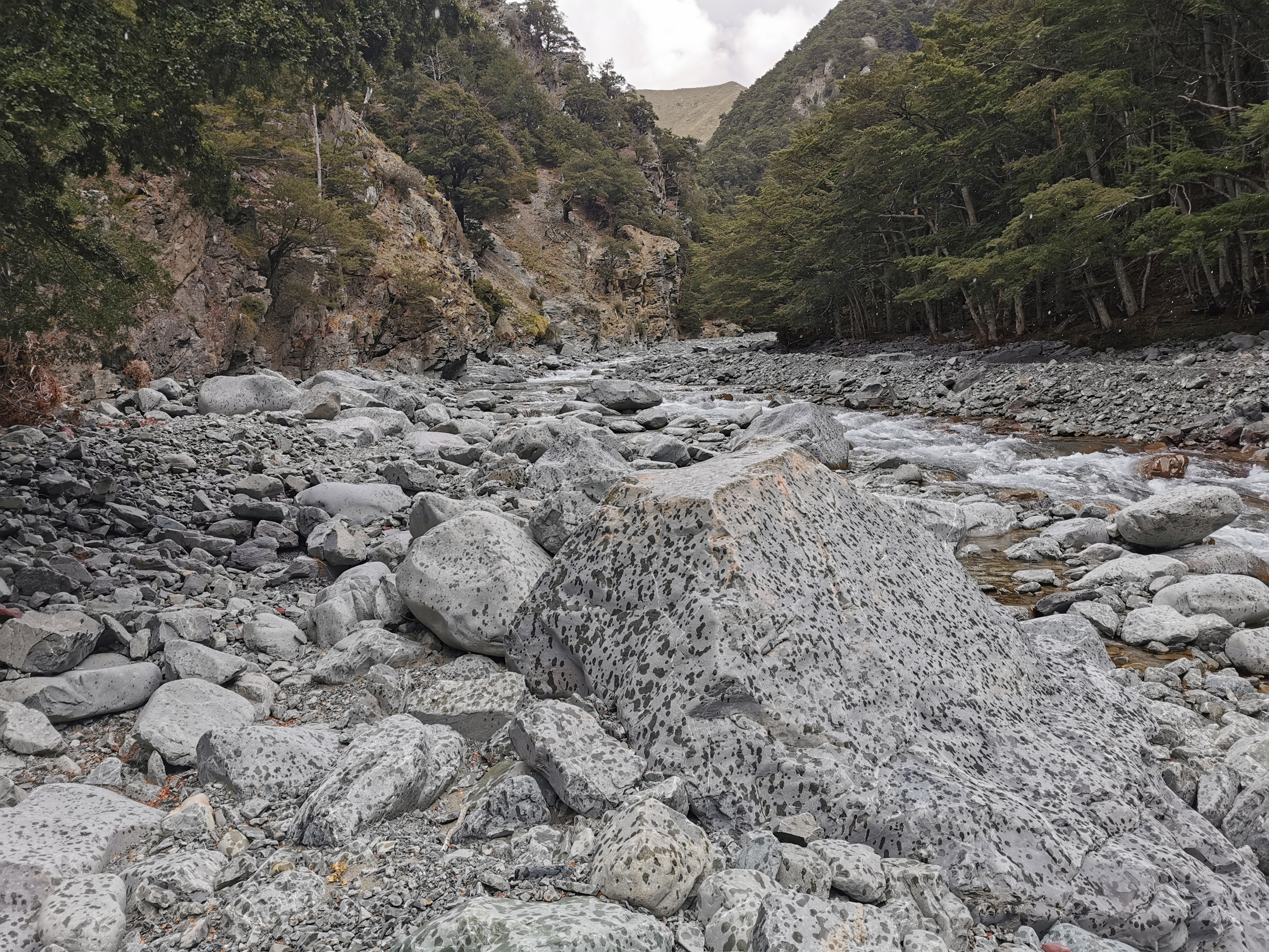
It was weird, spotty rain. The kind of rain that makes the rocks look like polka dots.
The time came when I had to choose between the big hill and the river gorge. Although I didn’t see any markers up the side of the massive hill. If I didn’t look at Guthook I wouldn’t have known the path even went up the hill. I thought back to how dangerous Sawtooth Bluff was, and the comments I read that said this way was impassable, and I decided to continue up the river. There were no problems at all walking through the river at this point.
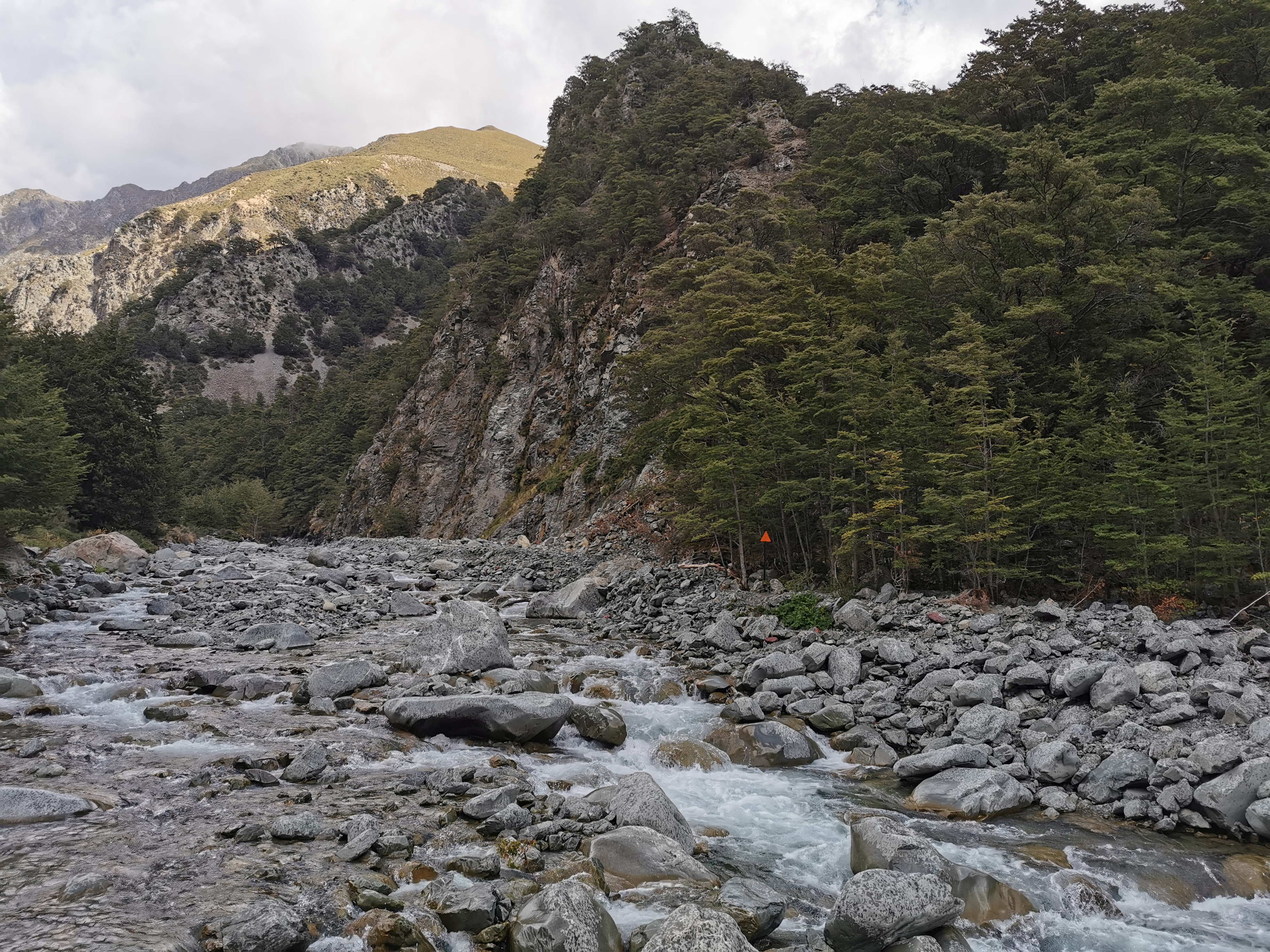
After the gorge I came across the big orange triangle that pointed out the actual trail up the hill from the other side.
There was another orange triangle pointing up to the hut. It’s apparently another steep hill up to the hut from here. It’s only 1km in length and a 250m elevation change in that time. That’s pretty steep! The notes said it takes an hour to get up this hill. Surely not. I changed back into my boots and took my rain jacket off and started up the hill.
There was no rain while I walked this bit. I could see across to the path I would have taken had I followed the trail exactly. It didn’t seem to be blocked by anything. The purist in me wished I had’ve walked the hill instead of the gorge, however I didn’t feel like I cheated.
I didn’t break either of my two rules that I use to determine if I cheated or not. Did the detour cut off any kilometers? No. Could I see the actual trail? Yes. Alrighty then.
And you know what, I’m not sure it matters in the South Island. In the North Island, the path was very contrived in places and it was very easy to feel like you cheated if you didn’t follow the path exactly. Here in the South though, you are walking for days, sometimes even a week, between towns, and so it really doesn’t matter if you take one path or another around some obstacle. The path isn’t even defined that well in places anyway. Really, just being here in the first place is just amazing.
The path up to the hut was indeed steep. I would only walk for a minute or two at a time and then stop for a rest.
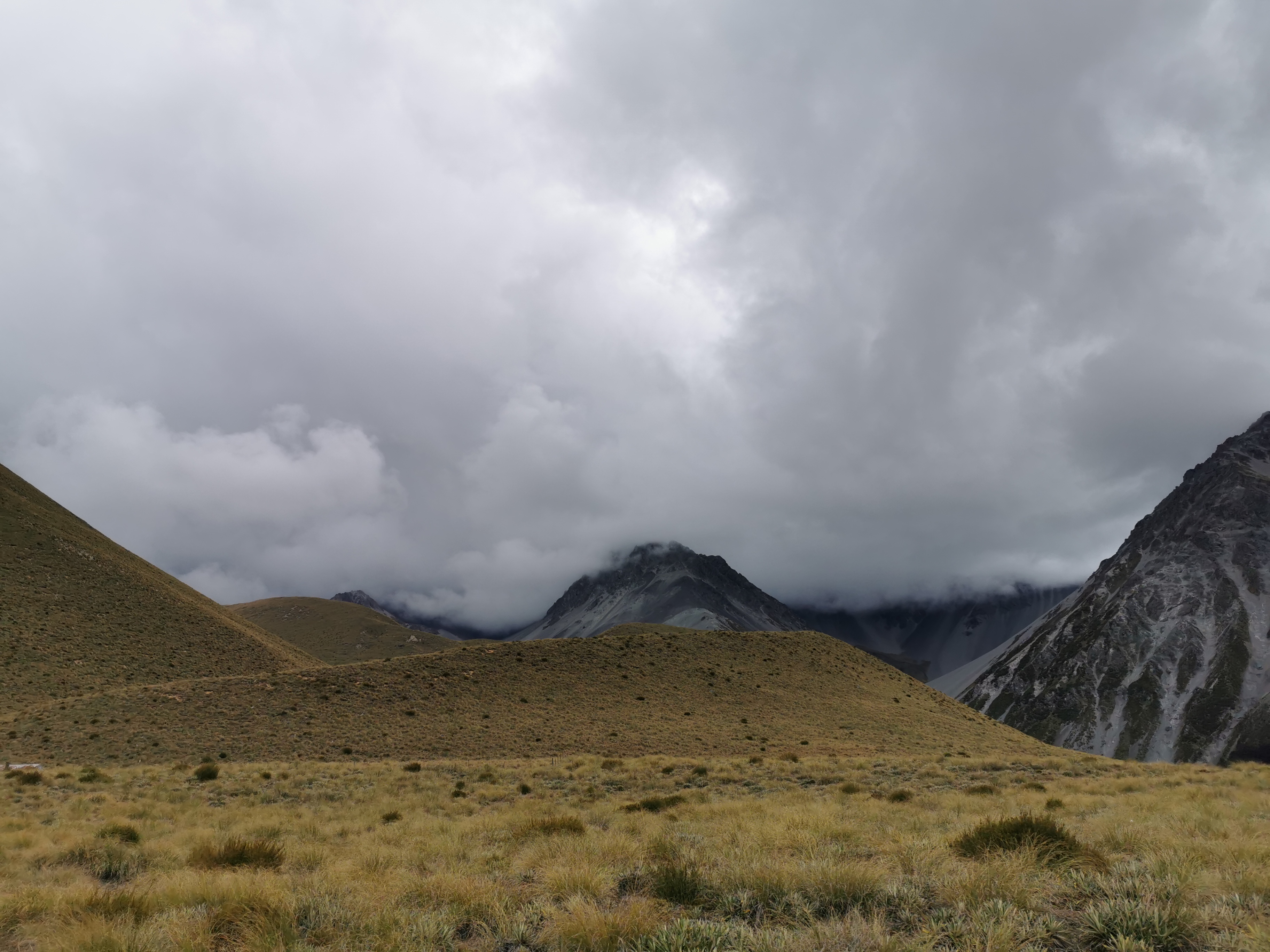
Looking to the hills on the right though, the weather looked very unpredictable, so I tried not to take too long.
I got to Crooked Spur Hut at 2:30pm. The notes had classed this as a four hour section and it took me half an hour longer than that. That’s how I know I was having an easy day!
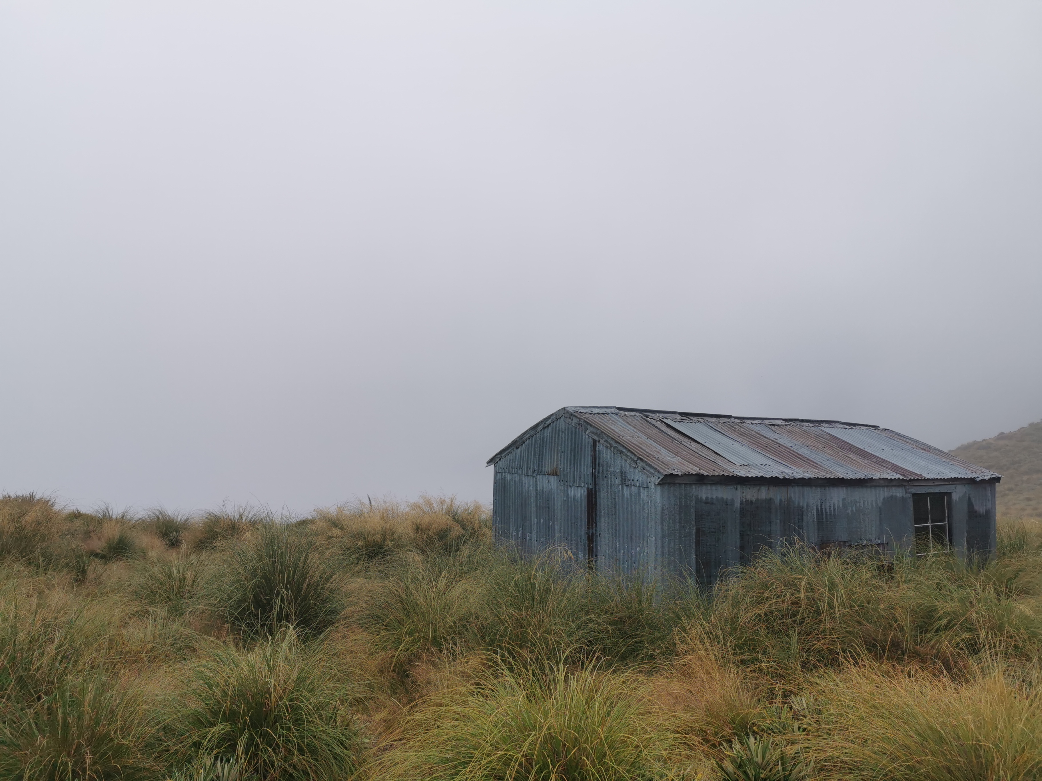
First I saw the roof.
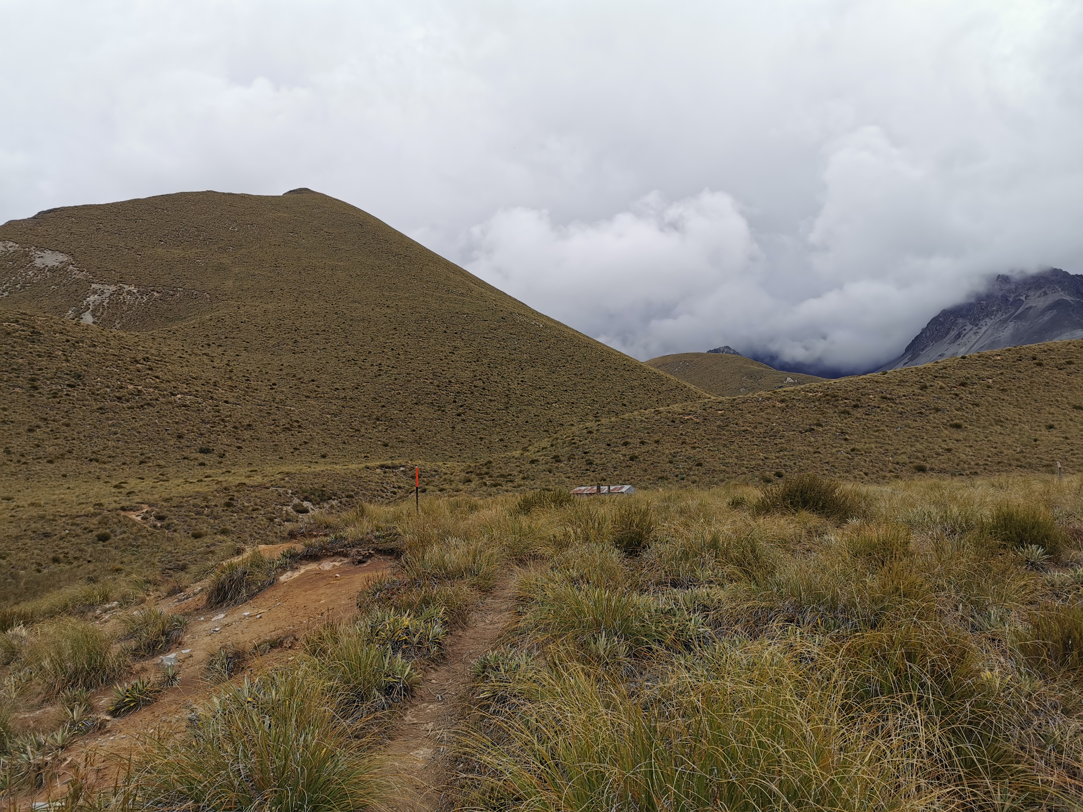
Then the hut.
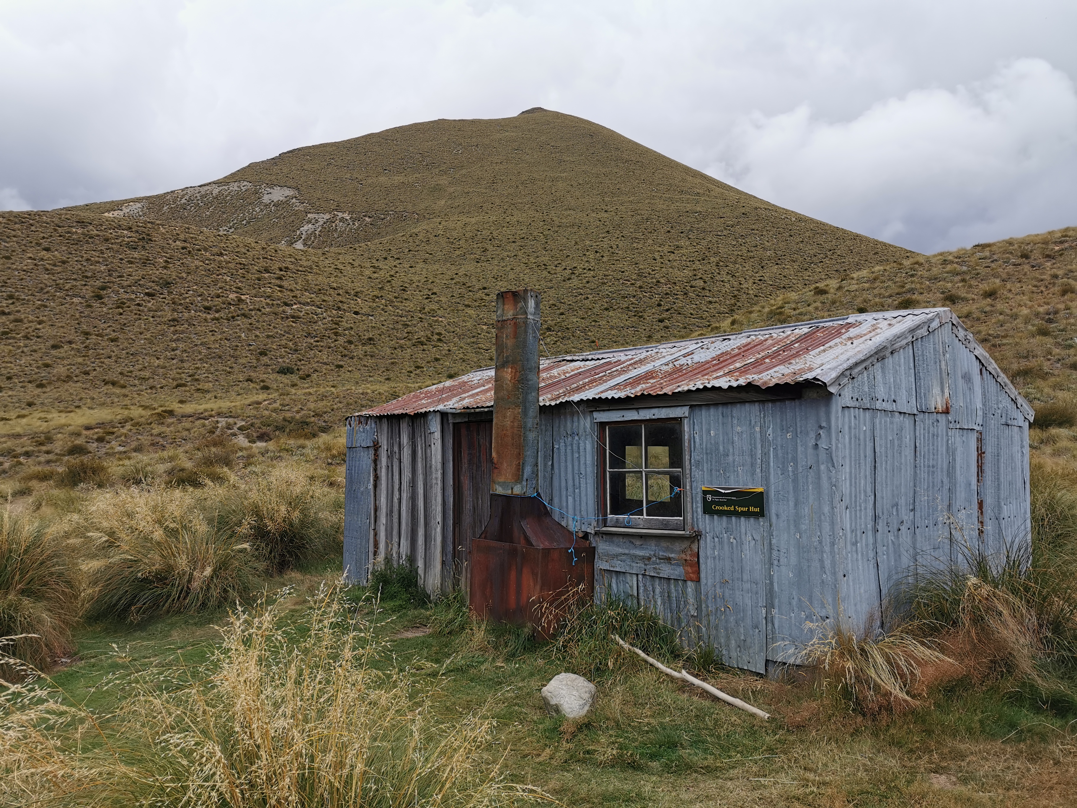
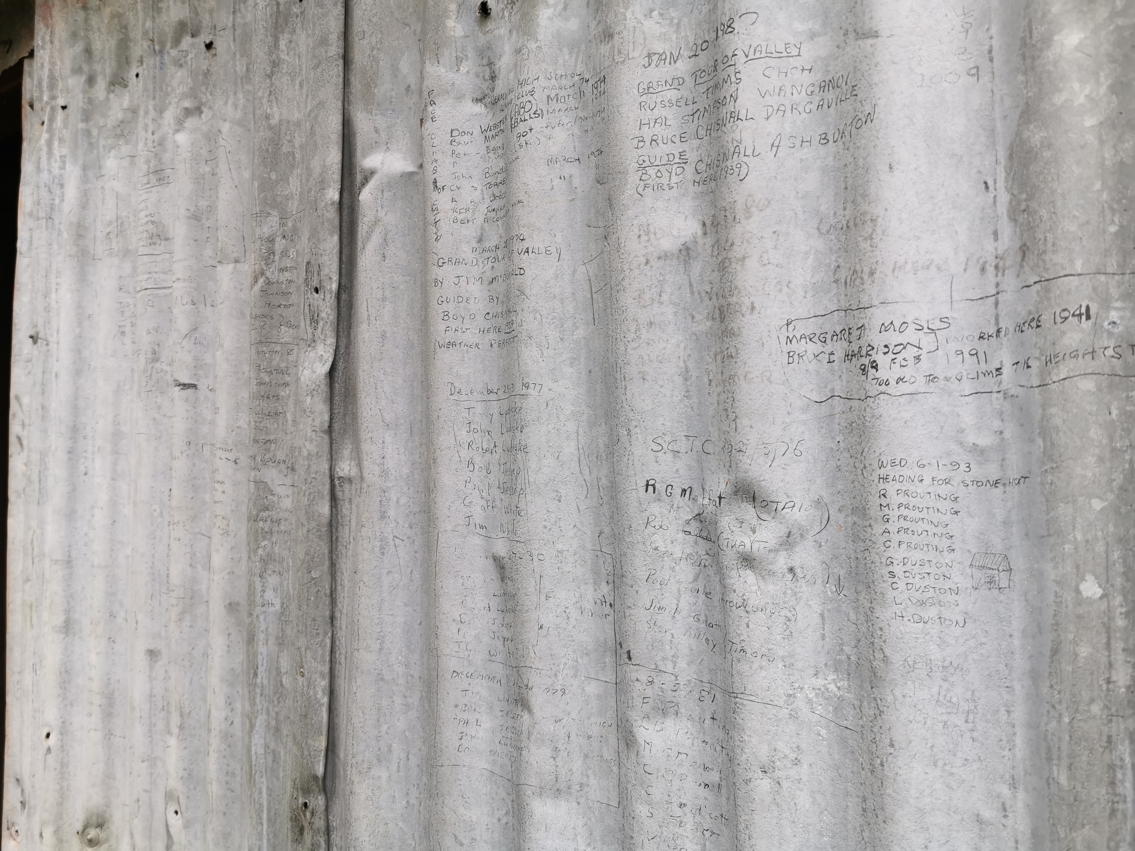
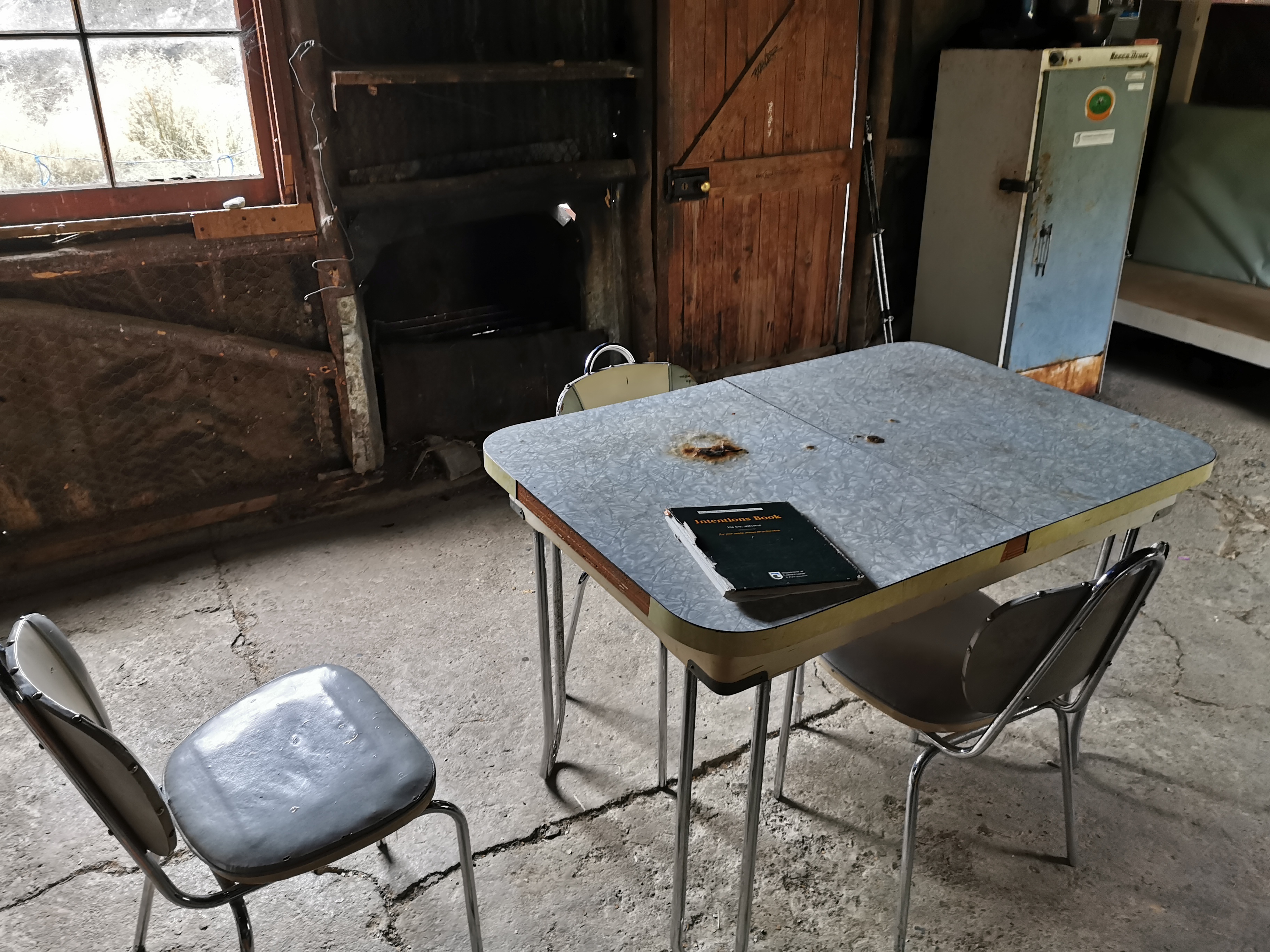
Nobody else was at the hut yet. It’s an old hut, a weird combination of wood and corrugated iron. There are weird arguments between people graffitiing the huts – between hunters and other people who think meat is murder. This isn’t the time or place. Stop graffiting the huts, people.
In saying that, people have been using the outside of the hut as a makeshift intentions book from the last half a century or longer. Looks like several generations of Proutings have been regularly coming up here. And yes it was very cool yesterday that Gito saw Sir Edmund Hillary’s graffiti on Double Hut. But you’re not Sir Edmund Hilllary. Once your face appears on the $5 note, then you can start graffitiing the huts. Until then, use the line you get in the intentions book for your silly comments and witty remarks.
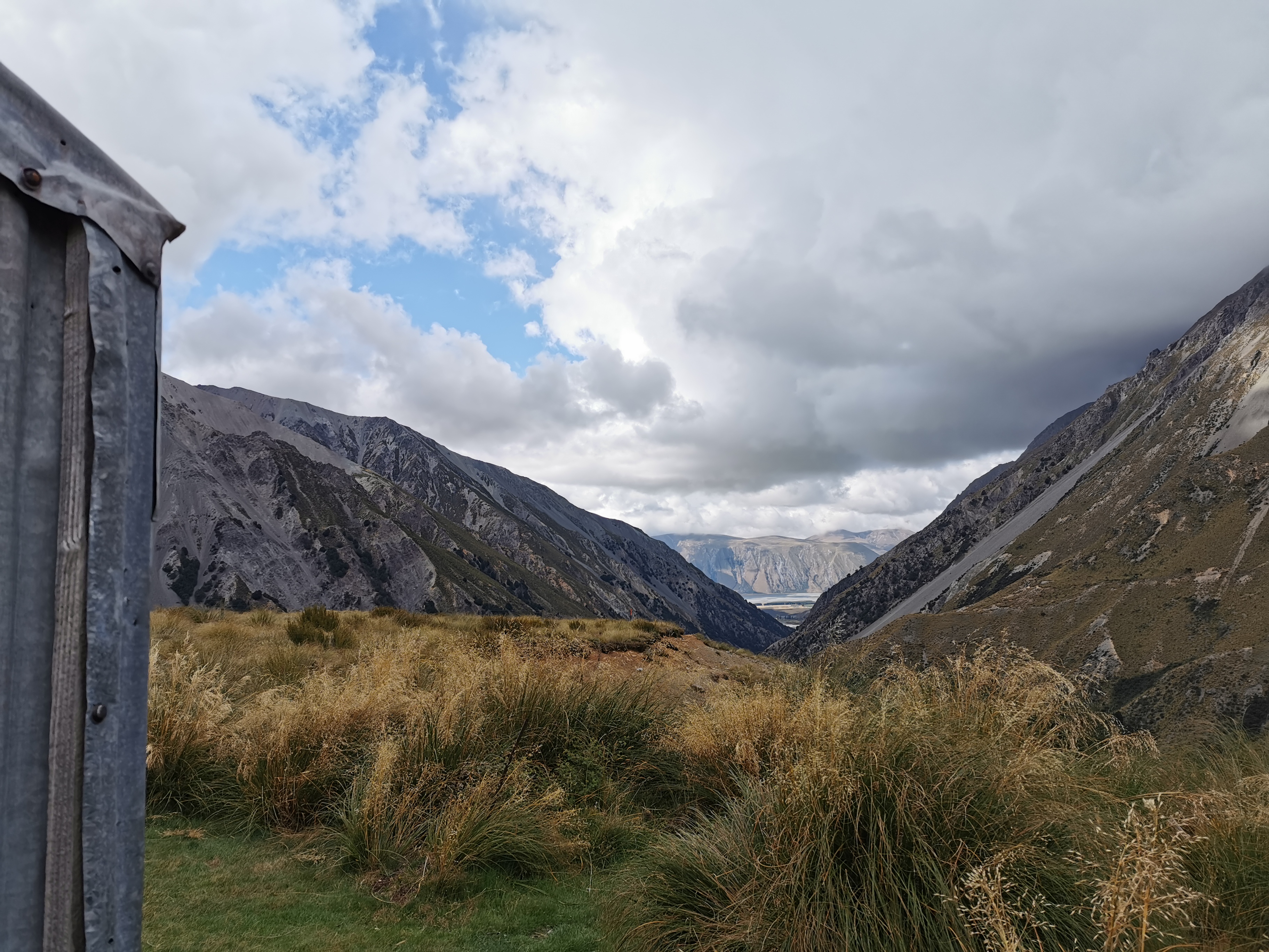
While the weather was good, the hut had a nice view of the Rangitata River and the stream I’d just walked up.
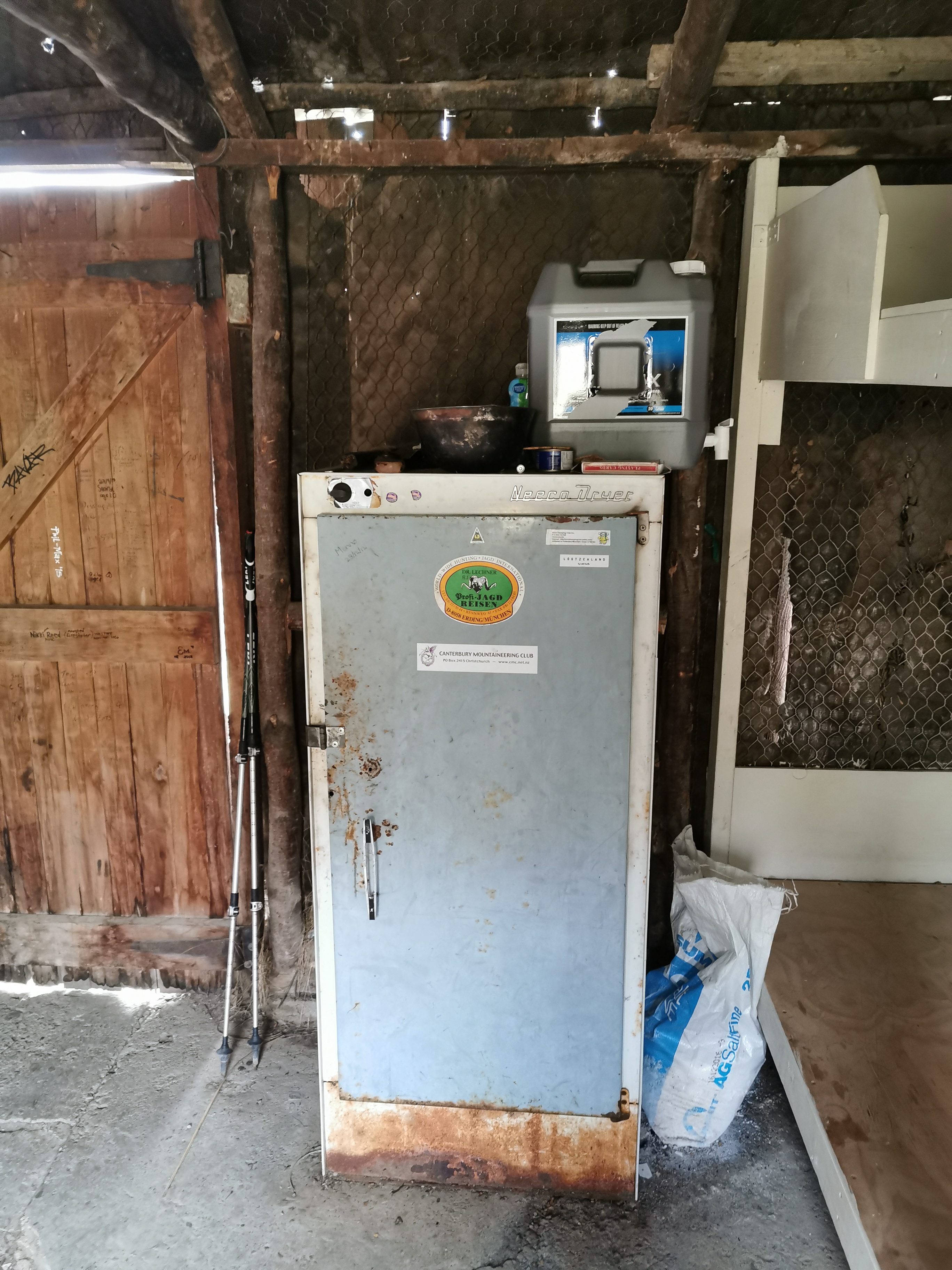
This hut had a Neeco Dryer. I’m not exactly sure what that is, and I thought it was a fridge at first, but I understand hunters use it for hunting-related reasons.
It was definitely an older hut.

I’m sure my grandmother used to have a table like this.
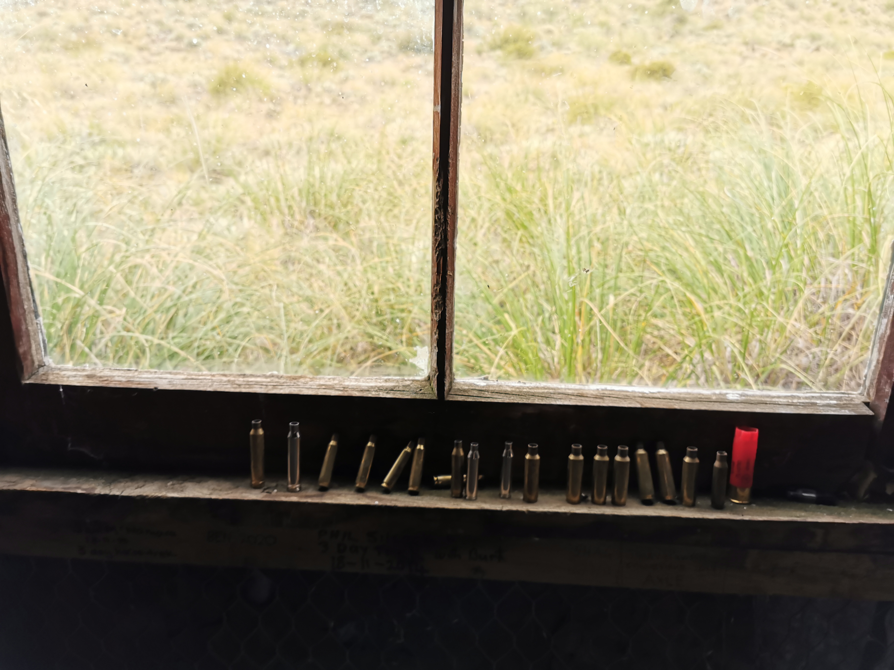
Hunters left all their bullet shells lining the windows. Is that to scare away mice? Is it a “look how manly I am” statement? Or are they just lazy?
I looked in the intentions book. There are surprisingly few NOBOs. Only three on one whole page of the book which has about 25 people per page.
The rain started again after I settled into the hut. This is definitely my ultimate destination today. I feel I’ve already been lucky with the weather.
While I waited for Christie and Michael I played five games of kill the fly. Its always a very satisfying game. Once I’d killed all five and the buzzing of flies had stopped I had thirty minutes or so with the hut to myself with just the sound of rain on the roof to keep me company. It was really nice. But I’m glad the other two were here to keep me company for the evening.
The other two showed up 40 minutes later looking rather wet. I felt sorry for them as I watched from the window of the dry hut. Well, mostly dry hut – a few holes in the roof and walls meant that water got in.
The three of us had a nice afternoon of talking about the trail and our experiences so far. Their destination tomorrow is Royal Hut, 7 hours on. If I can push on three huts tomorrow, 13 hours on, to Camp Stream Hut and over Stag Saddle, that would set me up nicely for getting to Tekapo in two days’ time, but that would make for two long days. I’ll decide tomorrow at Royal Hut because I want to go over Stag Saddle with clear skies because apparently you can see Mount Cook on a clear day. That’s the tallest mountain in New Zealand for those that don’t know.
If I did push on that far then there is a chance the 6 bed Camp Stream Hut might be full because according to the intentions book there were two groups of people here yesterday – Seb & Elise, and Daniel, Andy, Elyce and Isabel.
As we were having our dinner we saw a mouse run across the side of the wall. We made extra sure to hang our food as best we could to stop the mice getting into it.
The clouds came over and the rain set in as we went to sleep.
I wonder if tomorrow will be a long day or an average day? Can’t wait to find out. Seems though that Michael is a snorer. That might influence my decision a tad!
Today's walk on the map (blue = Te Araroa, red = today's walk):
The polka dot rocks look very cool.