Date: 16 March
Trail covered: 28.2km (kms 2471.2 to 2499.4)
Weather: hot but with sun often behind clouds
There was rain during the night. I woke up and thought it was mice trying to get into the tent so I moved my food. But then it got heavier and I realised it was rain. Silly me.
So I was surprised when I woke up at 8am and saw clear skies.
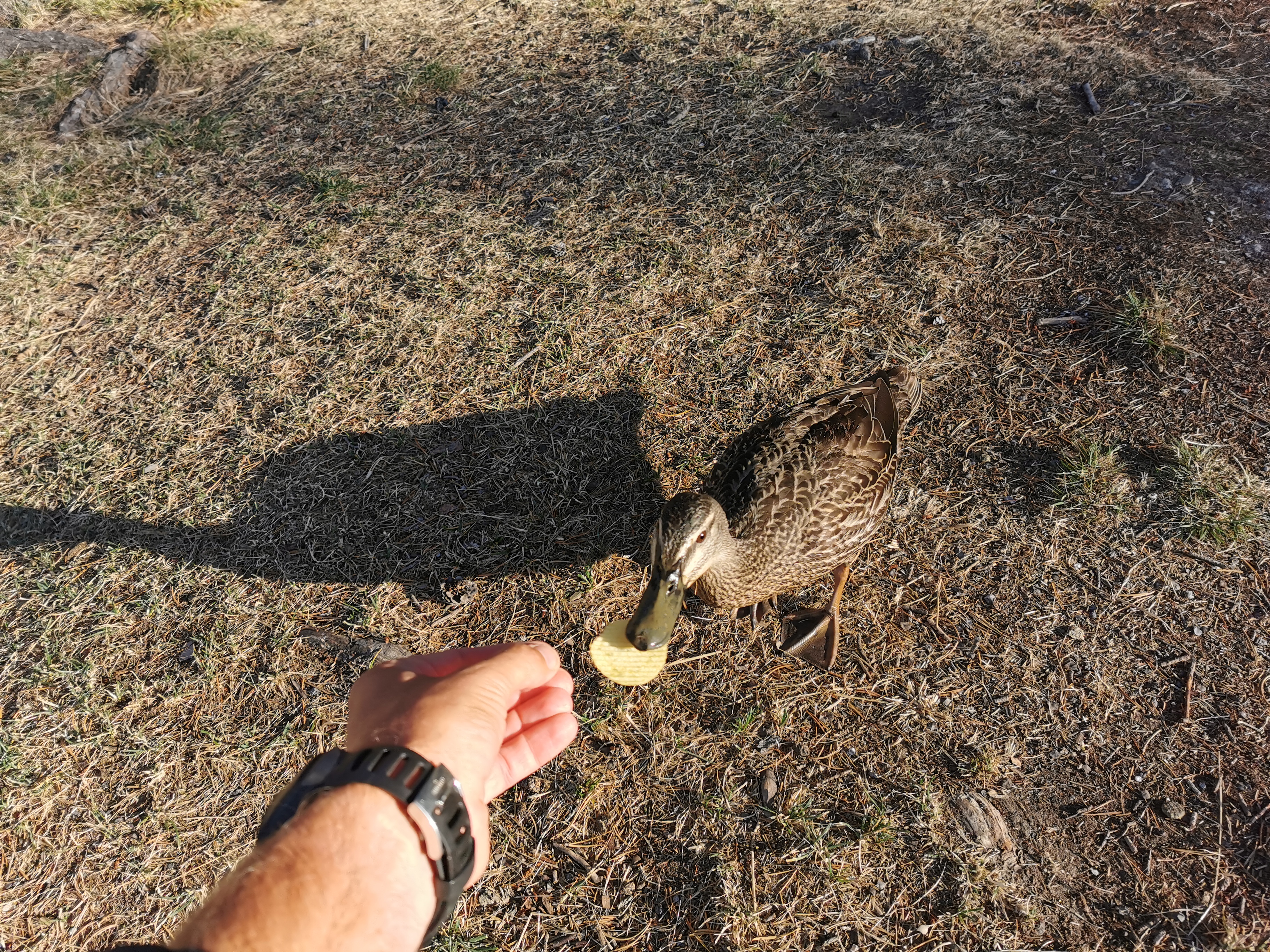
A duck seemed very interested in my stuff while I was packing up.
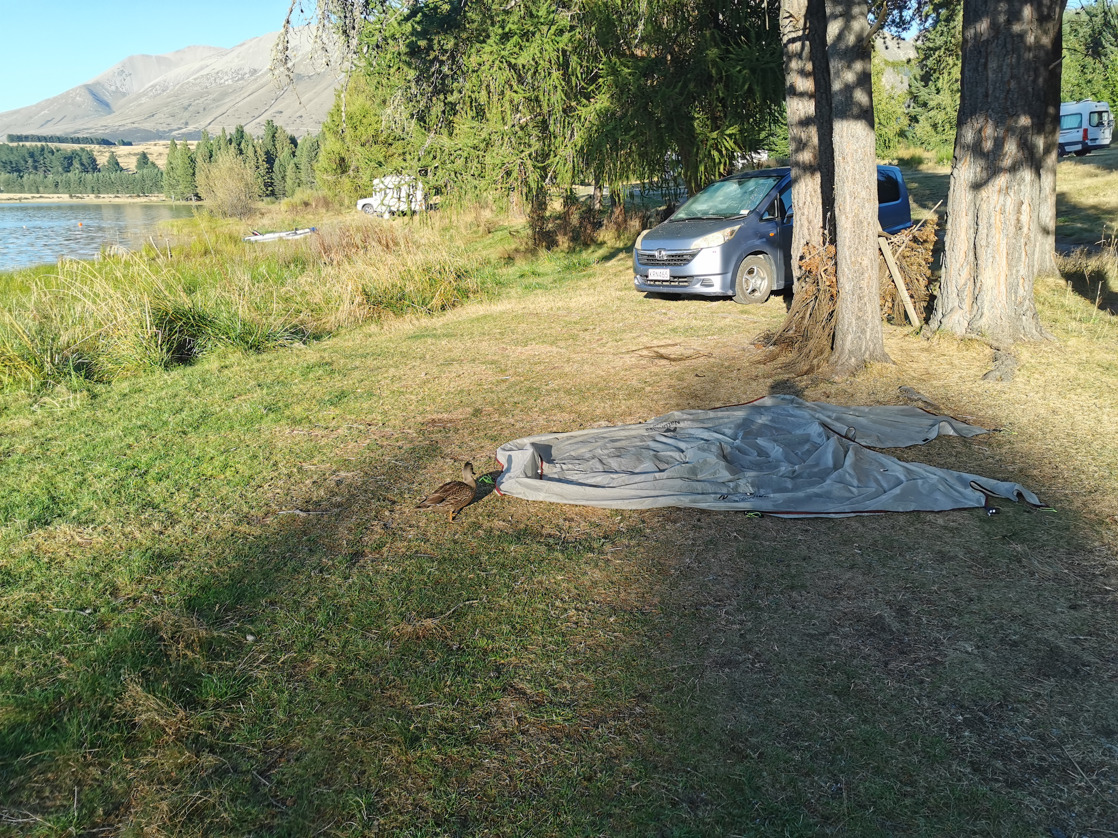
I couldn’t resist giving him a chip.
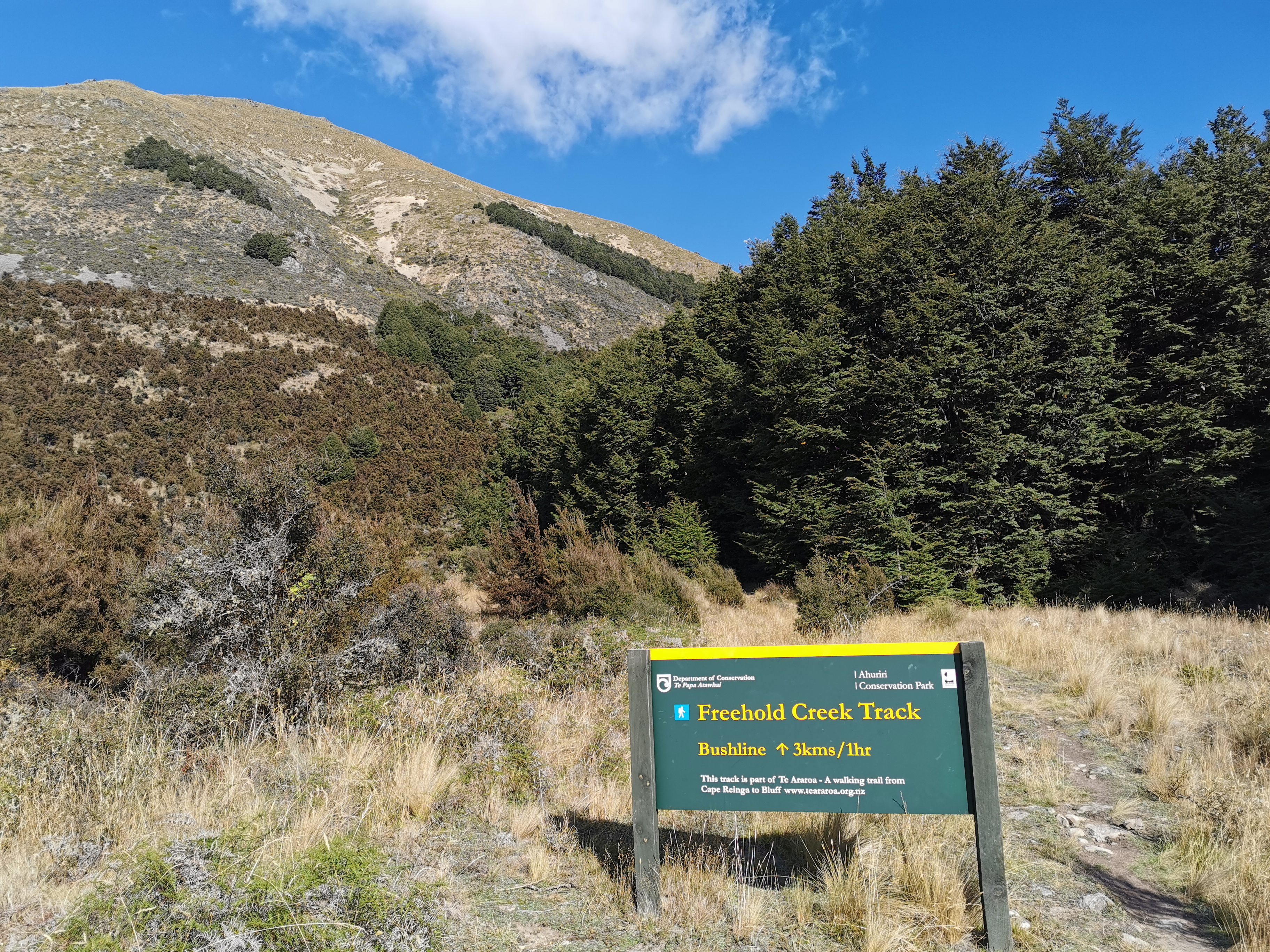
The terrain coming up between here and Wanaka is three quite significant hills/saddles. Hopefully I can do one each day. Today’s saddle seems to be unnamed, and goes from 531m elevation up to 1413m. Tomorrow’s is Martha’s Saddle, which goes from 693m up to 1687m, and has a geocache at the top of it which hasn’t been found for 8 years. I’m definitely looking for that one. The third hill is Breast Hill and goes from 601m up to 1569m. Anka said she really liked that last hill.
There aren’t as many huts coming up. The next one is Top Timaru Hut which is over Martha’s Saddle and is about 55km away so I’m definitely camping again tonight somewhere.
What is coming up today is the Ahuriri River – the largest unbridged river on the trail in the South Island. Quite a few hikers report problems crossing it so I’m a bit nervous. I want to make it past the river today if possible to get it out of my mind… Although if it’s not crossable then it’s a 10km detour to cross it by bridge. I’m not sure I’d have time today to do that detour so if I can’t cross it today I’d camp nearby and try again tomorrow. There hasn’t been much rain here recently so hopefully that helps but if it rains up in the Southern Alps then that feeds into the rivers so you just don’t know.
I was on the road again by 9:20am. The first thing I noticed was the zig zag road going up the hill.
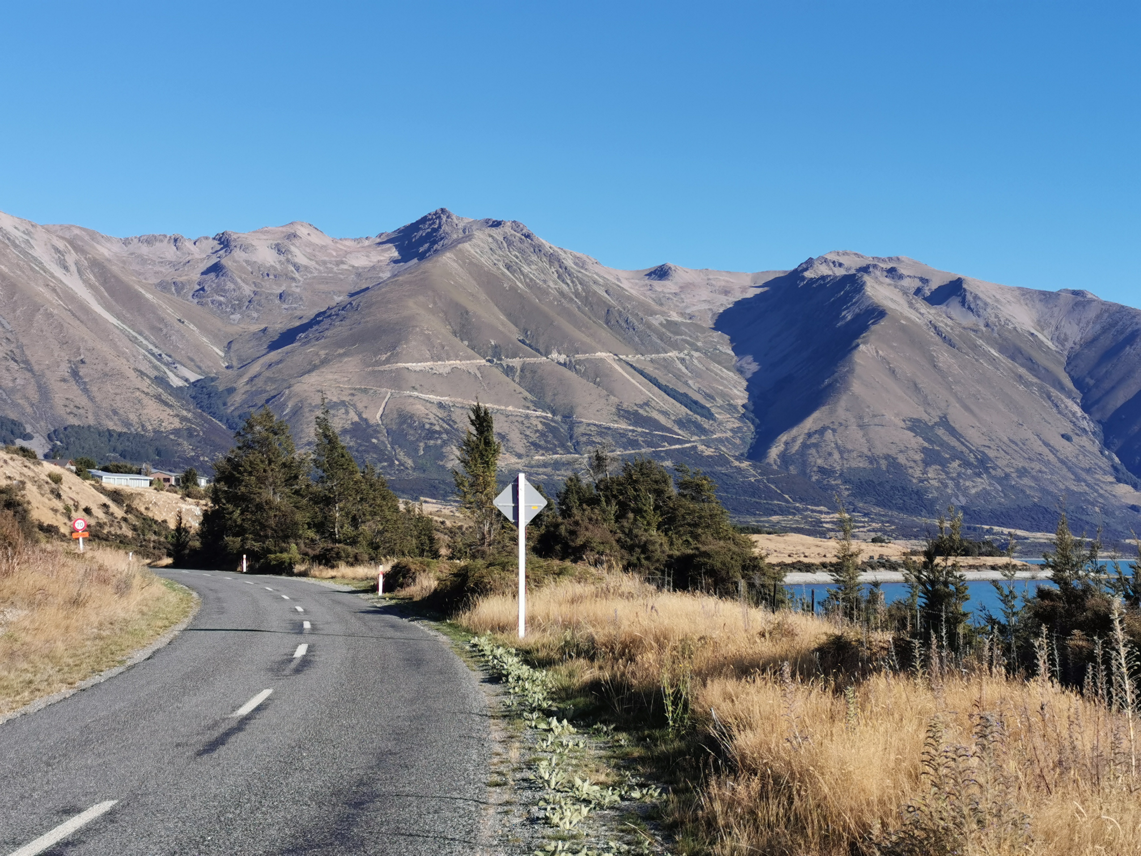
It would be nice if the trail went up there, as it would be an easy walk, but I know it doesn’t.
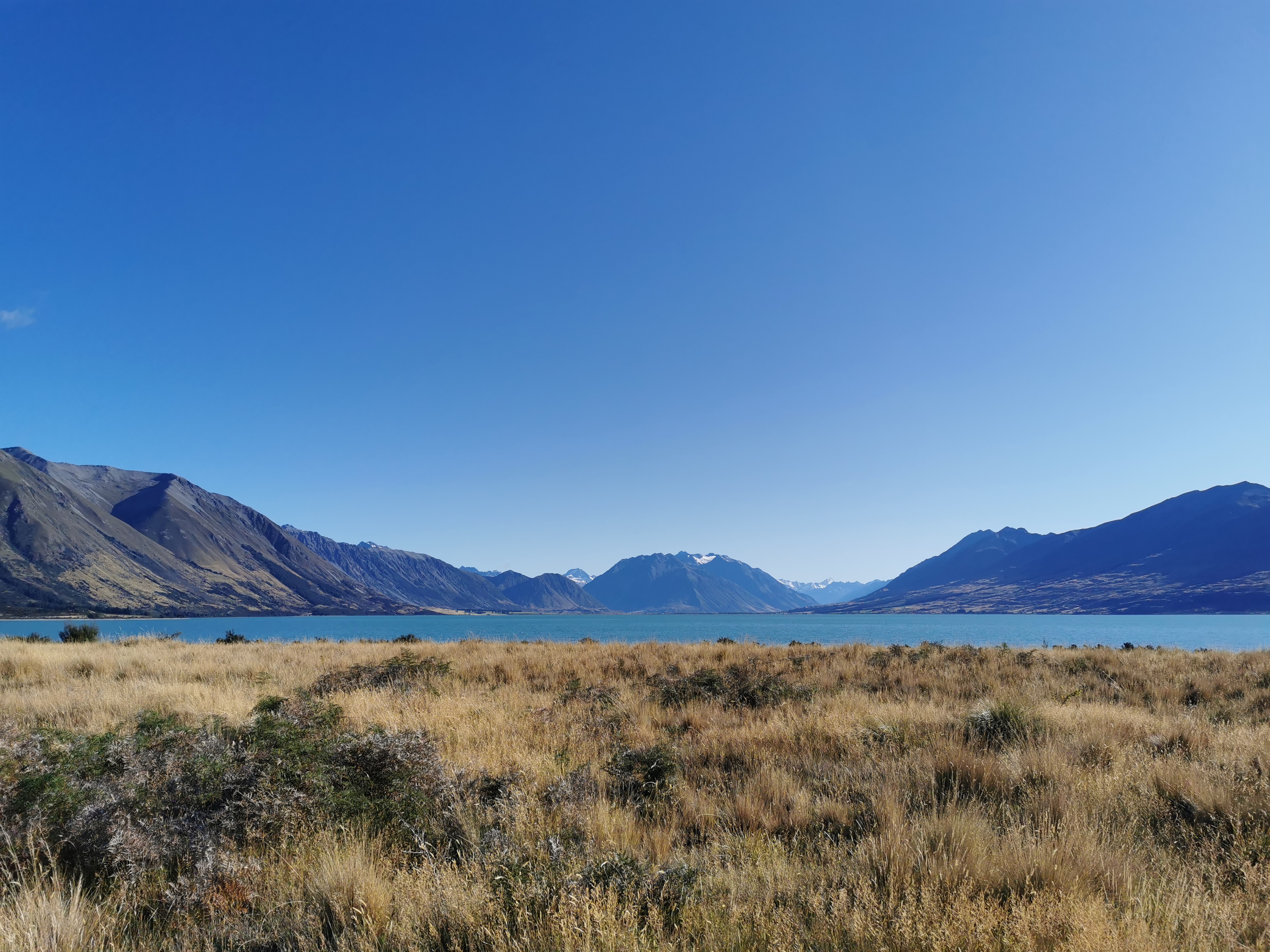
I was too busy looking at the mountains to realise that you’re supposed to turn off onto a track to the right that runs between the road and the lake. No worries, I just cut across the grass.
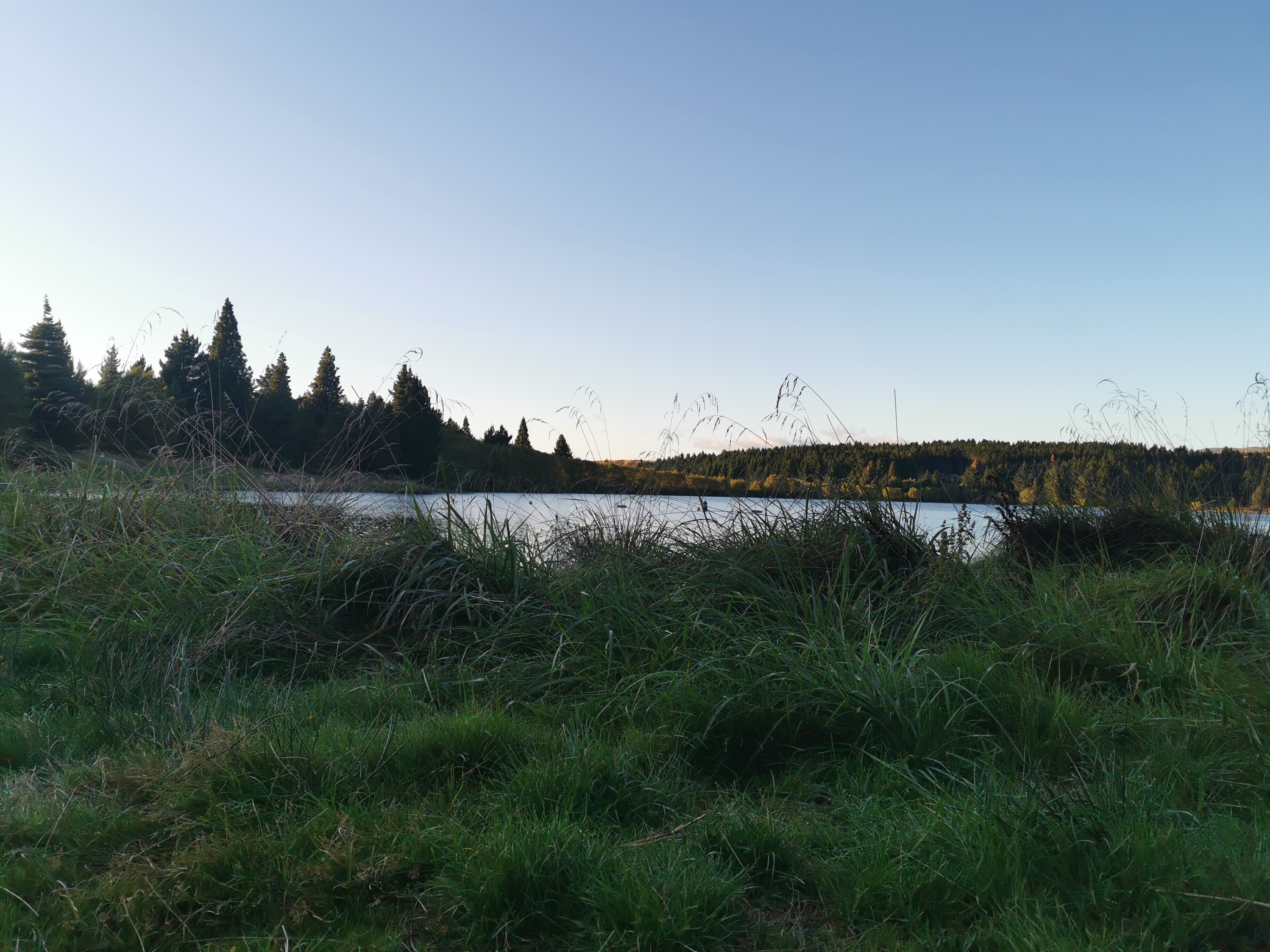
The path was still shared with the Alps 2 Ocean cycle trail and there were a lot of cyclists this morning. All of them over 65 I think, I assume everyone else is at work. Everyone was friendly and said hi.
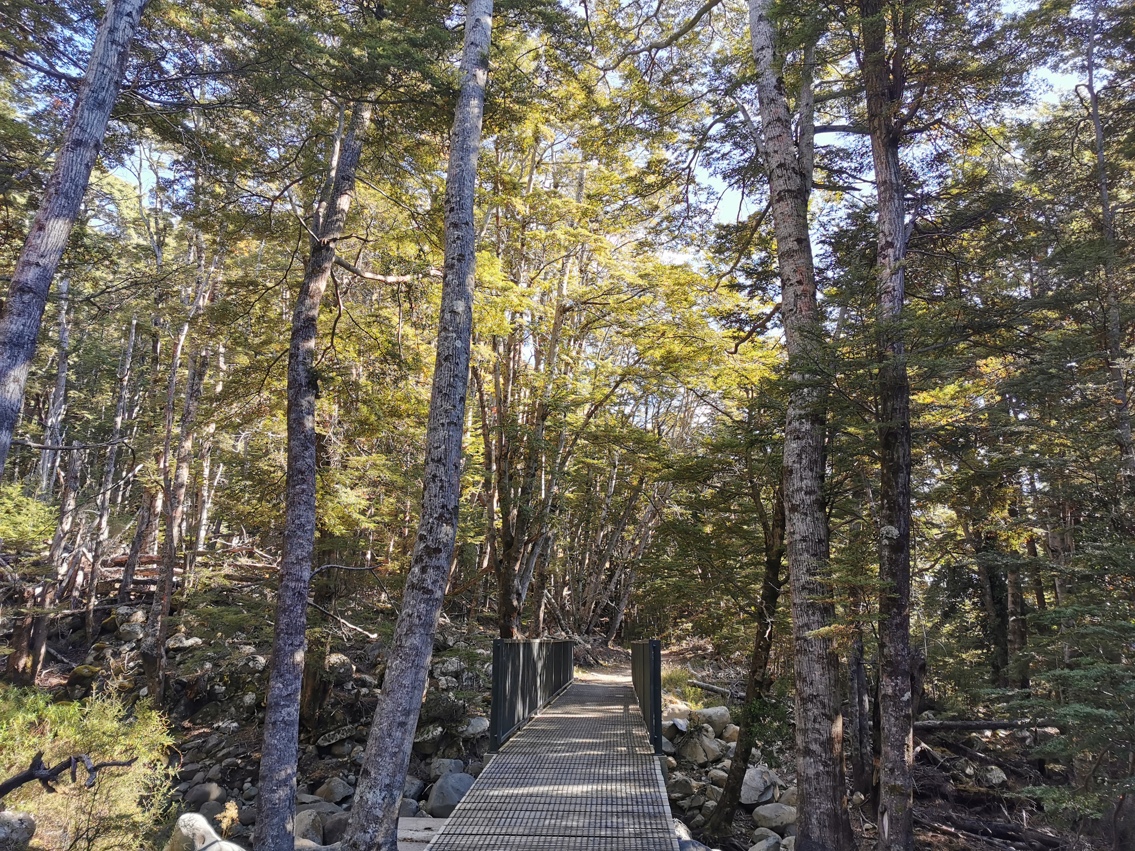
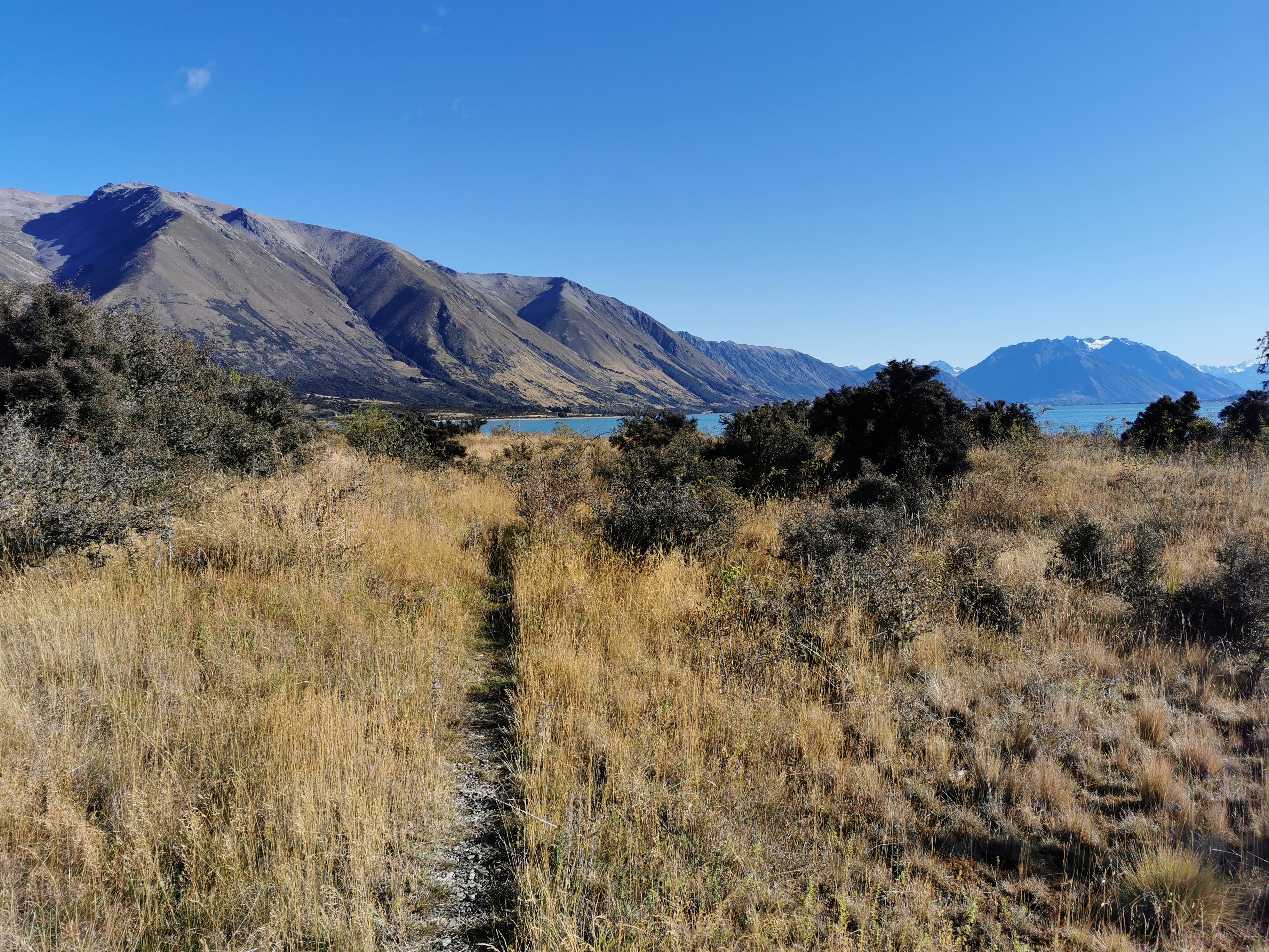
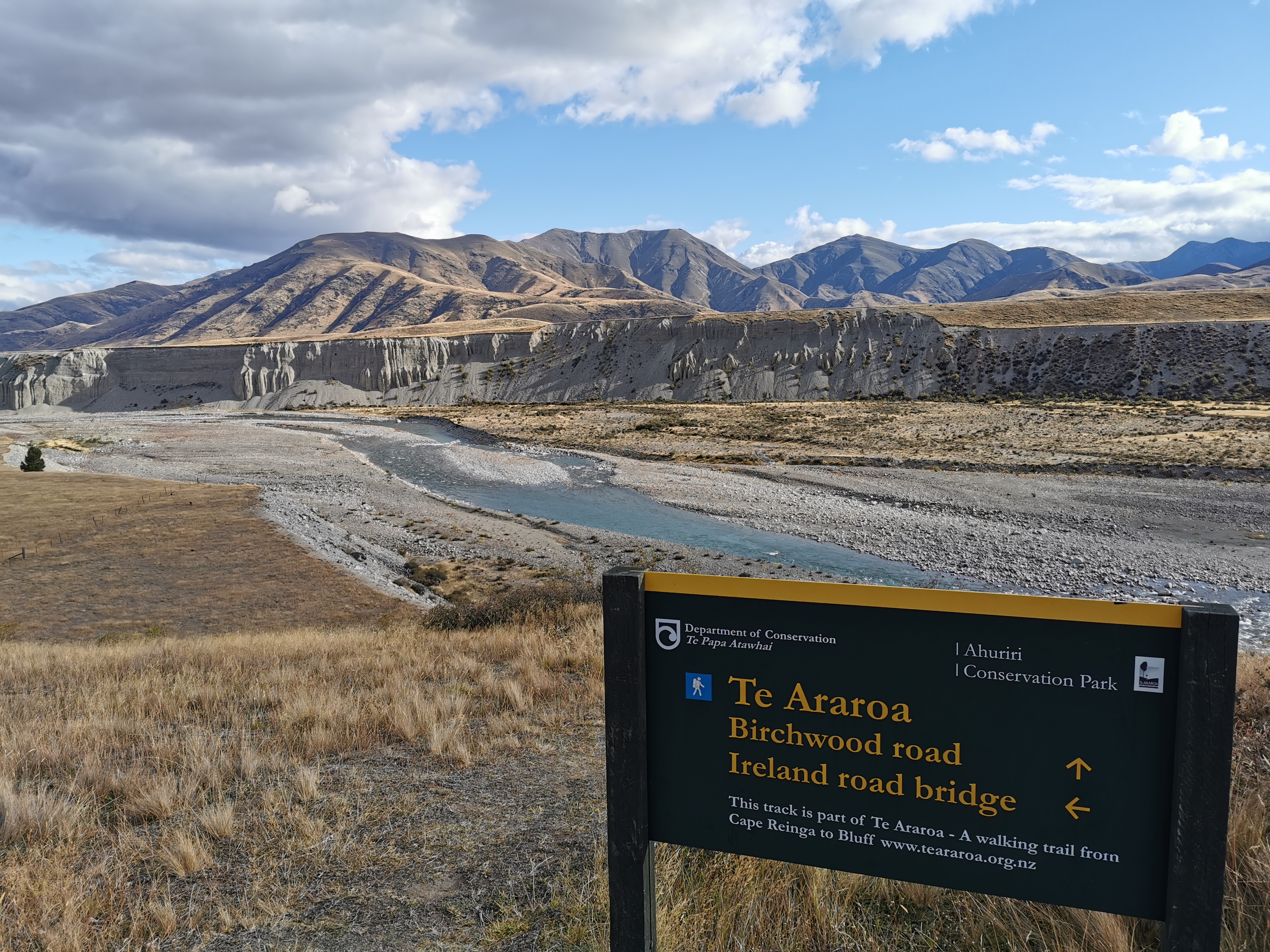
This sign marks where Te Araroa leaves the cycleway.
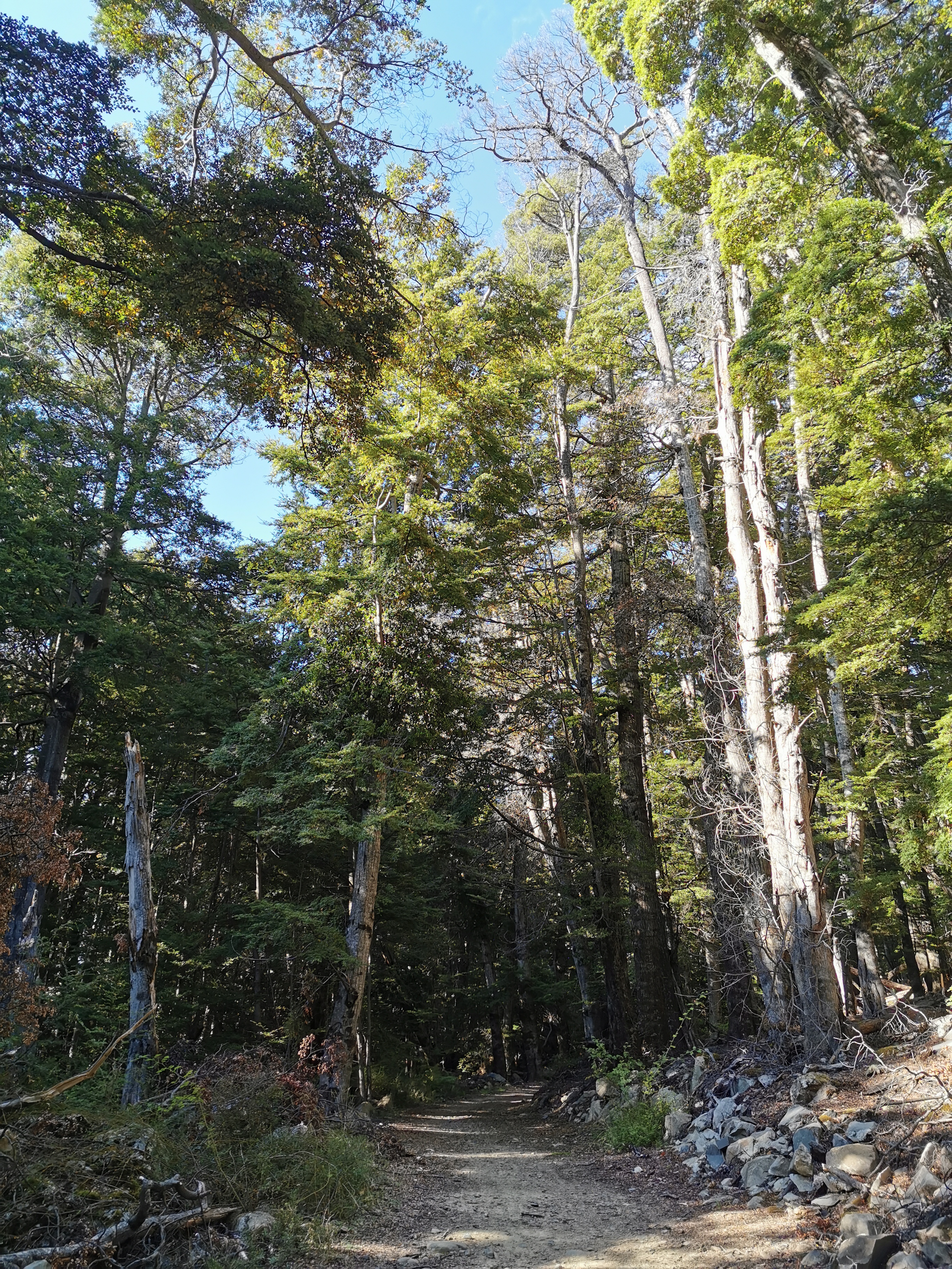
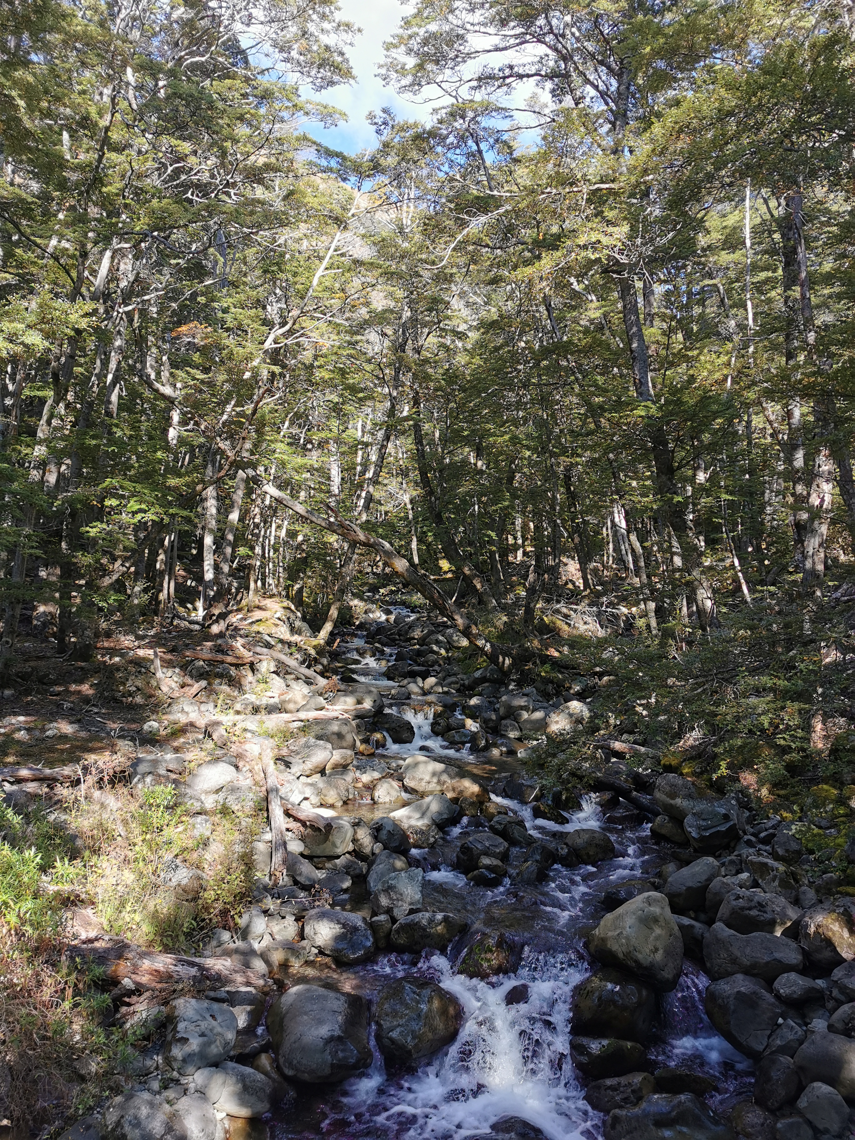
It was still a pleasant walk through the trees until the bushline. It was steep though.
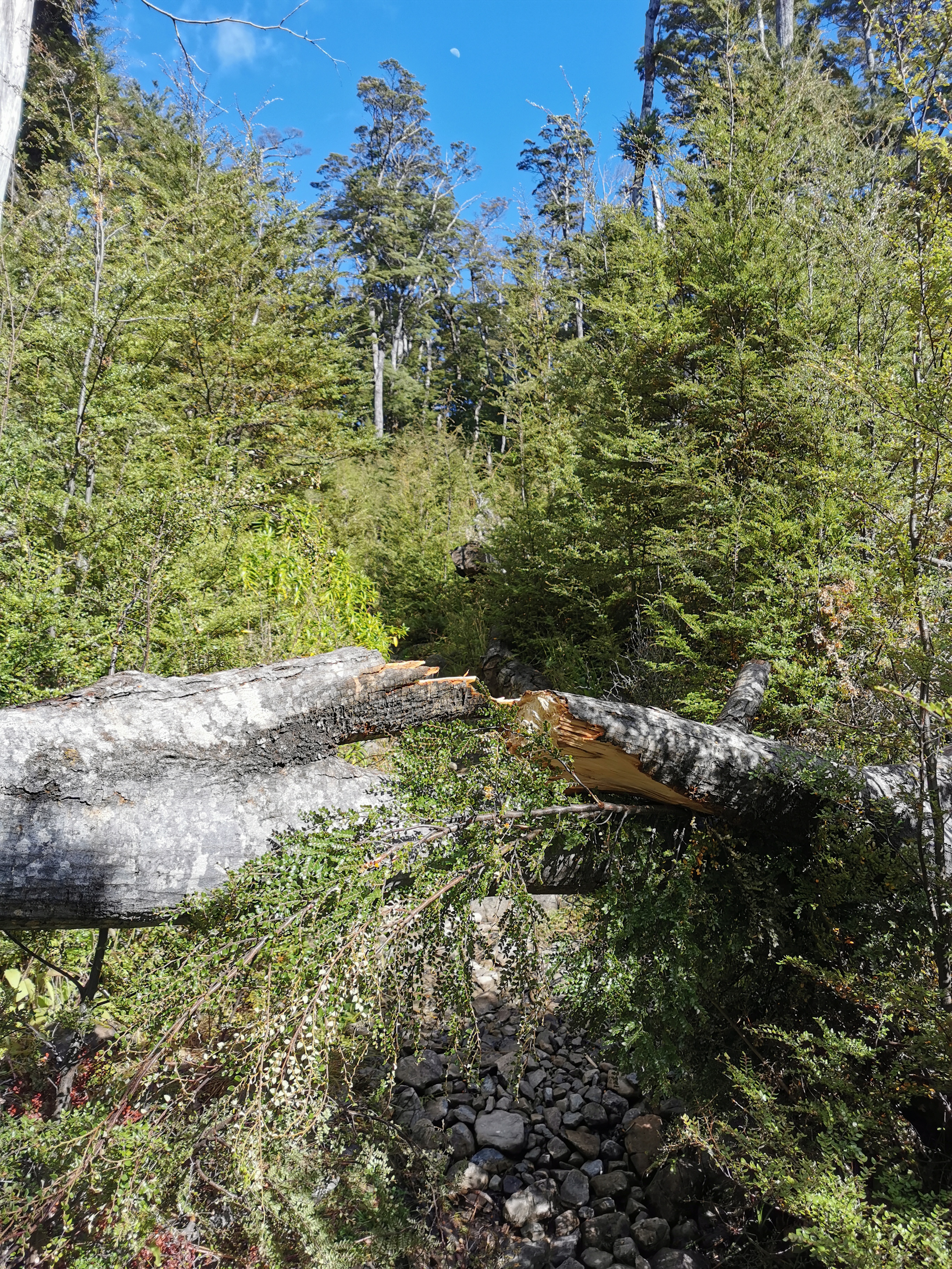
My 11am picture is at a fallen tree. It’s been a long time since I had to make my way around one of these!
There were rocks to walk over…
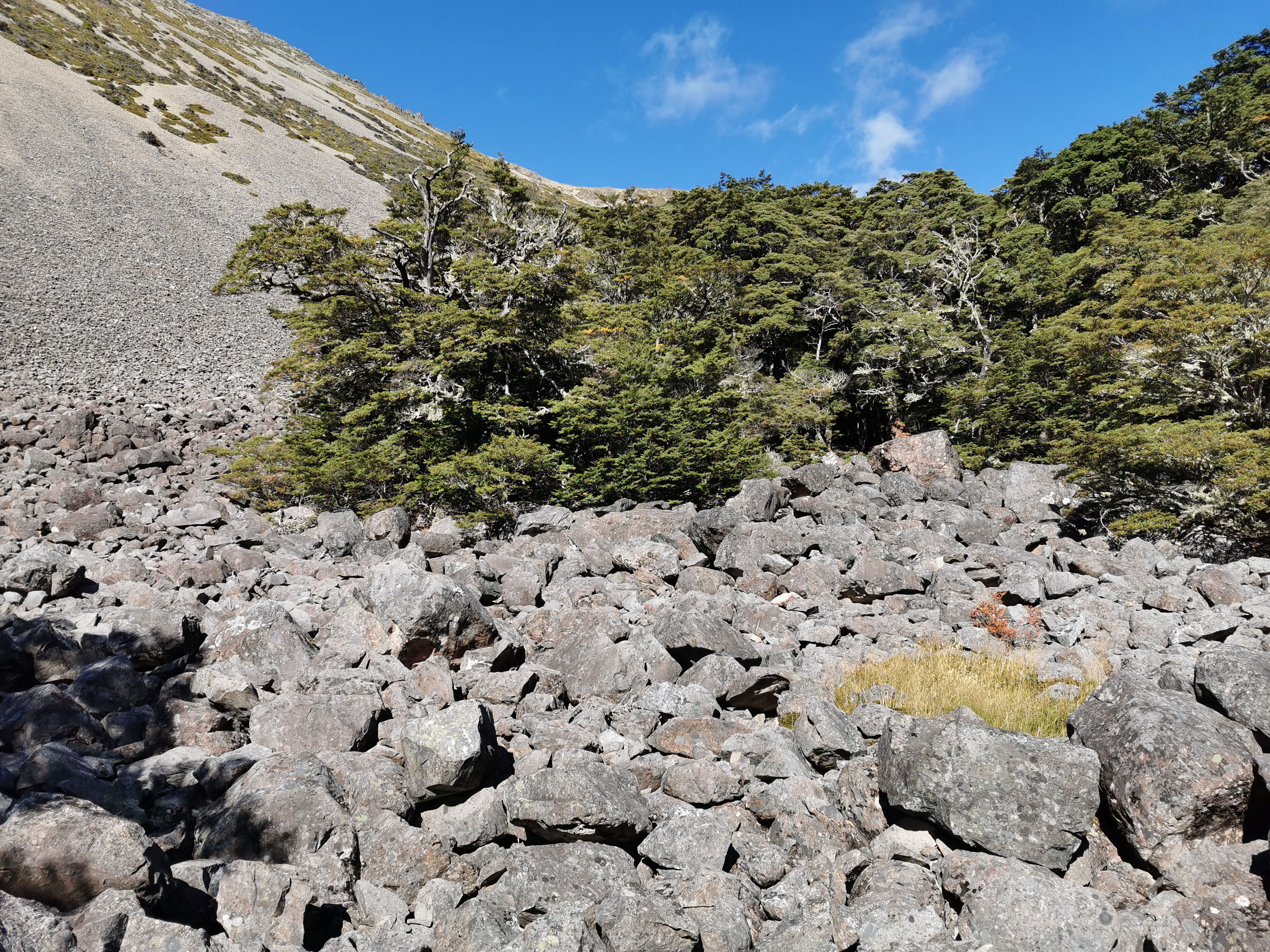
And these rocks mark the end of the bushline.
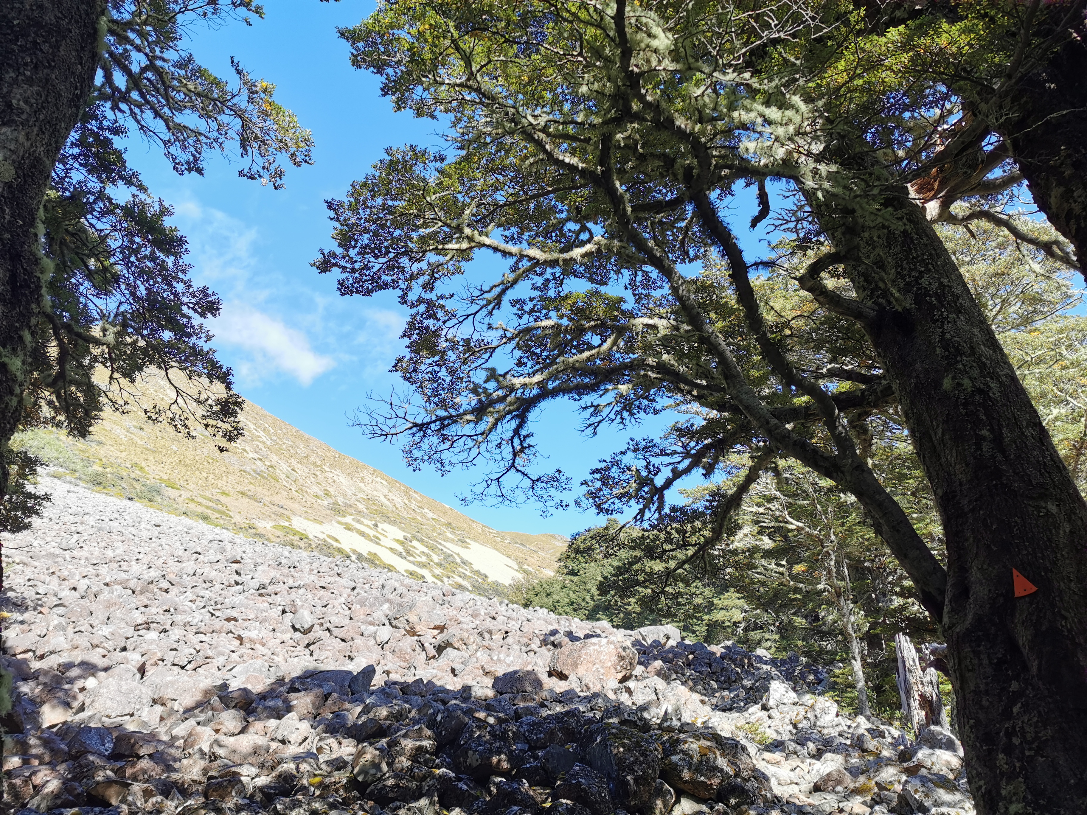
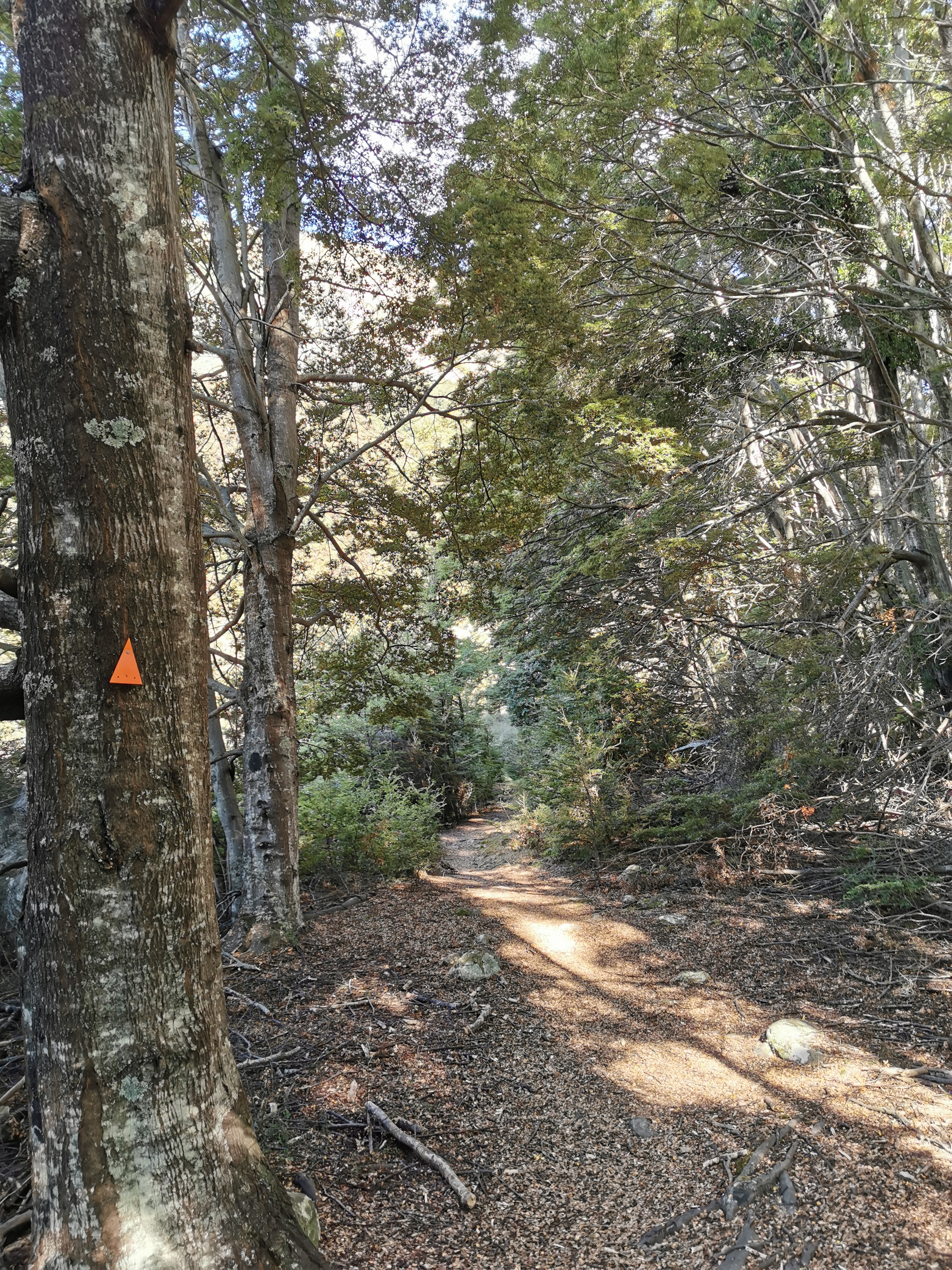
From there its still relatively clear where to go, and the path is well formed.
I stopped and had some food. Since I didn’t replace my knife in Twizel, I decided I could use my Swiss army knife to cut my cheese.
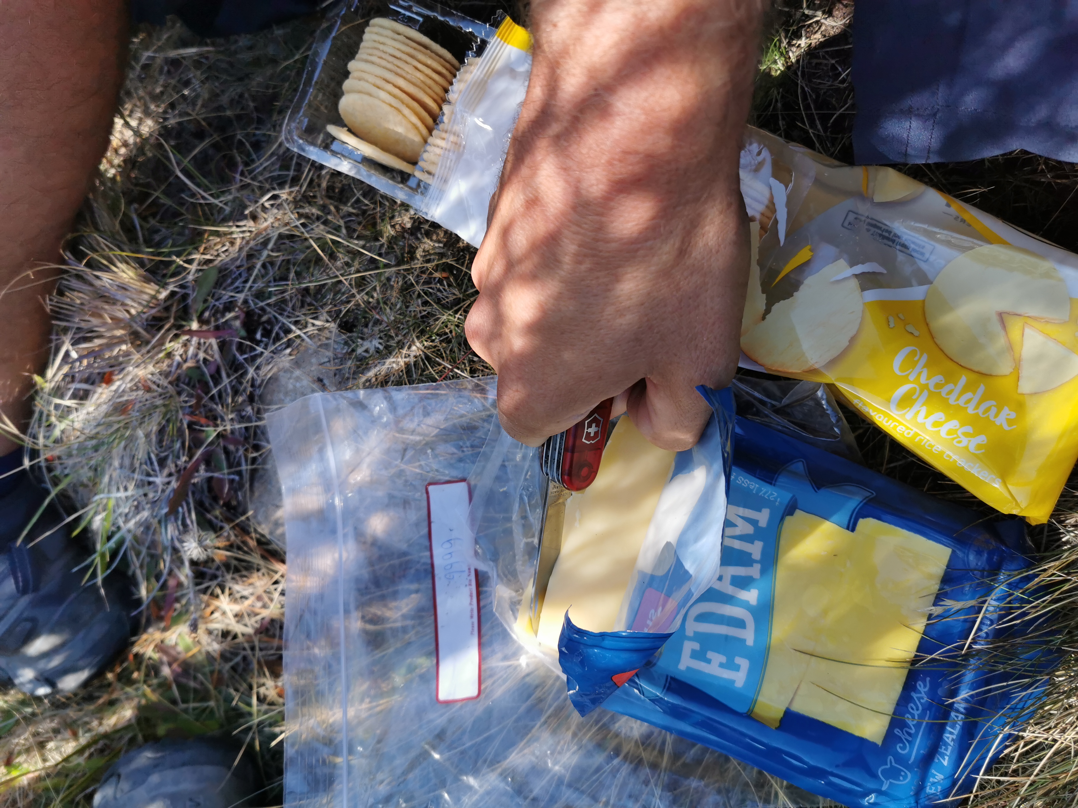
I might as well get some use out of it, the only thing I’ve used the thing for is the scissor attachment when I need to cut some duct tape (and also I used it for my toenail if you read that bit).
Also since my water filter bag got a hole in it, I realised that even though I attempted to tape it up water still leaks everywhere while I’m filtering the water. And some of the water that escapes from the bag makes its way into the bottle I’m filtering into, which kind of defeats the purpose of filtering the water in the first place.
So I tried connecting the filter to my second water bottle, which worked. So now I have two water bottles, one “dirty” and one “clean”.
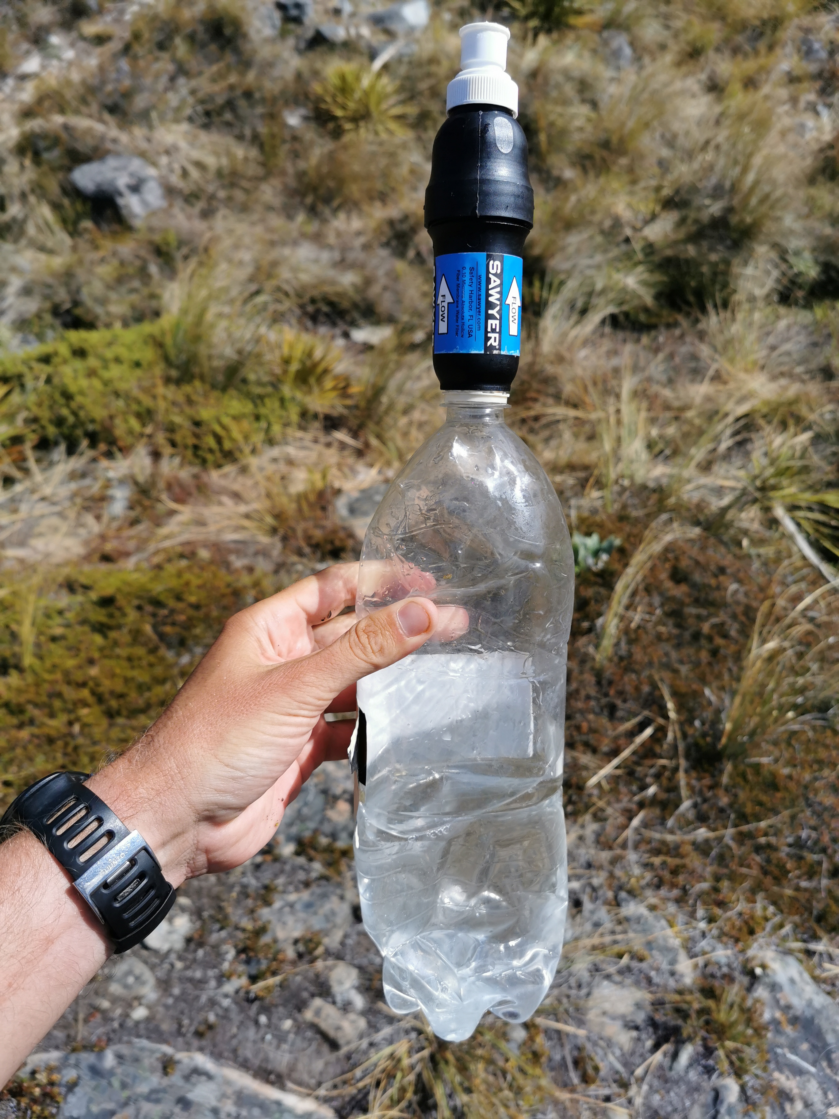
Actually filtering using that bottle though is problematic because the plastic bottle crunches up and becomes smaller because air can’t get back into it, unless I loosen the filter every now and again. It’s a bit annoying but it will have to do.
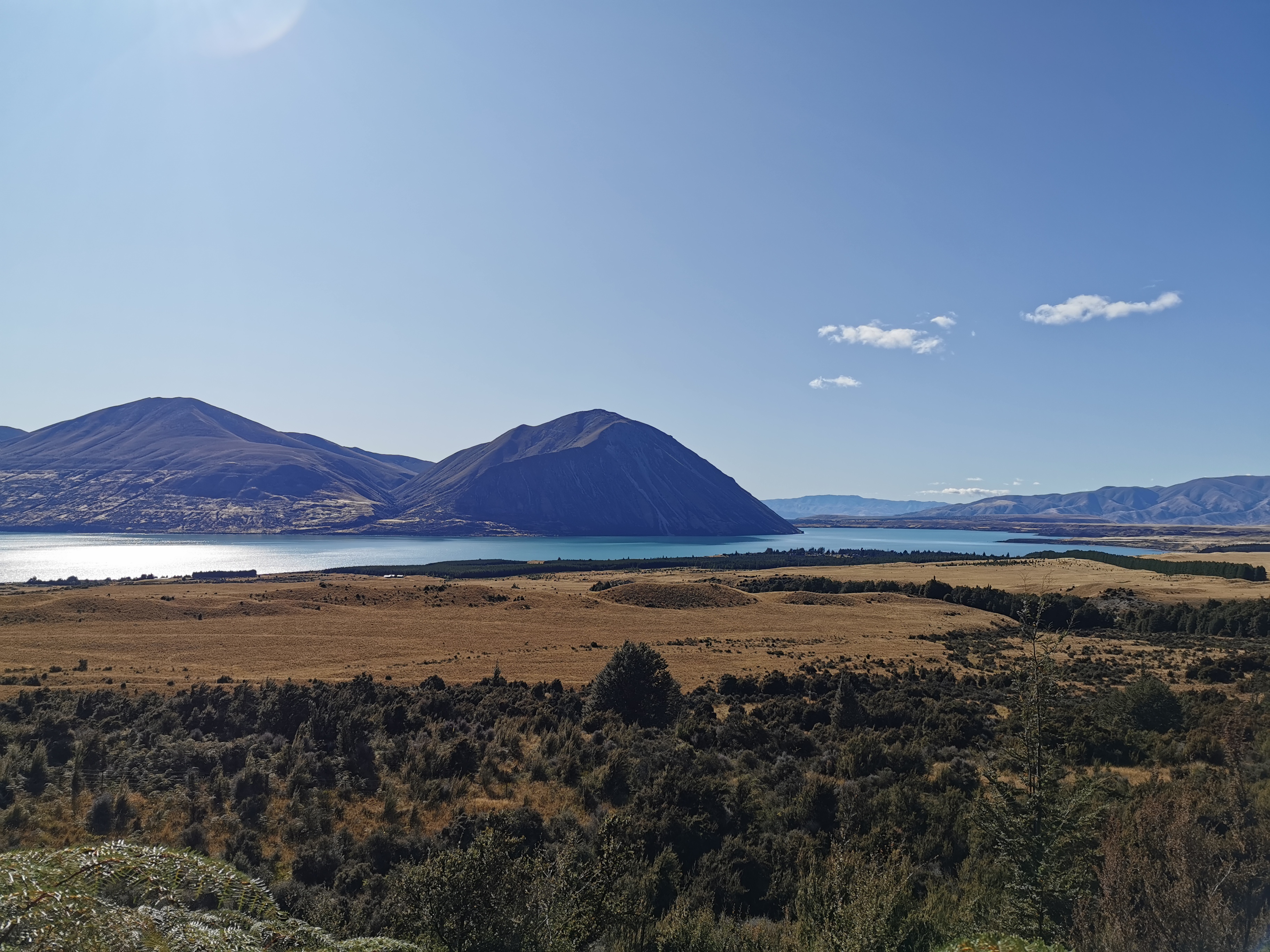
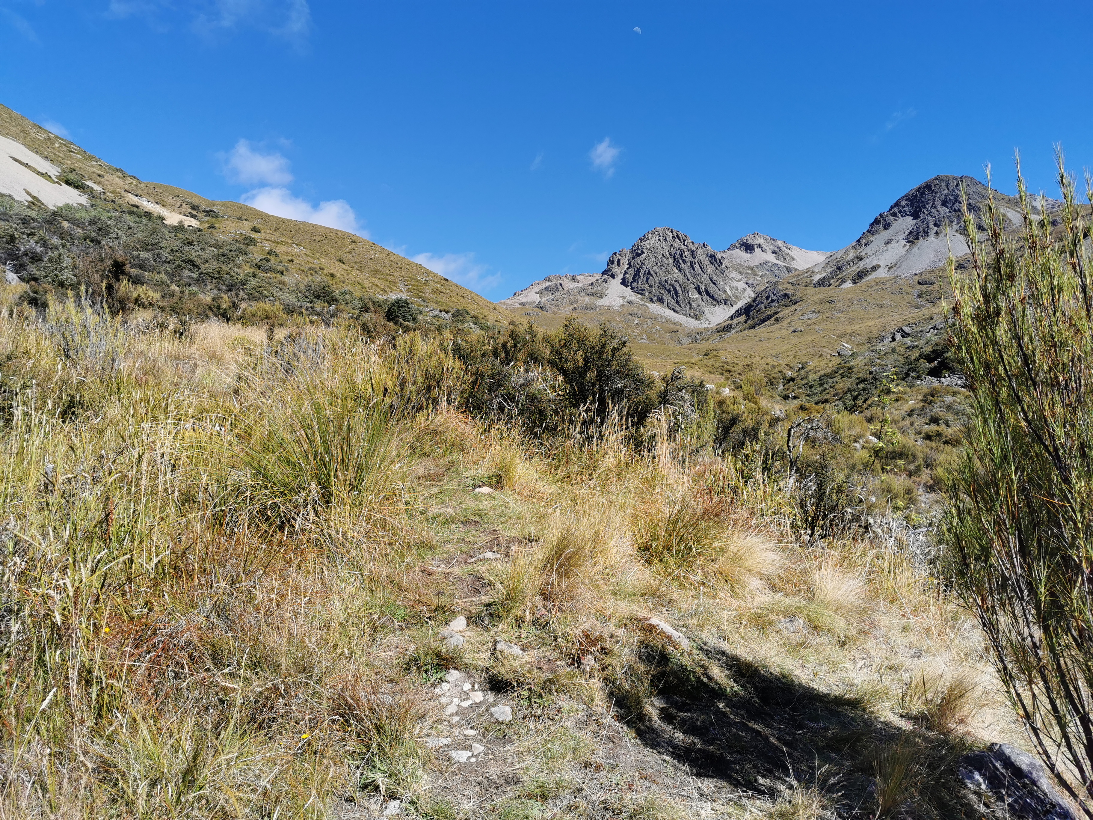
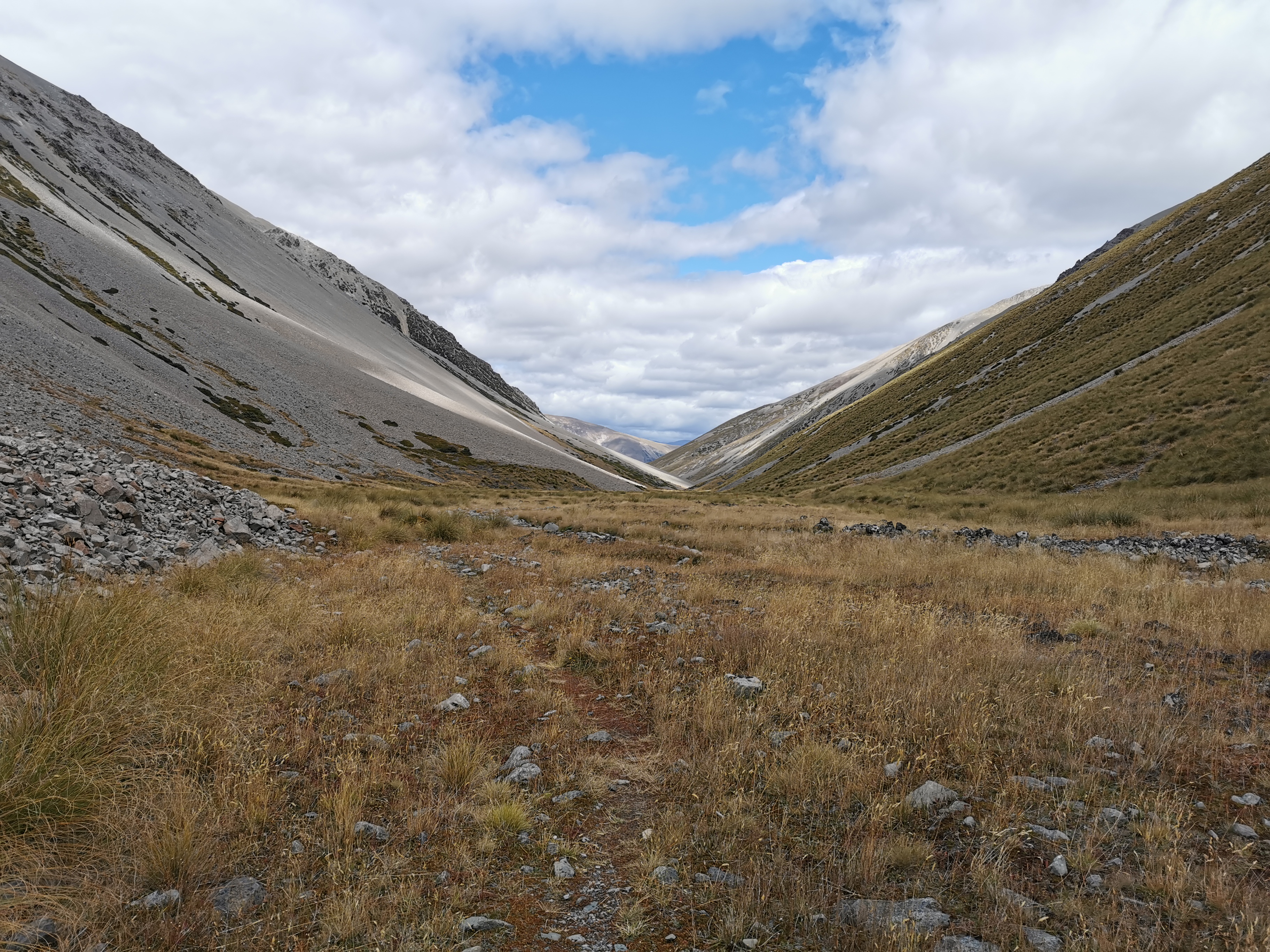
Most other saddles have a steep bit at the top where you suddenly see the view on the other side. This one however is steep for the whole way up but at the top it is not.
So when you get to the top, it’s flat this time.
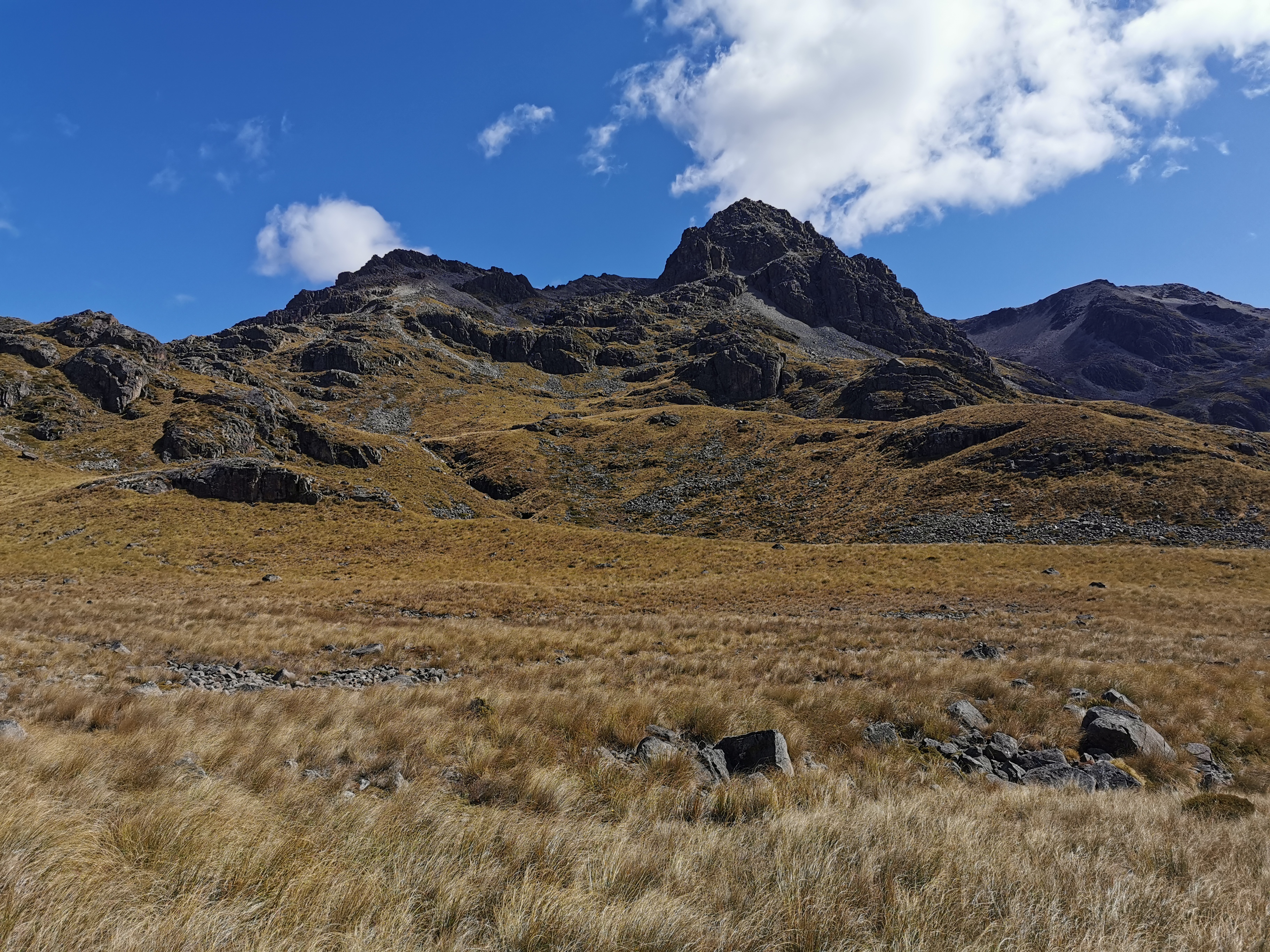
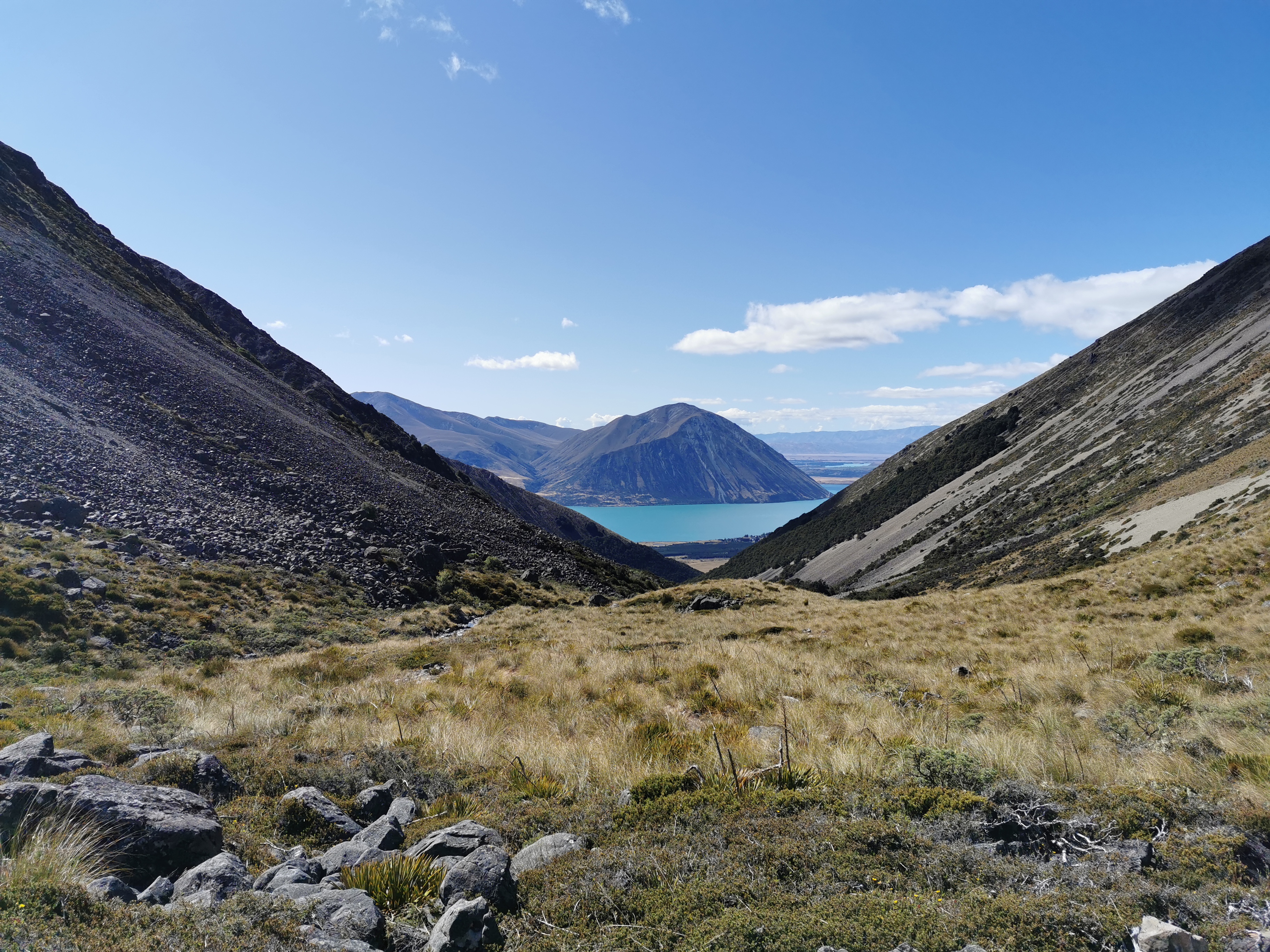
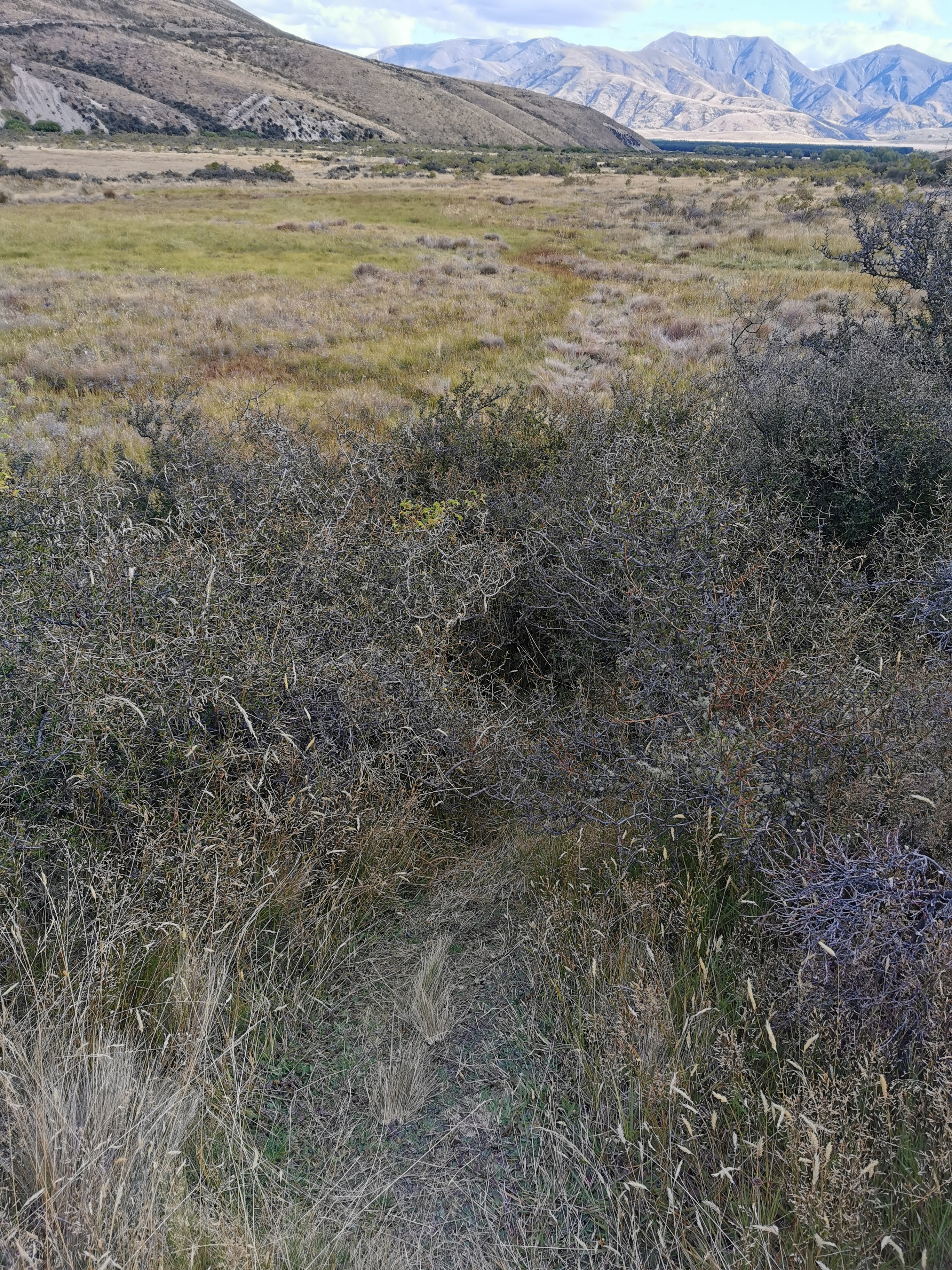
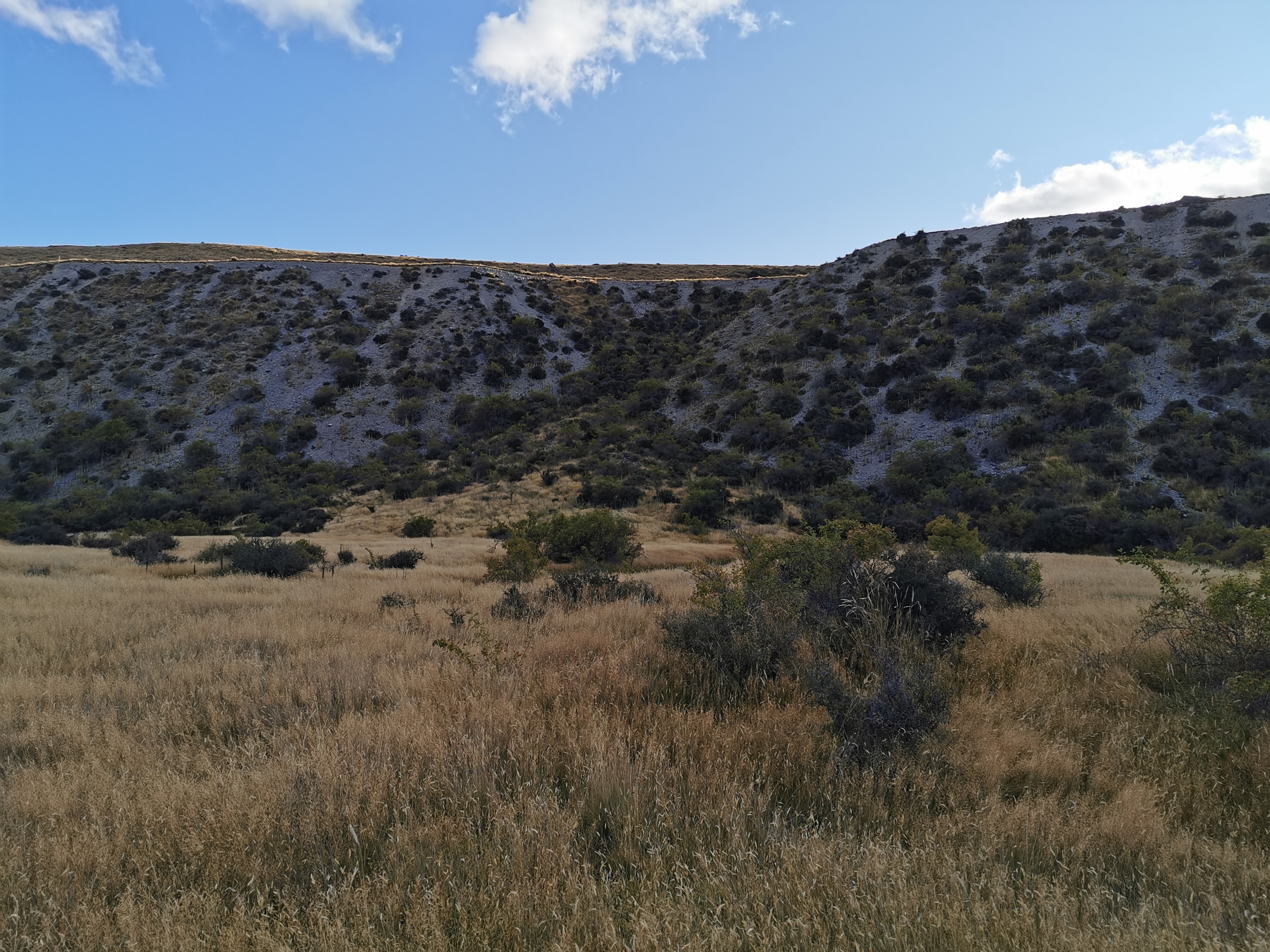
But there is a view. It’s very similar to other featureless landscapes I’ve seen recently.
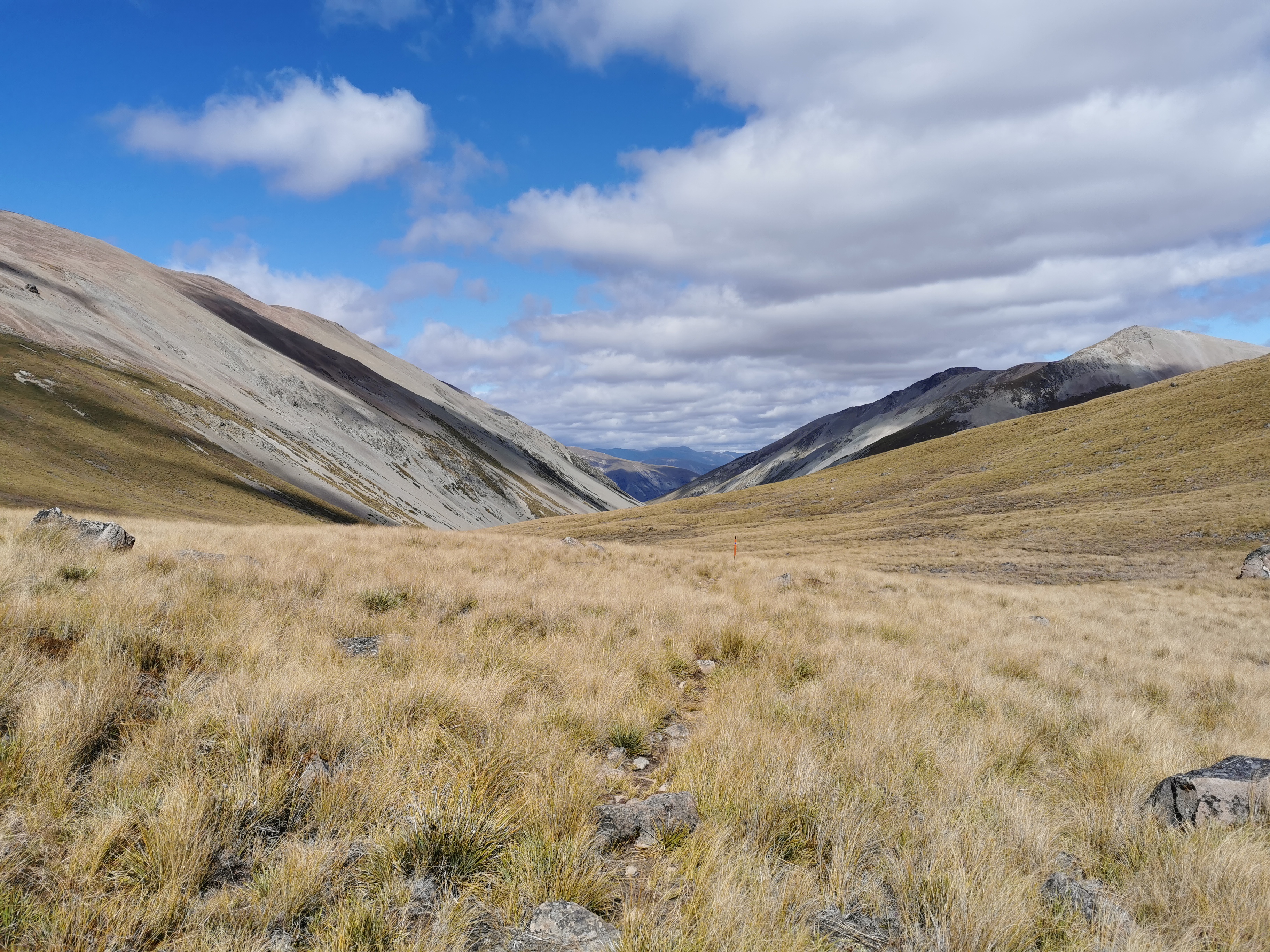
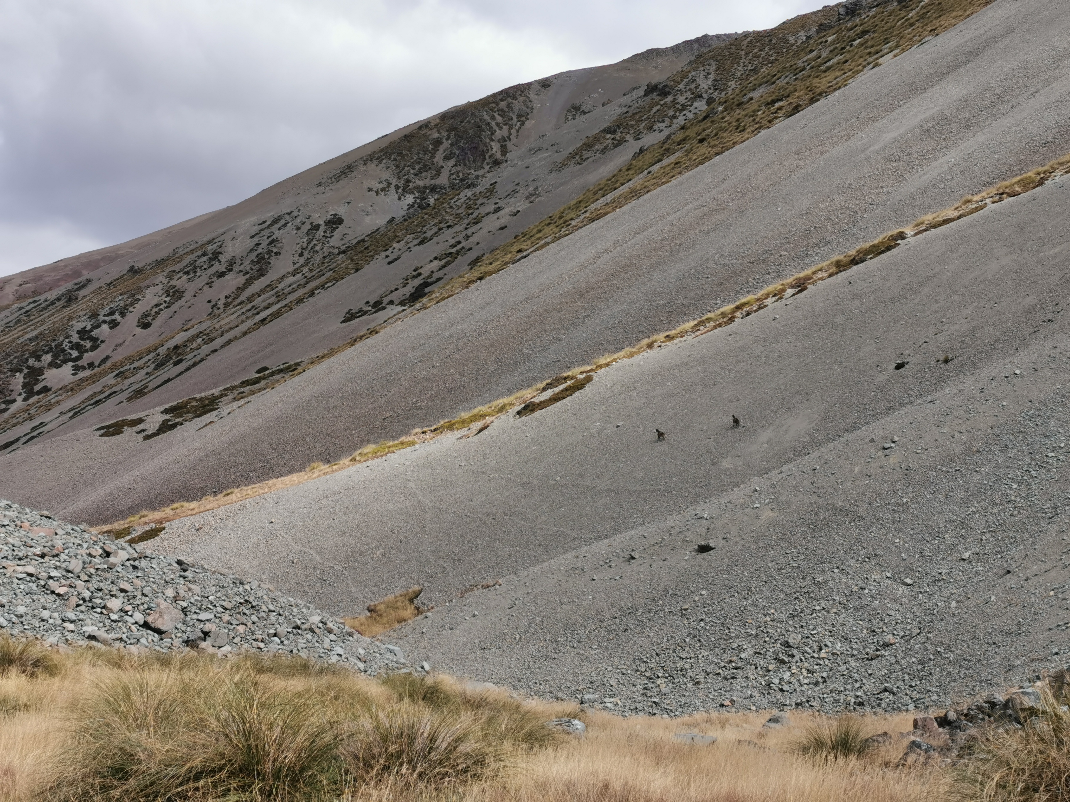
Going down this next bit is difficult, and not well marked.
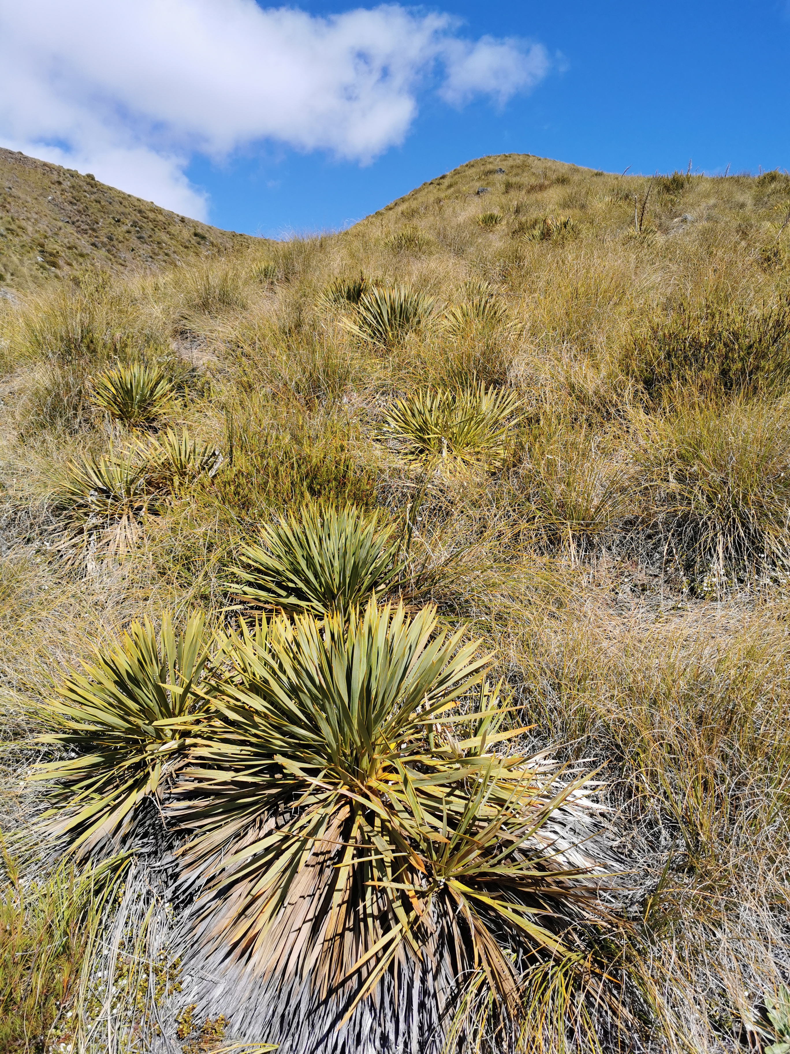
There’s more of these evil things to avoid, and even finding the path is tricky. The trail notes even say “go down the hill by any practical route”. It’s rare for the notes to be that vague.
It levels out though and becomes easier.
I scared some goats who ran off. They were a long way away but I guess they got spooked.
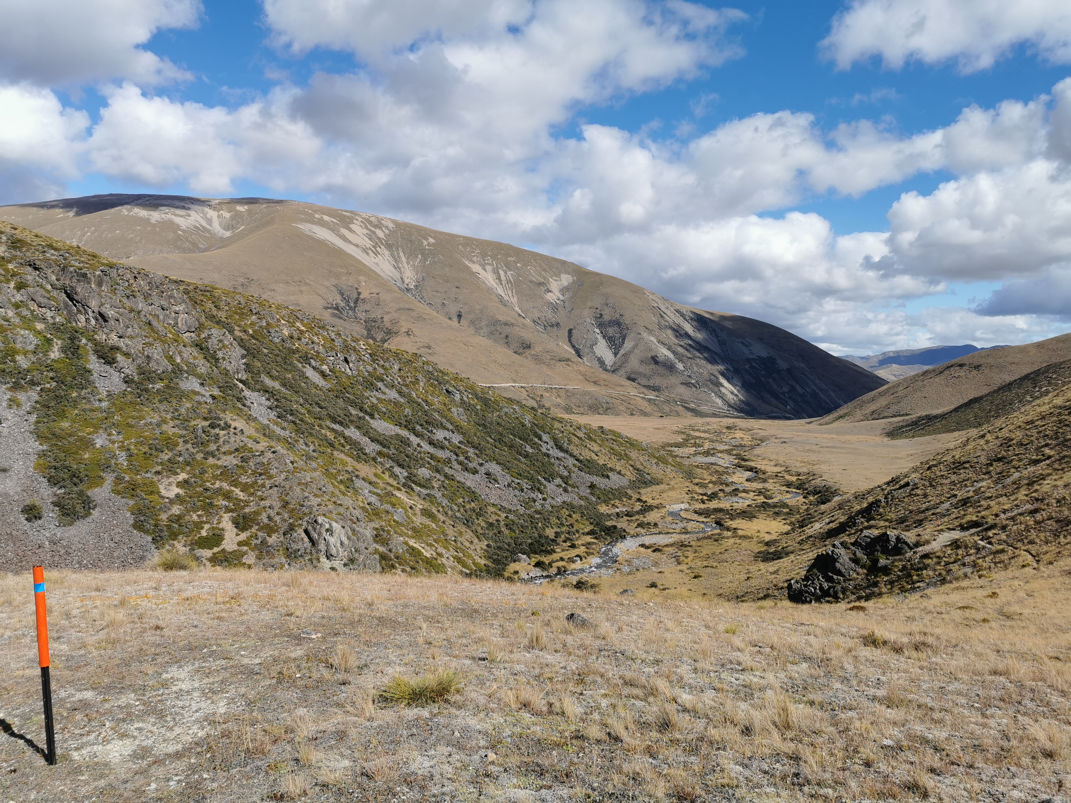
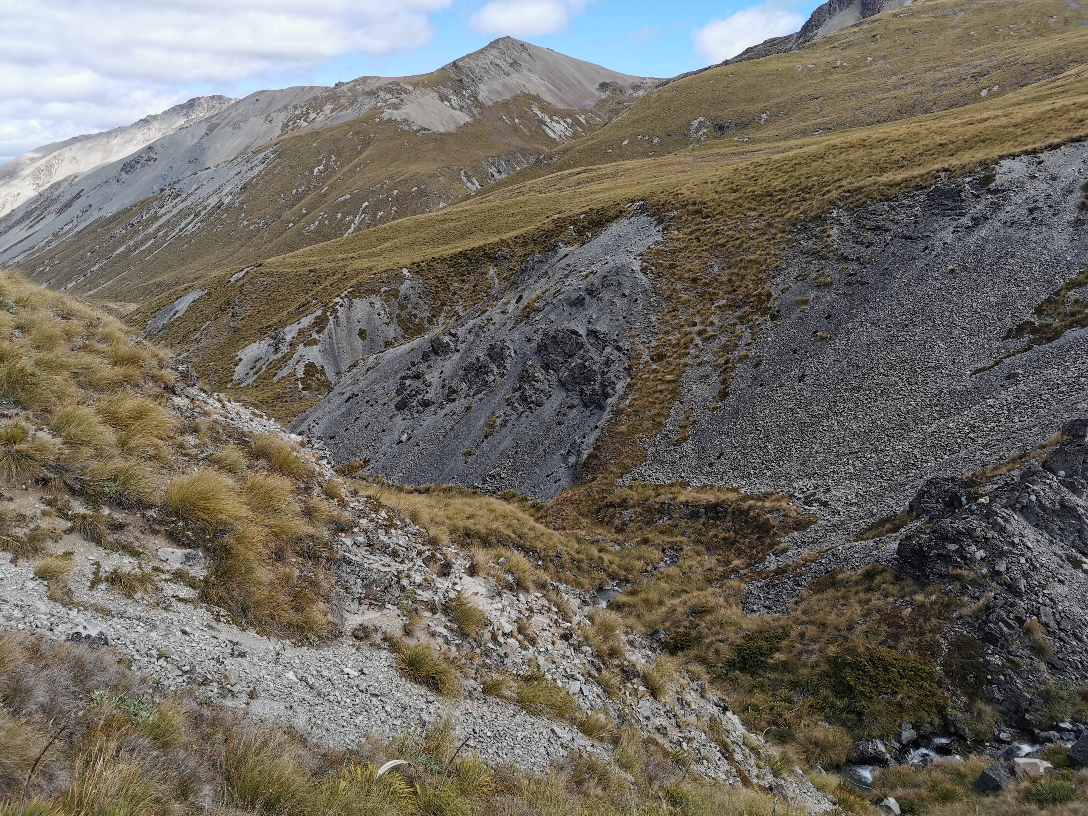
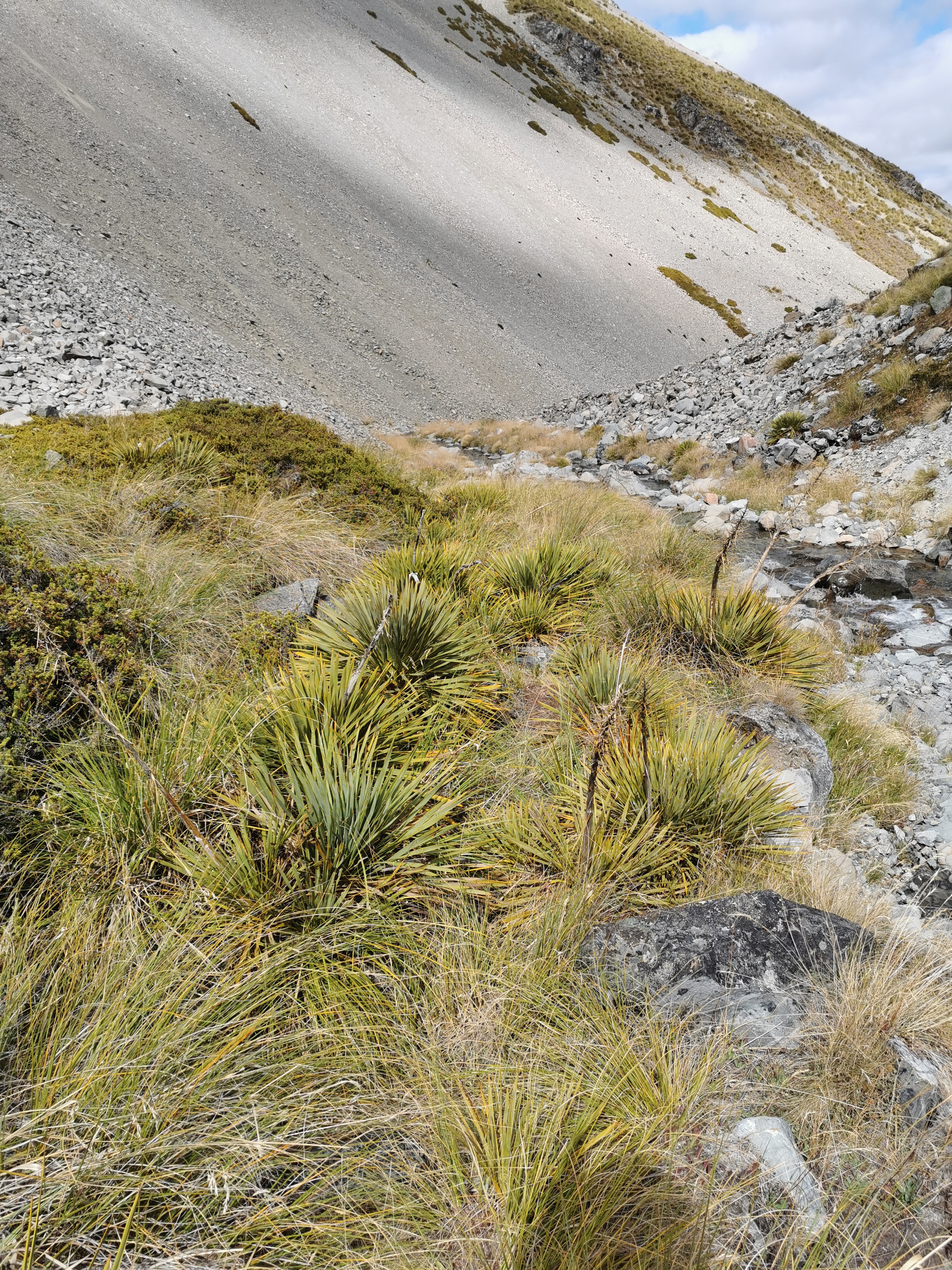
Coming down wasn’t very pleasant. As well as a path that was difficult to find, there was all manner of obstacles.
And a swampy bit that seemed unavoidable.
At the bottom there were signs of civilization.
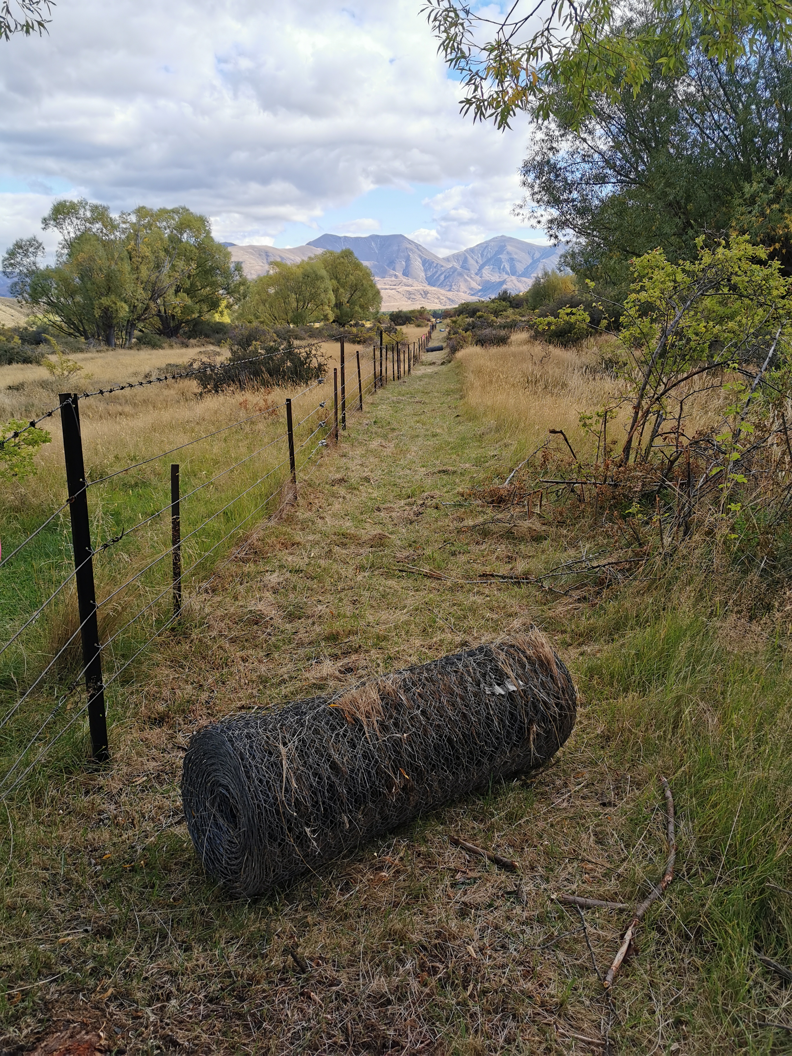
And then three guys who were rebuilding the fence.
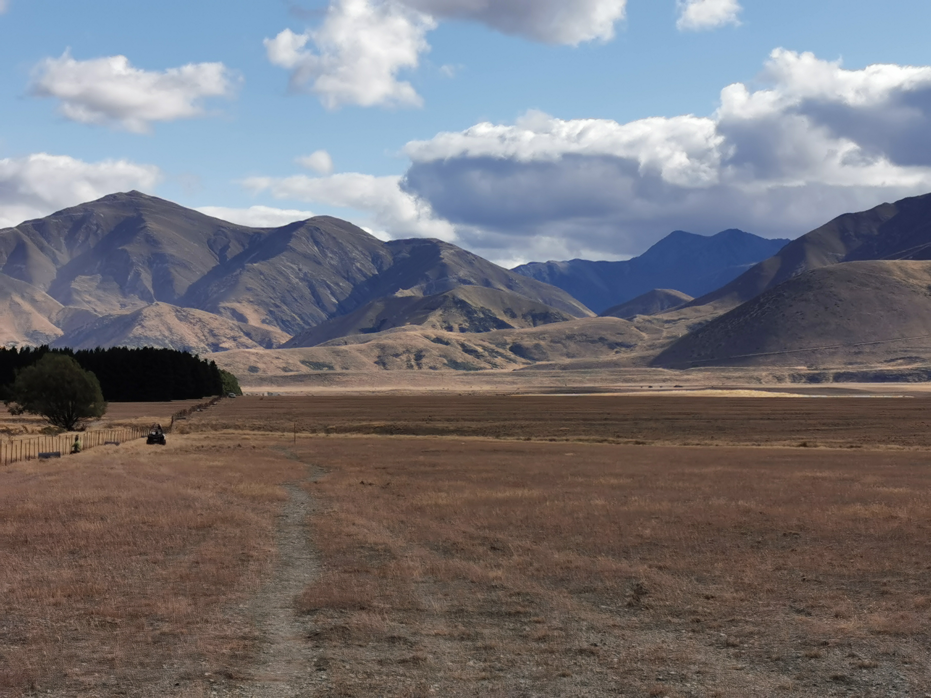
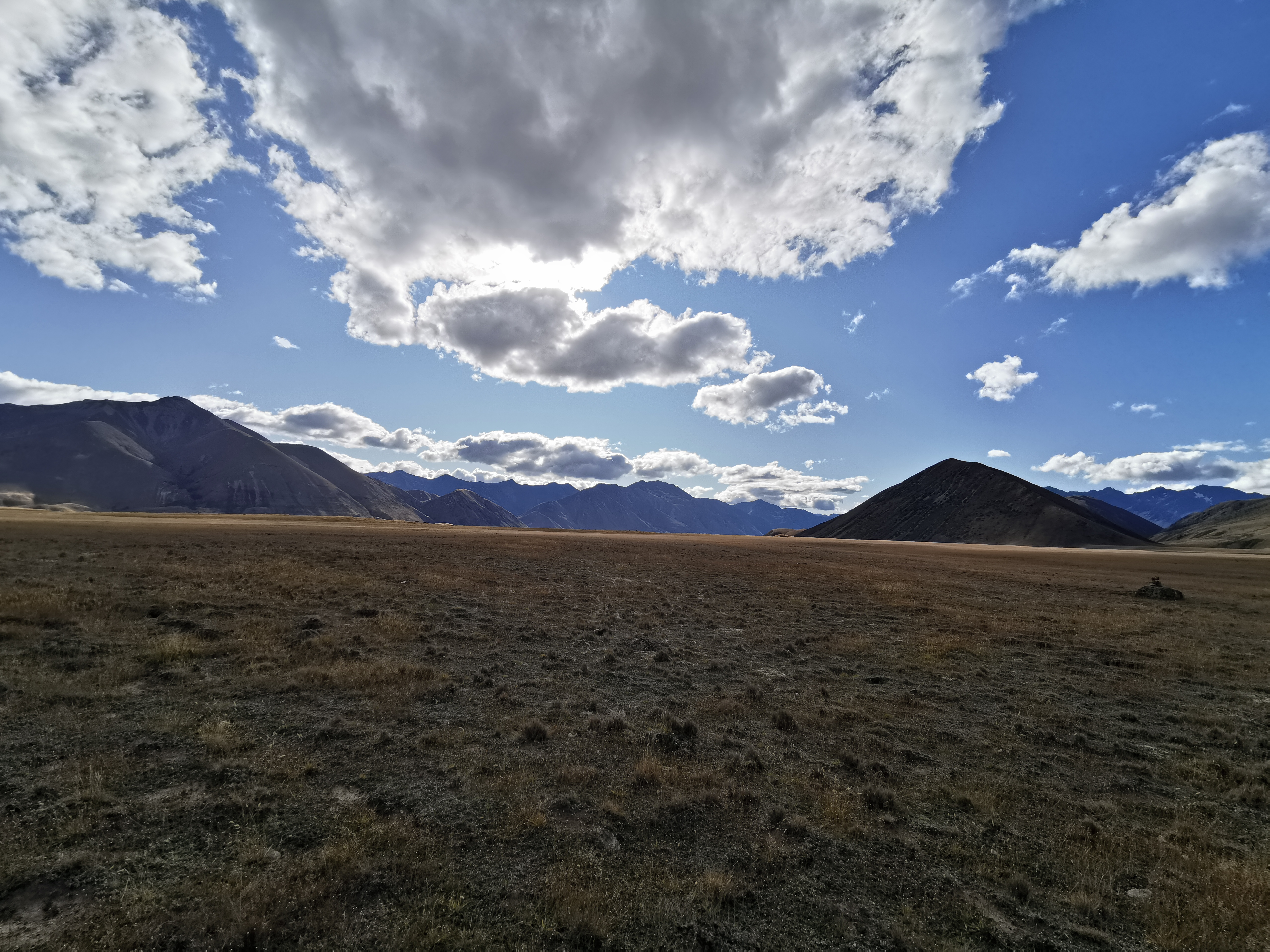
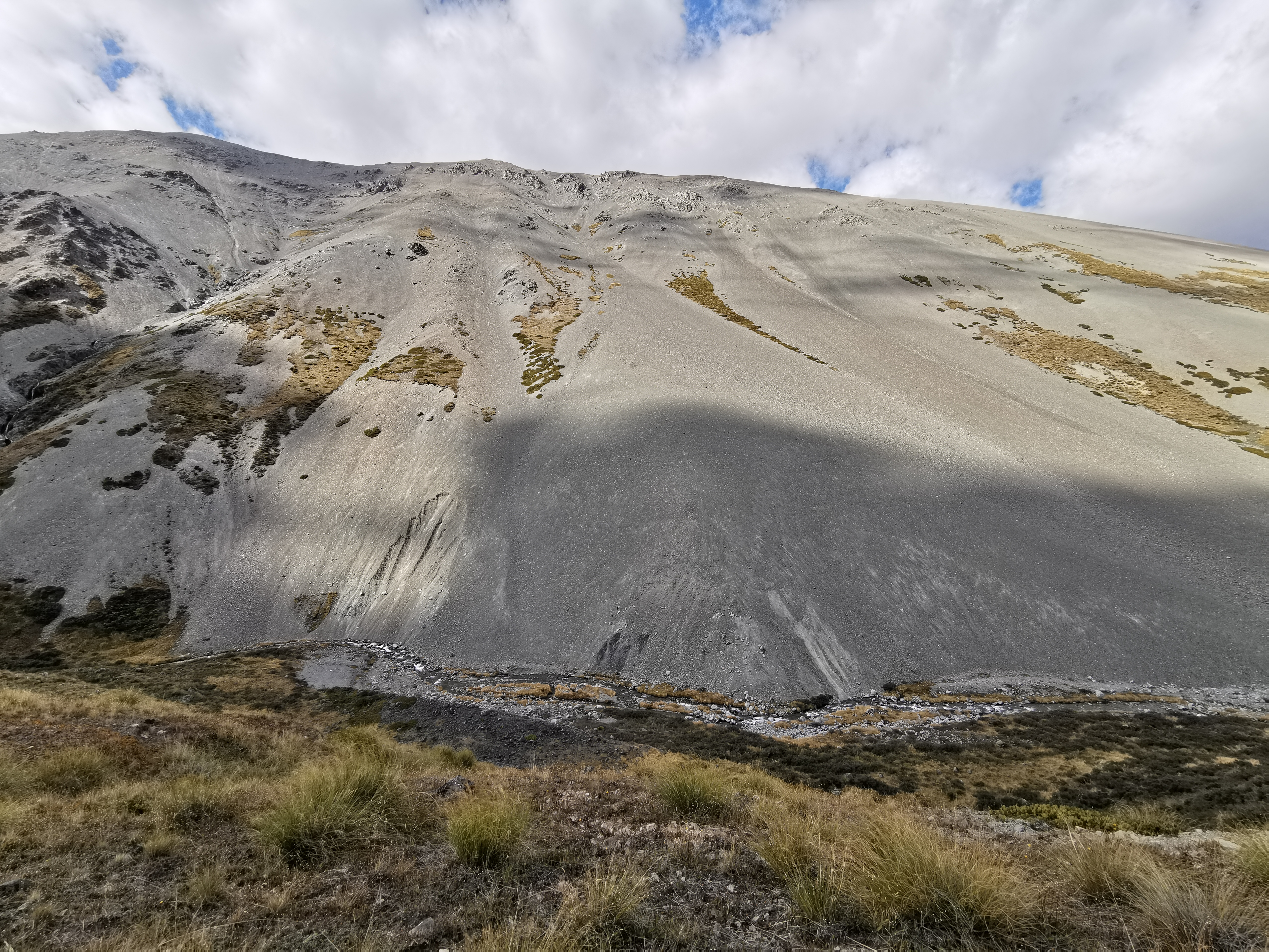
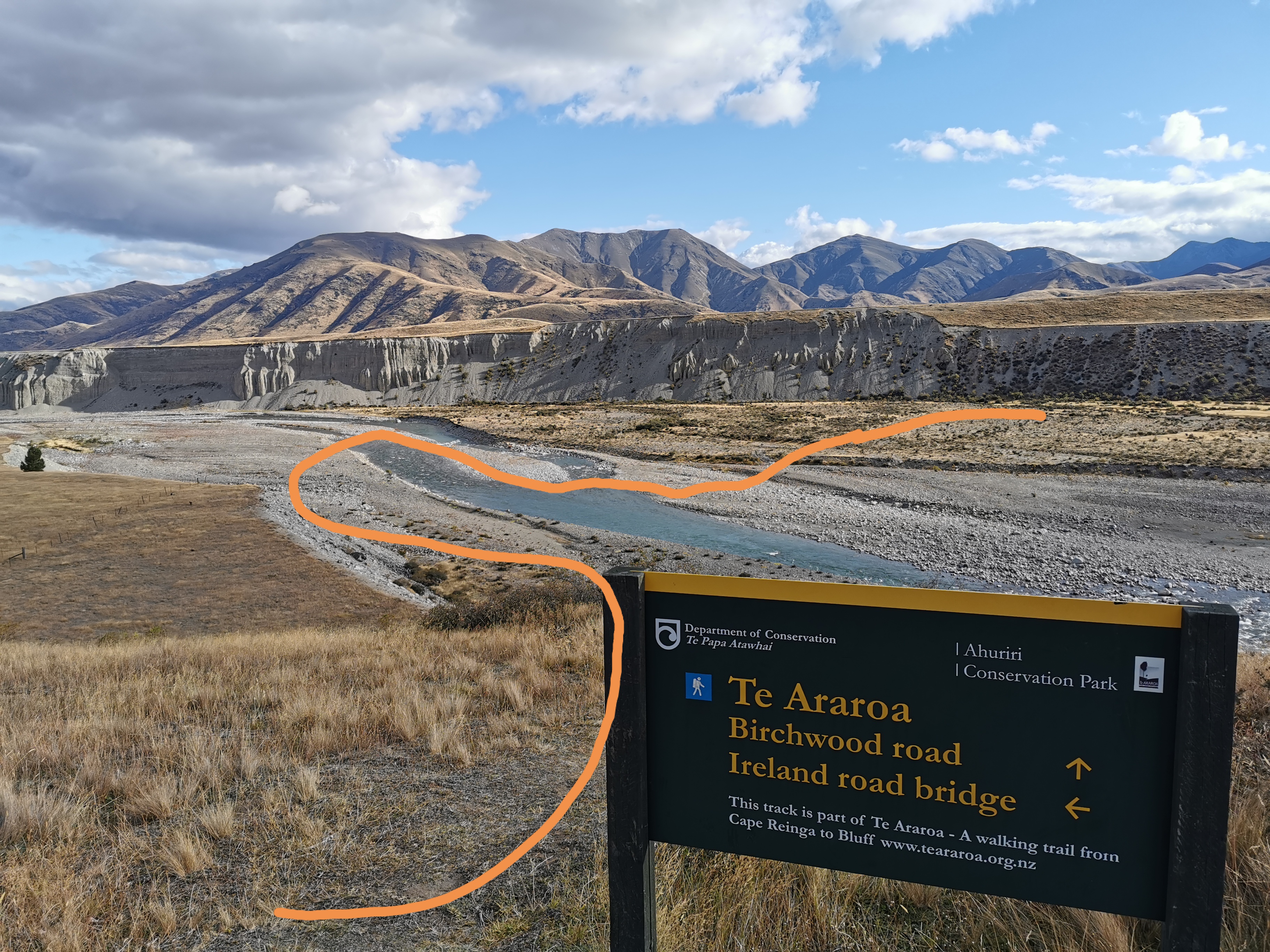
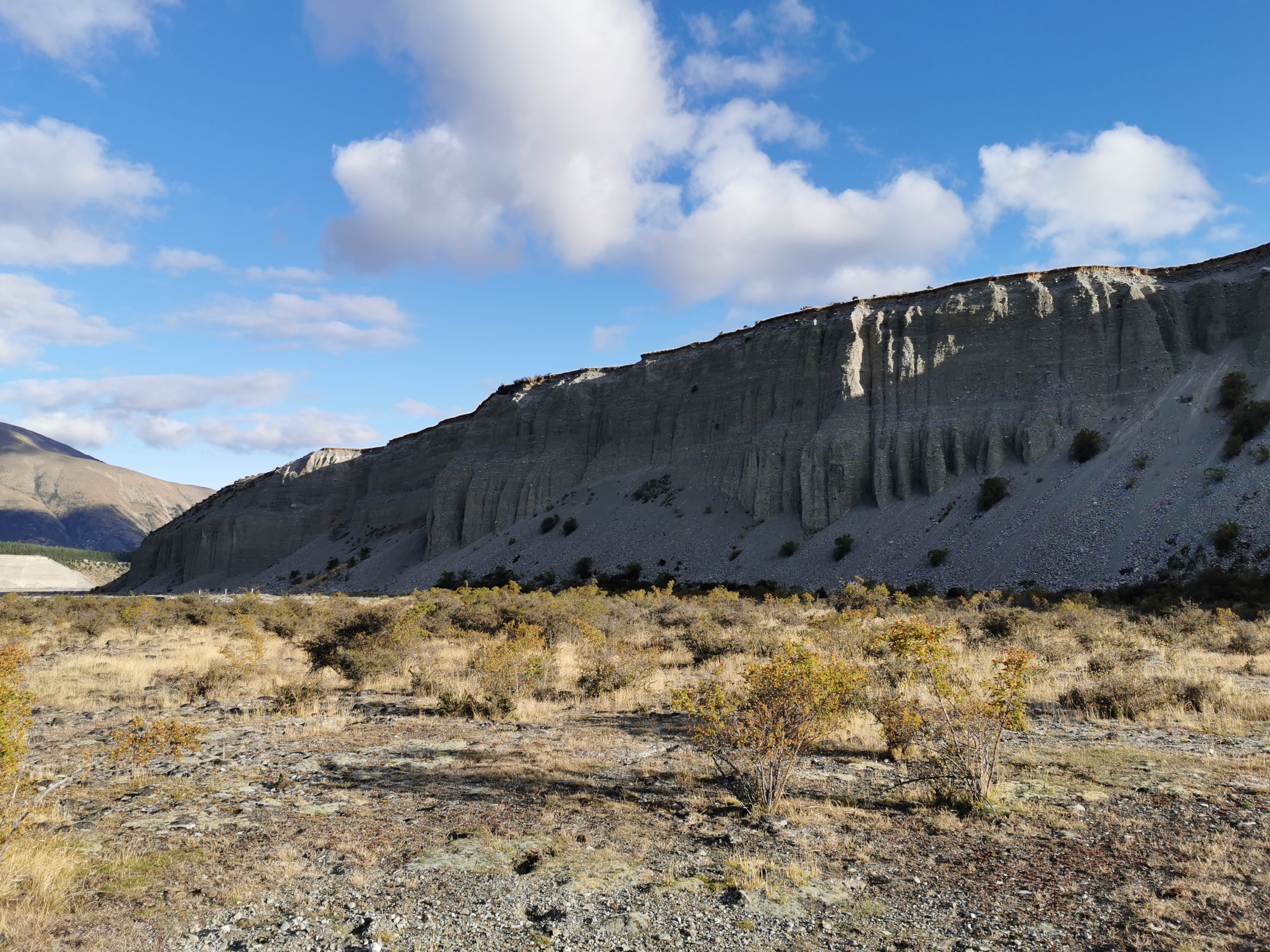
Okay, now that I see the big canyon, I know that down there is the Ahuriri River.
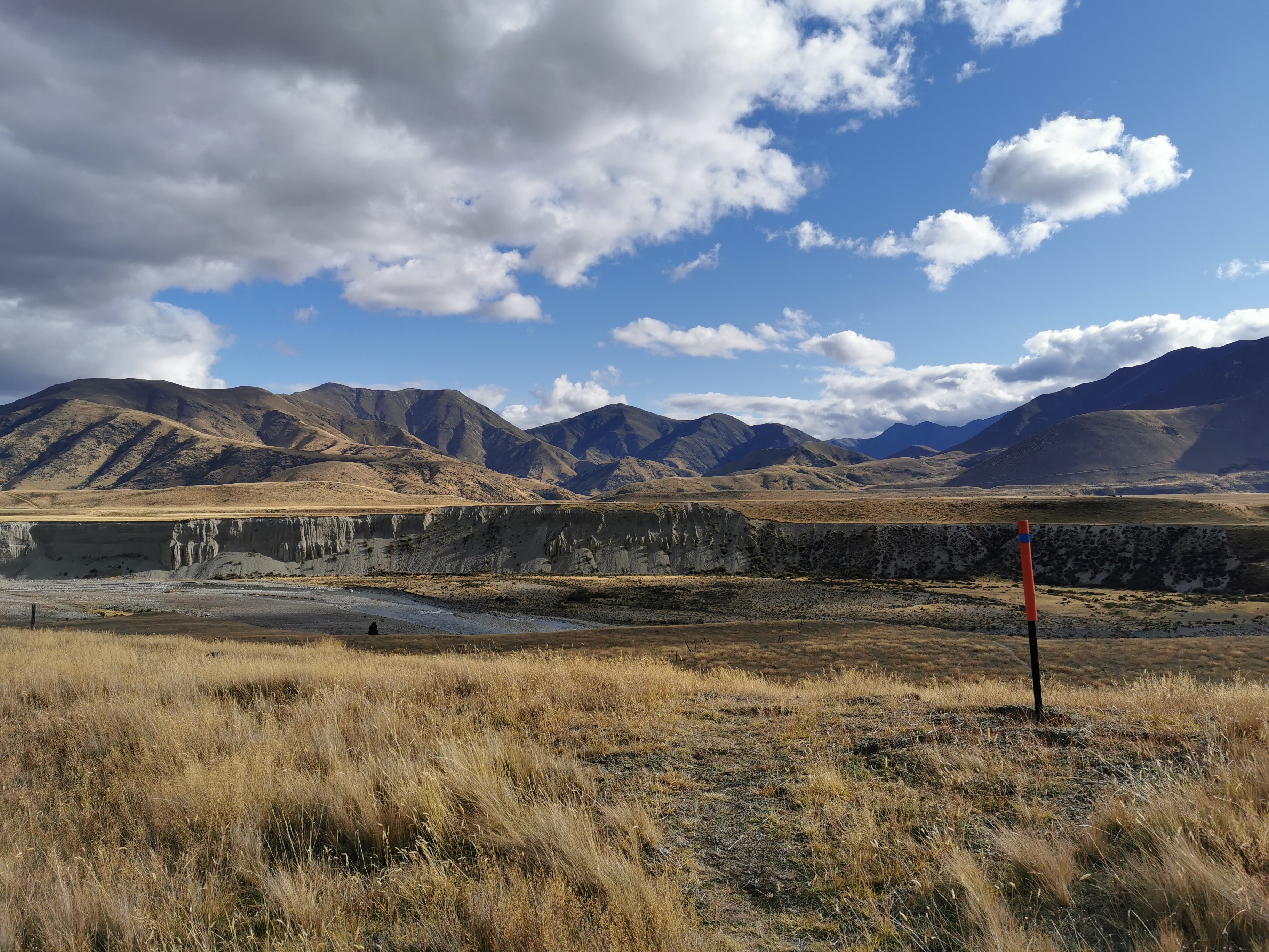
The sign confirms it.
It didn’t look too dangerous today, but it’s hard to tell from a distance. I tried to cross immediately where the marker took me, after first putting on my rain jacket. I did that because my rain jacket has a pocket that is high up and my emergency beacon and phone can go on there. Everything else went inside my pack.
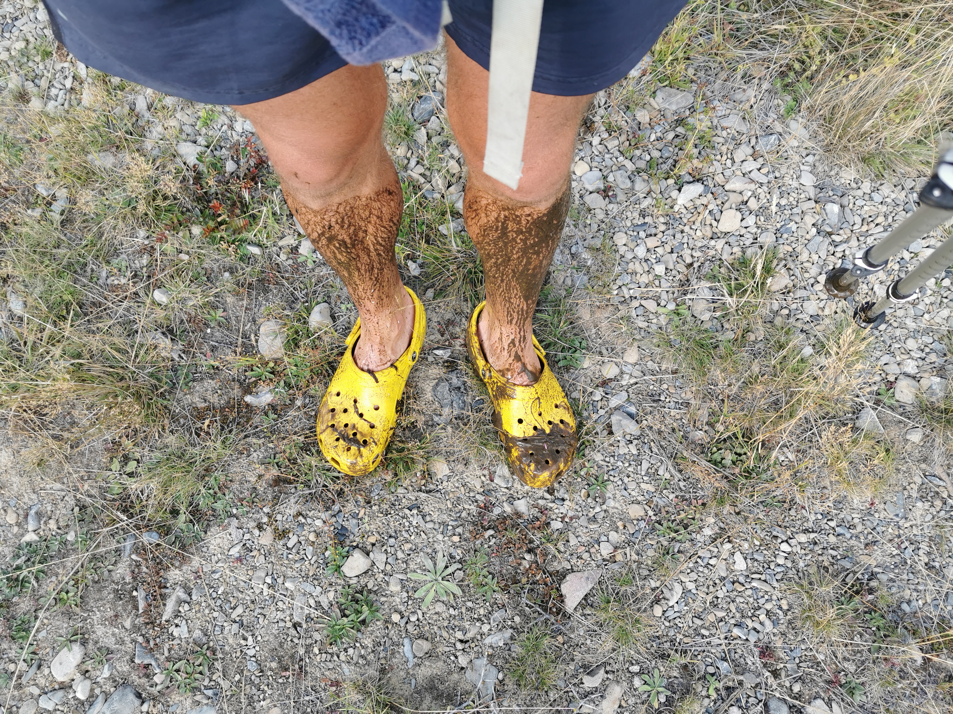
Crossing where the marker was started off easy, but after two thirds of the way across it got too deep and I had to retreat.
So I walked downstream to find something better. About 100 or 200m the river split into two and that seemed like a good spot to cross. I remembered from crossing the river just north of the Bealey Hotel that where the river split and turned was quite shallow and not too fast moving. That proved to be the case here too.
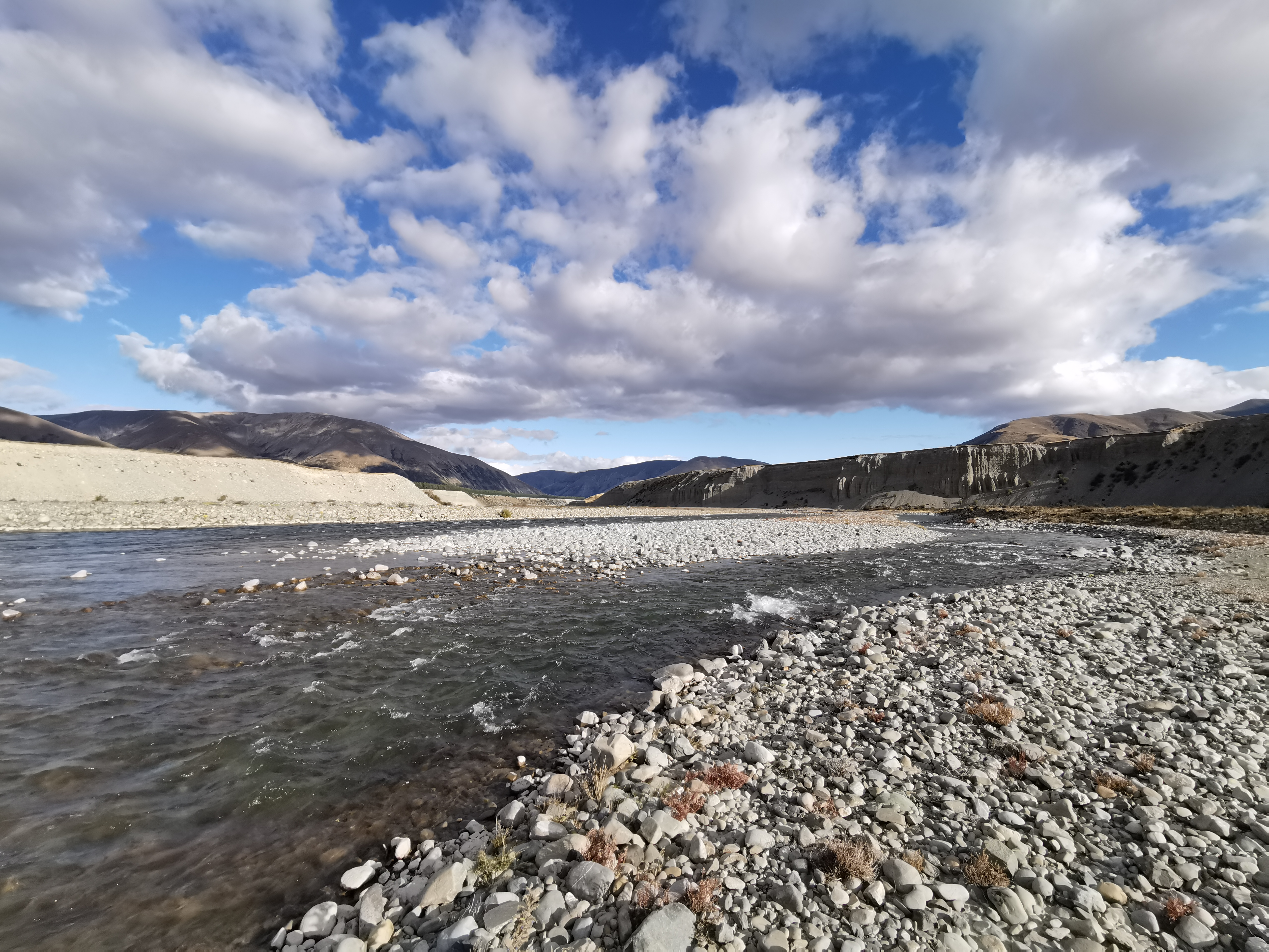
I found the shallowest and slowest bits of each of the two divisions and crossed without any problem. The river never went above my knees and wasn’t flowing fast enough to make the poles shudder. Here’s where I went:
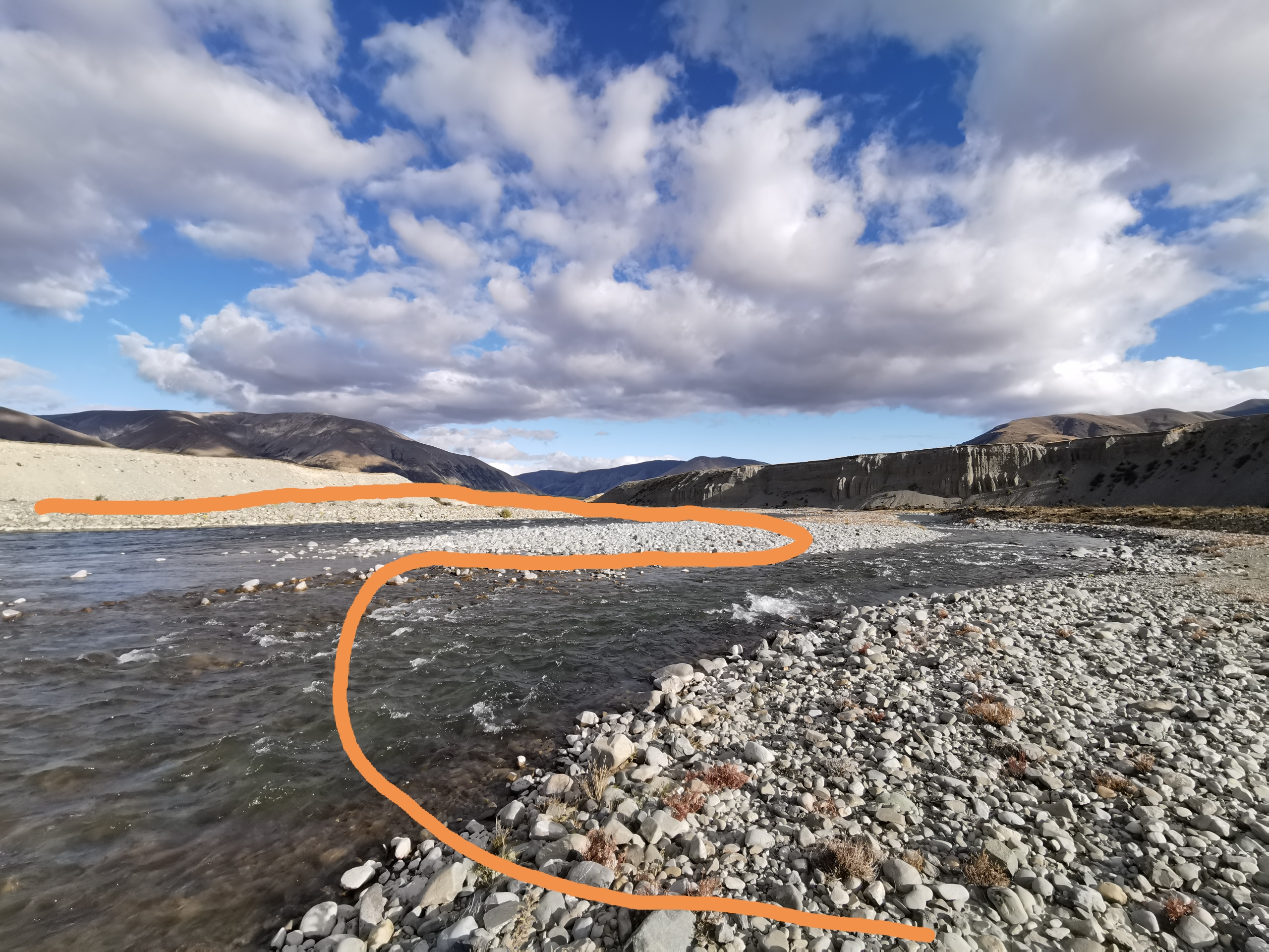
I was very glad to be across the river. That meant I didn’t have to take an extra three hours walking downstream to the bridge that crosses the river as a detour. Although the next problem was how to get out of the river bed. I misread the trail map and I thought I had to go along the riverbed and then up the hill. When I did that, the hill seemed impenetrable.
I turned and looked behind me and realised I was supposed to go up the hill first, then along the top. That looks like it in the distance on the left.
Although actually the markers point up here. That looks steep.
Given that I’d walked almost 30km today and it was getting cold, I decided to simply set up my tent here (far enough away from the water) and I’ll worry about where to go in the morning.
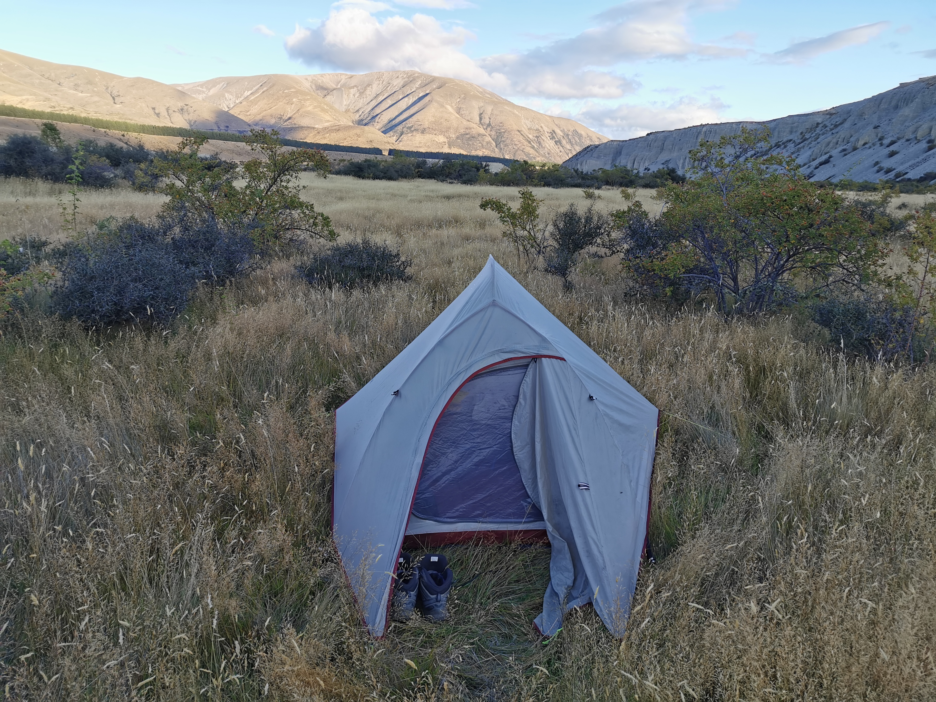
It’s definitely not an ideal spot, it’s flat but very lumpy with the long grass. No worries, I’ve survived in this kind of camp spot before and I’ll survive tonight too… Even though the temperature is supposed to plummet tonight. It’s going to be very cold tonight, I can feel it in the air already.
Today's walk on the map (blue = Te Araroa, red = today's walk):
Some truely beautiful country down there. I was going to comment on your “Looking Back” photo particluarly, but there were a heap of others.
I’m glad you made it across the river easily. 🙂