Day 153 – Wanaka to Highland Creek Hut

Date: 21 March
Trail covered: 30.6km (kms 2583.3 to 2613.9)
Weather: wet in the afternoon

I could’ve stayed in bed all day because the bed in the motel was really big and comfortable. But I did drag myself out of bed at 7:30 when the alarm went off. I had my rest day yesterday and today it’s time to keep walking.

Last night, when I looked at the forecast for today, there was a lot of rain.

Sure looks bad for the South Island

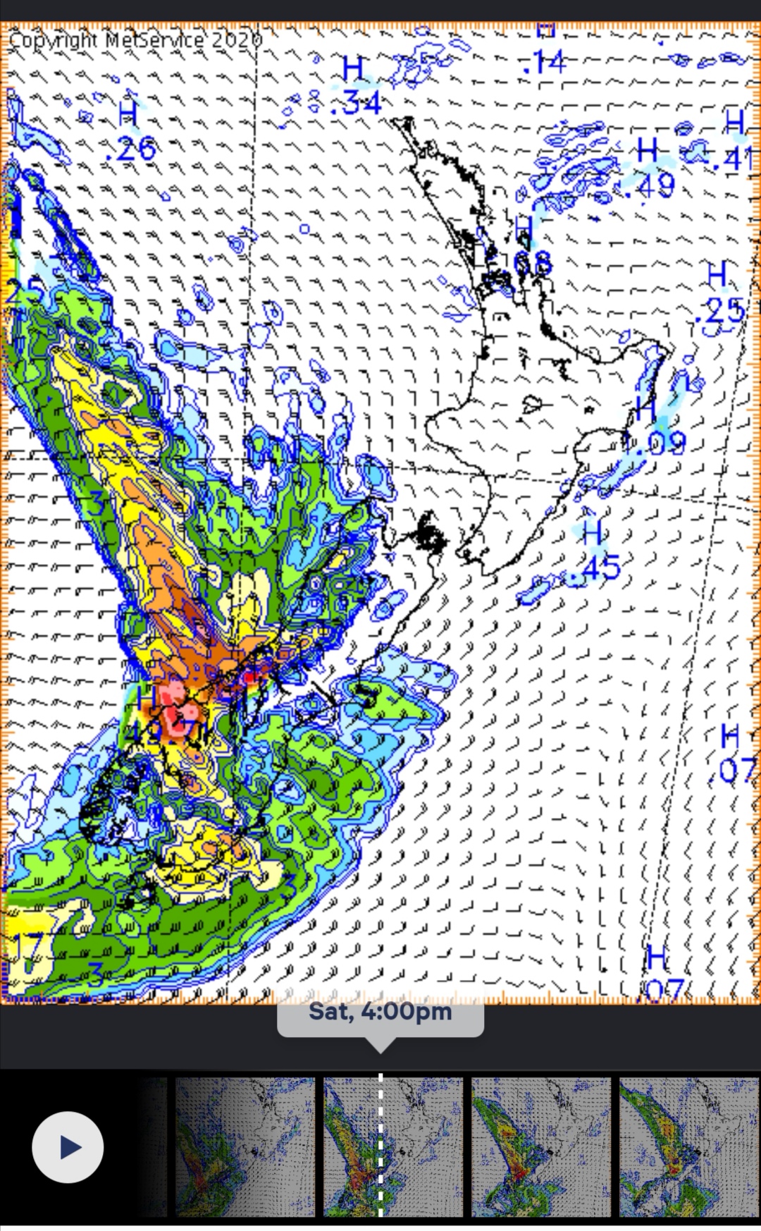
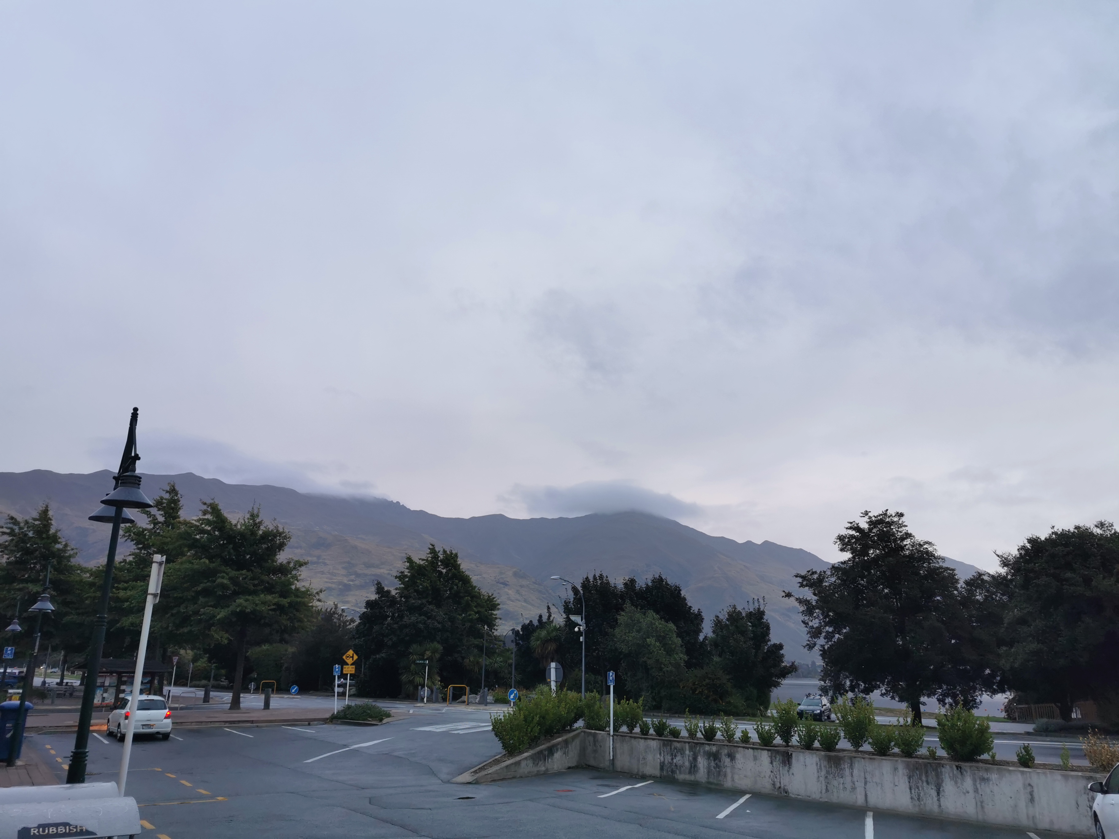
Looking outside, it appeared it had been raining overnight, but the weather right now seems okay.

A few spots of rain never hurt anyone

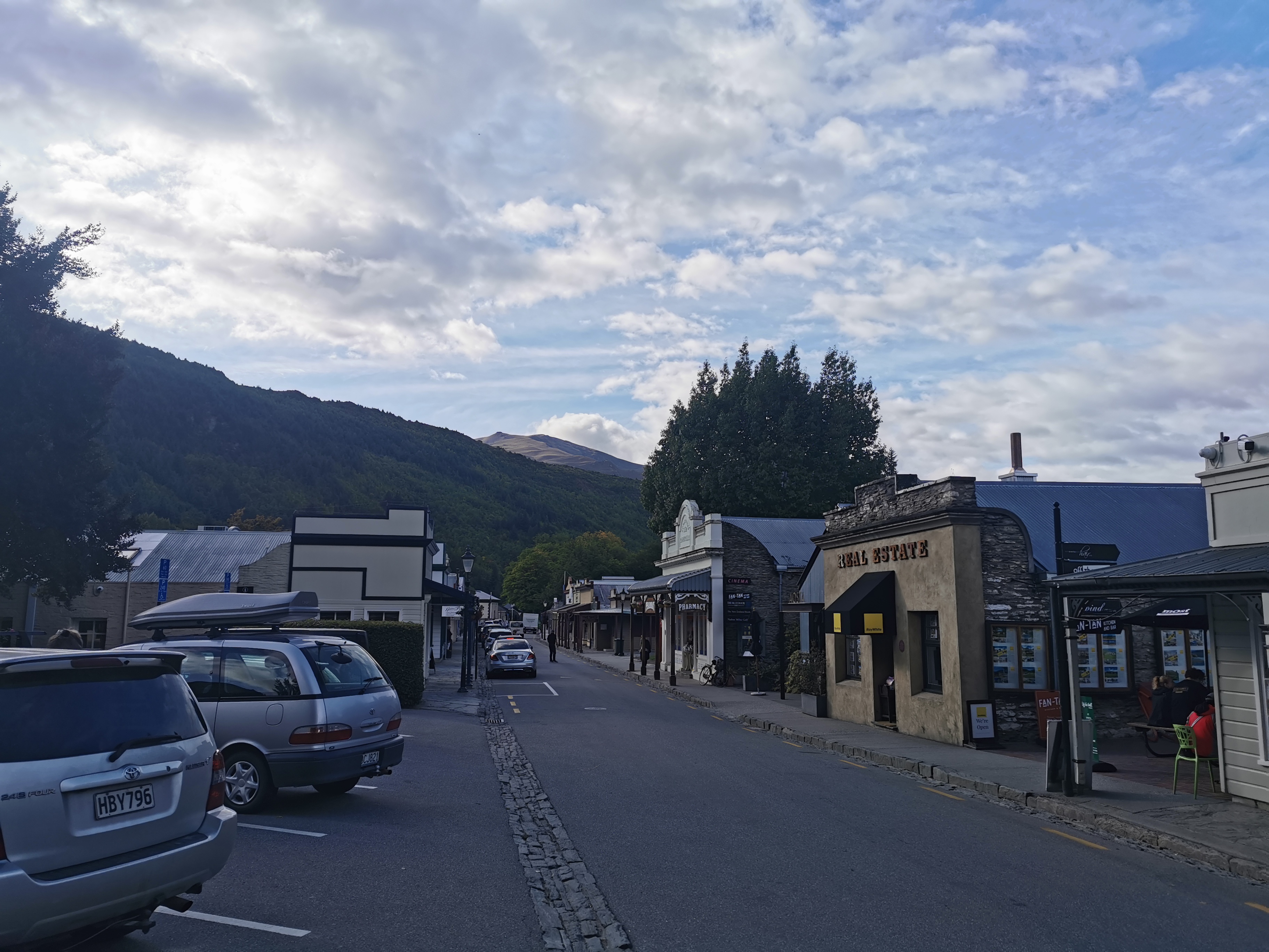
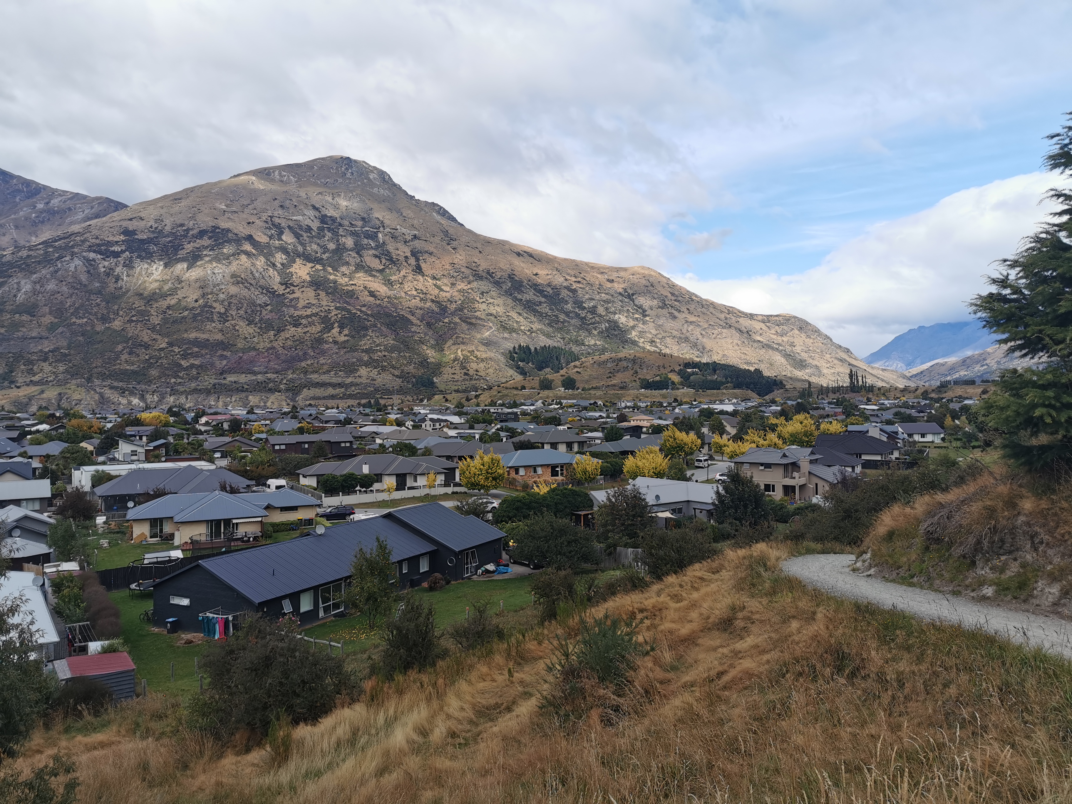
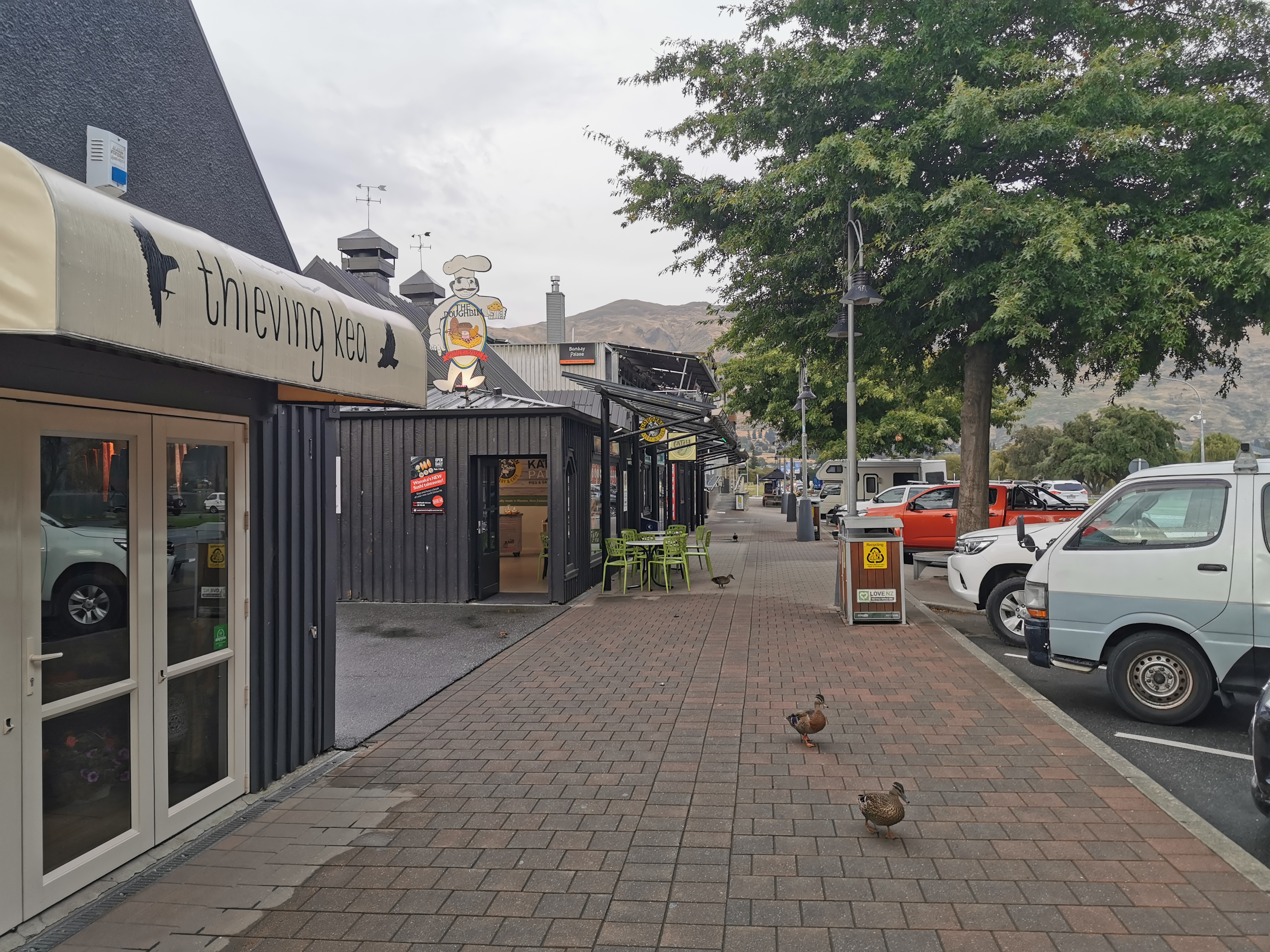
I went out and had bacon and eggs for breakfast at a nearby café and then went back to the motel room to get my stuff. I had left by 9am.

Never mind the “thieving kea”, it’s the ducks you have to worry about

The first thing I did since I saw the Lotto shop open was buy a Lotto Strike ticket for tonight’s draw. That’s another Lotto game, like Powerball, but the prizes aren’t as big. However this is another “must be won” draw and the prize is $1million, so why not have a go.

I also called in at the bakery and bought a chicken and avocado roll, a Belgian slice and an apricot danish for lunch later. I probably shouldn’t have, since I already resupplied for at least three days from New World yesterday, but I couldn’t resist.

In town yesterday I saw Mickey and Michelle. They said that they aren’t leaving Wanaka until Monday – two days from today. So I know I won’t be walking with them and probably won’t see them again.

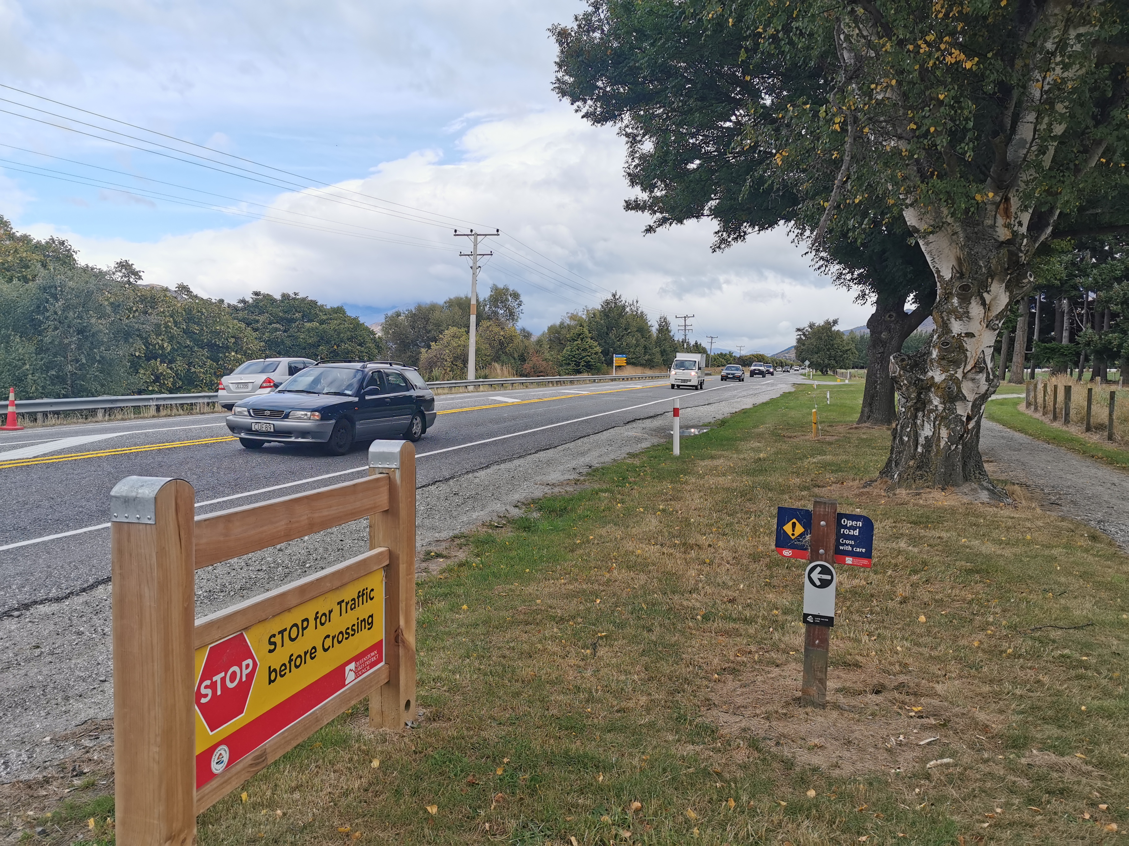
The weather stayed good for most of the morning, although there were a few spits of rain. I had accepted as soon as I left the motel that I will get wet today. That’s okay, most of the walk is an easy walk, and I understand there are no river crossings for a change. I put on my rain gear from the start today – including my rain pants that I don’t wear often. It’s a shame that when I arrived in Wanaka I bought these snazzy new shorts and now I don’t even get to wear them on the first day of hiking afterwards.

The first thing I was looking out for on the walk was “That Wanaka Tree”. It’s a fairly famous tree in NZ. People claim it is the most photographed tree in the world. It was coming up soon.
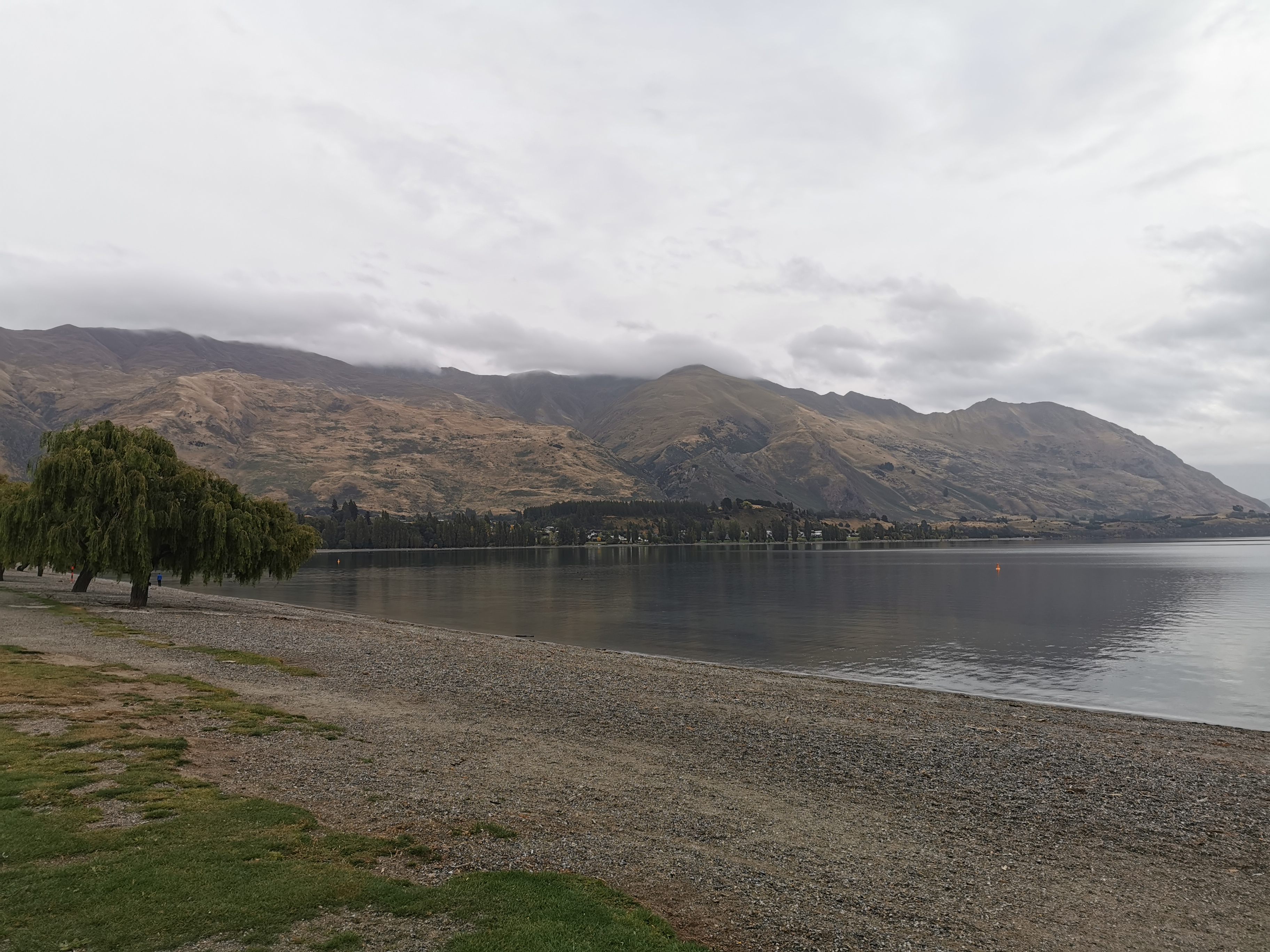
There it is.

#thatwanakatree

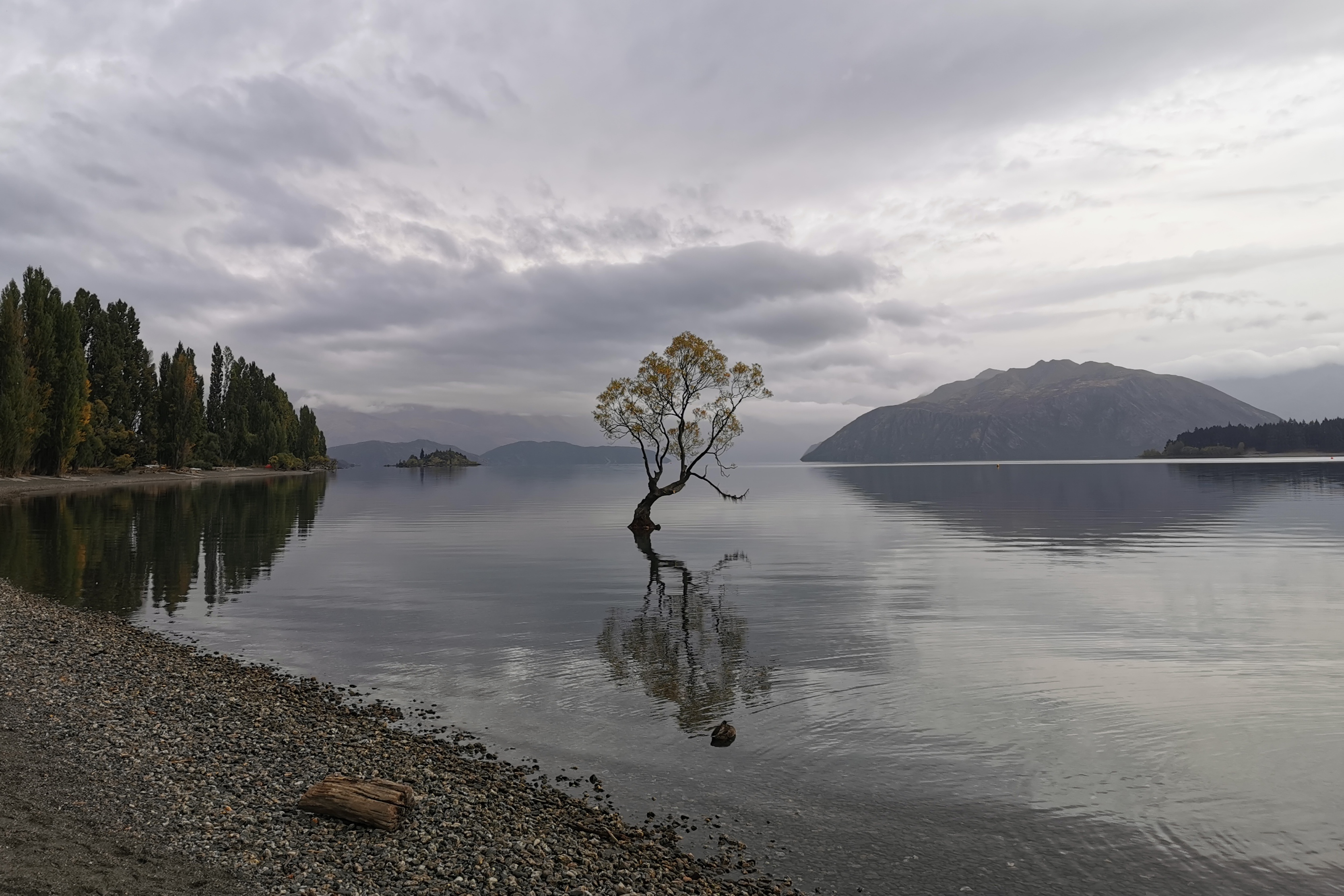
It was in the news two days ago that somebody had attacked it with a saw and cut its lower limb off. It was quite sad to see.

The path from here

Looking back at Wanaka

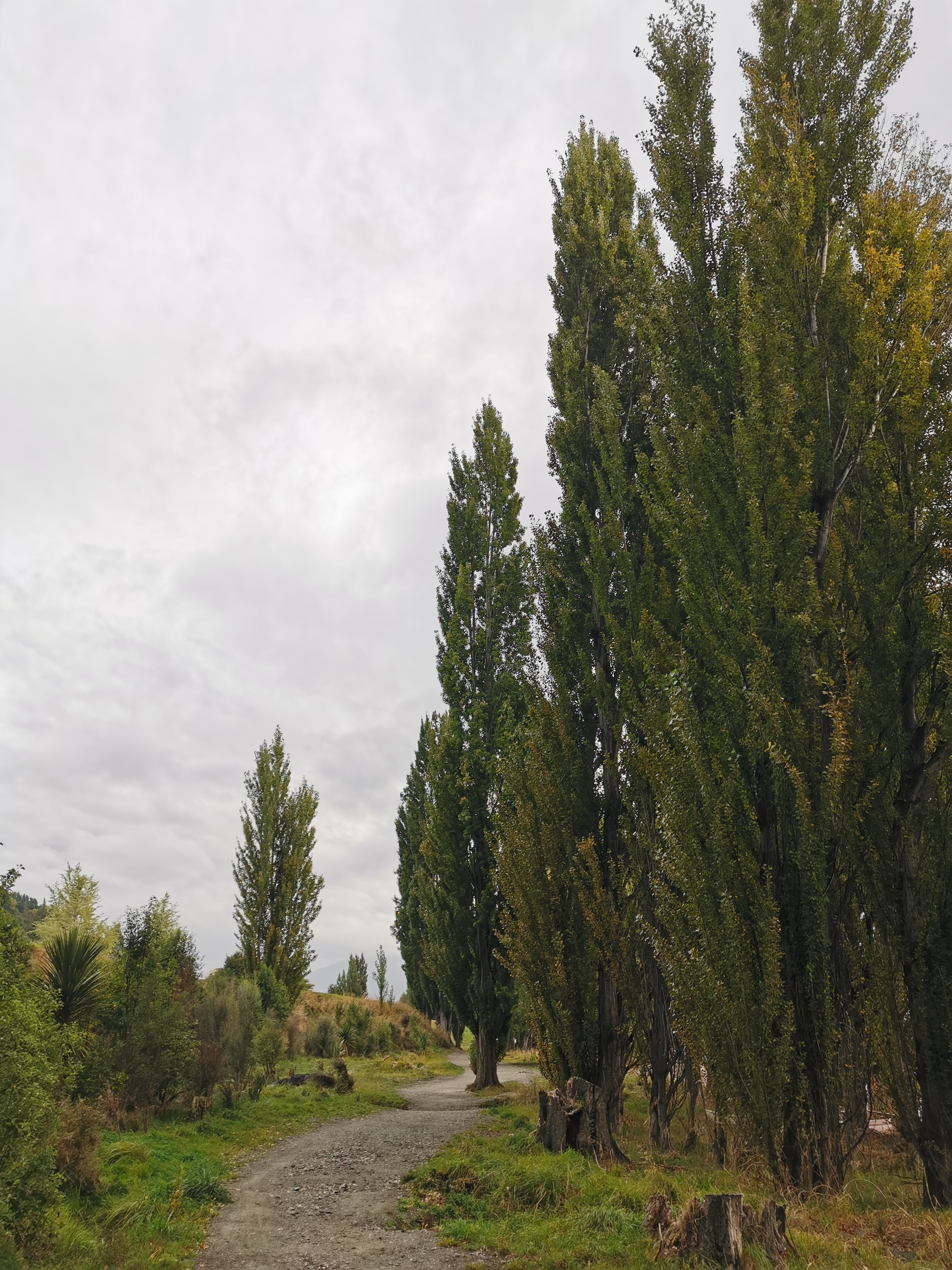
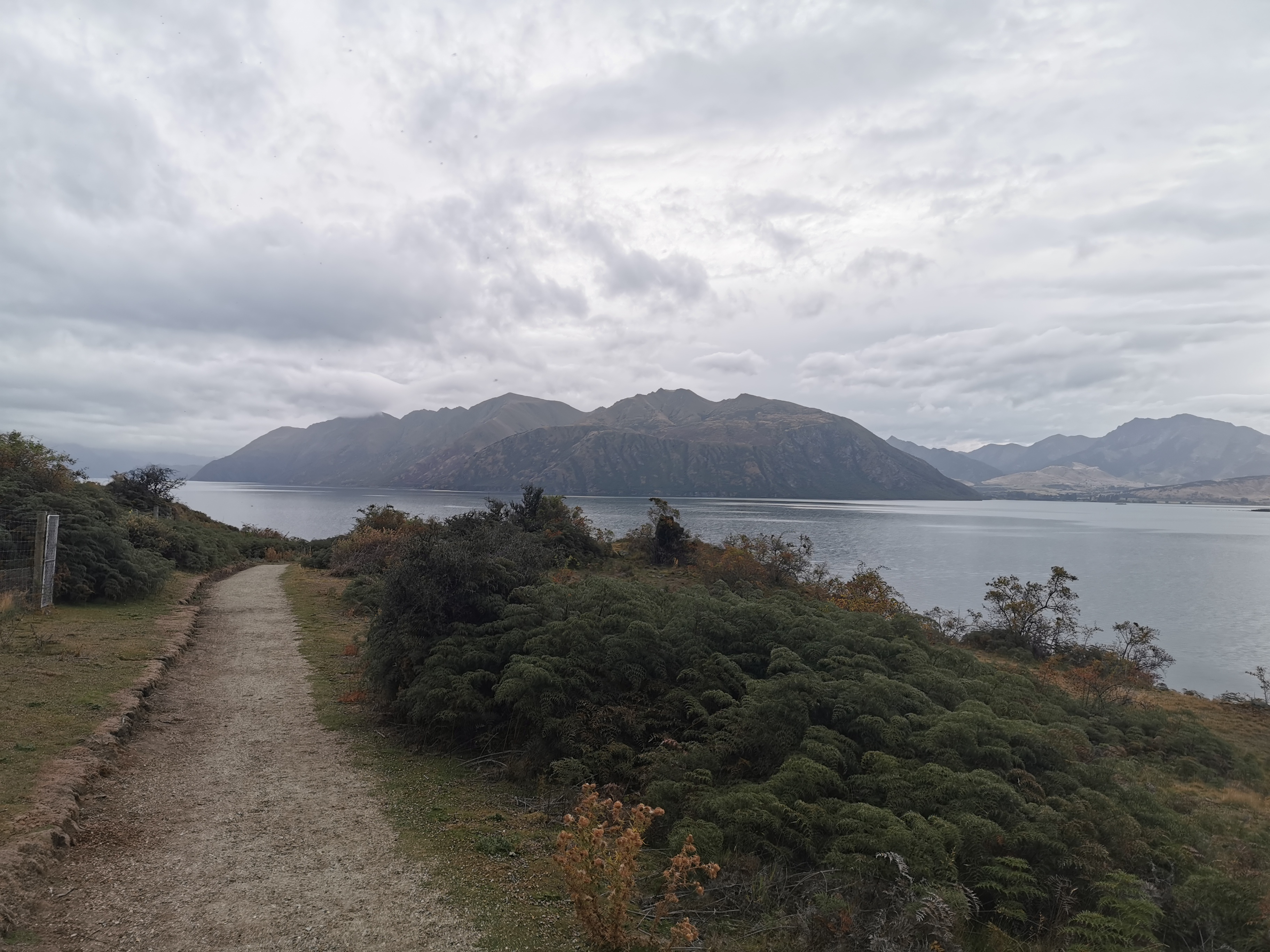
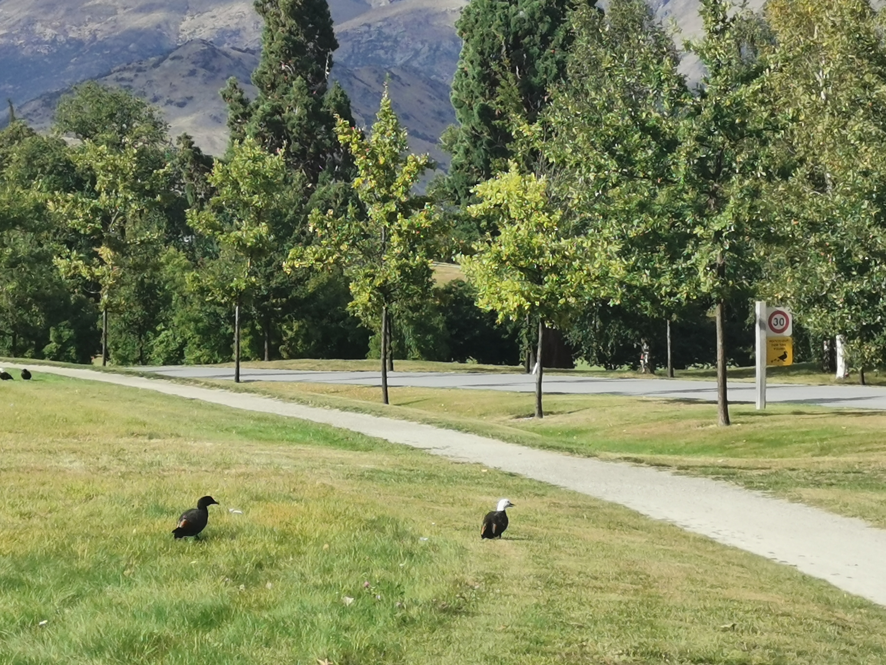
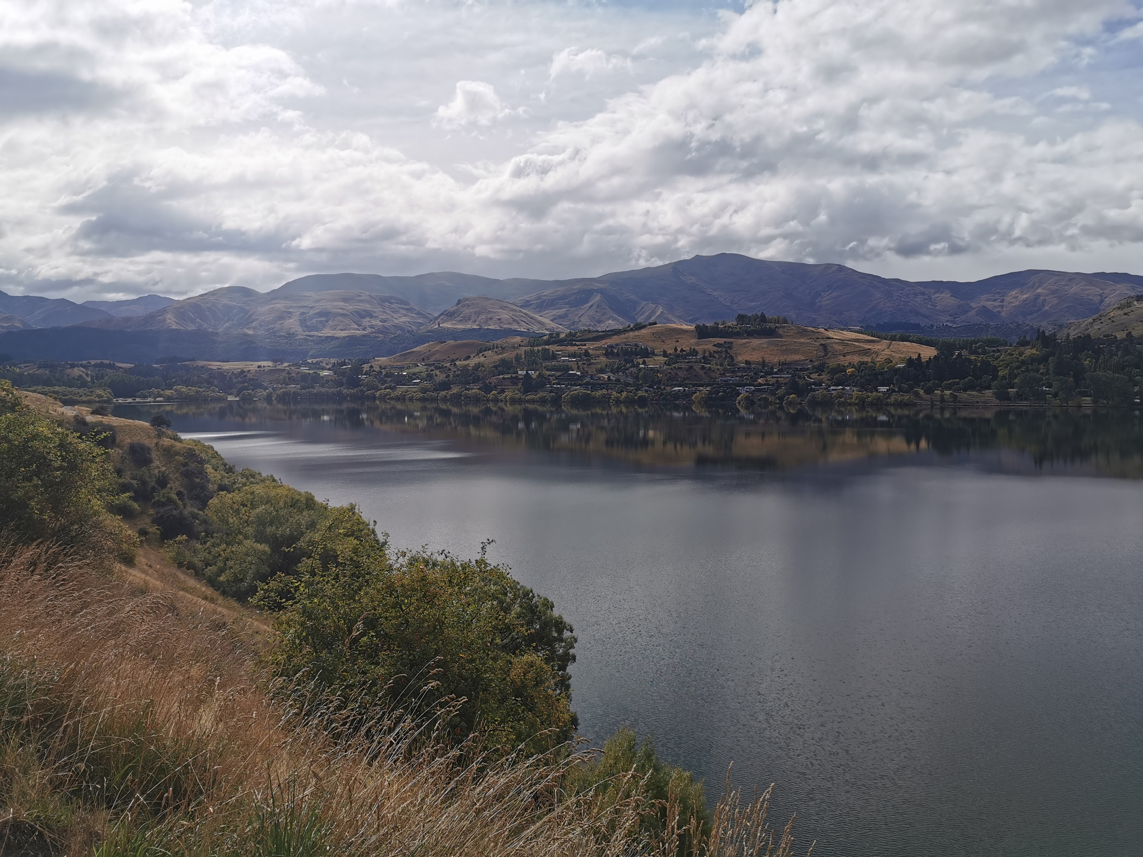
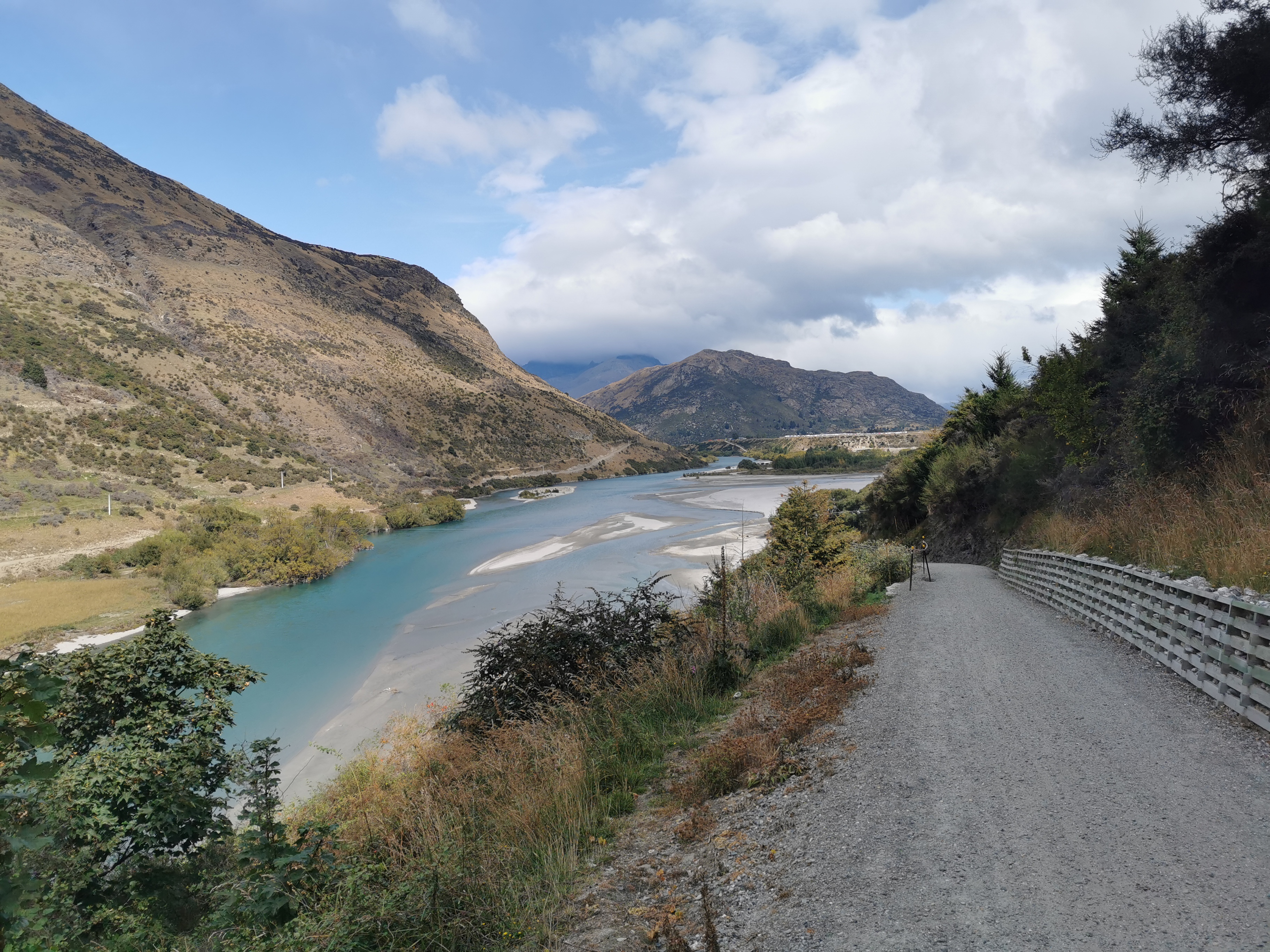
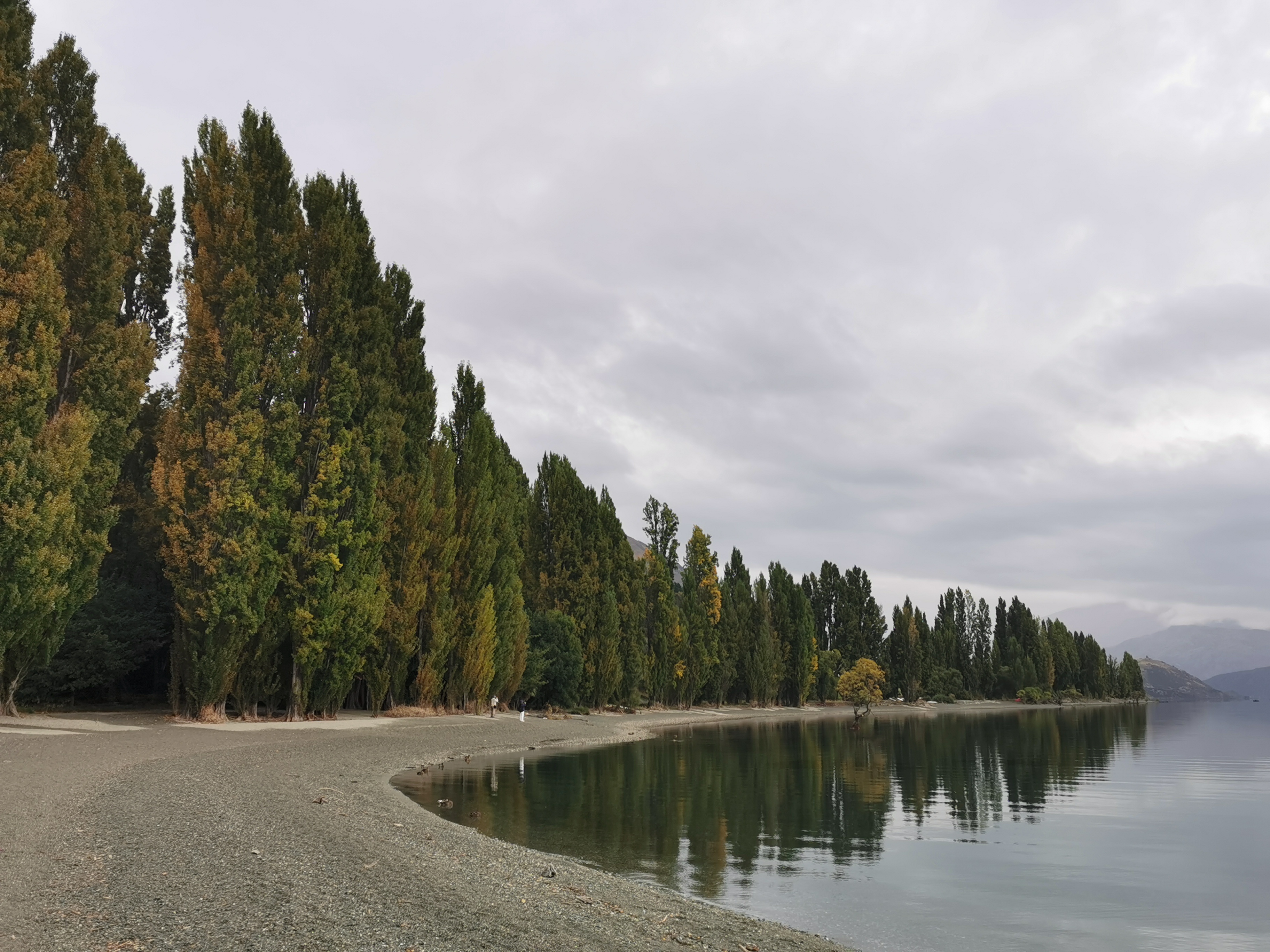
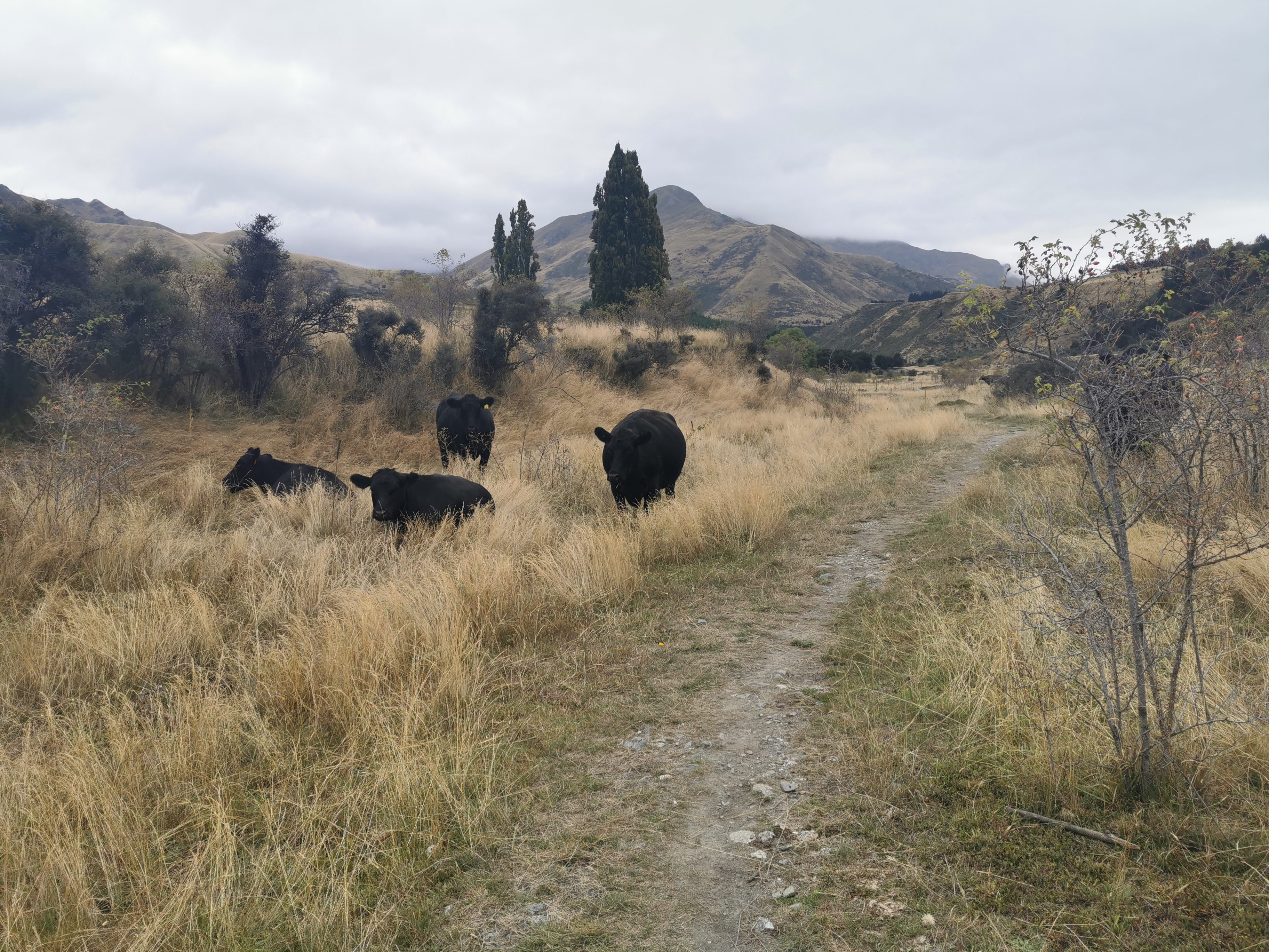
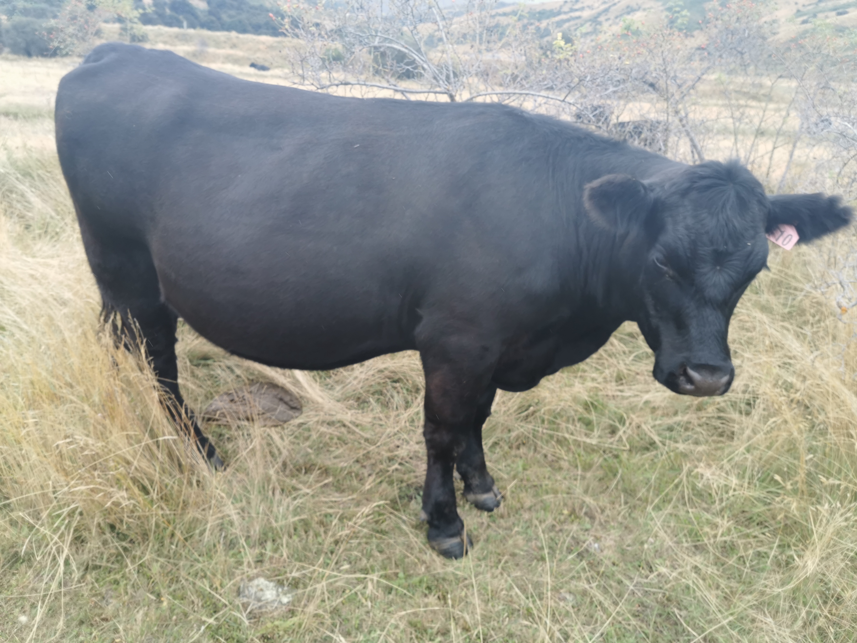
It was a nice walk from Wanaka to Glendhu Bay. Largely flat, with just a few small hills. There were lots of people running and walking dogs. At one point, two women had a Rottweiler and when I walked past it started walking with me, for quite a distance. Uh oh, what do I do? I was walking quite fast – do I wait for the owners to catch up and get it? In the end I tried to reach out and pat it, but it got suspicious and ran off back to its owners. Phew.

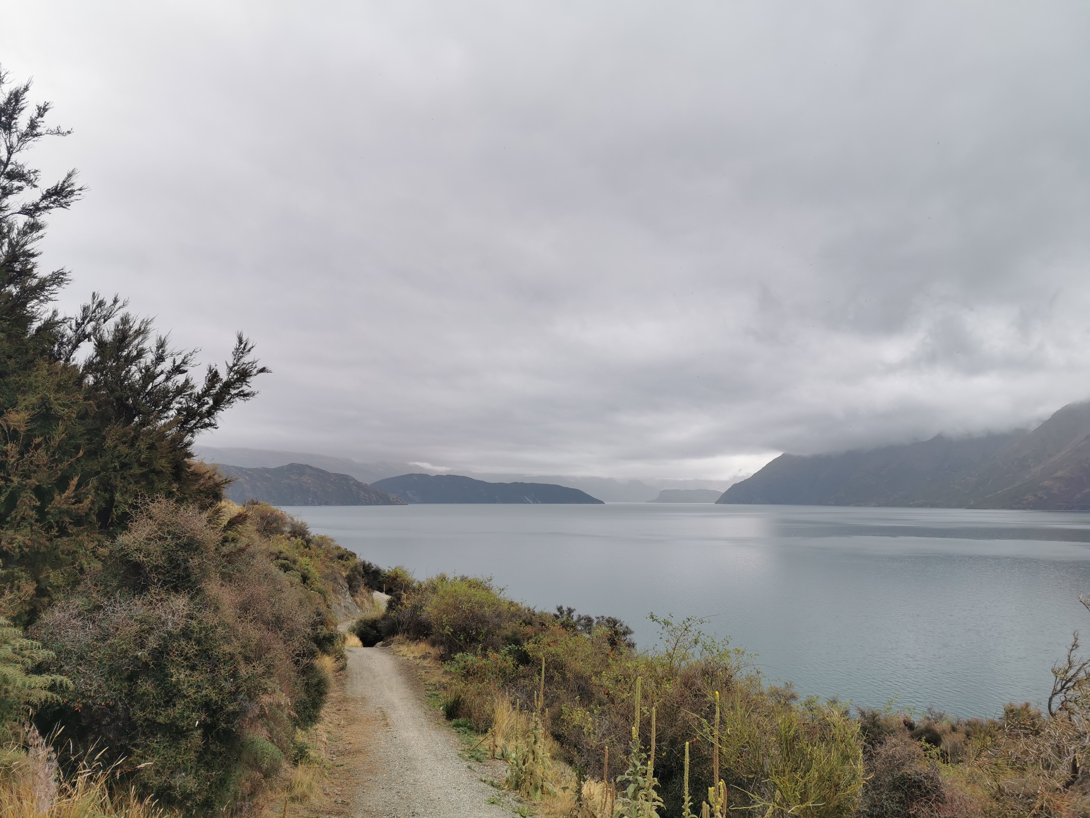
At one point the walkway went around a point. It was at this spot that I realised there hasn’t been any rain, if anything, it seems to be clearing. I’m getting hot and sweaty too, so I removed the rain jacket. While I did that I realised how still it was. It was really nice.

Is it clearing? Maybe?

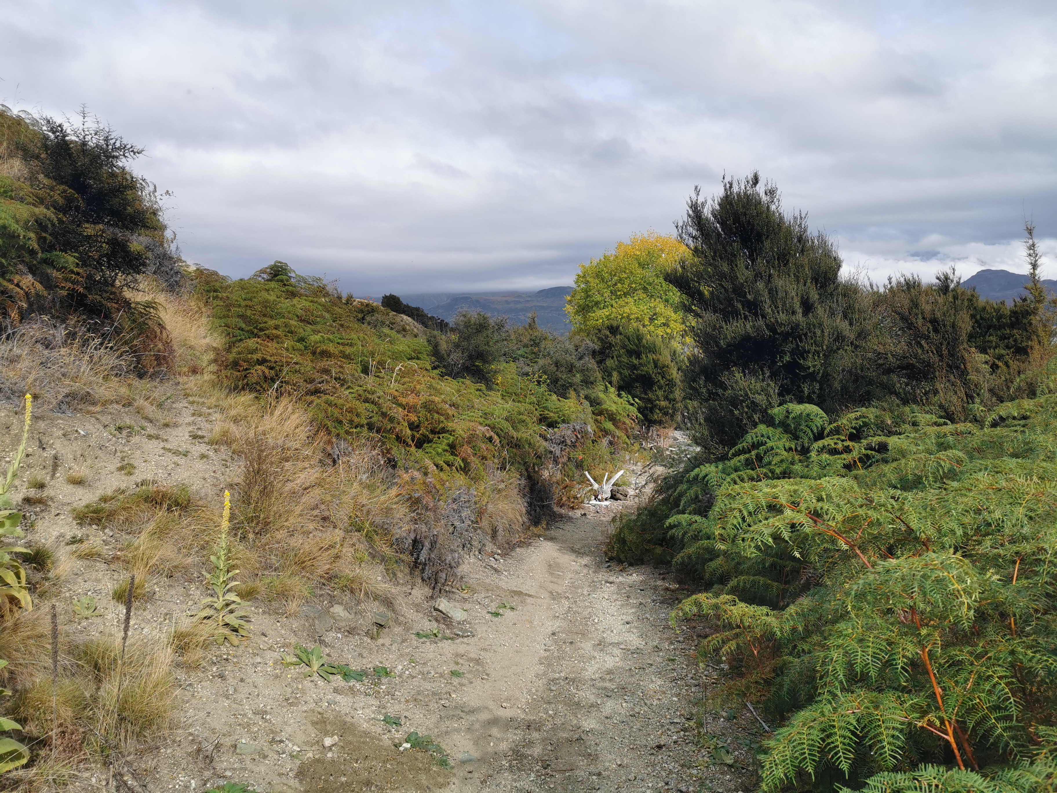
My 11am picture is what appear to be big spikes in the path. Turned out to just be driftwood. There was a lot of that around here.

11am spikes

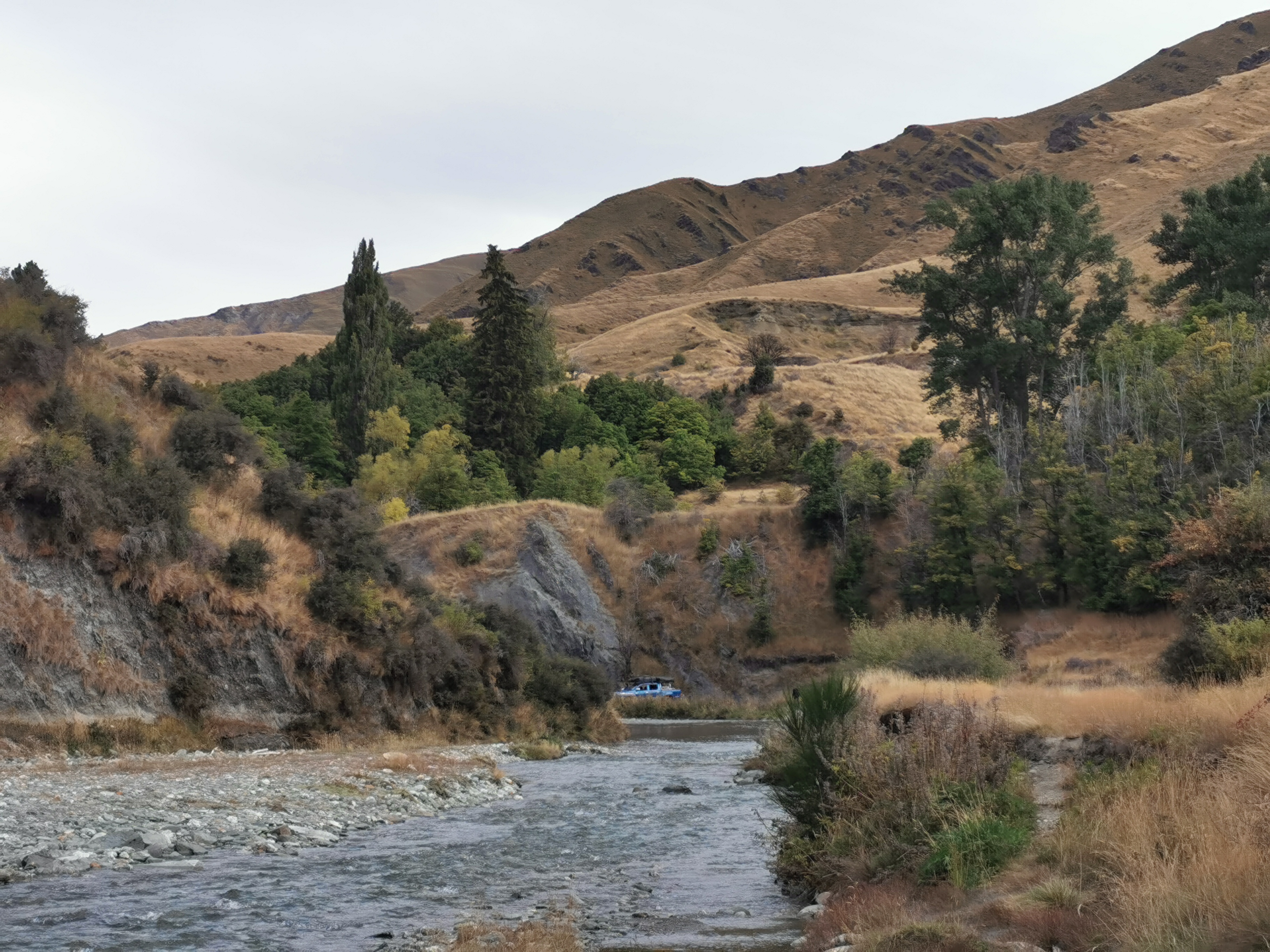
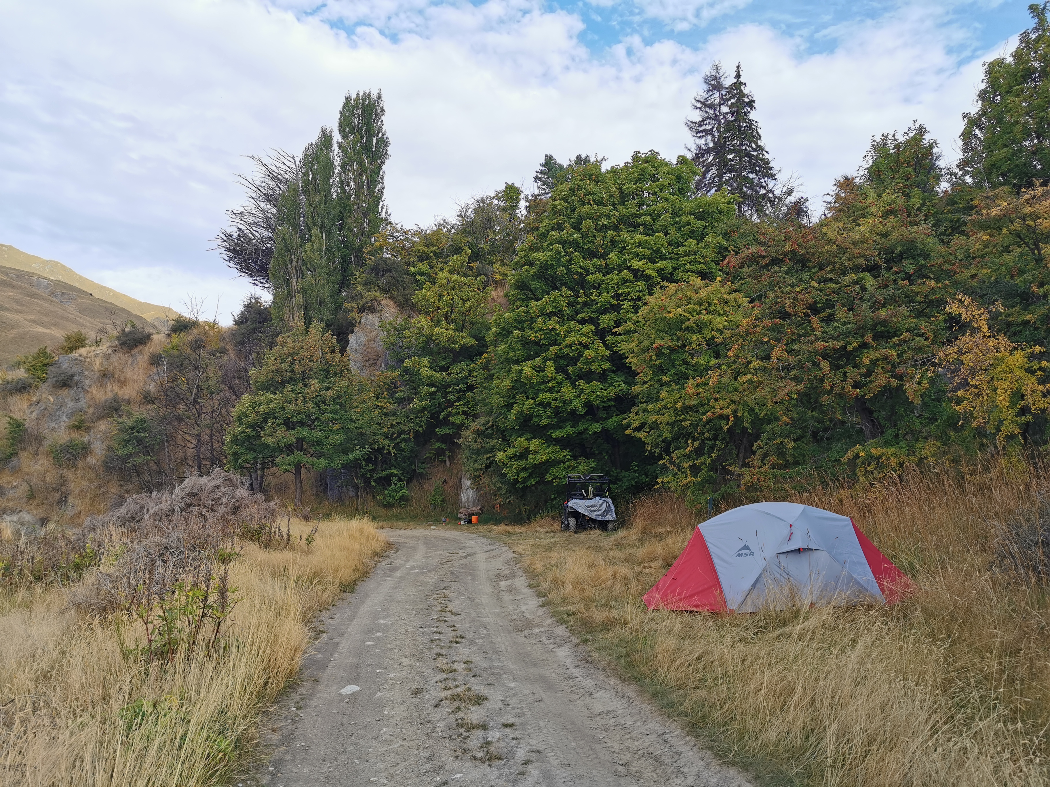
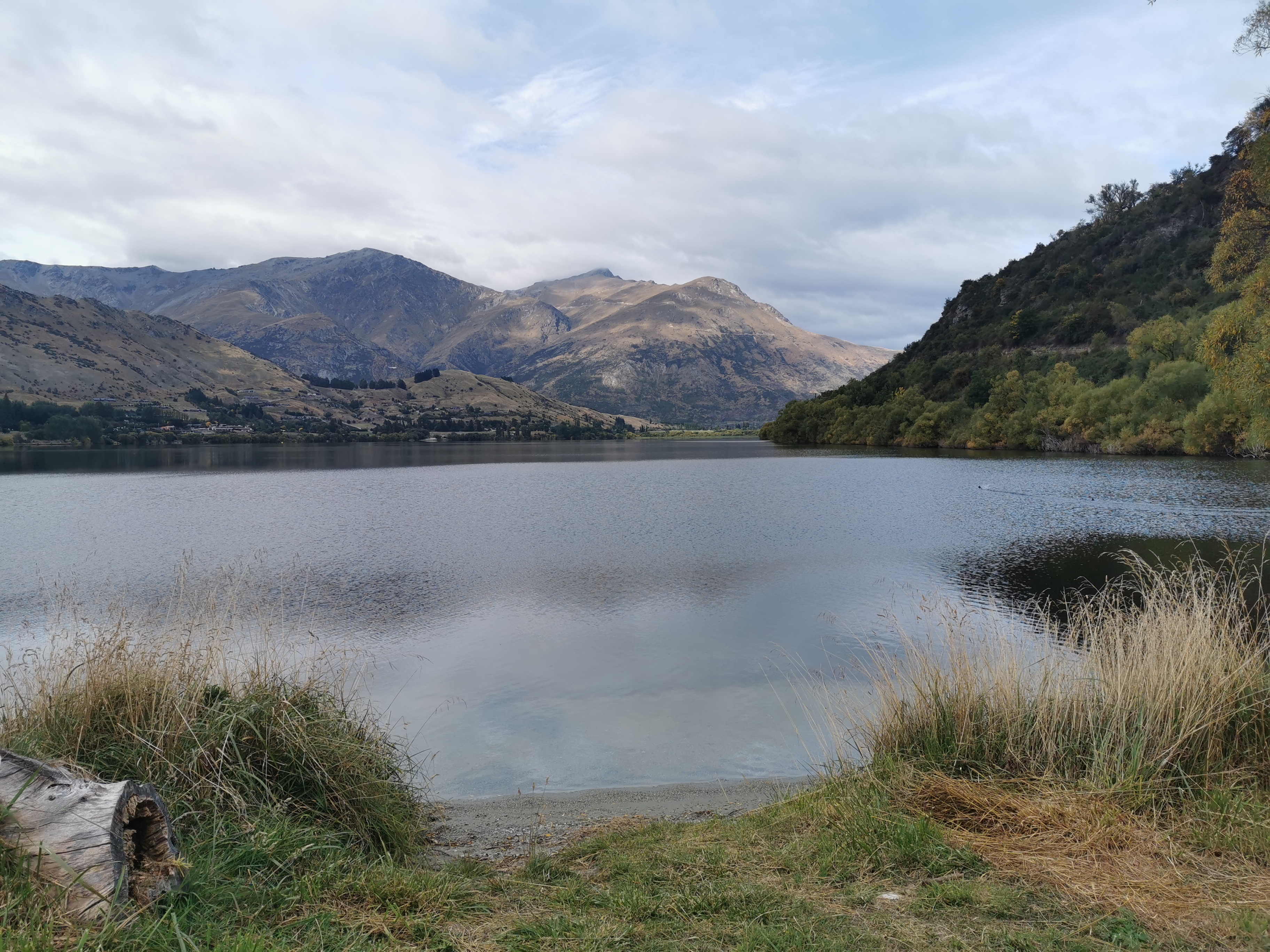
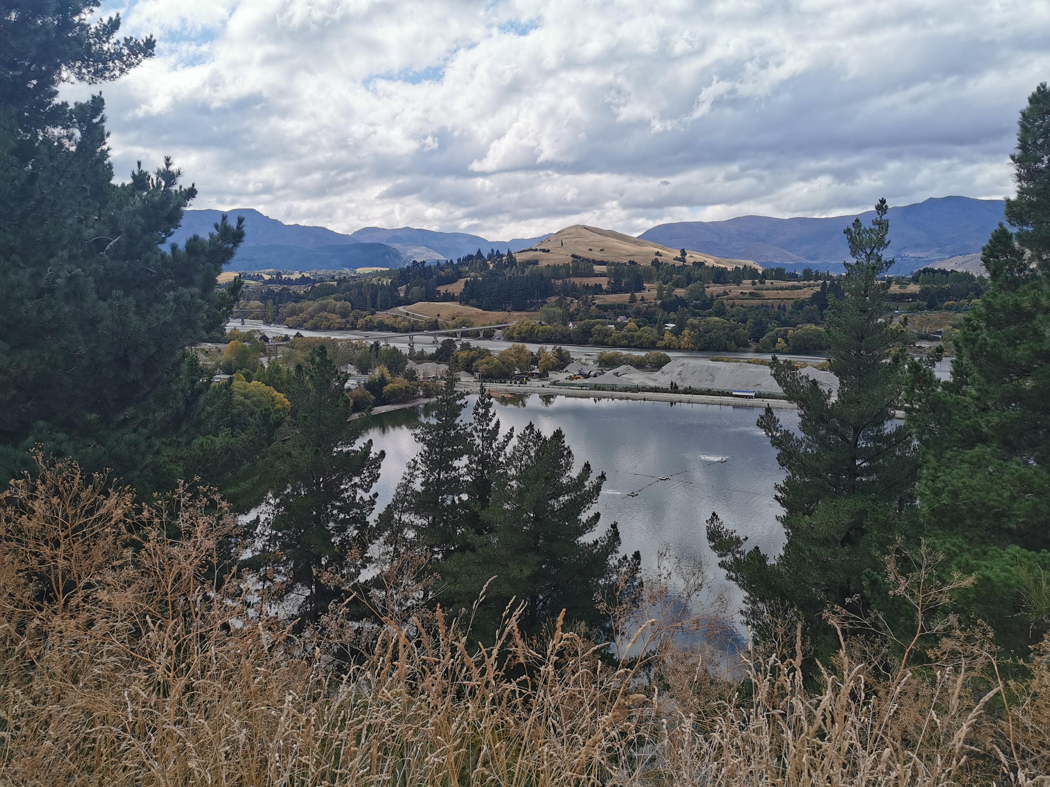
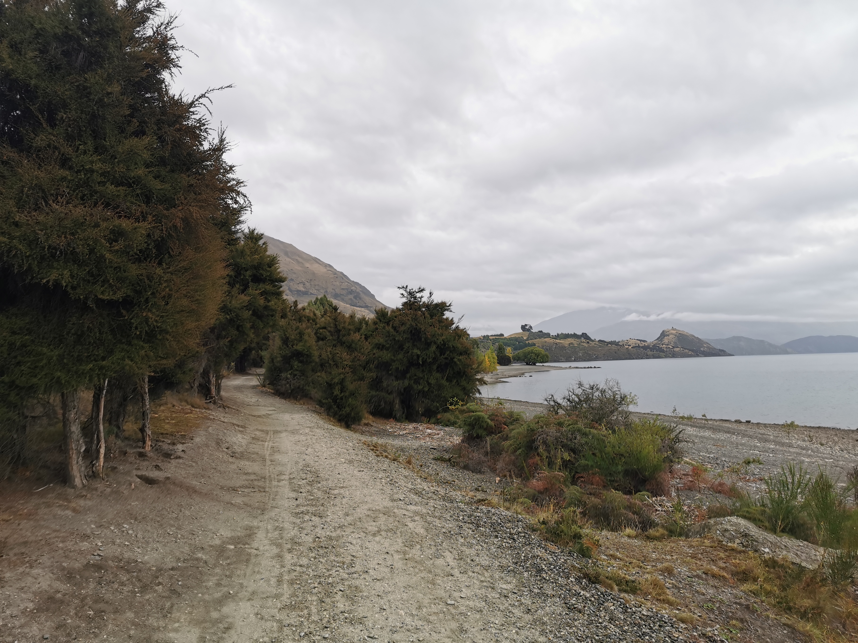
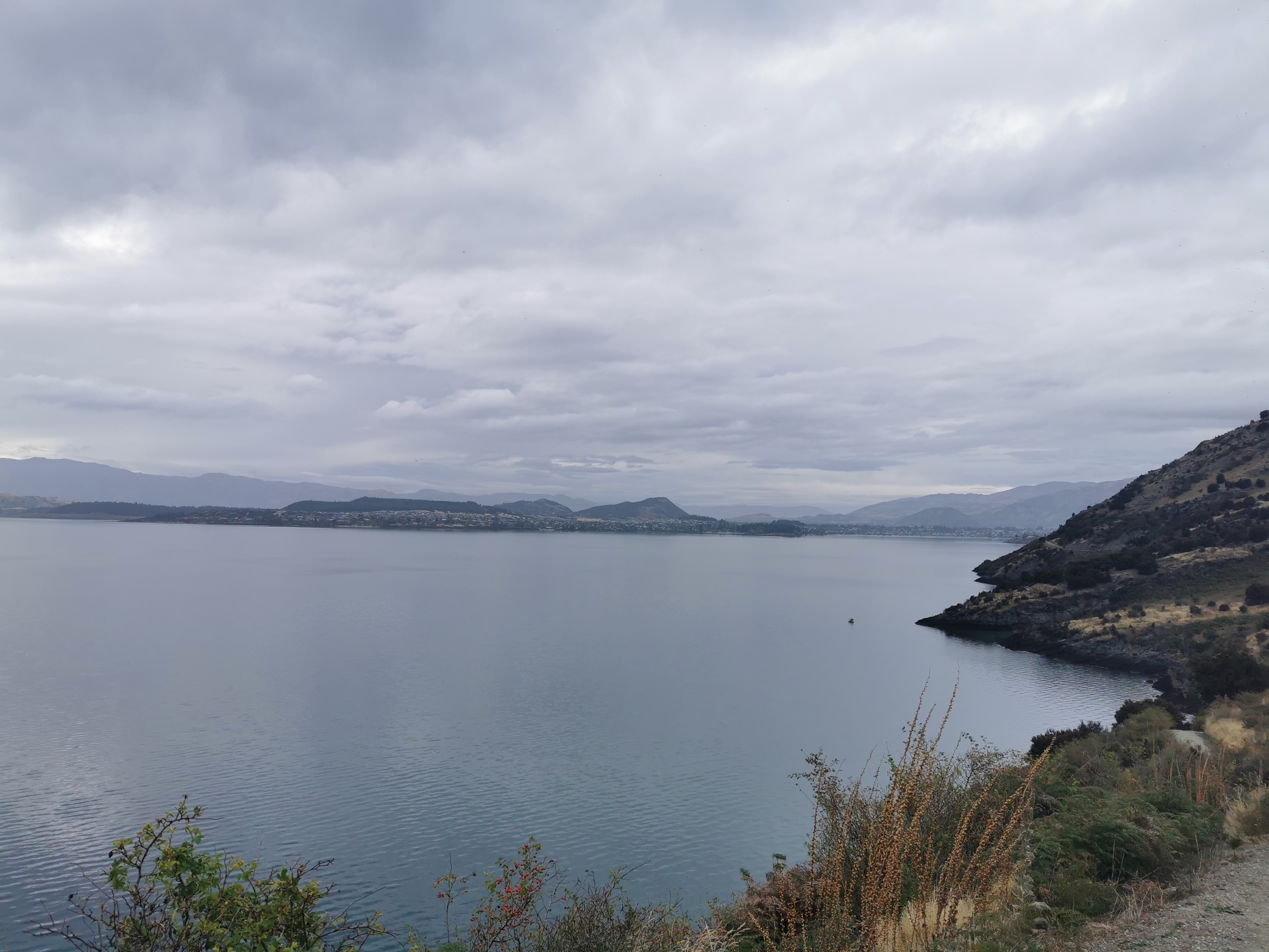
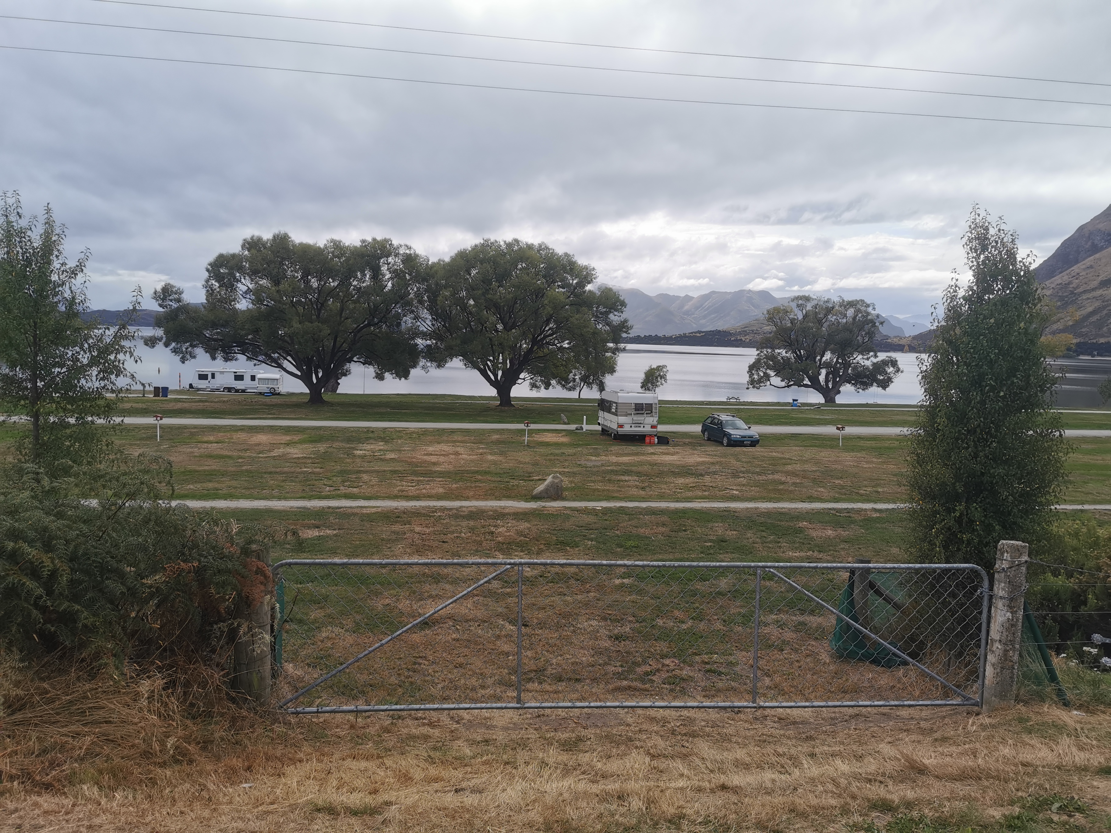
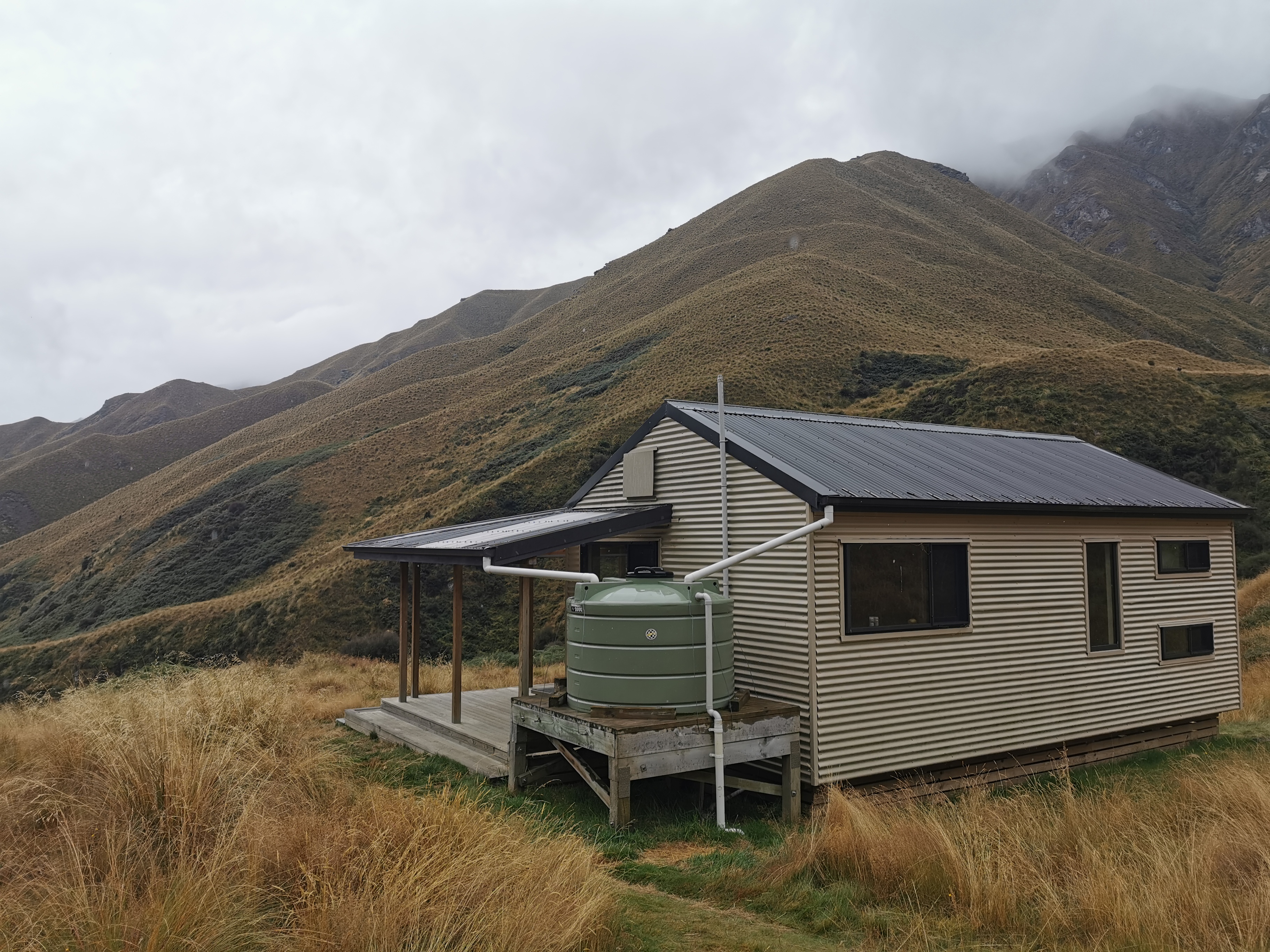
Up next is the Glendhu Bay campground.

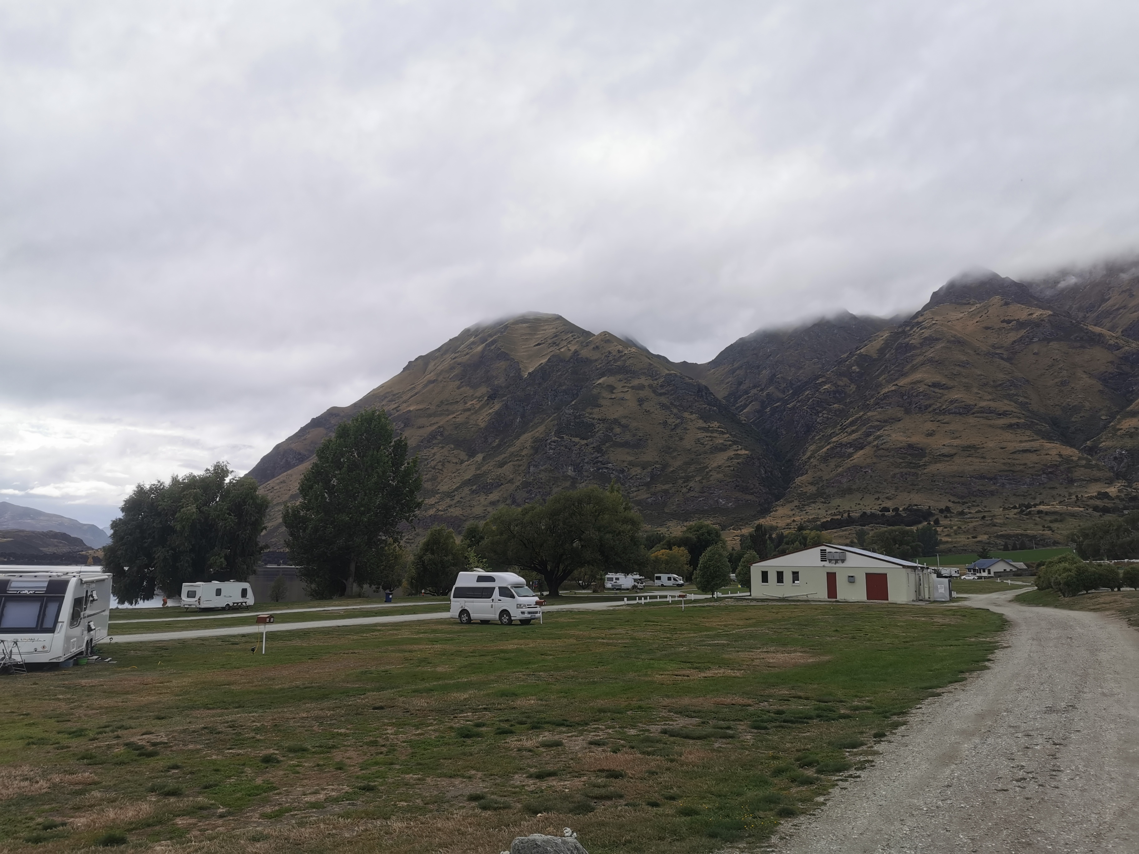
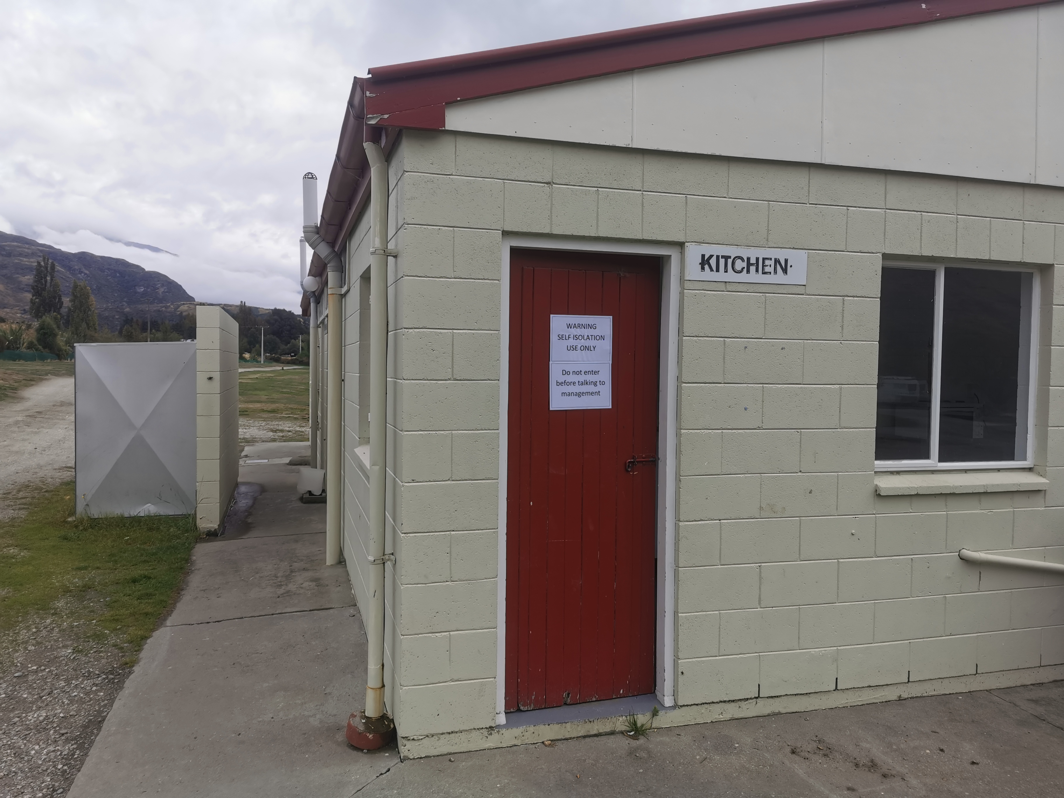
The best thing about this place is it’s huge and almost every spot is close to the lake, although that photo doesn’t make it appear that way. One thing that was interesting was a “self-isolation only” notice on the door of the kitchen.

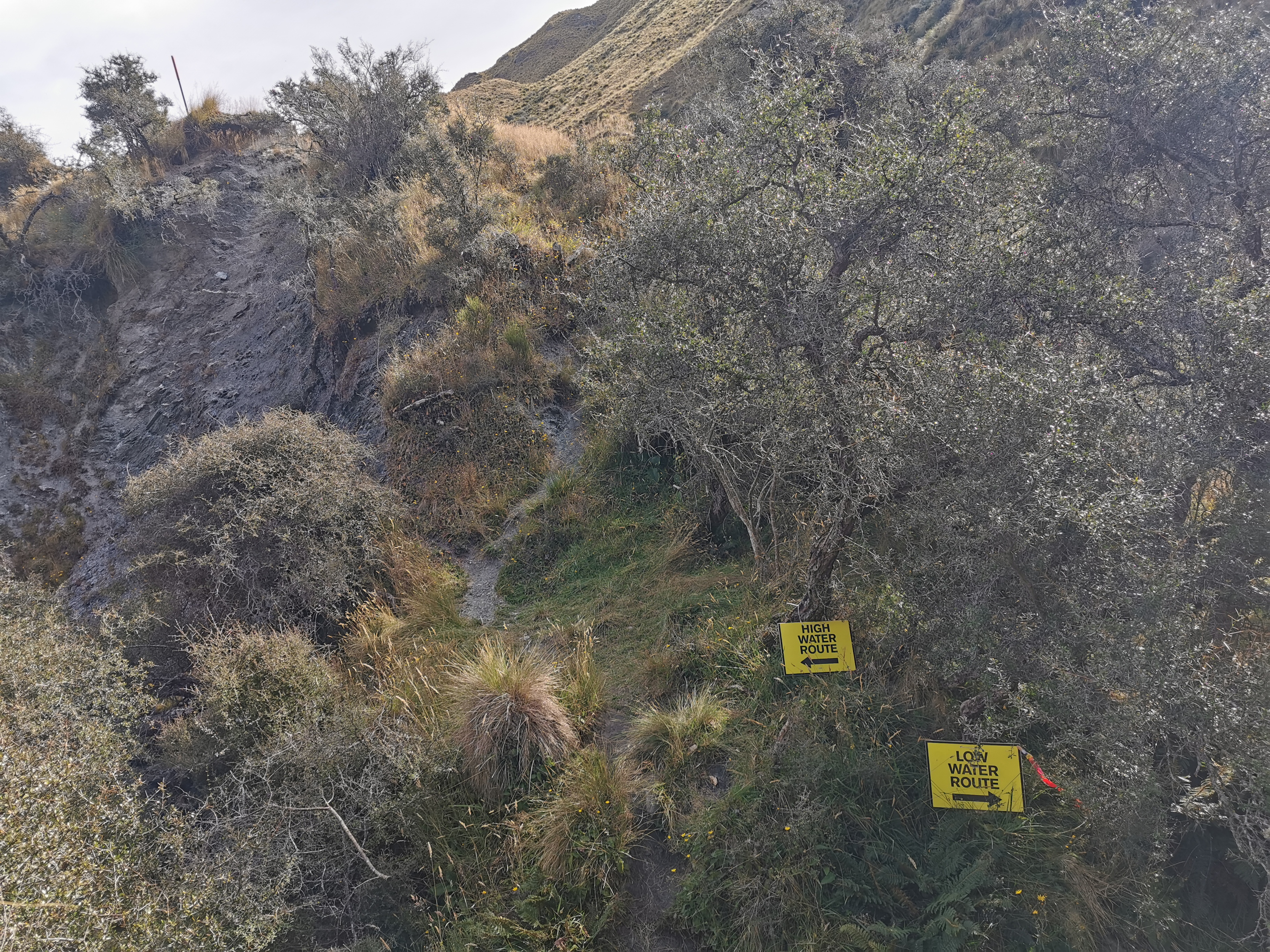
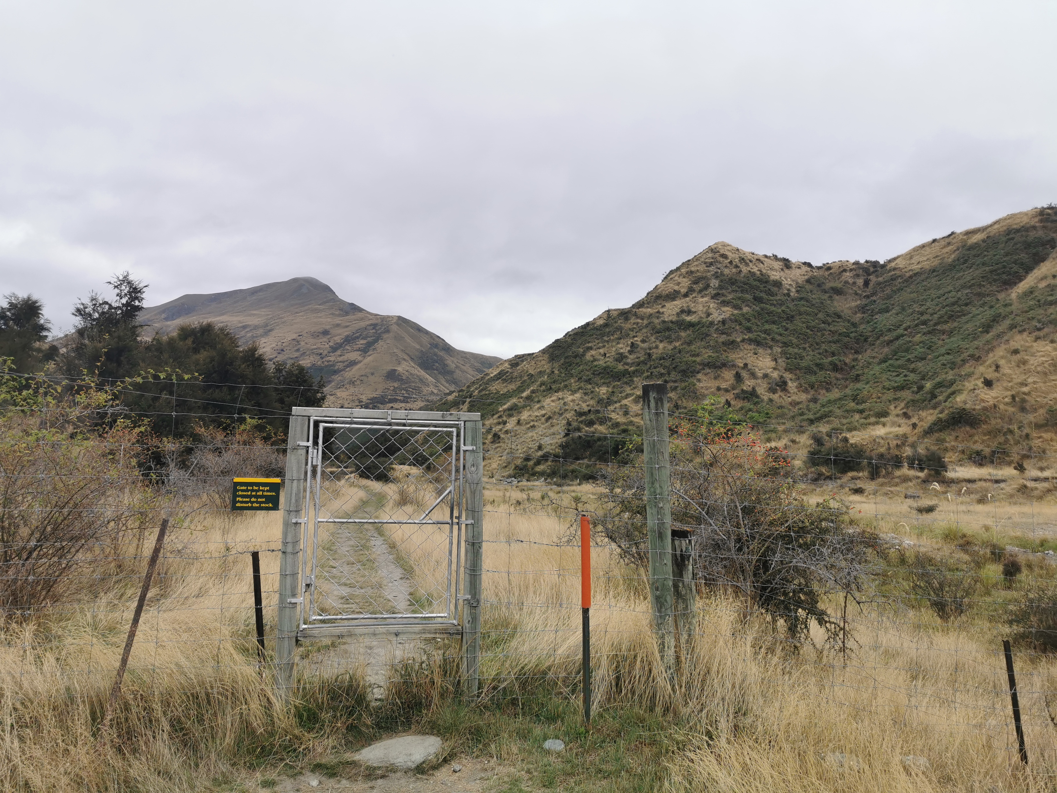
The trail goes through the campground and then out down a road, however the gate joining these two bits was locked and I had to climb over the gate.

Climbed over this
The signs suggest that Te Araroa goes down the road but Guthook said otherwise.
Being watched

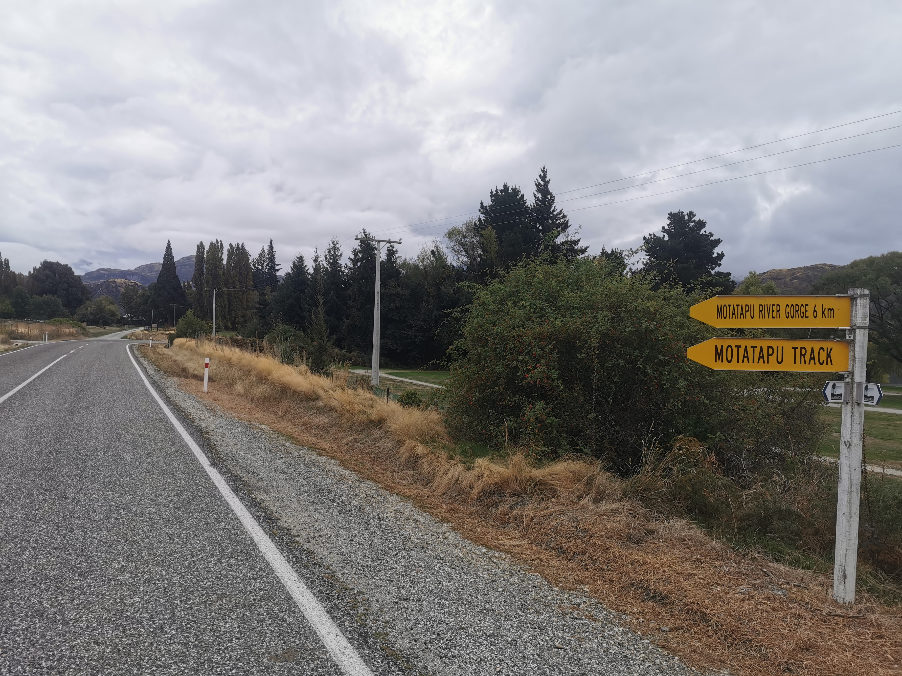
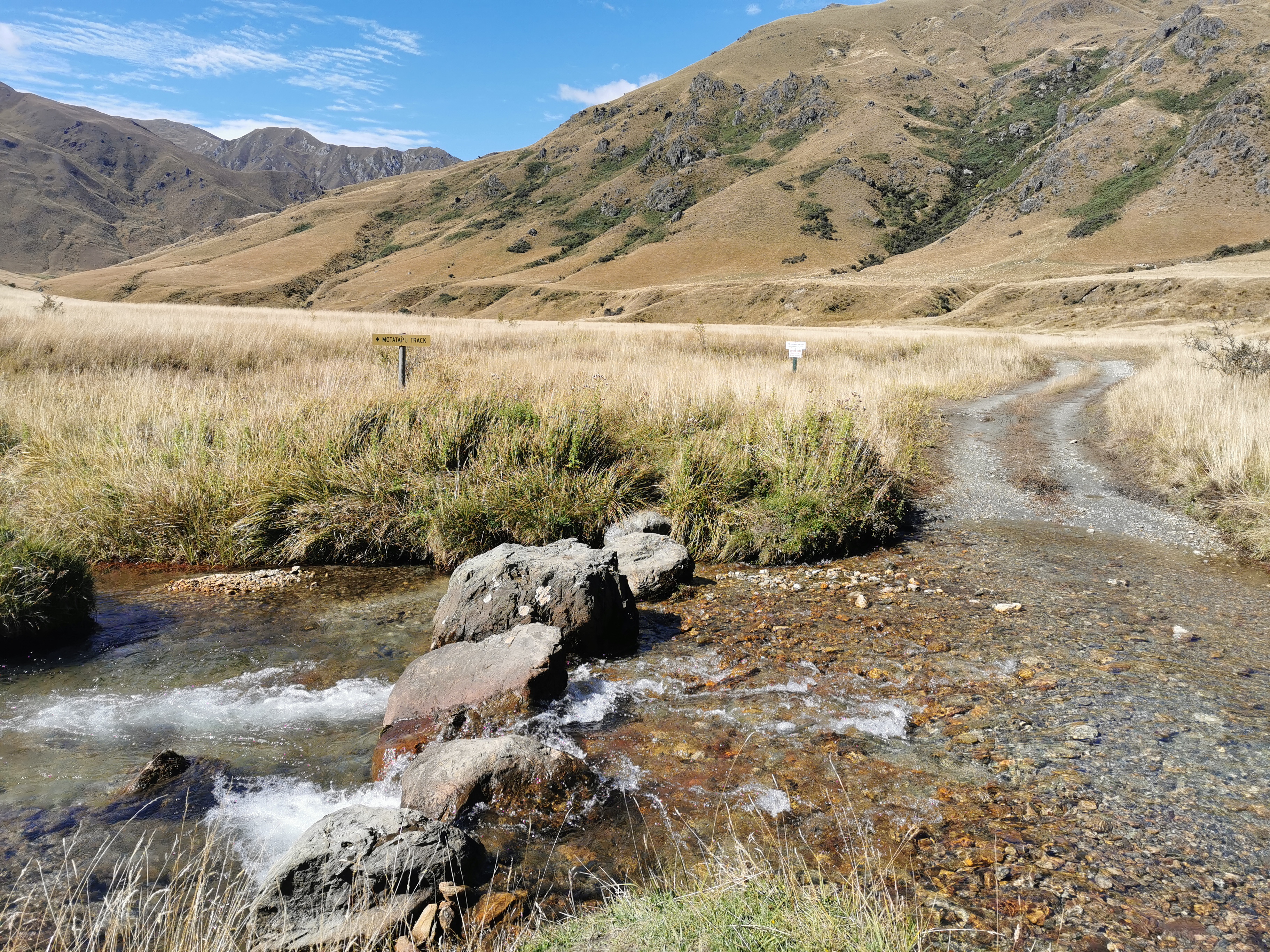
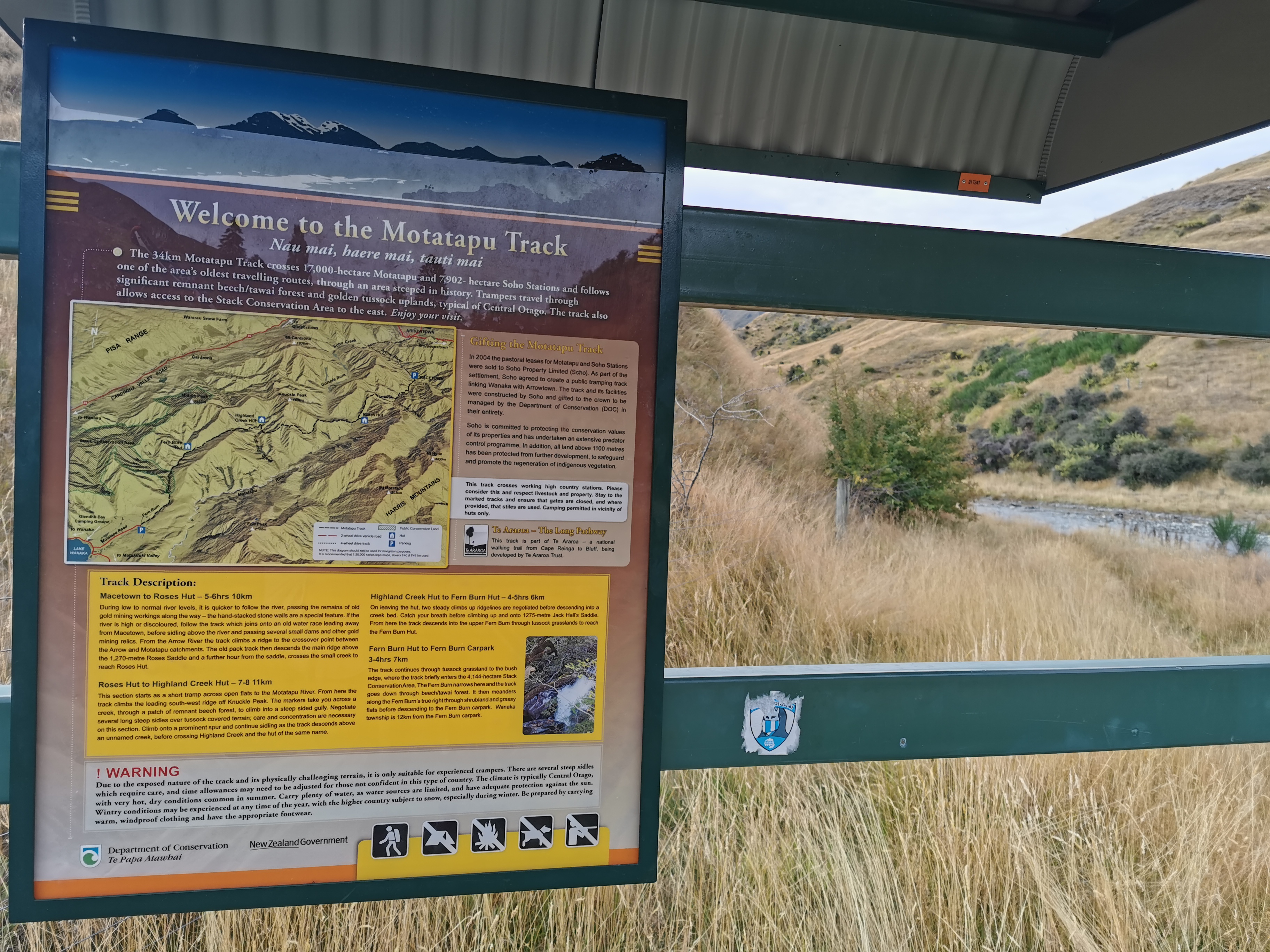
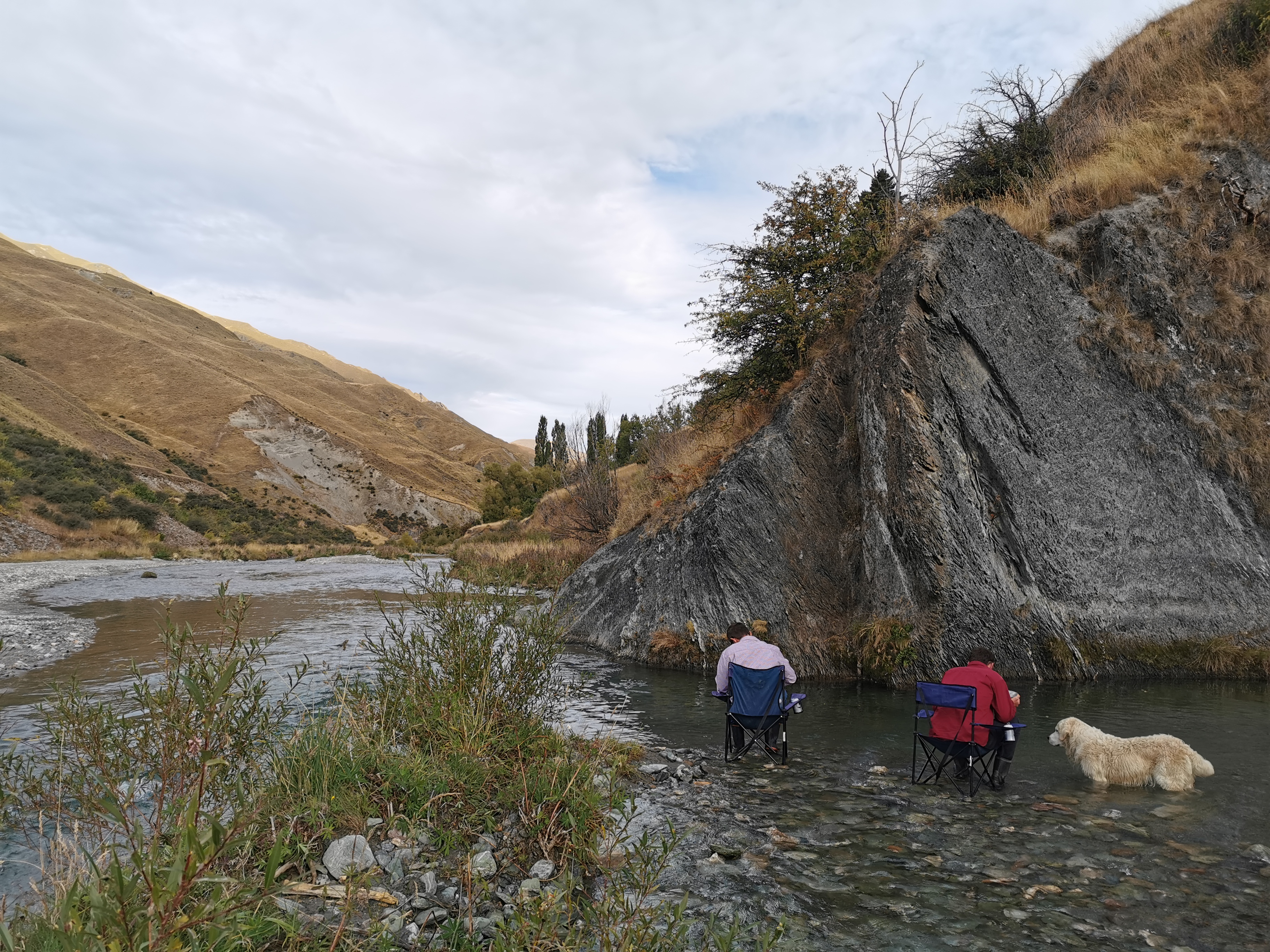
When I got to the start of the Motatapu Track at 12:30 I’d already walked 17km and was feeling good. I had my bakery lunch here.

The small shelter where I had lunch

While I was doing that, a girl named Aiko walked past and said she was heading to Fern Burn Hut, the first hut. She said I’d catch her because she’s slow. A German couple passed me as well. They said their destination was Highland Creek Hut, the second hut, which is where I was hoping to get to today too.

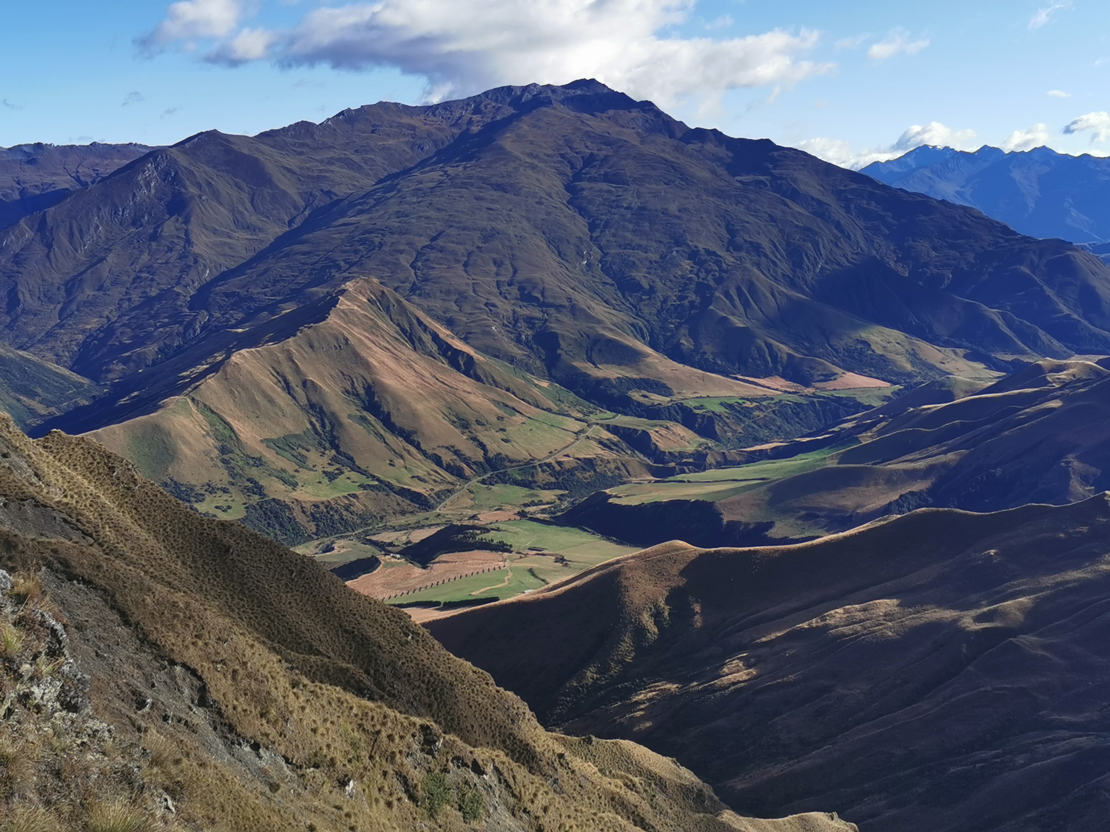
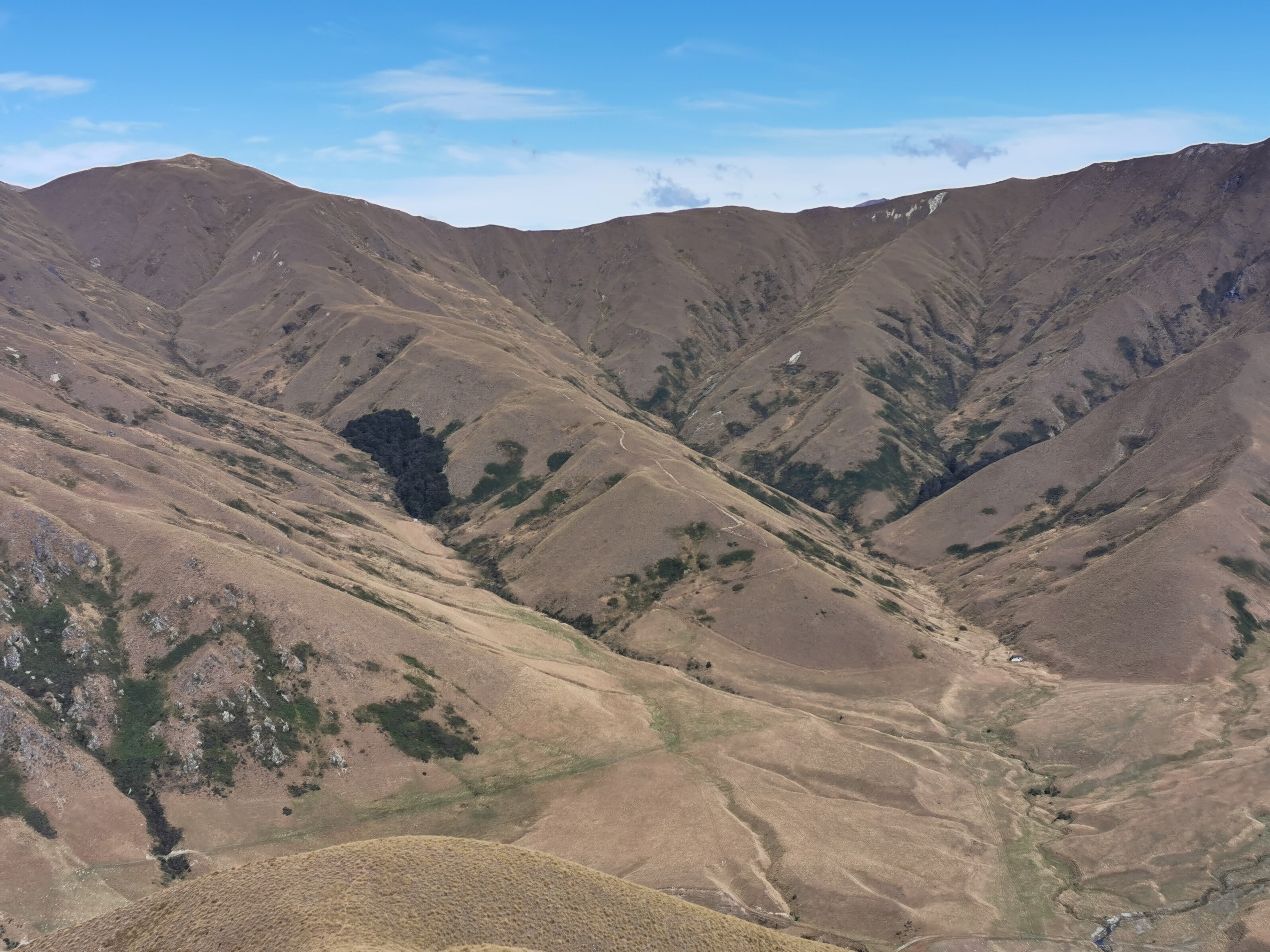
I think it’s worth having a look at the elevation profile for the Motatapu Track between here and Arrowtown, near Queenstown.

The P at the start is where I was having lunch. There are four big hills and one medium hill in the next 45km. I’d like to make it to the second hut at the bottom of the far side of the the first hill, so I can at least get one hill (the biggest hill) out of the way today. The clear weather has helped.

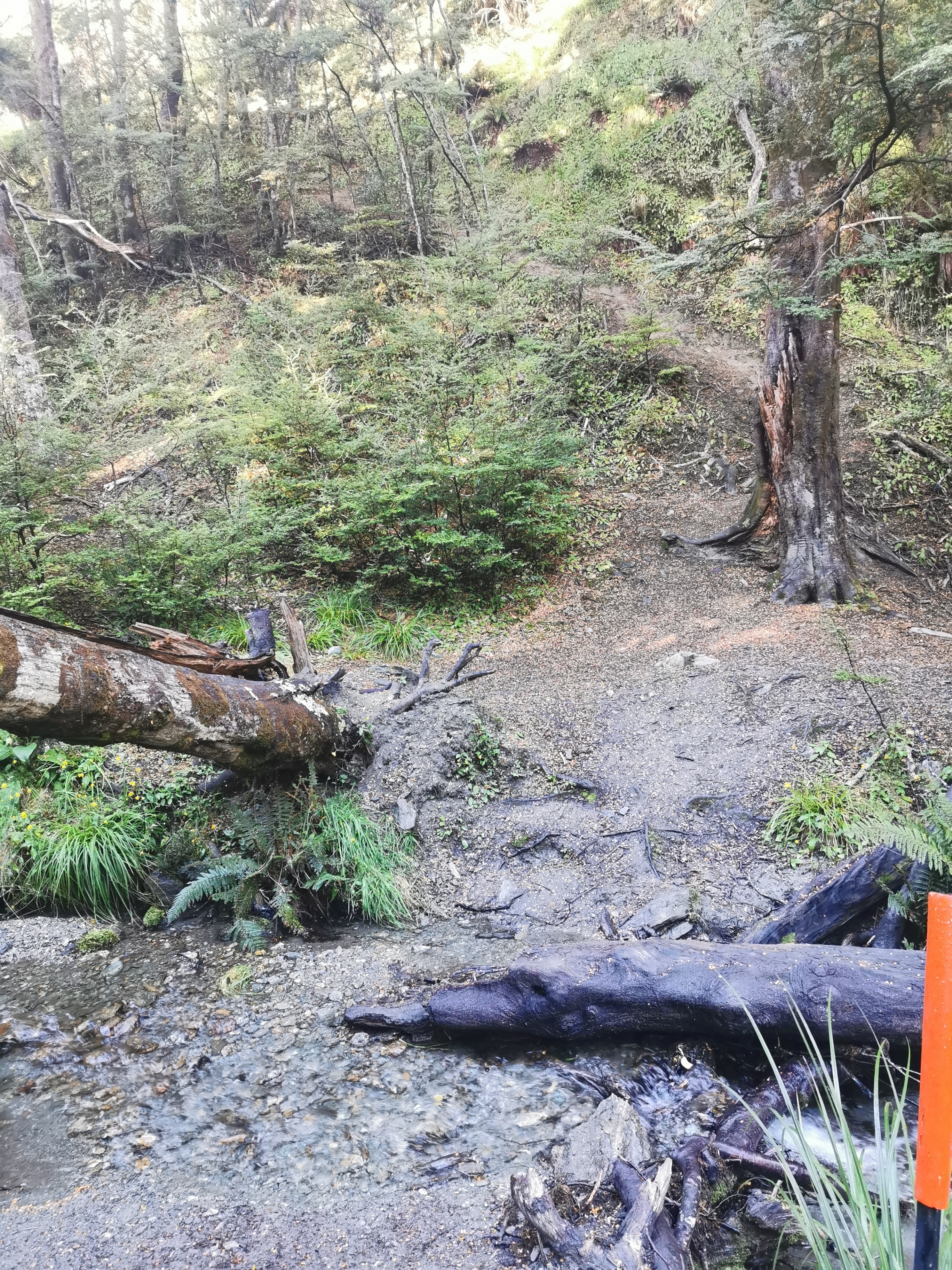
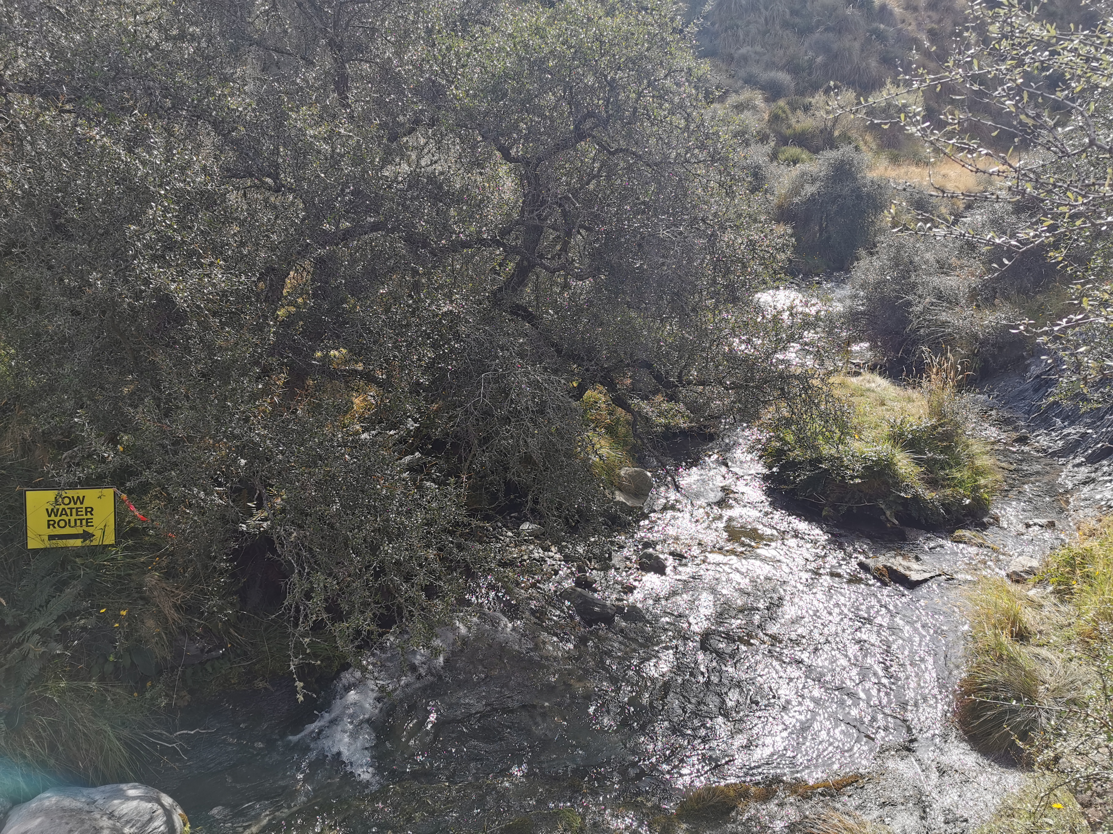
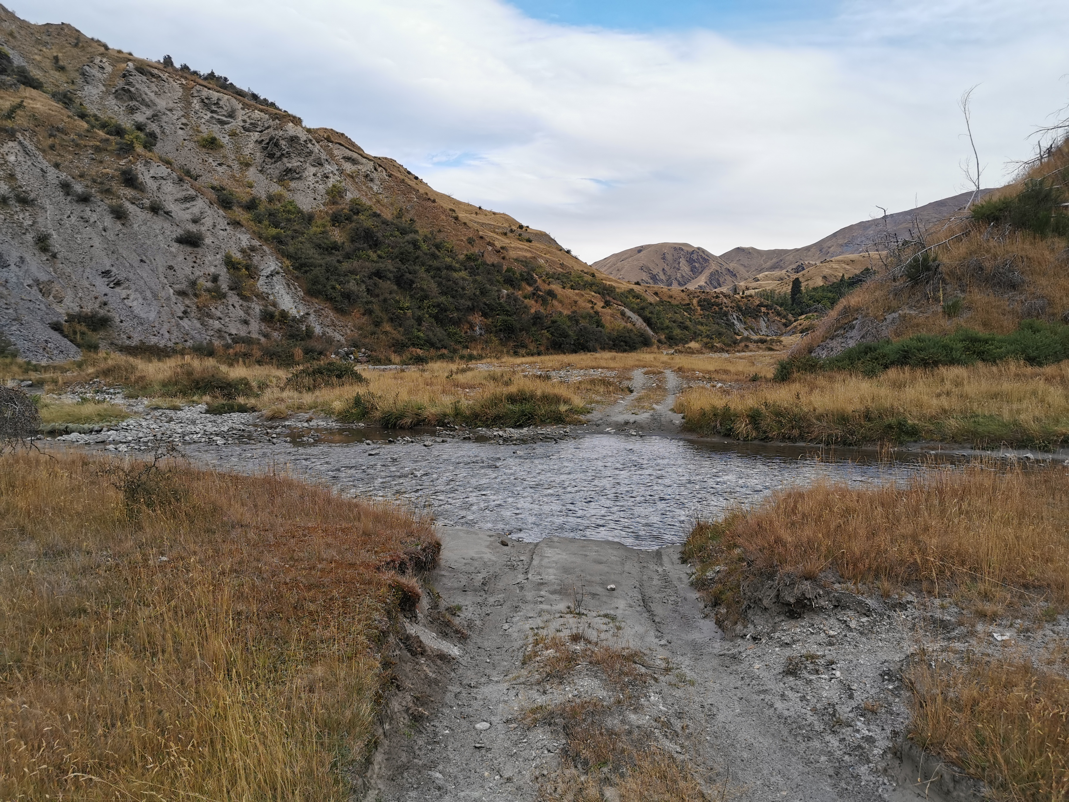
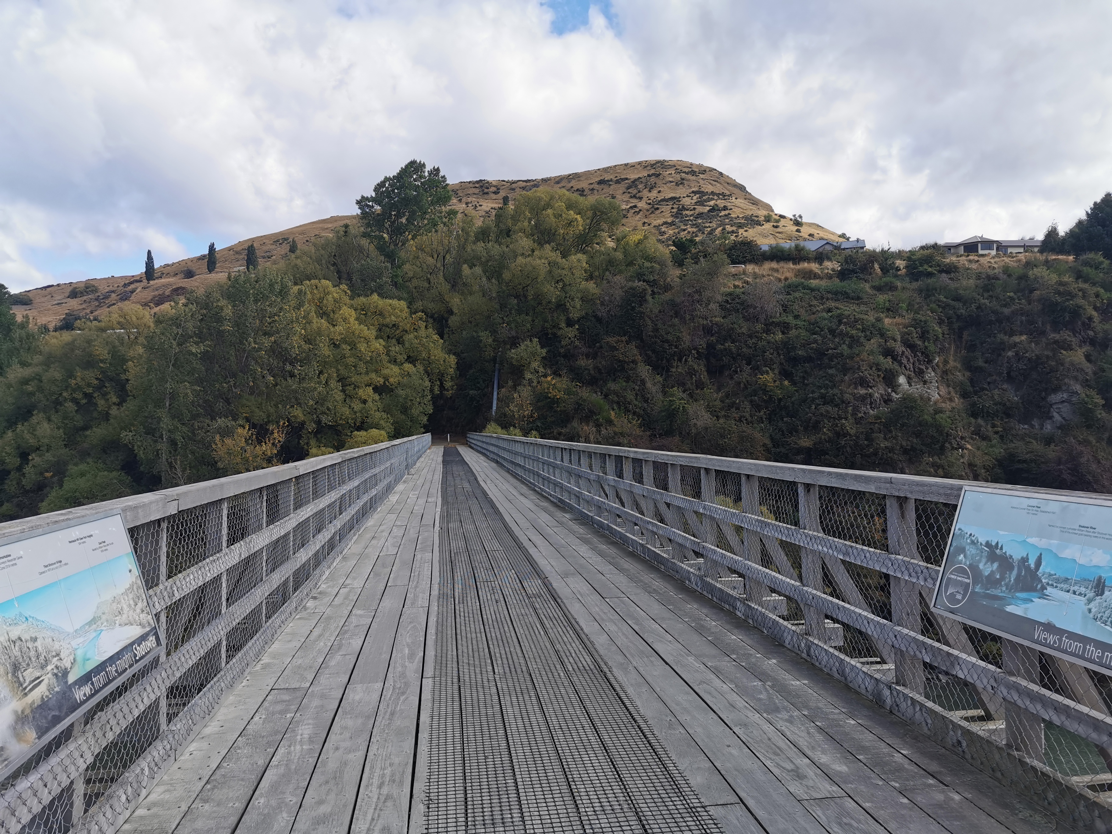
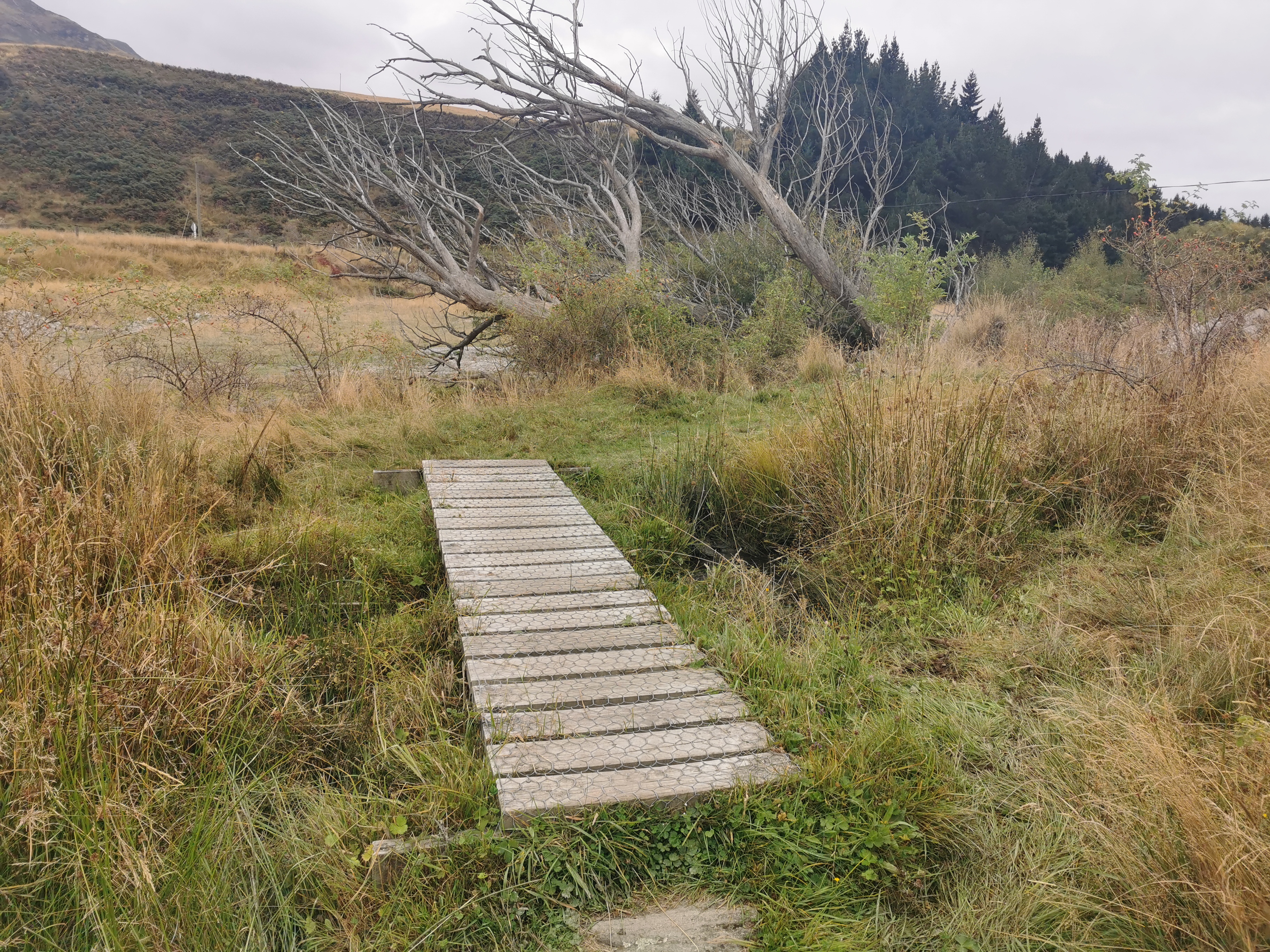
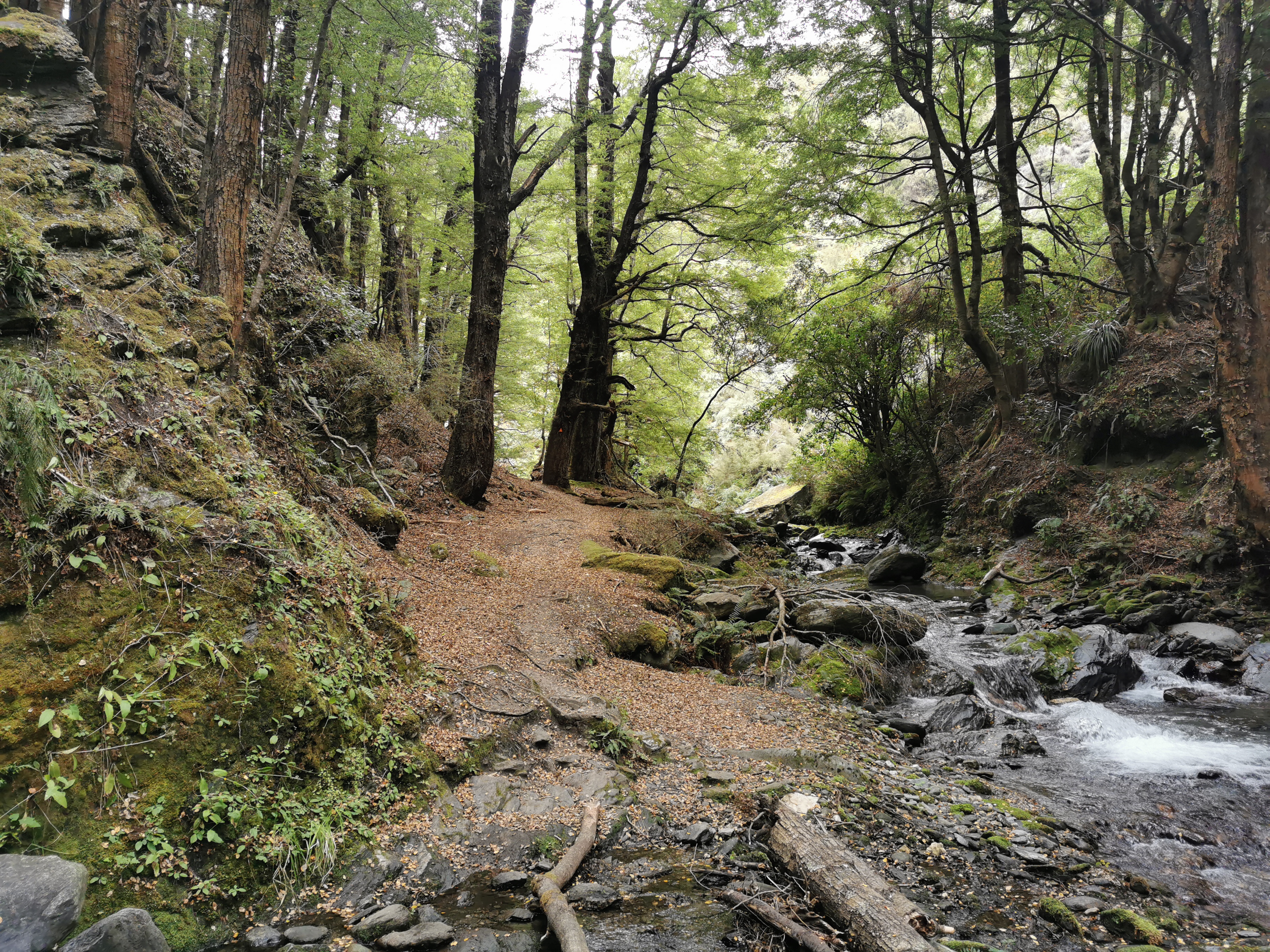
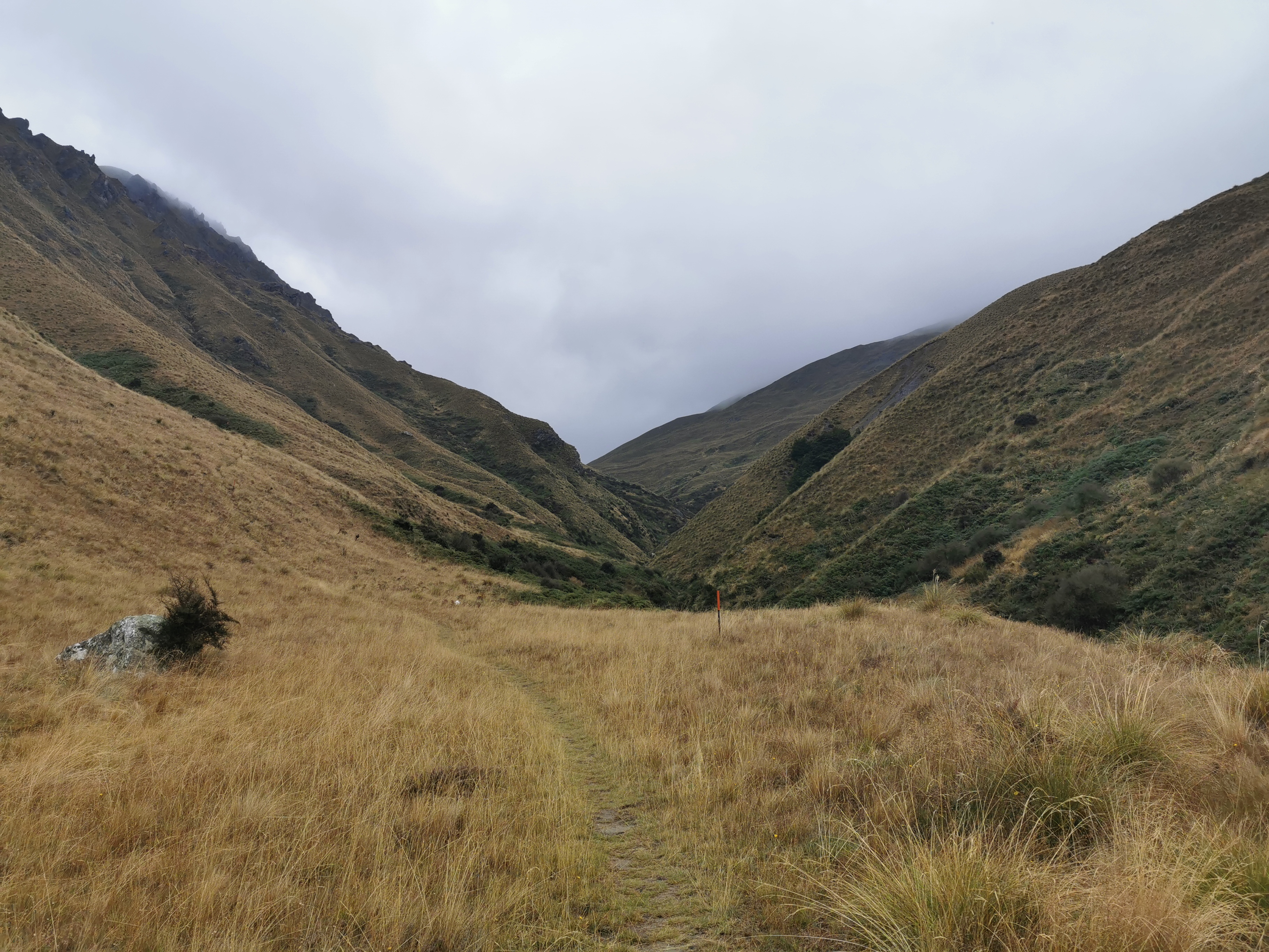
The start of the track contained a small boardwalk over a small river. That’s always promising.

A very small boardwalk

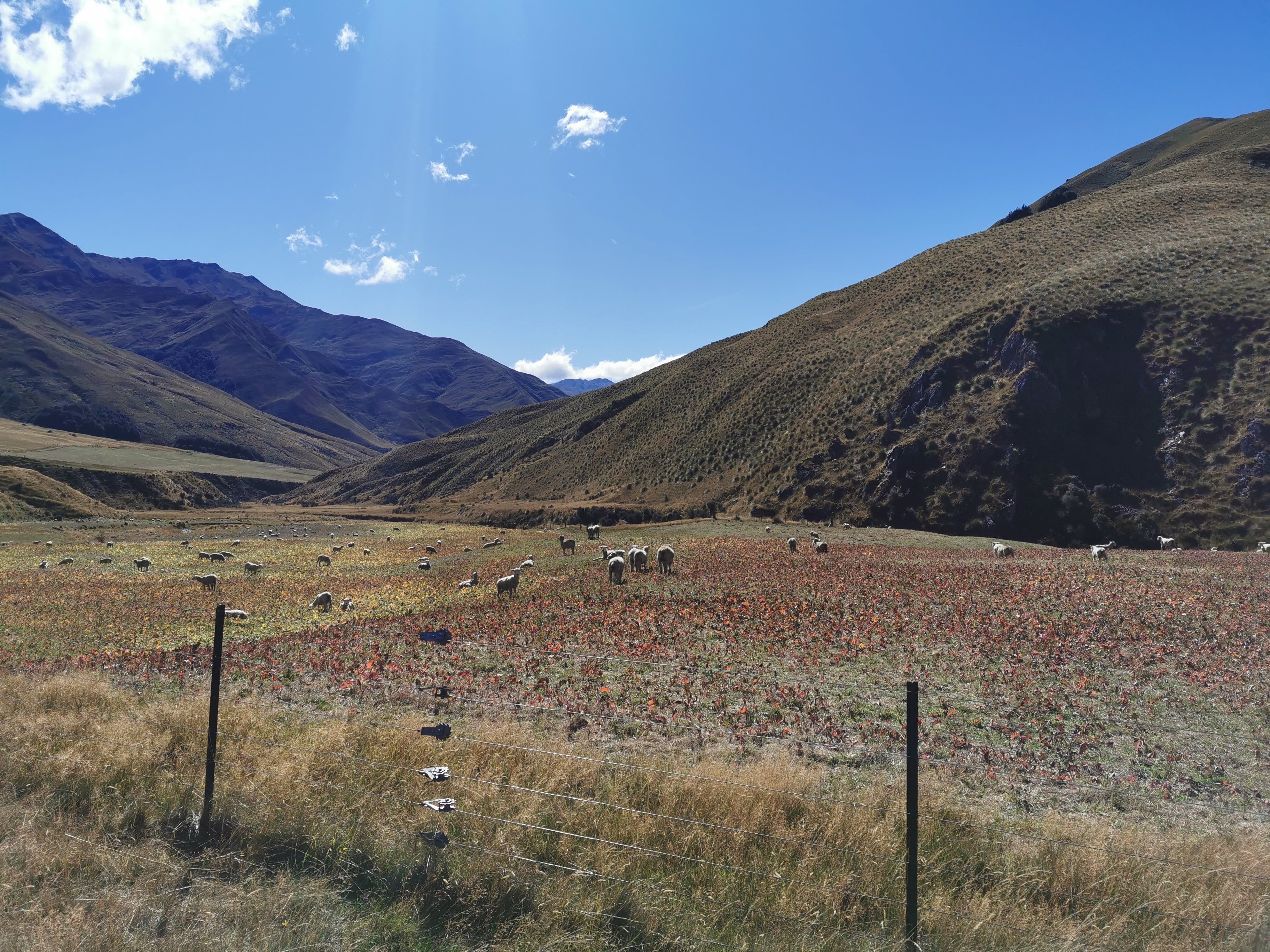
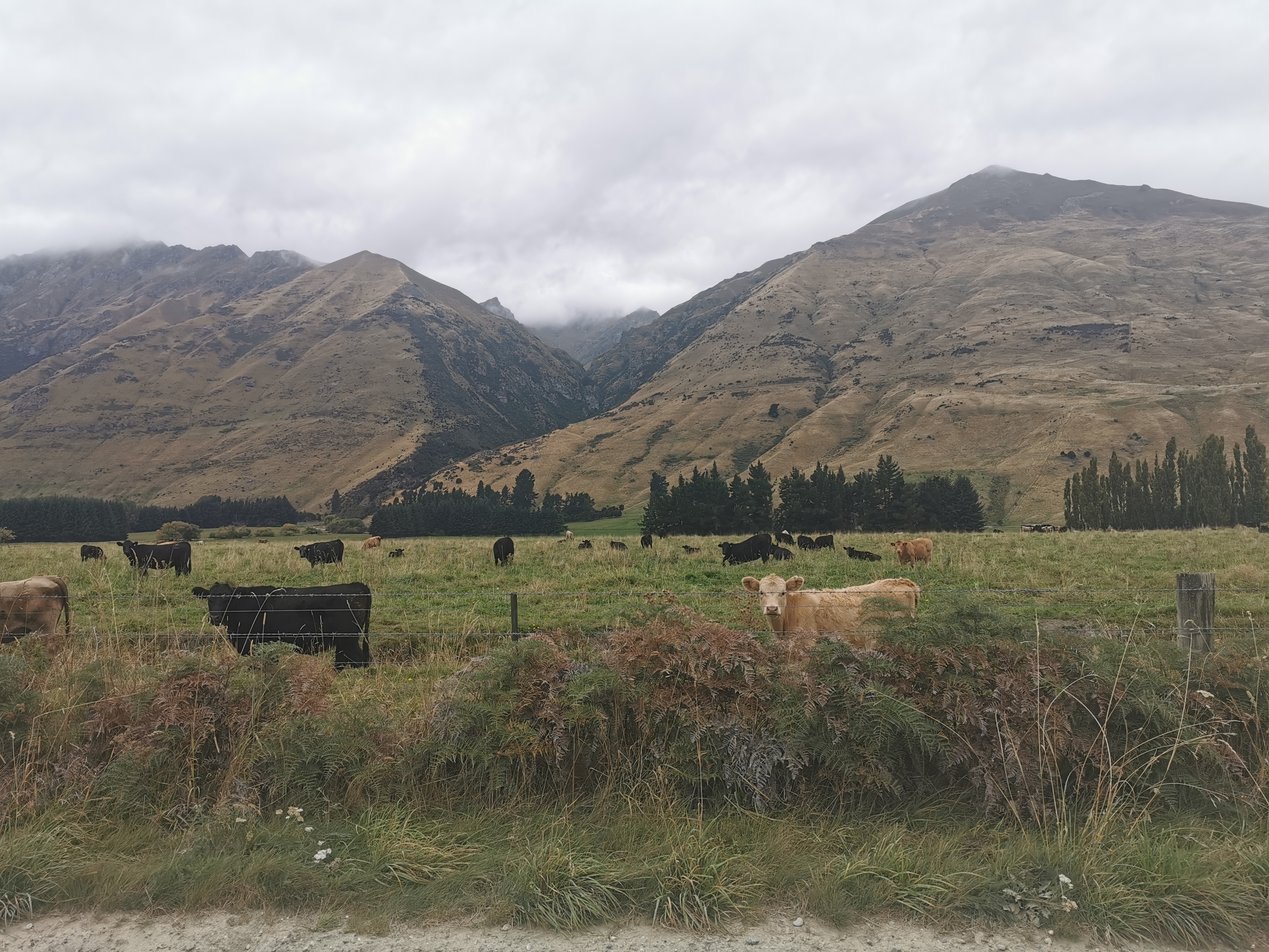
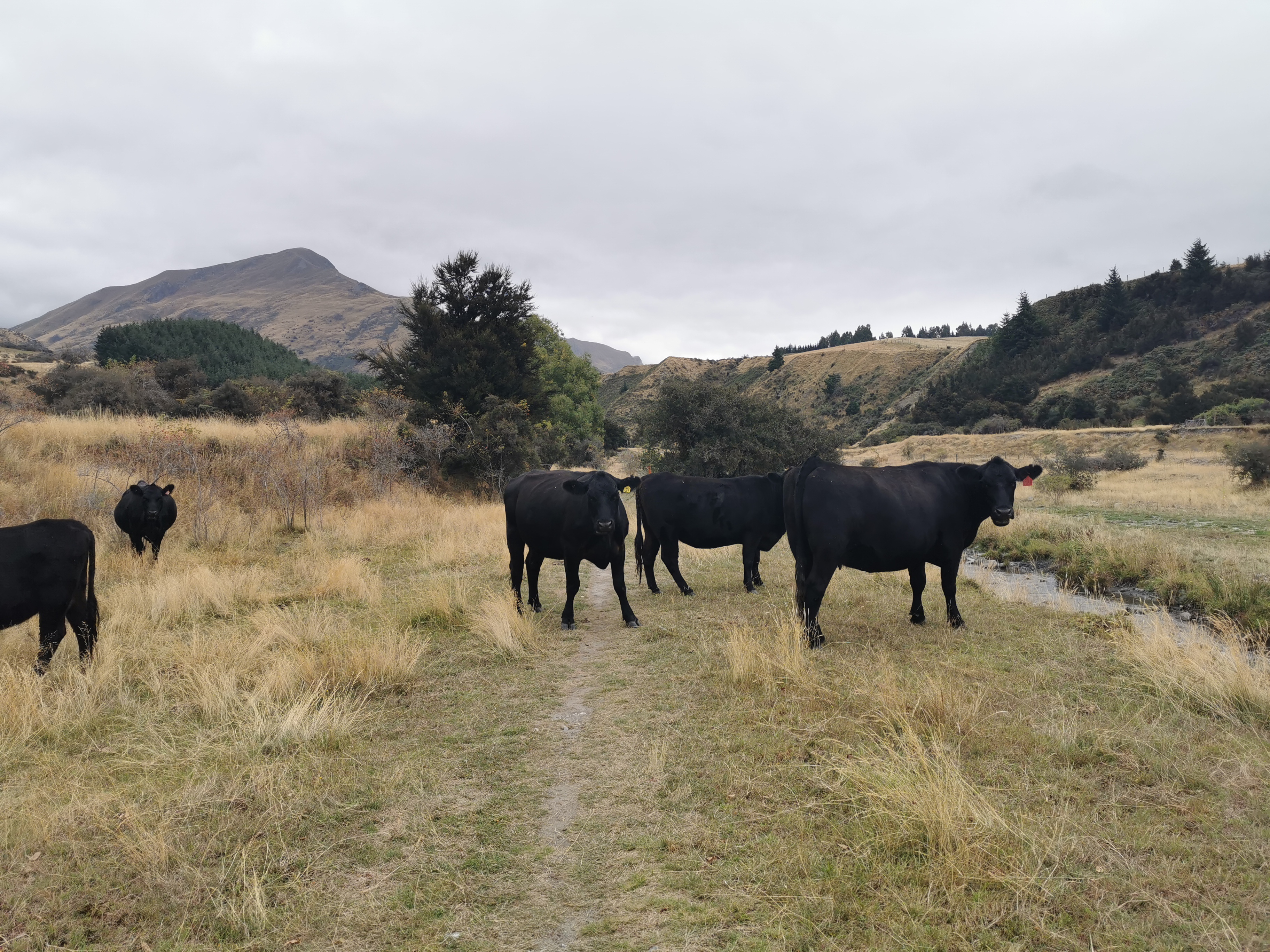
Initially I had to walk through private farmland.

This cattle is not moving fast out of the way. I wonder how close I can get.
Turns out very.
Okay one of you is going to have to move.
Another one of these weird gates to walk through.

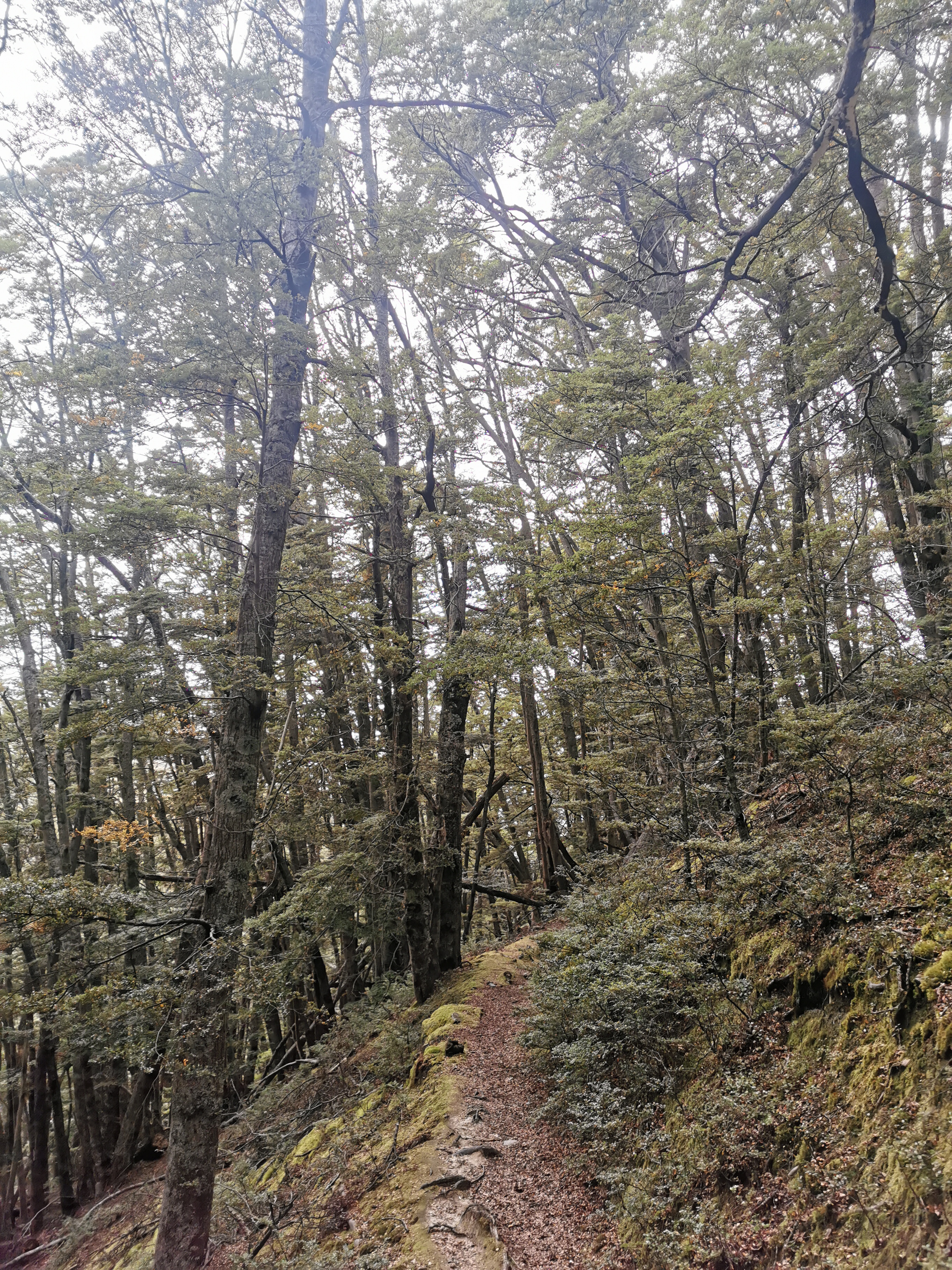
Then, briefly through “The Stack Conservation Area” which was quite a nice forest. I passed the other three here who passed me while I was having lunch.

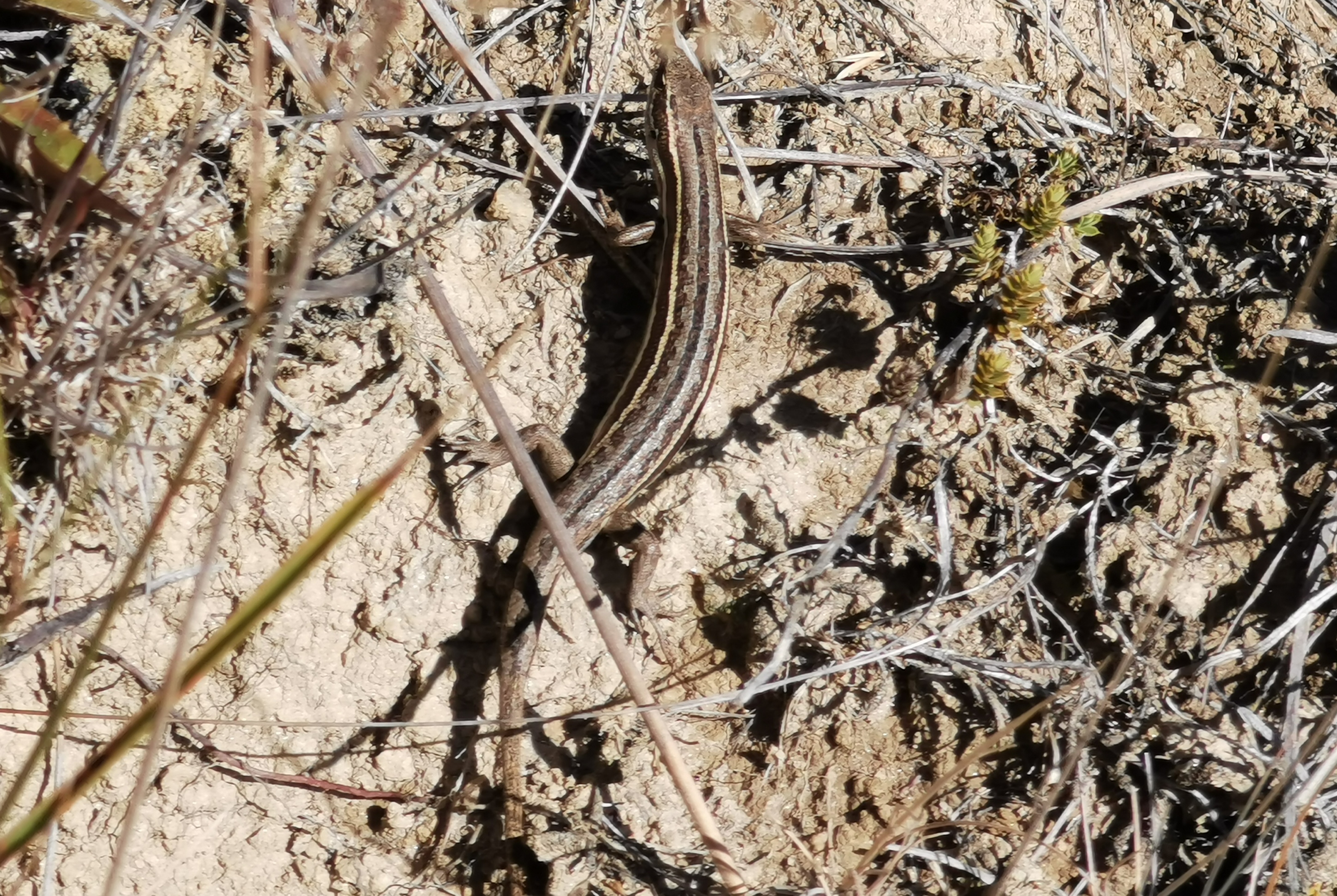
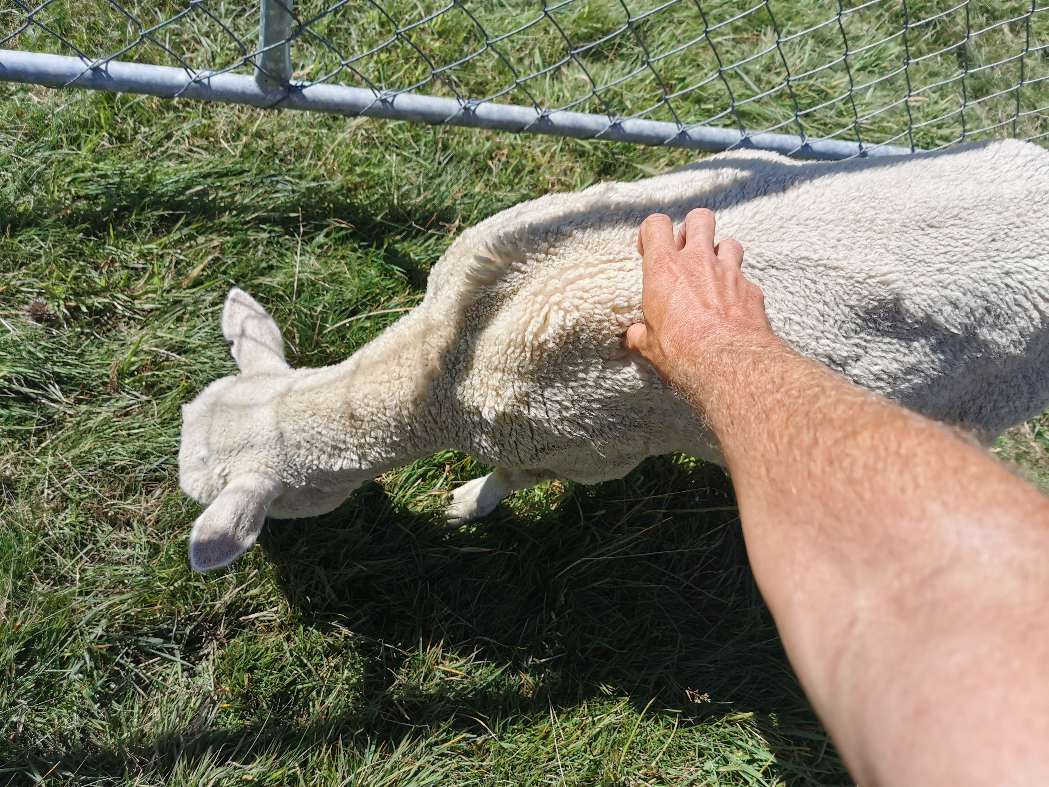
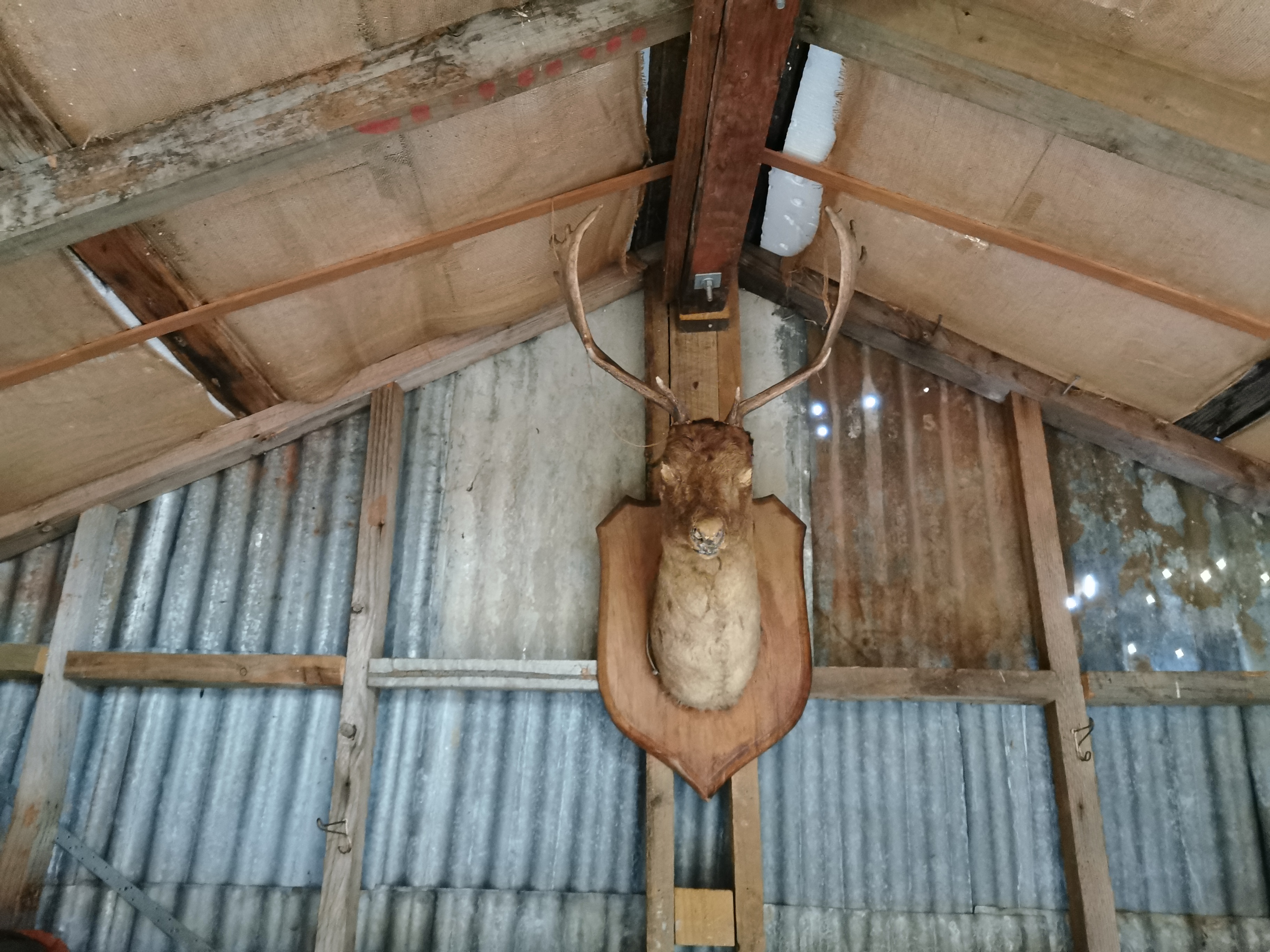
Through this area a hunter came the other way. On his shoulders he was holding the skinned head and antlers of a deer. Gross. Apparently the meat of the deer was in his backpack.

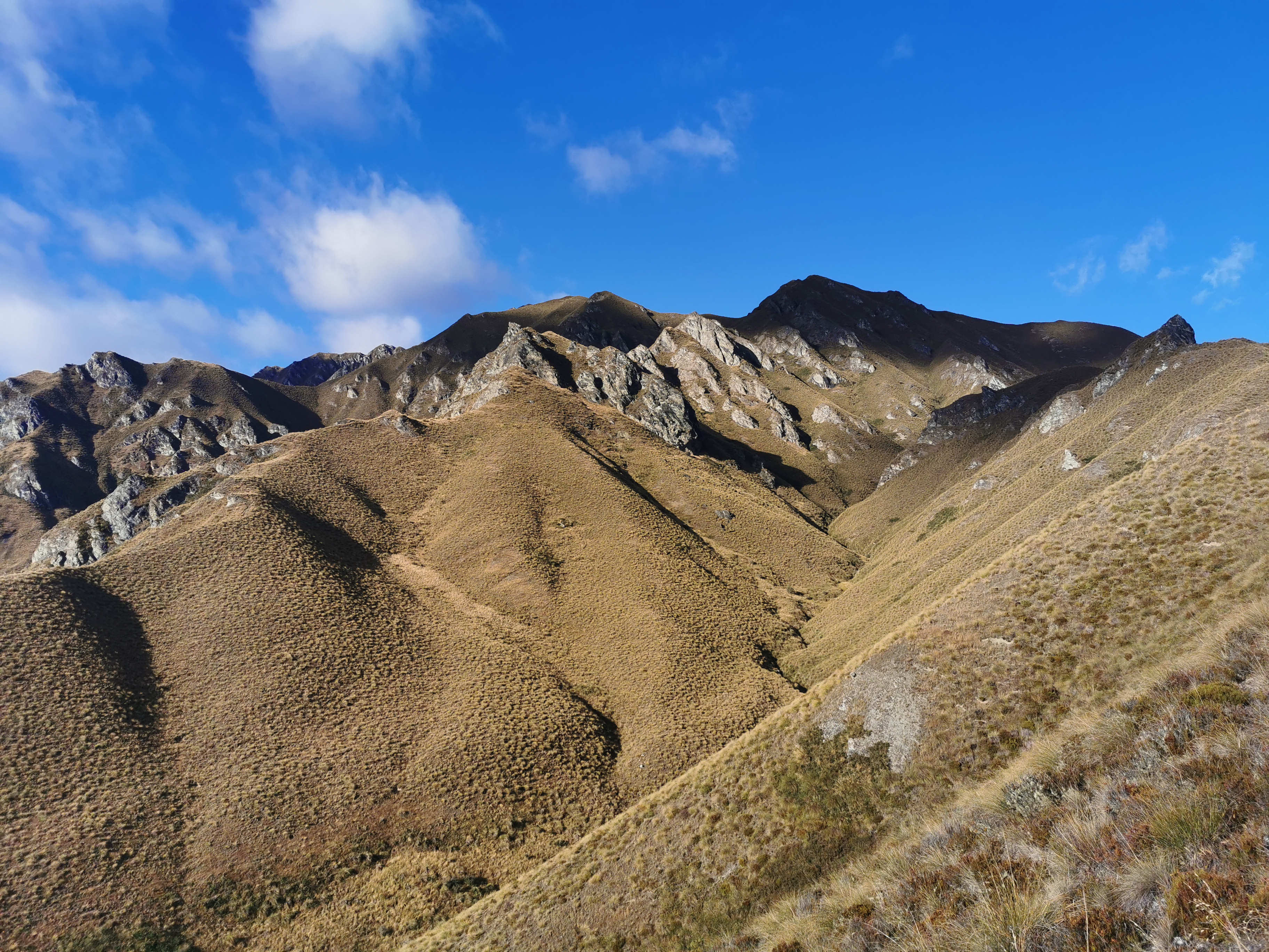
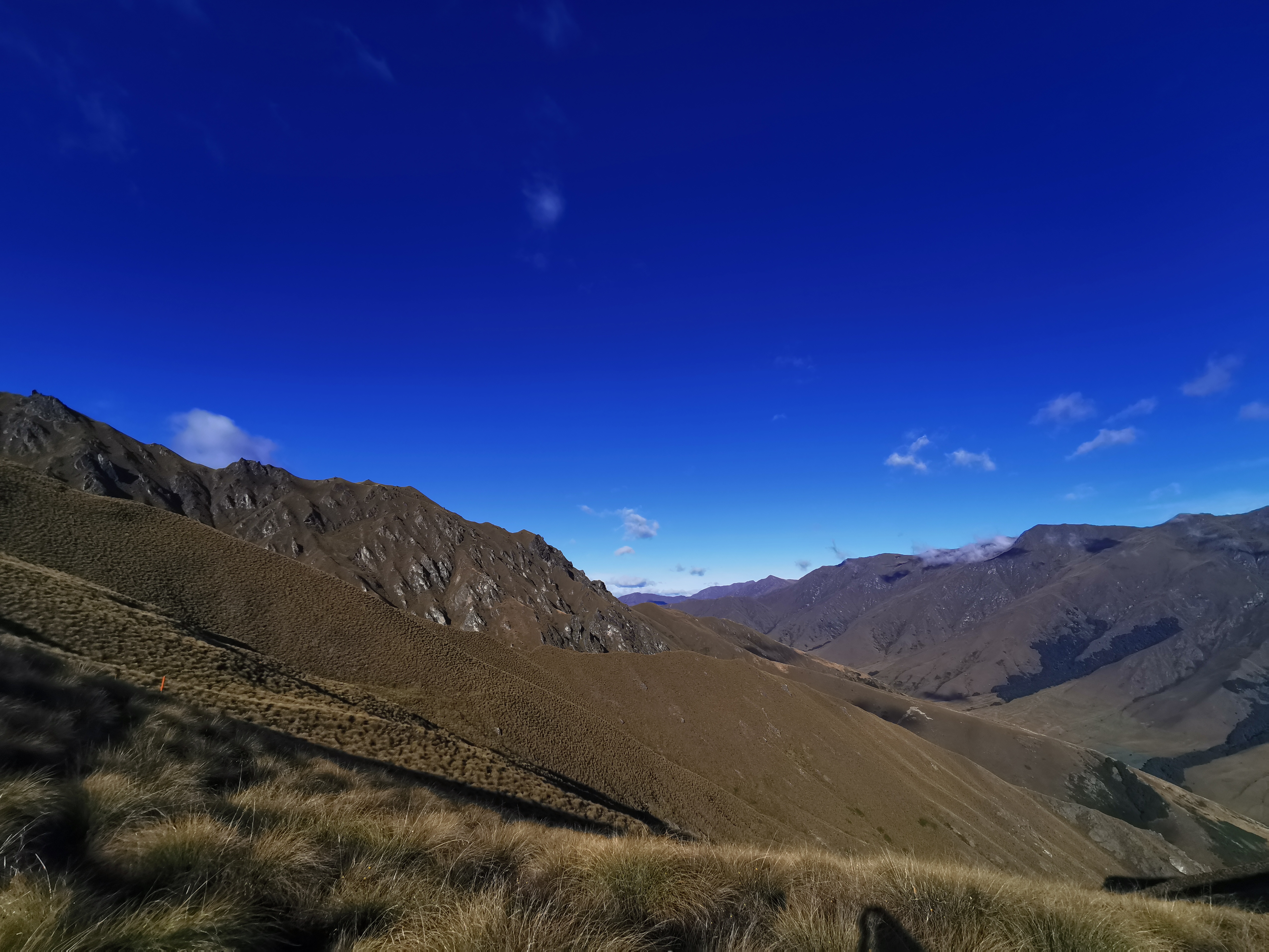
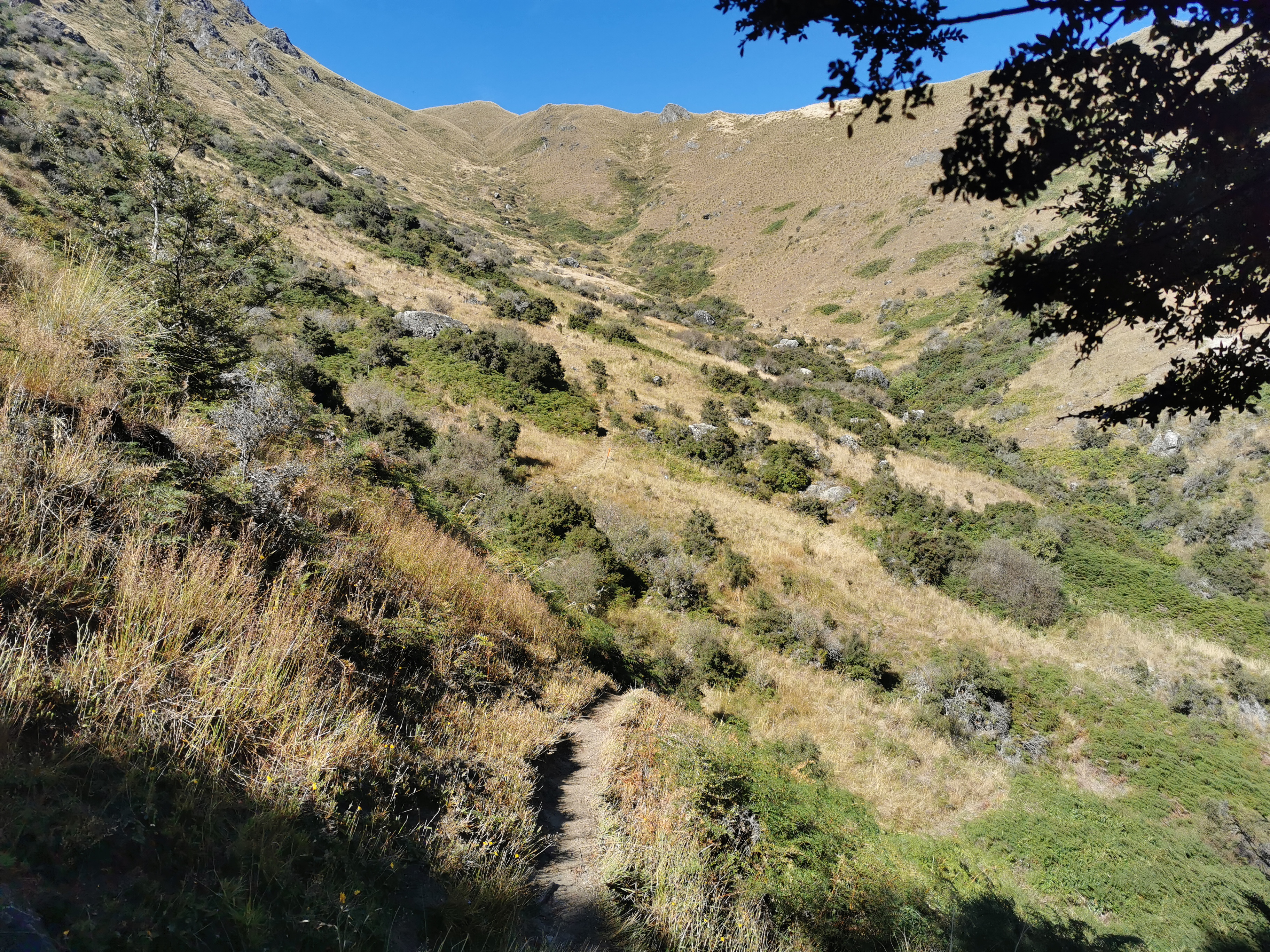
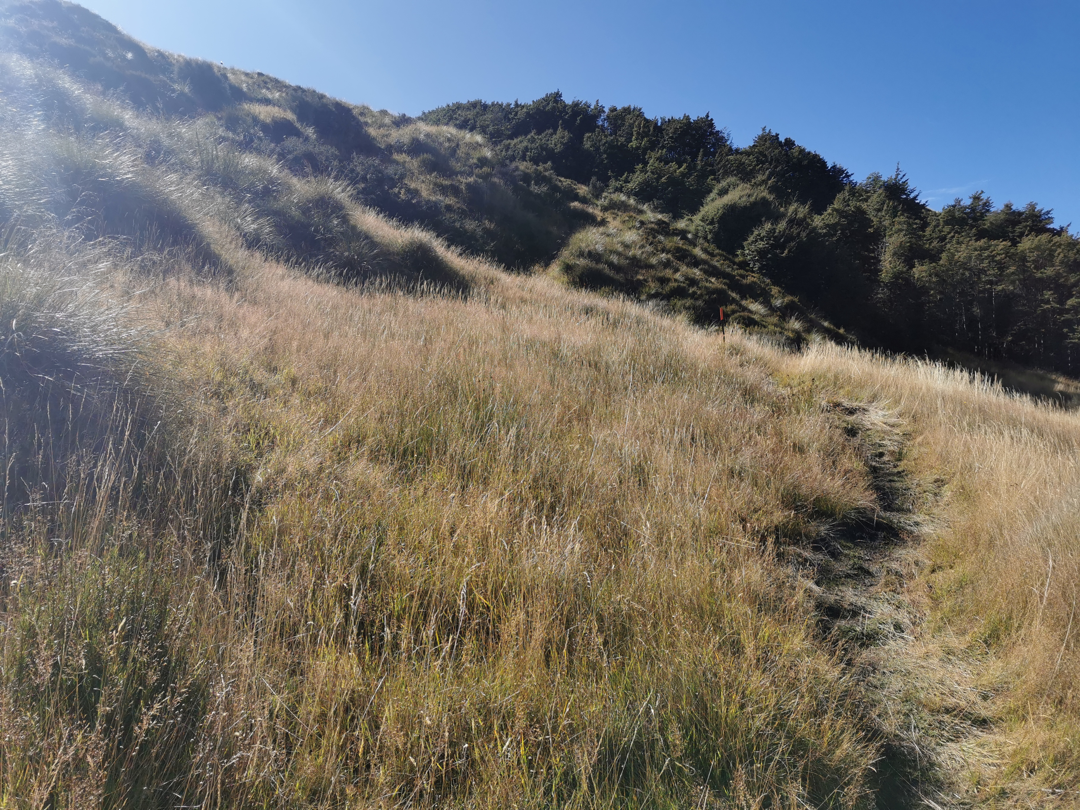
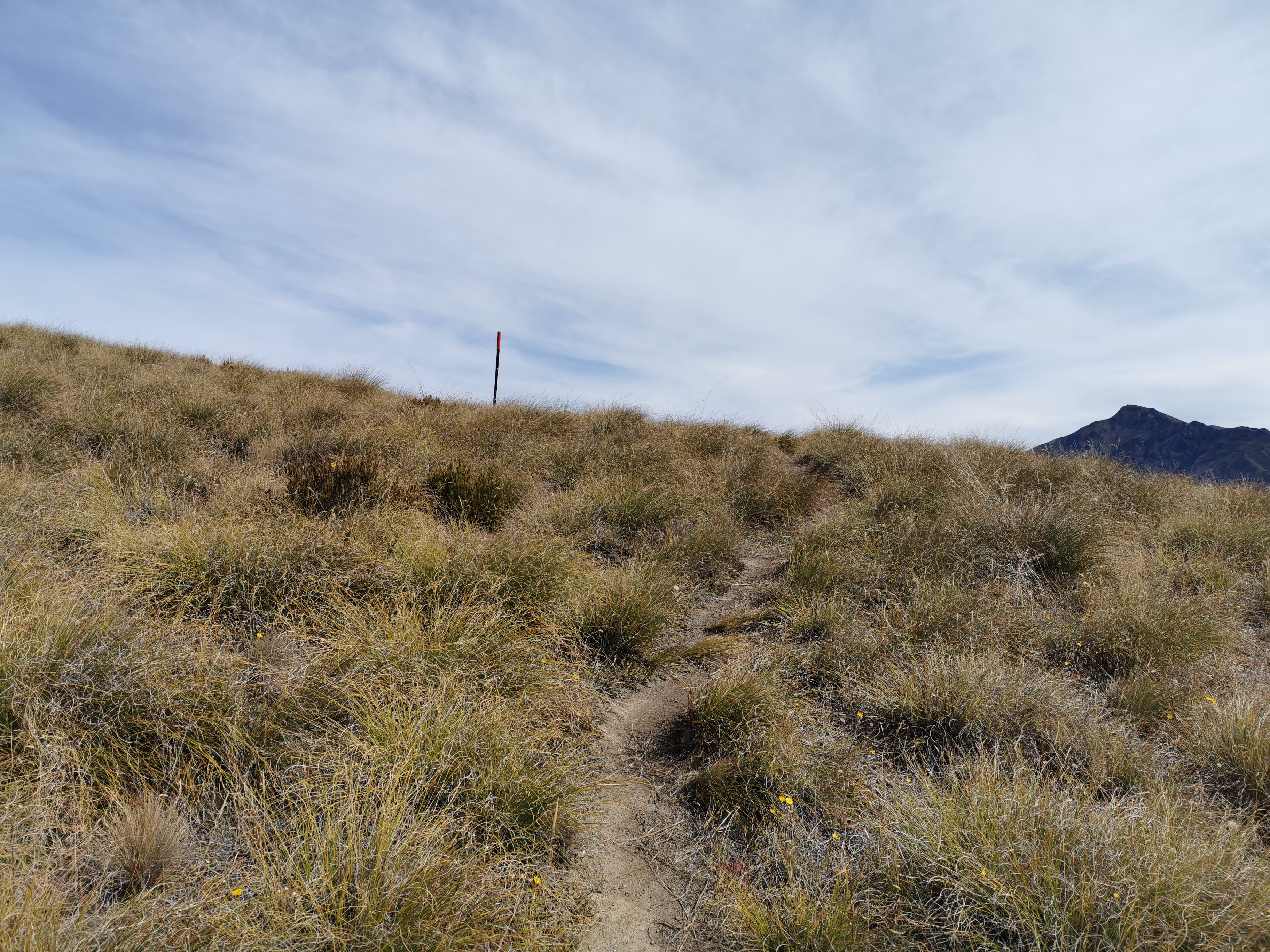
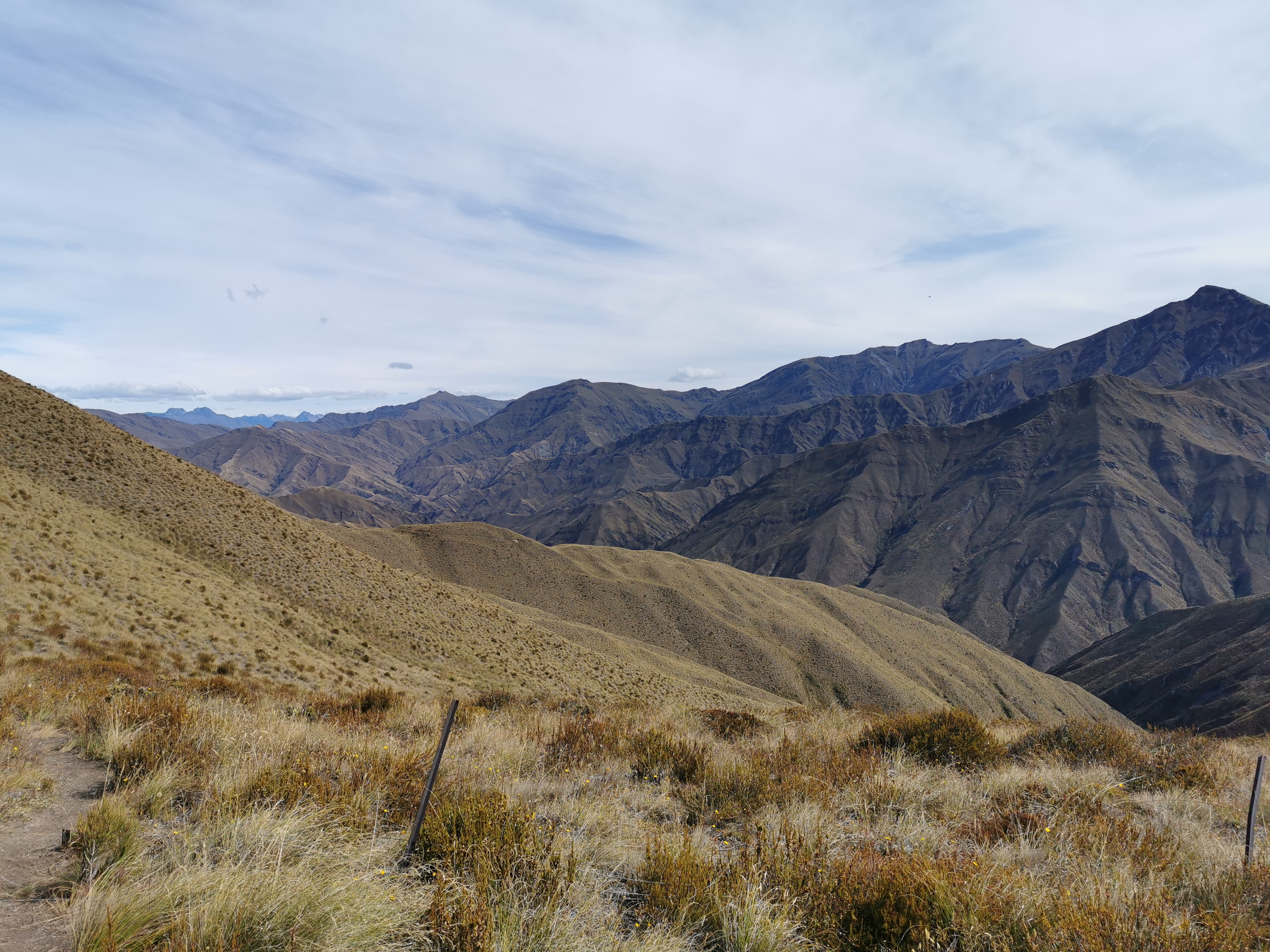
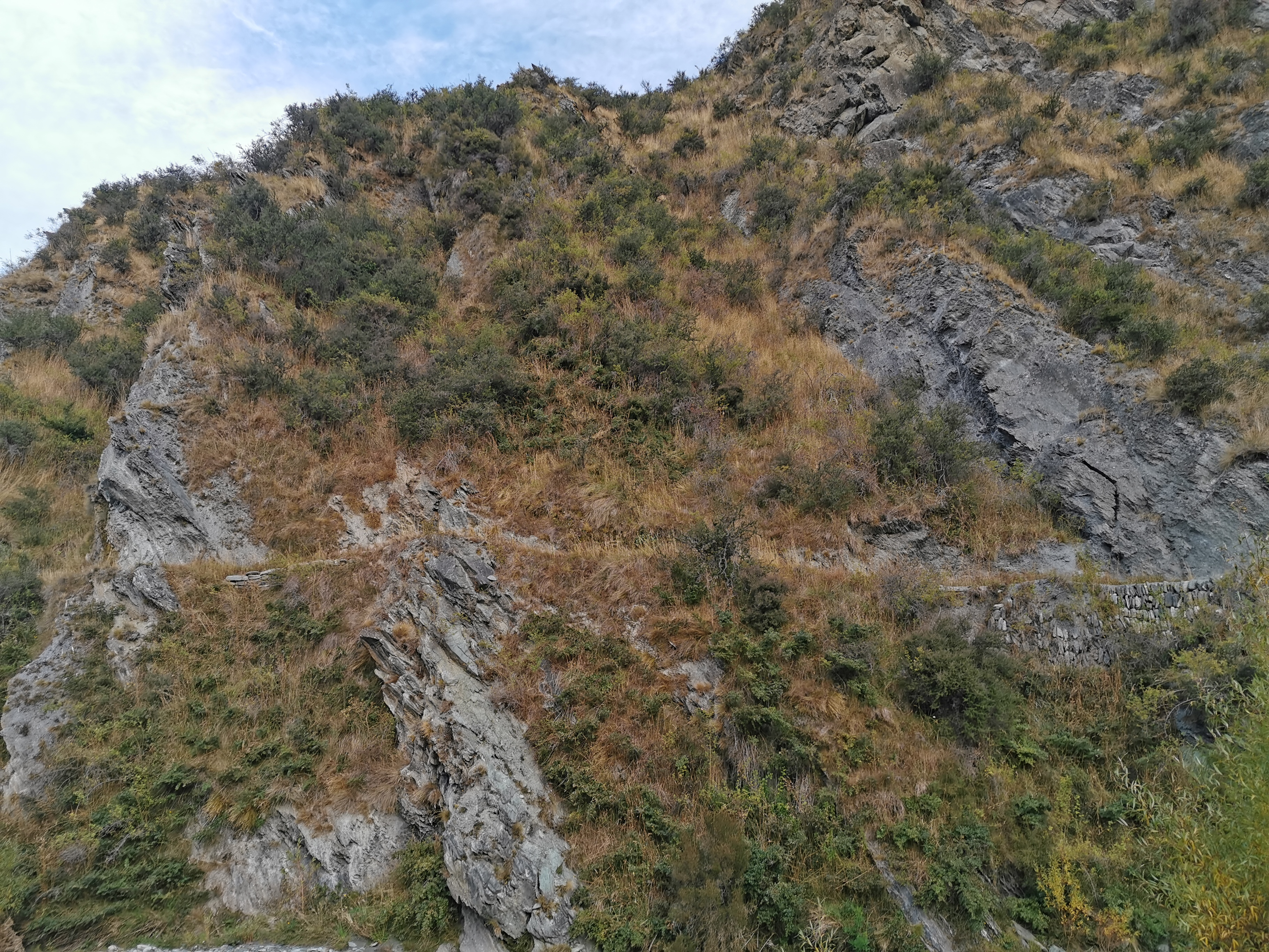
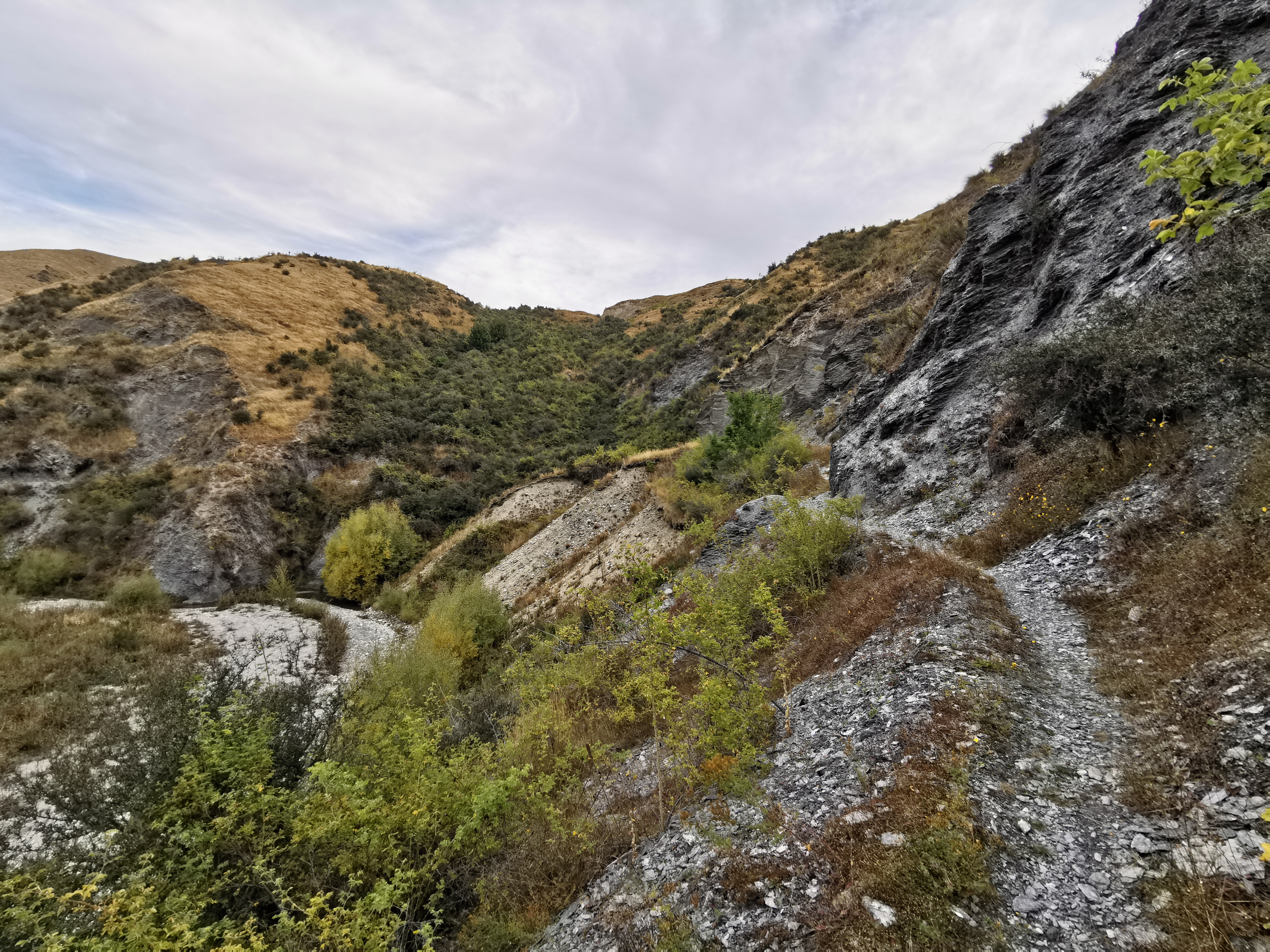
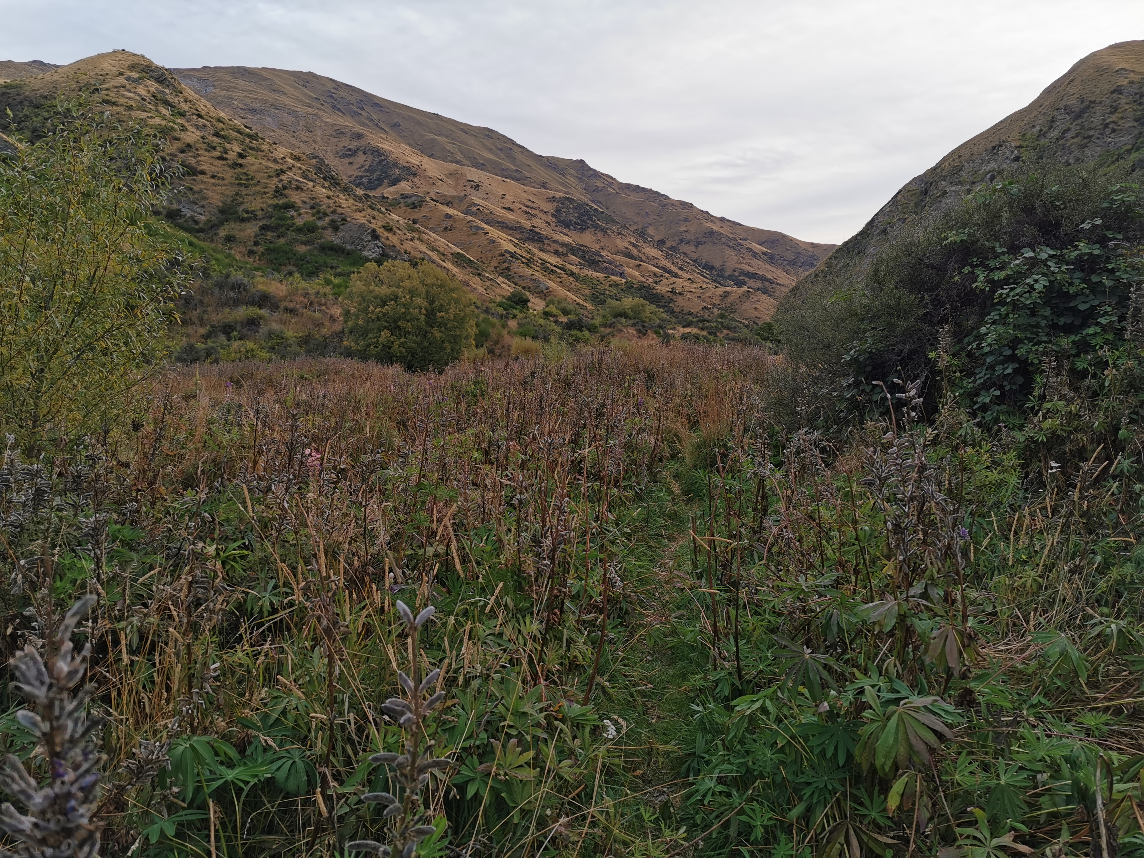
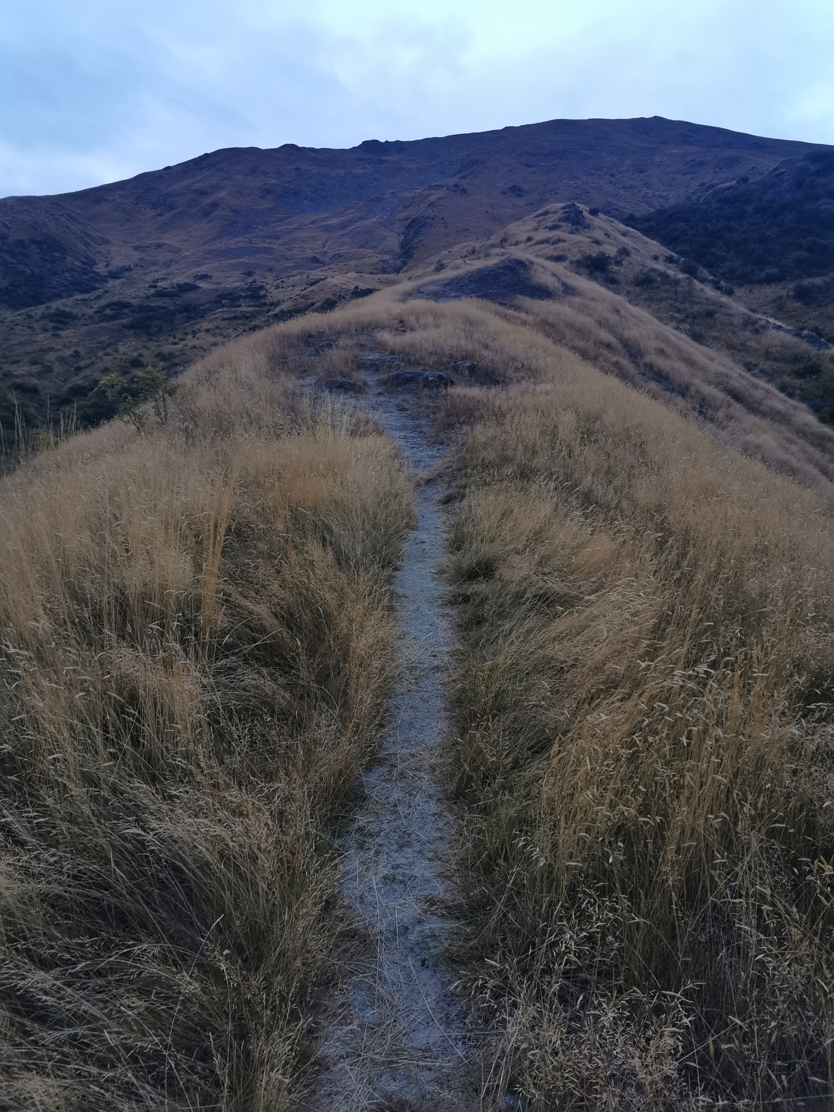
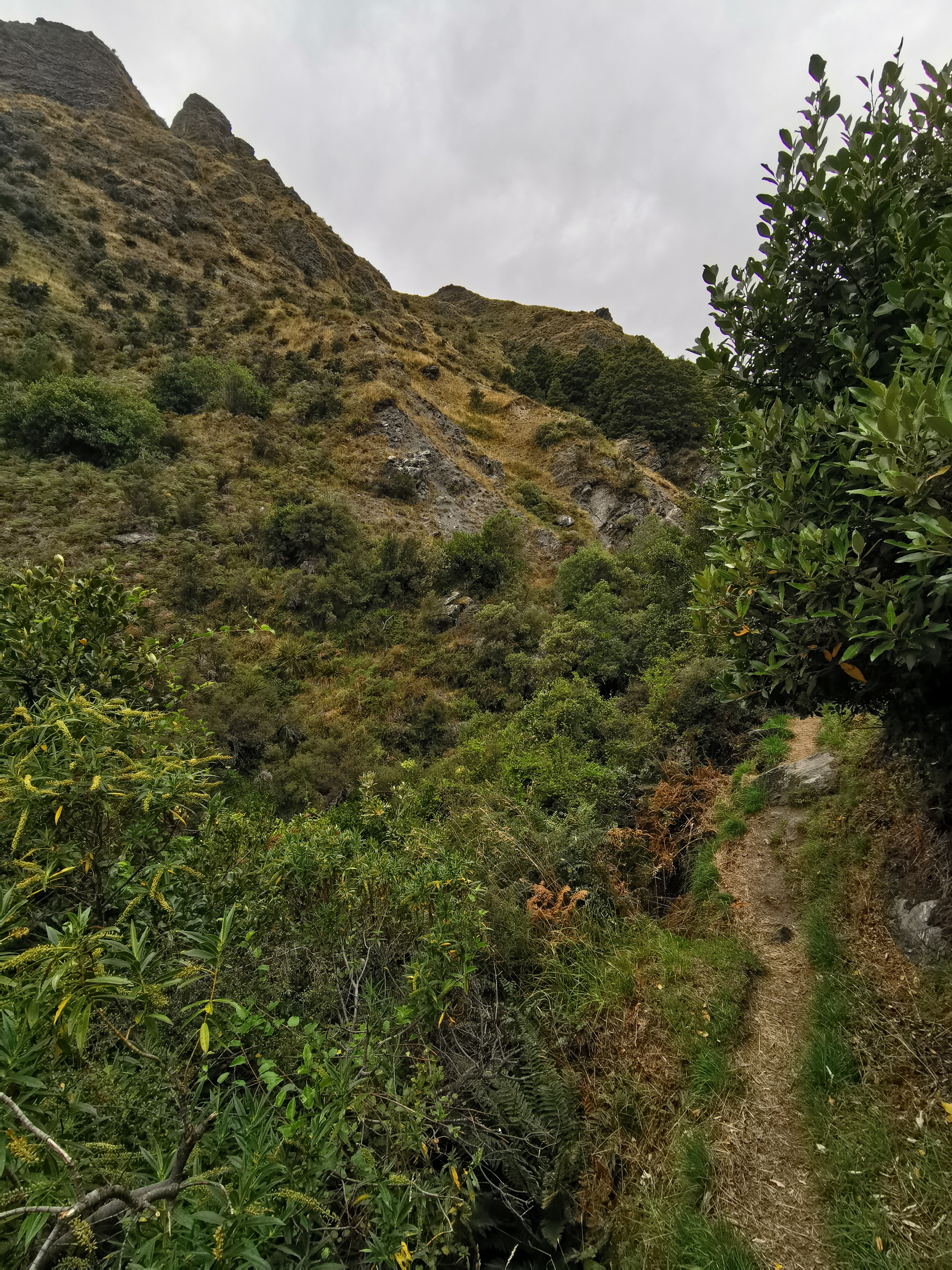
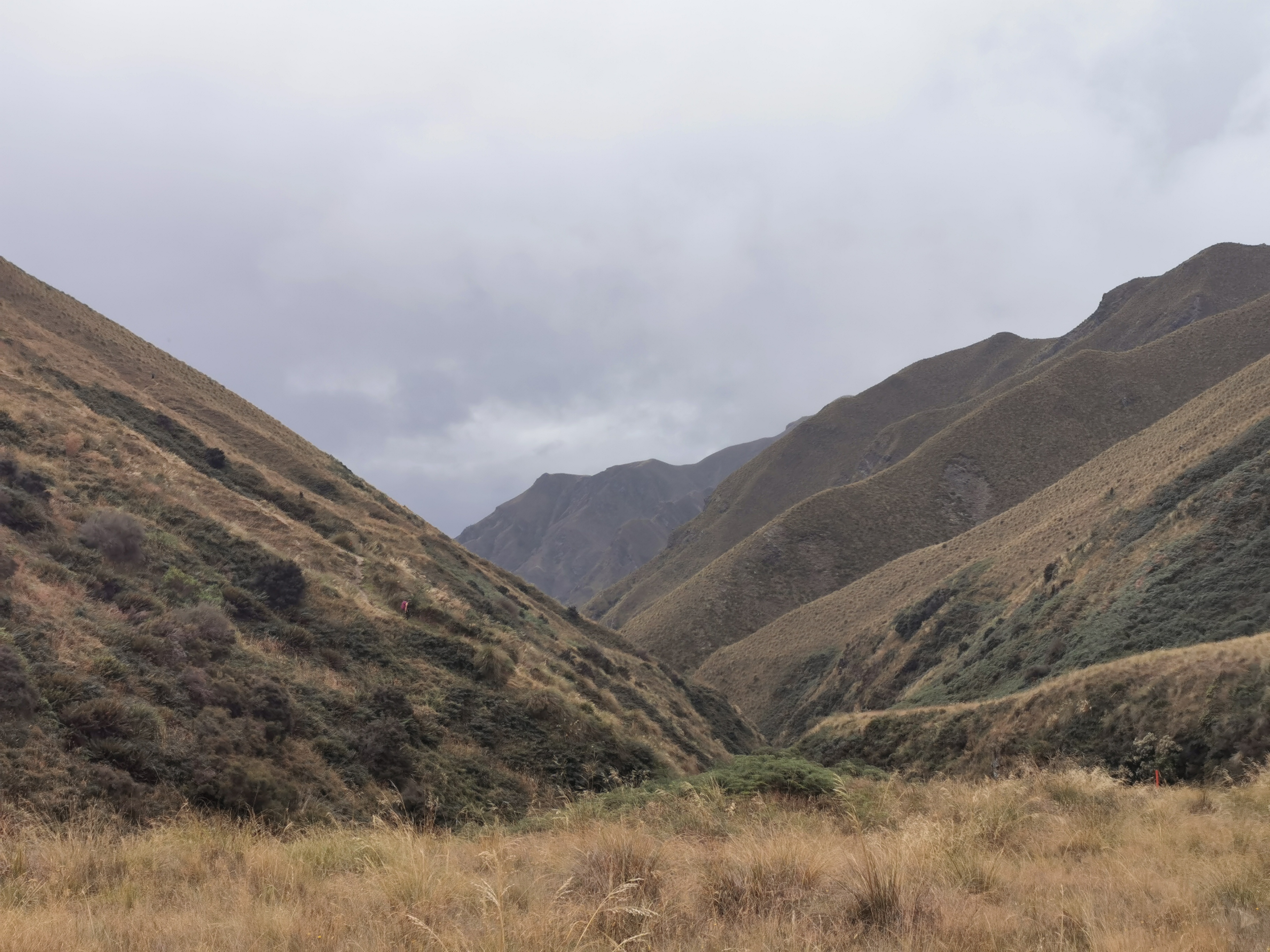
The all-to-familiar tussock started after leaving the forest.
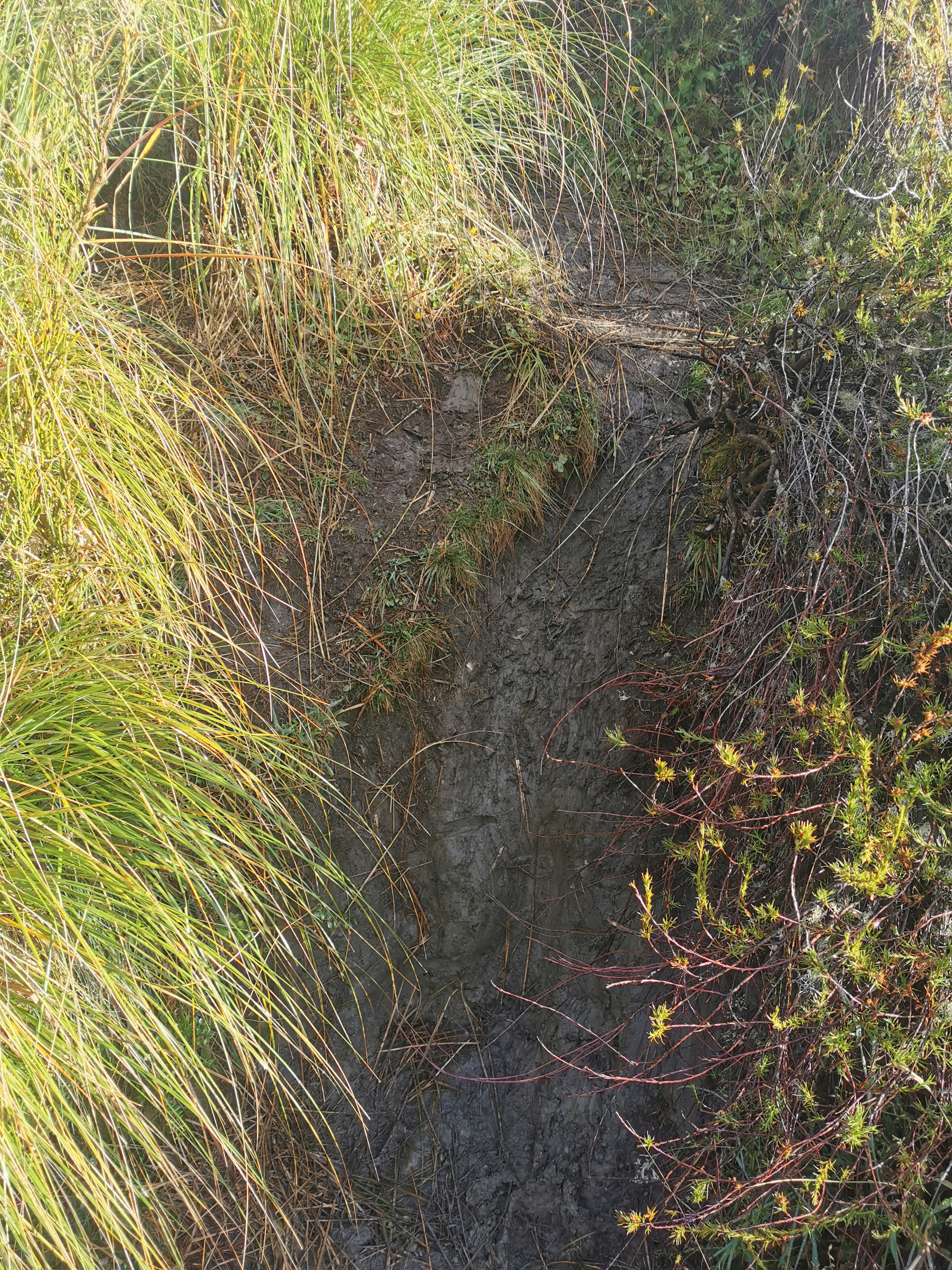
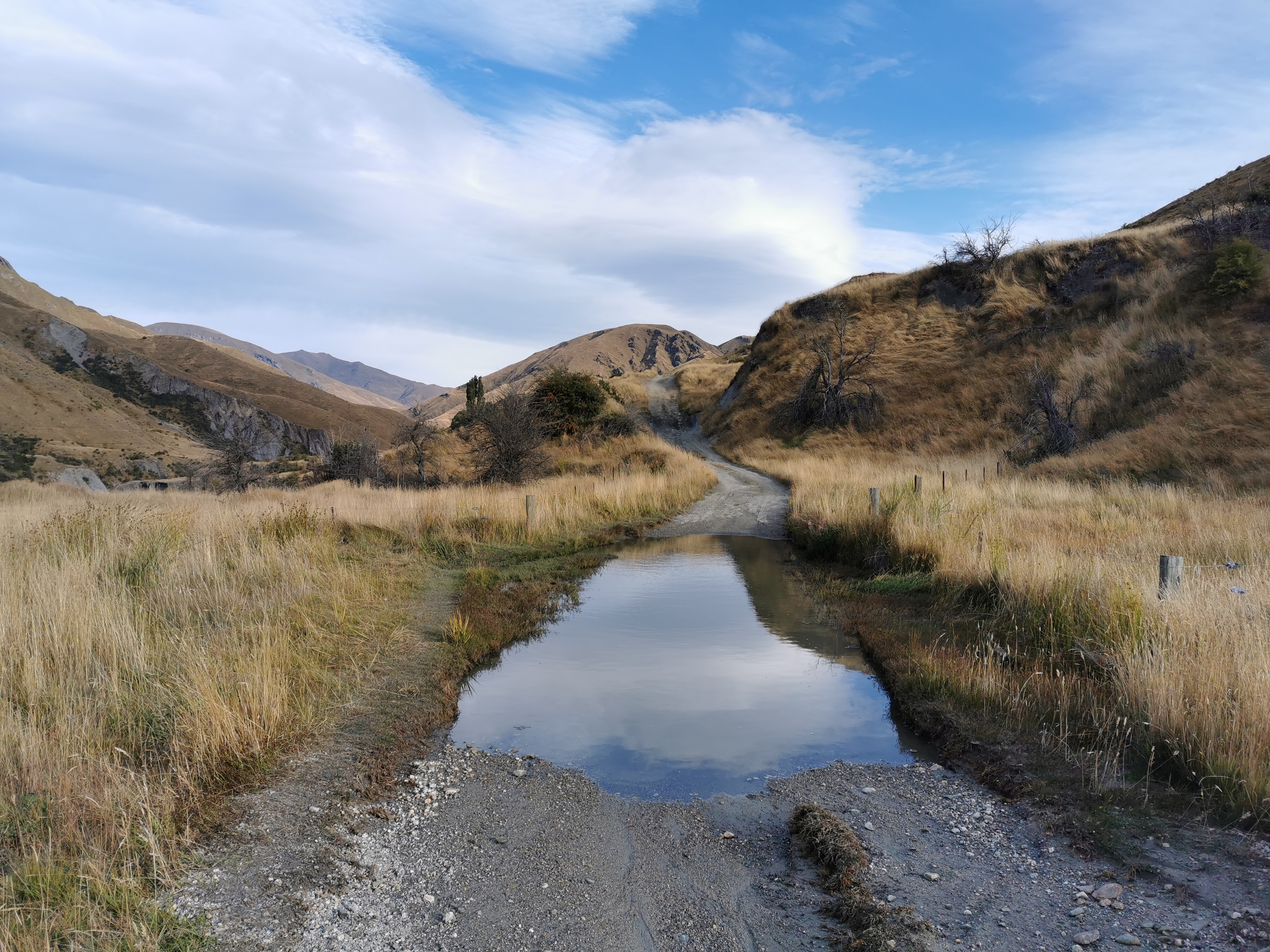
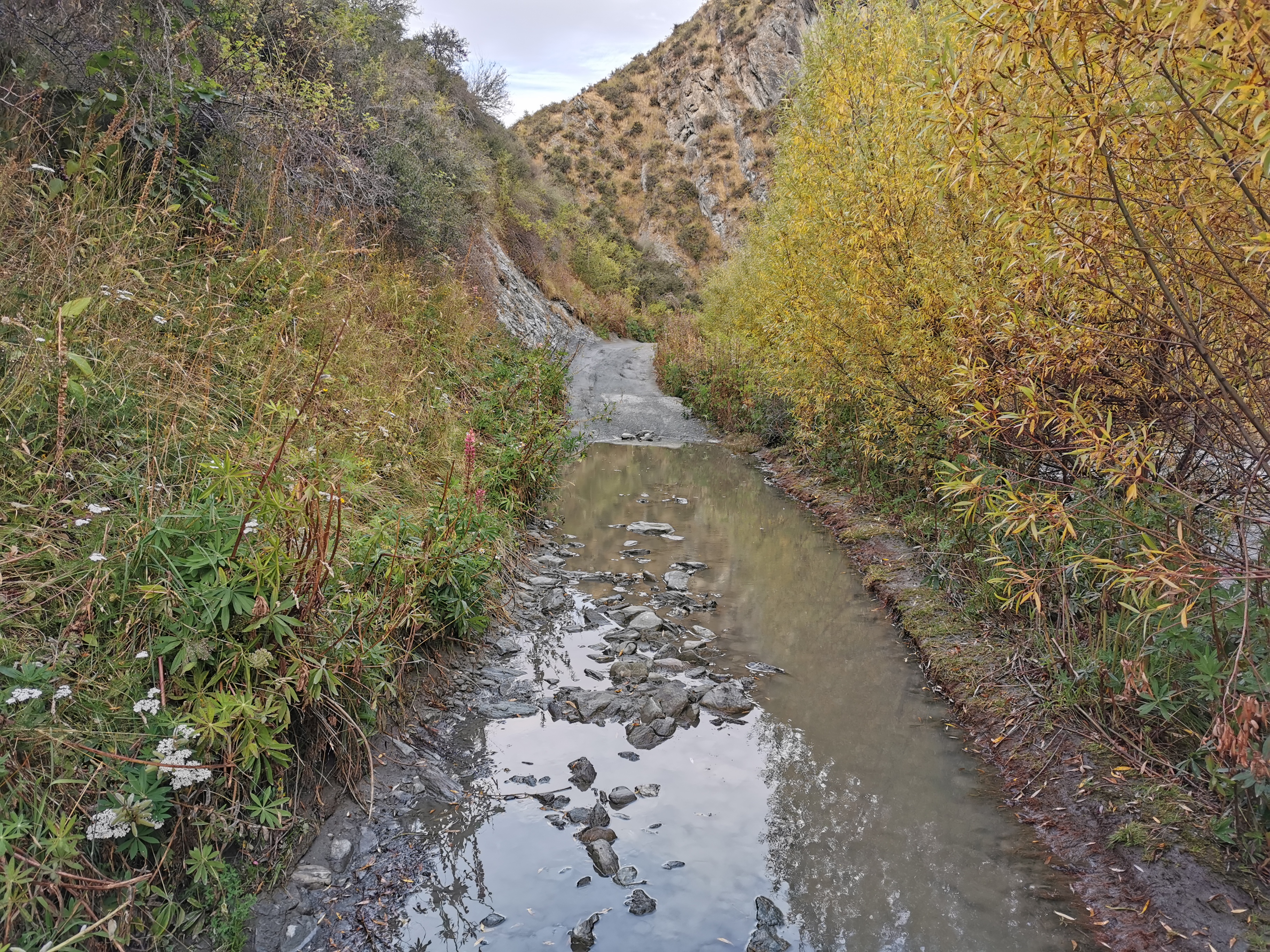
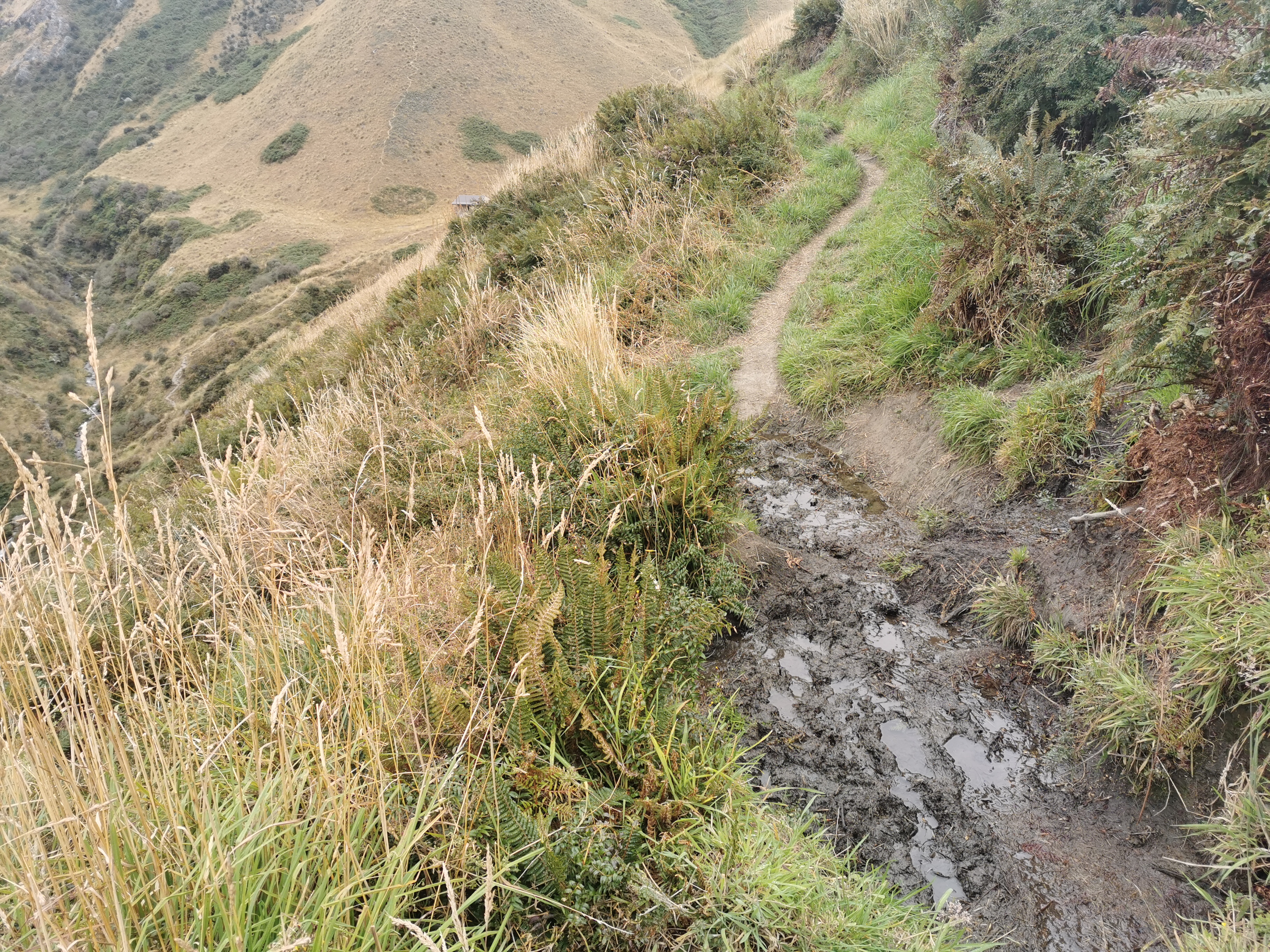
And the muddy bits.

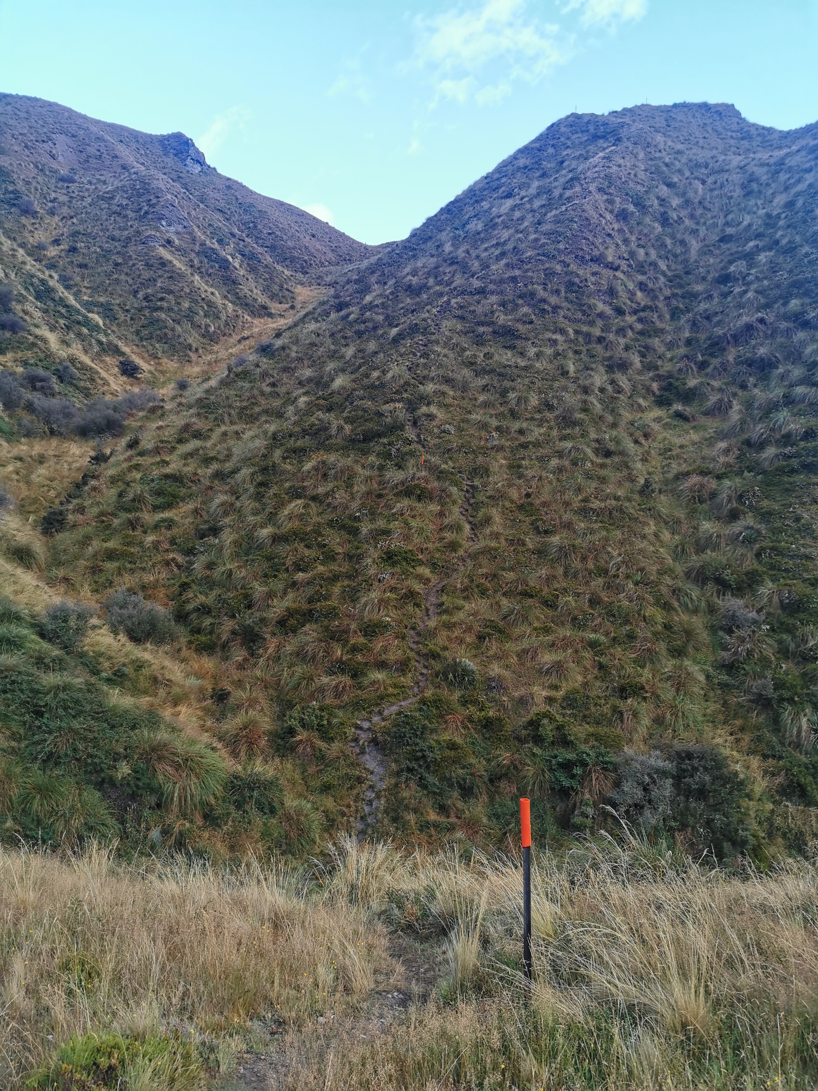
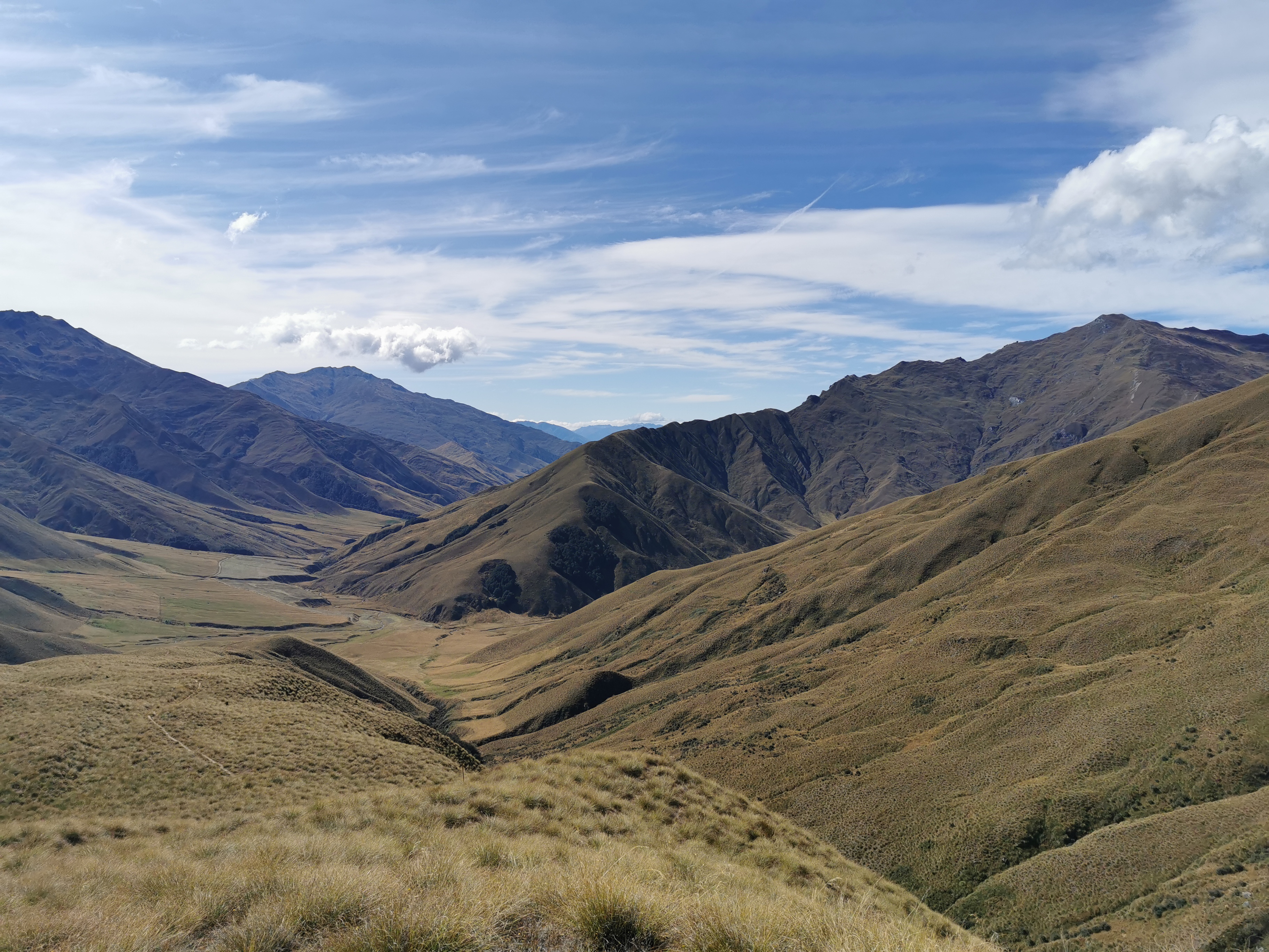
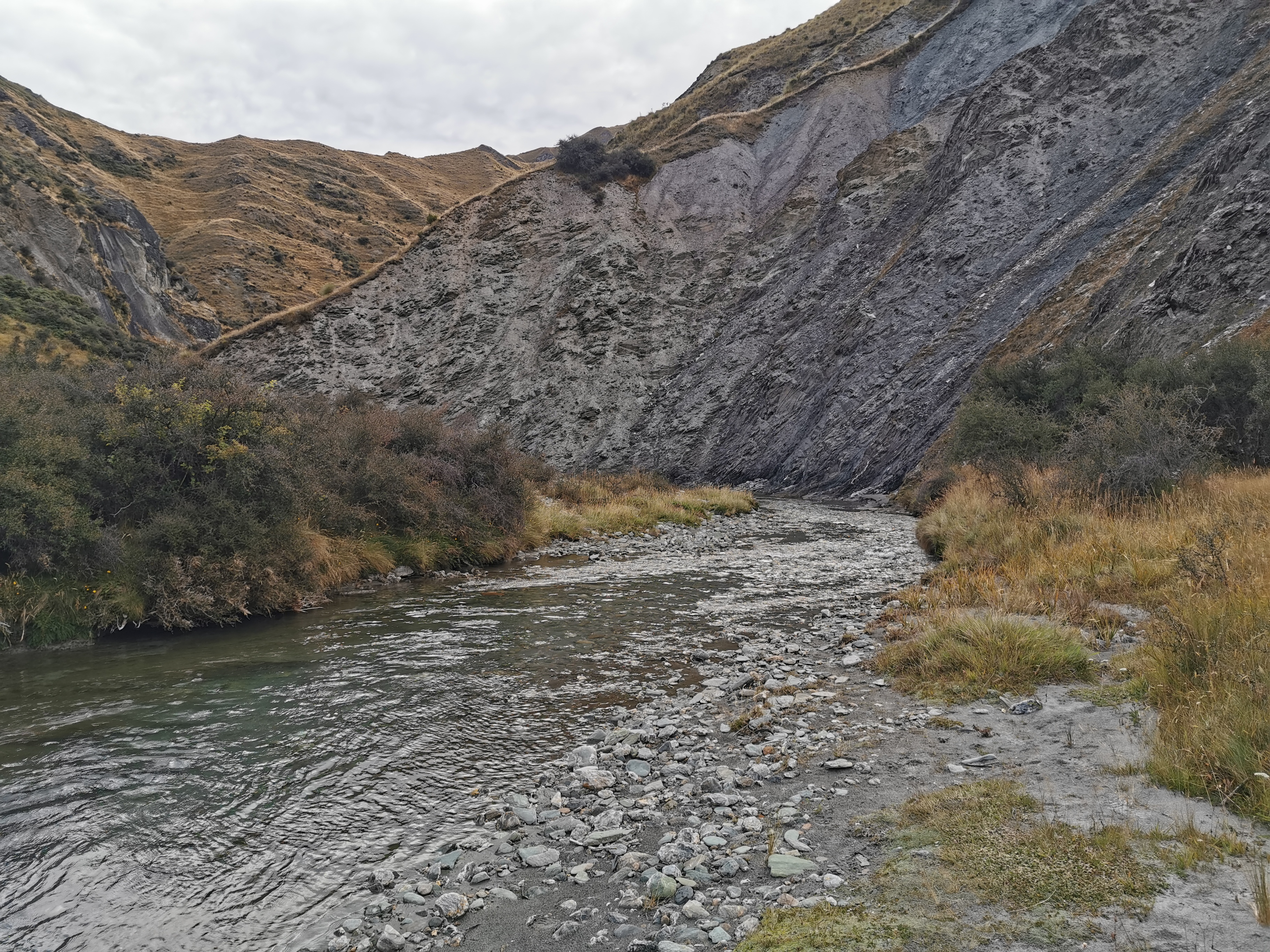
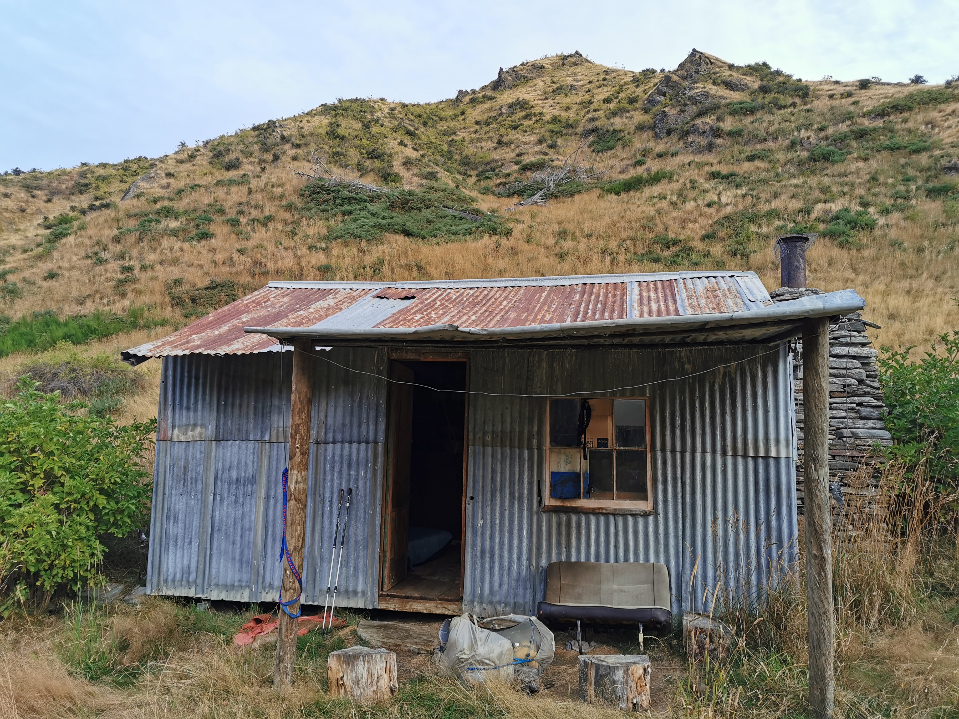
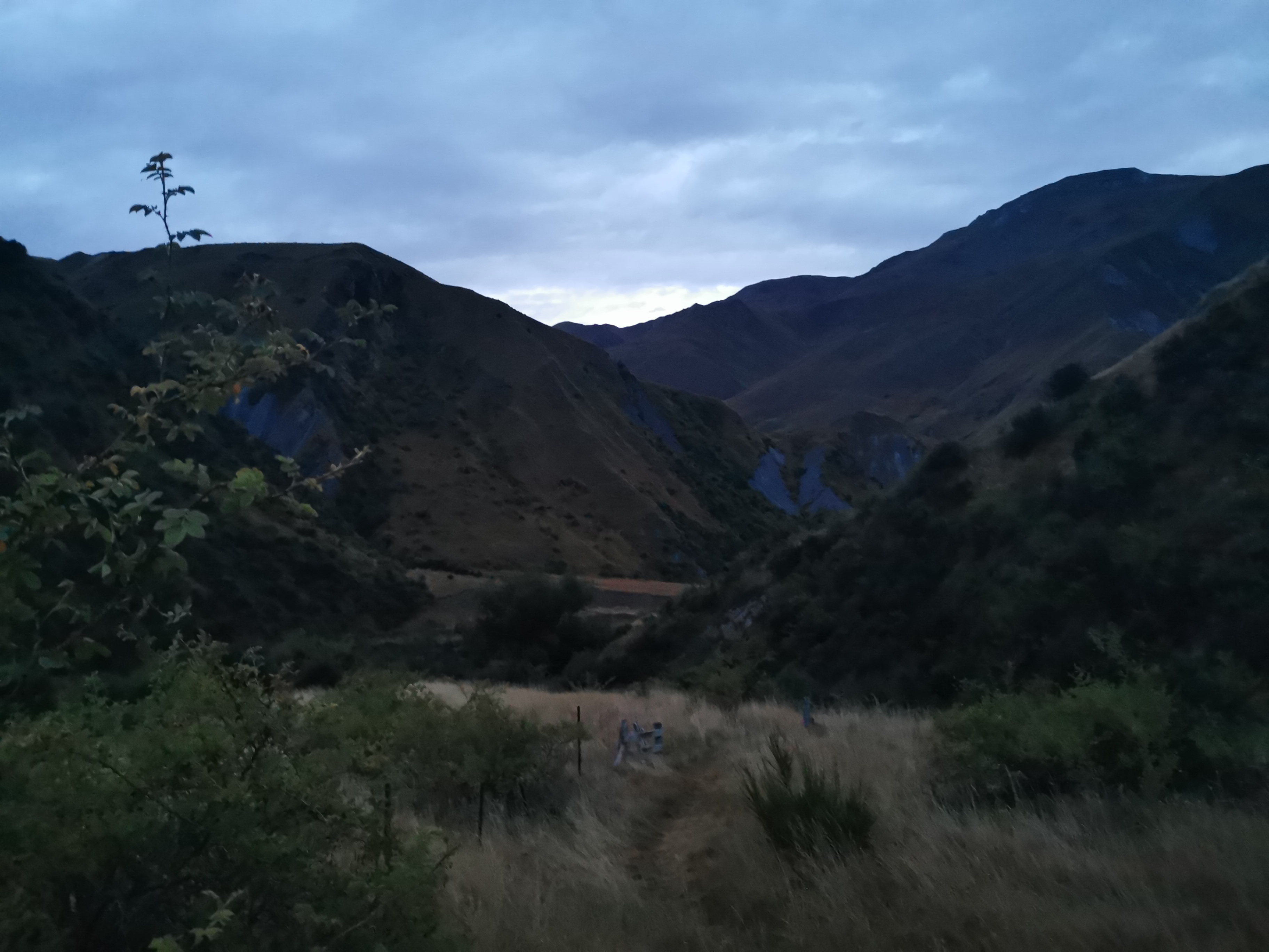
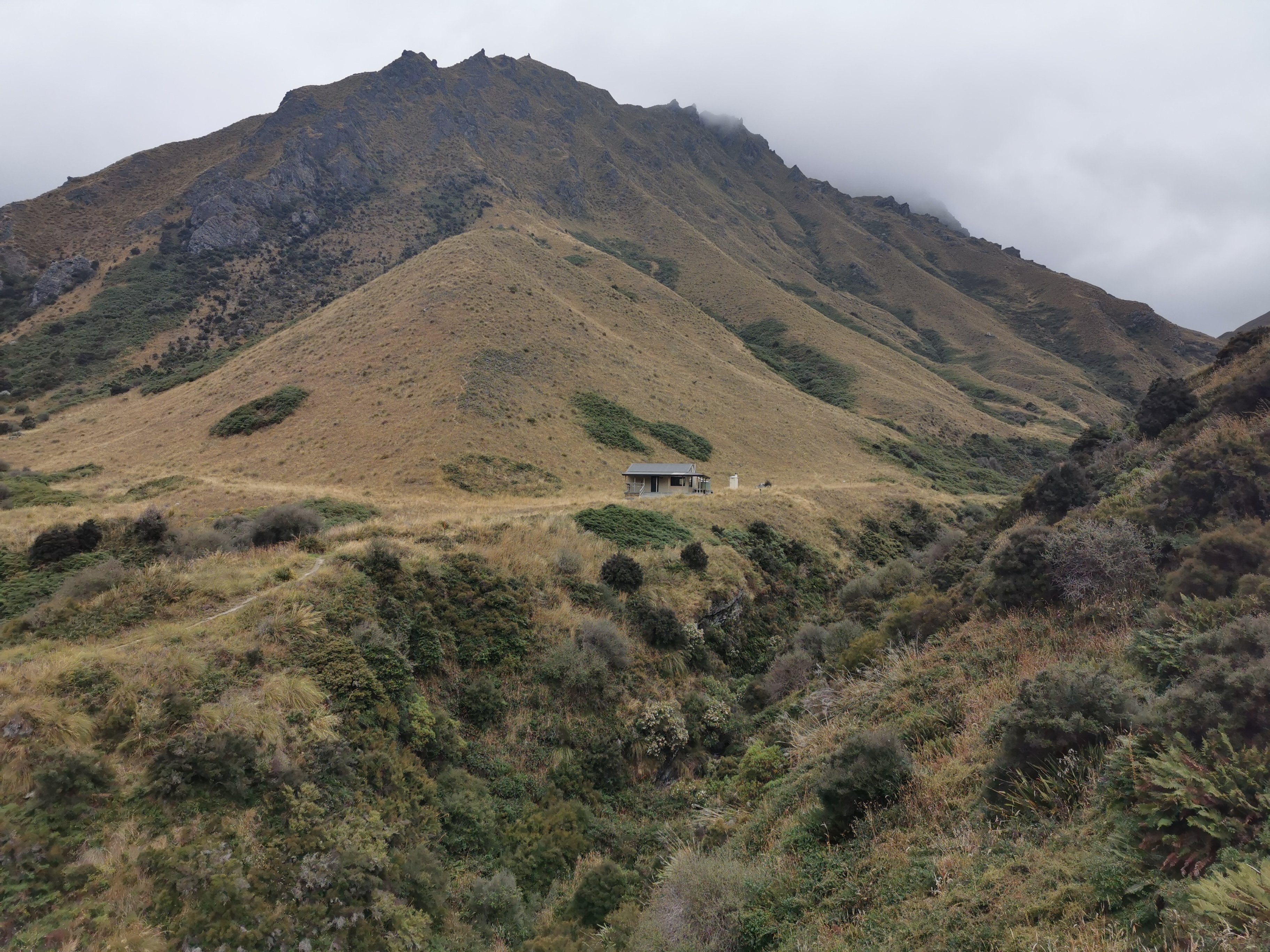
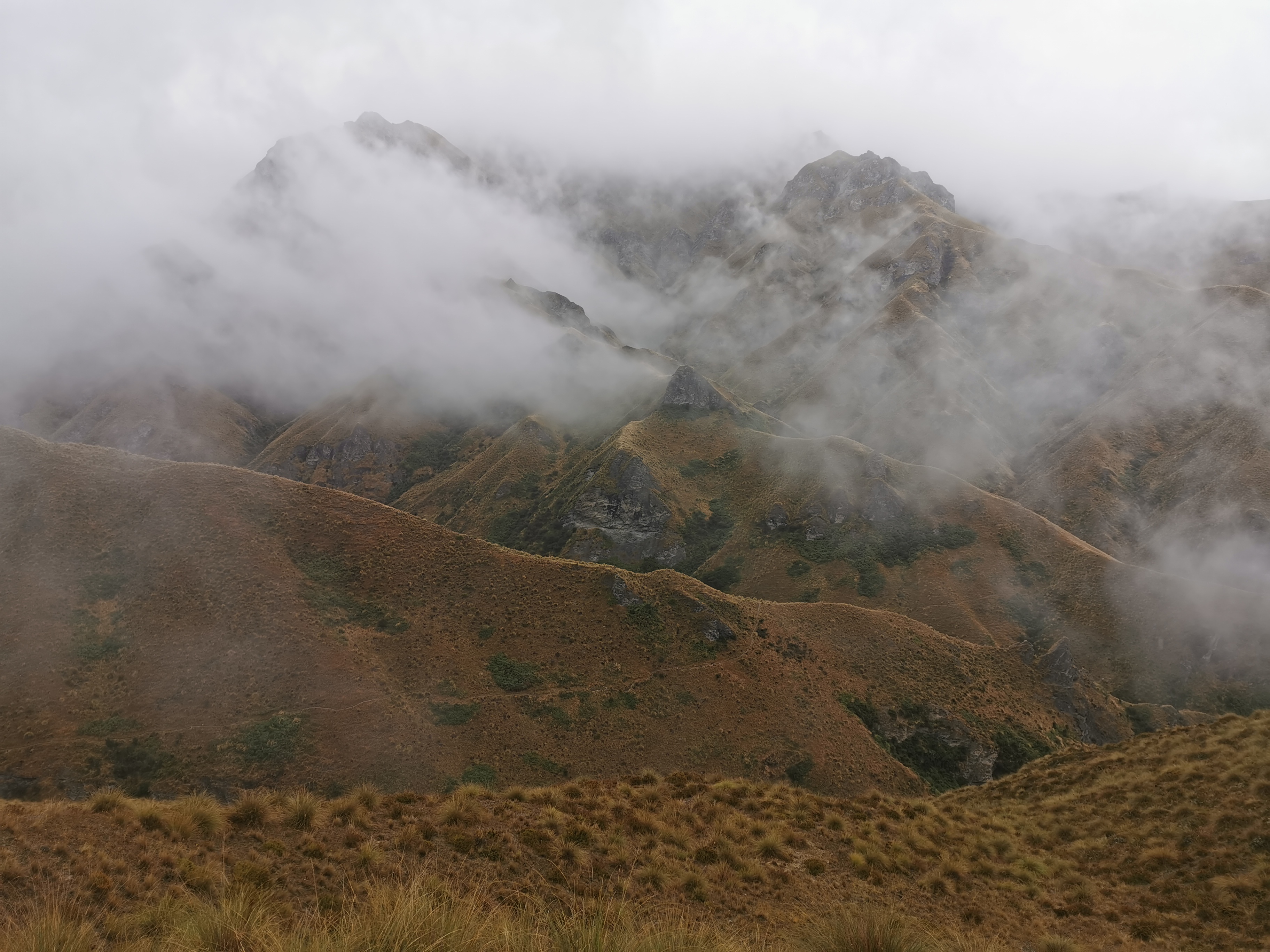
It was getting steeper and steeper as the afternoon went on, however I knew that the real steep bit was after Fern Burn Hut, which came into view after a while.

Fern Burn Hut in the distance

View from the hut

When I got to the hut, there was one woman there whose name was Maraid from Ireland. She had spent all day in the hut because she had seen the bad weather forecast for today, and she said she likes taking rest days in huts because it’s cheaper and usually has a nice view. Then within the next ten minutes the other three I passed earlier also turned up.

It was at this point the rain started. It wasn’t heavy, but I seriously thought about not continuing today because of it. I decided to give it an hour and then if it was still raining I’d stay here.

I waited for the hour but then I realised that within that hour there was barely even one chance to get a word into the conversation – this was a talkative group. I didn’t mind, I just wasn’t in the mood for a loud hut full of talking today. Plus it was such a muggy day I was already wet just from sweating. So I decided I would keep going even though the rain was still falling. Maybe it would be quieter at the next hut.

The people there seemed surprised that I was continuing on in the rain. The German couple had decided to stop here. I think people were worried I wouldn’t get there by dark, and I was slightly worried too since it was now 4pm and the notes say four hours for this section. It gets dark around 8:15.

Time to continue on

Because it was raining and I was wearing my rain pants with no pockets, I didn’t take many photos between the two huts, although there were usually too many clouds to see much anyway.

Do I have to go straight up this hill? Yes!

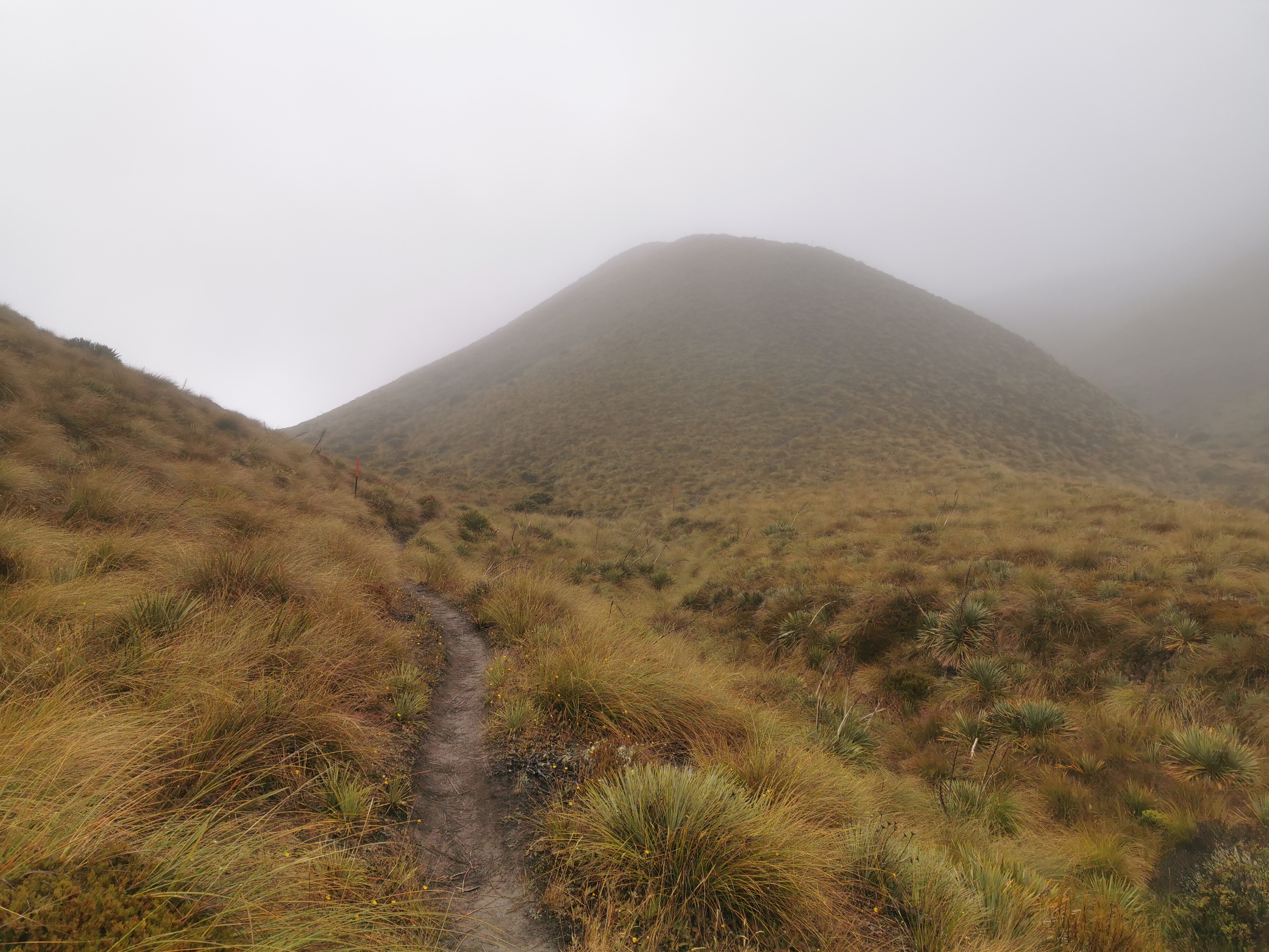
It didn’t seem that steep going up this section, at least not as steep as I expected, but I found myself forever out of breath for some reason. Maybe it was all the food in the pack or maybe the rain didn’t help. I was very glad to get to the saddle.

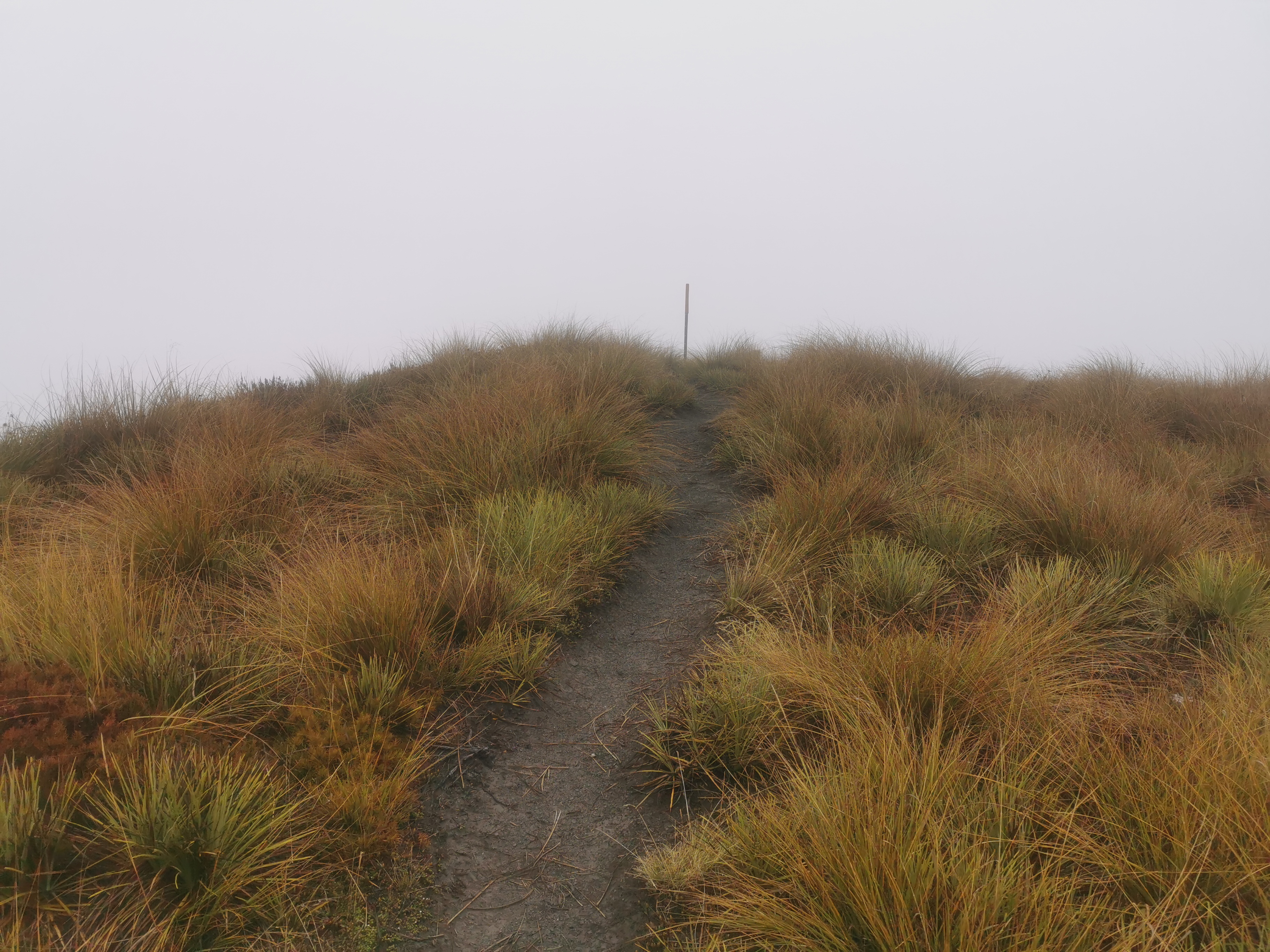
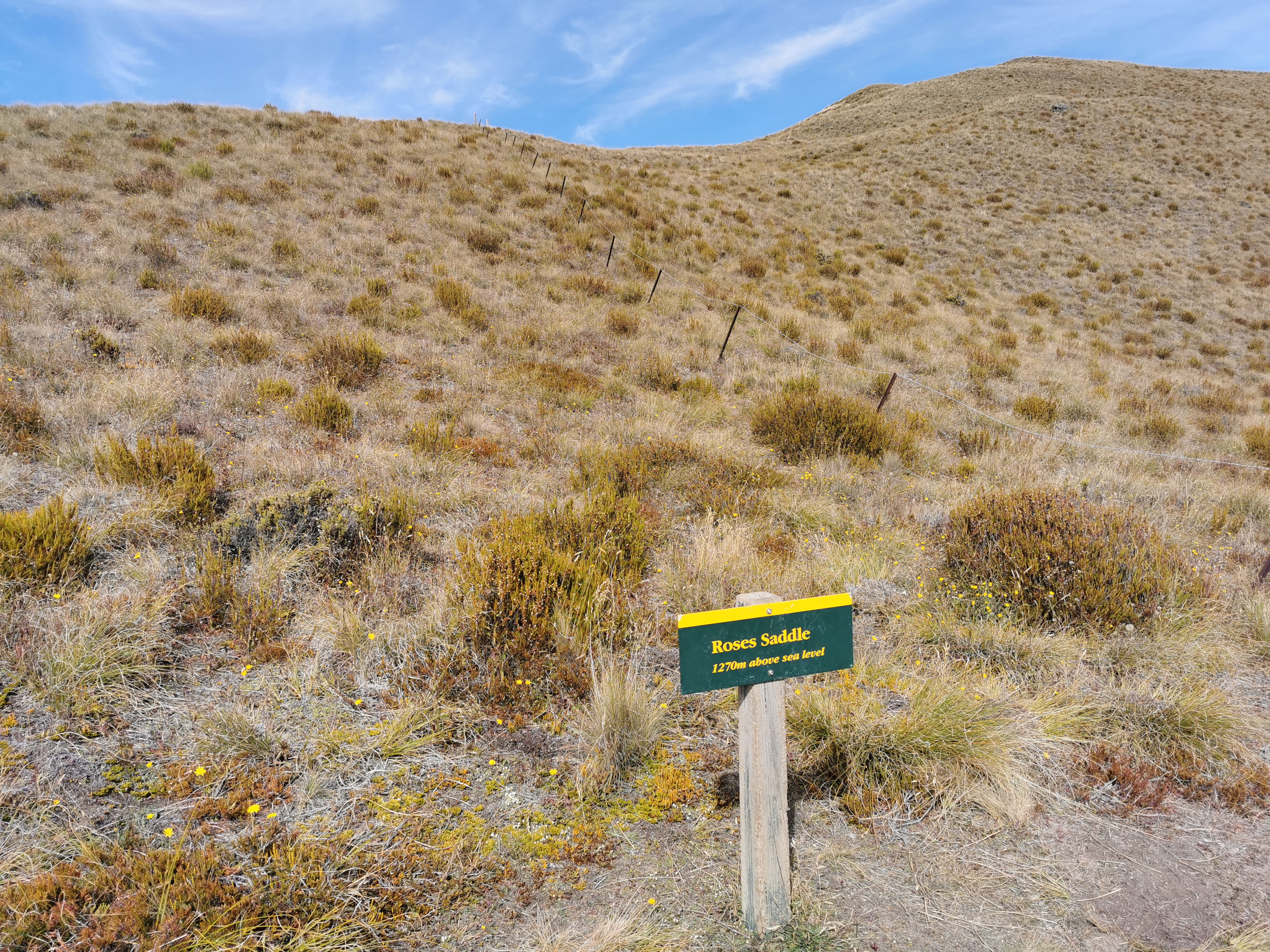
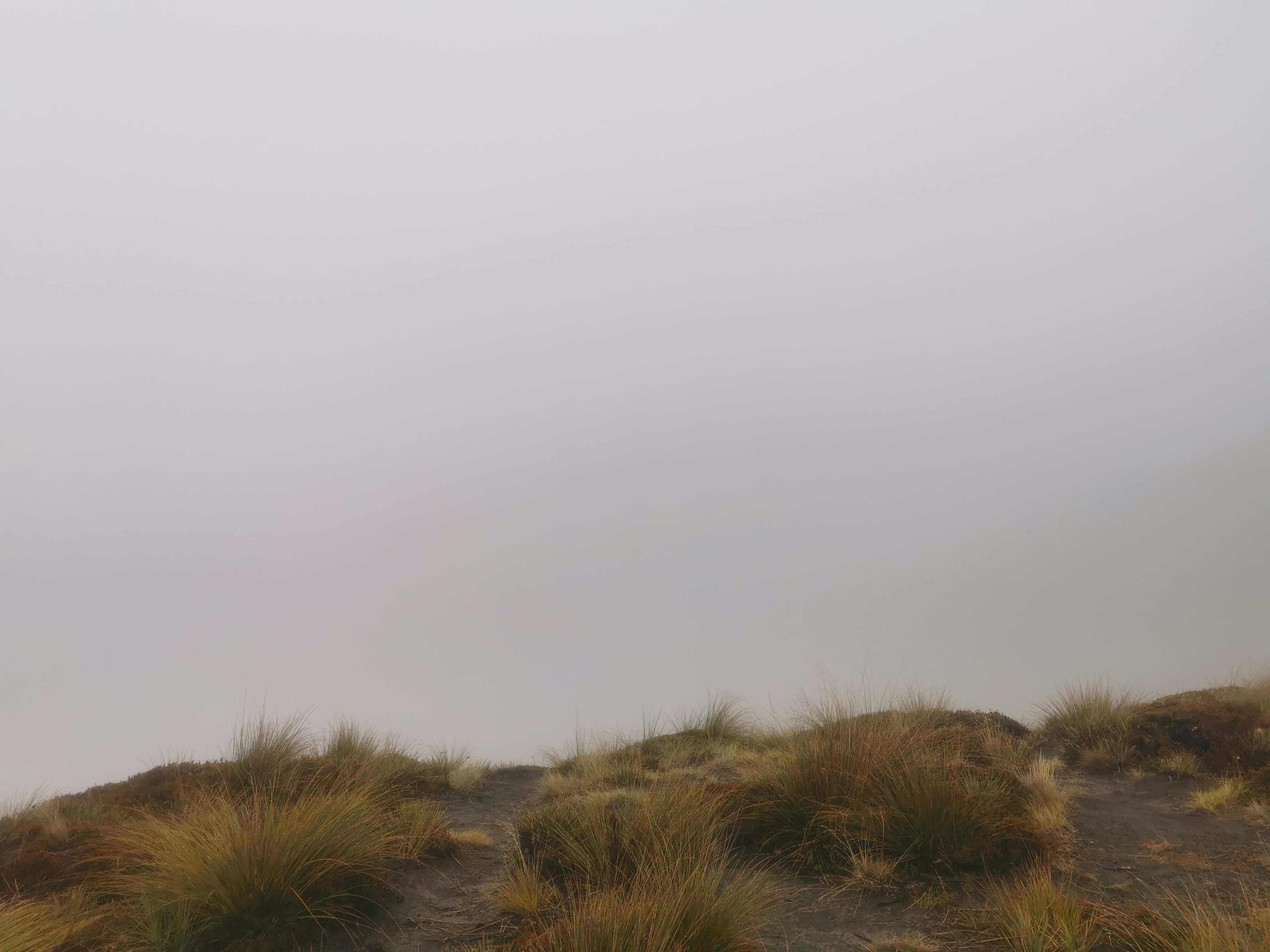
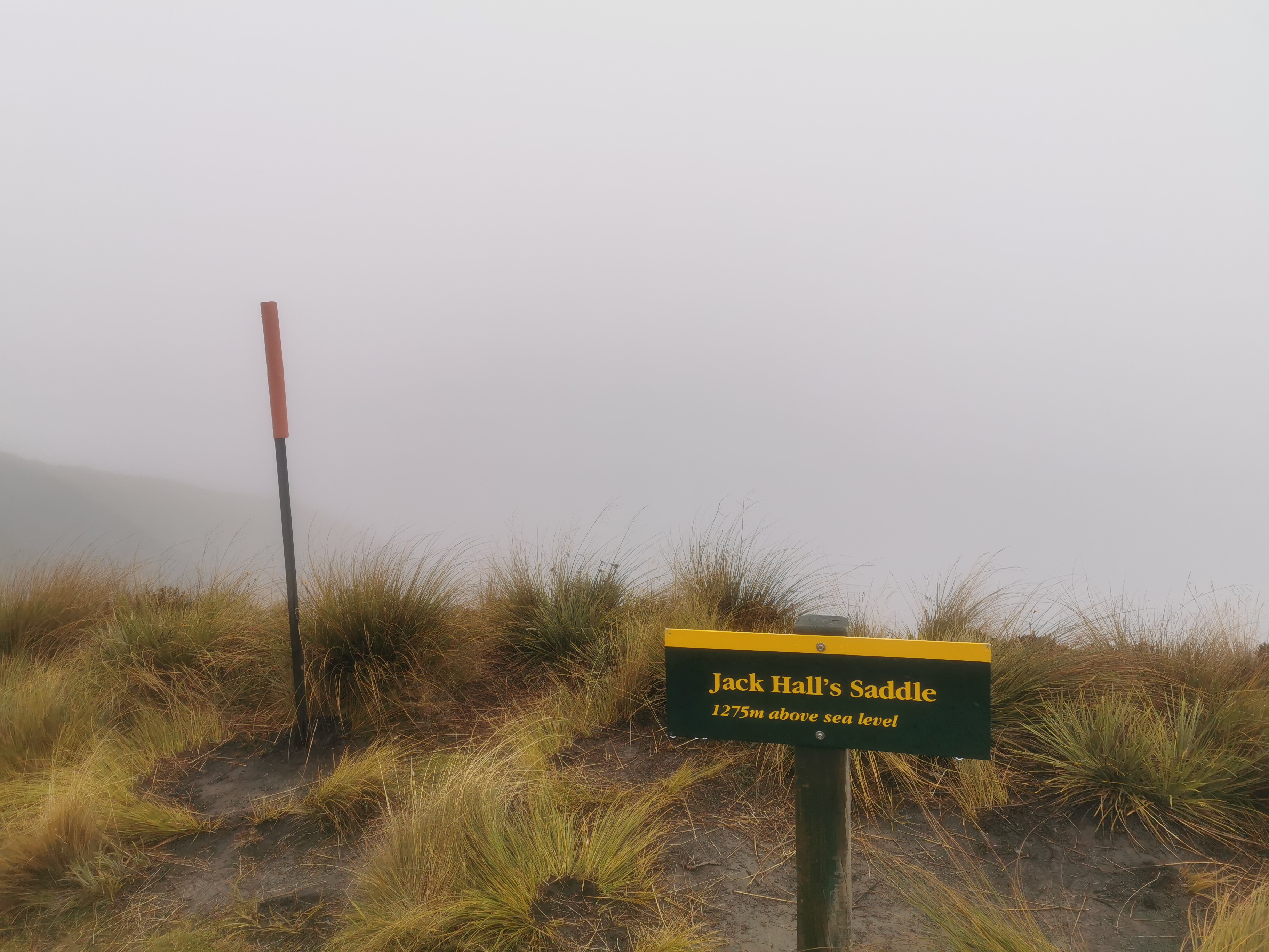
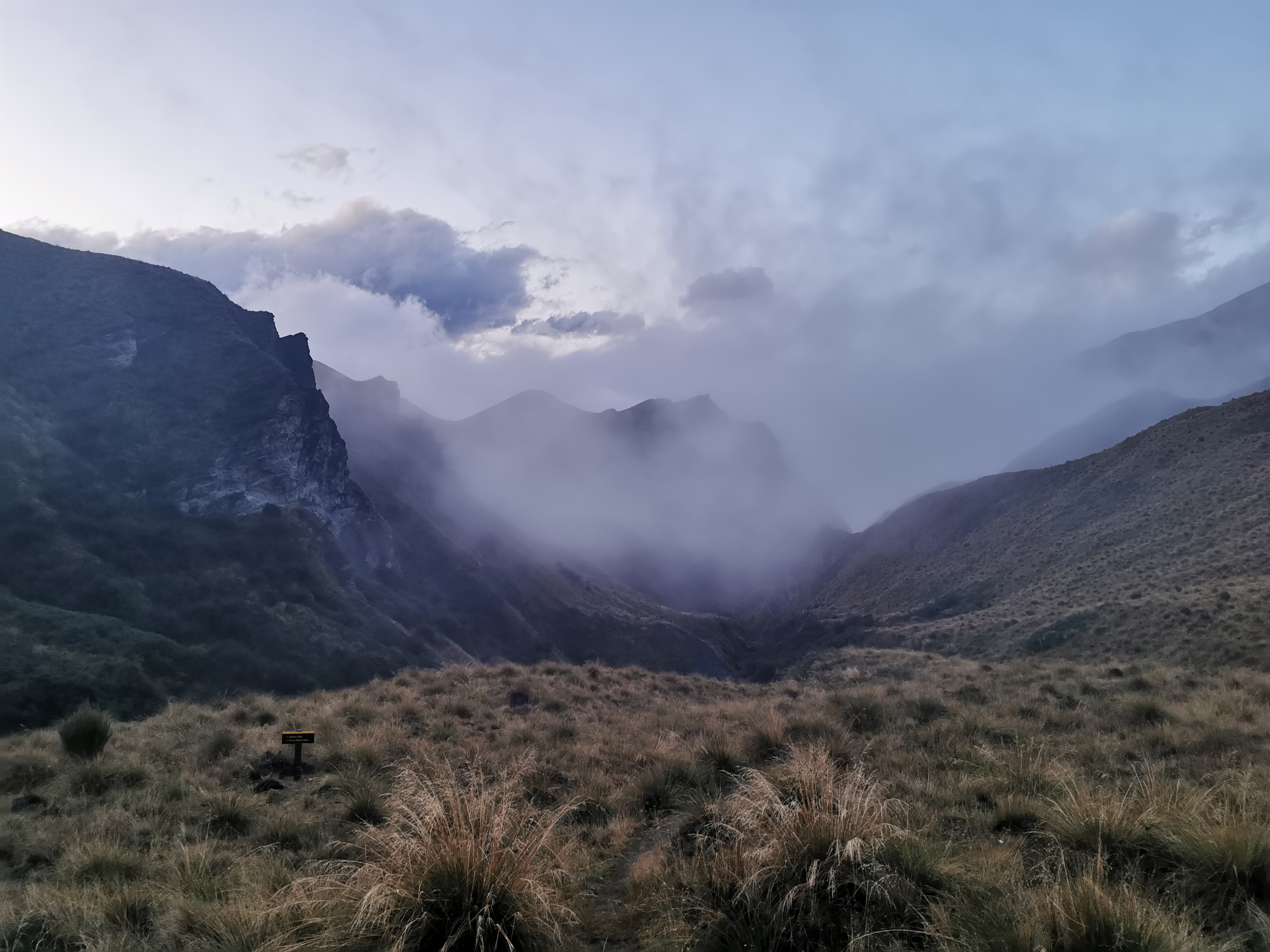
As expected this time, there was no view at all.
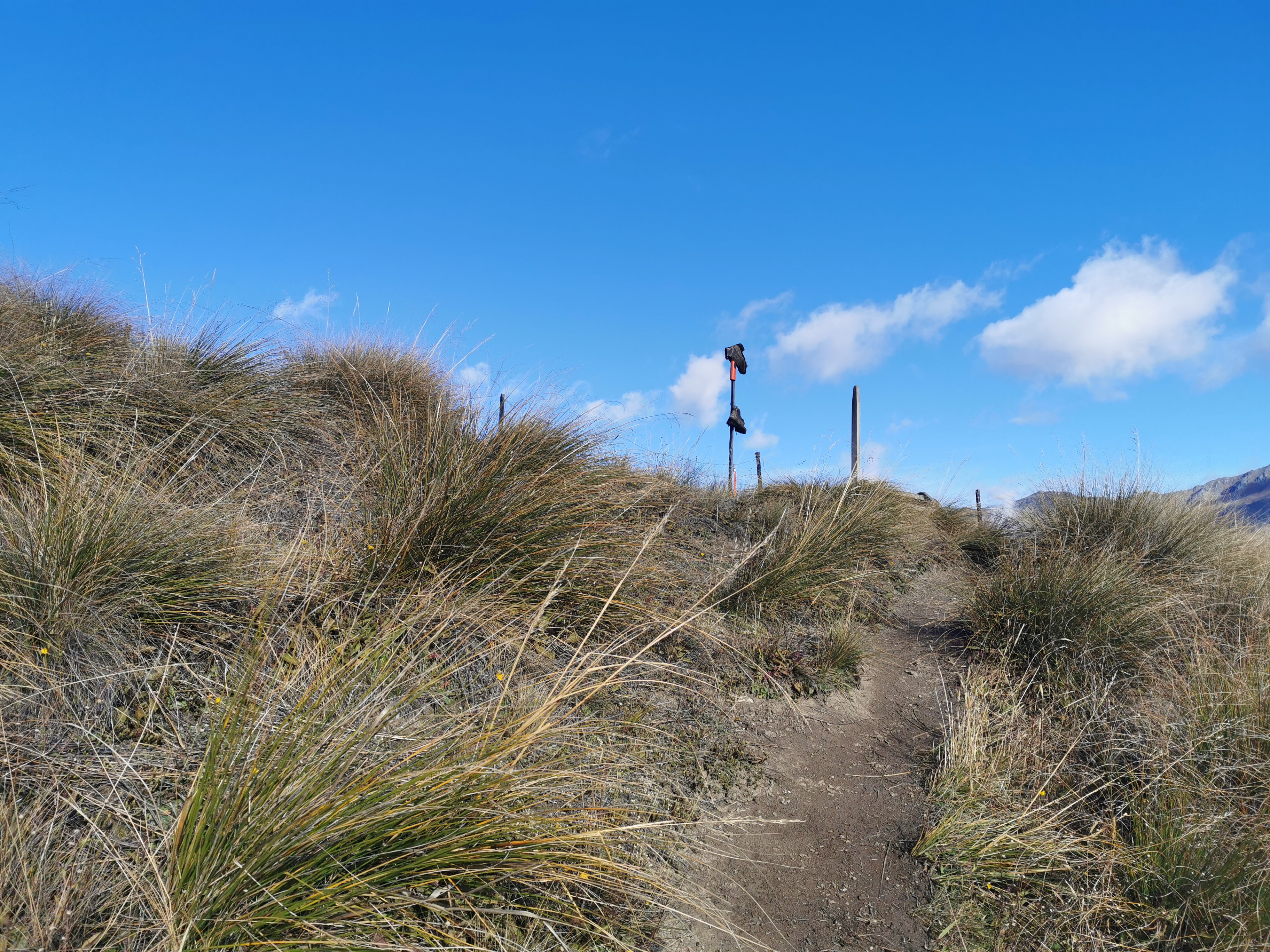
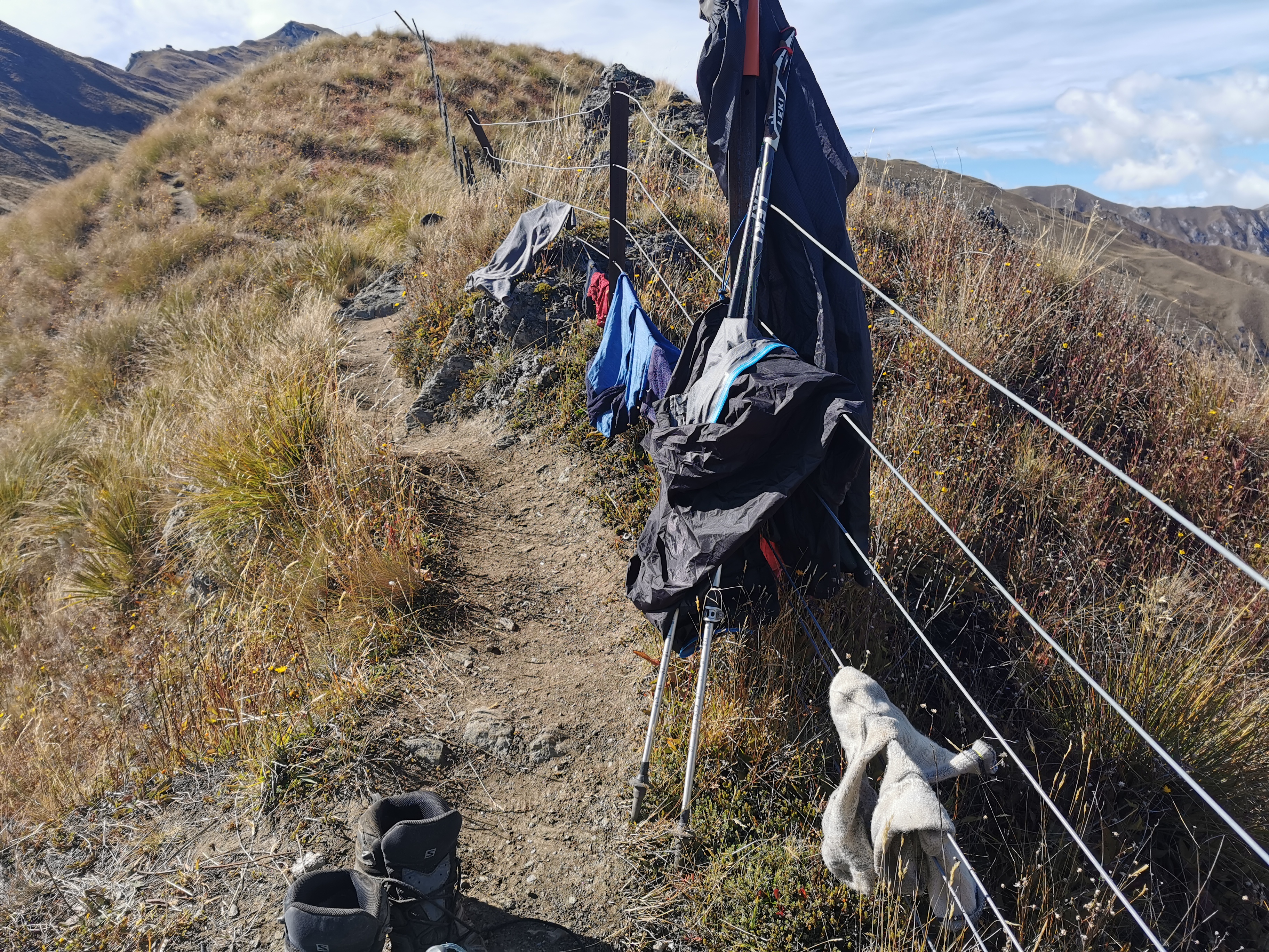
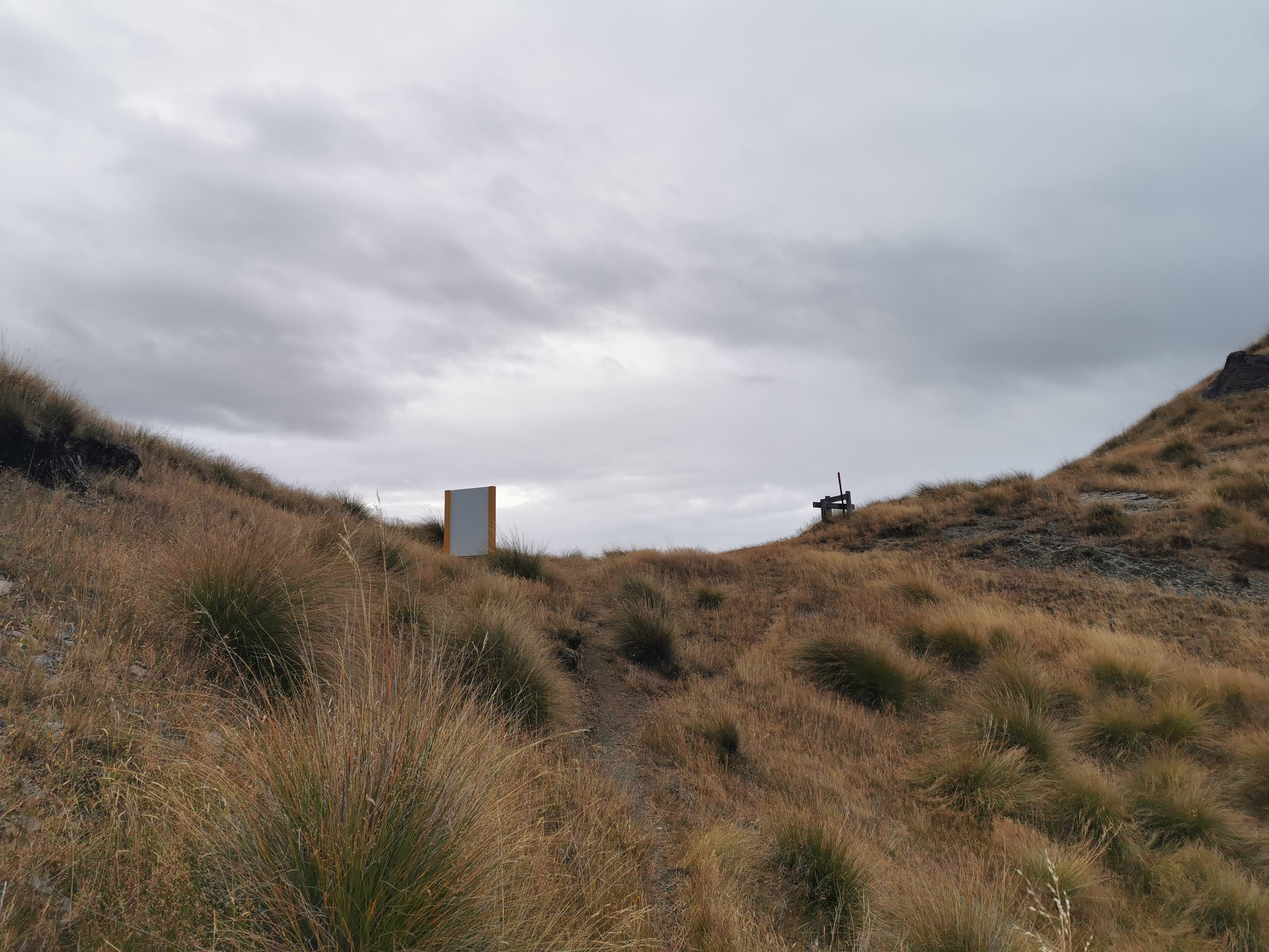
Just a sign.

Jack Hall’s Saddle 1275m

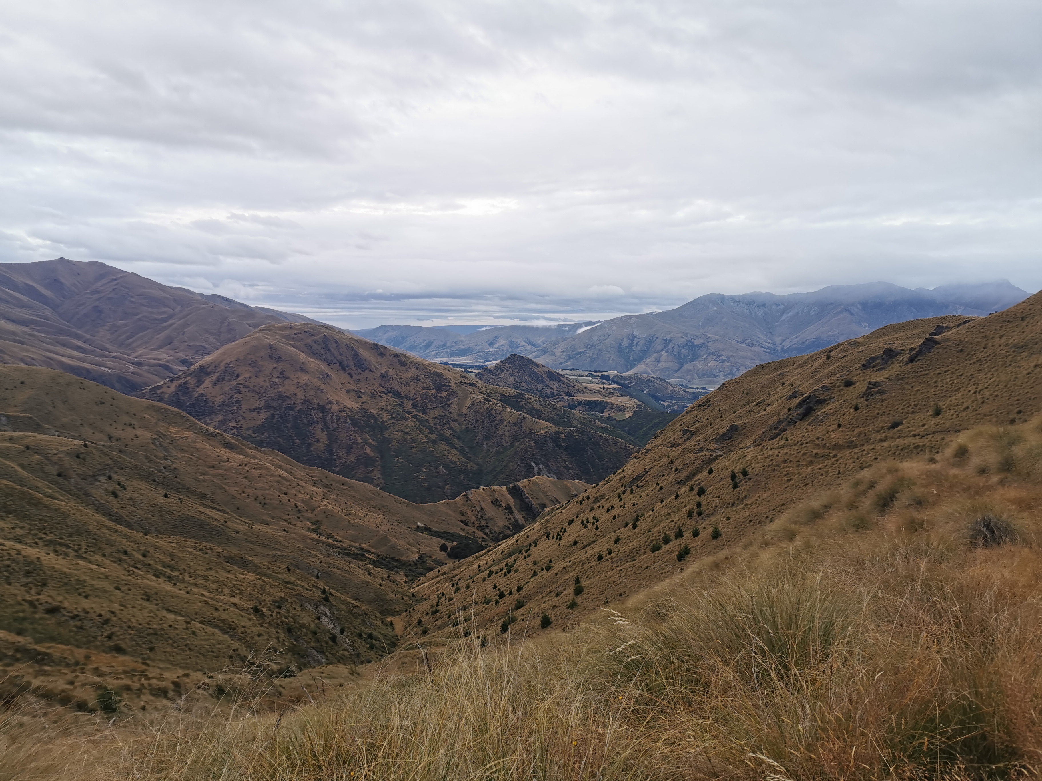
Now, time for the descent.

The clouds clearing a little bit

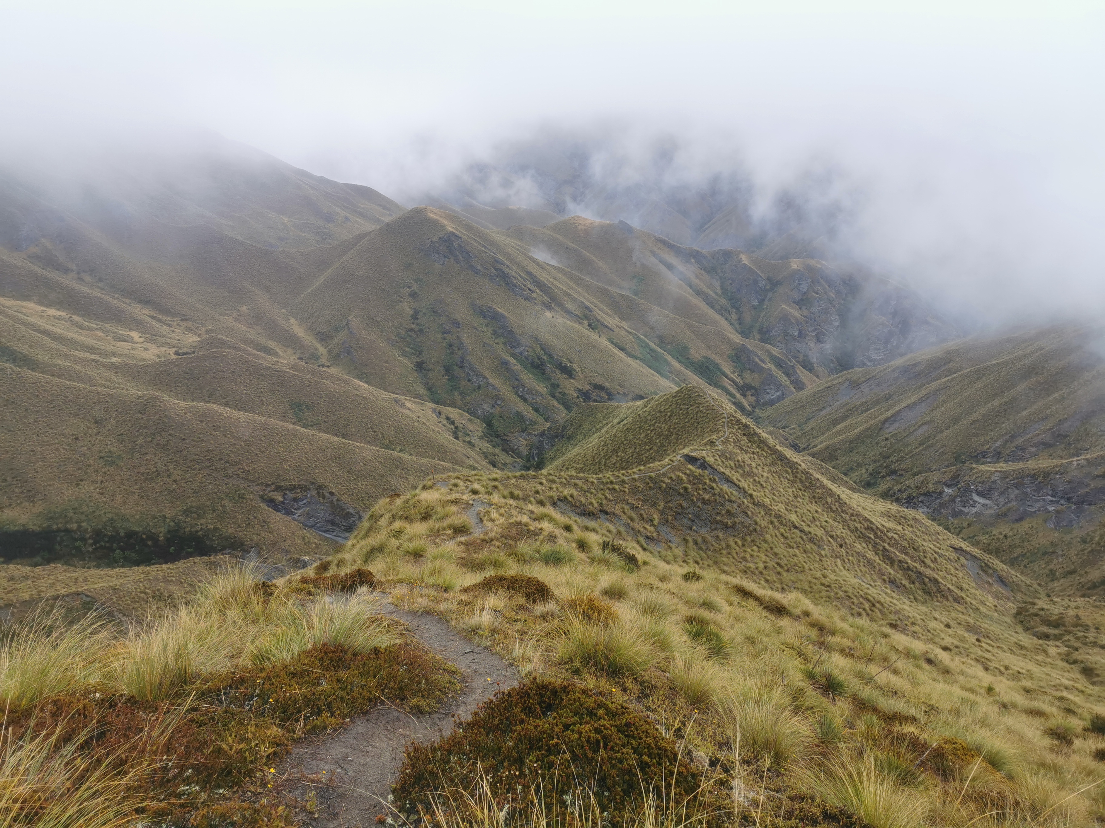
The descent was surprisingly easy. It was like the creators of this trail have designed it so that you should walk southbound. When you’re going up hills, there are kind of steps in the dirt to help you up, and when you’re going down hills, the trail is continuous with no breaks. It’s just what you want. Well, it’s just what I want.

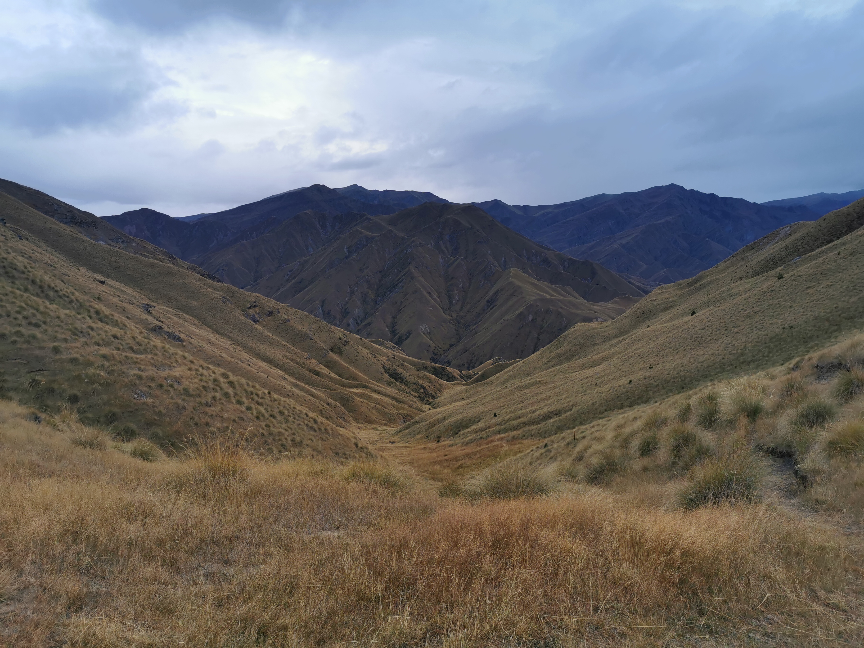
In saying that, there were a couple of times that I looked behind me while going down and thought that I’m glad I don’t have to go back up there. And there was one other short but steep uphill to contend with as well, which doesn’t show in the elevation profile above because the waypoints are blocking it.

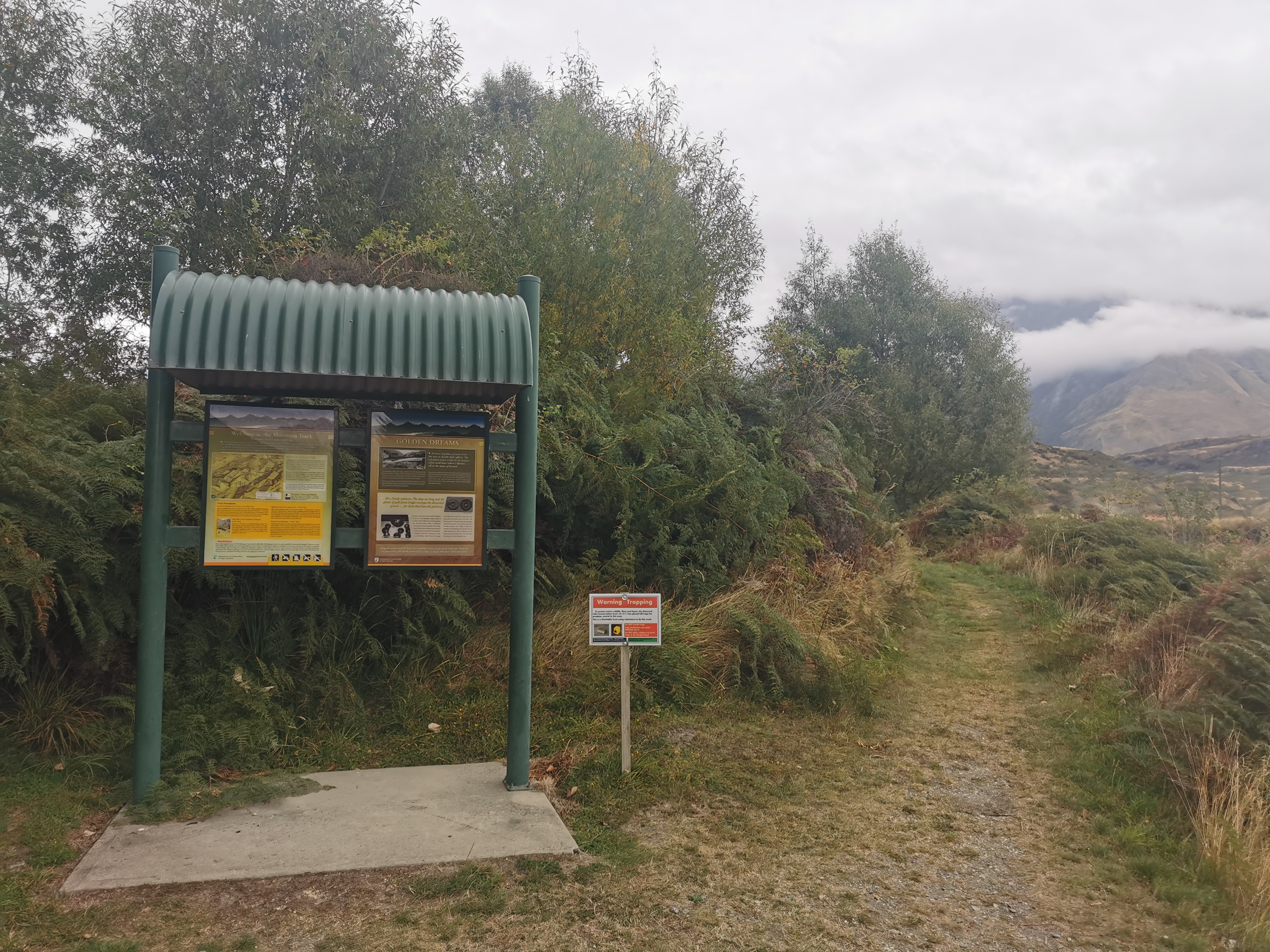
The sign at the beginning said you’re only allowed to camp on this trail in the vicinity of the huts, and nowhere else. And honestly everything is so hilly I doubt you even could set up a tent anywhere, except for maybe in the forest back at the start.

Highland Creek Hut in the distance

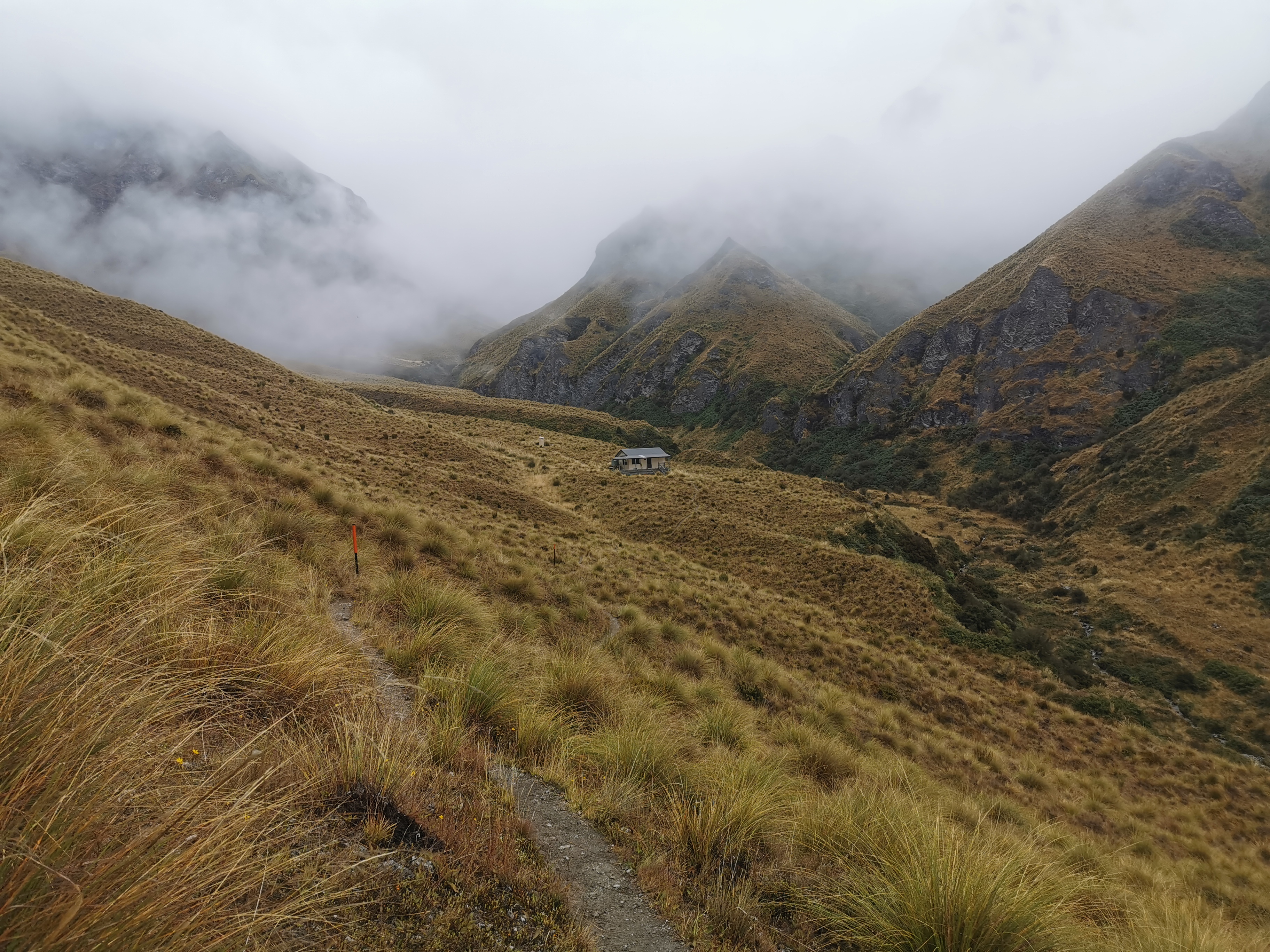
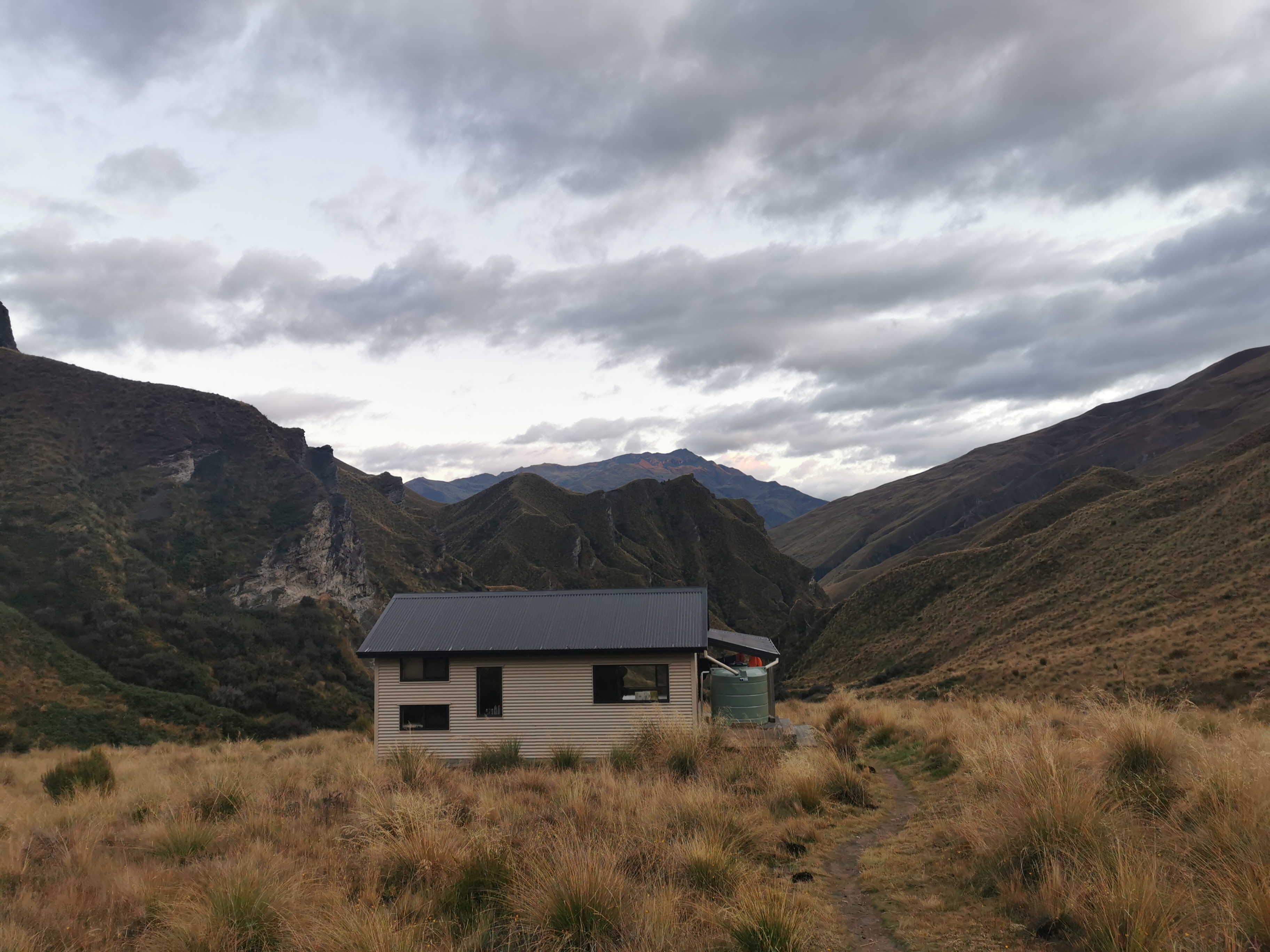
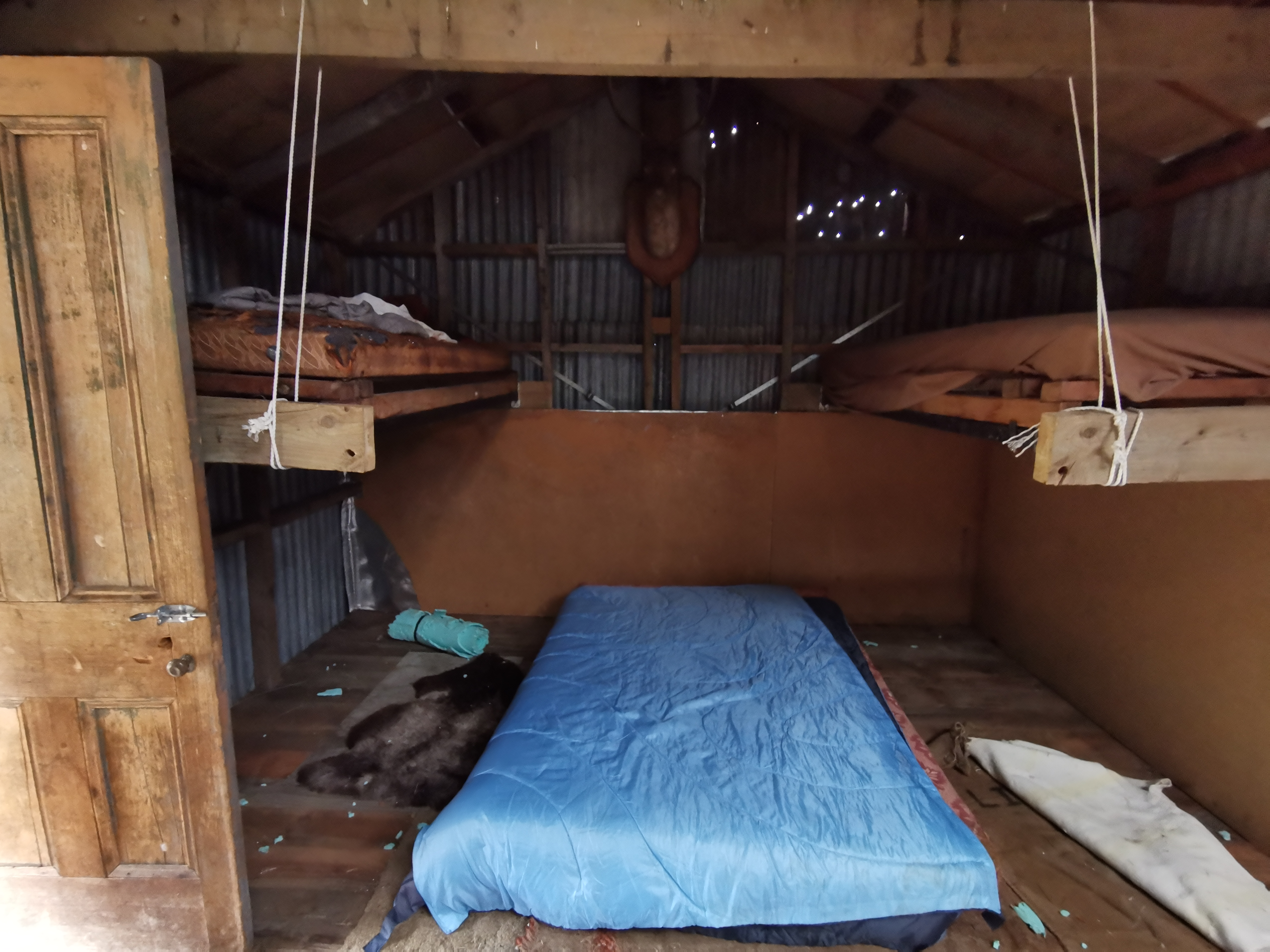
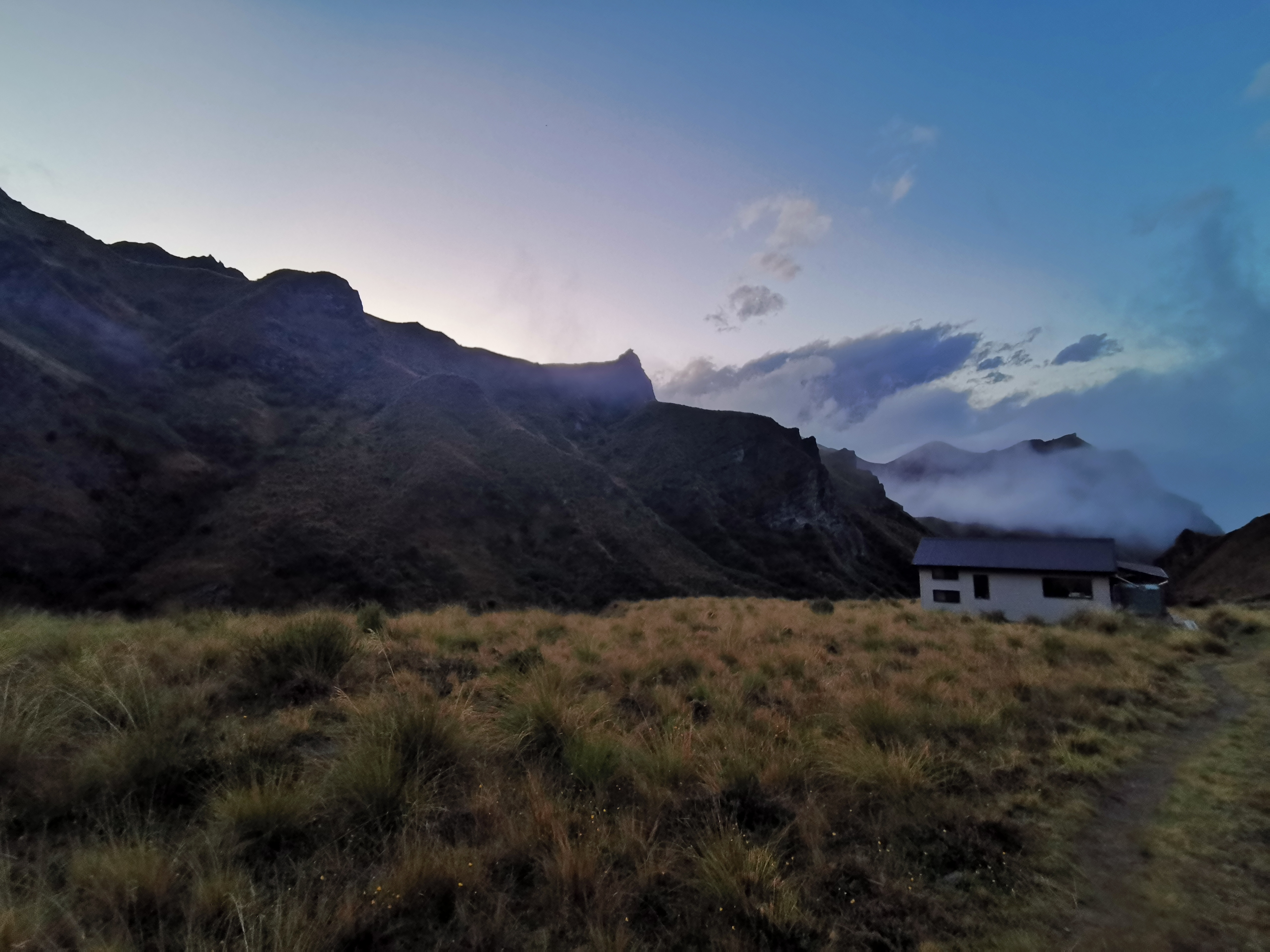
It didn’t take long before I arrived at Highland Creek Hut. It only took two hours to get to this hut from Fern Burn Hut, which was a surprise given the time in the notes was four hours. Maybe that’s why I was so out of breath, maybe I was expected to go a lot slower. The rain must have pushed me to go faster than normal.

Highland Creek Hut

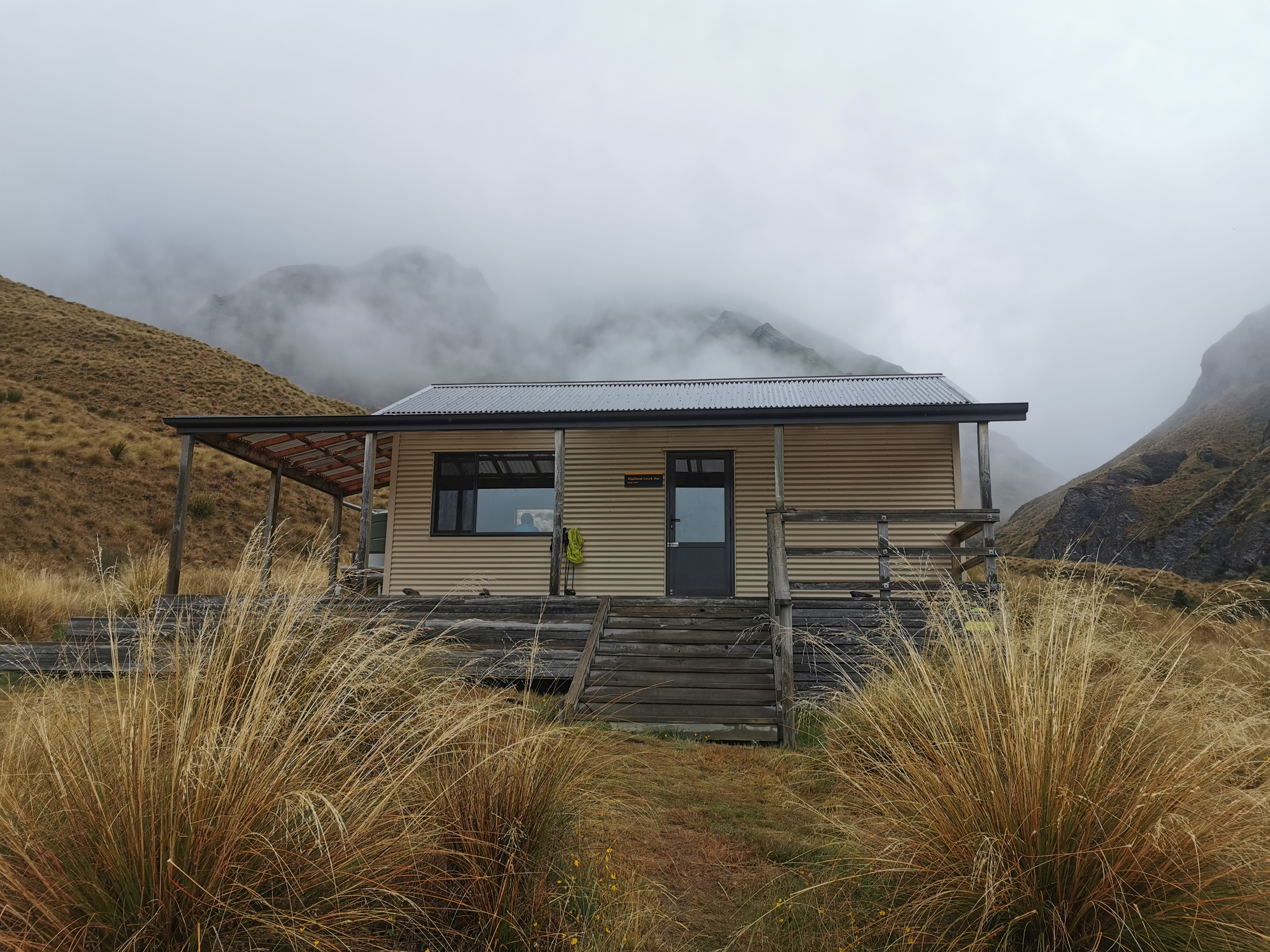
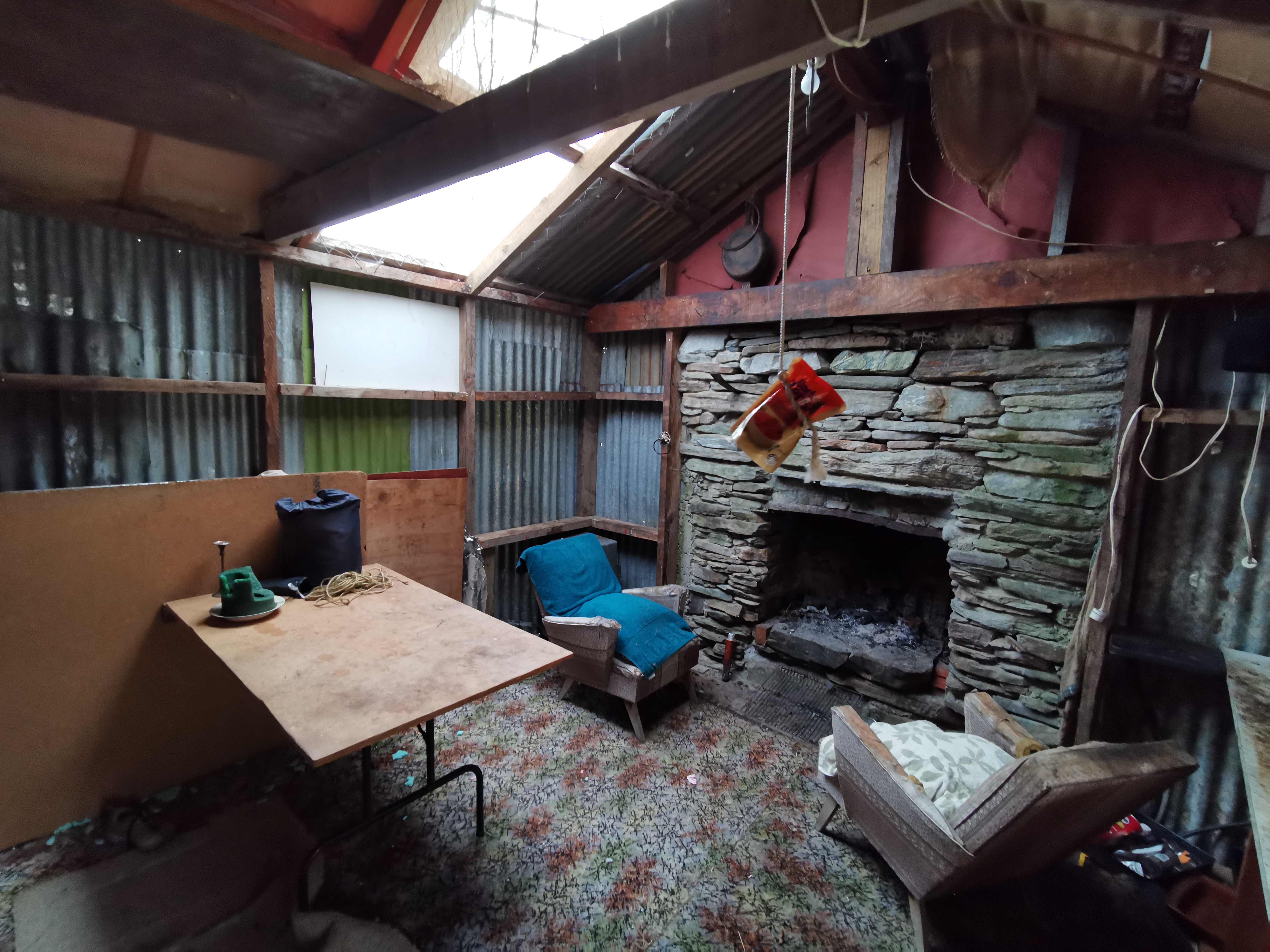
The people already at this hut made the people at the last hut seem super quiet. This hut had three people who did not stop talking loudly from the second I arrived until the second we all went to sleep. At least they all knew each other so I wasn’t expected to join them and make conversation. They’re not TA hikers, they are just walking this section since a major 100km running race got cancelled, so I figured that meant they will probably be up talking until late I’m guessing, just like the last hut!

I also presume that they are new to staying out overnight. I had to show them how to use their little gas cooker, and they didn’t even bring something to light it with.

There was one other person in the hut, she was a TA hiker. But it was hard to talk to her because she had a very quiet voice and the other three were so loud, so I didn’t get her name. However she did make it clear she thinks the huts are too crowded and she loves having huts to herself, which for her has only happened twice on the TA. She says that having huts to yourself on the non-TA walks is standard.

It always feels good changing out of wet clothes and into dry clothes after a day of walking in the rain. The added bonus this time is that because it wasn’t raining too hard, I actually still enjoyed the walk.

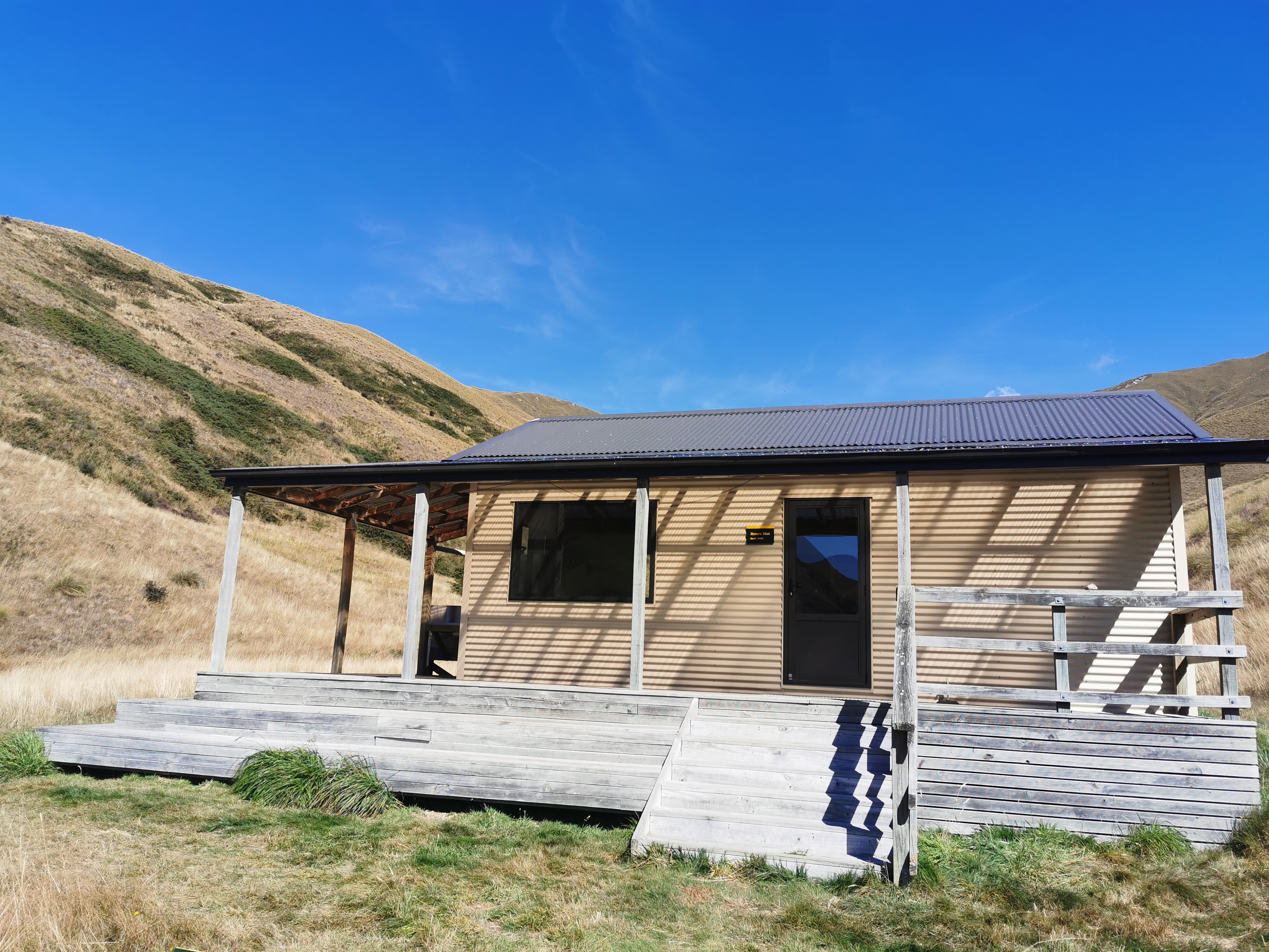
I was told that Chris is at the next hut, Roses Hut. I’m surprised since he had a deadline of 1 April to catch a flight, although I guess a lot of European flights are being cancelled so maybe he’s not in a hurry anymore.

You might’ve seen from yesterday’s post that I bought a new bag to replace my water filter bag that broke. I tried it in the shop and it did have the same thread as the filter, however it isn’t watertight because trying to filter with it results in water all spraying everywhere, just like it did with the original bag with the hole in it. I wonder if I can buy a new, original Sawyer bag in Queenstown which is a bigger place than Wanaka. Otherwise I’m going to have to “wing it”, I guess.

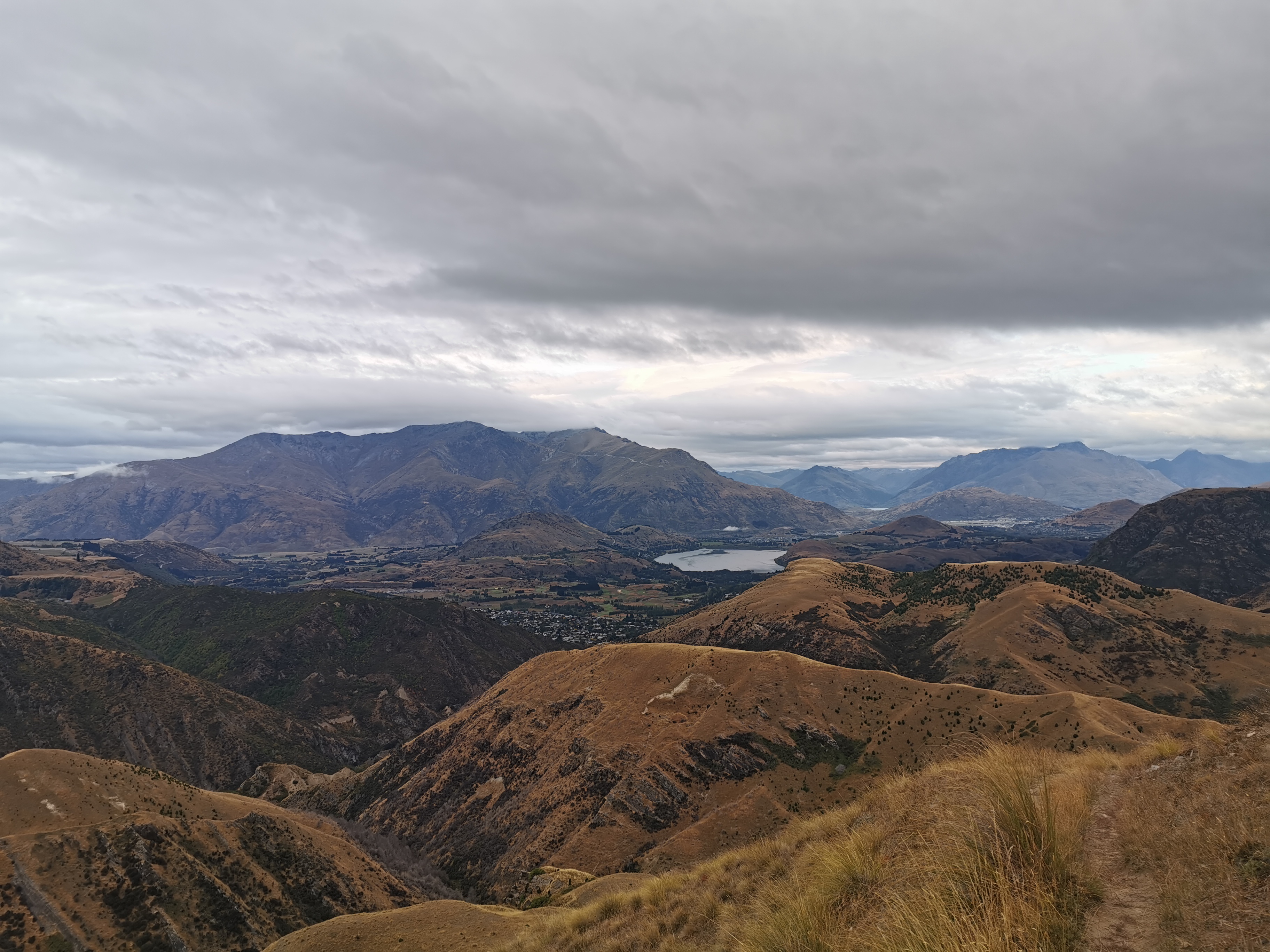
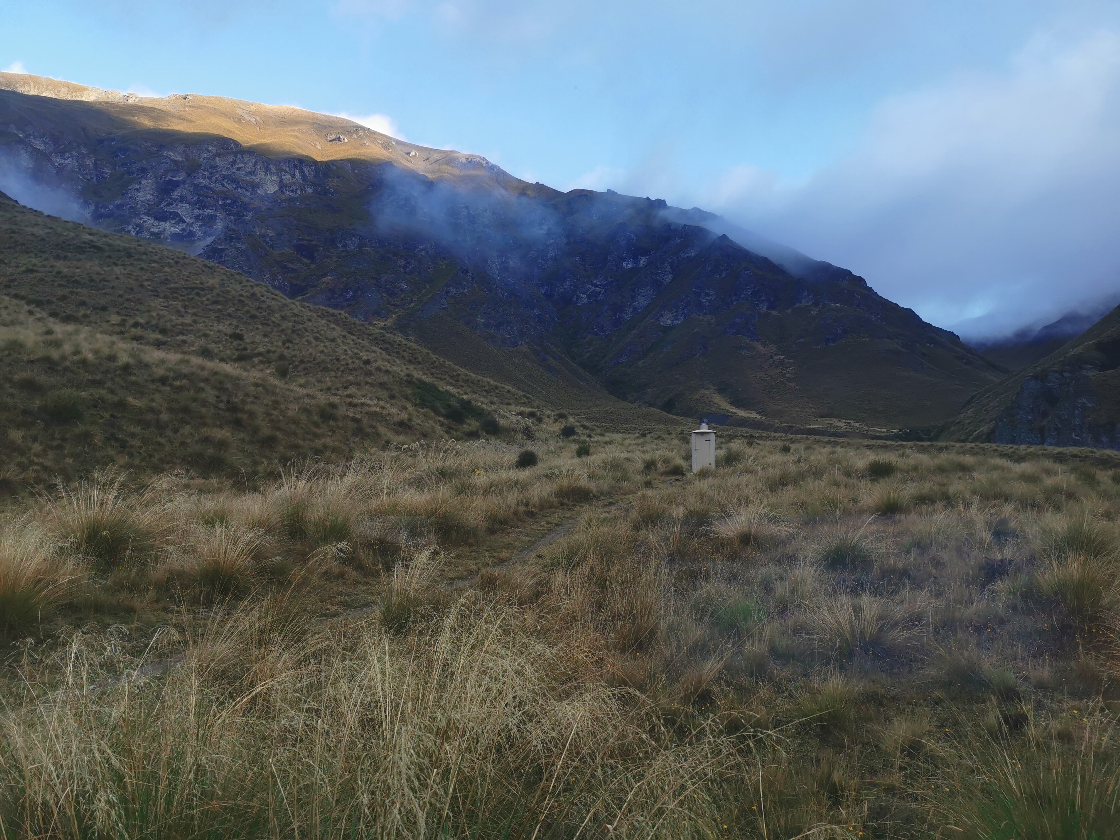
The rain did stop, and even the clouds started clearing in the evening.

Walking up to the toilet

Sun’s setting

Because of how quickly I got to the second hut today, I’m feeling good about tomorrow. I plan to do the next three hills in one day. Three big ascents and descents suddenly don’t seem so daunting after today. And everyone was in bed and asleep by 8:45pm which was nice. And no whispering or kissy noises this time. Hooray.

Click here to see today's walk on the map.

Day 154 – Highland Creek Hut to Mt Soho Derelict Hut

Date: 22 March
Trail covered: 23.6km (kms 2613.9 to 2637.5)
Weather: fine

I slept really well during the night in Highland Creek Hut. Right through until 8am, which was a surprise because while I was having breakfast the others said “did you hear all those people outside the hut at 1am? Did you see their lights shining through the hut?” and I honestly didn’t. Normally I’m a light sleeper but I slept right through these inconsiderate people who apparently were hanging around the hut in the middle of the night.

I had hung yesterday’s wet clothes on the clothes line outside overnight under shelter but of course they were still wet and cold. I’m hoping I can stop somewhere for lunch today in the sun and dry stuff out, but that always takes time.

The clouds had mostly cleared overnight and so a different view could be seen.

Highland Creek Hut

I didn’t waste any time having breakfast and was out the door by 8:25. I knew that there were three big hills and 20km between here and Macetown, where I hoped to get to today. Roses Hut is on the way after two big hills and 10km, and Arrowtown is 35km away which would normally be doable but not with all the steep hills in between.

The hills didn’t waste any time in becoming steep.

Right up to the top of there
Difficult footholds, which fortunately were not common

And that hill was just a taster of things to come. For 75% of the day I was hauling myself and my pack up and down these types of hills. It was definitely one of the more exhausting days anywhere on the South Island.

View to the left

Looking down from near the top of the first hill, I saw what appeared to be a road and signs of civilization. After busting my gut to get up here, I kind of wish the path went along the road instead.

Is that a farm I see? And a road?
Top of today’s first hill
View from over the first hill

Today the descents were a welcome relief after the big hill climbs, even if they made my knees hurt a little.

Bottom of hill 1

The bottom of the first hill had me in the forest. At 11am I had just come out of the forest and was staring up hill 2.

11am picture – staring up hill 2

As usual in this type of terrain, the three main creatures that you see are grasshoppers, little orange butterflies, and skinks. Finally I got to take a photo of one of these skinks. They’re everywhere, you see one every couple of minutes or so, but they always dart away when you get close.

Little skinky

At the top of hill 2 I set up my laundry and spent an hour having lunch.

Top of hill 2

Things got half dry. It was better than nothing.

Coming down hill 2 was interesting. It was straight down the ridge so that meant the whole time you could see Roses Hut, followed by the big track going up and over hill 3.

View from Hill 2 – Roses Hut on the right, and a path I’d soon be going up which would be hill 3

Coming down near the bottom of hill 2 there was a patch of muddy grass. I slipped right over on it at one point and got annoyed with myself. Then, two minutes later, I slipped over again. That’s some real slippery grass right there.

This is where I slipped over
Big rocks to hop over

Near Roses Hut there was a field with some sheep. Of course all the sheep ran off when I got near.

Except this one. He was on this side of the gate, and did not care one iota about me.

Brave sheep

I even reached out and gave him a pat. He didn’t even flinch.

Very brave sheep

I had another snack at Roses Hut but since there was nobody else there I didn’t stay long.

Roses Hut

It was immediately up the next hill. For some reason, I got lots of bugs in my mouth on the way up this hill, it was weird. Also, the third hill looked less steep on the elevation profile than the others, but it wasn’t. Maybe i was hurting more by the third hill, or maybe hill 3 is mostly steep at the top.

This picture is looking back down hill 3, with hill 2 being the ridge in the centre. Although hill 2 doesn’t go all the way to the top of that ridge, it goes about halfway up. The peak on the right is apparently Knuckle Peak at 1800m up.

Looking back at hill 2
Top of hill 3
View from hill 3
Roses Saddle 1270m

I’d read in the notes that as you start getting closer to Macetown you start to see relics from the gold-mining area. Looks like here are two of them – some kind of building on the right and a digger on the left.

Mining artefacts?

Although neither of these things look like relics, they both look in good condition from here.

There’s a choice to make here. In low or normal river flow you can take the “low water route” where you walk down the Arrow River, or you can take the “high water route” any time.

Low or high water route?

The notes say that the low water route is faster if possible. I found that a bit hard to believe since I know going down the river is usually slow, but I decided to do it. The river didn’t look high and it was the afternoon so the water wasn’t too cold. If it had’ve been early in the morning I might not have done it.

Low water route it is

I put my crocs on for the water section. It was actually quite pleasant walking in the river, the rocks were not slippery here.

Looking back at the digger
The way forward

After a while I realised I wouldn’t be in the actual water the whole way – sometimes I’d be beside the water.

Like this.

And then the path even turned into a 4WD track, which always makes things easier.

Shame I left my 4WD at home.

There were times you could see orange markers to the left way up on the hill, which was the high water route. This way wasn’t marked, although it was as simple as following the river downstream.

After 4km of walking downstream I’d reached the end of the Motatapu Track.

There was some kind of vehicle in the distance. Another relic?

Nope… It was people panning for gold. I didn’t know people still did that.

I had a chat to them and continued on. I was now in Macetown and was excited to see what was here. Macetown apparently had 100 or 200 people living here in the late 1800s during the gold-moning area but they all left and now the place is uninhabited.

Other people who had set up camp, but not TA hikers as they had a quad bike with them

There wasn’t as much in Macetown as I expected. The map had the words “derelict huts” over and over again but I didn’t really see any.

There were only two buildings in the town. One was a cottage which I didn’t see because it was off-trail. The other was the restored bakehouse. There were also a bunch of mining batteries but these were an hour or so off trail.

The Macetown Bakehouse
Inside

I still had my crocs on through here. There were still more river crossings, and just lots of water in general. It must take a chunky 4WD to get down here.

Perhaps this is what they mean by derelict hut.

It’s just stones

Another very wet section of track

Looking up on the hill, I could see a path but it doesn’t seem to go anywhere. Maybe used during gold-mining?

Although a bit further on there was another similar path where it was possible to walk.

Okay, so that was Macetown. There was still another hour of daylight left and so I thought I’d continue on. Guthook had mentions of other good camping spots and also potentially a hut further up.

Start of the “Big Hill Track”

This is the start of the Big Hill Track, which goes up and over the Big Hill saddle. Not a very imaginative name, Big Hill, especially since it is smaller than the other four hills I’ve walked over today and yesterday.

The first part of the walk was through these plants I hadn’t seen before. They rattled when you pushed them.

Mystery rattling plants

Only a short distance up here I found the hut Guthook talked about.

Inviting

It had no name, everything outside looked a bit smashed up and broken, and on the map it said “Mt Soho Homestead (derelict)” for this whole area. I was a bit apprehensive about going in.

Wow, it sure is quaint inside, but it’s not in as bad condition as I expected (although that deer head with no eyes is just creepy). There’s lots of mess around, lots of shrapnel everywhere. I wonder if mice have ripped up the foam mat or whether it was bored hikers. There’s definitely evidence of rodent activity here. A bit of a scary place to stay by myself but I decided to do it, as it saves putting the tent up.

I made sure to cook dinner outside in the hopes that it didn’t make the inside smell like food and therefore attract the rodents.

Having a proper look around, there are definitely rats here. The droppings I can see are far too big to be from mice.

Messing with the self timer. Note I’m not wearing my new snazzy shorts. I thought I’d save those for days when I actually have to interact with people.

Inside I got into my sleeping bag and started writing this blog entry. While I was doing that, I heard something constantly running across the roof. A mouse or a rat, perhaps? Although it’s a corrugated iron roof, I’m not sure how a mouse could run across it. Hopefully it’s a possum and it stays outside. But the chances of rats being here are close to 100%. Hopefully they don’t keep me awake and hopefully they don’t run across my face. And hopefully I don’t see them. Since I’m the only one here I went to sleep with the torch on my phone on, pointing up at my food bag hanging from the ceiling. Although for all I knew that would keep the rats awake.

Click here to see today's walk on the map.

Day 155 – Mt Soho Derelict Hut to Queenstown Airport

Date: 23 March
Trail covered: 30.3km (kms 2637.5 to 2667.8)
Weather: hot with a few spits of rain

I slept great in the derelict hut. I woke up while it was still dark at 6:30am because I needed the loo. I was annoyed about having to get out of bed earlier than sunrise but at least I’d get an early start.

I had my cereal by candlelight and then I was off.

Sunrise

The elevation profile showed me I was immediately off up “Big Hill”, or as I was calling it, “Unimaginative Name Hill”. It was only slightly less steep than the four other hills I’d walked over in the last three days, but compared to those it was uneven, overgrown, thorny and not well marked for the bottom half. At least the grass wasn’t too wet so I didn’t get wet boots.

Straight up the hill
The top of Big Hill Saddle
View over the other side
Looking back

The descent was a lot nicer. Quite a bit less steep and a more defined path. That must be because we were close to Arrowtown, no doubt.

Arrowtown view

It went through a forest section.

Like yesterday, it also went through a muddy bit with long grass and like yesterday, I slipped over in exactly the same manner.

Arriving in Arrowtown, I headed straight for the coffee cart.

The owner couldn’t explain why I had to “watch out for Gordan”.

The town itself had an unusual style. I thought it was neat.

Arrowtown Chinese Settlement
Arrowtown main street

I stopped in at the bakery for breakfast #2 – the building on the right in the photo above.

When I came into Arrowtown, my first task was to try and book a shuttle for tomorrow from Queenstown around Lake Wakatipu to the Greenstone carpark where the trail stops and restarts again. I called various numbers without success. Some would only take me if I did a tour, and some were in self-isolation due to Covid-19. Some the number just wouldn’t connect at all.

So I asked on the Te Araroa Facebook group for advice on how to get a shuttle around the lake. The reaction I got was surprising. What I ended up getting was almost everyone telling me that I should be going home and it’s unwise to continue the trail since the country was imminently going to go into lockdown over this virus. Of course they provided no evidence of this, so I dismissed it as scaremongering and typical Social Media nonsense.

One person even shared a Facebook post from Hone Harawira. For those who don’t know, he is a prominent activist in Northland and he is one of the most vile and racist human beings to grace this country. He used to be a politician but when people realised just how vile he is, he got voted out again. His post basically said if you’re not from Northland (tourists and Aucklanders were specifically mentioned) then piss off back to where you came from. I tell you what, any punishment I would get from punching that lowlife scum in the face would be entirely worth it.

Anyway, now that that’s out of my system, amongst all the ill sentiment on Facebook I did manage to get the number of Info & Track who were prepared to shuttle me around tomorrow for $120. Normally it is $60 per person but they need two people minimum before the shuttle runs. I was prepared to pay it given how hard it appeared to be to get anything.

While I was at it, I also booked a refundable ticket home from Invercargill for about two weeks’ time. If I end up taking longer than expected getting to the finish then I can refund the ticket but with all the strangeness going on right now I thought it would be good to have a confirmed reservation.

Because of the reaction I got on Facebook about the virus, I called my Mum to see if I was doing the right thing by going on. She essentially said “don’t you dare come home, you’ll regret it”. She thought the same as me – if I do have the virus and am not showing symptoms, I’m going to infect a lot less people being in the middle of nowhere for 14 days than I am being in Auckland, and I’m also a lot less likely to get it in the first place. Good, I’m glad we agreed on that.

With all that sorted, I continued on. The path out of Arrowtown went through quite a varied series of places. First, a park:

I liked the markings on these two ducks, even though they don’t show up well in the photo

Then a golf course:

Then at 11am, a subdivision built around the golf course. Kind of like Gulf Harbour in Auckland, where I have family.

11am photo

Then past Lake Hayes:

Then across Highway 6:

It’s a mad dash across here

Then through a residential suburb:

Then alongside the Kawarau River:

Some construction going on here. This digger was balancing precariously I thought.

Then on a bridge over the Shotover River:

Walking around here was interesting. People who I passed seemed mostly friendly and said hi but a lot seemed uncomfortable and kept their distance from me. I’m not sure if that is just the general sentiment of people who live in this kind of big tourist town or whether its just a reaction to Covid-19, but either way I noticed it.

I went past the wastewater treatment station:

It was very very stinky

And through this uninviting alleyway:

And then finally to PAK’nSAVE.

PAK’nSAVE Queenstown

I thought to myself how this is going to be my last major resupply on the trail. I need to get 10 days worth of food here for the upcoming section. I went inside and starting going around the aisles doing my shopping.

That’s when a message came through from my friend Nick, which simply said:

“NZ going to lockdown in 48 hours”

Uh oh. Better check the news. Yes, New Zealand is moving to “level 4 alert” in 48 hours which is the highest alert in the Covid-19 alert system. I don’t know exactly what that means but I know it’s bad and I got scared. All cafés and bars would close and there would be severe restrictions on travel. It seemed very likely I’d get stuck in Invercargill once the trail was over with no way of getting home.

To make things worse, I had cut my finger on something without realising, and when I took my phone out of my pocket my hand was covered in blood and I got it all over the phone and the supermarket trolley. I was trying real hard not to touch my face in the supermarket (because that’s the advice in the wake of the virus) but with blood everywhere I had no choice.

After some quick decisions and chats with my family, I made the call to go home right there and then. The trail is now officially over for me for this season. It was a tough decision but the final 11% of the trail won’t be going anywhere. I can do it in two weeks some time in the future.

I abandoned the supermarket trolley with my half-completed shopping and left the supermarket. I went onto the Air New Zealand app and booked a flight home. There were none today or tomorrow, only flights departing after the 48 hour window, so I was nervous, but I booked the first available one anyway.

Then, as I was walking around the area trying to look for food and trying to decide what to do next, I kept constantly checking the flight status. A flight opened up for tomorrow, so I quickly changed to it. Excellent – now I have a confirmed flight within the 48 hour window.

I went to nearby Sal’s Pizza and got some food. There was a notice saying that anyone dining in has to fill in this form with your name address and email – a Ministry of Health requirement. That’s new, I thought.

While I was eating, a seat on a flight became available on the 4:55pm flight today – that’s in two hours time. I quickly changed to it. I thought to myself it is only by the sheer grace of God that while walking the entire South Island, this all happens when I am only 30 minutes walk from a major airport. How fortunate is that. Seriously.

I called up and cancelled my shuttle that I’d booked, and I also tried to cancel my flight from Invercargill to Auckland that I booked earlier this morning but the website wouldn’t let me do it, which is weird because I’ve never had any problems cancelling flights online before. It must be because of all the chaos going on at the moment. At least I have two weeks to sort that.

I walked over to the airport. I saw my first sign for Invercargill and realised that this is as close as I’m going to get to it this season.

So close yet so far

At the airport it was clear that things weren’t normal. The first clue was that people were being asked what flight they were on and I presume, being turned away if they didn’t have one.

Then, I saw a lot of backpackers sitting around on the floor. Why, I wasn’t sure.

Then I saw the big queue of people looking to buy tickets.

Queenstown Airport – Long line to try and buy a ticket, with police and everything.

I feel sorry for these people. An announcement came over the loudspeaker “we’re trying to get our executives’ approval to increase flight capacity but at the moment we can’t. Consider flights from Invercargill airport or Dunedin airport”. I felt so fortunate that I had a ticket. The announcement said there’s no capacity for a flight out of Queenstown for the next 3 days.

Before checking in I threw out my half-used gas canister and lighter like a good traveller, and checked in. I then went to get something sweet, and noticed they had a Patagonia Chocolates here too – just like in Wanaka!

I also had to write my name and address down when I bought stuff from here too.

When I went through security, they confiscated my Swiss army knife. I was unhappy about that. I wondered why it didn’t happen before and then I realised that before I lost my other knife a week or two ago, the Swiss army knife was always in my pack. Since I started using it for cutting cheese, it had moved to my little carry-on pack. And now it’s gone. Dammit.

Still, it’s not like I’ll be using it again any time soon. I sat near the gate and waited to board.

I was surprised on board that there were two empty seats in the same row across the aisle, and the seat right next to me was also empty. It didn’t appear to be “social distancing” – every other row was full. I was surprised to see empty seats when there were so many people queueing for tickets earlier.

The guy in green there was also at Sal’s earlier when I was. He had his leftover pizza in his carry-on.

Once on board, I can honestly say that was the scariest flight I’ve ever had in my life. It’s the first flight where I thought I was going to die. Nothing to do with the virus, it was the severe turbulence. I’ve never been thrown around in a plane so much. Not just up and down, but side to side as well. It went for the whole take-off and for 30 minutes after that. It felt like the plane was going to break apart. The landing wasn’t terribly smooth either. Boy was I glad to be back on solid ground.

Welcome back to Auckland

After landing, between the turbulent flight and the ending of the trail, it required a large amount of strength not to cry. Although it was helped by the fact that this is actually the fifth time I’ve stopped walking the trail this season – two for injury, one for Christmas, one for a wedding, and now this. If I had’ve walked all the way to Queenstown from Cape Reinga without stopping and this happened, it would make it all a lot tougher. I think it’s hard now though because I know it’s over for the season now. I won’t be finishing Te Araroa this season.

Even the clouds on the drive back looked creepy. They really made it feel like it was armageddon.

Well thanks everyone for reading. It’s been a blast, but as I now attempt to settle back into the “new normal”, I hope you’ll all look forward to whenever it is that I complete the final 11% of the trail.

Goodbye for now.

EDIT 17 March 2021: One year later I did complete the rest of the trail! Make sure you click “Next” below to read the next few posts, or you can click here to jump ahead to Day 156!

Click here to see today's walk on the map.