Date: 28 February 2021
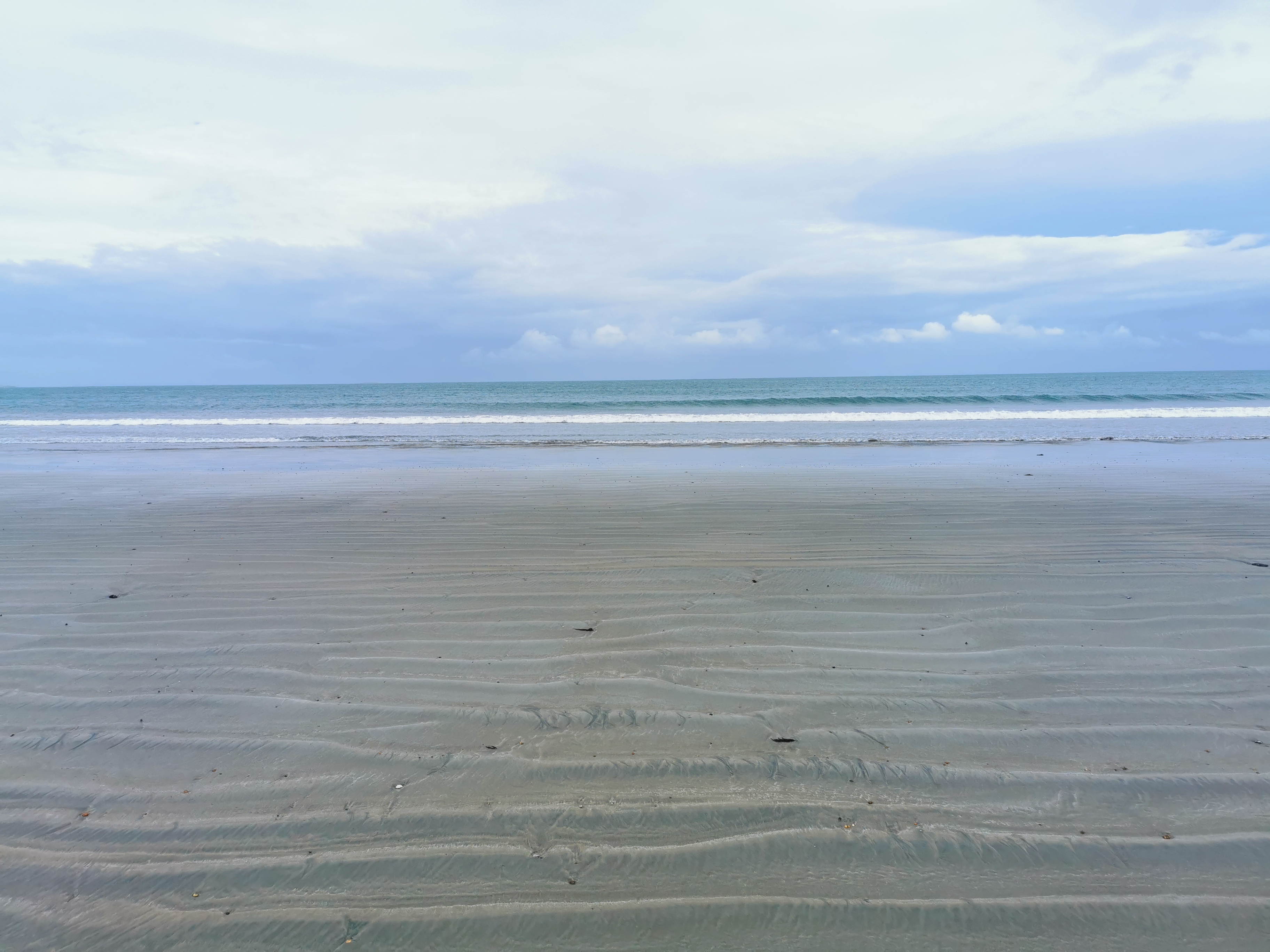
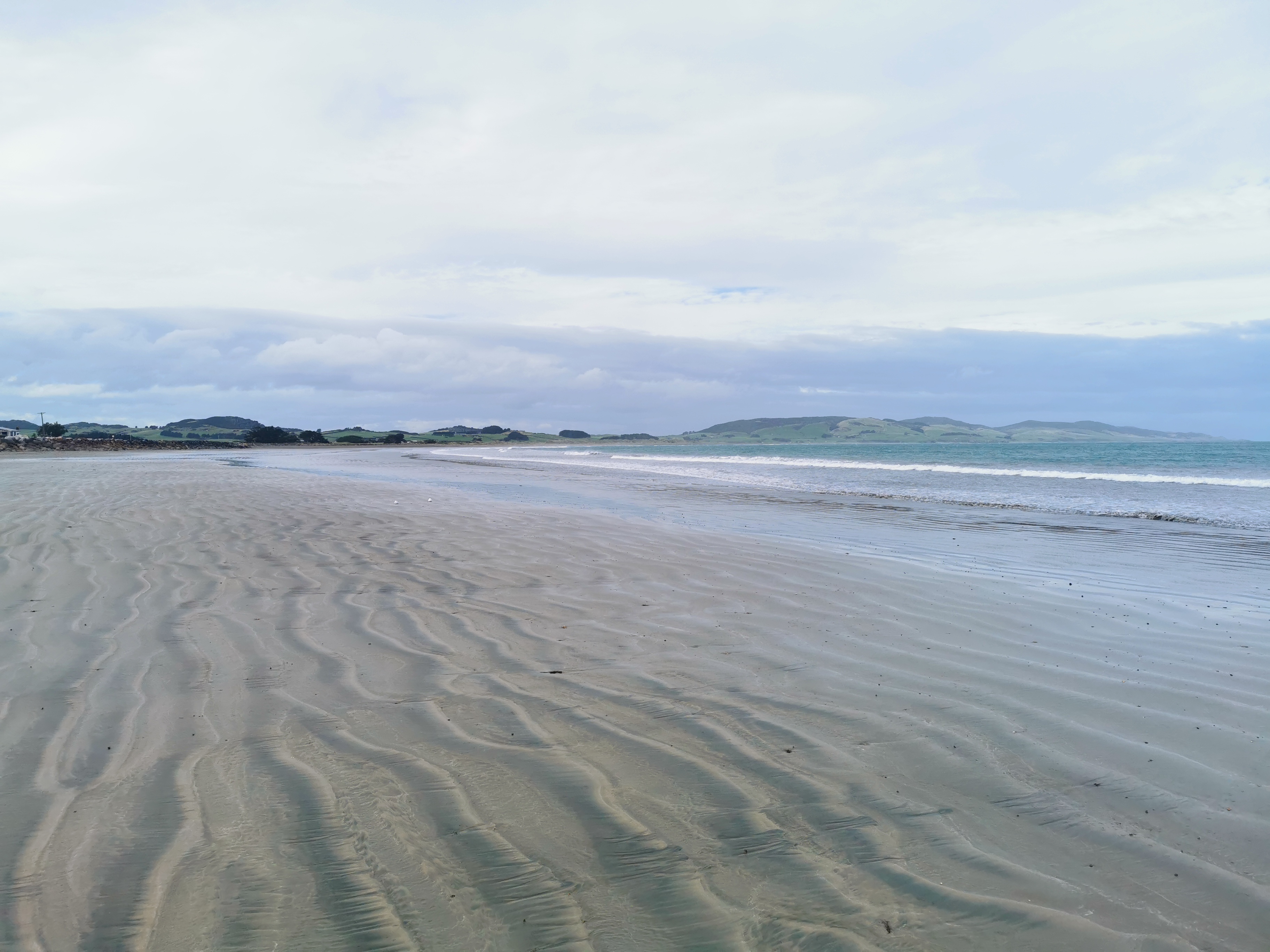
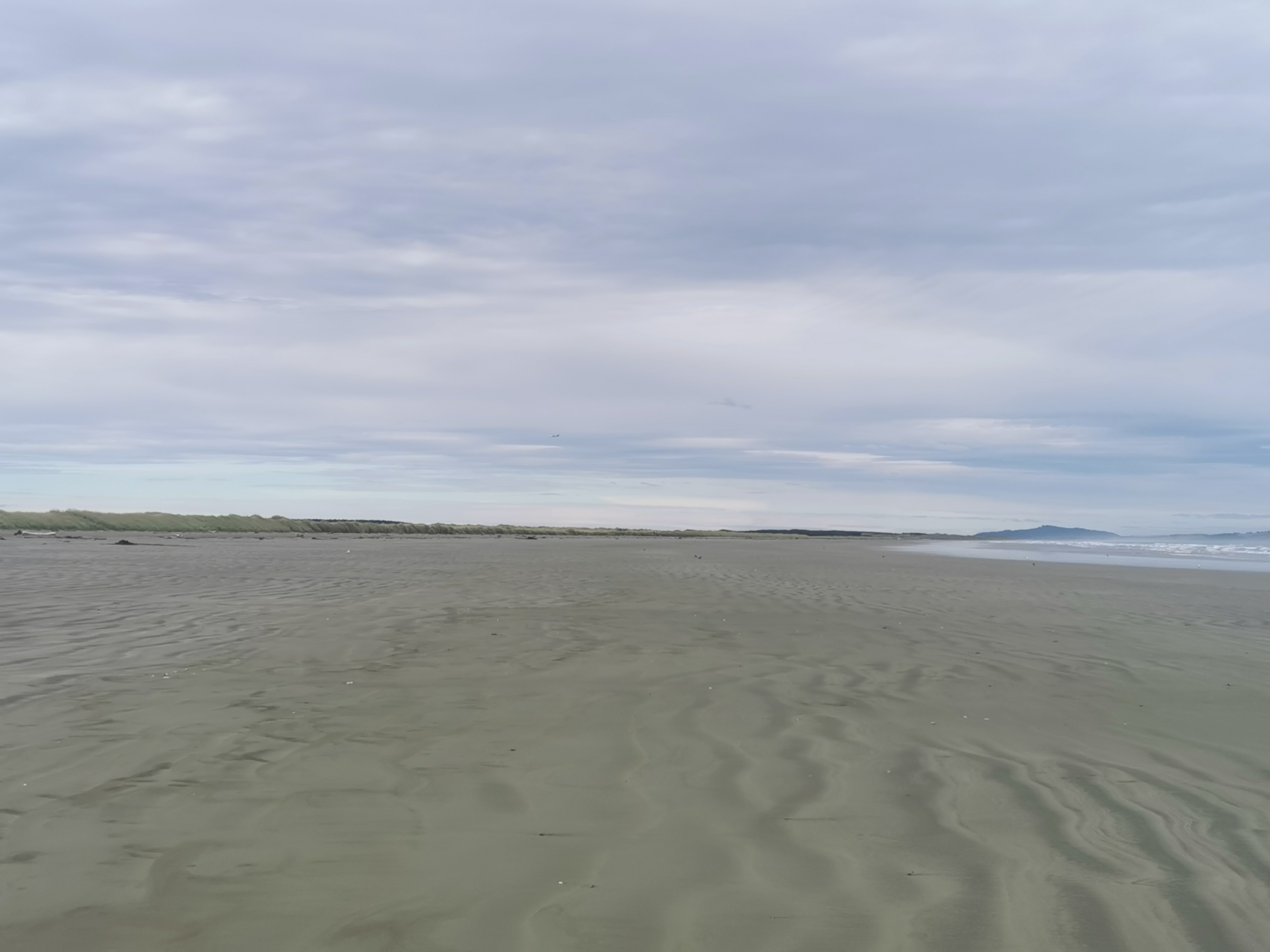
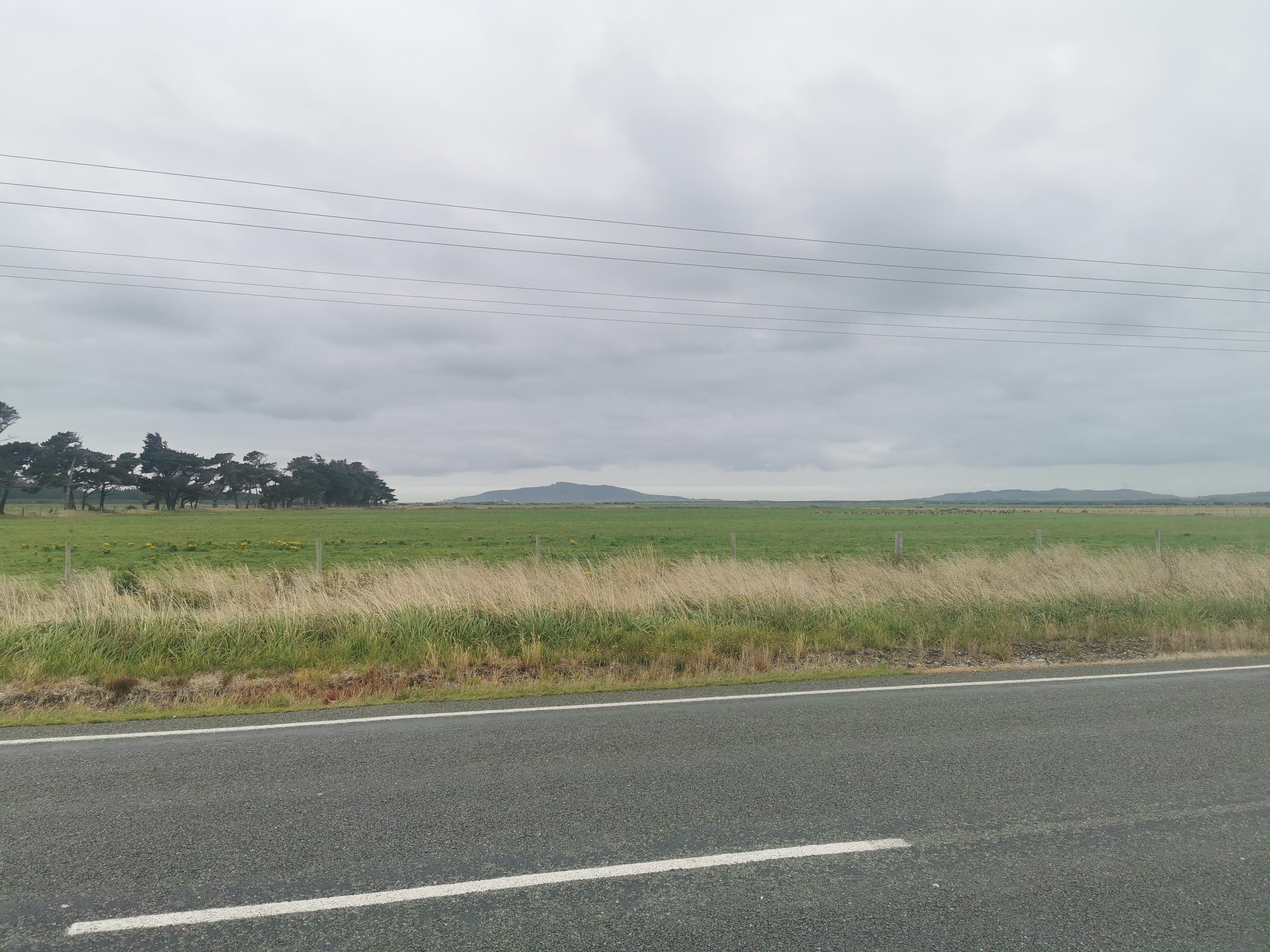
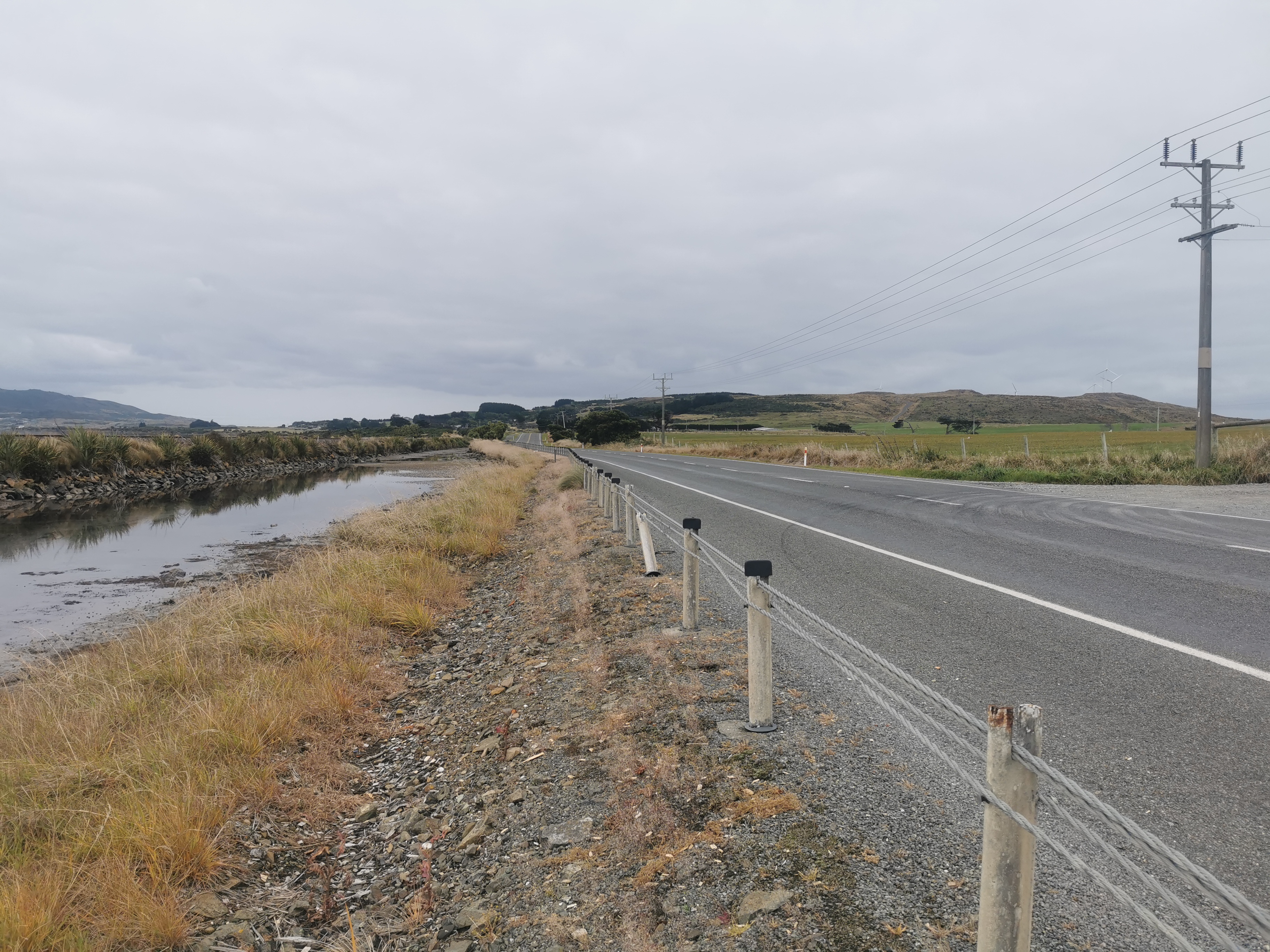
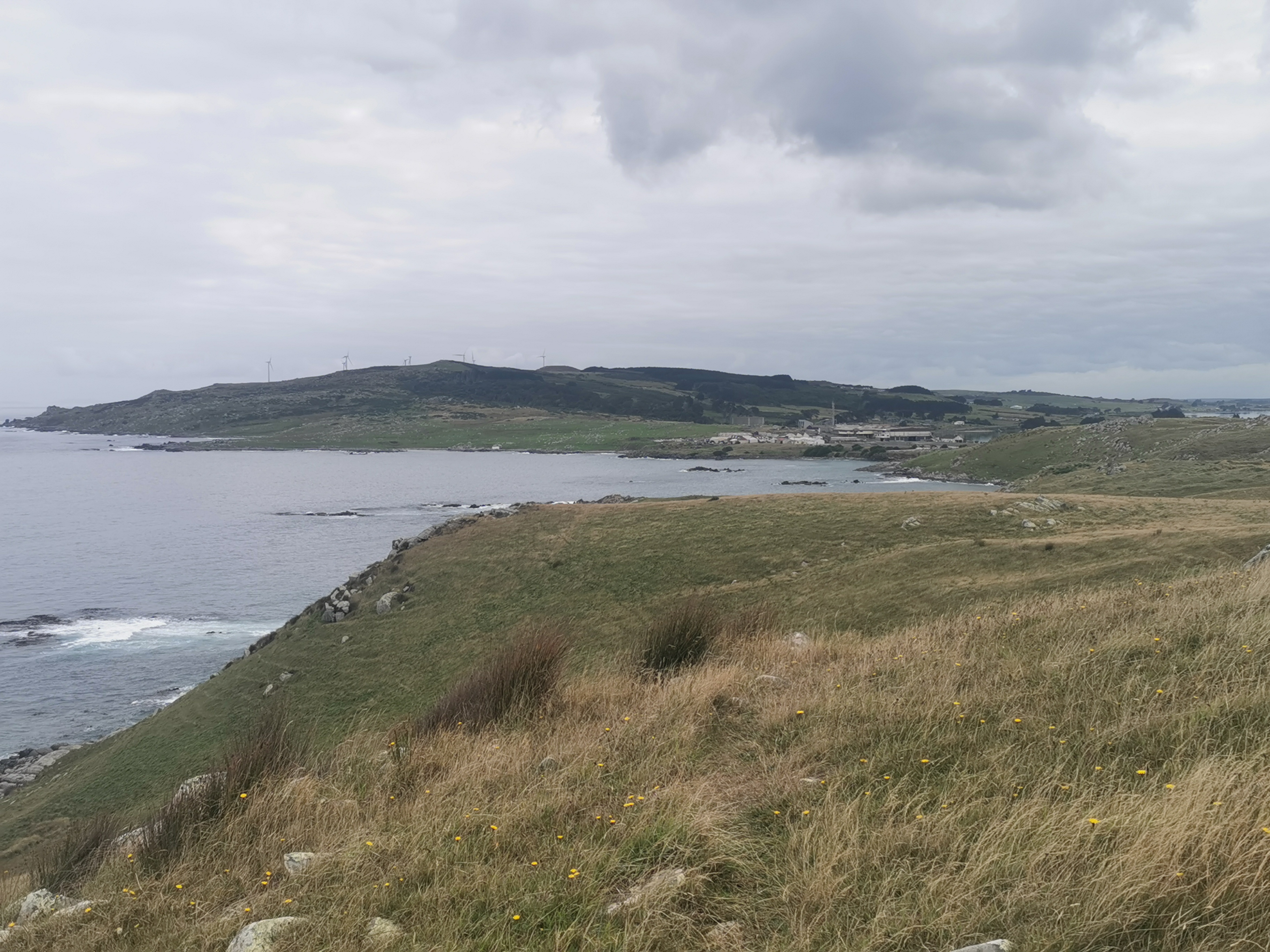
Trail covered: 23.5km (kms 2681.5 to 2705.0)
Weather: mixed
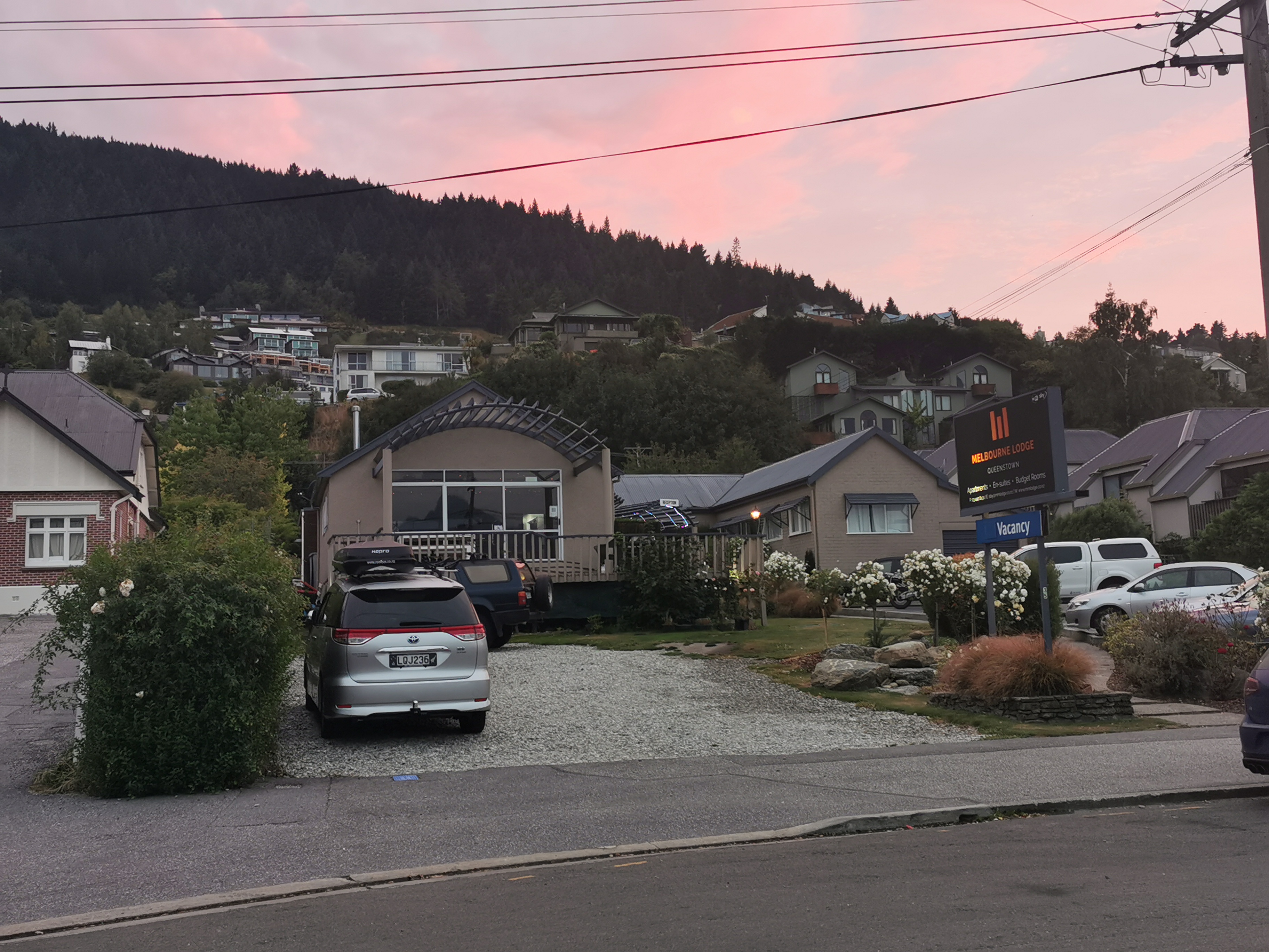
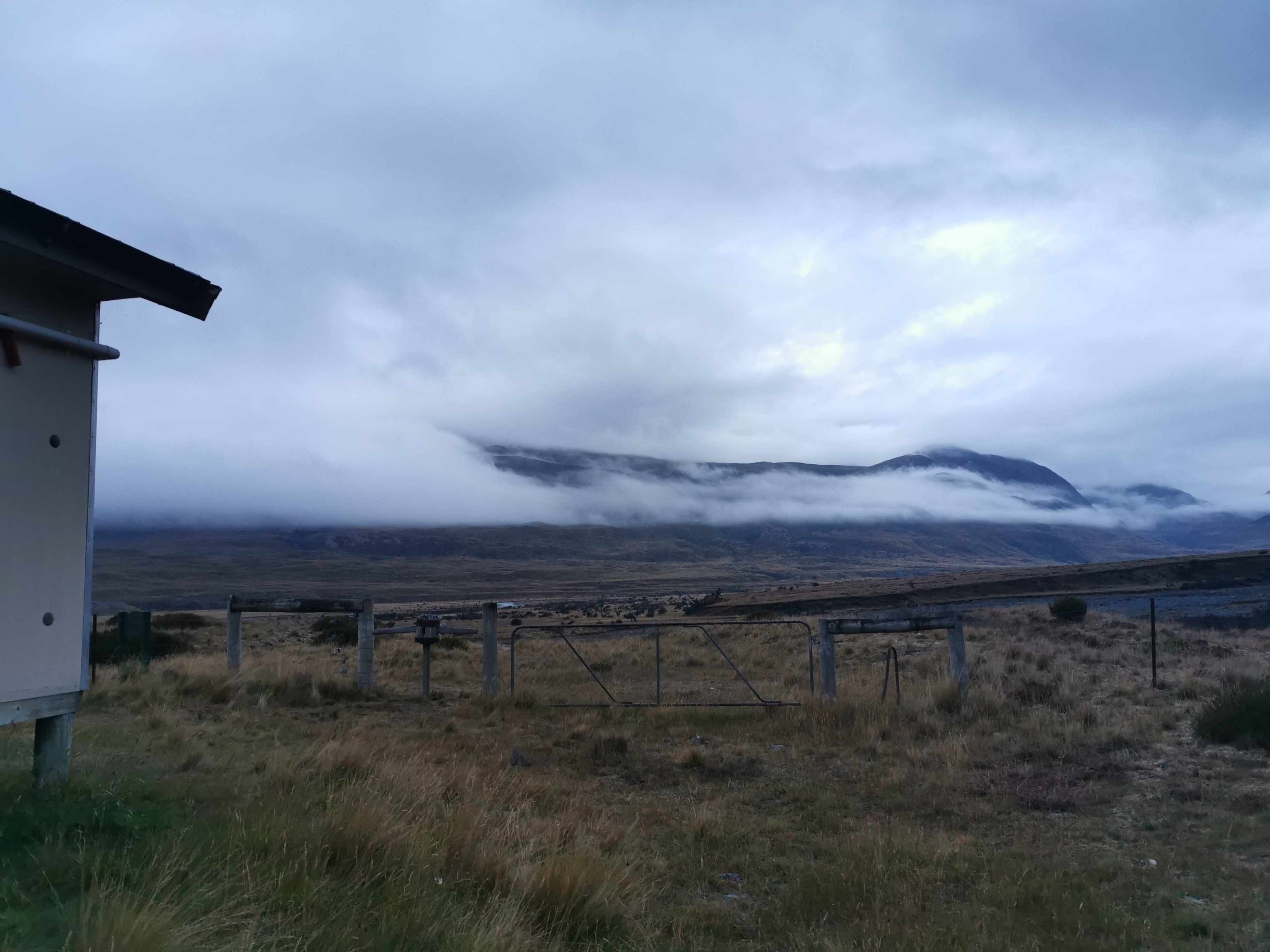
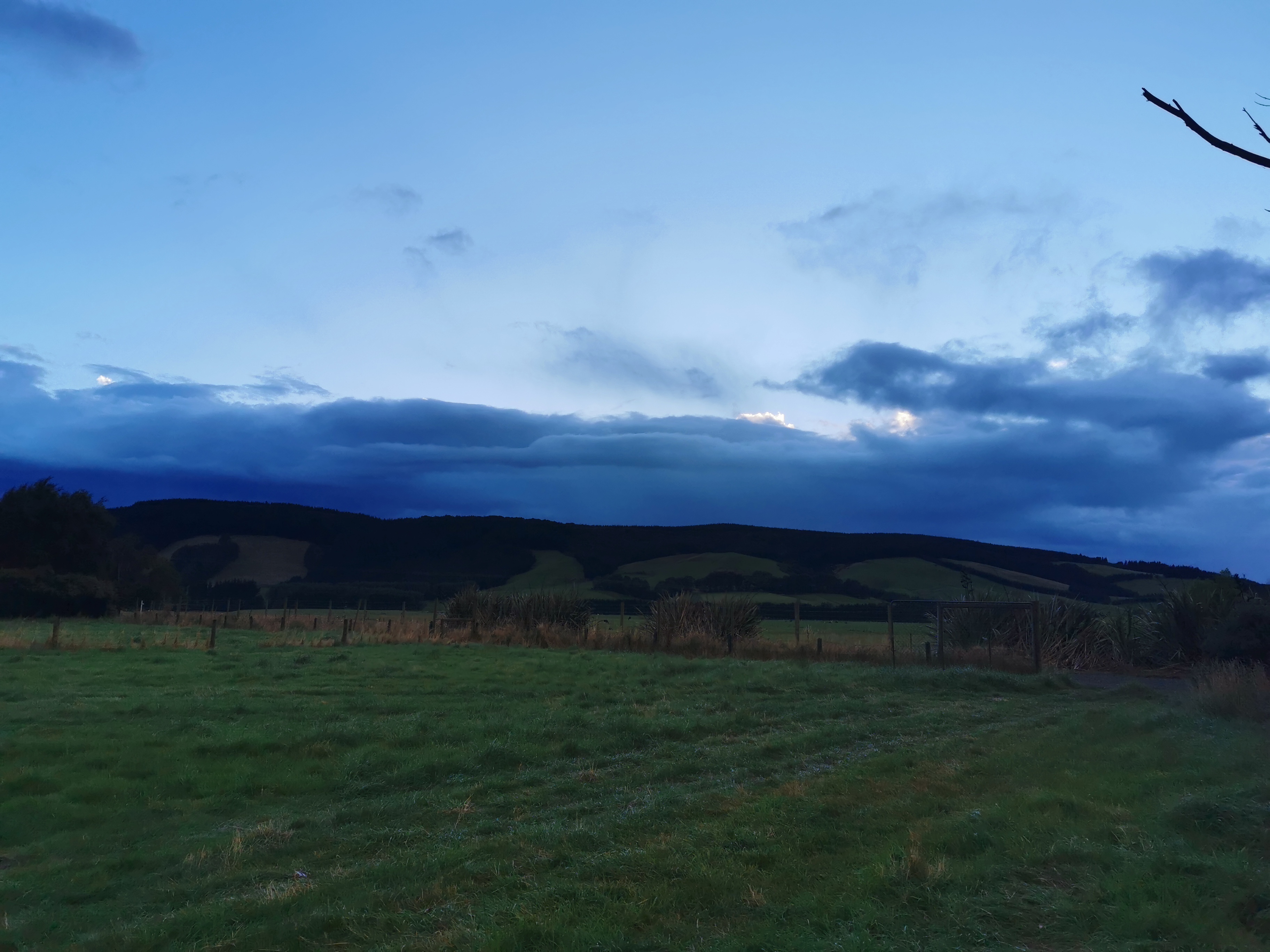
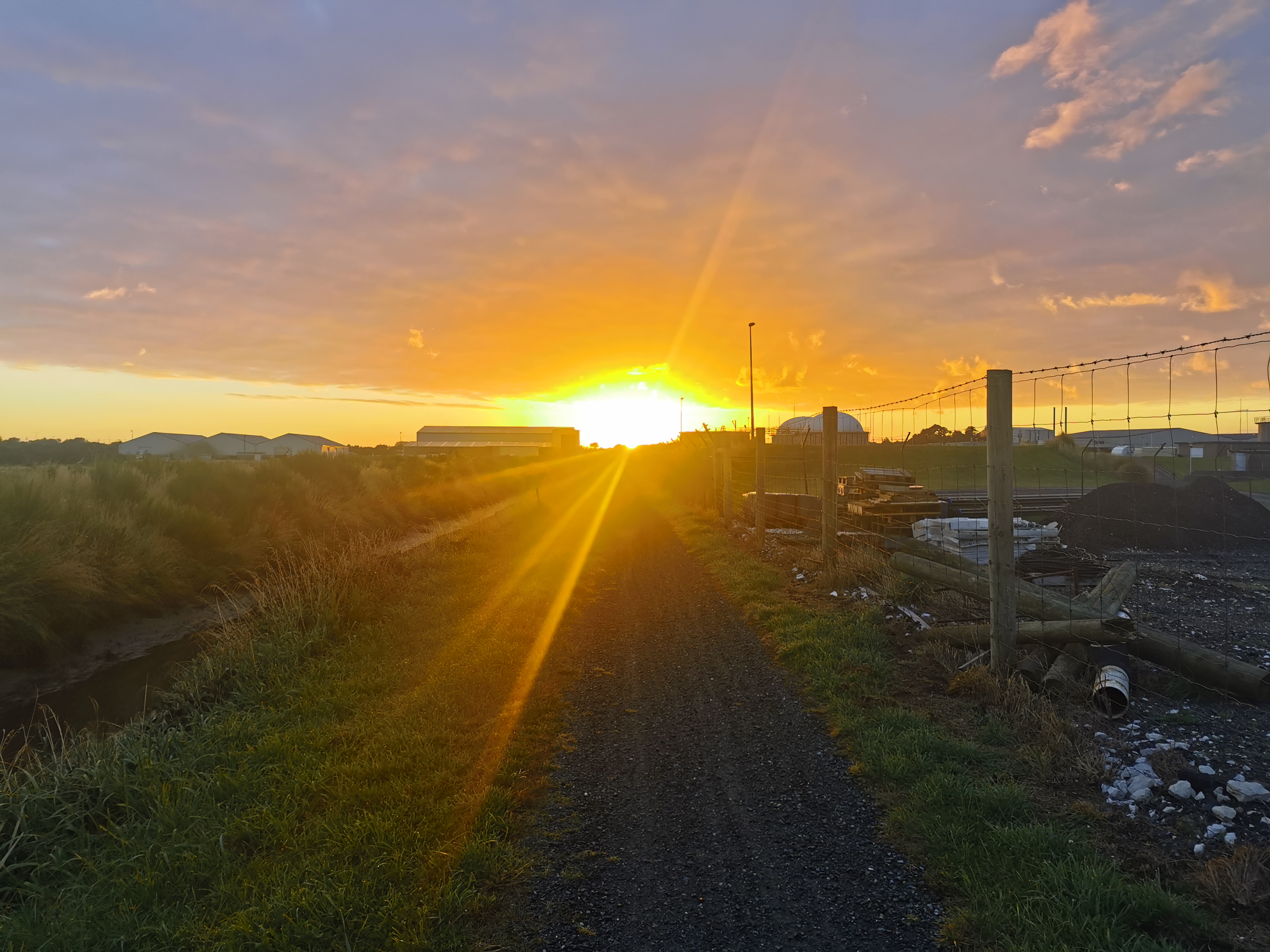
I woke up at 7am today all set to head out to the wilderness. I left before reception at Melbourne Lodge was even open. Hope they don’t mind.
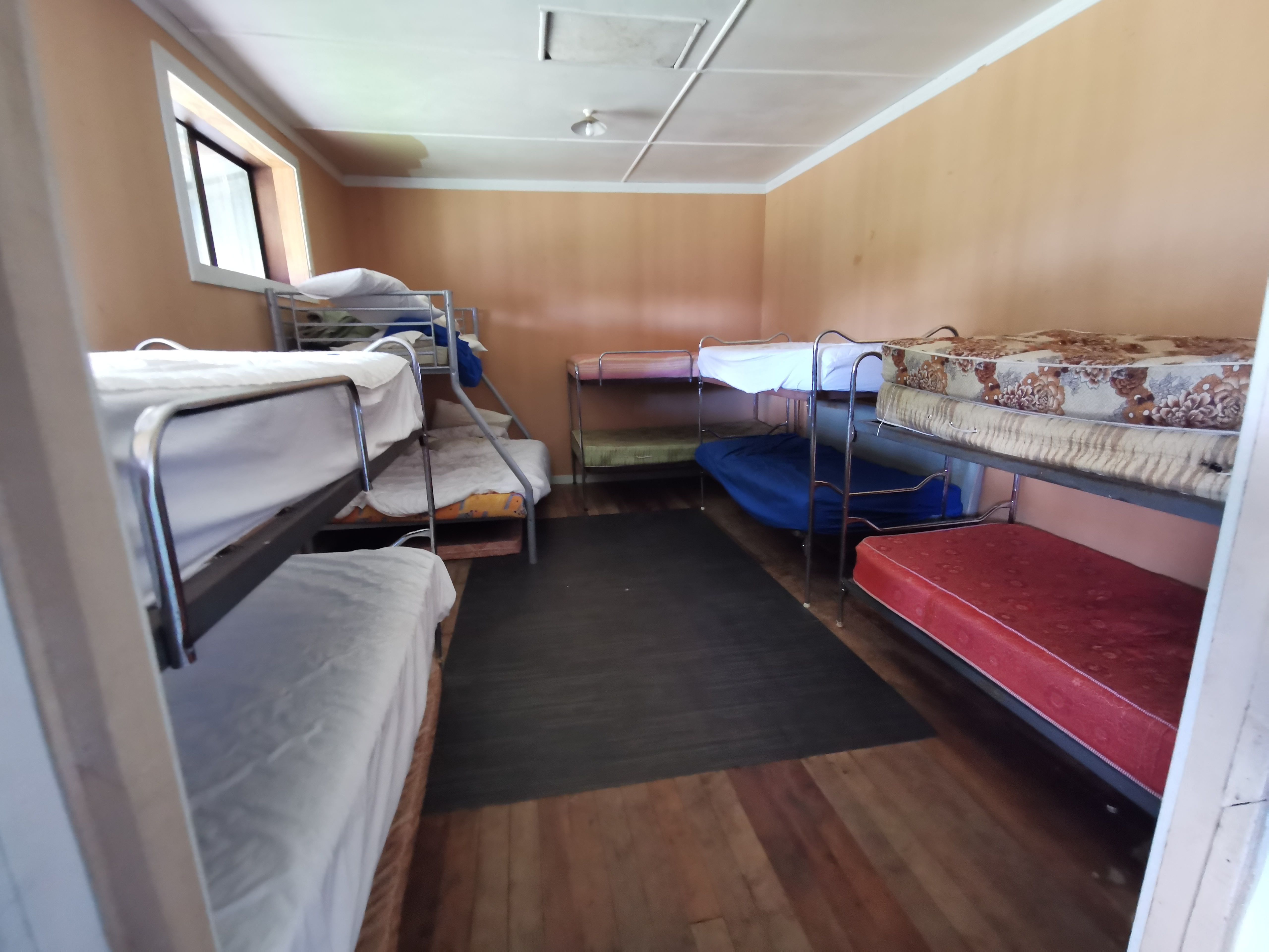
Melbourne Lodge at sunrise
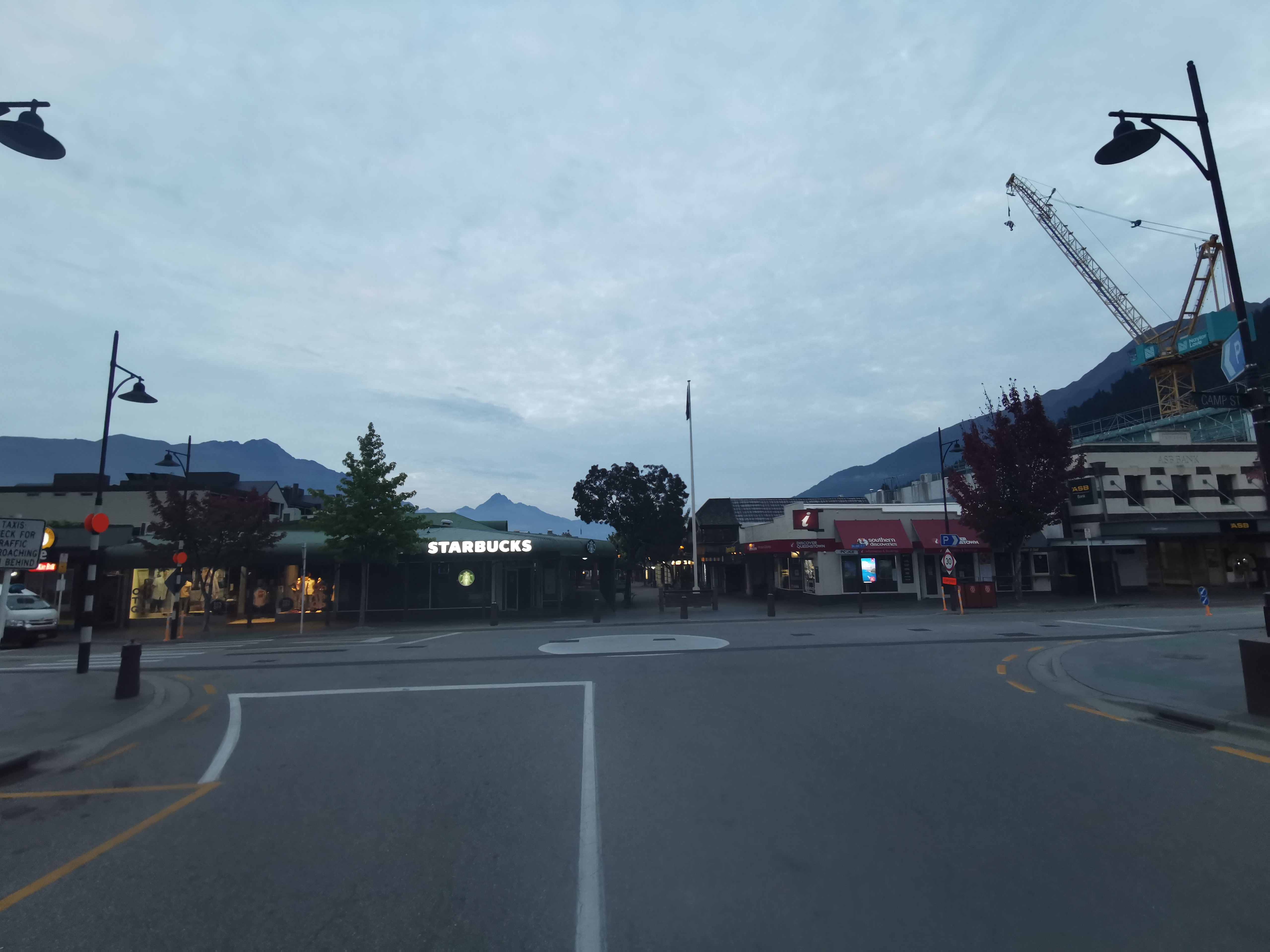
The shuttle was leaving at 8, but I had to get one last decent breakfast first. Unfortunately I hadn’t counted on the fact that nothing seemed to be open. The lights of Starbucks were big and bright though…
Starbucks
I got there at 7:20am and had to wait until they opened at 7:30am but they let me sit inside. They were setting up which included taping off every second table and chairs because of Alert Level 2.
After a large coffee and a chicken and cheese toastie I headed around the corner to Info & Track. I was happy to see a few people there. Maybe I would have company while walking.
I could see the gondola going up behind the building and it made me wish I had time to go up there while I was in Queenstown. I’ll have to come back another time and do the touristy things that are here.
Sadly though nobody else was going my way, they were all going to the more popular Routeburn track, which is a “Great Walk” and has to be booked. Looks like I’ll be walking alone! I talked to the girl inside the shop and she said she was dealing with a large number of cancellations from people from Auckland, which was to be expected I guess since Auckland went into lockdown last night.
There was actually a bakery right next to Info & Track so I snuck in there and picked up a Belgian Slice. I didn’t eat it right away, it went in my pack. But I guarantee it will be gone by the end of today.
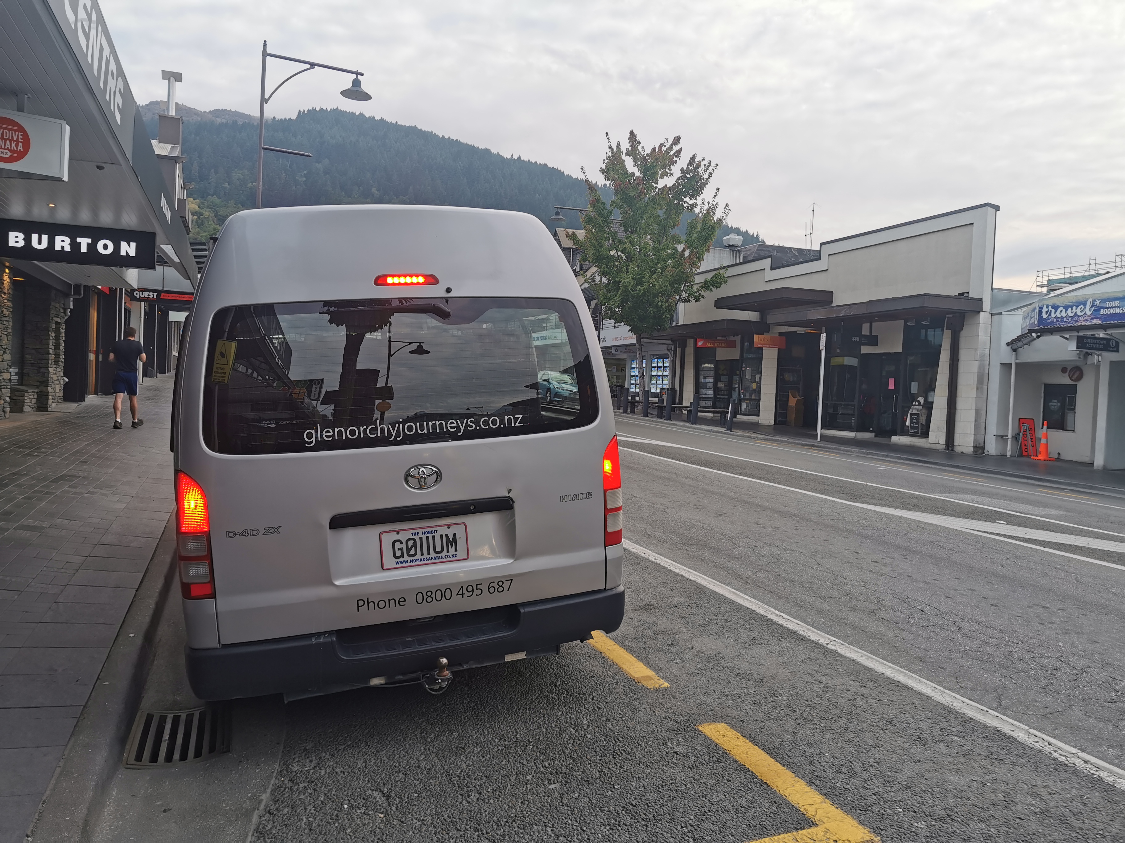
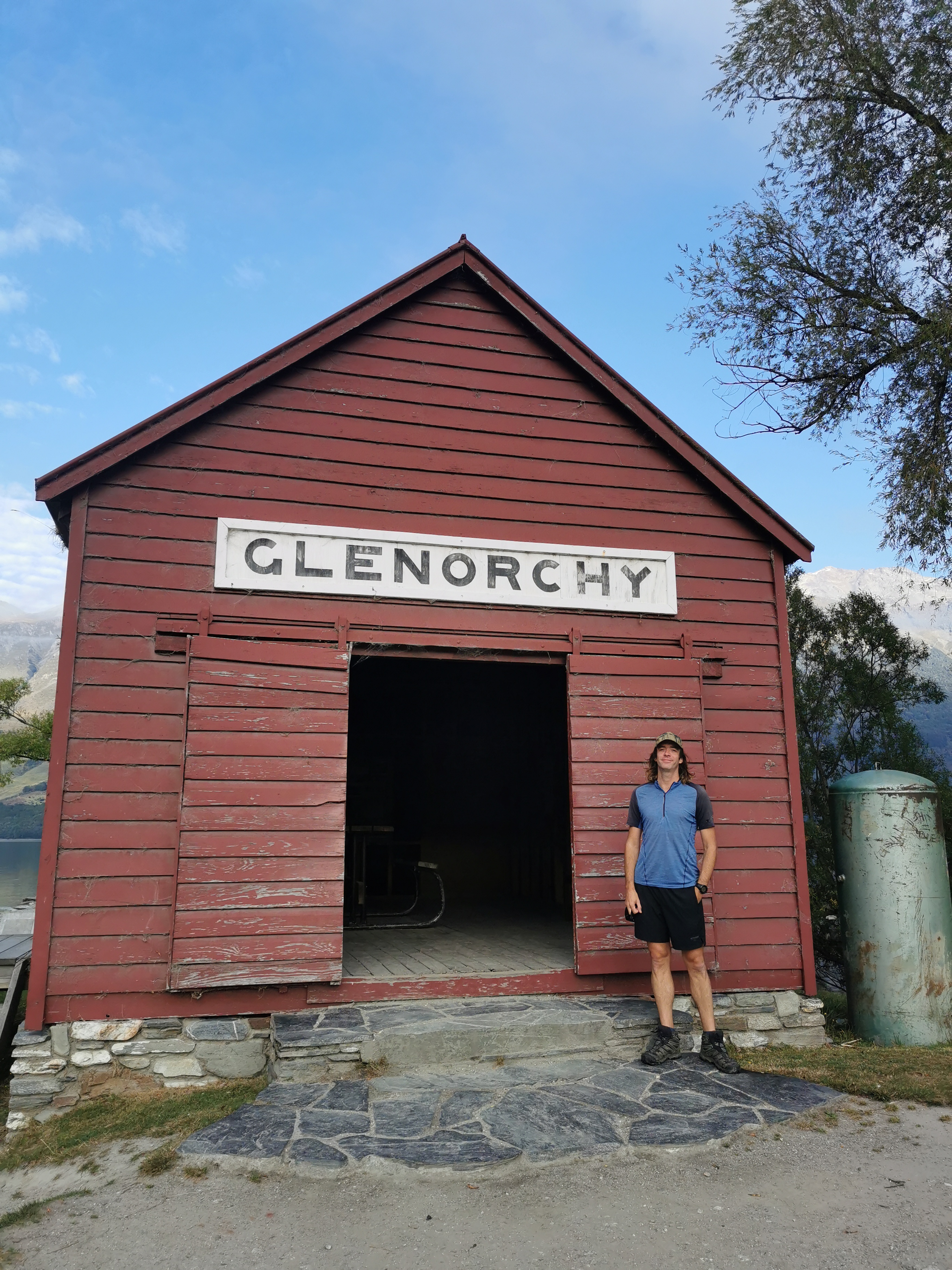
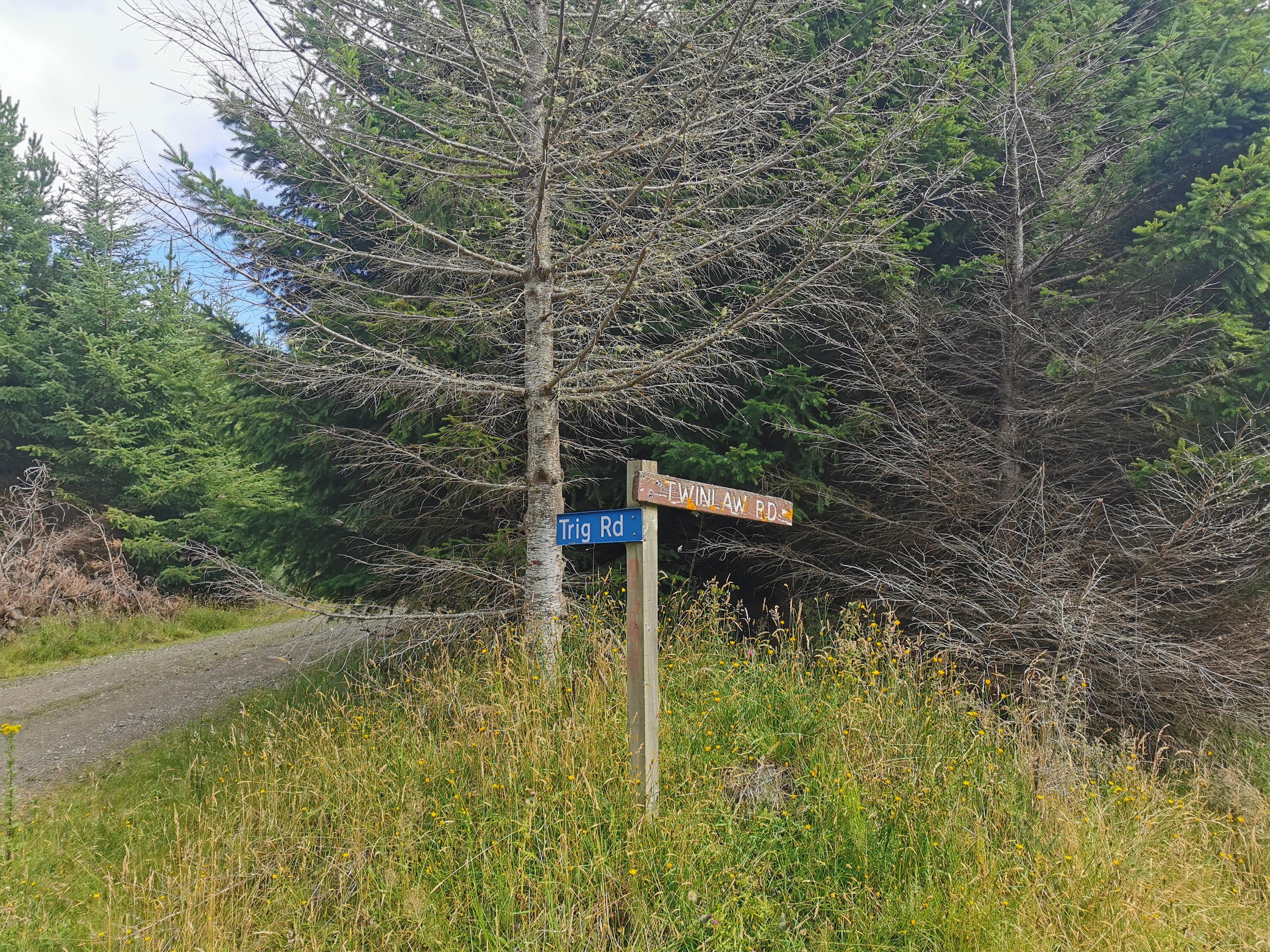
Here’s the Glenorchy Journeys van with its gollum-ish number plate
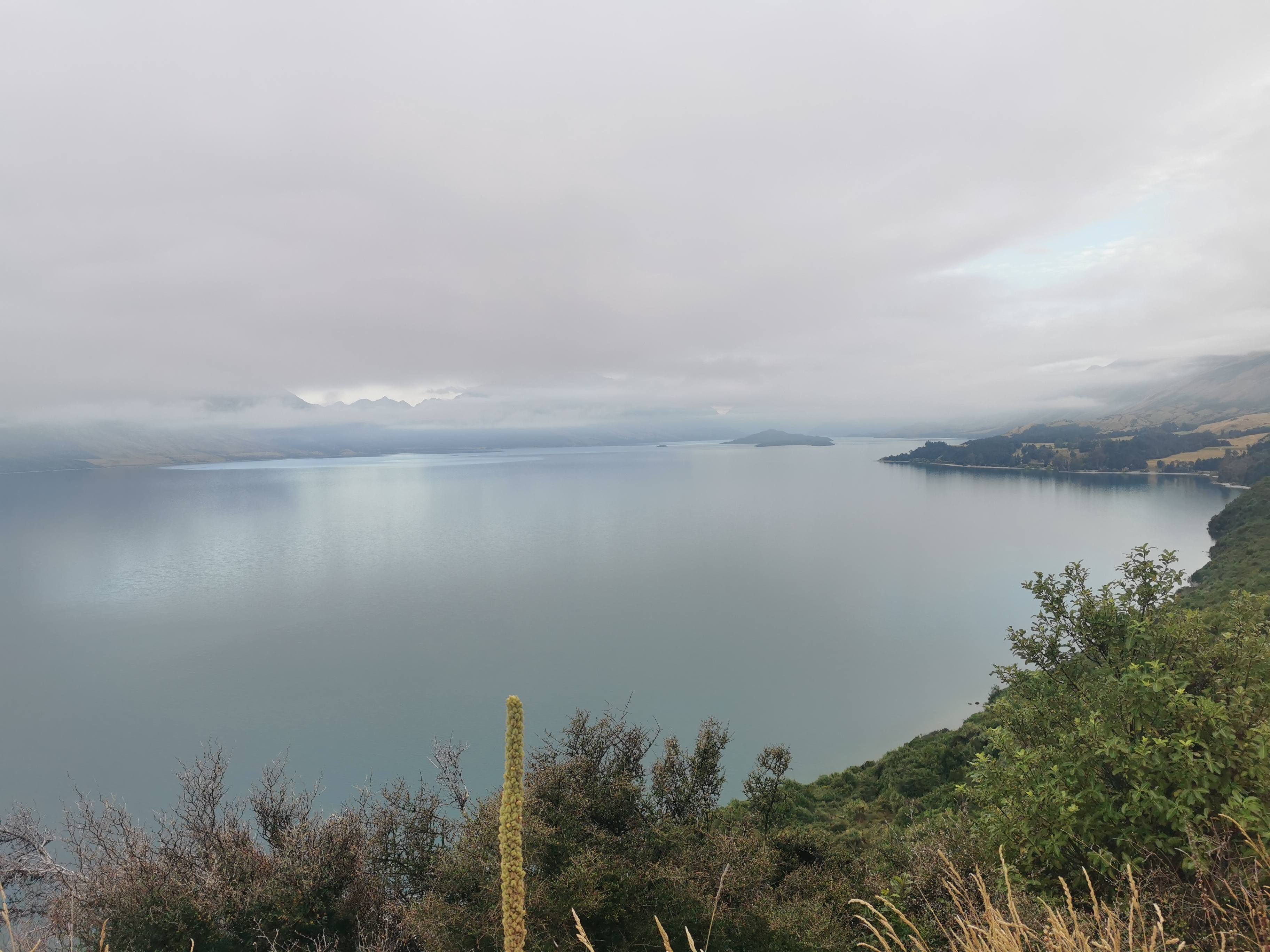
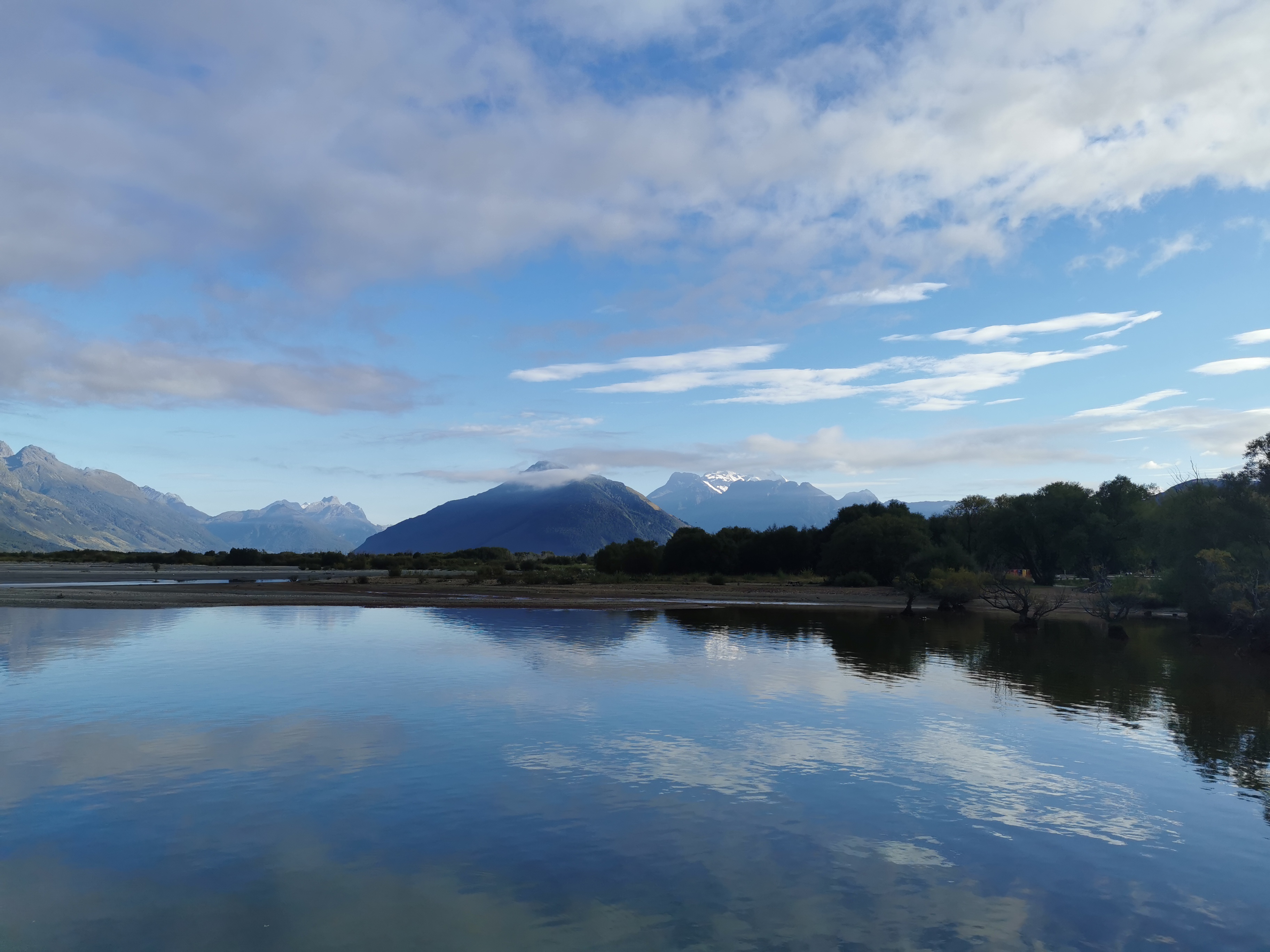
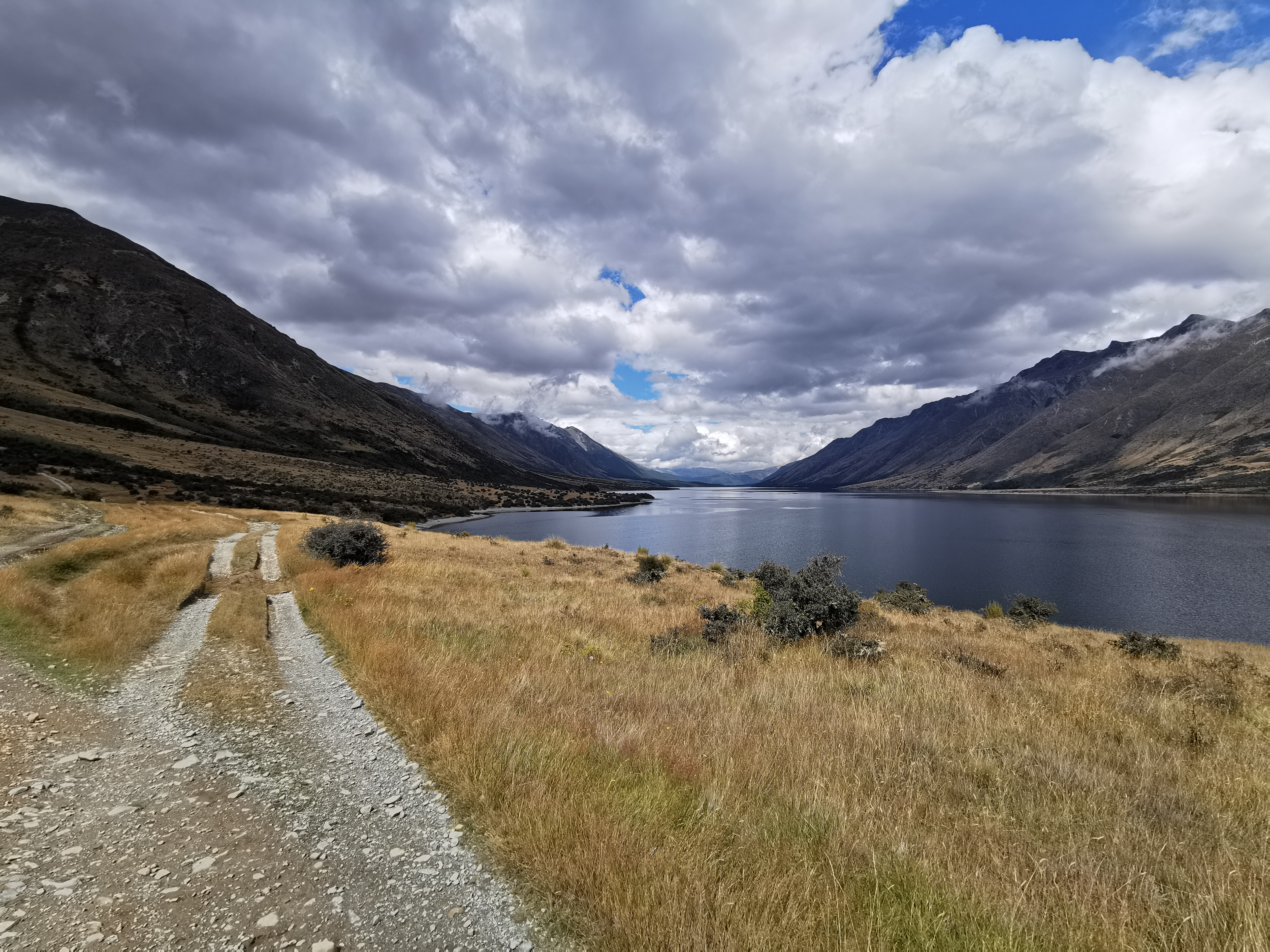
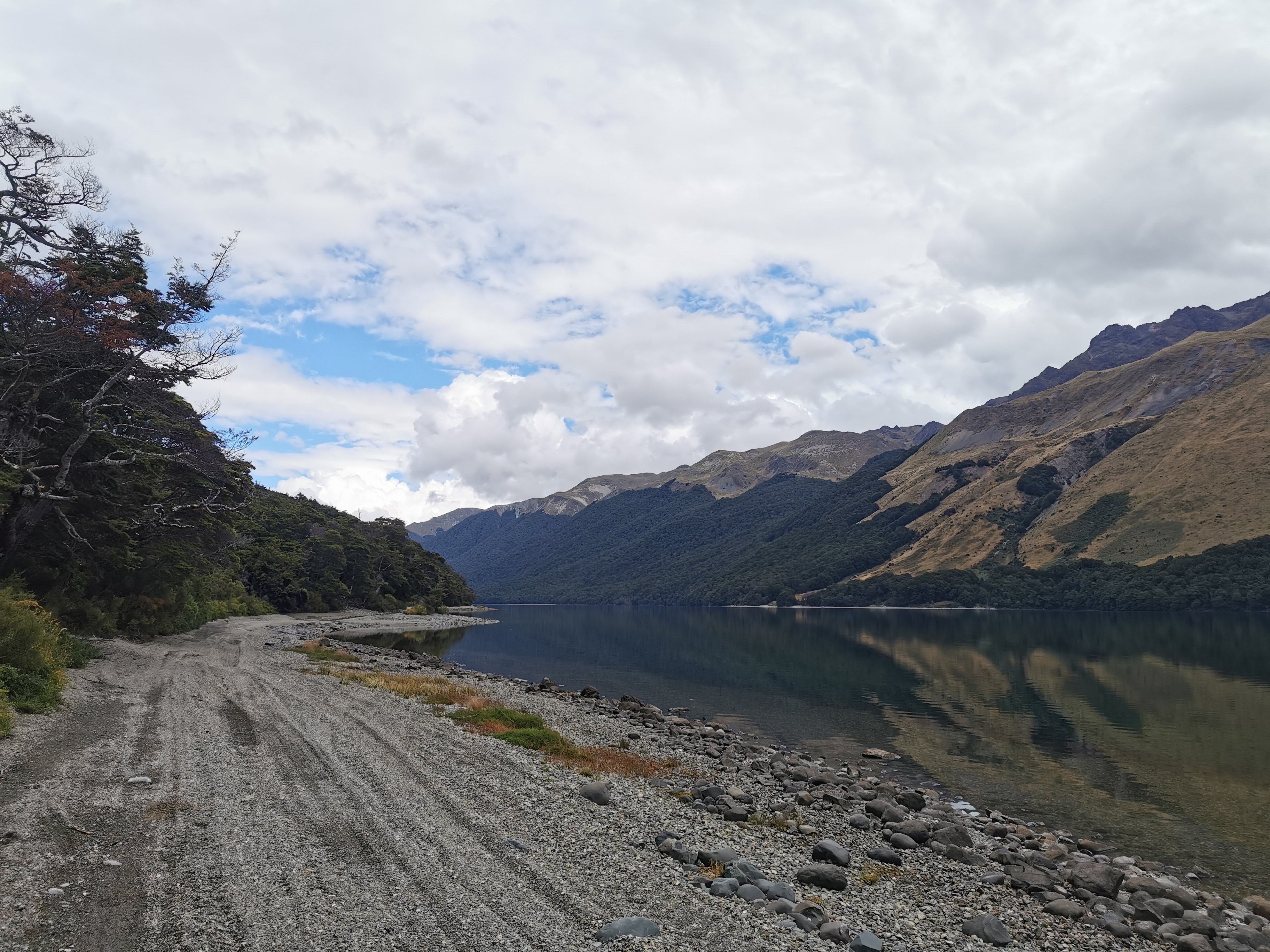
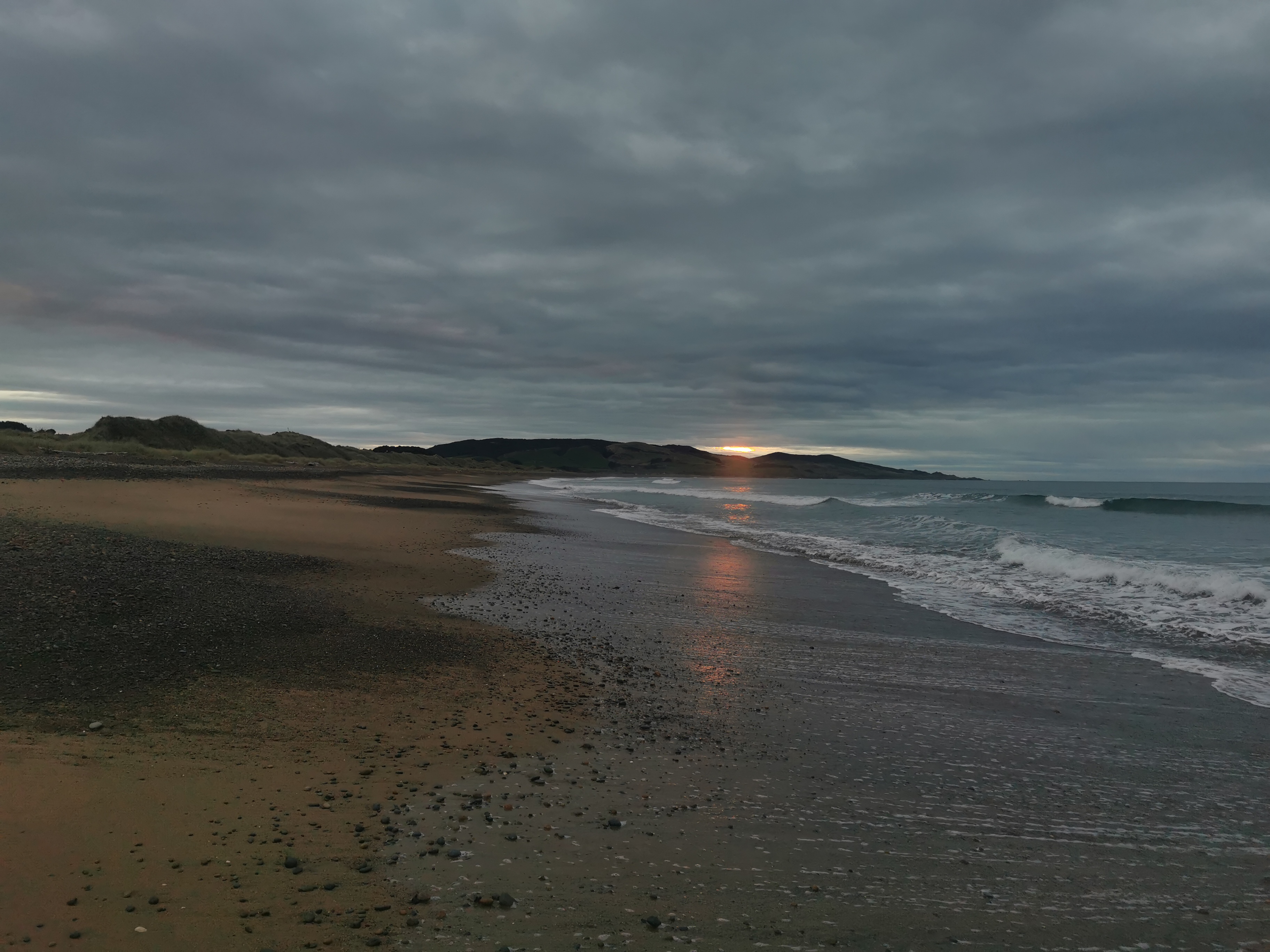
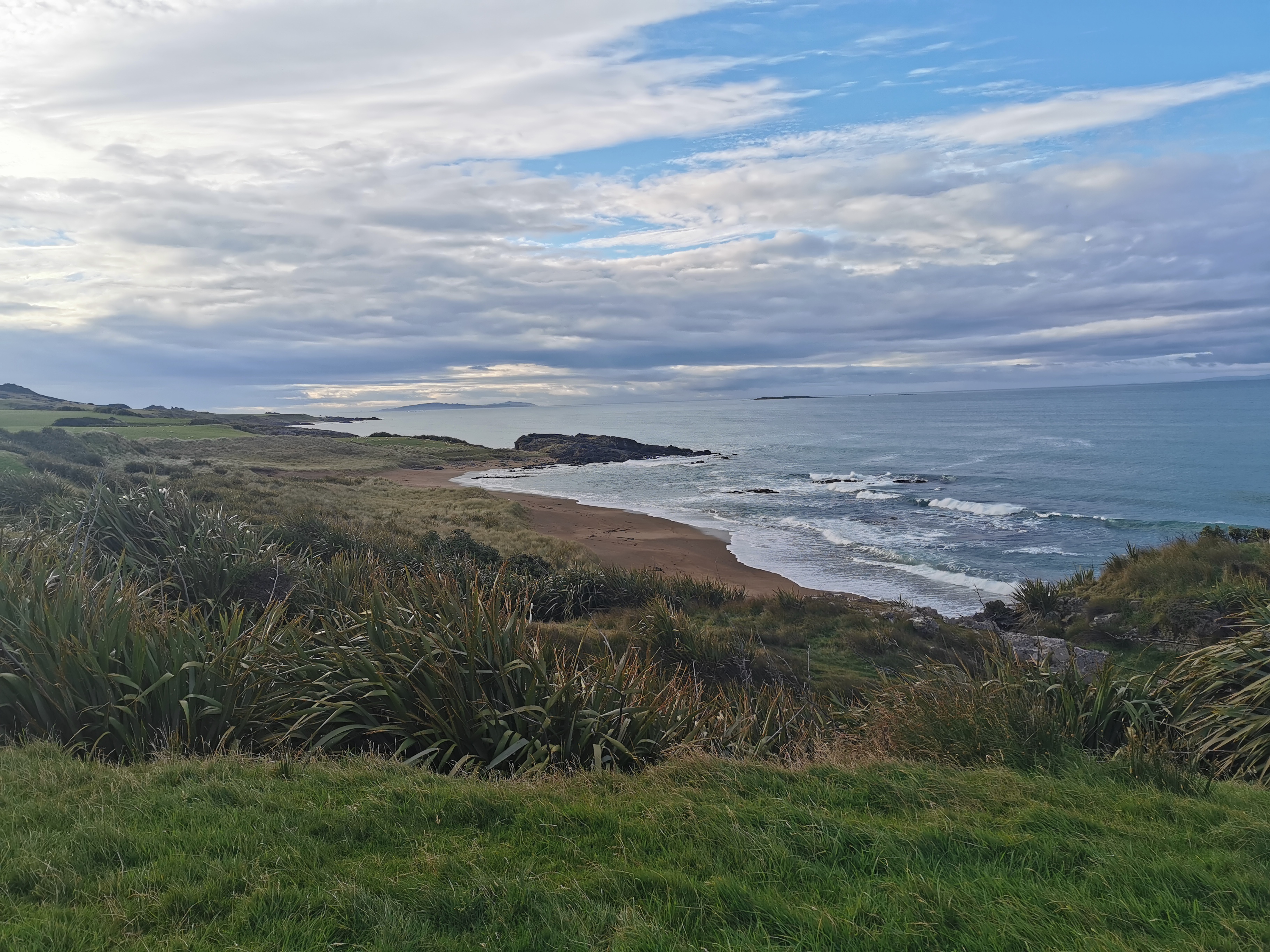
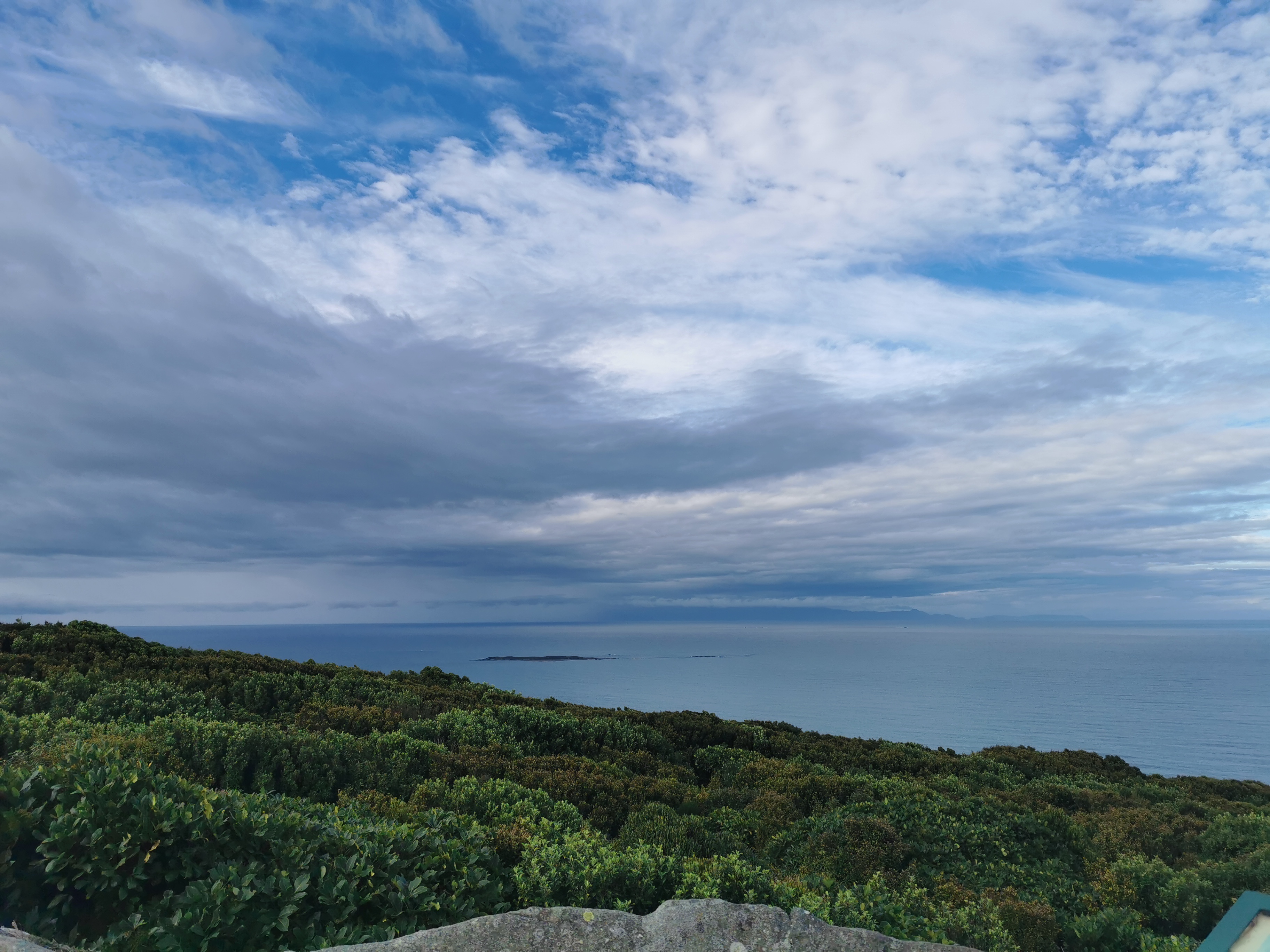
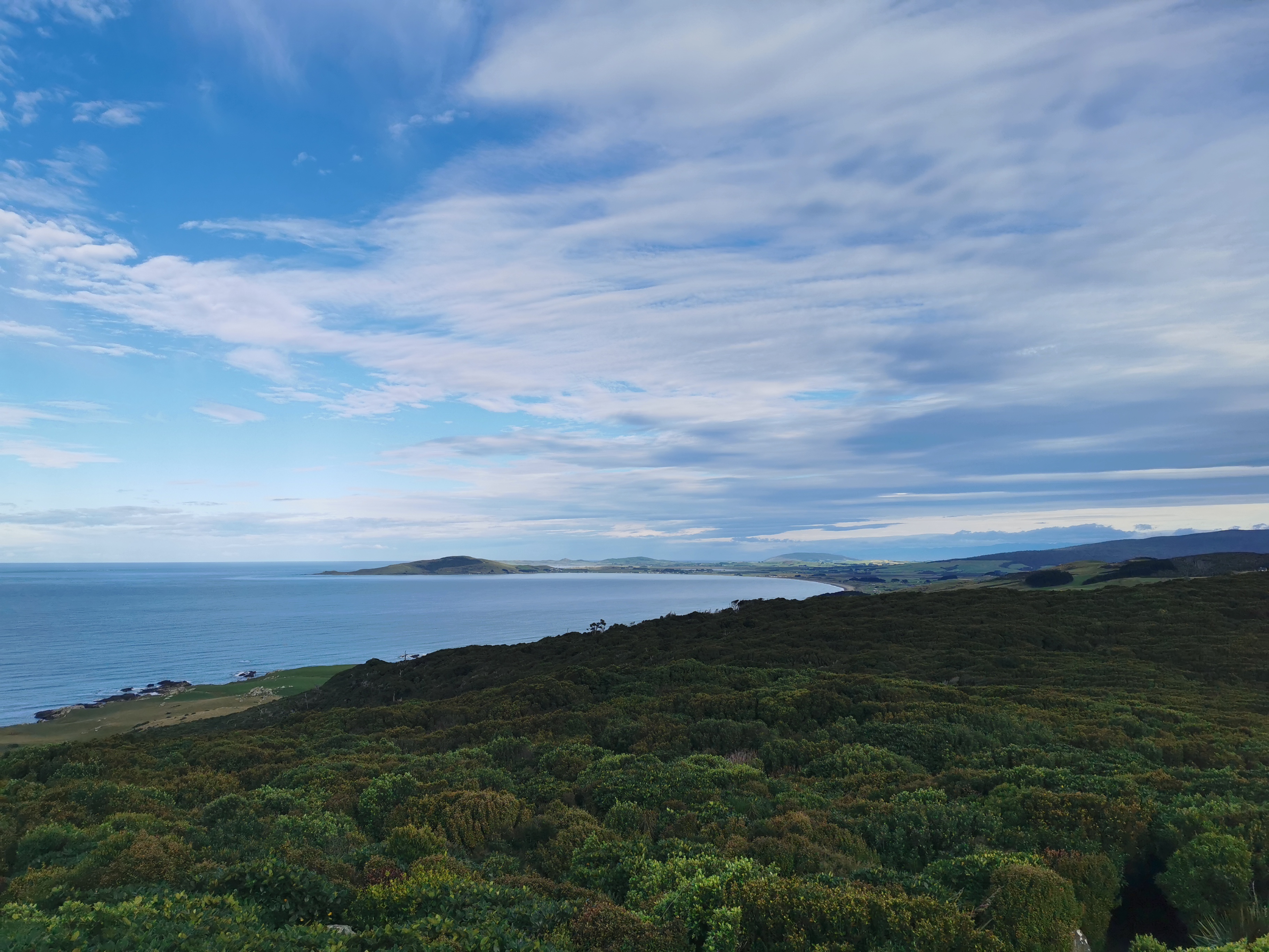
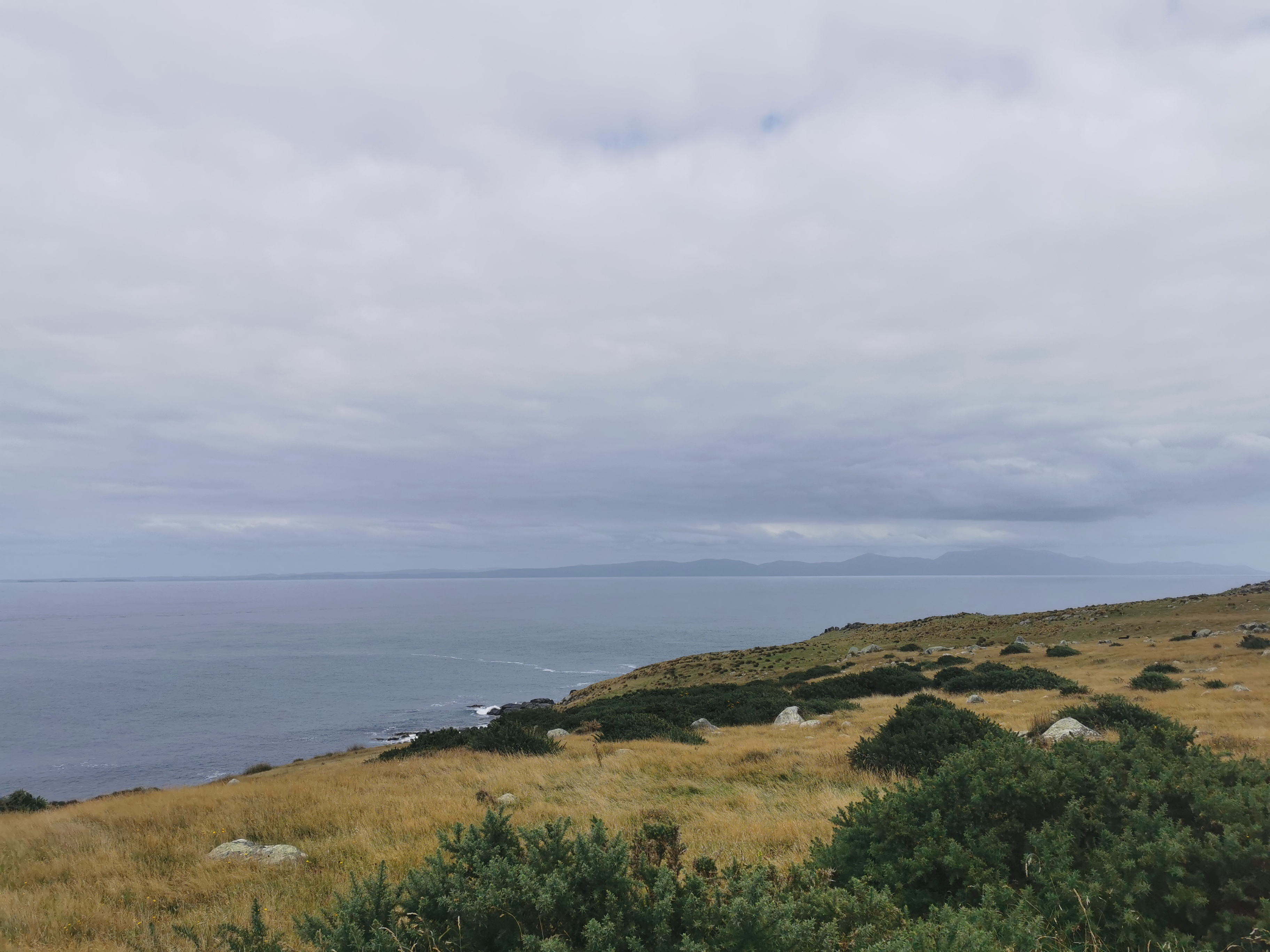
The first part of the journey was completely silent. Nobody said anything, even the driver didn’t say anything once we were underway other than stop at a popular viewing spot, where I took this photo.
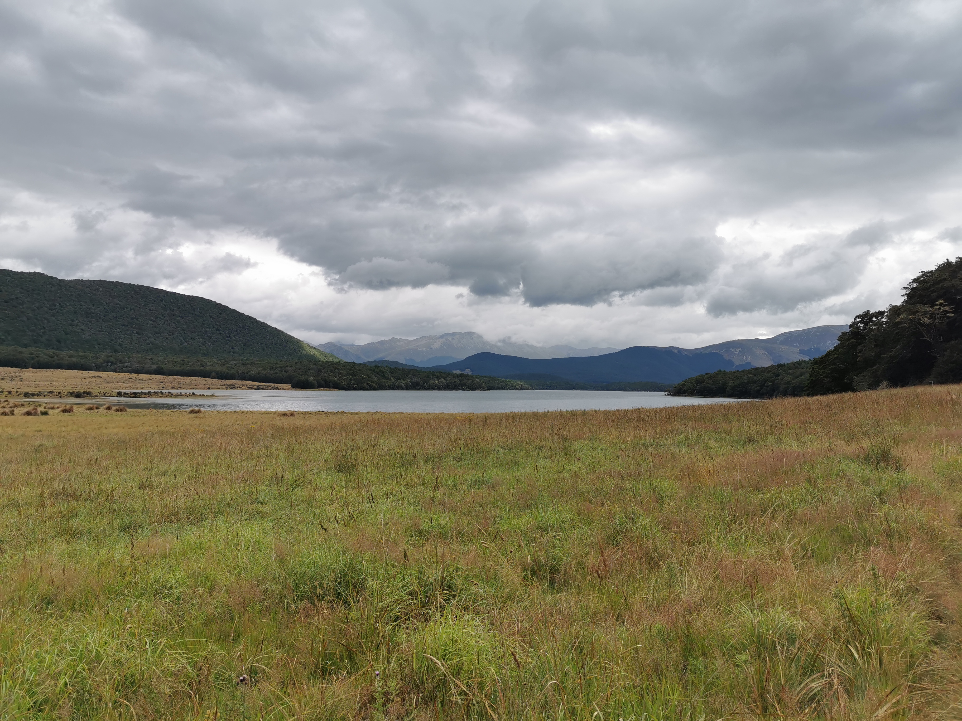
Lake Wakatipu
Looking at the map, I could see the valley I would be walking up on the other side of the lake.
I transferred to a different shuttle at Glenorchy. My driver for this section was Peter and he was much more talkative.
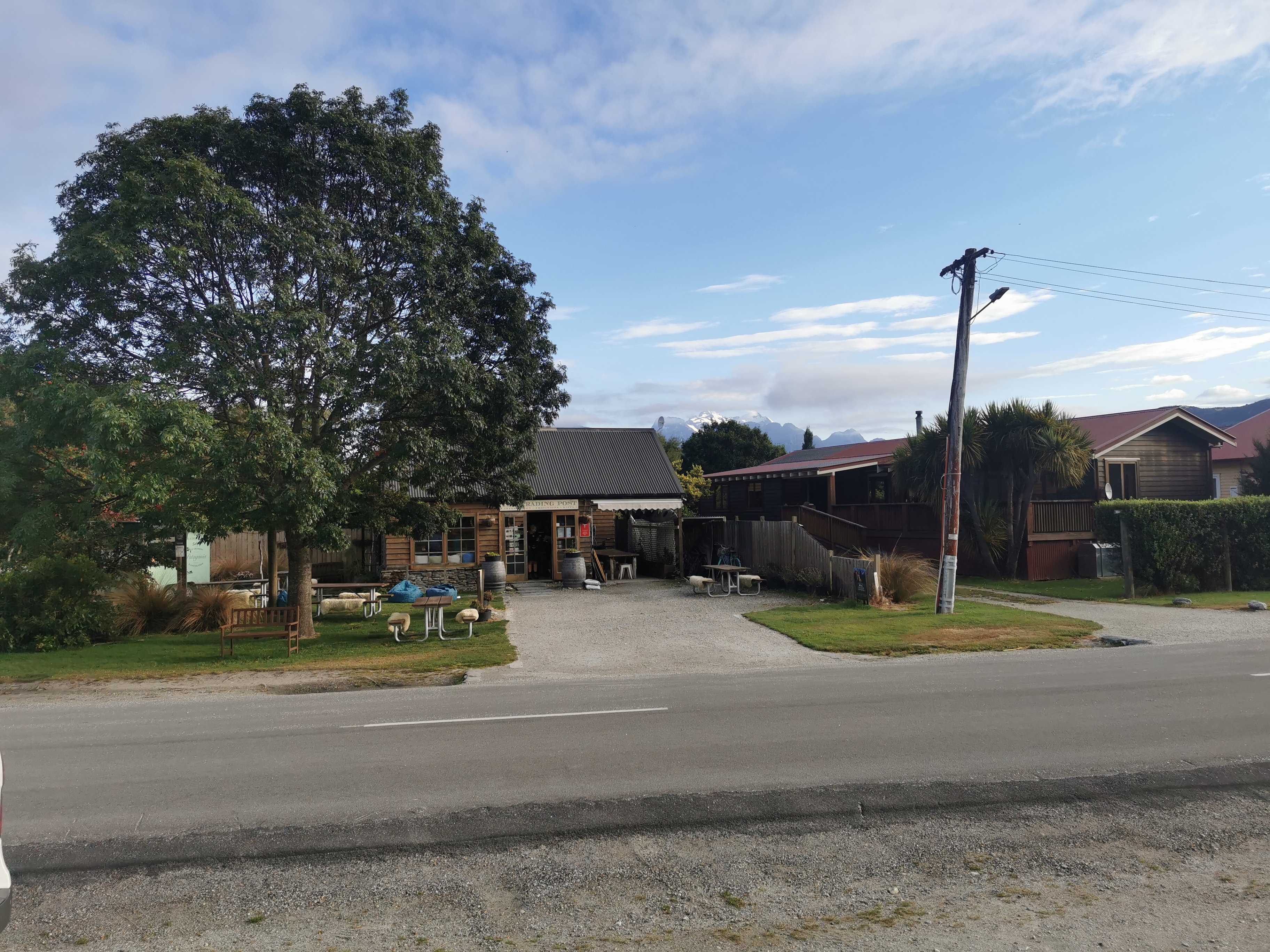
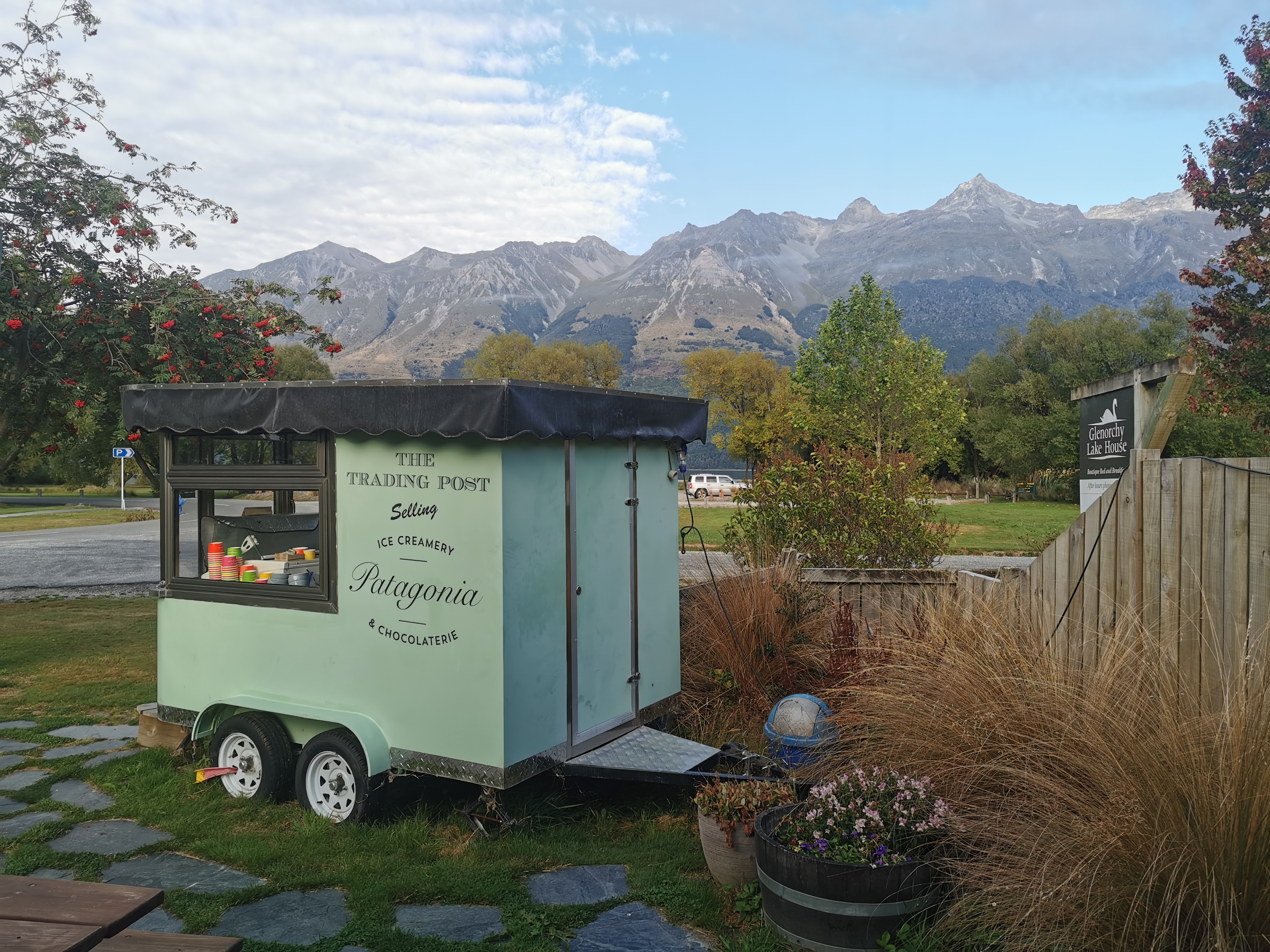
The transfer point – “The Trading Post”
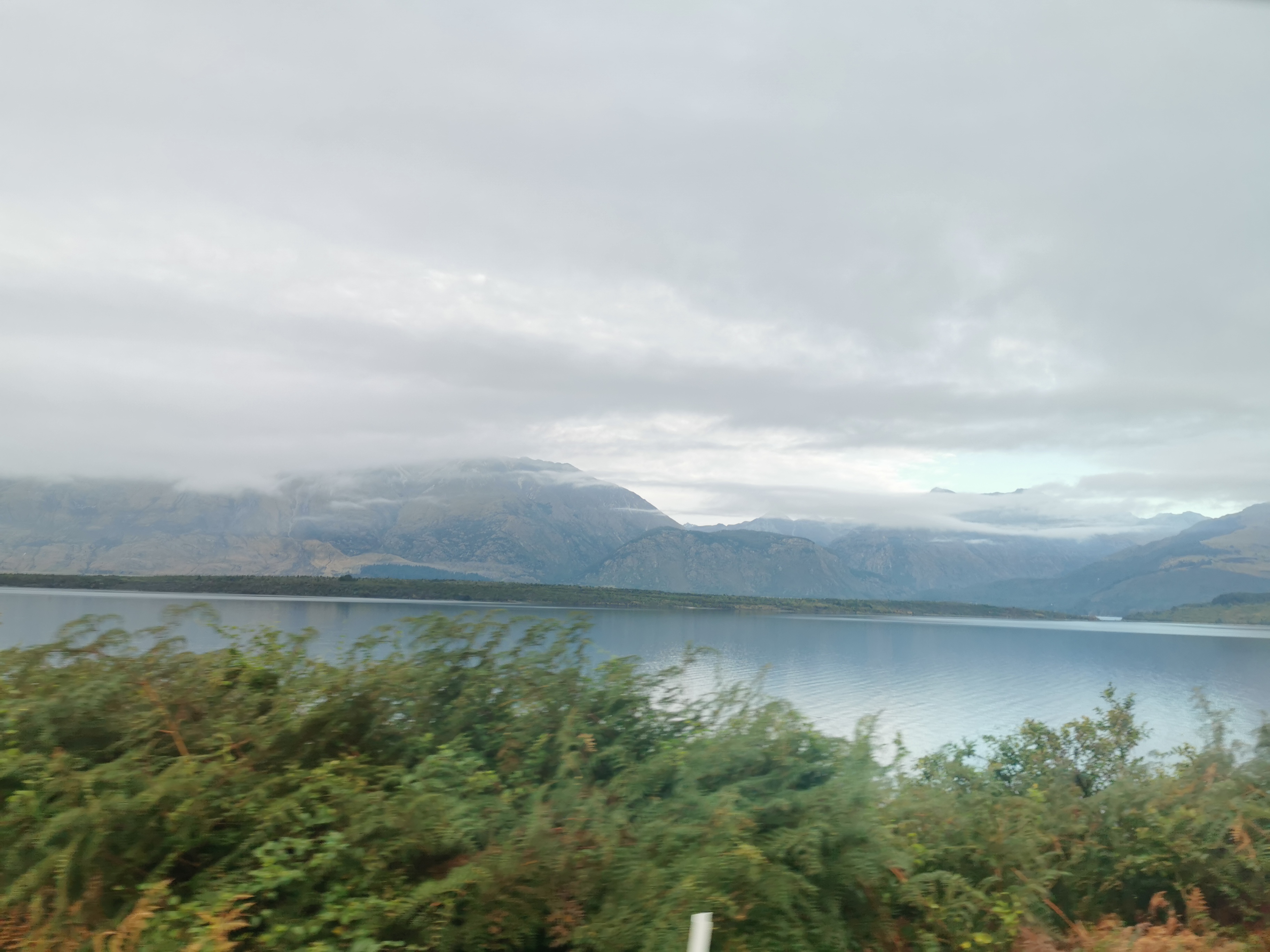
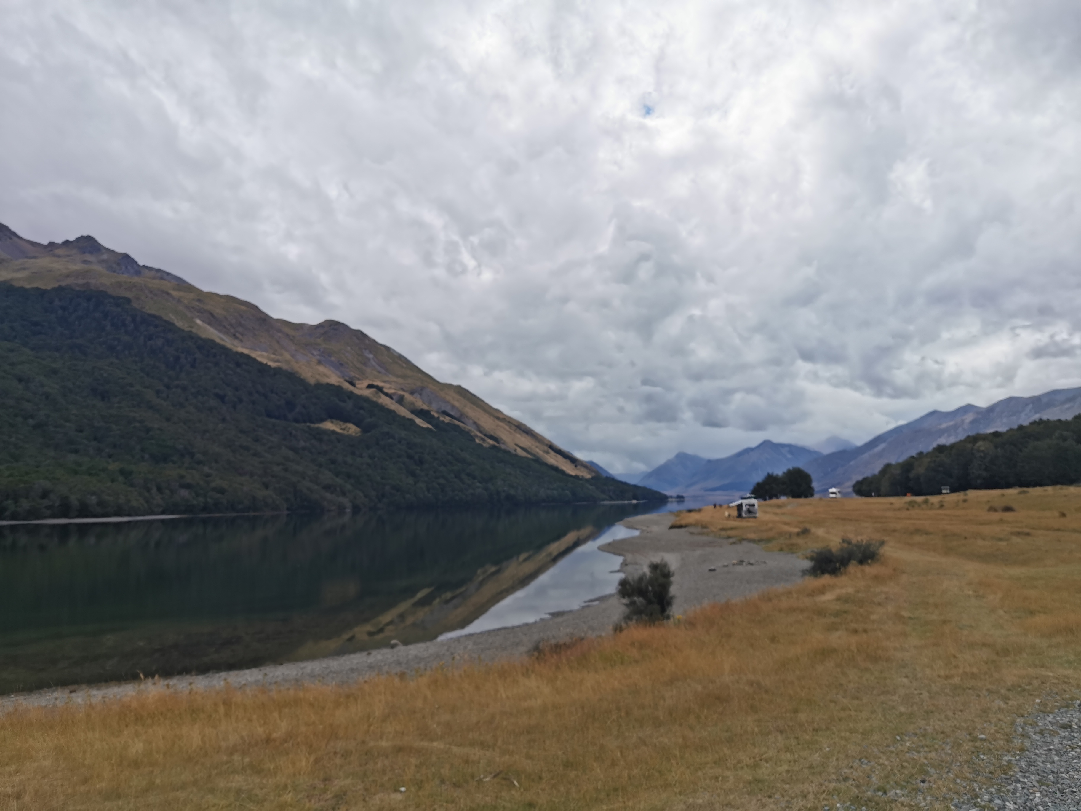
He told me all about the history of everywhere we went and what rivers come from where and go where. We had a little tour of Glenorchy first and we stopped in various places for lots of photos.
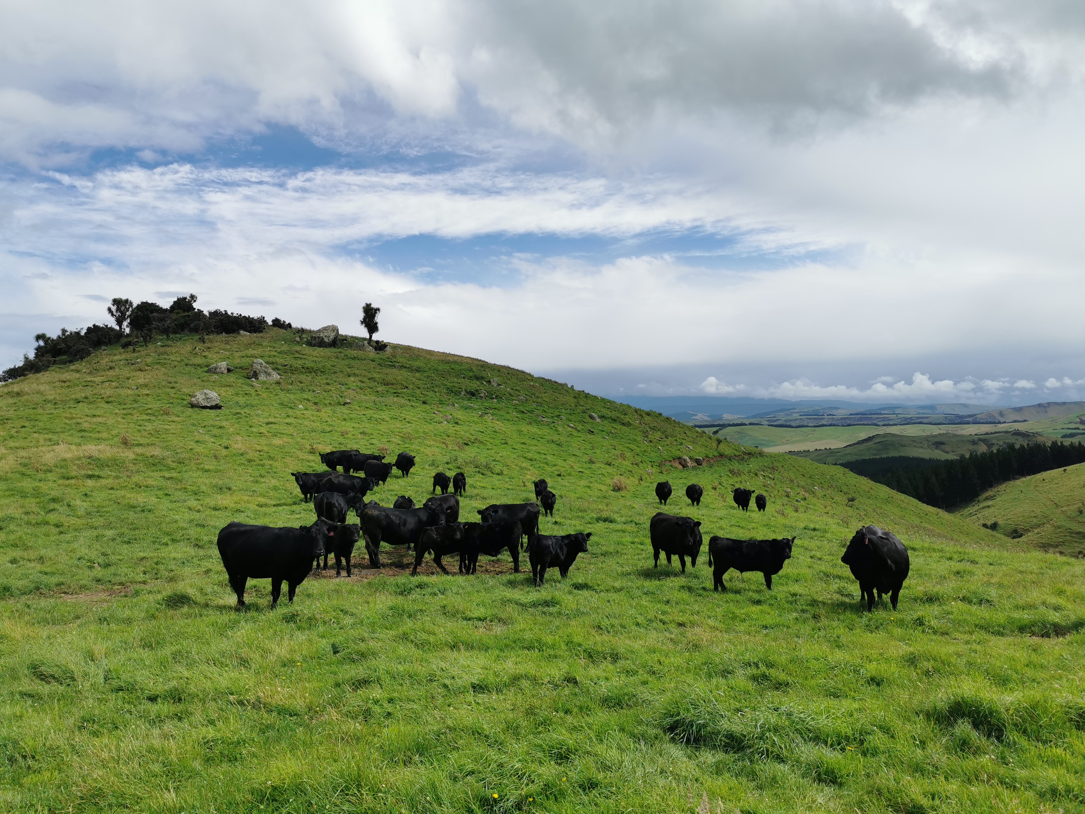
The classic Glenorchy photoThe top of Lake WakatipuI was told the big round bumps in the land are big boulders pushed down by glaciers thousands of years ago
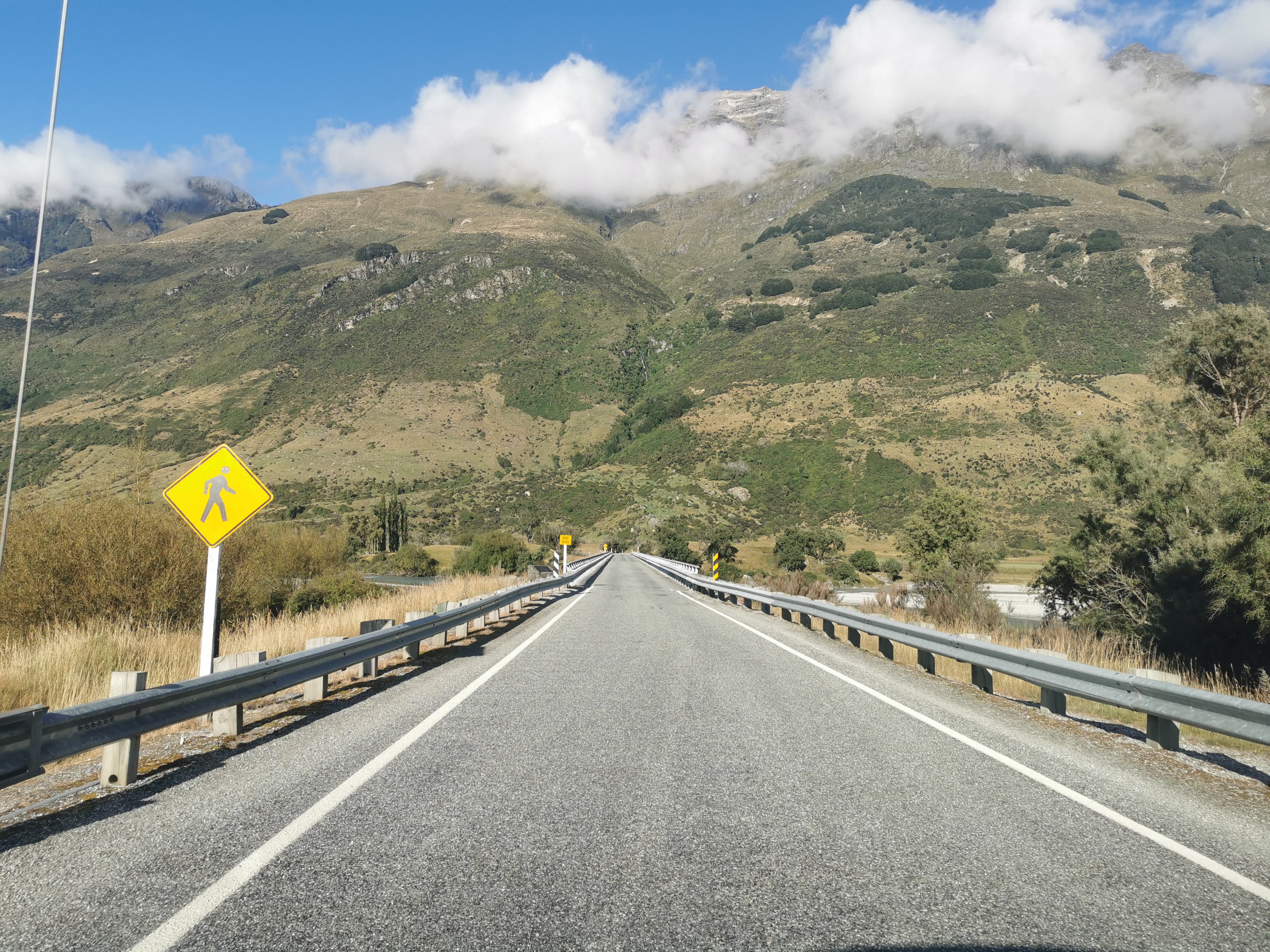
He asked if I had ever seen a murder-mystery series on TV called “One Lane Bridge”. Well apparently this bridge here that crosses the Dart River is the one the title refers to, and they were doing filming here last week. I must check it out.
One Lane Bridge
We drove through a place called Kinloch which had a lot of people camping by the lake.
Kinloch Lodge
While we were driving I said I hoped I would meet others while I was walking. Peter said “well you’re alone in this van, what does that tell you”. Good point!
Nearing the end of the drive now
But shortly after that we saw a guy hitchhiking. Peter asked if it was okay to give him a lift and I said sure. He looked like a TA hiker and it turns out he was. His name was Shay and he’s from Essex in the UK but lives now in Mt. Maunganui.
I was happy that I’d have somebody to walk with. But as we were talking he said he is trying to get to Bluff in 6 days, by doing five 50k days and then a 100k day at the end. I didn’t believe him at first. But he says he is running parts of it. He said he did the Richmond Ranges from Hackett Hut to Red Hills Hut in 2 days. Incredible.
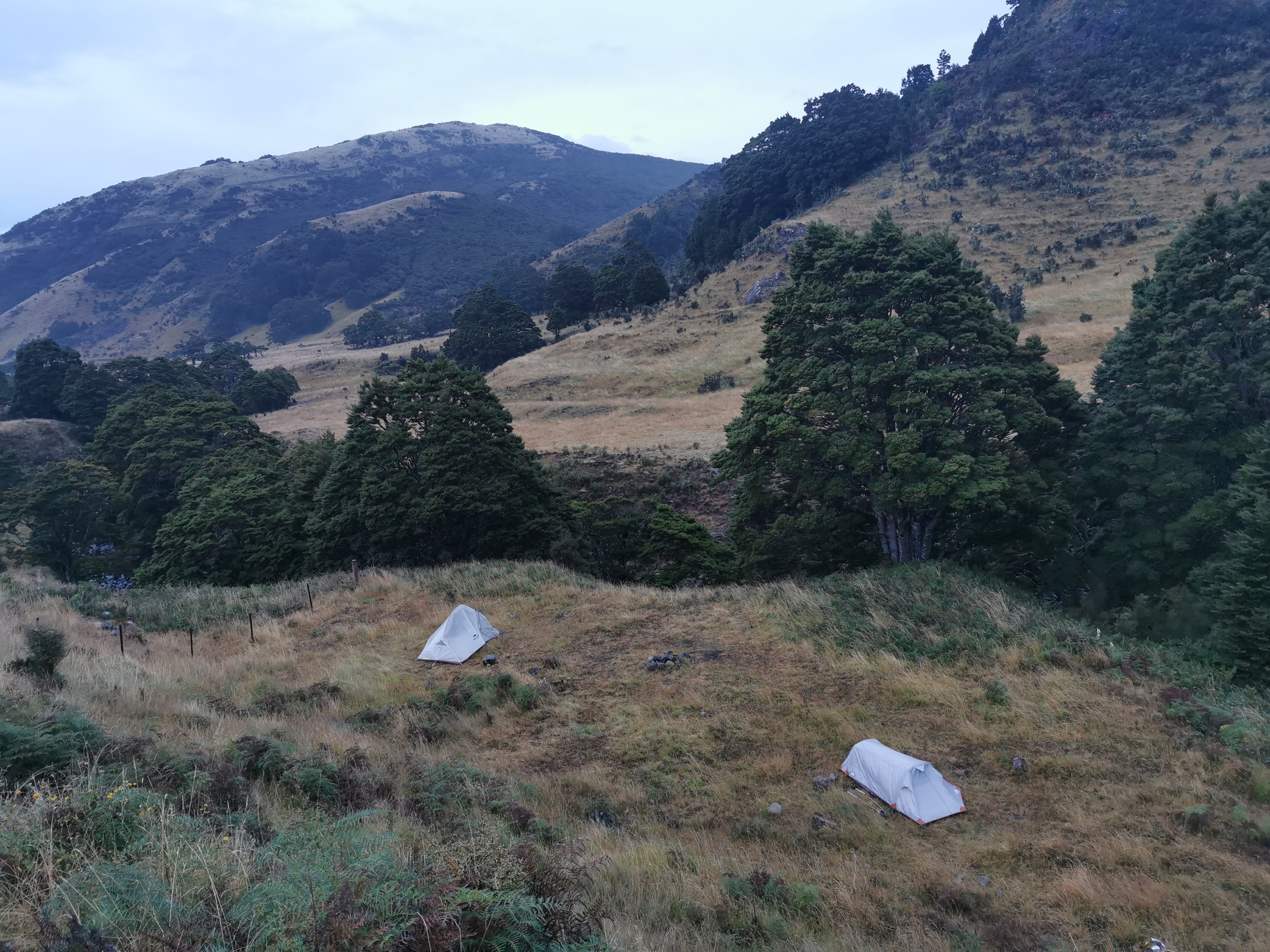
We passed a lot of tents but Peter didn’t know what they were for.
Tents galore
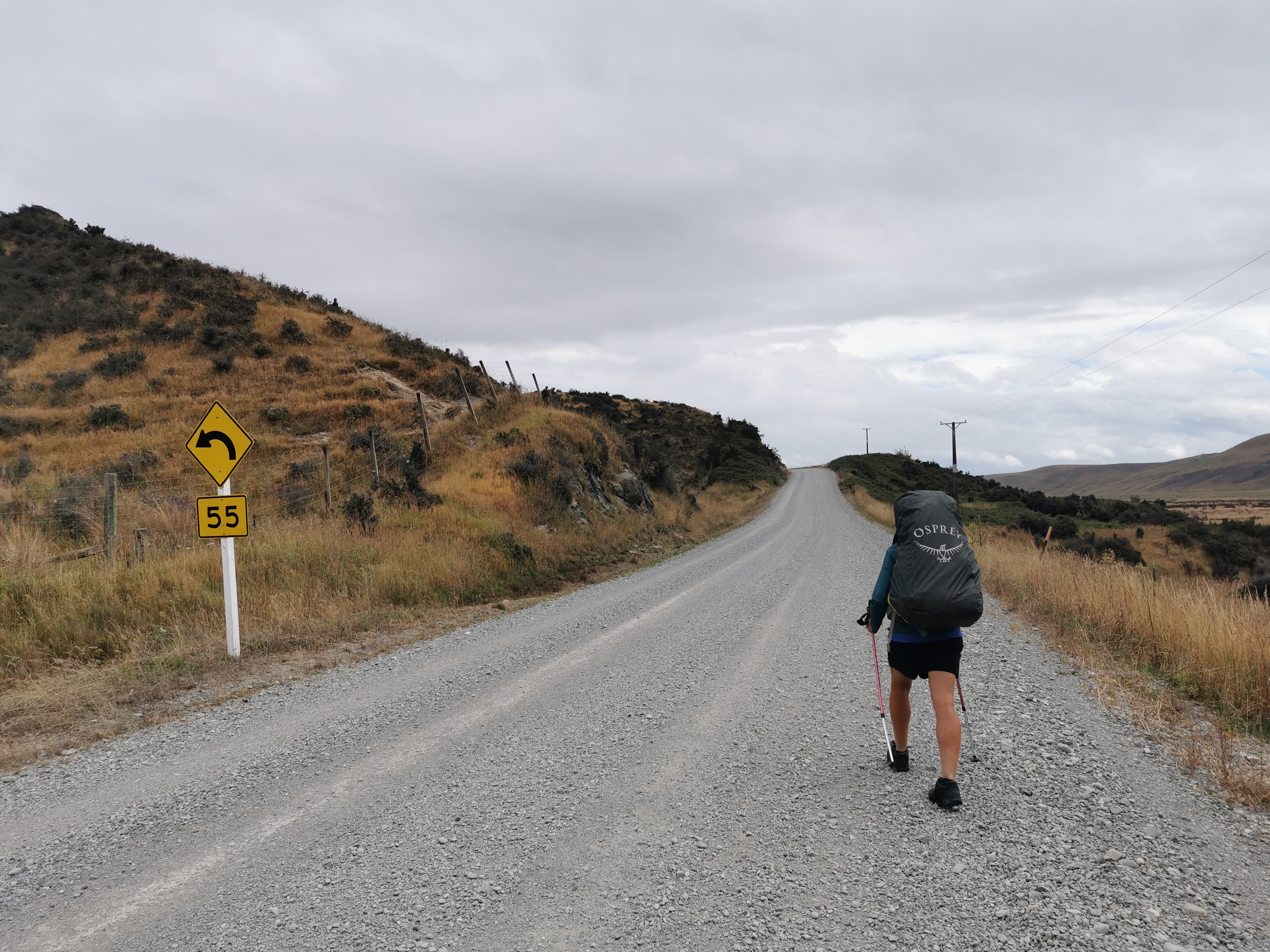
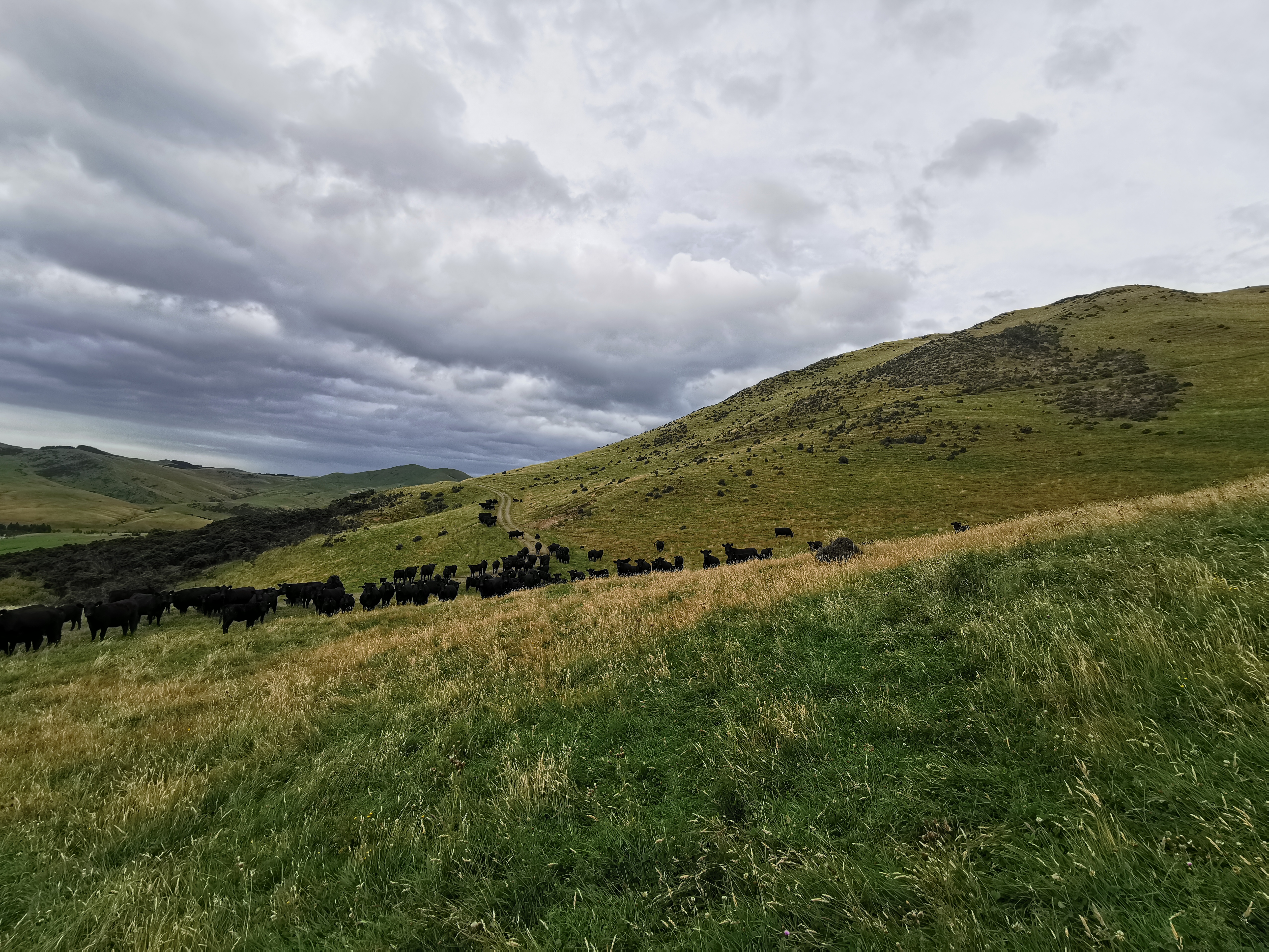
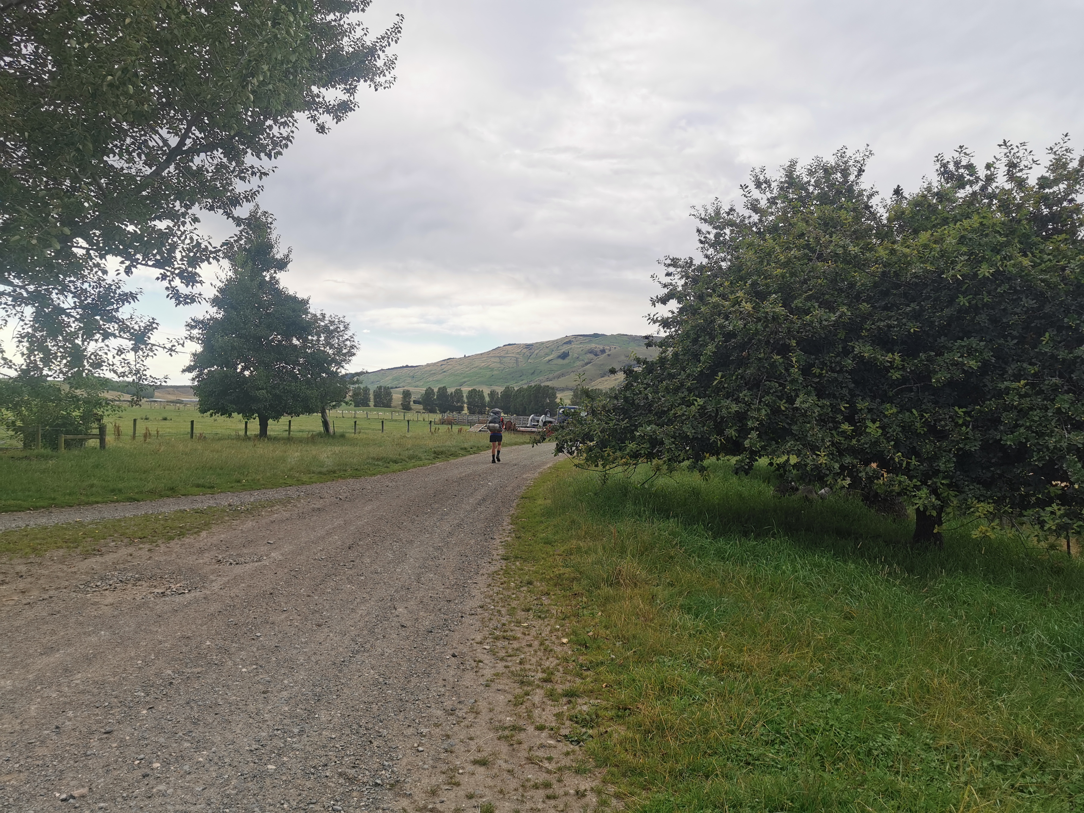
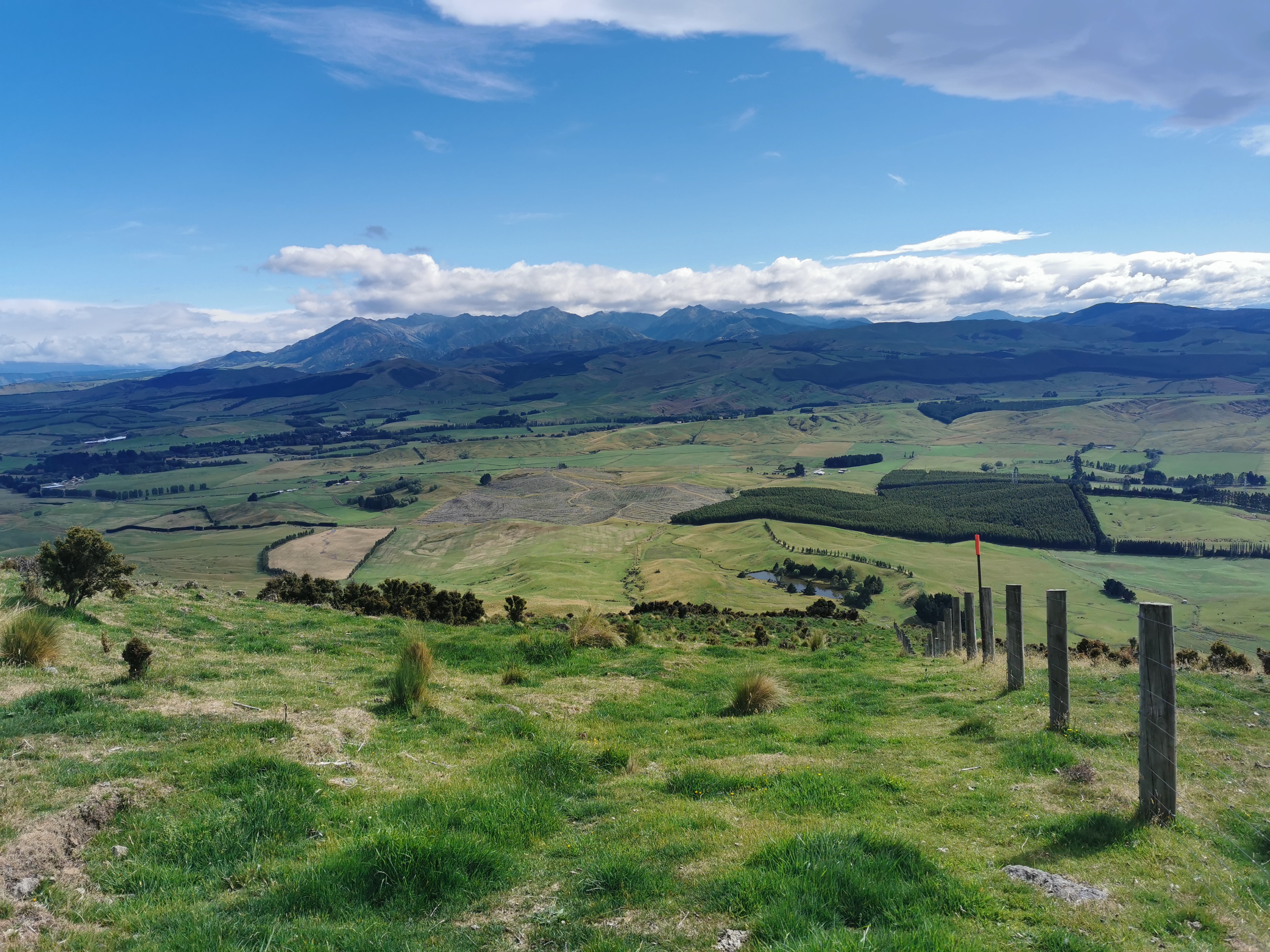
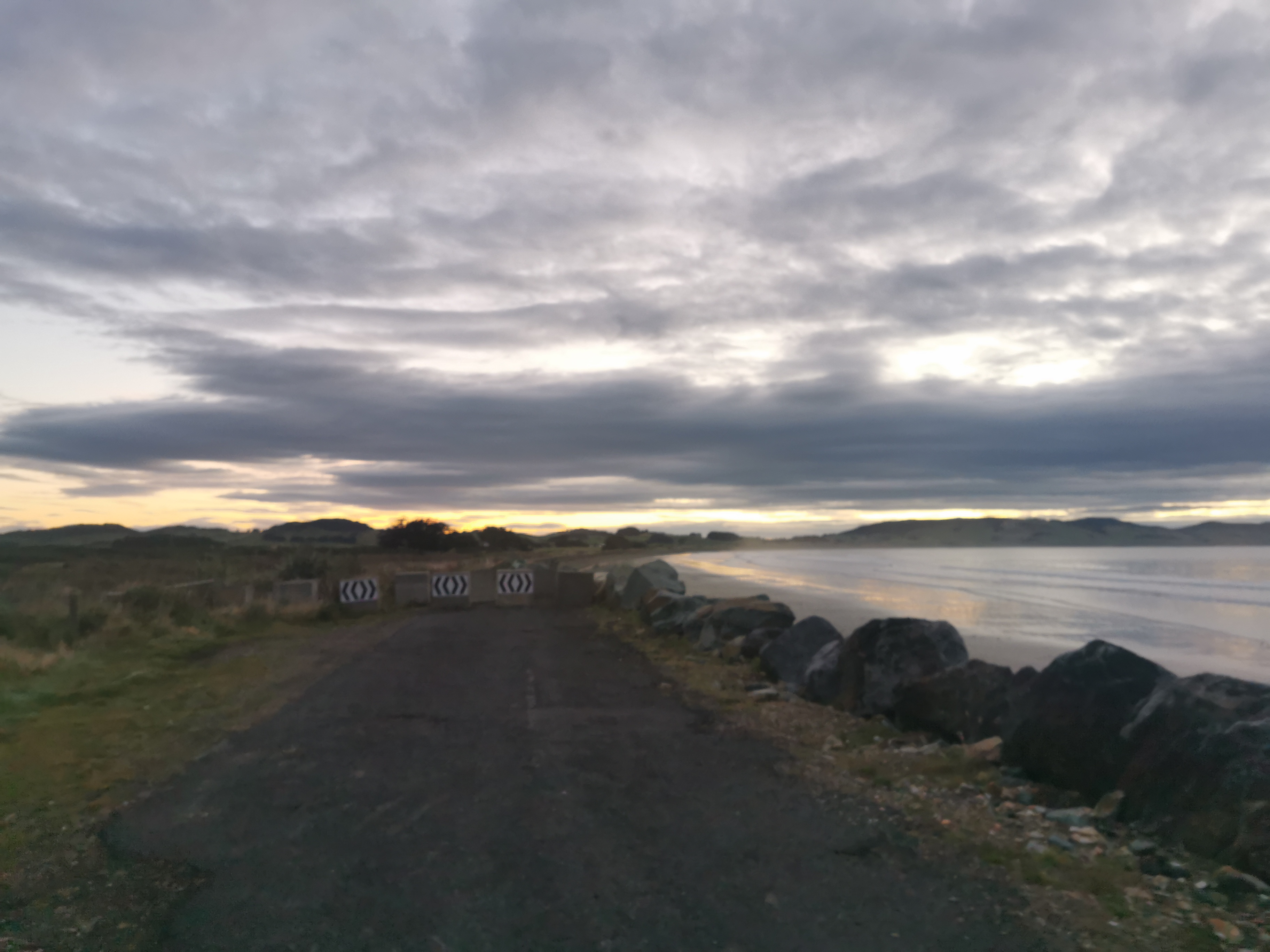
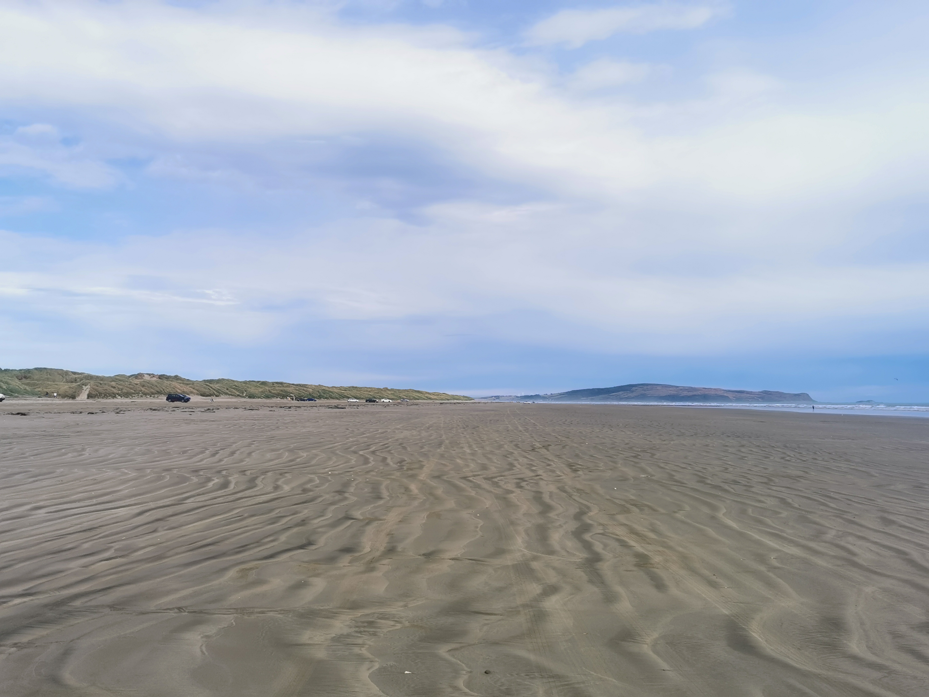
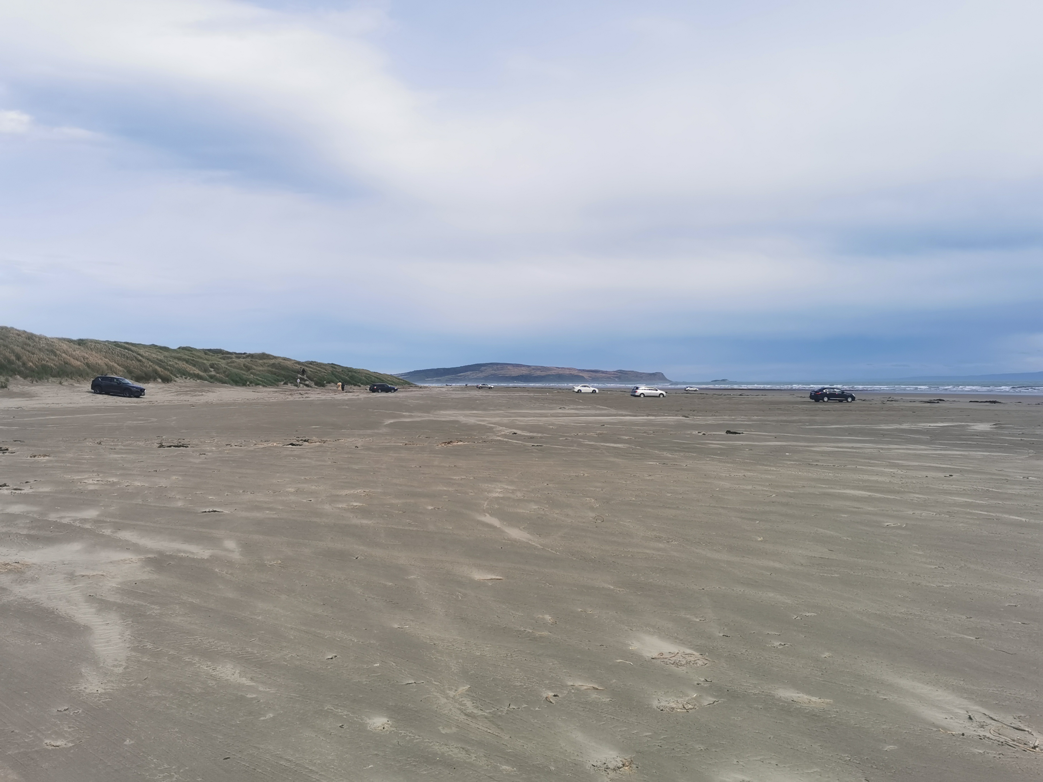
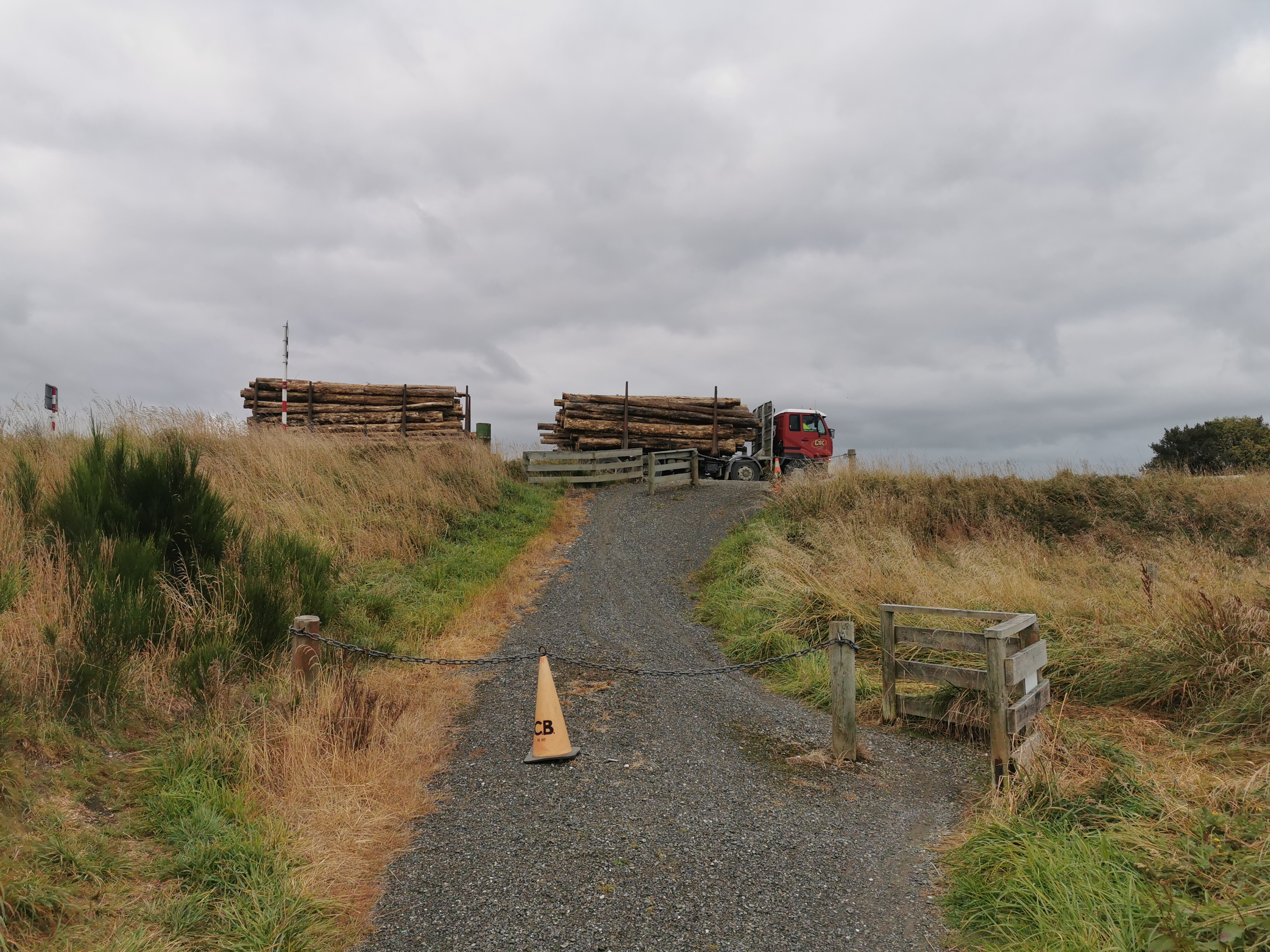
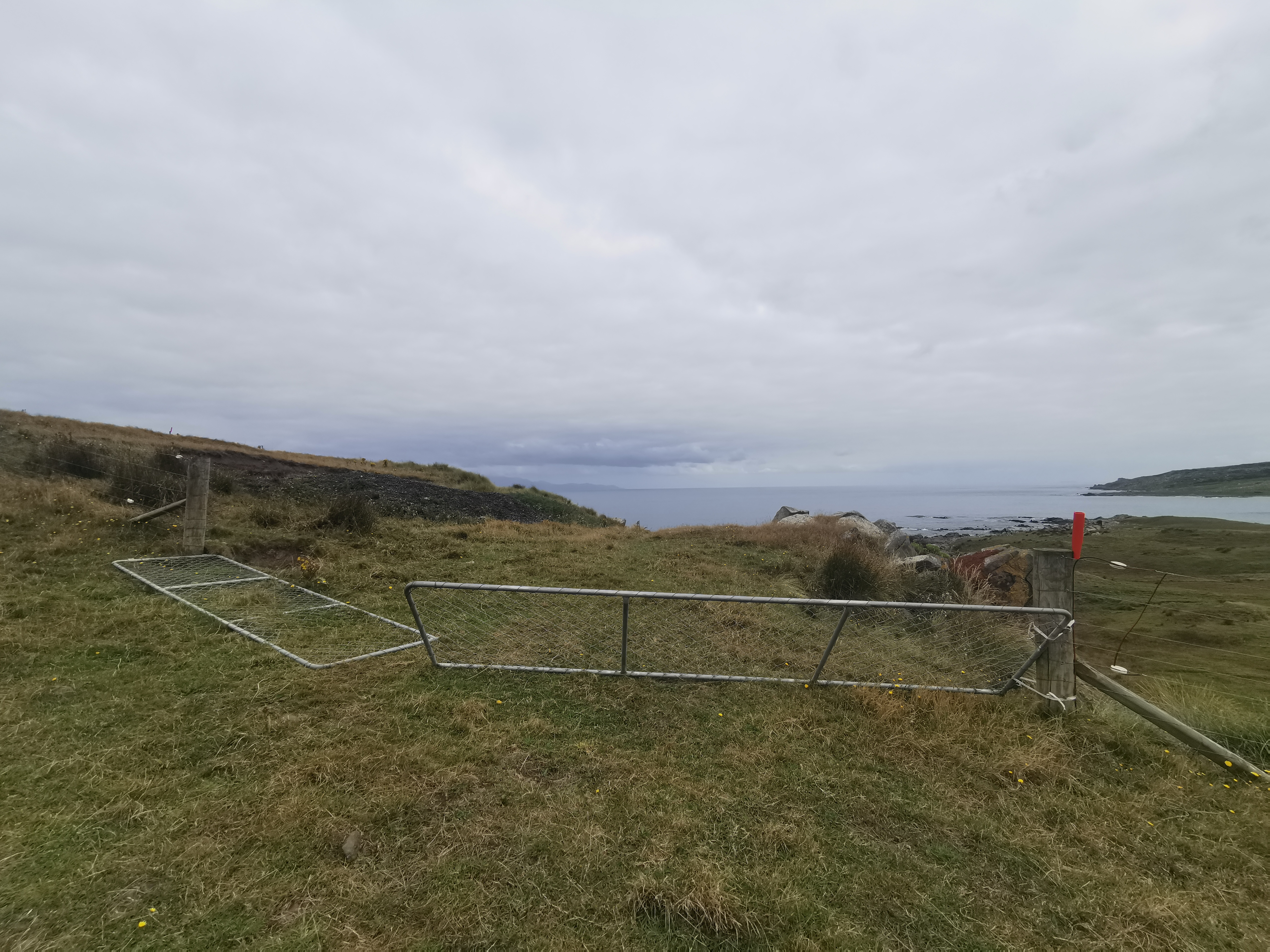
We were dropped off at the end of the road at the car park. There were quite a few cars there, which usually means that the path is well-formed and a bit touristy.
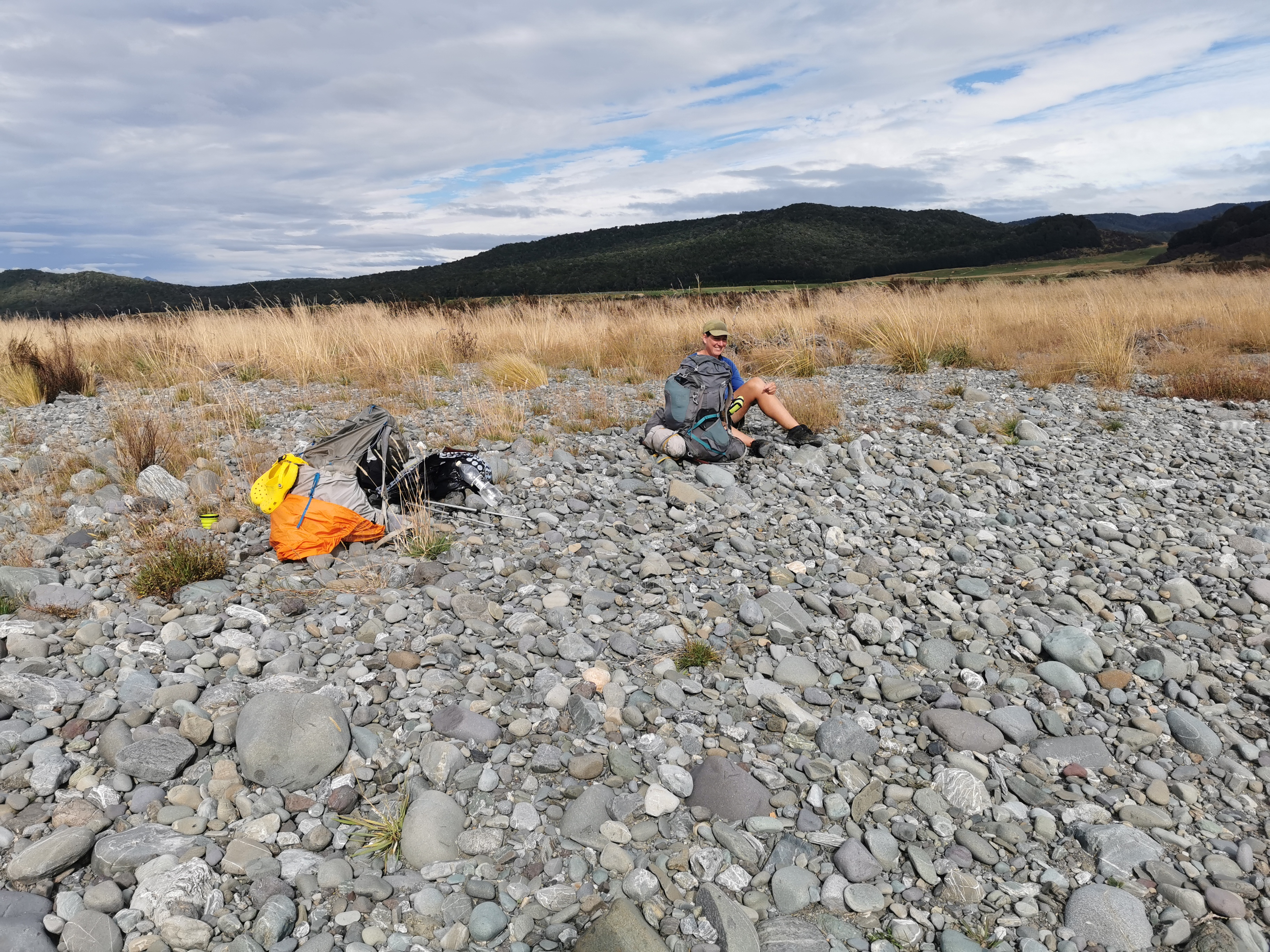
Peter insisted we take this photo
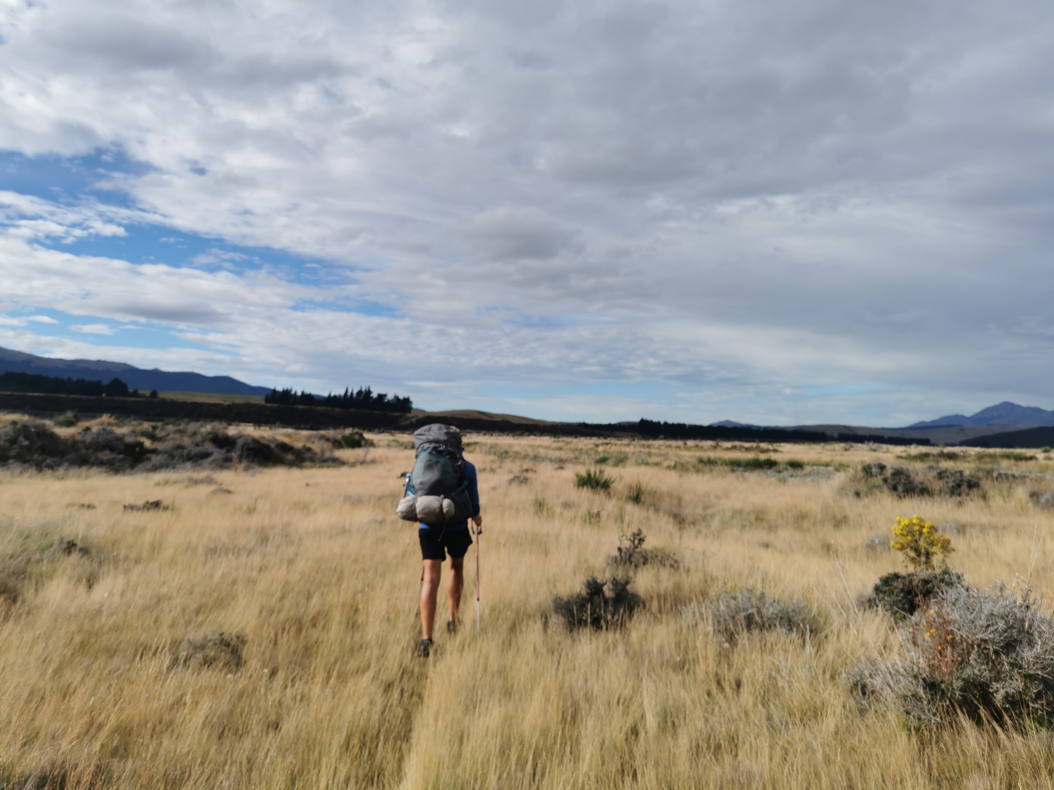
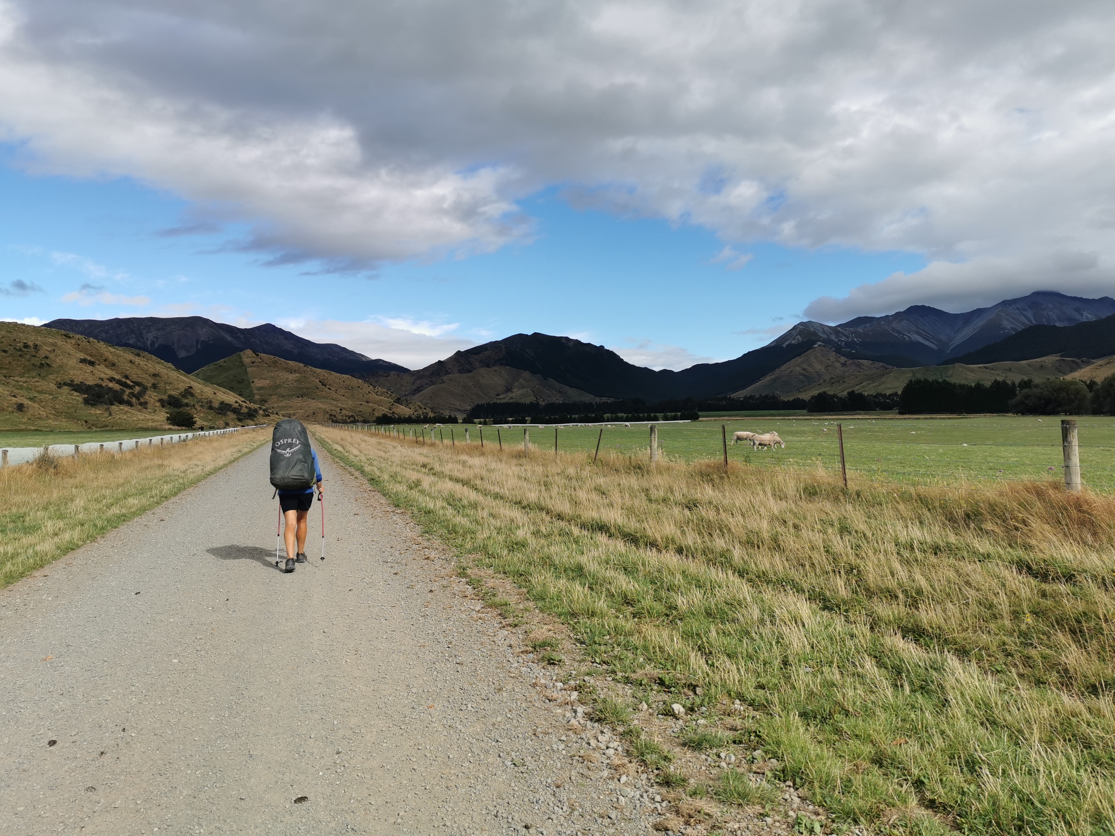
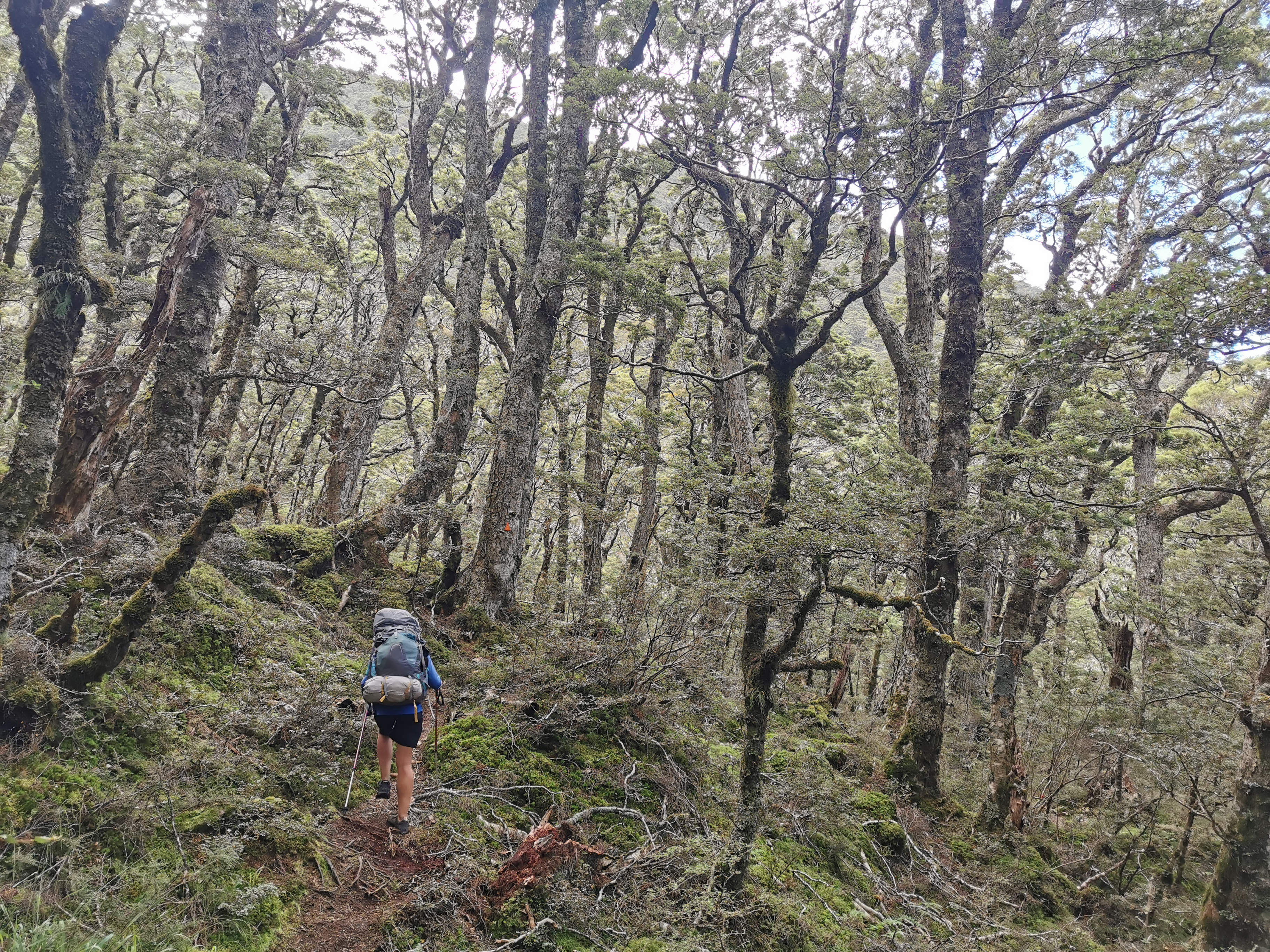
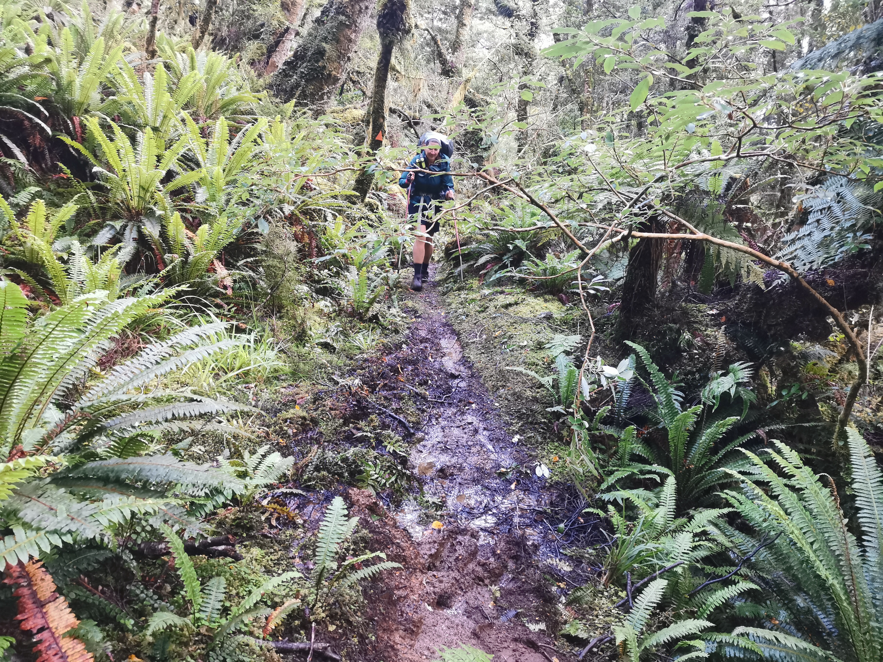
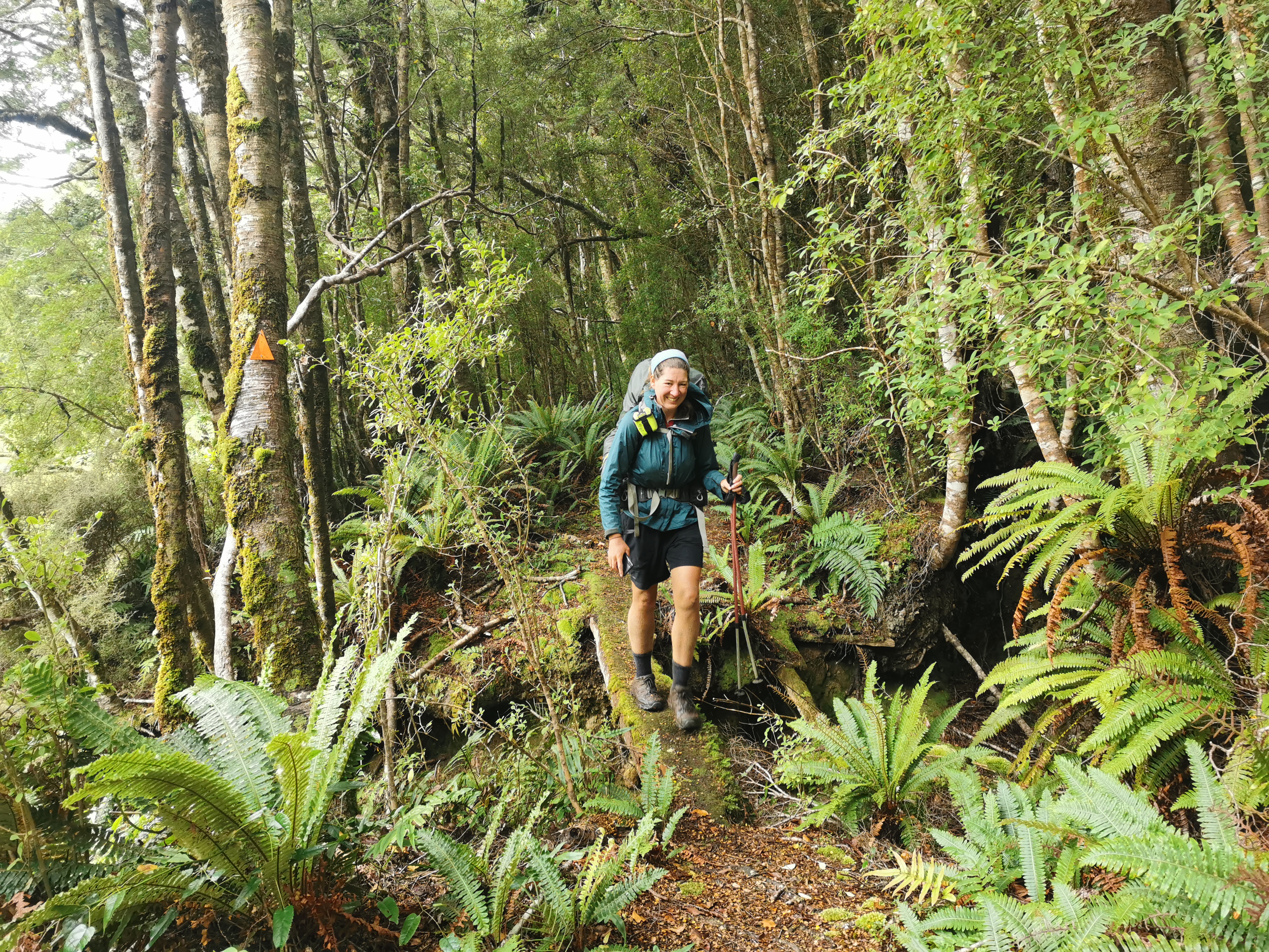
Ok it’s time to do some actual walking! I wanted to stick with Shay as long as I could. True to his word he was walking really fast. About as fast as Alex and Peter walked when I spent 30 days with them. It was hard to keep up with him. Remember of course I’ve just had almost a year off.
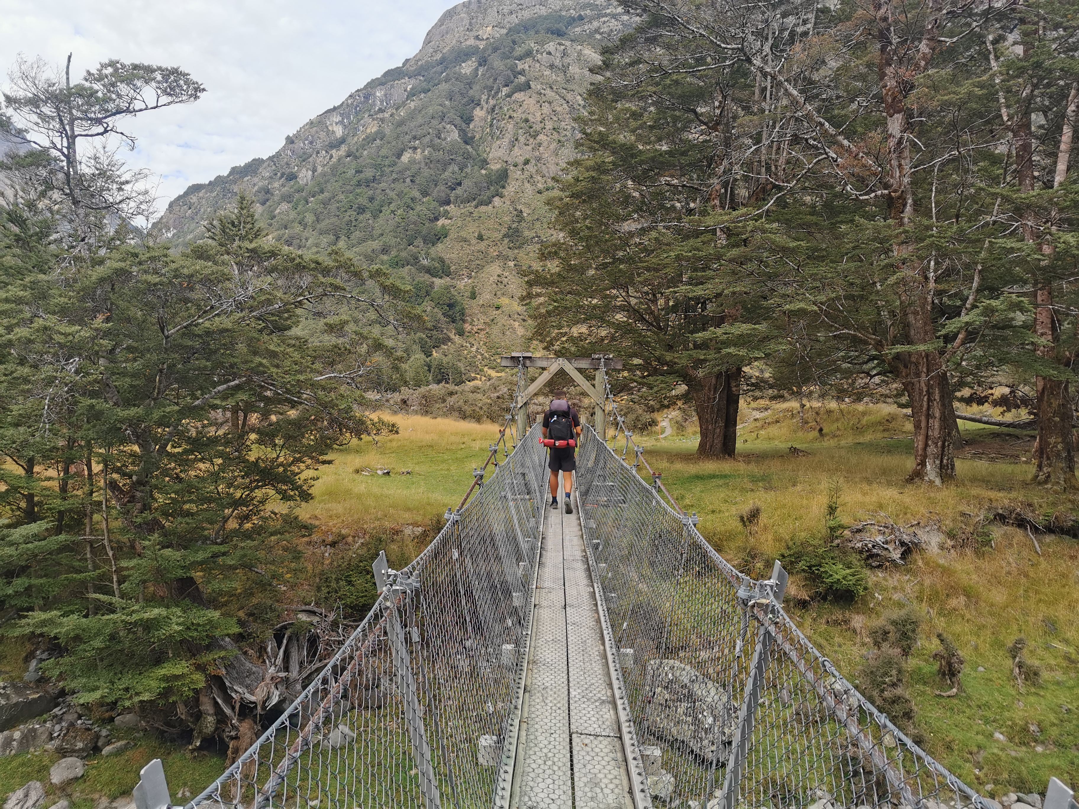
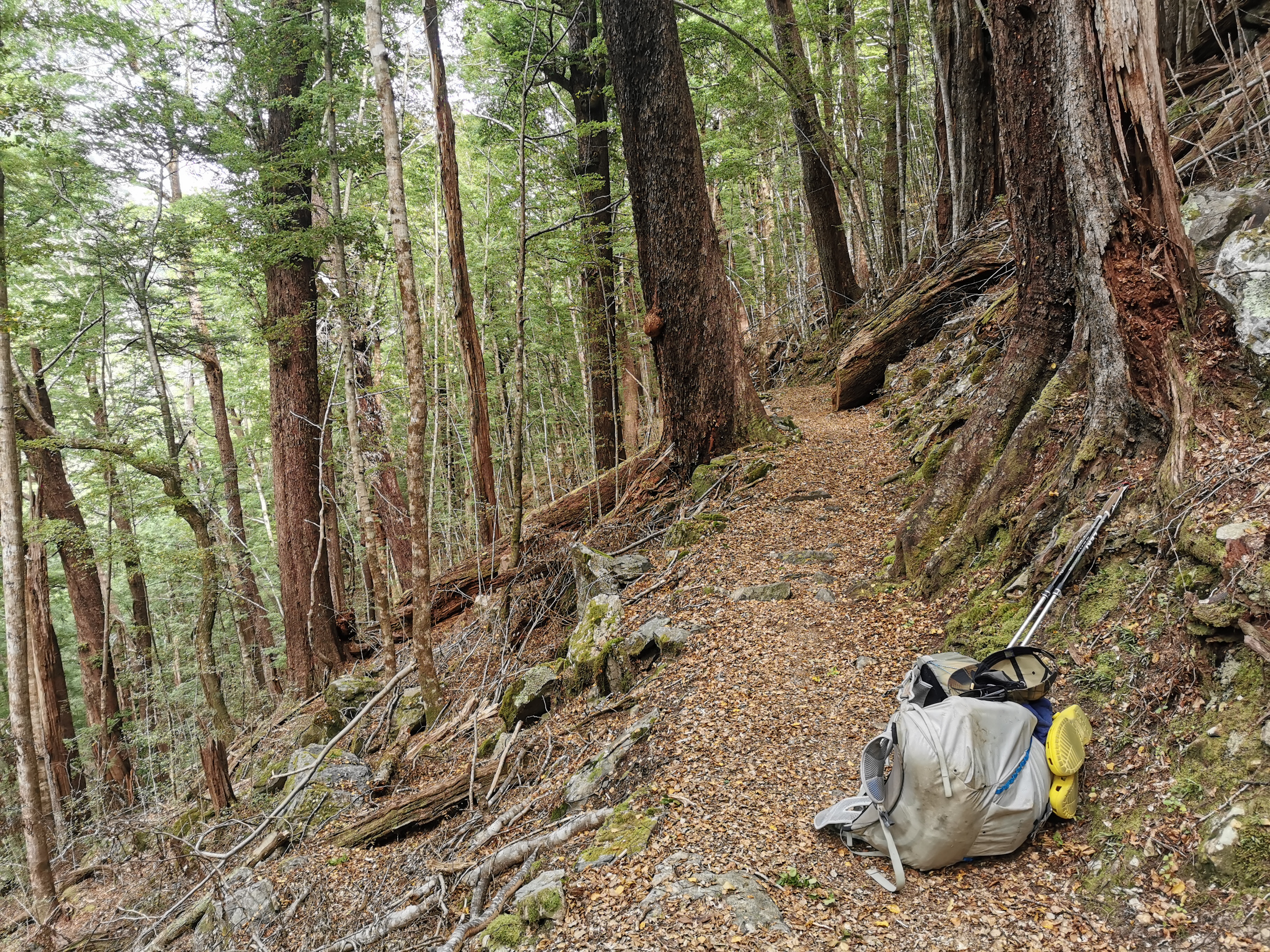
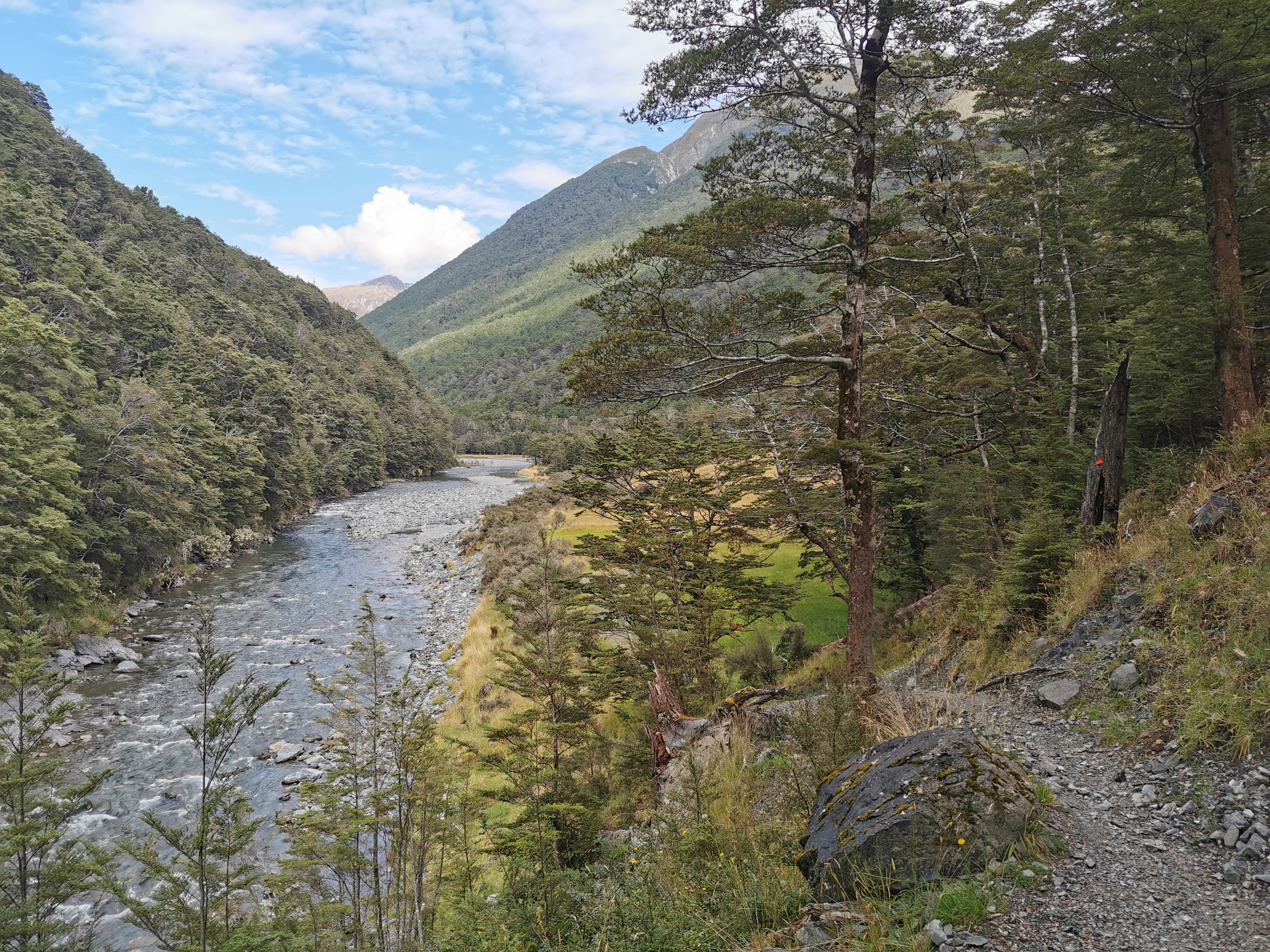
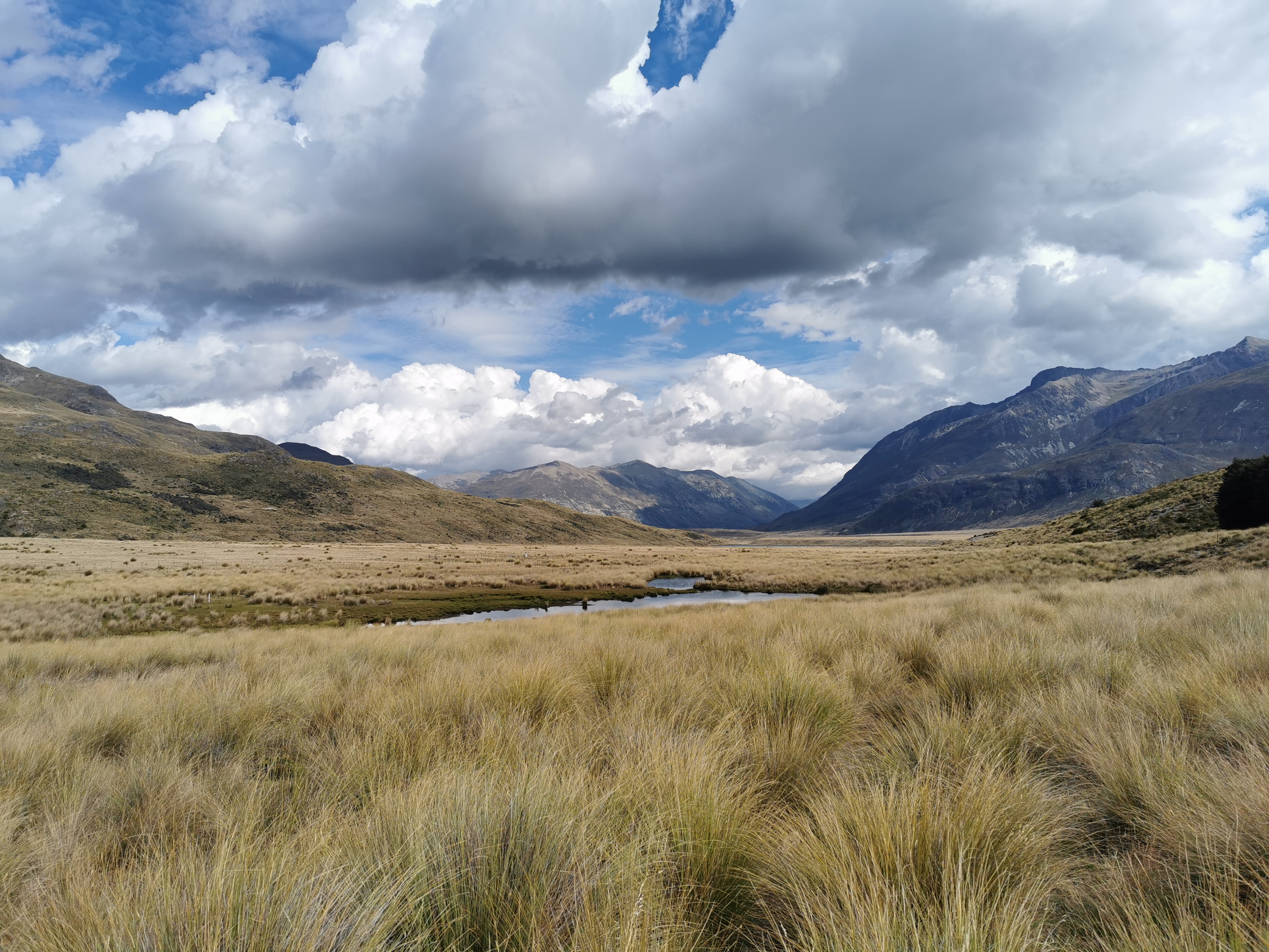
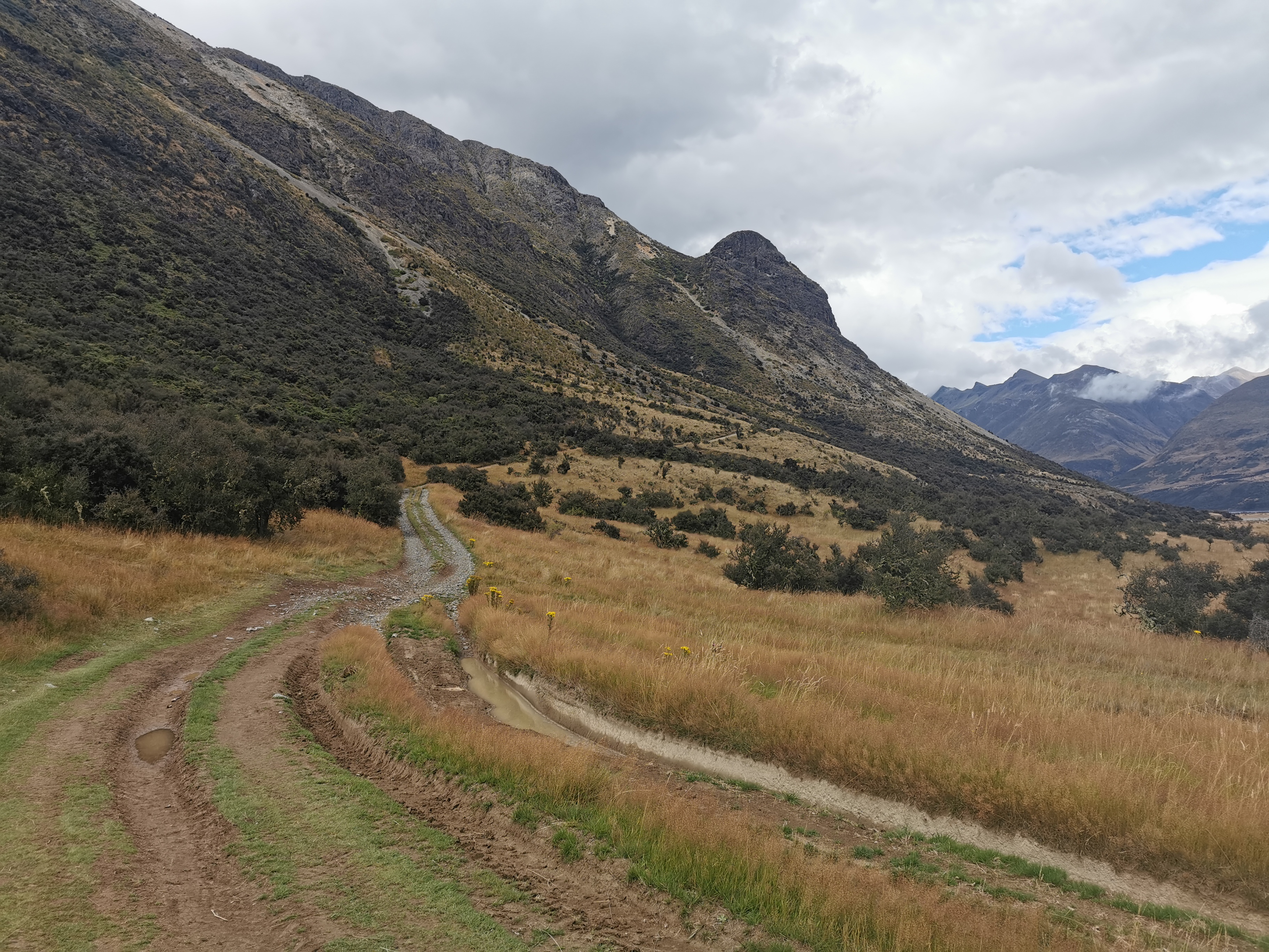
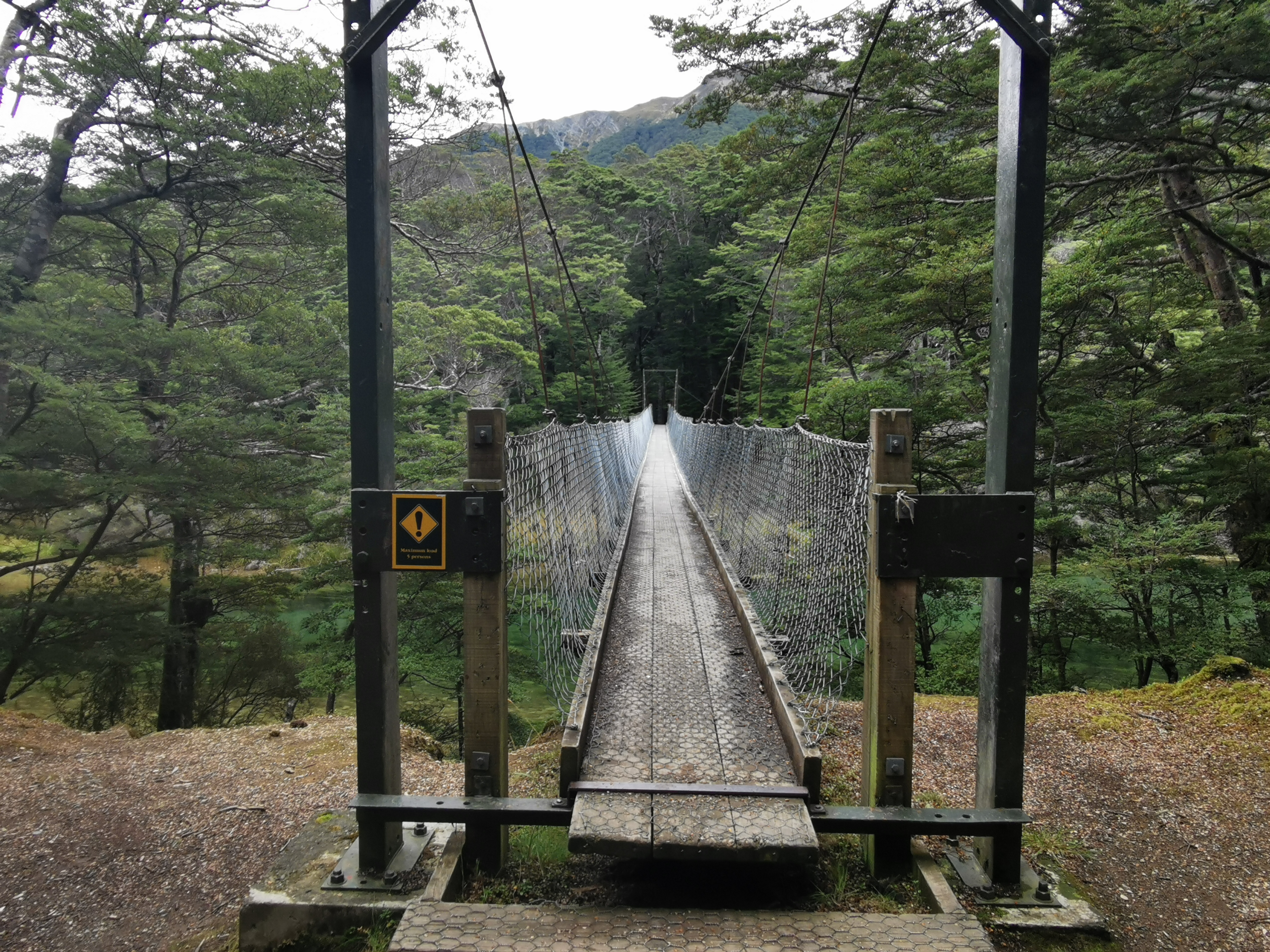
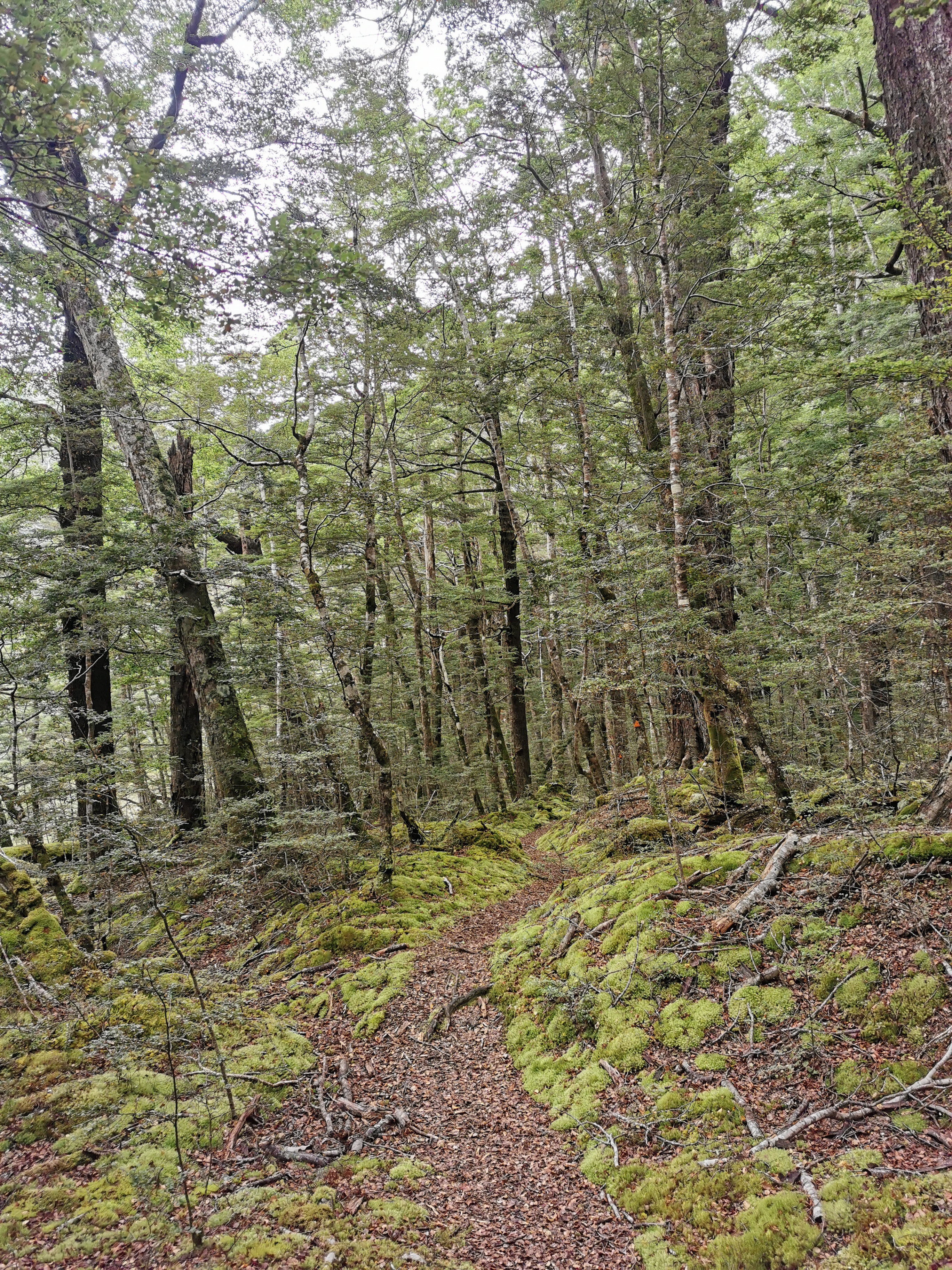
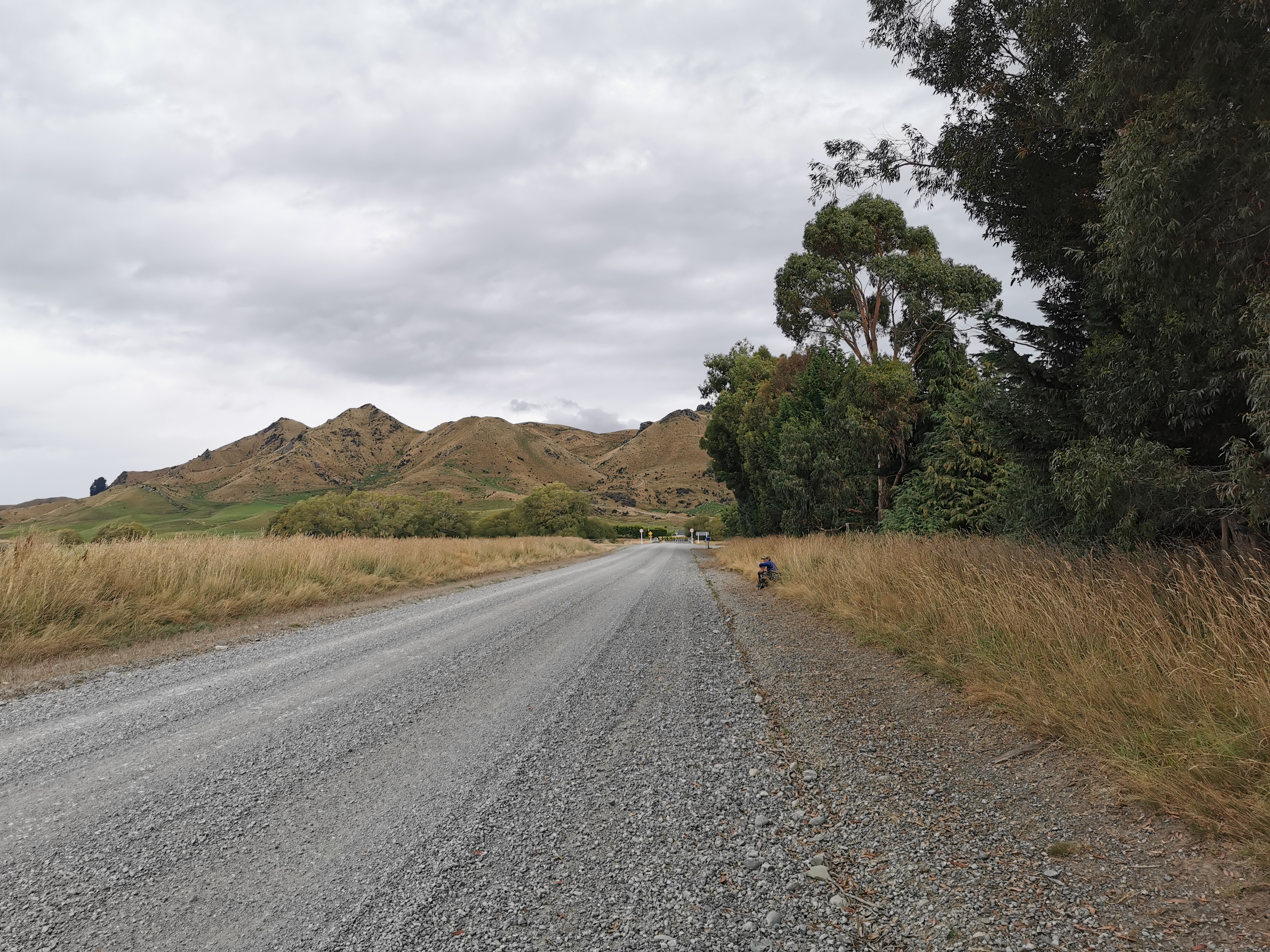
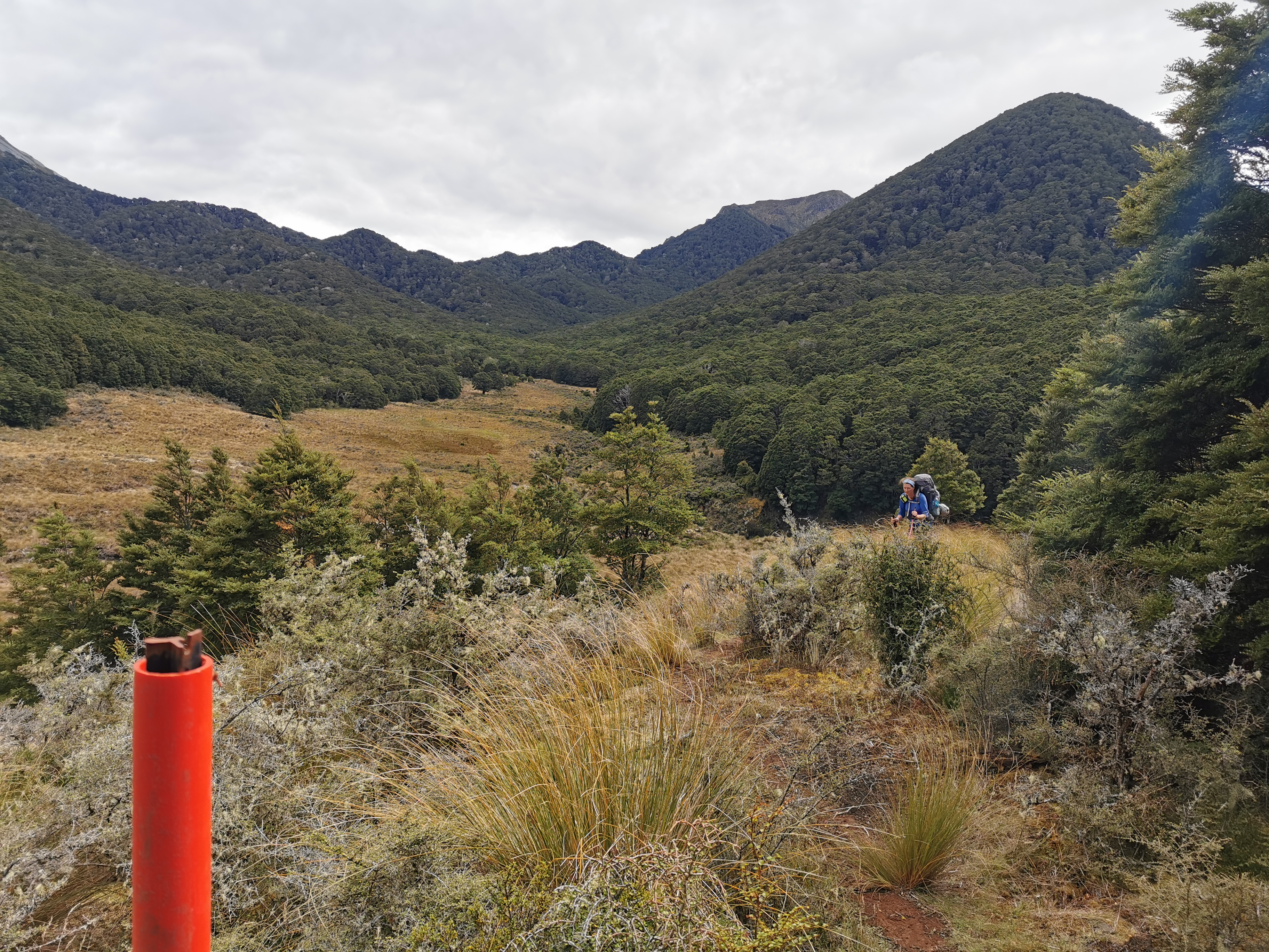
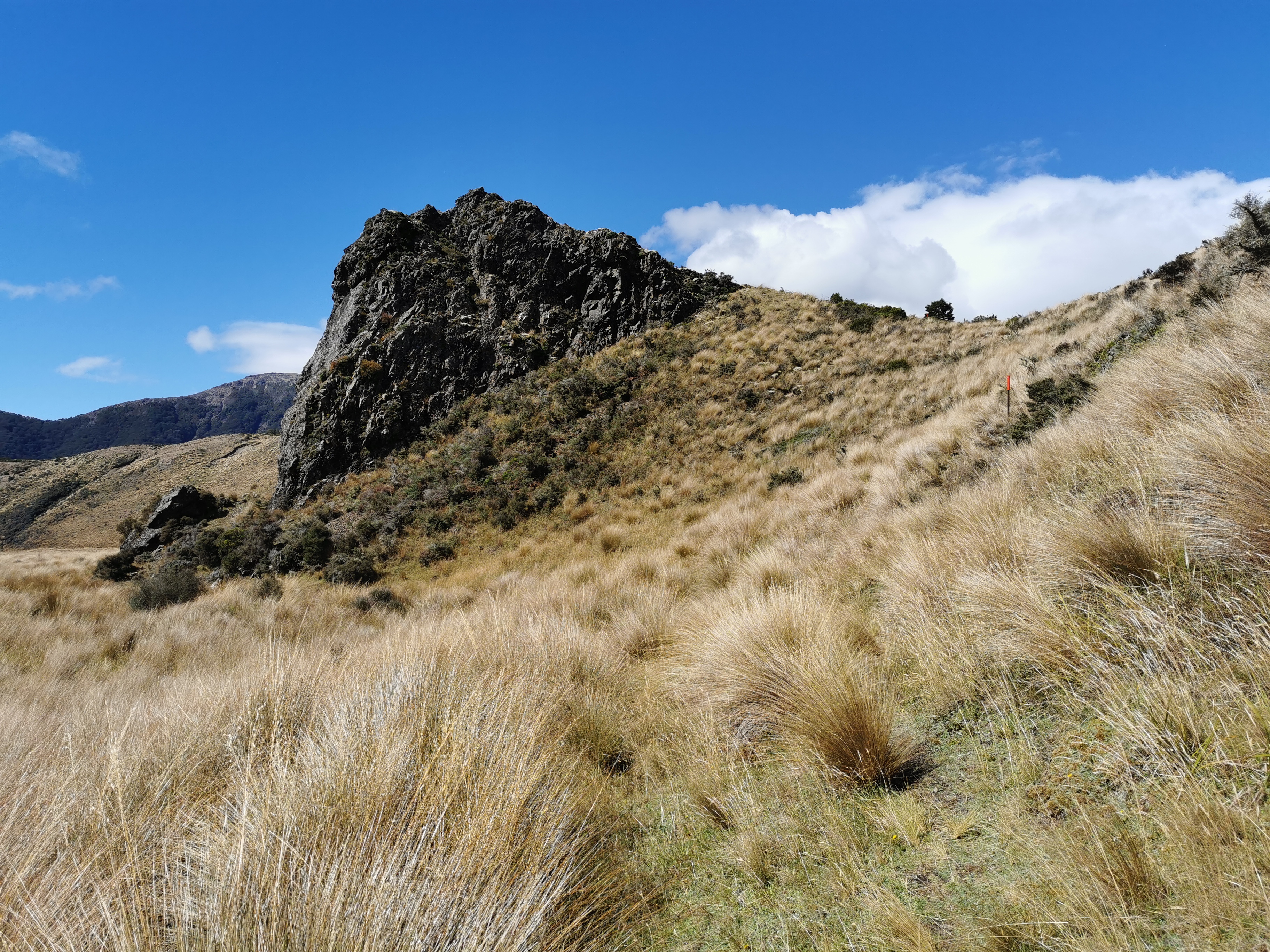
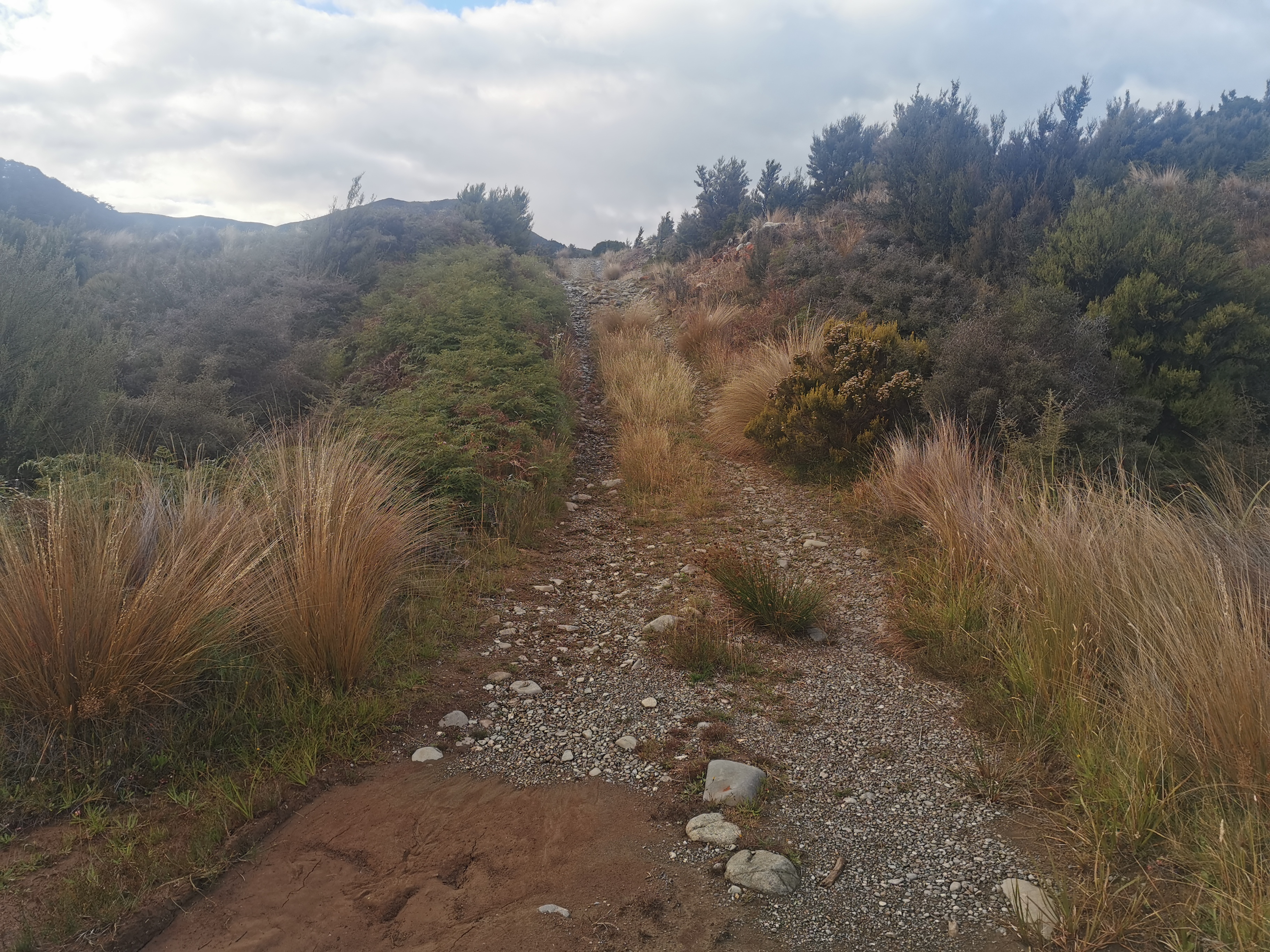
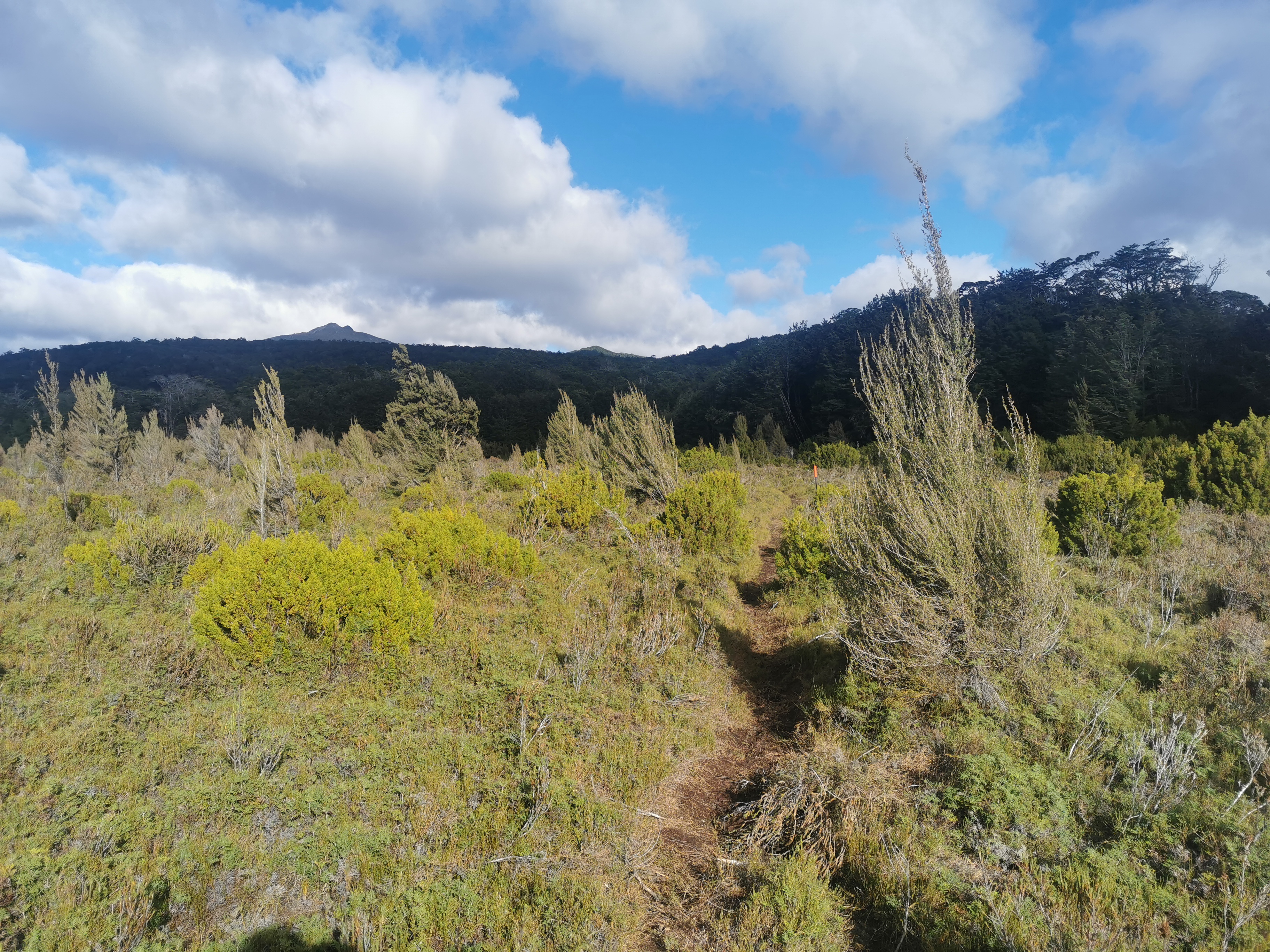
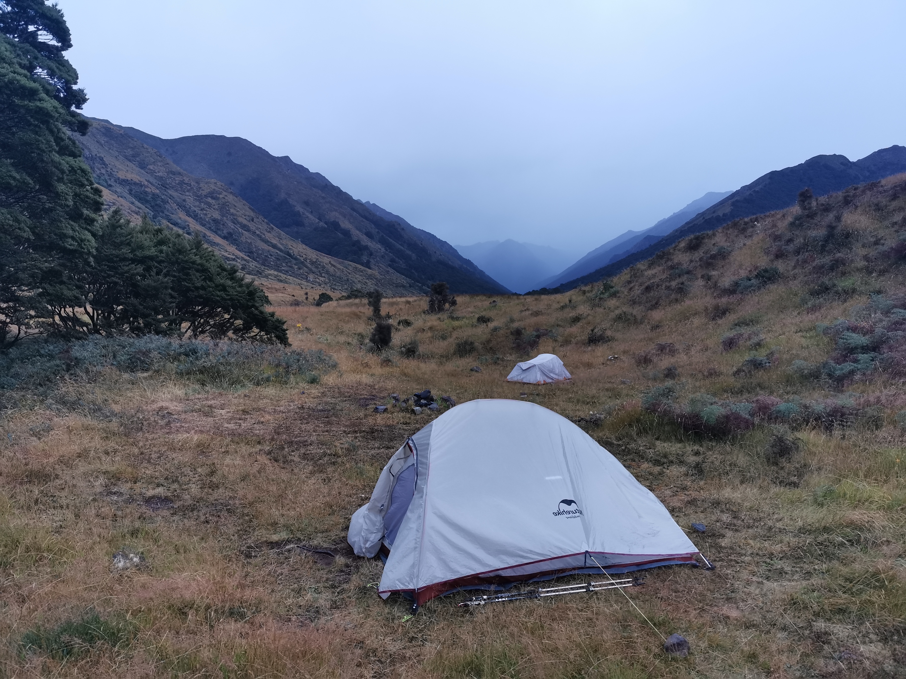
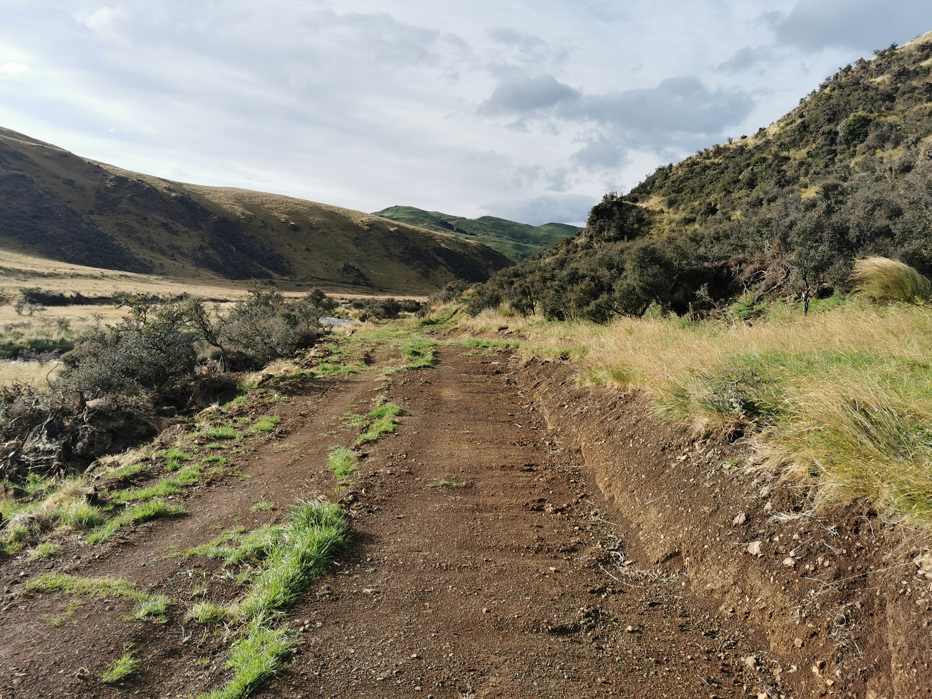
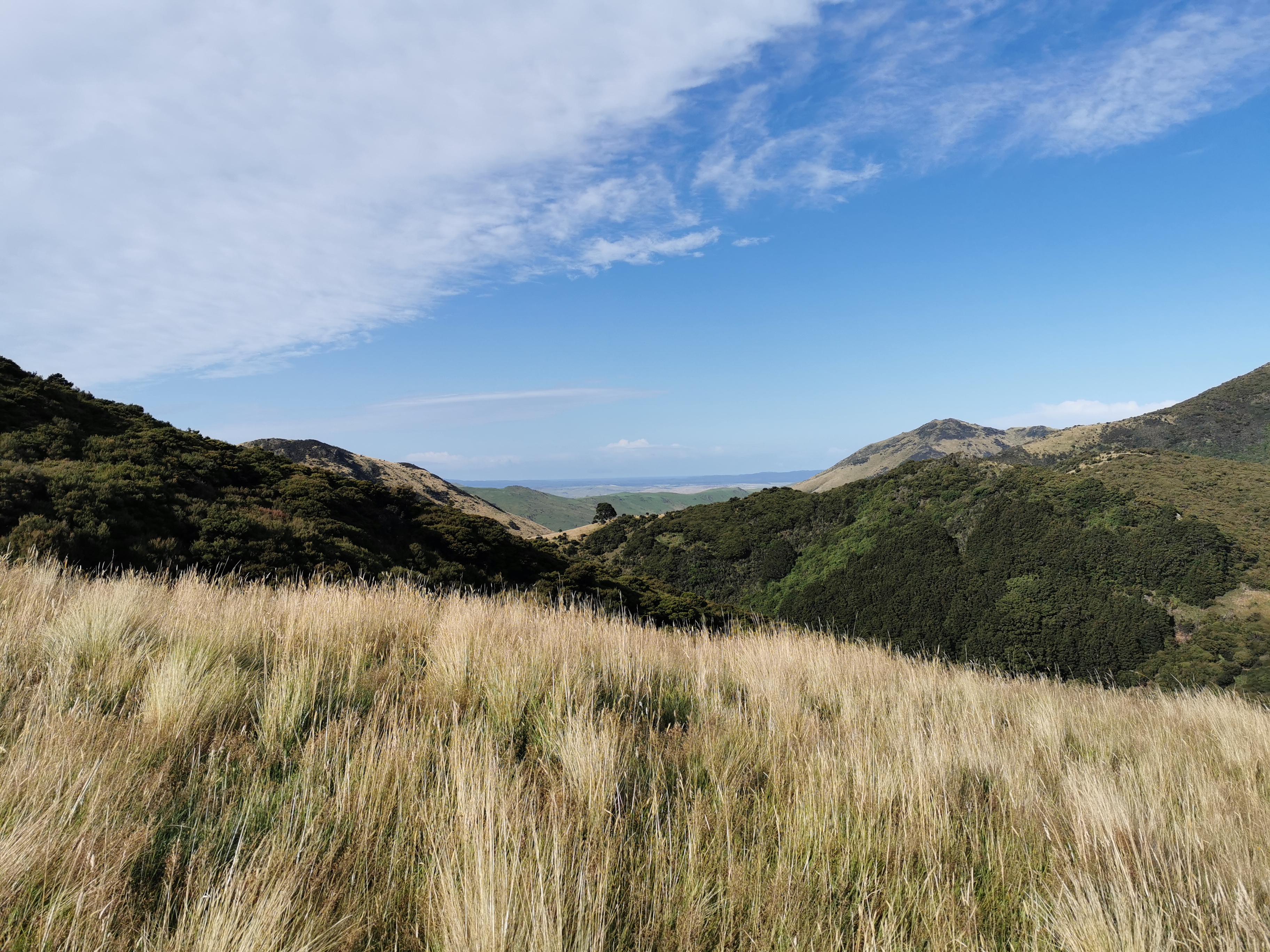
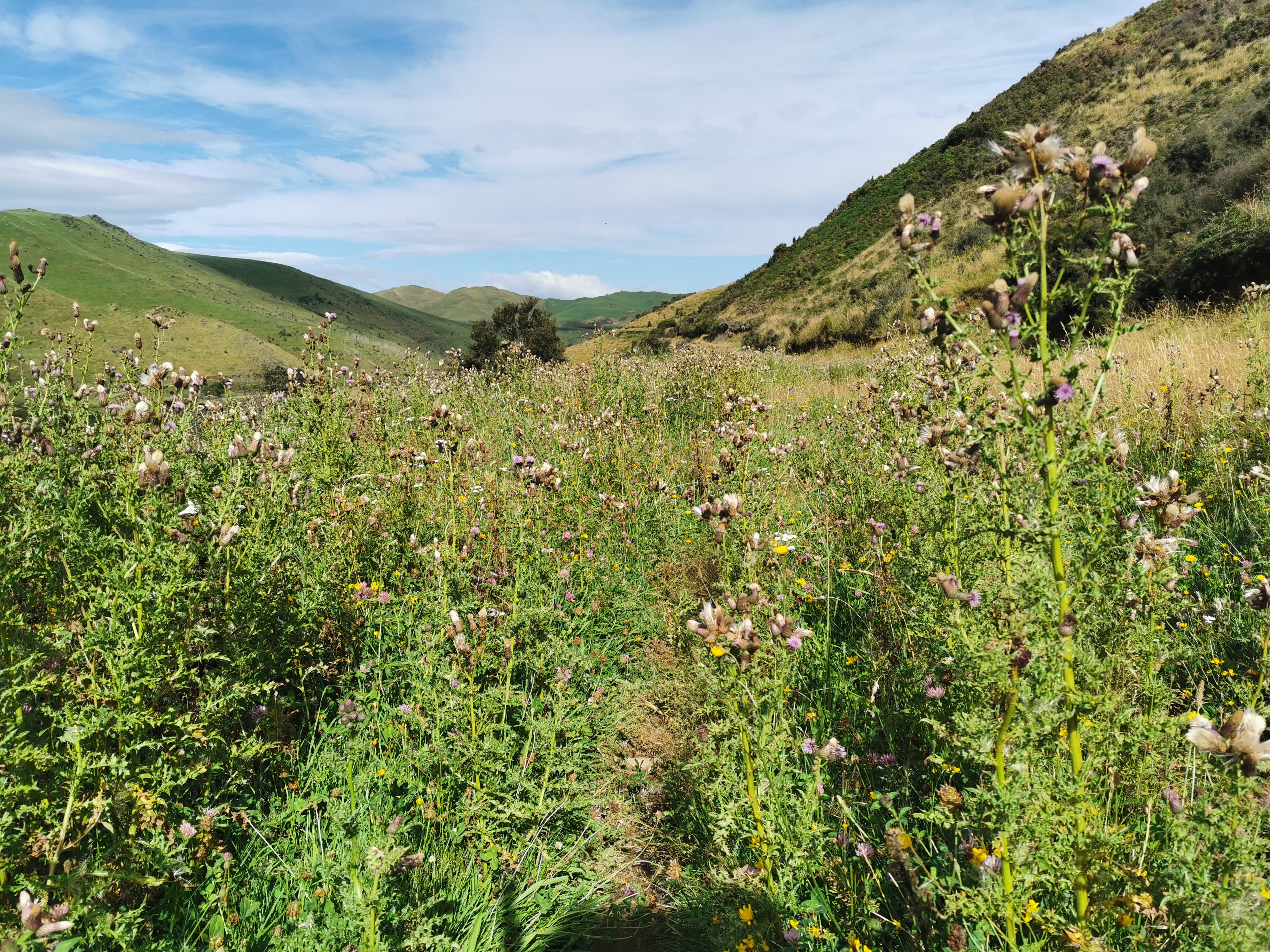
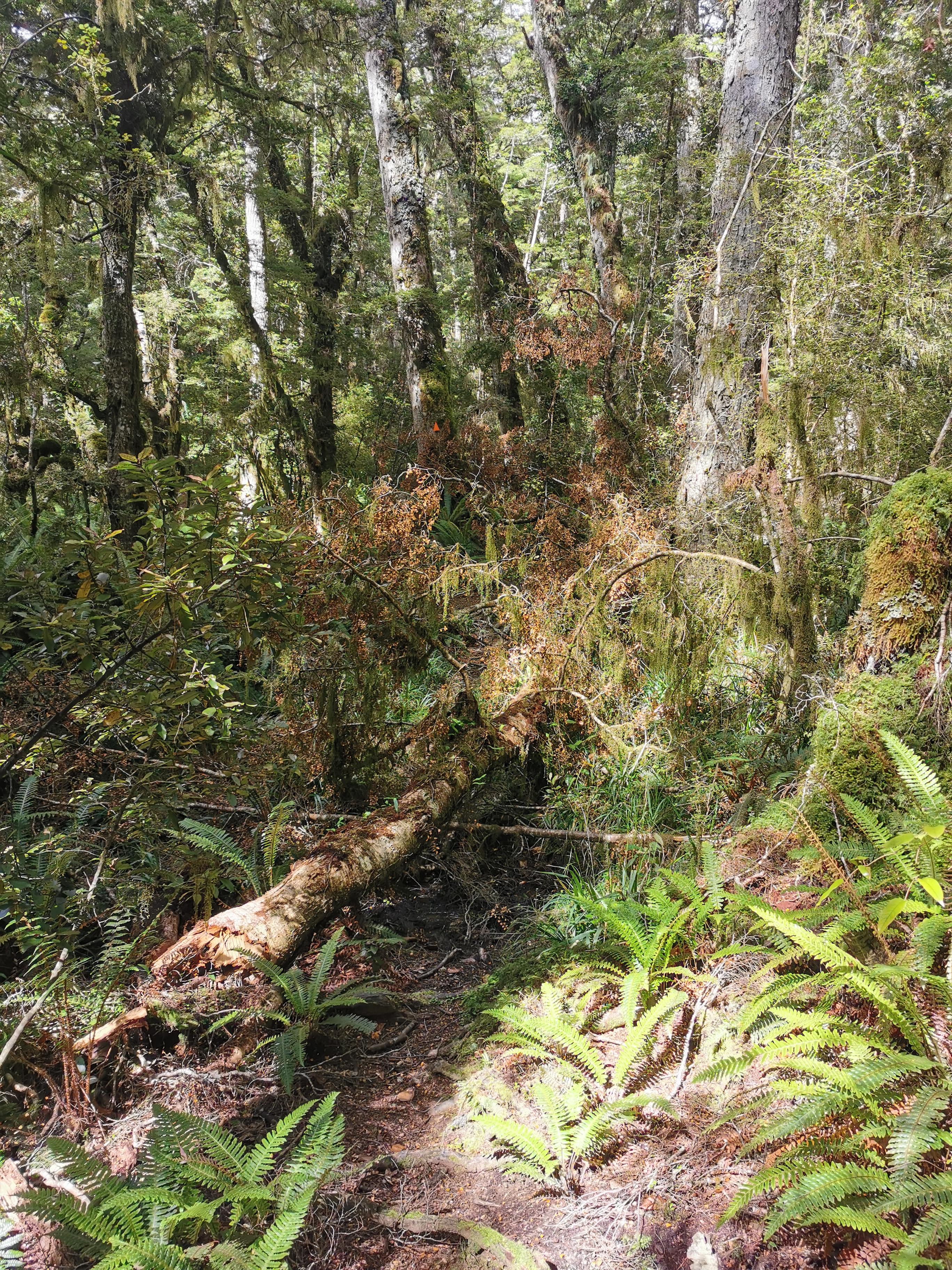
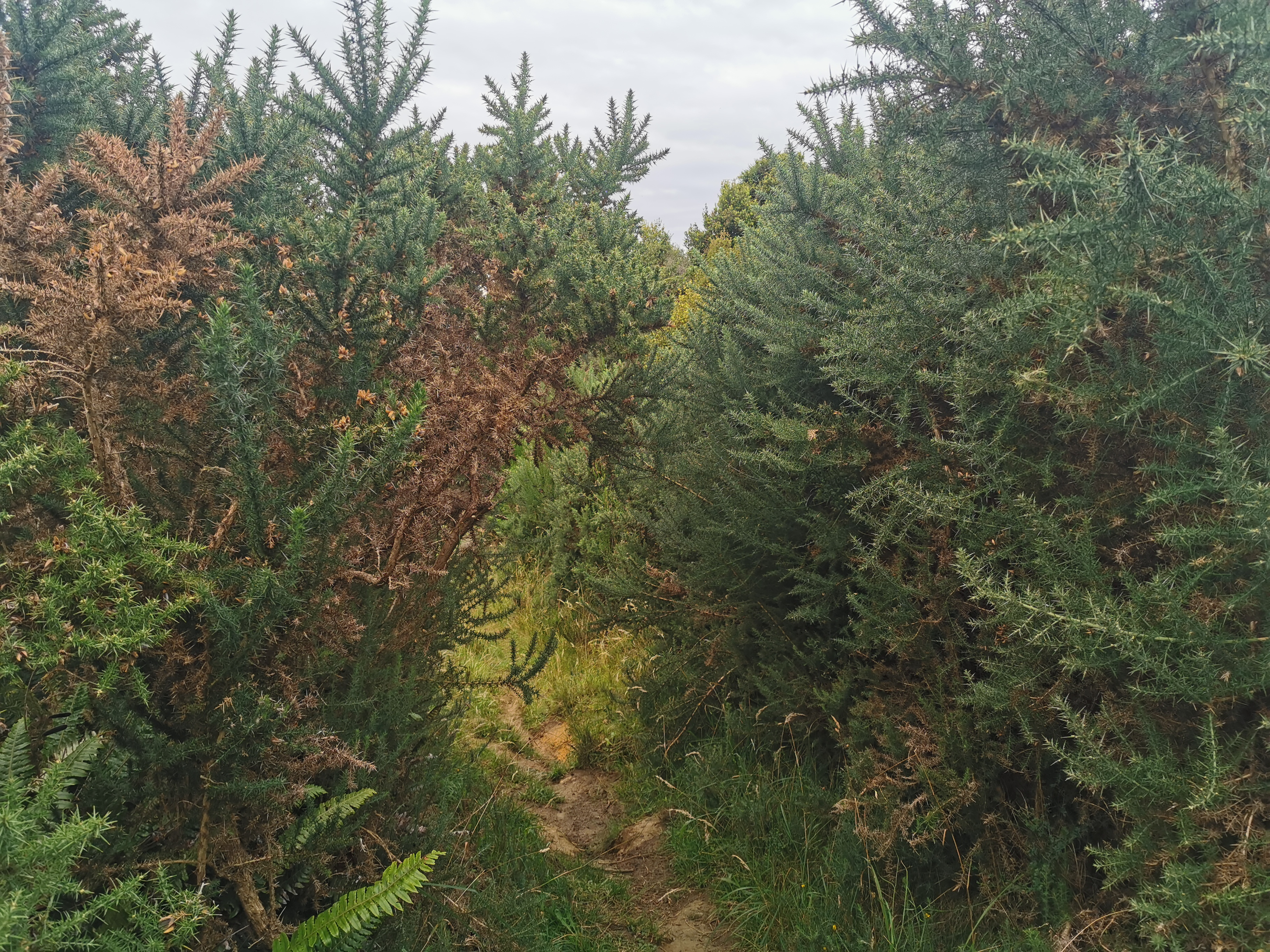
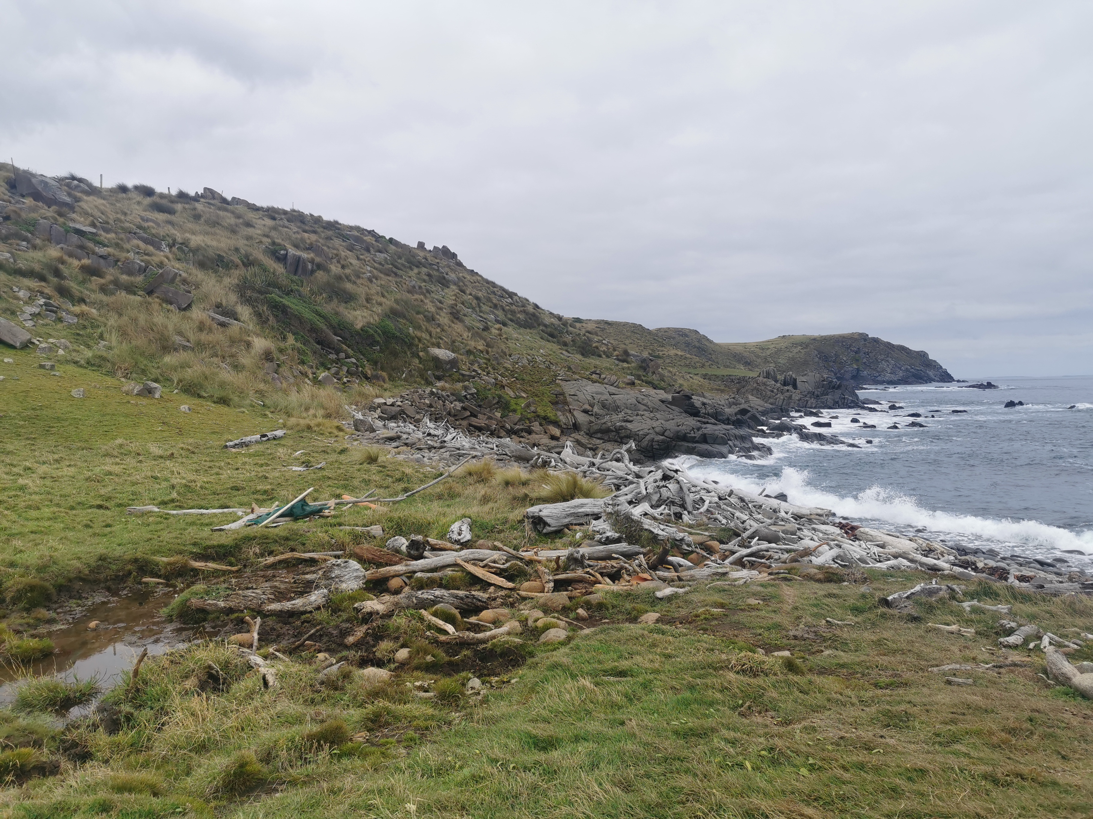
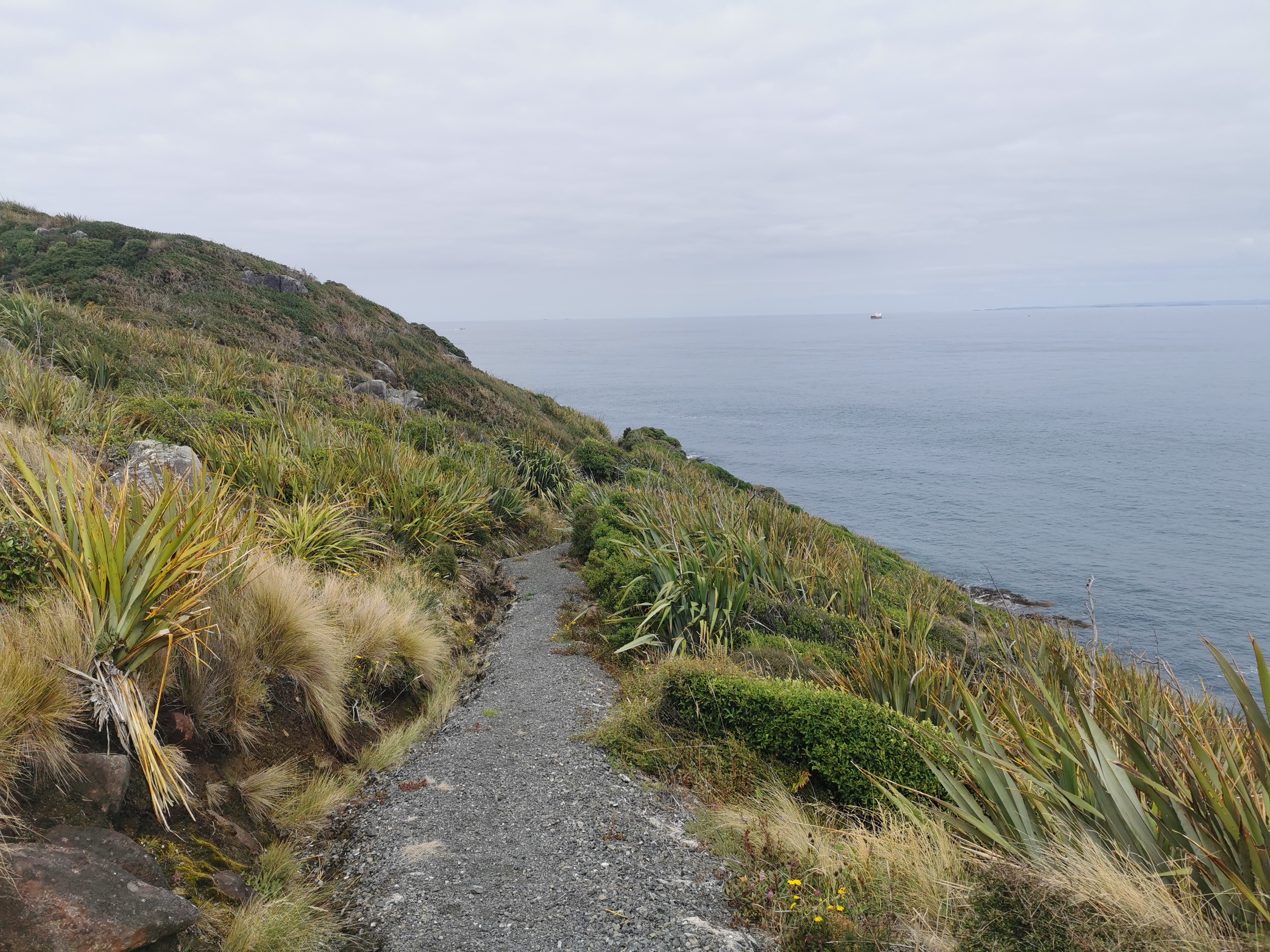
The very startFirst swingbridgeRocks to walk over
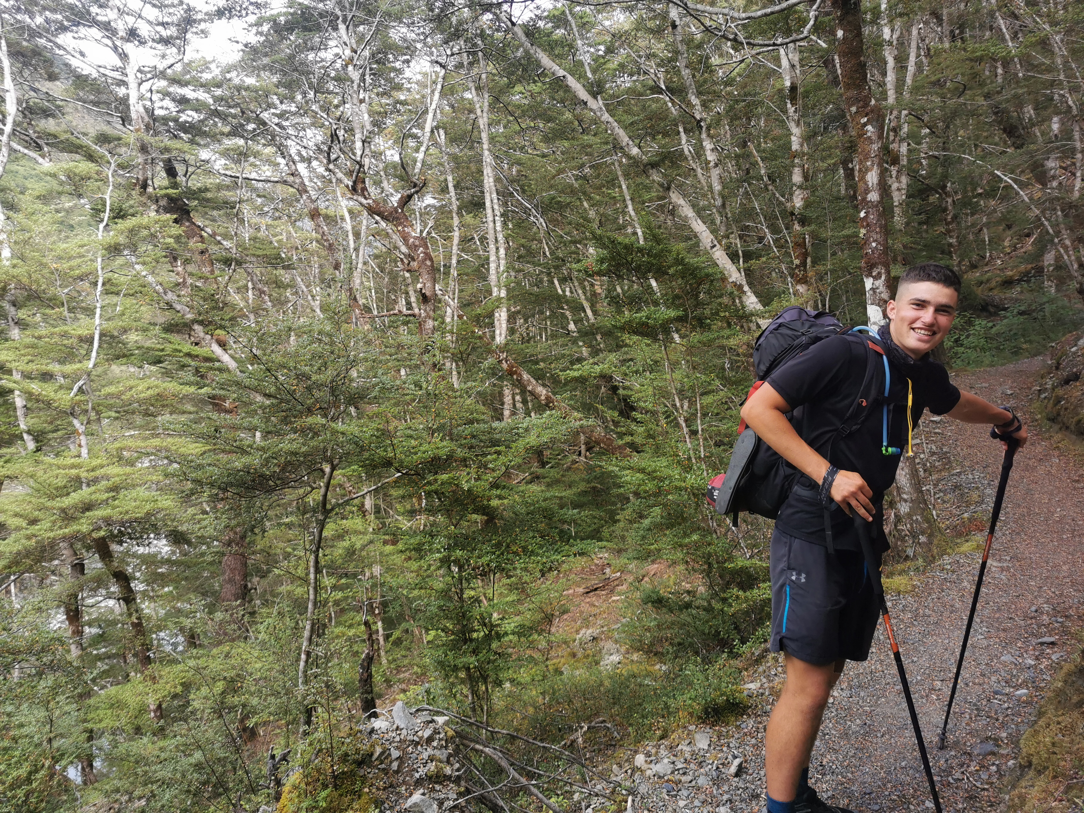
At one point we passed a group of people, and they stopped him and said they’d seen him running somewhere. He’s obviously quite recognisable. It felt a bit like when I used to get recognised because of this blog.
Shay being famous
We talked about different things in between me gasping for breath. He has an Instagram (shayrunsnz2) and he is fundraising for assistance for refugees. When he lived in London he lived in Bethnal Green and I lived for a long time in Whitechapel, which is right next door. And he also has family from Aria in the Waikato, and so do I. That’s quite amazing because Aria has a population of somewhere between -1 and 6 people. Small world.
He wanted to do the whole TA in 100 days but he hurt his knee at one point and had to take 2 weeks off. I know that feeling.
He had also read Brad’s blog BikeHikeSafari and I told him I got the idea for my daily 11am picture from that blog. Here is today’s one…
11am picture
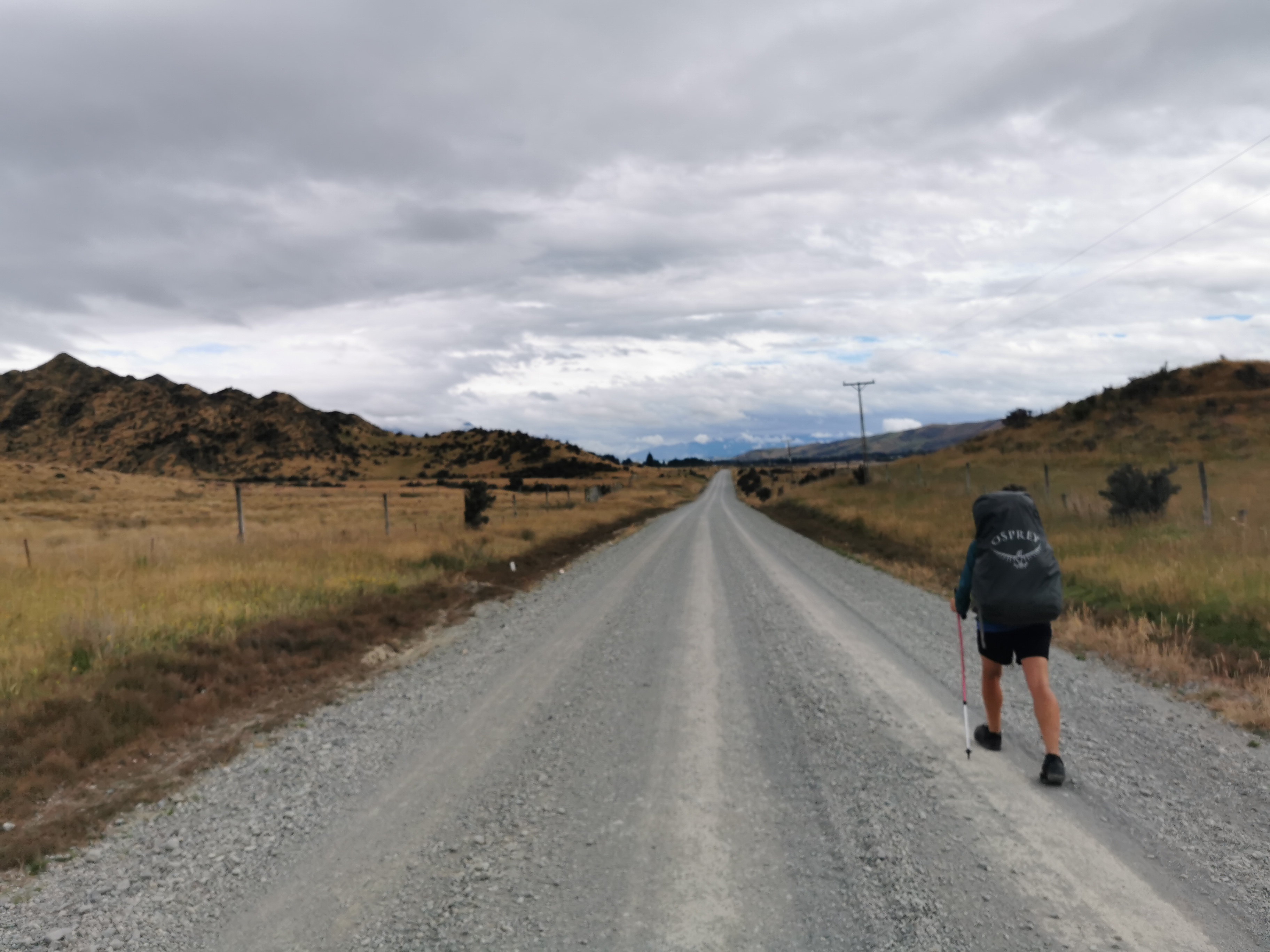
I stuck with him for 6km but then I had to let him go as I didn’t want to run out of energy too soon but also I wasn’t taking in any of the scenery or anything and I wanted to do that. So I stopped for a snack and he promptly started running. What a legend.
Where I had my first snack
The Belgian Slice was consumed here. That didn’t last long!
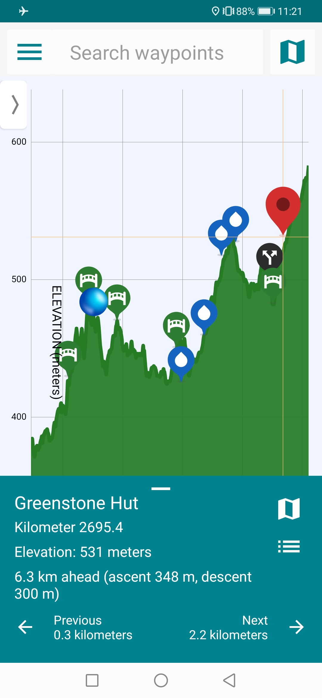
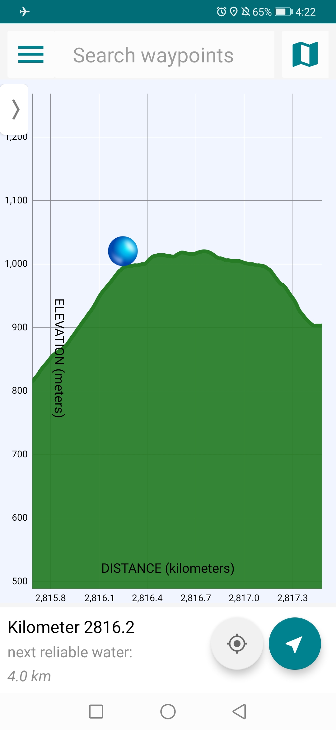
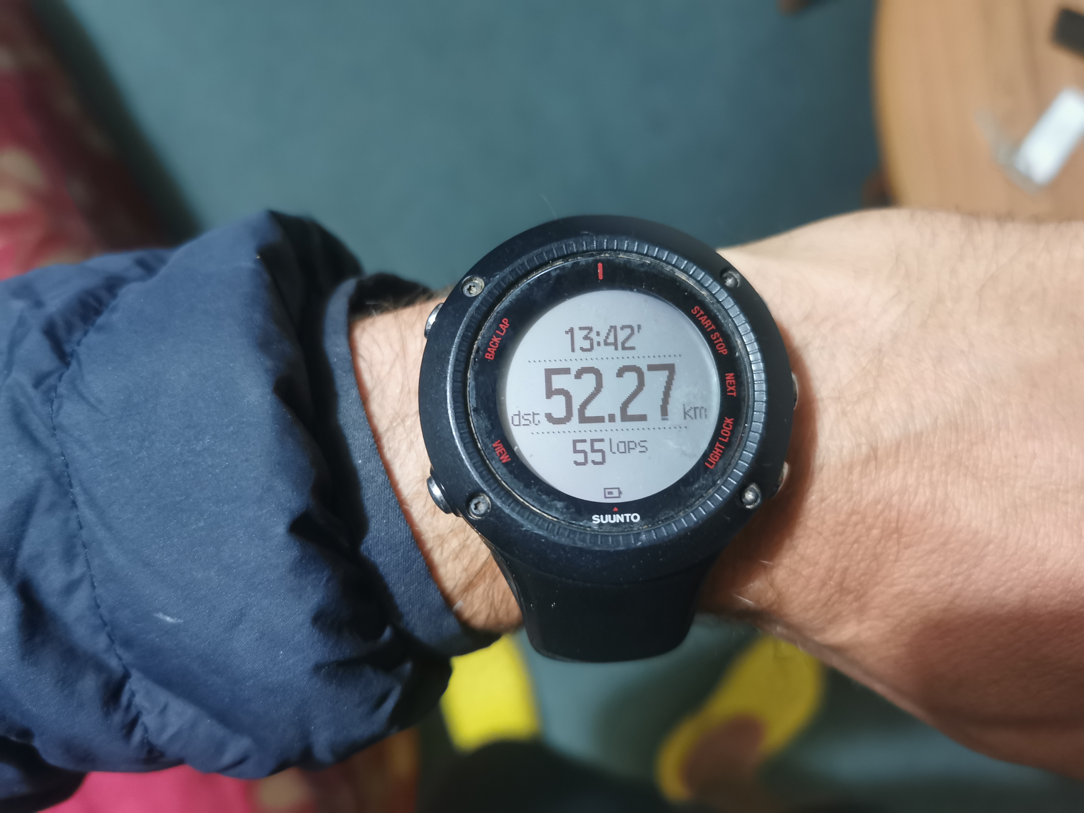
At this point I consulted the Guthook elevation profile. It looks different to how it used to look last year. I don’t like it now. And it works differently too, you used to be able to zoom in and out with one hand, and now you need two. Since one hand is holding my hiking poles, that’s quite a major annoyance.
Guthook elevation profile
However it does now tell you the total ascent and descent to the place you have selected. That’s useful. According to that map though, Greenstone Hut has 348m ascent and 300m descent between here and there. That sounds like a lot but the map doesn’t make it look like a lot.
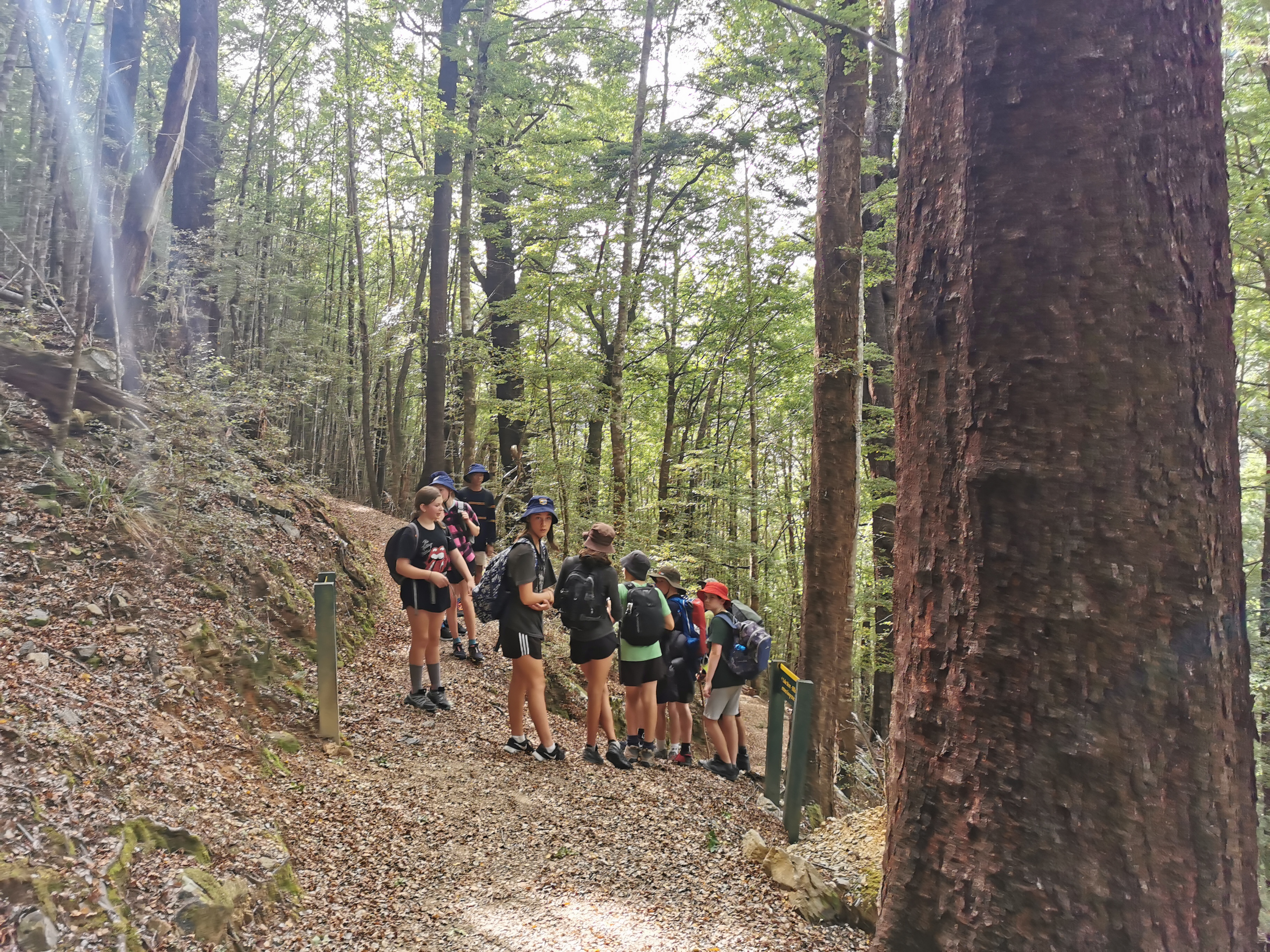
Just as I finished my snack this group of schoolkids came up behind me and I talked to the teacher for a few minutes. It was the Wakatipu High School camp. They do hiking, kayaking and some other stuff, and it was their big group of tents earlier that I saw from the shuttle. One of the girls said she liked my crocs. She could see them hanging off the back of my pack.
I didn’t stick with them for long though, only 1km, as they took a side path. So from the 7k mark I was alone.
It was much easier to take in the scenery walking at my own pace.
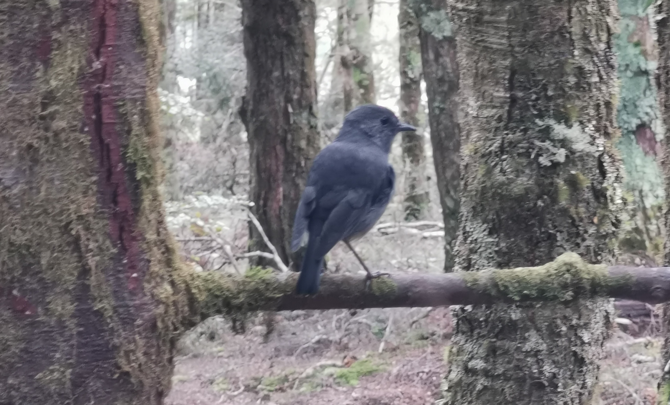
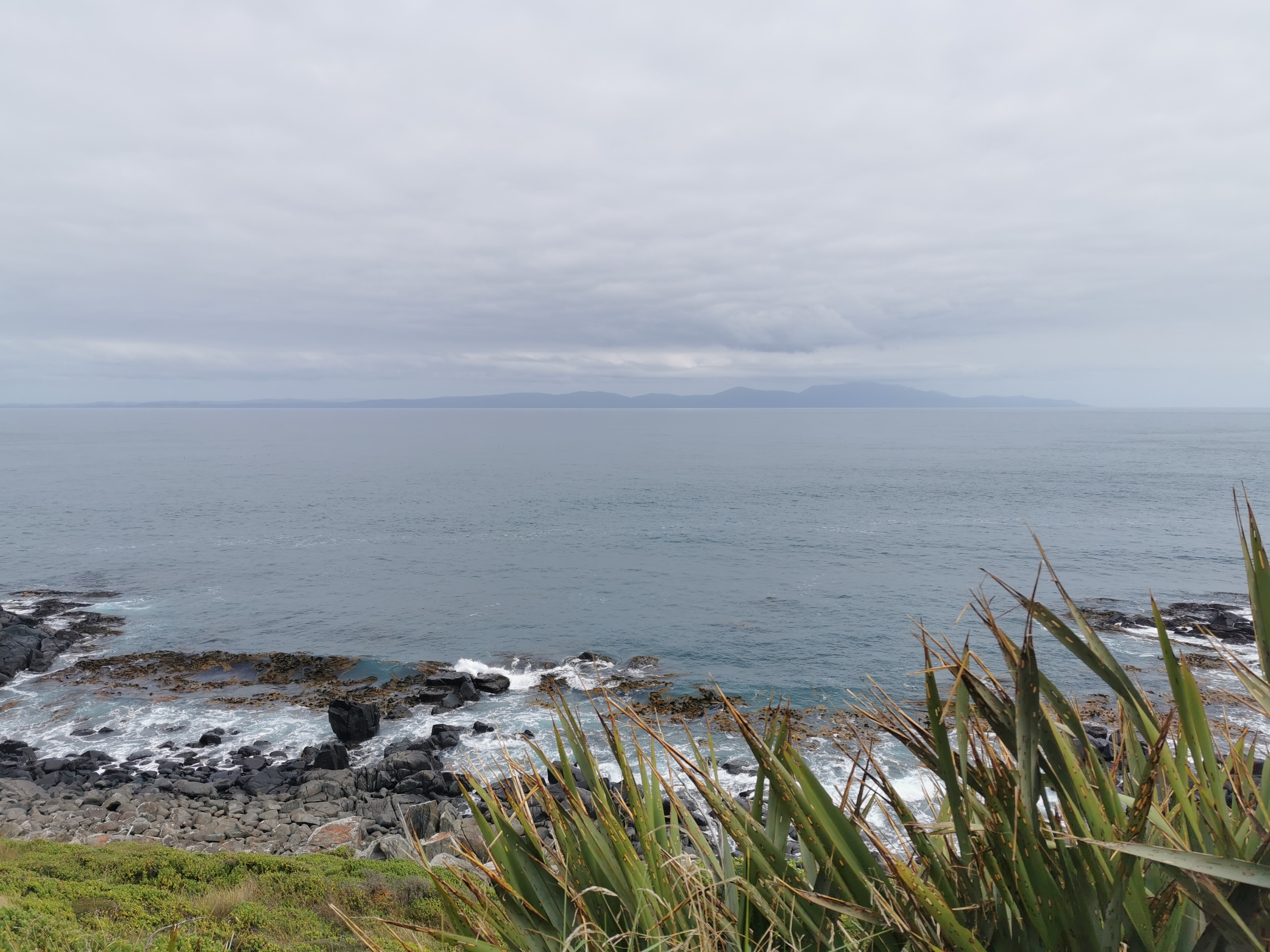
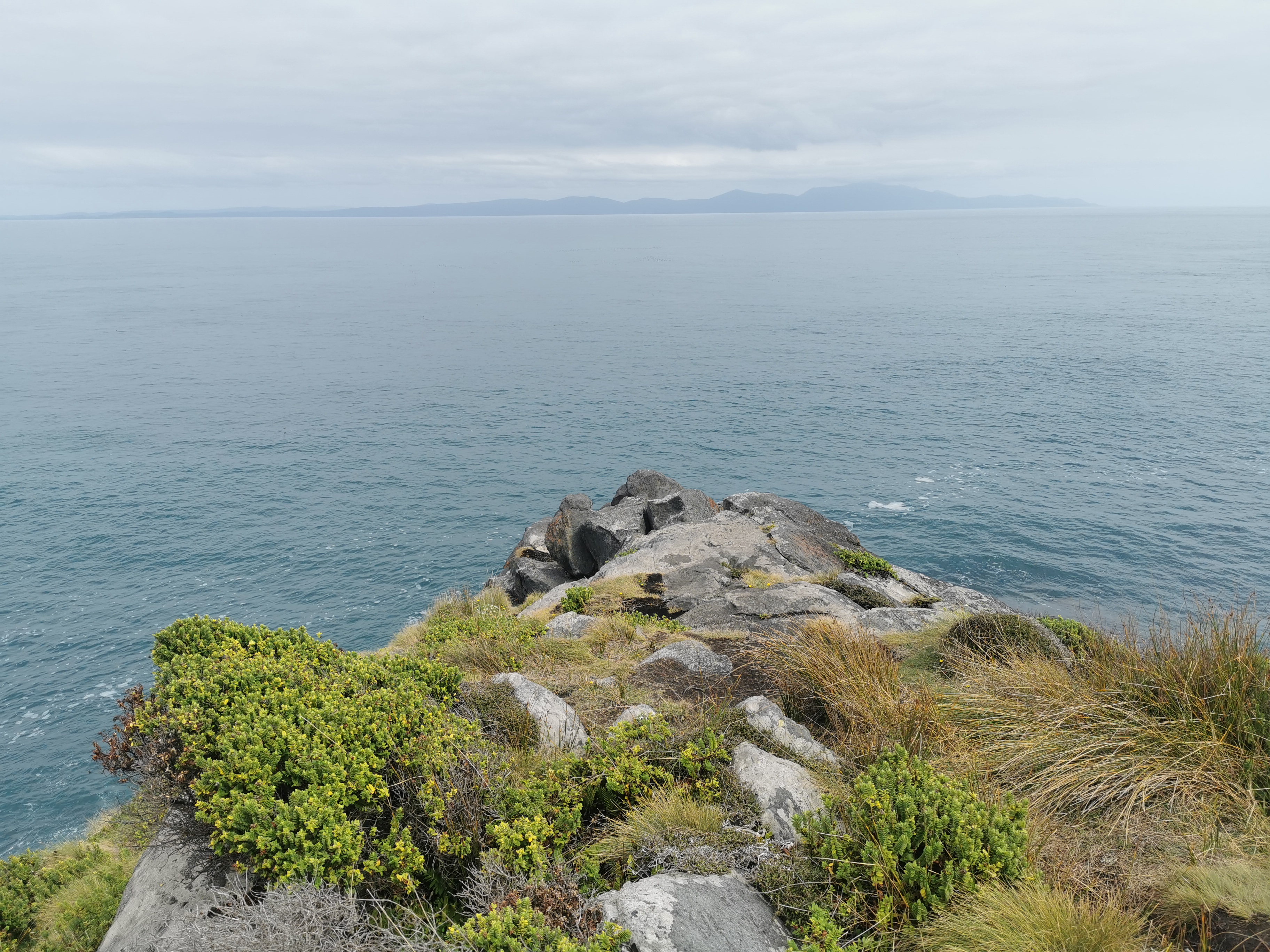
Much easier to avoid the muddy bits too going at my own paceI could stop to attempt to take poor-quality photos of birds
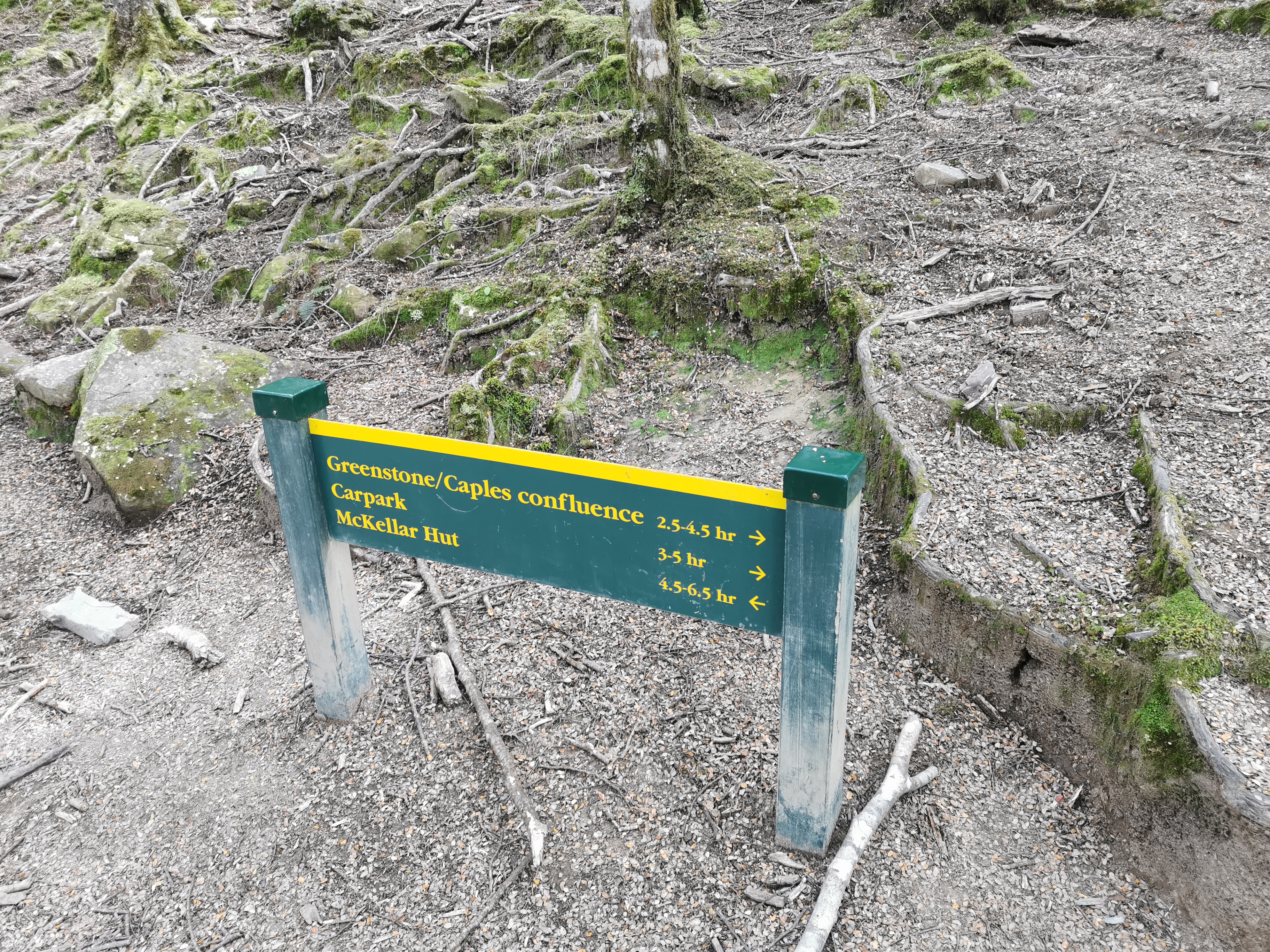
At one point I saw some signs. I am still beating the times on the signs by 20% or so. That’s good!
I guess I’m not too out of shape then. But it’s quite humid and there’s no wind at all so I got very very sweaty. Well, no doubt its a combination of the humidity, my heavy pack and my lack of fitness.
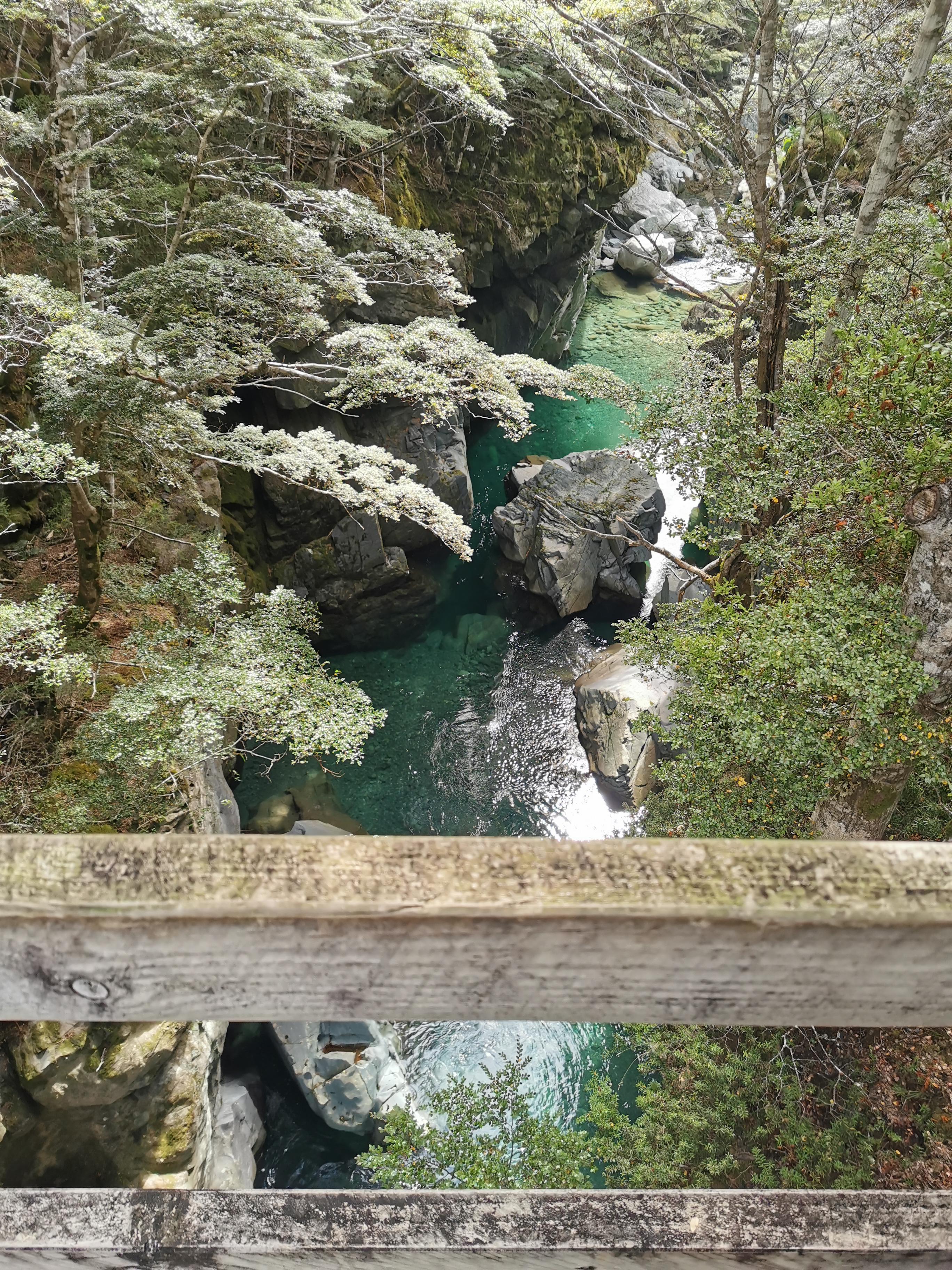
Looking down while crossing a bridge
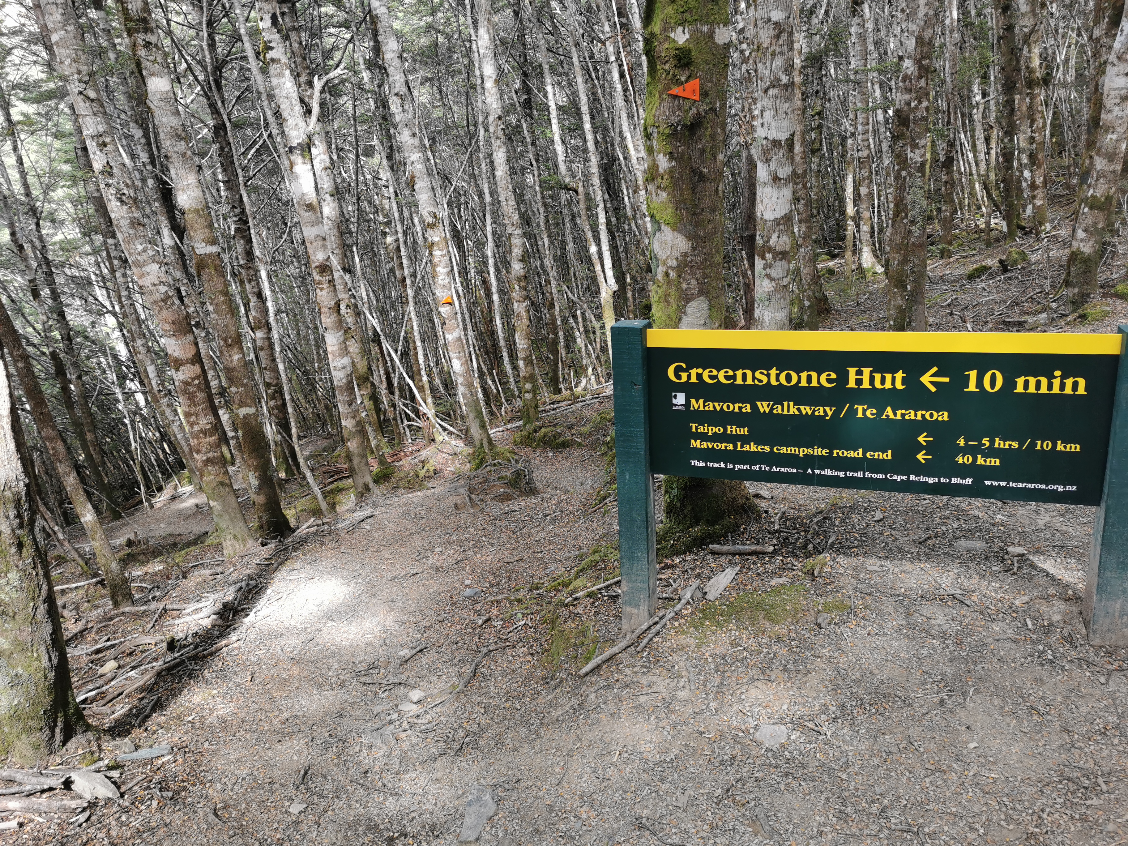
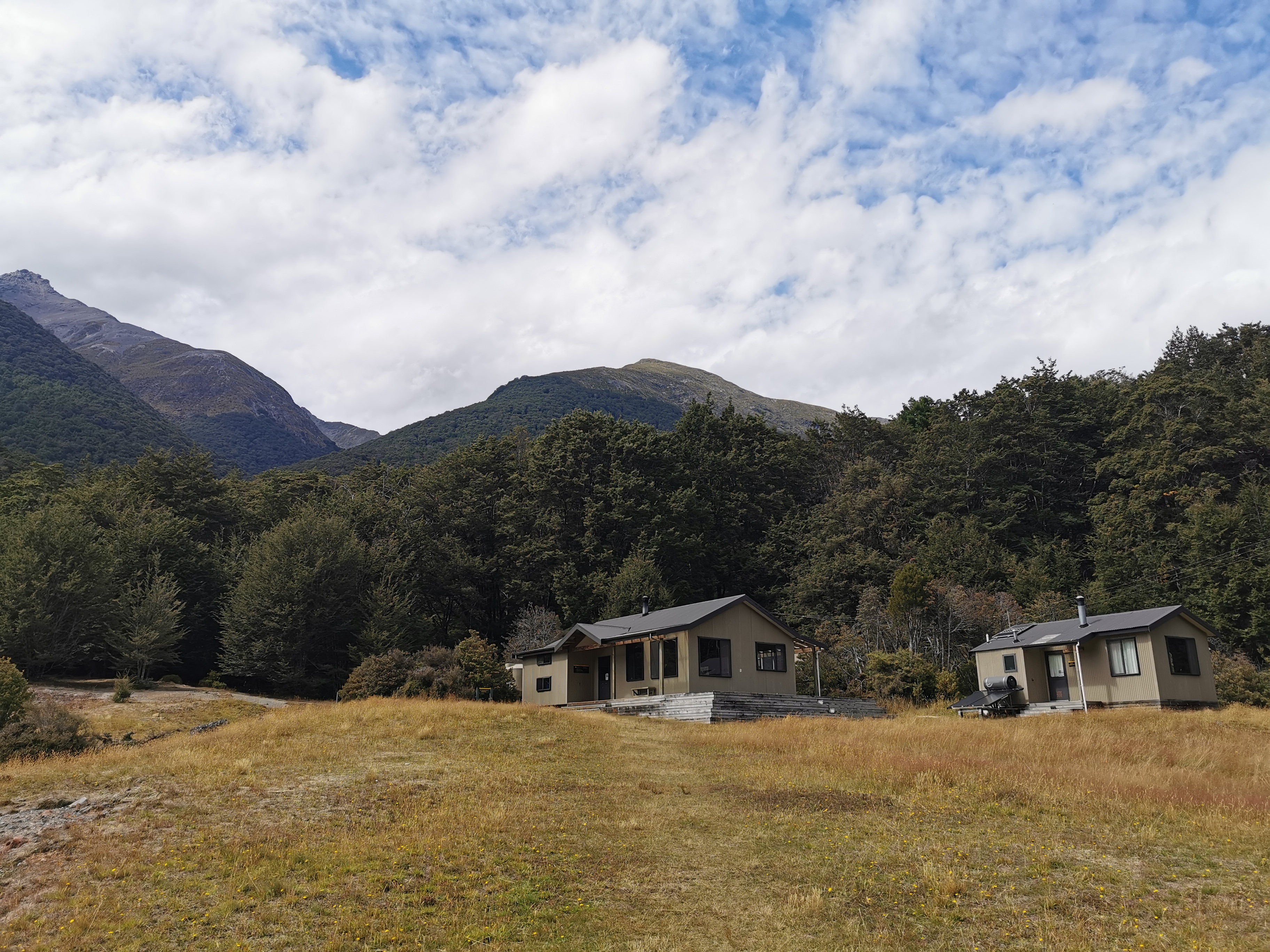
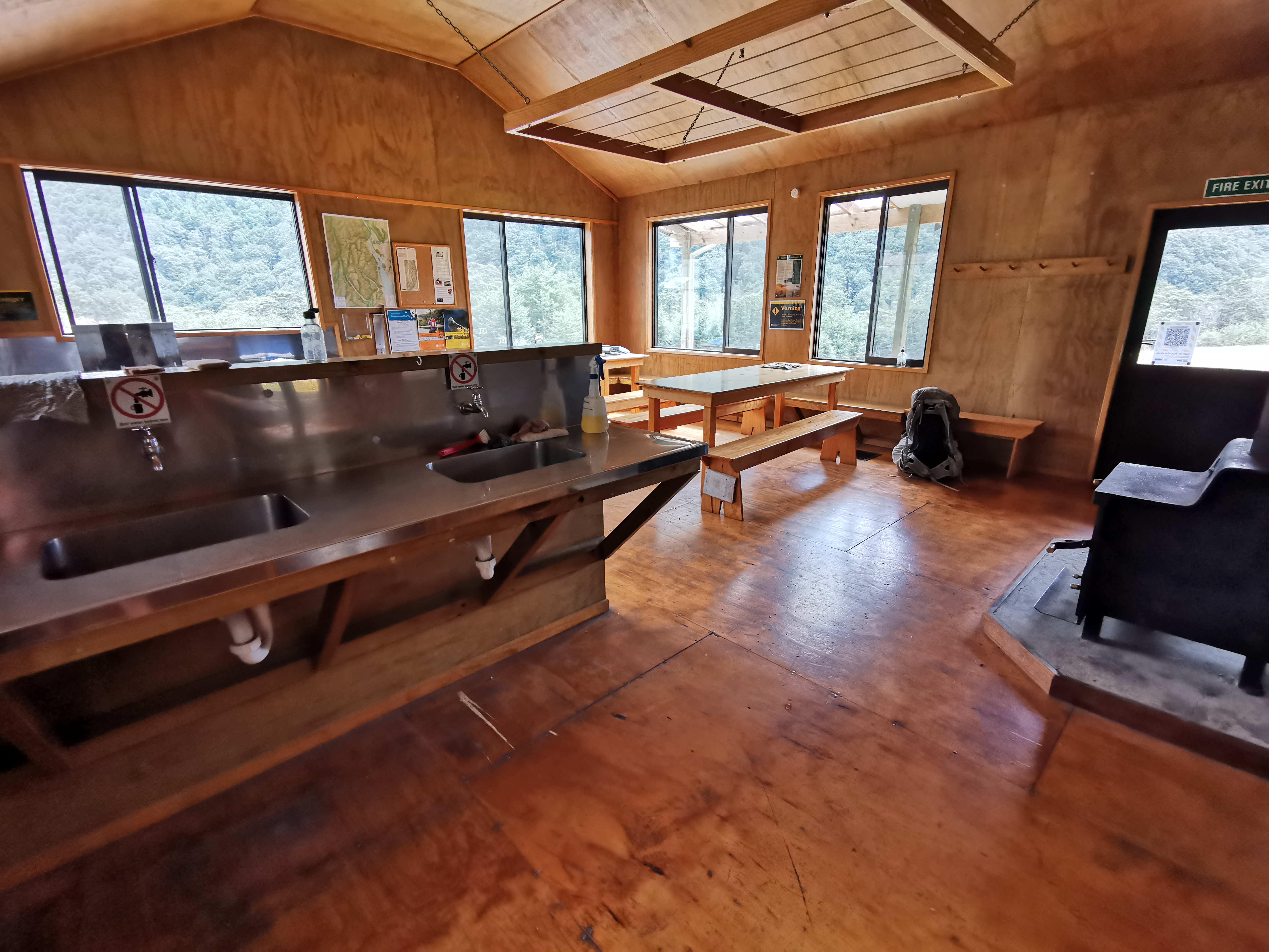
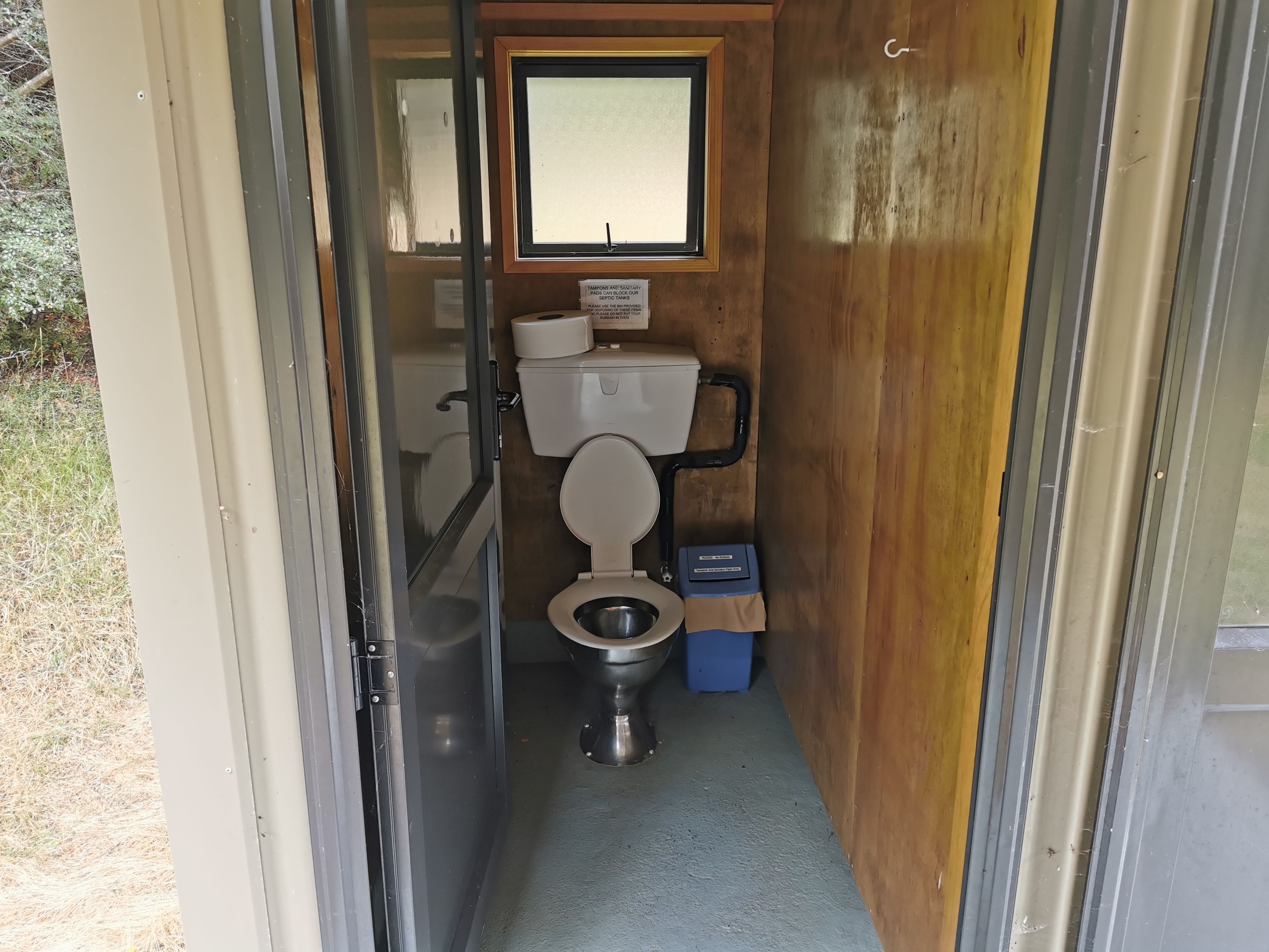
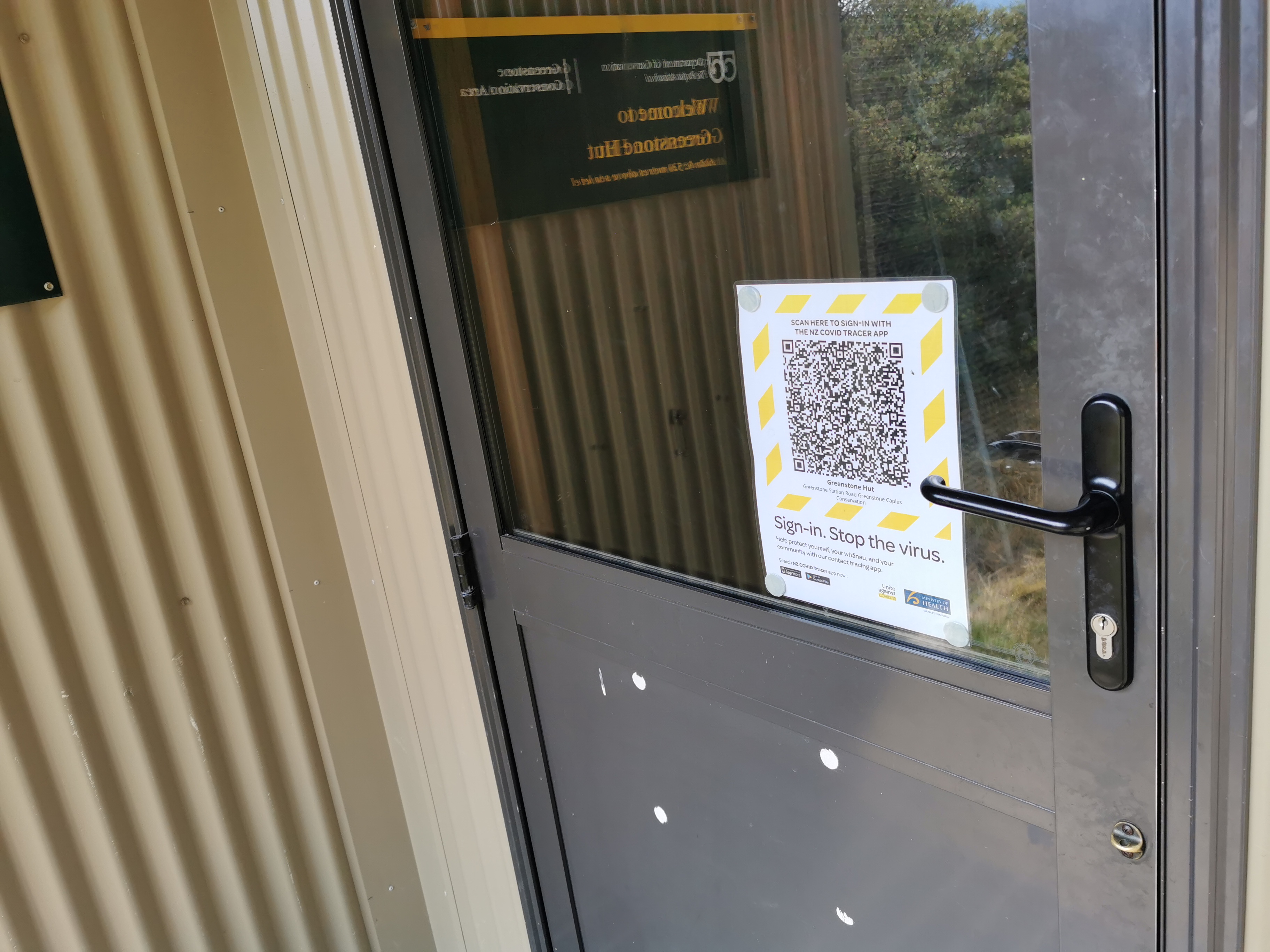
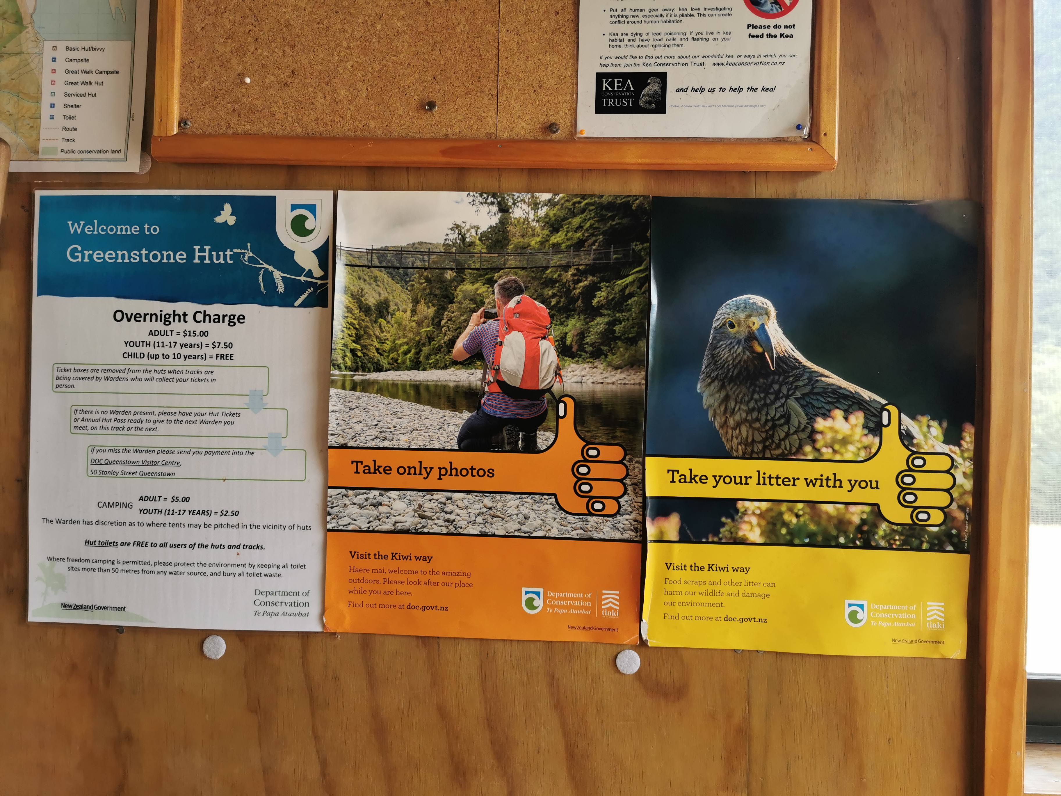
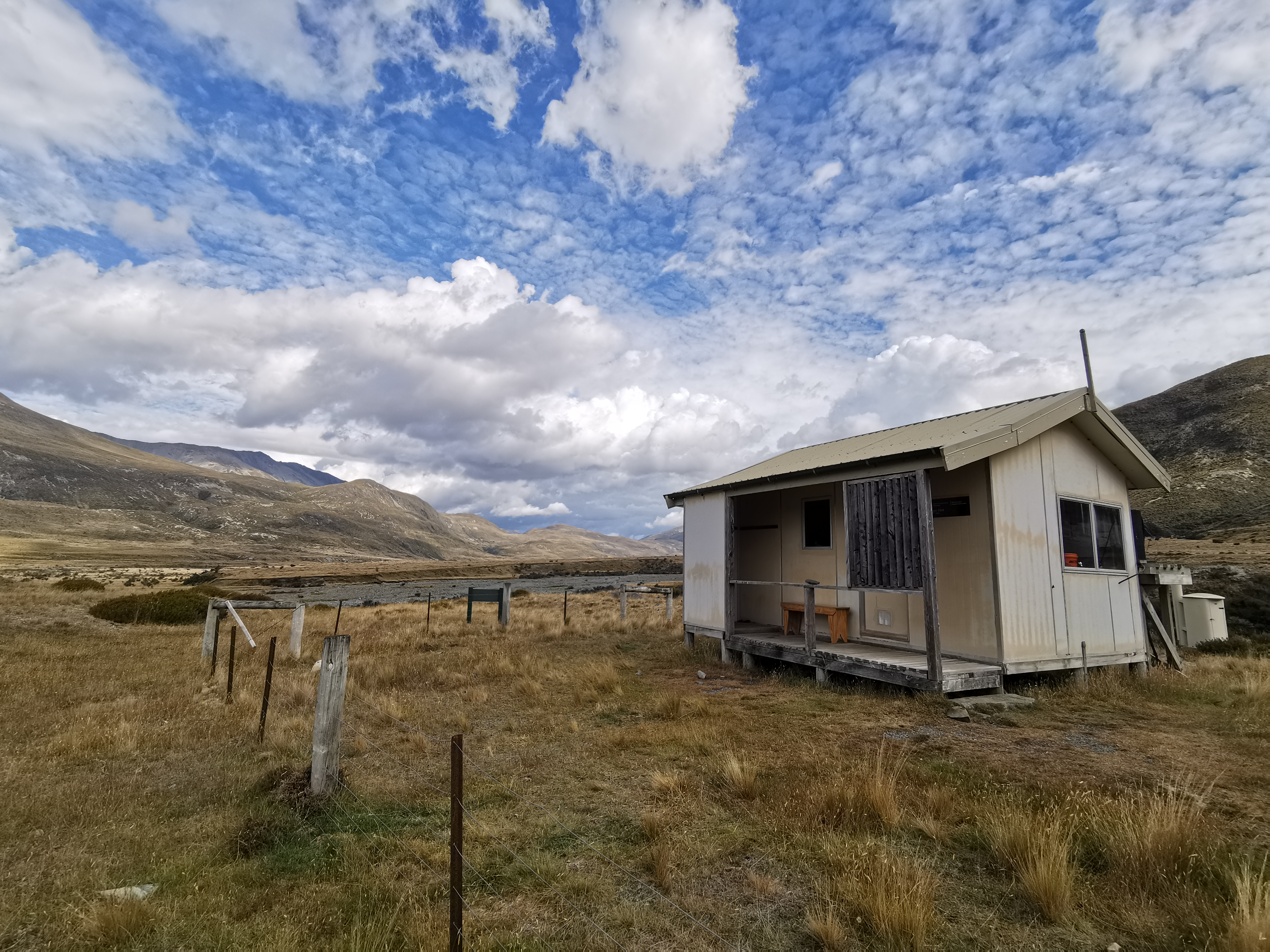
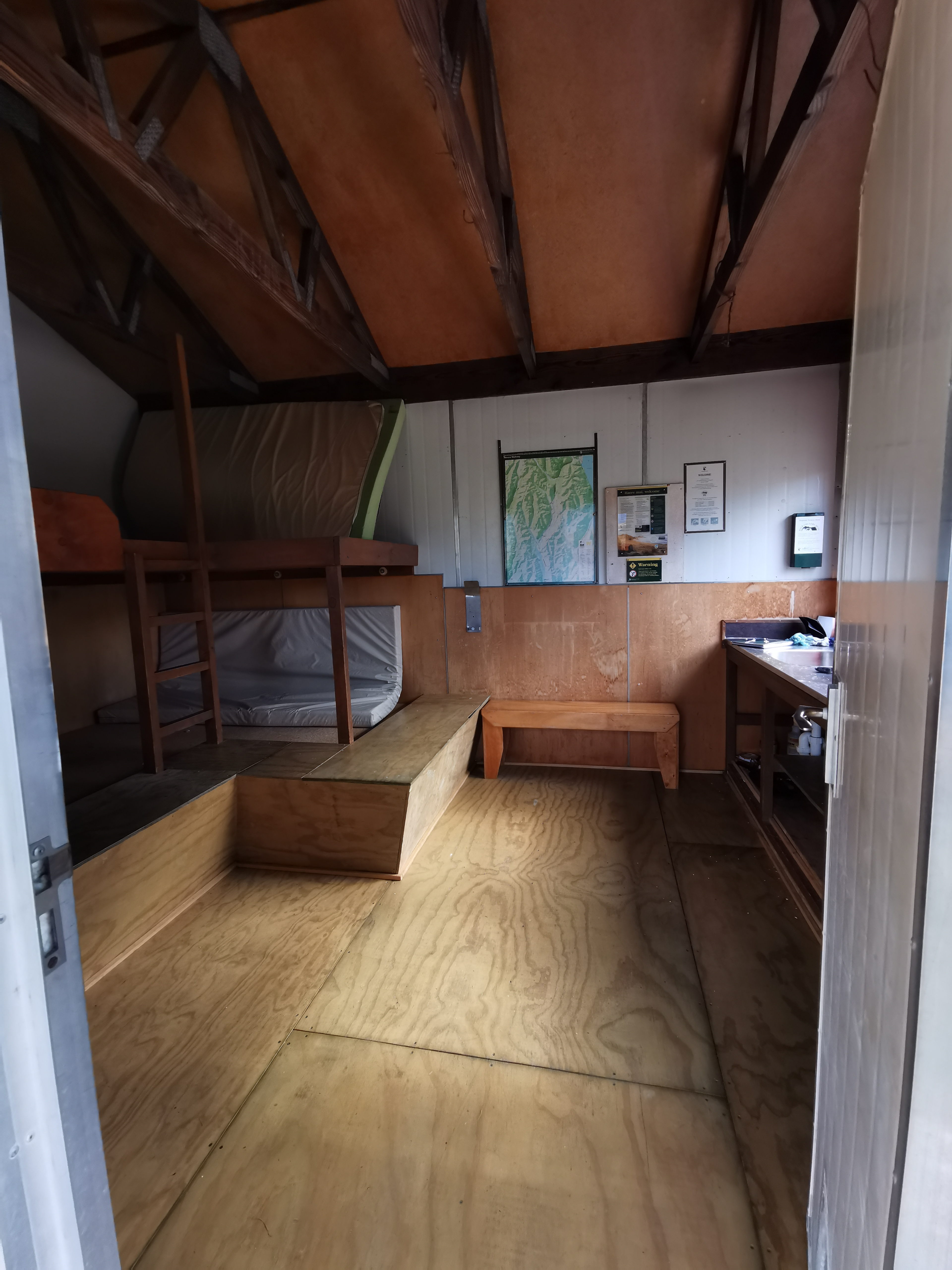
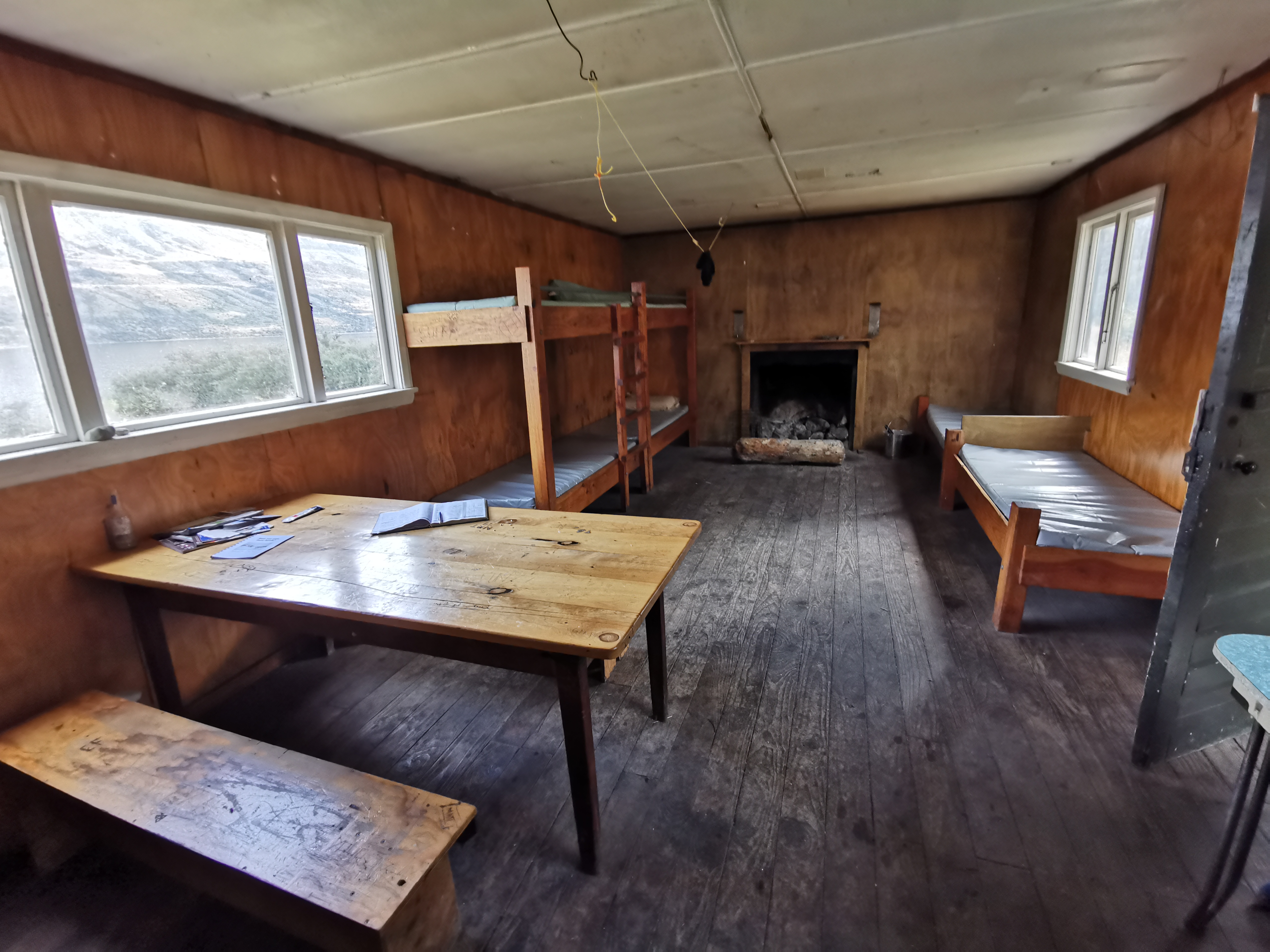
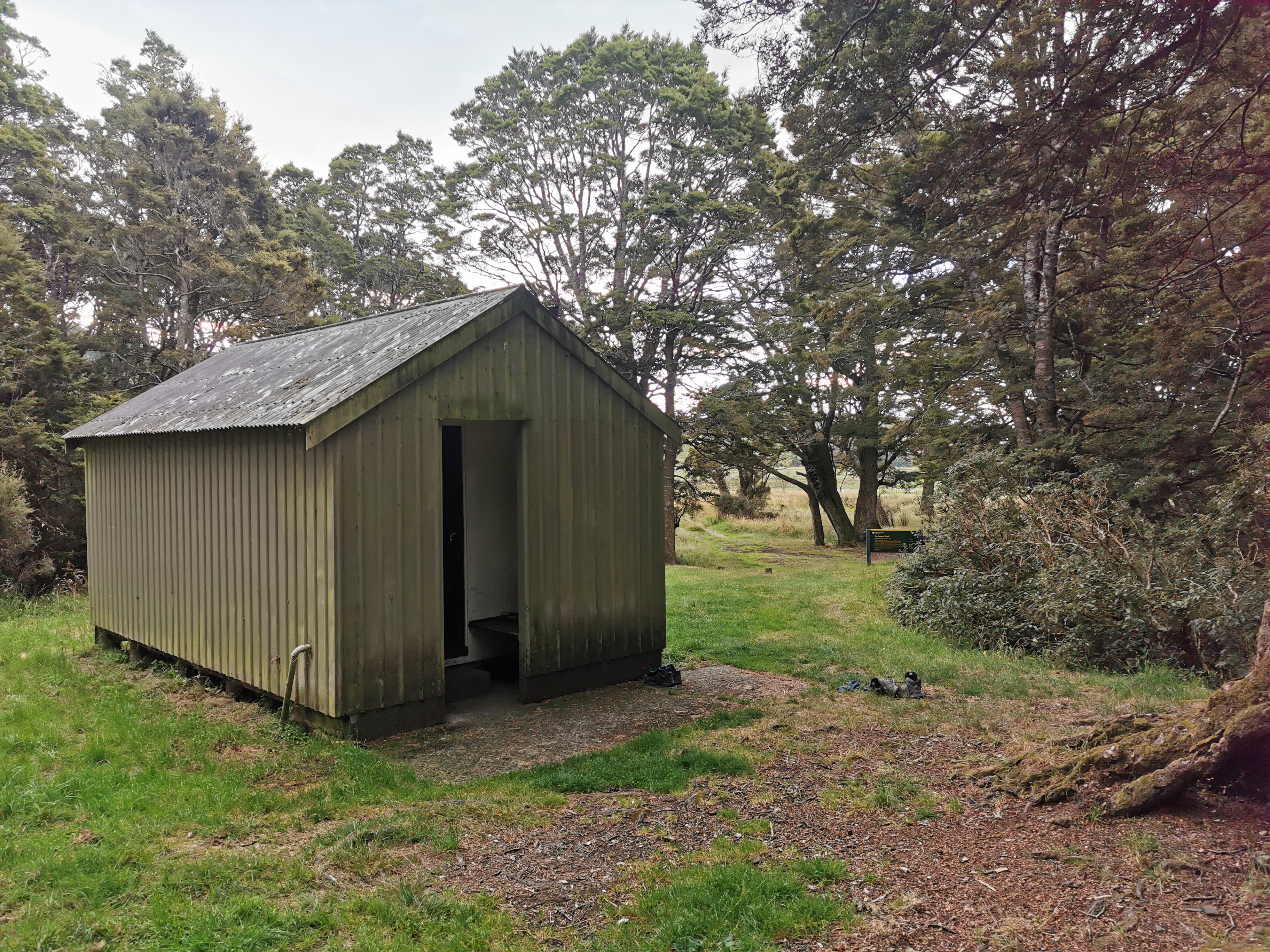
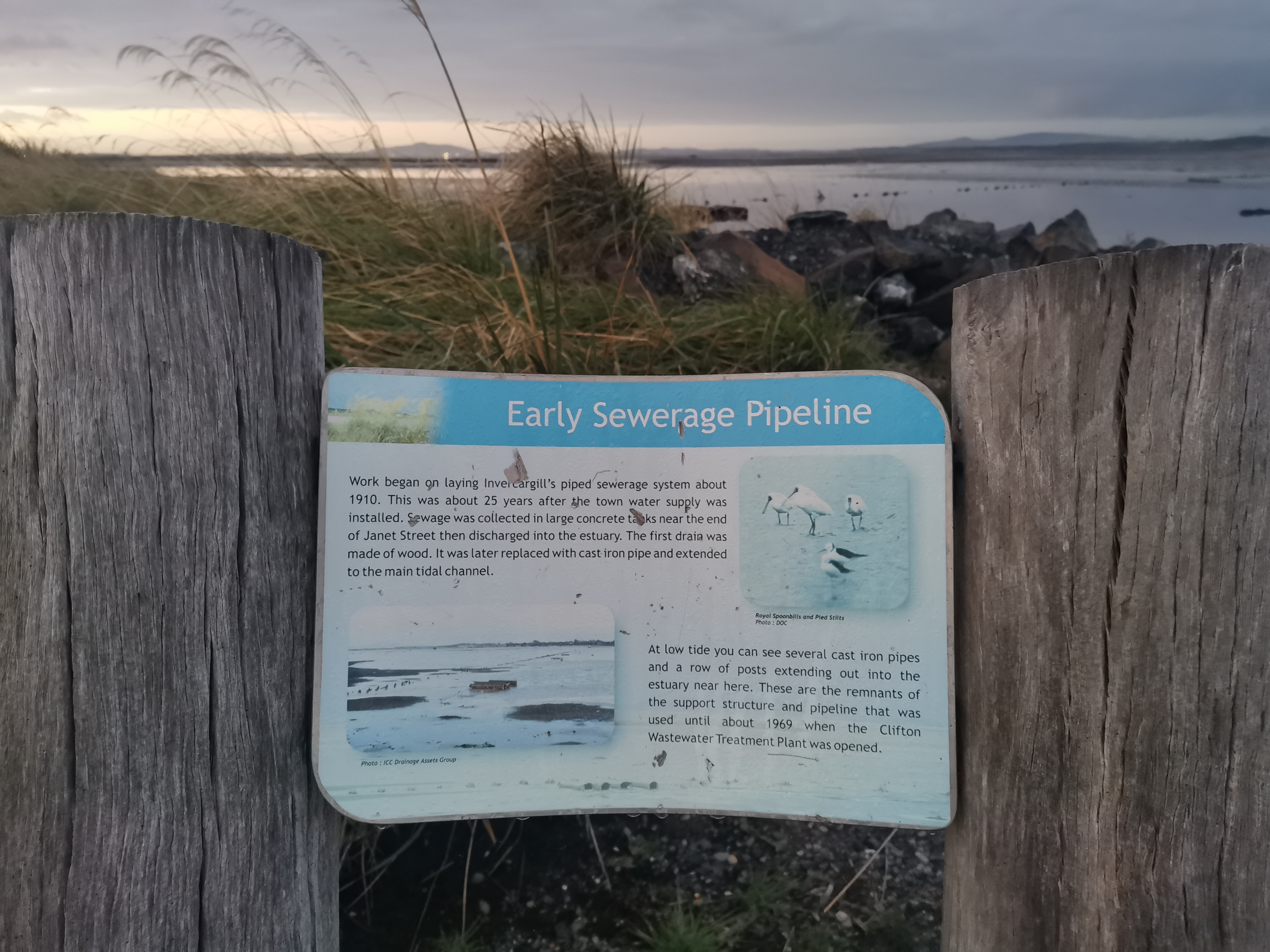
I reached Greenstone Hut, the first hut of the day. It’s a big one, 20 bunks, and it has running water. It’s a serviced hut, which means it’s $15 a night to stay there. Lucky I’m just having lunch.
Greenstone Hut, which has its own smaller staff quartersView from the hutInsideA flush toilet!And a Covid Tracer App QR Code. Huts didn’t have these last year.
Nobody is here… it’s just me. Shay was the only person here before me today. He wrote that he’s going to Mavora Campsite which, if true, means he is doing a 51km day.
A few people stayed here yesterday. Mostly day trippers. The two most recent people who wrote TA SOBO (Te Araroa Southbound) are people called John and Nicola, who are a day ahead. The last ones who wrote that before yesterday were through four days ago. A few people have written TA NOBO, which surprised me. I wonder if they are just doing sections since it’s so late in the season for them to be going northbound.
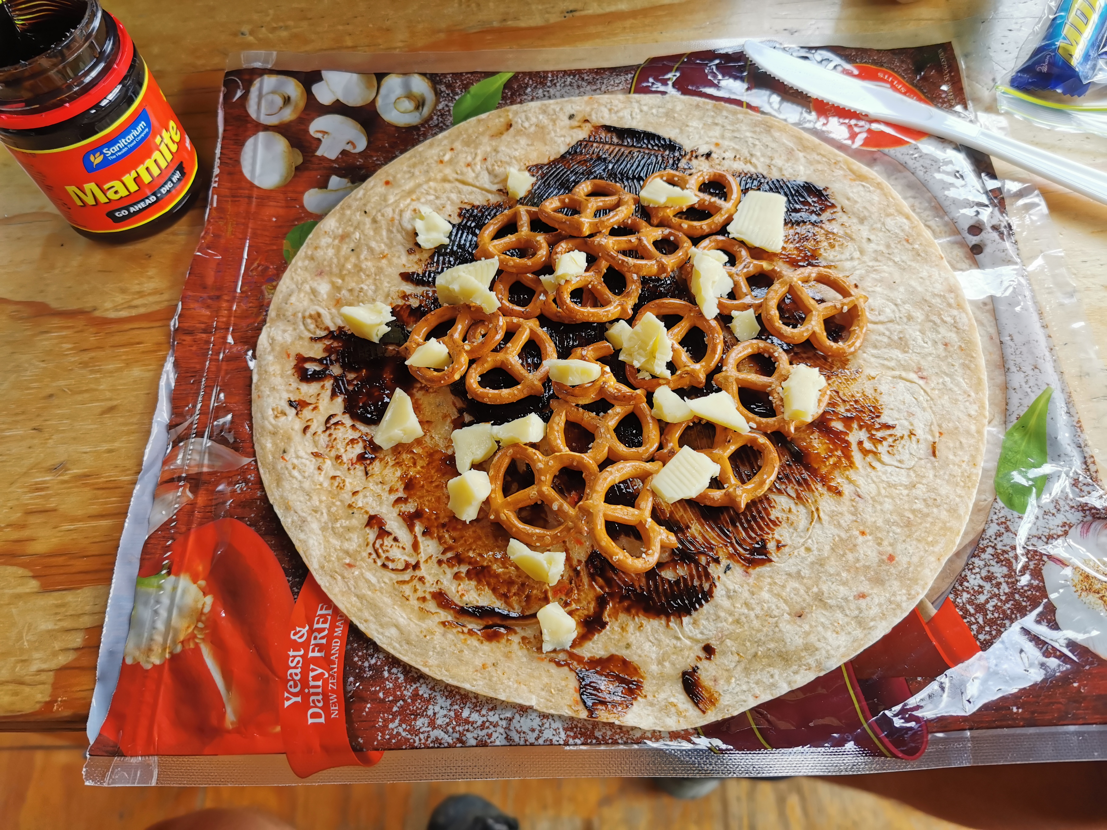
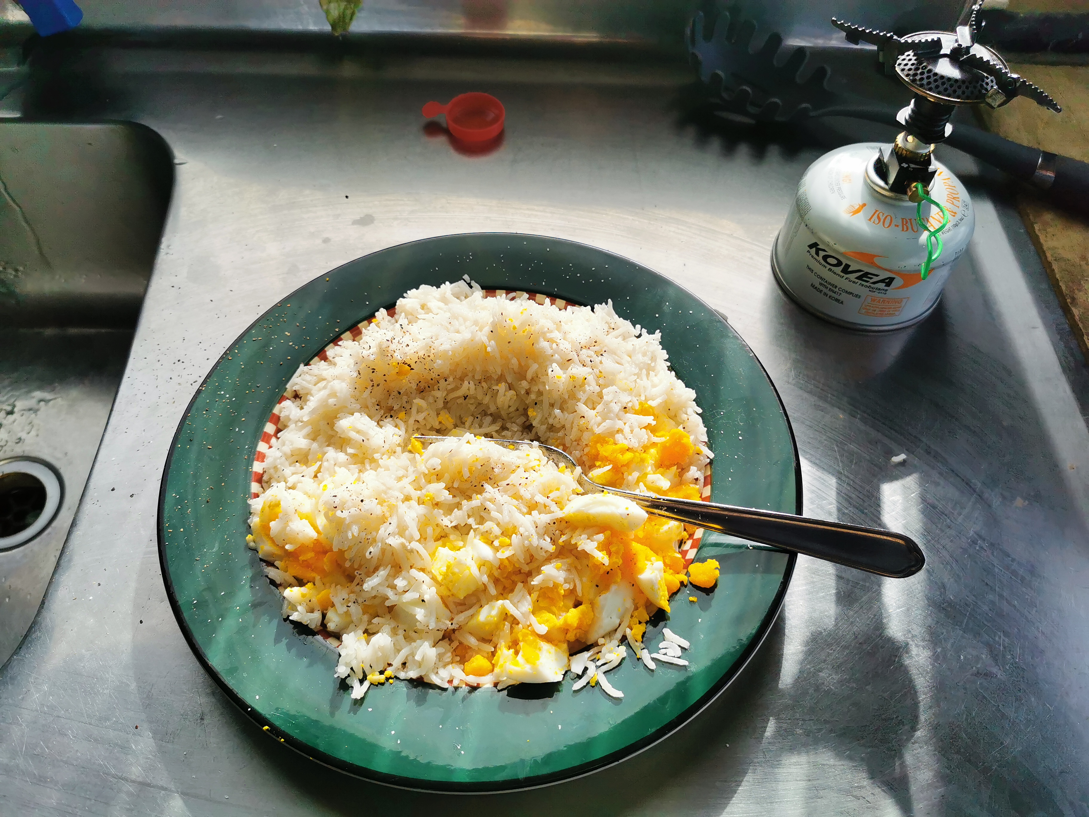
I had some lunch. I really missed this simple meal of Marmite, cheese and pretzels on a wrap. I bet I won’t still be saying that by the time I reach Colac Bay.
This poster hints that there might be keas around. I still haven’t seen one anywhere! Other posters say that they’re commonly seen on the Routeburn Track. While I was having lunch I kept hearing and seeing things, and wondered if they might be keas. Well at least I thought I did… but nothing was ever there!
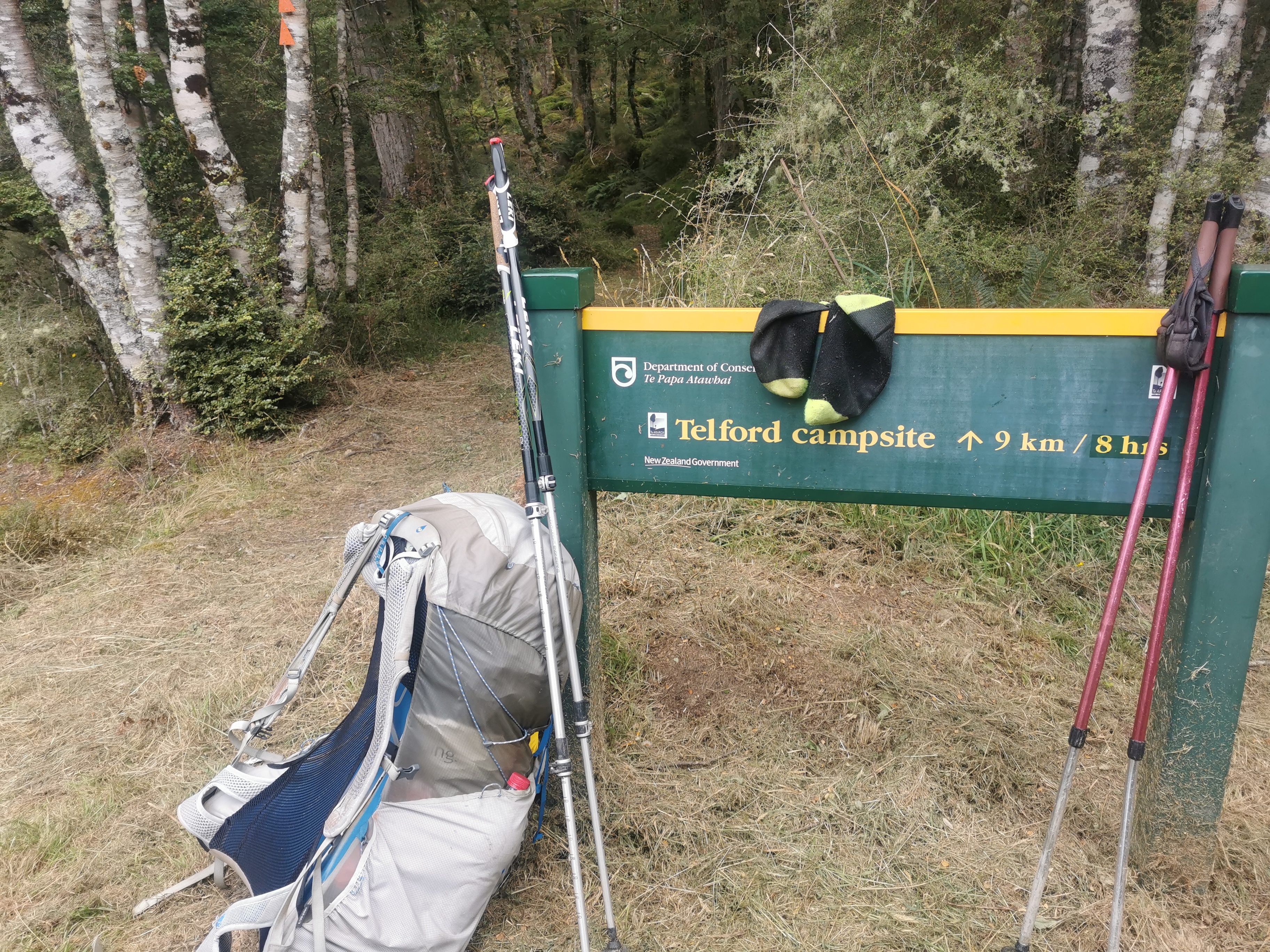
Time to push on to the next hut, called Taipo Hut. There are only 4 beds there, but from what I’m reading in the book here it’s unlikely there are going to be 4 other people there. So I’m not going to rush. In saying that though, last week according to the book there were a group of 33 kids from Fiordland High School in Te Anau staying here. That would have been loud!
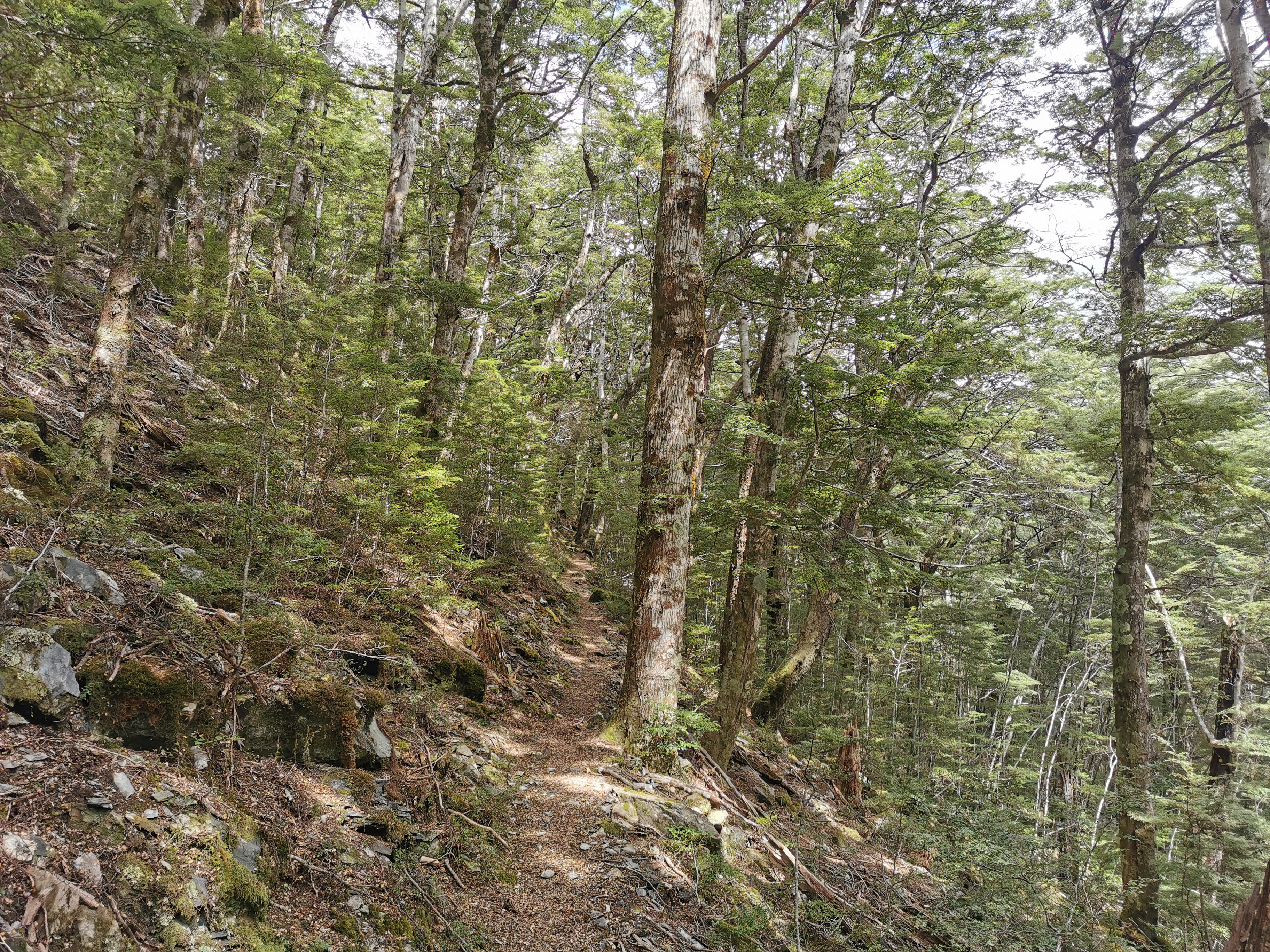
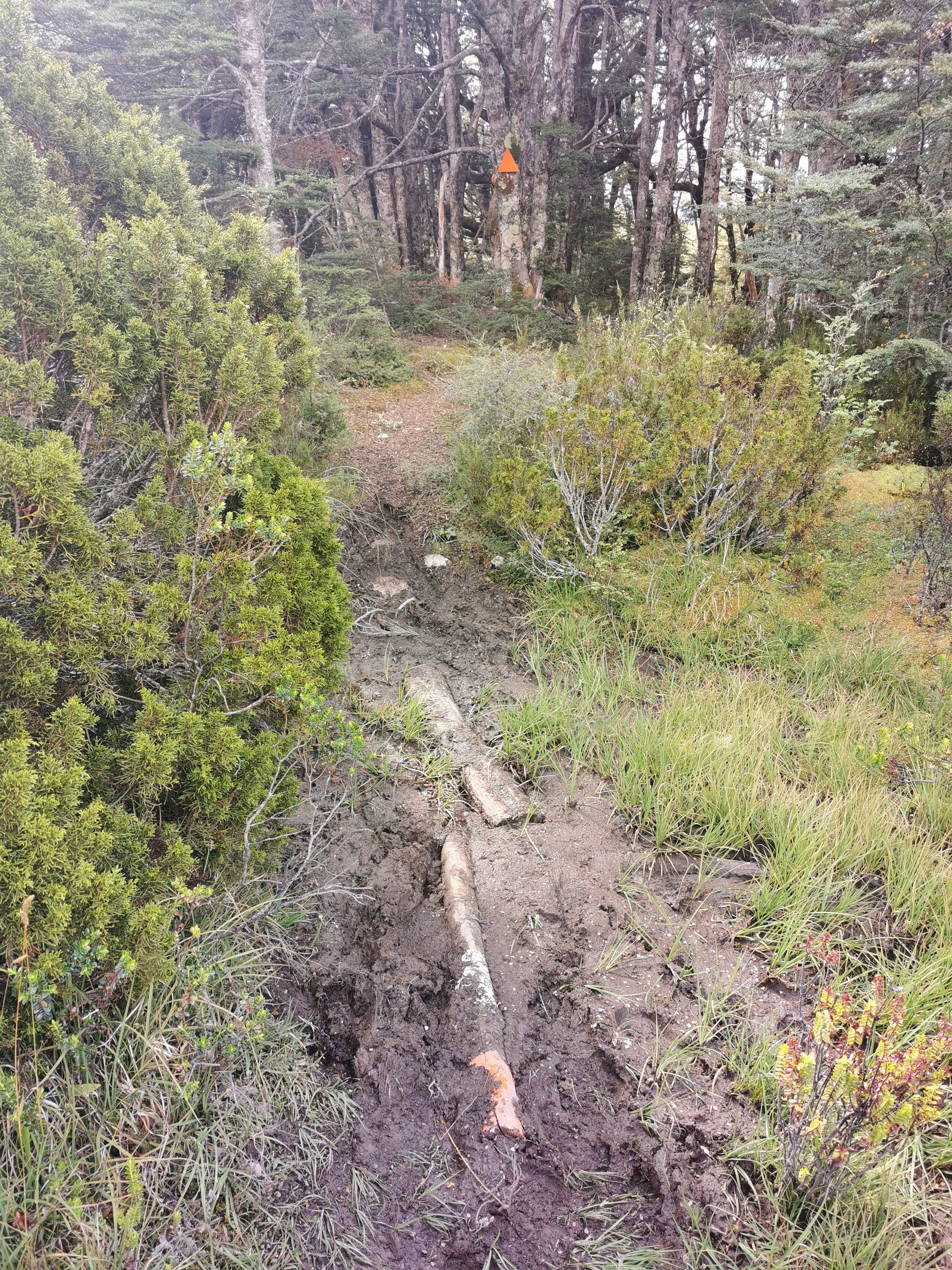
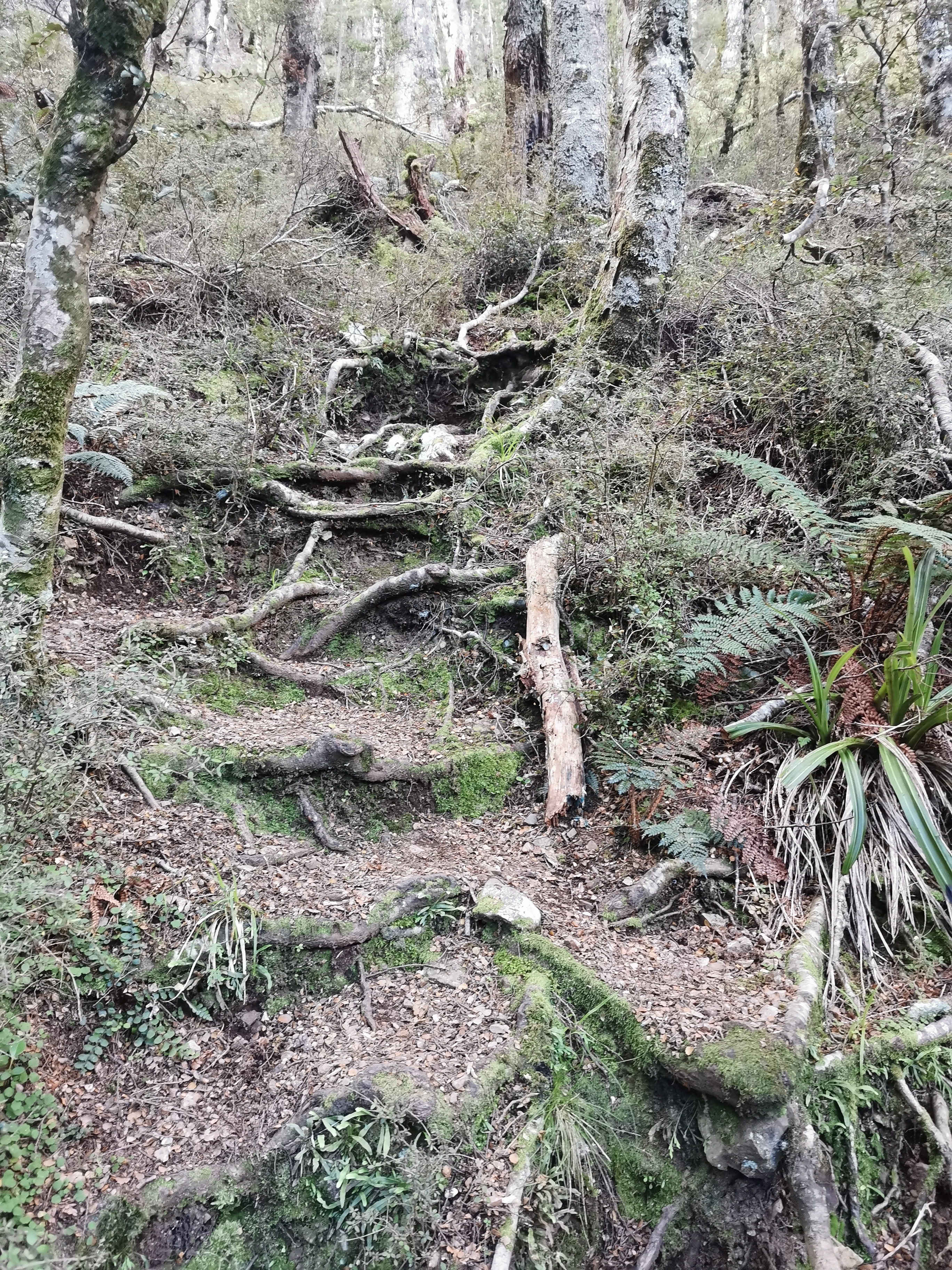
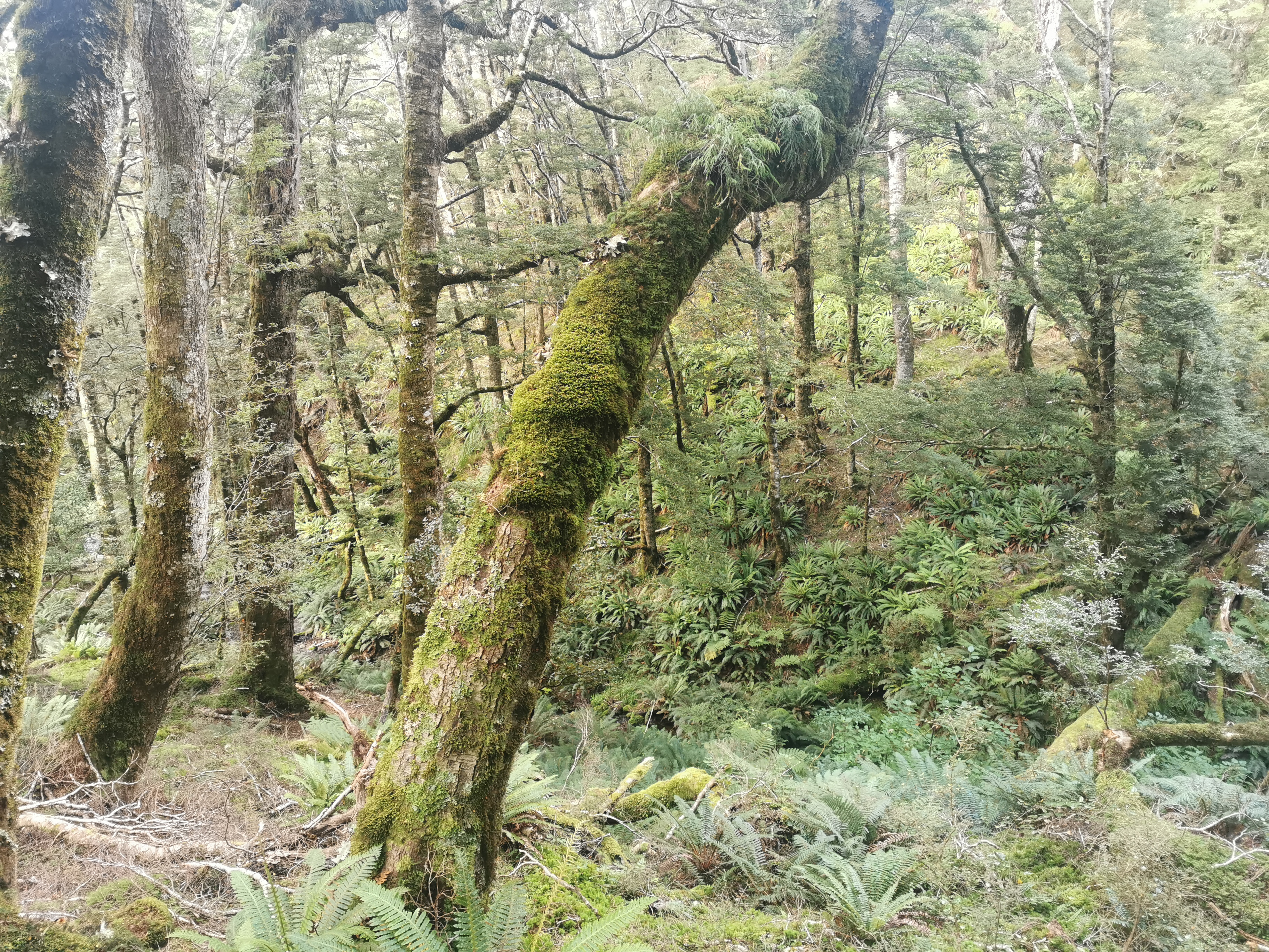
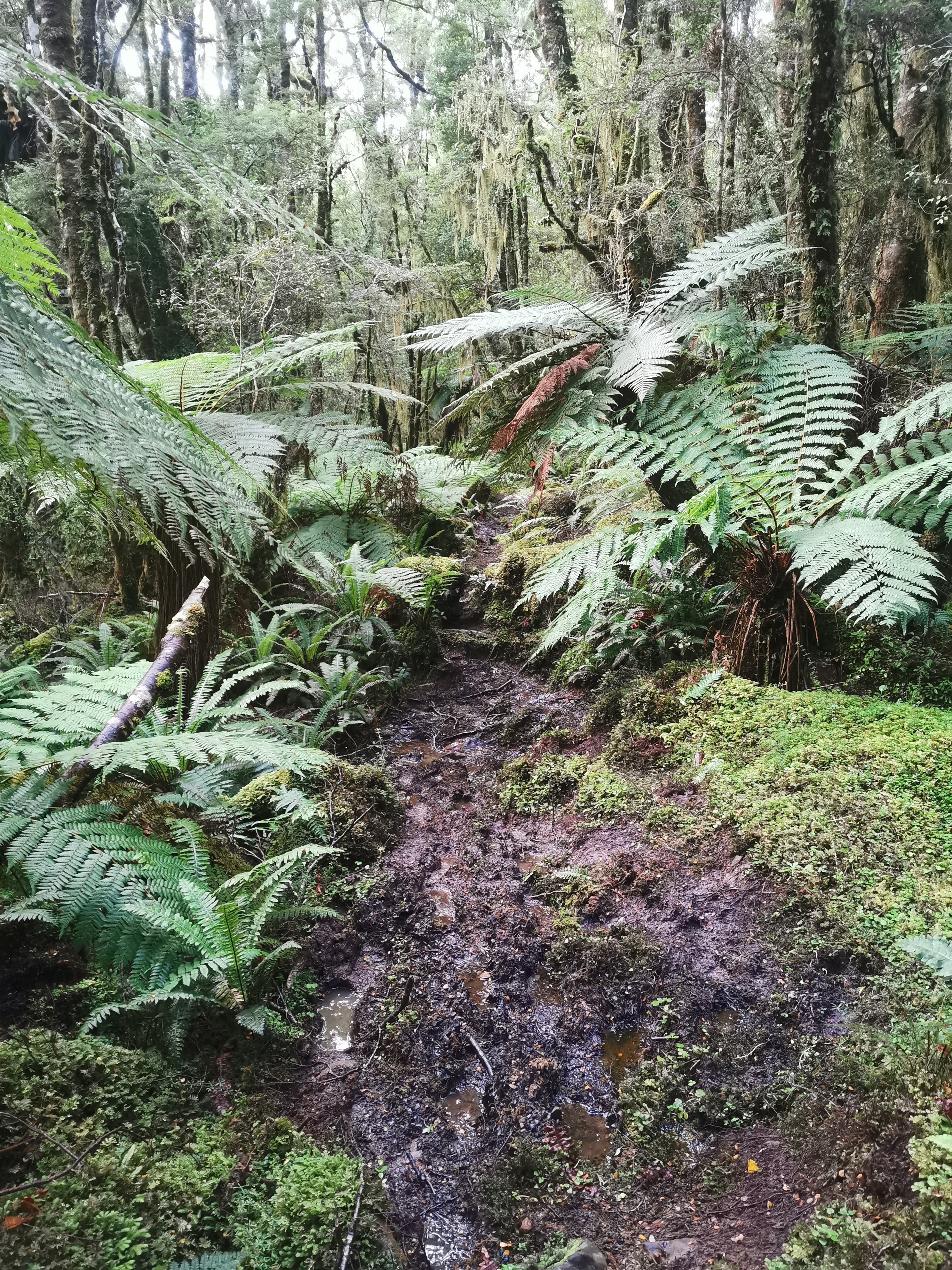
Time to go. It got a bit steeper now. There were more roots to trip over and get poles stuck in. Ah, I remember all these very minor annoyances from last year.
Although I don’t ever remember such a lack of wind. Every time the slightest bit of wind comes through, it feels like ecstacy. On the plus side, I’m so sweaty from the lack of wind that at least if I run out of water, there will be enough water stored in my hair alone to survive for a while.
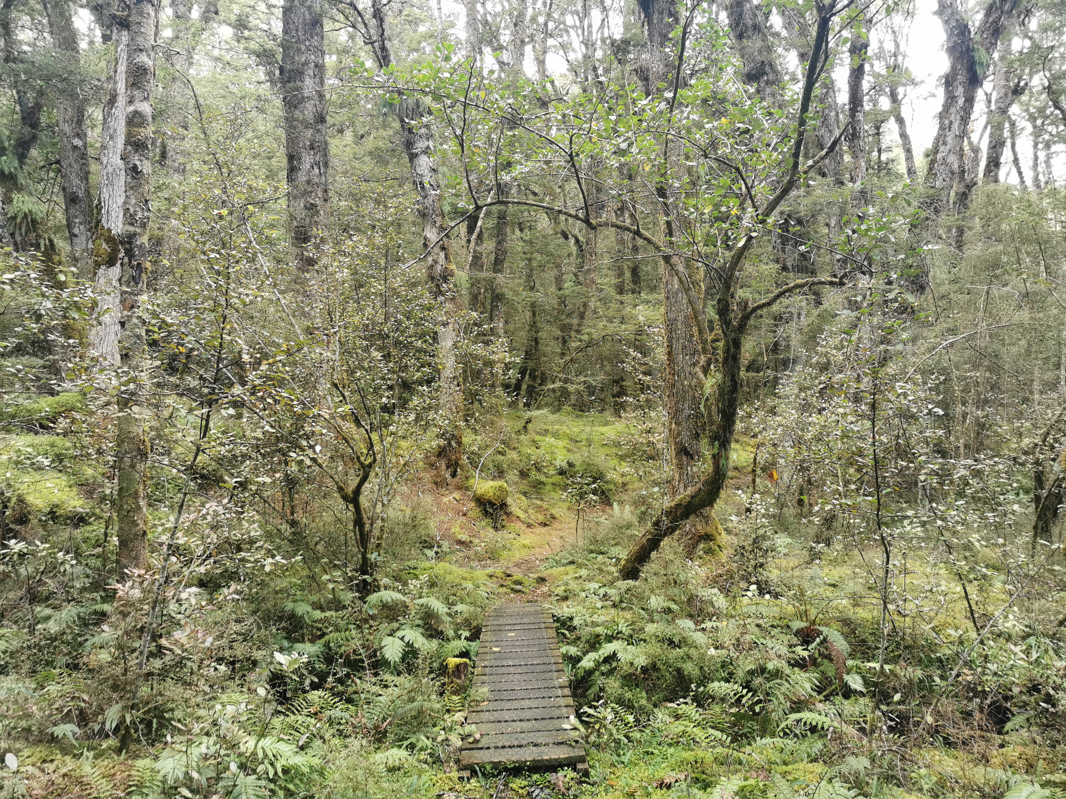
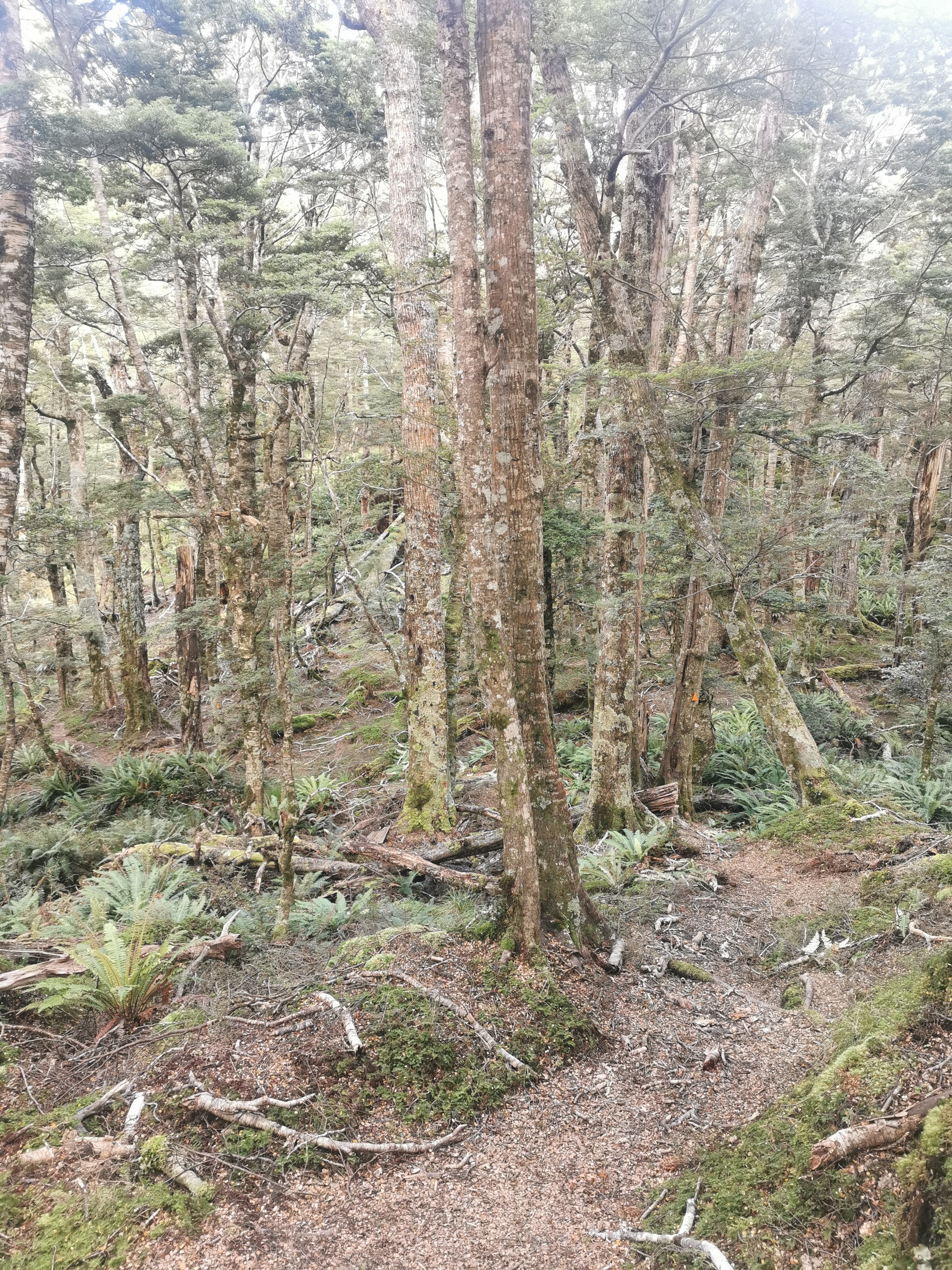
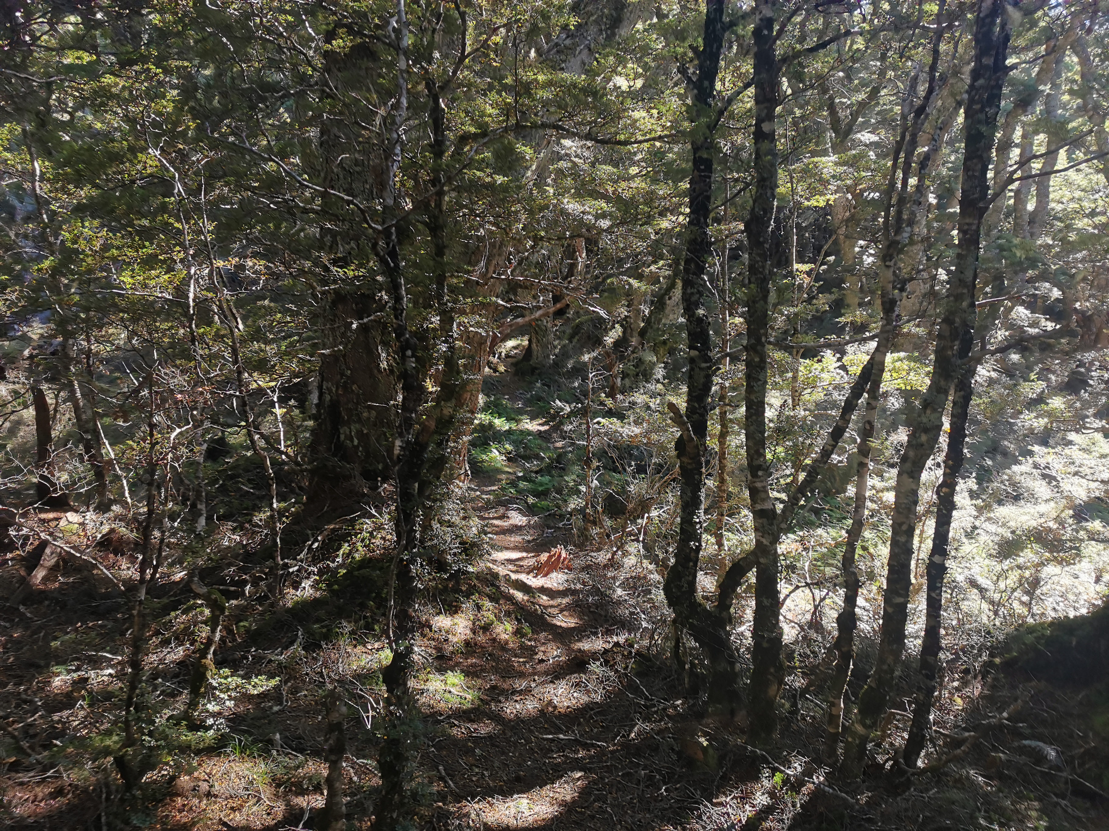
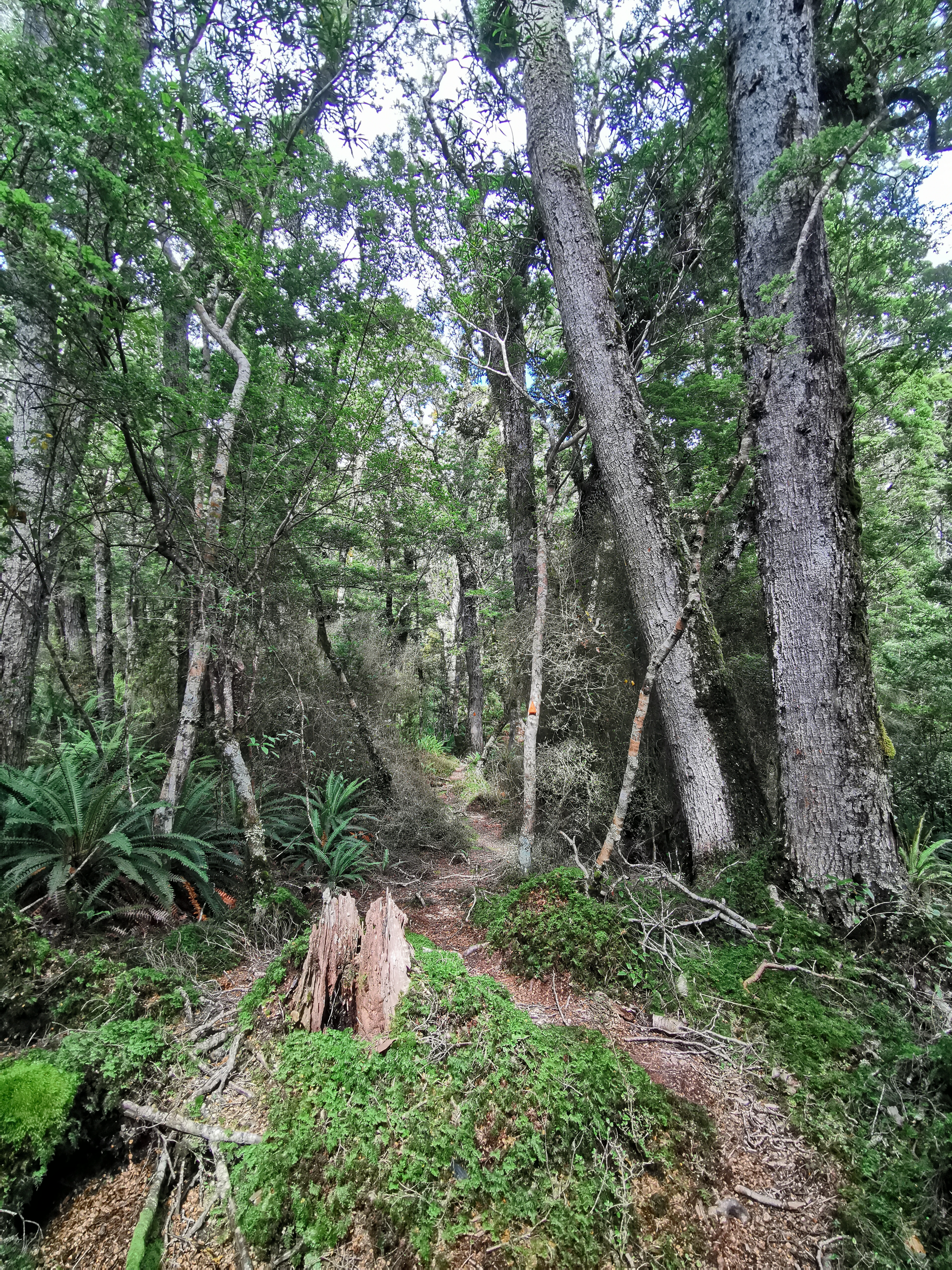
It was mostly trees at first but with the odd little clearing like this.
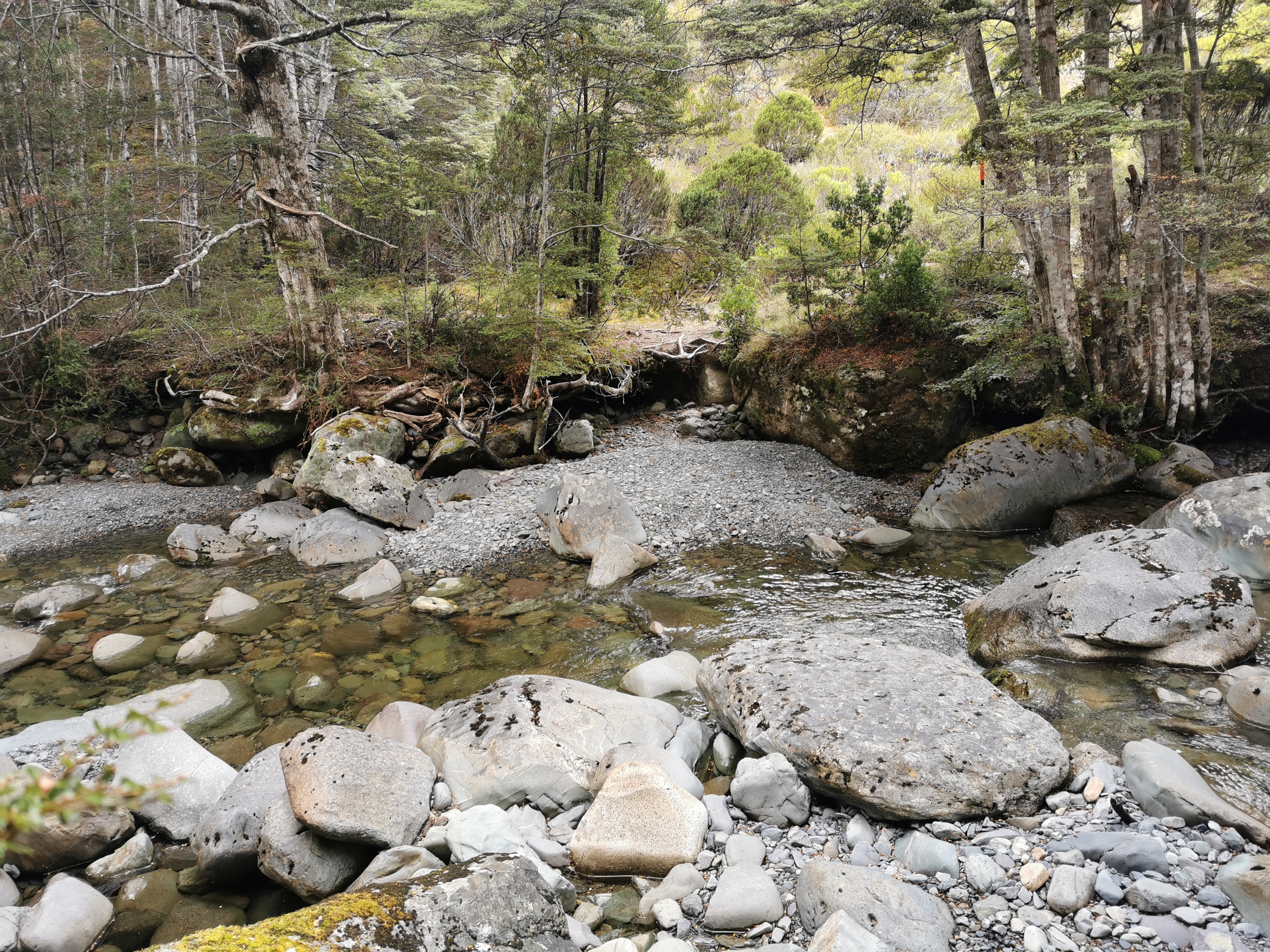
And it was at the first river crossing where I realised just how beat up and full of holes my hiking boots are. Any water or mud gets near those holes and my socks get wet.
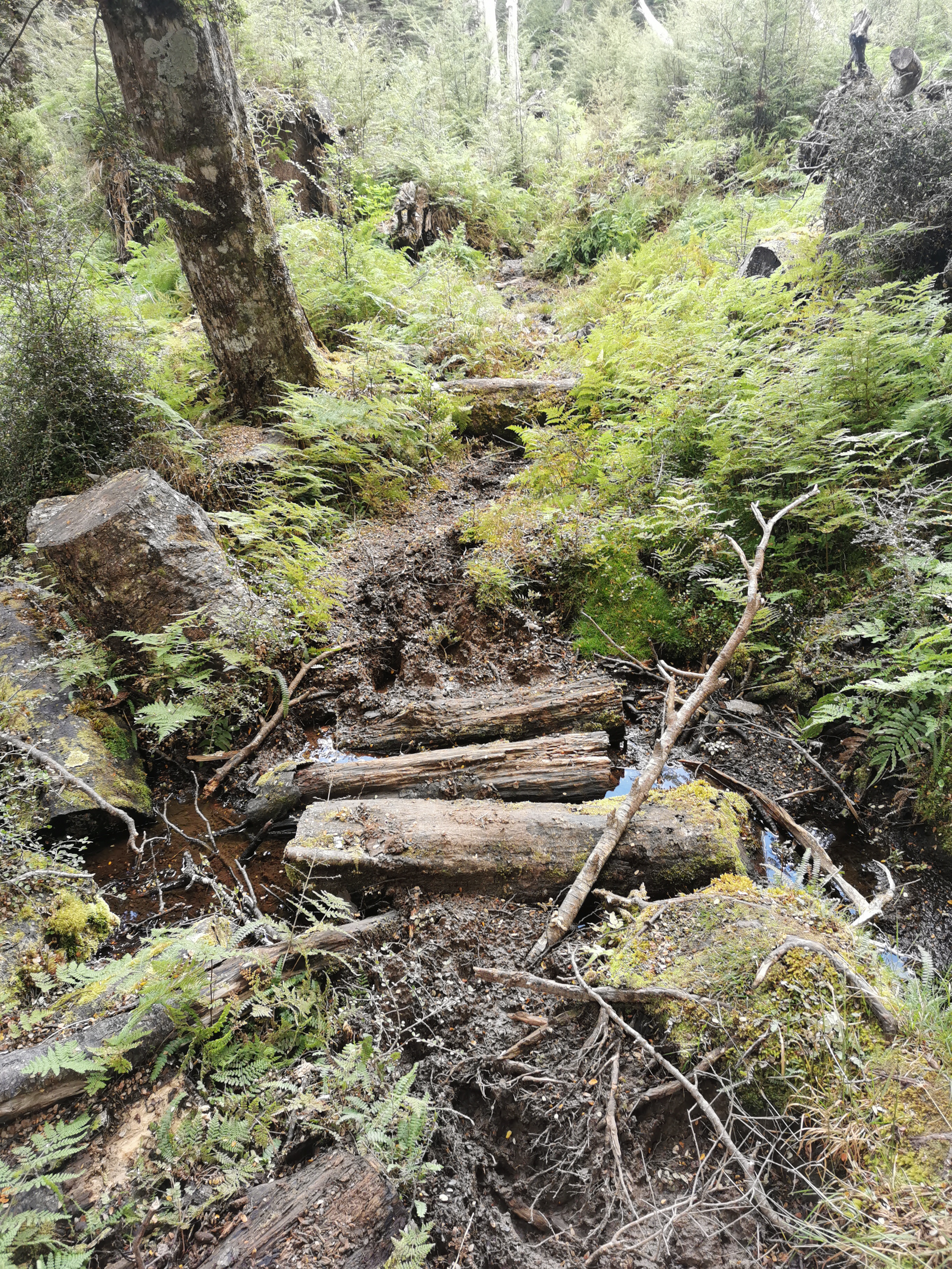
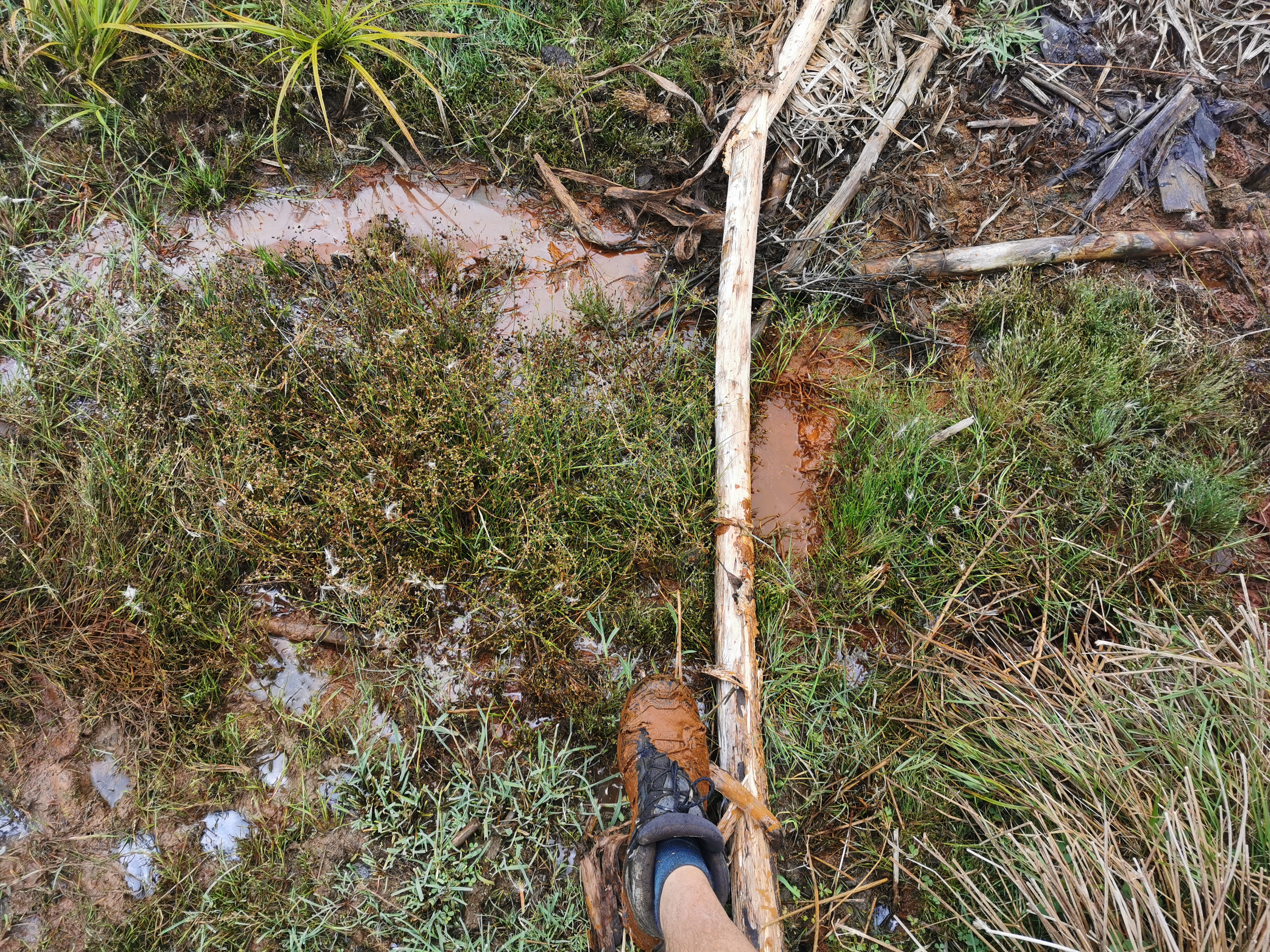
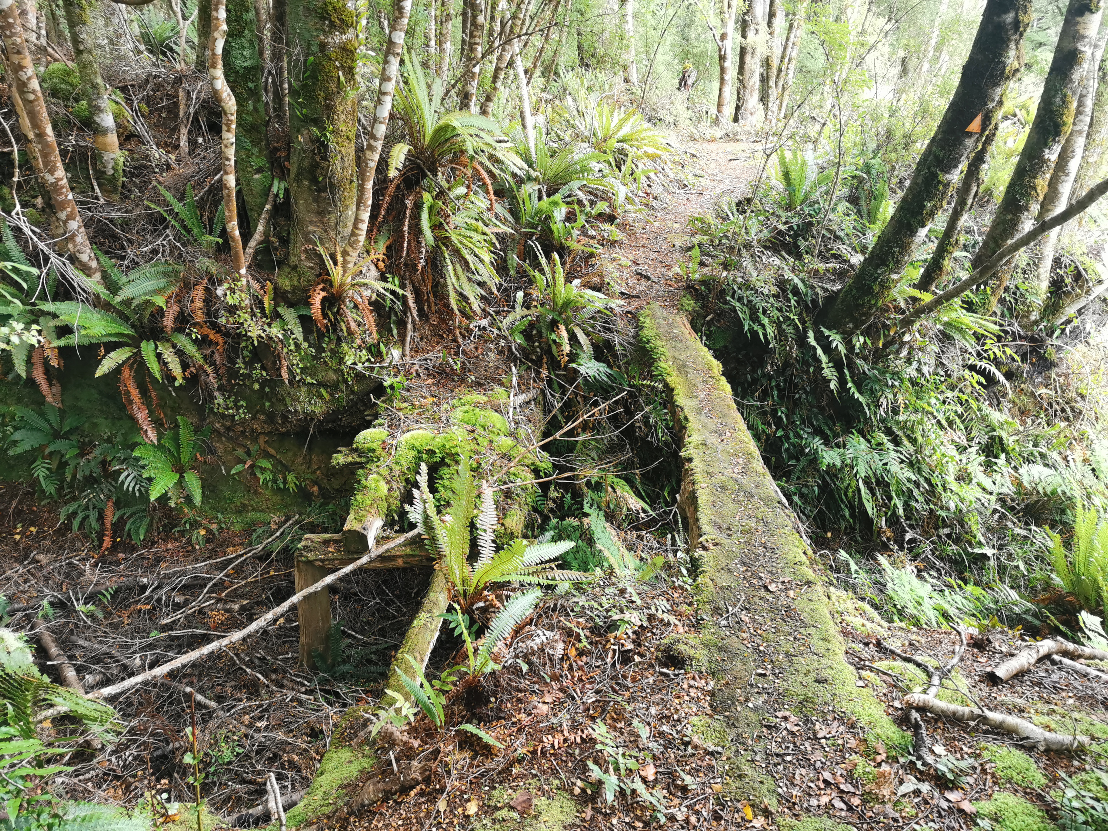
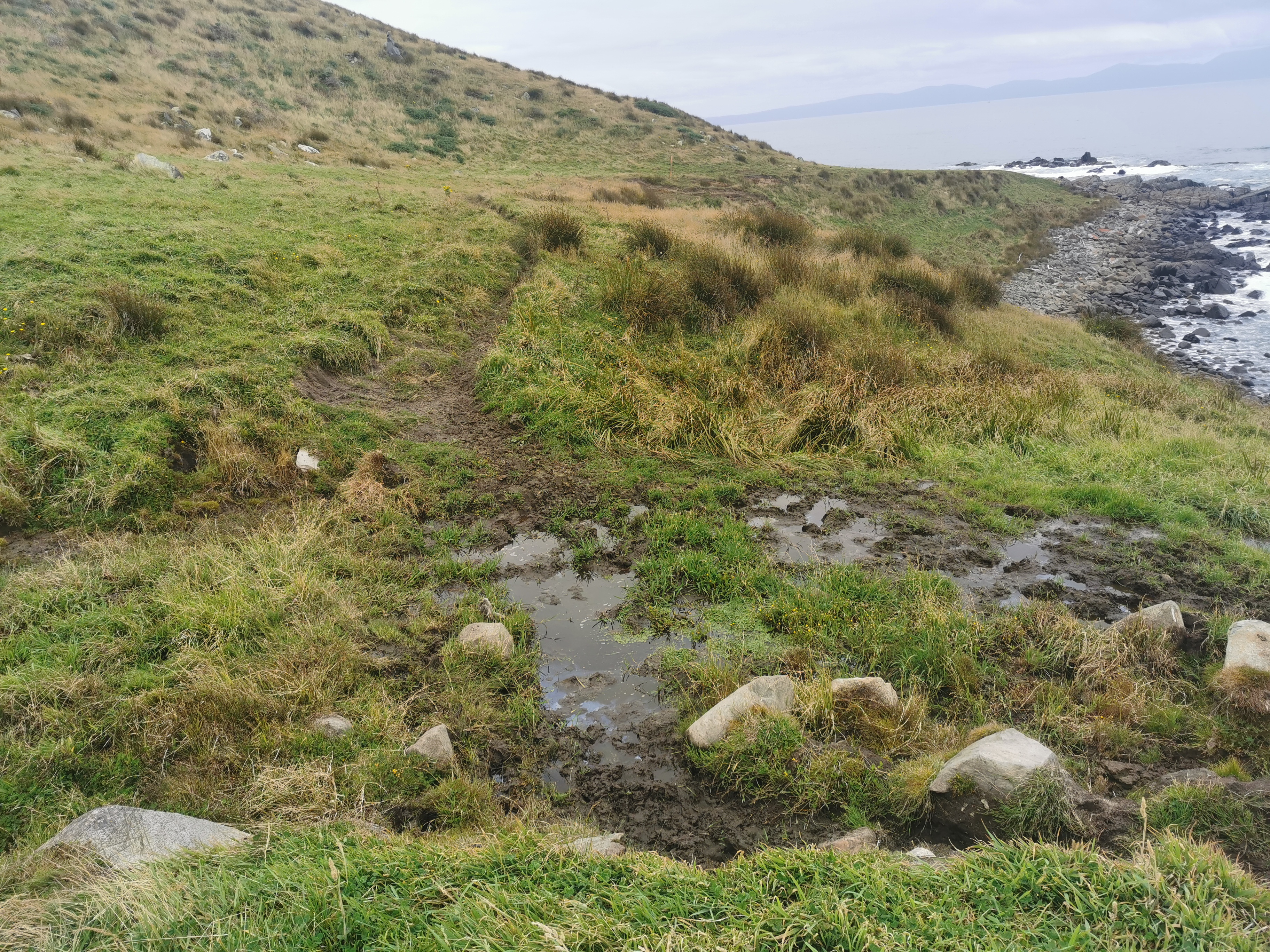
And there was quite a bit of mud too. It was manageable, there always seemed to be conveniently placed bits of wood to help.
Helpful planks of woodThis walkway marker is also being used as a stepping plank for the mud
It was a little steeper than earlier but nothing taxing.
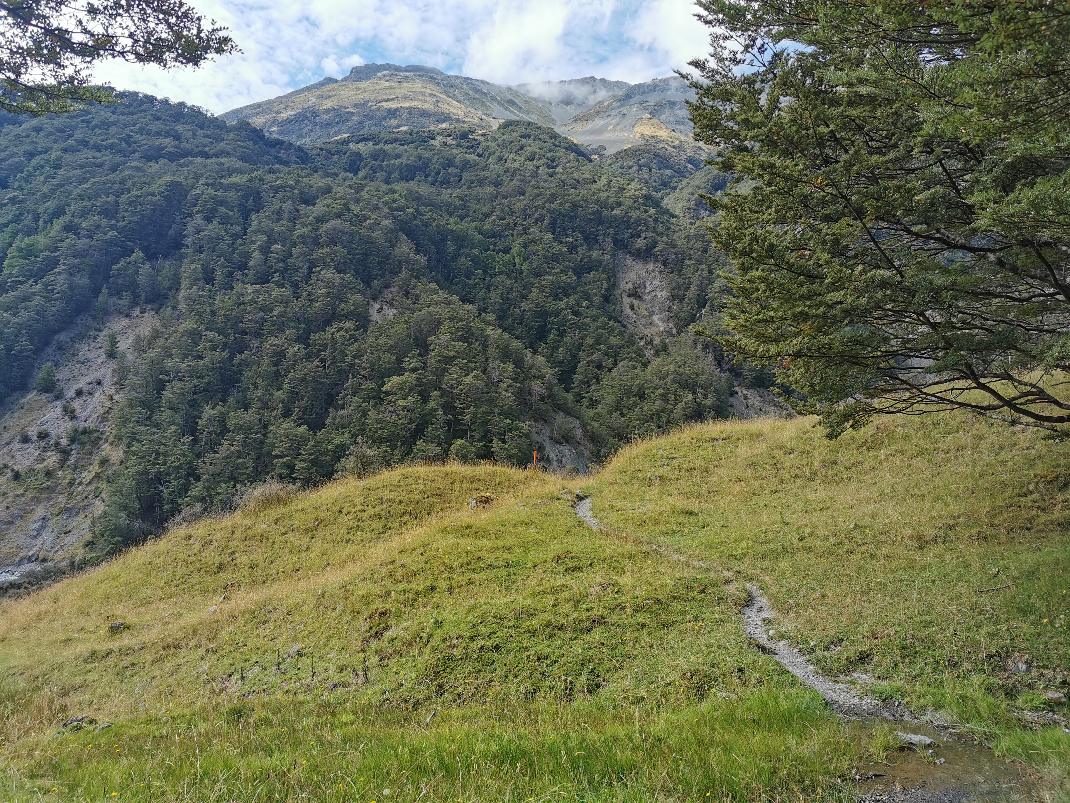
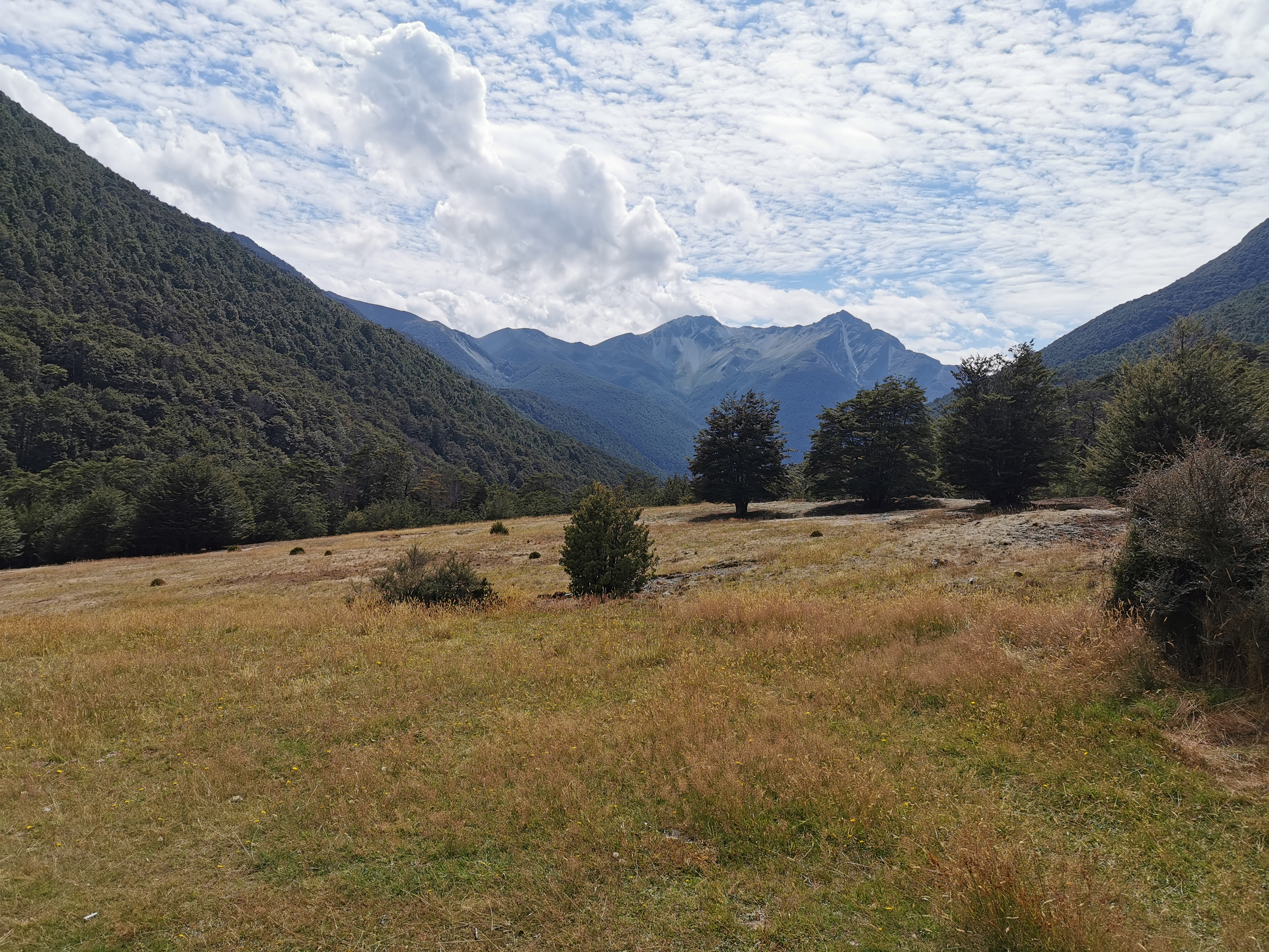
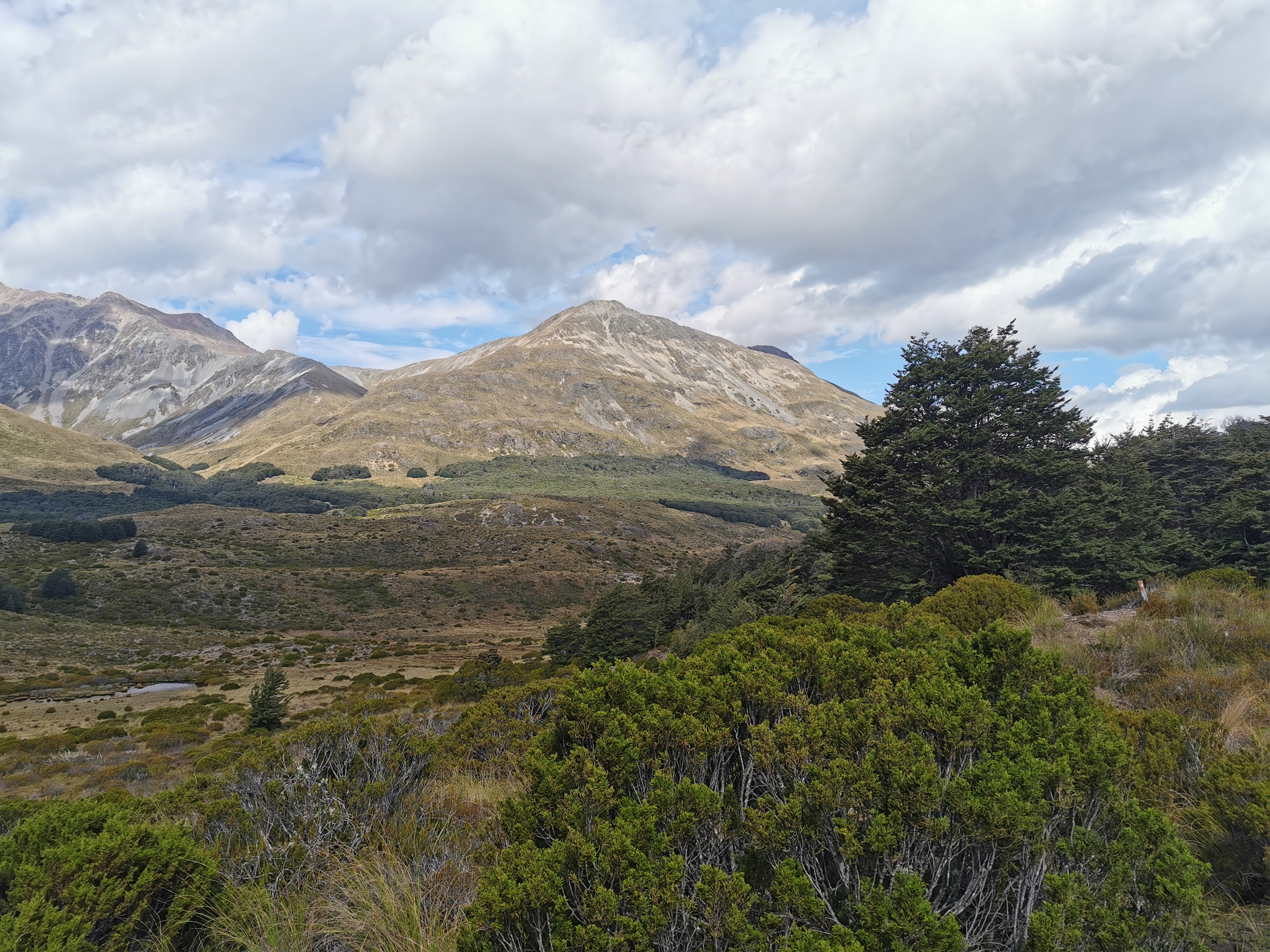
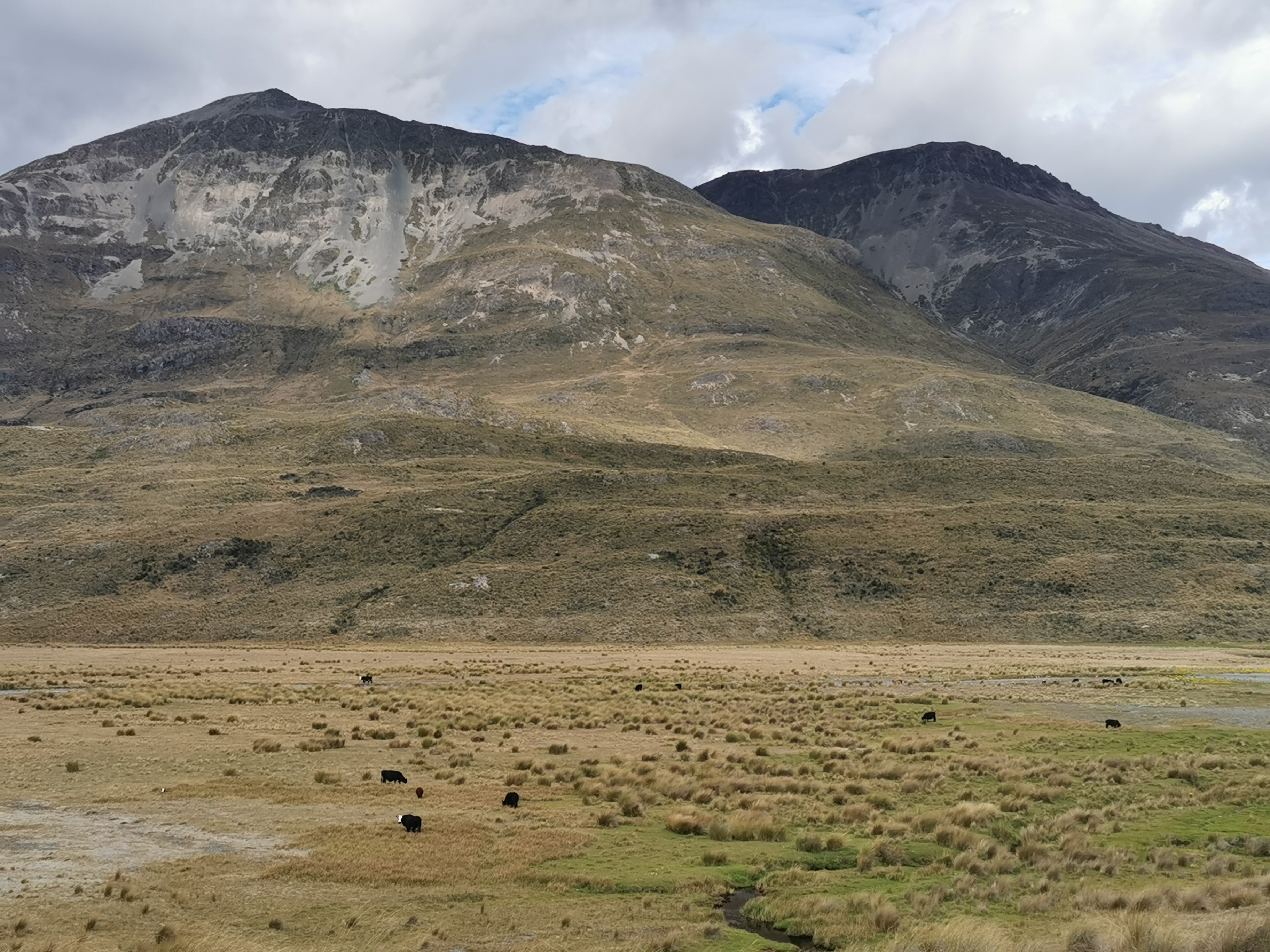
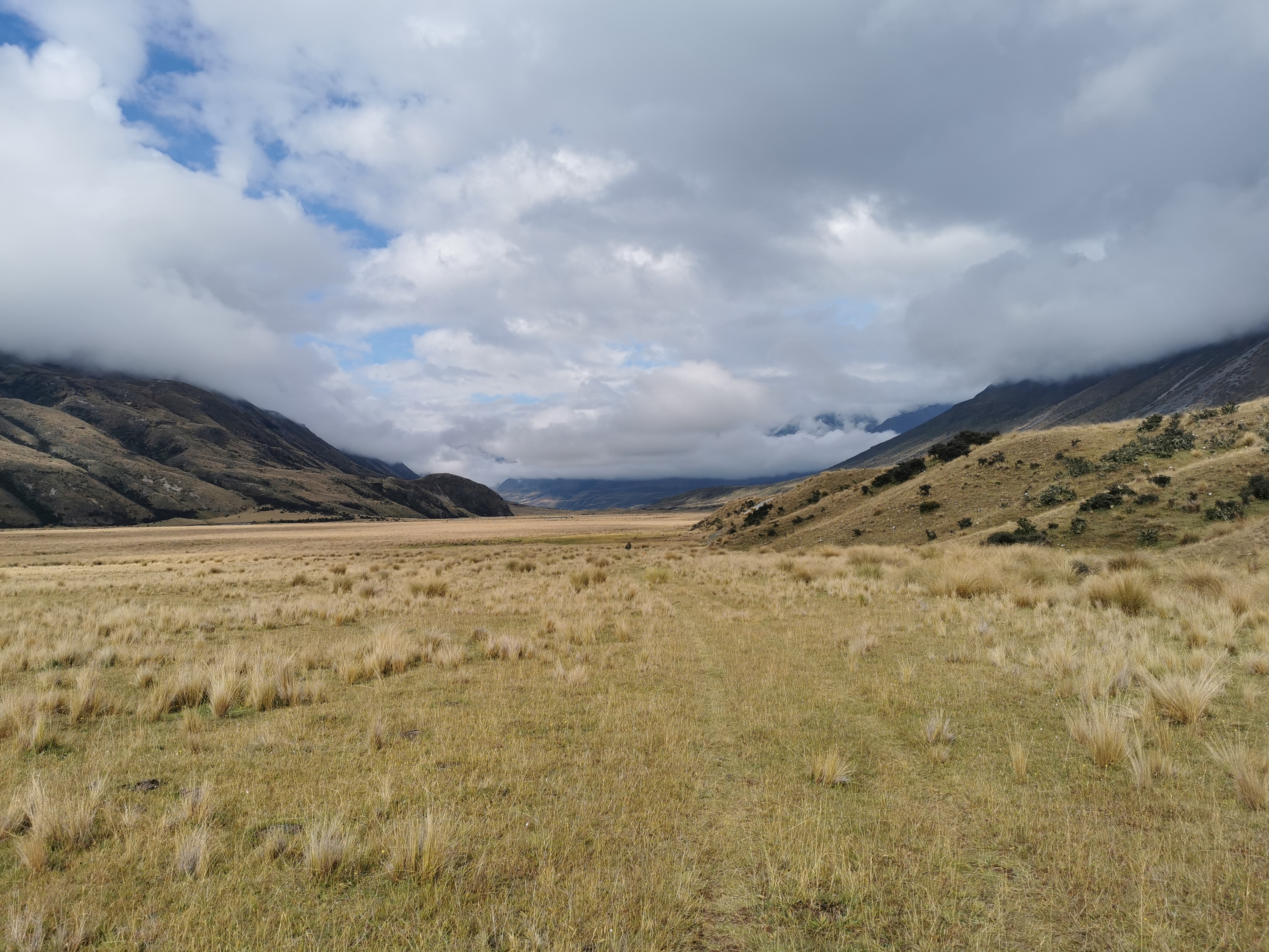
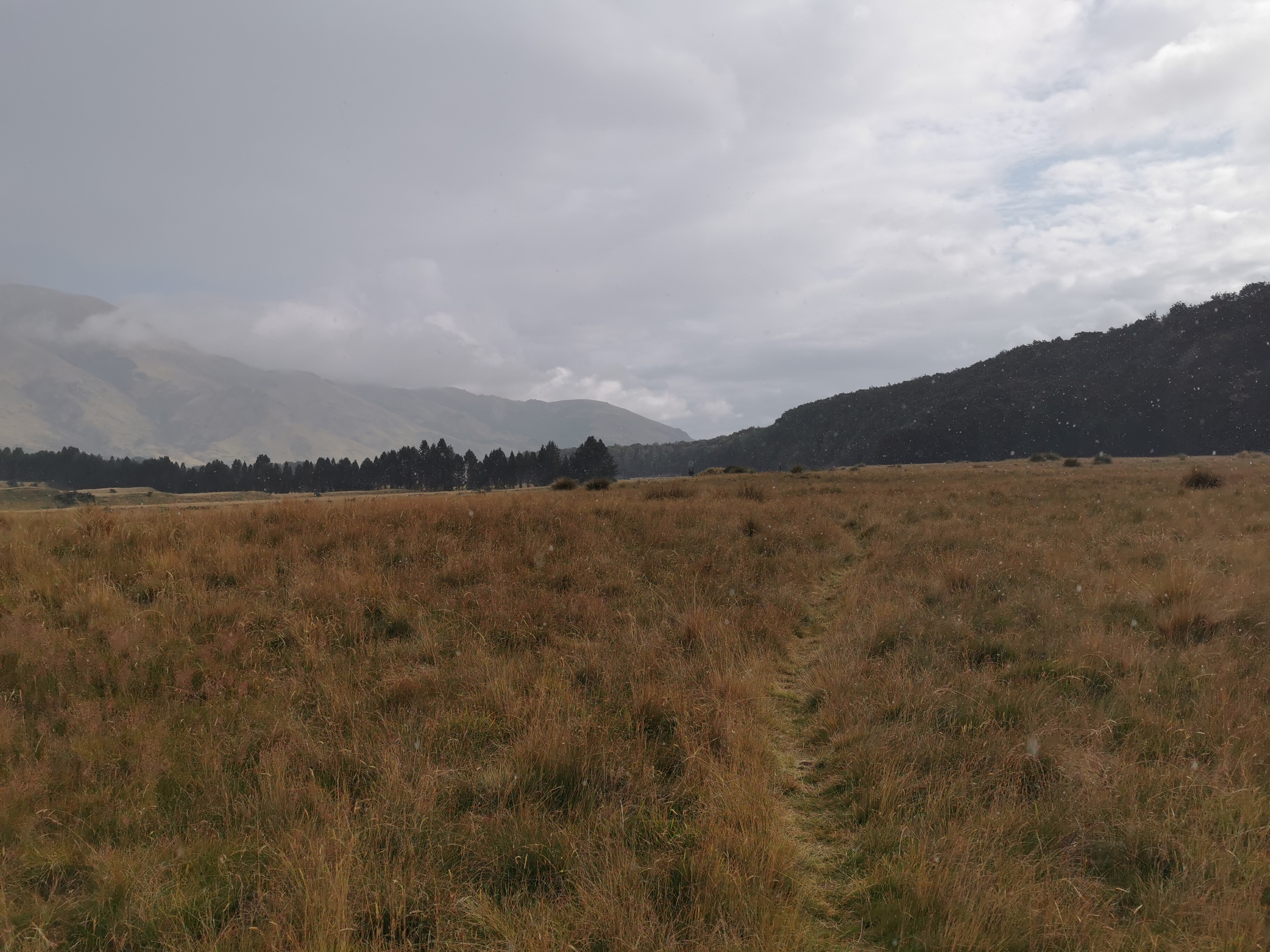
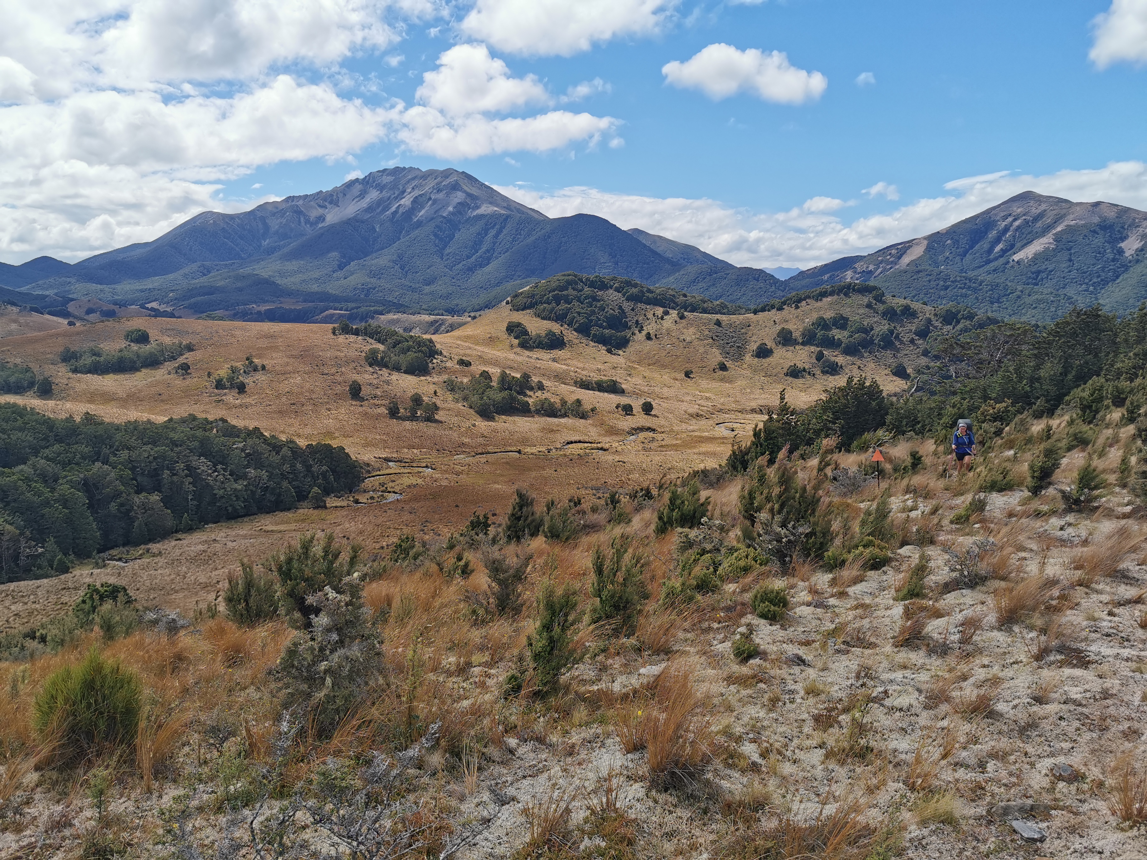
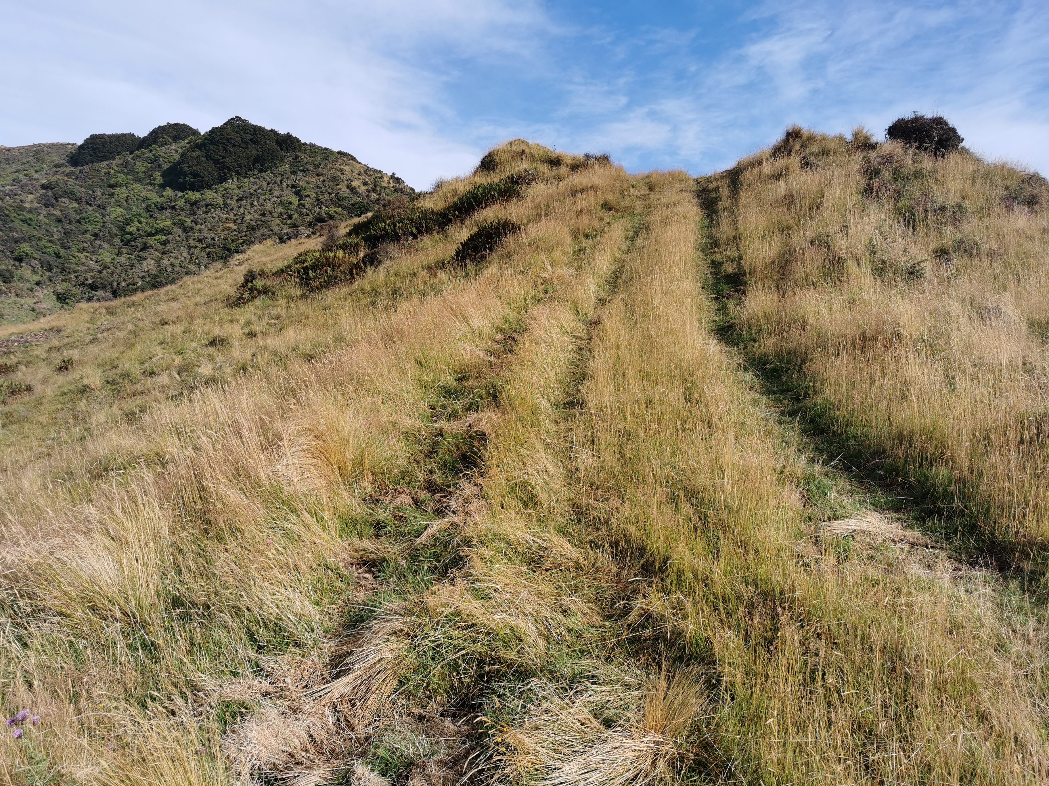
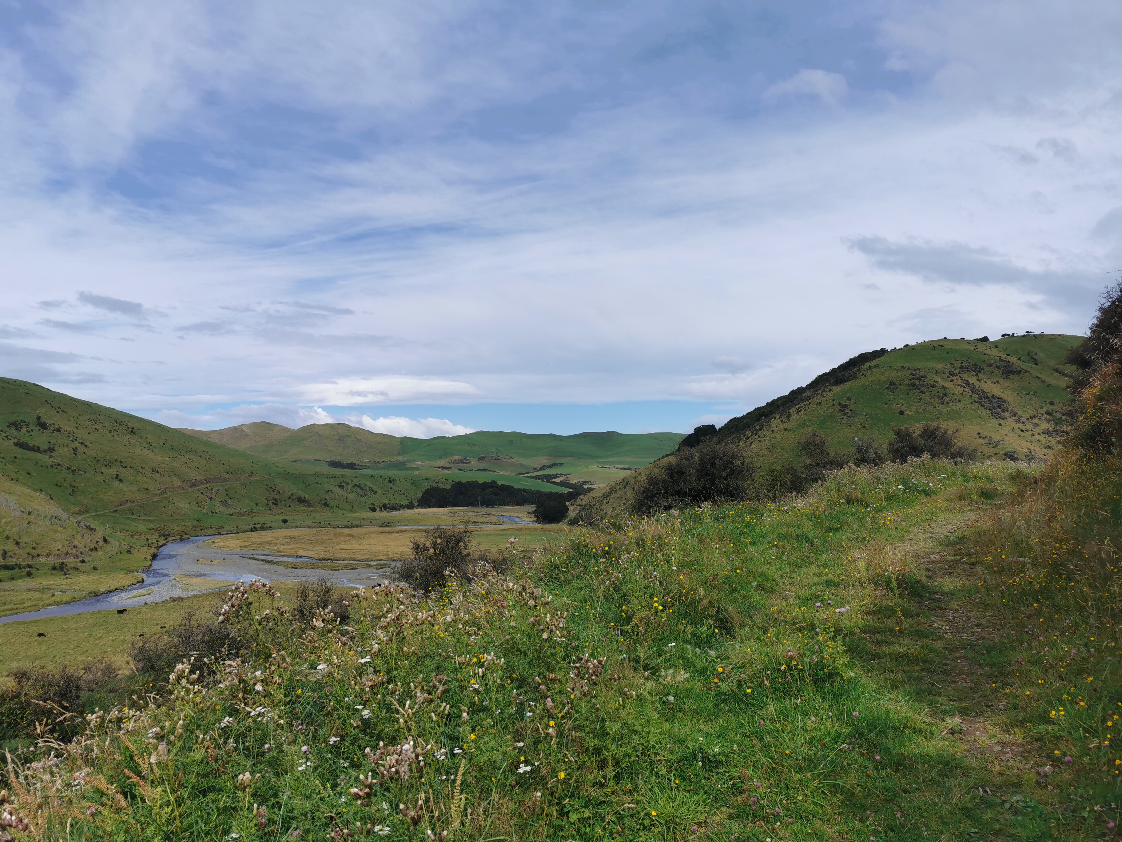
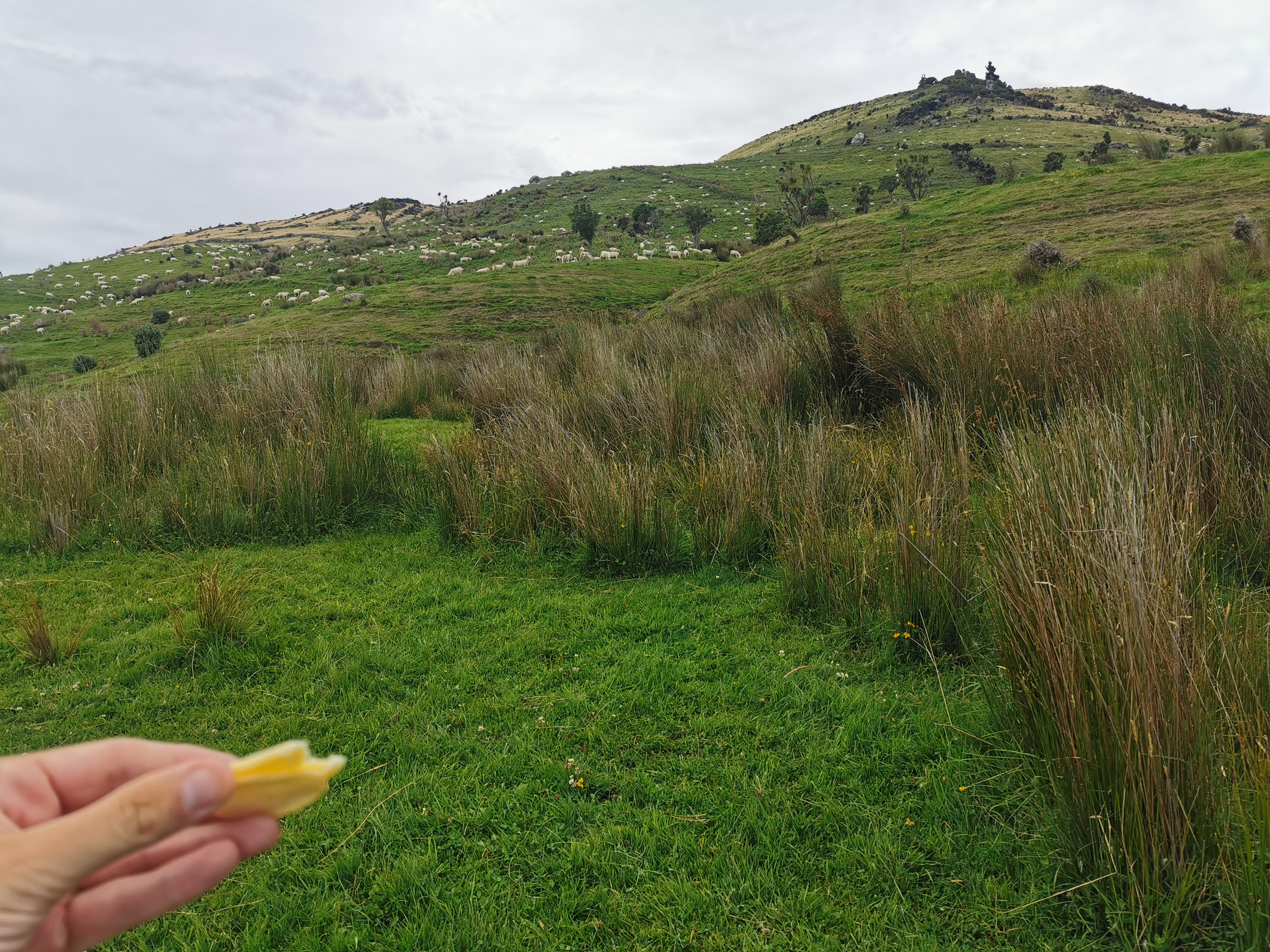
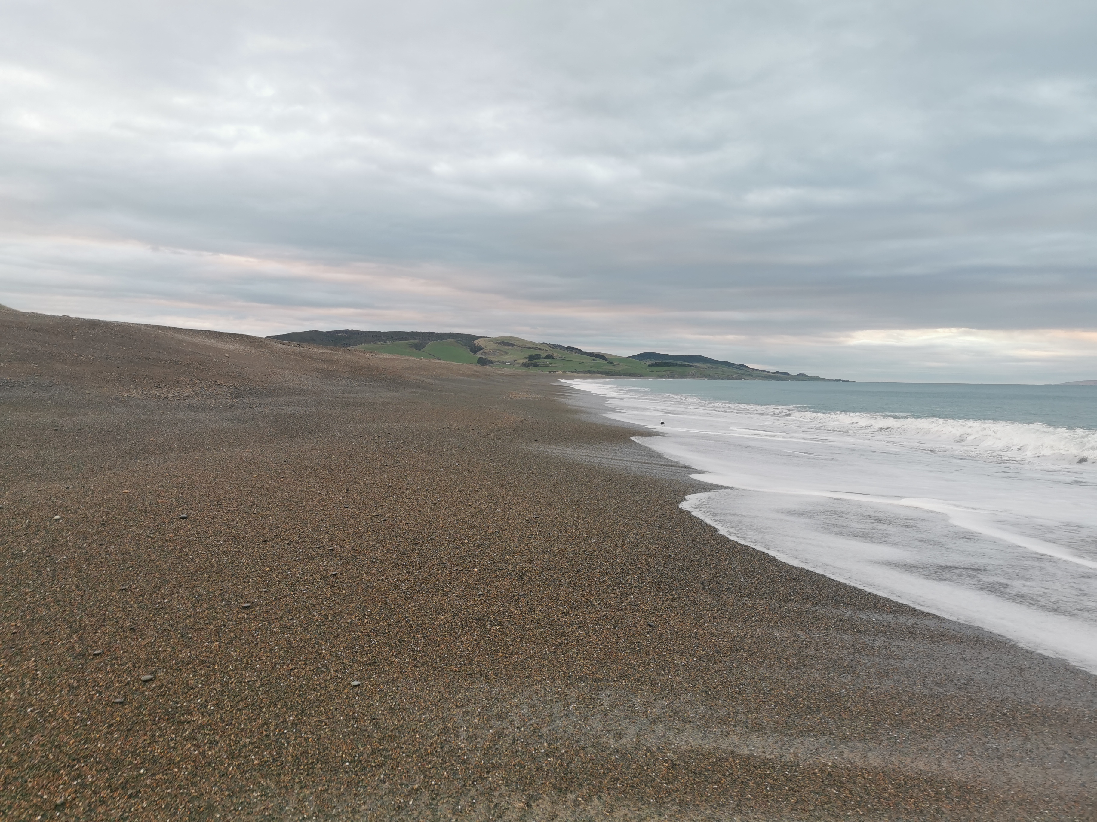
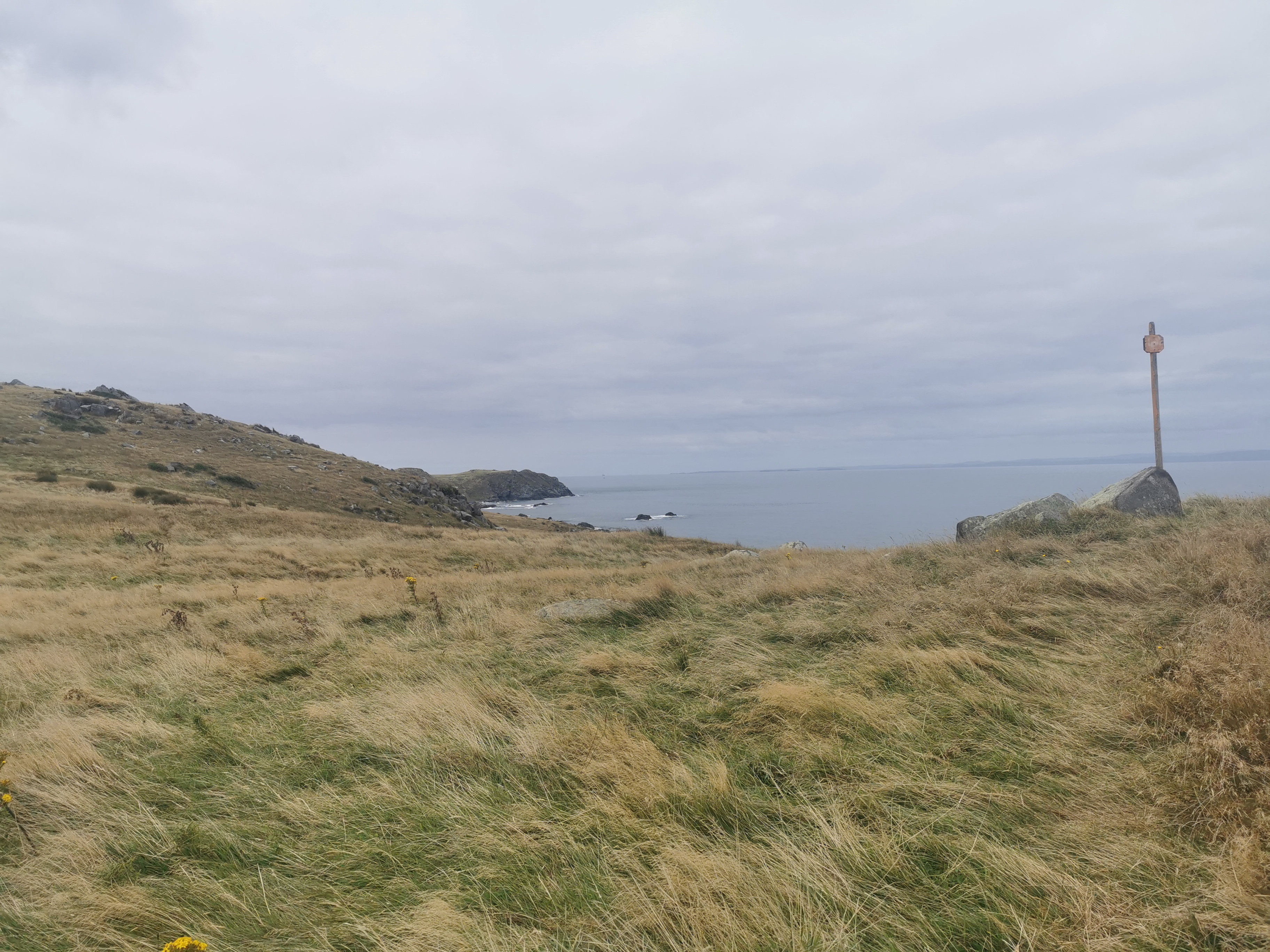
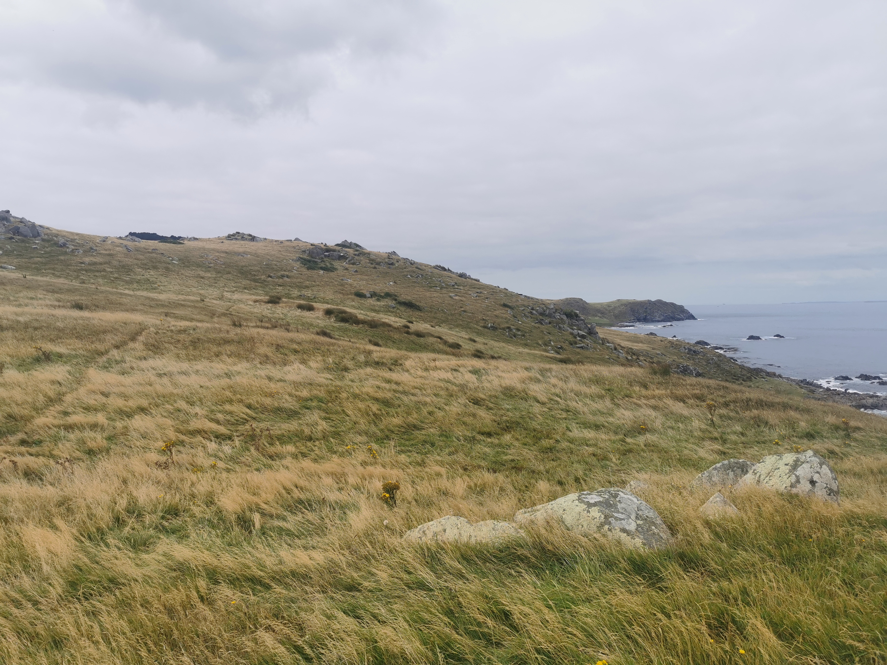
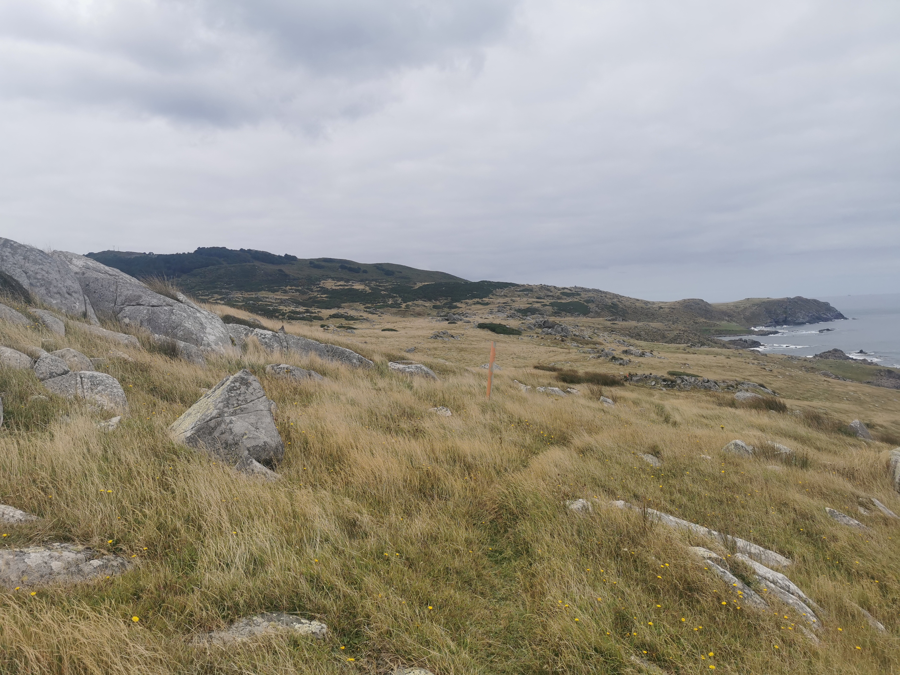
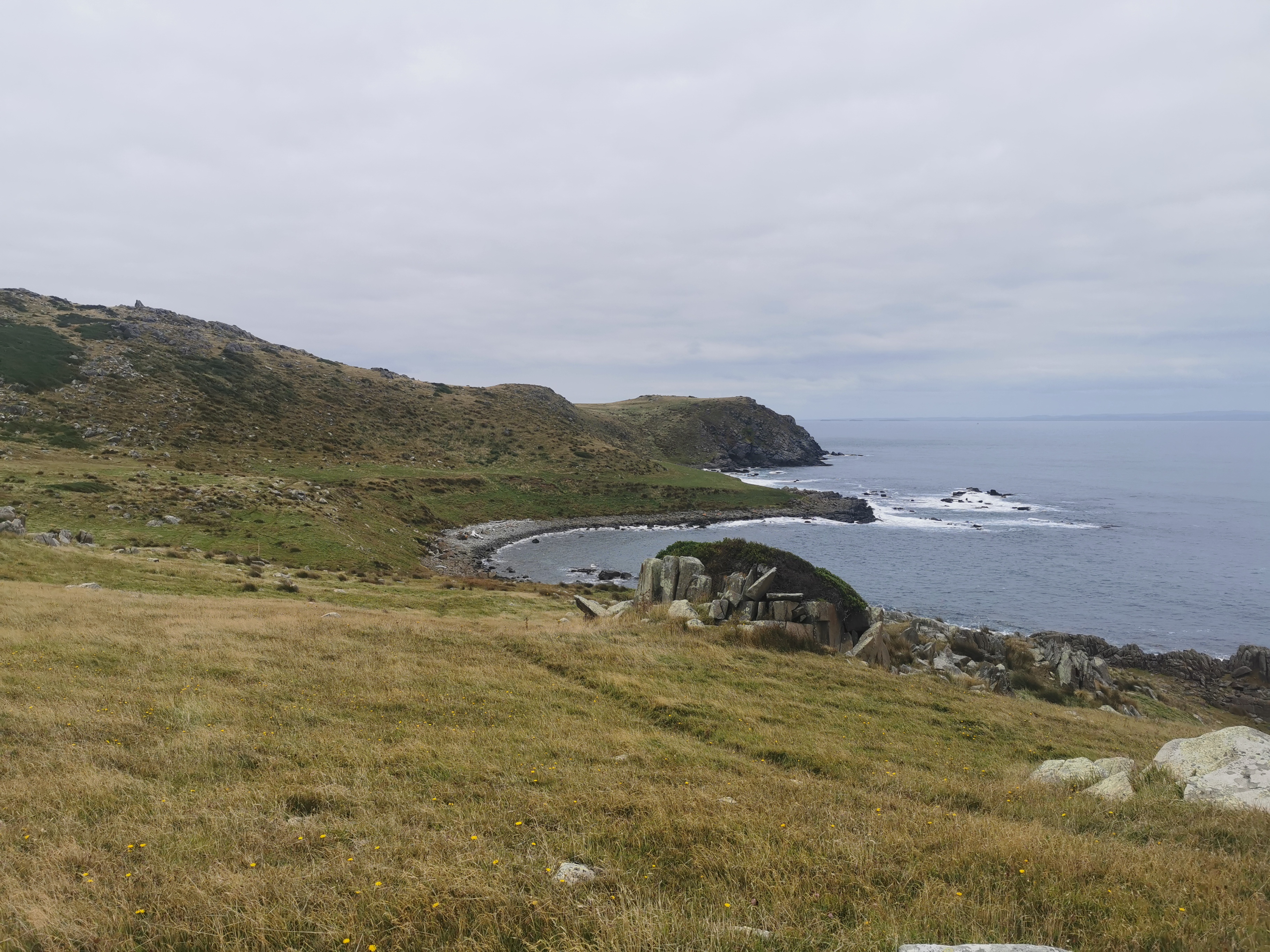
With 3km before the hut, the trail emerged from the trees and you walk across this kind of landscape.
I remember seeing these sorts of scenes in lots of the South Island sections and it brought back memories. And there was a little bit of wind too. Well I say a little bit – a tiny bit. Like a fly breathed on me.
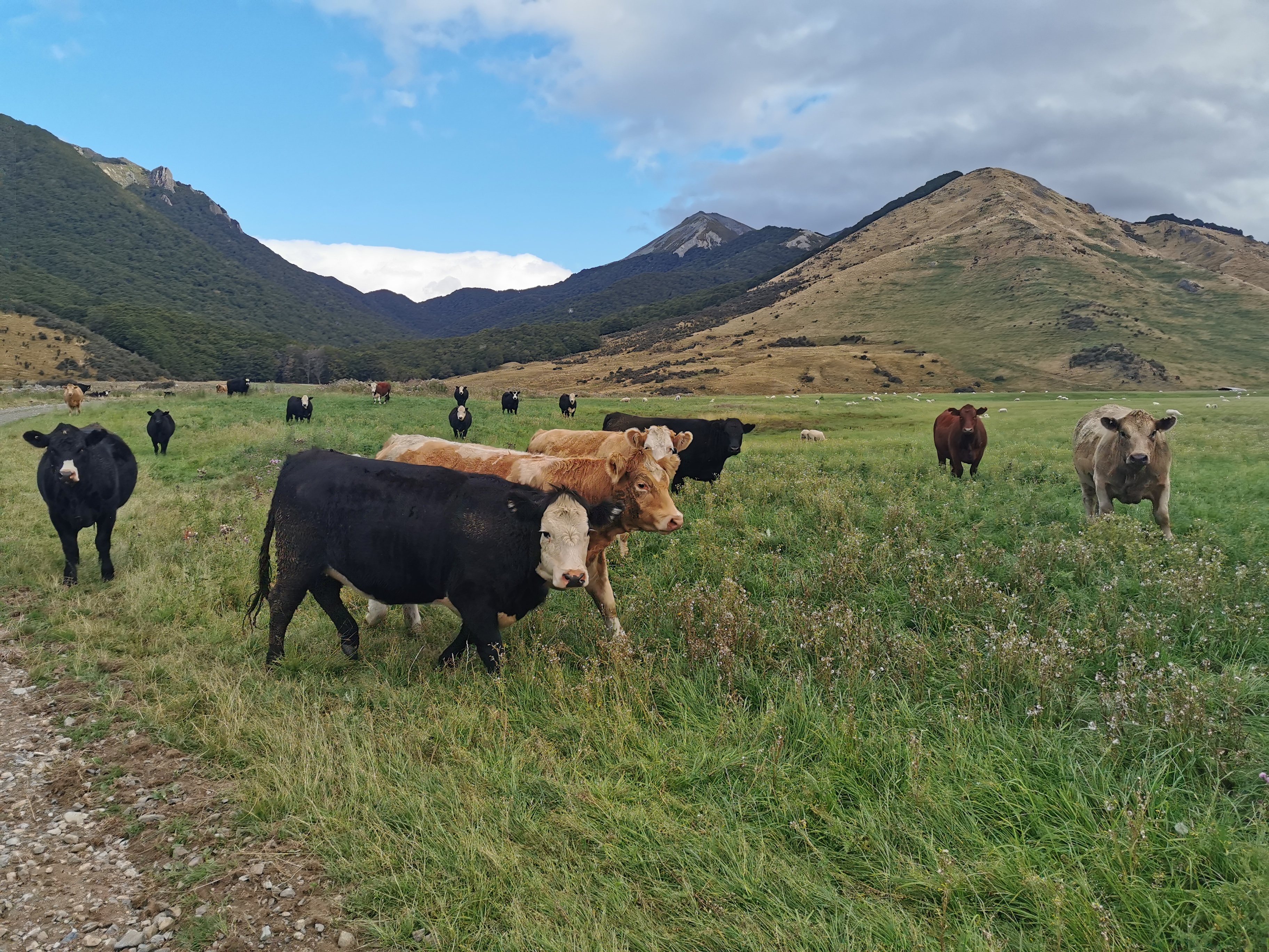
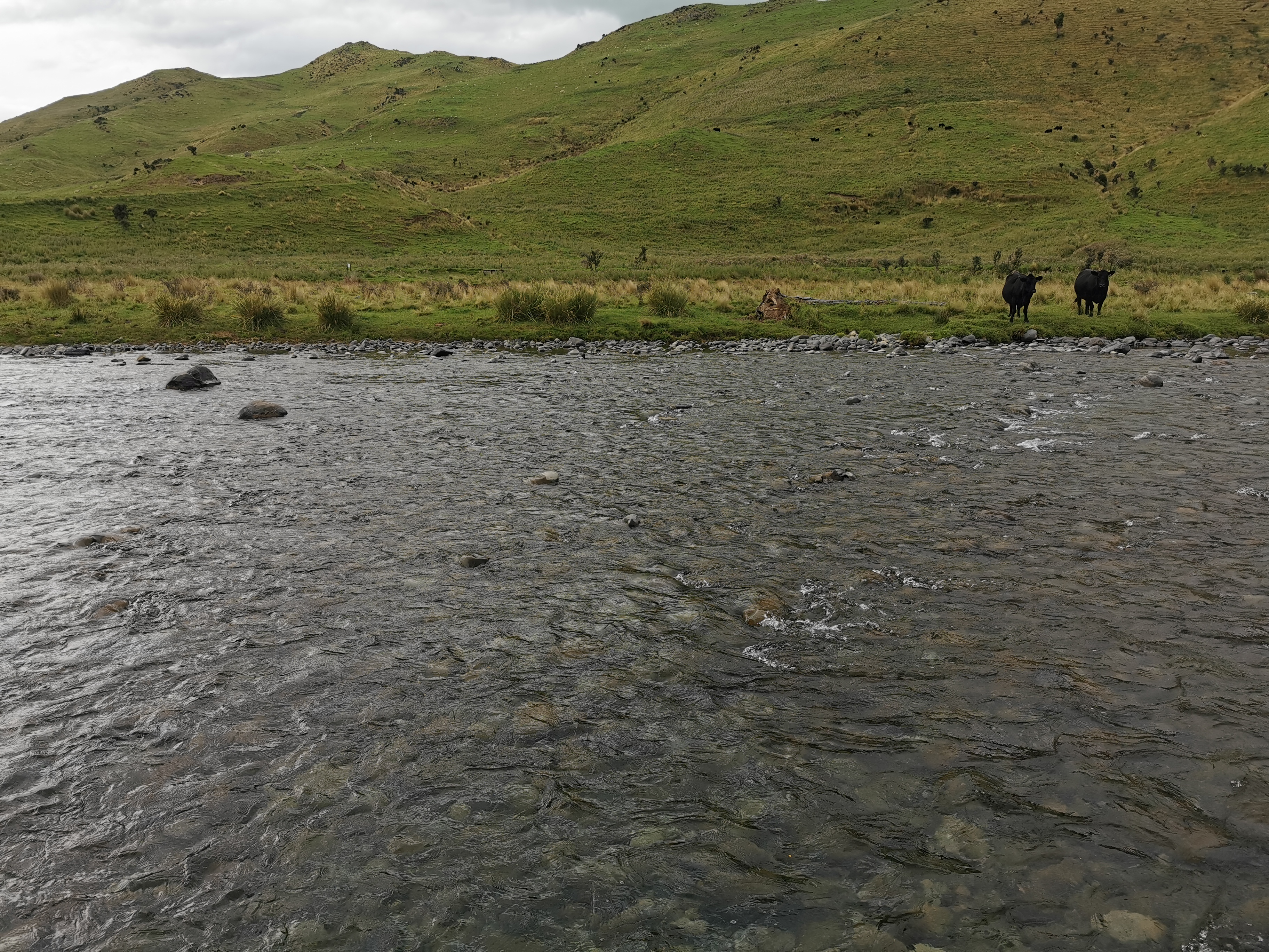
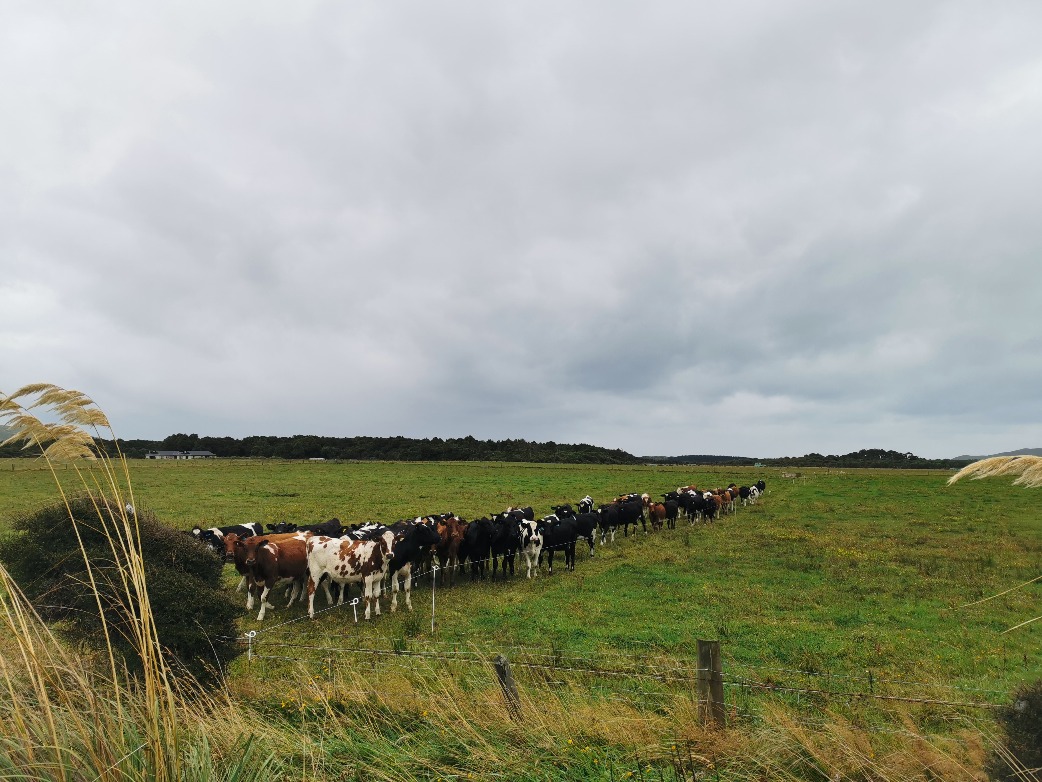
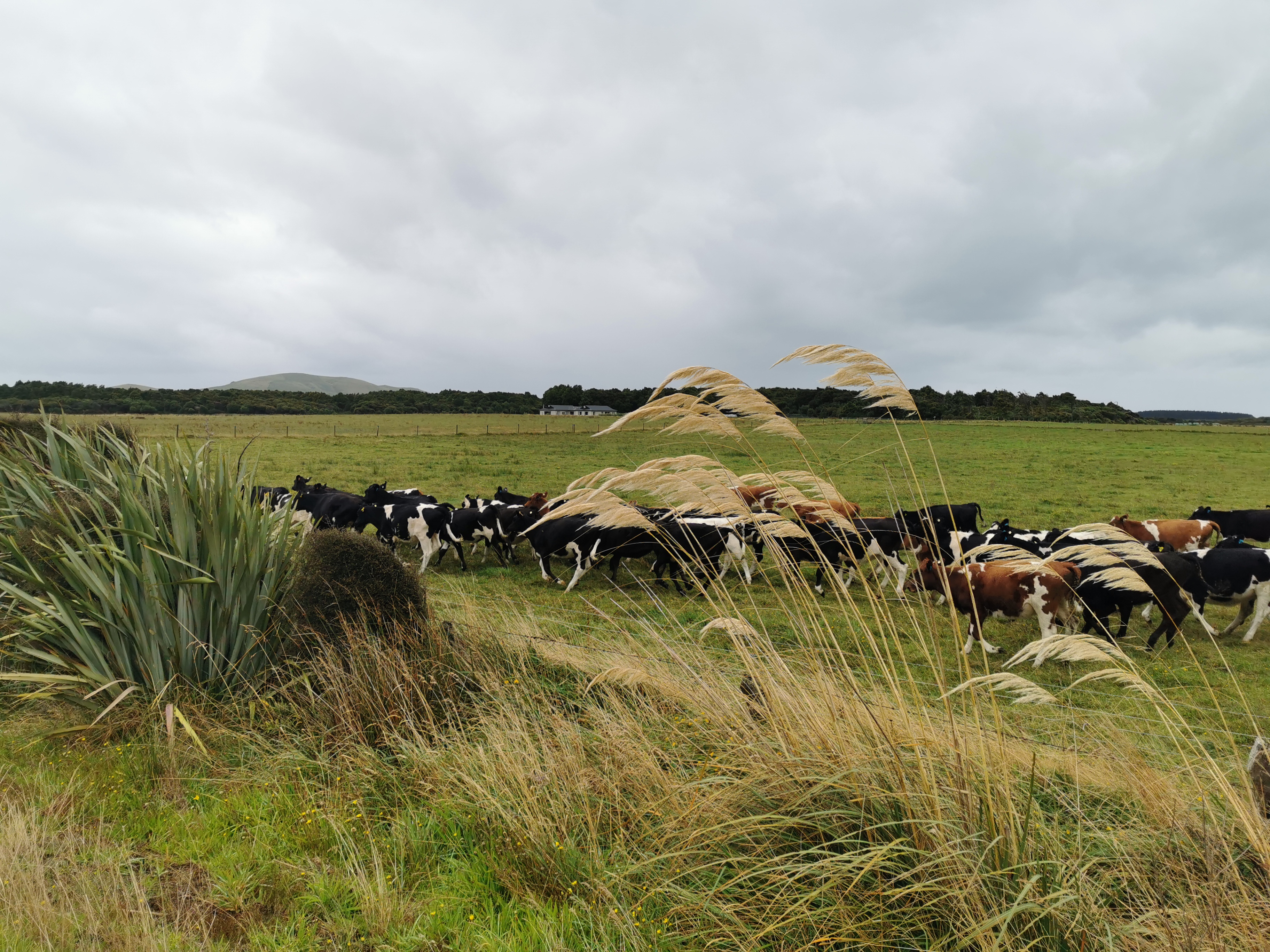
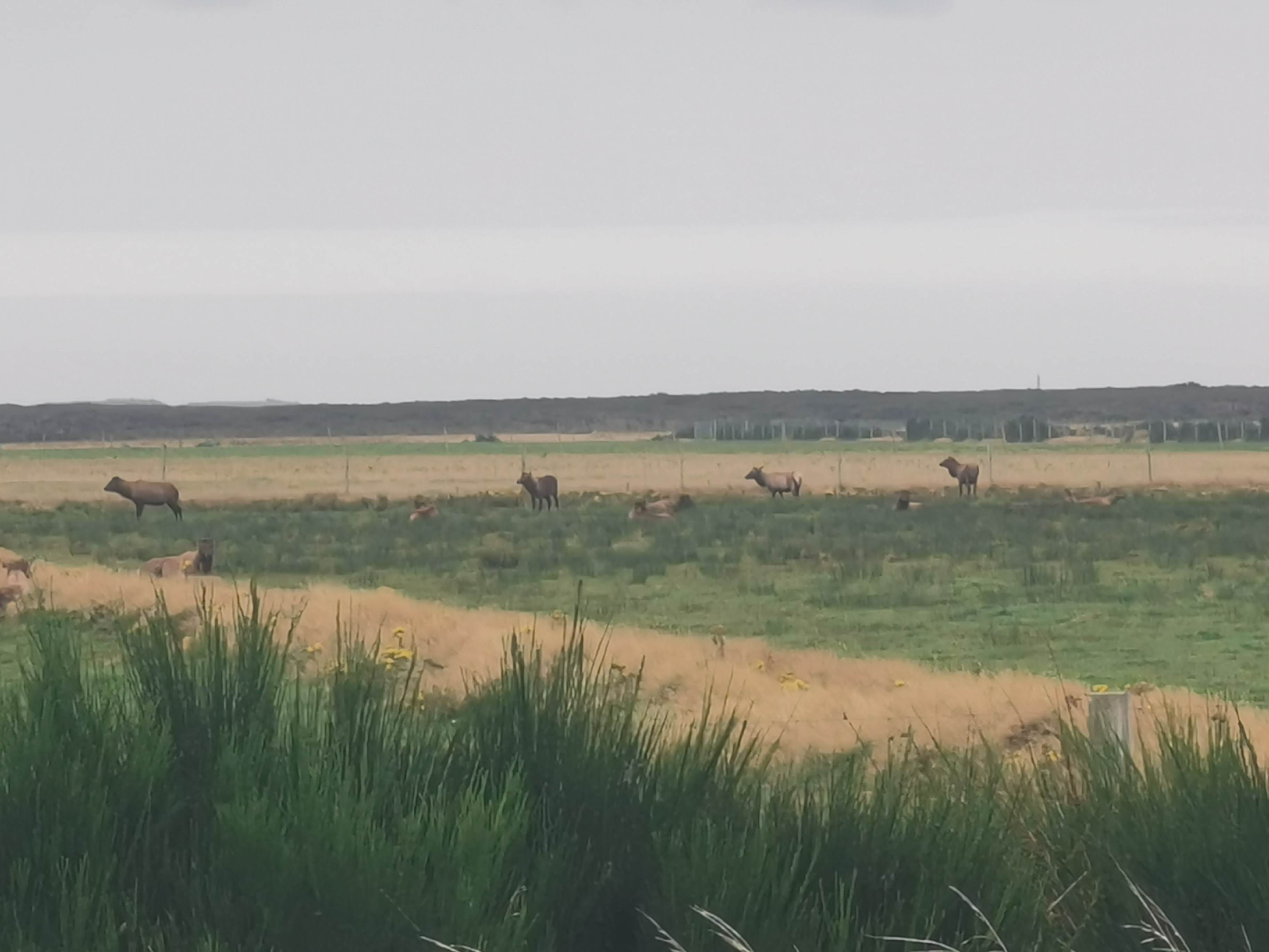
I thought I might be able to see the hut in the distance early on but it was clearly hiding. I did see cows though, and at least one of them saw me.
The mud got worse as I got closer to the hut. I had to play the “jump between big pieces of tussock” game.
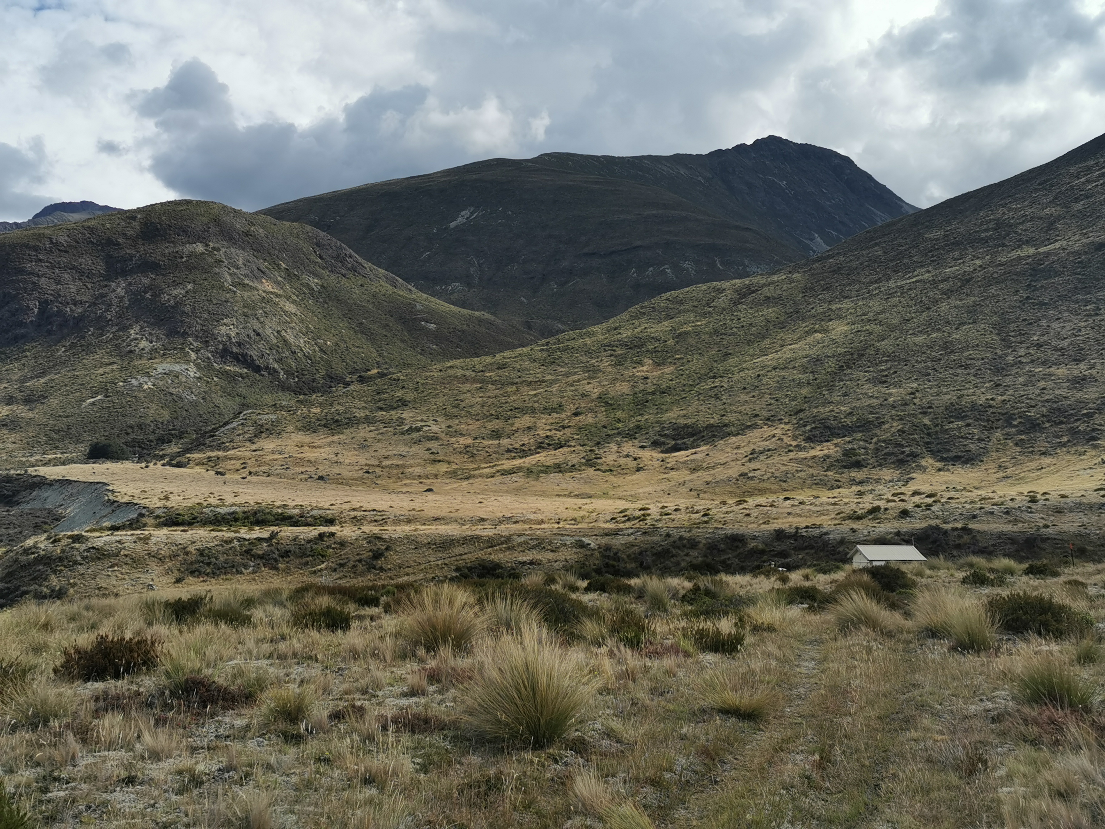
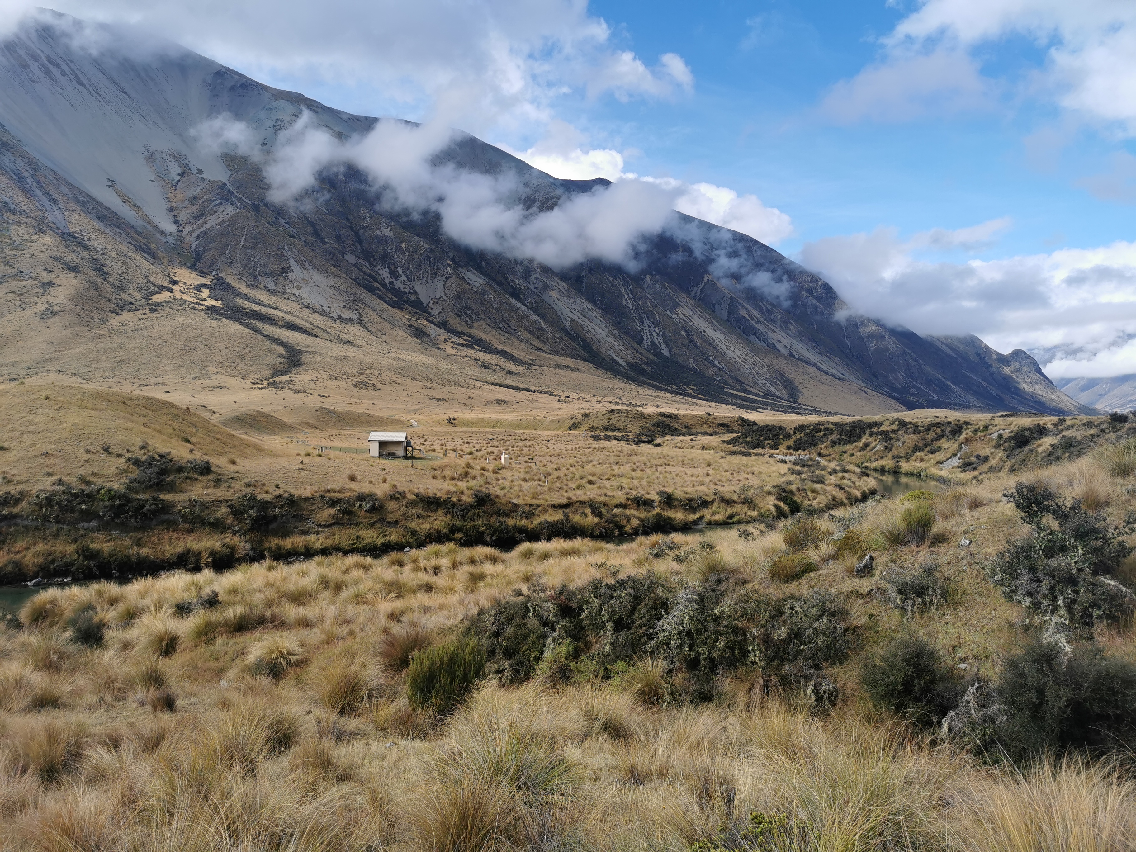
I didn’t see the roof of Taipo Hut until I was only 250m away from it.
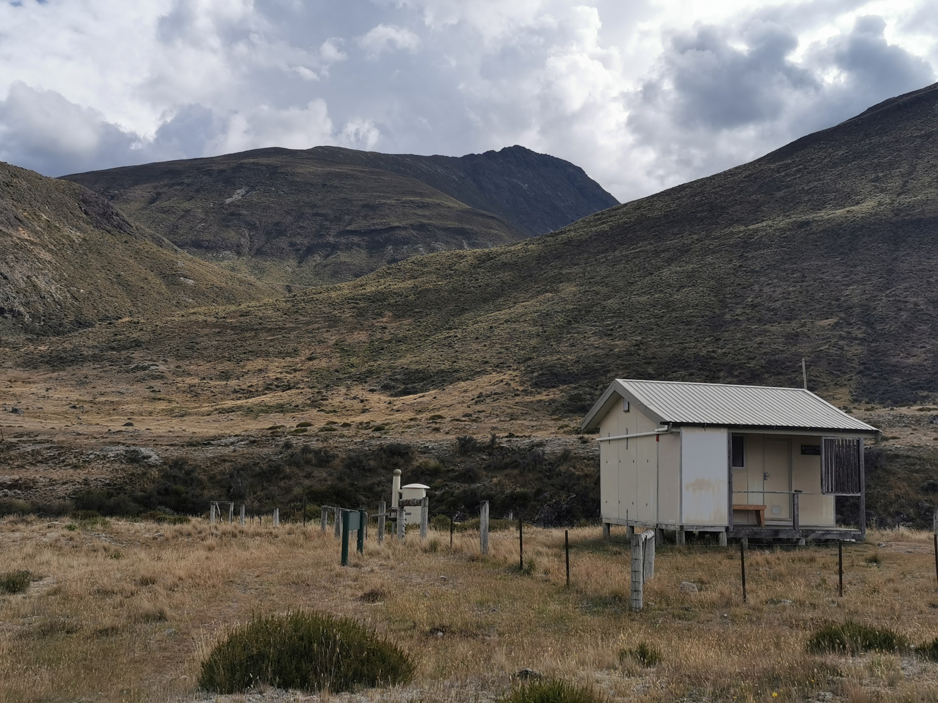
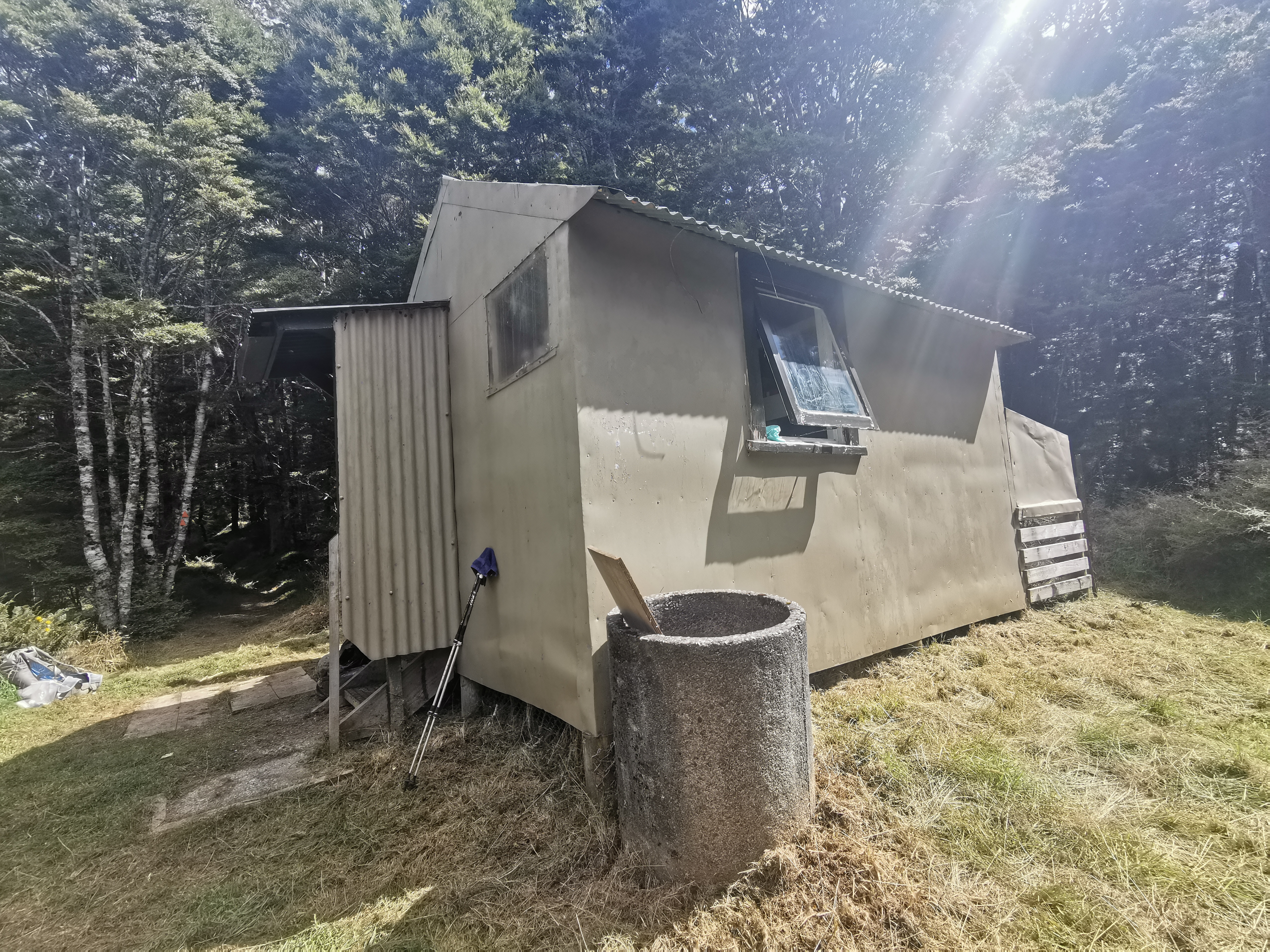
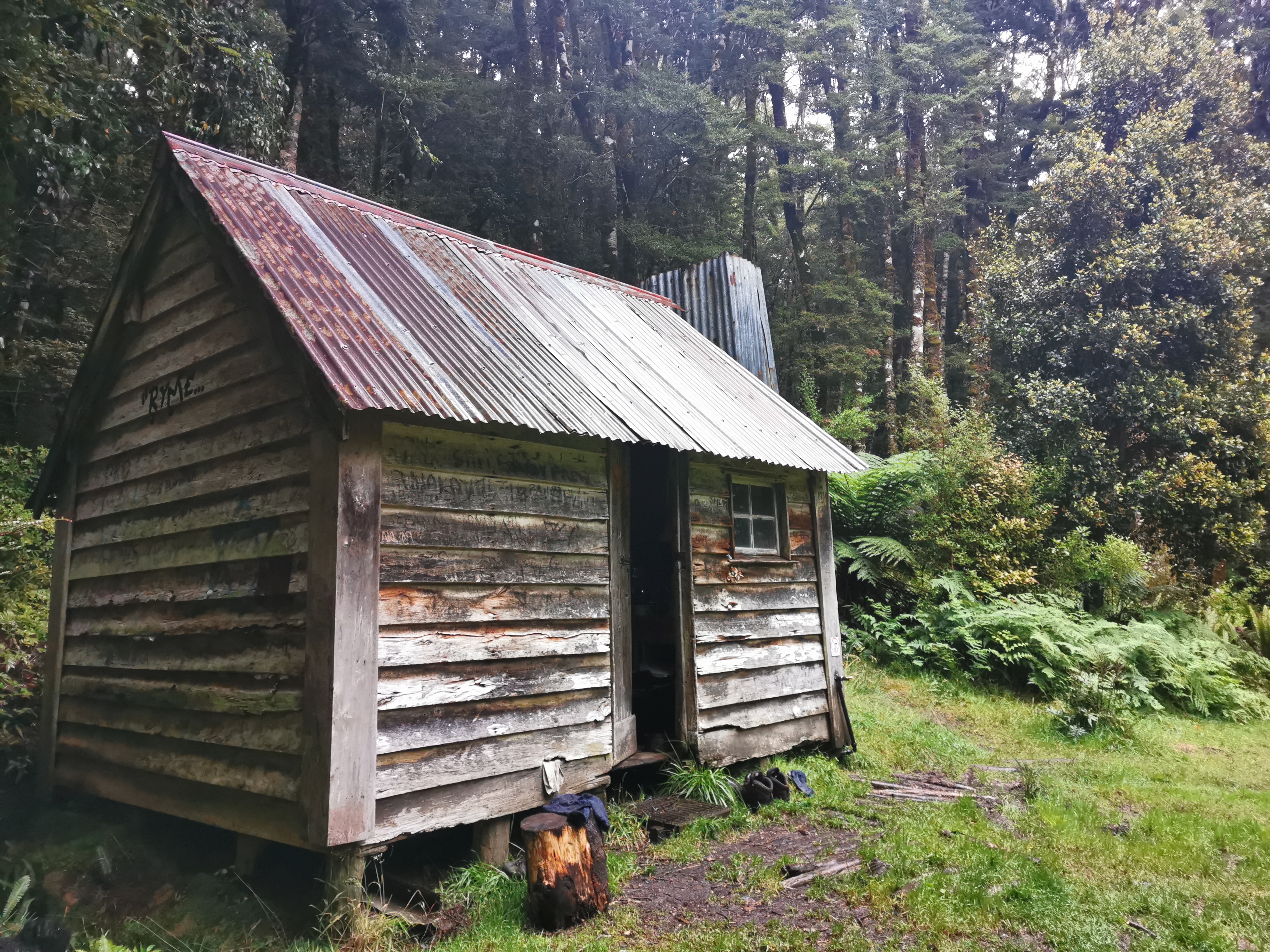
Taipo Hut
It’s cute!
Spelling Mistake Hut
And has a great view.
Taipo Hut and view
And a turnstile VIP entrance.
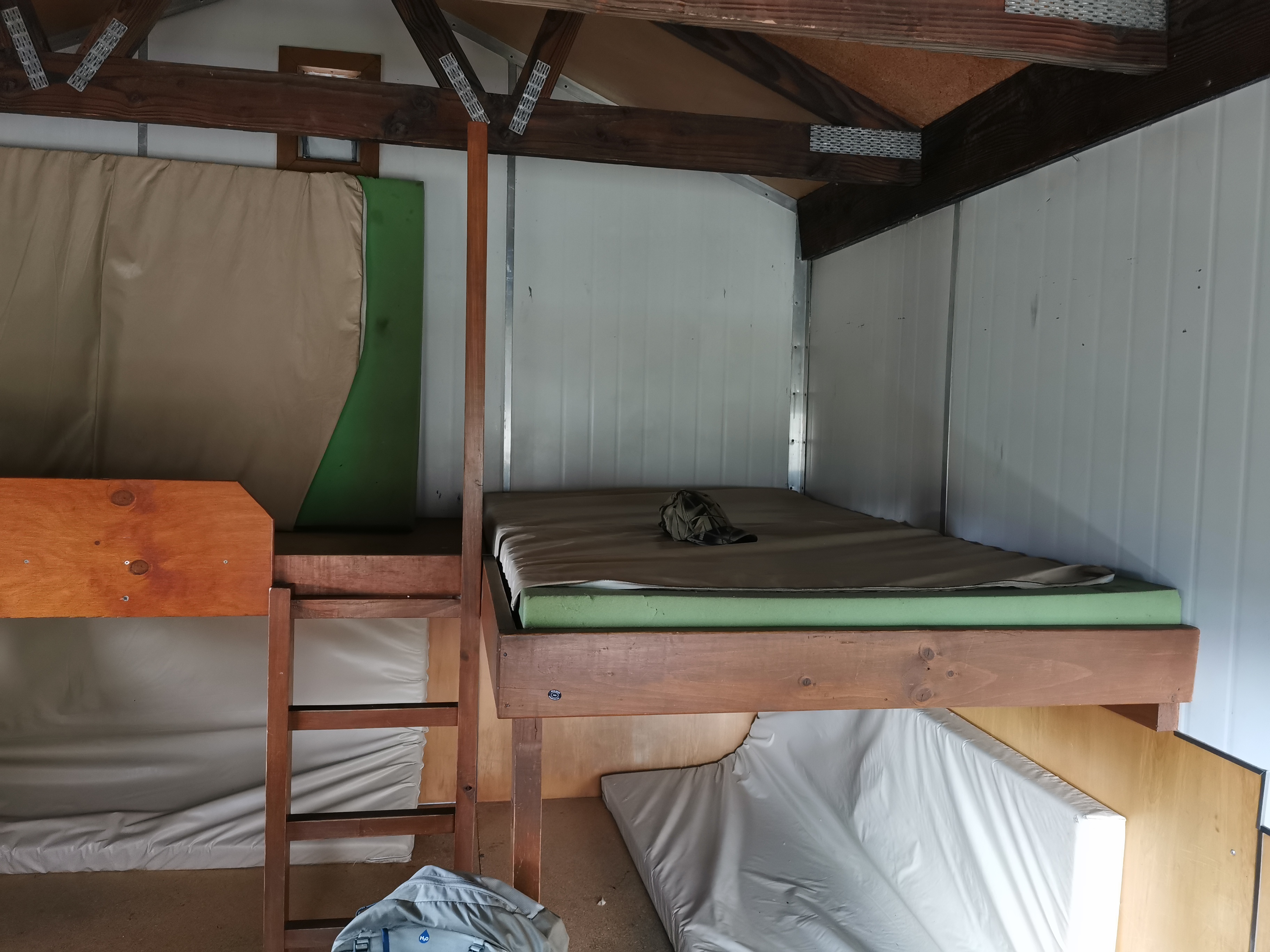
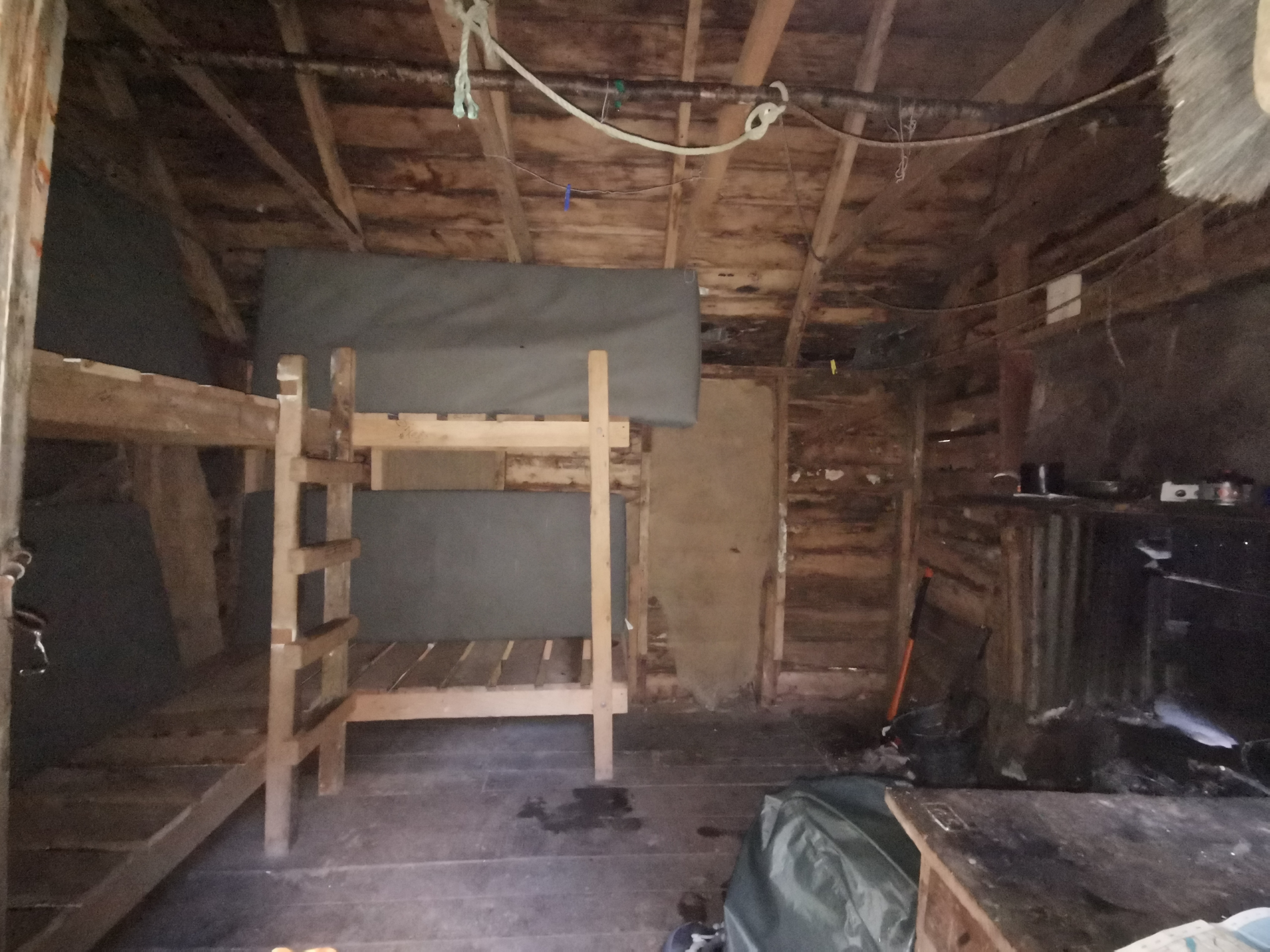
Four beds…
Each of which are very wide!
It’s reserved because it has my hat on it
There was no Covid-19 QR code on this hut though. I guess the virus can’t get way out here. At least I hope not.
I arrived at 5.15 which meant it took 3 hours from Greenstone Hut – better than the 4-5hr estimate on the signs. Nobody else was there. It meant I had time to just sit and admire the view and enjoy the peace and serenity which was nice after a night in Queenstown. I also got to write my blog entry and didn’t have to rush it.
And the sun was out, meaning my sweaty clothes could dry out. Hooray! The sun disappeared behind the hills quite early though so it got quite dark in the hut.
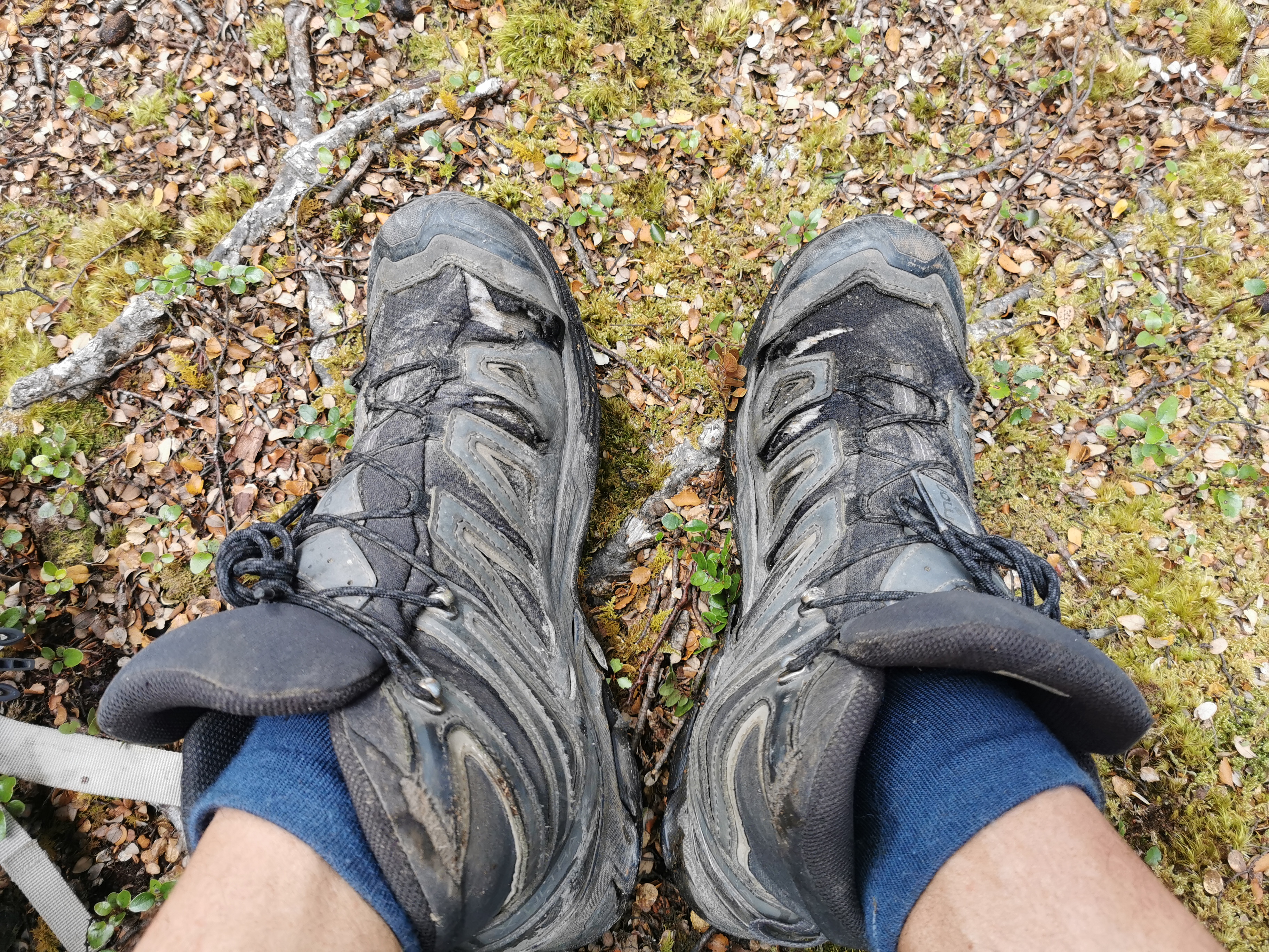
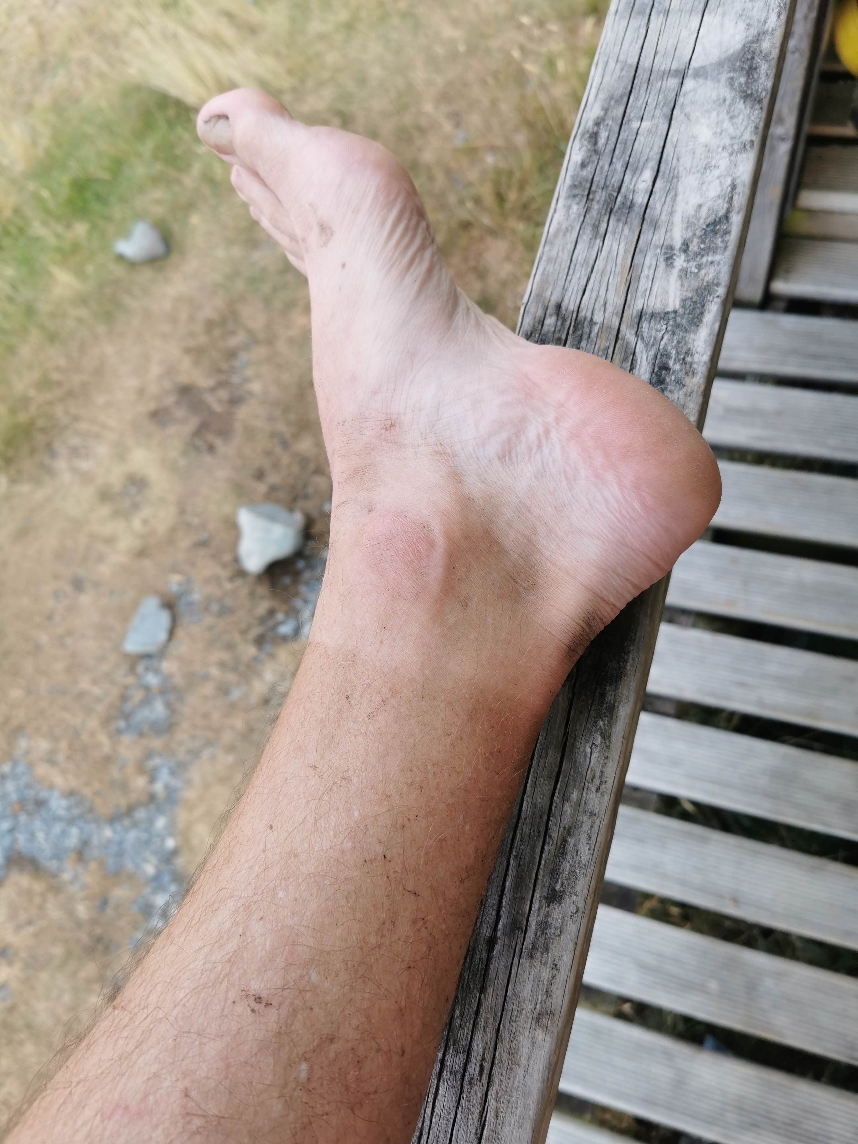
I noticed the tan line I’m already getting on my feet.
I feel aching in my shoulders and back though. I can’t wait for my pack to get lighter as I progress and eat the large amount of food I have. My eyes are also sore. I don’t know if that’s from the sun or from the sweat constantly pouring into my eyes from my forehead.
Nobody else showed up. This is my first night alone in a “proper” hut. The only other times I slept alone in a hut were the ramshackle Camerons Hut and the derelict Mt. Soho hut.
The only mention of mice at this hut was a Guthook comment from 3 years ago… but I’m still going to hang my food up on the hooks. Can’t hurt can it!
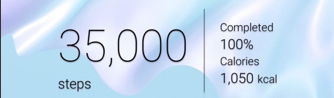
I finished the day with a nice round number of steps.
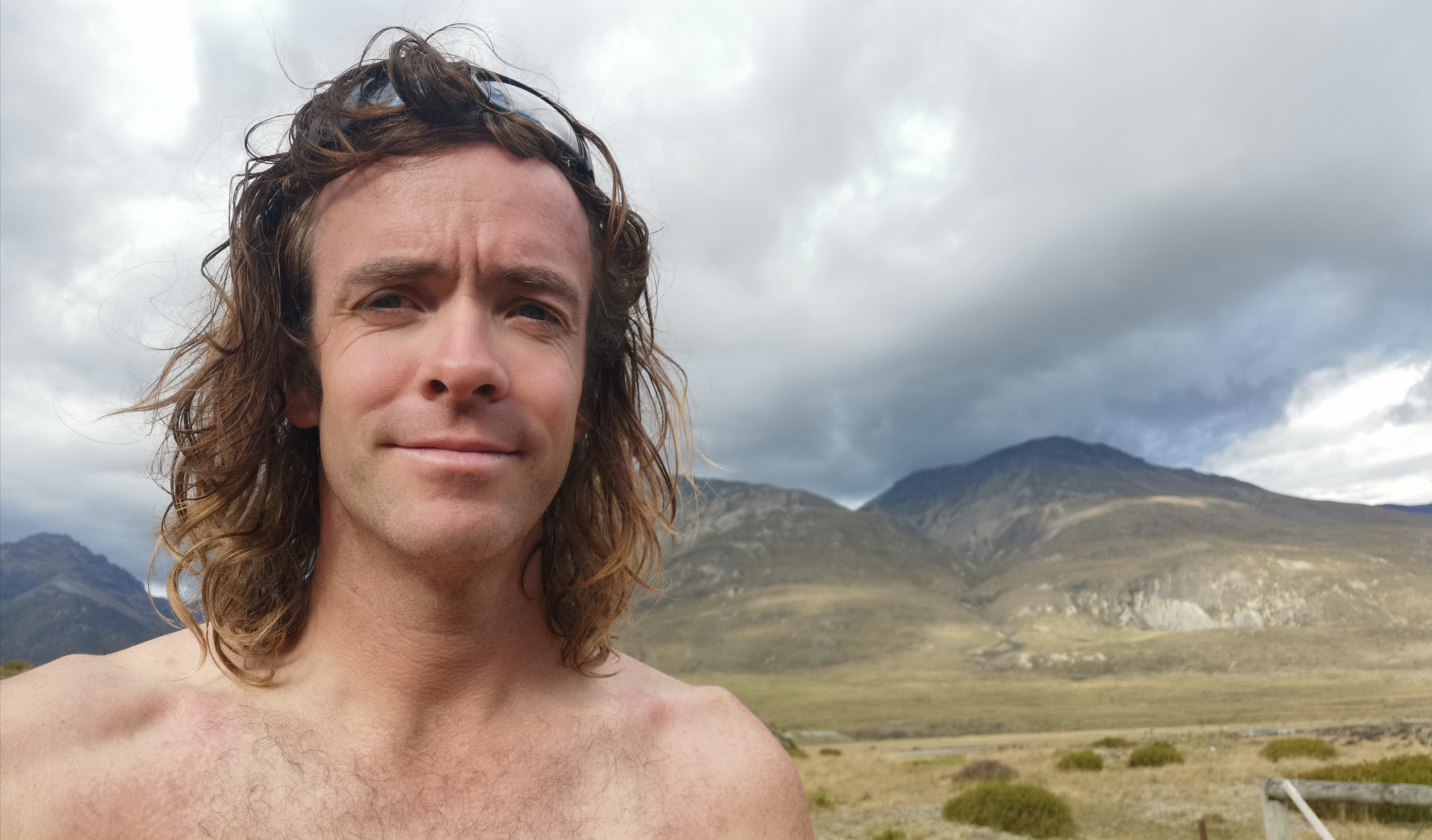
And I was surprised at how ridiculous my hair looks.
Just before the sun went fully down, the rain started. I didn’t expect that… I hope all the rain happens now while I’m sleeping.
Today was a nice first day back walking properly. A good distance and a good reintroduction to trail life. And nothing hurts… not too much anyway. If I was still “trail-fit”, I might have pushed on to the next hut 2 or 3 hours away, but today I’m glad I didn’t. And not just because I would’ve got rained on.
Date: 1 March 2021
Trail covered: 43.7km (kms 2705.0 to 2748.7)
Weather: on and off rain
I learned during the night that noises outside the hut are a bit scarier when you’re in a hut by yourself. I think that the noises were mostly the roof expanding and contracting but also possoms or something were walking on the roof… well at least I assume that’s what it was!
It was warm too. I wasn’t even in the sleeping bag when I first went to sleep, only in the silk liner. But I woke up at some point in the middle of night shivering and so I crawled into the sleeping bag eventually.
It’s also harder to get out of bed in the morning when you’re alone. There’s no motivation to get out of bed and every reason to stay curled up in the sleeping bag. But as what usually happens, I needed the loo so that forced me to get up.
Scenery when I woke up
It had been raining most of the night and it was still raining when I left. I put on my rain jacket and pack cover. I thought about waiting until the rain eased before setting out, but I didn’t… I mean I can see blue sky from the hut so surely it can’t last long.
I wasn’t sure of my destination today. There are quite a lot of huts close together and then there’s the Mavora Lakes Campsite so there are a few options.
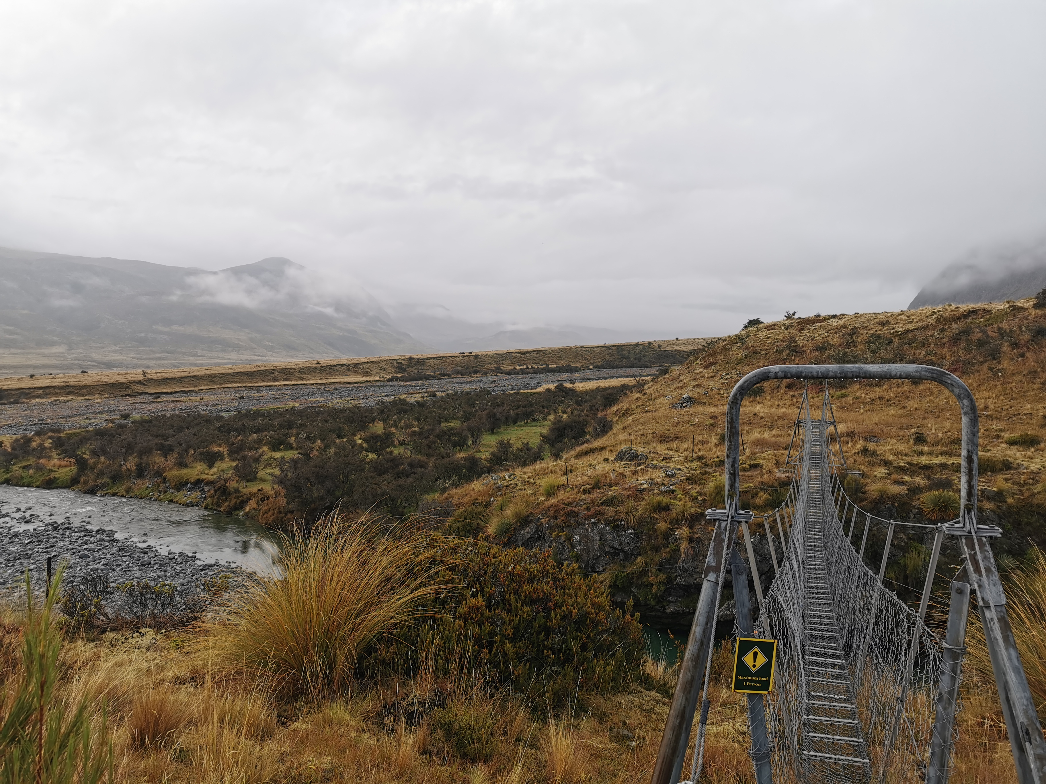
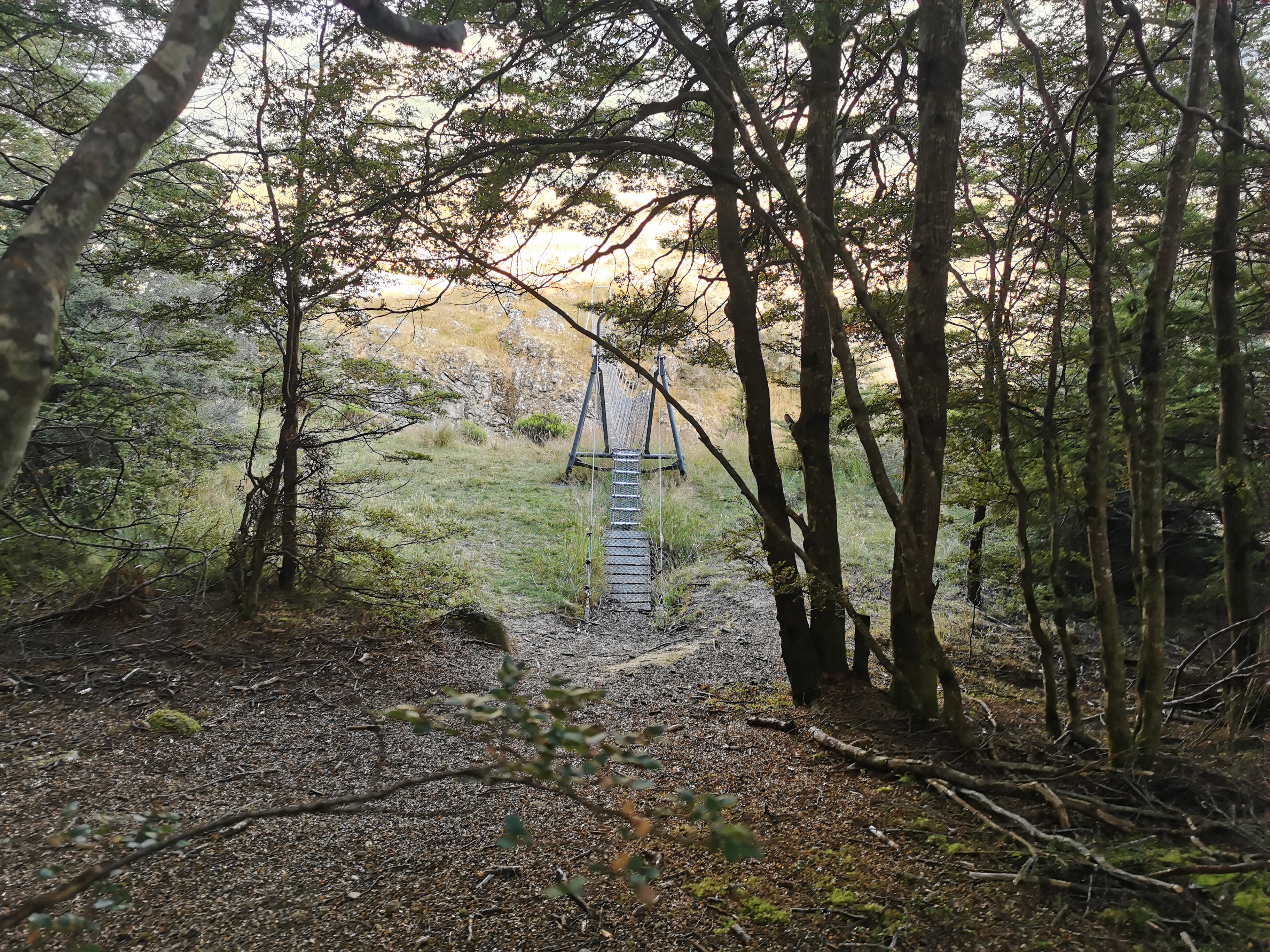
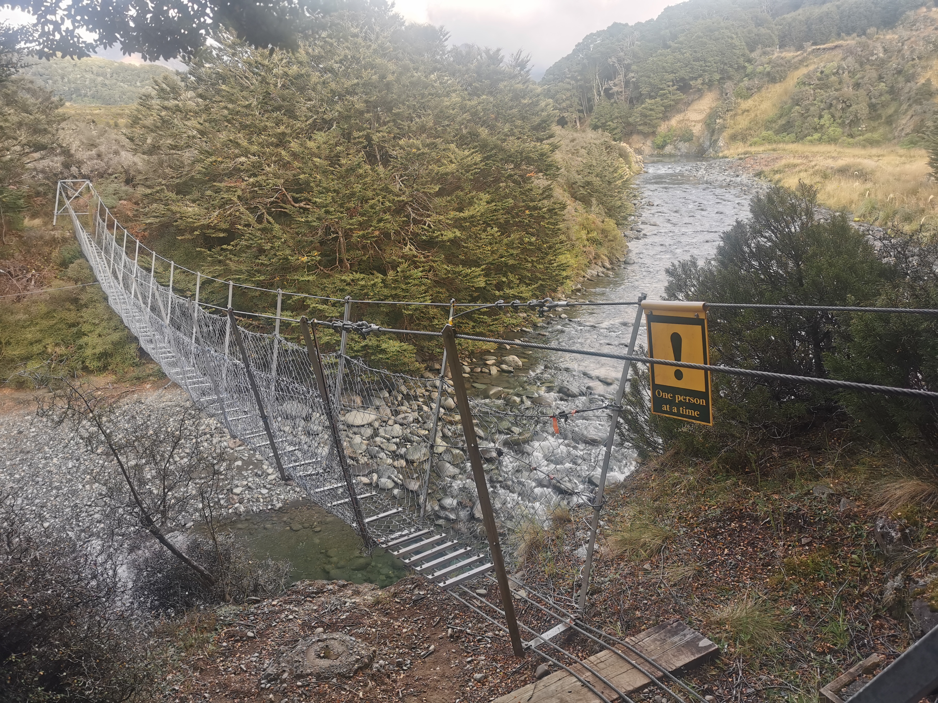
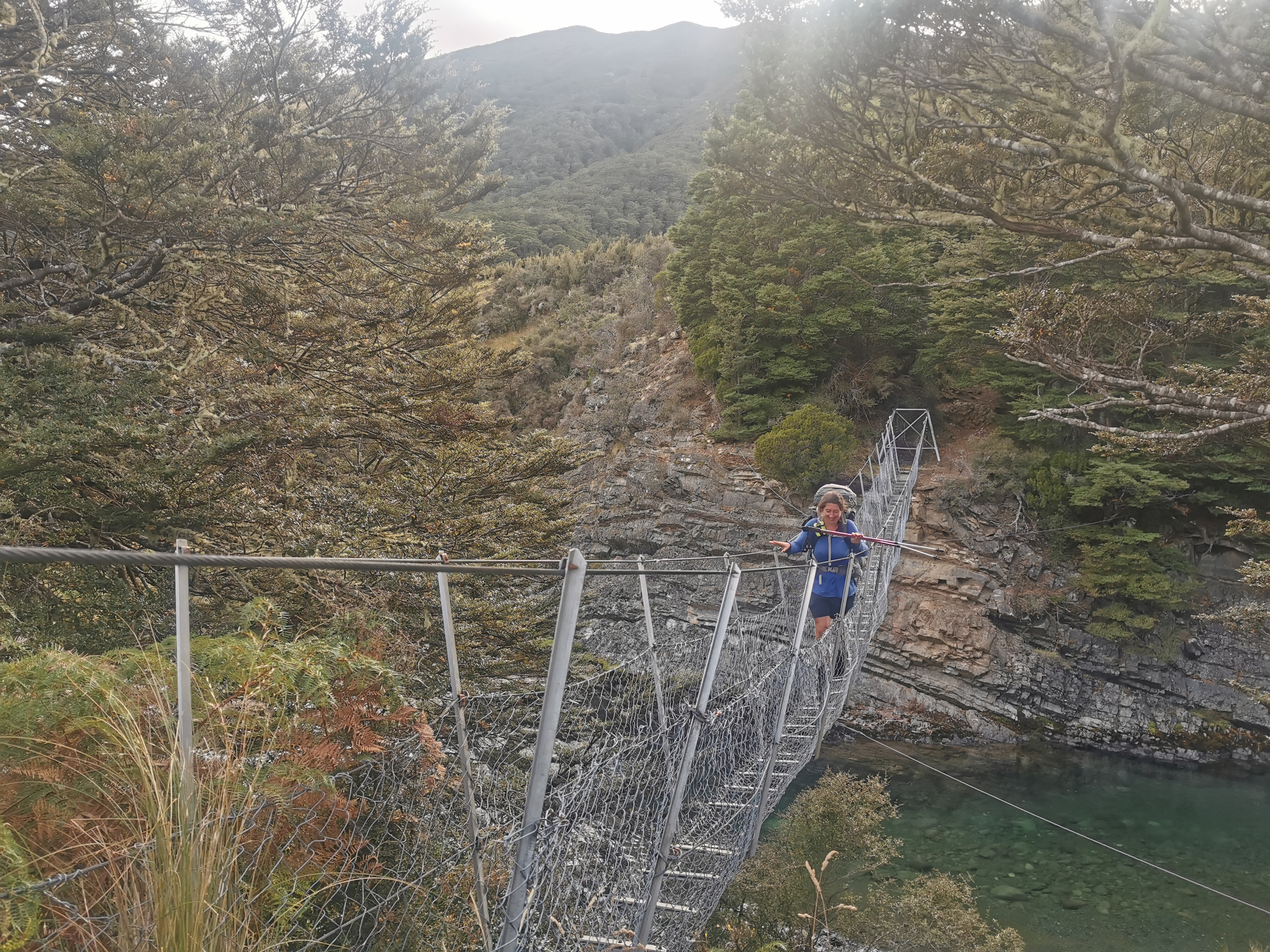
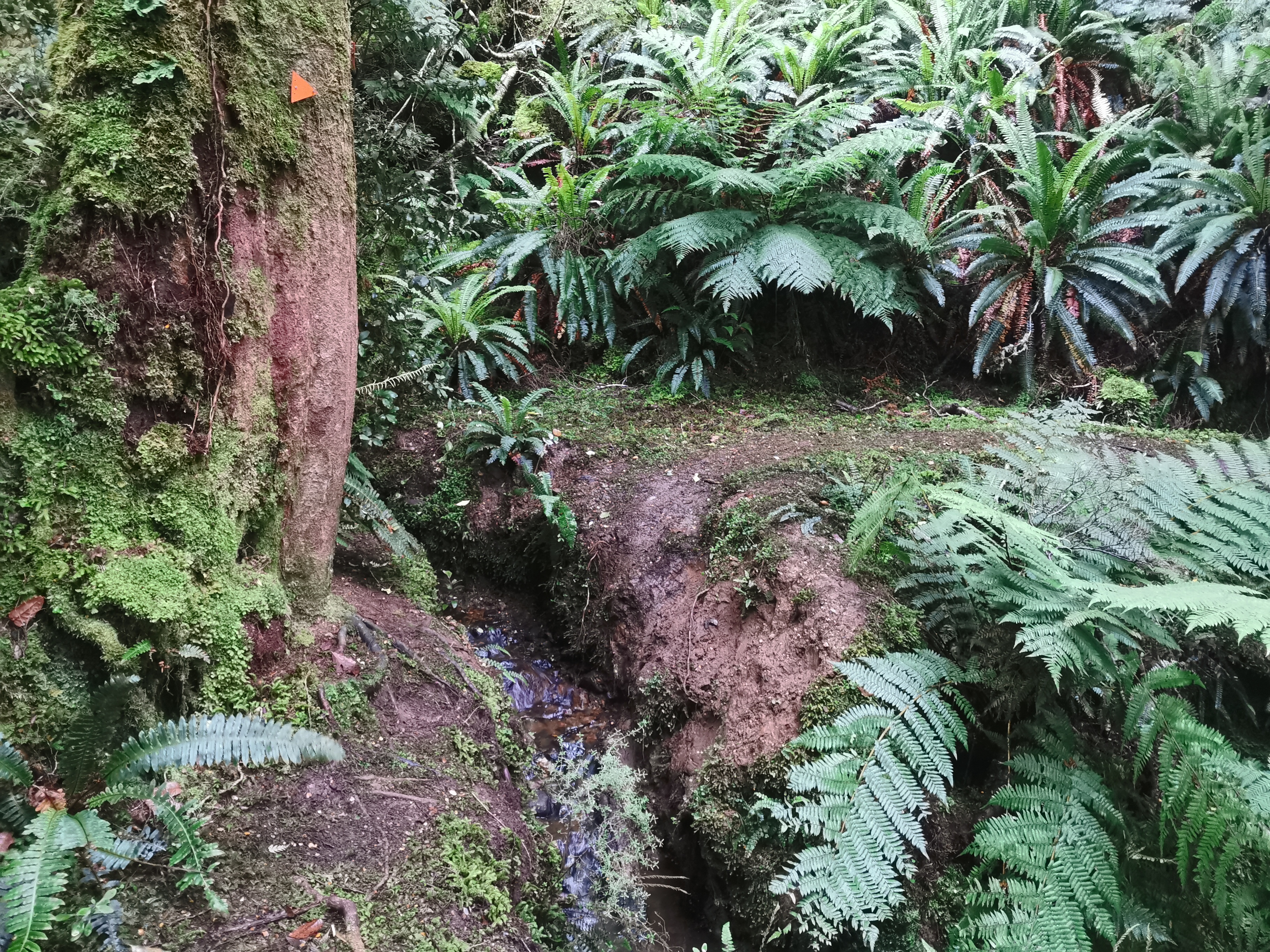
Firstly it was over this bridge. My boots are old and have lost their grip which makes it quite challenging to get up and down these types of swingbridges.
Then I got lost straight away. The red line was clearly wrong, so I looked for the markers. I couldn’t see any so I set off on the obvious track. It soon became clear that that was wrong also as it went up the river instead of down the valley.
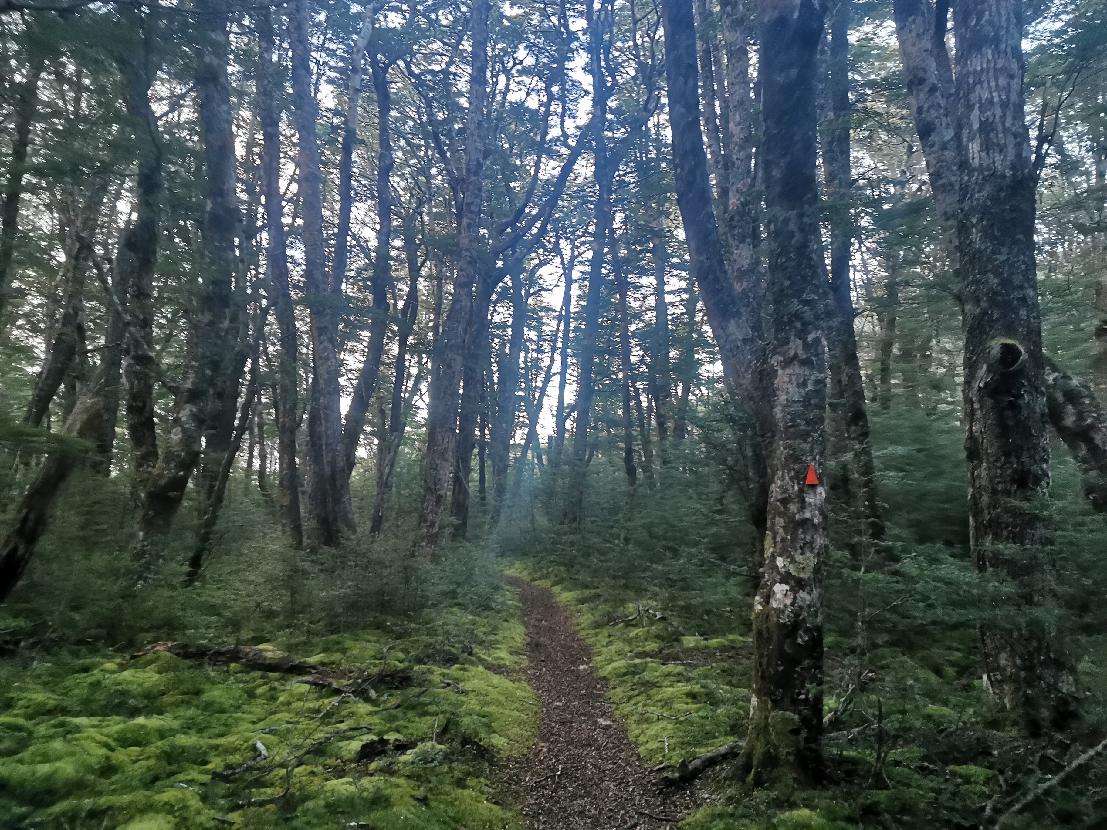
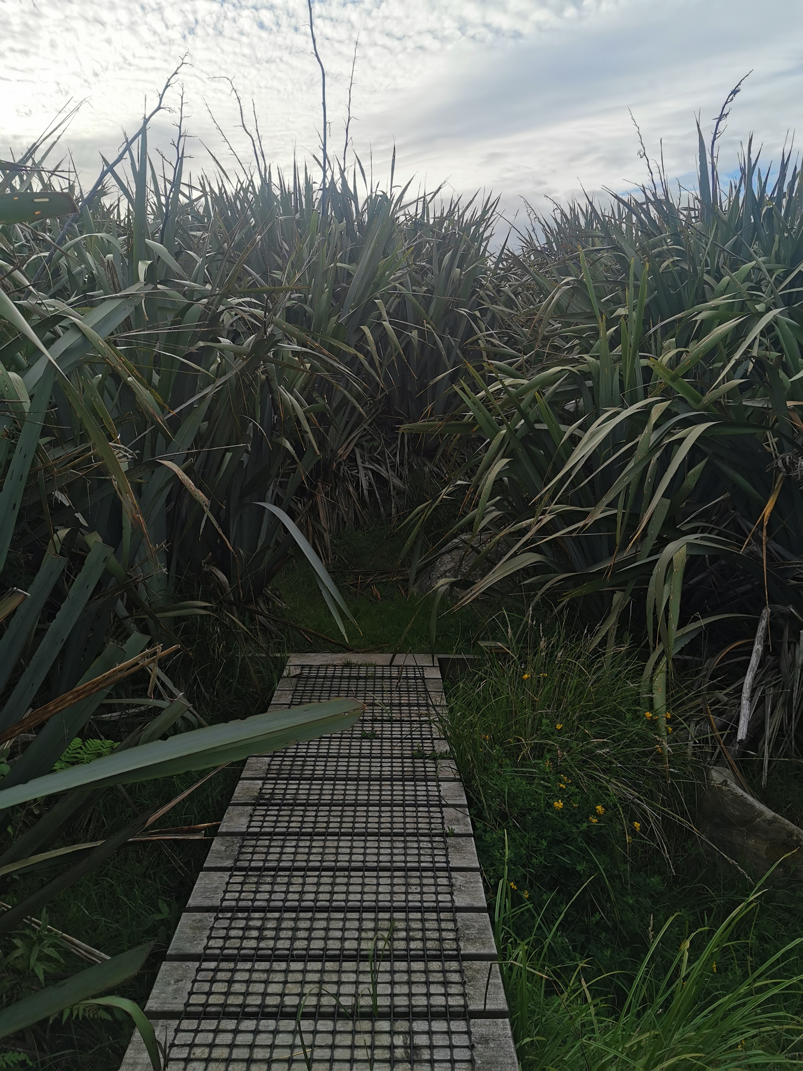
I found the right way eventually, thanks to some hard to find makers. It was through this spike patch. The rule of the TA is often look for the dirtiest, narrowest, muddiest, steepest or spikiest path and that one is usually it.
There was only the smallest bit of rain in the morning and then it stopped, so the rain jacket came off after 600 metres.
It was quite muddy for most of the way to Boundary Hut, but at least it was mostly flat. That meant I got a lot less sweaty than yesterday.
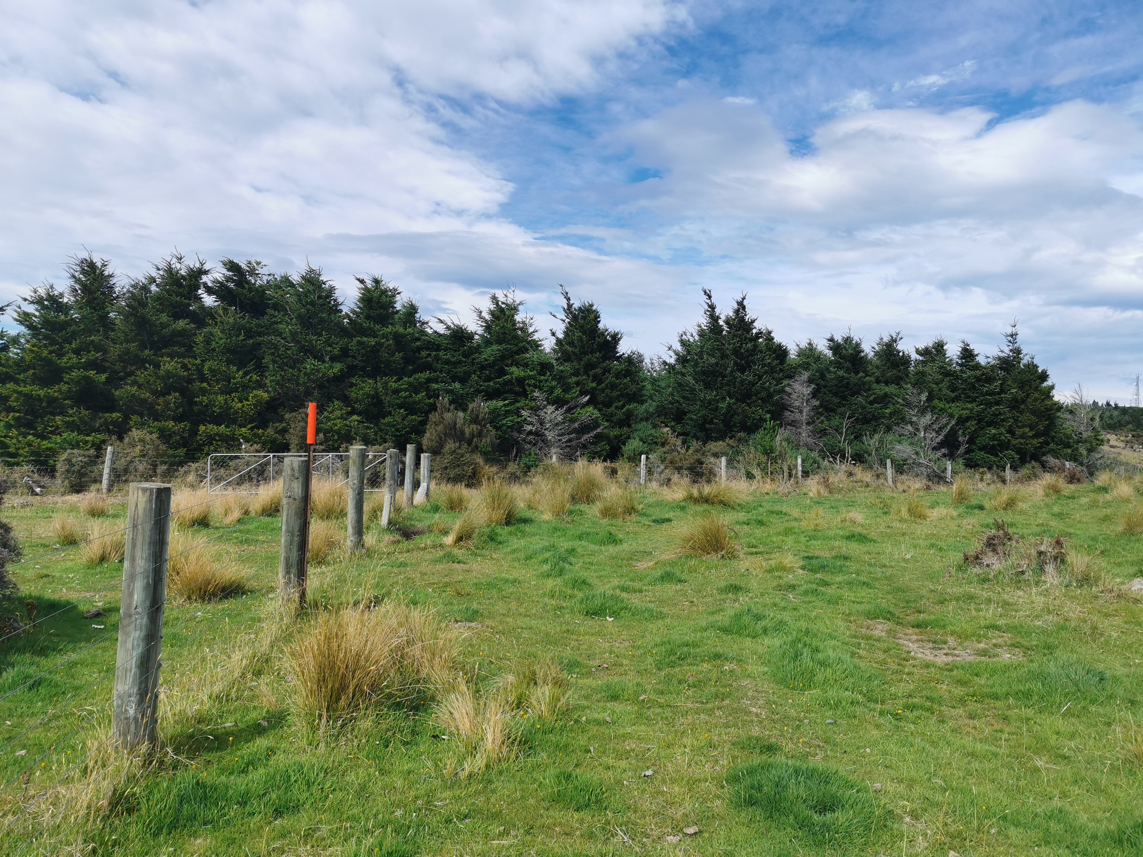
This fence was interesting. I had to go under it. Why no stile?
It even got a mention on Guthook.
I ain’t doing no limbo thank you very much.
Why do we have to walk on this hill, I wondered. Why not down there by the river. I guess it must be real muddy down there.
I saw one person after about 8km. First person I’d seen in nearly 24 hours. We only exchanged a quick hi, but I did notice he had no hiking poles.
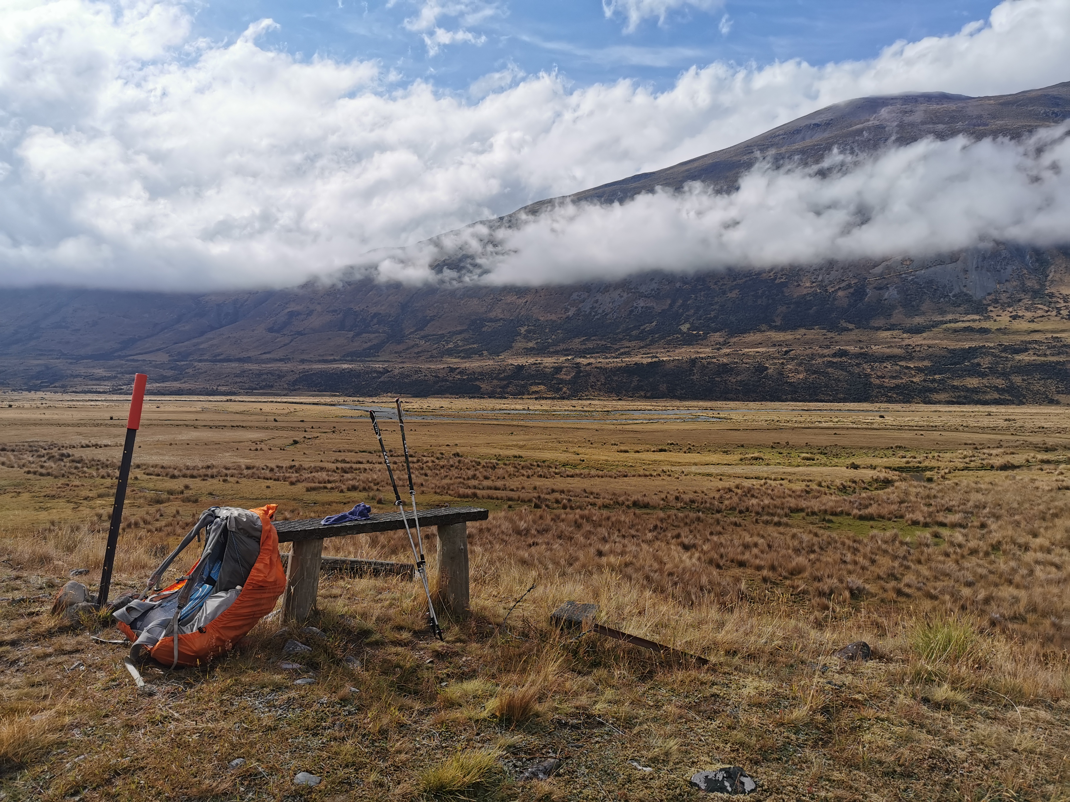
I figured it would be rude not to stop at this seat I found, especially since the sun was now coming out.
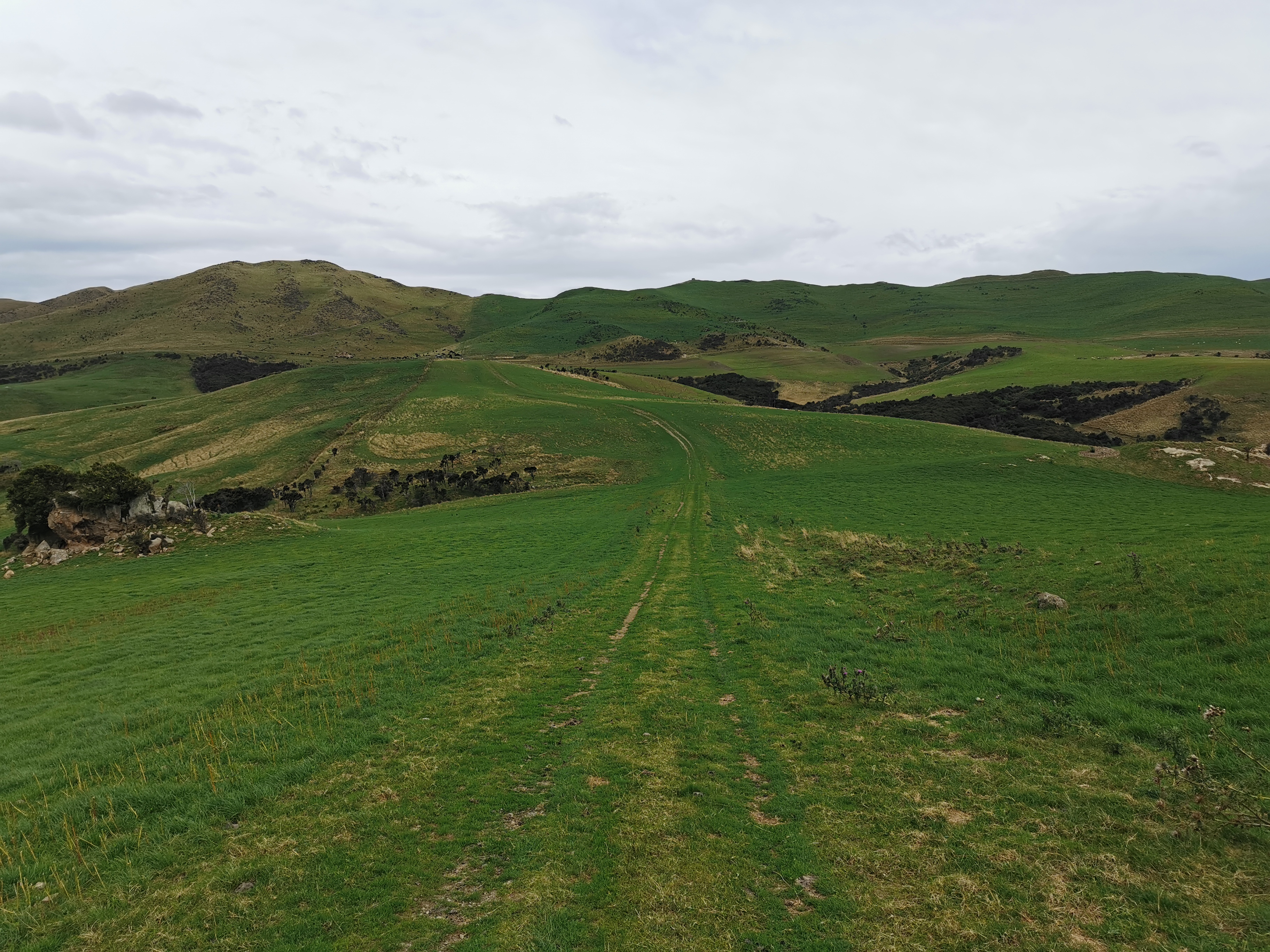
At 11am it got flatter and easier. I guessed that the next bit might be going up those hills on the right, and I was correct, but it was a light 4WD track and so it was easy going.
11am picture
Shortly after this point I could really feel the sun on the back of my legs. They haven’t seen a lot of sun, especially like they used to last year when I was walking in the sun every day.
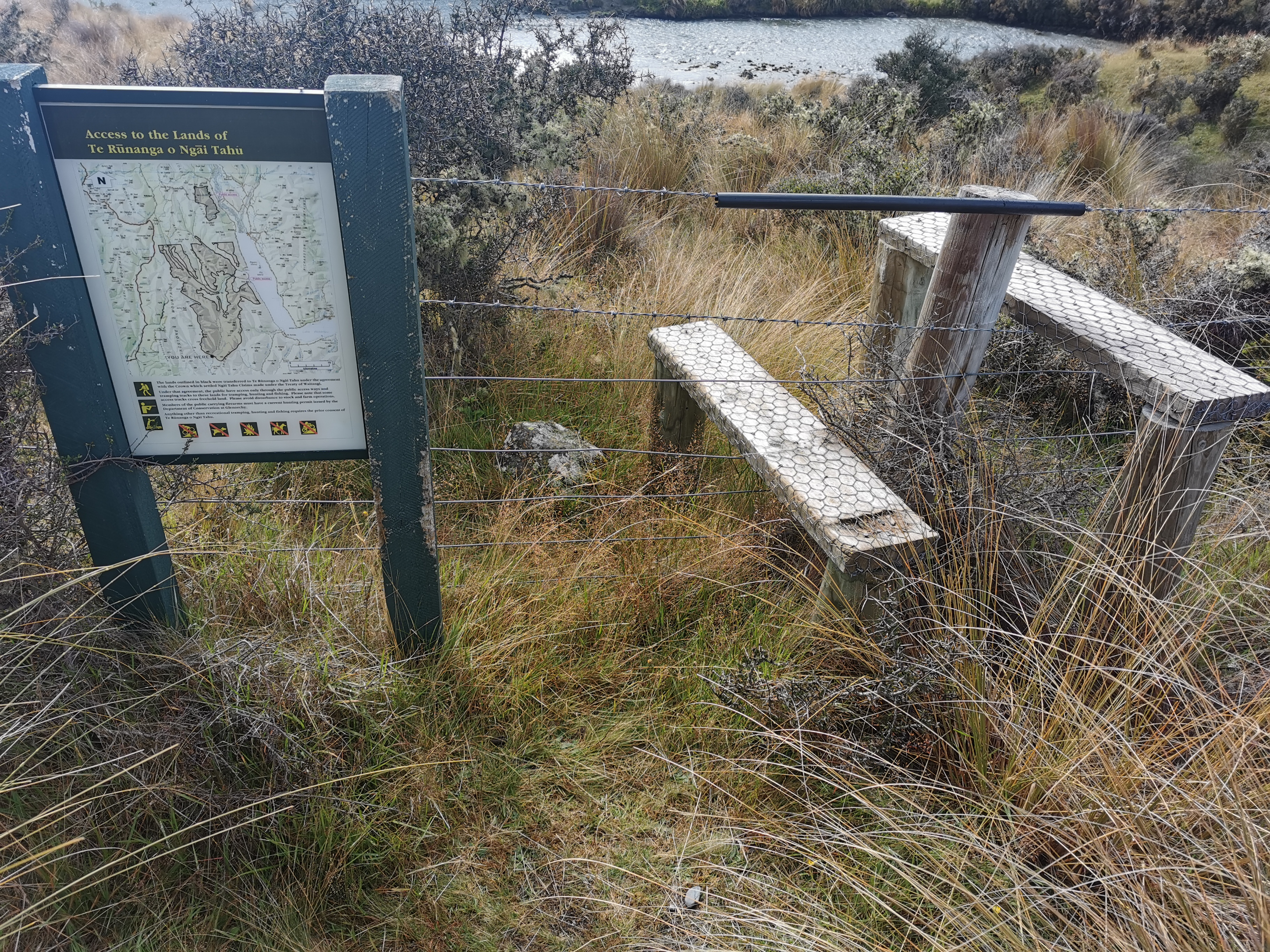
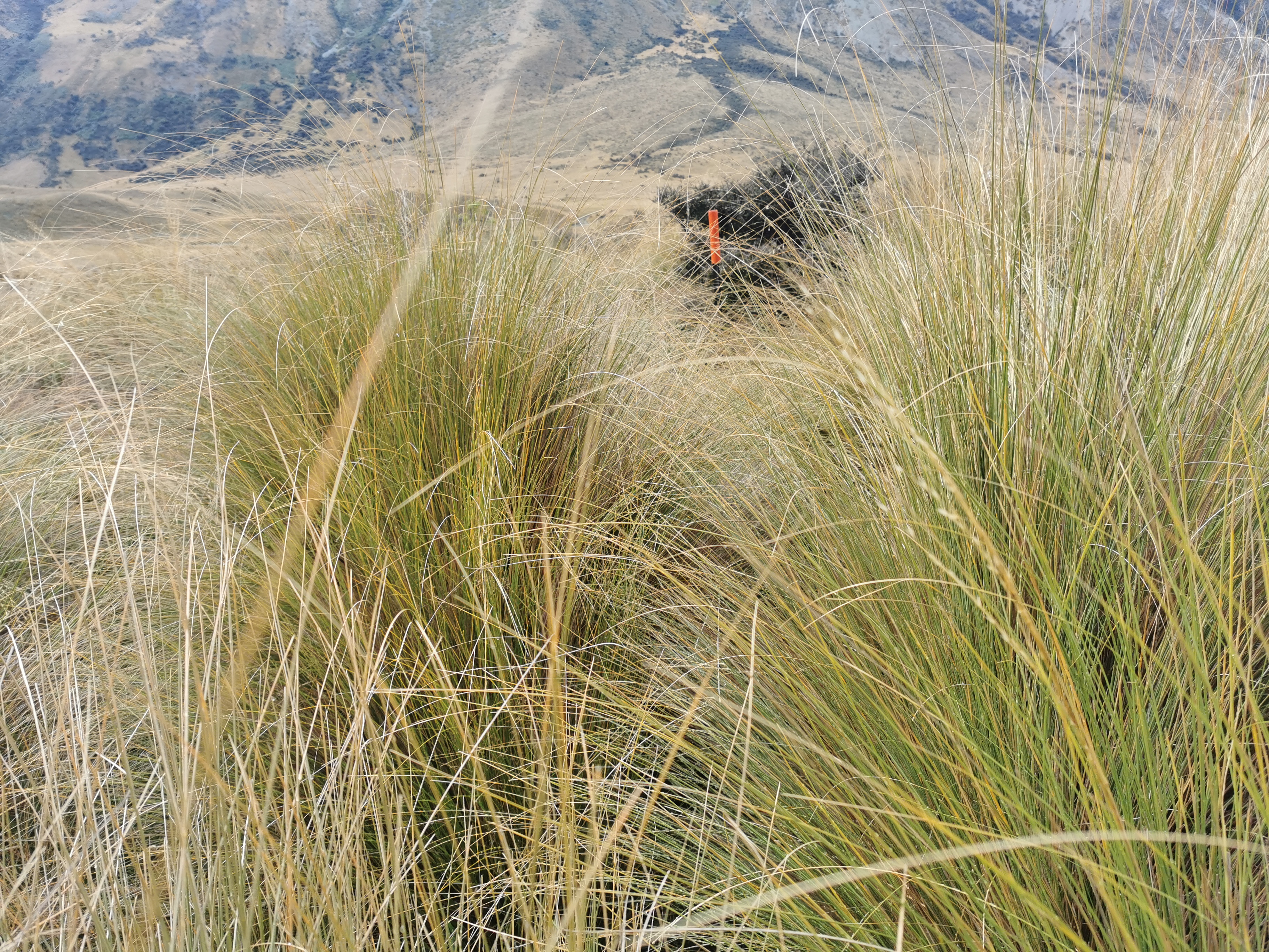
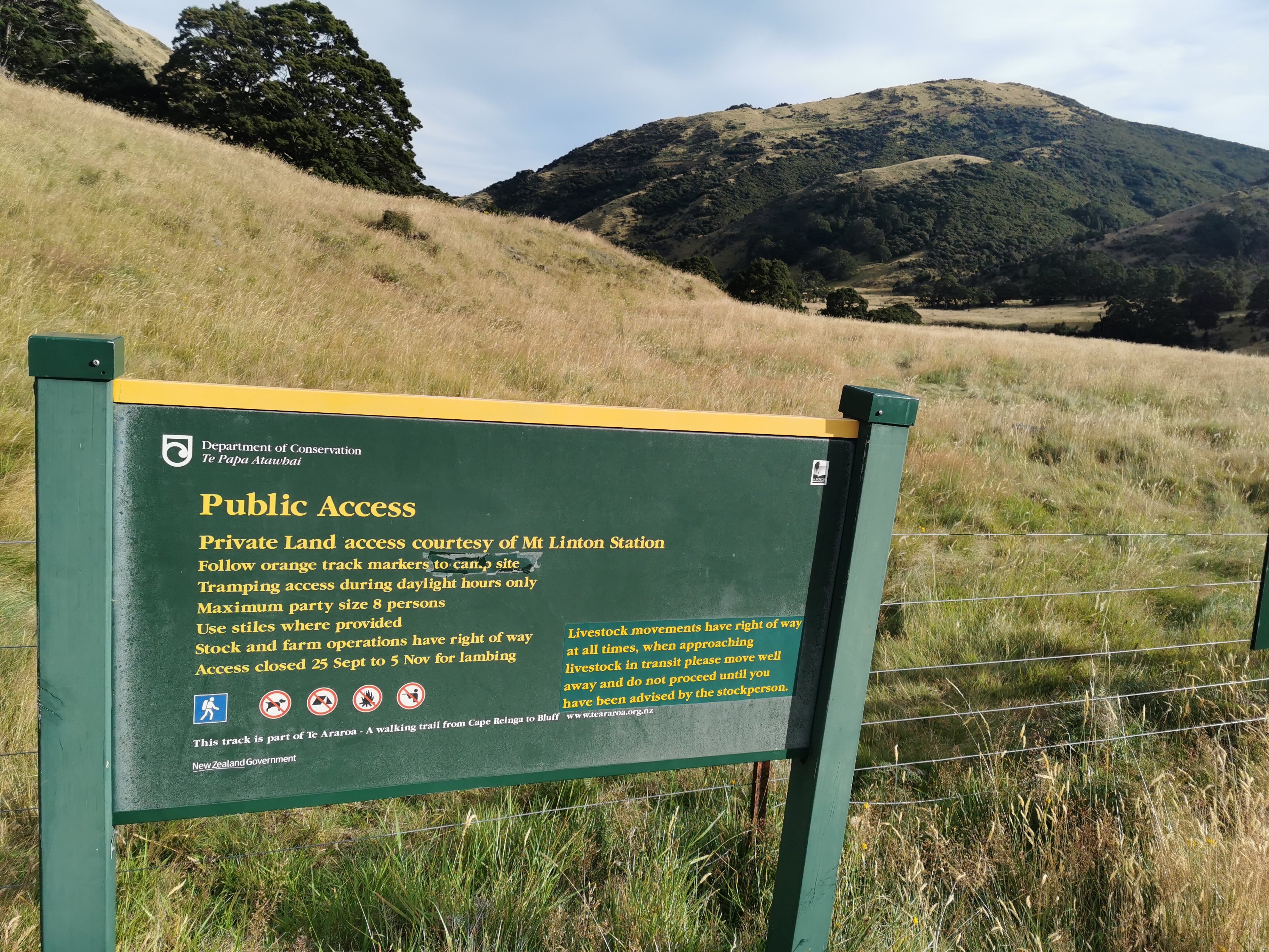
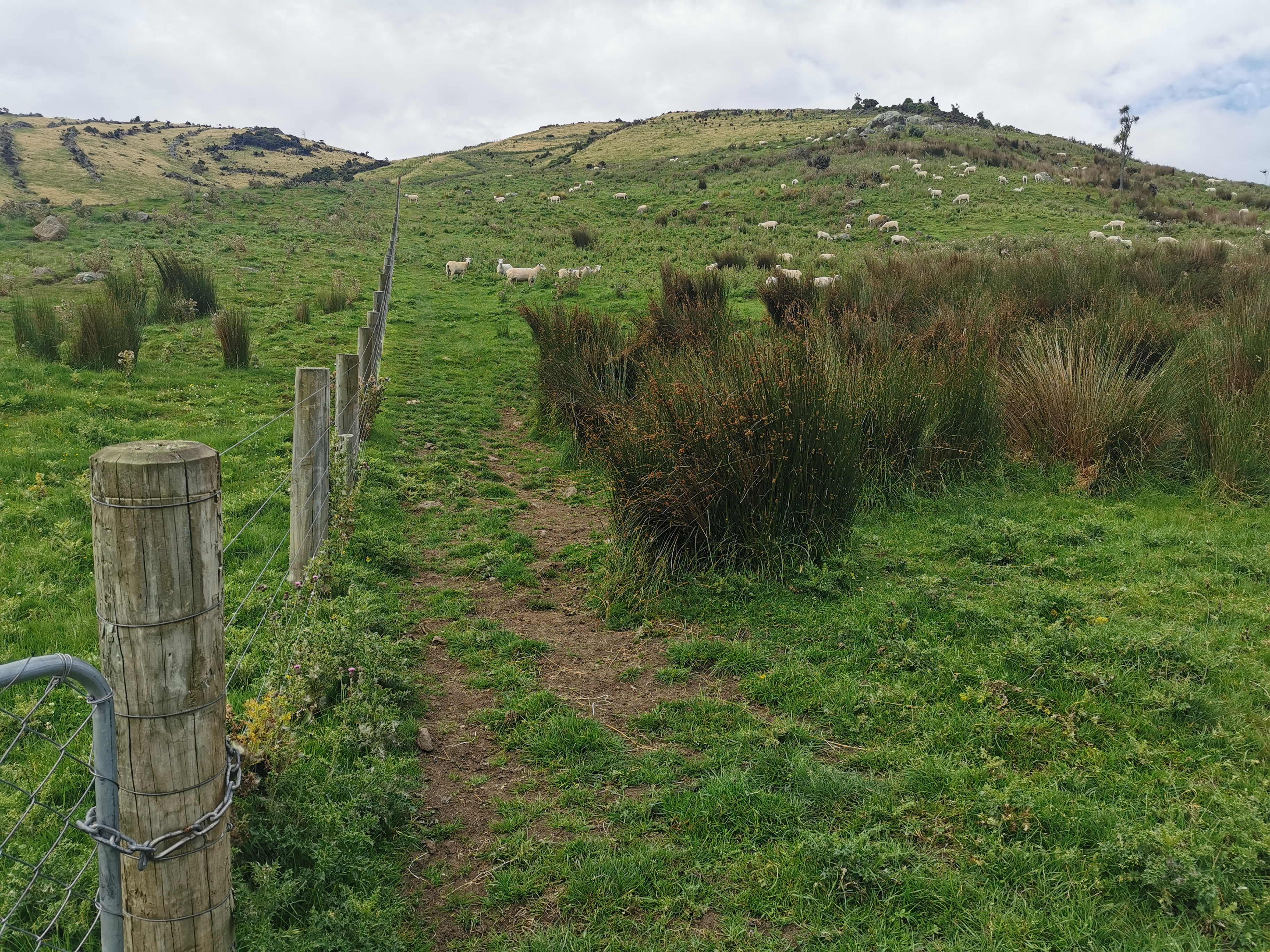
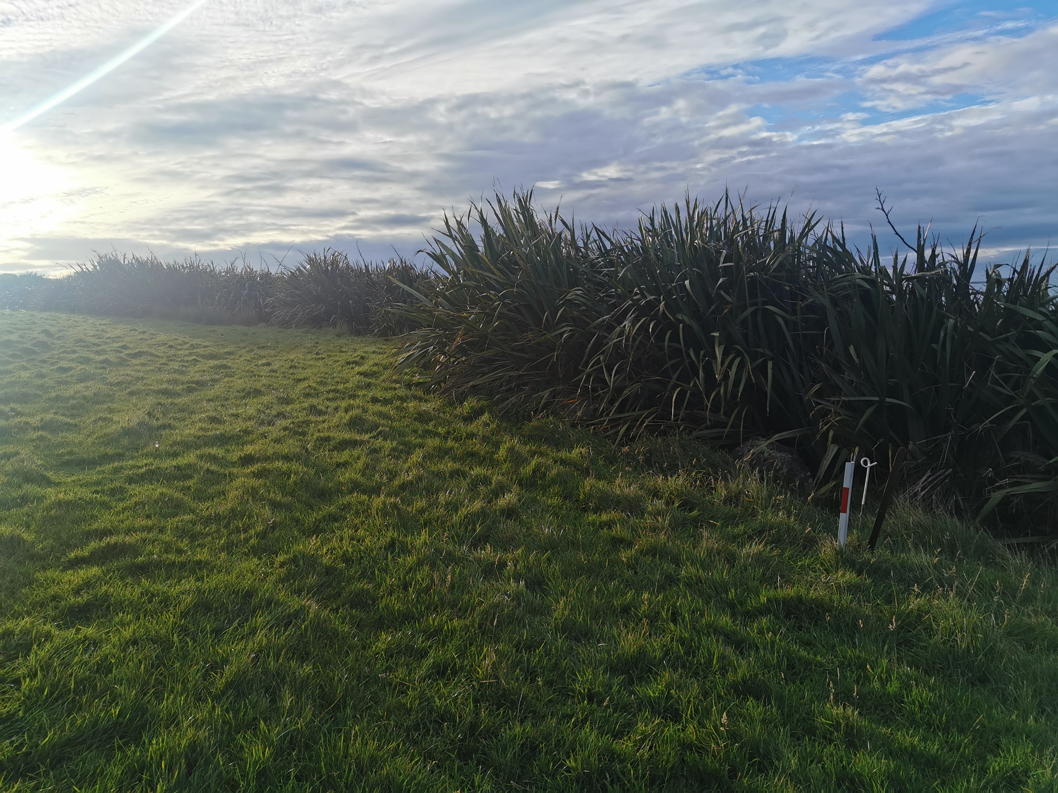
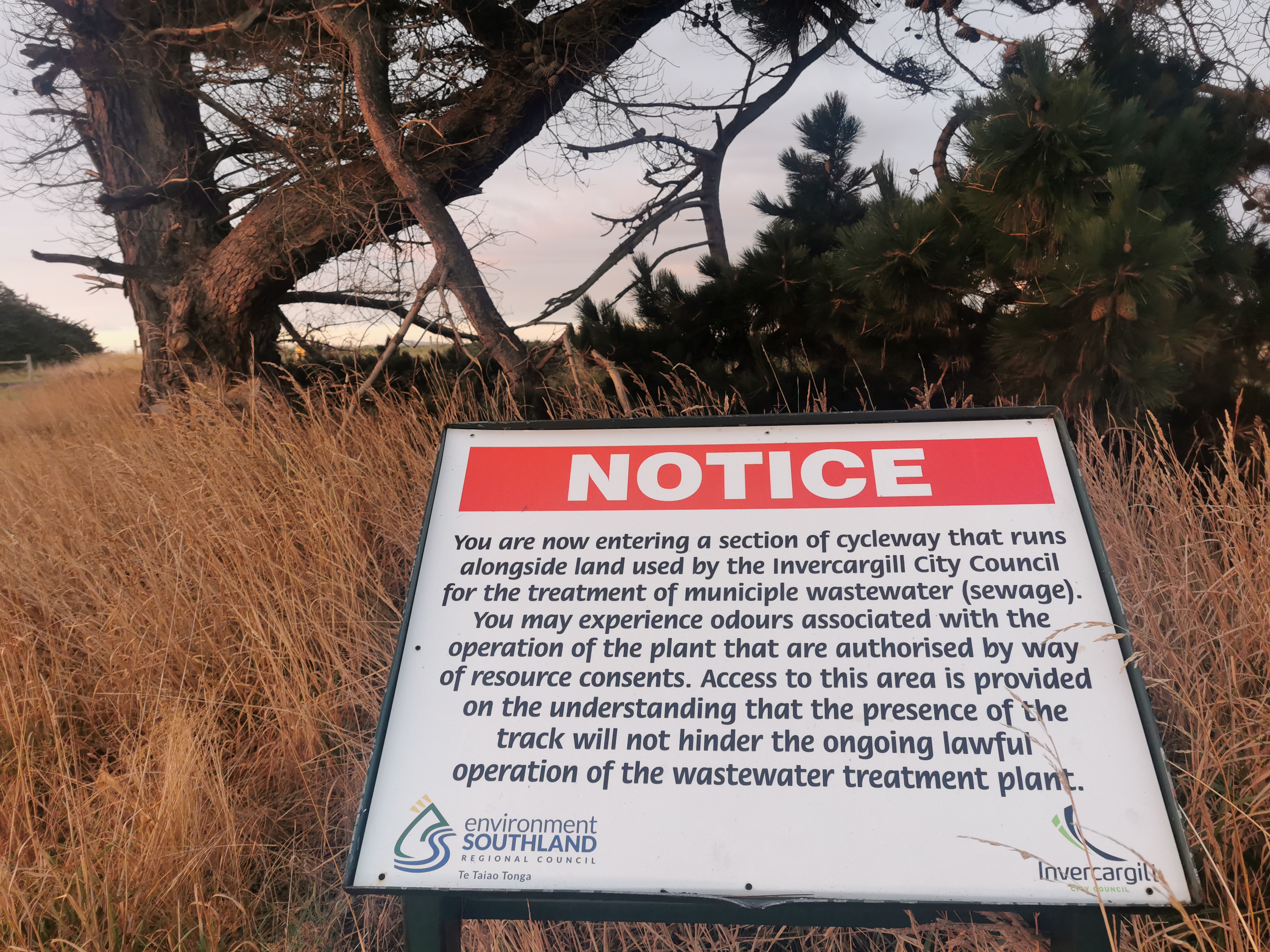
Close to Boundary Hut I encountered my first stile since I restarted. Also a sign about how this is Maori (Ngai Tahu) land but when they were given the land from the crown, it included the condition that the public can use the marked access ways.
There’s Boundary Hut… But to get to it you have to go all the way around the river to where the bridge is.
These evil things made a return on this section!
Evil Wild Spaniards
And look how long tussock is. It was really hard to find the path in this bit. Just remembering the general direction of the bridge and hoping for the best seemed like the most appropriate tactic.
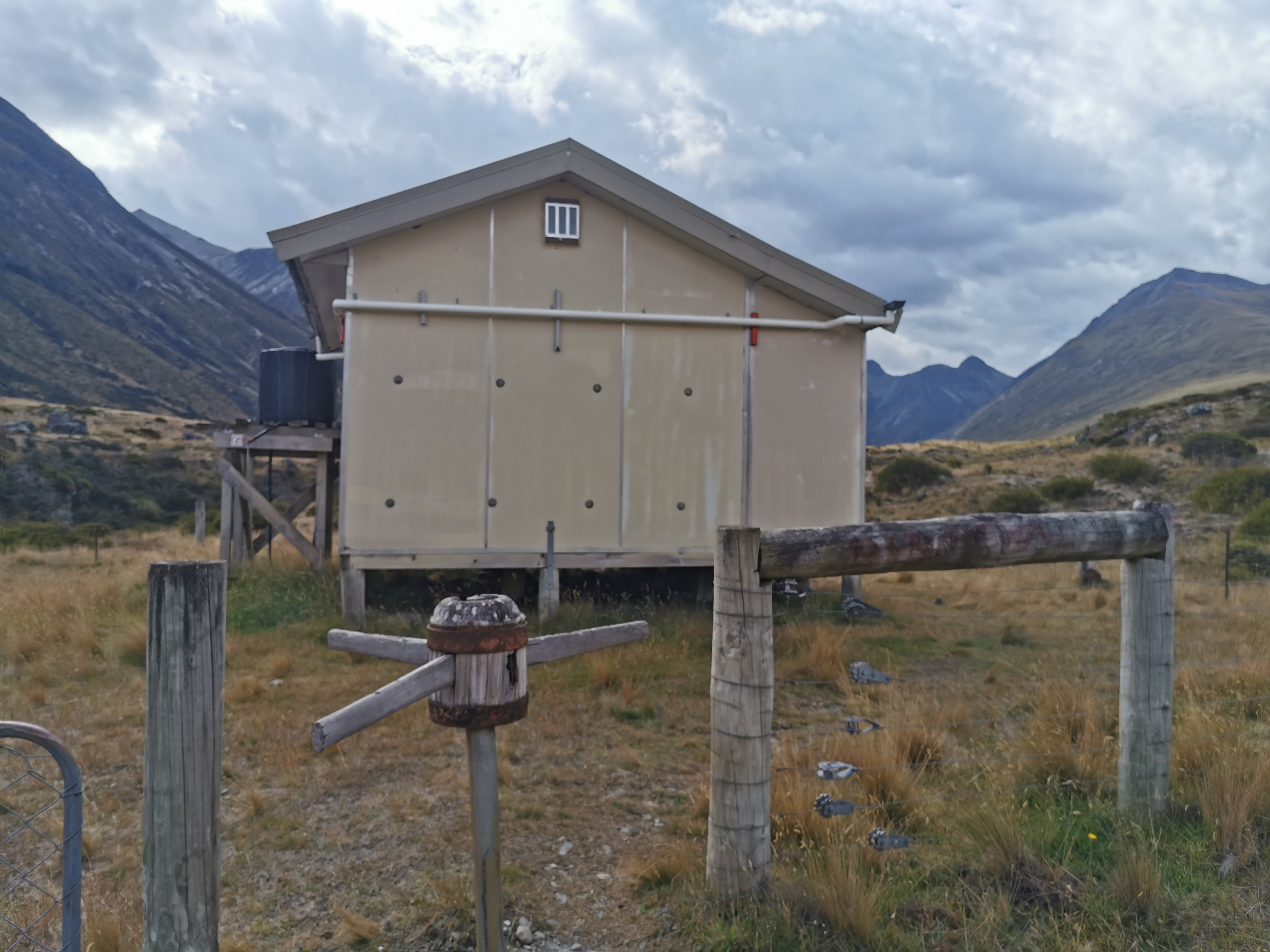
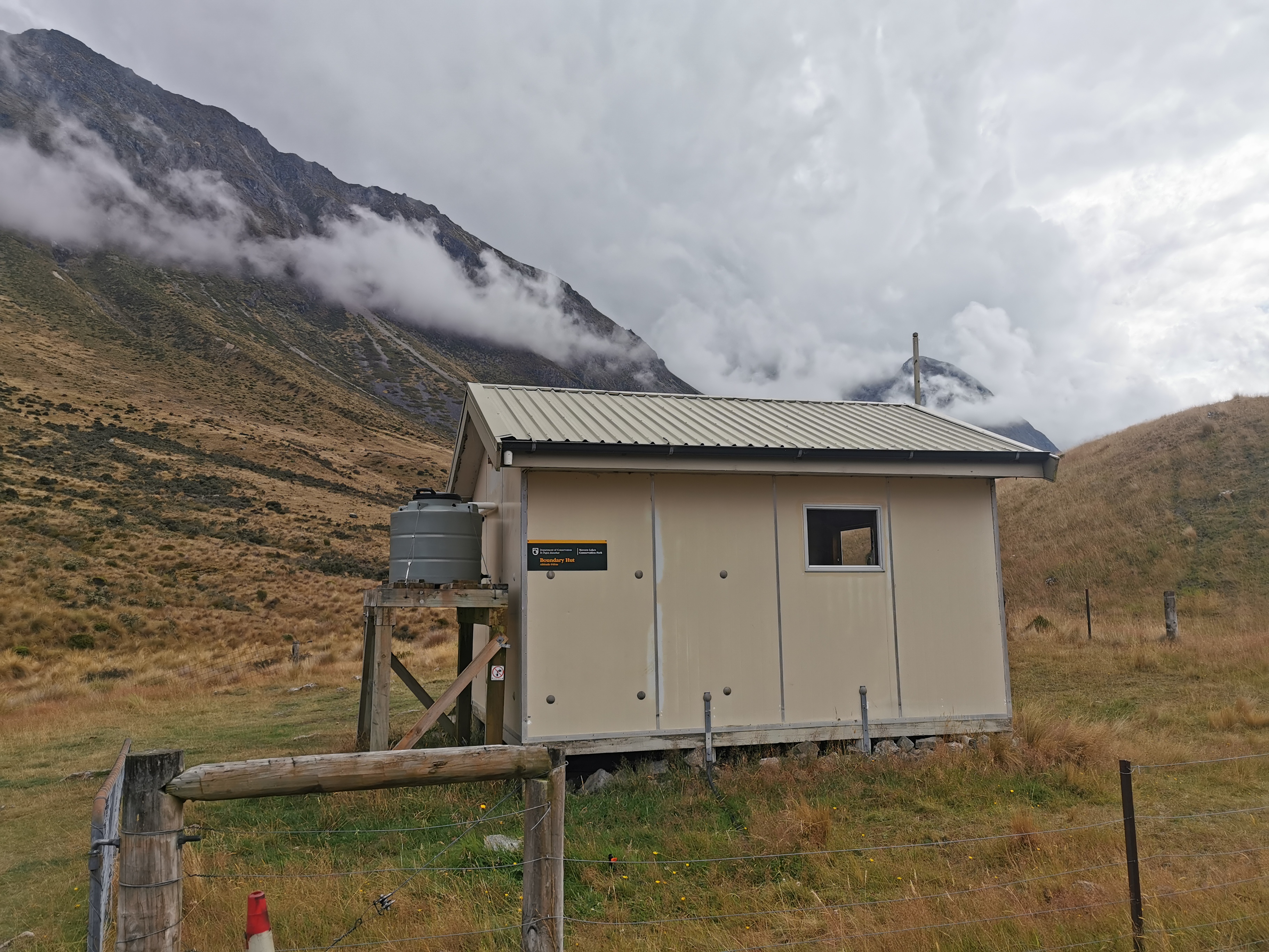
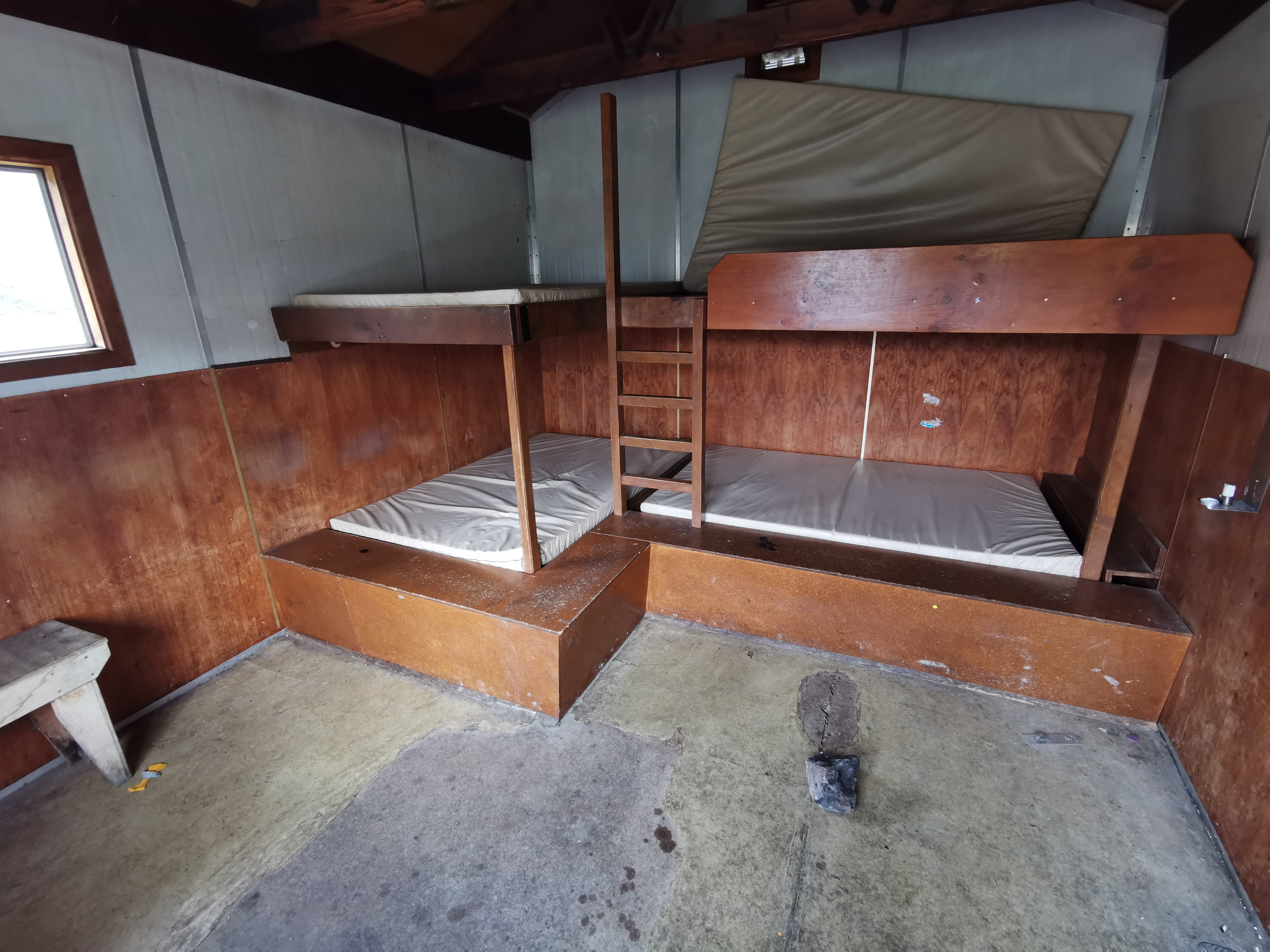
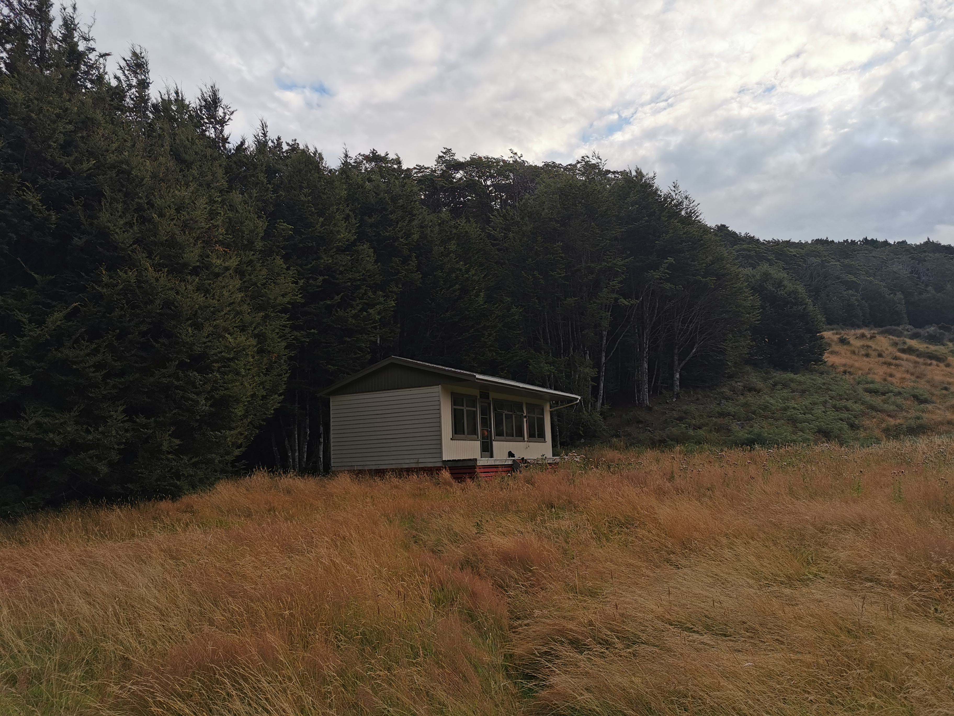
Boundary Hut looks like Taipo Hut, but older and crappier inside.
Boundary Hut
At the hut Shay went through and wrote in the hut’s “intentions book” that he crossed the river to save a few meters. He also wrote “running out of day, going to careys hut”. The book was full of toilet overflowing comments as well. I won’t be using that one today. And the mystery guy I passed earlier didn’t write in the book.
I had made good process so far and so I wondered if I could make Kiwi Burn Hut which is past the campsite, but it’s 31km from here and I’ve already done 12km. It might be possible if it is a 4WD track all the way but I don’t think it is.
However it is 4WD track straight away from leaving Boundary Hut and I knew this went for a while.
It started going uphill.
Someone in a 4WD vehicle stopped and talked to me. It was just general chat but he did say that rain is coming later in the week.
There he goes
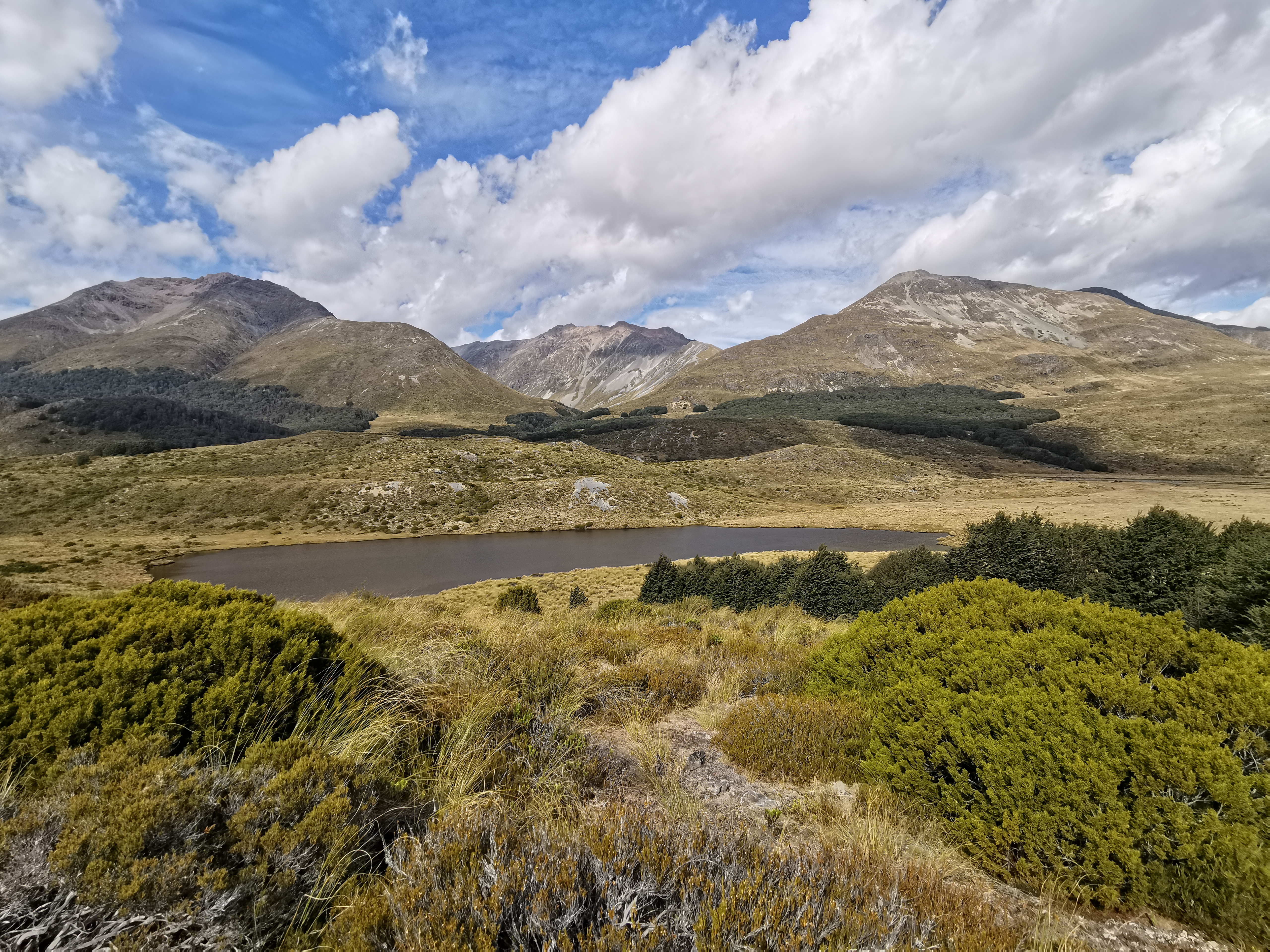
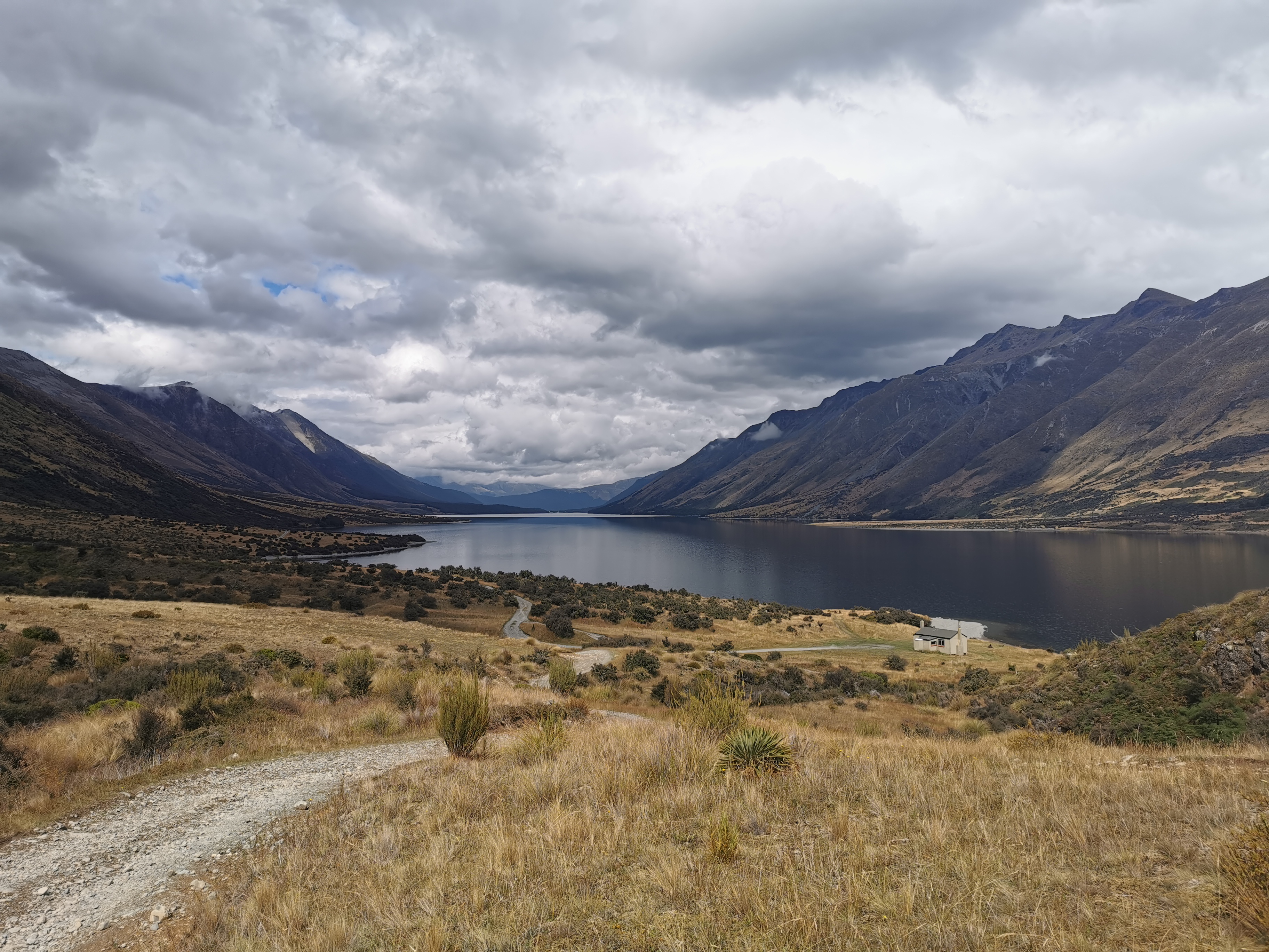
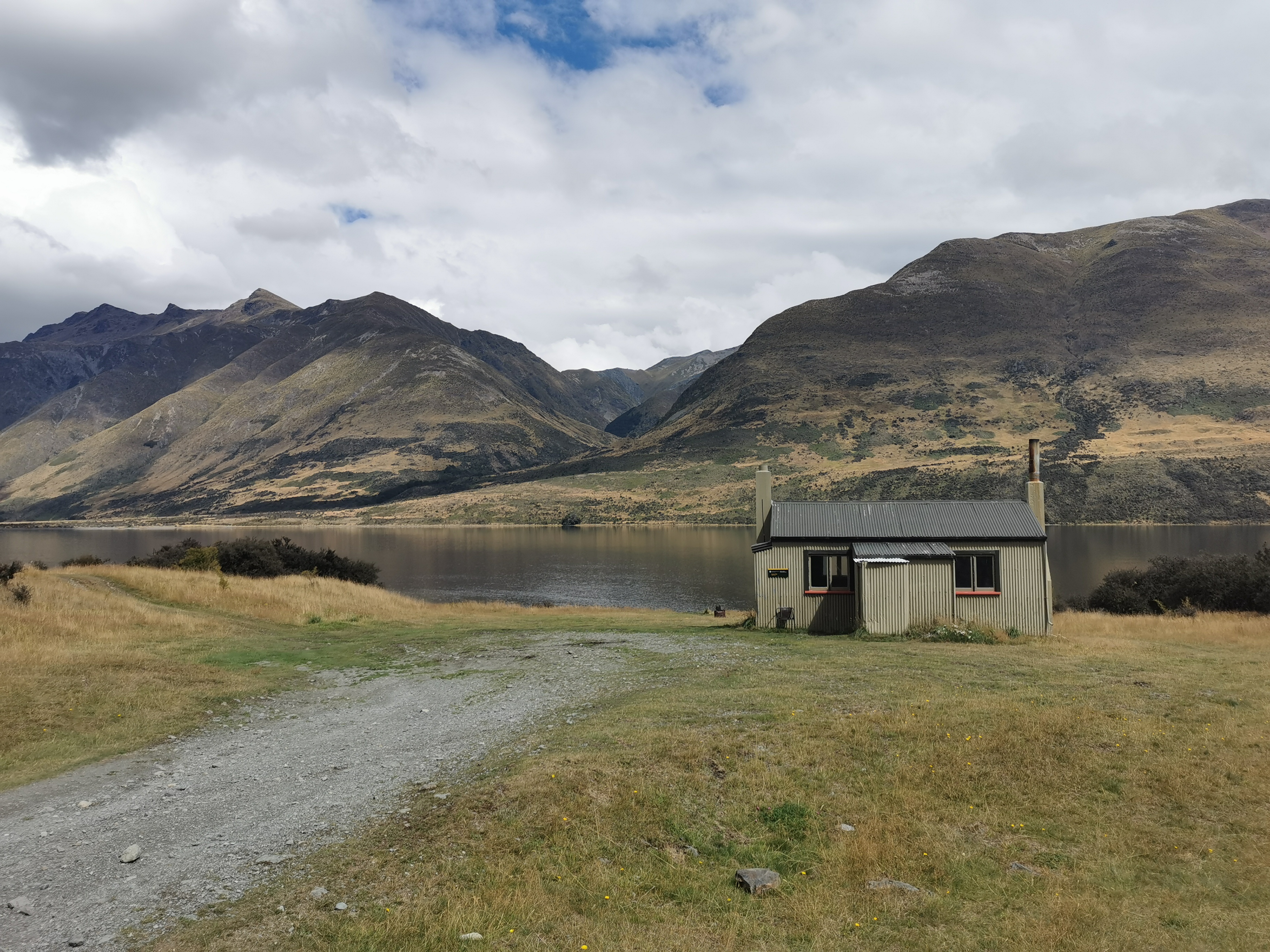
After only an hour coming down this hill I saw the North Mavora Lake and Careys hut.
A great view
I only stopped to check and write in the intentions book here. Shay and John (who I saw written in the book at Greenstone Hut) stayed here, and Nicola who was originally with John kept going.
Careys HutI hope people don’t get dental cavities if they stay here
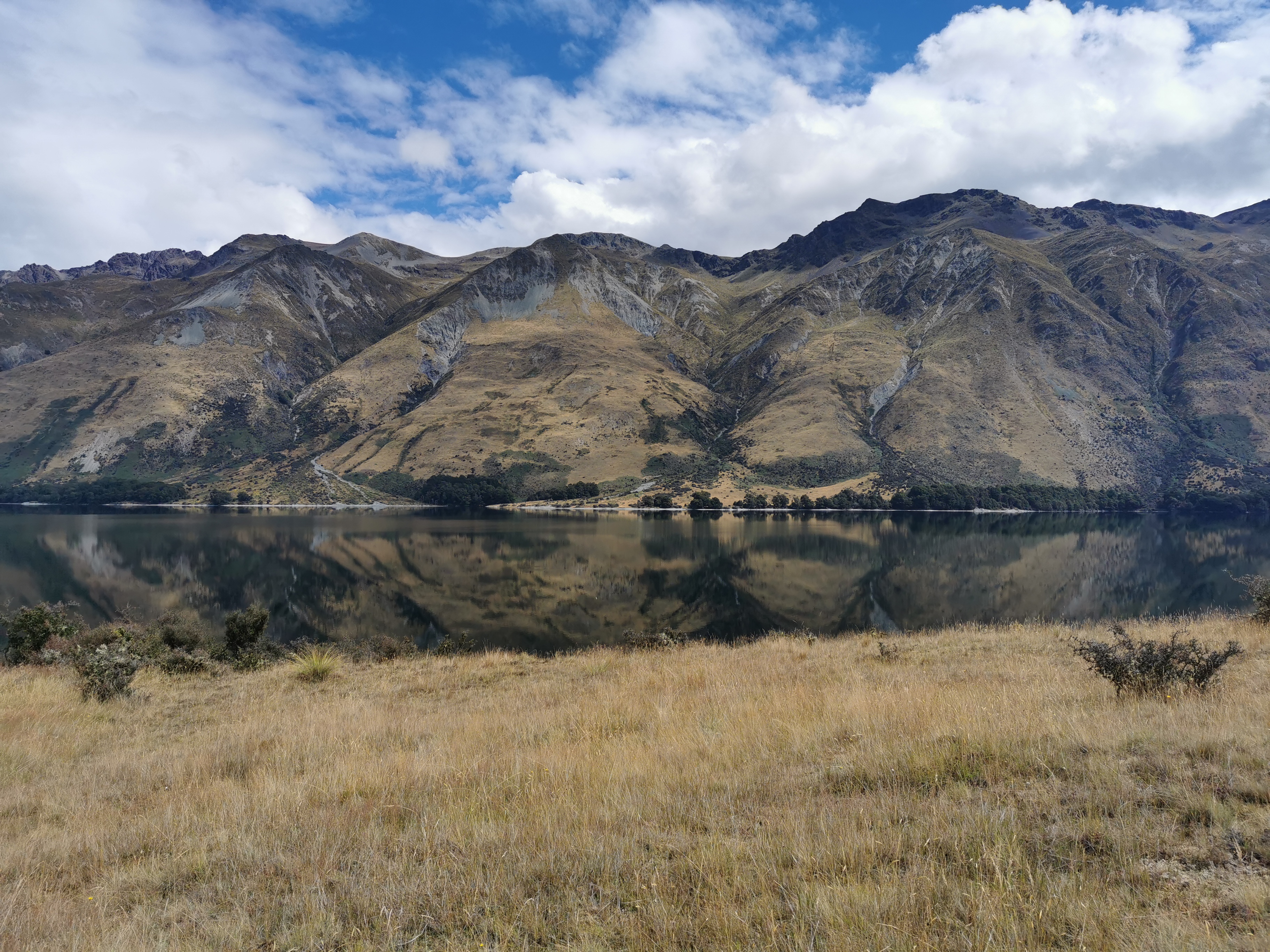
The path now follows the lake. I know the Mavora Lakes Campground is at the end of the lake.
Can you see reflection of the mountains in the lake? The water is so clear.
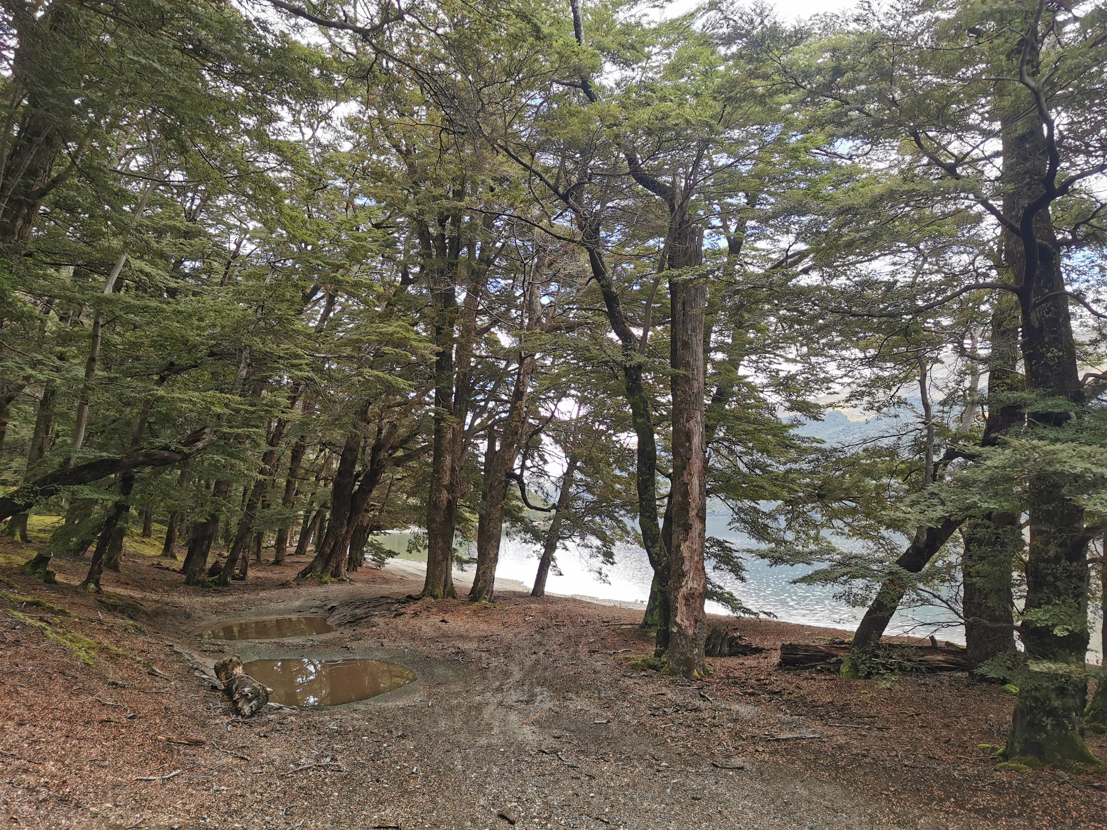
The track goes in and out of forest…
And beside the lake.
Here’s the campsite. It’s a really big place but ultimately it’s just a lot of flat ground and a few toilets. It’s a beautiful spot beside the lake though.
Mavora Lakes Campsite
The campsite had a QR Covid Tracer code too, but after Greenstone Hut none of the other huts did.
I had a quick snack here, and thought about whether I could make Kiwi Burn Hut. To get there at a reasonable time I’d have to do 17.5km in 5 hours, and I’m feeling very tired. But would love to stay in a hut tonight.
And it makes logistics for the upcoming sections easier – there are some big gaps between huts and accommodation soon. Based on the intentions books, I bet John will be at the hut, if I don’t see him camping somewhere.
I set off towards the hut, but after 1km I got a slight twinge in my left leg which almost made me turn back. I didn’t turn back, because it only hurt very briefly and there are apparently other camping spots on the upcoming trail where I could camp out if I had to stop walking.
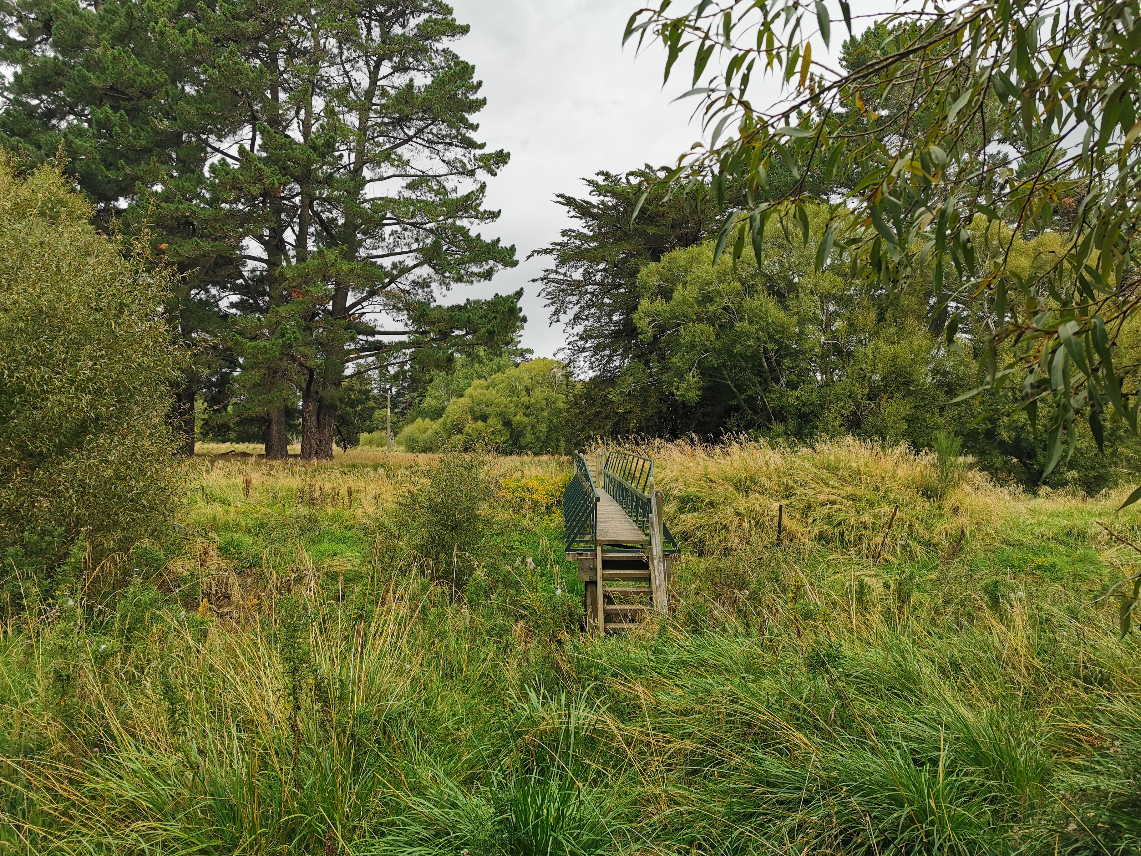
The bridge to cross out of the campsite
It was a pretty easy trail from here, which helped with getting to Kiwi Burn Hut by dark.
Into the forest
This is the South Mavora Lake. Not quite as majestic as the North.
Out of the forestBack into the forest
I kept looking at my watch. If I could consistently do 4km/hr I would arrive at 8pm when it would be still light. But that means the path must be consistently this good. Is that possible? Who knows!
That means a 45km day. I probably shouldn’t even be doing that kind of day for my second day. But I just can’t help myself.
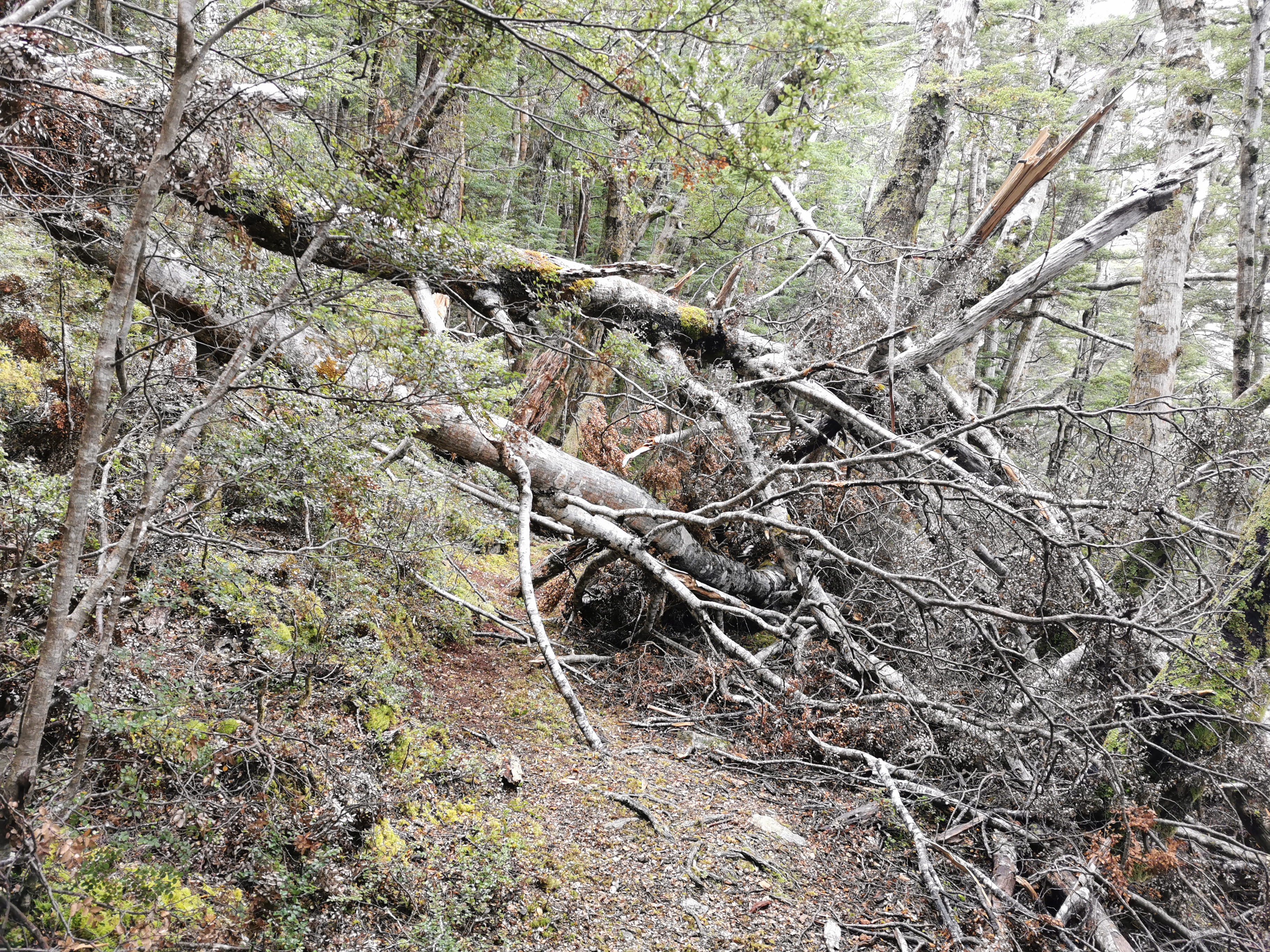
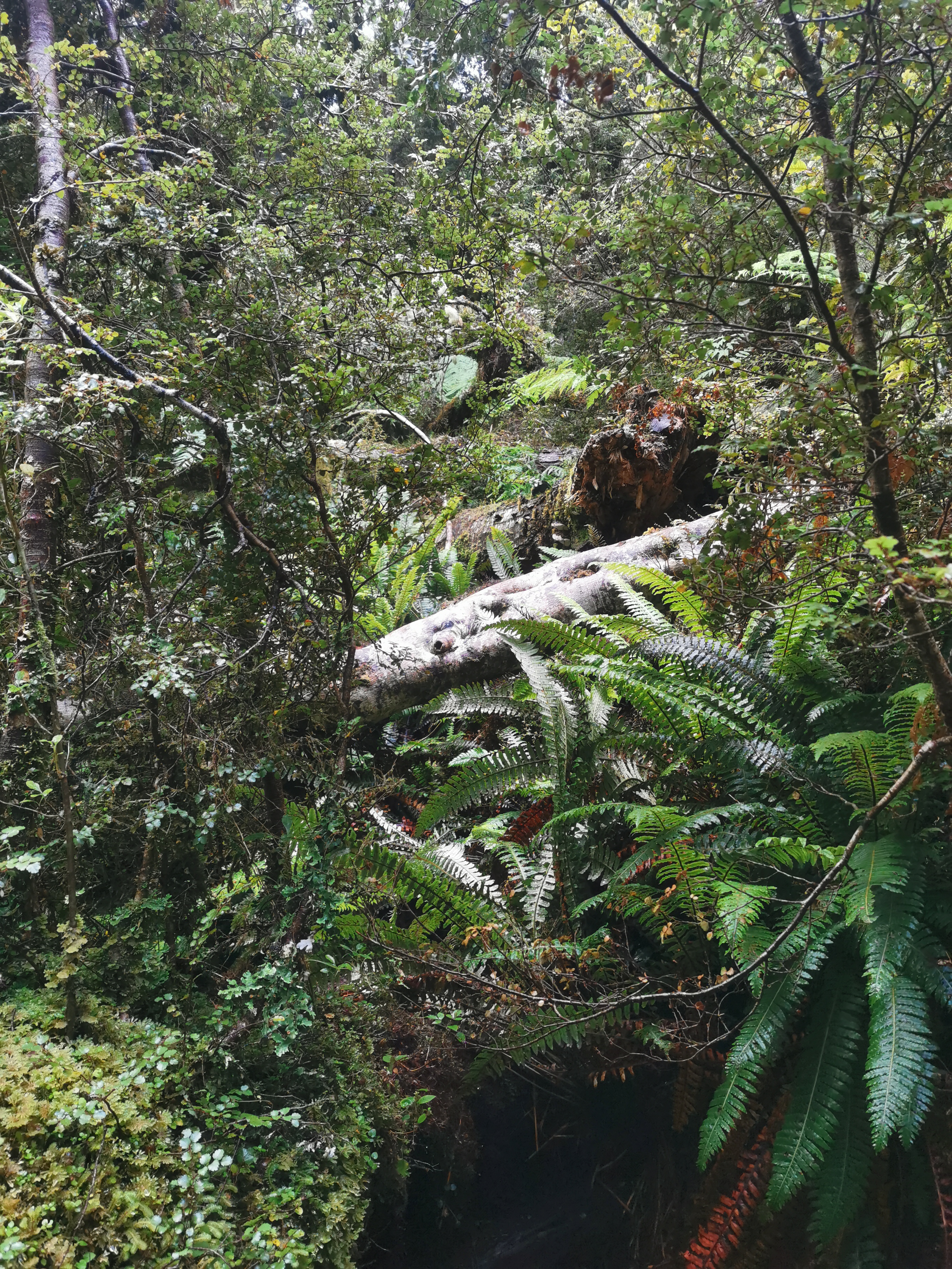
The path was usually good but there were a fair few fallen trees. One in particular was really hard to find my way around, but pink ribbons tied in trees nearby showed the way.
This annoyed and hindered me a tad
It started raining on this bit of the trail too, but I didn’t get too wet because I was under tree cover.
But it went briefly out of the forest again and I did get wetThat’s a big red marker
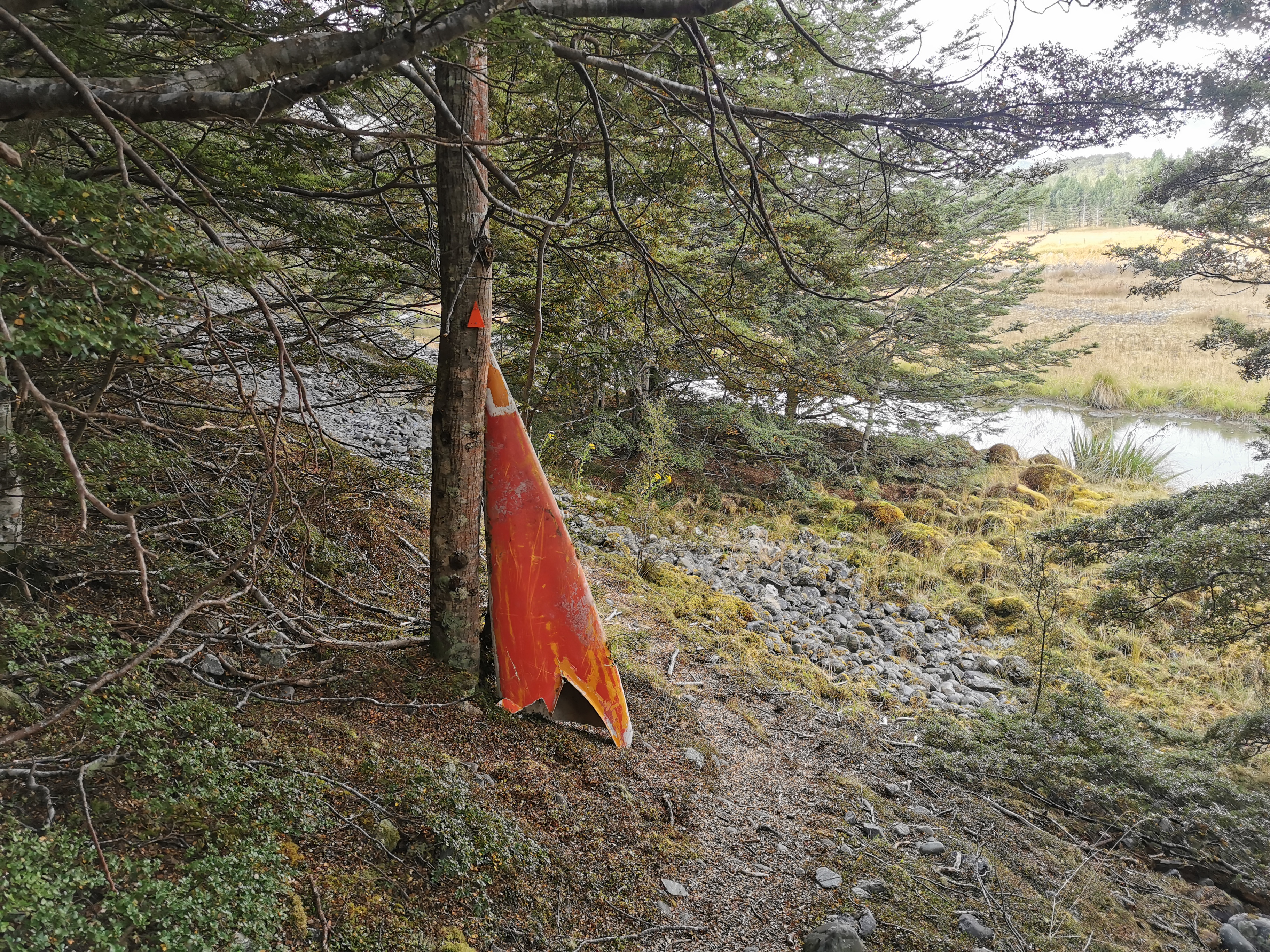
This sign says there’s a big river crossing tomorrow ahead.
It says that if you think the river won’t be passable, you should cross it here by using the swingbridge. I wonder why it just isn’t “the way” – although Kiwi Burn Hut is between here and the river crossing.
And it’s one of these evil swingbridges anyway.
So tomorrow if it turns out the river crossing is not possible, then I have to backtrack to here, which will be annoying. We will wait and see. It has been raining a bit all afternoon but not much more than a drizzle.
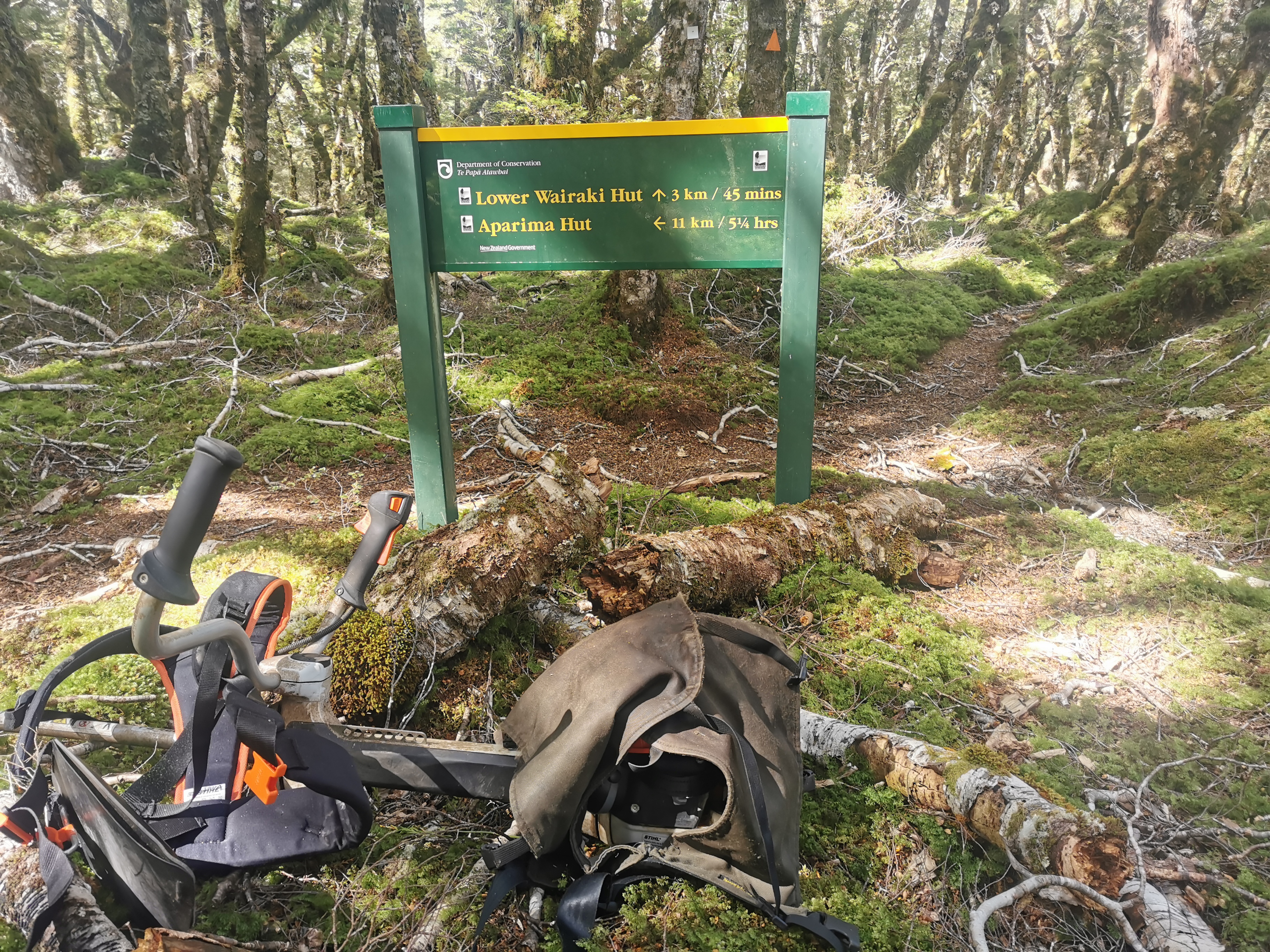
Finally, I feel like I’m getting somewhere – the first sign pointing to the hut!
Every 1km my GPS watch beeped and it was a great feeling. But 45km never seemed to come. I was getting very sore by now. And when making my way around this small group of fallen trees, I cut my leg on a rock and drew blood. That didn’t help my mood. God how I couldn’t wait to reach the hut.
The hut is off trail about a kilometer and a half. You go outside the trees and the grass gets long and hard to follow. And again I swear I should be able to see the hut by now, but I can’t!
Finally… There’s the hut. It was a sight for sore eyes. I know I used that saying a lot last year so I’ll try not to overuse it from now on.
Kiwi Burn Hut
Outside the hut I saw one set of poles and boots. Yep, like I figured, John must be here. Although when I got up to the door there was a girl inside. I asked if she was Nicola and she said she was. She asked if I was Matt and I said I was! She knew who I was from my blog.
She had left Greenstone Saturday morning (one day before me) and so I had the dubious honour of telling her that Auckland locked down Saturday night and her parents might not be able to come down from Auckland and meet her at Bluff, which she said they were hoping to do.
She packed the same number of days food as I did and so she has a heavy bag too. She also said she didn’t know where John had gone.
She said she spent a lot of time today sitting by the lake contemplating stuff, and she decided to take her time instead of push on any further. I was a bit jealous. I definitely got no time to do contemplating today.
It was nice to have someone to hang out with bit since I arrived so late, by the time I had dinner it was dark. But our plan is to leave together in the morning and cross the river together.
There are two bedrooms in this hut. Always nice to know that if I snore it probably won’t wake her up.
Doing a long day made me realise that Shay should be able to run 50km each day. If I can walk almost that distance then he should be able to, he’s still a teenager and he’s much more fit than I am.
View from the hut
Everything hurts. Literally everything. Lying down is so good. But I have to be careful, the bunks here are old rickety metal bunks and they’re so wobbly. I feel like the one I’m on is going to fall down if I move too much.
Date: 2 March 2021
Trail covered: 34.5km (kms 2748.7 to 2783.2)
Weather: sunny
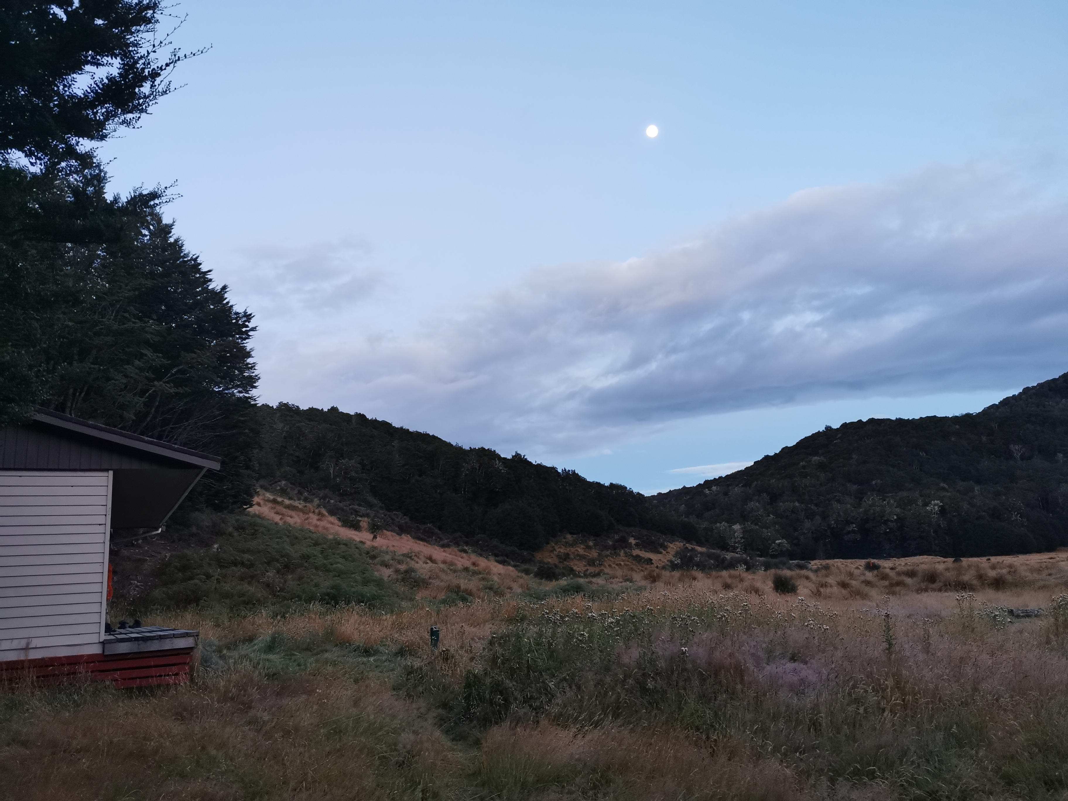
I woke up this morning and the full moon was out.
Early at Kiwi Burn Hut
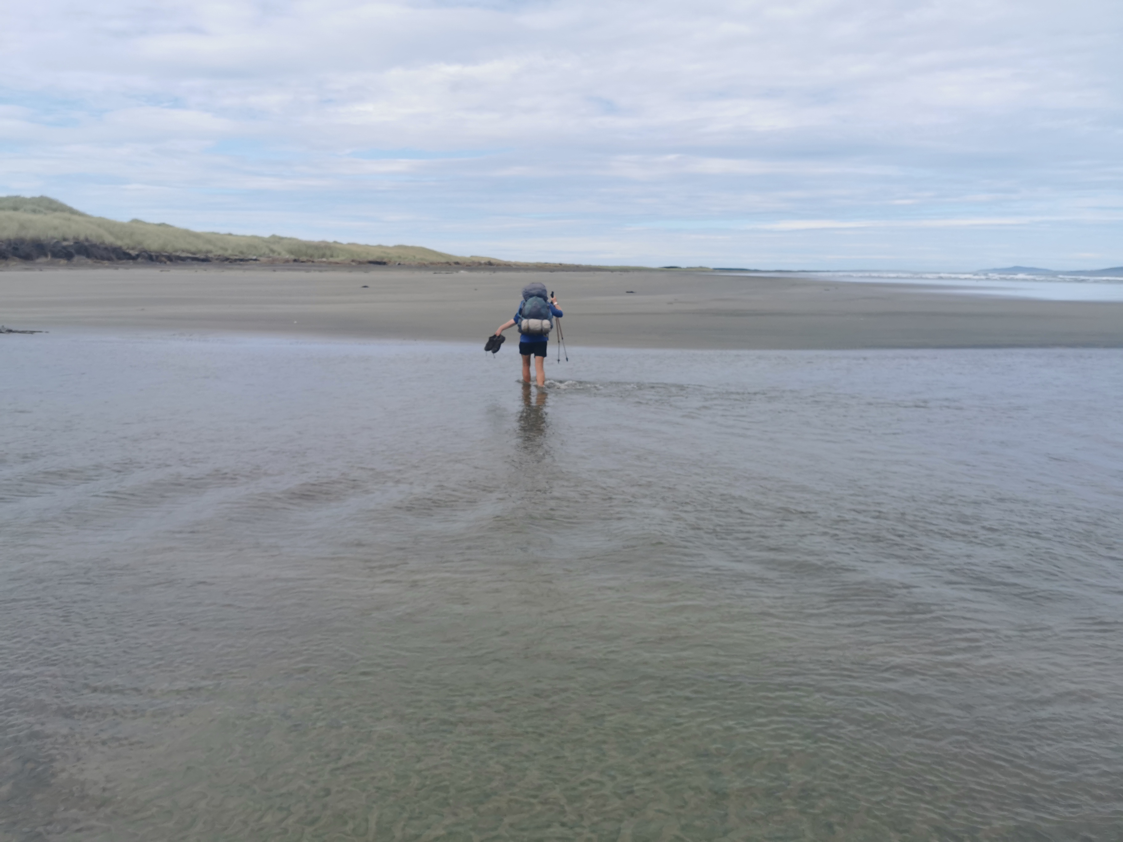
We had to put wet socks and shoes on, but we knew a river crossing was coming up very soon so it wasn’t so bad. We were going to get wet no matter what.
Nicola and I set off together back the way we came in yesterday.
Back to where we detoured from the trail to get to the hutThis looks familiar
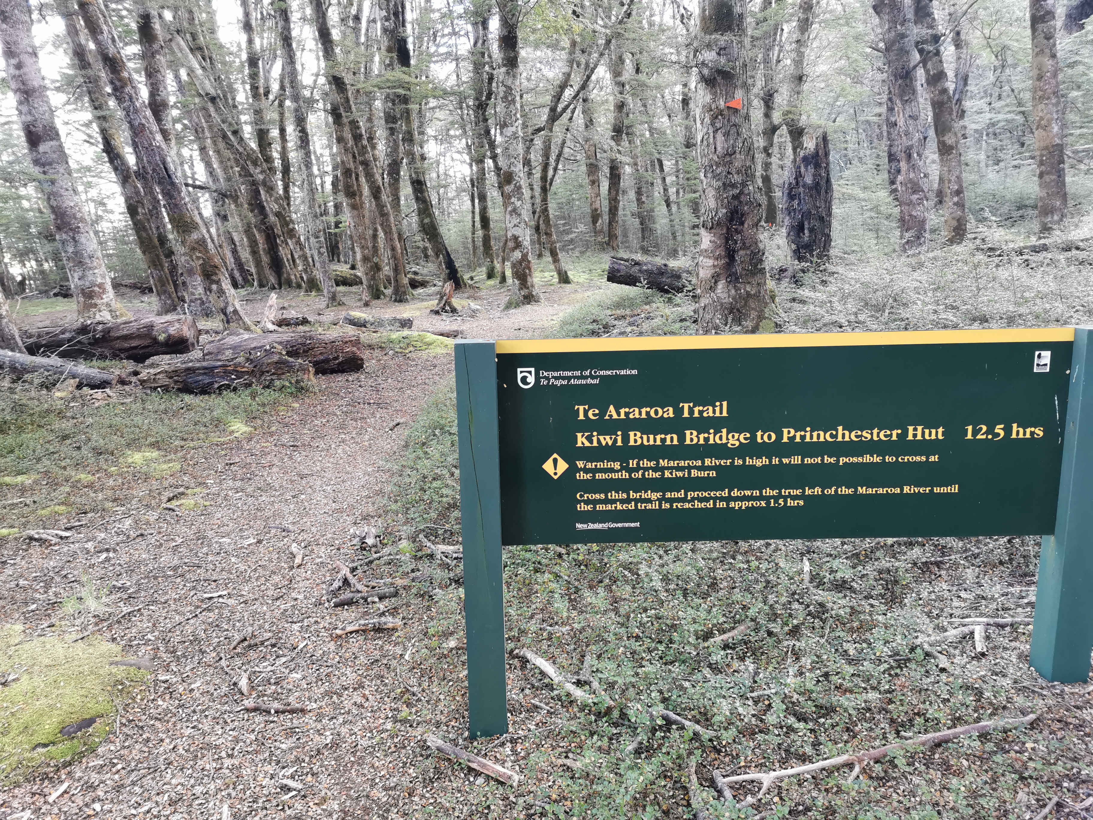
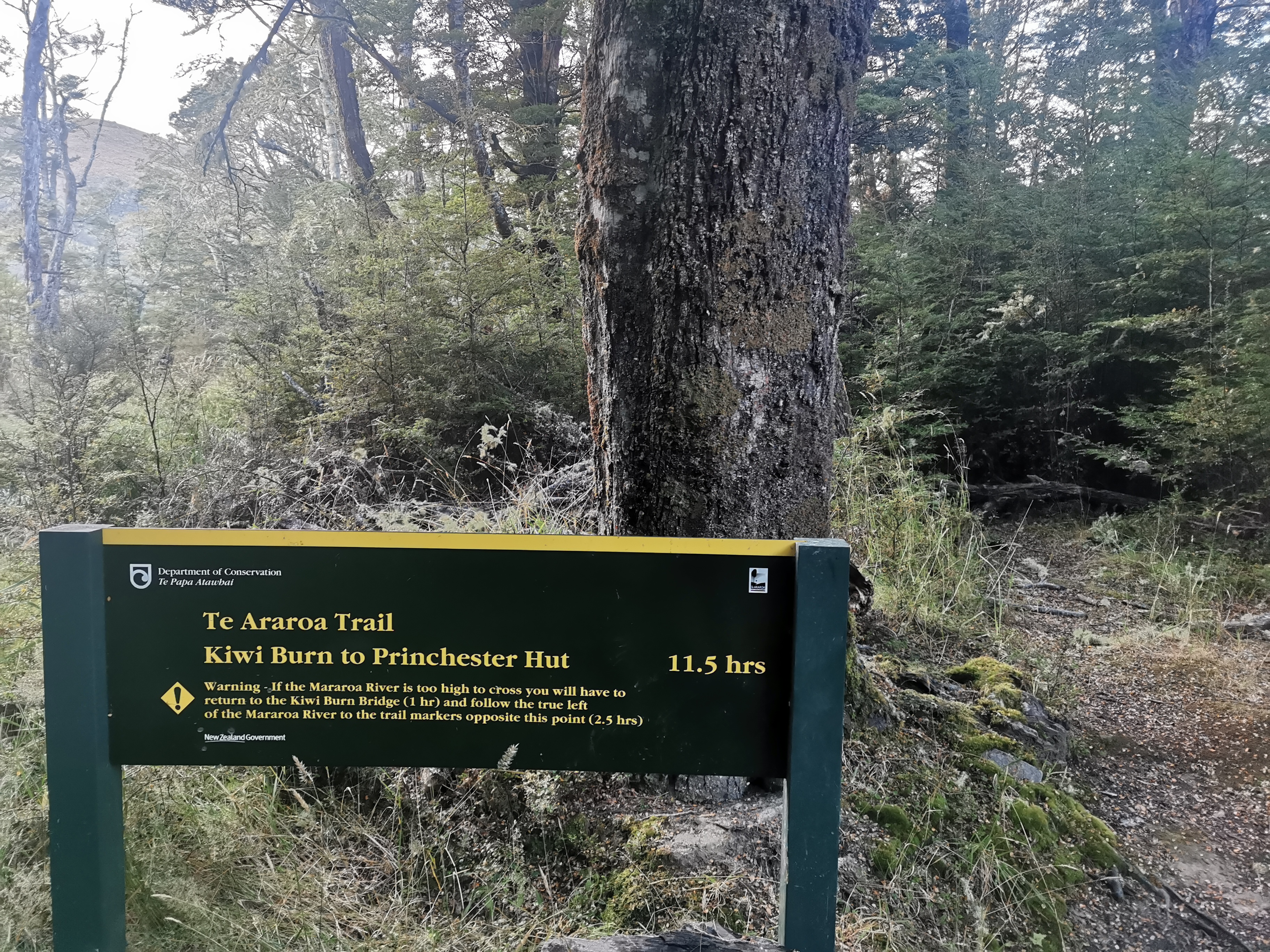
Here’s a scary sign for a scary river. And apparently it is 11 and a half hours to our next destination. I hope, like usual, it doesn’t take as long as it says on the sign!
Kiwi Burn to Princhester Hut 11.5 hours
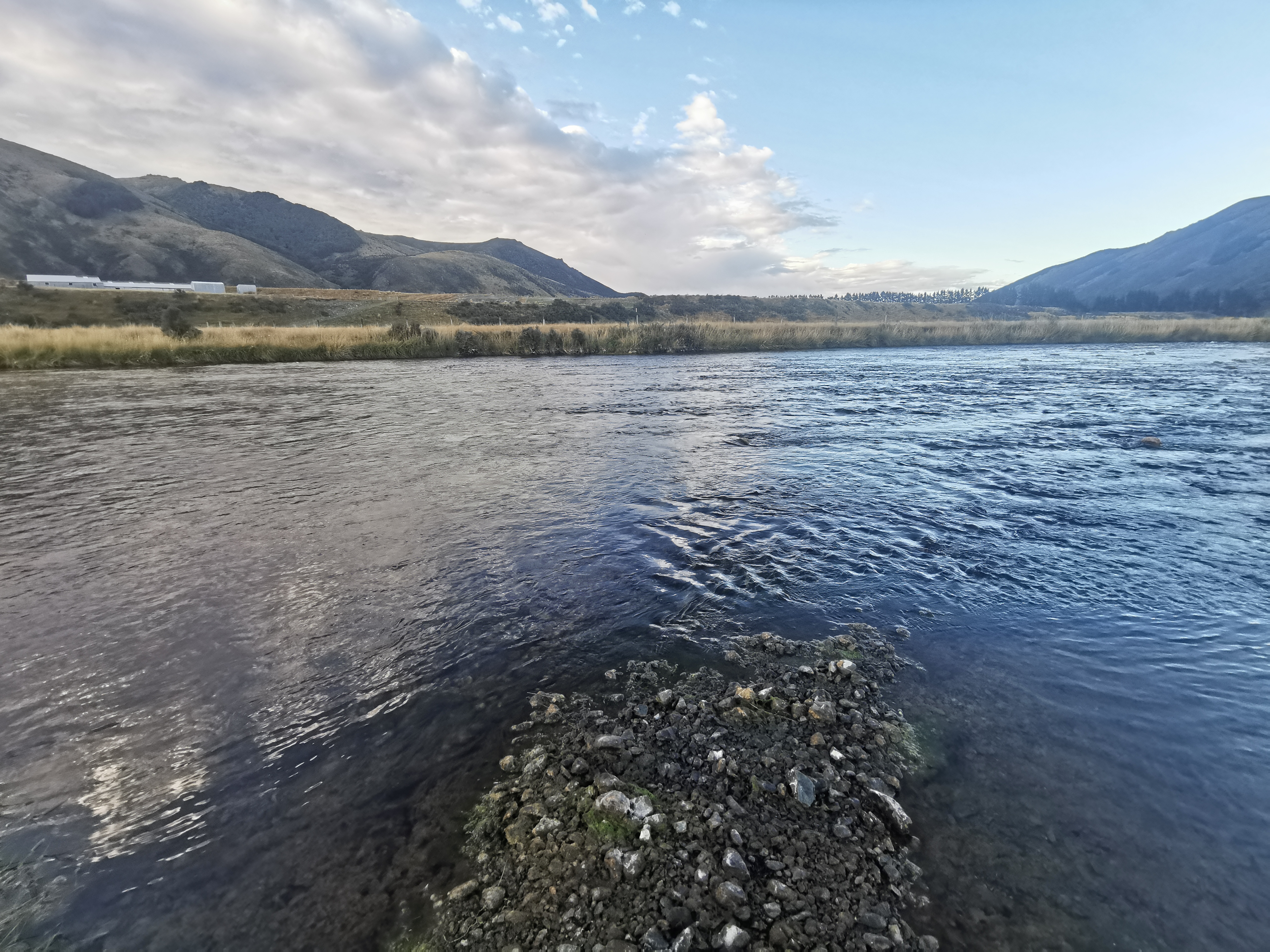
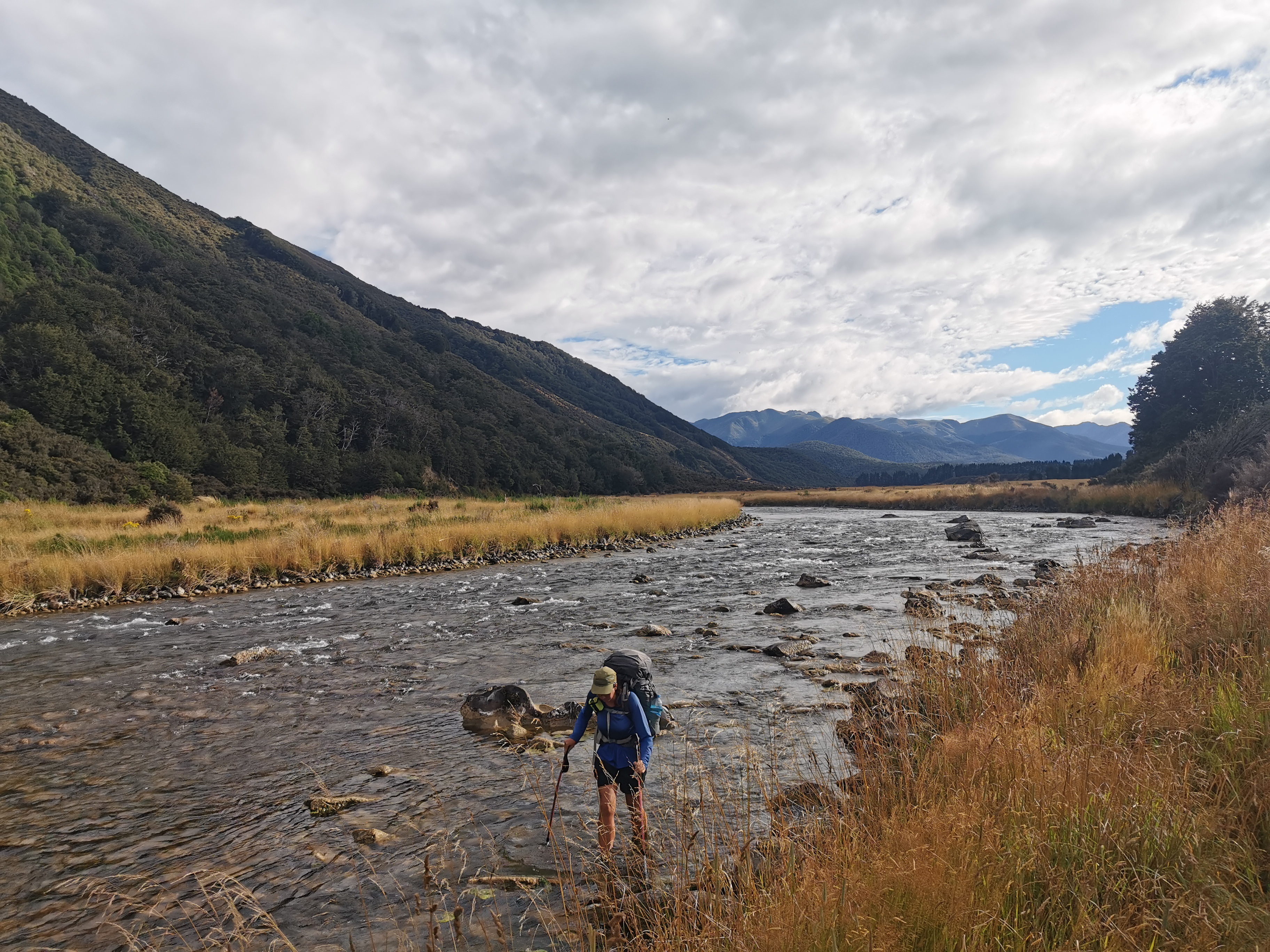
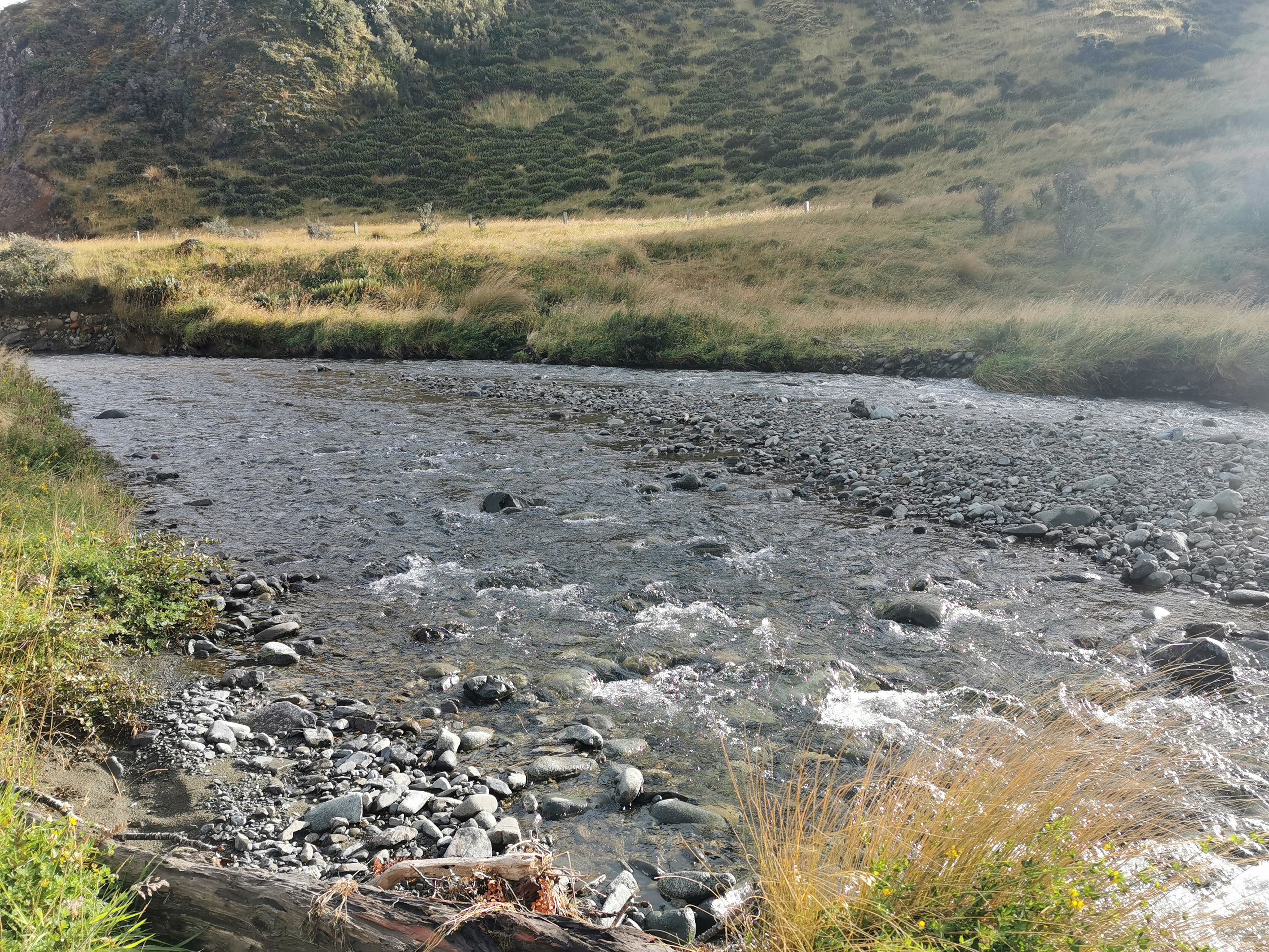
Shortly after we reached the river and it was not that scary. 3/10 on the scariness rating scale. And surprisingly for 8.30am it was not cold.
The Mararoa River this morning
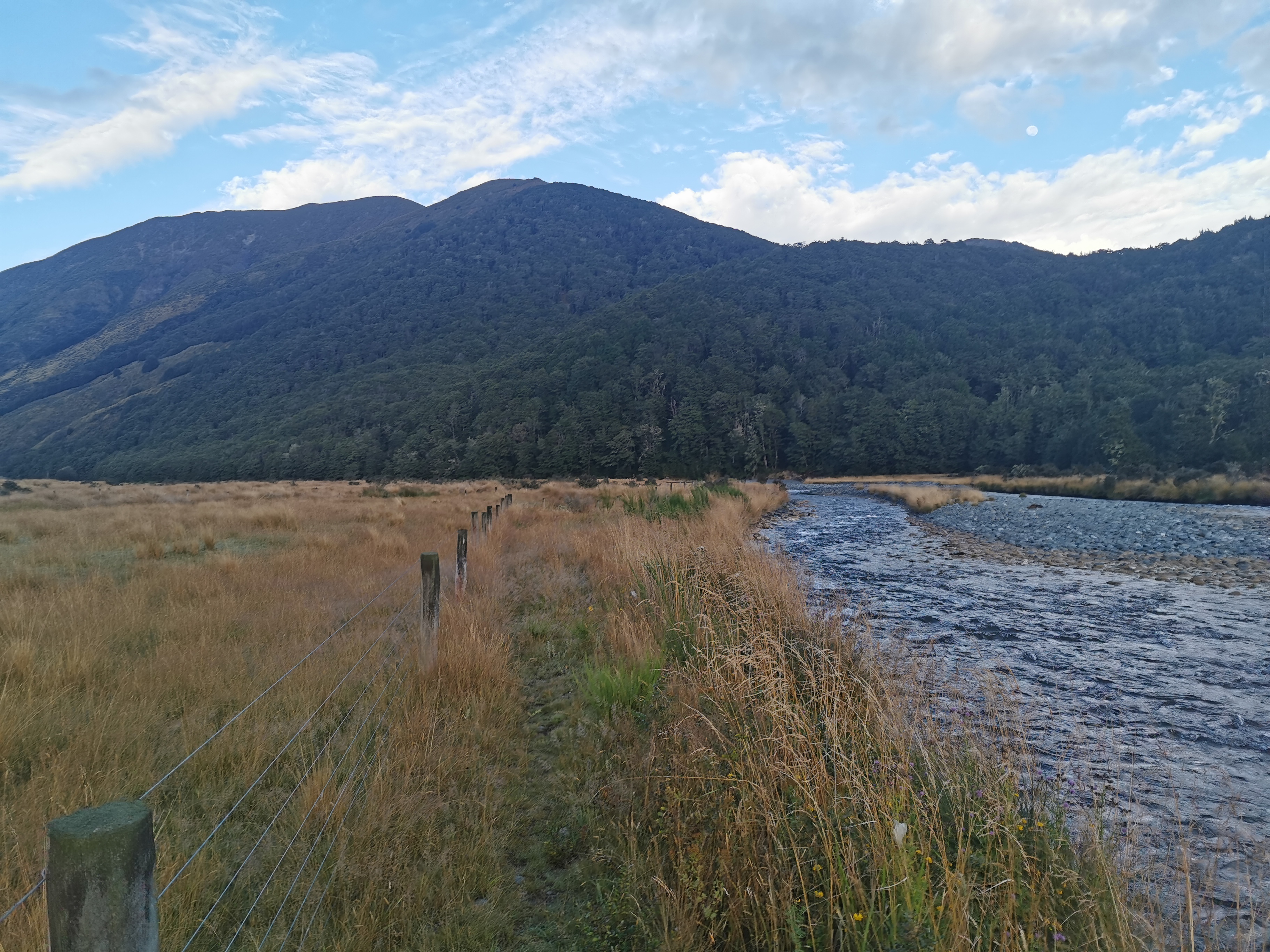
The path started off easy at first. It was quite well defined for the first 3 km. It was down the left hand side of the river (the “true left”).
Walking down beside the Mararoa River
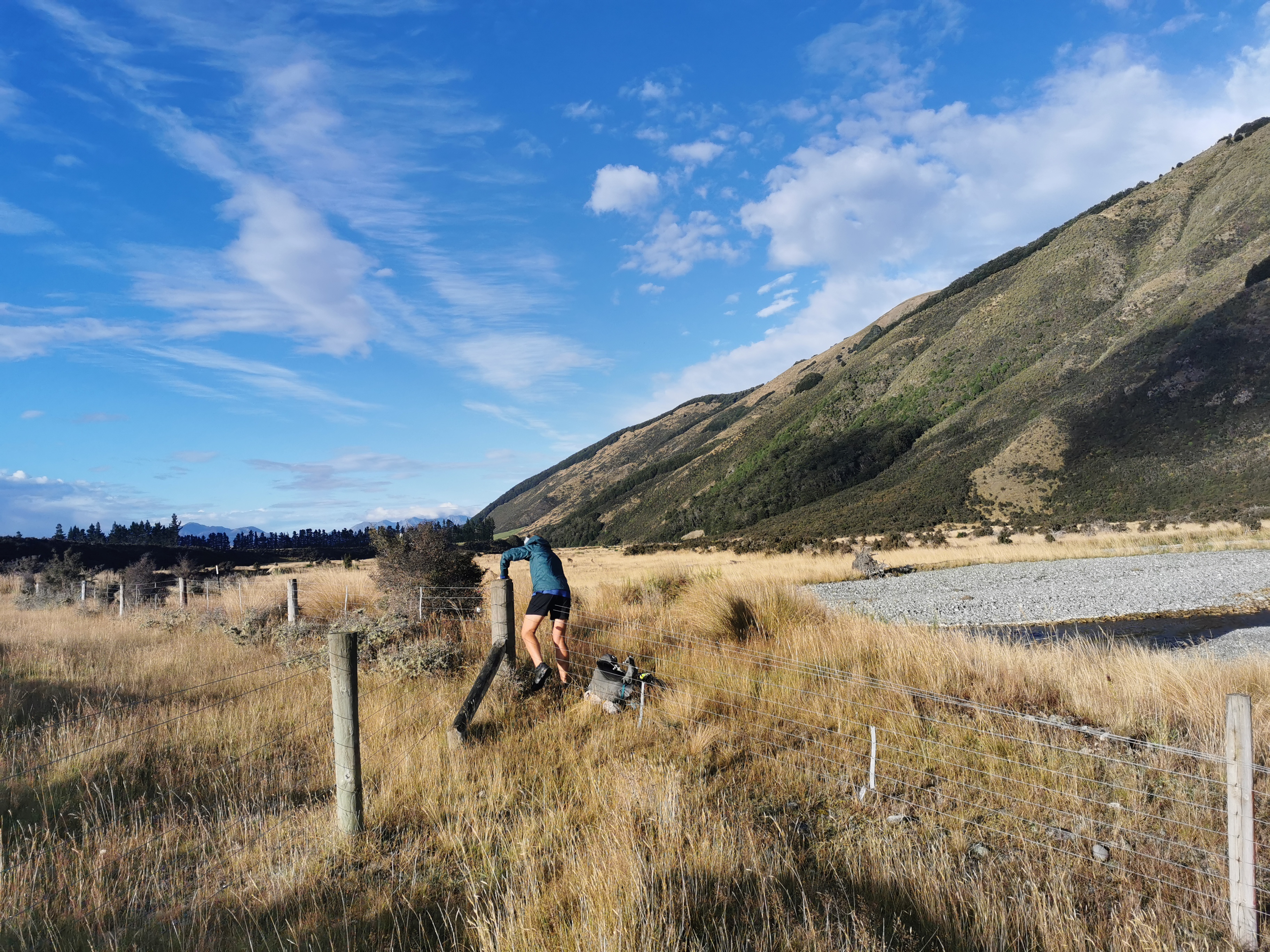
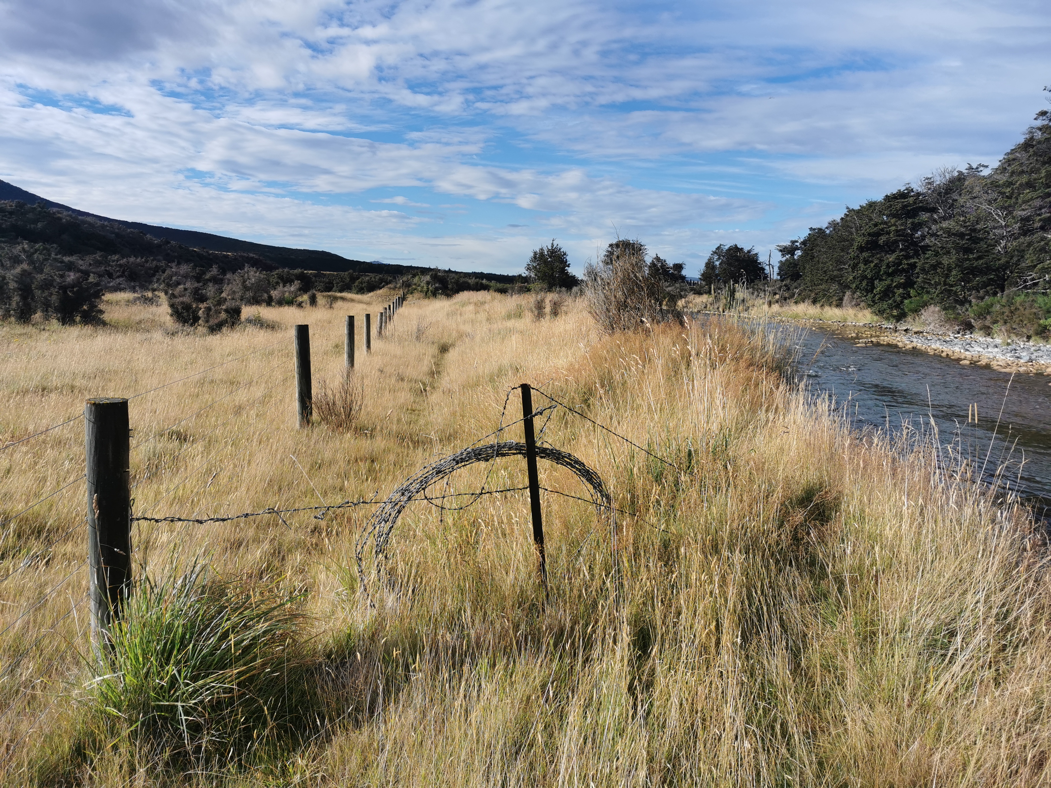
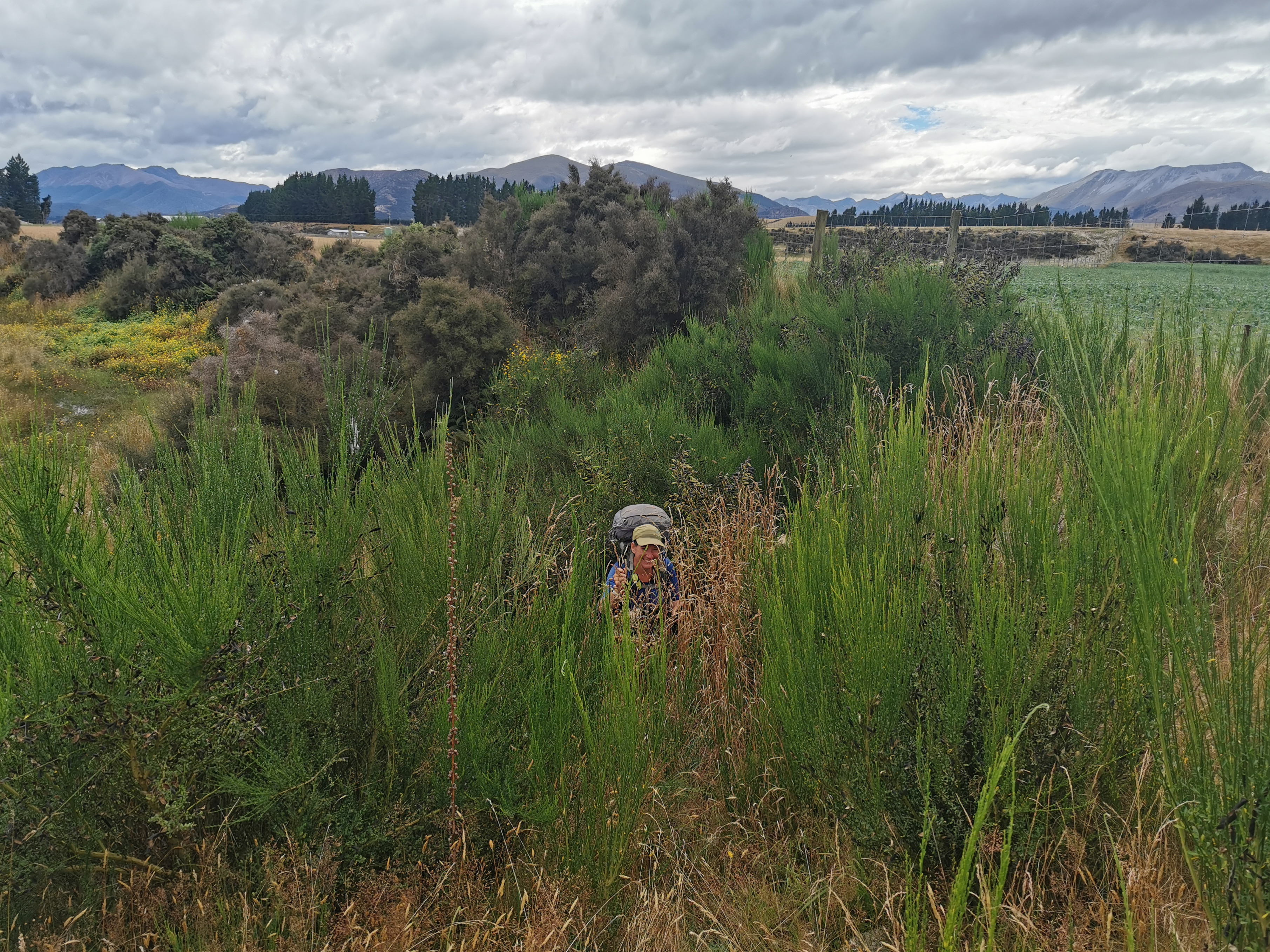
Nicola said “I might be speaking too soon but this is a nice path”. It turns out she was speaking too soon. The next 13km were over fences, through spiky plants, and other times there was no obvious path at all so you just had to follow the river as best you could.
Navigating a fenceNavigating barbed wireNavigating all this greenery somehow
We took the river itself at one point for a short time. It was just easier.
Is this considered a shortcut?
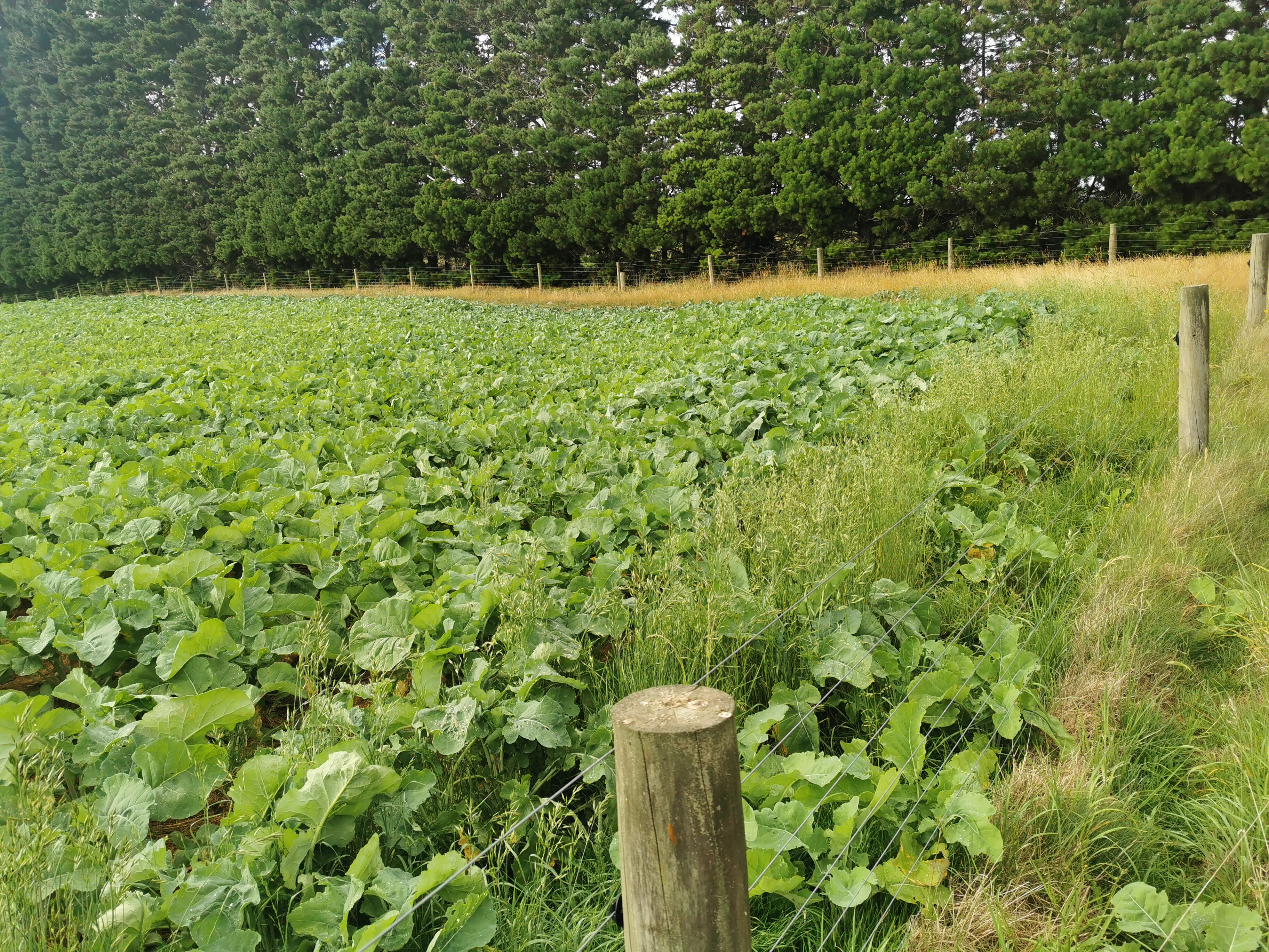
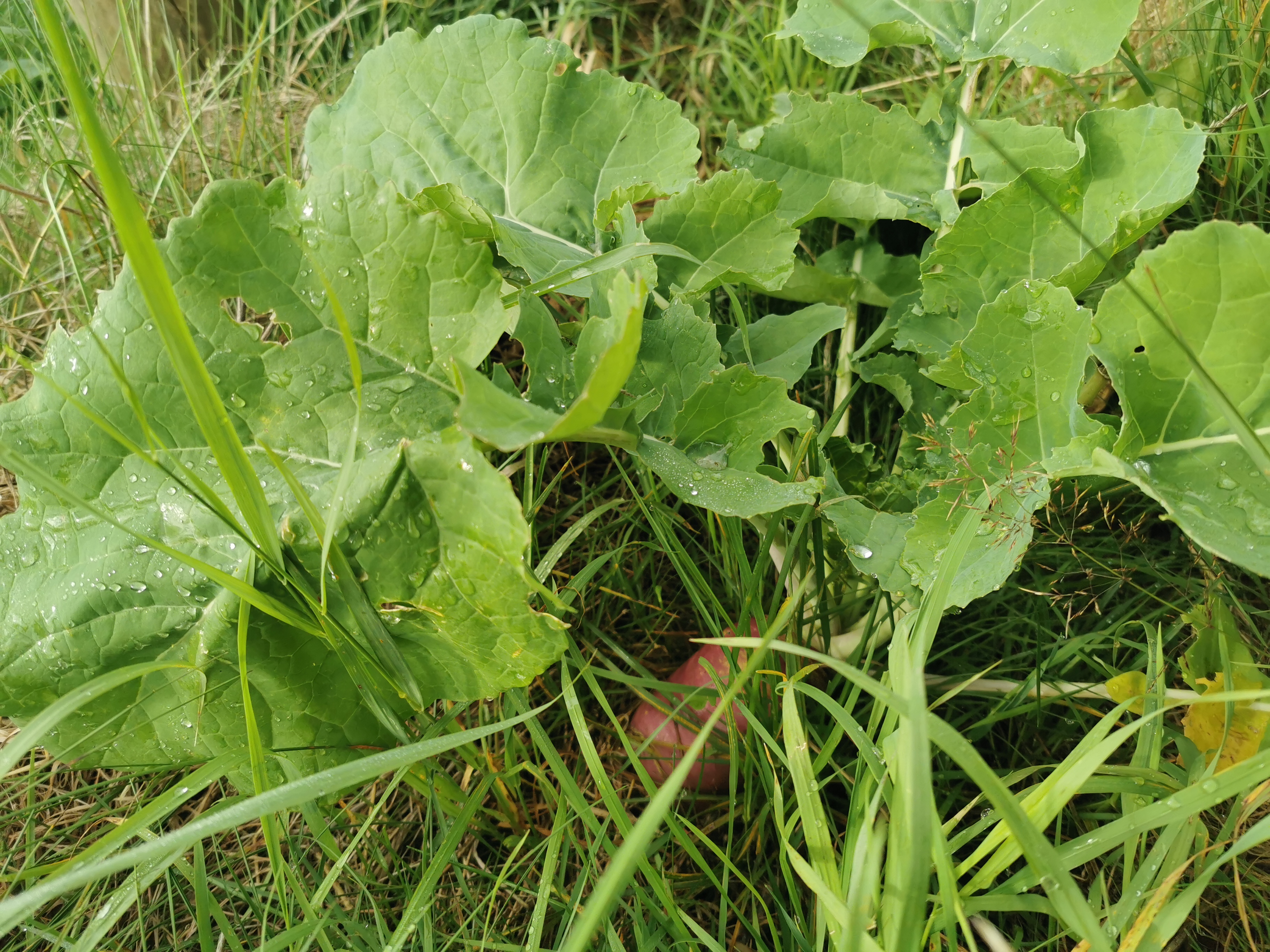
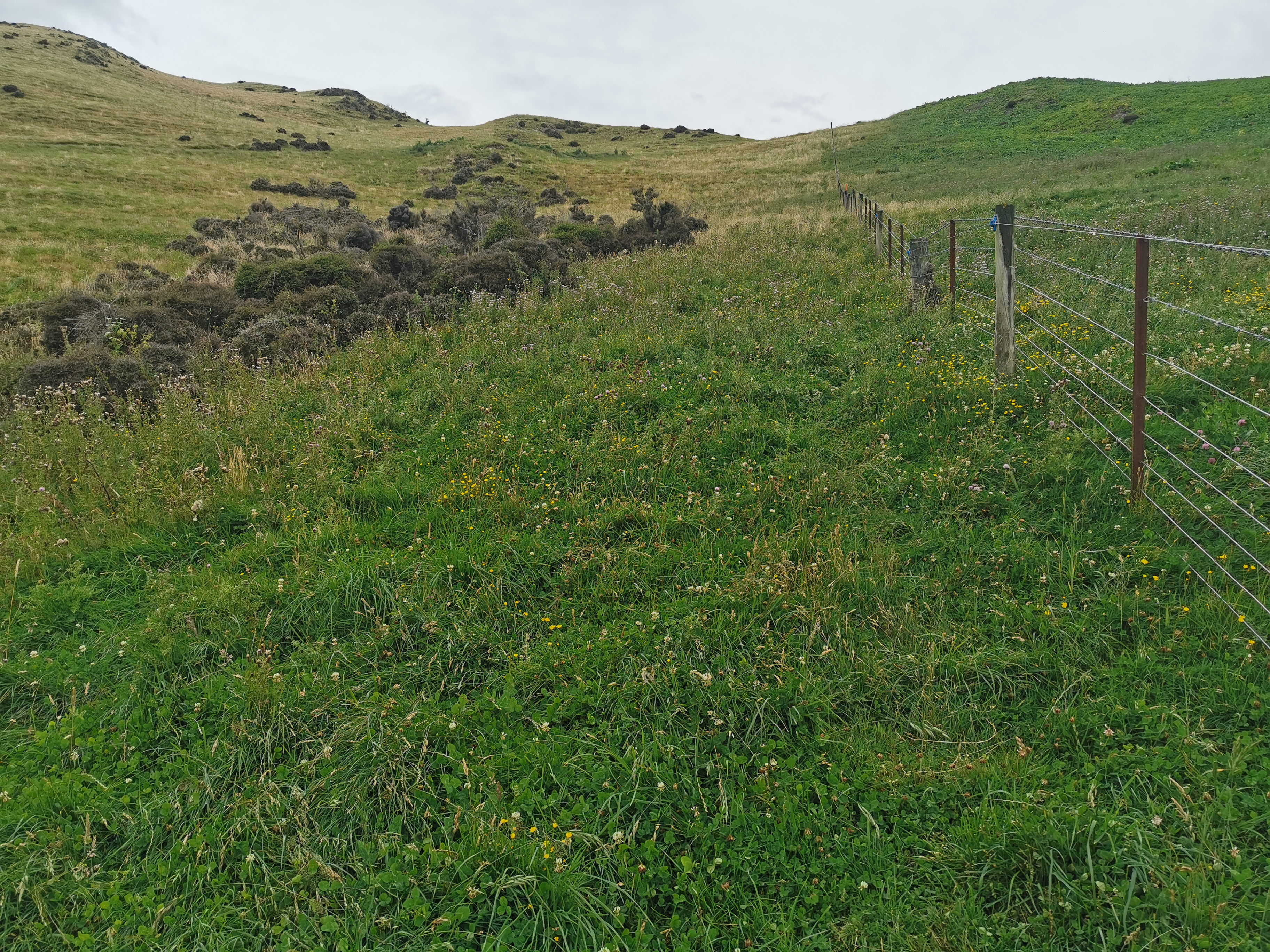
A lot of the time was following a fence line. On one side was fields of these purple root vegetables.
Sometimes they made their way onto our side. But I didn’t eat any of them.
We’re not hungry enough yet to dig these up and eat them
If the fence line disappeared, sometimes we had a path to follow, but often we had to make our own path.
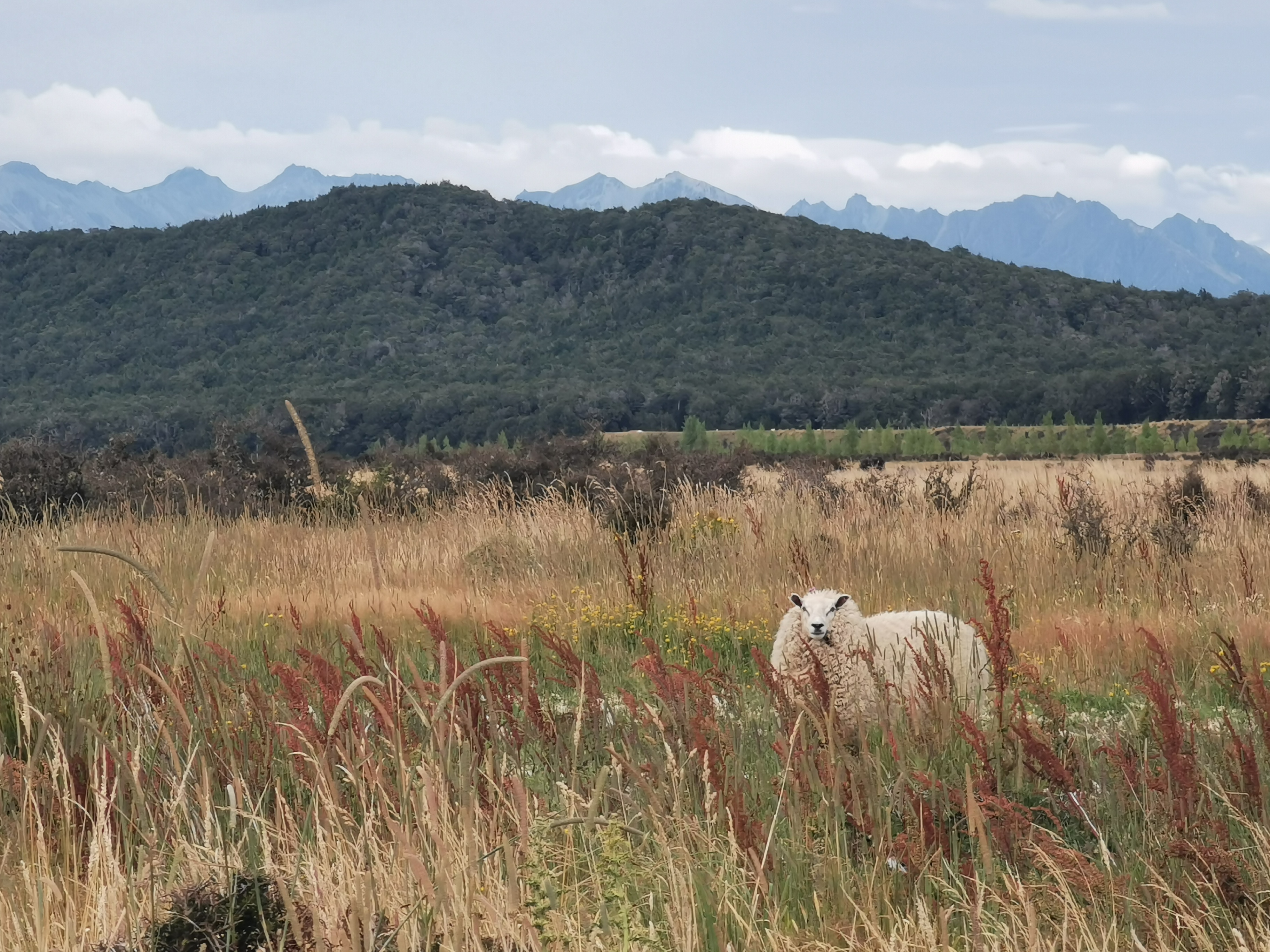
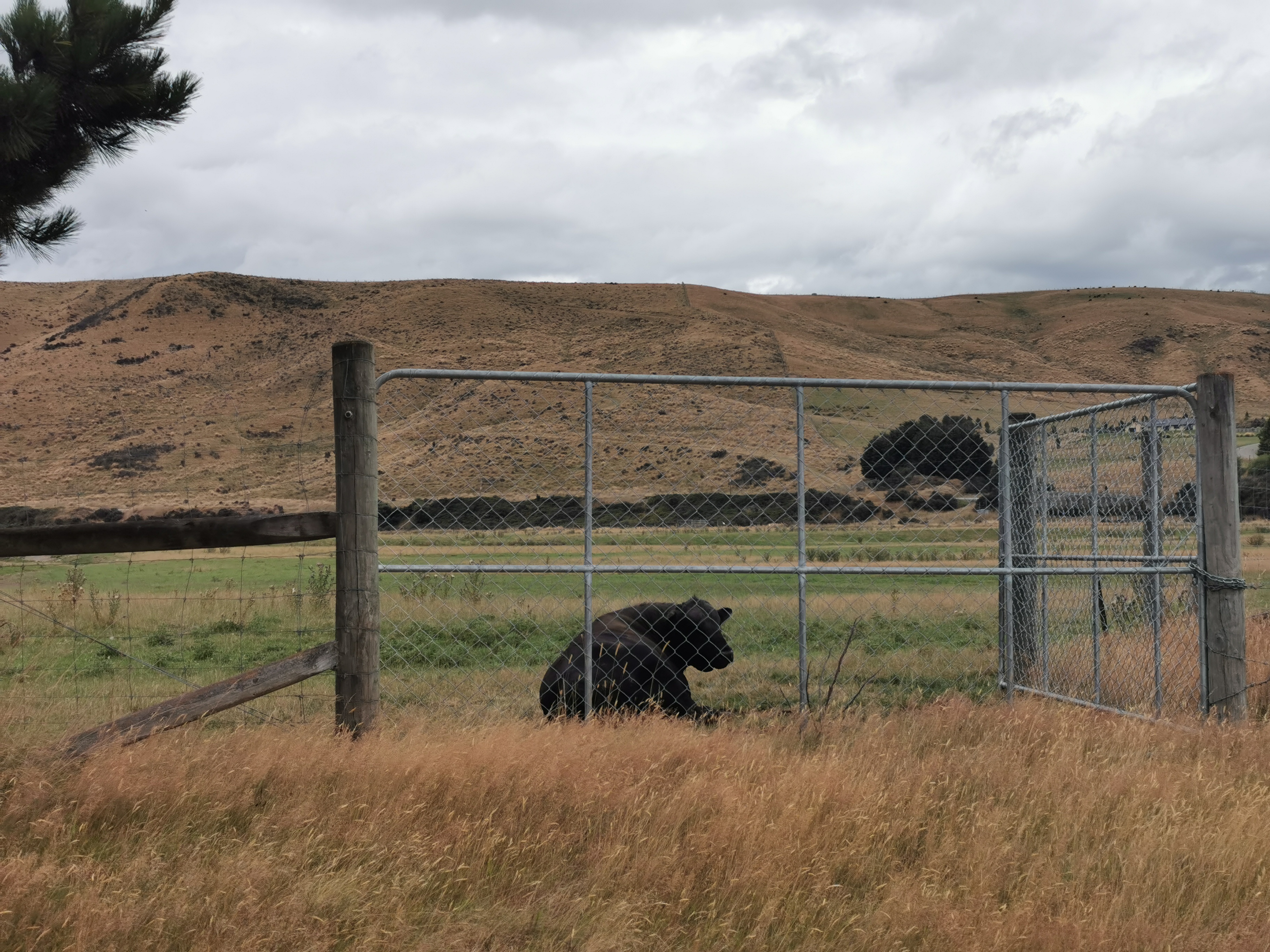
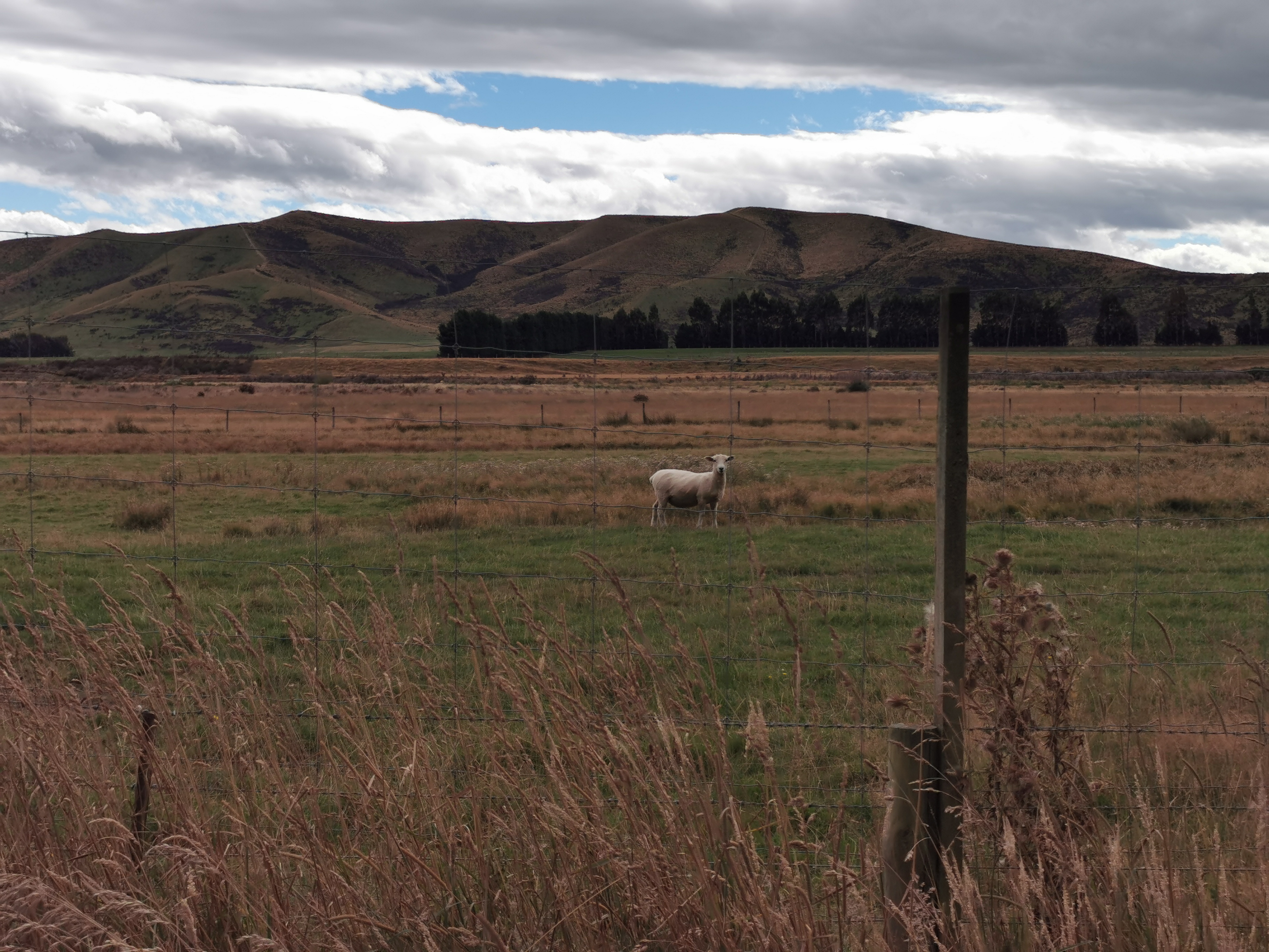
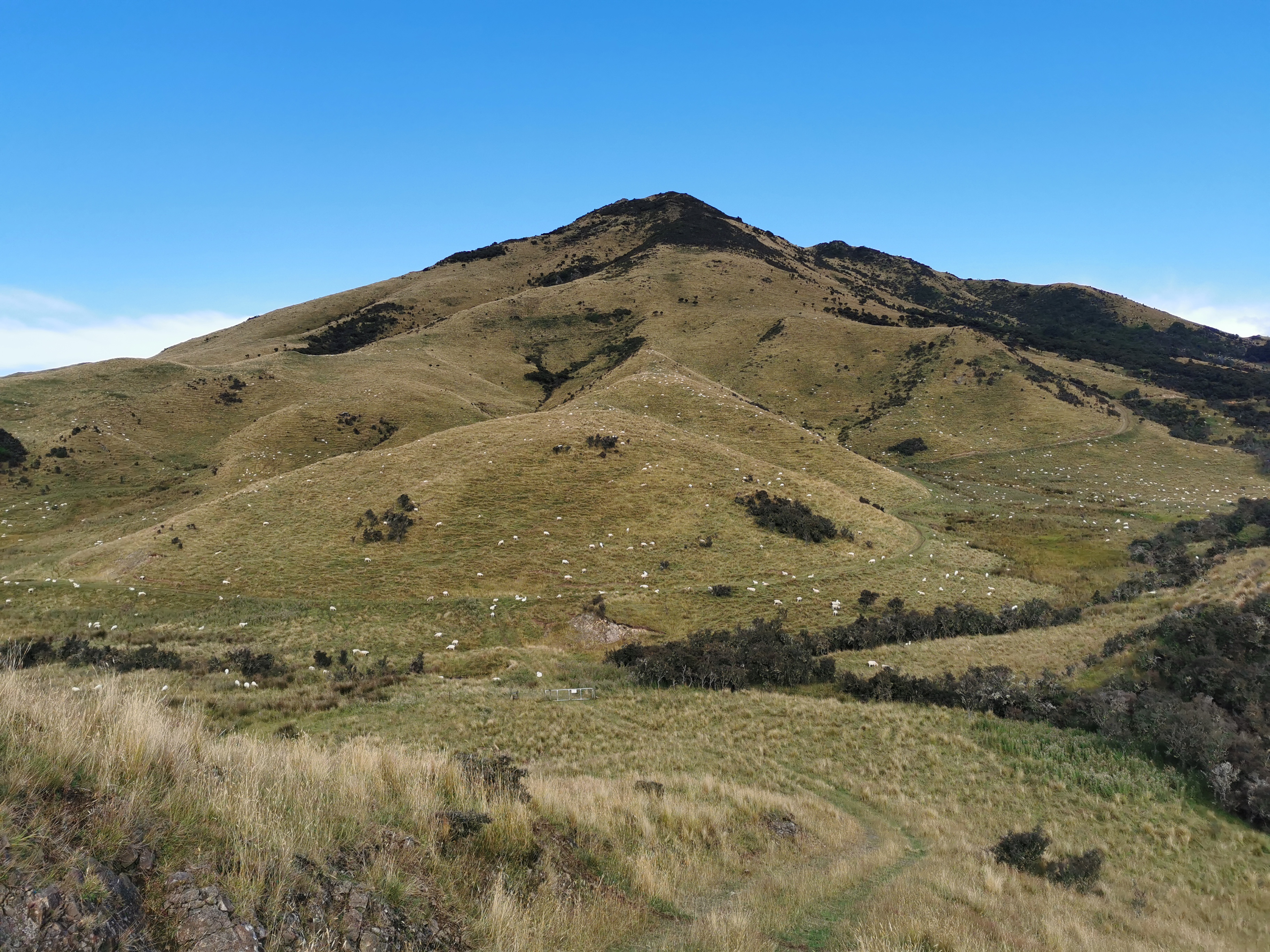
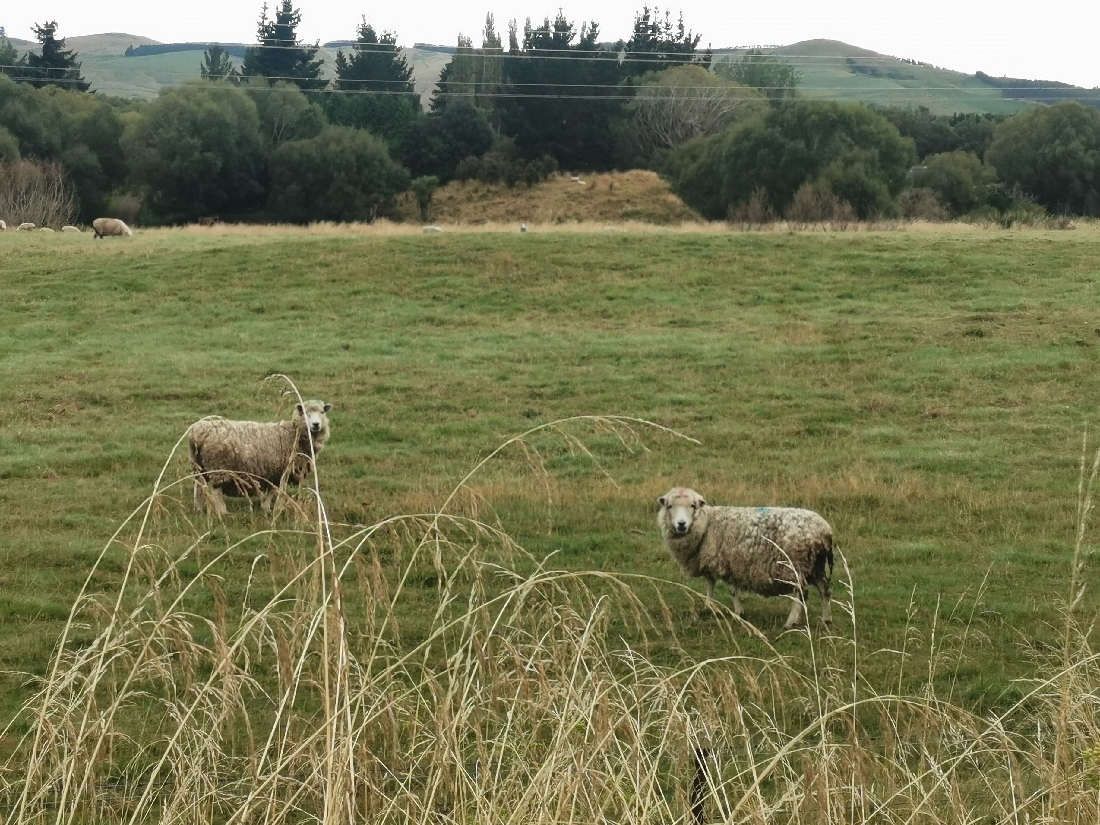
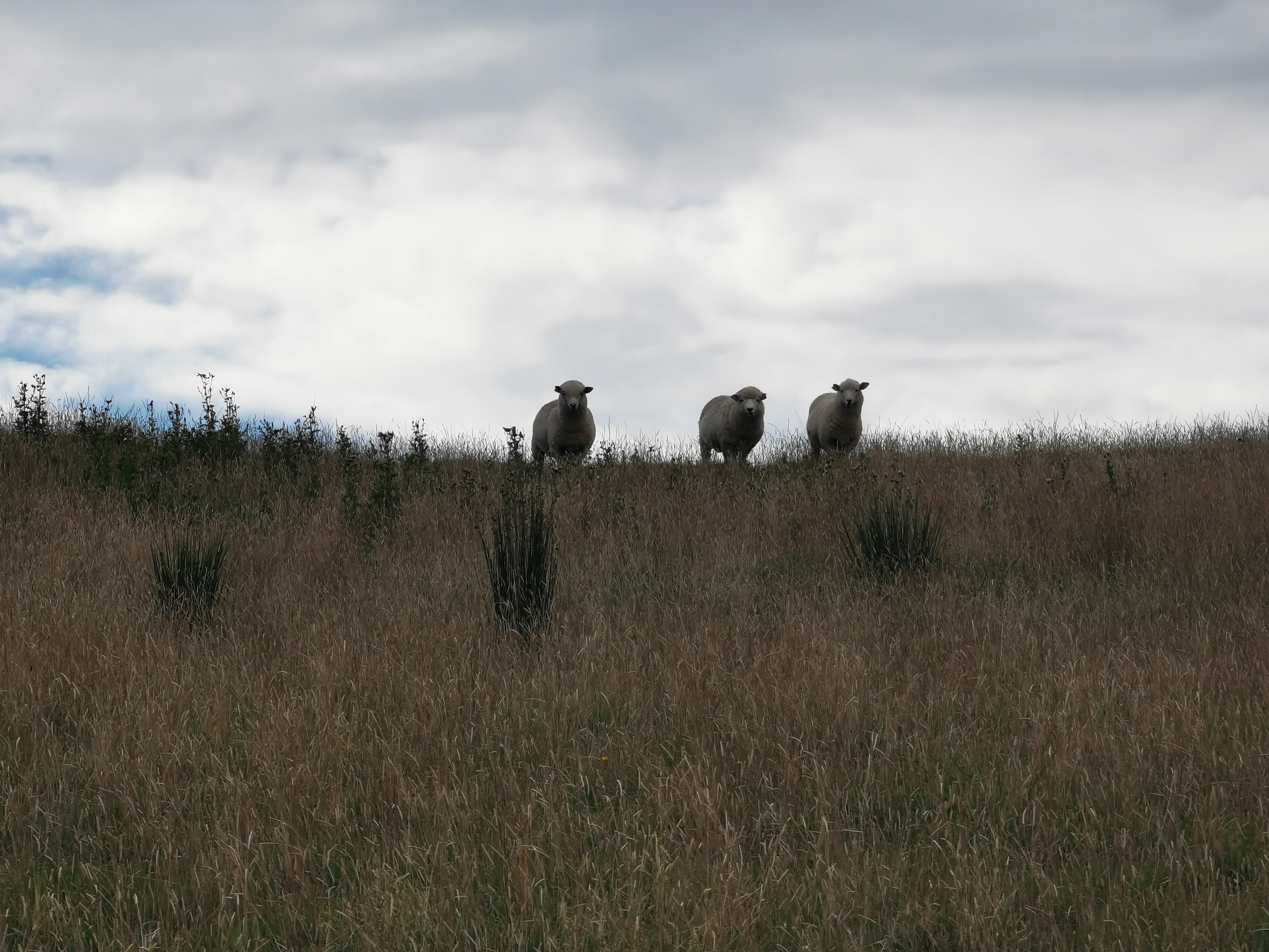
We saw two really big and really woolly sheep.
Here’s one of them
They followed us downstream, as sheep often do. We thought they looked abandoned, as they had so much wool.
There was a tiny bit of reception on the way down. I managed to get the weather forecast. Looks bad for next week.
At 11am picture we stopped for lunch by the river.
11am picture – “Lunch 1”
Soon after, we could see a path that went up a hill so we followed it… But we shouldn’t have.
Wrong wayStay on the flat
We saw this interesting structure – its whole purpose seemed to be to carry the electric fence wire far off into the distance.
Interesting structure
As the path went on, it got less defined. Often you would try one way, and it would be too muddy, or there’d be a big hole, or too many spiky things so you’d have to retreat. Other times you’d be going the right way but the grass was so long it made for very slow going.
This bit was the hardest to find our way through. When the river got close to the fence line, this sort of thing often happened.
Nicola emerging from the bushesA random bull watching us
Once you go up here, you reach the road. About time too, we were both feeling a bit over this section. It took us 6 hours to do this 17km section.
We had a snack by this sign.
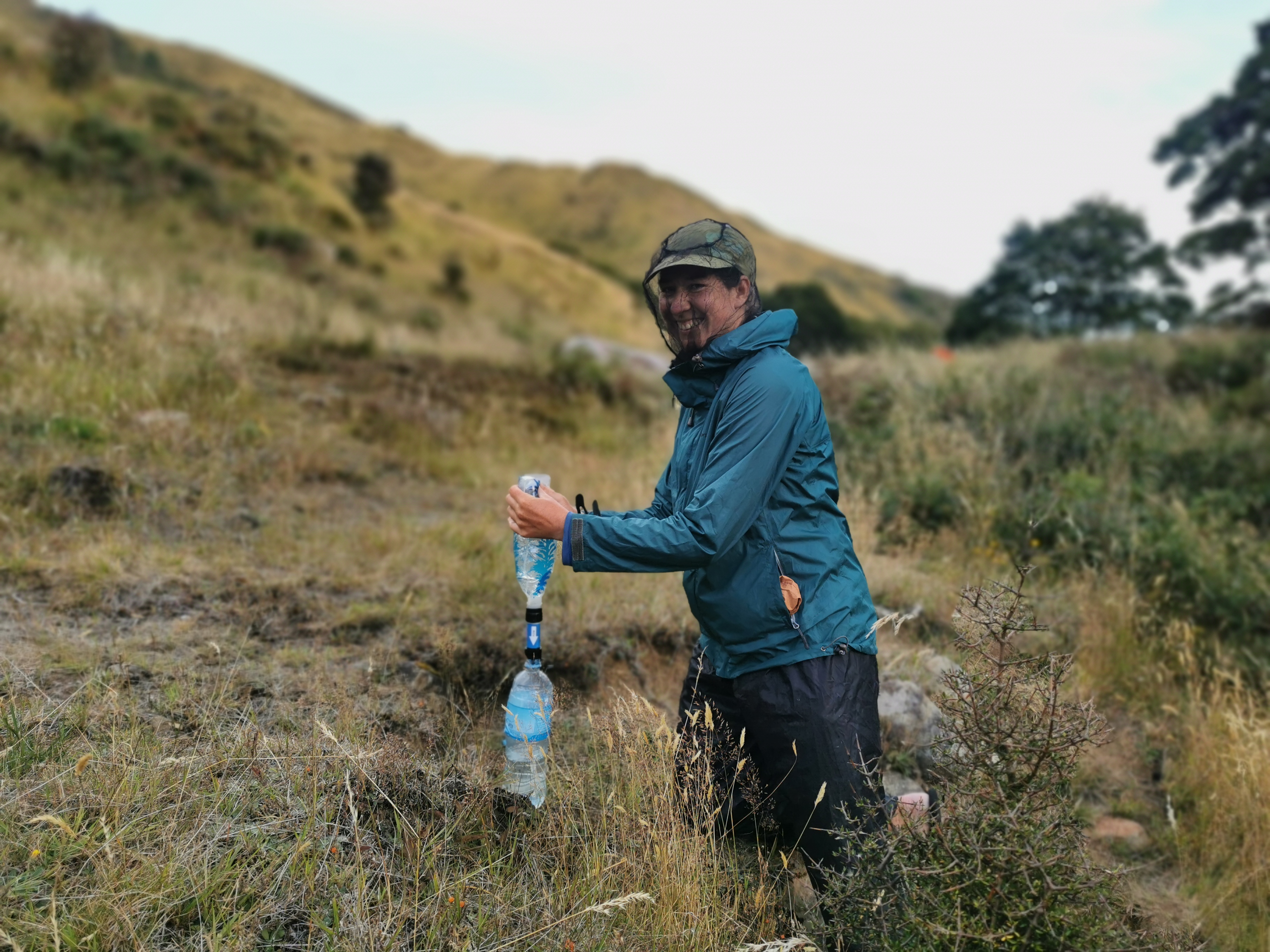
There’s a creek shortly before here. I filled up my water bottles from it, and despite filtering it first, the water tasted like grass.
Road walking begins now
Onto part two of the day – the road walk. 10km down this first road. It is Mavora Lakes Road, and is the road people use if they’re driving to the Mavora Lakes I passed by yesterday. We saw a few cars. There weren’t many though, so we both had our headphones on listening to music. That really helped the mood on this section.
Still going…
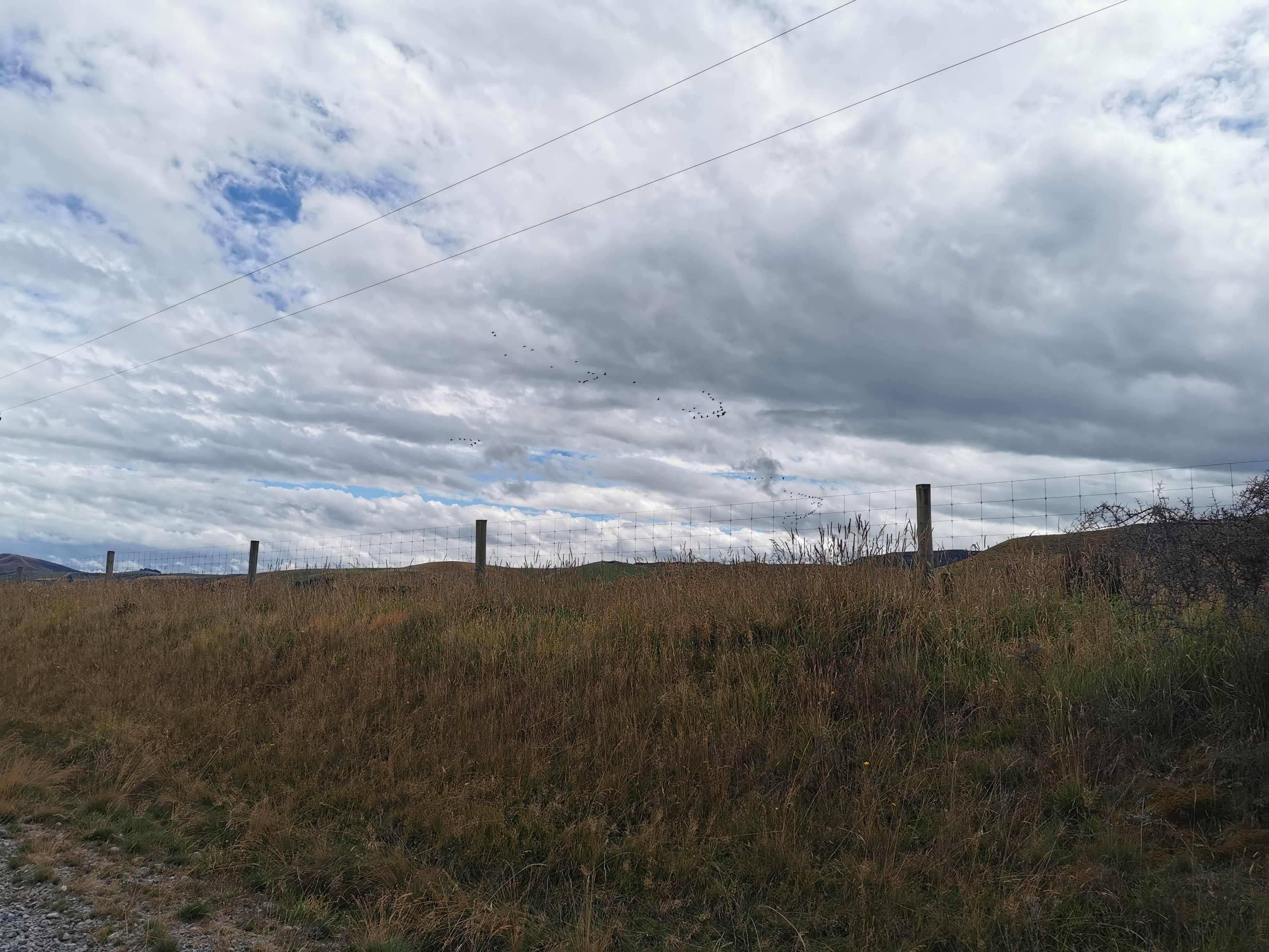
Some geese flying in formation was probably the most interesting thing to happen on this section.
It would be faster for us if we could fly tooThis is what a sheep is supposed to look like at this time of year!Nearing the end of the road39km to Mavora Lakes. That feels long even for a car down a gravel road.
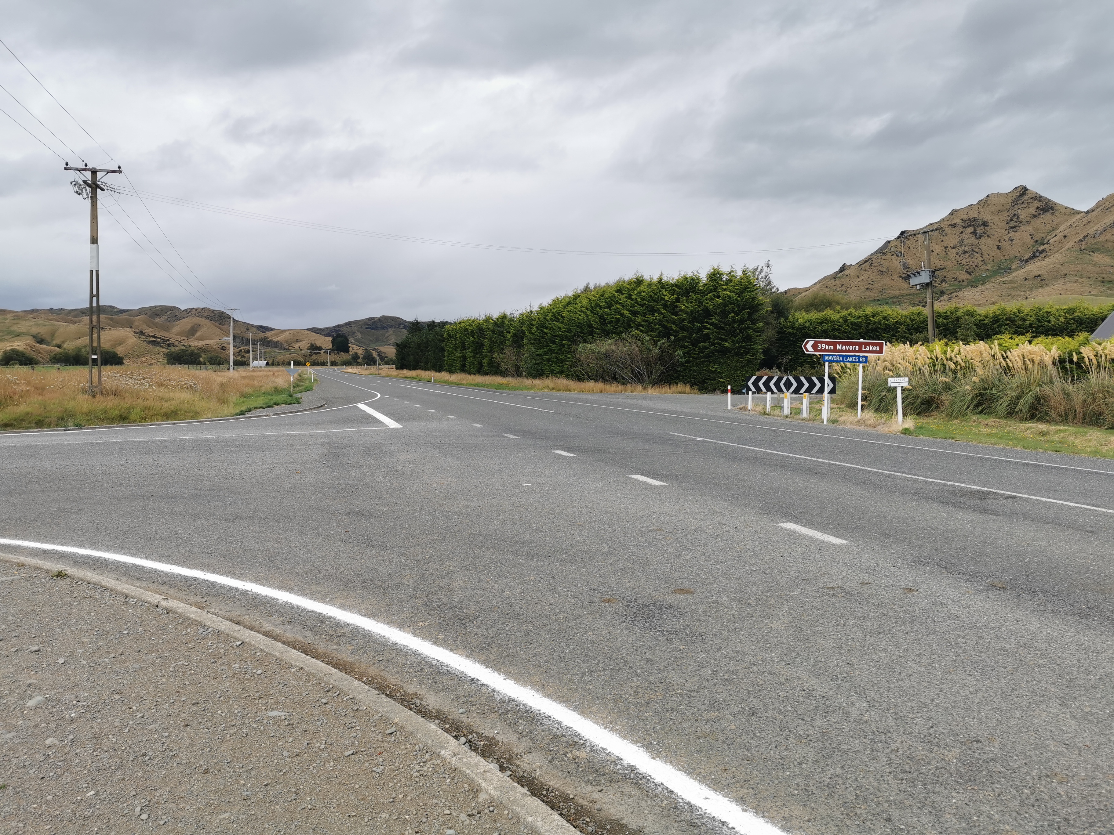
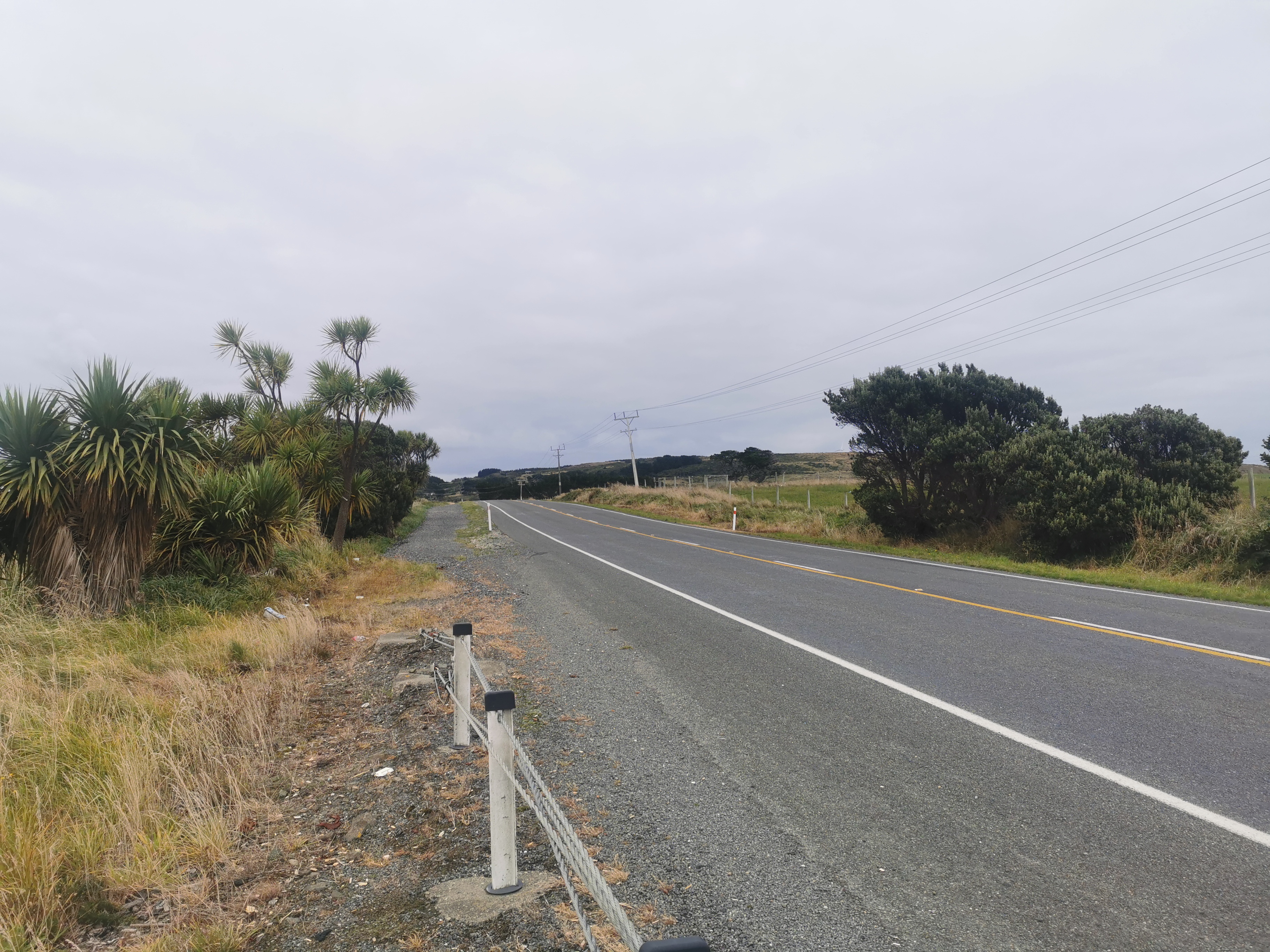
We then turned fight onto State Highway 94. If you’ve been reading the blog from the start you’ll know that I keep mentioning that the highway numbers increase as you go south down the country. Now I’m up to the “9” highways, it really feels like the walk is almost over.
State Highway 94Walking past Toi Tois
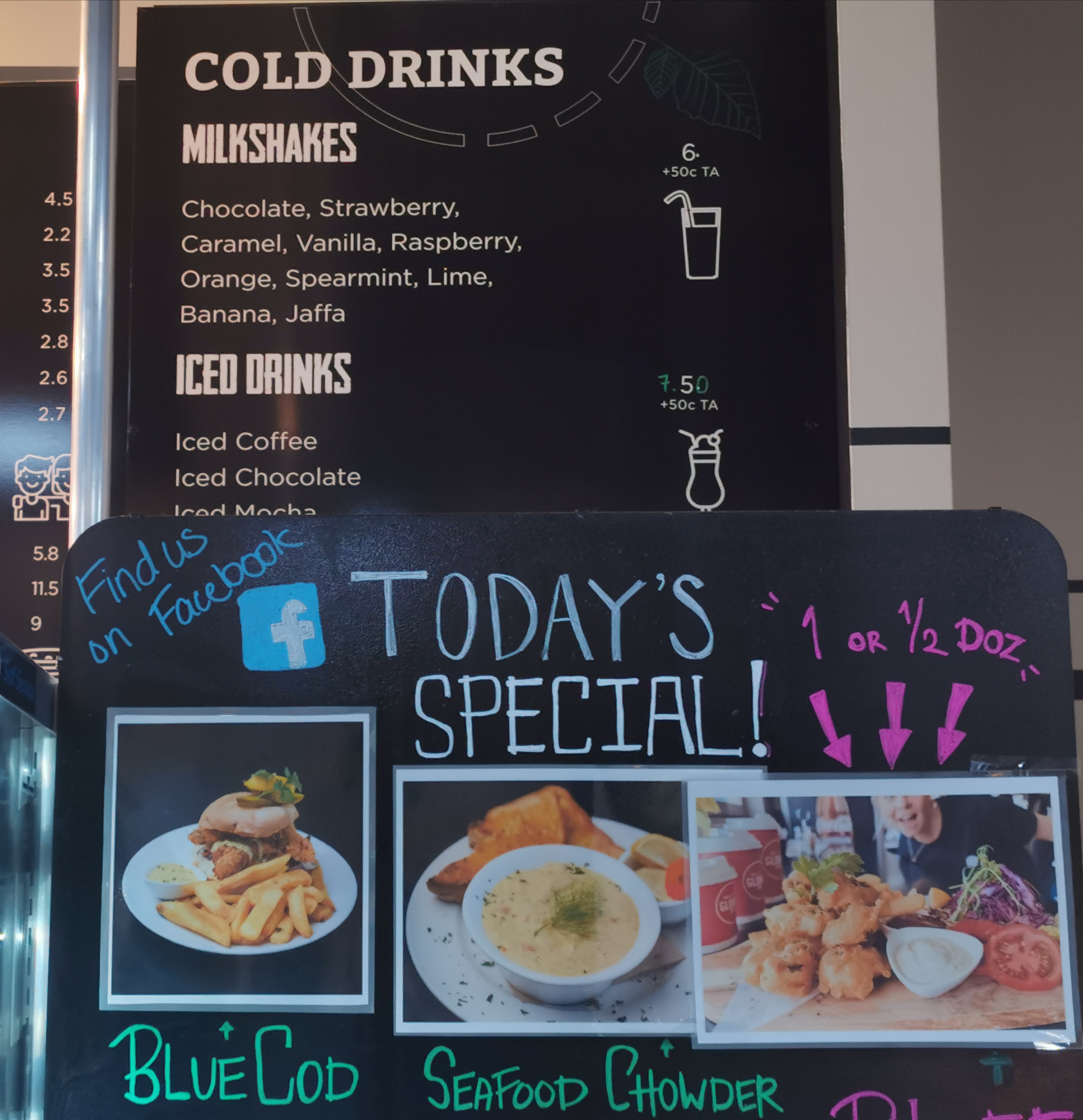
While walking along Highway 94, some people try and hitchhike from here into the nearby town of Te Anau for supplies. I didn’t do that, I’m carrying all my food for this section because I thought hitchhiking would be too much trouble. But now that I’m here I’m changing my mind. Since we’re very near the next hut, I could have hitched to Te Anau, got more food, stayed there the night and got back here in the morning without missing much time. Oh well, I made my decision. Although I did want to hitch now into Te Anau just to get a milkshake.
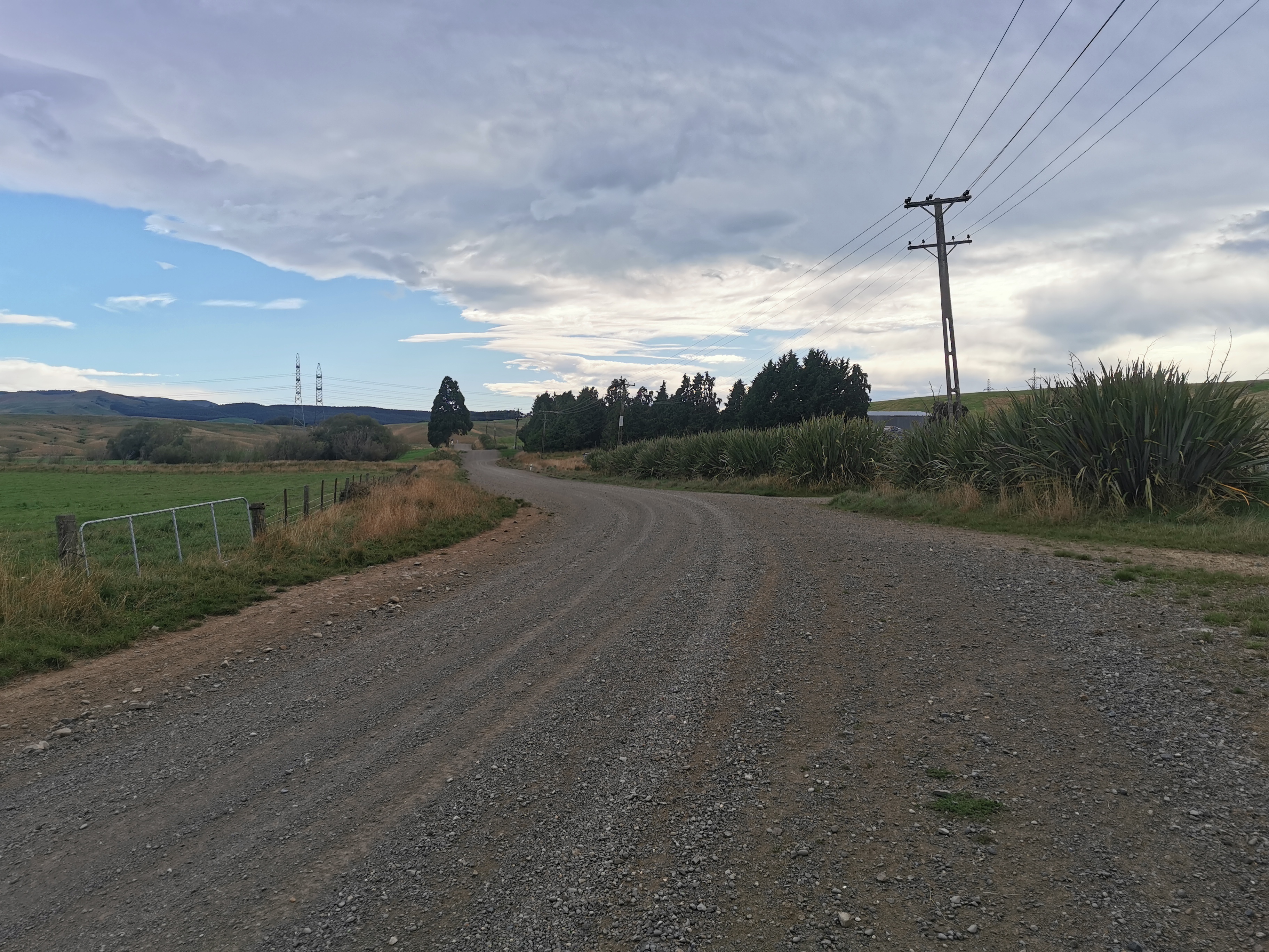
The last Road is Princhester Road.
Princhester Road
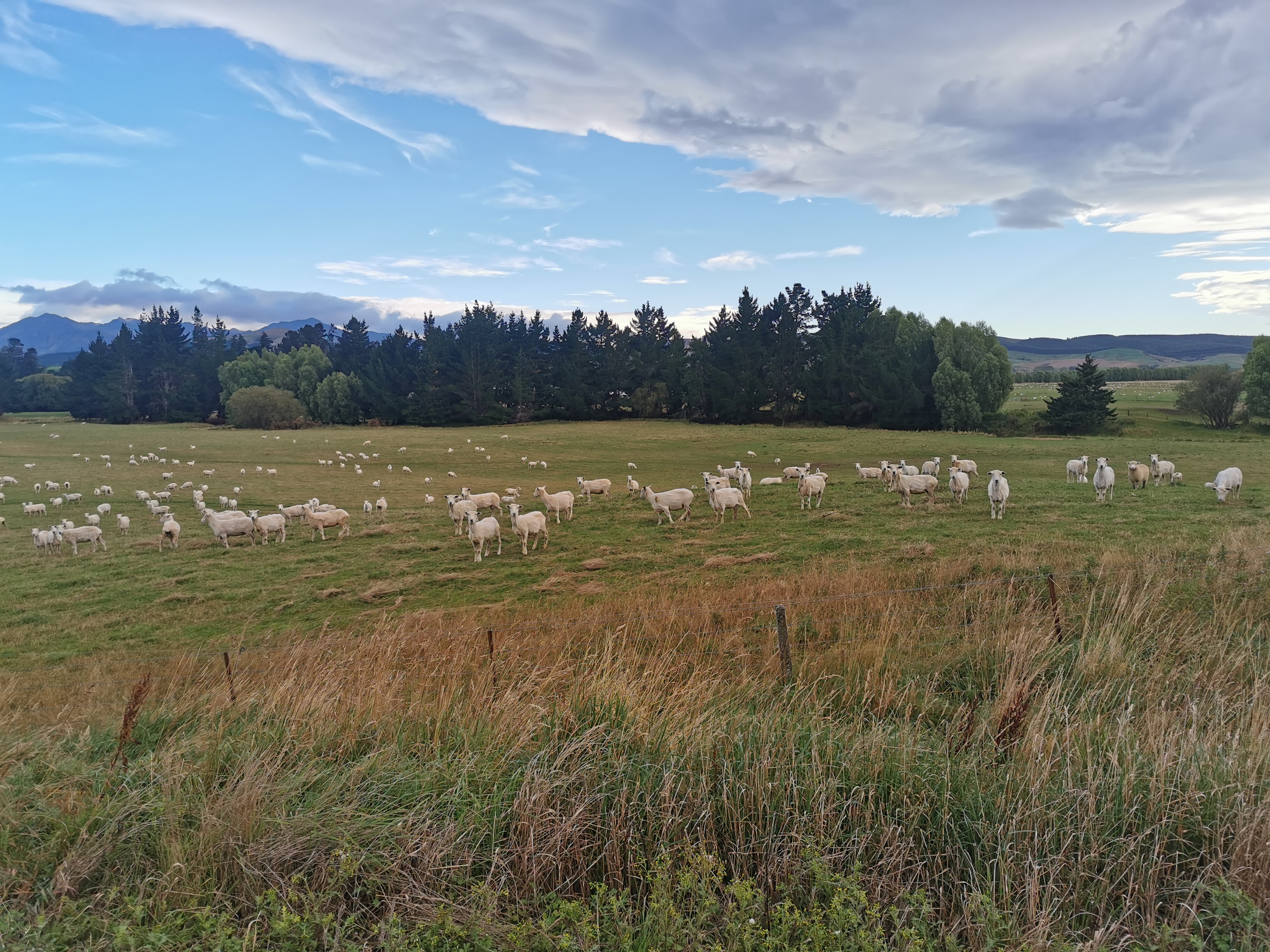
This road goes down the middle of a farm, and so you walk through animals.
Like sheepAnd cows
Boy there was lots of road walking today. 19km in total. More than I thought, and I’m more sore than I thought I would be as well.
At the end of the road is something poking through trees. Can you see it?
How about now?
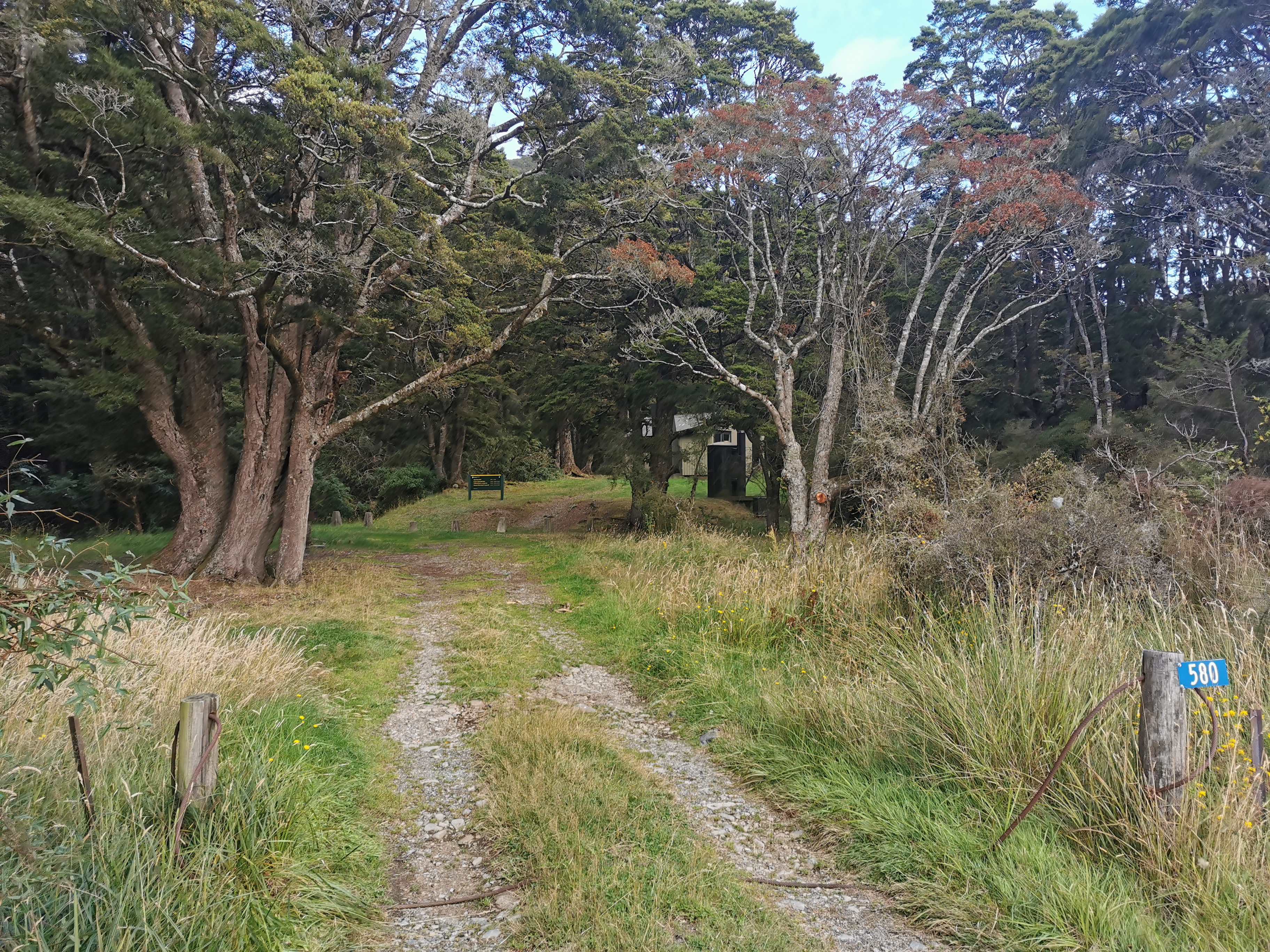
It even has a house number… 580
It’s Lower Princhester Hut! What a sight for sore eyes!
Although from this angle it just looks like a shed
One girl was at the hut already. Her name is Lisa. She has a friend that works at Mt Linton Station which is only a couple of days walk from here so she is trying to get there as soon as possible so she can ride horses with her friend. Lucky.
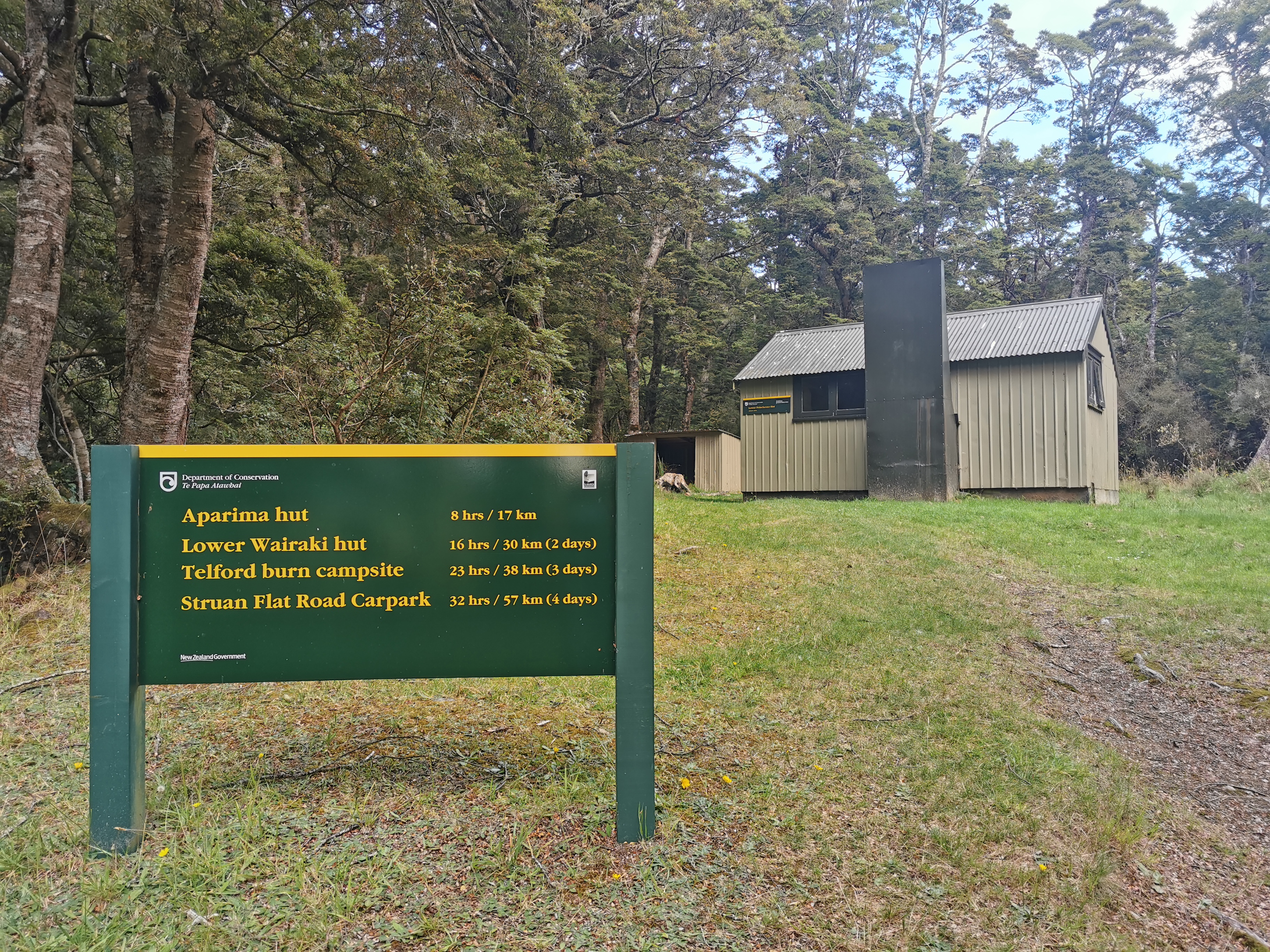
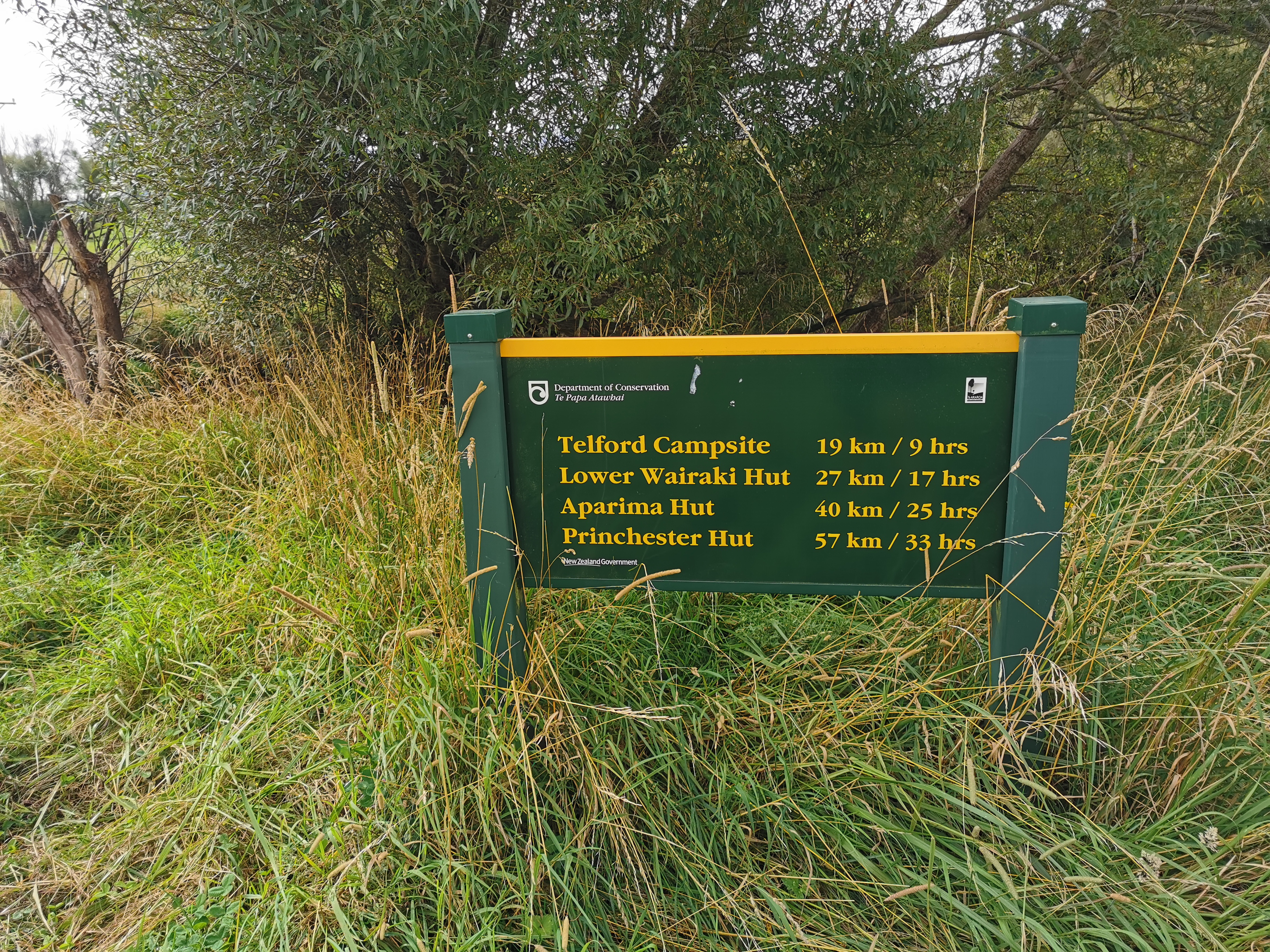
This sign outside the hut hints that the upcoming days are long. Hopefully they have overestimated the time significantly, as 4 days to go right through here seems like a lot.
Some big distances and times here
There was a tiny bit of reception briefly so I looked at the weather again.
Looks like it doesn’t get real bad for a week. That’s not too bad. But it does make me feel like I should do a couple more big days while the weather is good… but I don’t think my legs could take it.
We didn’t do much as usual except have dinner and chat for a bit. Although at one point I was determined to swat a loud fly hanging around us. I got it first try, but then I thought I saw it fall into my bag of food, so I had to empty all my food bag out to get the dead fly out. And then I discovered it landed on the windowsill.
Date: 3 March 2021
Trail covered: 16.2km (kms 2783.2 to 2799.4)
Weather: warm
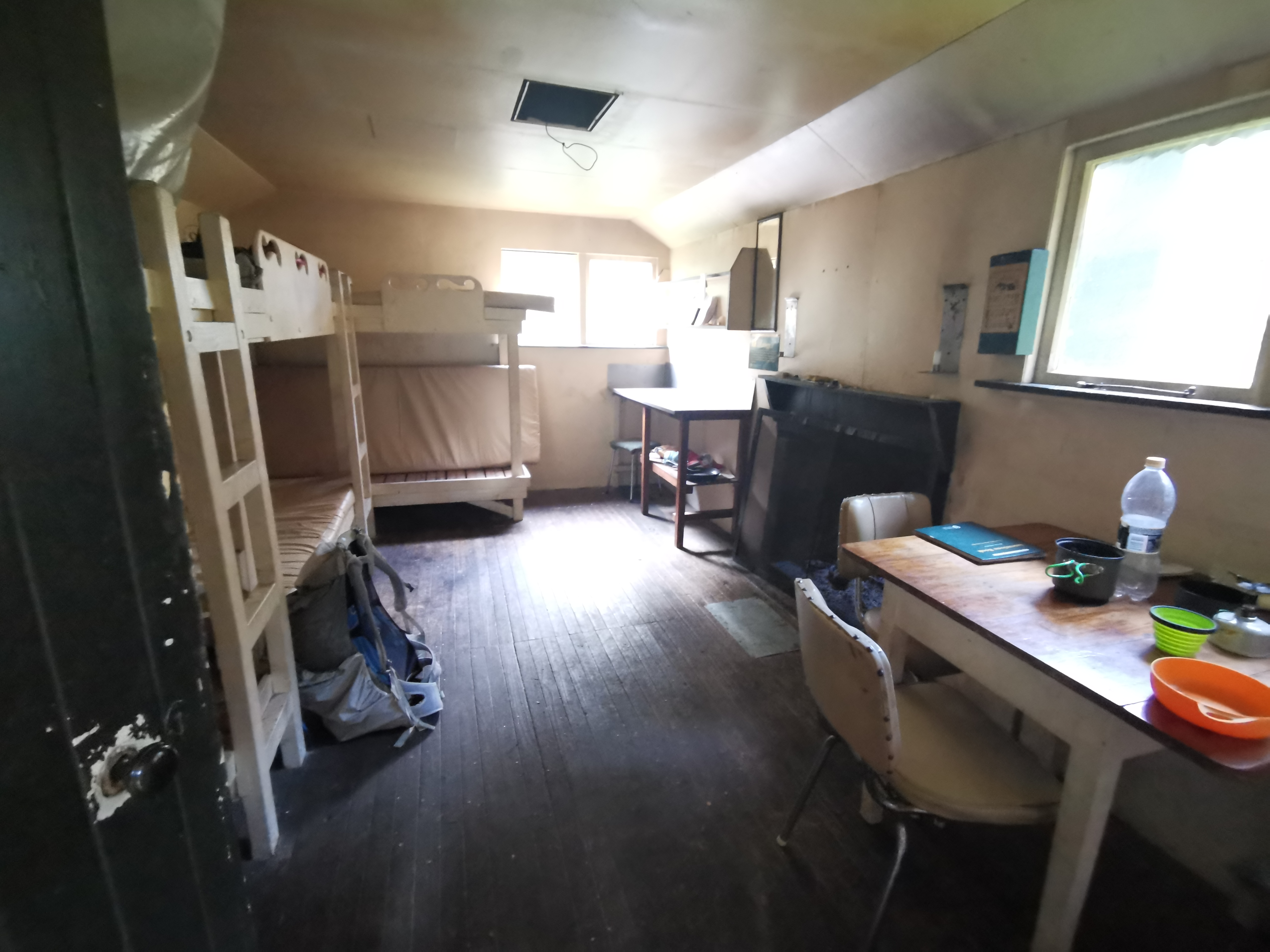
After two big days I forced myself to leave later so that I wasn’t tempted to have another big day. It definitely wasn’t any kind of hardship. The other two left early and so it was very nice to chill out a bit in the hut.
Hut to myself
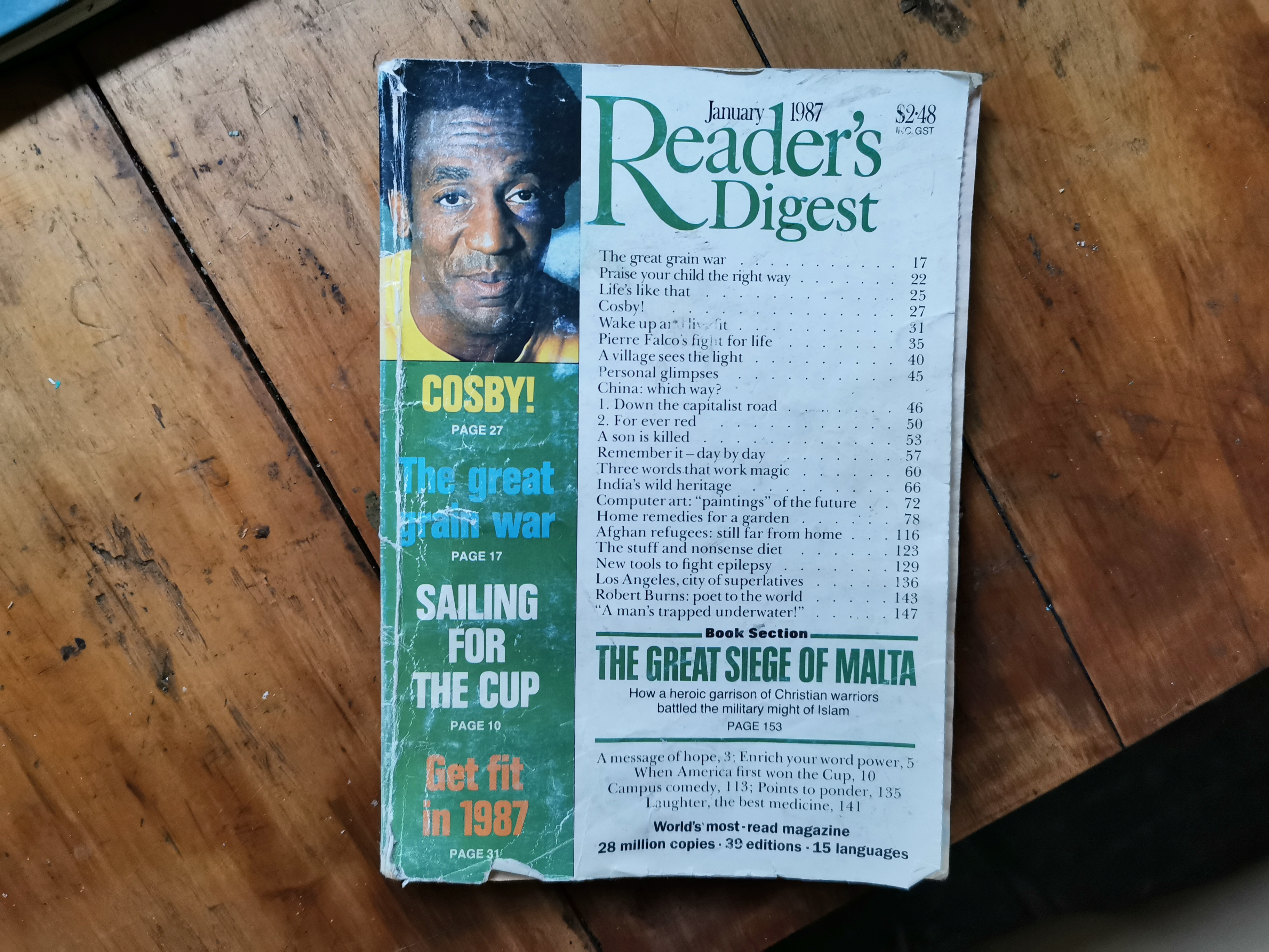
I took a little bit of time to read the Reader’s Digest from 1987 that was on the table. It featured an article about Bill Cosby, and also another article about the benefits of writing a daily diary (although unsurprisingly blogs weren’t mentioned).
COSBY!
I also read back through the hut’s Intentions Book from a year ago. There were some familiar names in there. I saw Alex, Peter, Charlie, Kay, Agneta, Rowan, Mark, Jolanda, Eirik, Robert, Nick, Florian, Ben and Antoine. I didn’t see Rhydian’s name, but maybe I just didn’t look hard enough.
There’s Peter, Charlie and Alex
There was a big gap in the book between 27 March (three days after the national lockdown last year) and 14 May.
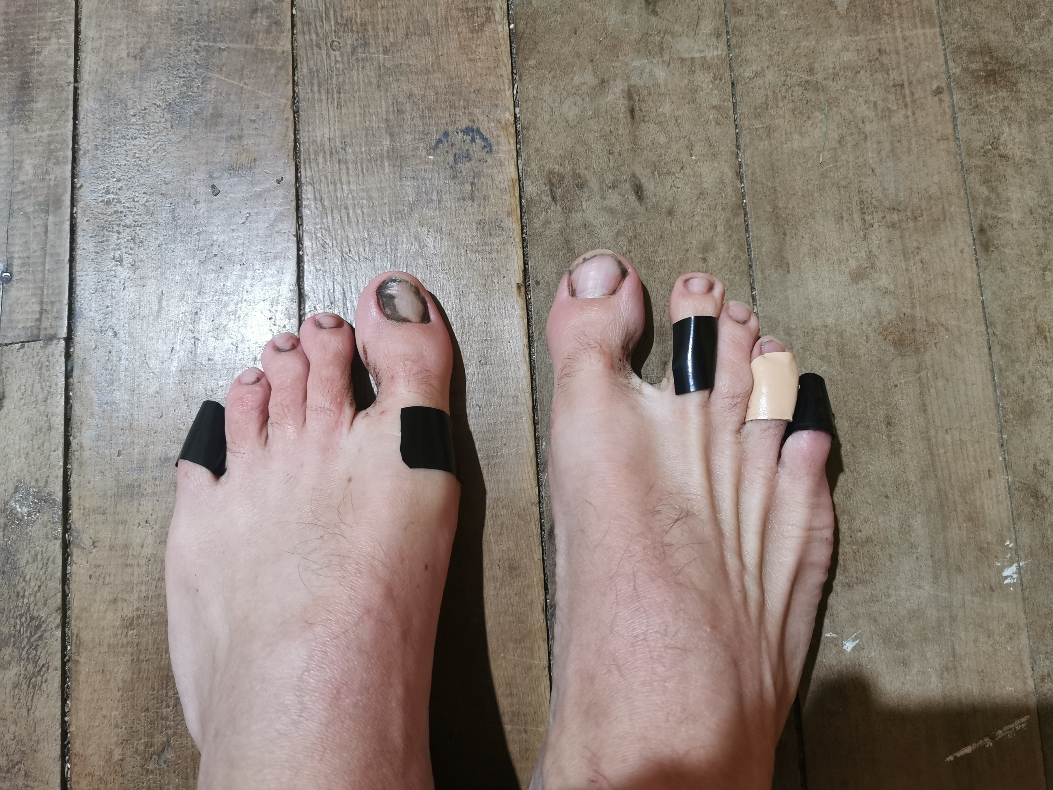
I tried to do something with the three blisters that have developed on my right foot. Two days ago I tried plasters and yesterday I tried duct tape. Nothing sticks – there’s just no product out there that holds to skin when you have wet feet.
I left at 9am, about an hour after the others. The map showed an immediate 350m elevation from the hut, which isn’t a lot compared to previous sections of the trail but it’s my first real hill since restarting. For the next couple of days I’m walking through the Takitimu Forest.
Starting out
The forest reminds me of walking up Pirongia mountain – although possibly slightly steeper at first. And my feet started the day off dry. The plants in the forest were all dry as there wasn’t any rain overnight. It was really nice.
But since I was going uphill, I would sweat a bit and at the slightest bit of sweat, like always, my sunglasses fog up. I wonder if one day, somebody will invent lenses for glasses that don’t fog up. I feel like that person will make a billion dollars overnight.
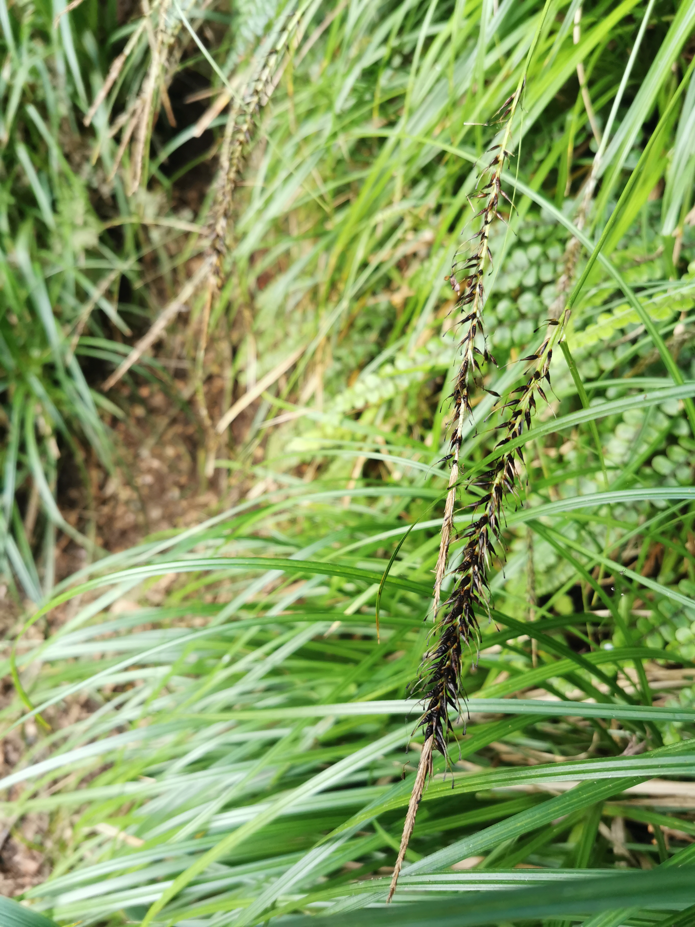
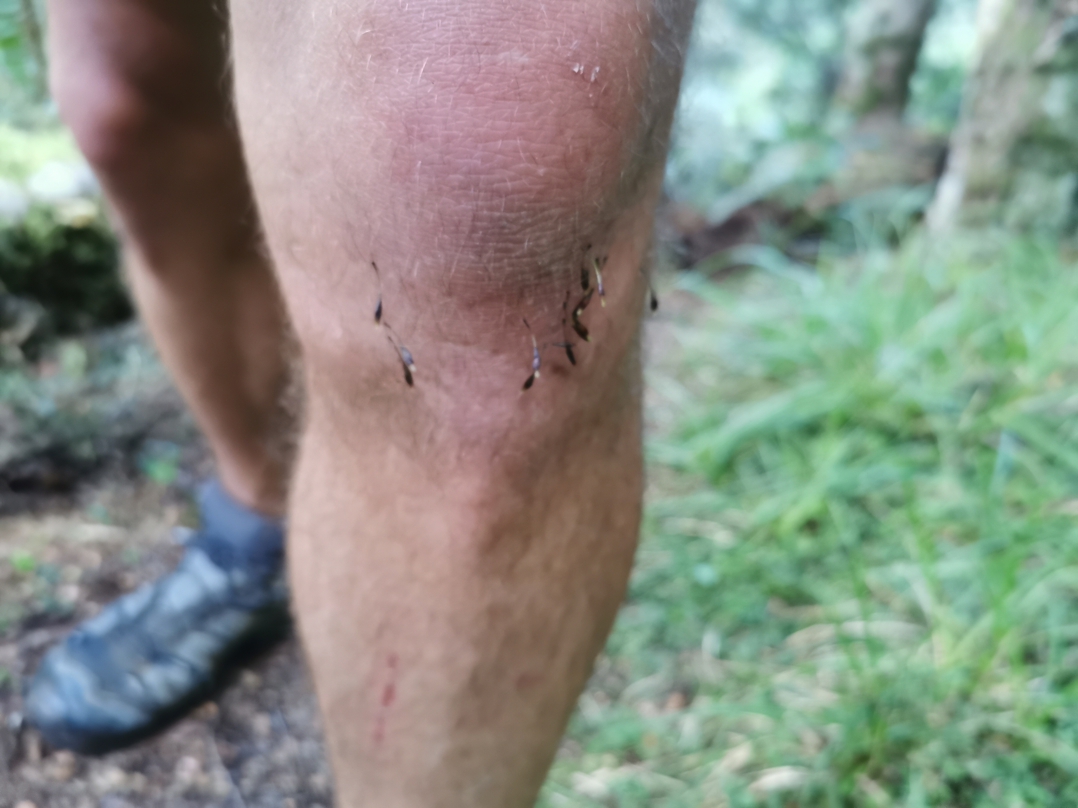
But one thing I did encounter on this track which I haven’t encountered on the trail before is these little black things that stick to your leg hair as you brush past them. They feel like very tiny but very real razor blades. It might be worth shaving your leg hair before walking this section!
I’ve never known what this evil thing is calledA very efficient seed dispersal mechanism
The path was well formed all the time, although there were some parts that were a little challenging.
The roots make for good steps at least
I met up with Nicola at the saddle. We had a snack here and chatted about stuff. We hoped there would be a nice view but there were too many trees so we couldn’t see much.
Nicola talked about how she spent 6 days in Blue Lake Hut, because there was too much snow to cross the Waiau Pass. On the fourth day she tried to cross but too much snow meant she had to turn back. She said she was going nuts after spending that long in one hut. I can’t imagine spending that long in a hut… although I did spend the week in the small cabin in the Methven campground.
Snack break at the top of the first bit
The red Guthook line was really far away from the path through this part of the forest. When the app said we had gone 2.5km my GPS watch said we had gone 5km. That’s quite a big difference and it made it a lot harder to know how far I was away from things… Although I realised later that my watch lost the GPS signal through here for some reason, and when that happens it tries to guess your distance based on your step count. When we are hiking we take small steps so that will be why the watch hugely over-estimated the distance.
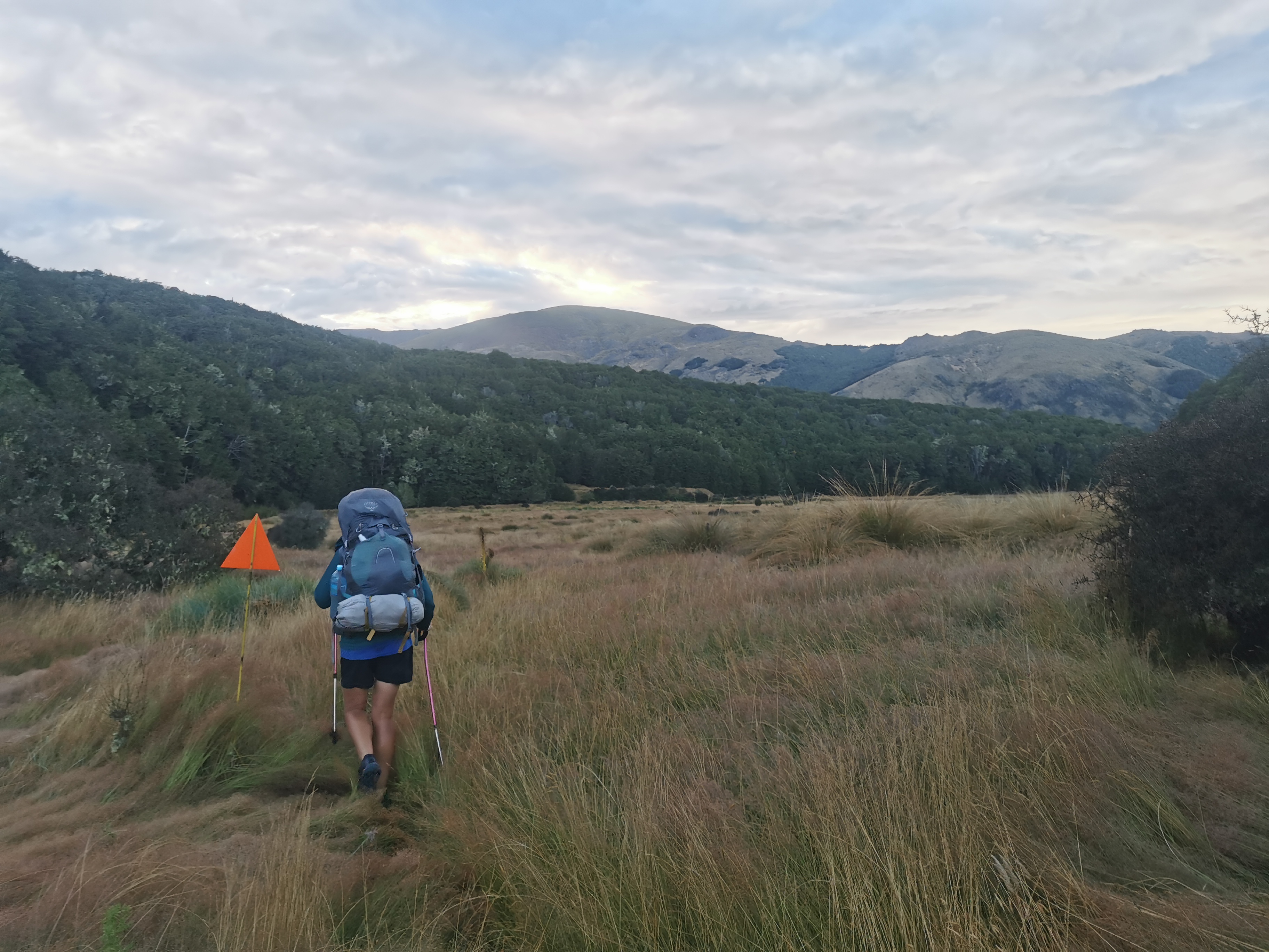
We left just before 11am. My 11am picture is Nicola coming down the other side of the hill. It looks like there’s no obvious path down through the plants but it was easy to see when you’re there.
11am picture
Despite some mud every now and again…
Some mud
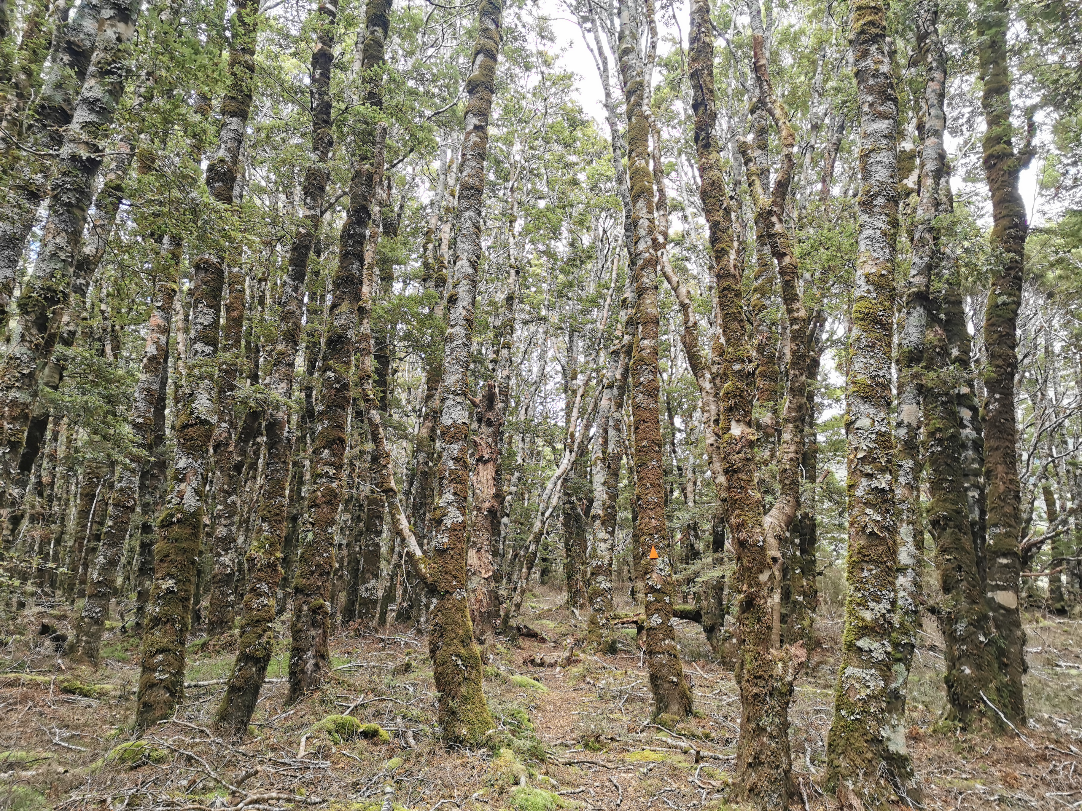
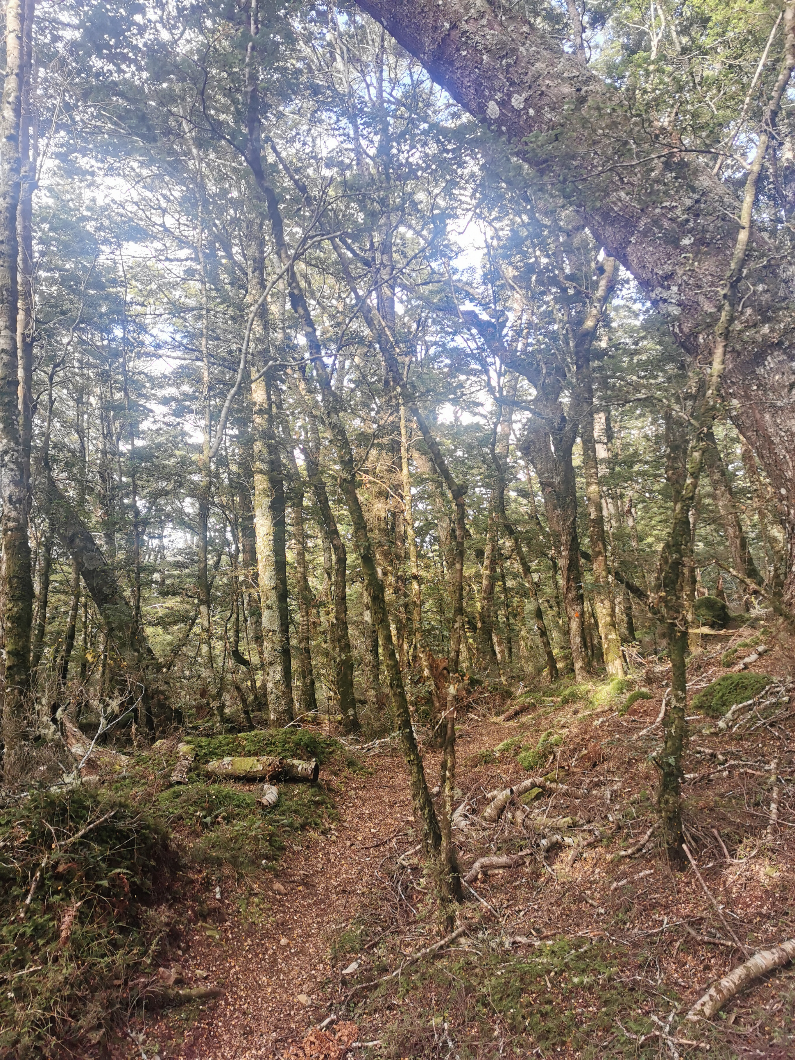
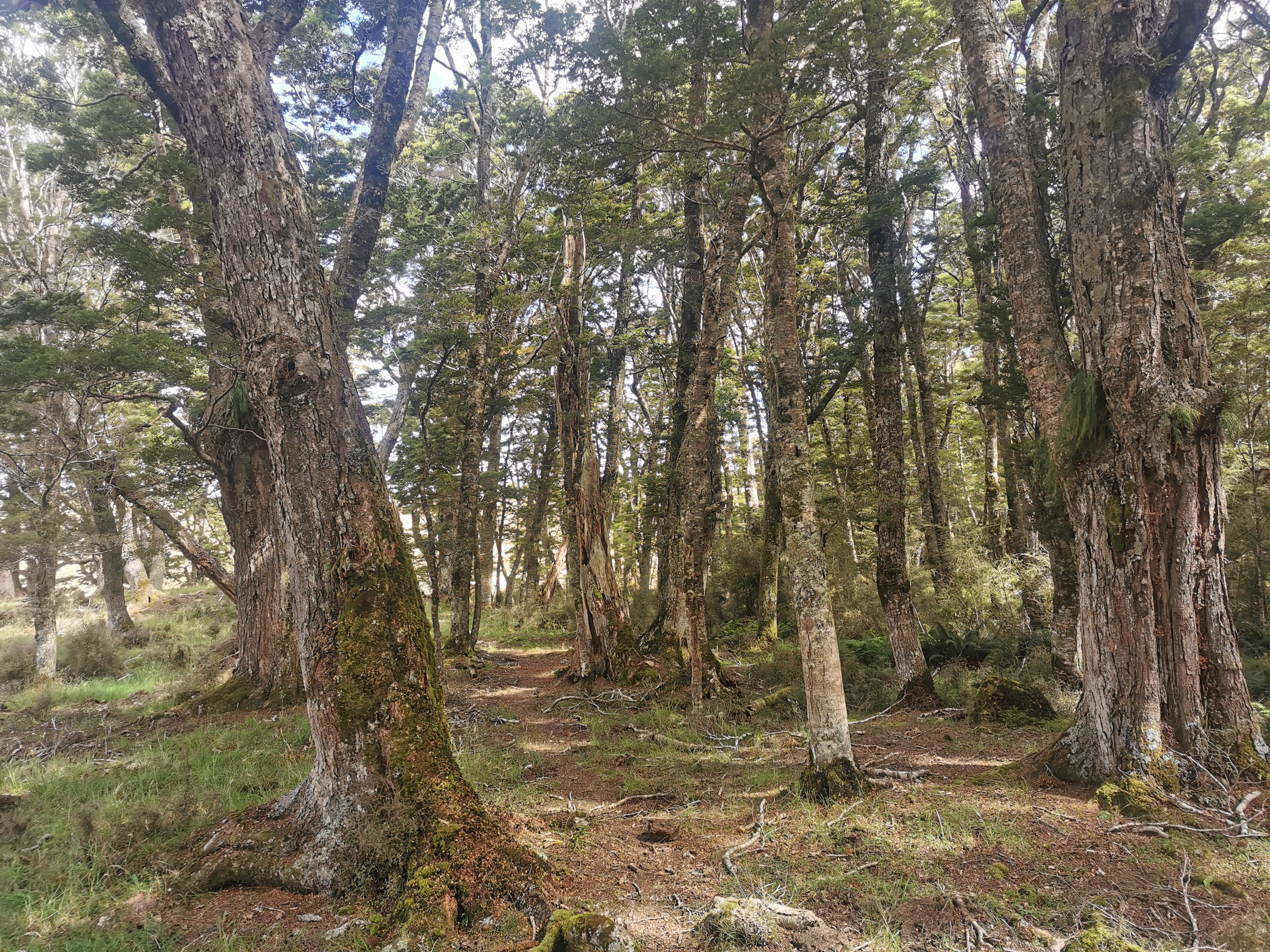
It was nice walking through the forest.
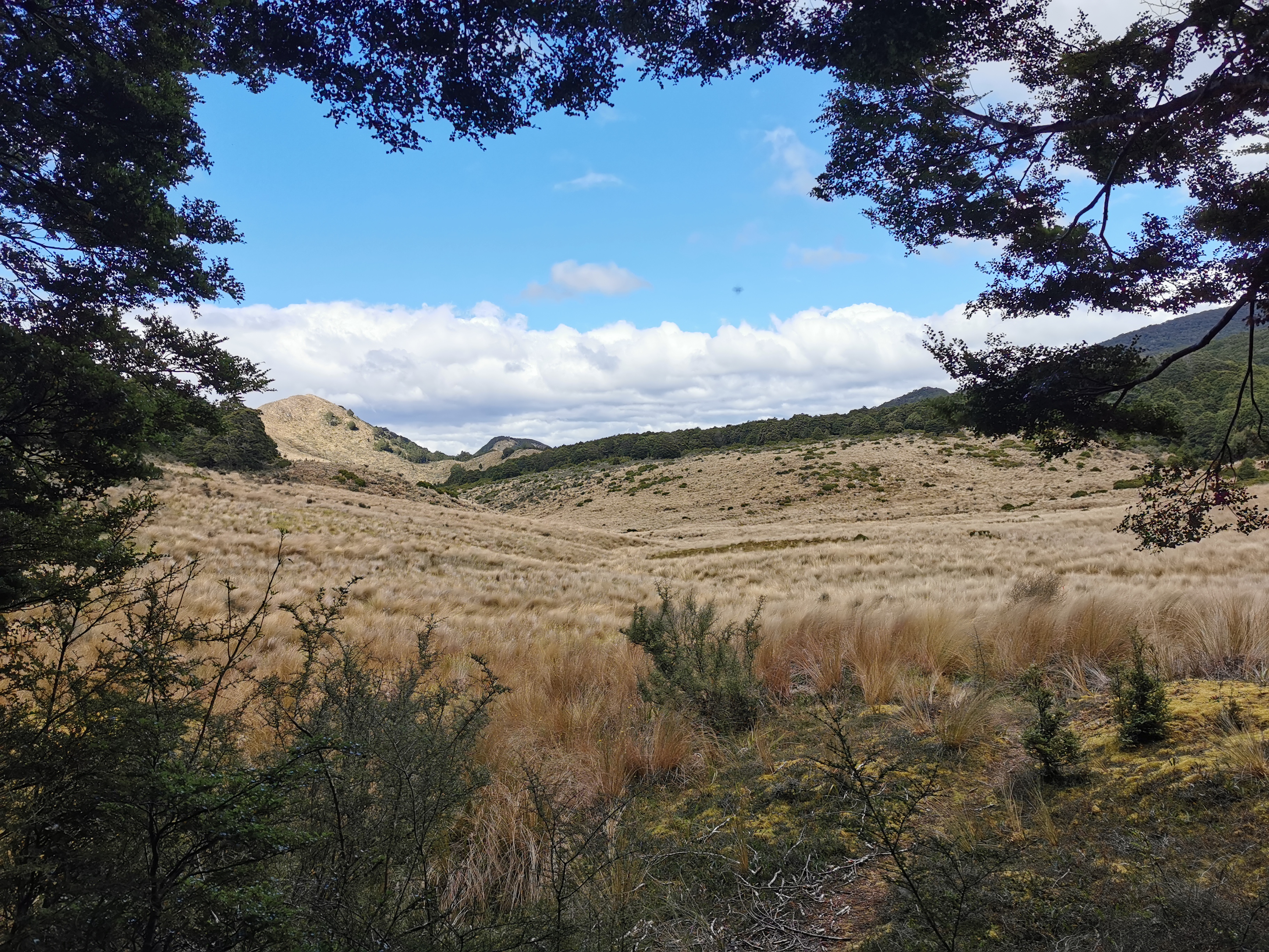
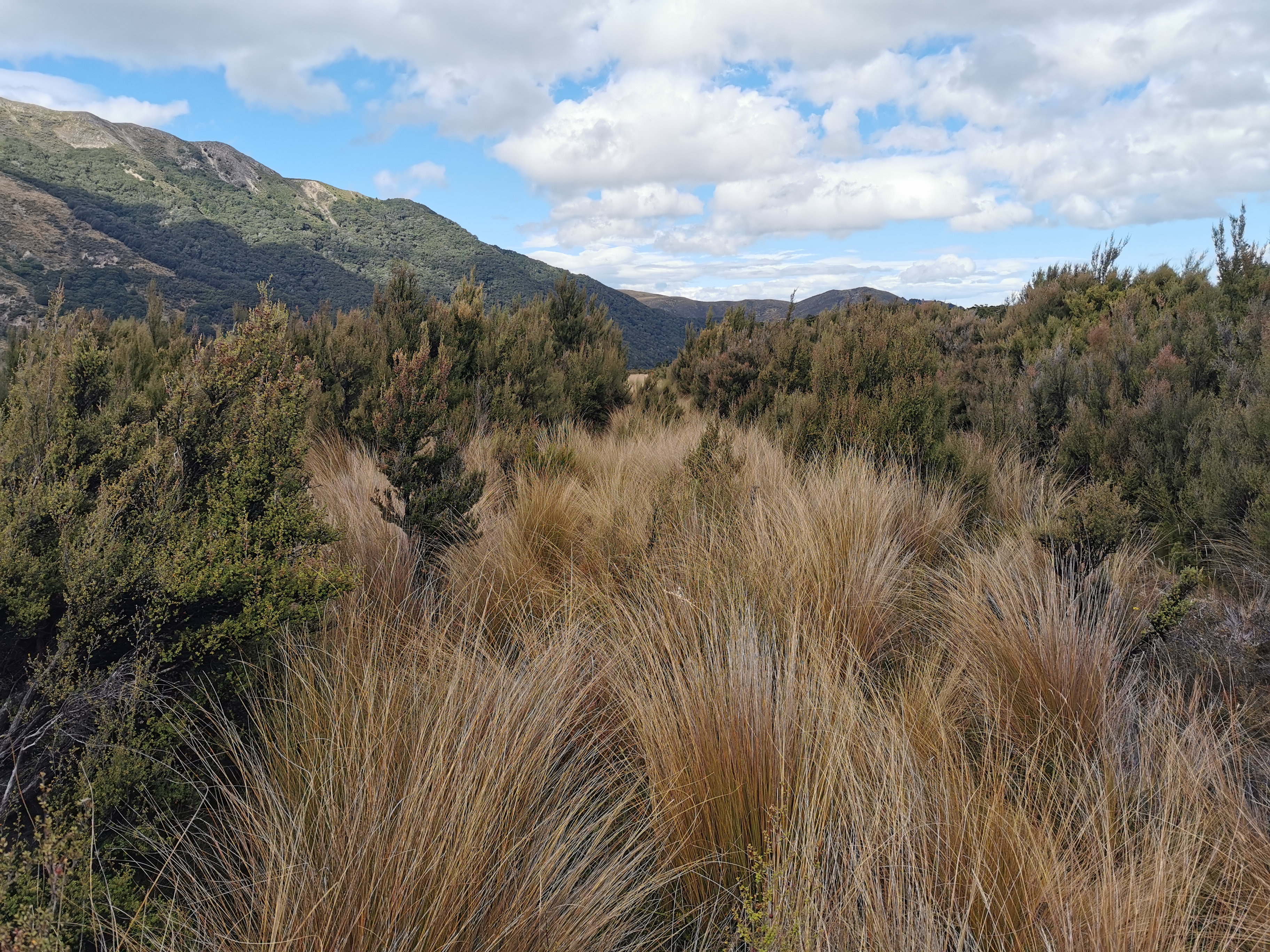
After a while walking through the forest, we came out into tussock. Alternating between forest and tussock was to be our day for the rest of the day.
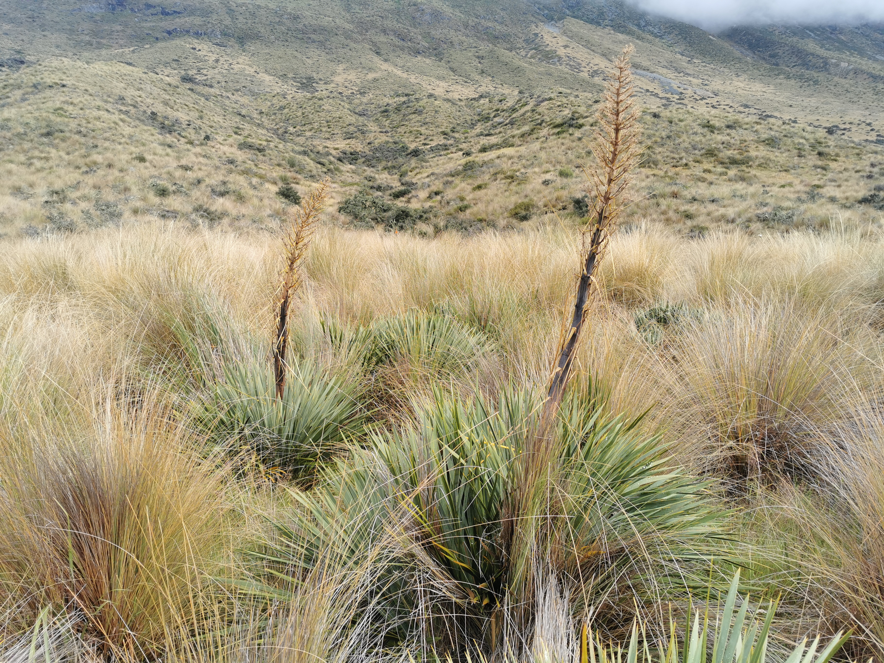
The first tussock fieldThis tussock is not higher than the markers
At first it didn’t seem bad. The markers were prominent and the tussock was only waist height.
And cute home-made signs
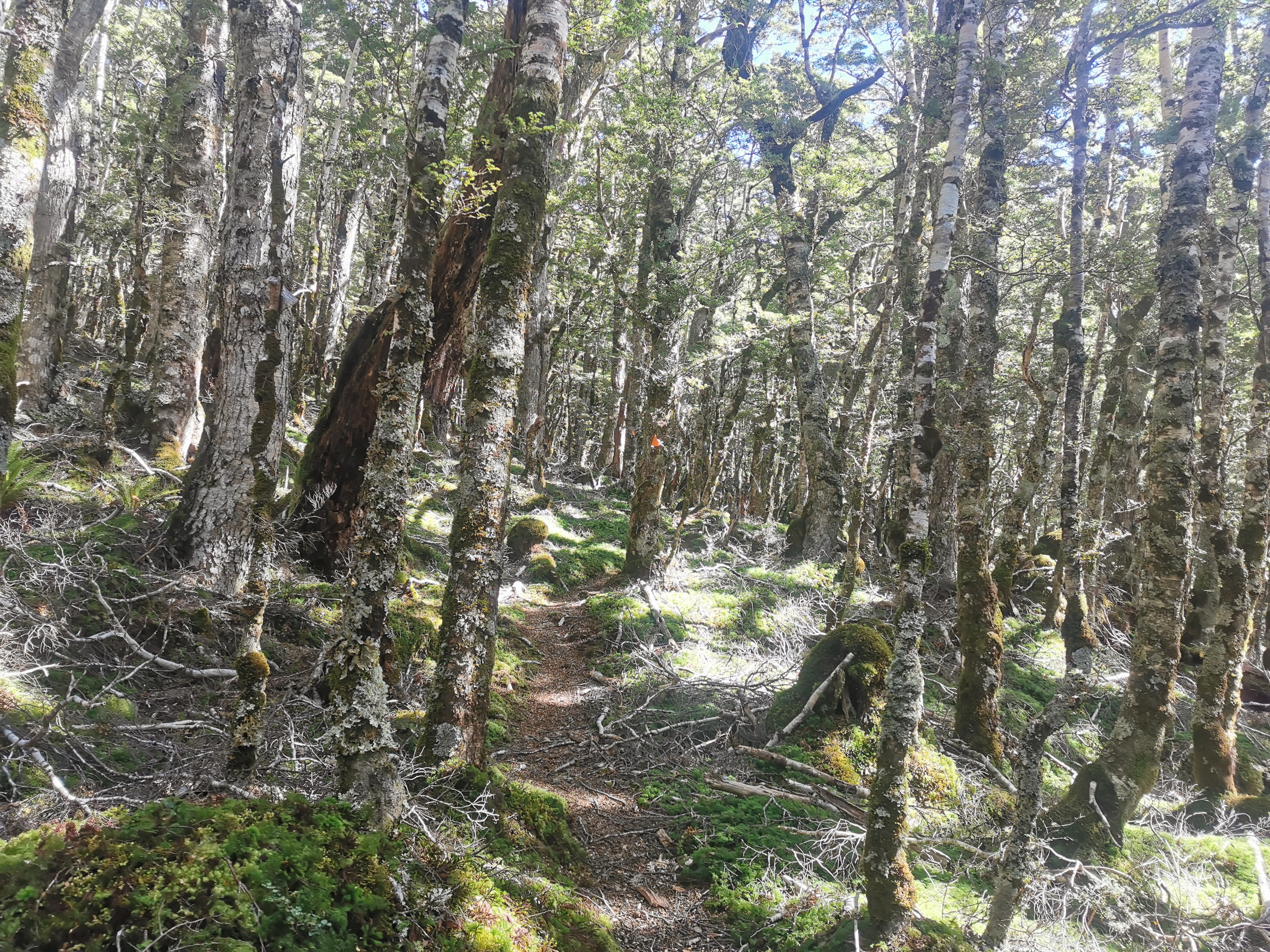
And occasionally the trail went back into the forest where it was always well formed and easy to follow.
Back into the forestBack out of the forest
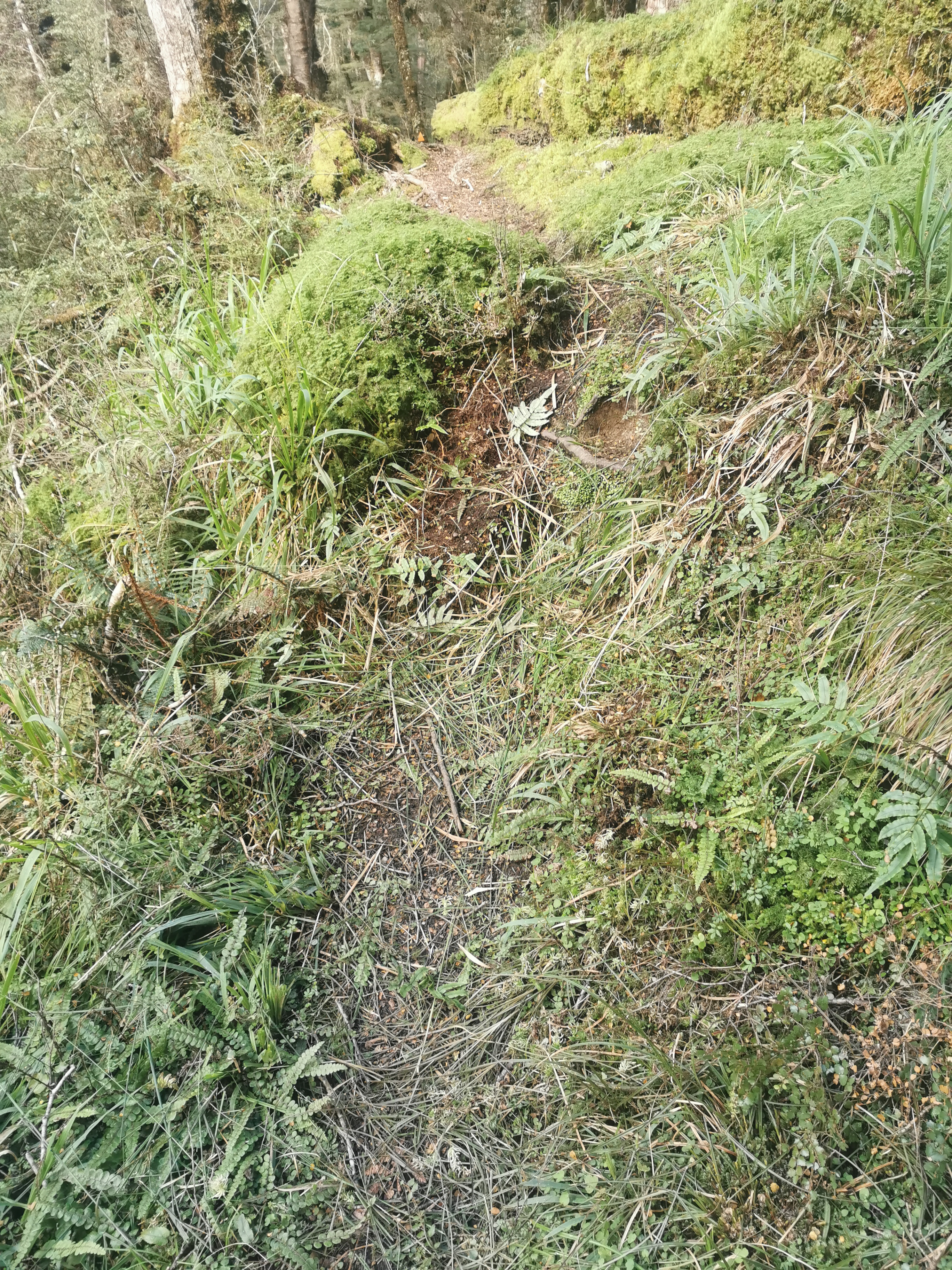
But as the day went on the tussock got higher and the ground got swampier. It was always easy to find the markers but sometimes reaching them was another thing altogether.
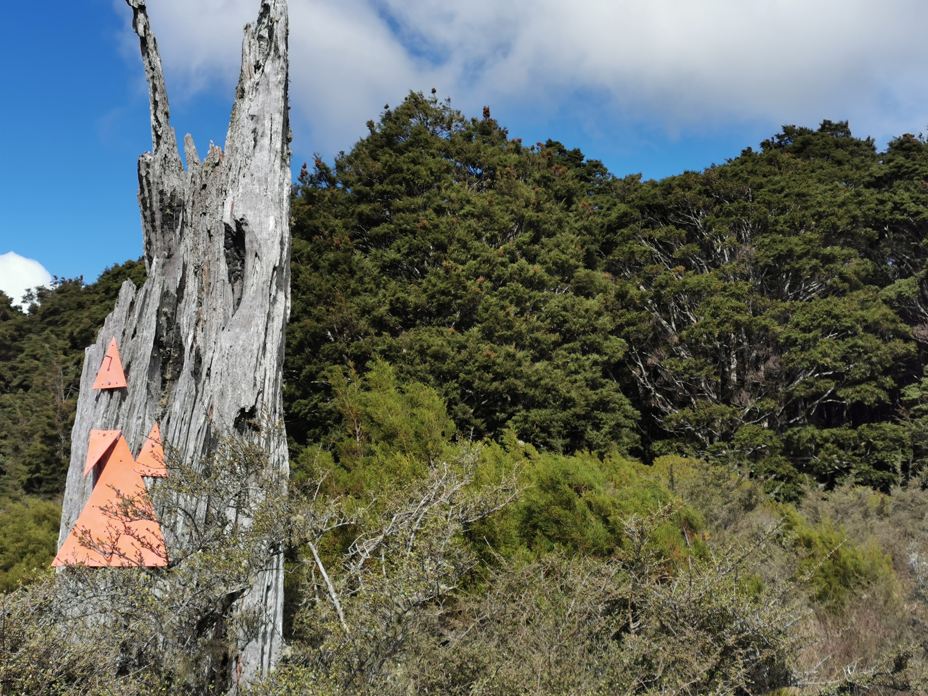
No shortage of markers hereOr here
Towards the end you simply couldn’t avoid the mud and it was often stinky. This section was particularly nasty.
Mud hidden in the grassTricky terrain, also with mud
This rock formation was cool though.
And I moaned about going over this hill, which really on the grand scheme of things was tiny.
This guy knows my pain….
Nicola and I stuck together for most of the day but she had to stop and tend to blisters at one point and so I left her as the sandflies started biting. Fortunately my blisters aren’t giving me any troubles today.
Progress got harder and slower as the day went on. It got to the point where the tussock was as high as my shoulders and you couldn’t see the ground, which meant I stepped in mud and holes because I couldn’t see them easily.
High tussock
I was getting really frustrated with the slow progress. Each kilometer started taking 30 minutes, and the 5-6 hours suggested by the trail notes for this section came and went. I kept thinking to myself that I hope I don’t have to do this again tomorrow. I think I’d lose the will to live.
I had a look at the map and tomorrow the topographical map does seem to put us in the forest all day. I hope that’s true.
2km before the hut the train joins up with a more “touristy” path and so the going becomes a lot easier.
I walked along the top of this slip and then further up the hill.
And past a dilapidated trig point.
The path looked similar for the last bit but there was no mud and no pushing through high tussock so I was fine with it.
Last bit
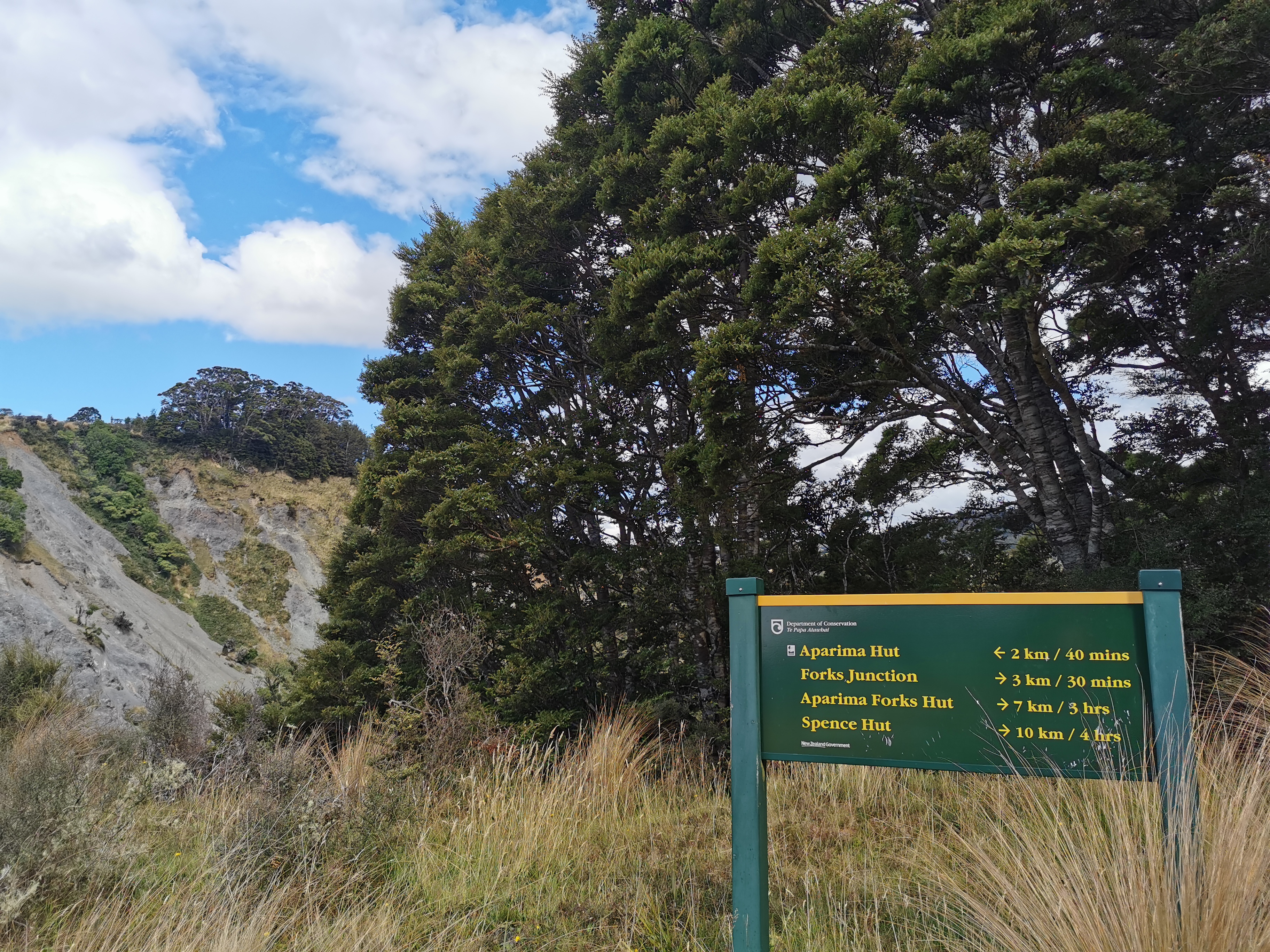
Got down the hill to find Aparima Hut. What a sight for sore eyes!
Aparima Hut on the left and its older brother on the right
It took us just over 7 hours to walk the 20km. That’s slow going. Today was supposed to be an “easy day” and tomorrow was supposed to be harder. And it’s especially annoying when the trail notes say 5-6 hours, it never feels good to take longer than the trail notes say!
There appear to be two huts. An old one and a new one. The old one had just a few bunks and nothing else.
There is lots of stuff outside the hut. Uh oh… is there some kind of big party here? No, it’s all stuff labelled with Department of Conservation. Nobody was around when I arrived but a few sleeping bags have been claimed in both huts.
Had a decent chance to rest. Nothing was hurting this time, but it had been a frustrating day. It was an hour or so before Nicola and the DOC staff joined me.
According to the hut book, the DOC staff are giving out food. I can see their boxes of food are still mostly full. I wonder if we will get lucky!
Boxes of tempting food
There turned out to be four DOC staff who were doing maintenance on nearby tracks. It was good to talk to some new people and they shared their saveloys with us. I don’t eat a lot of meat usually but saveloys tasted great after a long day. They made nachos for dinner and they looked and smelled fantastic but Nicola and I didn’t partake in those, sadly!
They said that each night they make an expensive satellite phone call back to head office to report on their progress. One of the guys made the phone call, and we overheard the conversation. It revolved entirely around saveloys and sport. Nothing about the weather forecast, or the work they had to do, or anything like that!
The six of us talked about all sorts of things. They get helicoptered in along with all their giant bins of food and supplies. They also apparently don’t know any card games.
They said they didn’t experience any mouse problems last night so that was nice to hear… although as I was trying to fall asleep I kept hearing a strange noise coming from an animal of some kind. But hopefully if there is a mouse in here it prefers all the big bins of DOC food to my small bag of food.
Date: 4 March 2021
Trail covered: 20.9km (kms 2799.4 to 2820.3)
Weather: sunny but cold
Overnight I definitely feel like I was annoying the other people in the hut, I had to keep changing sides that I was sleeping on every time something started hurting, and when both sides hurt once I had no choice but to lie in my back, and that’s when I start snoring. Although everyone in the hut seemed to be snoring at one time or another.
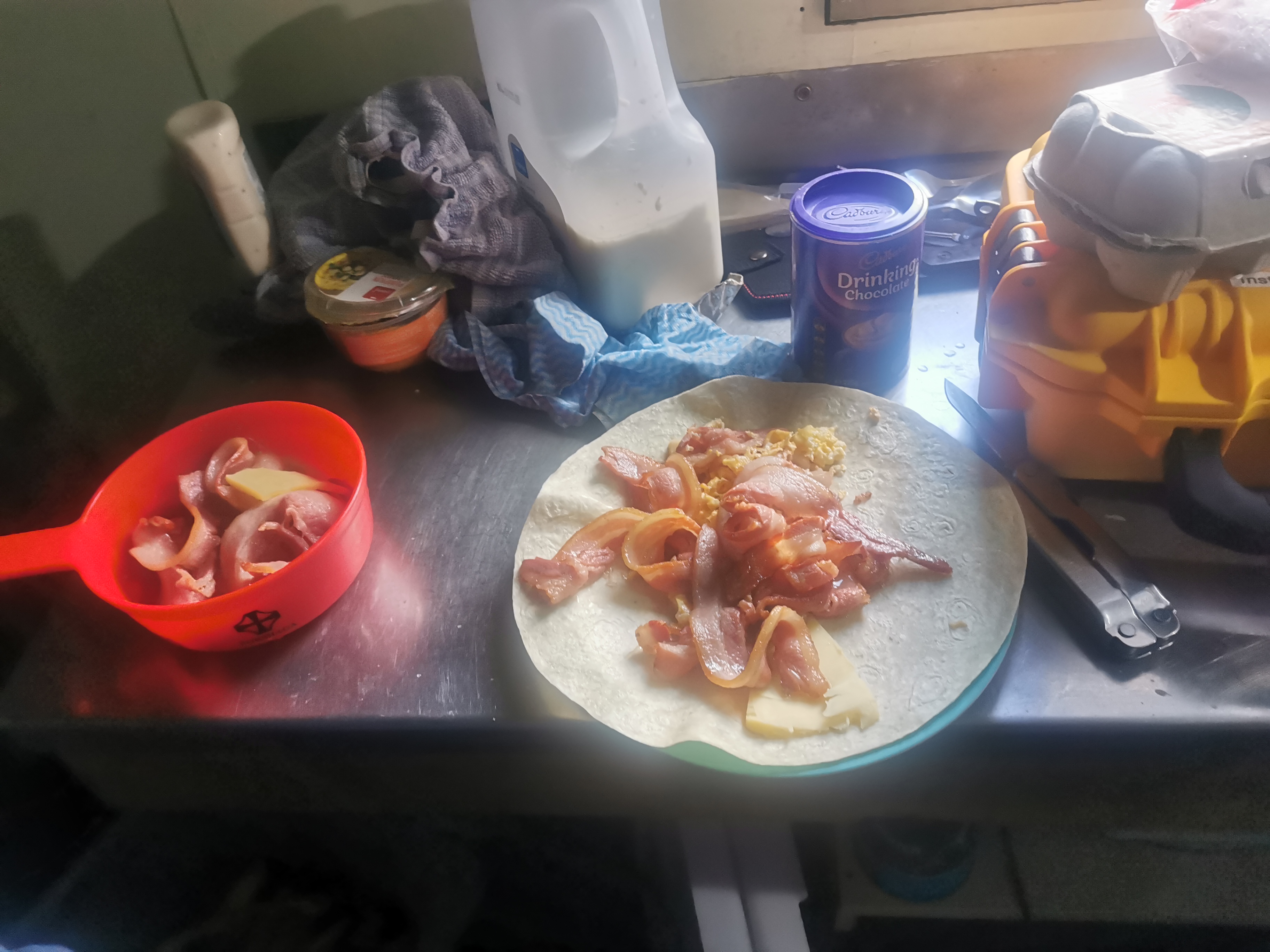
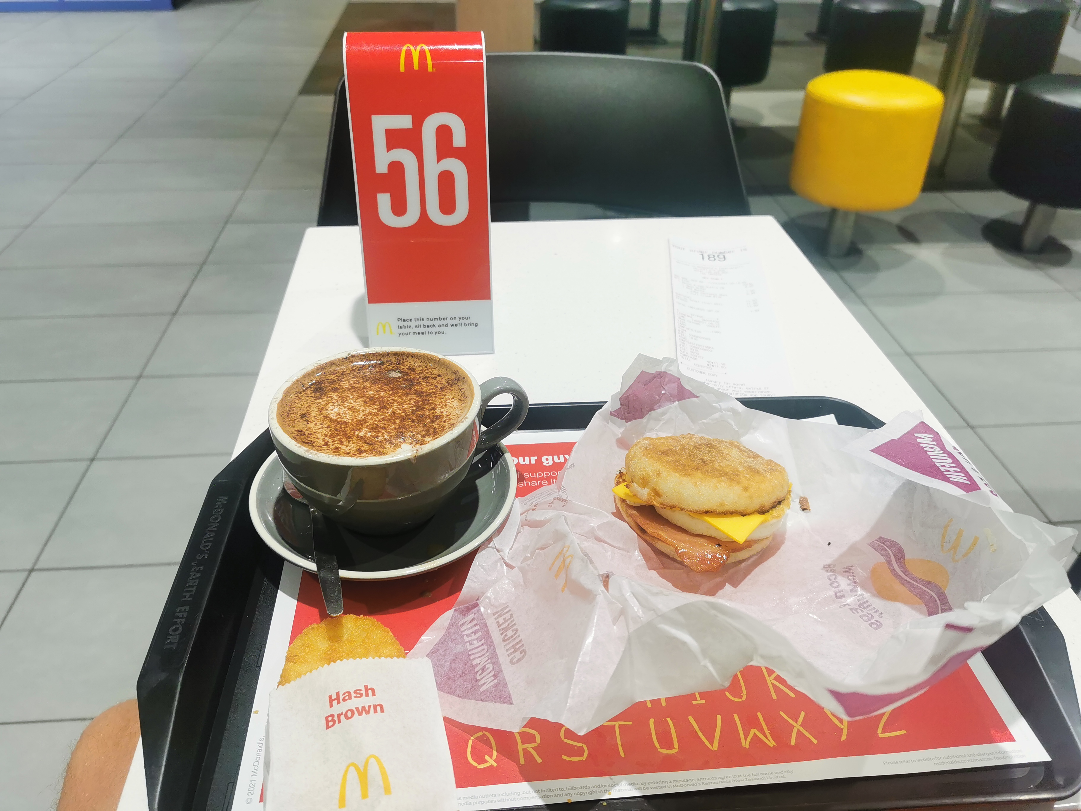
The DOC staff can’t have been too annoyed though, they were nice enough to give us some of their bacon and eggs for breakfast which was awesome of them. Nicola and I both had some on a wrap with cheese.
This was a welcome change
Time to leave and time for the usual swingbridge.
We set off from here down a 4WD track which we weren’t expecting.
It was really easy going, except for the odd muddy section.
After 10 minutes or so I had a feeling something wasnt right. Yes indeedy, we’ve gone the wrong way. So all the way back to the swingbridge we went.
This is always disheartening to see
Almost all the way back to the hut, we saw markers for the path we should have taken. Not entirely sure how we both missed them. I think we just wanted the 4WD track to be the way.
This is where we were supposed to be
As we set off down this new path, we heard the roar of chainsaws in the distance. No doubt it was DOC doing their job.
The new landscape
Nicola and I walked across this interesting landscape. I couldn’t help but think that you probably don’t have to walk far off the path and you would have touched land that nobody else in human history would ever have touched before.
This landscape only lasted for 2km at the most, and then it reverted back to forest.
You could see evidence of their track maintenance, in particular scrub clearing:
And chainsawing fallen trees.
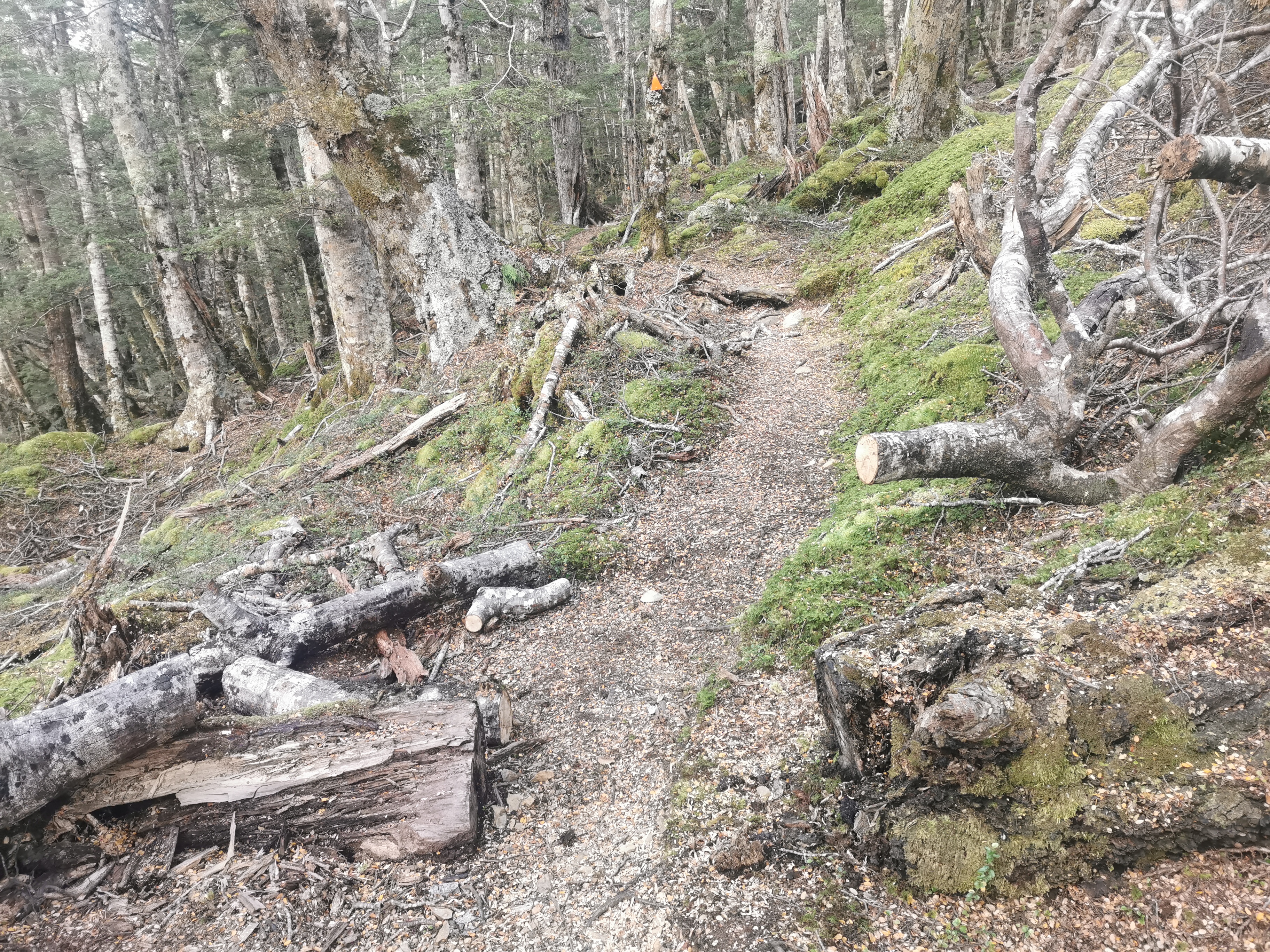
The forest section was like yesterday – mainly an easy path, a few bits of mud and a few steep sections but it was nice. The best part was that it was all forest all the way to the next hut!
Here’s my 11am picture… More forest.
11am picture
It’s hard to take photos in the forest, often they come out with all the green washed out. I like the next photo though… but the problem with this one is that it doesn’t show just how much you could see from the one spot. It was so much more impressive in person.
A big gully
We had four fantails following us briefly which was nice. While we were chatting, Nicola did mention she’s “over” the walk and just wants to get to Bluff. Lisa said it too yesterday… and come to think of it Shay also said the same thing.
This section has been a bit tiring but I’m still fresh and so I’m still enjoying myself. I remember feeling a few times last year where I was “over it”. Of course you have good days and bad days on the trail.
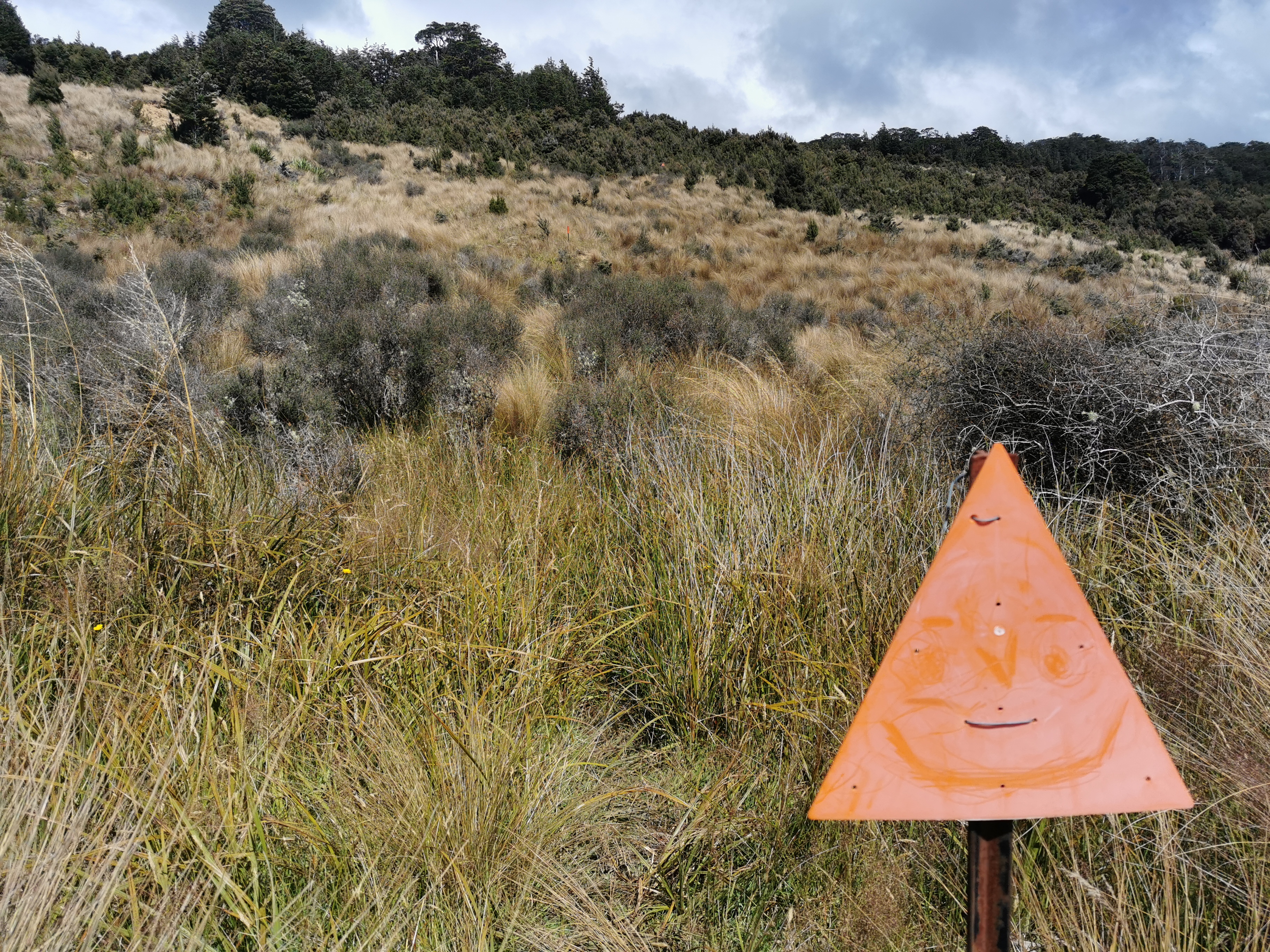
This sign was at a junction, with more scrub clearing equipment:
Only 45 minutes to go 3km – it must be easy if a DOC sign says it! And it was easy.
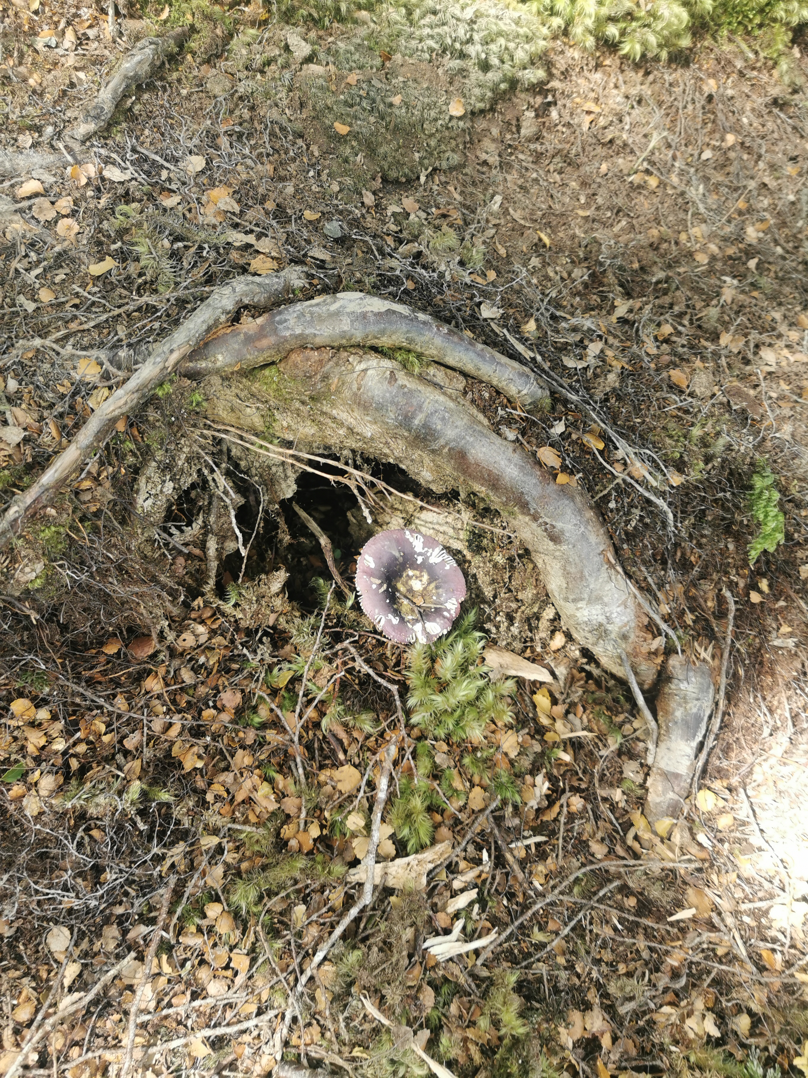
We started seeing lots of these big purple mushrooms. They were much more purple than this photo makes them look.
Very purple mushroom even if it doesn’t look like it
It did get quite muddy just before the hut though, and at one point Nicola fell and ended up with a fair bit of mud on her.
Between the sign and the hut we saw three people going northbound. One girl on her own said she was doing as much of the South Island as she can before it gets too cold. The other two didn’t have hiking poles so we figured they were casual hikers… But what are they doing way out here in the middle of nowhere? I really wish I asked them!
There was a fairly large river crossing immediately before the hut though. Of course we can’t have people with dry feet!
Here’s Lower Wairaki Hut. What a sight for sore eyes!
Definitely one of their older huts
It’s an old 4 bed hut. Lots of equipment belonging to DOC staff was around but no people present. I didn’t want to go into the hut because I couldn’t be bothered taking off my wet boots and socks but then the large number of sandflies got the better of me.
There was no mention of the three NOBOs in the hut book. But what there was in the hut was some Toasted Muesli – one thing I really wish I brought. I was so tempted to steal some, but I was a good boy and didn’t touch it. They also had a big pile of bananas which were going bad and they probably wouldn’t get eaten but I didn’t touch those either.
It was only 2:30pm so we pressed on. This sign outside the hut says 8 hours to the next point of interest but we had both heard multiple accounts that it takes nowhere near 8 hours so we weren’t worried about arriving after dark.
It’s still unknown whose socks these are
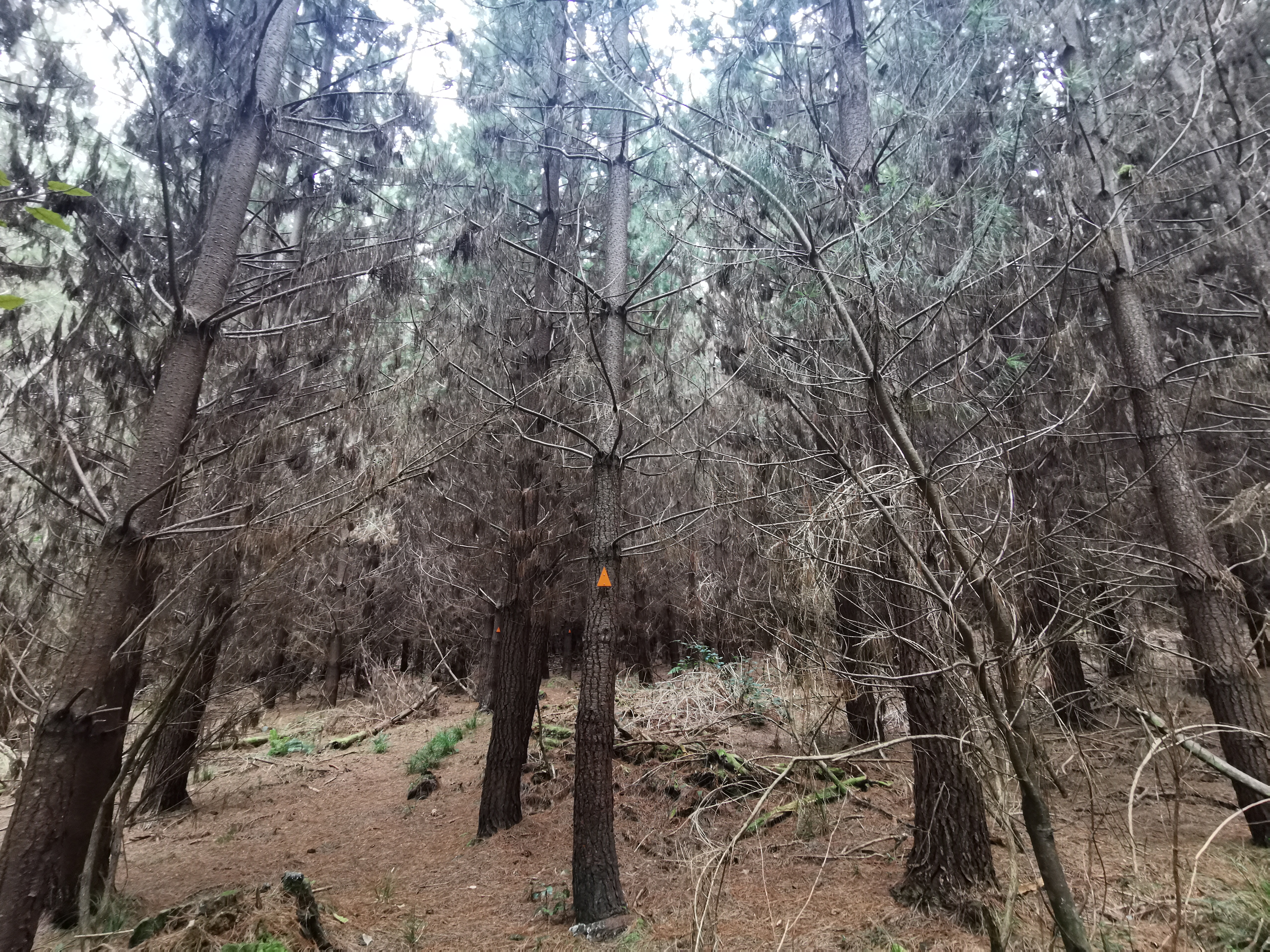
It started off going through forest again. This forest at first wasn’t as dense as the previous one.
Sightly less dense forest
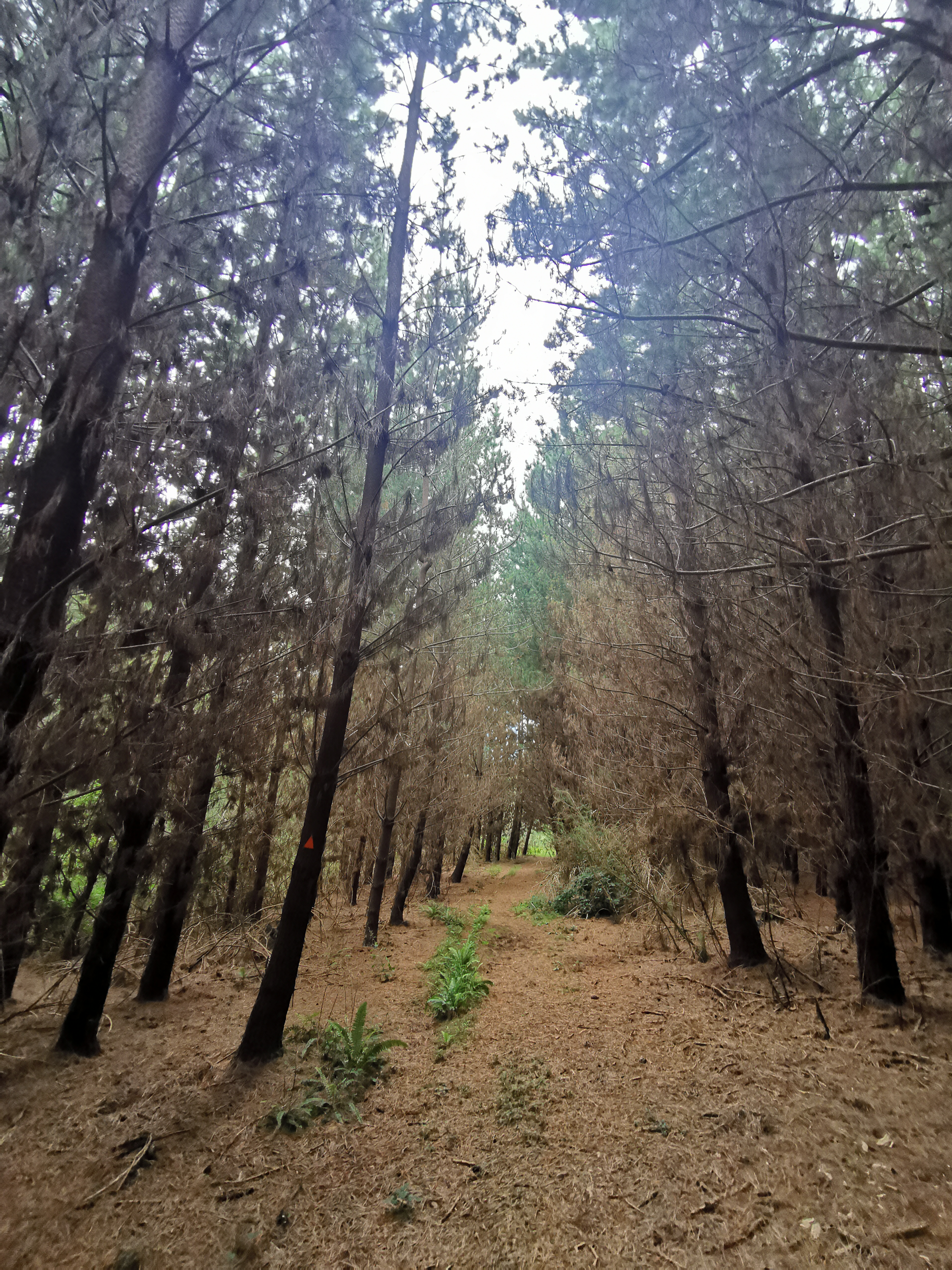
But quickly it changed to the same type of forest as the last few days.
And it went up. Gradually at first, but always up.
And then up more steeply.
They were nice enough to give us a switchback
It’s a climb up to over 1,000m. This is the highest point on the section of the trail between Queenstown and the finish. The ascent never took a break but it was manageable. I just took small steps so that I didn’t have to keep stopping. Other times my plan is to walk quickly to the next marker and then stop for a few sections to catch my breath. That wasn’t going to work this time.
After an hour and a half, it was nice to see this on the elevation profile:
Balancing precariously on the edge
And this on my watch:
But we hoped for a view, and didn’t get one. All we got was this.
More forest!
Damn, no nice view. We kept going… and there was this little bit of clearing poking out between the trees. I wonder if this clearing has the nice view we were hoping for?
The light at the end of the tunnel
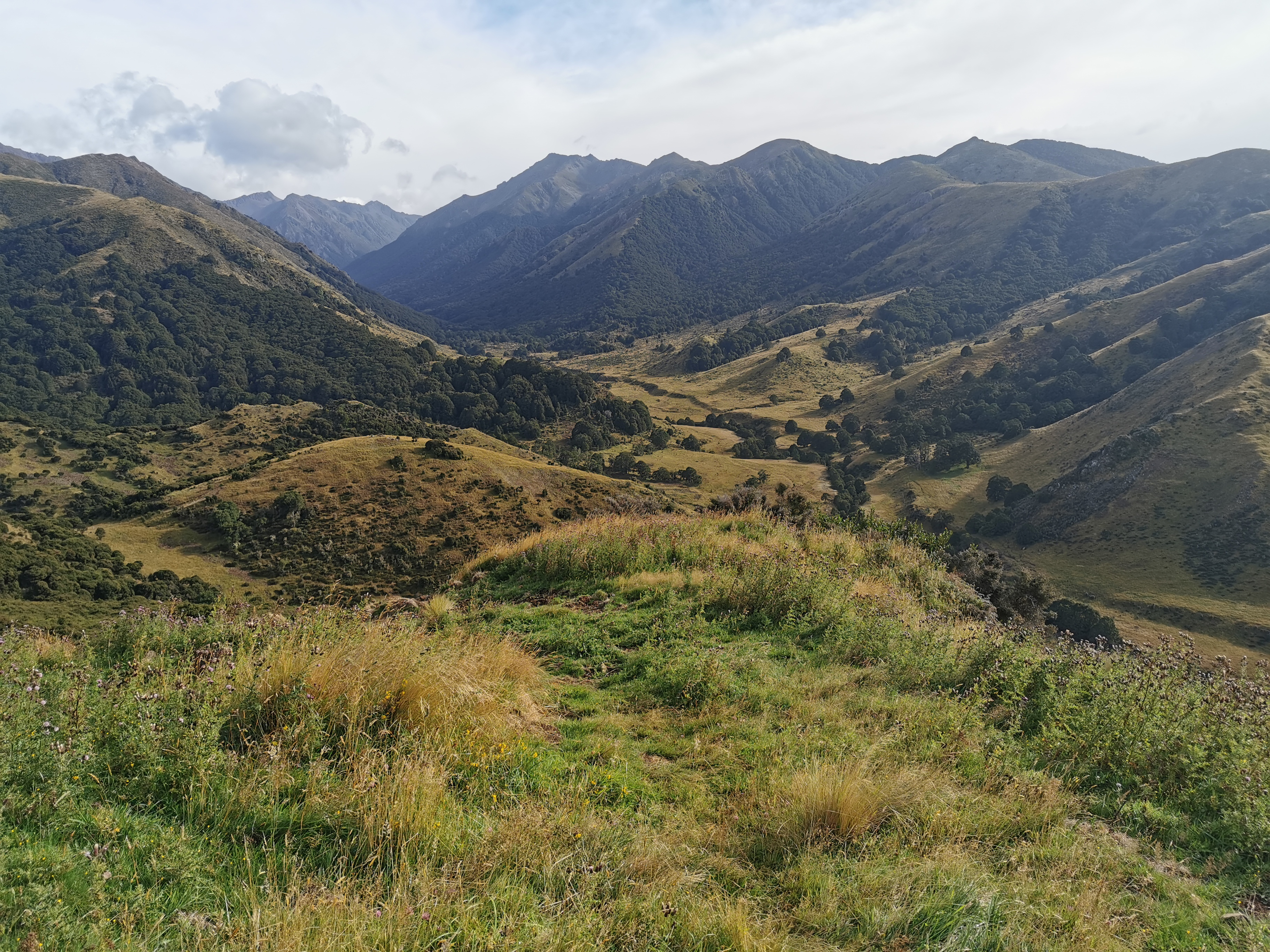
You be the judge!
This view is not too shabby
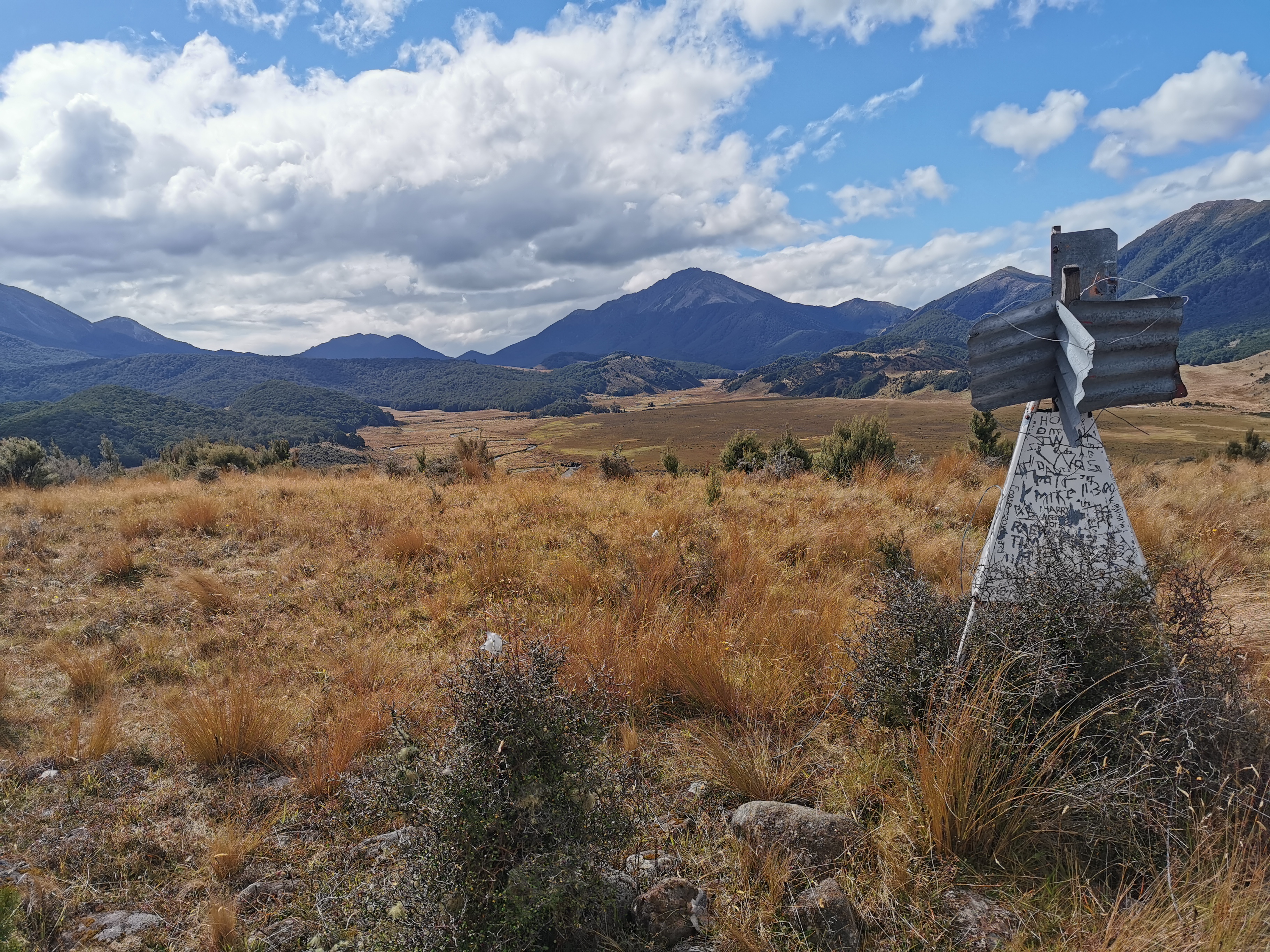
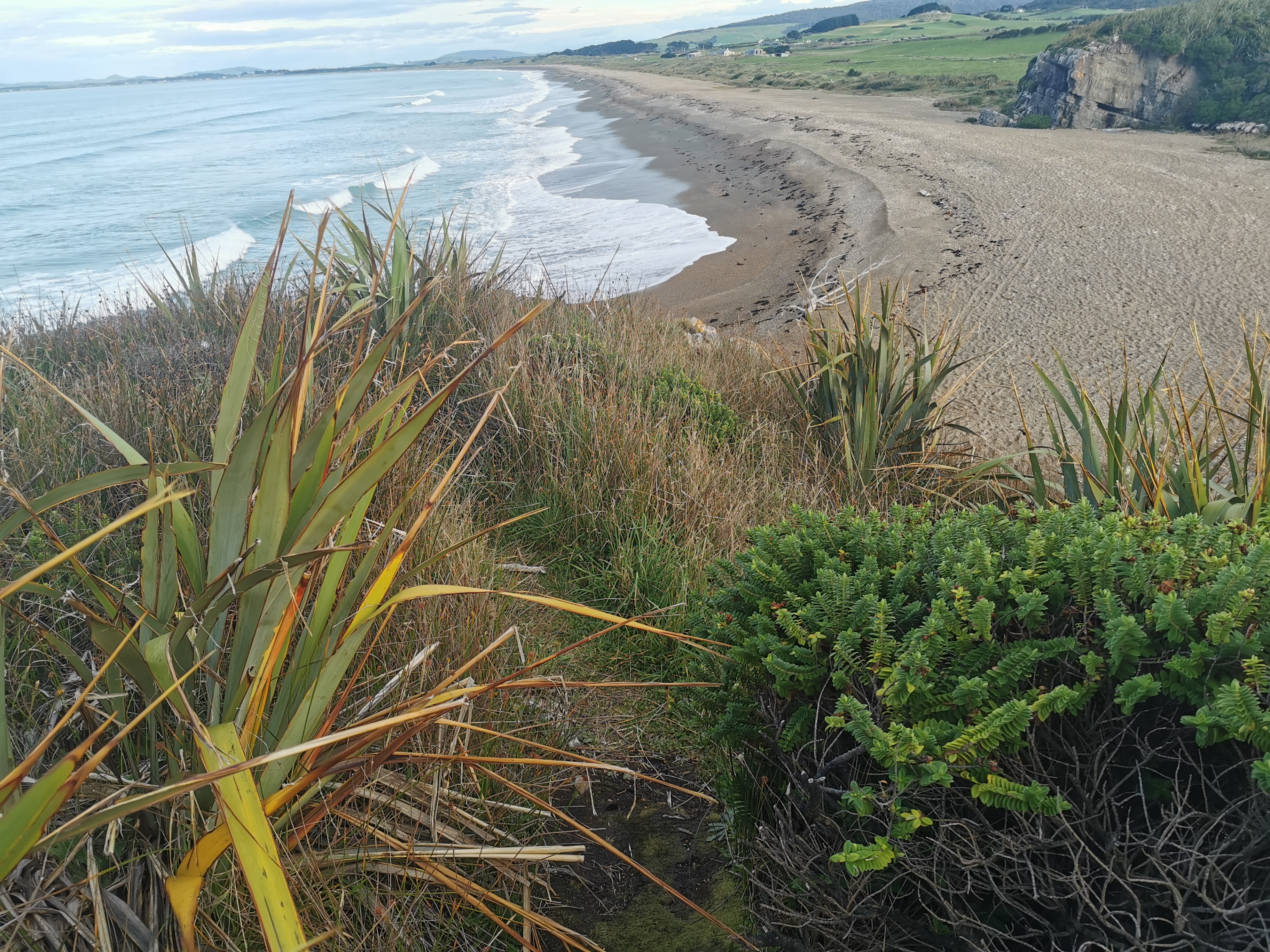
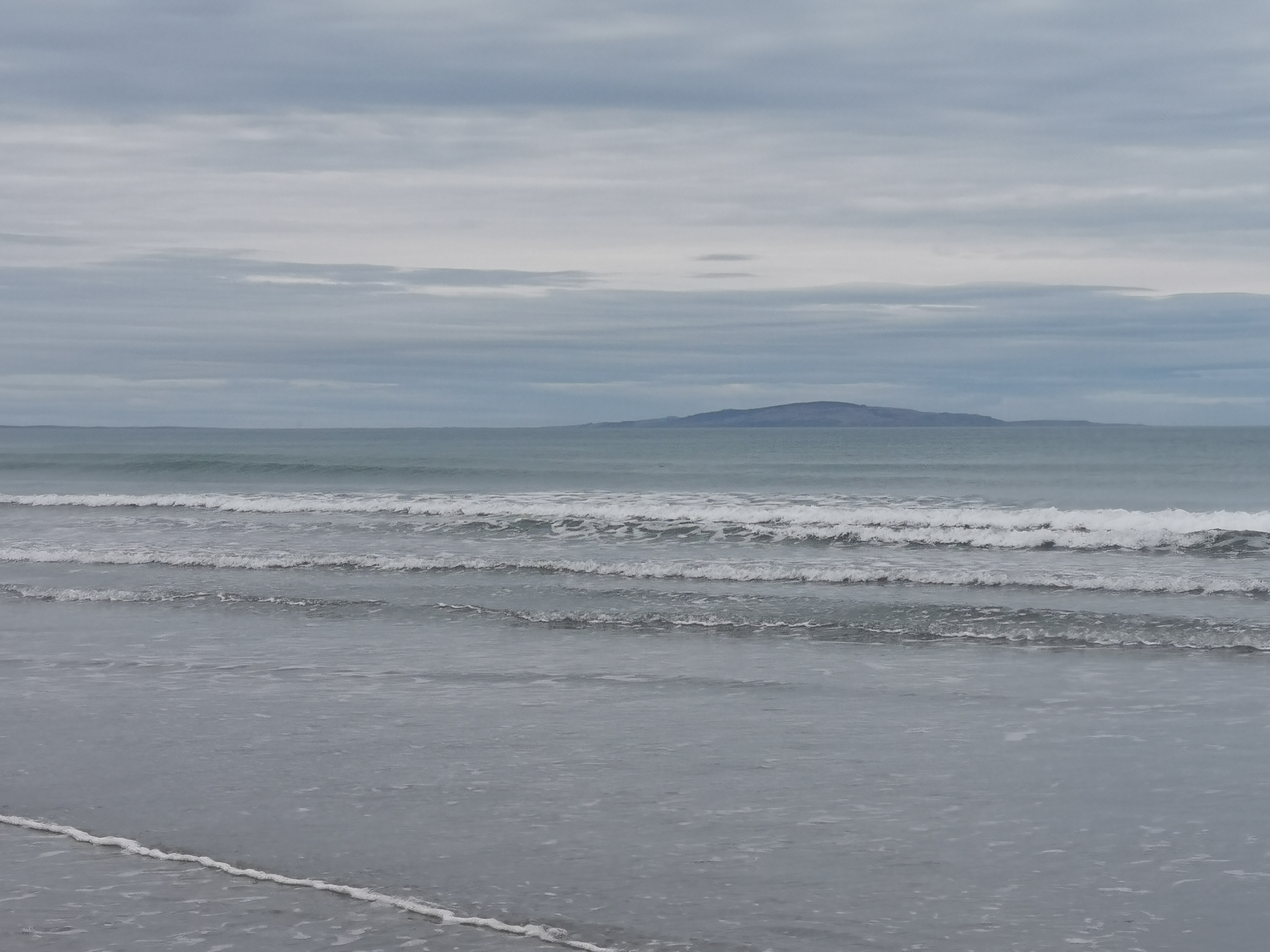
Okay… Here’s what Nicola and I figured we were looking at after consulting the map. Bluff is the tiny bit of land that sticks up on the left way in the distance. Next to that is the south coast, although that’s hard to see in this photo. On the right in the background the dark green hills are Longwood Forest, which we enter in three days from now. Between us and there is two farms which we cross in the next two days, and beyond the forest poking out to the left in the centre of the picture is Stewart Island. Today is the very first day in my life that I have seen Stewart Island.
And what’s great is that the end of Te Araroa is literally in sight now.
Panning the camera to the right and there’s this:
Where we’re going
This is what we’re walking down to get to the next campsite. But first, one more picture!
How’s the view now?
As you can see I put my jacket on up here. It was freaken freezing.
We spent quite a while admiring the view. We figured the reason it says 8 hours on the DOC sign is that people spend 4 hours up here checking the view out.
We did eventually head down though. We had to walk across rocks. It reminded me of a smaller-scale, less scary version of Mt. Rintoul.
Then a grassy section. I managed to slip over on this bit twice. So that makes one fall for Nicola today and two for me.
Boobs!
There was a tiny bit of 4G, enough to update the weather forecast. And it’s definitely improved.
The fact that the heavy rain keeps getting pushed further and further back each time makes me very happy indeed. Now there no big rain forecast until a week from now.
We also booked Birchwood Station Hut via text message while there was coverage. It’s the only easy option between the two upcoming farms to sleep and so most people take it. It costs $20 which sounds quite expensive but for that you apparently get electricity and a hot shower. I’m definitely looking forward to that.
After walking down from 1,000m elevation to 430m, Nicola was first to spot the long drop of the campsite in the distance.
Can you spot the long drop?
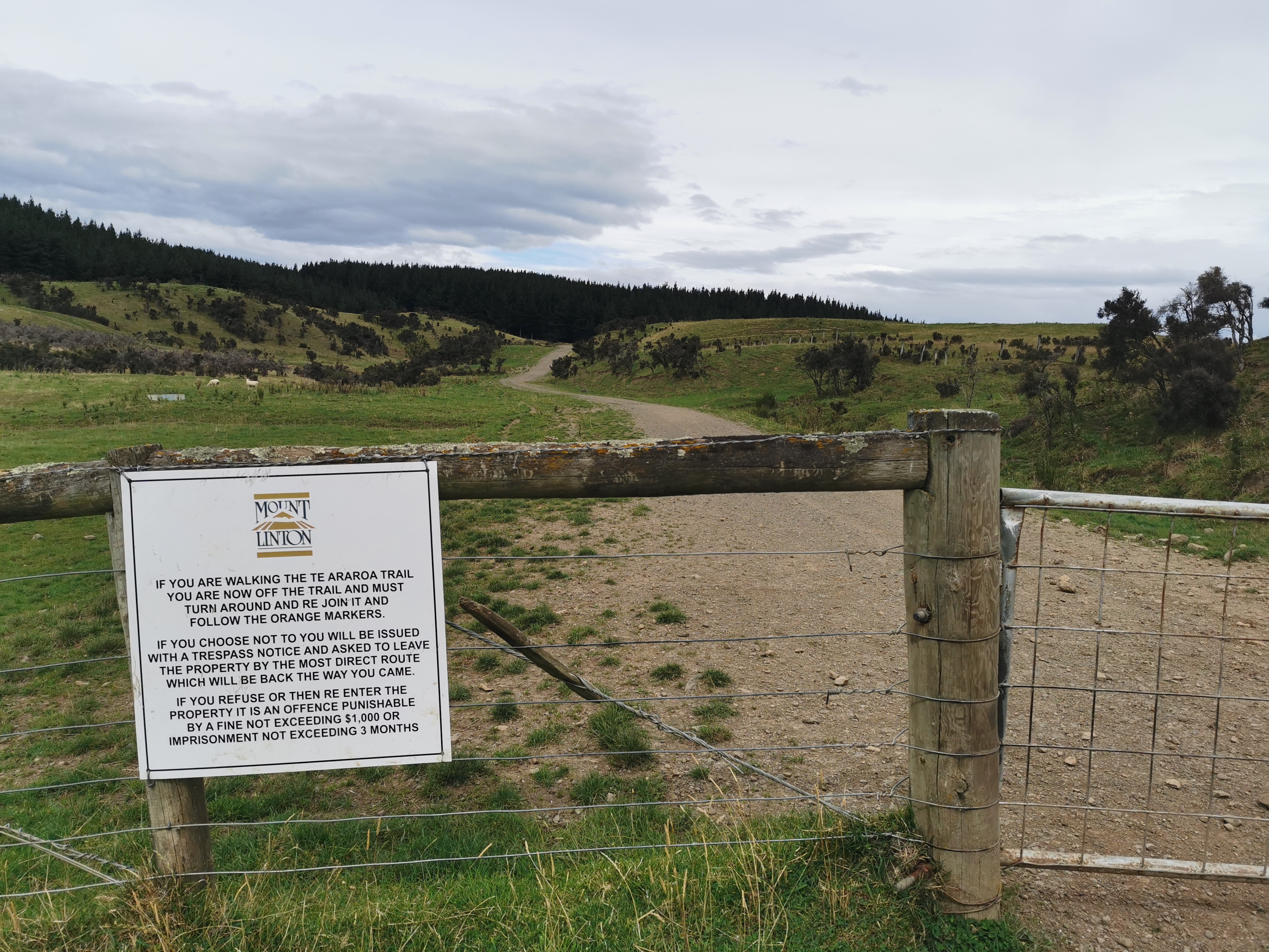
We passed a big sign with a lot of disclaimers.
Don’t cross without spending an hour reading this first
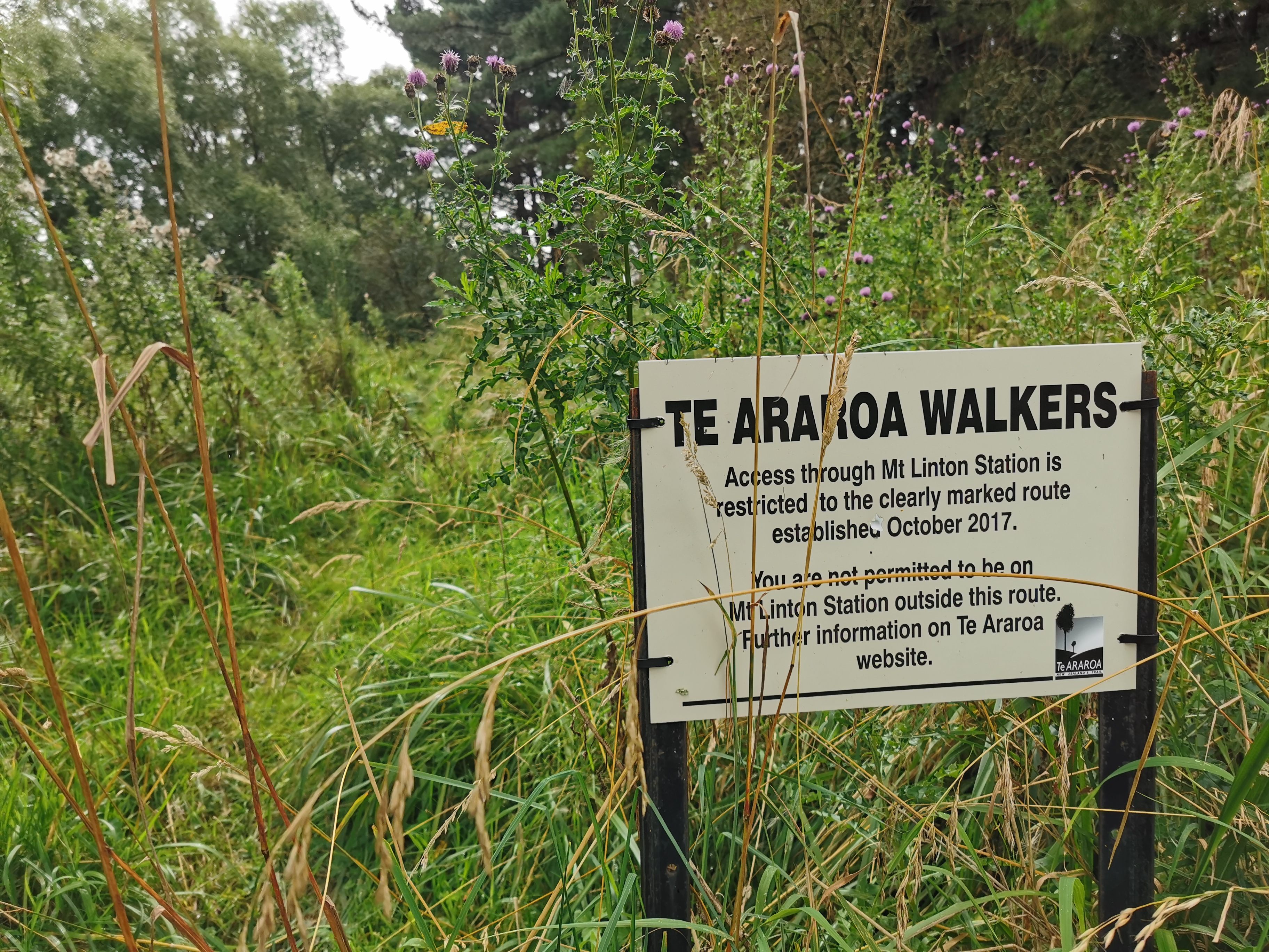
This is the boundary of Mt Linton Station, which I think I read is New Zealand’s biggest farm. We cross it tomorrow. The DOC guy said this morning that the owner isn’t happy about the public crossing his land. Apparently a hiker broke into a private hut on the farm and ate food once, and people were camping and lighting fires on the farm. So it’s important to be respectful! Apparently there isn’t a viable alternative to send TA hikers through this part of the country so we are fortunate to be allowed to pass through.
At the campsite it was quite windy, and as the forecast mentions above, gale force Northerlies are scheduled for the morning in “exposed places”. I hope we don’t wake up with broken tents.
I hoped that the wind would keep away the sandflies, but no, it did not. They were out in droves. I wanted to set up my tent and retreat quickly into it but it was really cold and so I wanted a hot dinner first. So I had to sit outside and get swamped by these annoying little demons. I sprayed my arms and legs but that didn’t stop them going on my face and in my hair and my ears and my mouth and my hot chocolate.
Nicola had the foresight to pack one of these face coverings. I was jealous!
I had my dinner and raced into my tent. This is my first night sleeping in my tent since I was on the TA last year. It’s so cold, I’m lying in my sleeping bag wearing my jacket and all my clothes from today and I’m still cold!
Date: 5 March 2021
Trail covered: 26.9km (kms 2820.3 to 2847.2)
Weather: nightmarish at first
At 1:30am I woke up to the wind hitting the side of my tent. I thought “that’s an inconvenience” but tried to go back to sleep.
At 3am the wind picked up and I started to get concerned. I had flashes back to when I was in Havelock and I thought the tent was going to get ripped apart by the wind. At least it wasn’t quite as bad as that right now.
At 3:30am it got worse than it was at Havelock. The tent poles were bending more than I’ve ever seen them bend, and the tent was flapping on all four sides. I could hear the wind really pick up outside when it started screaming through the trees and each time it did that I knew that a second and a half later it was going to hit the tent at full force. The fly of the tent was flapping around and the front entranceway part of the tent fly seemed to have come off its stakes. It was also raining hard so water was coming in from three sides.
So from 3:30am I went into “emergency mode”. I spend the next 3 hours sitting on the side of the tent that was facing the wind and each time a gust of wind blew I would stretch my arms out trying to brace the tent. In between gusts of wind I tried to hastily pack everything back into my pack to stop it getting wet, although the top half of my sleeping mat was soaked so that and the tent itself (assuming it survives the night) will take some drying out.
I also made sure everything I’d need in an emergency was accessible because I was fully prepared if the tent failed to have to go and hunker down in the toilet.
During two particularly big gusts of wind, I thought to myself “it’s all over this time, the tent can’t withstand this” and also I found myself praying at least once.
It was all a bit scary because in Havelock at least I was in the holiday park, but tonight I’m out in the middle of nowhere 25km from the nearest road. I felt a bit better that my bracing the tent did seem to be making a difference as it seemed to stop the poles bending as much.
It is 5:50am as I write this and the rain is still persistent but the gusts of wind are becoming less frequent. I’ve been sitting with my legs crossed hard up against the side of the tent for nearly two and a half hours and it’s really starting to hurt. At least I managed to put my jacket and thermal pants on so I’m not too cold. I even brought my stinky socks and shoes inside the tent so they didn’t blow away or get saturated and now the tent smells awful.
I just ate all the remaining chocolate in my food pack because I thought to myself “if I’m going to die here, there’s no point dying with chocolate left over”.
Fortunately I didn’t die, and the tent did survive, and at about 6:30am I fell back asleep for about an hour, directly on the ground as I’d packed the wet sleeping mat away. But then I needed the loo. The rain was kind enough to have stopped by this point.
The aftermath
I went to check Nicola was okay. I figured she would fare better than me as her tent is a lot lower. She said she never felt it was going to fall apart but a lot of water did come in for her as well.
From up at the long drop
Once I was up and ready to go I was a bit annoyed at myself for setting up my tent when I knew that the forecast said gale force winds, but what else can you do? By the time I had phone coverage yesterday to check the forecast it is not like there’s anywhere else to go. I had put rocks on most of the tent stakes (not the front ones) – I don’t know if that helped or not.
As Nicola and I left we saw two people camping at the other end of the campsite that we didn’t even know were there. They said they were doing a similar kind of thing to me to try and stop the tent collapsing. They were TA walkers going northbound.
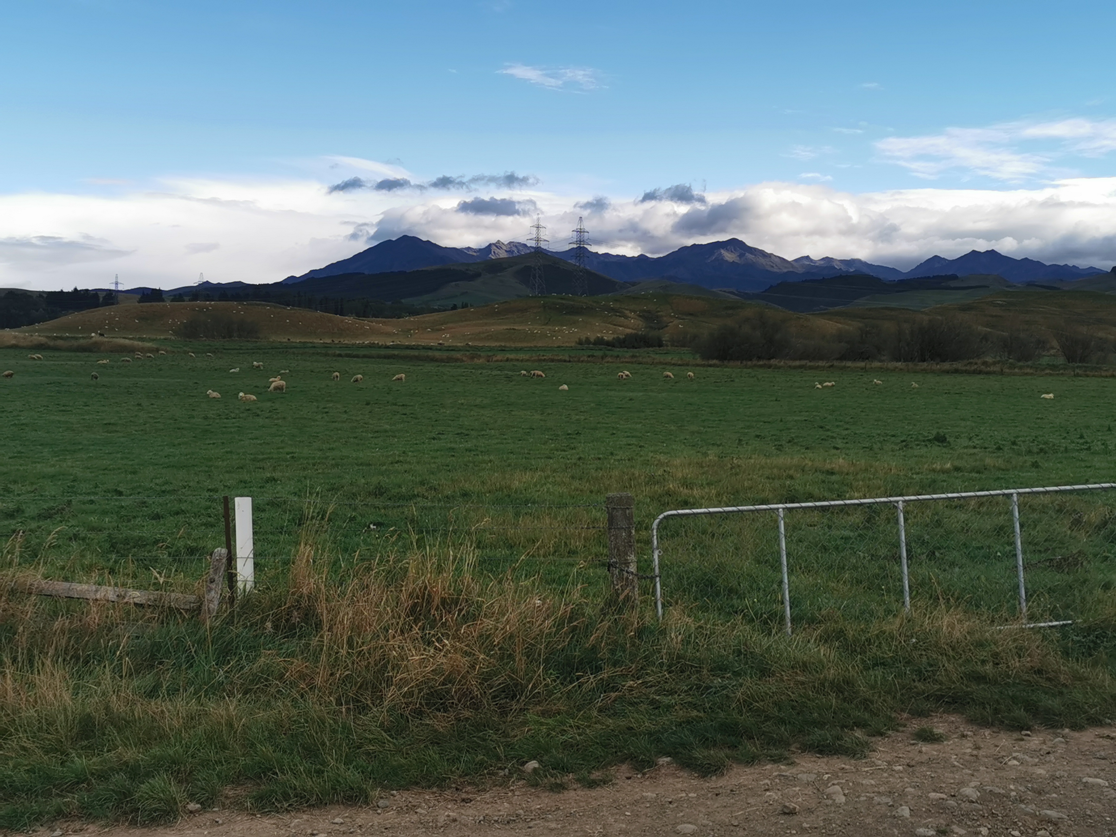
Starting out we crossed into Mt. Linton Station, and we’re told in many different forms not to stray from the marked path because we don’t want to make the landowner unhappy. The track starts off heading towards this unusually green hill.
Green Hill Zone
There’s a river crossing almost immediately.
Scariness rating 2/10, despite all the rain overnight
I put my jacket on because it was slightly drizzling when we left but like always it came off in less than 2km of walking.
A lot the trail through the farm is 4WD tracks.
And this time we were definitely on the right path
And at the beginning they’re steep…
Which means we got some half decent views pretty soon.
Somewhere in that picture is the long drop from the campsite
Then it kept going up…
And it wasn’t long before you could see the South Coast again.
Looking back it’s easy to see where you’d come from.
Long paths cut into the hills
I left Nicola after 5km as she said she was feeling surprisingly exhausted and obviously didn’t sleep very well. I spent the rest of the day walking by myself.
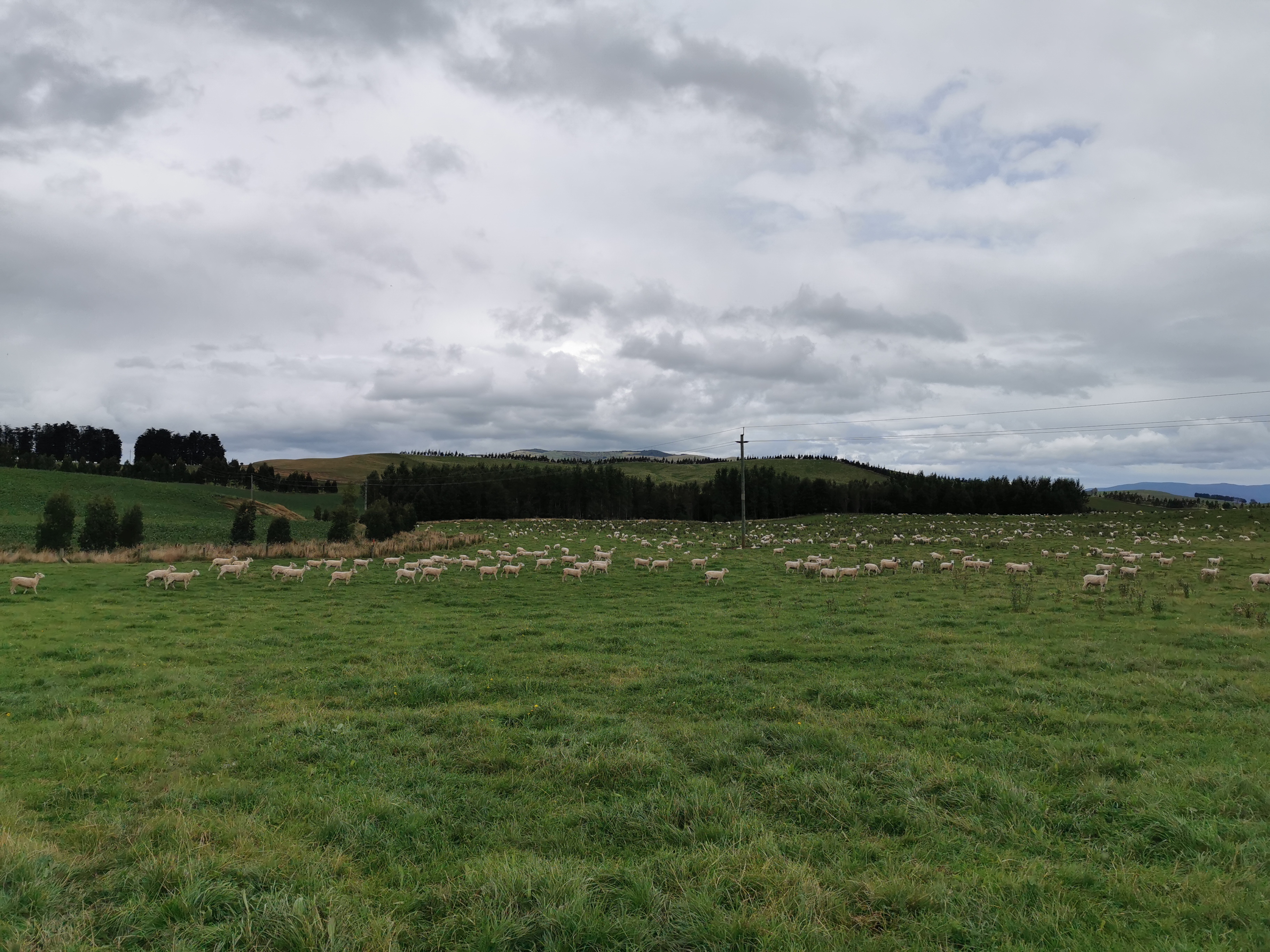
At 11am I came across this big paddock full of sheep, and wondered if I’d have to go up the big hill to the right.
11am sheep
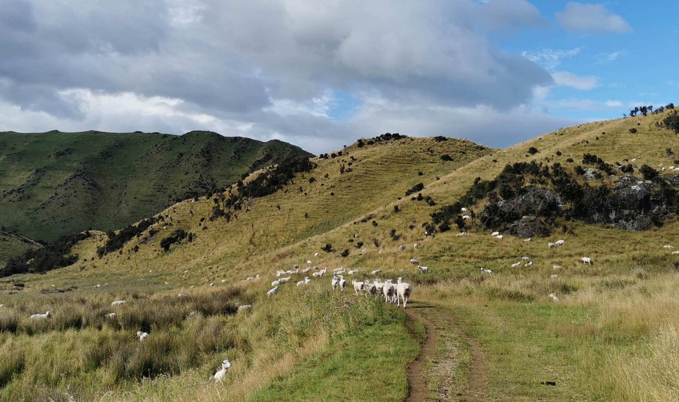
Luckily the path went to the left. The smart sheep moved to one side. The stupid sheep just walked in front of me for ages.
Stupid sheep
Then there was a fair bit of walking through thistle. They cut up my legs a bit – I probably should have out on long trousers. Who’s the stupid one now!
Ouchie
For quite a while you follow this river. I knew based on the map that soon I was going to have to cross it.
It’s the Wairaki River
It wasn’t too deep either luckily.
But you’re watched by cows as you cross
After that it was just following miles of farm trails, for example this one:
Very lush and green at least
I have to go right up and over that hill. Guthook says to go to the left and then go diagonally up the hill on a 4WD track past all these cows:
But the red markers lead straight up the steep fenceline, so up the steep fenceline it was.
Fenceline climb
So the red line was wrong again. And at another point it directs you down this pathway, but you are confronted by this sign:
Charming isn’t it
Definitely a sign that they don’t want you to leave the path. So instead, the markers lead you up another steep fenceline.
More boobs!
At the top of the fenceline the markers became a bit sparse, but I always had cows to tell me the way.
What would a farm be without cows, I guess…
The whole day was just following these pathways with a few fenceline climbs to connect the paths. Towards the end of the day it was all downhill following the fenceline by some pine trees:
Followed by a fenceline between some blue-ish trees and some sort of vegetable patch.
I would like to know what sort of trees these are.
The ground was really rough here and full of holes. It was a great place to twist your ankle, which I did at least twice.
My existing blisters haven’t been giving me any more problems which is great but I’m developing little rashes on the tops of each of my toes. I think that’s happening because since I’ve walked this section of the TA my feet have been constantly wet. I don’t think I’ve ever put on dry shoes or socks in the morning. There’s always a river crossing or mud or wet grass or something so that you don’t stay dry.
What would a farm be without sheep
Lisa from Lower Princhester Hut said she was going to do some horse riding here today with her friend that works on this farm. I looked out for her but I didn’t see her, and I only saw this one single horse towards the end.
He came over towards me but when he got close enough, he changed his mind
But I suppose on a 12,000 hectare farm, that’s to be expected. I did run into one farm worker in a vehicle at one point, and he gave me a wave, there was no animosity there.
After 24km of walking, a short section of overgrown path led me out of the farm and past this sign:
Another charming sign
And this bridge, which I slipped at the end of.
At least it wasn’t another dirty gully crossing
Typical, I made it the whole day without falling on my butt but then I did it right with about 200m to go!
I had a look at this sign nearby, and it was nice to see as it meant I had just finished a big section.
I found it interesting that the sign at the start of the section was measured in days, but this one is measured in hours. The sign at the start of the section said it was 4 days between Lower Princhester and here, but I’d done it in 3. I bet you could even do it in 2 if you do Aparima Hut and Lower Wairaki Hut in one day and then Telford Campsite and Mt Linton Station on day 2. I bet Alex, Peter and Charlie did this section in 2 days. Heck, let’s check Alex’s blog and see. Yes, indeed they did.
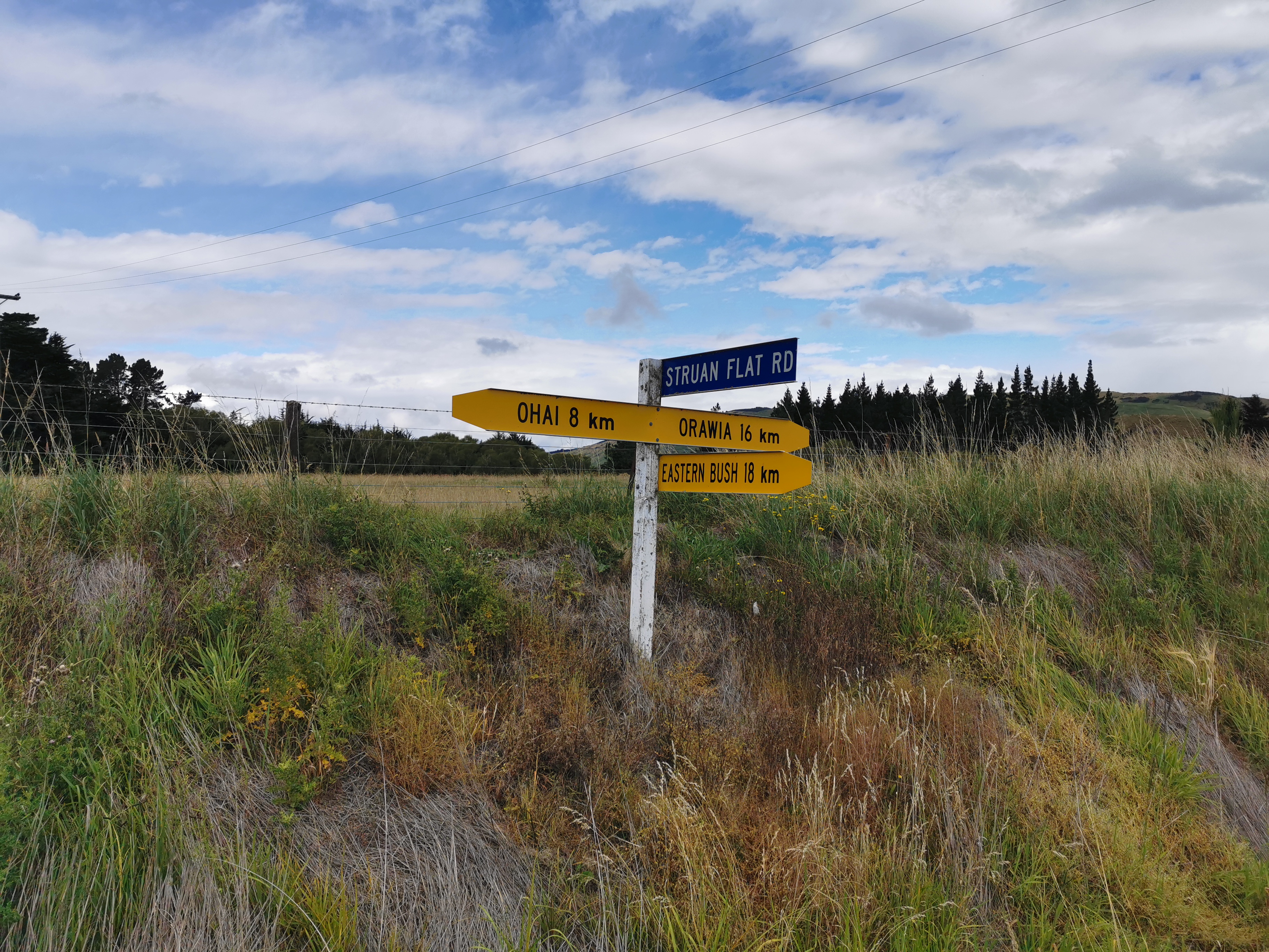
From here I emerged onto Struan Flat Road.
Places I never heard of
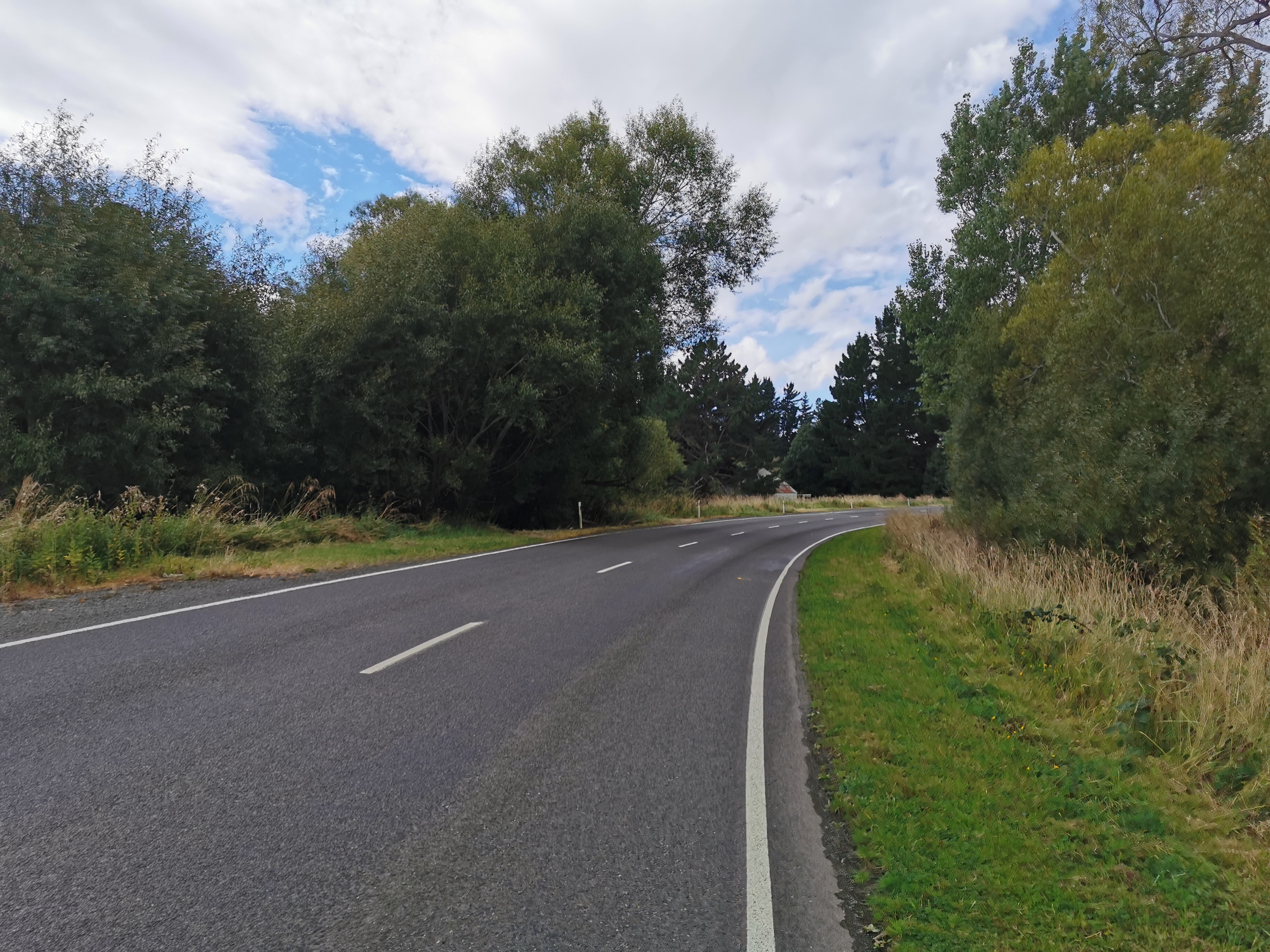
The trail continues down a second road but I took a detour to go to the Birchwood Station Hut. It’s a privately run hut on Birchwood Station, and it costs $20 per person per night. I think most people stay here because another big farm is coming up soon, and there’s no other huts and nowhere to camp between the two farms. You could hitchhike to a place called Nightcaps which has a 4 Square supermarket but I hear it’s a really tiny place and also the road was really quiet.
On the way to the hut a local farmer stopped to talk to me and when he heard I was doing Te Araroa he insisted on telling me every place he has been to in the North Island and what he thought of it. I had really sore feet and toes and just wanted to get to the hut!
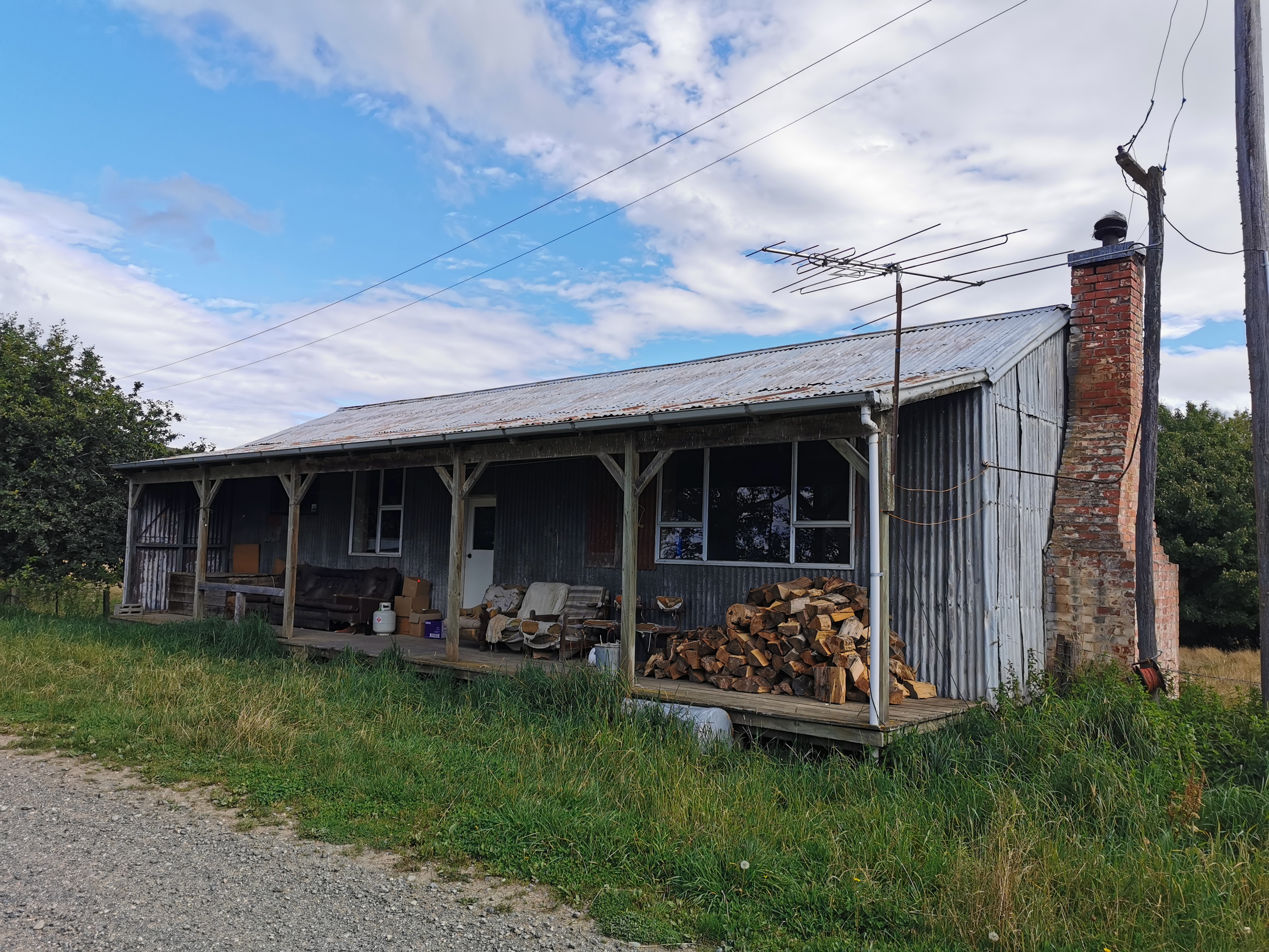
Once I got away from the farmer it was just a short walk to the hut. What a sight for sore eyes!
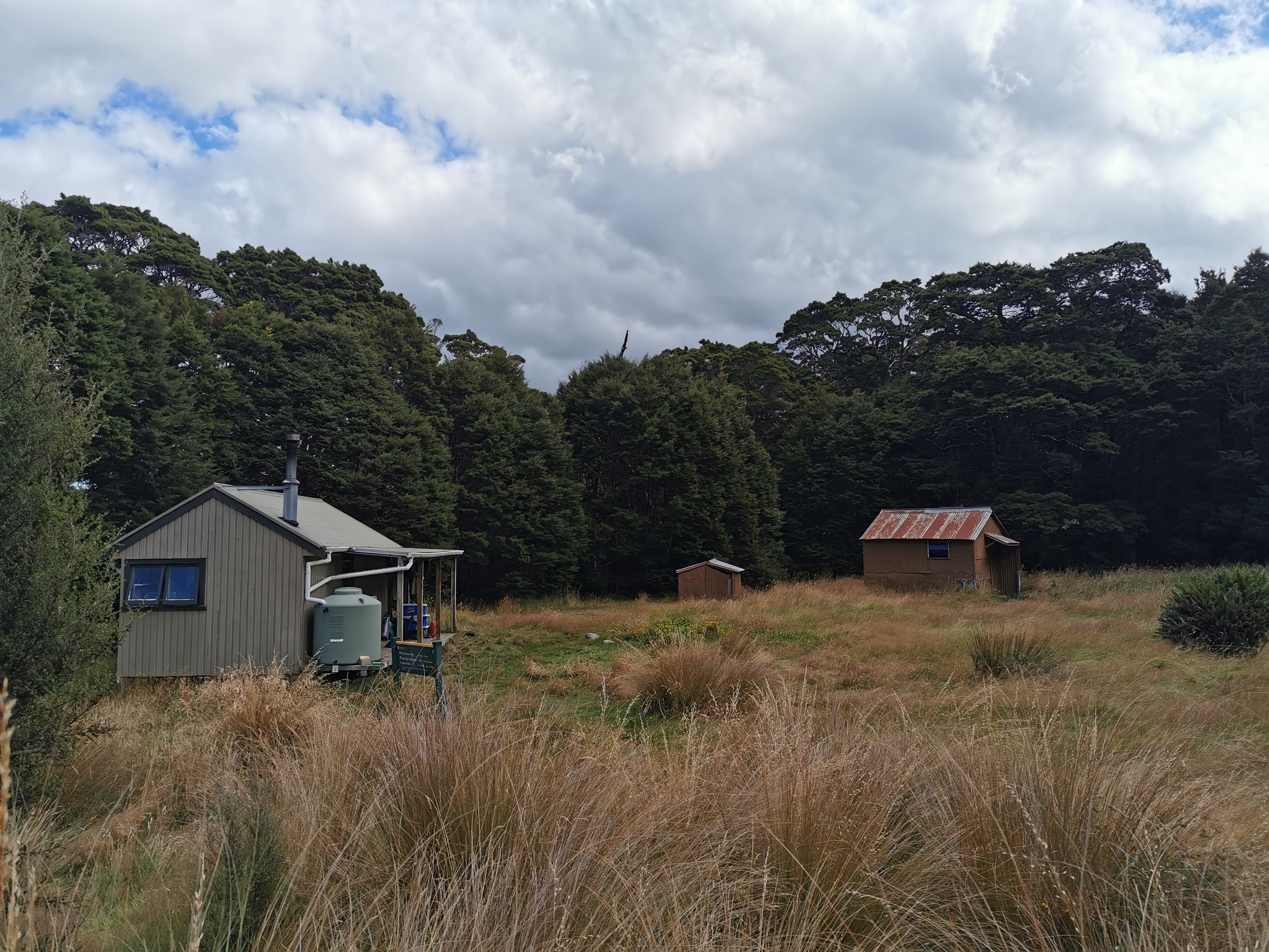
Birchwood Station Hut
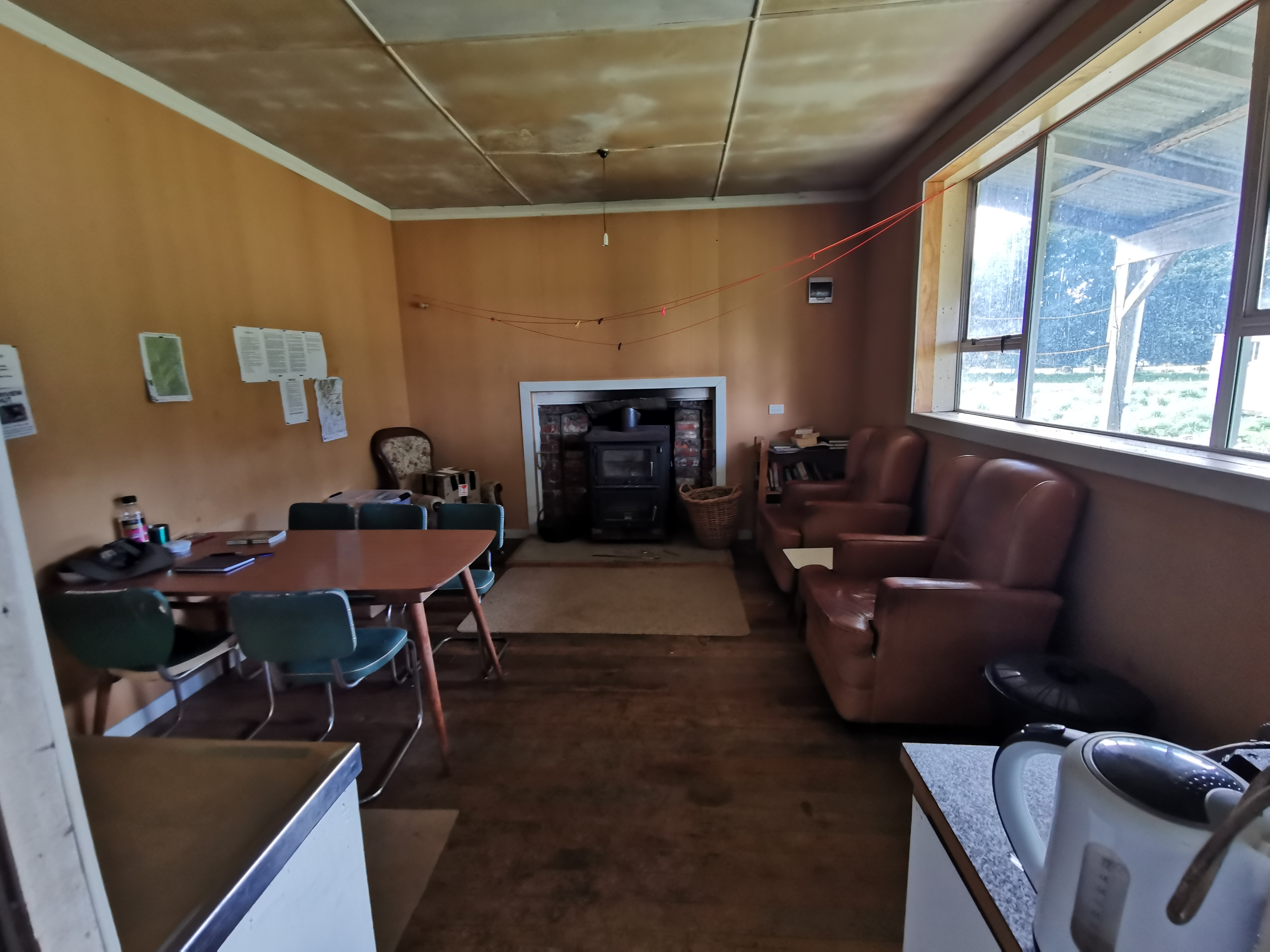
It’s quite big, it’s got a few rooms – one kitchen and dining room:
And a bedroom:
And a toilet and shower! And 4G phone coverage! And it even has electricity! I had almost forgotten what this thing was for:
It’s round and up on the roof
The hut was apparently once the shearers’ quarters for the farm, but now seemed to be exclusively for TA walkers. People send their bounce boxes here, there were quite a few of them lying around. I wanted to see if there was any chocolate inside any of them… But of course I didn’t. I remain chocolateless for now after eating it all early this morning.
I arrived at the hut at 4:30pm and Nicola arrived about two hours later. It was nice to have some time to spare and lounge around. There was a free food box but it was mostly gas canisters and ingredients like salt and spice, but I did take some chicken-flavoured 2-Minute Noodles and have those for afternoon tea.
It was also nice to have a hot shower. I’m now a little bit less stinky, but even after washing myself hard, some of the mud I’ve been walking through the last 6 days still isn’t coming off.
Date: 6 March 2021
Trail covered: 27.2km (kms 2847.2 to 2874.4)
Weather: perfect – overcast and cool breeze
We slept in a bit longer than usual today. I think it’s because we had real mattresses. We only woke up because someone came into the hut, took the electric jug and then left again. Rude.
Then we discovered there was no electricity. Why is that, I wonder? Did they turn it off on purpose? Is it on a timer? Is it a power cut?
I debated whether the hut was worth $20, sure it was big but there was a toilet with no loo roll, a shower with no shampoo and not even any way to pay.
We made our breakfast using our gas cookers and shortly after Sarah (the owner) turned up with her three young kids. She wanted to cook bacon and eggs on our cooker because they had no power and wanted to use the gas in the hut. So at least we knew it was a power cut for the whole region and they didn’t just turn ours off.
Sarah and Nicola and I chatted and Sarah said that tents have most definitely been shredded at the Telford Campsite. I felt lucky that mine was still intact.
The three kids were cute and we spent time talking to them and discussing with them which of the three had the cutest beanie. But when breakfast time came they complained the whole time about who got more bacon and eggs and who got theirs in a bowl instead of a plate and that they had to eat outside and they didn’t want to. Luckily it’s a big hut so we could stay in the bedroom while they did that.
The power came back on not long after I’d finished making my breakfast. That was annoying as I would have liked porridge in the microwave. For some reason I can’t get porridge cooked on my gas cooker to taste as good as when it’s done in the microwave, even though I’ve had it for breakfast 30 or 40 times on the trail by now.
It was really cold this morning, and I had really cold feet all night. Plus I’ve got so many different blisters and rashes from constant wet socks. I tried different methods of putting tape over them.
One of these has to work
I do have one pair of clean and dry socks but I’m saving them for closer to the end.
On the wall of the hut is an ad for Merriview Hut, which is our destination for today. It says on the ad “some supplies available”. I wonder if that includes chocolate!
From this hut, you can cut through the back of the property to rejoin the trail, but that skips 2km of road walking on the actual trail, so of course I didn’t do that. Nicola did though.
There goes Nicola down the “short-cut”
There wasn’t much to see on the short road walk to the beginning of the next section, but I did see some rainbow sheep.
Went left here…
And saw more sheep.
A common sight recently
And a gravel road.
I got stopped and questioned by a couple in a car why I was taking the long way. They obviously know the area and the trail. I tried to explain to them why.
View towards Mt Linton, where we walked yesterday
Here’s the information for today’s section. The first part is part of Birchwood Station. Sarah and her family seem much more hiker-friendly and don’t mind people on their land. Thanks Sarah!
More disclaimers
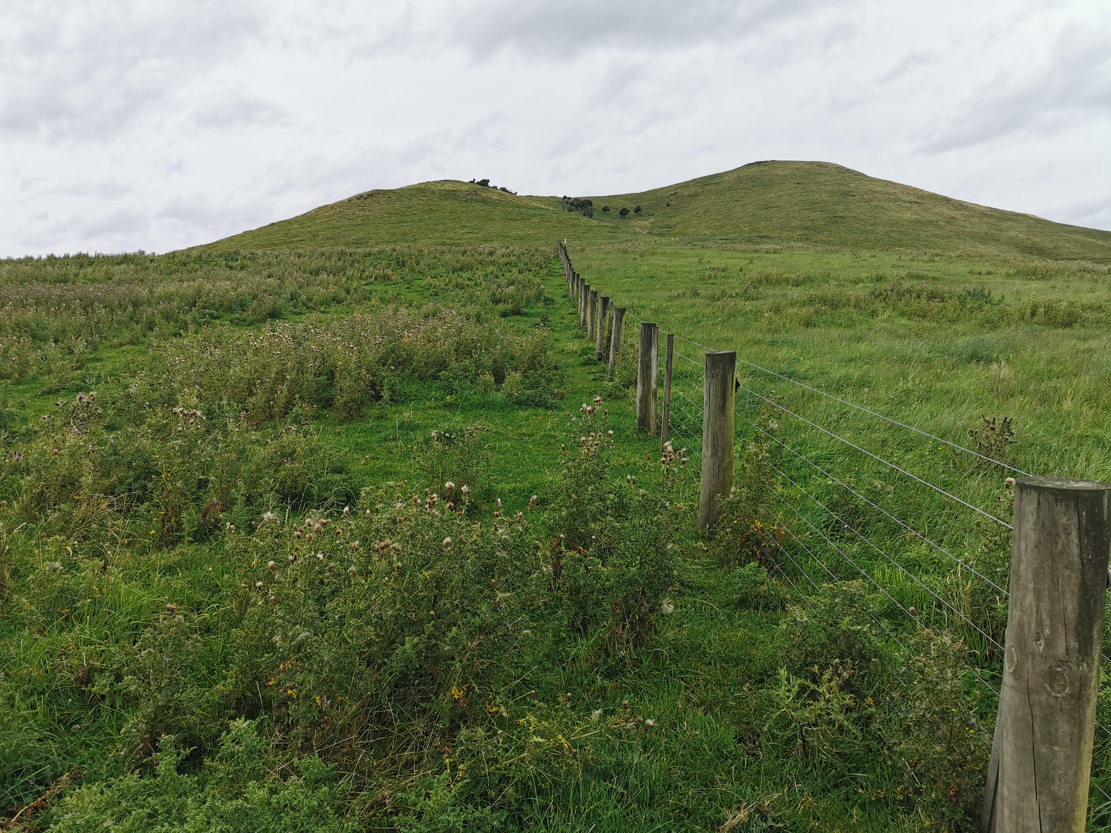
The walk through today’s farm is going straight up the fence line and over this hill.
The TA likes to take the most direct line sometimes…
It wasn’t generally muddy but I managed to step in this red mud…
I think this is a new colour of mud
…while being watched by these three sheep.
“lolz, we’re higher than you”
My 11am picture was as I was having a quick snack, before making my way up the steepest part of the track.
11am – psyching myself up to haul myself up there
Okay, here goes nothing. Time check: 11.12am. From here it is a 350m increase in elevation over little more than one kilometer.
It’s hard to get a good photo of a hill as you’re going up it, so here’s a photo of the hill next to me which was the same steepness.
Gradient approx. 30% I’d say
Once you get to the gate it is not so steep.
At this point it was 11:35am. I looked at the topographic map and I was already three quarters of the way up. Awesome. The ground is good, it’s standard grass and isn’t full of bumps and lumps. When it’s steep like this it’s a little challenging for sure but you make quick progress. I like it.
However higher up its scary to turn and look back because it’s so steep and a long way down.
There are perfect weather conditions today which helps. Overcast and a slight cool breeze.
I walked a bit more and then suddenly there it is. The trees which I knew from the map marked the top. It took 31 minutes to get here from the time check. I really thought it would take longer.
This is the high point
I met up with Nicola at this point. She was having lunch at the top of the hill. We started walking together again. We discussed such things as the best places that we have found on the trail to dispose of a dead body, if we ever needed to.
Walk along here to the start of forest section
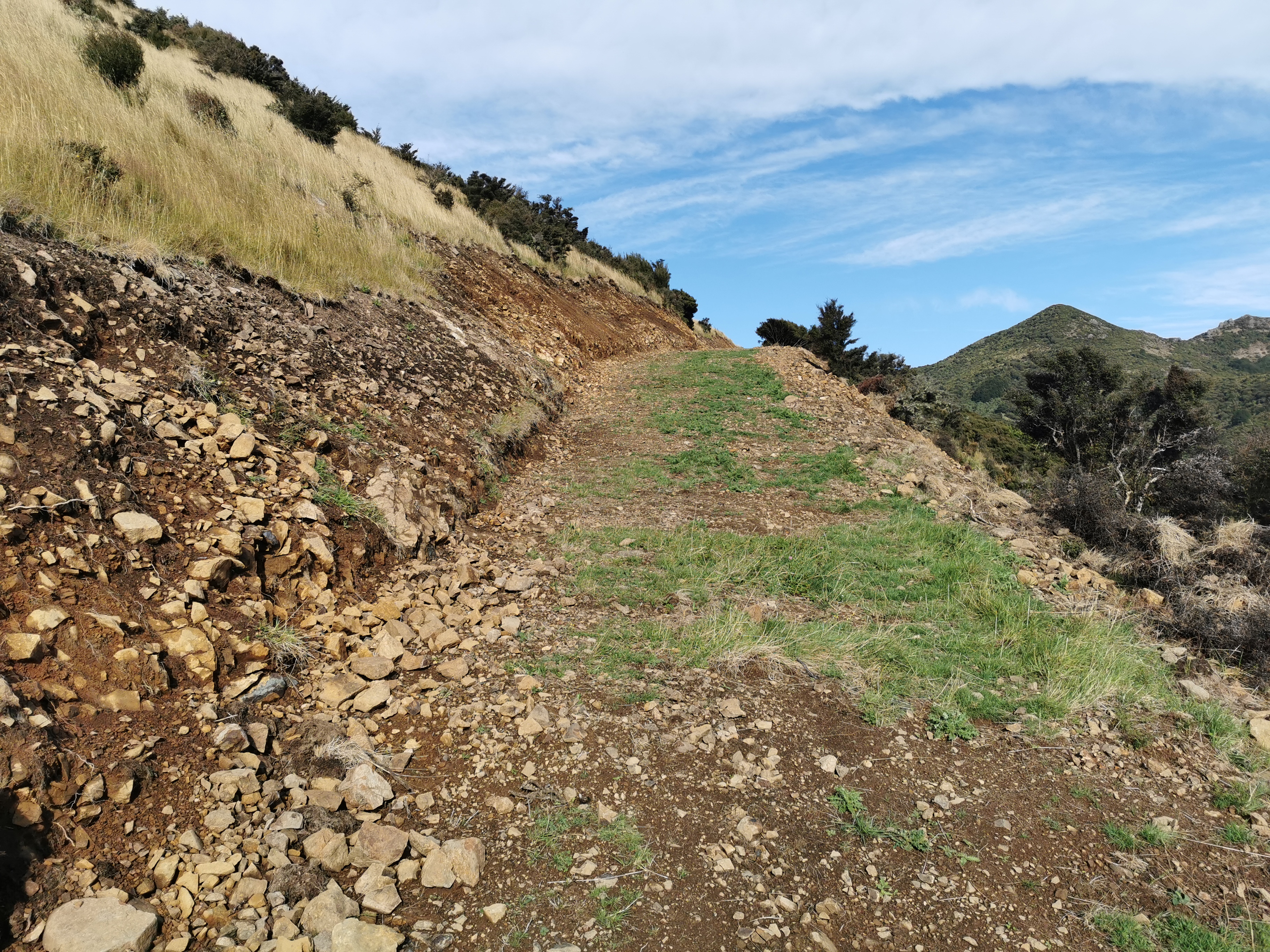
For a while now it was walking along easy logging tracks.
They must be replacing the blue signs with metallic signs that are not so easy to shoot holes in
Soon you can see that the pine forest is ending and the conservation land begins.
The types of trees change
Connecting the two is a narrow and overgrown piece of track.
The path through the forest has not had scrub clearing or chainsawing done for a while…
But it was generally in pretty good shape. You go up a short distance first, and we had lunch at the highest point.
Then you go all the way back down the 350m you climbed earlier. It didn’t take us long to get down, although the red line was way off so we got a little lost at one point. The sound of tuis was a welcome sound all the way down the hill.
It reverted back to pine forest at the bottom. This bit was particularly spooky as it seemed they were all dead. Nicola said it was apocalyptic.
Dead trees?
But the weird bit was that all the tops of the pine trees were green and so the whole of each tree clearly wasn’t dead.
Maybe not dead trees
The last bit before the next road walk was a track along where some trees had been felled.
We walked past two fields of sheep. We were nowhere near them, but it just took one sheep to run away and that caused every sheep in both fields to run to the exact opposite corner of the field. Normally they run only a short distance away but this was different for some reason.
Now it’s time for a road walk.
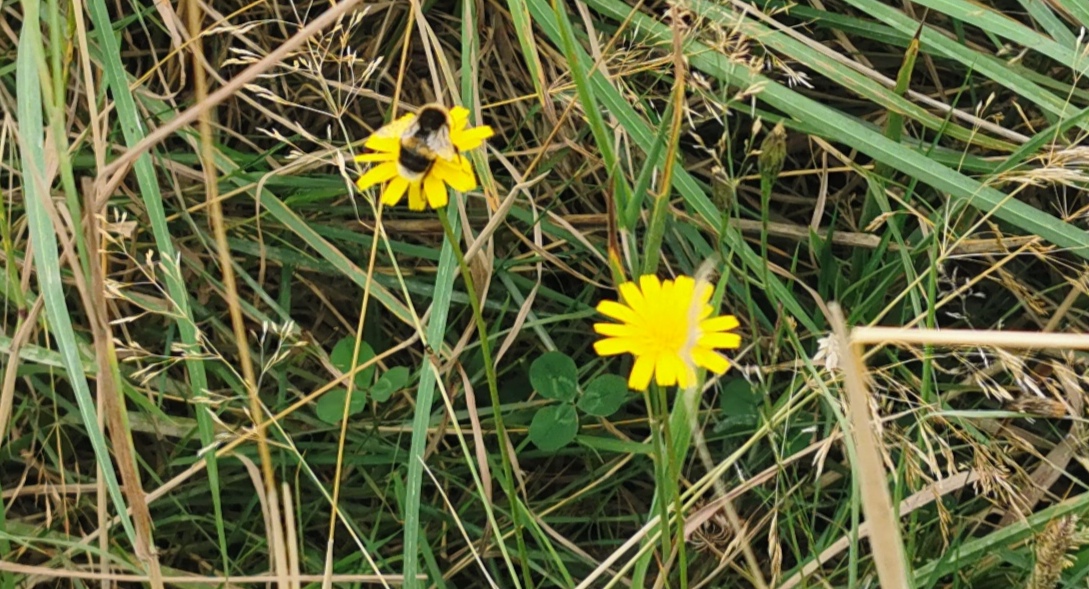
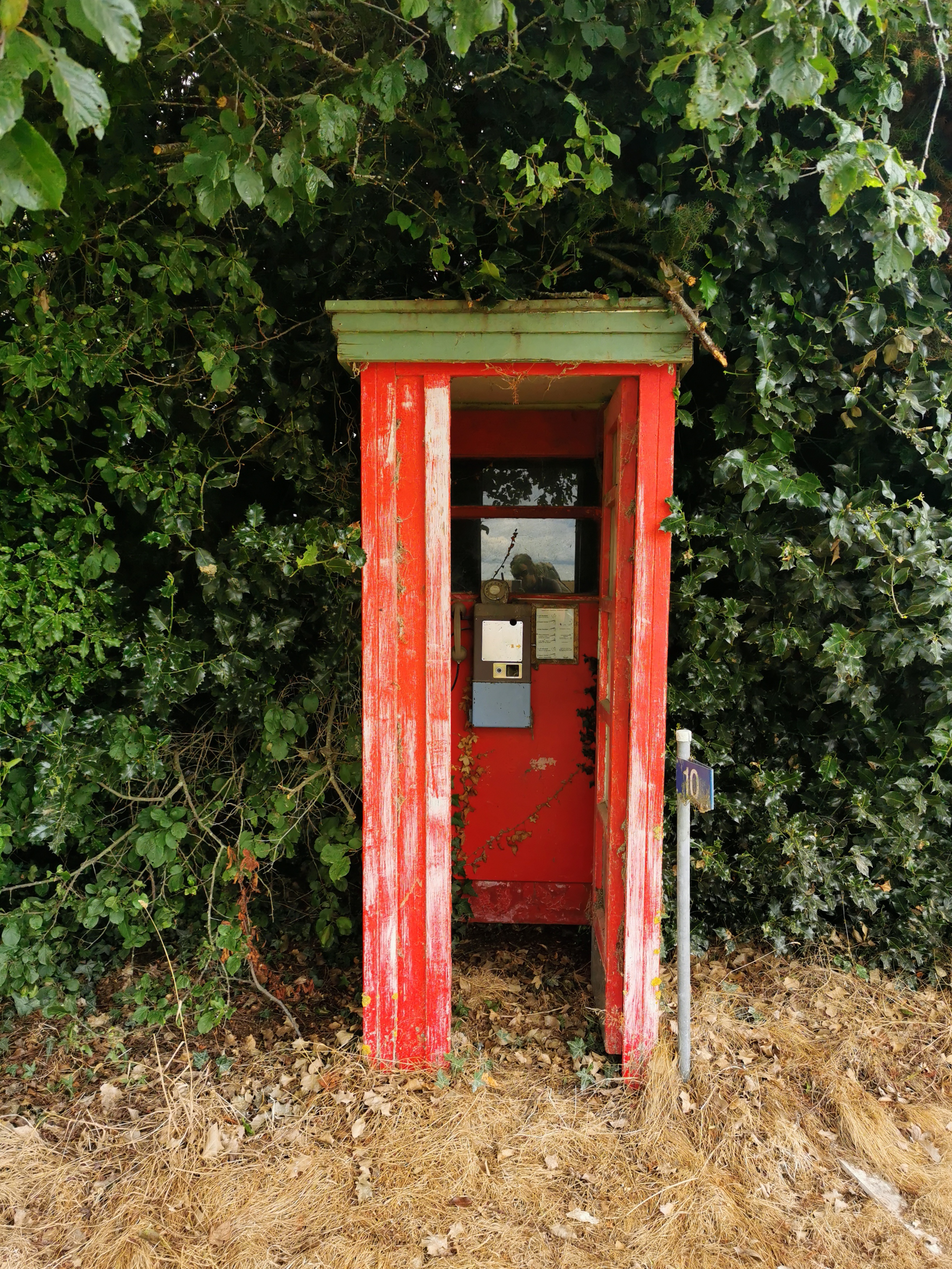
You know what a road looks like so here’s a bumblebee on a flower instead.I wonder if Scotts Gap has a 4 Square?A phone box at #10
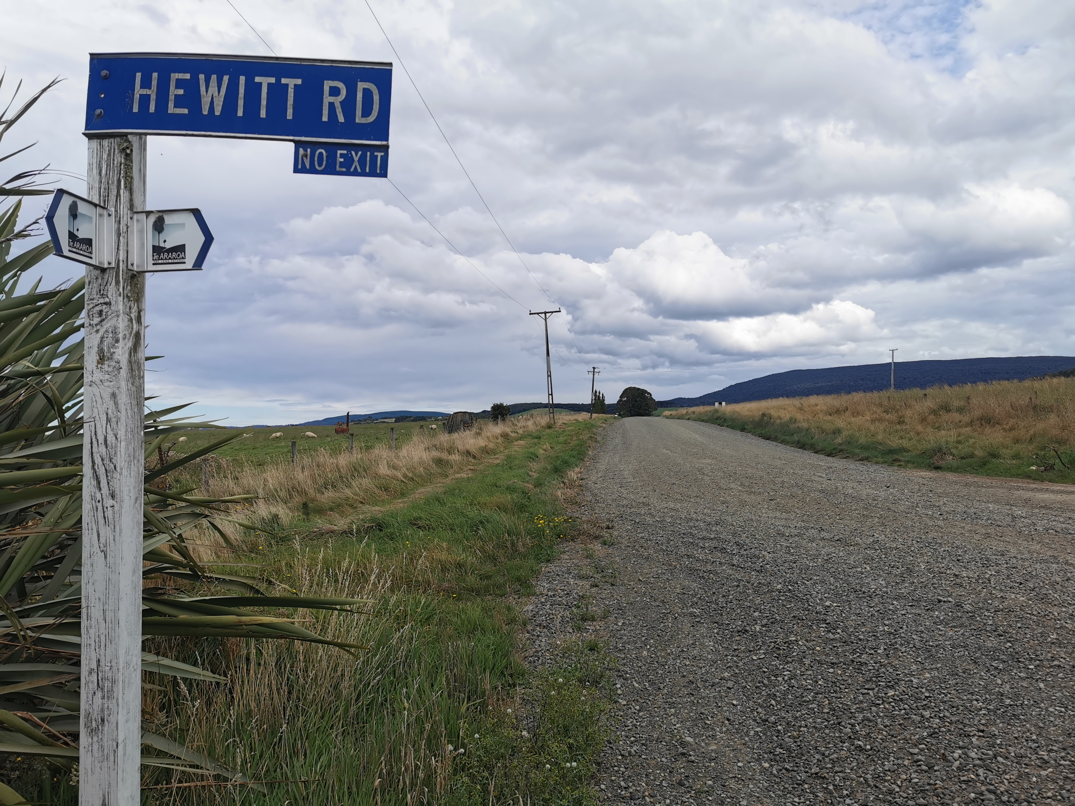
Normally the trail turns down Hewitt Road…
Hewitt Rd sign
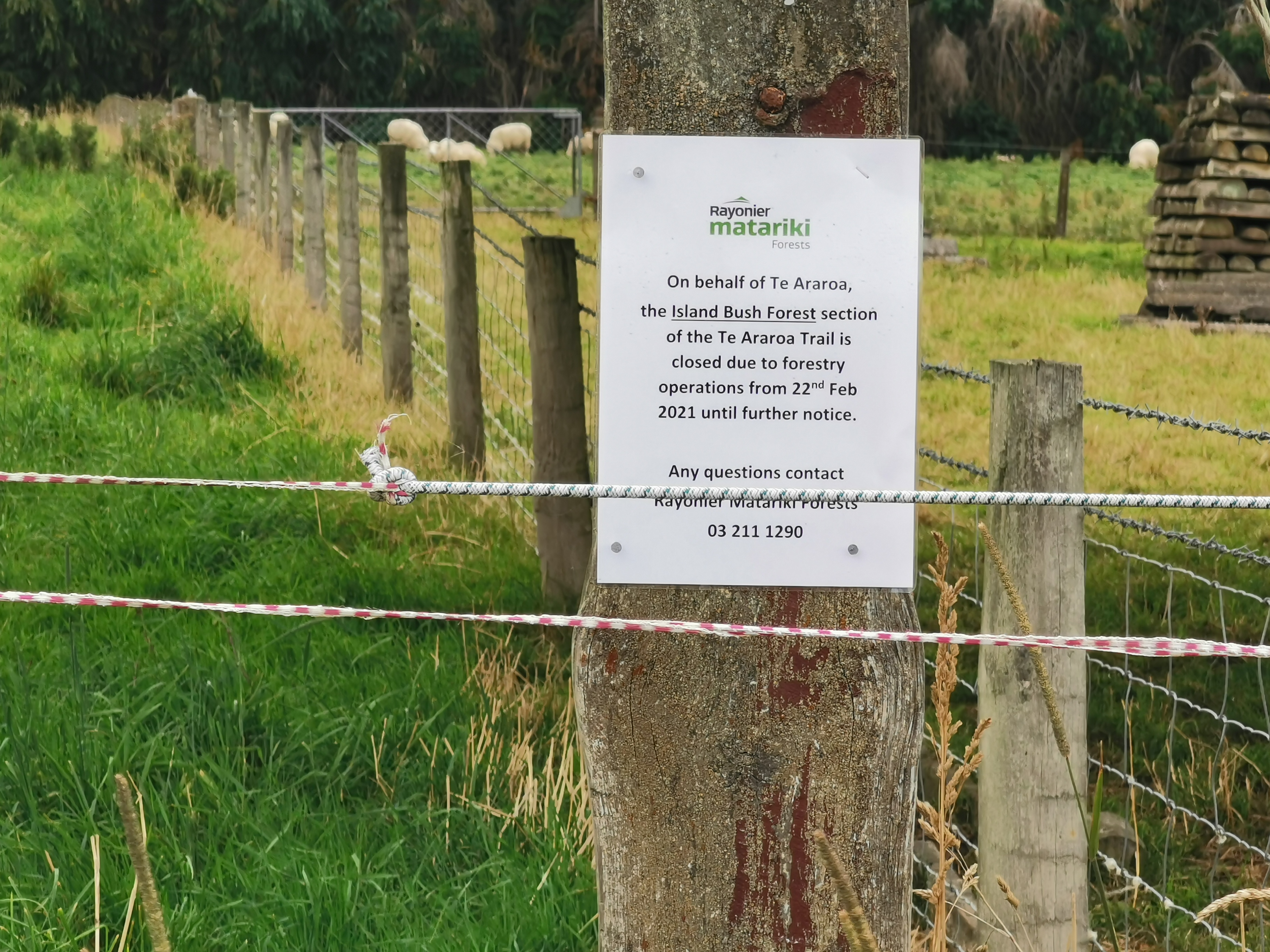
But this time it is closed for forestry.
This sign proves that a detour was necessary. I didn’t just make it up.
So that means a further detour on the road is required.
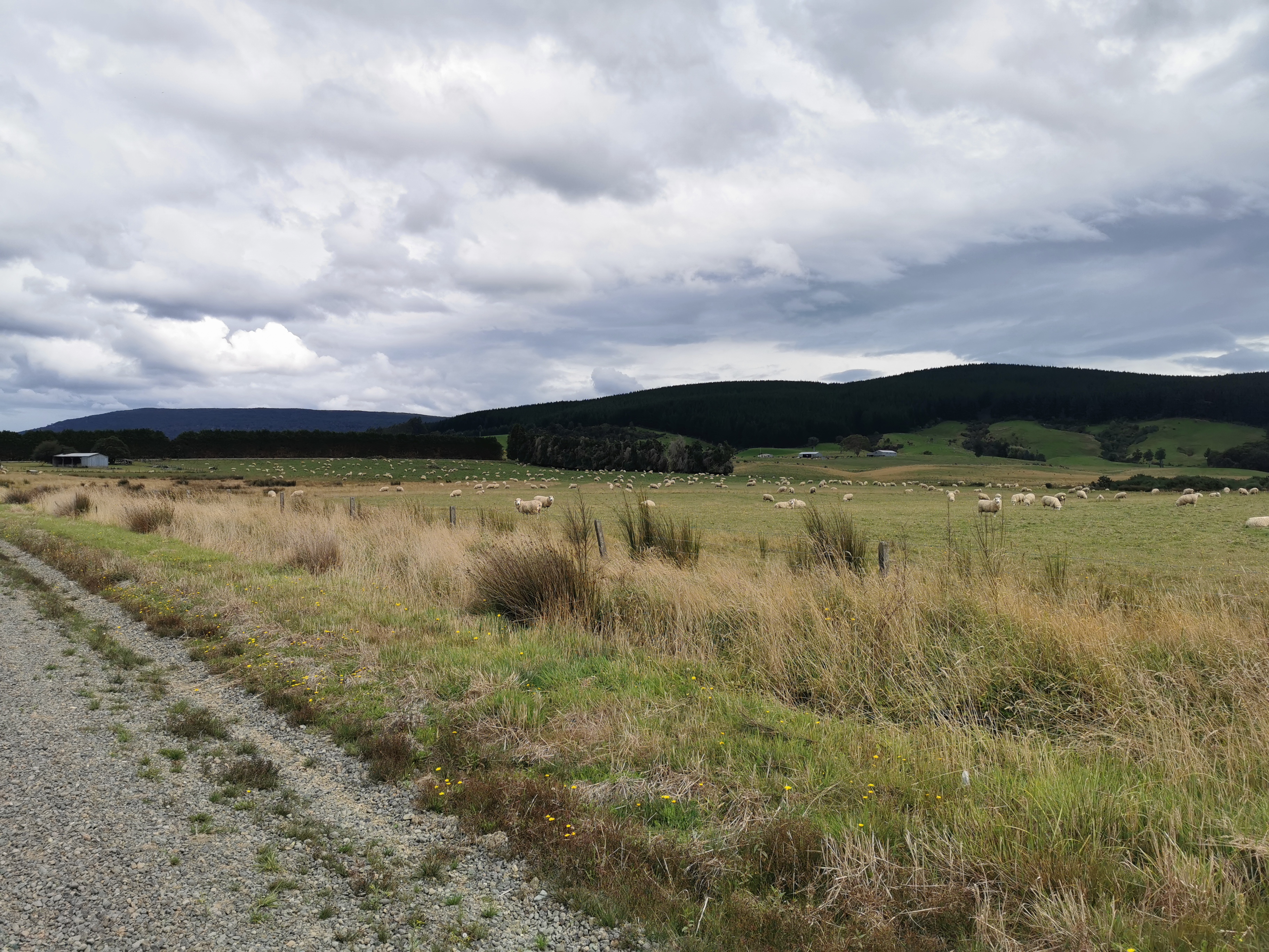
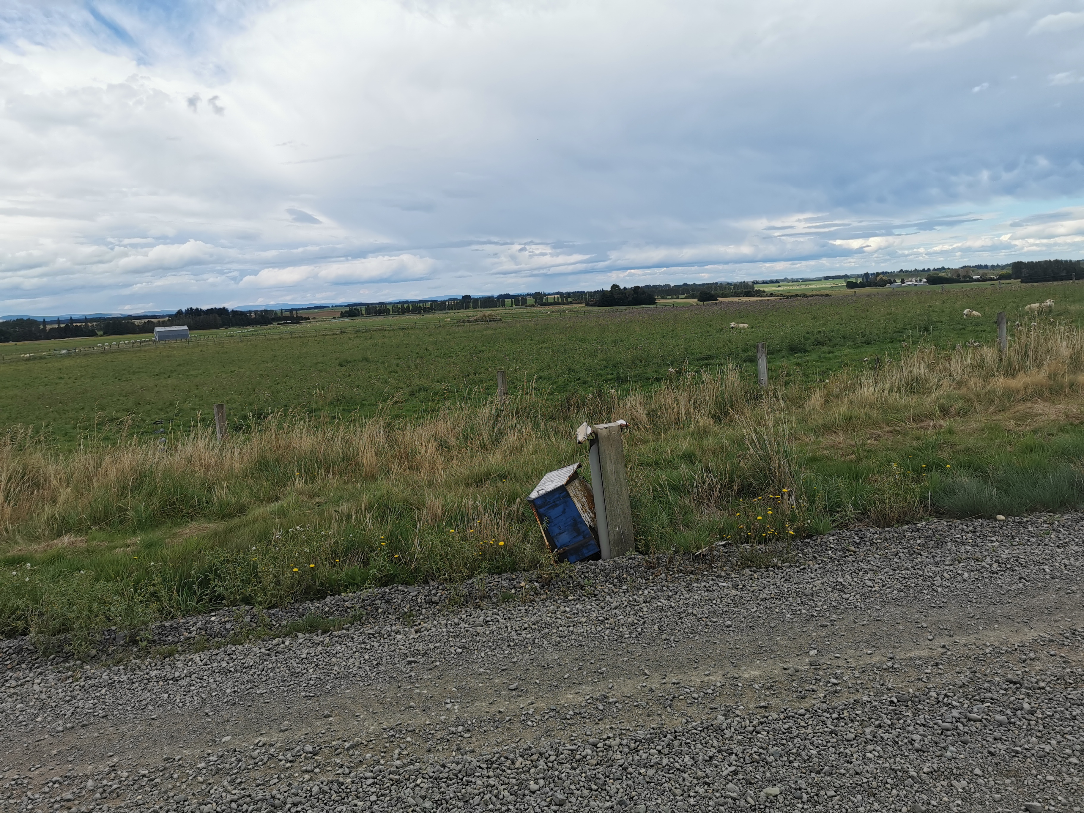
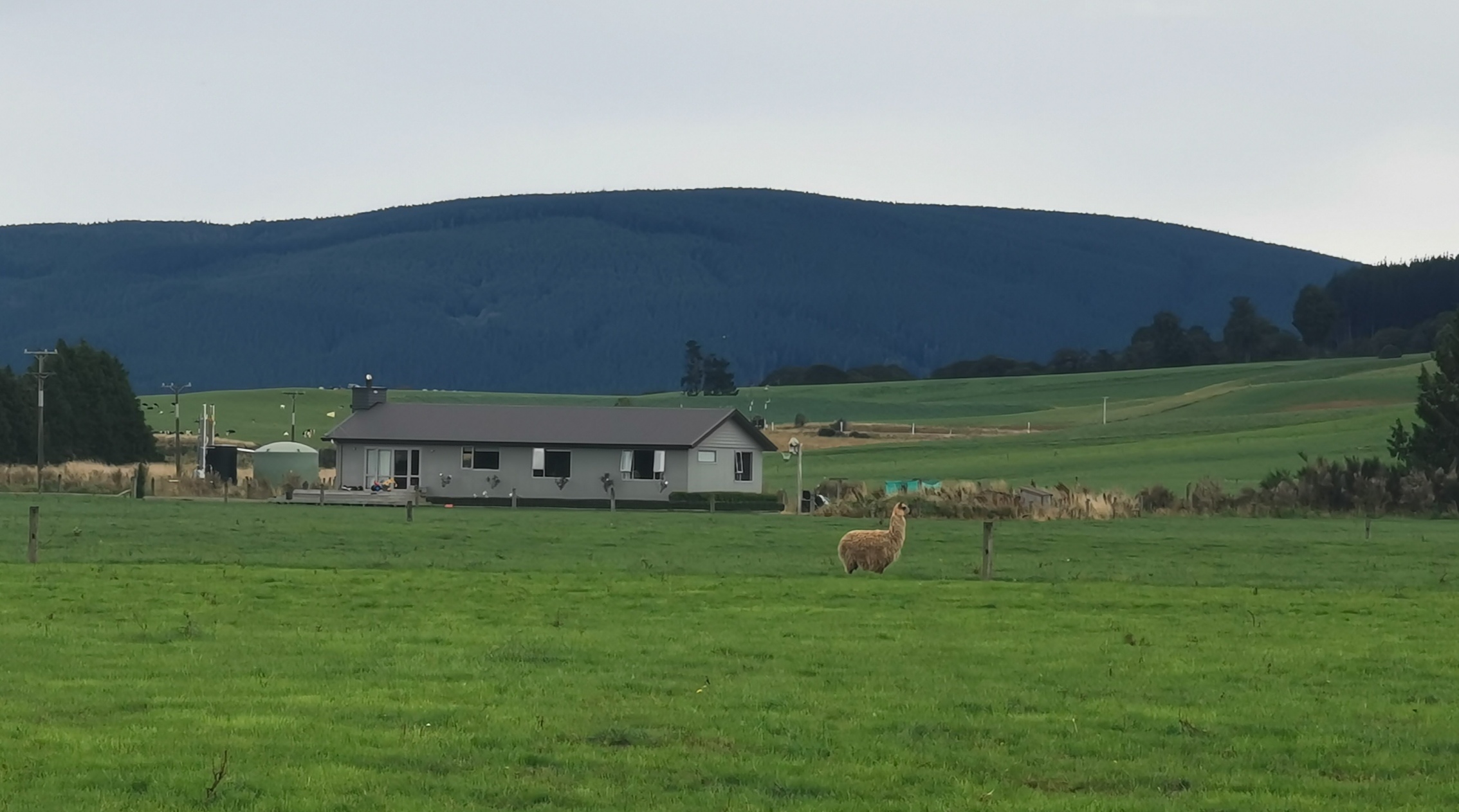
That’s Island Bush on the right, the bit this section would normally go throughSmashed mailbox… reminds me of living in HamiltonThe closest I got to a llama today
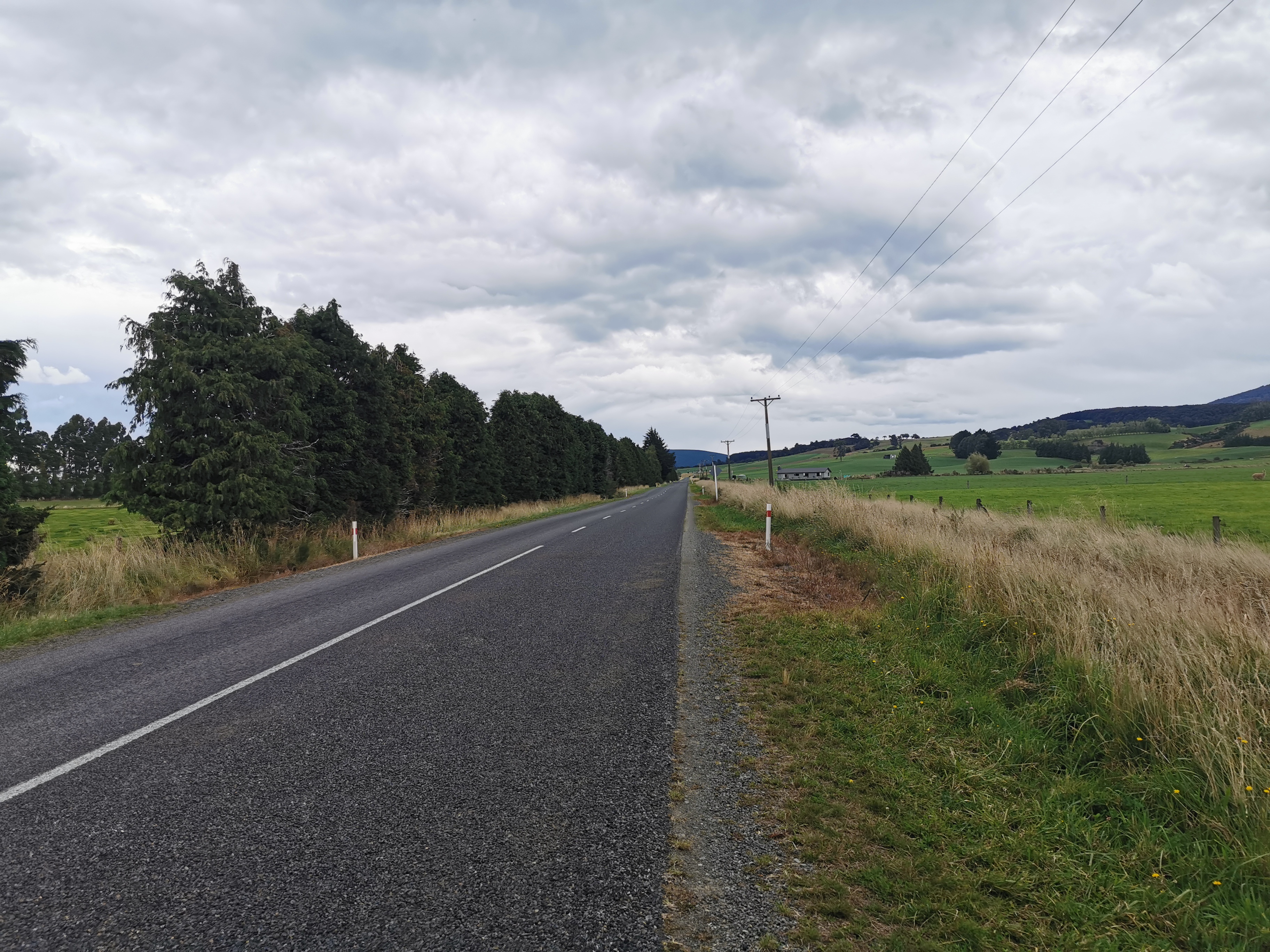
The detour involves two sealed roads in addition to the gravel road from before which is actually part of the TA. One I call “Dead Straight And Goes On Forever Road”:
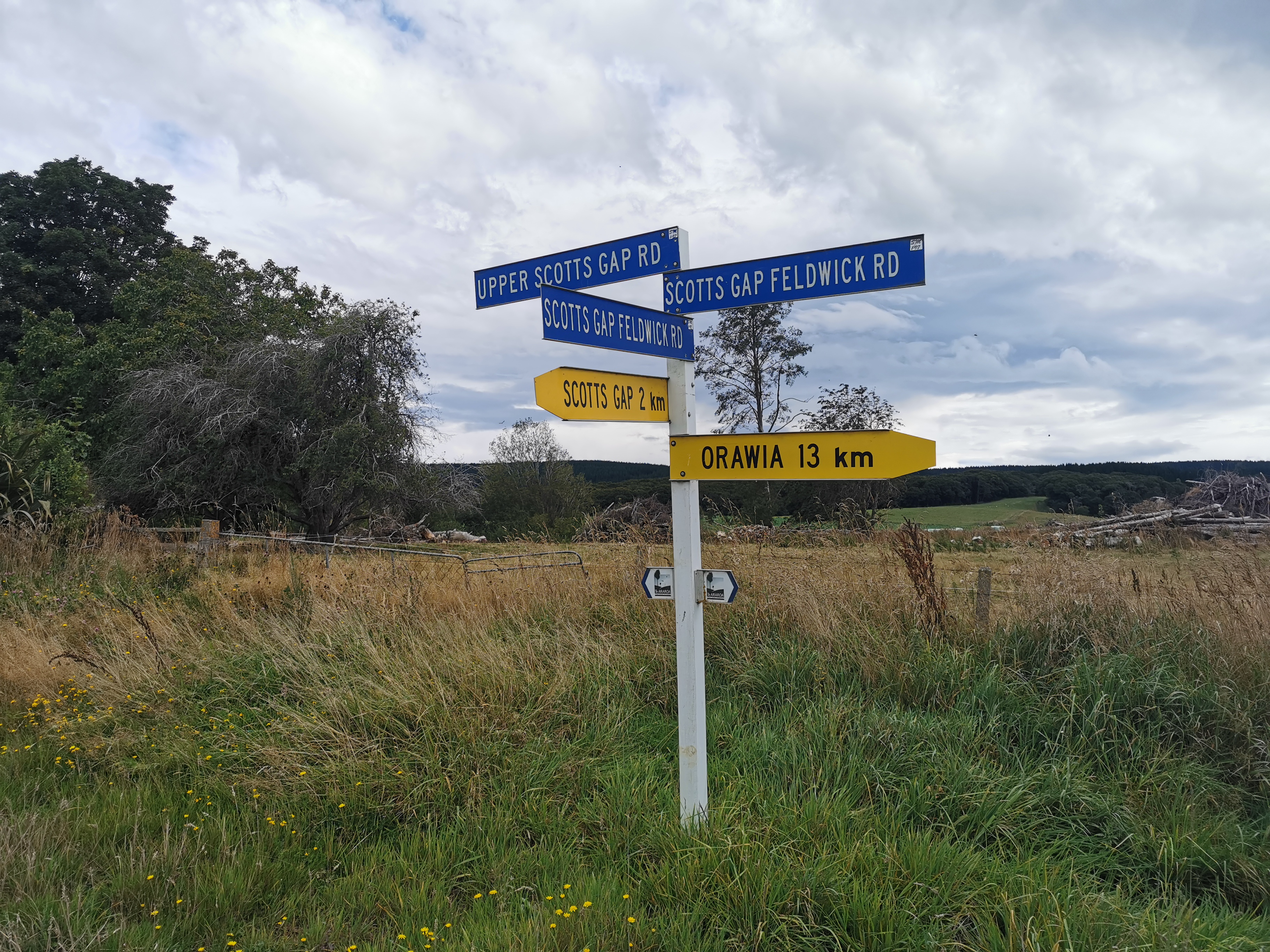
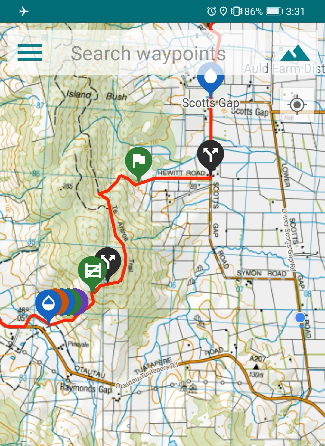
Okay apparently it is called “Lower Scotts Gap Road” as you can see from Guthook. This map makes the detour pretty clear once you see where the blue dot is, which is where I was at the time.
It didn’t seem far to go around on the map, but it was
Once you reach this intersection
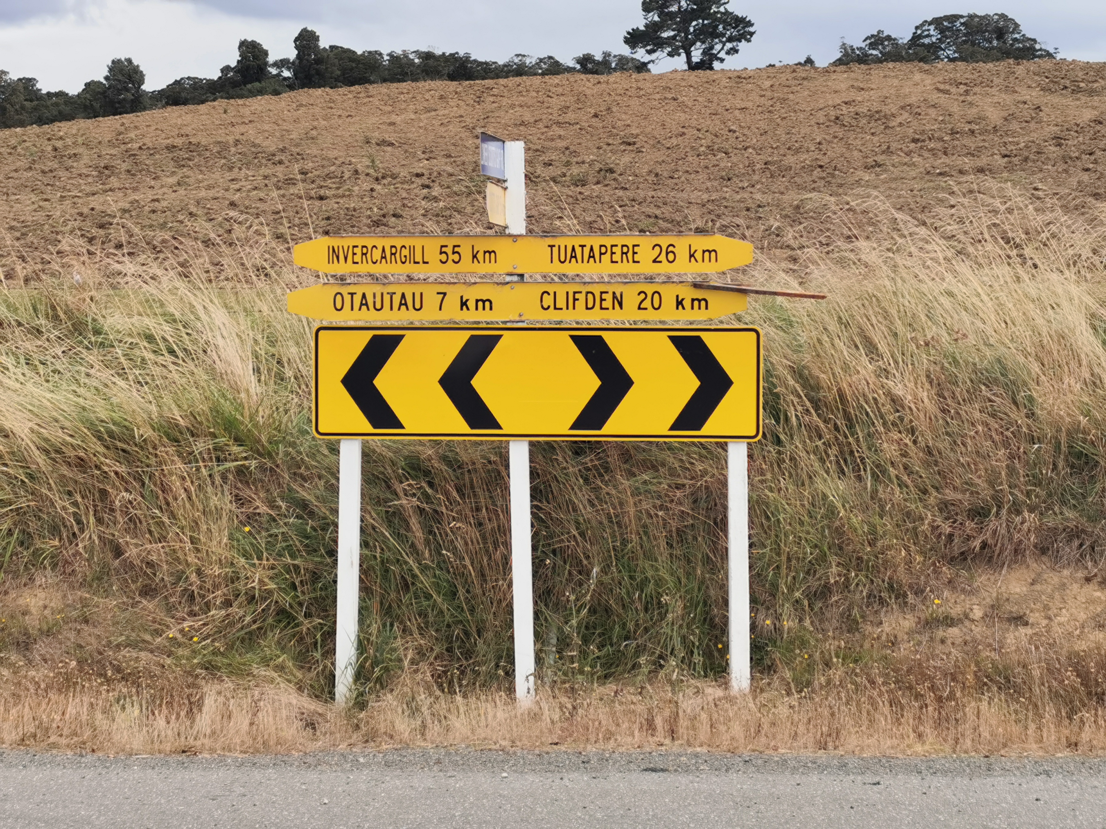
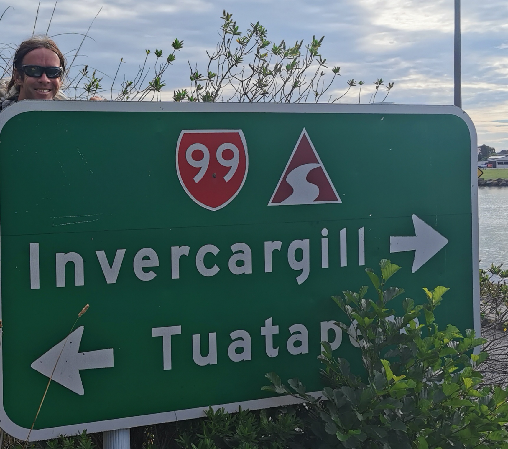
Can’t we just go left to Invercargill?
You turn right into what I call “Not Dead Straight But Goes On Longer Than Forever Street”, otherwise known as “Otautau-Tuatapere Road”, which arguably is just as much of a mouthful.
At the top left of the previous picture you can see Longwood Forest, in which we will be spending the next day and a half.
Tried to catch the horse rider in the top left
There wasn’t a lot of note on this extremely long and uneventful road. It was necessary to move over when cars came past. And Southlanders like to litter it seems. So much litter on this road.
While walking realised I smell better despite wearing most of the same clothes as the last week. The hot shower last night really helped. And things didn’t hurt so much. I just generally felt fresher.
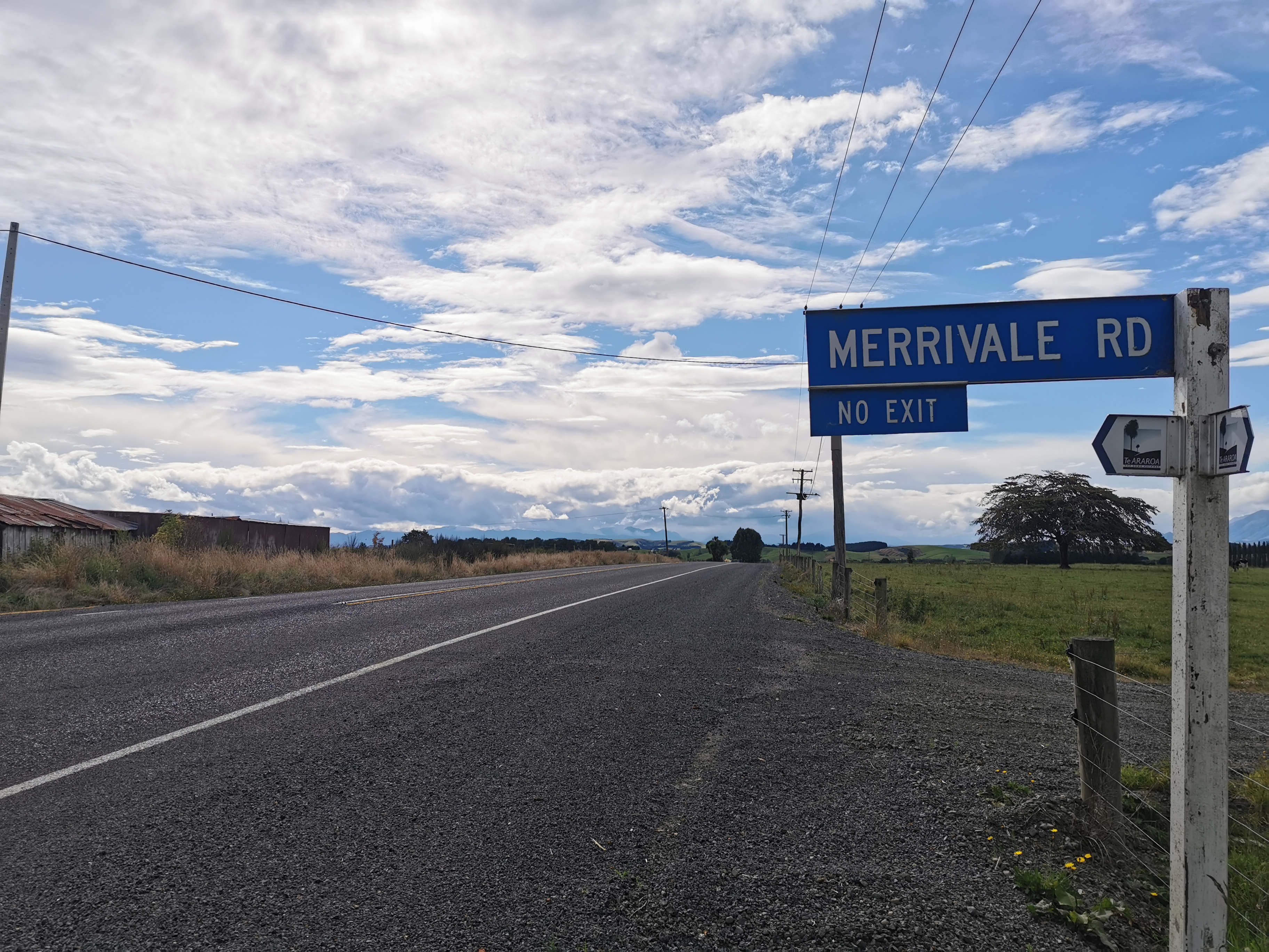
After what felt like forever, there was this sign:
Merrivale Road sign
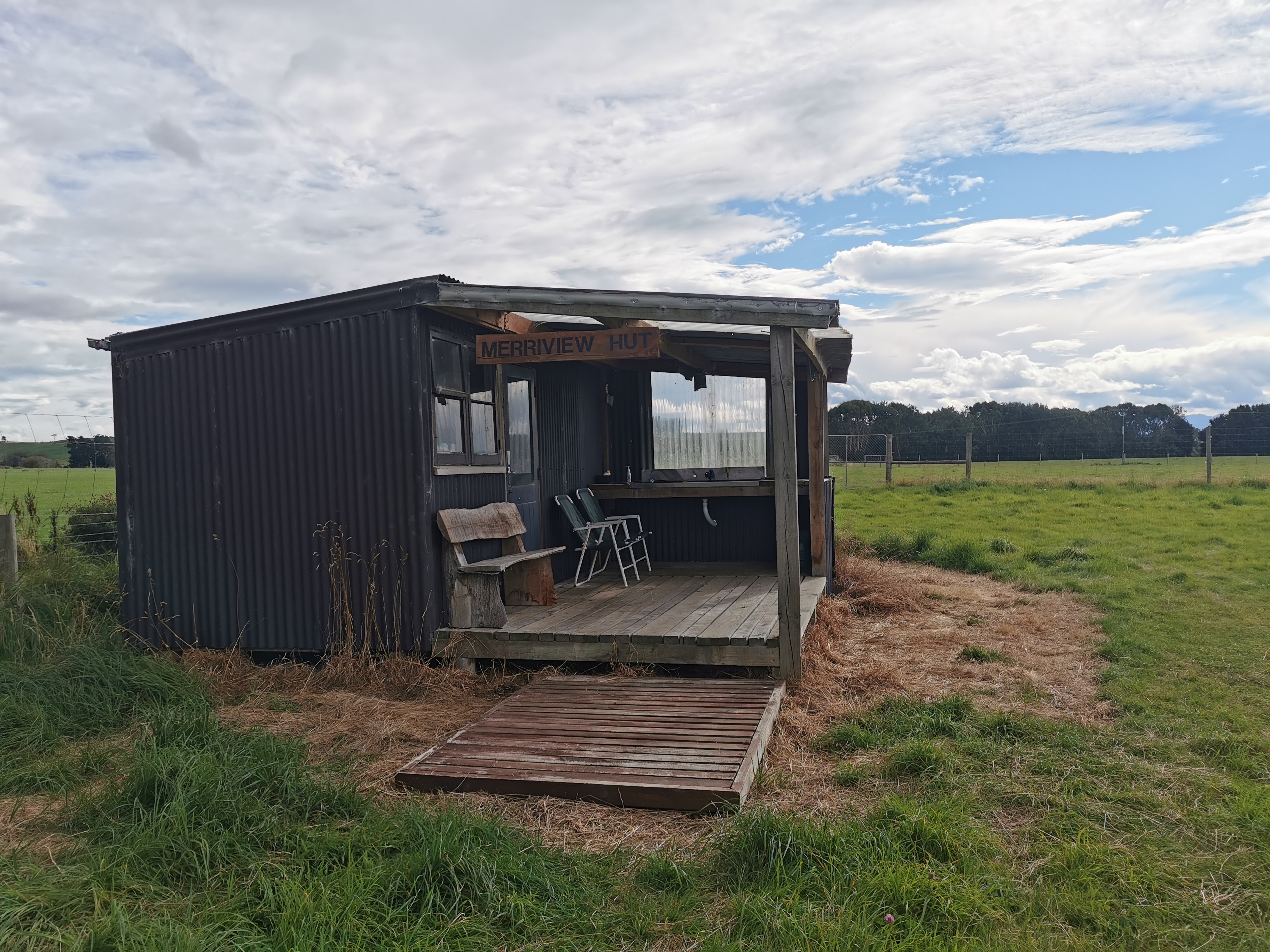
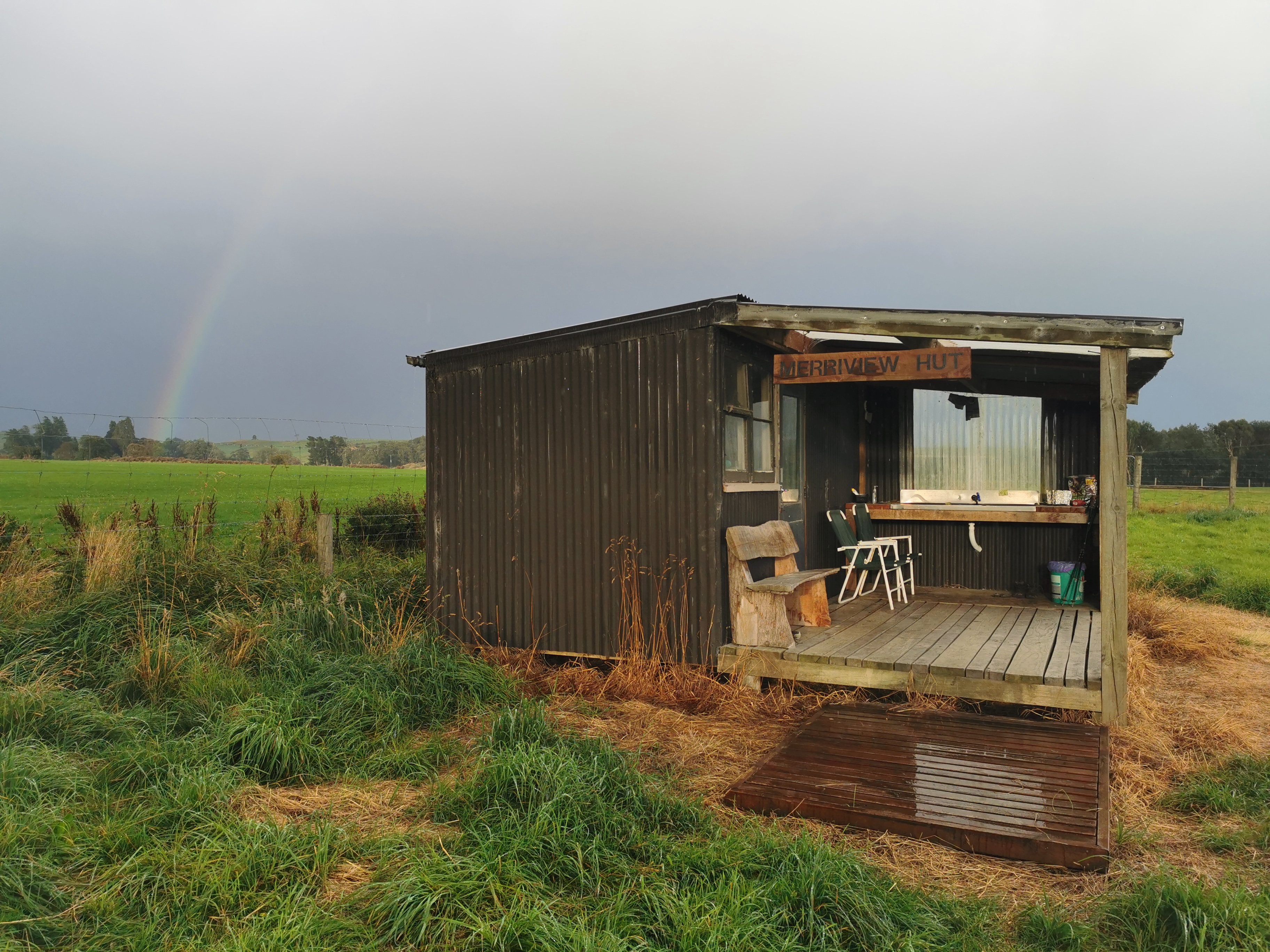
And shortly after, the quaint little Merriview Hut. What a sight for sore eyes!
Merriview HutThere’s no ladder to the top bunk so hope you’re good at climbing.The view from the hut
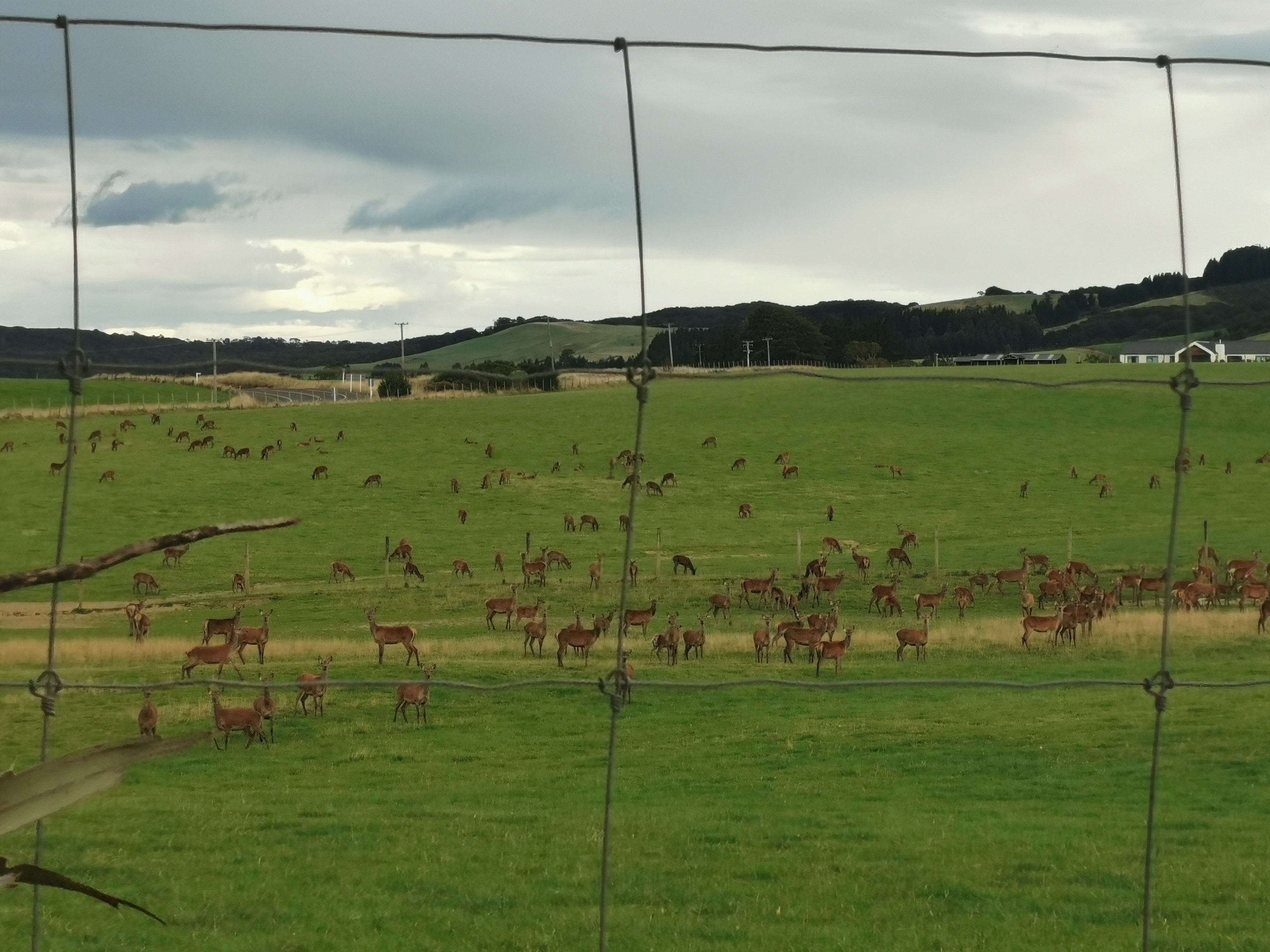
There were a lot of deer across the road. Unfortunately they all scampered like sheep when I went to take their photo so this is what I got.
The hut was fairly basic but it does have clean running water. It does not have many “supplies”, sadly, only eggs, 2 minute noodles, insect spray, rice and milk powder. There was definitely no chocolate, but the eggs were from the farm and I had two with my rice. They were delicious.
Dinner photo. If only there was some hot sauce to go with it.
I left all of my remaining dinner food here in the hut for others except for one backcountry meal for tomorrow. There is no really bad weather forecast so I should not be held up in Longwood Forest.
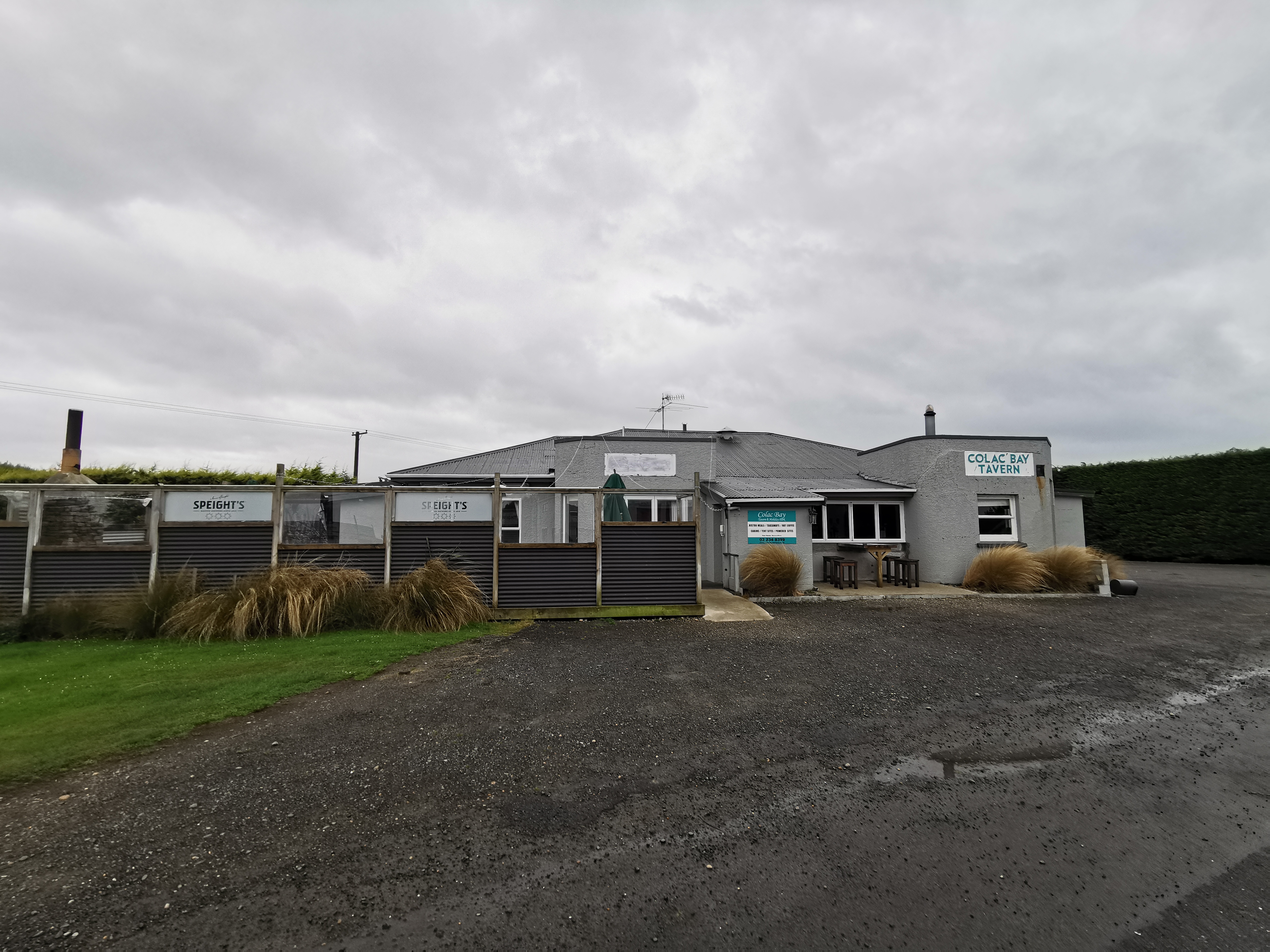
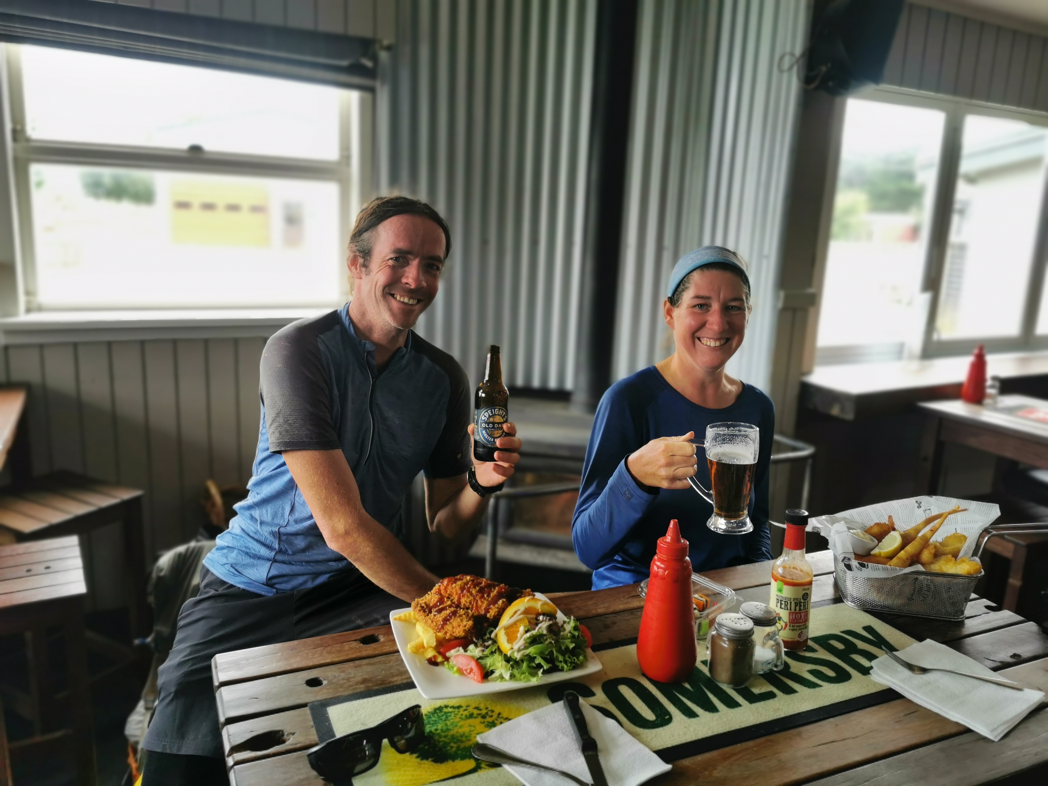
I hope the Colac Bay Tavern isn’t closed on Mondays, as it will be Monday when I arrive there. There is 4G at the hut so I decided to check the Internet, but sadly Google doesn’t list its opening hours. I’d be gutted if I got there and it was closed. I’m looking forward to a beer and a burger!
Nicola and I had food and sat outside for a while. The hut has a great little deck to sit on, and there were very few sandflies. It was a great place to just hang out.
Two northbounders turned up at 7pm. They were Peter and Maggie. They said they have done from Cape Reinga to Boyle Village southbound already but there is a week and a half of bad weather forecast at Arthur’s Pass and so they’ve skipped ahead to do this section.
I asked them about Martin’s Hut, where will reach tomorrow, and if there are any rats there. They said no, but they also said they didn’t stay there because Maggie is a “princess” and didn’t like the hut… so they stayed in a tent instead.
I would like to take the time to point out these ridiculous socks that Maggie was wearing.
They don’t even match
Peter said that it’s supposed to rain tomorrow… so I looked up the forecast and yes, so it is. Weird, I thought I looked at the forecast not long ago and it was good. That’s a shame… and when I went into the hut to bed at 8:30pm it started raining. That will make for an interesting day tomorrow if it is still raining in the morning.
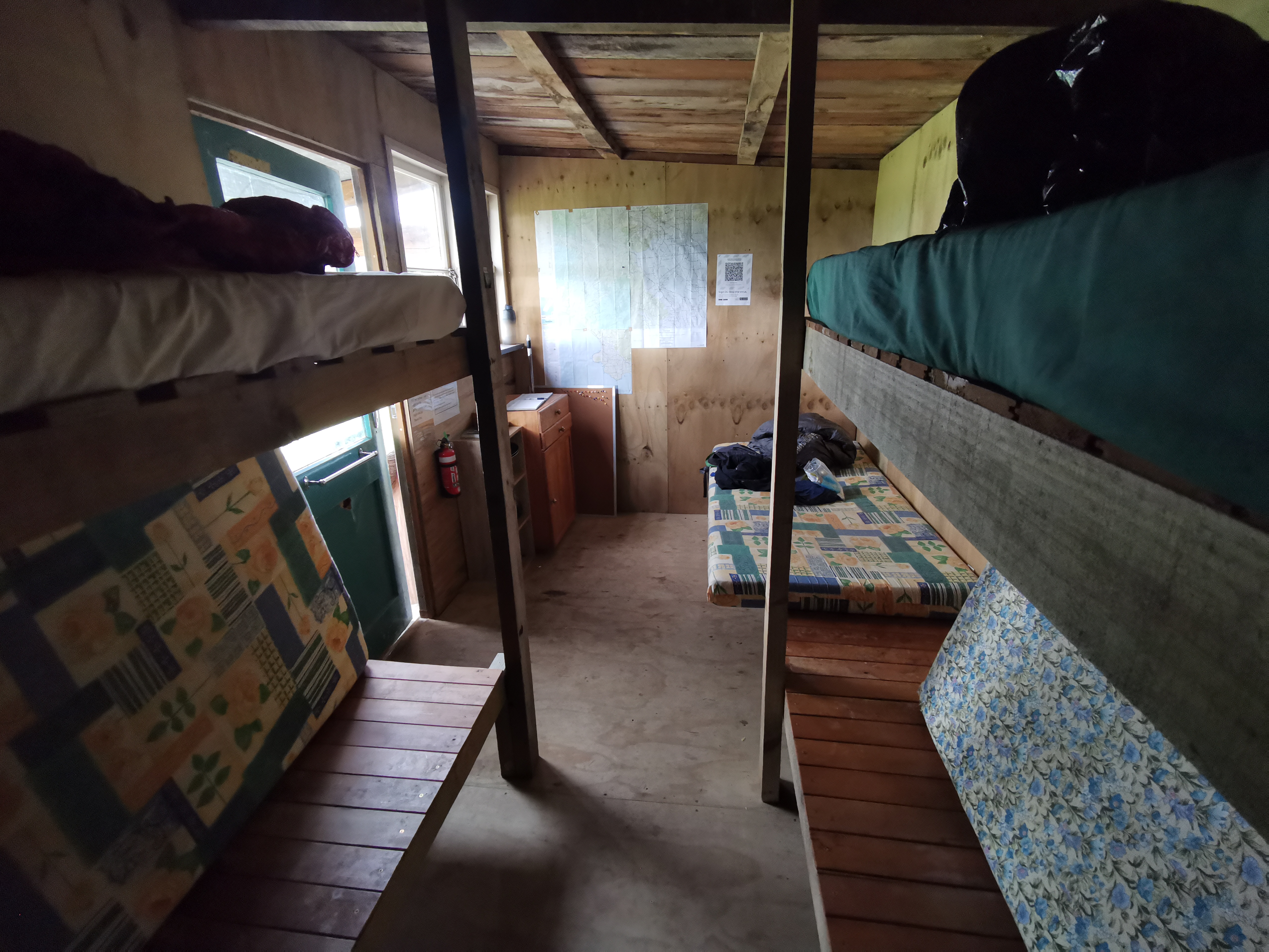
I got into bed and realised the mattresses here are narrower than ones at other huts. I’m on the top bunk so I hope I don’t fall out during the night!
Shay was listed in the visitors book here as staying here 3 days ago. In that case he has probably made it to Bluff already. I checked his Instagram, and he has indeed. Nice work Shay!
I remember before Telford Campsite two days ago that I figured that walking across the two farms yesterday and today would probably be similar. I was very wrong! Mt. Linton Station was a real farm walk but this was just up a giant hill, through a forest and then a road walk. They couldn’t have been more different.
Date: 7 March 2021
Trail covered: 28km (kms 2874.4 to 2902.4)
Weather: very very blah
Ah Longwood Forest. The day I’d been dreading but also excited about for quite some time. The last major challenge before the South Coast and before my beer and burger at the Tavern.
View from the hut this morning
It was raining through the night and still was while Nicola and I were making breakfast. I suggested that I will depart once the rain stops, or if it doesn’t stop before 9:30am, then just go then. She said she’s just going to go as soon as she’s packed. So I need to toughen up and go too because it would be nice to have two people for this section, plus my small gas canister might not last two more days and Nicola was nice and said I could borrow hers if I had to.
I could’ve picked a gas canister up at Birchwood Station. They had tons in the free food box.
I was feeling excited about today, well everything except the rain. Nicola said she was dreading it.
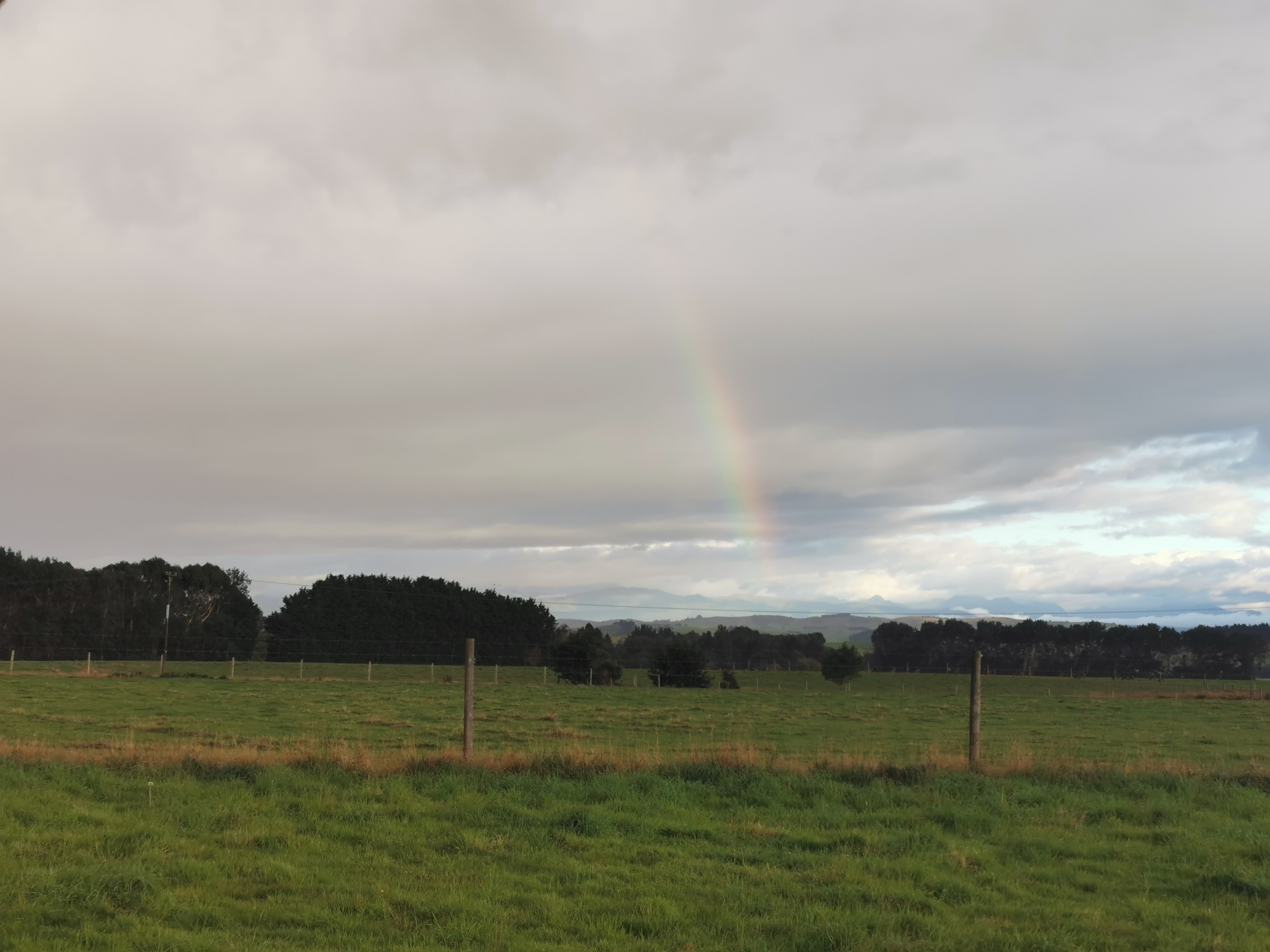
Half a rainbowThe other half
Today it seems to be 3km of road walk, then a steady climb from 100m up to 800m over 10km. Then a descent to 400m followed by a steep climb back to 800m. The distance is supposed to be 28km. It’s going to be a hard day there’s no denying it.
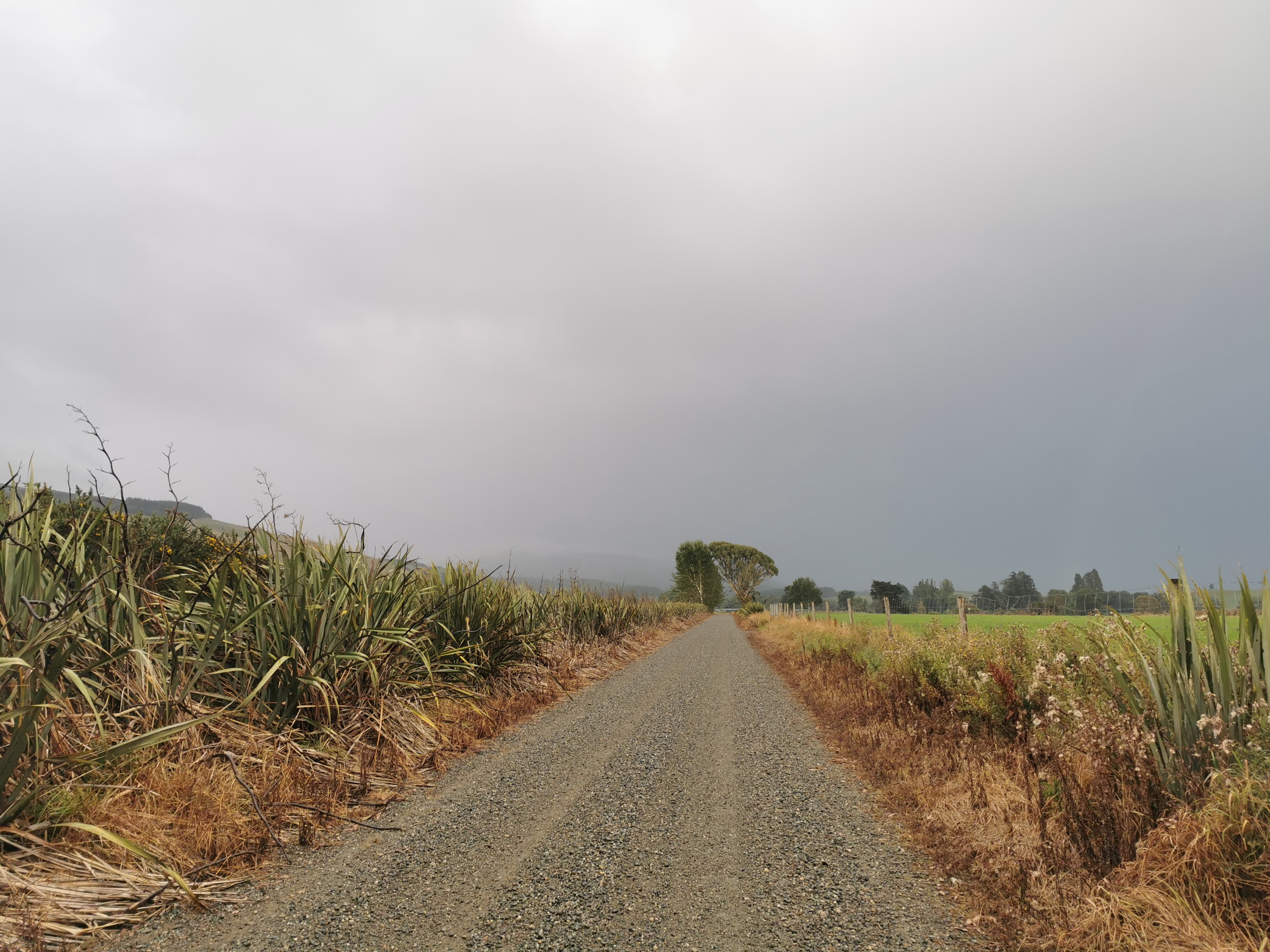
We left at 8:20am and well, that’s when the fun started. The rain was light rain at first, so as we walked down the gravel road…
Merrivale Road
…our spirits were high and we chatted about stuff. After the 3km of gravel road, the next 3km were a forestry road and it was quite beautiful, so that made me pleasantly surprised.
However the rain was getting heavier and there was no blue sky to be seen anywhere. It kept crossing my mind “it’s not too late to turn back ya know”, but we pressed on.
As we started into the actual forest, it soon became clear what we were in for today. Mud. Lots of mud. We were expecting the mud, and I guess you could say we weren’t disappointed.
What we weren’t expecting was for the rain to get harder, the wind to increase and the temperature to plummet. At 9:30am I had to stop and get my gloves because my hands were freezing, and at that time I also put my phone deep into my pack so it didn’t get damaged by the rain. So that means no more photos for the walk today, sadly. Even if I had my phone handy, my fingers were so cold and everything was so wet I couldn’t have taken the photo anyway.
Actually there is one more photo – the 11am picture. When I put my phone in my pack I didn’t disable the 11am alarm so I had to get the phone out of the pack and silence the alarm. So I at least took the 11am photo, and here it is.
11am picture – it doesn’t look wet but it is
There’s only a small amount of mud where we stopped there, compared to further on. Half the day was spend trying to get around giant mud puddles. We were prepared to walk through a lot of the mud since we were drenched anyway, but not when the mud was knee deep, which judging how deep our walking poles sunk into it, was how deep it was.
When we actually entered the forest itself, the rain didn’t hit us so hard and neither did the wind because we were sheltered. It was actually a nice forest apart from the mud.
There were three separate parts on the walk today which were above the tree-line – we called these bits the “exposed” bits. The first exposed bit was past a big radio tower of some kind and that was okay because the path from there was the 4WD access path to the tower. It lead to a cool quarry which had a burnt out car there. I wish I could’ve taken a photo.
The second exposed bit wasn’t bad too, as there was a temporary break in the rain then. We saw two more northbounders and we had a chat with them. They wondered if they would be able to reach Merrivale Hut since they started a bit late but we told them they’d be fine.
The third exposed bit was where all hell broke loose. It was three and a half kilometers of being pelted with what felt like pieces of ice from the side. It was during this bit where we got hammered by bitterly ice cold wind and sideways rain, and it was hard to see each marker because we were in cloud cover. The side of my face facing the wind felt like it had fully frozen and the wind was blowing me off the path. I actually got a bit nervous when I couldn’t see the next marker. I was glad that in general, the path was really well marked. But like most of the rest of the whole day, the tussock-filled grass was full of stagnant water and mud.
The whole day I hadn’t been able to look at my GPS watch, since it was under my jacket on my wrist and with my heavy gloves on I couldn’t see it. Plus I didn’t want it to tell me something I didn’t want to know, in particular that we still had miles to go, so I just pressed on.
I knew from checking the elevation this morning that Martin’s Hut was at the bottom of the second descent, which started after the third exposed bit. So as we were descending, I hoped that around every corner would be a clearing or the tell-tale signs of a building, but no it was just more mud, well at least for the first 50-ish times it was.
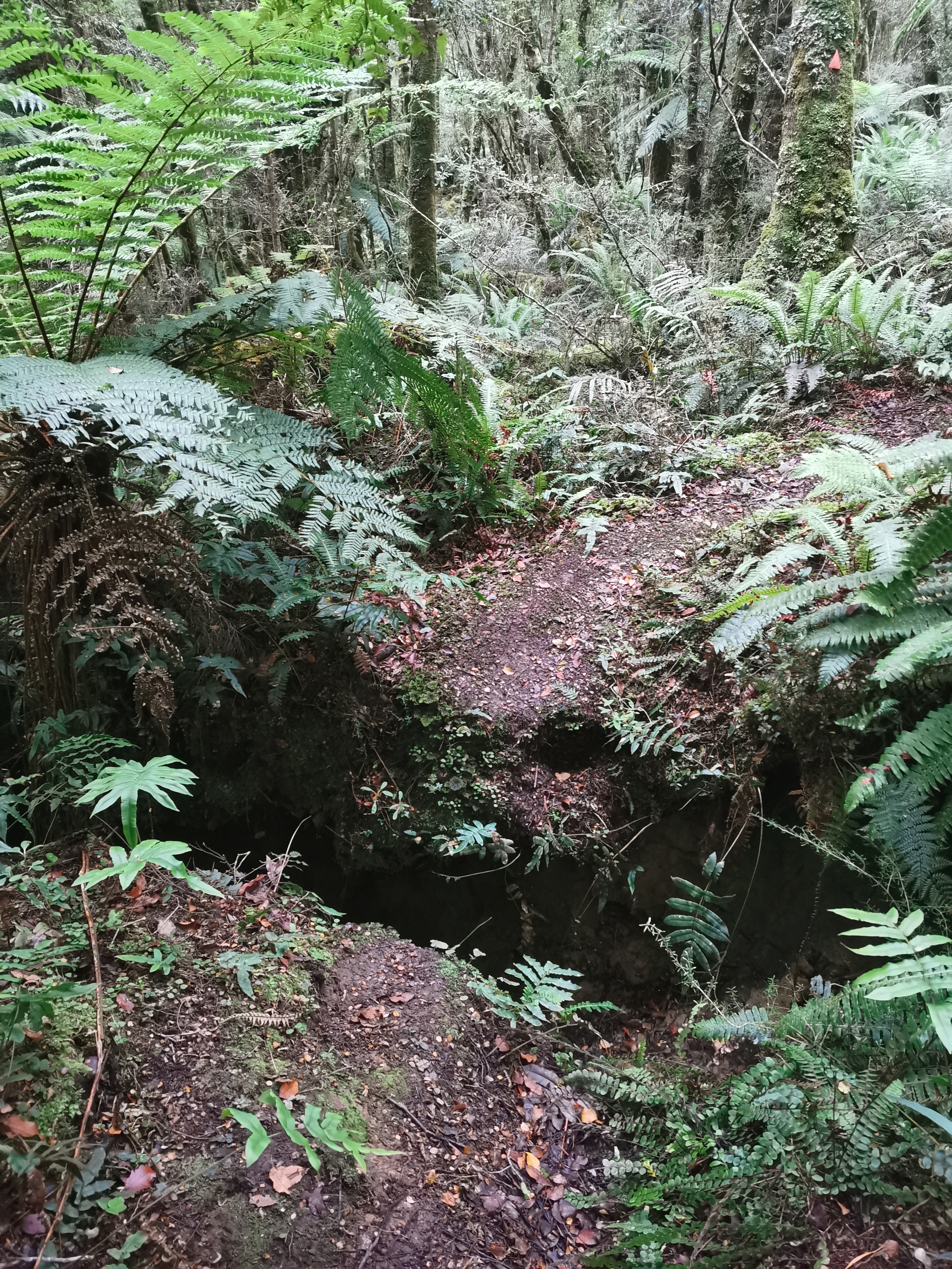
Eventually though, we rounded the corner to see this.
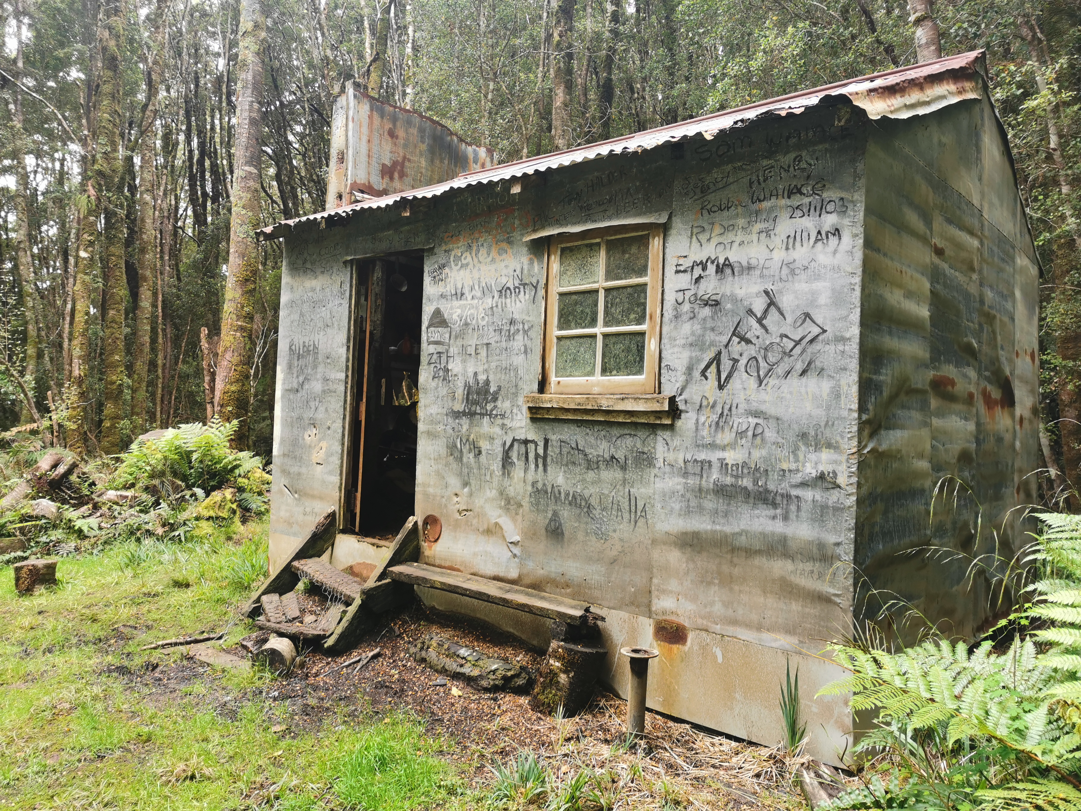
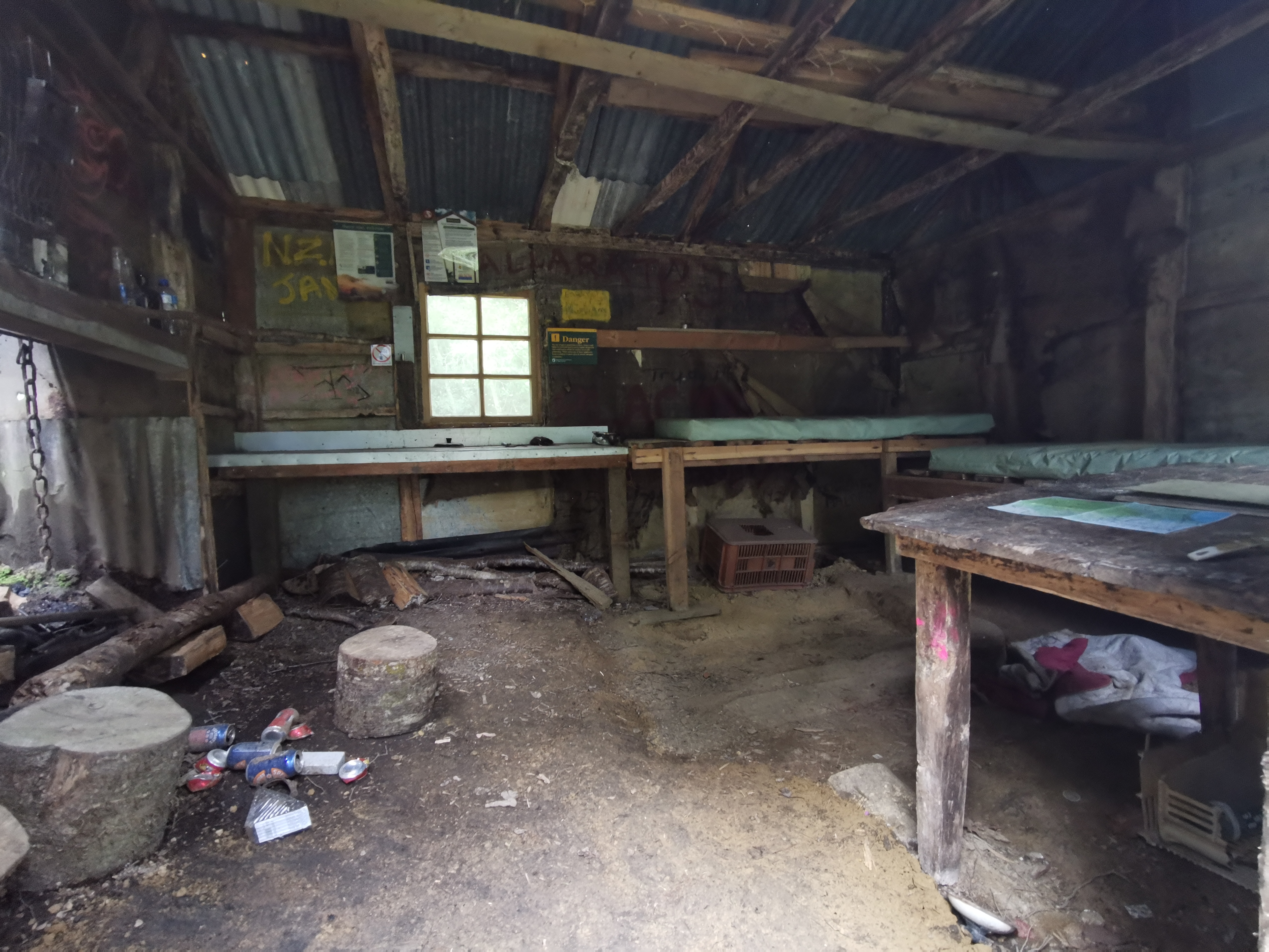
Martins Hut
Martin’s Hut. What a sight for sore eyes! And I really mean it this time! And a sight for wet eyes! And wet everything else!
Another view
We gingerly ventured inside, as the hut was, shall we say, rustic. But it wasn’t as bad as we expected – the only thing is with its one tiny window it gets exactly zero natural light. We had to make our dinner with head torches at 5pm.
The hut is absolutely covered in graffiti, both inside and out, which is sad to see, and I hate to say that most of it appears to be TA hikers – one as recently as yesterday. STOP IT. Seriously.
It took us about 8 hours to get from Merriview Hut to here. That’s pretty good going but we only stopped very very briefly for food on the way during a very short break in the rain.
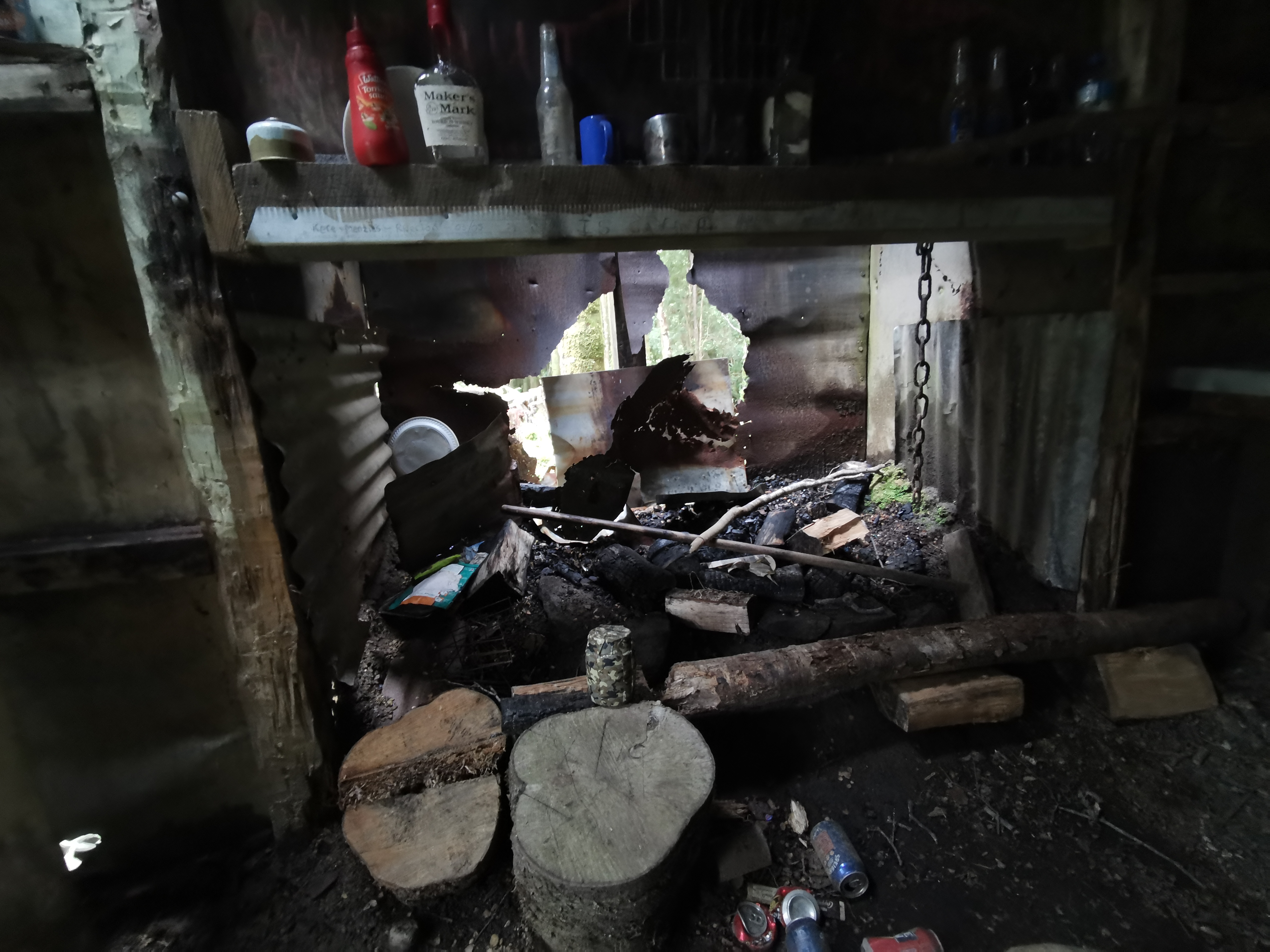
We tried to light a fire to assist with drying everything out and stopping shivering, but the tiny amount of wood that was inside wasn’t enough to do anything good and there was no point going outside to find firewood as all the wood is wet. So that means all our stuff will stay wet for a while until we have a chance to dry it out sometime, and we will remain cold.
But some positives have come out of today. The first is that we have passed the 2,900km mark – thats a great feeling. Secondly I have finally had one of those days where I walked in the rain all day and everything is now drenched. I don’t want one of those days but every hiker seems to have one of those days at some point so now I can say I have too. I mean… the Timber Trail day 2 and Comyns Hut to Manuka Hut were wet… But today was WET and freezing cold.
I got my phone out finally and saw we’d walked 28km. That’s a lot for one day for such a muddy part of the trail.
One thing I can say for sure is that putting on sopping wet socks and boots tomorrow morning is going to suck. It would be so great if the rain stopped overnight. As I write this at 9pm it is still raining hard.
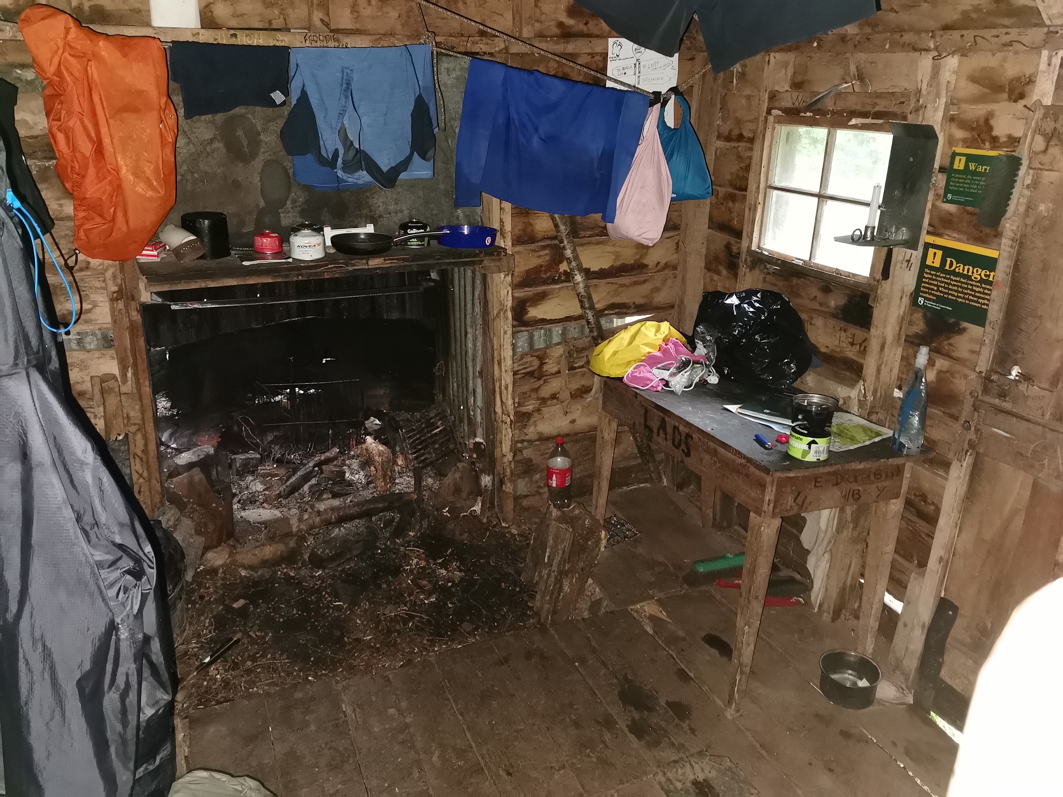
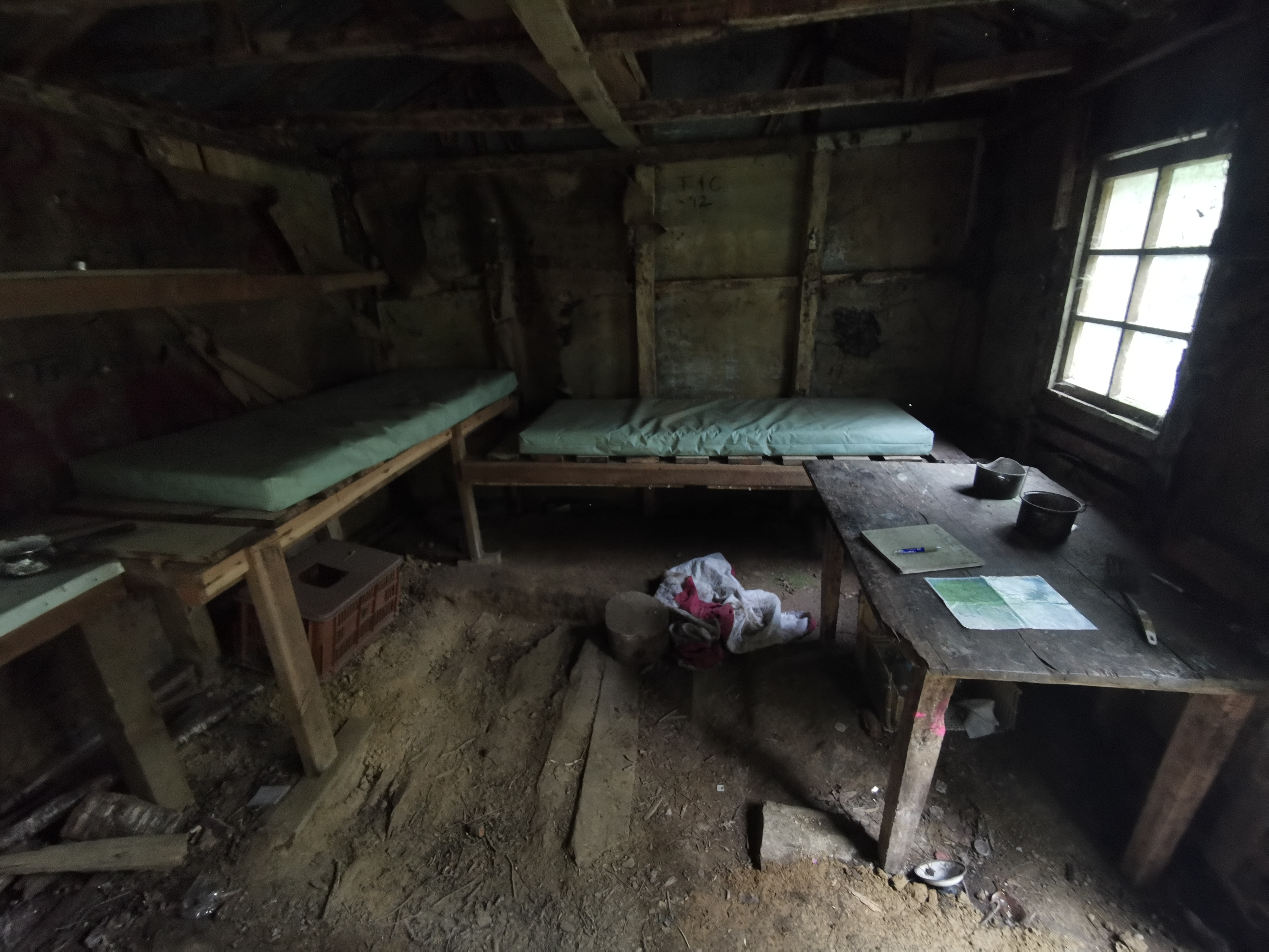
The view of inside Martins hut
Now back before I restarted the trail I was calling this hut “Abundance of Rats Hut”. Fortunately this seems to no longer be the case. There’s no sign of droppings and no recent talk of rats in the intentions book. That makes me very happy. Although I wish I didn’t look up at the ceiling… It’s full of cobwebs and things attached to those cobwebs which look like they’re ready to fall on my face.
If you want to see more photos, check out Alex’s blog post from this section. Seems he had similar weather for half the day… and he did encounter rats.
Date: 8 March 2021
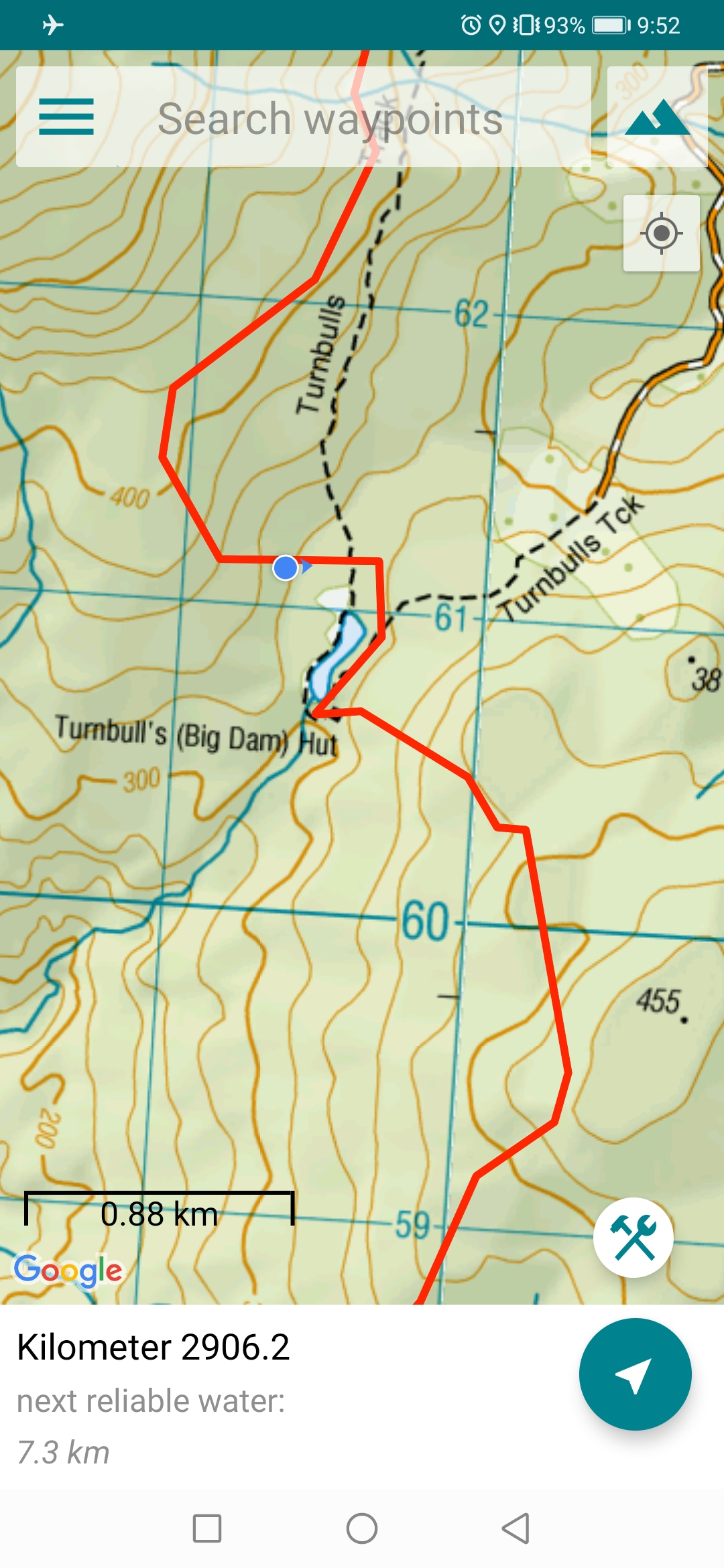
Trail covered: 17.1km (km 2902.4 to 2919. 5)
Weather: overcast and a nice cool temperature
I had a lot of trouble sleeping last night. It wasn’t to do with rats or potential rats, even though twice I heard them. I shone my light around both times but never saw a rat. I think I managed to sleep between 12am and 6:30am.
We had our breakfast by headlamp and left at 8:20am which seems to be our standard leaving time. But this time I packed out some of other people’s rubbish that had been left in the hut. Three empty gas canisters and an empty 2L Coke bottle. I hoped that would give me good karma in the form of good weather.
But first I had to find the geocache hidden in this hut. I was looking in all corners of the hut and was worried about finding all the spiders. But I found the geocache after 2 minutes. It’s the first one I’ve found since restarting the trail.
Inside Martins Hut as viewed from my sleeping spot
It was really cold last night so I went to bed wearing all my thermals and jacket, which meant I was wearing them all when we set out. I did have to put on absolutely saturated boots and socks which wasn’t pleasant, but like always, the unpleasant sensation only lasts a few minutes and then your feet warm up and get used to it.
The forest was nice starting out.
Leaving the hutLongwood ForestYou reach a junction very soon
It was a little muddy, but this was only 25% of what it was like yesterday.
25% mudness
The thing with today was that there were a lot more obstacles and challenges than yesterday.
For example this chasmThese fallen trees made for very slow going over themAn even bigger chasm
There were a lot more loose sticks to trip on and trees at face level than there were yesterday. But one huge thing about today is that the weather was good. A slight breeze and a cool temperature. It was perfect, and such a change from the nightmare that was yesterday. Maybe the good karma thing is working.
Yesterday the trees were creaking and groaning under the pressure of the wind, but today there was only birdsong.
At one point I thought I heard the sounds of a hunter, as March and April are hunting season in this forest. We are advised to wear bright colours so hunters don’t think we’re tasty animals. I thought I heard a hunter making “fake deer” sounds so I made very sure my orange pack cover could be seen and I started talking to Nicola very loudly. But it turns out it was a real deer. It saw us and ran off.
I was a bit nervous walking through the forest during hunting season. There was a sign yesterday that said “Hunters – Identify your target”. There was a hunter in Martins Hut yesterday according to the hut book, and his comment was “saw nothing”. I guess we saw one more deer than him!
This year the trail has been rerouted. It now goes past Turnbulls Hut, whereas last year it went via Cascades Road and Ports Water Race Track. That was good for us as it took a few hours off the trip as far as we were aware. You can see on the map at the end of the post last year’s route (my maps always use the route from last year) and the route from this year that we took.
But one thing that made me nervous is that on the Guthook app, which I use for navigation, the red line was crudely drawn and didn’t match the topographic map. This happens often and usually the topo map is the one to trust. But the path from Turnbulls Hut south doesn’t even exist on the topo map, and the red line seems to go all over the place.
The map
But on this occasion I was pleasantly surprised to find that the red line was the correct one, and it was accurate, and even if it wasn’t, the track is very well marked with orange triangles.
So that meant it wasn’t too long before we came across these:
The sign lies, it took 1hr45 not 2hrsThe sign lies, it took 10 minutes, not 5
I wonder if somebody really didn’t like Martins Hut, and if they took the time to destroy the sign in an act of revenge.
Just before getting to Turnbulls Hut, there’s this bridge made from a tree that you have to cross. I hope you’re not afraid of heights.
Tree bridgeNicola was fine crossing it
And we passed this interesting landscape.
We made it to Turnbulls Hut! What a sight for… oh wait…
Turnbull’s Hut
Maybe not. Its very dilapidated. The fireplace doesn’t even have a back wall, which would make for a draughty night if you spent the night here.
Can you see the geocache? This hut has one too.
We stopped for a snack here, and now the only food in my pack is Berocca, one wrap, and a small amount of marmite. My pack is so light, well relative to when it was in Queenstown. Seems I bought the right amount of food, as well as the right amount of toilet paper and gas. My memory of last year on the TA must not be too bad.
The next stop is Colac Bay, and civilisation in the form of the Colac Bay Tavern for a beer and a meal, and hopefully a fireplace. Nicola and I were discussing while we were walking if we’d stop at the Tavern for the night or continue to Riverton. We couldn’t seem to make up our mind. I said it’d depend on Internet access, the price of the room, and the weather.
Here’s my 11am picture… A muddy puddle with sticks to cross. This was definitely one of the easier mud crossings.
11am sticks
There was more mud than this but it was “more solid mud” and you could walk through it and largely not get wet boots.
I took a photo of a moderately challenging bit of trees to cross, and I then slipped on it as I crossed it – oops.
That made me realise that when Nicola and I are walking together, that I say things like “oh fudge” and “let’s try that again” when I slip or hurt myself. When I’m on my own and sore and tired, the things I say when I slip or hurt myself are a lot less repeatable.
I slipped a few times on the way down. I’m still wearing the same boots I bought in Otaki and their grip has nearly completely worn out.
We saw a lady about 1km from the end of the forest who was calling out for “Chloe”. As we got closer she asked us if we’d seen a dog and I said no – that’s obviously who Chloe was. I hope she managed to find her dog!
She also asked how far Turnbulls Hut was from where we were and I said about an hour and a half. Her response was “lucky we didn’t try that then”. She had a little pomeranian dog with her and I had no idea how that dog managed to navigate the mud and stay as relatively clean as it was.
Near the end we started to see evidence of old mining activity. Apparently this forest was a big forest for mining back in the day.
I’d love to know how far the tunnels here go
This made me realise that the big chasms from earlier today were water races. Im still not entirely sure what those are but I know they’re related to the mining activity.
Port’s Race
When you see this sign:
You’ve joined up with the shorter and much easier Long Hilly Track.
Long Hilly Track path
I commented to Nicola that it was neither long nor hilly, and maybe Short Flat Track wasn’t a very catchy names. Her response was that maybe it’s named after someone called Long Hilly. I like that, it’s the same sort of dad joke I would say. I hope for her sake she hasn’t been hanging around me too long and has picked up my sense of humour.
Long Hilly info 1Long Hilly info 2
In saying that, these signs were at the end of the walk, and on the first one in the bottom right it says “Long Hee-Lee, as it was known to most Chinese” – so maybe Nicola’s theory was right!
We saw the first sign giving a distance to Bluff. Wow, this thing will really be coming to an end soon.
Bluff – 88.7km
As I exited the forest, I realised the song that had been stuck in my head for the last two hours or so was “Thanks Fr Th Mmrs” by Fall Out Boy which includes the line “thanks for the memories, even though they weren’t so great”. That seemed to sum up very well how I felt about Longwood Forest. That just happened to be the last song I played on my iPod I think, it was just coincidence it has that relevant line in it.
From here we had a 6km walk to Colac Bay. The first 1km was down a quiet gravel road.
This house had a barn facing directly onto the roadAnd a dog guarding the vegetables
The lady we saw earlier looking for Chole the dog drove past and offered us a ride, which we declined. She had two dogs in the back, so obviously she found her dog. Thank goodness for that.
Then we turned here…
Round Hill Road sign
Onto State Highway 99.
I know we’re at the very south end of the country now. There’s no highway numbered higher than Highway 99.
This highway was quite busy, there were not a lot of cars but the ones that were there were going quite fast and there were a fair few trucks too. They mostly moved over and gave us as much space as they could though.
The cows came from miles to come and say hiThen followed us down the roadNice flowers
There was one of those bridges which narrowed to the point where you can’t get across if a car is coming because there isn’t enough room. Always fun.
We arrived at Colac Bay after 5km of walking on Highway 99.
Colac Bay entrance
Honestly the whole place looks a bit rundown.
AC BAY RDOnce upon a time, there was free air hereA sign with a severe split personalitySurf’s Up!
There’s the tavern! And it appears to be open! And they’re playing Crowded House – that’s a great sign.
Colac Bay Tavern
First we had to take off our boots which were muddy as hell and make ourselves look slightly presentable, despite the fact there were no other customers. Nicola and I got our hot meal and drink!
Meals, beers, fire and liquorice
The meal was big, and good. And when I discovered they do rooms for $25 for TA walkers, I couldn’t pass it up. So, ultimately it was a relatively short day, but it was nice to chill out by the fire and just relax for a while. Plus the weather is supposed to be better tomorrow, and I’m in no rush – it’s still a week before I’m due back at work.
I had another beer and paid my $25 for my room. I had a dorm room so I figured they’d put Nicola on the same room, but she got a different room. So that means I paid $25 and have a room to myself for the night, with a real bed and a real mattress unlike the plastic DOC hut mattresses I’ve become accustomed to.
The tavern got busier as the day went on and I observed the people coming and going, and I have to say that they were as I expected – lots of swanndris and lots of gumboots. One guy who wanted to talk to us about the trail was wearing a huge red and black swanndri but tiny shorts. He had two pet hates it seemed – Asian drivers and Aucklanders because they used to clog up the roads on weekends when he lived in Wellsford.
It’s a “tired” campground, but it’s totally fine for my purposes.
Ancient vending machineMini golfOne window pane missingWhich bed should I pick?
One last thing – the south coast is so close. I had to walk just that little bit further and see the ocean.
A bus shelter also with a split personality… is it South Park?Or The Simpsons?This dog desperately wanted someone to throw the stickFind me someone who could look at this house and not smileIt changed from Just Married to Even Still MarriedIt isn’t clear exactly what was sabotaged about the road
There it is!
The south coast!The direction we’re headed tomorrow
This is as close as I got to it today. I might have to walk in the water tomorrow as I walk along the beach and see if that does anything to remove the multitudes of Longwood Forest mud on my boots.
Heres where ill be walking along tomorrow. I hope it’s warmer tomorrow, but since I’m planning on leaving early to see the sunrise, I doubt it.
Chicken and bacon sandwich, nice but awkward to eat
I got back to the tavern and had another meal from there but couldn’t eat it all. I saw they were about to set up live music and I thought that would be cool but it was a guy playing country music which is not really my thing. With the basketball playing on the TV and the country music singer, I felt like I was in an American diner. And the owner’s three young girls ran round and round the tavern shrieking for most of the evening.
Date: 9 March 2021
Trail covered: 44.3km (kms 2919.5 to 2963.8)
Weather: overcast / sunny
I said yesterday I was going to get up early and leave at dark to watch the sunrise along the beach. I was mostly serious, but when Nicola said she’d join that meant I actually had to follow through with it.
I got up at 6:30am and Nicola’s light was on in her room. I had my last morsel of food in my pack for breakfast, namely the last wrap.
I also heard what sounded like a baby crying softly, and I thought I’m glad I’m not near that room. But it wasn’t a baby at all, it was this cat with a very strange meow.
Cute ginger cat
It was really friendly and I spent a lot time patting it. Which meant I almost missed the sunrise!
This is what I wanted to see!
It was a bit cloudy, but I’m glad I got up earlier than usual to see it.
Sunrise on Colac Bay
Also it was good to leave early because the destination today is Invercargill, some 45km away. It’s going to be a long day, but we figured since it’s mostly beach walking we should be fine. However, from high tide to low tide is 6 hours and since we’ll be walking longer than that, we’re definitely going to hit high tide at some point. It’s always easier to walk a beach at low tide.
I discussed with Nicola that this caravan looks like an alien caravan – the aliens have tried to replicate the real caravan beside it
There are two sections of beach walk today. The first is between Colac Bay and Riverton, which is about 12km, and between Riverton and Invercargill, which is about 25km, and some walking through the two places.
Towards the end of the section to Invercargill we knew there’s a river crossing that should be done between mid and low tide, and low tide is at 5:30pm today, so we are walking at high tide to start with. We started along the road that went alongside the beach, but it ended very quickly.
The end of the road
So we moved onto the beach. The first part of the beach was okay to walk on. And I walked trough the water in an attempt to get all the mud off my very dirty boots.
The clouds started to come in and we saw the last glimpse of the sunrise before it vanished completely.
It wasn’t long before the beach changed to pebbles instead of sand. That, combined with the high tide and sloped beach made it suddenly surprisingly difficult to walk on.
Walking forwardLooking back
There is a road after an hour though – Tihaka Beach Rd.
Tihaka Beach Rd
Then you end up at the Tihaka Beach Track. The beach here has a few rocky sections and this track takes you around the rocky sections and up through the farm. I’m not sure if you can get around the rocky sections at low tide or not, which would have been easier, but since it was high tide we had to follow the track.
Tihaka Beach Track information signWhere the track starts
The path is quite narrow in places and takes you up and down into different bays.
Walk through here, and don’t fall over the edge
Make sure you follow the various markers. If you don’t, you’ll end up in some paddock somewhere with no way out.
The motley crew of different markers – there were also the usual metal poles with round red tops
It was about this time that the sun came out from behind the clouds, and Nicola and I both stopped at exactly the same time to take our jackets off.
Some of the track was walking on flat grass, but some was fighting through overgrown plants or walking through huge flax bushes like this.
Head height flax path
There were bits of mud though, which made walking through the water to get clean boots earlier totally pointless. The view was consistently nice though.
View of the south coast bays
I don’t know how I took this next photo – I don’t know why the colours are so much more vivid than the other photos. I know I accidentally set the phone to night mode at one point. Perhaps that’s what did it.
What happens when you use night mode and it’s not night (I think)
Once you climb through here:
Interesting square gate
You’re now in the Mores Scenic Reserve, and you start going up.
Mores Scenic Reserve
And it gets very overgrown.
Yes, the track is in there
And there’s lots of gorse. There has been almost no gorse in the South Island part of the TA, until now. Perhaps all of the South Island’s gorse is concentrated here.
Gorse Way
At one clear point where you cross a fence, the path gets a lot more touristy, but still consistently up. It was surprisingly steep.
You reach an intersection with no indication which way to go next. I assumed we needed to go right, which continued uphill.
They could really use a directional sign here
It turned out that going right takes you to a lookout. So it was a couple of minutes off trail but the views were amazing – it was completely worth the short detour.
SE towards BluffSW the way we cameNW back towards the Longwood ForestNE towards Riverton
A quick stop here and we followed the other path, which shortly after had the TA symbol on it.
You emerge from the forest at a car park. I took a photo of the car park, because I take photos of everything. I wasn’t going to include it here, but since Nicola thought it was funny that I photographed something so mundane, I have to include it now.
Isn’t this exciting!
We headed down the road…
And into Riverton.
First intersection when coming into Riverton
As we walked along here a woman from the petrol station crossed the road to come and talk to us. It’s always nice to talk to the locals but we had both been three and a half hours without any kind of real food and so we wanted breakfast.
99 shenanigansRiverton’s main street
Nicola had done her research and found the most popular cafe in town was called The Crib Cafe. When we came across it, I had high hopes for it, not least because its mascot is a helmet-wearing purple hot dog emerging from a melting bed of goody-gum-drop ice cream graffiti.
The Crib Café mural
We sat down, and the people that sat down at the table next to us asked questions about the section we’d just walked. They were section walkers and they had clearly done their research because they knew about the Raetea Forest. I think only TA hikers know about Raetea. It was nice to talk to these two but my fondness for them decreased when the waitress served them first despite us arriving before them. Grrrrrr.
We ordered second and it ticked over to 11am while we were waiting for food.
11am picture – stating out the window
The coffee and food in the cafe was amazing. I got two coffees because they were so good.
And these pancakes were divine
We looked up the population of Riverton and it is 1,430. About half that number seemed to be in this cafe, and almost all of those people were over 70.
Nicola had booked into a hostel later today but I hadn’t organised anything so I did that in the cafe too. It’s weird looking up accommodation in the city – suddenly you have all these different choices instead of just staying in the next hut.
What’s annoying about Invercargill though is that all the accommodation seems to be in the north of the city, whereas the trail runs through the southern end. After walking 45km today, I really didn’t feel like I’d want to walk another 2km to the accommodation. But there seemed to be no choice, and I booked the cheapest place I could find where I got my own bathroom.
We needed to get food for today’s walk and we both wanted to go to a bakery but the only bakery in town is closed Mondays and Tuesdays. Today being Tuesday, we went to the Supervalue supermarket instead.
So many people talked to us in the supermarket. Mostly what I’d call “old dears”. One woman said she saw us while she was driving and we both looked very happy. That must’ve been because we were either about to have, or had just had, coffee.
We also saw and talked to the guy with the huge swanndri from Colac Bay. He was still wearing it.
Earlier when we got to the café I changed out of my wet boots and put on my crocs. I decided to leave them on for the first part of the upcoming beach walk.
The beach walk from Riverton starts off by this hall.
And goes past these sculptures.
Not really a sculpture I guess but it was in their vicinity
Then emerges here, but don’t cross here like we did, that’s wrong. Instead, follow the perimeter of it and stay by the water.
Riverton sports fieldWe made our way back to the beachOystercatchers in the water
It was nice to see that this beach had proper hard sand to walk on, not the pebbles from before.
Seeing the hard sand was greatA couple of orange markers that you shouldn’t follow
From here on the hours of beach walking started. Nothing changed much.
Setting out on Riverton Beach Walk Part 2
Stewart Island was beside us in the distance the whole way, which was pretty cool.
Stewart Island
We out on music and just walked – for hours. The view barely changed and we never saw any other people.
Saw a plane…Saw some reddish brown stuffStewart Island still there
We saw dolphins… well more specifically Nicola saw dolphins and tried many times to point out to me where they were, but I was blind and couldn’t see them at first. But I did eventually. We thought they were Hector’s Dolphins, as they had the rounded fins. They were cool, but too far away to get any sort of photo.
It felt weird to know there was no more elevation for the rest of the walk – it’s all at sea level. The concept seemed so unusual after the terrain of the last week.
At first thought we would be late arriving in Invercargill. But the beach was so easy to walk we had plenty of time, and in fact we might now actually be early for the river crossing.
At the 20km point of the day I changed back into boots. It started to hurt walking in crocs.
At the 26km point everything about my legs started to hurt. It made me appreciate the effort people like Shay go to to do the “100k challenge” – doing the whole 100km from Martins Hut to Bluff in one go. It certainly isn’t going to happen for Nicola or me.
We arrived at the river crossing at 2:45pm – almost three hours before low tide – but it was no obstacle.
Oreti Beach River crossing
We stopped on the other side of the river and had our supermarket lunch. While I was there I picked up a green bottle that was on the beach, again hoping I’d get more good karma from it. It seemed to have worked yesterday.
For the rest of the beach walk after the crossing, we walked staring directly at Bluff, but despite there still being quite a bit of beach left, Bluff never seemed to get any closer.
That’s Bluff’s hill in the background. We stared at it for hours.
It was easy to make the comparison with 90 Mile Beach back at the start of the walk. It was almost unthinkable that back then I walked down the beach for four straight days. At least this was just one long day.
Stewart Island still hasn’t gone anywhere
Throughout the whole beach walk, we never saw another person until there was about 1km to go. We saw a lady with a very cute chocolate lab dog which came bounding over to us to say hello.
By the end the tide was way out. There was ample room for everyone – cars, people and dogs. And I didn’t even realise until the end, but we had had a tail wind the whole way.
The tide is way out now
Once we saw these cars, it was time to get off the beach. Lucky they were there, because there’s no marker or anything to direct you off the beach. You need to pay attention.
The point where you must go inlandLooking back
I was surprised at the types of cars that could drive across the sand. Not all attempted it though – like this car.
Probably wise…
Should have mentioned that the name of this beach is Oreti Beach. It was the place where Burt Munro set an open beach speed record back in the 50s, and correspondingly was a key filming location in The World’s Fastest Indian.
Oreti Beach rules
From here there’s a gravel footpath for a while – another one of those footpaths designed by a guy who had a few too many Friday beers.
Wobbly footpath
This whole area (known as Sandy Point Domain) looked really empty and desolate, but if you believe this sign, a lot happens here.
I liked this treeA fancy house by the Oreti River
There’s a holiday park along here, which I bet TA hikers use, but I don’t know anything about it.
The footpath doesn’t last forever, and you’re thrust onto the shoulder of quite a busy road in an area known as Otatara. The fact it was 5pm and this appears to be the main road out of Invercargill to the west didn’t help.
I didn’t like this section. We had to switch to single file walking.
Once you get near Invercargill Airport, you end up with a raised footpath.
I thought at first that this big green building was the airport, but Nicola laughed and said Invercargill is not that small.
Airport building?
Looking to the right soon after, you could see Bluff again.
Bluff beyond the swamp
And looking to the left, you could see the actual airport.
Invercargill Airport
Walking between the beach and the city along this straight road took another hour and a half. We got tooted at and waved at by people at least four times – they knew why we were there and what we were doing. It felt good.
At one point a guy called Aaron cycled up to us and offered us a beer each. That was nice of him – the only condition was that we had to pose for a selfie with him because he is in competition with his sister to see who can hand out the most trail magic. I was hot but I didn’t drink the beer immediately.
Once you’re past the airport, the trail turns to the right to head to Bluff but we continued on into the city to find accommodation. We’d walked 45km already and as we expected, didn’t feel like walking the remaining 2km to our accommodations. I checked if there is Uber in Invercargill. There isn’t. I was going to check for buses, but Nicola said she already checked and they stopped at 6pm. God, what sort of hick town is this. Of course 6pm had just passed. We were both hurting all over so much by this point but we continued walking.
Looking at the map below it seems funny to complain about the short extra distance into the city but we really felt it at the time.
Ugly bridge
Invercargill centreI didn’t learn what this building is
Tuatara Lodge seemed to be the closest backpacker accommodation to the trail…
Tu Ara Lodge
…but Nicola said liked the look of another one better.
Nicola leaving, crossing the road
We left each other at this point, and suddenly I was on my own again for the first time in a week, which was a weird feeling. But we were both pretty sure we’d meet up again at Bluff.
I hobbled through the city and to my motel – 45 on Avenal. It had average reviews online but how bad can it be?
45 on AvenalIt still has Santa decorations out the front, in March
Pressing the buzzer at the door brought out the loudest, yappiest dog I’d ever heard. Definitely not very welcoming!
Yikes
But I checked into my room okay. The motel seems quite empty – the only other person here seems to be the one right outside my door having a conversation on speakerphone. Typical. I think he’s in the room next door.
I really had a craving for Indian food and despite hurting a lot, I managed to walk the kilometer and a half back to the city to go to the closest Indian restaurant (Indian on the Crescent). They seated me at the very back of the restaurant, I assume that’s where they put the hiker trash.
I ordered Butter Chicken Medium and was told by the waitress their medium is considered spicy by some, and was I sure. I decided I was sure.
I get hungry just looking at this
The food was excellent. Medium spiciness was fine except it burnt my sunburnt lips.
It was dark by the time I finished and hobbled back again to the motel. I noticed a lot of boy racers in this city. The same lowered and modified cars passed me multiple times on the walk back. They seem to go up Dee Street and then once they reach the KFC they U-turn and go back the other way. And then they do it again. I can’t really talk, when I was a boy racer in Hamilton we used to do “the laps” of Victoria St.
It was finally nice to settle down. I’d done a big day.
I feel like this possibly the second longest day I’ve done… If only I’d kept this sort of thing in a spreadsheetJust for Daffills
And the beer I was given earlier was nice after all that walking.
Cheers Aaron!
I looked at my feet and they’re in bad shape. Rashes and blisters are everywhere, and I have two big holes in my right foot. I won’t show the photo here but you can click here to see it. I’m not sure if these were caused by stones in my boots as I was walking, or what’s done it.
One more day to go!!
By the way, just kidding. That wasn’t Stewart Island – THIS is Stewart Island.
11am picture: Very cheesy and golden omelette from Global Bite. However they clearly don’t trust a bedraggled guy with dirty shorts and crocs with their coffee mugsIt’s a bit rude that they specifically charge TA walkers 50 cents extra for a milkshake, but I still paid it.
Date: 11 March 2021
Trail covered: 35.8km (kms 2963.8 to 2999.6)
Weather: overcast and cool
Wow… It’s the last day. It’s been a real long time coming. And the worst bit for me (right now at least) is that last year, before lockdown, I had thought of all these things I was going to write about in the last entry. But I didn’t note any of them down and taking a year off the trail has made me forget everything. Oh well… Let’s just start at the beginning of the day and see how this goes!
Actually let’s start with yesterday. One thing I had to do in Invercargill yesterday was buy some new clothes. Both my hiking shirts are getting quite disgusting and there was some mud on my shorts from the Longwood Forest which just wouldn’t come off. Not a great look when you’re out and about.
So I had a look in the local Invercargill thrift stores and found this shirt and a pair of orange shorts. They’re actually orange swimming togs, but I got them because I figured they would be great in assisting cars on the busy walk down State Highway 1 today with seeing me. Also we all know I’m a fan of bright colours.
Ready to go
I didn’t do a lot else on my rest day other than have a walk around the city and go to the cafe. I also caught up on all my blog posts.
At least there’s no indecision about the destination today. The terrain today is 3 or 4km through the city streets back to the trail (turns out it’s quite a bit more than the 1 or 2km I originally thought it was), then 10-ishkm along a pathway by the estuary, then 15-ishkm along the side of State Highway 1, then 7km going around Bluff Hill to finish at the “Bluff Signpost” at Stirling Point.
I woke up at 5:30am – I’m leaving half of my stuff in my accommodation here in Invercargill and walking with a light pack to Bluff, then I’ll finish the walk, get back to Invercargill somehow and then spend one more night here. I thought about spending a night in Bluff but I decided walking with a light pack for the 35km walk today would be nicer.
I didn’t waste any time getting out of bed. I had packed last night and so I just threw on some clothes and grabbed my pack and left. Although before setting out, I shook and shook and shook my boots trying to get all the little stones out of them from the previous beach walk. Heaps and heaps of stones came out however I still felt stones in my boots after walking a short distance.
I didn’t have any food in the motel so I was relying on going to the Z petrol station for breakfast. However, as I turned up to Z I realised that McDonald’s is right across the road… and open!
Golden arches
I was worried it might be open for Drive Thru customers only at that time of the morning, but nope the restaurant opened at 5am, so that was perfect.
Breakfast
I looked at my pack sitting there beside me and it looked quite a bit more “pathetic” than usual due to having taken a lot of things out of it.
After a bacon and egg mcmuffin and coffee I did quickly race back across the road to Z to get a couple of things for lunch, as I know there are no food places anywhere on the entirety of today’s walk. The guy who served me at Z said he drives in from Bluff each day for work and always sees hikers on the highway. He said it must be about 20-25km. I pointed out it’s longer than that because, well, it’s the TA.
Z
It was still dark in the city and some of the roads I went down in the city centre near the railway lines didn’t feel like the greatest roads to be walking down.
This is my first time in Invercargill. About 10 years ago, I had a strange dream that I went to Invercargill and it was full of skyscrapers, kind of like Las Vegas. Ever since then, I always wanted to visit Invercargill and see if it really was anything like that. I can categorically state that it isn’t.
Soon I went back over the ugly bridge from yesterday.
Ugly bridge 2
While I was crossing I thought to myself “what I really feel like are some sheep nuts”. And lo and behold, I was in luck!
Just what I always wanted
Well I thought I was. Turns out it was closed. Bummer.
I rejoined the trail at the start of the “estuary walk”.
Like last time I was at this junction with Nicola, you could see Bluff Hill in the distance. It seemed weird to think that today I’d be walking right up to and around it.
Bluff Hill way in the distance
But wait a minute… After a short time, I could see two hills that looked like Bluff Hill. Uh oh, that’s awkward.
Is Bluff Hill on the left, or on the right?
I don’t know which of these two is actually Bluff Hill and I can’t even work it out from the map. It’s possible that what I’ve been saying is Bluff Hill all this time was in fact something else. I know I did it with Stewart Island, but that was intentional (I promise)!
My legs were a bit sore this time starting out. Of course it’s possible that I overdid it along the beach. On previous occasions I would have had to be careful and walk easy for a while. That wasn’t going to happen today – I’m making it to Stirling Point today even if I fall down dead at the bottom of the signpost.
It’s possible they’ve been hurting because I haven’t been walking with my poles this morning like I have every other day. Since my pack is so light and it’s all flat, I put the poles in my pack.
I was looking forward to seeing the sunrise, as I knew from two days ago in Colac Bay it was about 7:30am. There were a few clouds around, just like that day, but I was optimistic.
There were a lot of signs around explaining the use of the estuary as sewage ponds – so that was enlightening.
The sunrise started to come through slowly and it looked really nice.
Boobs!The sunrise is getting very intense now
As the track took a clear distinct turn to the east to go around the sewage treatment plant, the sun came up in full force, right into my eyes.
I almost couldn’t see where they had closed the track and I almost walked right into it.
It was okay, you just had to go around the path onto the grass. There was no major detour or anything. But the path does go through the middle of an uninteresting industrial area briefly, so follow the signs.
Boring bitWalkers don’t even get a mentionVery very stinky, sir
There was a lot of time to contemplate stuff on the estuary walk. I saw very few people so it was mainly an uninterrupted walk down a straight gravel pathway.
Contemplation time
I contemplated about one big “what-if” that had been on my mind a lot. At one point in the past I had decided that I would make it to the finish line by February 29, 2020. I thought that it would be cool to finish on a leap day. The “what-if” I had was what if I didn’t keep walking when my leg started hurting at Hamilton Hut? What if I spent the night at Hamilton Hut instead of racing out of there and walking another 40km on it through to Lake Coleridge? Would I have not got so severely injured and would I not have had to take a month off to recover? If that was the case, I would have finished the trail during the 2020 season instead. But would the injury have just surfaced further down the trail instead? I guess there’s just no way of knowing.
I also contemplated about Day 1 where I was really excited about the upcoming adventure and I was making up songs in my head and singing them out loud while I was walking. There was definitely none of that now. There were the songs that were playing at McDonald’s earlier this morning stuck in my head, annoying the hell out of me.
Sierra Sierra, Sierra Sierra, Sierra Leone-y. Sierra Leone-y.
Sierra Sierra, Sierra Sierra, Sierra Leone-y. Sierra Leone-y.
That’s quite a bad song. The other one in my head was almost as bad.
Compu pu pu pu pu pu pu pu pu pu pu pu pu Computer Games. Badap.
Compu pu pu pu pu pu WOOP pu WOOP pu WOOP pu WOOP pu Computer Games. Badap.
That second one stuck in my head for many hours. I didn’t want to get my iPod out because I wanted to enjoy the peacefulness of the estuary path and then wanted to be safe on the highway walk. Also, apparently people toot at you when you walk along the highway – the same way they did when we walked into Invercargill – because they know you’re finishing the TA. I wanted to make sure I heard that.
This is my thinking face
Towards the end of the estuary walk I met two more people going northbound. That was very surprising! What was even more surprising is that they already completed the trail southbound in 2015 and they’re now doing it northbound – just the South Island at this stage.
The interesting thing is that I found myself extremely jealous of them. There is clearly part of me that doesn’t want to end the trail today.
Nicola and I were discussing this a while back. What are the chances, if it were possible, that when each of us reaches Bluff, we have the desire to simply turn around and start the walk again going northbound? It’s been done before by a few people. Nicola’s reply was “no chance”. I thought about it, and after much deliberation I put the chance for me at about 10%.
It must be weird when you’re a northbounder and you’re just starting out. You’d see all these southbounders who were just finishing the trail as you were starting, and I can’t quite imagine how that feels. The same doesn’t happen when you’re a southbounder, because of the seasons – I didn’t see my first thru-hiker going northbound until the South Island, almost two thirds of the way through, in the Richmond Ranges.
I also found a geocache under one of the bridges that I had to cross. It contained a little rock painted to look like a cute little bug so I took it with me. I hope it will stay with me and remind me of the last day of the trail, since I no longer have Taco Terry with me.
Geocache location and cute little bug
I kept a fairly steady pace throughout the morning. I wanted to get to Bluff early so I could hang out there a while and still be able to hitchhike home. I hadn’t brought my tent – I figured if the worst happened and I was unable to hitch a ride back to Invercargill then I’d just walk back in the middle of the night.
There was a big part of me as I was walking that made me wish that I was spending the night tonight in Bluff. That way I could take my time today. I mean, the view isn’t changing much, and the road walk will be long, so there’s not a lot of reason to slow down, but it would be nice to stop worrying about it. But that would have meant I would have to carry my full pack, and it was definitely nice walking with a half-weight pack.
I was looking on my phone to confirm that the whole rest of the walk after this path is in fact highway walk. There was talk a while back about continuing the walkway all the way to Bluff so that at no time to hikers have to walk on the road. I found this story online:
It says that the path is “due to be completed in 2020”. Well it’s now 2021 – I wonder if the path has been completed? Surely it would be mentioned in the trail notes if it was. The trail notes say that the highway walk is still required.
When I saw the logging truck go past in front of me,
I figured this was the end of the estuary path, and I was right.
I went to get a snack, and I realised that the chicken pasta I bought for lunch had leaked and oil had gone over some of my stuff, mainly on my pillow. That was annoying, one – because I had to eat it then and I wasn’t that hungry yet, and two – my pillow now smells like pesto and oil. It’s now a pestillow.
Grrr
While I was stopped here I also put on my bright orange pack cover, to make it easier for the cars to see me. That and my new bright orange shorts means I should be seen a mile away.
One good thing though… all the pain in my legs from earlier has now gone. I guess walking with a lighter pack has made quite a difference.
It looks like there’s kind of a path continuing from here… But the sign clearly points towards the highway. Oh well, so much for that. It’s still getting built I guess.
A path that’s not a path
Okay… It’s now time to move onto State Highway 1. TA hikers going south haven’t seen Highway 1 since arriving at Picton at the top of the South Island.
Bluff Hwy
There were a surprising number of trucks on this highway. At least there was always space to move over for them when they came past. The traffic would come past in groups. My guess is that the slow trucks hold up the cars and so they get bunched up, either that or there are some kind of roadworks going on doing the same thing.
Trucks almost immediately
There were a couple of shelters here.
Looking back
One was in particularly bad state.
Derelict Bluff Hwy shelter90% sure that’s Bluff Hill getting closer
I walked 5km in an hour on this highway and not much happened, until I came up to some roadworks and one of the workers came over to me. He and his team were building the aforementioned path to Bluff, and apparently it is 60% done – in fact they’ve been building from the Bluff end, and currently it starts just up ahead. That’s awesome. Apparently it will be fully complete in two months from now.
Roadworker guy’s car
He said that my orange shorts and my pack cover could be seen from a long way away. That’s good, that means they had the desired effect.
He also talked to me about the weather, as usually happens when locals come and chat. Apparently the calm conditions I was expecting today are very very rare down here, and it’s always windy or raining or both. Yesterday was “abysmal” apparently. People’s final photos they take at the finish line always seem to be taken in nice weather so I wonder if people are always waiting for a good day.
It’s good that this guy stopped and talked to me. The path is down off the road and on the other side from where I was walking and if he didn’t mention it there’s a small chance I simply wouldn’t have seen it!
11am came past just as I’d moved onto the new section of path. So my final 11am picture is this one of a truck whizzing past me.
The final 11am picture
At one point I heard a strange noise – it was definitely an animal, but it sounded like a drowning cow. I looked in the field but the animals were far away and I couldn’t make out what they were. I took a zoomed-in photo on my phone but that didn’t really help.
Don’t know what these are!The path goes off the main road but only briefly
The road worker also mentioned that some people found it hard to follow where the path actually went. I was surprised by that, it seems to go entirely in a straight line, and when it doesn’t, there are big signs.
Signs to be followedGetting closer stillThe town can clearly be seen now past all the birds
As it goes on though, it stops and starts. It stops whenever there is a wire barrier on the side of the road, and restarts again afterwards. It’s quite uncomfortable walking on these sections.
Wire barrier, no pathWire barrier ends, path beginsWind turbines that weren’t turning
I was following the map, and as I reached the end of the road walking section, I realised I had not heard any tooting by any passing cars. That was kind of sad – perhaps with my bright clean orange shorts and the absence of my walking poles I don’t look like a TA hiker.
At 12:30 I reached the “Bluff Sign”. Not the finish – not the Stirling Point signpost – this one.
BLUFF sign and rock painted to look like a big orange triangle
I’d forgotten this sign existed actually, despite having seen it in a lot of Instagram photos. I stopped here and had the remainder of the food I’d brought. There was nobody else around, and nobody else turned up while I was eating food, so I wasn’t able to get anybody to take my photo with the sign.
Stirling Point is actually really close to here along the highway… However in true TA fashion the trail detours and goes right around the bottom of Bluff Hill, so there’s still 7 or 8km to go by this point. It follows the entirety of what is called the Foveaux Walkway.
Last year, and in previous years, half of this walkway has been closed, and it only reopened in late 2020, so I felt fortunate I didn’t have to take the detour… which was right over the top of the hill.
The walk got off to a bit of a strange start, with weird fences,
and old private property signs.
I think part of the reason this walkway has been closed for a while is because of access rights issues, but it’s good that it’s open now. This is a great way to finish.
Start of the walkwayNo doubt caused by a TA walker who just couldn’t wait to finish
I did get my poles out of my bag and walk with them, because the ground was a bit uneven and the last thing I want to do is injure myself in the last 2 hours.
There’s always time for a new style of markerFoveaux WalkwayA little bit more rockyLooking back
I didn’t want to get my boots muddy again though – they were completely dry and quite clean after walking on the road for so long. Lucky each time there was mud there was a way to get around it. Usually this involved pushing pieces of ground with the walking poles until you found a bit that wasn’t squidgy.
There were sticks to get over this mud
This bit was quite steep. I said the other day there was no more elevation remaining. This was nothing compared to hills of the previous sections, but after having completely flat terrain for the last 60km it felt like a challenge.
Lots more rocks
Avoid this mudStewart Island could be seen almost the whole way around
After 3km the trail moves into the bush. At this sign,
I switched into the same blue shirt I have been wearing for 90% of the trail, because I wanted to be wearing it for the final photos. Up until now I had been wearing my secondary grey shirt whch I’ve been wearing a lot less. There are so many memories in that blue shirt.
The trail from here
I also took off the pack cover that I’d put on earlier and packed it away. I felt a twinge of sadness – I’m almost there now and that’s the last time I will need to use the pack cover.
Another look at Stewart Island
Soon after I saw this guy up on the rocks. I guessed he was posing for an Instagram photo.
Instagram moment?
But he was actually sitting up on the area known as Lookout Point having a rest.
Lookout Point
He had run over the top of the hill. I joined him and noticed the memorial on the point.
Memorial to a Southern Air flight that ditched in the sea in 1998
I also had a chat to him. It turns out he was from Te Awamutu as well, which was quite amazing. We got talking about the trail, and he asked me what some of the best bits were. I felt a bit overwhelmed thinking back over the best bits of the trail and as I started replying to him I could hear my voice starting to break so I excused myself and kept walking.
Looking back
Once he was out of sight, my emotions got the better of me and I let out a few tears. I was kind of surprised, but it did go some way to answer a question had on my mind for a long time – “how would I react when I got to the end?”
I wondered if spending almost a year off the trail would make arriving at the finish line underwhelming. I remember last year while I was walking before lockdown hit that I thought I’d probably get emotional upon reaching the end. It seems that has turned out to be the case. But I’ve shed a few tears with nobody around now. Hopefully that will be the end of it.
I also thought what I would have answered to the guy who asked me about what the best bit of the trail was, had I been a bit more composed. I mean, I’ve written already about what I thought the best walks on the trail were. But were the best experiences the days with the best scenery? Or the days where I met cool people? Or days that are great for other reasons, like the sheer excitement of the first day?
I think the best memories have been the people, more than the scenery. Hypothetically, if I had’ve walked the trail on my own without encountering anyone else, it would have been a lot less fun and I would have grown tired of it a lot earlier.
It’s also the reason I’ve been thinking that if I ever did another long distance trail, it would be one that a lot of people do, for example the Appalachian Trail on the east coast of the United States – apparently 2 million people walk some part of that trail each year. That’s a lot of people.
This last section of the trail has been different than I expected in some ways. While it has been quite remote, there has been a lot more cellphone reception than I expected, and more roads, which made it quite different to the long Richmond Ranges section. It was weird to not have huge mountain ranges to walk over. It was also weird to have an eight day gap in my bank statement entries.
Eight days of nothing and then TAVERN TAVERN TAVERN TAVERN. Sounds about right. Although I can assure you I didn’t buy any maternity bands using PayPal…
It’s also weird that the trail is now slightly less than 3,000km – Guthook shows it as 2,999.6km. It must be all the diversions and alterations since last year. But that’s okay – the goal is to finish Te Araroa, not to walk 3,000km!
Foveaux Walkway rock
As Stirling Point was getting closer and closer I was walking quite fast but part of me also wanted to stall so that I could stay on the trail for longer. It seems I actually wasn’t looking forward to reaching the signpost. So I slowed down a bit and wasted some time looking at this structure but never really worked out what it was.
I also distracted myself by finding a geocache. It was an easy find, so that only distracted me for five minutes.
Boats coming in
Once that was over there was nothing remaining between me and the finish line but a short, flat section of the Foveaux Walkway, so I couldn’t stall any longer and had to keep walking.
Stalled a bit more by reading the sign, and looking at Tiwai Point in the dstance
Soon after I could see the sign at the finish line in the distance. There appeared to be lots of people there so at least there would be people there to take my photo. I’d feel like if I didn’t get a photo of myself at the signpost then perhaps it never really happened. I still even now have a hard time believing this whole walk has even happened.
Stirling PointEven closerCloser still
I rounded the final corner… waited for some people to finish taking their photo, and went over and touched the signpost. And that point right there was the point where all the emotions of the last 168 days decided to come out at once. I moved myself over to the side away from the people and just cried. The tears just kept coming and coming until a local came over and put his arm around my back and asked if I was okay. Then I had to make at least some effort to compose myself. His name was Greg and he had just cycled 10 weeks across New Zealand and had earlier arrived at the same spot. We gave each other a hug and it all felt better. He helped me take some photos.
MADE IT!Everyone has to do a swinging photo…
I then spent a while just hanging out and contemplating. I also thought of Nicola who was scheduled to finish today too. I was sure it was unlikely that she had finished before me – she had previously expressed contempt at the idea of getting up before 7am.
Sitting and contemplating
I looked around and saw two people who were waiting for someone. I asked if they were Nicolas parents and I was right. Nicola had mentioned that they were hoping to come and meet her and it was good that they had made it.
I stood in this corner a long time. I wondered if the “in loving memory of Loggdog” was supposed to be there.
They also offered to give me a ride back to Invercargill afterwards which was wonderful. Although I guess that means I’m not going to simply turn around and start going back northbound right now. That didn’t feel like the worst idea in the world right then.
They had set up a big montage of all Nicola’s photos from Instagram on the back of their rental car. I thought that was cool.
There were reports that you could go to some cafe in Bluff and sign the wall, or go to some other cafe and get a free medal, but the town centre of Bluff was quite a walk away, so I went up to the Oyster Cove restaurant right beside the signpost to see what they had.
Oyster Cove
They sold medals for $10 each, so I bought the last two they had, one each for me and Nicola. I also bought an iced coffee, which cost $13.30. I wasn’t sure if that was meant to be the price or if they had made a mistake. But I didn’t question it because it was busy and the staff member was both serving and making coffees so I didn’t want to stress her out.
In the restaurantPeople have a nice view if they eat here
The restaurant also had a finishers’ book, so I signed that as well.
Oyster Cove was infamous last year for being the source of what was known as the “Bluff Covid-19 Cluster” – they held a wedding last year where a recent returnee from overseas picked up Covid-19, attended the wedding and spread it throughout the wedding party. It became New Zealand’s largest Covid-19 cluster during the initial Level 4 lockdown. Luckily that is firmly in the past now.
While I was in the restaurant I saw Nicola arrive so I gave her a few minutes with her parents and then I went down and put the medal over her head. We joked on a previous day that we expected the mayor of Invercargill, Tim Shadbolt, to be there and put the medal on our heads for us. But since he wasn’t, we did it for each other.
Nicola arrives
Nicolas parents had brought some champagne and they were nice enough to let me have some. It tasted so good.
Congratulations, Nicola!
Groups of people would turn up at the sign, there would be a big flurry of activity while everyone took everyone else’s photo, and then it would go quiet again. We took our fair share of strangers’ photos that afternoon.
The end! Made it to “Buff”, apparently!
We sat around talking for a while. I walked around the area bit, and Nicola made sure to go and sign the book too.
Earlier in the day while I was walking I wished that I had booked a night to stay in Bluff, although after I went to Oyster Cove and got a medal, signed their book, and took a bunch of photos, I felt like I had achieved everything I wanted to achieve in Bluff and I was ready to go. Plus it was nice not having to hitchhike back.
A sign that’s a bit further up from the signpost. Perhaps this is the official start / finish? If it is, I’ve never seen it mentioned!A chain artwork – apparently there’s a similar one on Stewart Island which symbolises the linking of the two islands in Maori legendPhotos from further back – this is what you’d see if you arrived by carStirling Point
After we felt like we had spent enough time at the signpost, we drove back towards Invercargill. We stopped to get some Bluff oysters (well they did, they’re not really my thing) and we also stopped at the BLUFF sign to take photos. I was happy to get some photos of myself at this spot too.
Happy to get myself in the photo this time
We also drove up to the top of Bluff Hill. There was a great view of the area from the top.
Stewart Island from the top of Bluff Hill
I didn’t even realise I walked so close to both coasts along this section – when you’re walking it it’s hard to tell.
The narrow strip of land I didn’t even realise I walked downFacing Tiwai Point
They dropped me in the middle of town and I got Lone Star for dinner.
Well, thanks for reading. All the comments from all of you have been wonderful. And if I ever do manage to get out one day and walk something like the AT, I’ll start a new blog for sure.
Made it – Cape Reinga to Bluff
Until then… at least I’m not going home to another lockdown!
Distance walked is the distance I walked according to my GPS Watch (Suunto Ambit 3 Run).
Trail covered is the number of Te Araroa virtual “km markers” I have passed.
Distance walked may be higher than Trail covered if I deviated from the trail, or it may be lower because the GPS Watch often under-reads the actual distance walked.