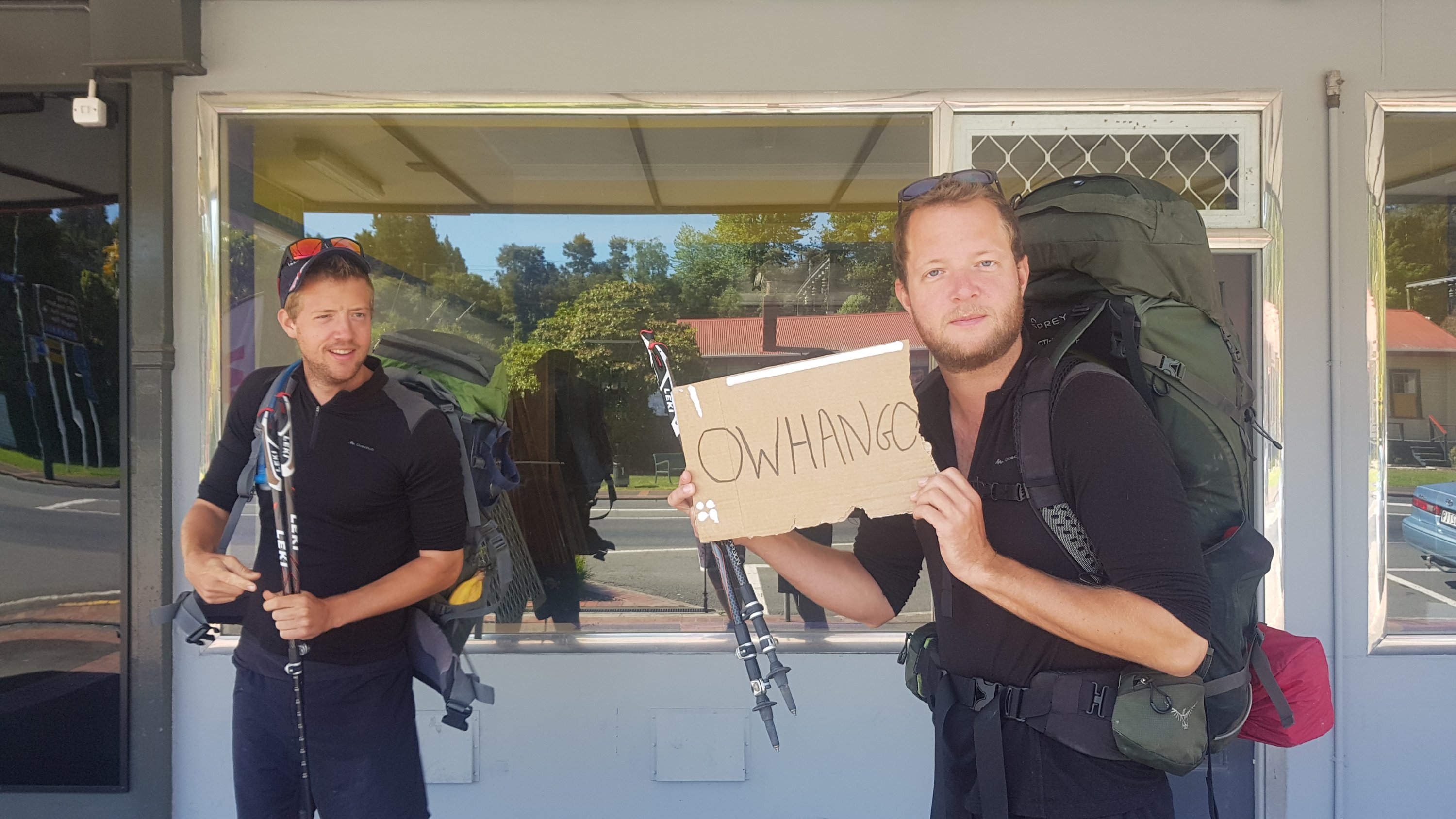
Date: 17 November
Distance walked: GPS watch said 33km, Guthook says 37km, the Timber Trail signposts said 40km, honestly who really knows
Trail covered: kms 927.4 to 964.5
Weather: threatening to rain all day but it never did, until the evening when we were in our tents
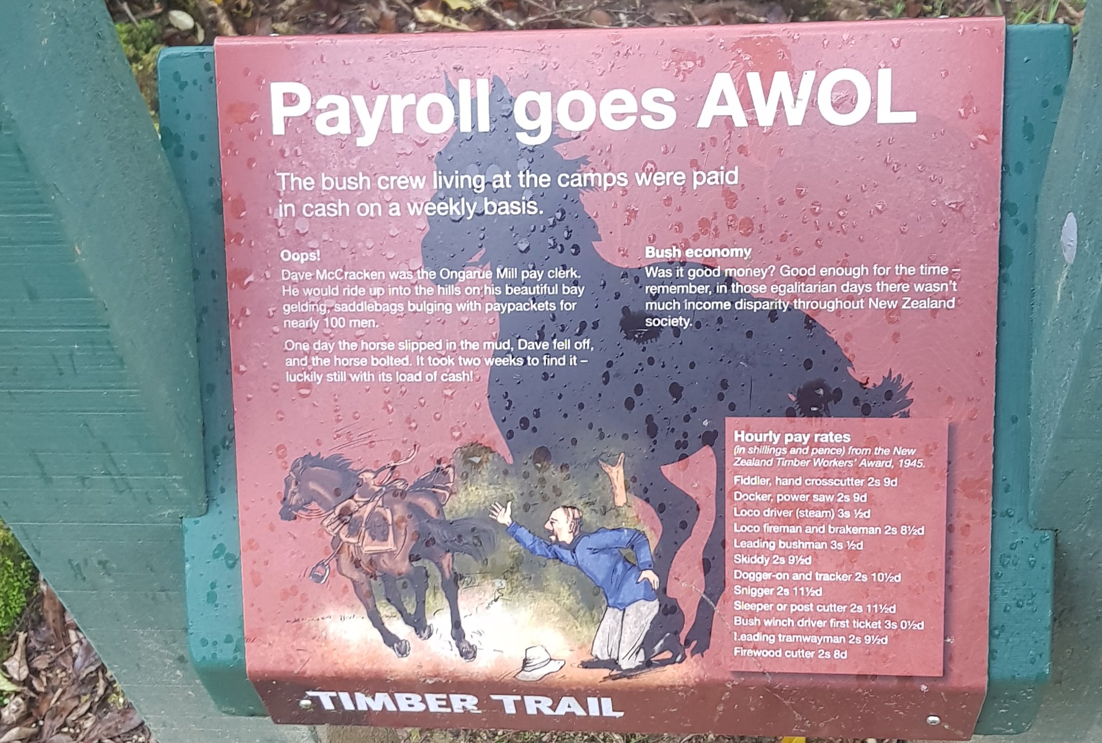
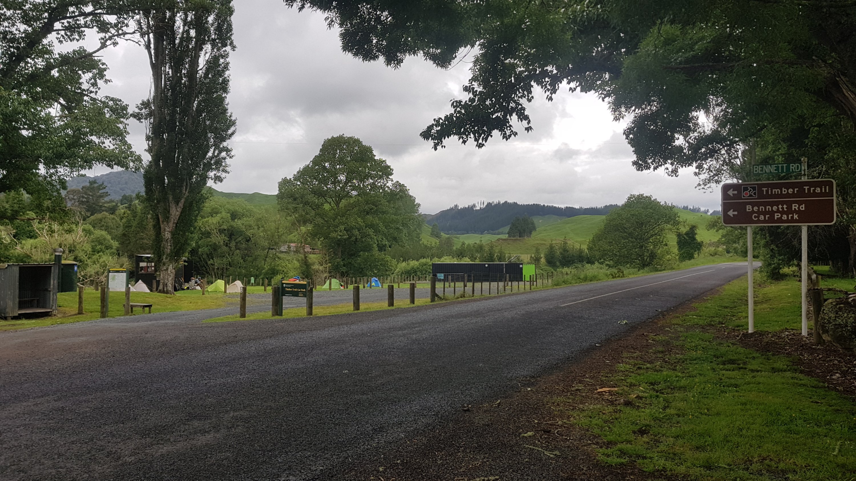
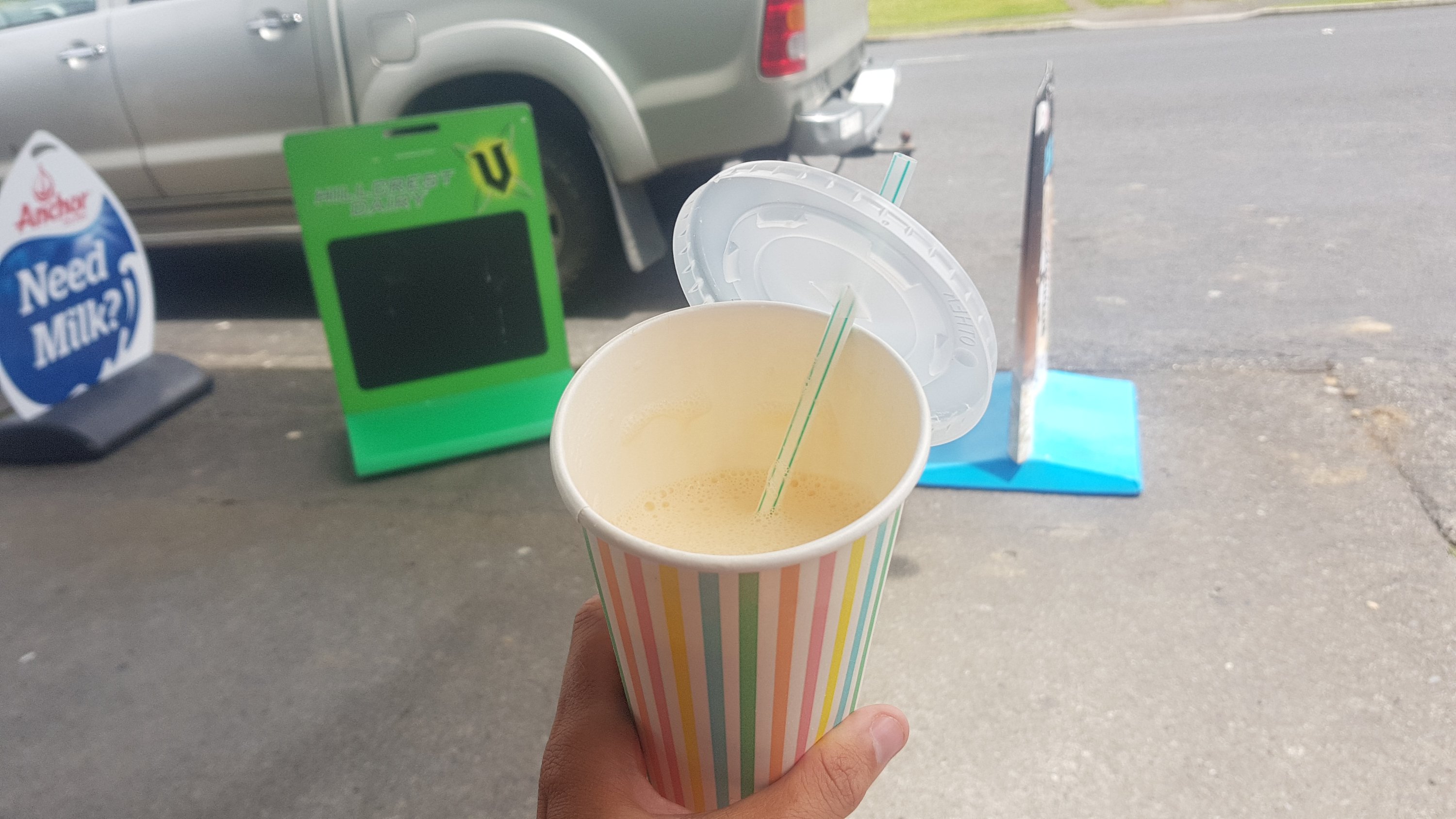
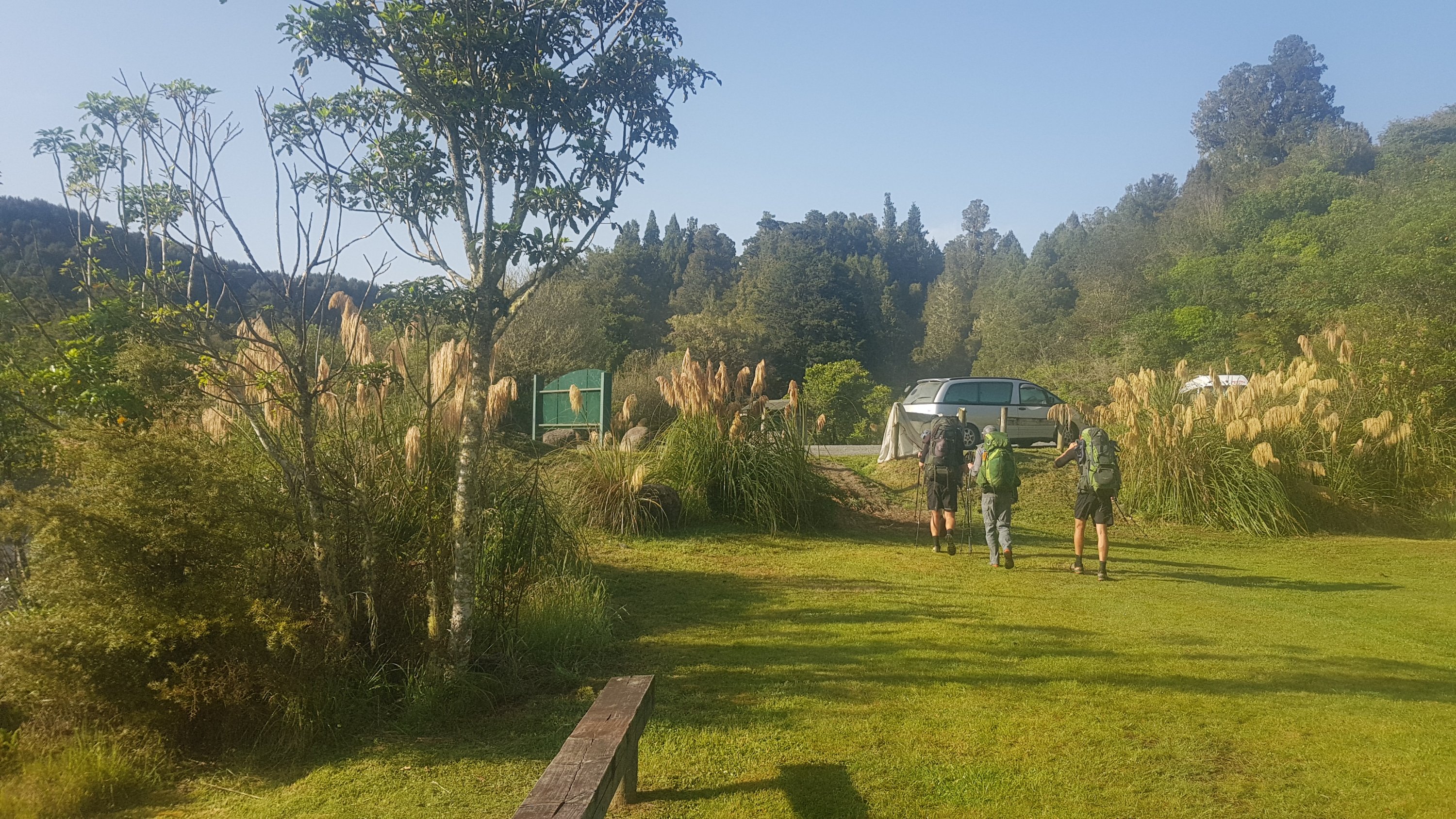
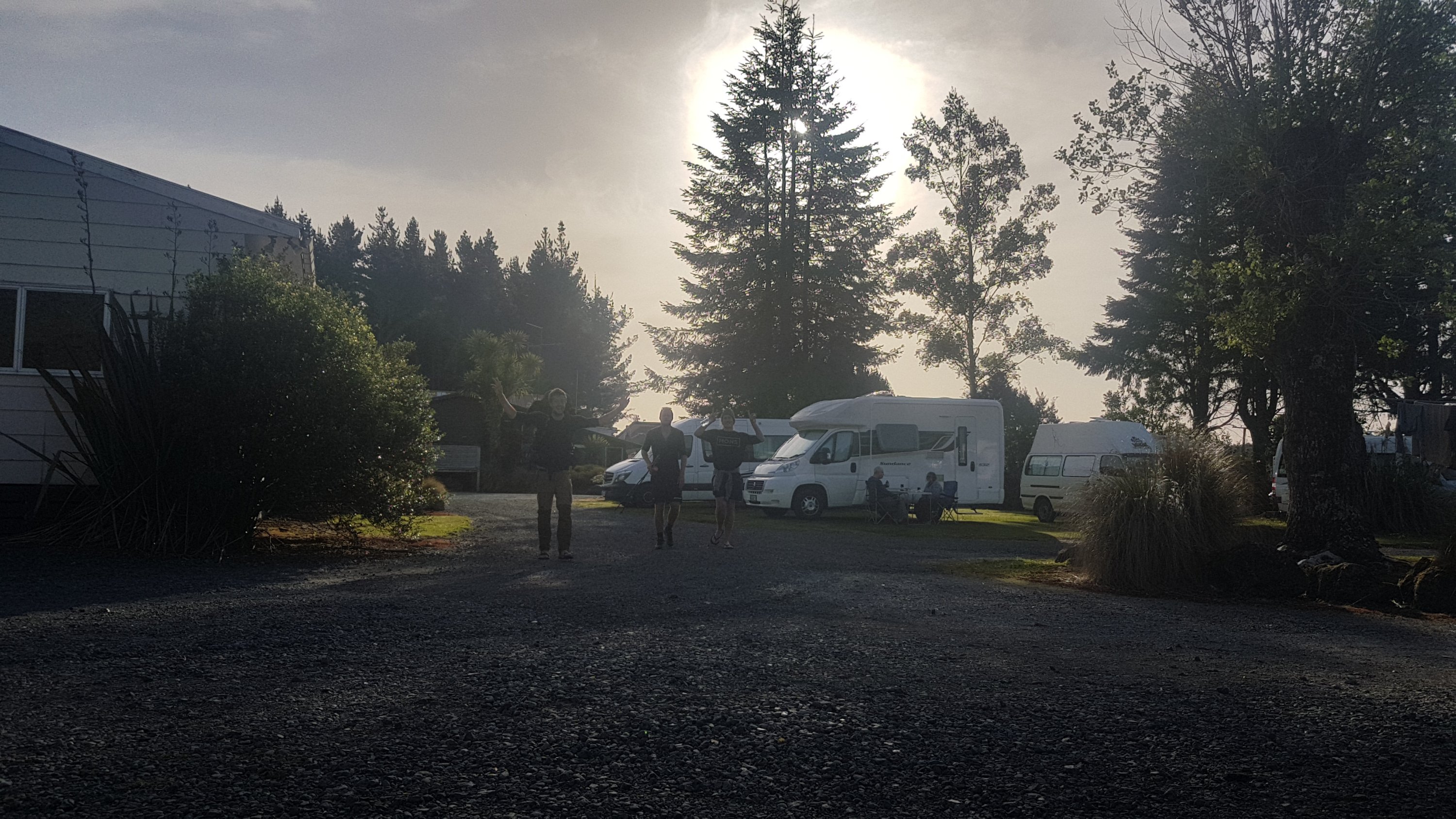
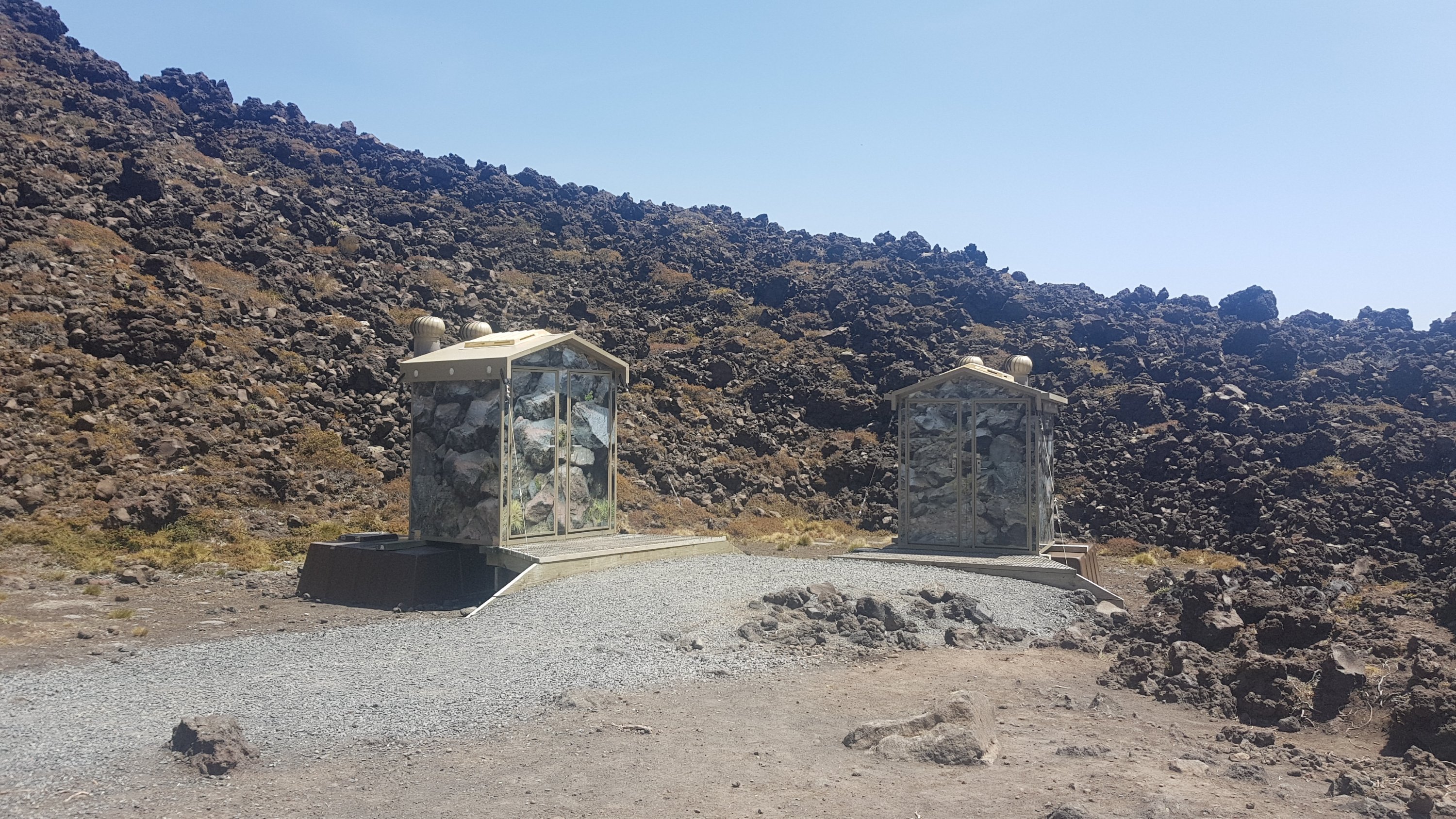
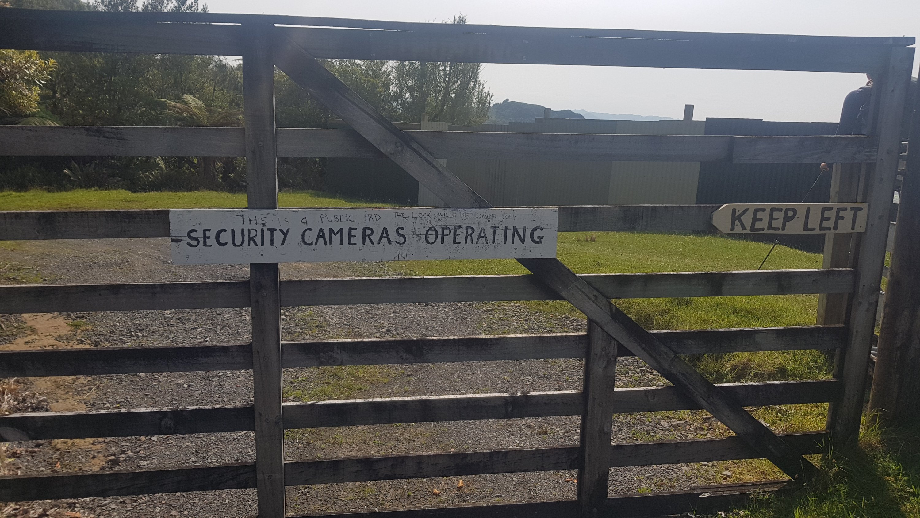
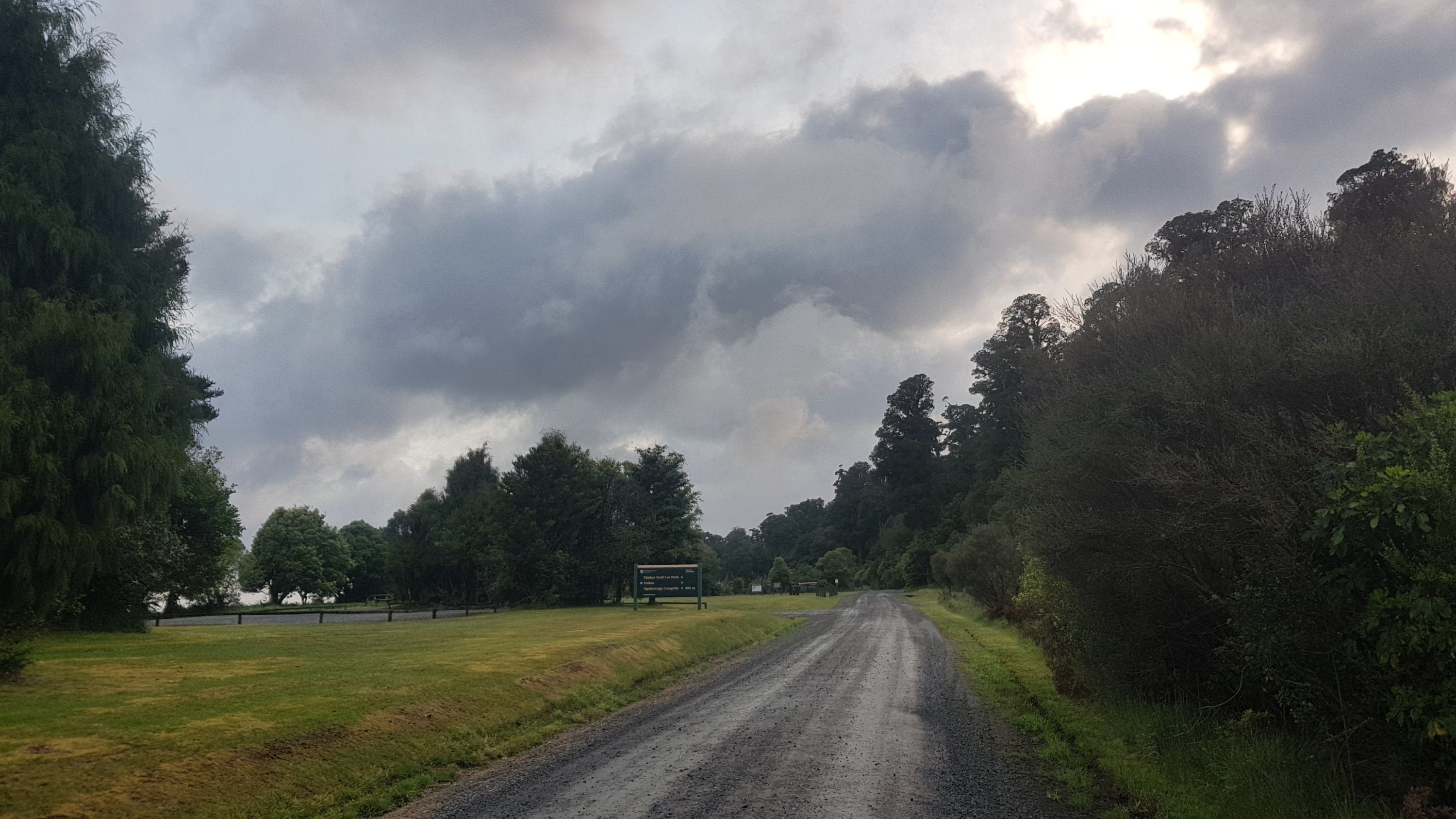
At 7am it wasnt raining after all. So we ate breakfast fast and headed off before 8am. On the way out I noticed this sign which I didn’t notice initially. Whoops, I wasn’t boiling the water first!

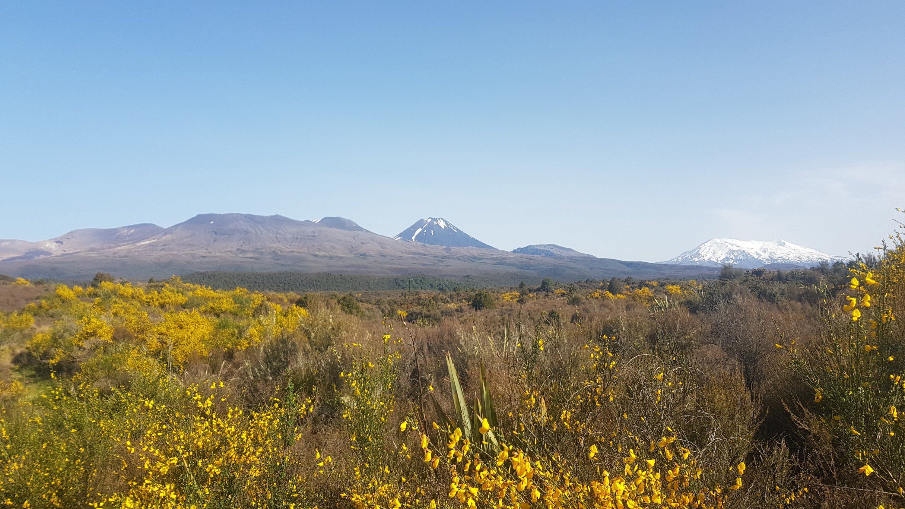
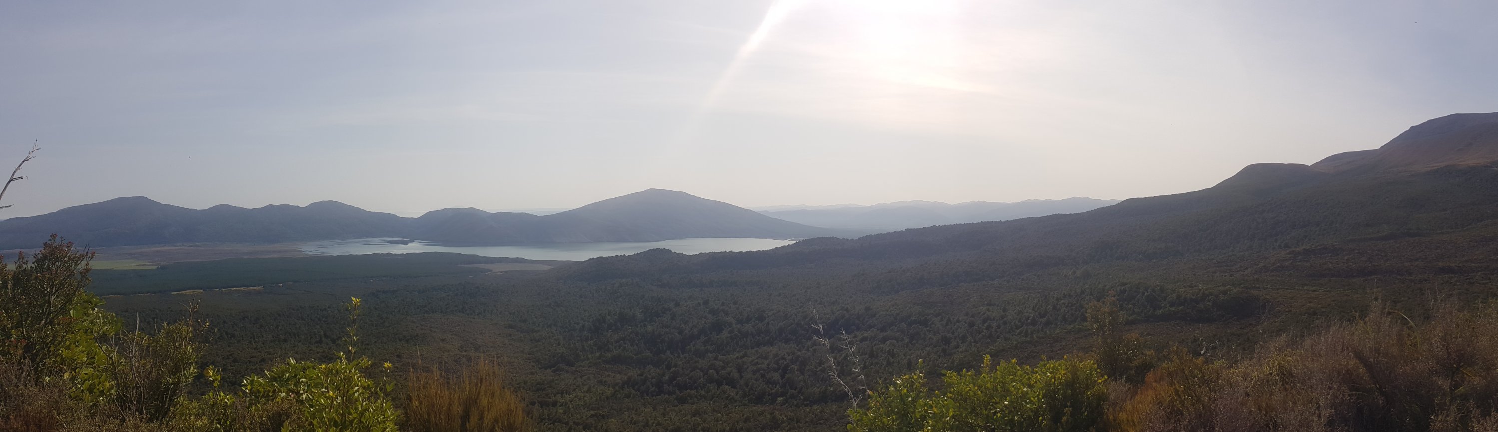
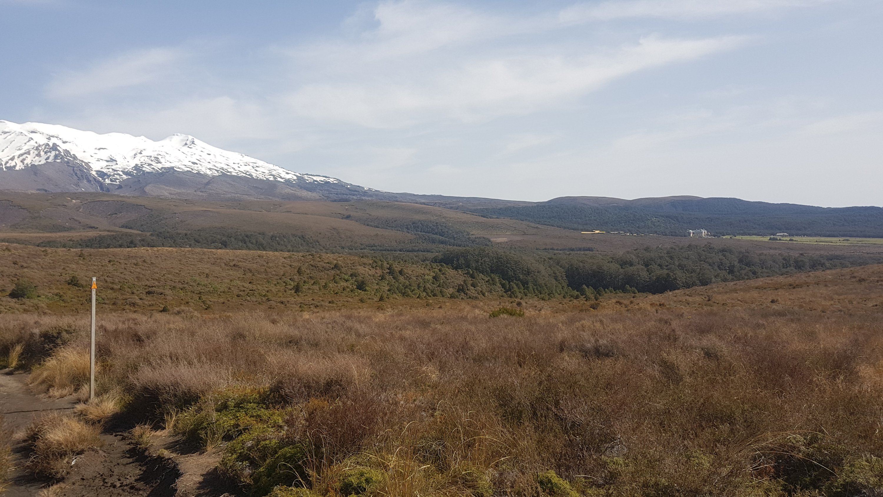
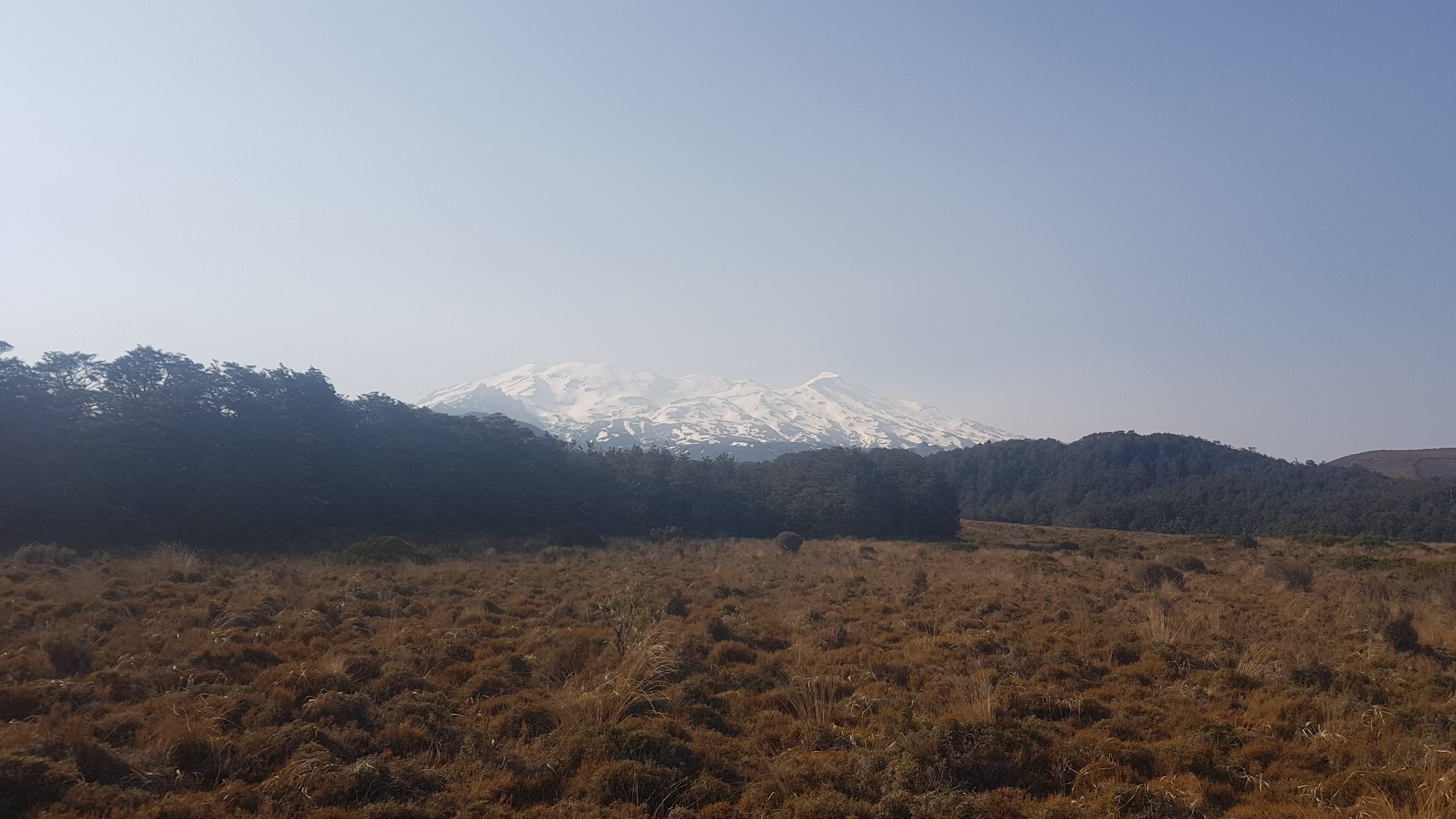
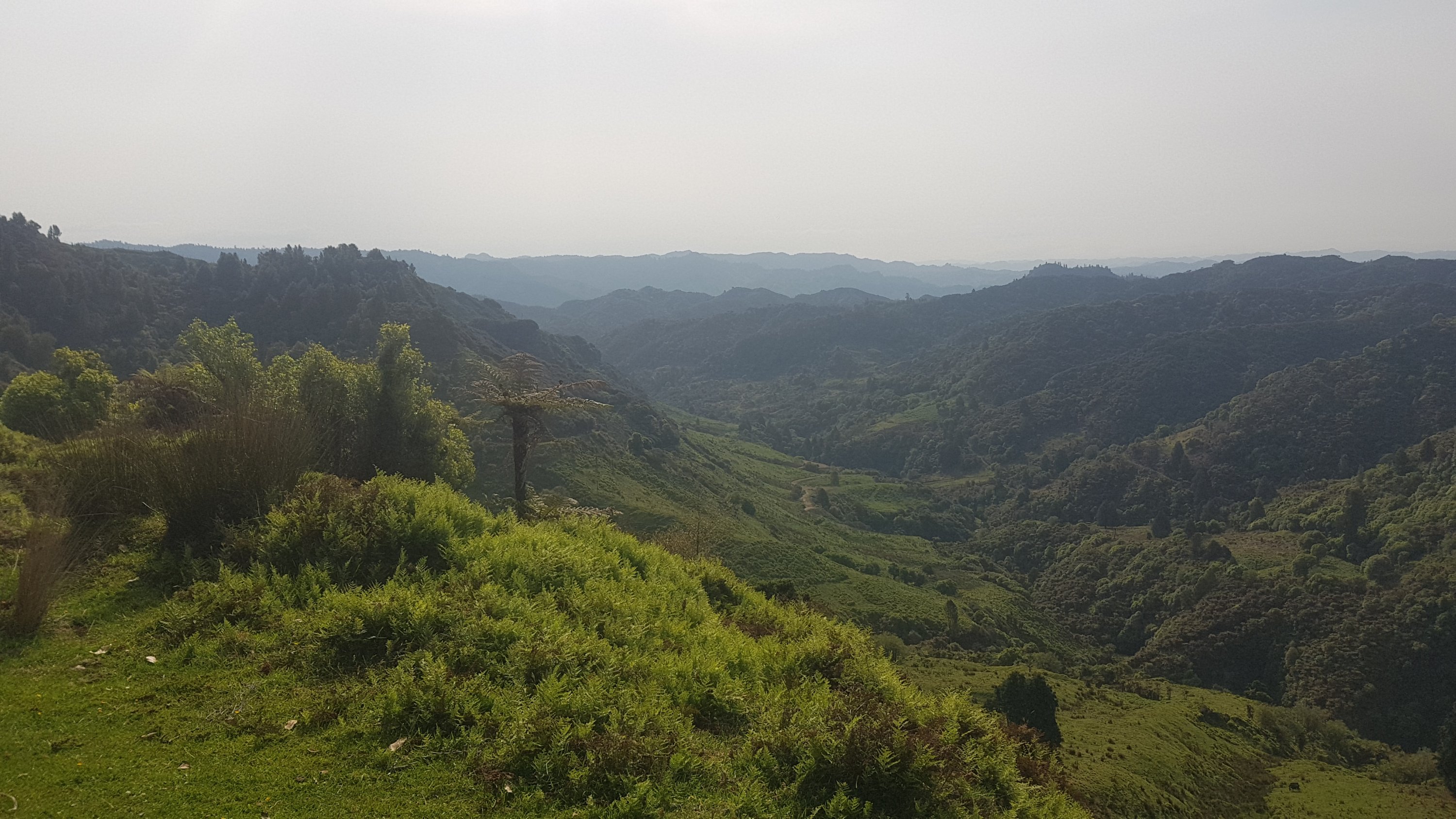
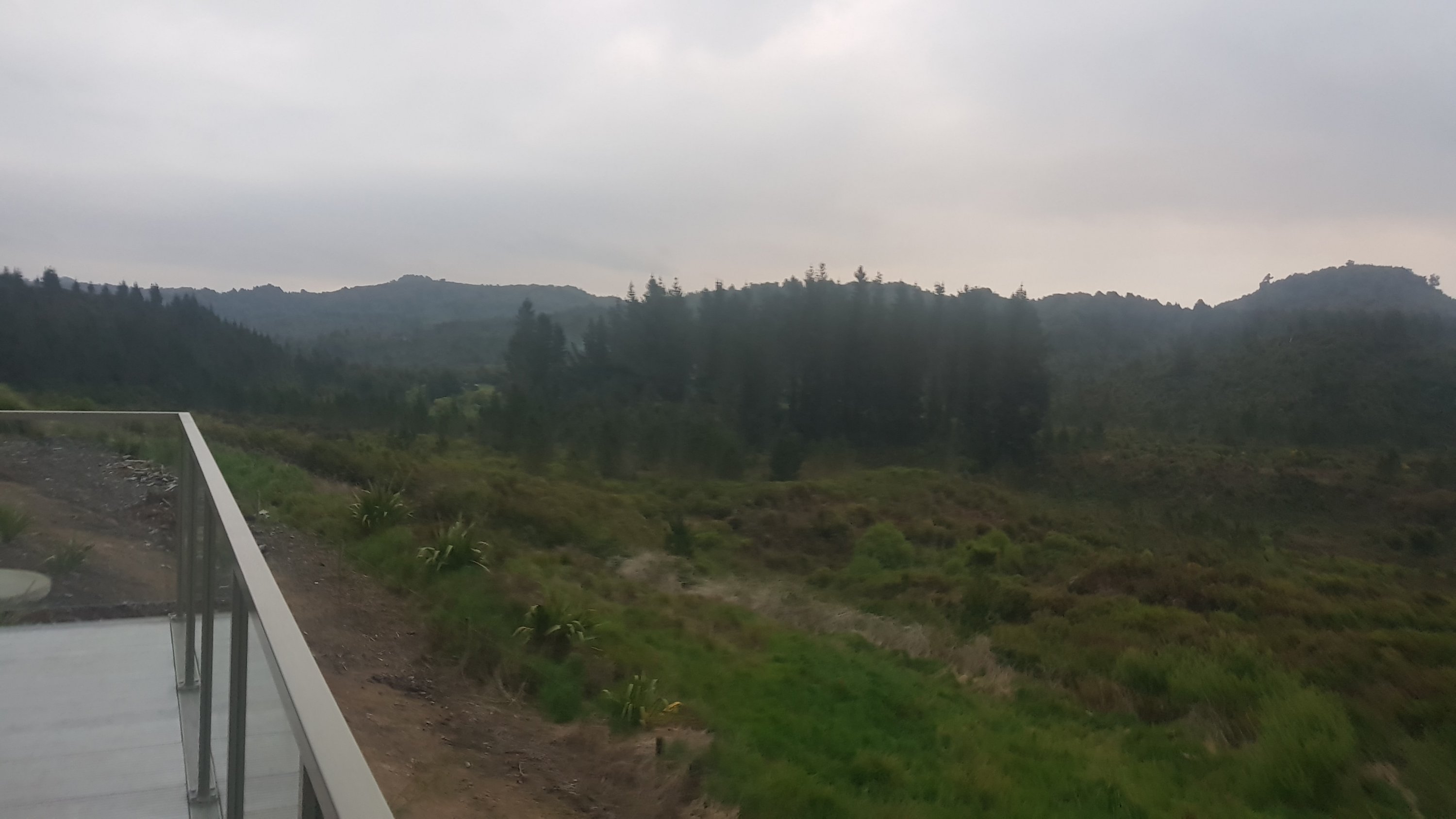
The clouds were interesting but it felt like the rain would stay away.
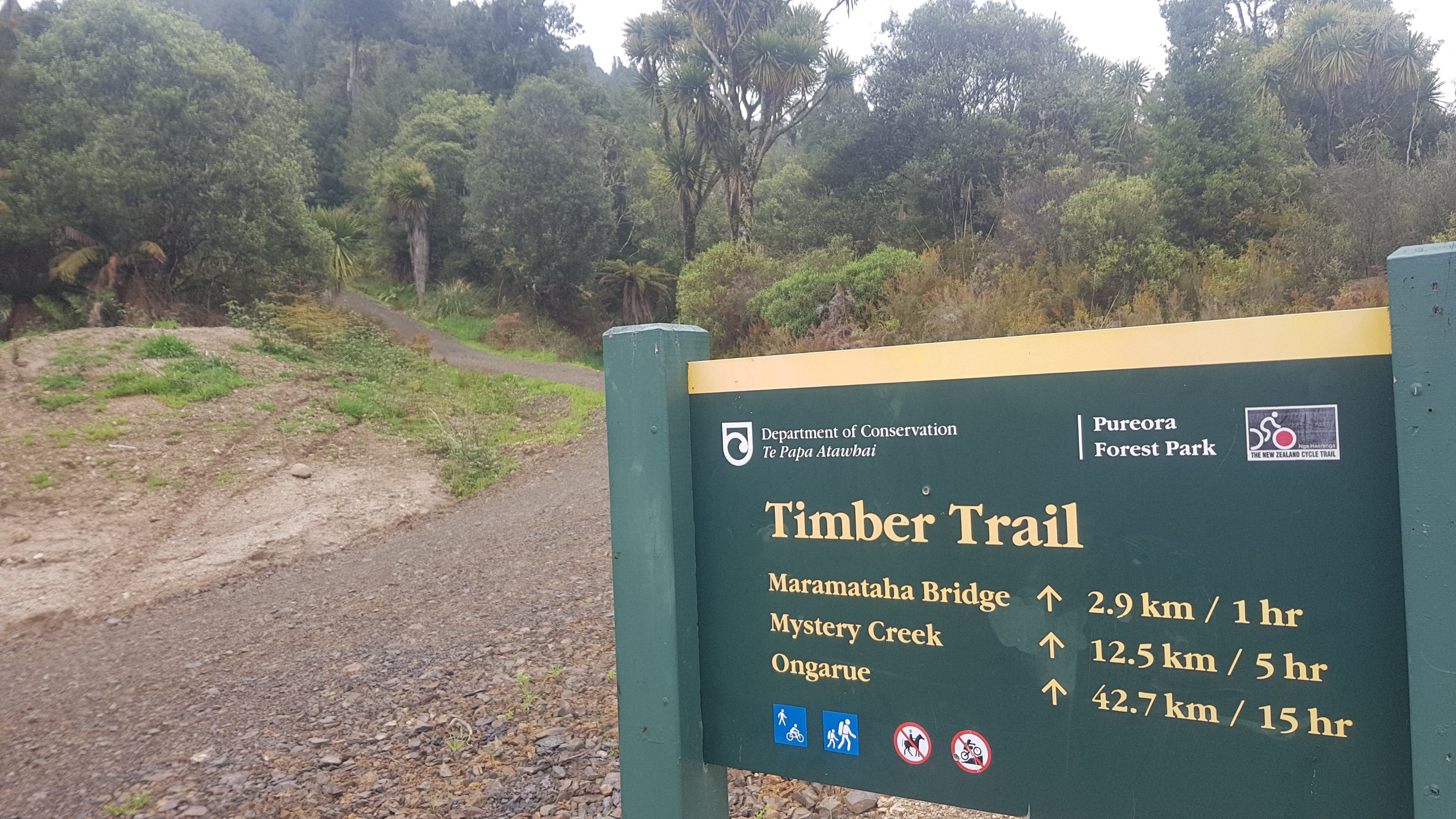
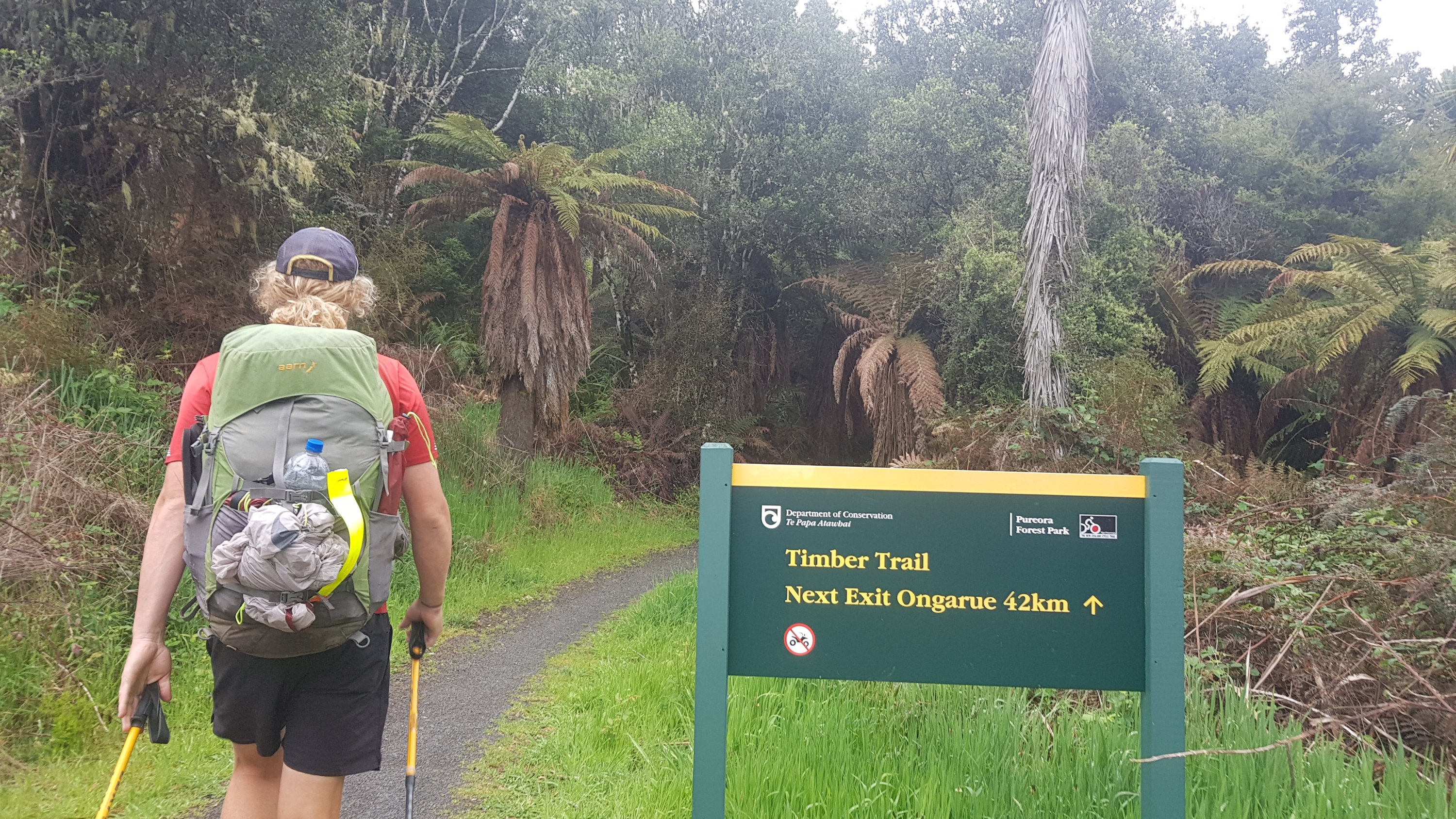
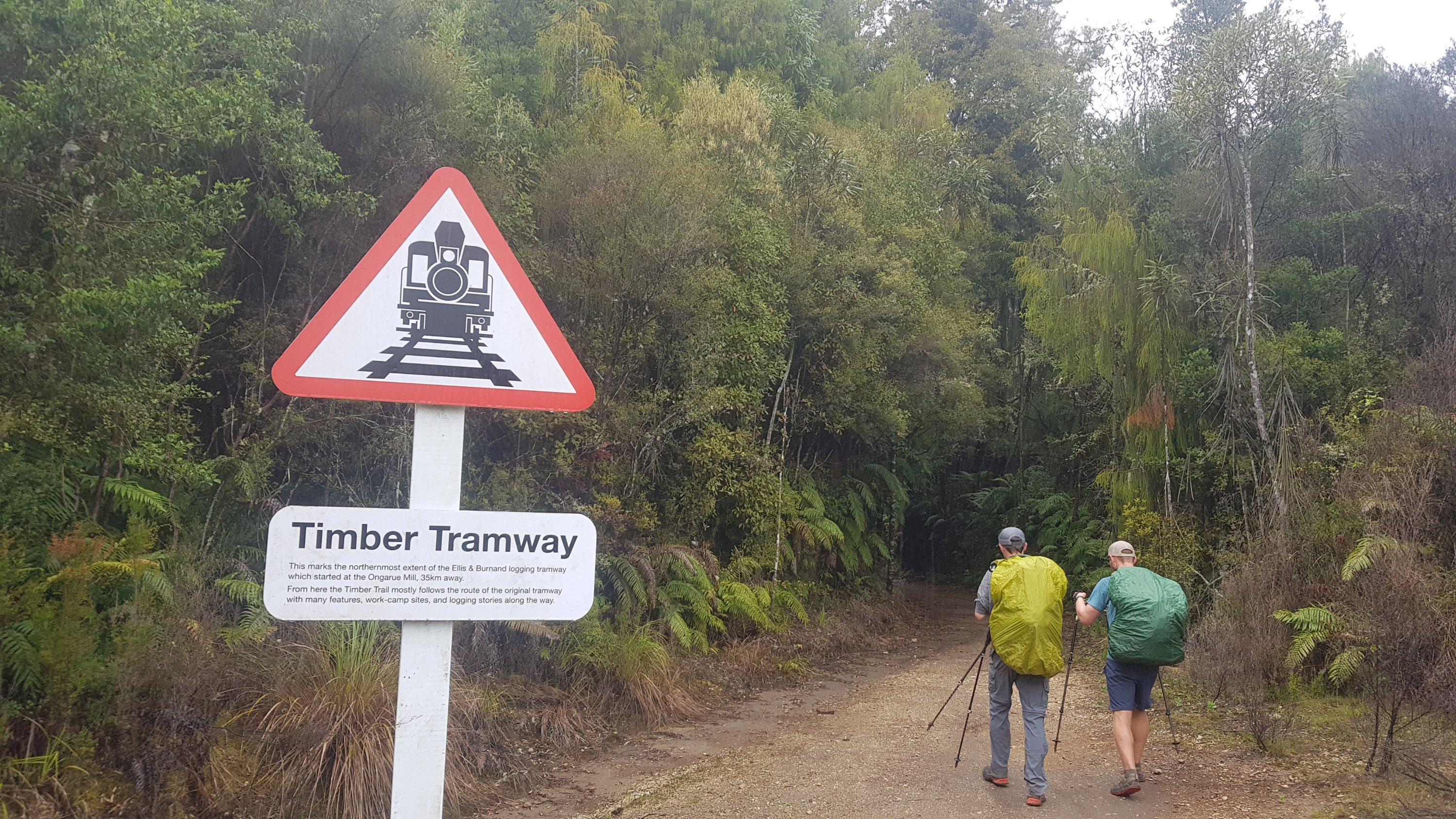
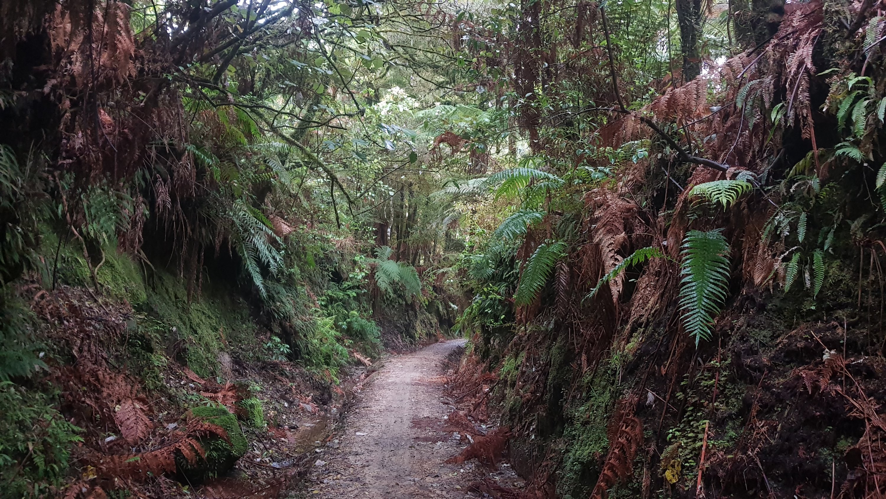
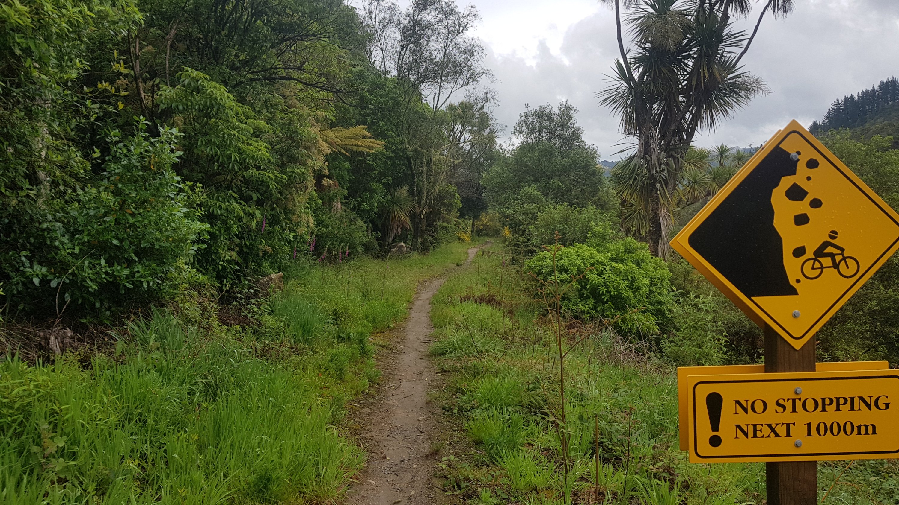
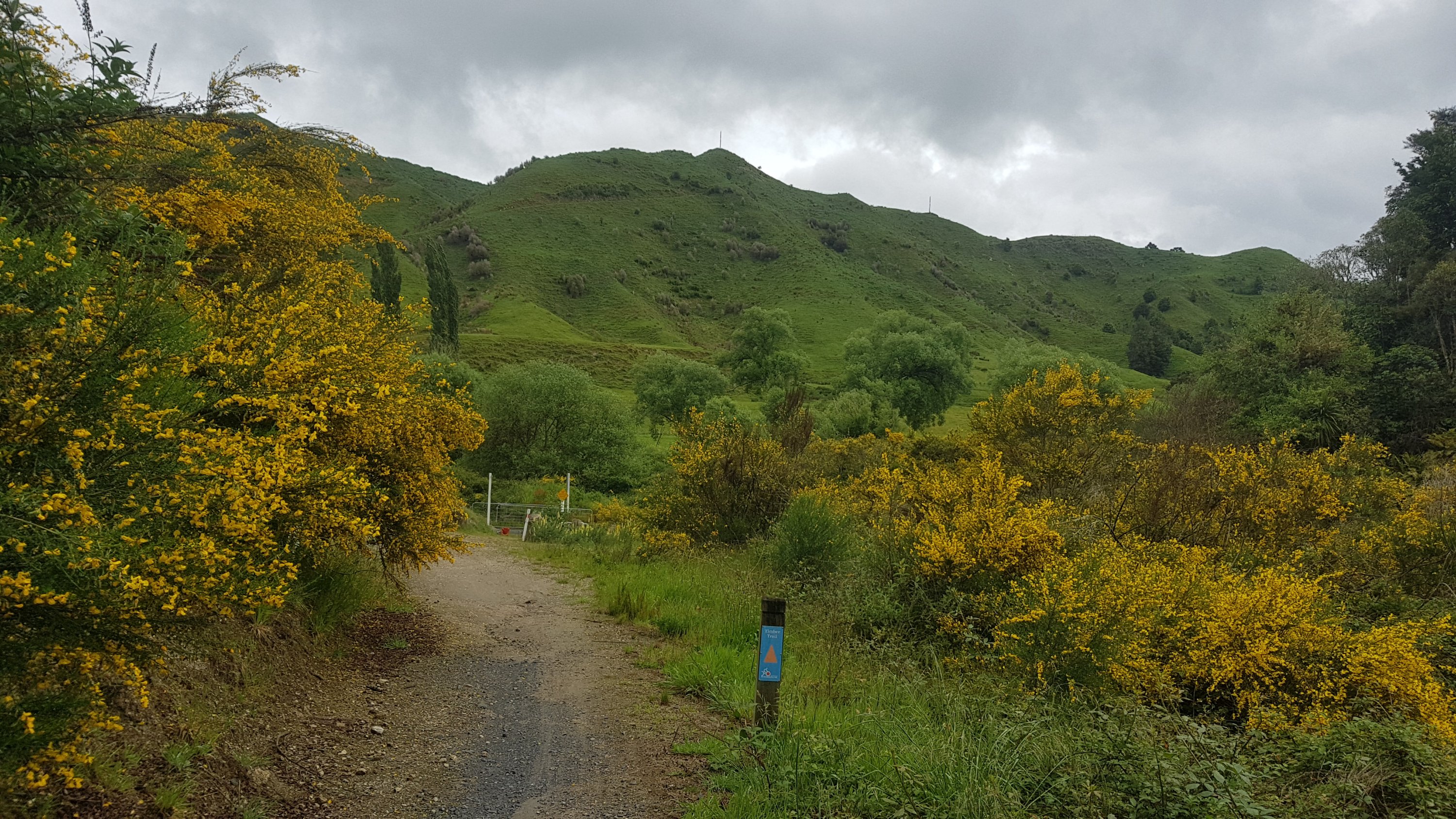
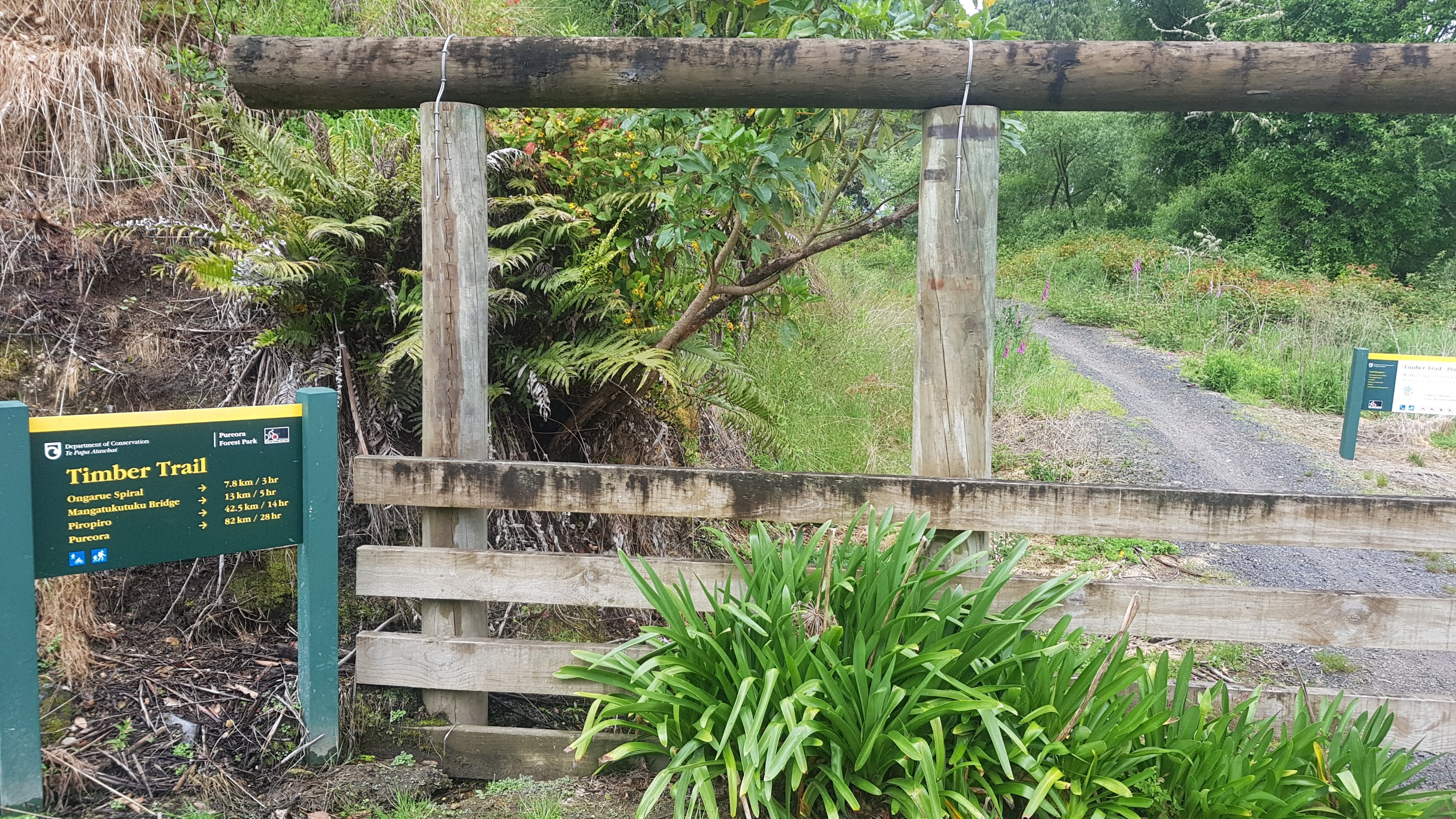
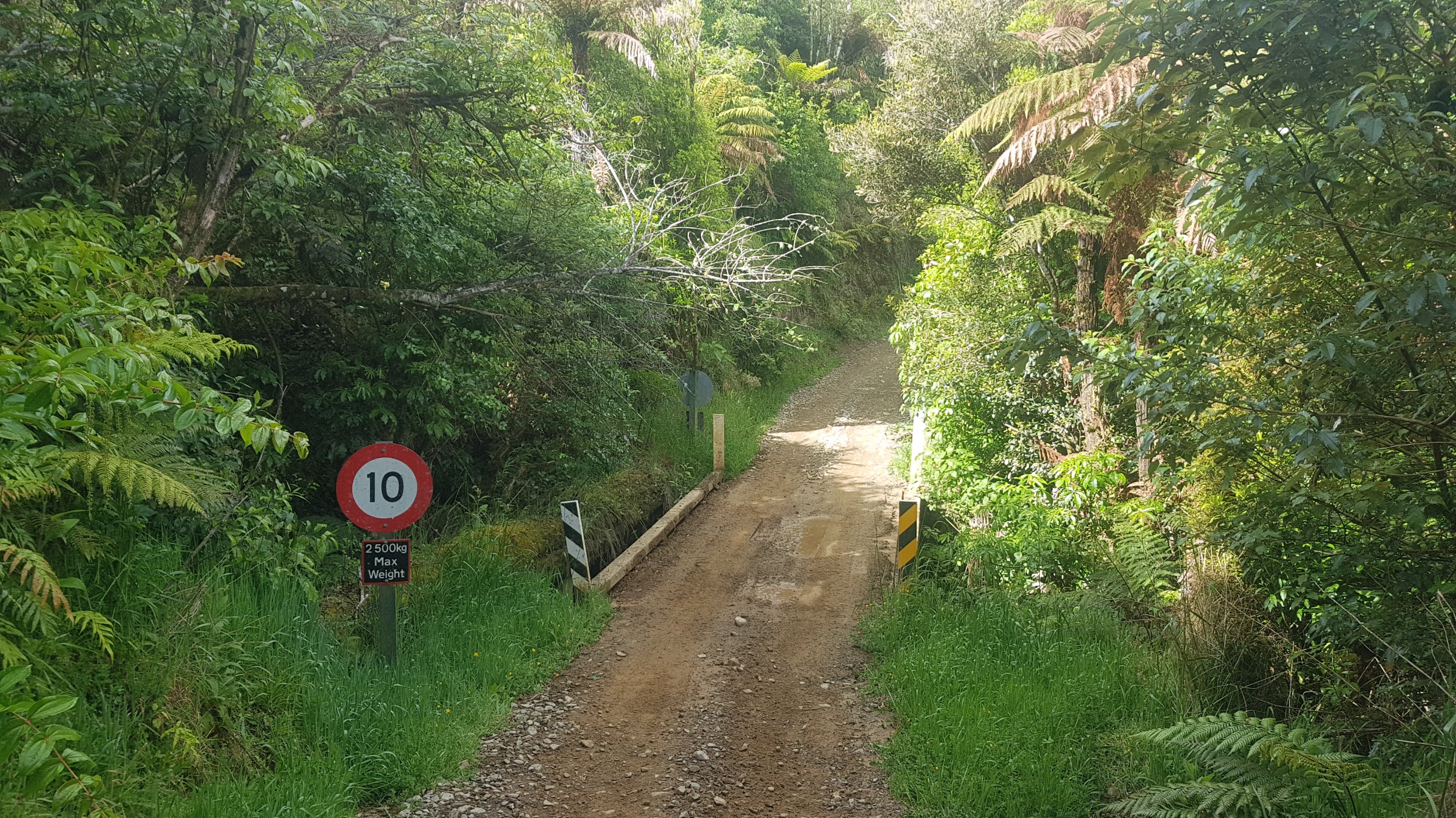
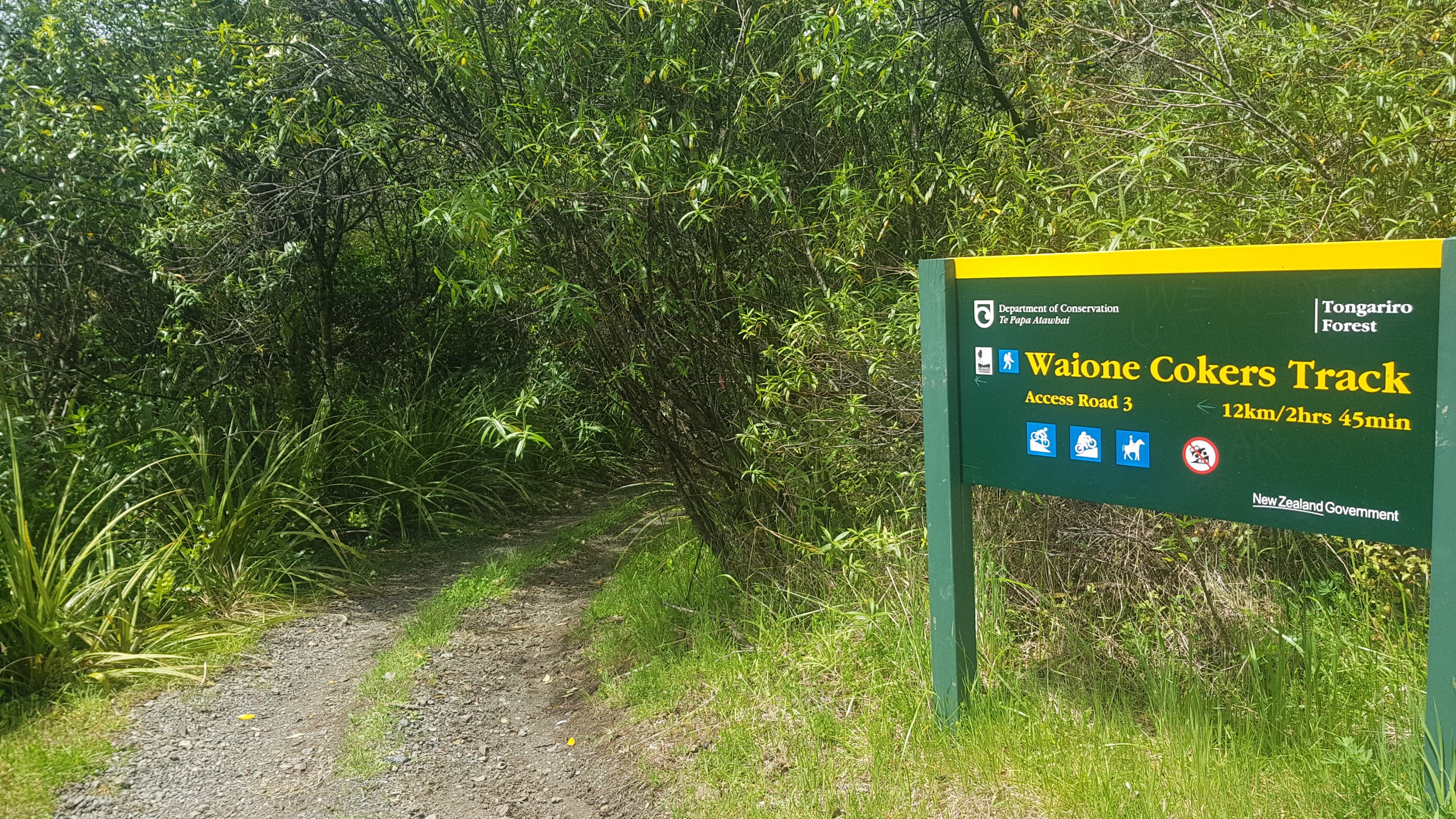
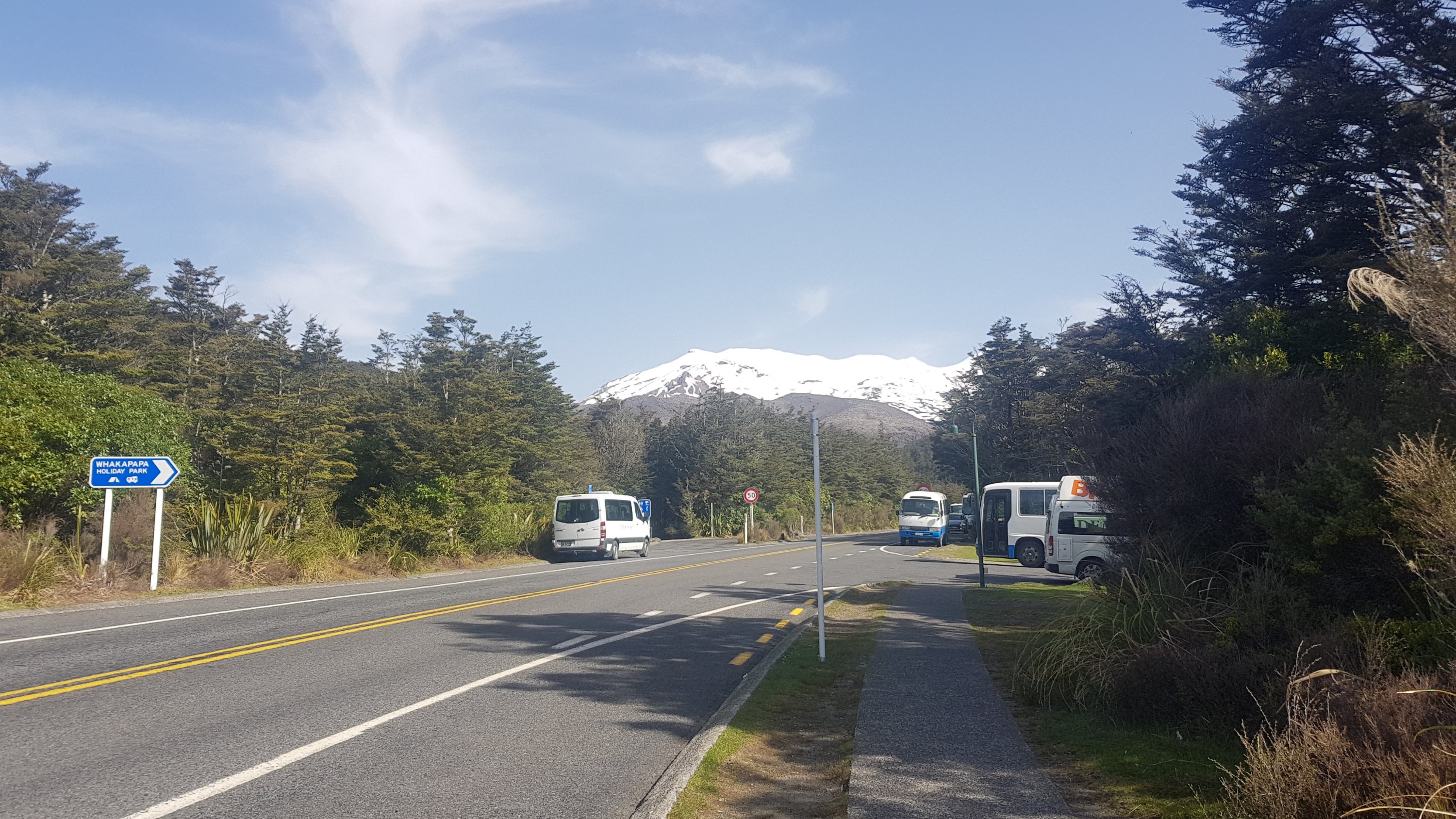
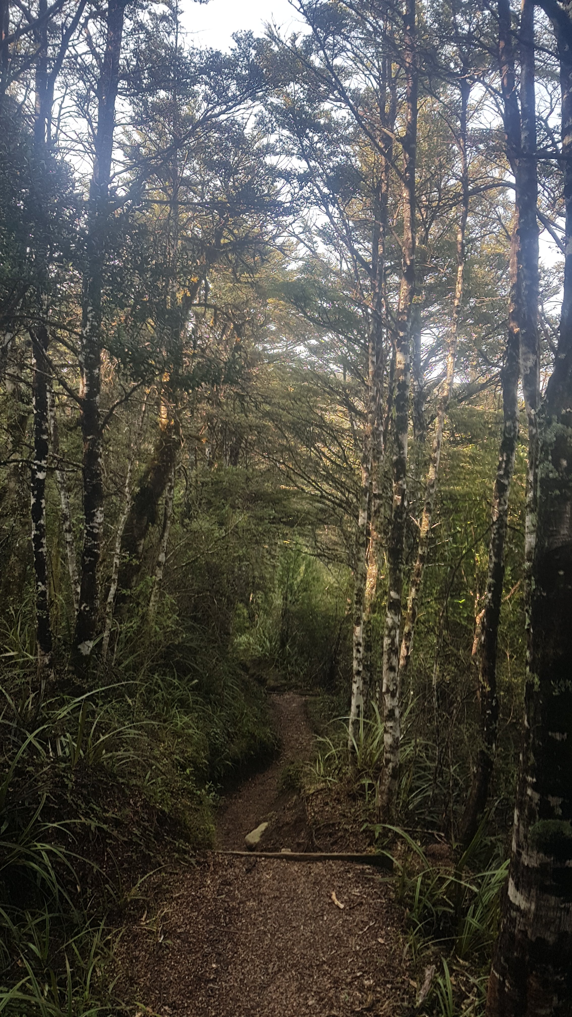
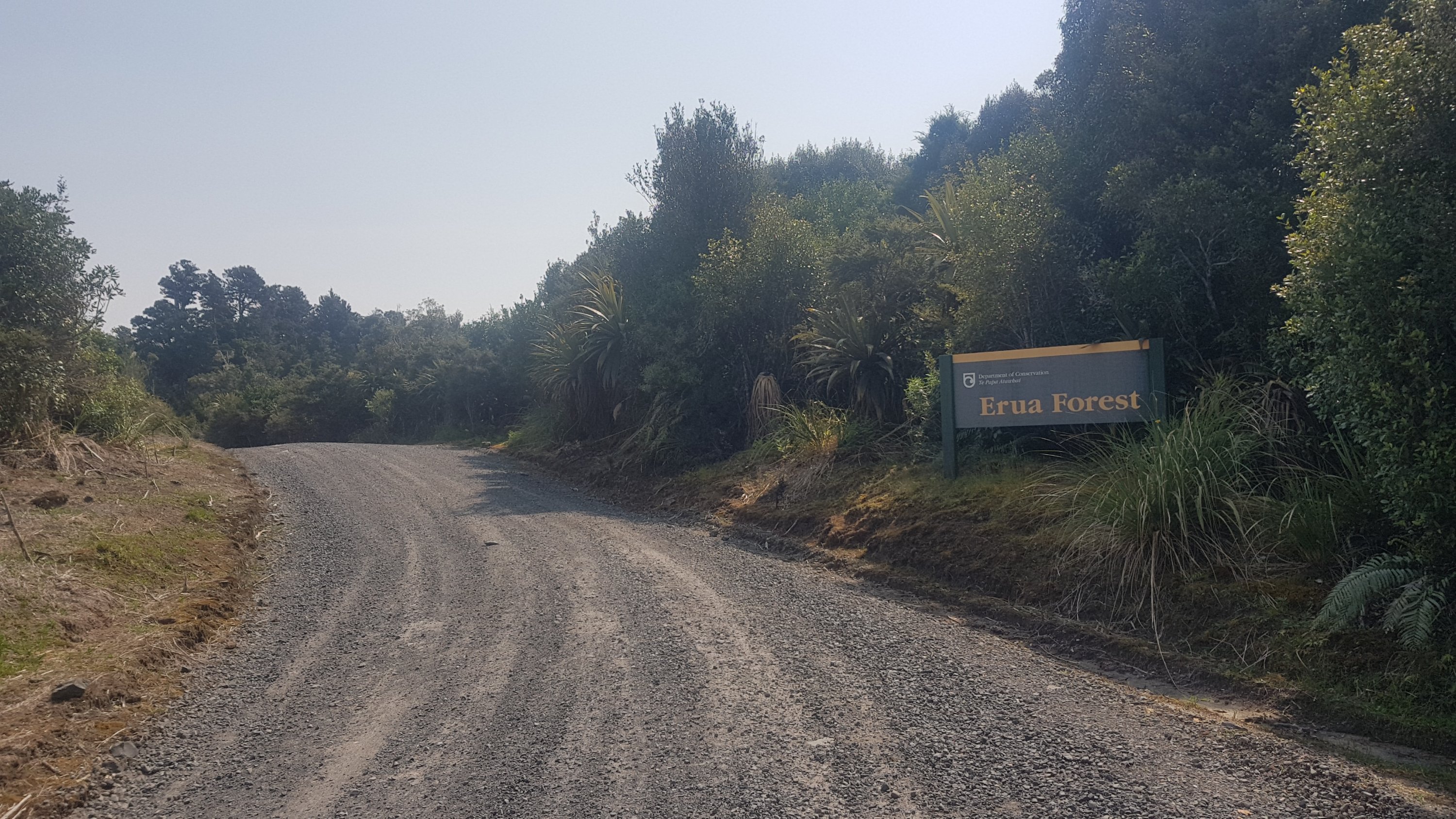
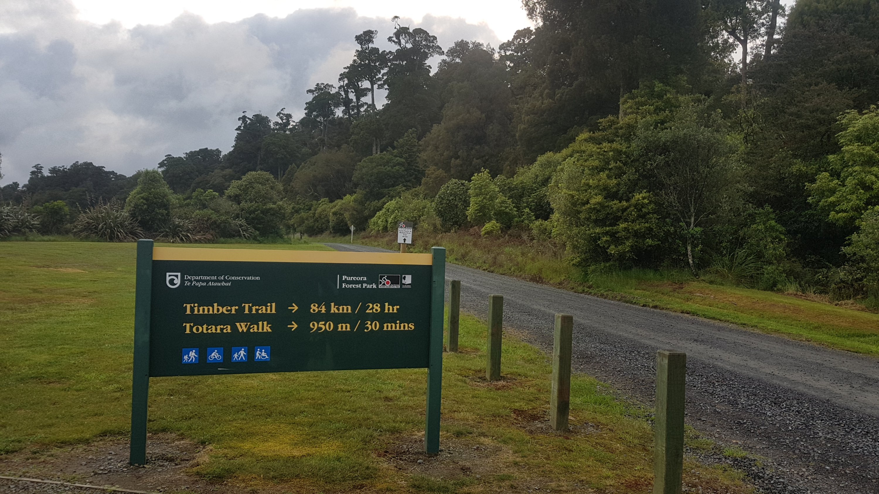
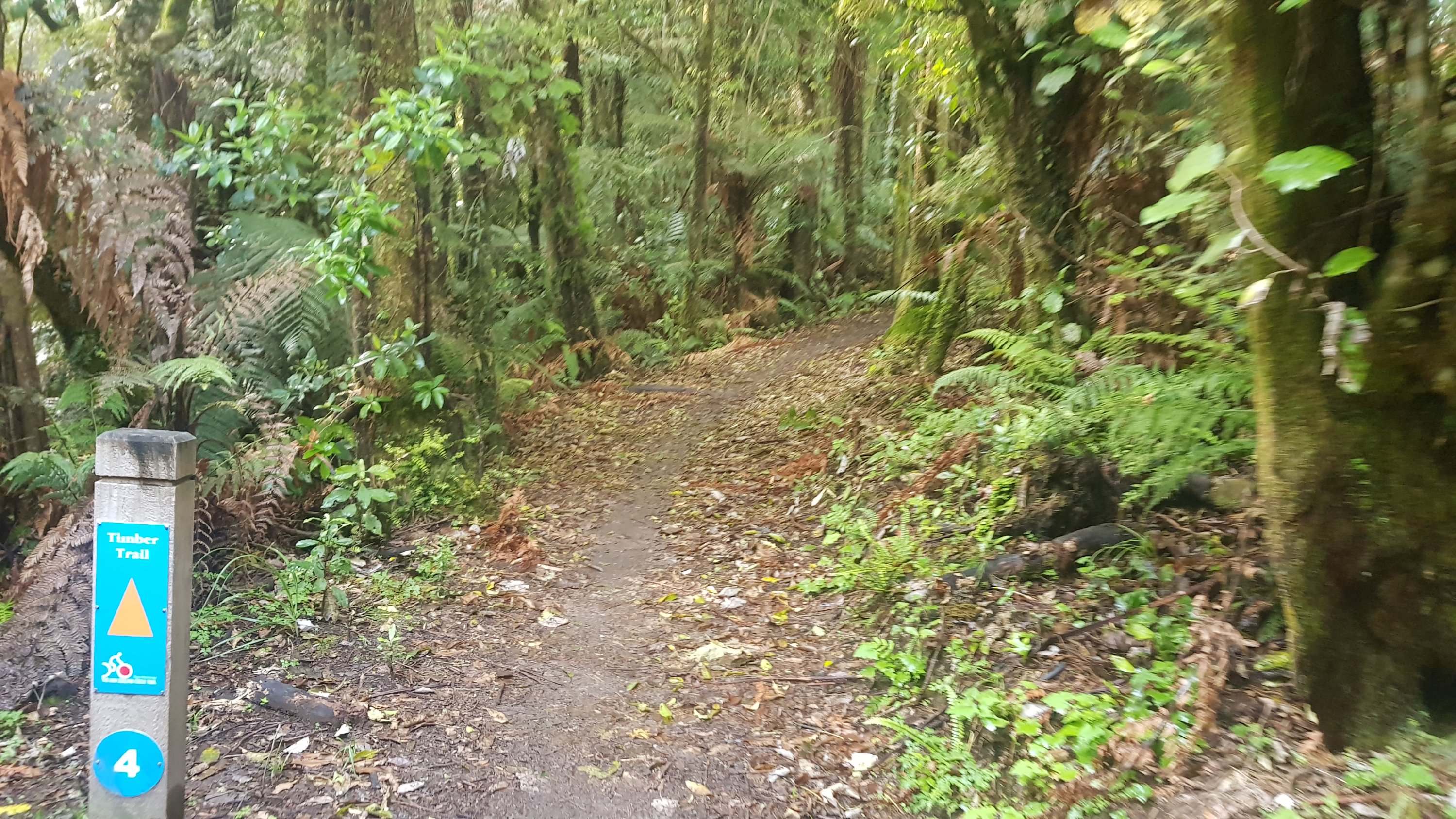
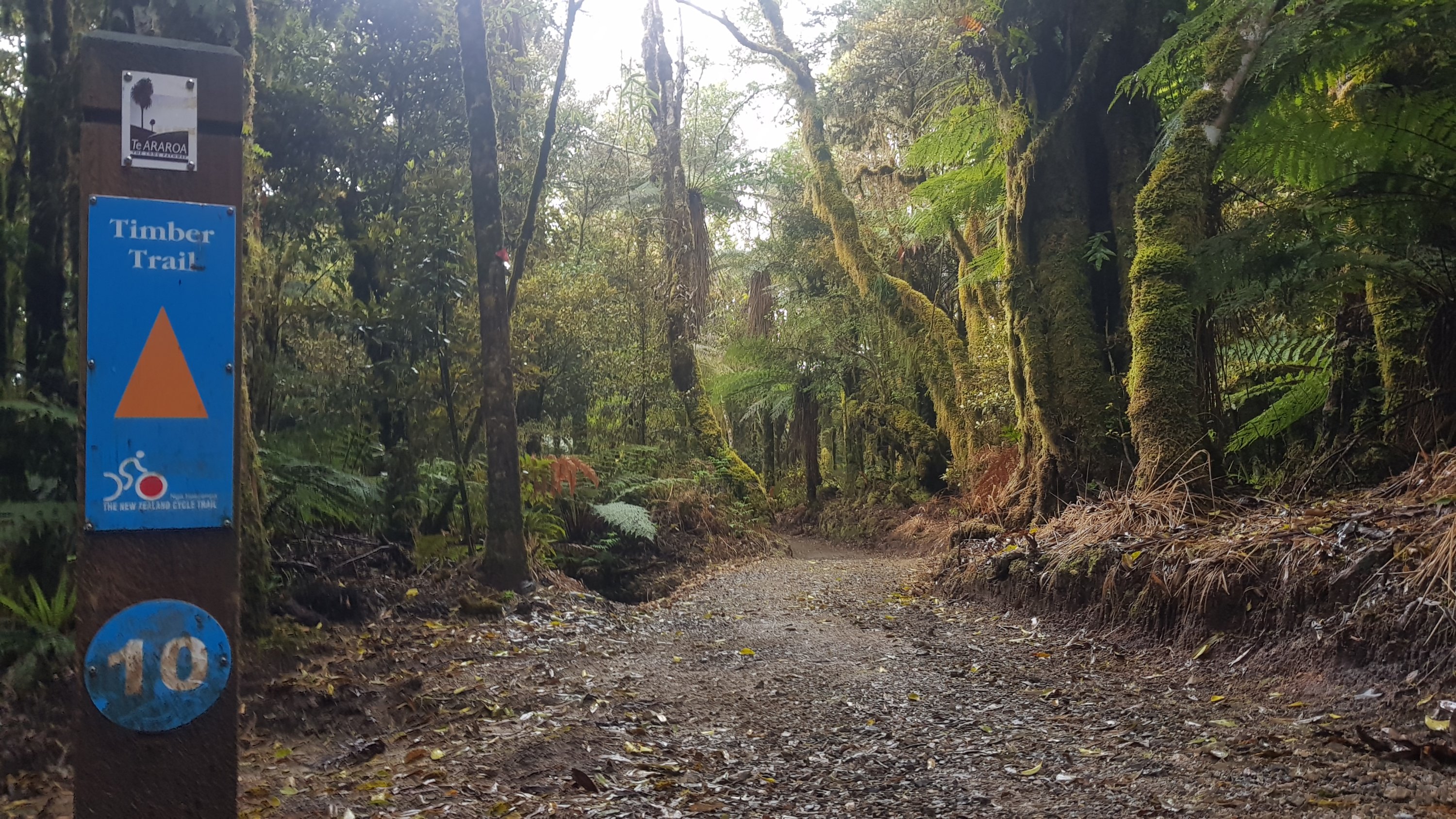
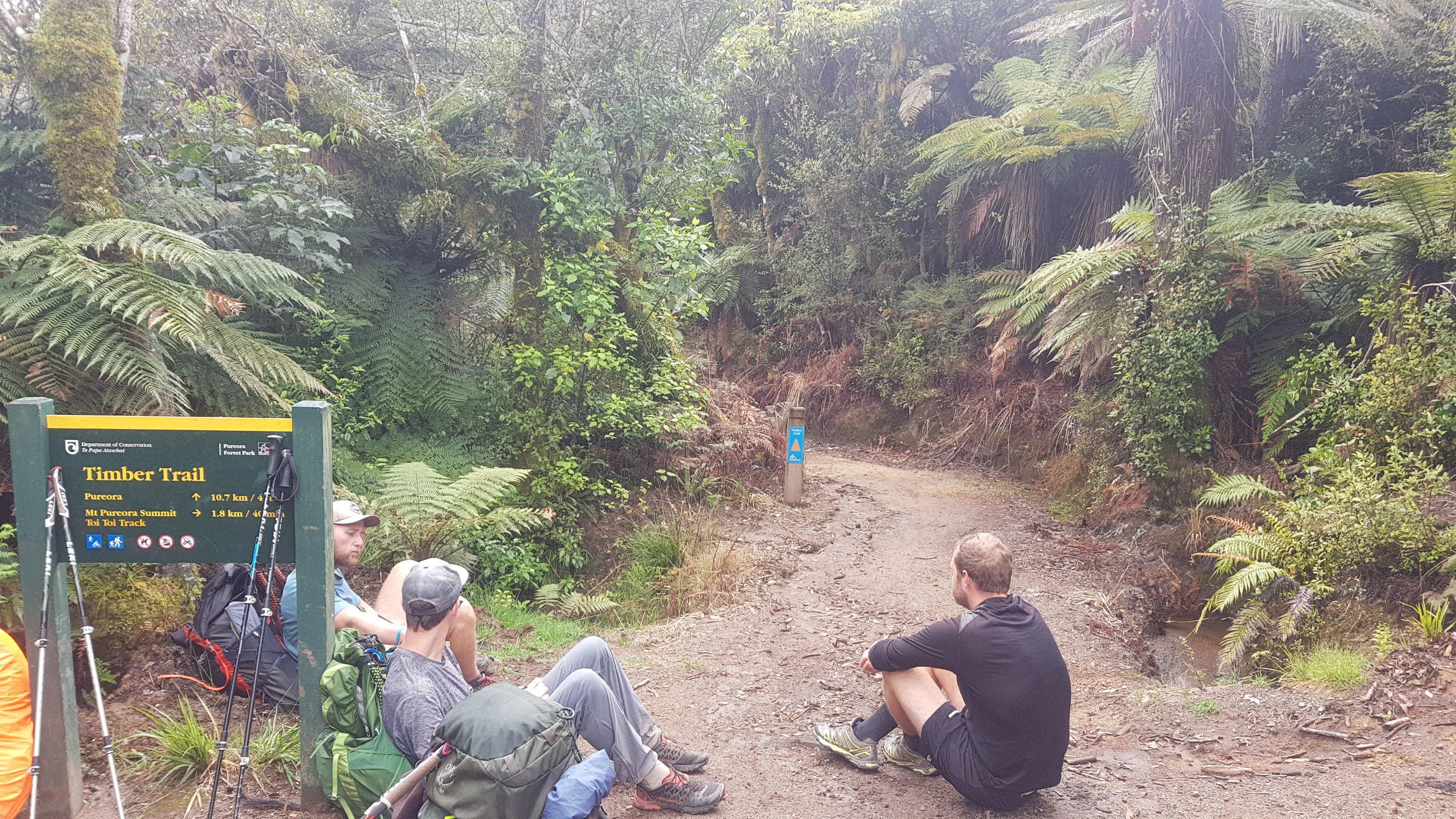
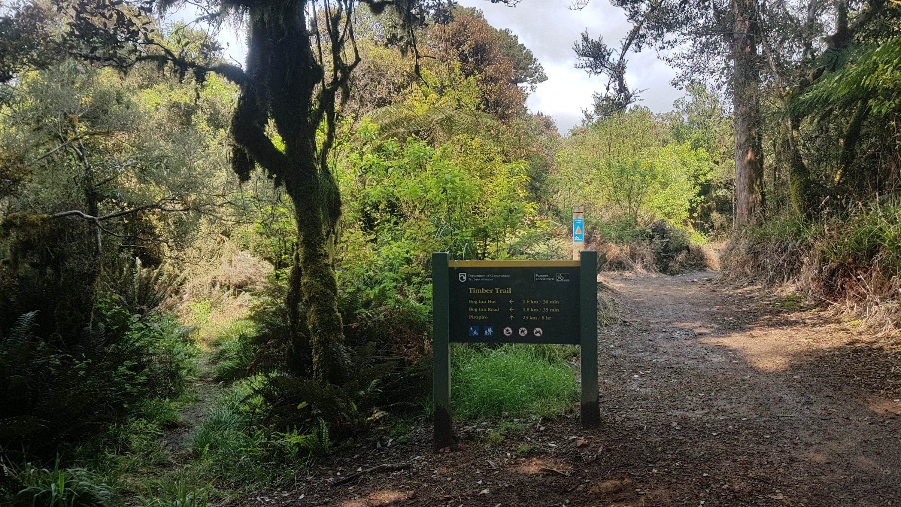
Ok, so this is the start of the “Timber Trail” – an 84km long cycleway through forest.
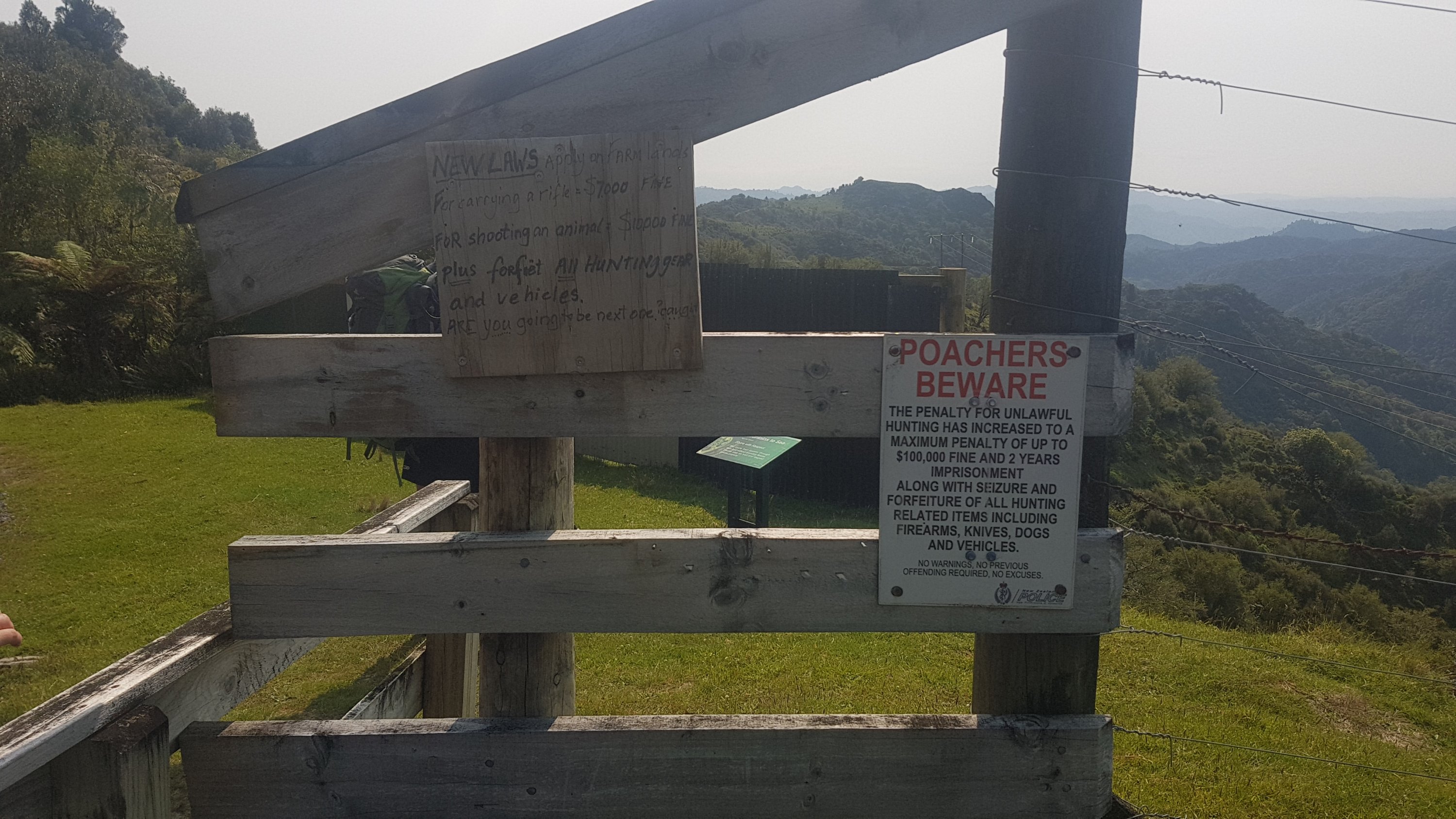
I was feeling good about it until I saw this sign…
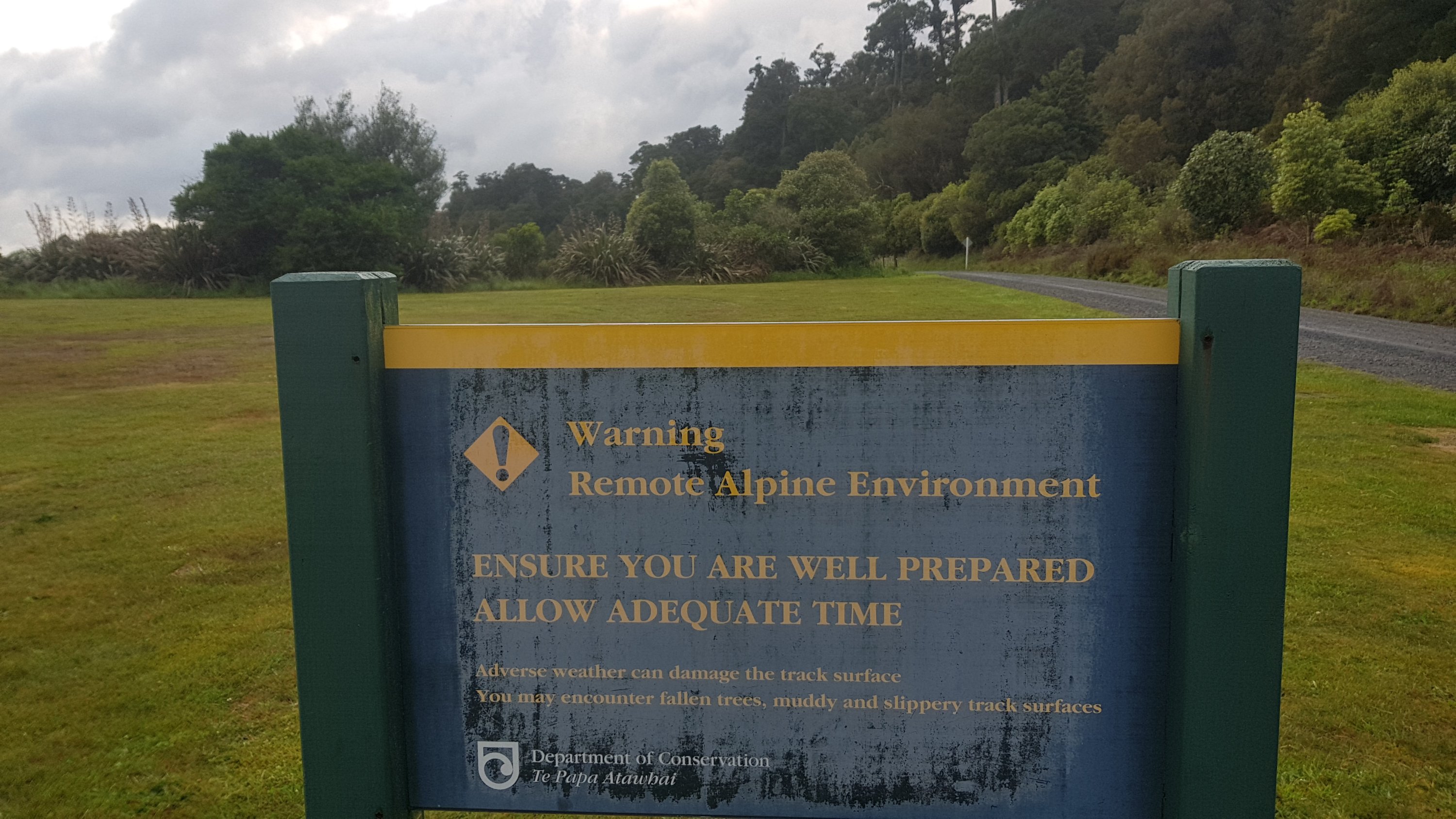
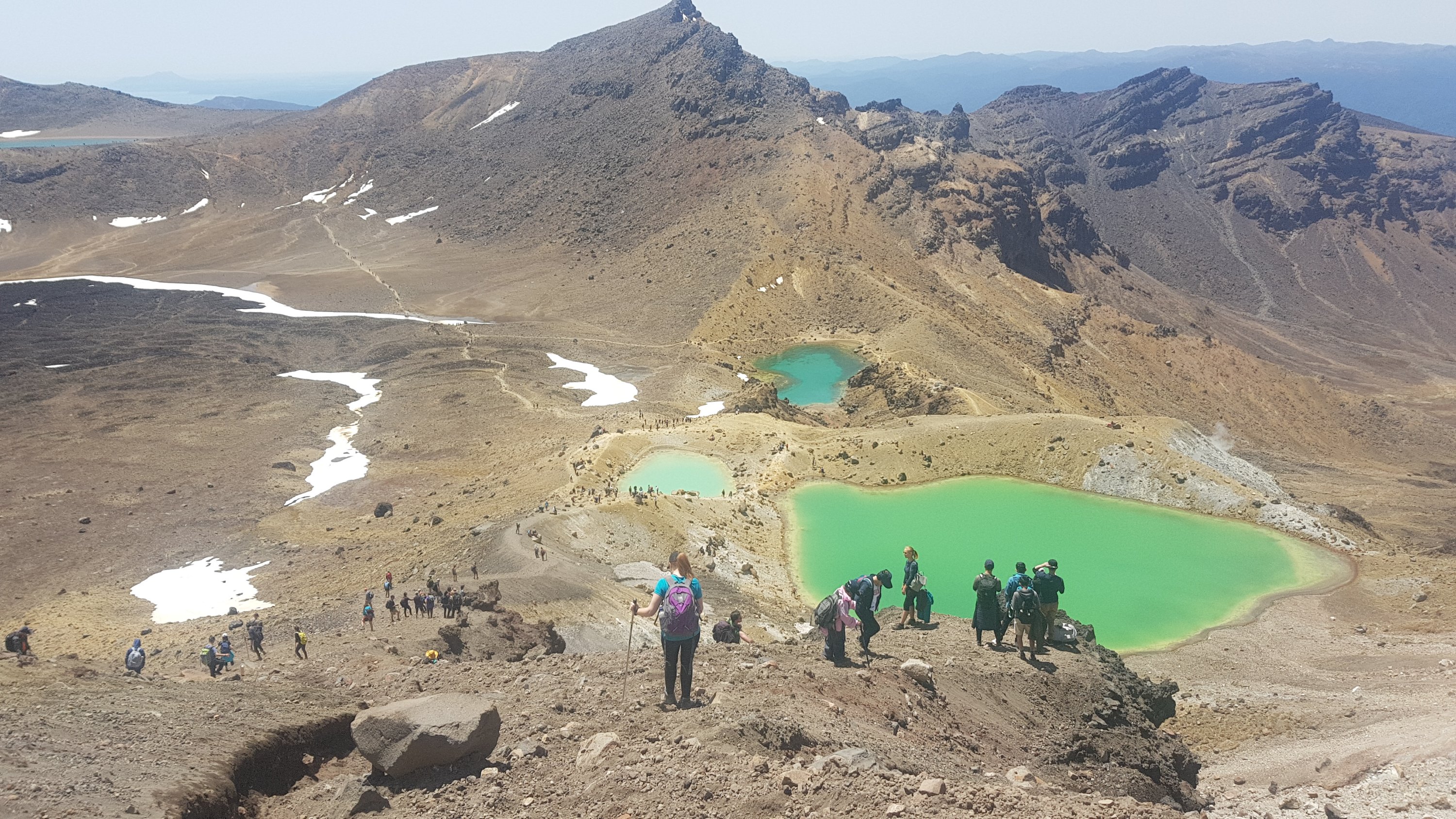
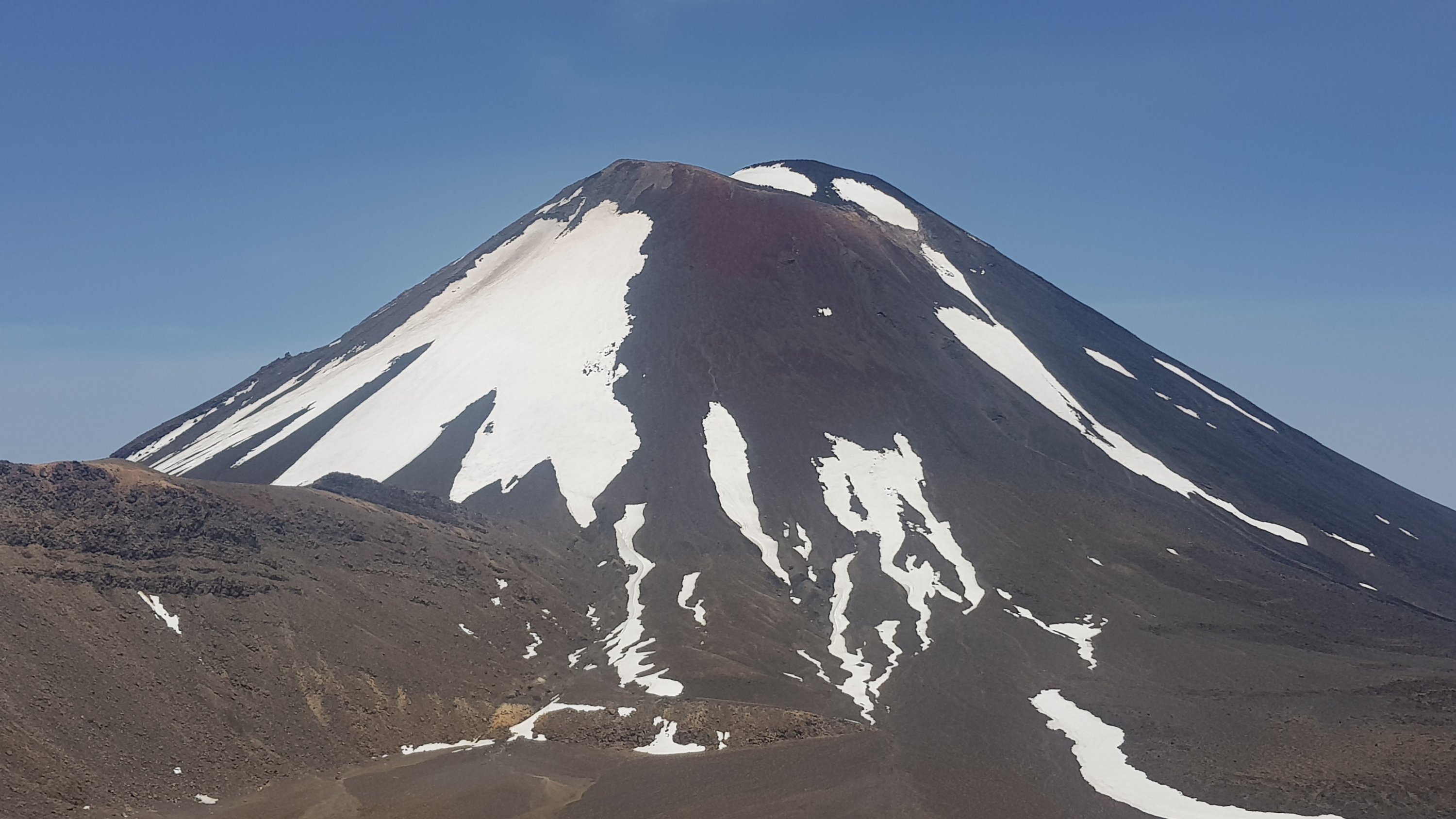
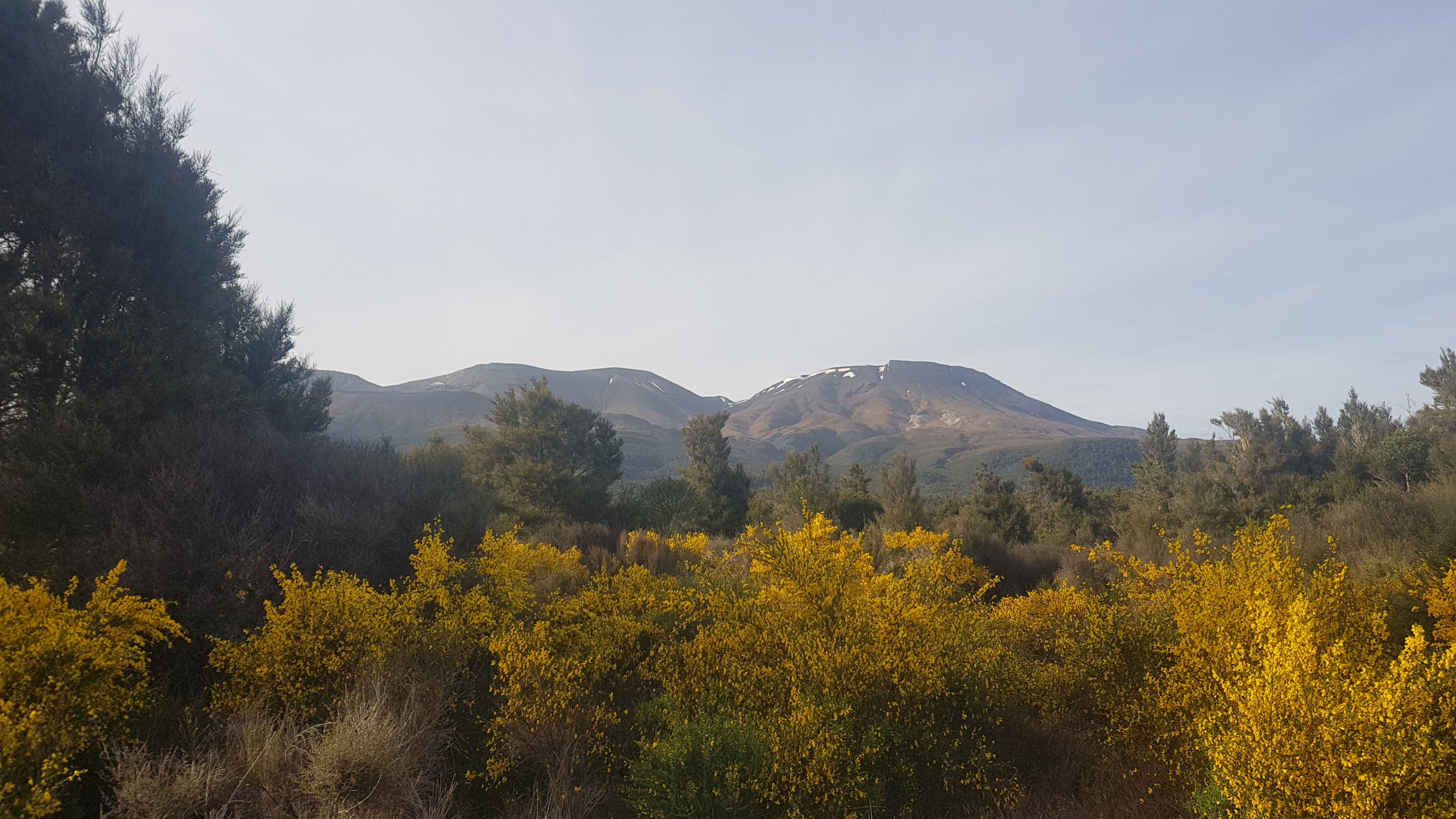
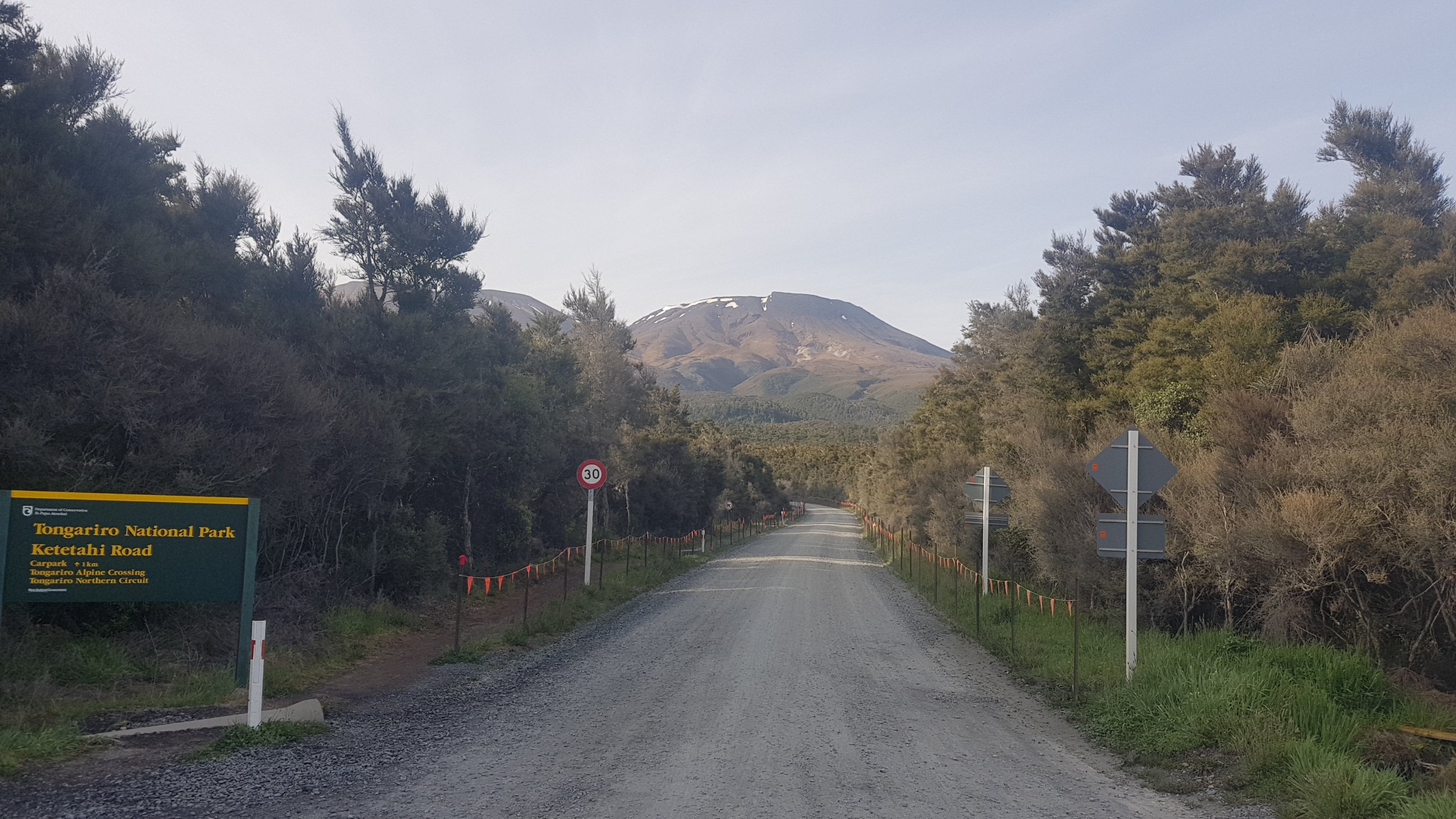
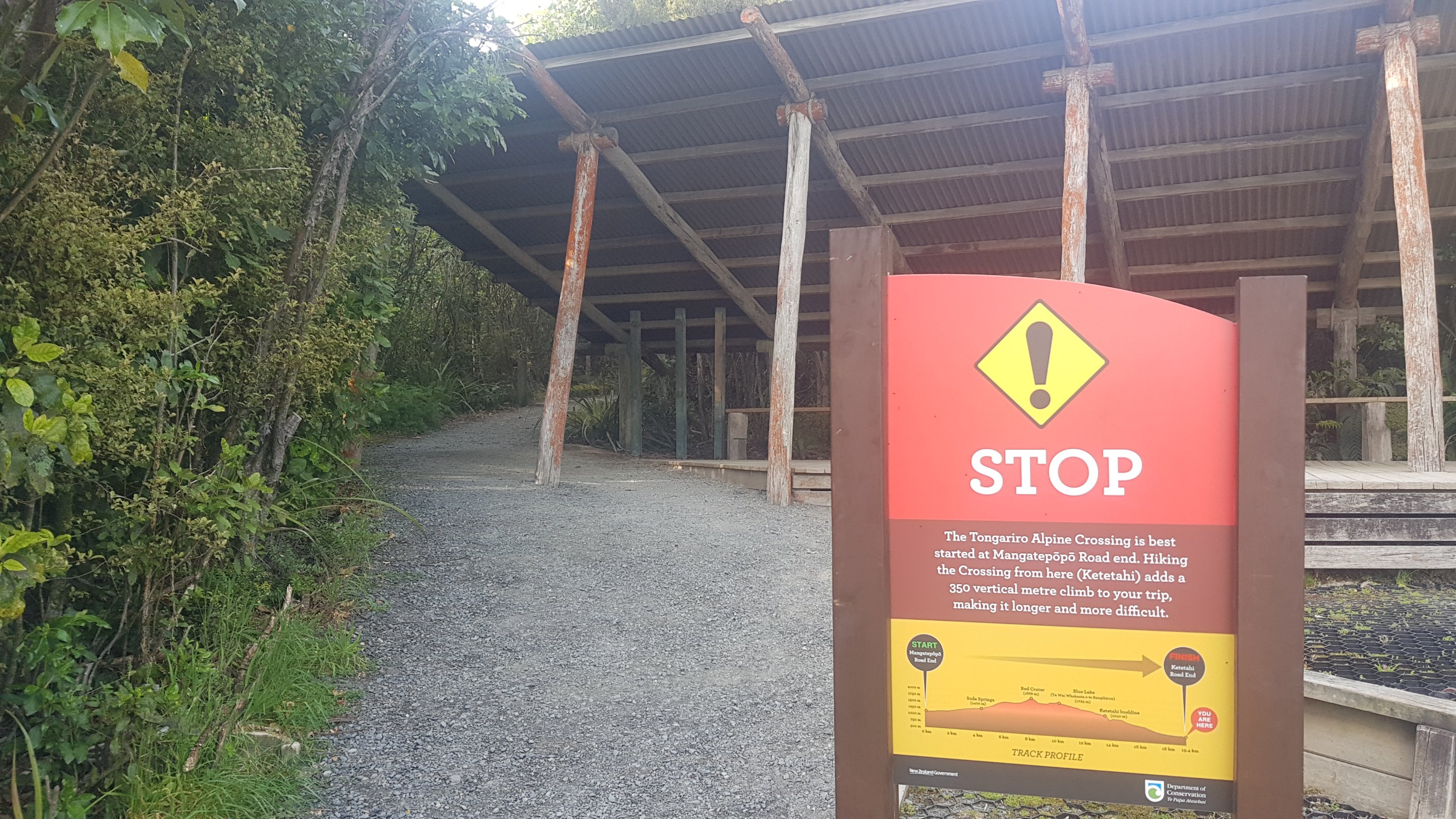
It’s okay, I thought. I’m sure this is nothing compared to the Tongariro Crossing next week.
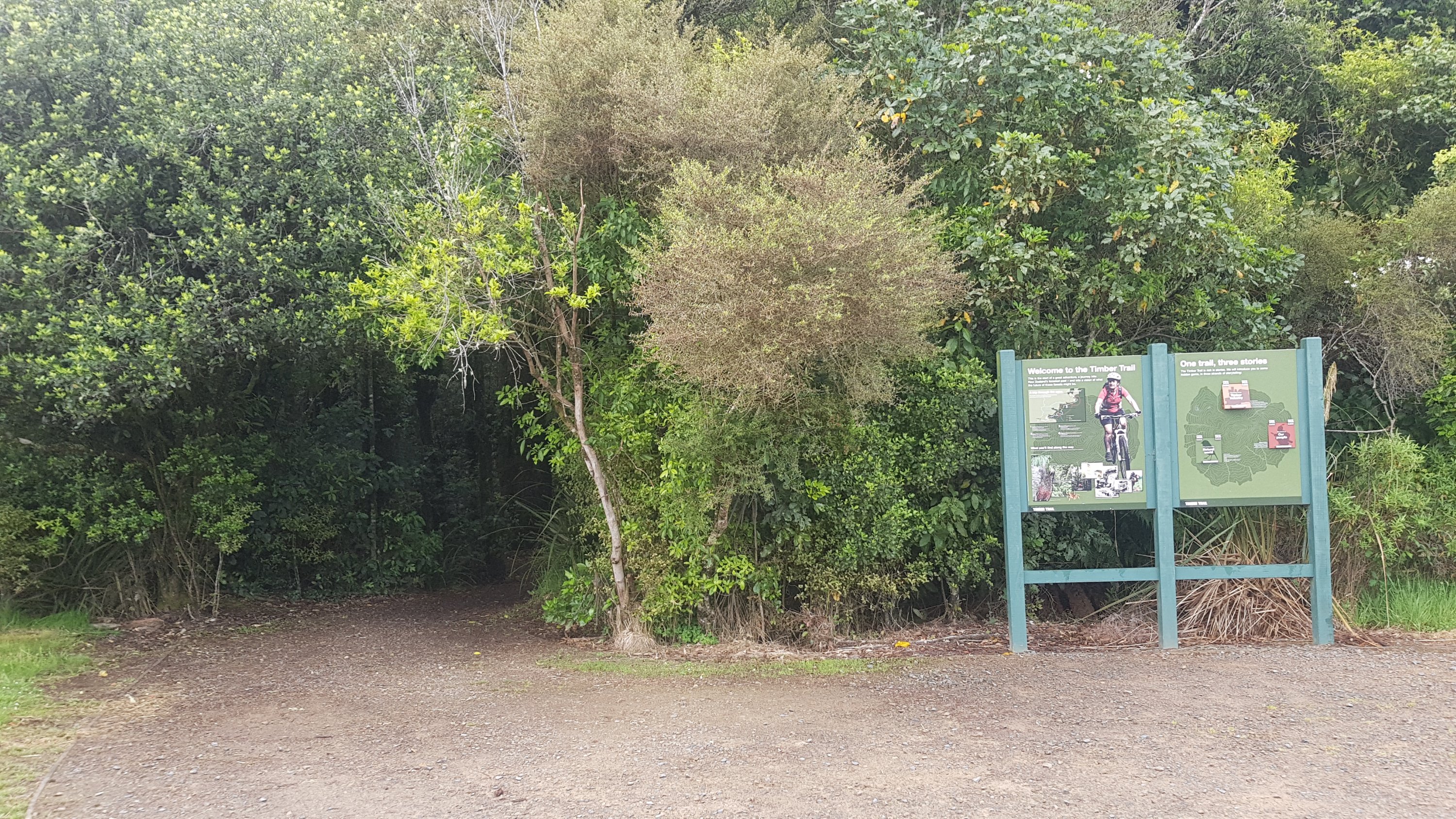
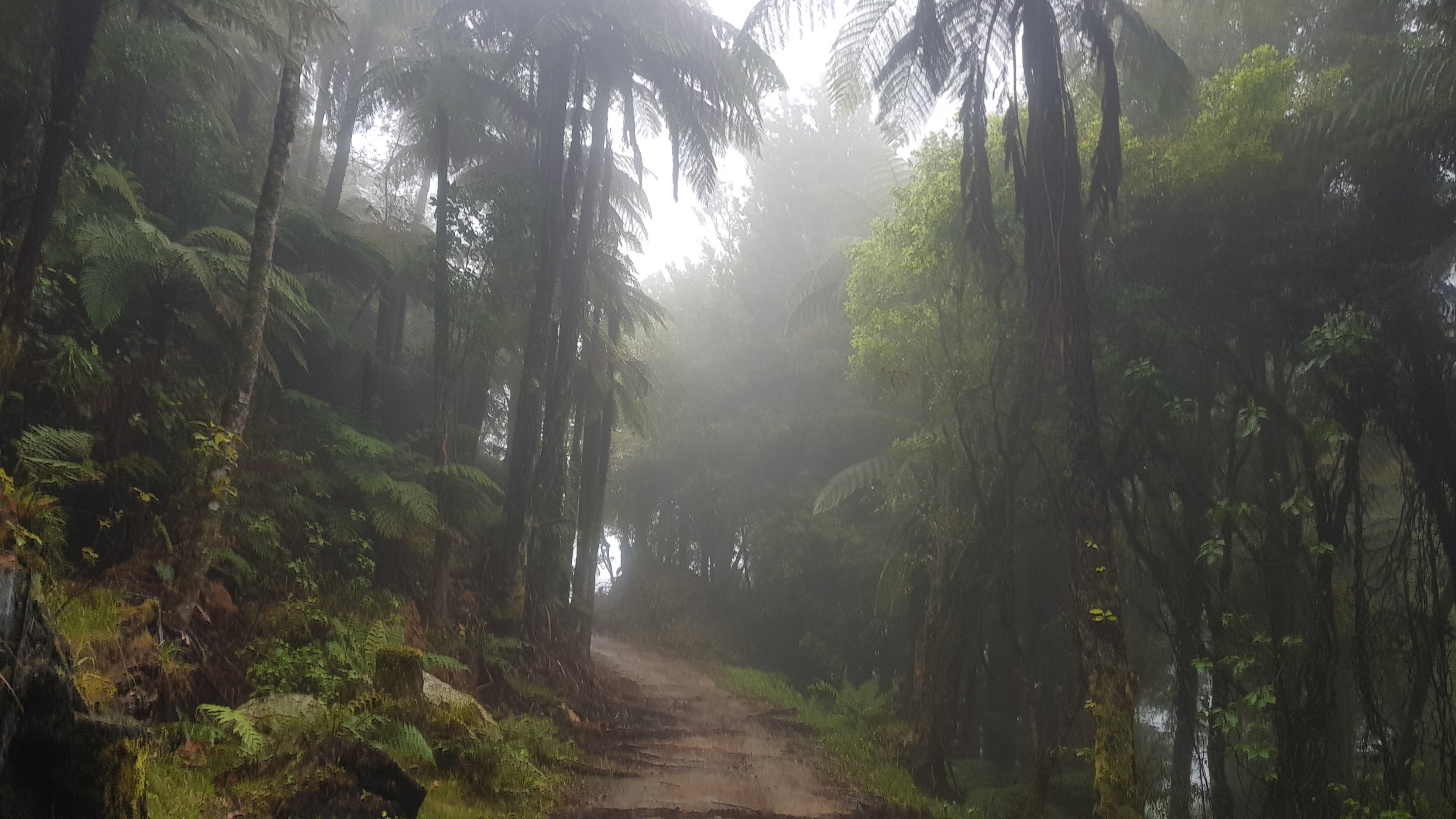
Straight away I knew today was going to be something cool.
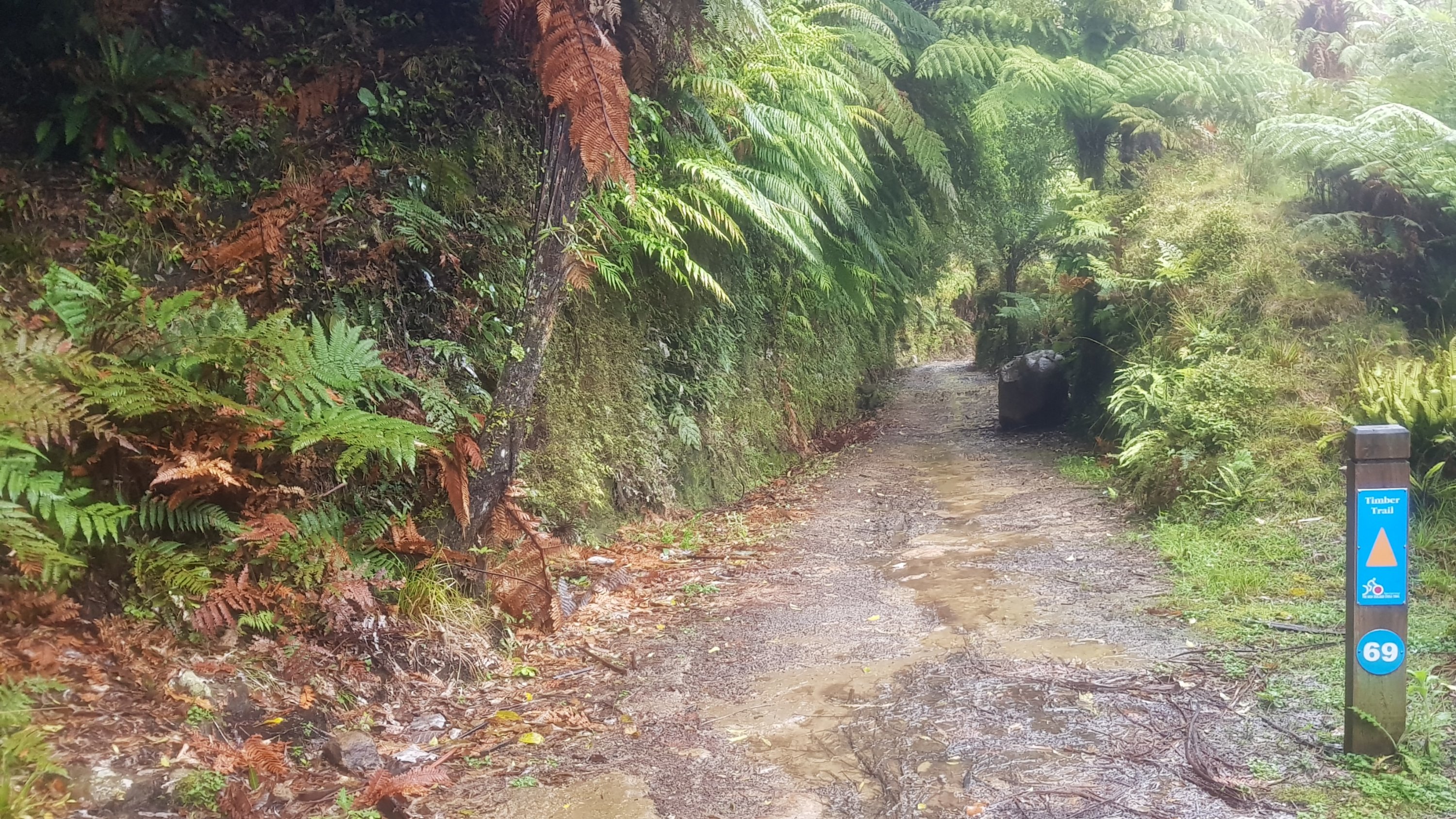
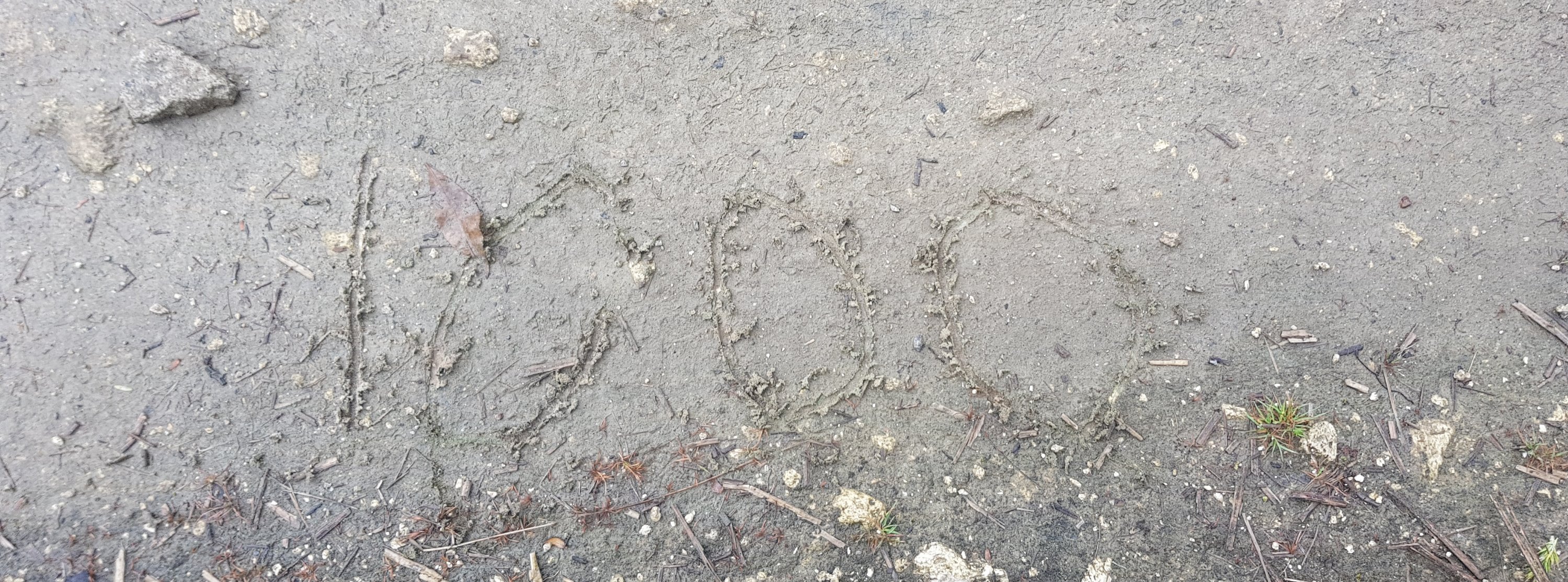
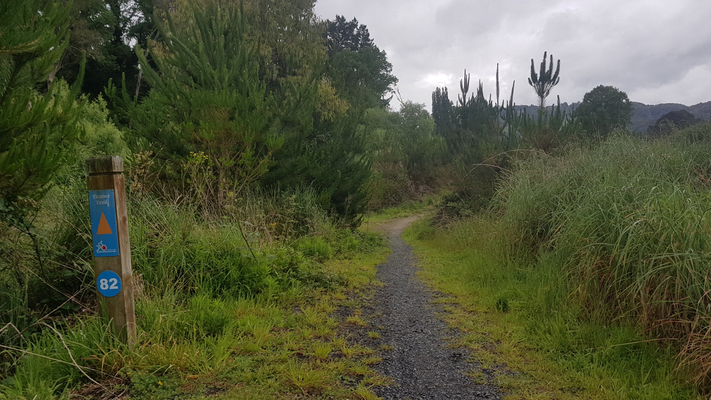
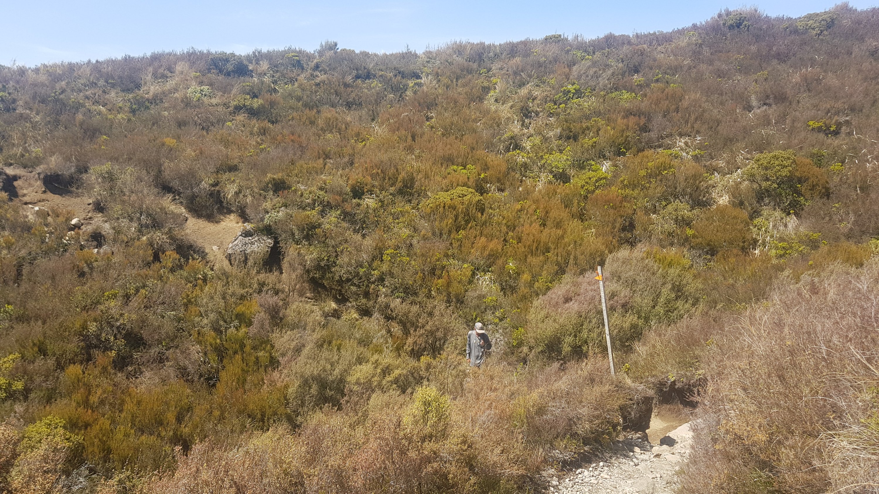
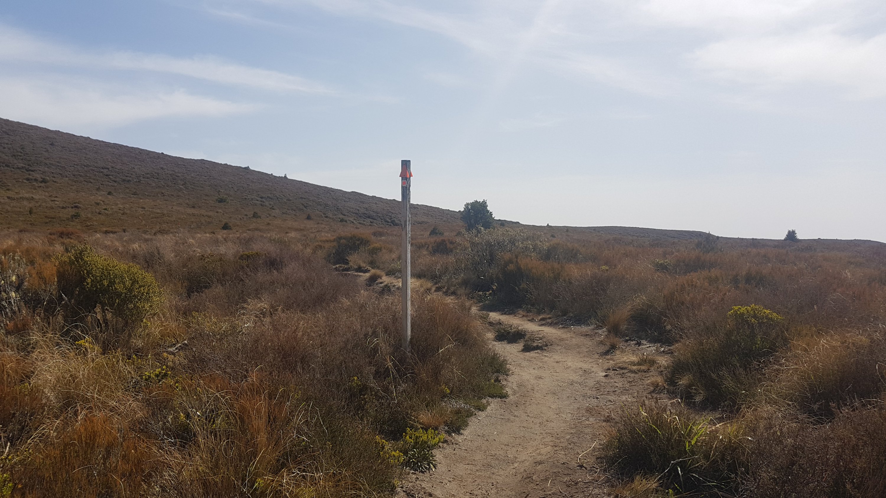
There are these signs every kilometer to tell you how far along the track you are.
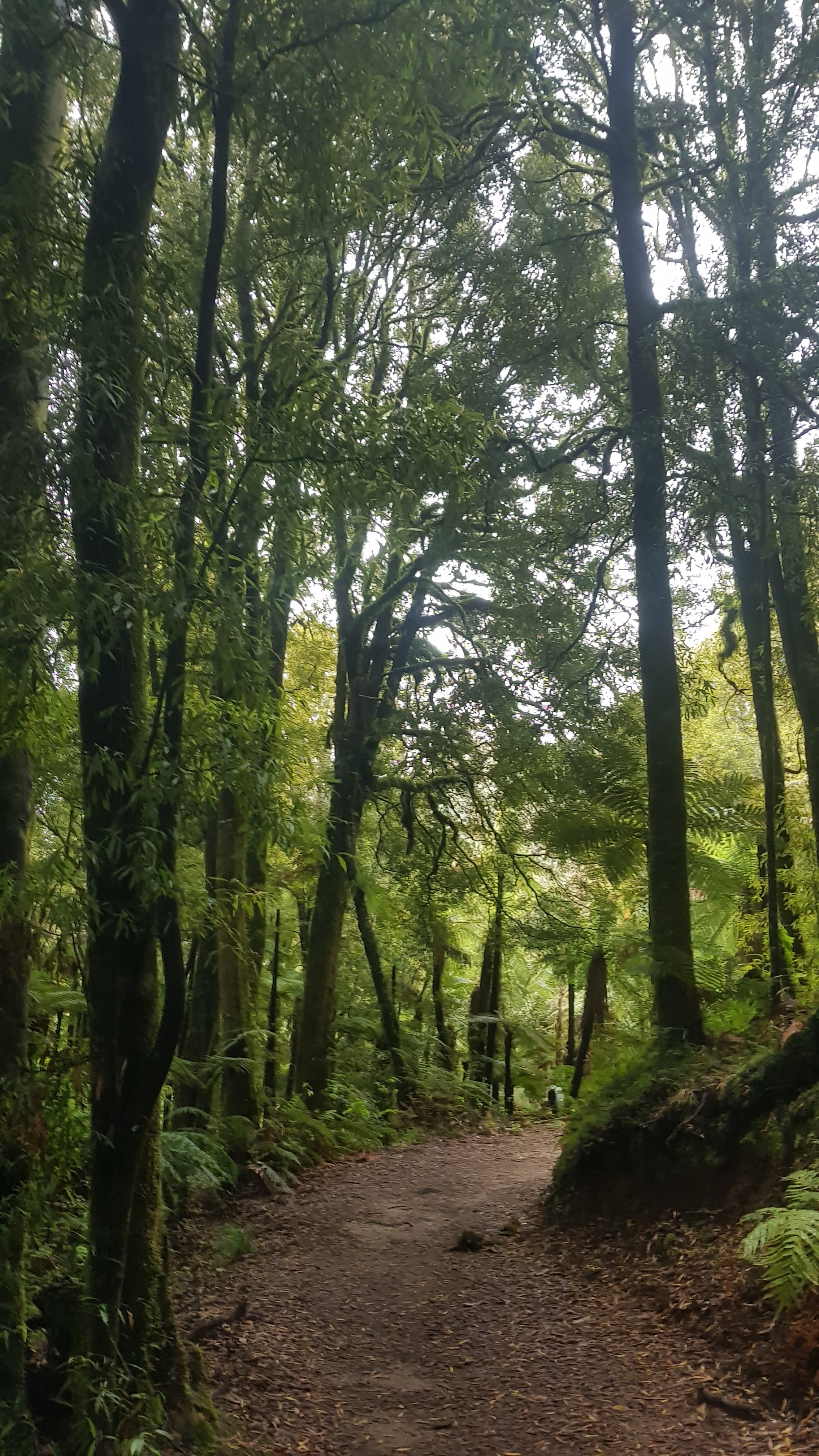
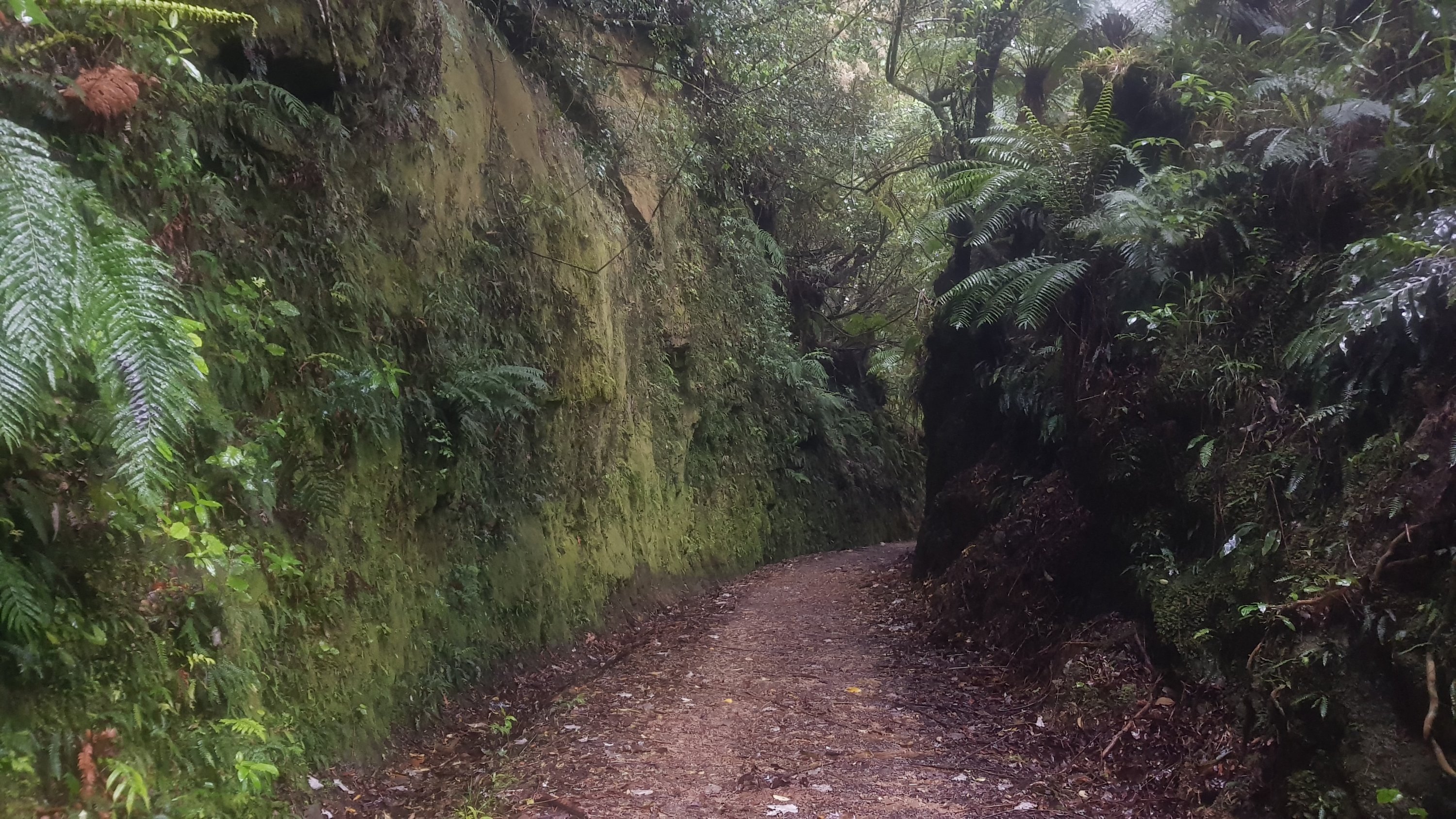
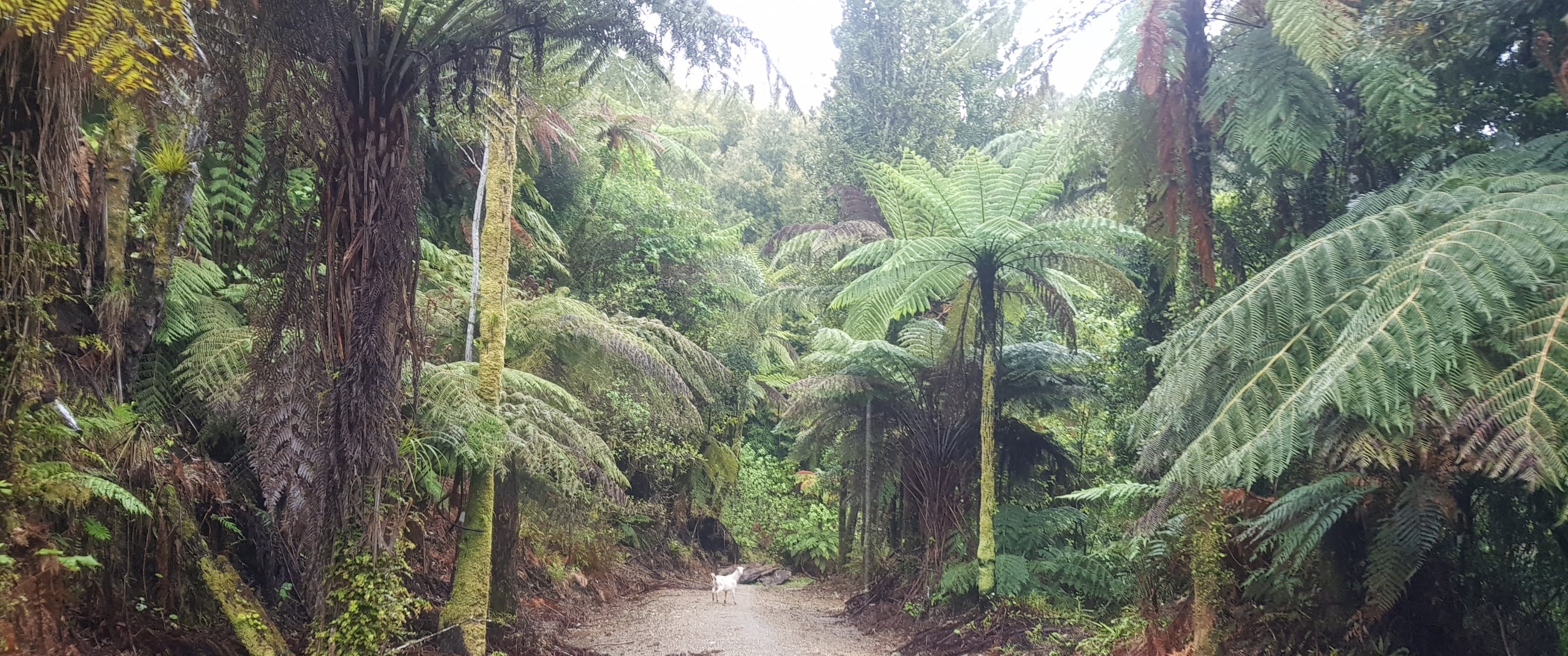
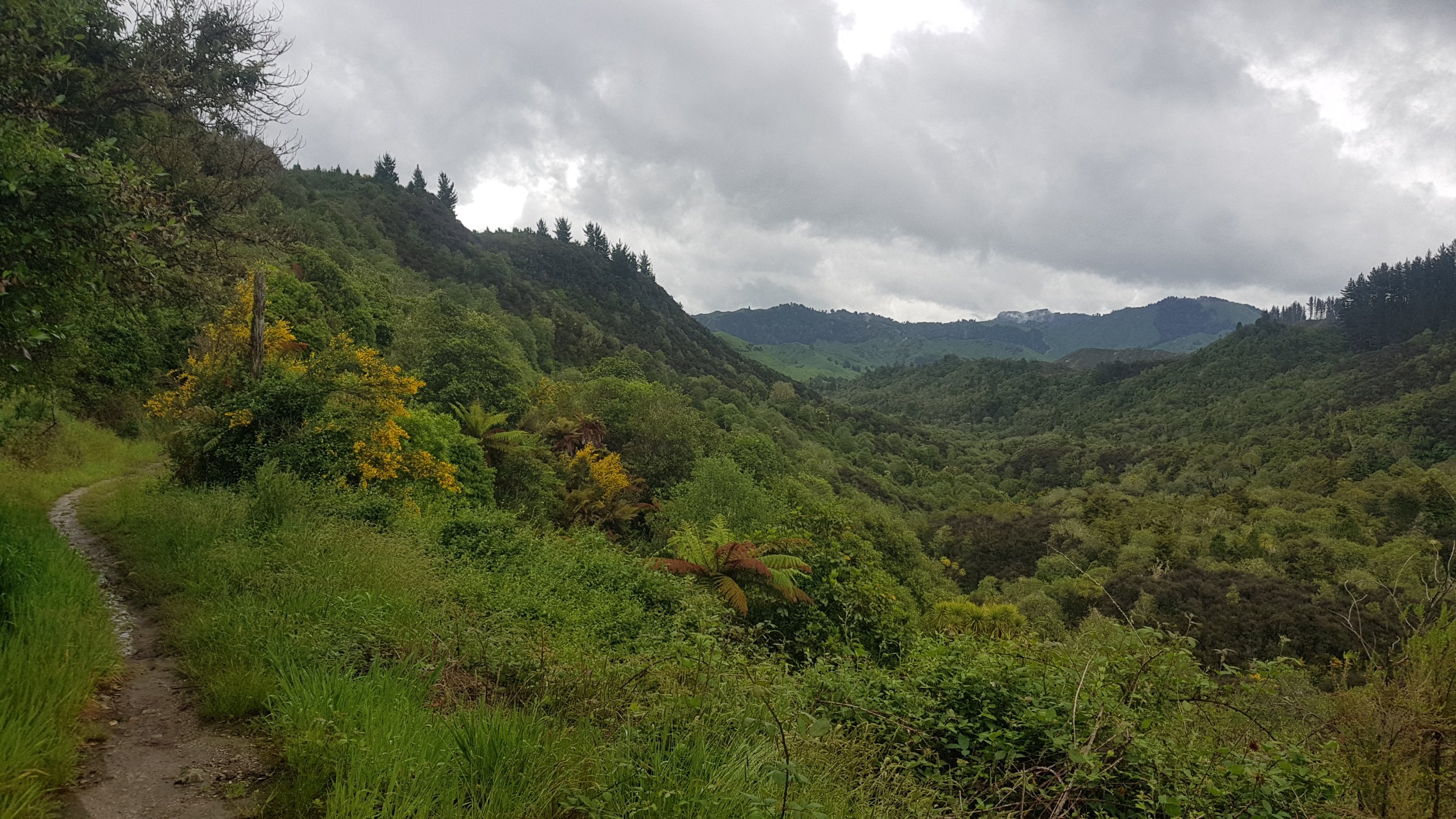
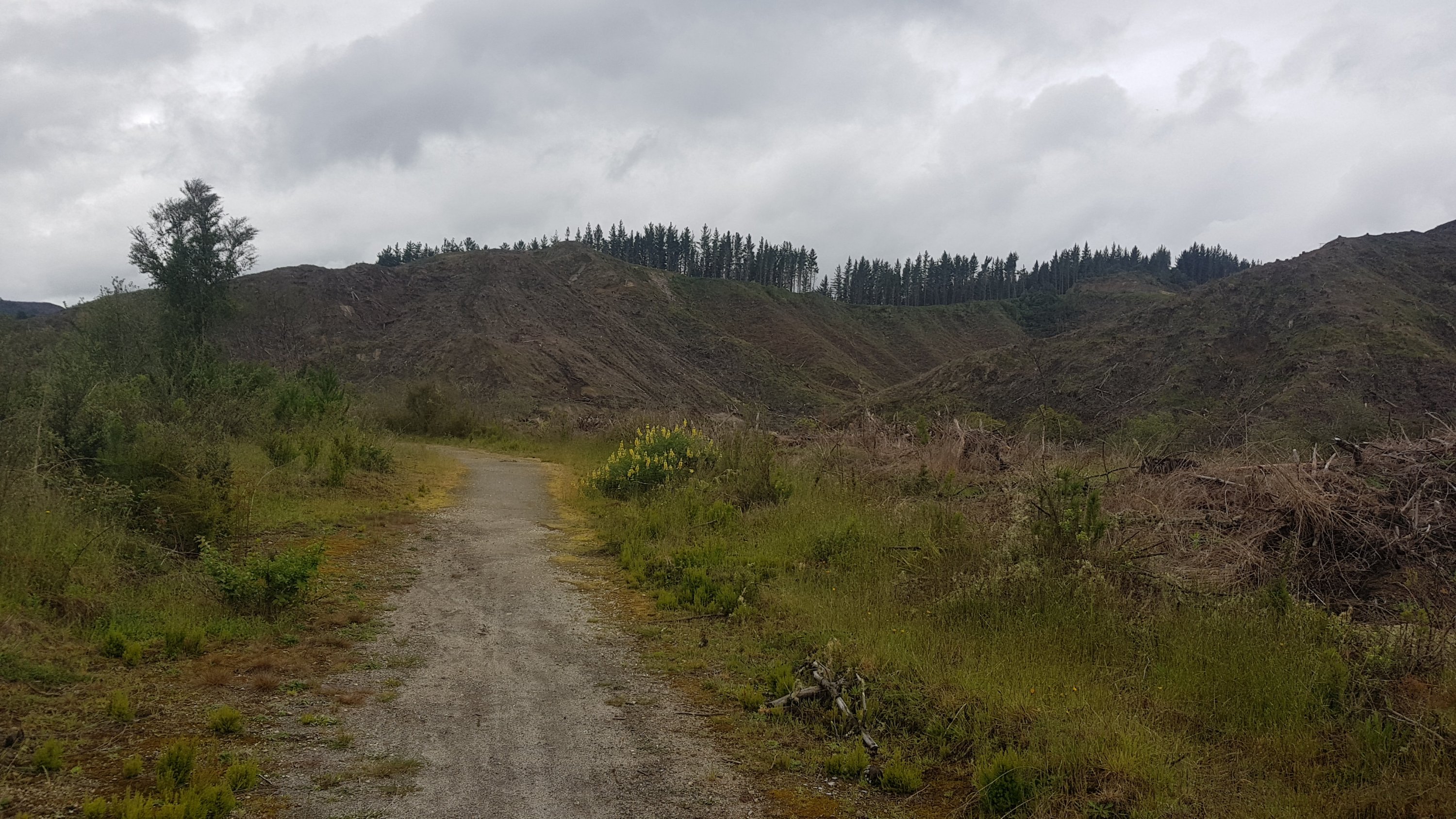
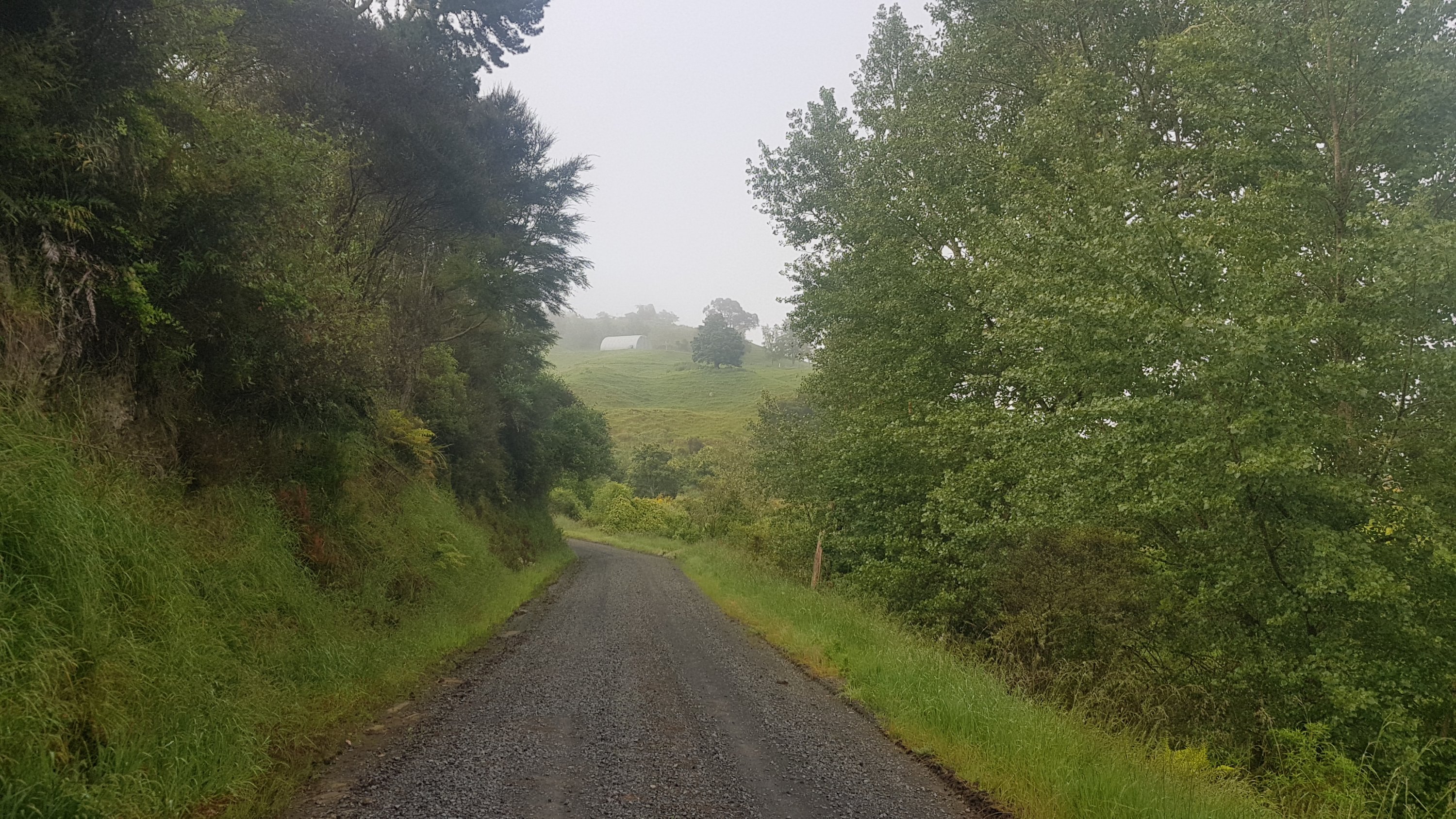
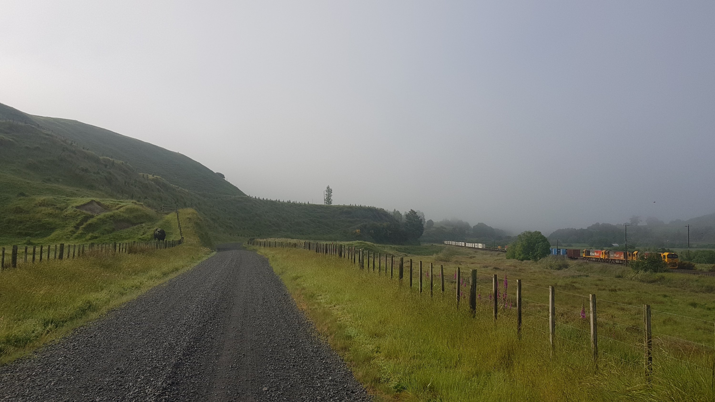
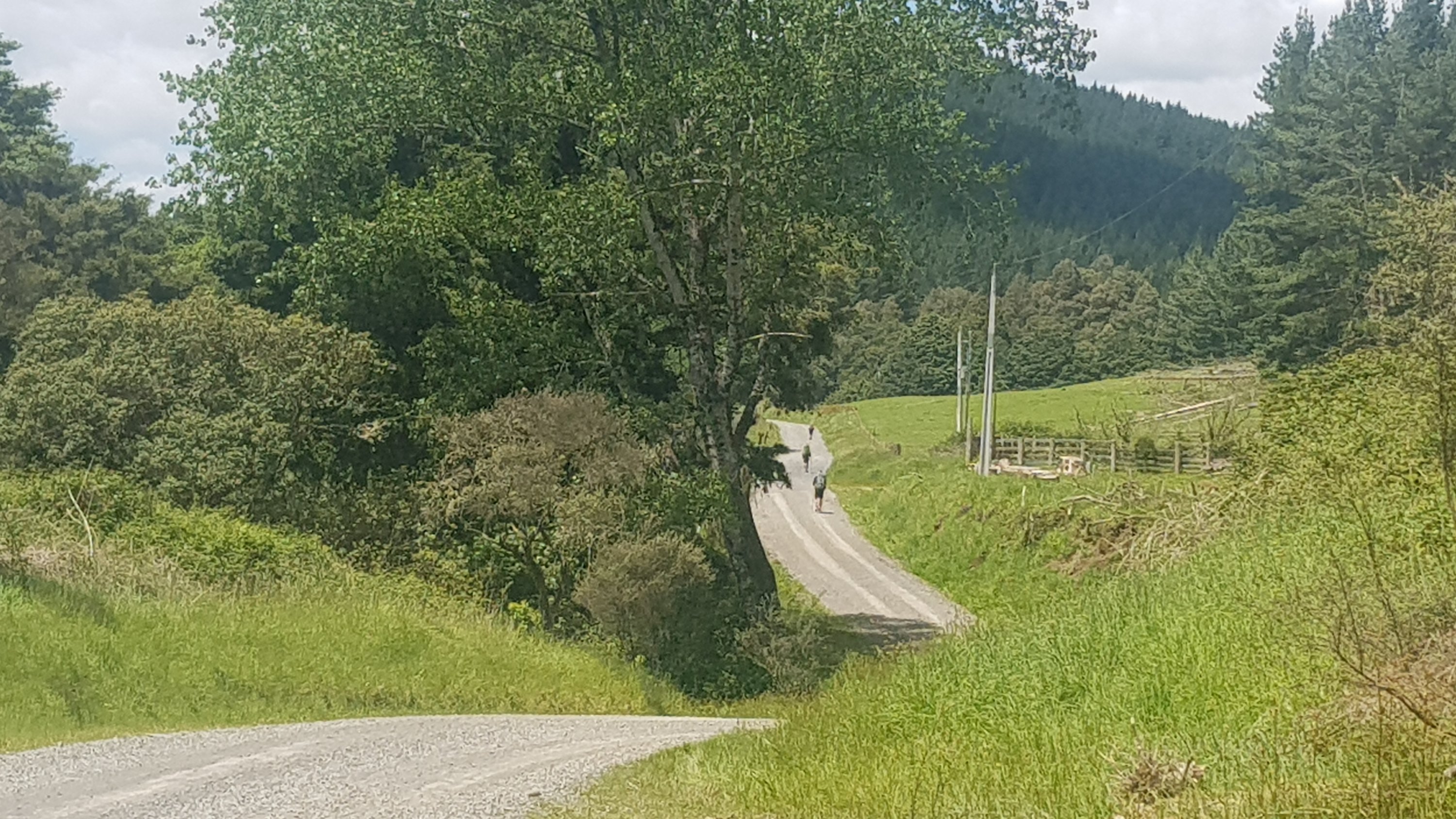
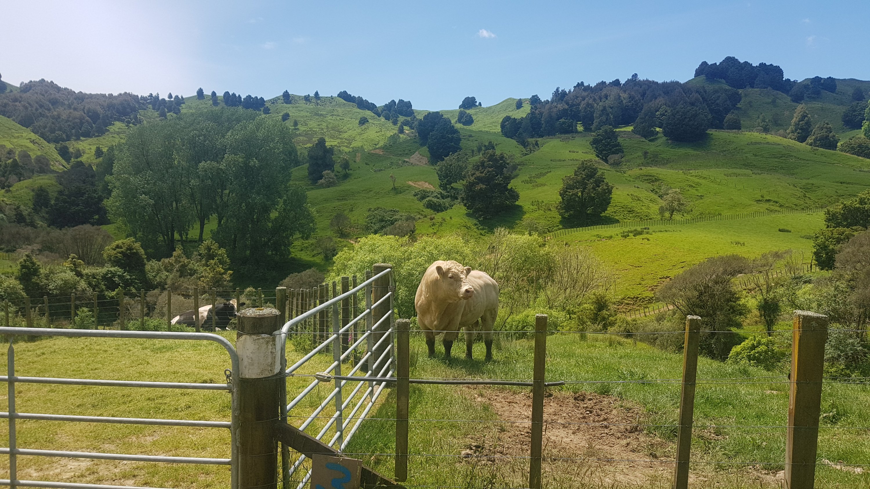
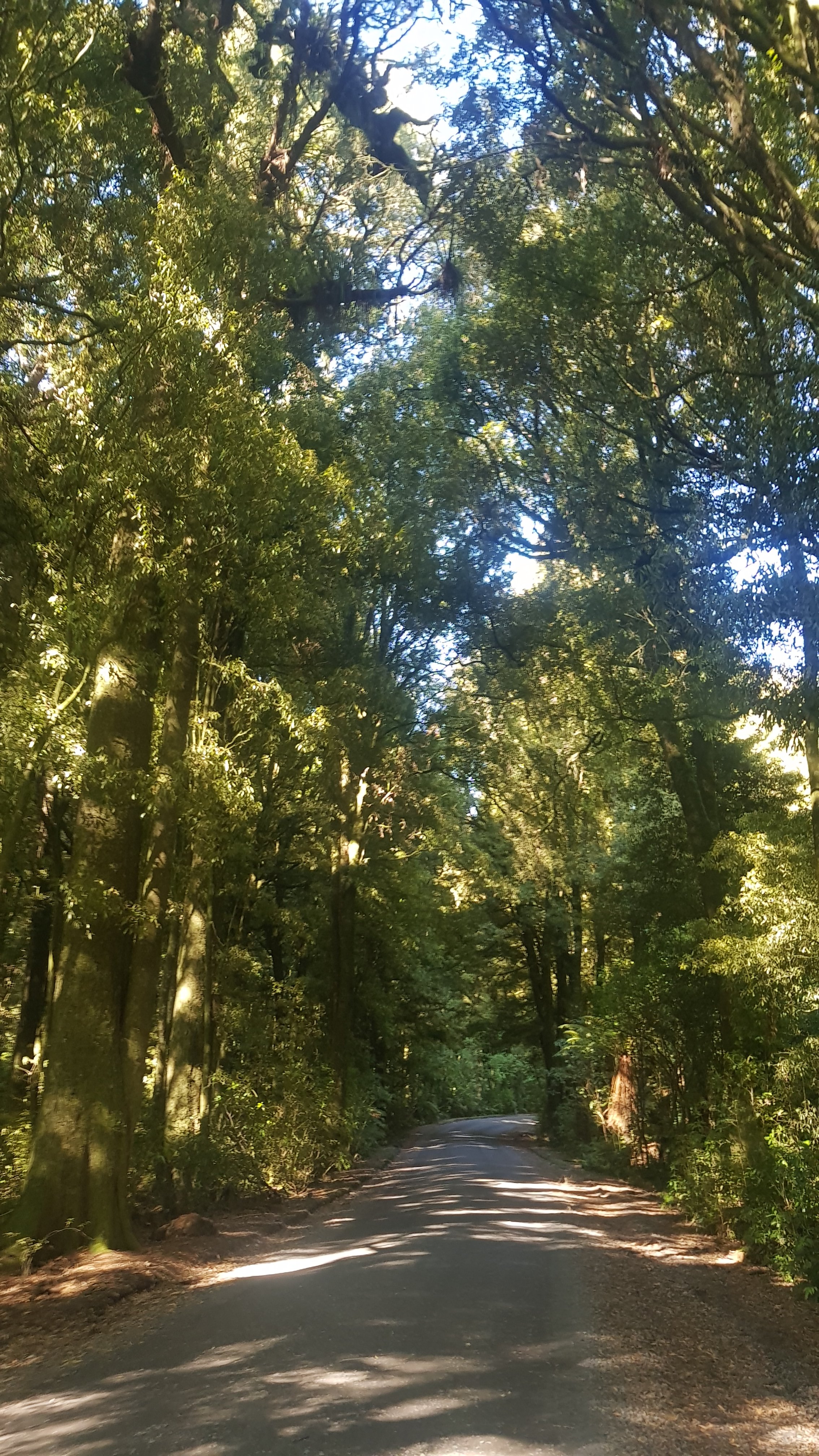
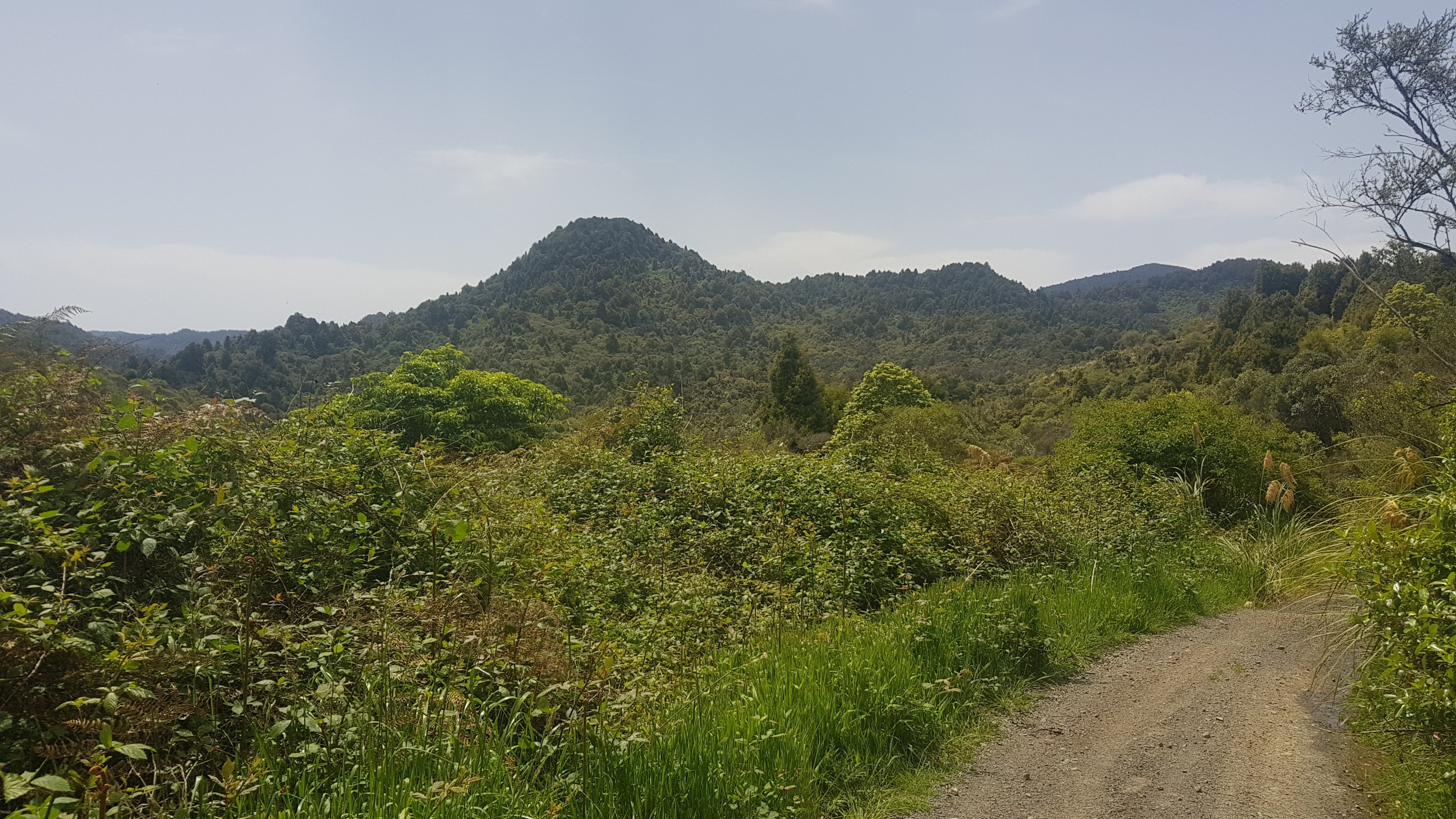
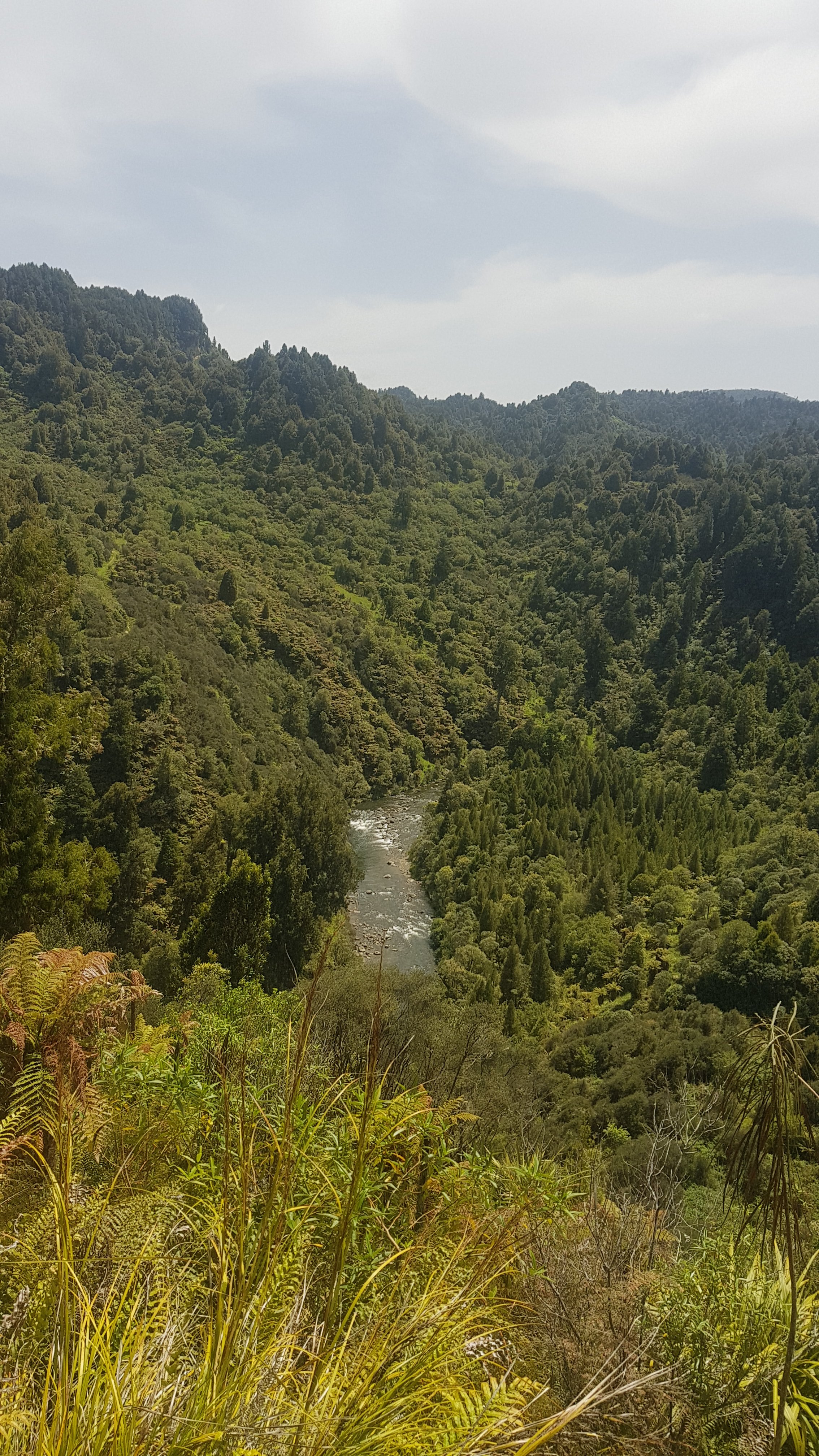
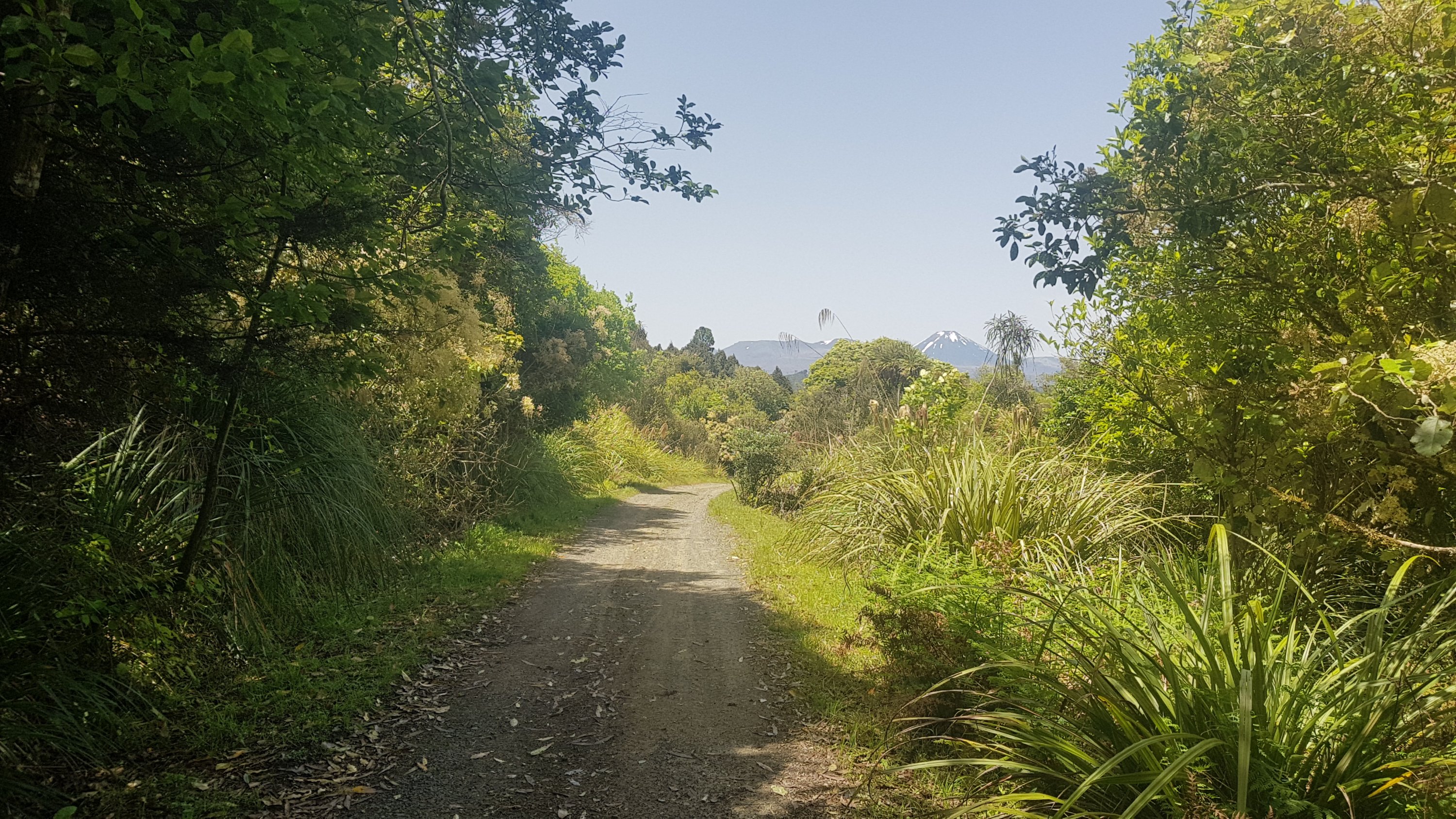
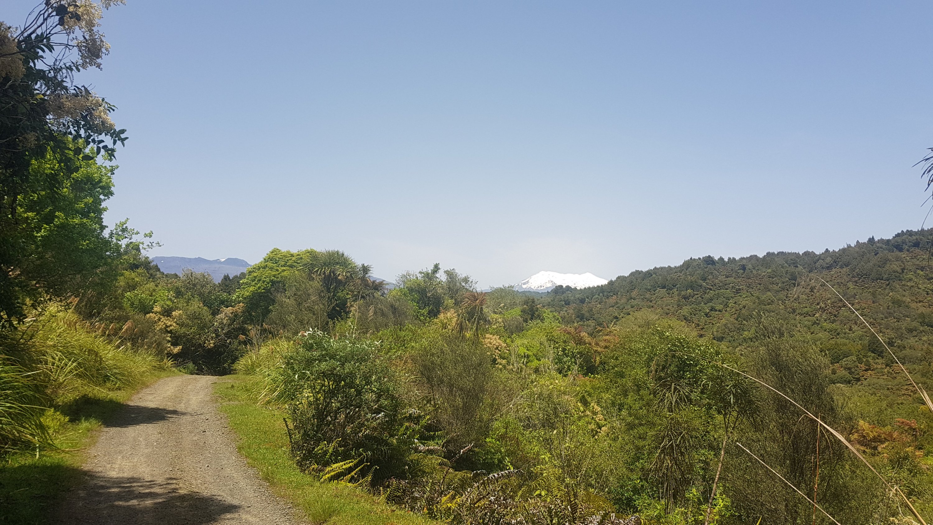
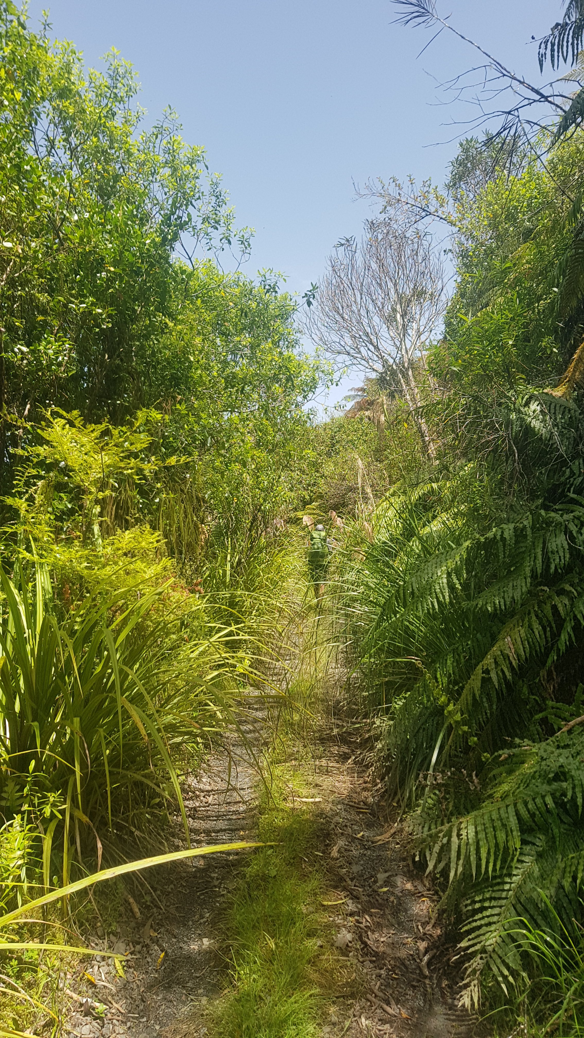
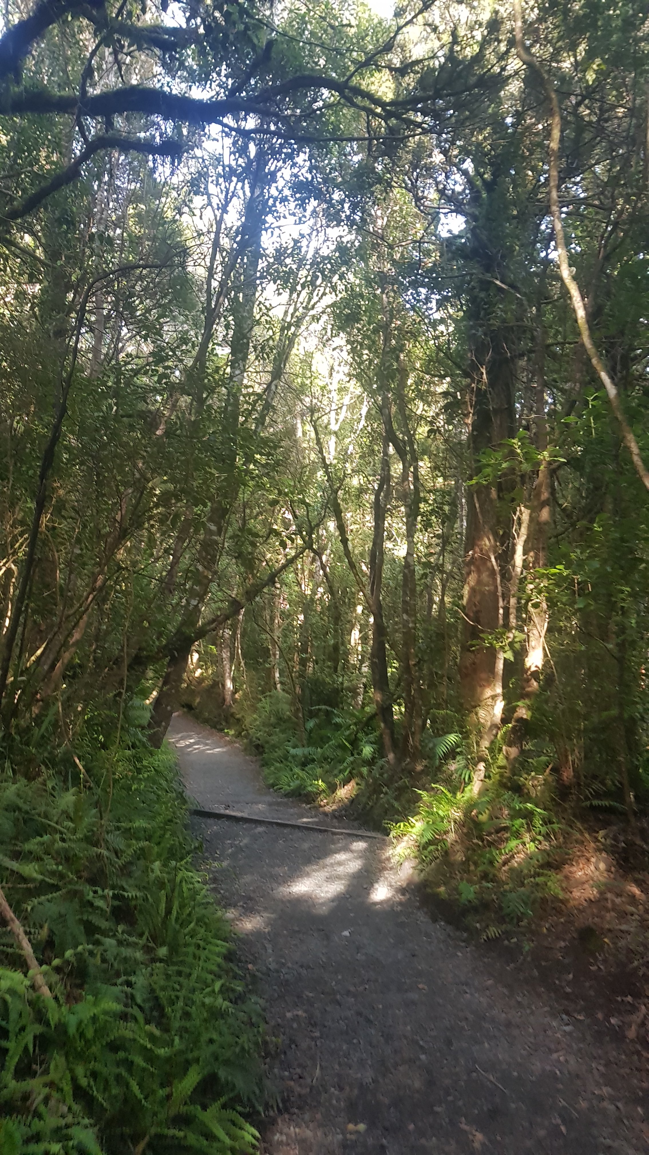
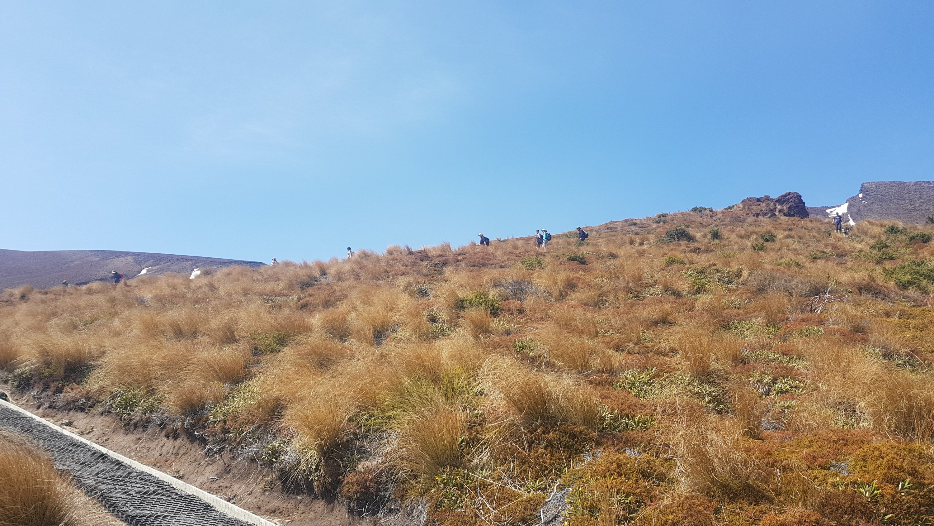
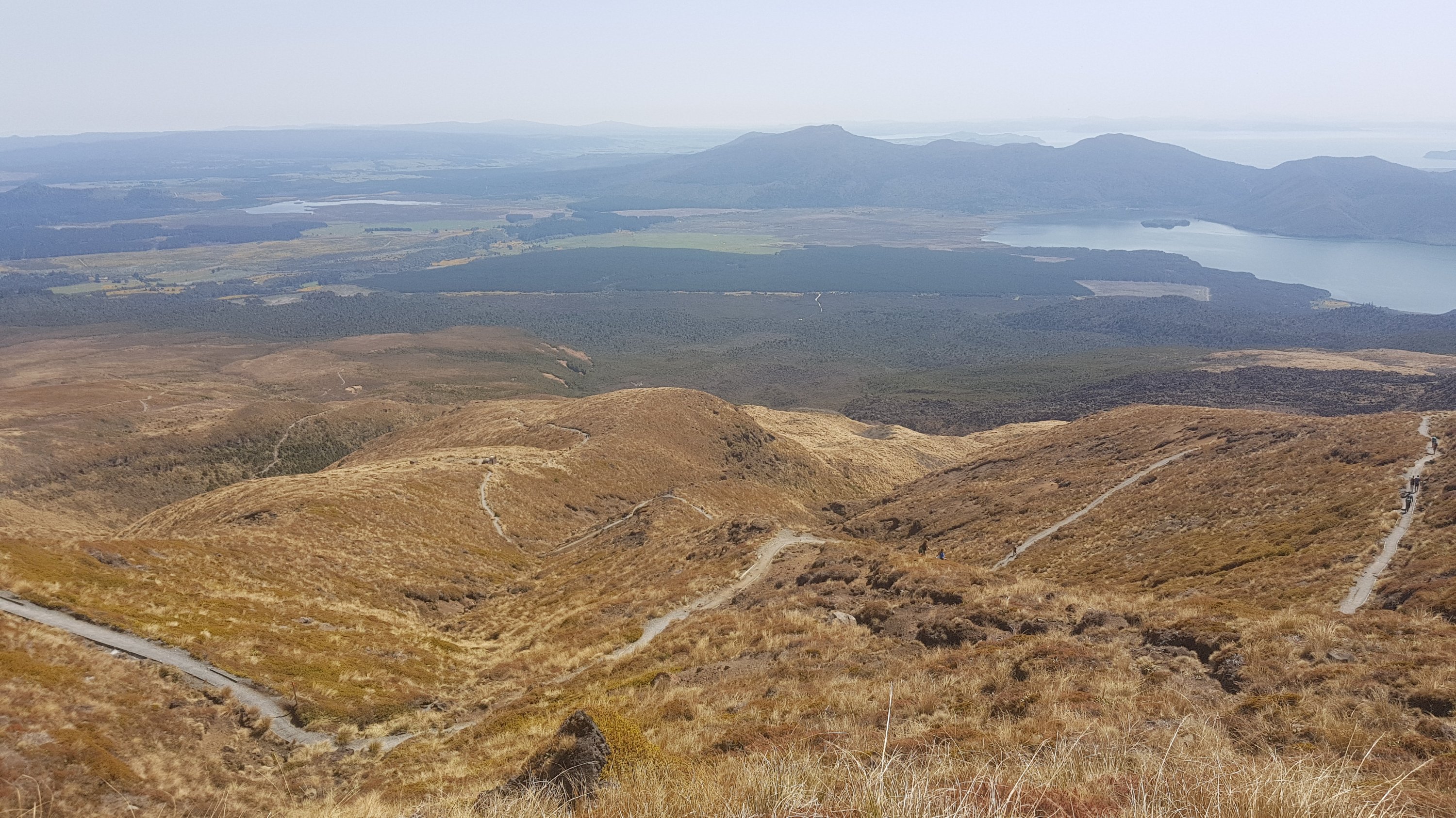
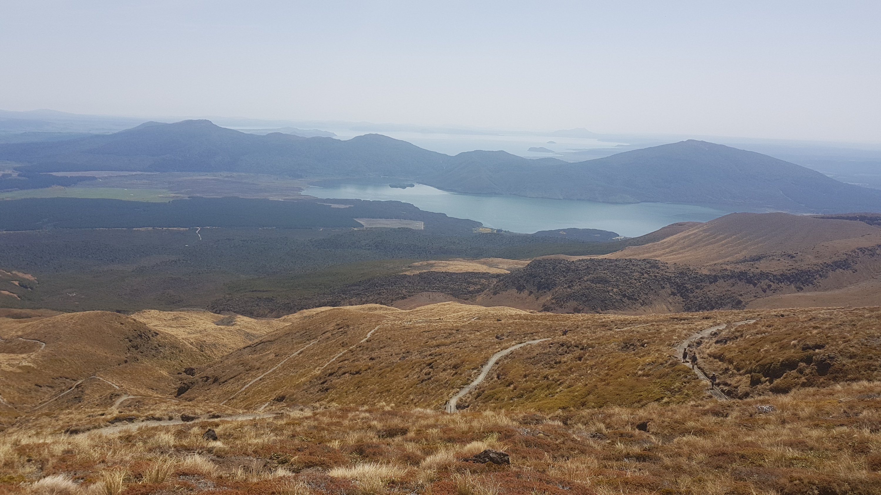
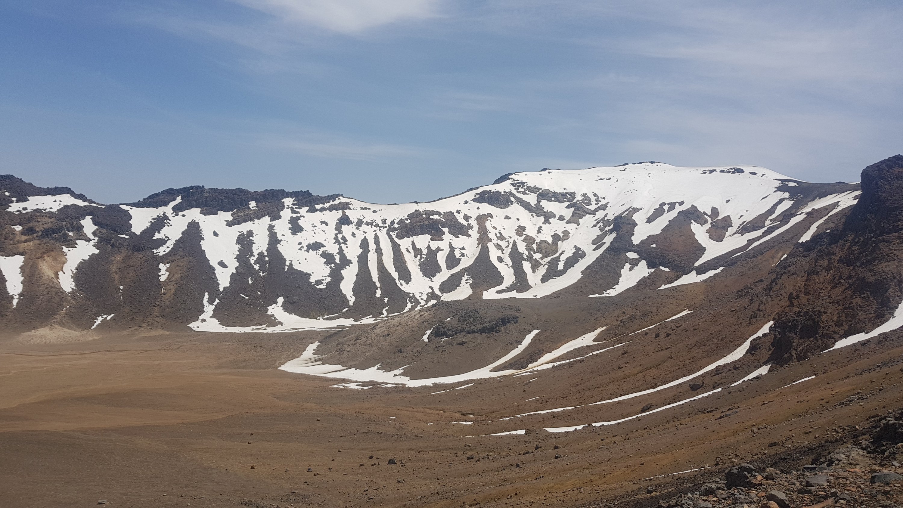
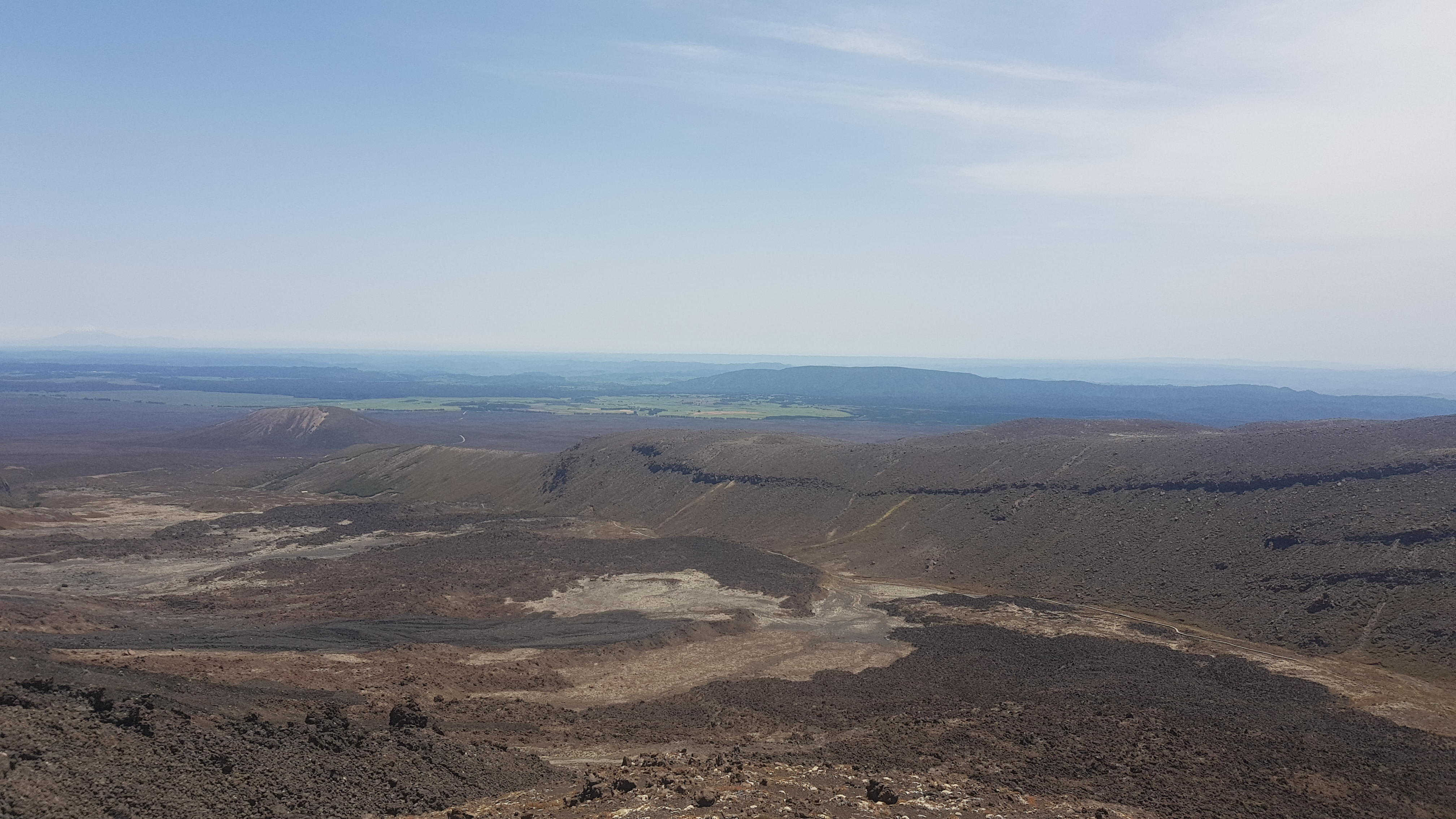
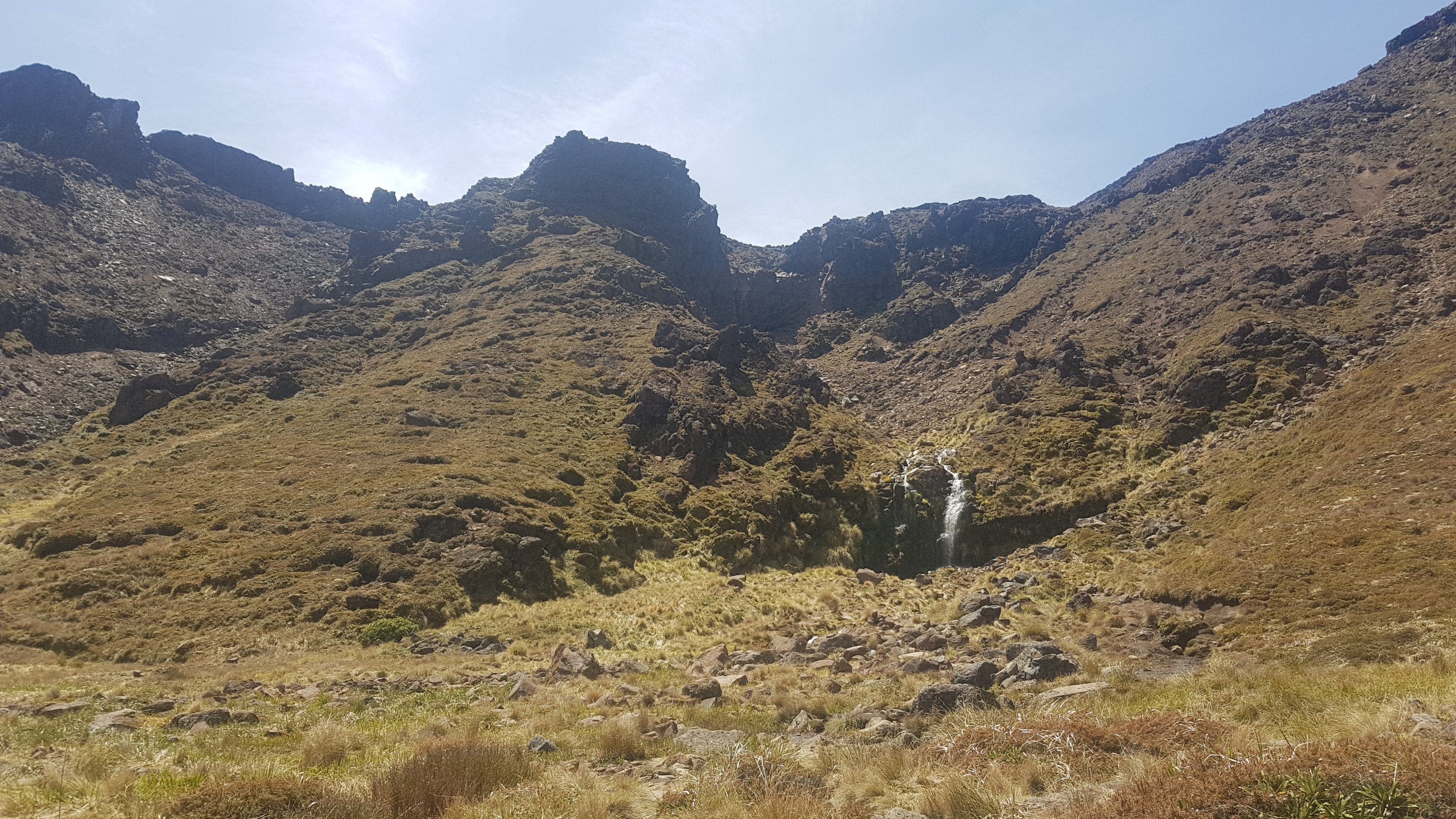
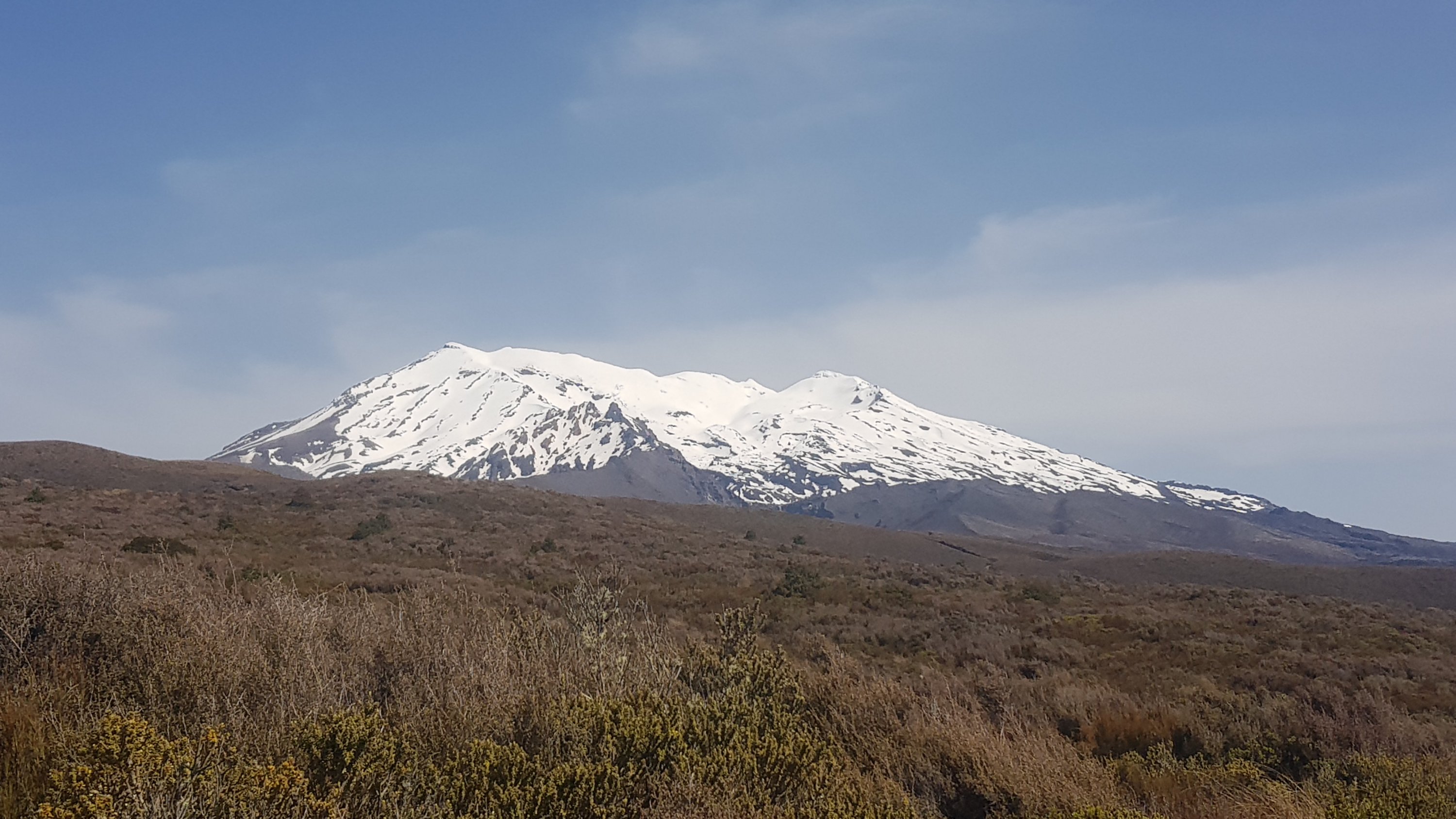
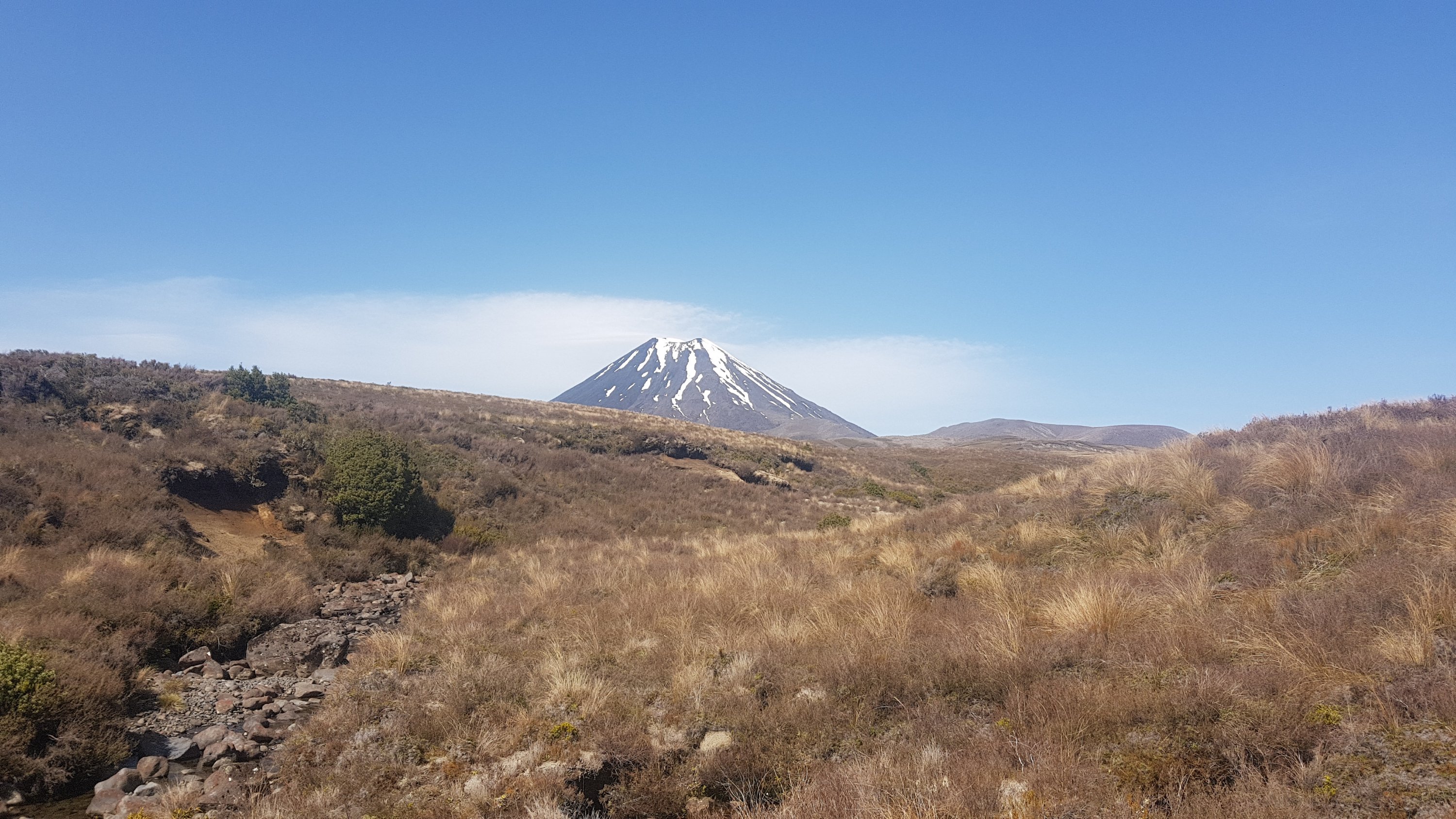
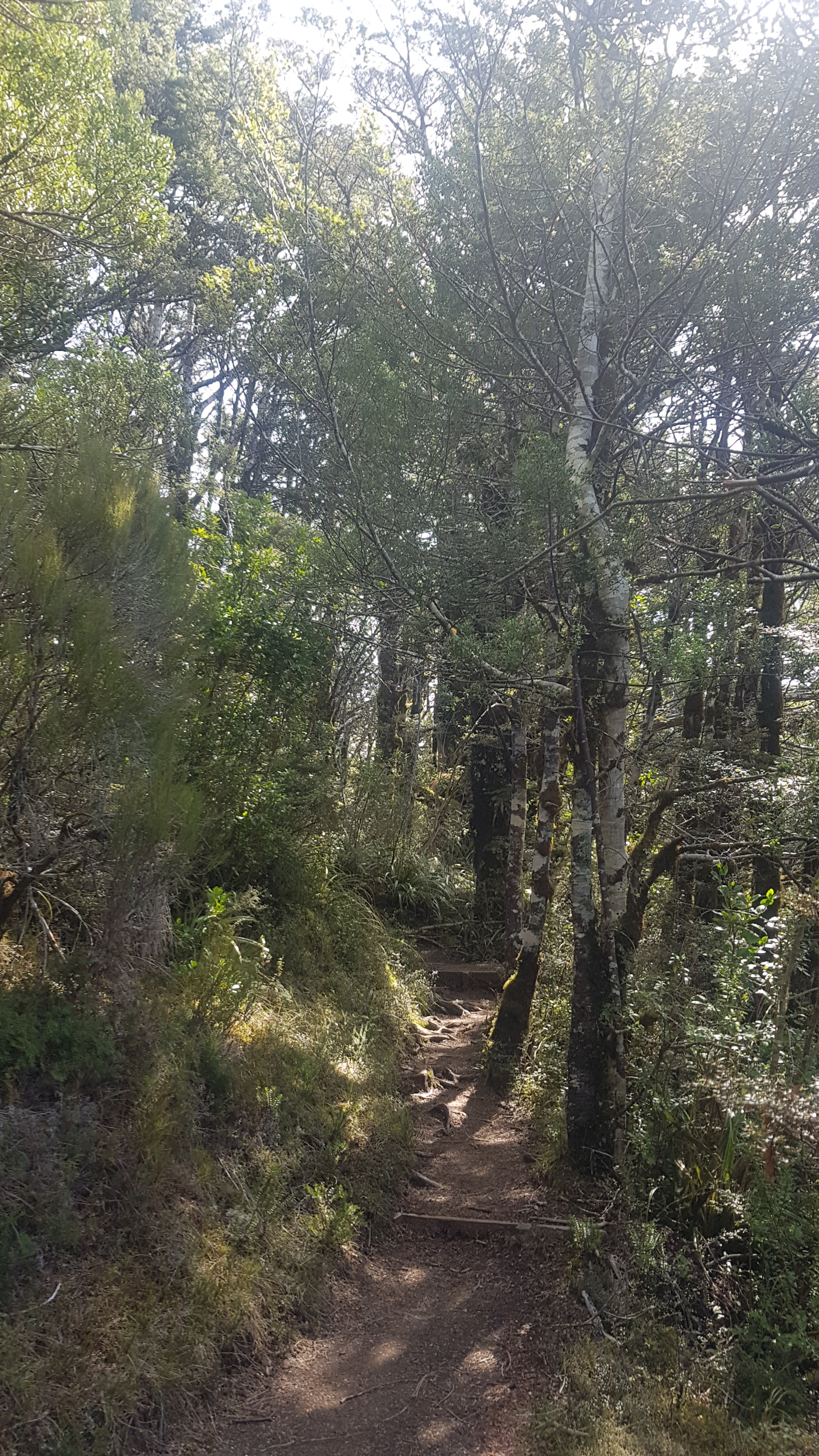
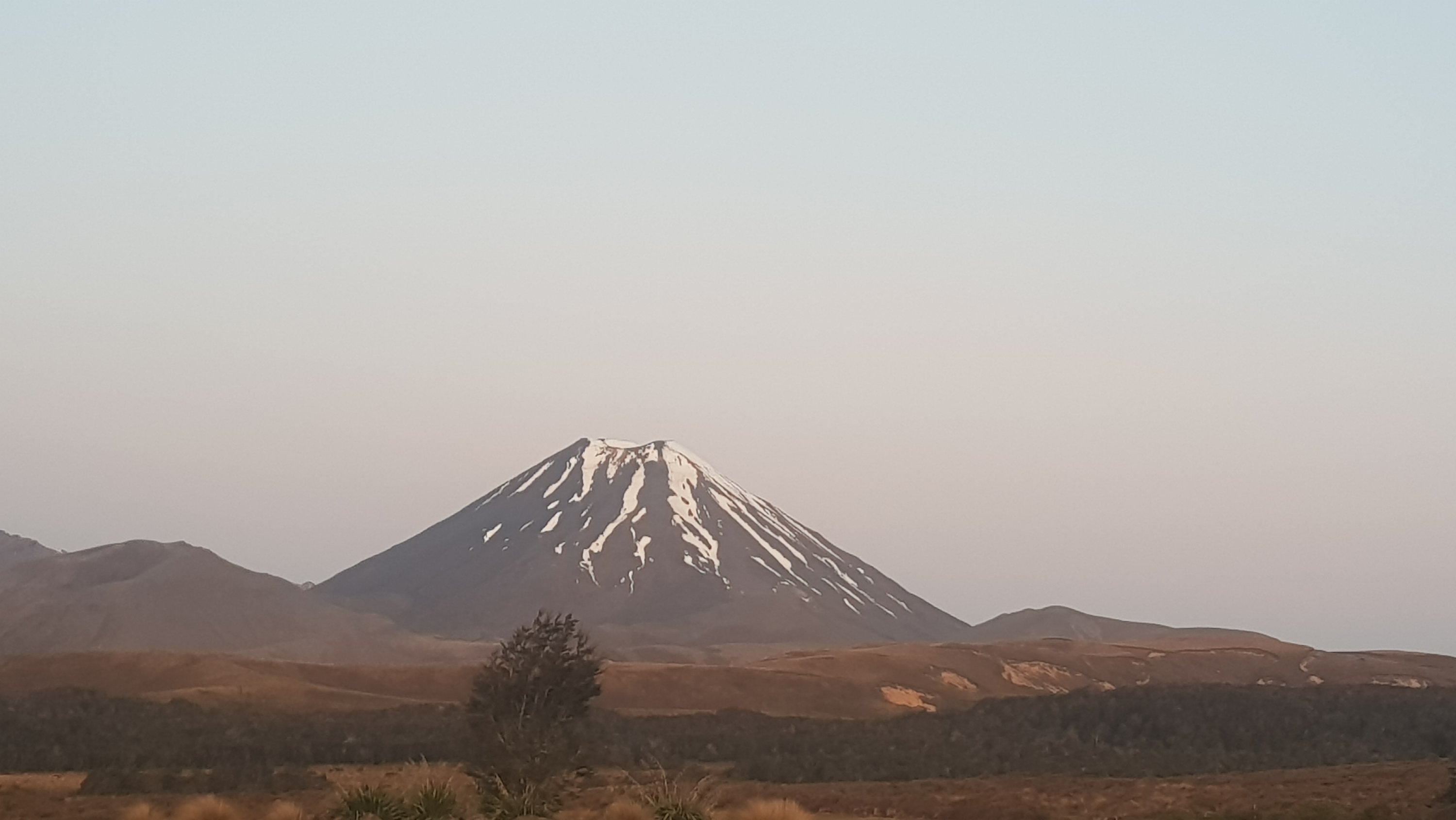
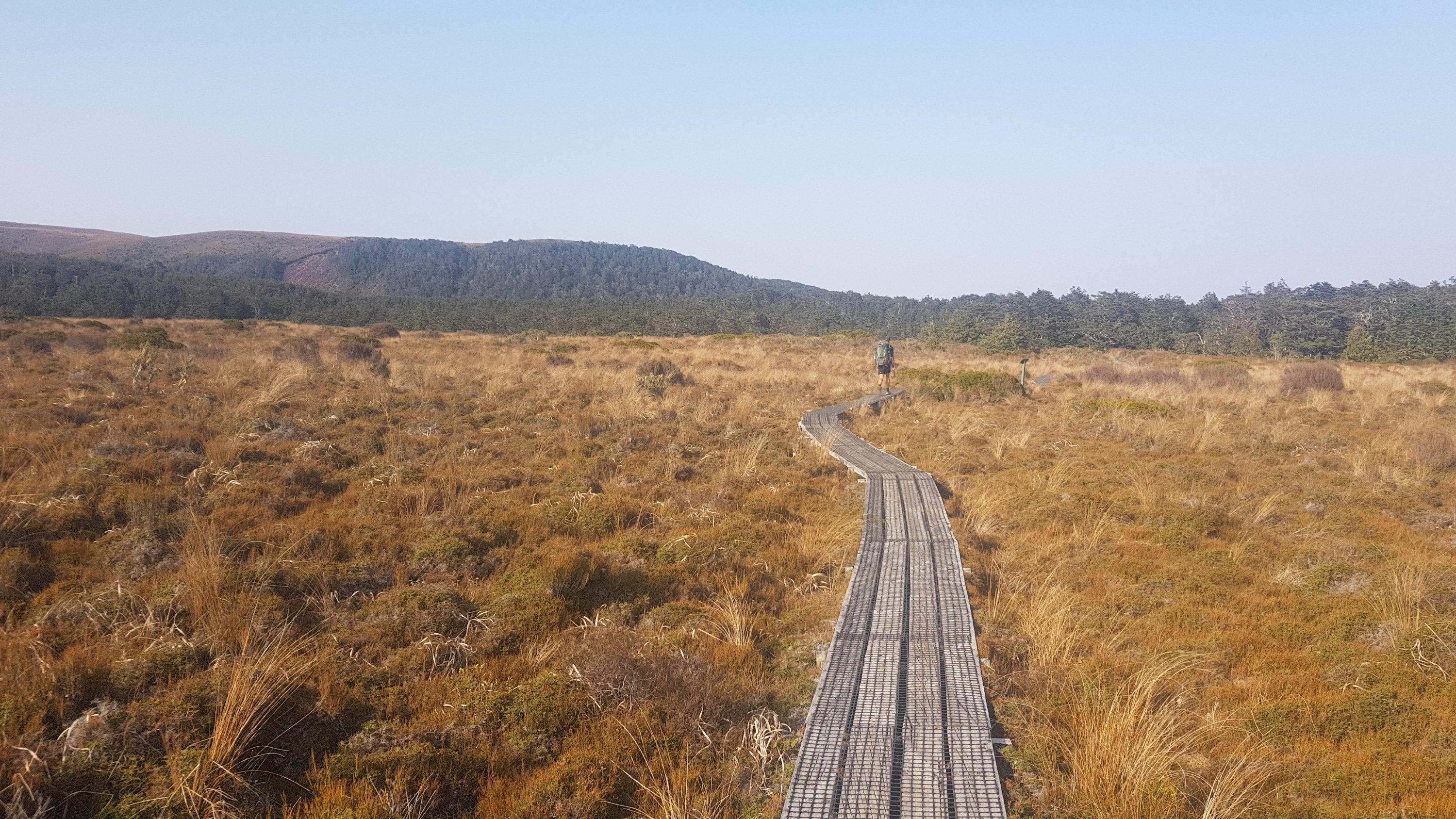
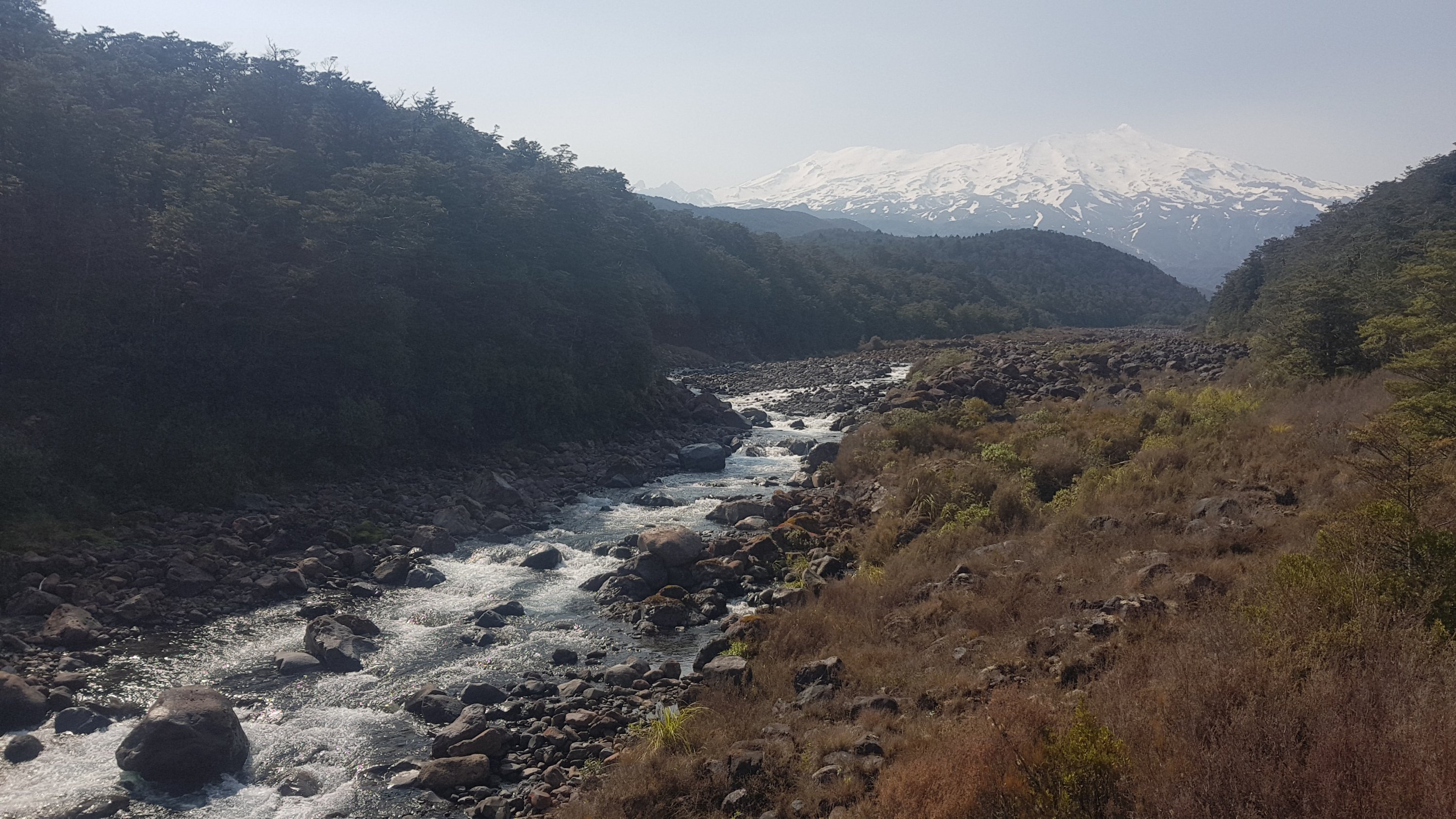
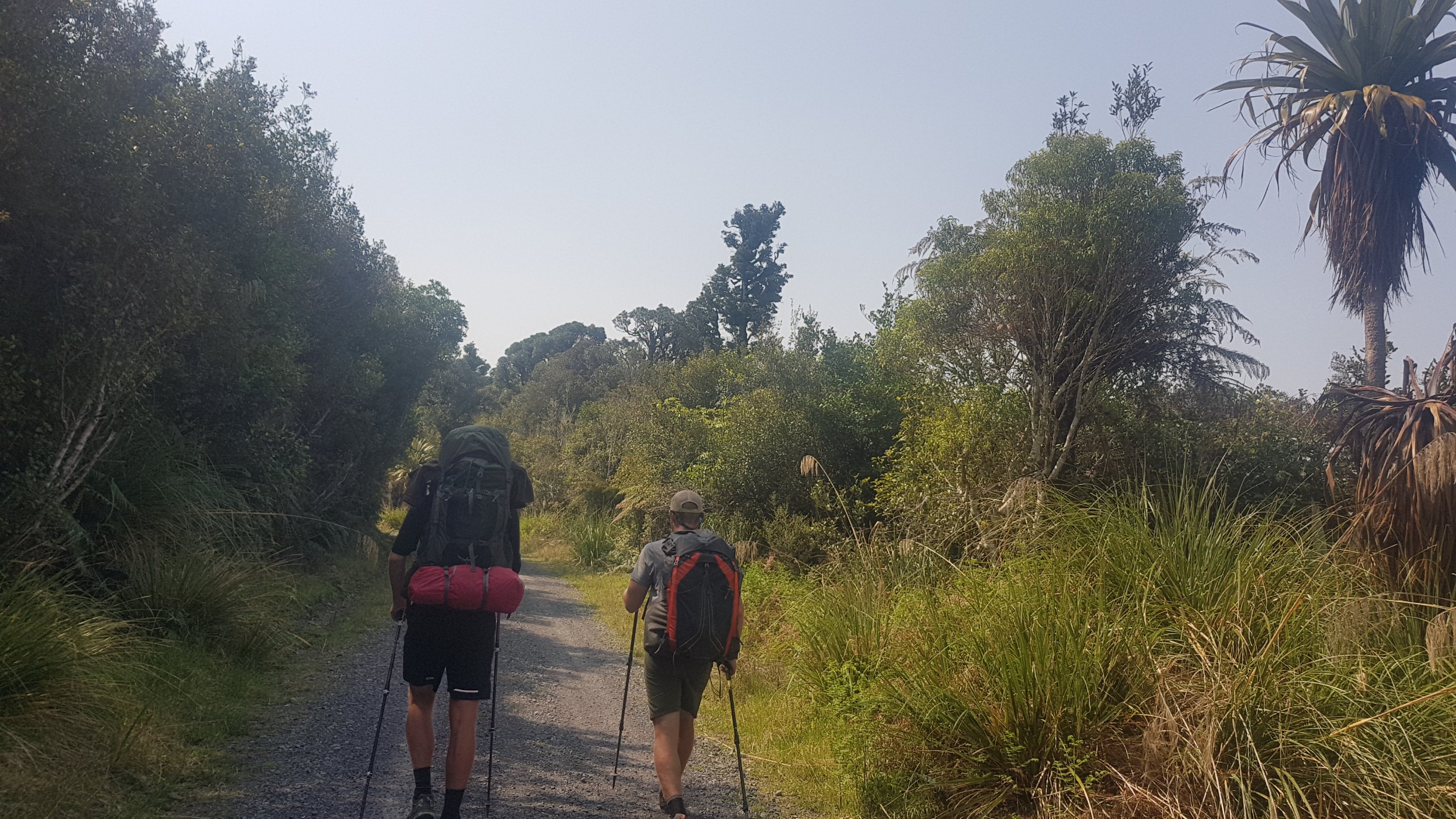
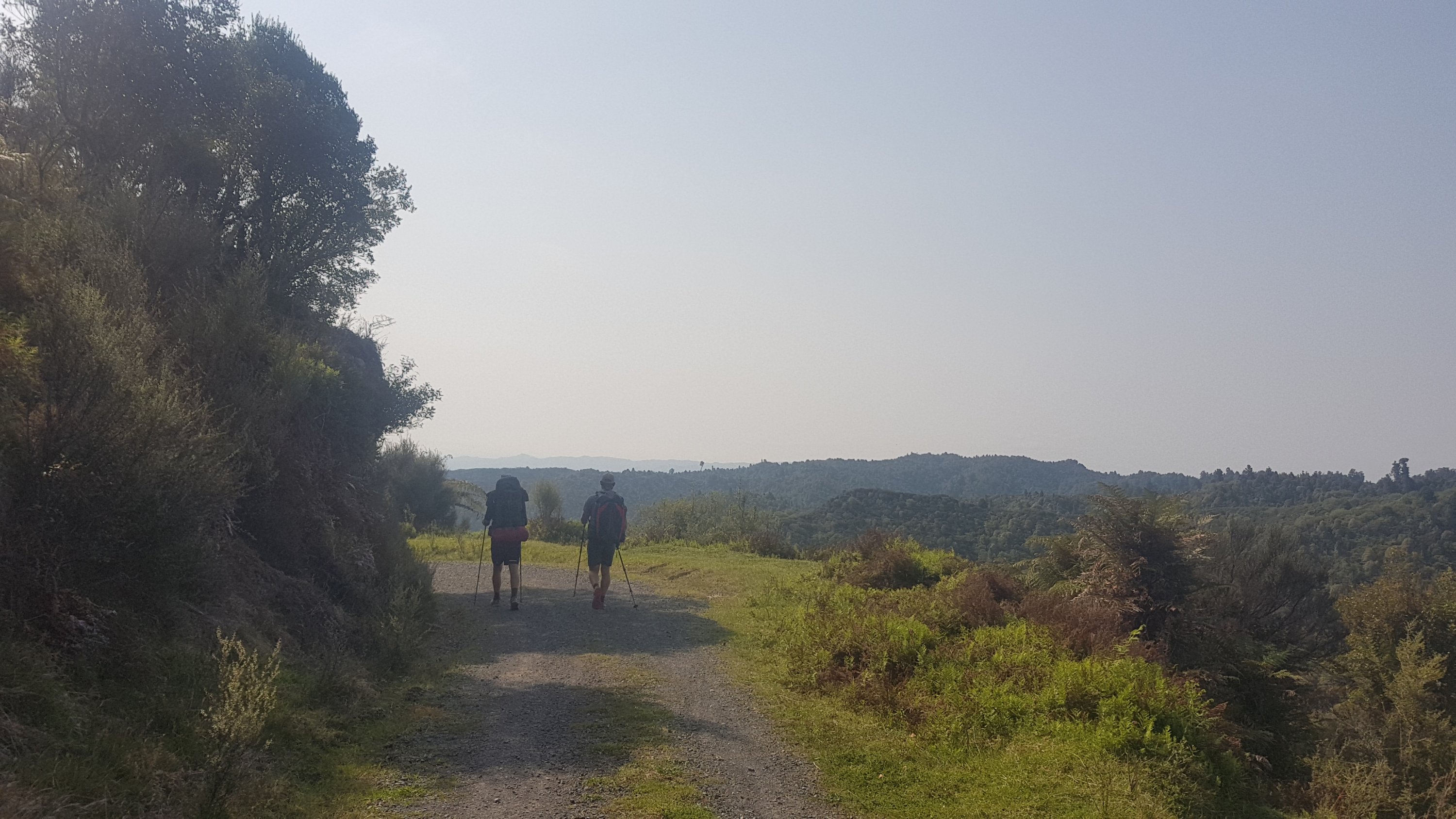
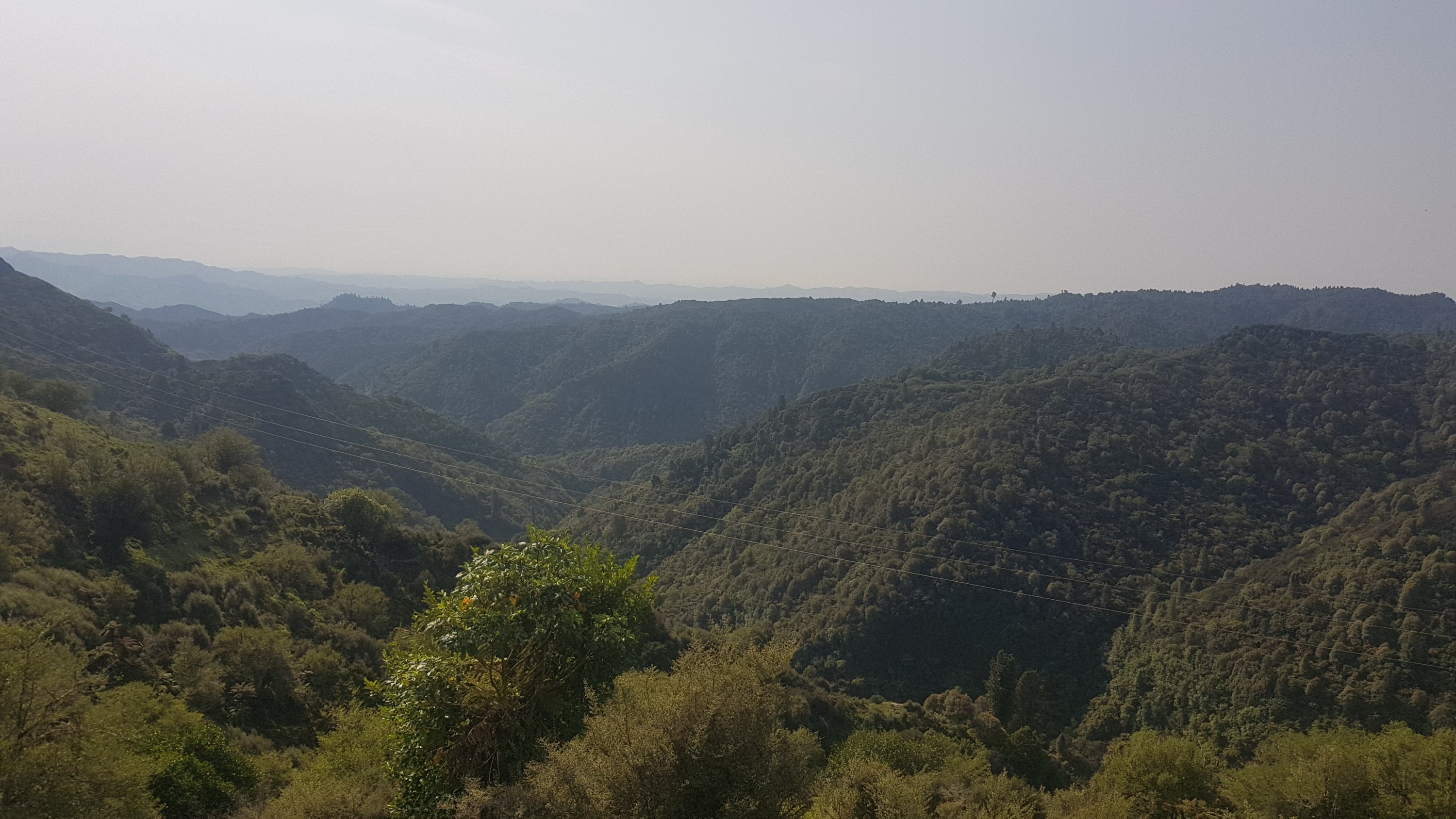
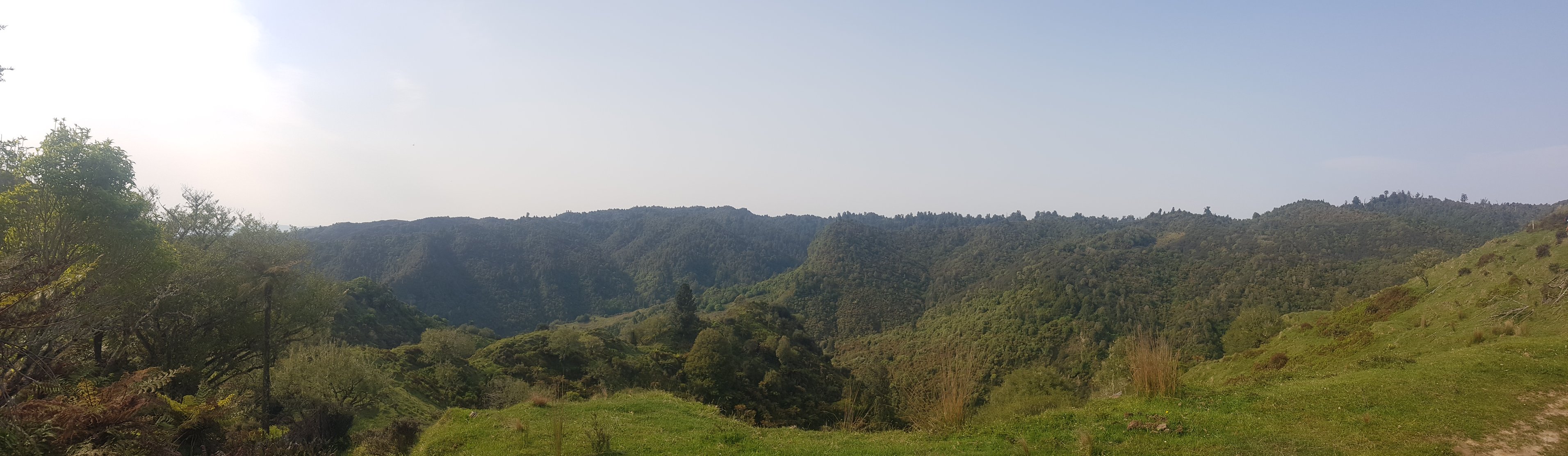
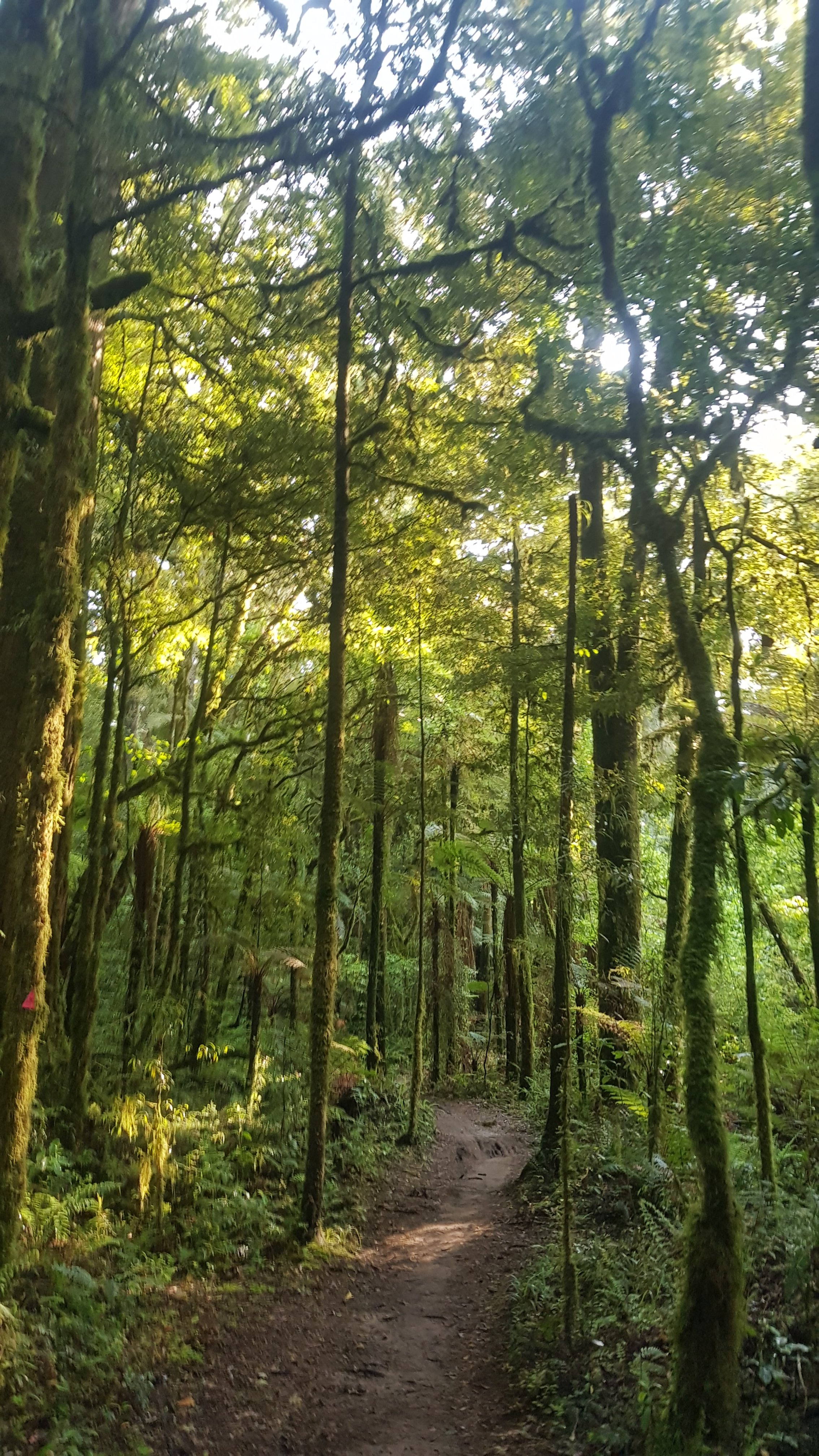
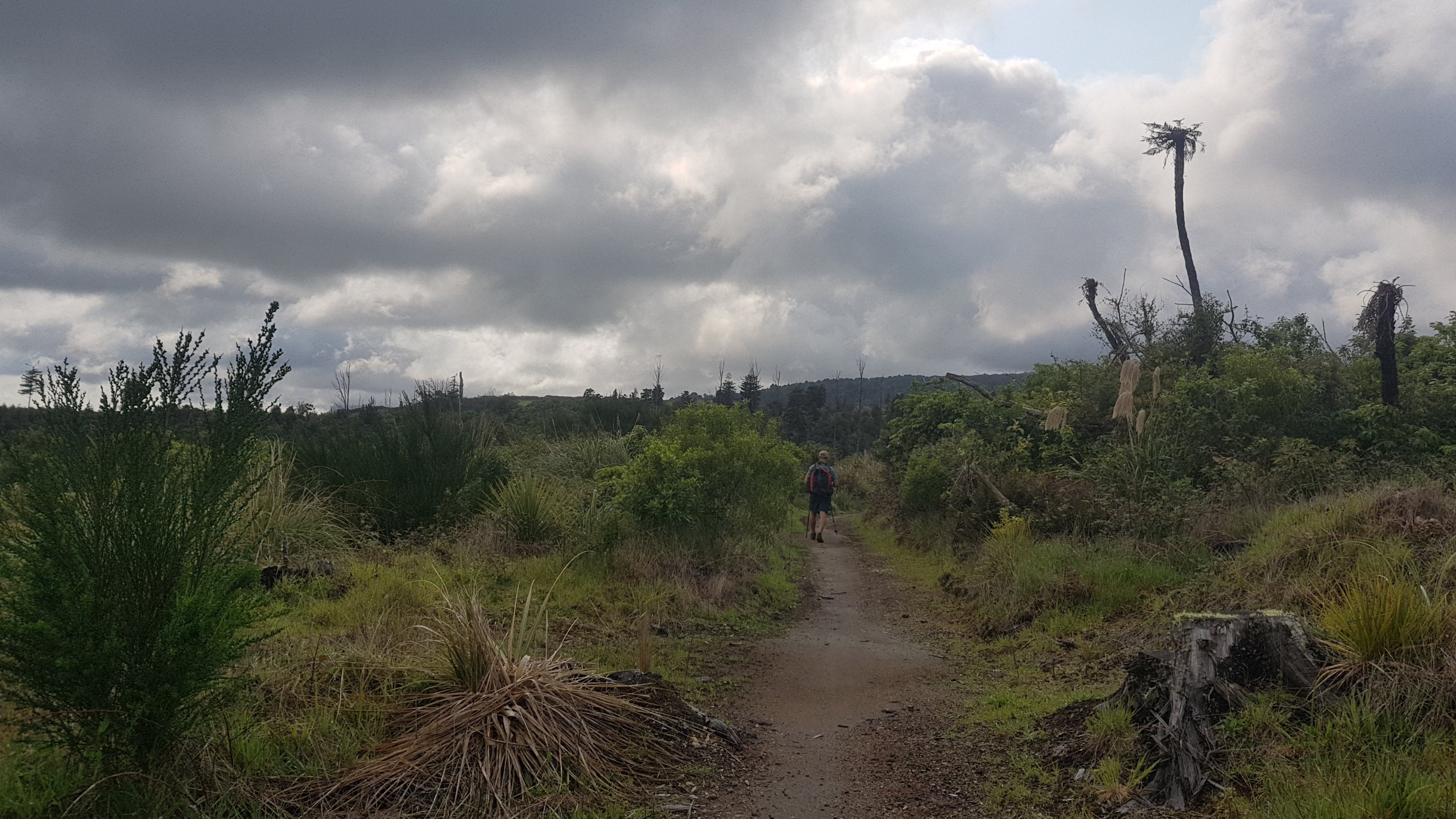
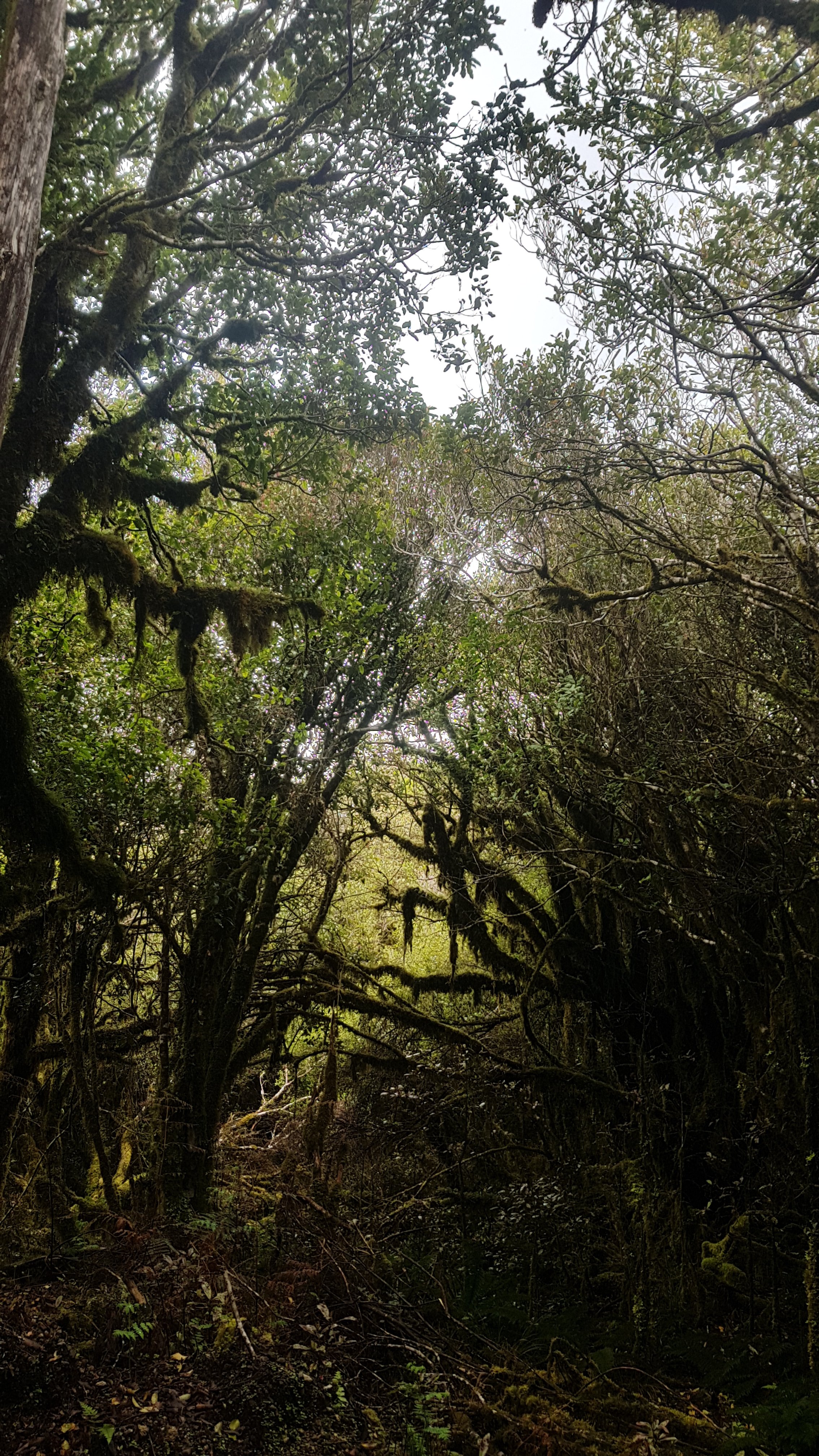
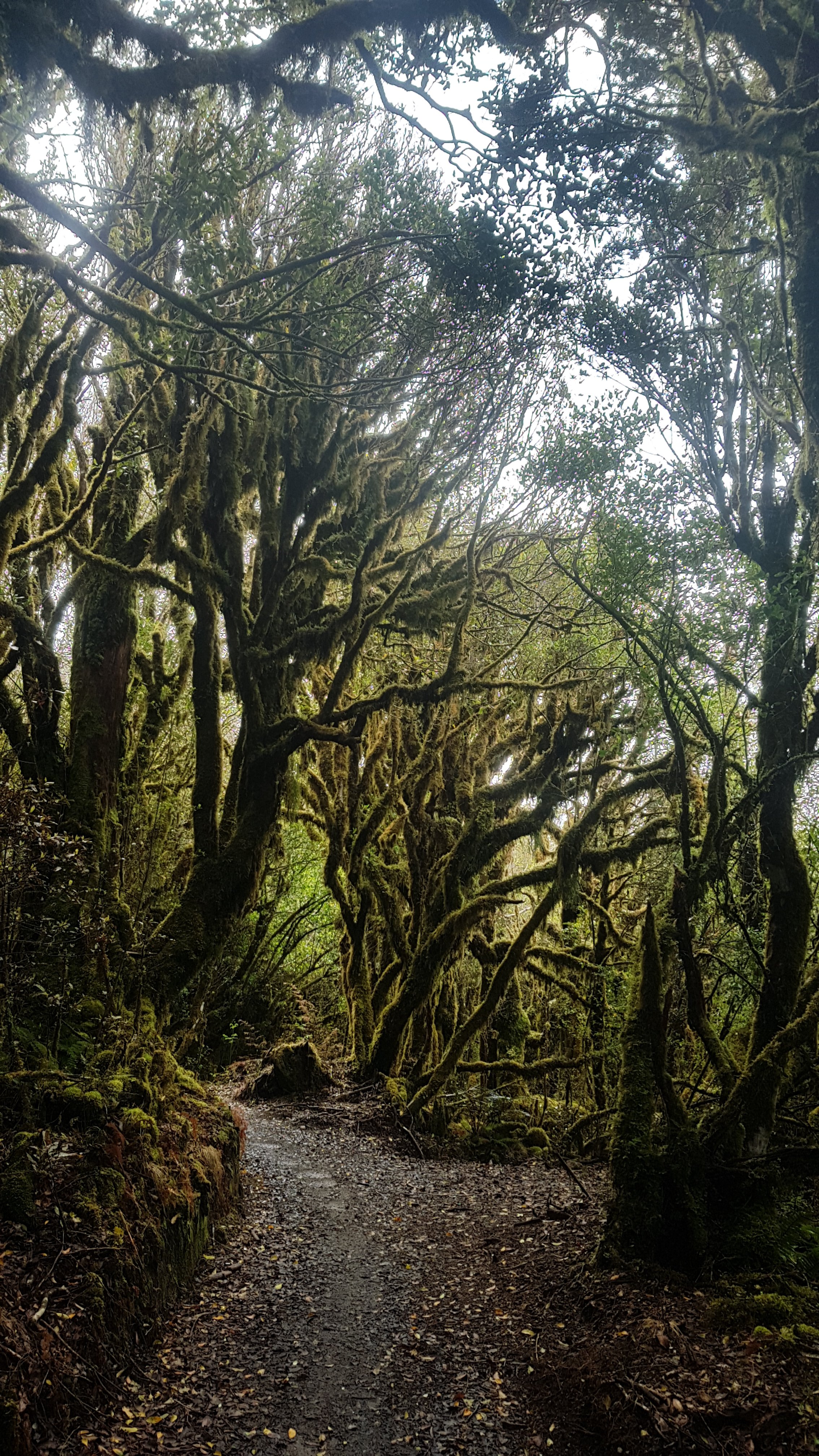
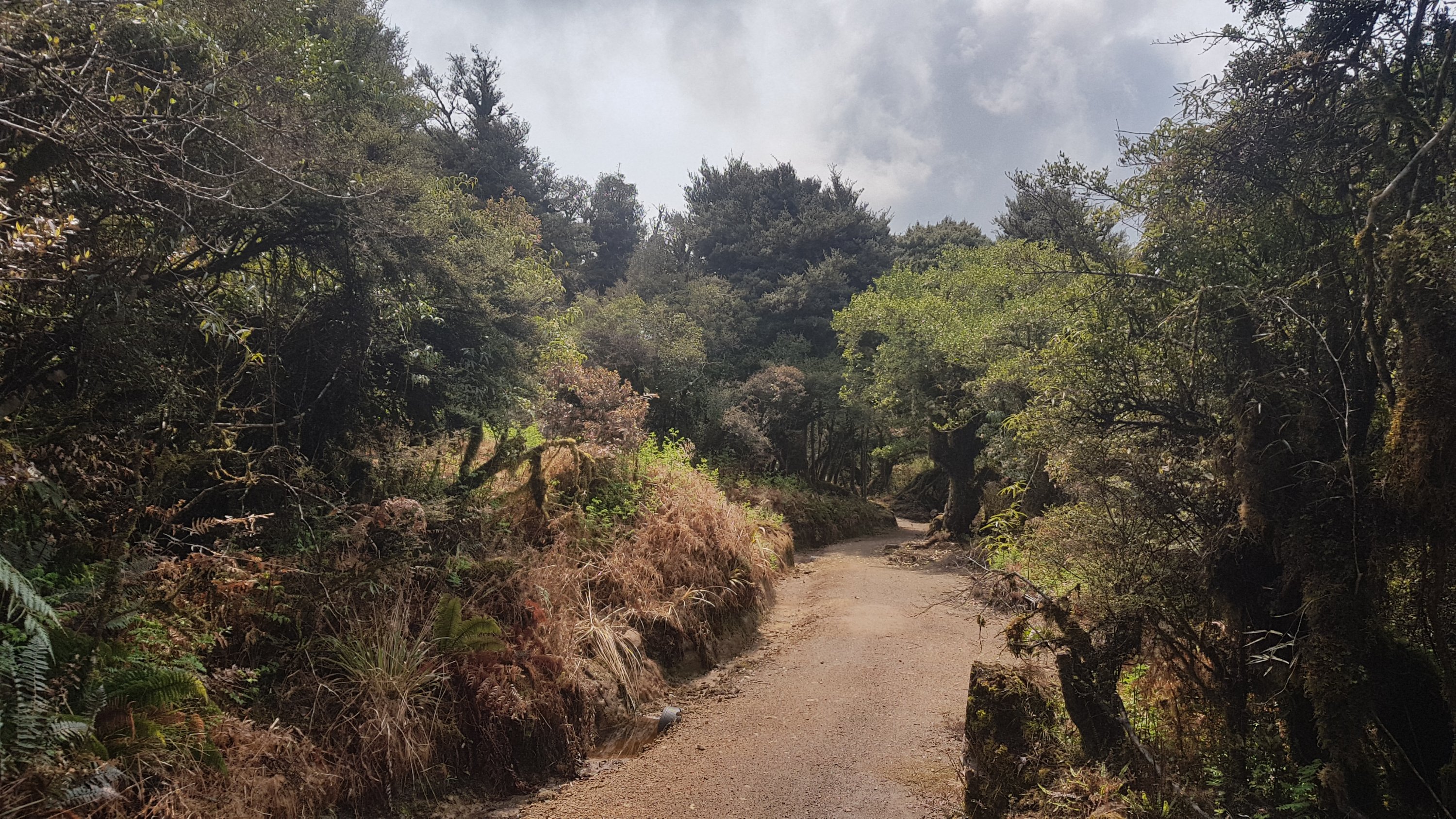
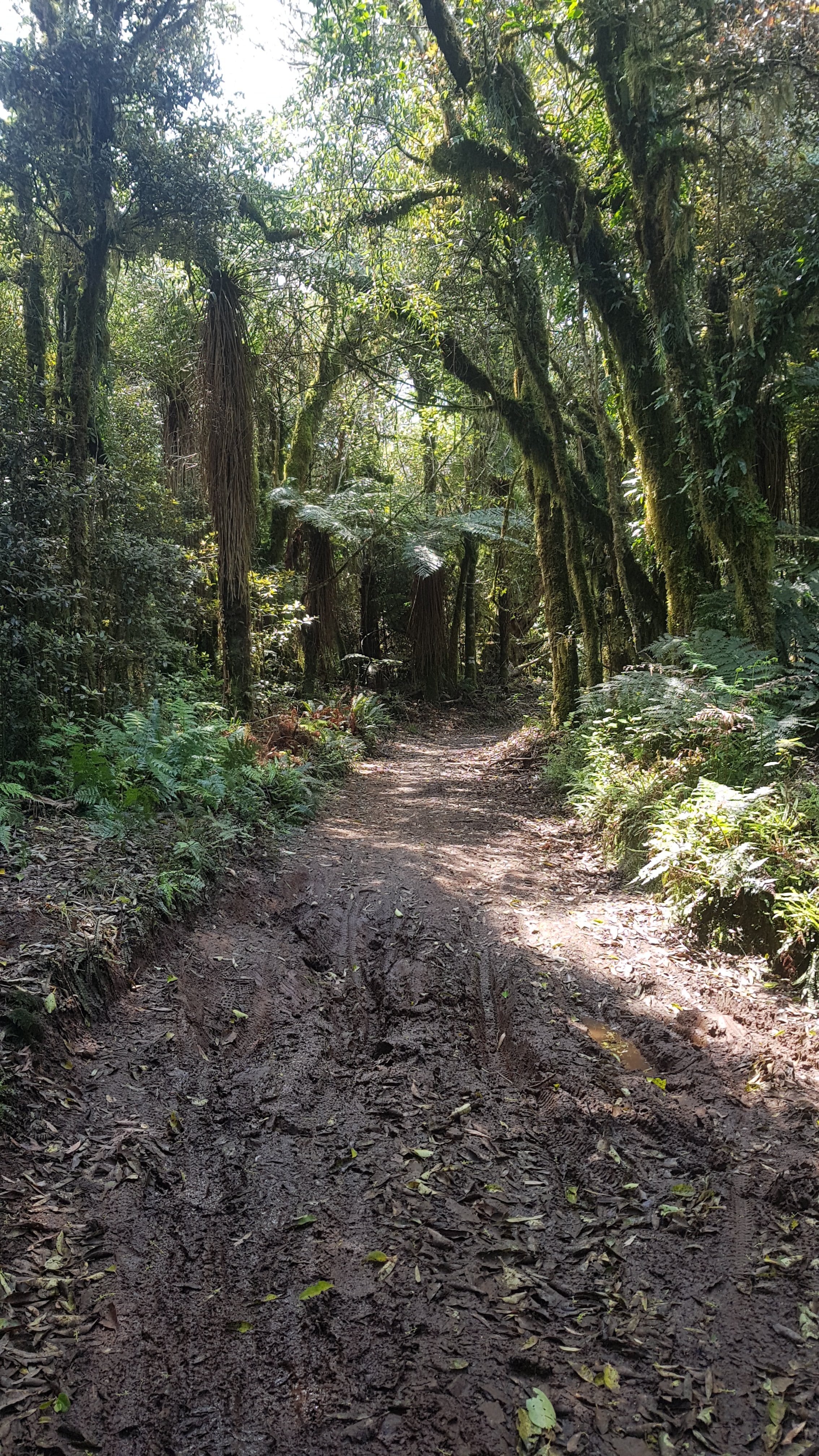
Mostly it was through forests, but the landscape did occassionally change.
And there appeared to be a Te Araroa sign attached to every marker that was a multiple of 10.
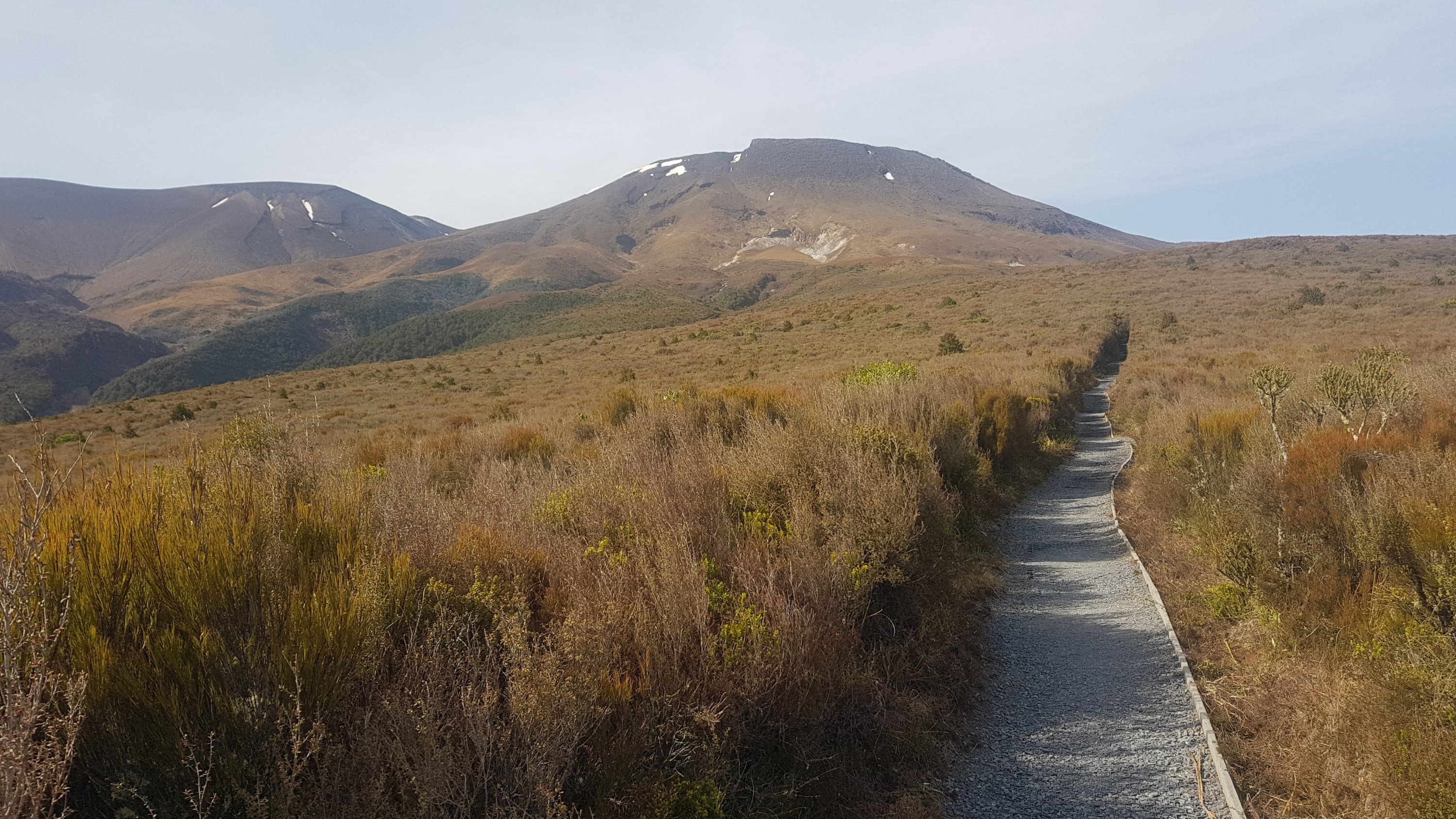
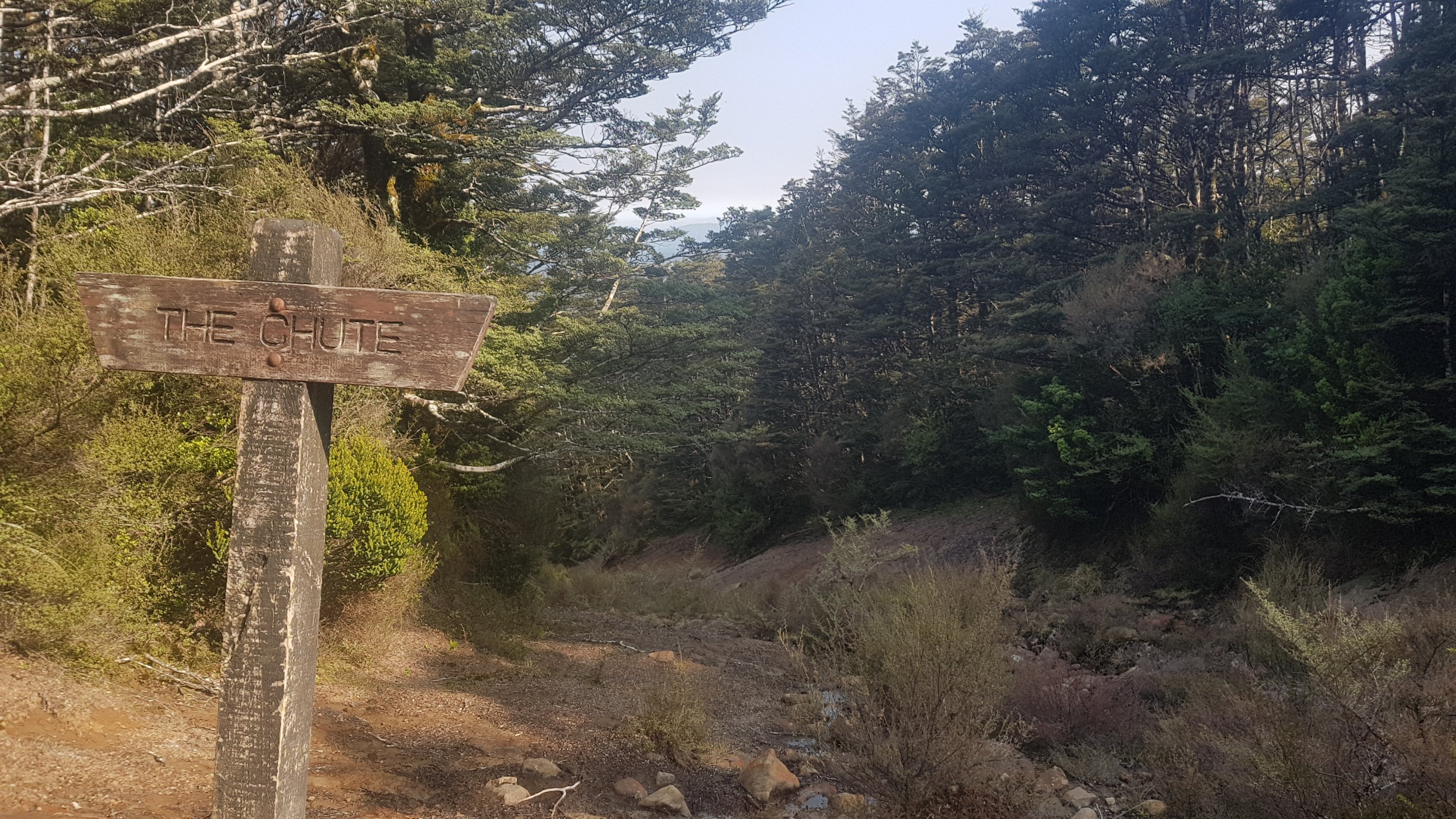
This is the point where you can turn off to a side trail that goes to Pureora Summit. Alex said he heard it had amazing views, but given how cloudy it was today we didn’t bother. We just had food here instead.
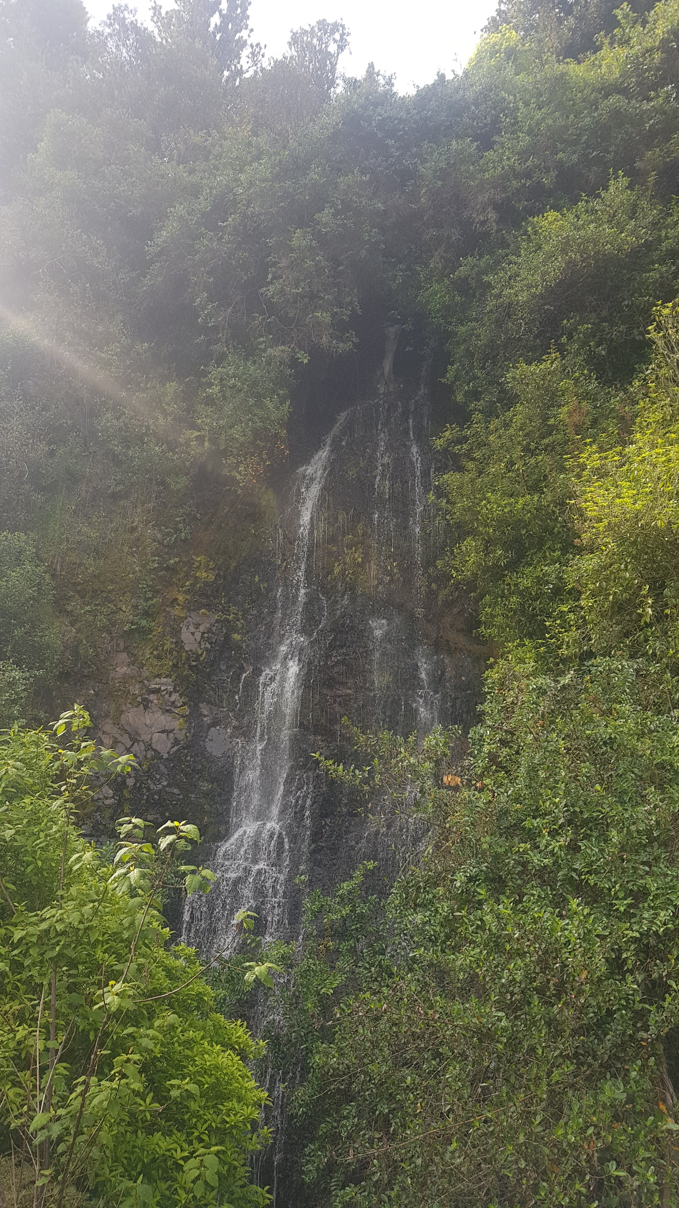
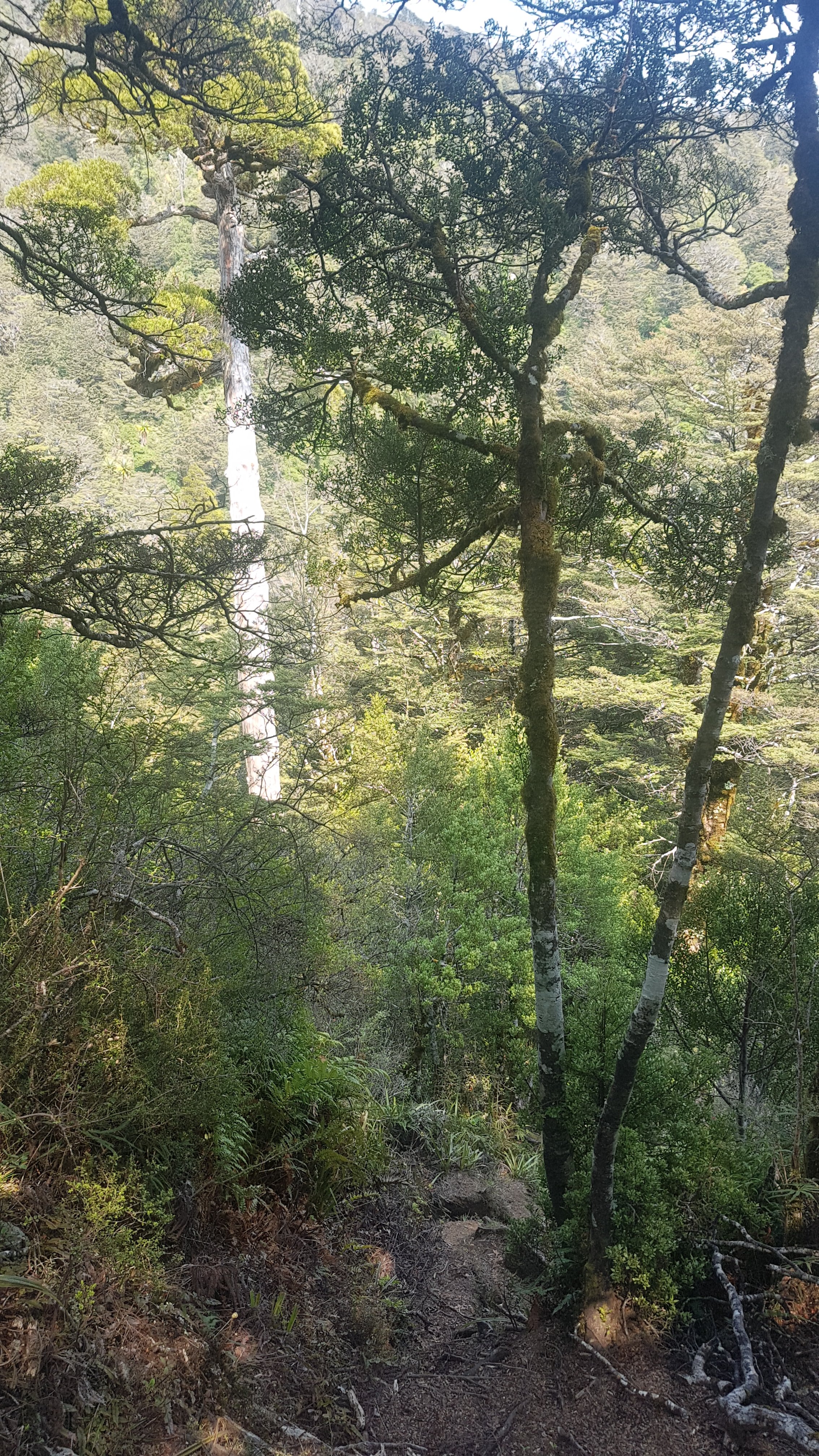
The trees in the next bit were quite spooky, but I really liked them.
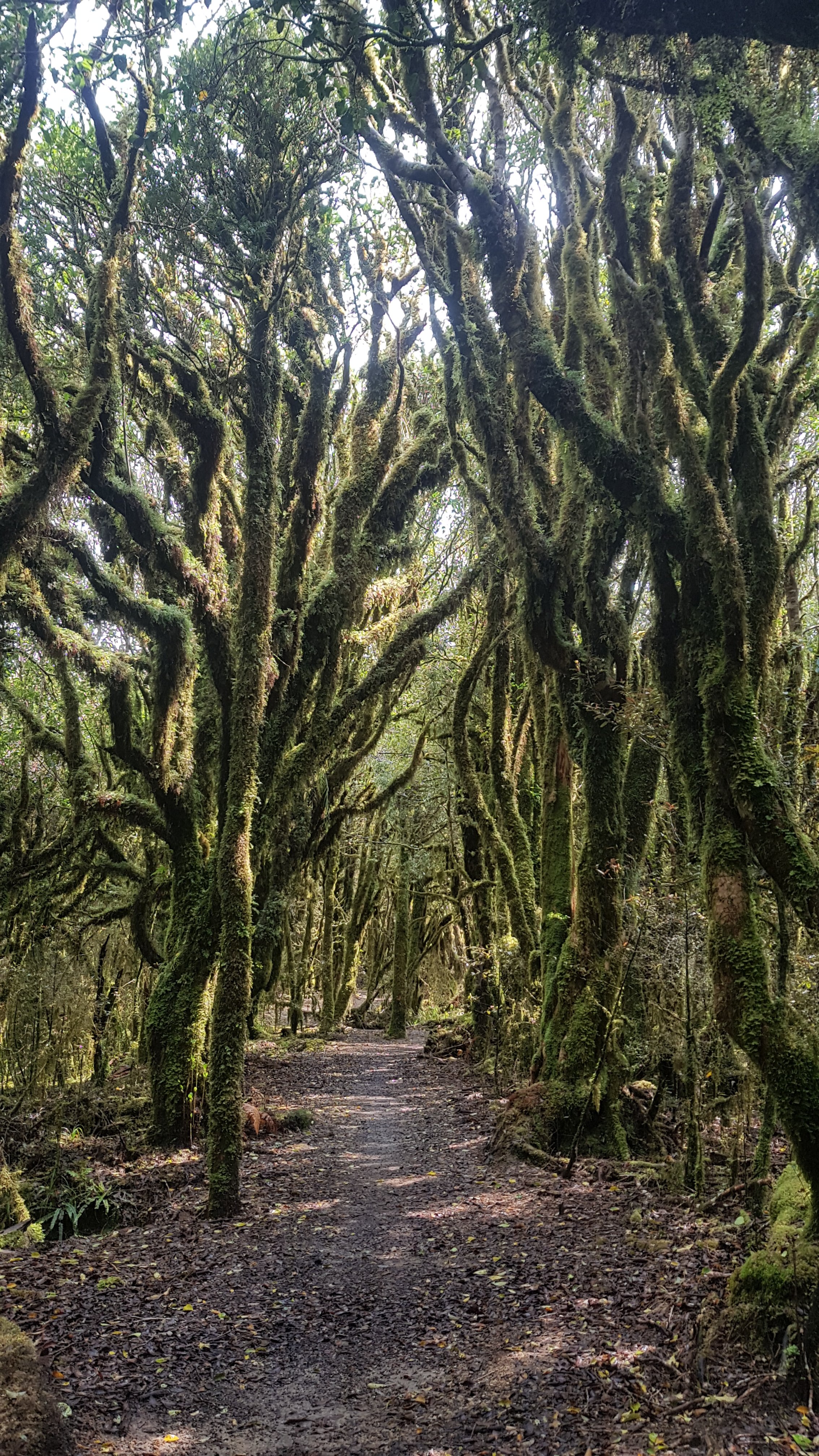
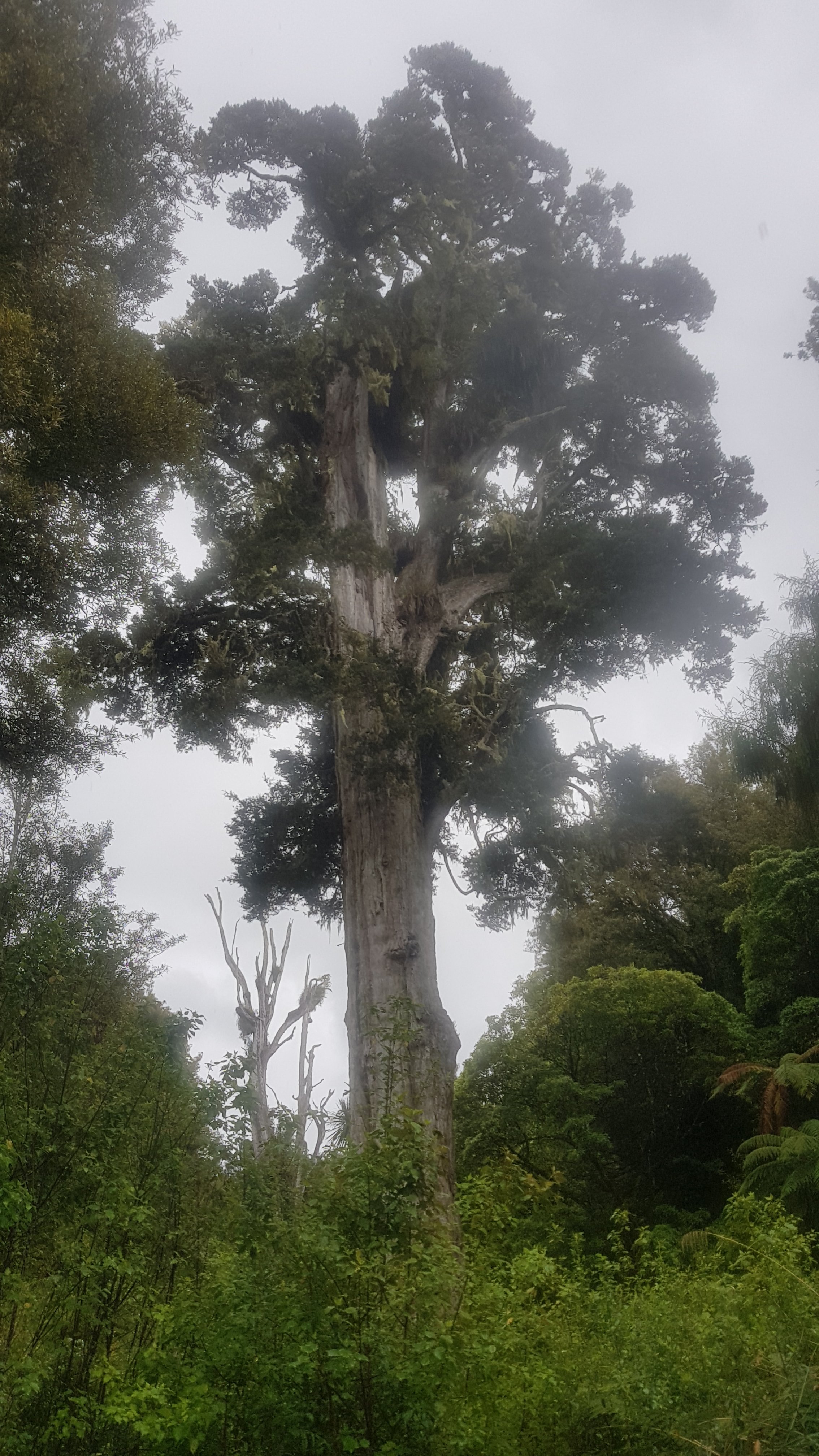
I think this tree that I spotted at 11am was my favourite of all.
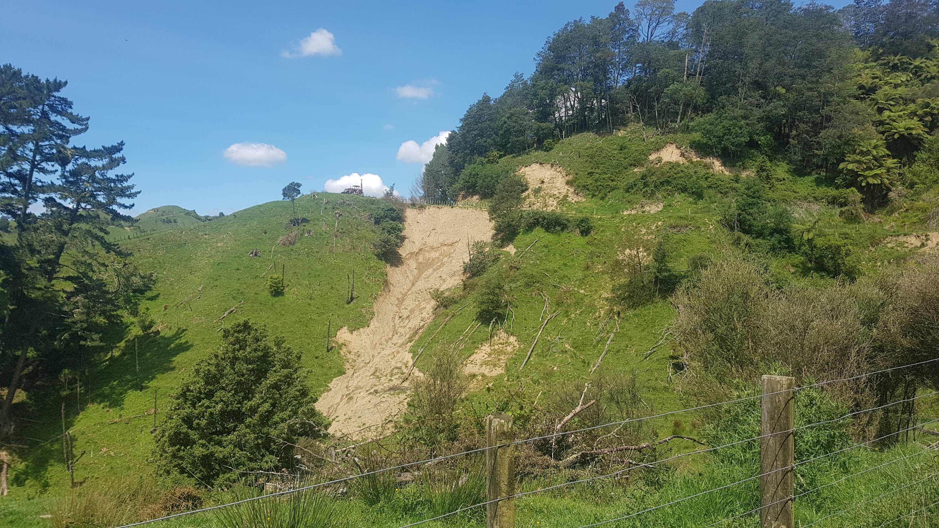
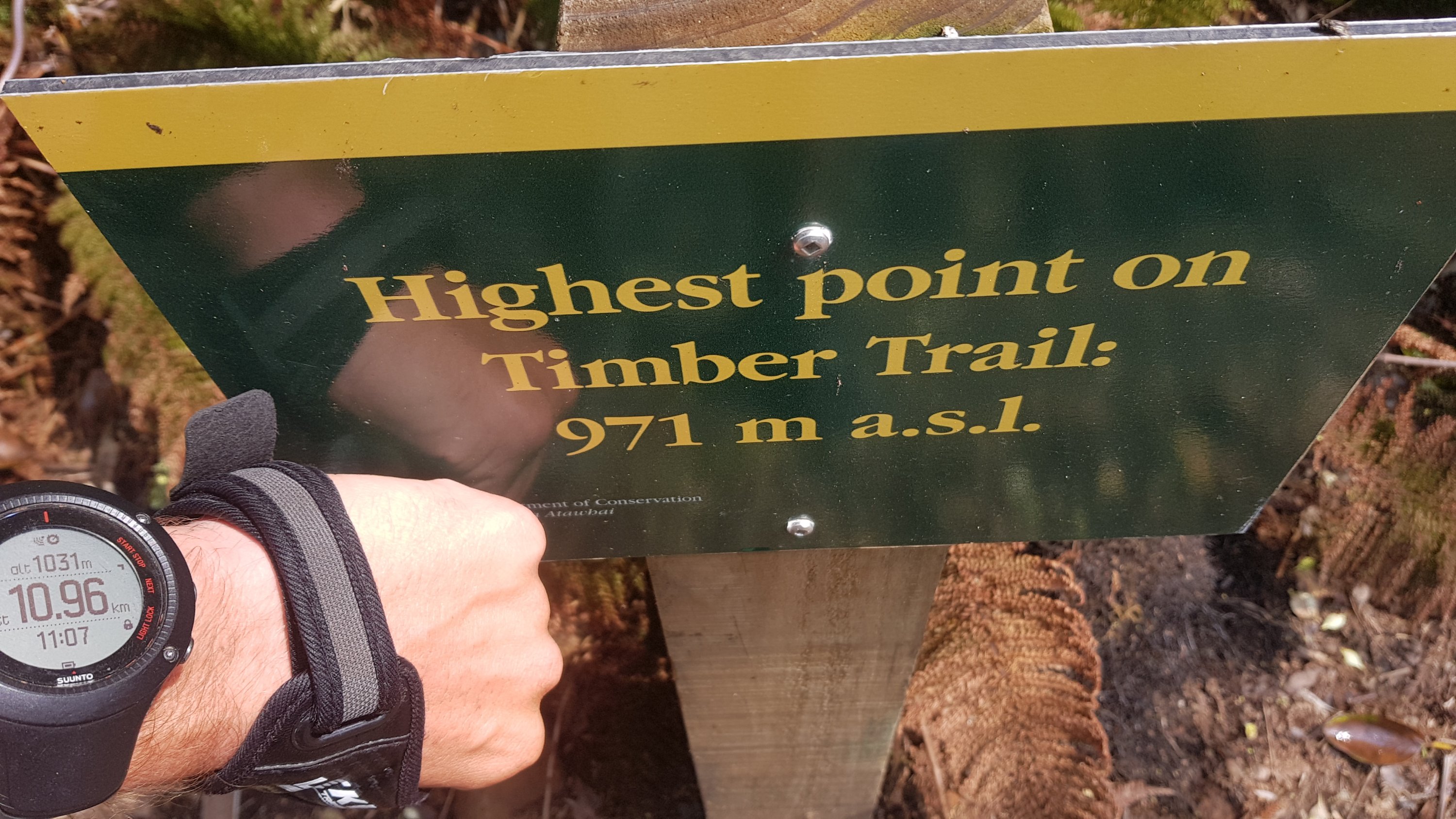
Shortly after the elevation on my watch was reading the highest I had seen it so far.
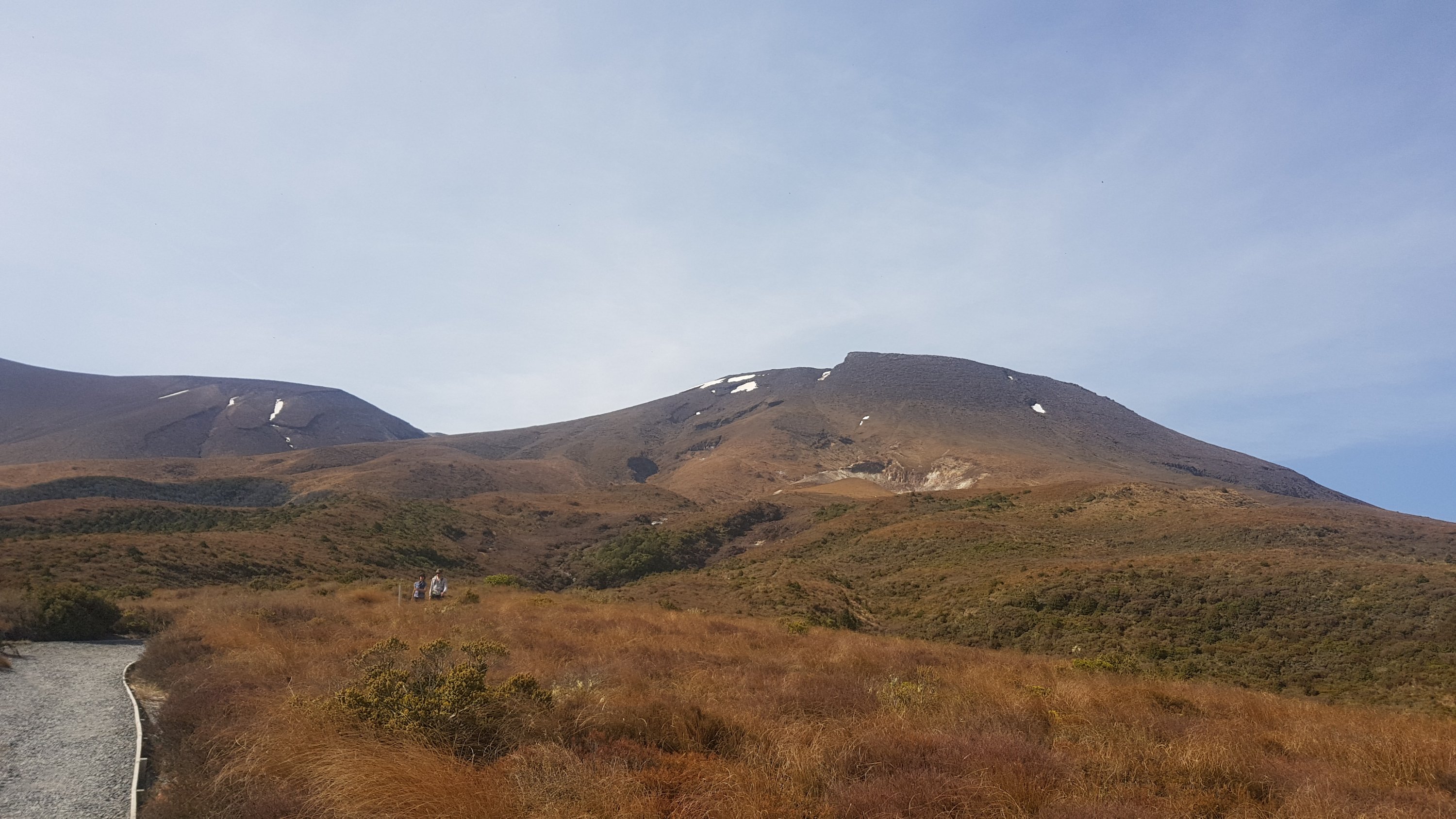
However, if you believe this sign, my watch is way out because the highest point is right here and it is only 971m.
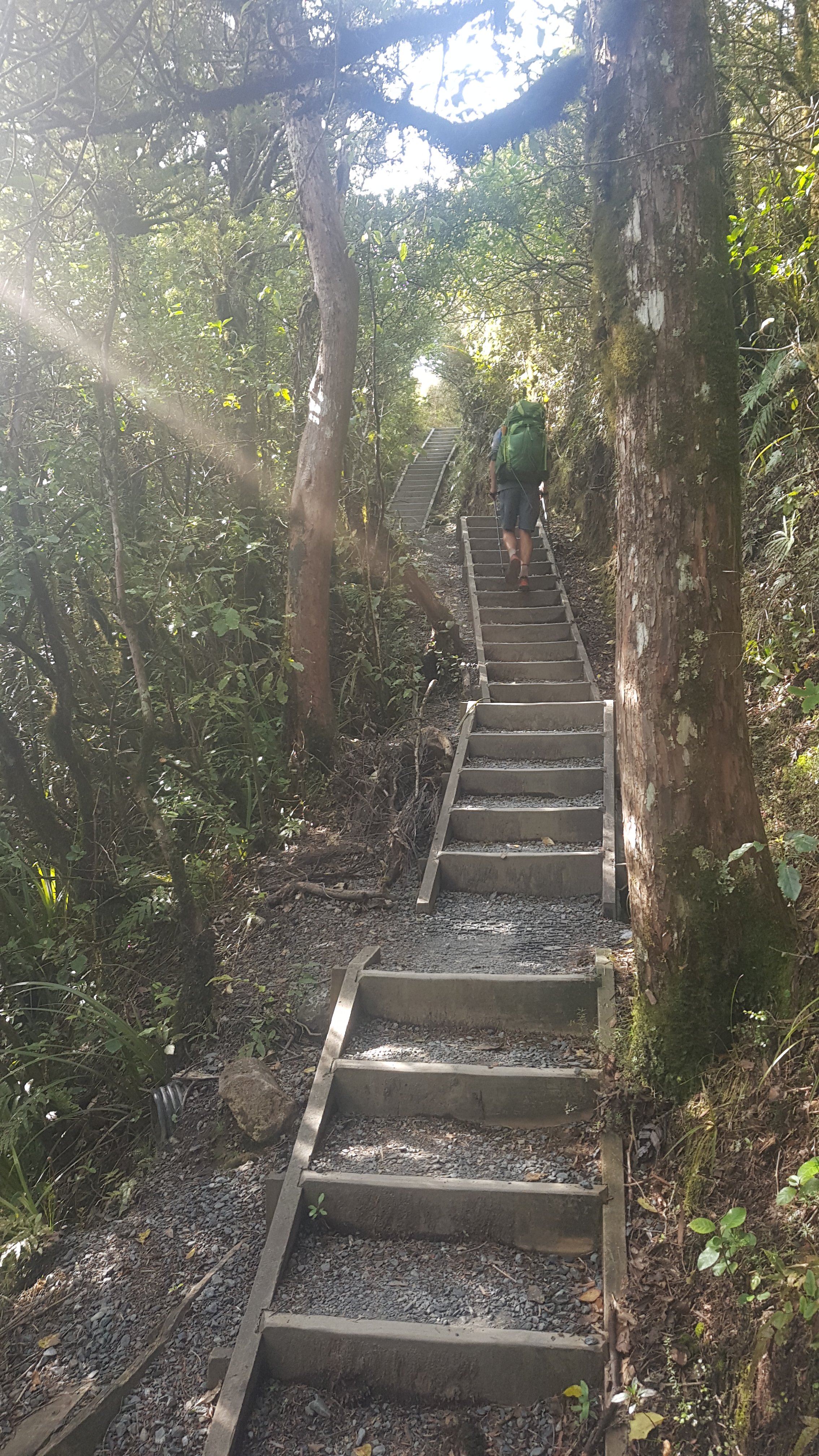
A bit more walking…
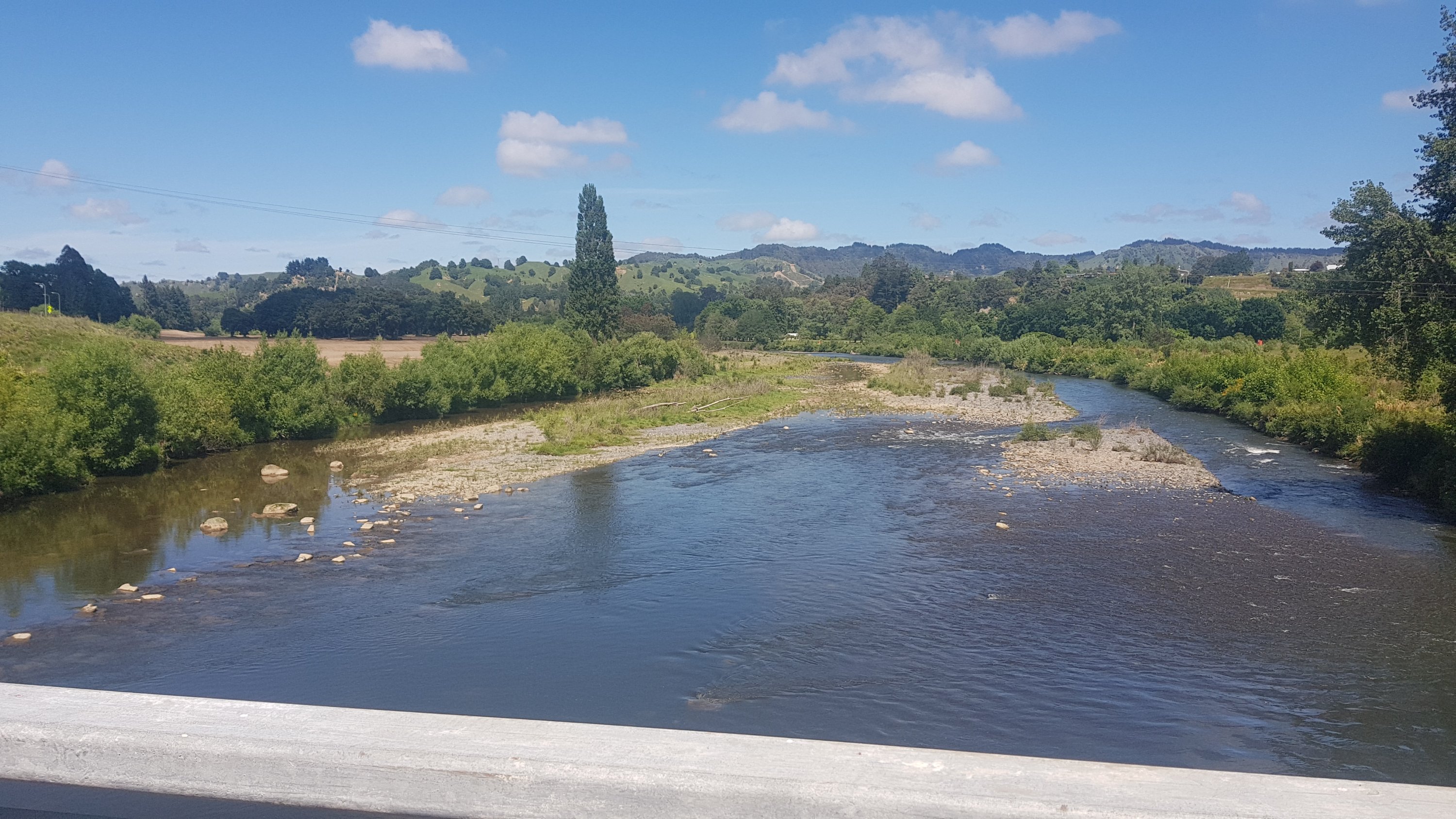
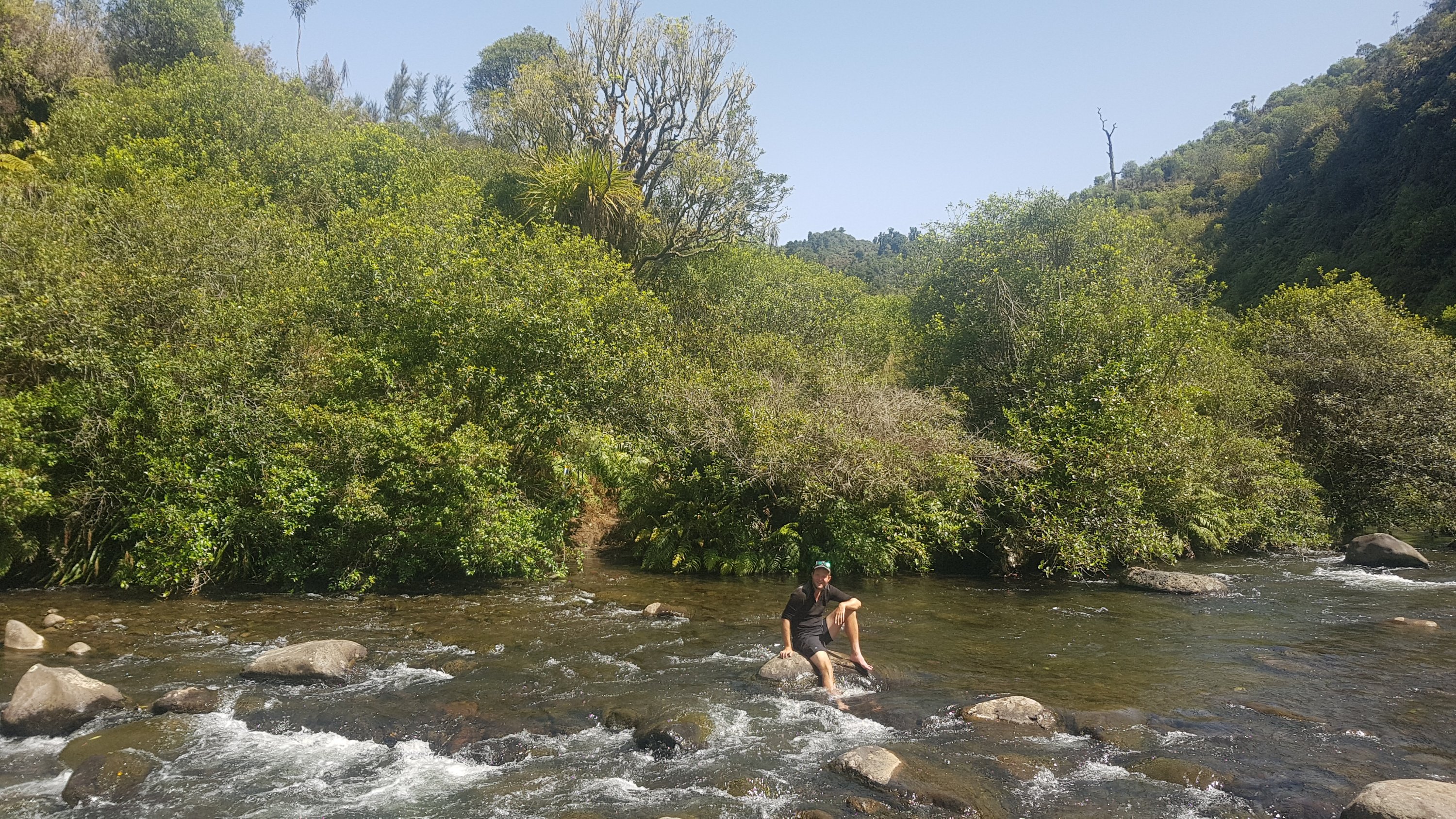
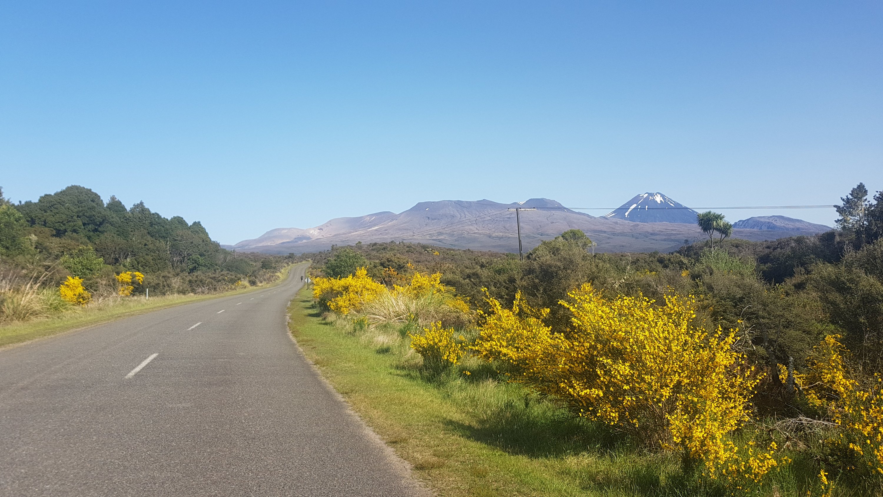
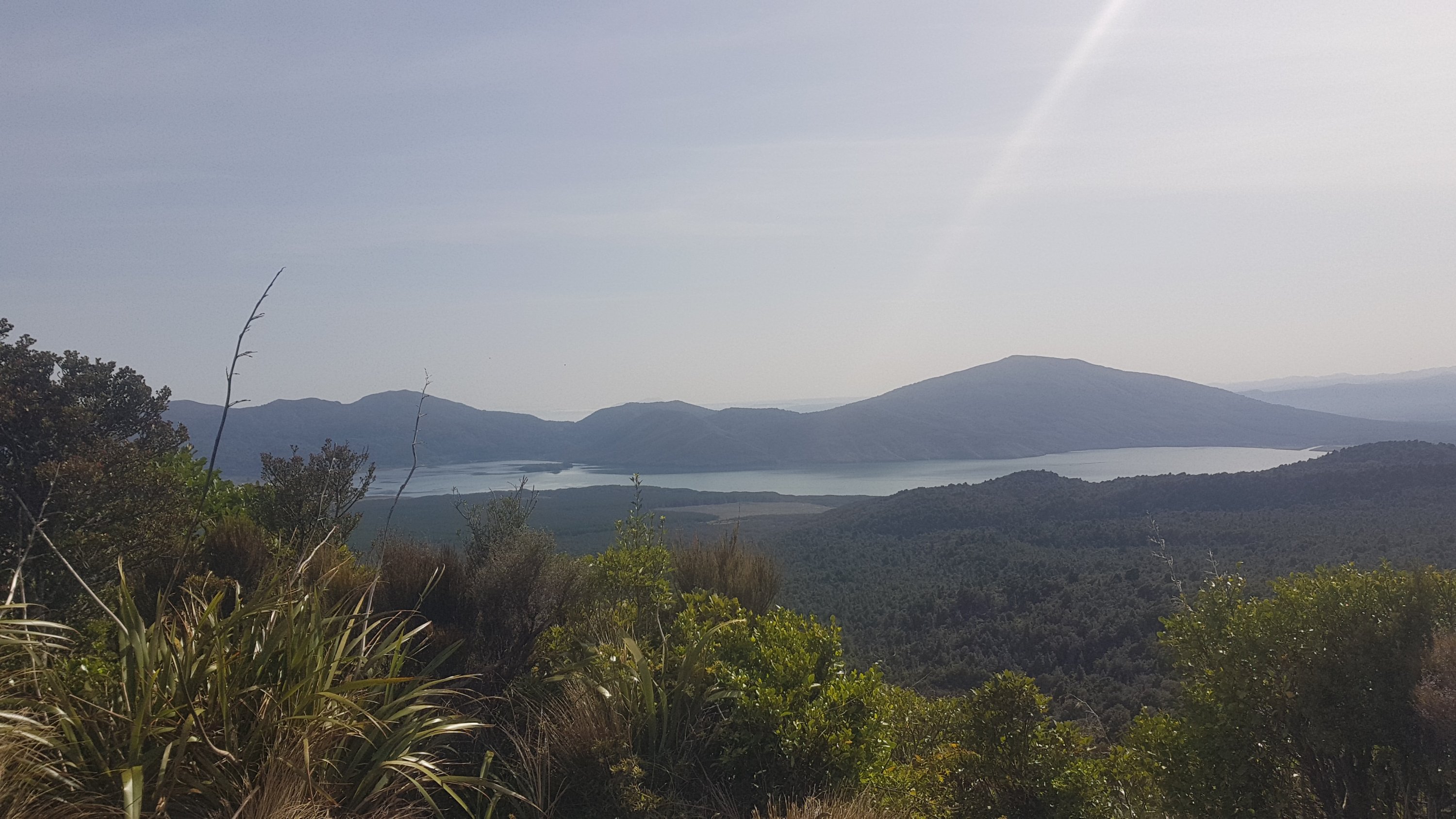
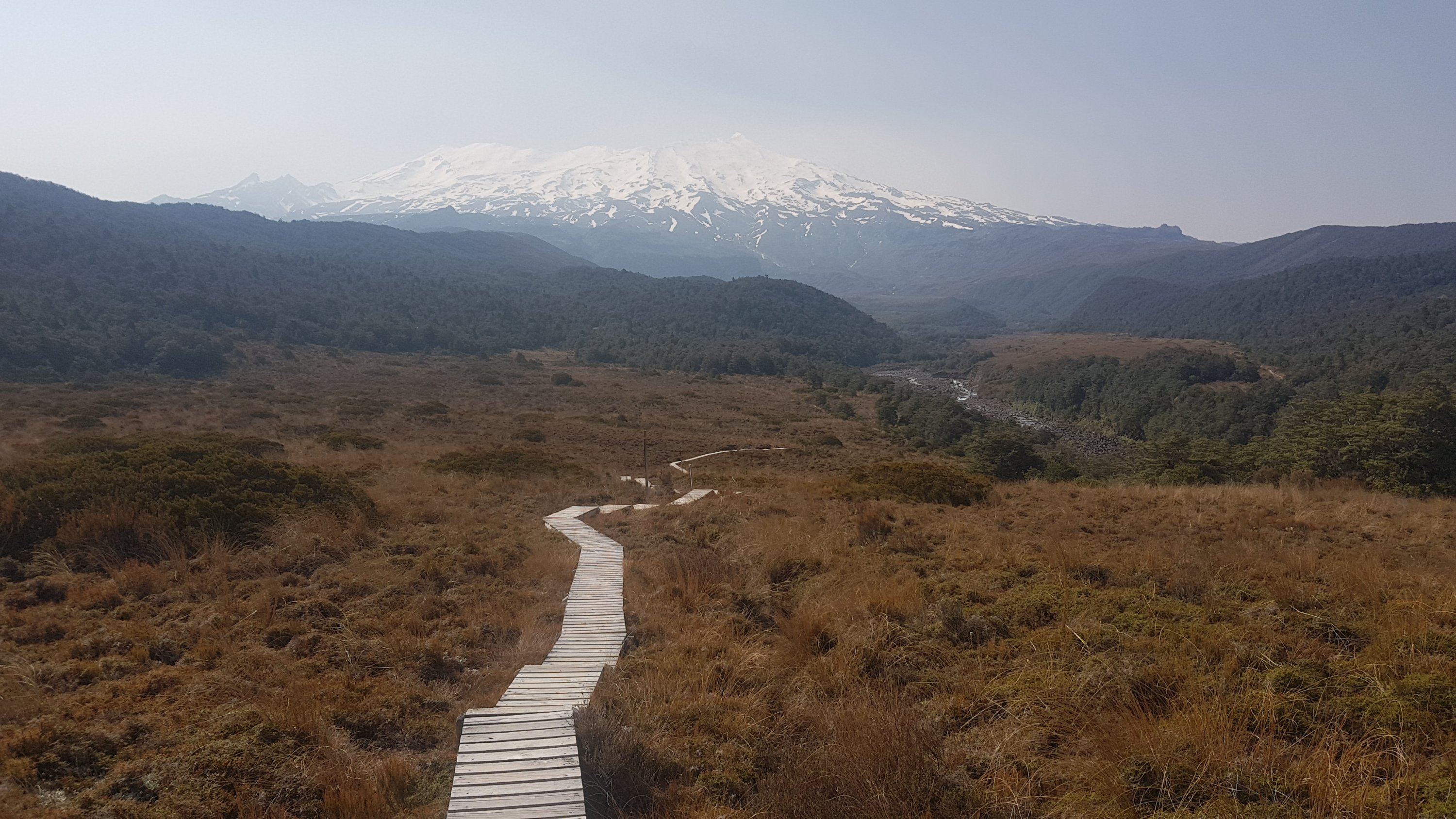
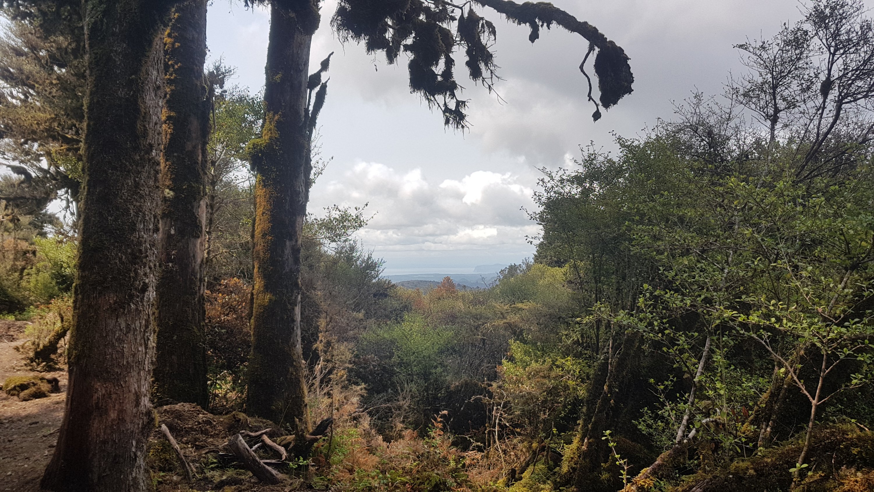
And I came across this which, according to the sign, is a view of Lake Taupo. I was surprised to see Lake Taupo off to the right hand side. I expected it to be on the left.
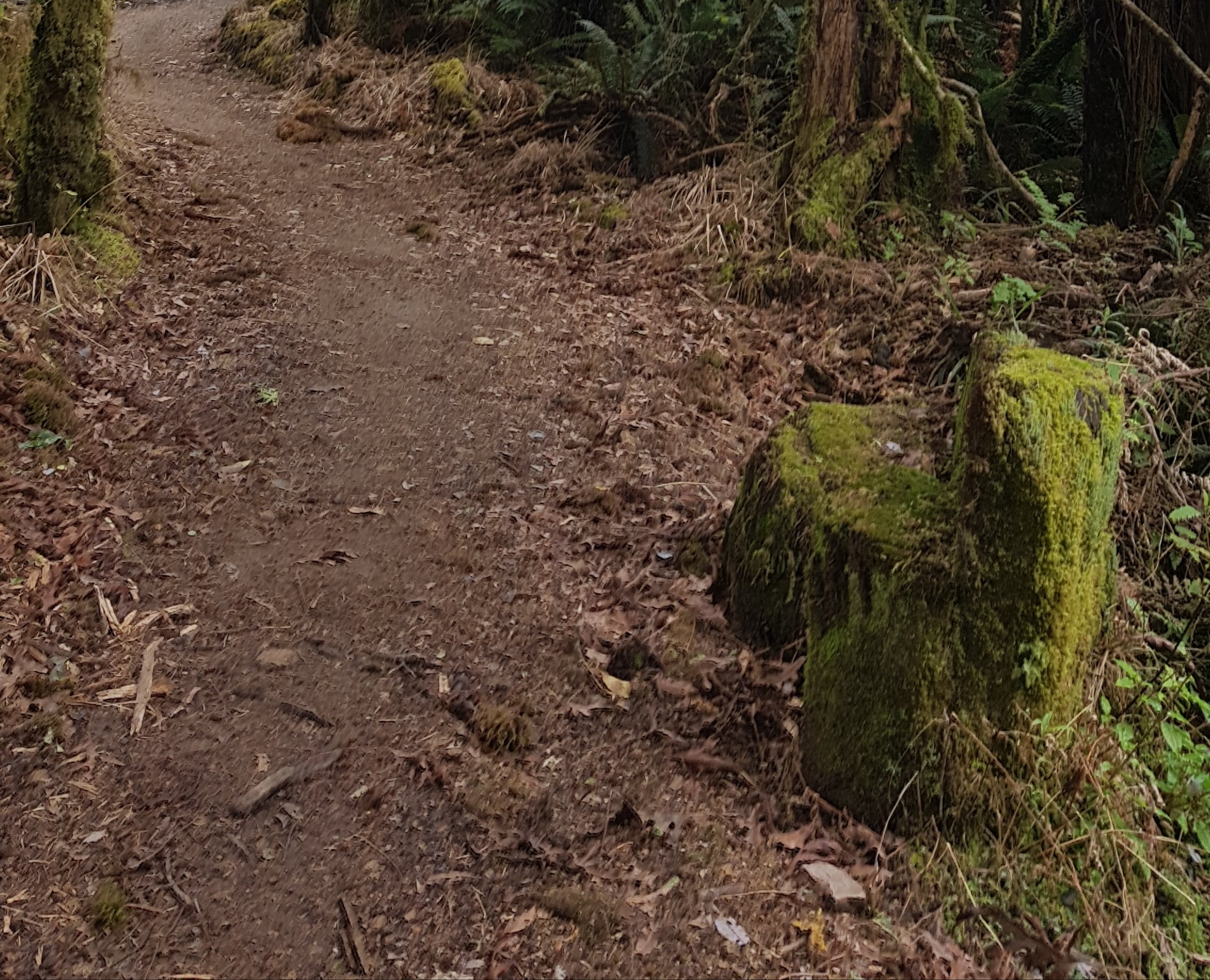
Somebody looks like they have carved two seats out of these tree stumps.
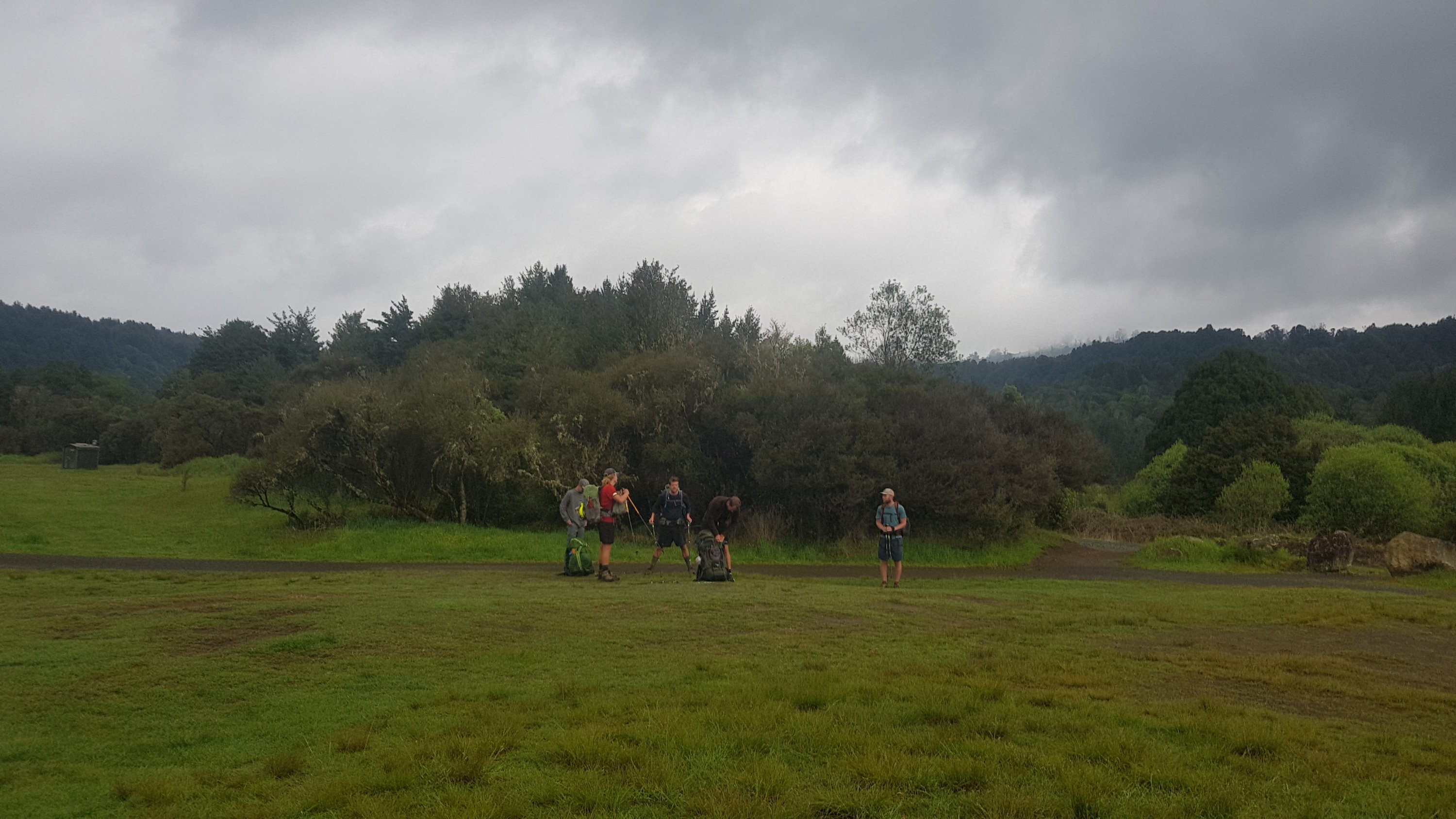
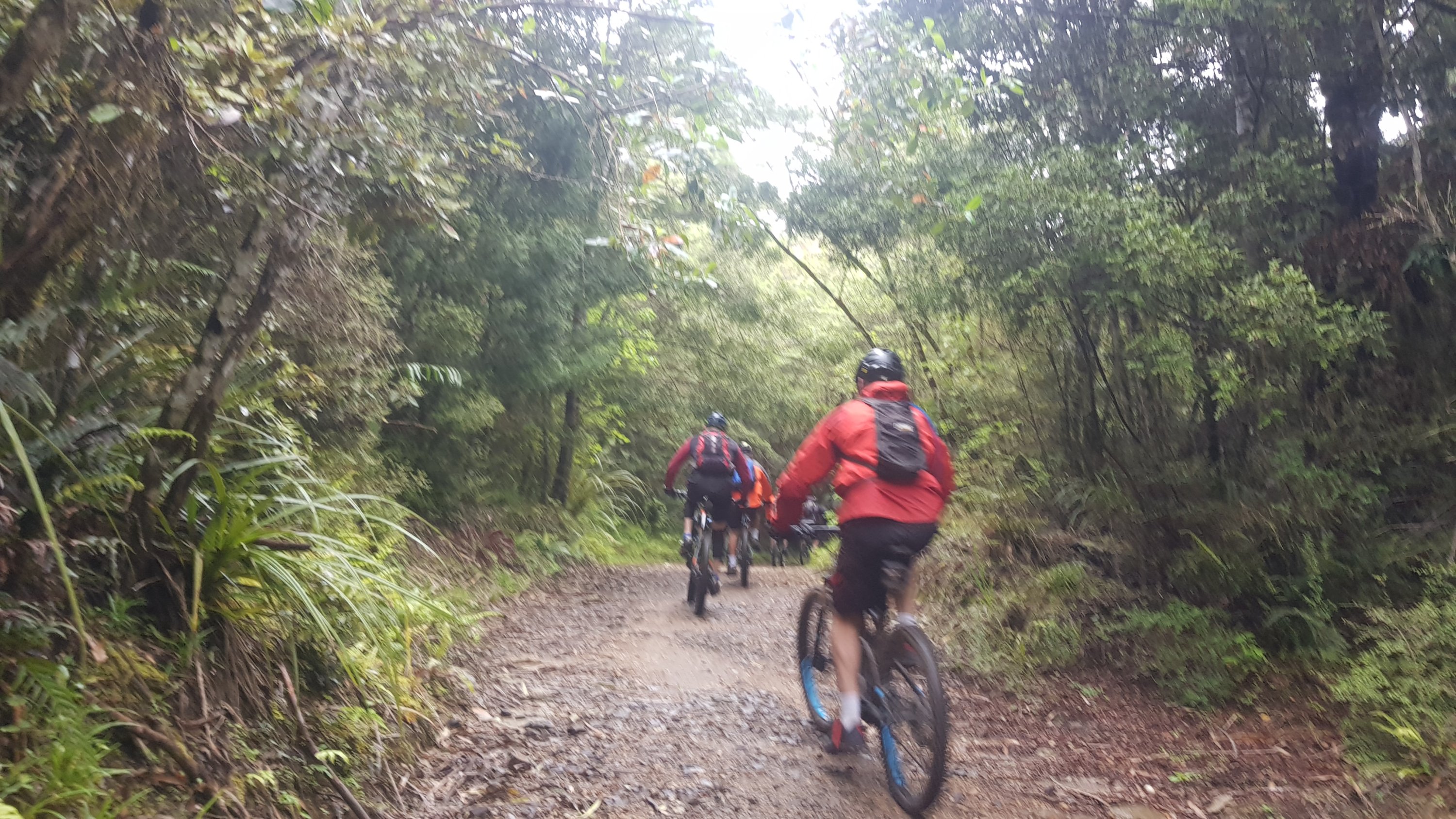
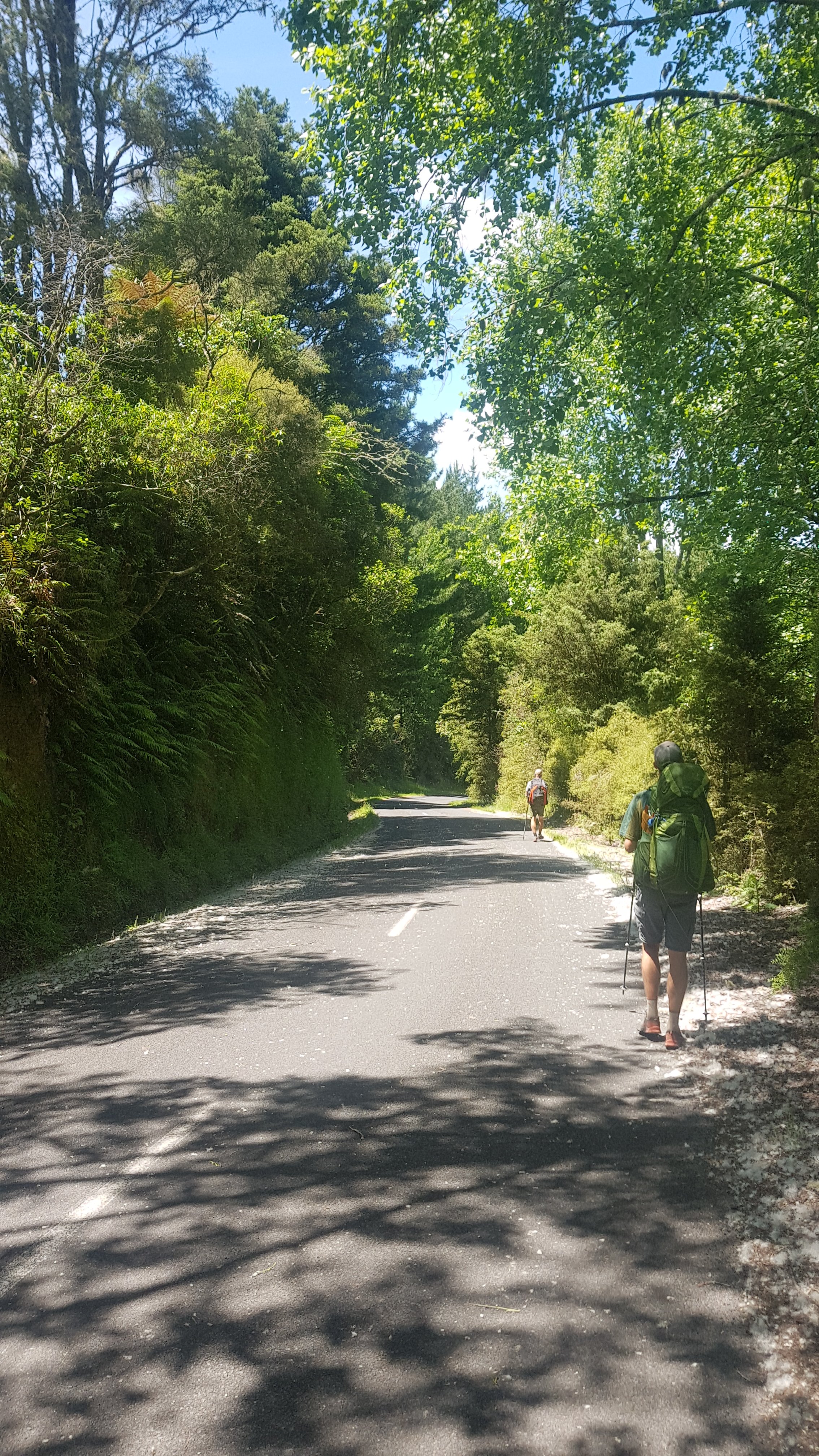
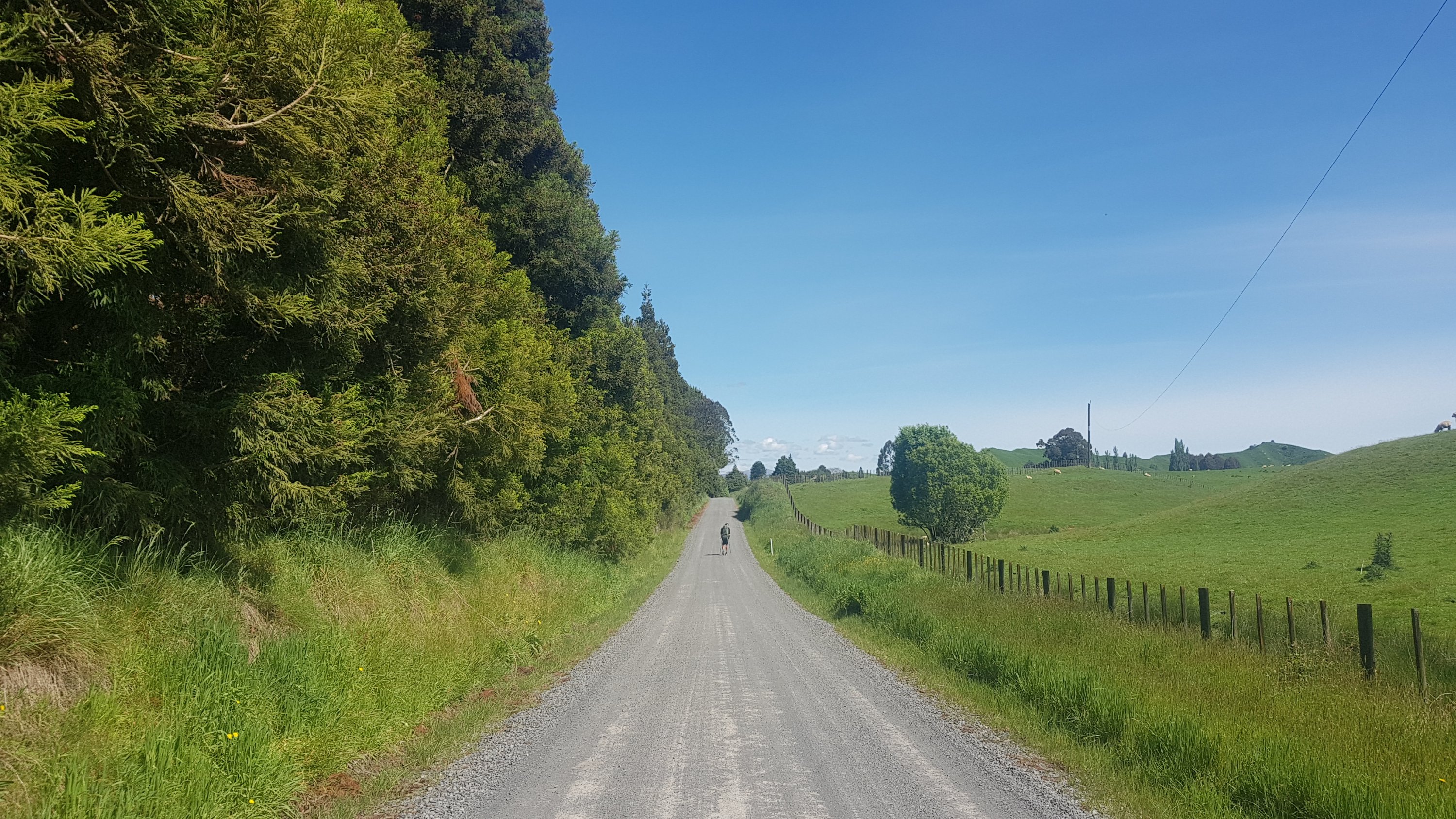
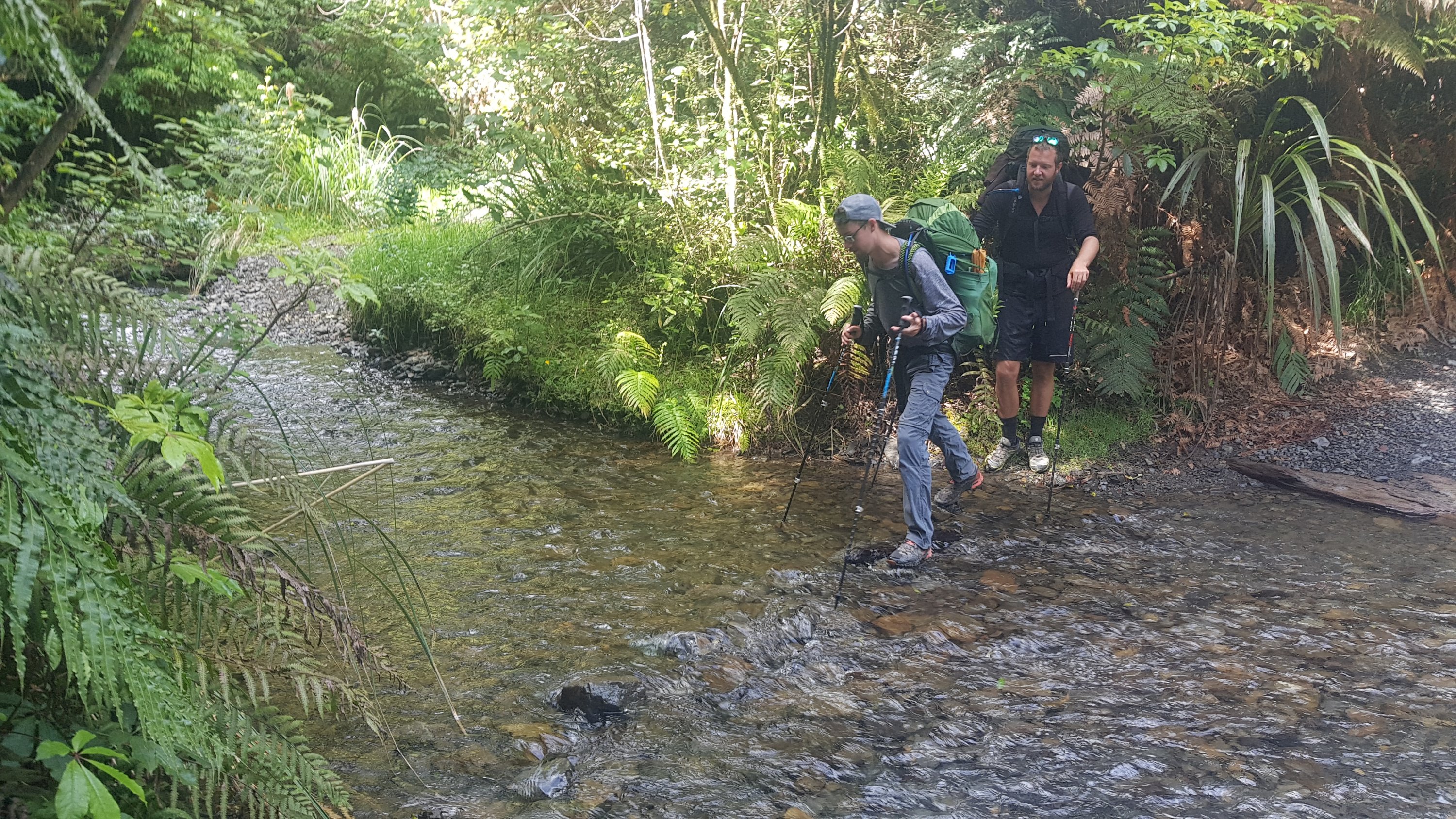
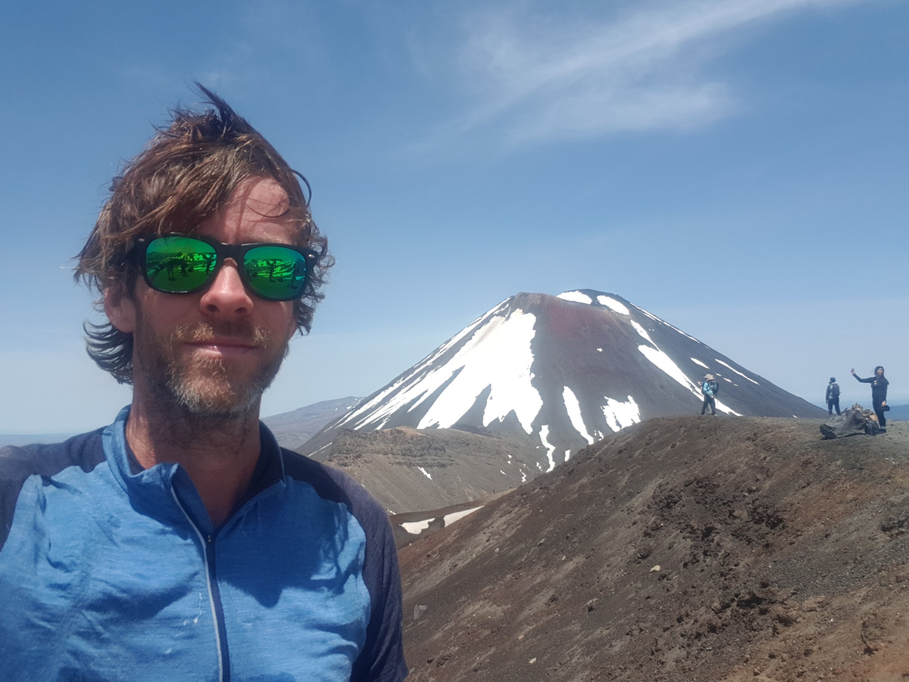
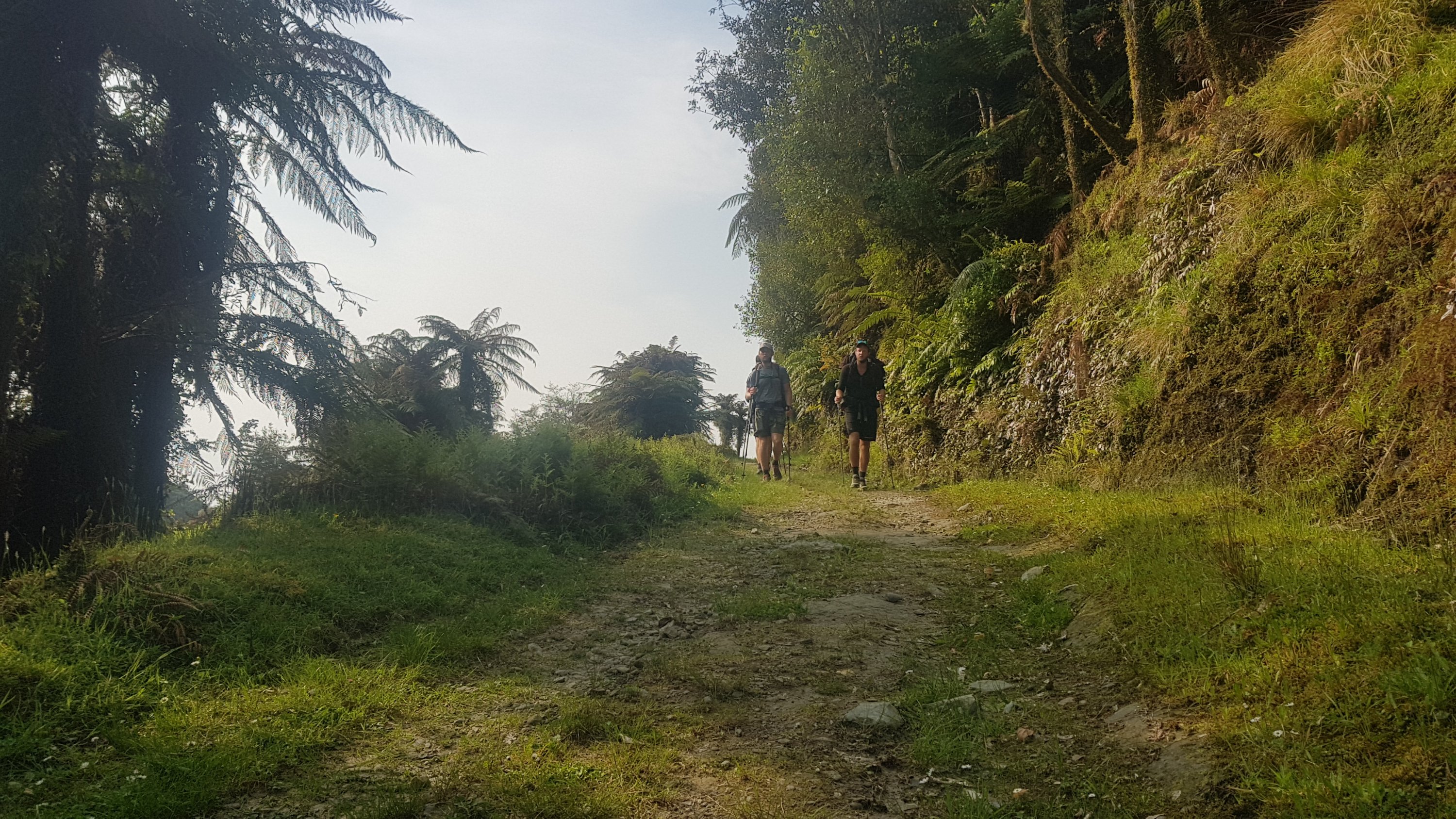
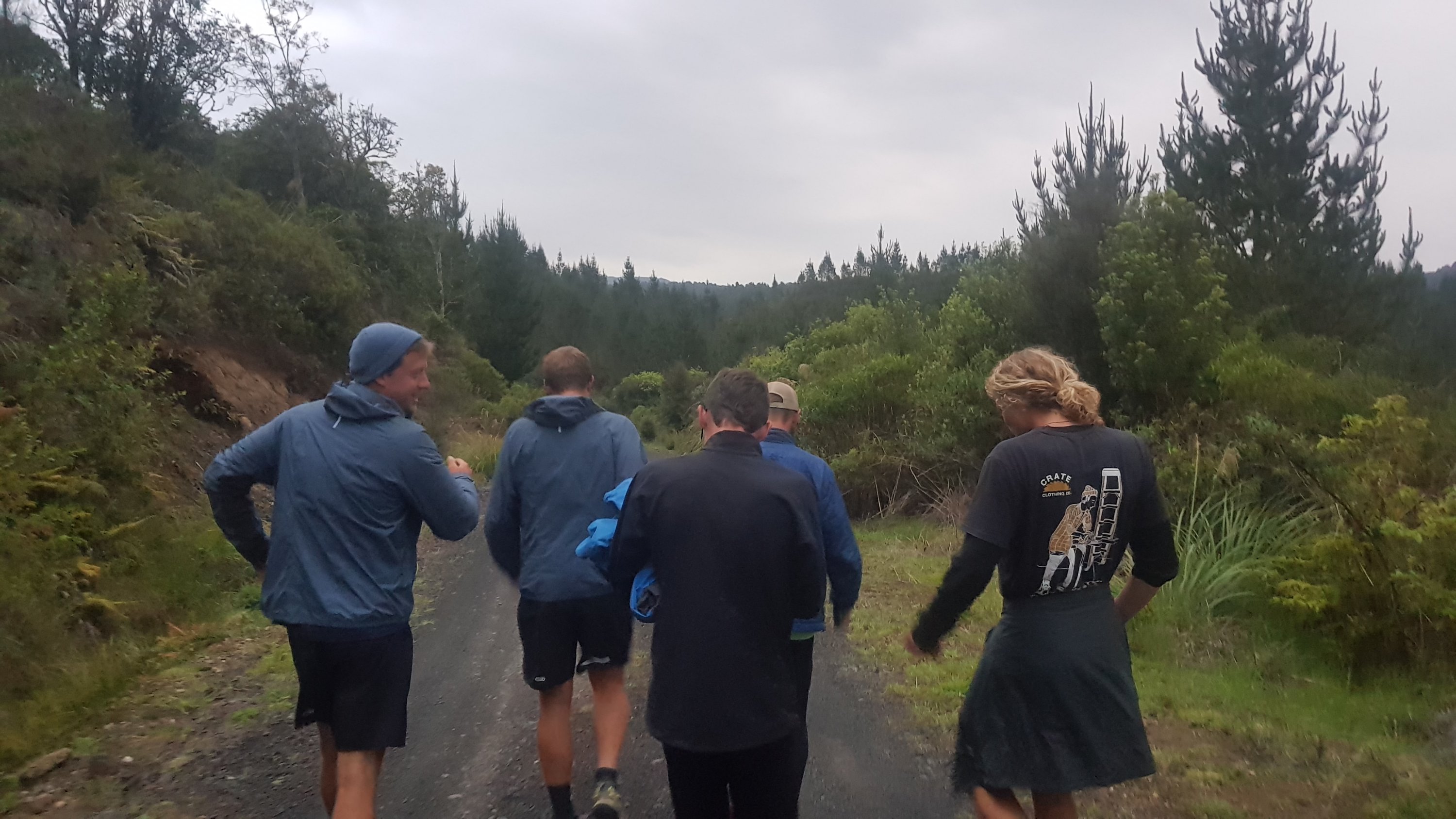
Alex walks fast when he goes uphill, so we didn’t see him again for a while. He also listens to music and it’s hard to get his attention while he’s walking. In fact today most of us were listening to music. That meant when cyclists want to get past us, it’s hard for them because we are in the way and we aren’t listening. I think some cyclists don’t like that. In fact, Ethan said that one of the cyclists rode up right behind him and actually touched the back of his pack with his front bike wheel.
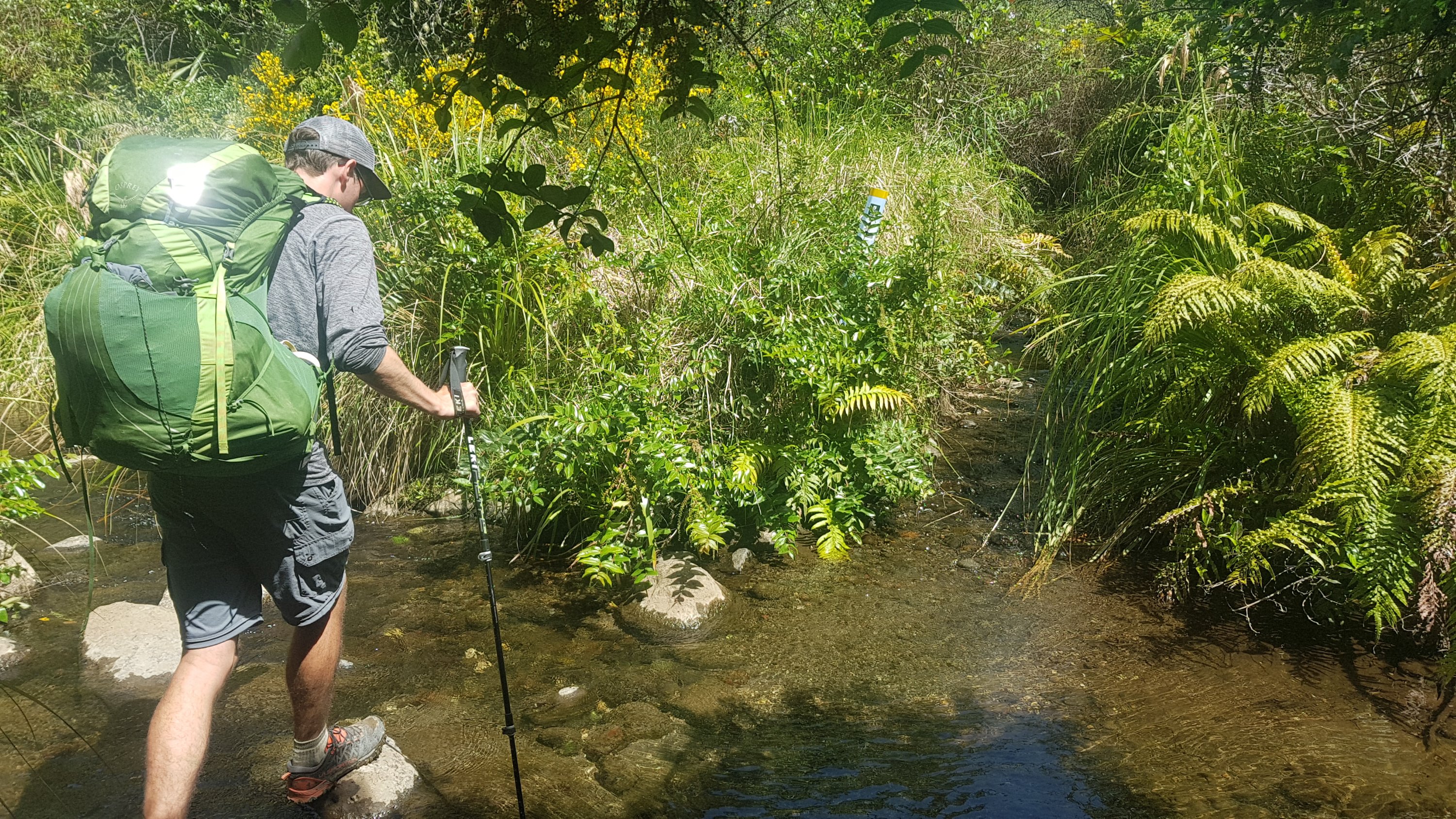
This is the turnoff to Bog Inn Hut. It’s about 20km in and it’s one of the campsites recommended in the notes.
The Trail notes describe going through the Timber Trail in four days: Pureora -> Bog Inn Hut -> Piropiro Campsite -> Camp #10 -> Ongarue. But I’m with the American and Belgian guys and they want to do two long days, so I’m joining them for at least this long day. But that means skipping Bog Inn Hut.
I was actually happy because people have described it as “creepy”, “don’t stay here alone”, “full of rats”.
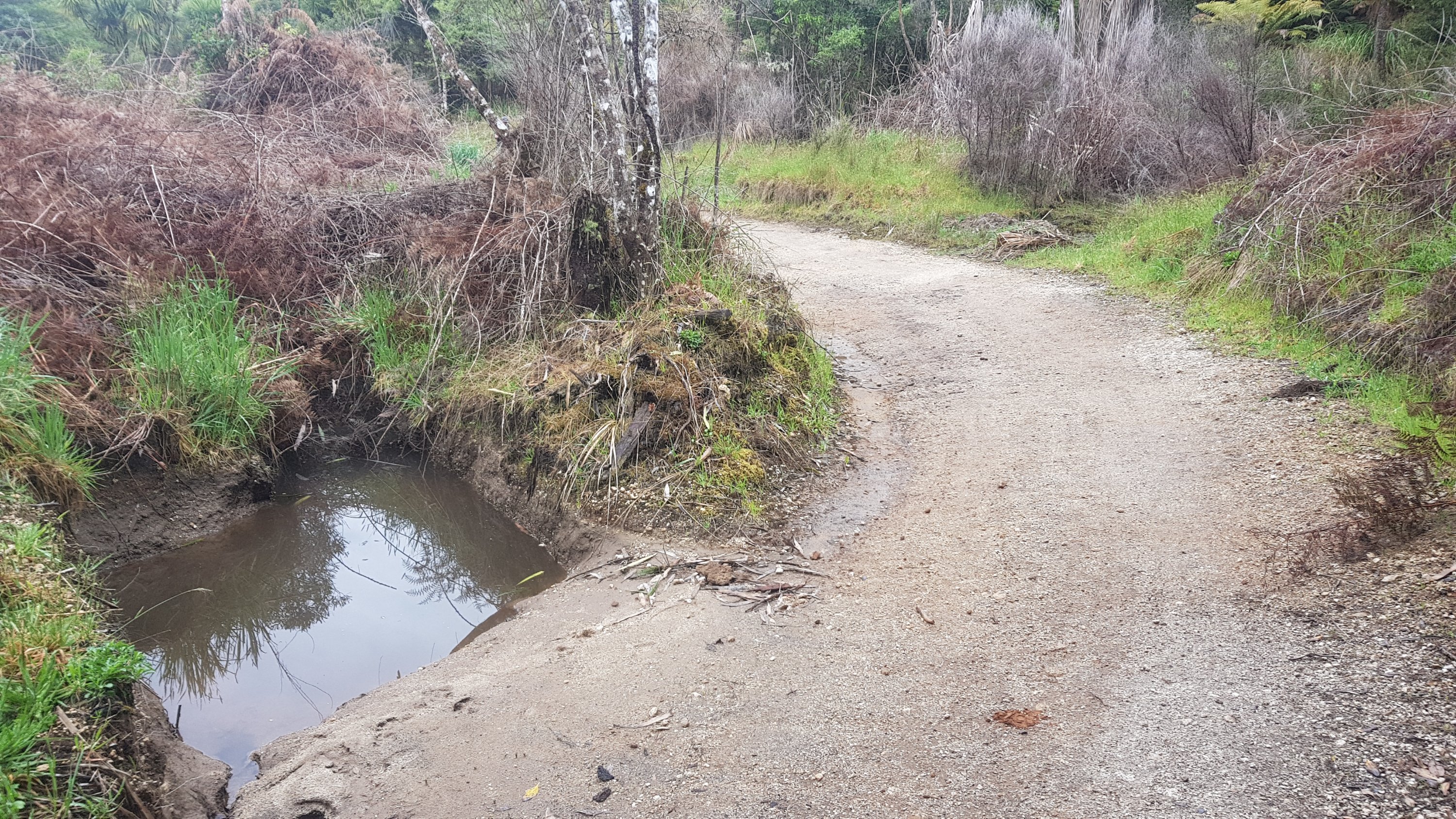
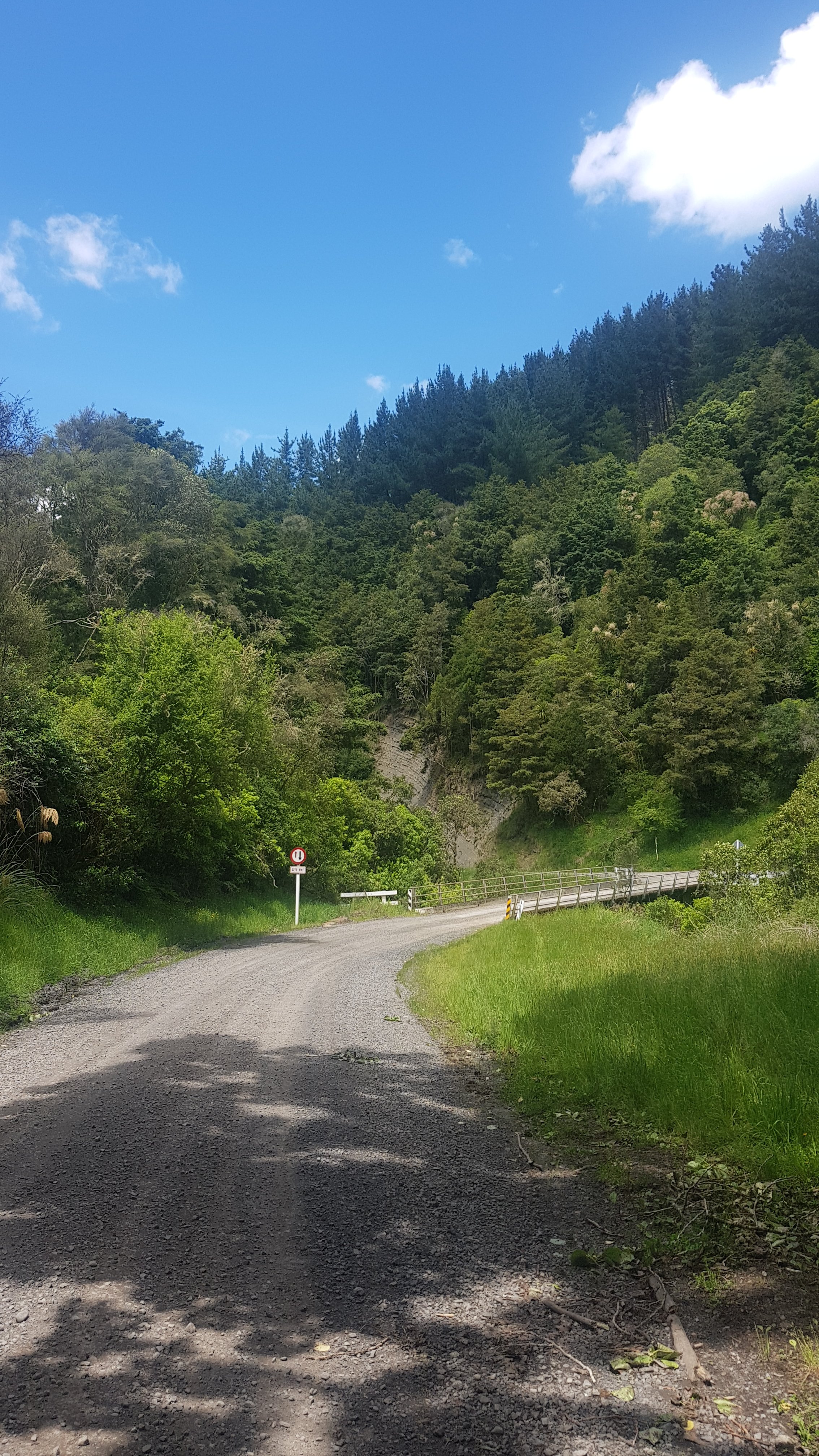
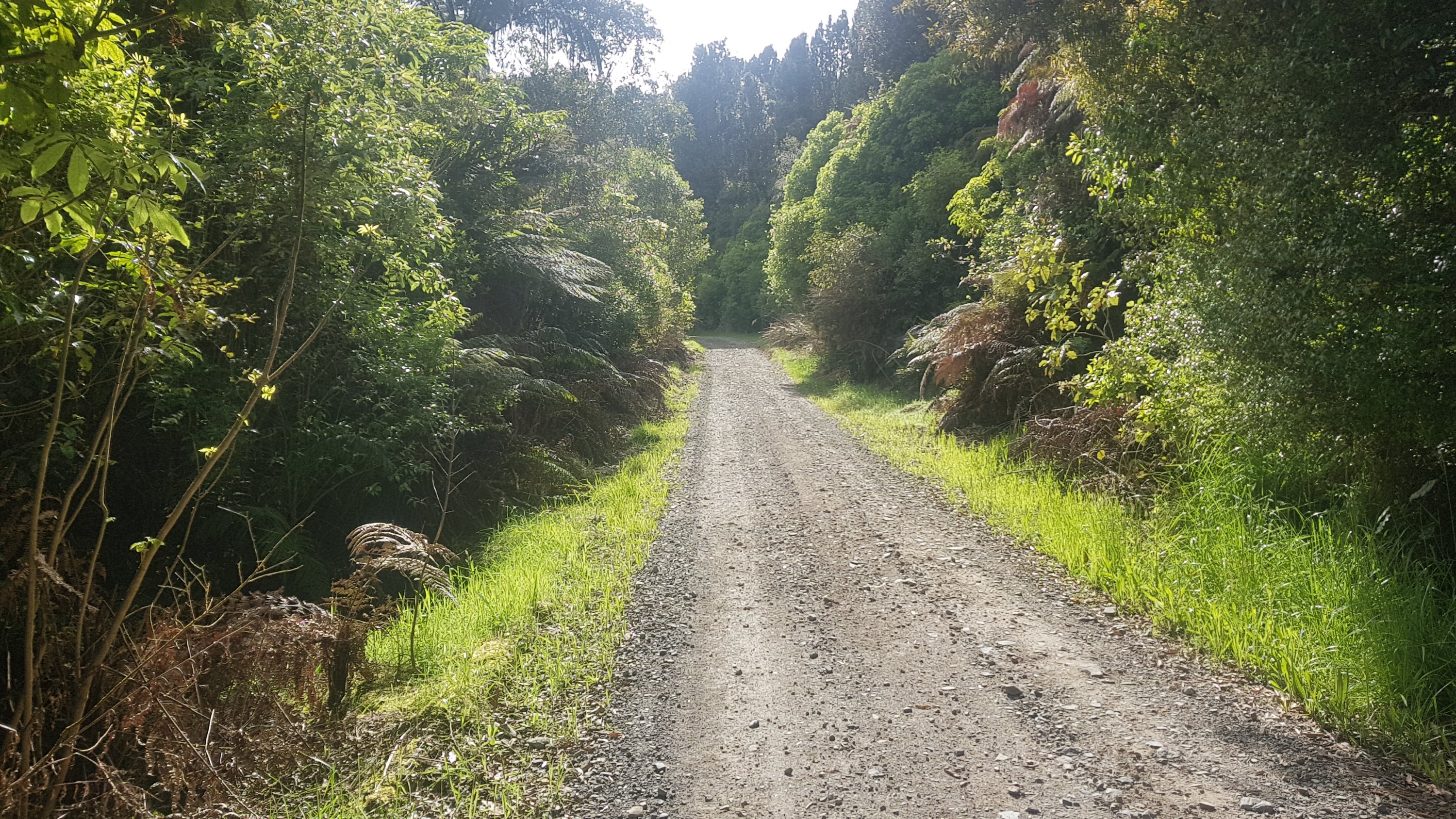
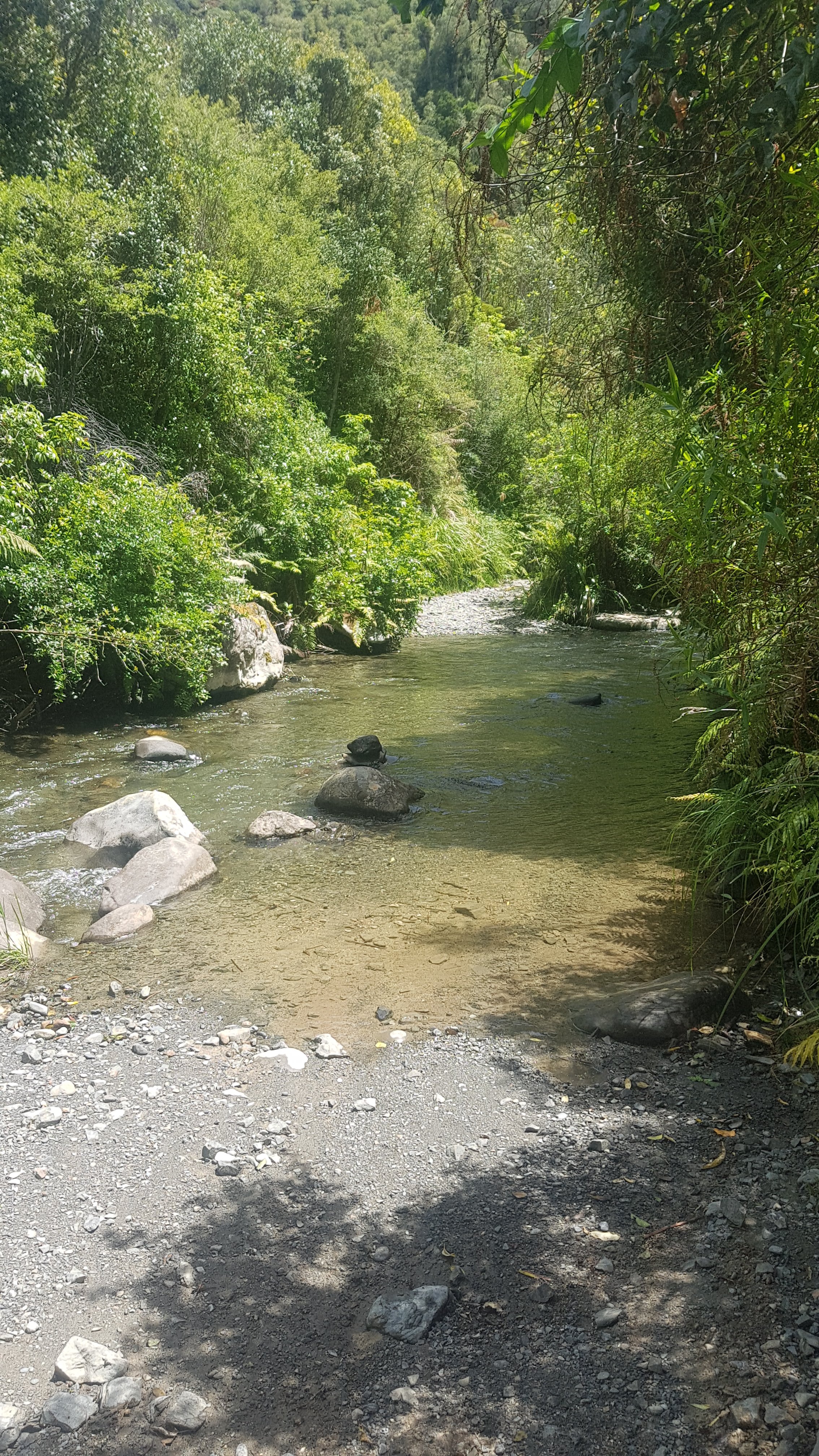
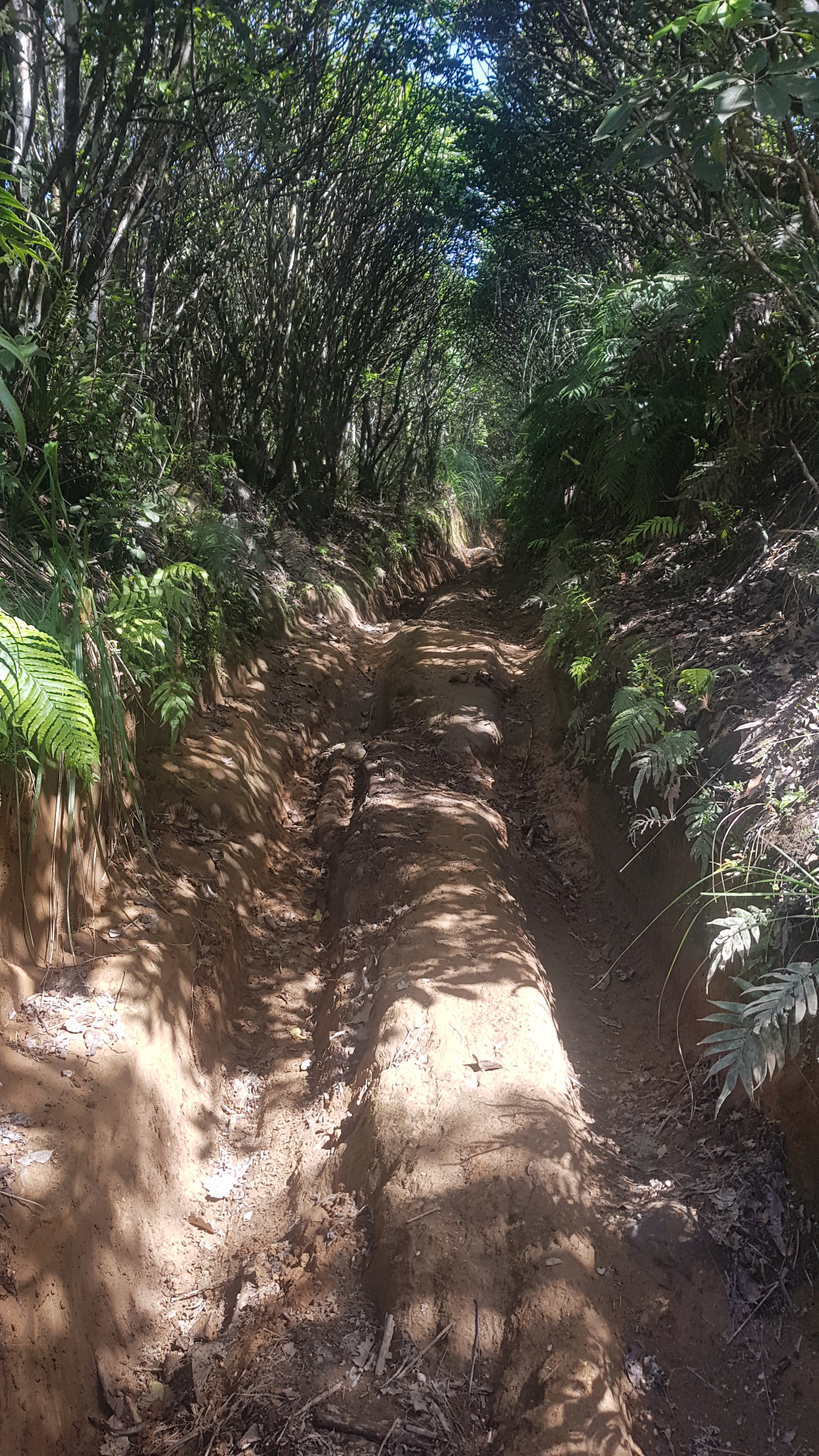
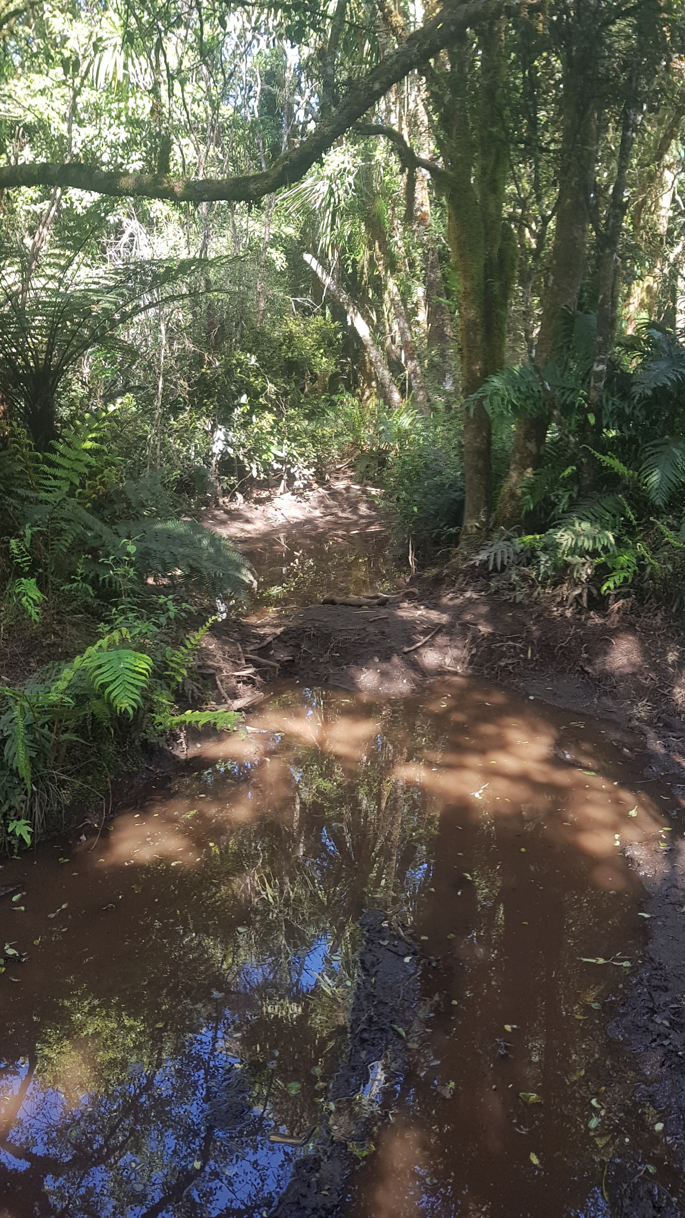
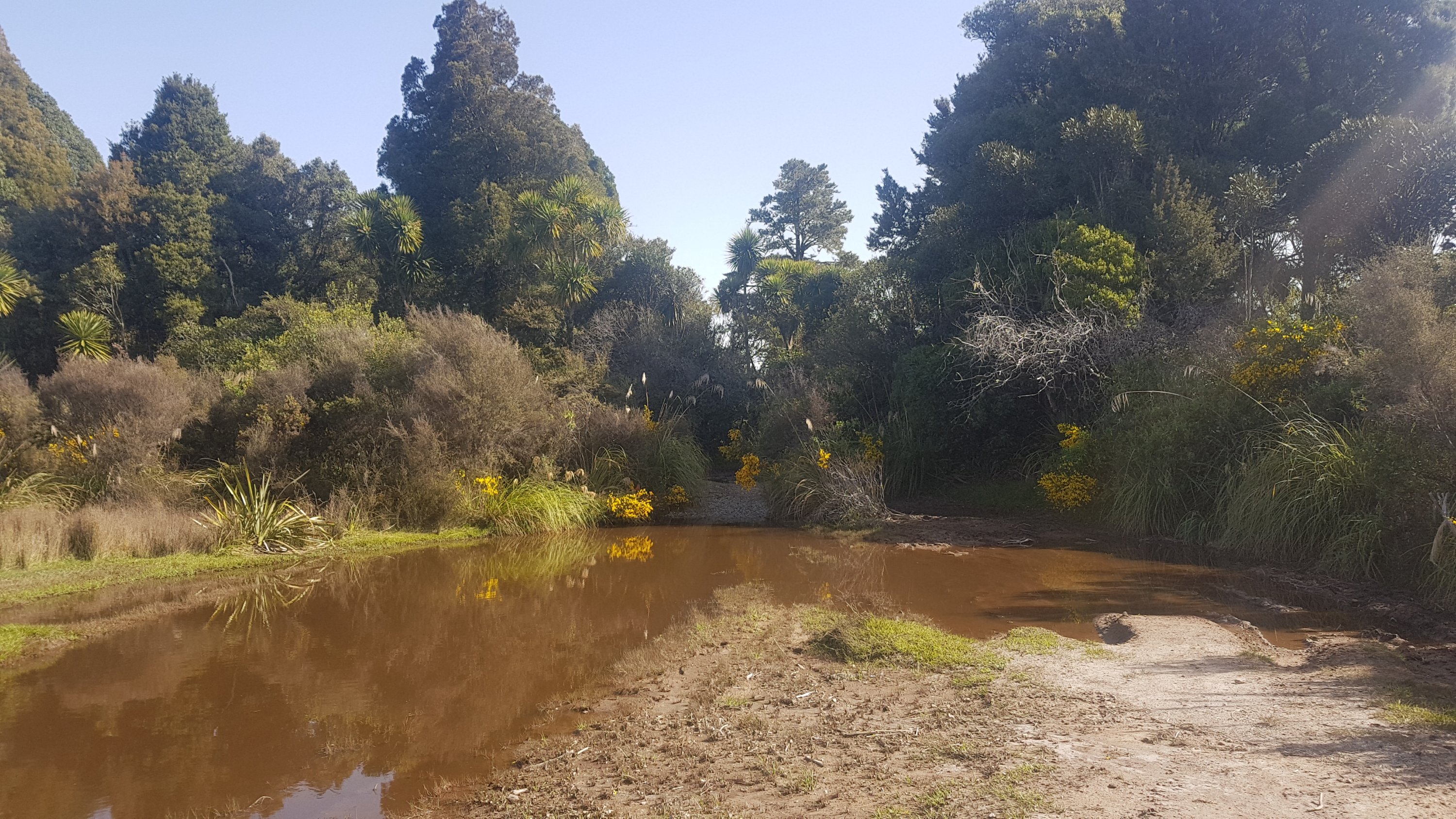
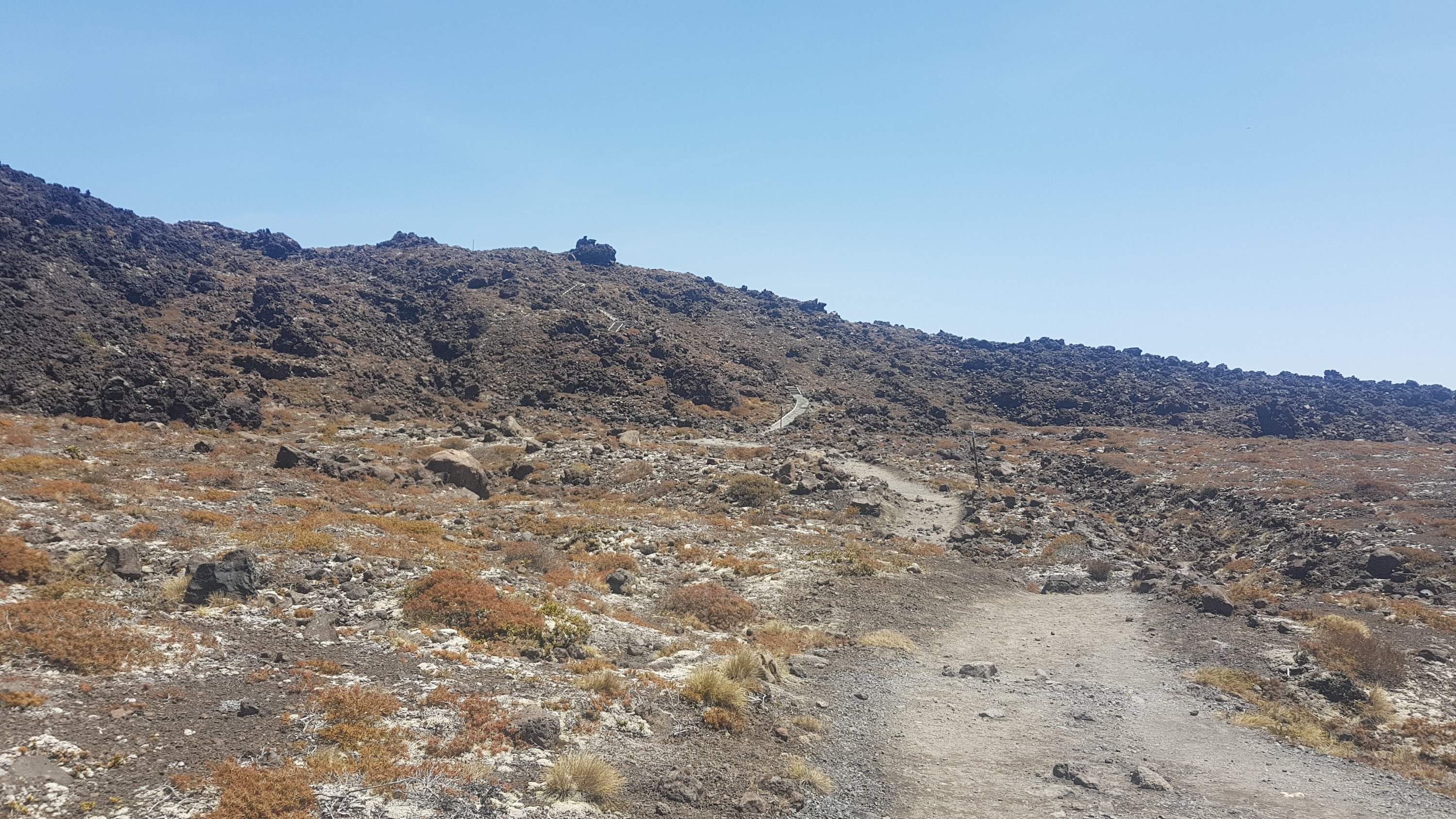
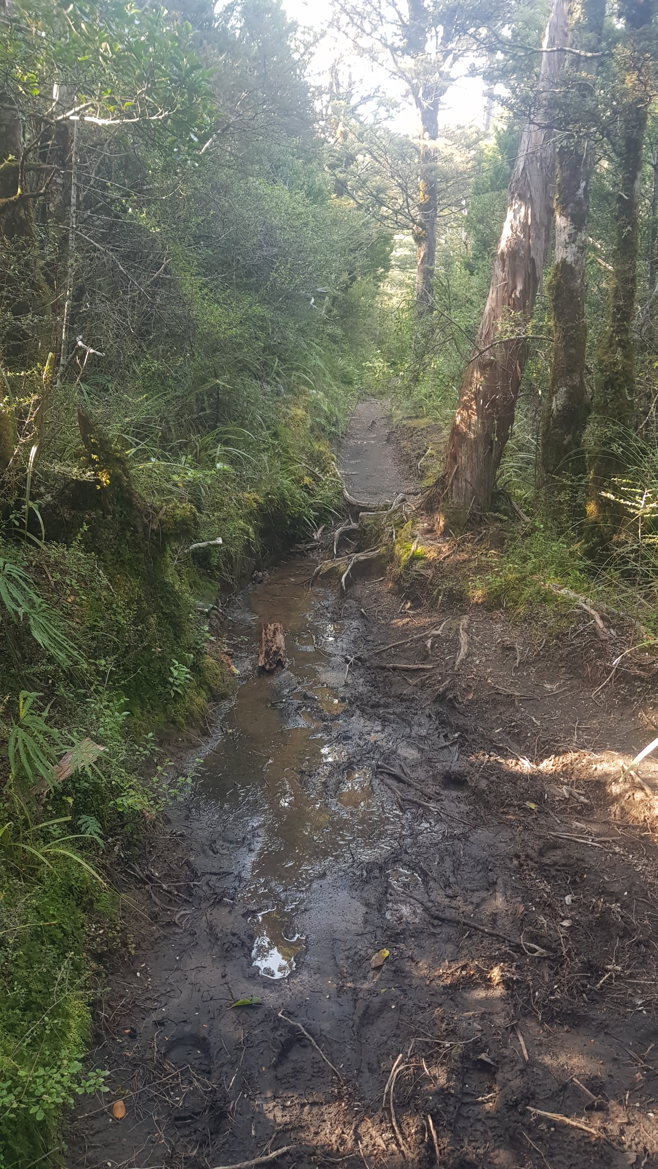
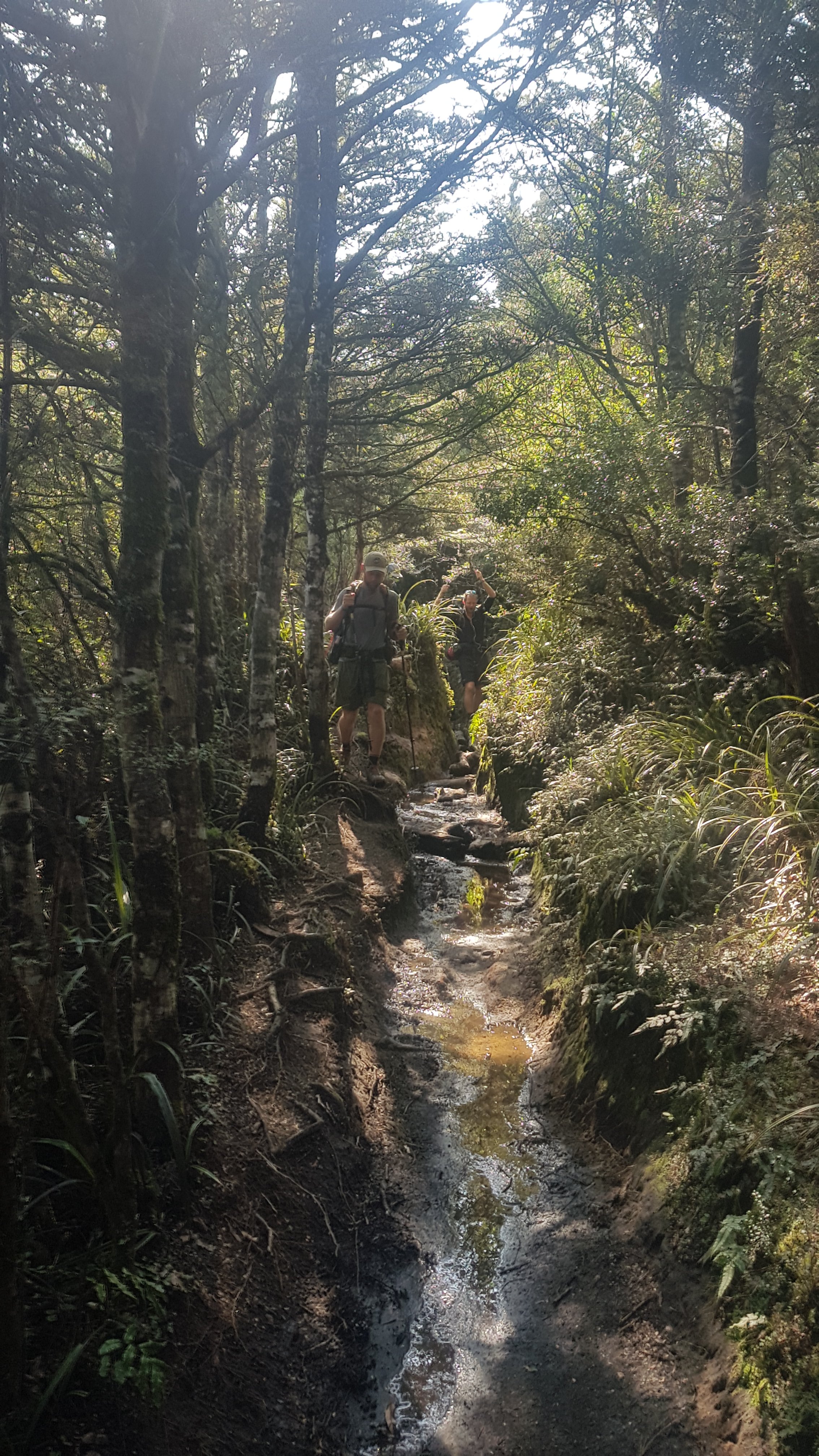
The trail is a cycleway so of course it has to be fit to be cycled, and that means it is generally well manicured. I think this bit here was the muddiest bit we encountered all day today:
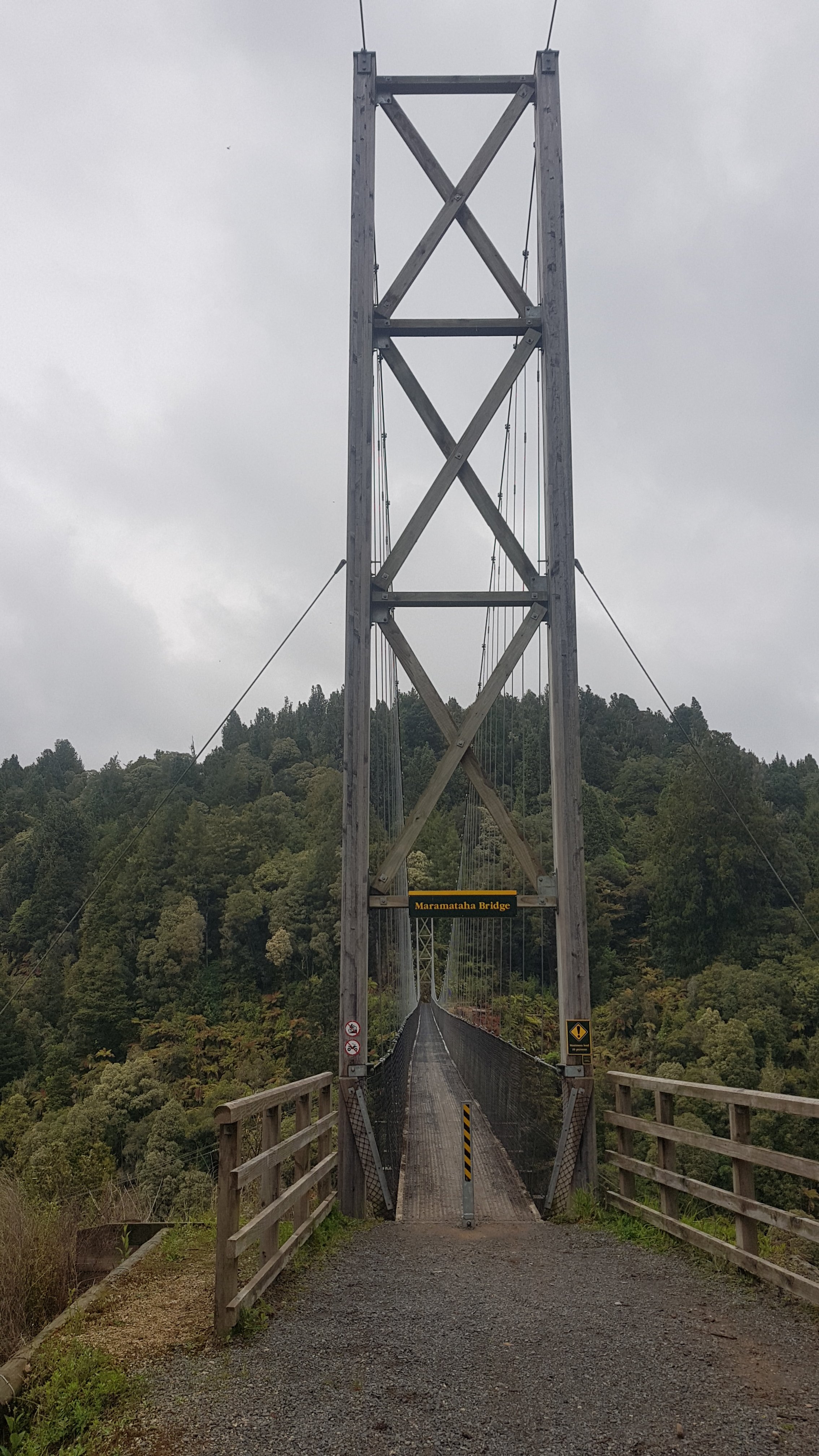
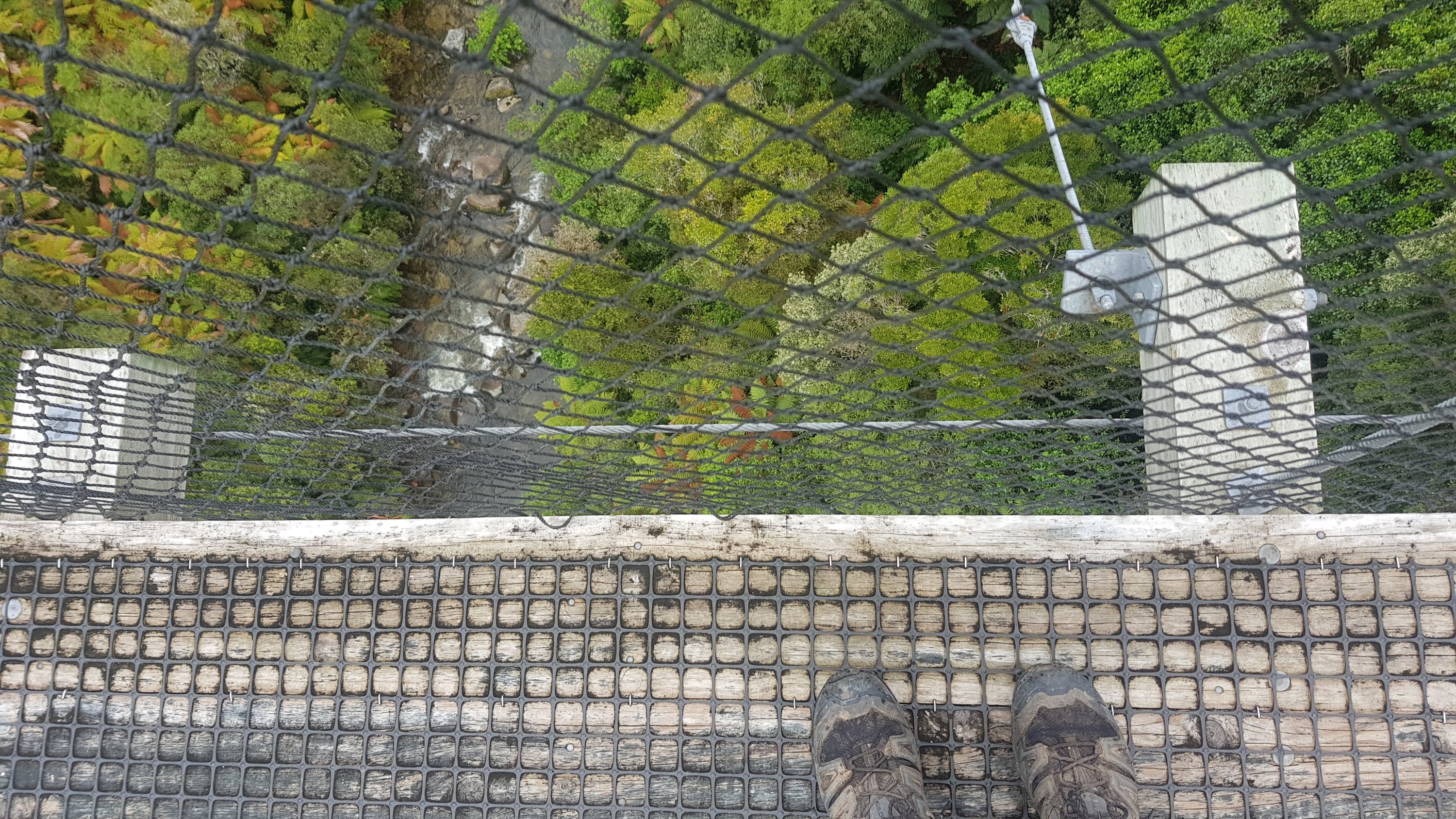
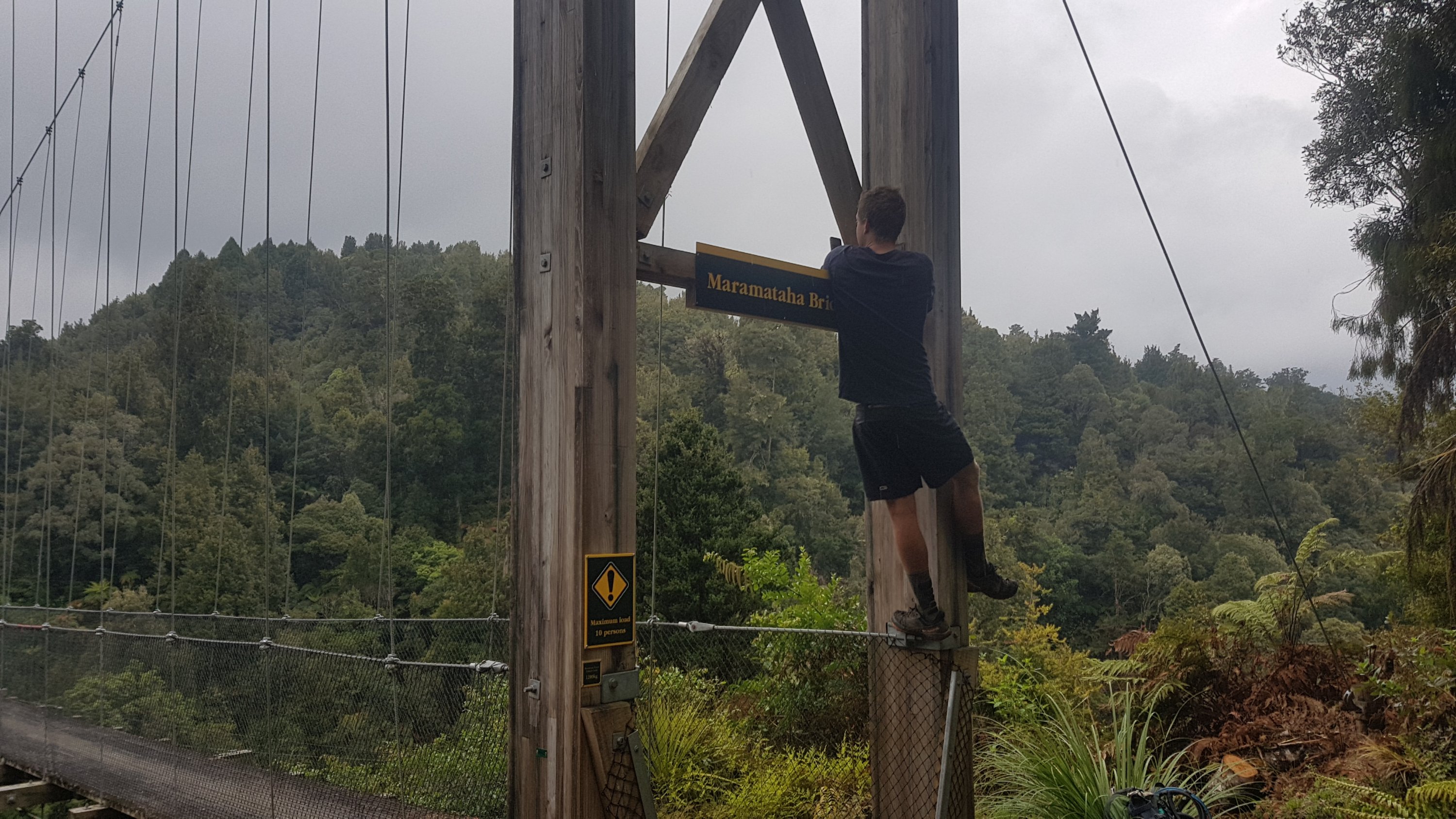
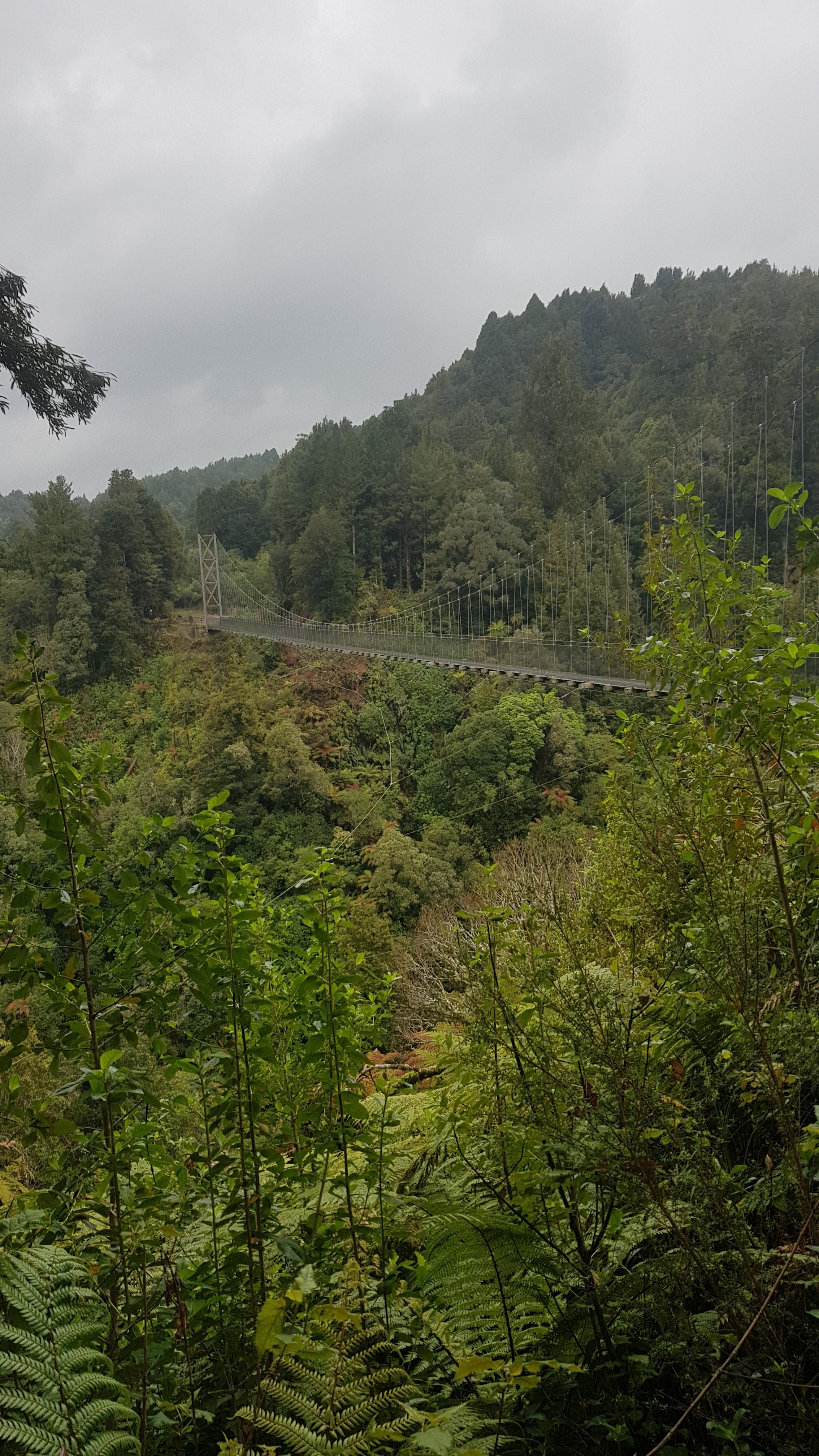
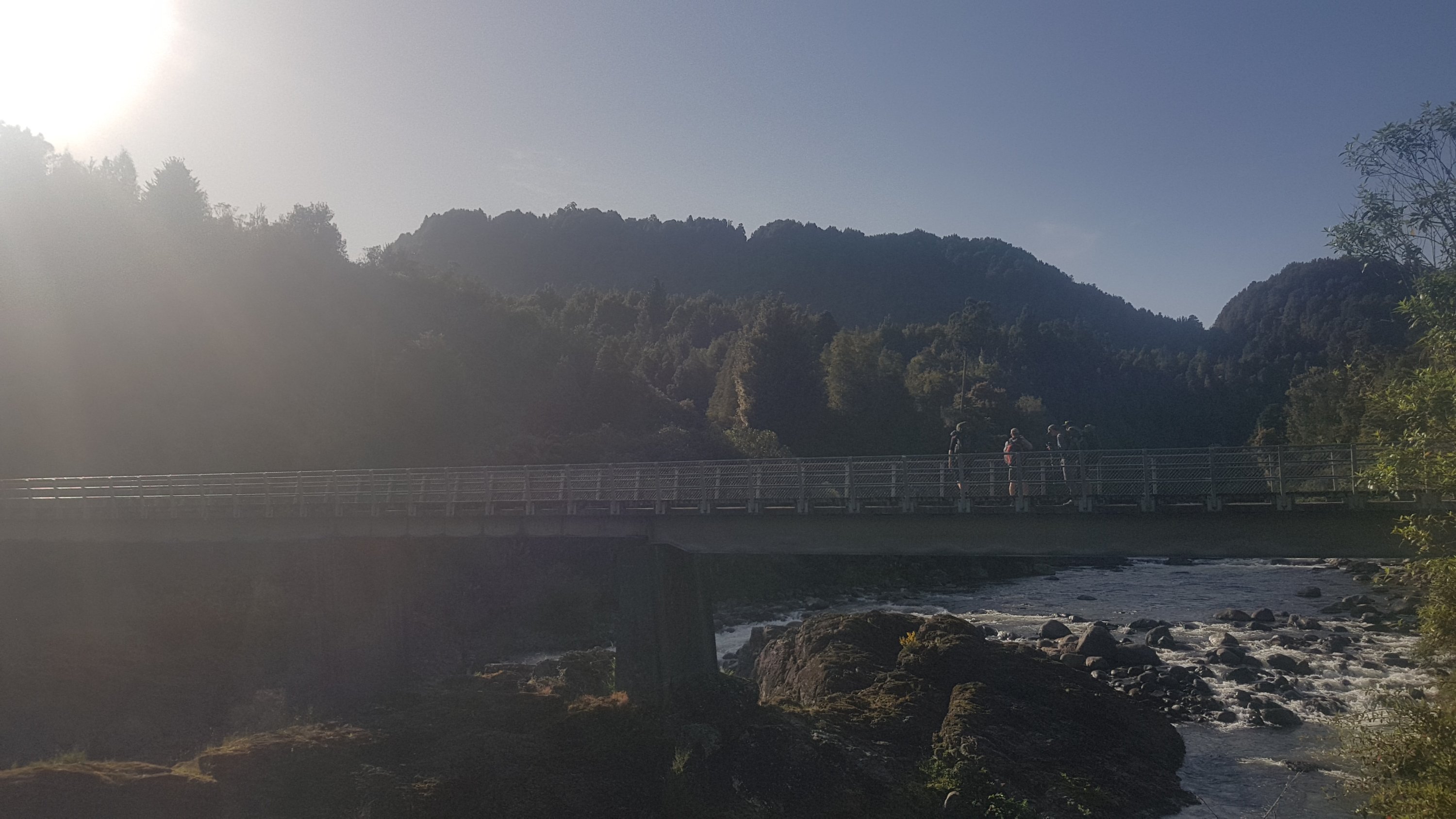
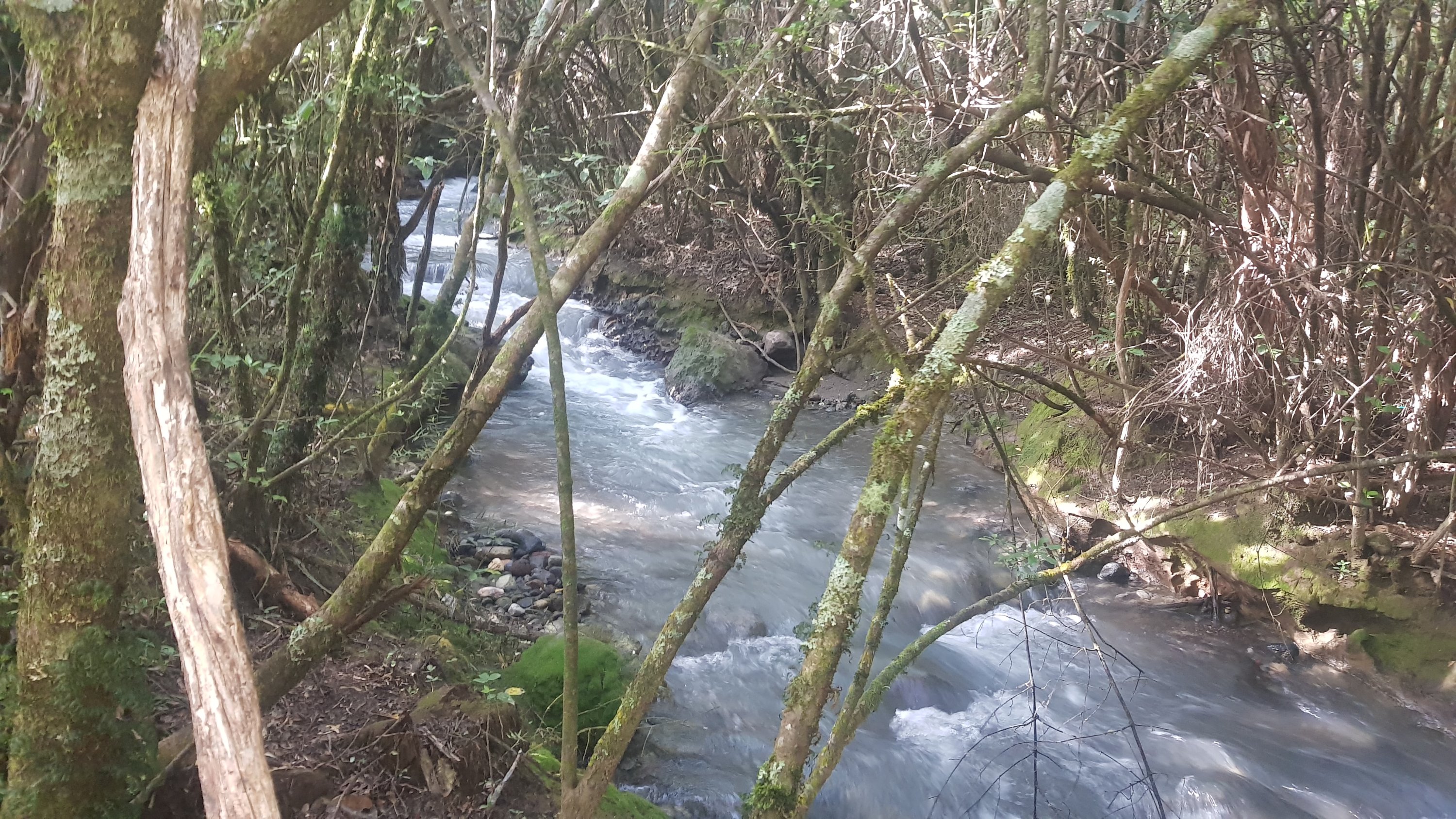
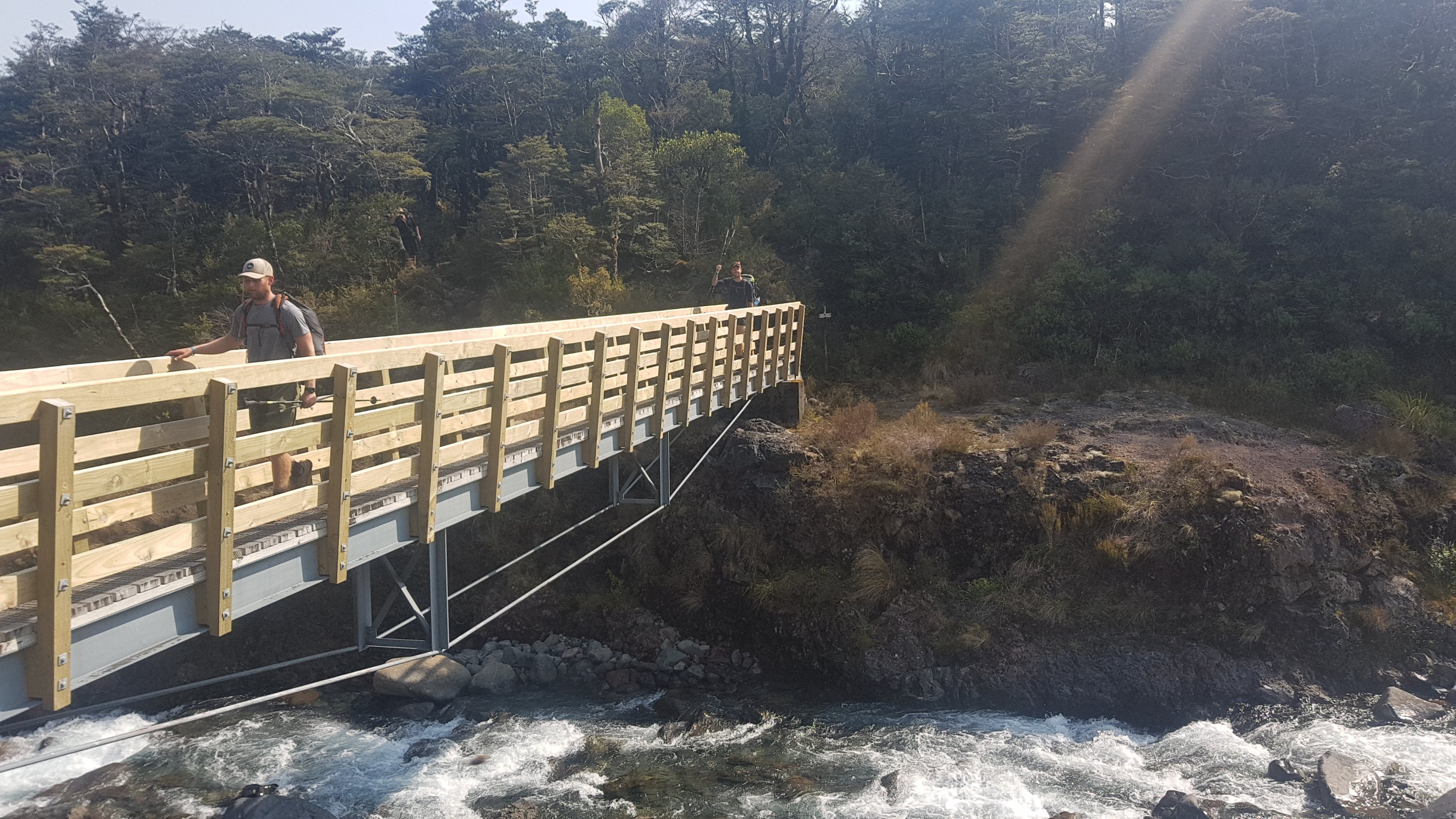
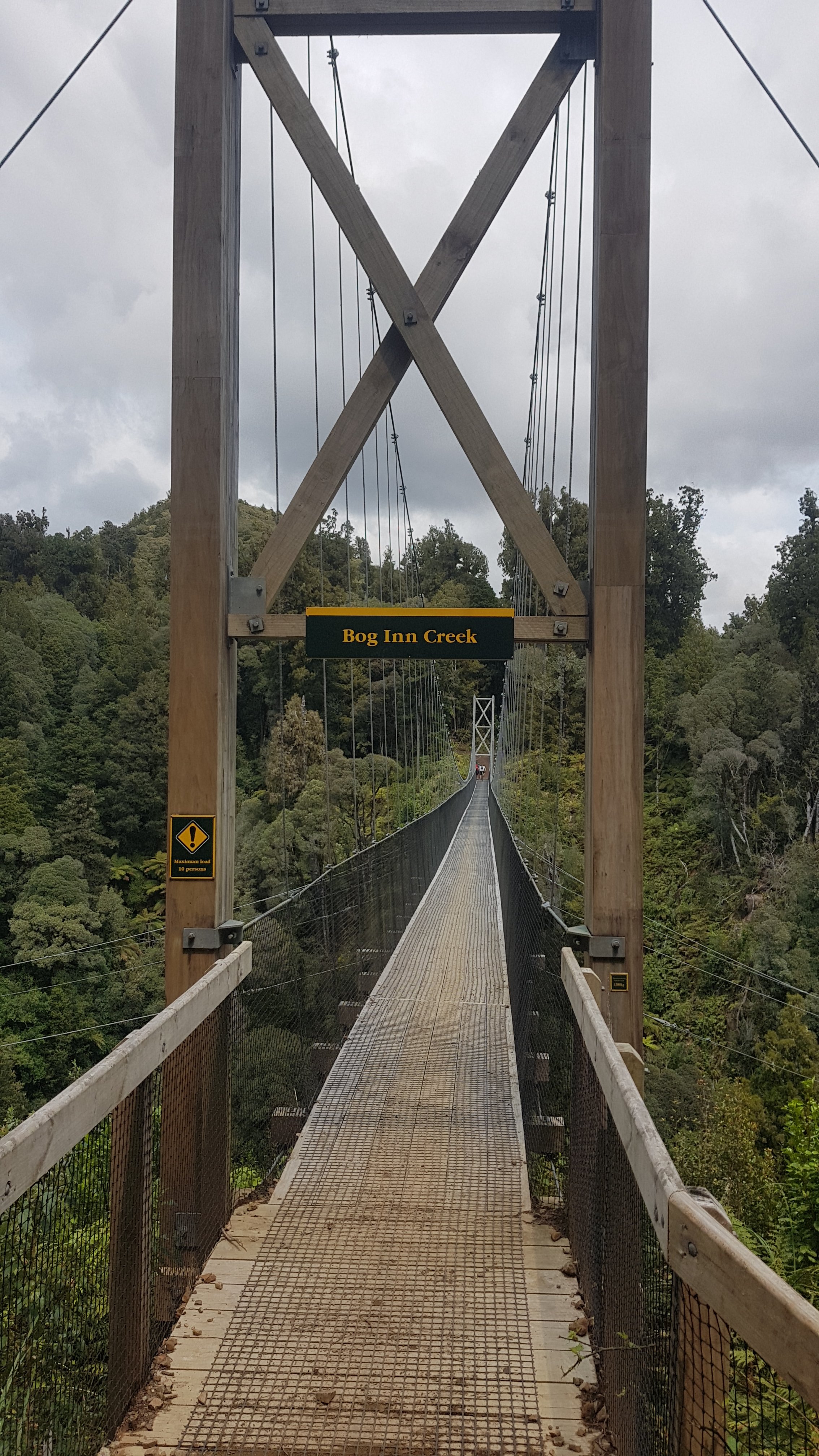
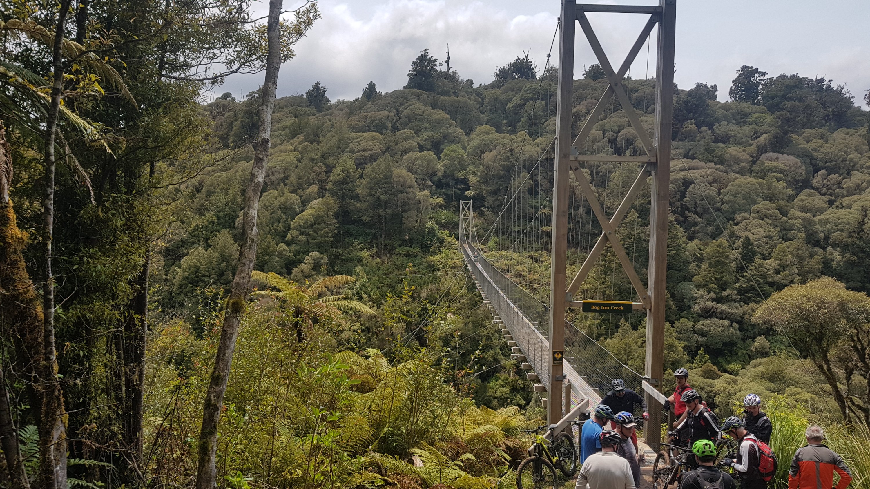
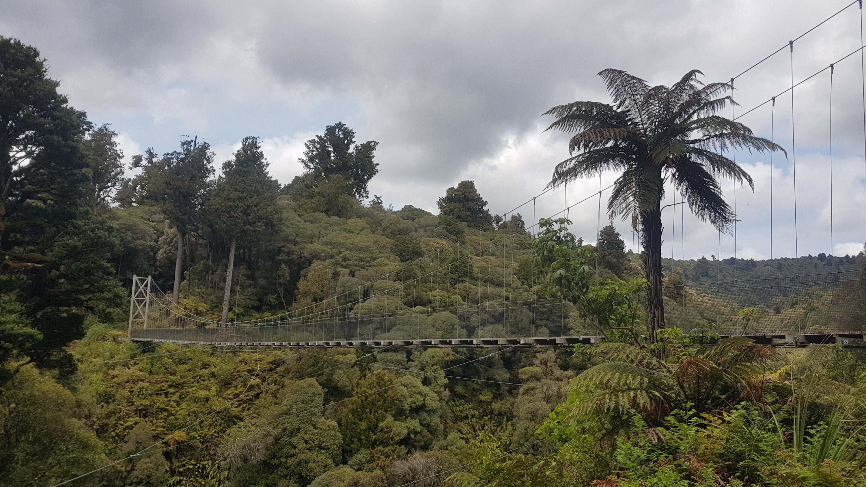
We also knew that there were a few suspension bridges on the trail. This is the first one that you encounter and it is one of the more impressive ones.
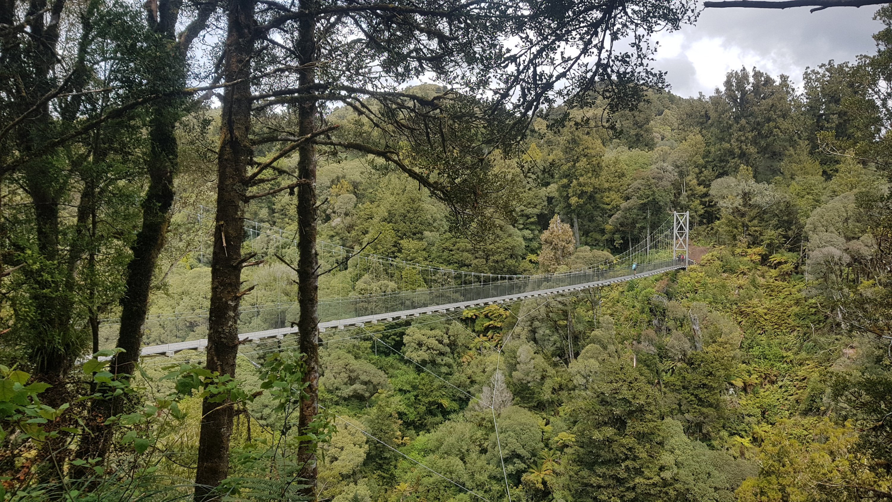
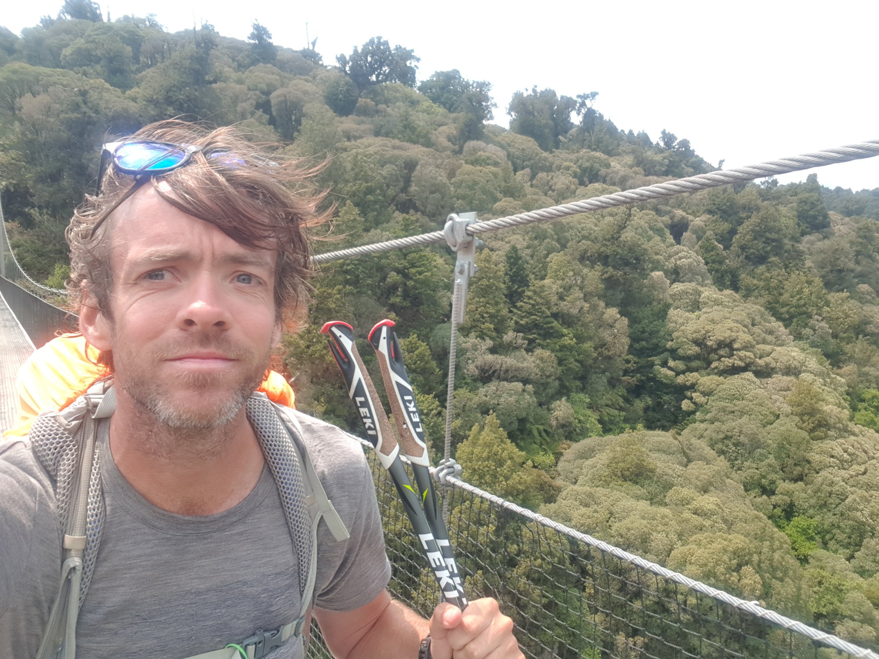
It was long and wobbly and fun. But Ethan doesn’t like heights so the others had fun teasing him.
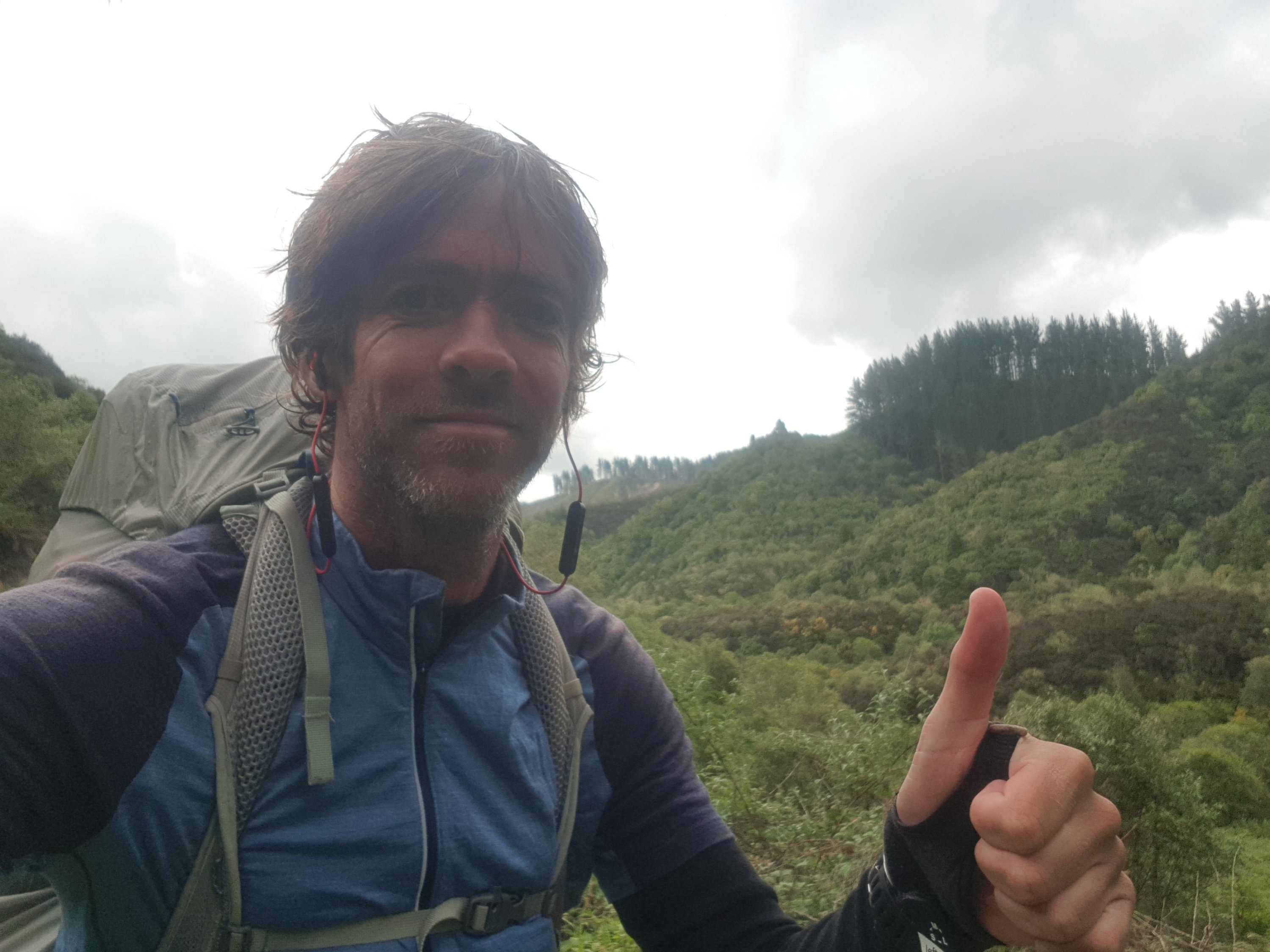
I felt okay walking across here but in the selfie I took, I look like I have a bit of hesitation. Although I think that comes from being scared about dropping the phone.
There was quite a gathering of cyclists at the other end. I think perhaps they were going to have lunch at this spot, but we snuck in first and took the seat.
One of the cyclists asked me as I was walking across the bridge “what sort of music do you like to listen to while you’re walking?” At first I thought it was an innocent question but the more I thought about it the more I thought it was a dig at me for wearing earphones while walking.
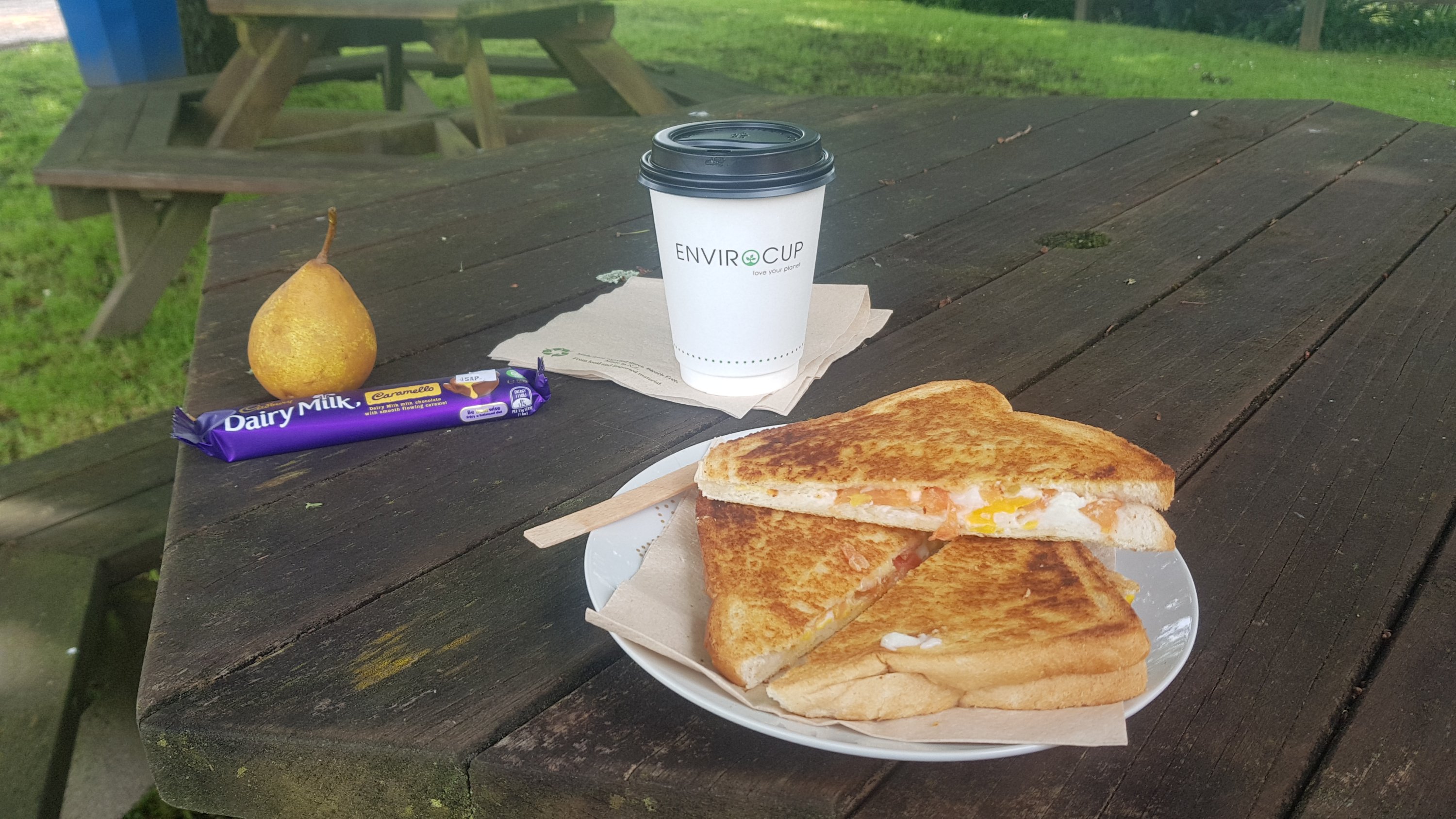
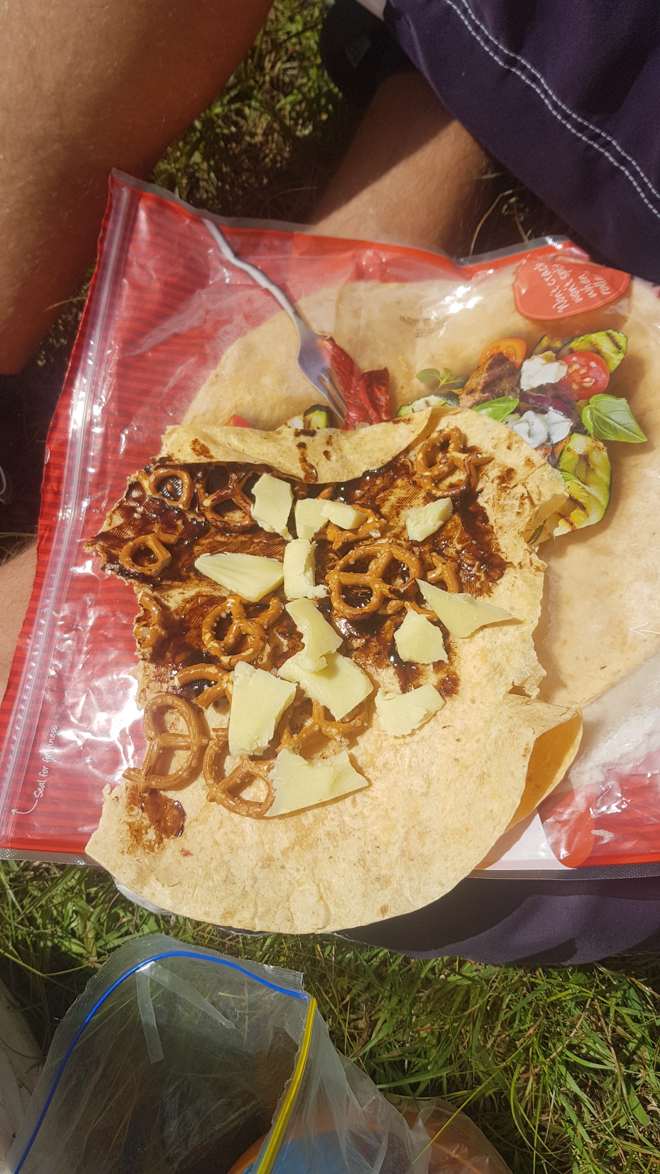
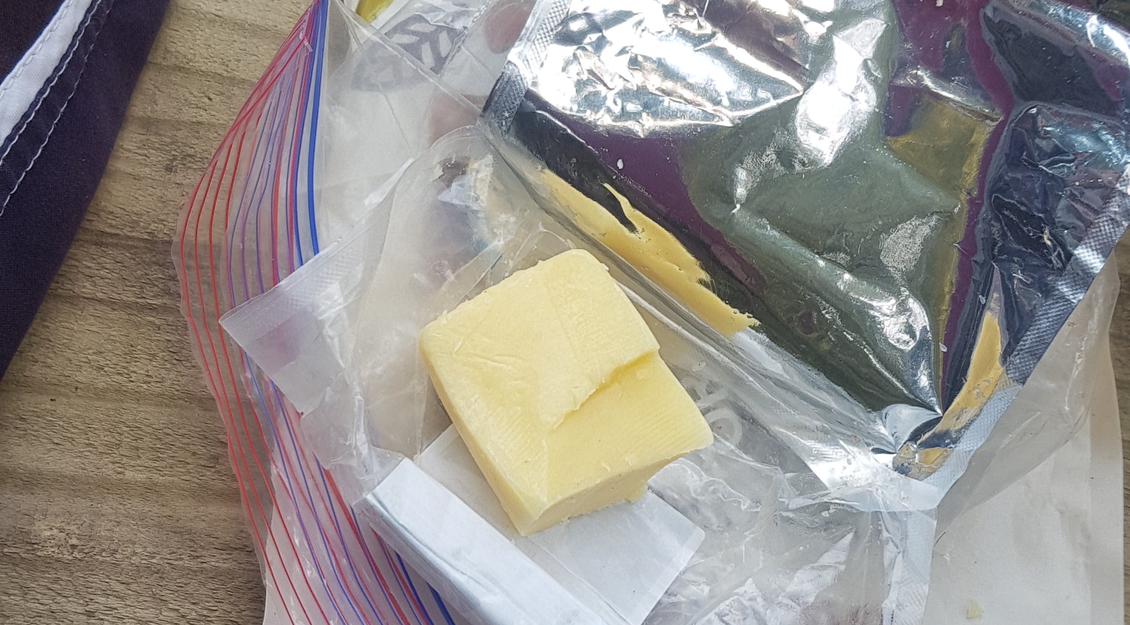
It was good to have some lunch. The cheese is getting a bit soft… but it still tastes fine, and I can’t even remember how long I’ve had it now.
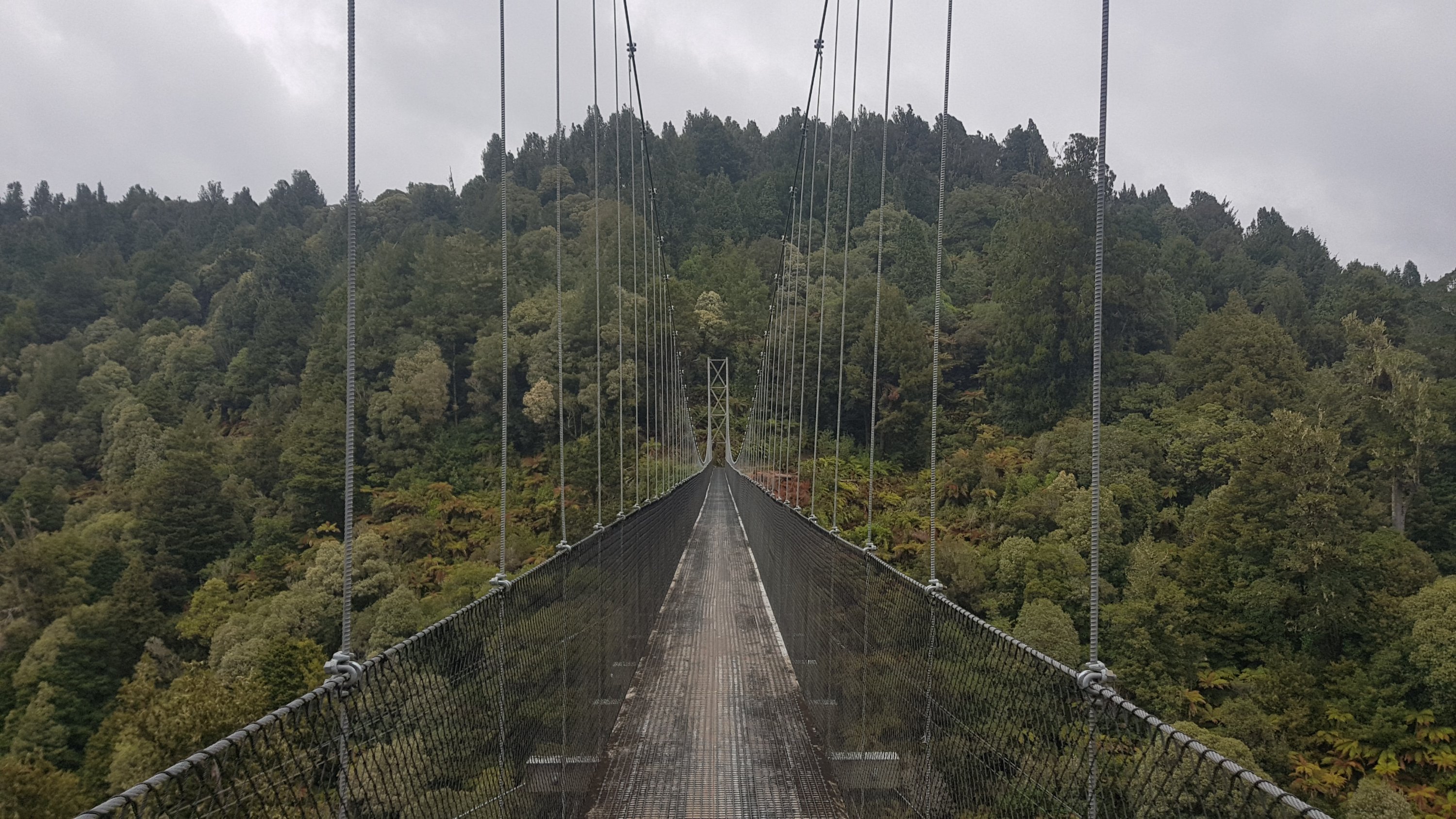
Here’s another suspension bridge just a short distance later.
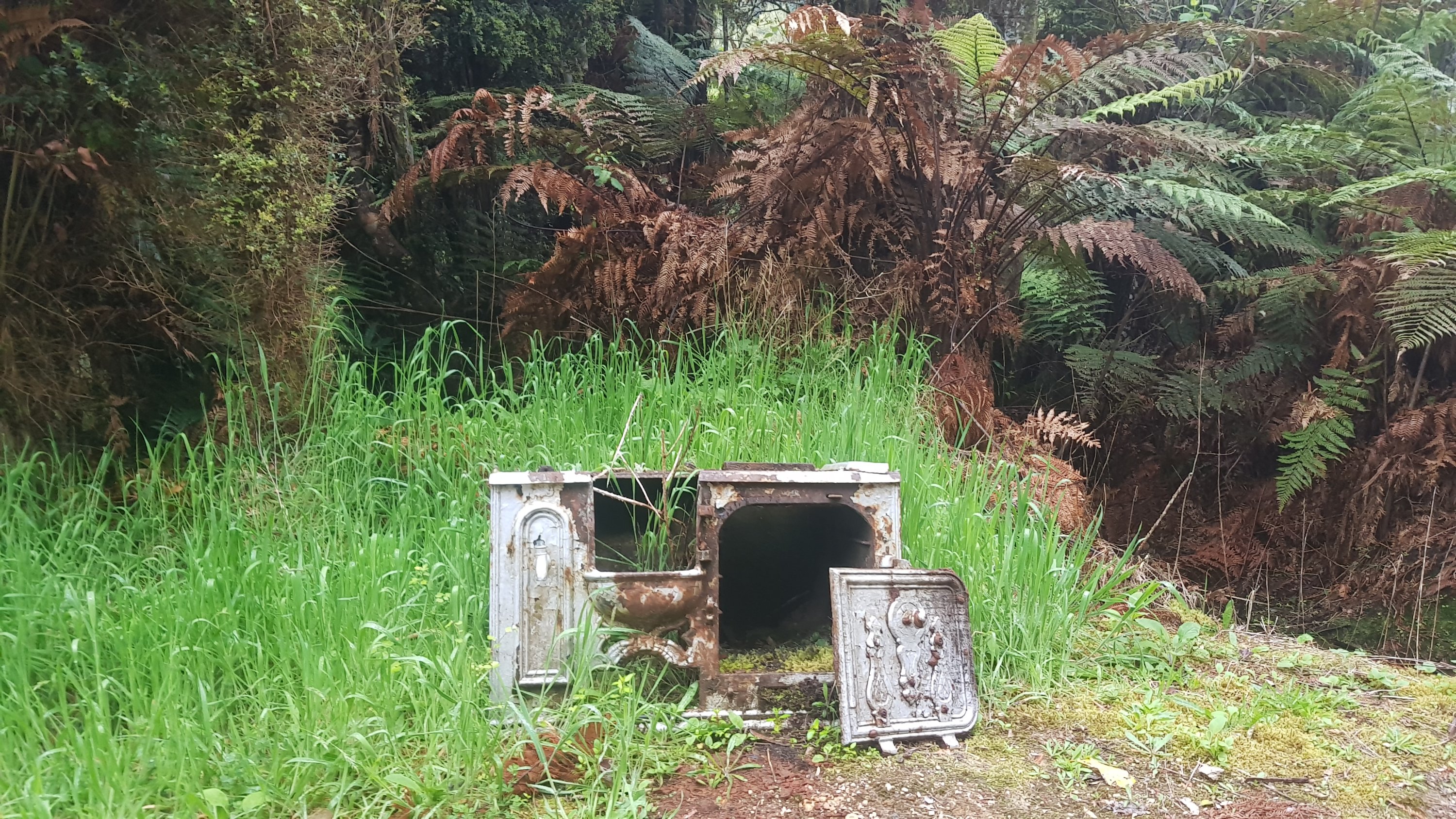
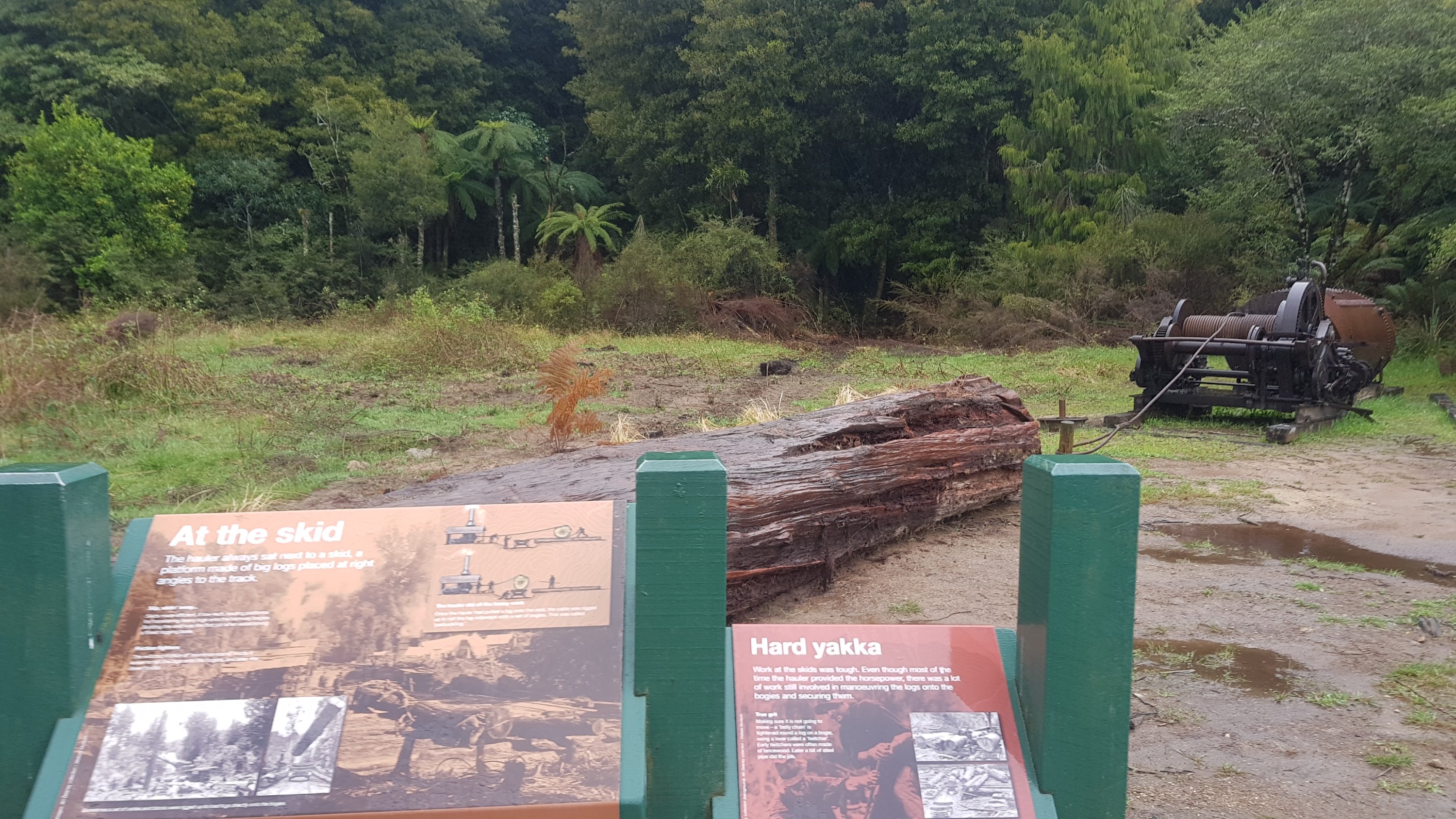
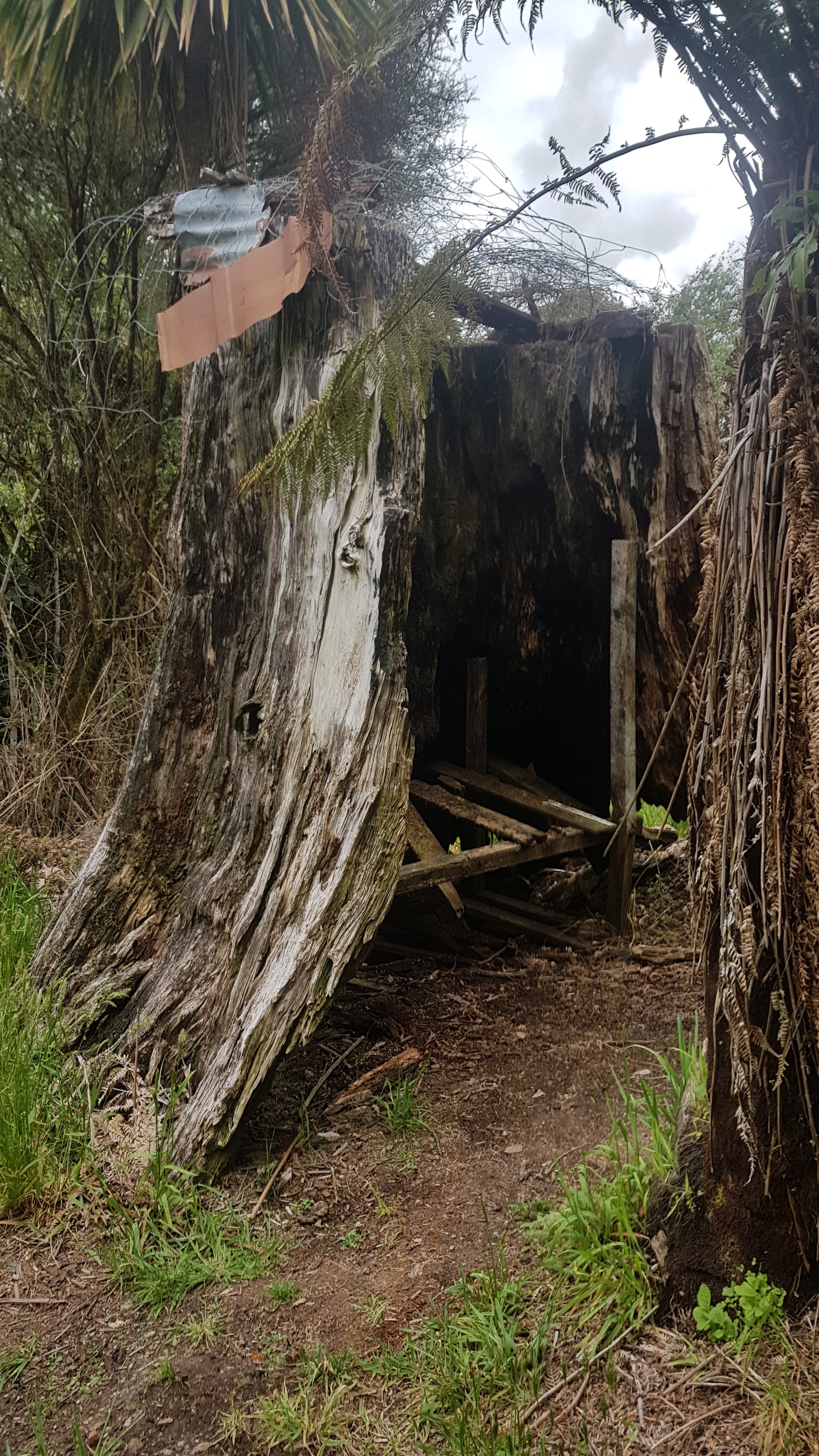
And here is a shelter made out of a big tree stump. It’s obviously not usable now, but apparently someone back in the day used it as a house when this was an active logging area.
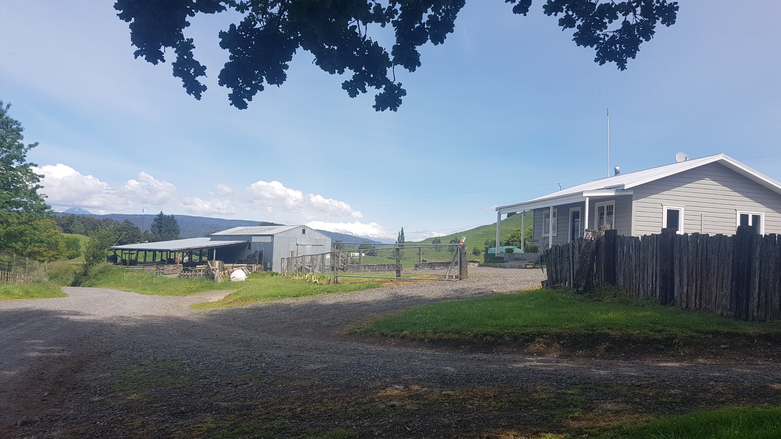
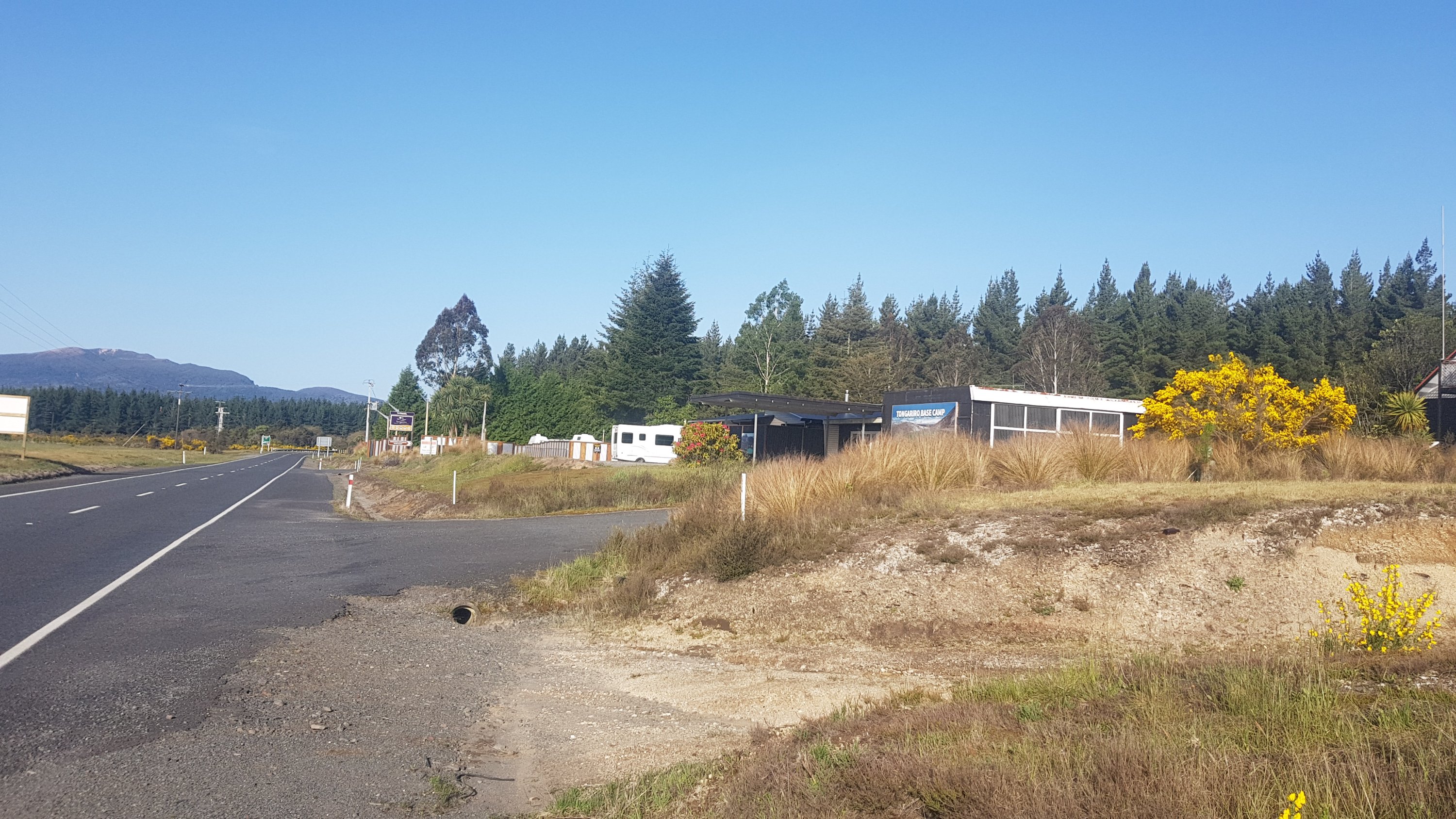
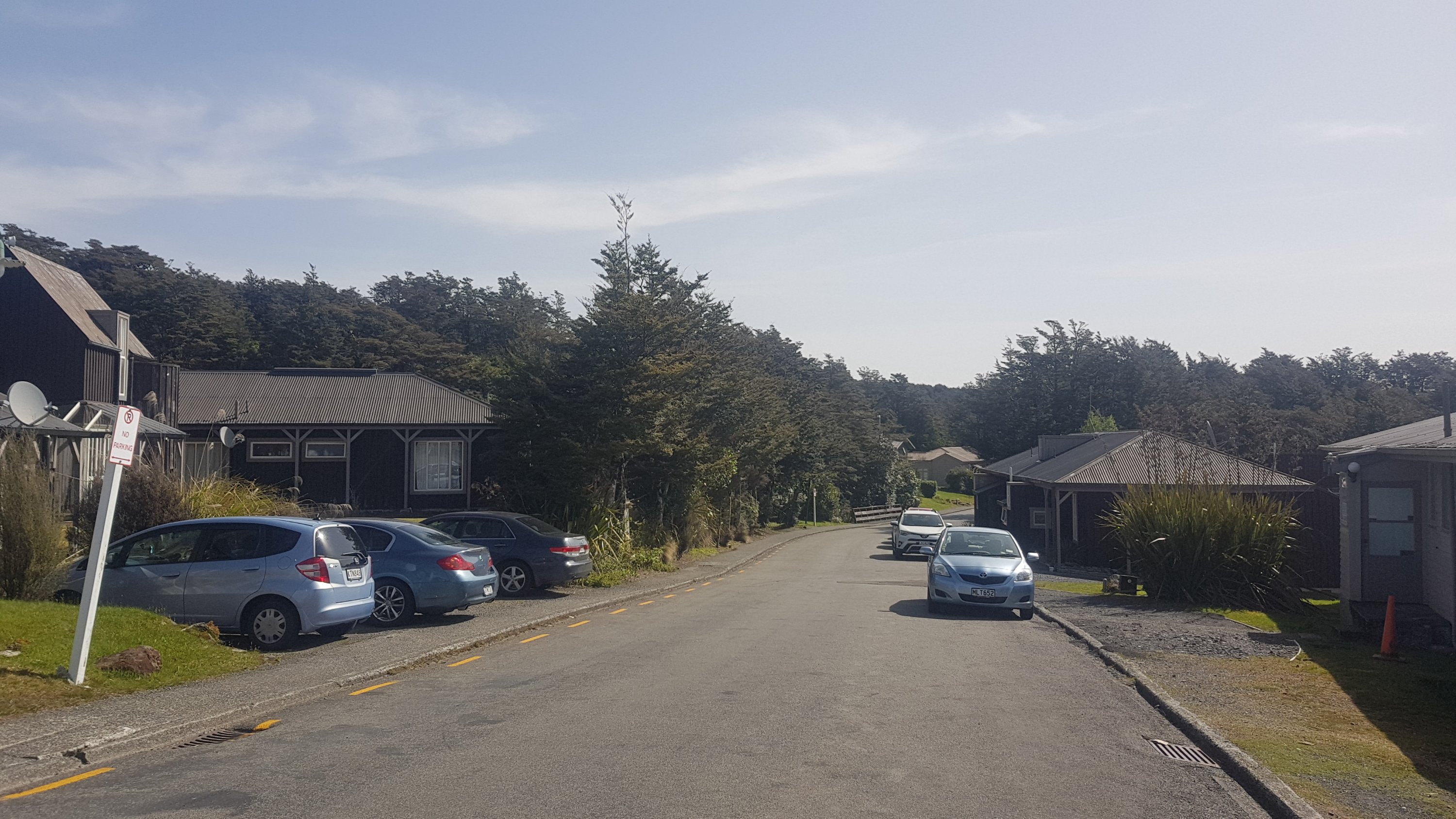
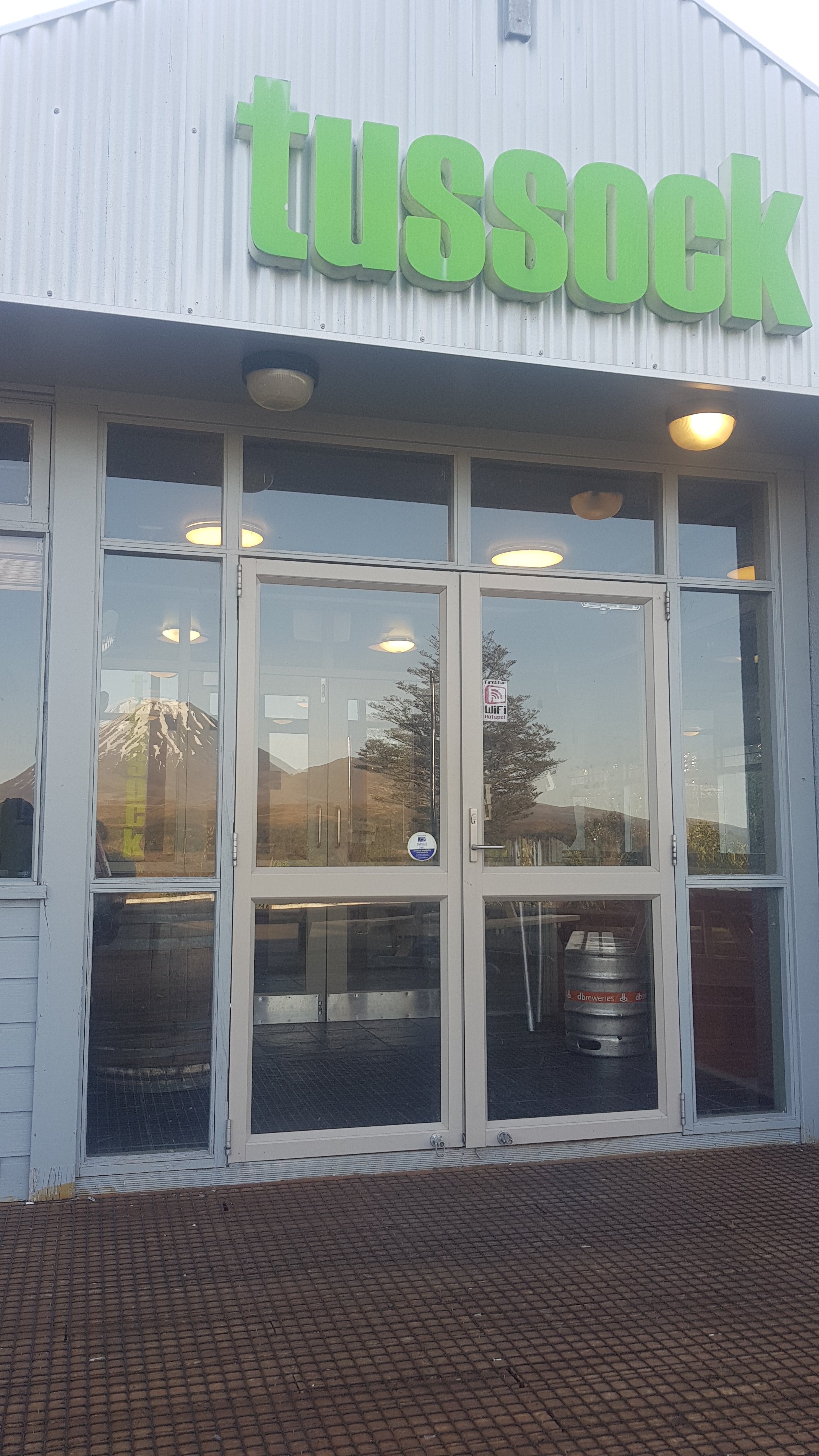
We walked past the Timber Trail Lodge.
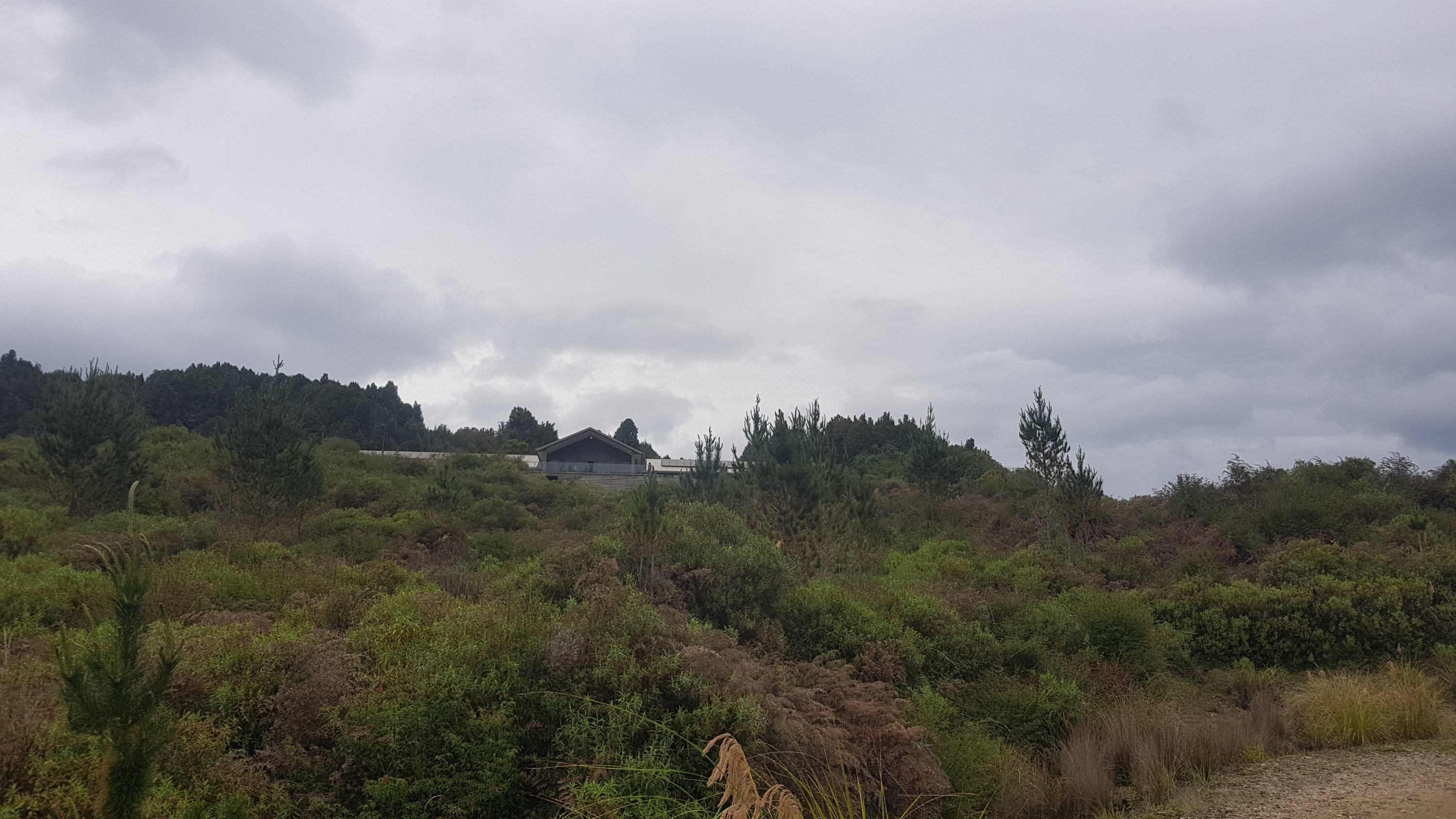
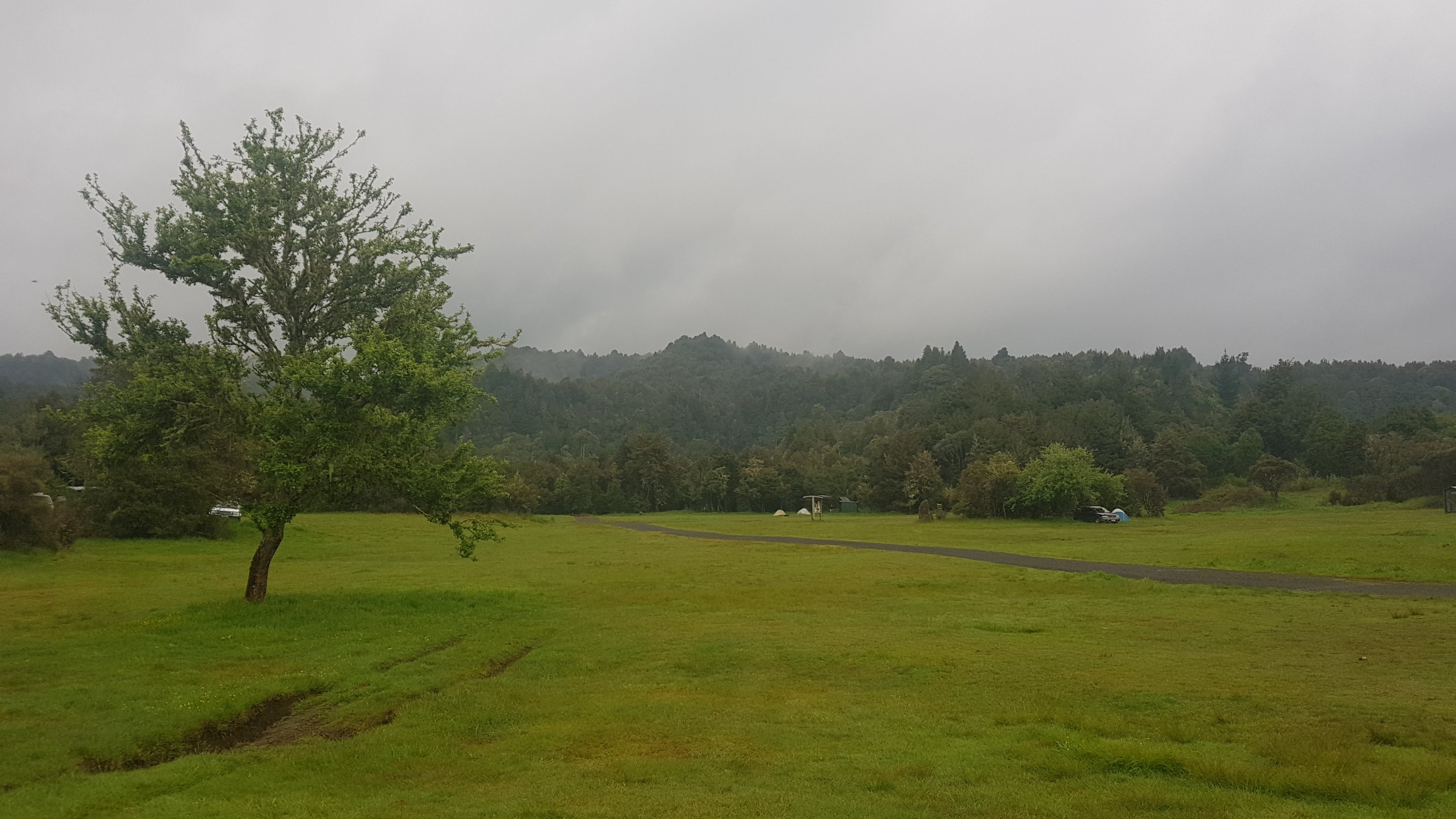
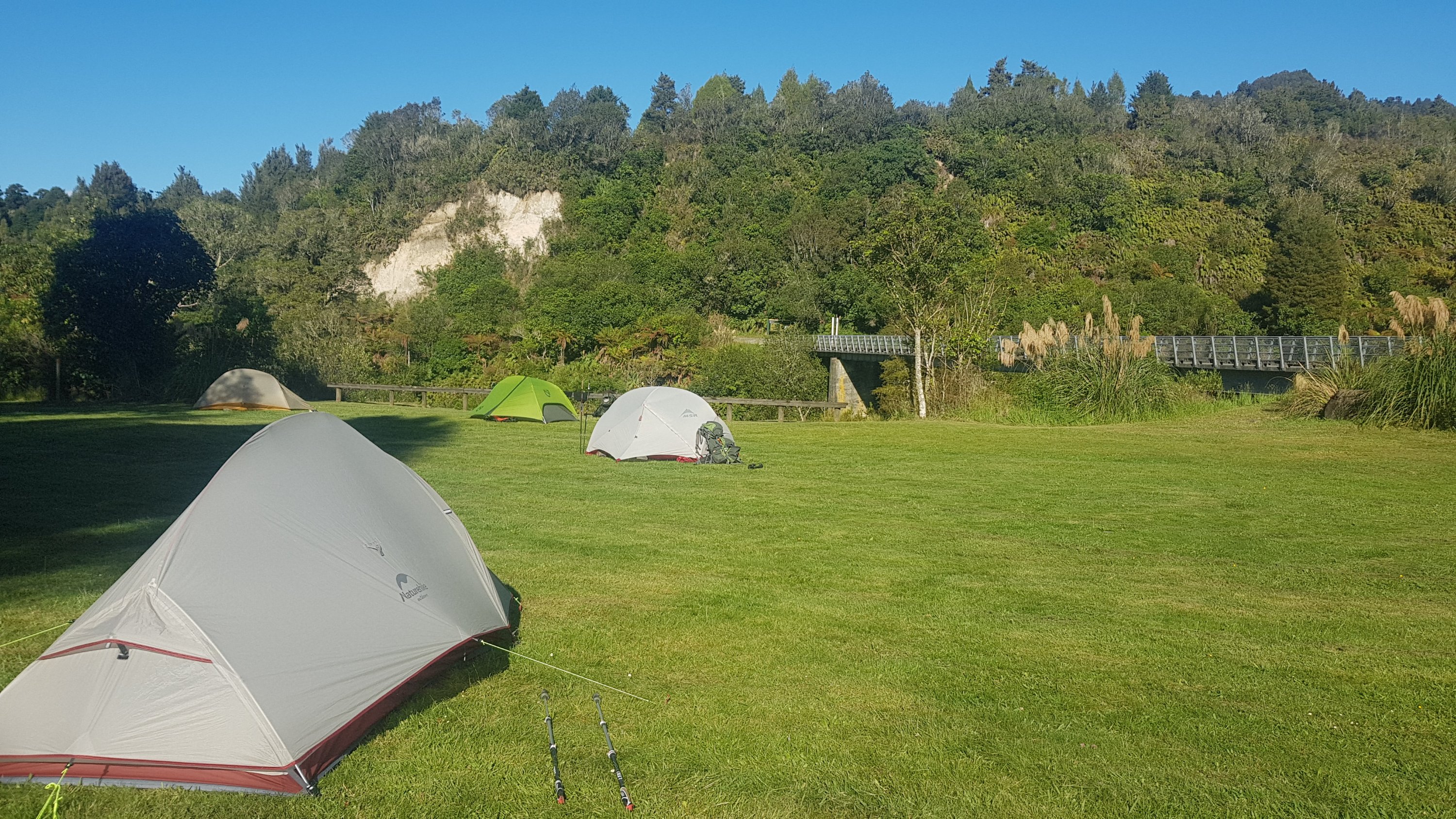
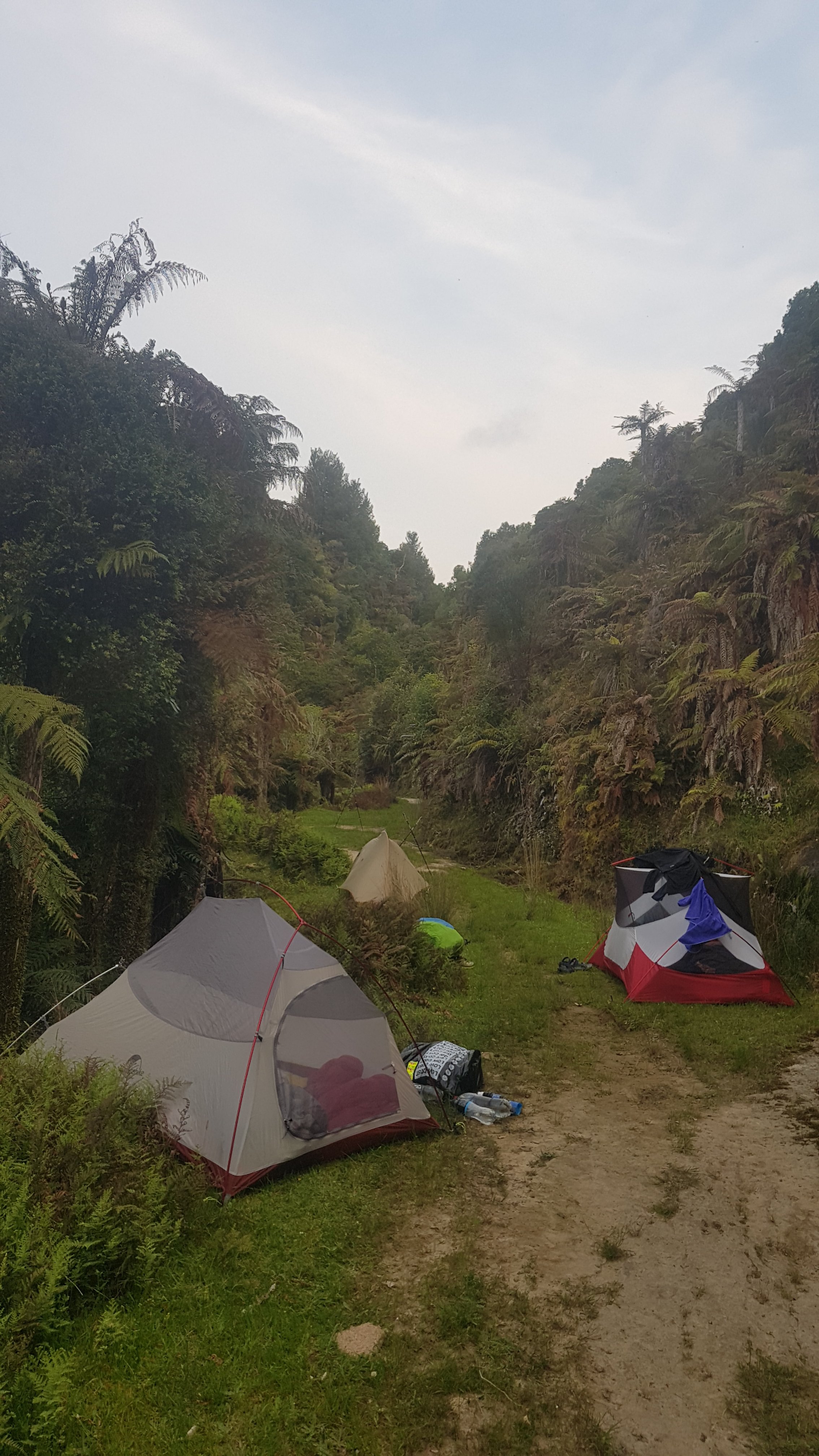
All day we knew it was coming, and we also knew that they do beer and pizza. And we wanted some of that. But is that only if you stay at the lodge? We weren’t sure. We would find out soon enough, but for now we had to walk past it to the campsite which was another km further down, and set up camp. It’s supposed to rain hard tonight and so we want our tents set up while it’s still nice.
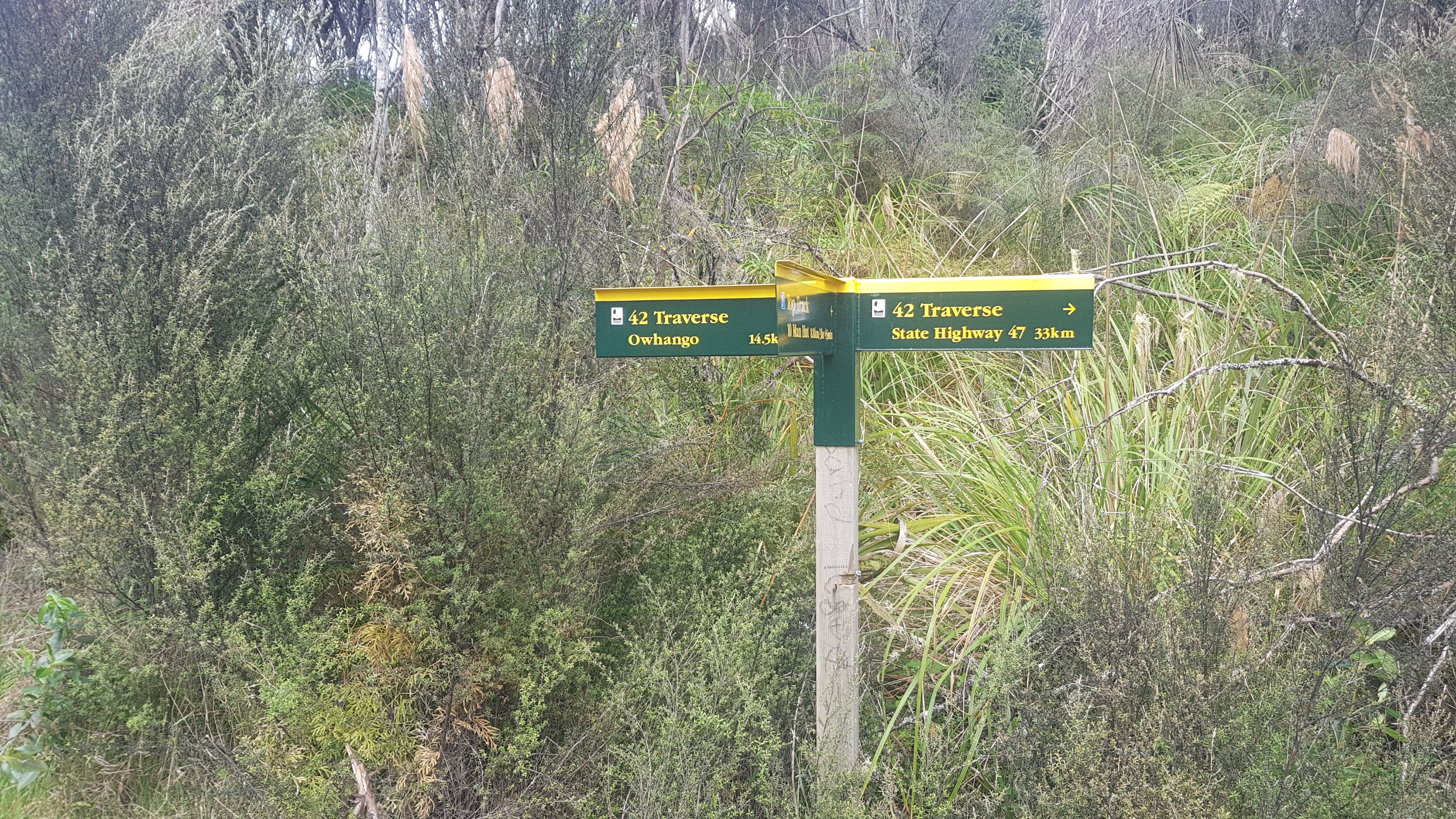
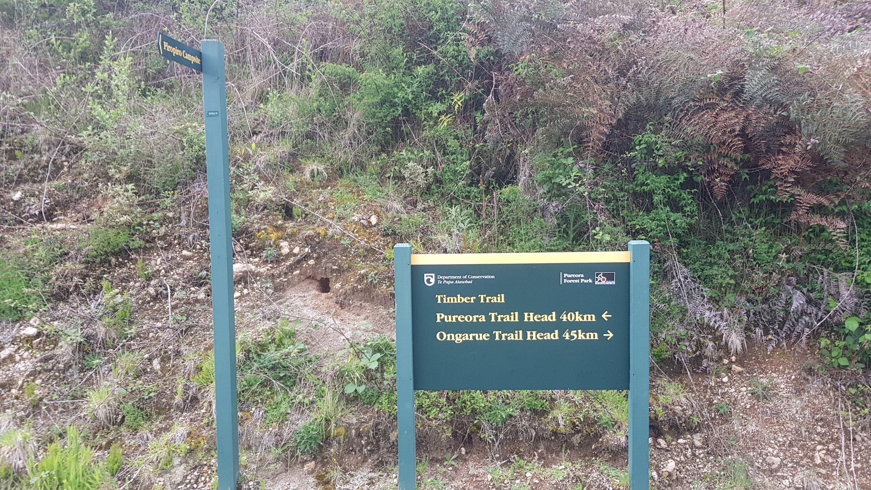
Just before camp is a distance sign. Oh wow, the others are planning a 45km day tomorrow to Ongarue. I don’t think I’ll join them for that, especially given the bad weather forecast. But no time to worry about that now, beer and pizza await!
Although I hear a loud buzzing noise. I hope it’s not more motorcyclists like the ones at The Bluff Campsite on Day 2. They were so annoying, and they scared off the wild horses.
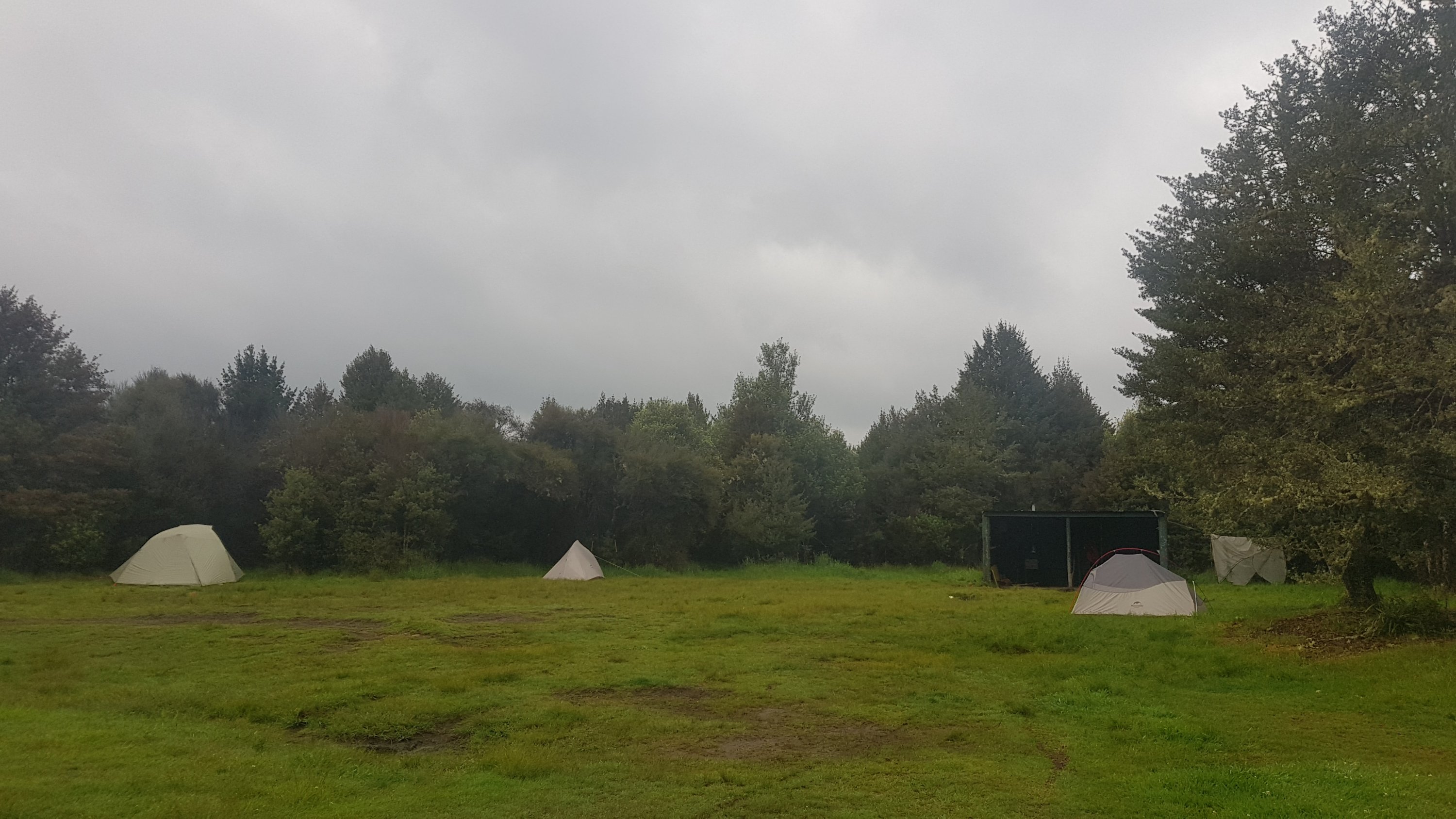
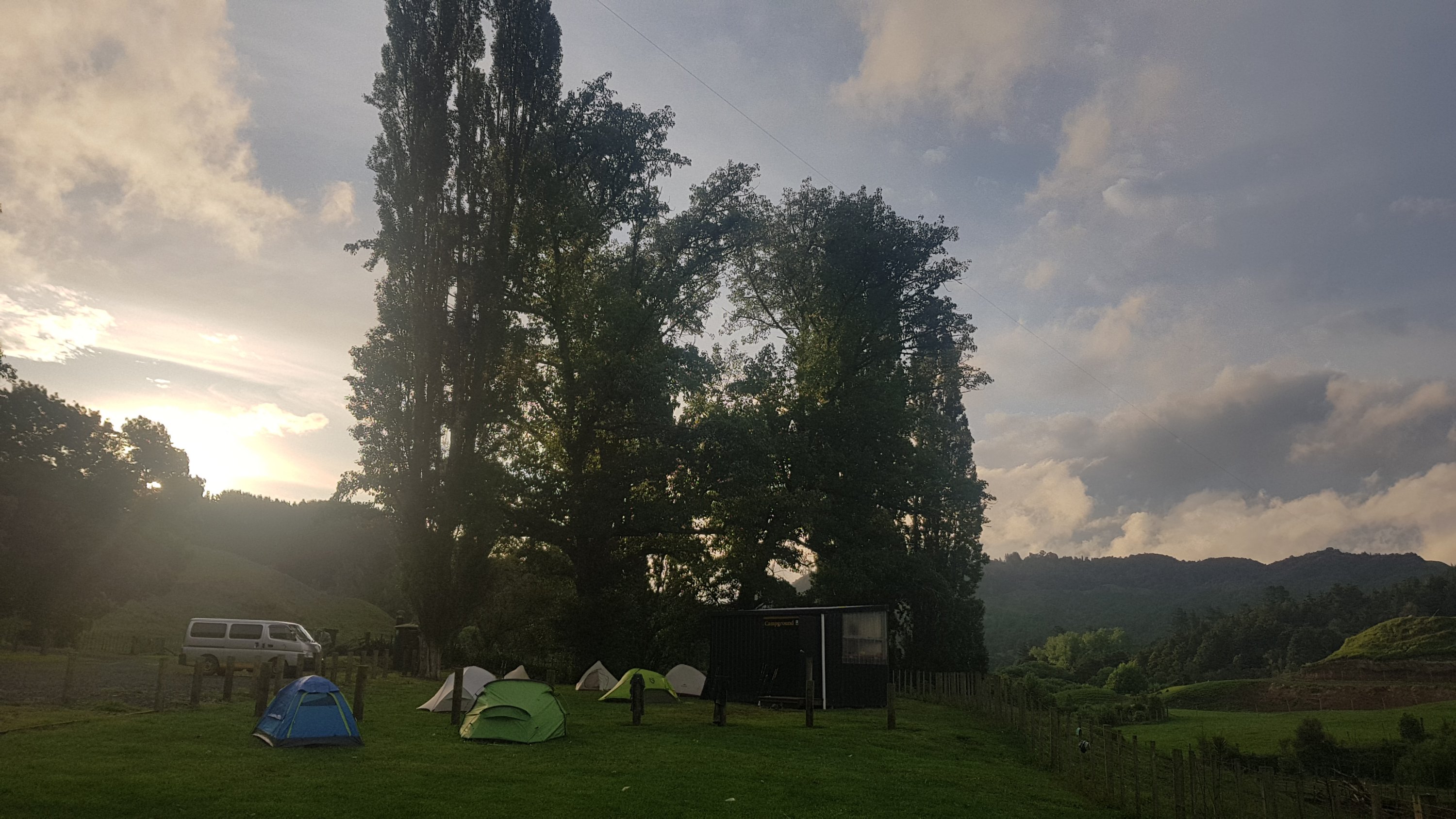
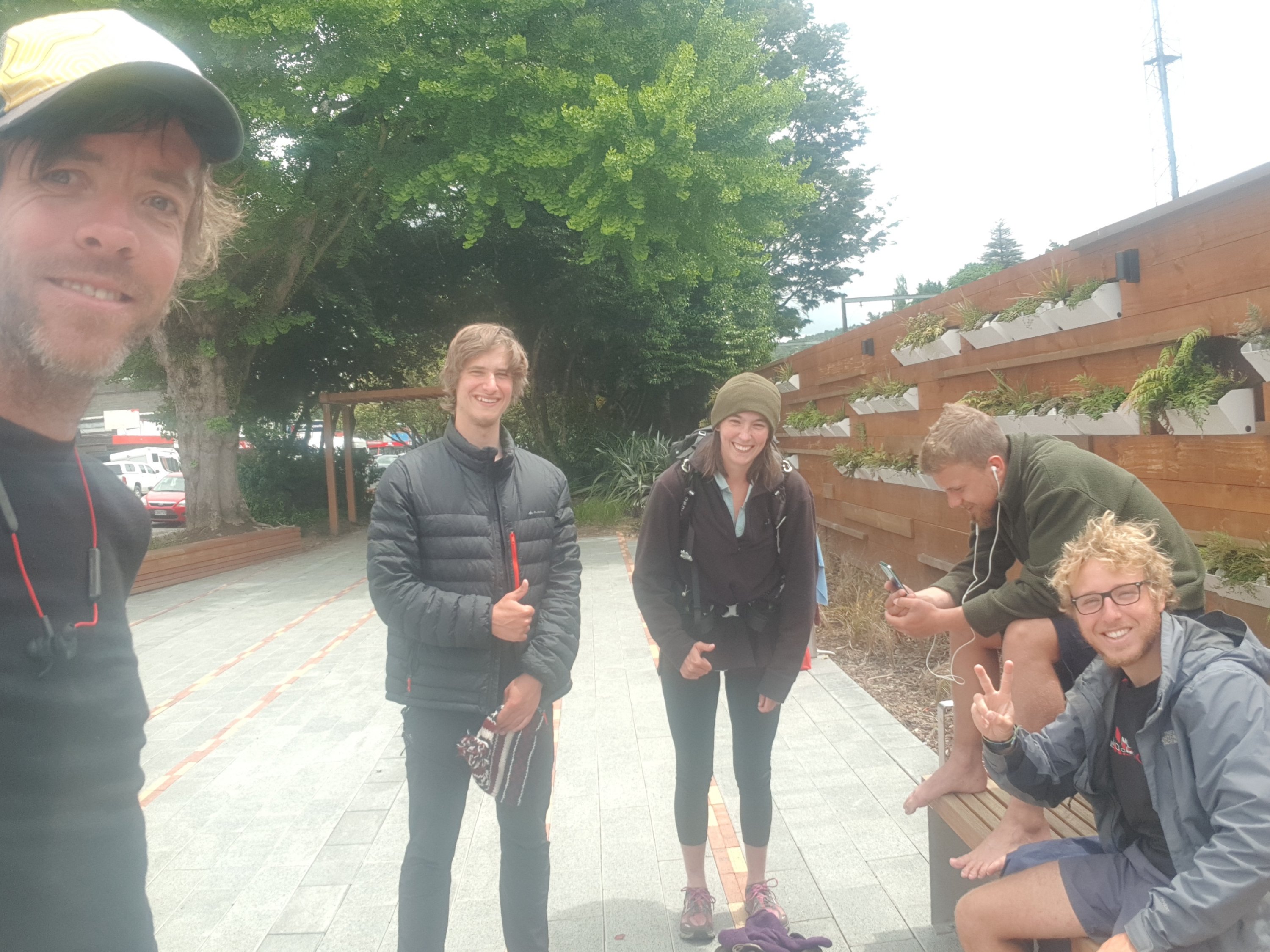
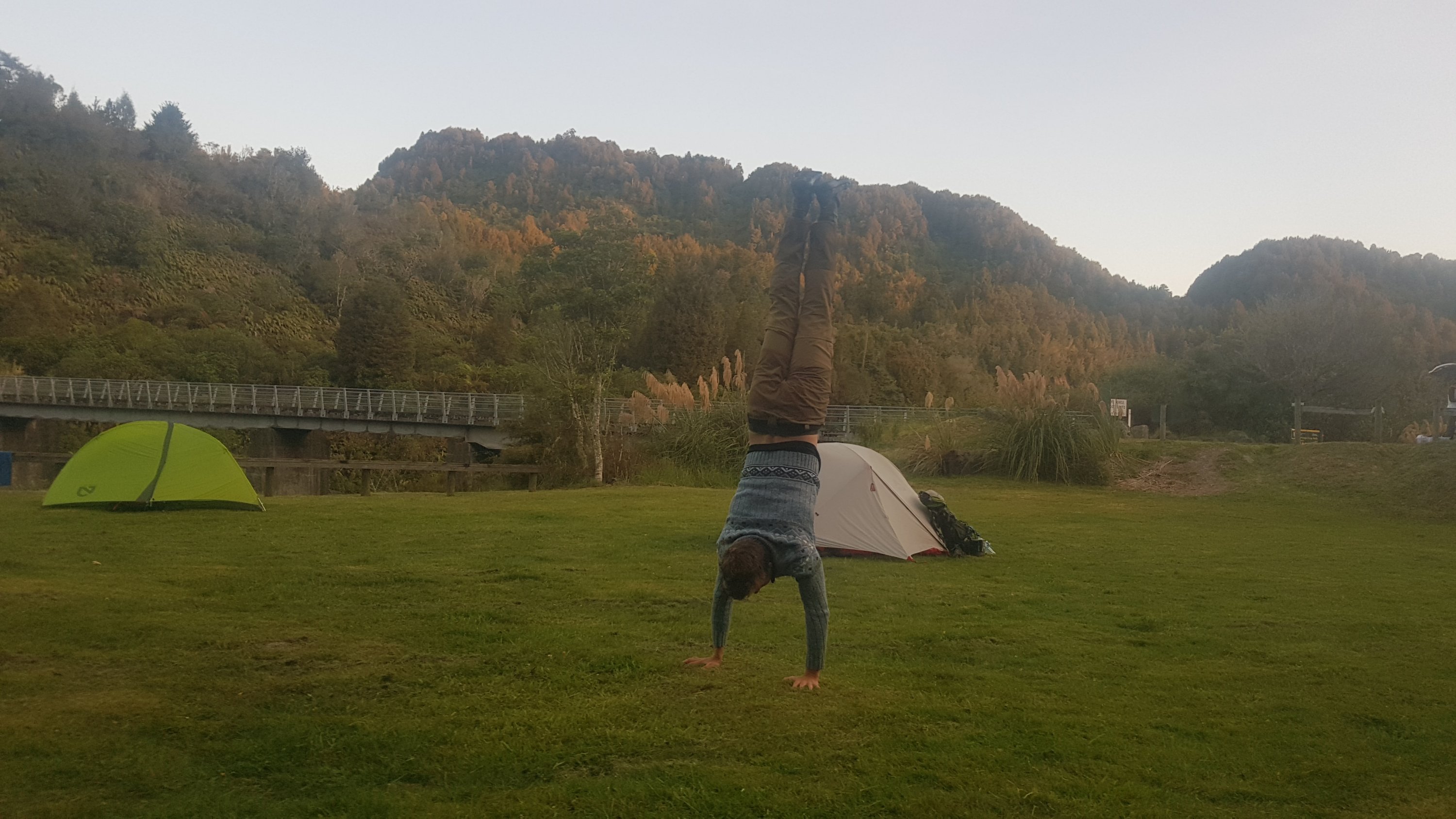
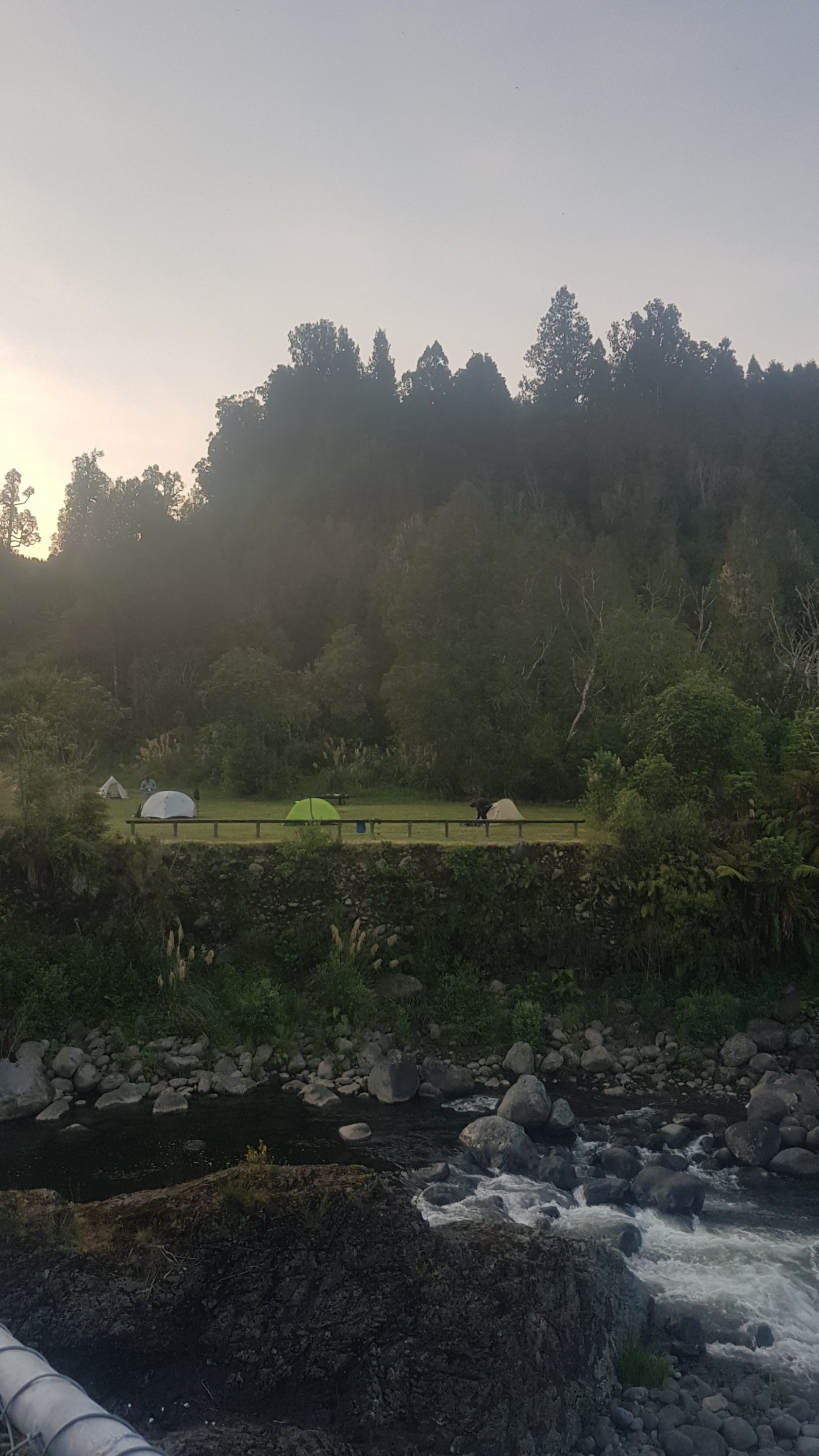
Arrived at camp to see Henry there, which was a nice surprise, I figured he would be ahead. Thankfully there were no motorcyclists (I think the noise was just flies), but there was a Swiss family of 4 who are walking, and there were two other tents there but their occupants weren’t anywhere to be seen.
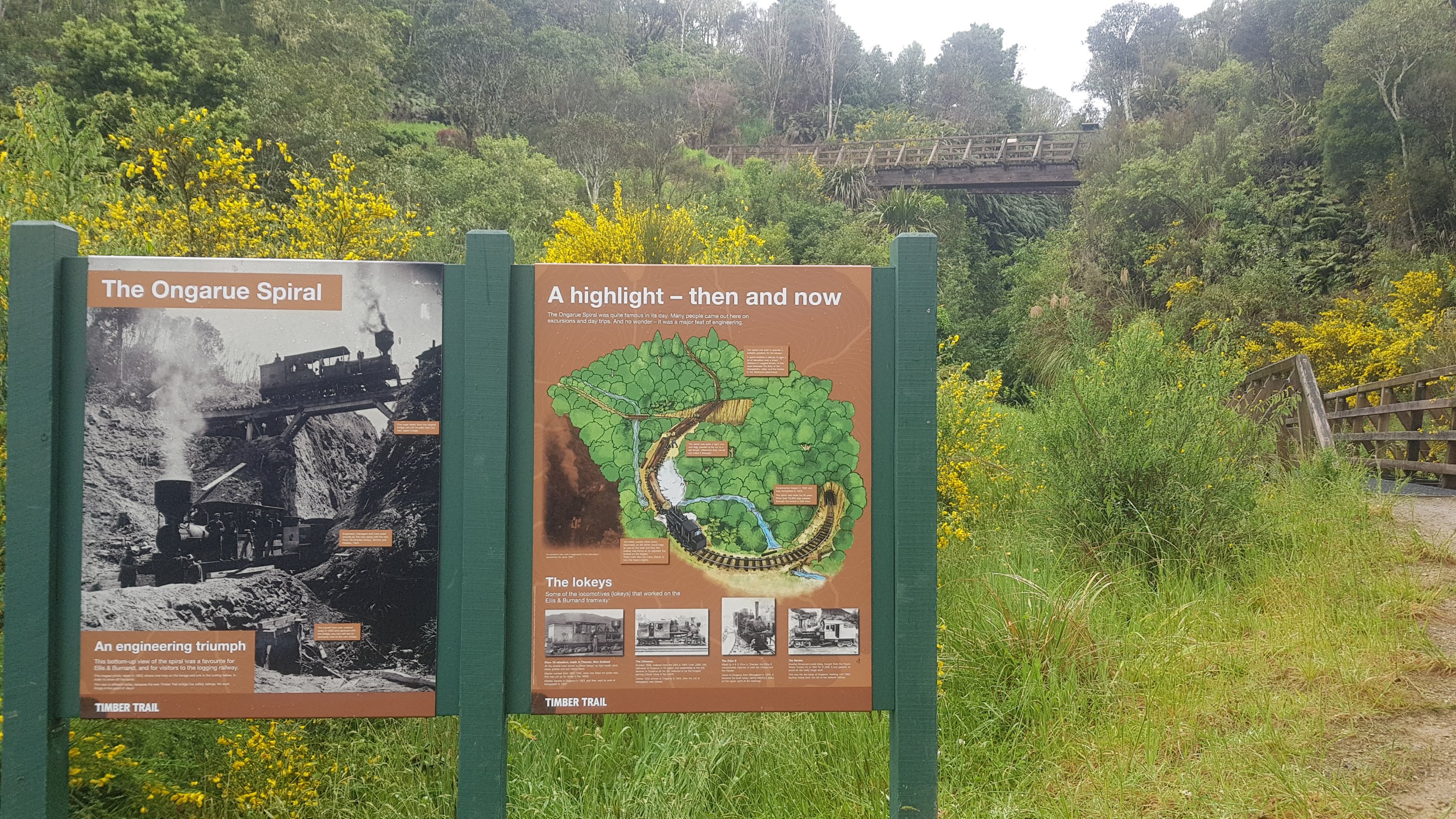
Henry said he stayed at Bog Inn Hut and he really liked it, so I was sad I didn’t get to see it. Here’s pictures of it on the DOC website.
Yesterday I remember really wanting to get my boots and socks off all afternoon but today it was the pack. It really seemed to be weighing down on my shoulders today. I don’t know if some days I pack it differently to others, or what it is. In fact for the last few kilometers of the walk today it hurt to even raise my arms to take my earphones out of my ears. I was so glad to finally take it off.
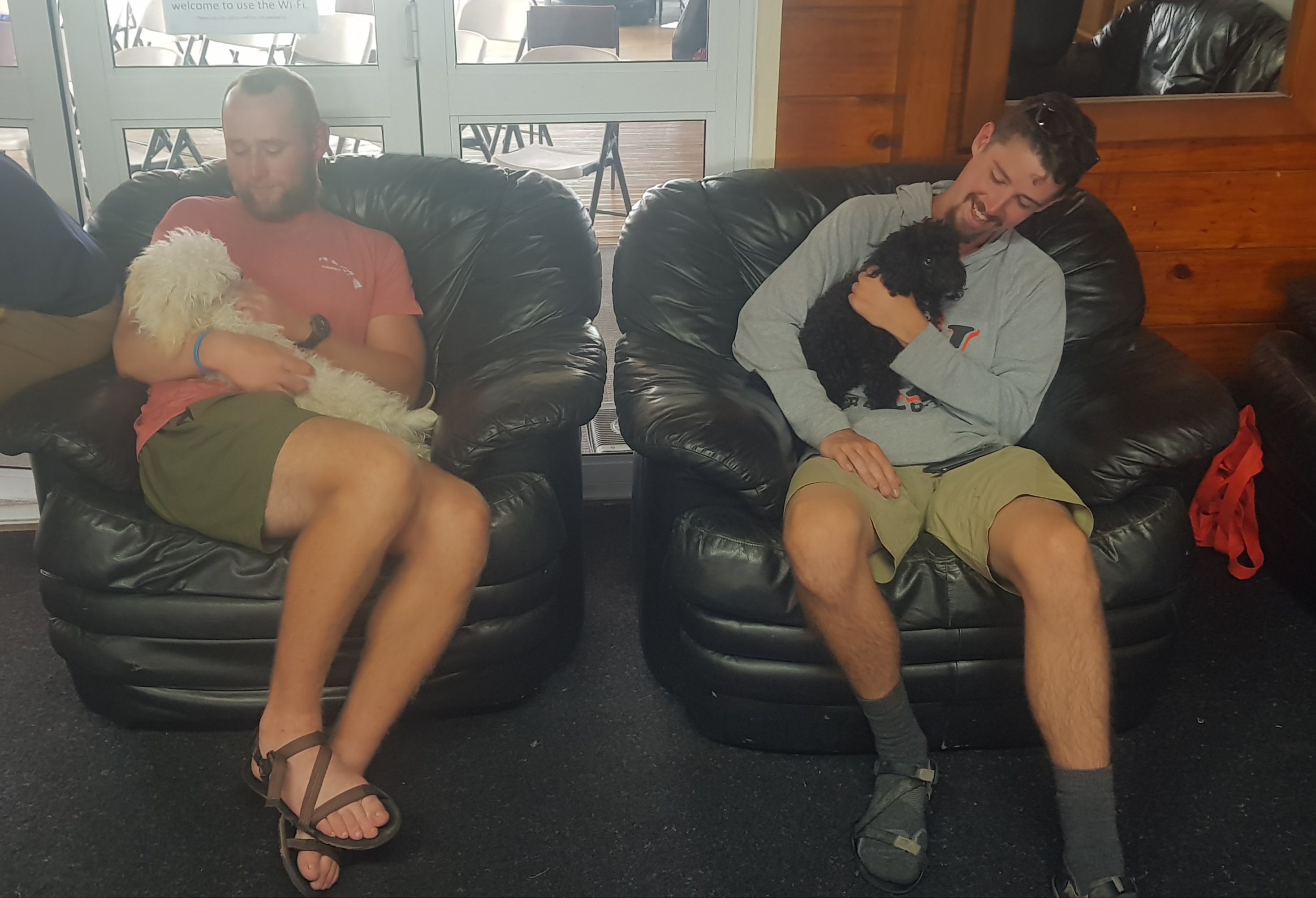
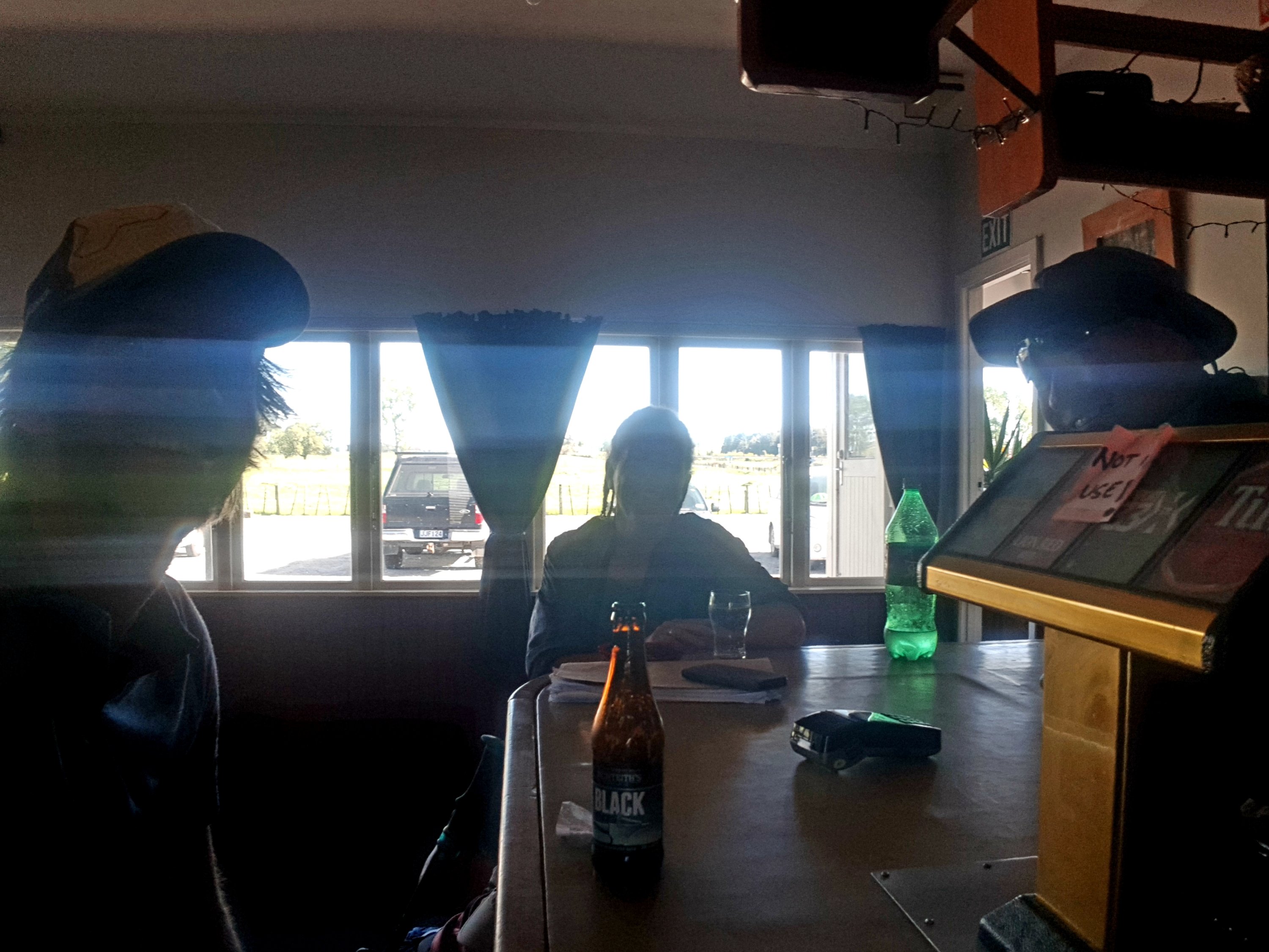
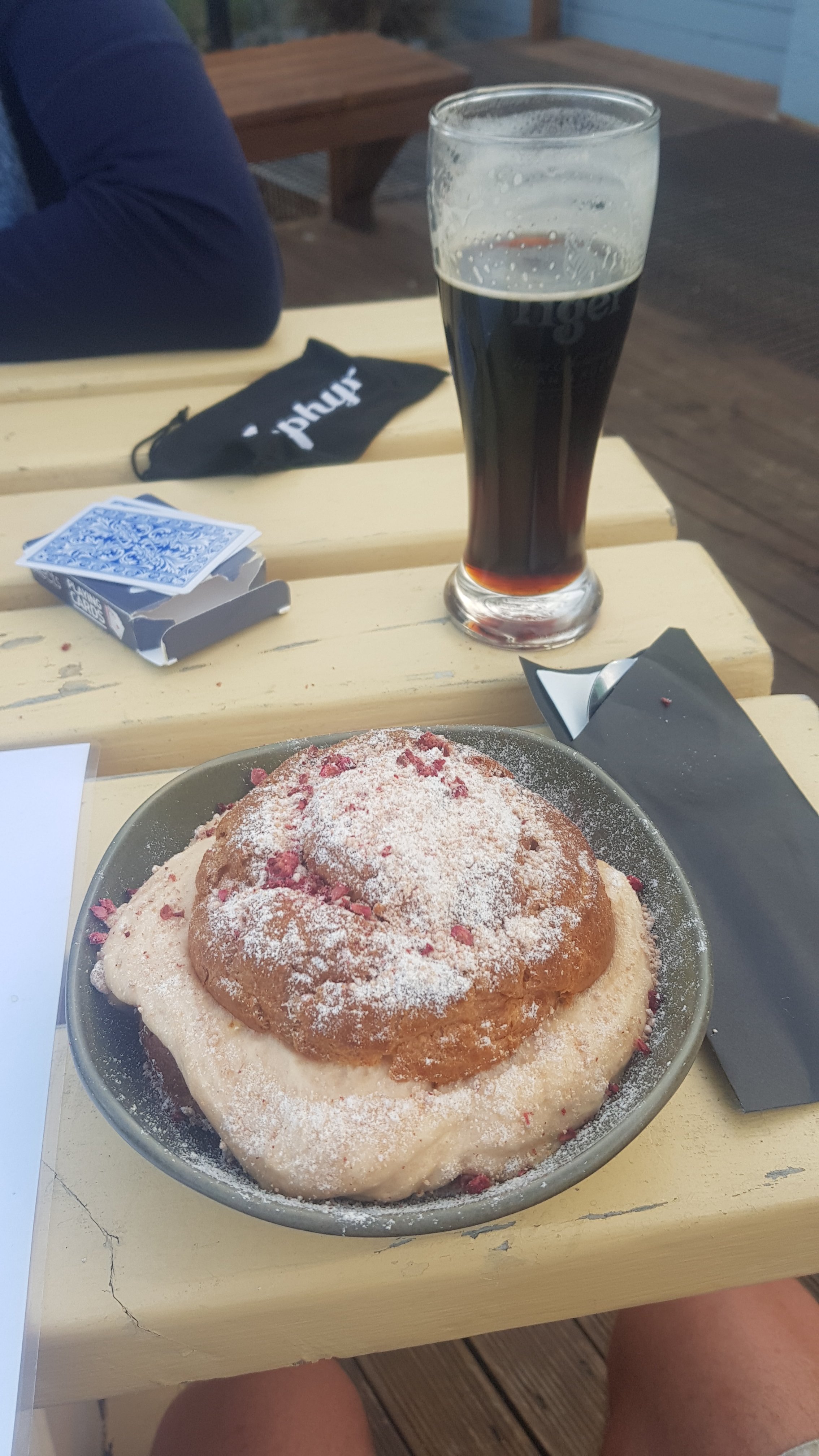
Henry joined me and the other guys I was walking with and we went back to the Timber Trail Lodge. It was a nice place, we got there at 6pm and we had to order pizzas very quickly so that the guests that actually paid to be there could sit down for their fancier meals.
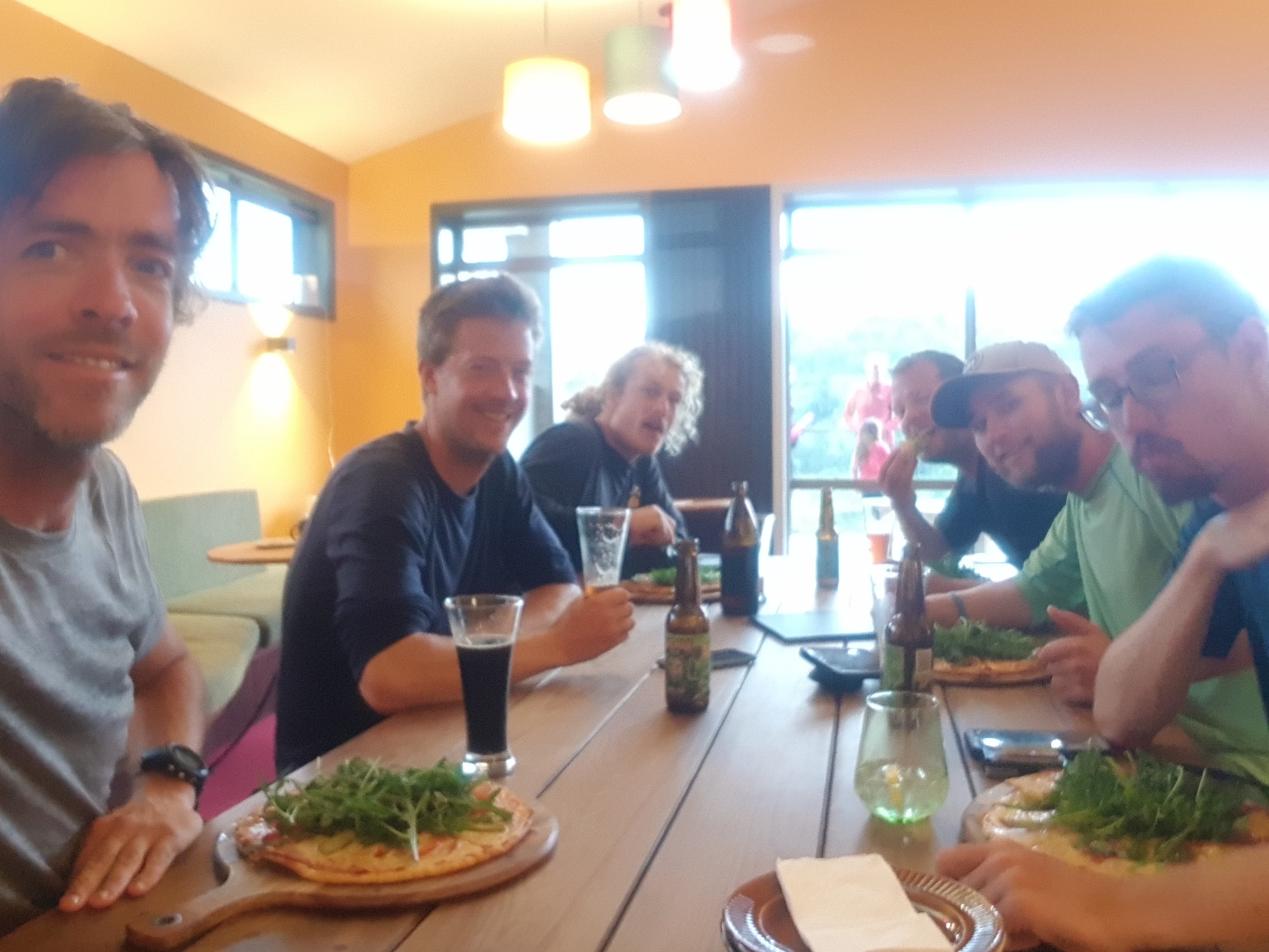
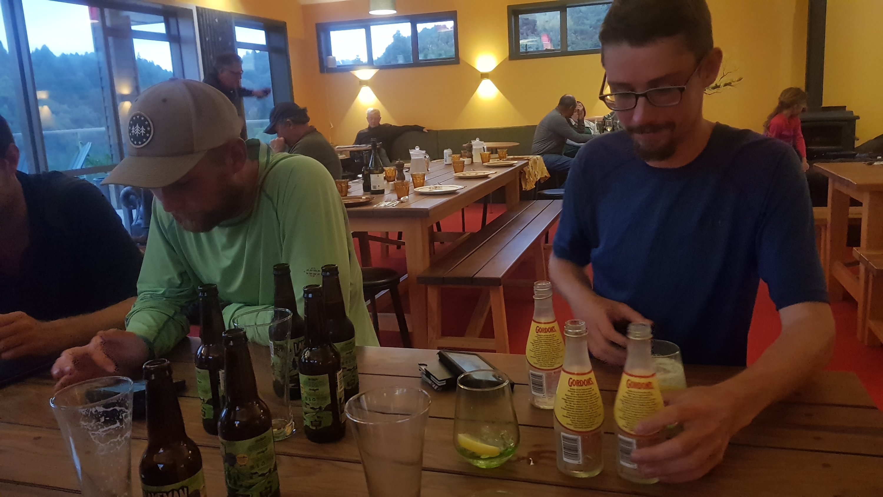
But we were allowed to drink as much as we wanted, they didn’t have any problem with us ordering drinks. Most of the guys got five beers each. I only got three, I thought that was definitely enough. And the pizza was good although a bit lacking on toppings.
Had a quick look outside before I left, but the rain hadn’t started yet. We were expecting to have to walk back to camp in the pouring rain.
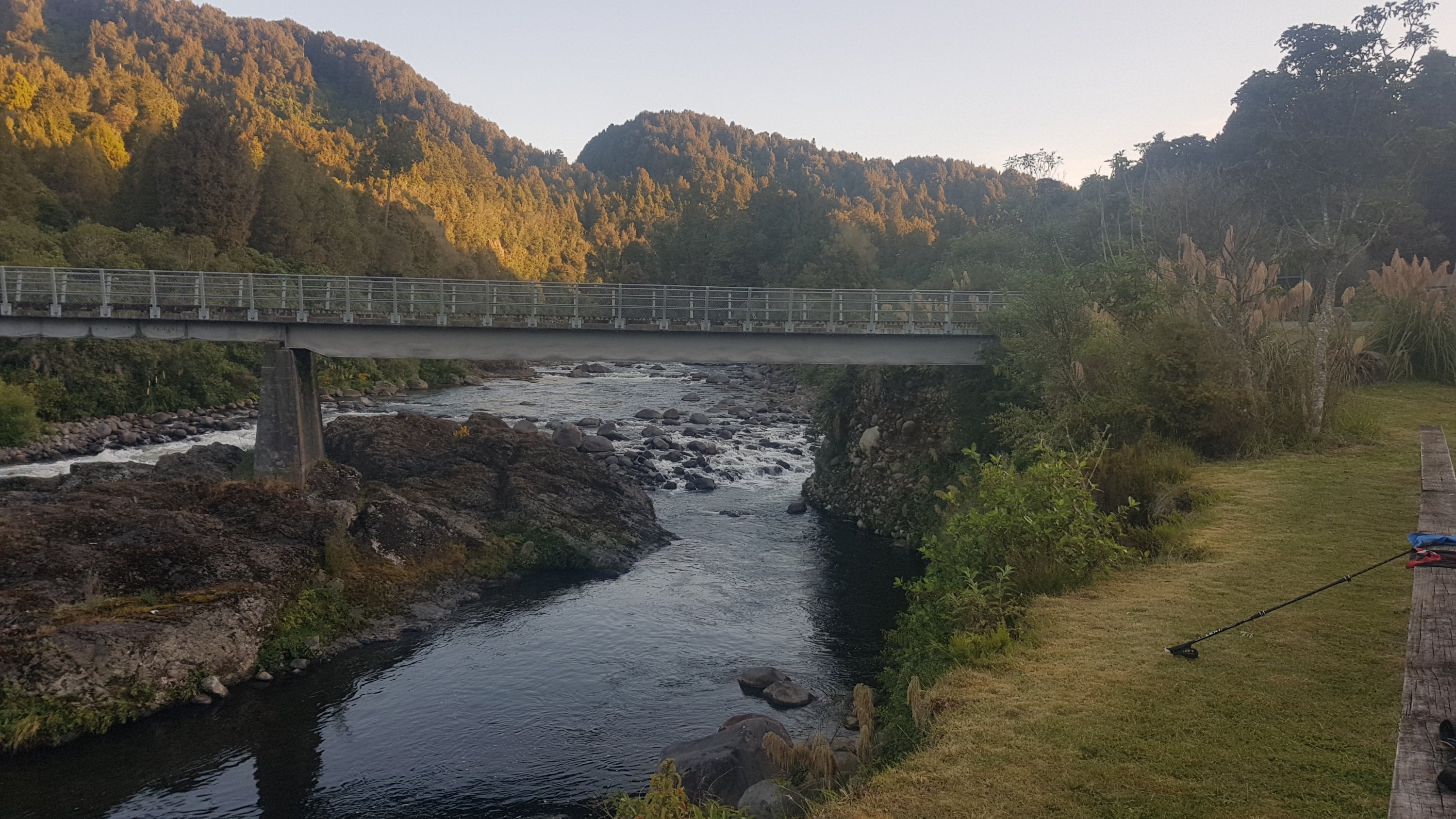
There was the slowest Wi-Fi ever at the lodge, but it did enable me to check my emails. One thing I did learn was that there was an unfound geocache right where we were sitting at the end of the Bog Inn Creek Bridge! I was sad I didn’t know it was there one day earlier. I would have been first to find on my third geocache while walking. Oh well, it is what it is. I did actually find one other geocache today for the first time since Mt. Pirongia.
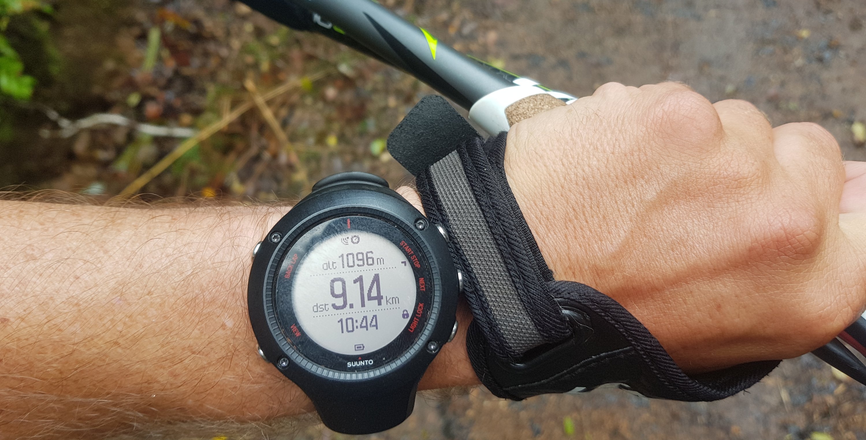
And my GPS watch was reading 32km while at the lodge, however the markers along the edge of the trail had reached 39. And Guthook said about 37. I can’t believe each of the measurement systems could be giving such ridiculously different readings. I’m getting so annoyed with the GPS watch way underreading that I think I’m going to stop reporting it after today and just use it for the red line on the map at the end of each blog post.
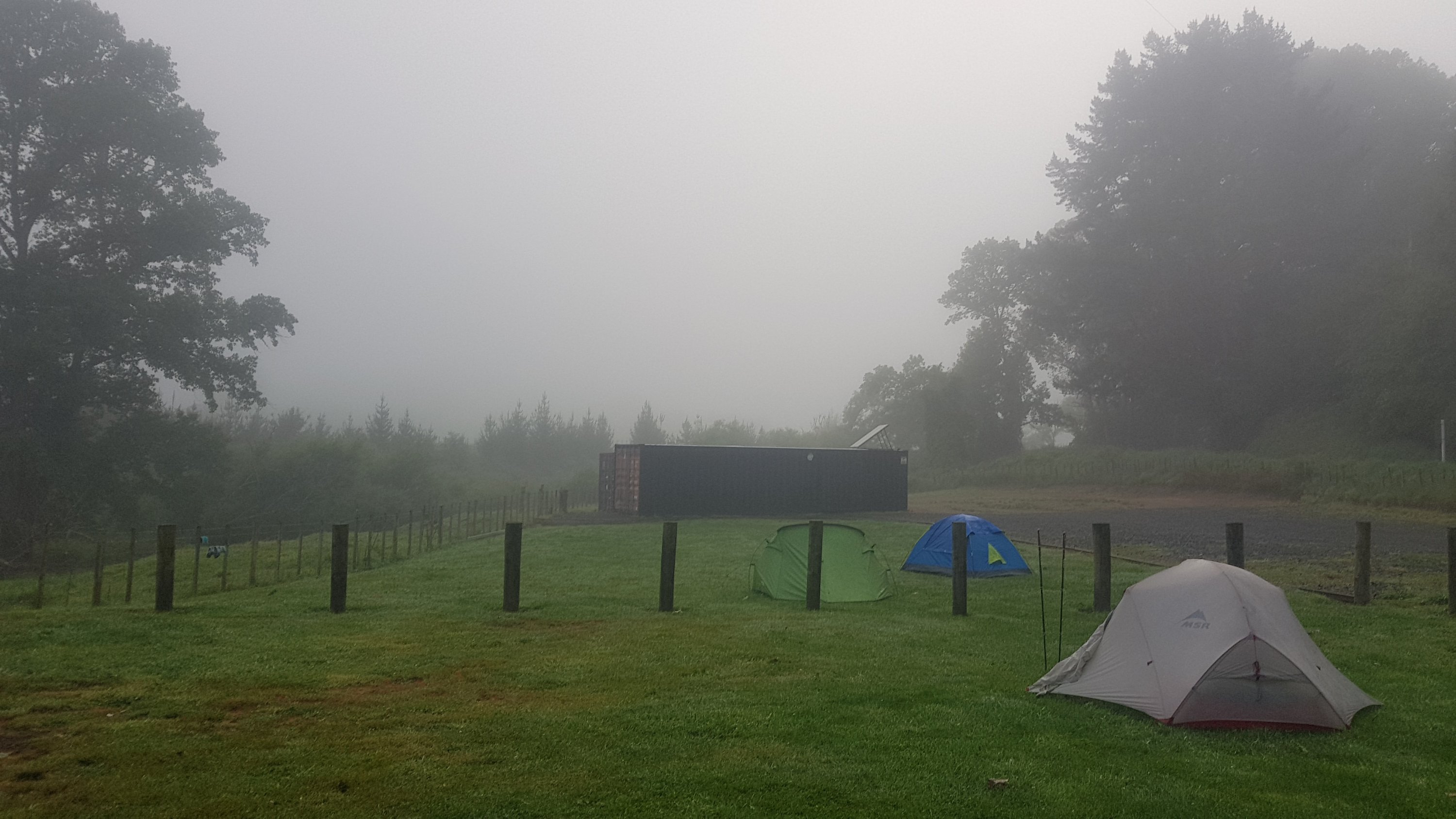
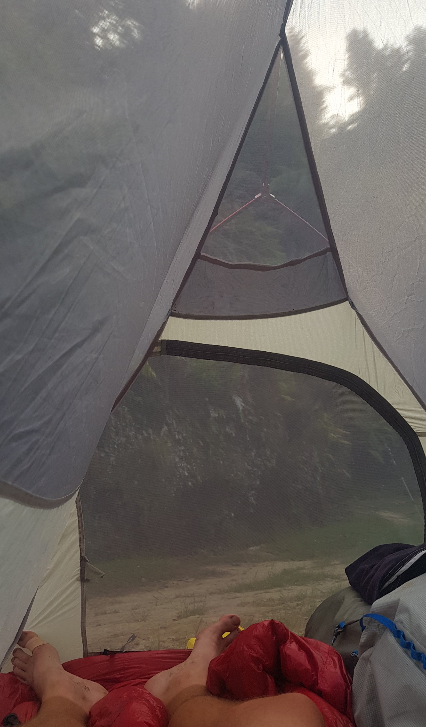
Got back to the camp and the rain was only just starting. I decided to sit in the campground shelter and write a blog post. When I finished that it was raining quite hard by this point and when I got back to the tent I realised i had closed the mesh tent door but left the tent fly door open. Uh-oh. My sleeping mat was quite wet but I dried most of the water off that with my little towel. There was a little pool of water in one corner of the tent which my iPod was very close to but luckily nothing important got wet. Note to self – close the tent fly door.
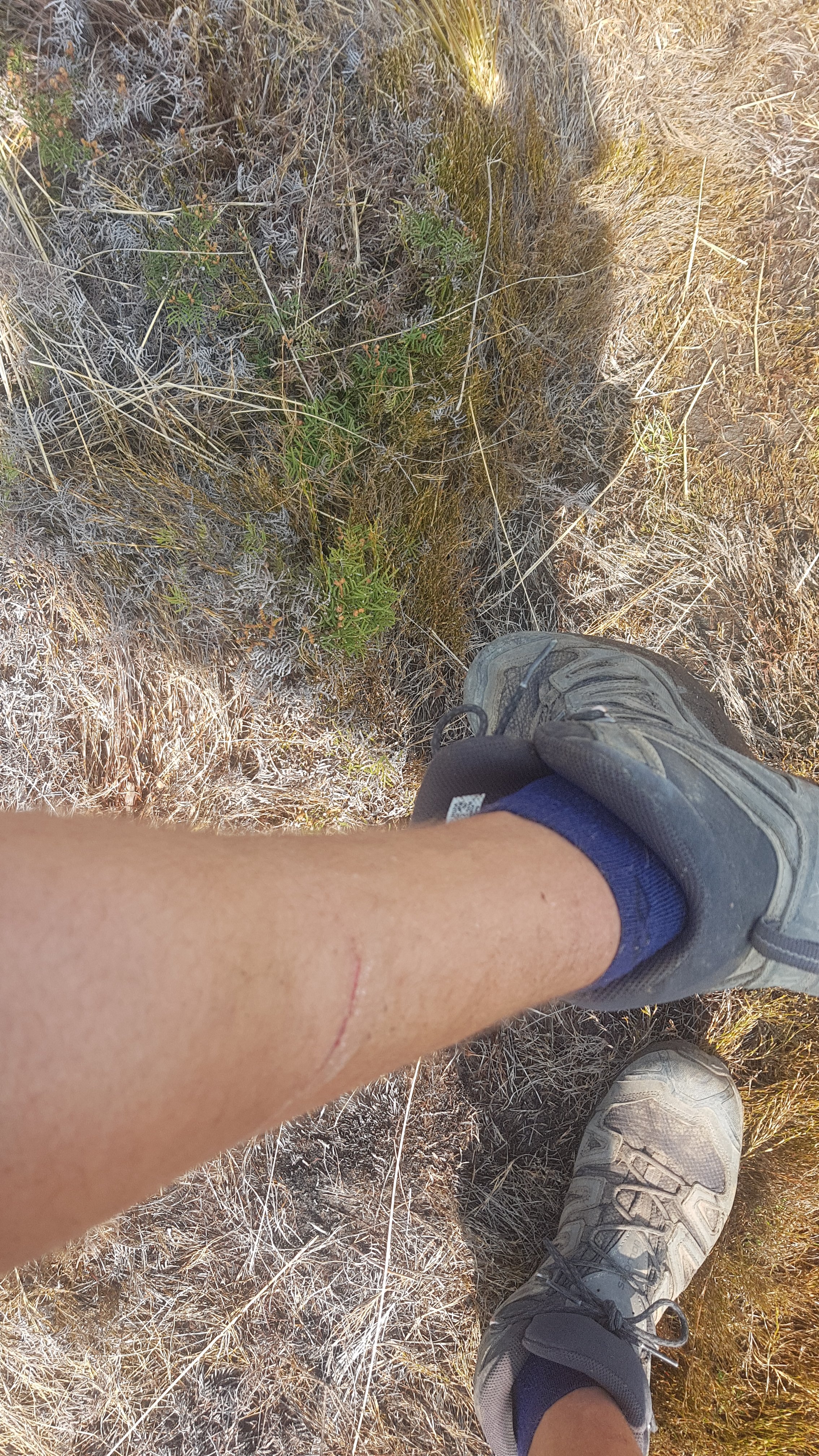
And for some reason my tent stinks. Its hard to describe what it smells like. Oh and somehow I got blood on my sleeping mat. So now the mat has mould on it at one end, blood in the middle, and rainwater at the other end. Lovely.
The weather is going to be bad overnight and probably tomorrow it seems. If it does rain hard tomorrow I had planned to spend tomorrow sitting in the lodge again waiting out the rain but I got the impression they wouldn’t like that. Oh well let’s see what happens. I really don’t fancy walking in the rain, like everyone else says they’re going to.
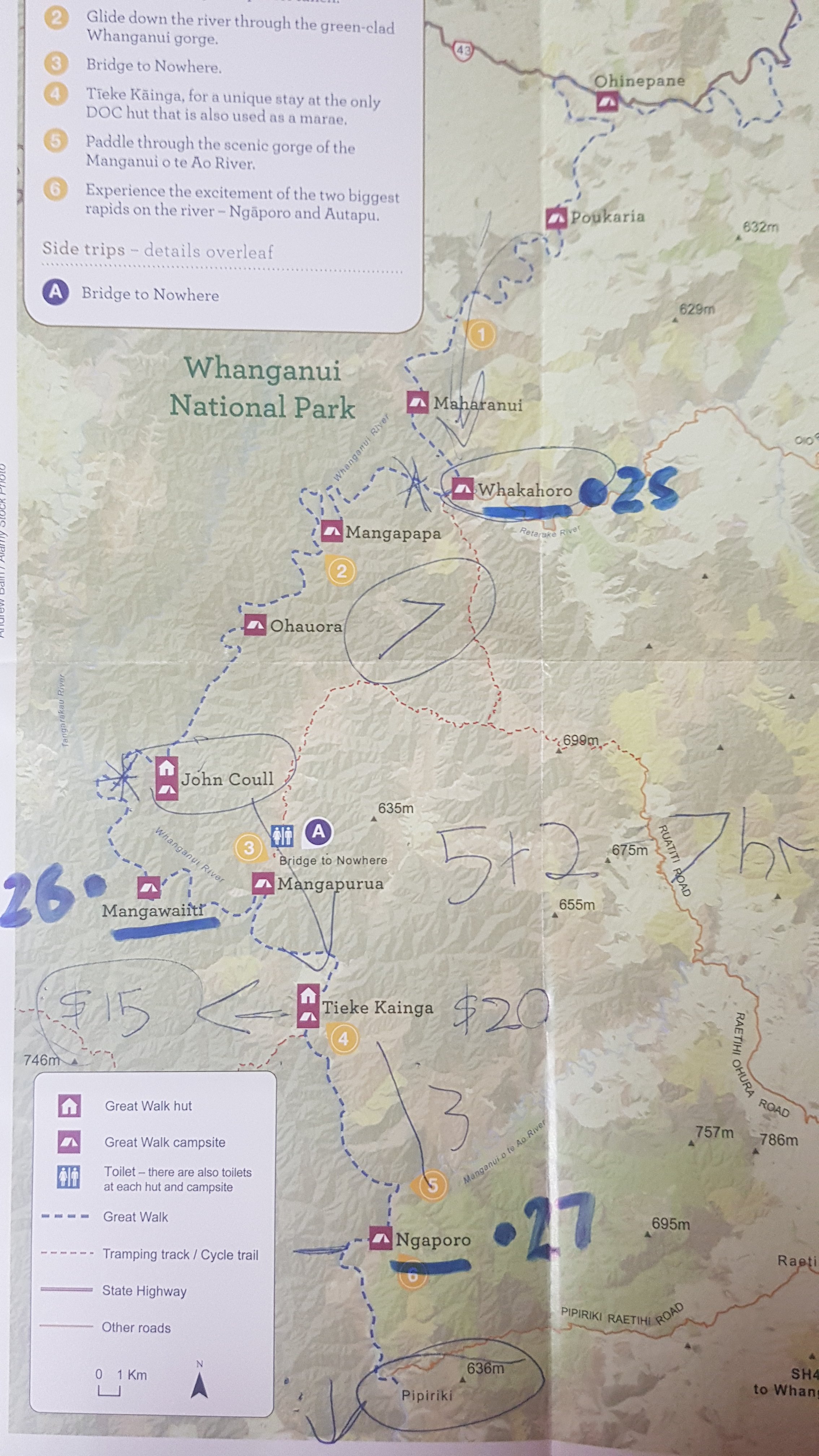
Click here to see today's walk on the map.