Date: 28 January
Trail covered: 10.9km plus 2km off trail (kms 2059.4 to 2070.3)
Weather: nice but hot well into the evening
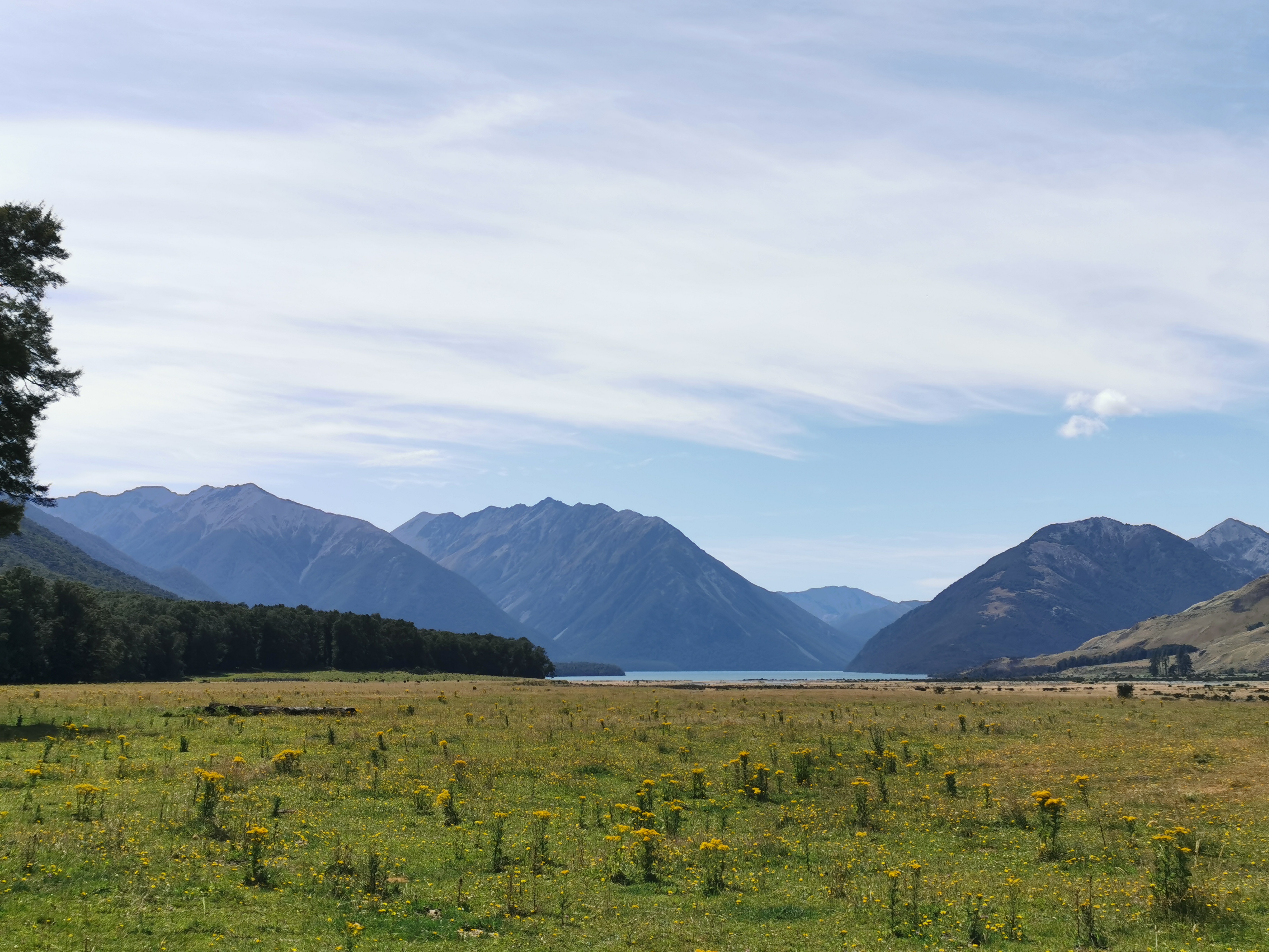
So this is day 100. The Big Kahuna. The Hundy. The Benjamin. The Business. Whatever you call it, it feels like quite a milestone. It also feels like I’m going quite slowly, although the distances I’m covering have clearly been increasing since the early days. If I’m still walking on day 150 I’ll be very surprised.
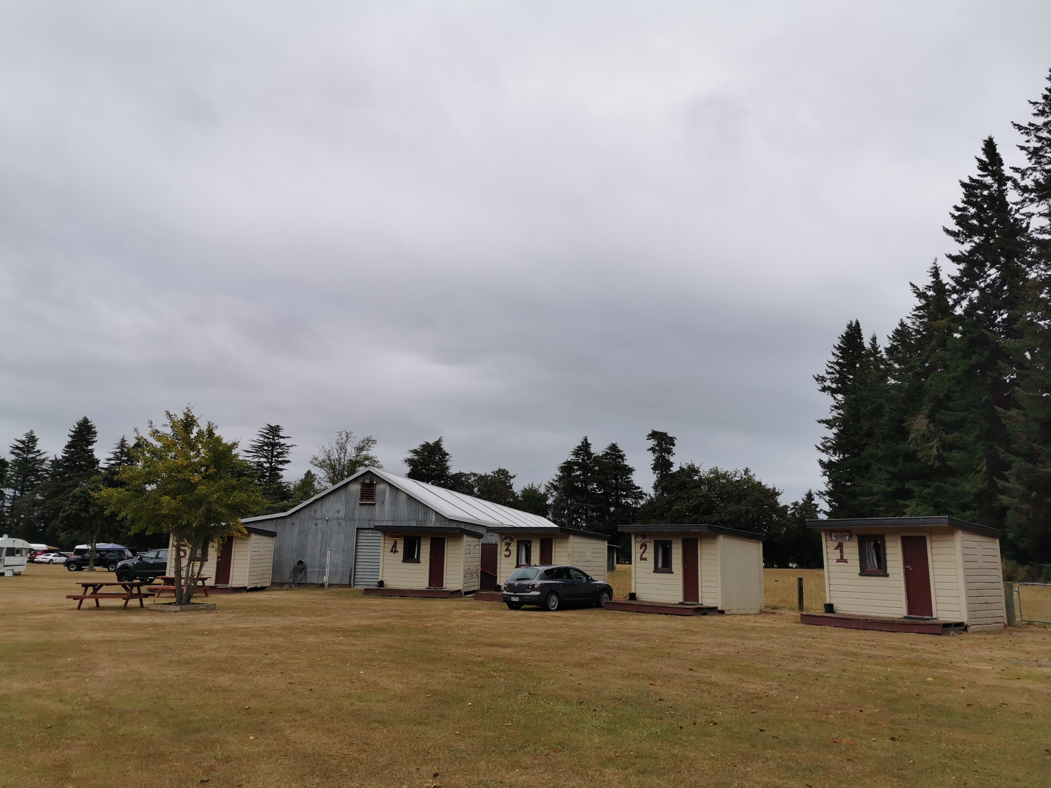
Last week when I was in Christchurch I chose my motel based on how close it was to the exciting things in the city centre. This time I chose a motel based on how close it was to both the airport bus and a supermarket, hence I ended up in Riccarton.
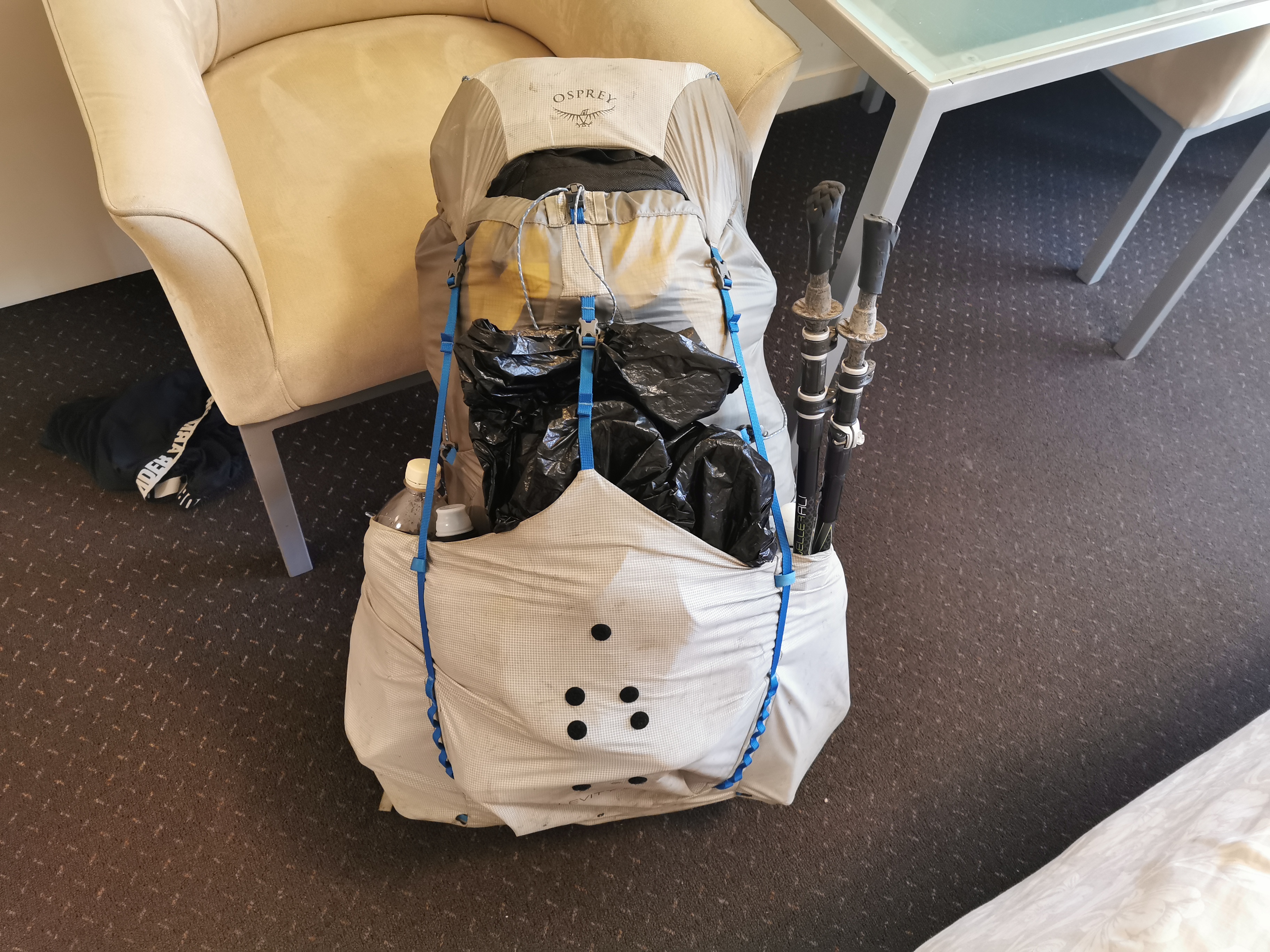
Like last time I bought a lot of food, I struggled to fit it all in the pack.
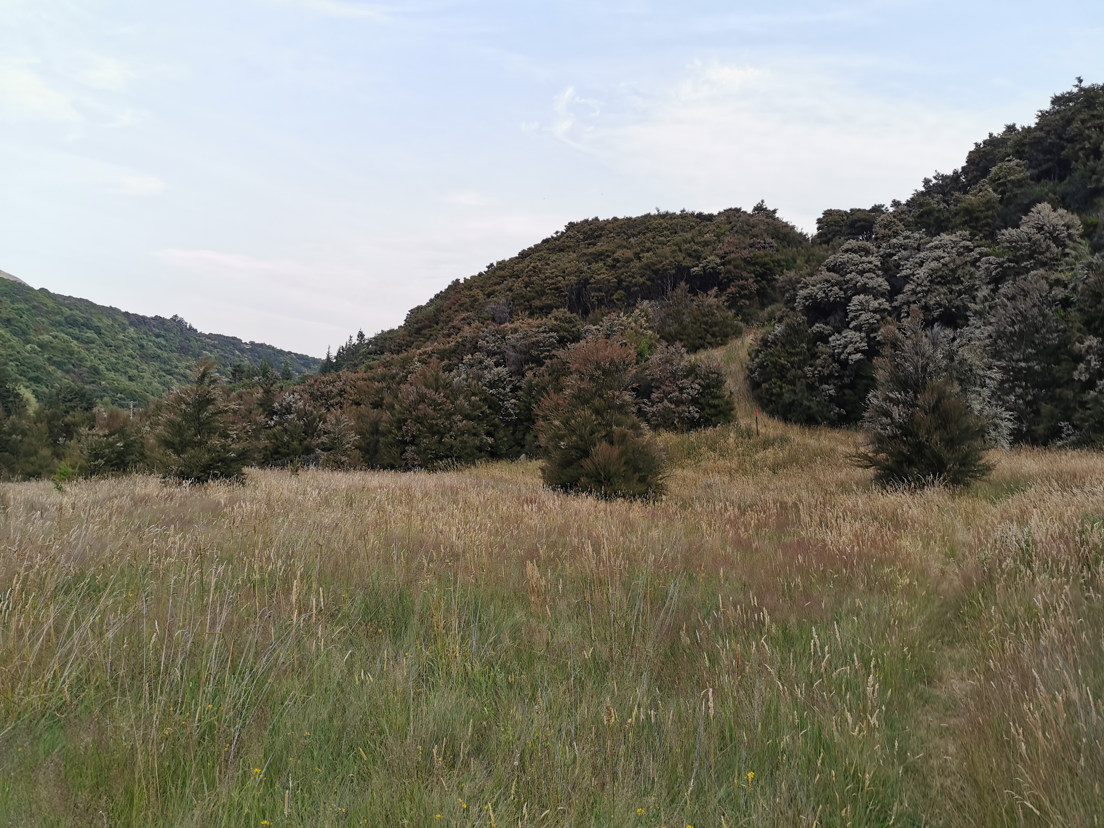
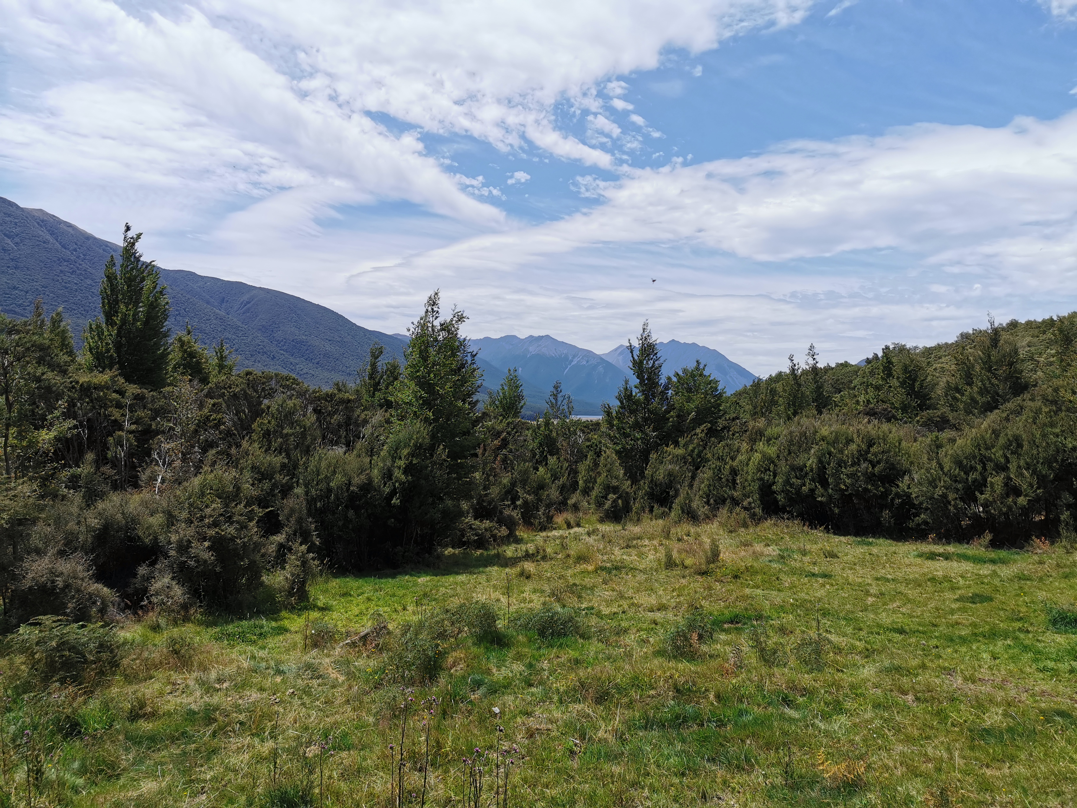
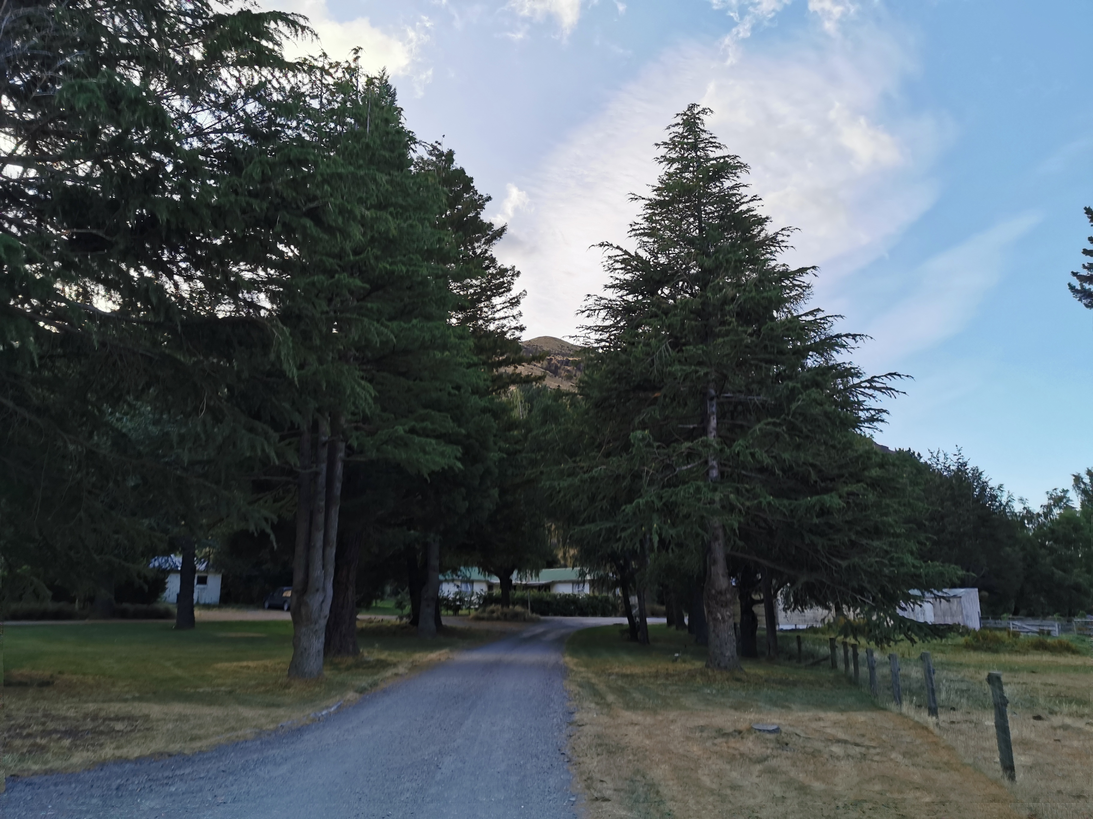
Here we go again
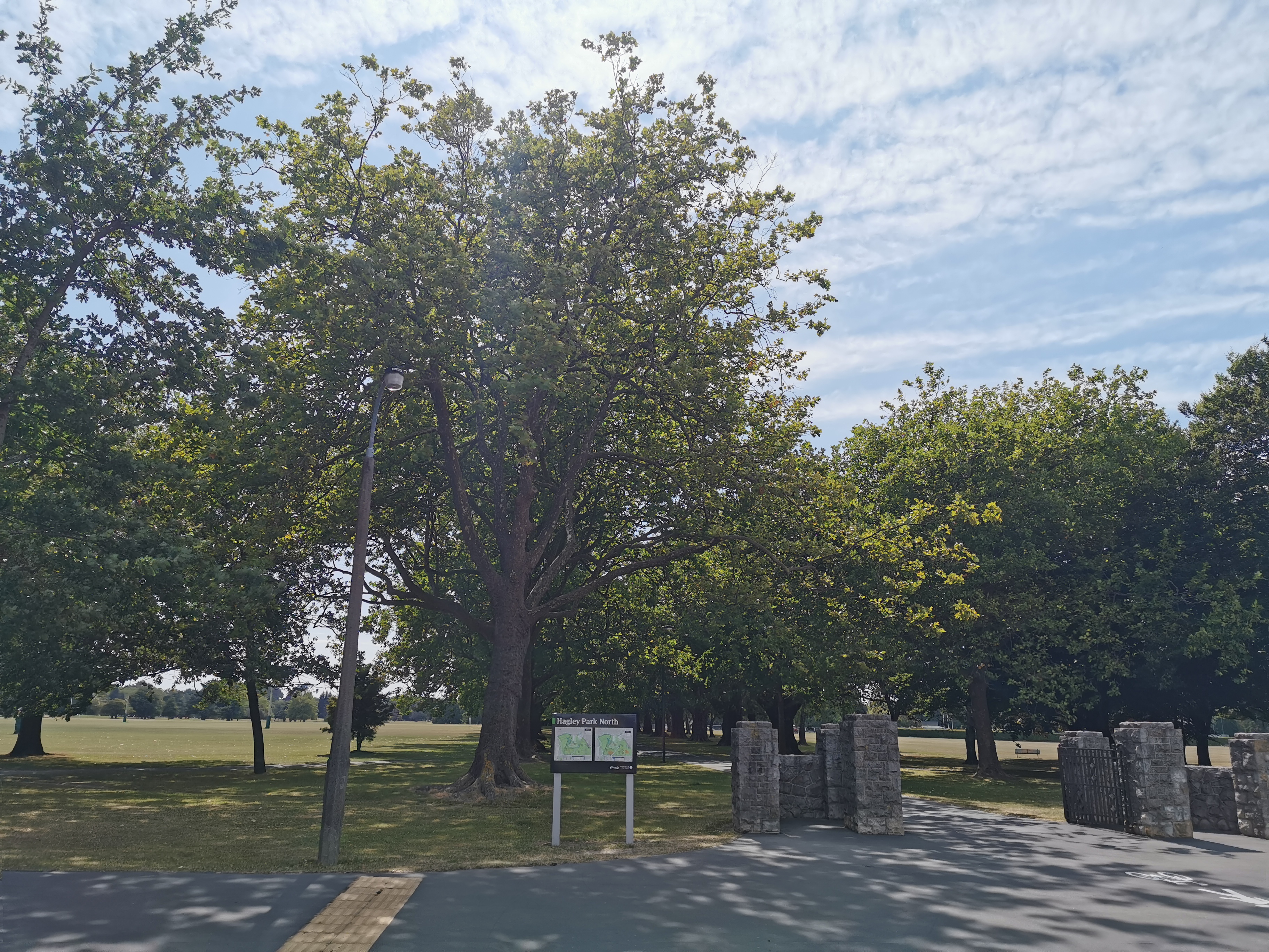
I had to walk across Hagley Park to get to the Christchurch CBD and my shuttle this morning. My 11am picture is at the north-western end of the park.
11am picture
I mentioned yesterday that the Coast to Coast might be a problem this weekend – I had read it on Facebook. Turns out that it is not a problem, because it is actually the weekend after – 7 and 8 February.
Curse the ambiguous meaning of “next weekend” which is the wording the post on Facebook used. The Coast to Coast is “next weekend”. I never understood why “next weekend” means two weekends from now to most people. If I said “race you to the next marker”, I would expect you to know that I meant the marker that is one ahead, not the marker that is two ahead. If the Google Maps lady says “take the next left” she means the street coming up next, not the one that’s two away!
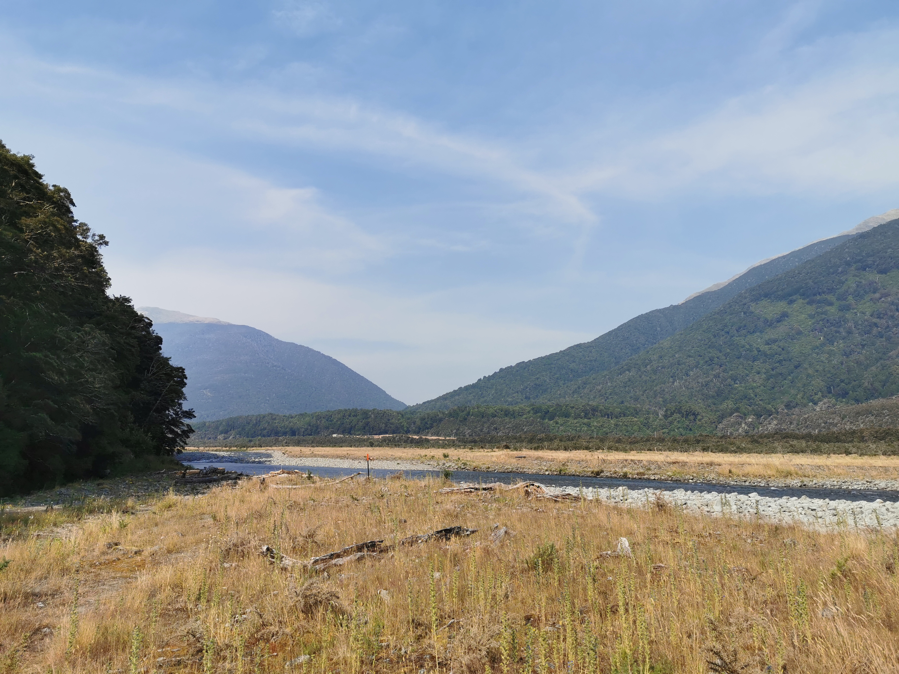
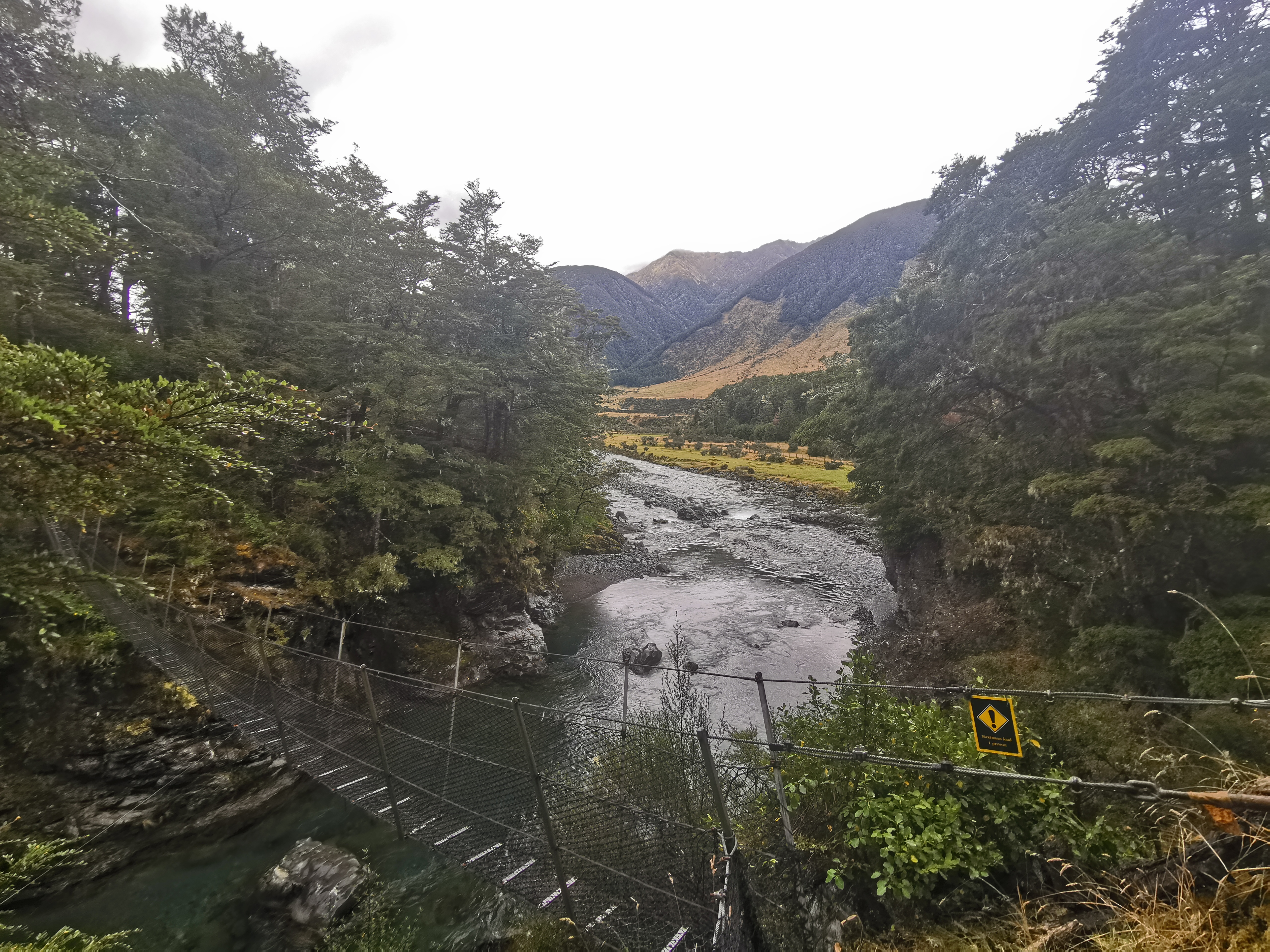
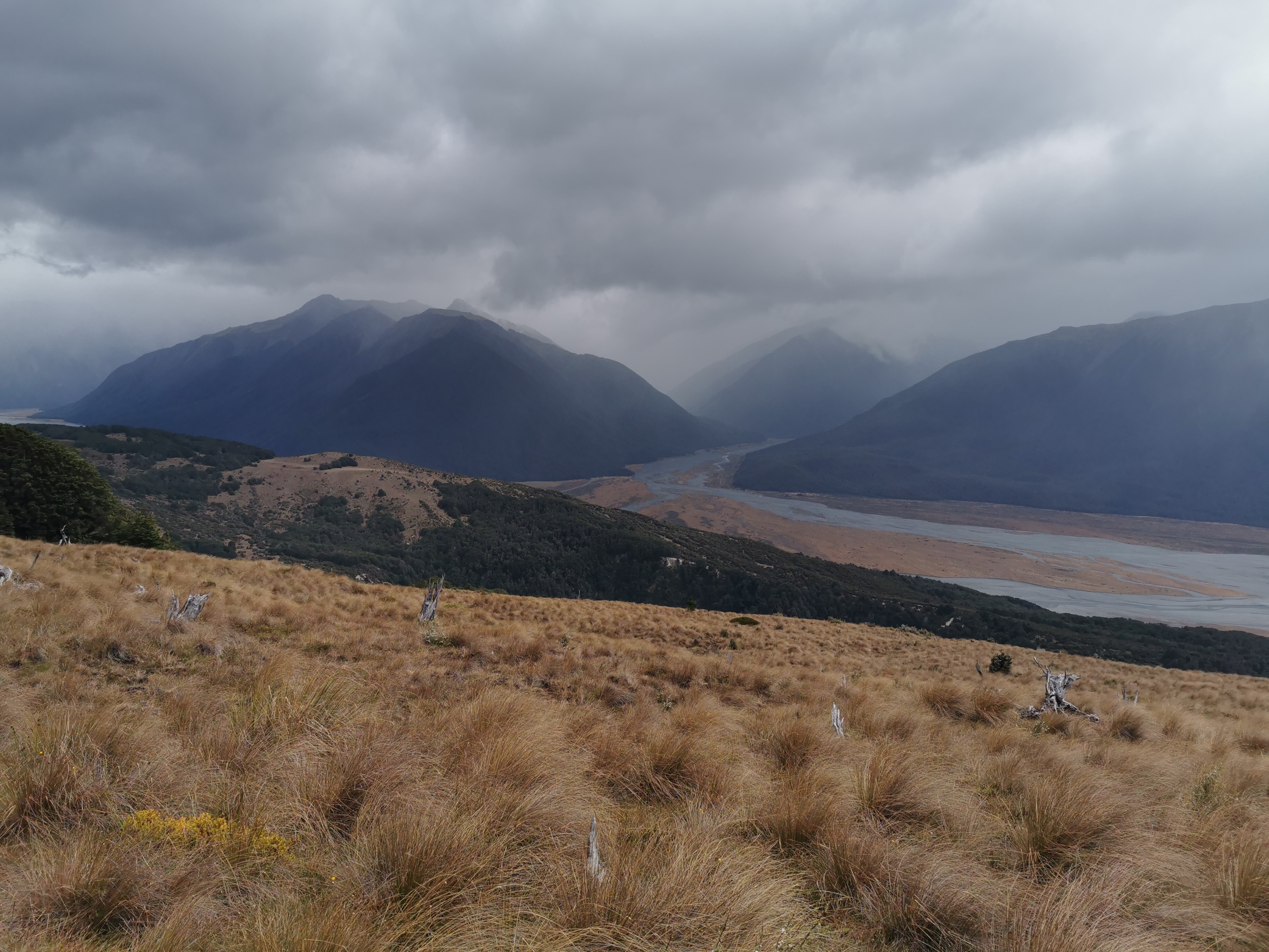
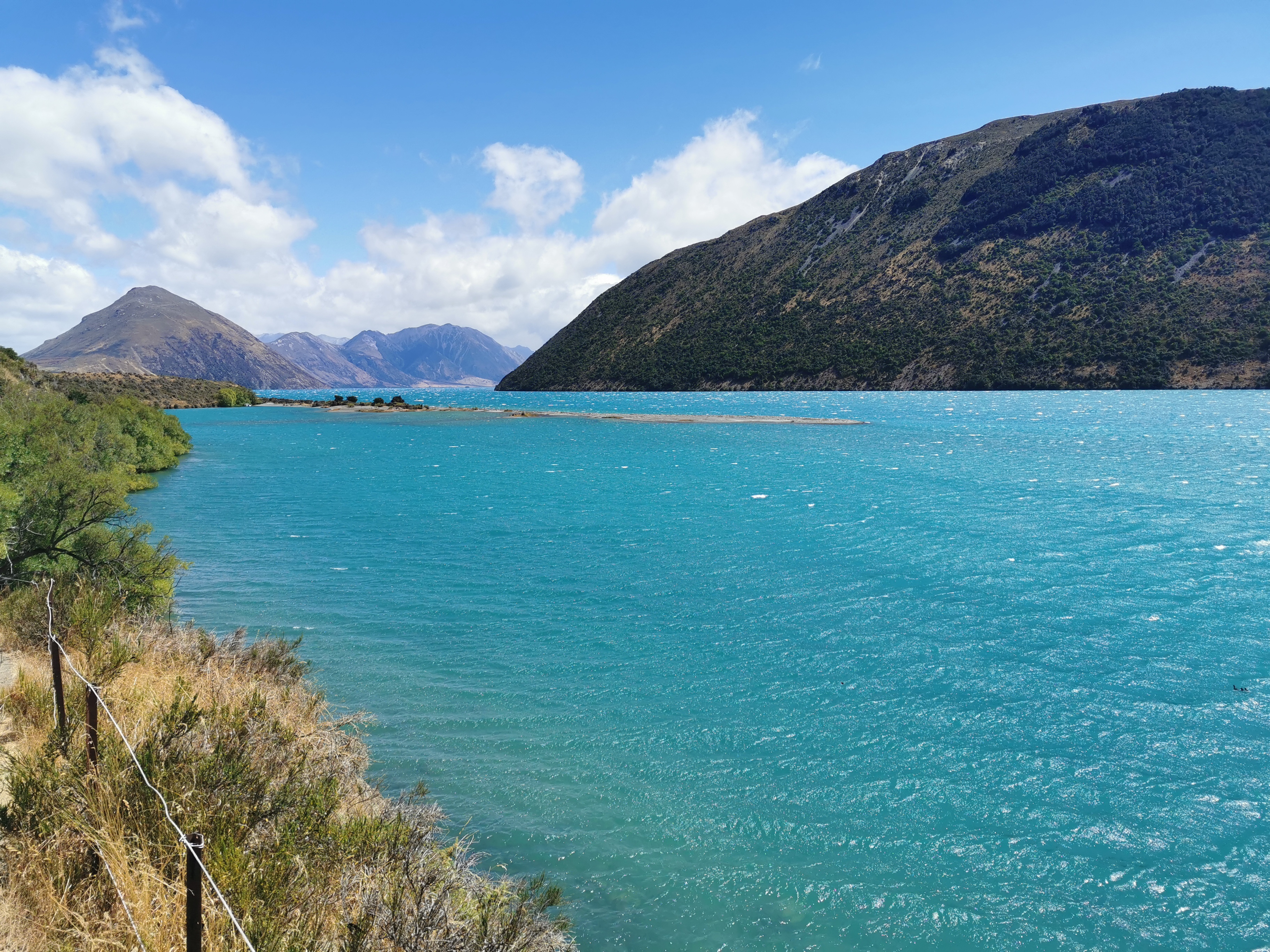
Once in the shuttle back to Boyle Village, it was pointed out that two women were getting off at a place called Windy Point, which was apparently 12km or so South of Boyle Village on State Highway 7. The trail ran within 1km of this point. I didn’t realise that I could have got the shuttle from Windy Point last week instead of Boyle Village, if I’d’ve known I could have saved myself a few hours today. Oh well, never mind!
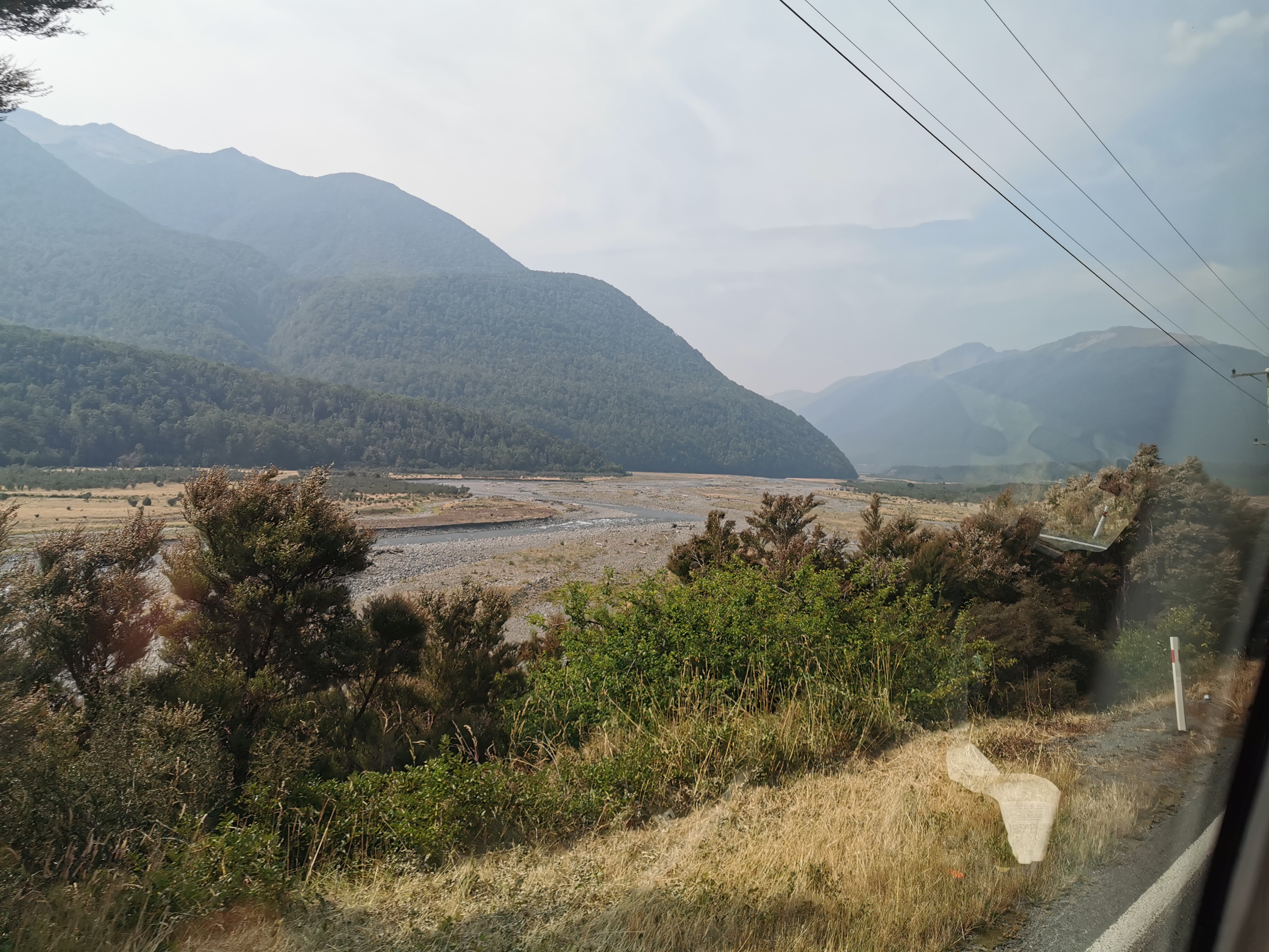
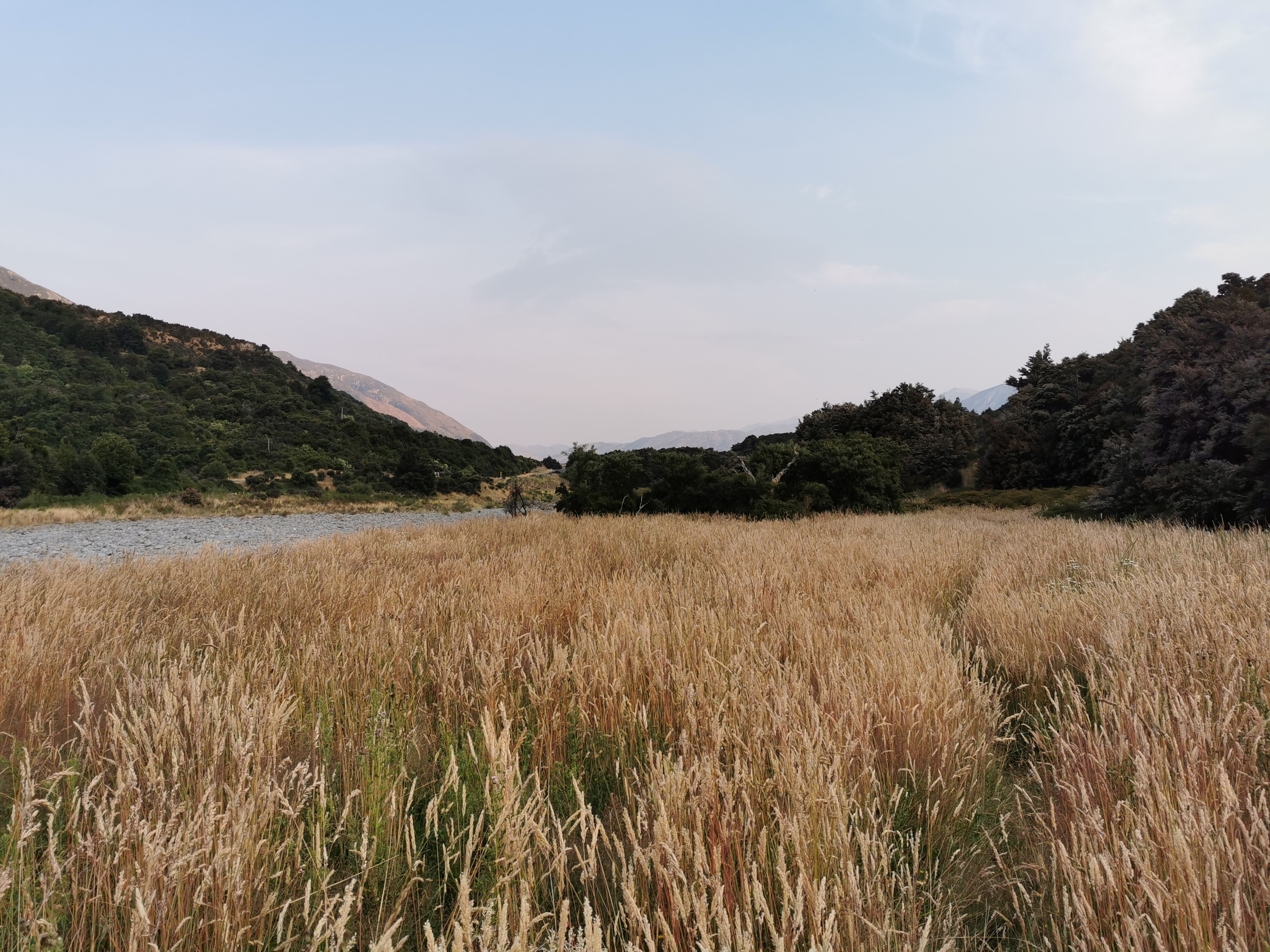
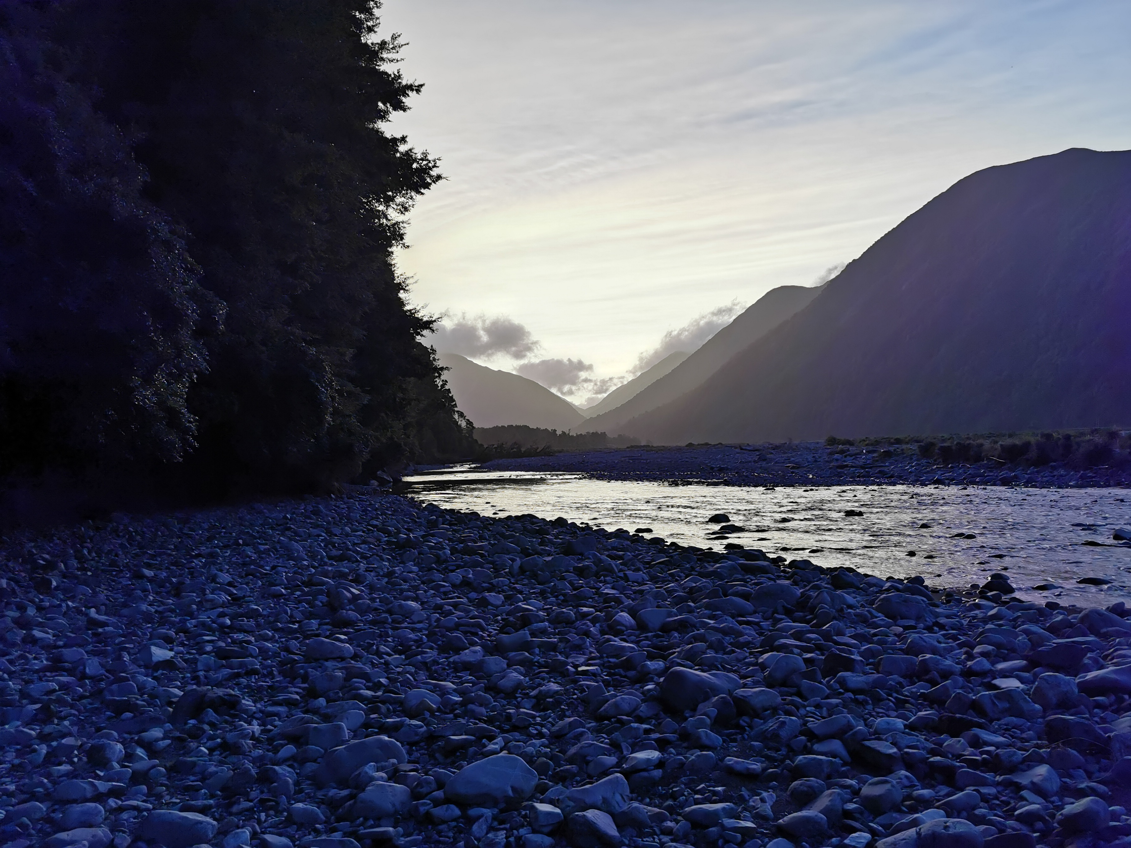
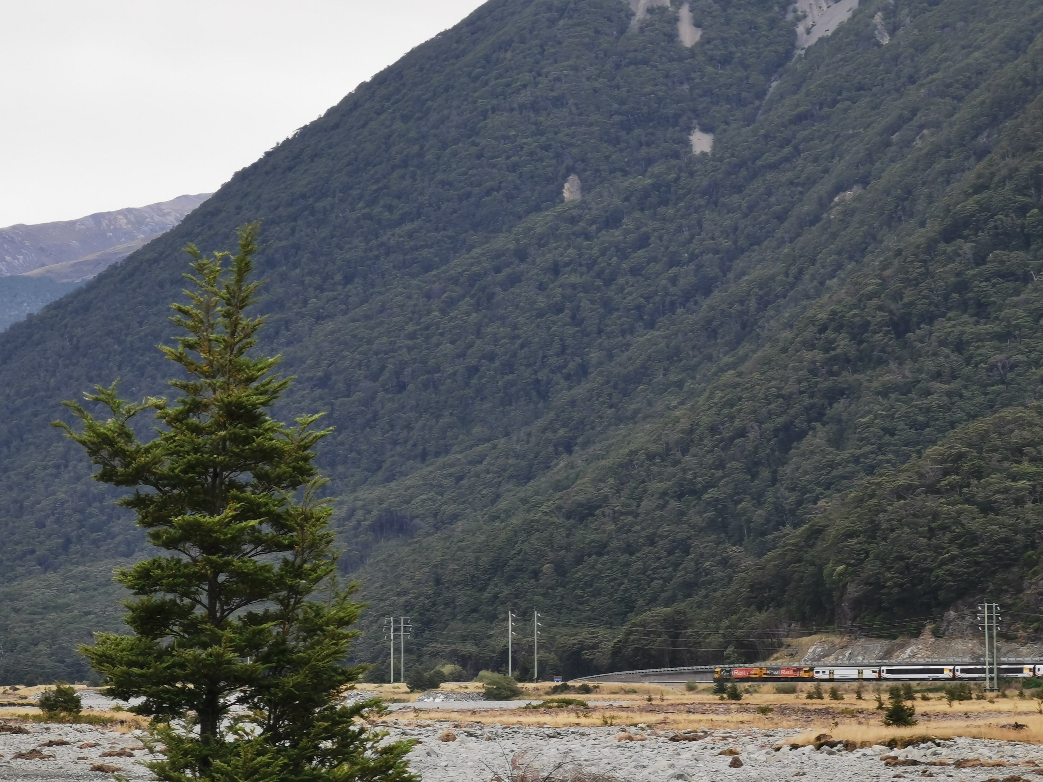
I knew that this afternoon’s walk crossed the Boyle River and then followed the far side of the river from the highway. I tried to take a photo of it from the shuttle.
Soon I’ll be walking the far side of that river
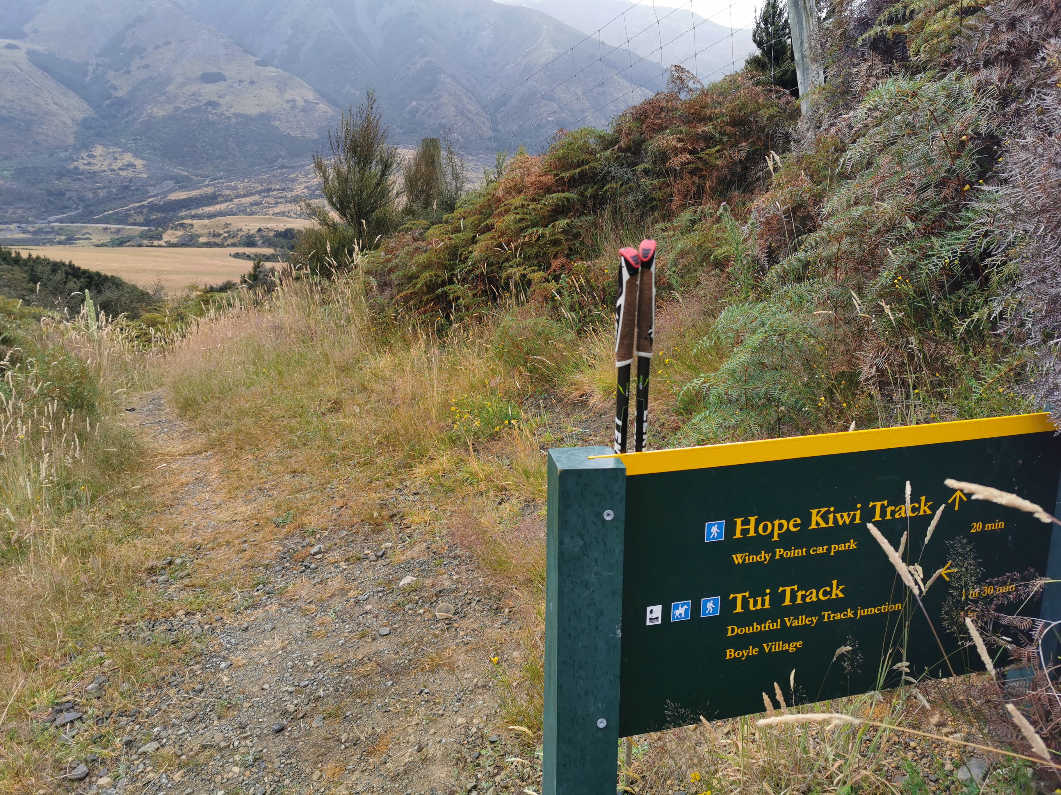
I got dropped off at Boyle Village along with a girl from France whose name was Foure. She’s staying at the outdoor centre and isn’t walking today though. After a quick walk to the car park to get a bit of water and check the weather forecast (it’s mixed), I was off down the Tui Track.
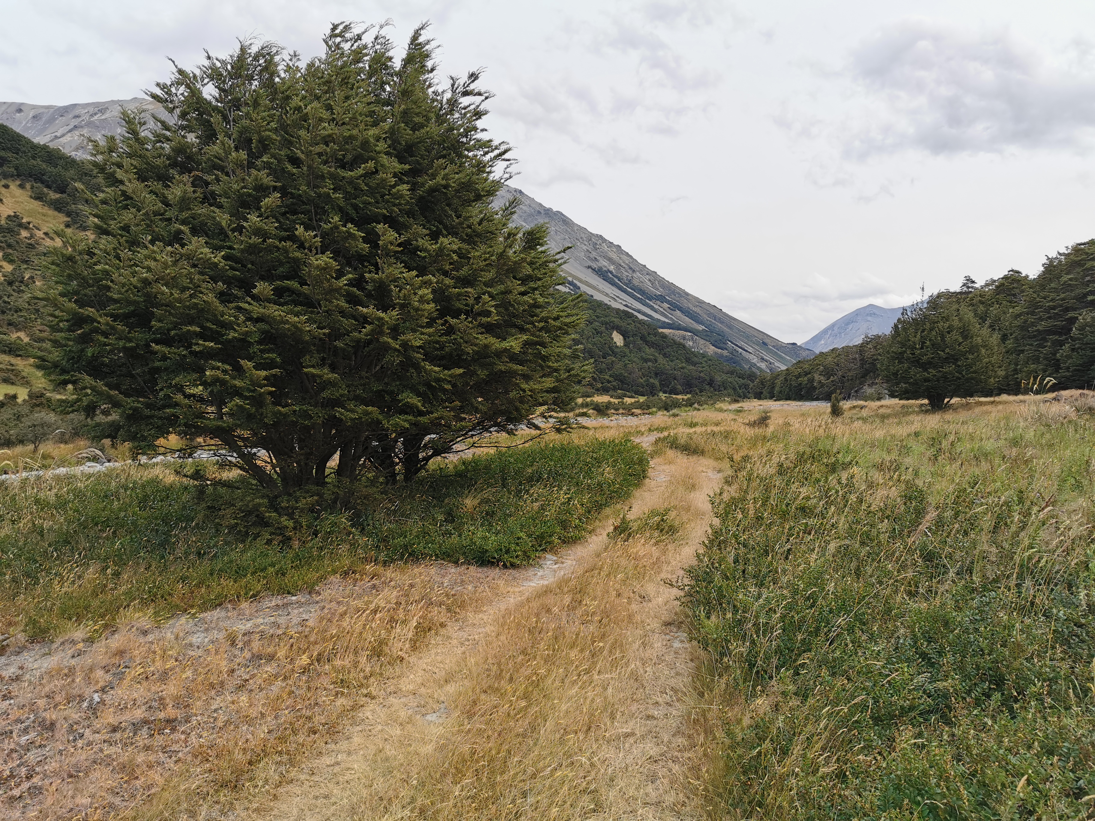
The start of the Tui Track
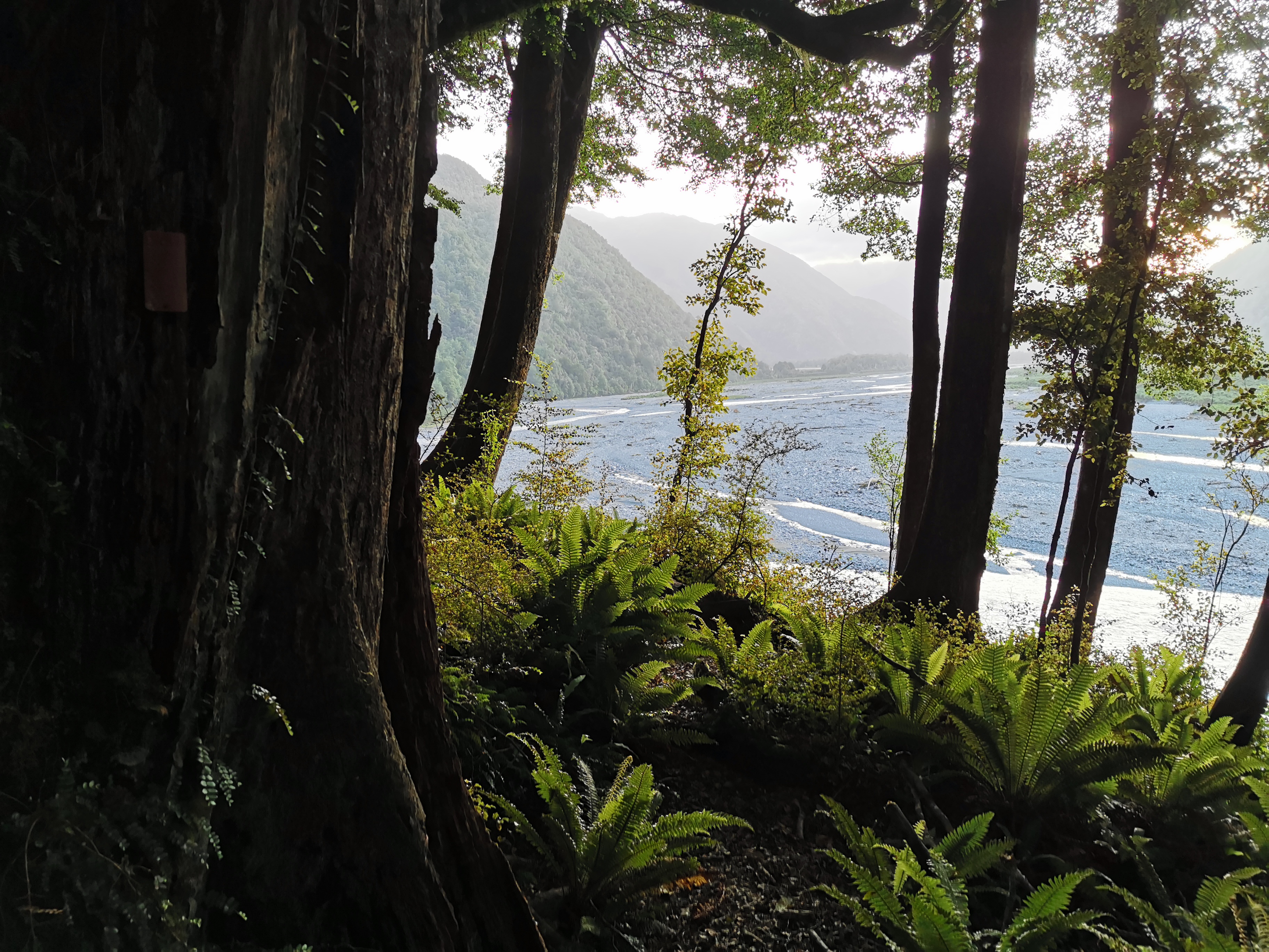
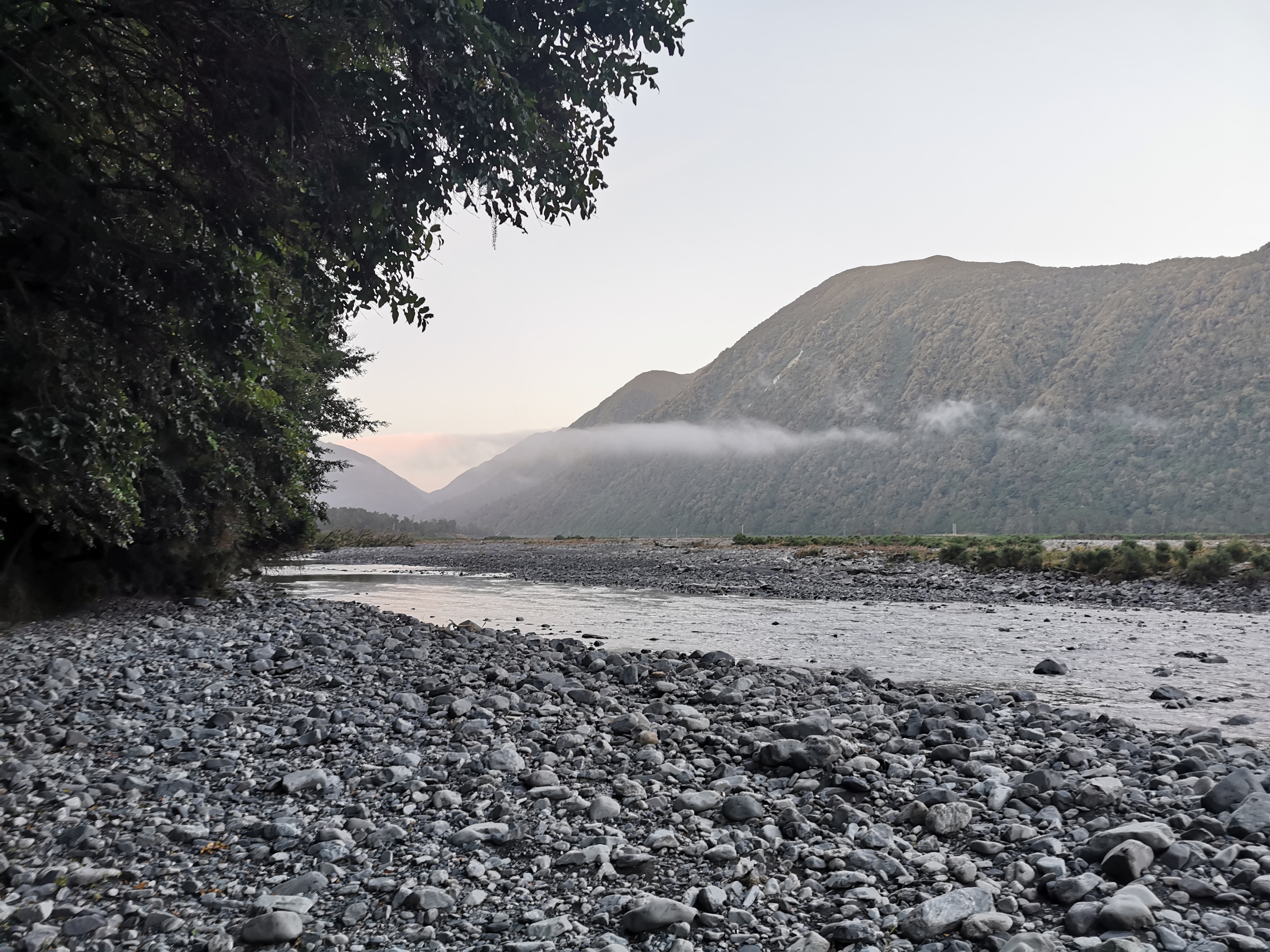
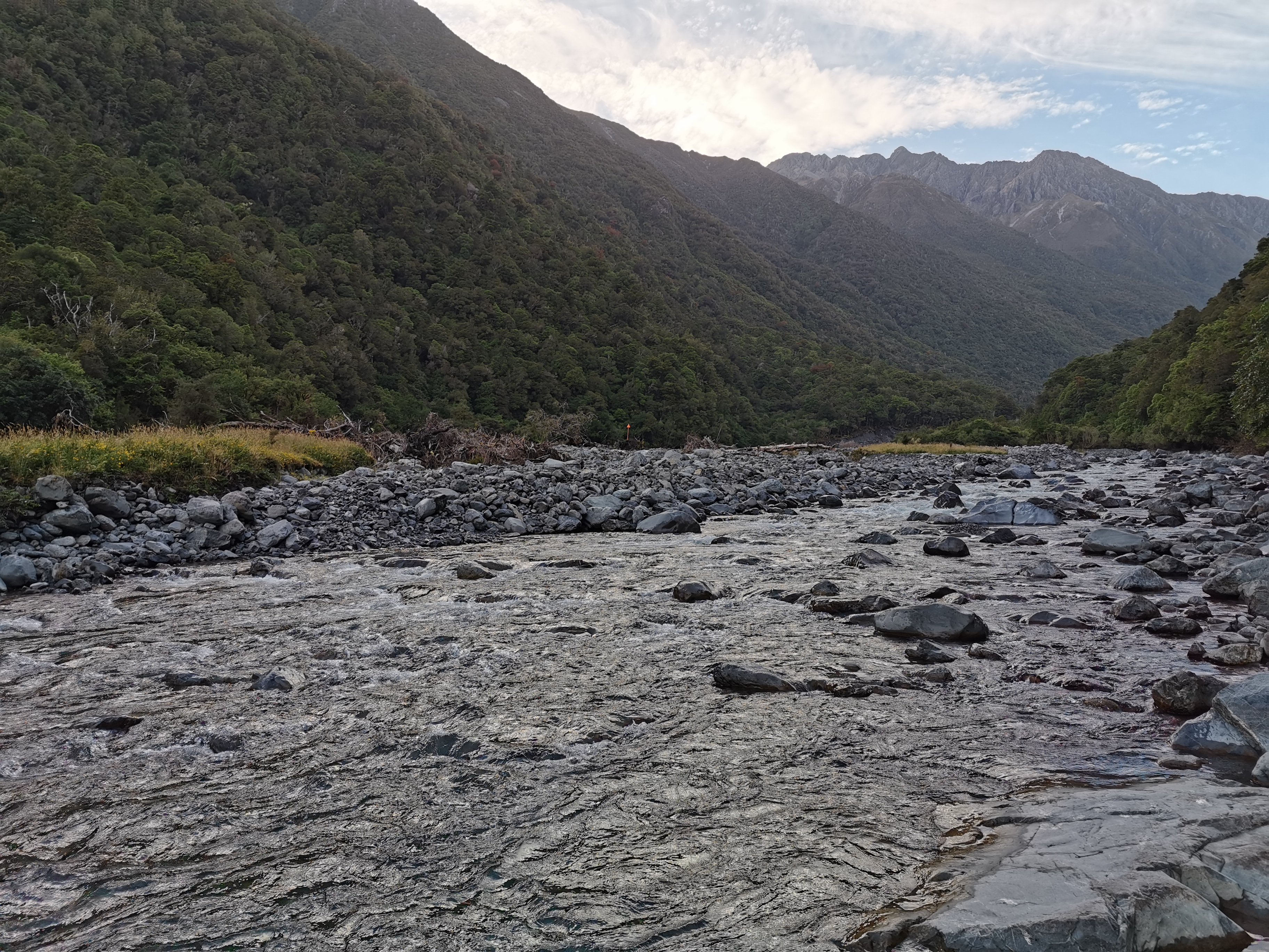
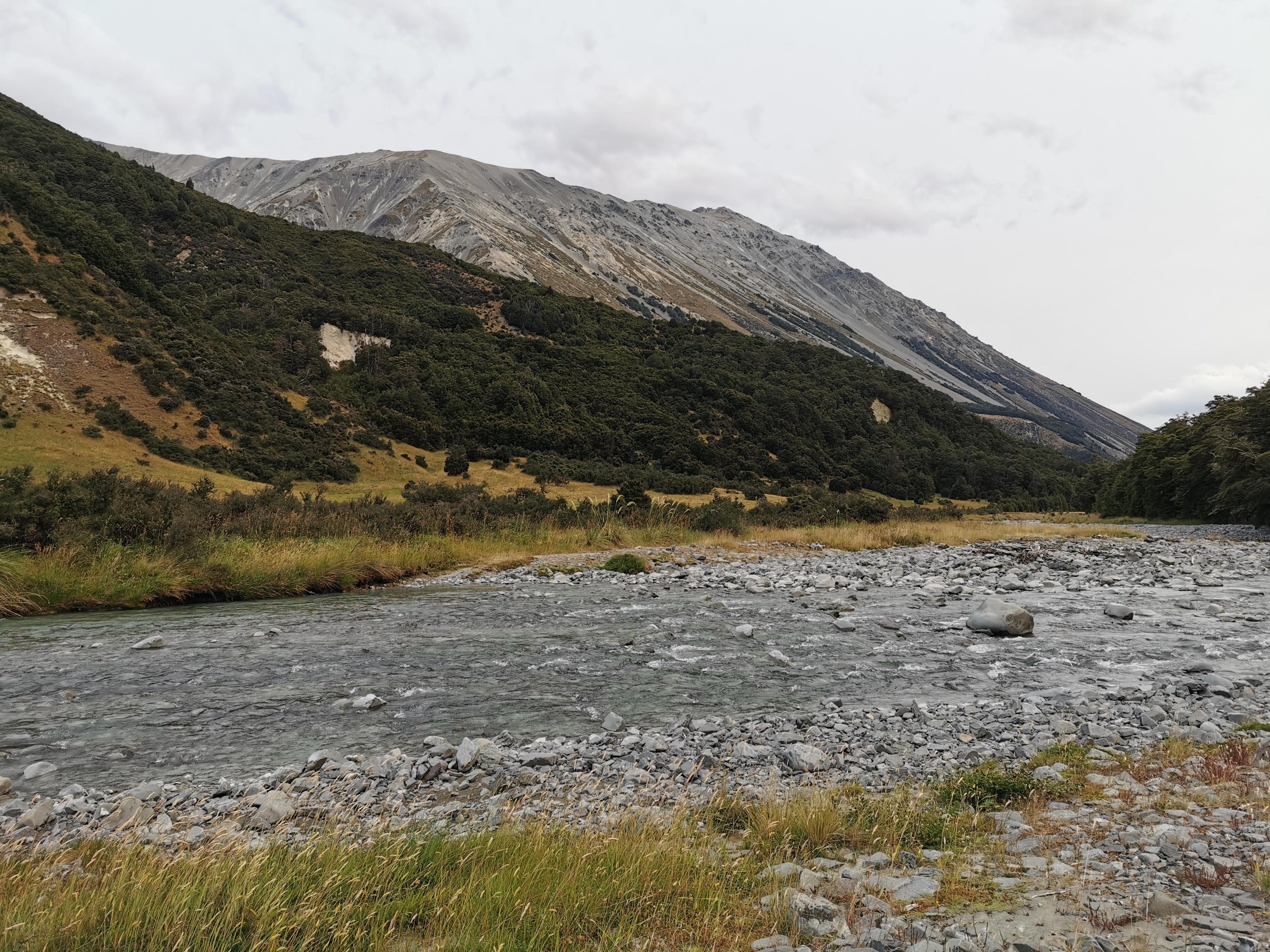
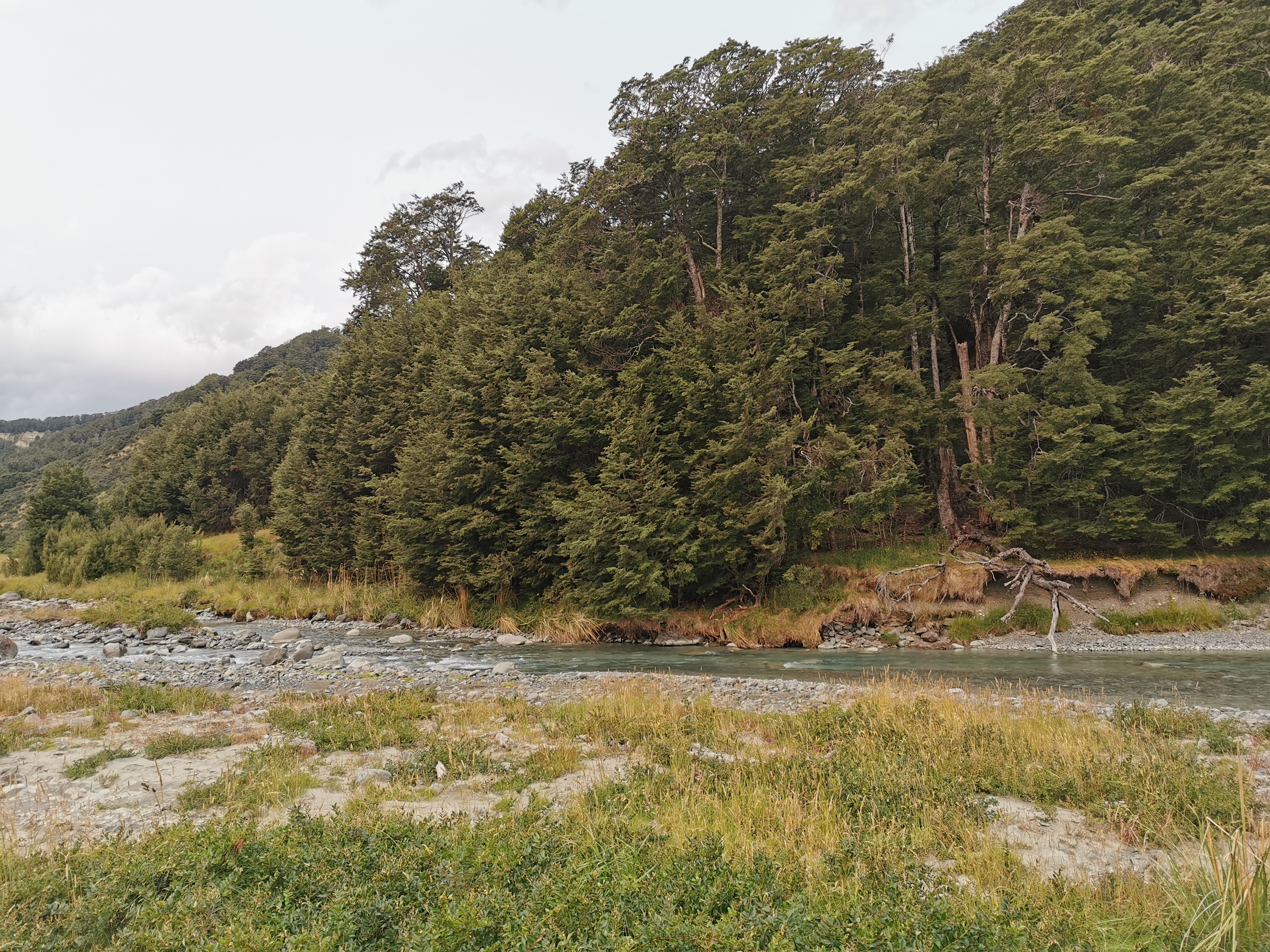
It did indeed lead almost directly to the Boyle River.
Boyle River
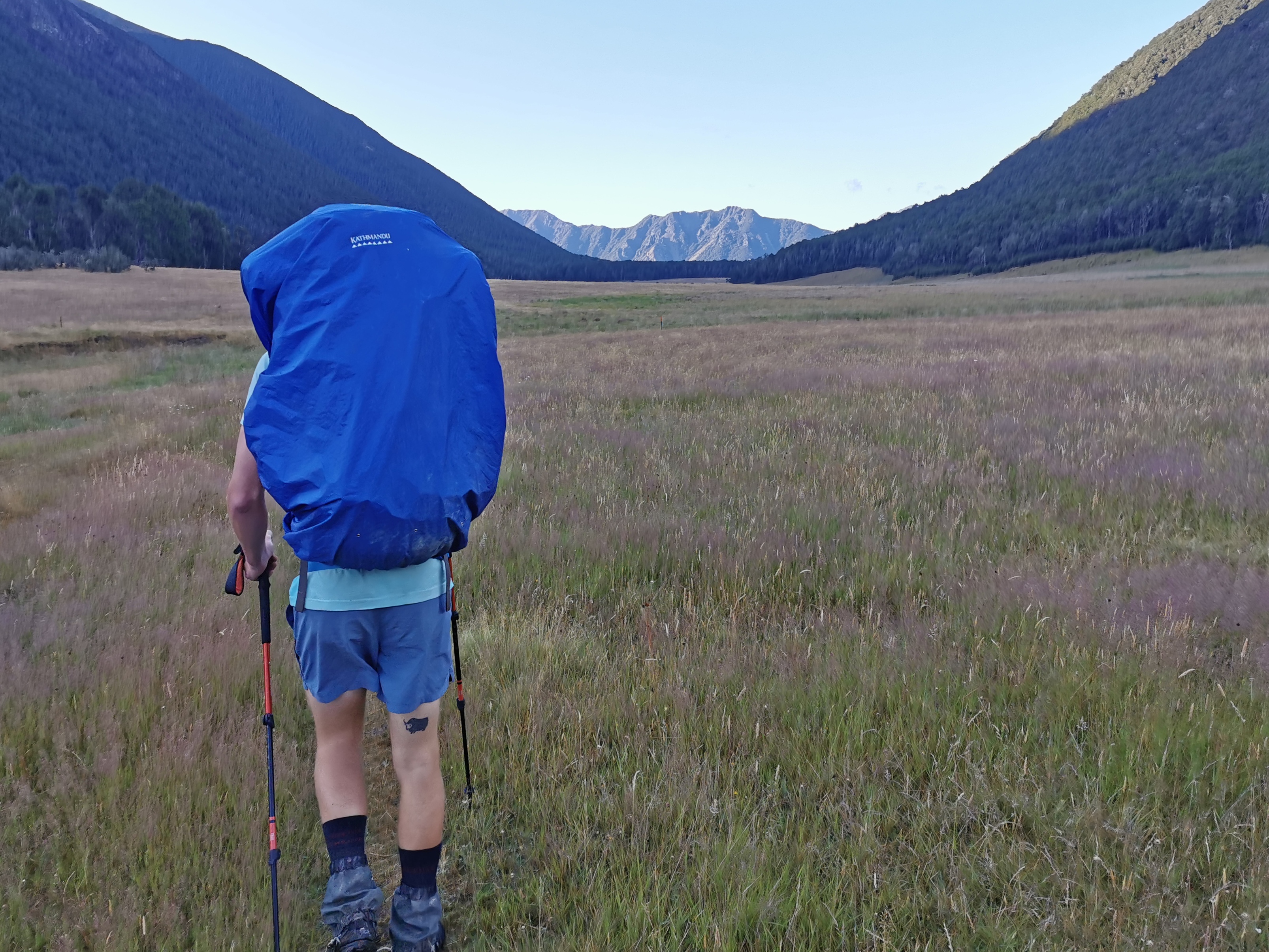
Today I wasn’t sure how far I could get. It was almost 5pm by the time I left Boyle Village and the first hut is 18km away – the Hope Halfway Hut. However doing 18km in less than 4 hours would mean the terrain would need to be easy. It did look it from the map and from the shuttle though. Let’s see what happens.
I’m clearly out of touch with walking after taking a week off. I rolled my foot twice and tripped on a rock just within the first 3km. Plus the pack was really heavy. Maybe I should start to put some thought into buying light food instead of whatever food I want. Nah.
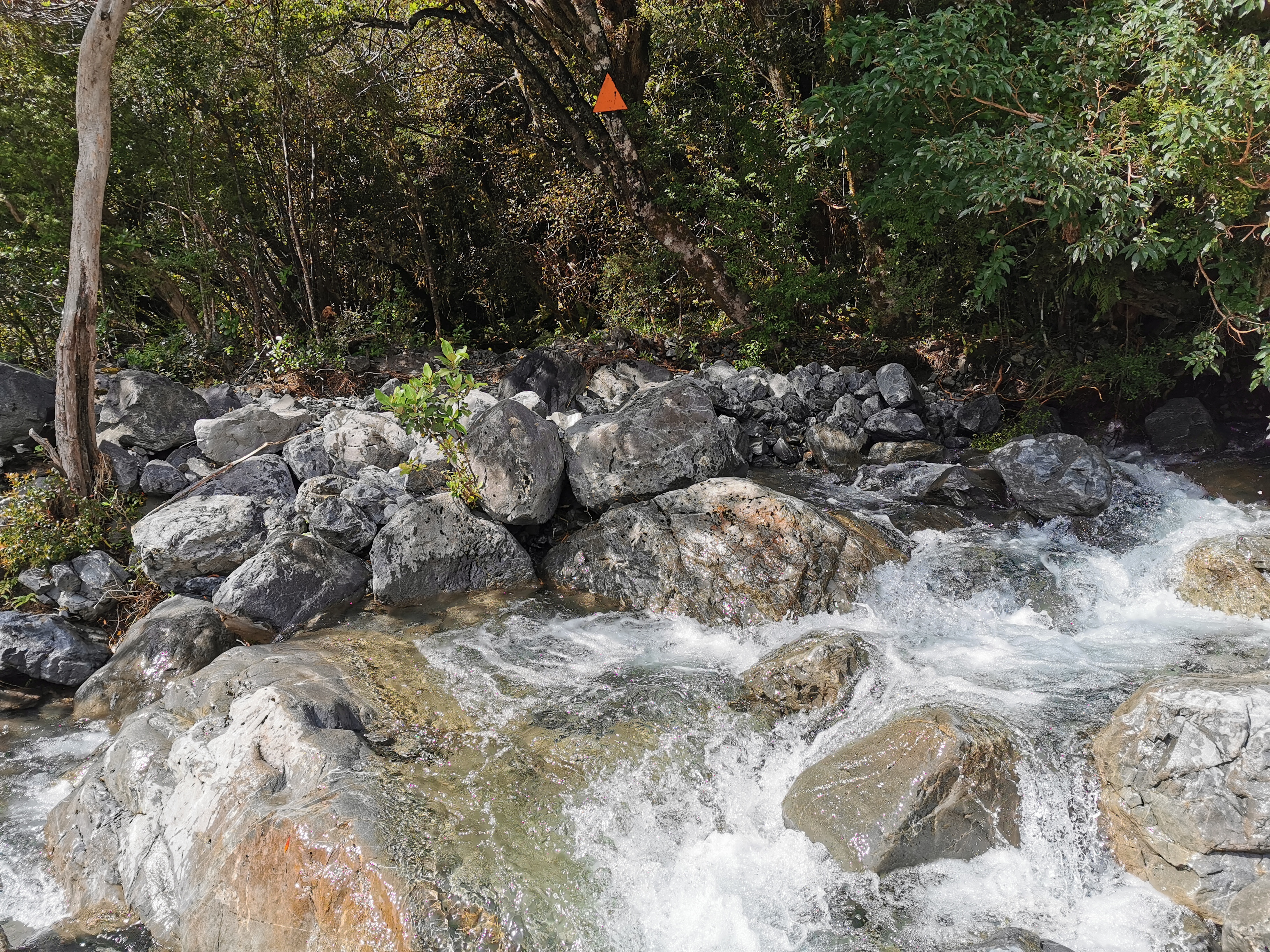
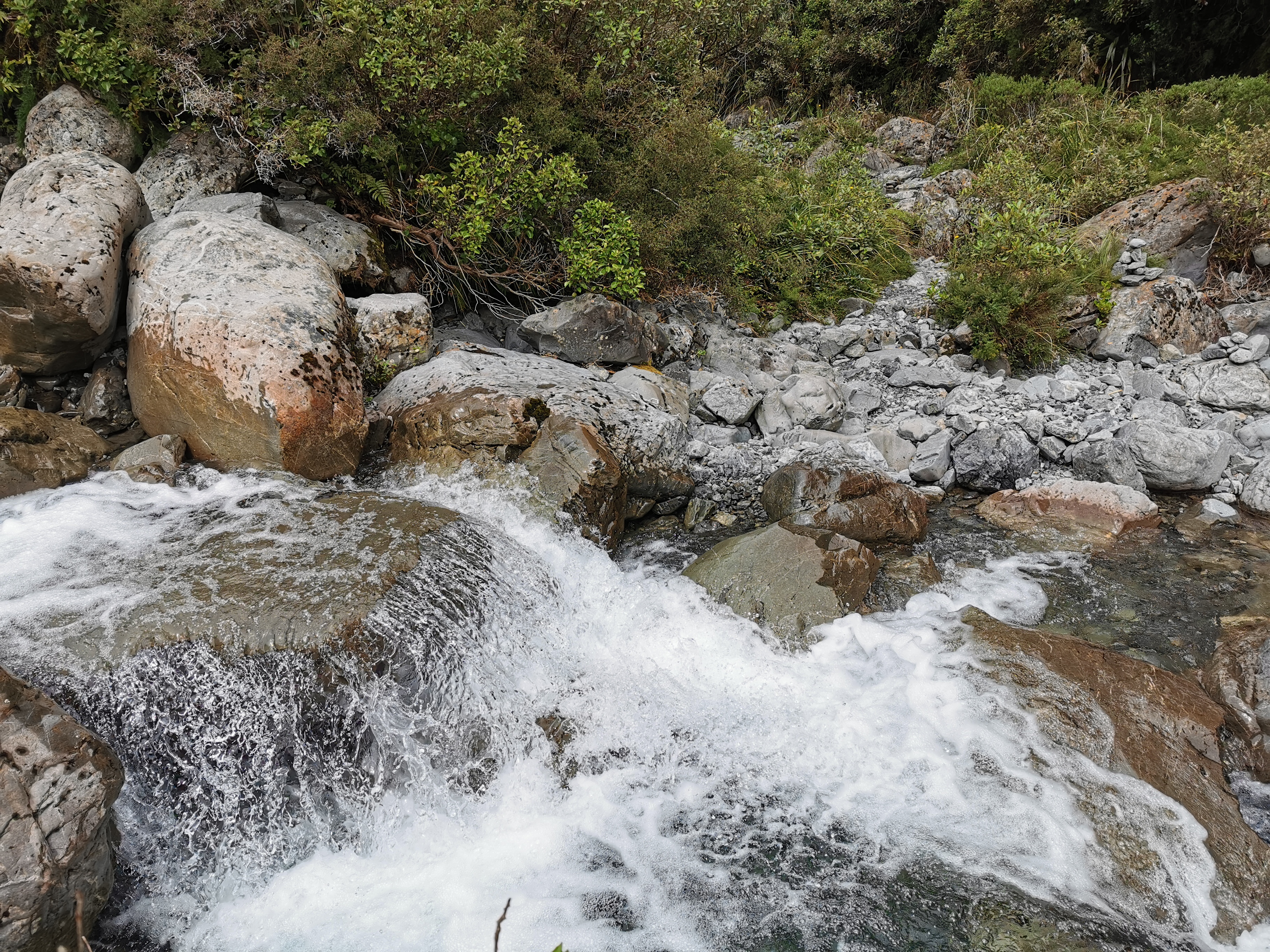
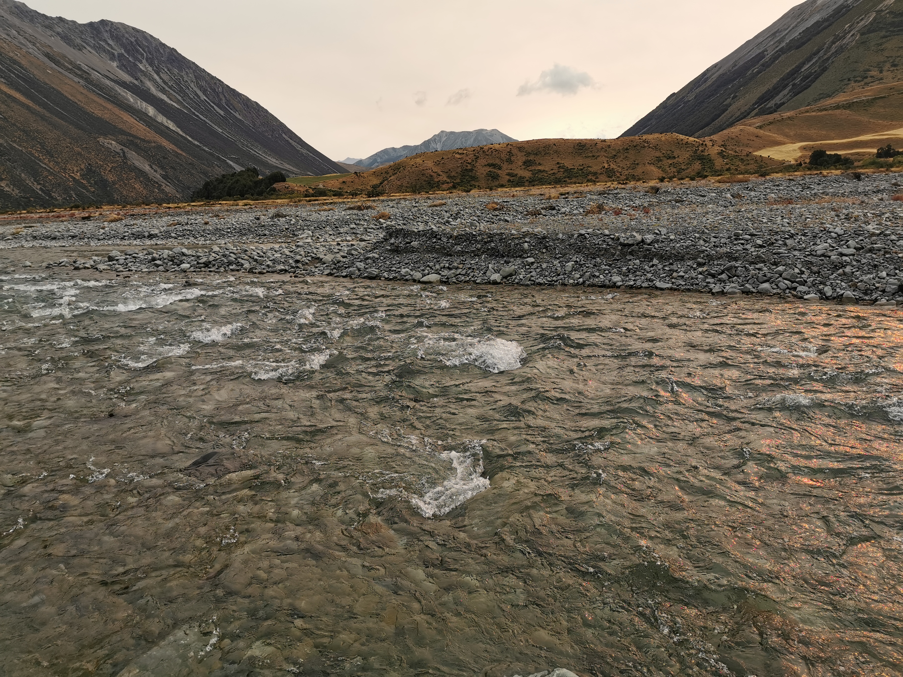
Boyle River was a little scary to cross. It was not deep but it was quite fast flowing. The walking poles were shuddering in the current. Still, I changed into crocs and managed to make it across.
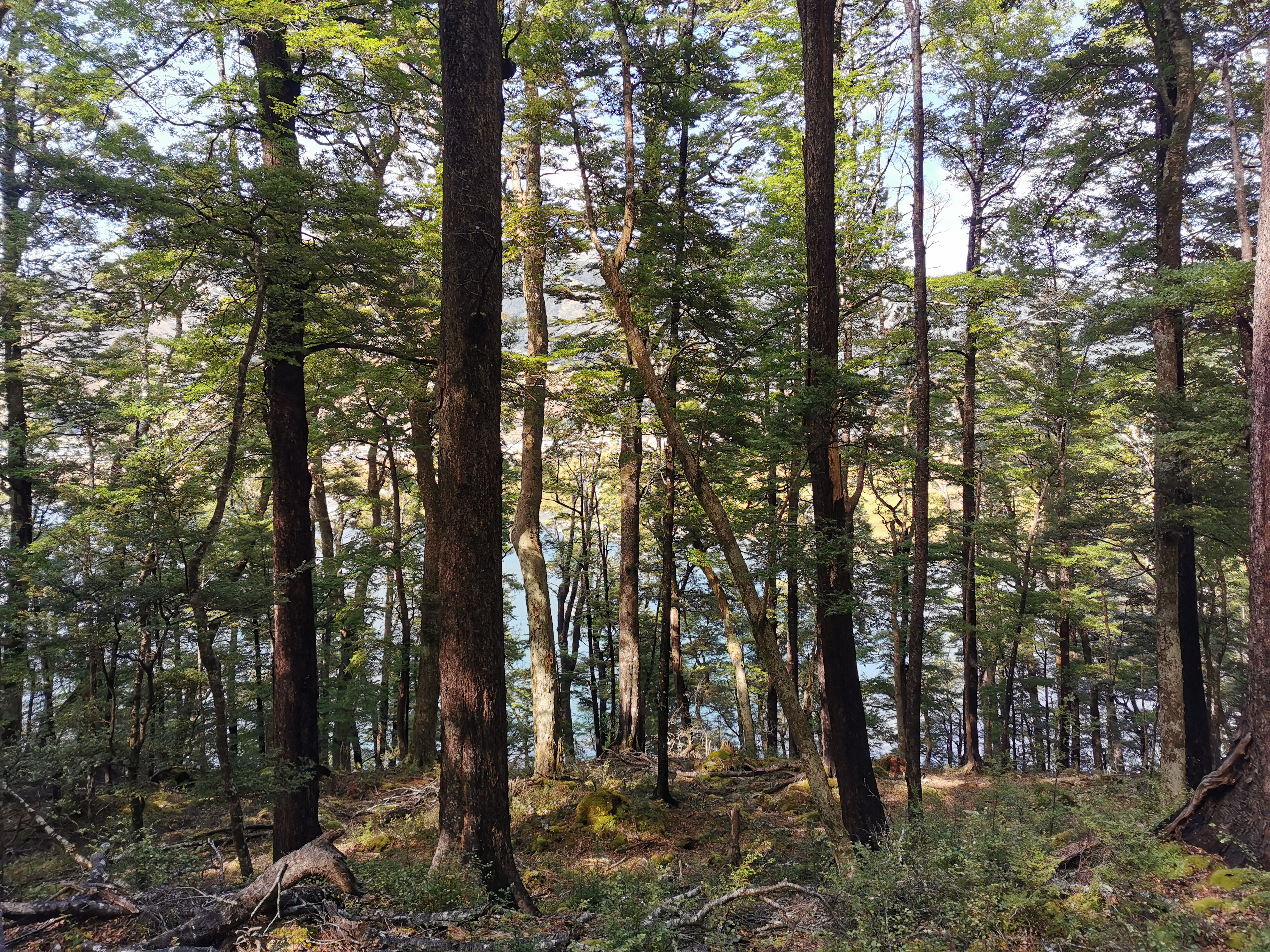
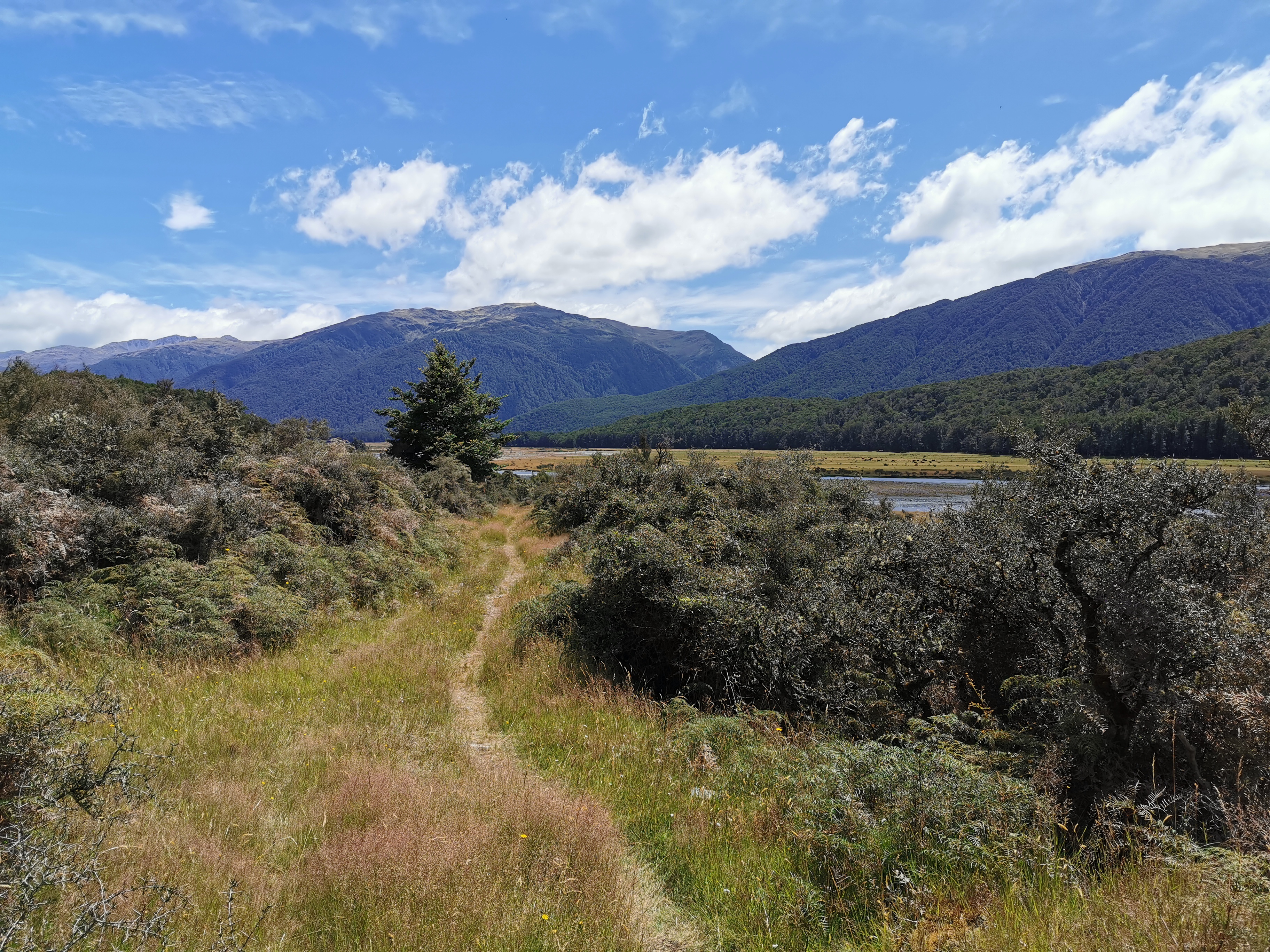
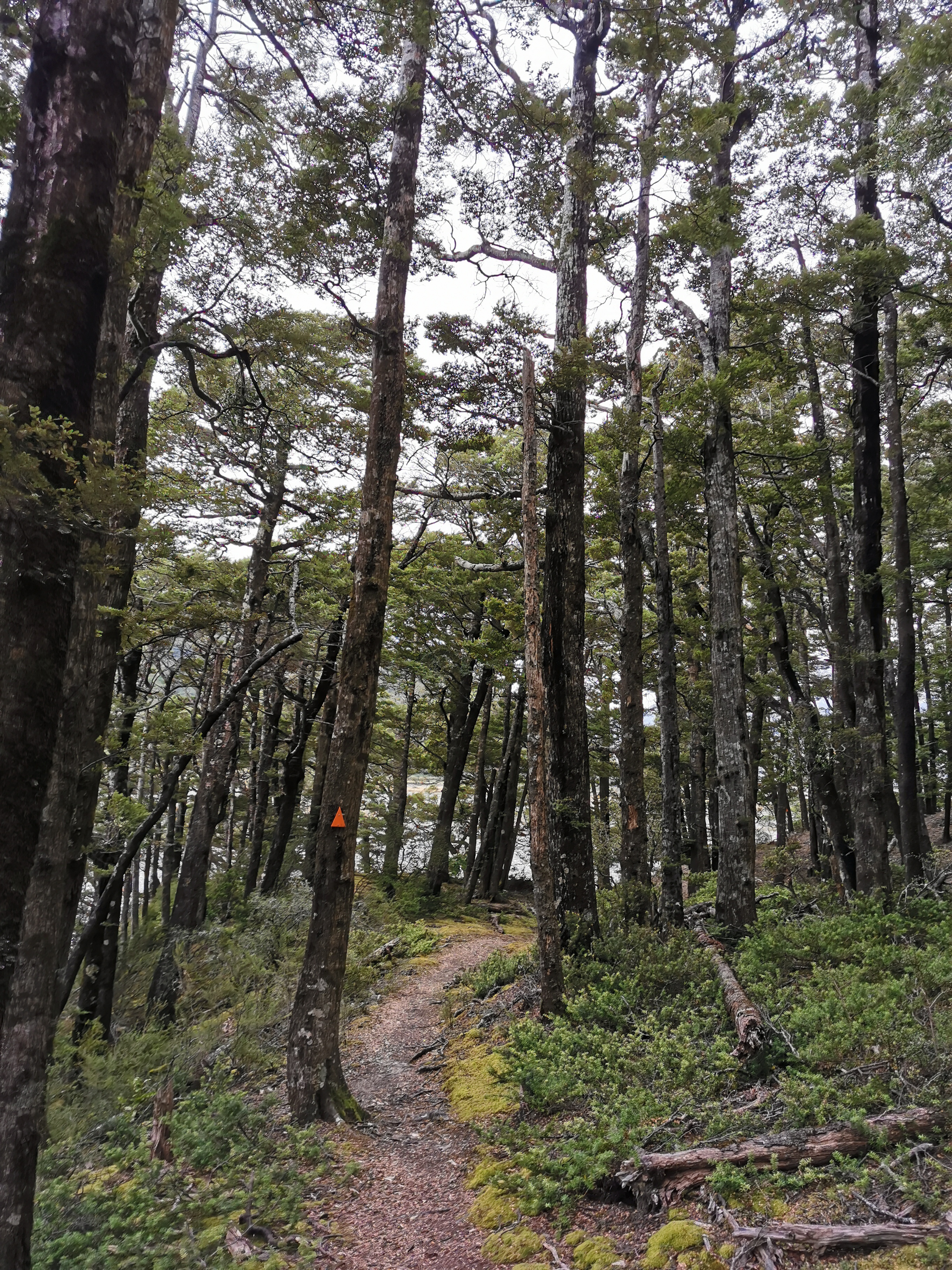
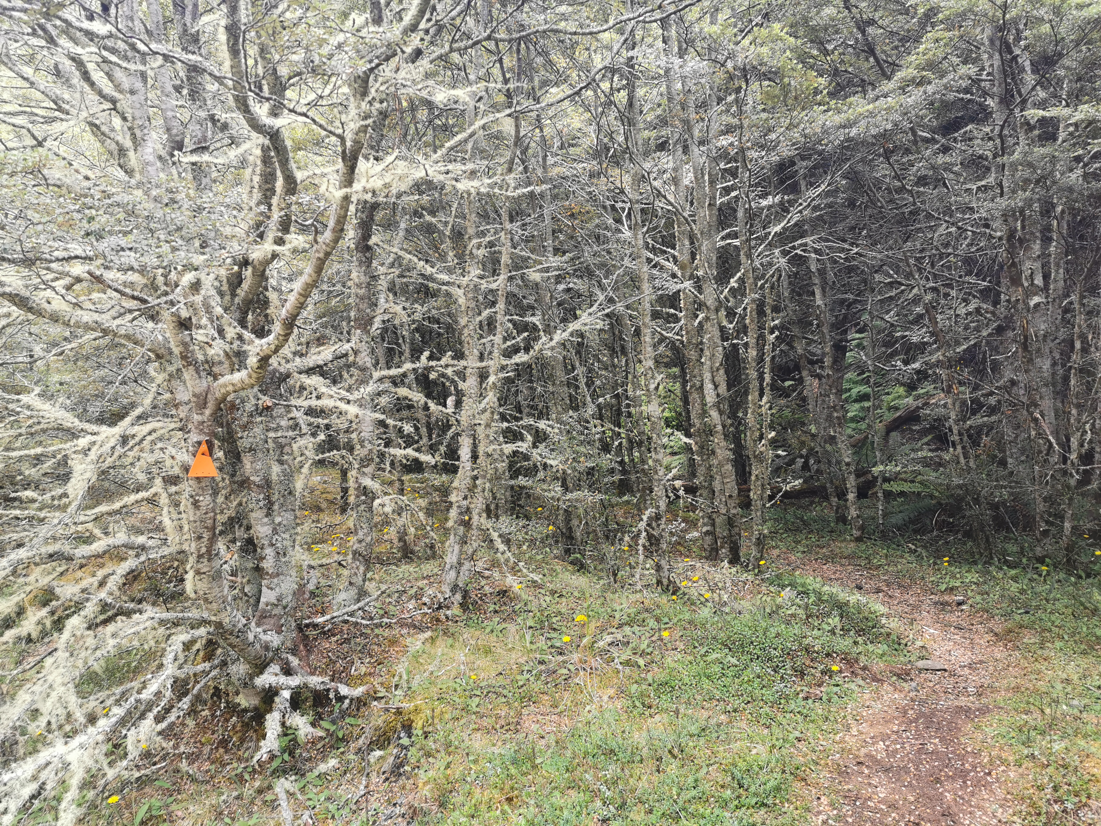
The Tui Track is not well marked at first, just like the notes say.
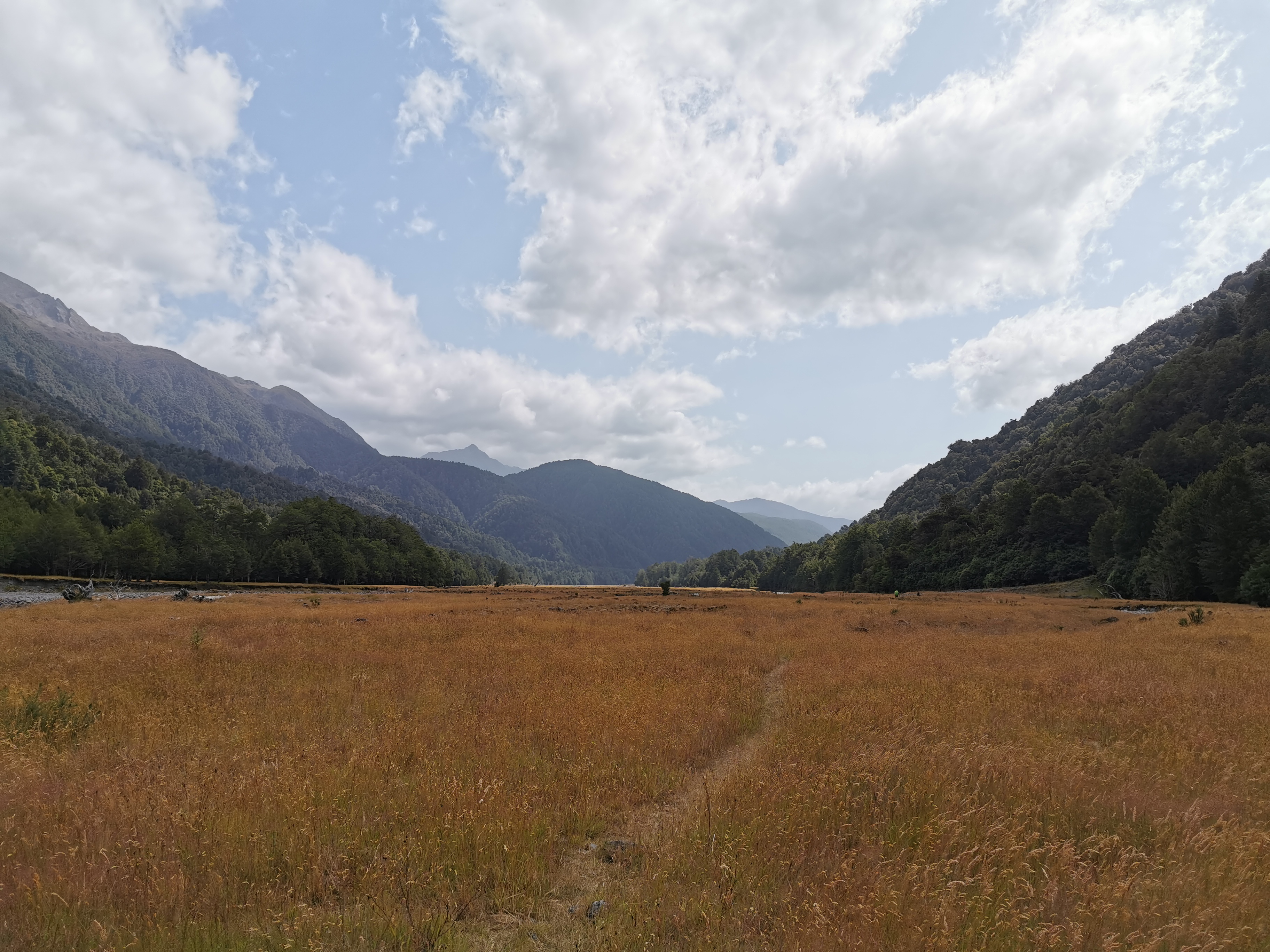
Just walking across a field
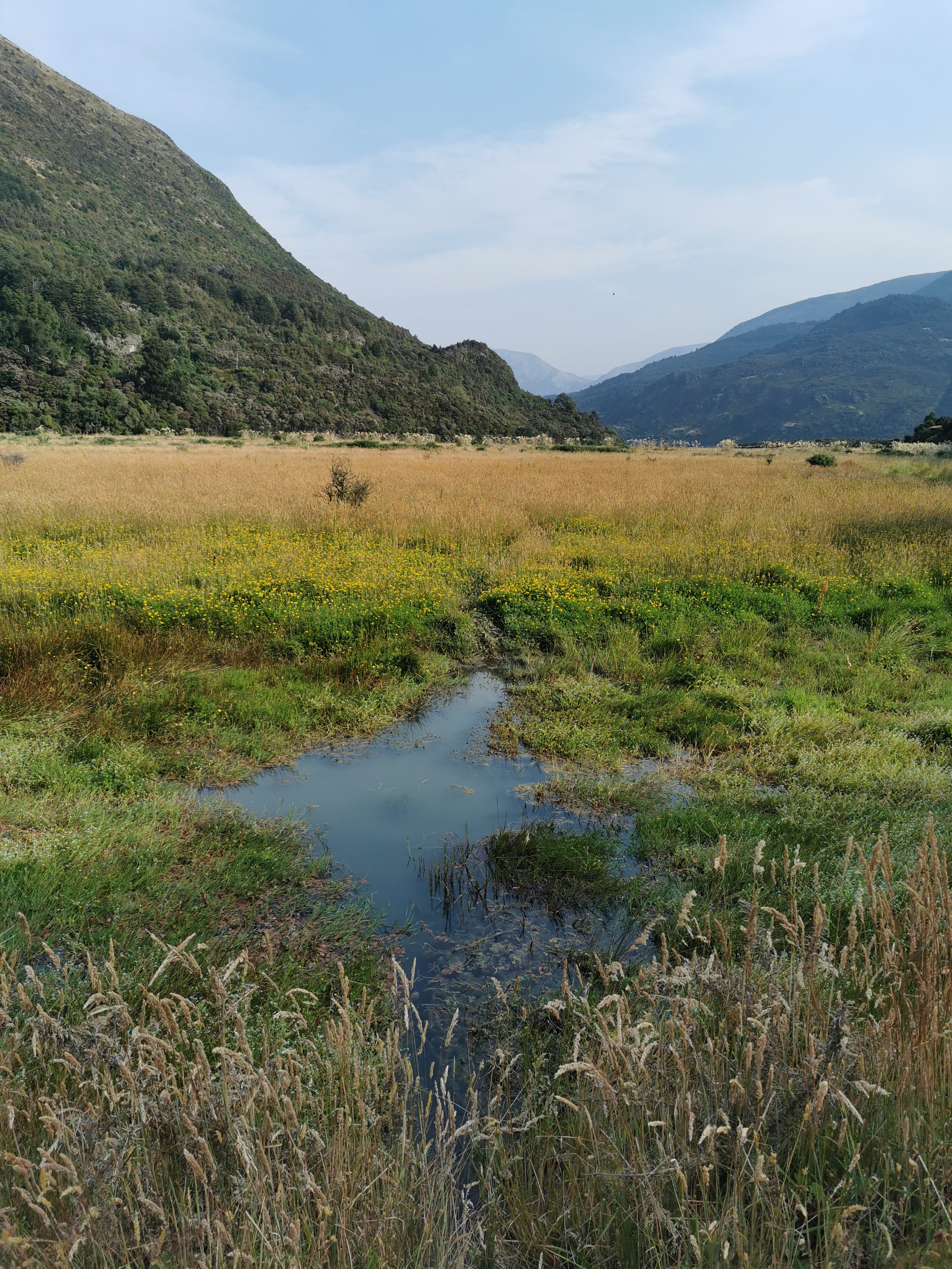
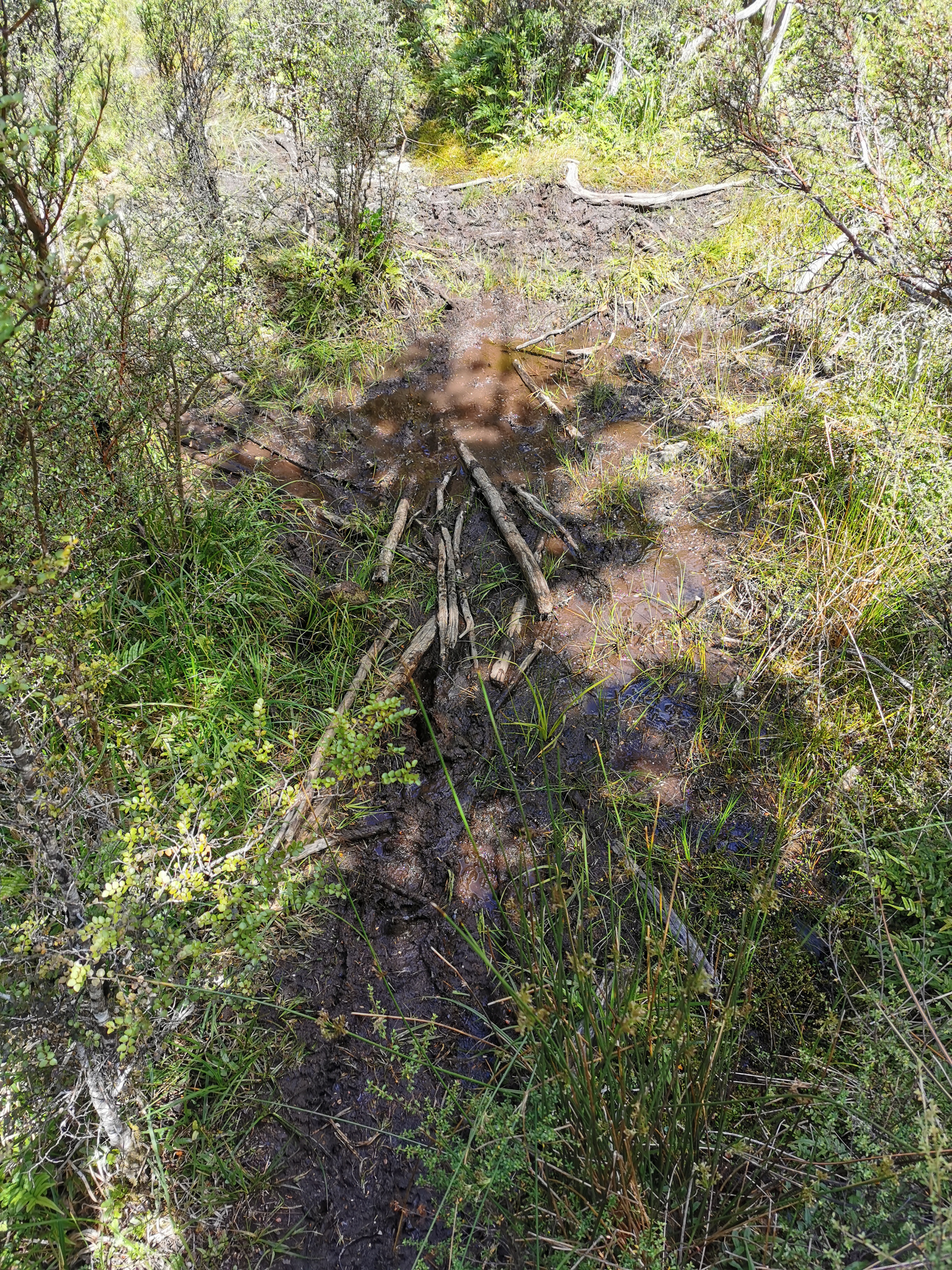
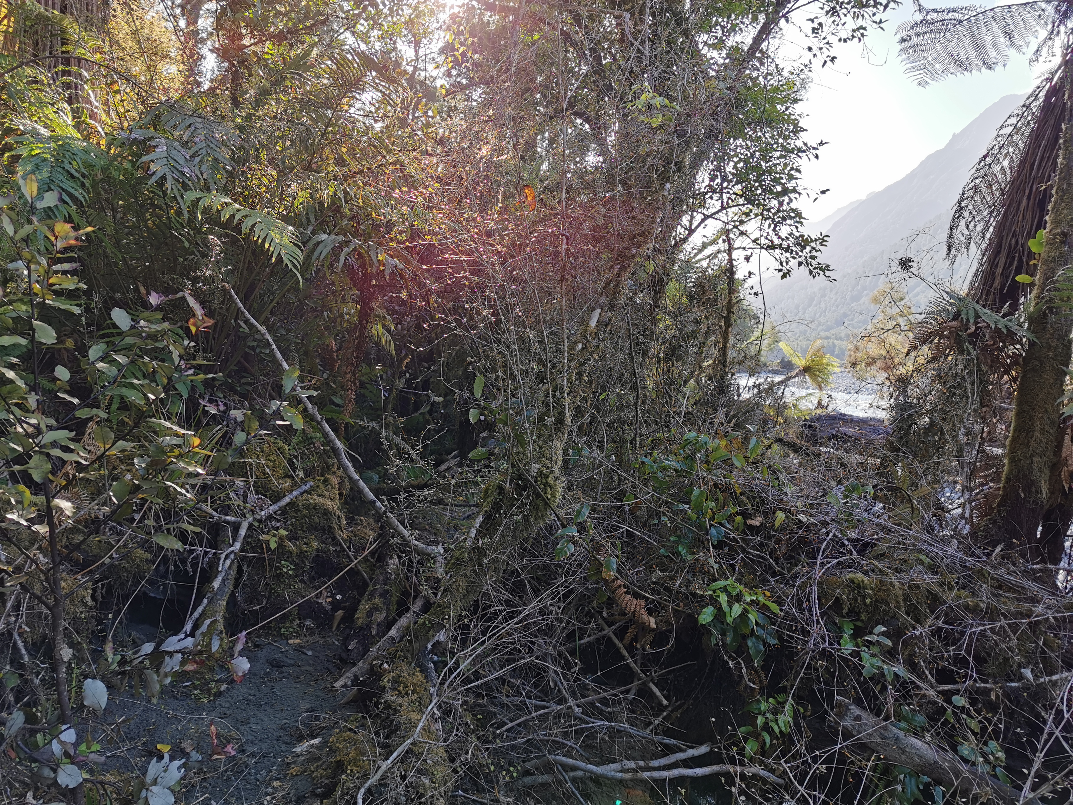
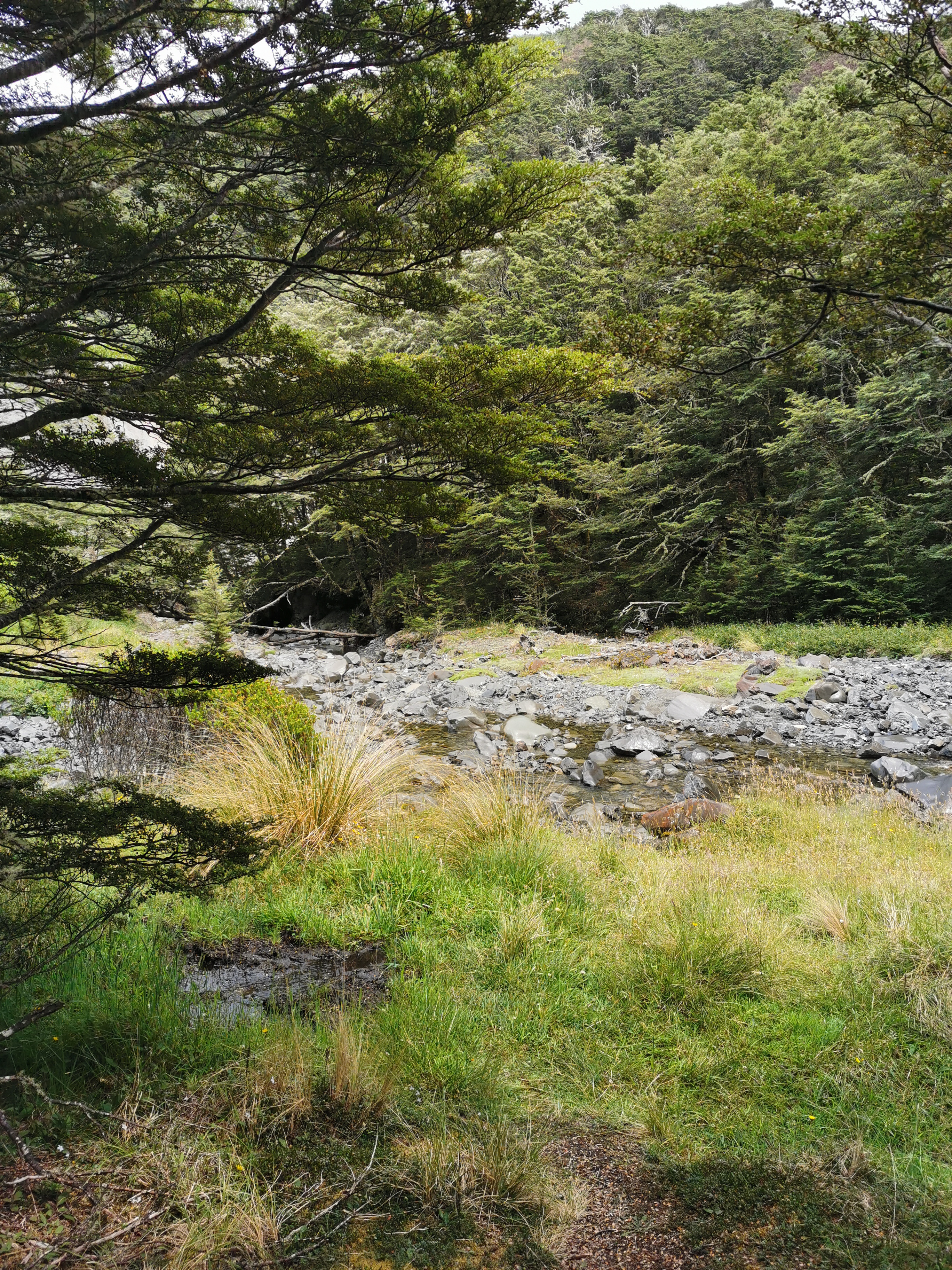
What the notes don’t say is that it leads you right down the middle of a swamp.
Just walking across a swamp
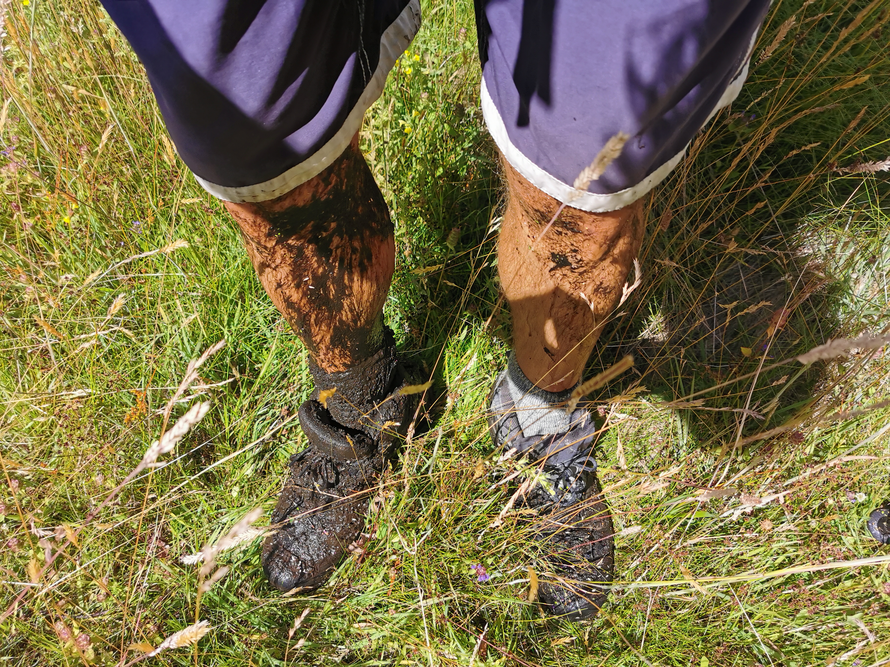
Every step through here was awful and disgusting. Rancid water entered my crocs with every step and was often up to my knees. I was worried I was going to sink into the swampwater and not be able to get out, because it wasn’t possible to see how deep it was. I had to use my poles to test the depth every step.
I really questioned if I was going the right way. I was right on the red Guthook line, but that doesn’t always mean much. This marker in the middle of the swamp seemed to confirm it, though.
And the same deal with markers either side of this bit.
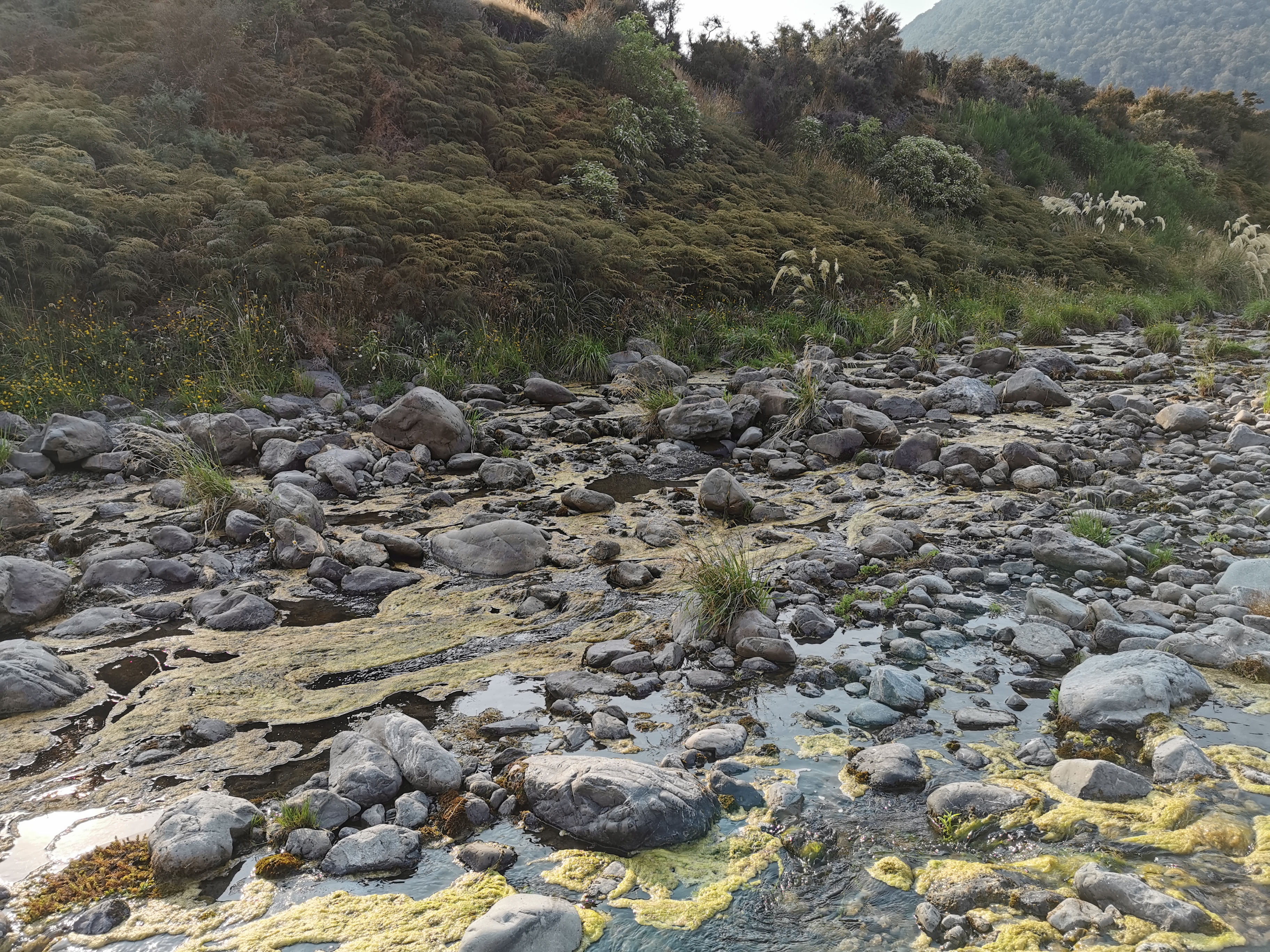
Needless to say I kept my crocs on for all this bit. At least they rinse clean afterwards. Although even the streams were green and slimy.
My feet were already wet but I still didn’t want to step in the green sludge
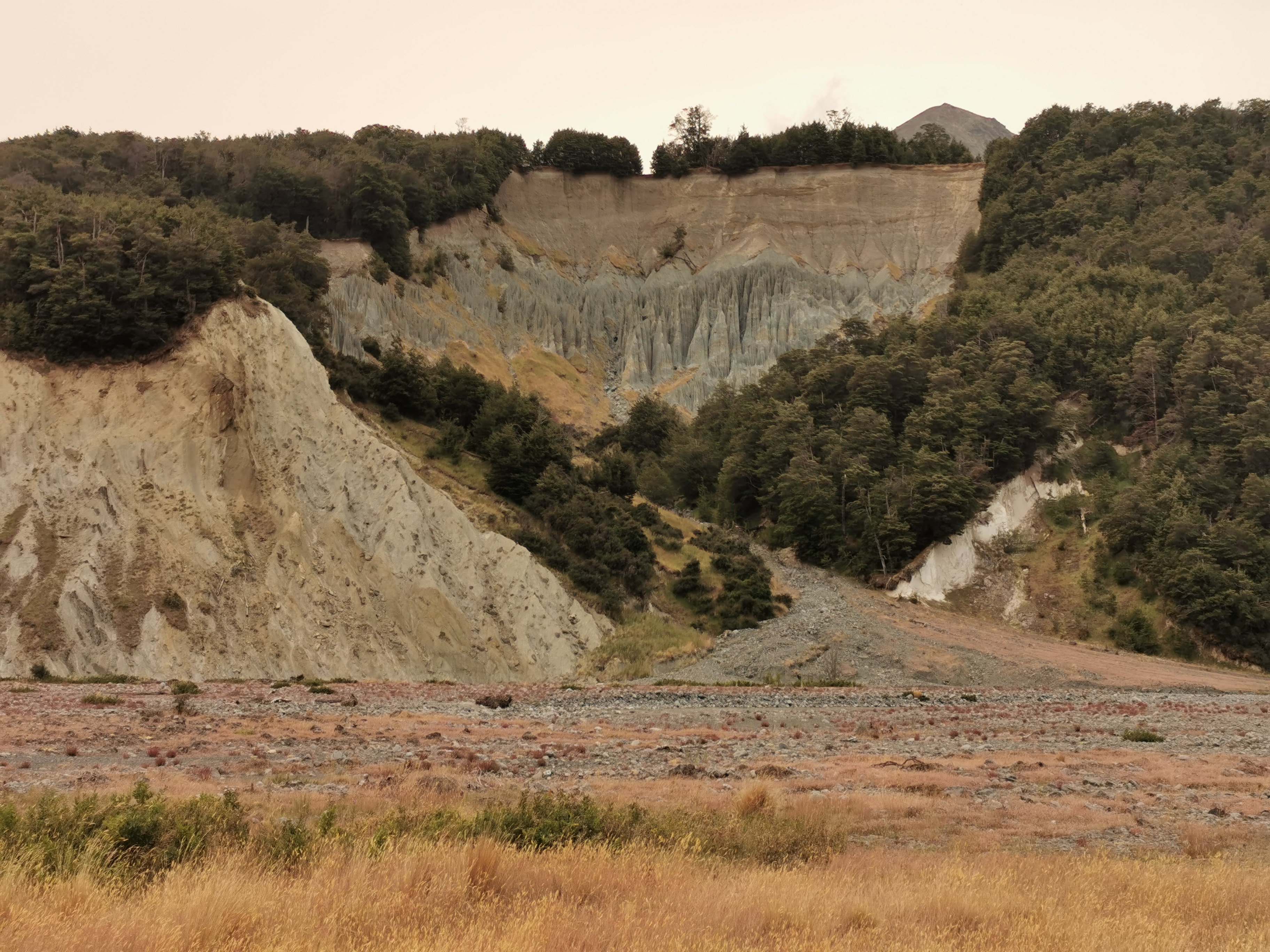
I think this could be my least favourite section of path on the entire trail so far. It’s definitely in the bottom three.
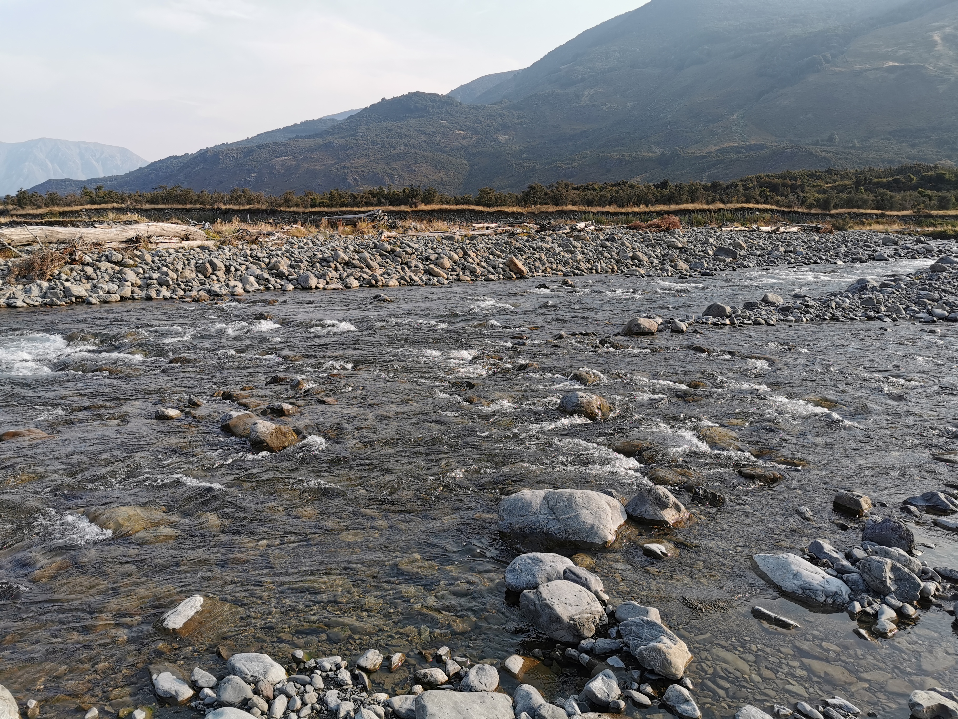
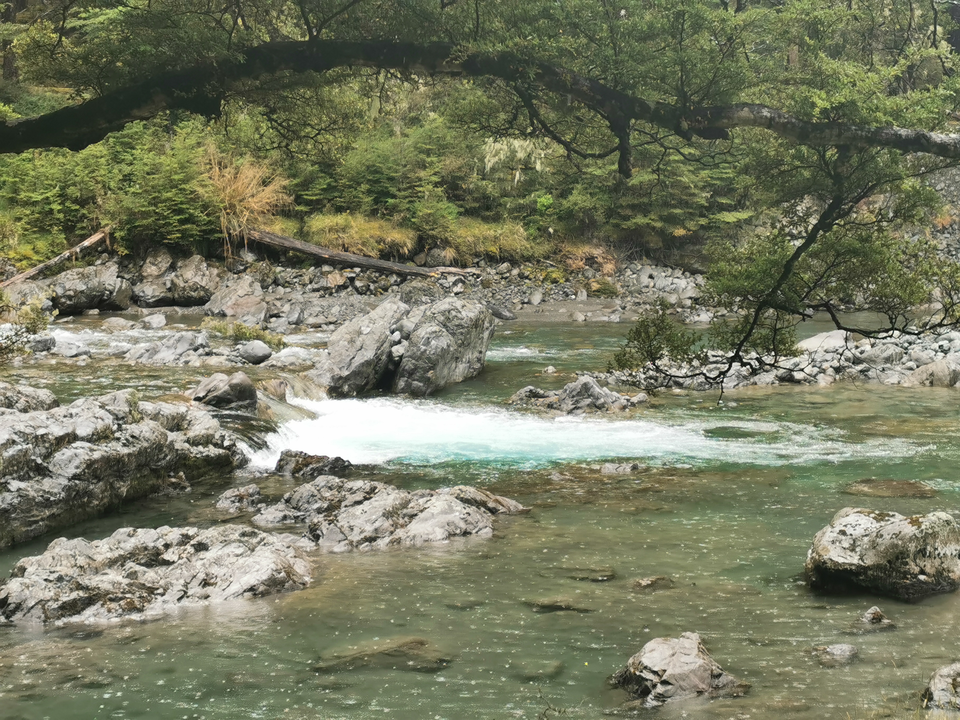
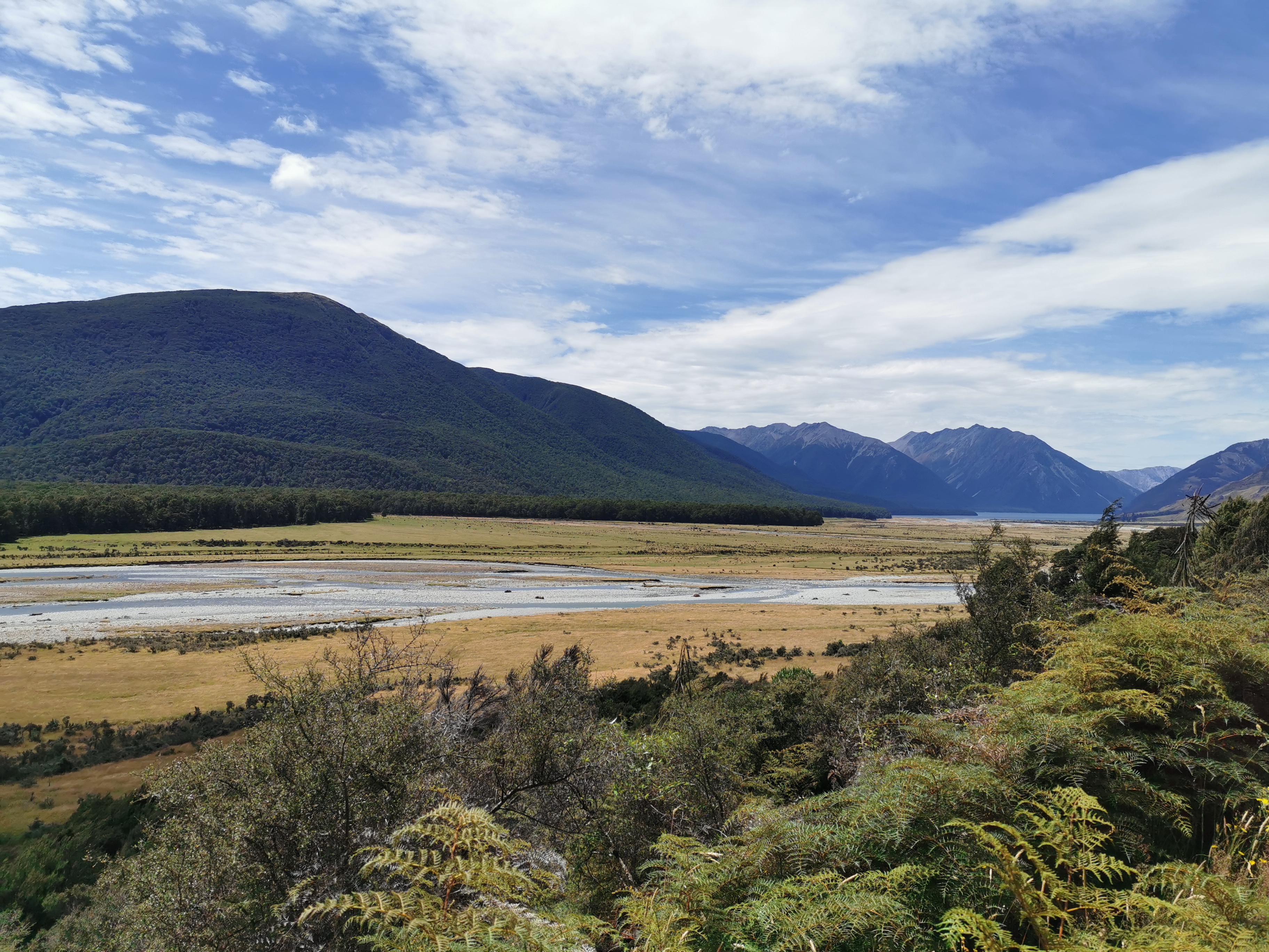
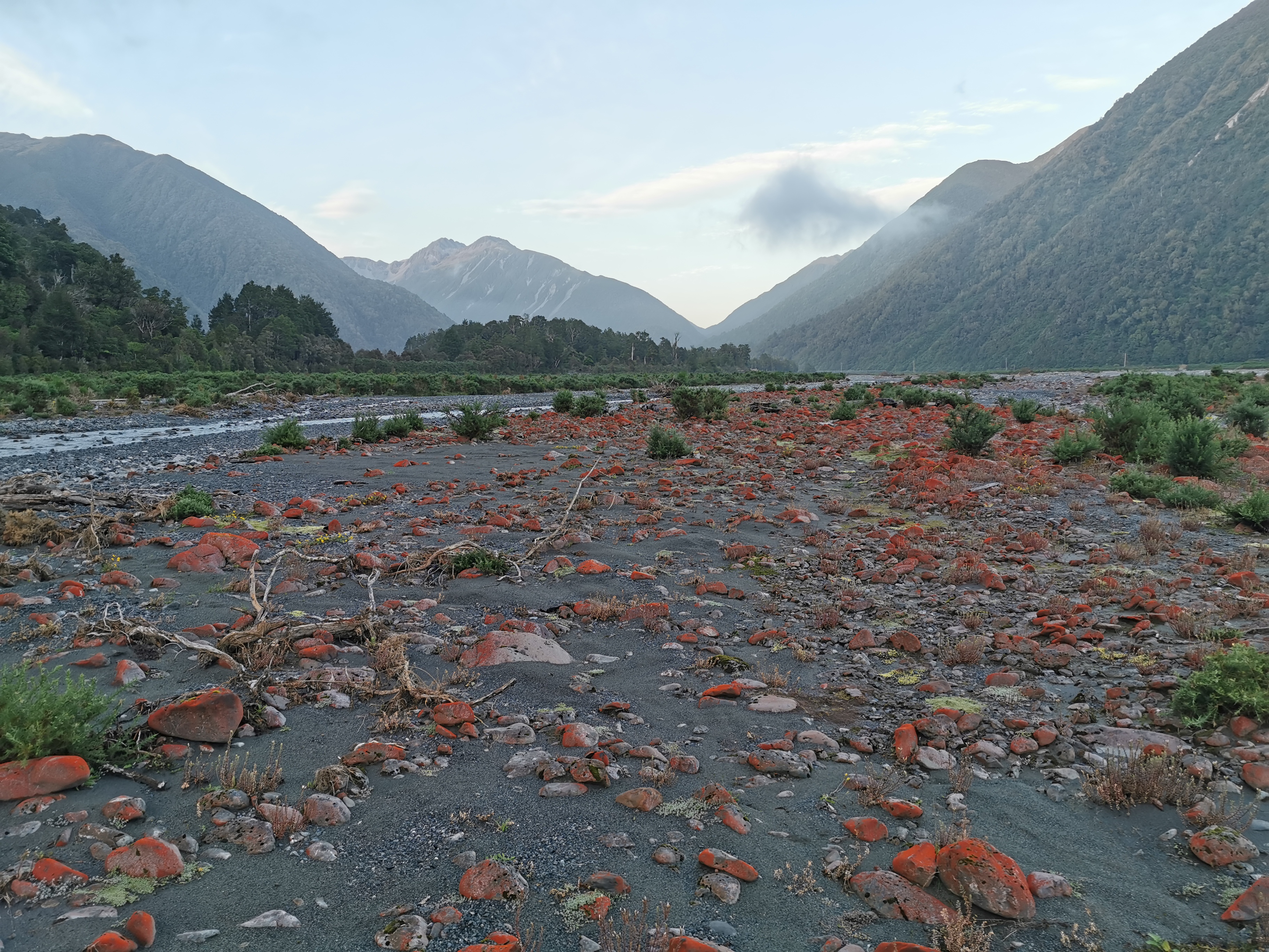
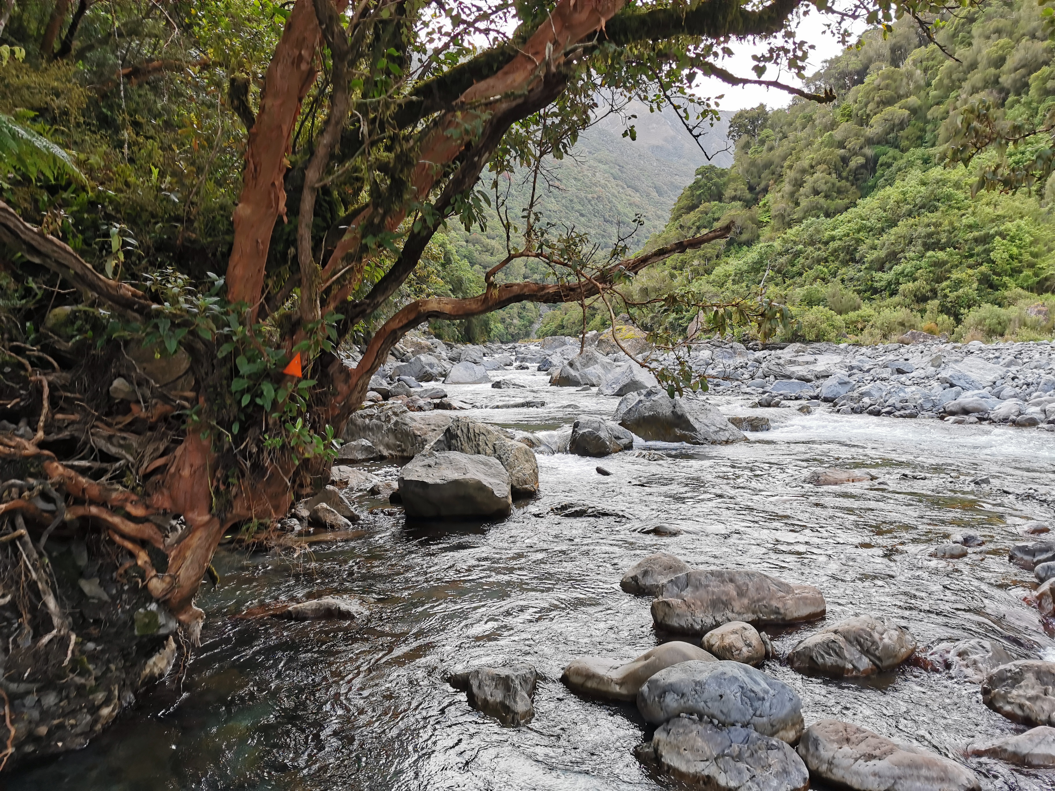
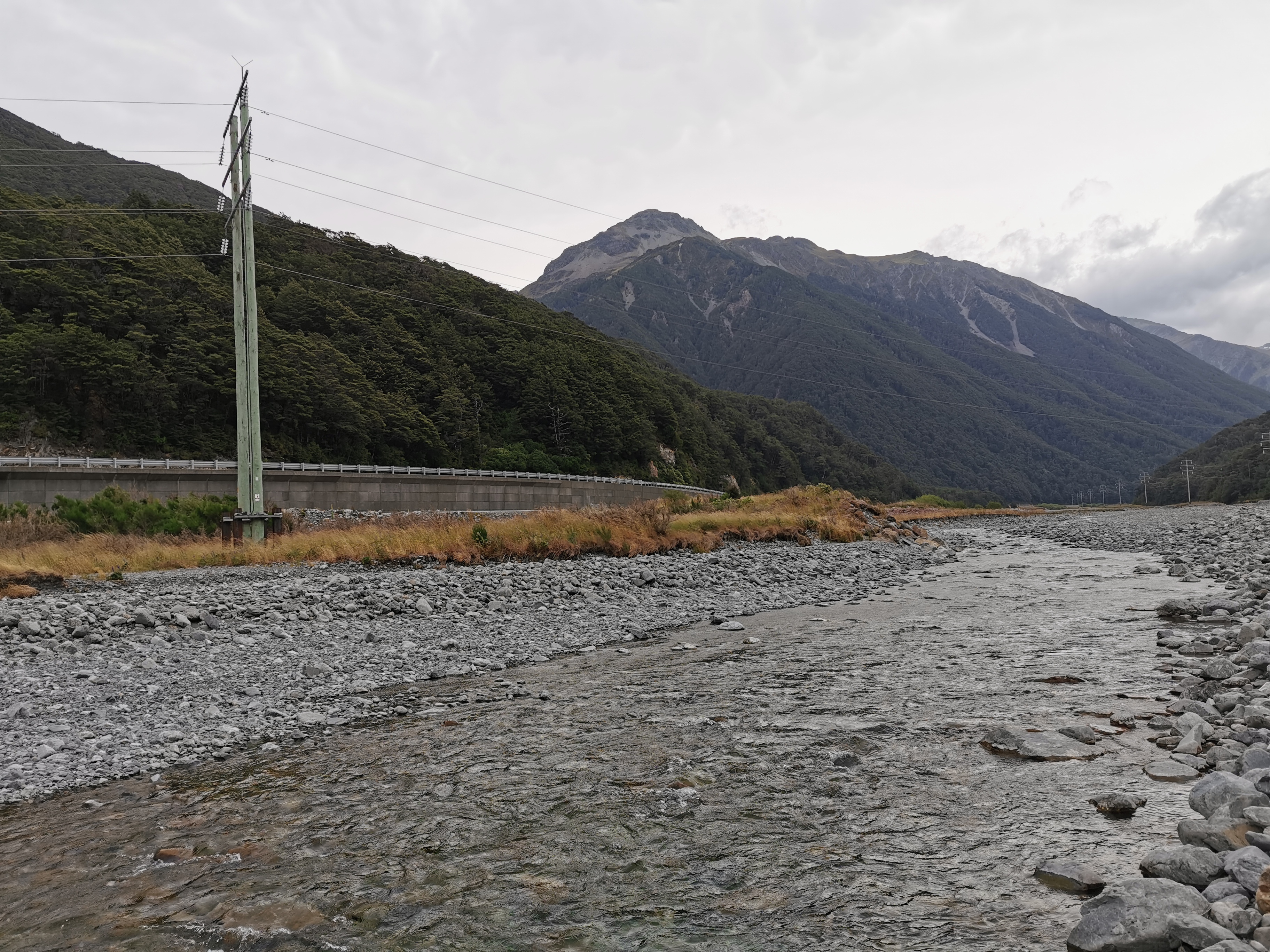
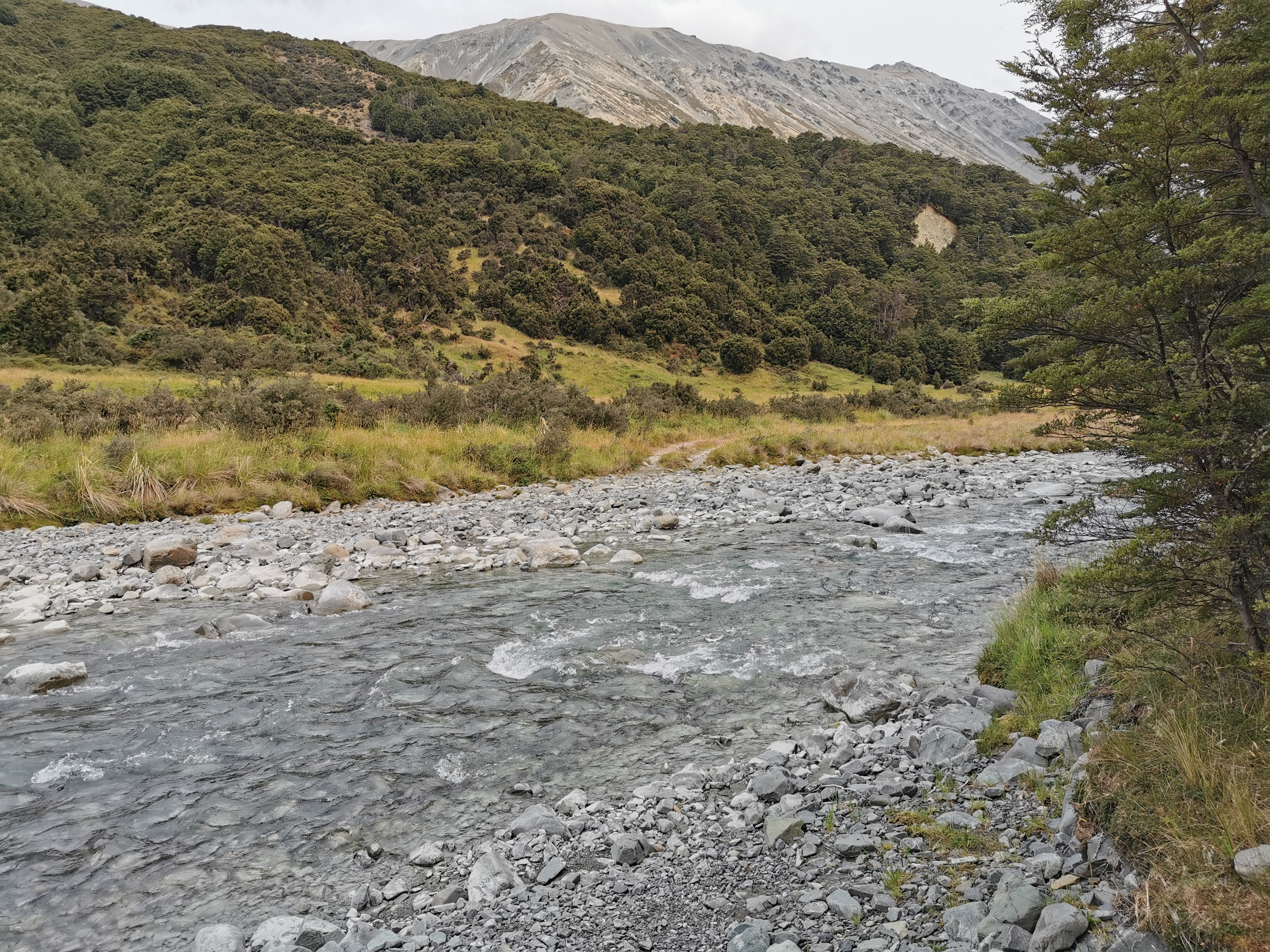
The other river to cross today was the Doubtful River. This was easier and felt safer to cross than the Boyle River.
Doubtful River
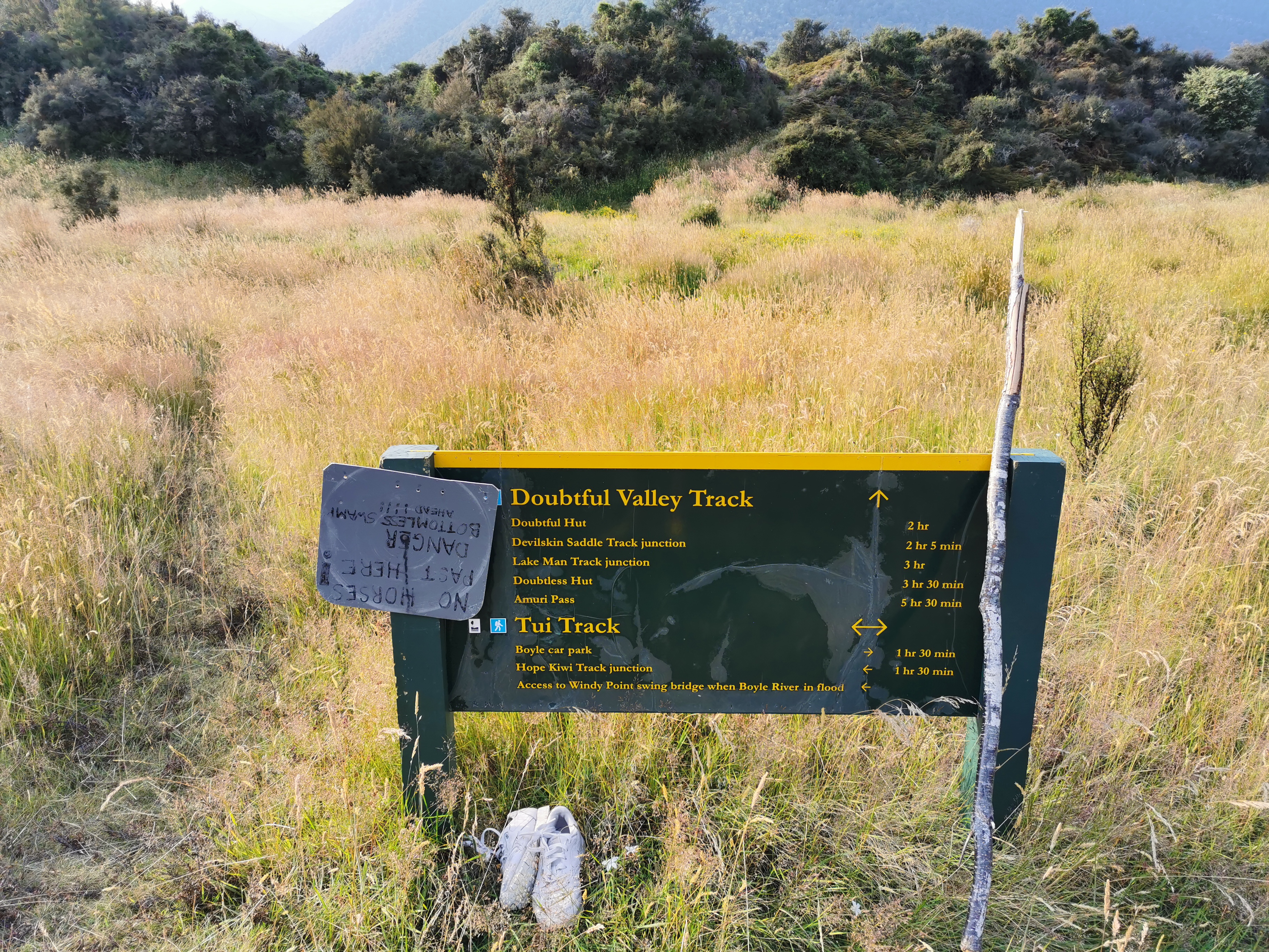
At this signpost, there was an interesting sign… and a pair of abandoned shoes.
But at least the path got a fair bit better from here.
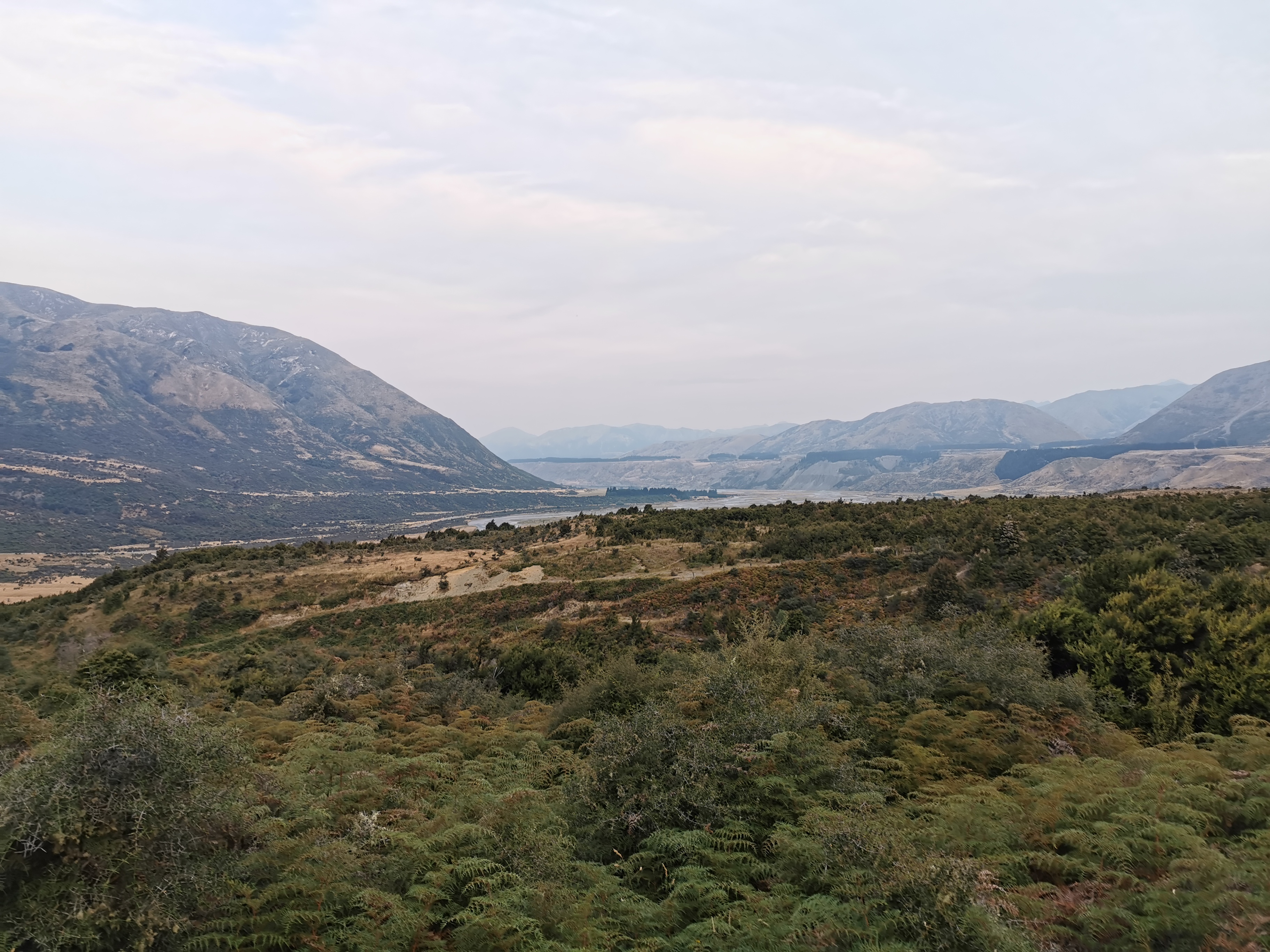
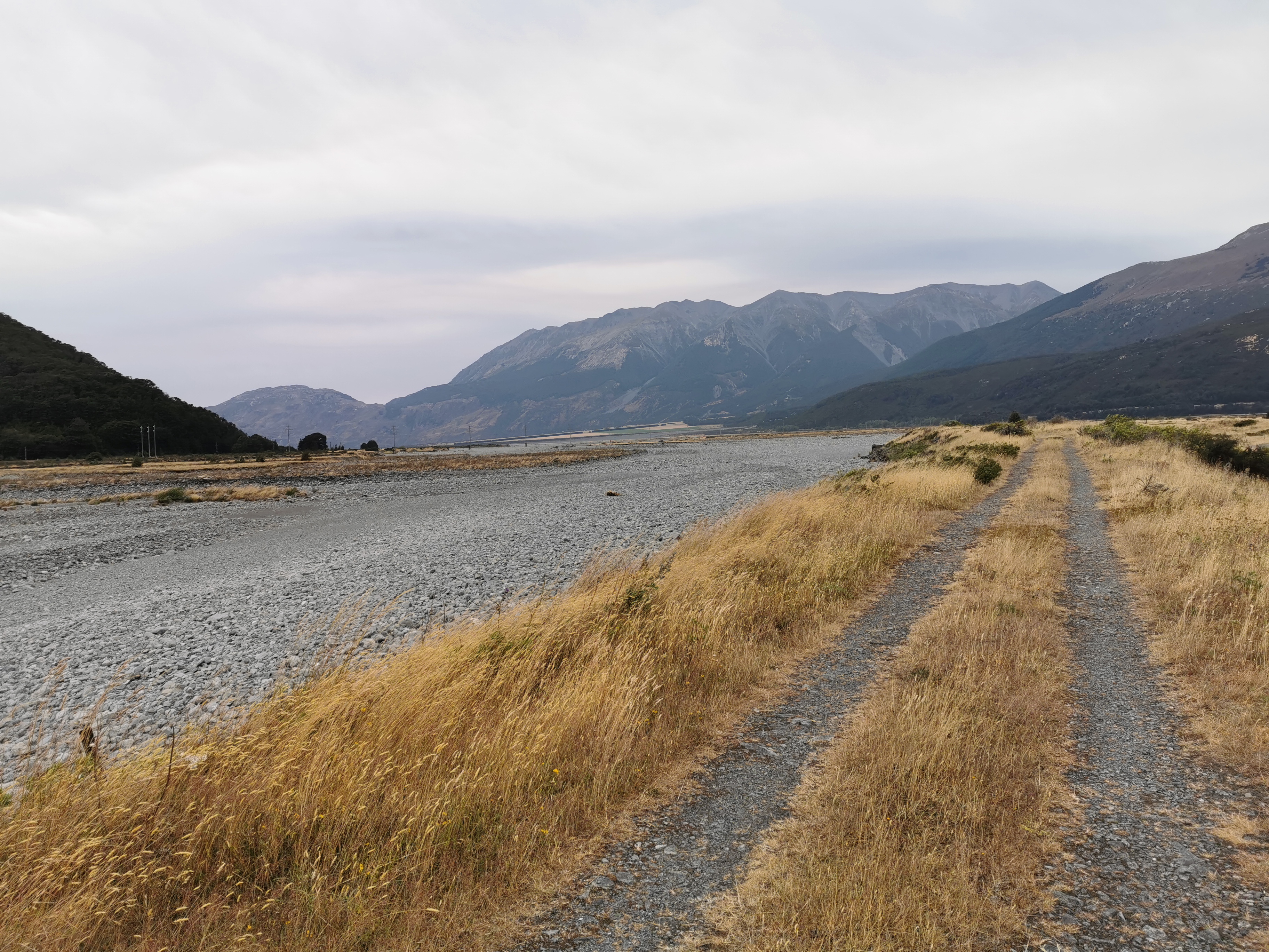
I could see and hear Highway 7 for most of the time. I didn’t feel like I was in the middle of nowhere, like the last two big sections of track.
Road signs way in the distance
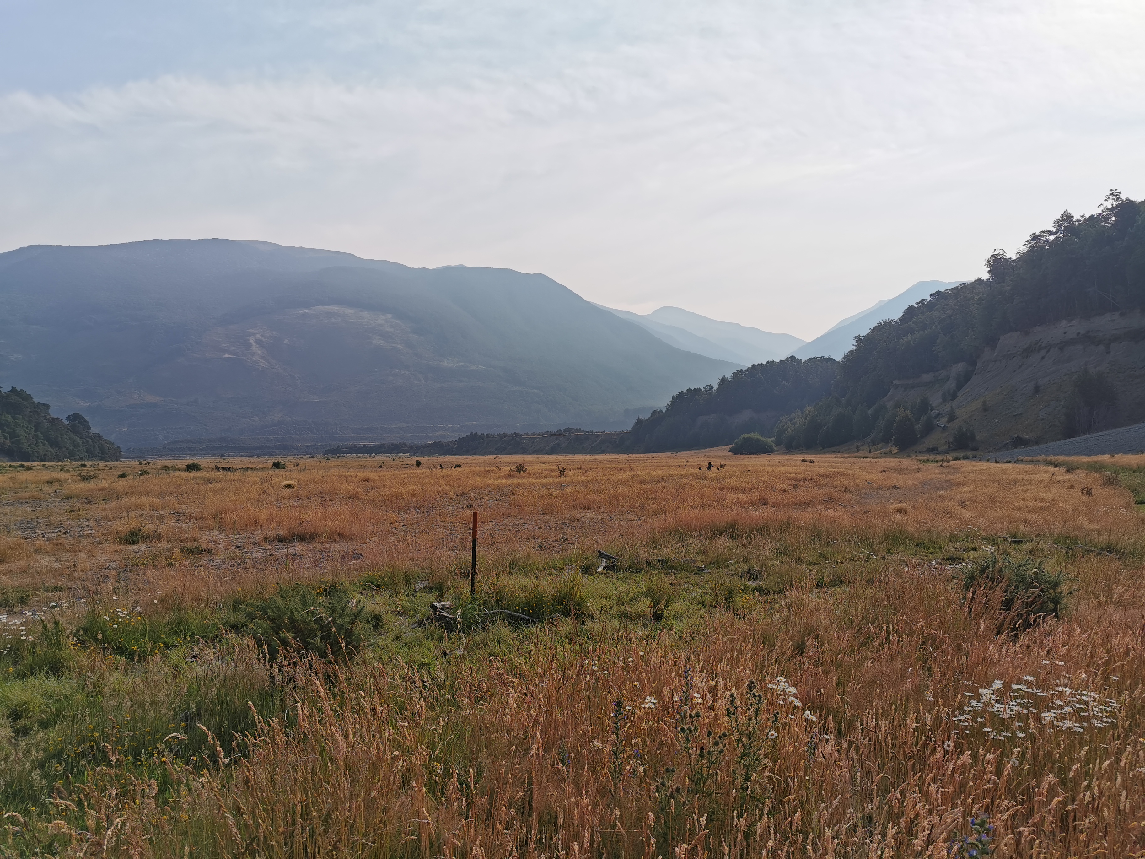
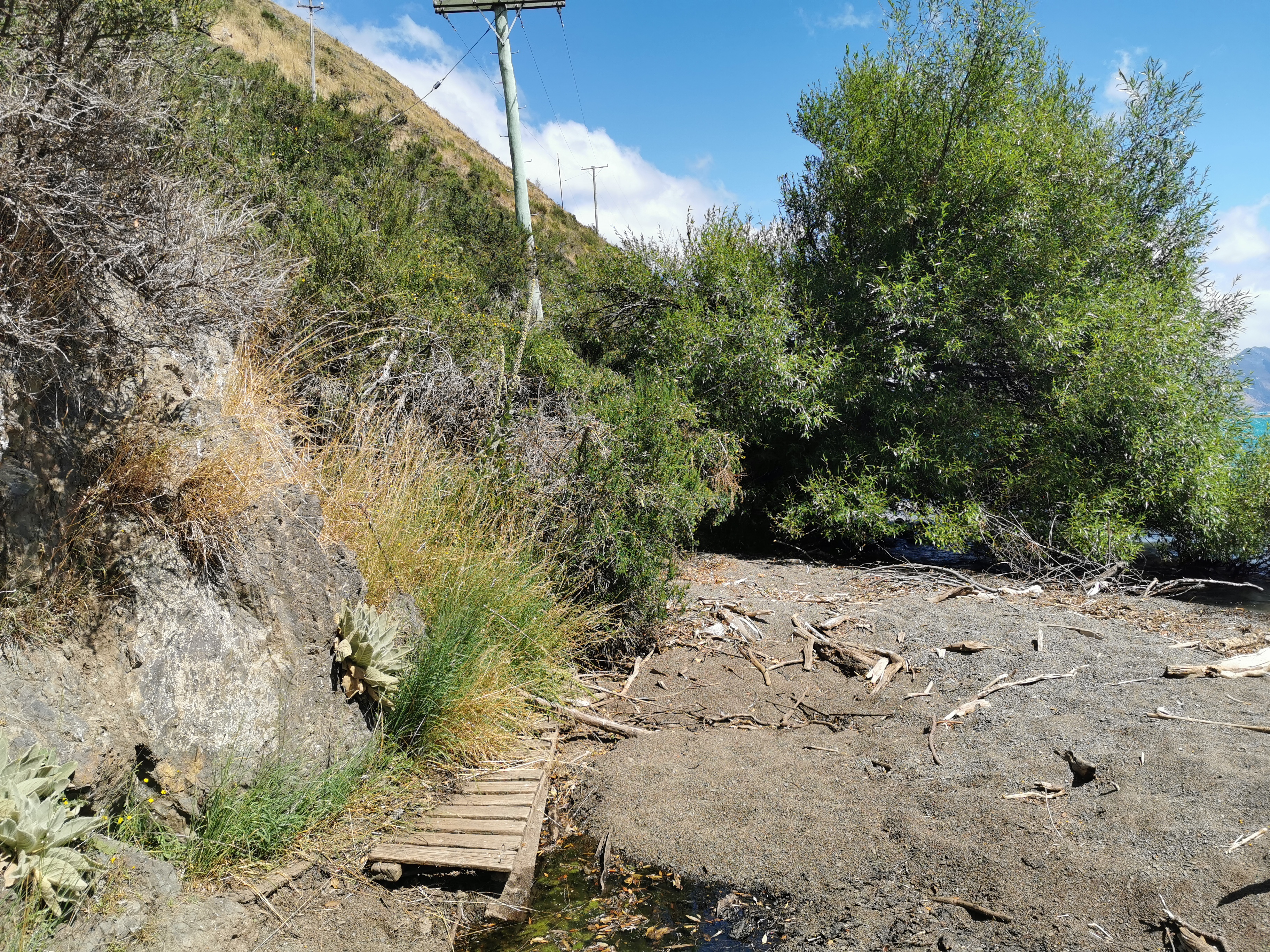
It was taking a lot longer to get through here than I thought. There’s no chance of making the hut with any daylight left, so I figured I could make it as far as Windy Point. I looked on the topographic map and there was a “shelter” marked there. I knew there was a car park too. Toilets or anything else? Not sure about that.
It’s actually about a 1km detour off the trail to make it to the shelter, but that’s not too much.
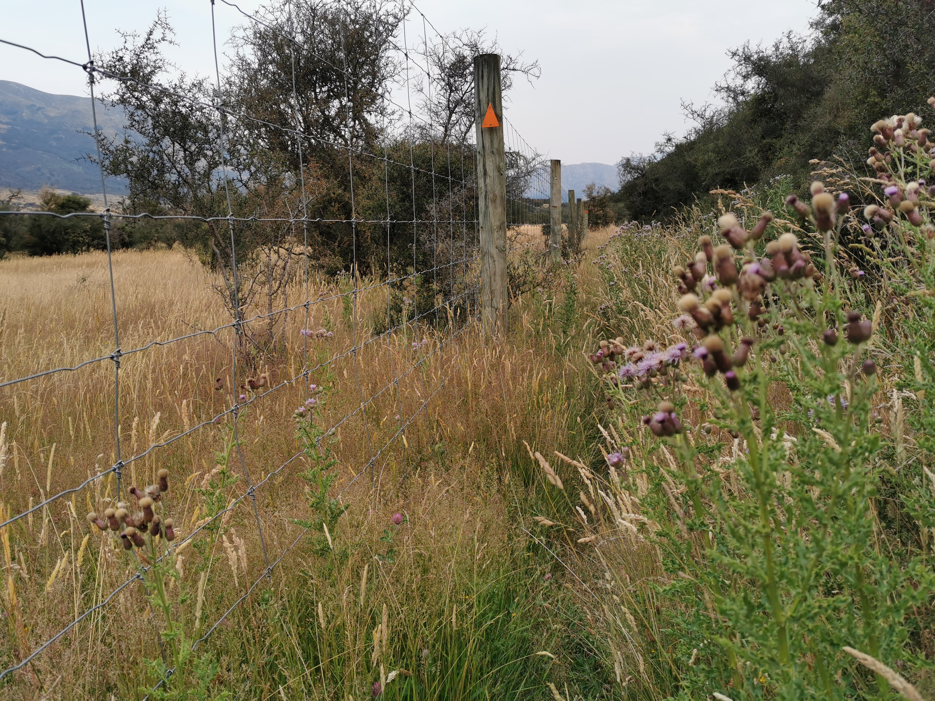
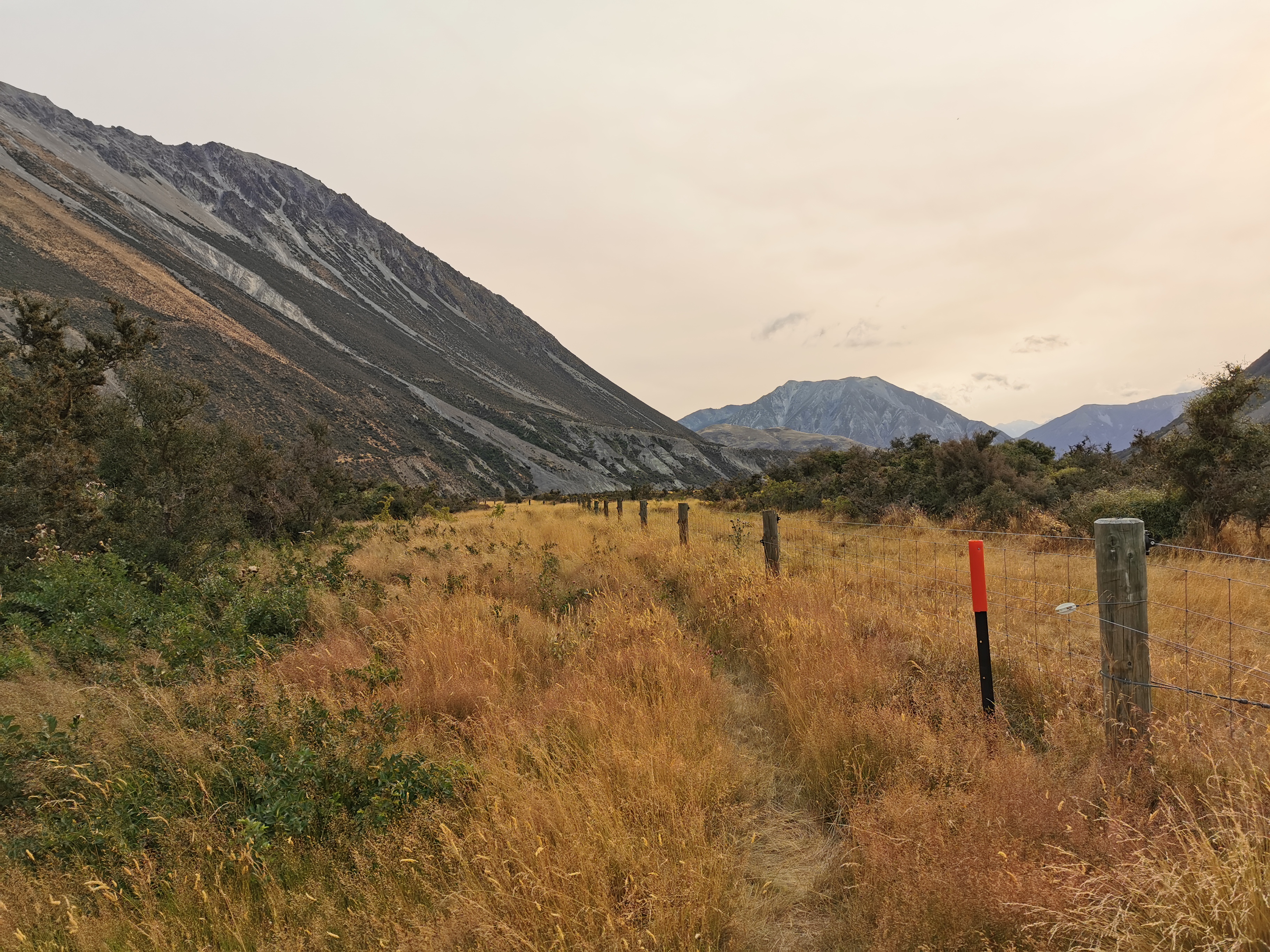
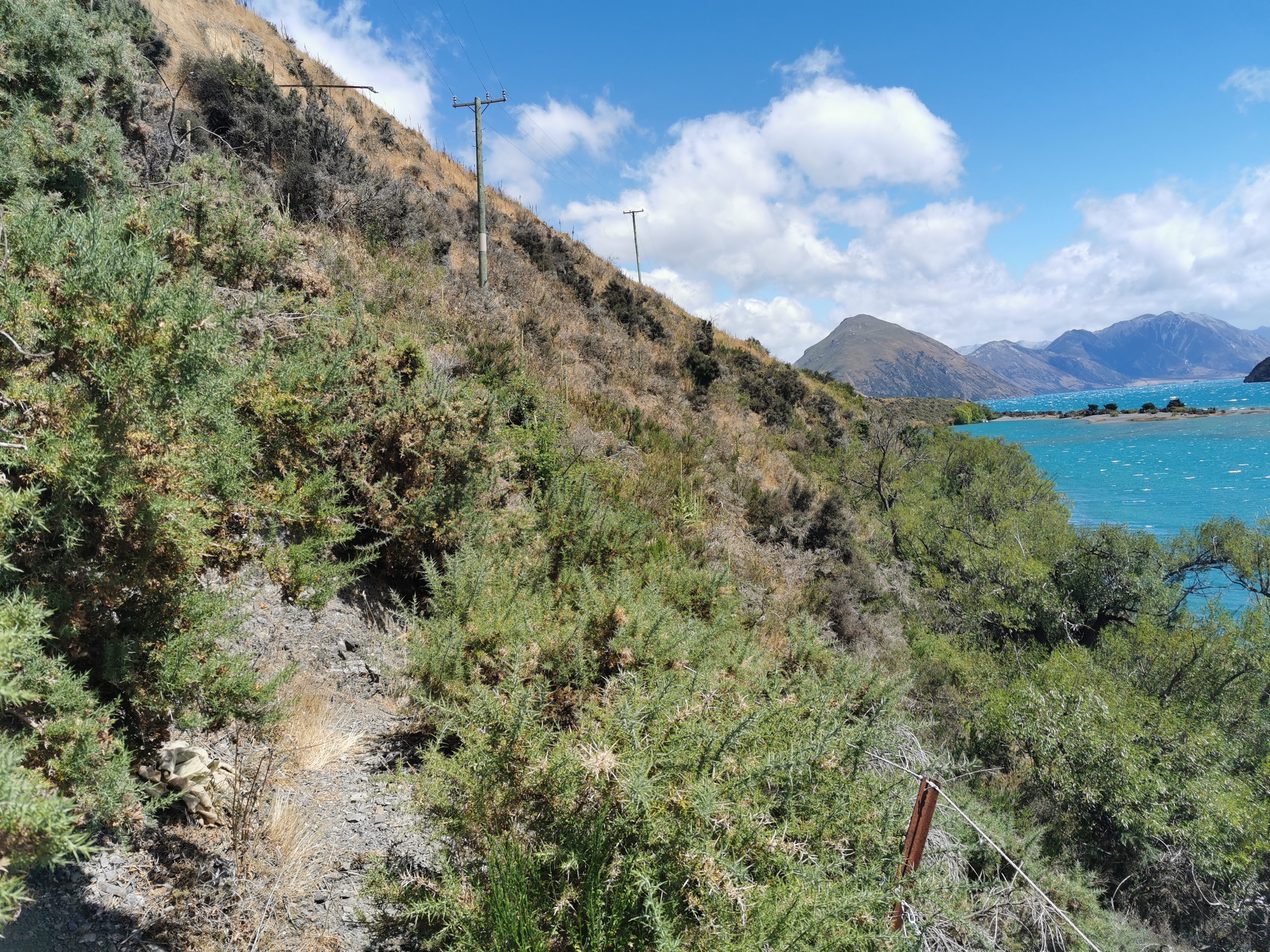
There was a lot of following a fenceline.
And also through a lot of thistles
It was a high quality, well constructed fence, but it was hard to know what it was there for. A park of some sort? Somebody’s land, most likely?
After the fence I saw a guy setting up camp on the side of the trail. He said he was too tired to go on. We had a quick chat and I determined his name is Chris, he is also a TA walker and he’s from Christchurch. But with daylight fading I kept moving.
I then saw a hunter and his dog going the other way. The dog was a super friendly Spaniel and it was very cool. Her name was Mia. But the hunter seemed bothered when I told him there is somebody camped just a bit up the trail, because that’s where he wanted to go hunting. I’m kinda glad I did tell him that Chris was there. I assume that hunters are able to fire their guns and not hit people or tents or anything they shouldn’t, but who knows.
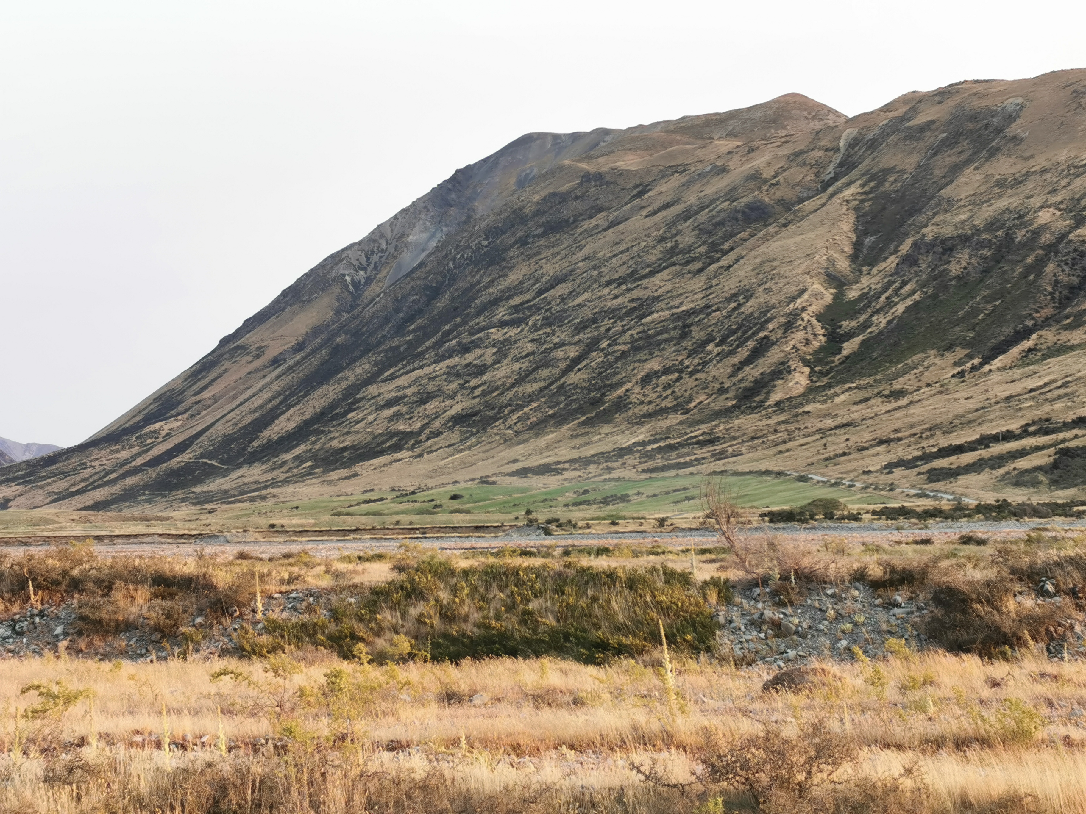
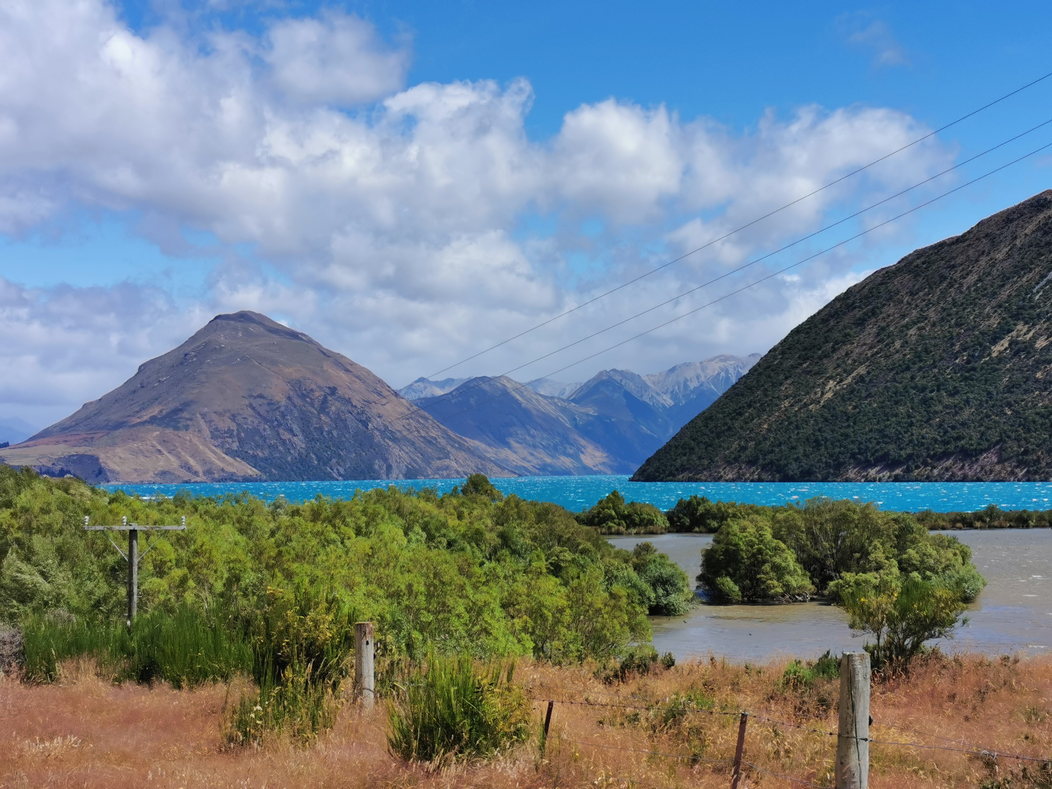
Looking towards Windy Point
I was surprised how much I was hurting after only 11km. Walking uphill felt really hard and I was out of breath quickly. I suppose that’s what seven days off trail and three days of drinking does to you.
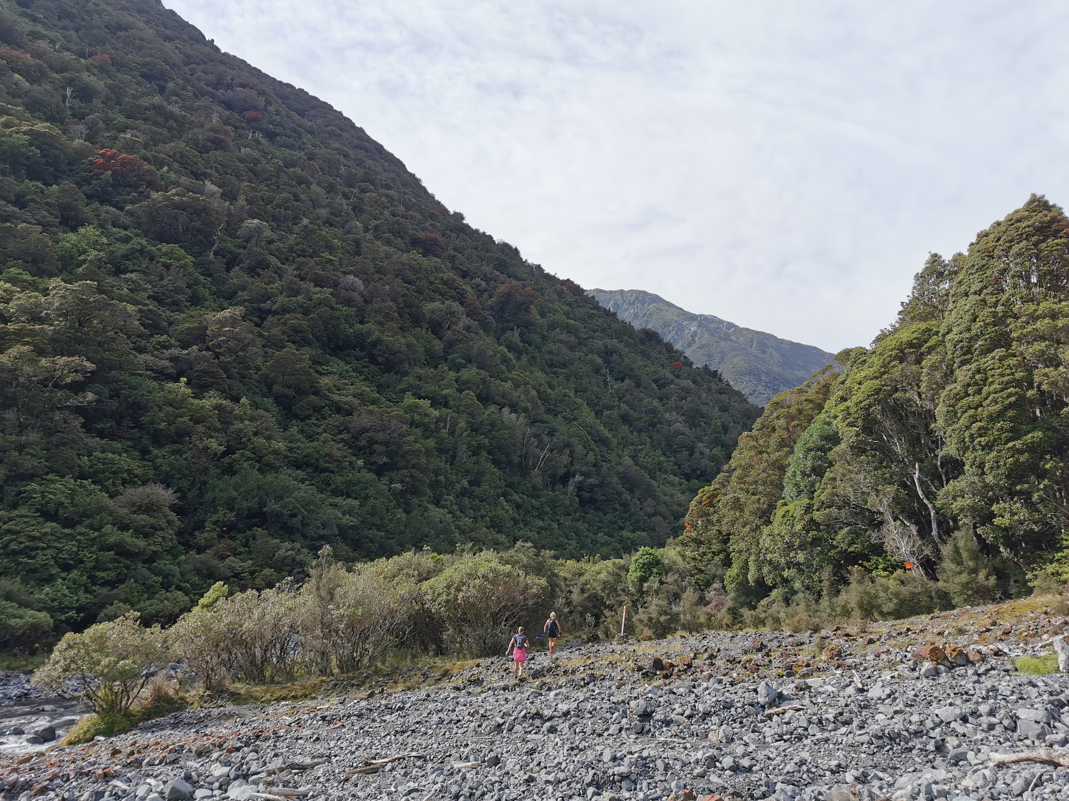
I reached the junction where the TA goes right and Windy Point is left. I turned left off the trail and headed towards the car park.
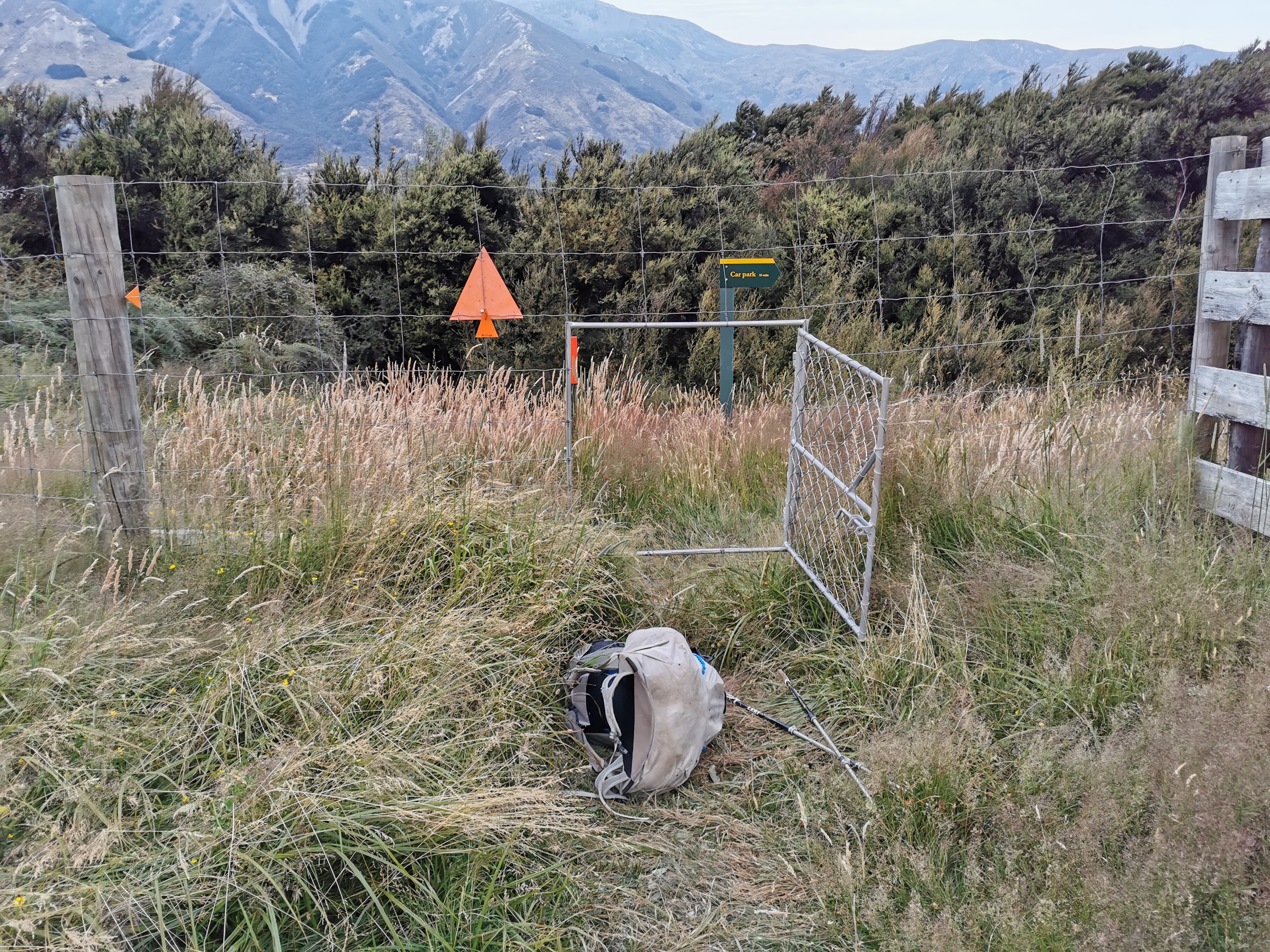
One thing I encountered was this weird “dog door” – although it wasn’t for dogs.
I couldn’t fit through it with my pack on so I had to clamber through without my pack and then pull it through afterwards. I wonder why they couldn’t have a regular gate.
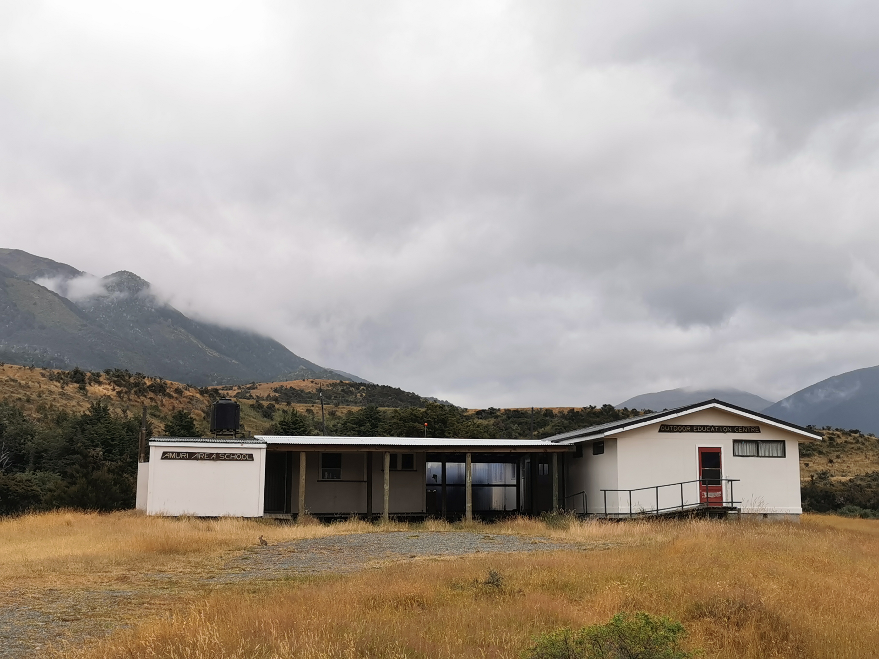
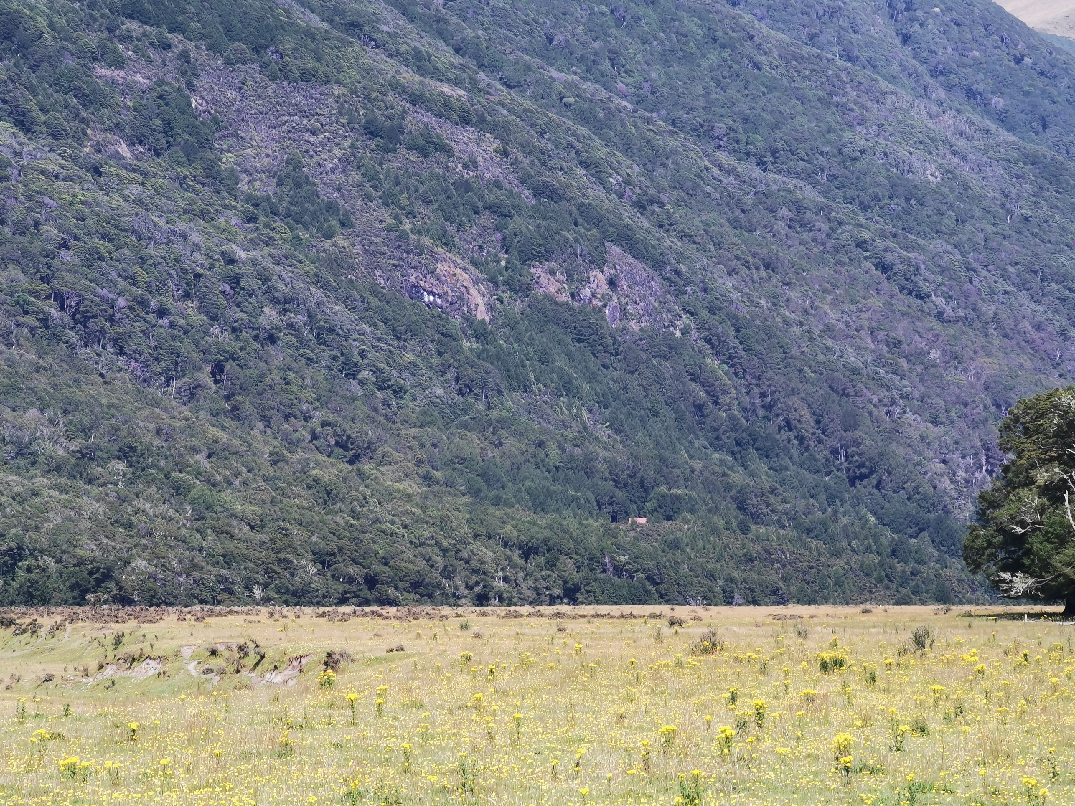
I passed this building – it is both Amuri Area School and also an Outdoor Education Centre.
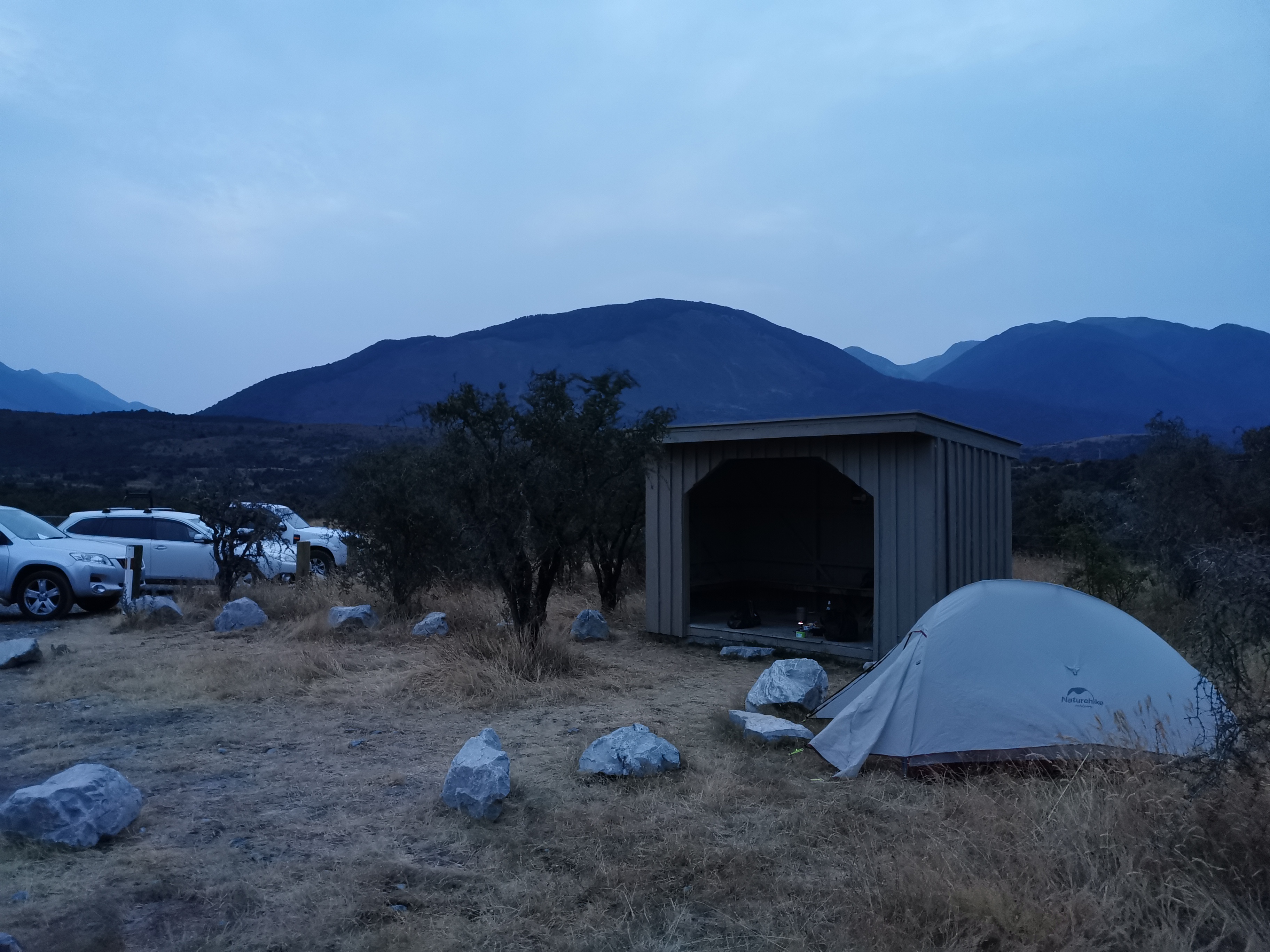
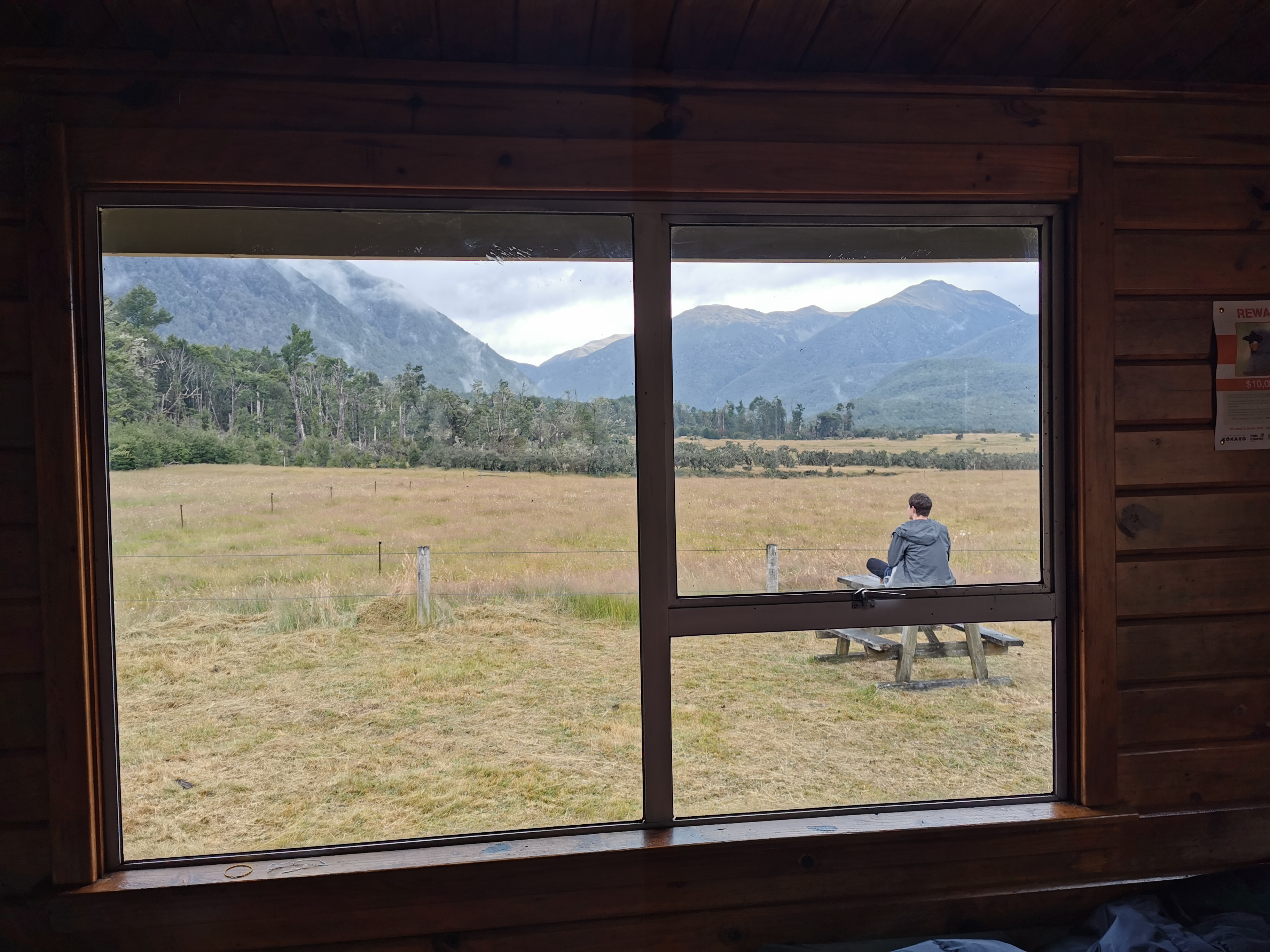
It was about 10 or 12 minutes walk off-trail to this shelter.
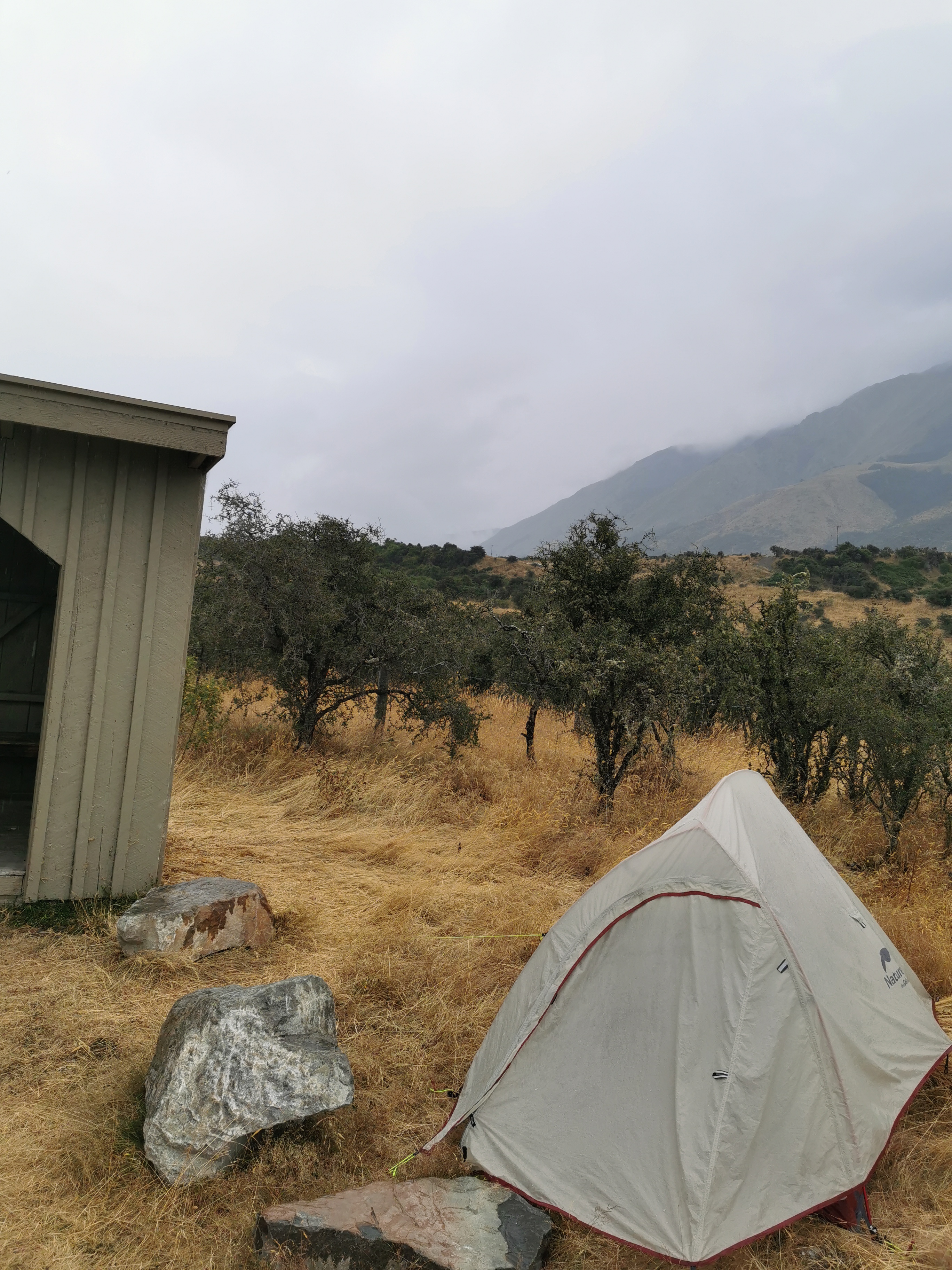
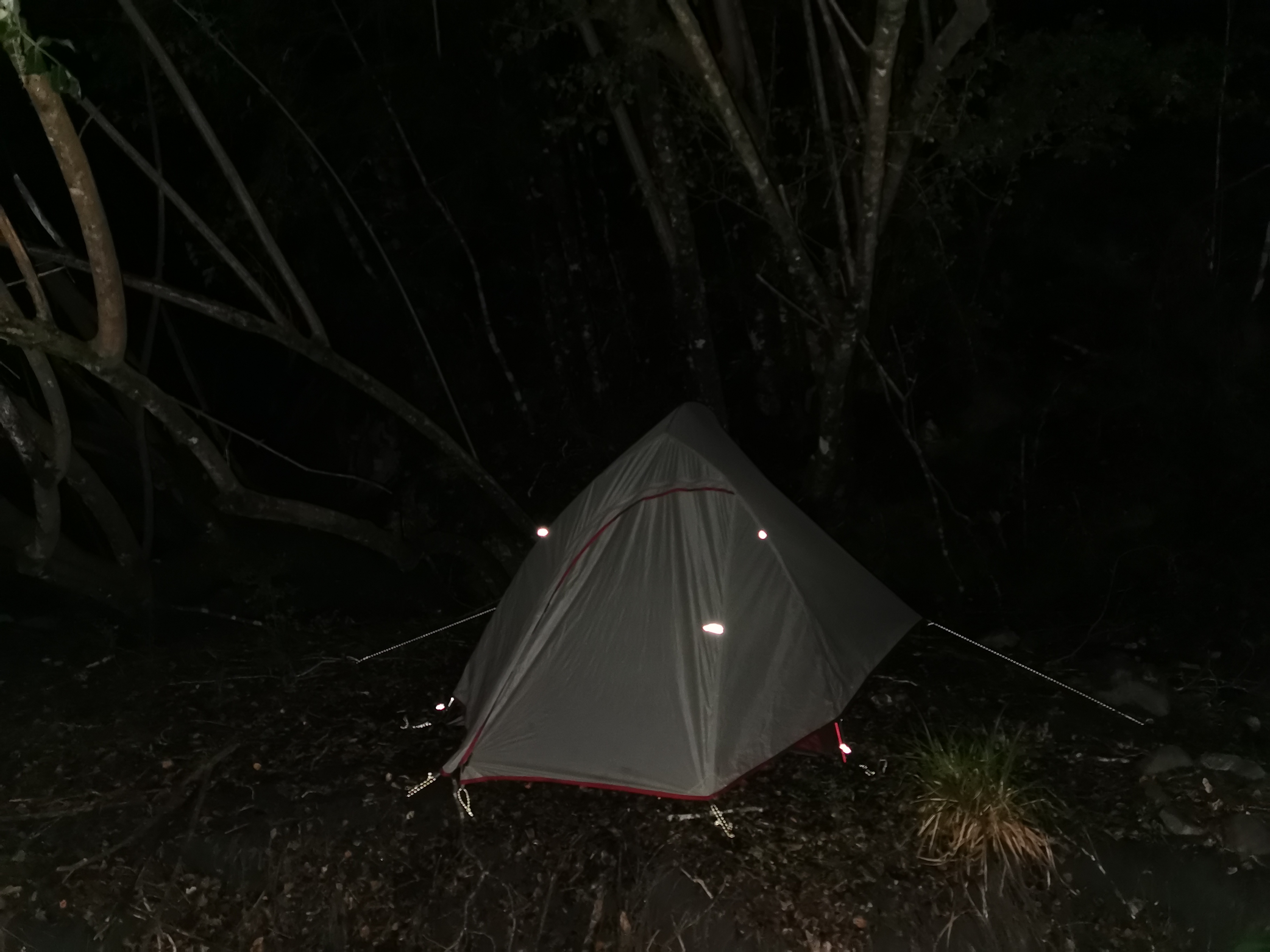
Getting quite dark by the time I got around to setting up the tent
It was indeed just a shelter with no toilets or anything, but there weren’t many sandflies and it was a nice place to have dinner and set up camp. Although by the time I finished eating the daylight had completely gone and I was eating by the light of my headlamp.
It occurred to me after arriving that it took less than 10 minutes to drive from here to Boyle Village earlier but over 4 hours to walk it. Maybe I ought to just drive to Bluff, it would save lots of time.
There were three cars in the carpark and none of them moved all night. One must have been the hunter’s. I wonder whose the other two were.
Over the last week I put a bandage around my loose toenail to keep it in place. It worked well while I wasn’t walking but now that I’m out on trail again it’s really starting to hurt. I took some ibuprofen and left the bandage on tonight but I’m going to have to take it off tomorrow before I start walking. I hope there’s not something gross under there.
Day 100 is now over. It wasn’t quite as nice as I hoped my first day back would be, but things can only get better! And I’ve now completed 69% of the trail! Although I didn’t make any effort to mark the achievement at the time…
Date: 29 January
Trail covered: 14.4km (kms 2070.3 to 2084.7)
Weather: light rain all day
I slept in just my sleeping bag liner for most of the night, because it was so warm. I did put the sleeping bag over me at one point in the night but didn’t zip it up.
I woke up to unexpected rain. Honestly, it looks like this area needs it given how brown it is, and it’s nice to know that the chance of any kind of fire on the track is now very reduced.
Good morning
The hunter got back to his van at 7:30am. He said that he slept out in the bush because the best times for hunting are just after sunset and just before sunrise. He didn’t even have a tent or anything that I could see.
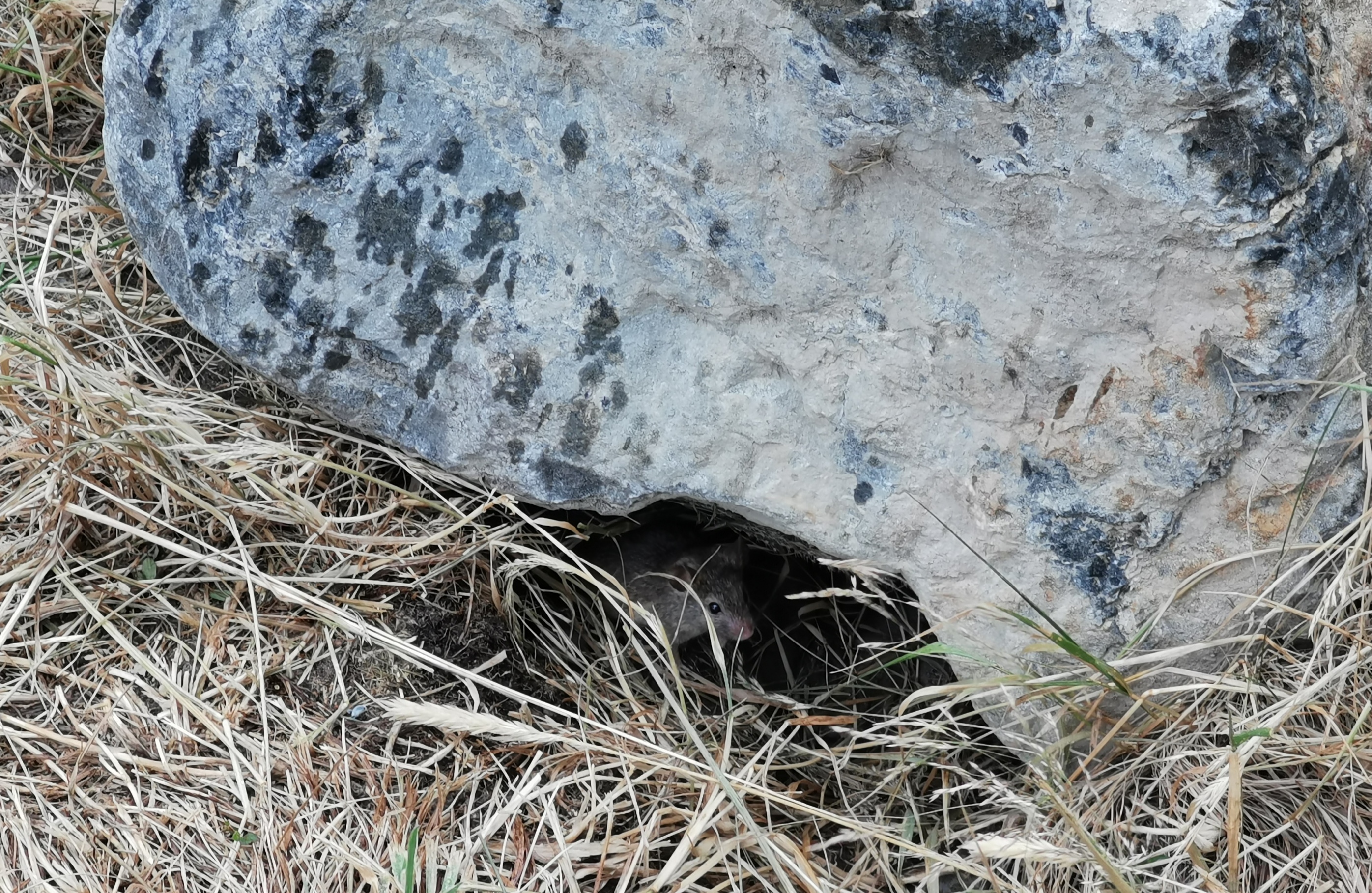
I had my breakfast in the shelter while I waited out the worst of the rain. There was a little mouse hanging around.
I see you in there, little mousey
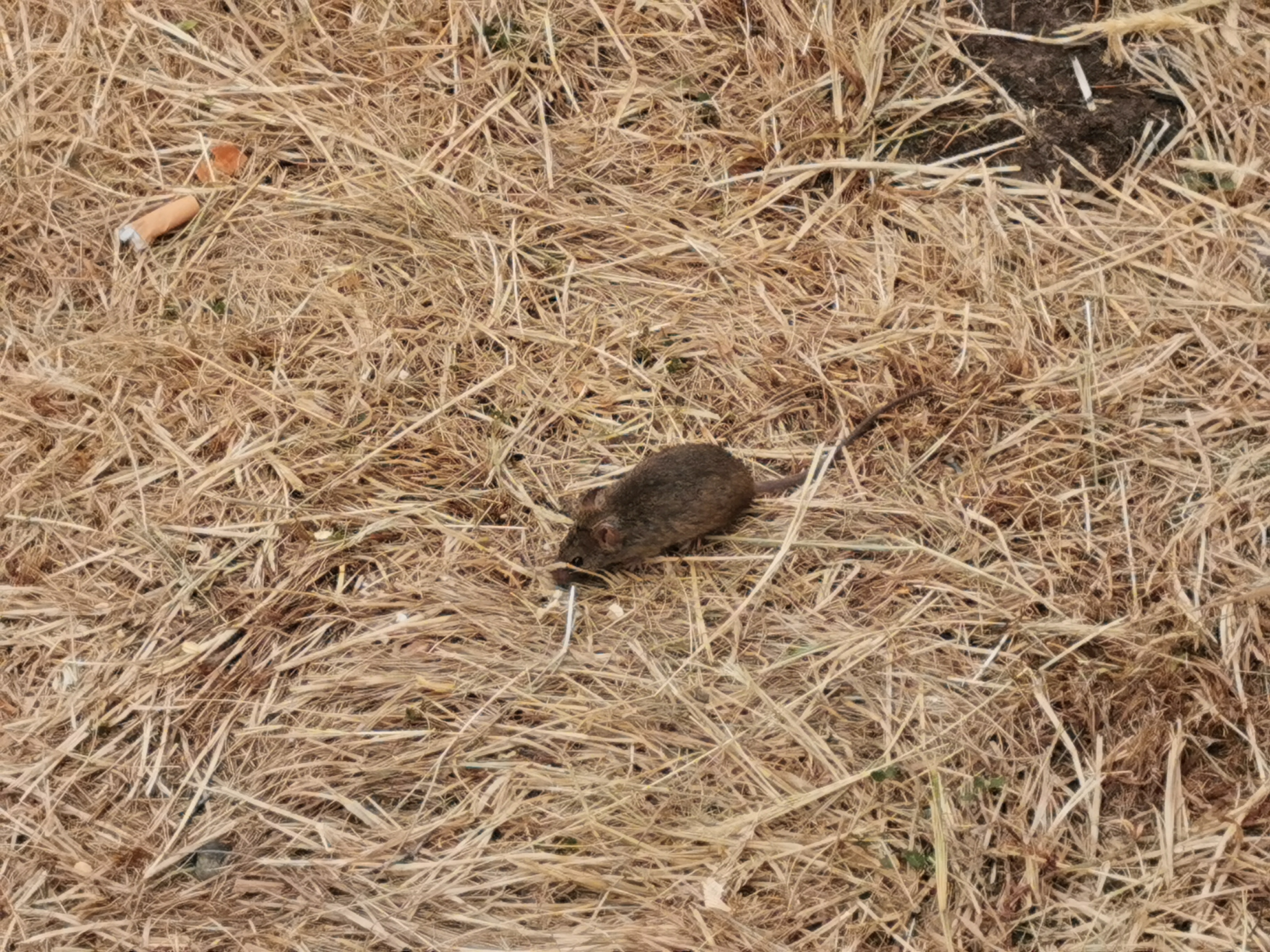
He sometimes came out to look for crumbs. I didn’t chase him away because watching him gave me something to do while I waited for the rain to stop.
Mousey enjoying the tiniest of crumbs
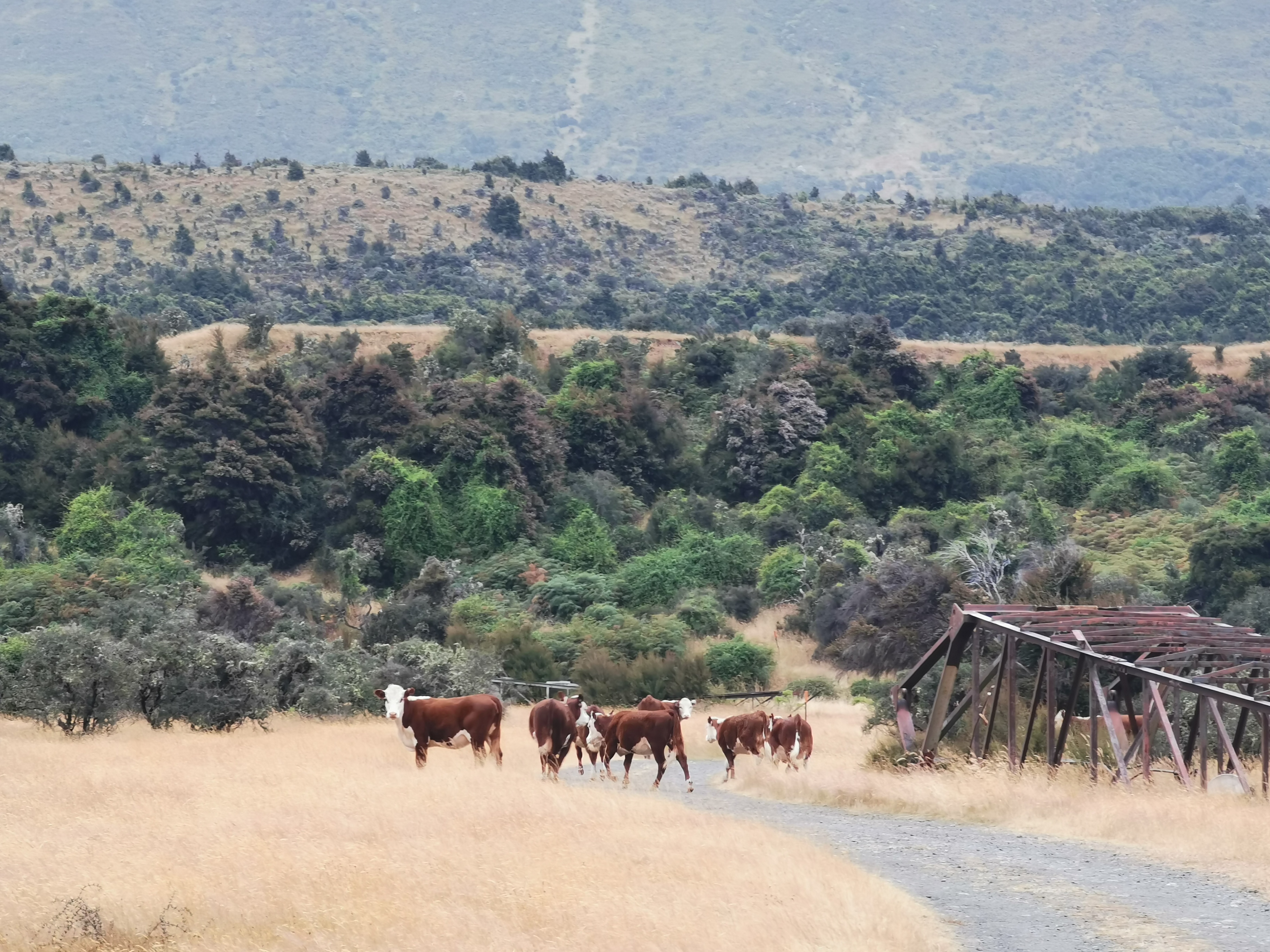
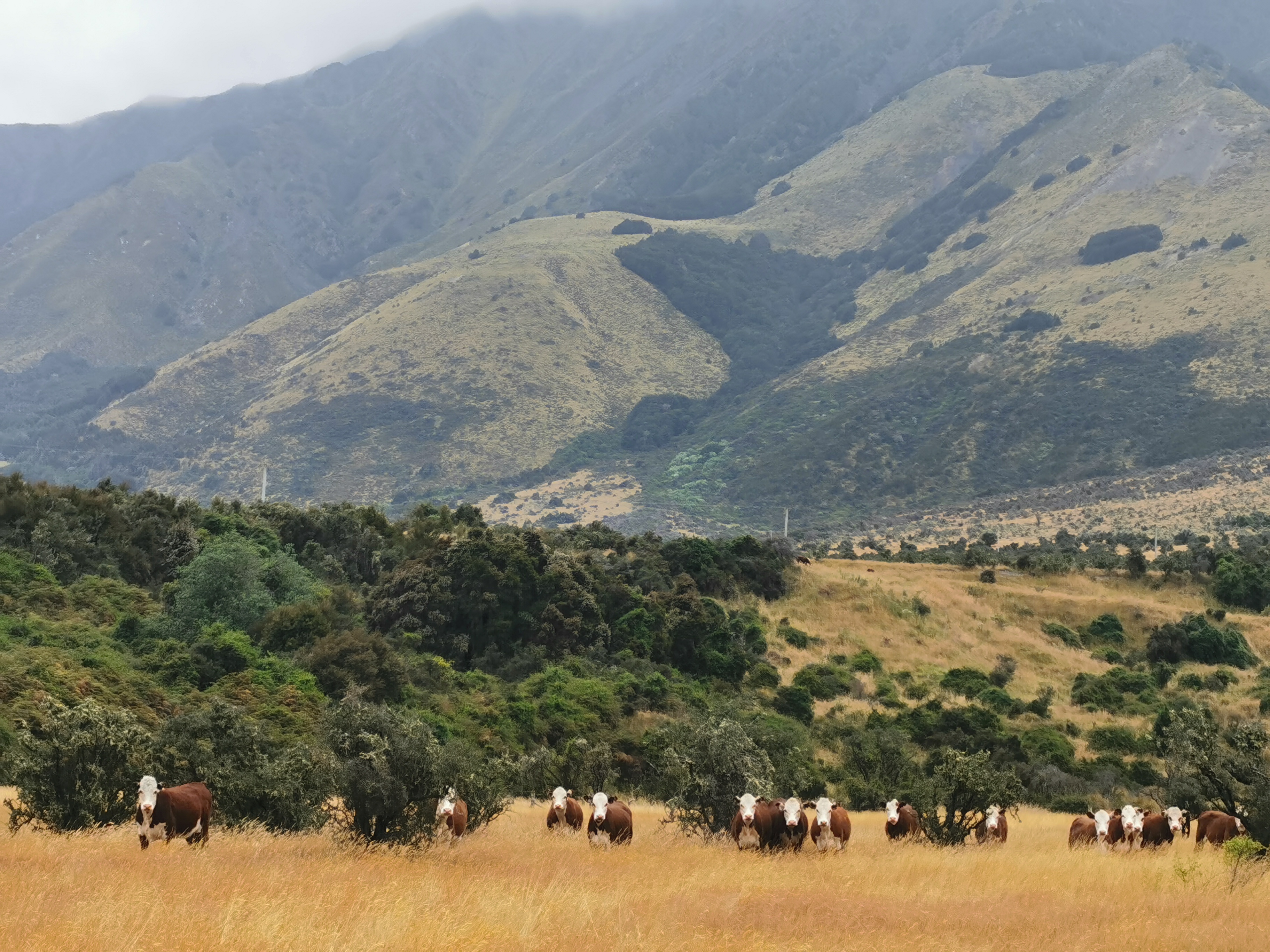
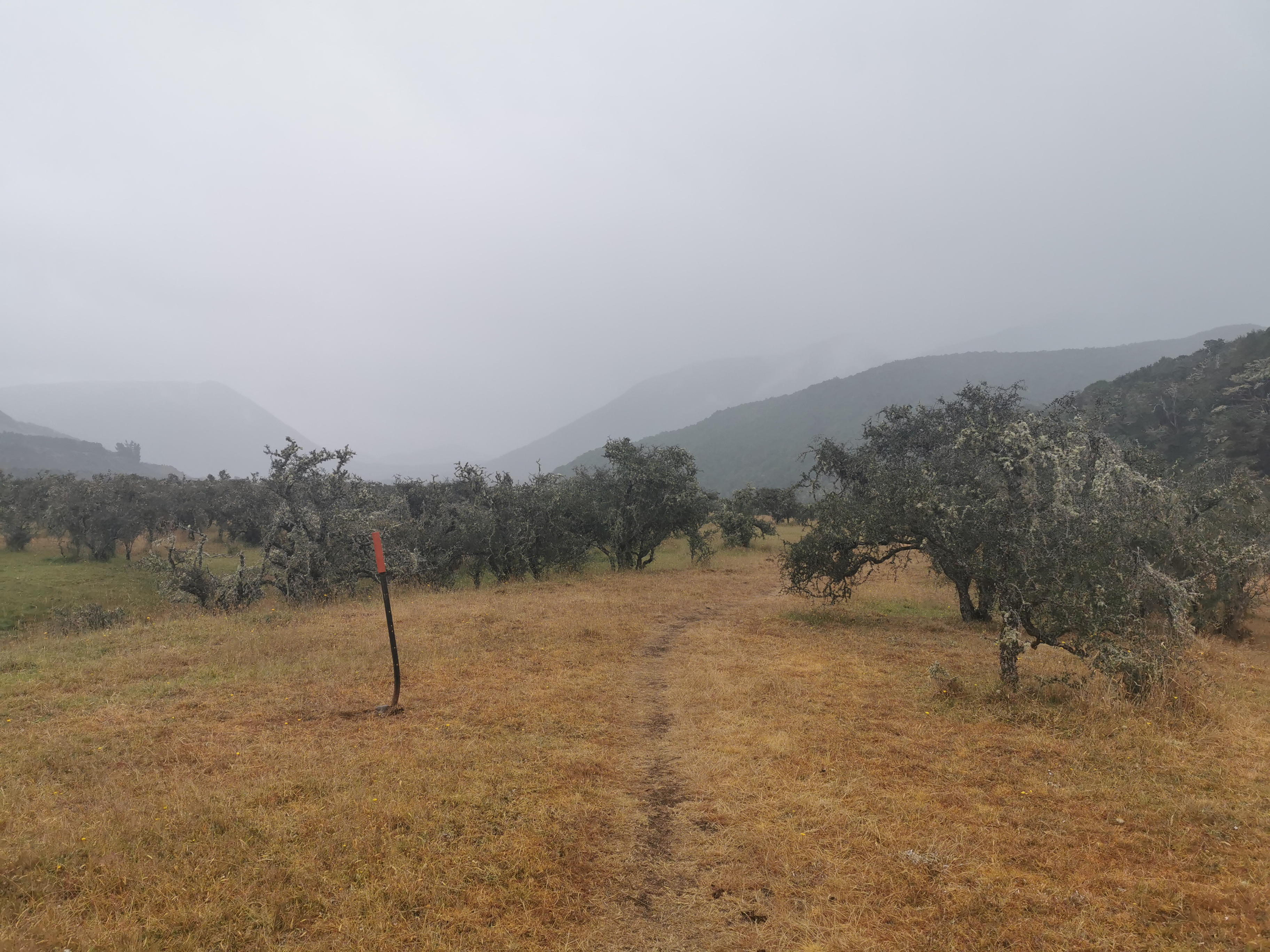
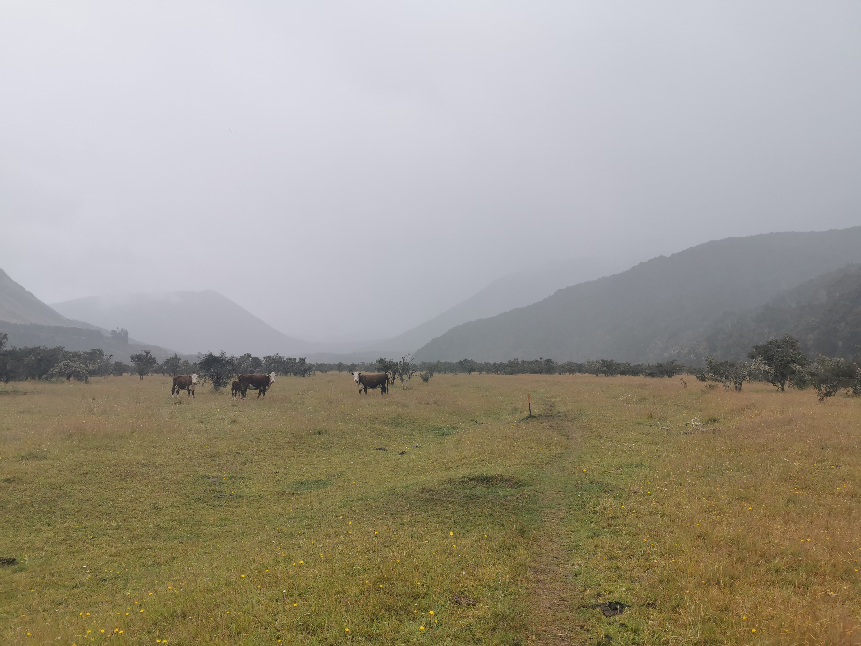
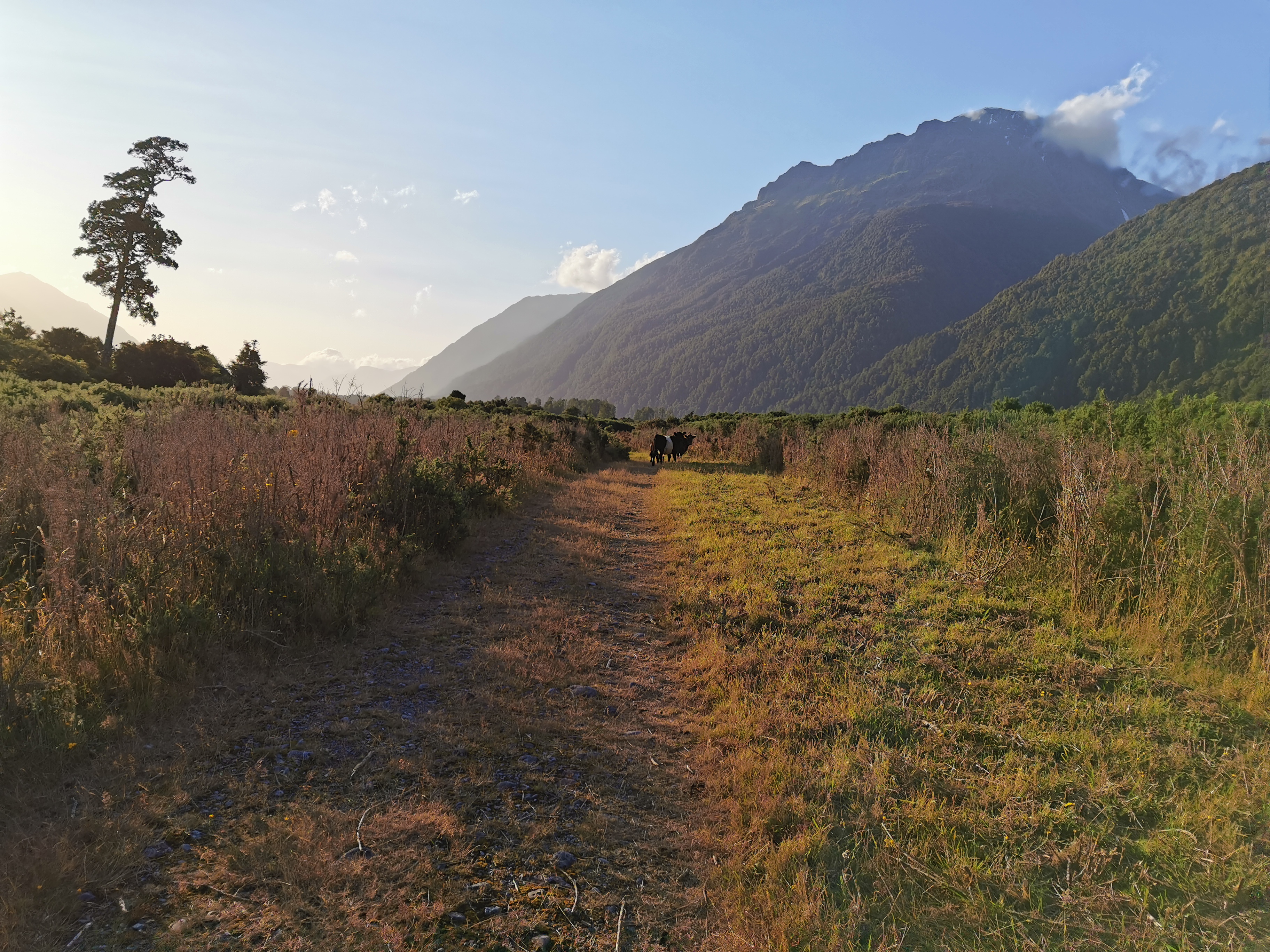
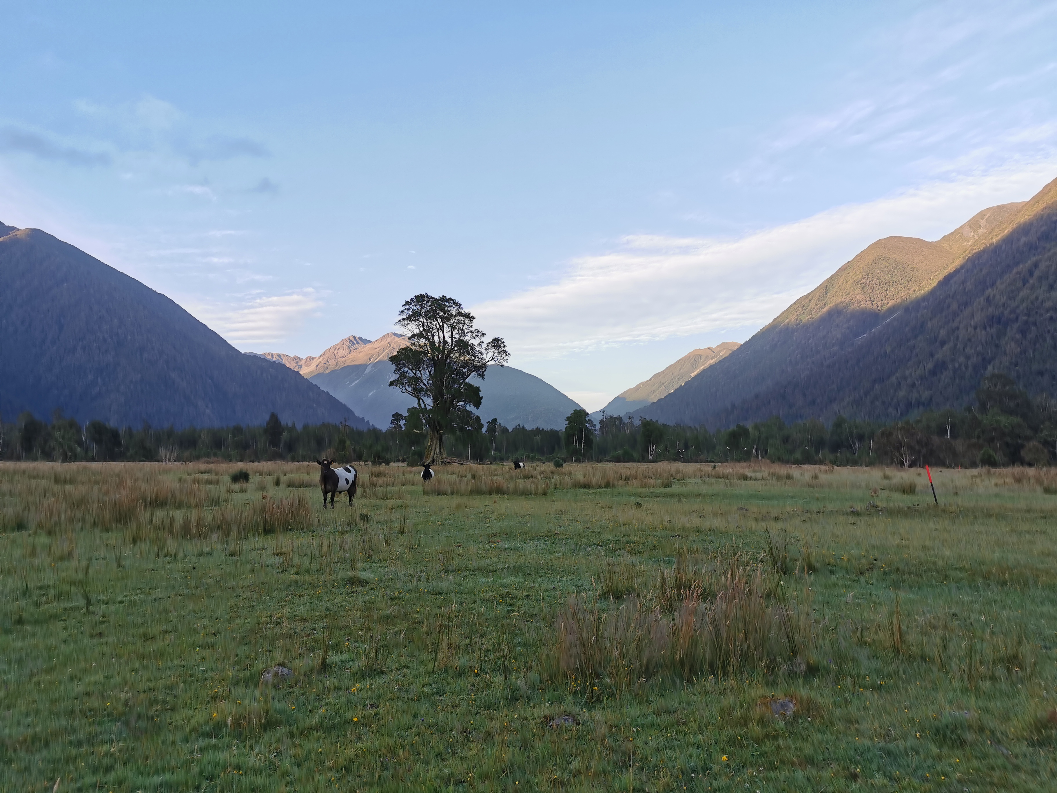
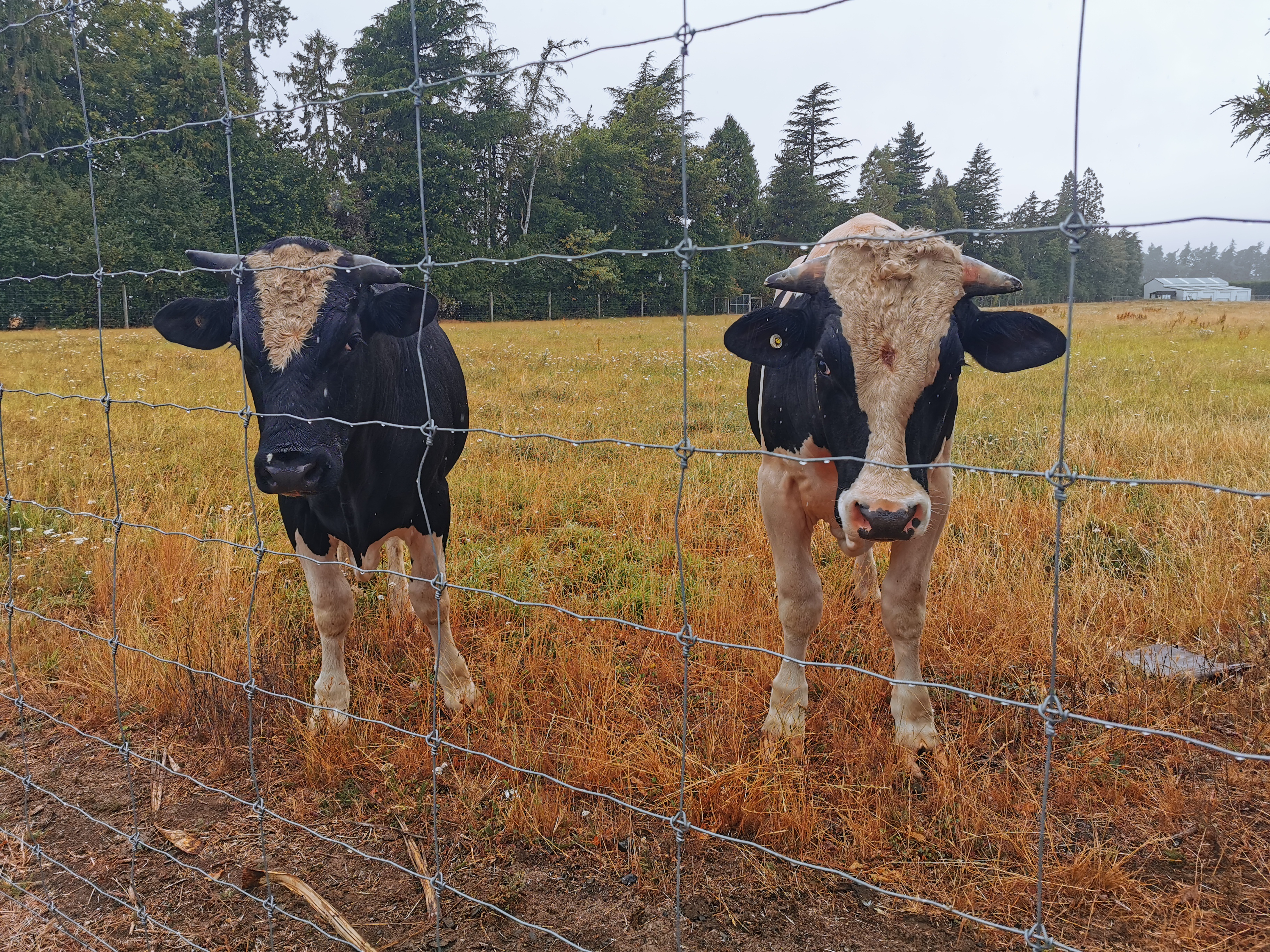
Once the rain largely stopped at 9am I continued walking. I had to backtrack a bit to get back to the path. There were some cows here that weren’t here yesterday.
Sure enough they all scattered and then watched from a safe distance. Some even started following.
Back at the junction…
The same sign as yesterday but the other side
…I got wet from walking down the narrow, overgrown path – much more wet than I did from the little bit of rain that was still coming down.
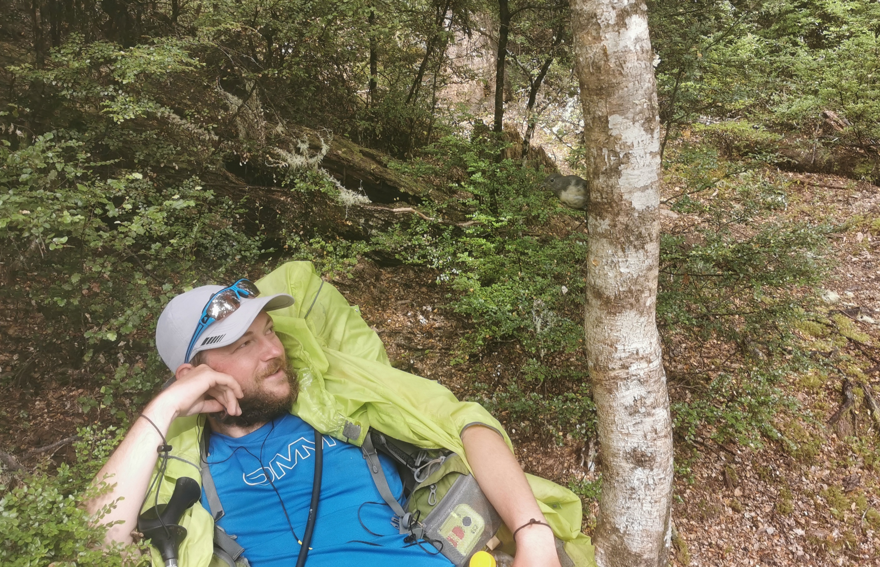
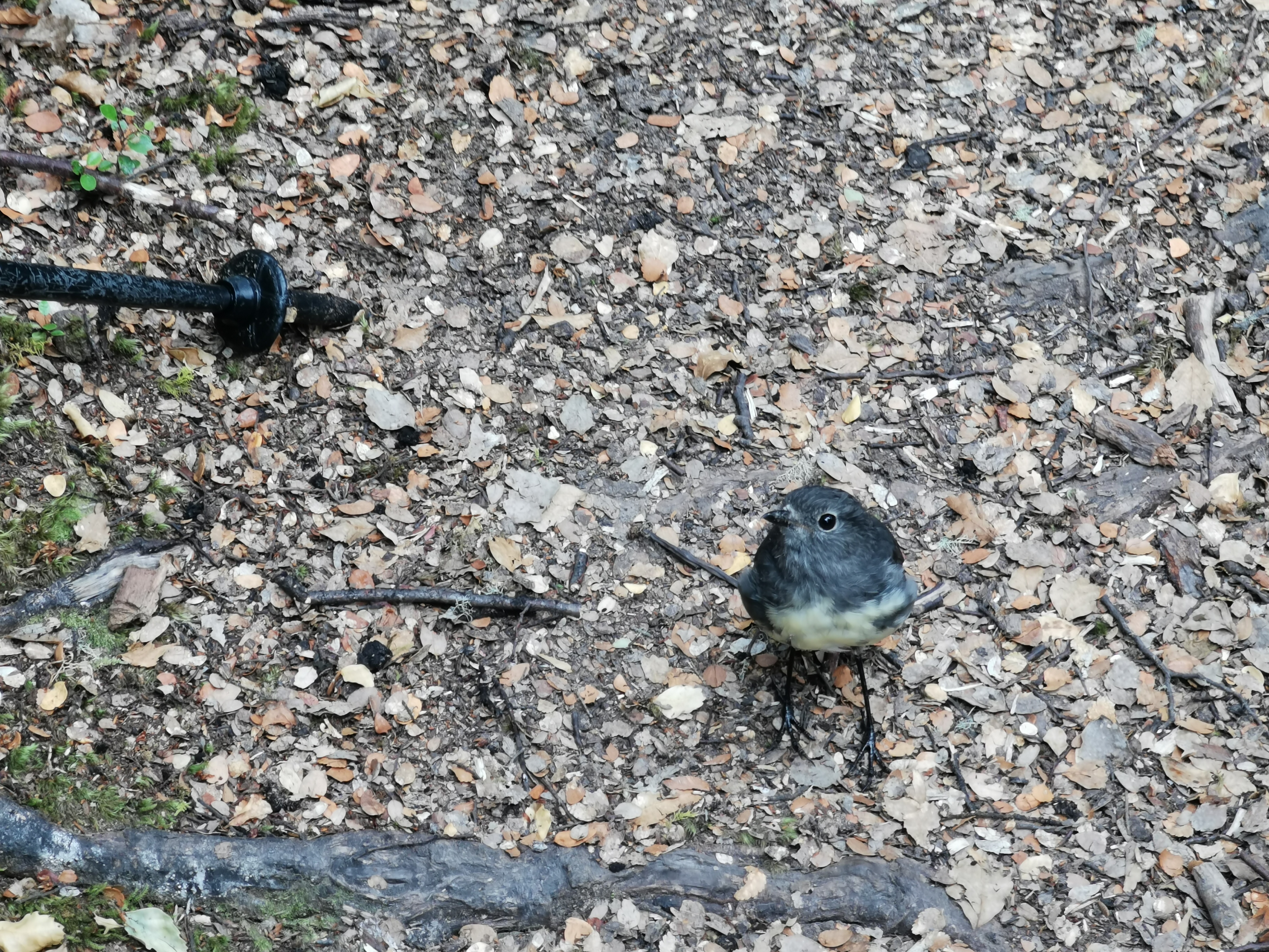
Fortunately the overgrown path didn’t last long and I ended up back in the trees. It wasn’t long before I saw Chris from yesterday. He was joined by a little robin who was not afraid of us at all.
Chris and the little robin on the tree
The robin stared longingly at us. I can’t work out if it wanted to be fed or if it was waiting for us to move so it could find bugs.
Chris said he was having stomach aches and so he kept needing to rest. He mentioned he was considering turning back, partly because of the pain but also because the weather forecast for Monday is supposed to be heavy rain and ideally we need to complete this section before then, because there are several river crossings just before Arthur’s Pass that need good weather. That’s definitely motivation to keep going!
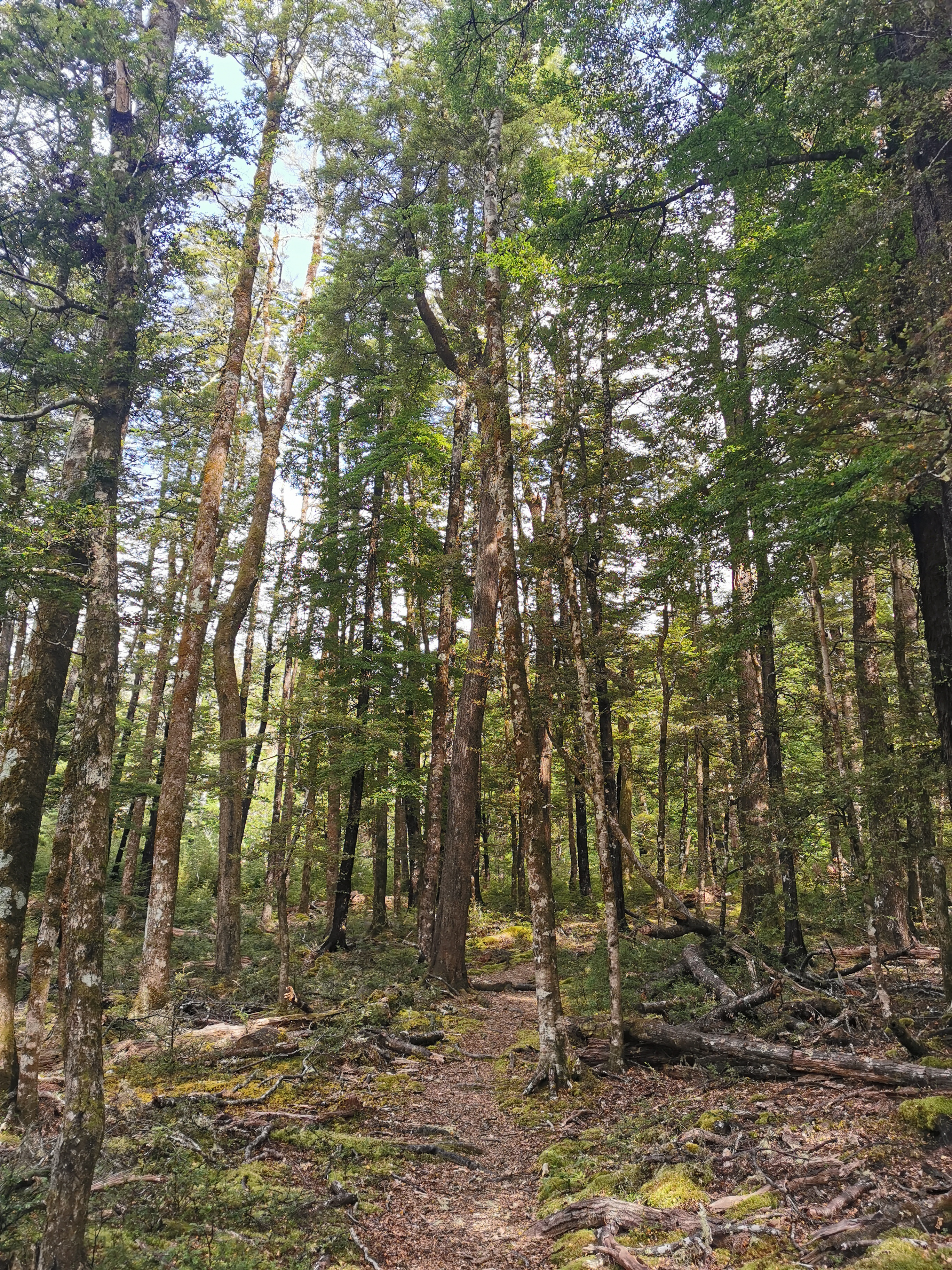
11am came and I was still walking through the trees.
11am trees
I had three options for huts today. The first was Hope Halfway Shelter, apparently 2hr40 in. The second is Hope Kiwi Lodge which is 4hr30 and third is Hurunui Hut which is something like 10 hours. I would like to make Hurunui Hut but is my pack too heavy? Am I too out of shape after last week?
The red line doesn’t match the trail just before the Halfway Shelter, but at least it matches the path on the topo map so that is reassuring.
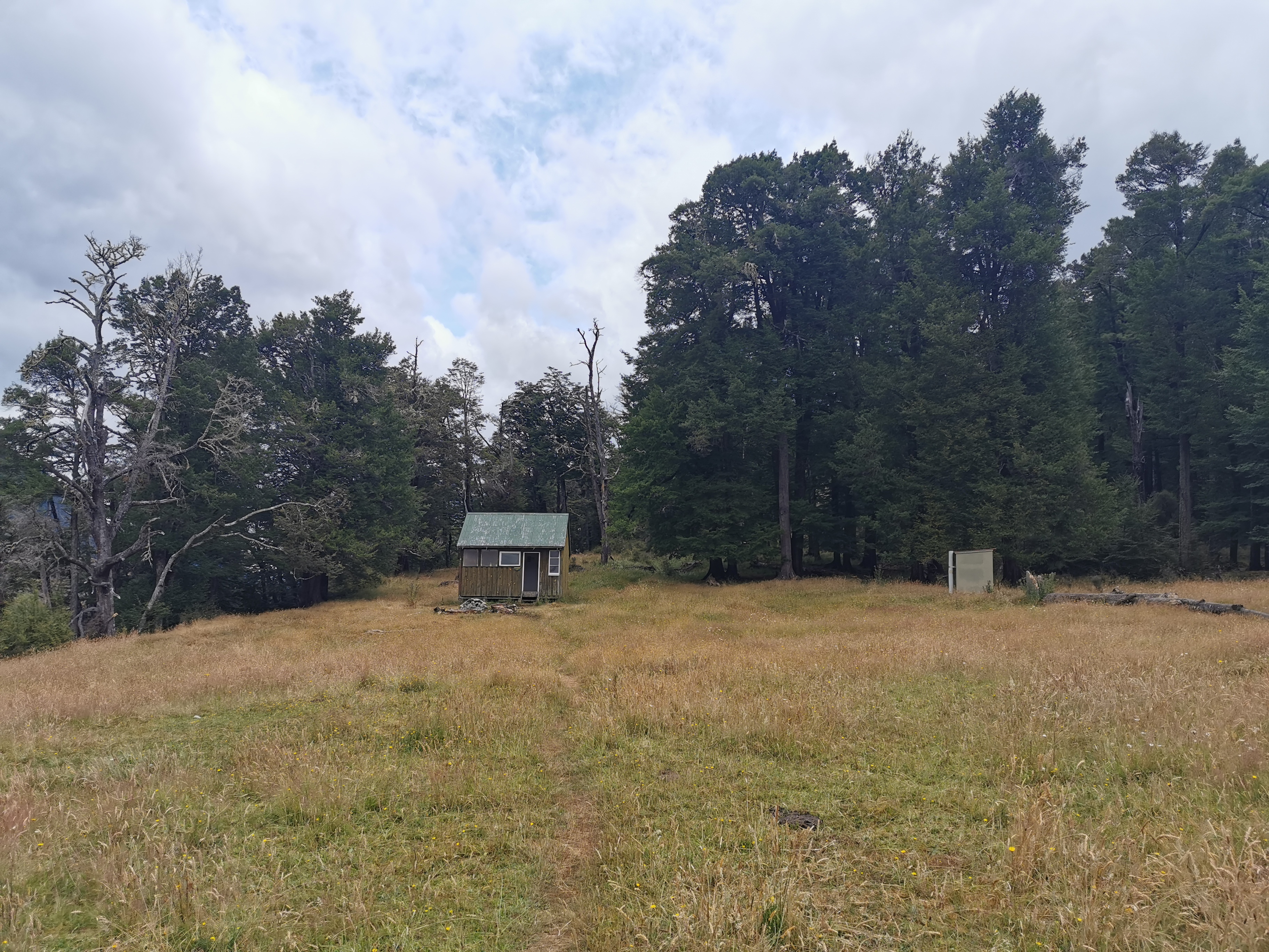
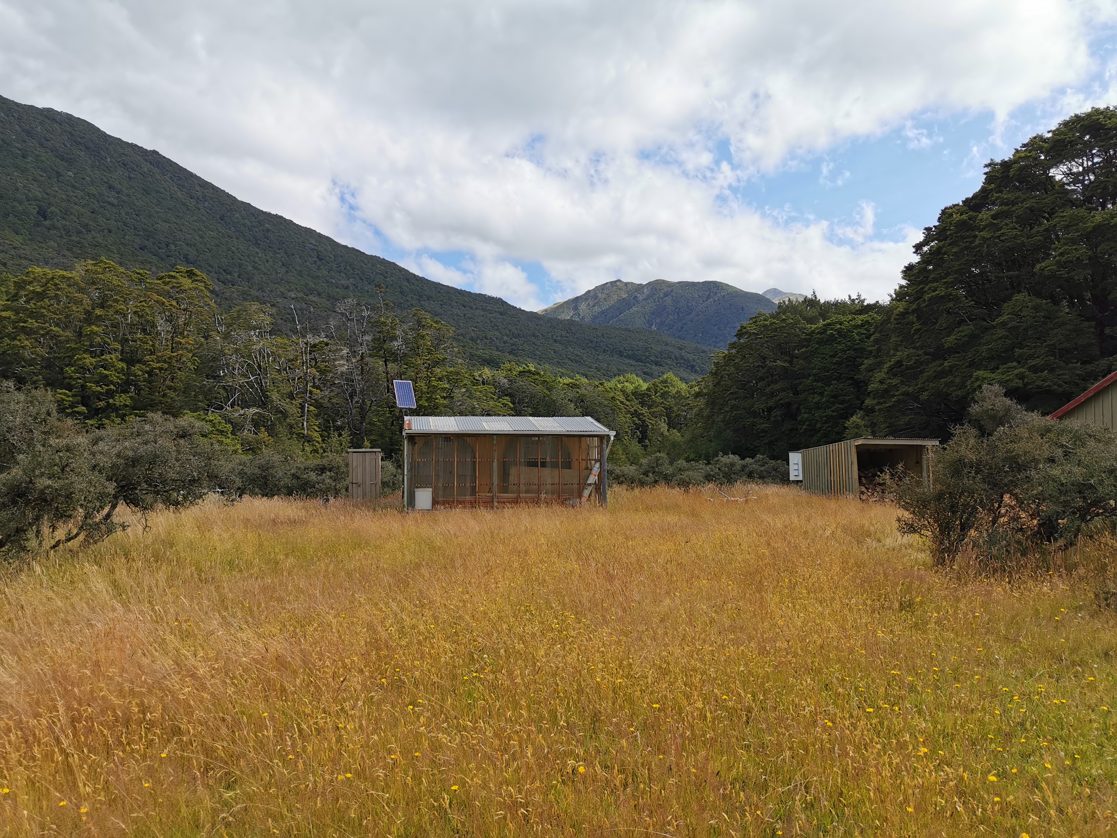
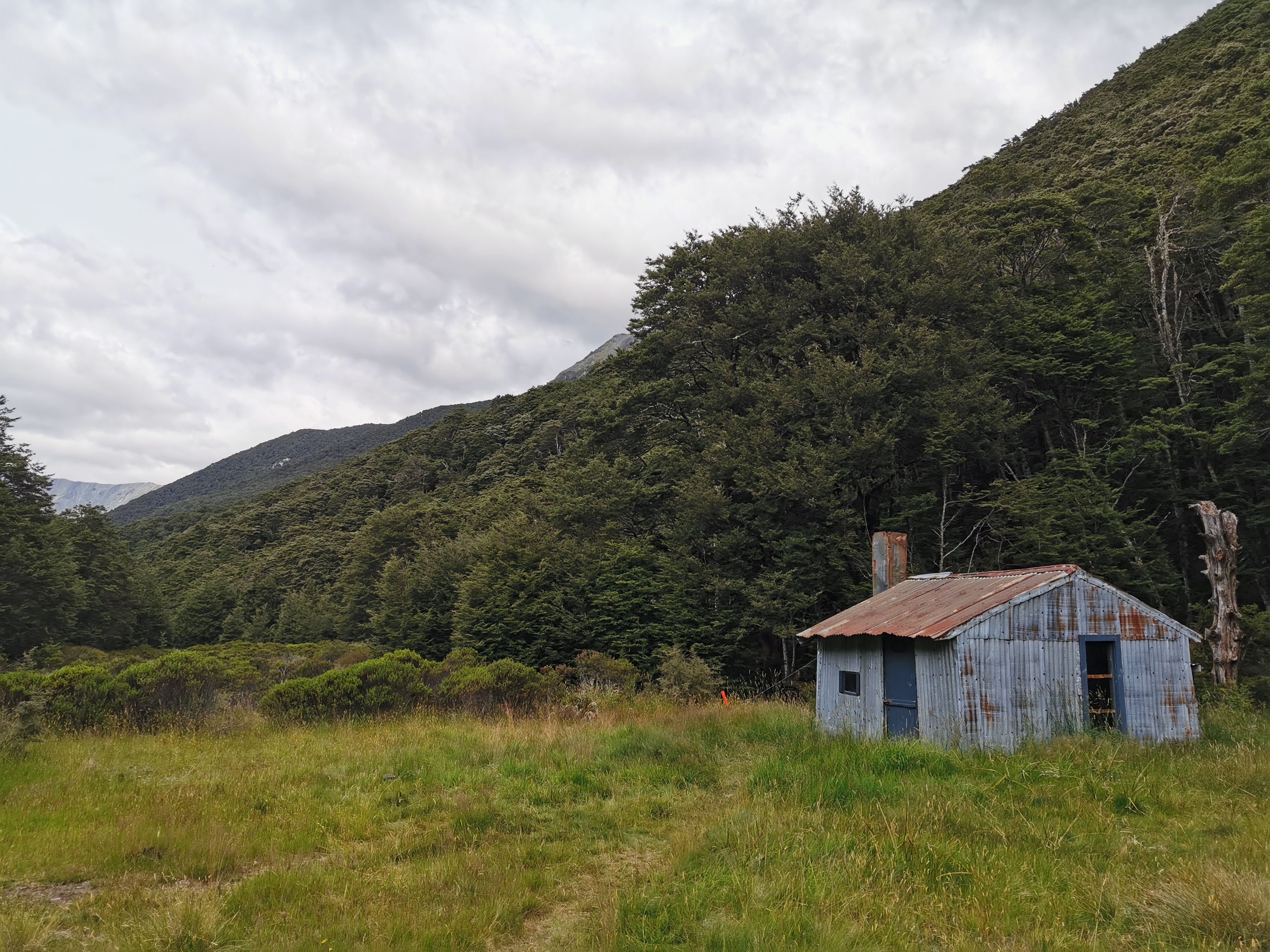
Coming up to the very quaint Hope Halfway Shelter
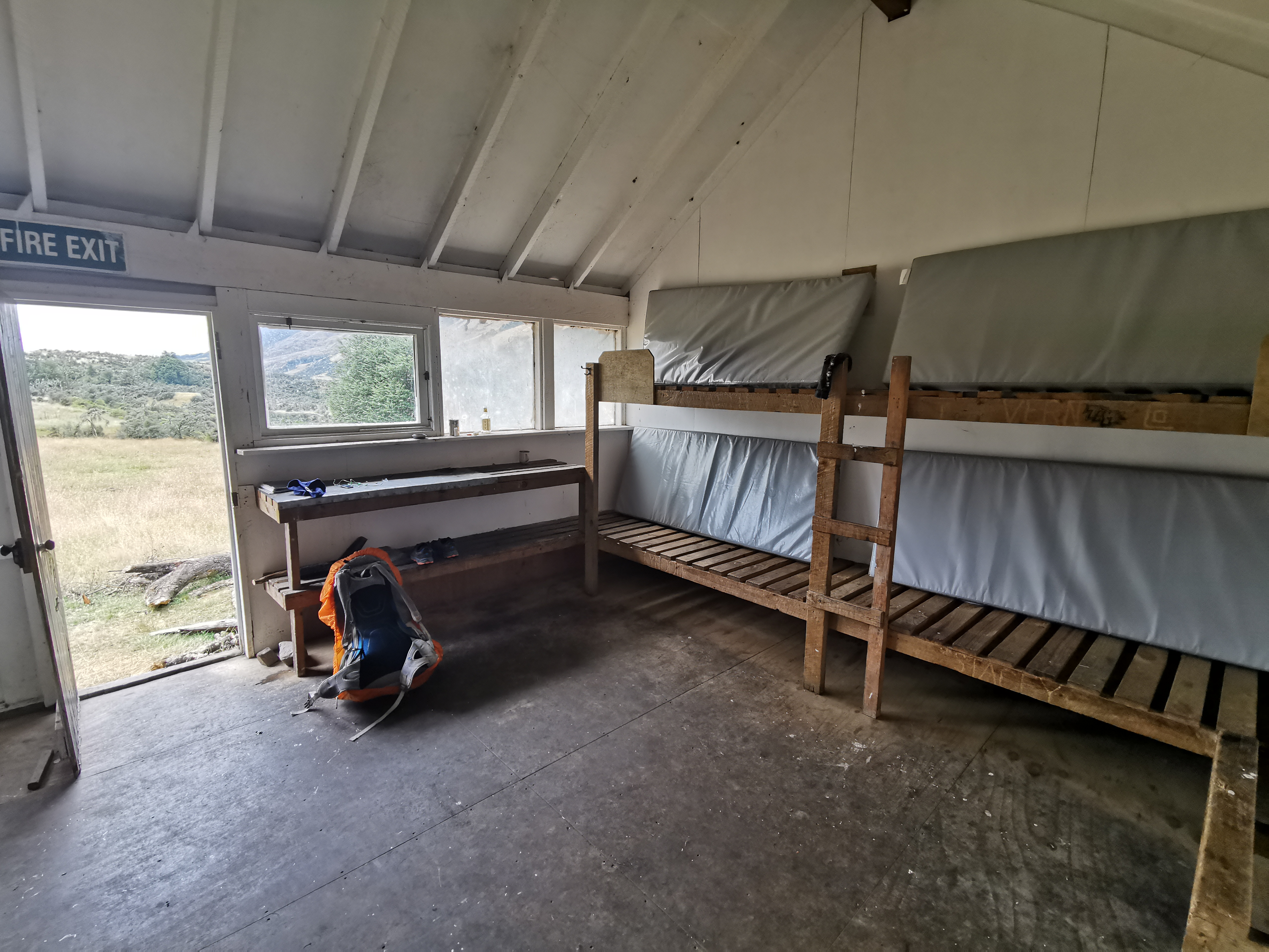
I arrived at Hope Halfway Shelter, a very quaint little building with not a lot else other than beds and a place to prepare food. I had some cheese and crackers and continued on.
Inside Hope Halfway Shelter – yep that’s really it
I had a quick look at the intentions book before leaving, to see where some of the people I know are. Nick and Robert are 10 days ahead of me. Rhydian is 8 days ahead, and Clem and Sabine are 7 days ahead. No sign of Dave and Baxter in the book, though.
Leaving the shelter
The rain started to mess with me after leaving the shelter. It started not long after I started walking again, so I stopped and put my rain jacket on. But in the two minutes it took me to do that, the rain stopped so I took the jacket off again as it was too hot.
But then the rain started again and while it wasn’t heavy, it didn’t stop at all before the next hut. And since I didn’t put the jacket back on, I got pretty wet.
Cows in the rain
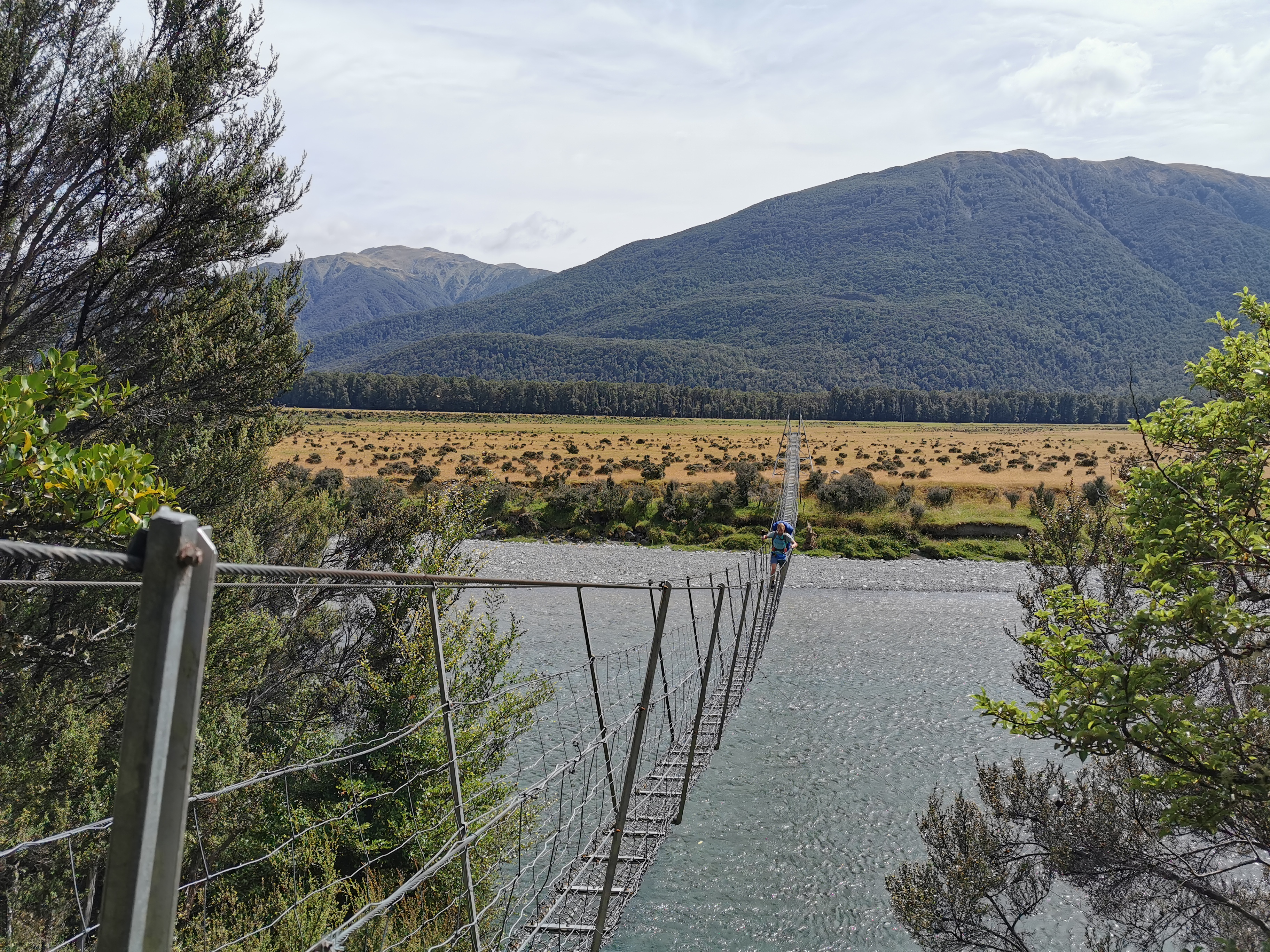
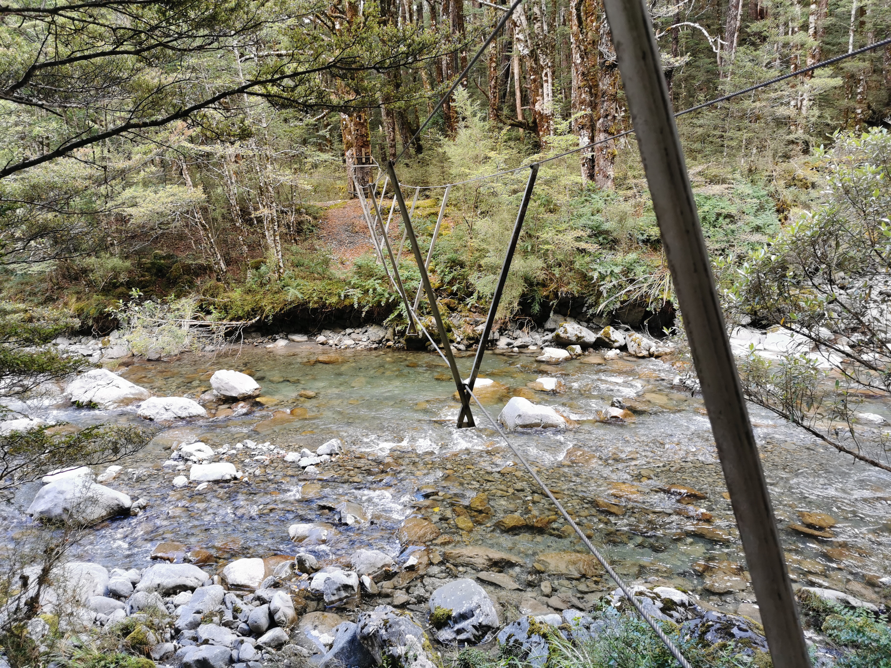
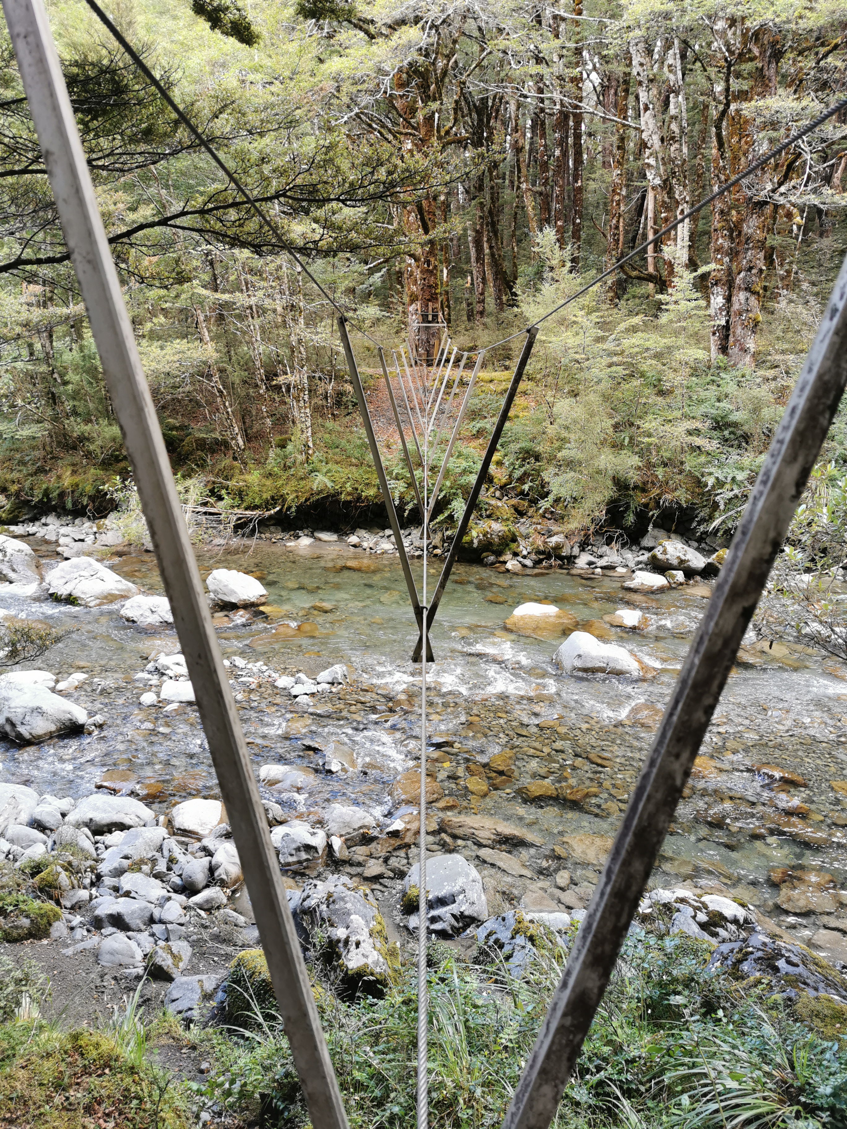
After two hours of walking in the rain, and one more swingbridge…
The usual swingbridgeThis was an interesting bit of water near the swingbridge
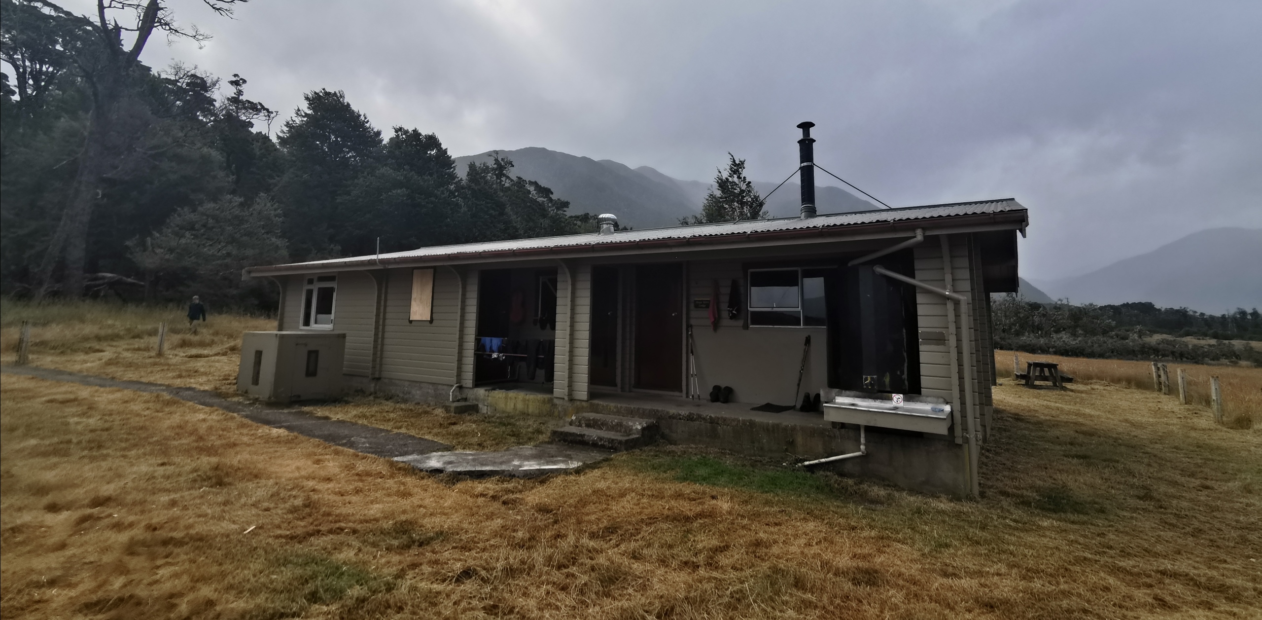
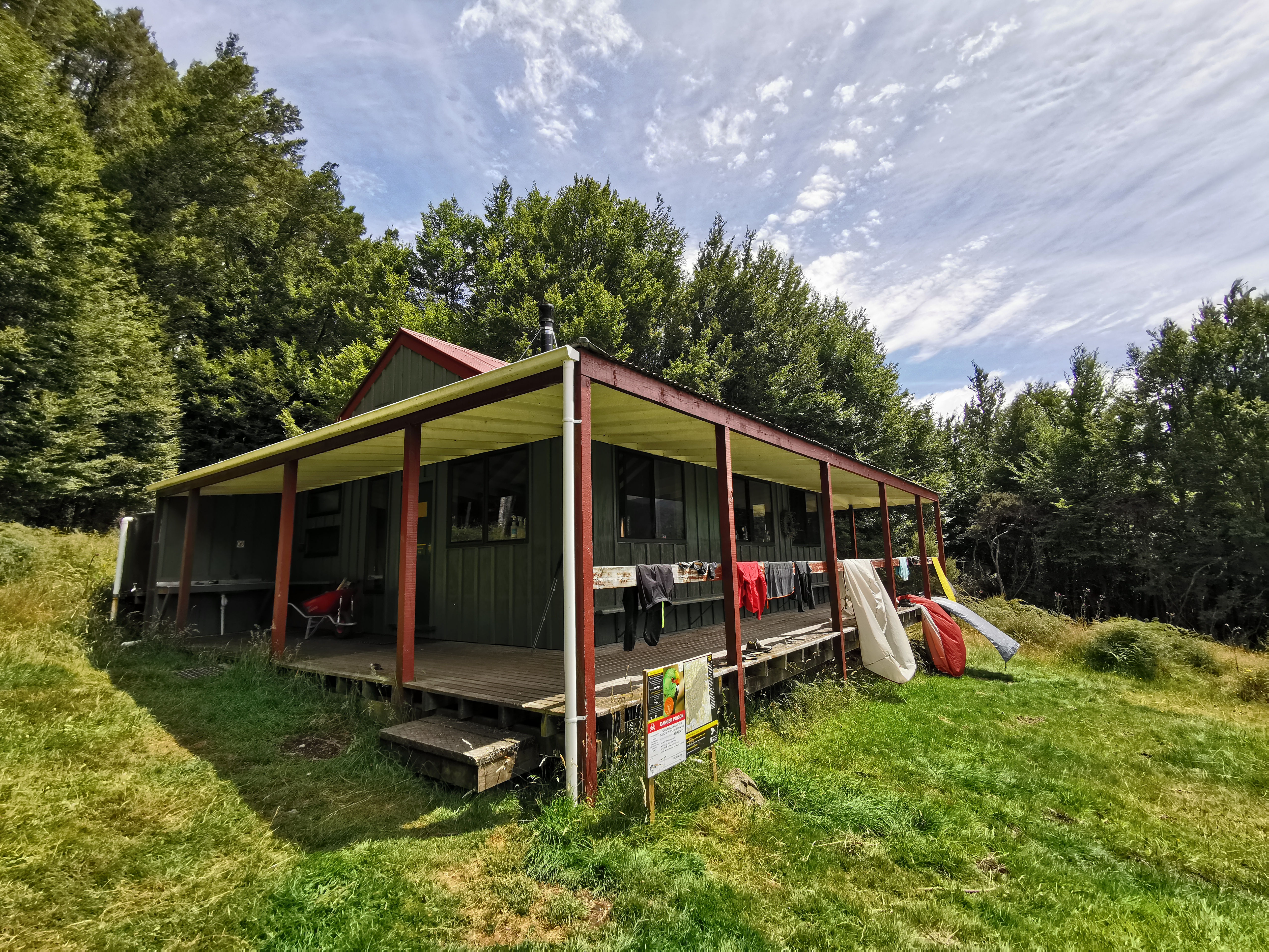
I arrived at Hope Kiwi Lodge.
Or is it Hope Kiwi Hut? Naming of huts is really inconsistent!
It’s a serviced hut with 20 or 23 beds depending on which source you go by. I like it because it’s one of the huts with two separate rooms of beds separate from the main living area.
There was a hunter here who was waiting for the rain to stop before he went out hunting. There was also a group of school-aged kids here, one of whom had a real deep cough and had no hesitation coughing all over everything. I made sure to carry my hand sanitiser at all times while staying here.
I considered having lunch #2 here and then continuing on but the rain showed no signs of letting up and once I changed into dry clothes I definitely didn’t feel like going out in the rain again. So that was my decision made to stay here the night. Since I arrived at 2pm, this will be the longest amount of time I’ve spent in any one hut before!
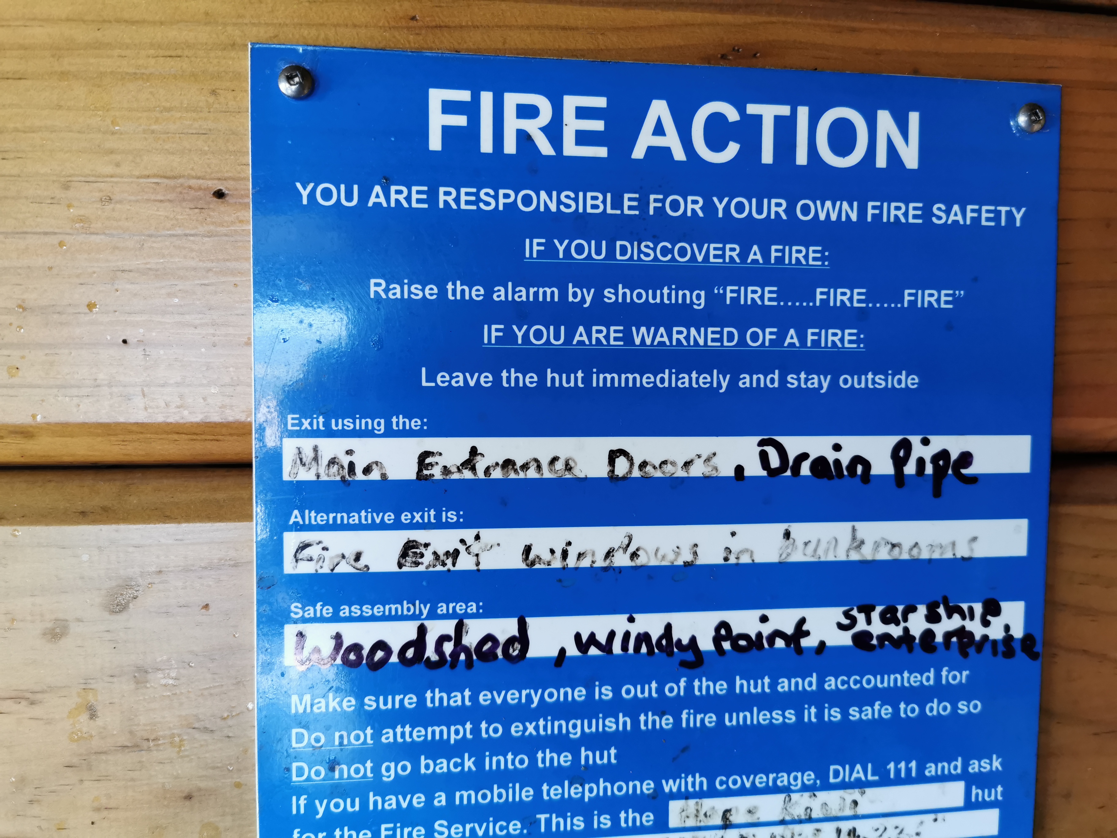
Somebody is not taking fire safety seriously.
I spent a bunch of time shooing the two big blowflies that were inside out of the hut. It was a fruitless endeavour though, because even though I managed it, unless everybody commits to keeping the doors of the hut closed they’re just going to come in again!
This kid just sat outside in the rain for what felt like hours.
As the afternoon progressed, four other TA hikers showed up – Timon from Switzerland, Foure from France (the girl from yesterday in the shuttle), Florian from Dunedin and finally Pierre, also from France. The company at the hut was a good mix of people. Timon told me that he had seen Chris at the Halfway Shelter so it sounds like Chris didn’t decide to turn back.
The plan is to get up early tomorrow and try and get a full day of walking in, partly to beat the rain forecast for Monday but also because I’ve had two “practice” days now and so I should be ready and in shape for a full day of walking tomorrow.
In addition I was doing some thinking about my target finish date of February 29. That is 31 days from now and there’s a bit over 900km to go. I’m not entirely sure that’s doable, but I’m going to keep it in the back of my mind that I need to be doing 30km days if I want to hit that date. That might make me continue on some days when I might otherwise stop instead.
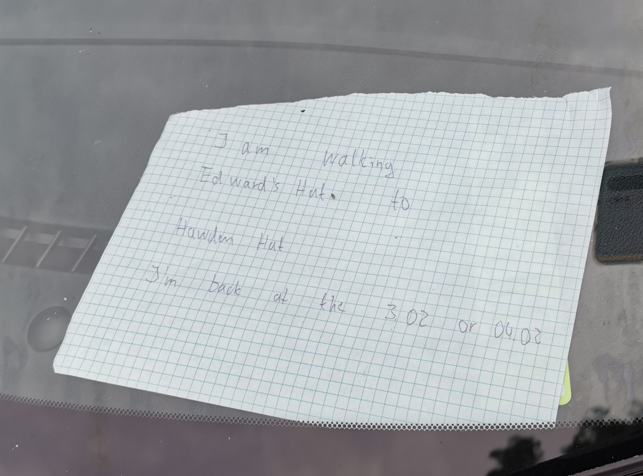
Lastly… I realised tonight something sad. It seems that my recent spate of losing things is continuing. Taco Terry, the toy my niece gave me before I started walking and who has been my little buddy the whole trip, seems to have gone missing. I pulled my entire pack apart three times but he is nowhere to be seen. The other things I lost over the last few days were minor and can be replaced easily… but without Taco Terry I feel sad and alone. I guess he decided to stay in Christchurch or Napier somewhere.
Date: 30 January
Trail covered: 30.4km (kms 2084.7 to 2115.1)
Weather: sunny until the evening
Waking up this morning, the weather looked beautiful and sunny. That was quite a surprise given that I got up at 1am to pee and at that time it was still raining. So let’s go!
After a quick cereal breakfast I left the hut with Florian. Timon and Foure had left before us. Florian seems like a cool guy who started at the top of the South Island earlier this month. We have a similar pace which is always nice. He also writes a diary every day, but he writes it with a pen in a notebook. I saw him writing it last night.
And he has a tattoo of a yak on the back of his leg, plus other tattoos he’s not so proud of
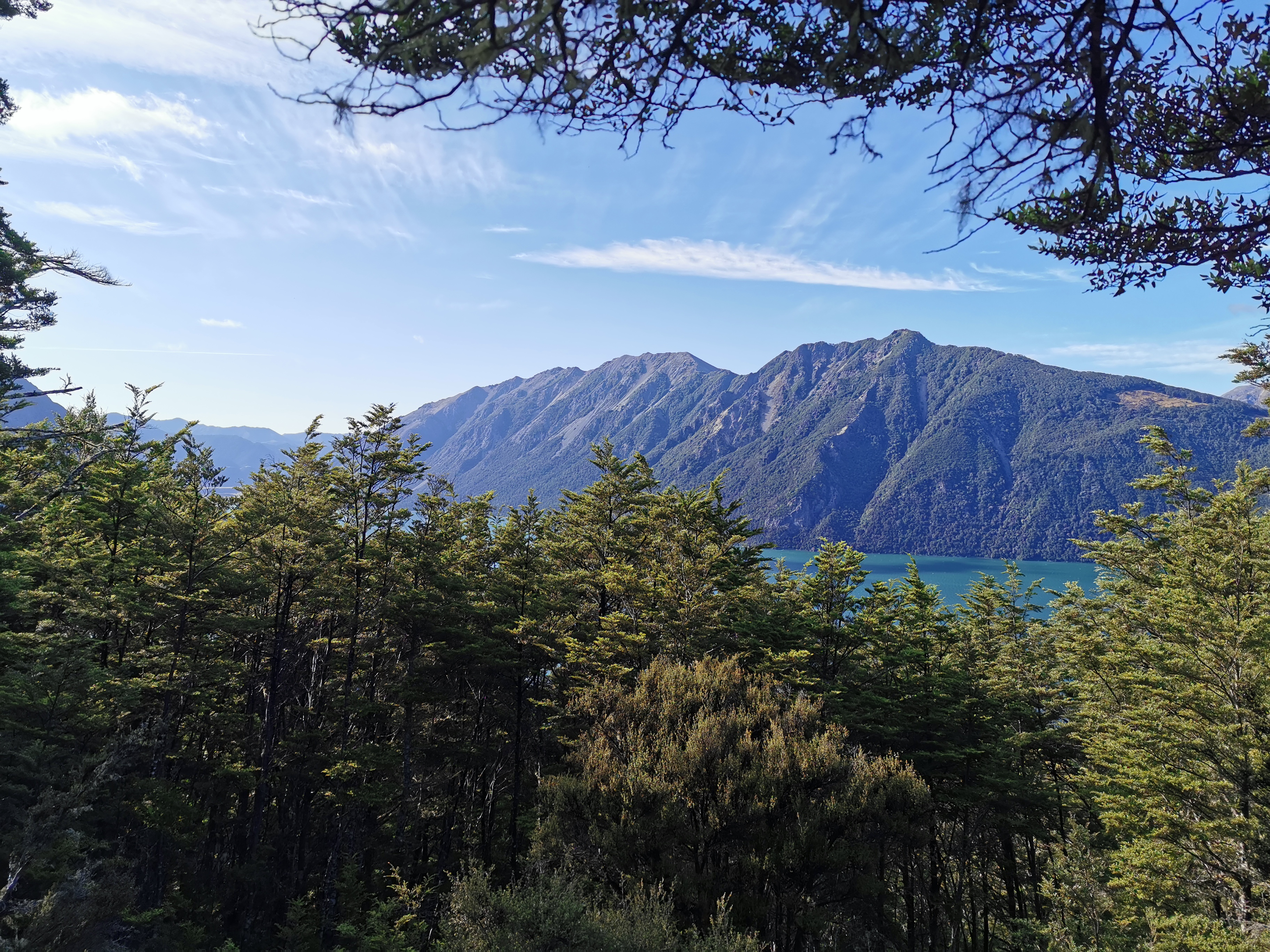
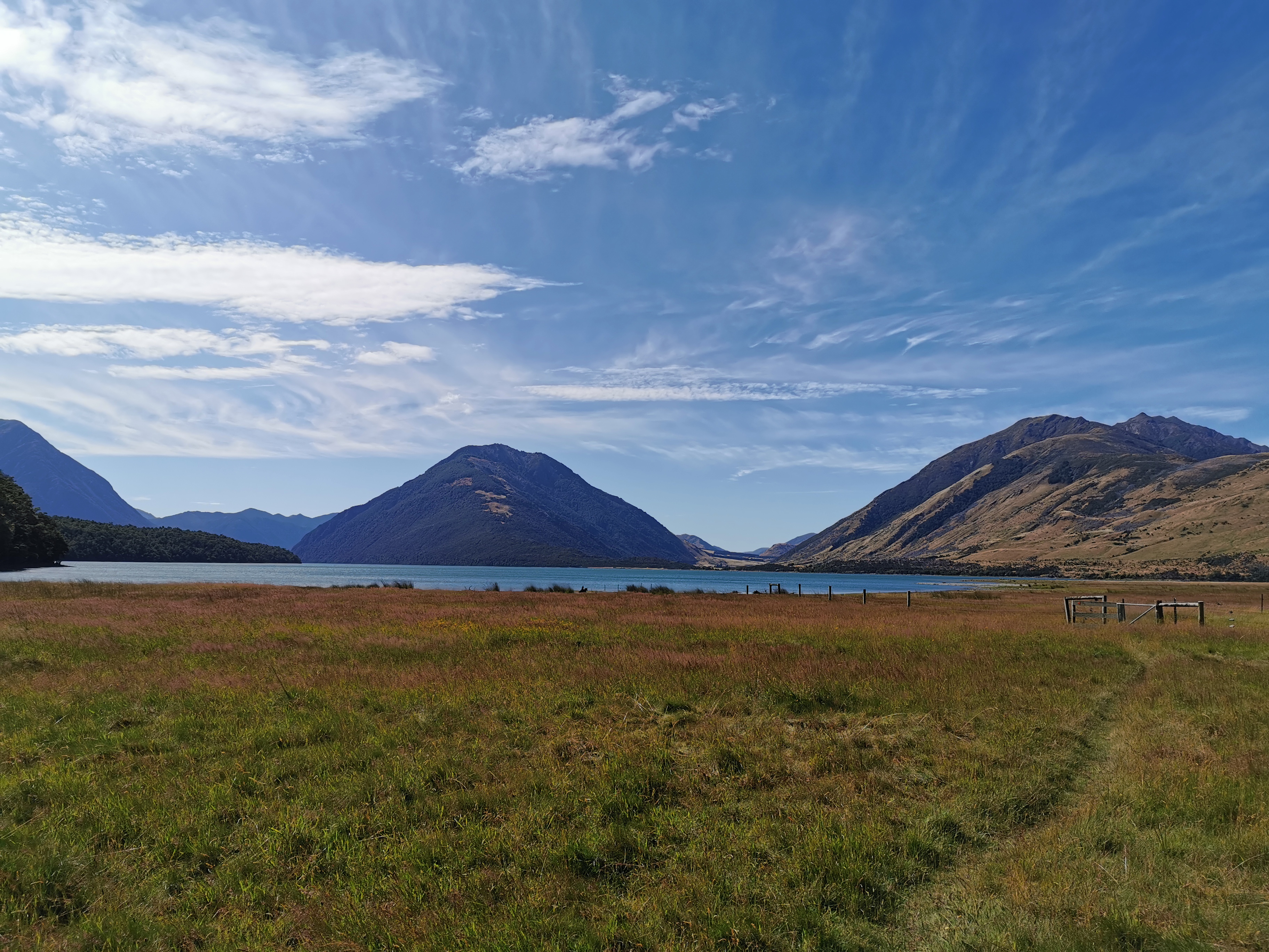
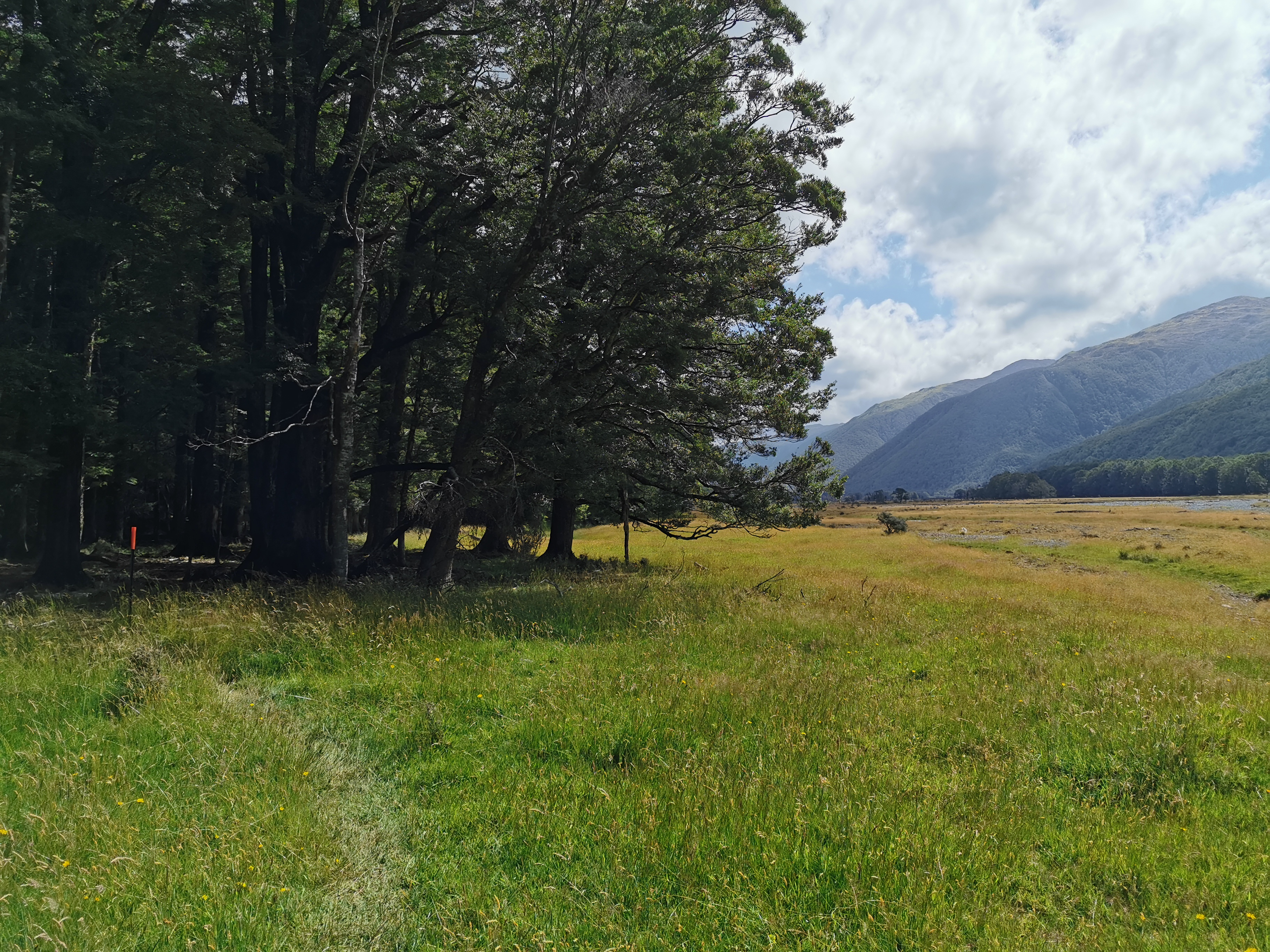
The track firstly took us up across a field and then through the bush up a small hill called Kiwi Saddle. There was a brief detour to a lookout which we took to see what we could see.
Lake Sumner is what we could see, well some of it. Maybe the trees were lower when the lookout first existed.
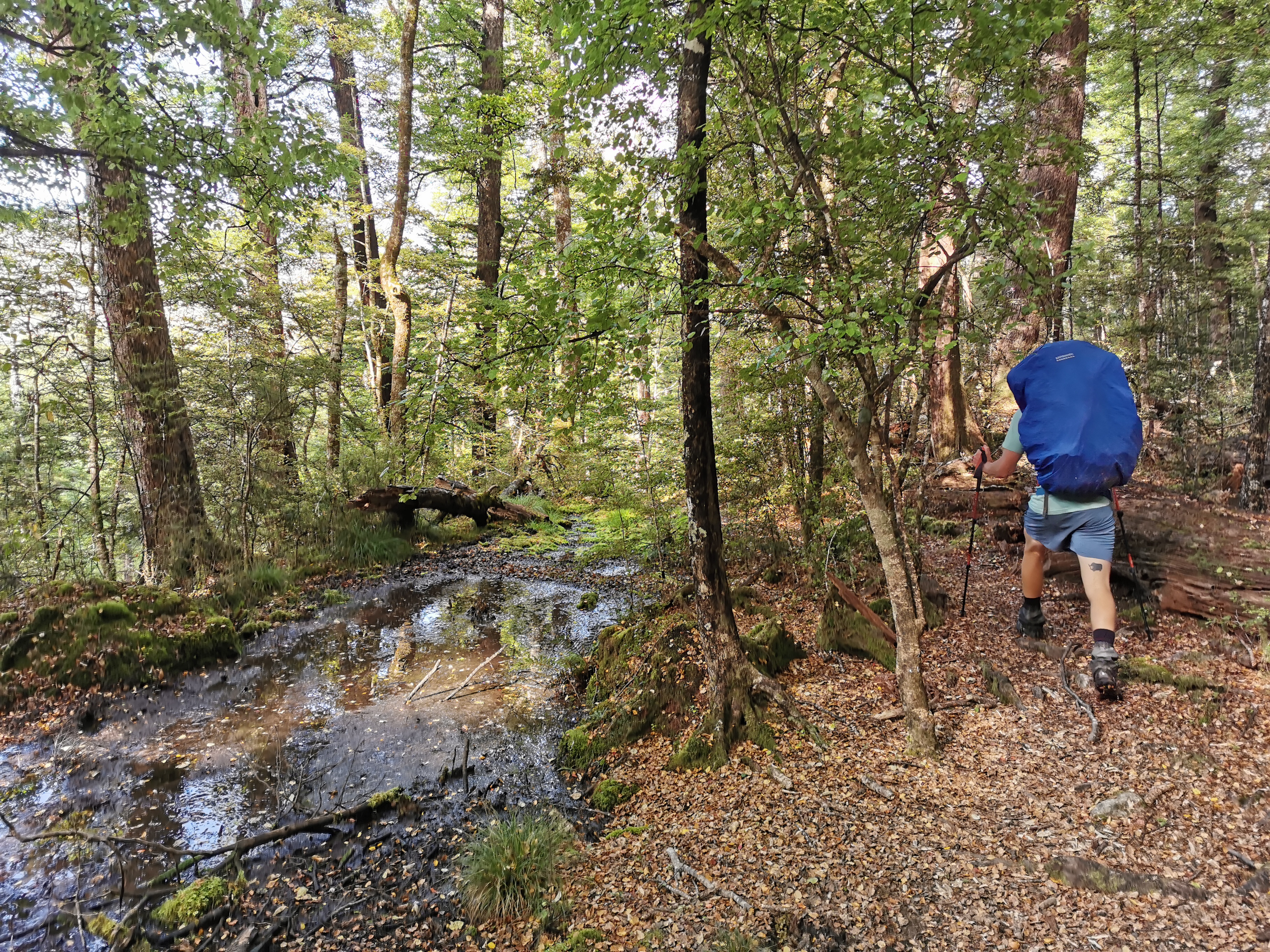
The track had its fair share of muddy bits. Some of them we could simply go around.
Not all of them were as easy as this
Lake Sumner was poking through the trees a lot of the morning.
Why is it Lake Sumner but it’s Hanmer Springs? The m and the n just go wherever they feel like.
And at one point we came out of the forest right beside the lake.
Even though there is a clearly defined trail here (in the photo above on the right), this is actually the wrong way. We were supposed to be on the other side of the fence following the bushline, which meant we had to climb the fence. Luckily it wasn’t electrified.
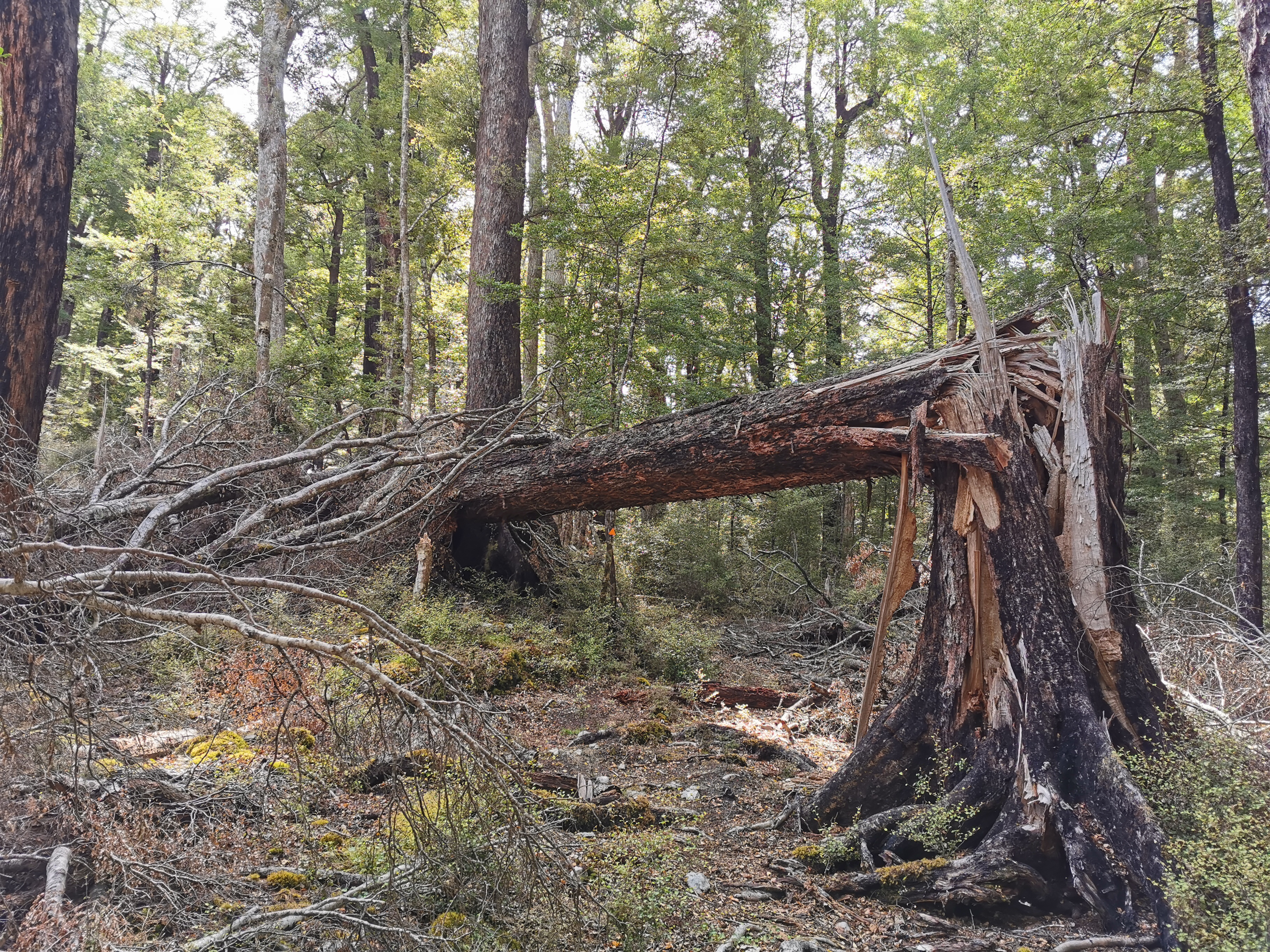
My 11am picture was back in the forest, next to this big tree which looks like it met an untimely end.
11am picture – ouch
Walking through here we heard a noise and then something fell out of a tree with a big crash. I didn’t see what it was but Florian said he saw a big branch fall out of a tree and crash into the ground. He said it “exploded on impact”. It was a surprise since it wasn’t too windy. Glad my tent wasn’t under it.
Along here was another one of those times that we were following the dotted line on the topo map rather than the red Guthook line. But soon, both paths on the map show that we needed to cross the field.
Out into the hot sun
All the time with the lake on our left side.
The next hut is in view now, despite still being 2km walk away!
Way down there
At the other end of the field is a swingbridge. The wind had picked up a bit by this point and so the bridge was swaying a bit. Florian said he felt nauseous.
We made it to Hurunui Hut. We were making fairly good time – it took less than four and a half hours to get here when the suggested time was six hours.
Spot the hiker trash (me) drying out all the stuff
I planned to camp somewhere tonight so that my tent could dry out – it was still quite wet from yesterday morning at Windy Point. However since the wind was picking up now, I thought perhaps I should use this lunch break to dry out my stuff in case I don’t end up camping tonight as the wind might be too strong. I think there are quite strong winds forecast for later.
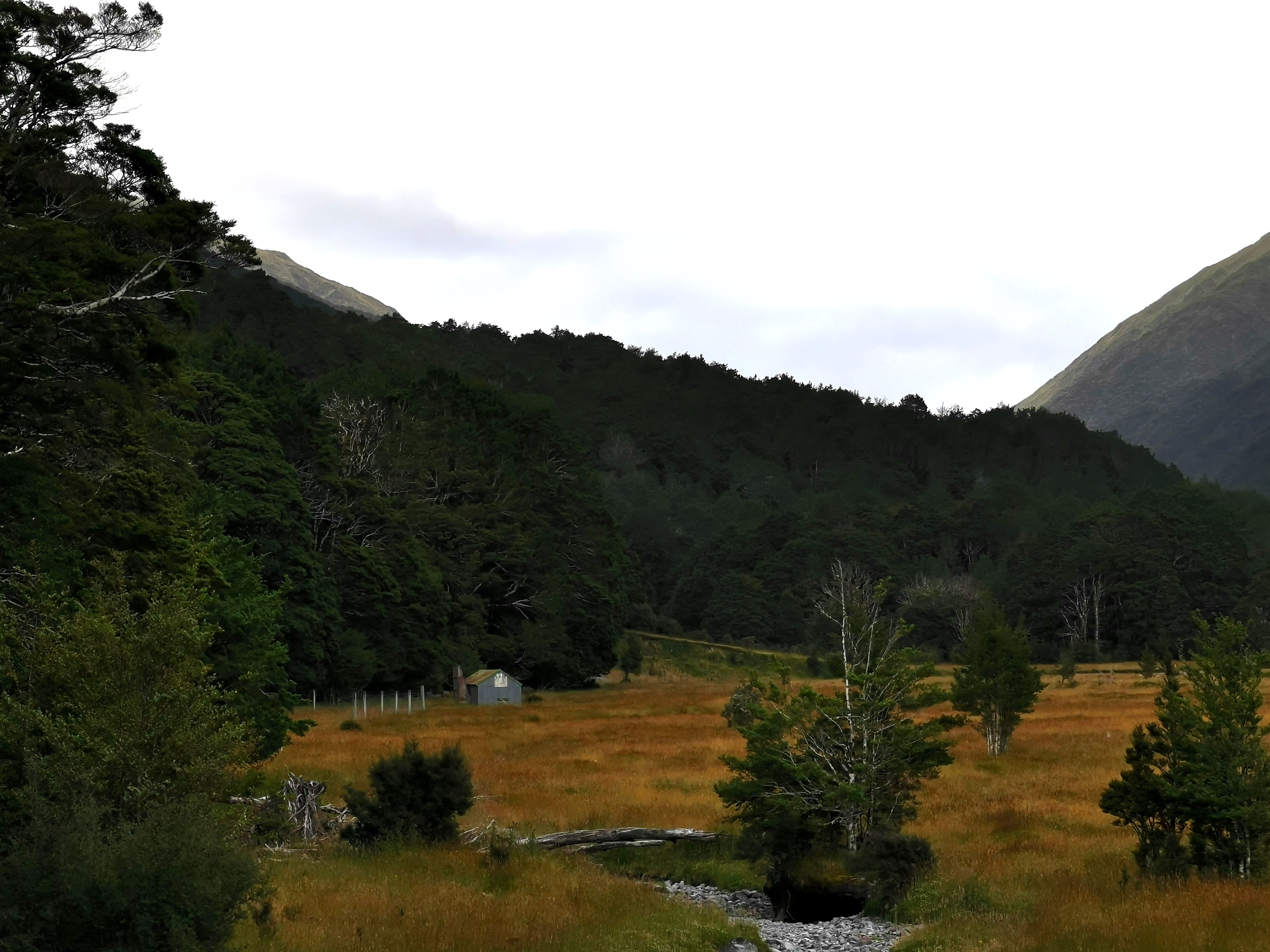
The view from the hut was nice.
I was looking at the topo map and the two hills directly across the river from the hut are Dinner Hill and Isolated Hill. I thought they were great names.
In the intentions book I noticed that Dave and Baxter are only 2 days ahead. That’s good, it means I might catch them soon. Another thing in the book was lots of people complaining about people leaving trash in the hut. I could see why – this hut had alcohol bottles everywhere. But there’s no point writing it in the intentions book. The people who left the rubbish in the hut have already gone.
We continued on after over an hour here. The next section has a natural hot pool and it’s a highlight of the trail. Florian in particular was excited about it.
The trail from here was quite easy.
Some days it’s nice to have trails like thisAnd it had a nice view too
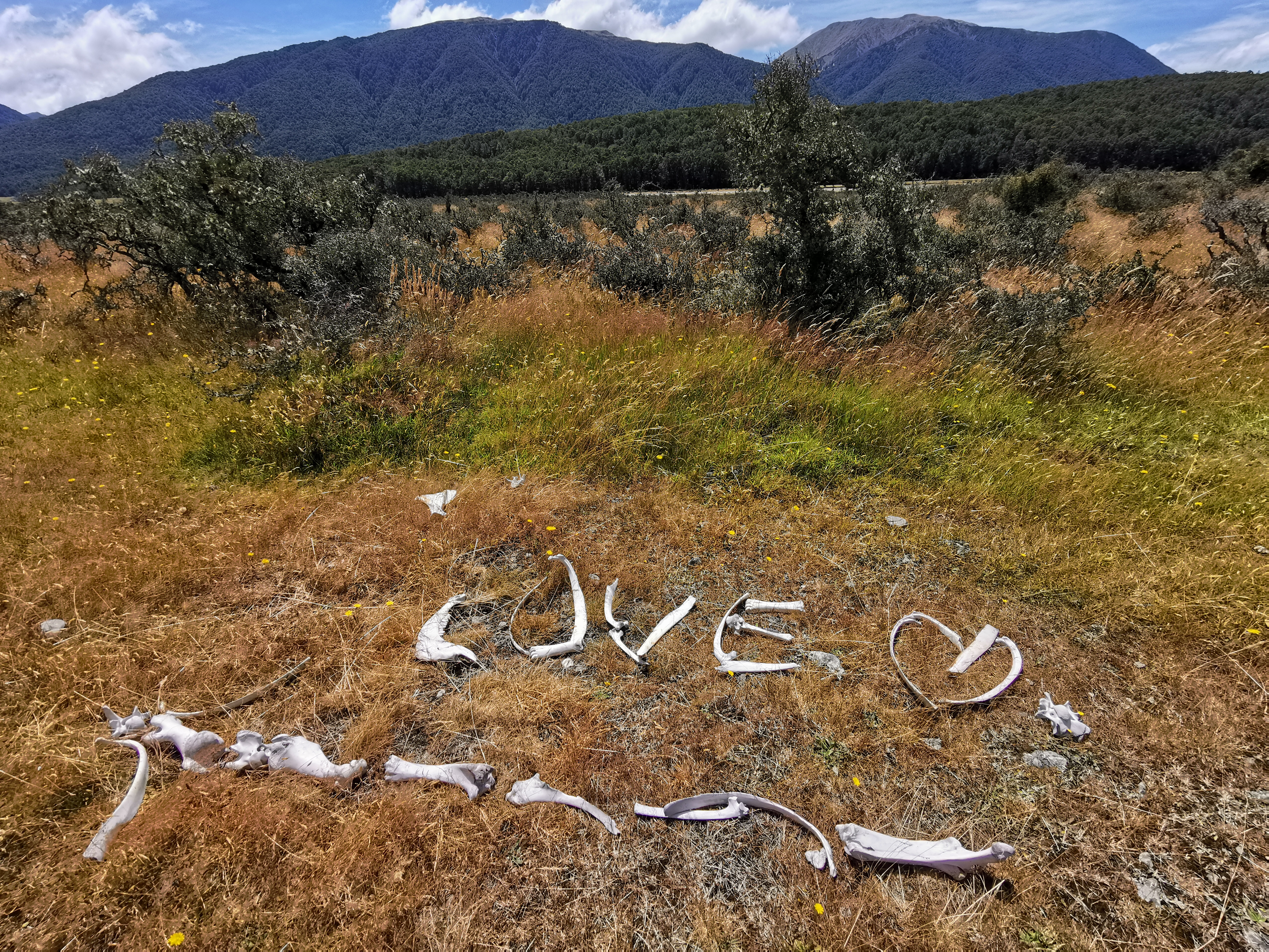
We did see this unusual arrangement of bones.
Someone spent a lot of time doing this.
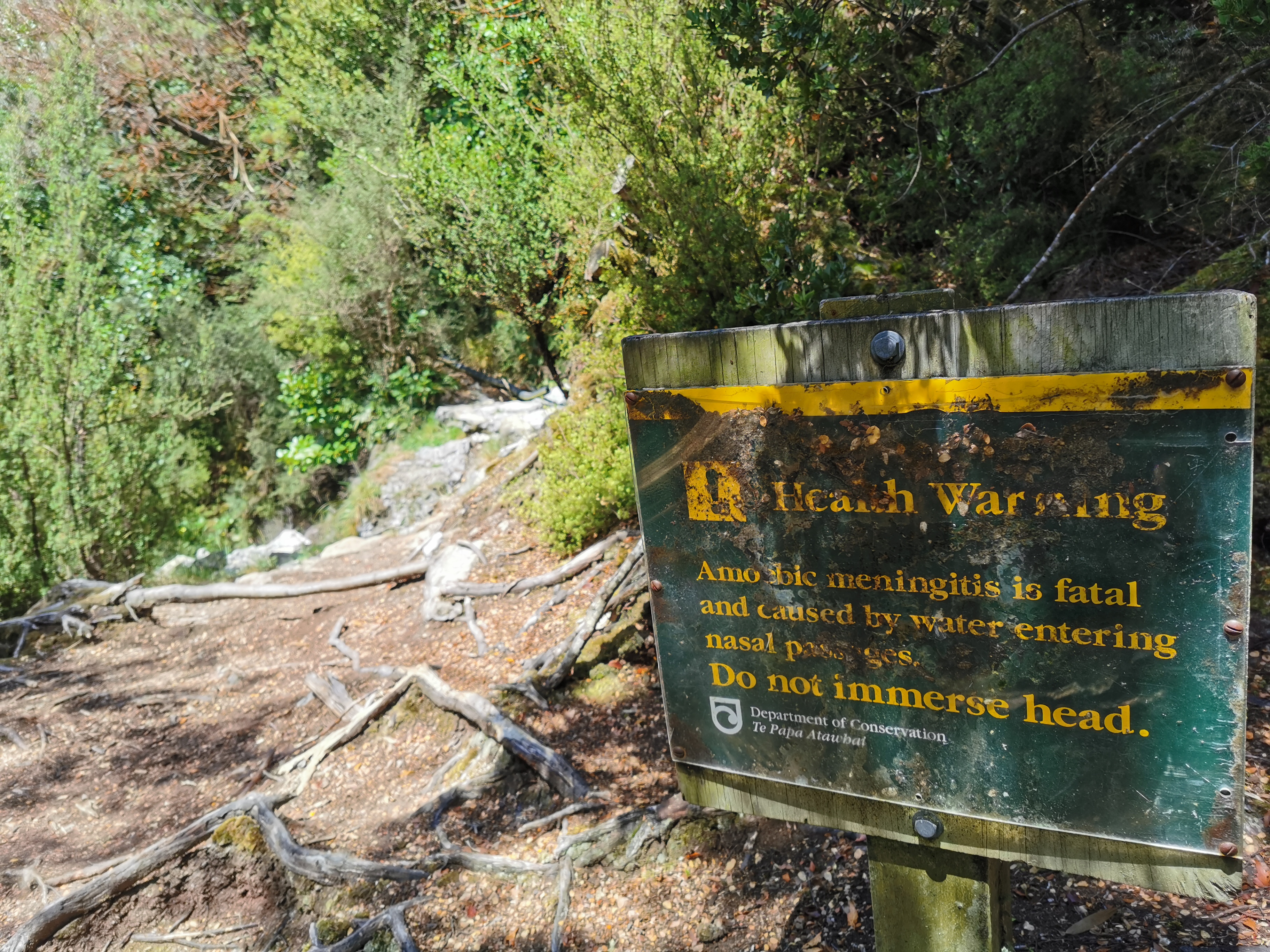
And then not long after, this sign. That must mean the hot pool is nearby.
The notes specifically say immersing the rest of your body up to your neck is fine.
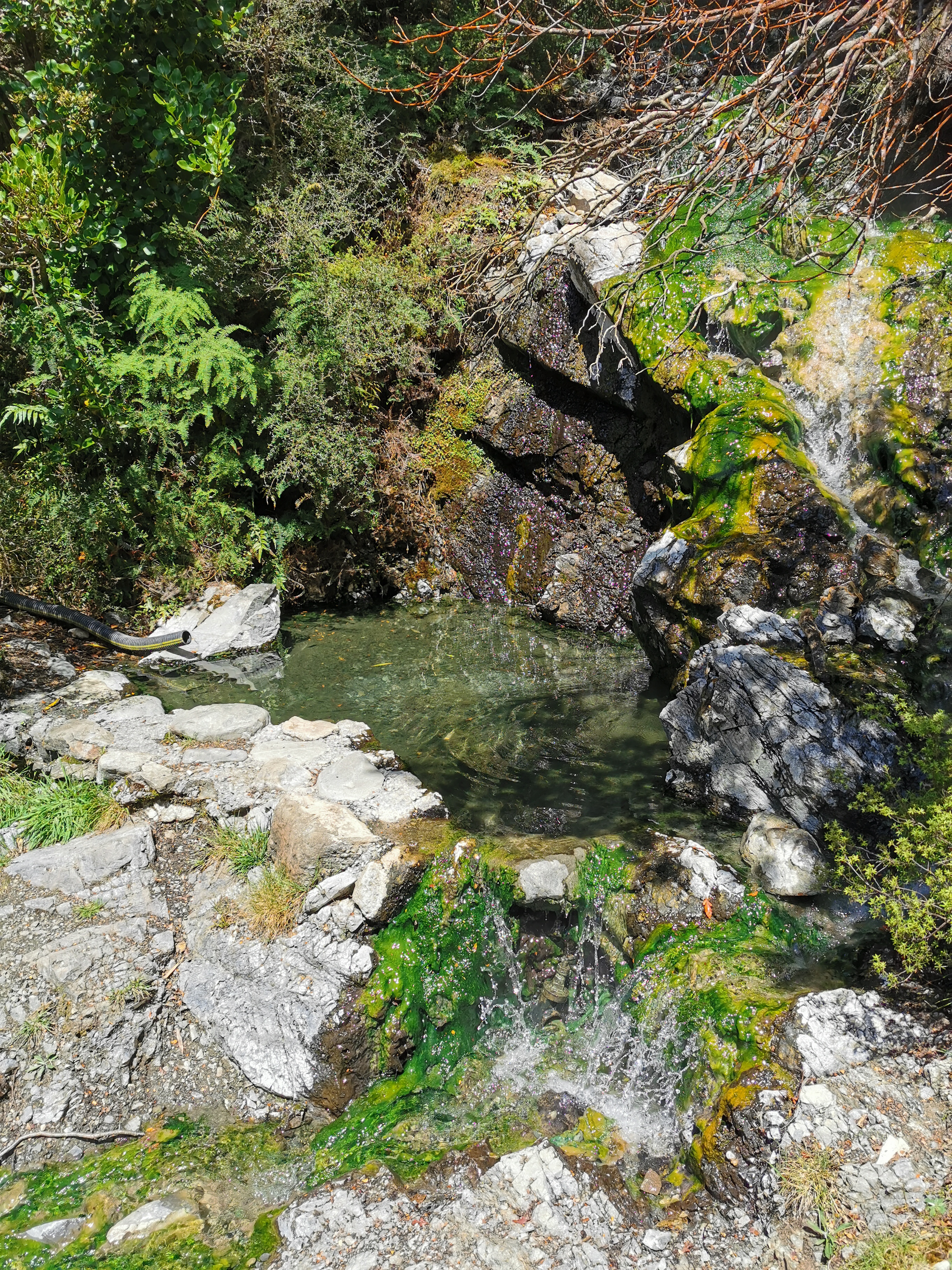
It was a nice and clear little pool, and yes it was extremely hot. There was a guy from Japan who had just got out of the pool when we arrived. He was a northbound hiker.
The hot pool
After just dipping my feet in the hot pool, I really didn’t think I’d be able to get all the way in as I thought it was too hot. Florian got all the way in and then he told me that it’s like getting in a cold pool – it’s a shock at first but you get used to it fast. So I did.
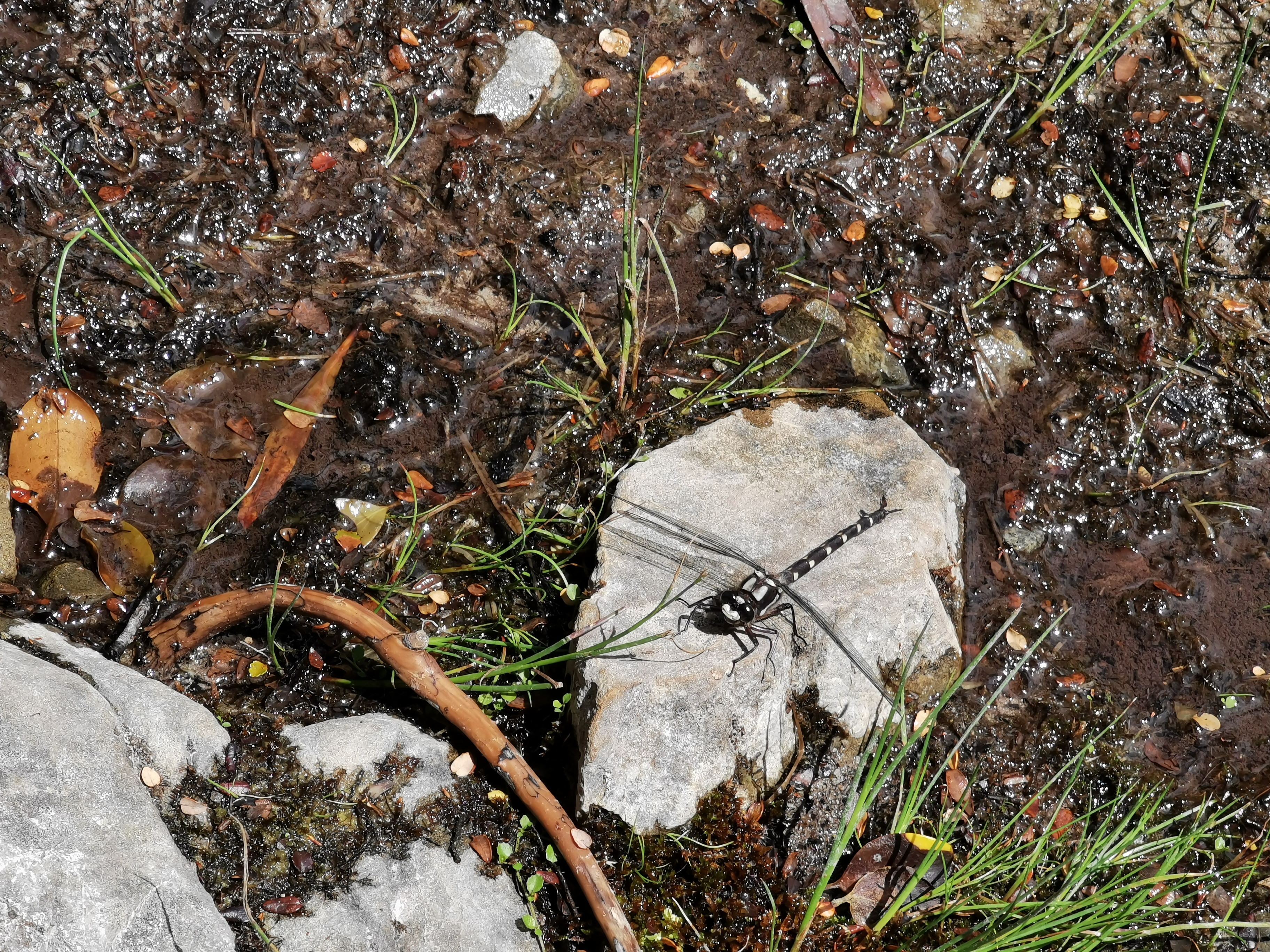
After just a few minutes I was overheating though, so I continued on. Florian was clearly loving the pool and so I left him behind.
A dragonfly waiting for me as I left
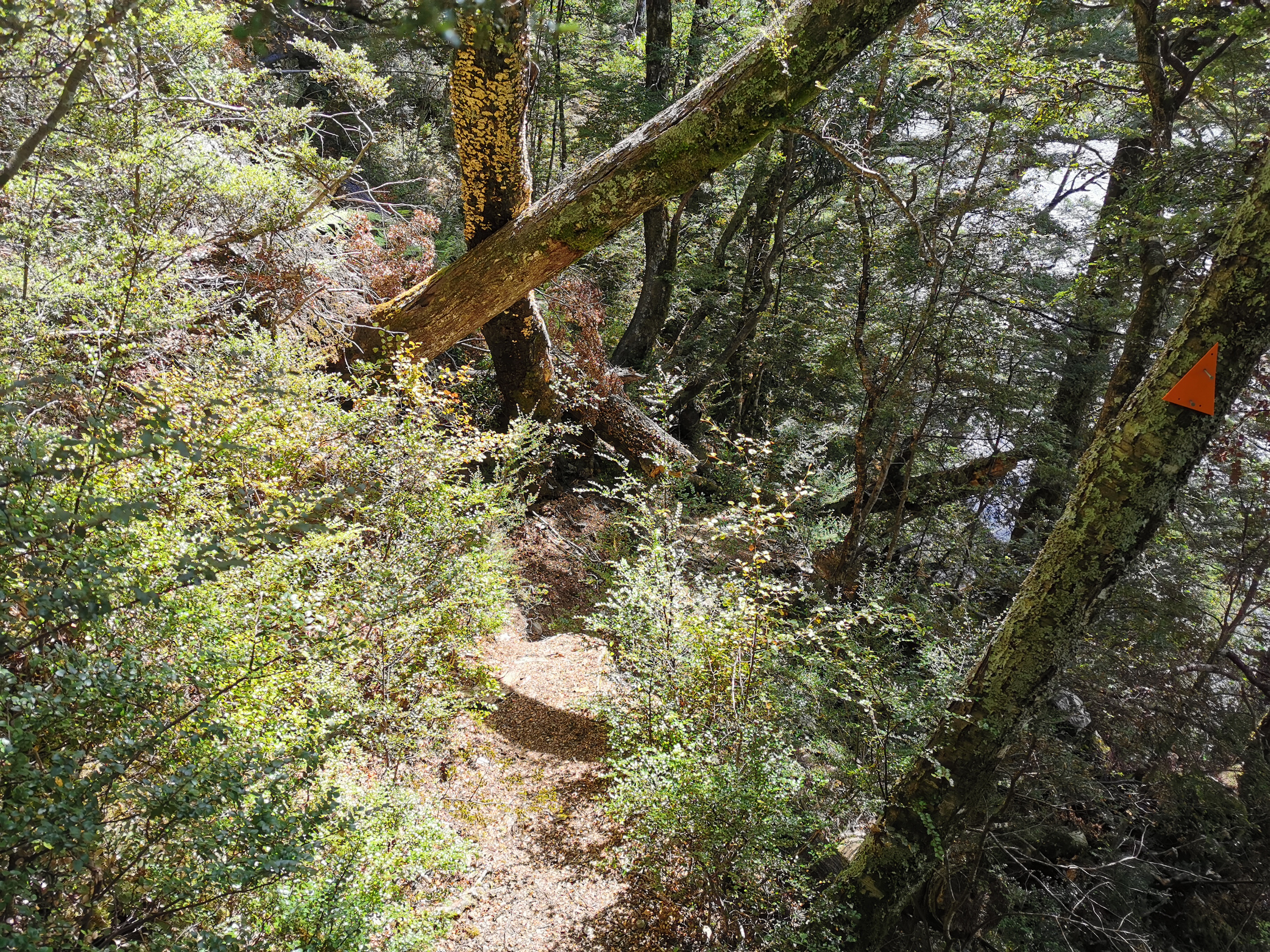
The track got a bit harder from this point, well hard compared to the easy track so far today.
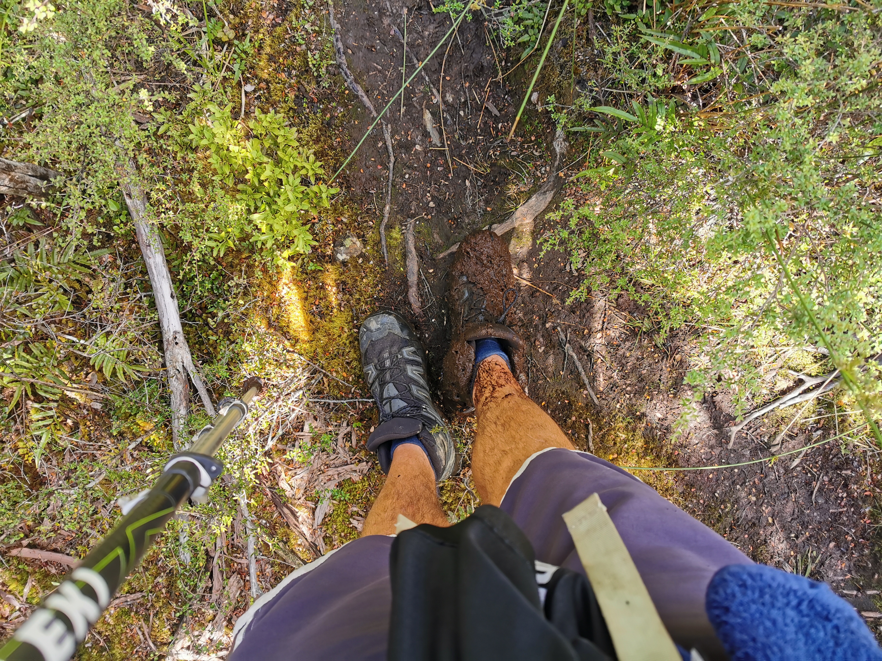
And there was a lot of mud. At this section…
Disaster is looming…
I misjudged a step and ended up with one very muddy boot.
Damn.
The track went in and out of the trees again.
I wasn’t sure why I couldn’t just walk down this nice open field the whole way. But I diligently followed the path like the markers said.
The track got more like a 4WD track as I approached the next hut.
This one has a little research station nearby.
I wonder what top secret shenanigans go on in here
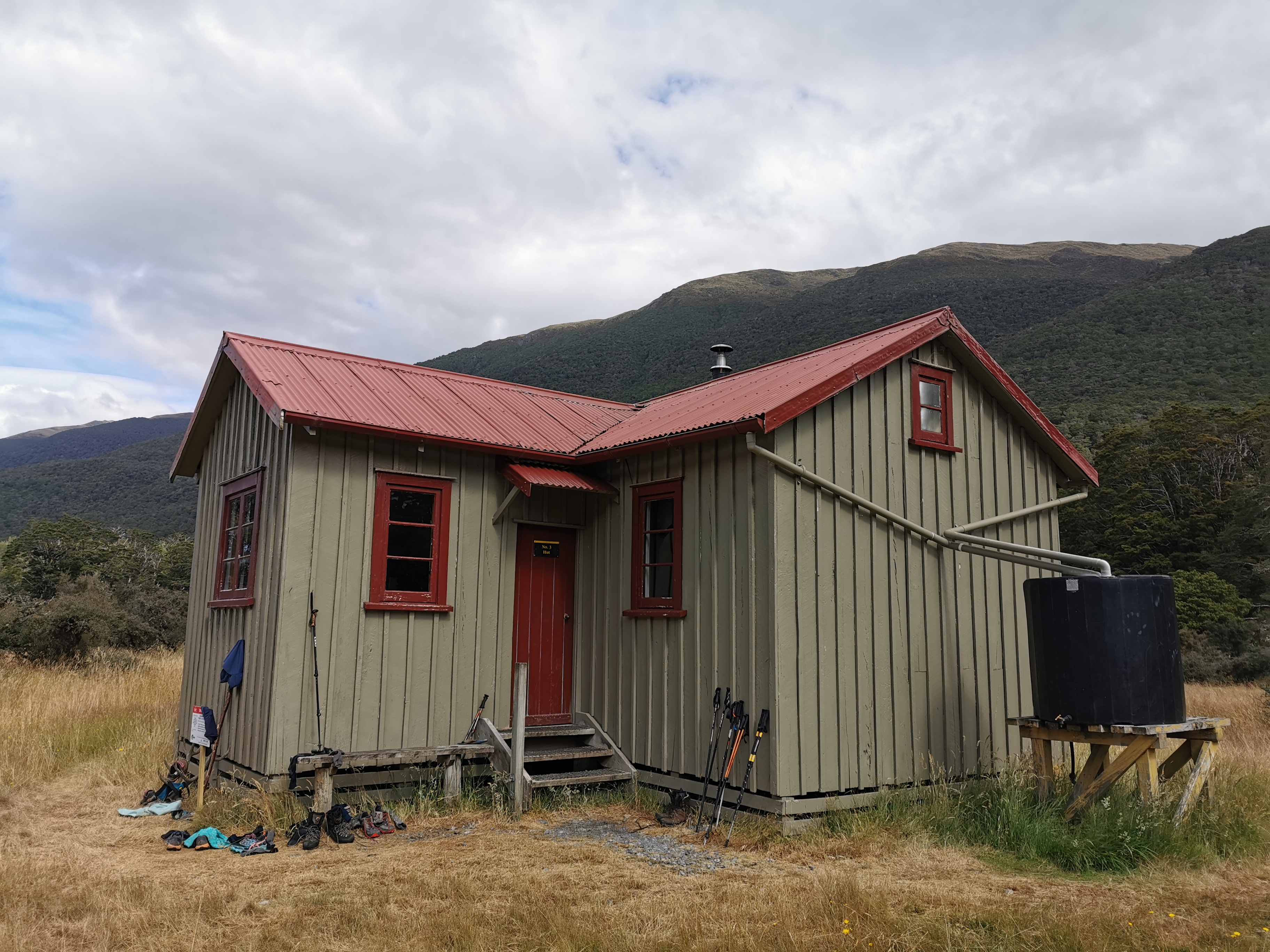
And here is the hut itself – Hurunui No. 3 Hut is its name.
Shenanigans probably go on in here too
There were quite a lot of people at this hut already. Ben was there – the American guy who tought us the card game Kaboo at Rocks Hut a few weeks ago. There was also Troy and Jordan who I had seen before but didn’t get their names until now. I spent a bit of time chatting with them. Timon and Foure had also arrived, and there were about 5 or 6 others.
Everyone was quite quiet at this hut and it was a nice pleasant place to have lunch #2 but I decided since it was only a bit after 5pm and there was another hut (Camerons Hut) only 5km away, I thought I’d keep going. If I’m going to get to the Bealey Hotel by Sunday (and Bluff by 29 February) I can’t afford to sit around.
I had read that Camerons Hut is not the nicest of huts, and the trail notes describe it as an “emergency shelter”, but how bad could it be? I also read it was only 4 beds. There’s quite a high chance it might be full already. Shame I can’t call ahead and find out!
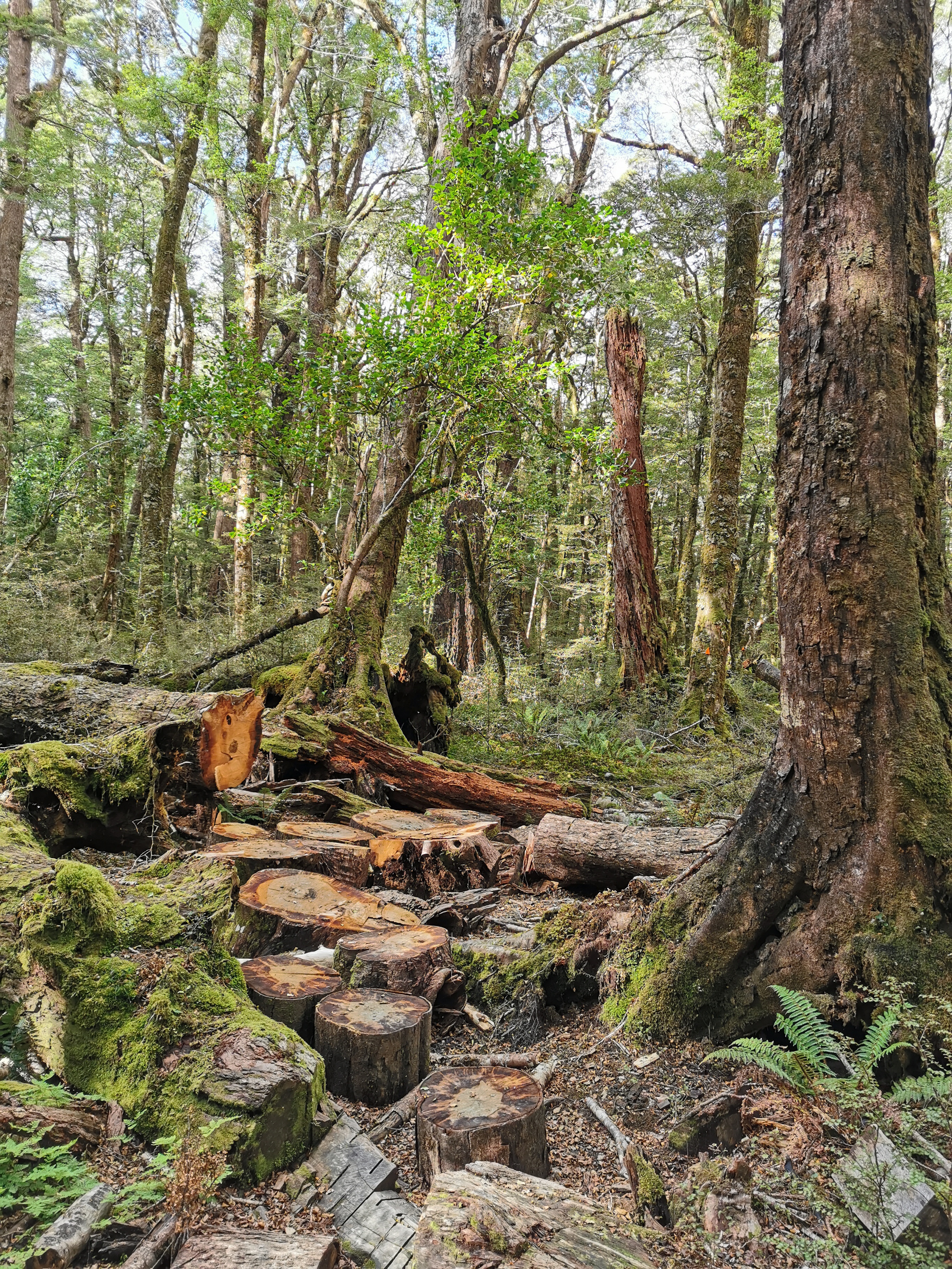
The track was much the same as before…
With the addition of some stepping stones
Although this time there were two things slowing me down. The first was that I’d packed my stove into my pack in such a way that it was digging into my lower back. I was too lazy to do anything about it so I just put up with it. The second is that the skin around my dead toenail seems to have become infected and it started to hurt. I’m going to have to see what I can do about that at the next hut.
This section of bush was very beautiful.
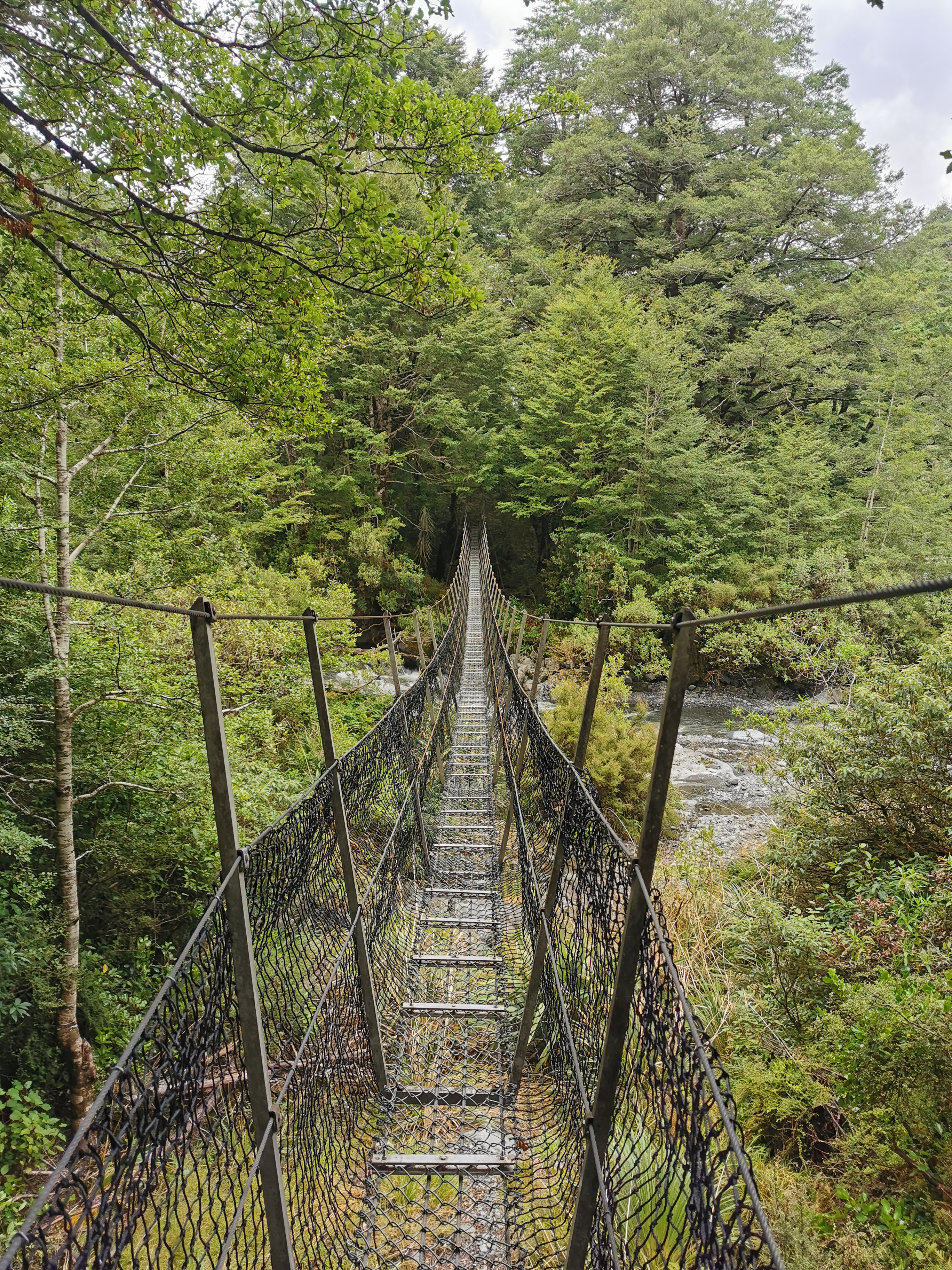
And right after that was a scary swingbridge. Well I don’t know if this one is a swingbridge or not – it’s one whole order of magnitude scarier than most swingbridges.
Are you brave enough?
I wasn’t too happy about walking across this with nobody else around… but it was either that or cross the river. So cross the tightrope I did.
Let’s go
The hut came into view pretty soon.
Looks kinda “rustic”
But first one more walk through the trees and over a couple of obstacles.
The boost up with the piece of tree trunk helped
As I approached the hut, I thought I saw two walking poles outside, but they turned out to just be two sticks.
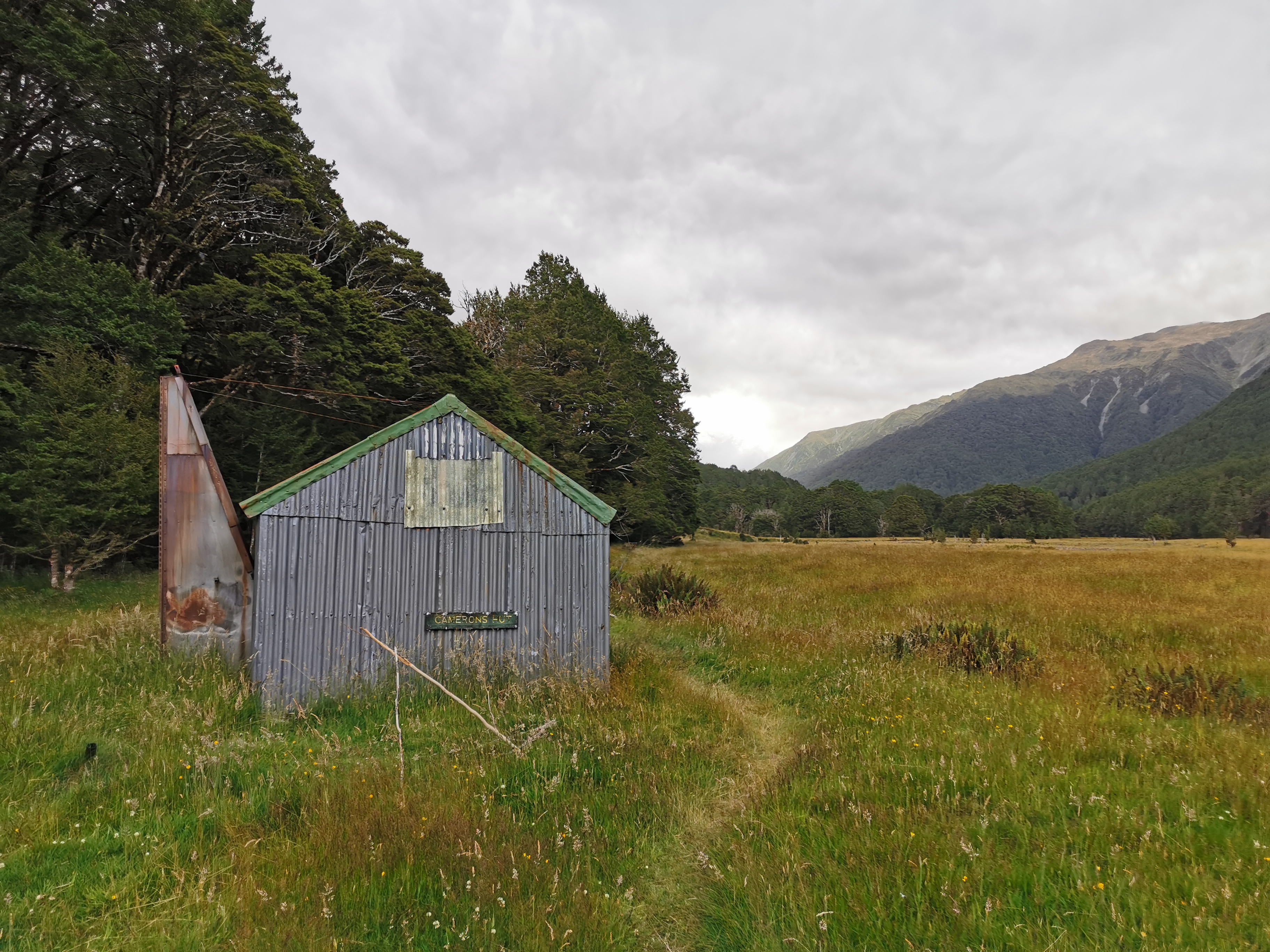
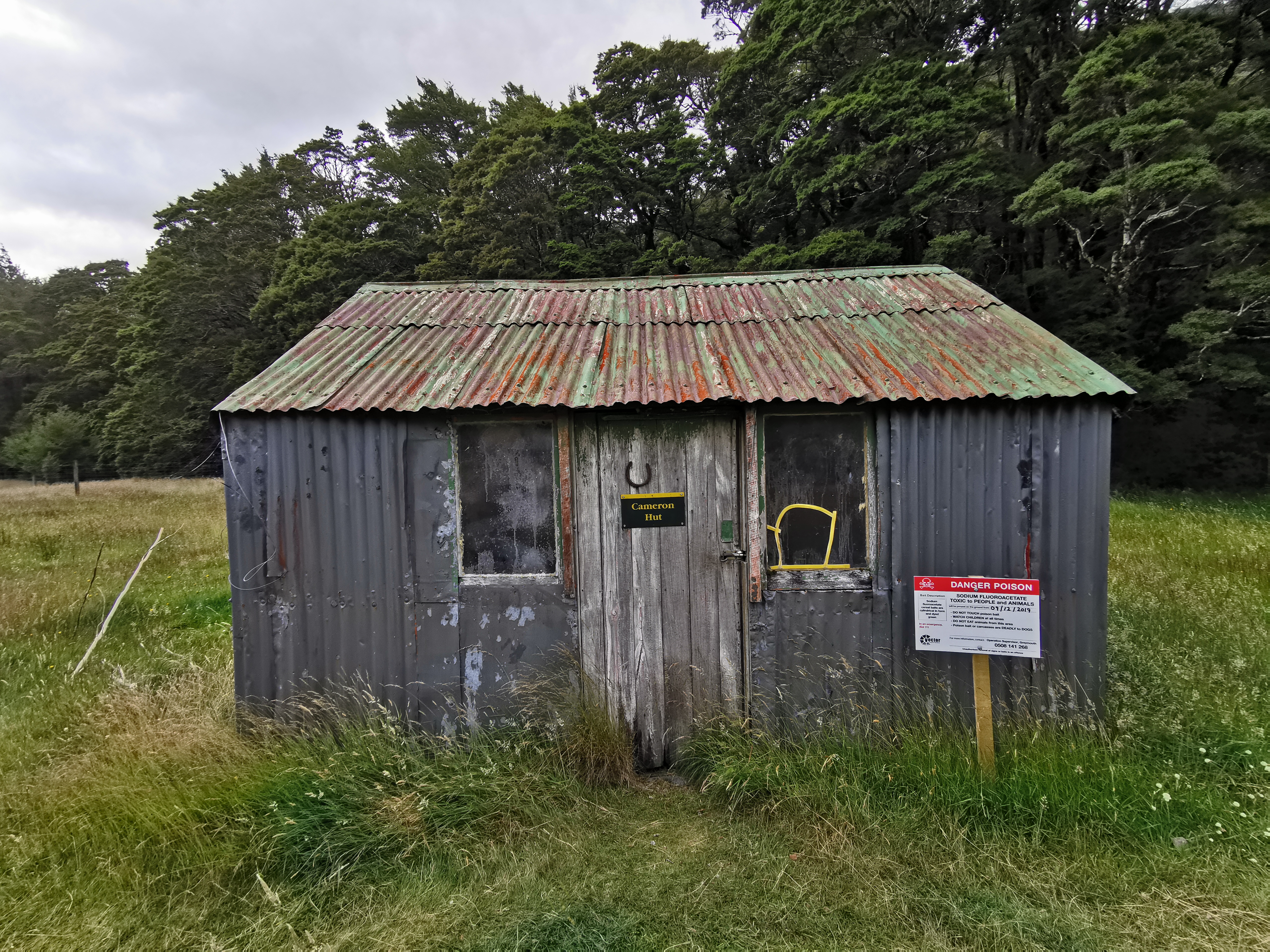
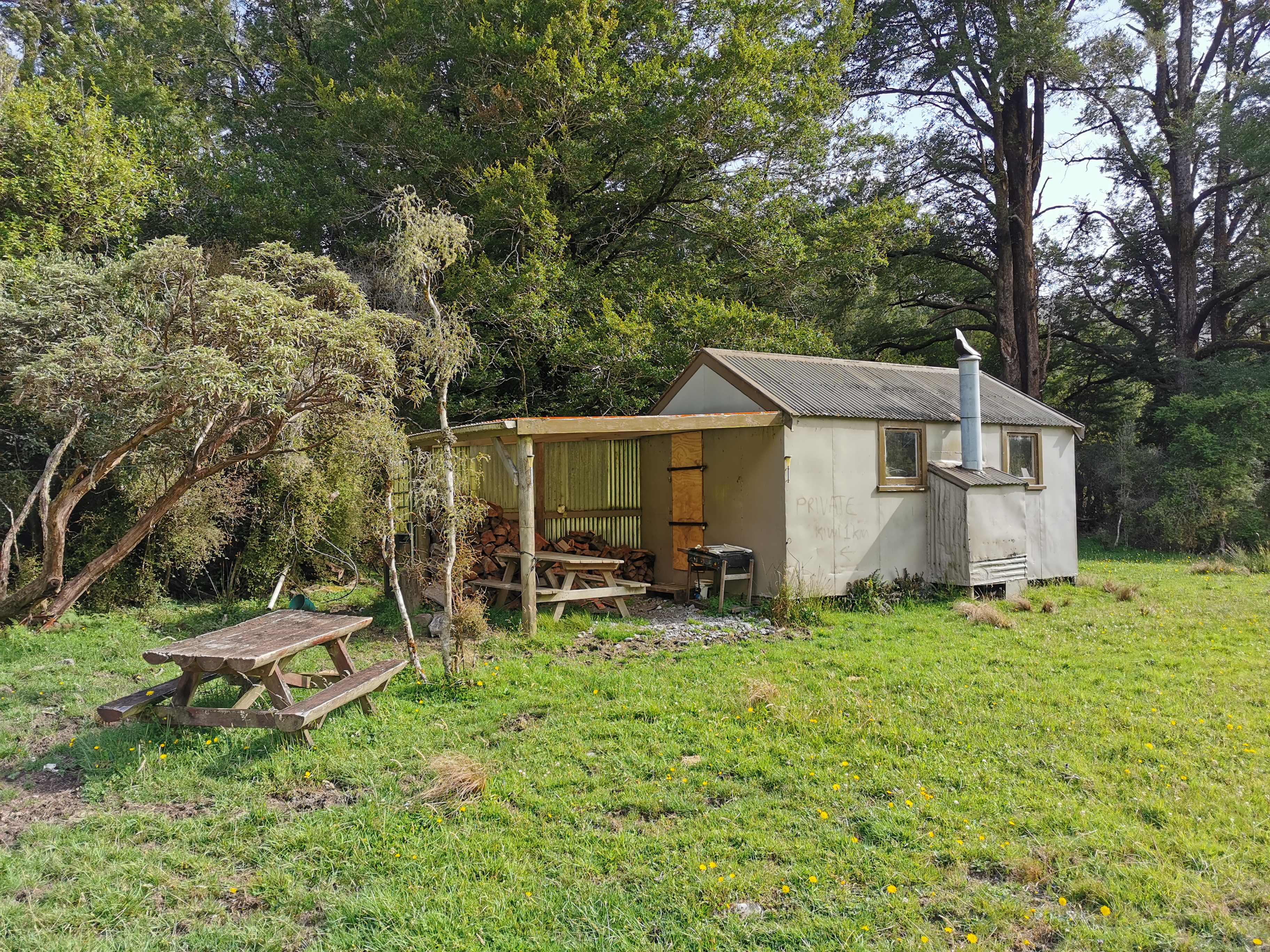
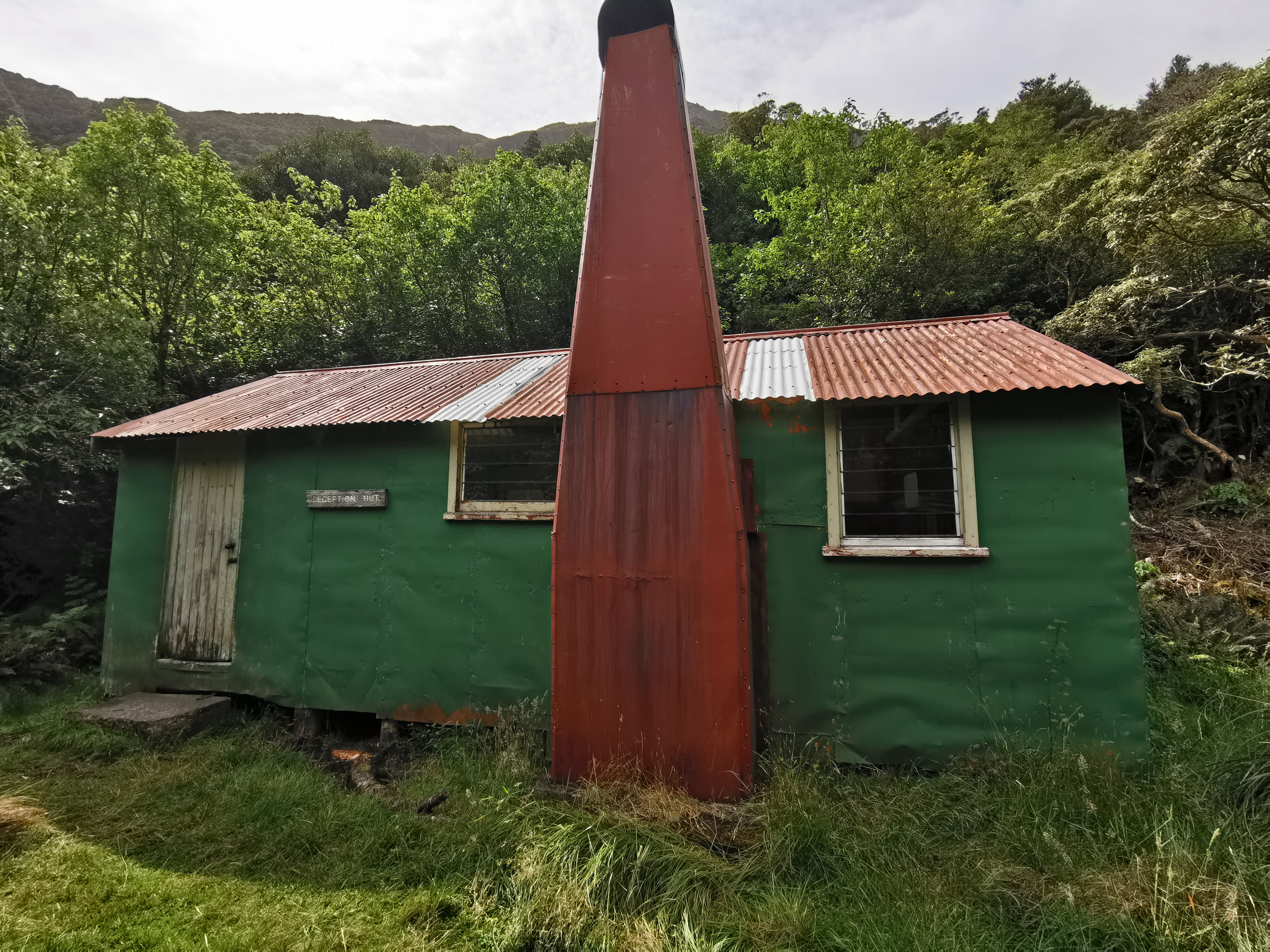
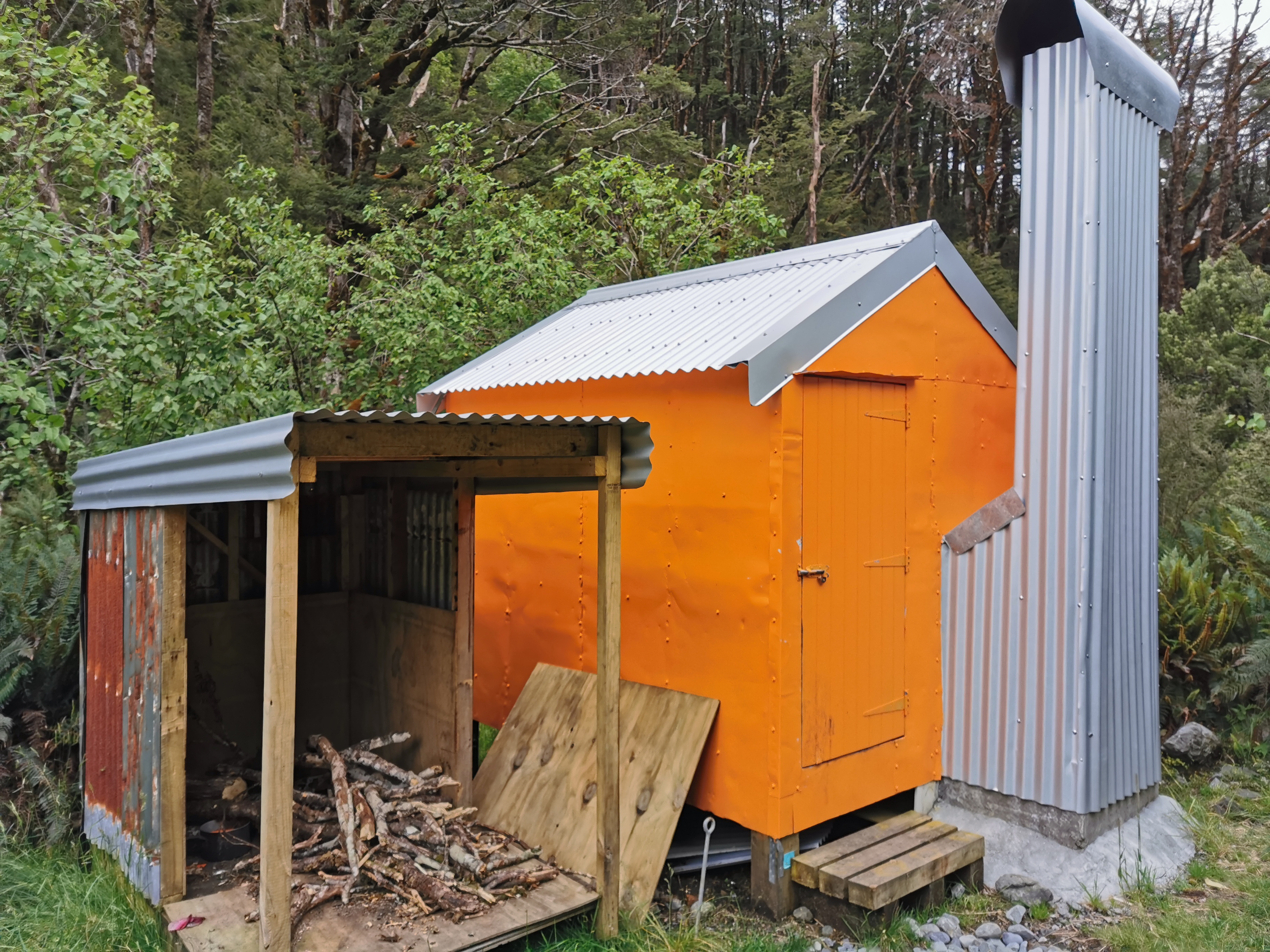
Camerons Hut
This sure is quaint. I was almost afraid to go in. But the wind was starting to pick up and I felt a few spots of rain, so I did go in.
More naming confusion – is it Cameron Hut or Camerons Hut?
The words I used were “Jeepers Creepers”.
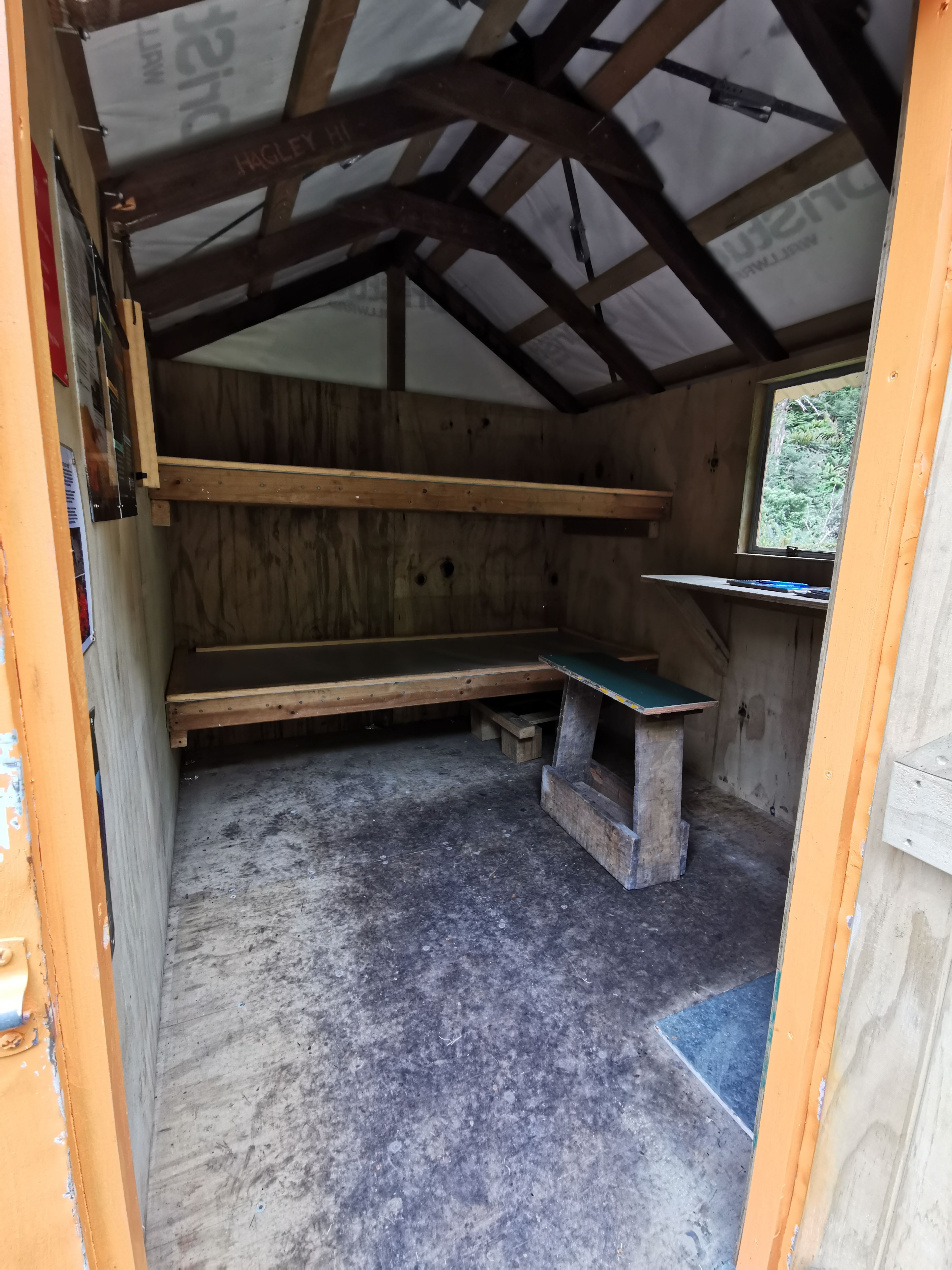
Welcome inside
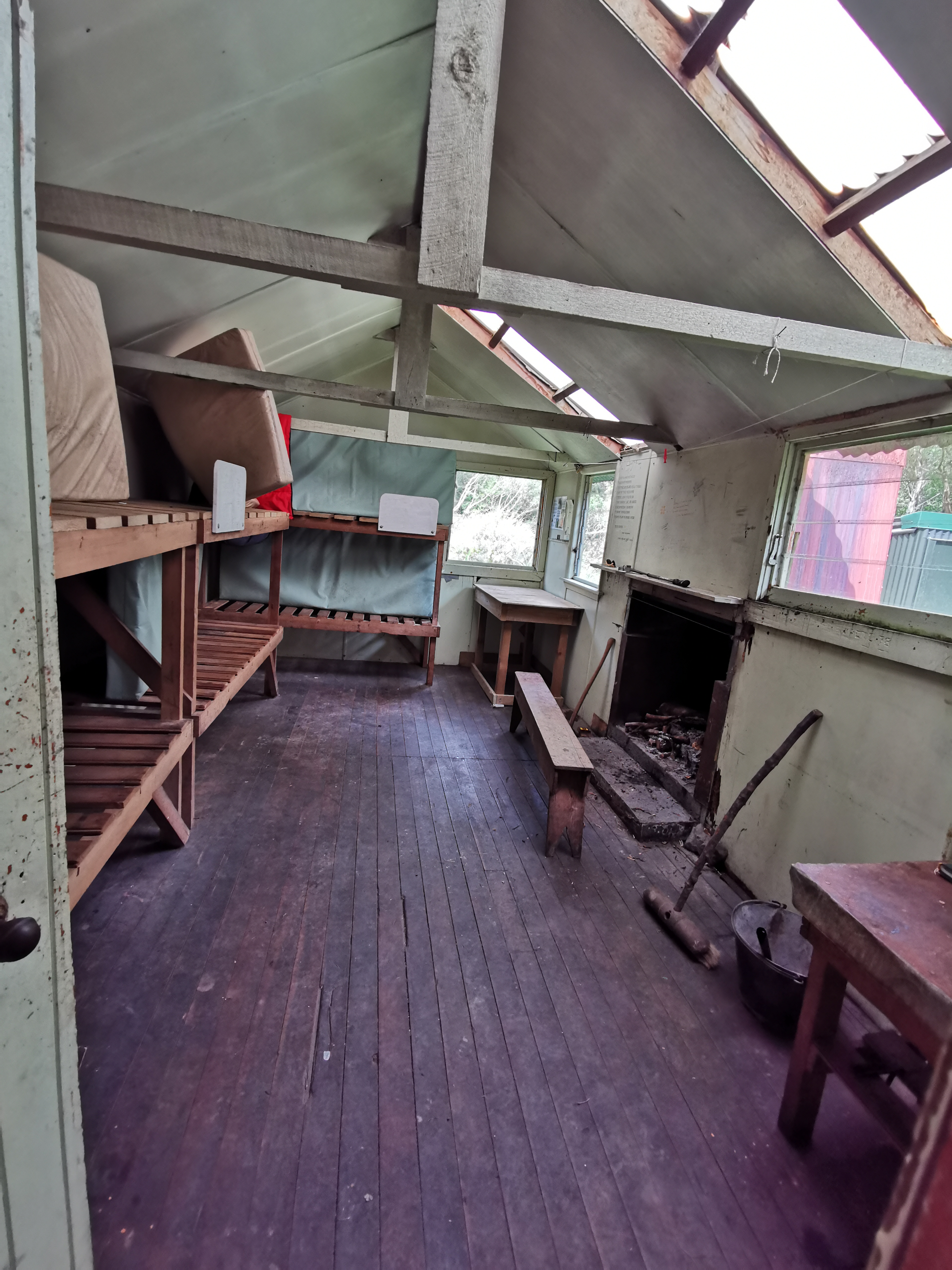
Nobody else was here. At least there’s only one mention of mice in the intentions book, so they’re not a huge problem, and it was cozy and I had the place to myself. I had a quick dinner and then hung the food out of reach of any mice.
Mice, if you can get the food down from there, then frankly you deserve it
The wind was really howling once I had dinner and it was raining a bit too. I was very glad that I actually made it to the hut in time and that I was inside and not in my tent, although having one other person here for company would have been nice. Actually, if you believe the intentions book here, I’m the first person to actually spend a night in this hut in over a week.
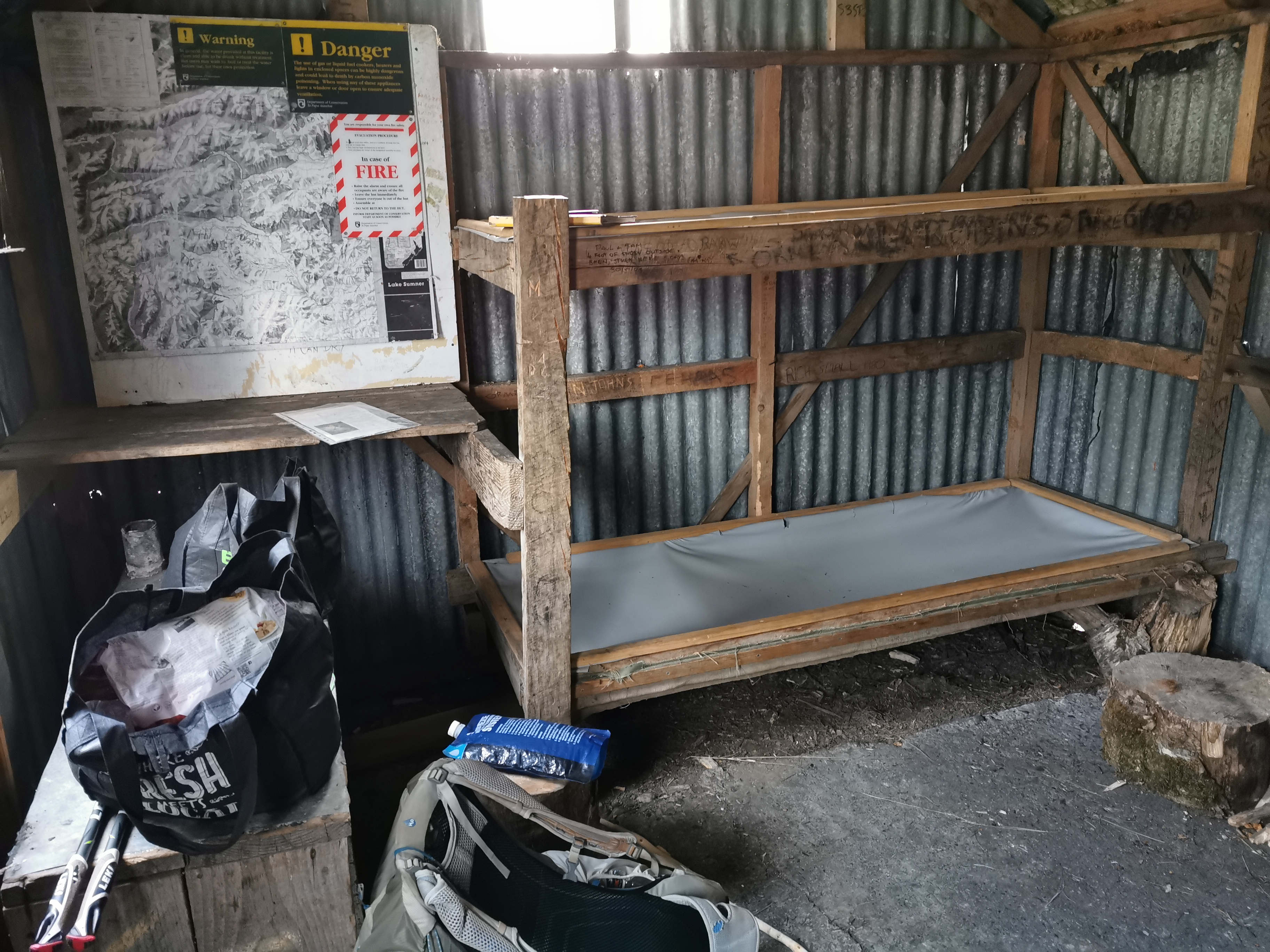
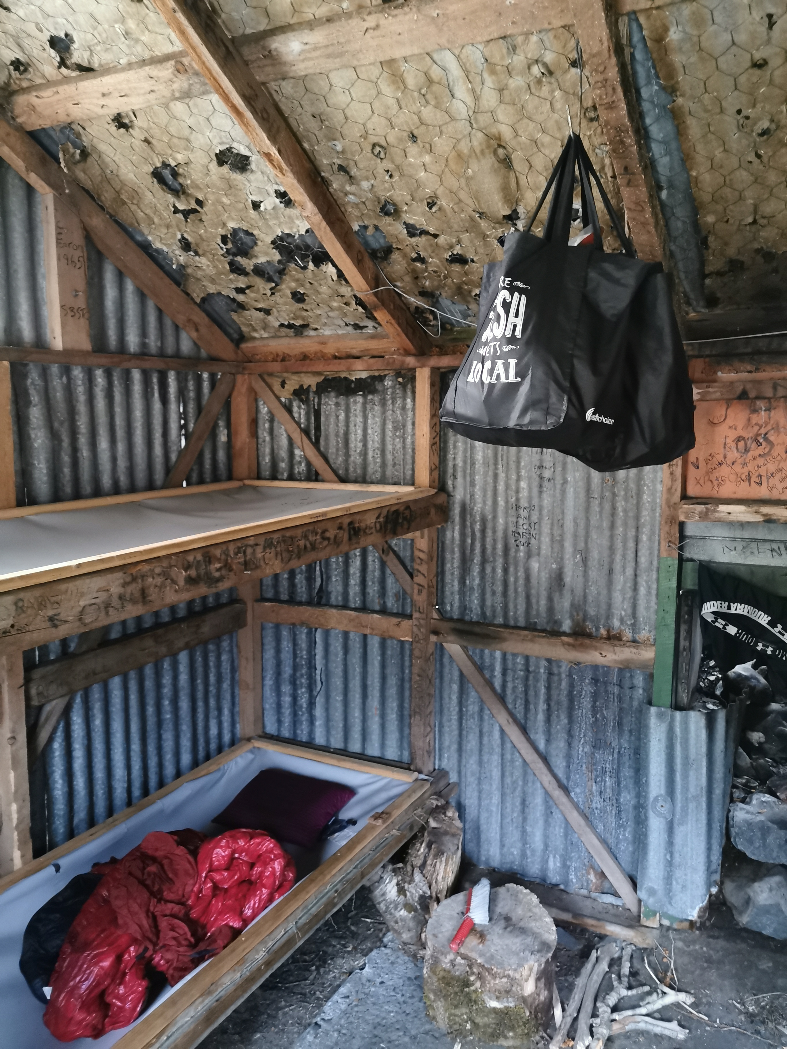
This hut has strange plastic hammocks instead of the mattresses the other huts have. And there’s no water tank so it’s a 5 minute walk down to the river to get water.
I’m glad I pushed on the extra few kms to this hut. I have a good head start tomorrow and I should have plenty of time to get to Bealey Hotel by Sunday afternoon. It sure is cold in here though. The wind comes into the hut under the door and through holes in the wall. I was curled up in my sleeping bag by 8:30.
Lastly the toenail update. If you don’t want to know you can finish here!
Since the lower left part of the toenail was digging into a swelled up and seemingly infected part of my toe, the toenail had to go. I got out my Swiss army knife and used the scissors to hack away at it bit by bit until the only bit of the nail that was left was the small bit connecting the nail to the skin in the lower right corner. Then I got out an antiseptic wipe and cleaned it up a bit.
It was good to be rid of this toenail. I no longer have to gingerly put on my socks each day now. Underneath it looked weird, but there is definitely a new nail growing. If you want to see… click here.
Date: 31 January
Trail covered: 30.9km plus at least another km trying to find a good river crossing point (kms 2115.1 to 2146.0)
Weather: wet and windy until lunchtime, then it cleared up
It was very cold in Camerons Hut during the night. I was sure the cold was coming up through the plastic hammocks and the howling wind all night under the door and in the holes in the walls of the hut didn’t help. Plus the hammocks were uncomfortable. I had to constantly switch sides to stop my legs hurting. Although at least there were no rats or mice present that I noticed.
Despite that, when you’re staying on your own, it’s very easy to sleep in. I woke up at 8:30am – a lot later than usual. Since this hut is only a few kms from the previous No. 3 hut, all the other hikers from that hut came past while I was having breakfast. All except Timon, who knowing him would have come past while I was still asleep. All the other hikers as they came past came inside to talk to me briefly.
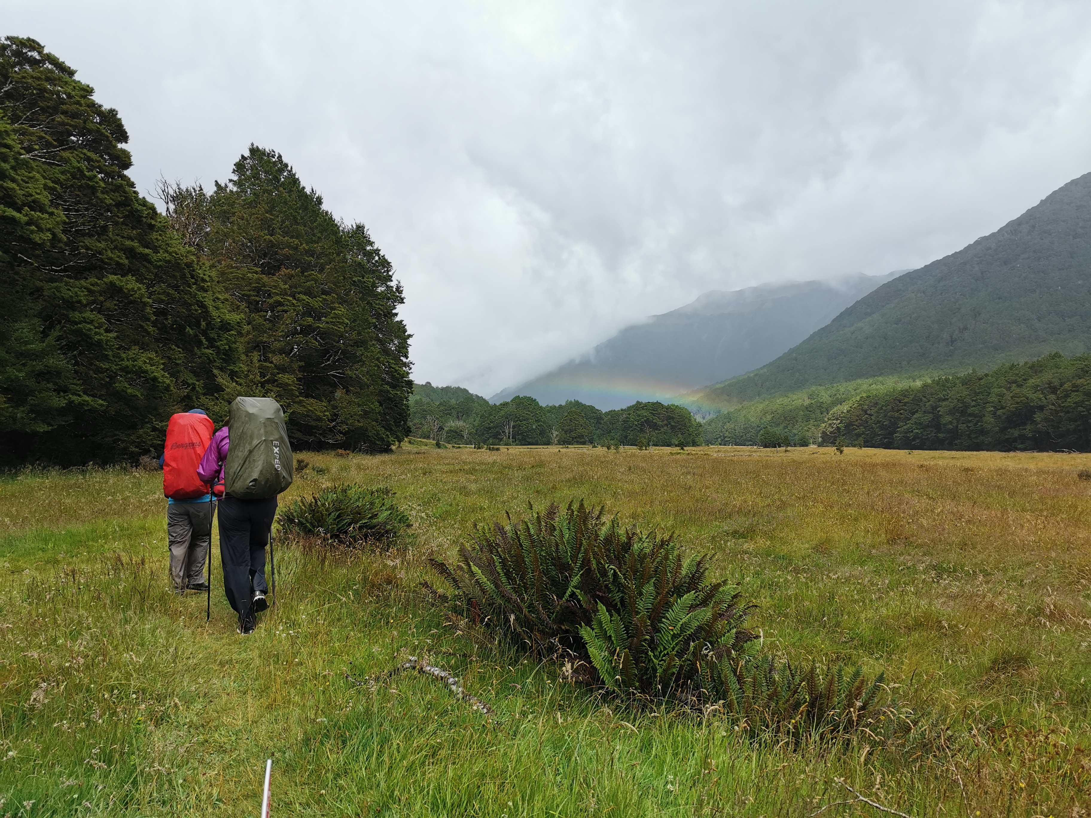
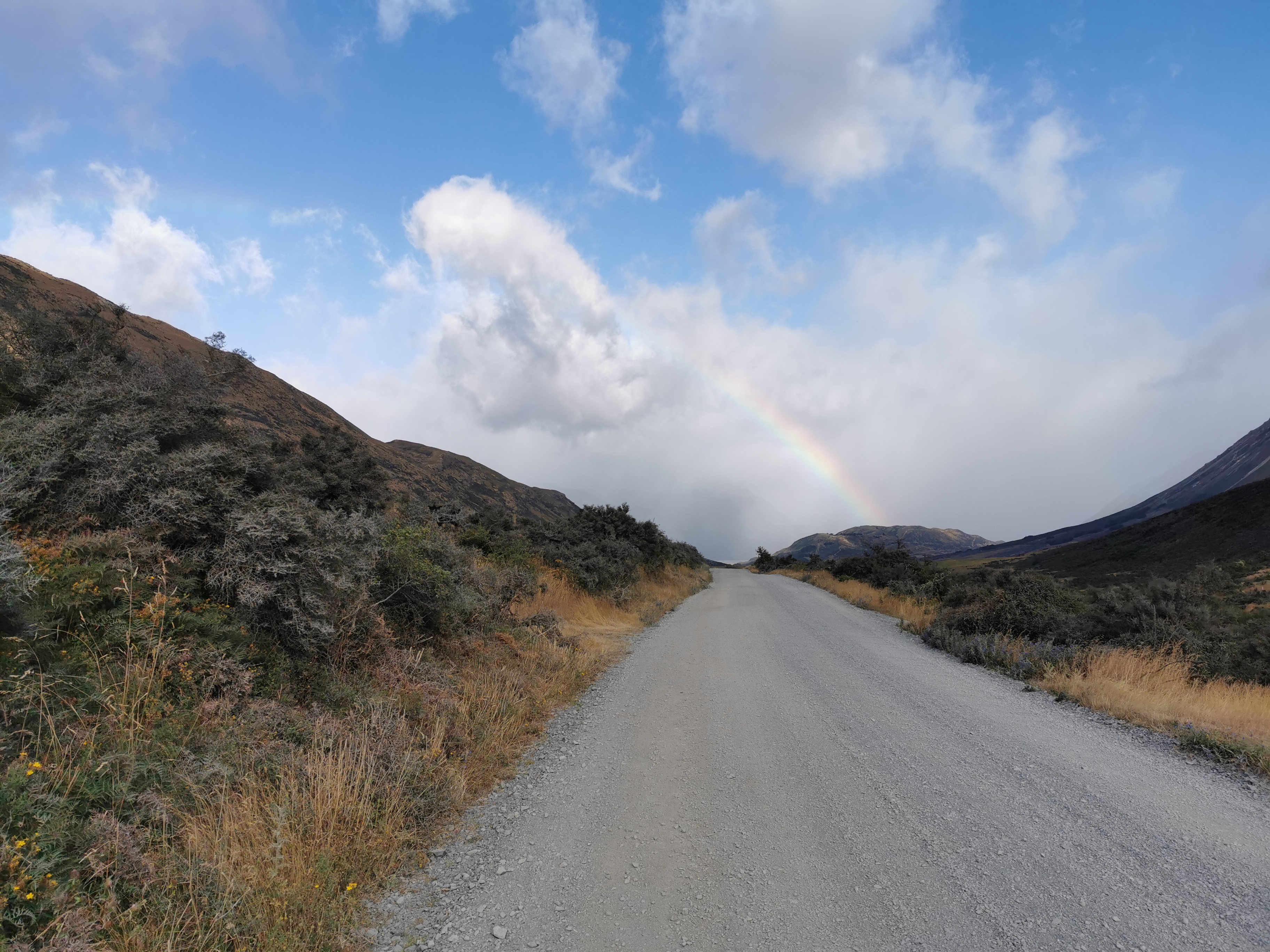
It rained most of the morning, and each time I thought the rain had taken a break, it started raining again. The three day old forecast that I looked at at Boyle Village said that there would be rain in the morning and then it would be fine. I decided that I’d wait in the hut and give it until 11am and then if it was still raining then I’d just go. At 10am I looked outside and saw this rainbow… does that mean it’s clearing?
A rainbow is always a good thing surely
At 10:55 the rain still hadn’t stopped so I left. I was starting out behind all the hikers from yesterday despite sleeping in the hut ahead of them. My 11am picture is just leaving the hut.
11am scenery
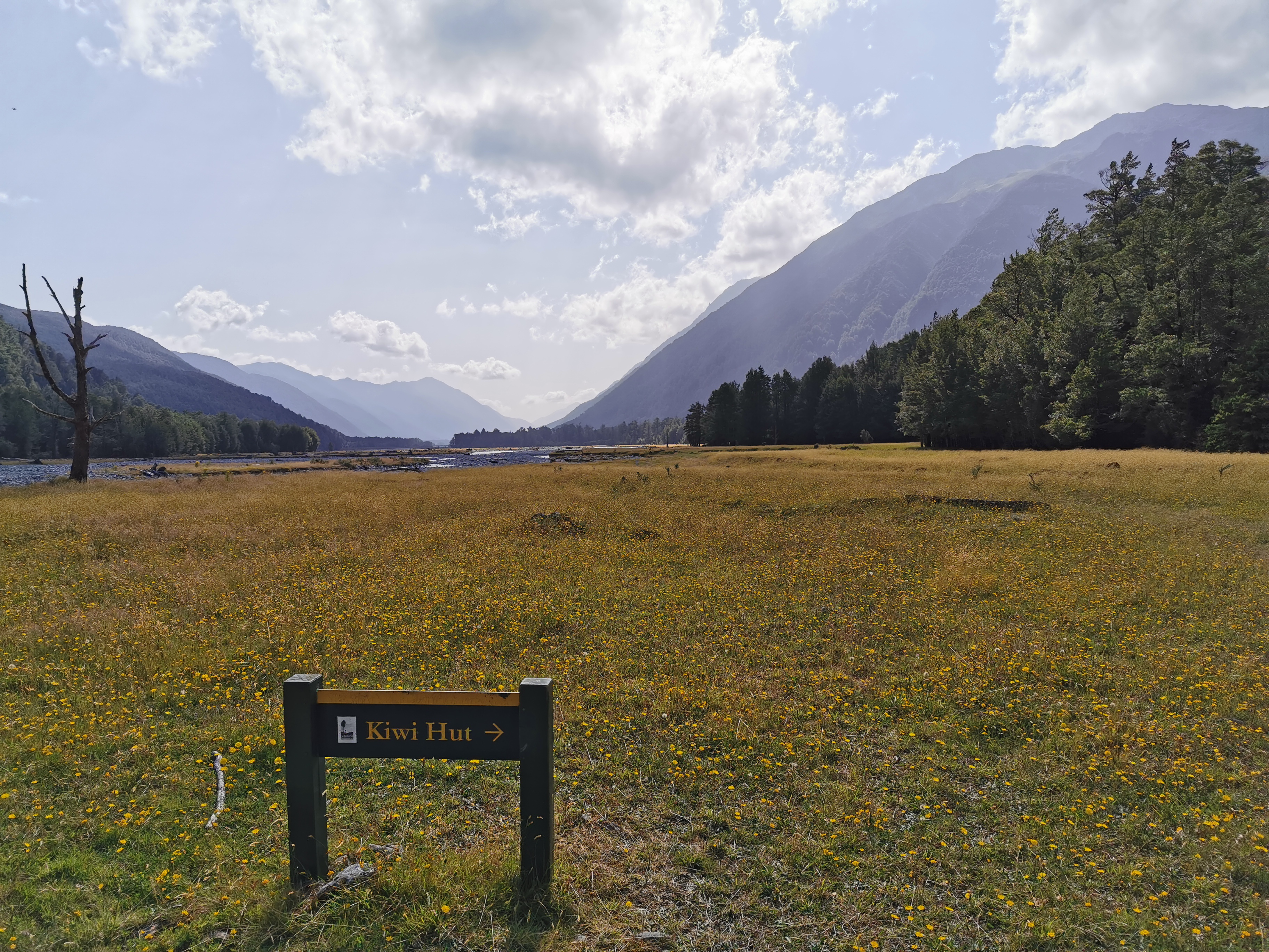
Today my ideal destination is Morrison Footbridge, about 33km away. It would put me in a good position to do the entire Goat Pass section tomorrow and end up at the Bealey Hotel tomorrow night. But since I left so late today, that is looking like a big ask. On the way there is Locke Stream Hut and Kiwi Hut as options.
I’m a bit annoyed at myself for trying to wait out the rain. If I got wet in the morning I would have dried out later anyway.
Here’s a familiar sight recently…
Big big mud puddles
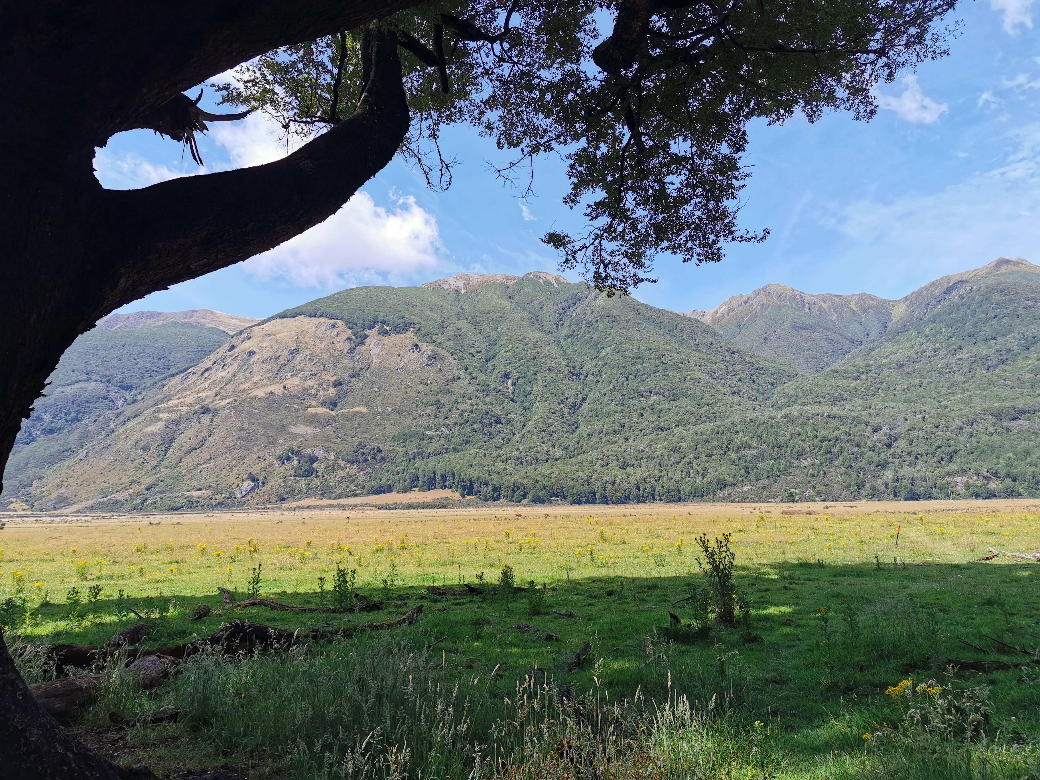
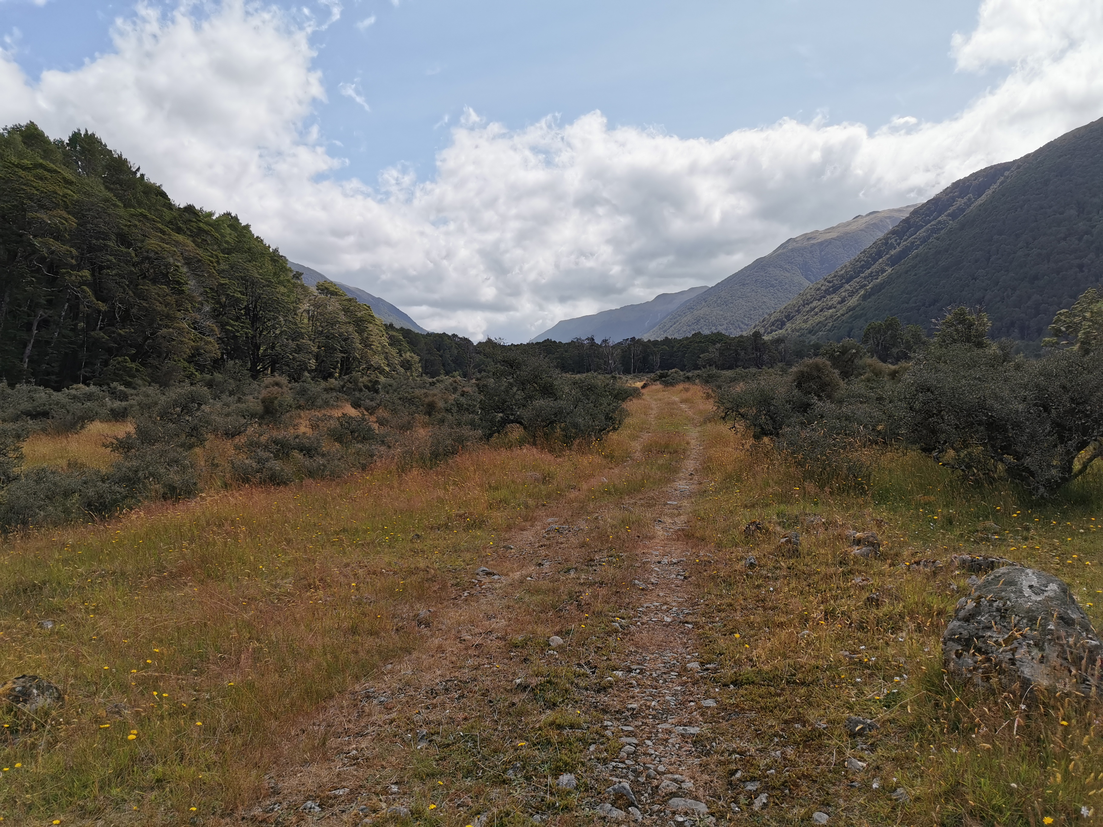
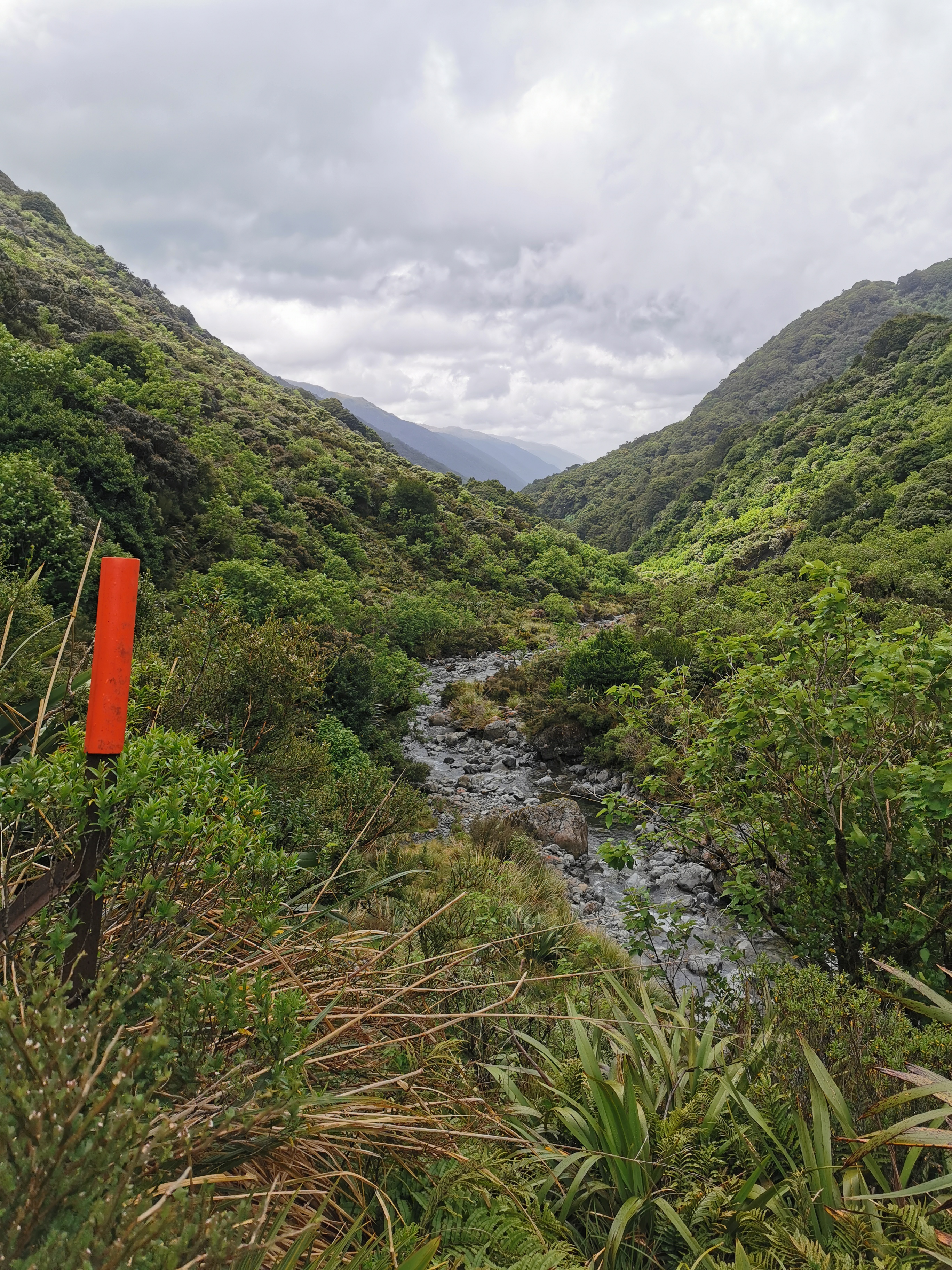
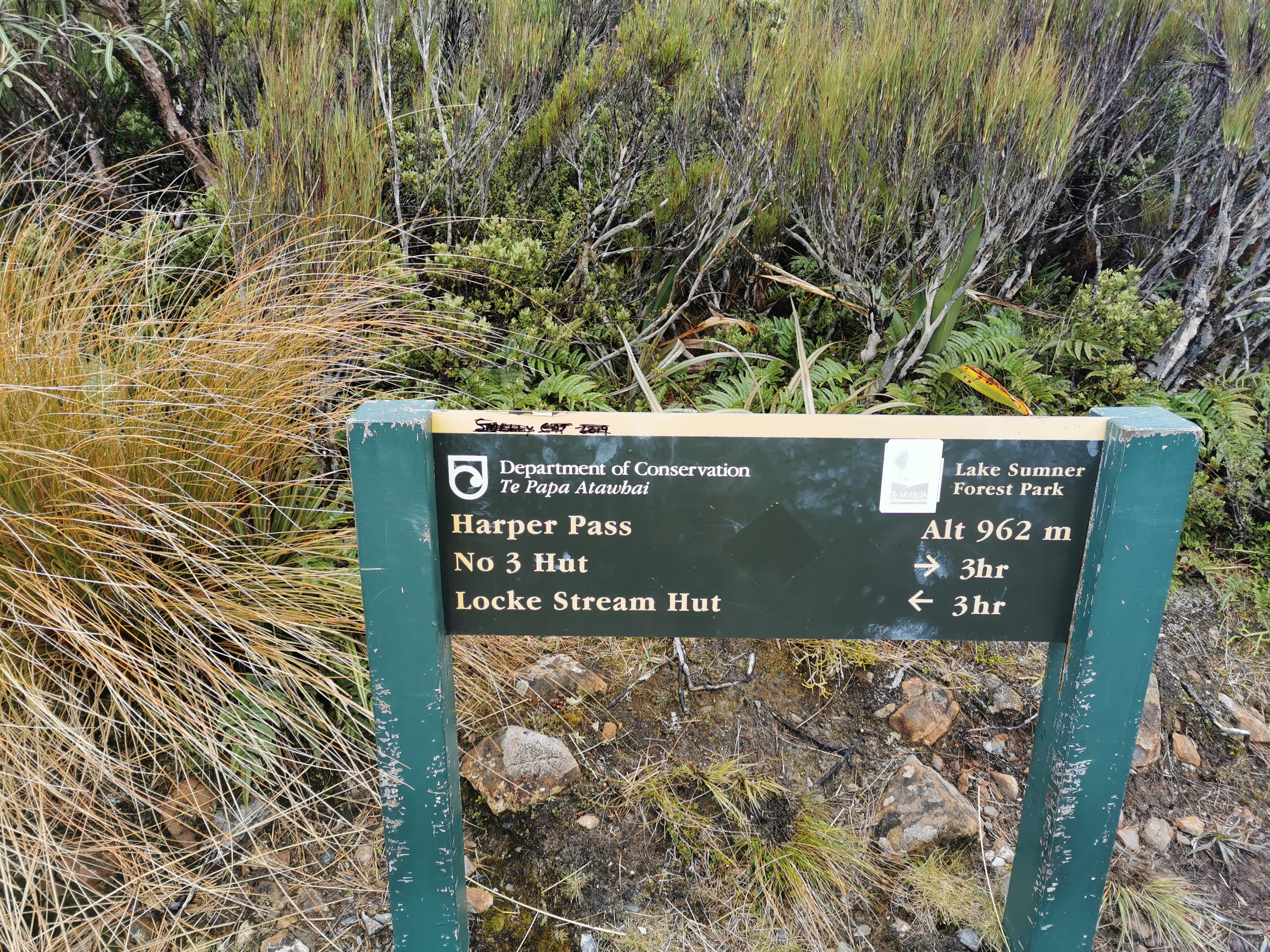
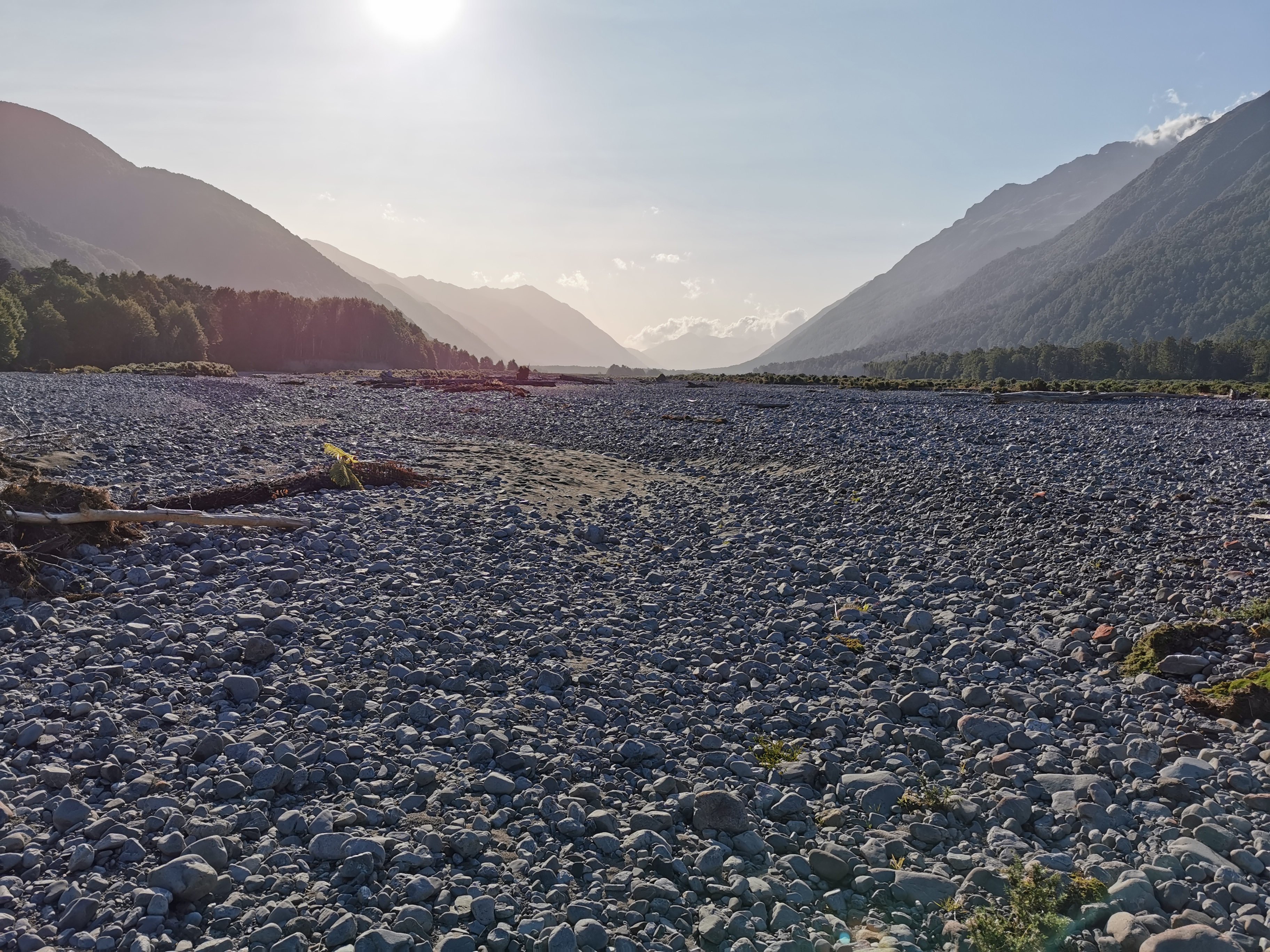
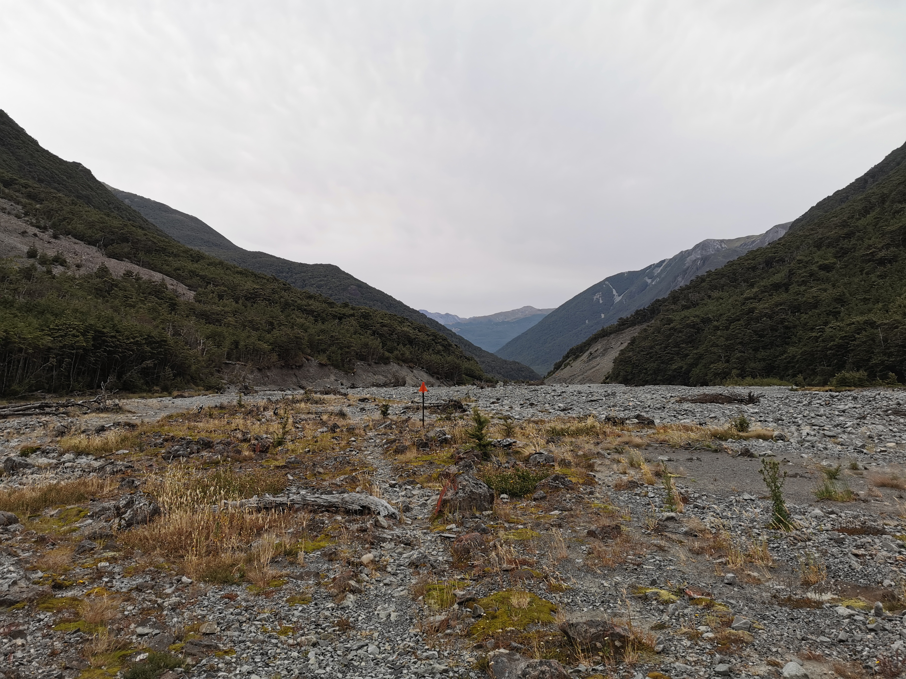
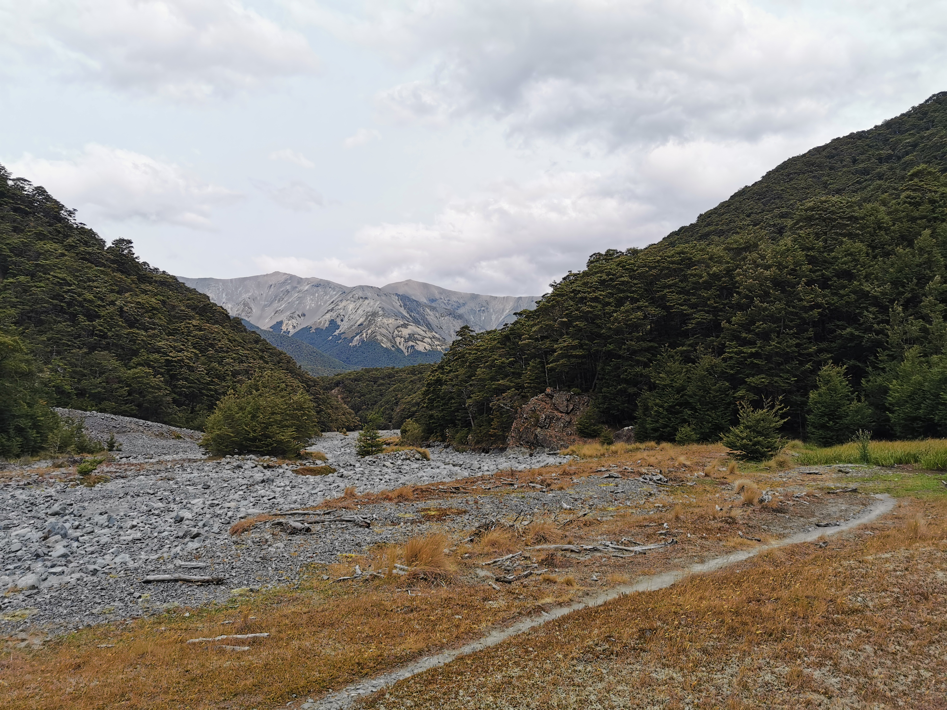
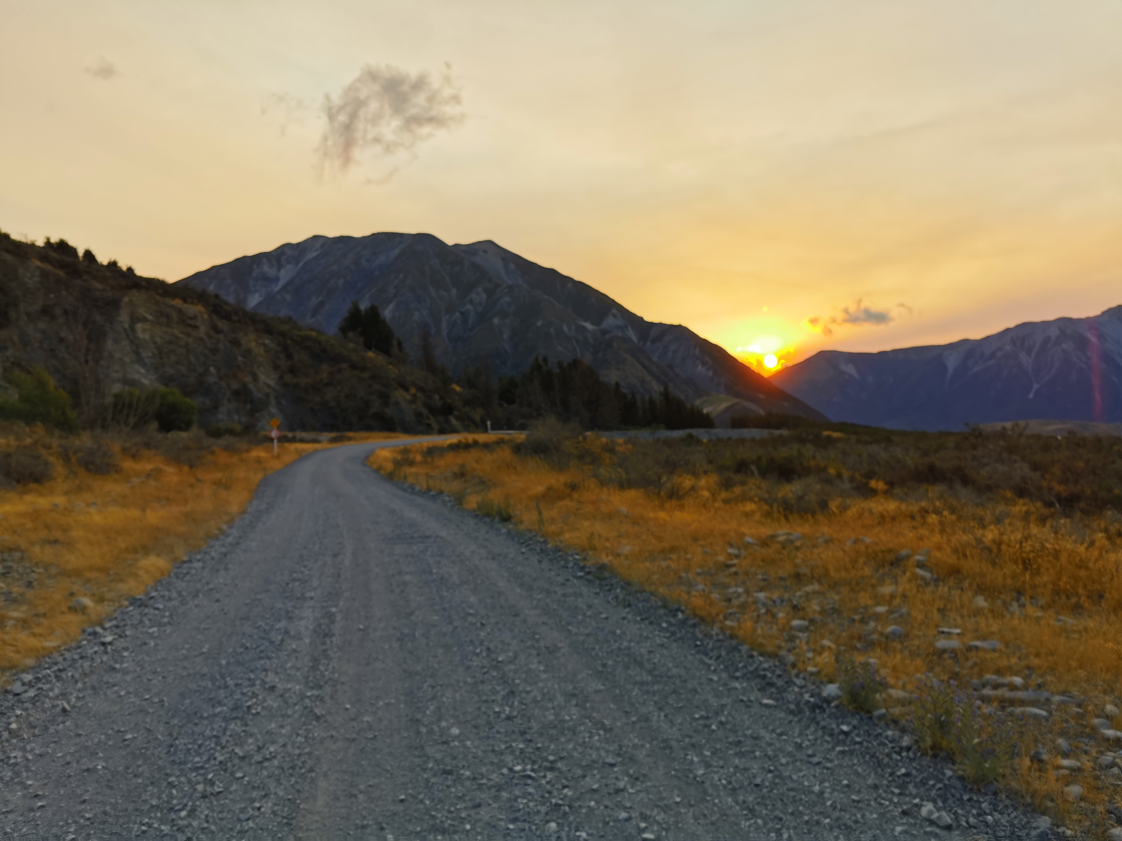
The valley started narrowing as I approached Harper Pass.
And it got a bit steep in places.
Over the morning I started to catch up to and then pass the people from the previous hut one by one.
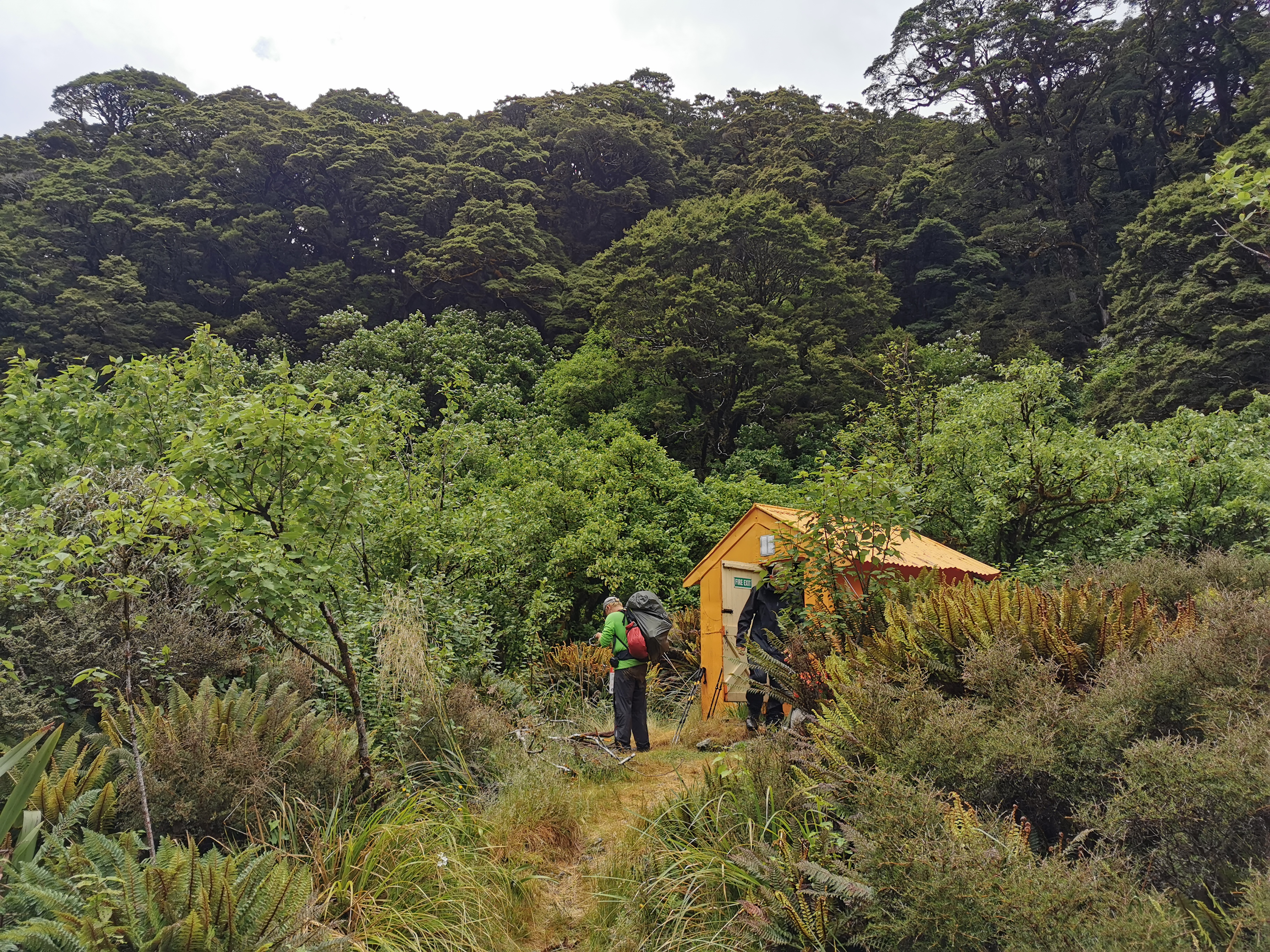
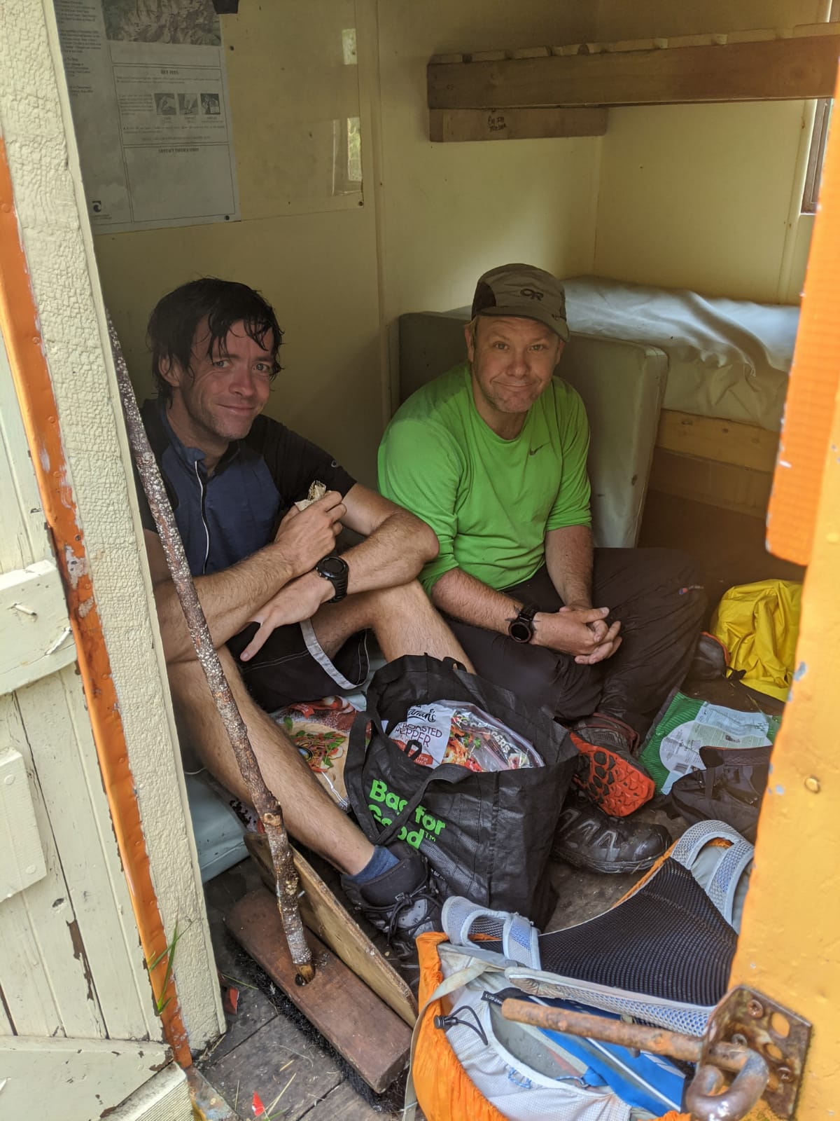
It wasn’t long before I encountered Harper Pass Bivouac. A tiny little orange building with just enough space for two people to sit down and have their lunch. I’d just met up with Ben before I arrived, so we filled up the whole space.
Harper Pass BivvyBen and I getting nice and cosy
I couldn’t spend too long here if I wanted to make my destination, so I continued on. As I started to go up Harper Pass, the views became nicer.
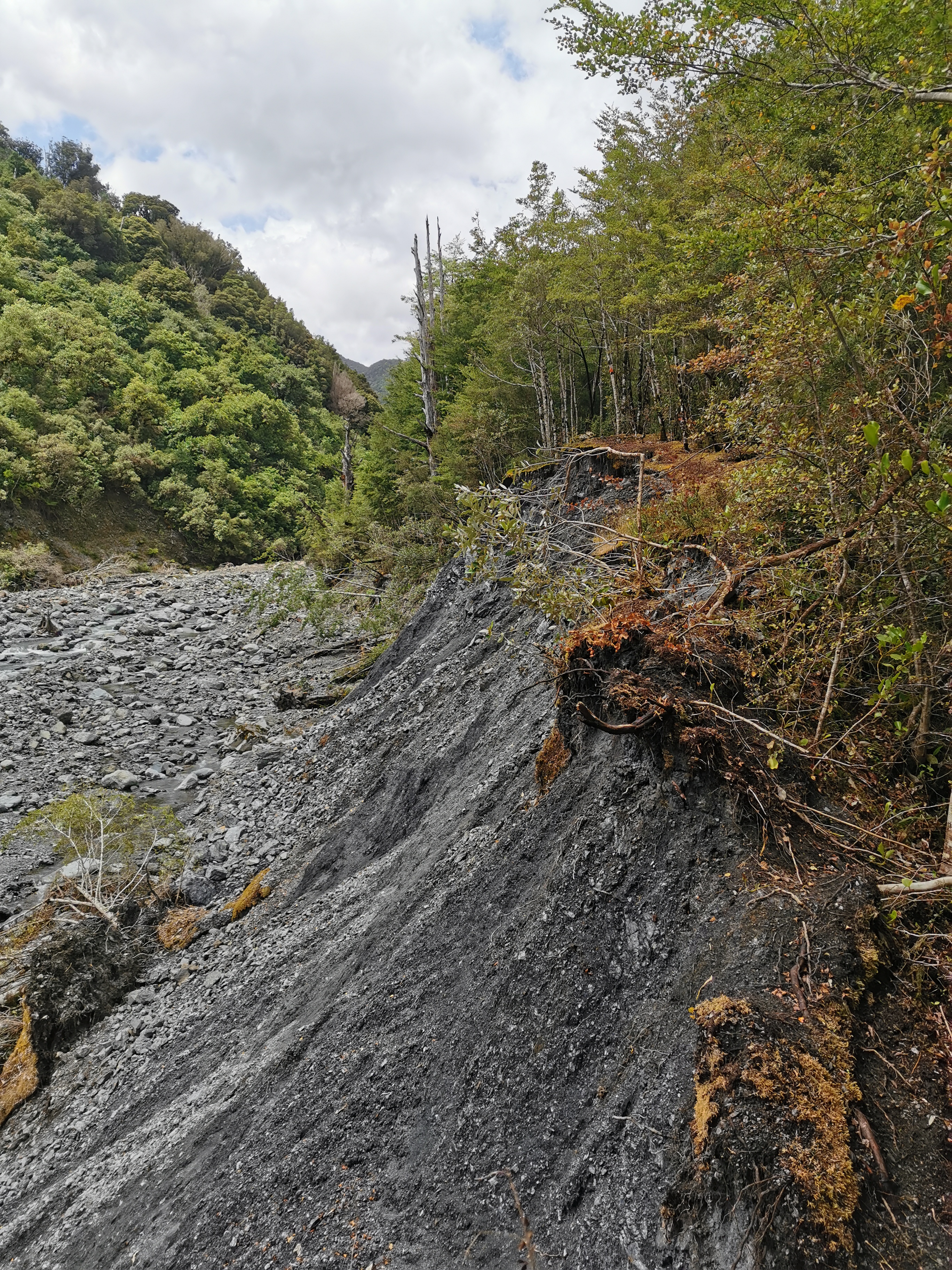
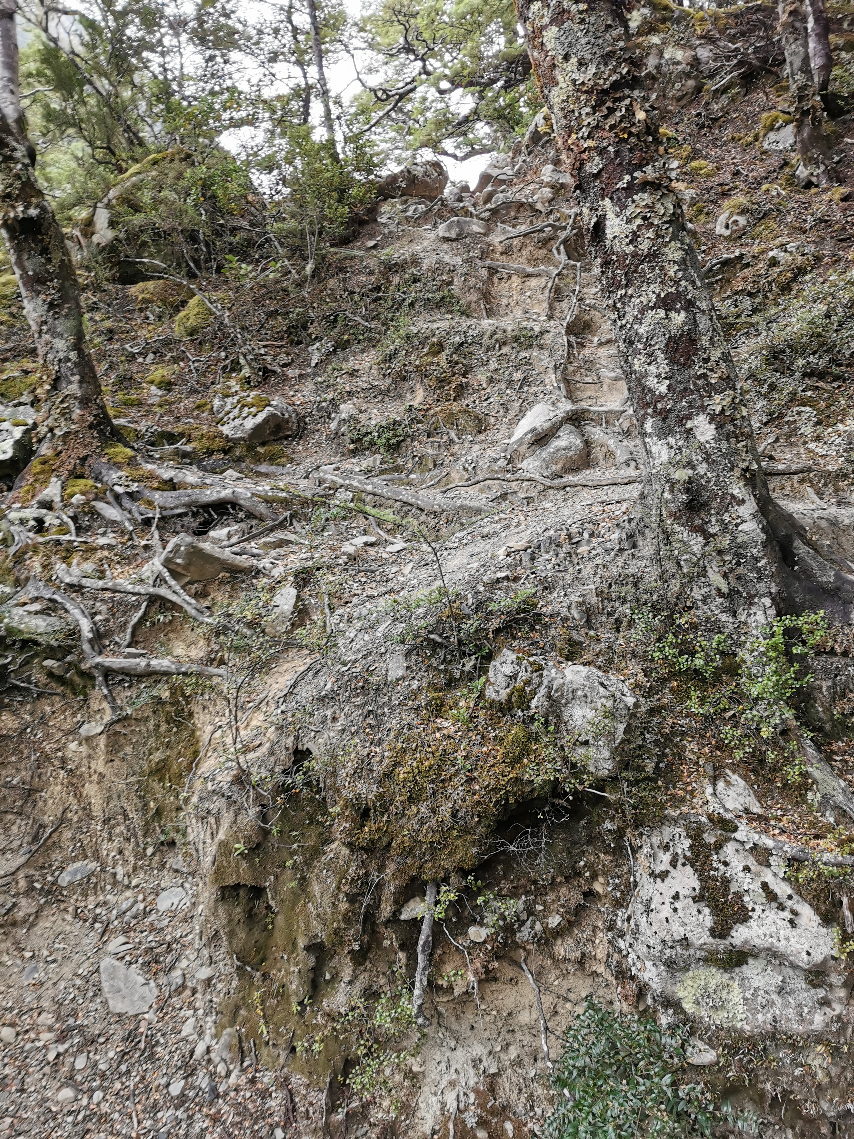
There were the usual precarious washed out sections where you really had to watch your footing.
Careful along here
I passed most of the remaining hikers at the top of Harper Pass. The only people in front of me now were Timon, Florian and Pierre.
Top of Harper PassLooking back the other wayHarper Pass informationAnother washoutAnother swingbridge
One section coming down from the pass was a bit confusing… The arrows pointed along the top of here:
Walk along the top of this
But is there really enough space to walk along the top of here? Or am I supposed to clamber down the stones? The answer is to fight your way through the trees and stay on the ridge.
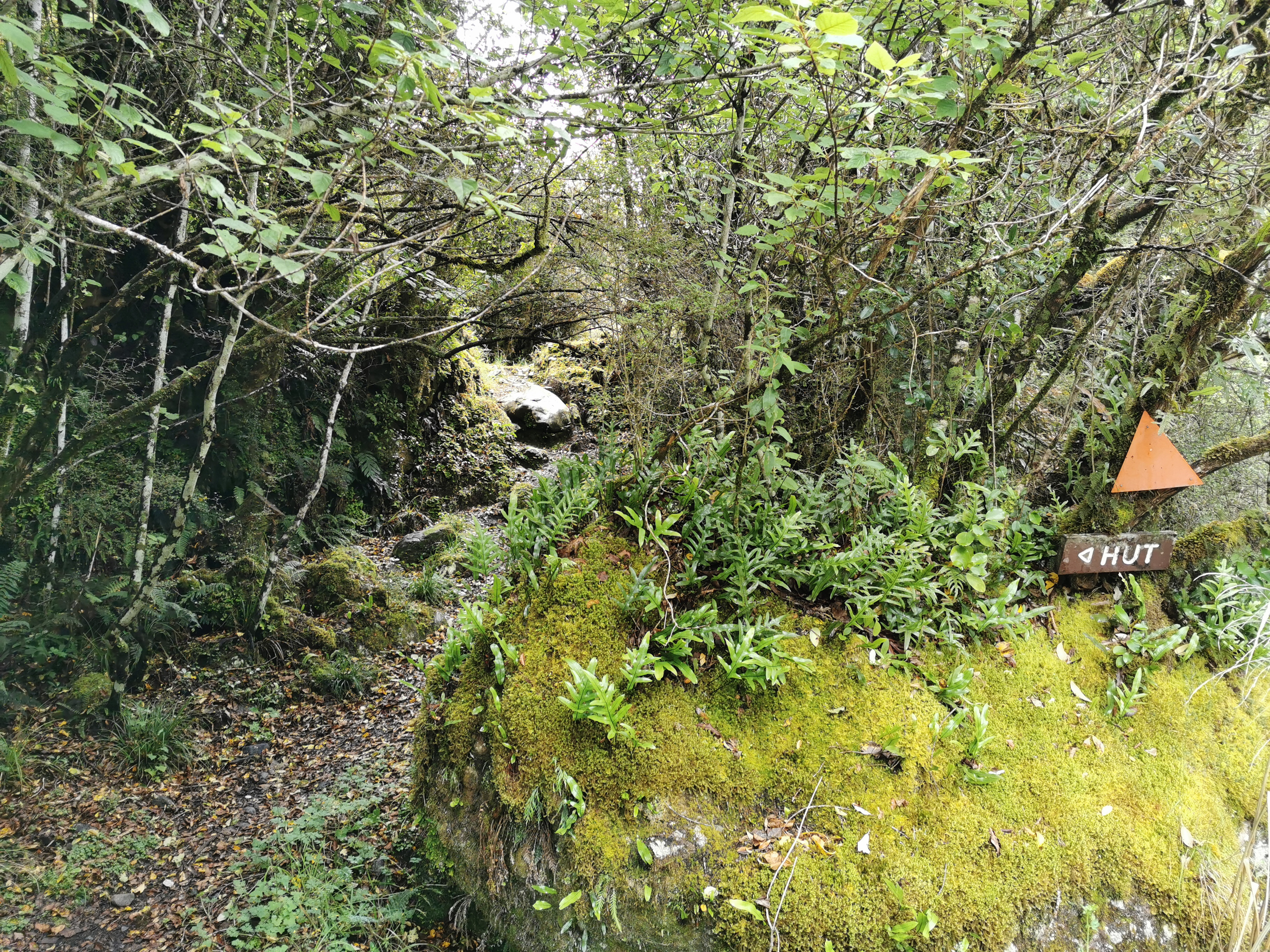
The hut is imminent!
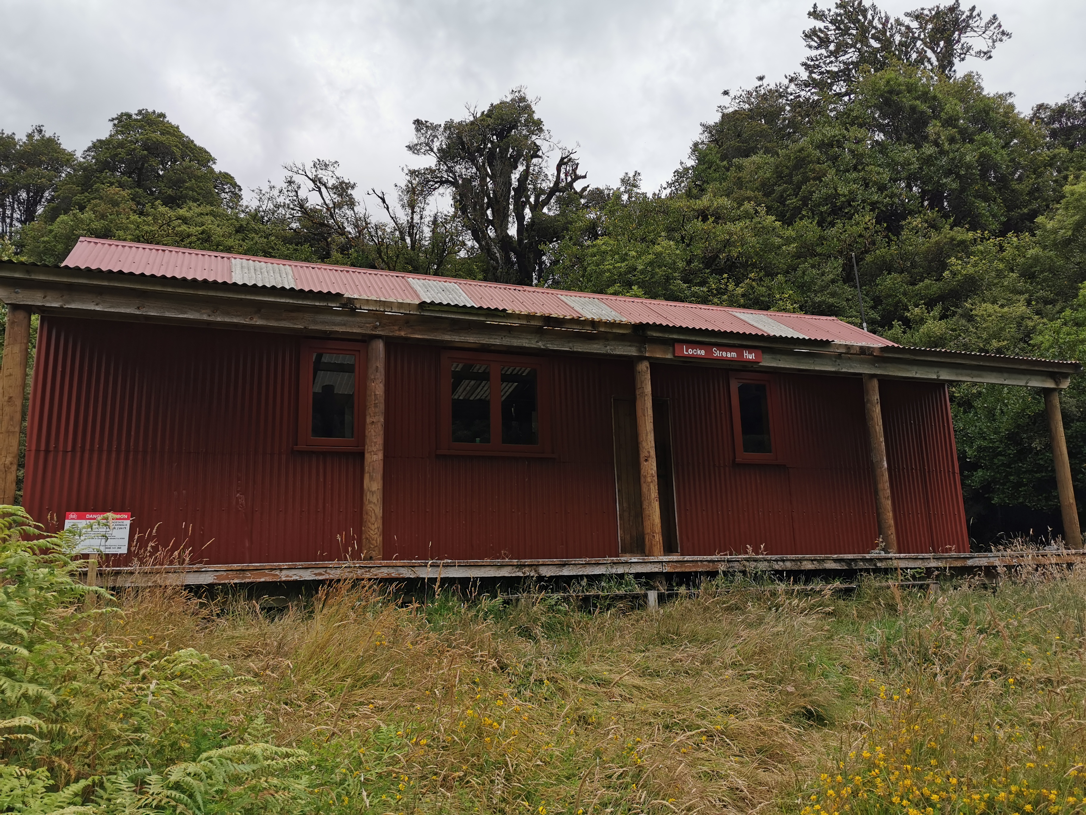
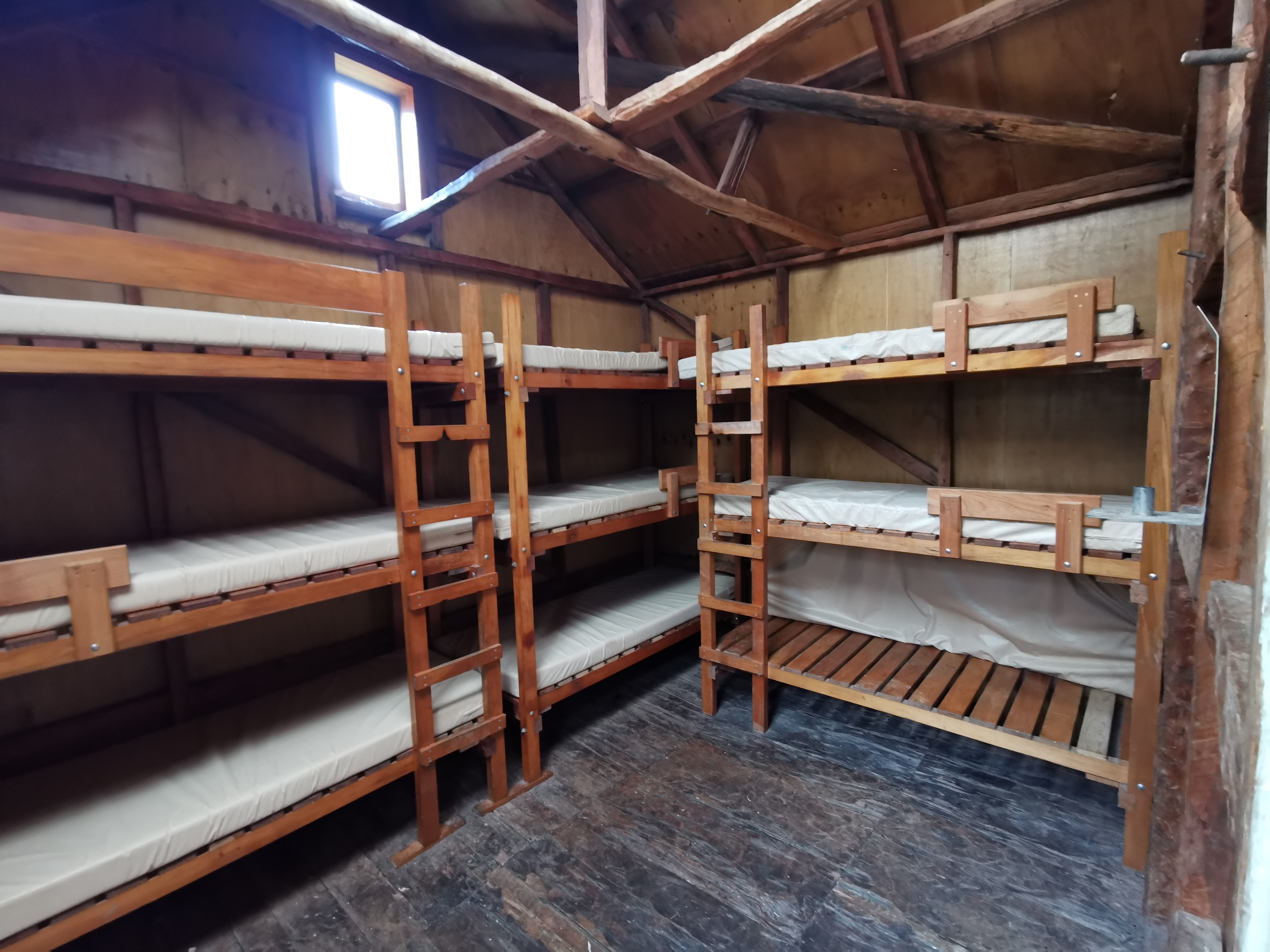
The next hut to look out for is Locke Stream Hut. Here it is:
Locke Stream HutInside
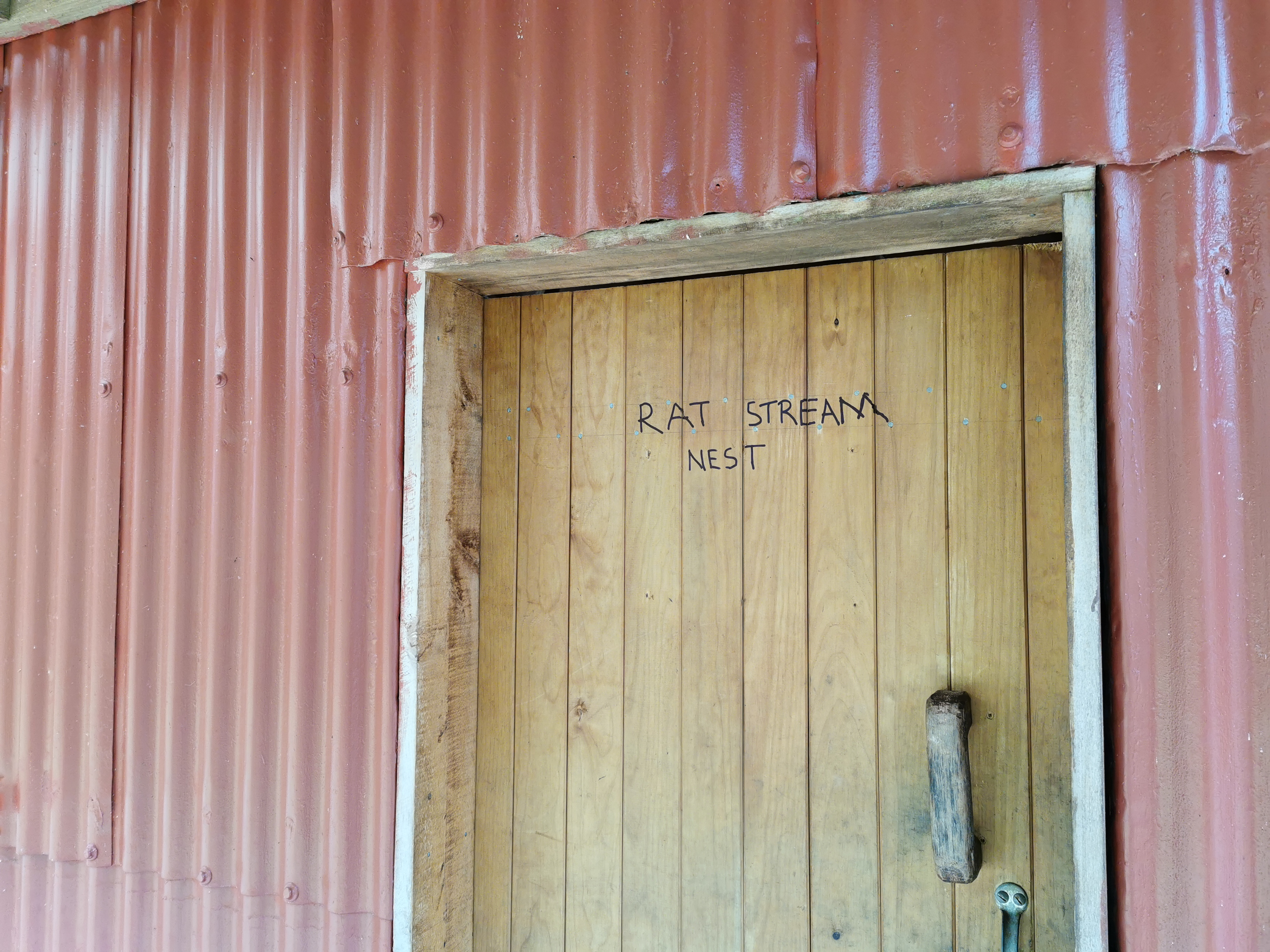
It is the first hut where DOC has freely admitted there are rats. They ask you to refill the bait stations while you’re there. I guess that’s why somebody felt the need to write this on the door.
“Rat Stream Nest”
I’ve said it before and I’ll say it again, this kind of thing is unnecessary, please don’t write silly messages on the huts and buildings! It’s not cool!
The sun was well out by now. The fact I was wet earlier in the day meant nothing now because the sun had dried everything out.
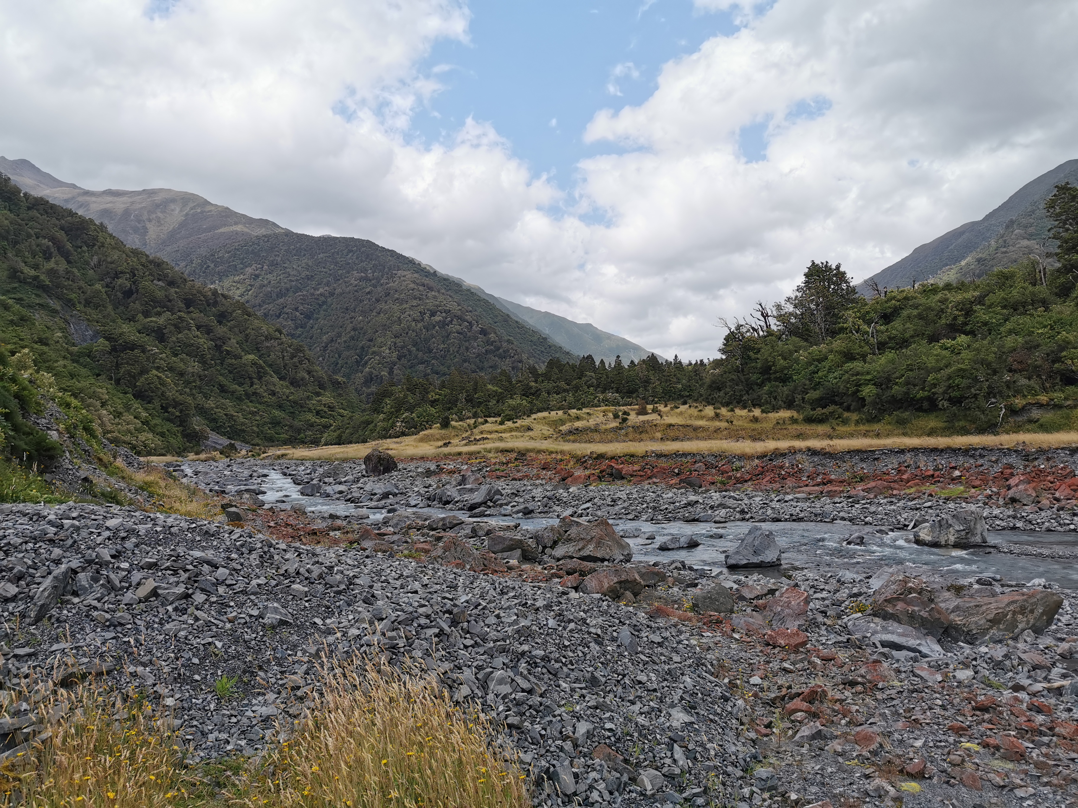
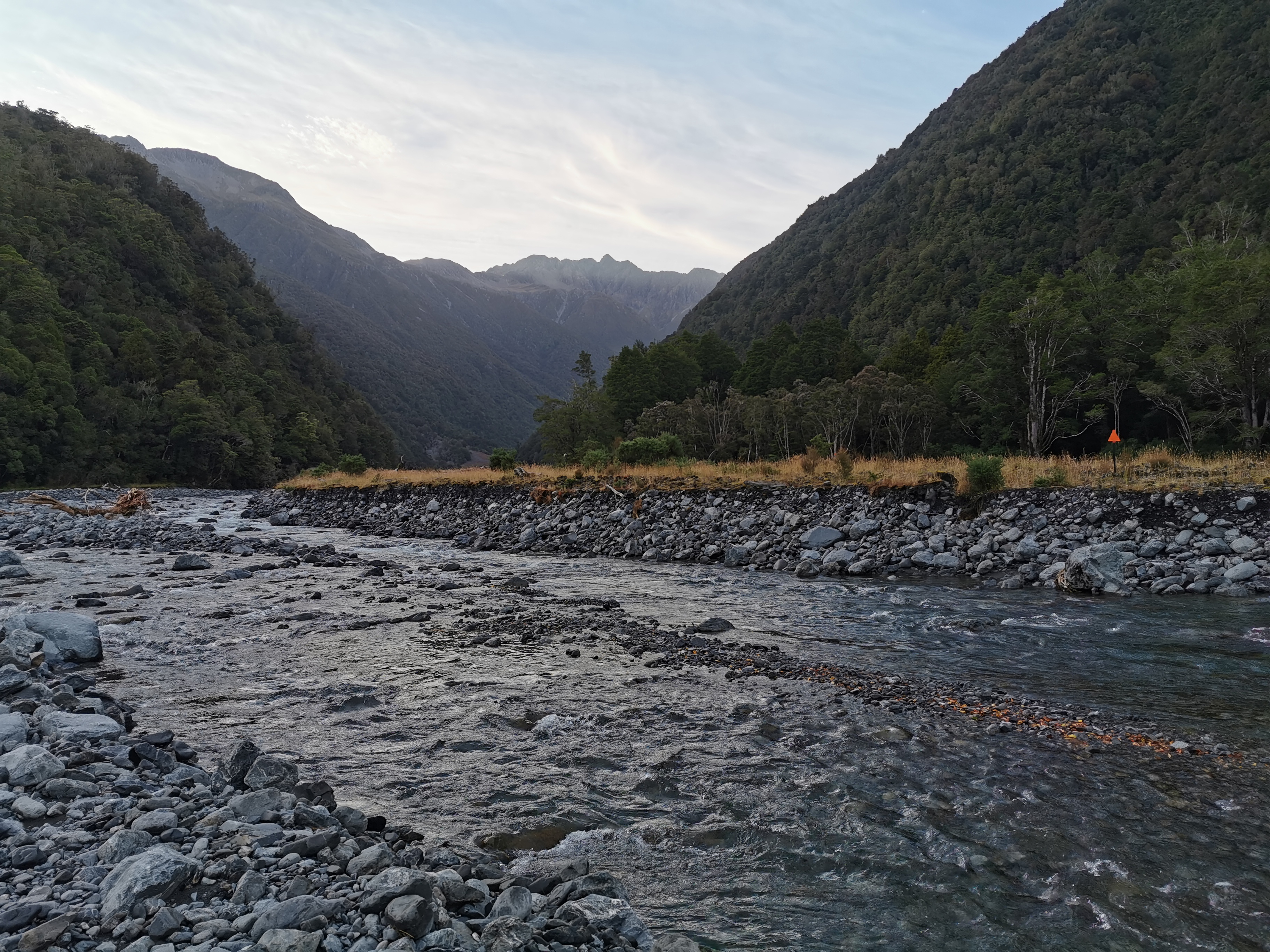
After a very quick lunch #2 here I pressed on. I came to the Taramakau river. I had been told that from this point, there were lots of rivers on trail and there was no point trying to keep your feet dry. So this was the first time on the whole trail I walked through the water with my boots on.
The Taramakau River
In a way it was refreshing. I could now walk through the rest of the rivers and not care about getting wet feet. And the water is actually refreshing on your feet and legs when the sun has been out. And it saves time changing footwear. I was hesitant before because I thought the boots might never dry out, however my boots got wet in the rain at Hope Kiwi Hut a few days ago and they dried out from that so I know it is possible to dry them.
What’s that way in the distance?
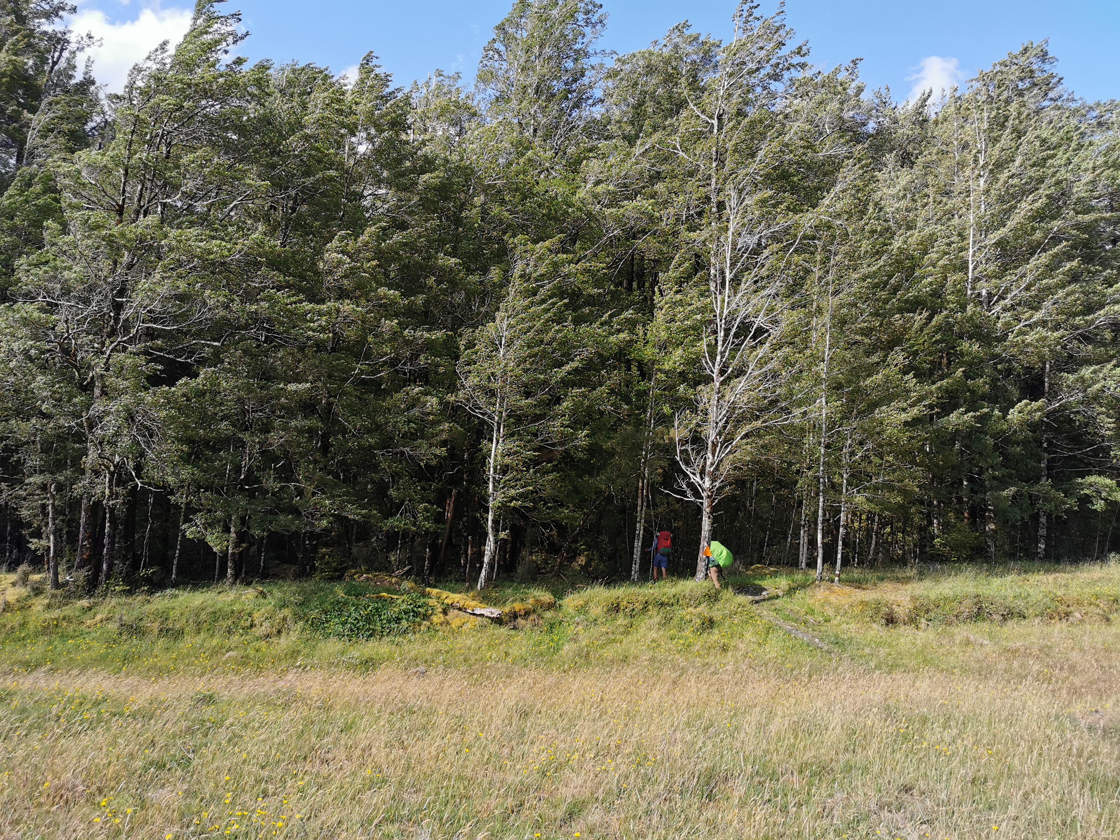
It wasn’t long before I saw a green pack cover in the distance. It can’t be Timon as he’d be too far ahead and it can’t be Florian as his pack cover is blue… so it must be Pierre.
Zoomed in – other hikers
I saw shortly after that Florian was with him, so I picked up the pace to try and catch them. Pierre saw what I was doing and so he started jogging. I think he was just having a bit of fun and didn’t want to genuinely get away from me… although we had joked this morning at Camerons Hut that we all wanted to be first to Kiwi Hut because it was only a 6-bedder.
I did manage to catch the two of them after 10 minutes. Florian said yesterday he spent 3 hours in the hot pool. It drained all his energy and he didn’t think he was going to make it to the No. 3 hut.
After a bit more walking the two of them detoured to Kiwi Hut, as it’s not directly on trail. I decided not to join them as it would tempt me to stay there. Just in case the weather is bad in two days (Sunday) like has been forecast, I don’t want to be stuck due to river crossings on Goat Pass just before the Bealey Hotel.
The junctionThere go the other two into the bush
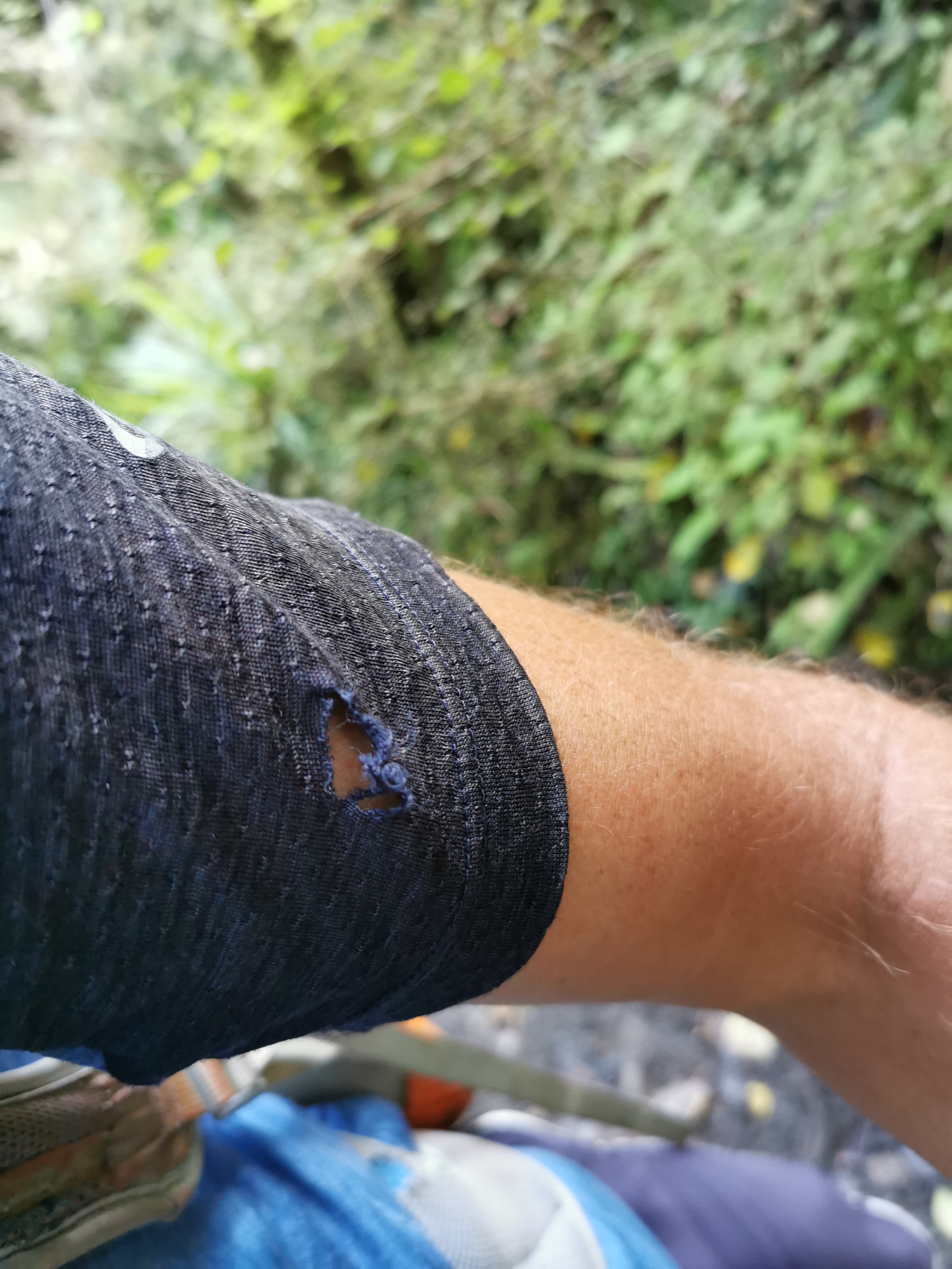
Walking through the bush a bit further on, for the first time I put a hole in my clothes when my shirt snagged on a tree branch. How annoying.
Grrr
The markers after here were non-existent. The only choice was to follow the map, firstly past two private huts:
It says Private on the wallThis hut has a great view, but again it’s private
And then down to the Taramakau River again. This time though it was not a nice river crossing. In fact it was the first river crossing I’d done where I was genuinely scared. I spent almost an hour and walked about a kilometer and a half trying to find a good crossing point.
The Taramakau River again, further downstream. It doesn’t look deep or fast flowing here, but it was
The first place I tried to cross got too deep and too fast fairly quickly, so I retreated and looked further. The second place I tried was better, but the water was still flowing quite fast and my poles were shuddering when I put them in the water. I moved slowly, one limb/pole at a time, and slowly made my way across. It was very satisfying to reach the other side. I was really surprised such a scary crossing didn’t have any markers.
I thought I’d start up a “scariness scale” for river crossings since a lot of them are due to come up in the next week. This one was 8 out of 10. If it was 9 or 10 out of 10 I would not have crossed it.
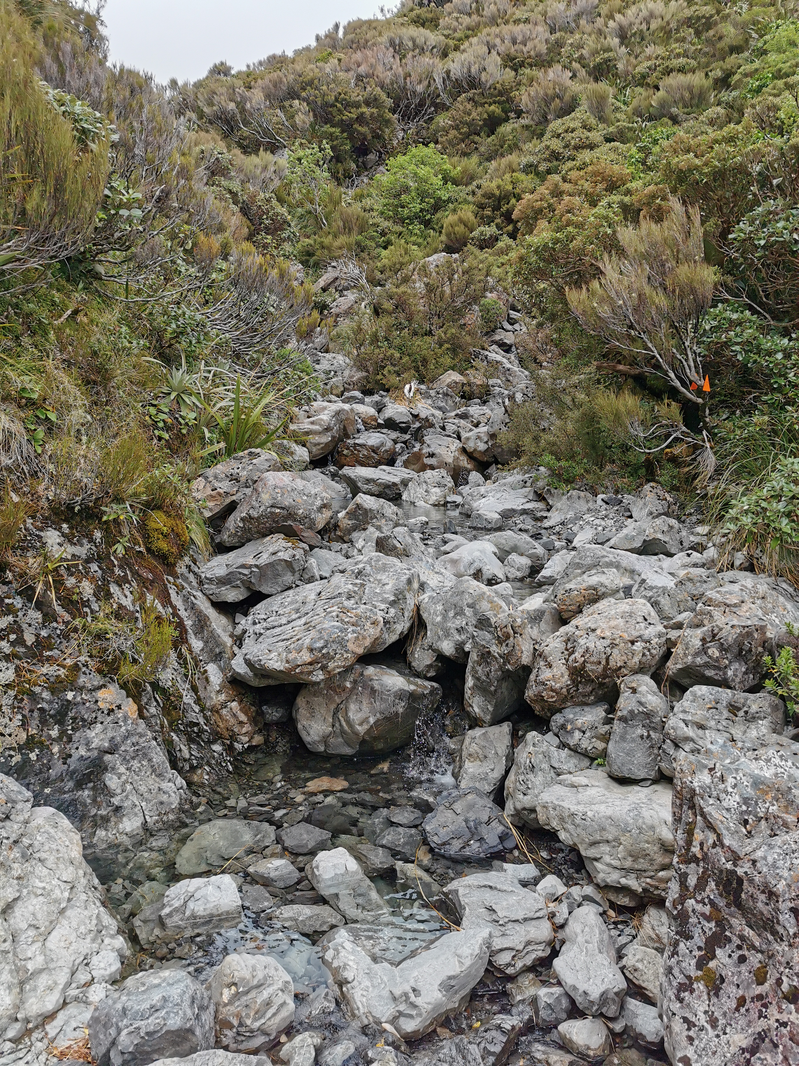
The lack of markers continued for a long time yet. At first there was a fairly obvious path through the scrub:
But then after a while it just got overgrown and you had no choice but to wing it and just follow the river. If you were lucky there would be a few footsteps here and there to reassure you that you were going the right way.
Where to here?
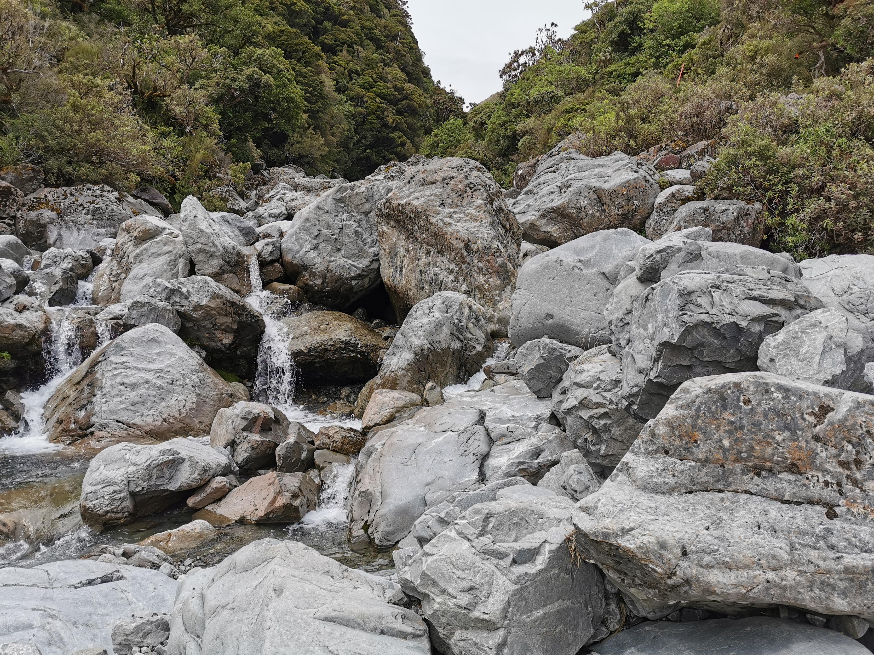
And then, rocks.
Rocks
Rocks, rocks and more rocks. Rocks for days. Rocks forever. Rocks up the wazoo. It was another case of just following the river. The rocks went on for over an hour.
Lots of footprints though, despite being in the apparent middle of nowhere
I was aware that if these rocks kept up, then there would be nowhere to camp, and it was getting late. 7:30pm came and I was still walking along the rocks. It was kinda nice though. Just walking in a dead straight line with no change in scenery meant I could just relax and enjoy the surroundings. I did enjoy the walk along the rocks. But since the others detoured to Kiwi Hut I felt a bit alone again. And I missed Taco Terry still!
Once the rocks were over, the path went through gorse again, with plenty of flat pieces of grass to camp. The problem is there was lots of cow poo… and where there is cow poo, there are usually cows. I always think it’s not a good idea to camp where animals are present so I kept going.
There were indeed cows, I saw them.
The track then went back into the bush, which could have been a good camping spot but there was no water source so again I kept going. I knew the Otira River would be coming up soon. Maybe there’d be good places to camp there.
One particularly slippery part of this section. Luckily it wasn’t like this most of the time.
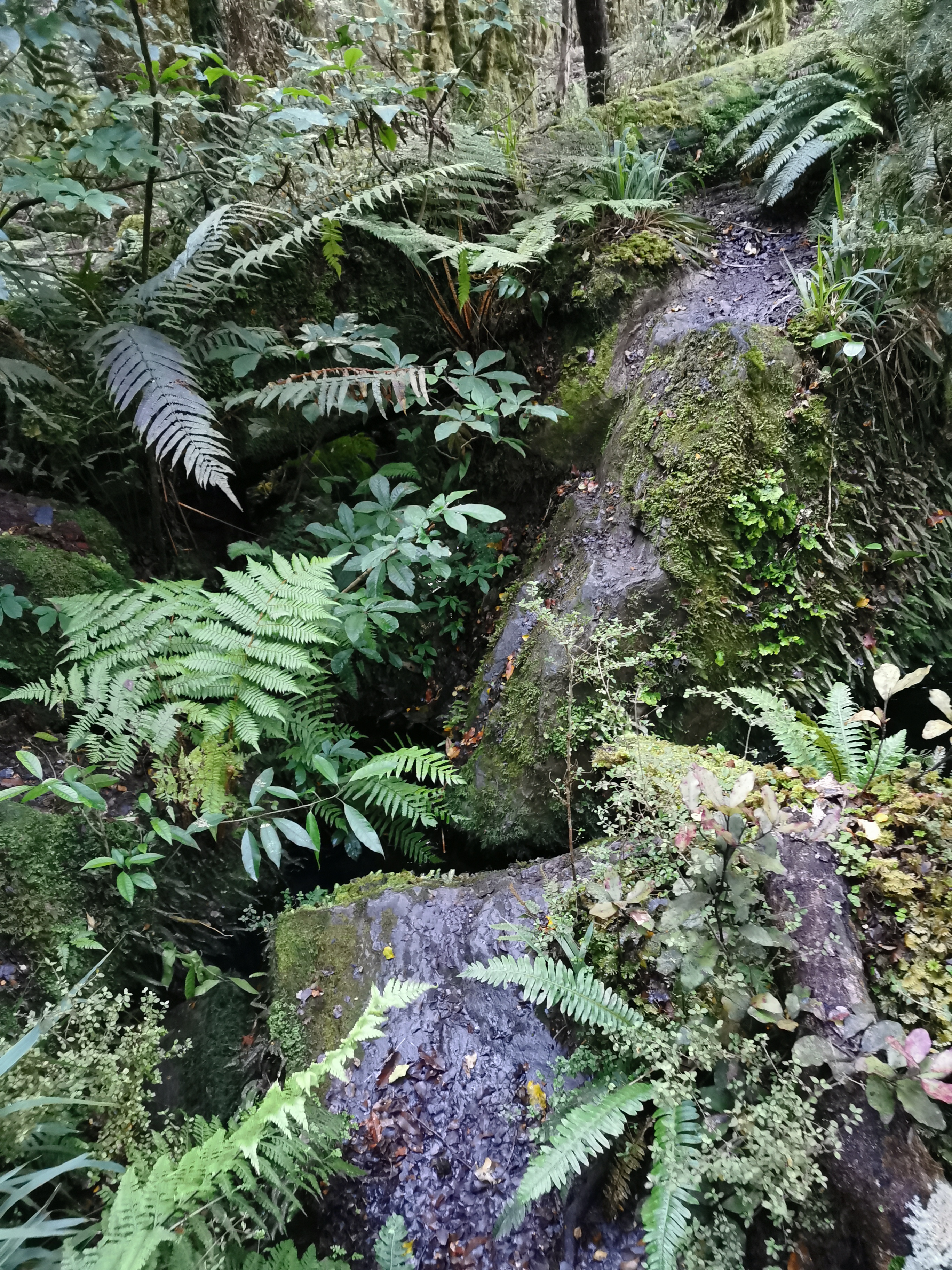
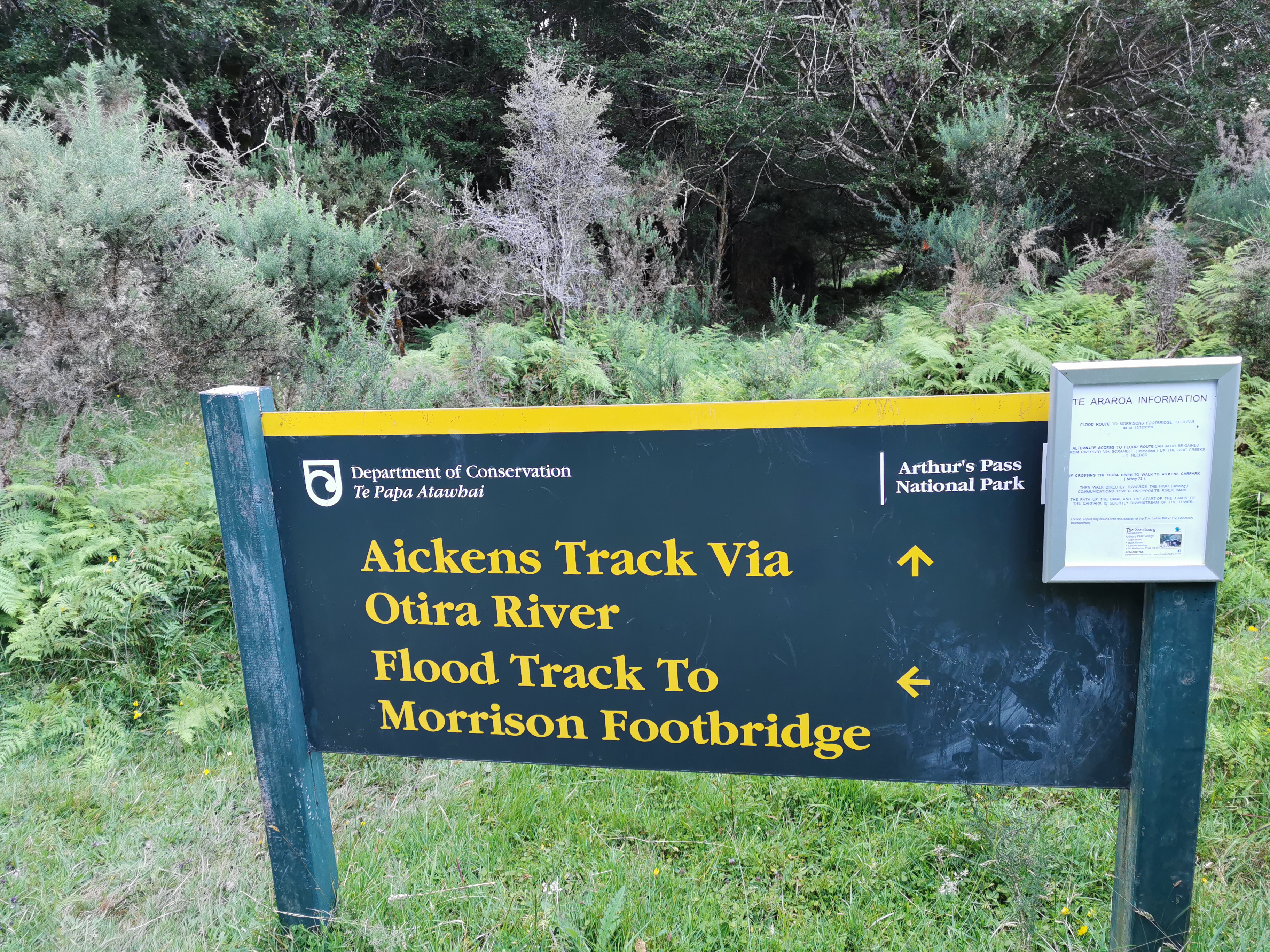
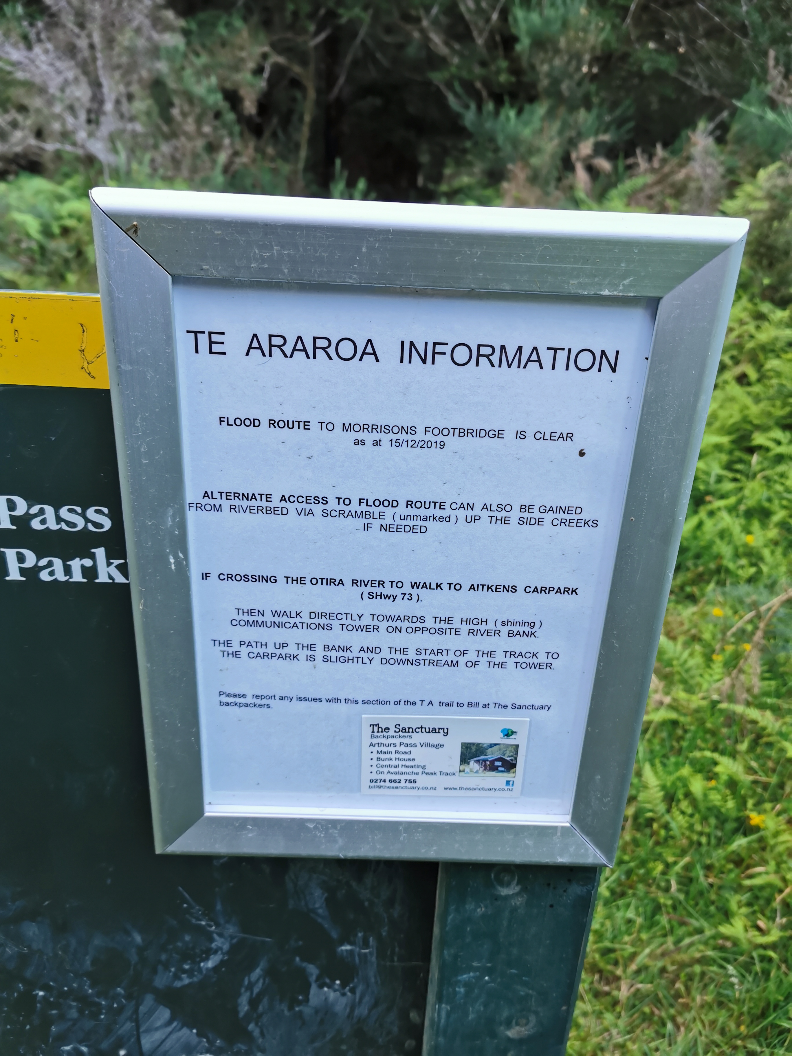
The next section was the flood track.
You can go straight ahead here as a shortcut to the highway. The TA goes left.“The route is clear” – hopefully that means no fallen trees or anything like that
I thought since we were going near the river that there’d be a good place to camp soon.
But no, the track started going up.
And up in the bush the narrow path was quite overgrown. Again, nowhere to camp here. And it was getting dark. I wasn’t worried though. Morrisons Footbridge was a few kilometres away and if I was desperate I could do the last bit in the dark. I got my headlamp ready in case I needed it.
At this point I could hear motorbikes on nearby State Highway 73, which was the first time in a while I’d heard vehicles. Morrisons Footbridge is right beside the highway but there’s no town at that point or anything notable.
At one point the track did go down by the river and by this point is was 9:20pm and it was dark in the bush.
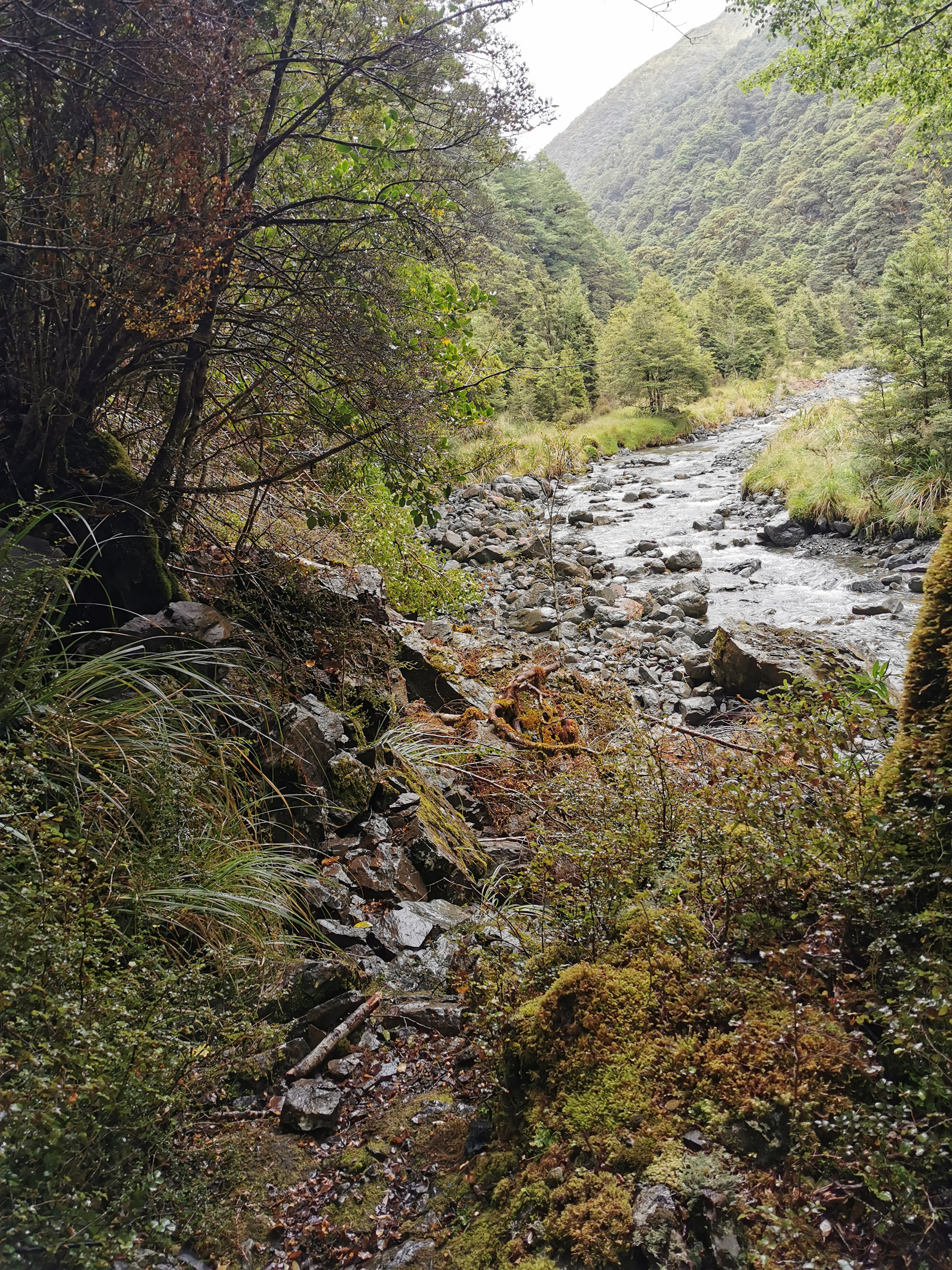
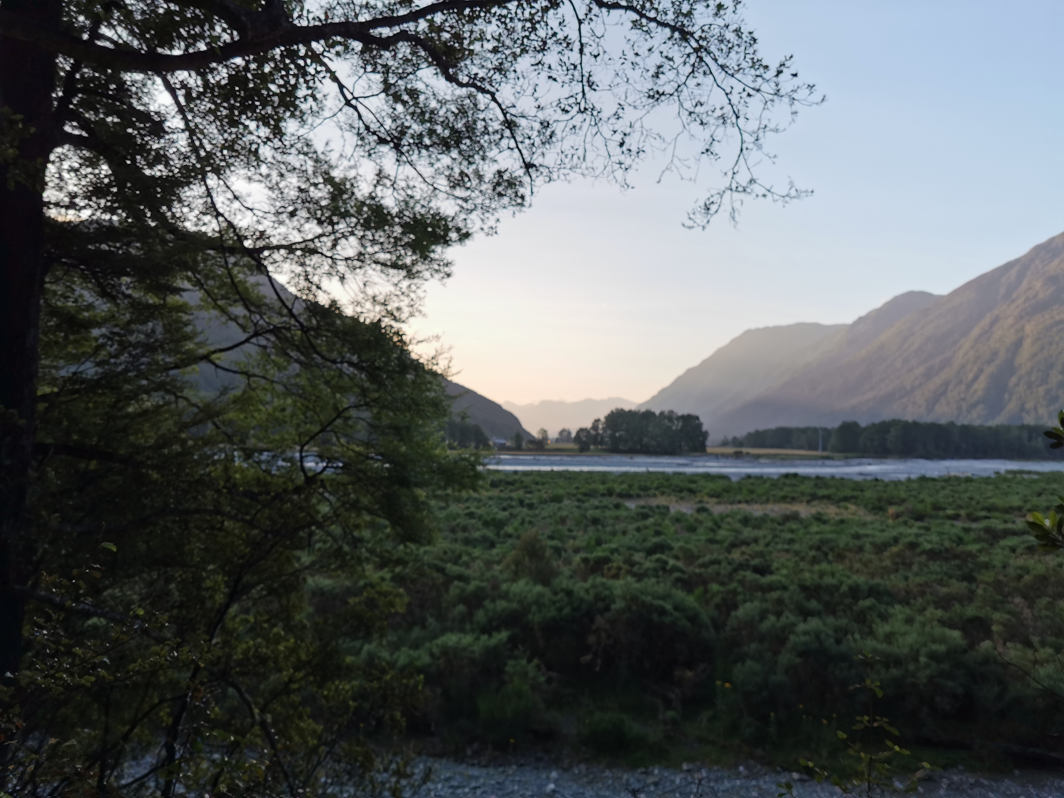
The Otira River
I decided this was going to be my camp spot for the night. There still wasn’t much flat land around but I found a little space underneath a big tree.
Setting up camp at night doesn’t stop the sandflies
So I almost made it to my intended destination but not quite – I was 1 or 2km short. I was again a little annoyed at myself for not starting until nearly 11am, knowing that I would have dried out from the rain and I ended up leaving in the rain anyway so waiting it out didn’t even work.
It’s okay though, that just means I need an early start tomorrow. I decided I’d aim to leave in the morning at 6:30am. The trail notes say that the remaining part of this section will take 14 hours. That’s doable… but it would be nice to make the Bealey Hotel at the end of the section in time for dinner.
Because of the long day, the lack of flat ground and the sandflies I wasn’t able to cook any dinner so I had to settle for cereal for dinner. Damn, I really felt like something hot for dinner. As well as the cereal I had a lot of my snacks knowing that at the Bealey Hotel tomorrow I can get the food box I sent myself from Christchurch.
I could hear the Otira River since it was so close, and I could also hear trucks on the highway across the river.
Since I was walking in wet boots today for a lot of the day I was getting abrasions on my second toes (the little piggies that stayed home). I hope they don’t turn into blisters. It’s going to be the same tomorrow for the Goat Pass section tomorrow. Apparently there is a lot of rock climbing tomorrow as well as river crossings. It made me think of the big rock structures that needed to be climbed back on Mt. Rintoul in the Richmond Ranges. I hope it’s not as scary as that tomorrow.
Date: 1 February
Trail covered: 31.2km (kms 2146.0 to 2177.2)
Weather: perfect for walking – overcast, light wind, no rain
Wow so it’s now February. Will this be the last month of the TA for me? Will I manage to finish by 29 February like I’ve anticipated? I can’t wait to find out…
I opened my eyes at one point during the night and it was still dark. Good, I thought, that means I can still sleep longer. But no, I was wrong, the alarm went off very soon after. Gee, I thought it would at least be a bit light at 5:40am. I hit snooze and slept another 10 mins.
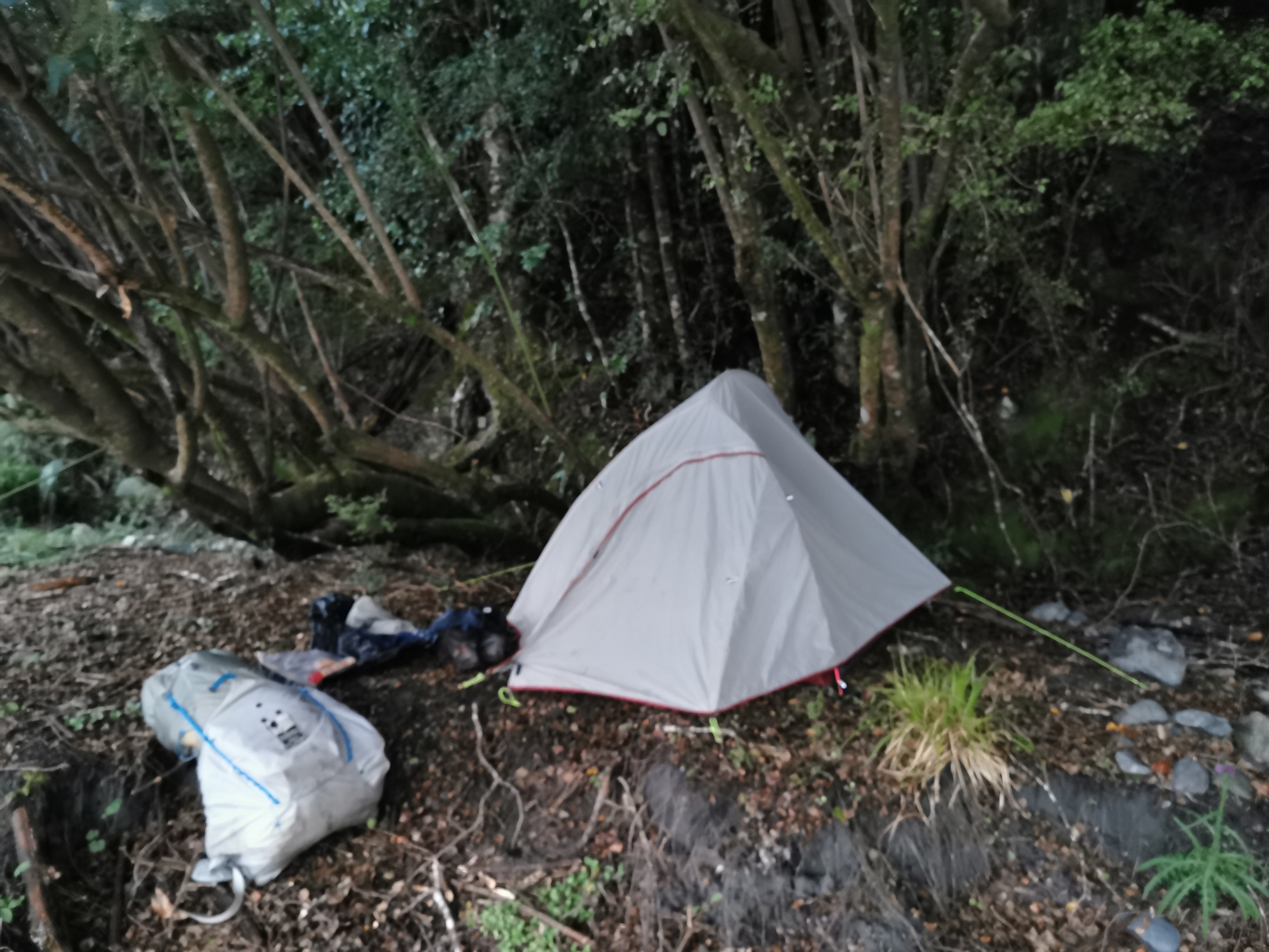
My tent site in the morning just before I started packing up
I had wanted to leave by 6:30am but packing up the tent and having breakfast never goes as fast as I think it will. I didn’t get away until 7am.
The Otira River beside my tent in the early morning
You have the option here of going along the Otira River or back along the flood route from yesterday. Since the river was barely ankle deep in most places I chose to walk down the river.
A bunch of red rocks along the riverbed
I then followed a 4WD track into a farm.
Then it went into scrub. In hindsight I should have just kept following the river, as there was a lot of gorse this way.
Squeeze yourself through there…
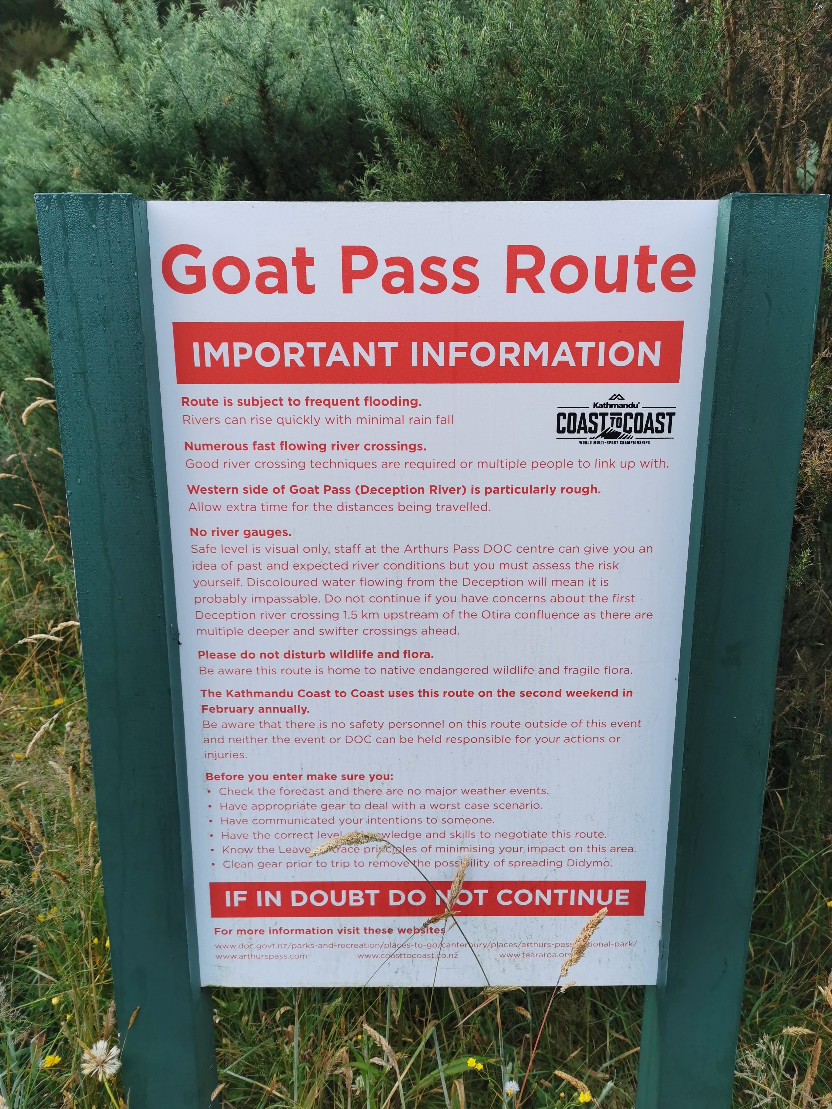
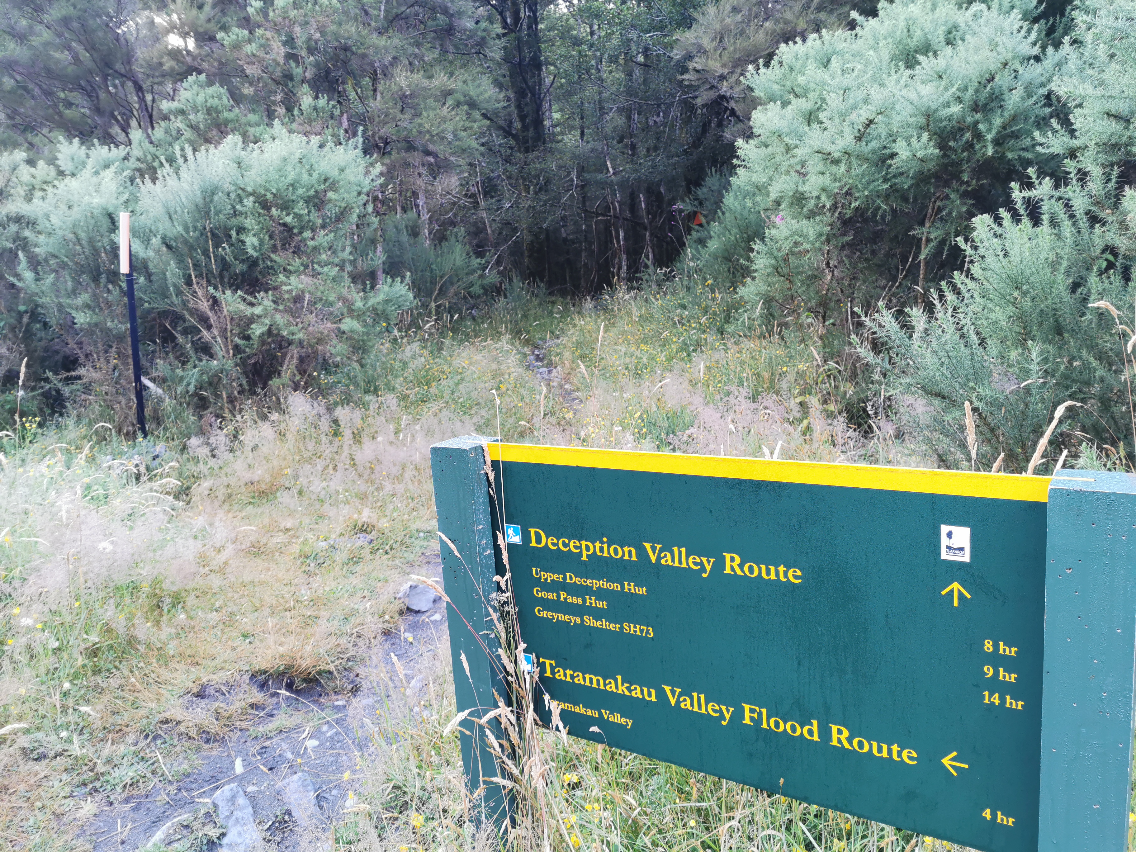
I eventually got to the start of the Goat Pass track. There was a big sign listing all the dangers.
Basically… “good luck”
It was 7.30am by this point. There was another sign saying it is 14 hours to Greyneys Shelter from here.
Directions and times
I really hope it isn’t that far – the Bealey Hotel which is my intended destination is another 6km past there and I don’t want to arrive there at 10pm. But if I do there is a place called the Klondyke Campsite just past the shelter where I can set up camp. I hope it doesn’t come to that though. I want my food box and I also want a beer and greasy pub food for dinner.
This is the Mountain Run section of the annual Coast To Coast event. Apparently top athletes can do this section in 3 hours. Surely if they can do it in 3 hours, then I can do it in less than 14! In fact the Coast To Coast is actually six days from now. It was Saturday today and one of the few days in the next week where no rain is forecast, so I expected to see a lot of people out there today training for it.
Here I encountered a guy called Pete who had camped overnight beside these signs. He said he had the same plan as me originally, to start early and do this entire section in one day. But he said that after how difficult it was to cross the Taramakau River yesterday, he was having second thoughts, and ultimately decided not to do it. That was sad for me as I would have liked a buddy. It also made me question my decision to go through here today. I mean it wasn’t raining right now, but the weather can change in 14 hours!
Like the big warning sign says, the first river crossing is the Deception River. Even the name makes it sound scary. This crossing is 1.5km on and so I should be able to gauge fairly fast whether the river is at a safe level.
The trail notes have called this section the Deception-Mingha track, as you follow the Deception River up one side and then the Mingha River down the other. Hopefully it is well marked. Florian said that he has done this track before and doing it in one day is definitely doable. He also said that in the event of rain, the southern end of the track (the Mingha River) would be easier to escape from than this end (the Deception River).
If the rivers become impassable and you get stuck on the track, there are three huts to stay in. One is Upper Deception Hut halfway up this side, then Goat Pass Hut at the top, and then Mingha Bivvy halfway down the other side. So these were the backup options, but hopefully they’re not needed.
Sure enough after 1.5km I came to the first crossing of the Deception River. How this crossing goes will definitely determine the mood for the rest of the day.
First crossing of the Deception River
It was fairly deep but not particularly fast moving. When a river is deep it is just mind over matter to cross it (as long as you can see the bottom). Fast flowing rivers are what sweep you away and where you get hurt. Crossing this river was a breeze compared to the Taramakau yesterday. Scariness rating 4/10. That’s a good start.
This is how deep it was – see where I’m wet
I didn’t realise at first but this river had to be crossed multiple times, in fact going up Goat Pass was spending almost the entire time in the river or on the rocky riverbed. There were only a few times where the trail went into the bush on the side.
The second crossing of the Deception RiverOne point where walking up the river was required
I had managed to do 10km by 9.55am. I thought that was pretty good going. It was perfect weather for walking which helped. There were a fair few clouds and the sun is behind a layer of haze, but it looks like it won’t rain.
Here come some people….
At one point a guide came through with a runner. She wasn’t running the Coast To Coast, she just wanted to see the course apparently. I spoke to the guide briefly and she said there is a lot of bad weather forecast starting tomorrow. I said that’s why I’m trying to do the whole thing today. Her response was that it shouldn’t be a problem. Nice to know.
There they go
Here’s my 11am picture: a waterfall that had to be crossed. I saw four or five guys at this point, but since it took me a while to cross this bit of water, I lost them.
11am picture – one of the more challenging bits of water to cross
Here’s Upper Deception Hut.
Upper Deception Hut
Well that’s what it’s called on the map and on the sign at the start of the section. But on the outside of the hut it says “Deception Hut” on the sign. I know I often talk about hut naming discrepancies but this seems to me like a big one. If you are in touch with Search and Rescue and it’s not clear which hut you’re at, it could be the difference between life and death. I wish they’d name the huts consistently.
Inside the hut
I was the first to sign the intentions book in this hut today. I had lunch here and while I was doing that a runner went past and waved. The presence of other people coming this way again made me feel good that doing this track with a bad weather forecast tomorrow isn’t a bad idea.
Leaving the hut
From here it was really rocky. There were lots and lots of large boulders to climb over, and I was in the river most of the time. But I really enjoyed this bit. The rocks weren’t dangerous like the ones on Rintoul. If you fell you wouldn’t fall far. And being tall definitely helped.
Another waterfall to navigateBig rocksMore big rocksI hope this tape simply means that you shouldn’t go this way, and not that someone died here. Apparently someone running did die on this section in 2016.
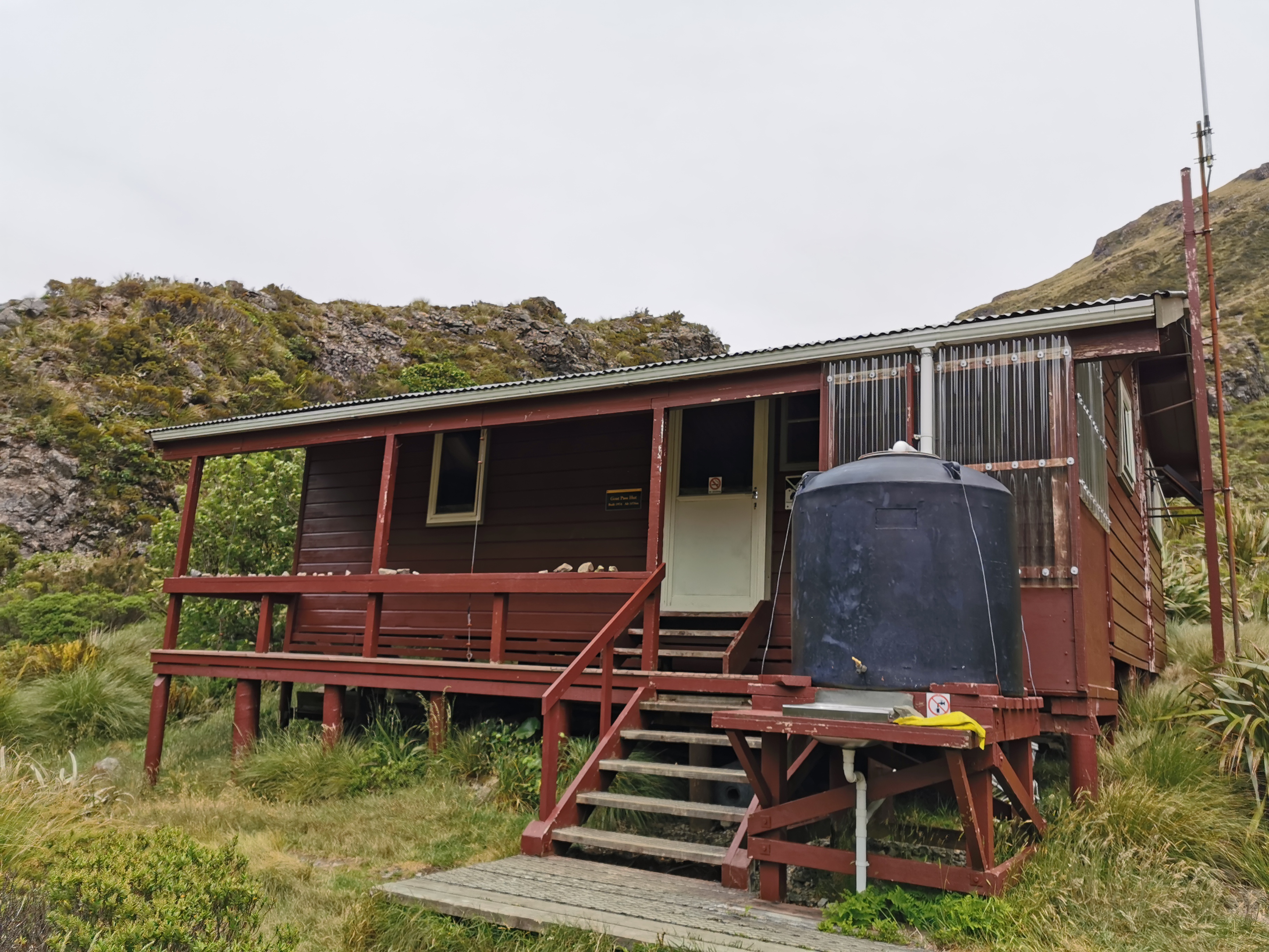
I got up to Goat Pass Hut at 1:10pm.
Goat Pass Hut
I had a look in the intentions book. Joshua and Nina were in there from five days ago. Interestingly none of the runners that went past had signed themselves in. I guess they didn’t have time to stop.
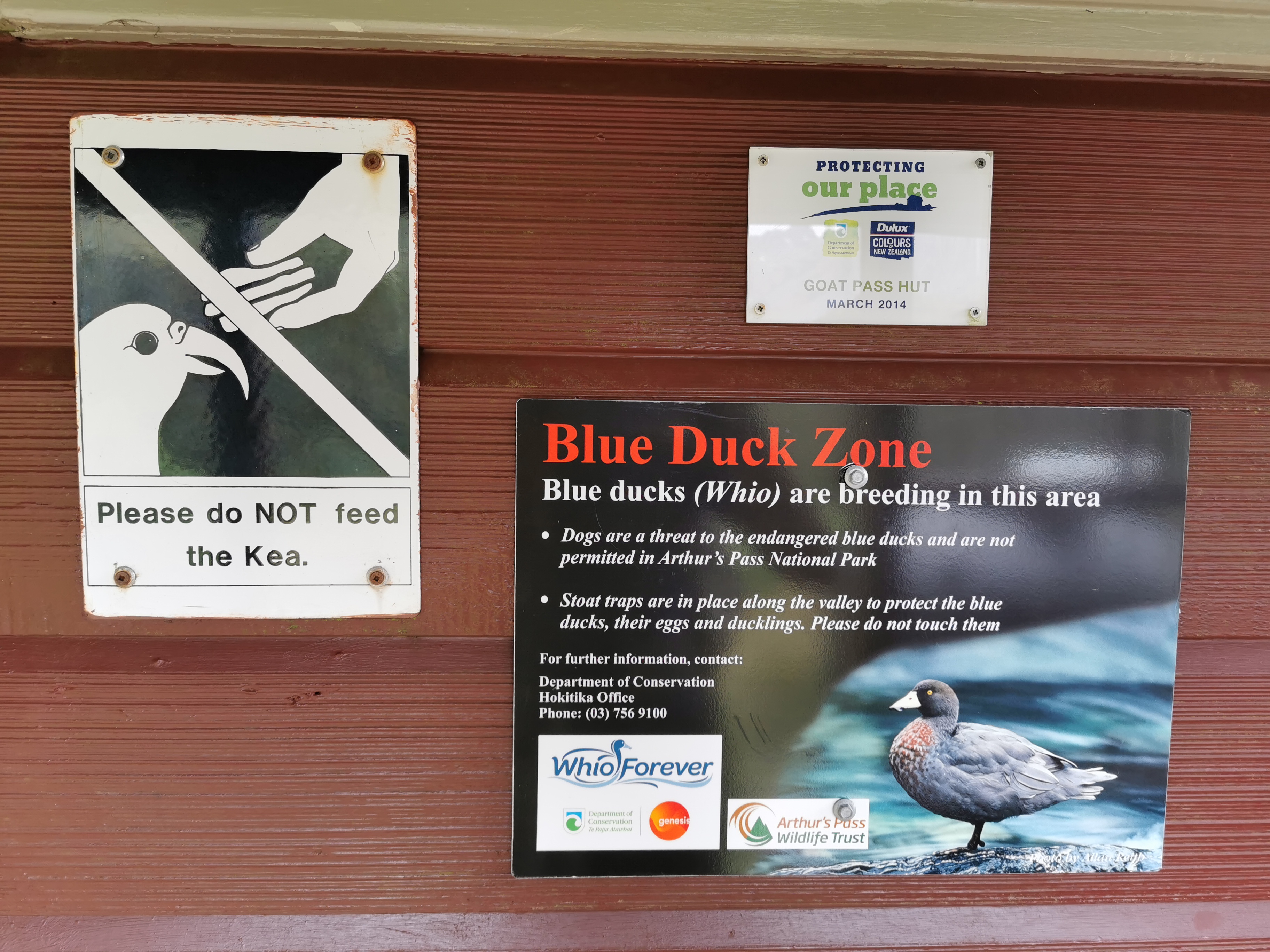
This is the first sign I’ve seen explicitly mentioning kea. I’ve never seen one before and I’m looking forward to when I do.
It was quite windy at the top. But there was a boardwalk which was surprising – although it shouldn’t have been too surprising since the trail notes mentioned it. The boardwalk was quite long and was a nice change from the relative difficulty of the previous section.
Must be selfie time!
It was really nice walking along here. I wonder if this boardwalk will last all the way to the bottom? It went a surprisingly long way.
Under the boardwalk… there’s a lot of mud. Under the boardwalk. Boardwalk.
There were still a few streams to cross. While crossing one of them I accidentally dropped one of my poles into the stream. It was quite a fast moving stream so I nearly lost the pole downstream, but luckily I grabbed it in time.
The poles have straps on them so that that doesn’t happen, however I stopped using the straps in the South Island. I remember Robert saying to me in Northland that he wouldn’t want to fall down a cliff and have his arm broken since he was strapped to the pole. Those words resonated with me and so for the last month I have just held the poles without the straps. I think it’d be more likely that the poles break than my arm breaks but I can’t get the image of my arm breaking out of my head.
Here’s the Mingha Bivvy. A fairly standard two-bed structure painted the usual “Rescue Orange”.
This one is not even named on the outside that I could see.Inside
I didn’t stop for lunch #2 today. I wanted to save myself for a big pub dinner later.
From here it was easy going downhill at first alongside the Mingha River but as the path went further down there was more water and more climbs.
A steep climb
The way down was a bit “meh” after the enormity and the excitement of the uphill. You could say the Mingha River side was more of a “minger” than the Deception River side. I was glad when it was over.
The last bit was a bunch more rocks to walk along.
Near the road I encountered a Dad who was waiting for his son. The son was apparently walking or running the Coast To Coast track and Dad was getting worried that his kid wasn’t through yet. Although it had only been four hours. I told him he didn’t need to worry yet.
Soon after that Highway 73 came into view, as well as the train line that ran alongside it.
Go, train, go!
It was about 4:30 by this point. I was making good time but I had been thinking for a while about a small problem. If I go to the Bealey Hotel for a pub meal and get my food box, I either have to stay with them the night or backtrack 5km to a campsite. The other option could be to go to Bealey Hut which is 4km further on but then I’d arrive late and arriving after dark at a hut is not cool. Would the hotel have a room available on a Saturday I wonder? The weekend before the Coast To Coast? Probably not, I figured!
Well this was the point where cellphone service returned, so I could find out for sure. I called the Bealey Hotel and asked if they had any rooms… turns out they did! Phew… I will get my pub meal, beer and food box tonight after all, and won’t have to backtrack. Wonderful. And hopefully a comfy sleep too.
I was still a few km from the hotel though. There was one final river crossing before the safety of the highway – the Bealey River. This is it:
The Bealey River
It was pretty tame. I gave it 3/10 on the scariness scale. That was the last river crossing before I was no longer “trapped” if the rain came in – if the rivers get flooded now at least I’m on a road and can get out instead of being stuck in a hut. That was a good feeling… however there are still a couple more river crossings before the hotel.
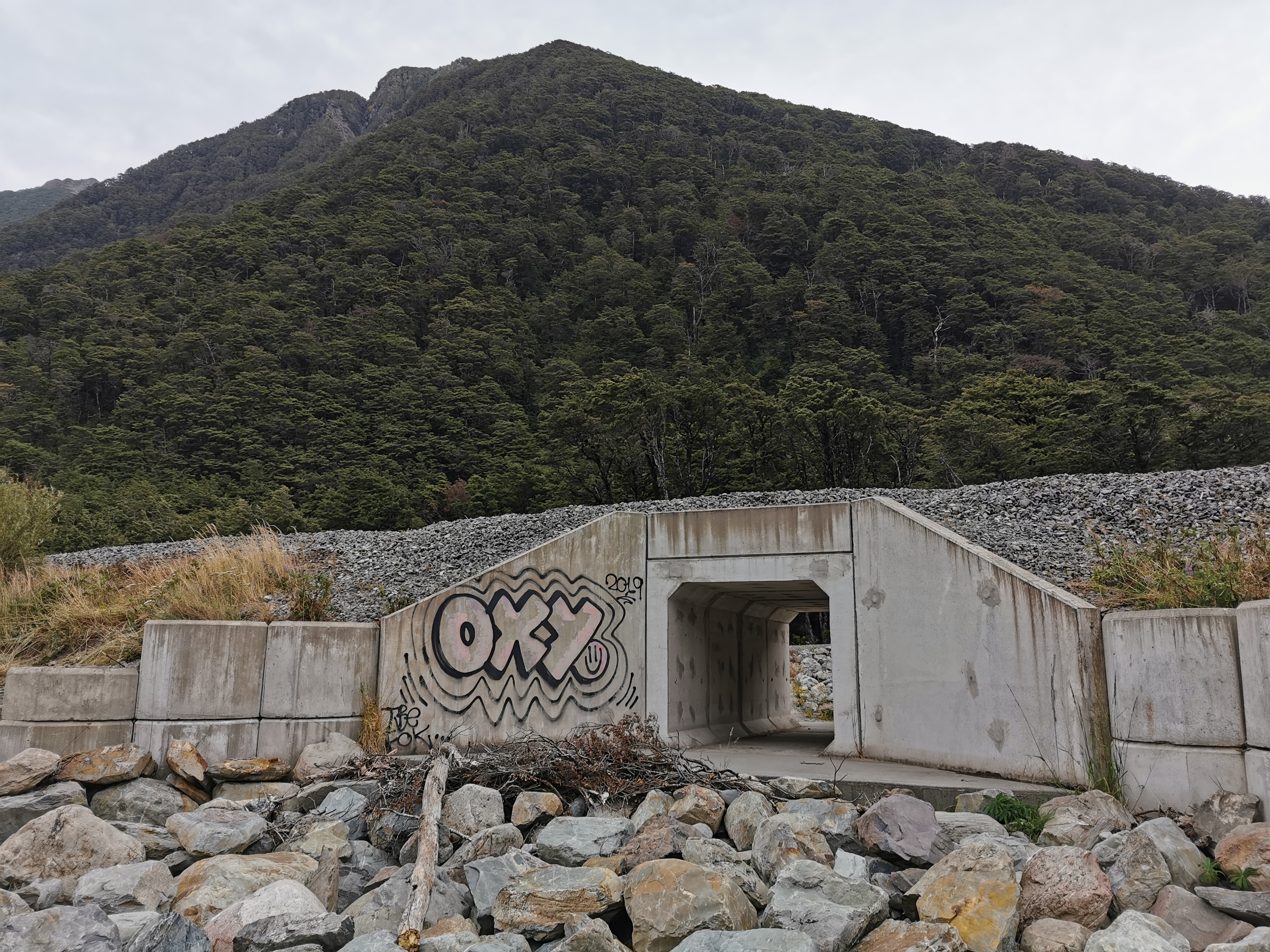
First though was a walk down a 4WD track beside the road and then under the railway line through this tunnel:
Chicken stock cube tunnel. Oh wait, that’s OXO.
And here is Greyneys Shelter.
Greyneys Shelter, SH73
This was the point that the sign at the start of the day would take 14 hours to get to, and I’d done it in just over 9. Not too shabby.
In the car park was a car that had left this note in the window. I thought it was odd that somebody has explcity advertised that this car will be sitting vacant for two or three days.
“I’ll be back in two or three days to get my car” – makes it sound like a theft target if you ask me. Not that I can really talk.
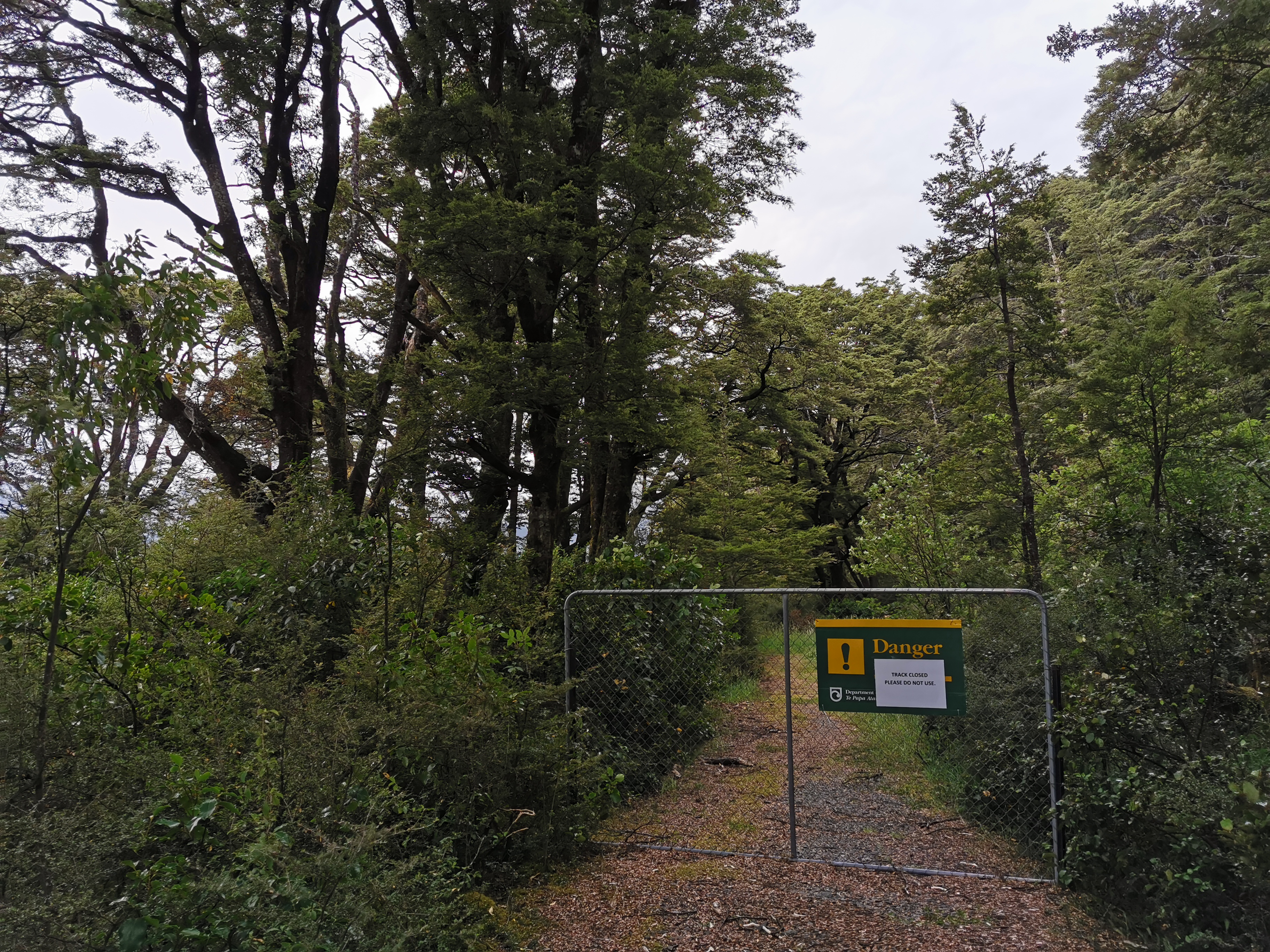
Then there was this track, which had a big fence and was closed:
That wasn’t the way anyway. The way from here is the road.
On the road again
At least for a little bit. Then you turn off to the left, and walk through a field:
Field
Then a forest (the Klondyke Campsite is just after here):
Forest
Then on a 4WD track:
4WD track
And then there is one final river crossing before the hotel – the Waimakariri River:
You can just see one of the Bealey Hotel buildings on the other side
This was actually the scariest river crossing of the day. It was fairly fast moving and took a couple of goes to find a spot that wasn’t too deep. In the photo above, the river starts to turn just before the power lines. I found that a good place to cross that wasn’t too deep. The scariness rating for this river was 5/10.
Once you’ve crossed there you end up at the back entrance to the hotel. Some animals are waiting for you:
HiHello
Here’s the pub’s accommodation.
Bealey Hotel accommodation block
For $80 a night I got a private room with shared facilities. It was all quite cramped and everyone was all over each other a bit. But a room with an ensuite was $180 so I didn’t complain.
I saw Dave and Baxter in the pub playing pool. They had hitched from the Otira River because they were worried about the Goat Pass section and the rain. I asked Baxter how he found the Taramakau River crossing from yesterday. He said he was “shit scared”. No wonder since he’s 14 years old and very lightweight.
In fact everyone I had talked to in the last few days was intending to skip the Goat Pass section because of the weather. I of course didn’t want to skip it, hence the big day today. Most people would do the pass in two days, according to the trail notes. I’m so glad I didn’t have to skip it, today was a really excellent day.
I had a burger for dinner and two beers, and dessert, and then also got my food box and ate sweets out of there. I was feeling a bit sick after all that. I tend to do that when I come across anywhere that sells food – stuff my face too much. I really shouldn’t.
It was a surprise that at the hotel they sold a few hiker-related items, in particular I got a new gas canister from there. Awesome – now I don’t have to worry about running out of gas with all my pasta I still have. If only they had milk powder, then I’d be set.
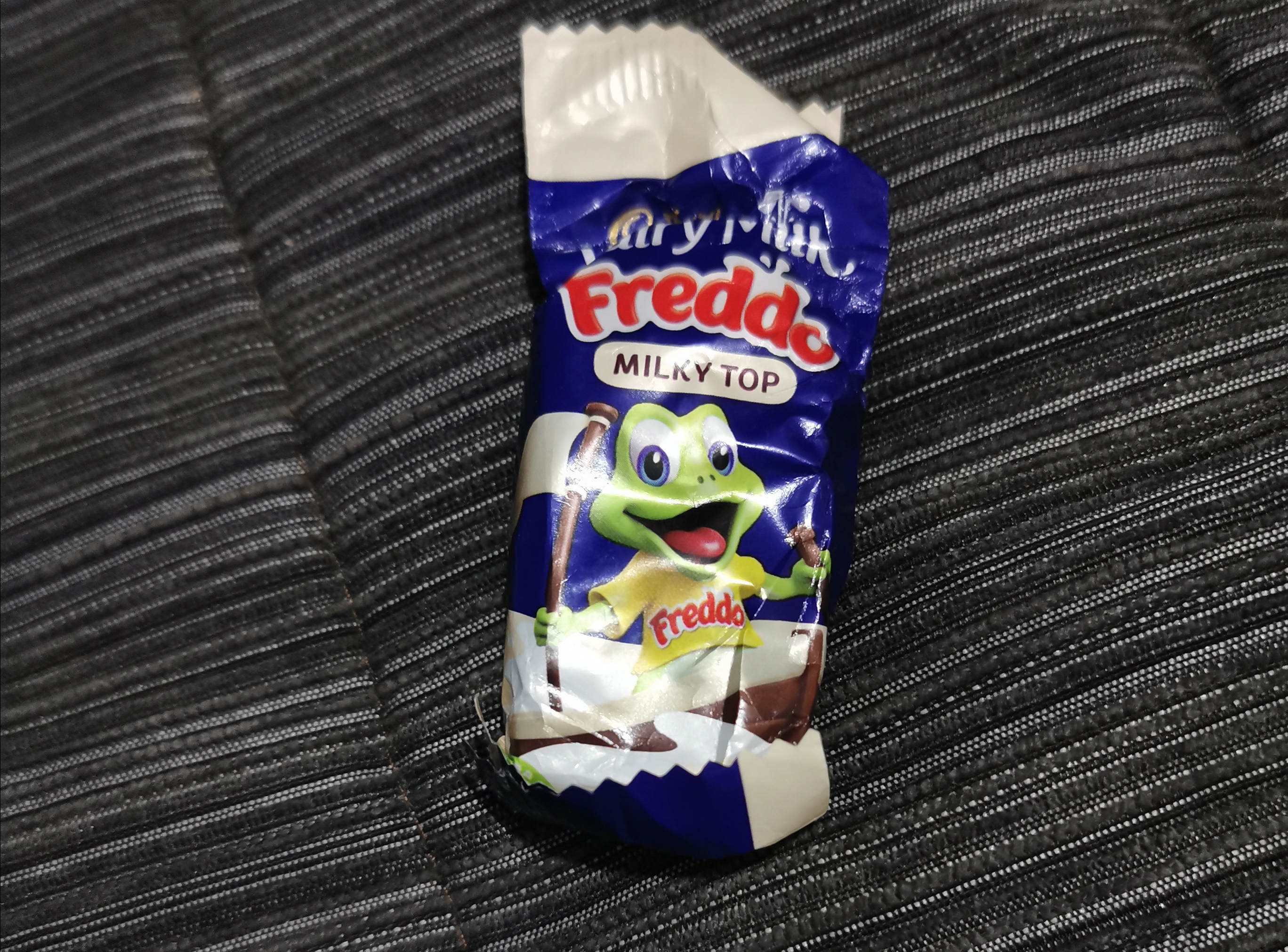
One final thing I noticed – I finished the section with some chocolate left over. That has never happened before. It wasn’t much chocolate – it was just one Freddo. But nonetheless, it was still an achievement.
You won’t last much longer
I don’t know what’s gonna happen tomorrow. The weather forecast is all over the place. There’s a 20km walk to a hut called Hamilton Hut and then after that there are a bunch more river crossings. Hamilton Hut is apparently a common place to sit and wait if the river (the Harper River) is too high. Let’s see what the weather is like in the morning.
Date: 2 February
Trail covered: 37.9km (kms 2177.2 to 2215.1)
Weather: wet at first
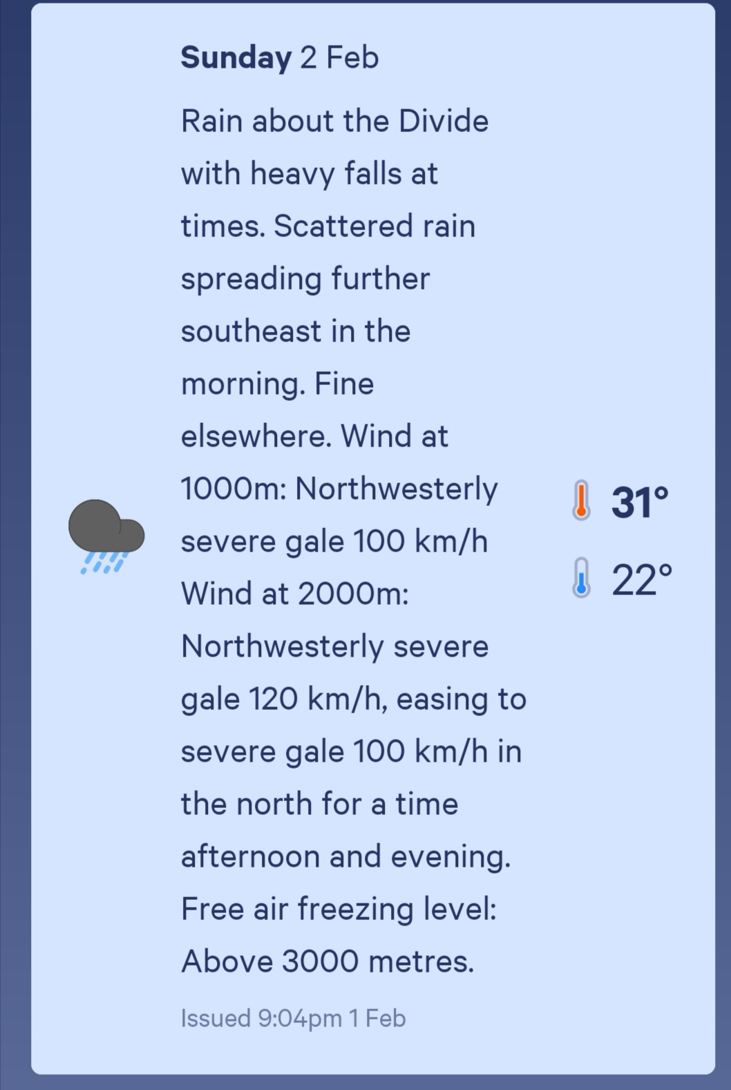
I think there are a couple of things worth pointing out before we go any further. First is the weather forecast for the next two days.
TodayTomorrow
Pretty grim. The next is the logistical nightmare of the next couple of sections. You see, coming up soon are two breaks in the trail – the Rakaia River and the Rangitata River. Both these rivers are uncrossable on foot and therefore the trail simply stops on one side of the river and restarts on the other (like it does when crossing from the North to the South Islands). You can see it on the map at the end of the post.
However, there aren’t many options for getting around these rivers. The ends of the trail are in the middle of nowhere and so there’s no public transportation and very little traffic to hitchhike. It’s a massive 60km or 70km road walking to walk around each river. There’s a shuttle but it has to be booked in advance, and there is no phone reception either in Bealey or between Bealey and Lake Colridge where the first section of trail terminates. And given the awful weather forecast above, even if I could call the shuttle, how would I know what day I’d be at Lake Colridge? I could be stuck today with uncrossable rivers. You can see the problem.
Most people get to Lake Colridge and then either take a shuttle to Methven or manage to hitchhike there. Methven is a good place to resupply since there’s not a lot of resupply options in the week or so after there. Here’s the thing though – the previous section between Boyle Village and Bealey was supposed to take six days and I’ve done it in four, and the next section is scheduled to take four days but I reckon because of the bad weather I’m going to attempt to race through it and do it in one and a half or two days. Since I just picked up a food box and I had food left over from before, I’m carrying seven days worth of food for a section that will only take two days. My pack is unnecessarily heavy. I do miss the prunes and dried peaches I had in my last lot of food though.
It’s already raining this morning so I tried to put my pack cover over my pack but it’s a struggle to make it fit.
One of the guys staying in the Bealey Hotel shared accommodation is training for the Coast To Coast and he is apparently sponsored by Radix Nutrition who make freeze-dried meals similar to the Back Country Cuisine ones. He offered me a few and despite already having way more food than I needed, I’m never one to turn down a freebie so I accepted. But then two of the three he gave me were salmon and I don’t really like salmon but of course I was too polite to say so. So now I’m carrying two meals I won’t even eat. He did give me a free range chicken one though which will be nice. And once in Methven I can put the two salmon ones in the free food box in the campground and hopefully get some good karma (there’s always a free food box at every campground).
I was having a bit of a lousy morning. I didn’t sleep well because of the noise of the shared accommodation and the fact it’s been so hot at night. It’s already raining outside and my shoes are wet. Plus I didn’t know what to do about the logistics at Lake Colridge. I decided to just wing it. I’ll get to Lake Colridge and hopefully run into other people who have booked a shuttle. If not then there is apparently phone coverage somewhere near the village, possibly off trail a bit, so I’ll organise something there.
To try and improve my mood I treated myself to a fresh pair of socks since yesterday’s were wet through. Also I didn’t want the abrasions on my toes from the wet shoes yesterday to get any worse.
I talked to Dave and Baxter before leaving and they said they were also continuing on despite the fact it’s already raining. Their destination is Hamilton Hut, about 19km south of here. There are a lot of huts on the path today but once past Hamilton Hut there is nothing until a Campsite at Harper Village which is a further 19km on. I’m trying to go as far as I can to beat the weather and if I’m gonna make 38km today I better get a move on.
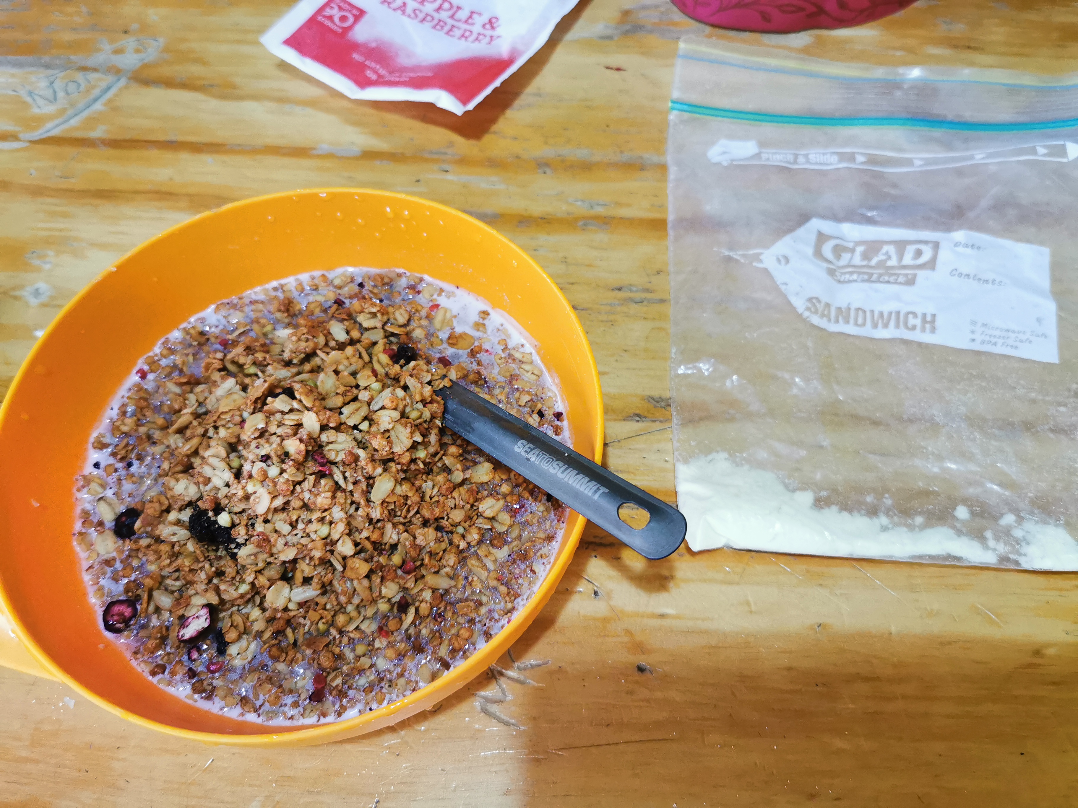
I did have a quick cereal breakfast leaving just enough milk powder for some pasta tonight. The “pasta meals for one” that I have require milk.
My cereal and the tiny bit of milk powder I have left
I left at 9:30am and it occurred to me once I put my pack on that everything is starting to smell bad. Even my rain jacket stinks, which was surprising. With that going on and the fact the rain is due to get a lot worse, it was really hard to get into a good mood this morning.
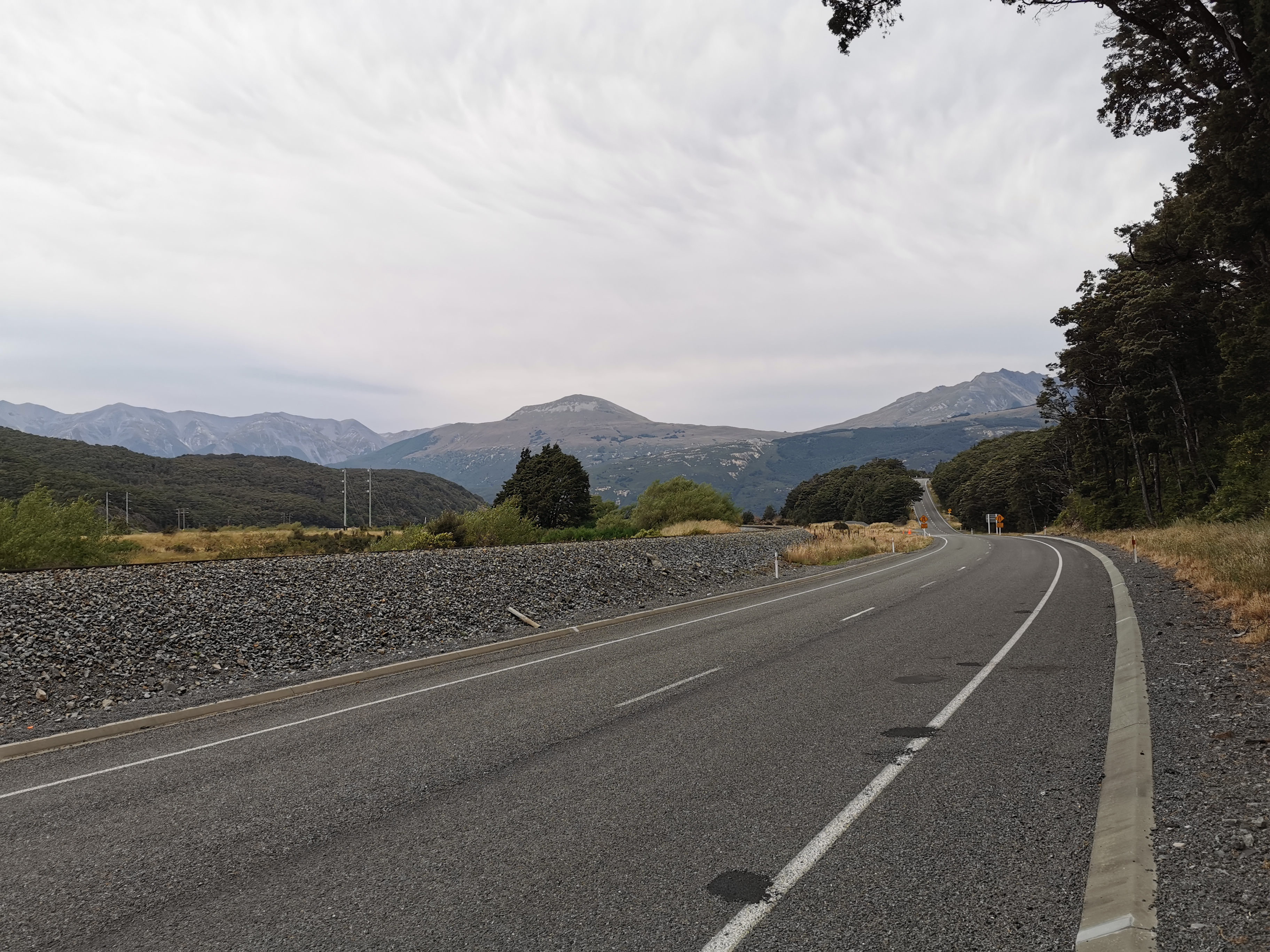
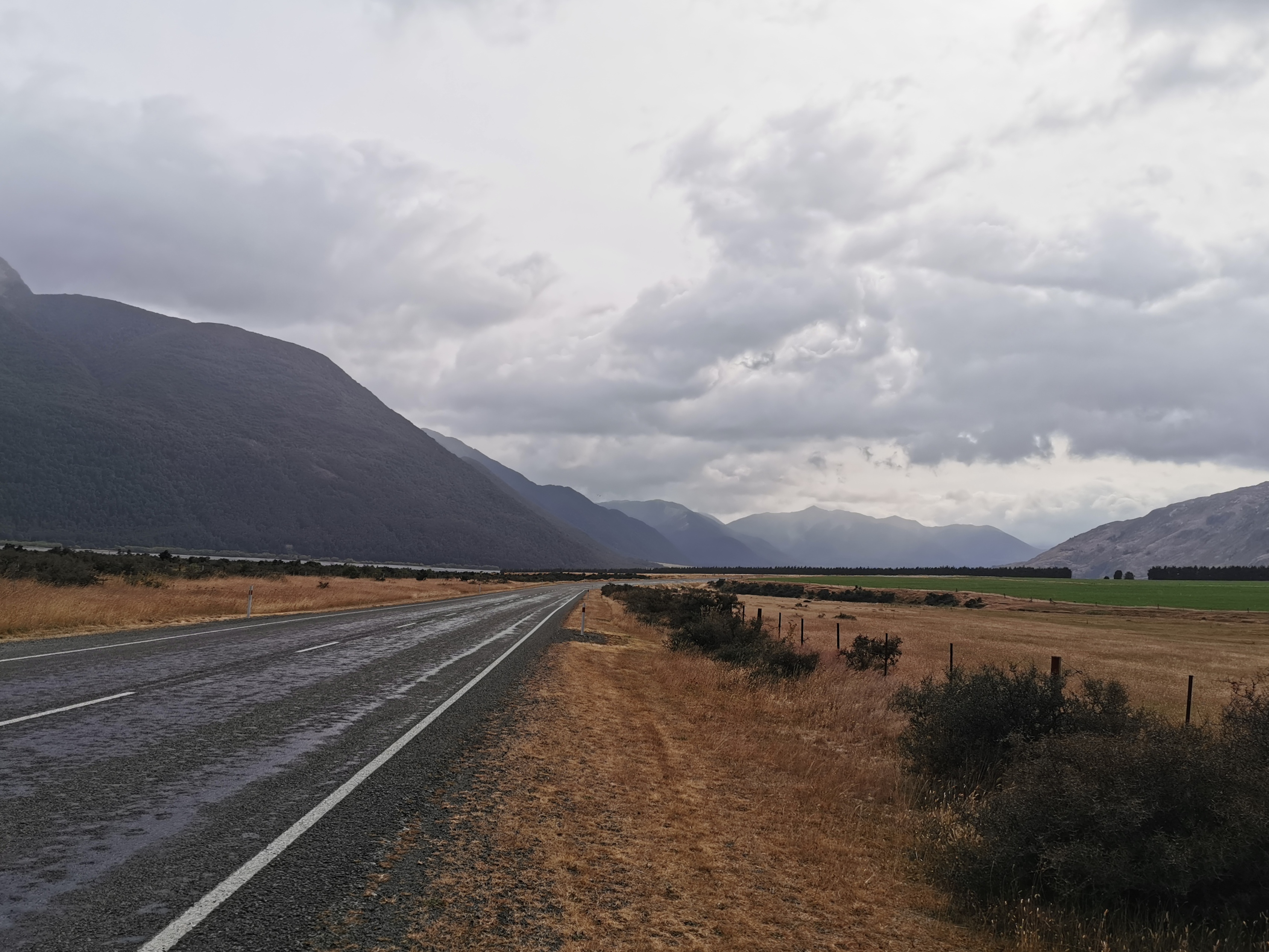
The first few kilometers today are down State Highway 73 again.
State Highway 73
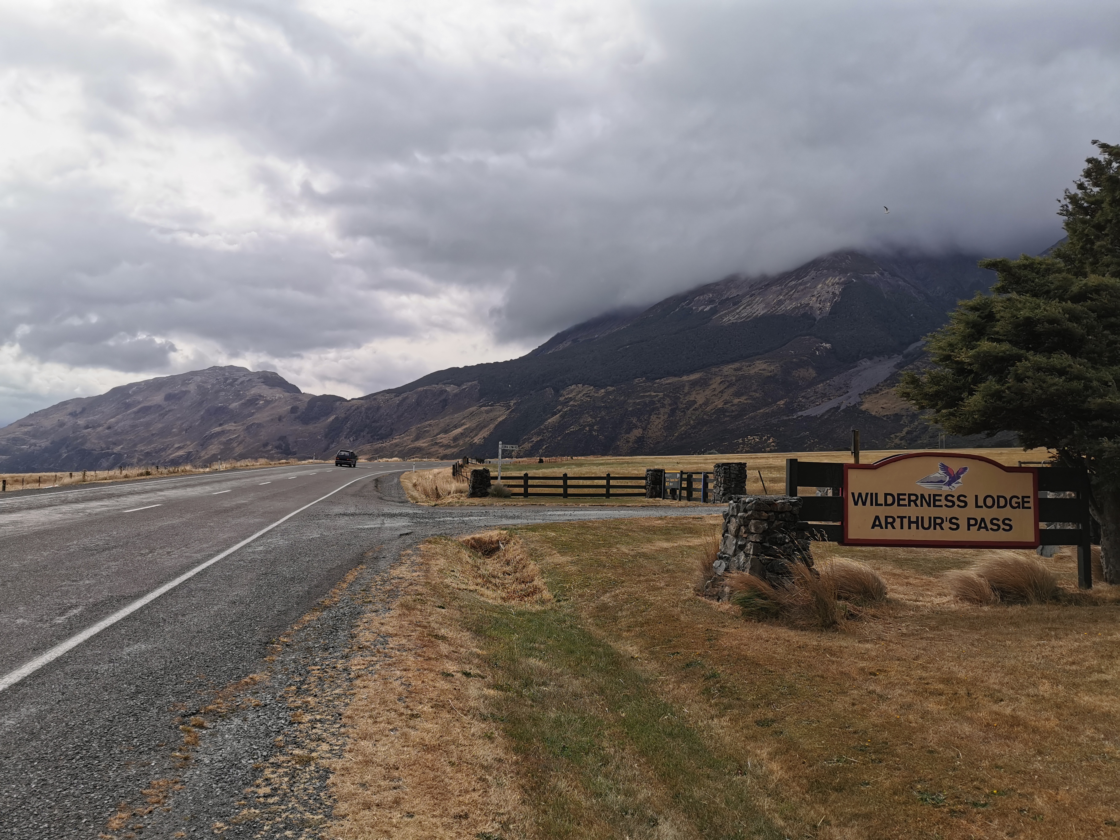
There was a very strong wind behind me on the highway. It was very helpful actually… however once I reached here:
Cora Lynn Road – Wilderness Lodge Arthur’s Pass
I knew I had to turn right twice and once that happened it’s likely the wind would be blowing right in my face.
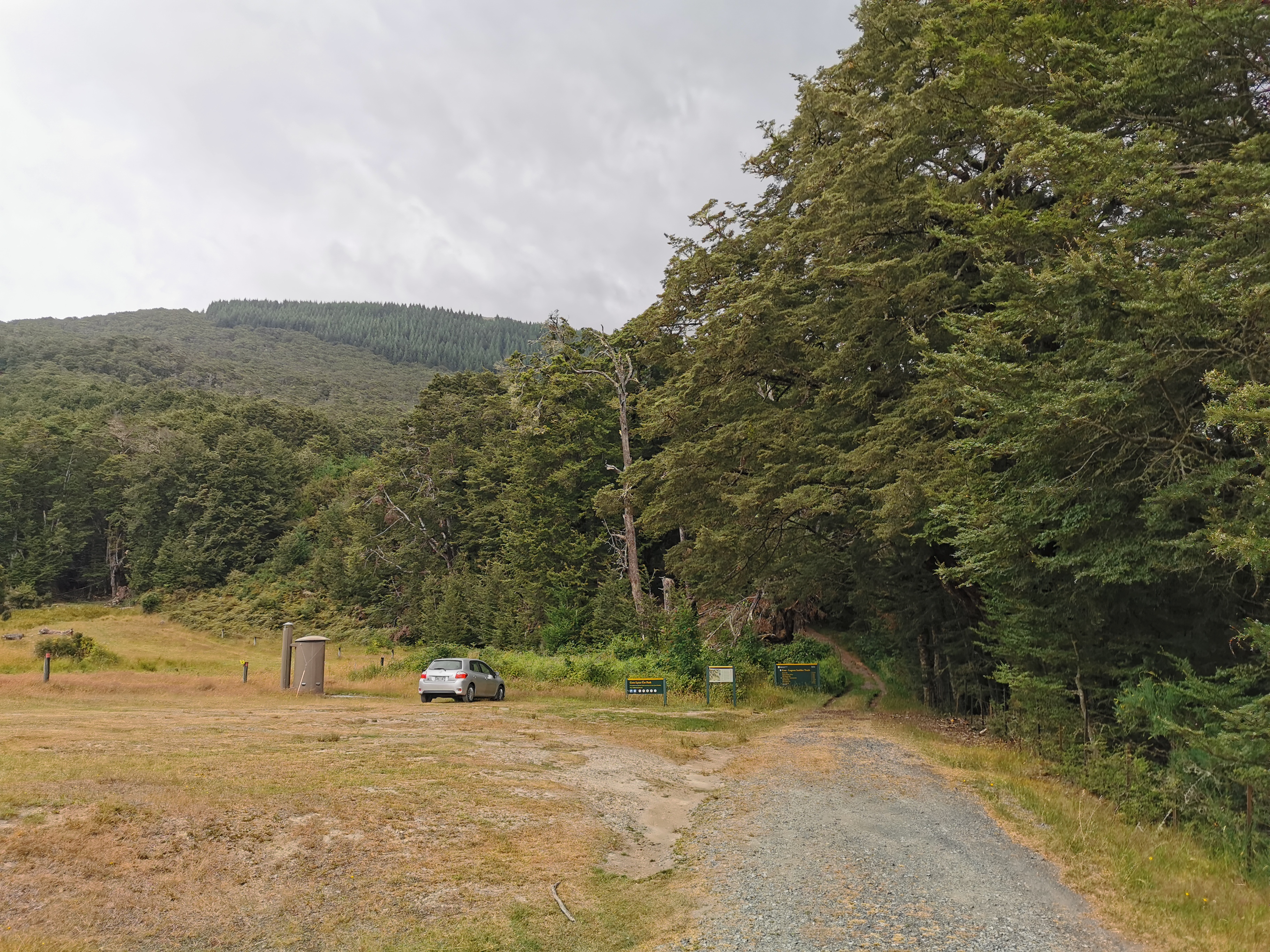
Here is the car park for the “Cass-Lagoon Saddles Track”.
One lonesome car
Like always, if there is a car park then I figured the walk must be a little bit touristy and therefore might be fairly well groomed and marked.
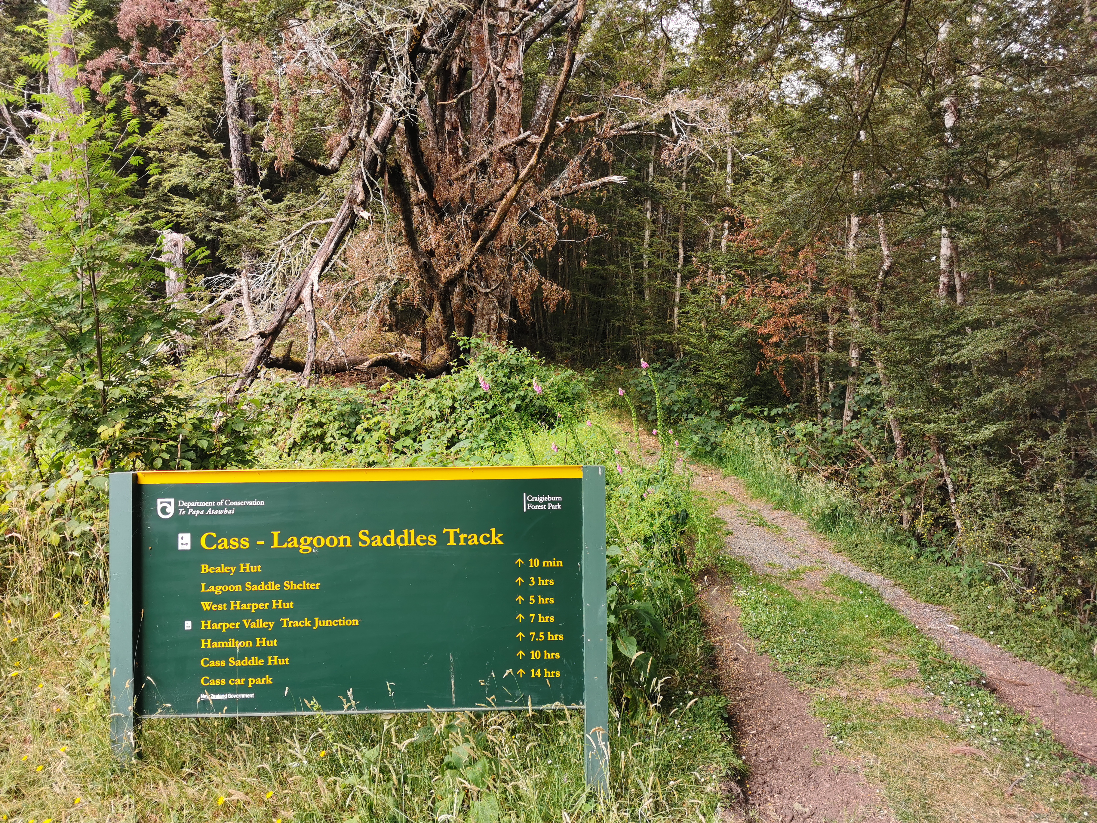
Today’s track information
This sign says Hamilton Hut is 7.5 hours away and by now it was 10:15am. That means an ETA of 5:45pm, which doesn’t leave much time to then do the 19km after that to the campsite. At least at a campsite it’s okay to turn up after dark if required. Time to go.
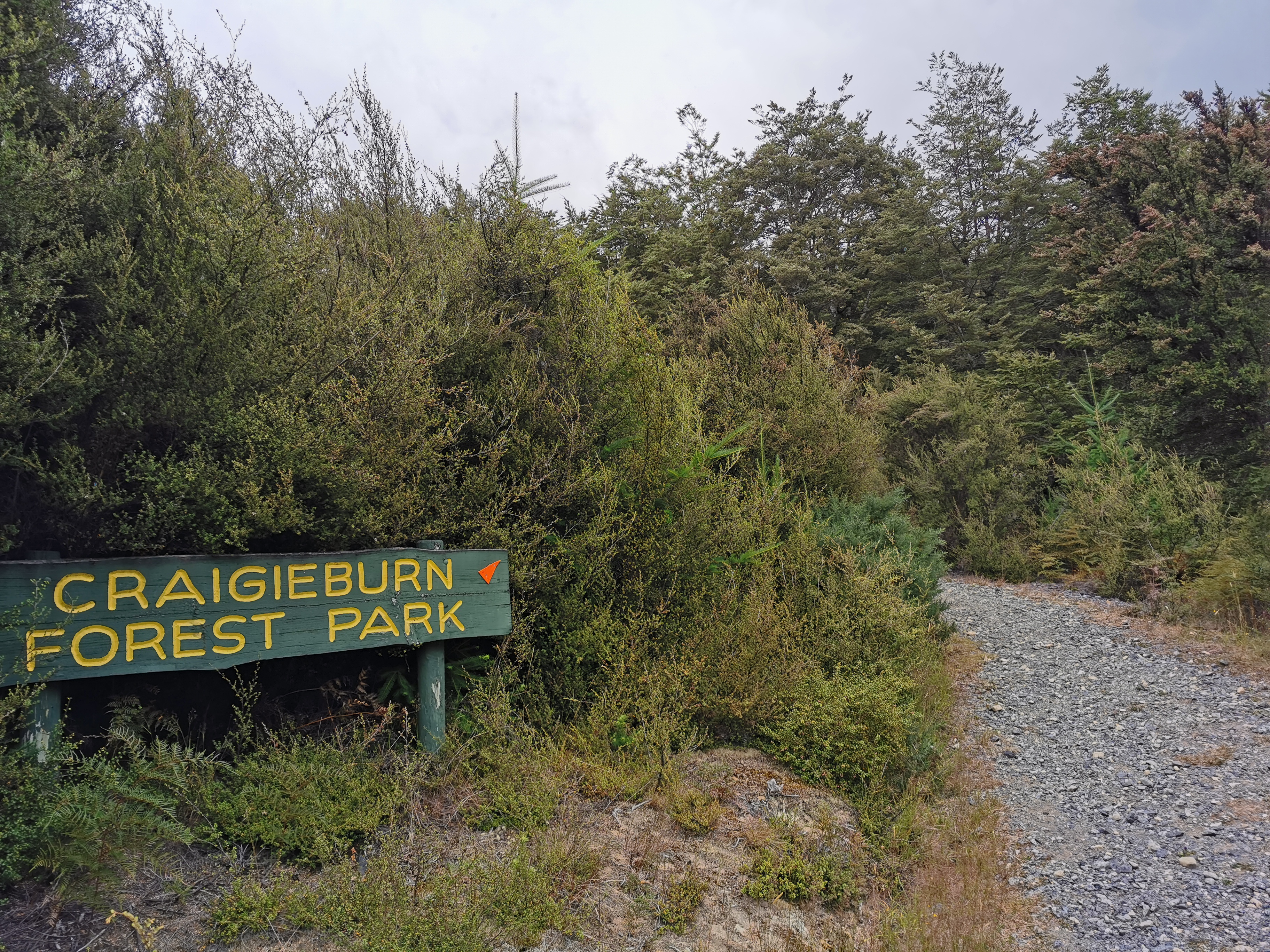
I’m now in the Craigieburn Forest Park
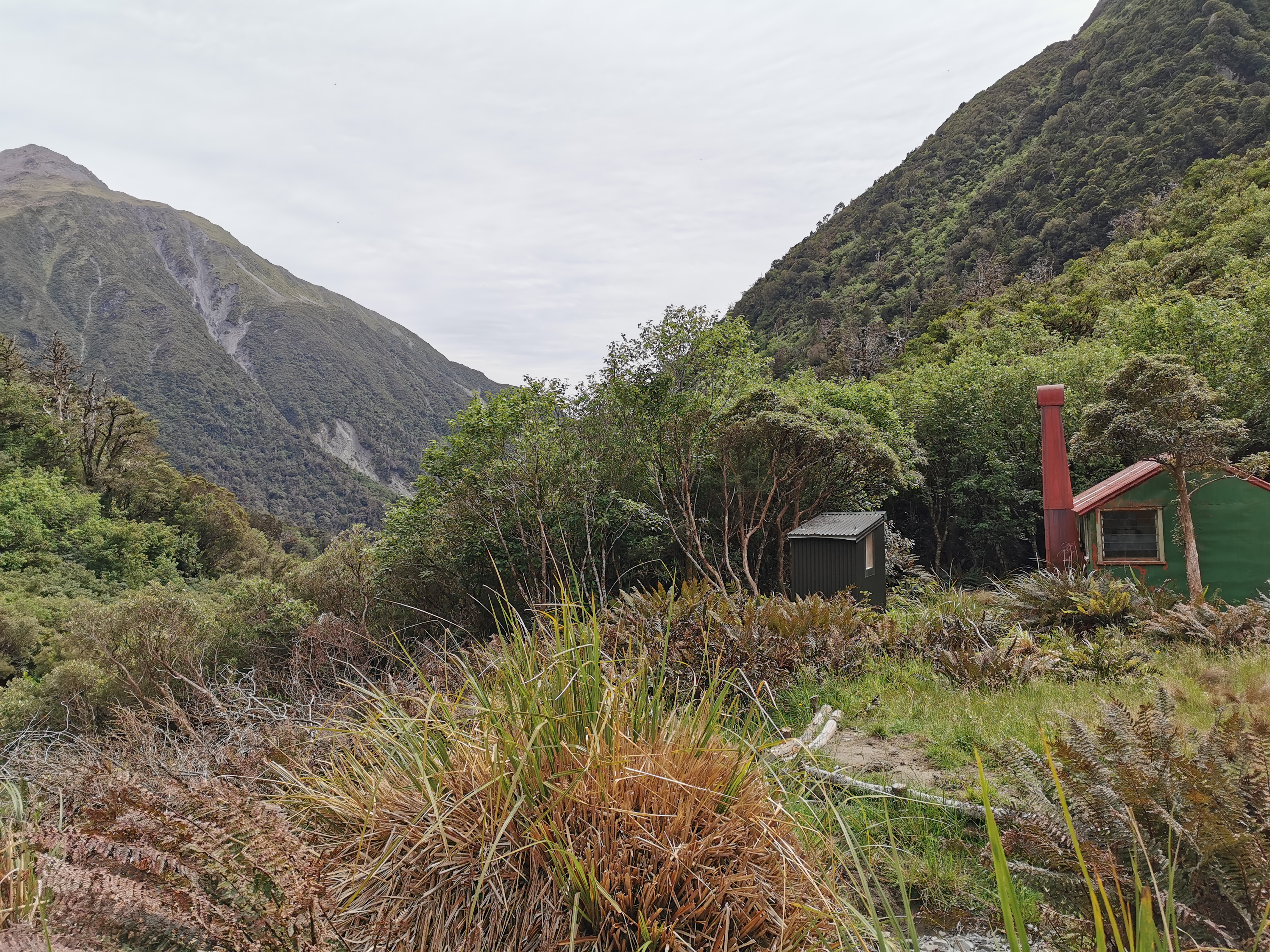
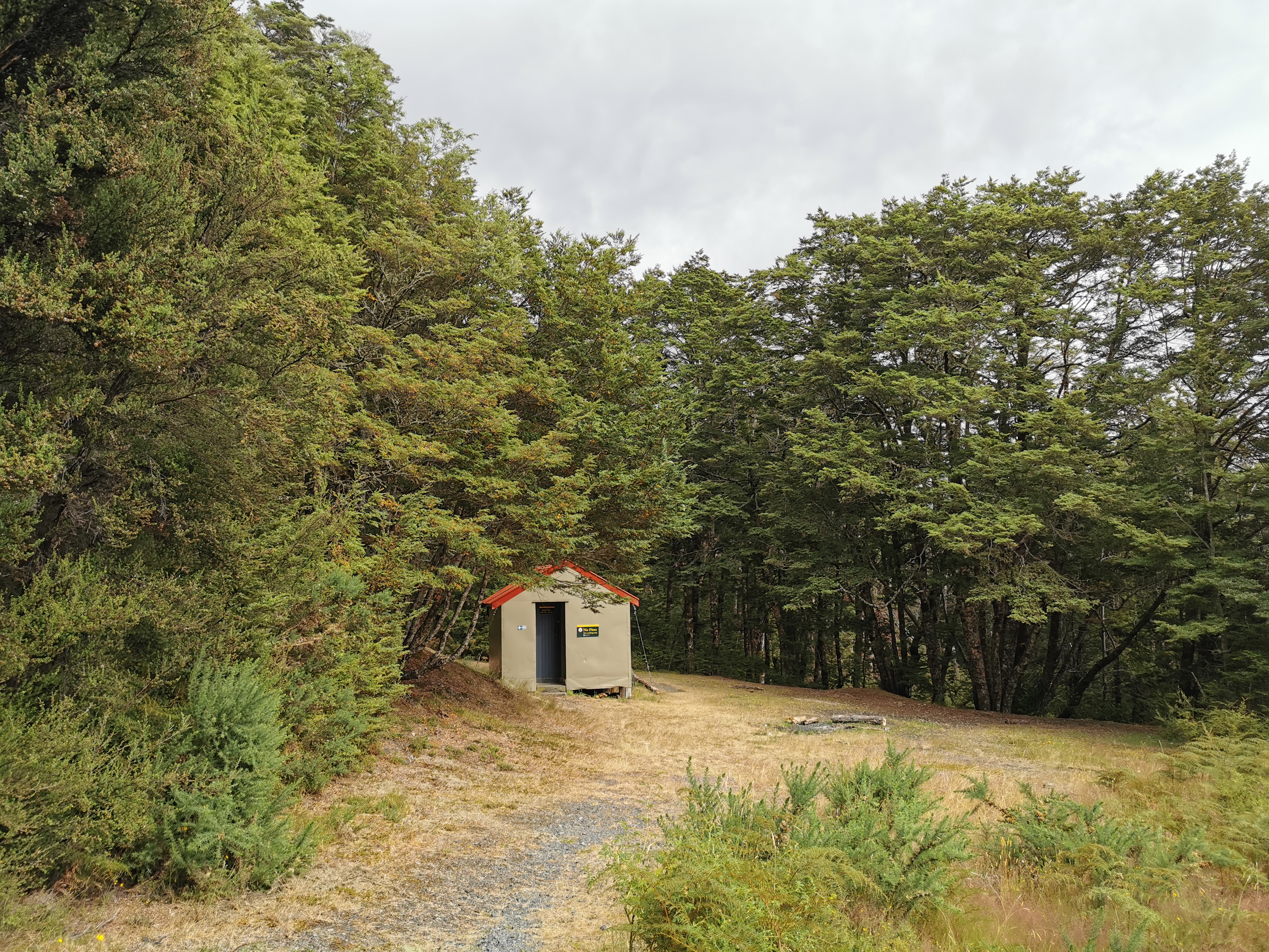
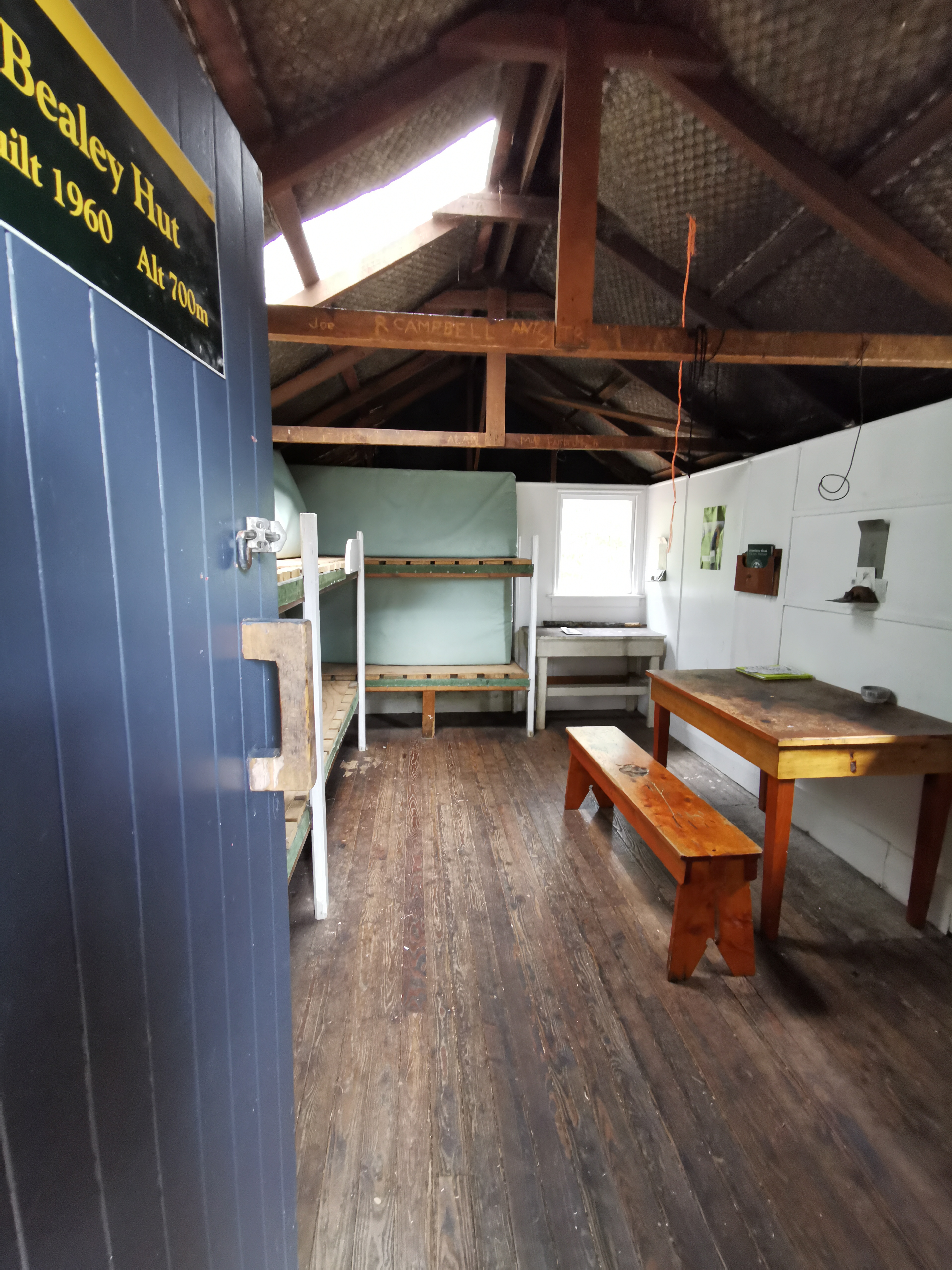
Bealey Hut is just five minutes up the path. It’s surprising to see a hut so close to the road. Normally they’re at least a few hours’ walk from the road.
Bealey Hut
I almost skipped going to the hut but I thought I better not. It’s only a two minute detour off the path. I stopped in and wrote in the intentions book.
Inside Bealey Hut. Not too bad for something built in 1960.
I noticed my heavy pack quite early on. With the long days I’ve been doing everything is starting to hurt a bit. And the start of this path is a slog up a hill with a 500m elevation change. I couldn’t have done Goat Pass yesterday with such a heavy pack – climbing up all those boulders.
I stopped a short distance up the steep hill to remove my rain jacket. I was of course drenched in sweat already. With the big hill and muggy conditions it’s gonna be unavoidable. Pretty sure it will be an on off on off day for the rain jacket. I had a snack while I was stopped because of the small breakfast I had earlier and also to try and perk myself up. I was still feeling pretty miserable.
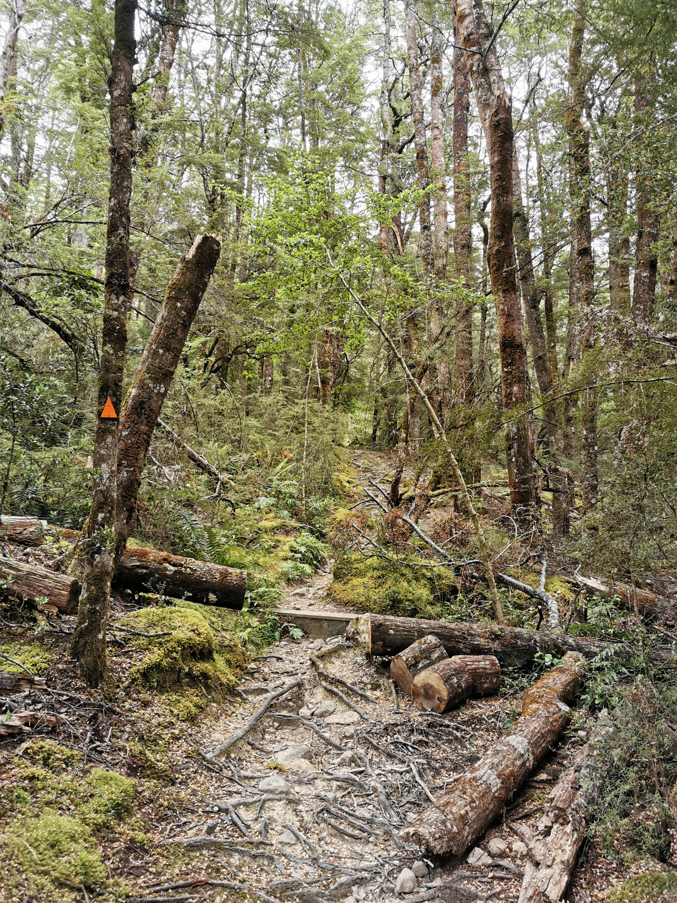
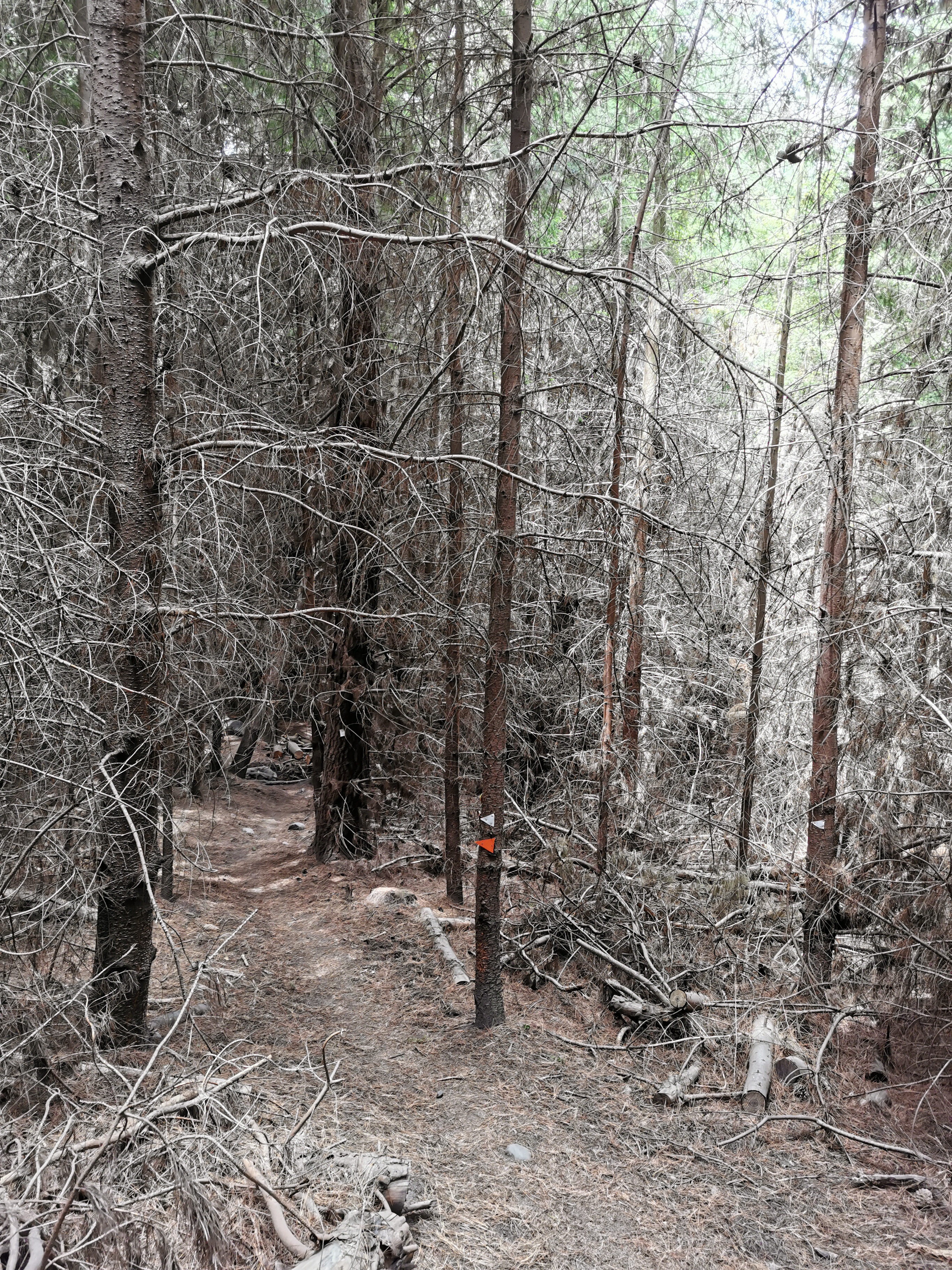
The type of path this morning
Up until this point I was listening to Linkin Park. To try and lighten the mood I put on some cheerier music to try to get me out of my funk. I remember saying to myself at the start of the whole TA that my success on this trail will depend on how well I sleep and how wet I get. That’s going to be tested here today I think.
It just so happened that where I stopped to take off the rain jacket was right beside a geocache. It had been a while since I found one. This one was an easy find.
My 11am picture is walking through the forest.
11am picture – typical forest track
The music did help with my mood, especially when I started singing out loud to it. And the fact that I was in the forest meant the wind wasn’t blowing on me. That was good. Another thing that was good was that the big woolen socks that I put on were absorbing the water from my wet shoes but seemed to also be keeping my feet warm. And the rain was slowing rather than increasing. Maybe this day won’t be so bad after all.
See the big switchback?
Once above the treeline the view was pretty good.
View from the top
That picture is the Bealey River that I followed yesterday. What was interesting is that yesterday the river was not very big, and there were a lot of rocks either side. From here, today, I couldn’t see the rocks. Is that because the river was now swelled because of the rain? Or has the rain just turned the rocks a darker grey and I just can’t see them? It was hard to tell because it was a bit cloudy.
I tried to zoom in on the phone camera and for the first time I realised it has a 50x zoom setting. Wow, that’s a lot of zoom. Let’s try it out now.
50x zoom on the picture above
Hmm, that doesn’t really help me. I still can’t tell if the river is up from yesterday or not, although it kinda looks like it is.
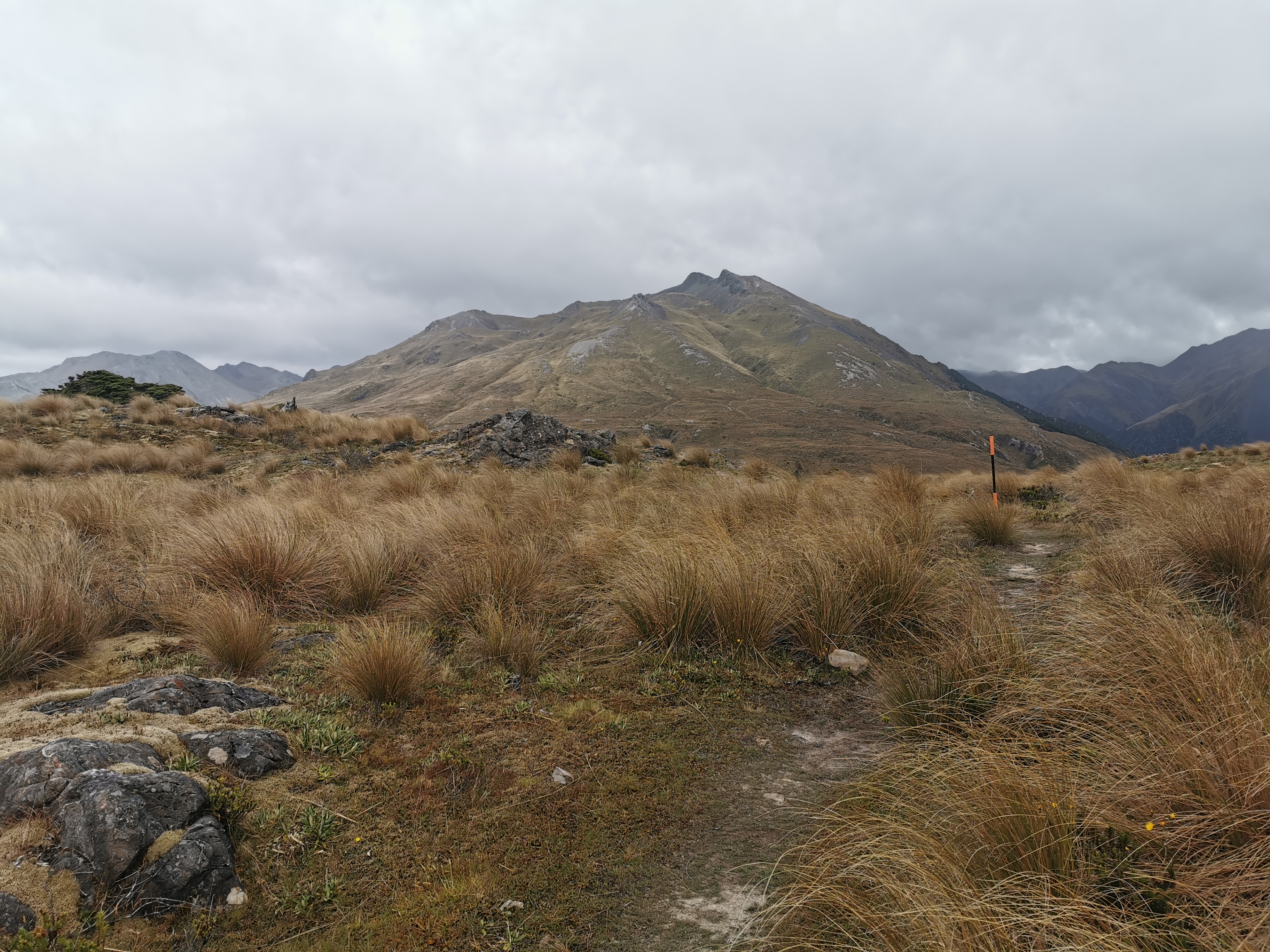
Despite the exposed summit, the wind wasn’t blowing too hard. It was actually quite nice being up there and admiring the view.
That marker is the actual highest point on the walk today
I met two people called Rob and Nina going the other way. They heard me singing to myself which was a bit embarrassing. They mentioned to me that while they haven’t crossed the rivers beyond Hamilton Hut today, the other rivers they’ve seen on their travels today don’t look higher than usual. That’s more good news.
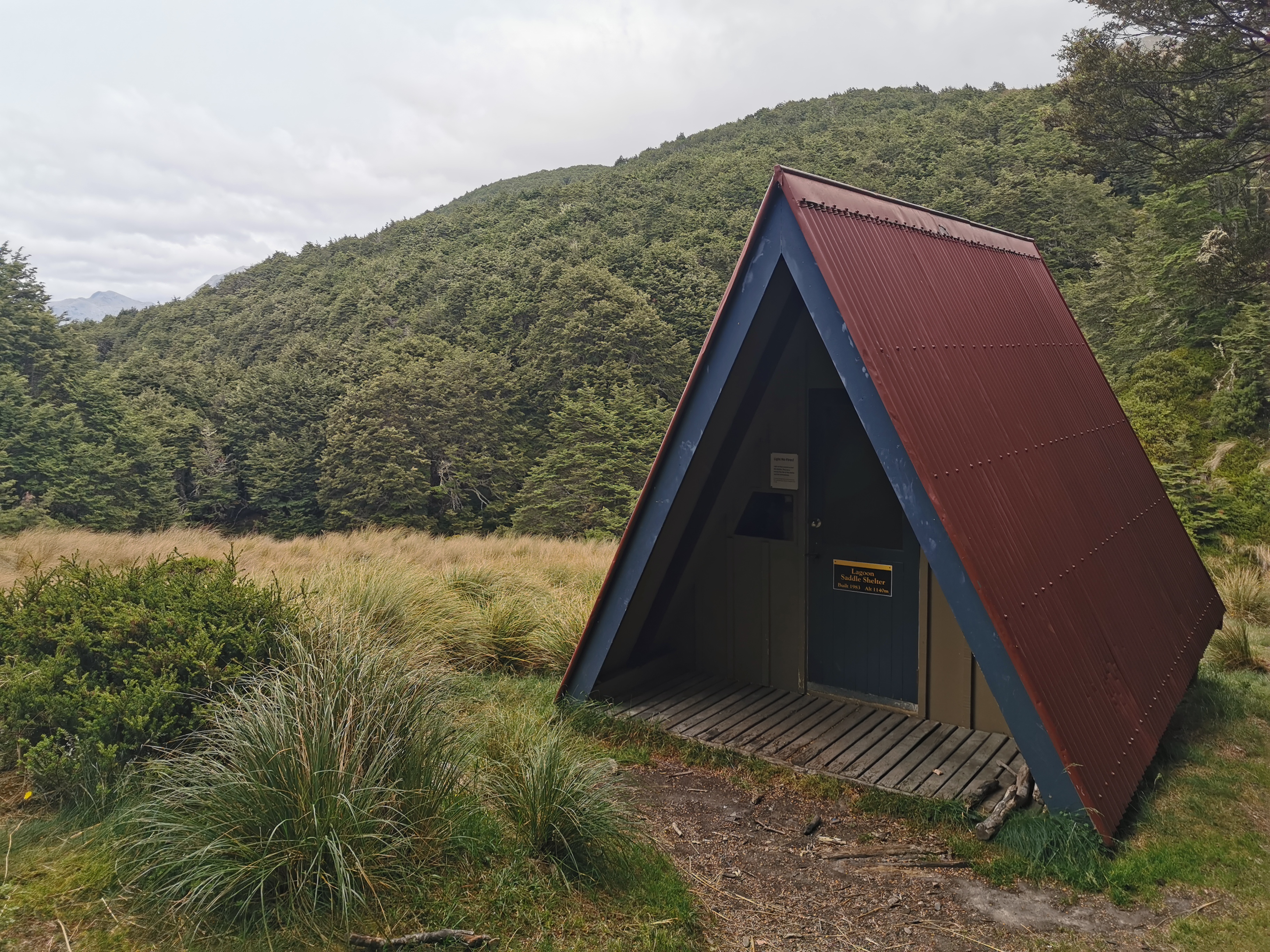
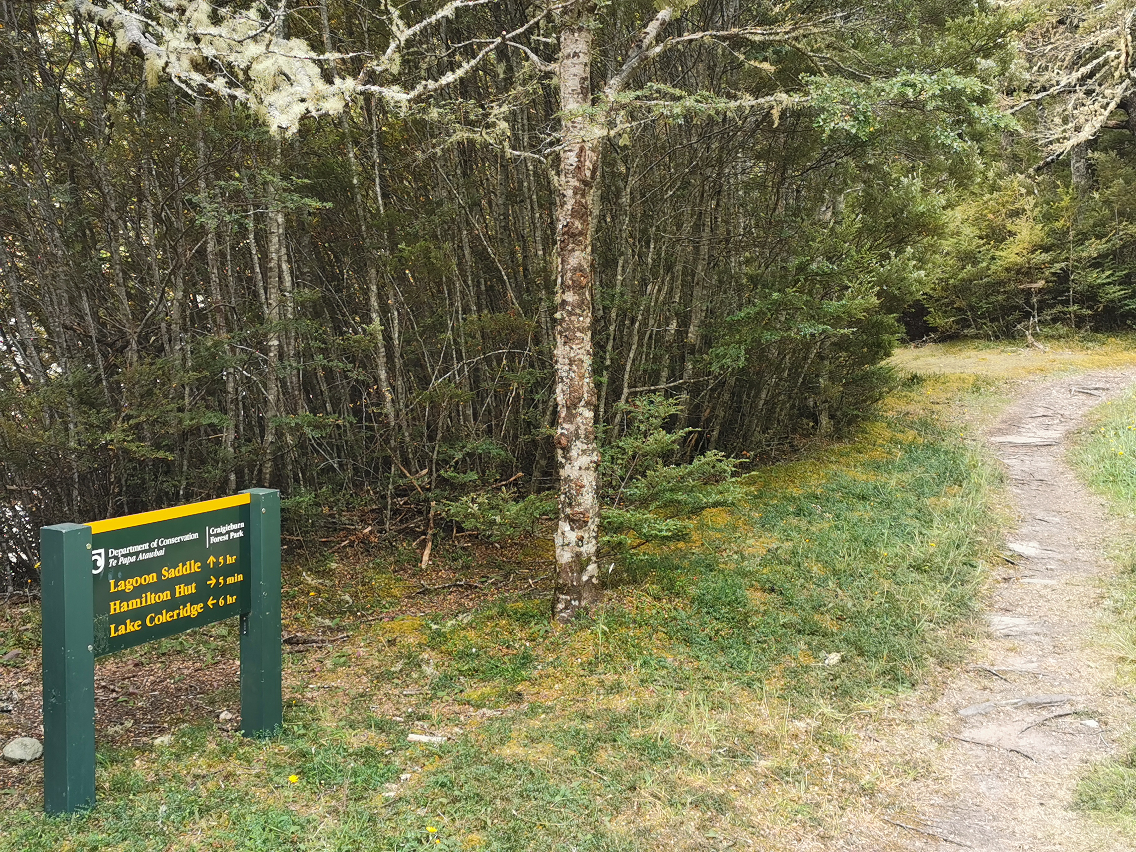
Here’s the first “hut” today – the Lagoon Saddle Shelter.
Lagoon Saddle Shelter
It’s a neat looking building and was quite cosy inside, although interestingly there’s nowhere set up for sleeping. I had lunch #1 here.
Inside
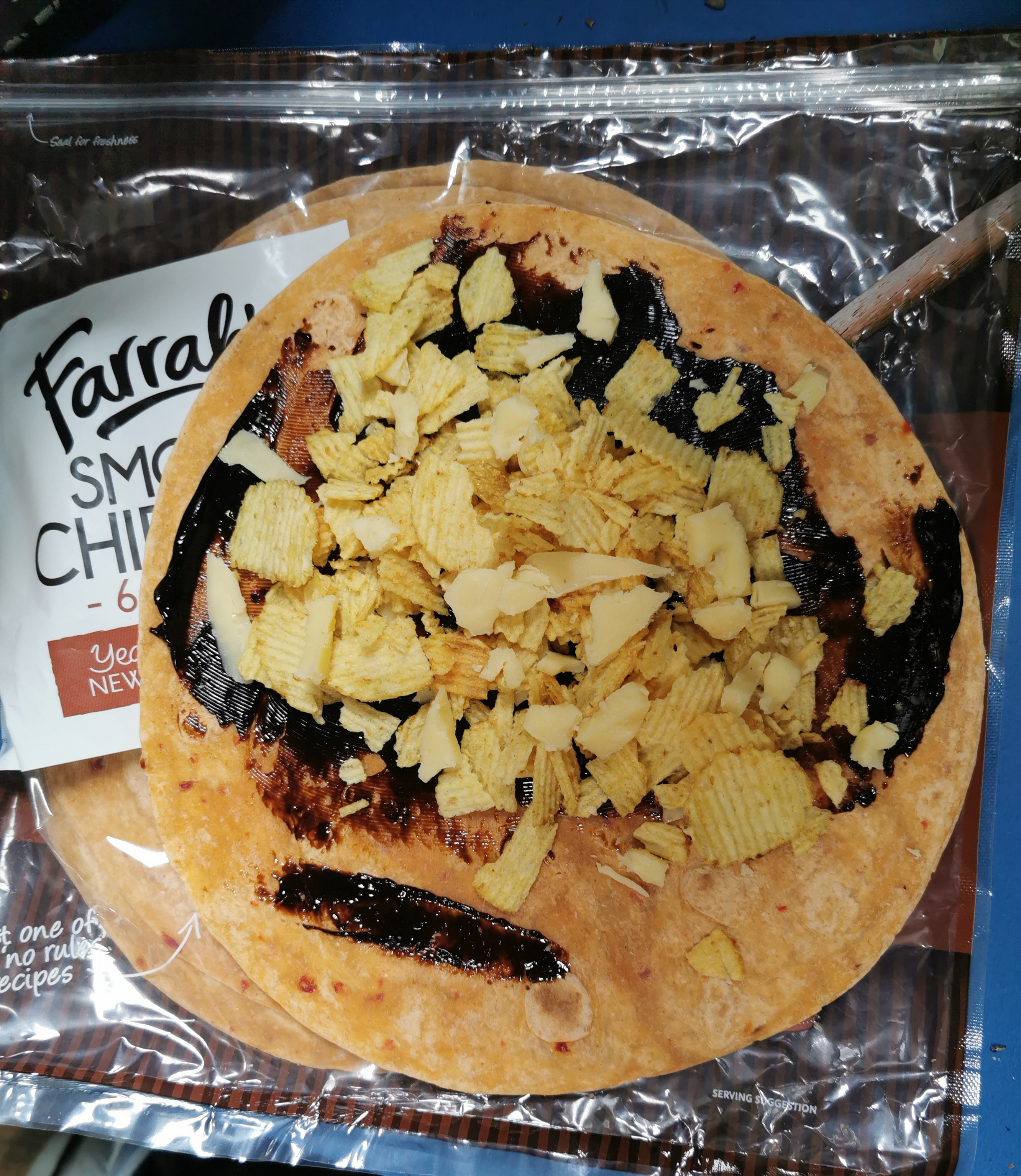
My lunch consisted of my new favourite wrap. Marmite, cheese and potato chips on a Smoky Chipotle wrap.
Marmite and chips – real Kiwi
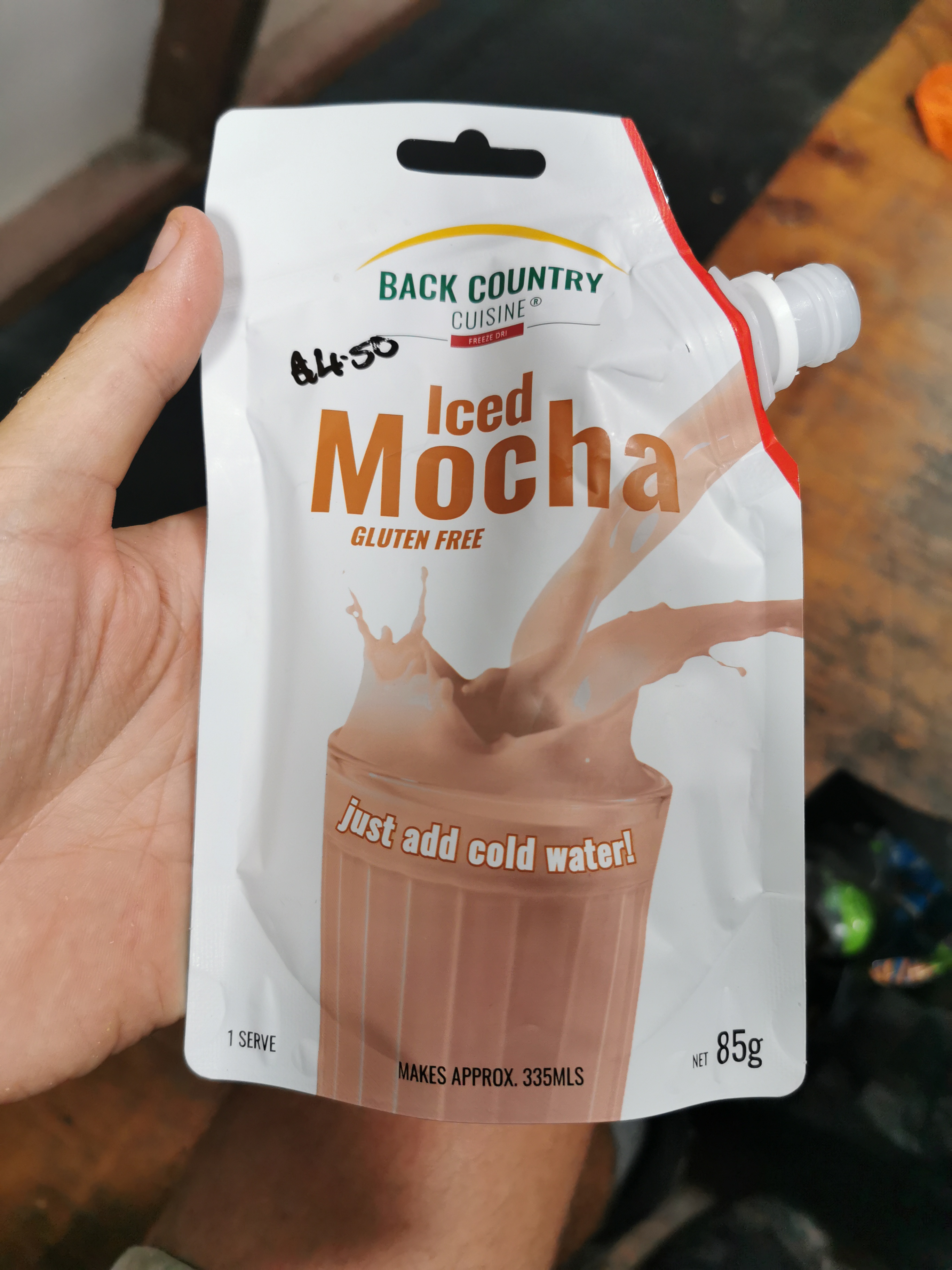
And also this fantastic Iced Mocha drink – another impulse purchase at the Bealey Hotel.
Back Country Cuisine Iced Mocha smoothie
I think I’ve raved about these before, perhaps back in the first week. They taste so nice. The only problem is that they cost $4.50 and it takes no more than twenty seconds to drink them.
Time to continue on, back into the forest. There is apparently another hut right here, less than 100m from the one I just had lunch at, but I never saw it. It must have been hiding.
Thanks markers, that’s *real* helpful.
It wasn’t long before the trail appeared to reach a dead end. At this point, it simply reached the river and stopped.
Now where?
The next photo was looking behind me. There was a marker there so I at least knew I was in the right spot here.
Looking behind
But where to now? I tried a bunch of different paths that led nowhere. That could only mean I’m expected to go down the river. That’s fine and nothing new, but I like it when the river crossings are marked so I don’t endanger myself for no reason.
The trail went in and out of the forest. Near this particularly slippery section,
Slippery little stones
I met someone else going north. She was from Quebec and she said she’d had no problems with river crossings, and she also said the section of trail beyond Hamilton Hut was easy. That’s great news. I told her some information about what was coming up next for her and we continued on.
Then soon after I met an American girl, also going north, who also had no problems with the river crossings. “Piece of cake” is specifically what she said.
Suddenly I was in a much better mood. The rain had stopped, I had a great lunch and the news for the upcoming section was all good.
Throughout the day I met about twelve people going northbound. That’s a lot of NOBOs, in fact possibly more NOBOs than I’ve met on all the rest of the trail combined. It must be about that time of year.
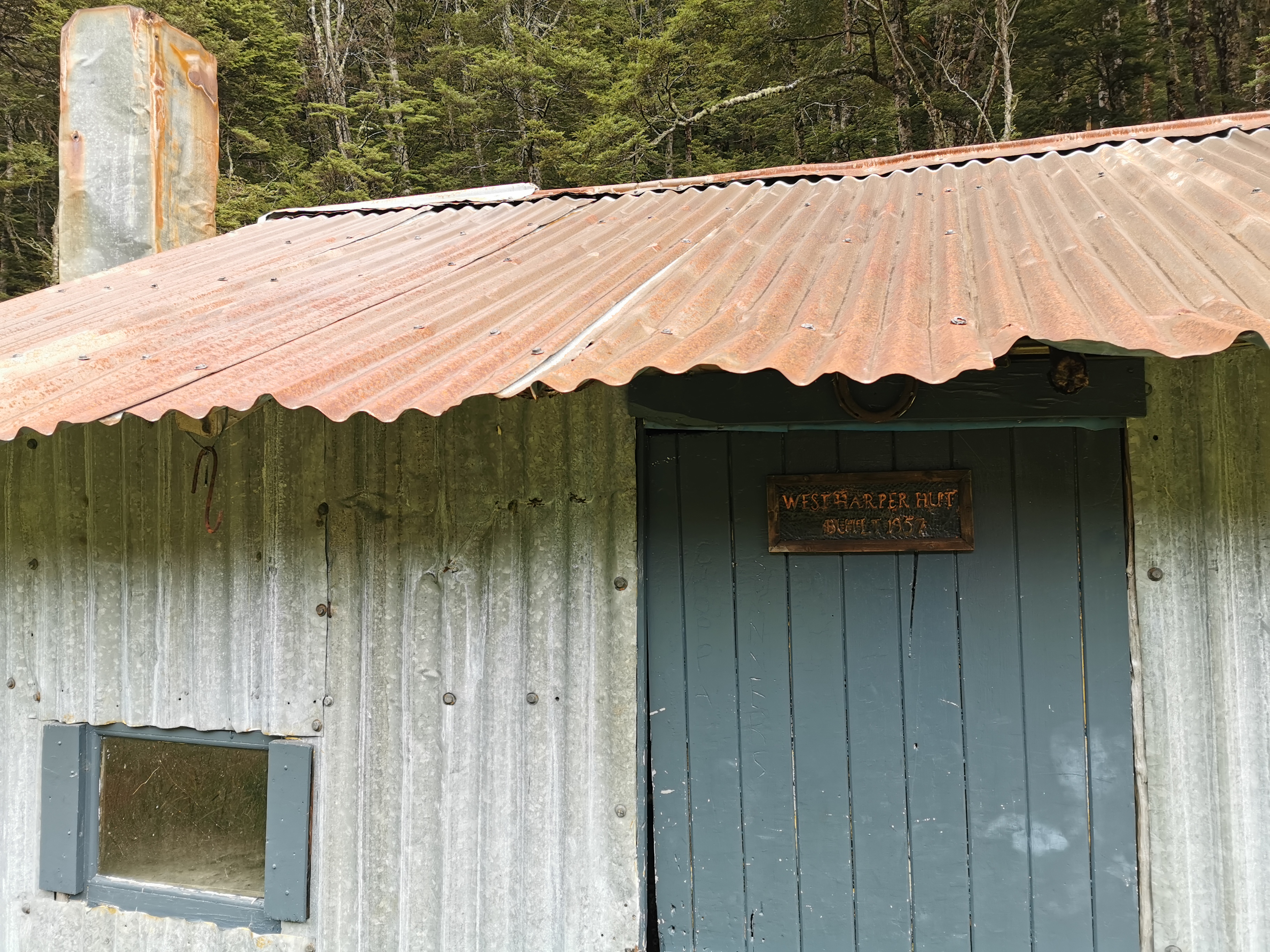
The next hut is West Harper Hut.
West Harper Hut
From the outside it looked a bit like Camerons Hut, where I spent the night three nights ago.
Built 1957. Only three years before Bealey Hut. From memory Camerons Hut was built in 1955.
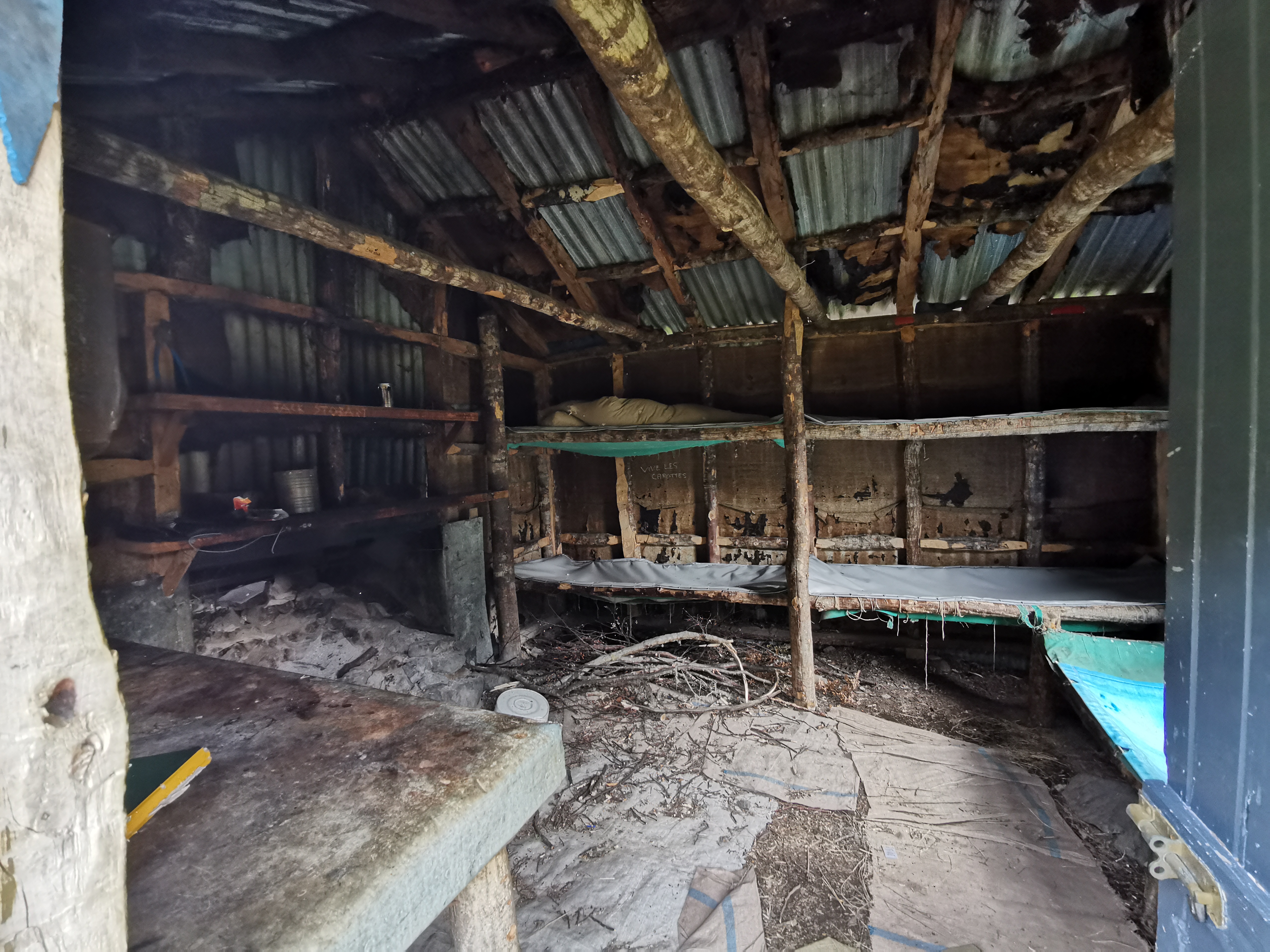
I wonder if it looked the same inside as Camerons Hut?
Inside West Harper Hut
It most certainly did not look the same inside. Camerons Hut was not particularly comfortable but this was something else. I did not spend a lot of time here.
I did notice though that the majority of northbounders I passed didn’t write in the intentions book. I wish everyone would, so that the fullness of the upcoming huts can be anticipated.
At the hut I heard a bird noise I never heard before. Like a crow but higher pitched. Then it made a sound like “blebl lebl lebl lebl lewwwwwwwww”. Is there any chance that could be a kea? I’ve got no idea! But I didn’t fear. Time to step it up a gear and get out of here. I had one last jeer and left with the hut in my rear (okay that’s enough of that).
From here the trail got a fair bit easier. I even saw some cyclists when I stopped to get water, although each of them were pushing their bike.
I wonder if any of them were called Mike.
The last guy I met going northbound was very chatty and we talked about all kinds of things. I mentioned I’d had no injuries since Waipu Cove “touch wood” and he suggested I touch his wooden walking pole. And it was only a short time further on that my left leg started to hurt. Clearly on this occasion, touching wood didn’t work.
Easier from here onThe valley is opening up now
I was quite conscious of the time. I’d been setting myself goals in my head. 16km by 3pm, 19km by 4pm, 22km by 5pm, etc. That way I’d get to the campsite (38km) not long after 10pm.
Gah am I going to make 19km by 4pm or not???
I got to the Hamilton Hut turnoff in 6 hours 20, not quite the 7.5 hours on the sign but I didn’t cut off as much time as I hoped.
Swingbridge just before the Hamilton Hut turnoff
It was a 10 minute detour to go and see the hut, and it’s a really popular hut apparently, but I didn’t get to see it. I just pushed on.
Track information. Note the six hours is to Lake Colridge the lake, not Lake Colridge the village.
After the Hamilton Hut junction, the trail did indeed get easier. It was following a 4WD track in and out of the Harper River for about 13 km.
The trail notes say that if you don’t want to go through the river that it is possible to follow the left side of the river downstream without actually going in it. However I really didn’t believe that was possible. There was a lot of bush and at one point a cliff that had fallen away. And the 4WD track was so easy, I had to go that way to make efficient use of time.
So that meant getting my newly dried boots wet again. That’s okay, I remembered that it actually felt nice coming up Goat Pass with wet boots. And there was a comment on Guthook for this section by “John Goes Places” saying “just get your feet wet and embrace the suck”. So I did indeed do just that.
This is “embracing the suck”.
The river was really refreshing actually in the late afternoon. Maybe I shouldn’t be afraid to swim in it on days when I’m not on such a time pressure. If anything it might mean I’ll smell less.
A surprise along here was this 2,200km marker, although like the 2,000km marker it was a bit early, according to Guthook. The app reckons I was only at km2198.7.
Done in the same style as the 2,000km marker too“Embracing the suck” againI don’t see how you could follow the left side of the river. How would you get around these trees without a lot of bush-bashing?This is a real 4WD track now!
My left leg was starting to hurt fairly bad now. It was the same sort of pain that made me take a week off in Kerikeri and Whangarei in the third week. I was worried about it, but I always had the dire weather forecast in the back of my mind and so I kept on walking through the pain, even though I wasn’t happy about it. Plus there were absolutely no hills in the 19km between Hamilton Hut and the campsite. That hopefully will help with my leg pain.
One of the more flooded parts of the track. At least it was water and not mud.All the little green-eyed monsters watching me as I walked
One landmark that I passed was “The Pinnacles”.
The Pinnacles
It was an interesting series of pointy rocks, but I don’t know much more about them than that. I know there are other places in New Zealand called The Pinnacles too, for example there’s a place in Coromandel with that name.
This spot is worth mentioning:
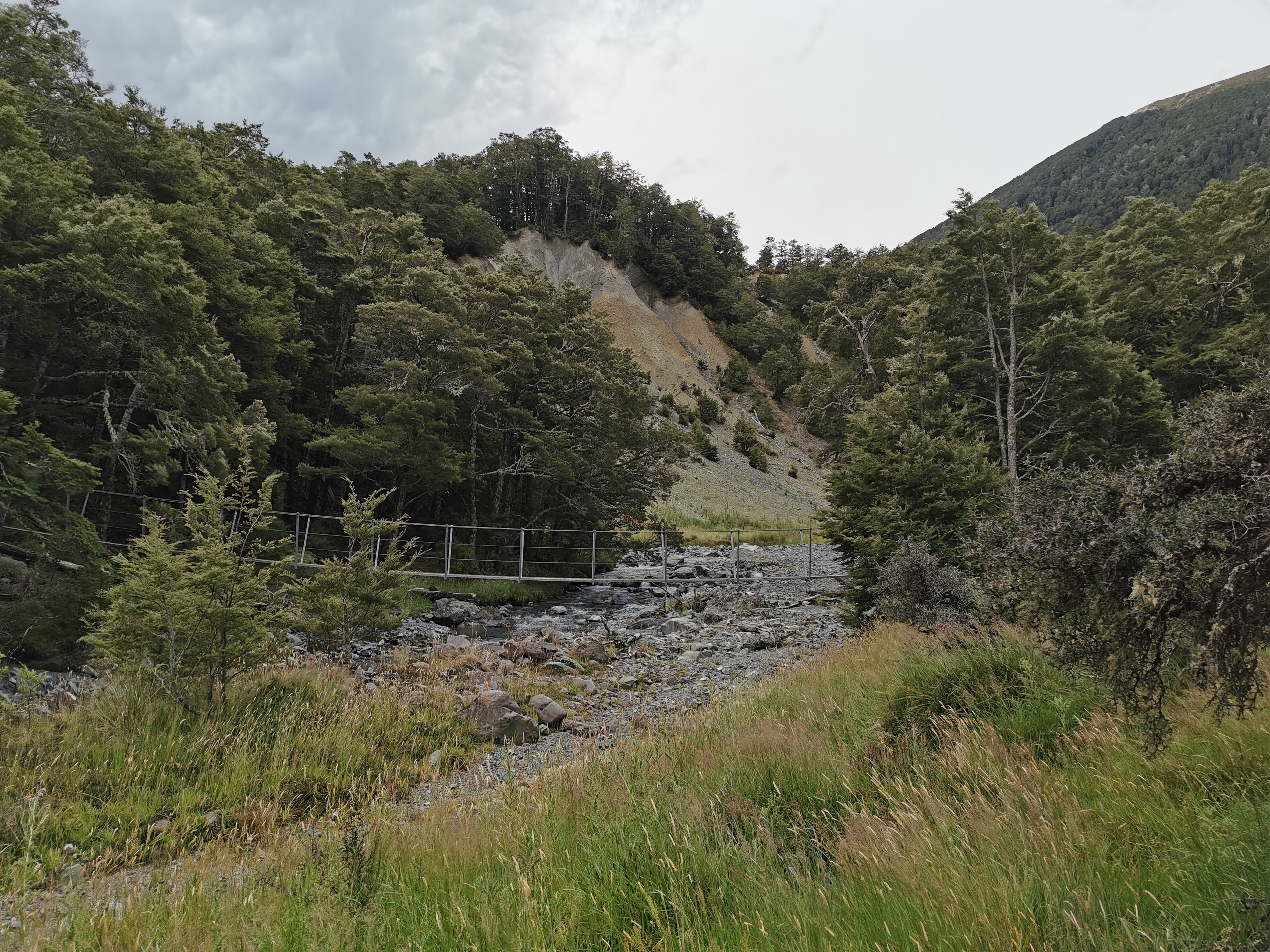
The last crossing of the Harper River
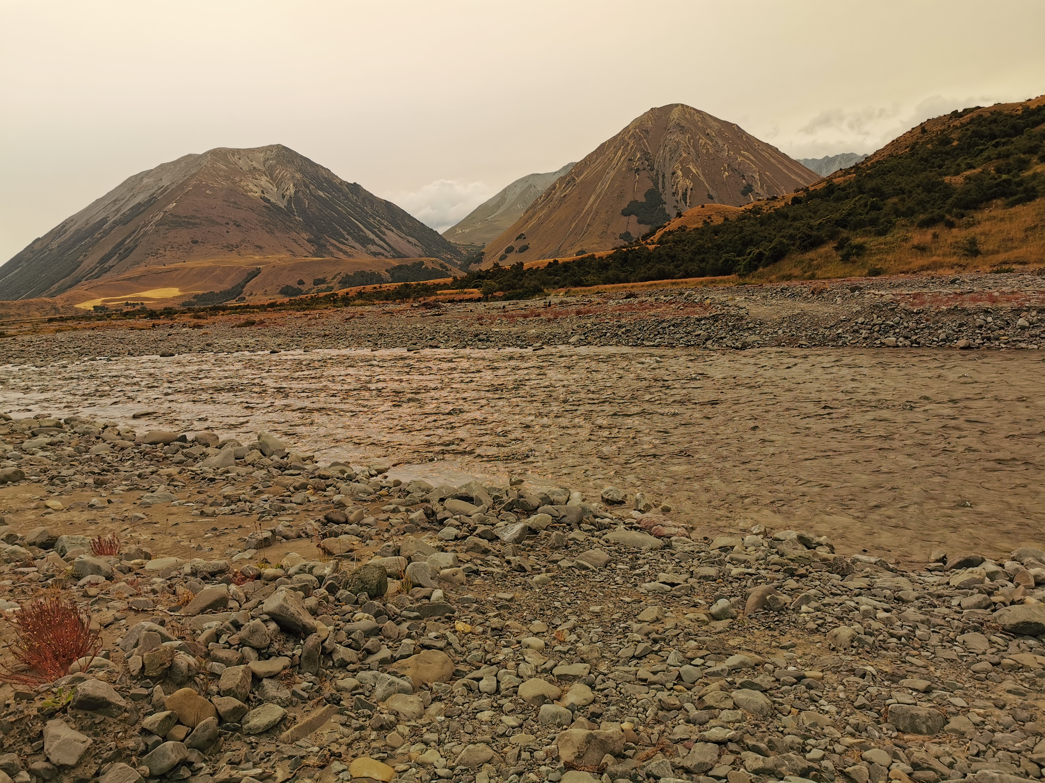
When you’re at this point, this is the last time that the Harper River is crossed. It’s easy to spot because of the two fine specimens of mountains in the background. The one on the left is named Gargarus, and the one on the right is Mt Fitzwilliam.
I didn’t notice at the time, but when I looked at my photos later I noticed the same orange haze over the area that descended on Auckland a few weeks back during the Christmas Break. I’m surprised I didn’t notice it at the time because it looks really obvious in these pictures compared to the ones from earlier in the day. I did notice that the sun was much redder than usual but I didn’t think much more of it. It must be the smoke blowing across from the Australian bushfire again.
I crossed the final crossing of the Harper River. Its scariness rating was 2/10.
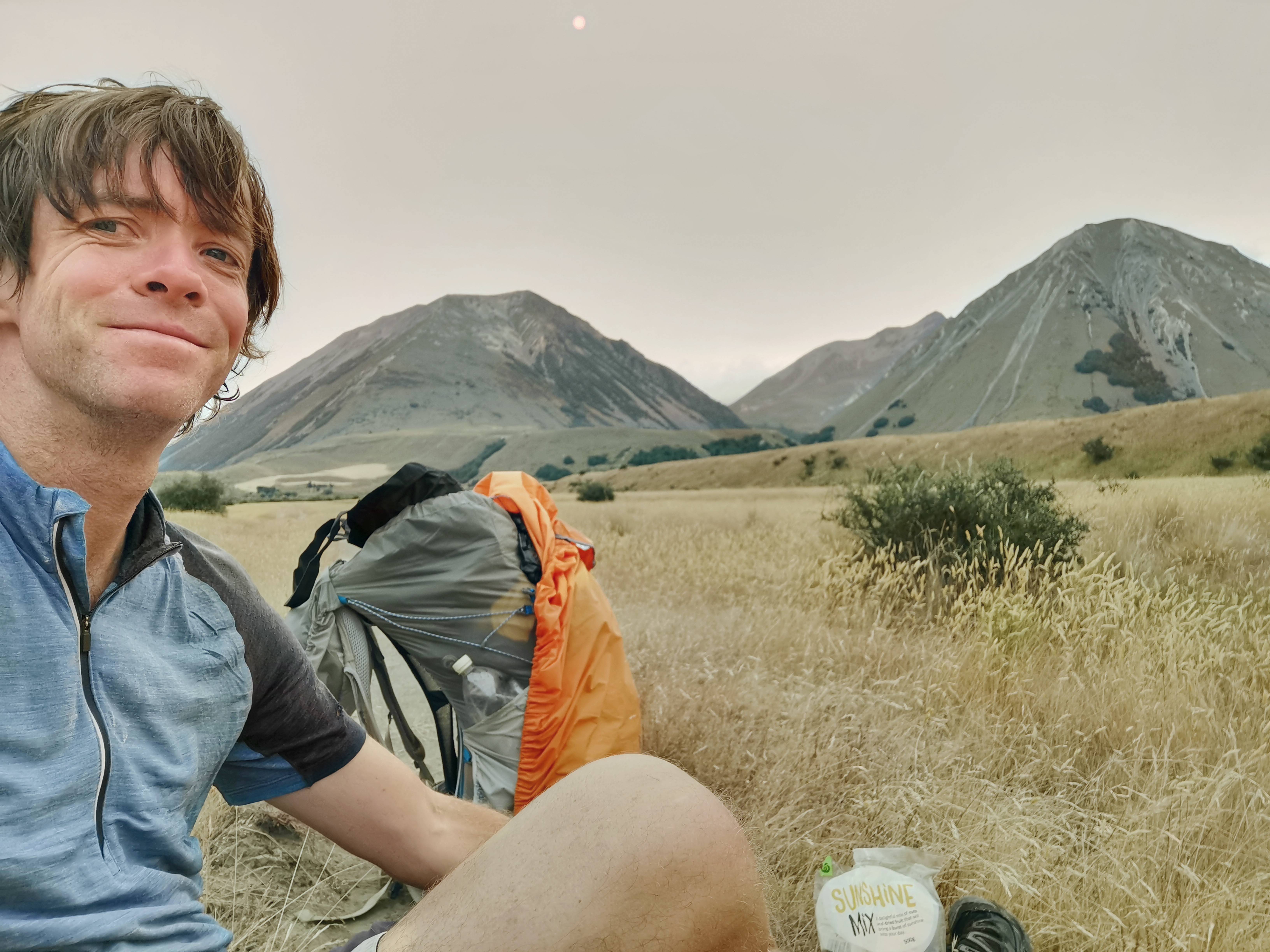
Not long after, at 6:25pm, I got hunger pangs. I’d never actually stopped for lunch #2 so I wasn’t surprised. I sat down and just had a mix of nuts and fruit called “Sunshine Mix”. While I was doing that, I took some time to just sit and look and admire the scenery and take in the grandness of my surroundings. I suddenly felt like all the problems I had at the beginning of the day had gone, and I had no problems in the world. It was When I’ve finished the trail maybe I could do meditation or something. It would be nice to have this feeling all the time.
Feeling fine
There was one last river crossing – the Avoca River. This is the one I’d been dreading all day. Let’s have a look…
Avoca River
It was deep but hardly flowing at all. Scariness level 1/10. What a fizzer. All that worrying for nothing.
But wait! Not long after, another river crossing! This one didn’t even have a name on the topographic map and so I was surprised it was fairly notable. It was moving quite fast. I gave it a 4/10 for scariness. I really hope that’s it with the river crossings now.
Unnamed river that I wasn’t expecting
The 4WD track ended at a place called Glenthorne Station – a big cattle and shep farm. The trail went around the edge of it.
At a lot of places you had to avoid both the gorse and the electric fence.
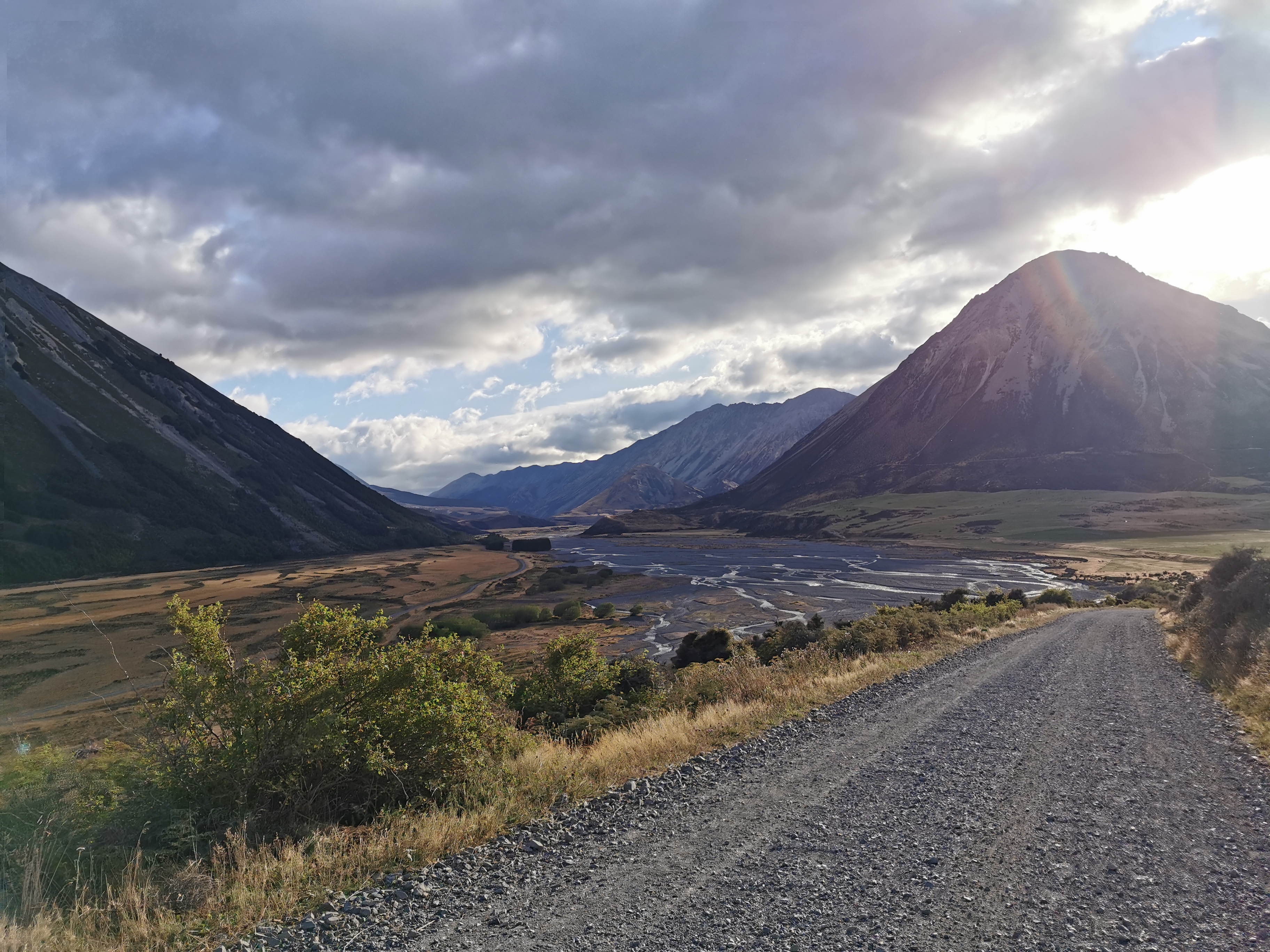
That’s Mt. Ida in the left of that picture. The Harper Campsite is near the bottom of that mountain and then the road walk to Lake Colridge tomorrow goes around the back of it. After a bit more walking I could even see the road in the distance.
Tomorrow’s road on the other side of the Harper River
I had it in my head that tomorrow’s road walk was 22km, but I looked at Guthook while walking and it said that Lake Colridge Village is 28km from the campsite. Gee, how did I get that wrong?
That’s gonna be a long walk tomorrow since if there is a shuttle coming it will turn up between 2:30pm and 3pm. And right now there is still 5km to the campsite and everything hurts now. Every single step hurts in both legs. No wonder people take four days to do this section. I really ought to leave the long days until I have a lighter pack. But I can’t change the weather forecast, even though this time it seems to have been wrong.
All this walking in a dead straight line gave me time to think. My brain completely went into its own little world. I thought about what I’d write in my final Facebook post once I get to Bluff, what car I’d buy myself once this is over, I started reliving the first day of the trail, anything to take my mind off the walking and the pain. Luckily there was nothing in the way, I completely zoned out. If there was any obstacle in the pathway I would have walked right into it.
In fact it was hard to know how much further to the campsite. The GPS watch started going haywire. Whole kilometers were taking only 5 minutes if you believe the watch (I wish). And there were again times where the Guthook line didn’t match reality. It was trying to take me right through the middle of the farm.
With about 2km to go the wind really picked up again. That meant it could be hard to sleep tonight if the campsite is exposed.
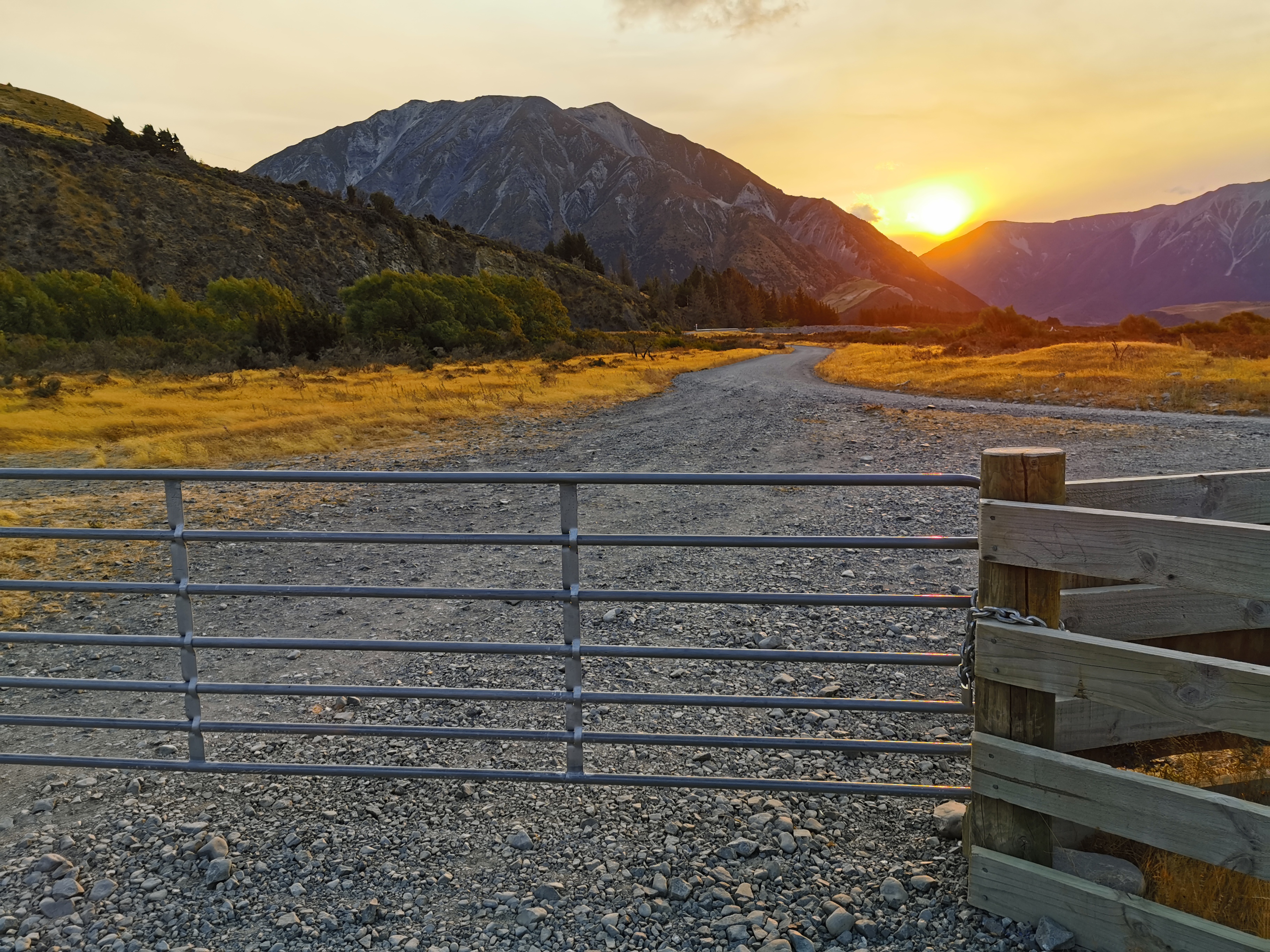
After what seemed like forever, I reached the end of the track and came out at the road, just as the sun was setting.
Oh man. I don’t think I have the energy to climb this locked gate… and I couldn’t see a stile.
With the ease of the last 19km of terrain, I had made really good time, in fact it wasn’t even 8:30pm yet. Since it was still a respectable time, while I was walking along here I took my phone off flight mode and also turned on my backup phone, in the hopes that one of them would have cellphone coverage. I thought I read that there might be some here. That way I could call the shuttle and them to expect me tomorrow.
Sadly no, I didn’t get signal on either phone. Shame.
It was one more kilometre to Harper Village where the campsite was.
Which way are Lake Colridge and Glenthorne?
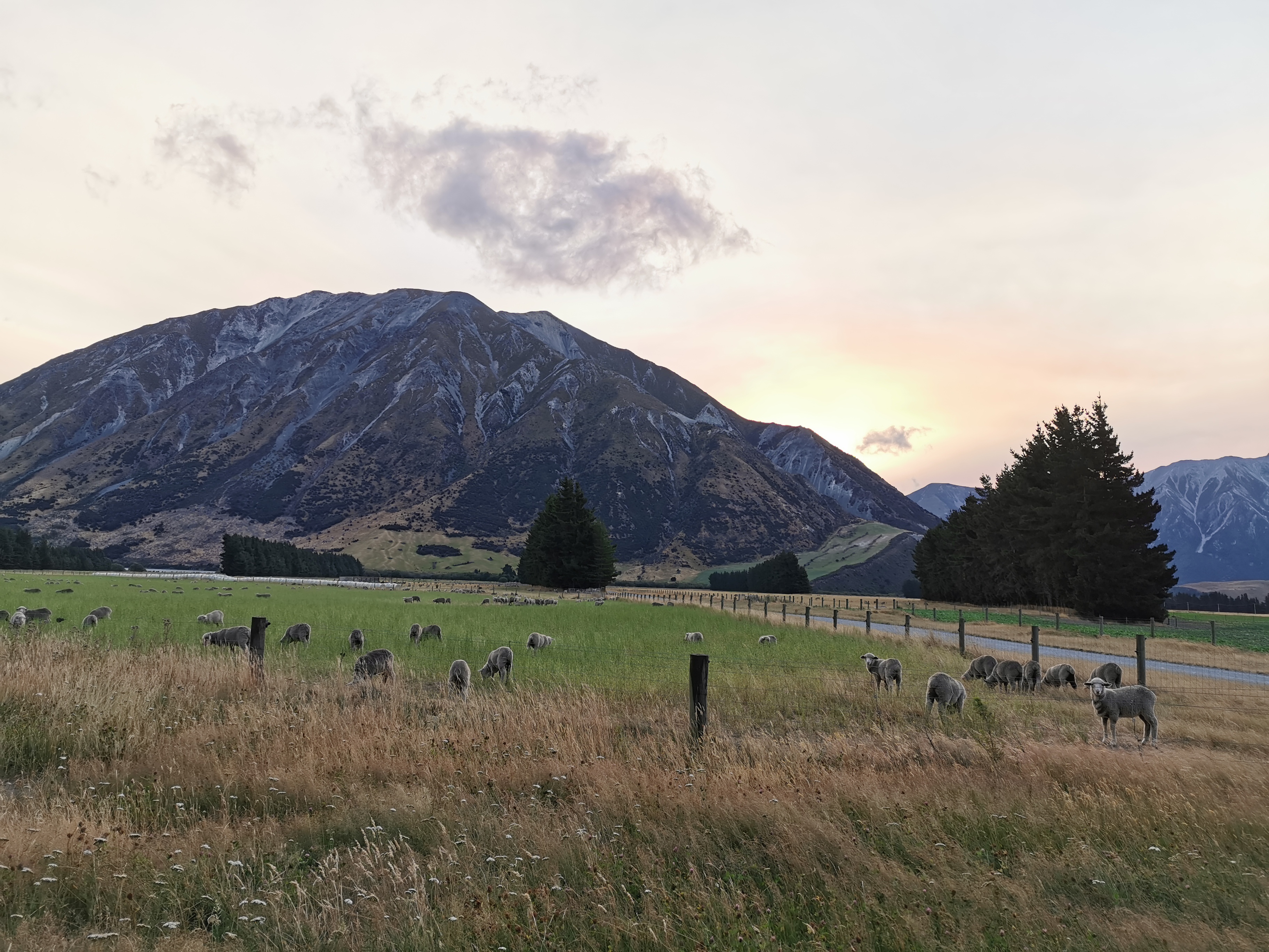
I saw my first South Island sheep! And they look different here!
South Island sheepies!
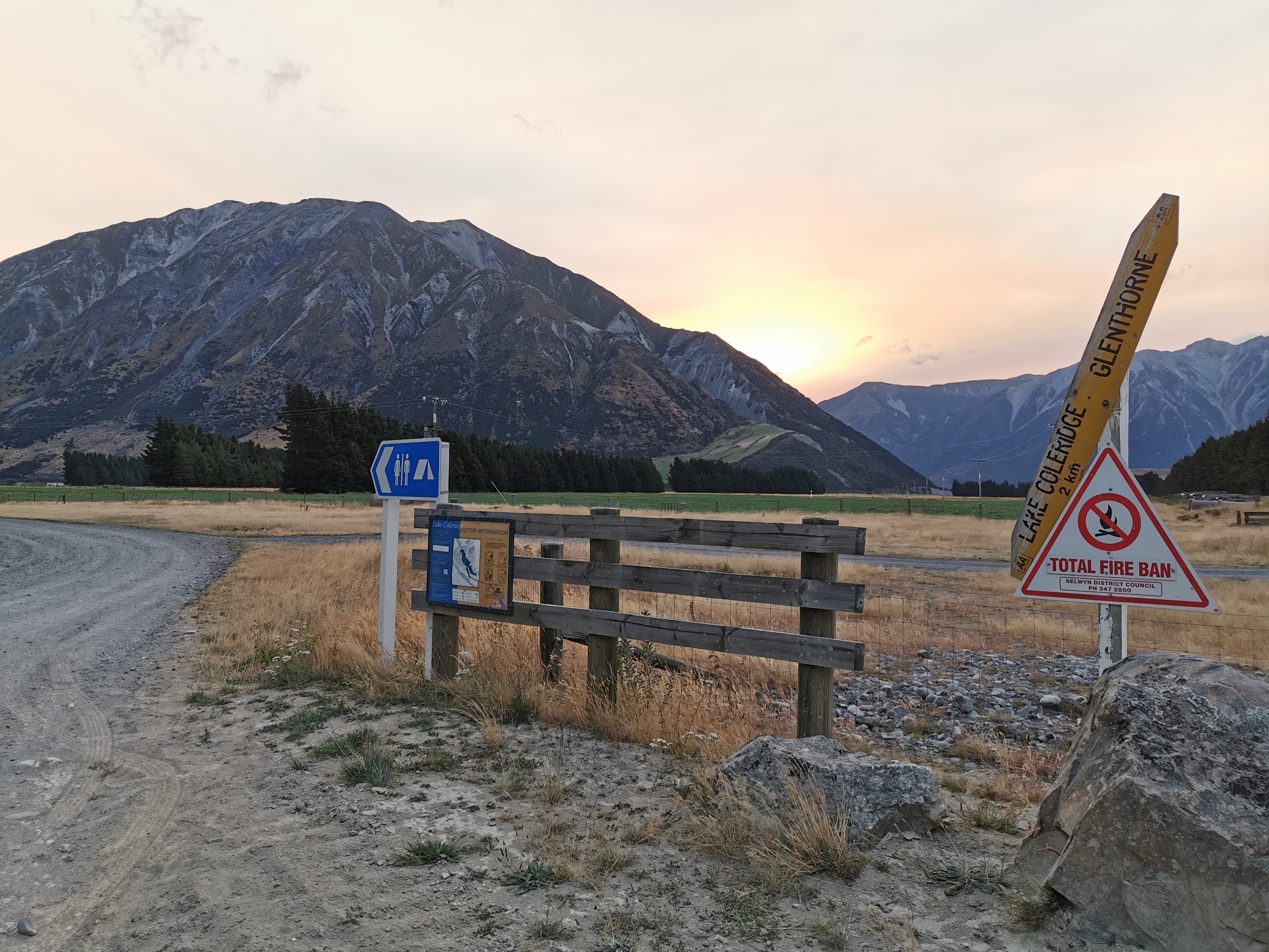
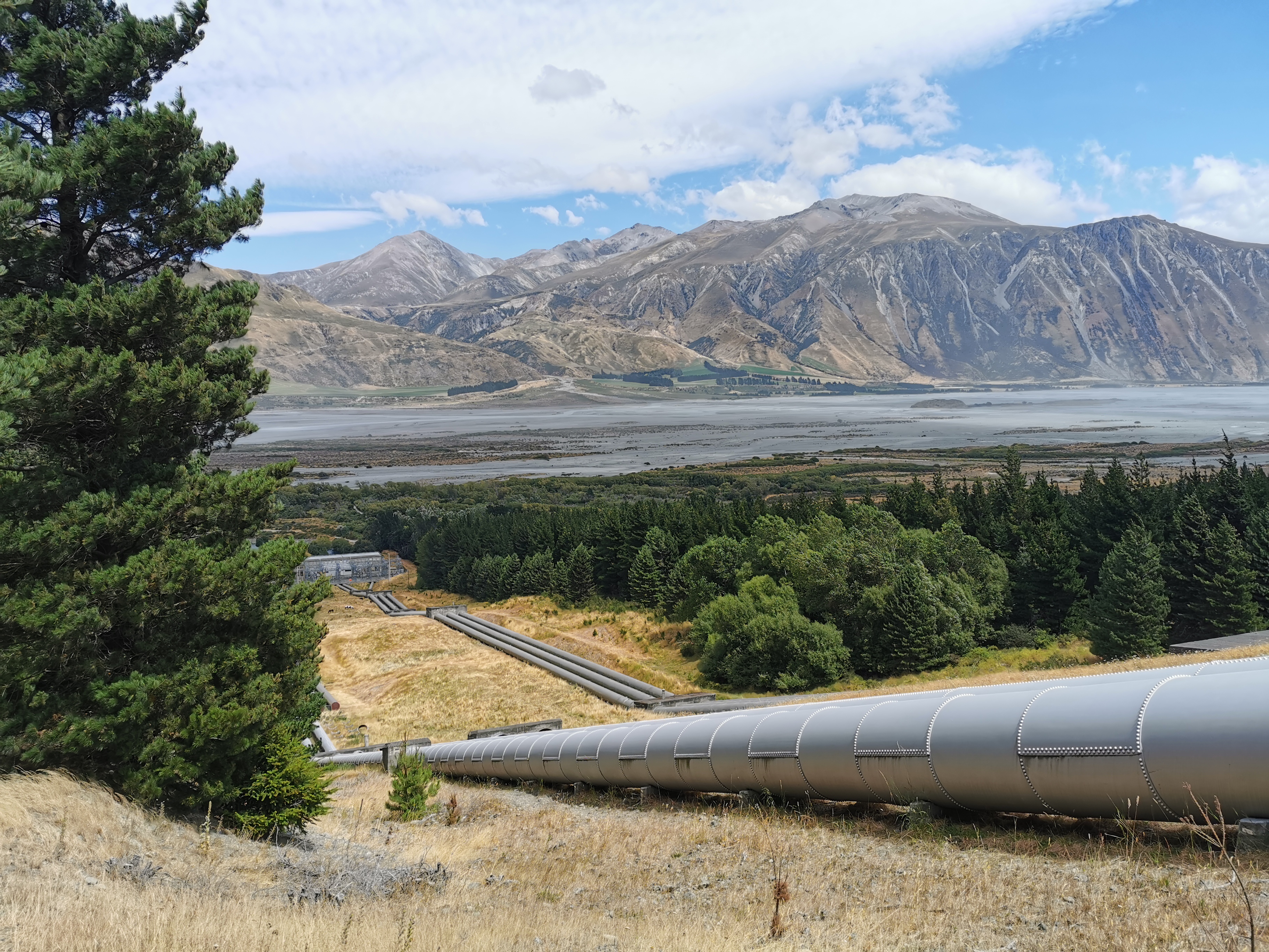
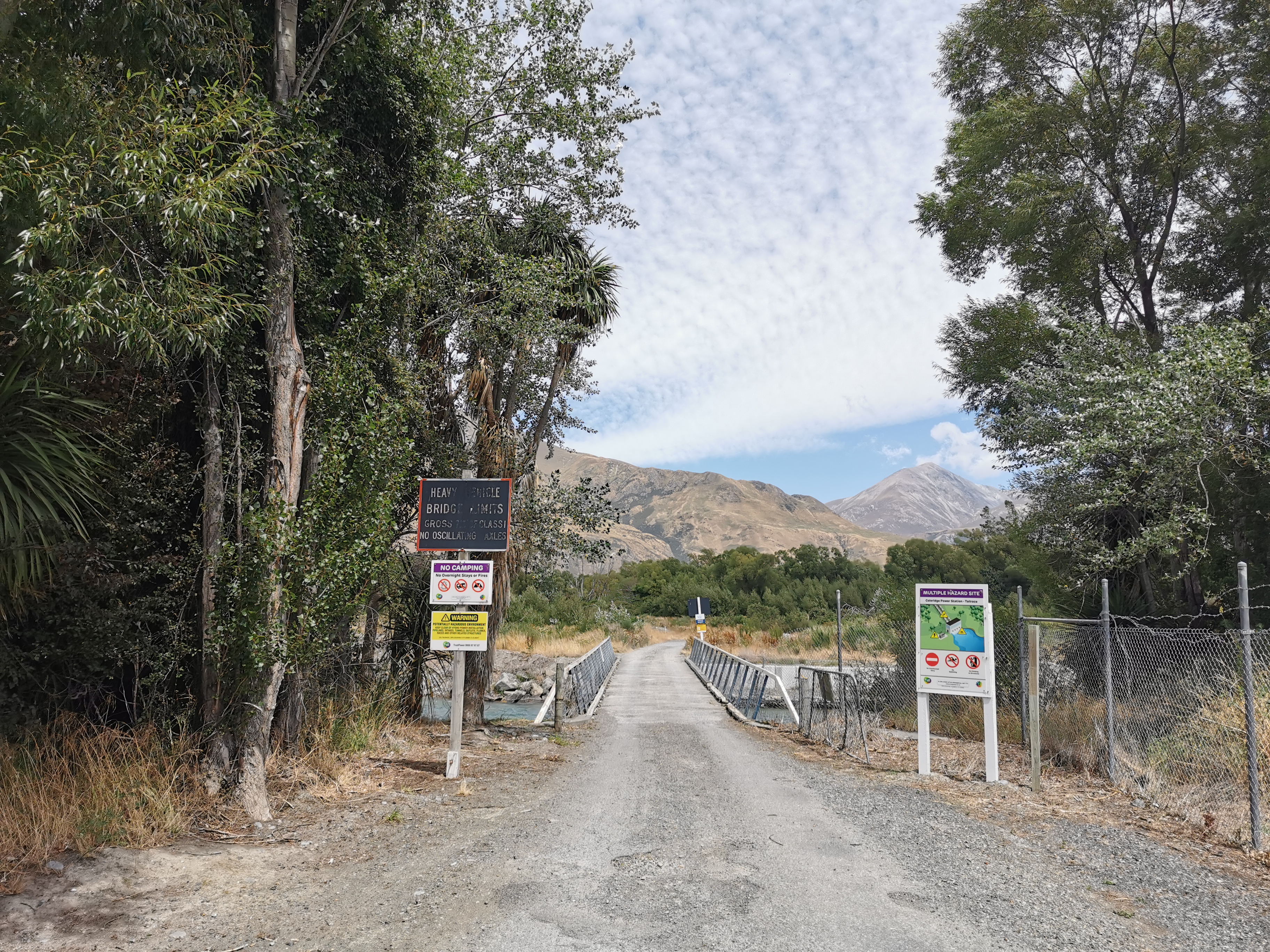
The campsite is, for some reason, run by Trustpower.
Trustpower have power generation facilities both here and Lake Colridge. Apparently there’s a guy called Kev who works at Trustpower and he calls into the campsite sometimes to see if people need a lift to Methven. I bet he won’t be around this late though.
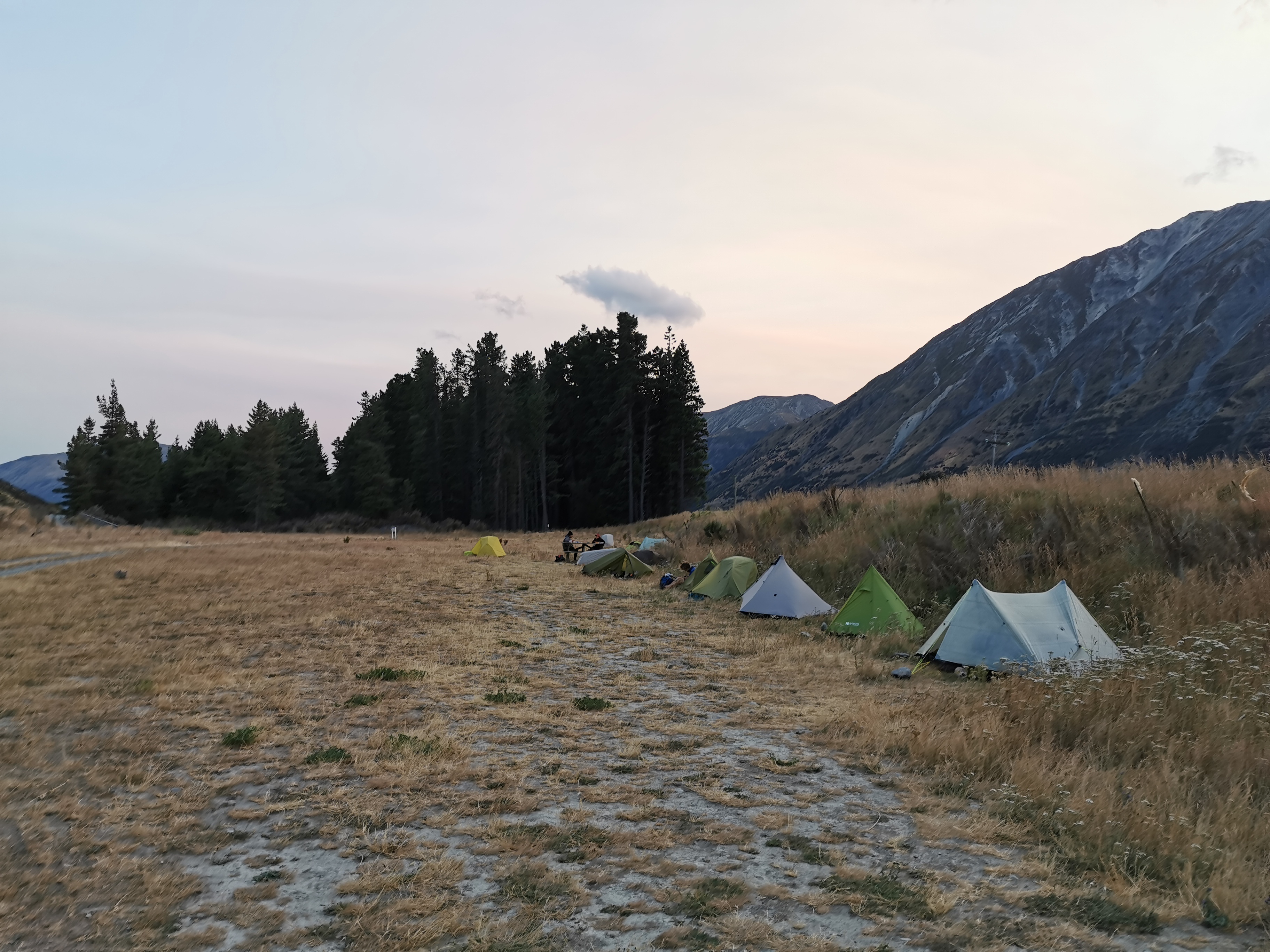
I hobbled into camp at 8:45pm. Wow, fifteen tents are already set up here. Surely someone here has organised a shuttle for tomorrow. The first people I talked to were going northbound but they pointed at the tents of people going south who they reckon have organised a shuttle. Sweet. They’re asleep now but I’ll catch them in the morning.
All the existing tents
After walking all day by myself it’s a bit of a shock to have so many people in a campsite in the middle of nowhere. It all felt very different from the first two weeks when I was always alone in the campsites (until Rhydian turned up).
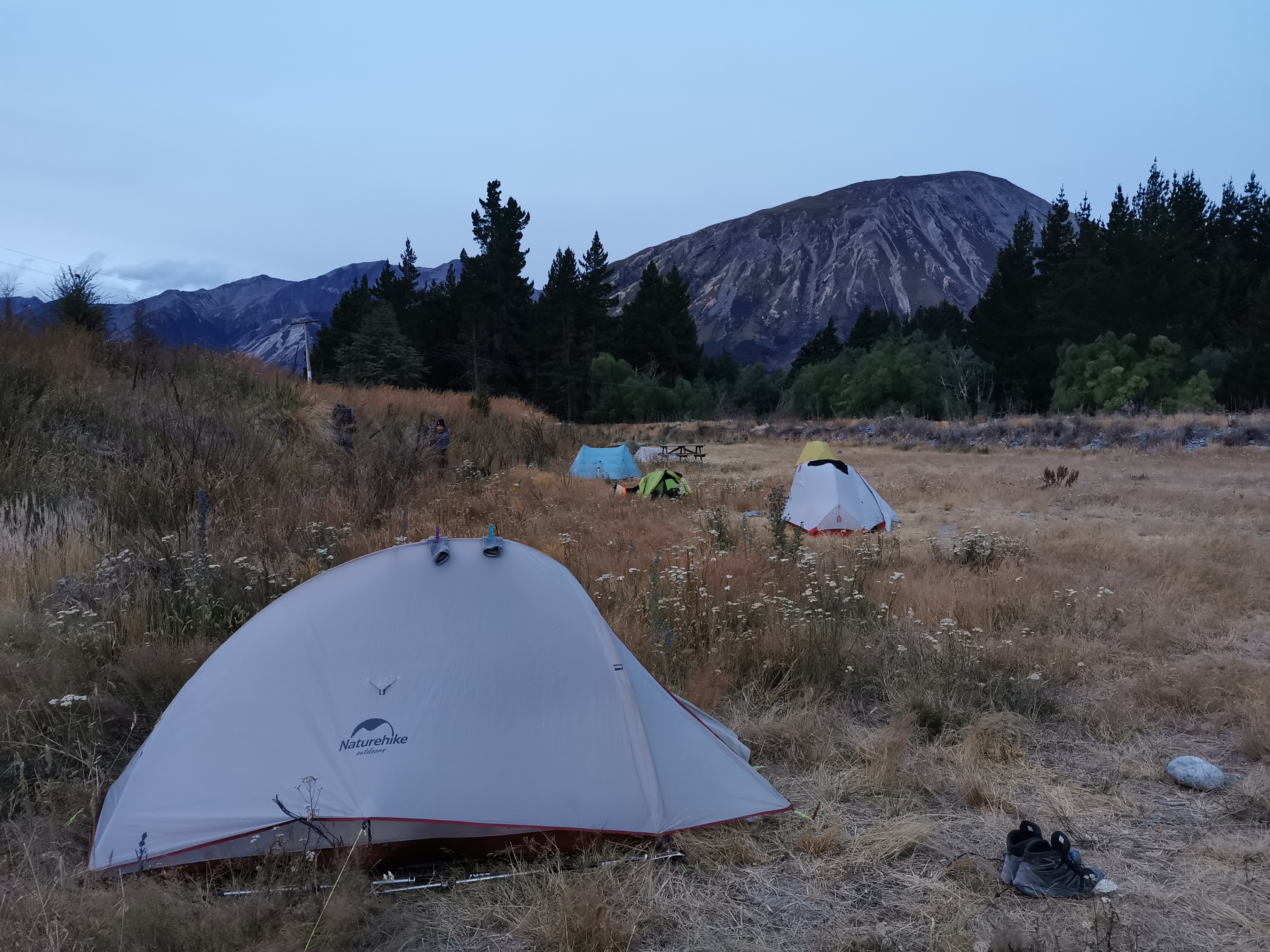
My tent set up at the very end. Of course nobody arrived after me.
I looked at the trail notes… Now I know where the 22km came from earlier. There is in fact 22km of road walking but then there is also a “lake track” and an “arboretum track” before you hit Lake Colridge Village. So that explains that. I will have to leave before 7:45am tomorrow to get there in time.
By the time I settled down it was still very windy, and hard to get the tent pegs into the ground because of the rocky ground. Not a good combination! I set up my tent the best I could and then went over to the picnic table to have dinner. When I got back to the tent two tent pegs had already come out in the wind. I put them in again and weighed them down with rocks. I also put rocks inside the tent in all four corners, which should be fine. The wind is strong but nowhere near the wind levels from Havelock back in December.
And actually there is just the right amount of wind: a bit so that the temperature is cool, not so much that I’m concerned about it, and the best part is… it keeps the sandflies away! It seems they don’t like wind! I could make a nice pasta dinner at the picnic table with not a single sandfly coming after me. It was excellent and a great end to a long day. I could even take my time getting my stuff organised and getting into the tent, and no bloody sandflies anywhere. Actually I tell a lie, one lone sandfly did make its way inside the tent. It was quickly dealt with.
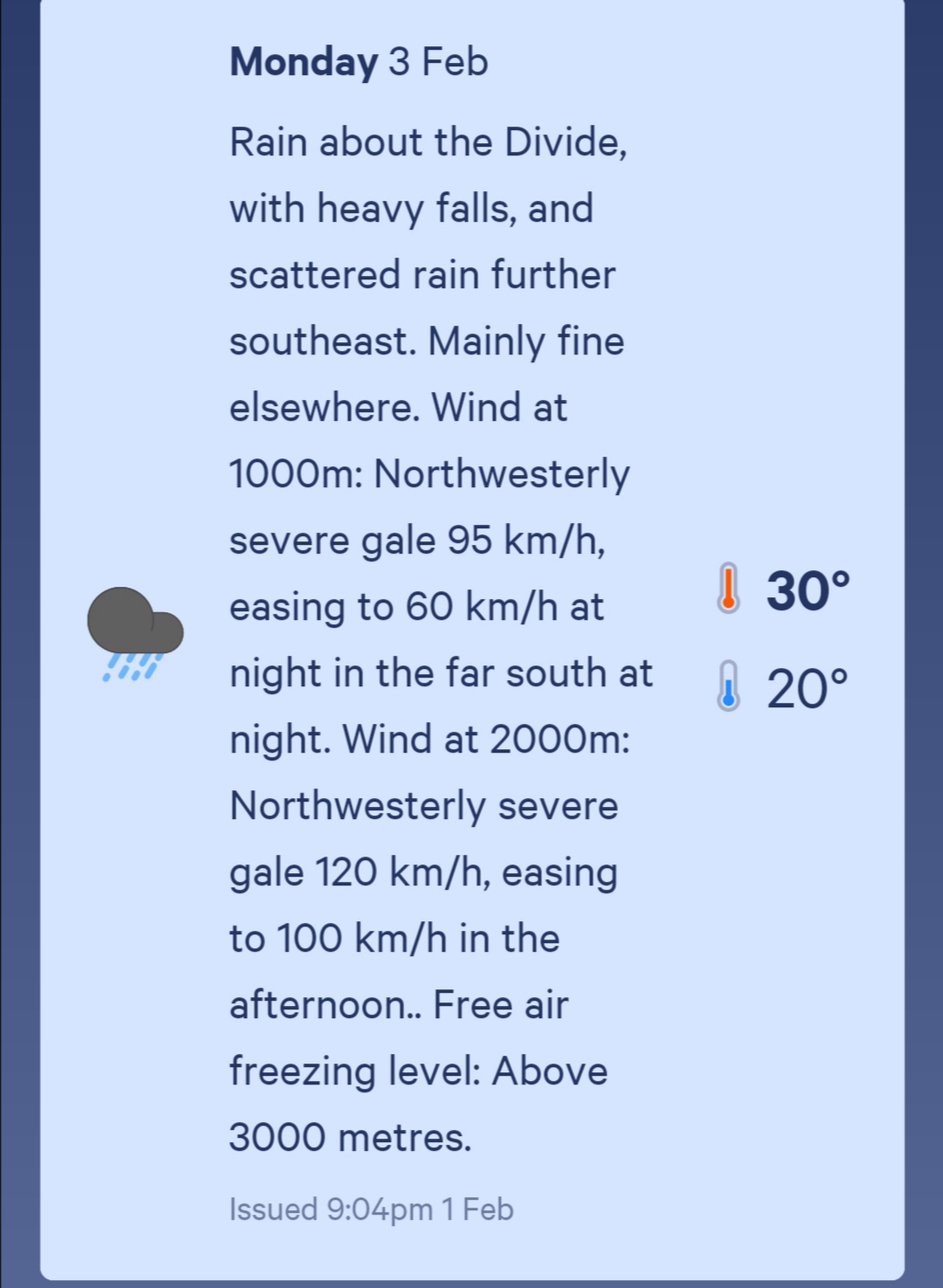
Date: 3 February
Trail covered: 29.6km (kms 2215.1 to 2244.7)
Weather: gale force winds and hot
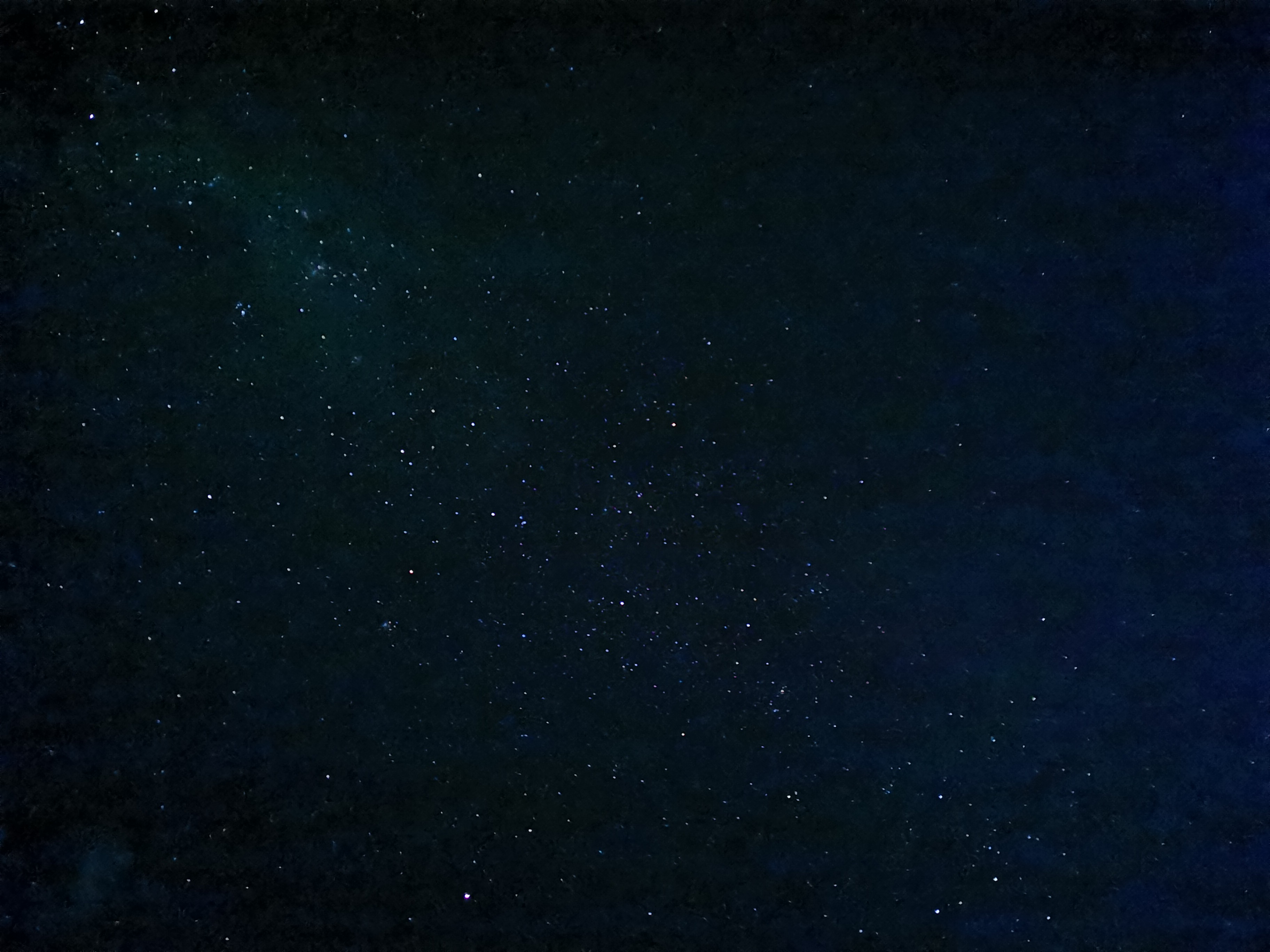
During the night the combination of hot and windy weather and sore legs meant I lay in my tent wide awake. I didn’t feel tired at all. At 1am I went outside the tent to check on the tent pegs because of the strong wind and to open the little ventilation door at the back of the tent to try and let a bit of the wind inside the tent to cool it down. As I was getting back into the tent I looked up and saw the stars. They were amazing, it was like almost every space in the sky had a star there if you looked far enough into the distance. It was like looking at the ends of the universe.
I tried to take a photo with the night mode on my camera. Of course I knew that it wouldn’t even be close to what I was seeing, but I was surprised that it did at least capture something.
My attempt to photograph the stars
The wind picked up at 1.30am. I hope nobody else’s tent blows away (or any of their other stuff). I’m the last tent downwind in the line of tents so I’d be hit with it.
I think it was probably about 2am when I finally did fall asleep. Of course then the alarm woke me up a few hours later at 6:30am.
When I woke up a few people had gone already. Not the occupants of the two tents that had organised a shuttle, though. I went and used the loo first. I had to queue for the toilet for the first time ever since starting the trail. I’m surprised that doesn’t happen more often honestly! While I was queueing, there were a few spots of rain which seemed unusual as there were hardly any clouds above us. Did that mean the forecasted torrential rain was going to come today?
The view while queueing
I talked to a guy called Simon, who had booked the shuttle. Uh oh, it turns out Simon is getting picked up from Lake Georgina, which is near Lake Colridge but not on the same road. That’s a bit of a pain. I’ve asked Simon if he would ask Wayne who drives the shuttle to detour into Lake Colridge. He said he would ask, but I have no idea of the likelihood of the shuttle actually detouring to get me. I figured that there must be NOBOs who will be dropped off at Lake Colridge, so the shuttle is likely to come past. I mean, there were 16 of us here last night!
I had some breakfast and had left by 7:45am. The shuttle would turn up sometime after 2:30pm if it was going to so that leaves nearly 7 hours to walk 28km, at least 22km of which is on the road. I can’t waste too much time.
On the way out I realised that Harper Village really doesn’t have much. Just a few industrial buildings, a few houses…
Practically the entire village
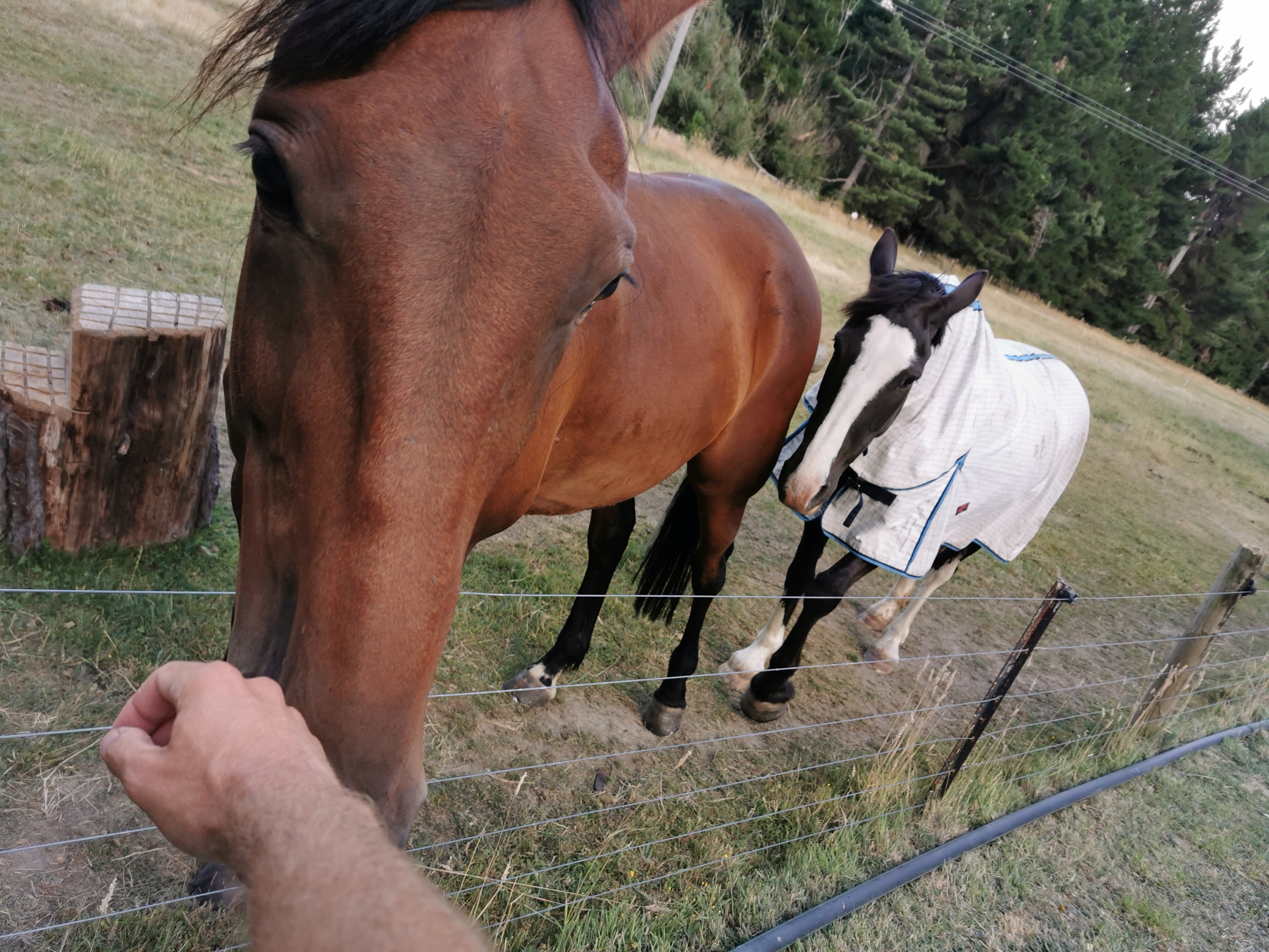
… and a couple of friendly horses.
I also noticed this sign.
An ooooold sign
These old black and white signs were around when I was a kid but I haven’t seen one since then, in several decades. I know it doesn’t sound like much but I was excited about it.
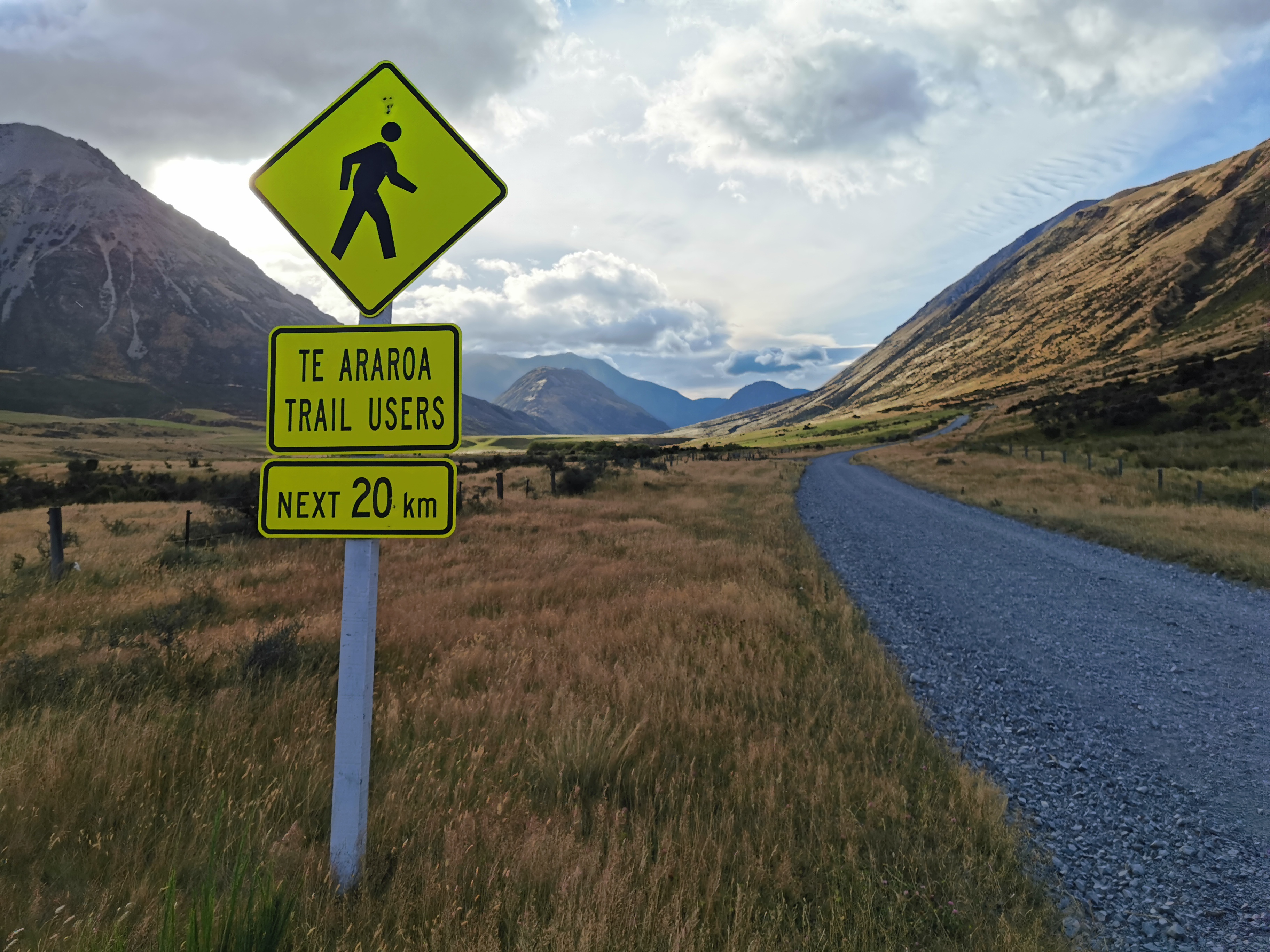
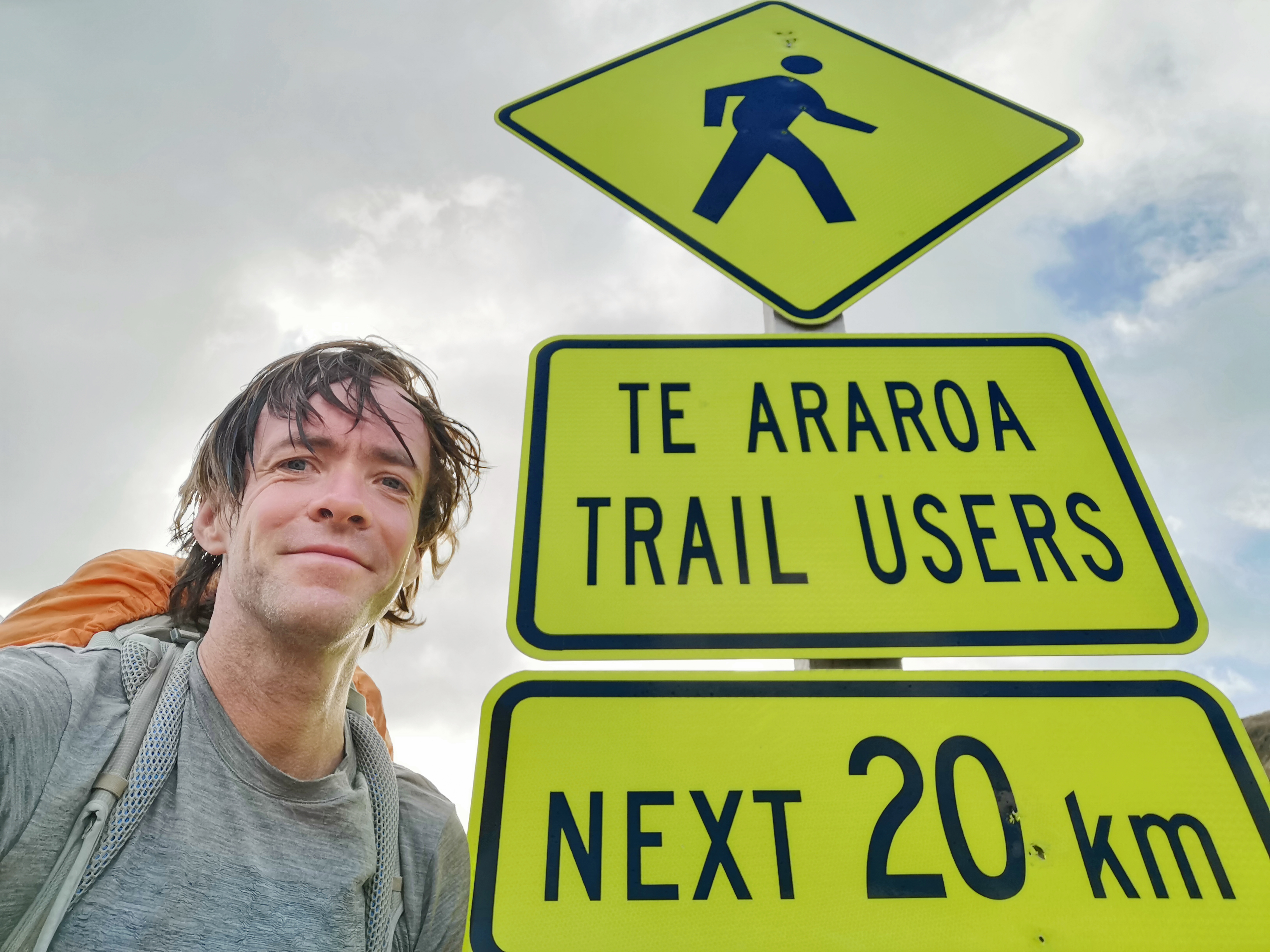
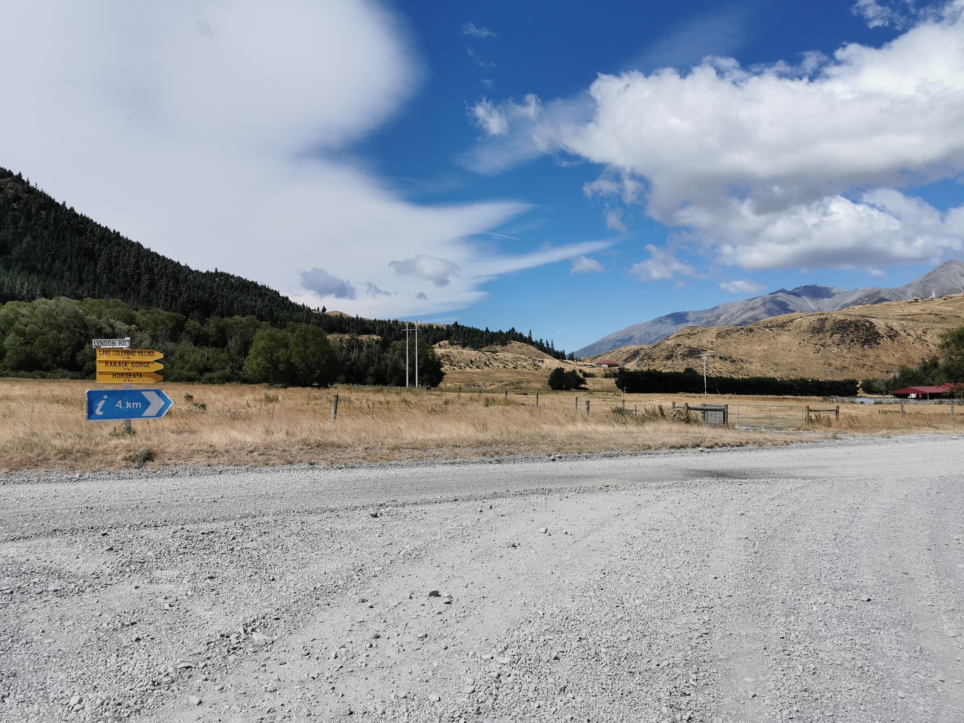
Here’s another cool sign. It’s one I’ve seen on many Instagram feeds and Facebook posts. For some reason I thought it was further south.
Te Araroa Trail Users – Next 20km
Can I get a selfie by it?
I tried but it’s bigger than it looks!
The view didn’t change much for the 22km of road walk.
The road is called Harper Road.A cute little hedgehog on the road
There was a rainbow at one point. The rain cleared after a short bit of walking, and it got hot.
Rainbow
There were a few toilets on the way, but every single bit of grass and toilet and reserve had “no camping” signs.
One of the toilets along with No Camping sign
While walking I passed a European girl. I didn’t get her name, mainly because she had her headphones on while walking and she was walking down the middle of the road. That’s really dangerous! I mean I know there weren’t a lot of cars on this road, but I saw a couple each hour, and she really wasn’t paying attention. But it wasn’t my place to say anything.
About 10 minutes after I passed her, a loud car horn pierced the air. I bet I know what that is. Somebody tooting at this girl trying to get her to get out of the way.
Here’s my 11am picture. It’s another piece of the same road.
11am picture
I caught up to a guy called Steven from the Netherlands. We walked together for a while, and we had the same pace so it was nice to have a bit of company.
Catching up to Steven
The wind was behind us almost all of the road walk. It was gale force at times and would blow us from side to side on the road. I’m so glad it wasn’t blowing into our faces. It was hard enough walking with my sore leg. Having a headwind probably would have made me break down and curl up into a ball on the side of the road. I feel sorry for the northbounders today, if there are any!
Steven was trying to hitchhike instead of walking all the way to the end of this section of trail at Lake Colridge, so when he stopped to filter some water I left him behind as I had to keep walking.
I also passed two others who were taking a photo of this view. I think this might have been Lake Georgina where the shuttle was going to meet Simon today.
My left leg really started to hurt again by the end of the day. And 22km is a really long way to be walking on the road, especially at a fast pace.
An intersection after 21km
After 21km on the road you encounter this intersection and have to make a hard turn to the right onto Homestead Road, and then walk one more kilometer on the road. It was from this point where the gale force winds hit me in the face. For 1km I got to learn what it would be like to be someone going north on this section today. It wasn’t pleasant, in fact when the wind was at its worst I had to just stand there and wait until it died down, as it was simply too strong to walk through.
And everything got covered in dust
After the road walking was a section of track called the Lake Hill Track.
Lake Hill Track start
It was described as being adjacent to private property. Oh no, that is “TA speak” for an unmaintained, narrow and deteriorating track through the back of somebody’s farm. Sure enough that’s exactly what it was.
It was an easy track at first as you can see above, however then it deteriorated really fast. It was overgrown:
Could hardly even see the path
And swampy:
This is the deepest mud I’ve stepped in. I didn’t even know it was there because the overgrown path made it hard to see. I had trouble pulling my leg out of the mud.
And had every spiky plant known to man.
It had Lake Colridge right beside it though, that was its only redeeming feature.
Lake ColridgeCloser to the lake. I actually walked right past it at one point so I got to clean the mud off my legs from before.Ducks on the lake
Lake Colridge is a very beautiful, very blue lake. If it weren’t for the beauty of this lake, I could very well have declared this the worst section of trail ever… but that could have been the exhaustion and soreness talking.
The path got less treacherous after a whileMachinery doing its thing
The track got better as time went on and then it was back onto the road again. A guy stopped and I hoped he might offer me a ride but he asked me if I had seen a dog around and when I said no he thanked me and drove away.
Another one of those signs. I’m going to blame the funny angle this photo is on on the howling wind.
The last bit before Lake Colridge village was the Arboretum Track. It went alongside some pipes used by the power plant.
This was also the first spot where I could see the Rakaia River, in the background of the photo above. This large, braided river is the reason the trail ends at Lake Colridge and restarts on the other side of the river. This river is very dangerous and the Te Araroa Trust don’t recommend that anyone attempt to cross it. I certainly won’t be giving it a go.
Sure enough the Arboretum Track went through a bunch of trees – although a lot of them were simply dead pine trees.
Arboretum Track
This was a nicer track to walk down though than the Lake Hill Track, that’s for sure. There was also a bit of phone reception coming down this track, so I used that opportunity to call Wayne from the Alps2Ocean shuttle. It went straight to voicemail which likely means he is out driving. Since it’s an 0800 number, there’s no way to send him a text message. Oh well.
Coming into Lake Colridge Village at 1:45pm, it was clear that this is similar to Harper Village. There is nothing here but a power plant and a picnic table.
According to Guthook, this little bridge beside the power plant is the end of this section of trail.
It’s not going to be easy to hitchhike out of here if the shuttle doesn’t turn up. Luckily one of the guys working at the power plant said hi to me as I walked past and I asked if he could take me into Methven. He said that if I was still here at 5pm (over three hours away) then he would be able to. That was reassuring.
There was also the Lake Colridge Lodge in town which was going to be my backup option for accommodation if I couldn’t get a ride out of here but there was a big sign saying “lodge closed”. Well, there goes that option.
Three other TA walkers were already here, but they decided to walk towards Methven at the same time as hitching to increase their chances. My leg hurt too much to be doing that. So I sat in this spot near the picnic area and power plant sticking my thumb out towards any vehicle that came past (which was maybe one every twenty minutes).
My hitchhiking spot, facing the Trustpower buildingThe little post boxes building, information boards and toilet block
While I was waiting around another TA hiker came and joined me at the hitchhike spot. I kind of hoped that wouldn’t happen because a car is much more likely to pick up one hitchhiker rather than two. But I can’t very well tell him to go away.
One lady stopped and said she was going to Windwhistle, about two thirds of the way to Methven. I declined the offer as I had faith in the power plant guy who said he’d pick me up later but the other hiker accepted the offer. So at least that meant I was by myself.
Another couple stopped but said they weren’t going towards Methven.
Nearly two hours passed, and at 3:30pm it definitely appeared as if the shuttle wasn’t coming today. That sucked.
At about 4pm some contractors doing gardening at the power plant stopped to give me a ride into Methven. Hooray, it was starting to get hot sitting there in the sun for over two hours. They were cool guys. They said that they always see walkers along this road.
While driving, when we passed the Rakaia Gorge we stopped and I took a photo of the Rakaia River. As it flows through the gorge the braids of the river all join together. This is one of only two roads in the whole South Island to cross this river, the other being State Highway 1 out on the east coast.
The Rakaia River from State Highway 77
It would be very very difficult to hitchhike directly to where the trail restarts on the other side of the river. Almost every hiker spends the night in Methven because the campground is apparently really hiker-friendly and cheap, and it’s a good chance to resupply. So that was always my plan.
The contractors dropped me at the Methven Campground. There already were Julie and Susan, Troy and Jordan, Brad and Lisa, and at least two other hikers. Most are waiting out the rain tomorrow and then we will all be starting on Wednesday (two days from now) on the south side of the river. The owner of the campground is going to take hikers there who want to go.
And also… I couldn’t believe it, Rhydian was there! He was so far ahead of me a few days ago.
The little cabins most hikers stay in. A single bed, heater, fridge and cupboards for $25 a night, or there are some doubles as well for a bit more. Rhydian is outside number 4. Mine was number 1.
I got one of these little cabins. As expected it was like a sauna inside. But for only $25 a night, that really isn’t too bad. I booked in for two nights because I definitely need a rest day for my sore leg, and to be honest it’s hurting so bad I might even need more than one rest day.
I did go for a walk with Rhydian into town to get a beer. We had two each and caught up with all the trail gossip then I got food on my own. I bought way too much food like I always do in towns.
When I got back to the campground at 8:30pm I saw Rhydian in the kitchen and he was with two new hikers called Becks and Dermot. Becks had been reading my blog and recognised me. We had a chat for a while but then I had to excuse myself and go and lie down because I was feeling a little sick from eating so much. Pretty much as soon as I lay down on the bed I fell straight into a deep sleep with the door and window to the cabin wide open and no sheets or sleeping bag on me.
So it appears I have injured myself again somehow, and this time it’s more serious. It’s so frustrating. I’m ready and willing to walk the trail but my seemingly unfit body can’t handle it. It wasn’t too much of a surprise when this happened after two weeks but I haven’t felt any real pain since Waipu Cove on day 29 and so to have this happen now is really surprising. Not only have I been stuck lying around in the Methven Campground for nearly a week just waiting for it to heal but all the people I know and wanted to stick with are now ahead of me. And I still can’t walk without pain.
It sucks. It truly sucks. I just hope I’m not permanently injuring myself in some way by doing Te Araroa. I don’t know if it’s the heavy pack I’ve been carrying over the last week or the long days I’ve been doing (even though I did longer days in the North Island) or if this is just all starting to take its toll on me slowly but surely.
Until now I haven’t bothered going to the doctor or physio because the advice is always the same. Go home and rest up. Put ice on it. That’ll be $90, please. But I’ve had six days of rest now and my leg still hurts.
So I’m going back to Auckland tomorrow while this heals, which looks like it could be a while. I’ll go to the physio while I’m up there. Hopefully it will be healed by March and I can finish off the rest of the trail next month. But right now I’m not optimistic.
Here’s a brief rundown of what I’ve been doing this week.
After I first arrived at the campground on 3 February and had dinner, I lay down on the bed and immediately I fell straight to sleep. I didn’t actually wake up again until 5am. The door and window to the cabin were still wide open and it was starting to rain so I went outside and quickly brought my shoes inside. Luckily they were still dry.
It was at this point I noticed that my left leg was sorer than ever. It was similar pain to the pain I had in Kerikeri in the third week but not quite as bad. It is a shame that I can’t continue tomorrow because it would’ve been cool to travel with this group.
4 Feb: I went back to sleep from 5am until 8am. I took some painkillers and waited for them to kick in, then hobbled into town for breakfast.
Friendly bulls on the way to townBacon and eggs
I got some coffee and food and a few groceries and then planned to put my feet up at the campground all day.
Brad and Lisa against Rhydian and me at pool
However in the common room at the campground there were a lot of people wanting to play pool. I couldn’t resist, so despite it not being a really active sport, I didn’t sit around with my feet up as much as I should have.
It rained almost all day. I spent nearly the entire day in the games room with the other hikers. It was a very social day.
Rhydian took the two salmon Radix Nutrition meals off me that I was given a few days ago. I must remember to ask him how they tasted.
5 Feb: most of the hikers got the owner of the campground to take them to the trailhead at the southern side of the Rakaia River. Rhydian has decided not to go with them – he’s going to walk a different way to Tekapo. He’s really against paying a guy to get around the second river – the Rangitata River. He’s from this area so he knows it well. He was originally going to stick to the trail and cross the Rangitata River but it’s likely to be flowing too fast because of all the rain recently.
I stayed in the cabin most of the day because my leg still hurt and I don’t feel like I actually rested it yesterday. When it’s not so hot outside the cabin is a much more pleasant temperature and is a nice place to chill out.
I had a buddy for an hour or so
I spent almost the entire day lying on the bed playing a game called Lemmings on my phone. I loved this game when it came out in 1991.
Lemmings on my phone
I did try walking into town at 6pm to get an Indian curry for dinner. It was really nice. I was the only one dining in but there were lots of people getting takeaways. During the walk my leg hurt but not as much as the last two days.
6 Feb: the day was largely spent watching TV in the common room. Shows watched were Tipping Point, The Chase, the news, Mom, 2 Broke Girls, Millionaire Hot Seat.
Then more resting in the cabin playing games. I went and got dinner and a Guinness from the Blue Pub.
Nachos and Guinness
My leg still hurts, not as much as the first day but I definitely can’t continue walking yet.
7 Feb: Florian and Pierre are here. News from them is that they had to wait two rain days in Arthur’s Pass. At least six other hikers are also here.
The Coast to Coast is today. The Goat Pass section was scrapped because of the week of rain and a changed route was used instead. I have a feeling the new route is mostly on-road but I’m not sure.
So again, even though I’ve hurt myself because of the big hiking days, I’m so glad I got to do this section.
I went to the pharmacy today and got some strapping tape and some Arnica tablets.
8 Feb: I woke up to what seemed to be the aftermath of a lot of drinking by the other hikers. There were a lot of hangovers and at least one pile of vomit. I’m glad I didn’t partake in that. They must have been out until late because I was still awake at midnight and I didn’t hear anything.
It’s Saturday and it’s a long weekend but the campground is still very quiet. My leg is ever so slightly better each day but I still don’t think it’s ready to hike on just yet. I’ll probably end up taking seven days off like I did in week three.
Every time I walk into town there seems to be a vehicle towing a massive amount of hay.Saw this near the Four Square. I met these two on the Whanganui River section.
9 Feb: I finally bought a new car to replace my car that got stolen in December.
Couldn’t resist
Yeah right… sadly that’s not true. While this is the sort of ridiculous car I would buy, this is just one I saw across the road from the SuperValue.
My leg still really hurt after a walk into town today. Today is the day I decided that since it’s not getting any better, it’s going to be an extended period of time off for me.
The campground is quiet today so I spent the rest of the day watching TV and packing up.
In the last two days my leg has been feeling lots better. It still hurts a small amount sometimes but I bet before March I’ll be back out there and raring to go again 👍😁👍
Lots of resting and relaxing (and ice) seems to have helped!
Info
Distance walked is the distance I walked according to my GPS Watch (Suunto Ambit 3 Run).
Trail covered is the number of Te Araroa virtual “km markers” I have passed.
Distance walked may be higher than Trail covered if I deviated from the trail, or it may be lower because the GPS Watch often under-reads the actual distance walked.