Date: 30 October
Distance walked: 49.6km 
Trail covered: kms 534.7 to 584.7
Weather: jacket goes on, jacket goes off, jacket goes on, jacket goes off, jacket goes on, jacket goes off, jacket goes on, jacket goes off
Number of records broken today: 5
Wow! I’m finally home!
Back when I wrote this post, I said that my first goal was to make it from Cape Reinga back to my place in Auckland. I’ve managed it! There were two times that I thought I might not make it – namely both times I had to take rest days due to injuries. But here I am.
I’m going to keep walking. I want to make it to Wellington. Hopefully by Christmas, which seems possible but a bit of a challenge – it’s about 1000km away and I have about 50 days to do it. That’s an average of 20km per day which is certainly achievable, and if there are no injuries or holdups at all then I’ll do it.
Today Guthook said that the distance I had to complete was precisely 50 kilometers. It’s a shame that ultimately my GPS watch said 49.6km even though I ended up doing the river crossing three times and detoured twice off the trail to get food. The GPS watch always under-reads though. You can see on the map how it cuts across corners which explains why it always reads under. So I know that I managed to do a 50km day today – so that’s a record for the number of kilometers done in one day.
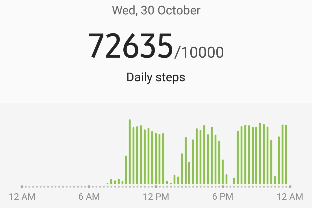
Some other records I managed to break today are: first time walking at night, first time walking past midnight, and the largest number of steps done in one day (again) – 72,635 steps!
The day started off with my sister dropping me back at the south end of Orewa Beach, precisely the same spot where she picked me up from yesterday. I still had no pack, my Mum took it off me yesterday so I was only walking with a phone charging cable, my rain jacket, my crocs and a couple of other small things. I was dropped off at 9:30am, and it was 18km to the low tide crossing at the Okura River. I needed to be there at 2:30pm for that even though low tide wasn’t until 3:47pm. I had planned to meet Louise, Benjamin and Paulina there so that I didn’t have to do the river crossing alone. This is one of the deeper rivers so I wanted some people there for support. 18km in five hours should be easy since it’s almost entirely road walking and I’m by myself. They talked about potentially crossing an hour before low tide if it was possible so I wanted to get there in plenty of time so they didn’t go without me.
One of the first things I saw today was this cool bird:
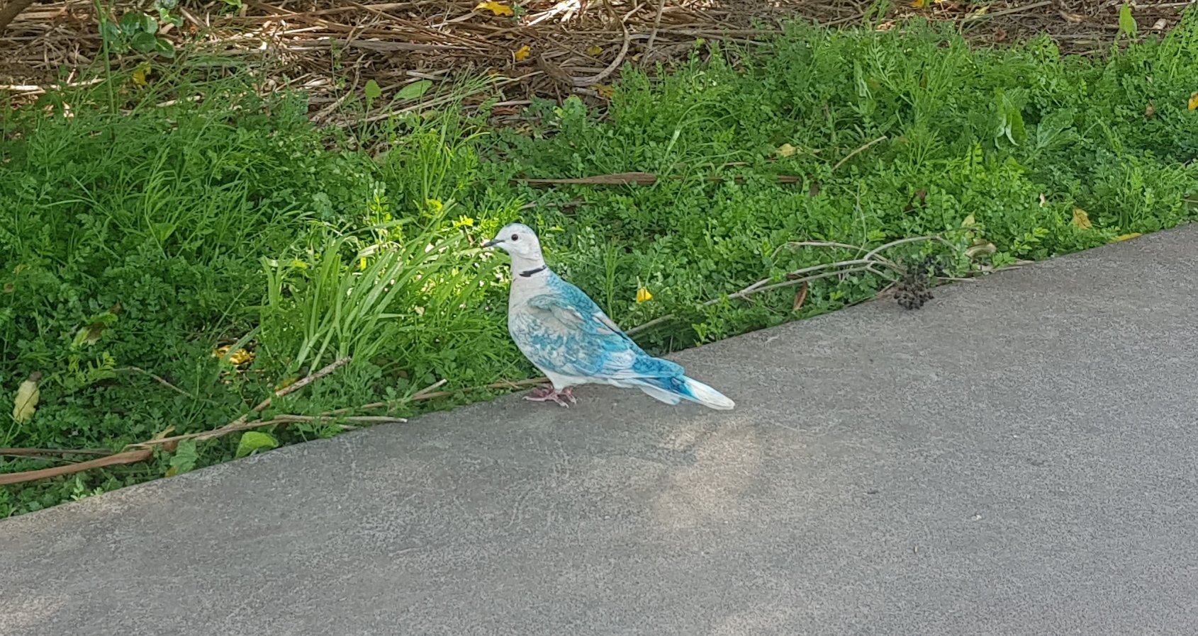
At first I thought it was a pigeon which the nearby school had doused in blue paint as a joke. But as I got closer it appeared to be naturally that colour. I love the colourings on this bird.
I walked along the Orewa Estuary, and after a very short time I reached this point which locals in the area will recognise as the turn-around point for the Millwater Parkrun.
The Millwater Parkrun is a 5km run which is free and starts near the Millwater Shops:
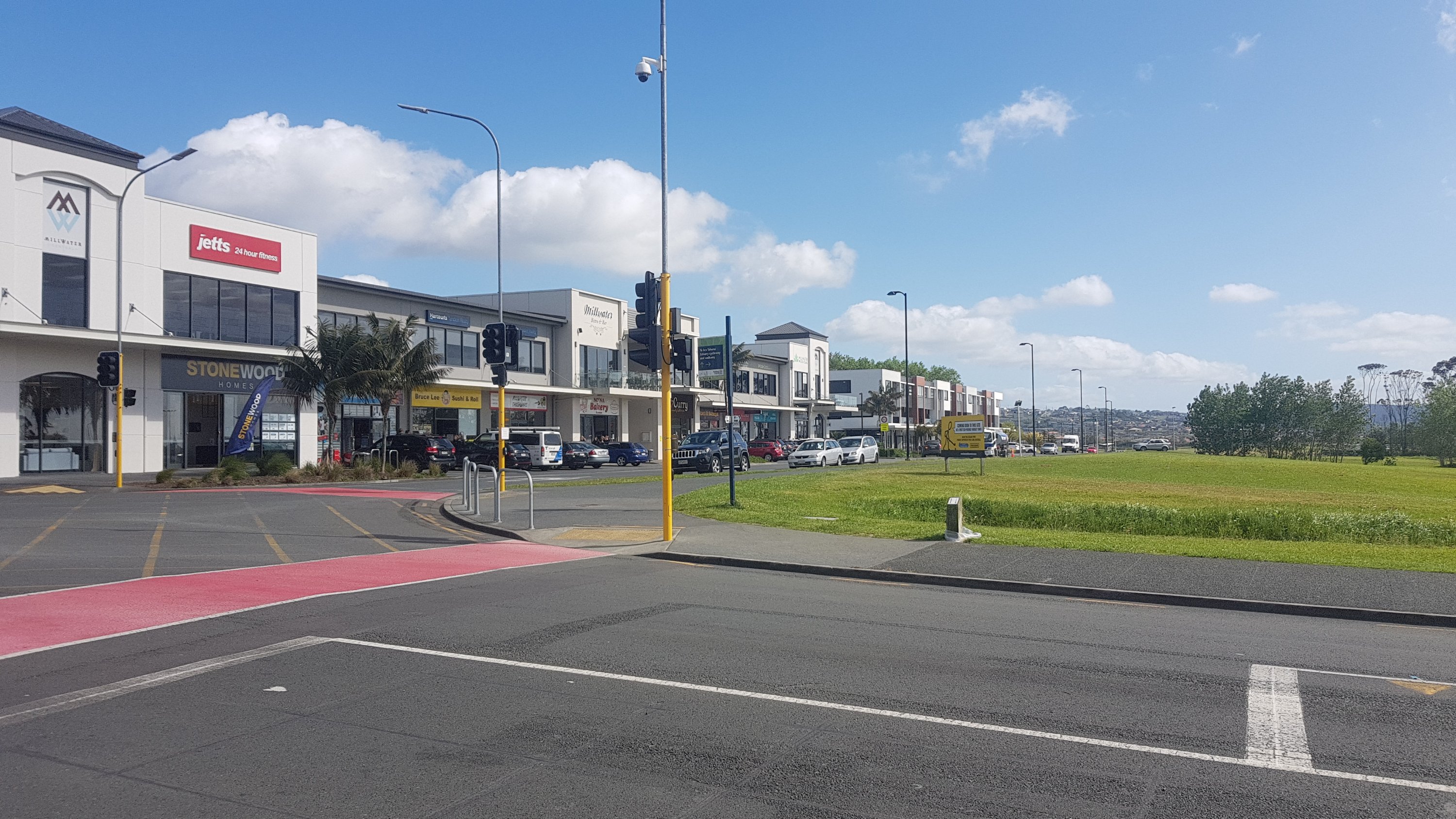
It starts every Saturday morning at 8am. If you register at the site above and take a barcode, they will record your time. I used to do the five different parkruns around Auckland quite a lot before I hurt my hamstring two years ago and mostly stopped running.
Next step is through Silverdale where there is a decent sized mall, containing a large Countdown and a Kathmandu store. There were heaps of other shops too, including four different bakeries. I bought this thing called a “lolly cake”. You can find this in pretty much every single bakery in New Zealand and it’s worth trying. Although this one from Wild Grain Bakery on Silverdale Street was sadly not very good. It was just too buttery.

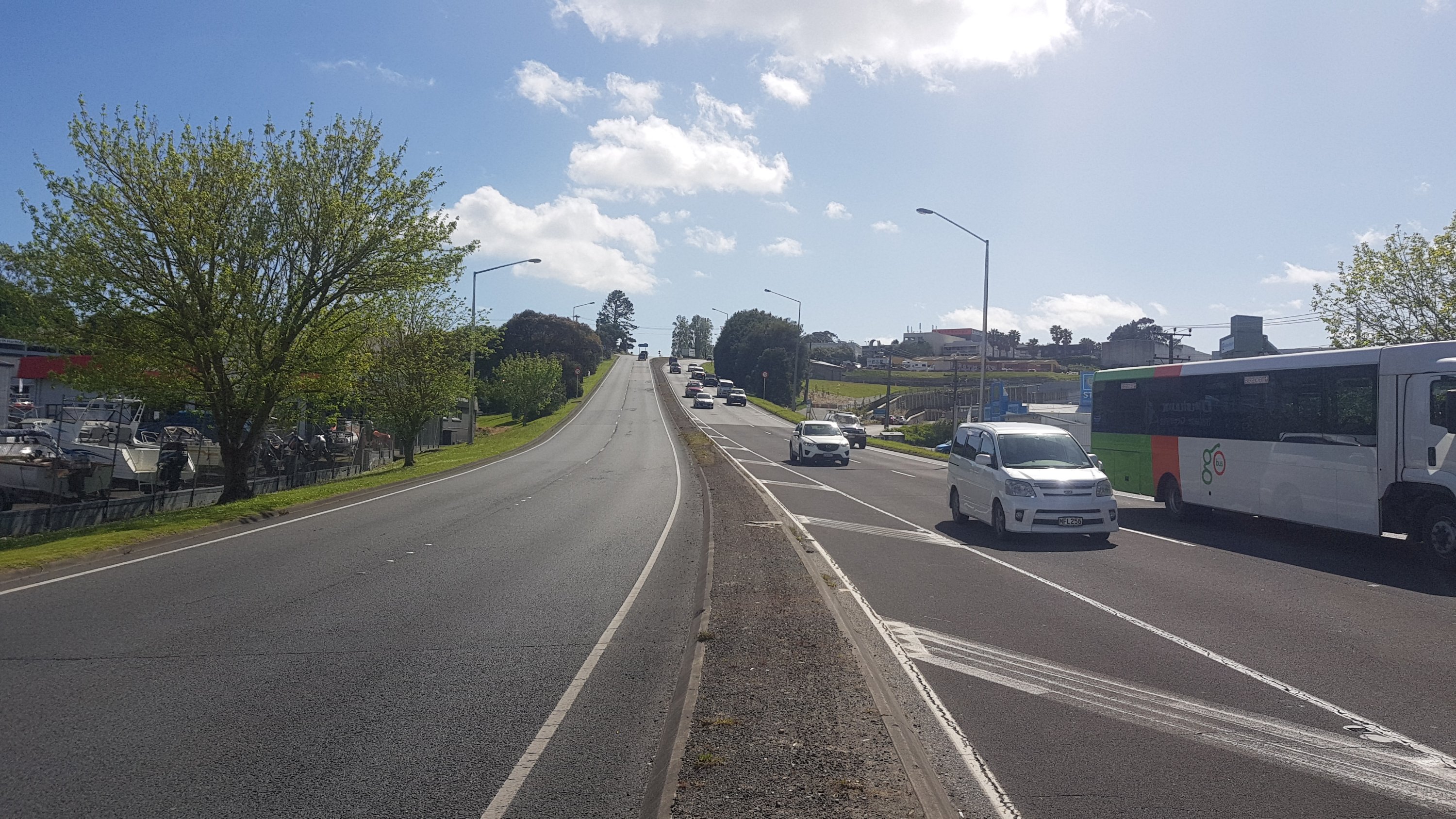
Then, you have to cross the busy road known as Hibiscus Coast Highway. Good luck with that. At least there’s a refuge in the middle of the road.
EDIT: apparently there is an underpass under this road! Look out for that instead!!!!!
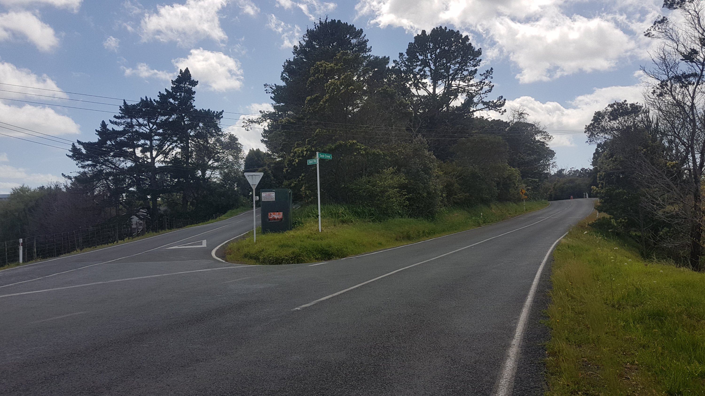
The road walking from here was not great. You turn into East Coast Road which, while busy, largely has a bit of a shoulder to walk on. You then turn into Spur Road, which has less of a shoulder. You’ll soon come across this sign:
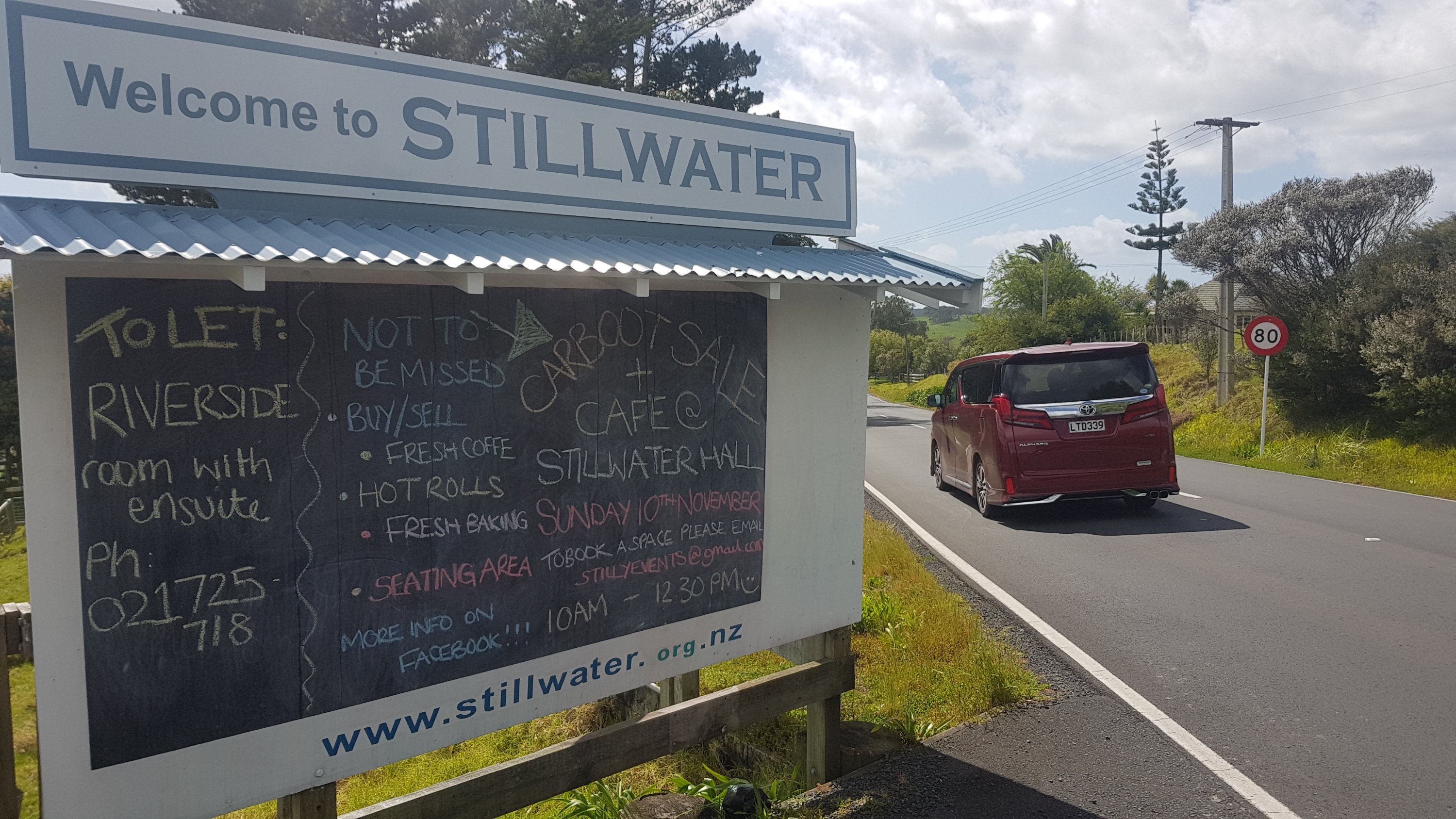
I get confused. Having Stillwater so close to Millwater confuses me. I am easily confused though. At this point I wondered if there would be any chalk around, but I figured there wouldn’t be any or else everybody would be writing their silly little messages on the board (I know what TA hikers are like!). Then, I saw the other side.
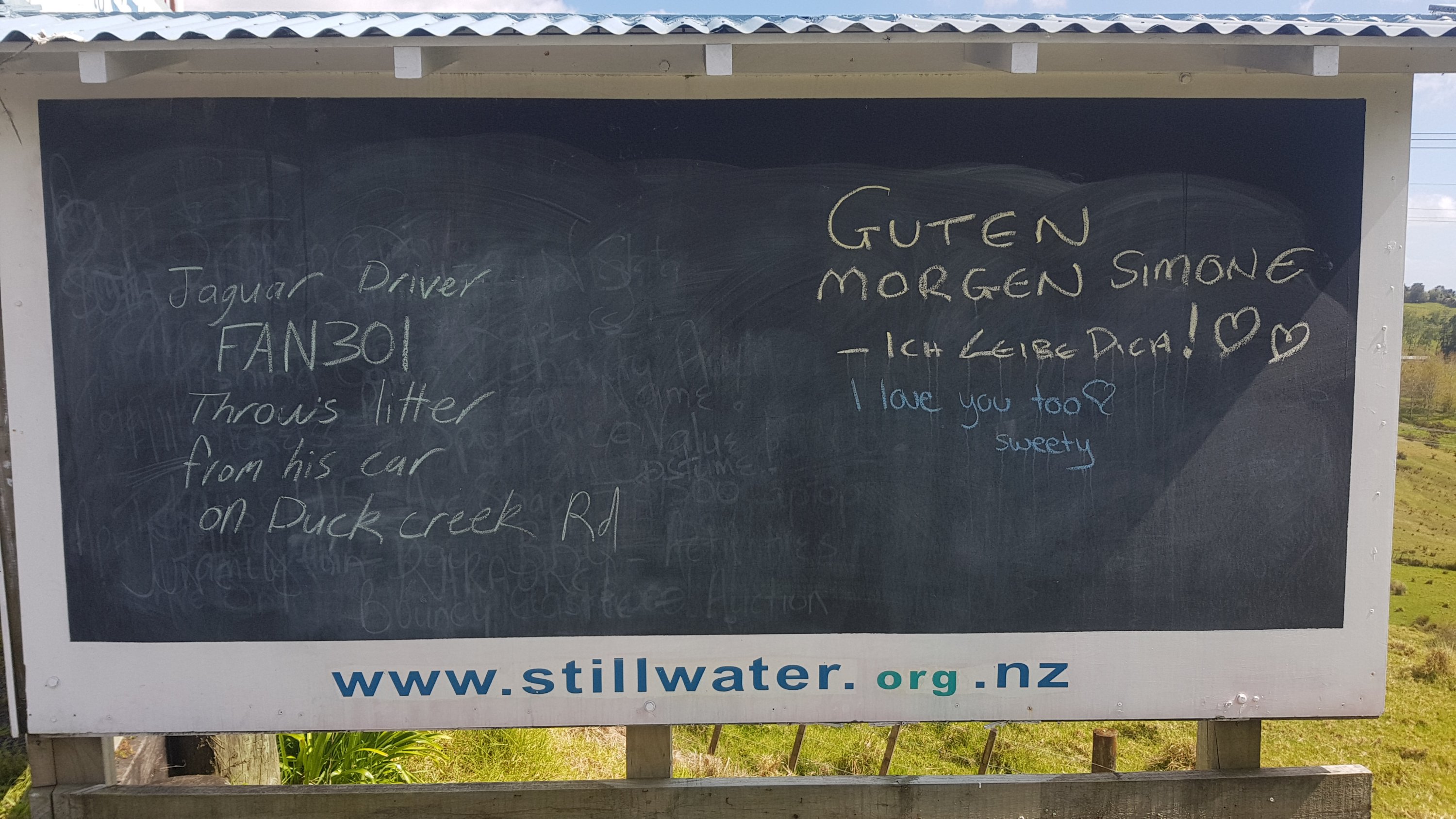
Now I’m not a fan of “trial by social media”, but, Jaguar Driver FAN301, if what’s written here is true, then shame on you.
I came across this too. I’d seen this many times on Instagram, but before now, didn’t know where it was.
The lady who owned the house was there and seemed intrigued that it was being photographed so many times by people.
At 11am, I was at this intersection:
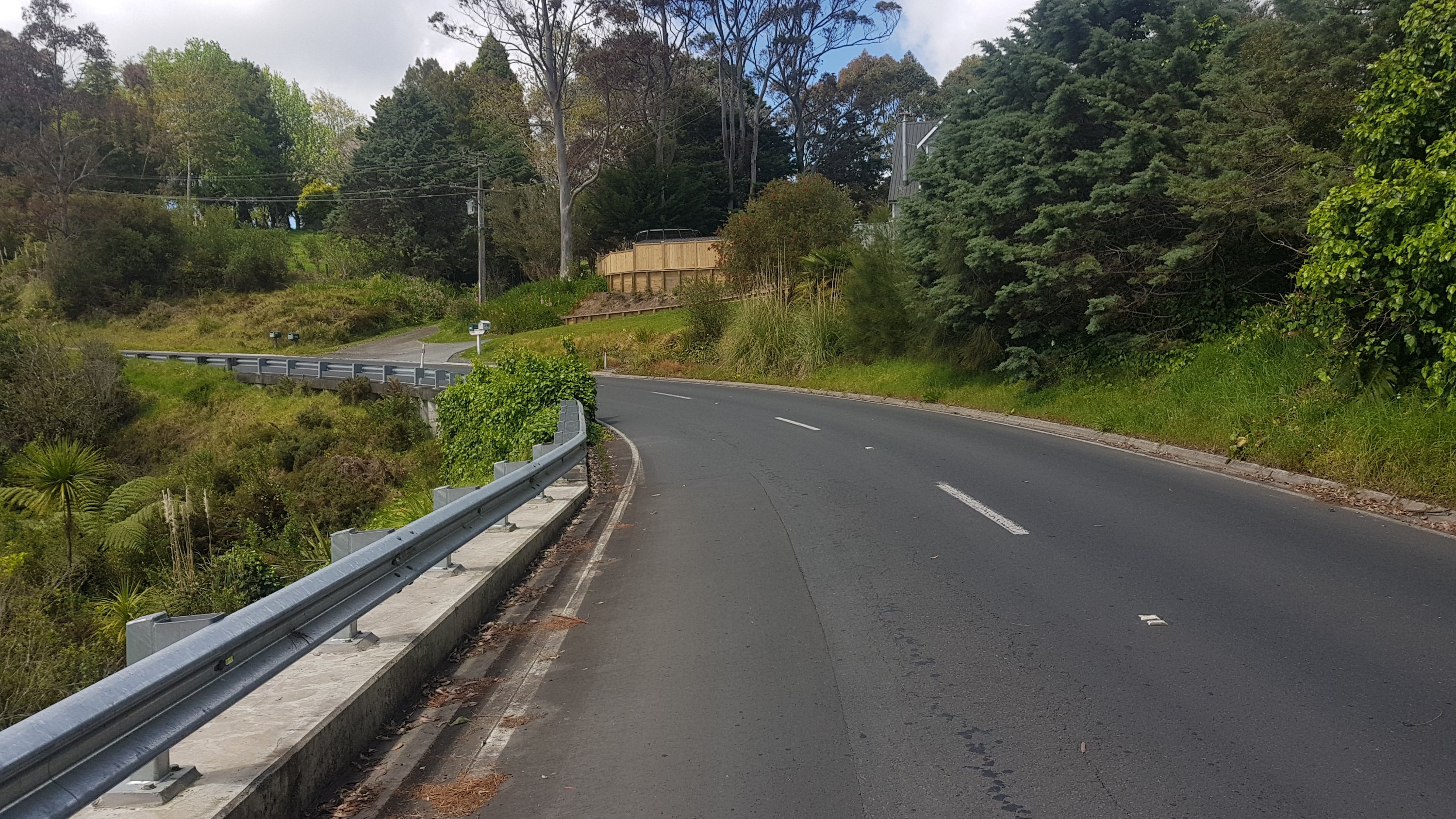
From here, the road walk is really bad – one of the worst. There’s no shoulder at all for a lot of the time, and the cars go quite fast. I really would not recommend walking this road in the rush hours, especially not at the morning rush hour. At least at 11am it was doable. This is the kind of road you will be walking down most of the time – windy and with no shoulder at all.
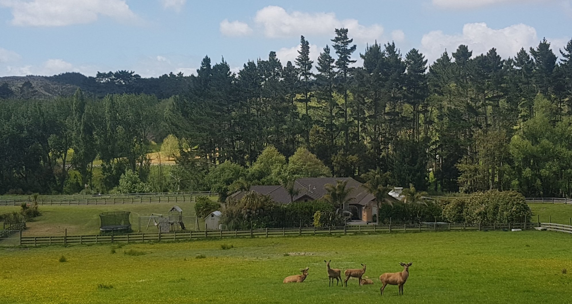
Another “record” broken today on this road… the first time I had seen deer.
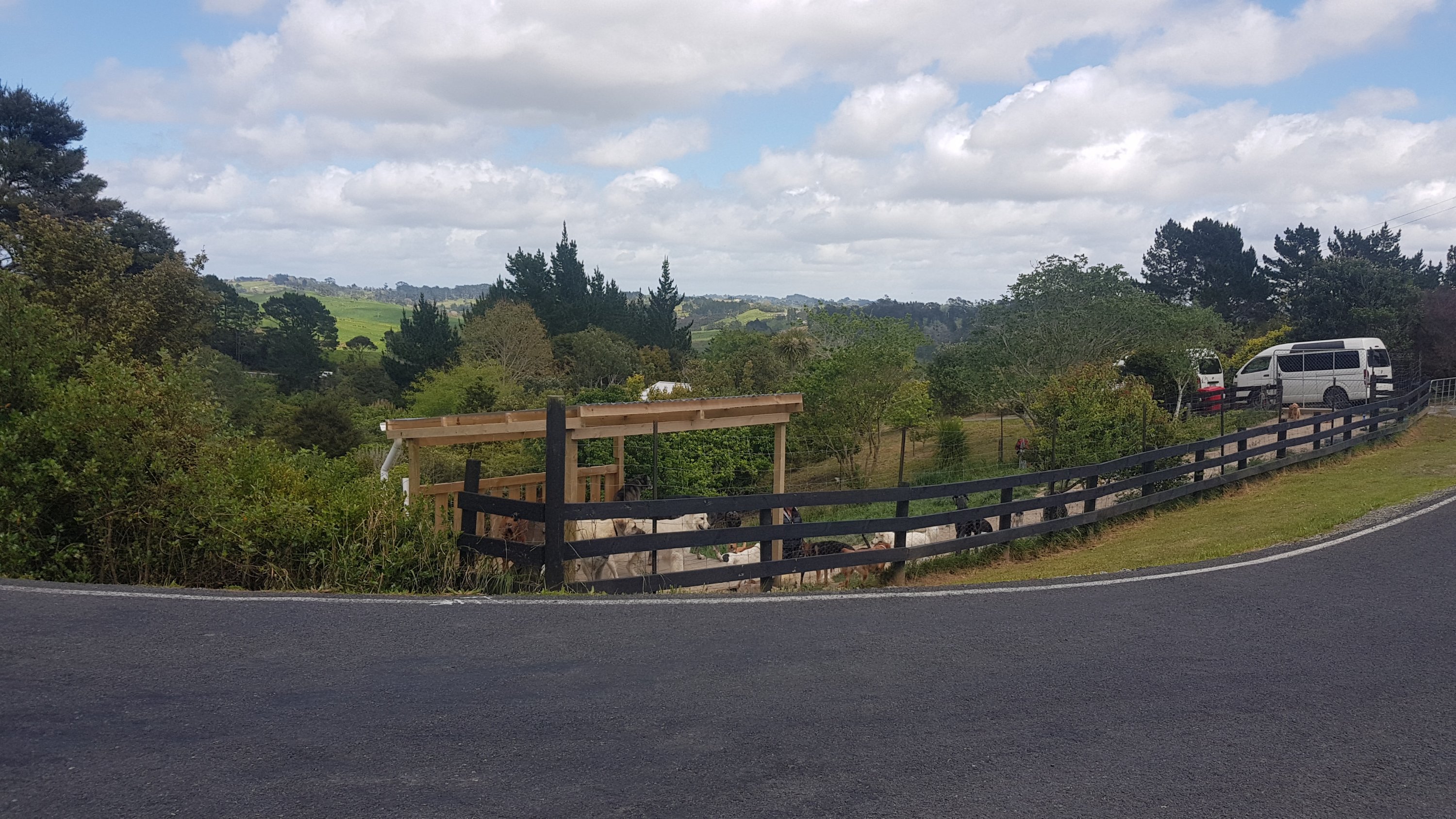
Found a geocache which was at a random intersection. While I was signing it, there was a lot of barking. Either there was a dog boarding house across the road, or the woman that lives here just loves dogs.
Finally, once you arrive into Stillwater and the speed limit drops to 50km/h, there’s a footpath. And also this:
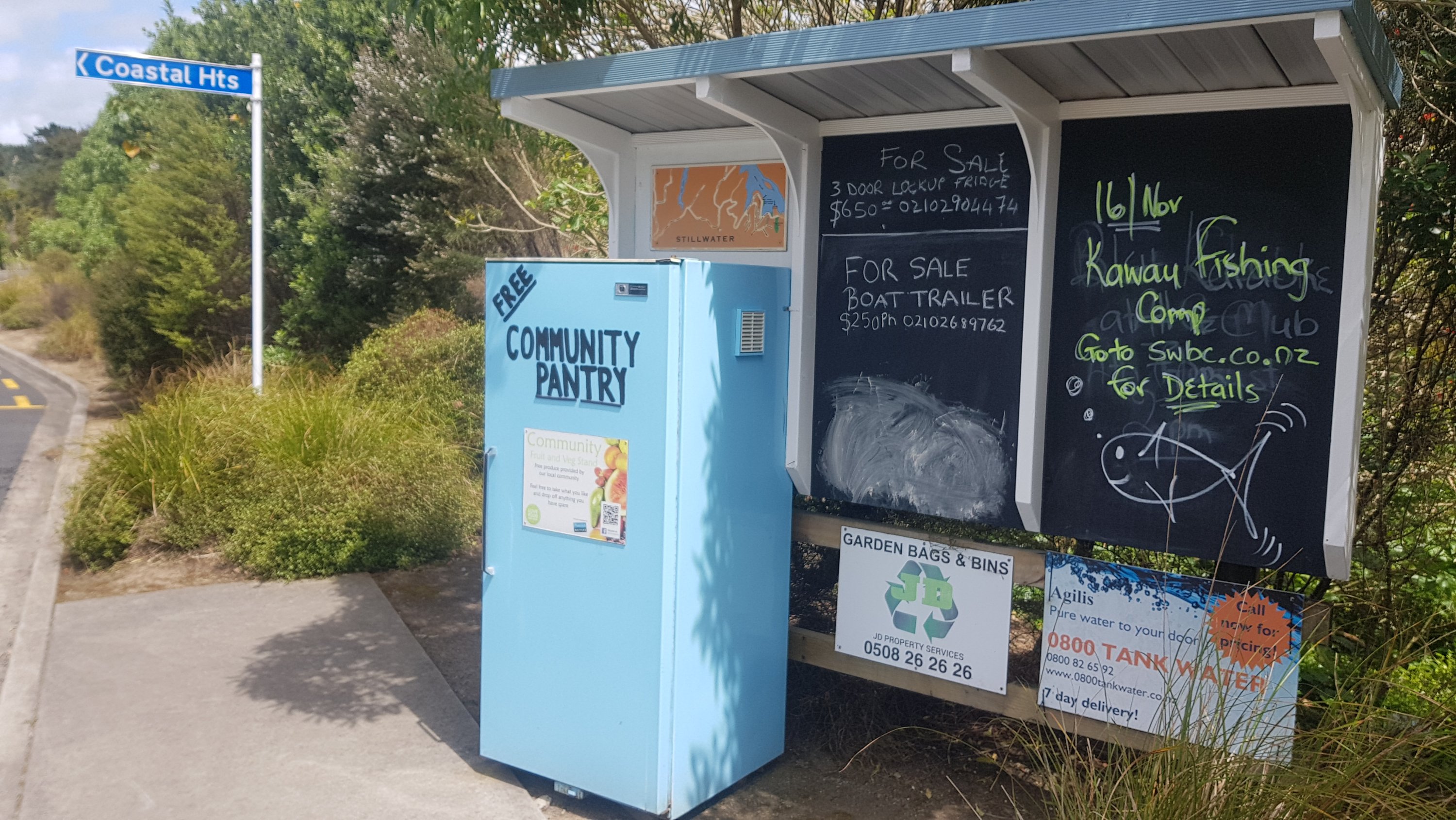
It says: “Community Fruit and Veg Stand. Free produce provided by our local community. Feel free to take what you like and drop off anything you have spare”. I opened it and there was a fair bit of canned goods in there but also five apples. I took one of the apples, which tasted really good (as fresh fruit always does). Thank you, Stillwater community, if I’m ever in the area again, I’ll be sure to put something in there to replace the apple.
I really needed the toilet by now though, which doesn’t usually happen in the middle of the day. As luck would have it, there’s a toilet block just as you come into the town.
Without going into too much detail, my body seems to have got into the routine of needing to go number two once in the morning when I wake up, and then I don’t have to worry about it for the rest of the day. Today was different for some reason – not sure why.
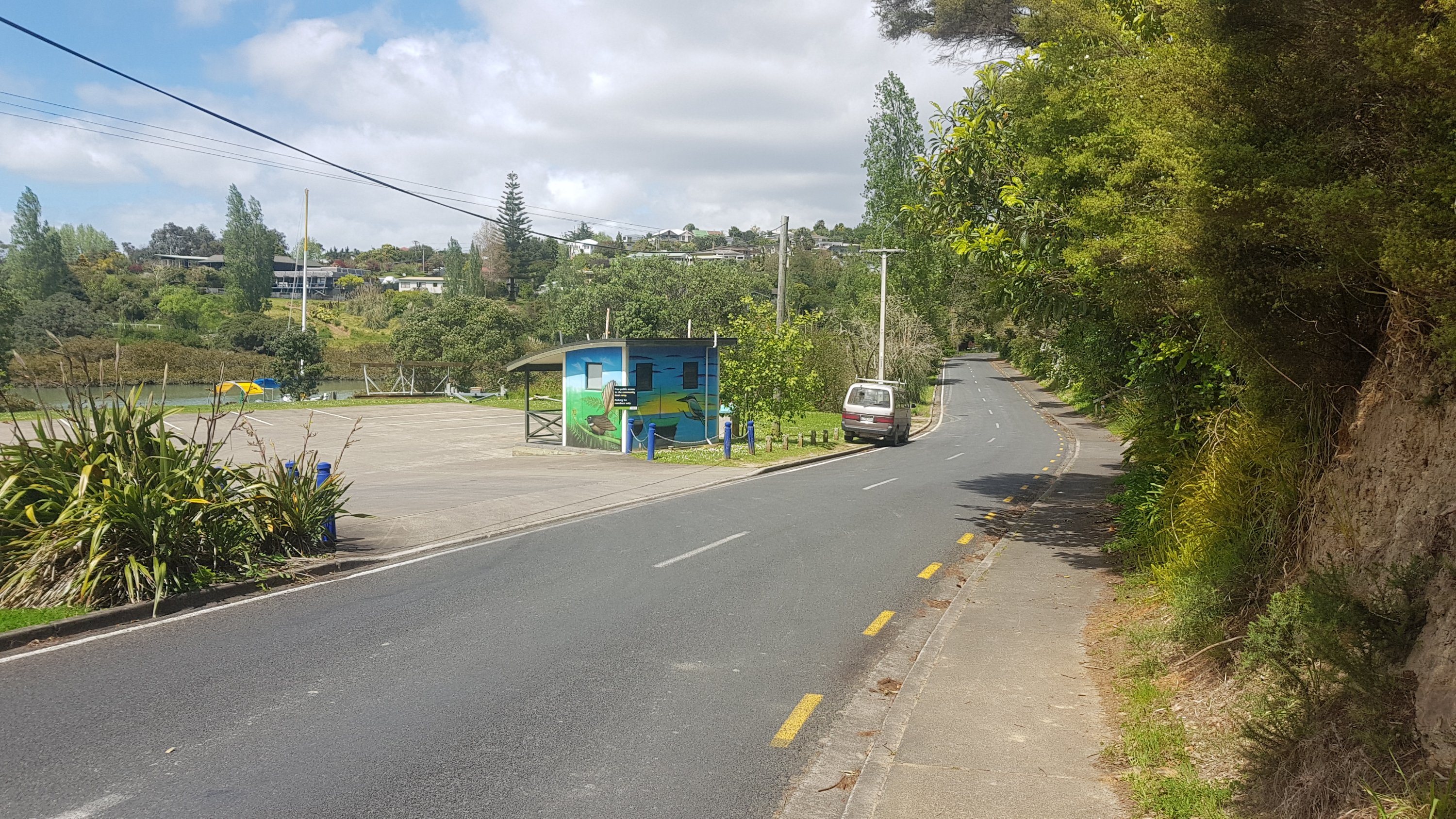
Here is the Stillwater Holiday Park:
Apparently almost all TA hikers stay here – and apparently hikers get to stay for free. In fact, the owners even let you sleep inside if they have a spare mattress, still for free. This was confirmed by the three others who I met up with at midday.
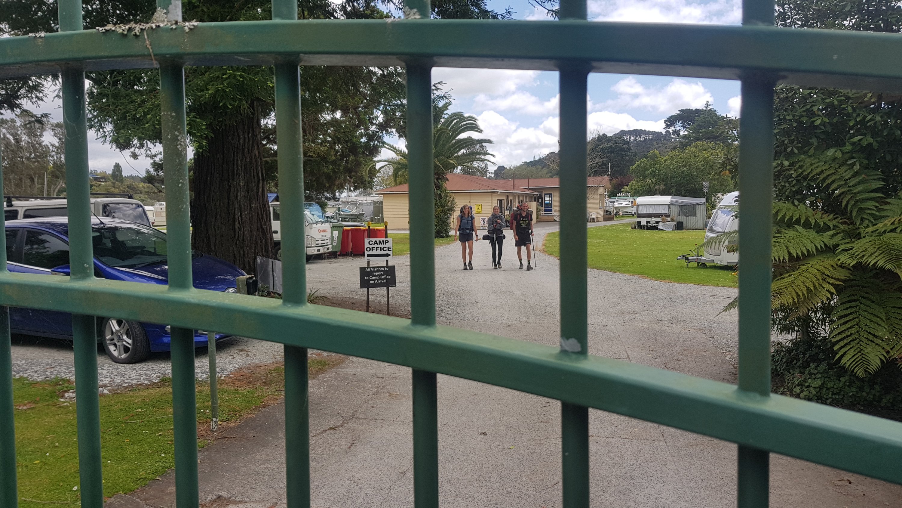
The entrance to the camp has a big gate so it was very good timing that I turned up at midday to see the others walking towards me.
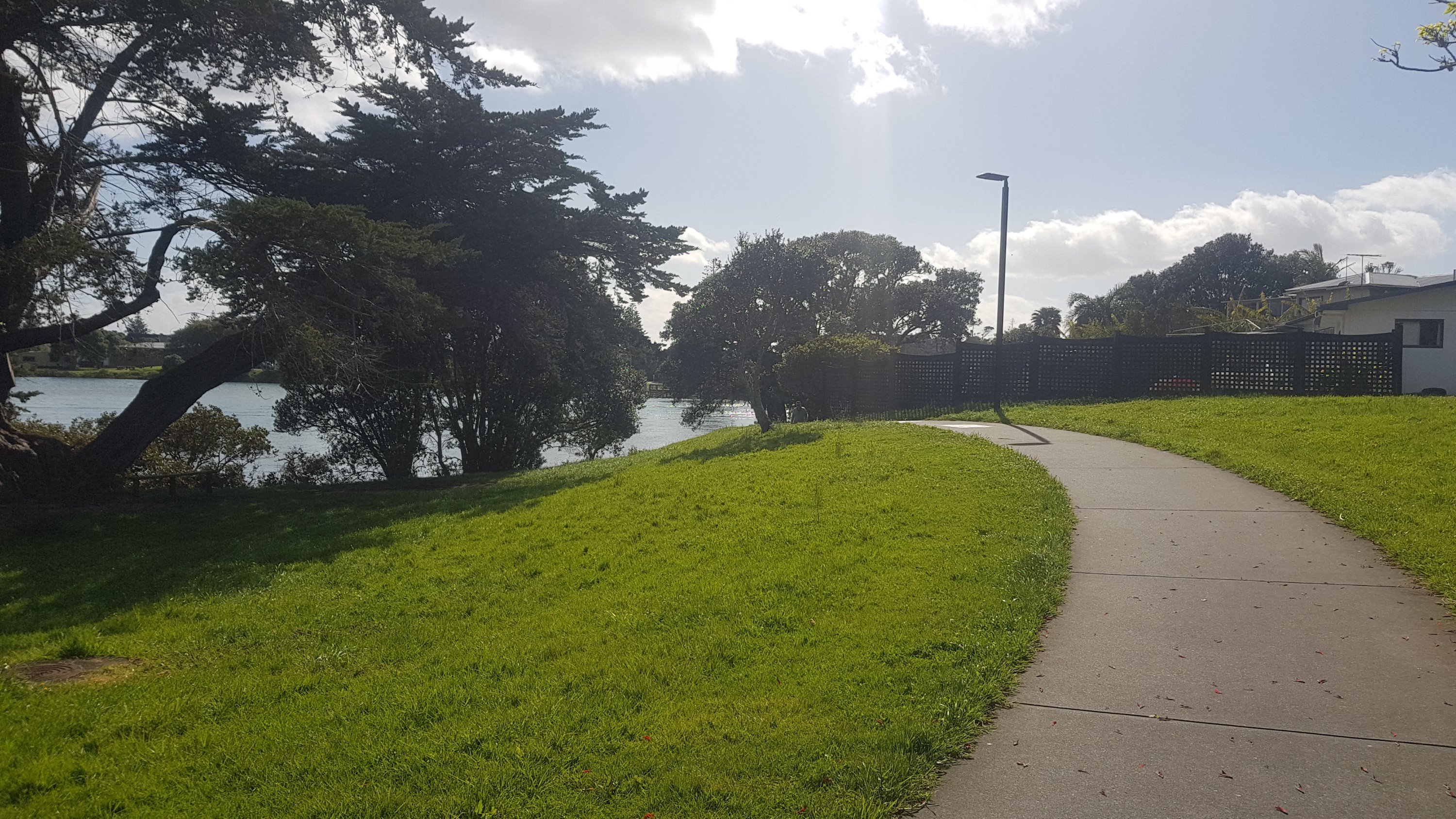
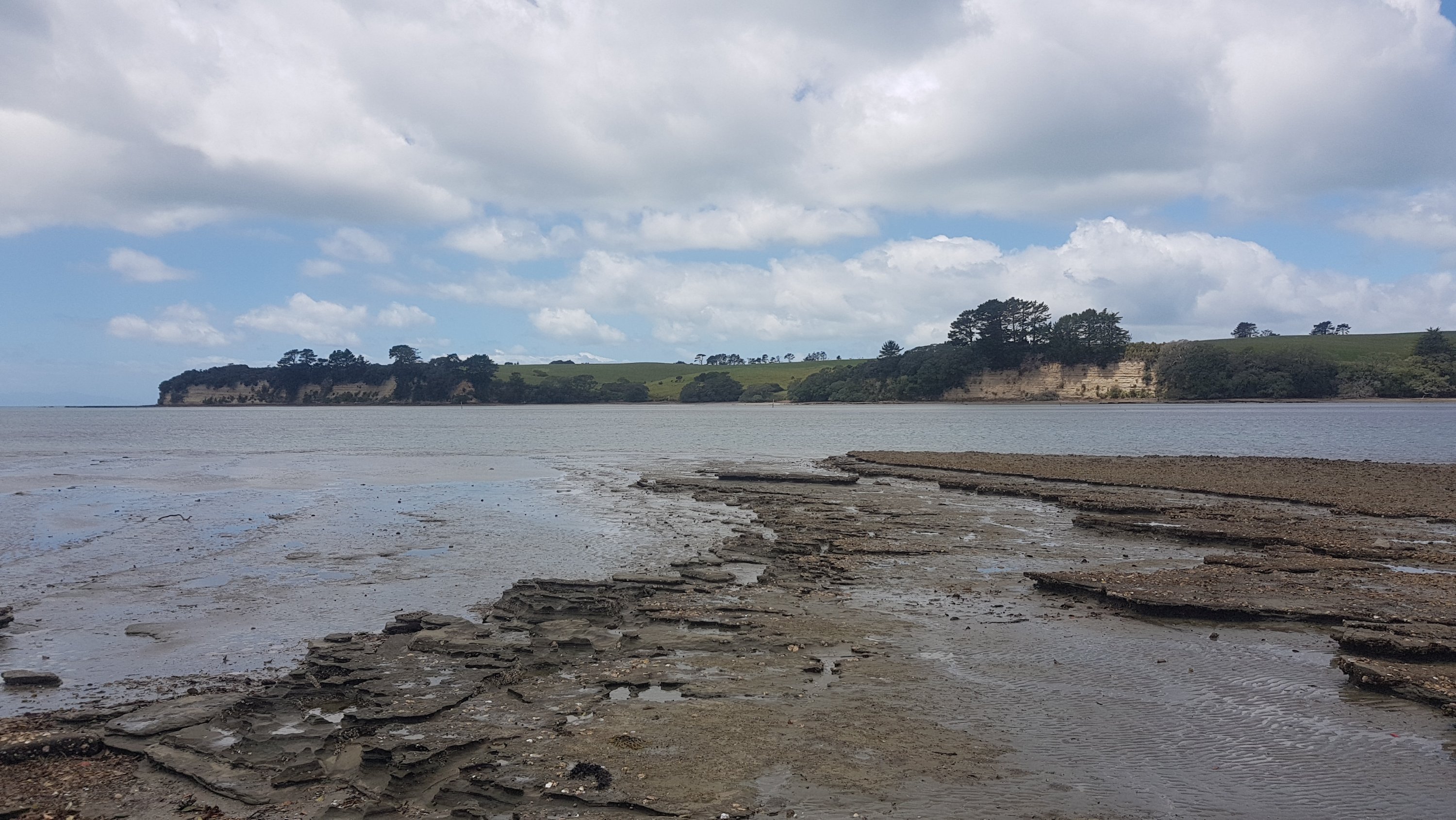
Next was a walk through the Okura Bush had some nice views of the area.
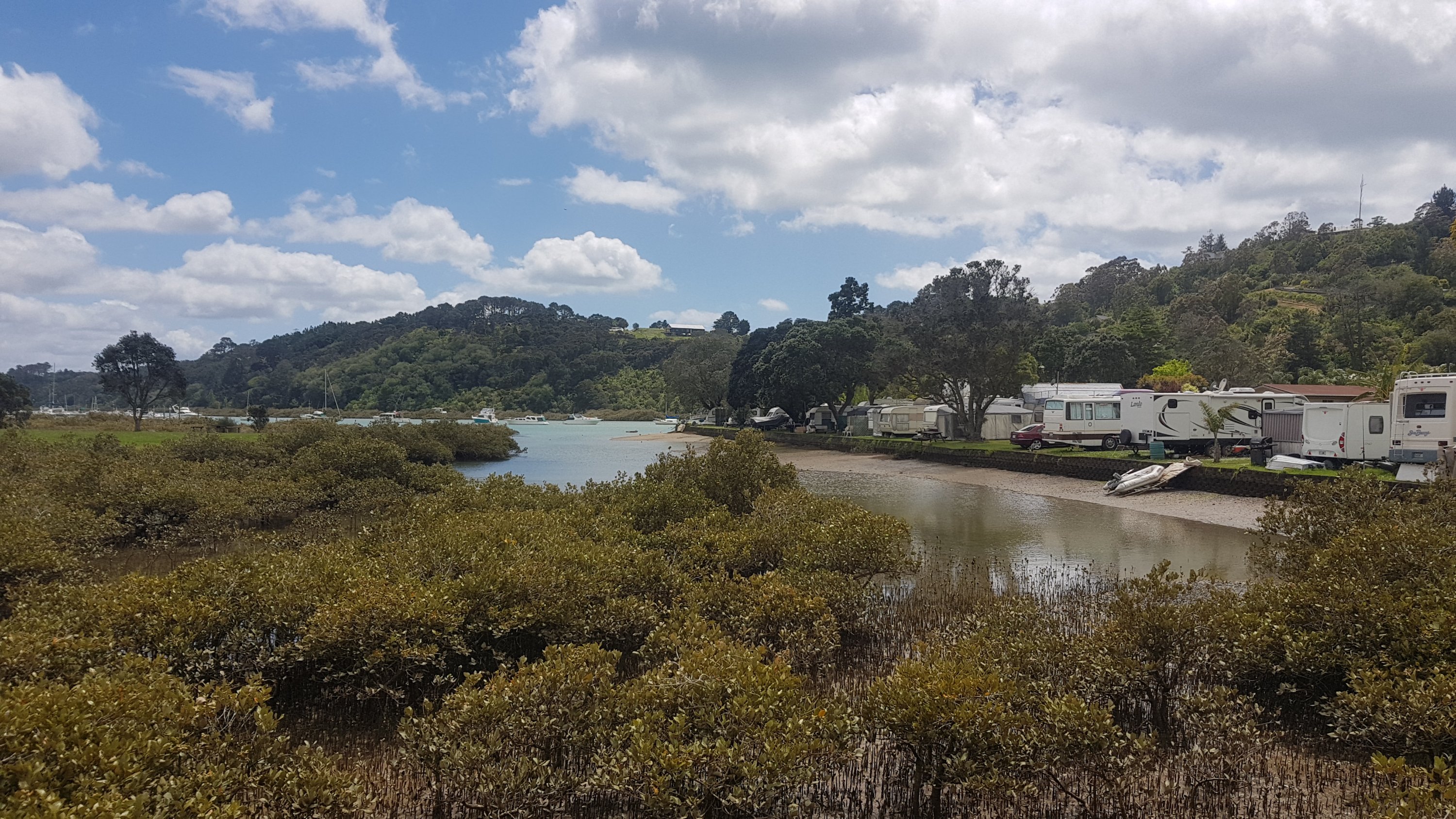
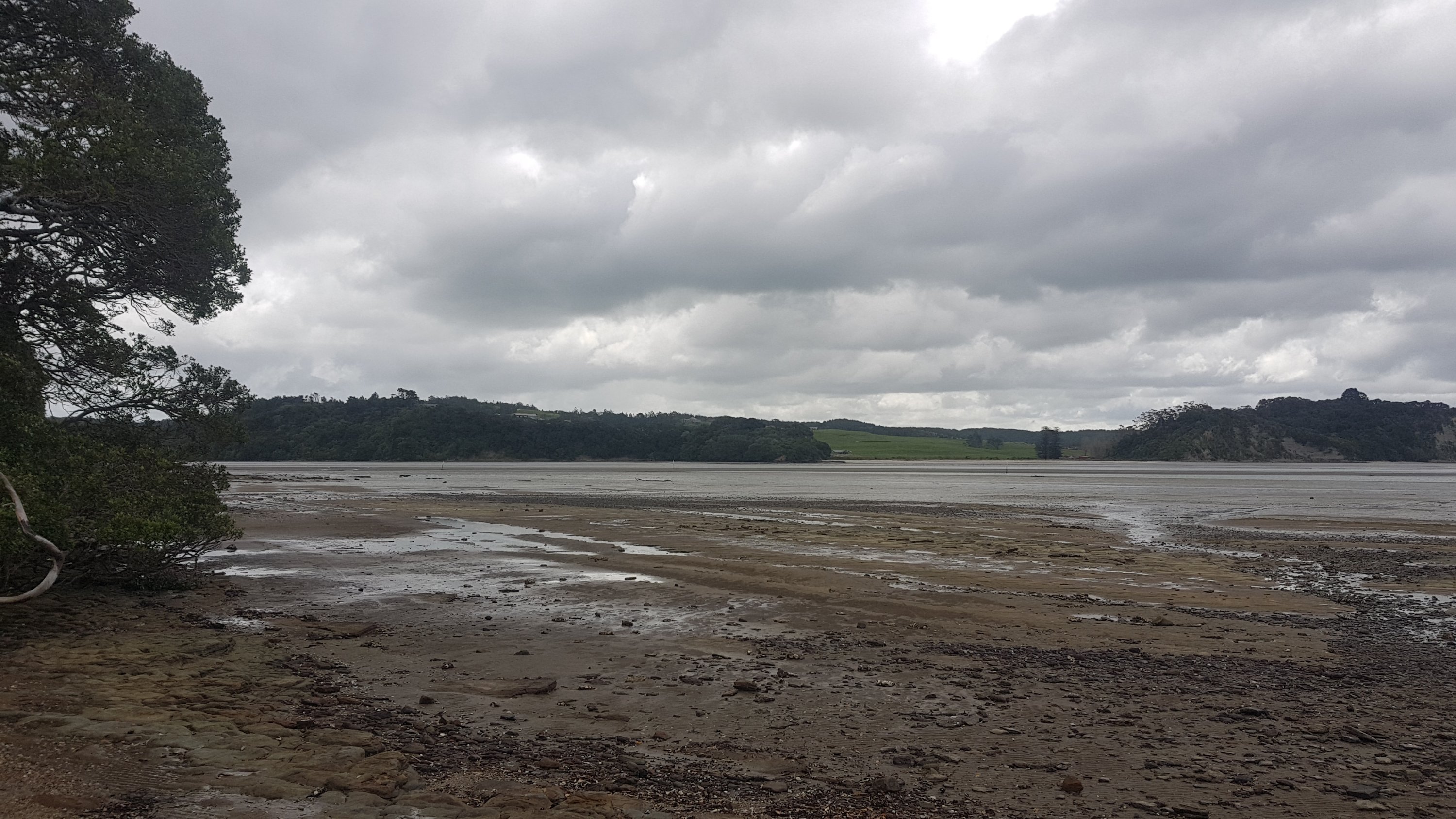
And not long before we arrived at the Okura River crossing. We had arrived at 1pm, and low tide was 3:47pm – nearly three hours early. We could see that we definitely would not be crossing any time soon.
It was a good chance to just sit and chill out for a while. The rain came and went while we were here, but the wind was ice cold at all times. I made a joke earlier that I hoped the water would be warm. We laughed, but it turned out to be actually true. It was nice walking in the water, but the wind sent a chill through my spine.
One thing I learned during these few hours resting was that the All Blacks were knocked out of the Rugby World Cup by England a few days back. I hadn’t heard this piece of information until now. Another thing I learned was that the other three had all missed the bright blue Community Pantry fridge on the way into Stillwater. None of them had noticed it.
At about 2:30ish, Ben went out to test the waters.
He got most of the way out to the other side, but it got deep at the other end, and also started to rain again. He returned and said that it wasn’t time to cross yet. So we just hung around a bit more.
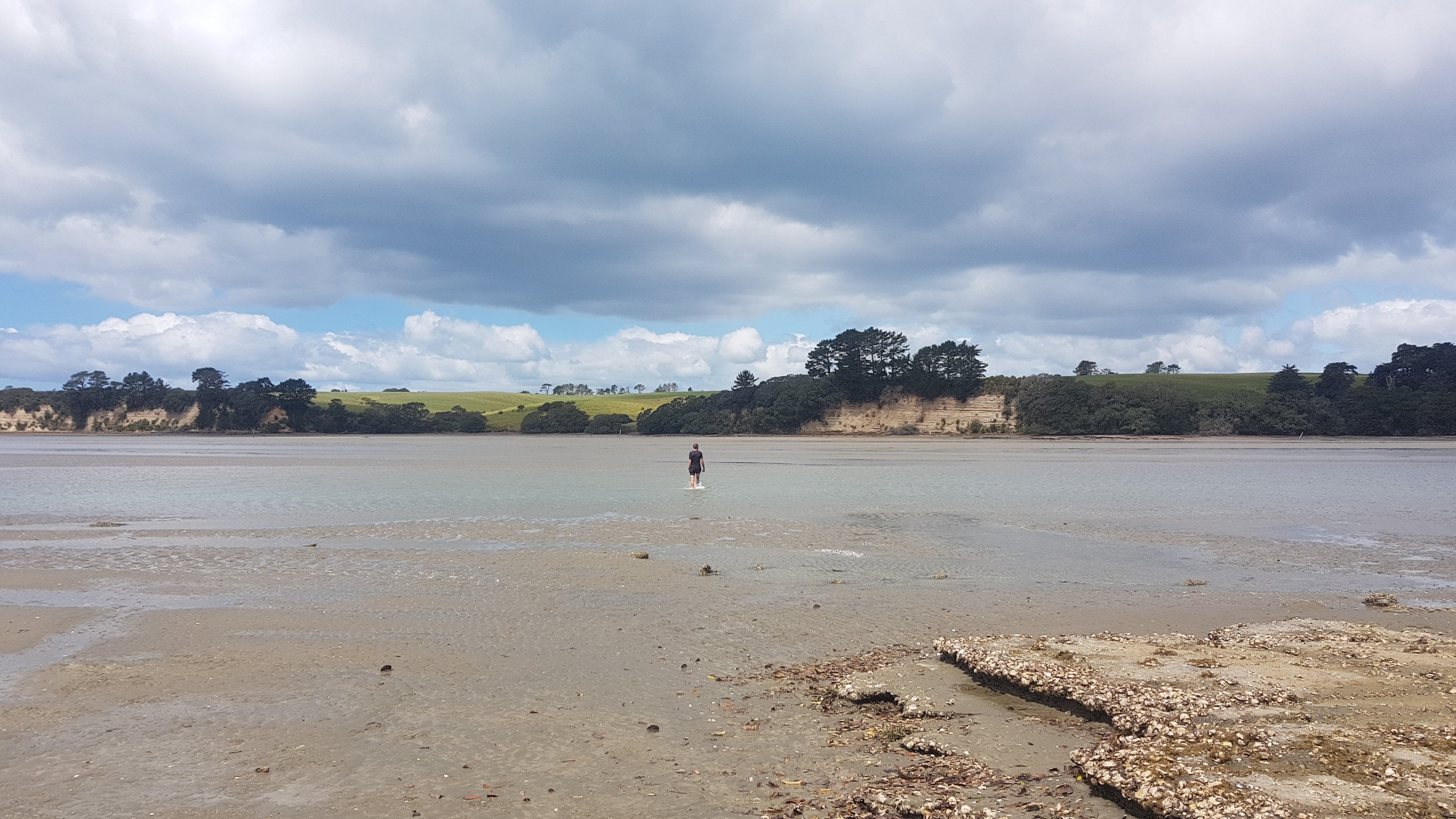
At 3pm, the sun was out, so I went out to try the water, leaving my pack and everything else with the group. There are big white markers on poles along the river, and I went to the fourth one which is where the trail notes suggest to cross. It seemed okay, but you couldn’t see the bottom, and the water was moving relatively fast. I walked out into the water, and before I realised it I was on the other side, and the water had only reached the top of my thighs. Excellent! I’d just made it across the Okura River… however now I had to go back again and get my stuff and the rest of the group.
So I did the crossing a second time, went and got the group, and we all walked across the river together. Everybody managed to keep their stuff dry, which I think everyone was happy about. Others changed into a different pair of shorts, which I didn’t do – so they had become very wet. However with the wind still howling, they dried out in no time.
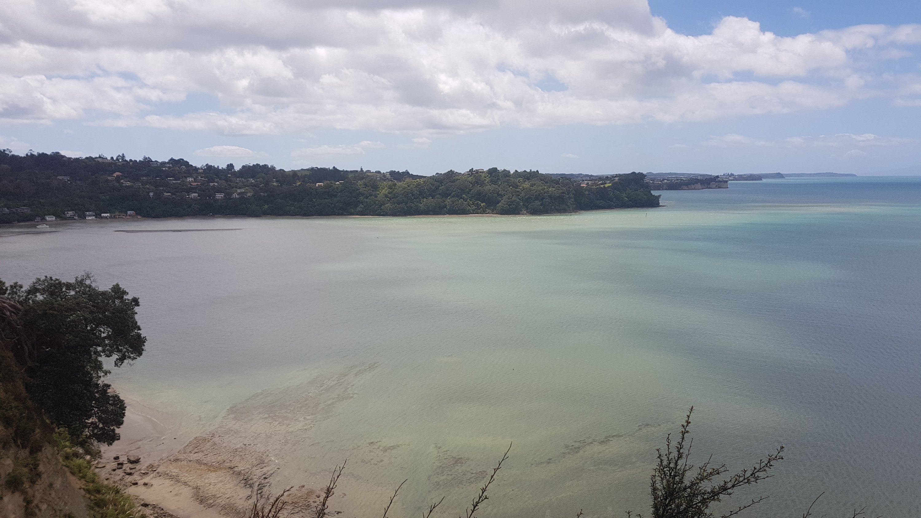
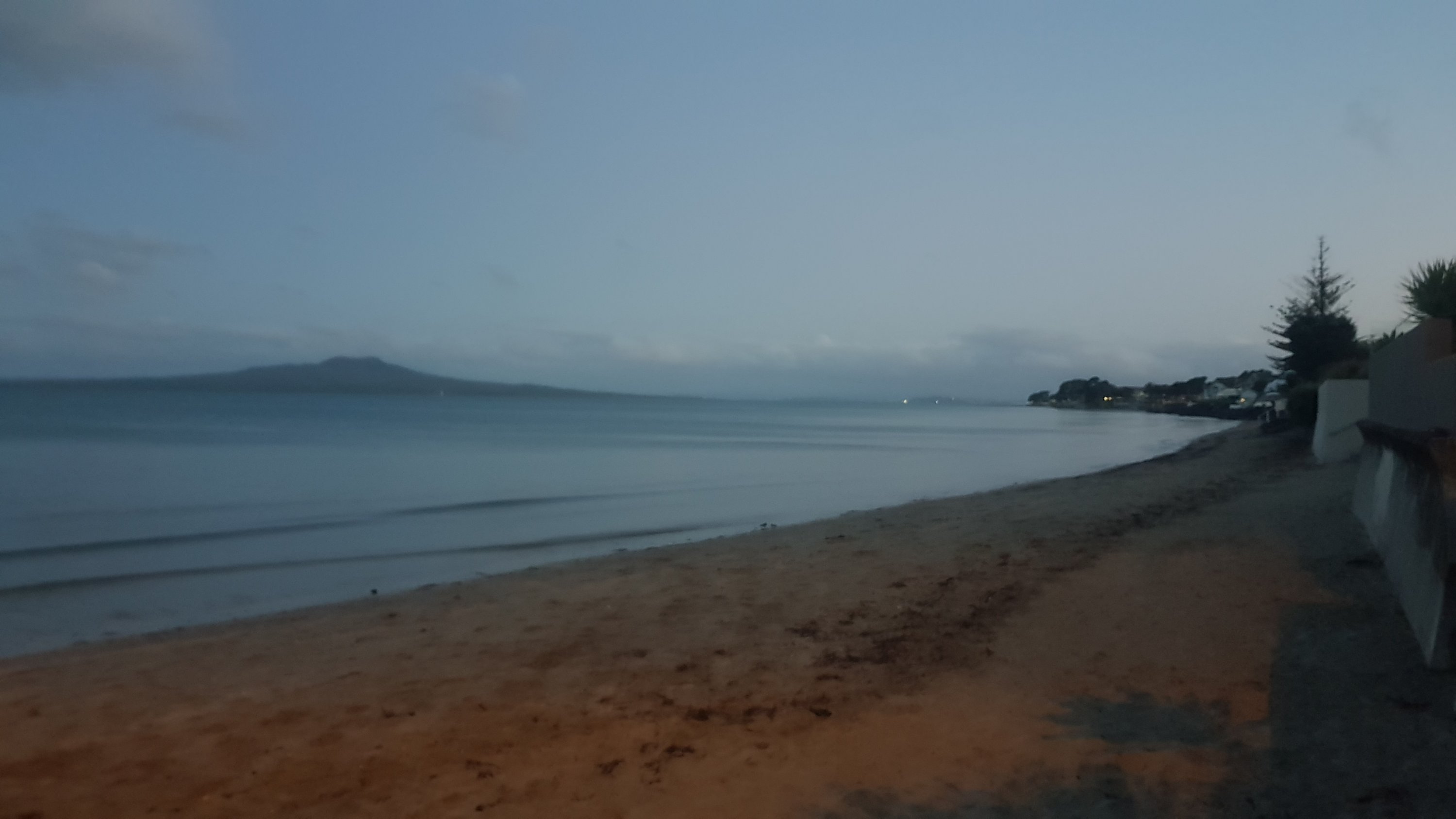
Walking through Long Bay regional park, the weather cleared and the water looked a lot bluer.
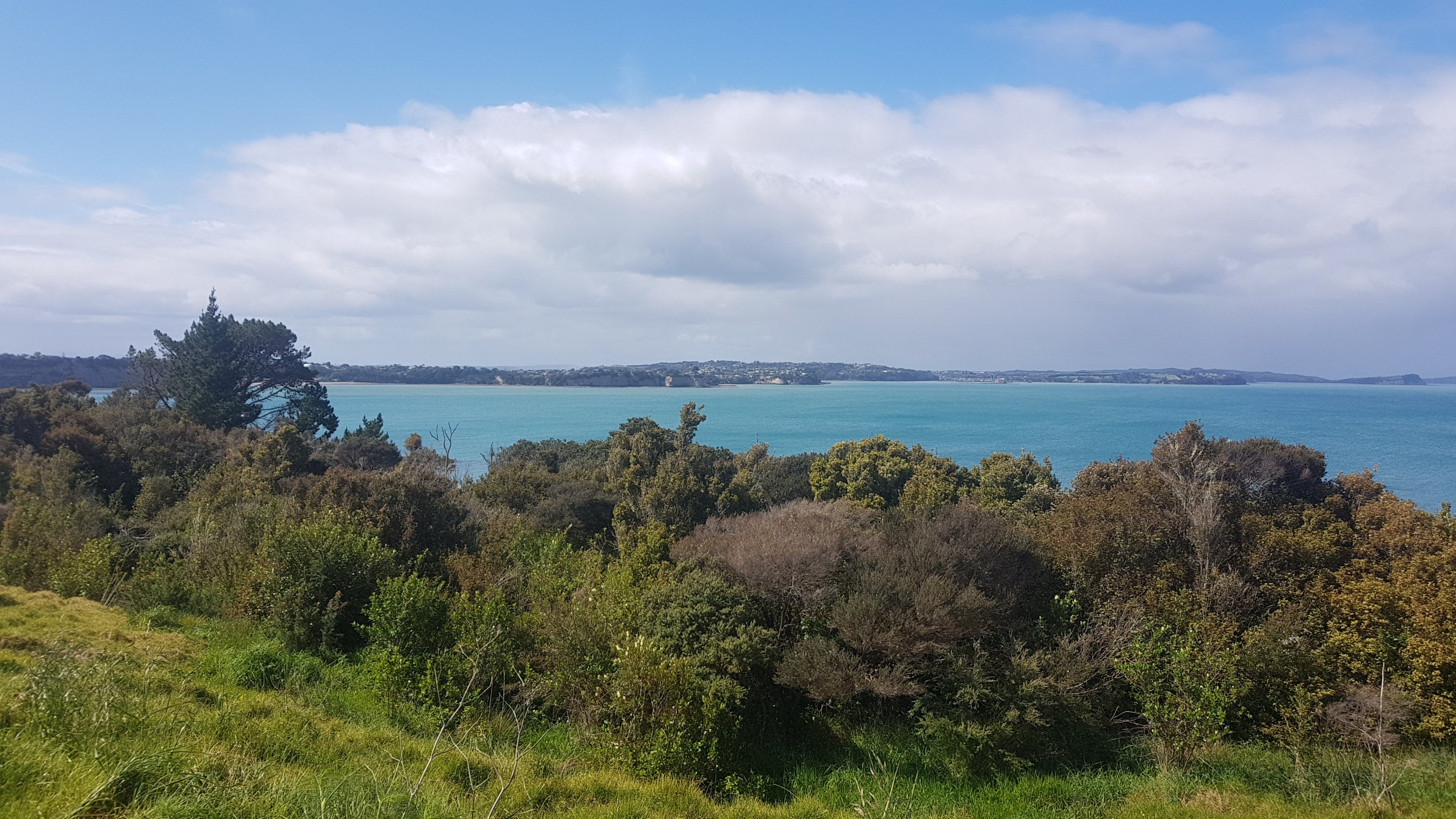
And I got to see Rangitoto Island for the first time since I started the trail. This volcano is an iconic Auckland Landmark and it can be seen from all over the city. Many Aucklanders see it on a daily basis.
Once you reach the south end of Long Bay beach, you’re into the North Shore of Auckland, which is just walking through beachside suburb after beachside suburb. Often along the beach, but sometimes up into the suburbs around cliffs.
I met my Mum again at Murrays Bay, and she walked with me 1km to Mairangi Bay where we had dinner. I also got my pack back off her. It was nice walking without a pack up until this point, but at least now that I have it back I’m refreshed and it wasn’t too heavy to carry. It helped that it had no food or water in it.
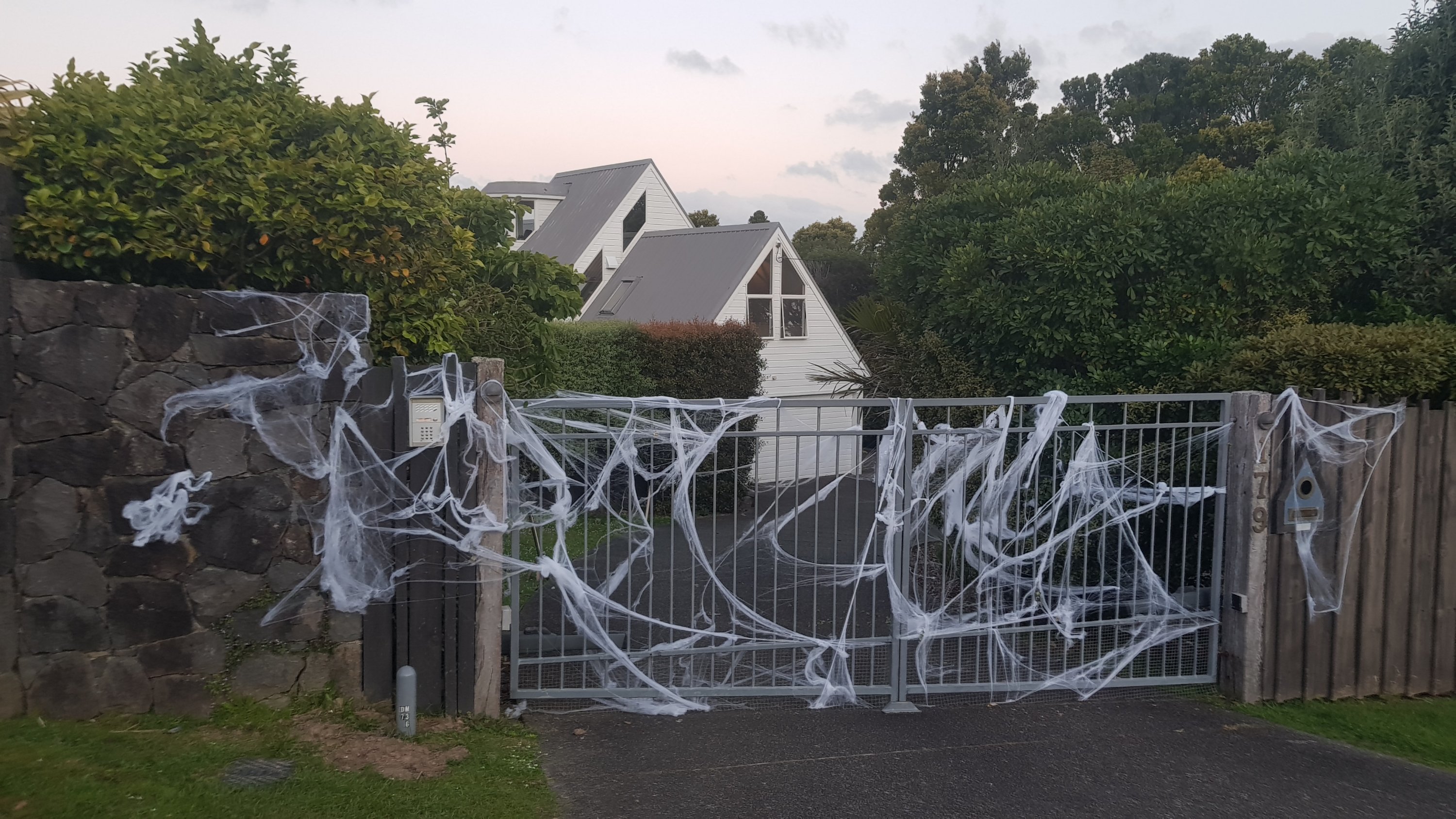
Halloween is tomorrow. There were a couple of houses which had halloween decorations up, like this one.
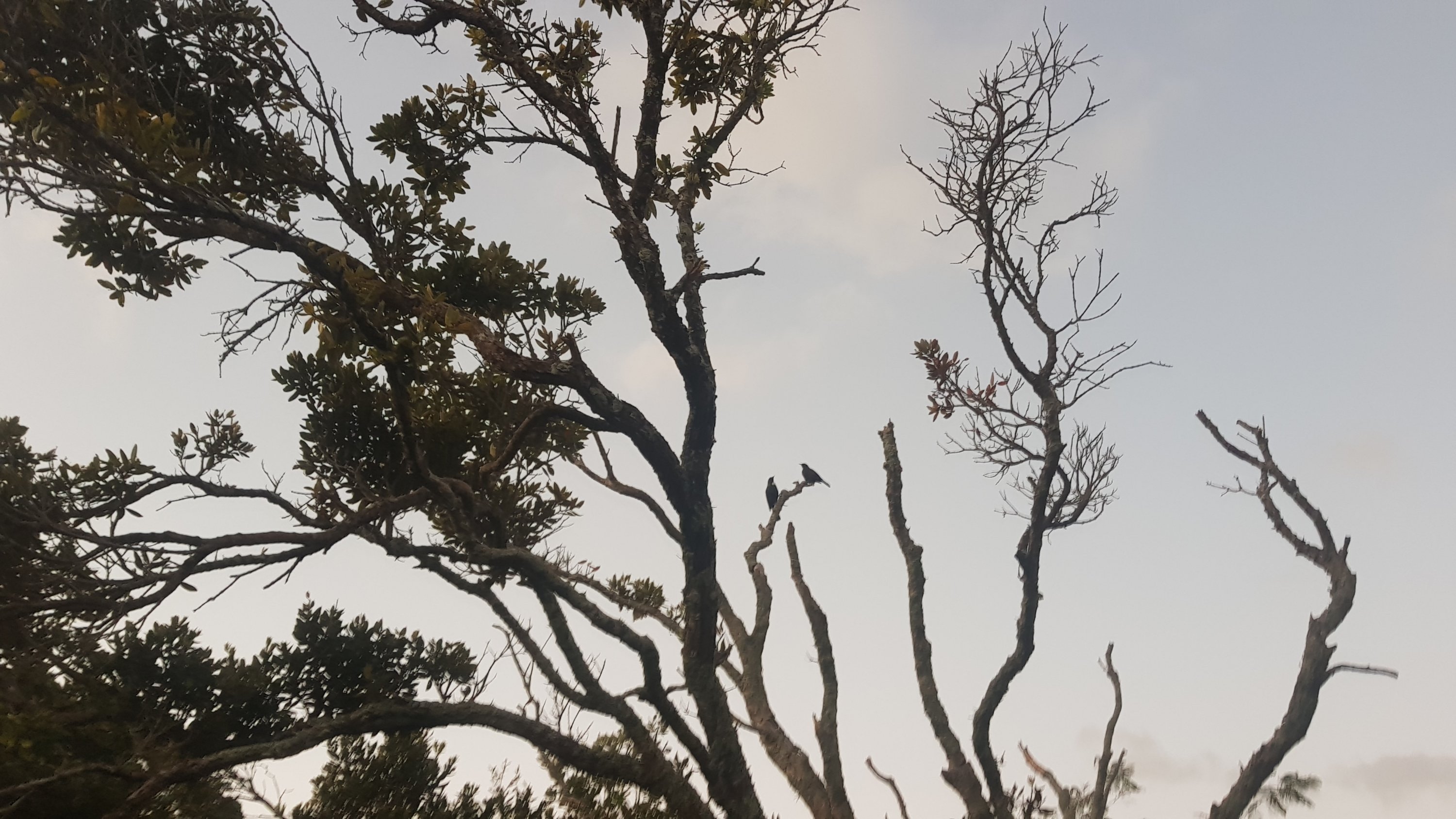
I also saw these two tuis hanging out in a tree, having a beautiful conversation.
It was starting to get dark by this point. This was the last photo I took before the sun went down.
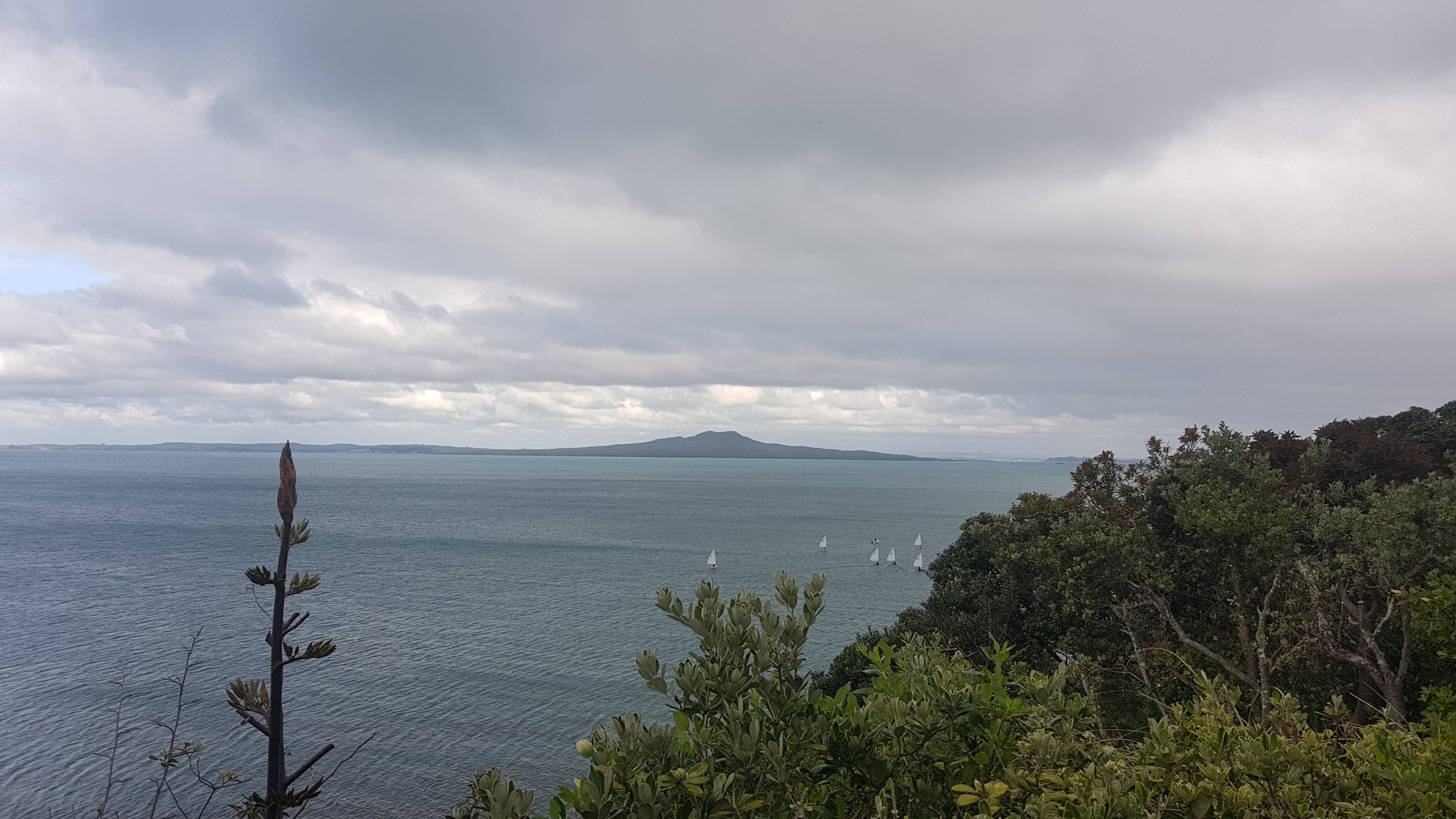
Once it got dark, the walk along the beach became interesting. There is one section after Milford Beach where you have to clamber around rocks, and in the dark at high tide it seemed a bit dangerous. There was one small section that I didn’t attempt and went around the road as it just seemed too dangerous.
Once that was over though, there’s Takapuna Beach which is an easy beach to walk down. At Takapuna Beach, despite there being no light, there were lots of young couples walking down the beach. I wonder if I cramped their style walking along the beach with the light on my phone shining brightly.
I was starting to get hungry now though – the dinner that I had with Mum in Mairangi Bay was nice but not big enough… and I knew that there was no more food between here and Devonport. The last ferry from Devonport on a Wednesday was 11:45pm and I didn’t want to miss it, so I didn’t divert into Takapuna to get food.
There were the typical footpaths that didn’t go anywhere.
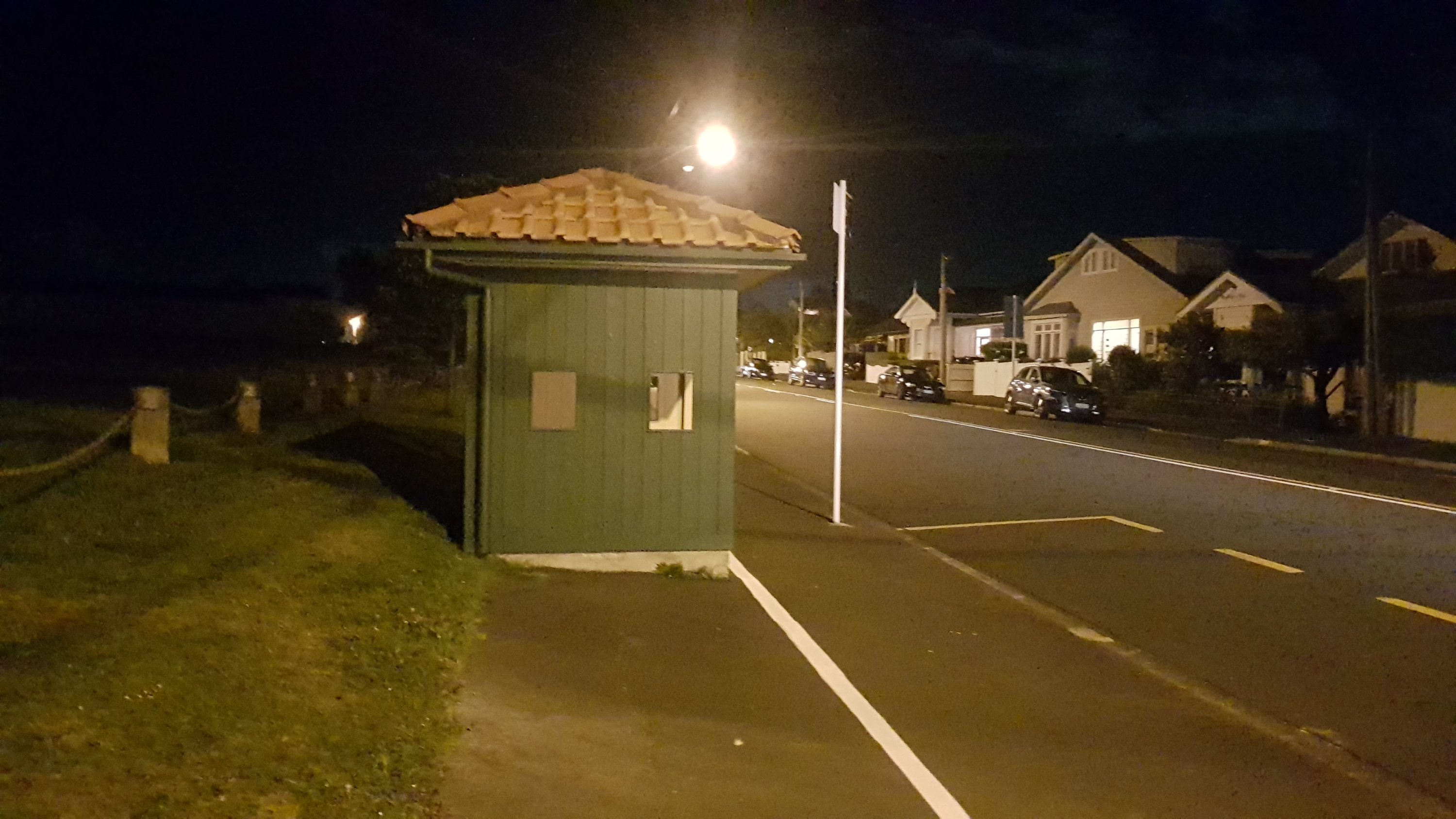
The last beach was Cheltenham Beach. My understanding is that this is the last beach you walk down on the trail until you get to Whanganui in a month or two’s time. It was nice and quiet and there was nobody around. From here it was up into North Head. It was nice walking around North Head at night. I couldn’t see any Te Araroa signs though, so I had to follow Guthook closely. There was one point where there was a fork in the path, where the left path went steeply down some stairs and the right path went up some stairs. I walked down the stairs before realising this was the wrong way. Hint – take the right fork and go up the stairs.
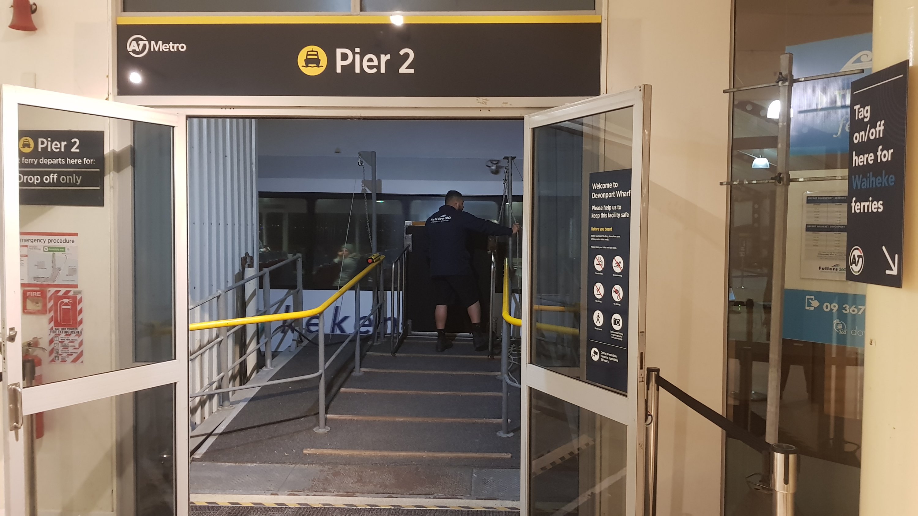
I arrived at Devonport ferry terminal at 10:33pm – more than an hour to spare before the last ferry. The Devonport ferry terminal is a confusing place. The signs say to have your ticket ready before you board the ferry, but there is no place to buy a ticket. The announcements say that the ferry will arrive at Pier 1 but yet it arrives at Pier 2. I don’t understand why these things are so hard to get right. I guess you don’t have to be a genius to work at Auckland Transport.
If you don’t have the Auckland Transport “HOP Card” (a prepaid travel card), then you buy your ticket at the Auckland City end once you get off the ferry. It cost me $7.50.
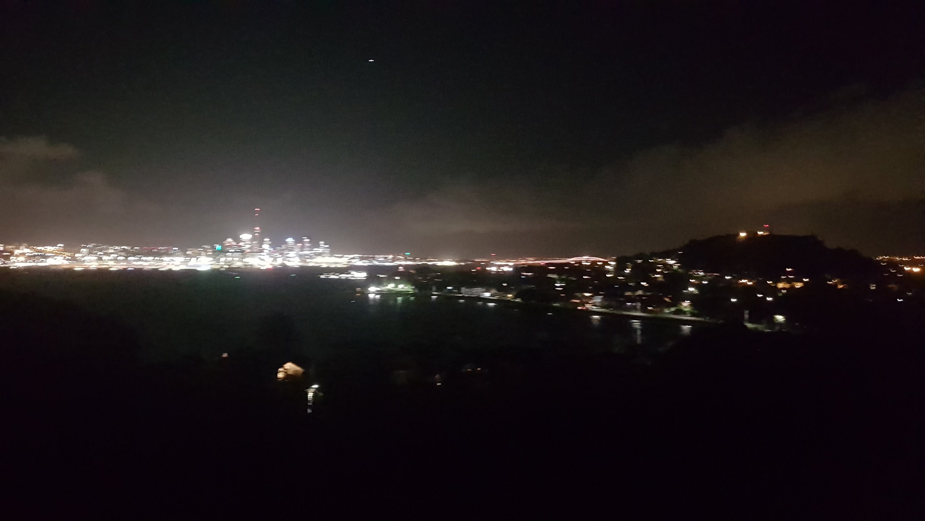
I took the 10:45pm ferry to Auckland. They sold some food on the ferry, which was fantastic. Although, they’d locked the doors to the upstairs area so I couldn’t get a decent view of the city from the ferry. This was the best that I got.
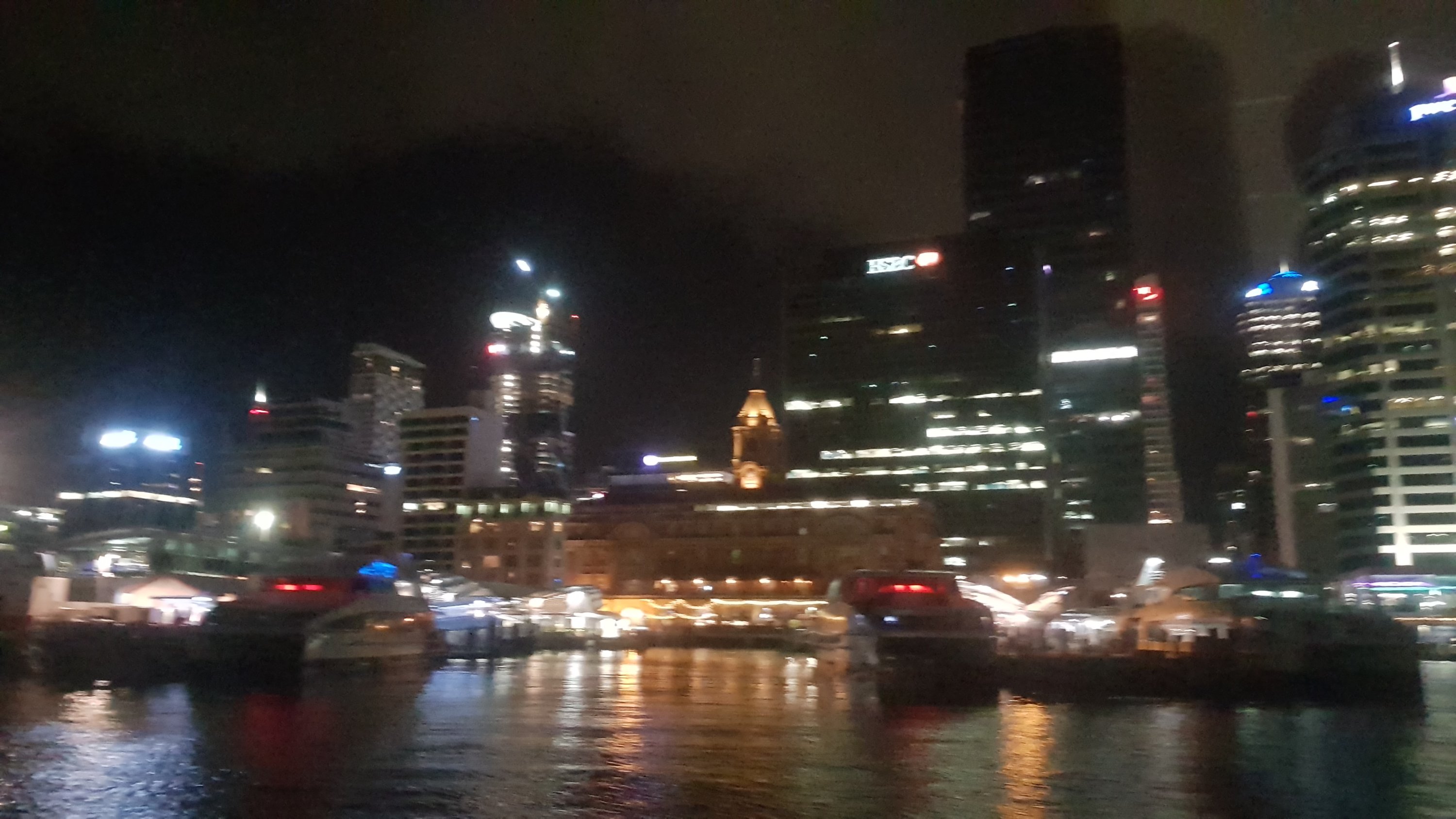
I did notice that the Sky Tower was not lit up like it usually is. I wonder why that is? Is it because of energy savings? Because of the fire at the Sky City convention centre last week? Because the All Blacks lost a few days back?
Once in the city it was 11pm. It’s about 5km to my place so I might even manage to get home by midnight. Walking down Customs St I went into a convenience store to get some more food. I was surprised anything was open to be honest. Auckland isn’t known for being a late night party town on a Wednesday night. The guy behind the counter asked what I was doing and when I explained, he wanted to get a picture taken with me and then he offered me a free pie.
I walked through the Auckland Domain. The trail map has people taking a really ridiculous route through the domain, up one of the steepest hills in the domain and then through the middle of the sports field. If it was during the day instead of late at night, the grounds would most likely be full of people playing sport. It was alright tonight though. The only people around were two people sitting on the seats at the grandstand smoking.
Then it was just a short walk down Mountain Road and Clive Road and I was home. I walked in the door at 12:05am. I plonked myself down on the couch and reflected on what had just happened, and watched a bit of TV. I then realised I could hardly move and even could hardly breathe. I think it was because the wind was so cold for half of the walk but I didn’t actually realise until I stopped walking and started to cool down. Luckily a hot shower helped with that. I was in the shower for a long time.
Got into bed finally at 1:30am. What a long day. I’m going to be sore tomorrow no doubt. I’m going to take a few rest days at home to let everything heal a bit and to go and visit my friends. And also contemplate the next goal, walking to Wellington before Christmas.
Today's walk on the map (blue = Te Araroa, red = today's walk):
Well done Matt, enjoy a couple of days break.
Congratulations. What an amazing achievement. I bet it’s good to
Be back in your own bed and have access to a hot shower whenever you feel like it! Relax and enjoy 🤗
That is an impressive effort for sure! I hope your injury doesn’t flare up – you did say that you needed to be “ not over doing it” . Enjoy your bed and home comforts. Thank you for your wonderful blogs to date
Well done you, 50km in a day! Must be good to be home in your own bed.
I submitted your bird pic to a website and it got identified as an African Collared Dove.
https://inaturalist.nz/observations/35113816
You’re welcome 😀
Legend! I thought I would have to turn to Reddit 🙂
Congrats dude. Great effort.
Enjoy your car, TV, food options, etc while you’re home. 🙂
I thought you were supposed to walk the underpass underneath Hibiscus Coast Highway rather than across the busy road?
Congrats on getting home. I bet you will get Pita Pit.
I didn’t even see the underpass but yes now that I look at the notes there is an underpass somewhere!! I’ll update the entry…