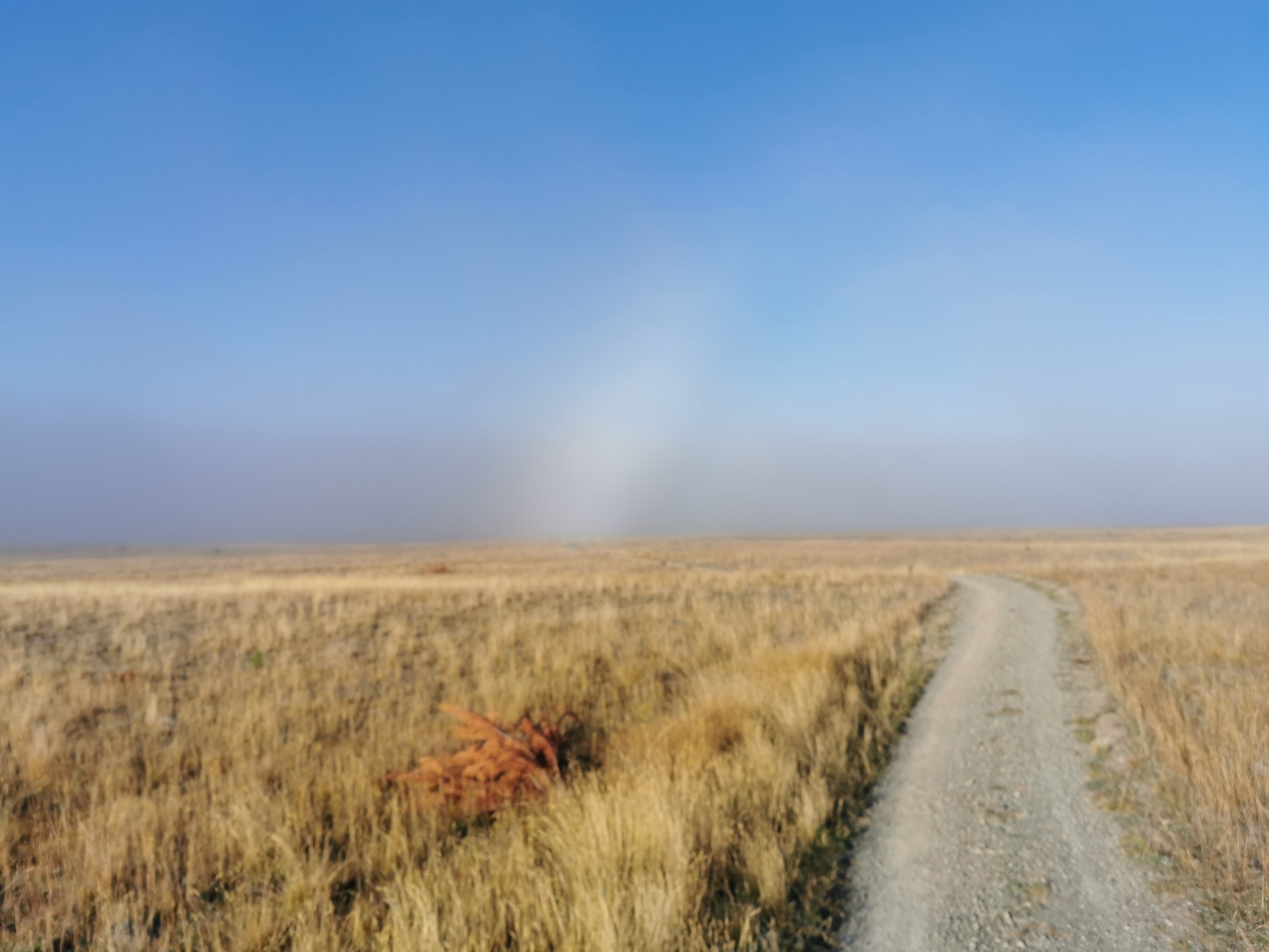
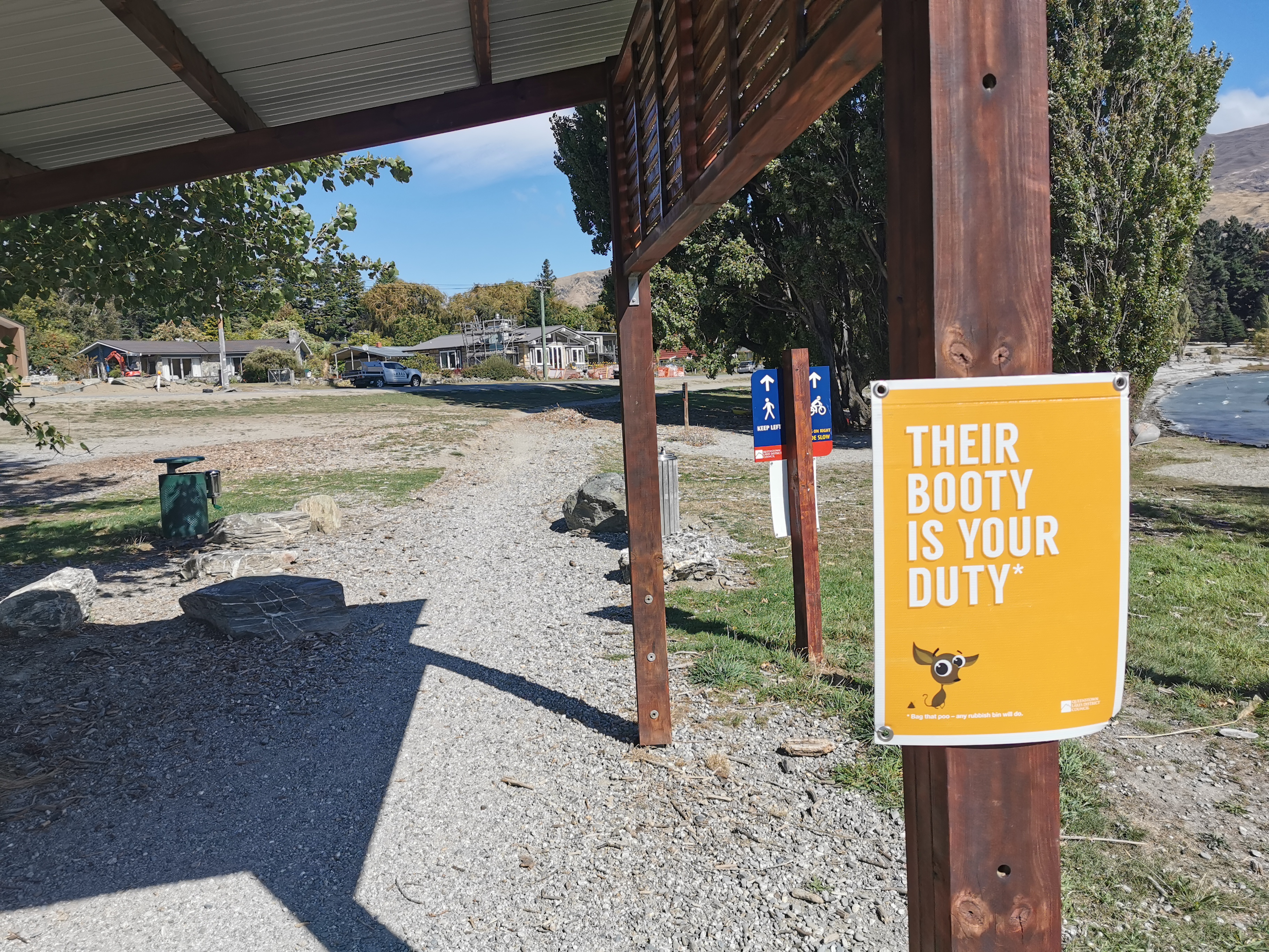
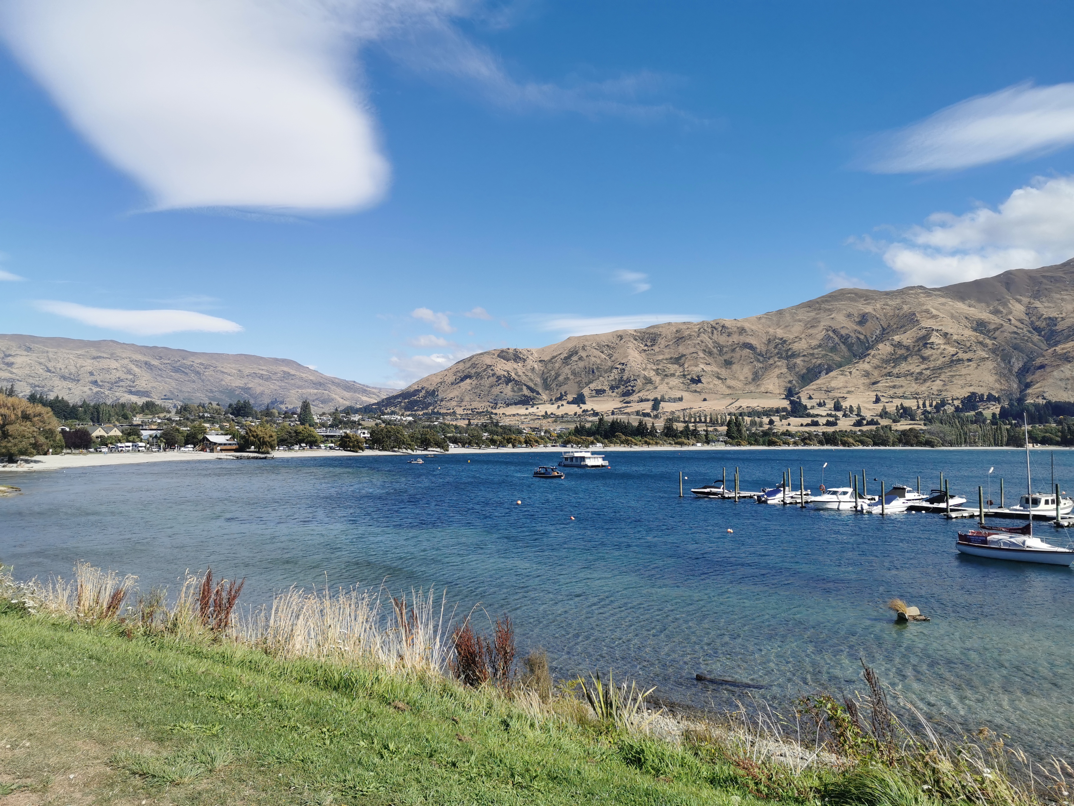
Back in February, at the end of my 7 days staying at the Methven Campground, I realised that since my leg wasn’t getting better, I flew back to Auckland on February 10 and spent the first week or so after that staying with family. I still couldn’t walk very much during this week.
Baking was done.
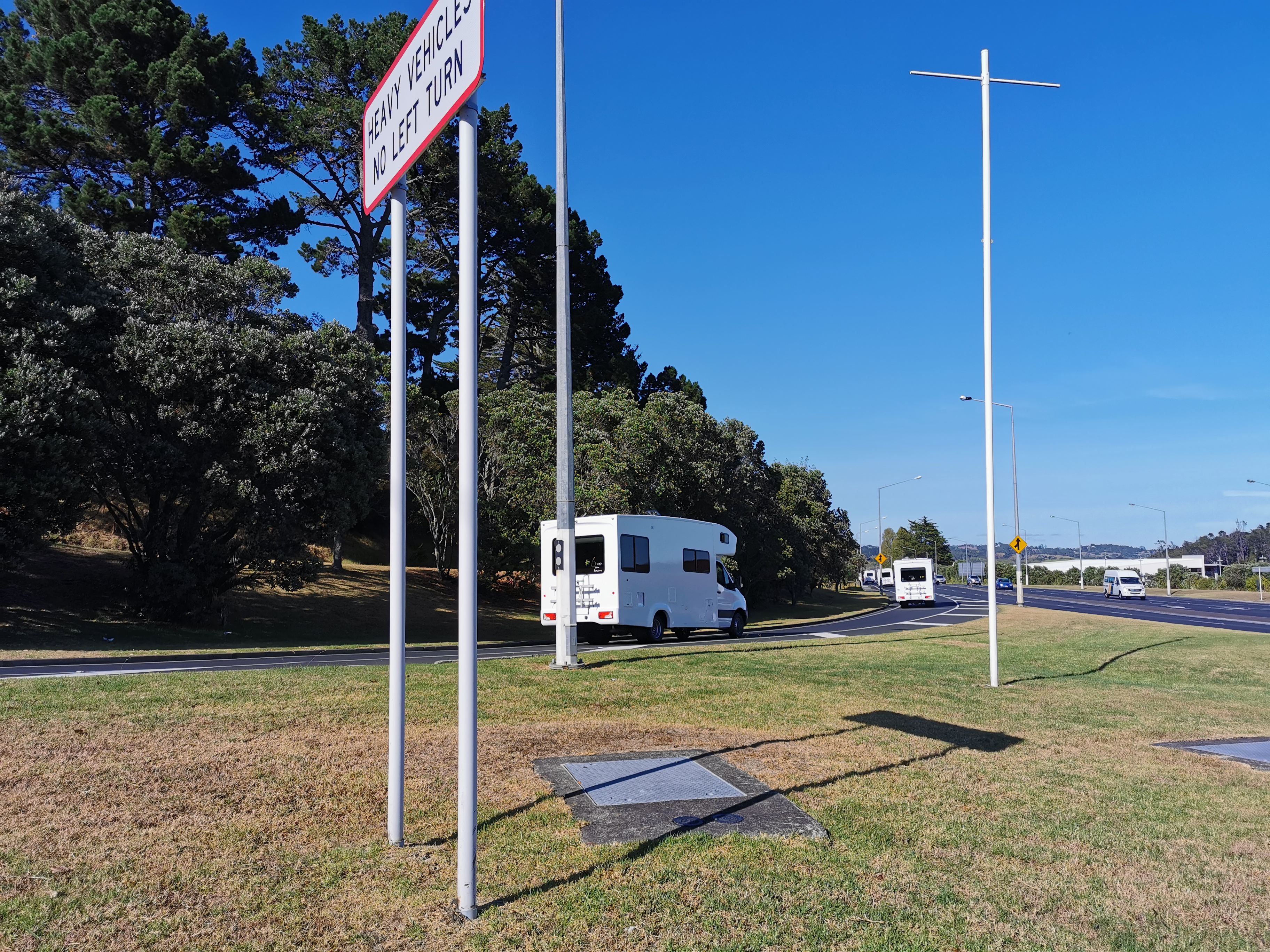
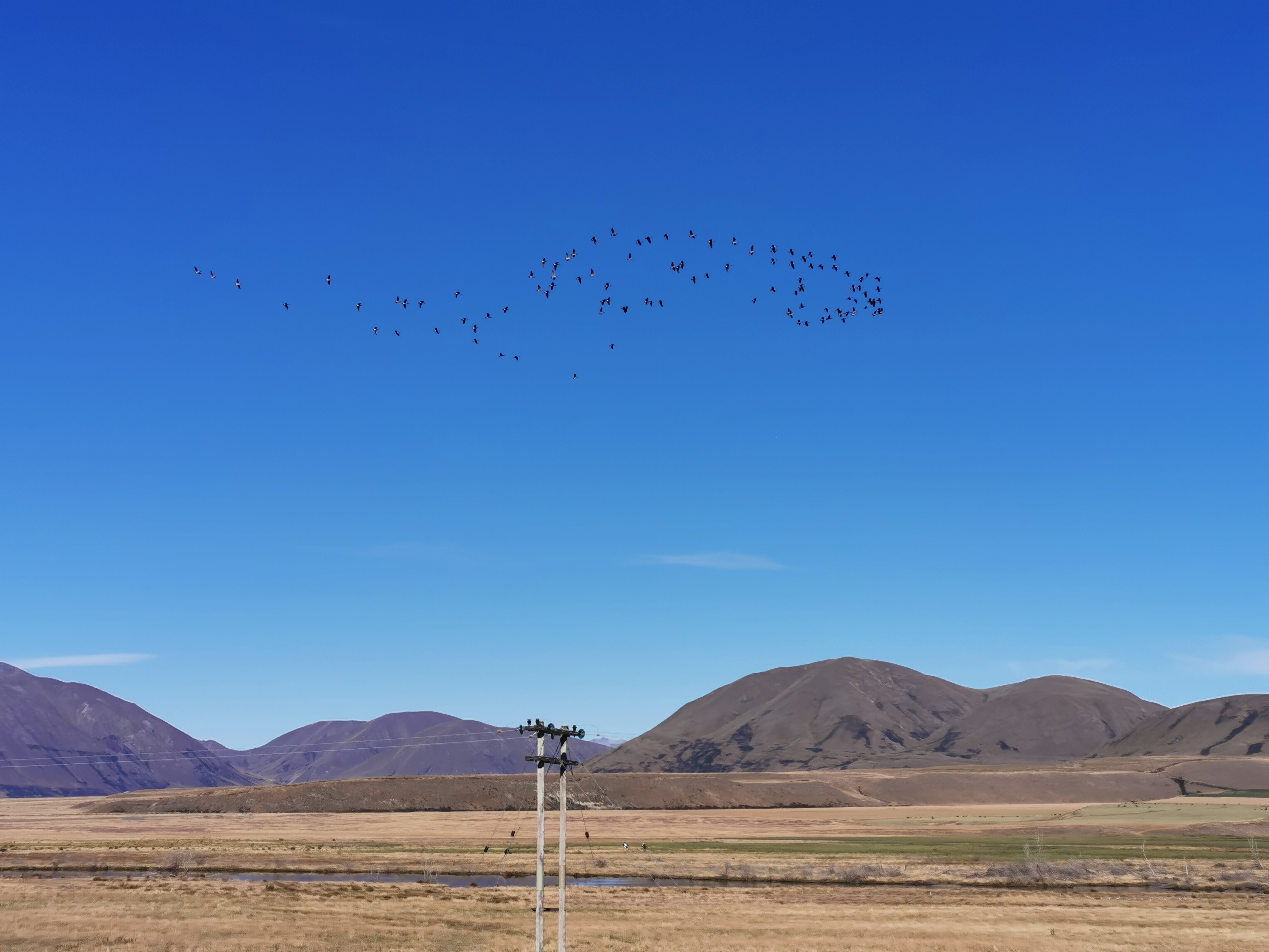
The Coronavirus COVID-19 is suddenly a big thing now here and around the world, and while I was staying with my sister in Whangaparaoa we saw all the campervans that were being used to quarantine people on the cruise ship where Coronavirus was discovered.
Coronavirus campervans departing the peninsula
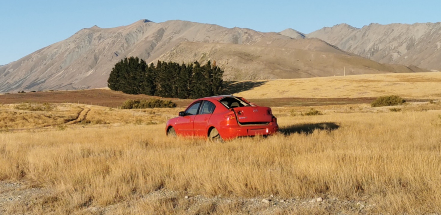
After that I actually did buy a new car to replace my car that was stolen at Christmas, so for most of the rest of the time I was actually able to go for a few road trips. It’s funny how much quicker it is to drive around the country than walk it! There was a lot of visiting friends done, and a lot of geocaching.
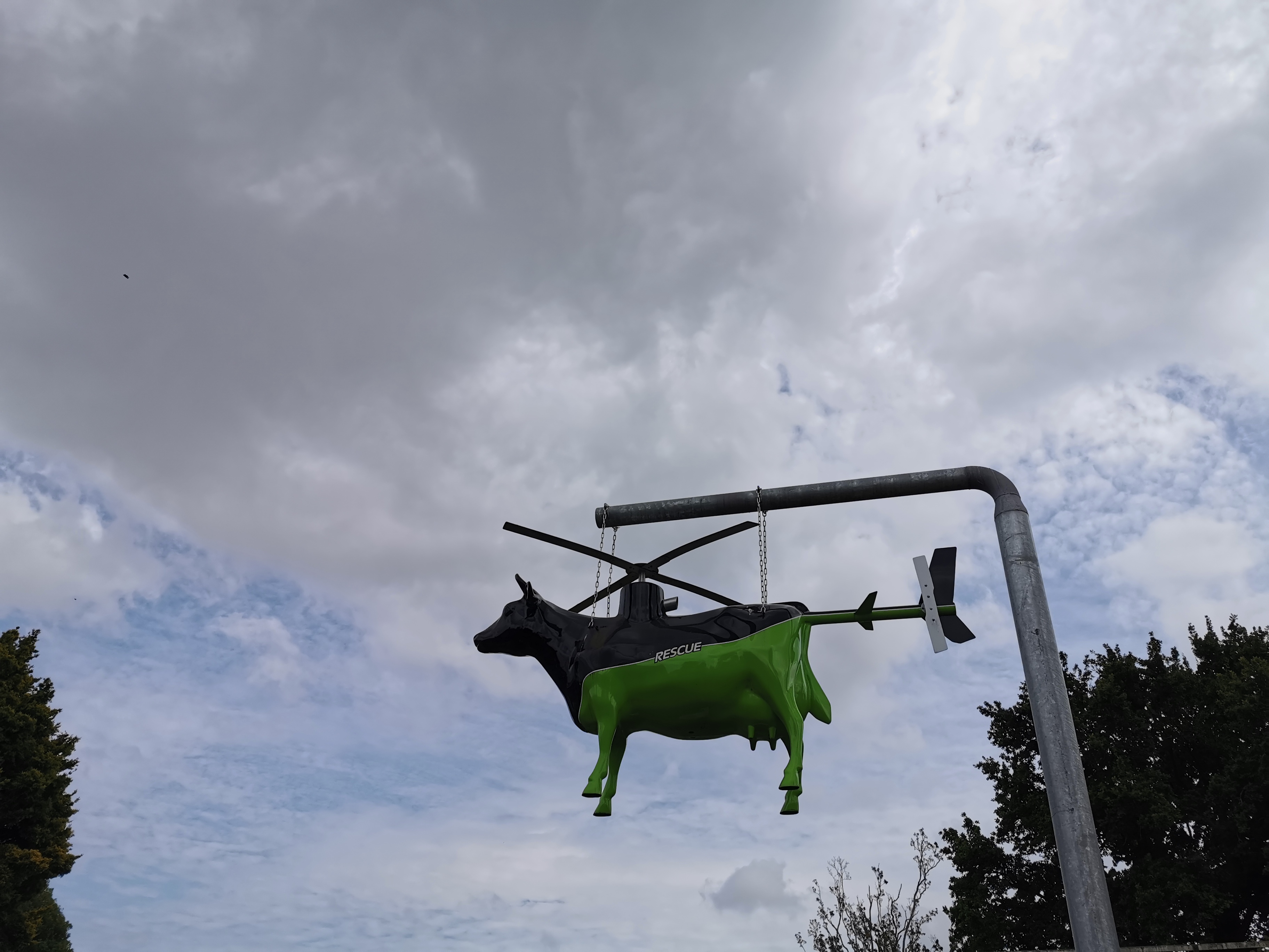
One of the many cows that exist in Morrinsville, like the bulls in Bulls but much more colourful and interesting
I saw a kiwi while I was at the zoo. It would be cool to see one in the wild while walking but I think that’s unlikely! I’ve only heard them at night a few times so far. This one at the zoo got so close I could have reached out and touched it.
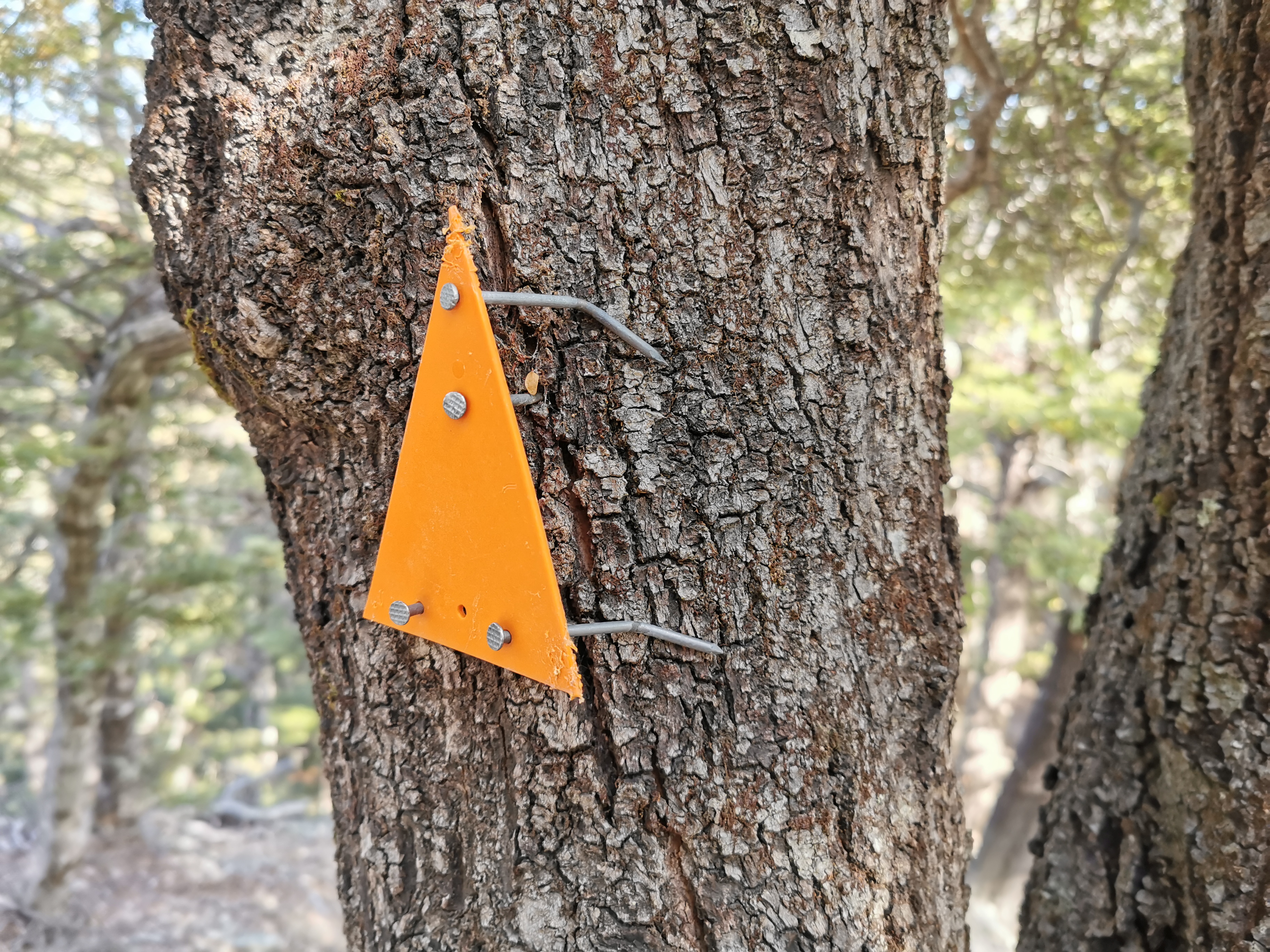
A kiwi in the “red room” at the zoo
After a few weeks, once my leg felt healed I did several long walks, at first without my pack, and then with my pack to make sure that my leg didn’t hurt any more. My leg seemed completely healed towards the end of February but due to reasons that aren’t trail related, I didn’t end up making it back to Methven until the 6th of March.
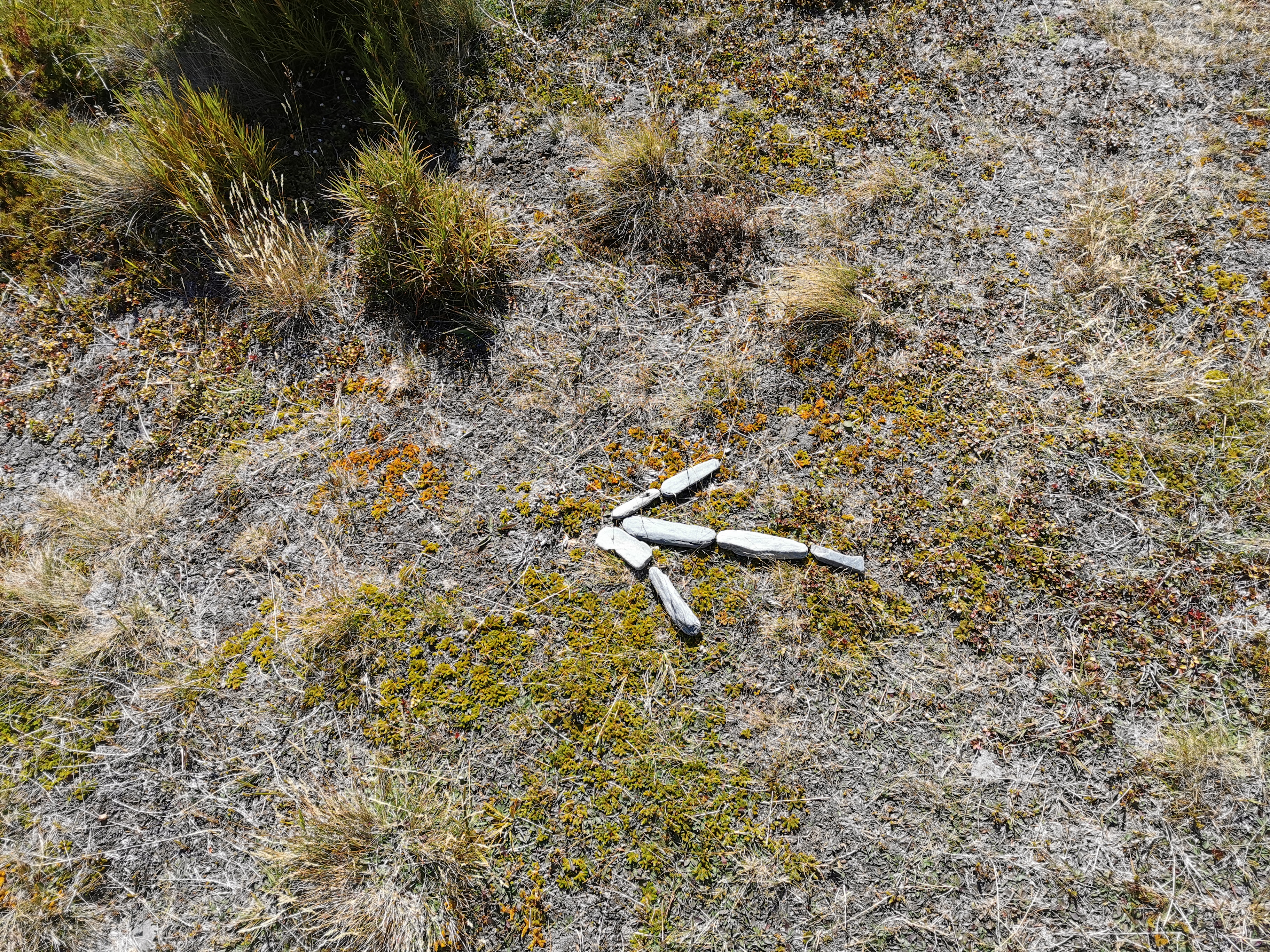
Not entirely sure what’s happening here
Now that Coronavirus has reached New Zealand (only three confirmed cases in Auckland as of right now), I’m glad I’m not working in an Auckland office job and instead I’ll be walking in remote places in the South Island where hopefully the virus won’t reach me. Plus I’m looking forward to walking again. There were times during the last month when I almost decided not to finish the walk and just end it at Methven – I thought that I had already got everything out of the walk that I wanted to. But I do want to finish the walk, I do want to see Bluff and I also want to see a kea. #goals
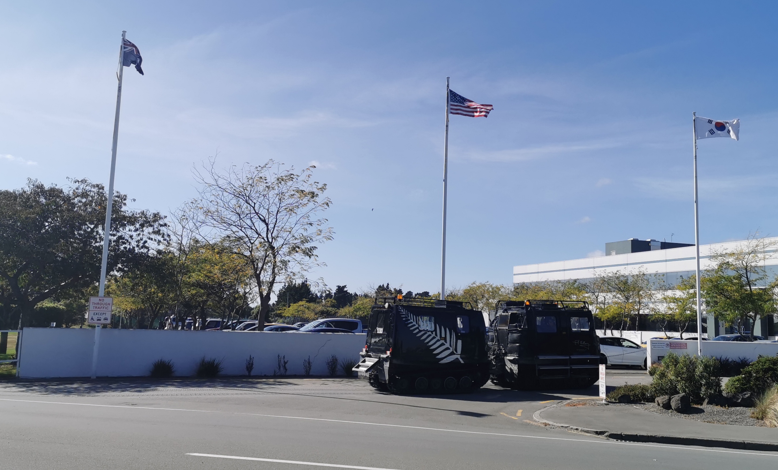
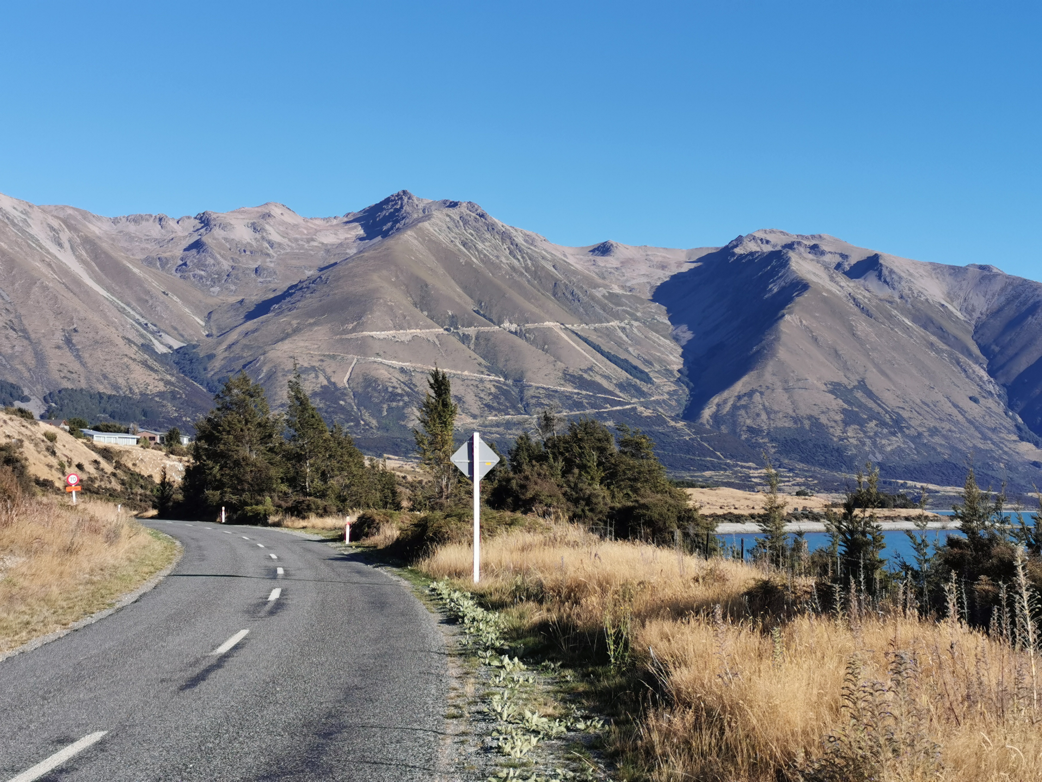
I arrived at Christchurch Airport to find it colder and windier than when I left. I hope it doesn’t get too cold over the next month.
I did see a tank outside the airport when I went for a walk.
My weight has gone back up a bit. It’s now 80.7kg:
It doesn’t look like I’m going to catch up to anyone I know, most people I met have finished now. Rhydian tells me he is going to finish in a week, whereas I’ve still got a month to go. Oh well, hopefully I’ll meet a lot of new and cool people.
This morning I flew Jetstar for the first time in all my recent flying – every other time I’ve flown Air New Zealand. They were on time, and they appeared to be weighing people’s carry on luggage (and they look like they’re really strict about it). That’s good for someone like me that always sticks to the rules. And they have a “maze” for boarding so that when boarding time comes it’s not one big push for the gate, it’s an orderly queue. Jetstar just went up in my books.
However I did make a mistake with my timing. I thought the Methven shuttle left the airport at 12:30pm, so I got a 9:15am flight meaning I got up at 5:45am to catch it. Turns out the Methven shuttle only runs at that time on Mondays and Wednesdays. On Fridays it leaves at 4:30pm… so I had six hours to sit around the airport. I could have used that six hours to sleep in and get a later flight. Oops.
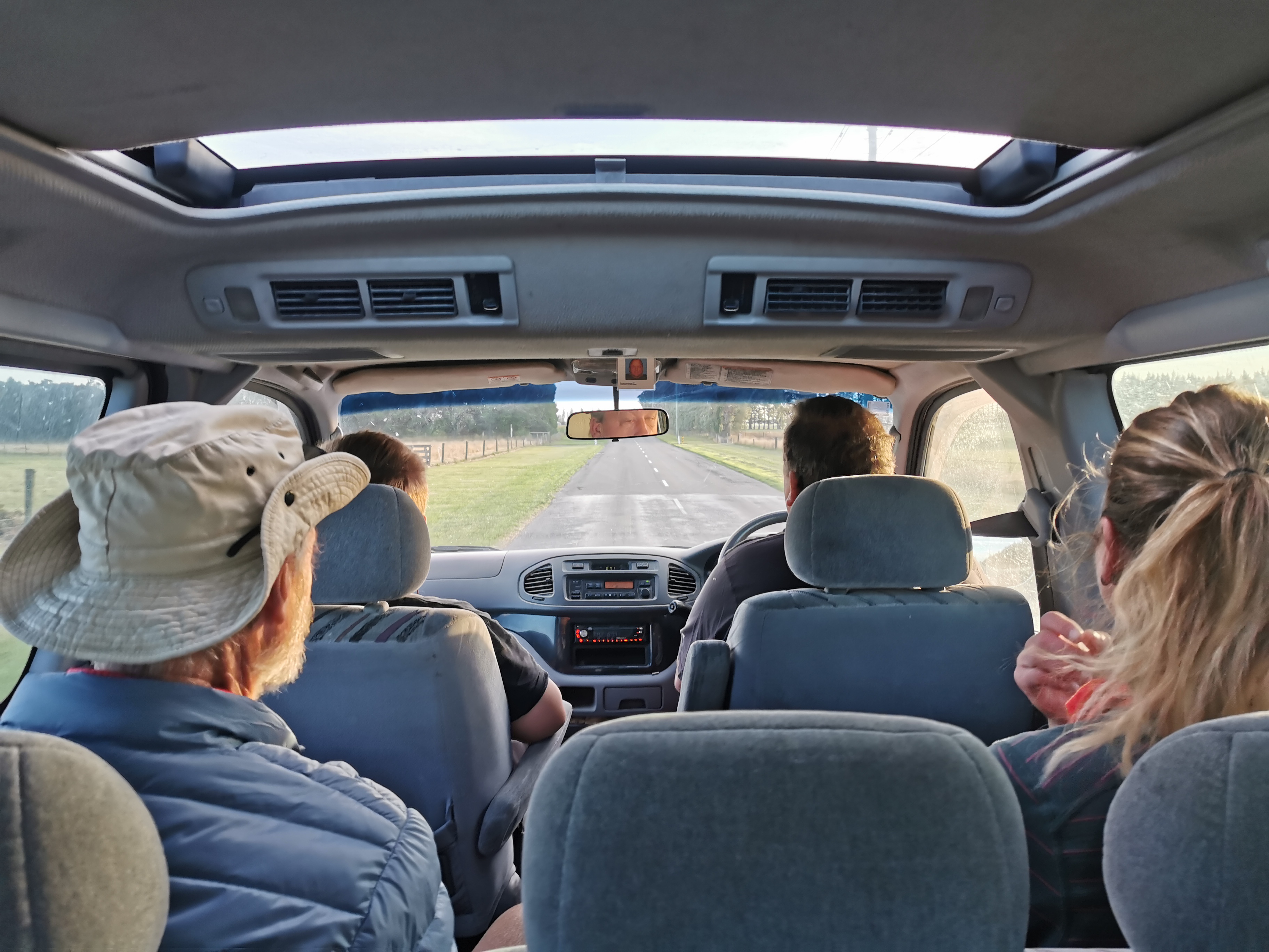
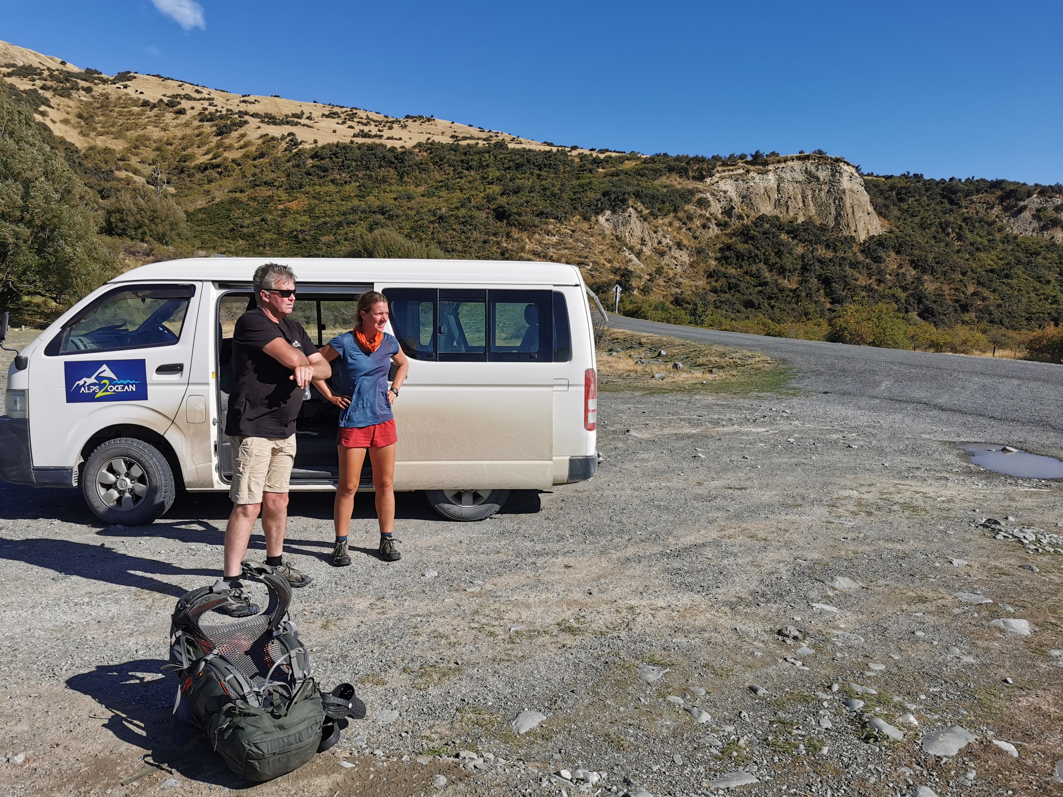
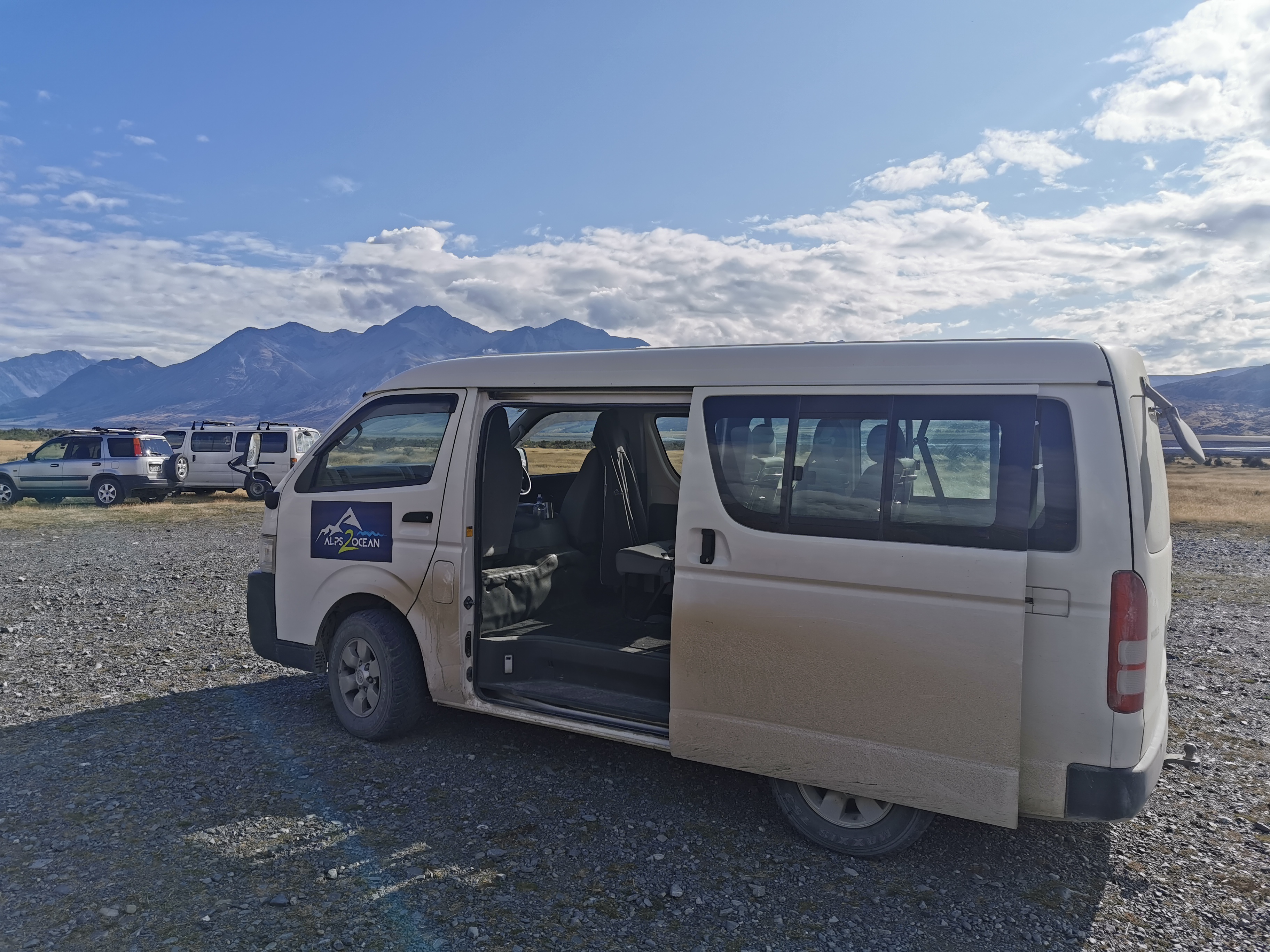
On the way to Methven from Christchurch Airport sharing the shuttle with me was a girl called Anka from Germany who is restarting the trail from the same point as me after skipping this section earlier. She was friendly and chatty, and the best bit is she’s already organised all the shuttles for all the upcoming logistically awkward sections! And so I can just piggyback on all her hard work. What a nice surprise. And I might have some company too. All I had to do was call Wayne at Alps 2 Ocean and say that I want in on the same shuttle.
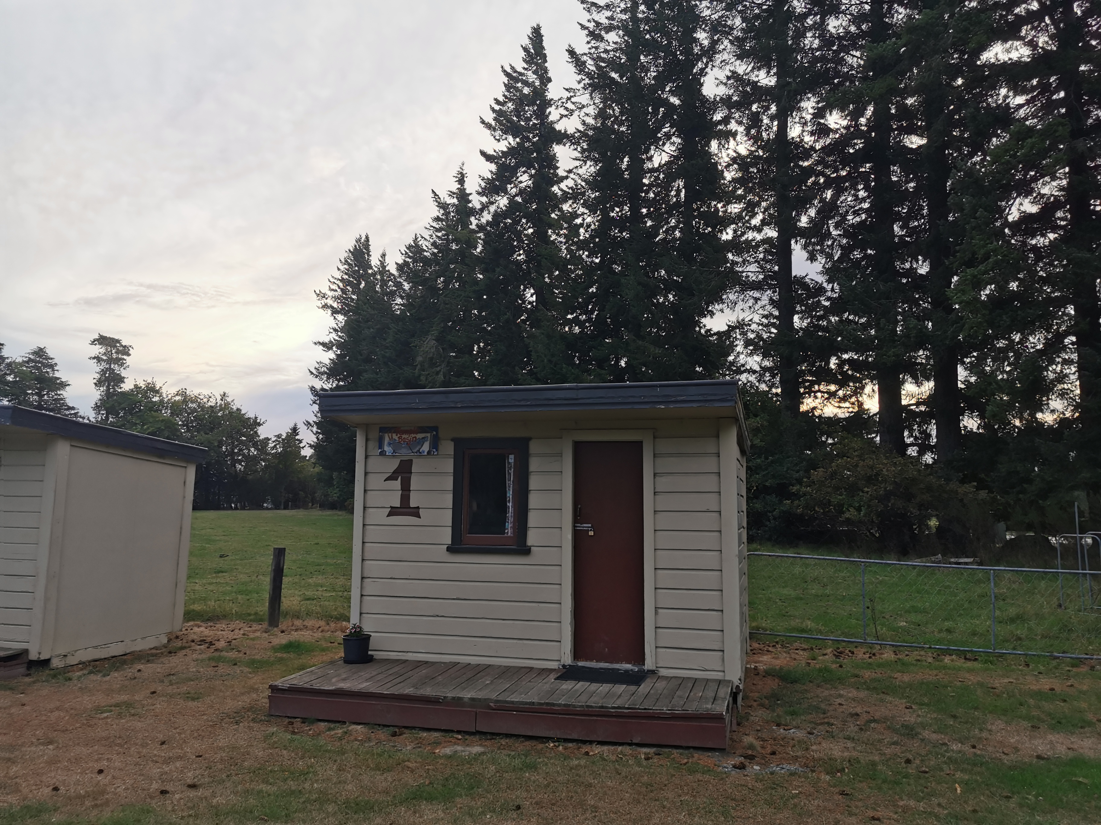
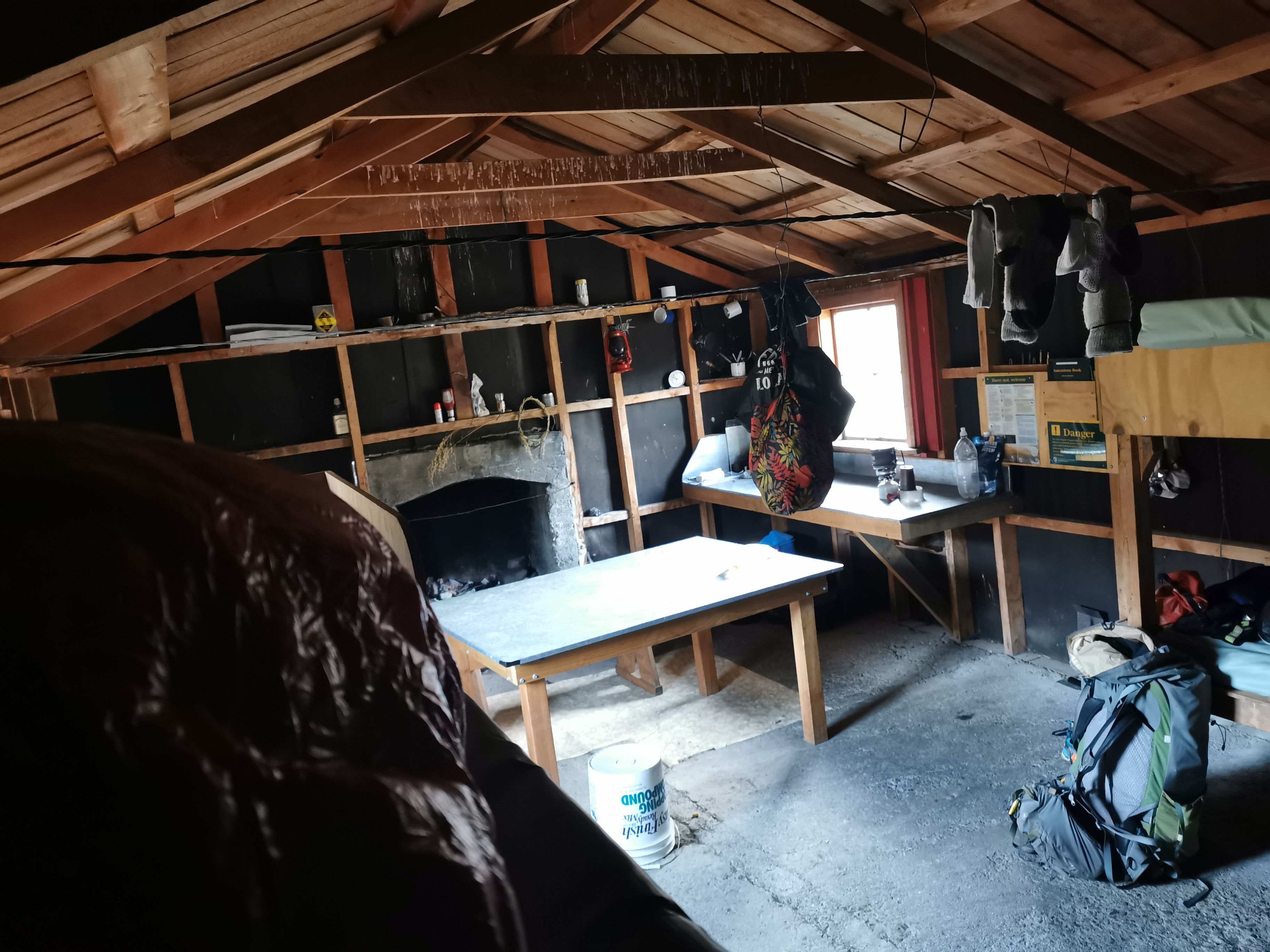
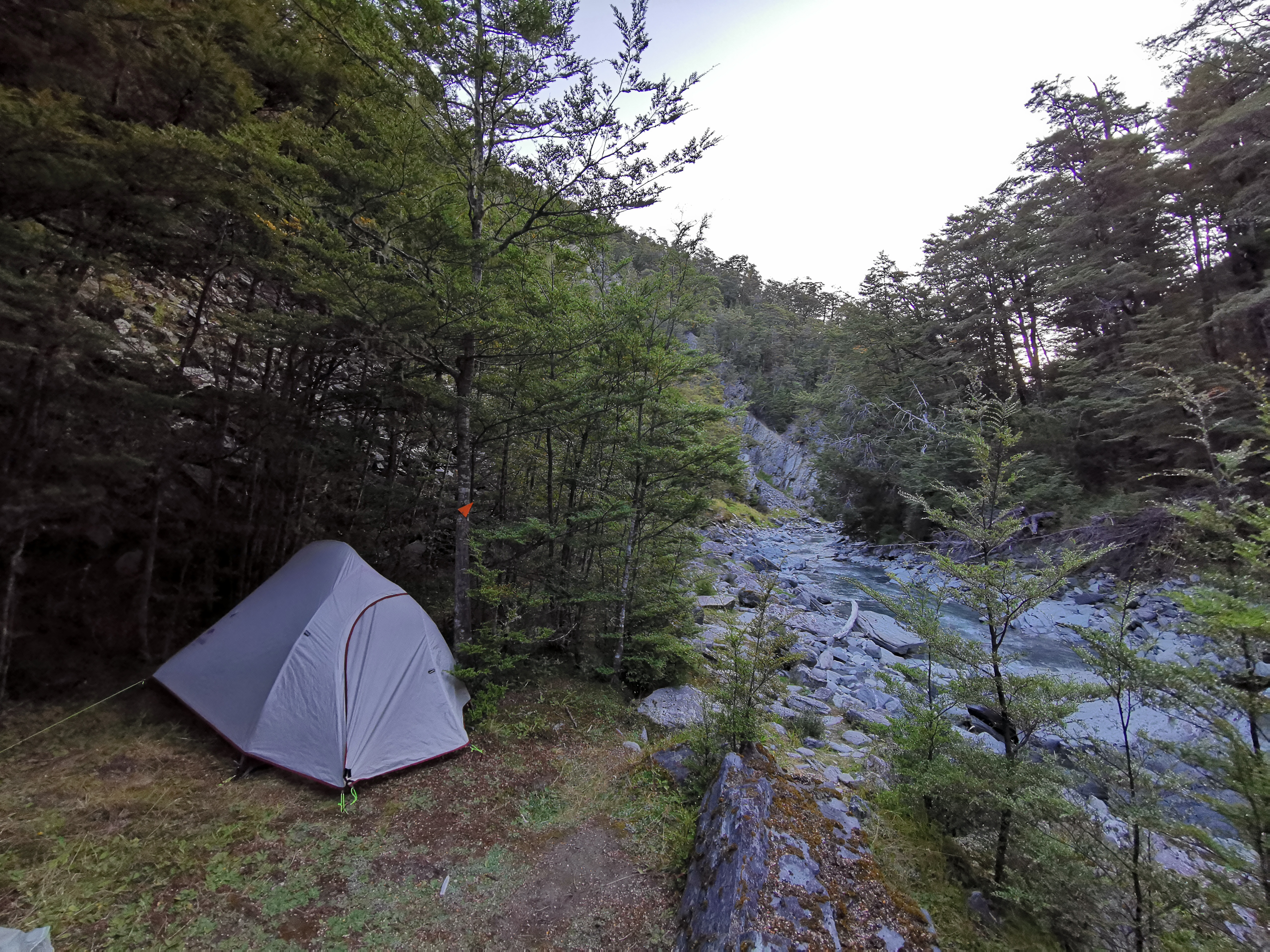
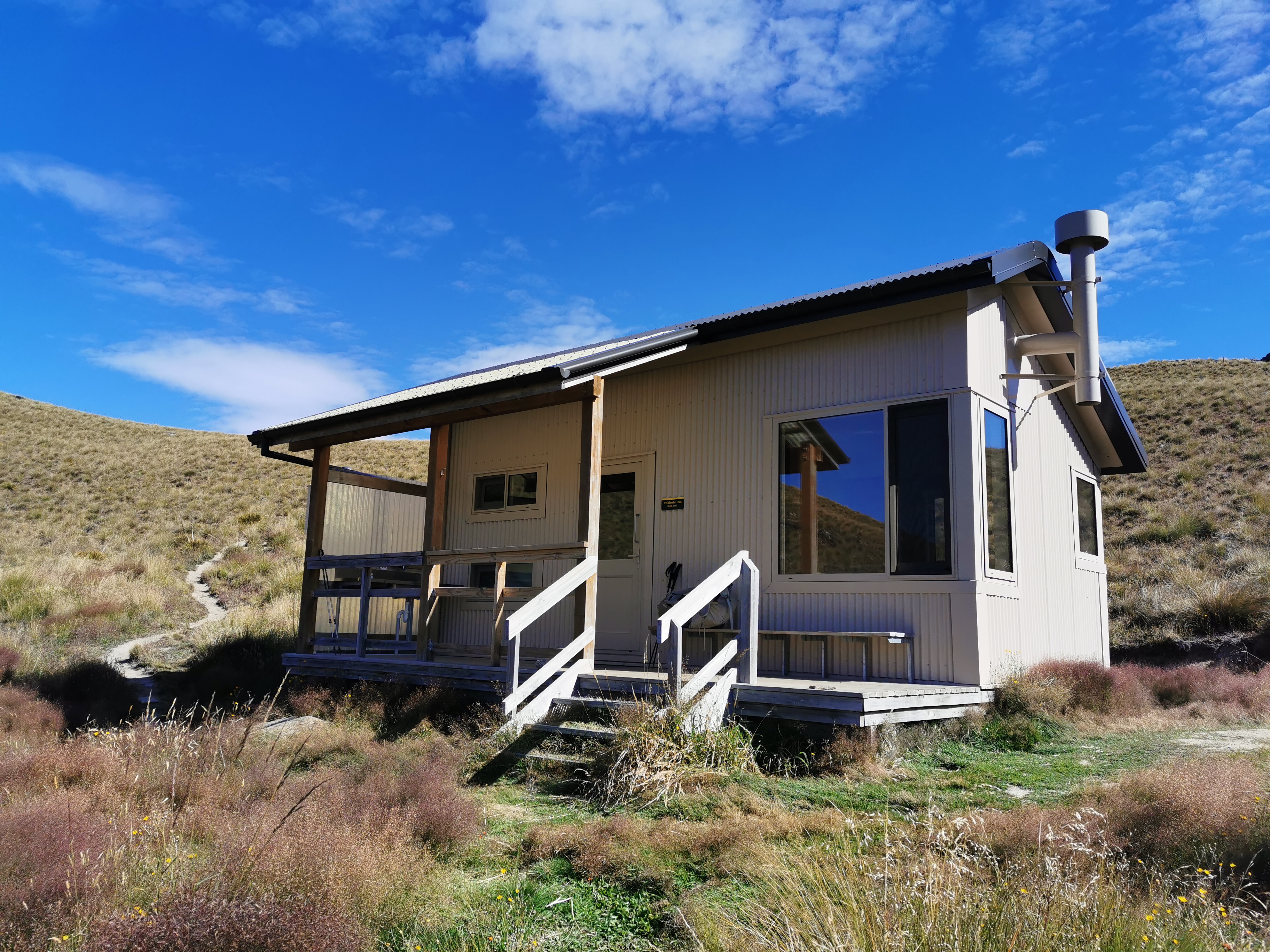
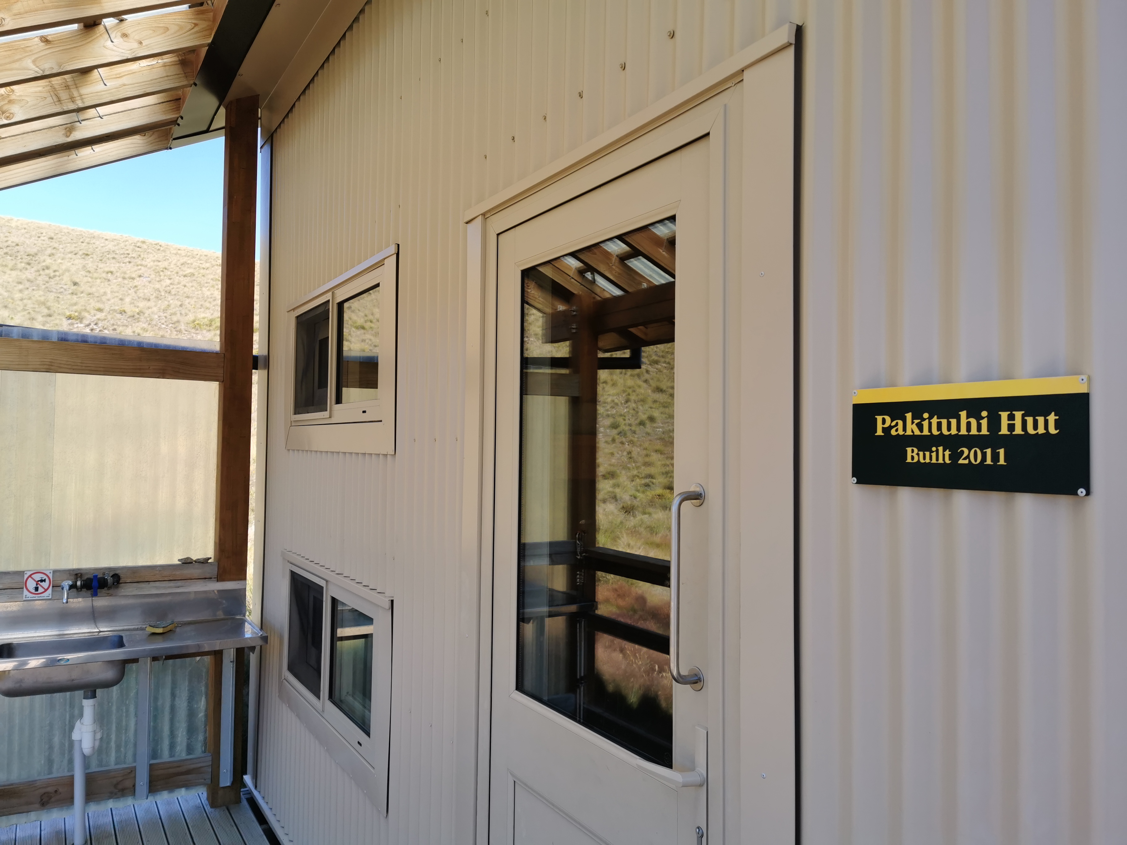
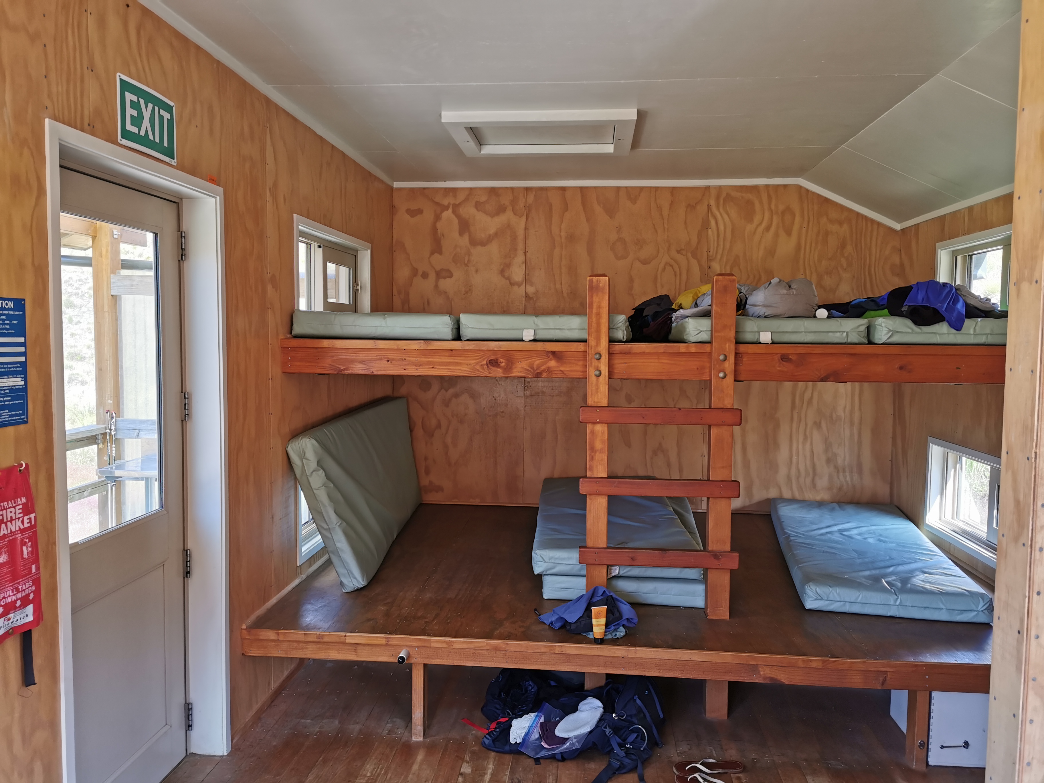
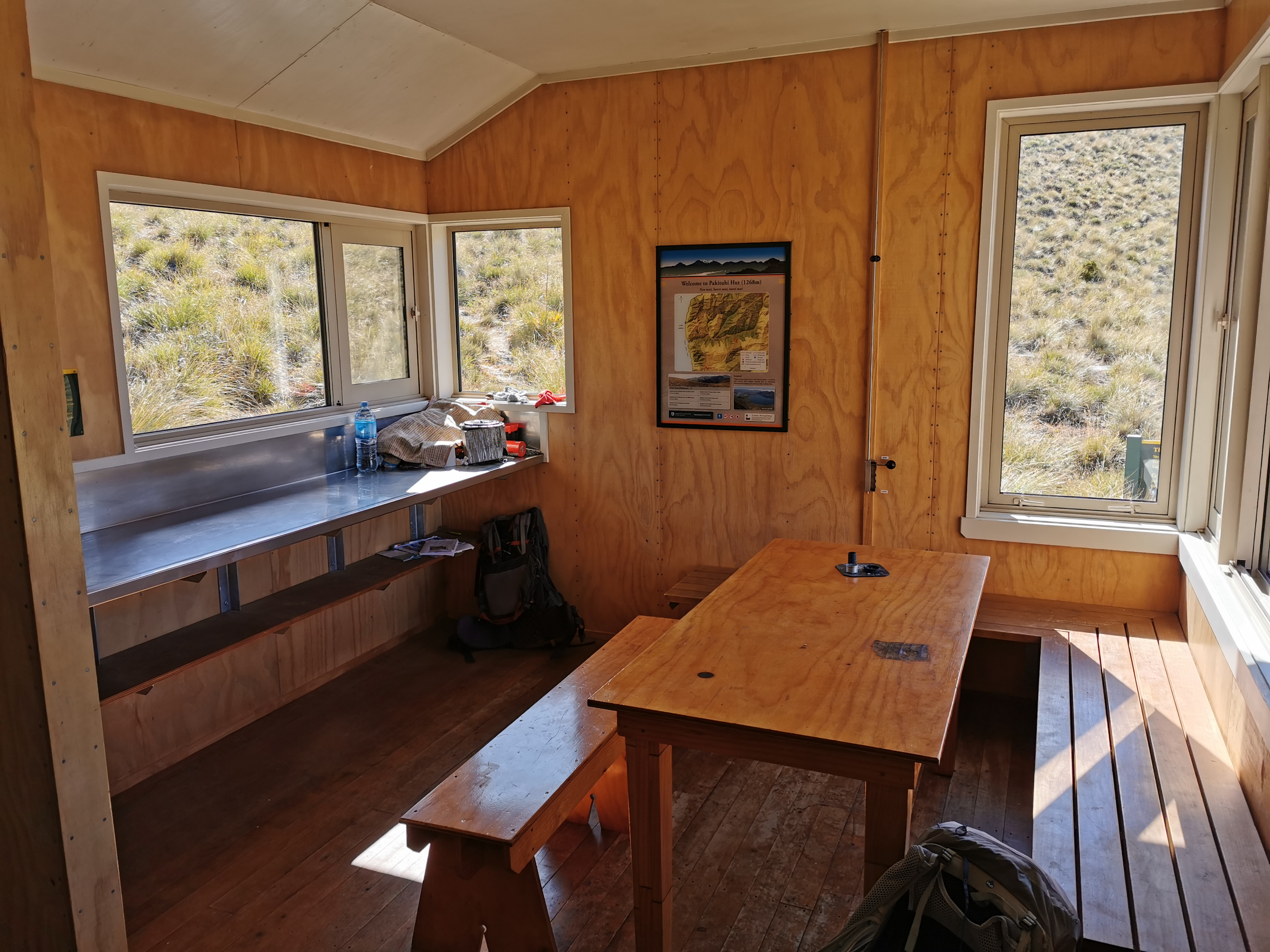
Once at the campground it was like I never left. I even got the same cabin that I spent an entire 7 days in last month. It felt a lot better being here and being actually able to walk.
Cabin 1, my old friend
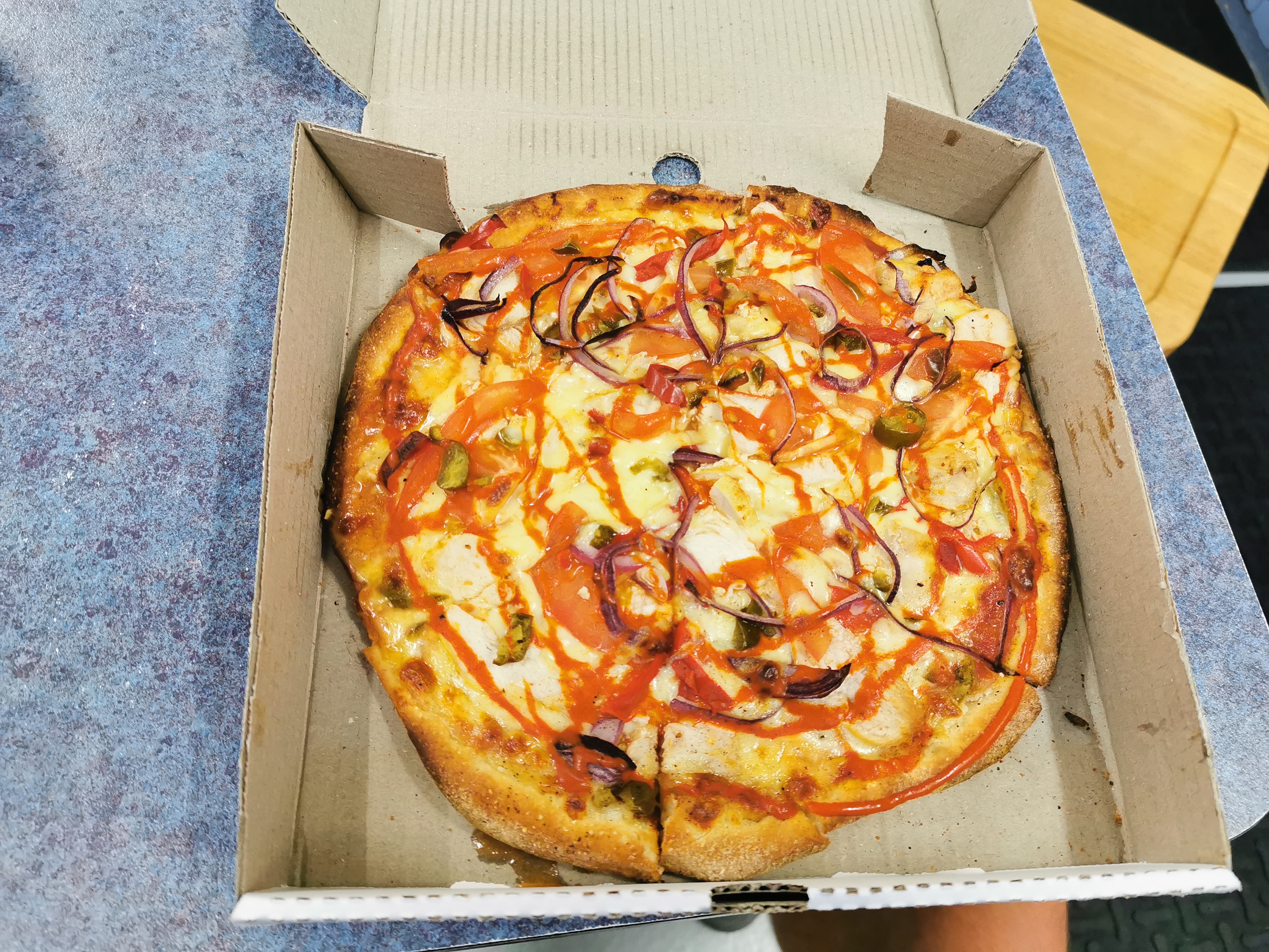
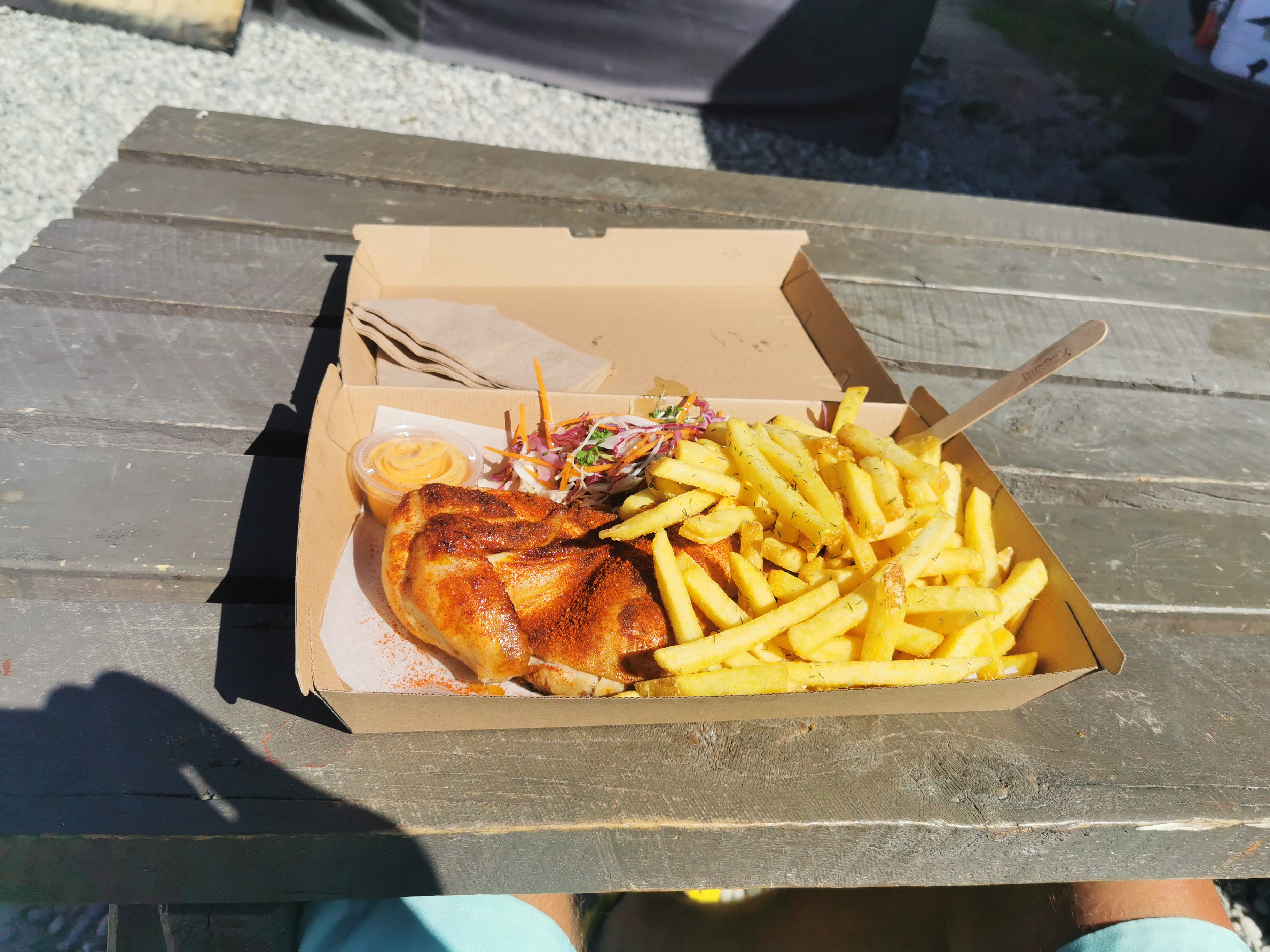
Here’s the pizza I got from the village takeaways. I had to wait an hour and a quarter for it, because at first they forgot to make it and then they dropped it on the ground and had to make a new one.
At least it was worth the wait
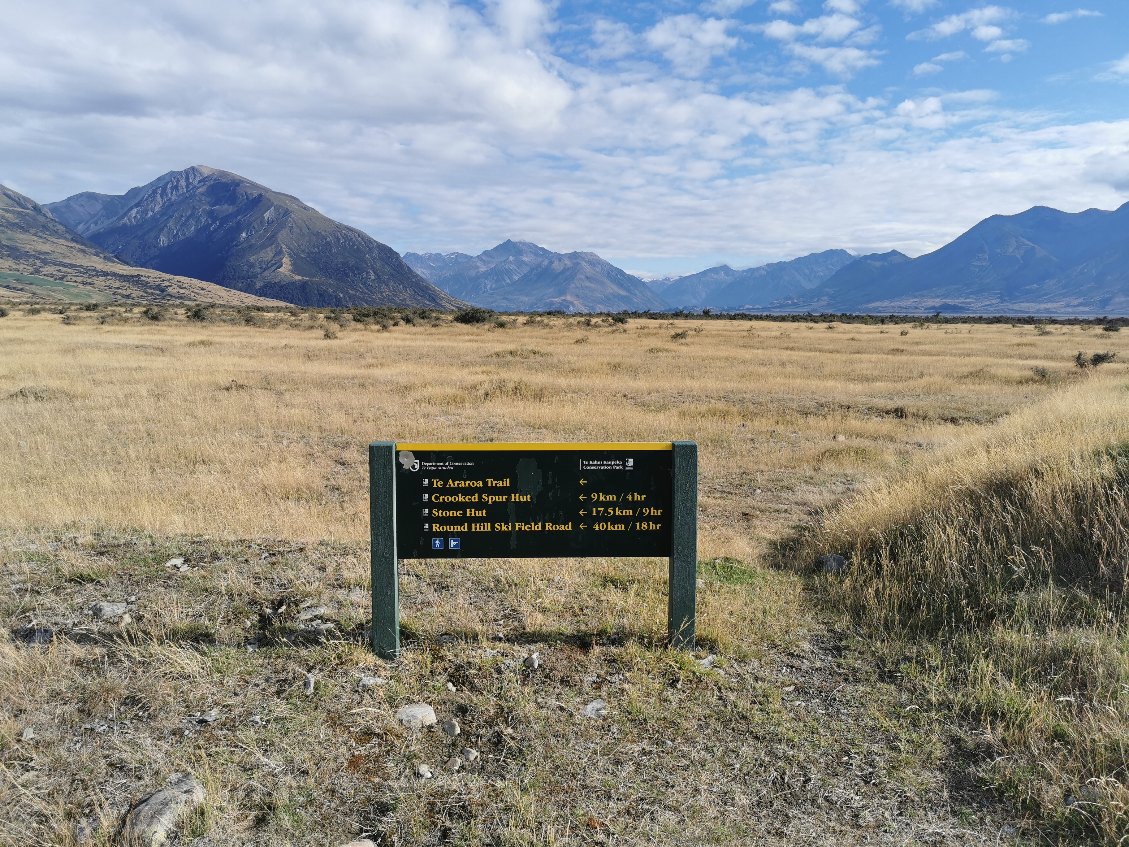
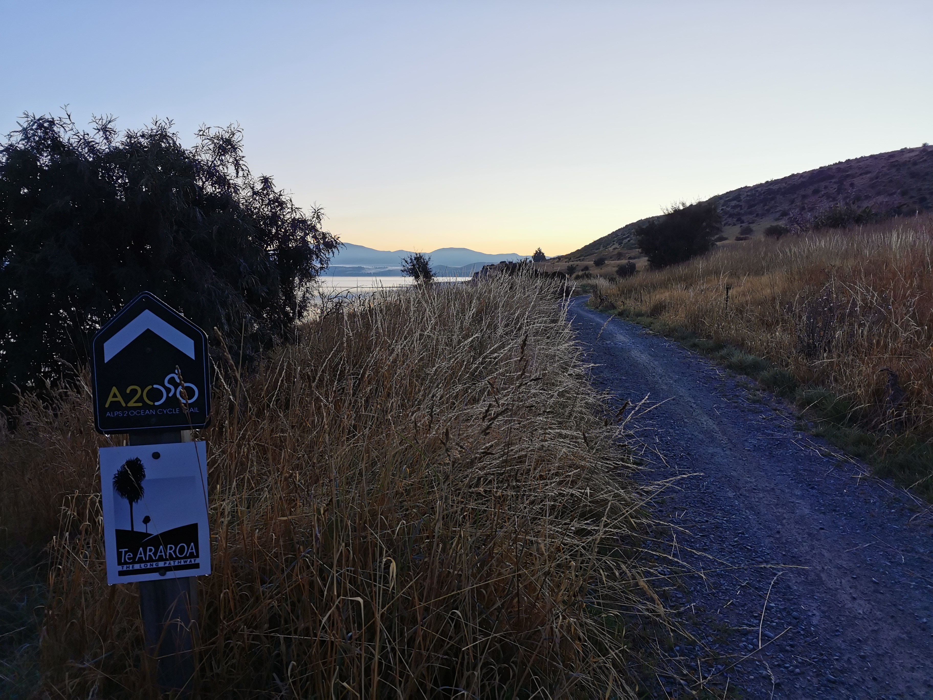
At 8am tomorrow morning the trail will officially be starting again. FINALLY. The highlight coming up on Tuesday or Wednesday is the Stag Saddle, the highest point on the whole trail. Can’t wait.
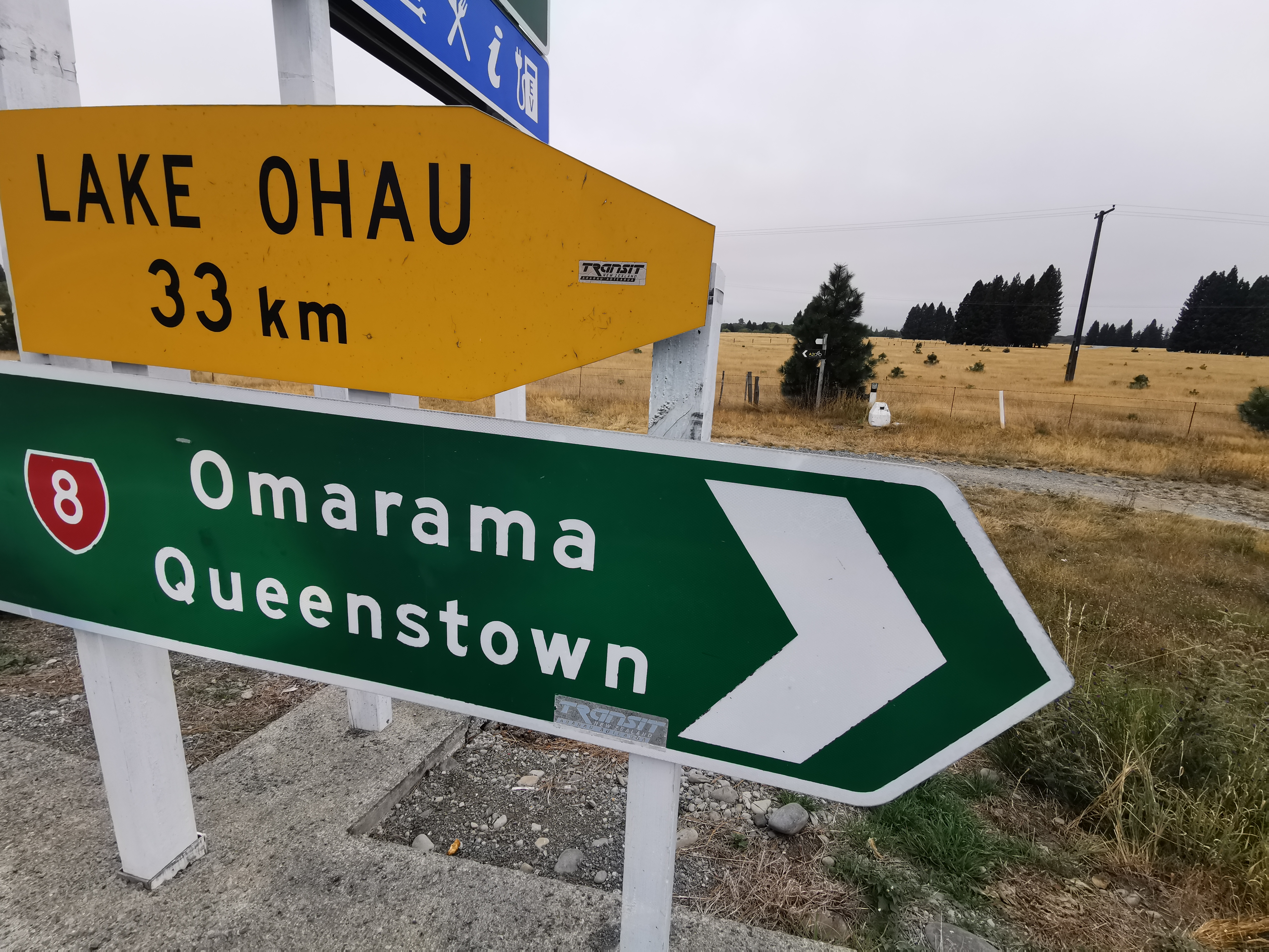
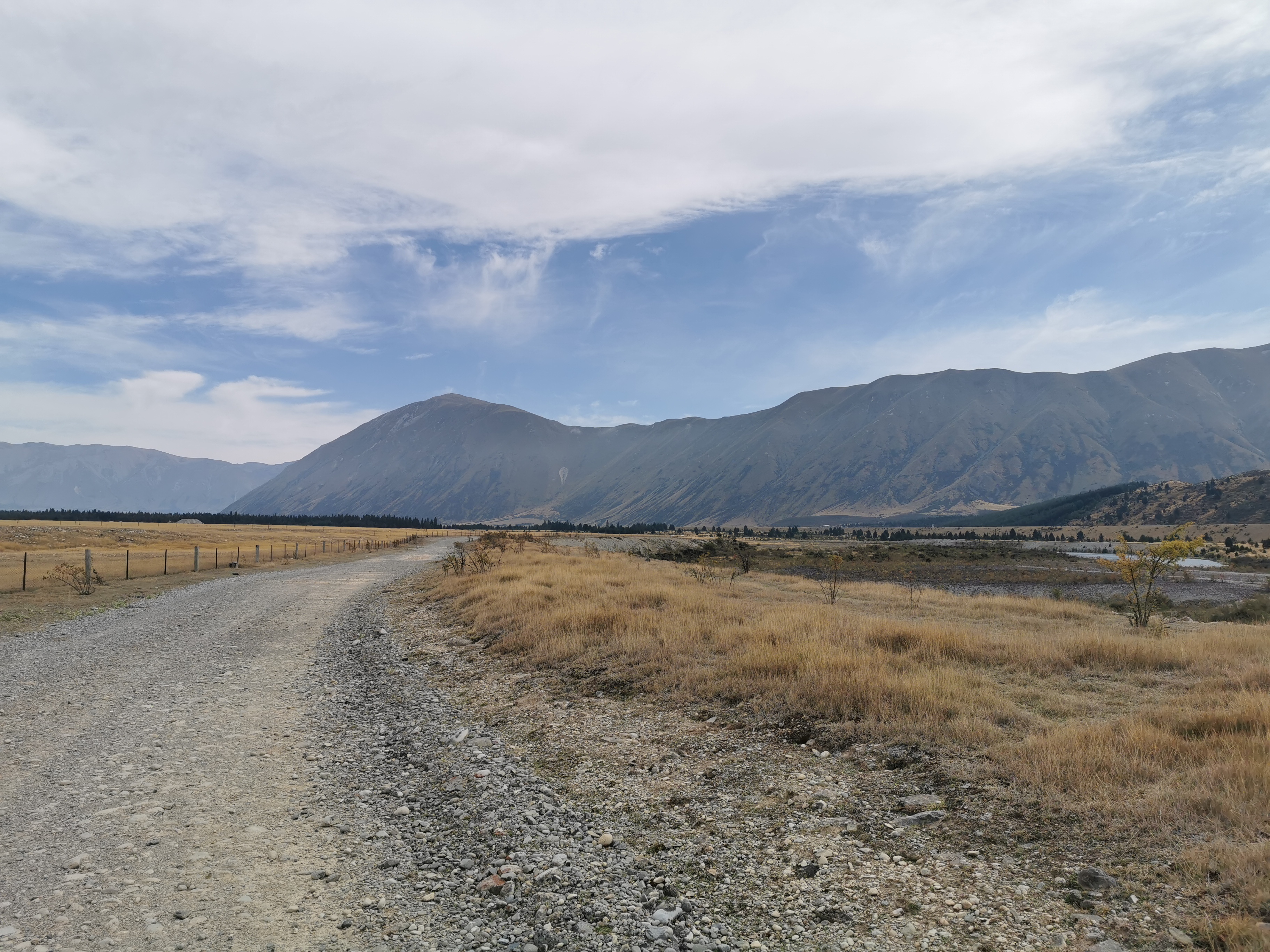
Date: 7 March
Trail covered: 15.5km (kms 2244.7 to 2260.2)
Weather: pleasant
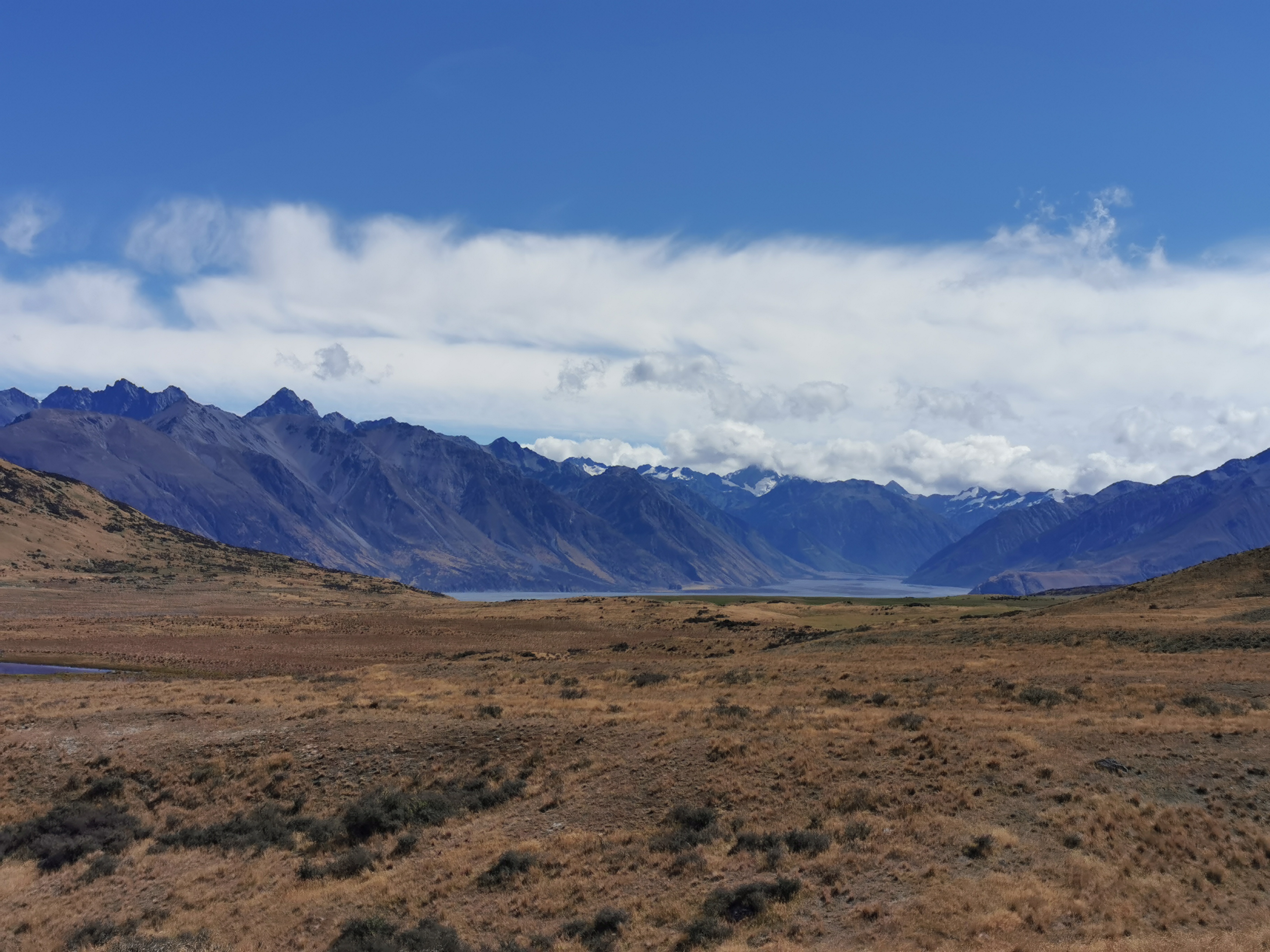
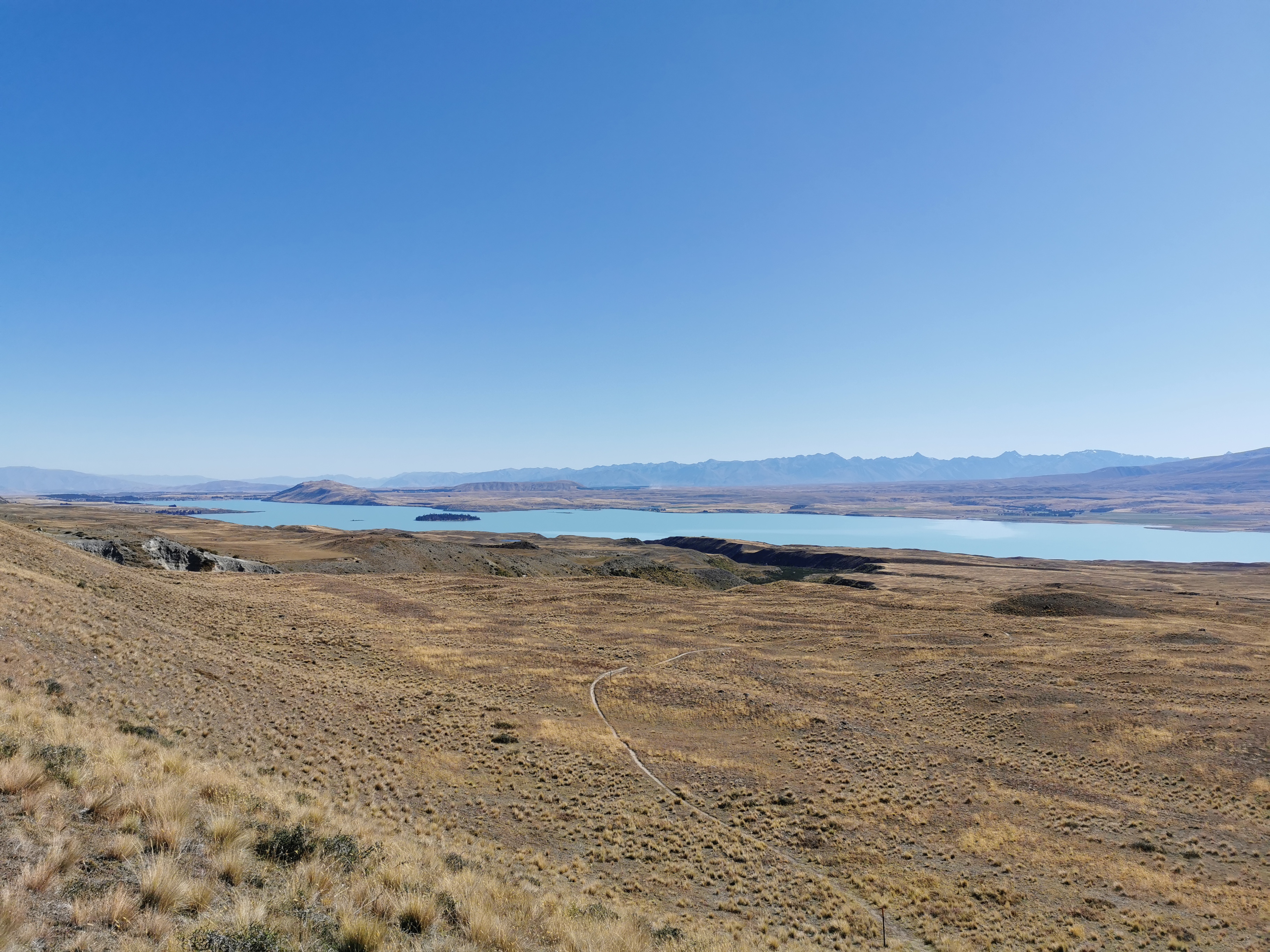
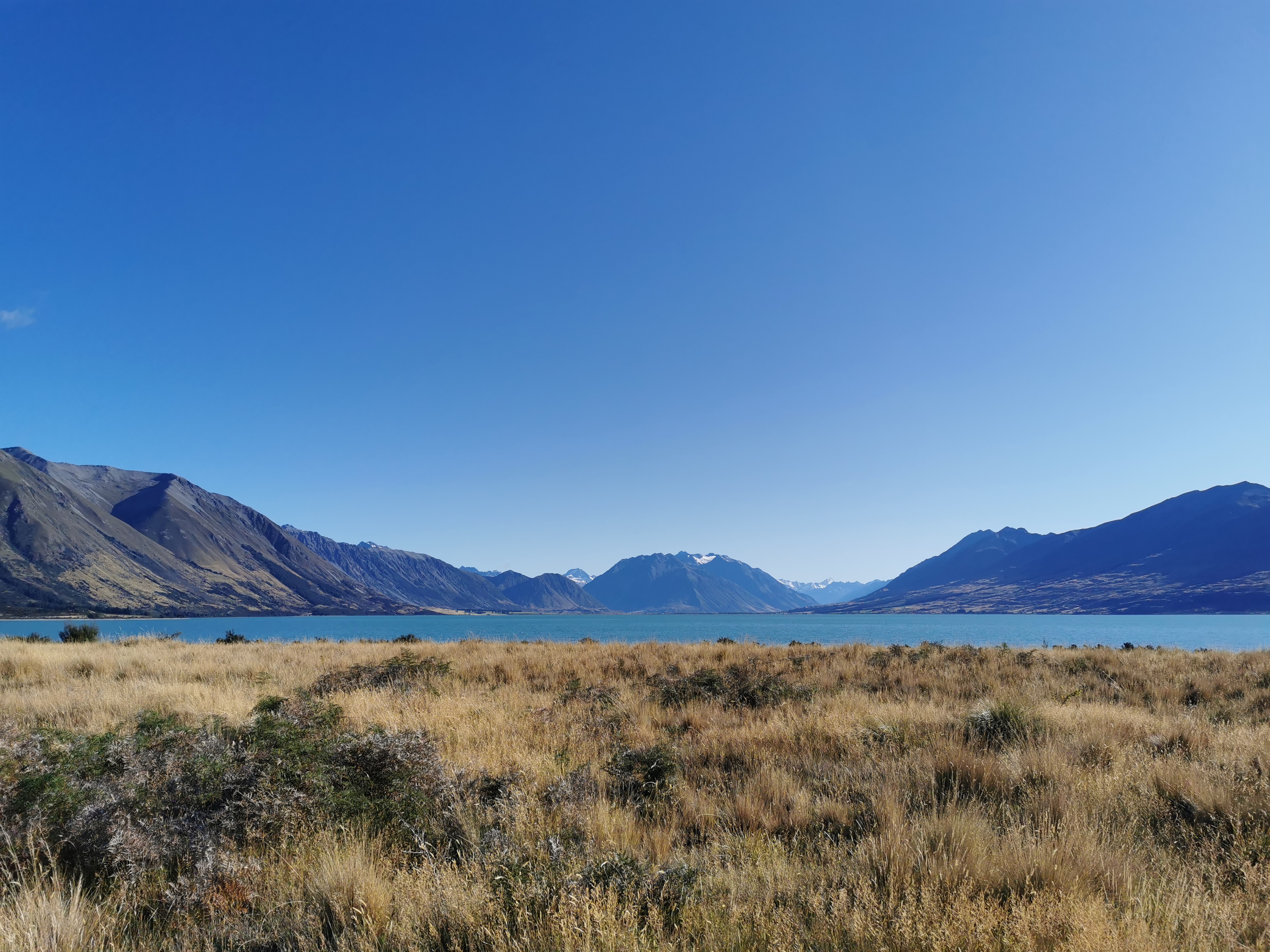
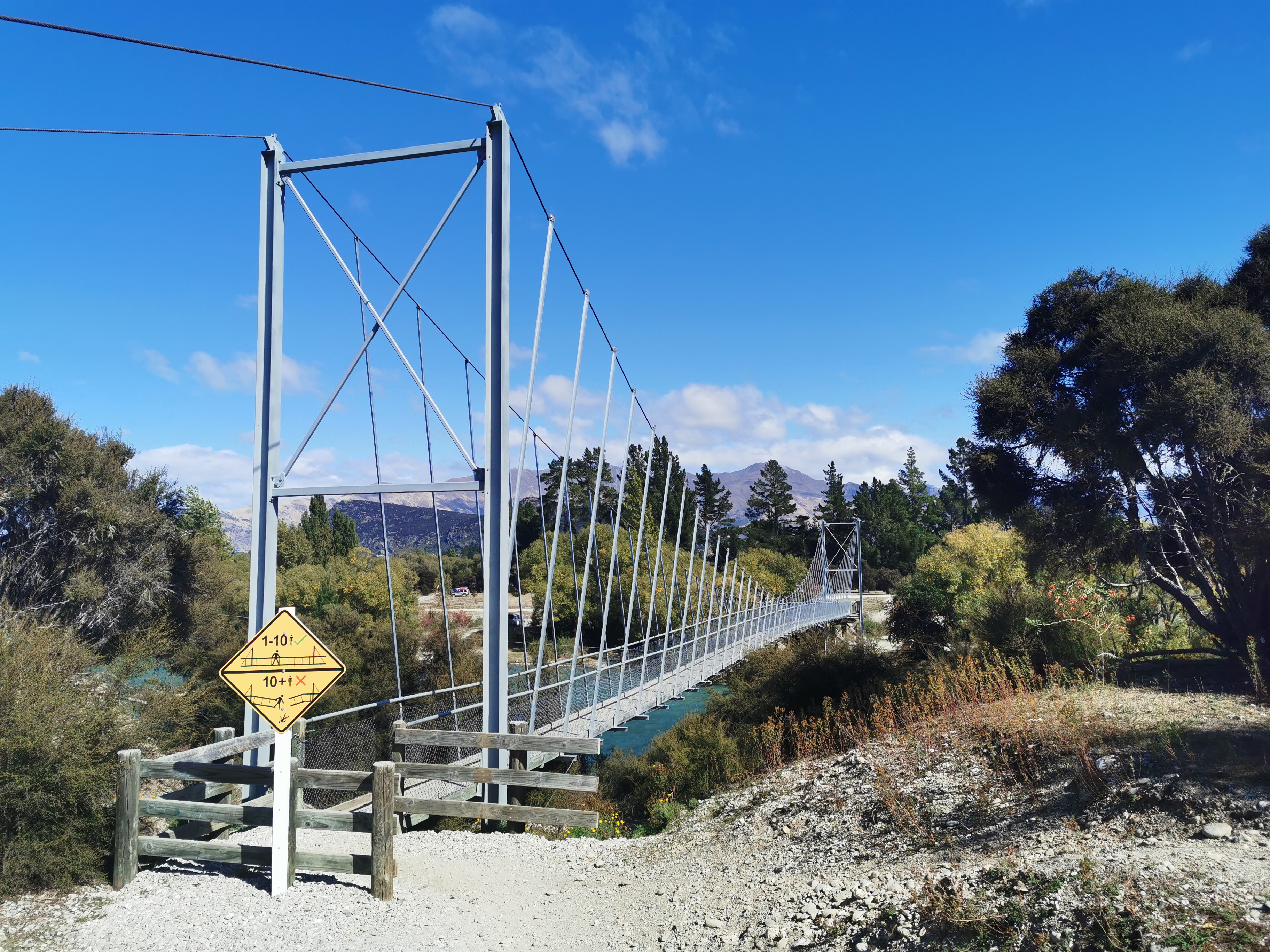
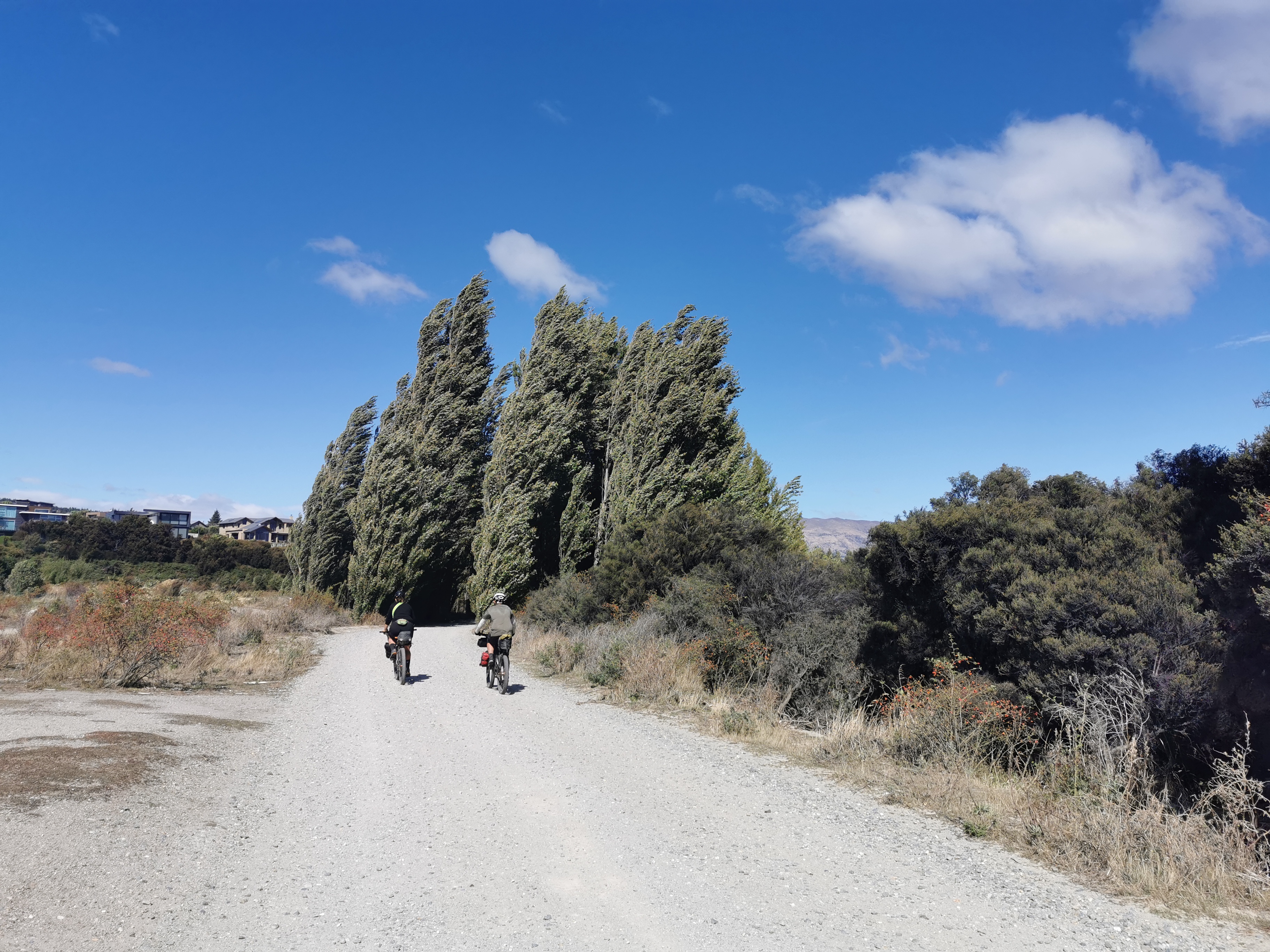
Im back on the trail today after 31 days off!
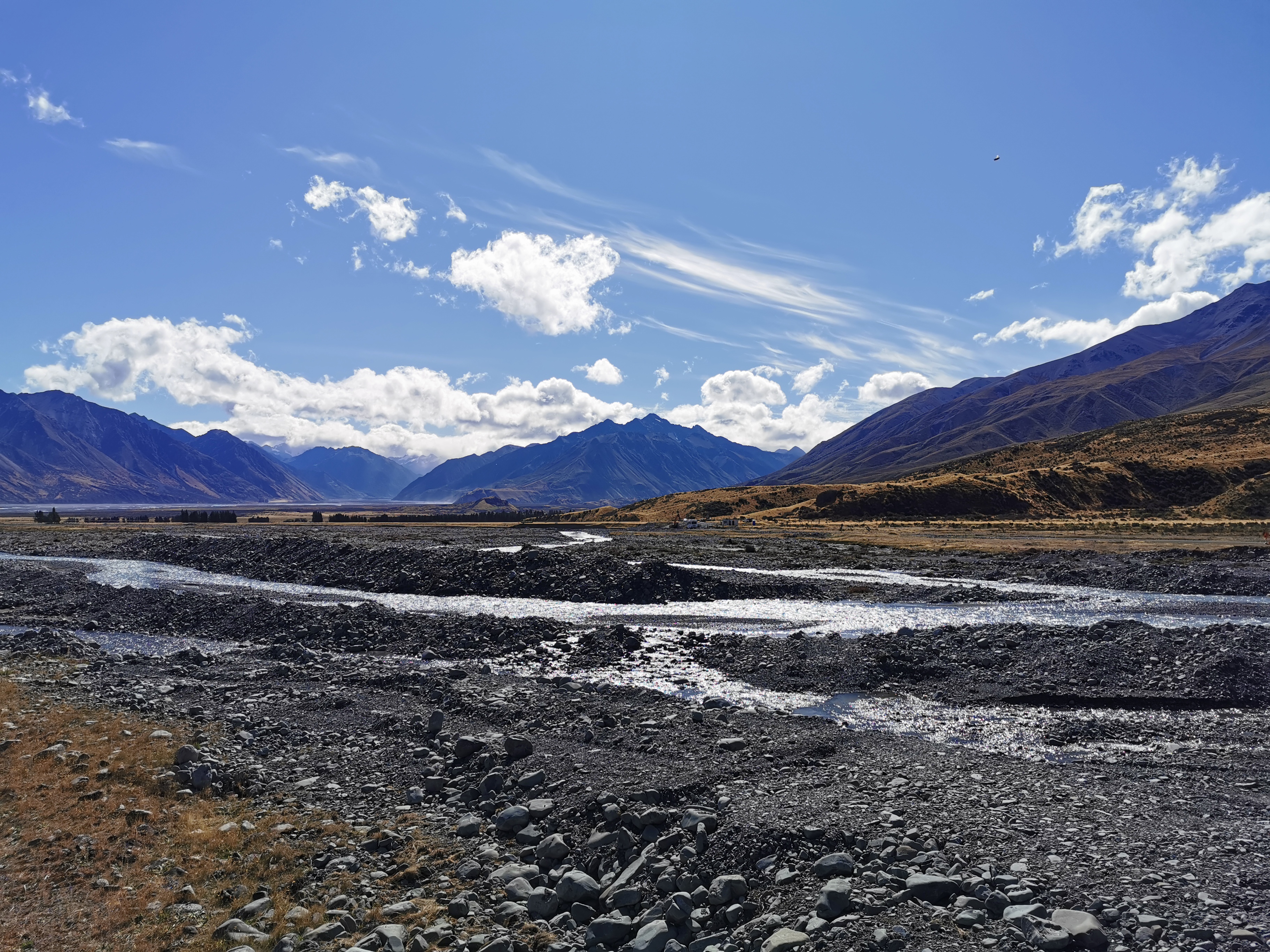
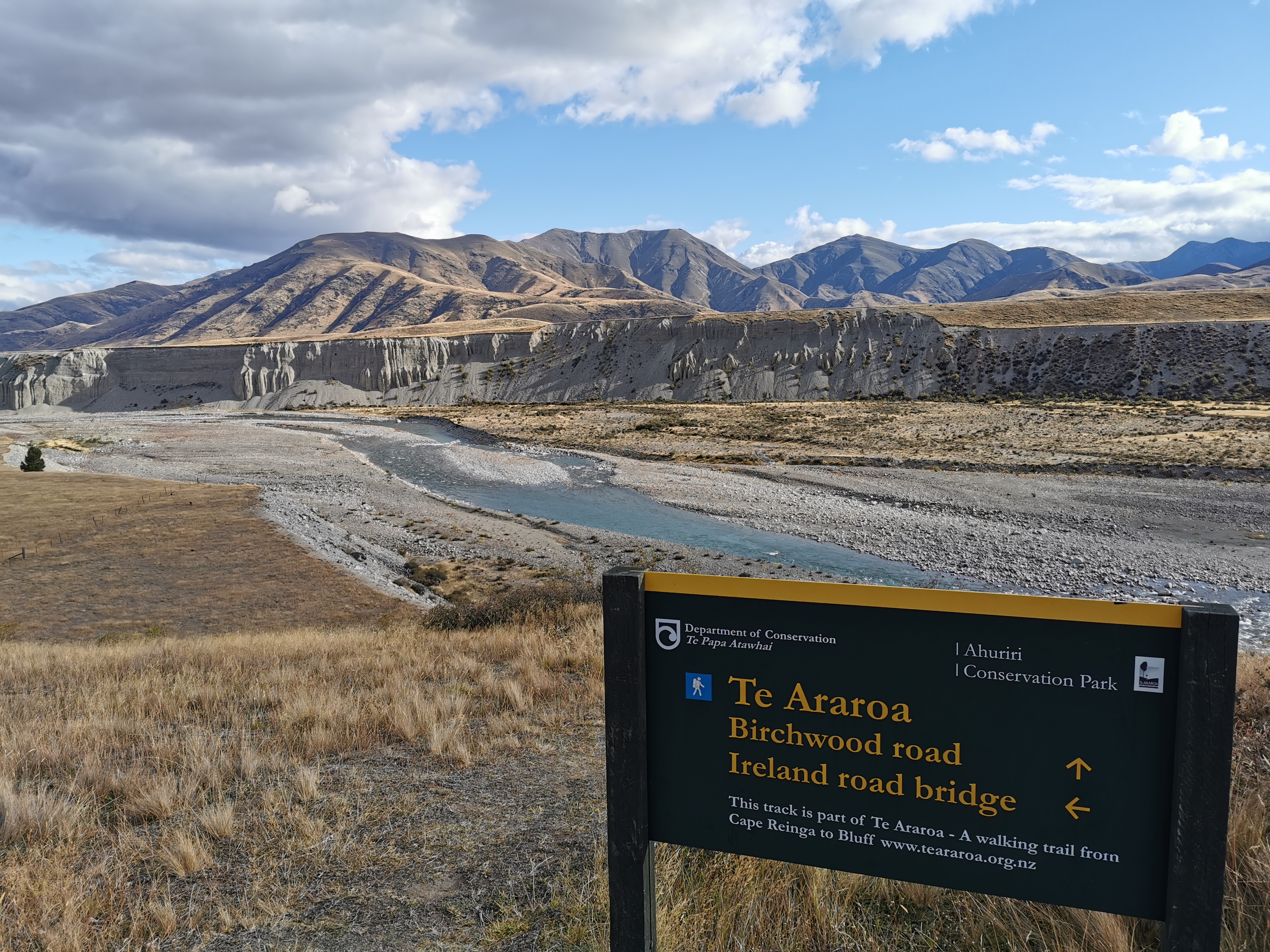
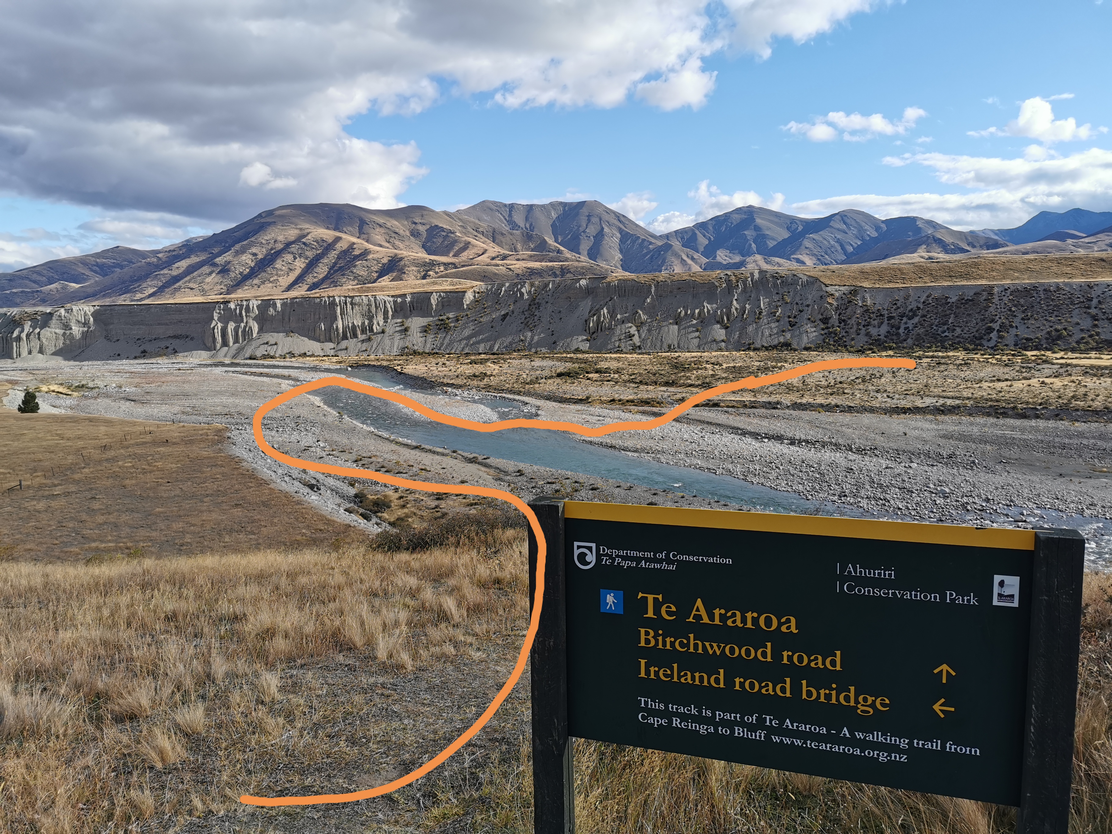
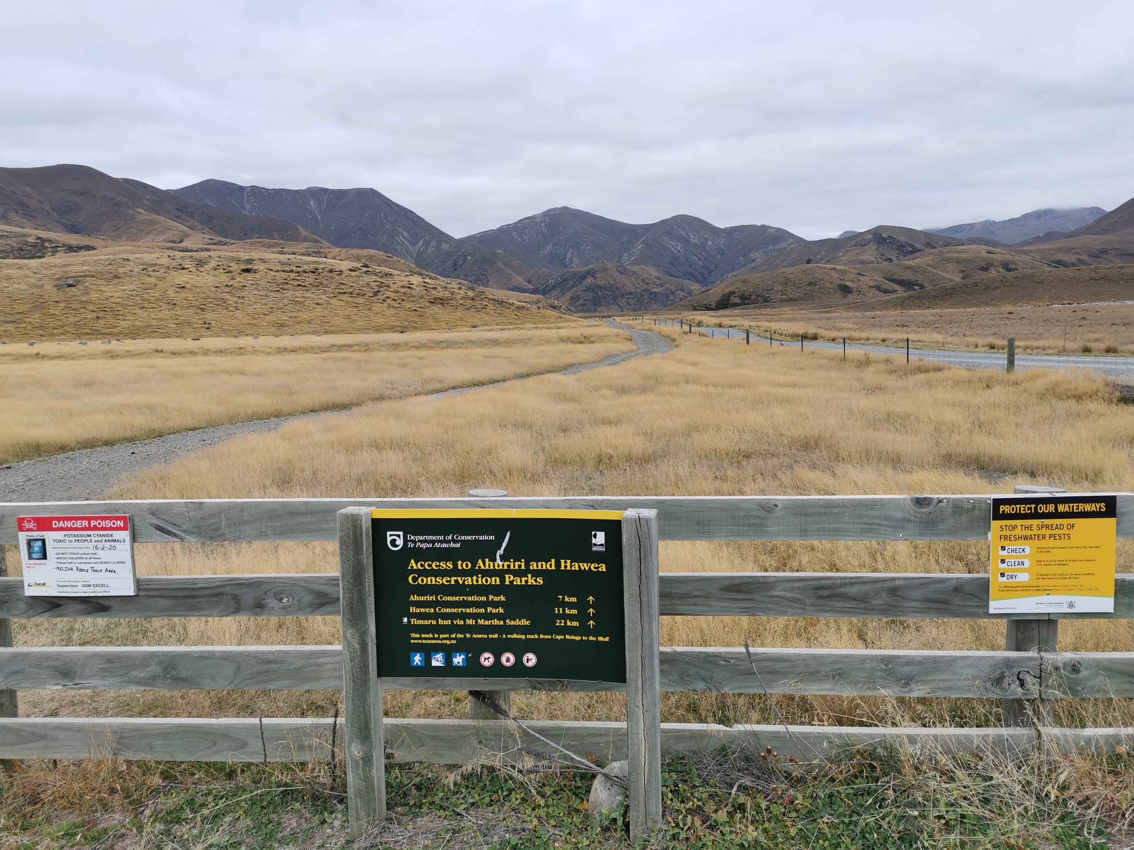
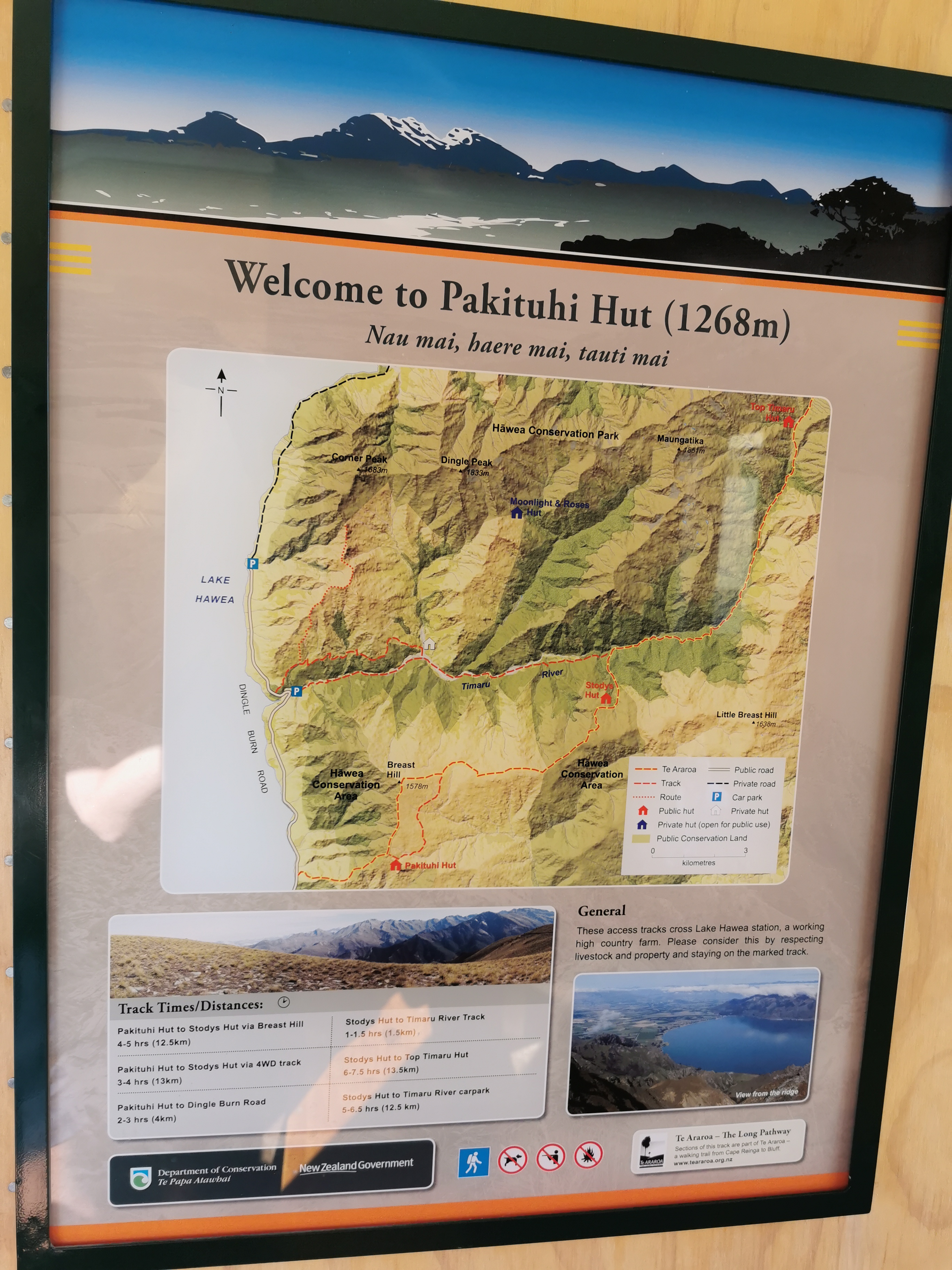
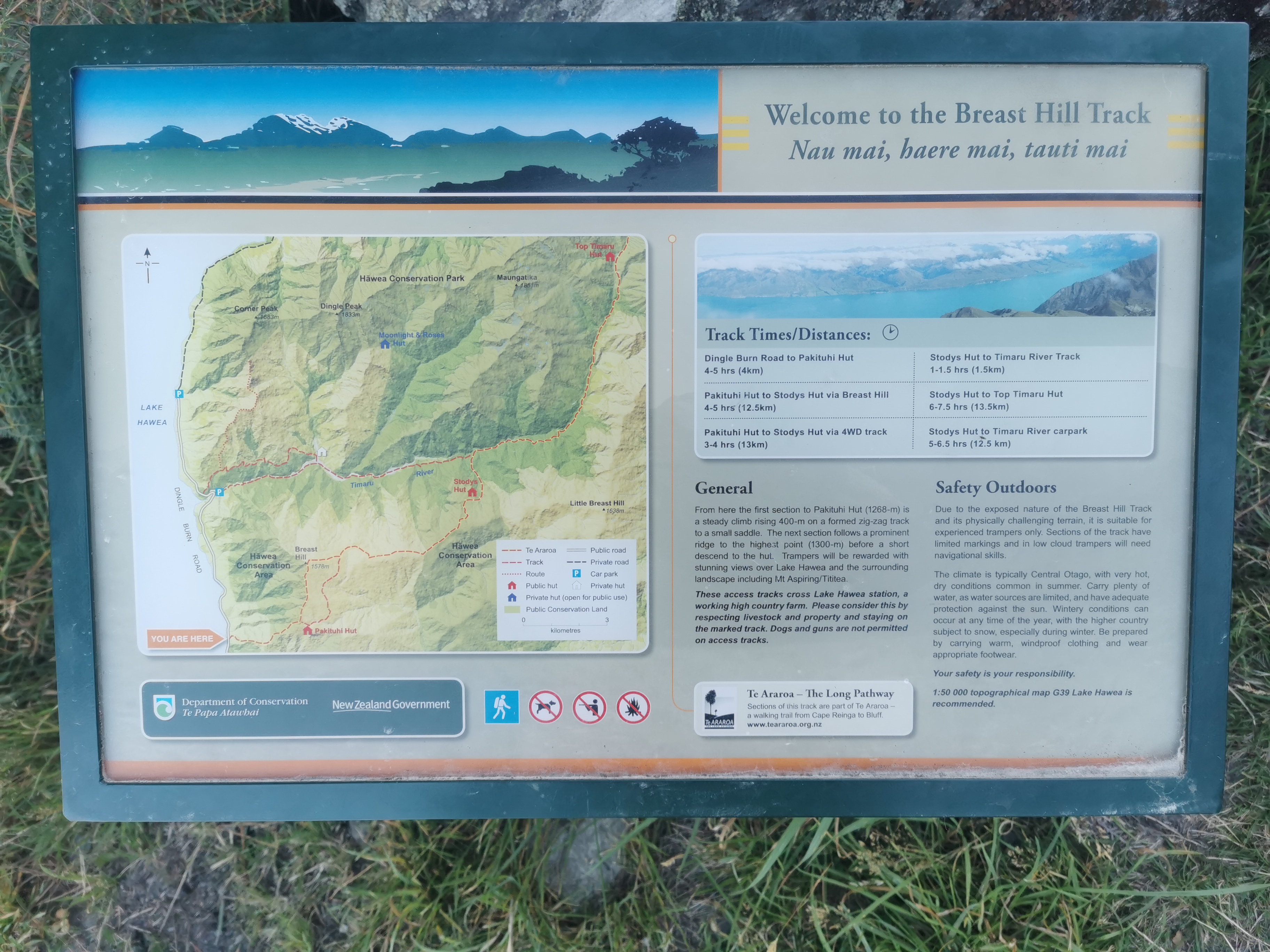
For those that don’t remember, I finished at Lake Colridge last month but I don’t start up again from there now because there are two breaks in the trail to get around two rivers that are uncrossable on foot – the Rakaia River and the Rangitata River. See the map at the end of the post which makes it clearer. Lake Coleridge is on the north side of the Rakaia River and I’m starting again today on the south side.
Some people, including Rhydian, say that the Rangitata River, which is the river I’ll be shuttling around on Monday, is crossable after several days without rain, but I’m not attempting it.
Last night a very loud group of guys was staying in the campground, all wearing some kind of sports uniform. At 11pm last night when I went to the loo I could see them playing some kind of drinking game in the games room, something like Beer Pong. For the first time I was glad that Cabin 1 was the furtherest cabin from the games room and kitchen so I wasn’t kept awake by all their shenanigans. Anka and Ian (a NOBO who also stayed at the campground in a tent last night) both said they could hear these guys until quite late making a lot of noise.
Since I have piggybacked on Anka’s shuttle that is pre-booked for Monday, we both have the best part of three days to walk the 70km to the Mt Potts car park where the two of us will be picked up and taken to Geraldine. I don’t like walking to a schedule because that means if it rains hard or I start hurting then I have no choice but to walk through it, and in general I won’t be able to relax as much. However here there’s simply no choice, so I will just embrace it. Louise (who I walked with for a few days before Auckland) commented on one of my Facebook posts that the section between the two rivers is a beautiful section. That’s great to hear!
I was looking at some of my previous blog posts last night and I didn’t even realise until now that the pain I got in my leg and foot that caused me to take a week off in Kerikeri in the third week was in my right foot, whereas the month I’ve just taken off was to heal my left foot. I really thought both times it was my left foot that hurt. I’m really getting forgetful. In a way I’m happy about remembering that – I’ve hurt both legs once and they’ve both healed. In theory that’s got to be good, right, better than hurting the same leg twice?
Speaking of being forgetful, after a month off I can’t remember which hut is which anymore. Anka was talking to me in the shuttle yesterday and we were discussing our favourite huts. She mentioned Nicholls Hut and I couldn’t for the life of me remember which hut that was. It took me a while to remember it was the hut on the Richmond Ranges between Dracophyllum Hut and Waitewaewae Hut. A month ago I could have named every hut in order from the very beginning to now. Now it’s like they’ve all gone from my head.
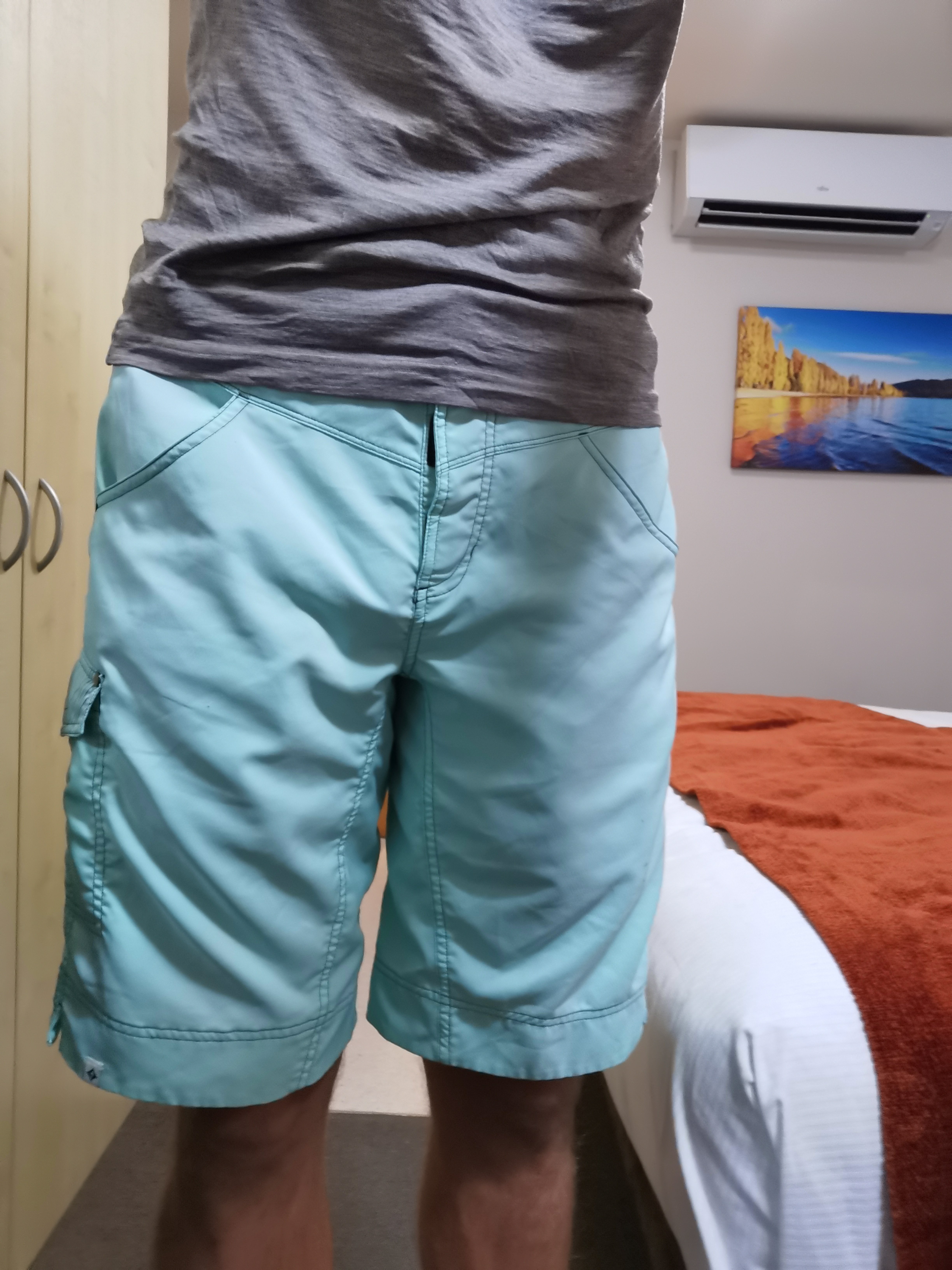
It’s cold this morning again. A few days ago I bought new shorts from The Warehouse to replace my old shorts which were getting holes in the pockets. These new shorts are much shorter as they’re running shorts. Let’s see how long it takes for the tops of my legs to get sunburnt.
Okay that’s enough talking, time for some walking. But first, Darren the campground owner is driving Anka, Ian and me to the start of the trail.
Away we go!
First we took Ian to Lake Colridge as he is going north. That was fairly uneventful, although the strong wind was blowing the van around a lot.
Ian being dropped off to go northbound. I remember this spot from about a month ago where I finished.
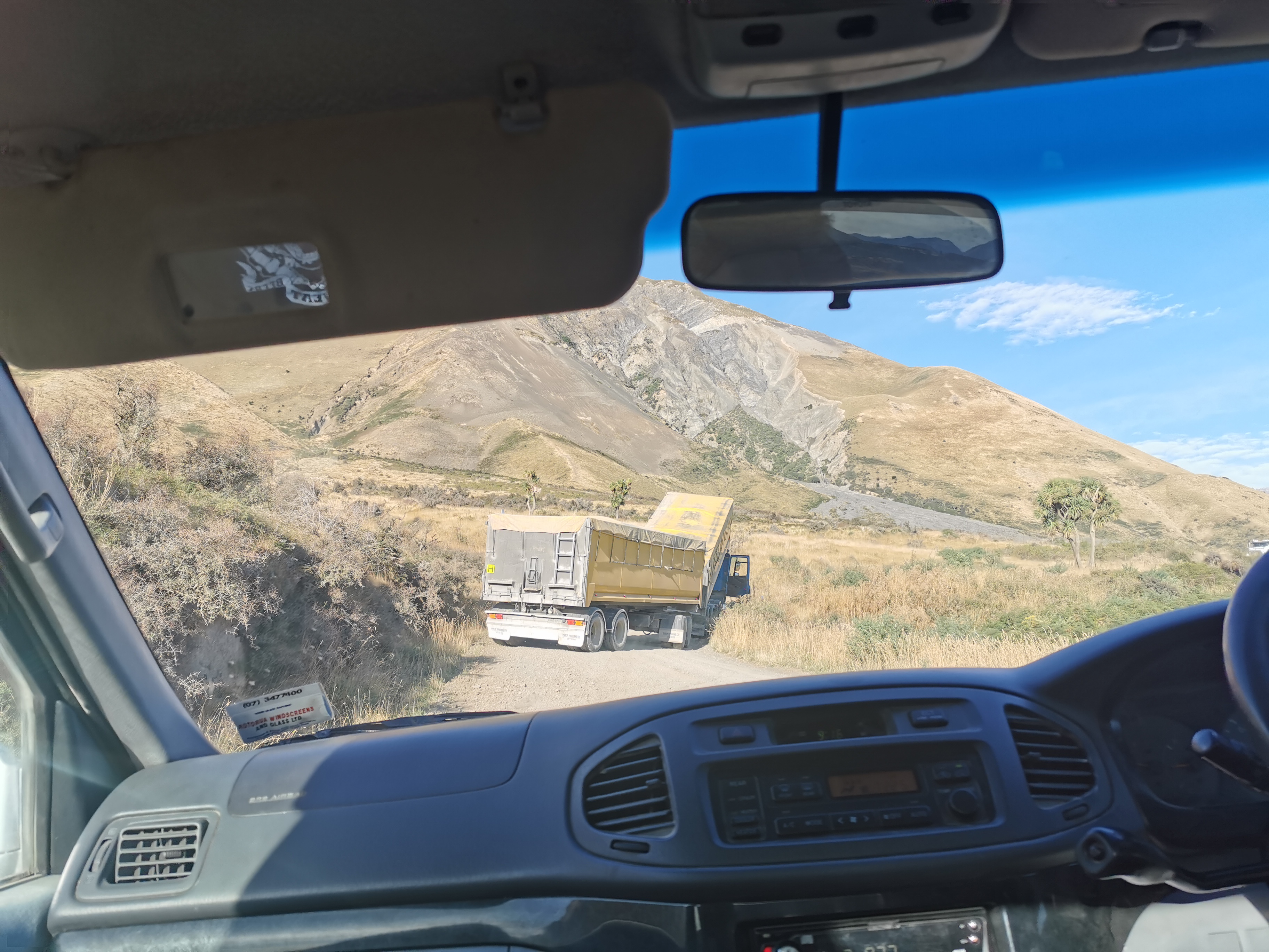
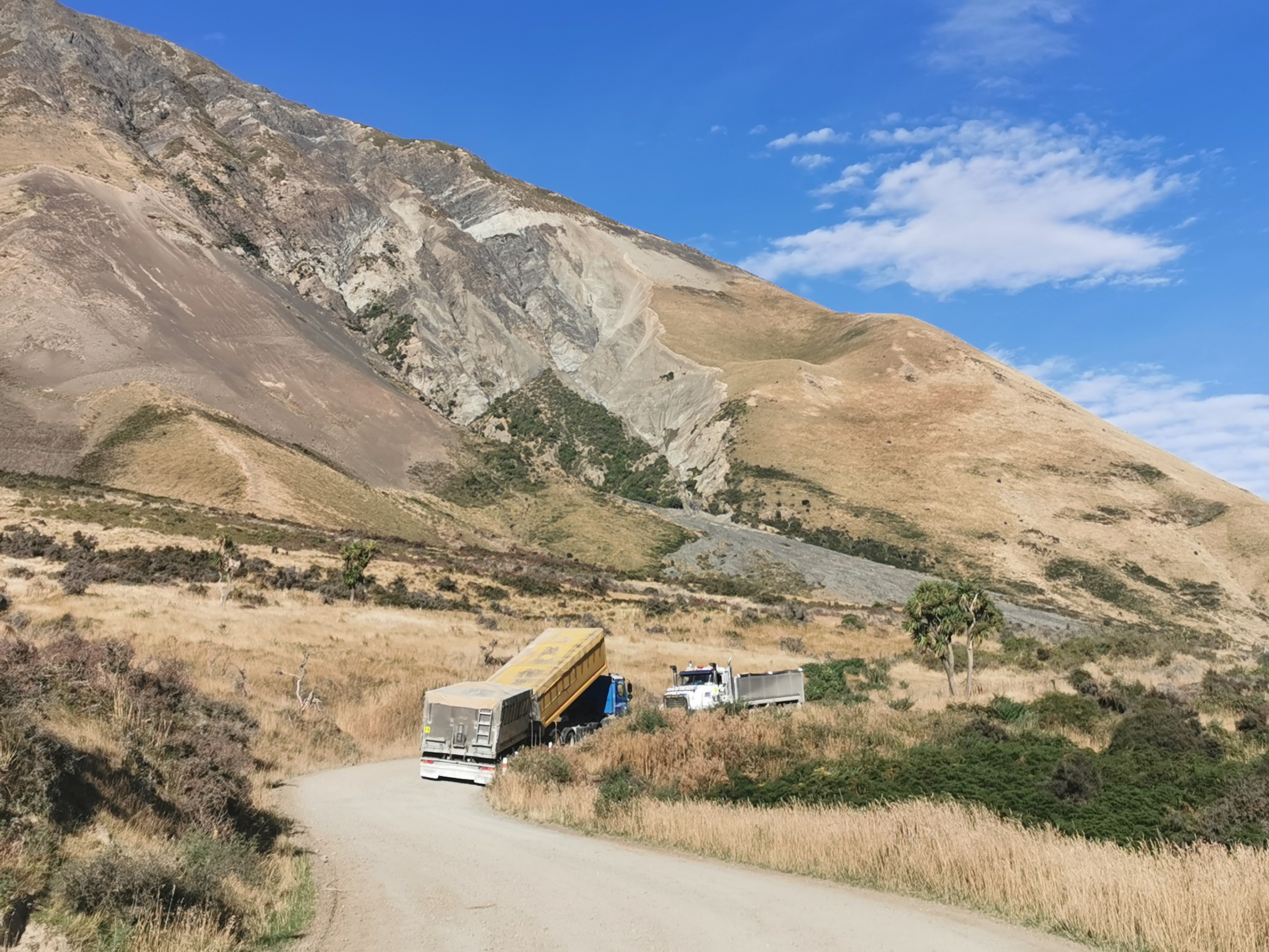
However on the road to Glenrock where Anka and I needed to start from, we encountered a truck stuck in the middle of the road.
Oops
We worried that this was going to really delay us from getting to the start of the trail but another truckie arrived in about 5 minutes with a tow rope and pulled the truck out.
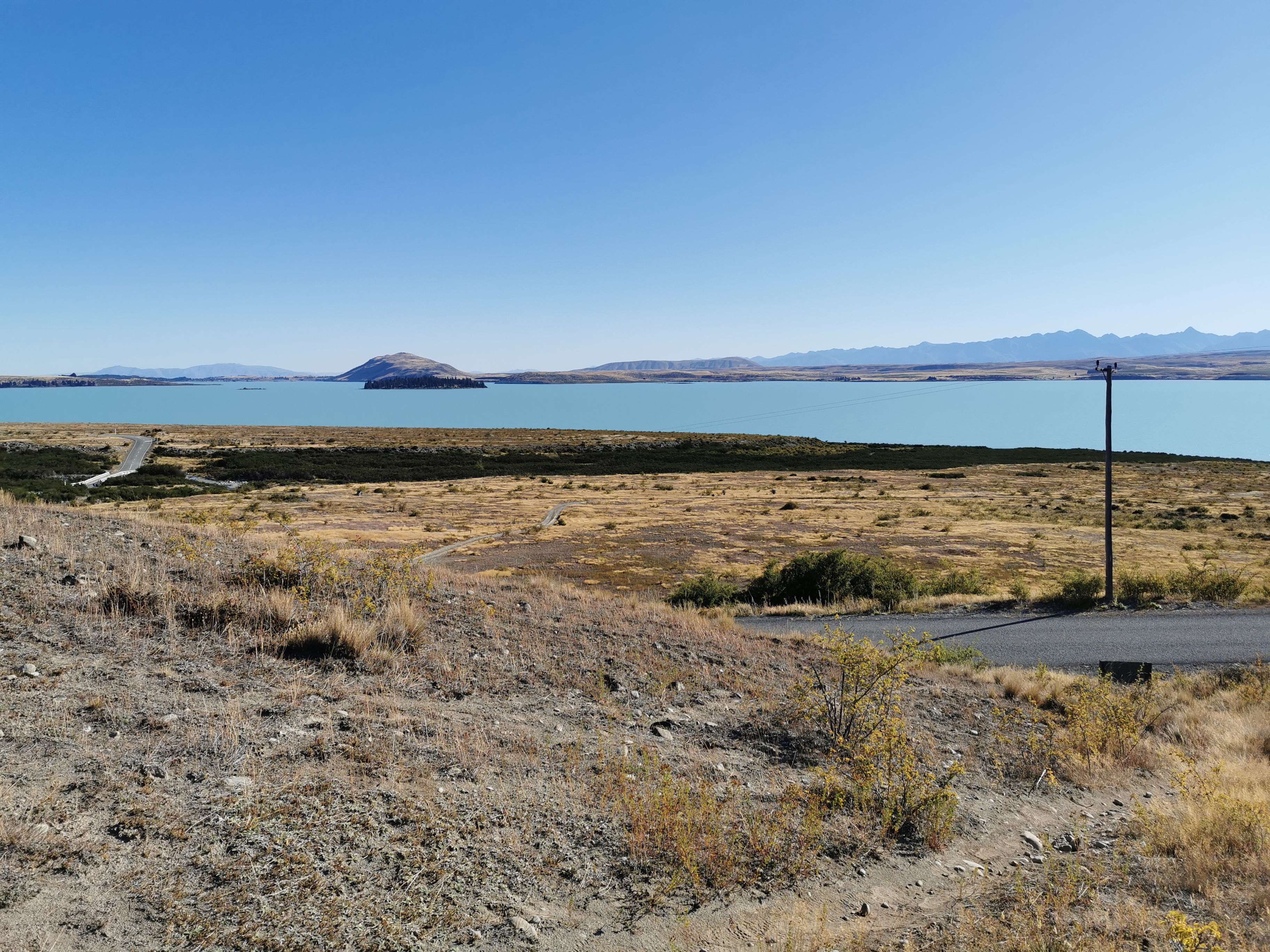
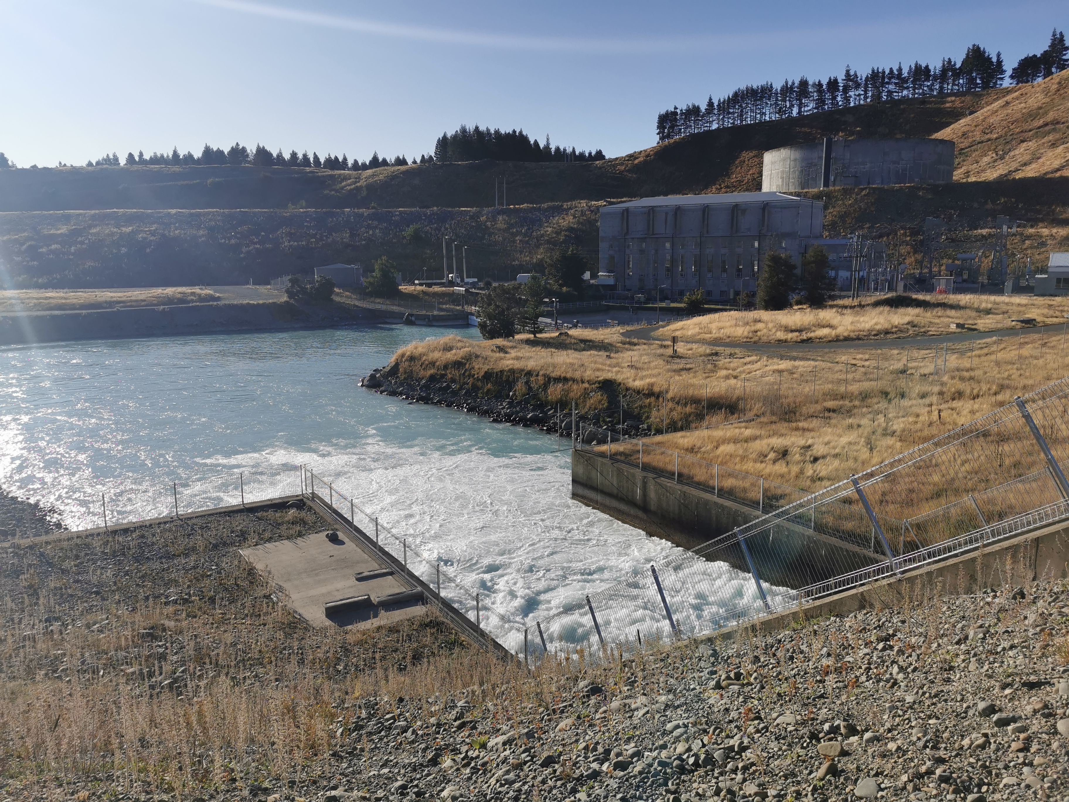
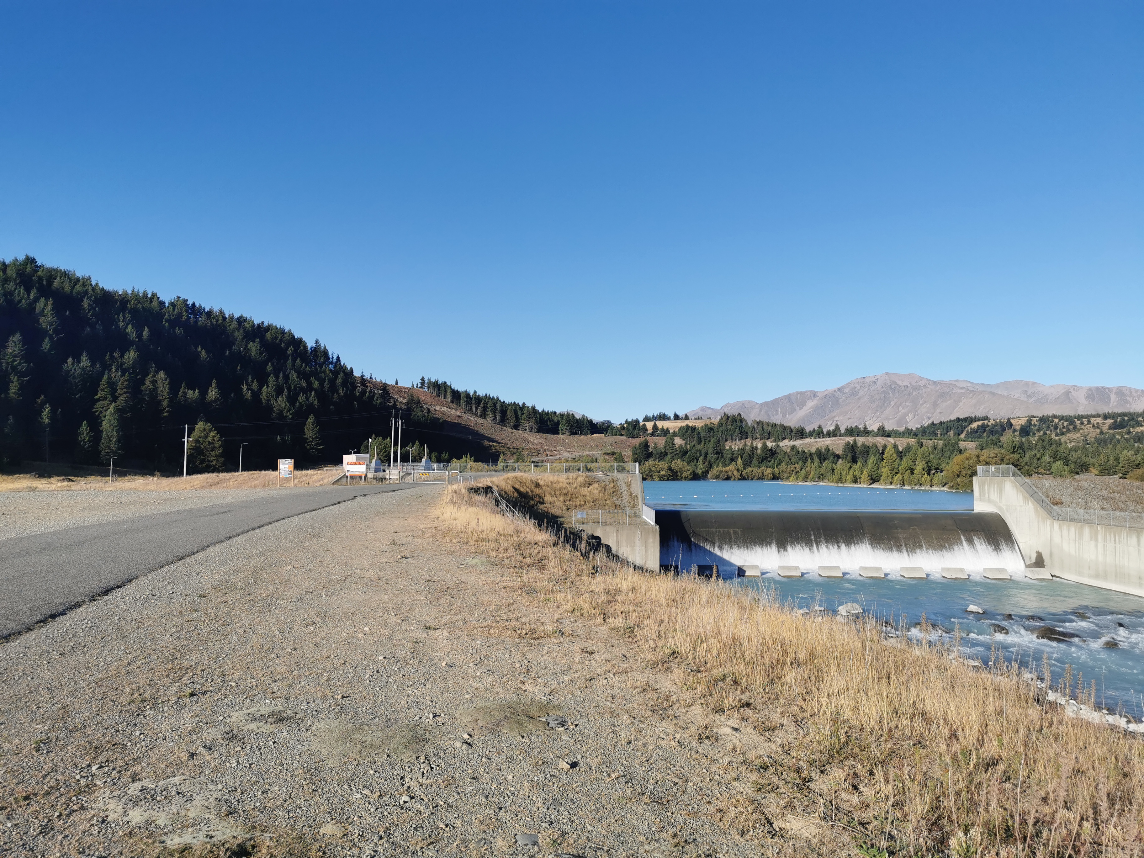
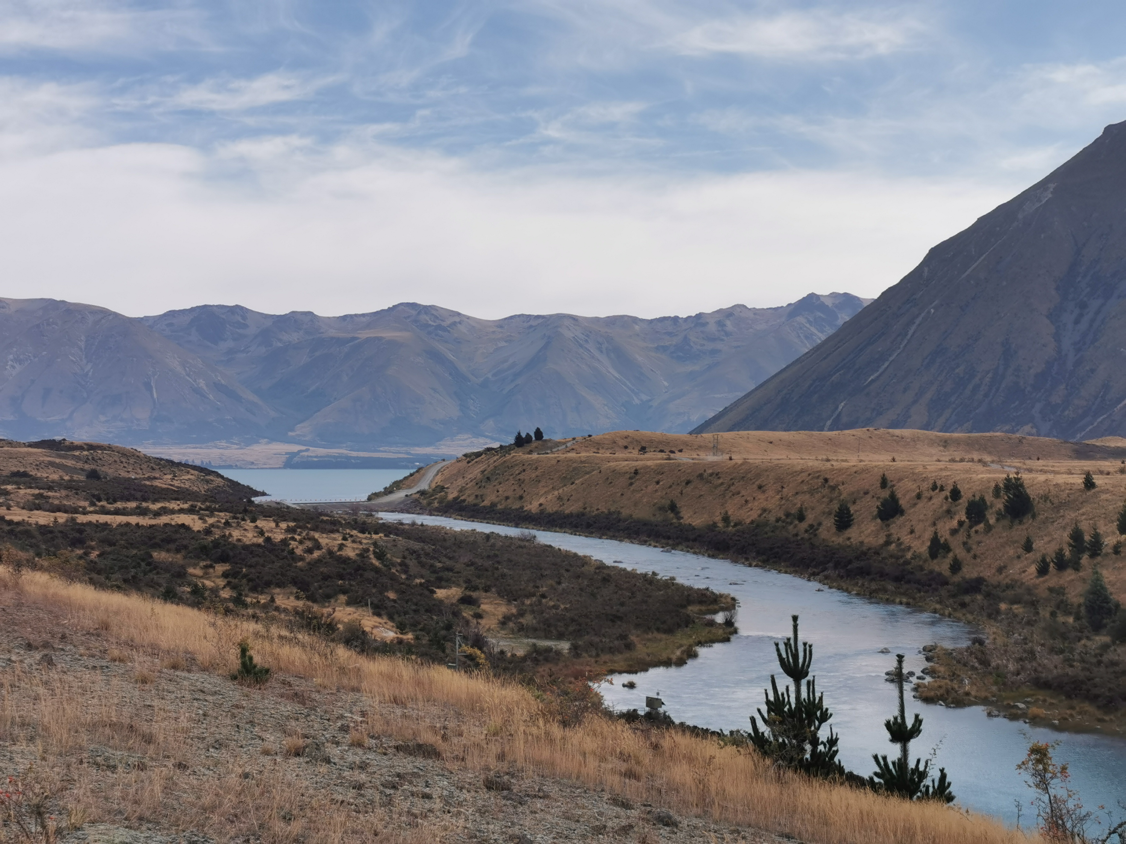
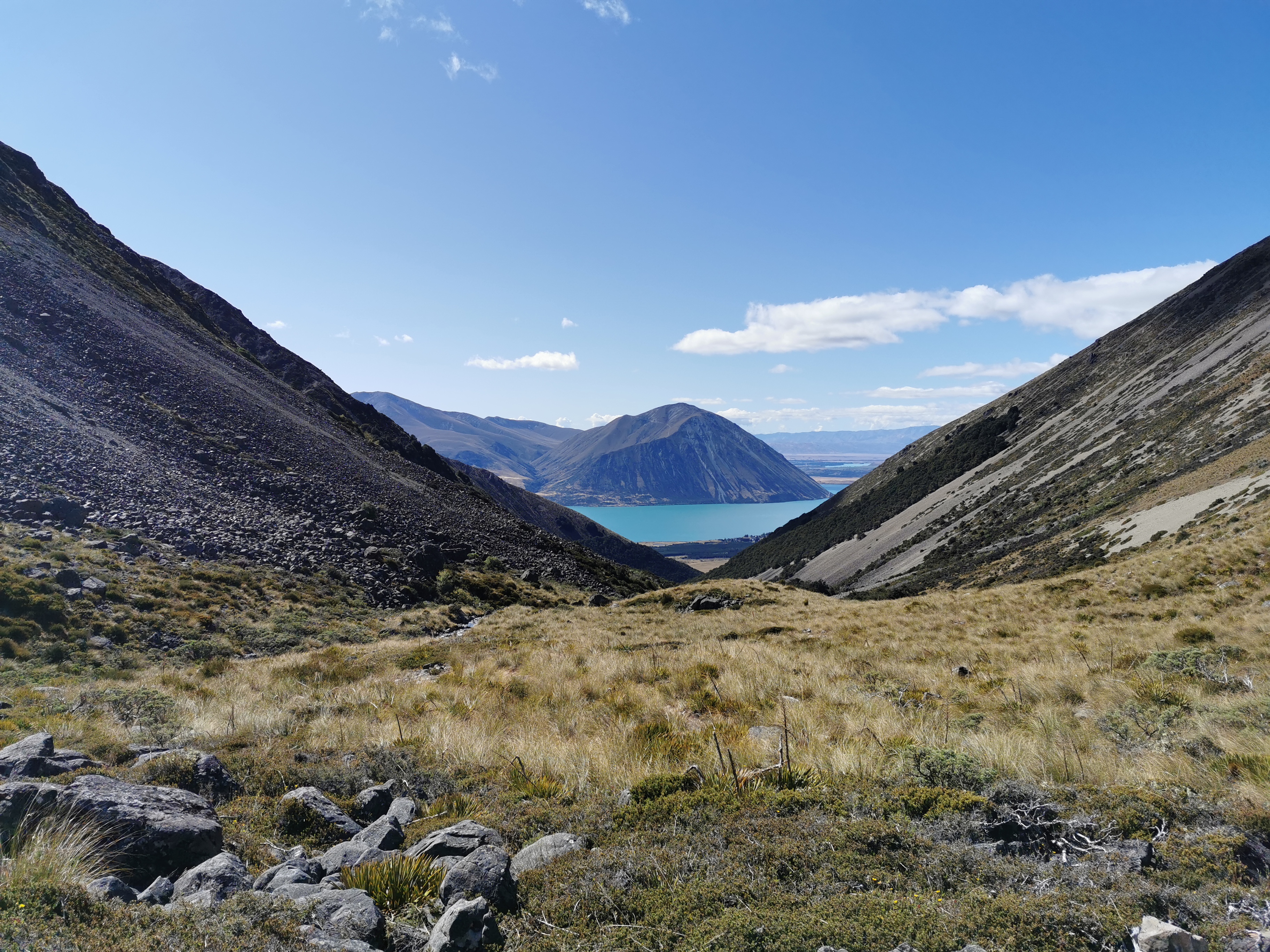
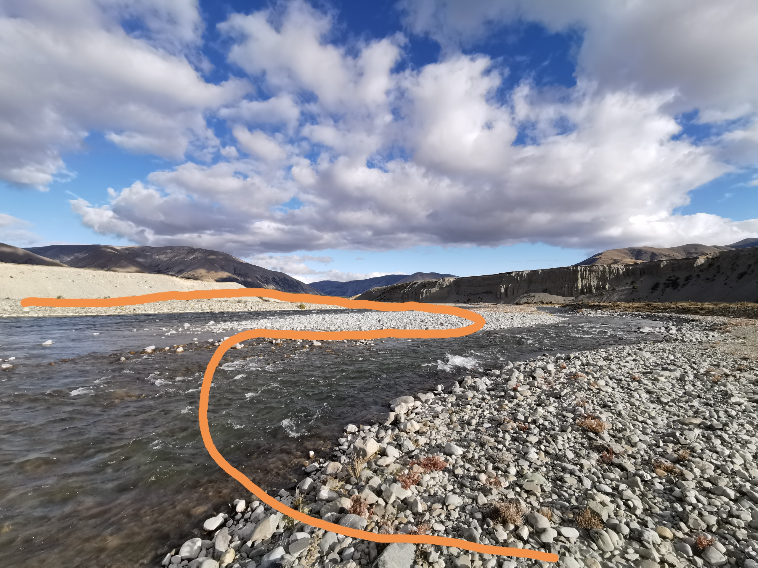
There goes the truck getting hauled outThe view – the “uncrossable” Rakaia River
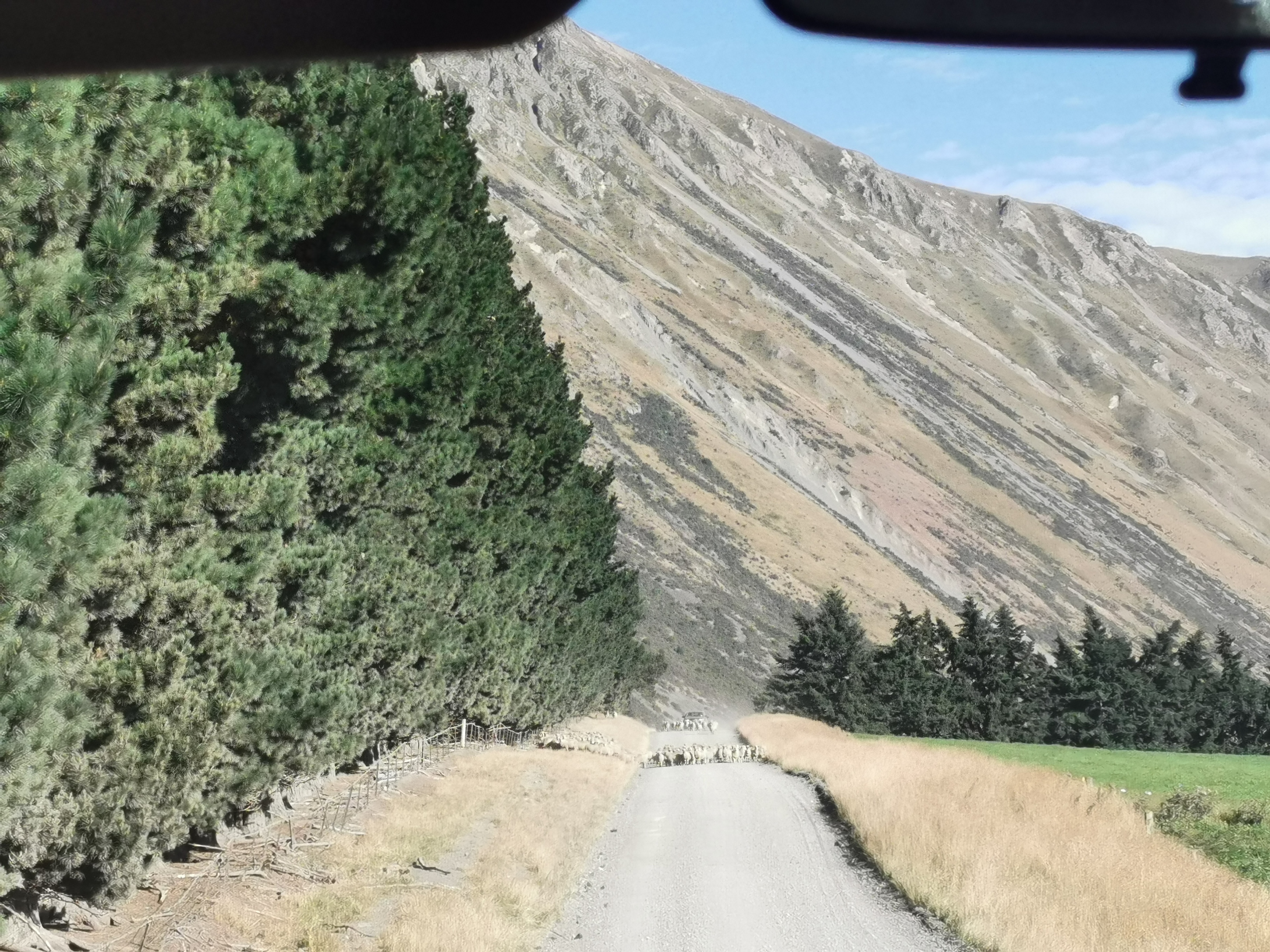
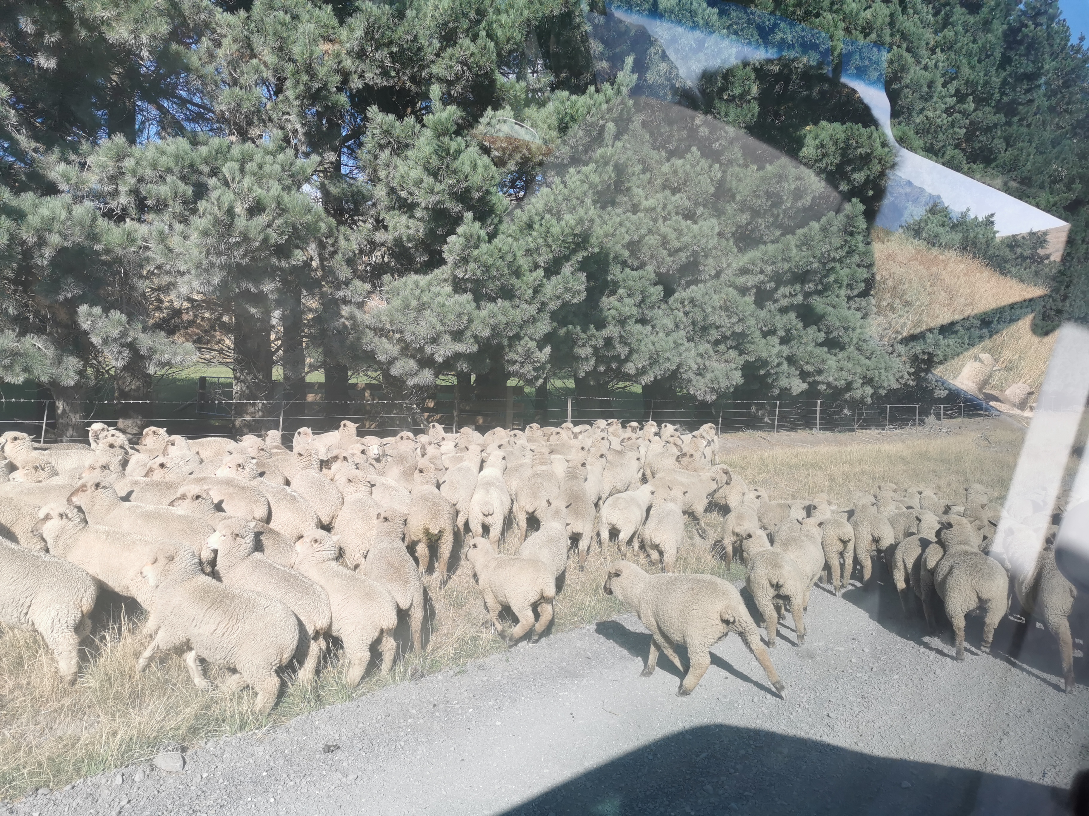
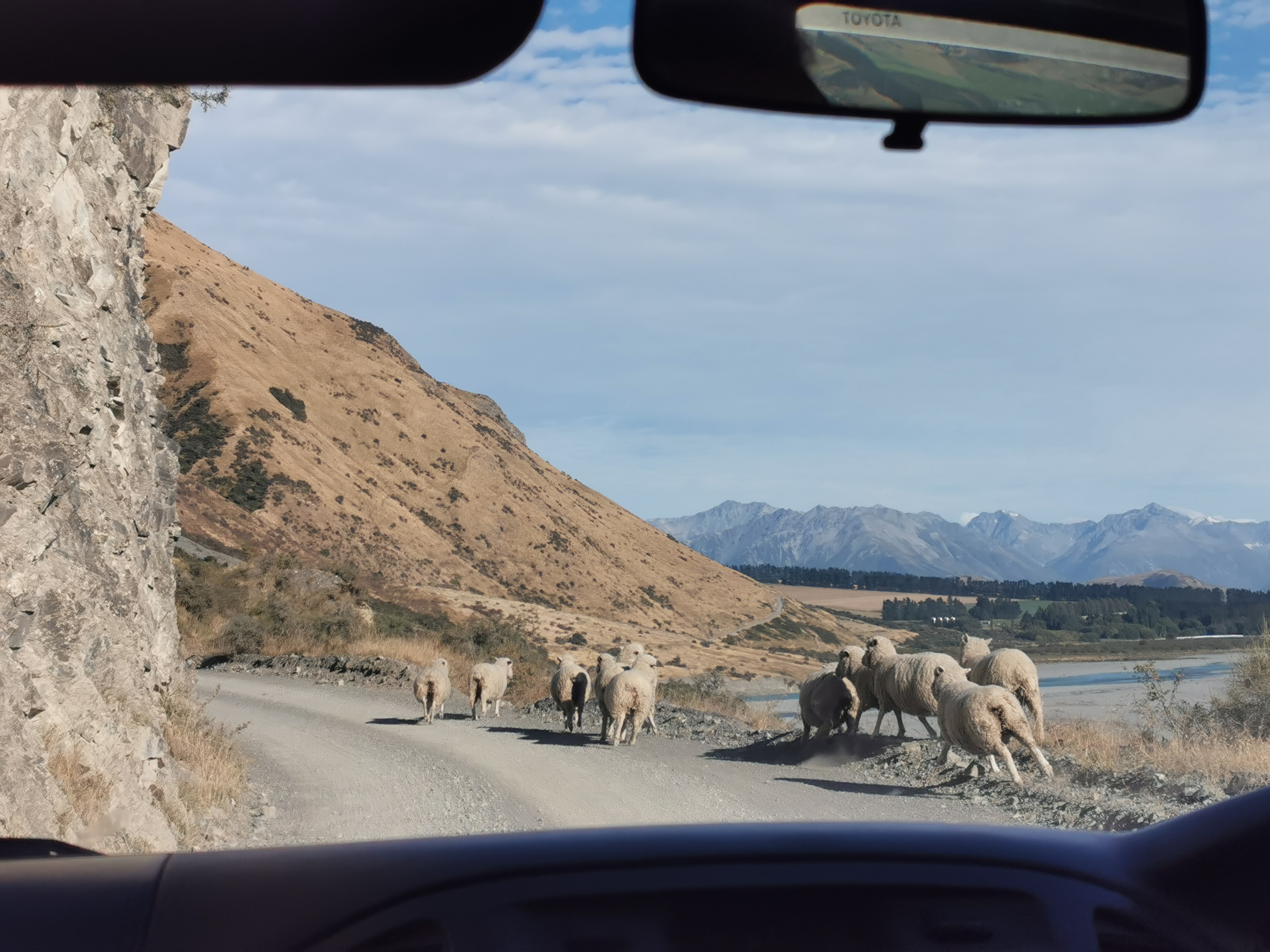
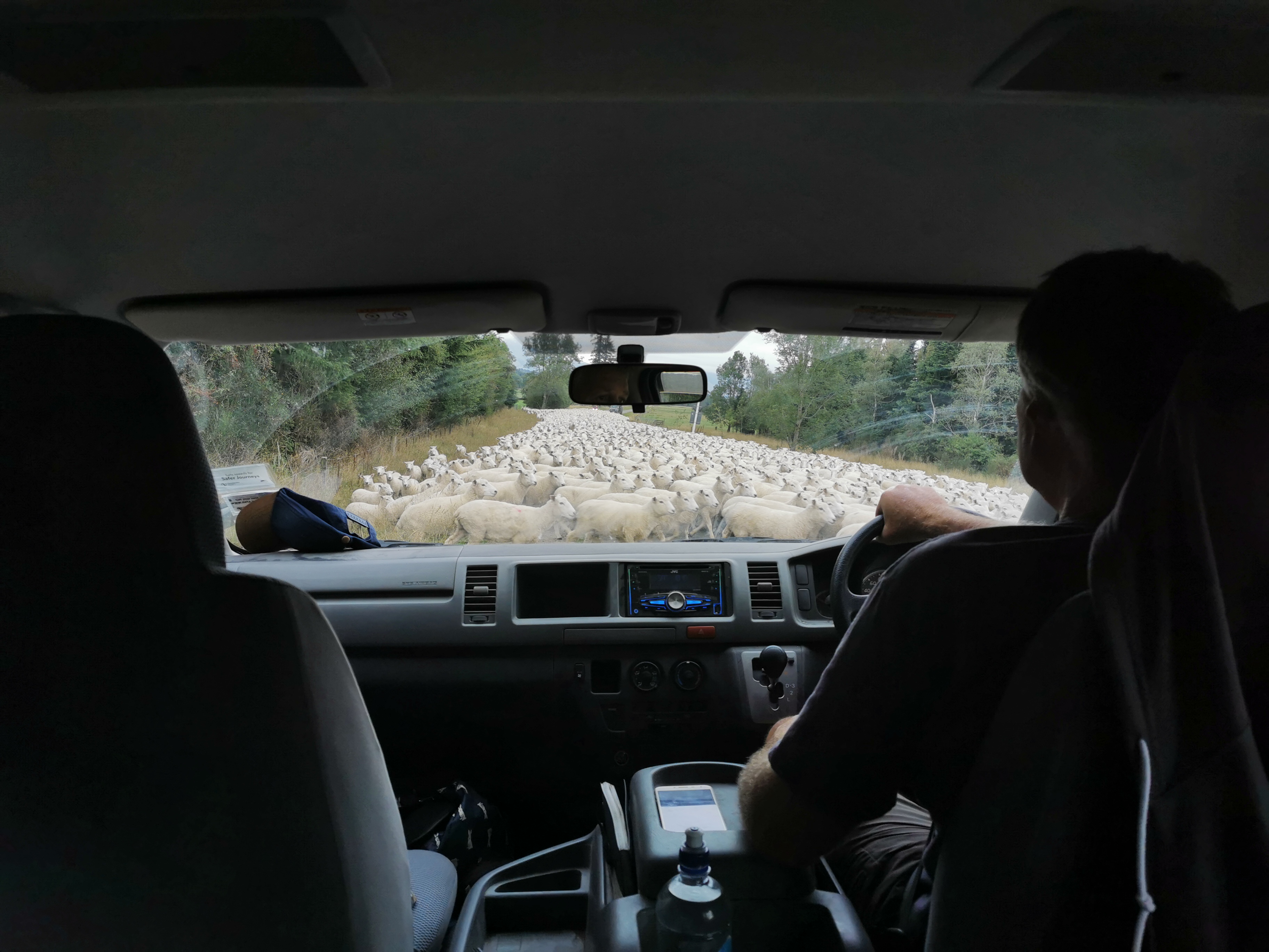
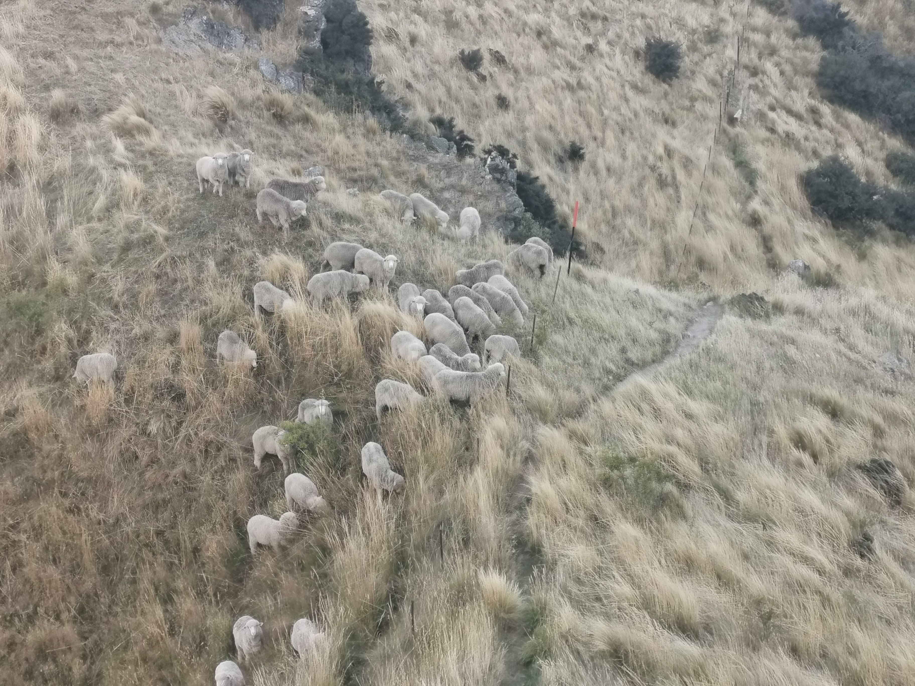
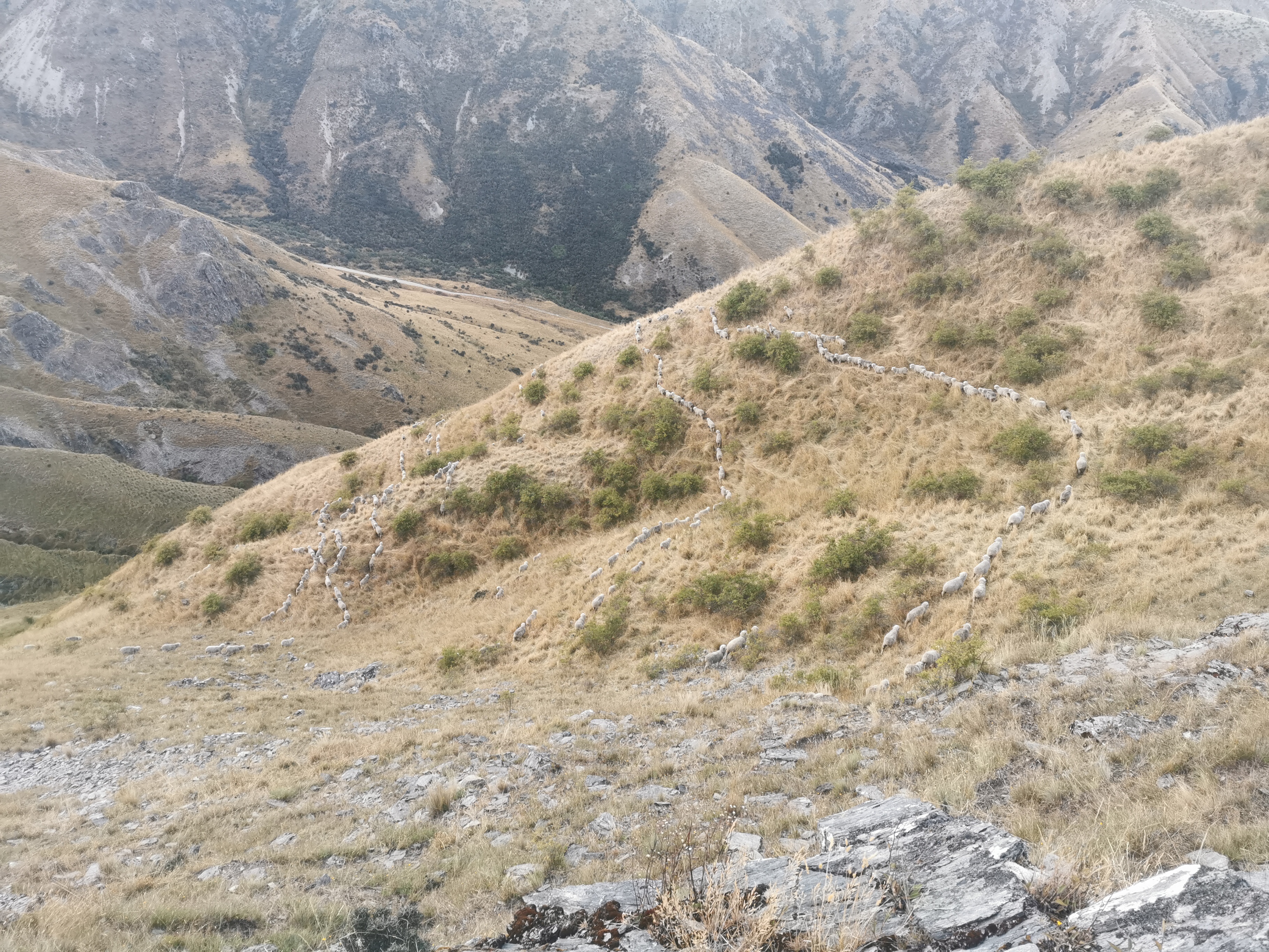
Then, to further slow us down, there were sheep all over the road.
Now what!
Darren just drove right through them and hoped they would all run to the side. He was right.
He’s done this before, I think
Then there were more sheep up the road.
Move it or lose it, sheepies
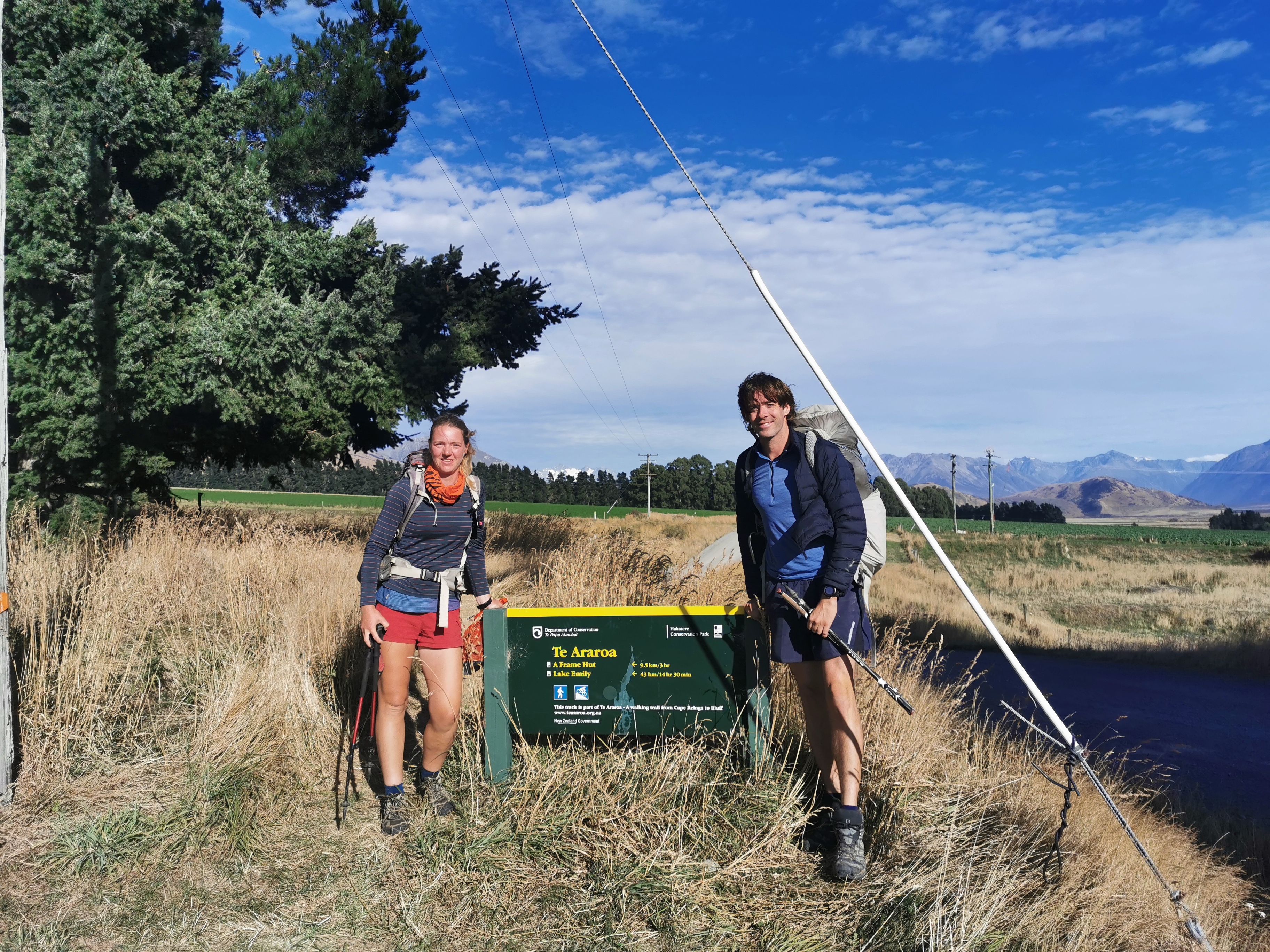
Finally we did make it to the start of the trail.
Away we go, for real this time! Anka and me
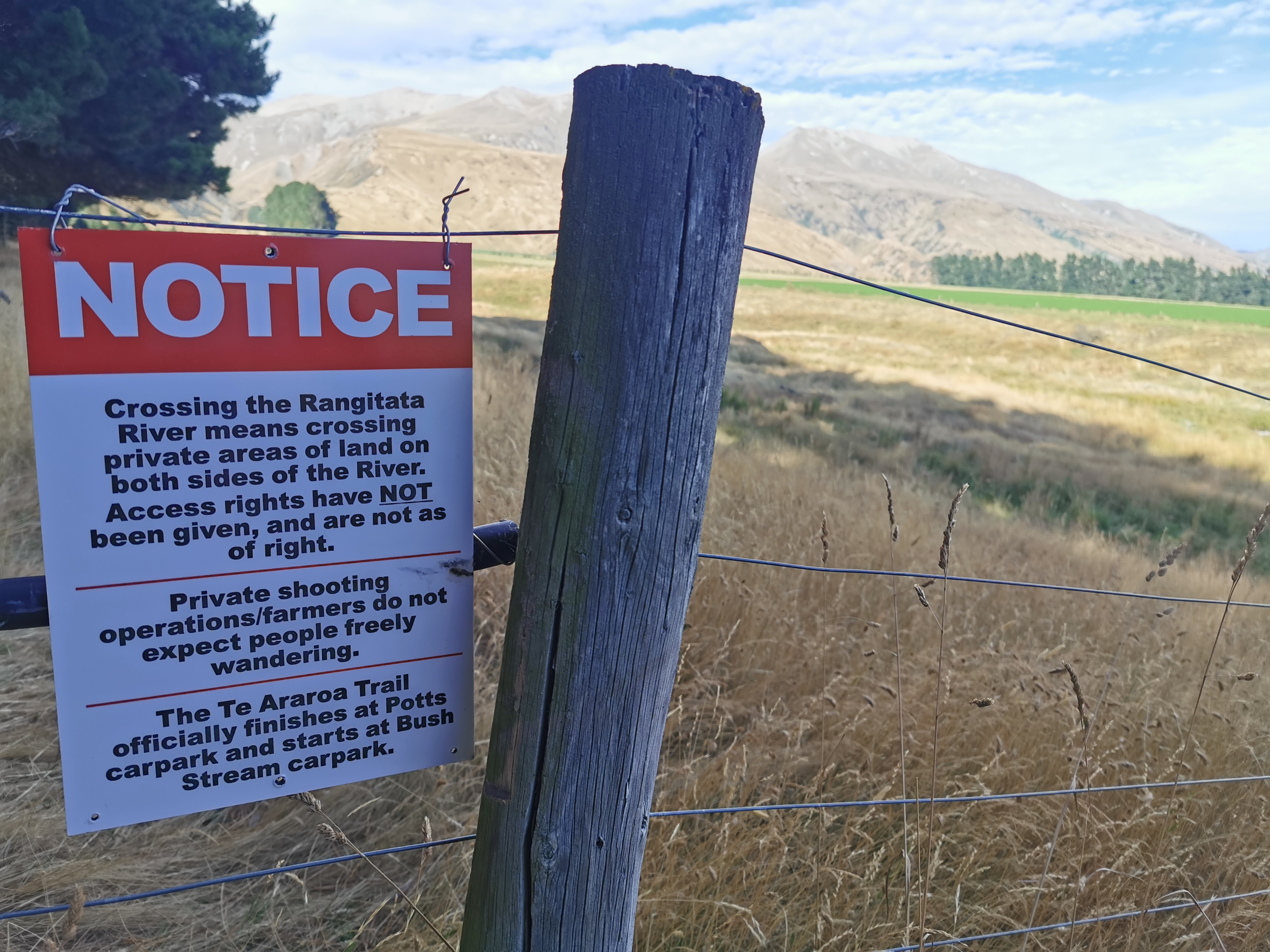
There was a warning about crossing the Rangitata River, saying don’t do it because you can’t do it without crossing private property.
They’re sure letting you know early. The Rangitata River is not until three days from now.
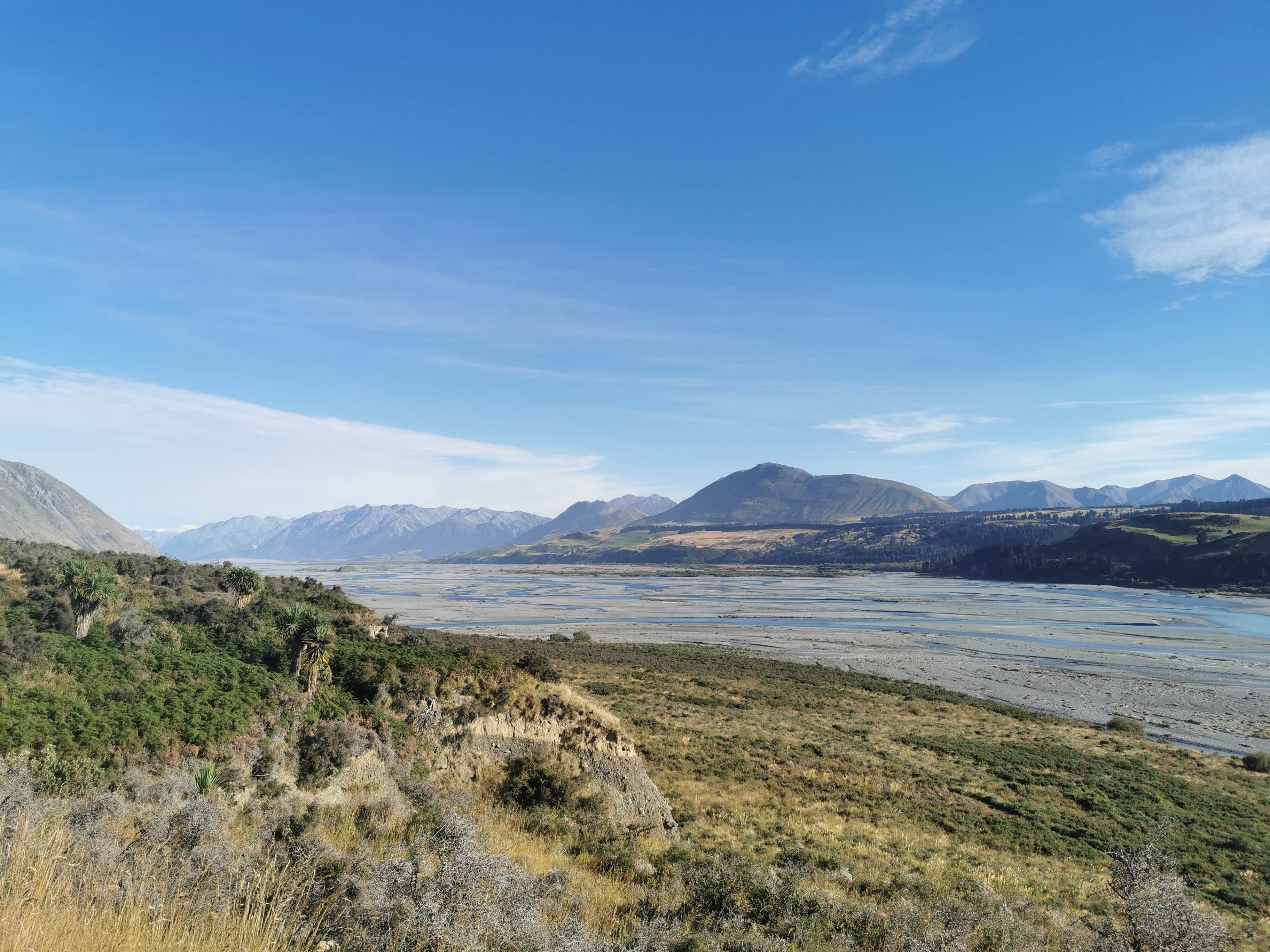
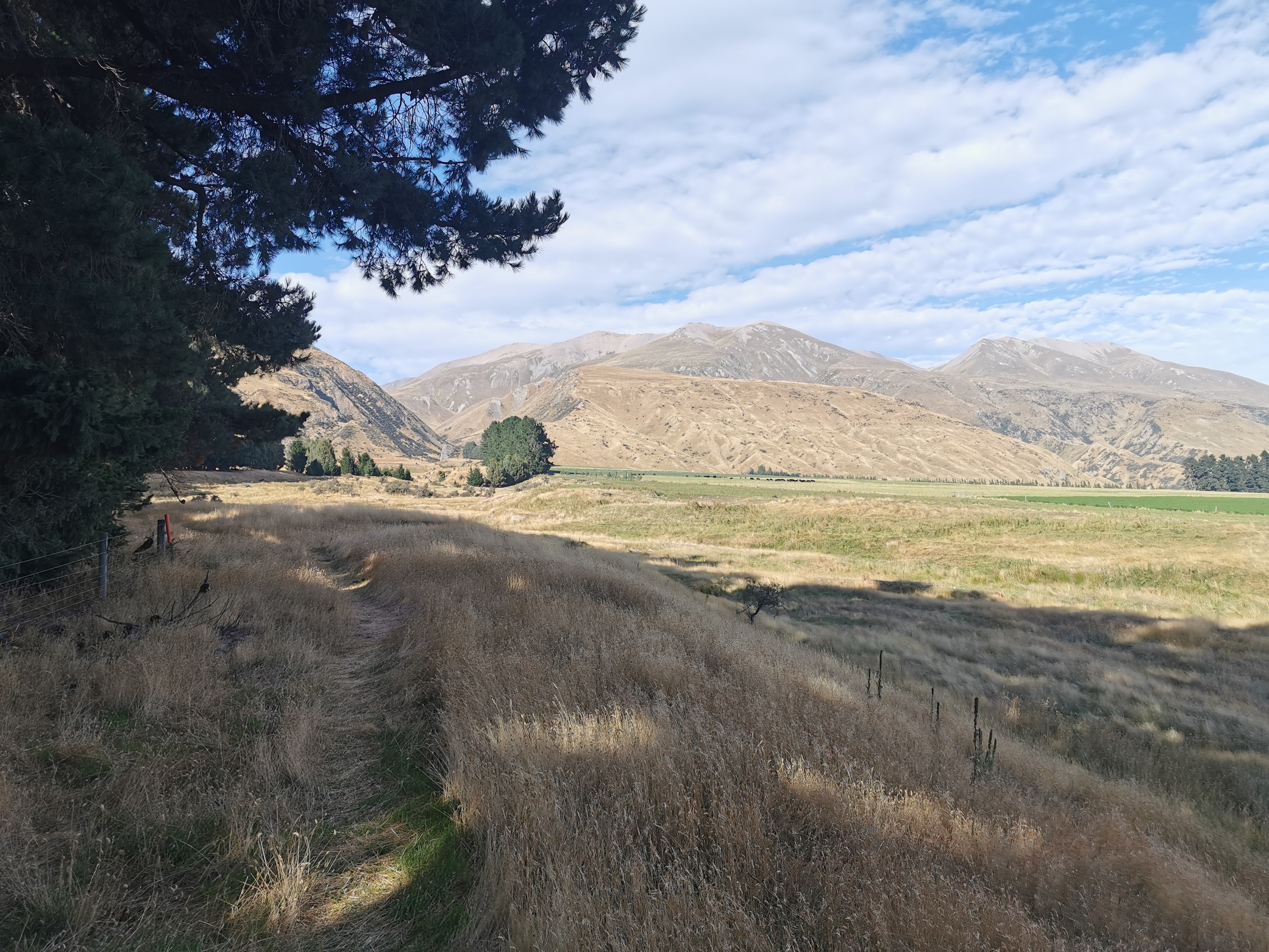
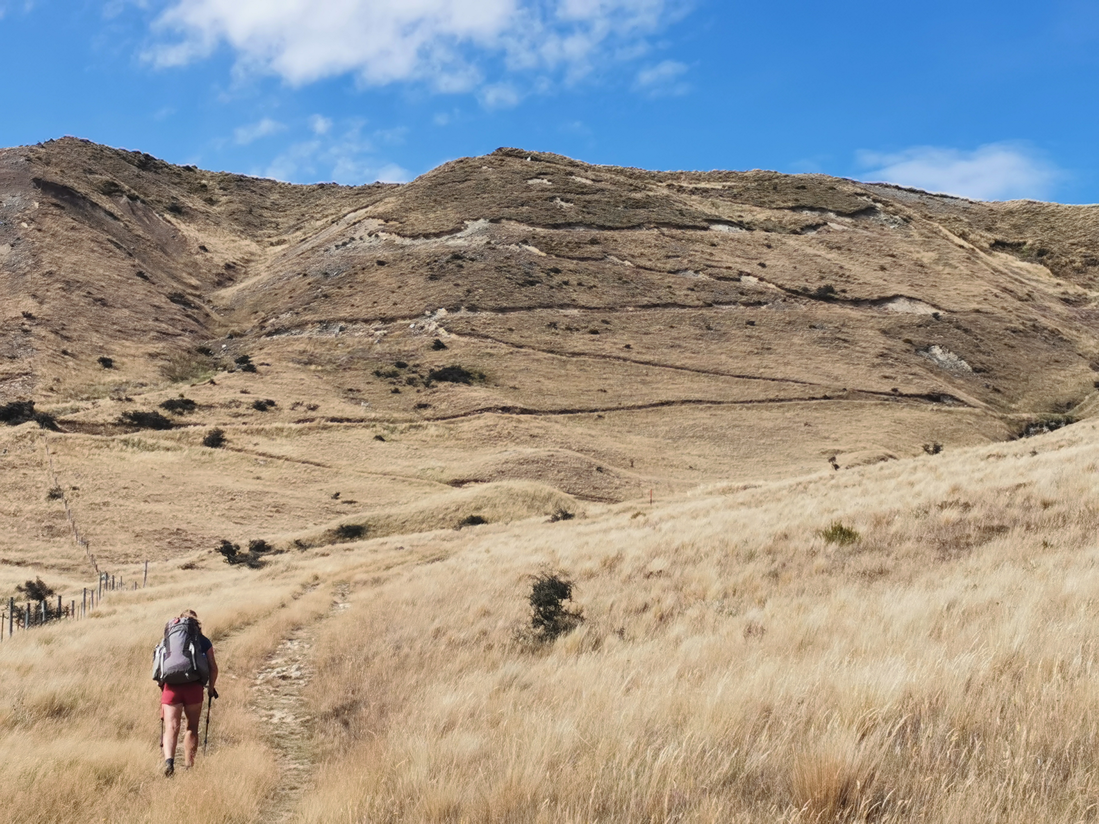
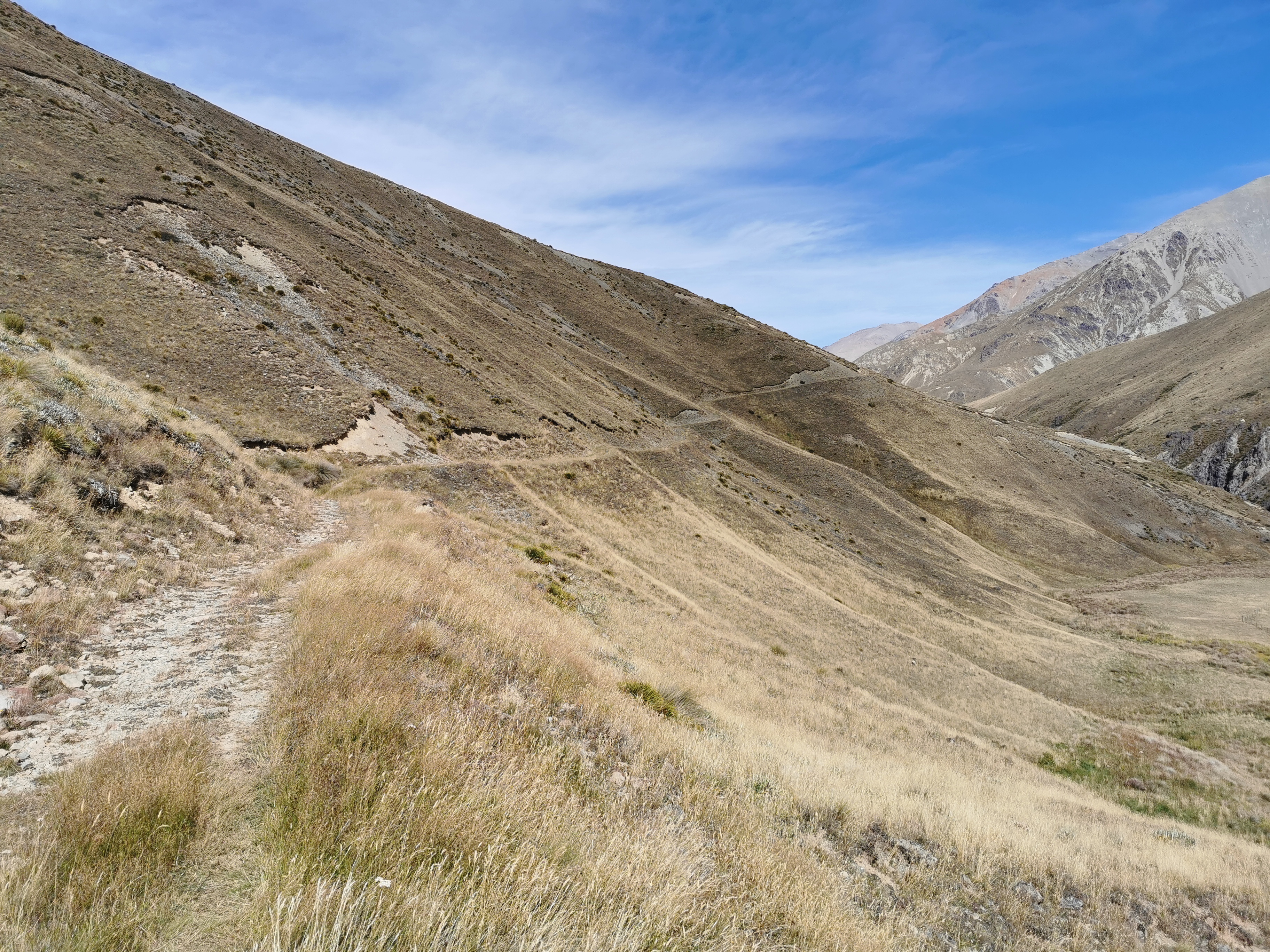
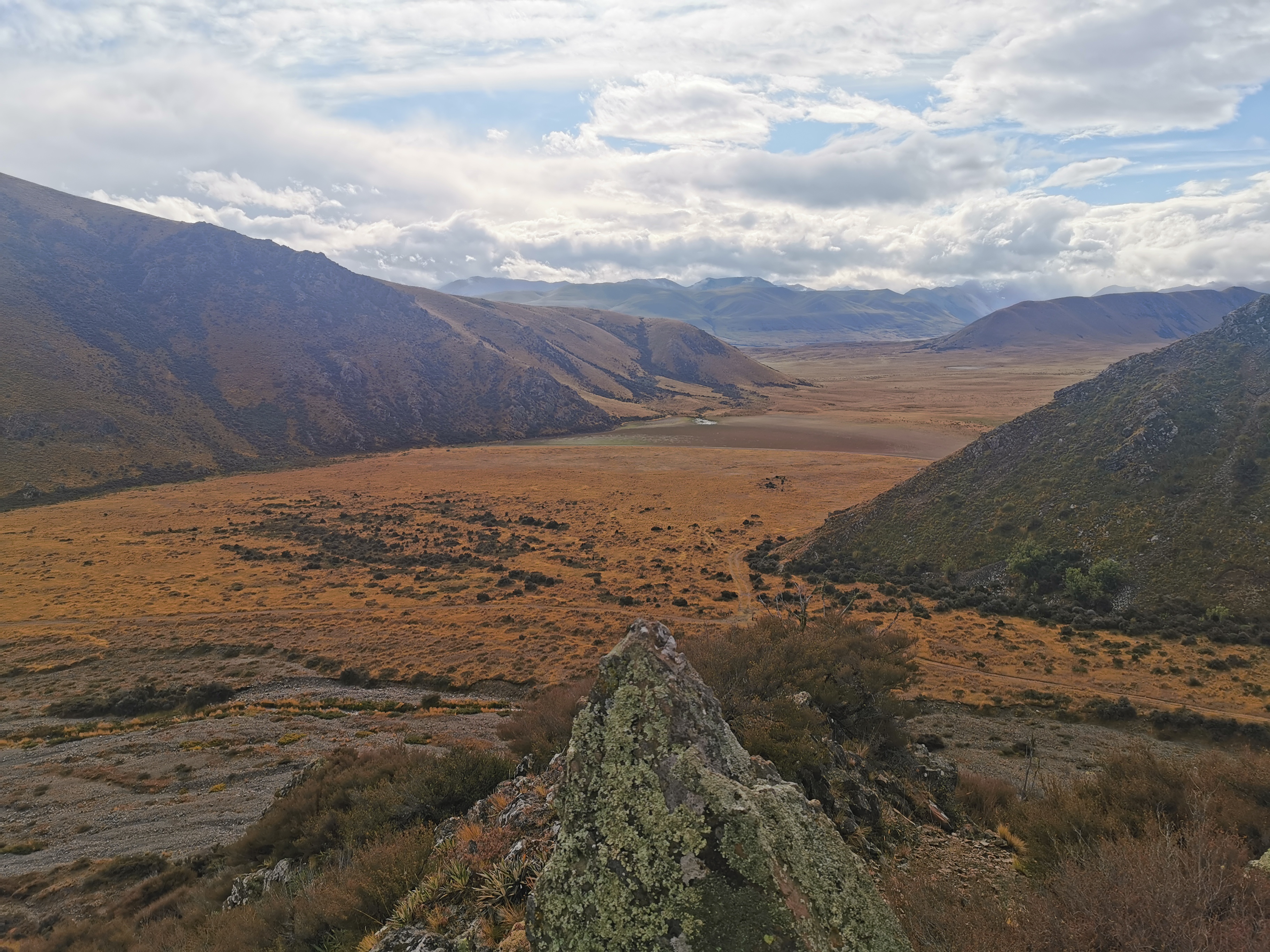
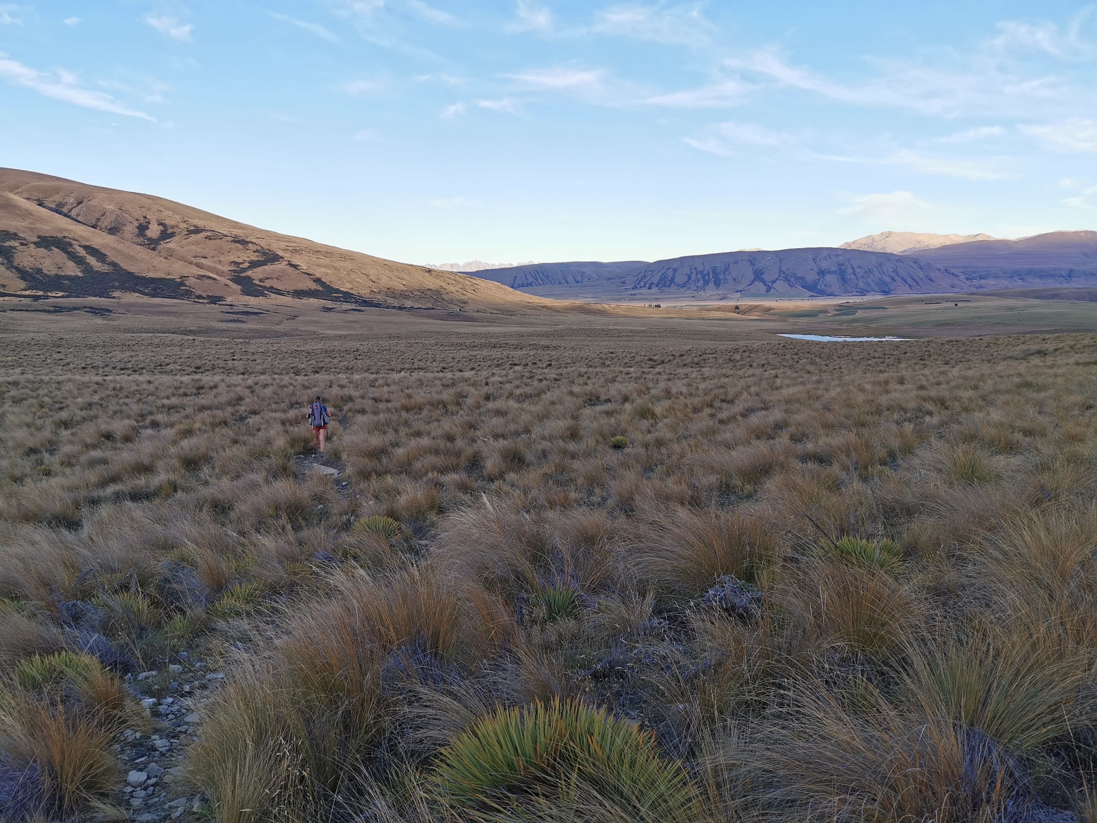
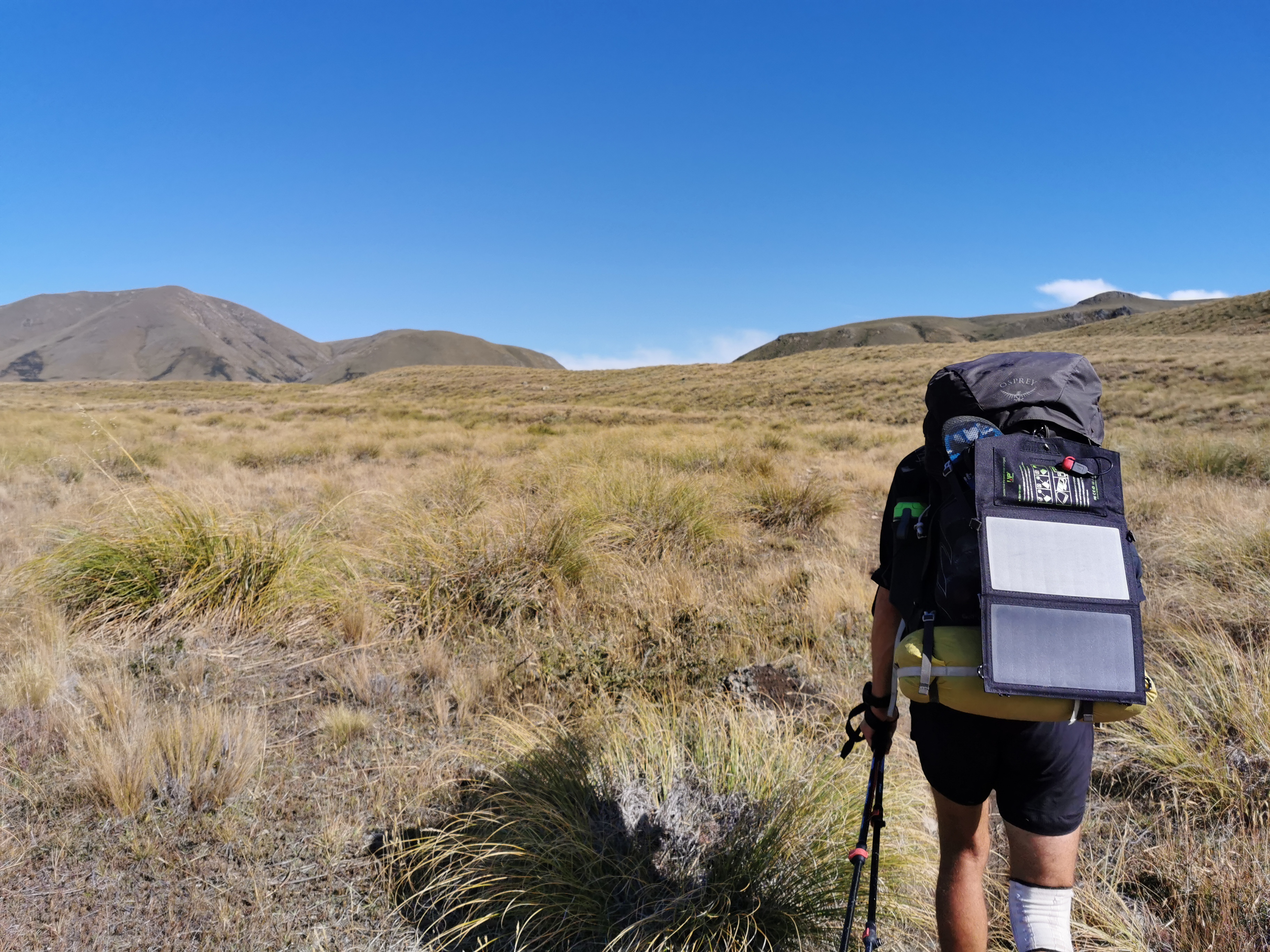
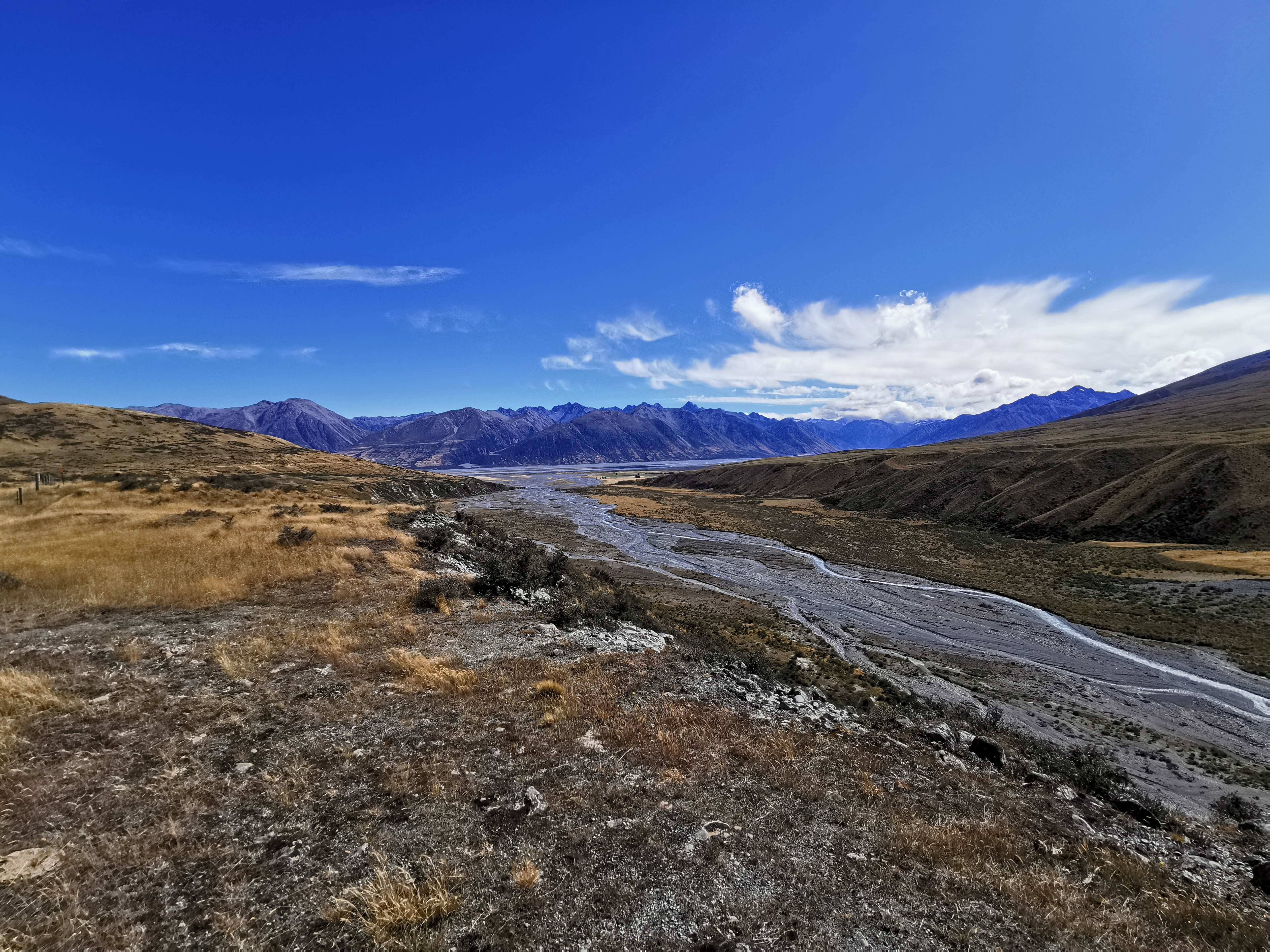
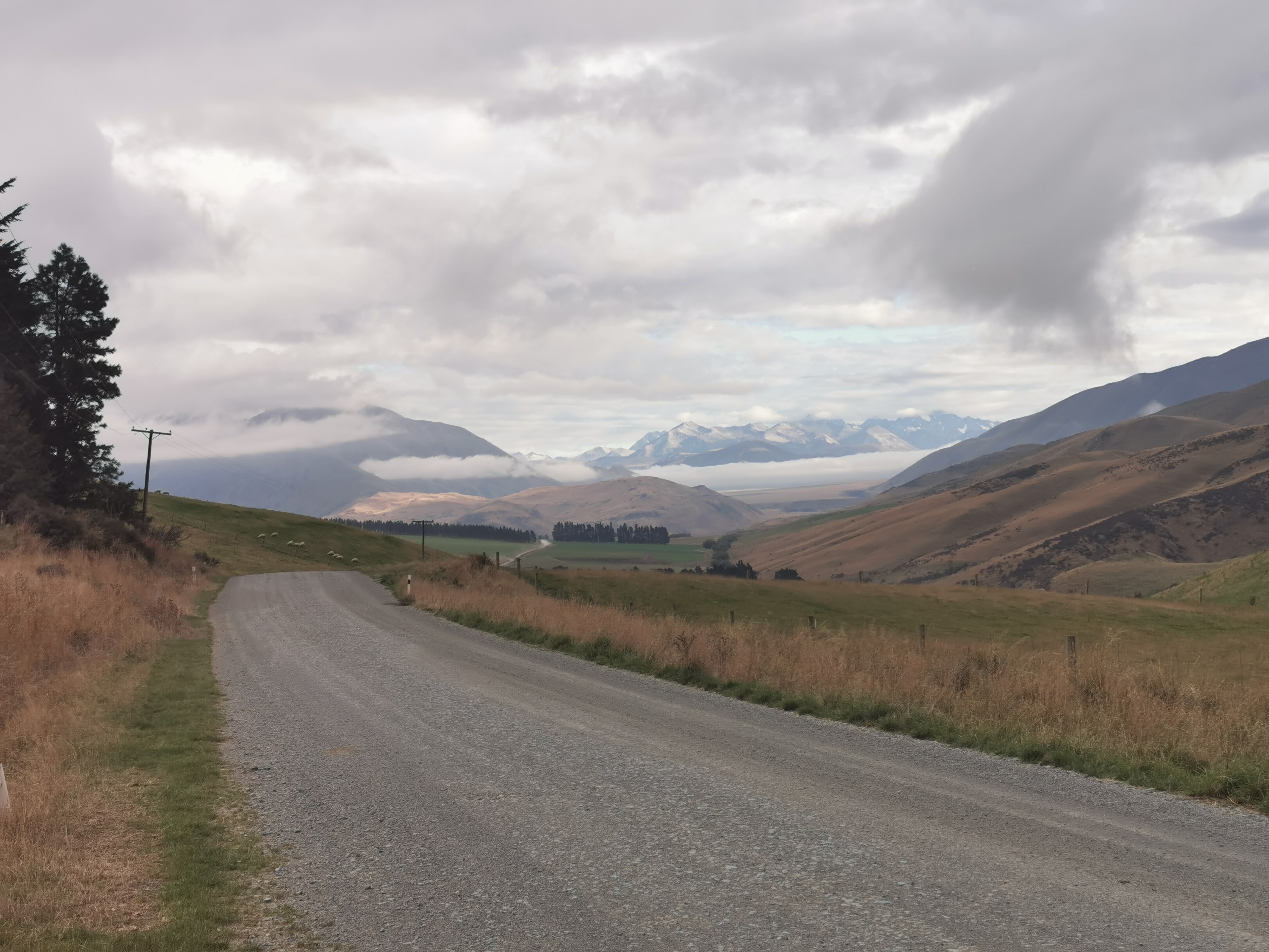
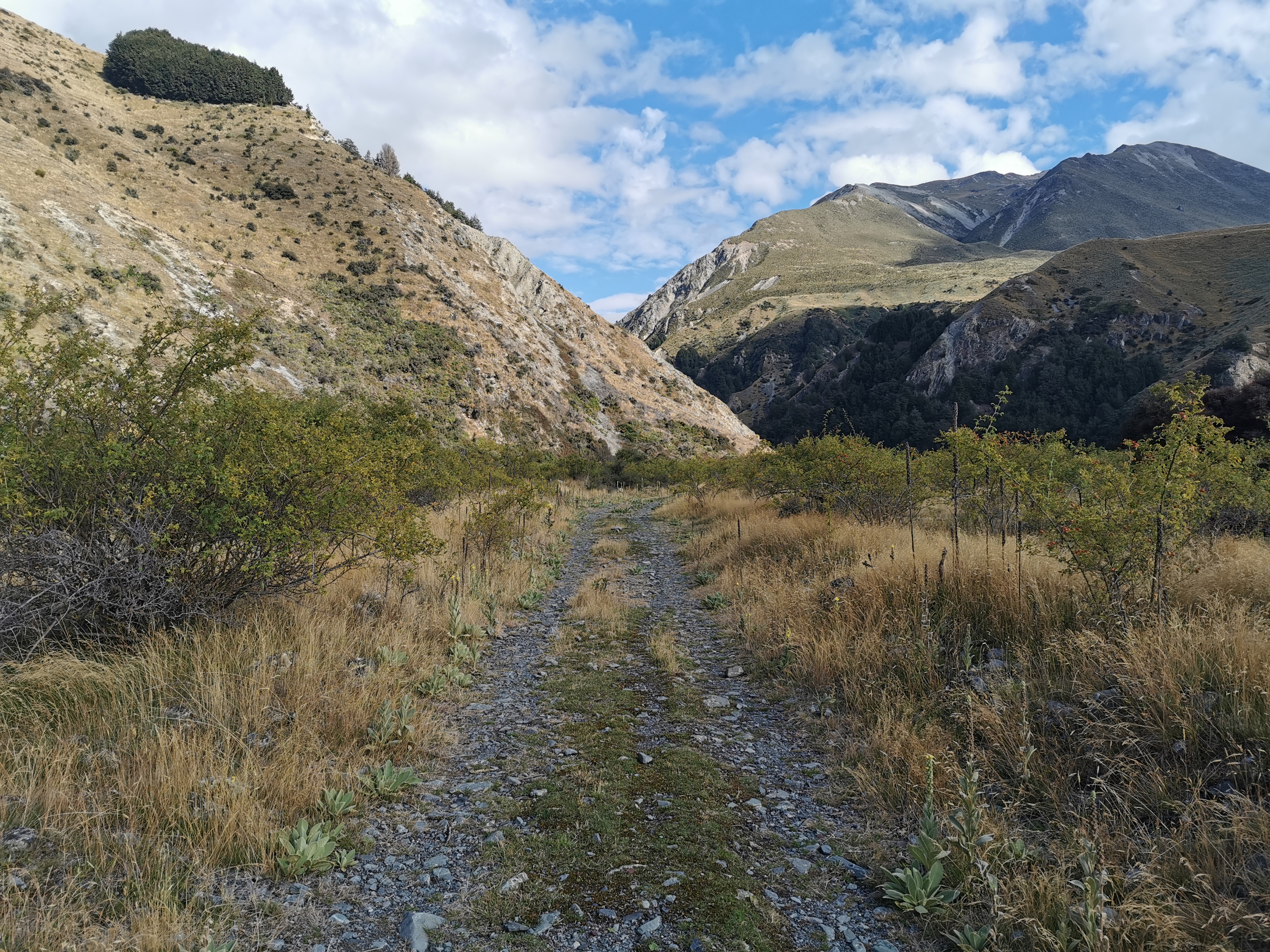
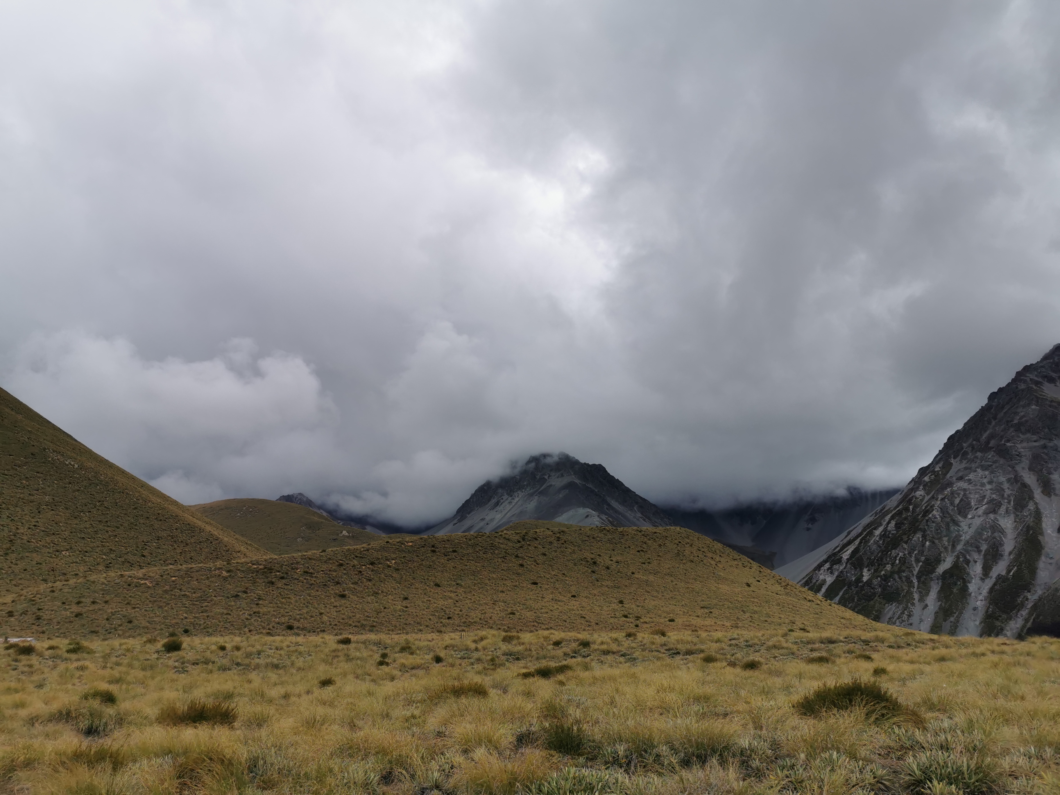
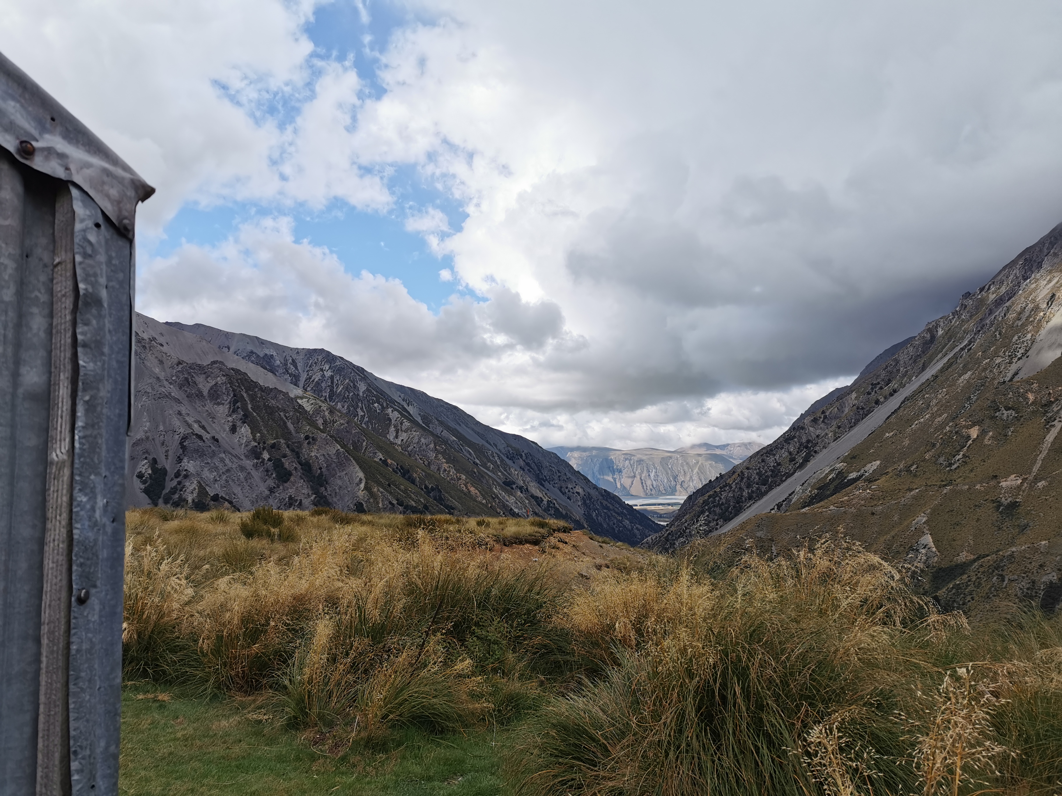
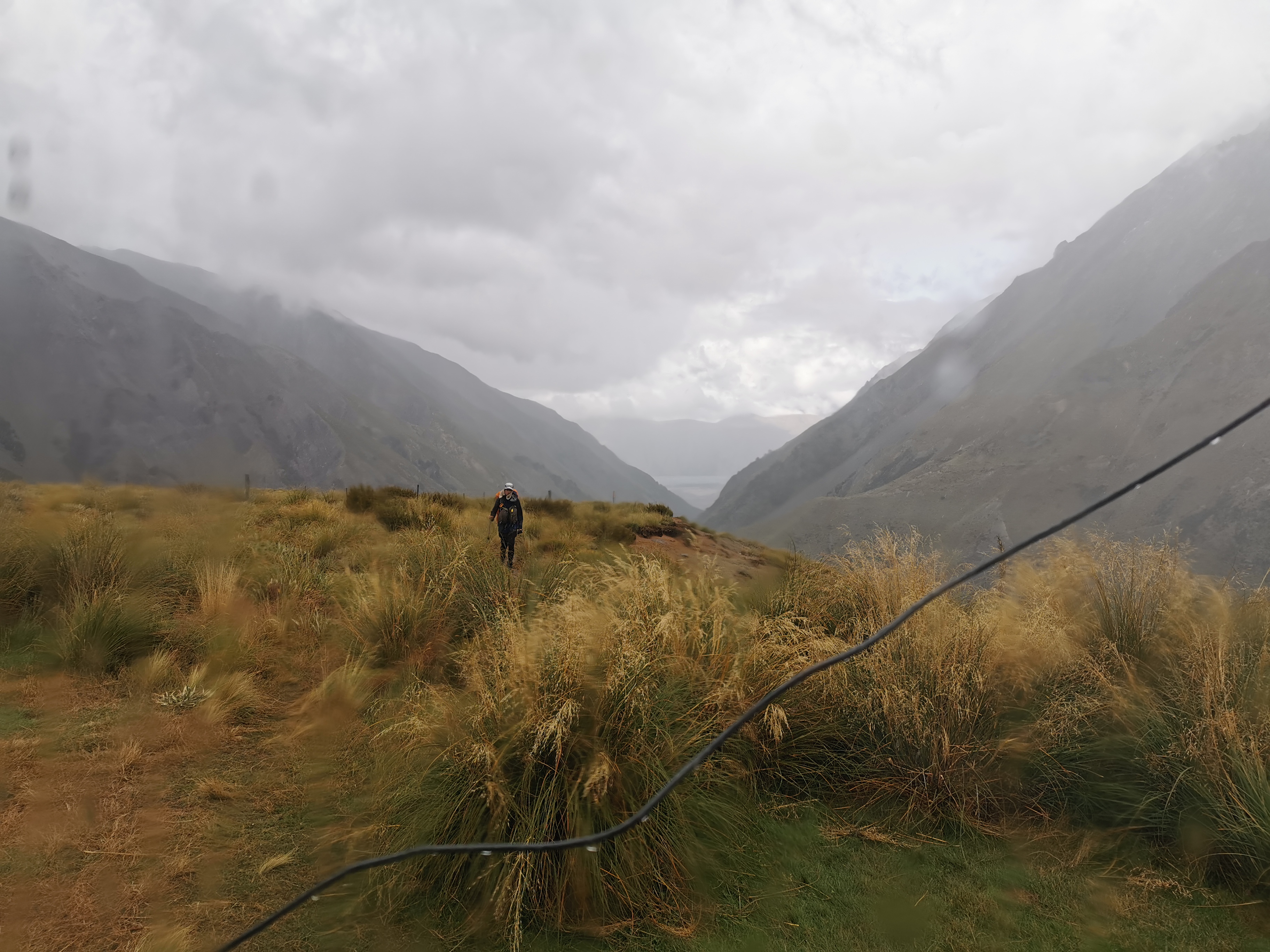
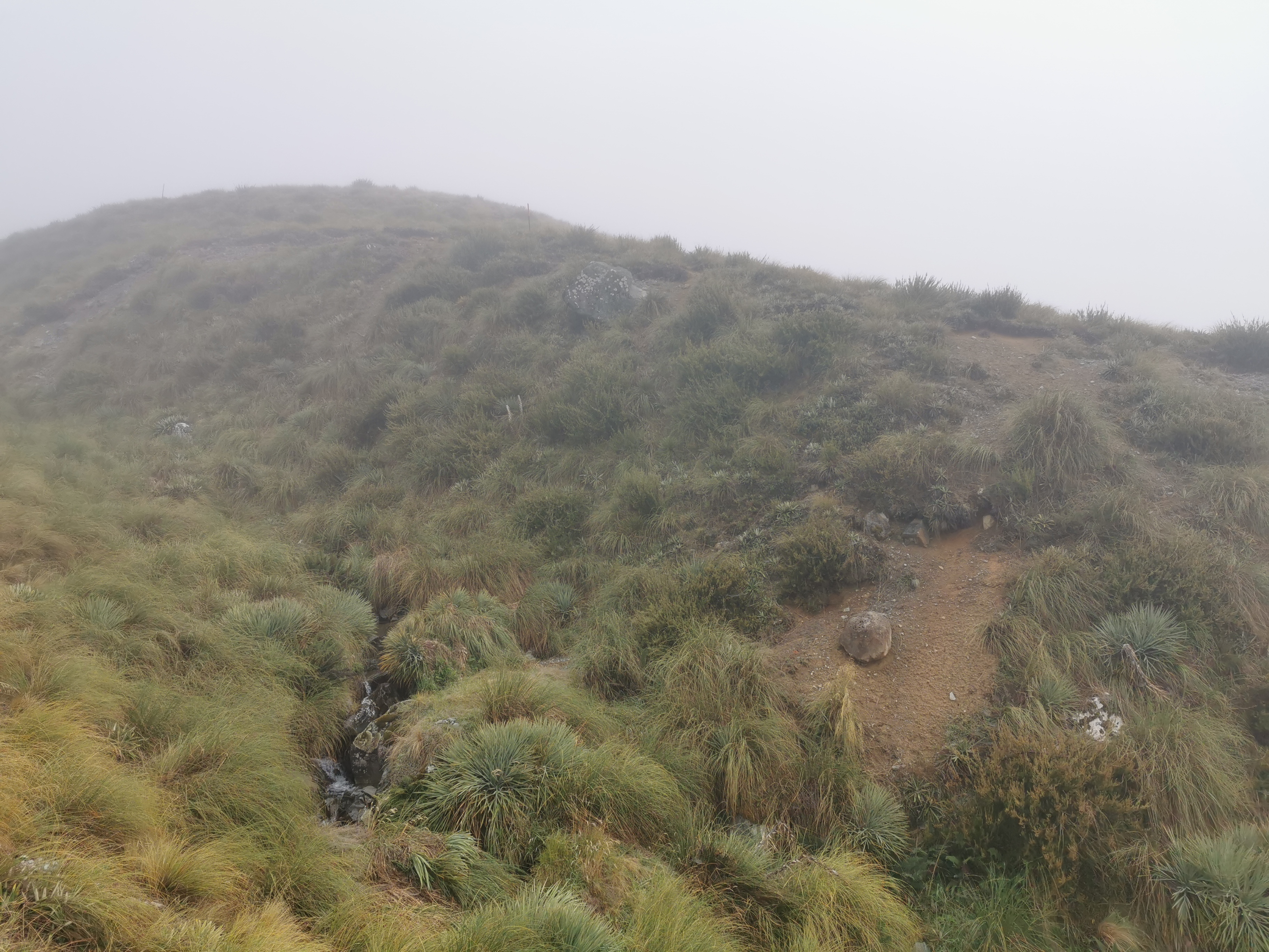
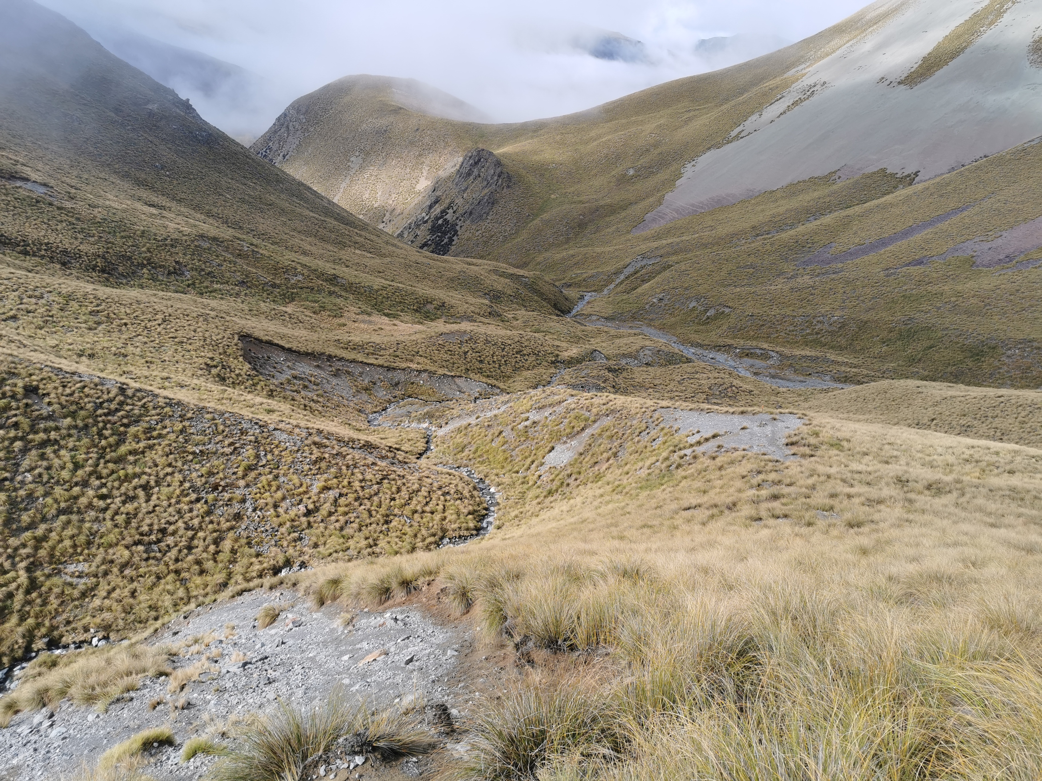
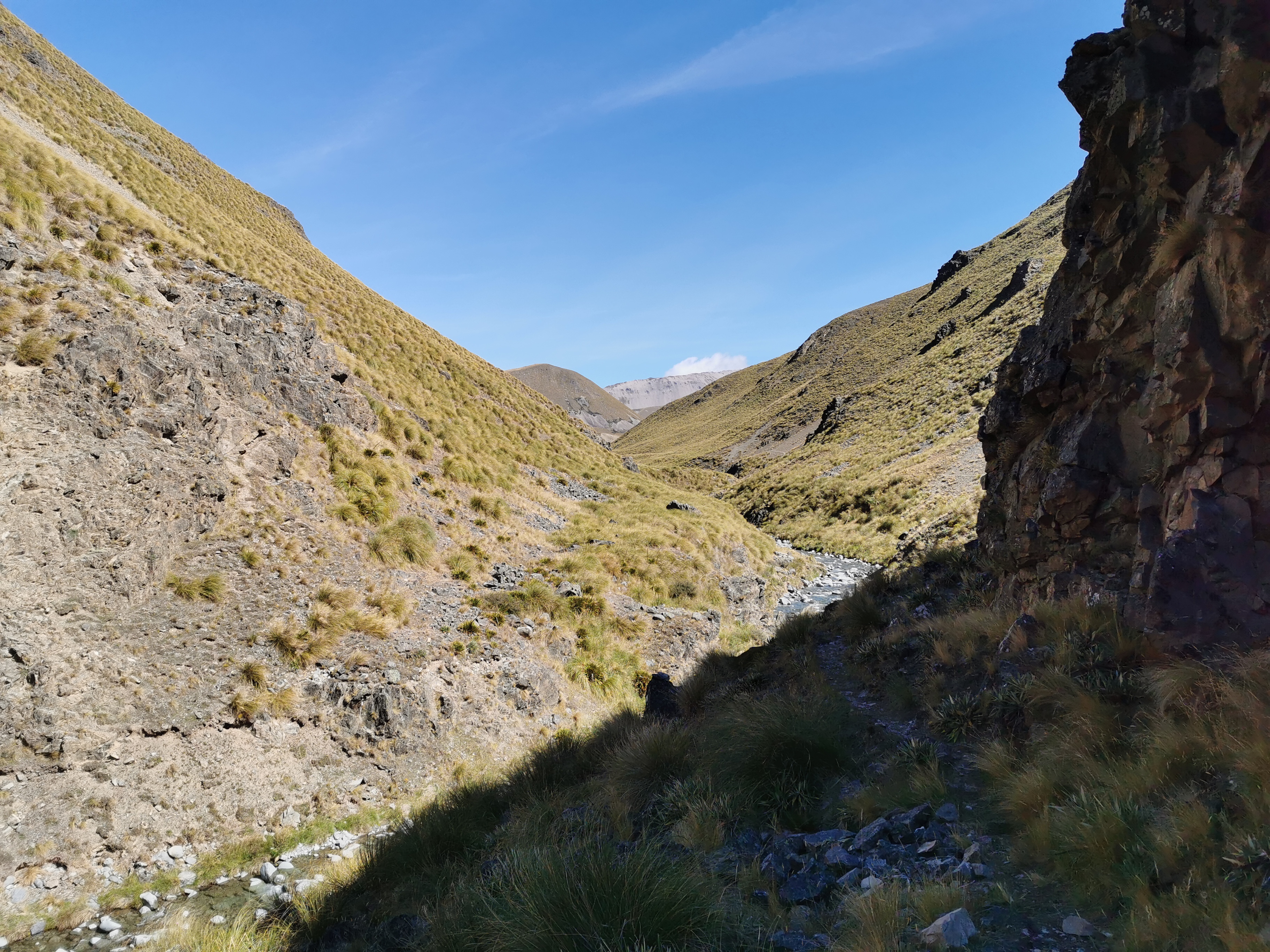
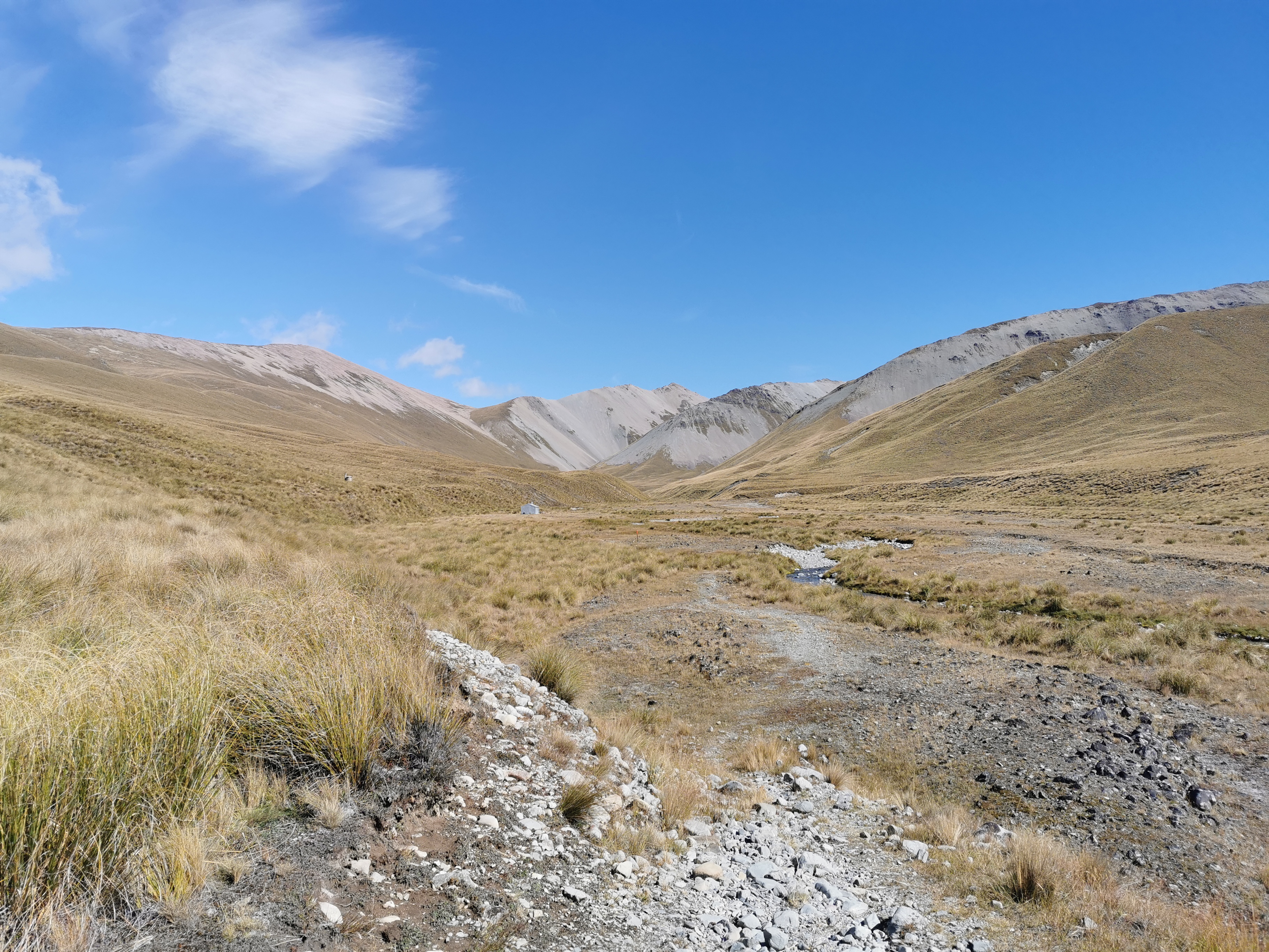
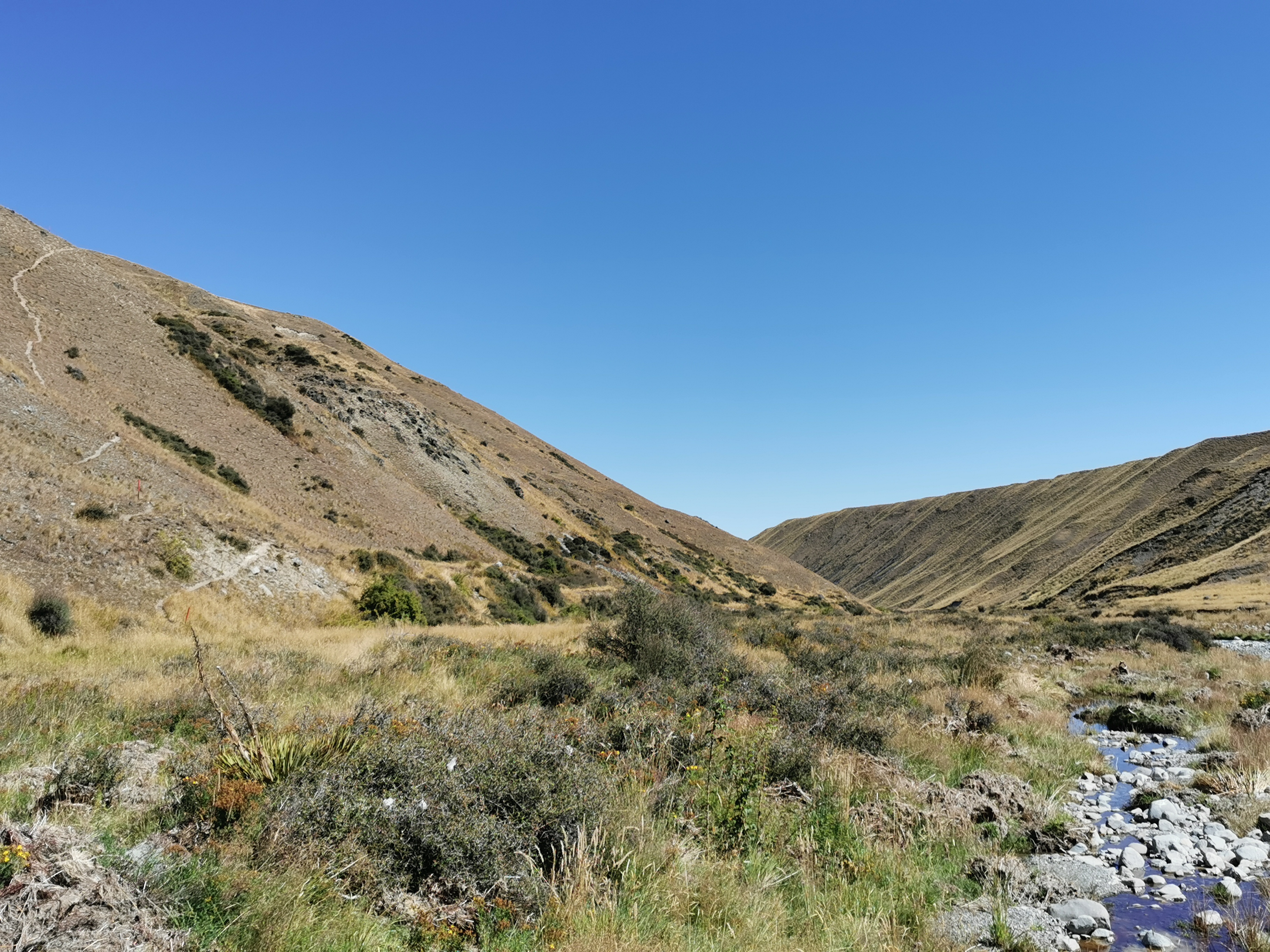
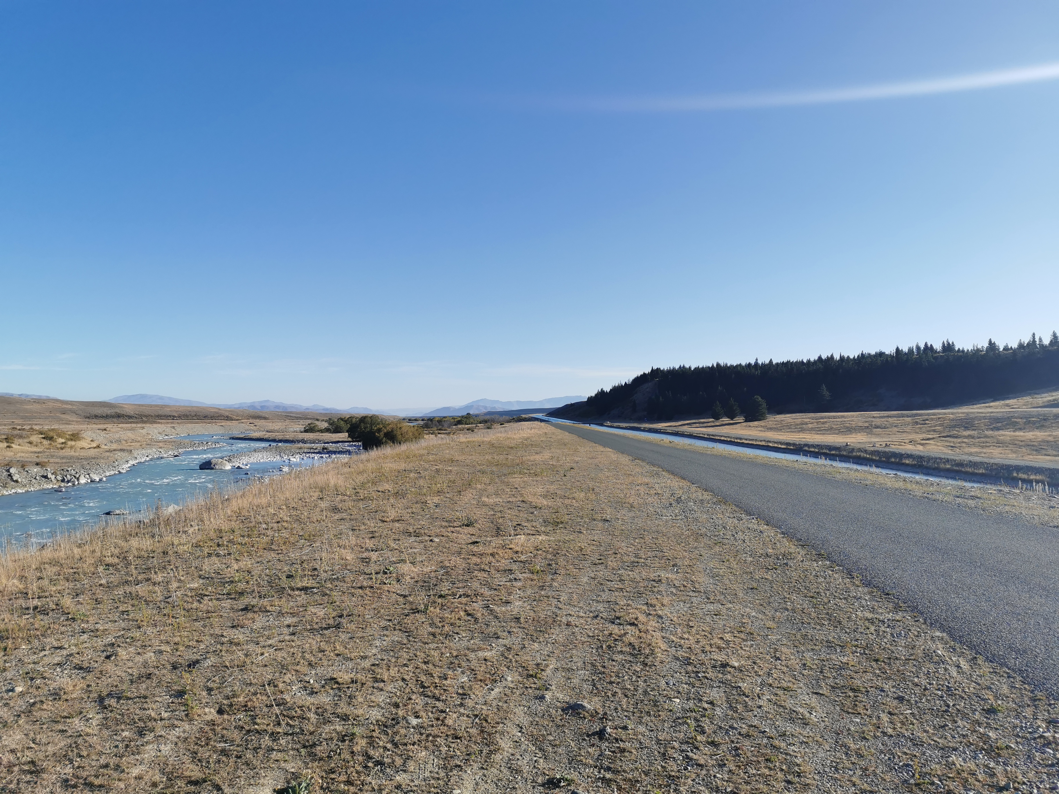
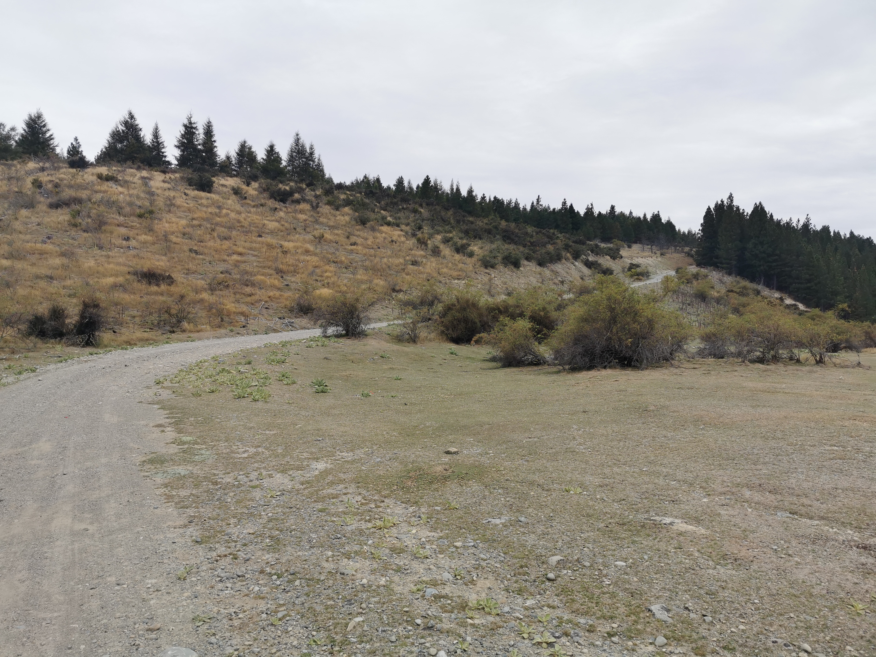
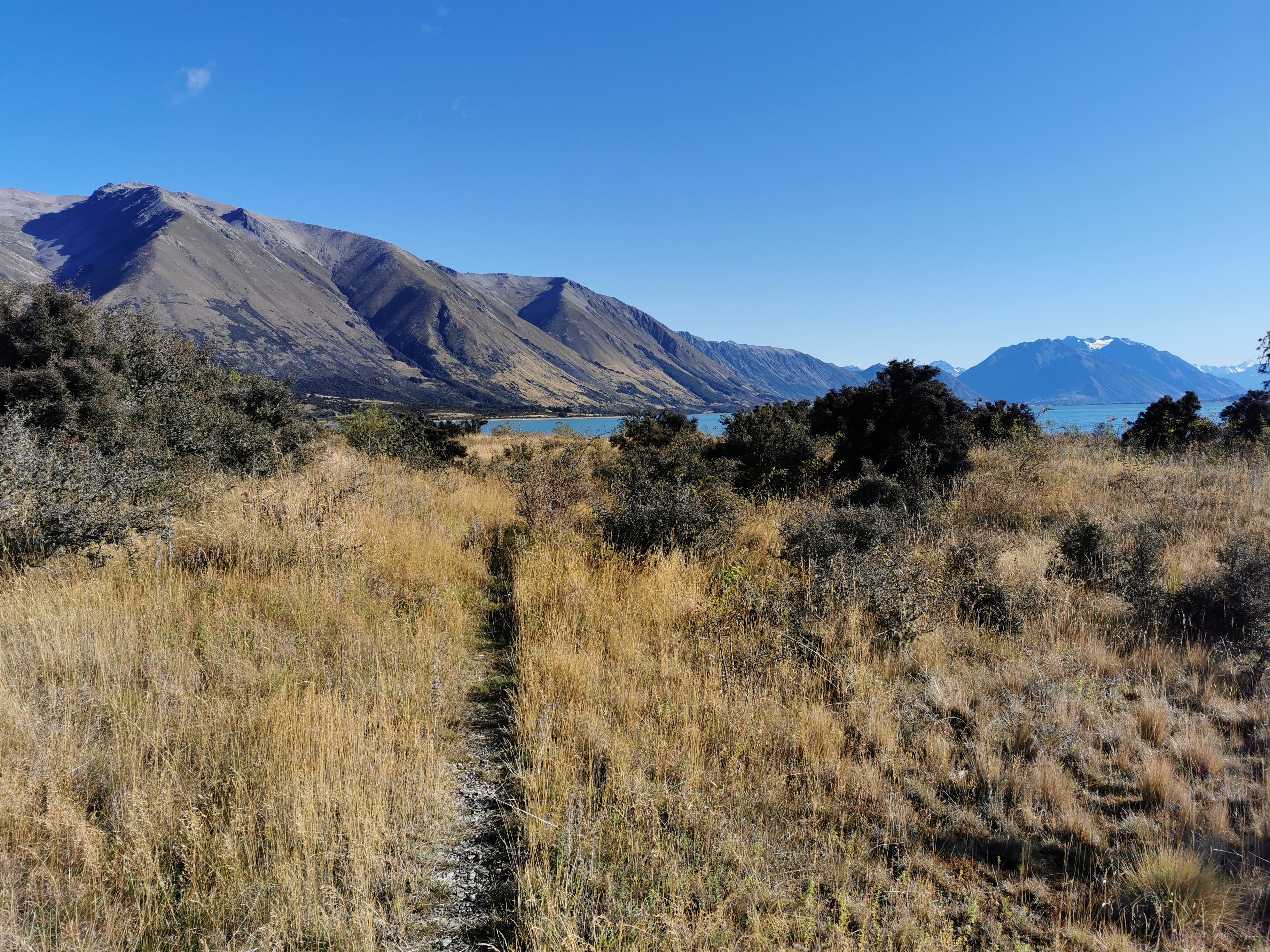
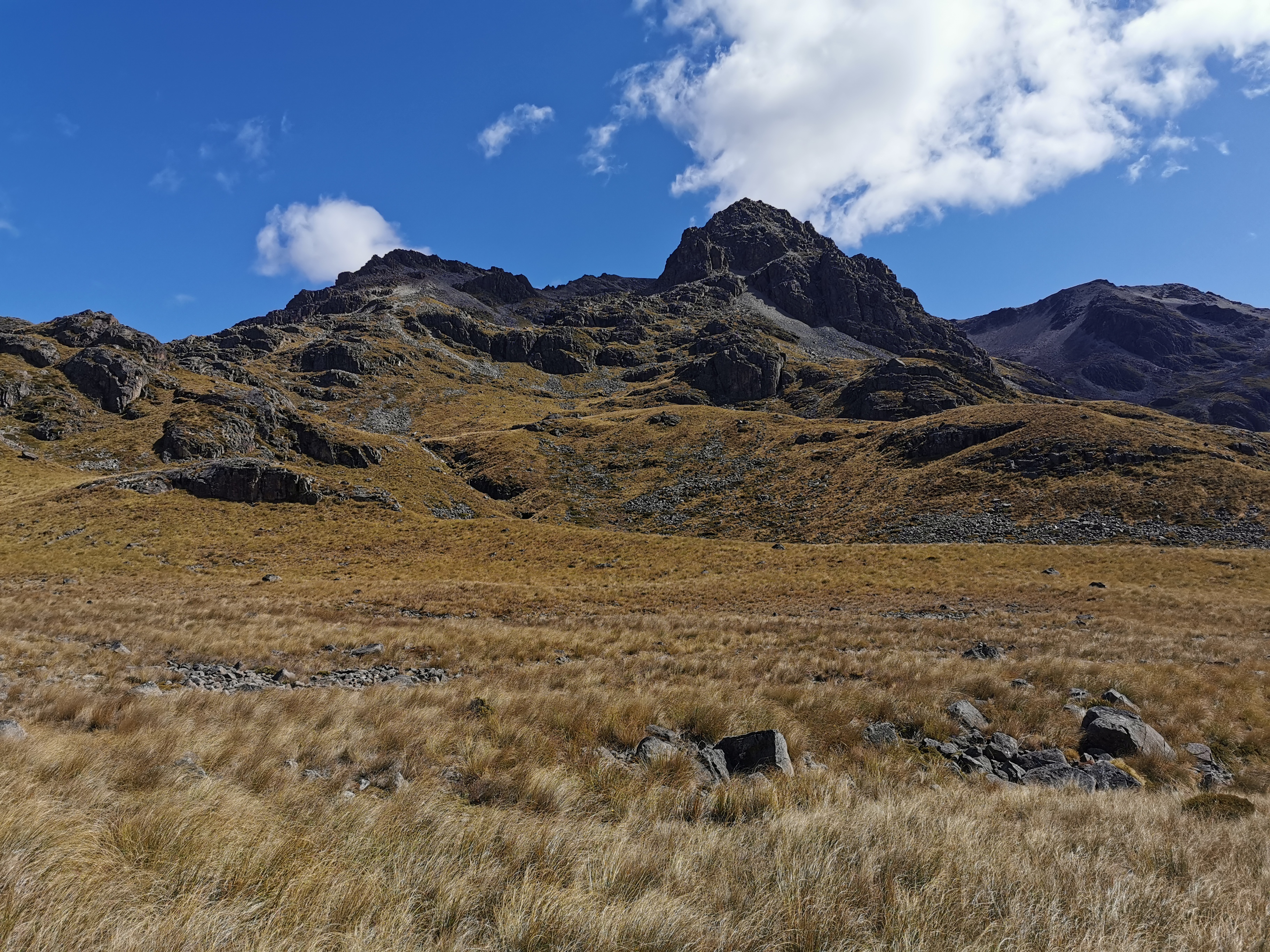
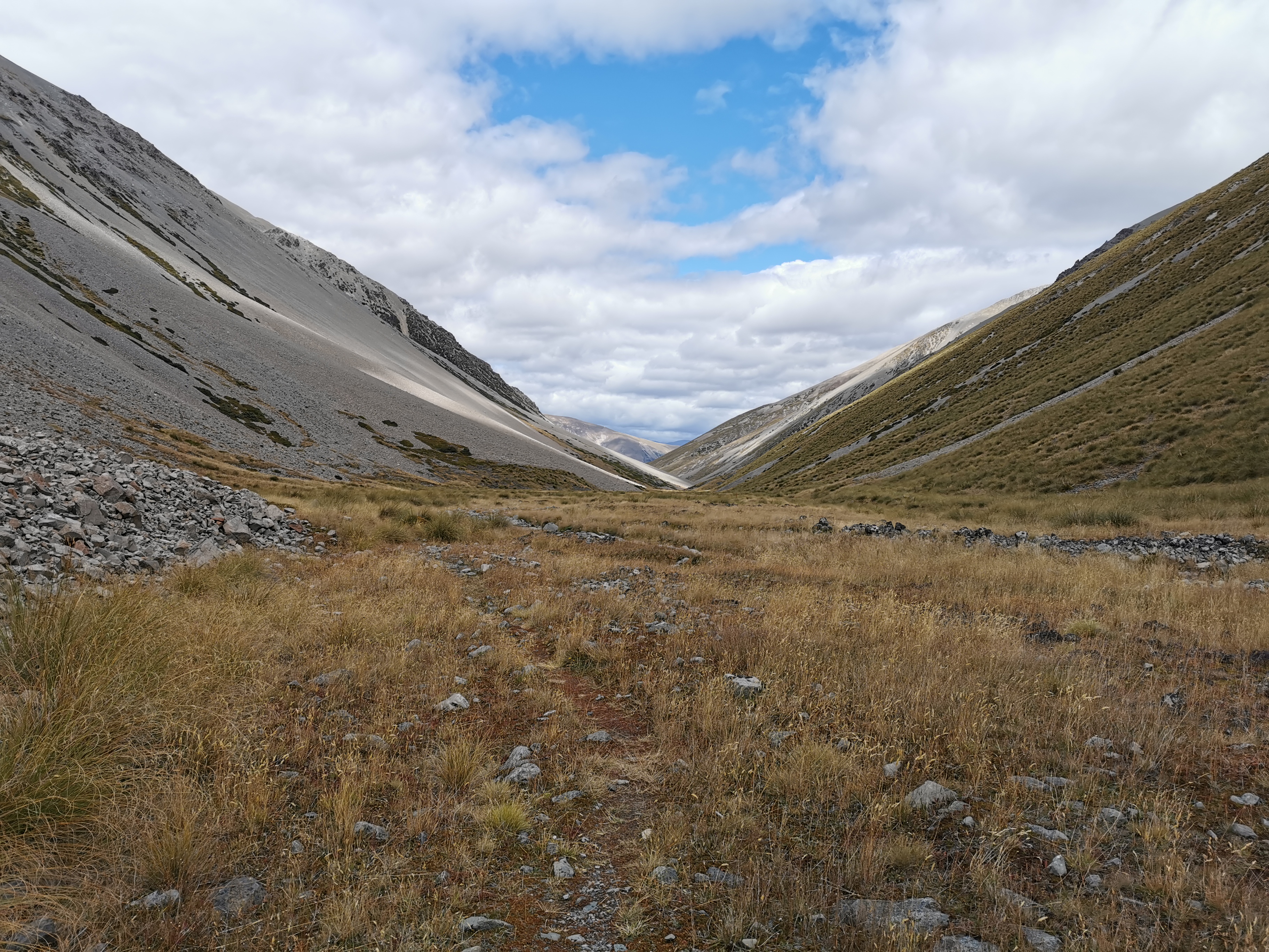
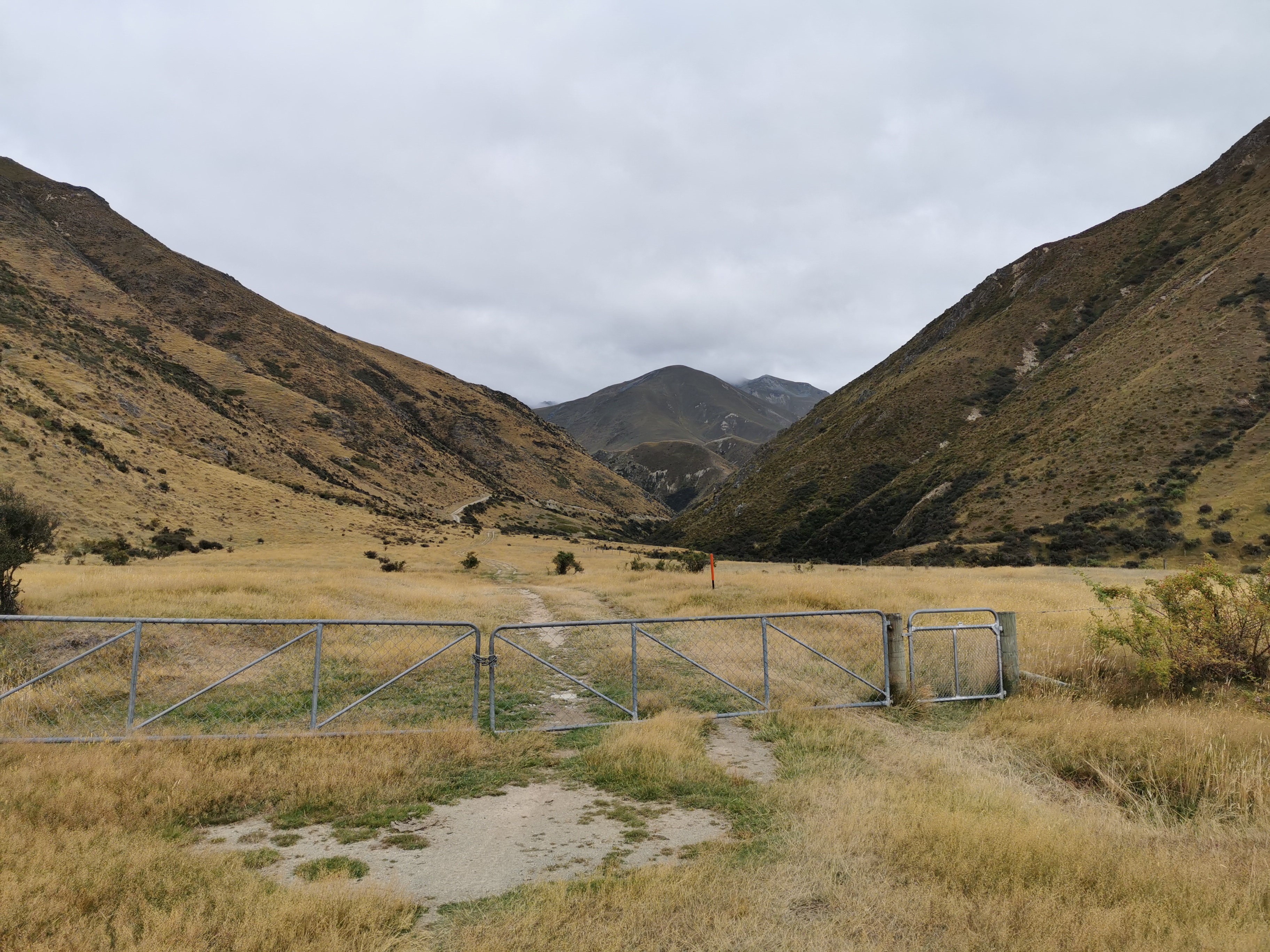
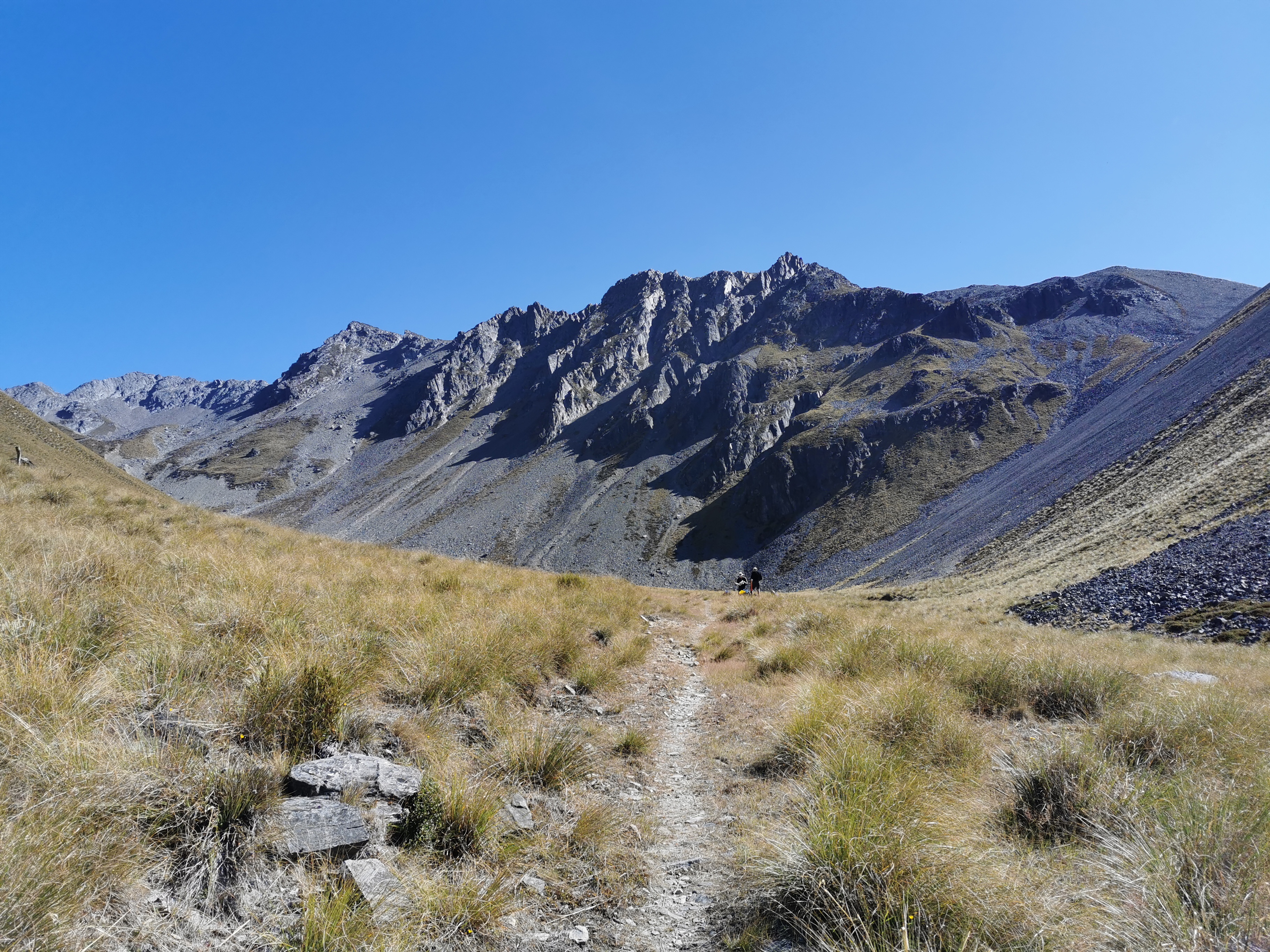
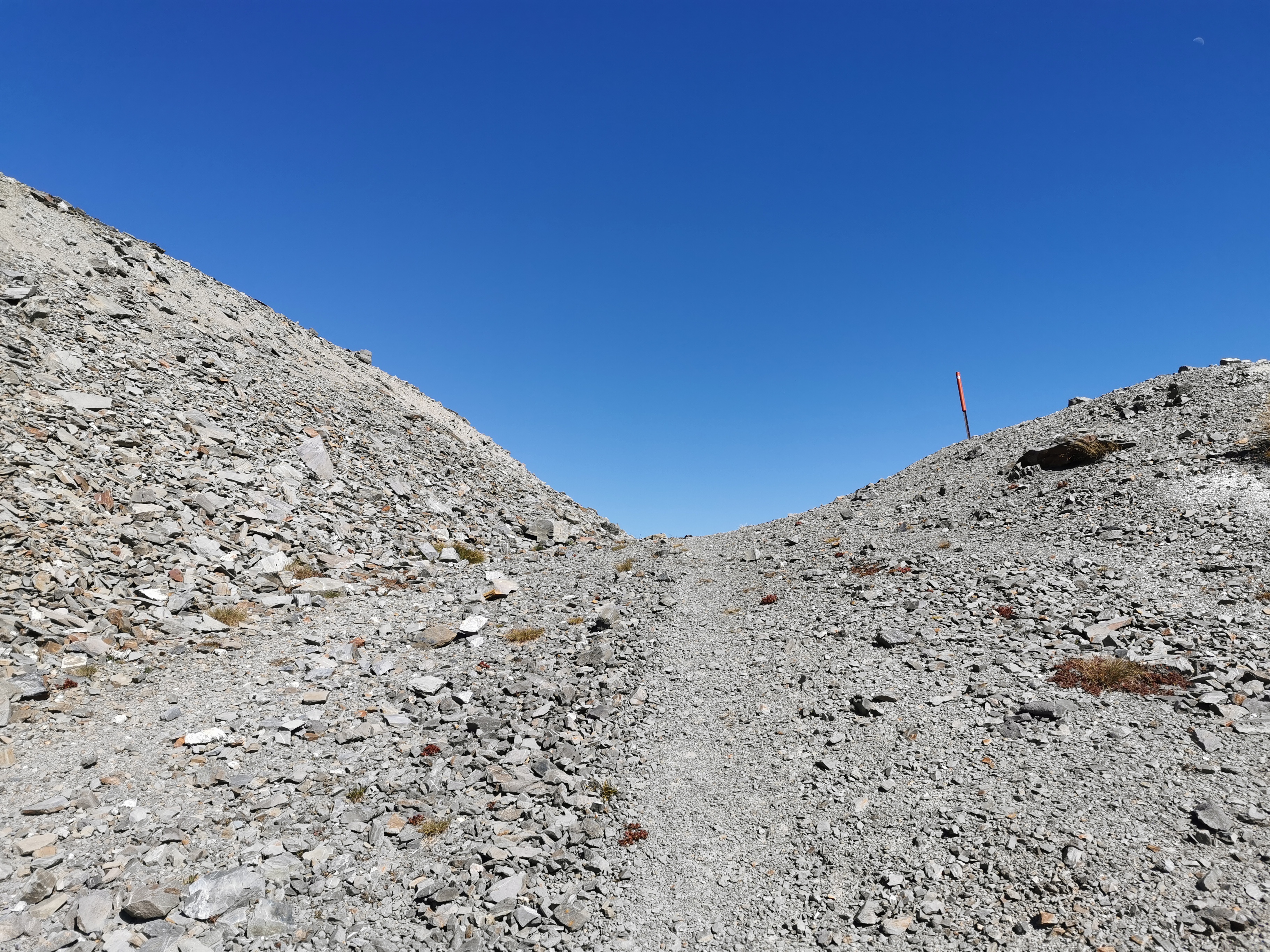
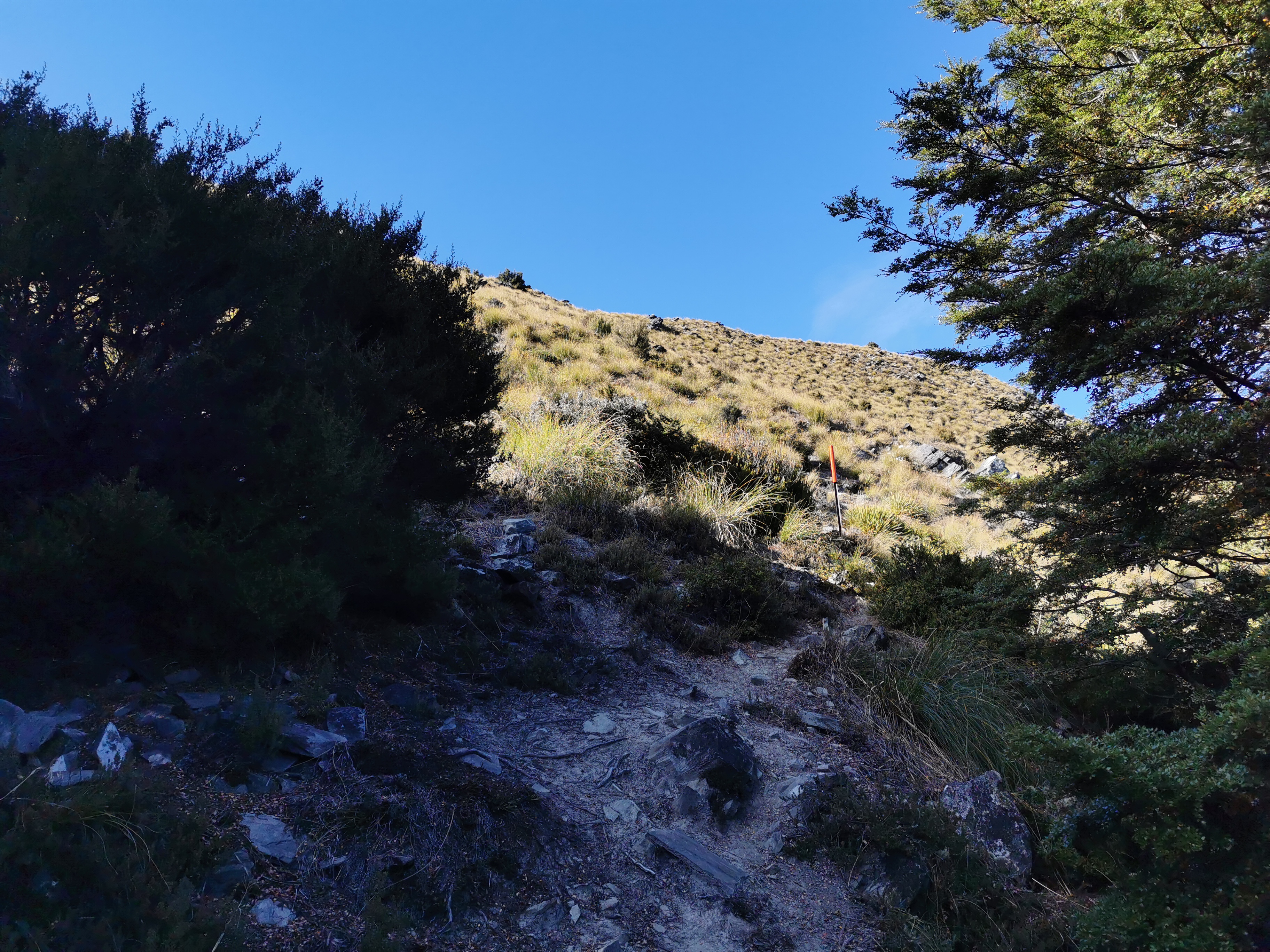
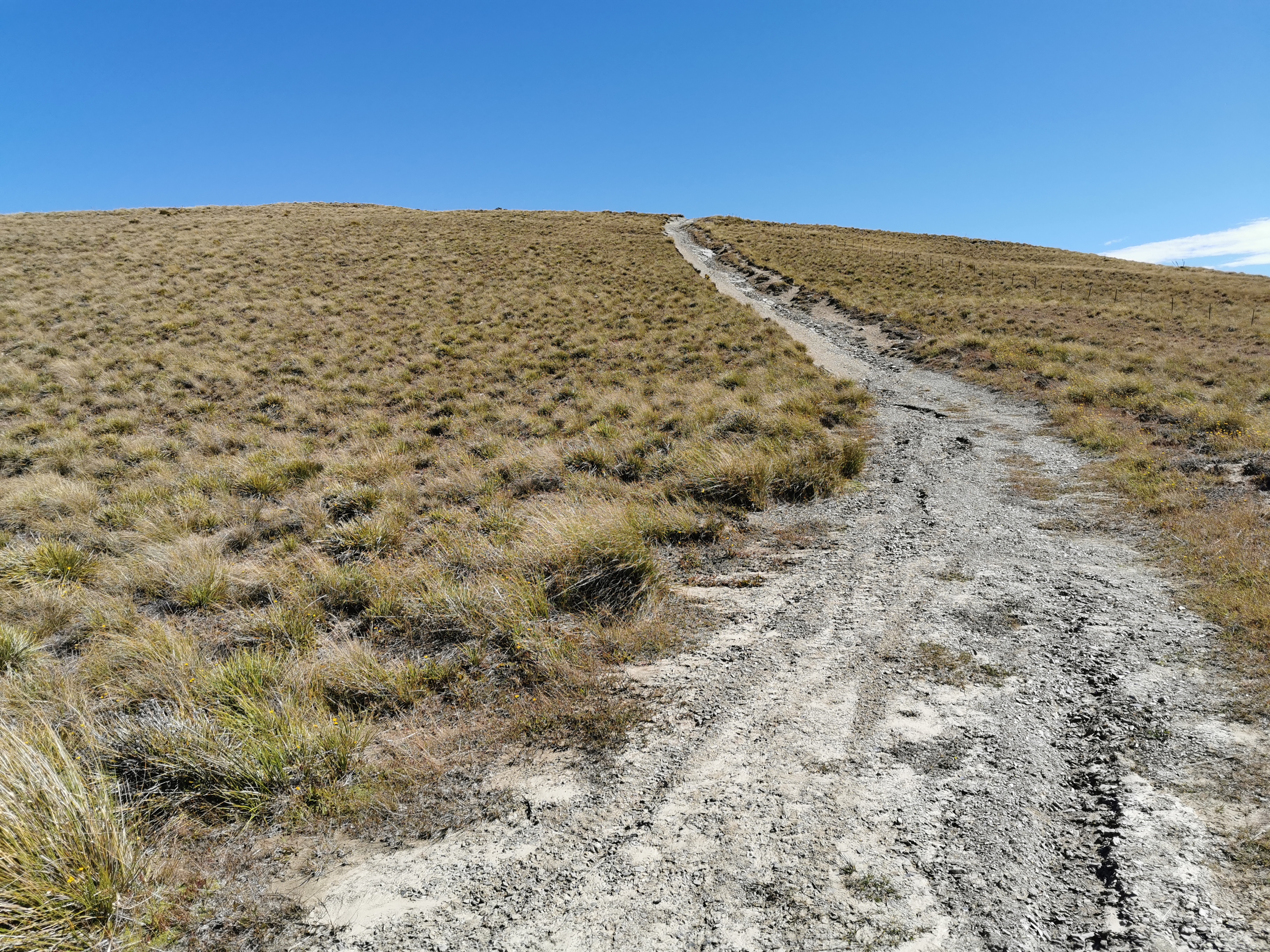
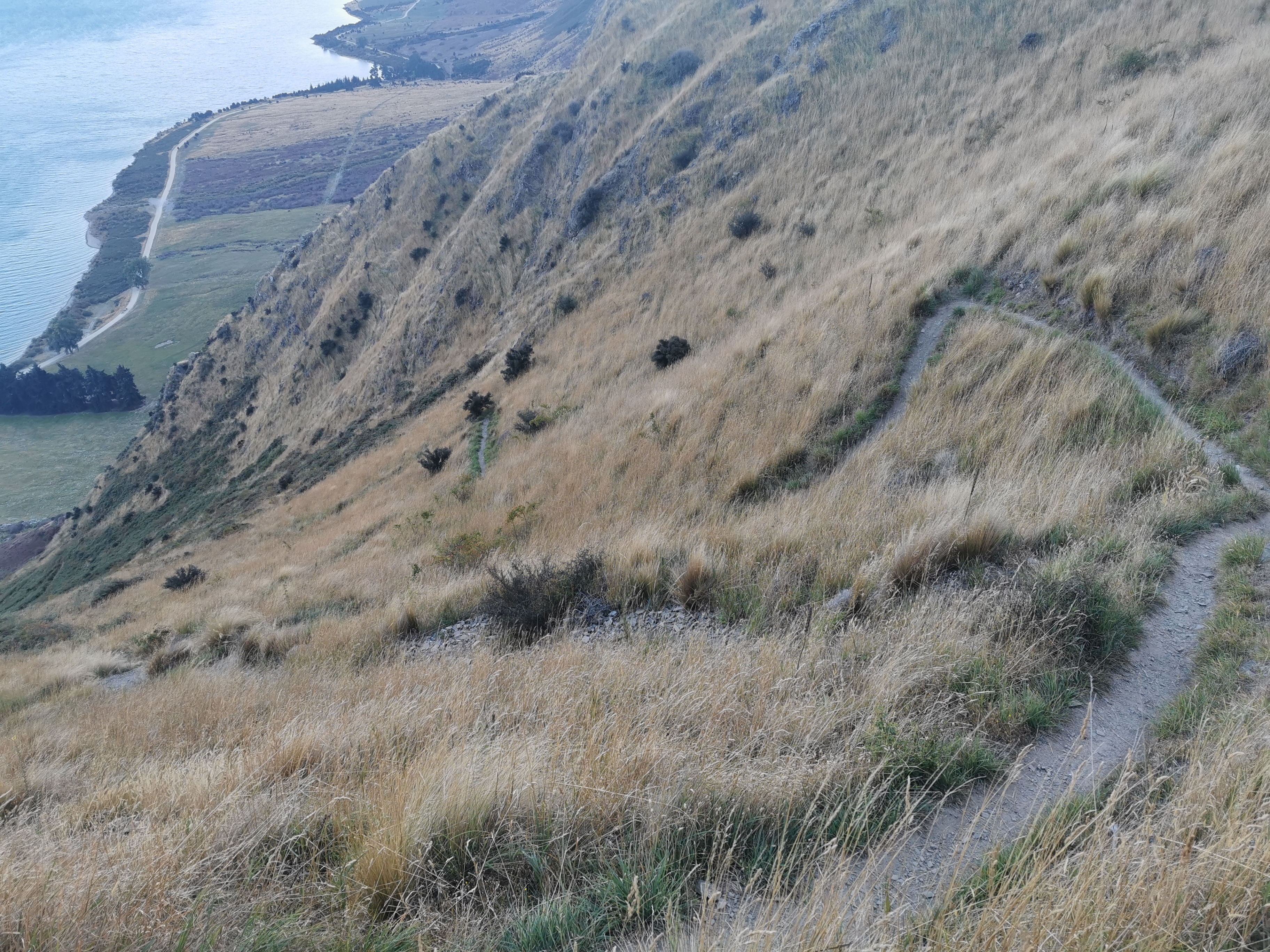
We set off down the path, heading up the valley.
The start of this section of trail
The wind we encountered while driving to the start was notably absent once we started walking, which was a pleasant surprise. The first ascent was over 700m up, from about 460m to at least 1190m, although it was fairly gradual.
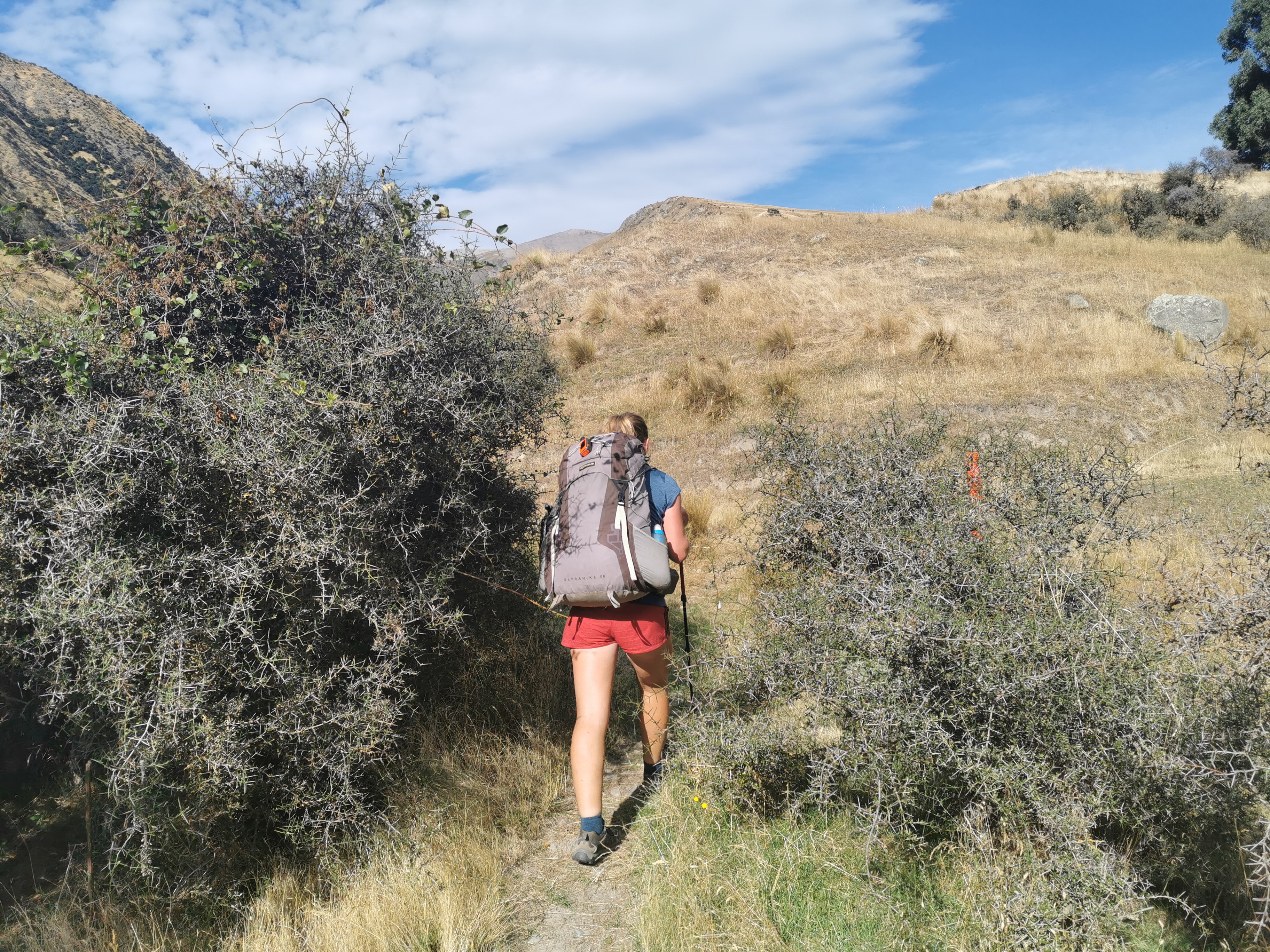
Anka going through the spines
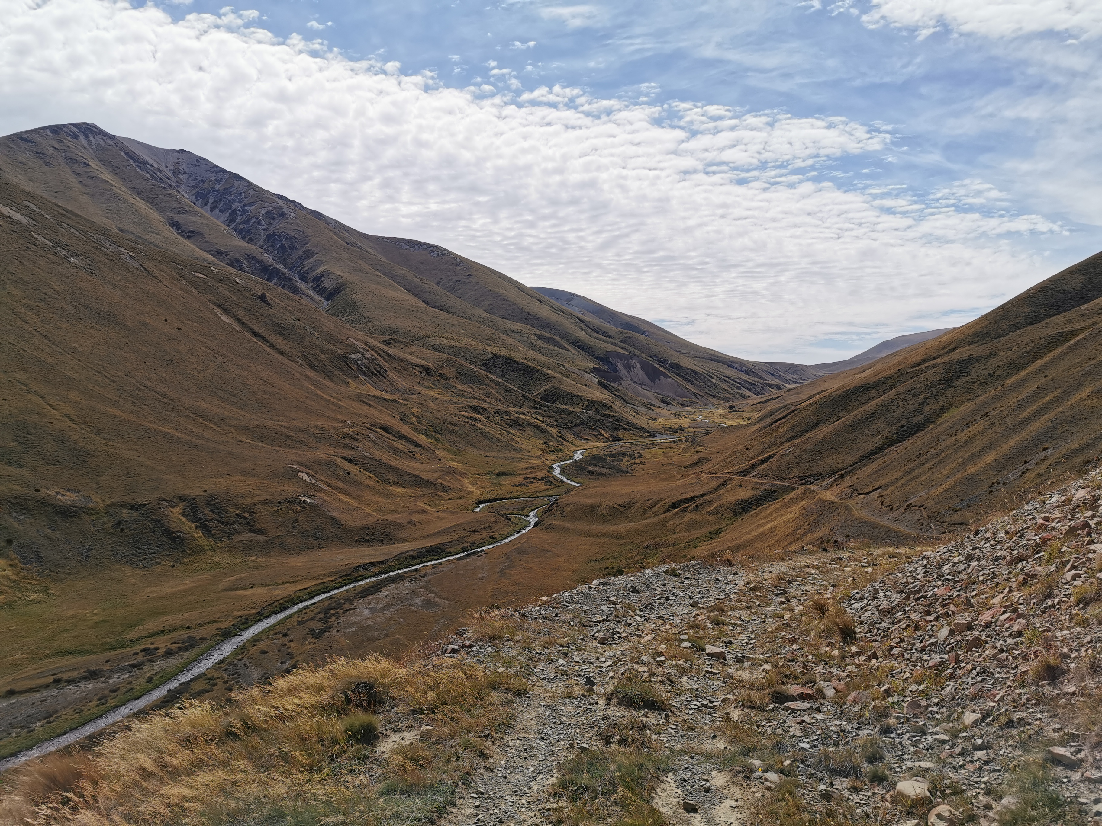
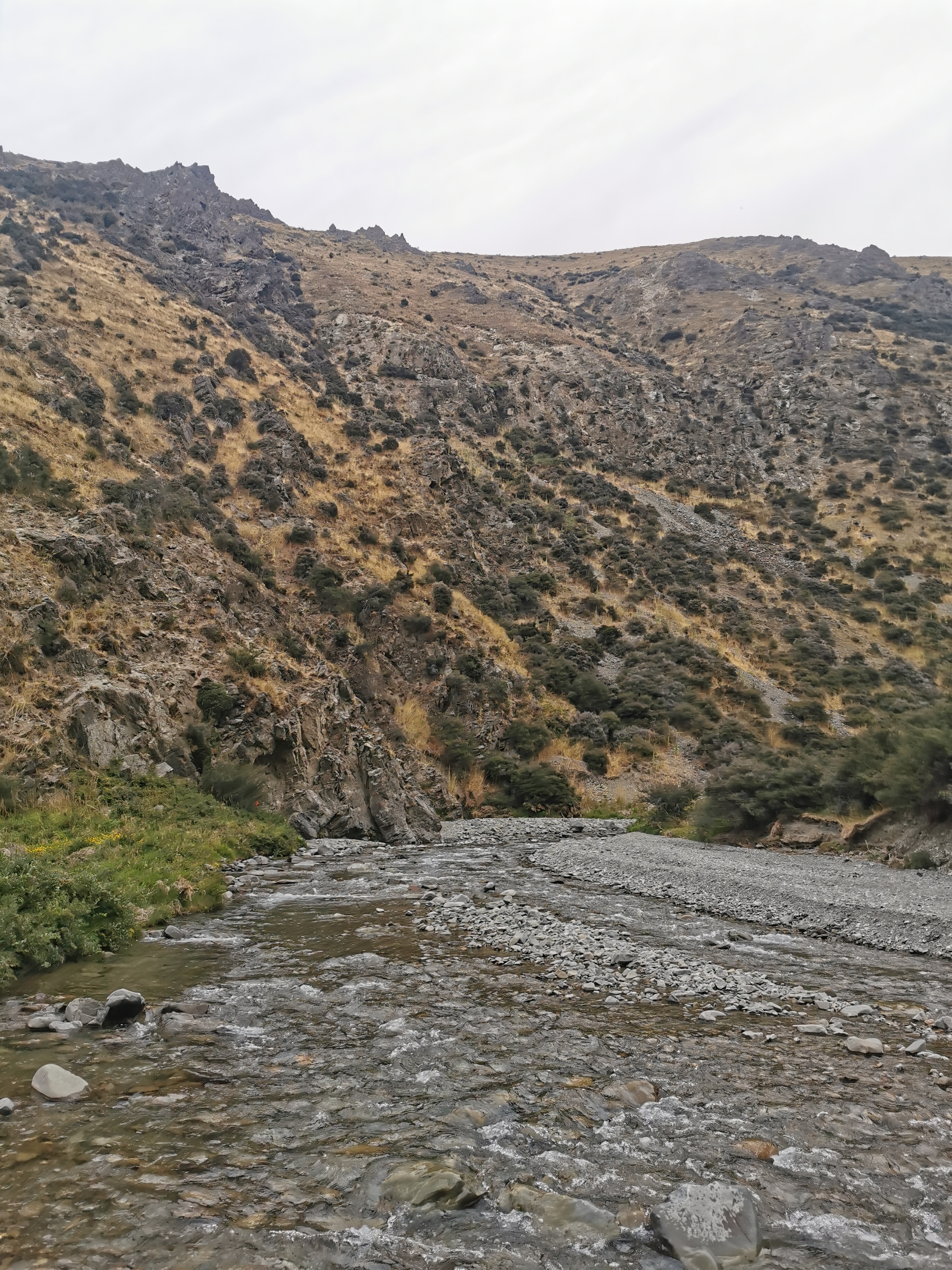
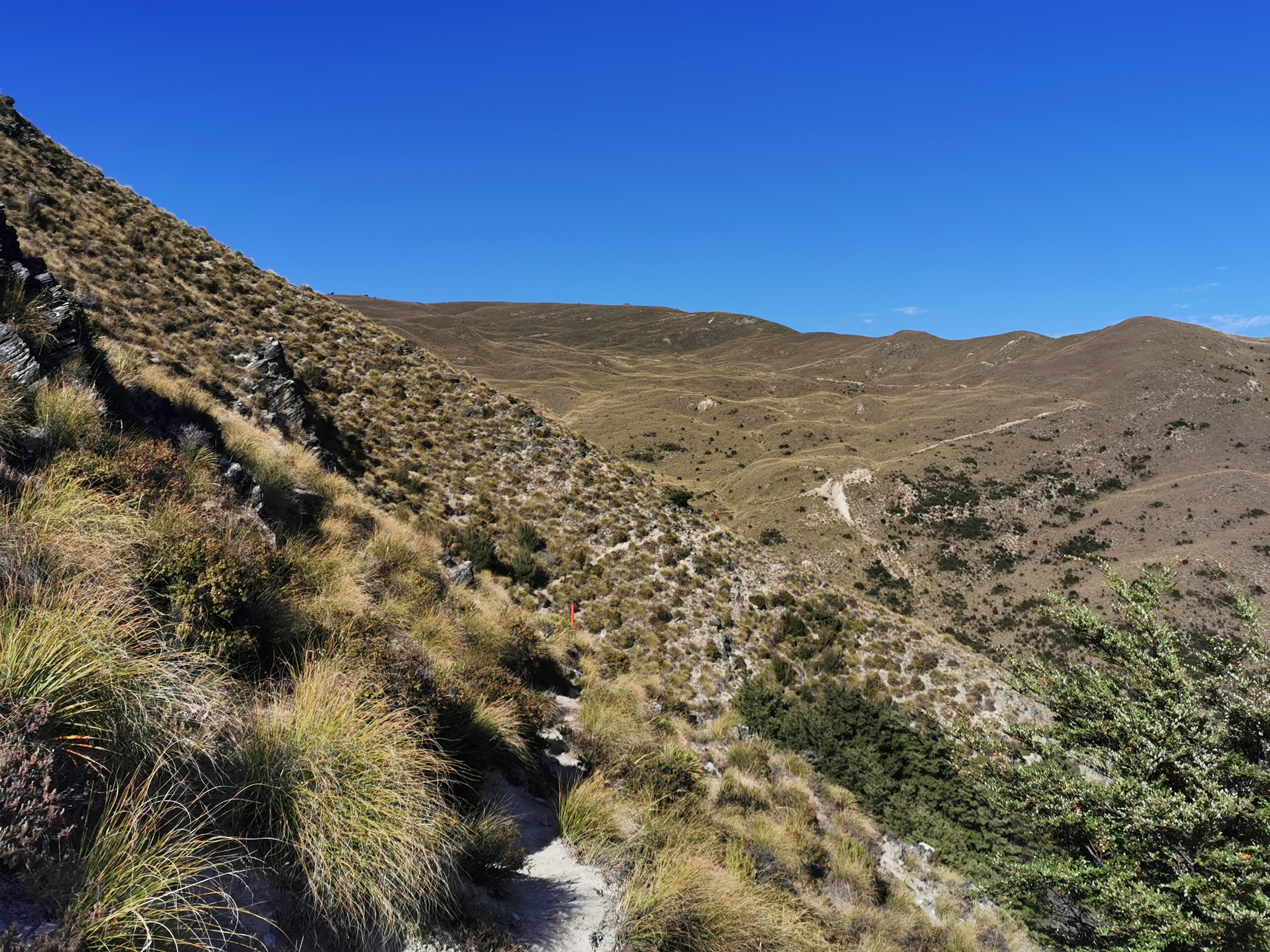
The view never really changed that much. There were never really any trees and at first there wasn’t even a river. The air was filled with the sound of crickets.
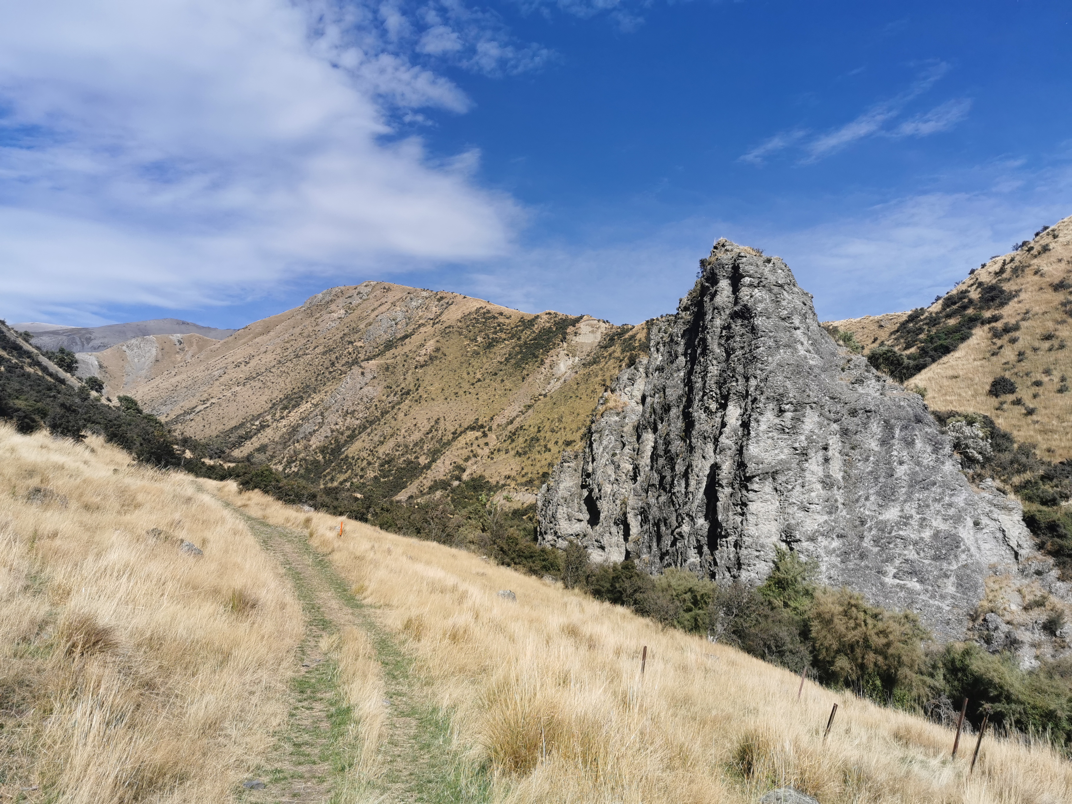
There was also the odd interesting natural feature.
A big pointy rock
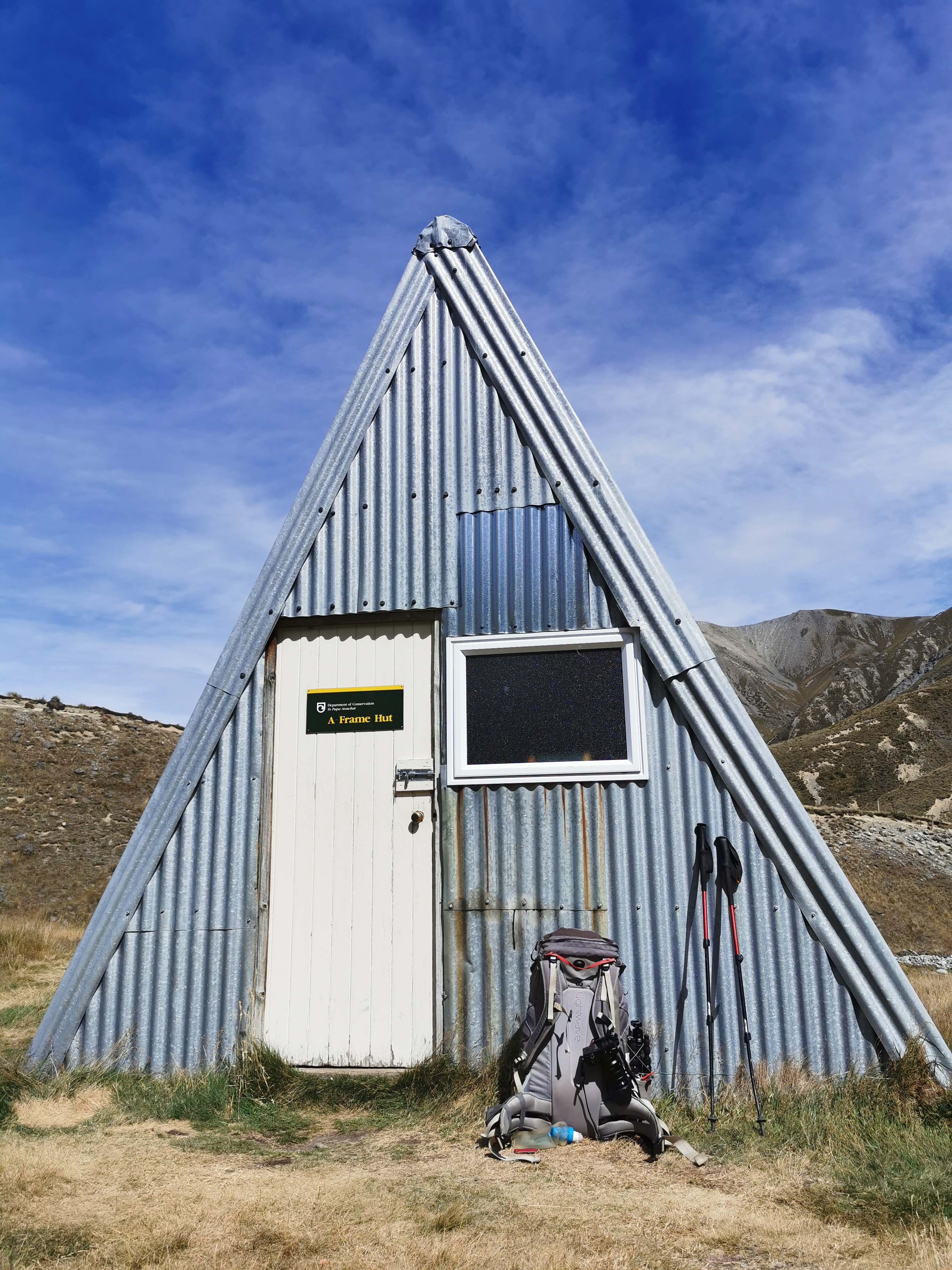
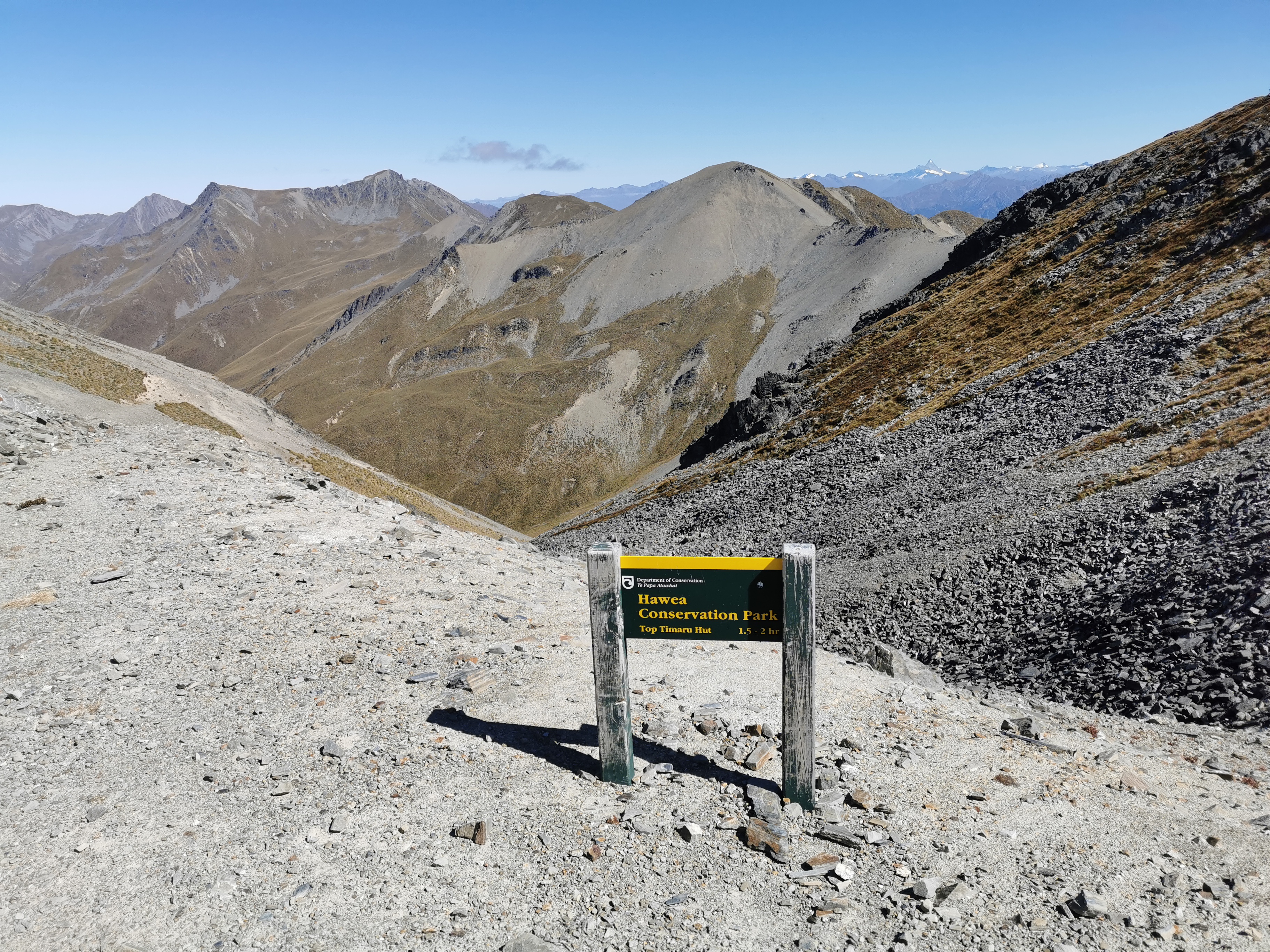
We passed three people going north. They said that the A Frame Hut (the next one we will be coming to) is where they stayed and that it’s a nice hut. We won’t be able to stay there though, it’s too close to where we left from and we have a lot of ground to cover in three days.
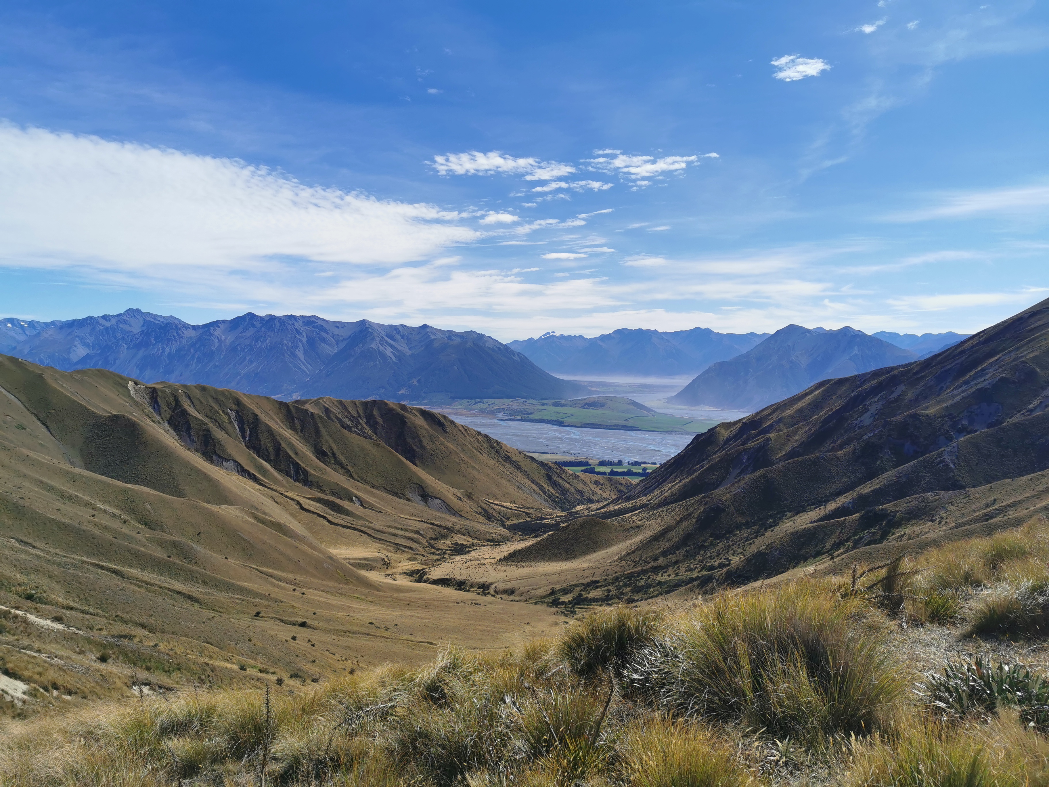
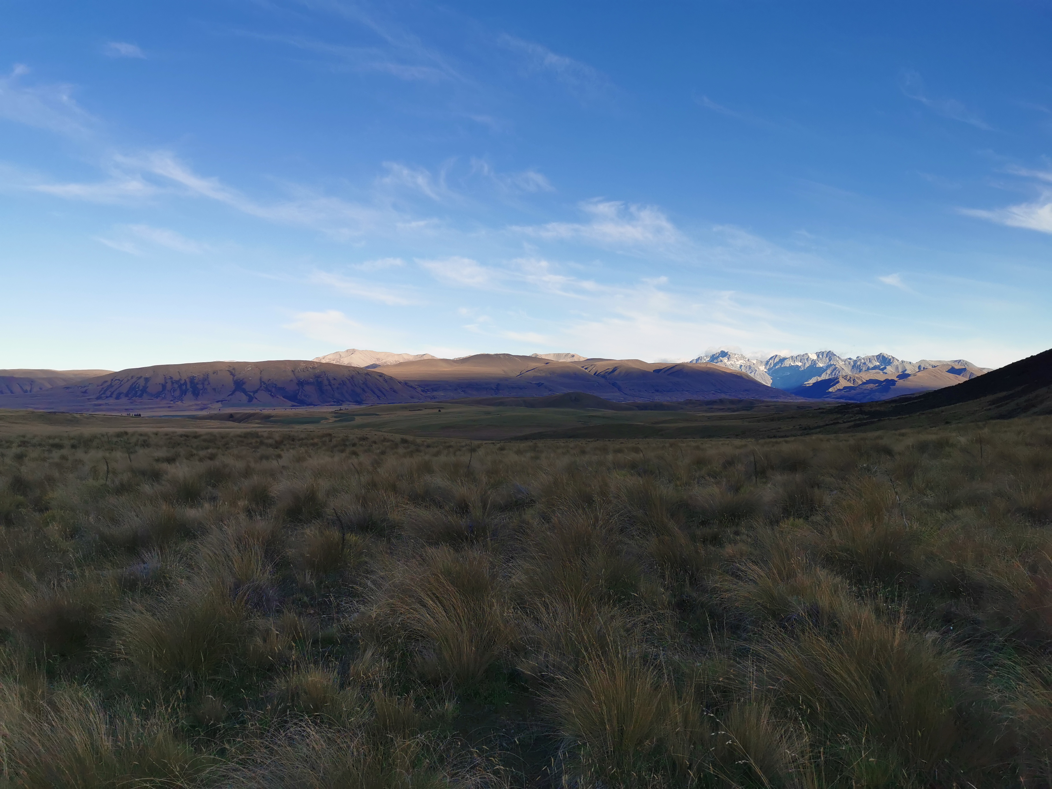
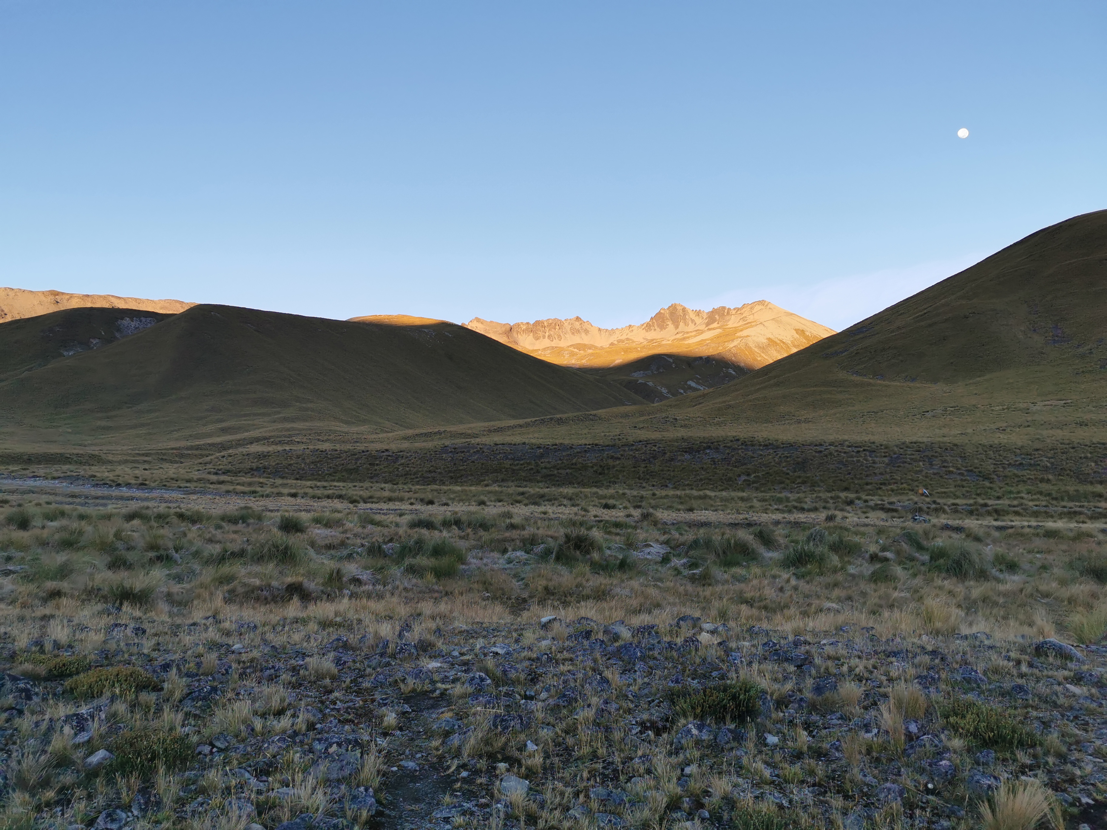
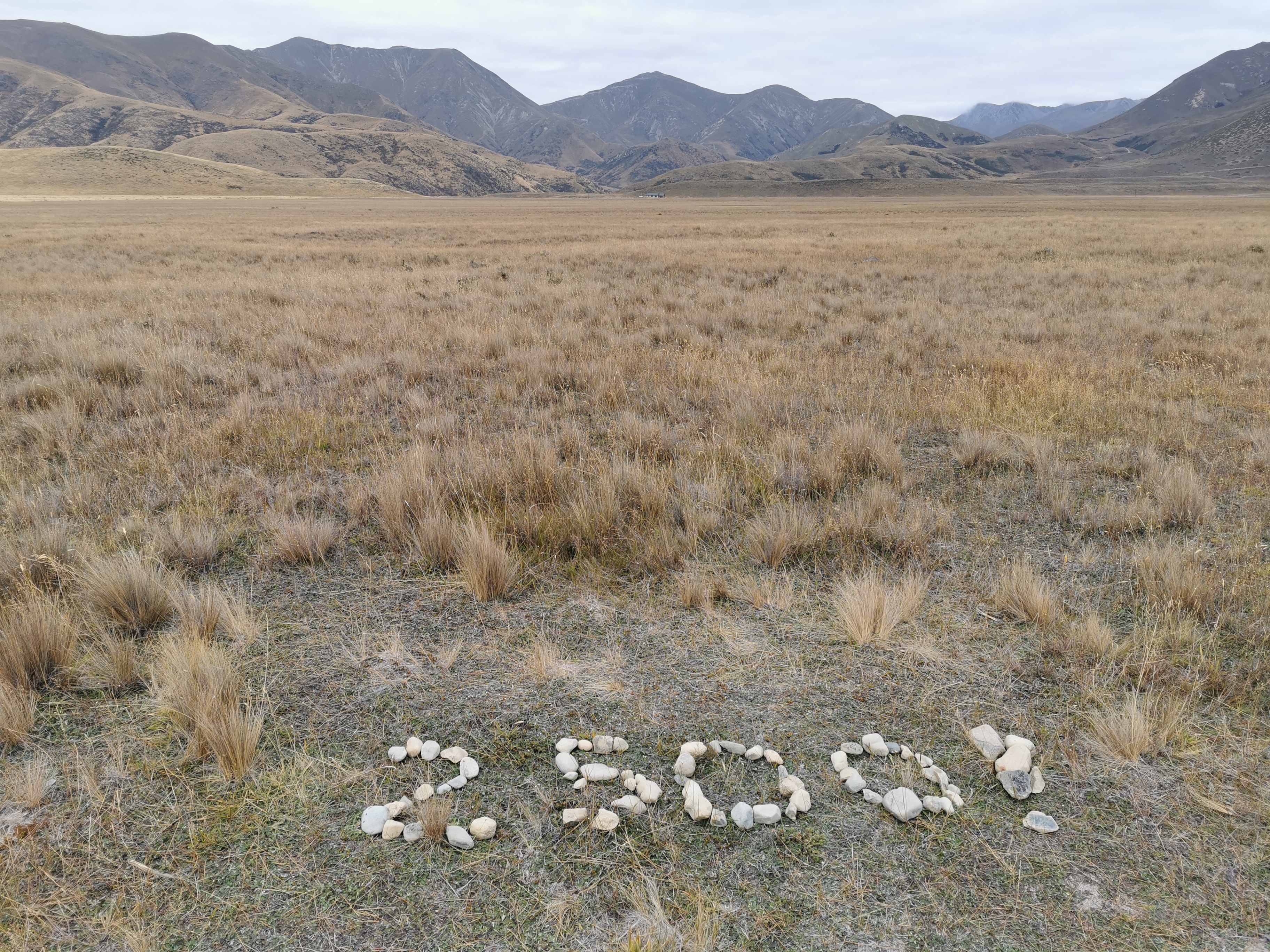
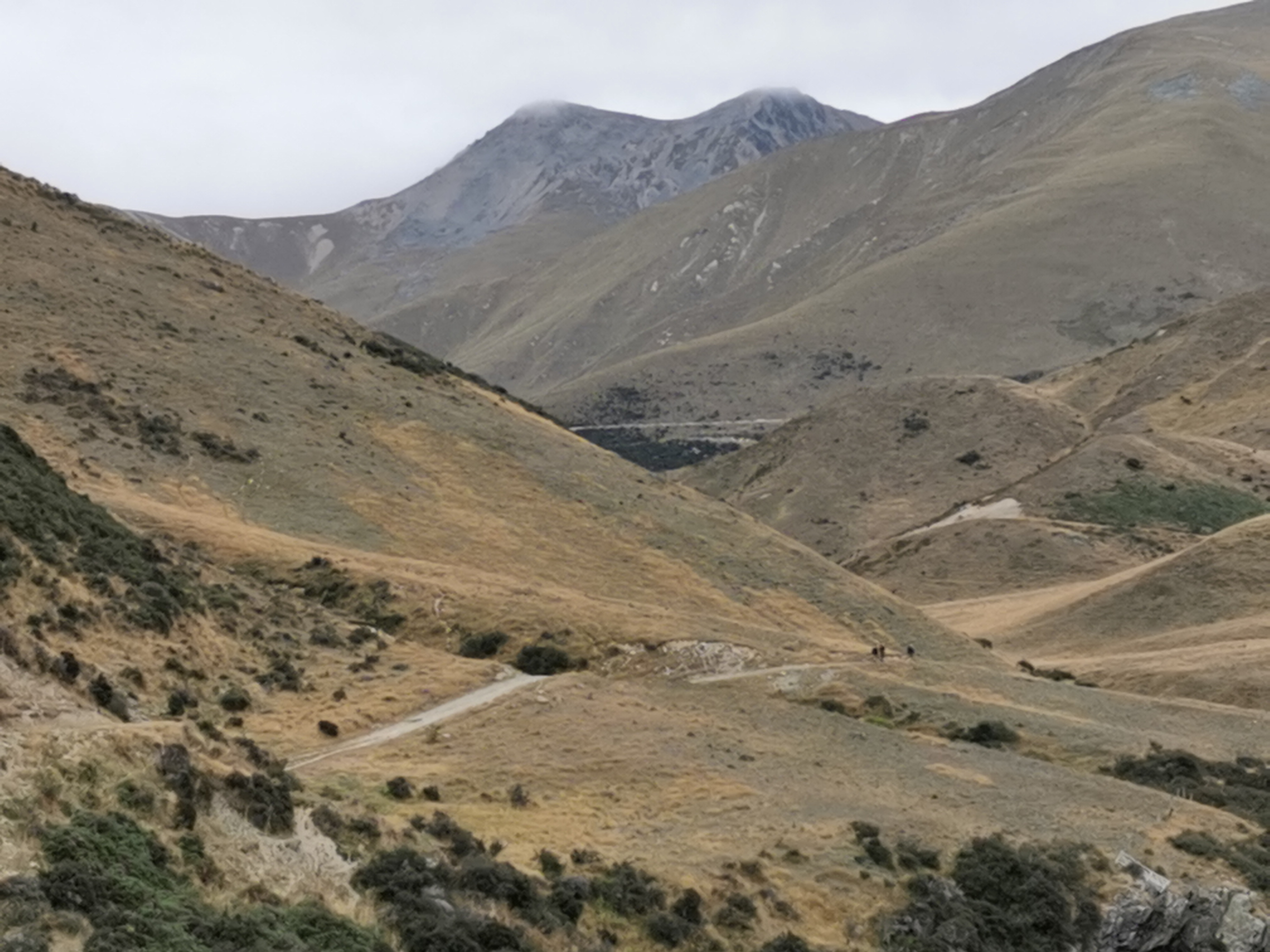
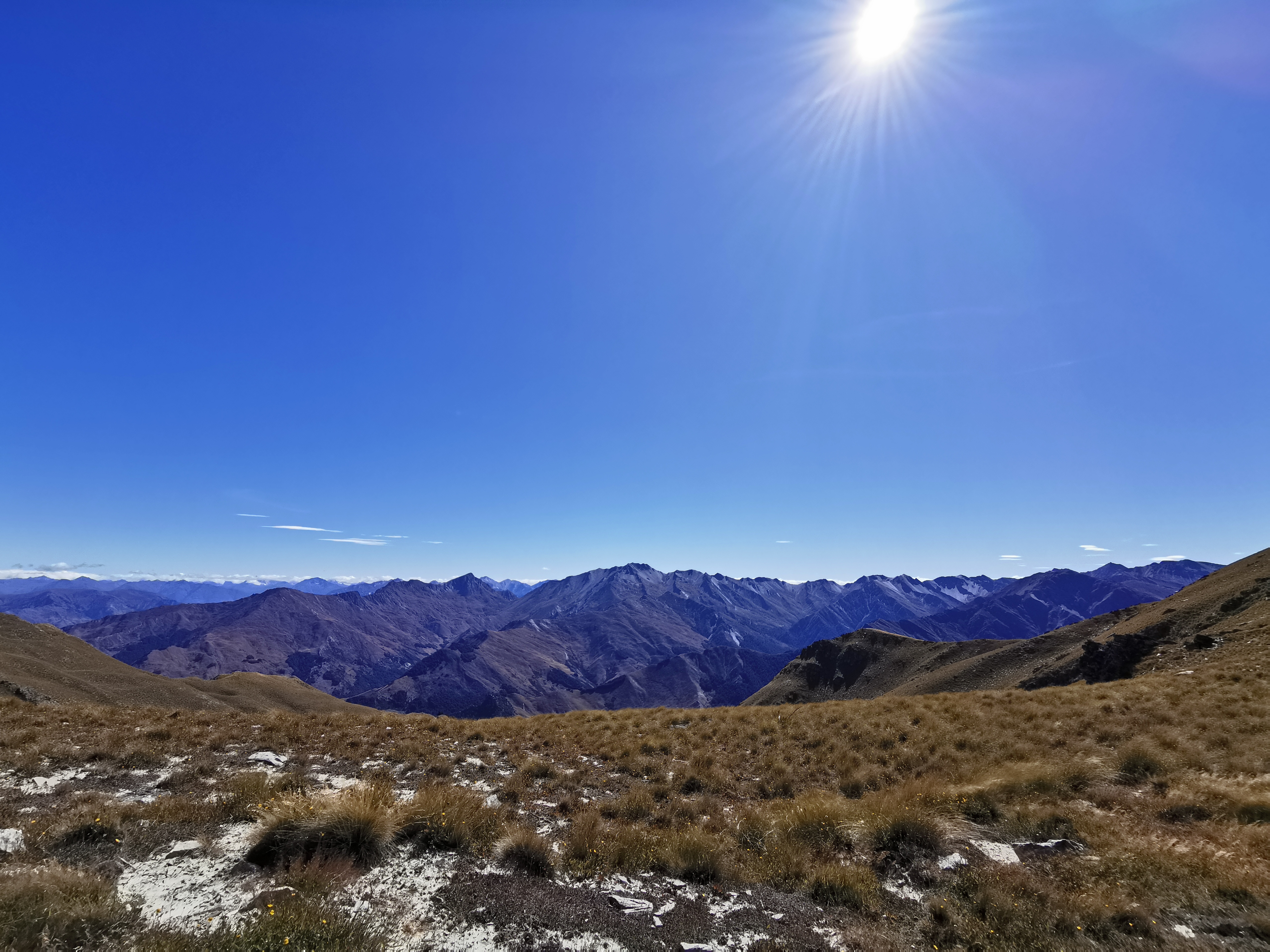
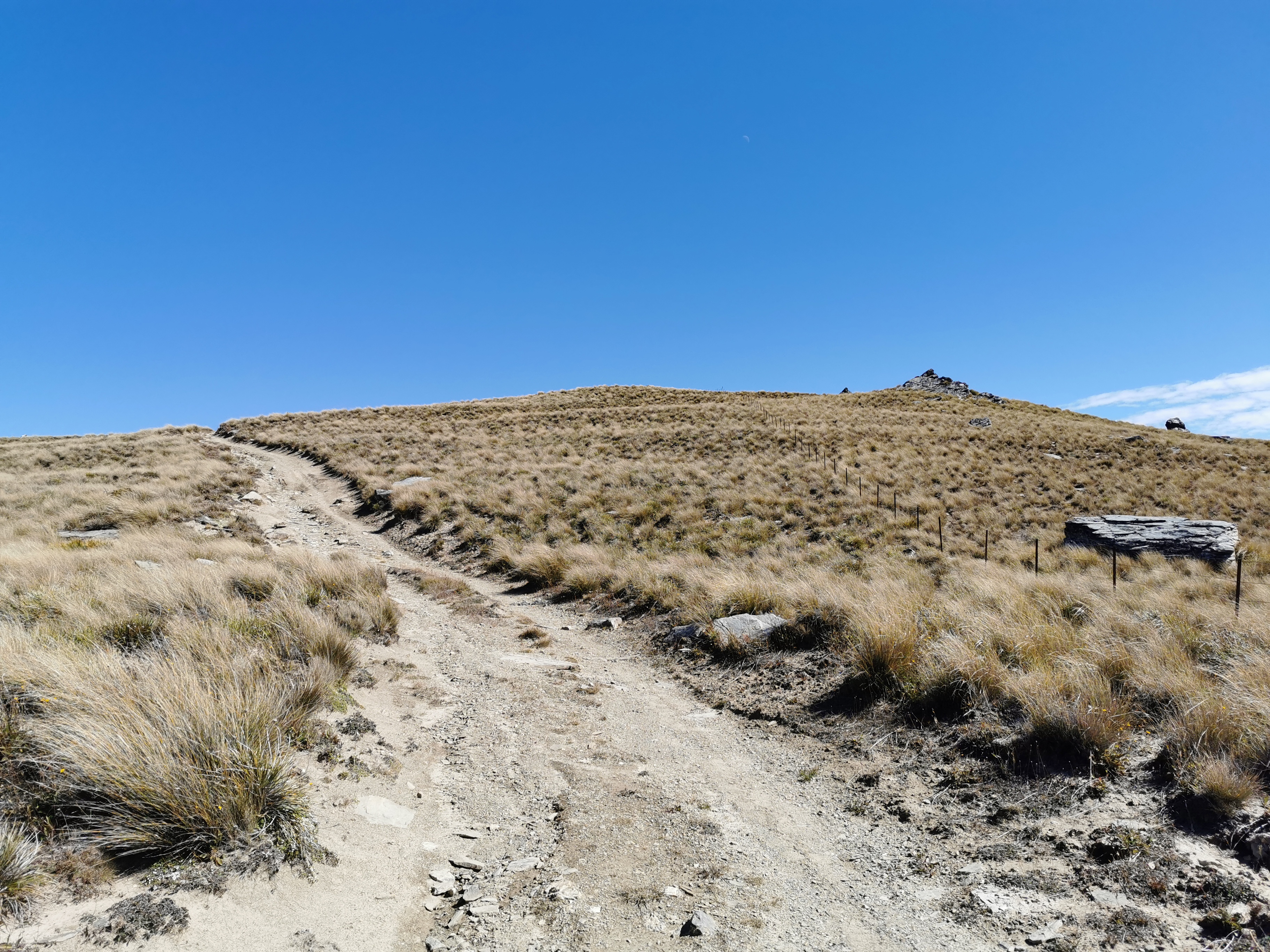
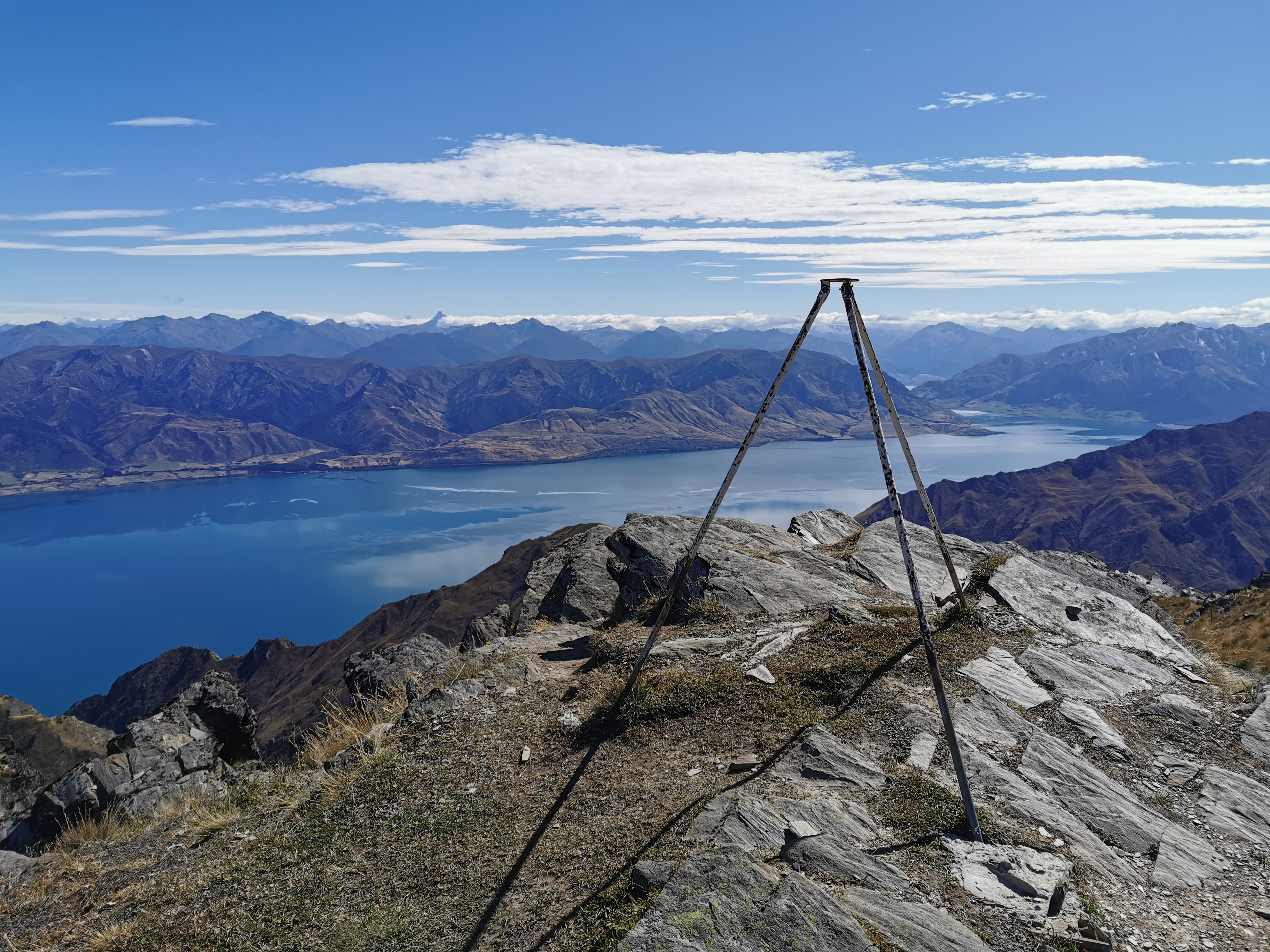
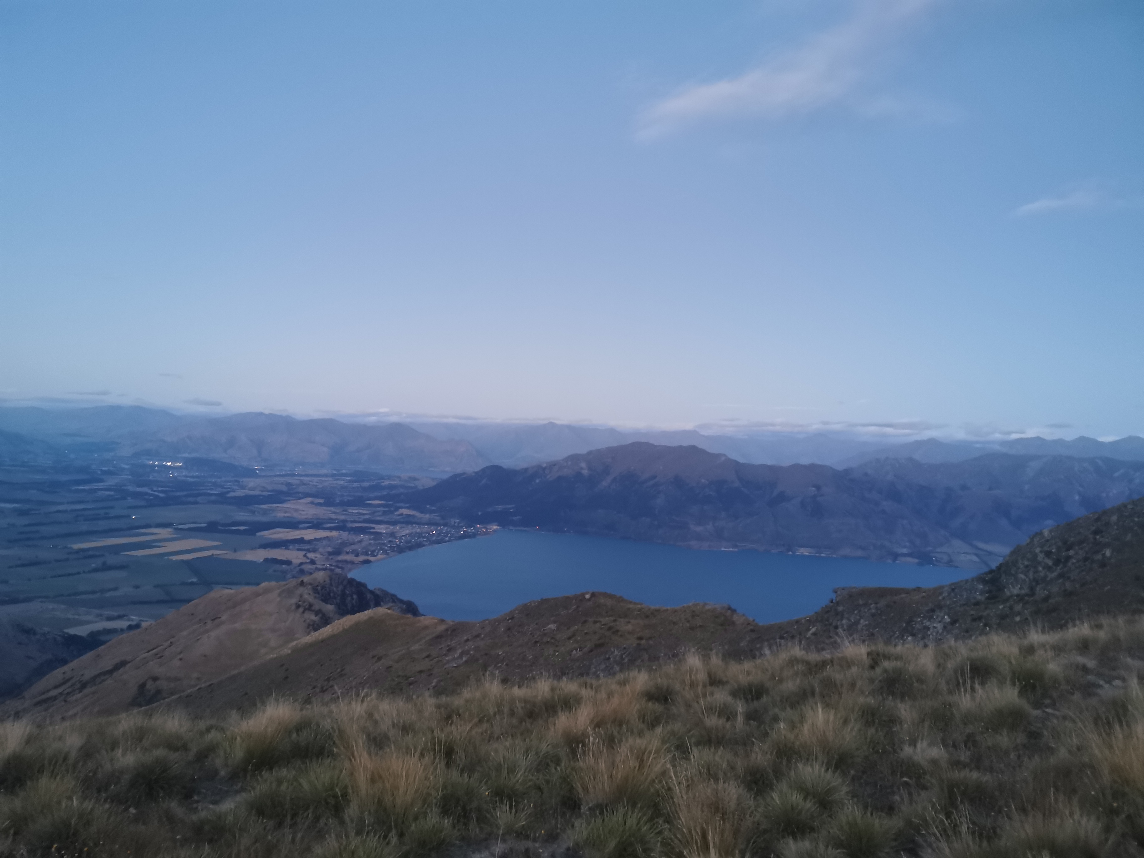
I was keeping my eye out for the 2250km mark. I have been telling people during my break that I’ve done 75% of the trail (2250km) but I was a few kms off – the actual 2250km mark is at the top of this hill.
11am picture, since it was 11am at this time
I liked this hill – other trails would just lead you right up the side of a steep hill like this but the big switchbacks here made it easy. And once at the top, I took a photo of the view.
The view at the 75% mark
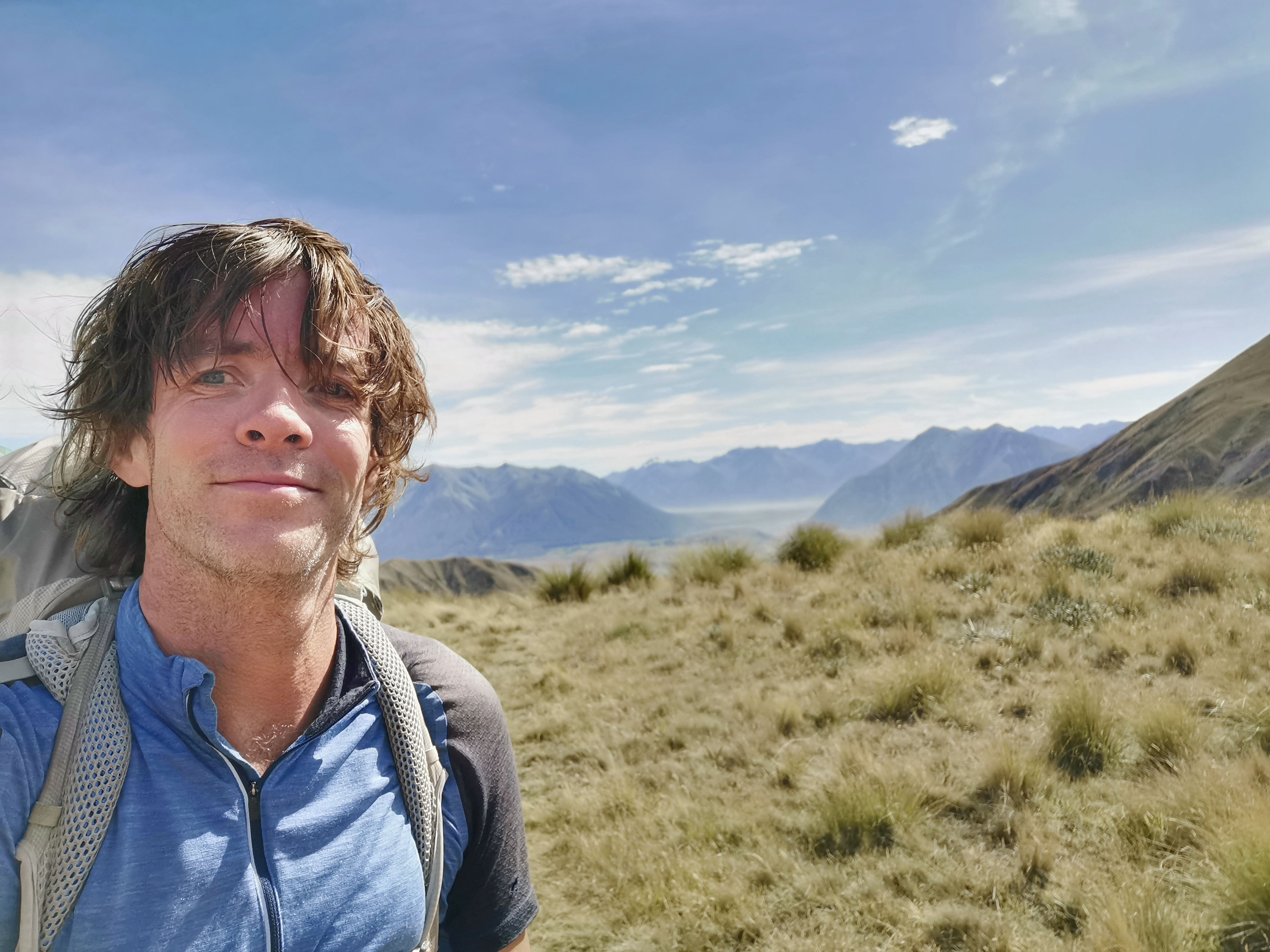
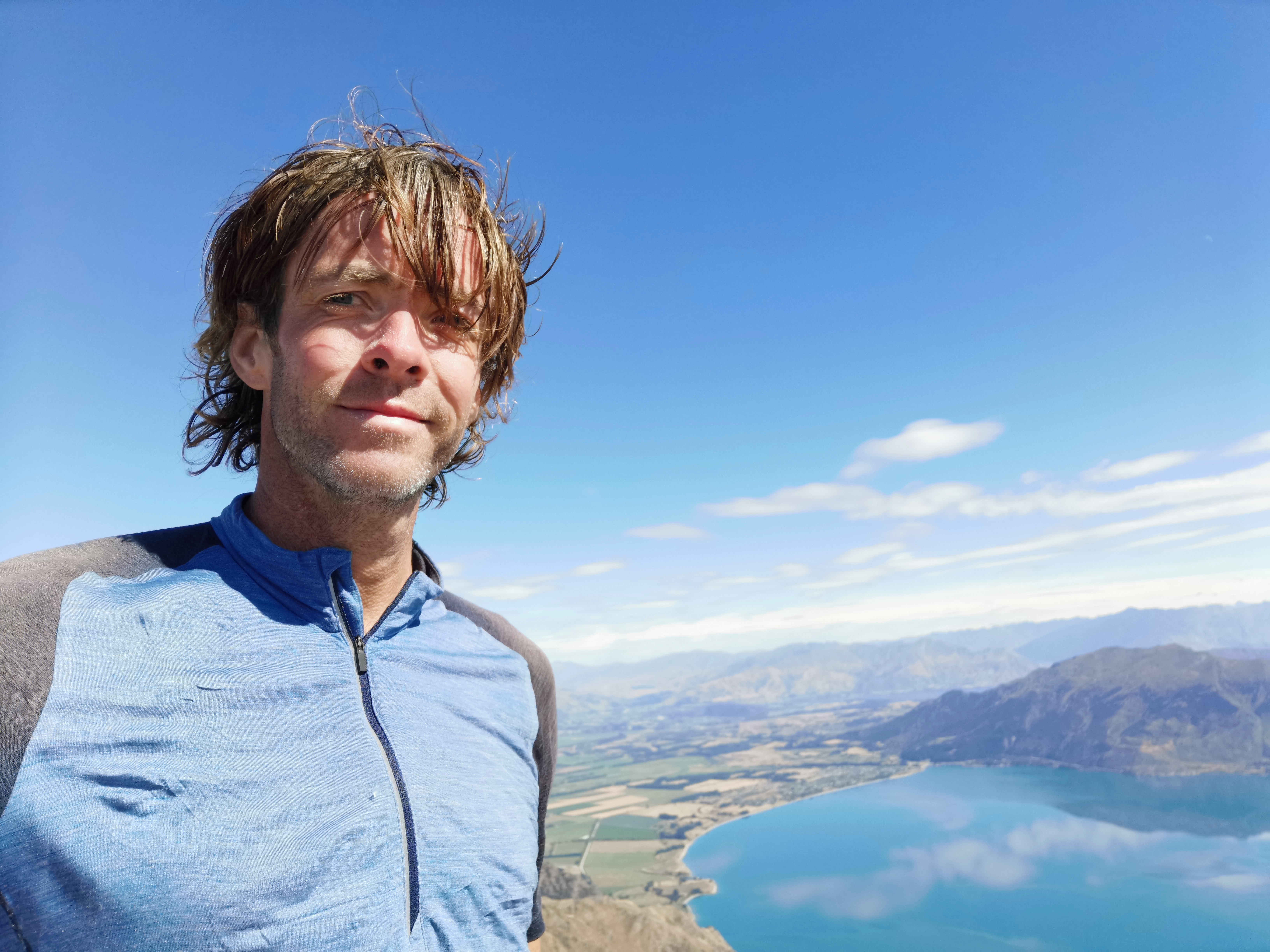
And a selfie at the 75% mark.
75% of Te Araroa done!
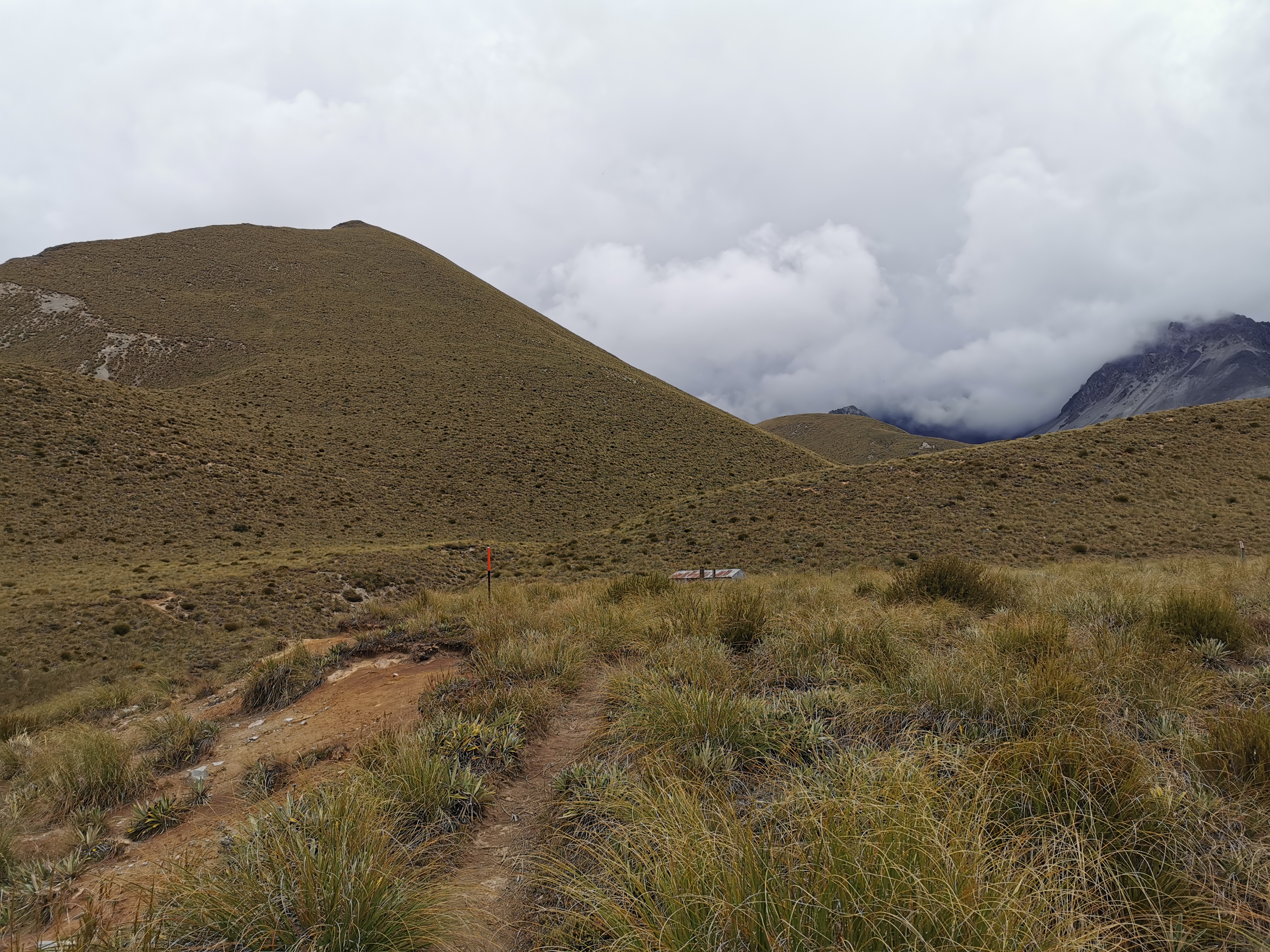
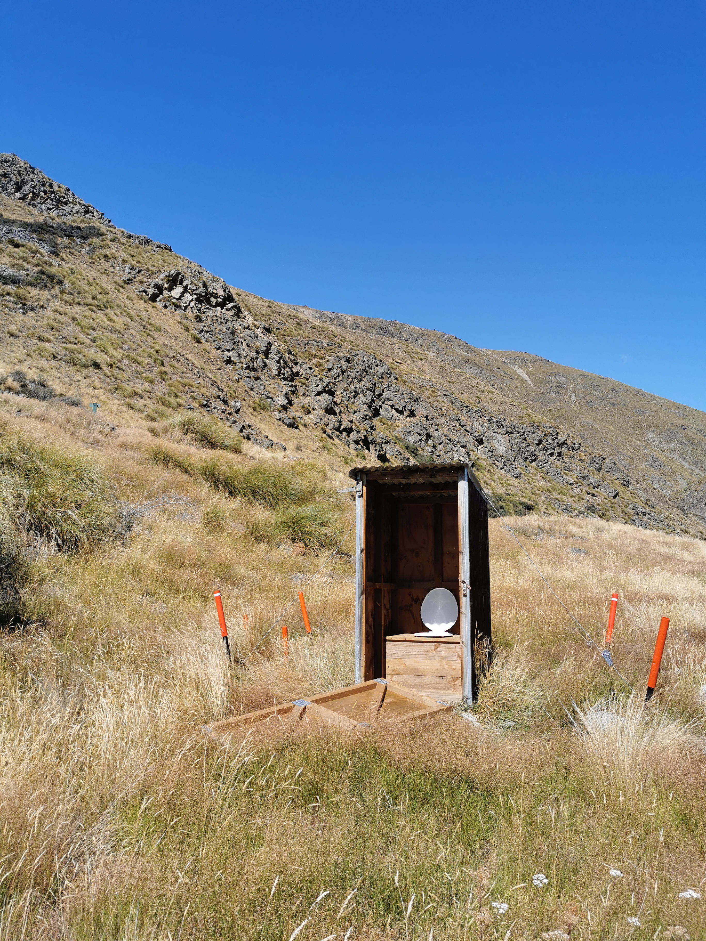
From here on all the way down the hill you can see the toilet for the next hut. It was the only thing on the landscape that wasn’t grass or mountains.
Do you see the loo? I thought it was simply a rock at first
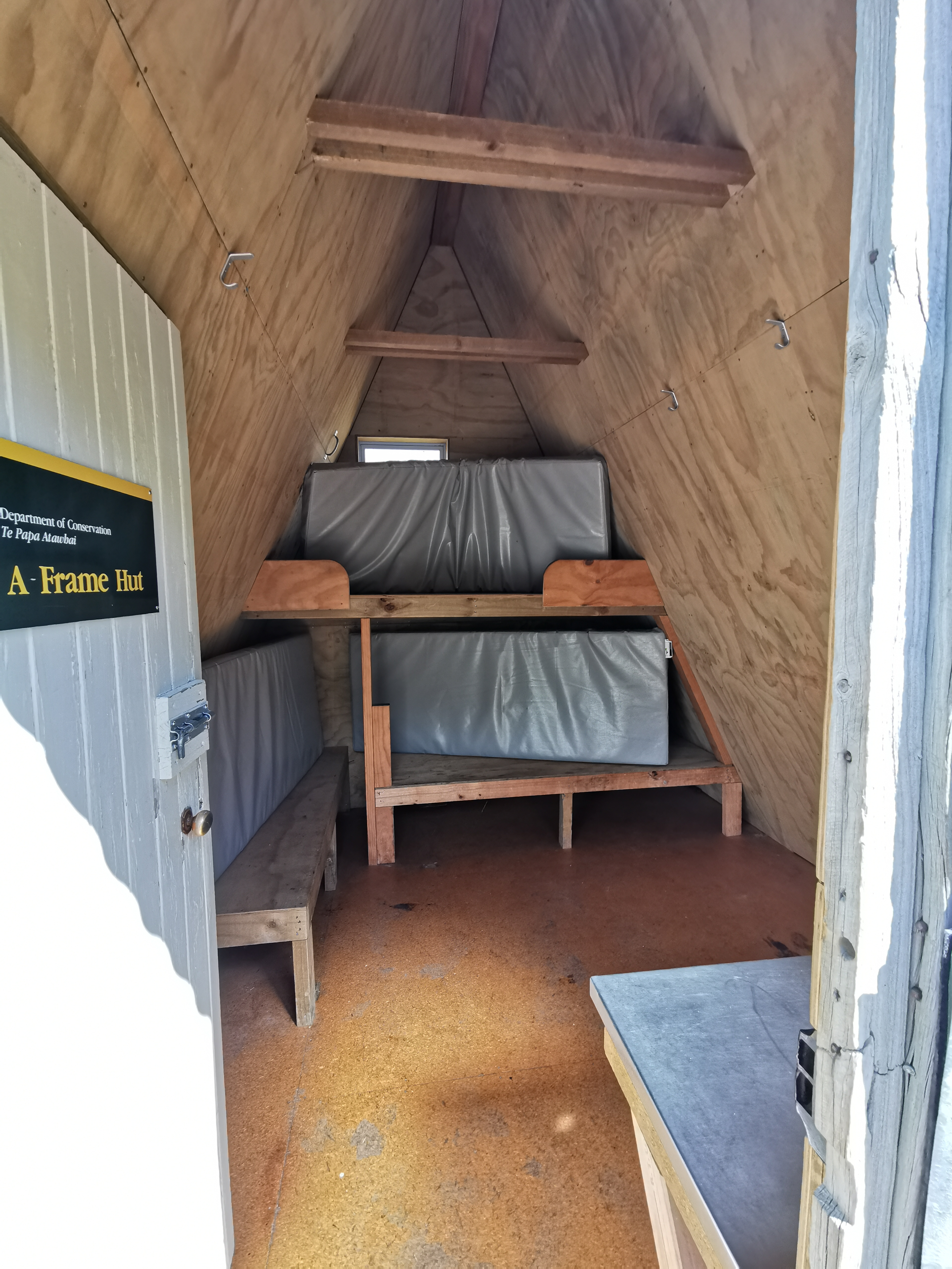
This hut is the A Frame Hut. Not a very original name, but judging by the Guthook comments, people seemed to agree with the NOBOs that it was a nice place to stay.
A Frame HutInside A Frame Hut
We spent an hour having lunch here, we certainly didn’t rush. I got to know Anka’s story – she has done the whole trail except she skipped the section between here and Tekapo because of “lack of motivation” apparently. So now she’s just walking to Tekapo.
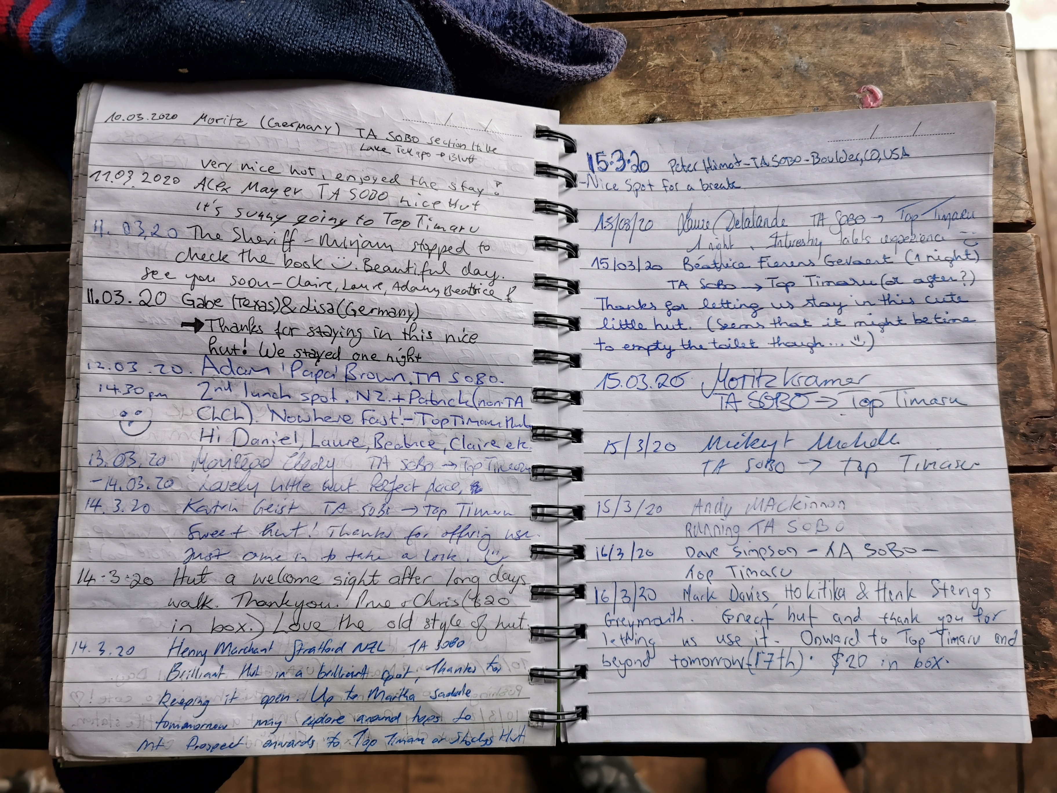
I was excited to look at the intentions book and see where everybody I knew was, but the book had been replaced on 20 February (2 weeks ago) and so I didn’t really recognise any names. I knew that most people I know have already finished the trail so I don’t know what new information I hoped to get from the book. Mickey and Michelle are five days ahead, so there is a chance I might catch them. I thought I might see Henry’s name because he had been posting Facebook photos from not far ahead but they could have been old photos. His name wasn’t in the book.
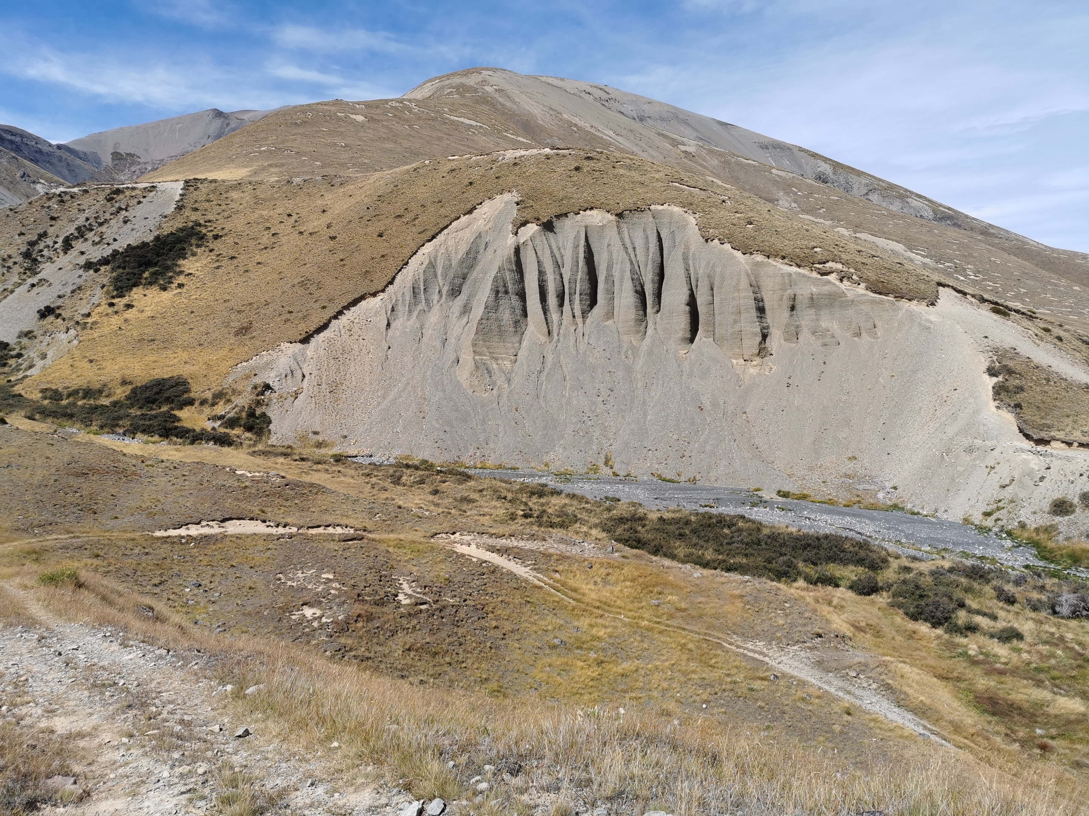
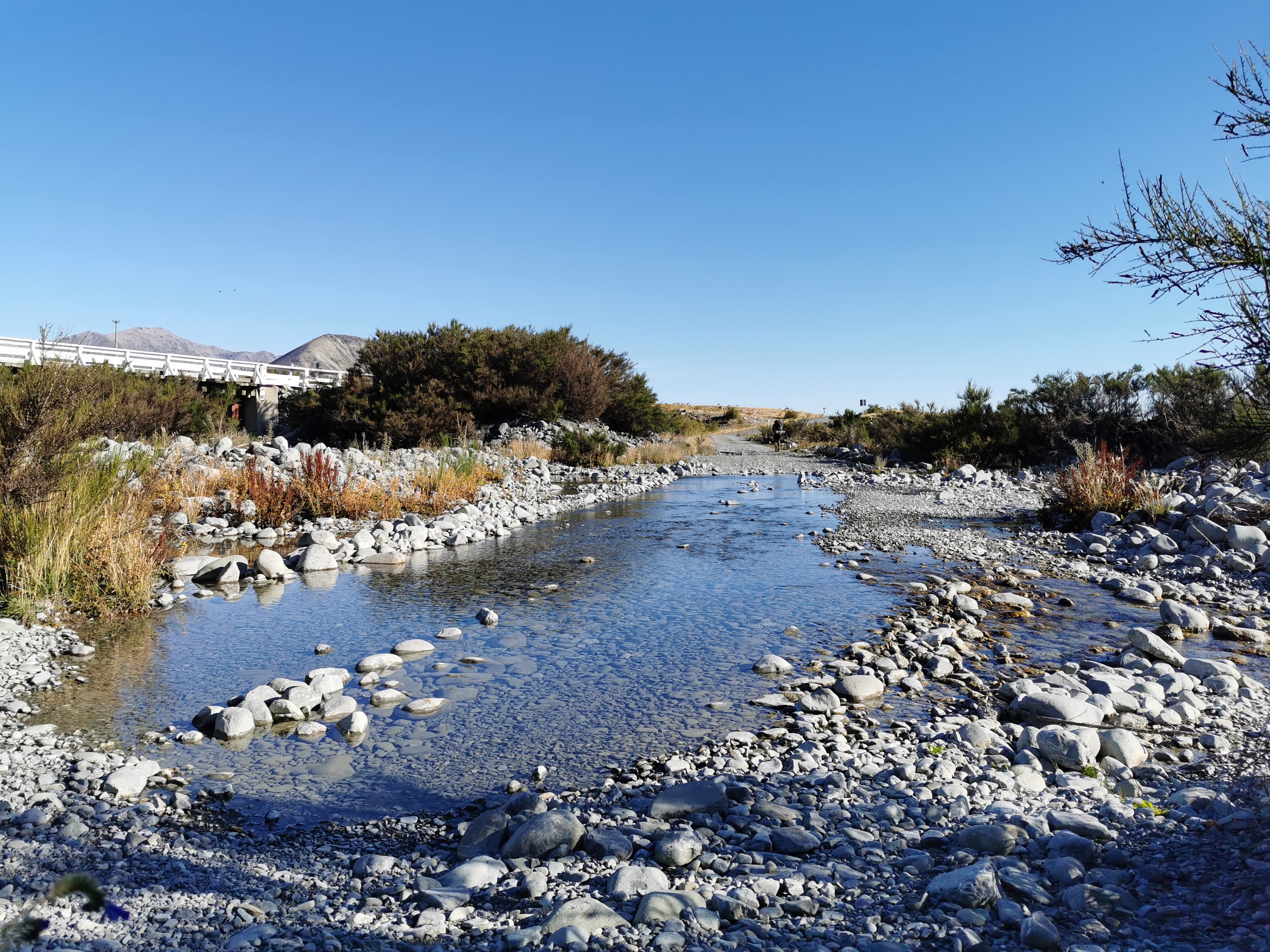
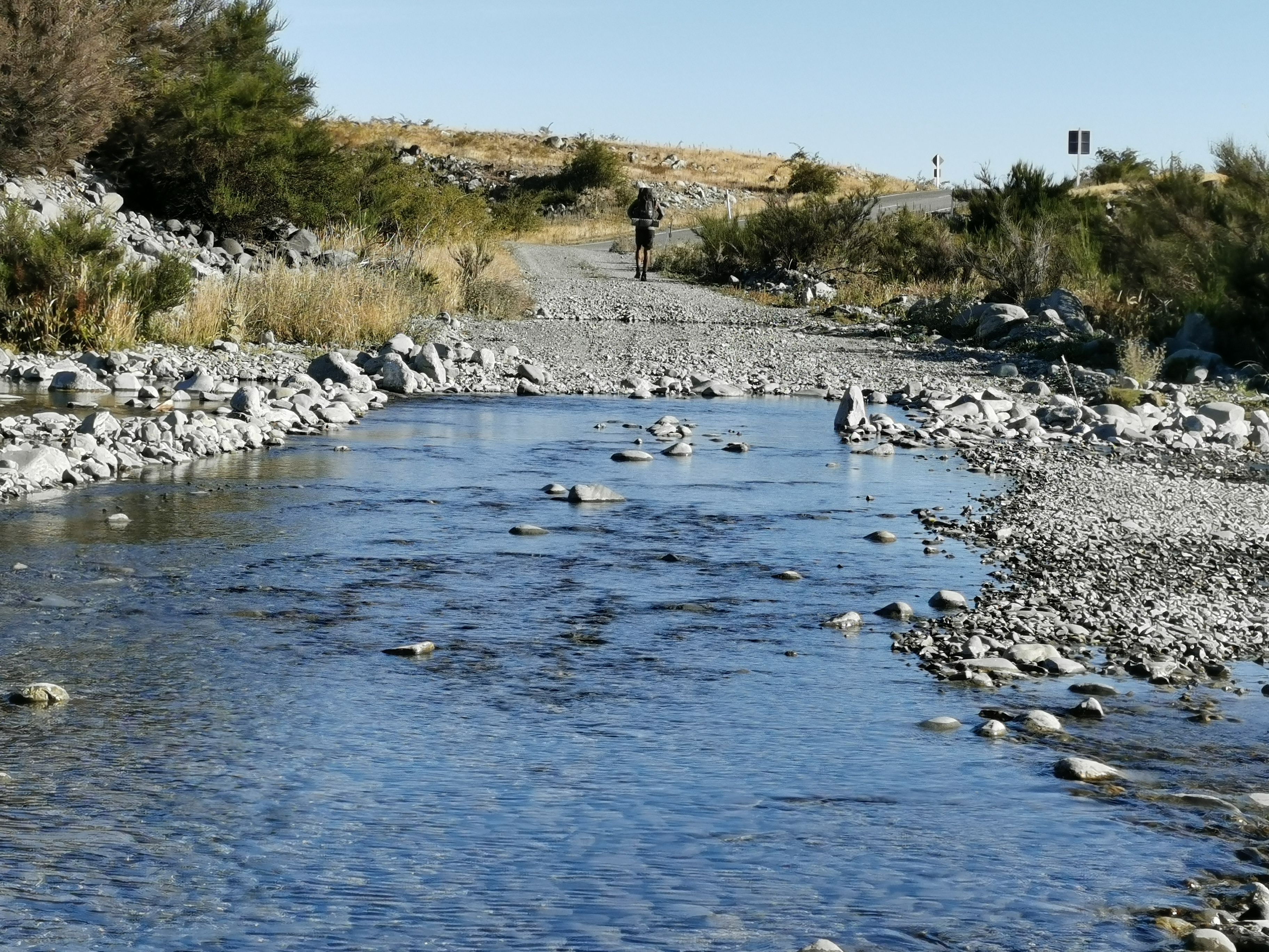
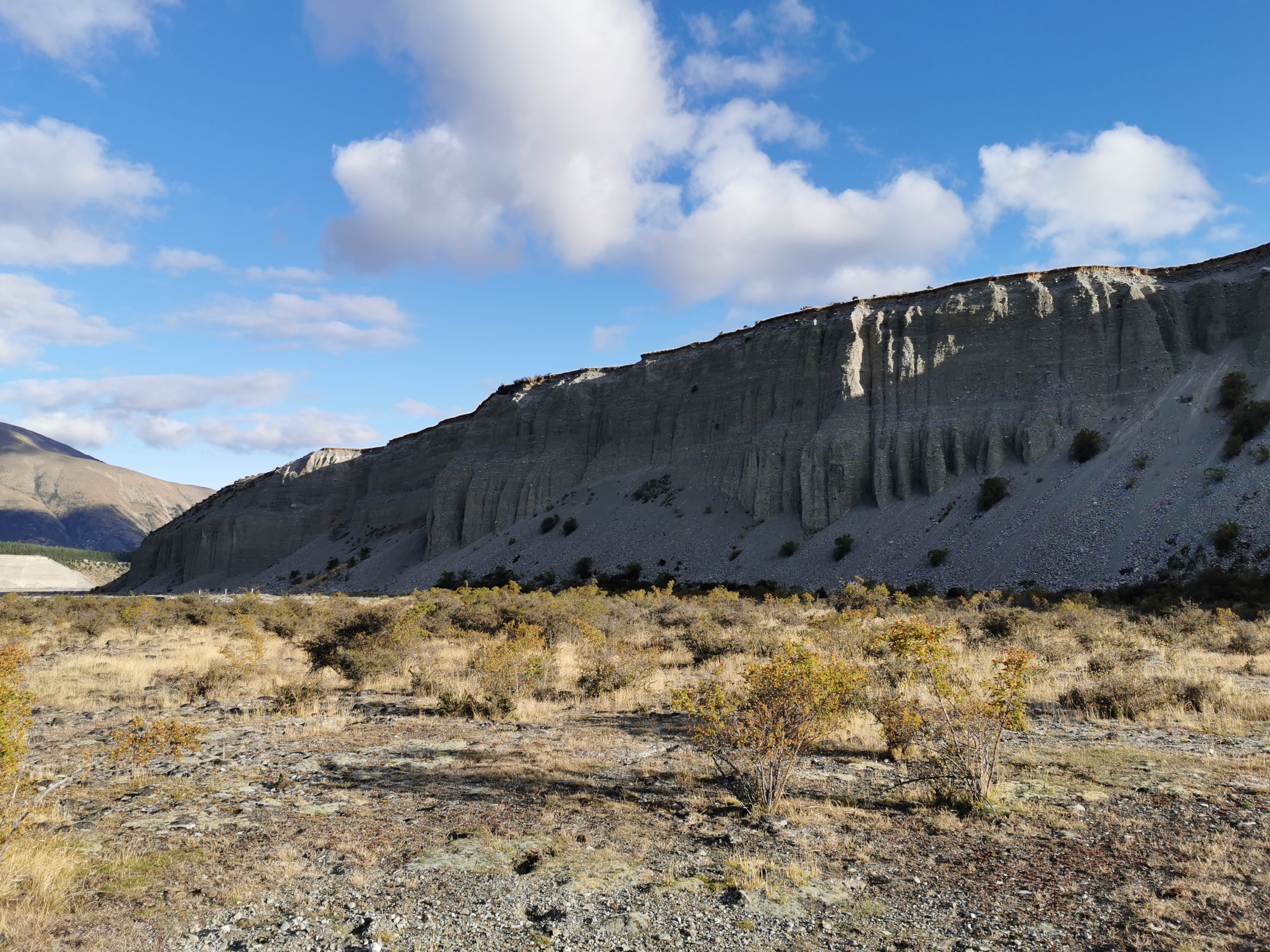
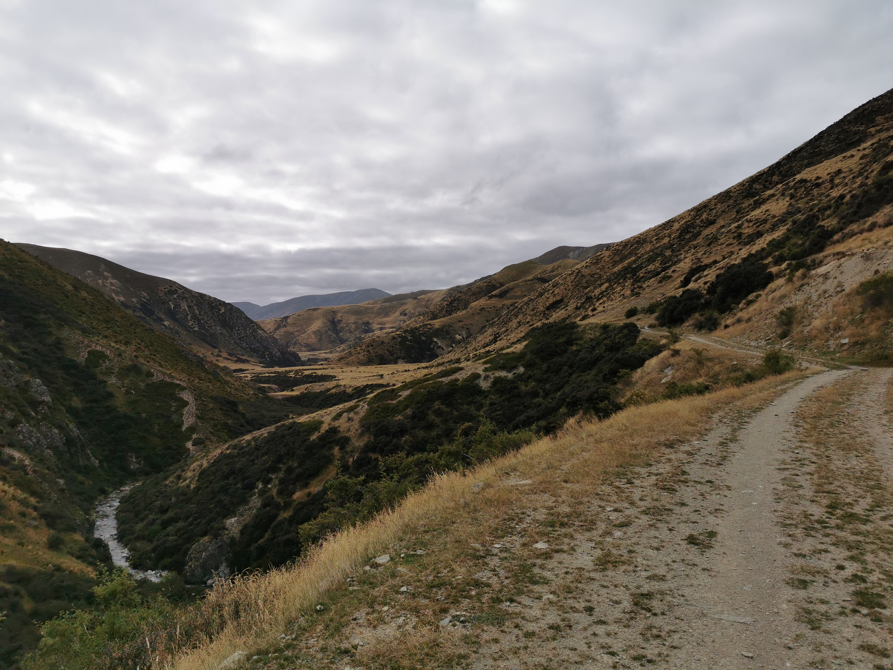
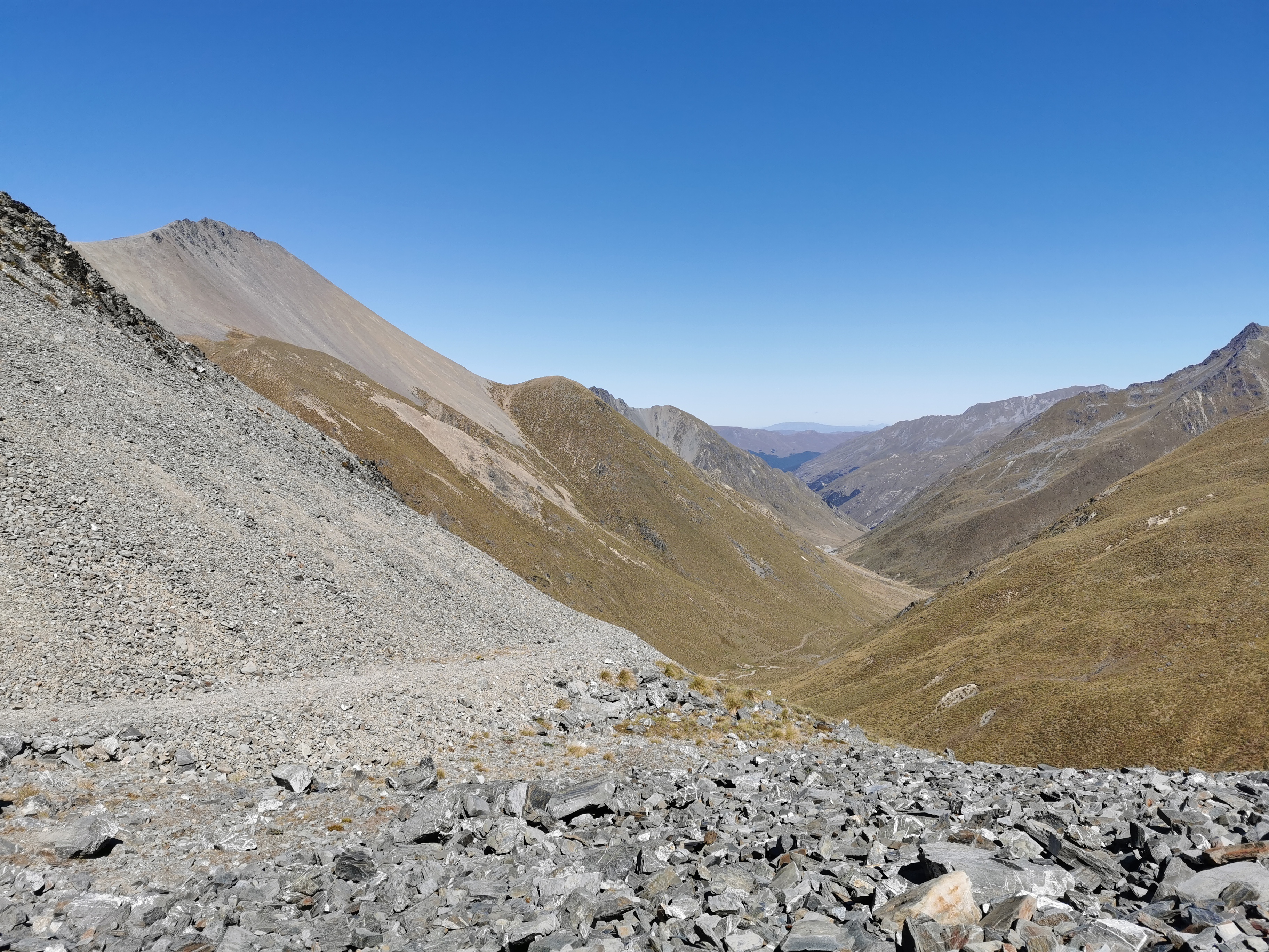
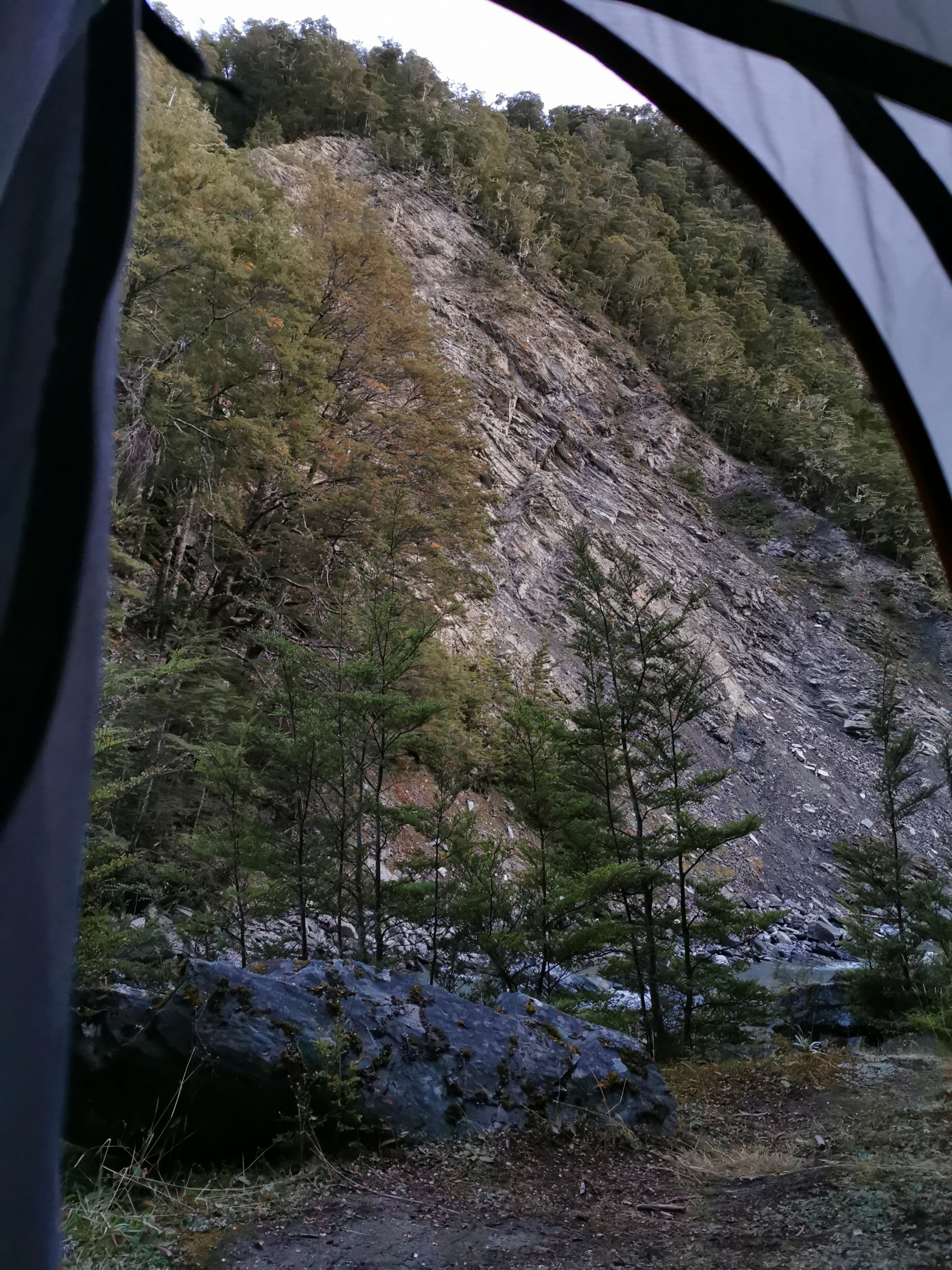
After continuing past this big slip,
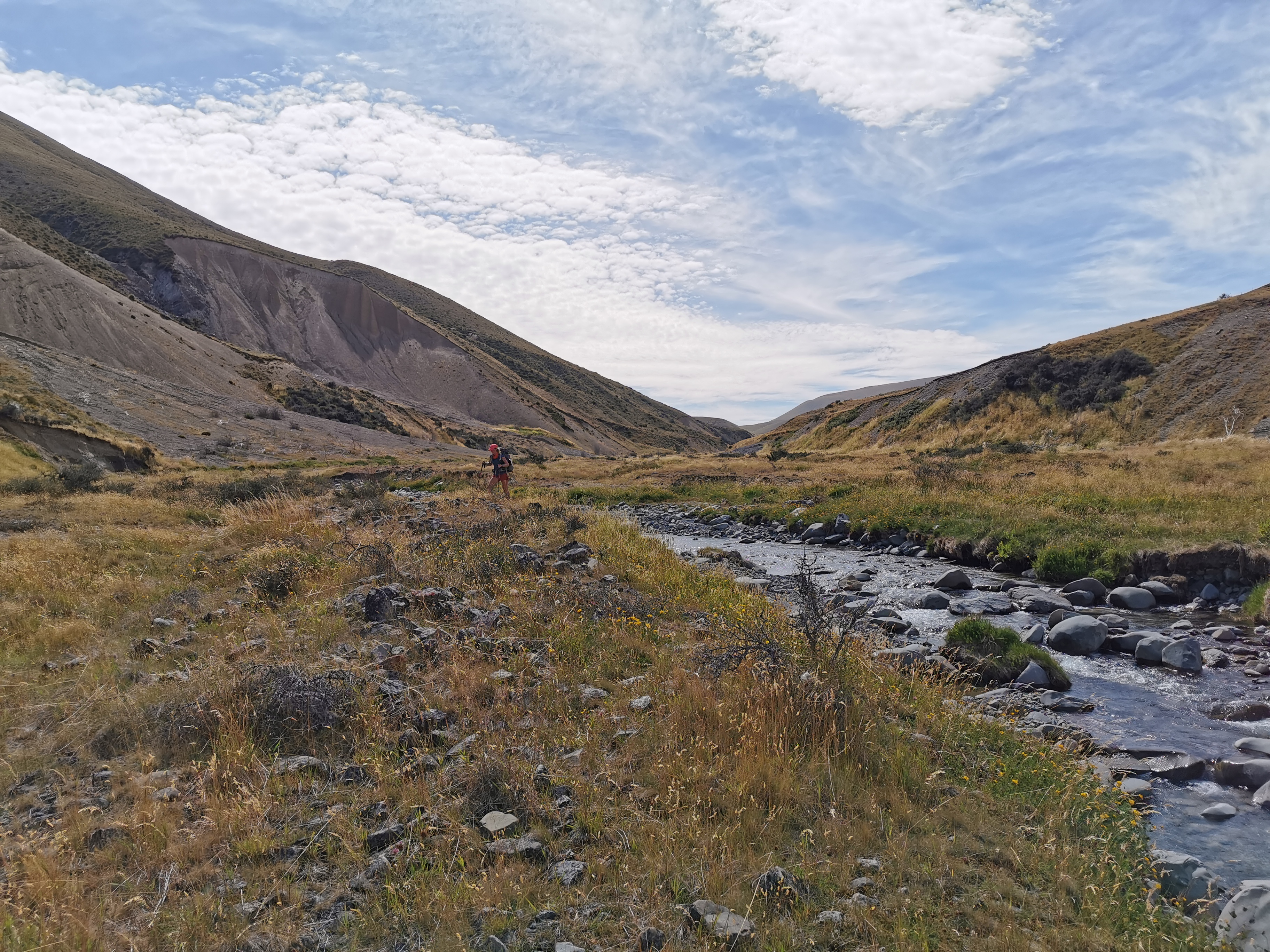
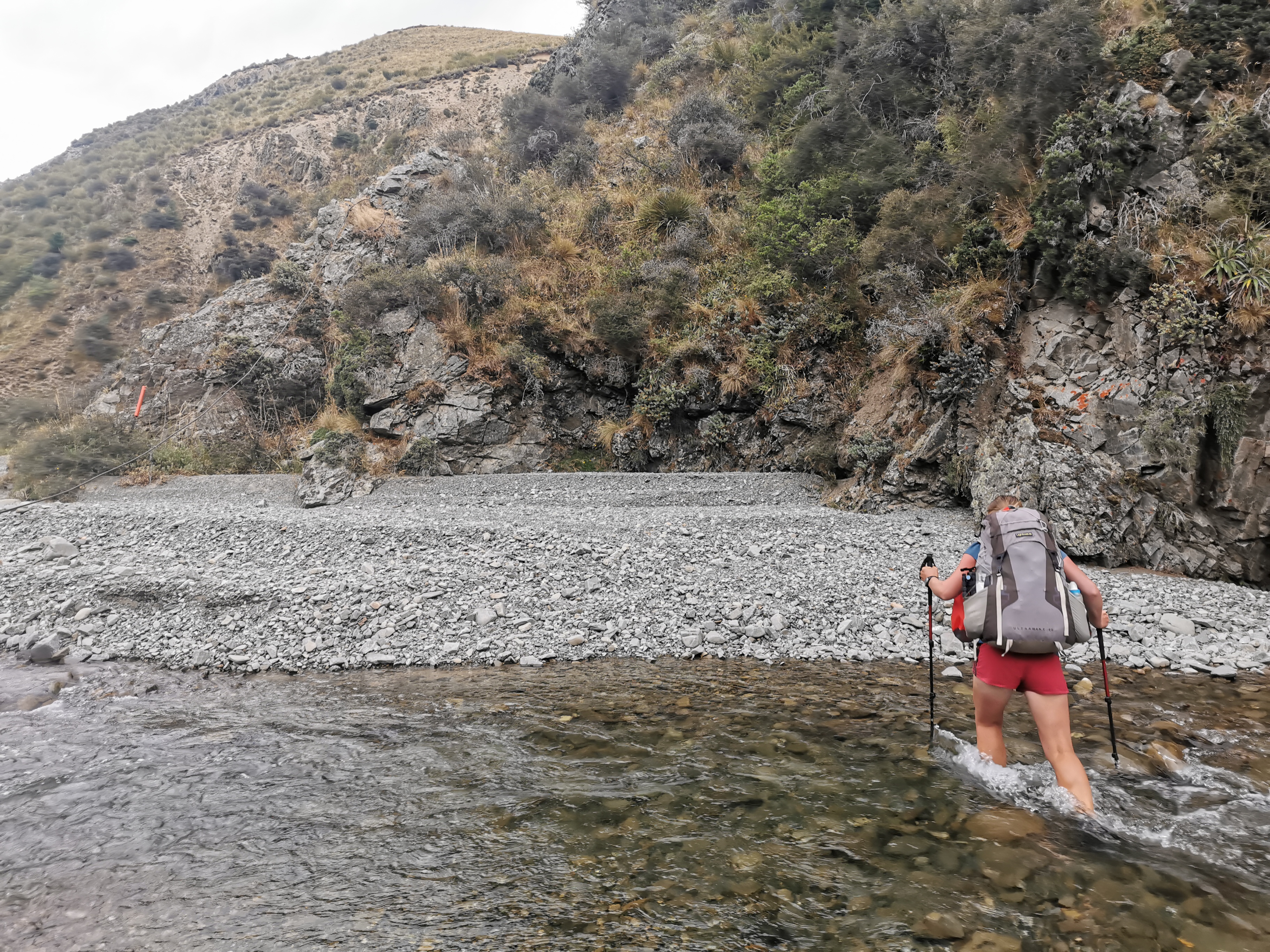
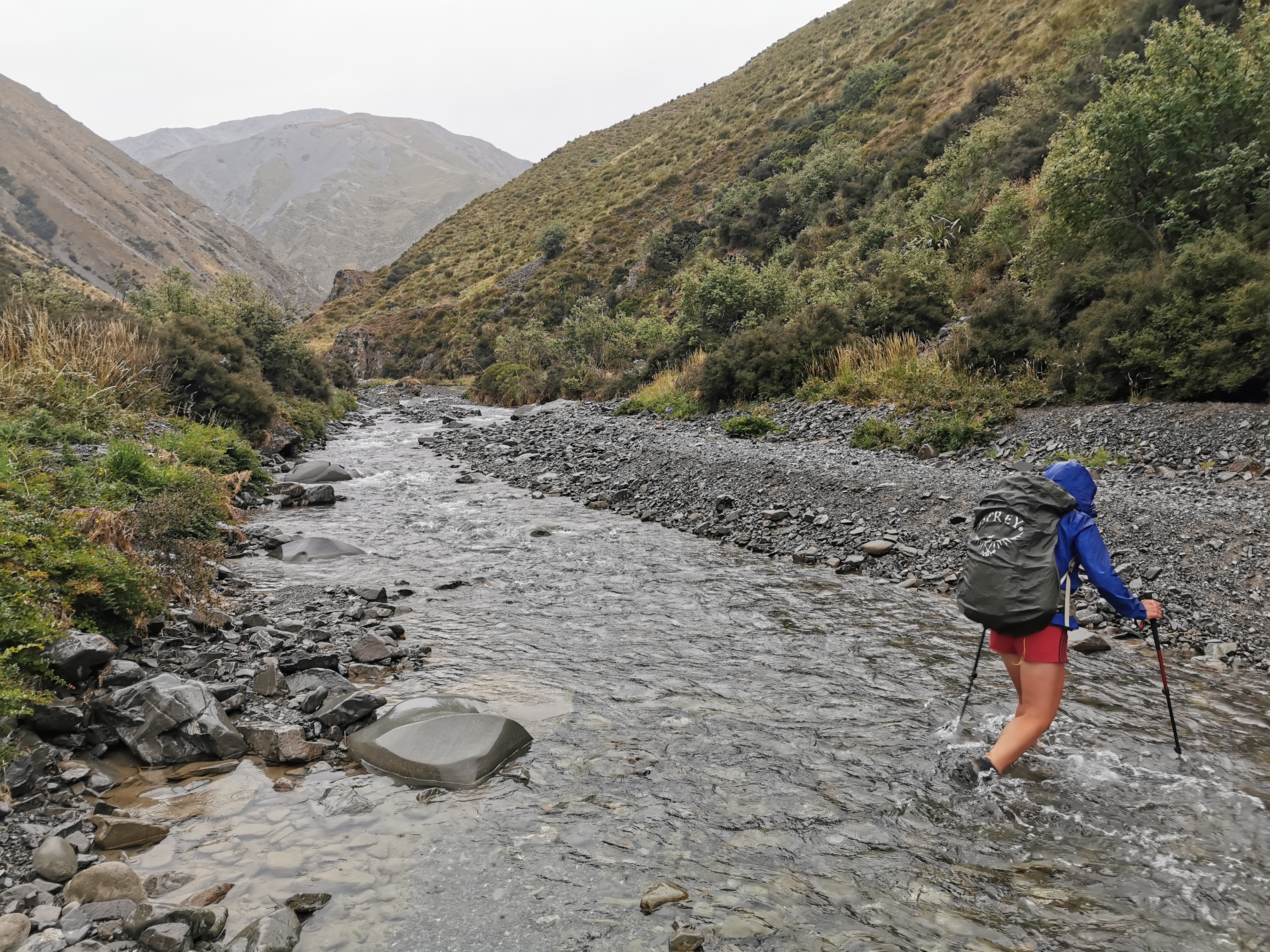
You have to cross this river four times. I tried to keep my feet dry but ended up with one foot in the water on the last crossing as there wasn’t an easy way across.
Then after this hill,
This hill right here
I had a look back to see where we had been walking.
Looking back
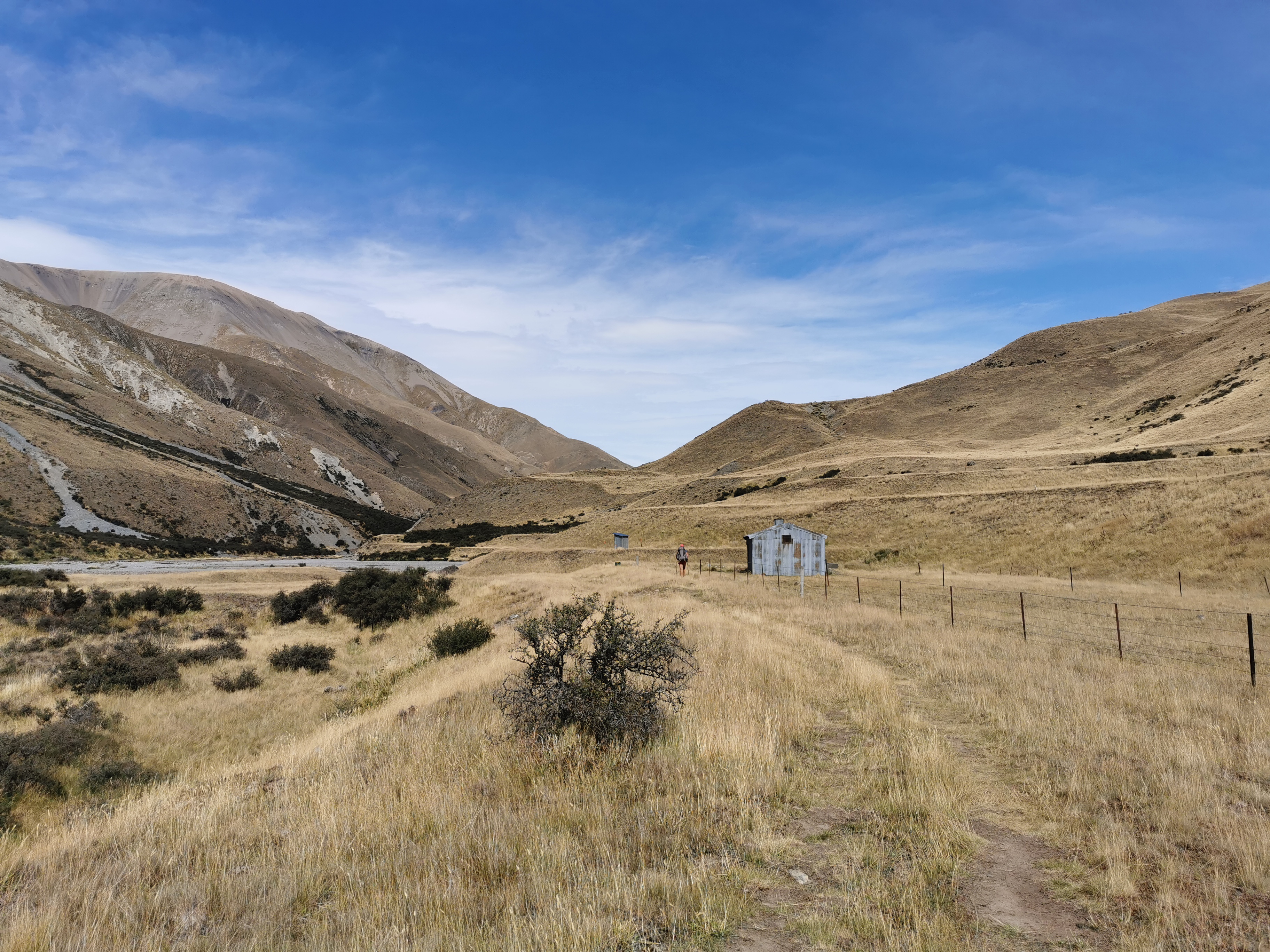
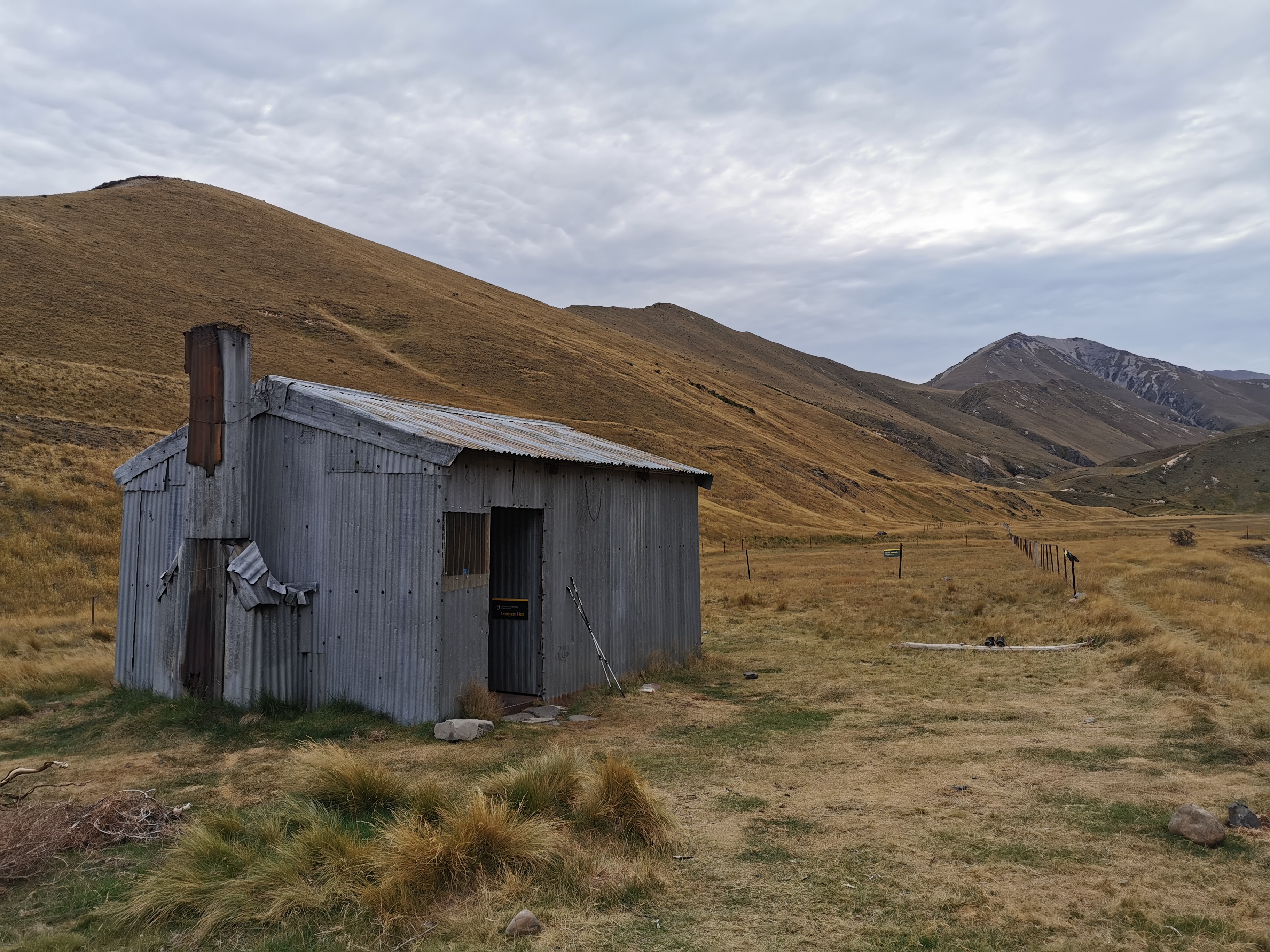
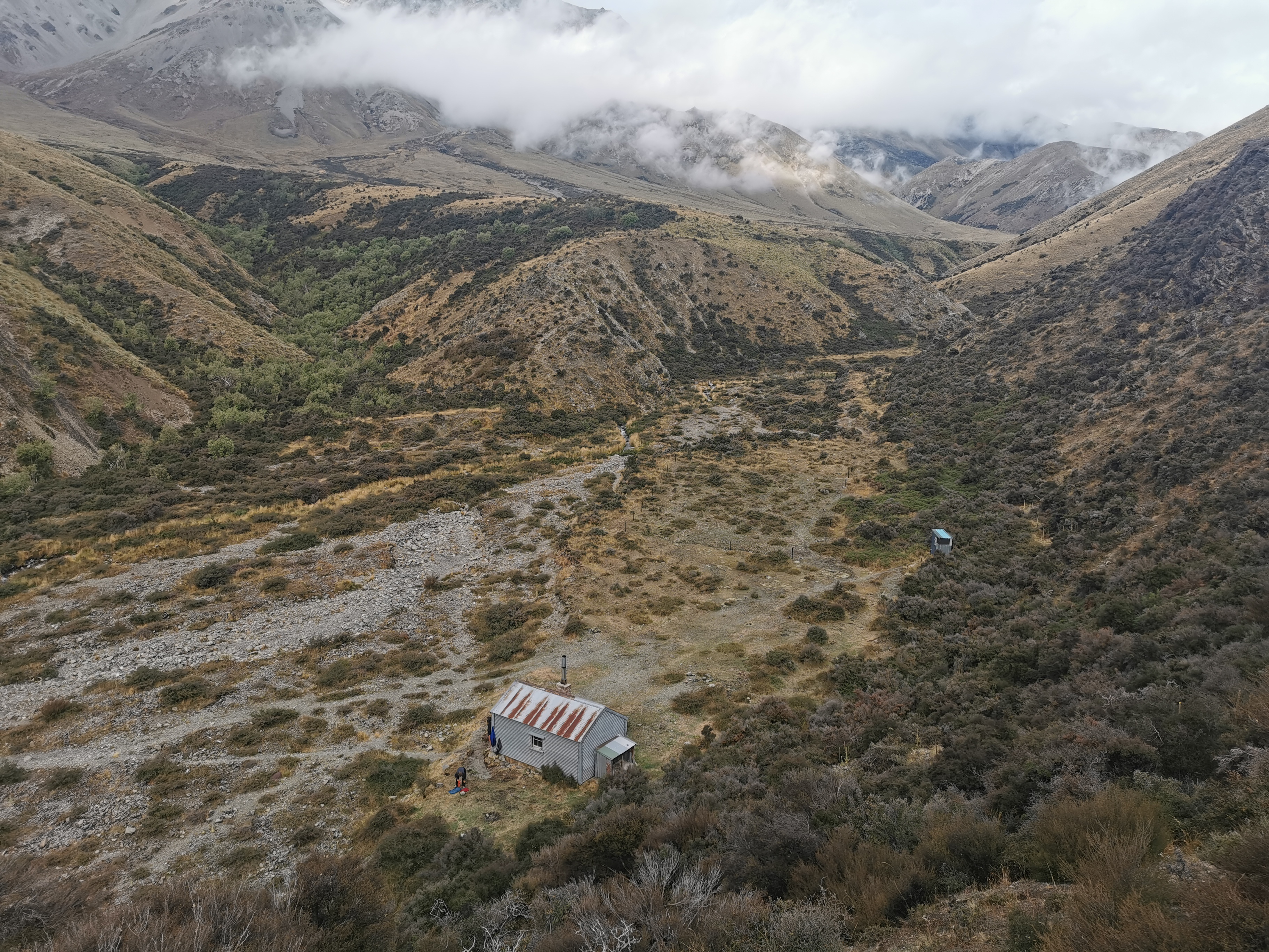
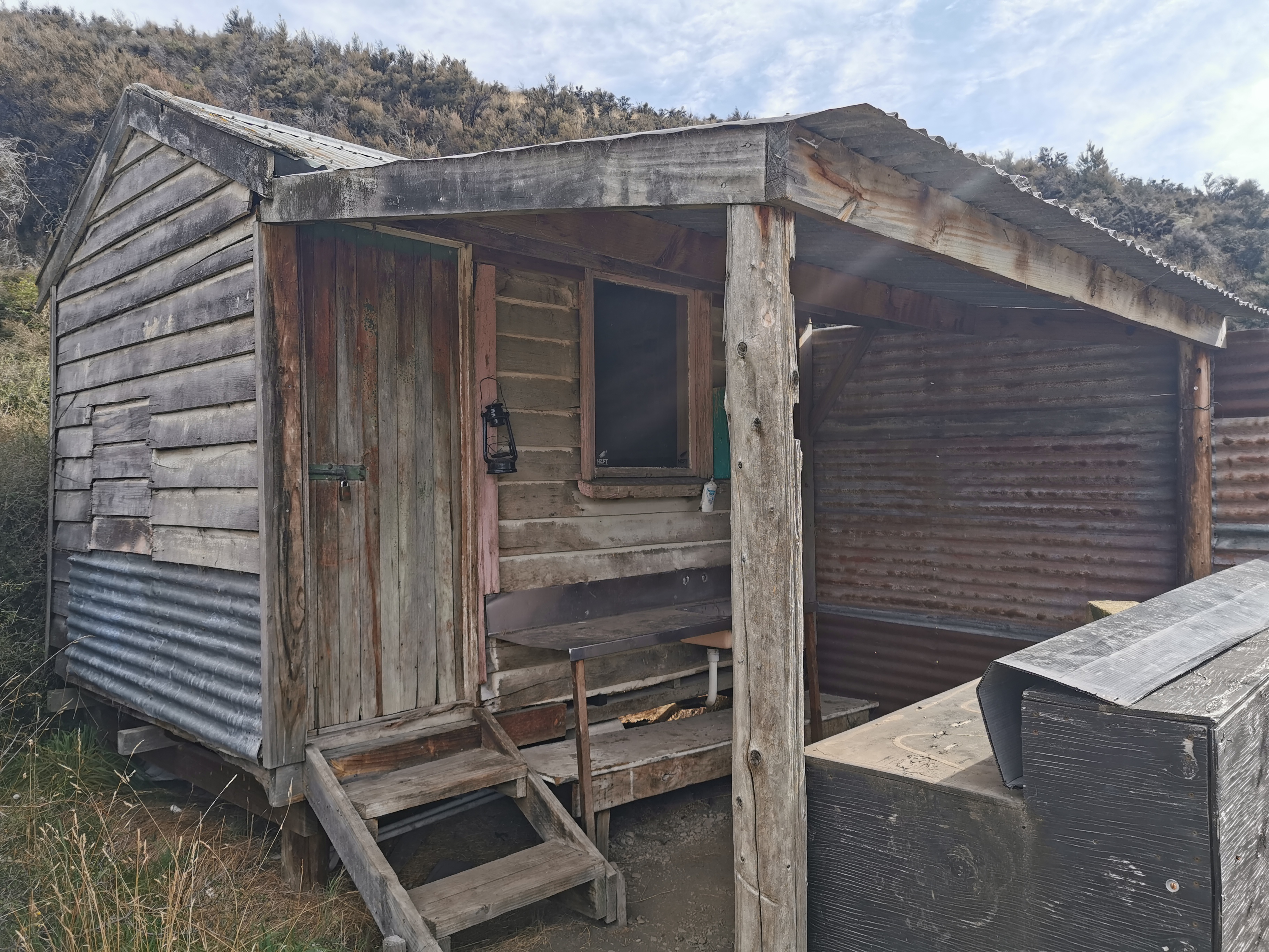
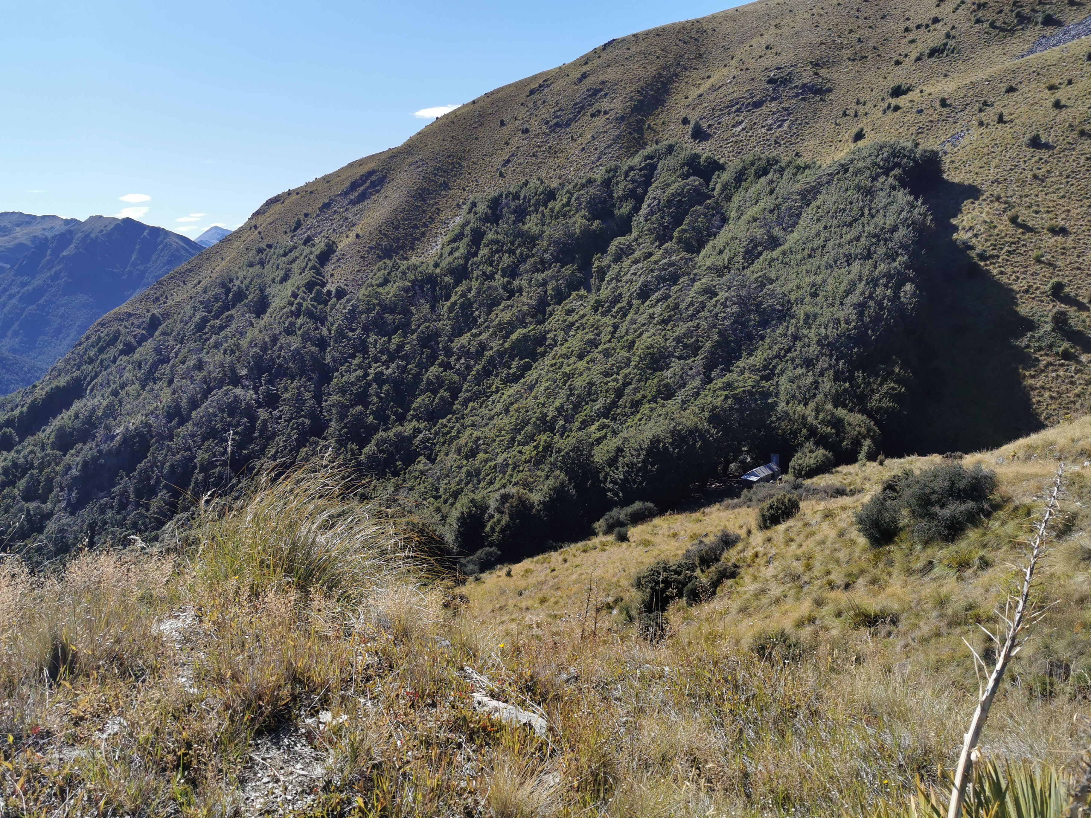
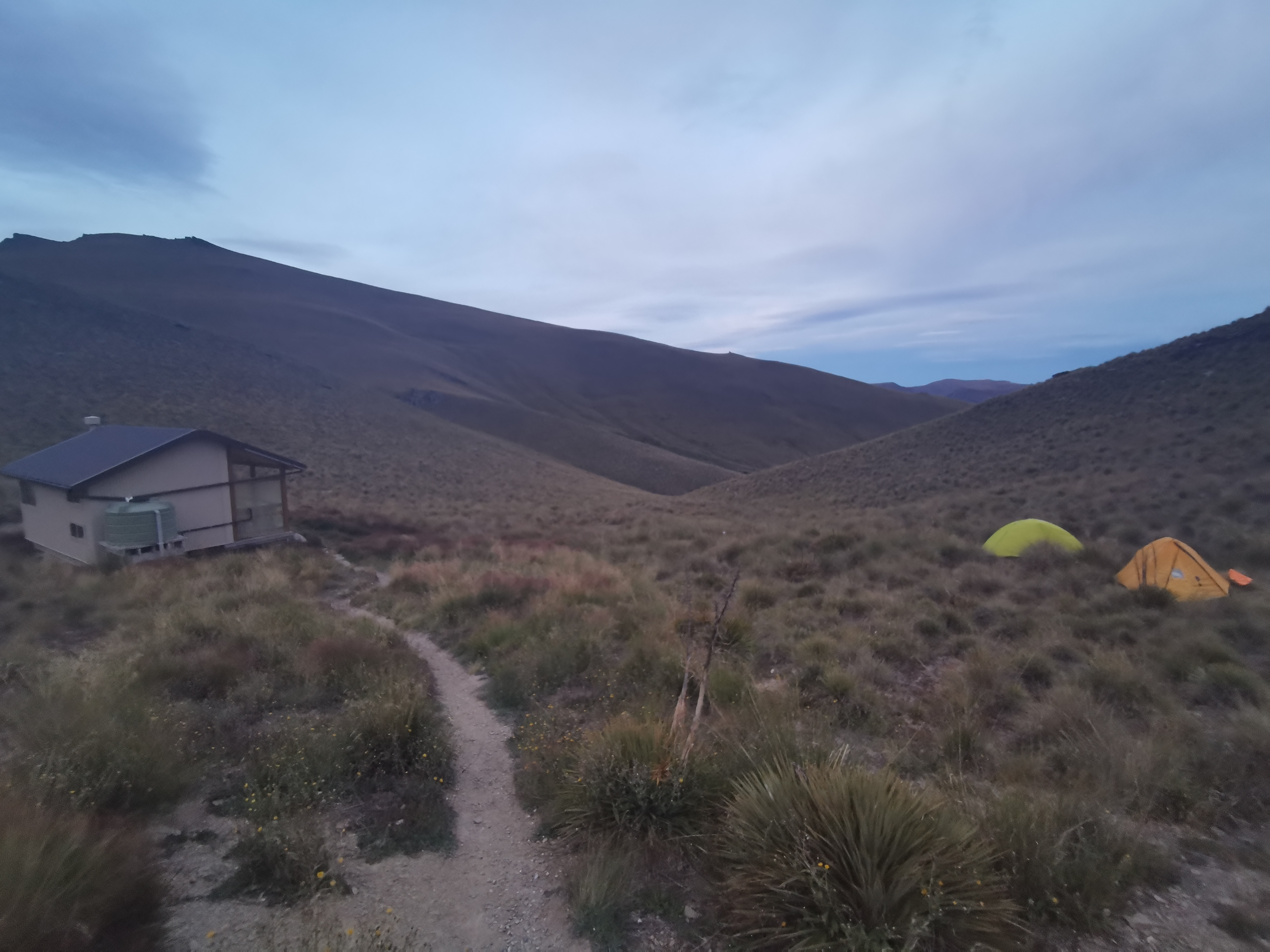
It wasn’t much longer before arriving at Comyns Hut.
Coming up to Comyns HutOutside Comyns Hut
We got here at 3:30pm after being dropped off at 10am. Normally I wouldn’t stop at a hut this early but since it was the first day back after a month off walking, and the fact that our shuttle is at a fixed time on Monday, we stopped here. Plus the next hut (Double Hut) is seven hours ahead. It meant only a 15km walk today but I was happy about it. Tomorrow will be a big day but day 3 should be okay.
There were no sandflies either at this hut which was really surprising. It was very nice to be able to wander around outside just admiring the view and enjoying the peace.
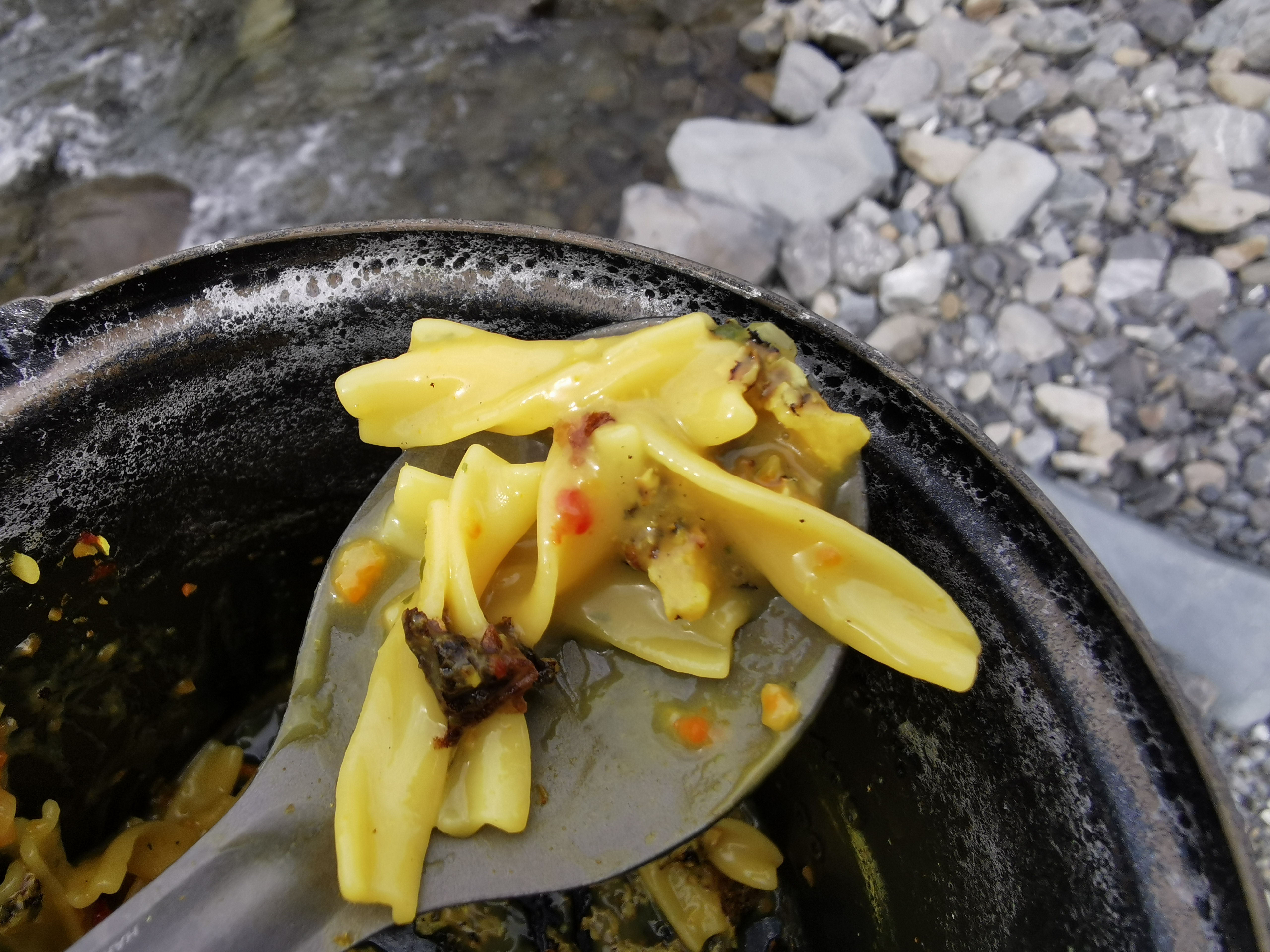
I had some pasta for dinner, and it was at this point that I noticed that the handle is missing from the lid of my cooker. That’s really annoying as it means that once food has been cooking, I can’t take the lid off the pot without it burning my hand. I tried to find the handle but it was nowhere to be found.
The reason I think this happened is that yesterday when I checked my bag in at the airport I had my lighter inside the gas stove, and when I got to Christchurch there was a security note saying that security had opened my pack and removed the lighter from inside the stove and confiscated it. I didn’t realise I couldn’t have that checked in my pack but at the time I didn’t think any more of it. But now I realise that security must have broken the handle off while getting into the stove. Did they do it on purpose as payback for endangering the lives of the people on the plane? They certainly didn’t admit to breaking the handle on the note. How annoying.
So then since it had been a month without using the stove, I had a few problems when cooking my pasta snack, it’s like I’d forgotten how to cook suddenly. Firstly it requires milk powder and whenever I boil water with milk powder in it, it bubbles over the top very quickly and makes a mess unless I keep my eye on it. Of course I didn’t keep my eye on it and it made a mess all over the floor.
Then when the pasta cooked, there was this weird black stuff in the pasta. It didn’t look like food and I wondered what it was.
Pasta with extra black stuff
I could only assume it was mould from not having used the pot in over a month. Grossed out, I threw out this pasta, gave the pot a proper clean and cooked a second lot. The second lot had the same problem, so the only thing I could determine it to be was burnt milk powder from the boiling process. I really should have stirred the milk powder into the water before boiling it. At least it can’t have actually been mould or anything disgusting.
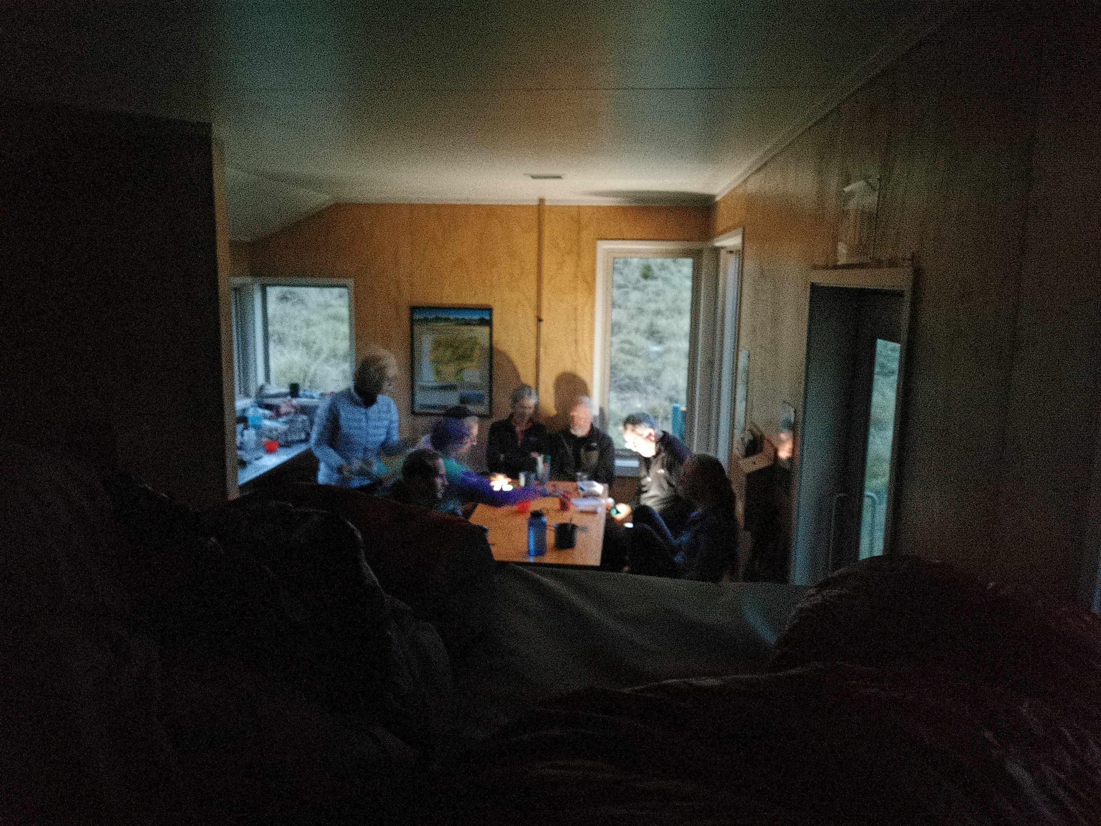
At about 6:30pm three other people turned up going southbound. They were Hannah, Gito (I assume that’s how you spell it!) and Chris. They said that Wayne from Alps 2 Ocean had dropped them off at about 1pm. So it ended up being the five of us in the hut tonight.
Hannah thought the fact that I had my food inside reusable shopping bags was amusing. I’ve always had my food inside reusable shopping bags since Day 1 and she is the first person to point it out. I notice that other people sometimes put their food inside dry bags but I haven’t thought that necessary before.
Anka used her fancy satellite phone to get a weather forecast for the next few days. Tomorrow – 50% chance of rain. That’s about as “wishy washy” as a forecast is possible to get. At least the next day is supposed to be fine.
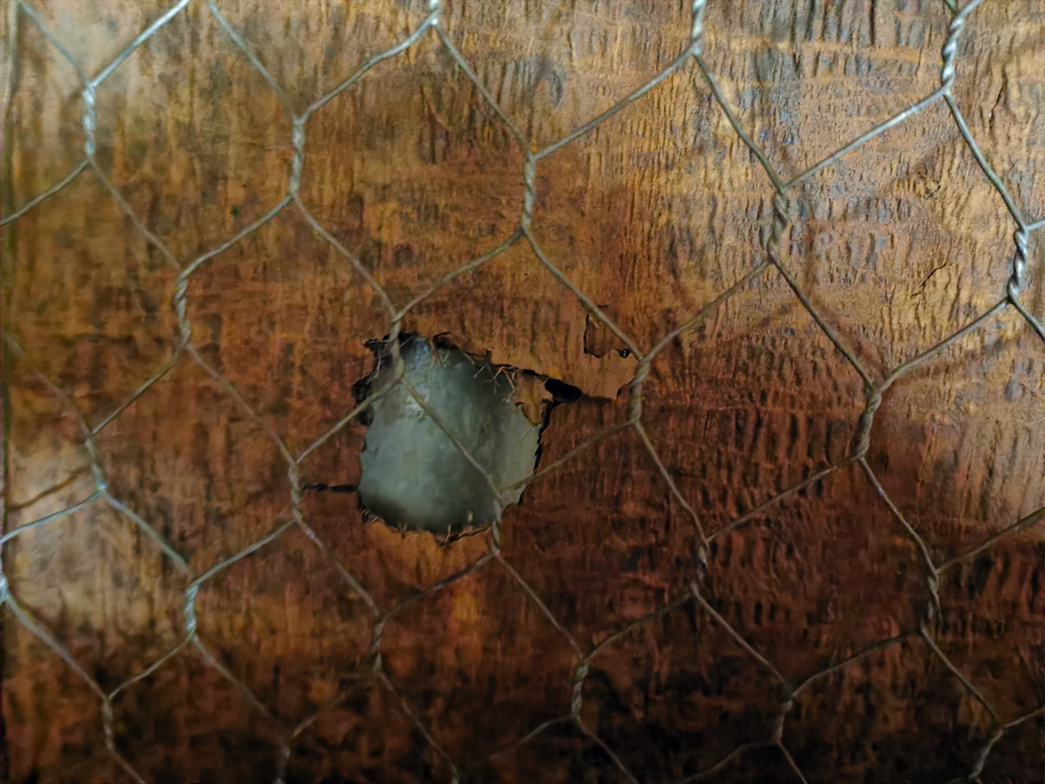
You can hear the wind inside Comyns Hut very loudly even when it doesn’t actually seem that windy outside. The three new people that showed up were complaining a lot about the hut and how they didn’t like it. I thought they were being a bit negative and it actually wasn’t that bad, especially for a “basic” hut which is free to stay in. Although I did set up my sleeping bag originally next to a hole in the wall where the wind came through, before moving it to somewhere better afterwards.
Holey hut
Since there was only one small window in the hut it was very dark inside and everyone was in bed by 8:30. I only had a small dinner as I wasn’t very hungry – no doubt once the walking is more regular the hunger will come back again.
The South Island has had some big sections so far, so it’s nice that this section is only 3 days and then we will be in Geraldine. Then it’s only a couple of days to Stag Saddle and then Tekapo and Twizel. I’m looking forward to that bit.
Date: 8 March
Trail covered: 21.2km (kms 2260.2 to 2281.4)
Weather: wet wet wet
In the morning I woke up and it was still dark, and I groaned because everybody was making noise. But then I looked at my watch and surprisingly it was 7am. I’m going to have to get used to these shorter days I think. Although I guess the hut did only have one tiny window so it was dark all the time.
Just before we left the hut to begin walking Anka realised she didn’t have her tent with her. She said she must have left it in either Methven or Christchurch. She was visibly upset and I felt sad for her. I would notice if mine was missing as it goes inside my pack but she stores hers outside her pack as do a lot of people so I bet in that case it’s much easier to accidentally leave it behind.
Fortunately in two days we will be in Geraldine. The destination today is Manuka Hut 21km or so away. Anka and I will likely be the first there so its unlikely to be full, and so there shouldn’t be too much worry about needing a tent to sleep in tonight. However once in Geraldine she might have to go and get her tent from wherever it is, so I might not have a walking buddy all the way to Tekapo. What a pain to have to go and recover her tent just for three or four more days before she finishes for good.
After breakfast Anka and I left at 8am. We left before the other three. We knew that the first half of today is another big climb, from 850m all the way up to nearly 1500m, and it’s following rivers all the way up. We’re going to get wet feet today.
Sure enough the first crossing was almost immediately after leaving the hut.
Anka crossing the water
There was no point trying to keep dry feet. They were gonna get wet.
About half an hour into the walk the rain started. On went the rain jackets and pack covers.
Crossing the river with rain jackets and pack covers on
The rain didn’t let up for the next six hours. It was to be a very wet day indeed. 50% chance of rain my ass.
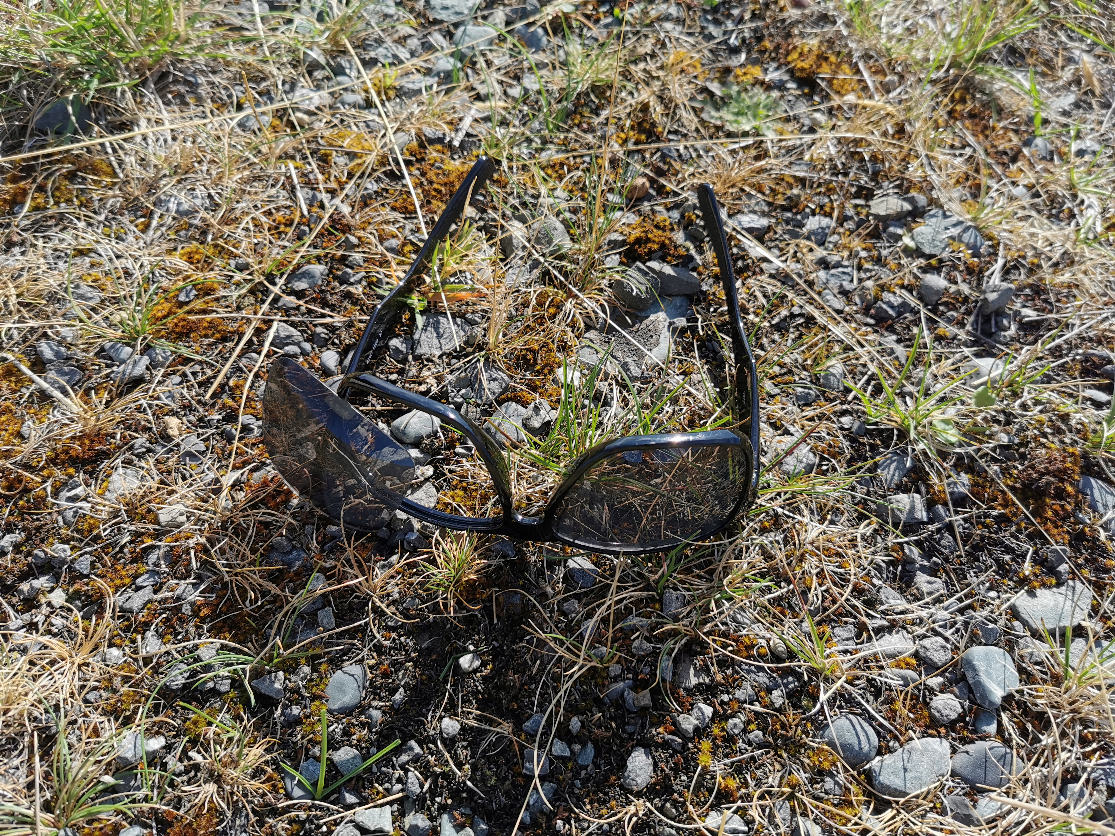
Whenever my boots get wet they keep coming untied. The first time this happened this morning I bent down to tie them up, but my sunglasses were in my pocket and one of the lenses popped out of the frames. Very annoying. I forget how many pairs of sunglasses I’ve gone through now, I think it’s 5, although maybe I can get the lens to go back in somehow.
Sad
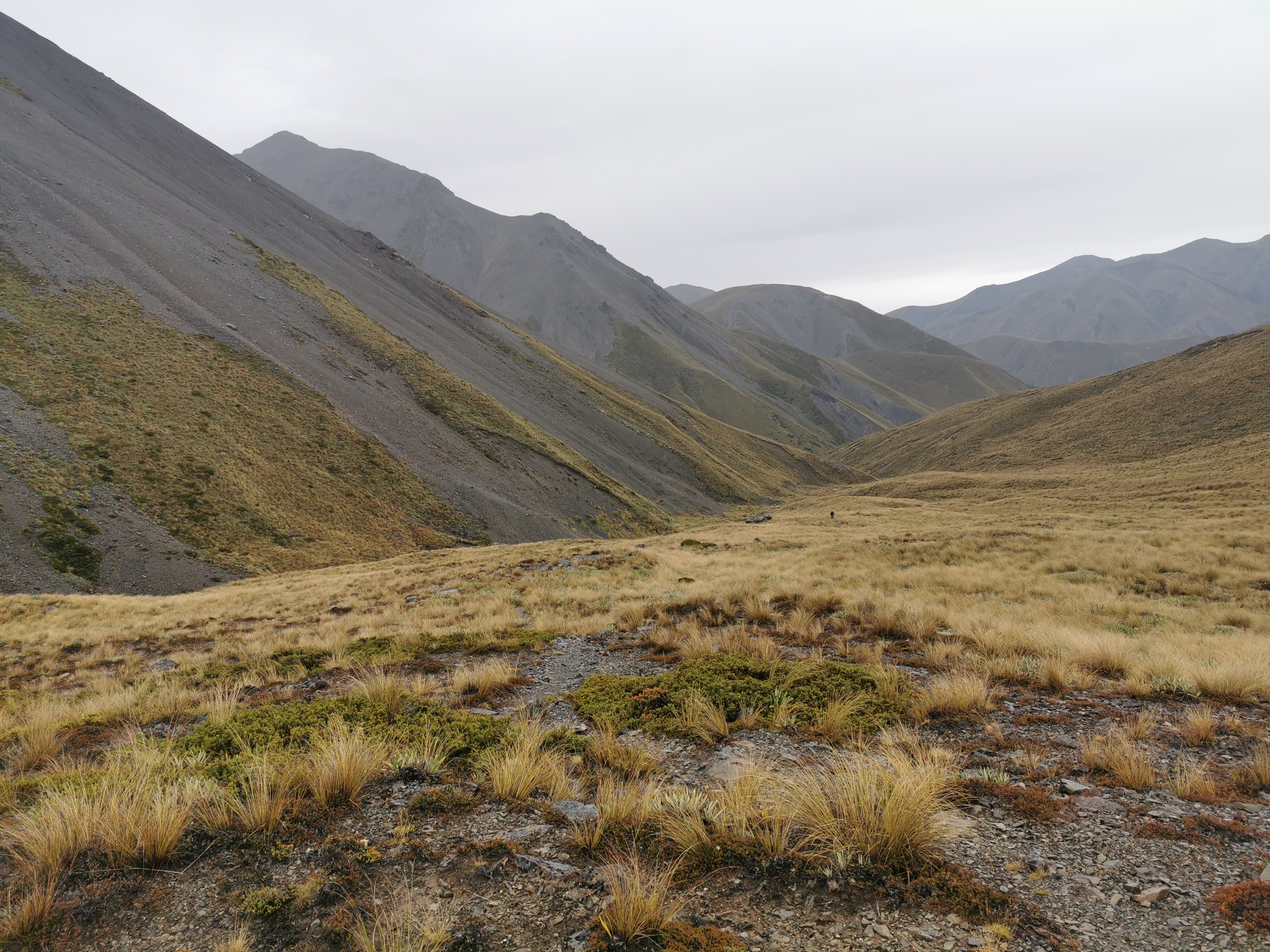
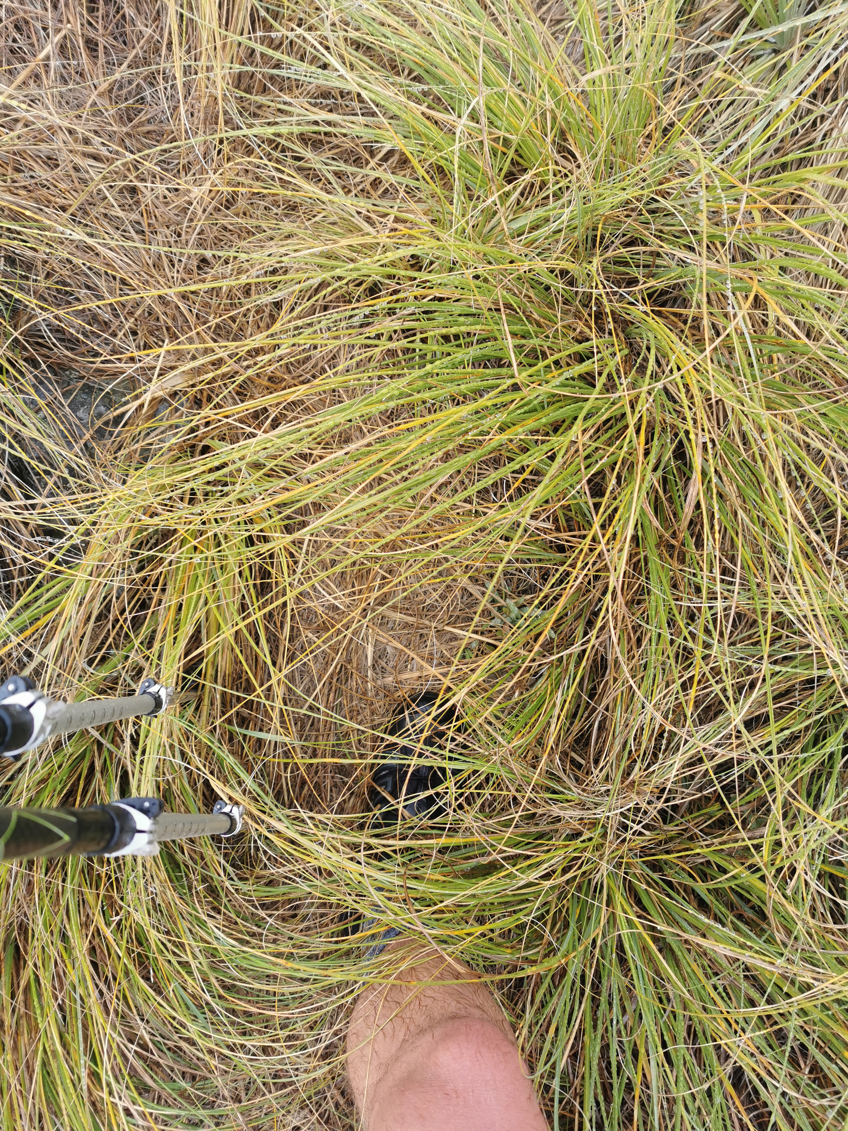
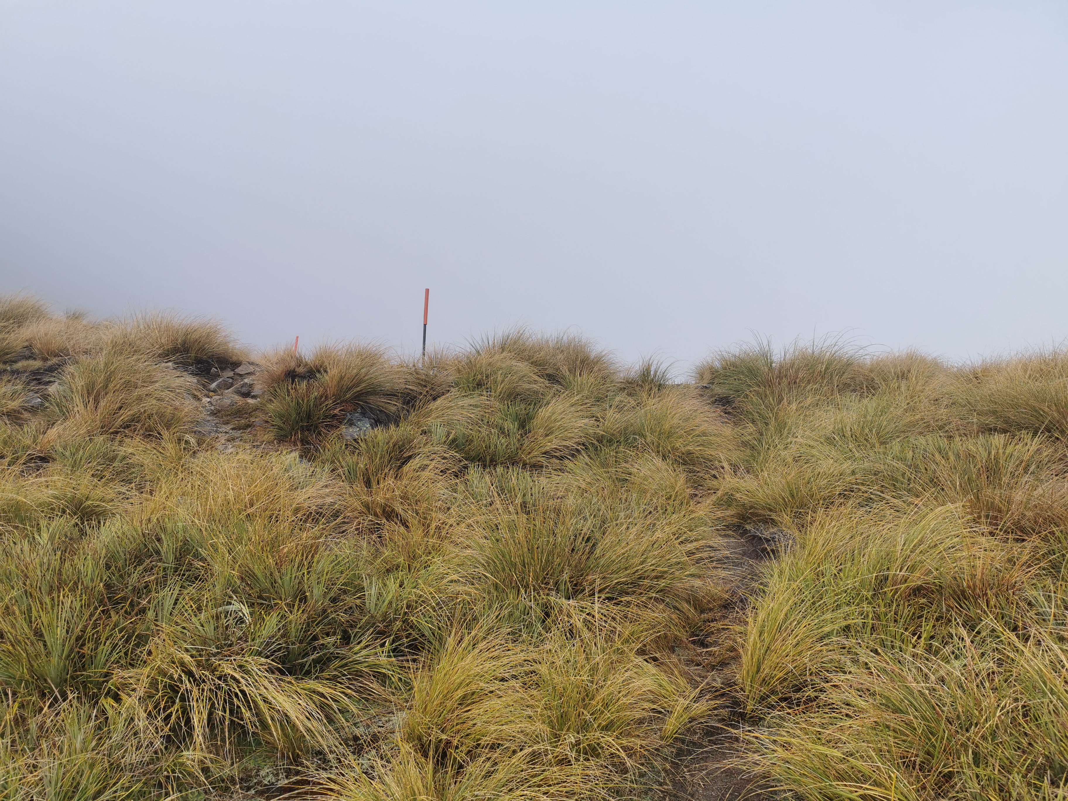
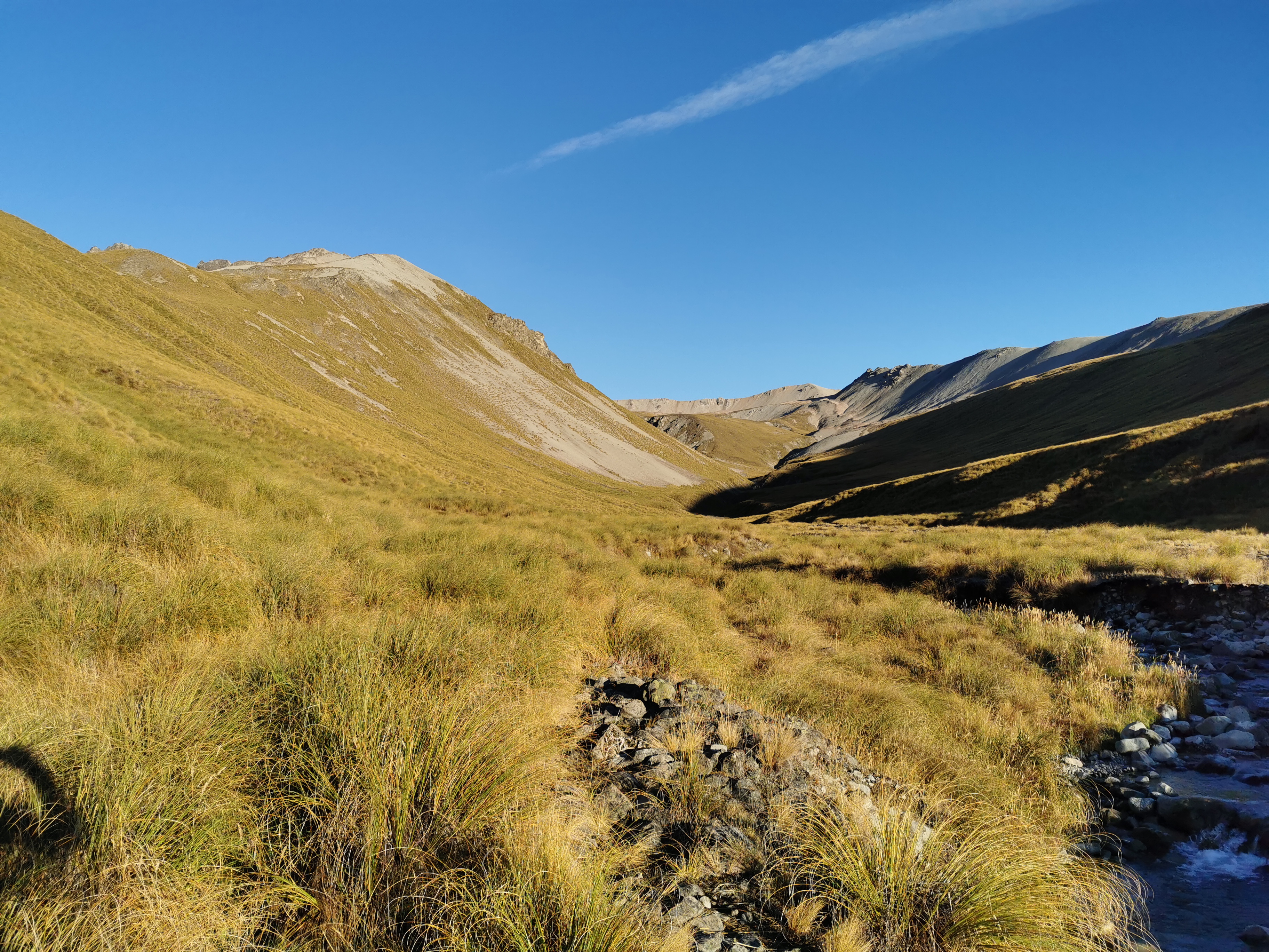
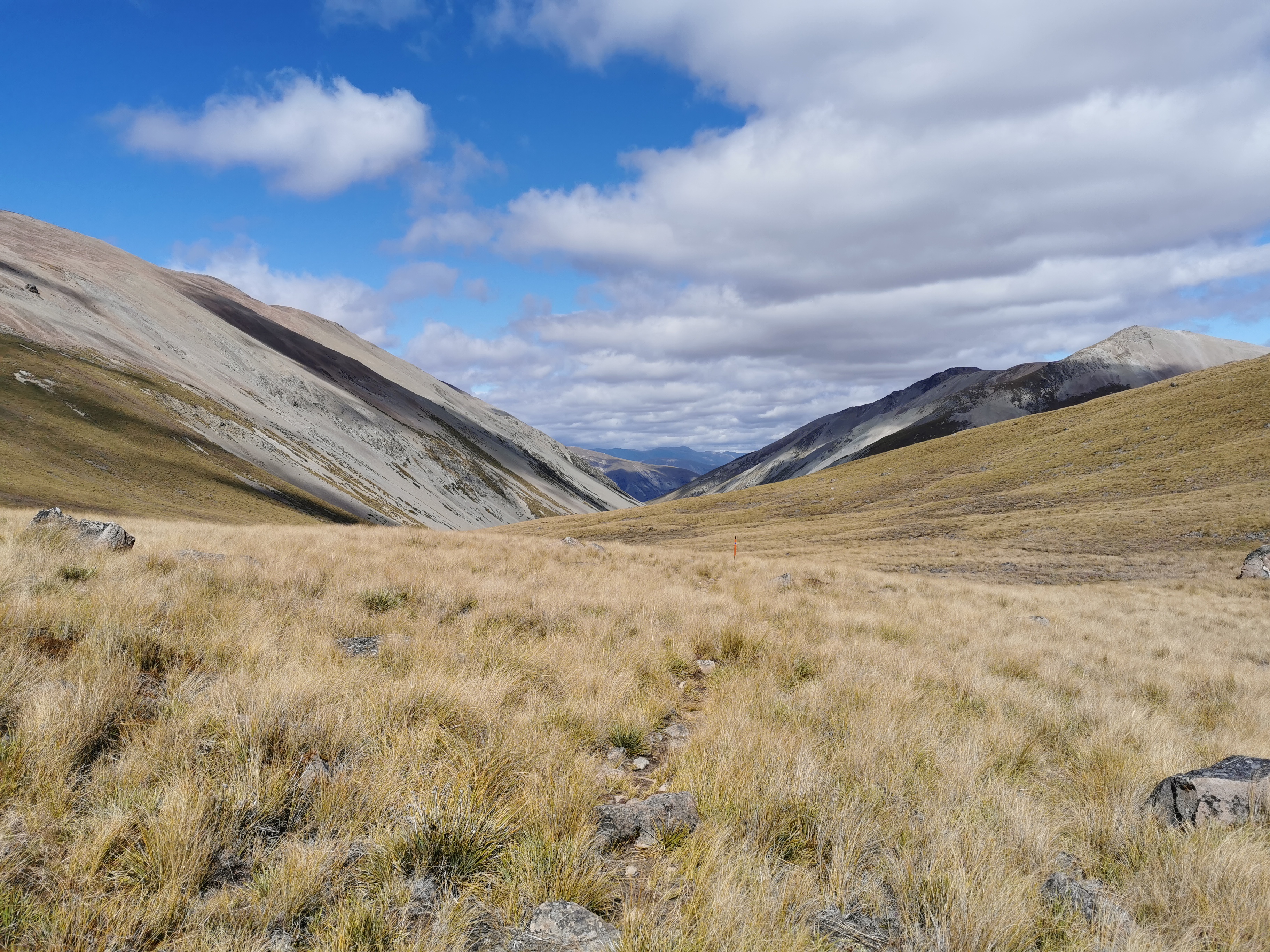
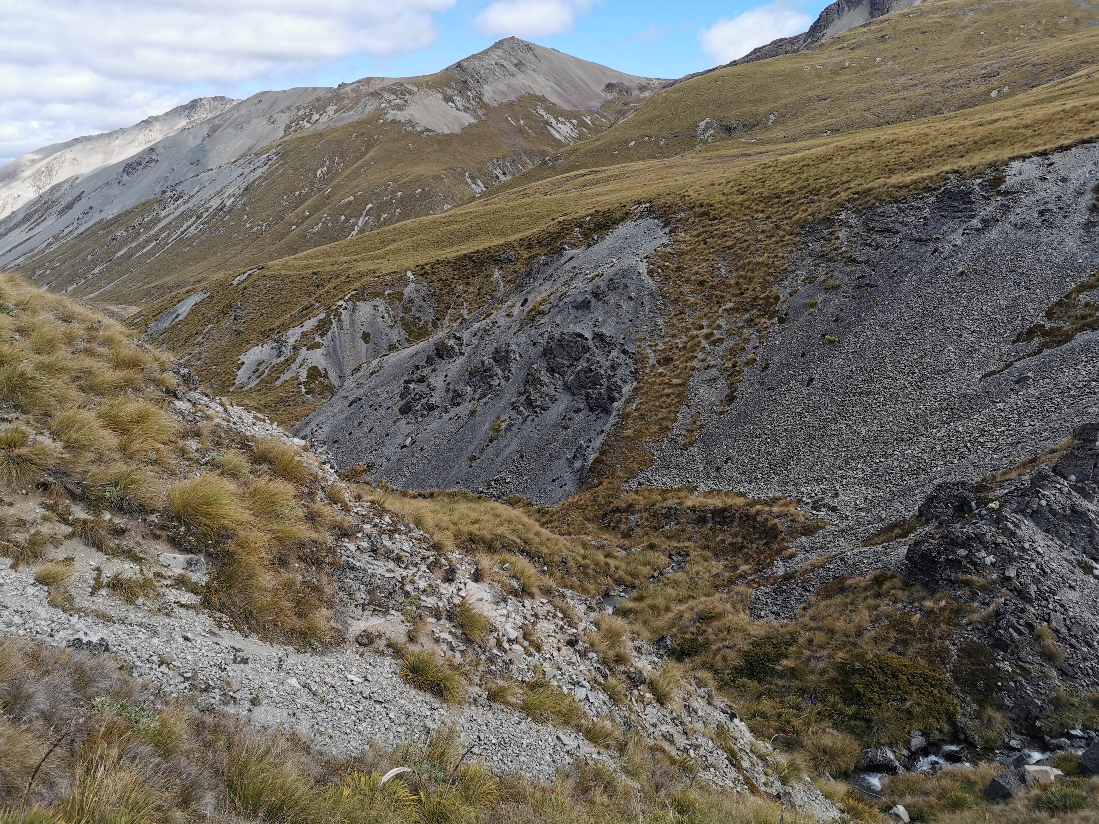
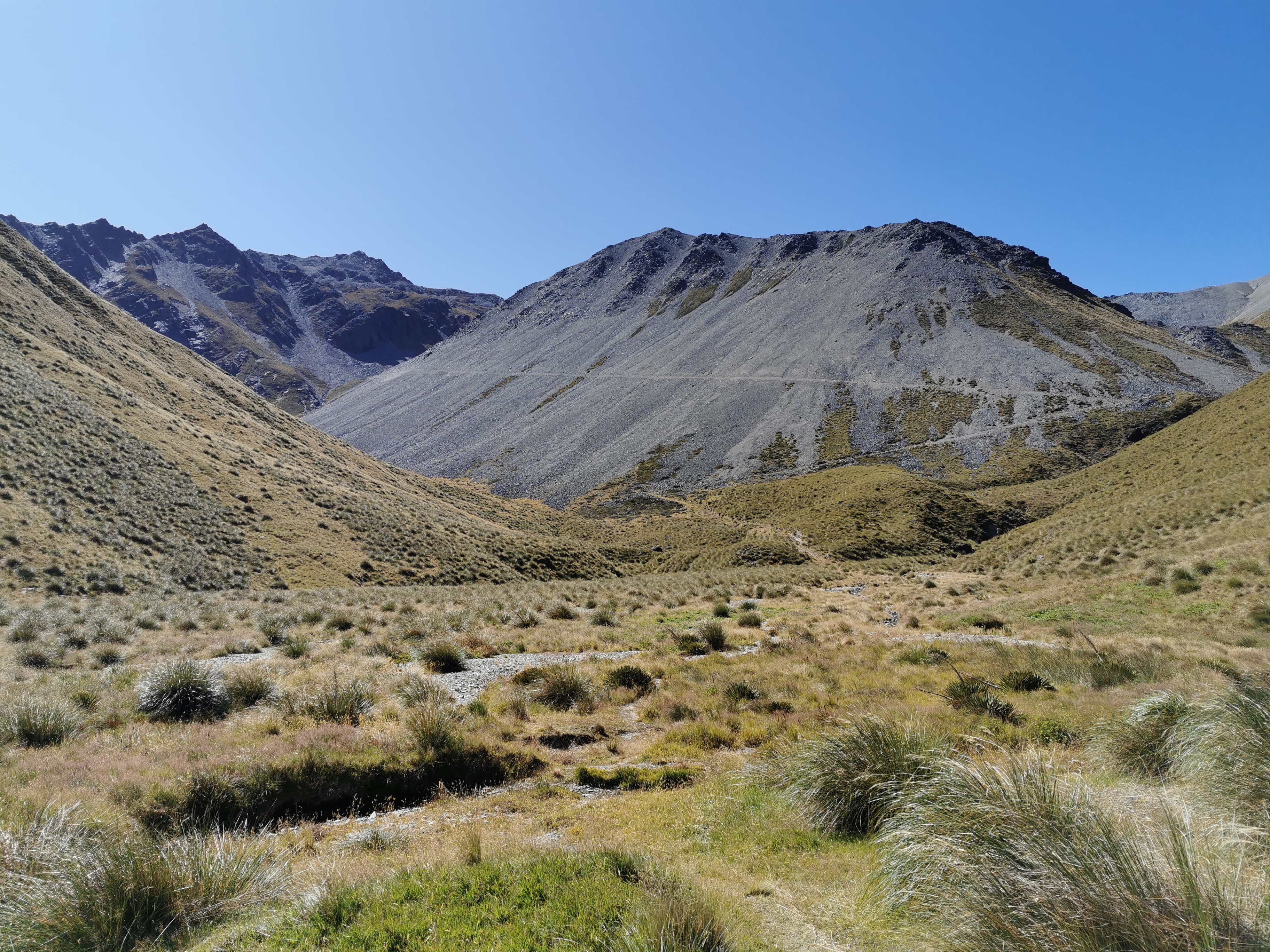
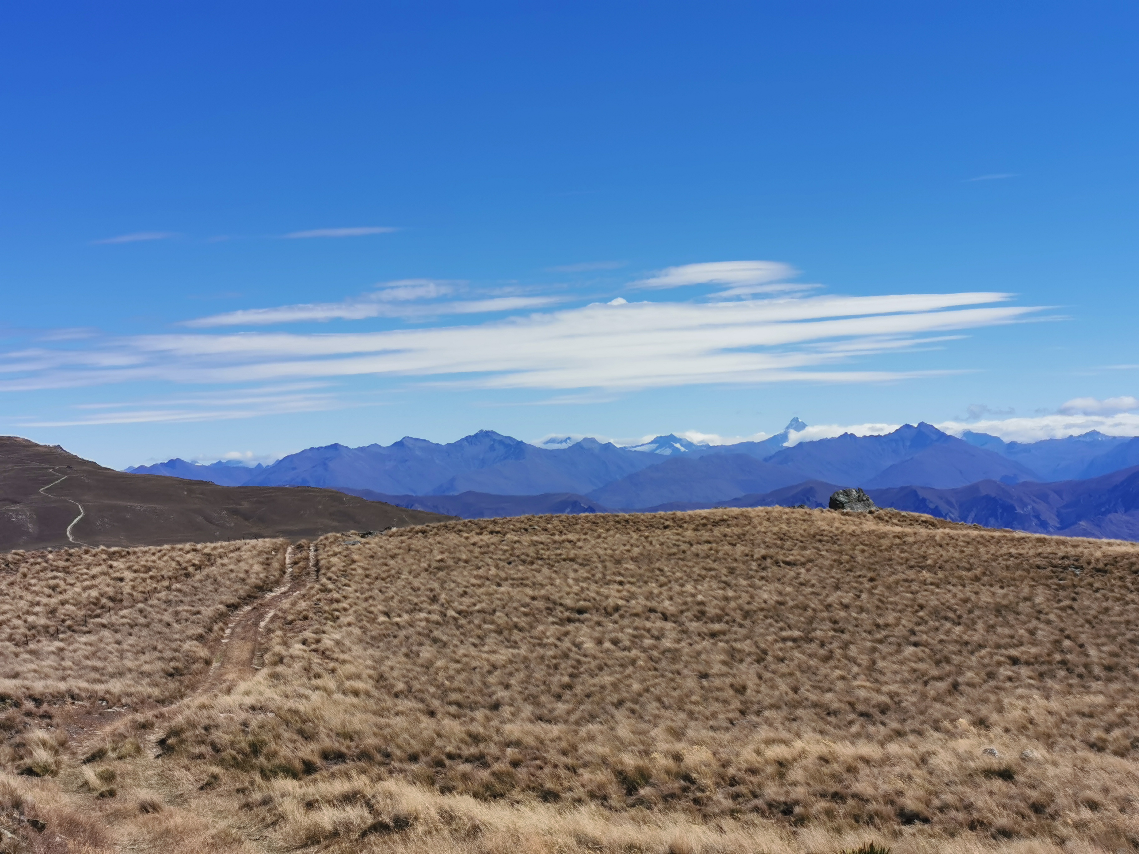
The saddle we are heading towards is the Clent Hills Saddle. Nearer the top we moved away from the river however the track wasn’t obvious and we spent a lot of time finding the right path through tussock.
This kind of view lasted most of the day
If you stood in the wrong place you might end up falling into a hole. You had to be careful.
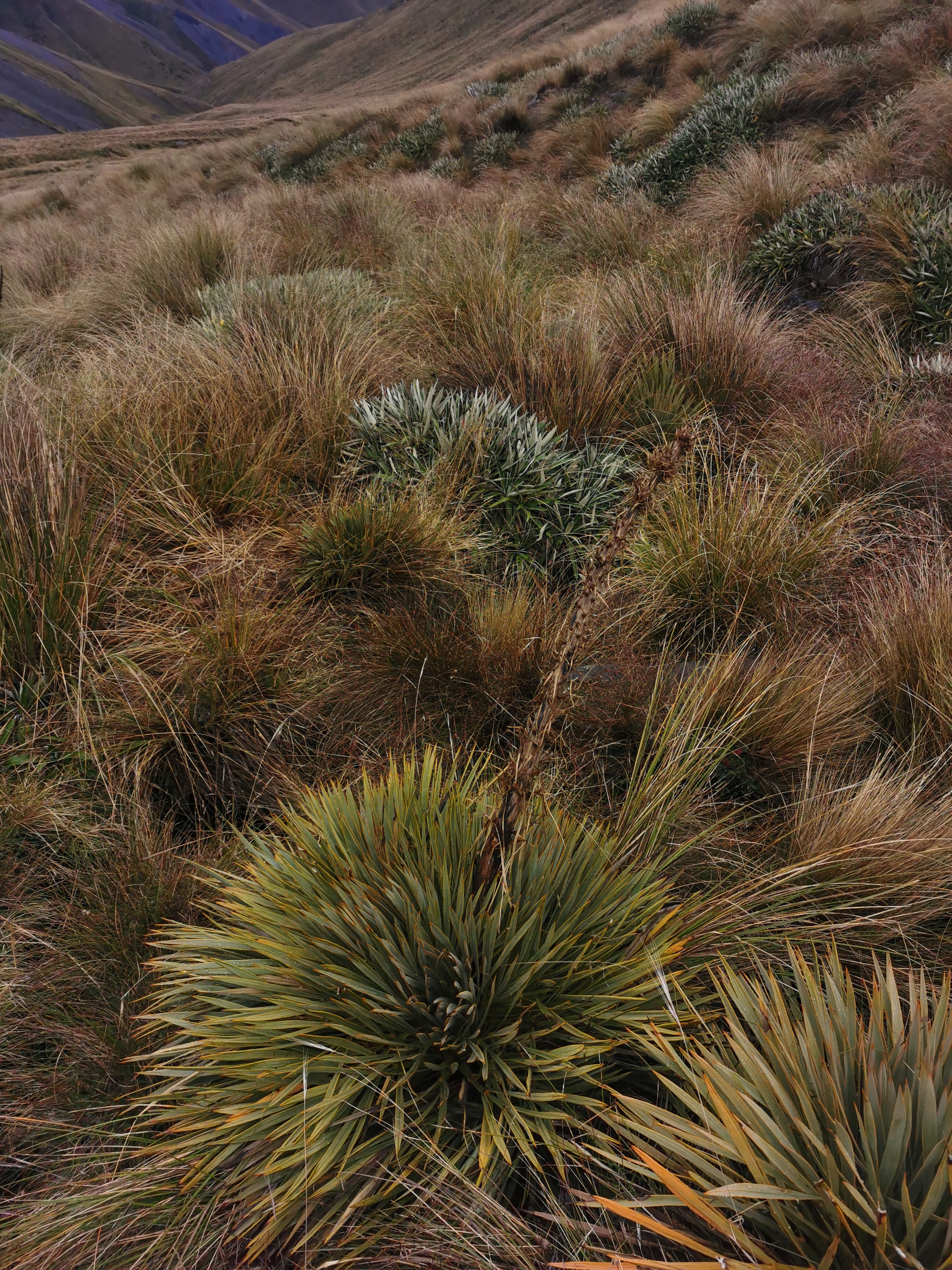
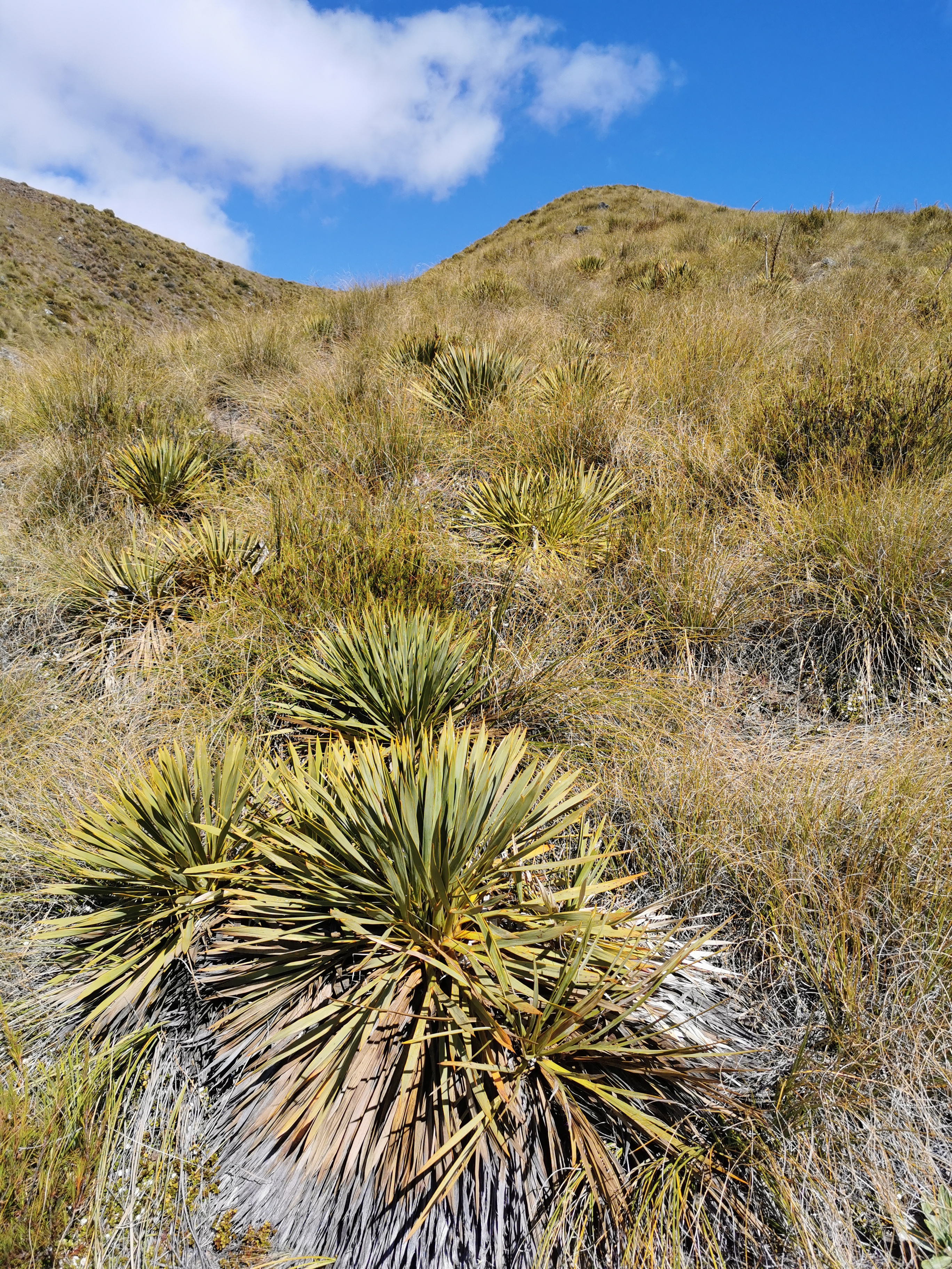
There were a lot of these spiky things. I think they’re called Wild Spaniard. I don’t know if they’ve been around before now but I really noticed them up here. I didn’t touch the big spiky plant sticking up out of the centre but even the leaves at the bottom are really spiky, and they don’t even look it. They caught me out constantly.
Wild Spaniard
Here’s my 11am picture, almost at the top of the saddle.
11am picture
The view at the top was kind of nice, although it was hard to see much with the rain.
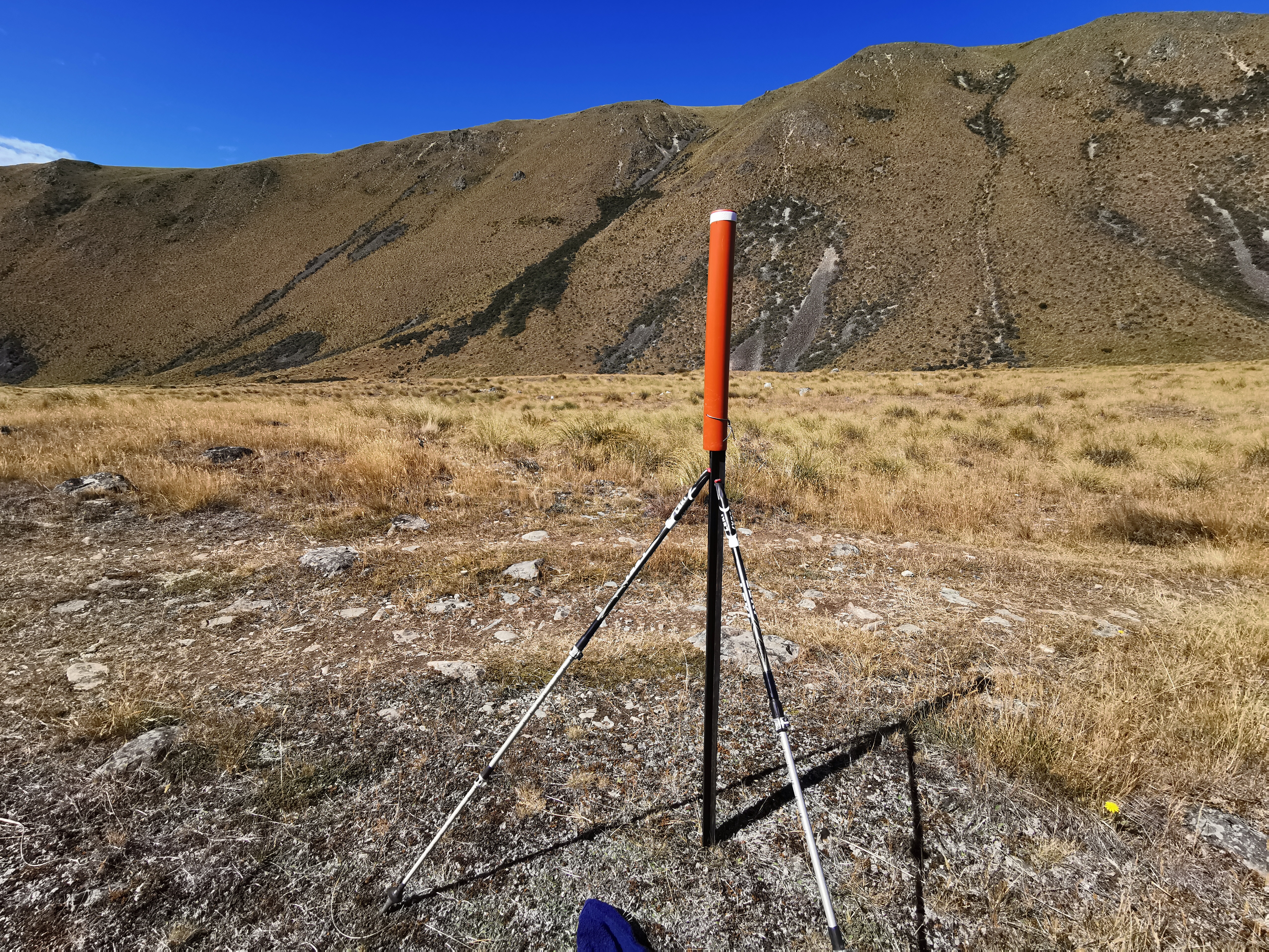
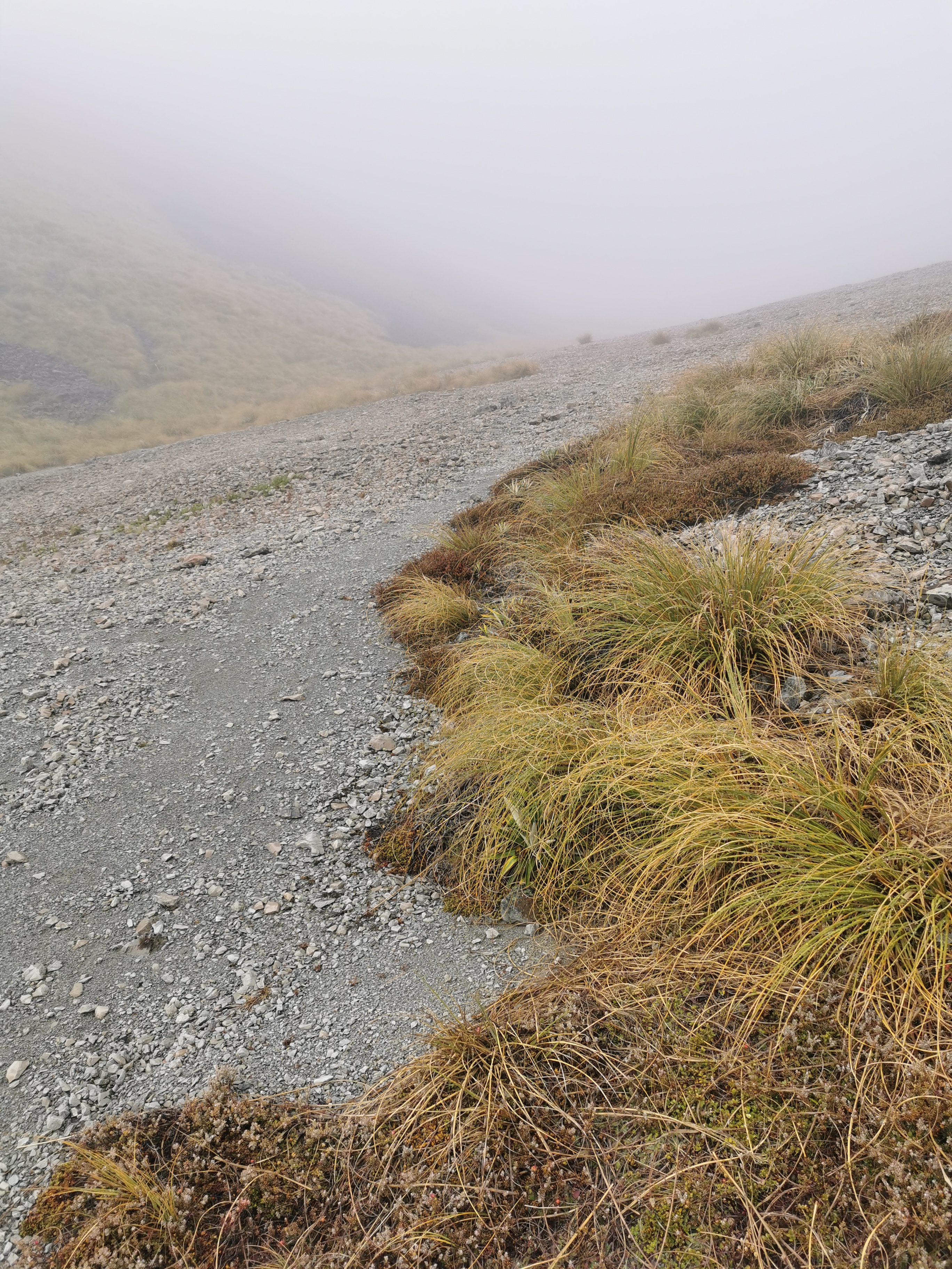
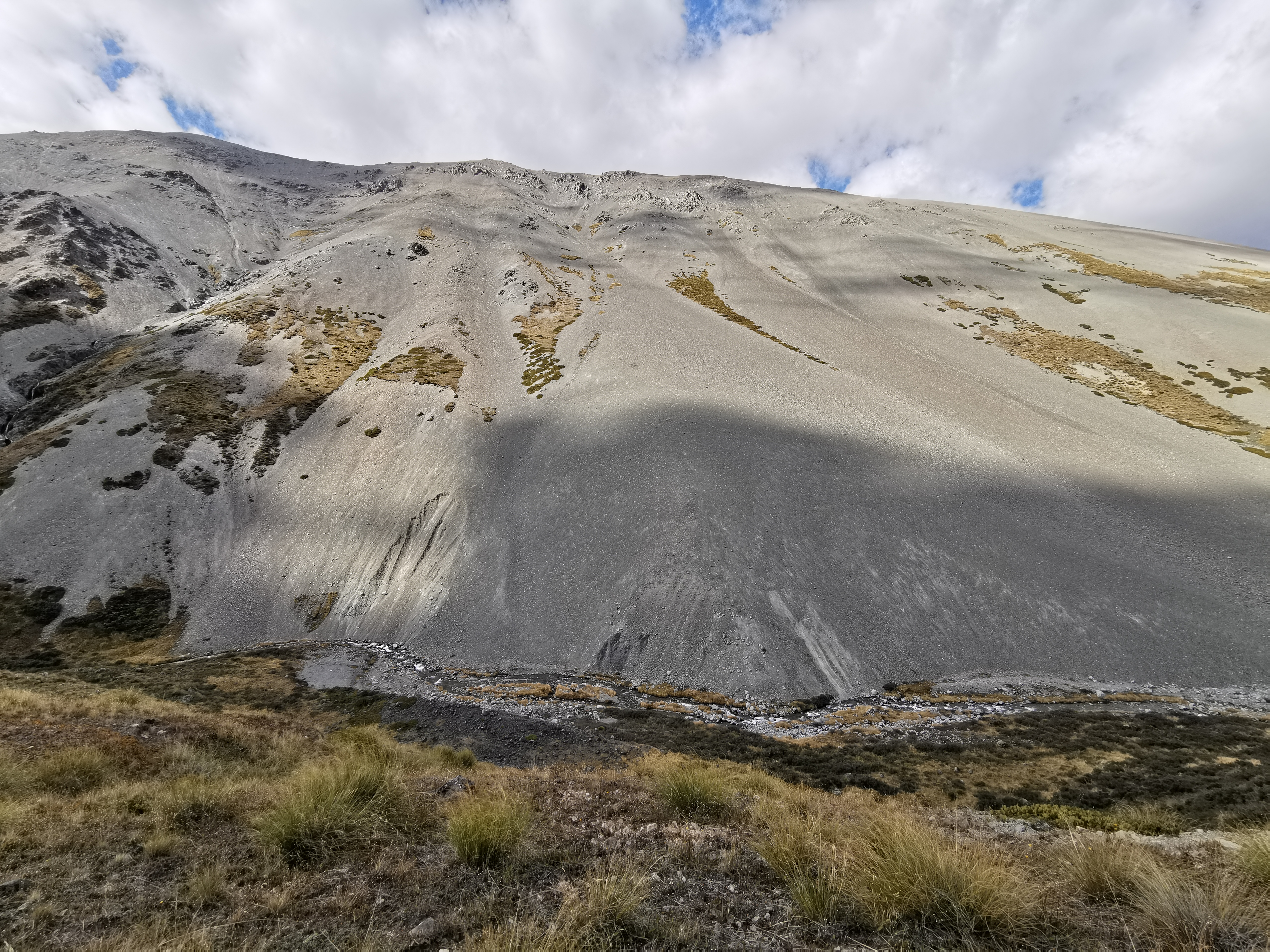
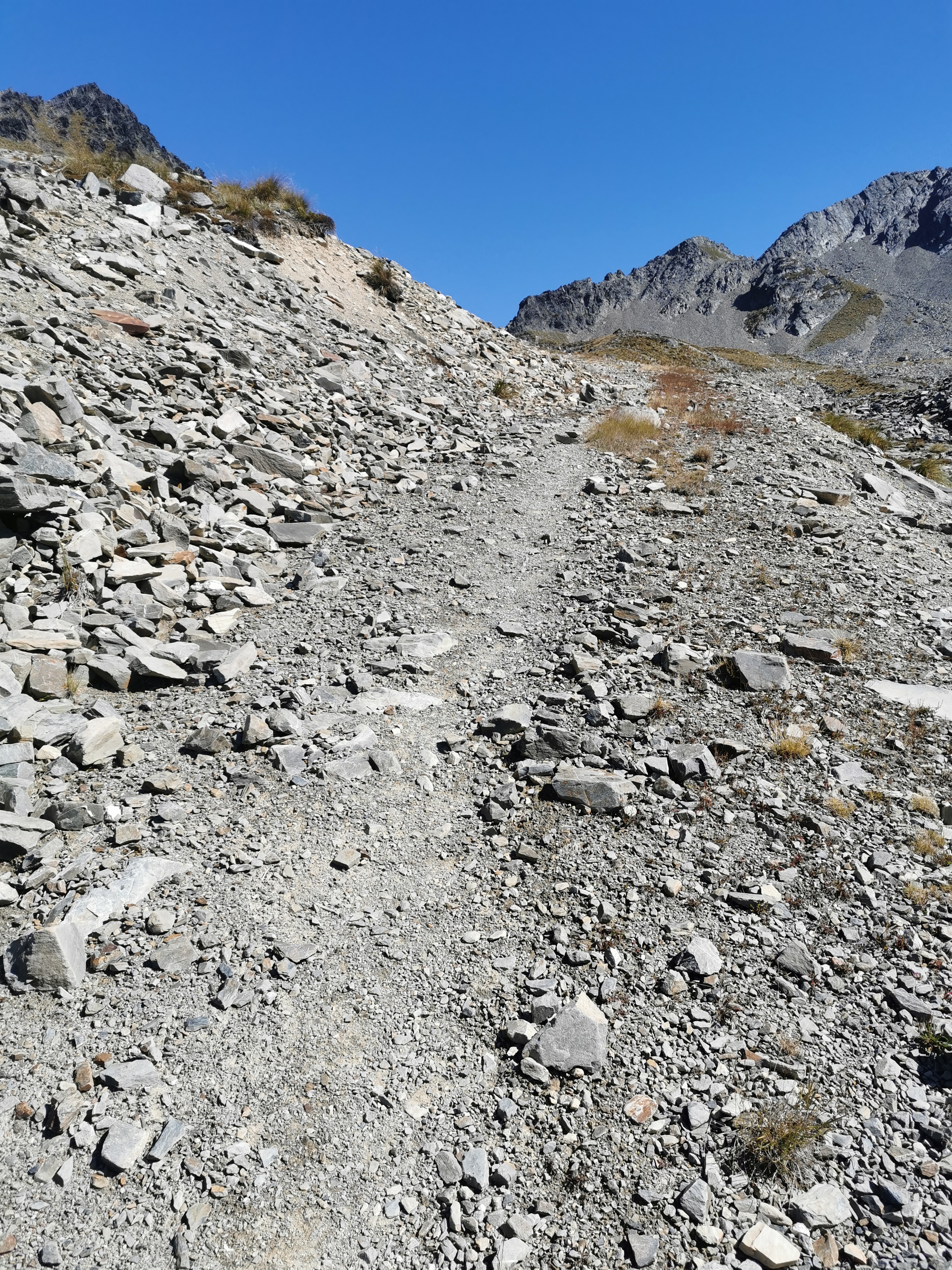
The notes specifically say don’t immediately descend the saddle, instead head off to the right over the scree.
Scree slope
I’m surprised the notes needed to specifically mention that. It’s marked fairly well with orange poles.
Up at the top it was getting really cold, and we were both wet through by now because the rain hadn’t stopped. The wind was blowing and I wished I had my gloves handy so that my hands could get some warmth back in them. I wondered if I had a lot of this sort of cold to look forward to now that it’s March, but we are up quite high up here so hopefully it’s not a regular thing.
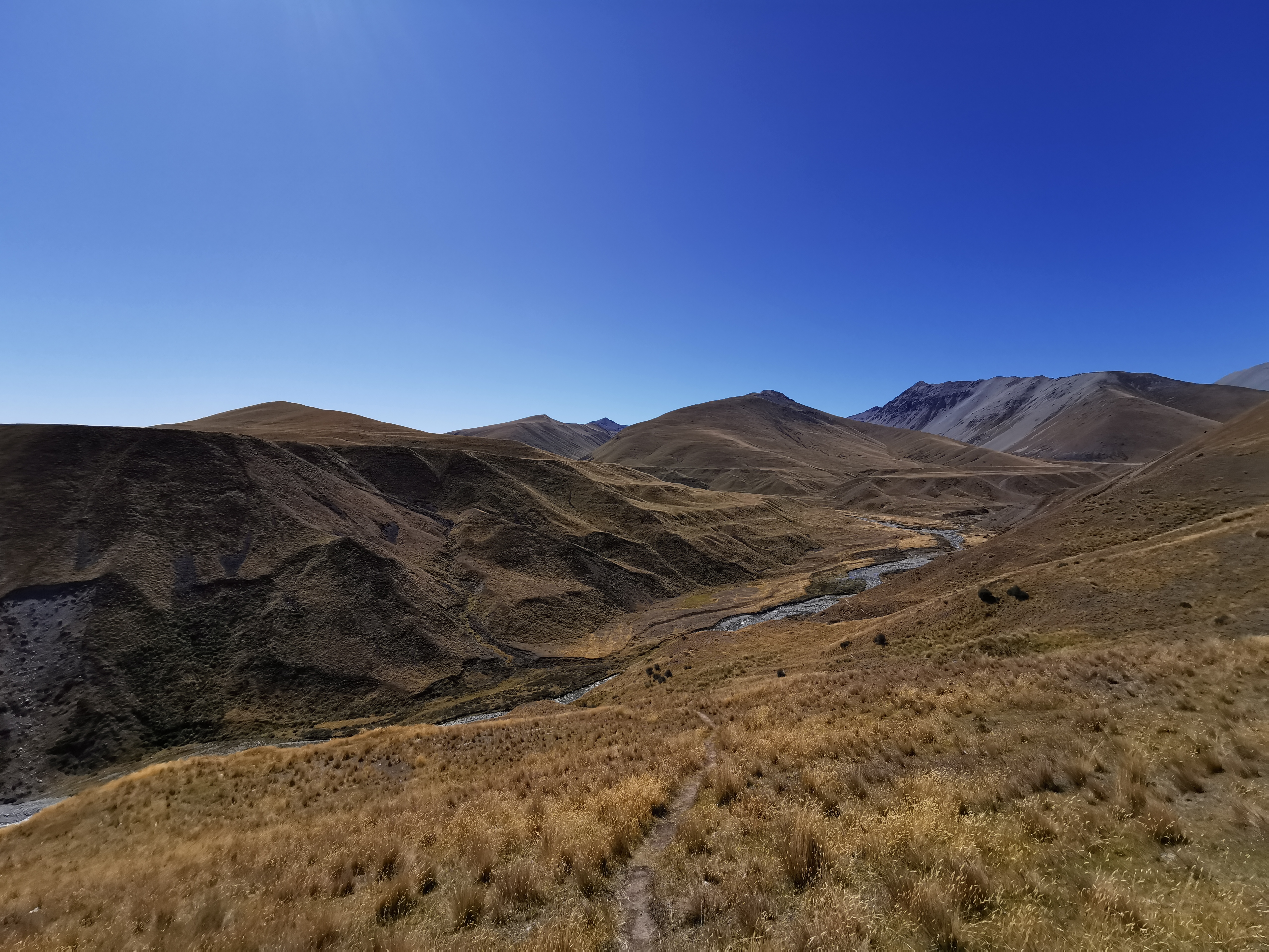
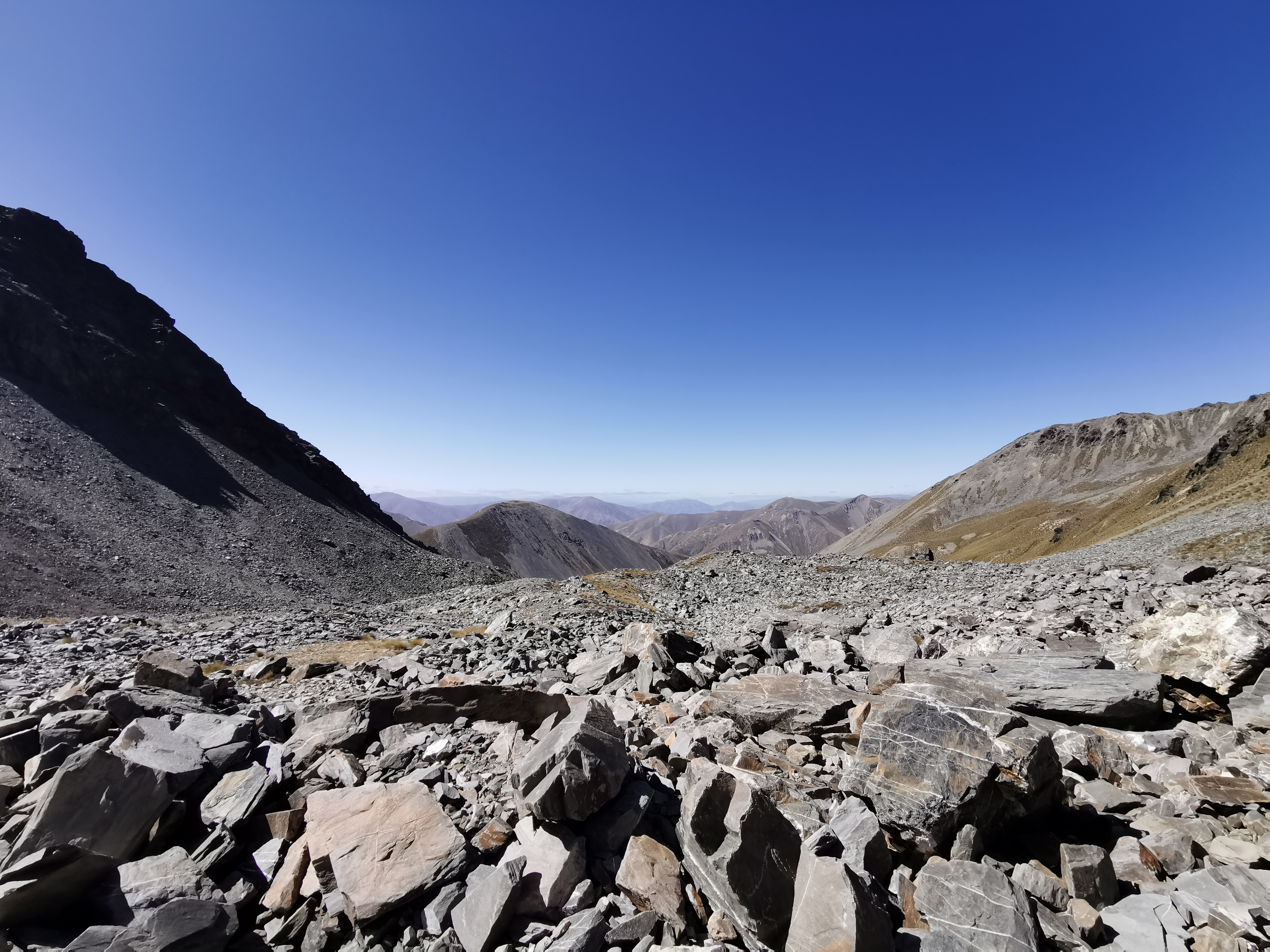
Today was simply starting to feel like a longer, harder and wetter version of yesterday. Up, over and down a saddle, and with a quite beautiful but relatively featureless and unchanging landscape. It was harder though because of an unformed path and following a river, and wetter because, well that’s pretty obvious.
The (again largely unchanging) view on the way down
The first hut you come to at the 15km mark is called Double Hut, but to reach it is a detour off-trail of 1km out and 1km back and since we were both so wet and cold we just wanted to keep walking and get to Manuka Hut, 5km further on. That meant that we forewent having lunch, which is possibly the first time ever that I’ve skipped lunch (both lunch #1 and lunch #2).
The next bit is flat, in fact we suspect that it’s now flat all the way to the Mt. Potts car park which is where the shuttle picks us up tomorrow. So we walked the next 5km very fast. It reminded me of the second day of the Timber Trail where it was so wet and cold and all I wanted to do was get to the shelter to change into dry clothes, so I just put my head down and put one foot in front of the other until the hut was in sight. It rained less today than that day but it was colder and after six hours of rain, no matter how heavy, you get pretty wet. No way were my shoes going to dry today even a little bit after the river walk, this rain and walking through the soaking wet tussock.
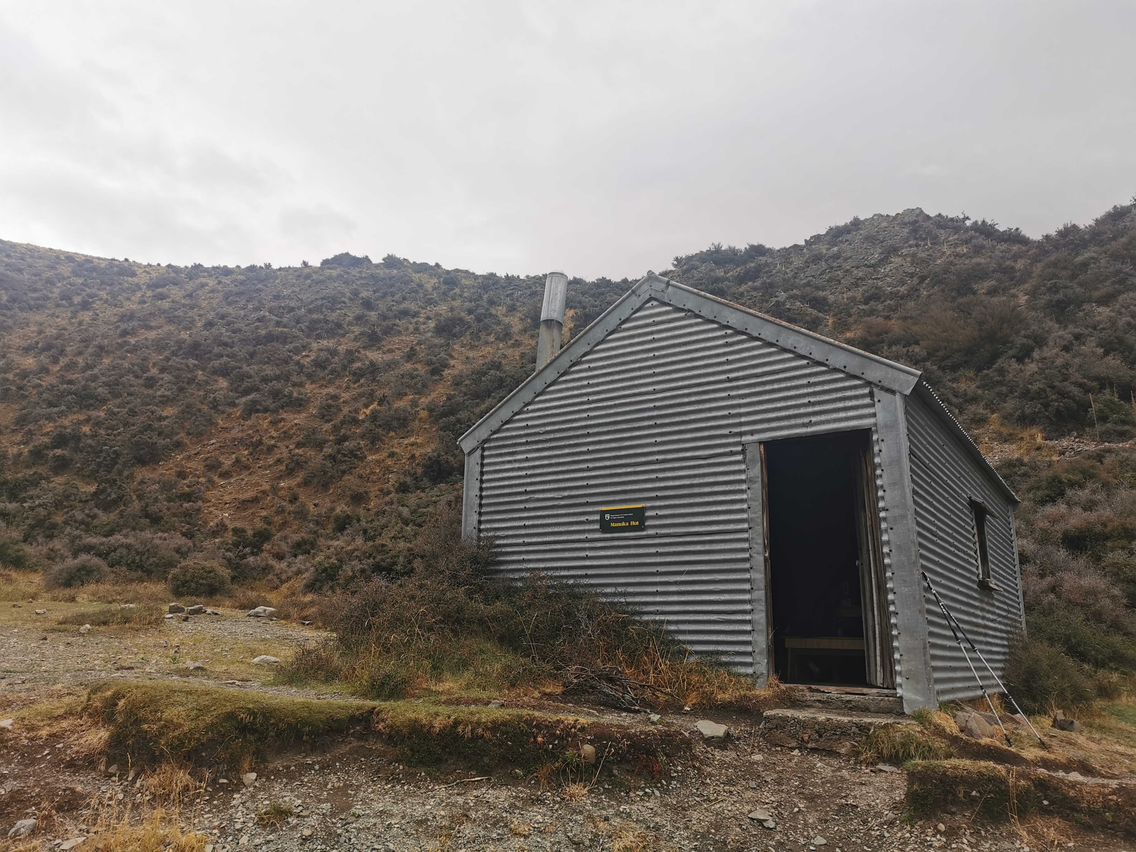
Manuka Hut
Manuka Hut was very much a sight for sore eyes. It was so nice to be able to go inside, change into warm clothes and light a fire and remain warm for the rest of the day. One thing this hut was missing was a place to hang clothes near the fire to dry them – I’m surprised all huts don’t have that. I’d like to buy 900 clothes horses when I’m done with this walk and put one in every hut in the country.
After an hour Chris turned up, and not long after he showed up the rain stopped. I don’t think he was very happy about that.
When it was clear the rain wasn’t starting up again any time soon I went for a walk up the medium-sized hill beside the hut as there is supposed to be a geocache up there. I wasn’t successful in finding it but I did get a slightly different view.
Another big pointy rock, and Manuka Lake in the backgroundThe view back down to Manuka Hut (and toilet) from the top of the hill
The three of us spent time in the hut talking about all sorts of things. Chris is from Poland and has been travelling and hiking since he was 19, and he is now 34. He is trying to reach Bluff by April 1 as he flies out the next day. That gave me optimism that maybe I can finish by April 1 also but I’m not sure that will be possible. Chris is going to cycle the section beyond Tekapo which a lot of people do but I won’t be doing that, and I think he is planning to hitchhike the road sections.
Chris also said that he started at Cape Reinga in December and in the North Island he only saw 9 other SOBOs the entire time.
A lot of my stuff was wet, this time the pack cover didn’t seem to help that much. My tent and sleeping mat were sitting in a little pool of water at the bottom of my pack so I put them by the fire to try and dry them, along with all my wet clothes and shoes. I don’t think the fire will dry my clothes much though, and certainly not my shoes.
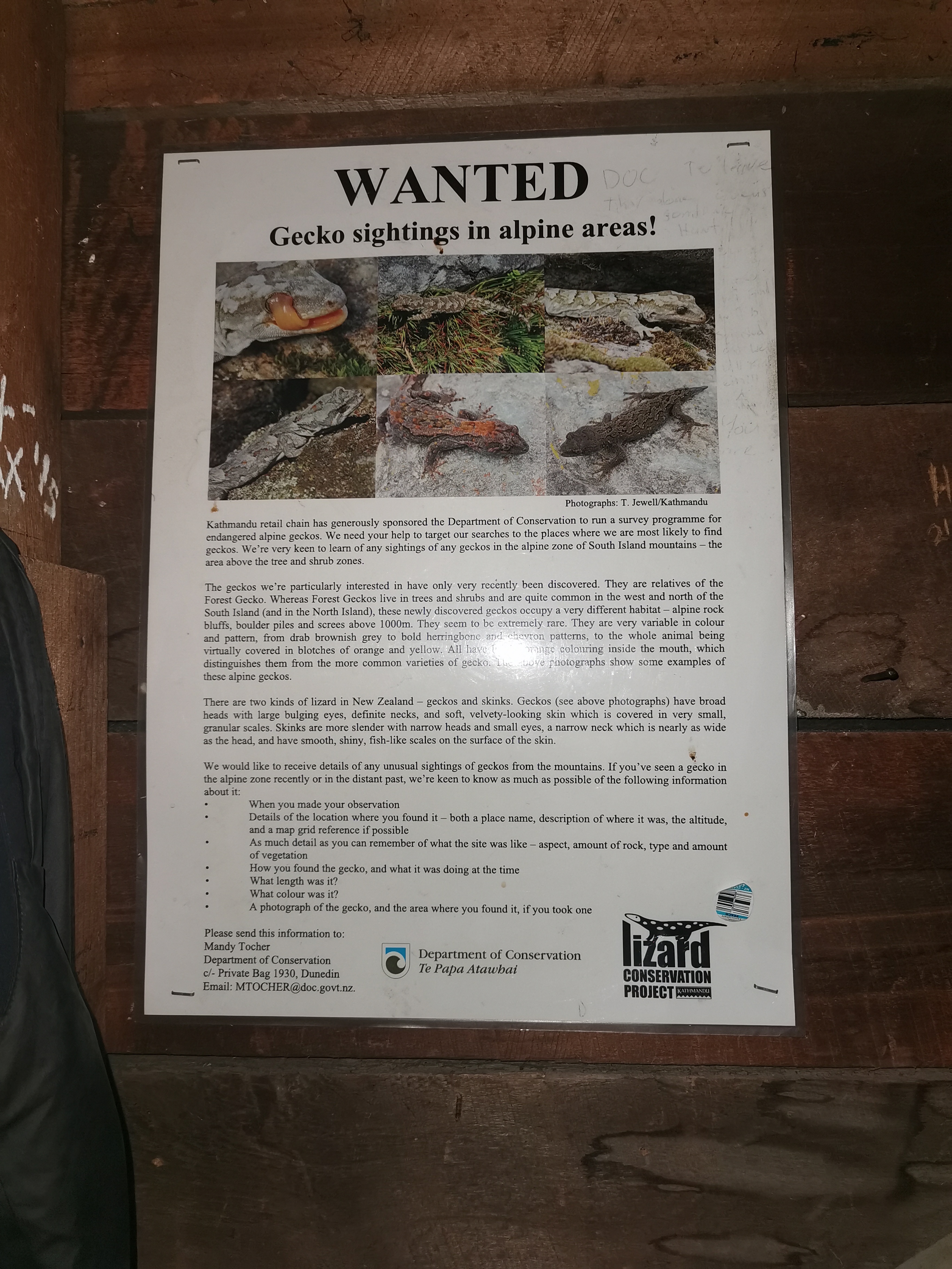
I did use the toilet once while I was at the hut and while I was sitting there doing my business, something fell off the roof and landed between my feet. I got one hell of a fright. Turned out it was a gecko. It stood there motionless on the floor for a second or two but then ran off out the door.
I was surprised to see a gecko, and then I noticed this poster on the wall of the hut:
Geckos wanted! 🦎
There may have been a gecko but like yesterday there were very few sandflies. There were a couple but they weren’t a problem.
Hannah and Gito never showed up at the hut. Chris said they were likely going to camp between here and the car park somewhere, and they can have a shorter day tomorrow and try and hitchhike out into Geraldine. Manuka Hut is also a detour (500m) from the trail so it’s not a surprise that they didn’t stop in.
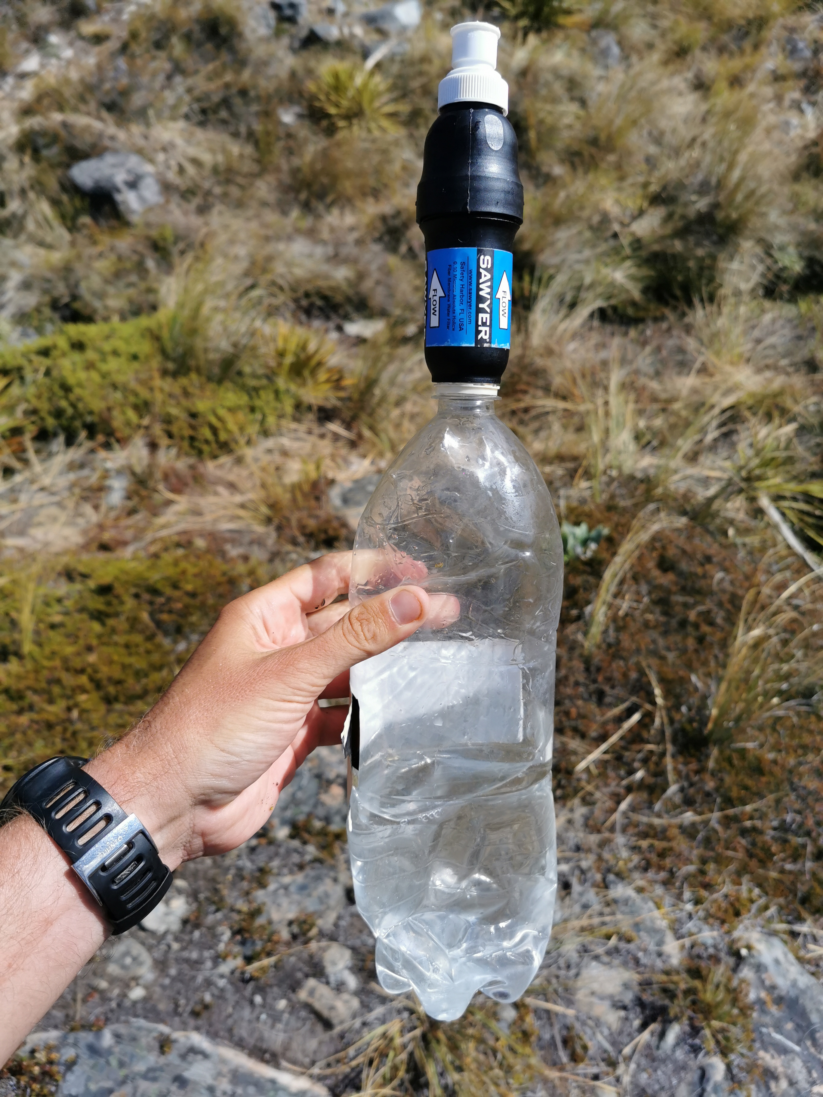
My water filter bladder got a hole in it today. It’s only a small hole at the top so it still works but it means as I’m filtering water into my bottle a small stream of it comes out the side of the bag. That’s frustrating, the 32oz bladder I had from Cape Reinga to Pelorus Bridge never had any problems, but then I switched to the 64oz bladder and it’s already got a hole in it. It means I can’t filter water inside anymore unless I want water all over the floor.
This last photo is from my bed. I’m not sure how well I’ll sleep as Chris insists on having the fire going as long as possible and it’s making the hut so hot and quite smokey as well. But anyway… goodnight for now! Long day tomorrow – 32.5km to the car park and we have to be there by 5pm!
Date: 9 March
Trail covered: 32.4km (kms 2281.4 to 2313.8)
Weather: fine
I managed to sleep alright last night, despite the warmth in the hut from the fire. I had the sleeping bag unzipped and so it wasn’t too hot.
Today since Anka and I wanted to start walking early, we were packing up and eating breakfast by candlelight, which was something different. I nearly put my sleeping bag into the candle while was packing it away. I’m very glad that the flame from the candle didn’t actually touch the sleeping bag.
Before we left, we knew that the notes said that there is no water source after Manuka Hut for 17km, so we were sure to take enough water with us. Today was going to potentially be a hot day. It was also supposed to be almost completely flat, which would help us a lot since it is 32.5km to where we would get picked up by Wayne of Alps 2 Ocean shuttles at 5pm.
Anka left first at 7:15am. She wanted to find phone coverage which apparently wasn’t too far on. She needed to call around and find out where her missing tent is.
I wasn’t quite ready so I didn’t leave until 7:30am. Chris left some time after me.
The first bit of trail after leaving Manuka hut
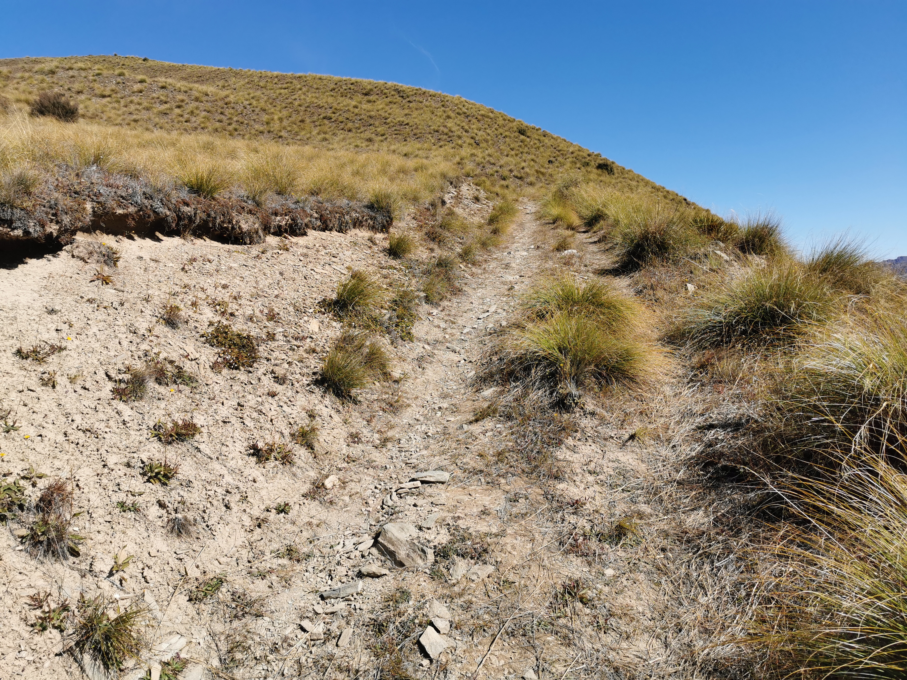
After less than 3km though arose this not totally insignificant hill.
Flat? Yeah right
This is where the phone coverage was. I saw Anka on the phone when I got up there. Sadly it seems she wasn’t able to work out where her tent was – none of the people at the places she thinks she left it have seen it. That sucks for her.
The view from the other side of the hill
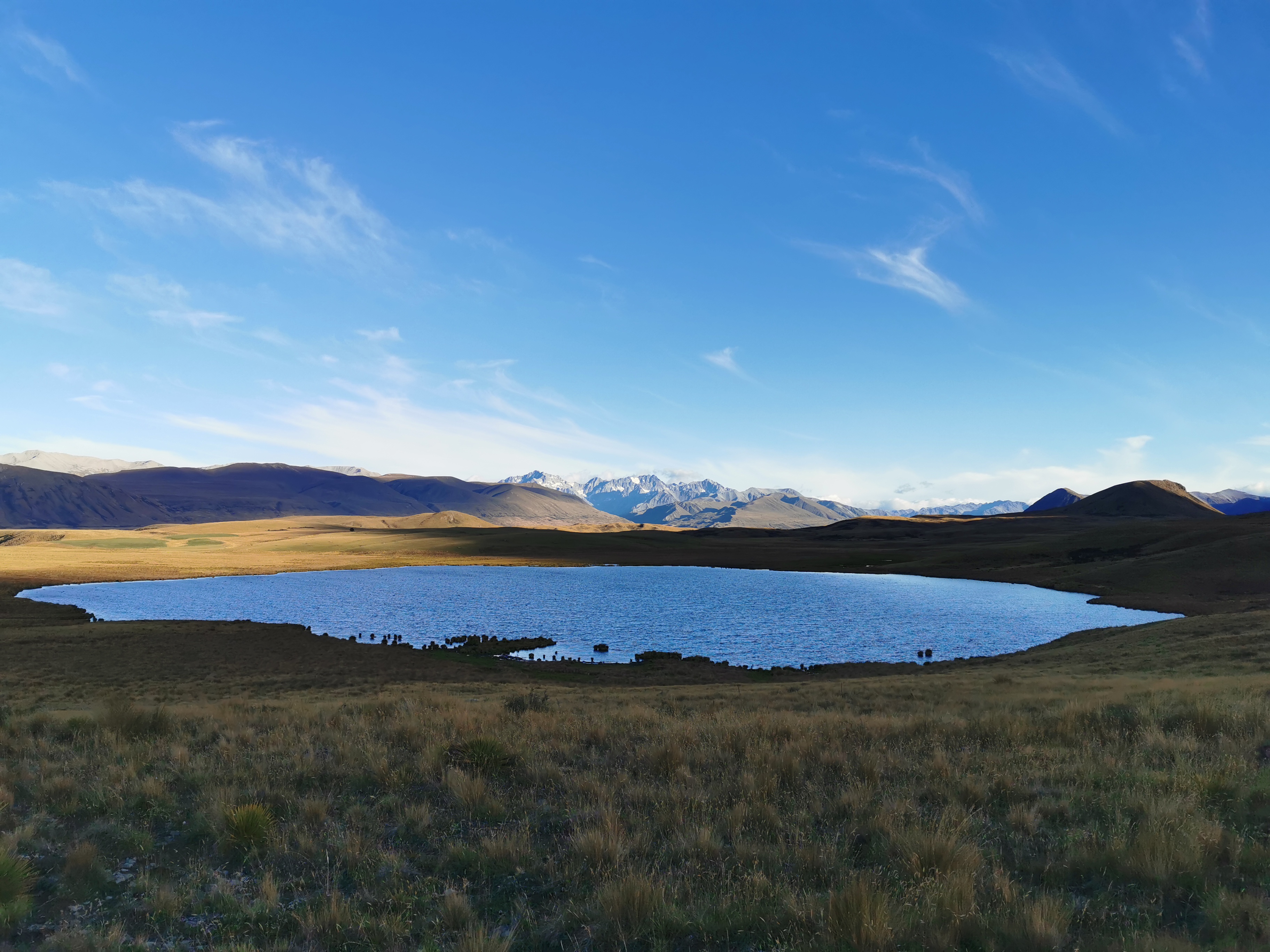
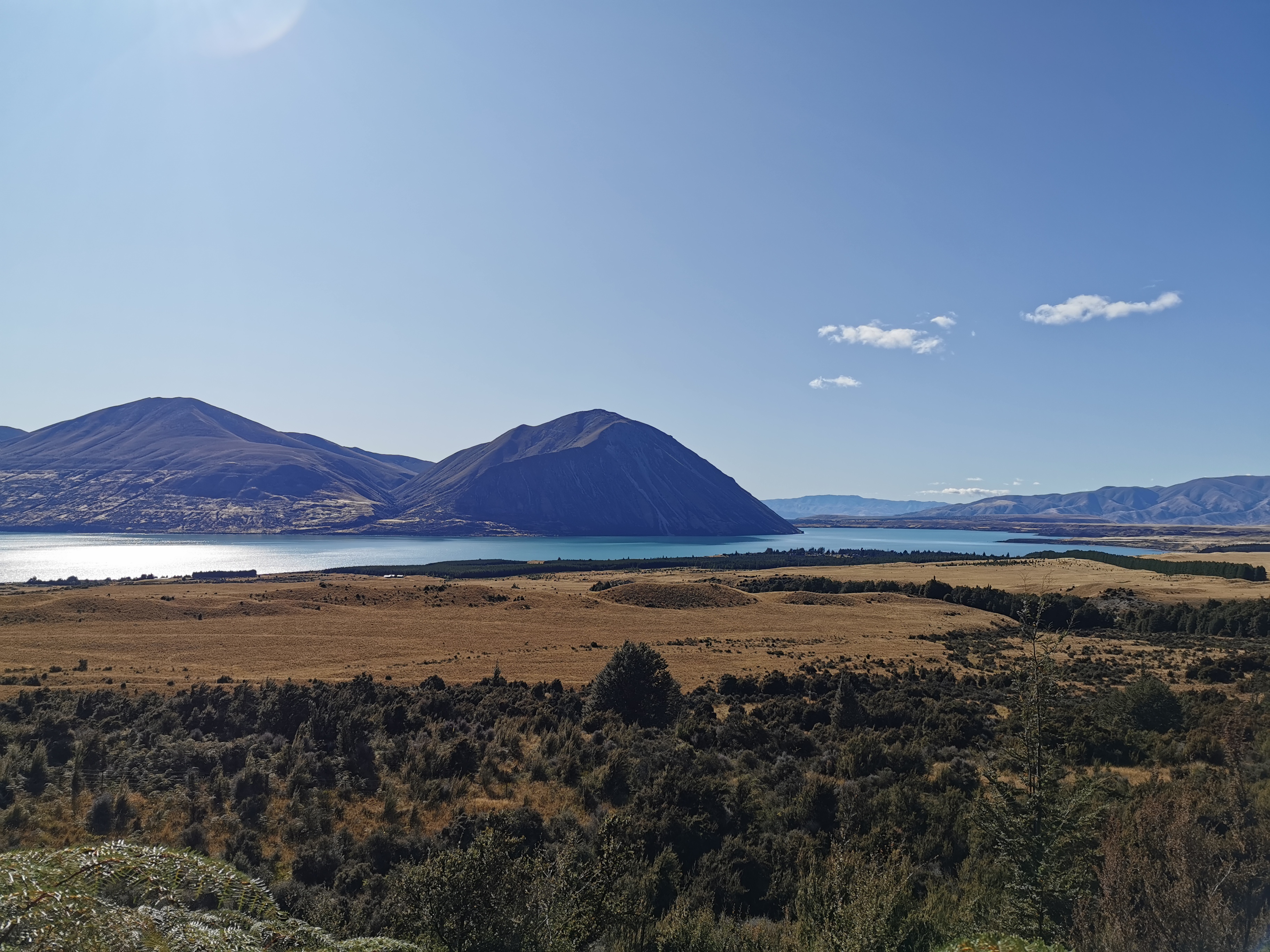
Lake Emily came into view soon.
Lake Emily in the distance
And the sun started to appear on the mountains.
Always great when the sun eventually hits
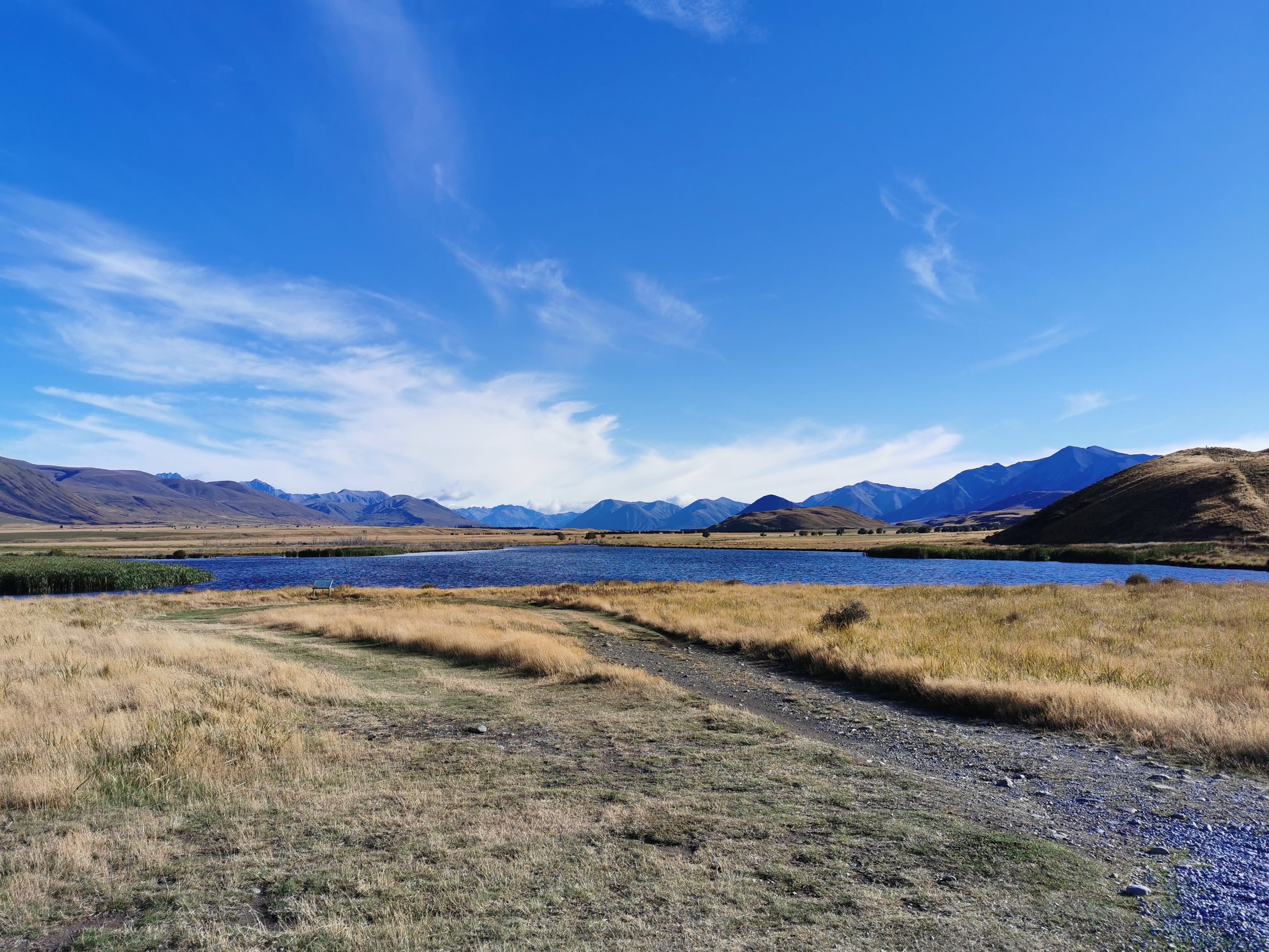
Lake Emily is a beautiful lake and apparently a lot of people camp here, although I have a sneaking suspicion it’s on private property as there are signs around.
Lake Emily
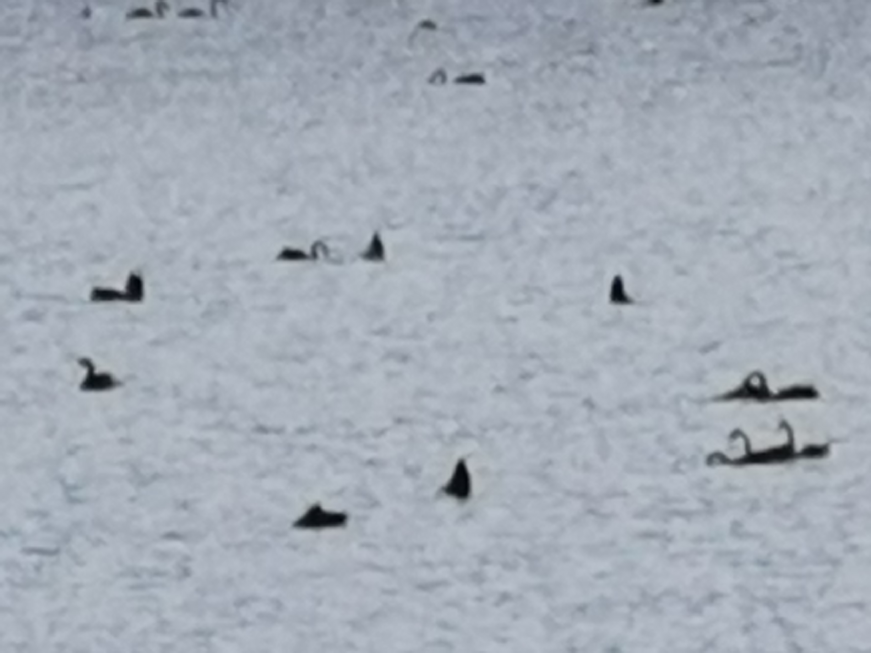
But am I right in saying there are lots of birds on it? Let’s use the 50x zoom and find out.
Yep, birdsLooking back
This is the first house I’ve seen since restarting the trail. It seems pretty remote out here and so I bet they have a long way to travel to get supplies.
First house in a while
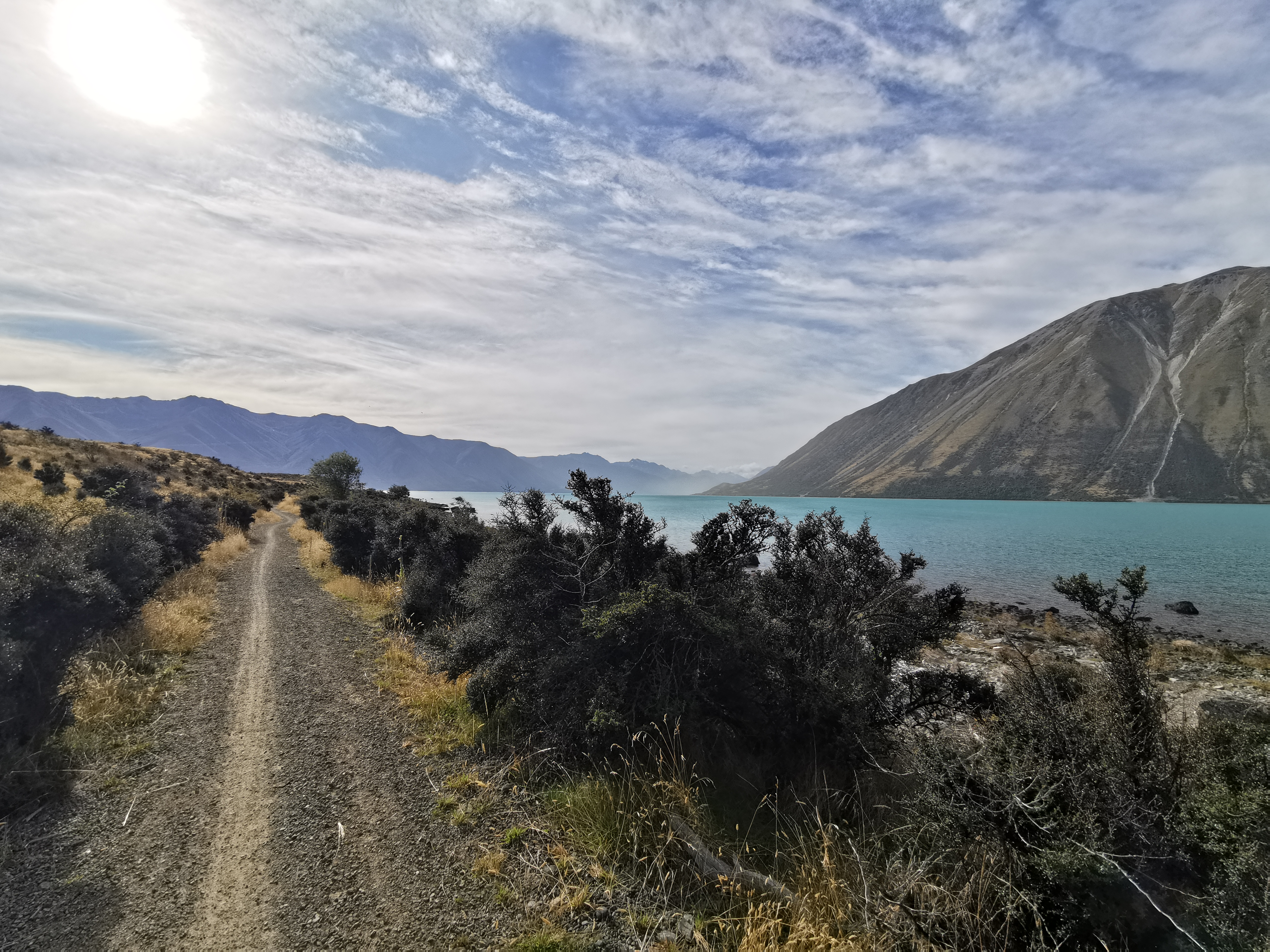
Of course where there’s a house, there’s a road. We were in for 5km of road walking.
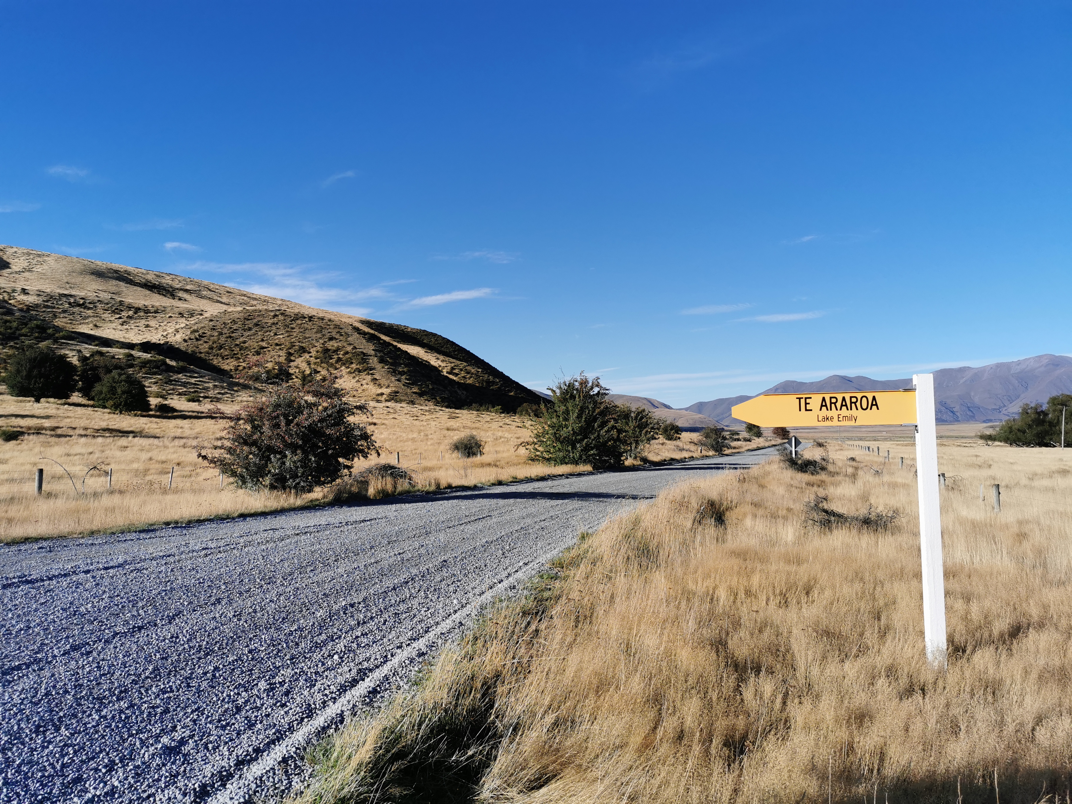
We liked the Te Araroa sign.
This place is called Maori Lakes. I’m not entirely sure why as I didn’t walk down to look at the info board at the edge of the lake. I do know though that there is a geocache here, as I found it.
Maori LakesBirds above usA truck going past
Anka had been walking with me since the phone reception and we were talking about geocaching. She told me about something called “wine caching” organised by wineries in Germany. It sounded intriguing but I didn’t find out that much about it and all the websites about it are in German.
There was another geocache on the bridge one kilometer on that crossed the Ashburton River. Anka left me alone at this point because I was taking too long to find it. It was a good place to have some lunch before continuing on.
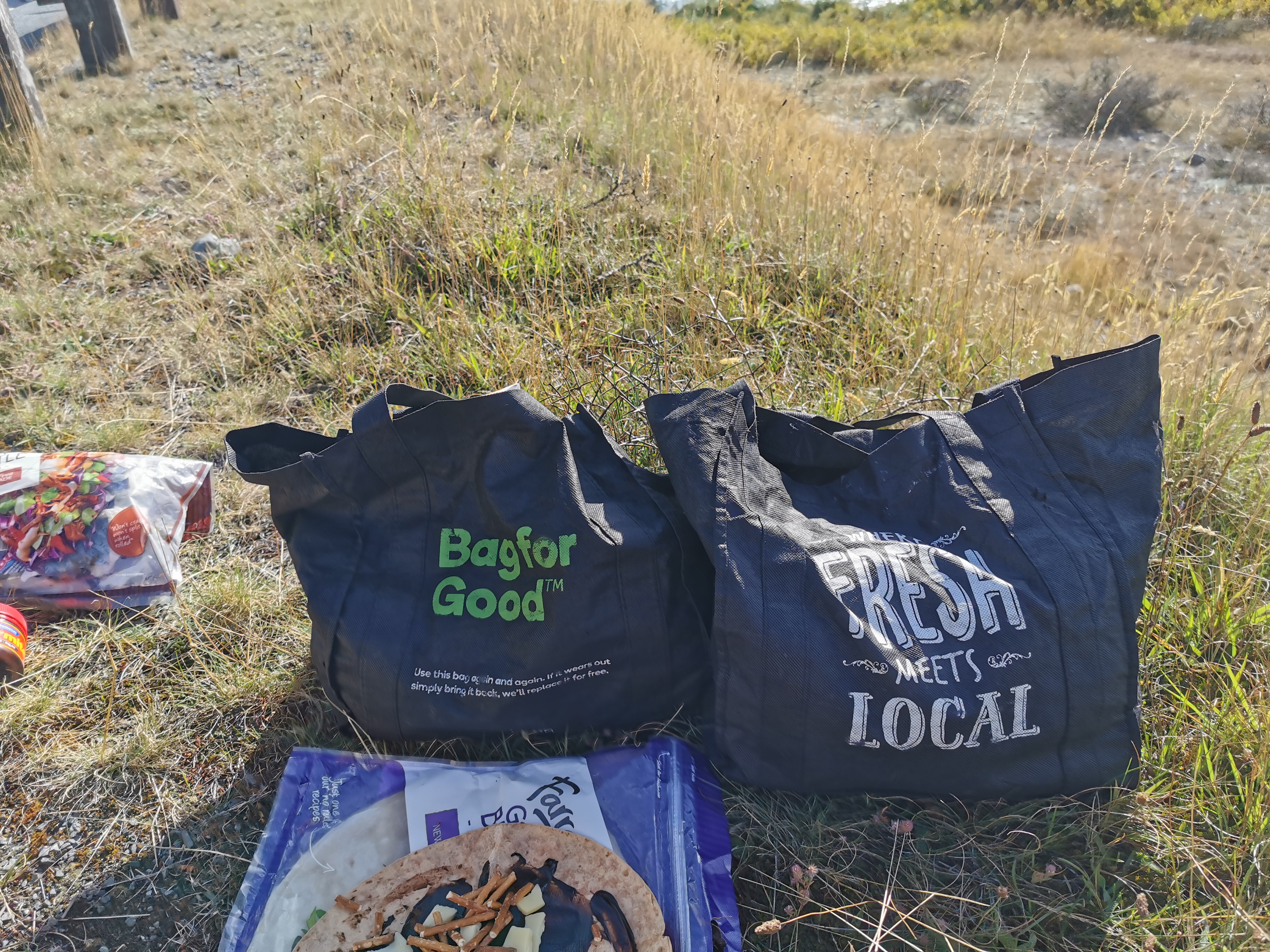
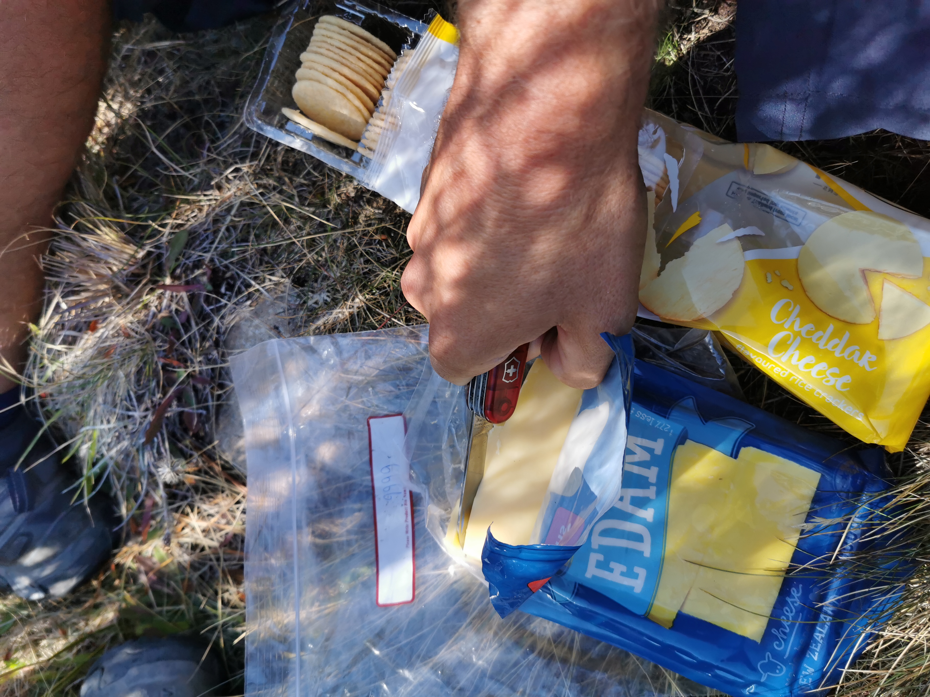
Here are the supermarket bags I carry my food in that Hannah thought was amusing two days ago
While I was here I pushed the other lens out of my broken sunglasses to make them match. Maybe I’ll start a trend.
Do they suit me? They’re ultra-lightweight and they don’t fog up. They’re almost the perfect sunglasses.
Since I stopped for quite a while finding the geocache and having food, Chris caught up. Here’s my 11am picture:
11am picture
That’s Chris walking along what was again fairly unchanging landscape for the first half of the day. He has a solar charger hanging off his pack to charge his phone, and he also has a knee brace because a week ago he was “rock-hopping” across a river and slipped and hurt his knee. We all know rock hopping across a river is a bad idea but we all do it because it keeps our boots dry.
Seeing if there are any aliens out thereSome snow-covered mountains peeking through
I felt like I was getting blisters with the amount of time I was spending in wet shoes and socks. I could feel the friction on the back of my feet and on some toes, so I stopped by this pond and put plasters on them the best I could, and changed into new socks.
A pond
There was yet another geocache here.
Here comes Chris to pass me
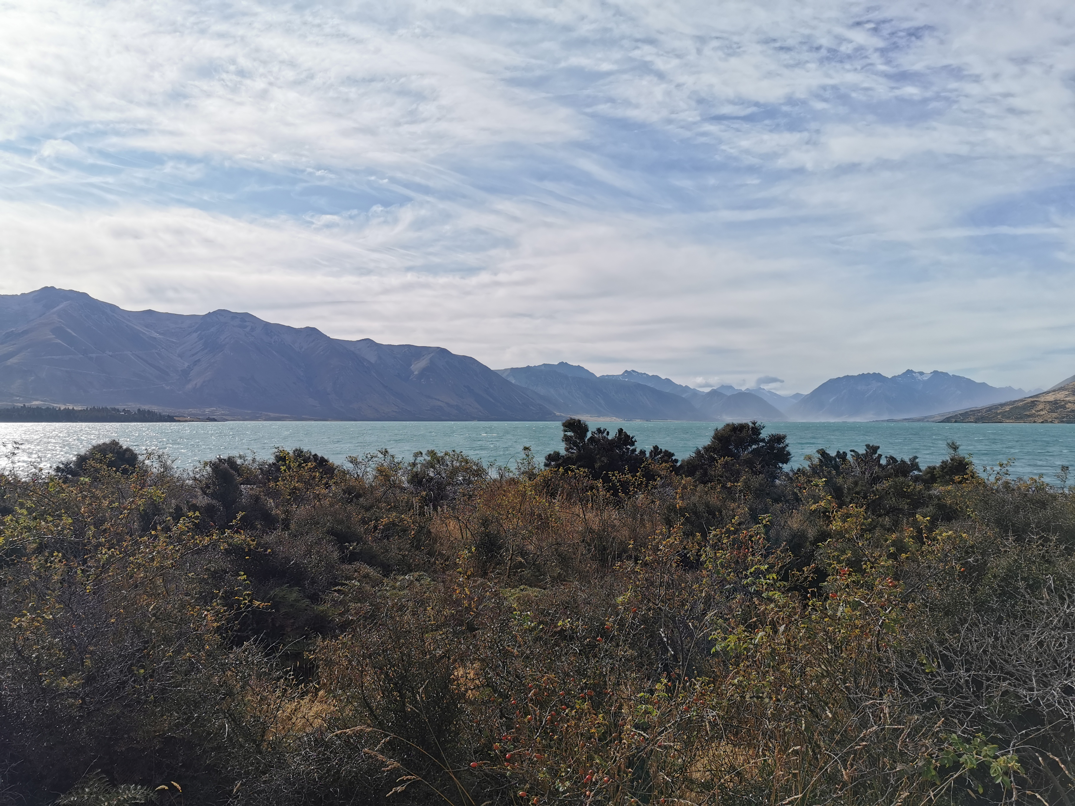
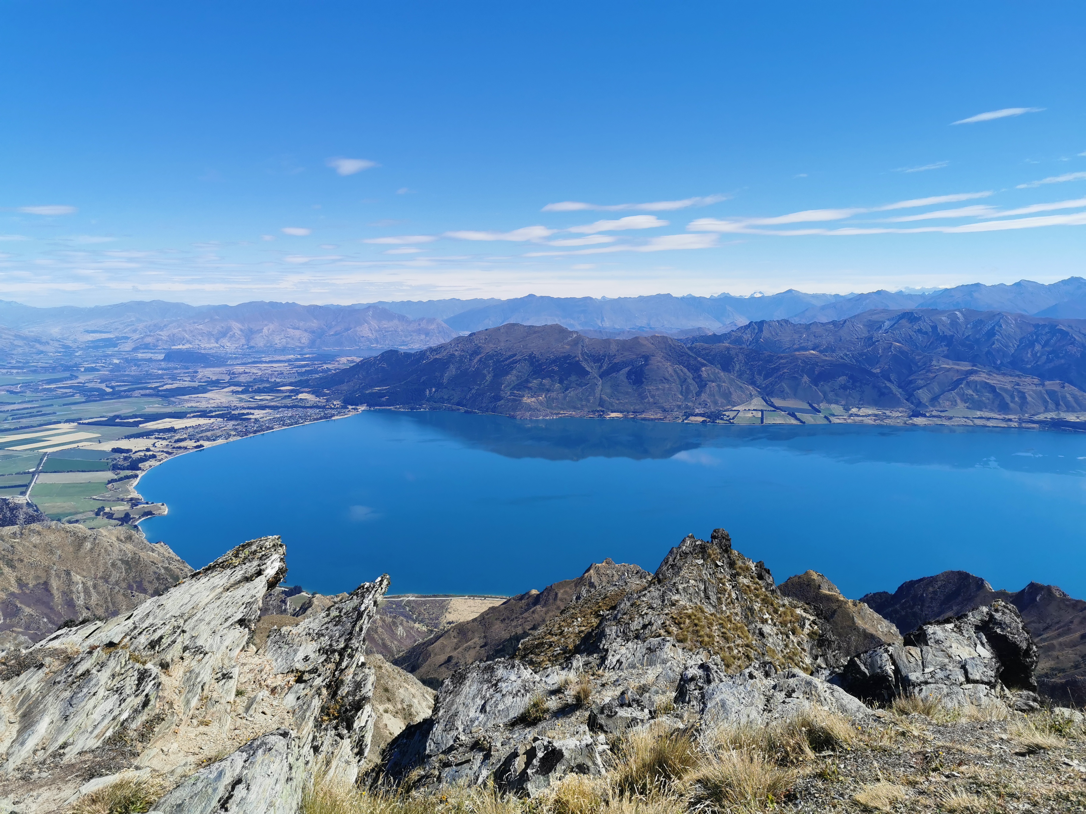
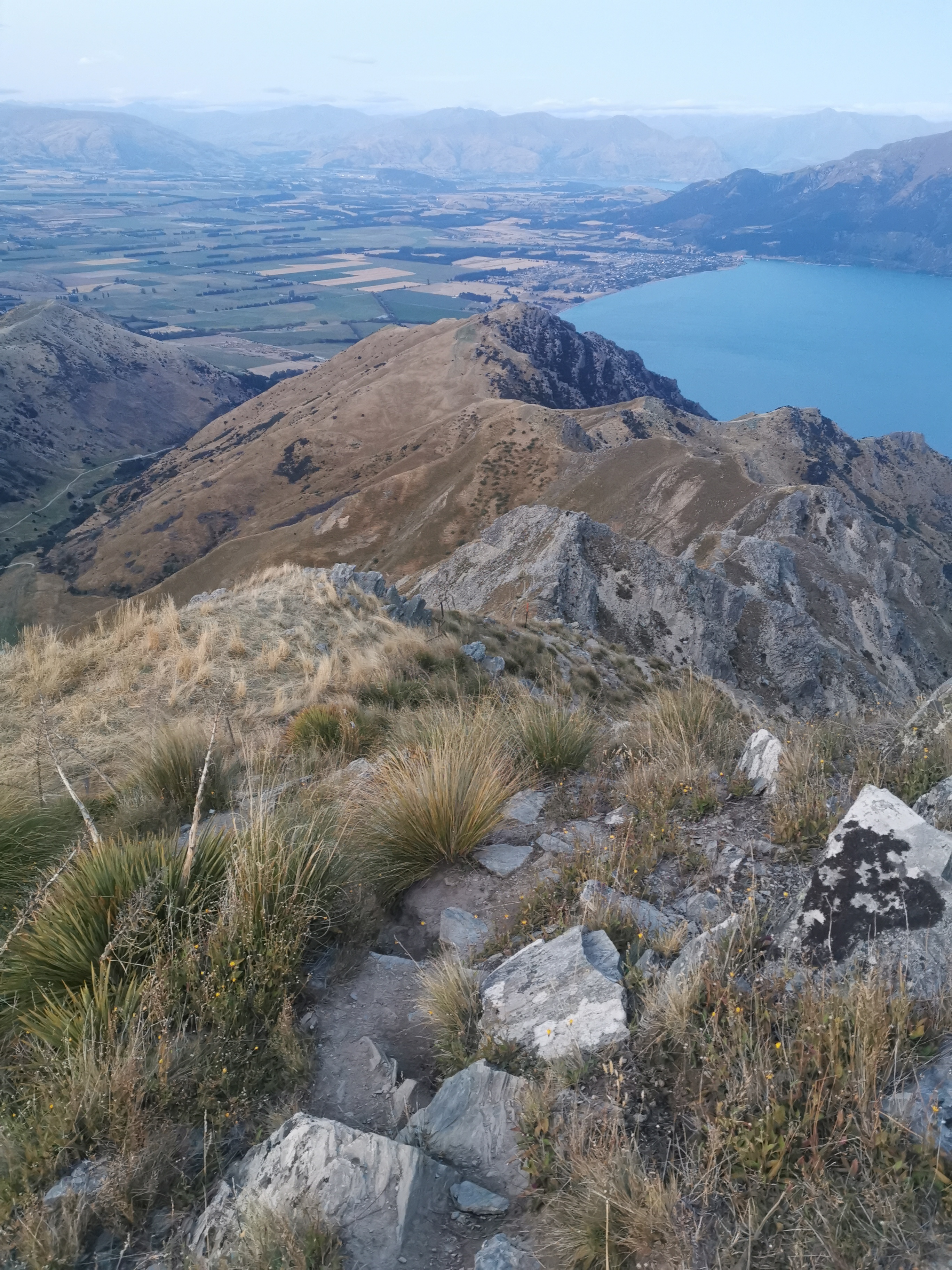
I had stopped here for about 40 minutes and little did I realise that Anka had stopped just 100 metres on. I didn’t know at the time that there was a really great view of Lake Clearwater and some of the nearby mountains just a bit further up. Of course when I tried to take pictures of the view they didn’t do it justice.
Lake Clearwater and Lake Clearwater VillageThe mountainsPanorama
The next part of the walk was a long walk past Lake Clearwater. It was 11km from here to the pickup point and my legs did start to get a bit sore. Not the kind of sore that they were when I injured myself last month, just “my legs haven’t walked this far in a long time” sore. The sun had been beating down on us all day but at least there was the right amount of wind so that it didn’t feel hot but wasn’t too hard to walk. I did start to feel a bit sunburnt though.
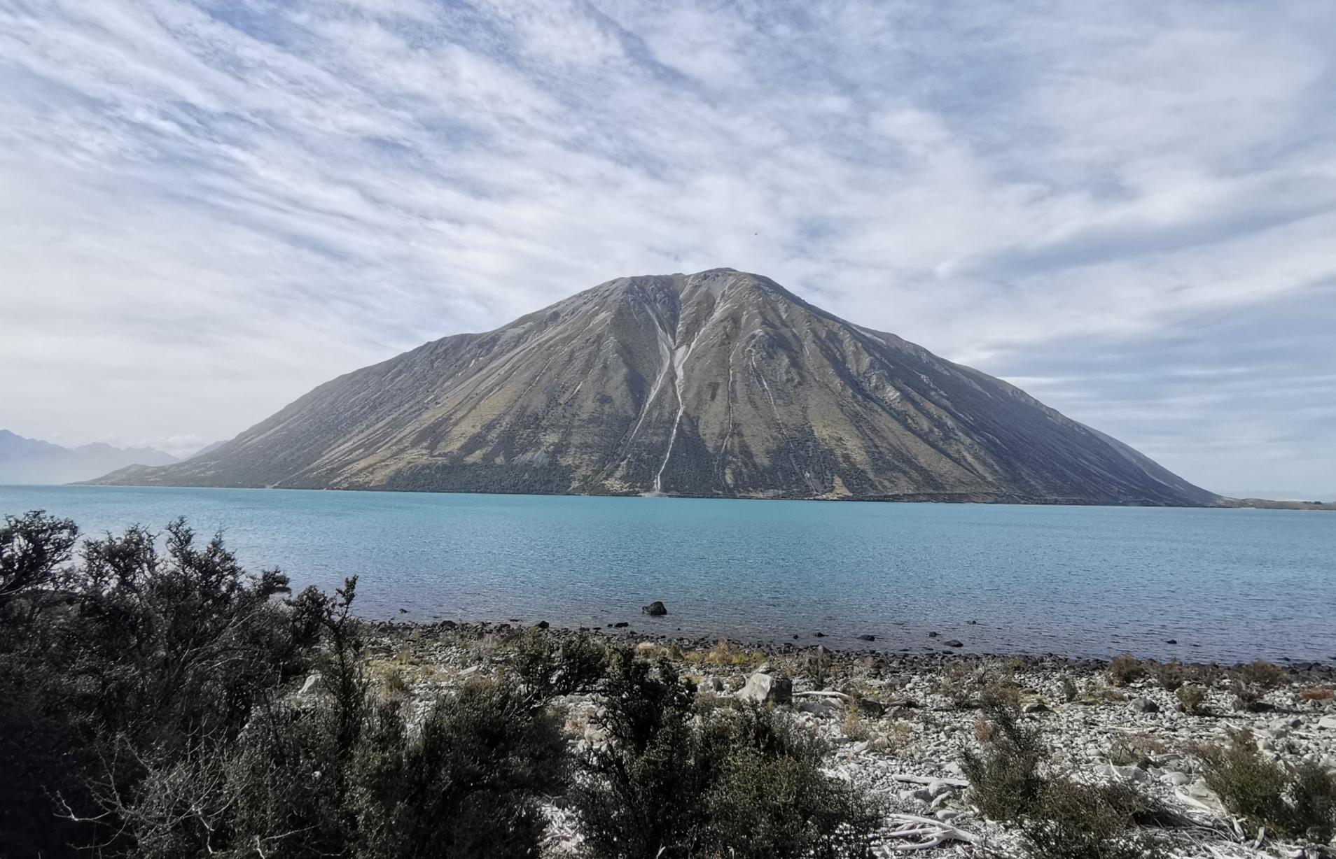
It wasn’t long before the Rangitata River came into view for the first time.
There was still a bit more walking to do. Eventually we came to the Potts River. Once you’re here, it’s not much further walking down the side of the riverbed to the pickup point which is at the car park beside the bridge you might be able to see at the end of the river.
Potts RiverPotts River riverbed
Anka and I gave each other a high five once finally arriving at the car park. The car park is not a particularly exciting place to finish the trail but there are great views across the river to where we’ll be restarting the trail tomorrow.
The finish point of this section
Lord of the rings fans may recognise this mountain here as Edoras, otherwise known as Mount Sunday. I have no idea if that’s right or not, but that’s what Anka said!
Edoras
Wayne turned up at 4:30pm instead of at 5, and since Anka and I were the only two booked on the shuttle it meant we could leave early.
The Alps 2 Ocean shuttle with Wayne the driver, and Anka
While we were talking, Wayne said I sounded Australian. Interesting, I haven’t been told that before! But then I haven’t been this far South before, so maybe people down here expect a different accent, I don’t know.
As we were driving away Wayne saw someone running on the trail in the distance. Since we had technically left early, Wayne drove back to the car park and waited for them. It turned out to be Gito and Hannah. They made it to the pickup spot at 4:51pm – 9 minutes to spare.
Anka and I were surprised, we thought they were ahead of us. But it turns out they’d stayed at Double Hut because all the rain and cold meant they didn’t want to go any further yesterday. They knew that Anka and I had booked the shuttle for 5pm and so they figured they could just turn up then and get on. Talking about cutting it close!
Gito said that in Double Hut he slept in the same bed as Sir Edmund Hillary did in 1951 (if you believe the hut graffiti). I thought that was pretty cool.
While we were being driven, Wayne said that Lake Clearwater Village is “off the grid” – they aren’t connected to the power or water supplies. People there have solar and gas and rainwater tanks. Apparently some guy built a house by the lake to go fishing and suddenly all these other people decided to join him. I wish I got a photo of the village as we drove past, it was near and colourful but I was sitting on the wrong side of the shuttle.
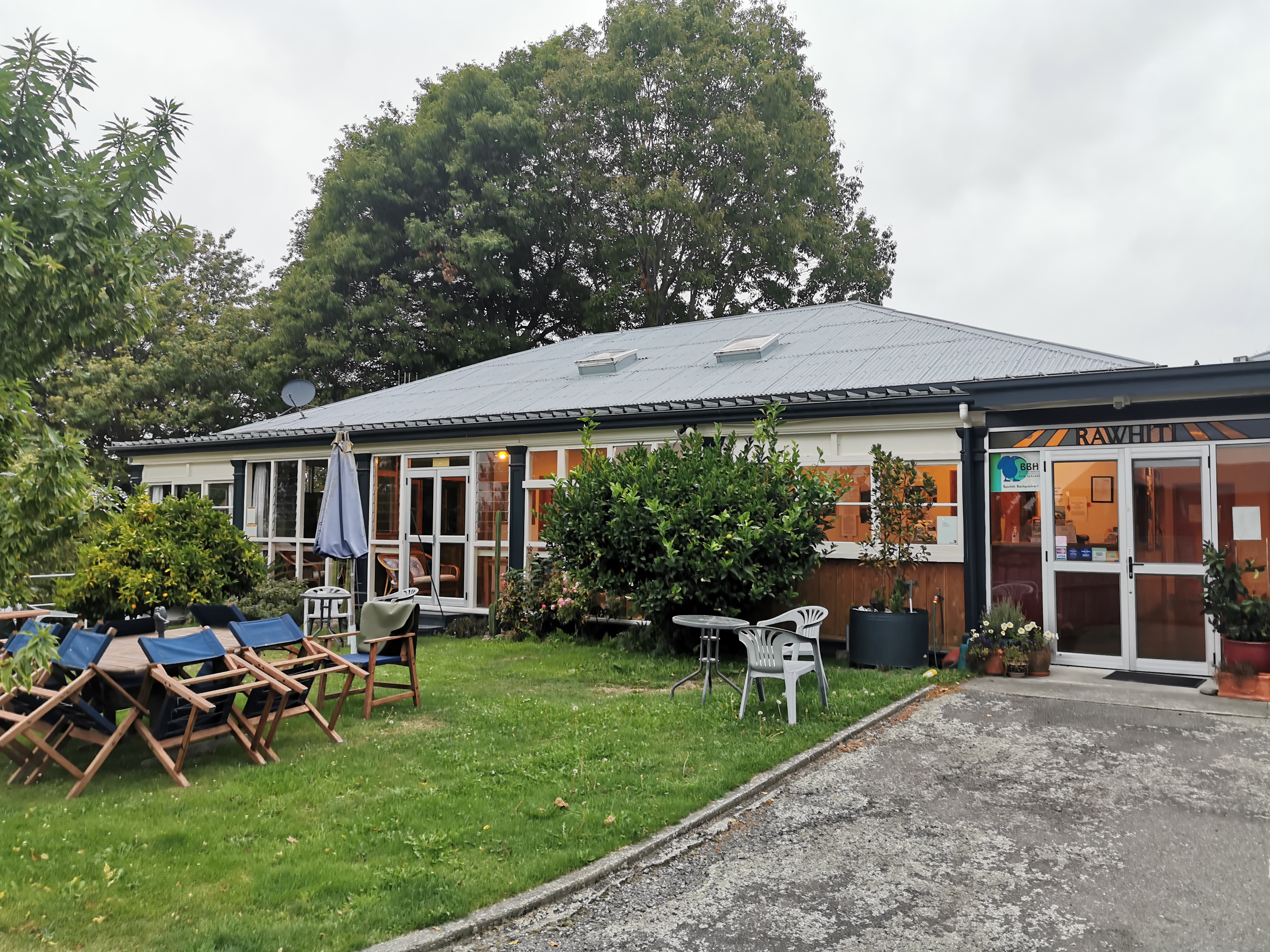
We all got driven to Geraldine. We checked into Rawhiti Backpackers at about 6:30pm which seemed like a nice enough place but since I’m leaving again at 8:15am tomorrow morning it was all rush rush rush to get resupply done before the shops closed, get dinner and shower. The backpackers offer free laundry apparently which is really great but there just wasn’t time.
Anka said she decided not to continue walking tomorrow and instead decided to have a rest day, as she has a sore throat. Gito and Hannah are also resting so I will be catching the shuttle to the trailhead tomorrow alone as far as I’m aware. We didn’t see Chris but we know that he managed to hitchhike into Geraldine, so he might be continuing tomorrow too.
Once at the backpackers my sunburn became obvious. My face is burnt and my legs too, not only at the top of the legs where the new shorter shorts don’t cover, but also all over. I guess while I rested for a month I lost my “base tan”. I wouldn’t have got this burnt this time last month.
Anka and I were sharing a room with an Asian guy who didn’t speak much English, but I noticed he had a Naturehike brand tent like I do, although his is a 1 person tent. He was a cyclist who was cycling to Tekapo. We didn’t see much of him as he was still gone from the room when I went to sleep. On a side note, the beds are extra comfortable at this backpackers. There were two bunk beds in the room and two standalone single beds. The Asian guy had taken one of the bunk beds when we arrived so Anka and I got the two beds. How nice of him.
Well this section is over with now. I remember Louise saying she thought the section was beautiful. I guess it was – it wasn’t as beautiful as the Richmond Ranges or the Queen Charlotte Track or the Waiau or Goat Passes but it had its charm. I’m glad it’s done now and I’m looking forward to the next bit.
Date: 10 March
Trail covered: 9km, plus at least another 1km with detours and extra bits (kms 2313.8 to 2322.8)
Weather: sunshowers
Anka woke up before me even though she isn’t going anywhere today. She was cooking bacon and eggs. What an excellent thing to do on a day off!
The Rawhiti Backpackers in Geraldine. Highly recommended.
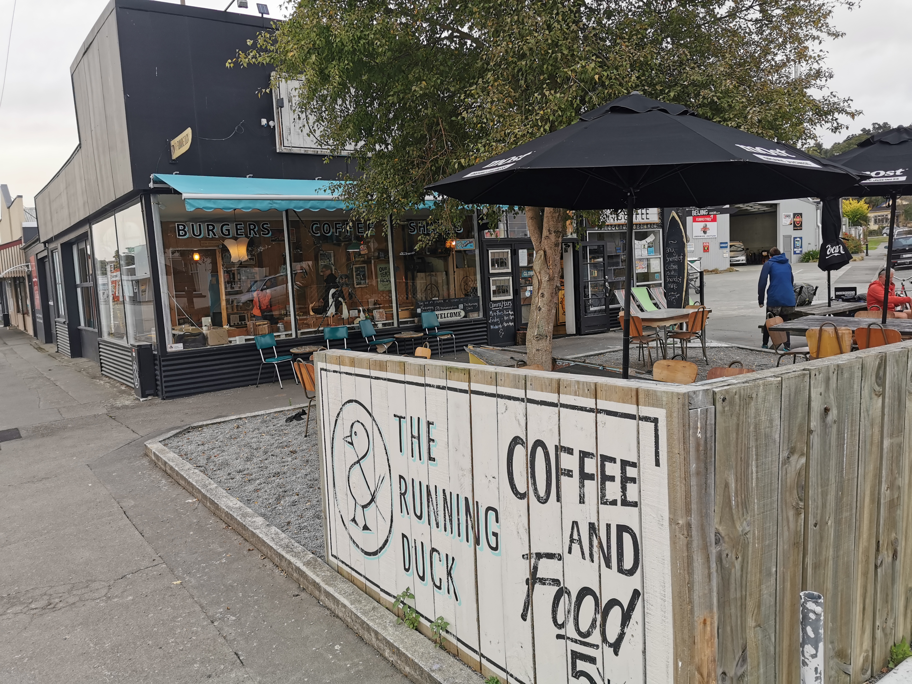
Since Wayne was picking me up at 8:30am from the Running Duck cafe I thought I’d go there for breakfast. I’d woken up earlier than planned (7am) and the cafe didn’t open until 8am. I met up with two new people who were staying at the backpackers too. They were Christie and Michael who were also getting the shuttle and we had a quick chat, then while they finished getting ready I headed down to the cafe and got there at 7:50am.
Walking down the driveway of the Backpackers into town
I stood outside the door of the cafe looking pathetic and they let me come in ten minutes early, which was nice. Christie and Michael arrived shortly after and we talked about the trail. Christie is walking the whole trail southbound and Michael is just joining her until Tekapo. They’re both from Christchurch.
The Running Duck café, Geraldine
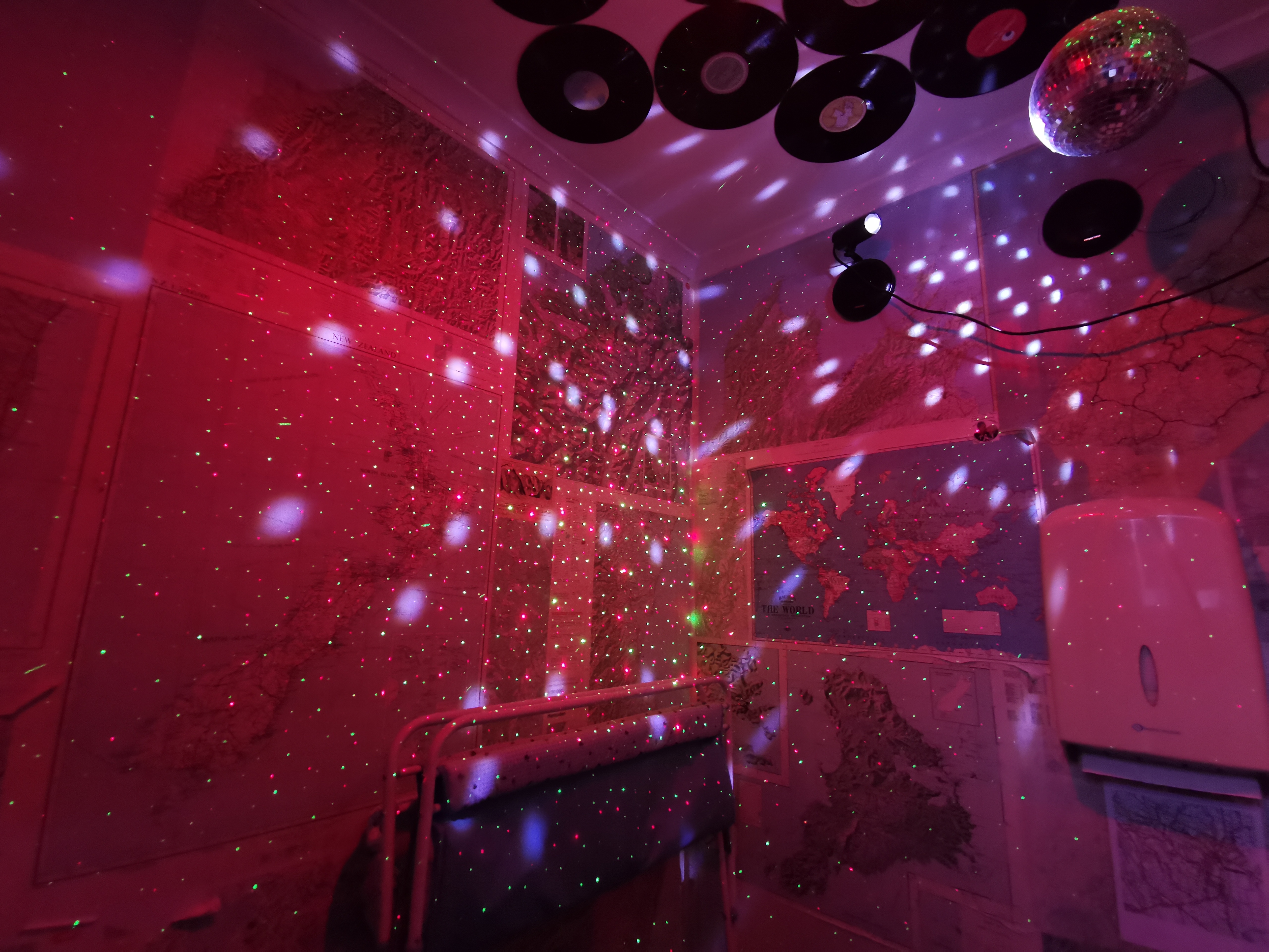
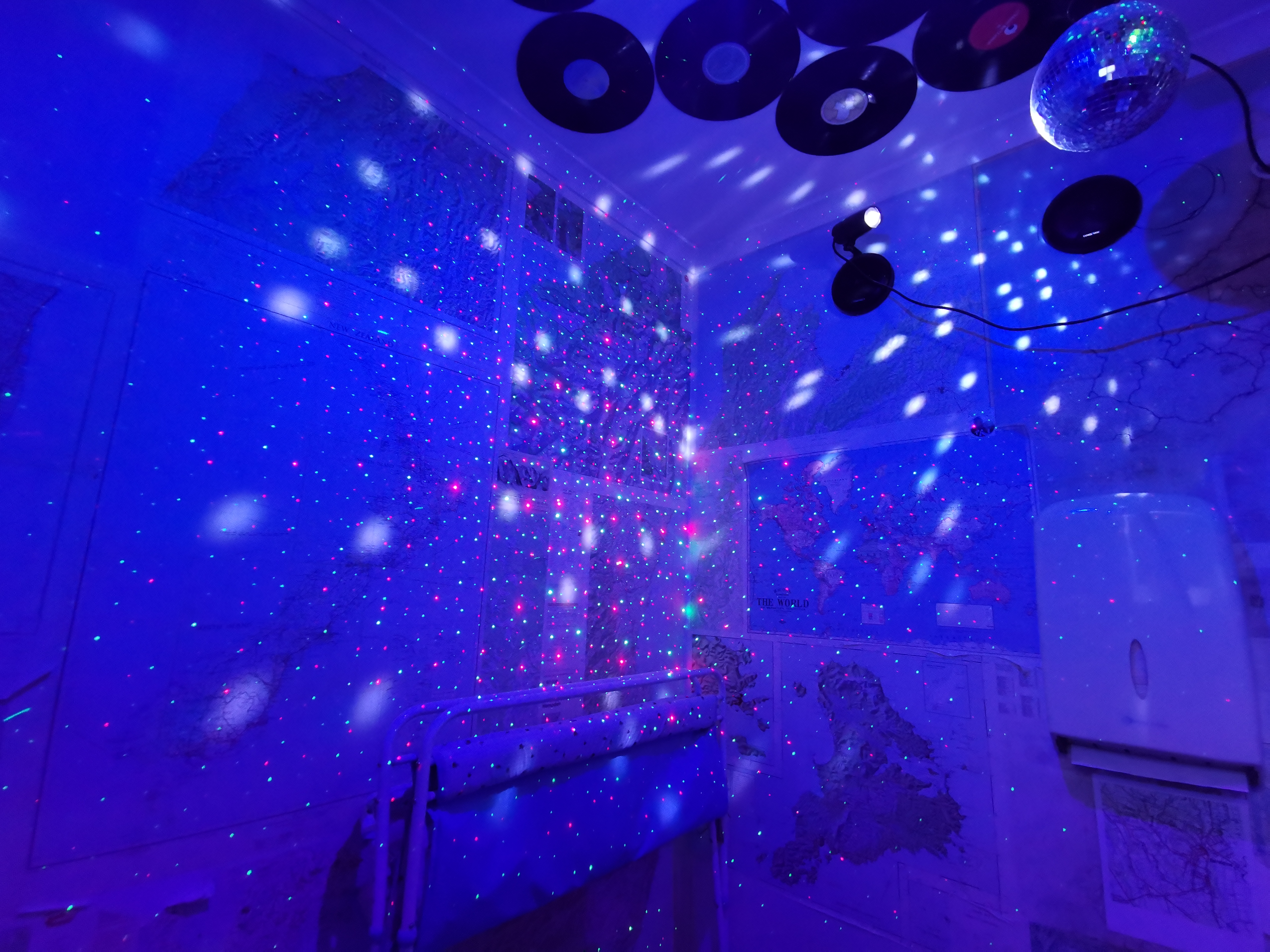
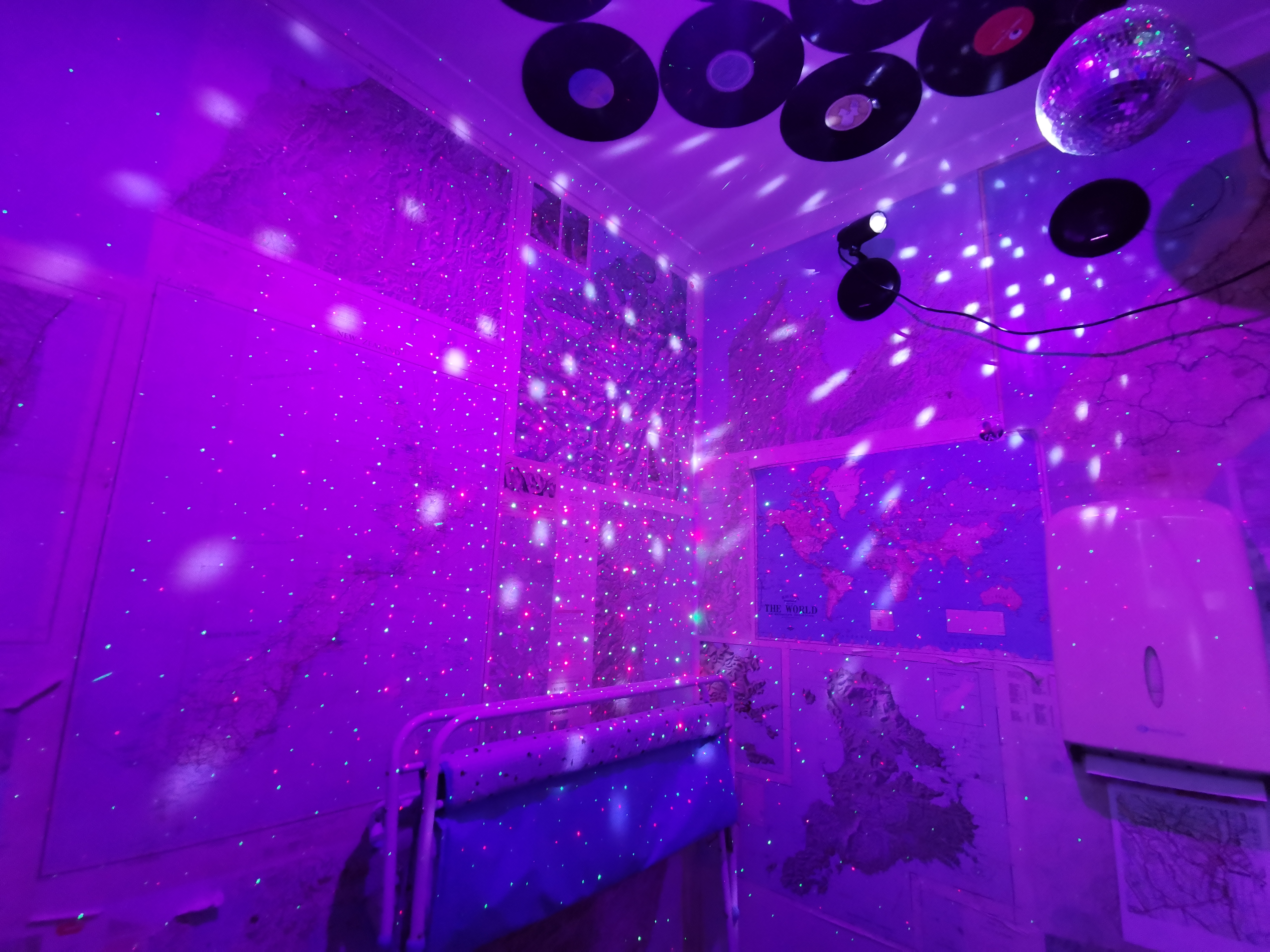
You should see the toilet at this place. It has party lights and a disco ball.
The lights in this toilet cycle through colours. Which colours do you like?
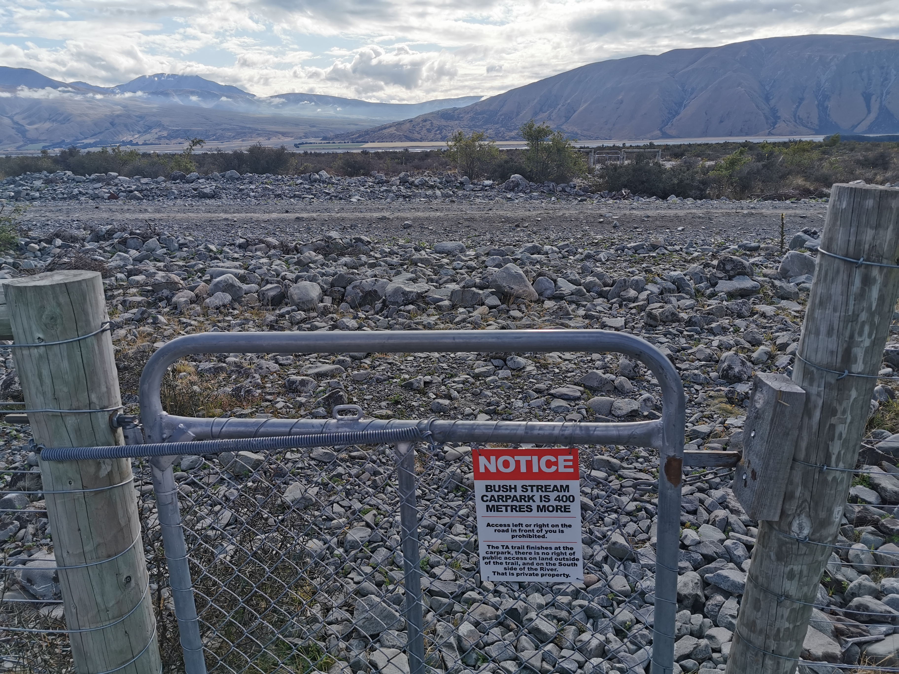
Wayne arrived on time to take the three of us to the Bush Stream car park. It seems that everyone else is taking a rest day, including Chris apparently.
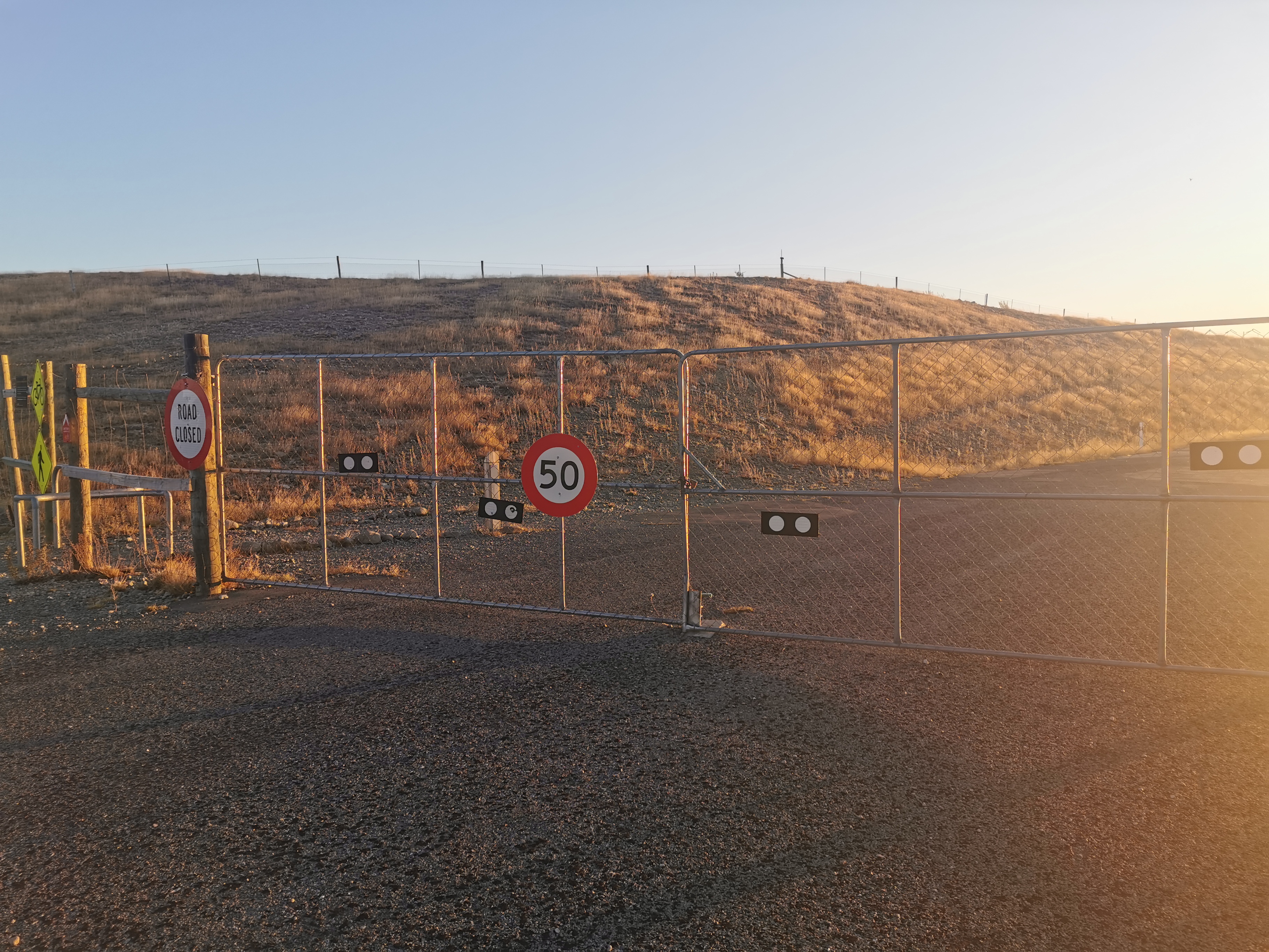
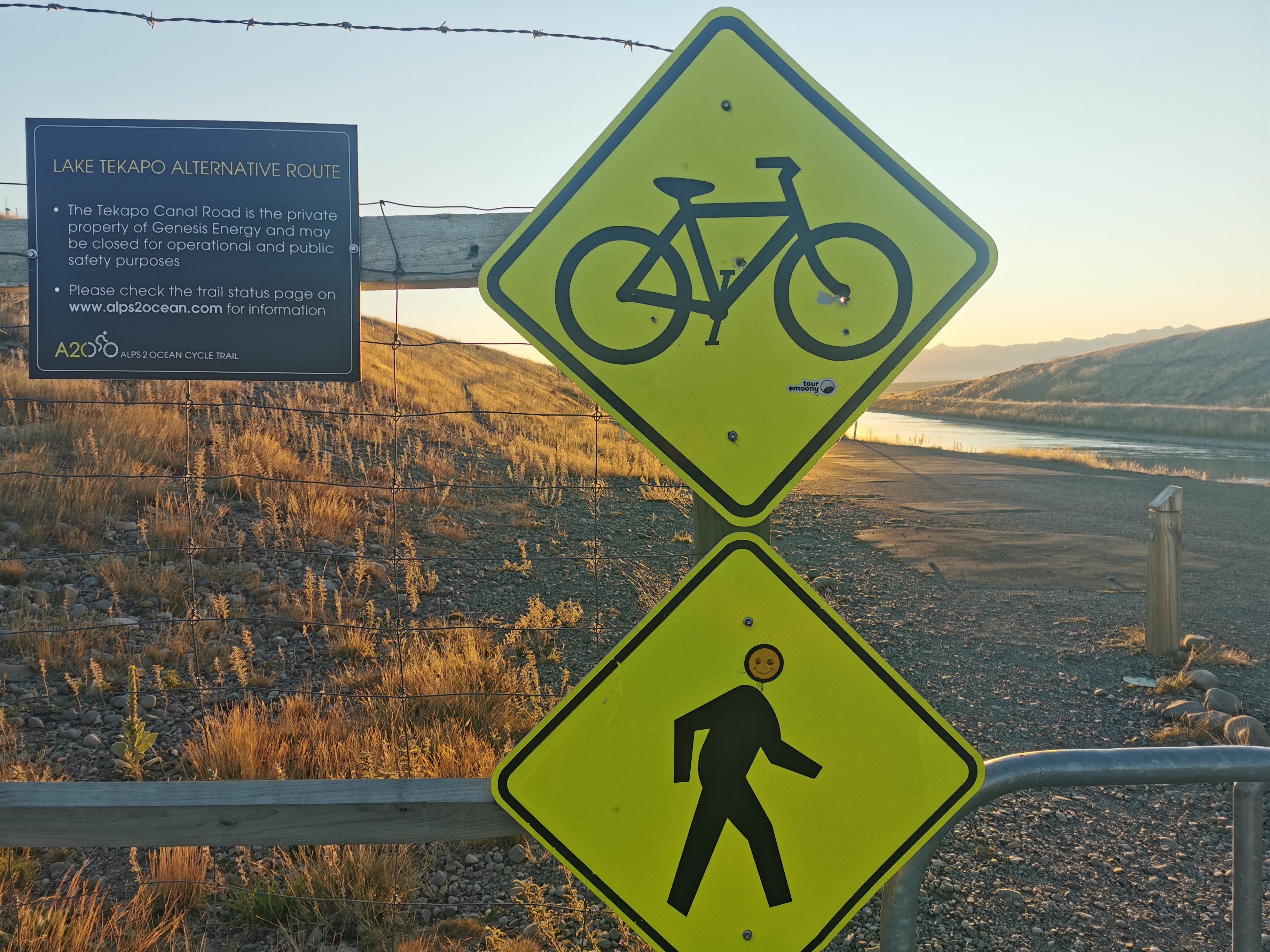
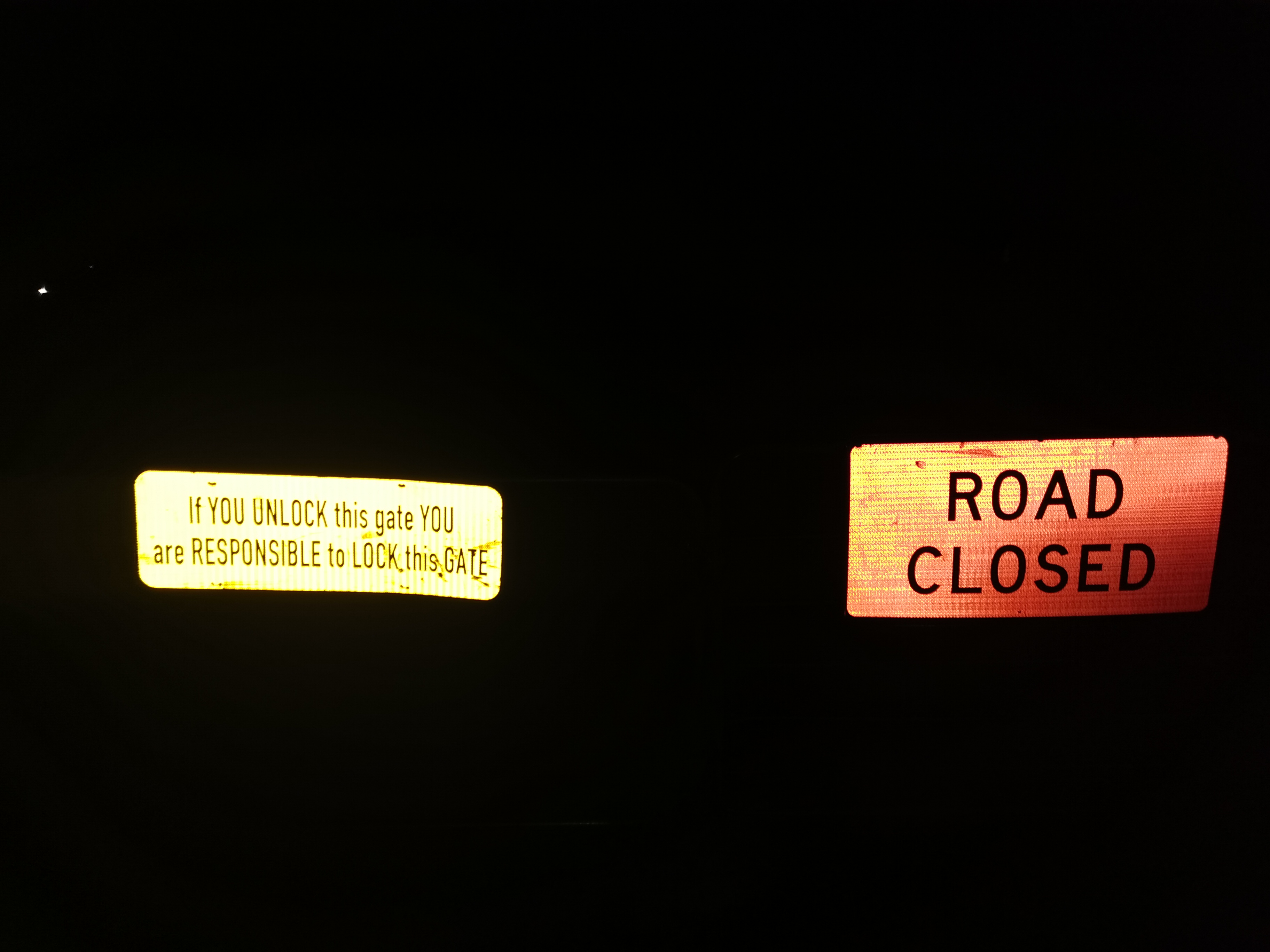
Today’s road block
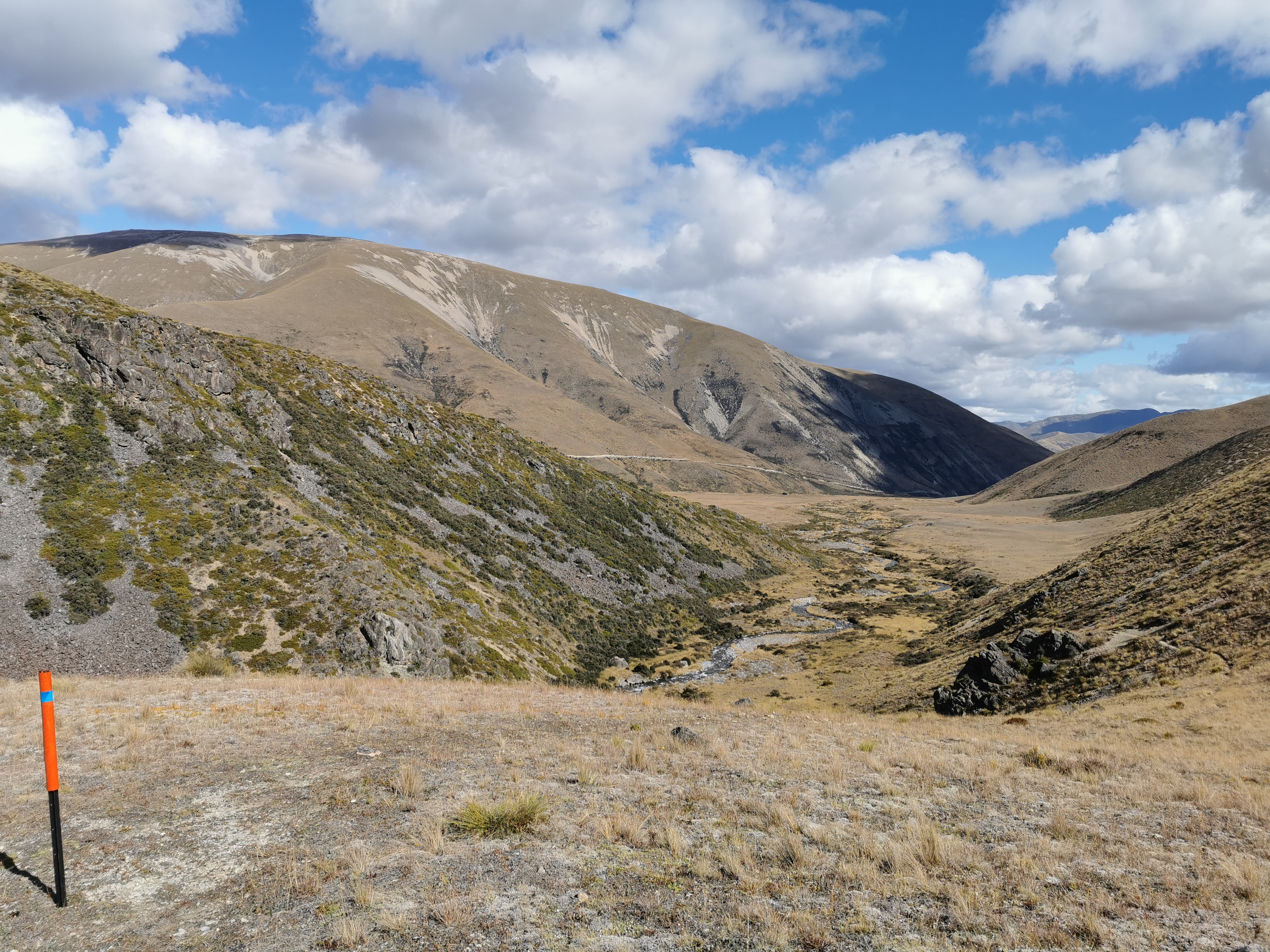
The varying weather forecasts show really different things today. Metservice says “rain about the divide” but Metservice says “rain about the divide” every single day. Geraldine had a fine forecast but Ashburton Lakes had “potential thunderstorms”. Another forecast that Christie uses (yr.no) said fine in the morning and rain in the evening. Who knows what will happen.
We stopped on the way to take a picture of where we were yesterday.
Walking to the cafe earlier it was spitting a bit but while driving to the trailhead the weather looked good. I’ll get to the first hut today, which is Crooked Spur Hut, and see what the weather is like and decide if I go on or not. Christie and Michael’s plan is to stop there.
On arrival the weather was stunning. I could see the hill where we finished our walk yesterday.
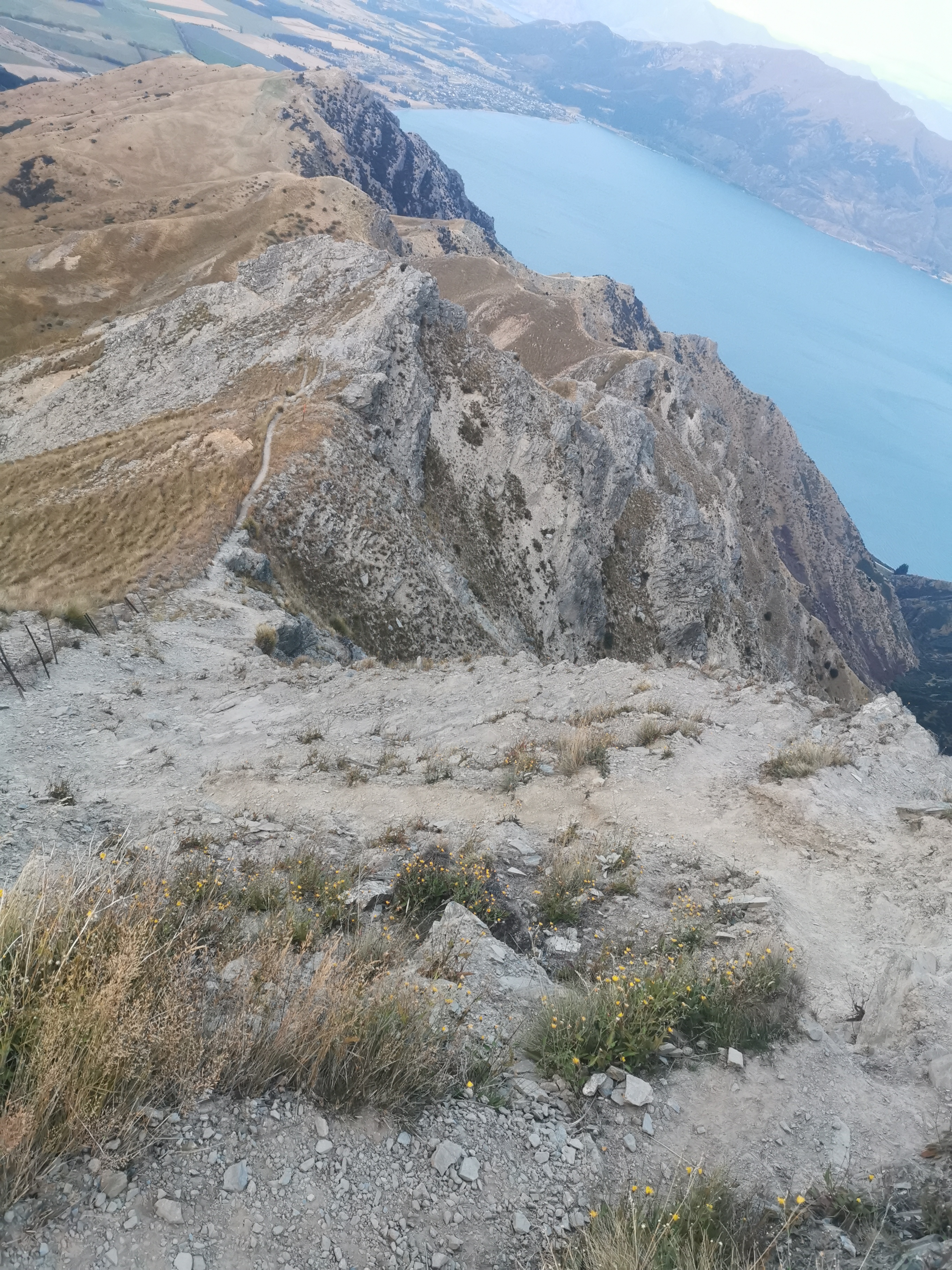
Looking at the Rangitata River, it looked crossable today, but of course that’s easy to say when you’re looking at it from a distance.
Interestingly Wayne dropped us off 1km from where Guthook said the trail started, but it was the right place because the DOC signs said so. So at first there was an extra 1km of walking that isn’t even account for. Rude.
We’re going that way
There is a toilet at the car park, and there were also two cars parked there.
Wayne’s shuttle
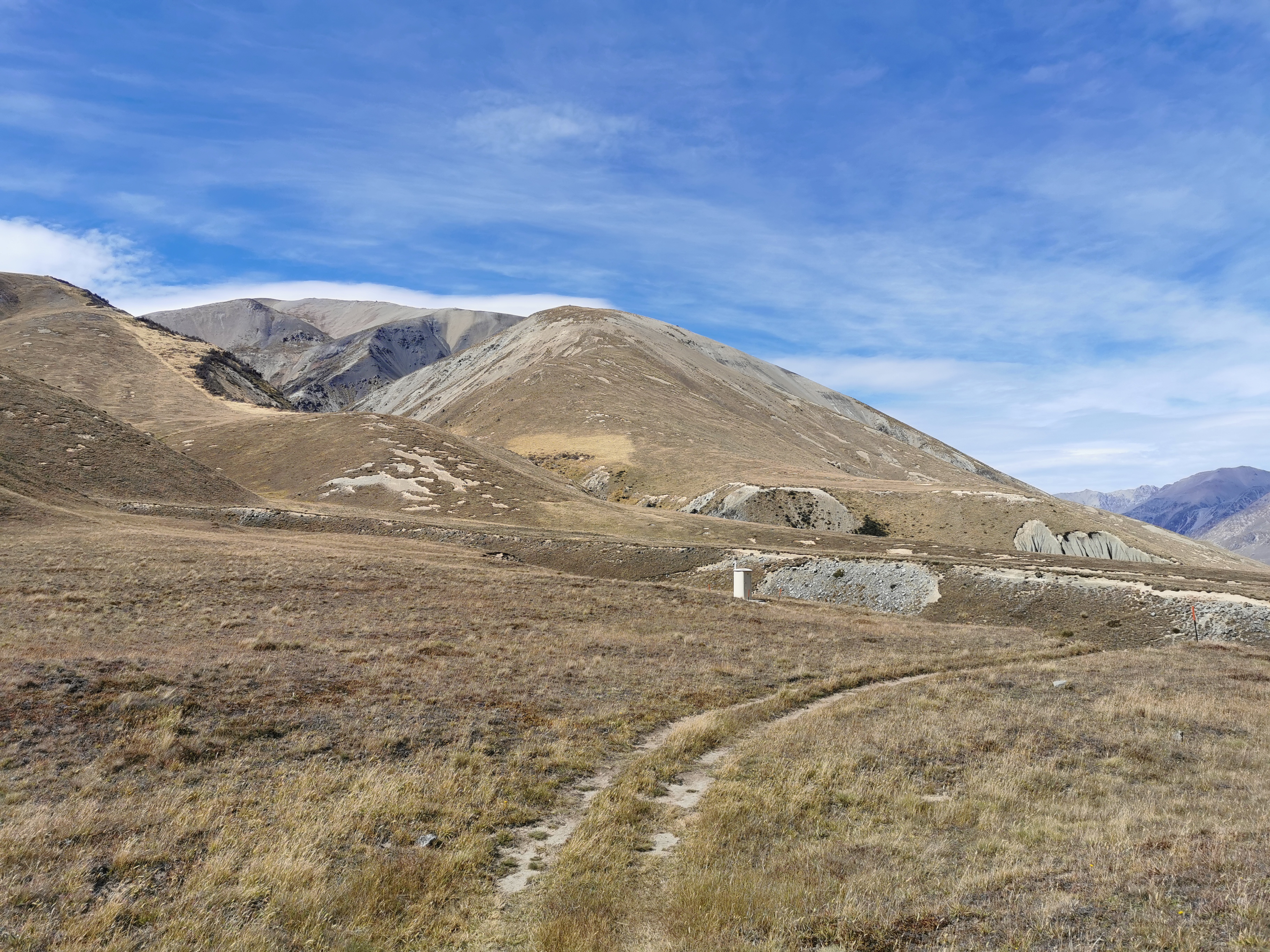
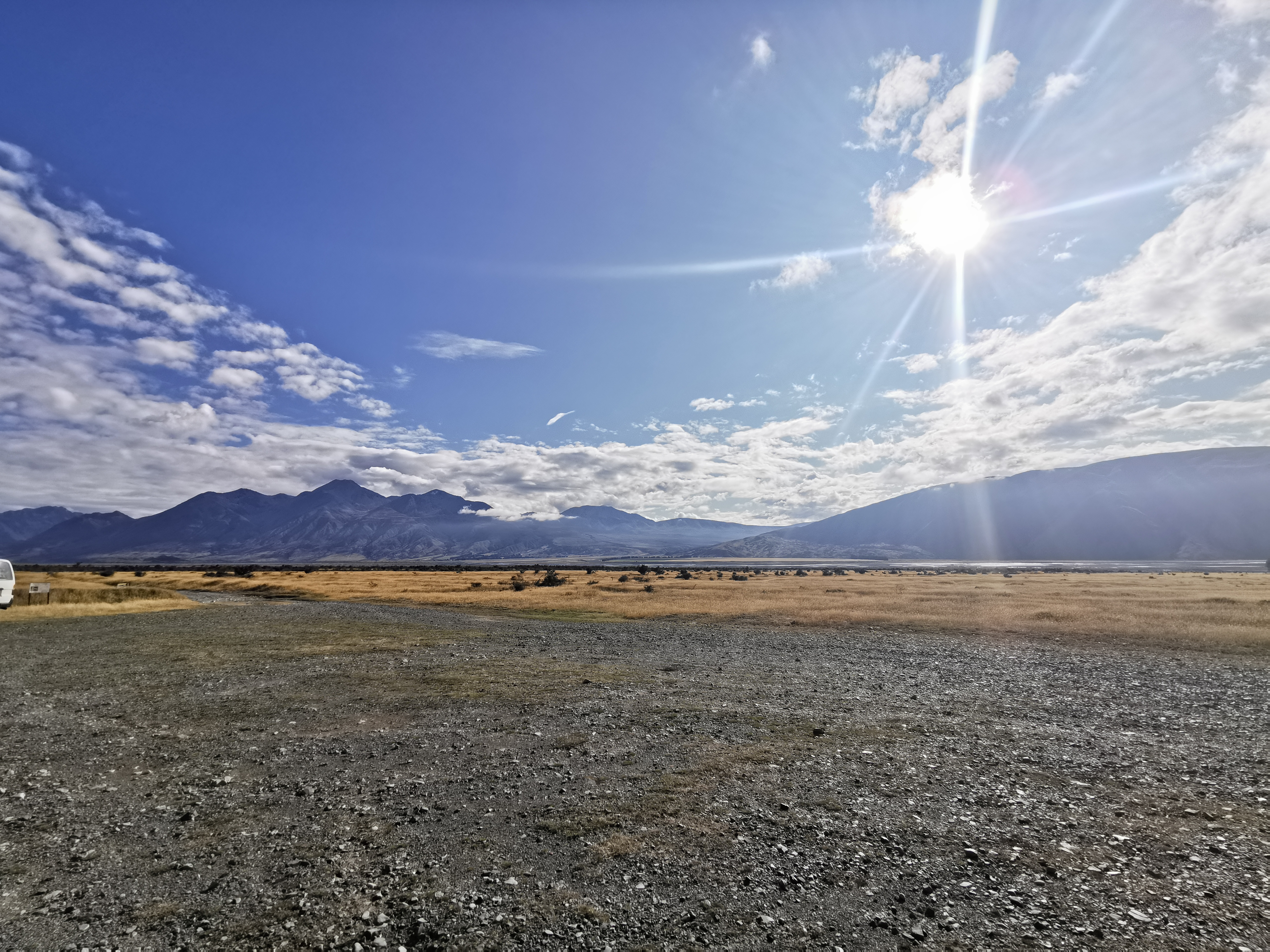
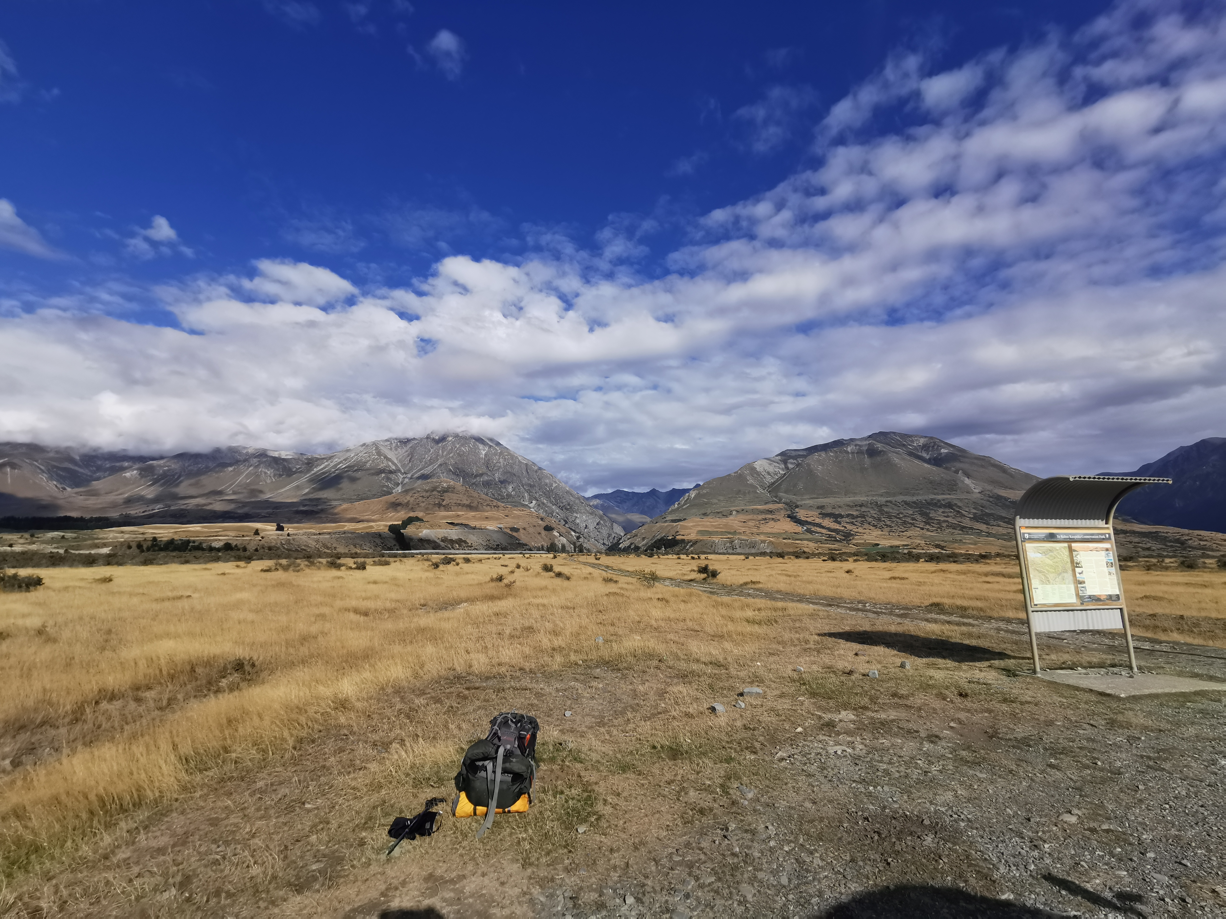
This area is called Mesopotamia. There’s nothing around – it really just is tussock and mountains.
It would be really hard to hitchhike to this spot. It was a long way from Geraldine down a very questionable gravel road and you have to go right to the very end too, which surely almost nobody would do on any given day. I wonder if Chris will attempt the hitch tomorrow.
I started walking from the carpark without the other two as they were taking their time.
This sign tells northbounders that this isn’t the end… keep going
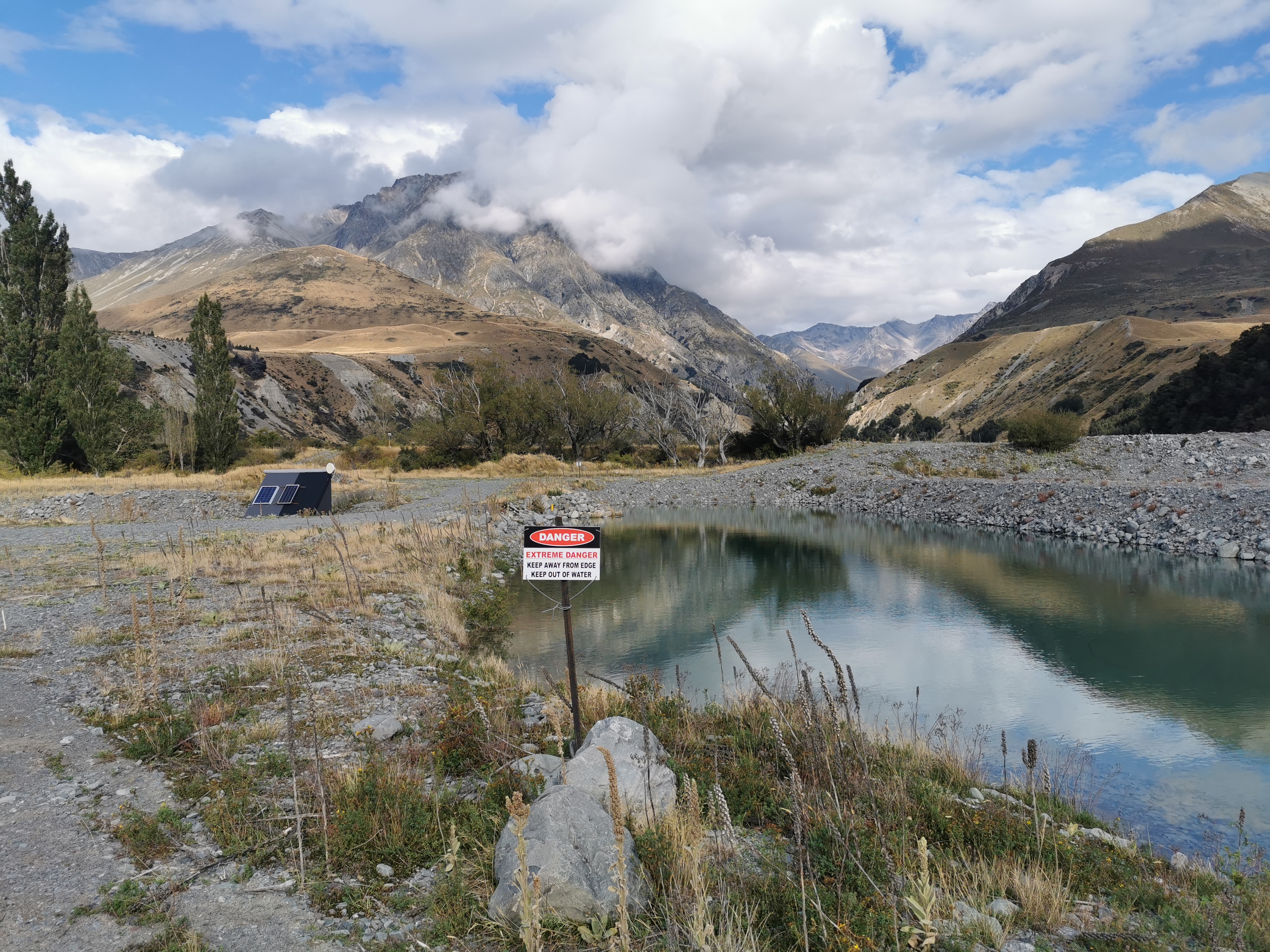
There was a weird piece of water with a big danger sign which seemed way out of proportion to the actual level of danger it posed.
Danger – extreme danger
There was also a weird building with solar panels and some kind of receiver but it was locked and I couldn’t work out what it was.
I shall call it “Building X”
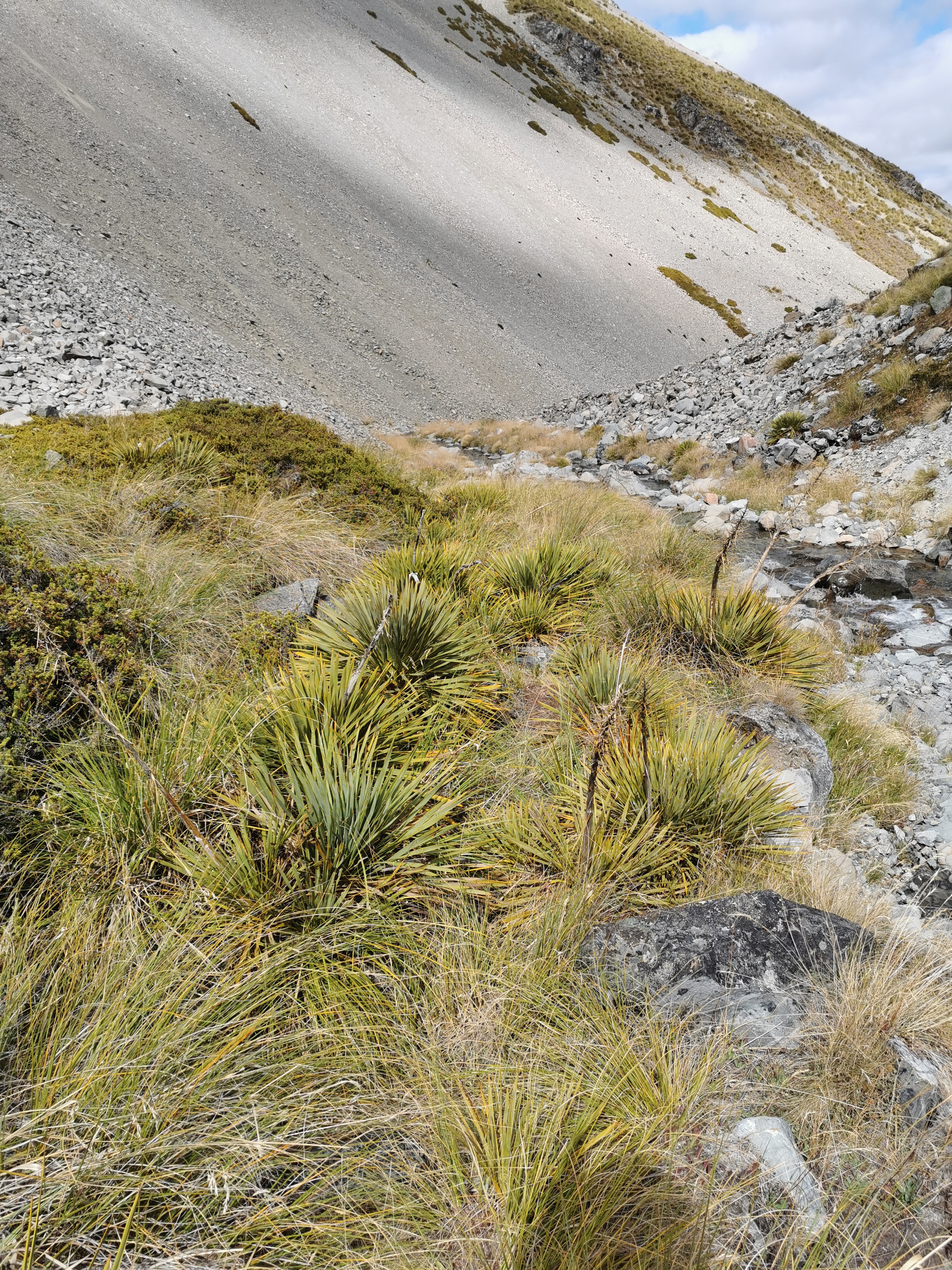
The map made it look like we were following Bush Stream all the way up to the hut so I told myself I’d change into crocs at the first crossing. But surprisingly, the first 3km were on a 4WD track.
The start of the path today
As I was walking on my own I wondered to myself if I would have the hut to myself if I continued to the second hut, Stone Hut. It would be spooky. The only hut I’ve had to myself so far was the very old Camerons Hut.
After 3km was the first stream crossing, so the crocs went on.
No avoiding Bush Stream from here
Most of the rest of the day was walking up the stream. At 11am I had stopped for a quick snack and waited for the other two. With all the stream crossings it would be good to have other people around.
11am snack spot with the others in the distance
While I waited for the others I looked at the Guthook comments for the upcoming section. There was an interesting comment saying not to go over the hill before the hut as there is a landslide and it’s not passable, and instead continue following the river upstream. The notes say that the hill avoids a “gorged” section of the stream so it might be harder to cross that section, however I don’t think there’s been a lot of rain recently except for the constant showers two days ago.
We saw two hunters going the other way. I stopped and talked to them. They immediately commented on the crocs. A bit different to the hunting gear they were both wearing! I asked about the upcoming hill and what they thought. They immediately said “it’s unnecessary” to go over the hill. They didn’t say impossible, they said not necessary. They said they went over the hill on the way in but used the river on the way back. Interesting. The purist in me thinks I should attempt the hill.
Not long after that we went over a spot called Sawtooth Bluff. A solitary marker pole suggested we go up a very steep hill to avoid the river, despite the fact that the river seemed completely passable. So we did, and we really weren’t sure if we were going the right way. It was very steep, in fact coming down was probably the steepest bit of trail so far.
Descending the steep bit
I had to slide down on my butt. You can see in this photo on the left the path my butt made as I was sliding down.
Michael made it down by walking down sideways
Maybe this is the hill that the hunters meant… whereas the hill I was asking them about was a much bigger and longer hill later on just before the hut. It’s hard to say. However if the other hill is as bad as this then I’m not doing it, it just felt dangerous.
I changed into my boots to go down the very steep hill but changed back into crocs as more crossings were coming up.
The three of us decided to stop for lunch on a big log. Just as I sat down and started unpacking my food, some quite dark clouds appeared above the hill. It looked like rain was coming, so I had my food very quickly and then continued on alone.
Dark clouds on the hill beside us
It was only about 15 minutes after that that the sunshowers started. They weren’t heavy but enough for me to put on my rain jacket and pack cover. It was weird having rain when there were no clouds immediately overhead and the sun was shining.
It was weird, spotty rain. The kind of rain that makes the rocks look like polka dots.
The time came when I had to choose between the big hill and the river gorge. Although I didn’t see any markers up the side of the massive hill. If I didn’t look at Guthook I wouldn’t have known the path even went up the hill. I thought back to how dangerous Sawtooth Bluff was, and the comments I read that said this way was impassable, and I decided to continue up the river. There were no problems at all walking through the river at this point.
Walking through the gorge
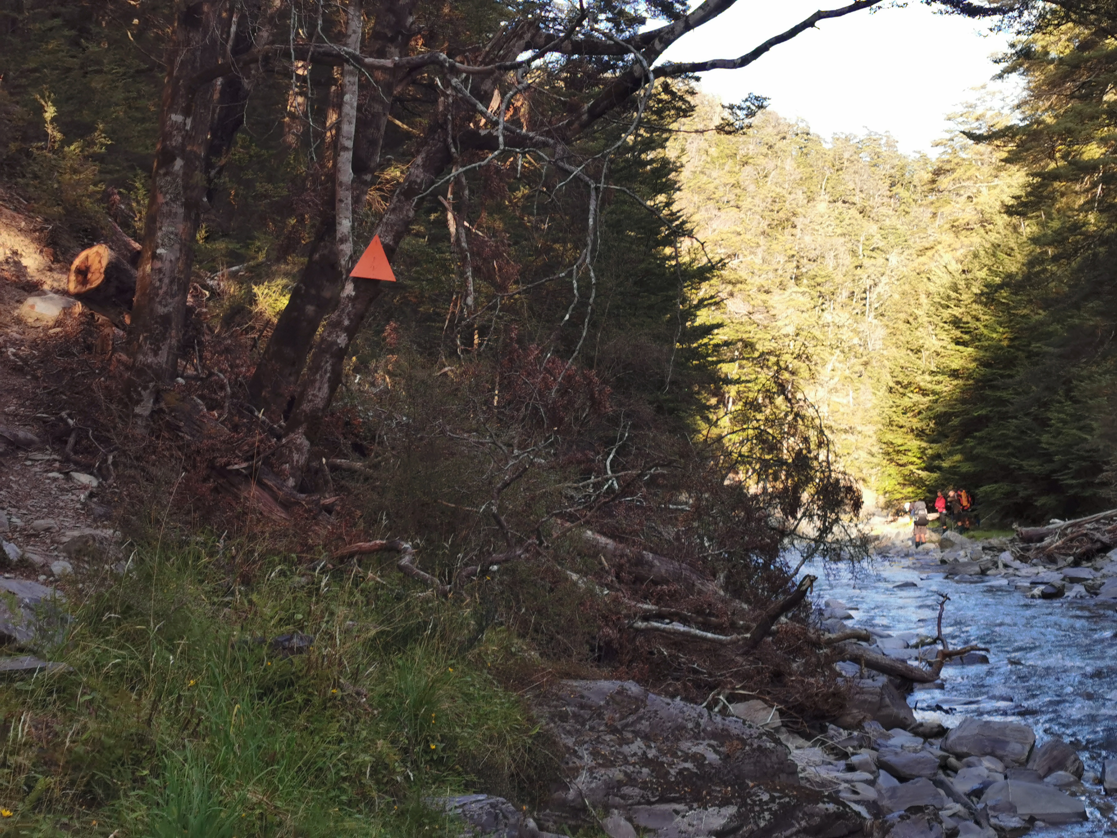
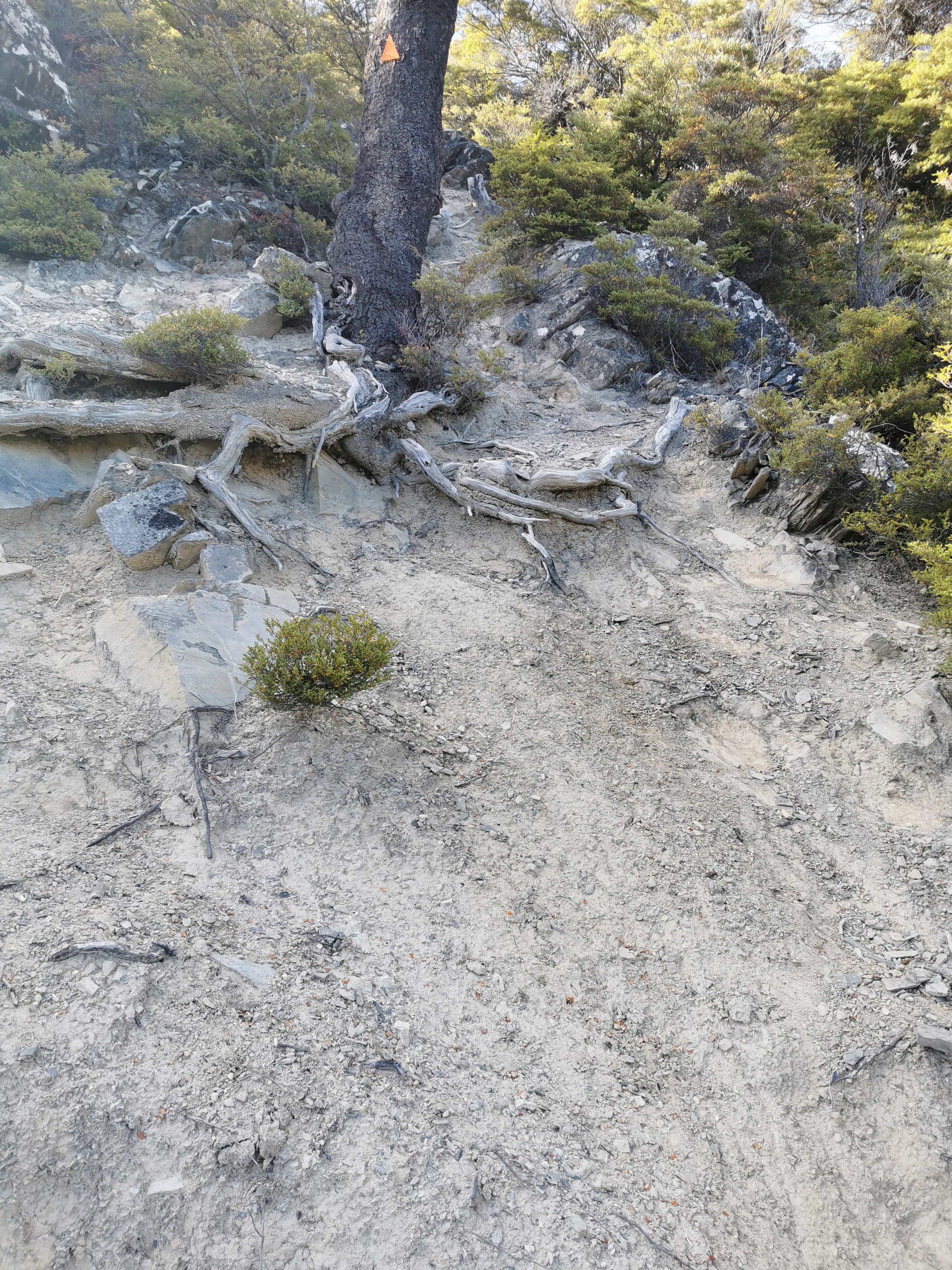
After the gorge I came across the big orange triangle that pointed out the actual trail up the hill from the other side.
Triangle in the background on the right
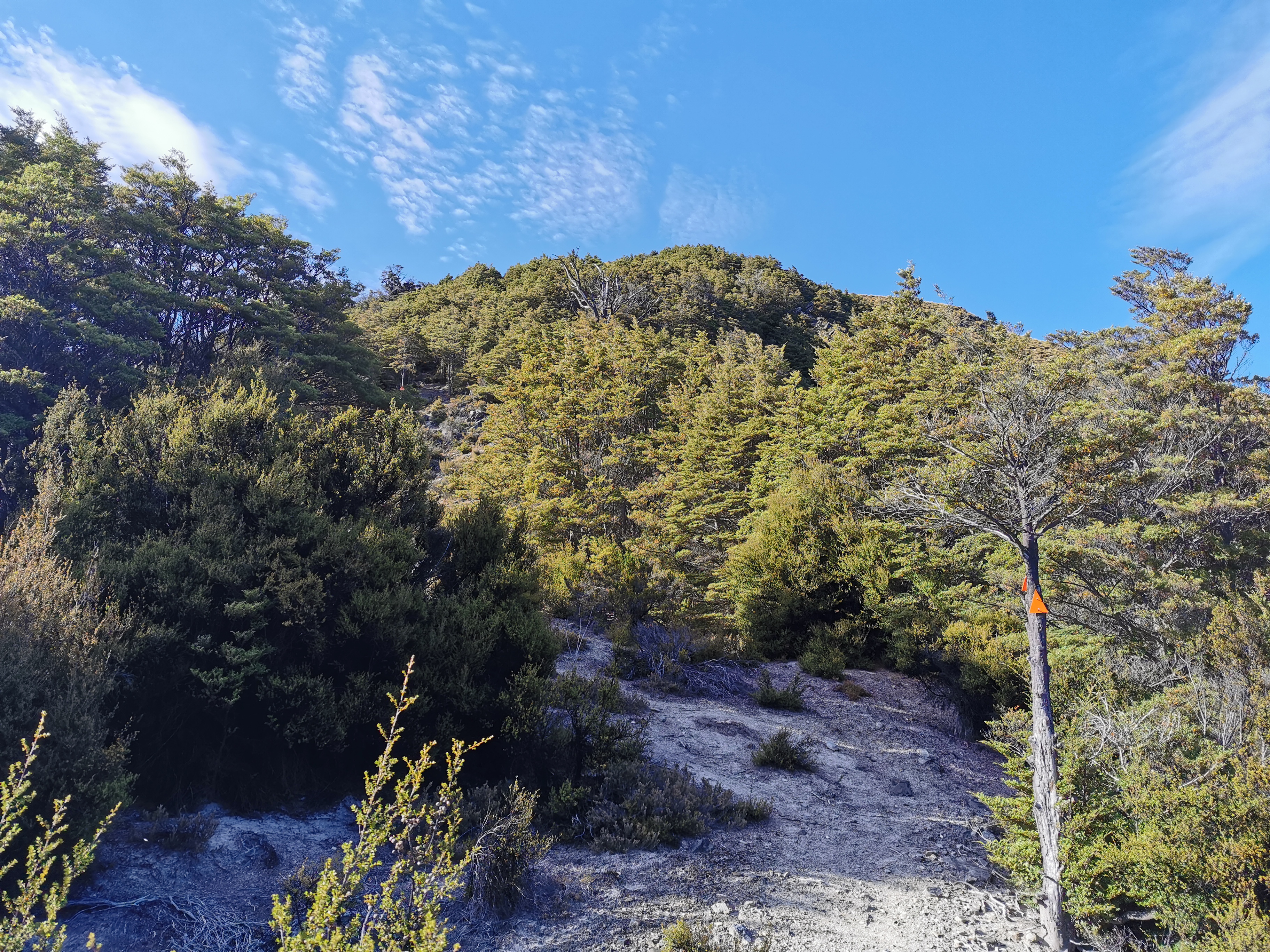
There was another orange triangle pointing up to the hut. It’s apparently another steep hill up to the hut from here. It’s only 1km in length and a 250m elevation change in that time. That’s pretty steep! The notes said it takes an hour to get up this hill. Surely not. I changed back into my boots and took my rain jacket off and started up the hill.
Triangle pointing towards the hut
There was no rain while I walked this bit. I could see across to the path I would have taken had I followed the trail exactly. It didn’t seem to be blocked by anything. The purist in me wished I had’ve walked the hill instead of the gorge, however I didn’t feel like I cheated.
The path that I didn’t take in the distance
I didn’t break either of my two rules that I use to determine if I cheated or not. Did the detour cut off any kilometers? No. Could I see the actual trail? Yes. Alrighty then.
And you know what, I’m not sure it matters in the South Island. In the North Island, the path was very contrived in places and it was very easy to feel like you cheated if you didn’t follow the path exactly. Here in the South though, you are walking for days, sometimes even a week, between towns, and so it really doesn’t matter if you take one path or another around some obstacle. The path isn’t even defined that well in places anyway. Really, just being here in the first place is just amazing.
The path up to the hut was indeed steep. I would only walk for a minute or two at a time and then stop for a rest.
Up
Looking to the hills on the right though, the weather looked very unpredictable, so I tried not to take too long.
Bad weather coming in!
I got to Crooked Spur Hut at 2:30pm. The notes had classed this as a four hour section and it took me half an hour longer than that. That’s how I know I was having an easy day!
First I saw the roof.
Not far to go…
Then the hut.
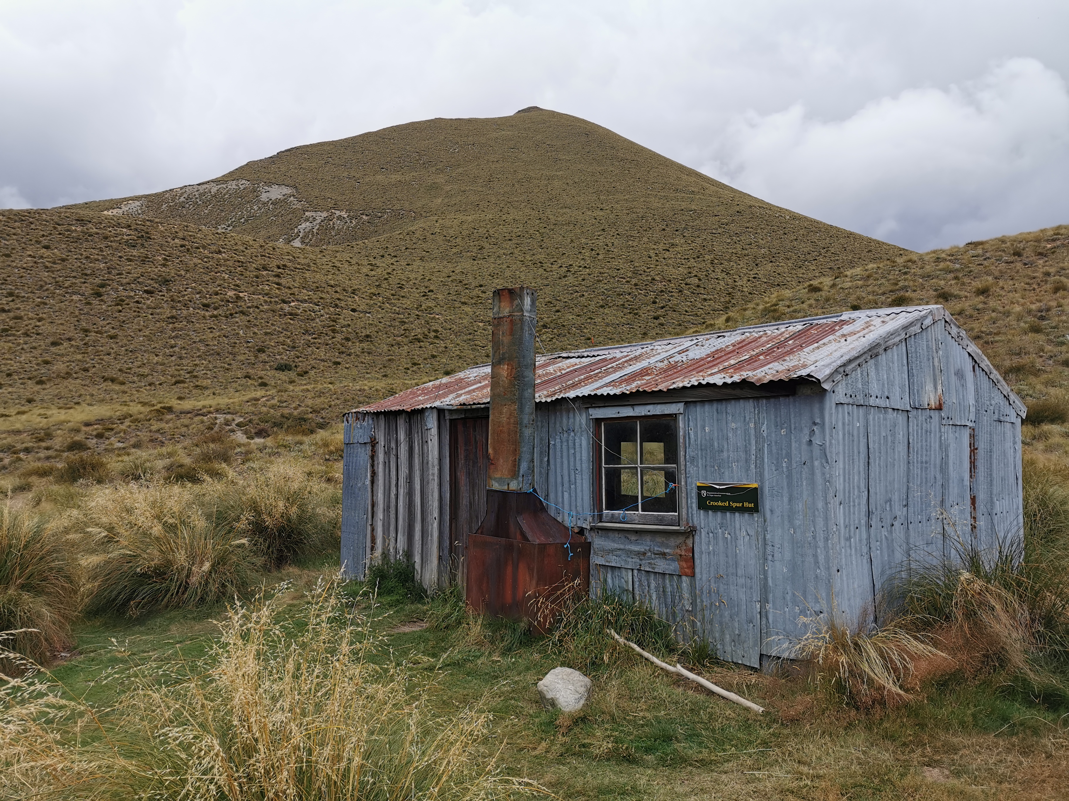
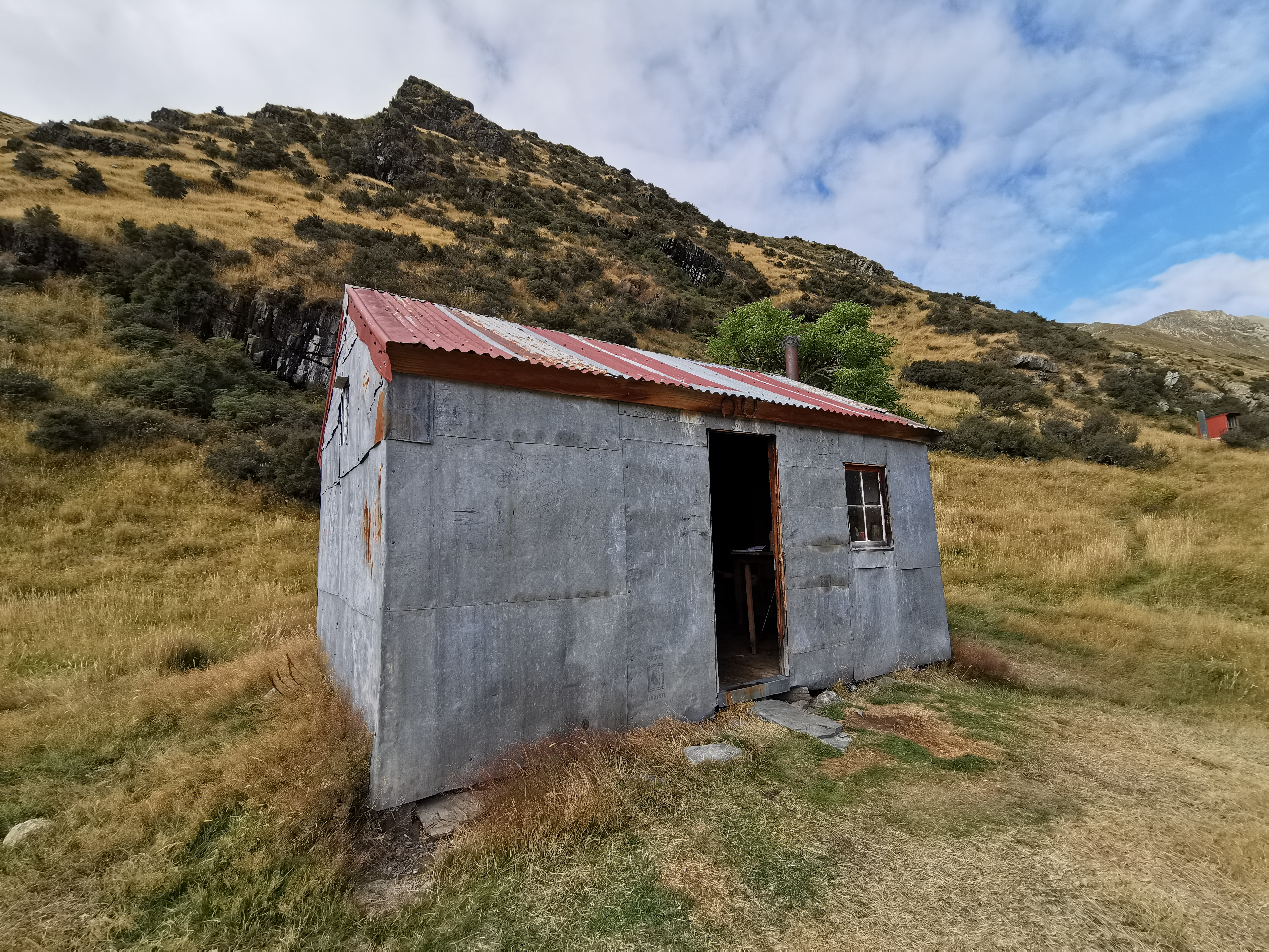
Crooked Spur Hut
Nobody else was at the hut yet. It’s an old hut, a weird combination of wood and corrugated iron. There are weird arguments between people graffitiing the huts – between hunters and other people who think meat is murder. This isn’t the time or place. Stop graffiting the huts, people.
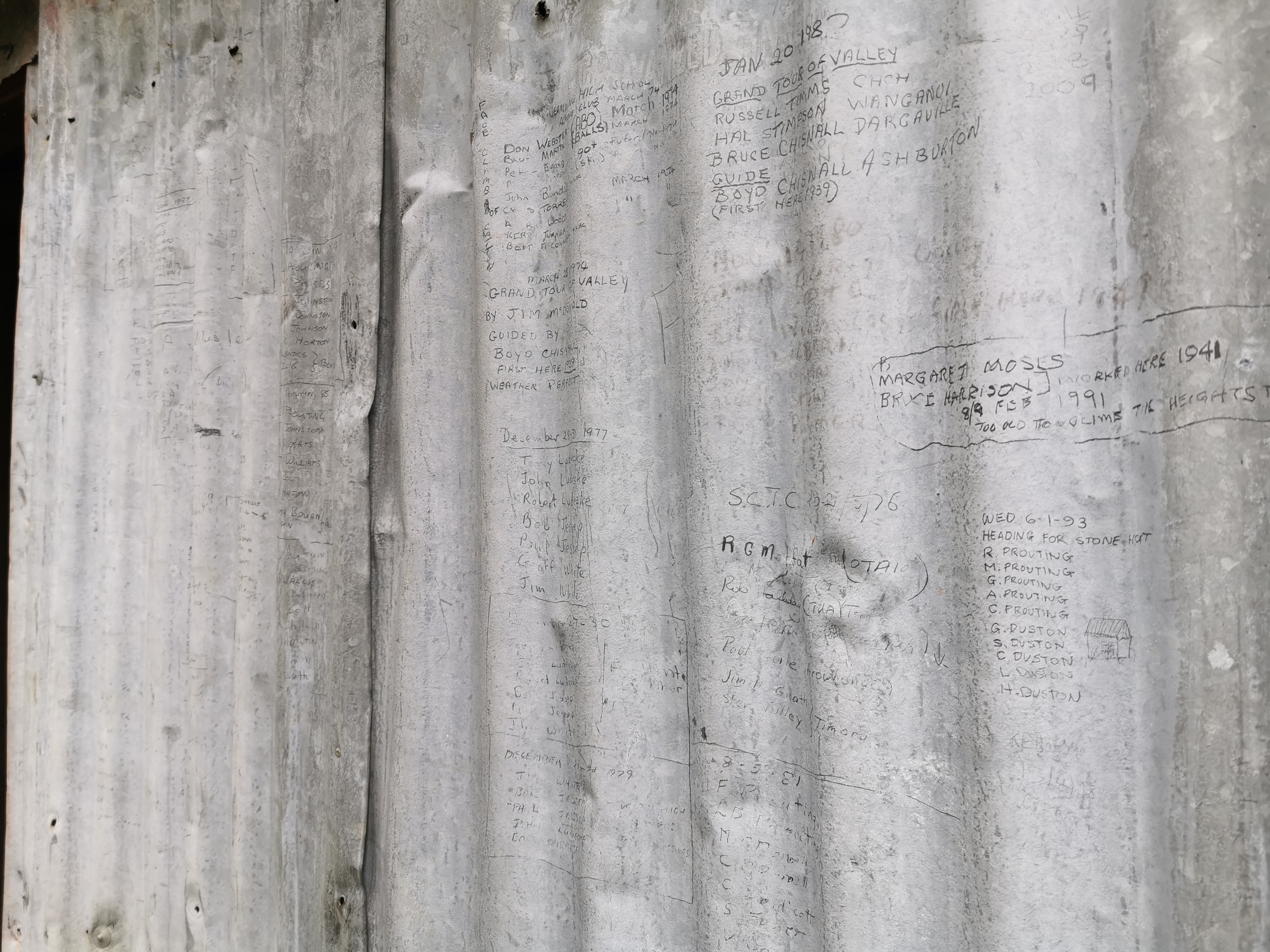
In saying that, people have been using the outside of the hut as a makeshift intentions book from the last half a century or longer. Looks like several generations of Proutings have been regularly coming up here. And yes it was very cool yesterday that Gito saw Sir Edmund Hillary’s graffiti on Double Hut. But you’re not Sir Edmund Hilllary. Once your face appears on the $5 note, then you can start graffitiing the huts. Until then, use the line you get in the intentions book for your silly comments and witty remarks.
Old hut graffiti
While the weather was good, the hut had a nice view of the Rangitata River and the stream I’d just walked up.
The nice view from the hut, which didn’t last long
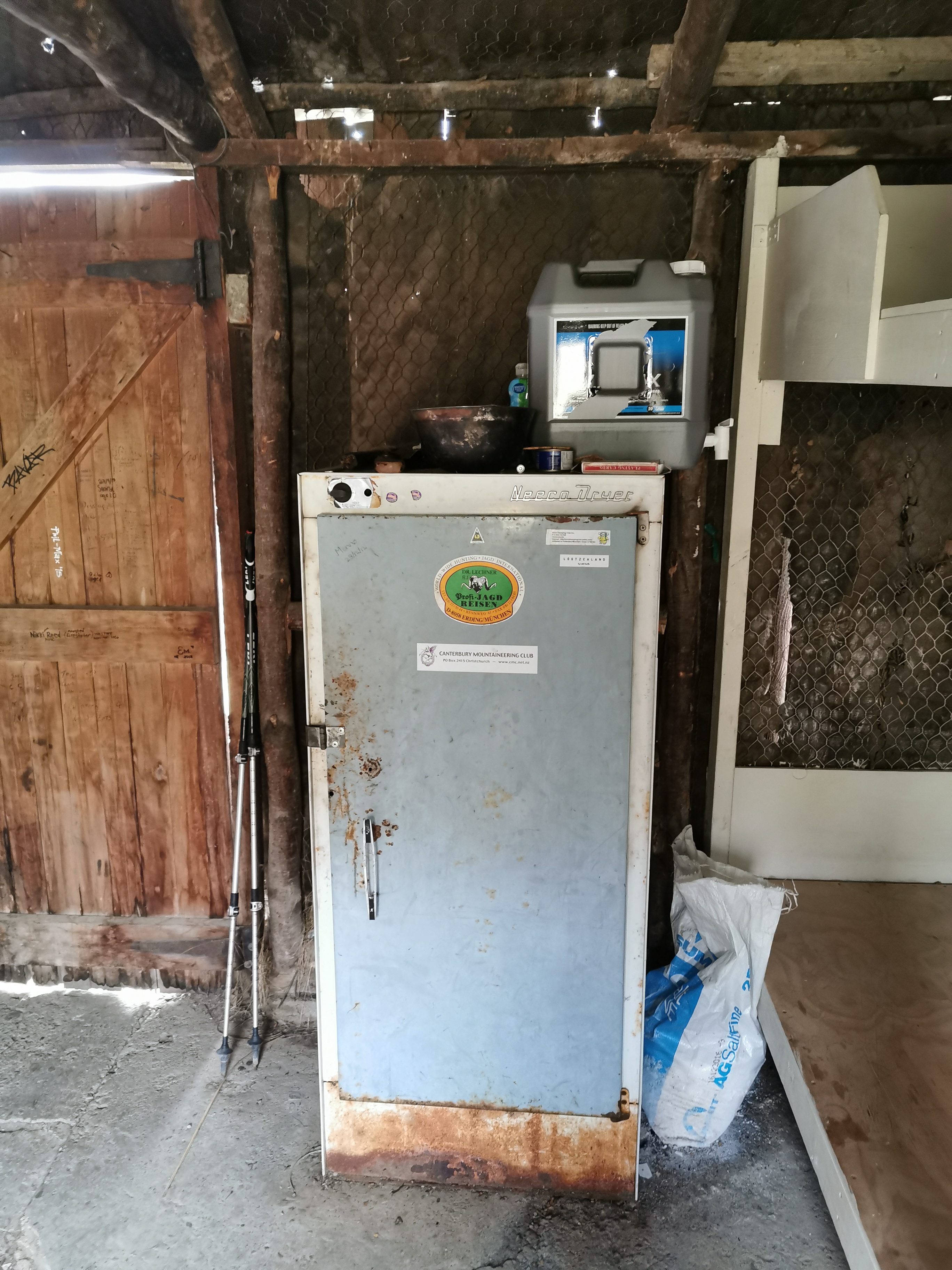
This hut had a Neeco Dryer. I’m not exactly sure what that is, and I thought it was a fridge at first, but I understand hunters use it for hunting-related reasons.
Neeco Dryer
It was definitely an older hut.
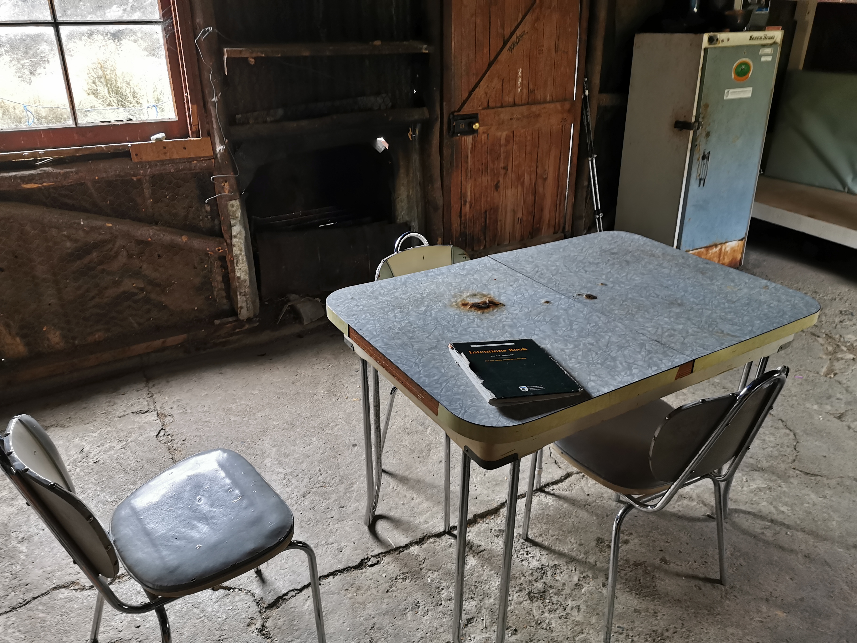
Inside Crooked Spur Hut
I’m sure my grandmother used to have a table like this.
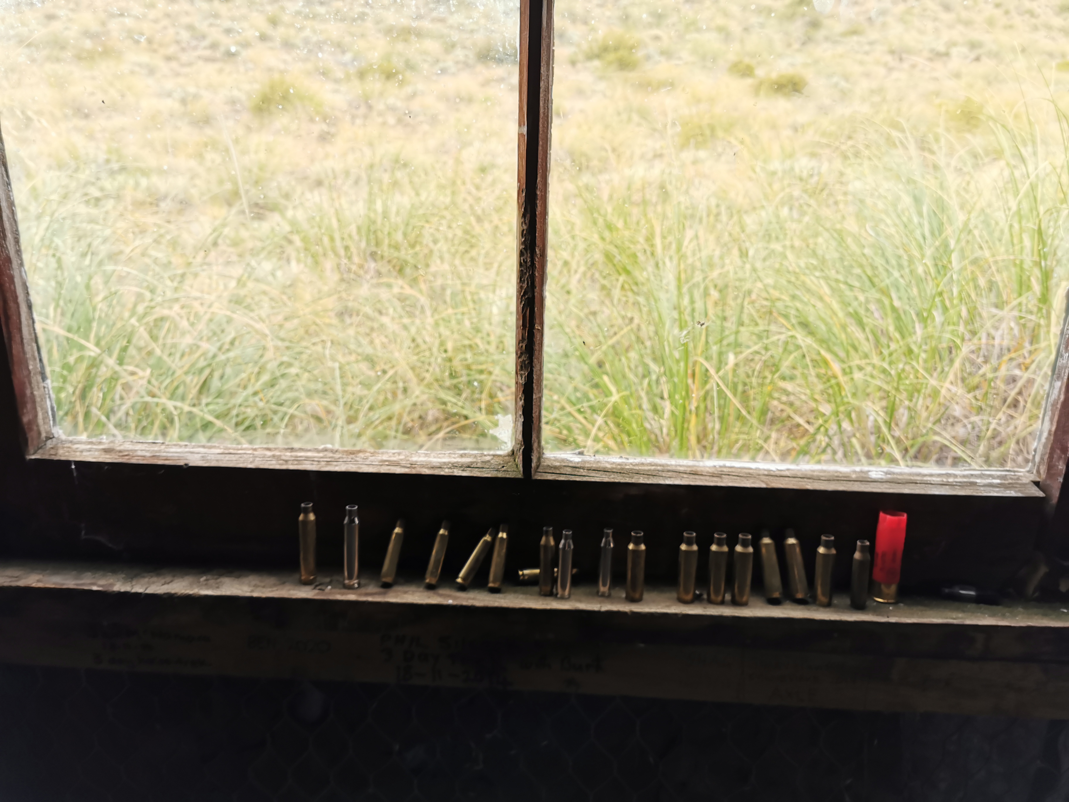
Hunters left all their bullet shells lining the windows. Is that to scare away mice? Is it a “look how manly I am” statement? Or are they just lazy?
I looked in the intentions book. There are surprisingly few NOBOs. Only three on one whole page of the book which has about 25 people per page.
The rain started again after I settled into the hut. This is definitely my ultimate destination today. I feel I’ve already been lucky with the weather.
While I waited for Christie and Michael I played five games of kill the fly. Its always a very satisfying game. Once I’d killed all five and the buzzing of flies had stopped I had thirty minutes or so with the hut to myself with just the sound of rain on the roof to keep me company. It was really nice. But I’m glad the other two were here to keep me company for the evening.
The other two showed up 40 minutes later looking rather wet. I felt sorry for them as I watched from the window of the dry hut. Well, mostly dry hut – a few holes in the roof and walls meant that water got in.
Christie arriving in the rain🌈
The three of us had a nice afternoon of talking about the trail and our experiences so far. Their destination tomorrow is Royal Hut, 7 hours on. If I can push on three huts tomorrow, 13 hours on, to Camp Stream Hut and over Stag Saddle, that would set me up nicely for getting to Tekapo in two days’ time, but that would make for two long days. I’ll decide tomorrow at Royal Hut because I want to go over Stag Saddle with clear skies because apparently you can see Mount Cook on a clear day. That’s the tallest mountain in New Zealand for those that don’t know.
If I did push on that far then there is a chance the 6 bed Camp Stream Hut might be full because according to the intentions book there were two groups of people here yesterday – Seb & Elise, and Daniel, Andy, Elyce and Isabel.
As we were having our dinner we saw a mouse run across the side of the wall. We made extra sure to hang our food as best we could to stop the mice getting into it.
The clouds came over and the rain set in as we went to sleep.
Goodnight
I wonder if tomorrow will be a long day or an average day? Can’t wait to find out. Seems though that Michael is a snorer. That might influence my decision a tad!
Date: 11 March
Trail covered: 15.6km (kms 2322.8 to 2338.4)
Weather: in the clouds until midday then fine
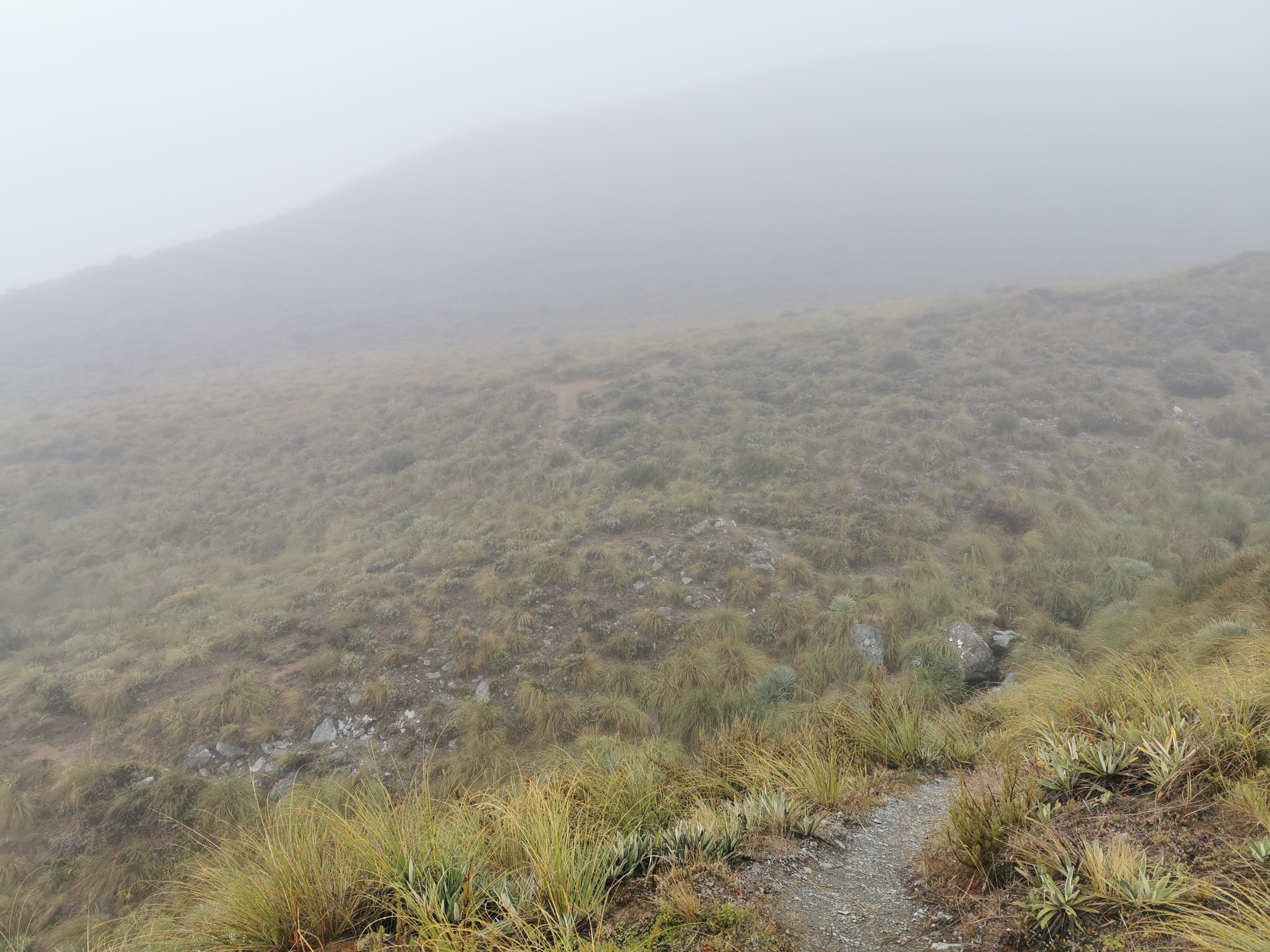
I went to the loo at 6:45am. While I was out I saw how cloudy and misty it was. No long day today, I’ve decided already. I went straight back to sleep.
Fast forward to 9am. I’m still in bed. Christie and Michael left at that time and then finally I hauled myself out of my sleeping bag. Since making it over Stag Saddle today definitely isn’t going to happen now, there’s no rush to leave as Royal Hut is the other option and that’s signed as only 7 hours away.
I took my time having breakfast and packing up just in case the cloud cleared, but it didn’t. When I left at 10am it was still cloudy and misty.
The view straight after leaving the hut
It made it a little hard to find the marker poles. I took a wrong turn immediately, following the path across the stream. That is the path to go and get water, but it isn’t where the trail goes.
See the markers? I didn’t!
I had to walk through thick tussock all day and it was of course very wet. My shoes and socks were drenched after only 2km in. I tried to use the poles to push through the grass and to knock the beads of water off the grass but of course that didn’t work.
Wet boots are inevitable
Like often happens, the first part of the day is up and over a saddle. It was a climb from the hut at 1024m to the saddle at 1551m. It wasn’t a particularly difficult climb though, it was just hard to see anything. At 11am I was, like many other days recently, approaching the top of the saddle.
11am stones to nowhere
I had left the hut with my jacket on but despite the conditions and altitude I took off the jacket fairly soon after leaving the hut. It was surprisingly not too cold as the sun was trying to peek through, it was just having a hard time.
Not too much later I saw the marker pointing out the top of the saddle.
I was full of anticipation… what amazing view would I see over the top? Dun dun dunnnnnnn…..
That’s right folks, absolutely nothing!
It was about what I expected, given the conditions.
Heading down
But not long after going over the saddle, the clouds did start to disappear. I looked back and saw what I’d just crossed over.
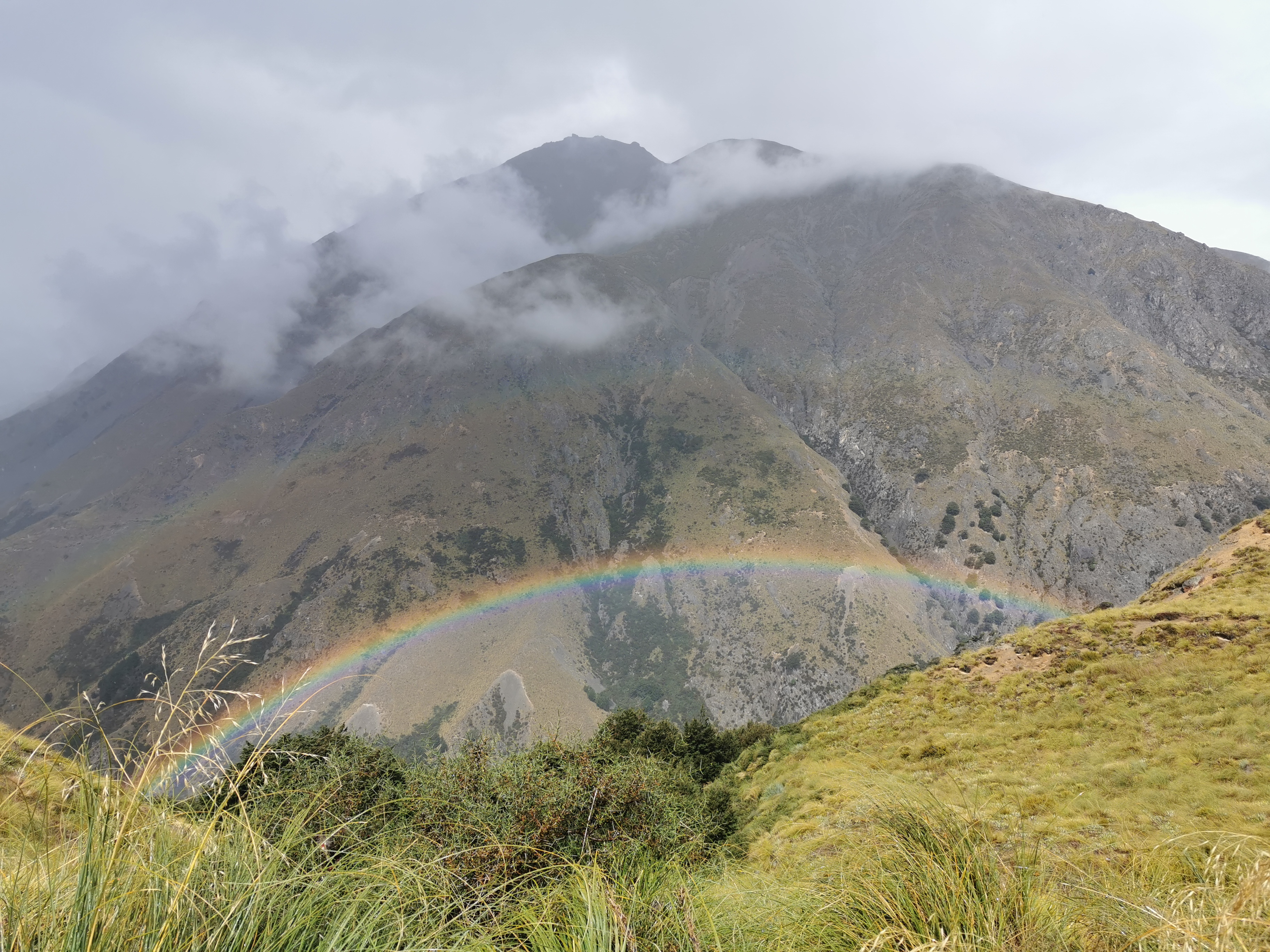
These two hills and the saddle are unnamed. That’s when you know you’re in the middle of nowhere.
I can see clearly now the rain has gone. I can see all obstacles in my way. There was a rainbow I’d been praying for (yesterday). It’s gonna be a bright bright sun shining day.
The view is better without clouds
As you can see it was tussock in all directions. It’s okay to walk through if you can find the established path, but if you can’t, it’s just annoying. I regularly stood on the long tussock grass with one foot and then tripped over it with the other foot. It helped to try to take big steps.
I saw the others in the distance going over a hill.
There they are
We all stopped for lunch at the next hill. It was a really pleasant temperature. Warm enough to have just t-shirt and shorts but no so warm that it made me sweat.
During lunch, Christie said that there won’t be any accommodation in Twizel this weekend because of a rowing regatta. That’s a bit annoying – in a day or two I have to do the Tekapo to Twizel section which is well known for being the section where there is nowhere to camp or stay for 60km. It would be annoying to walk that far and then have nowhere to stay.
The current Guthook map ends at Tekapo and so to see past Tekapo I have to switch maps. I wanted to look at the map to see what camping spots there are in Twizel. However Guthook wouldn’t let me change maps – it just gives me “unknown error”. Very helpful. Maybe the app needs phone reception to change maps, although I don’t see why it should. Yet another reason to hate the Guthook app.
There’s reception at the top of Stag Saddle tomorrow so maybe I can research my options up there. Hopefully it won’t be too cold and windy while I do that.
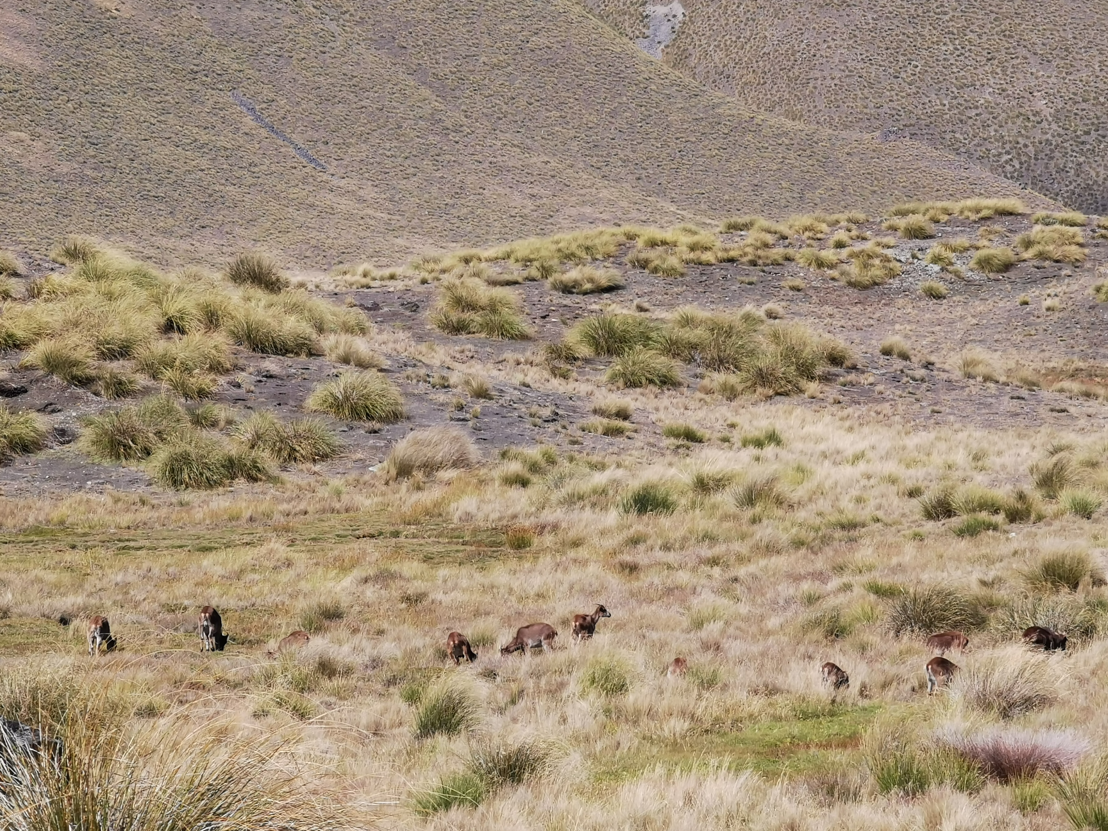
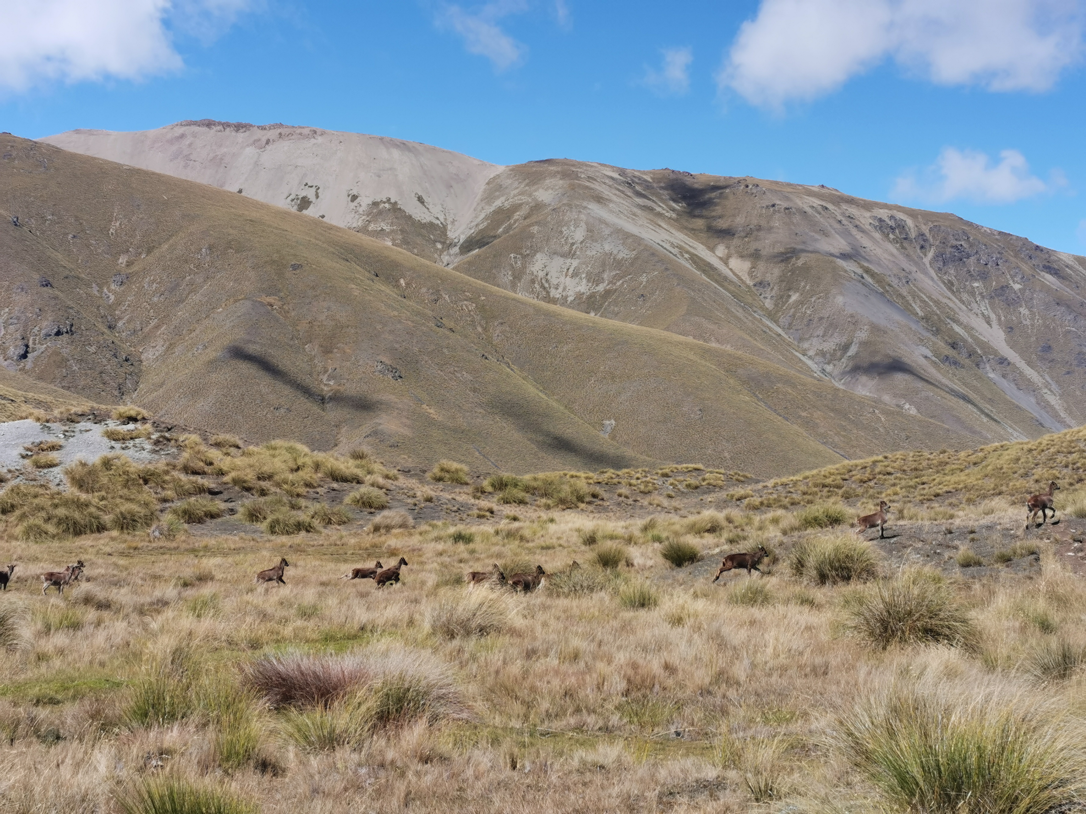
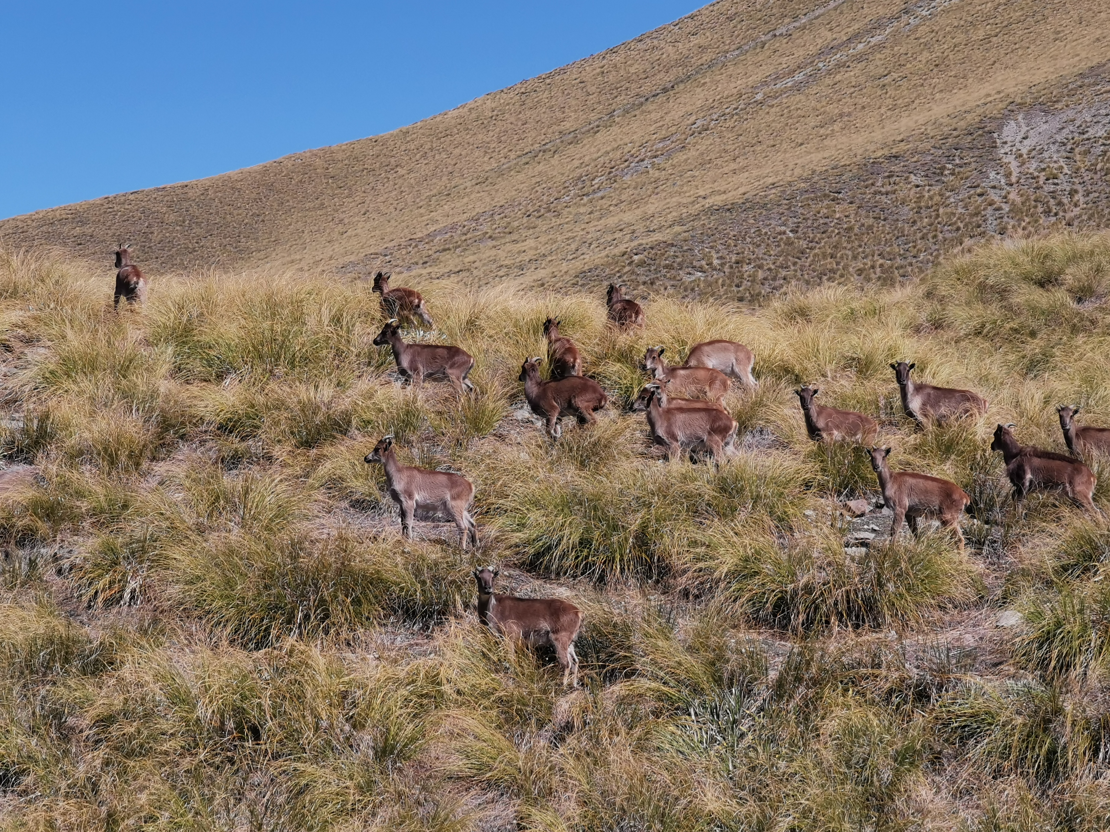
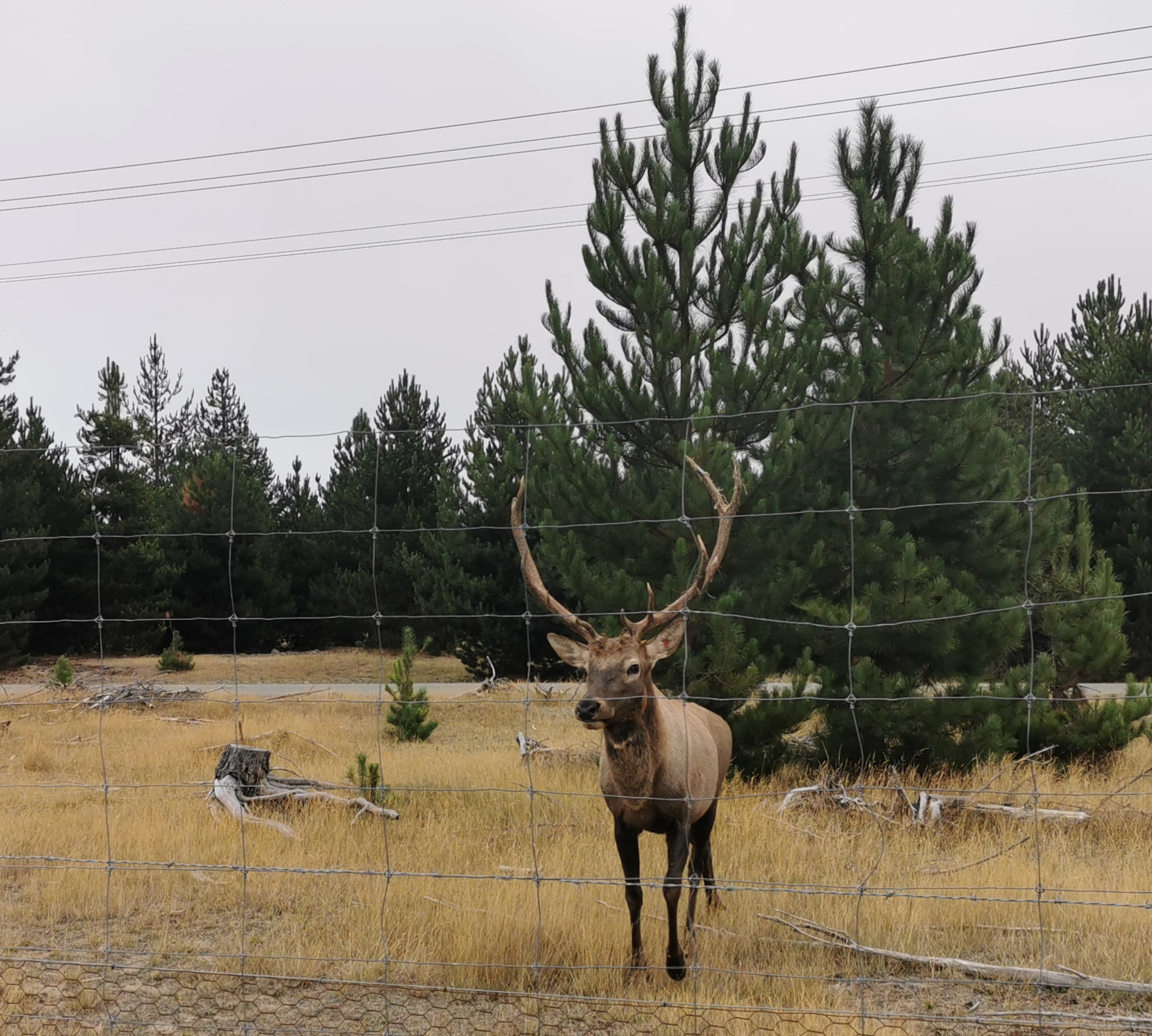
We all left the lunch spot together but I headed out in front fairly quickly. I saw what I thought were deer over the next hill… but when I looked closer they looked like goats, I mean they had horns. We’d seen hunters writing about hunting tahr in the hut. I don’t know what that is. Is this them, perhaps?
Tahr
Uh oh, I’ve been spotted.
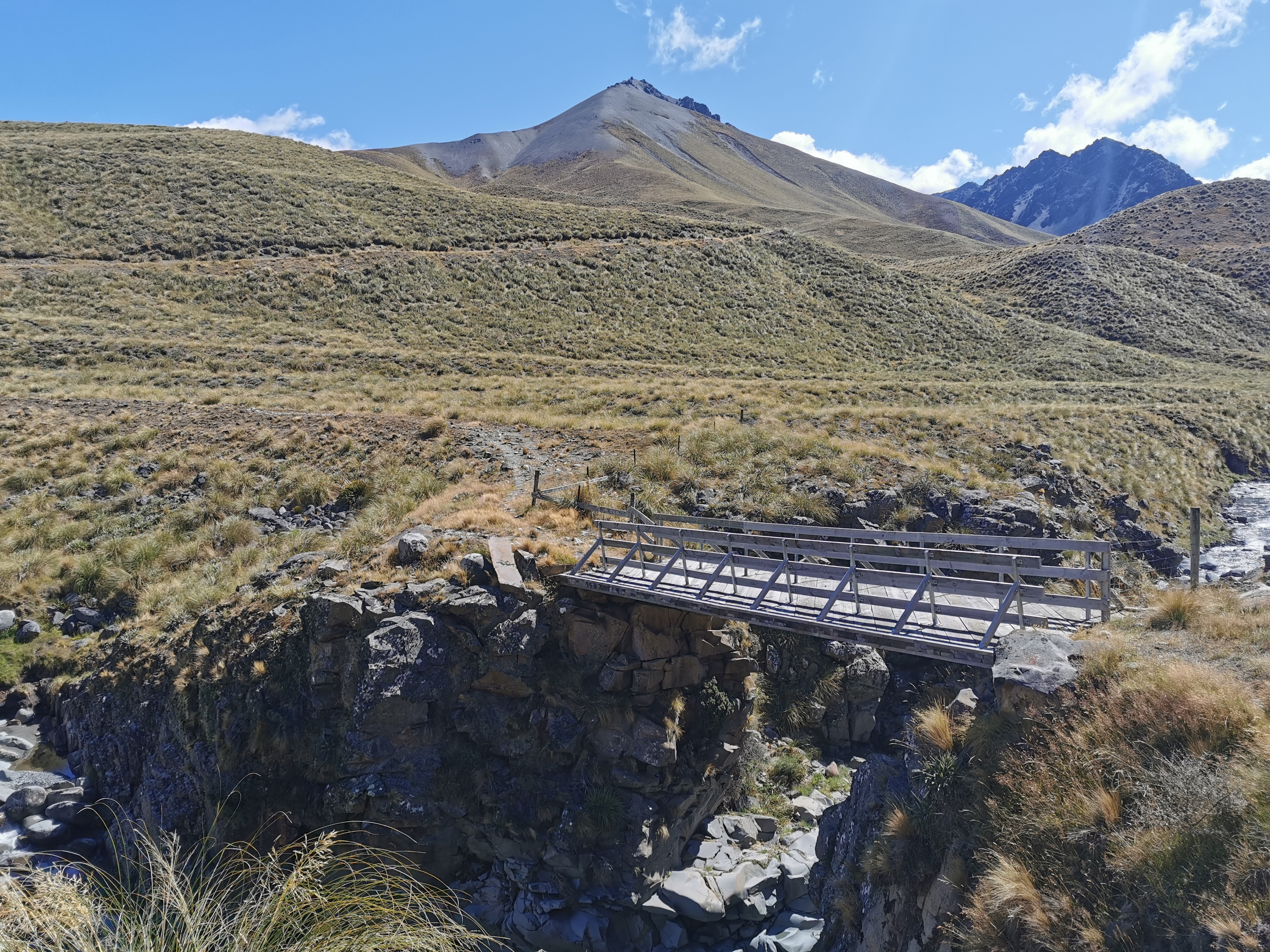
The next hut is Stone Hut. The path to it was interesting, there is an orange marker on the right but then a bridge over the river in the bottom left and then a walk to the hut. I couldn’t work out why there is such a fancy bridge there when the river looks easily crossable.
Interesting things in the distance
Its not even a swingbridge like we’ve all been used to. It’s a proper bridge.
This is considered luxury on the TA
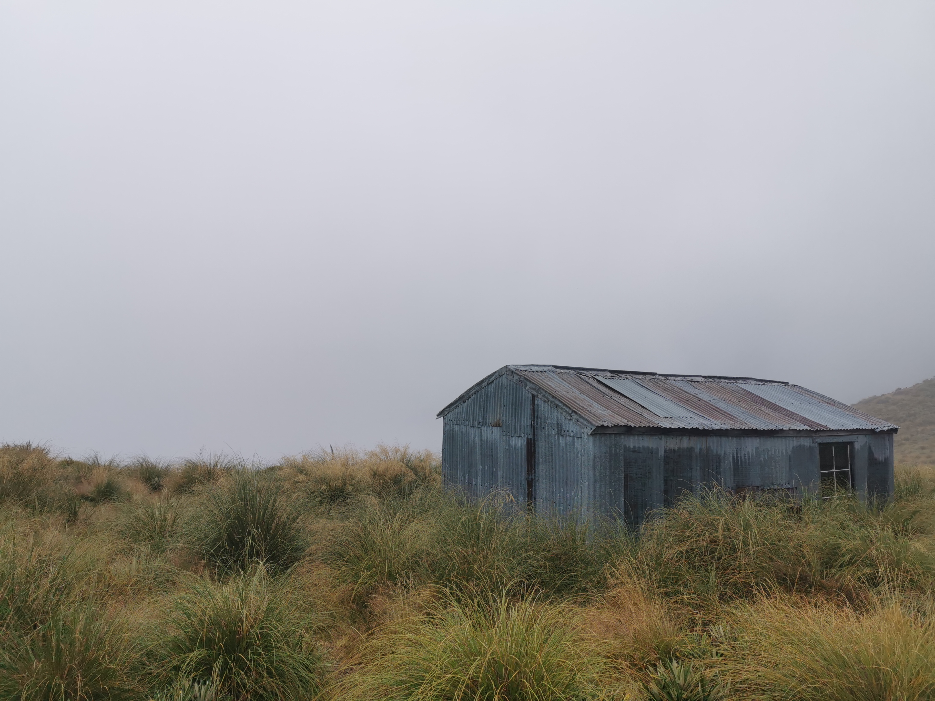
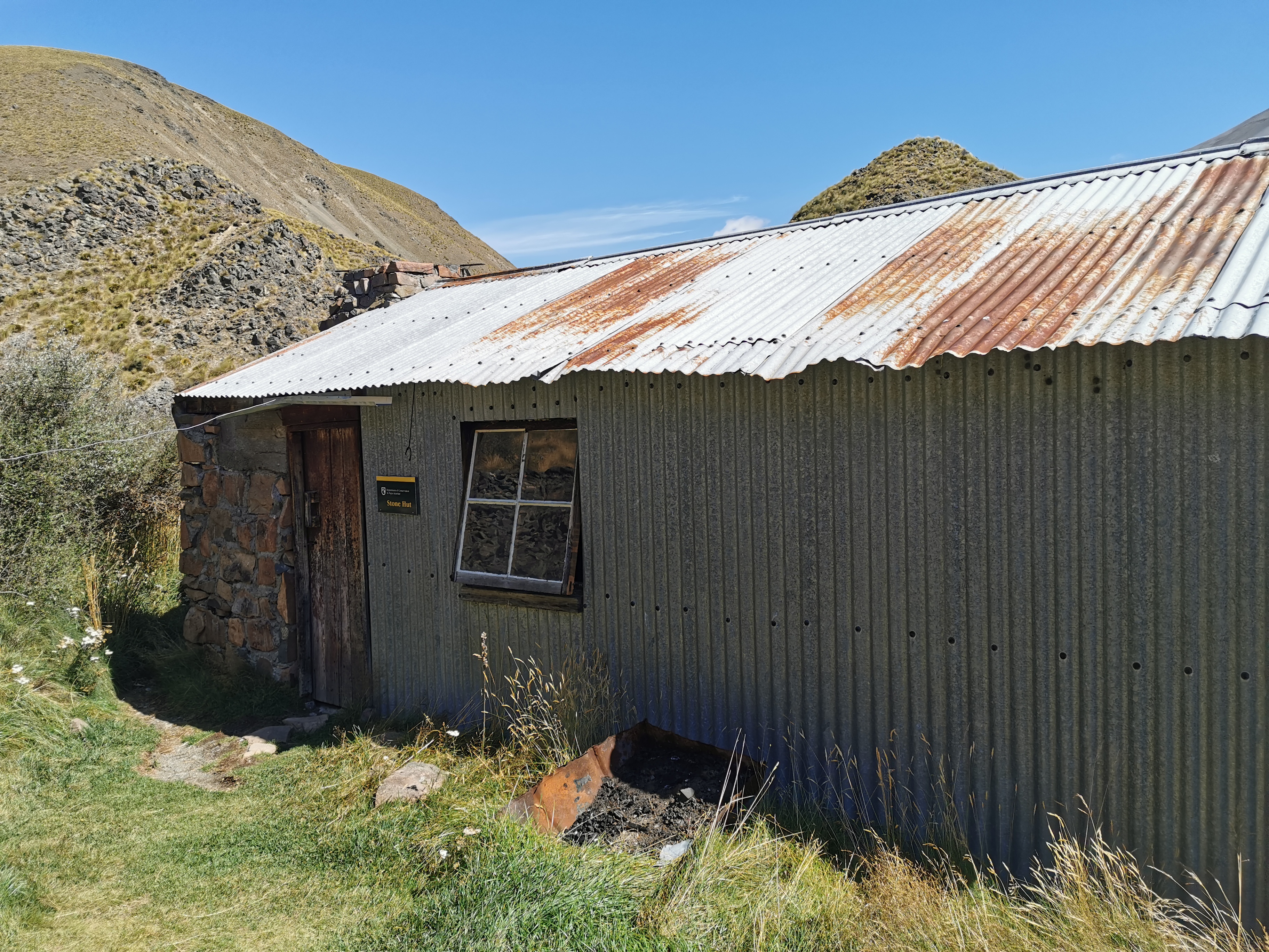
Stone Hut was nothing special. At least it was partly made of stone as would be expected from the name.
Stone Hut
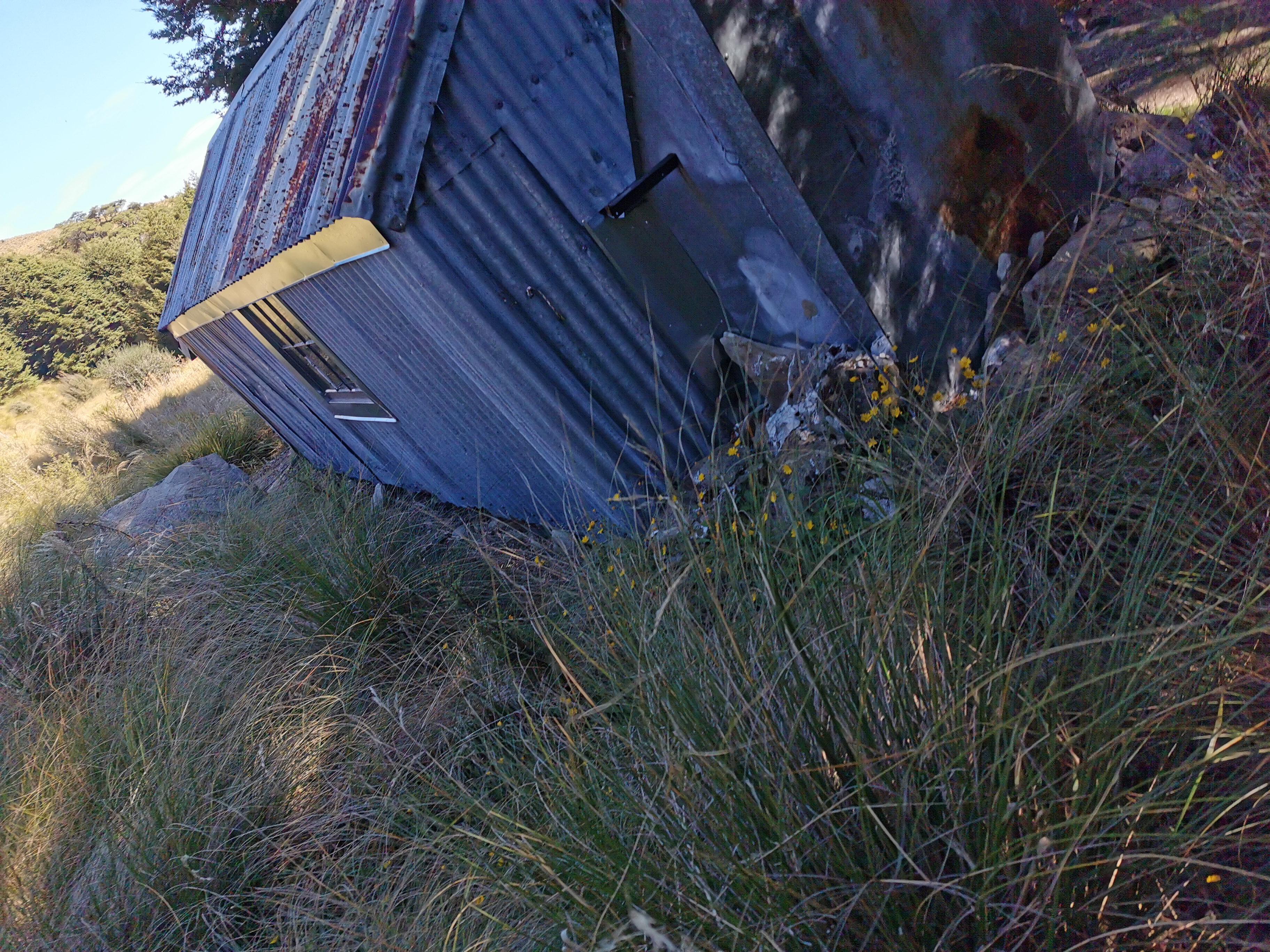
One thing you could see as you approached the hut is that the toilet faces a great view, but it appeared to have no door on it. Would they build a toilet without a door just because of the view, I wondered? Surely not. When I got closer it became clear.
Loo with a view, whether you want it or not
It does have a door, it’s just been ripped off. I hope the wind did it and not some dickhead thinking that he’s doing the world a favour.
View from the loo
I didn’t spend long at the hut, I continued on. What I found weird was that despite the fancy bridge, you have to then cross the same river on foot just metres from the hut.
Then you ascend slightly through a gorge towards Royal Hut.
Gorge-ous
Next is 5.5km of walking through tussock. Well it’s not just tussock, it’s also Wild Spaniard – lots of it. And it is not always easy to see. I mean, it’s obvious when it looks like this:
Wild Spaniard
But when the central stalk is missing, it’s much easier to accidentally walk into, and the leaves still hurt a surprising amount.
Wild Spaniard without the central piece
After this you encounter Royal Hut. There it is in the distance.
Don’t believe the Guthook comments for this hut. It’s not where Lorde wrote the first draft of her hit song Royals on a girl guides trip in 2012. According to the trail notes, Prince Charles and Princess Anne reputedly visited as children, hence the hut’s name.
Royal Hut and the view
This hut at least seems secure and doesn’t have holes in it, so that’s nice. There is even graffiti on the hut from as far back as 1945, and it’s the same families that appear then as that appear in the 1990s. There is also mouse poo to be found around the hut.
Arriving at the hut I met Meg who was just leaving northbound and not long after I arrived Timo from Germany turned up, also going north. He set up his tent outside the hut as he said he had a bad experience with rats at Martins Hut in the Longwood Forest near the southern end of the trail and now always sleeps in a tent. He said rats ran across his mattress and across his head. I’ve now crossed that hut off the list of huts I plan to stay at.
When I had dinner I noticed that it seemed that I left my knife behind back where we had lunch. Annoying. I’ll have to buy a new one in Tekapo or Twizel.
It was a beautiful day once the clouds cleared, but it got real cold once the sun went down. I guess we are at 1325m elevation. I tried to work out if this is the hut with the highest elevation that I’ve stayed at so far. I think it is but I’m not sure.
That will make the climb to 1929m tomorrow less daunting. I’m really looking forward to it, and also seeing how far I end up walking tomorrow as it’s likely I’ll be camping somewhere.
Date: 12 March
Trail covered: 49.4km, plus 2km for detours and getting to the holiday park (kms 2338.4 to 2387.8)
Weather: barely a cloud in the sky
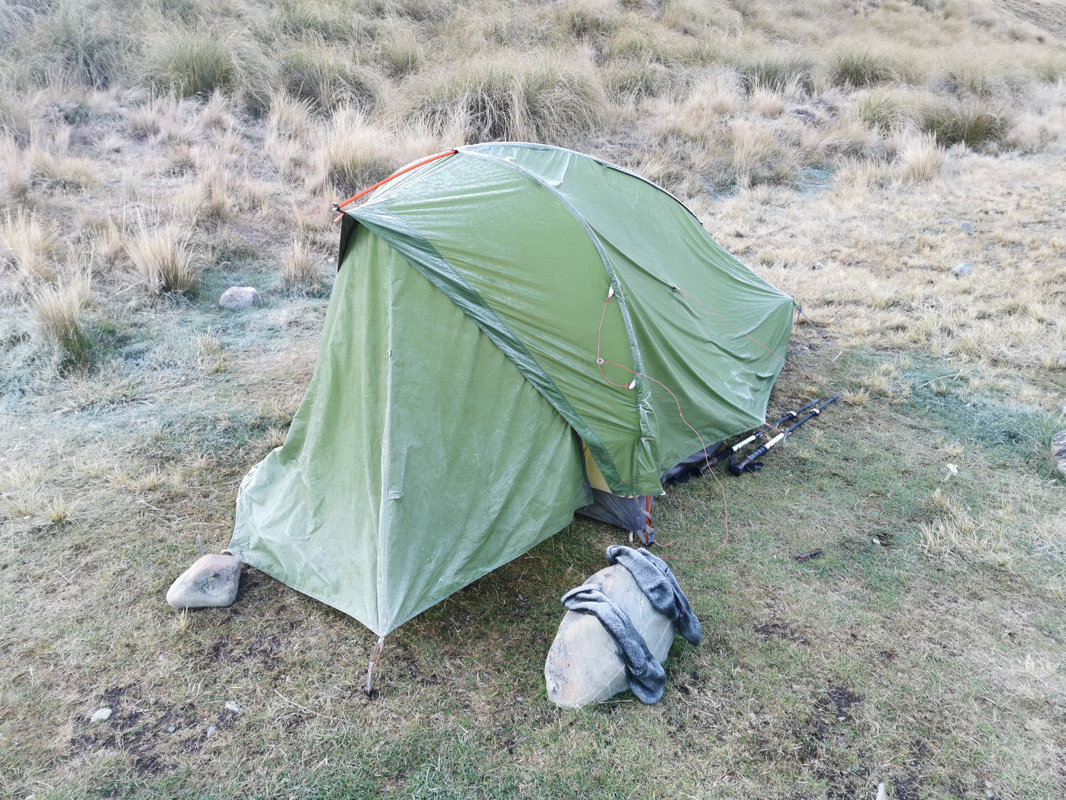
During the night it was cold. I had to zip the sleeping bag right up and get as far inside it as I could. It reminded me of when I camped up near Beeby’s Knob.
And in the morning when I got up, I noticed Timo’s tent had frozen, along with the socks he left outside. That reminded me of when that happened to me just after Waiau Hut. Timo must have had a real problem with rats previously to want to sleep outside rather than in the hut in this cold!
It’s cold
I wanted to leave early today in case I had the energy today to make it all the way to Tekapo, nearly 50km away. That seemed unlikely since I have to contend with Te Araroa’s highest point today, the Stag Saddle. But I didn’t want to rule out the idea before I’d even begun.
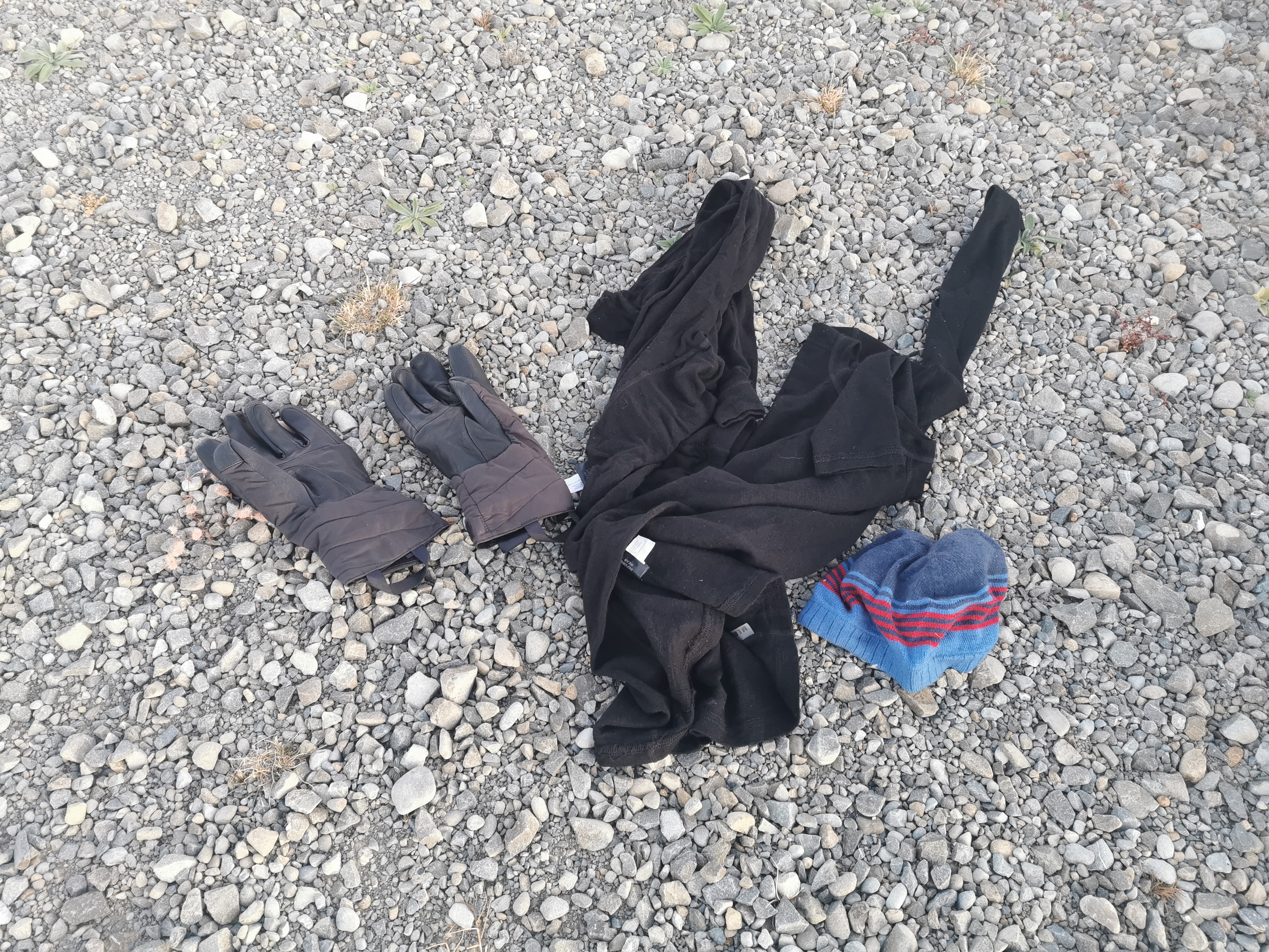
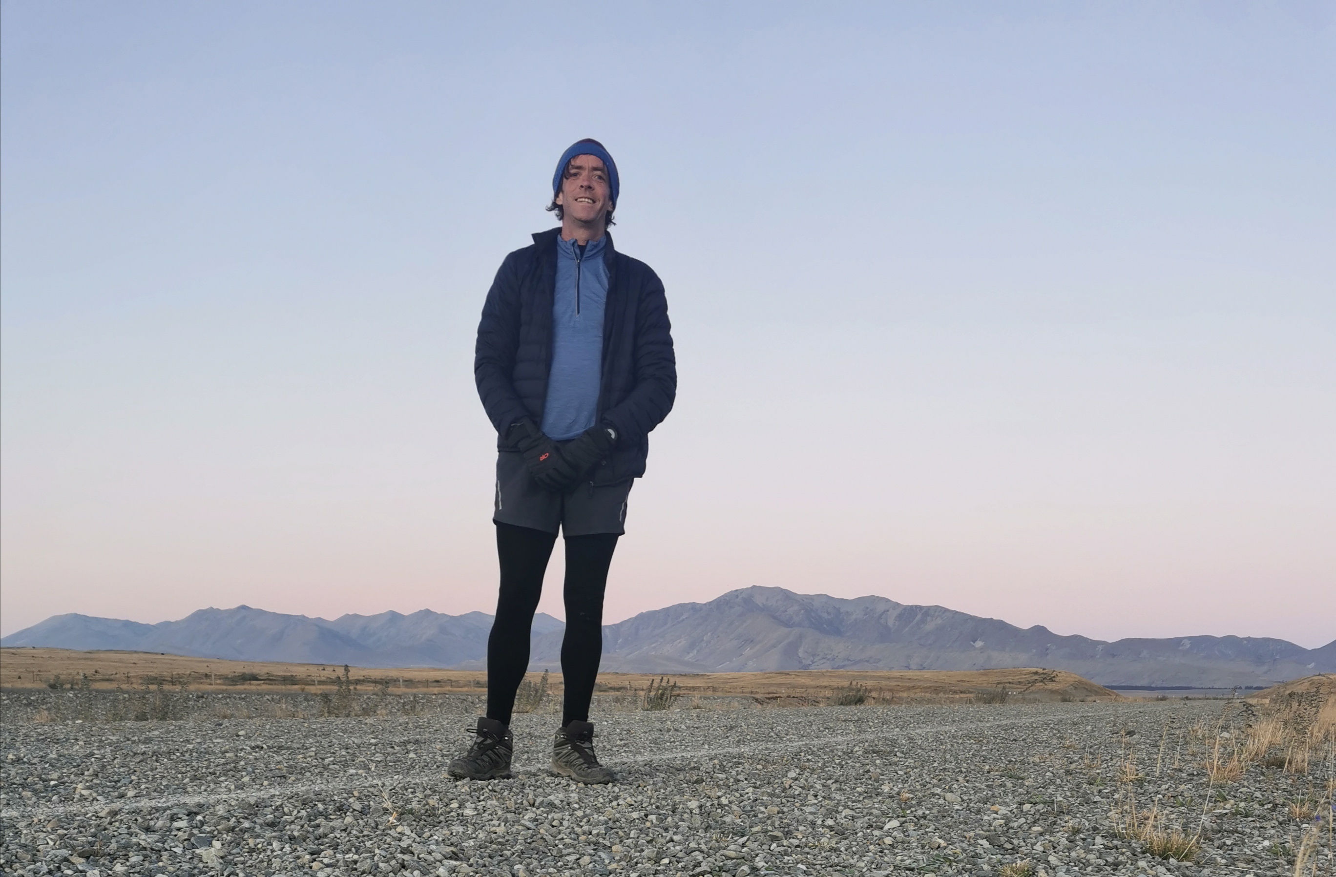
I changed into “the works” – no, not the burger from KFC (man I’d love one of those right now), but the full array of cold weather gear: jacket, gloves, thermals and beanie. And also crocs – on the way up to the saddle there is apparently a bunch of river crossings. The thought of my feet being permanently wet in this freezing temperature is impossible to bear. I left the hut at 7:45am, after saying goodbye to Christie and Michael. Michael is stopping in Tekapo so I won’t see him again, and Christie might cycle past me on the section between Tekapo and Twizel that she is biking.
It was cold, but the weather forecast for today was excellent and I was optimistic that once the sun came out from behind the mountains that it would be a great day and there would be excellent views from Stag Saddle.
Let’s go
The sun didn’t take long to appear and it made me very happy and warm.
The sun has come up!
I was listening to a song called High Hopes by Panic at the Disco. It has a really positive message, and when coupled with how good I was feeling and the amazing location I was in the middle of, I suddenly and unexpectedly got quite emotional and shed a few tears. Sometimes on the trail when you’re in these sorts of amazing places, it’s hard not to get a little bit emotional.
Easy going
There were indeed quite a few stream crossings, and I was very happy to have my crocs on. My feet got very cold in the cold water but at least this way I can put on dry socks and boots soon.
After 15 minutes of being in the sun, the works came off, and t-shirt and shorts went on. My boots went back on too. Once you start obviously going up a steeper part of the track, it’s safe to put boots back on and they’ll stay dry.
Getting steeper
In the photo above I thought that the bit to the right was where I was heading, but no, the path takes a sudden and unexpected turn to the left and you end up going up here.
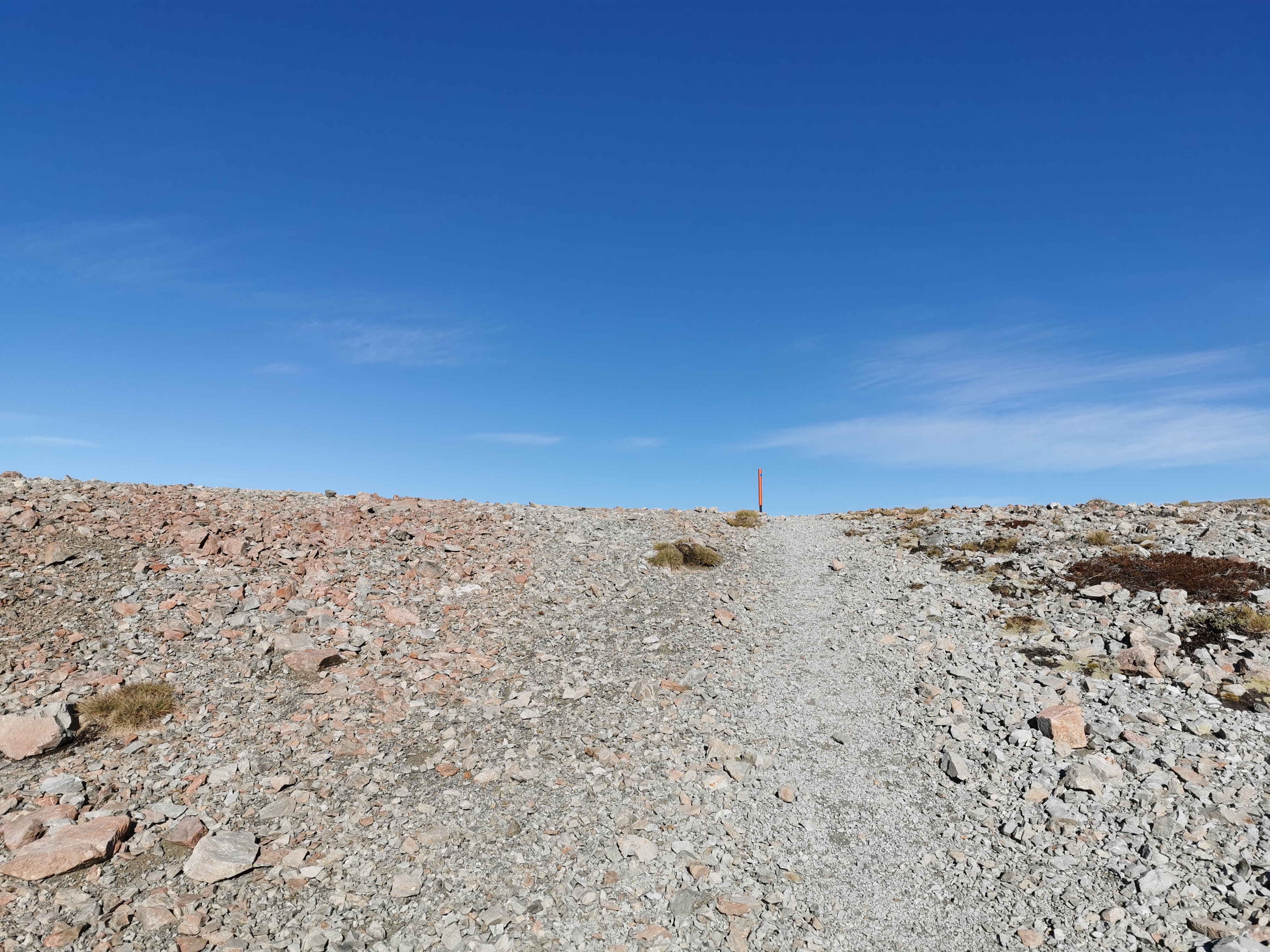
Stag Saddle
I had a look back to see where I’d come from.
Back towards Royal Hut, although the hut is around the corner and you can’t see it
Given that this is the highest point on Te Araroa, you might expect it to be really steep, but actually it’s quite gradual compared to most other high points. You might even say it was a leisurely stroll to the top. Okay, I wouldn’t go that far.
There’s the top… what’s over the hill?
At the top, like at the top of every saddle, I got excited about what the view would be once I reached the top. I had a fair idea this time, it would be Lake Tekapo. Was I right?
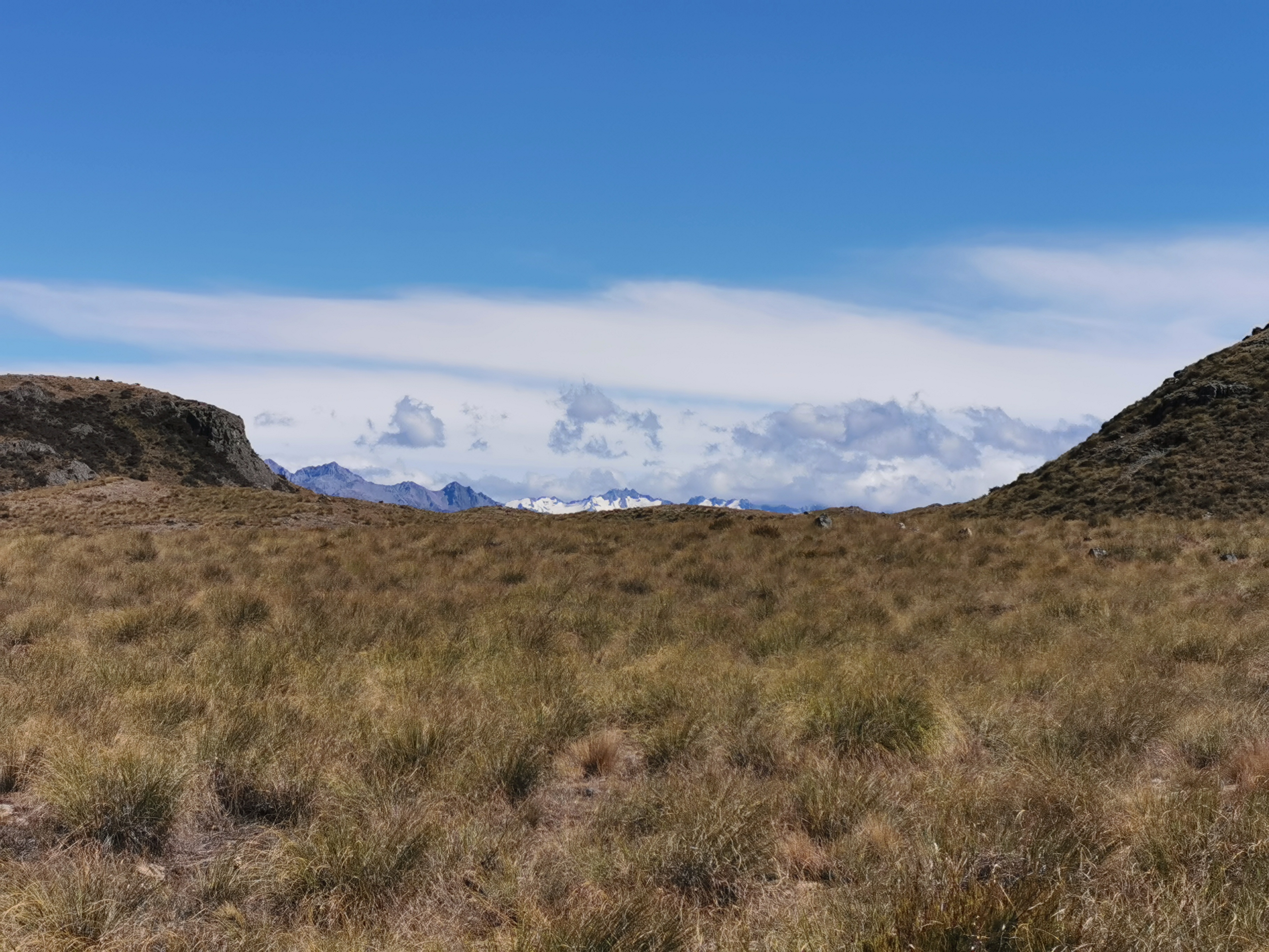
Kind of…
Well yes, but the lake had cloud over it, it was a bit of an anti-climax!
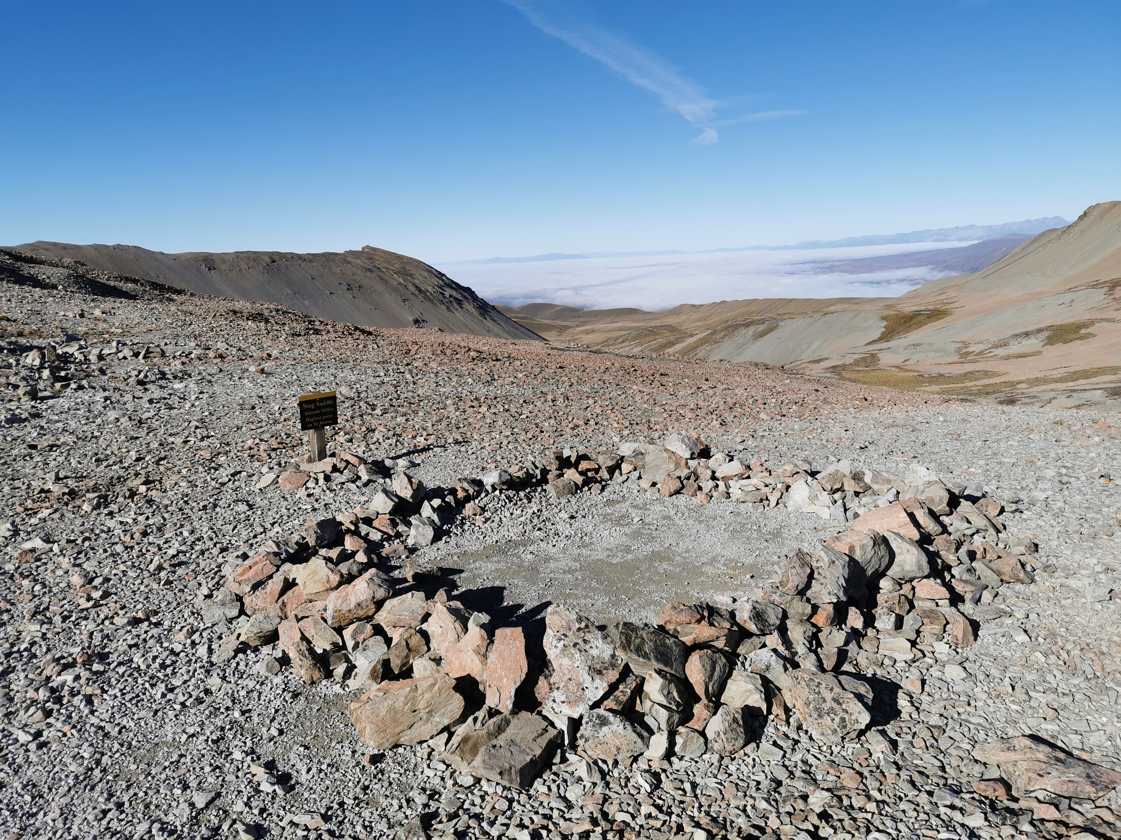
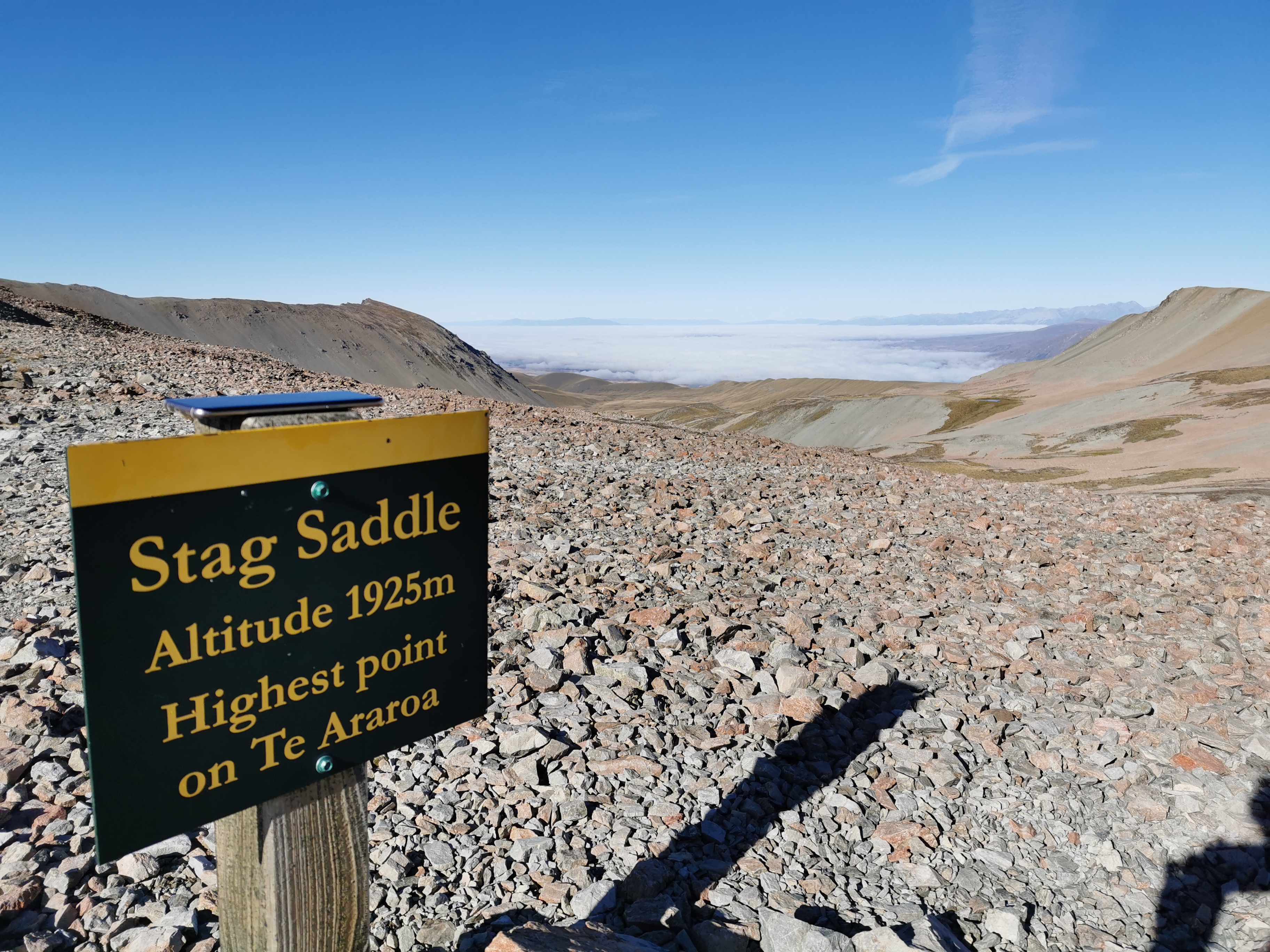
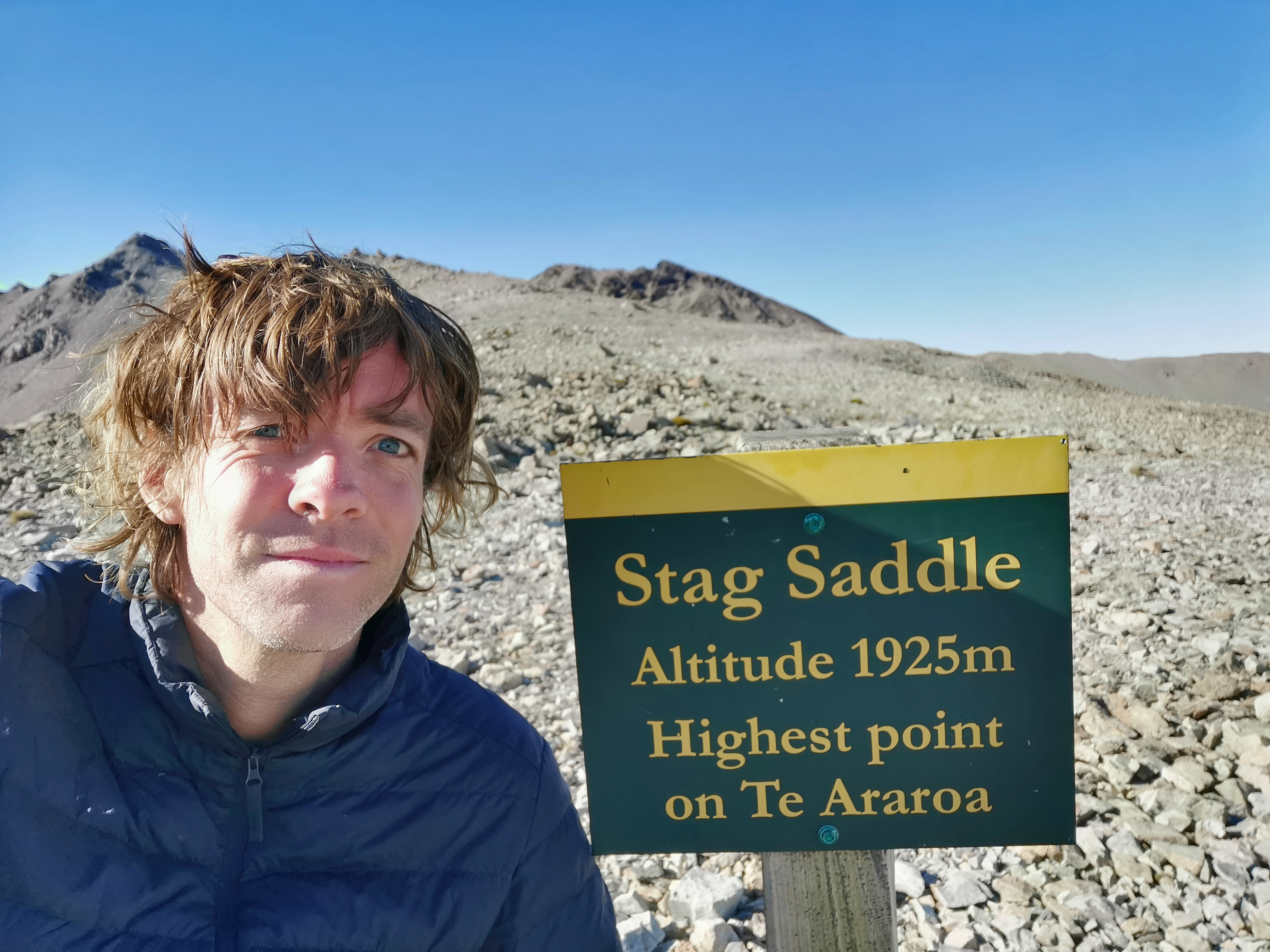
Stag Saddle – altitude 1925m. Highest point on Te Araroa
Someone had set up this ring of stones too, presumably to camp inside. I’ve seen a couple of Facebook photos of people camping up here. You’d really have to want to see the sunrise. Otherwise I don’t know why people would brave the cold and the wind. I was happy just seeing the view briefly and moving on.
Time for a selfie though, of course
From here, the official trail heads down the valley. But everyone, and I mean everyone, says to take the alternative route down the ridge. It’s not signposted, but apparently it is easy to spot and easy to follow and you have a great view of Mt. Cook. Let’s see if I can find it. Look to the right, and you see this:
The ridge
The peak on the right there is called Beuzenberg Peak. It’s not easy to tell from the photo unless you zoom in, but there is a path clear as day through the stones. So that’s where I went.
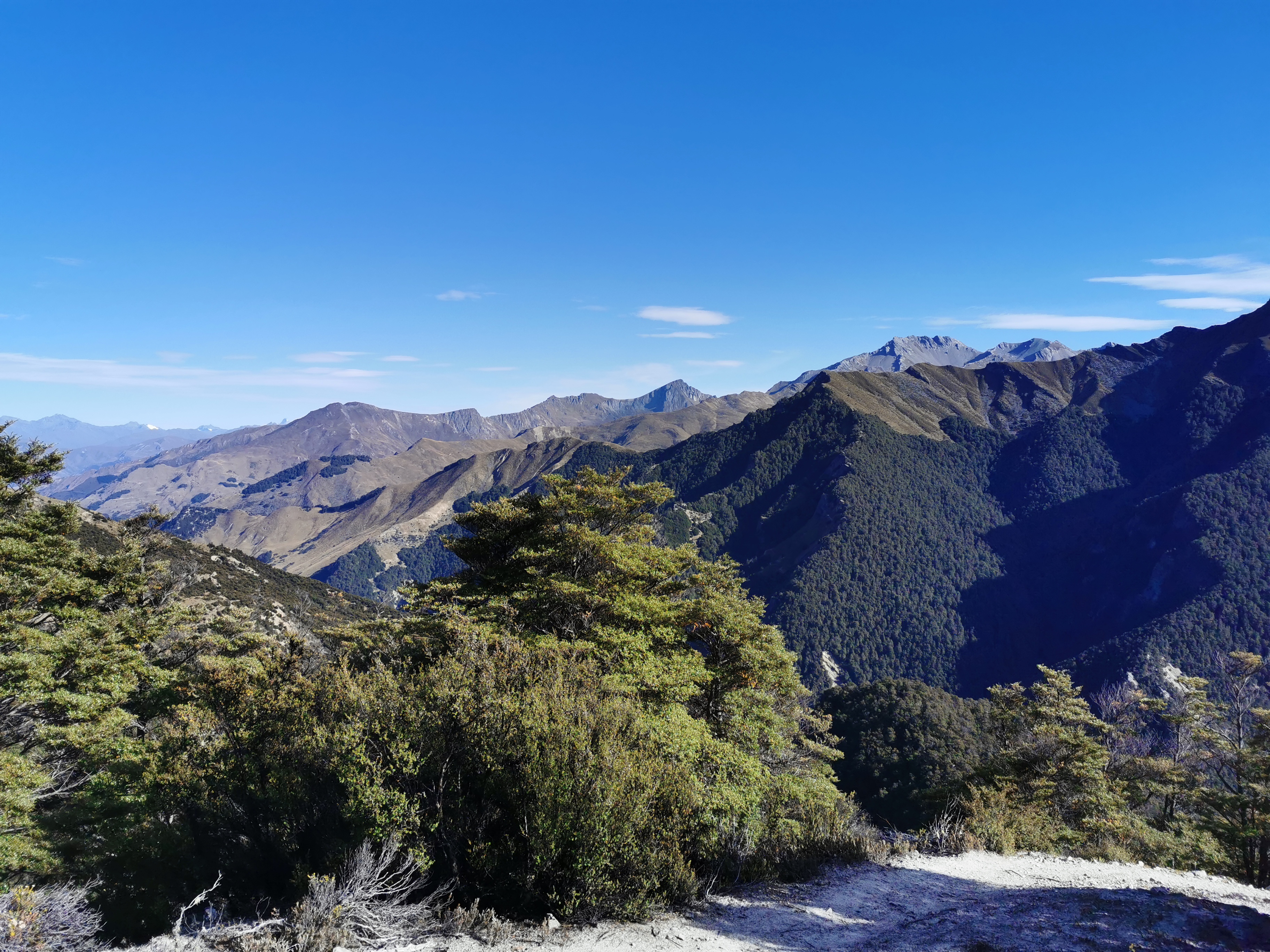
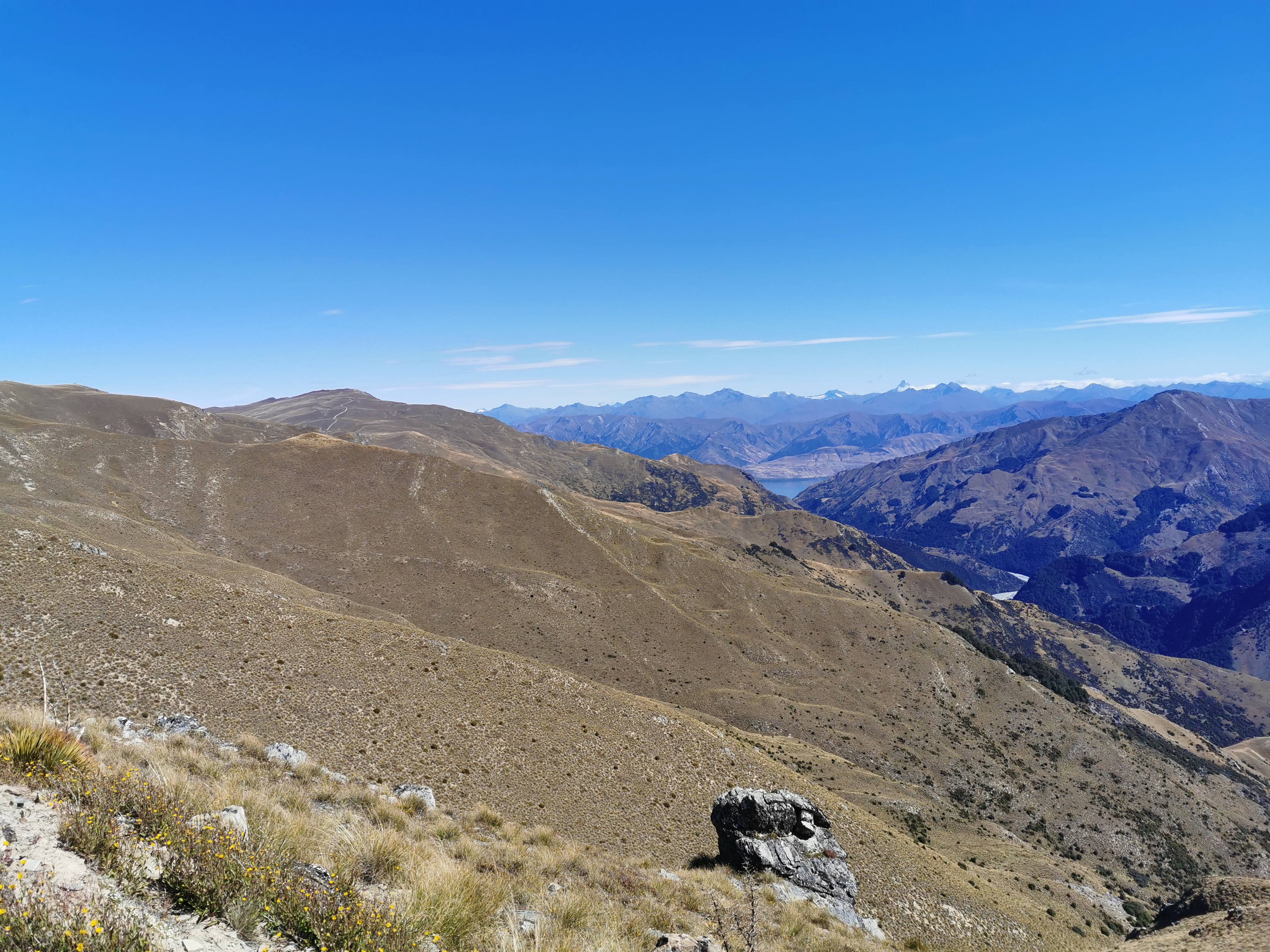
View from the ridge
You definitely get a great view going this way, as you can see. I knew that one of the two peaks in the photo above is Mt. Cook (the highest mountain in New Zealand) but I’m ashamed to say that at first I didn’t know which one it was. Was it the snow-covered one on the left? Or was it the one on the right which looks taller? Common sense told me it is the snow-covered one.
The ridge track was indeed easy to follow. Just walk along the ridge!
Walking the ridge
My 11am picture has got to be the best one yet.
11am picture – almost the same as before but from a slightly different angle
It’s a similar view to the one before, however this time at a slightly different angle it was clear that the peak on the right is much closer and so clearly isn’t Mt. Cook. Here is Mt. Cook, zoomed in:
Mount Cook
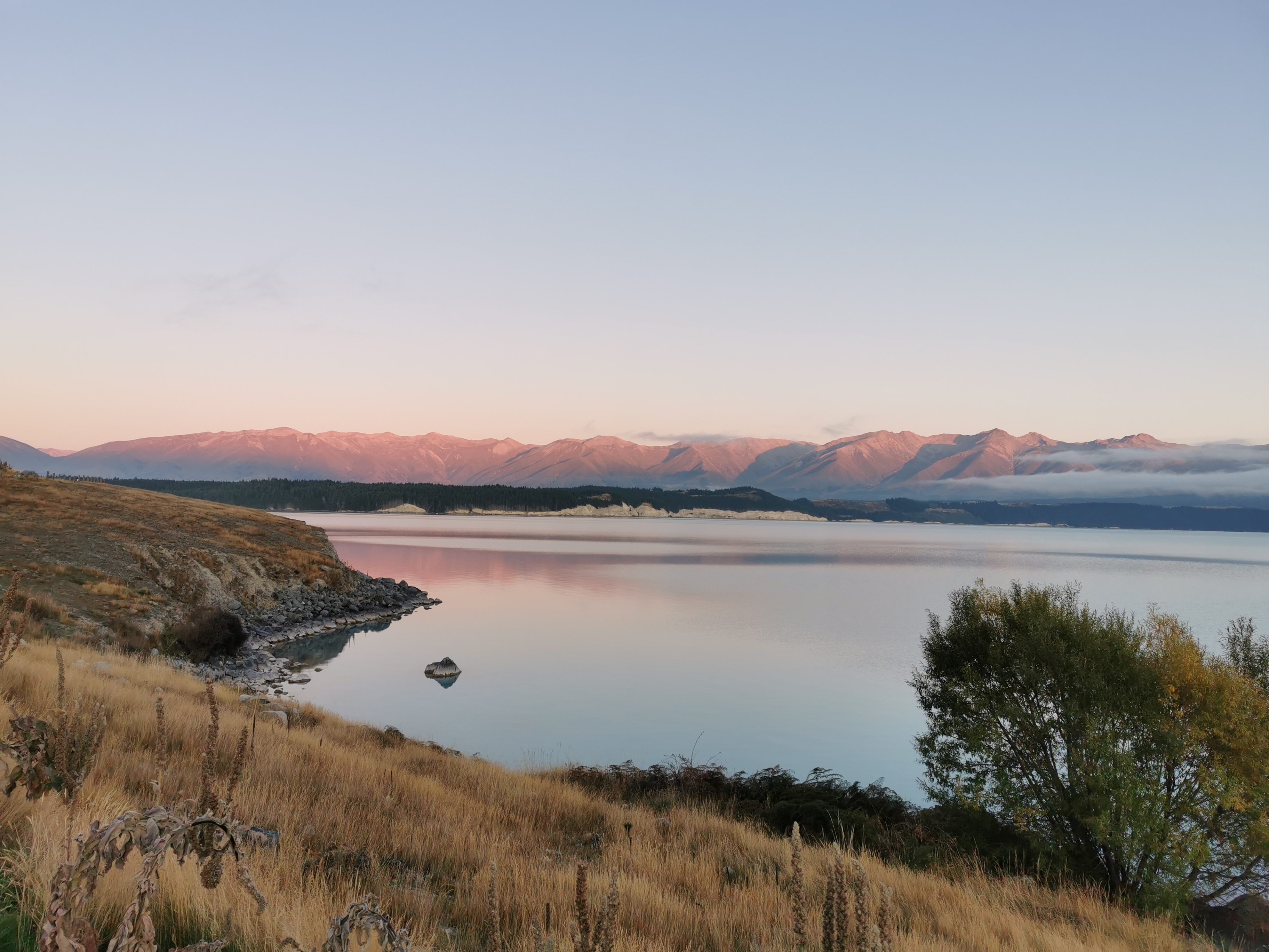
And the clouds down on Lake Tekapo vanished into the distance, so I got to see that too! The town of Lake Tekapo is right at the other end of the lake.
Lake Tekapo
While I was up here, there was phone coverage. In fact, there is phone coverage most of the way from here down to the bottom. I used this time to call the Tekapo Holiday Park. Timo said that they don’t mind you arriving really late as long as you call and book in beforehand. So that’s what I did. That means I’m now committed to walking as far as Tekapo tonight, but my legs were feeling really good and I was making good time so I was okay with it.
If you call the holiday park beforehand and make a booking, they will leave a little pack with a map and your key (if required) outside reception in a little white box. I think it’s really good that they offer this service.
So now I know my ultimate destination tonight. But the question now is, can I make it to town in time to buy a nice dinner? I looked on Google Maps. There’s a place called Blue Lake Restaurant which closes at 10pm. If I walk fast I should get to Tekapo between 8:30 and 9:30 tonight so let’s go.
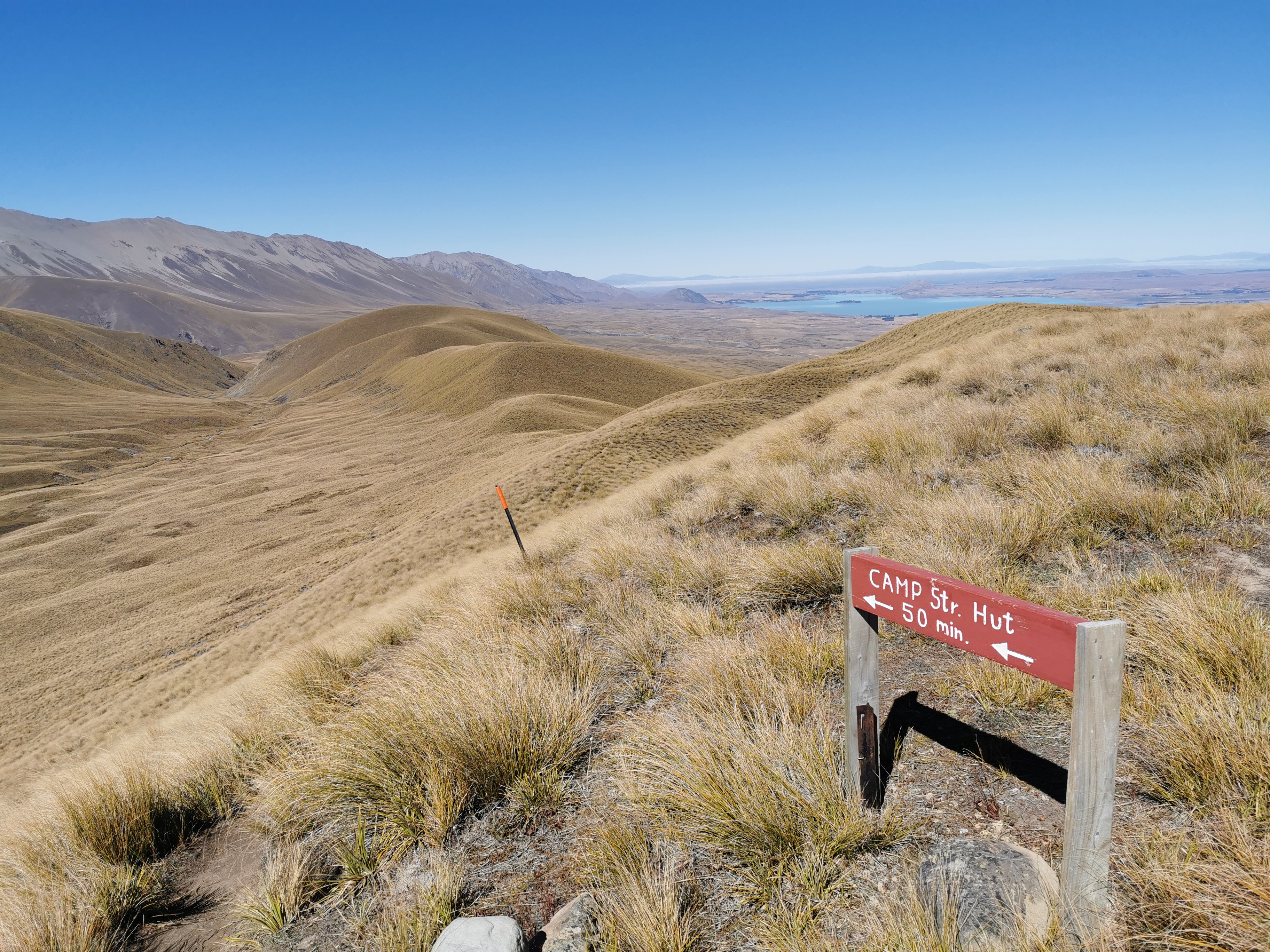
The ridgeline track gets a bit harder to follow once you get down a bit, but there is a sign.
Camp Str. Hut – 50 min.
That’s clearly not a DOC sign because 1. it doesn’t look like one and 2. the time on it was surprisingly accurate, which it never is on DOC signs normally. From here it took me 53 mins to get to Camp Stream Hut, just a bit longer than the 50 minutes written on the sign.
Looking back up the ridge. The actual TA trail is in the valley to the right. You wouldn’t get the great view if you went down there.
It would be much harder to find the ridge track if you were going northbound. If you’re going north, when you see this sign:
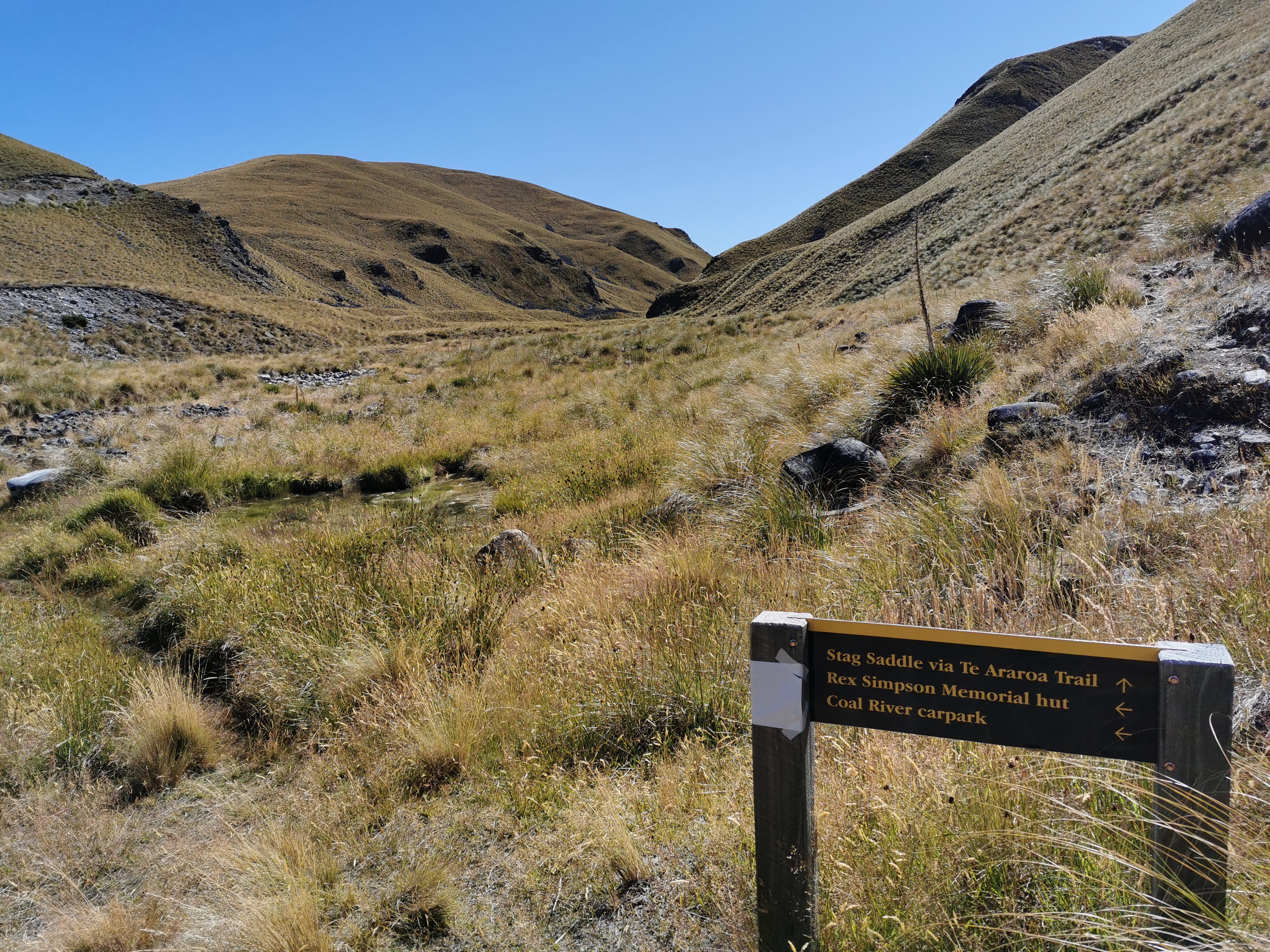
Go left towards Rex Simpson Hut, and up this 4WD track:
When you go up the hill and around the corner, you’ll come to this orange marker:
Turn right here and continue up the top of the hill. It should be obvious where to go then.
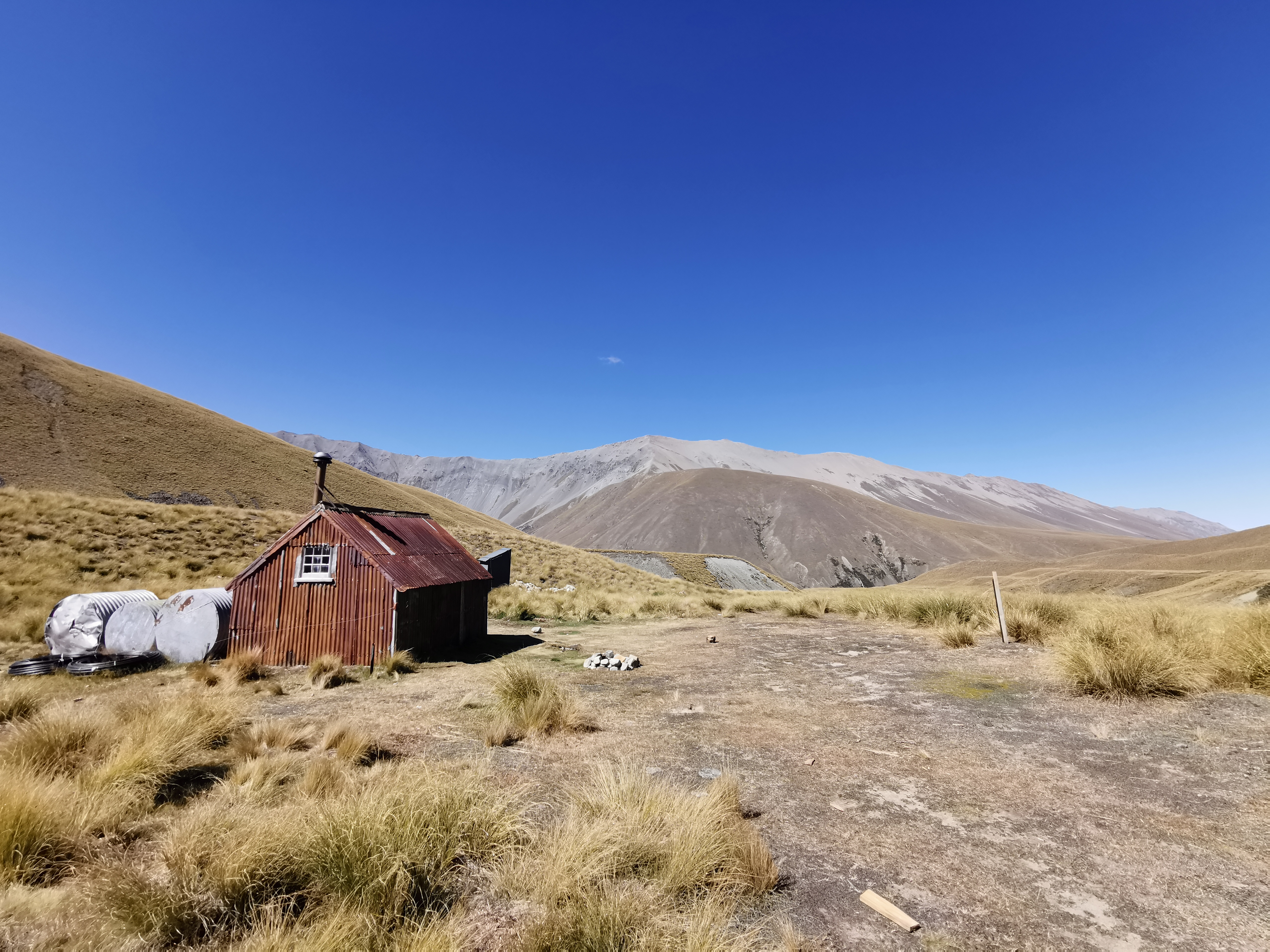
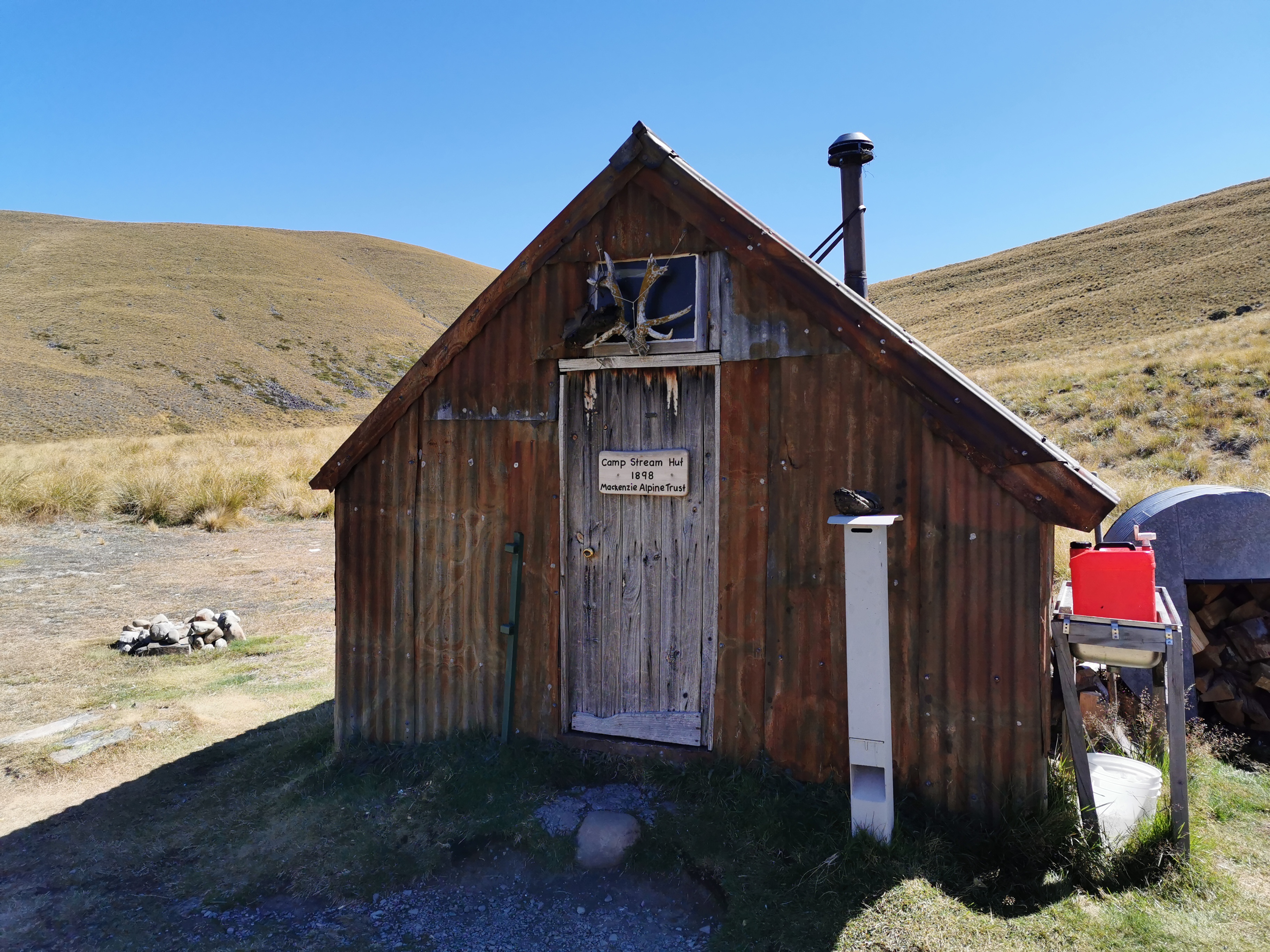
Here is Camp Stream Hut.
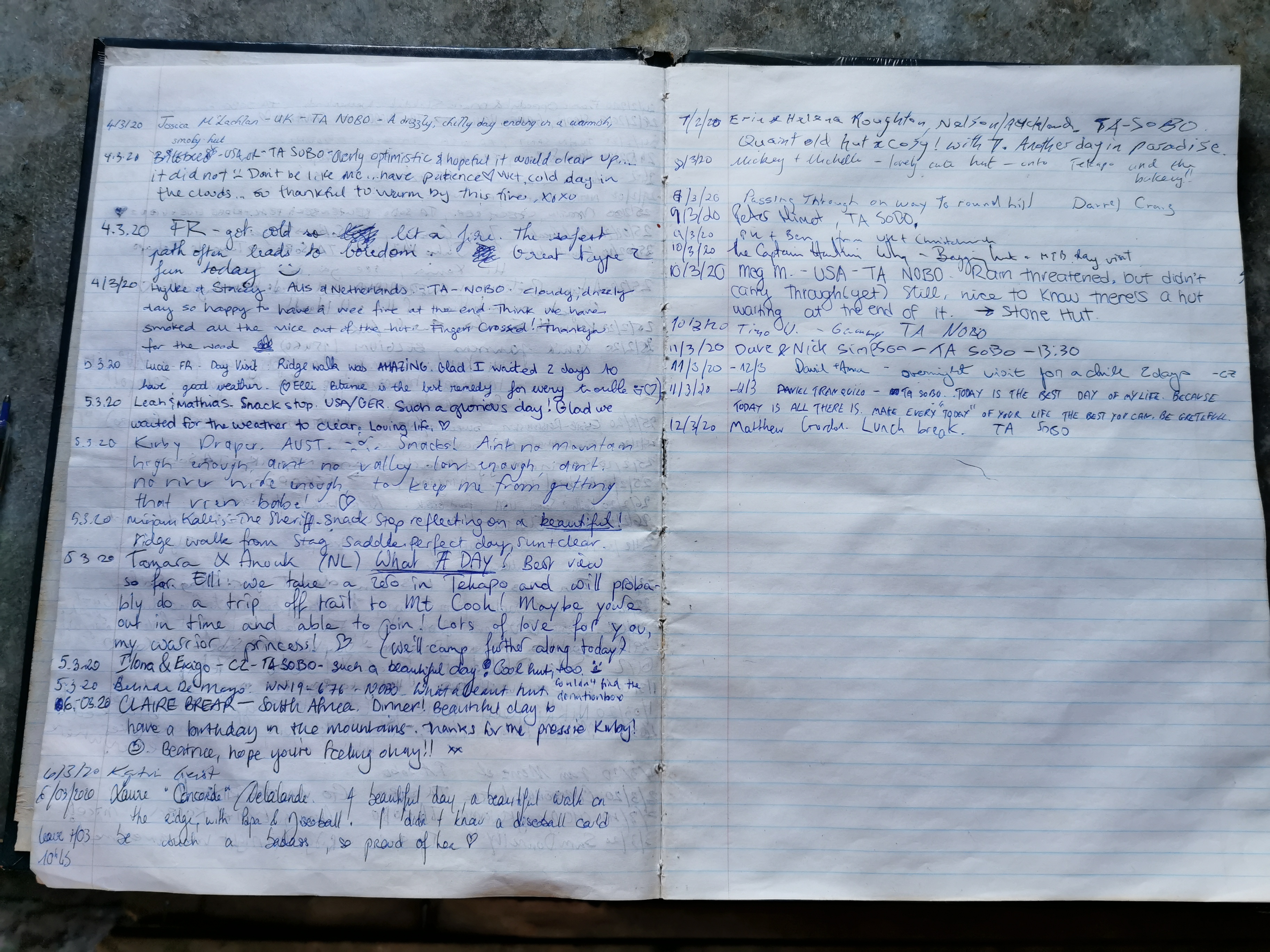
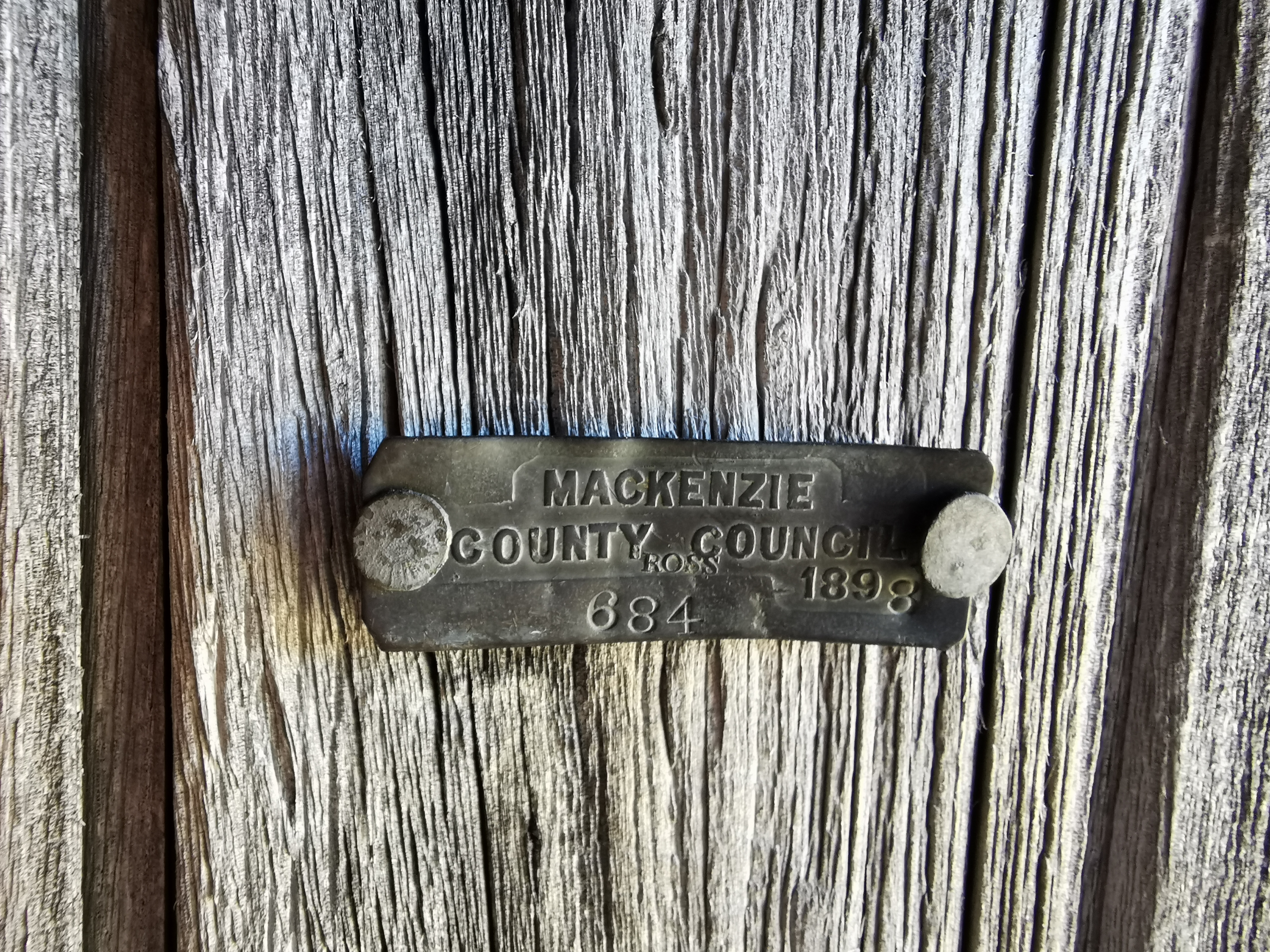
Camp Stream Hut and the viewCamp Stream Hut main entranceInside the hutThe “intentions book”I assume this is the original registration plate issued by the council in 1898. Very cool if it is.
It’s a private hut run by Mackenzie Alpine Trust. They ask for a $10 donation to stay the night. There is no water near the hut, so fill up at the last stream before you get there.
At this hut, you are halfway down the South Island. The top of the South Island is 1695km and if you assume the bottom to be 3000km then halfway is 2347.5km which is somewhere about here.
I just stopped for a very quick lunch and continued on.
When you get to this point,
Don’t go up the hill yet
The Guthook line makes it look like you have to climb up over this steep hill, but that’s wrong. You’re supposed to follow the river at first. What annoys me more is that people in the Guthook comments have been writing stupid, untrue things like “the hill is 700m in elevation, be prepared”. I don’t know if they’re stupid or it’s their idea of a sick joke, but I wish they wouldn’t. If someone wasn’t good at reading a map and went on that comment alone, they’d climb right up that steep hill and get lost and potentially get hurt. I wish there was an easy way to report people on Guthook for writing this kind of untrue thing.
You do have to climb over the hill, bit not until much further down.
When you see this path on the far left, then you go over the hill
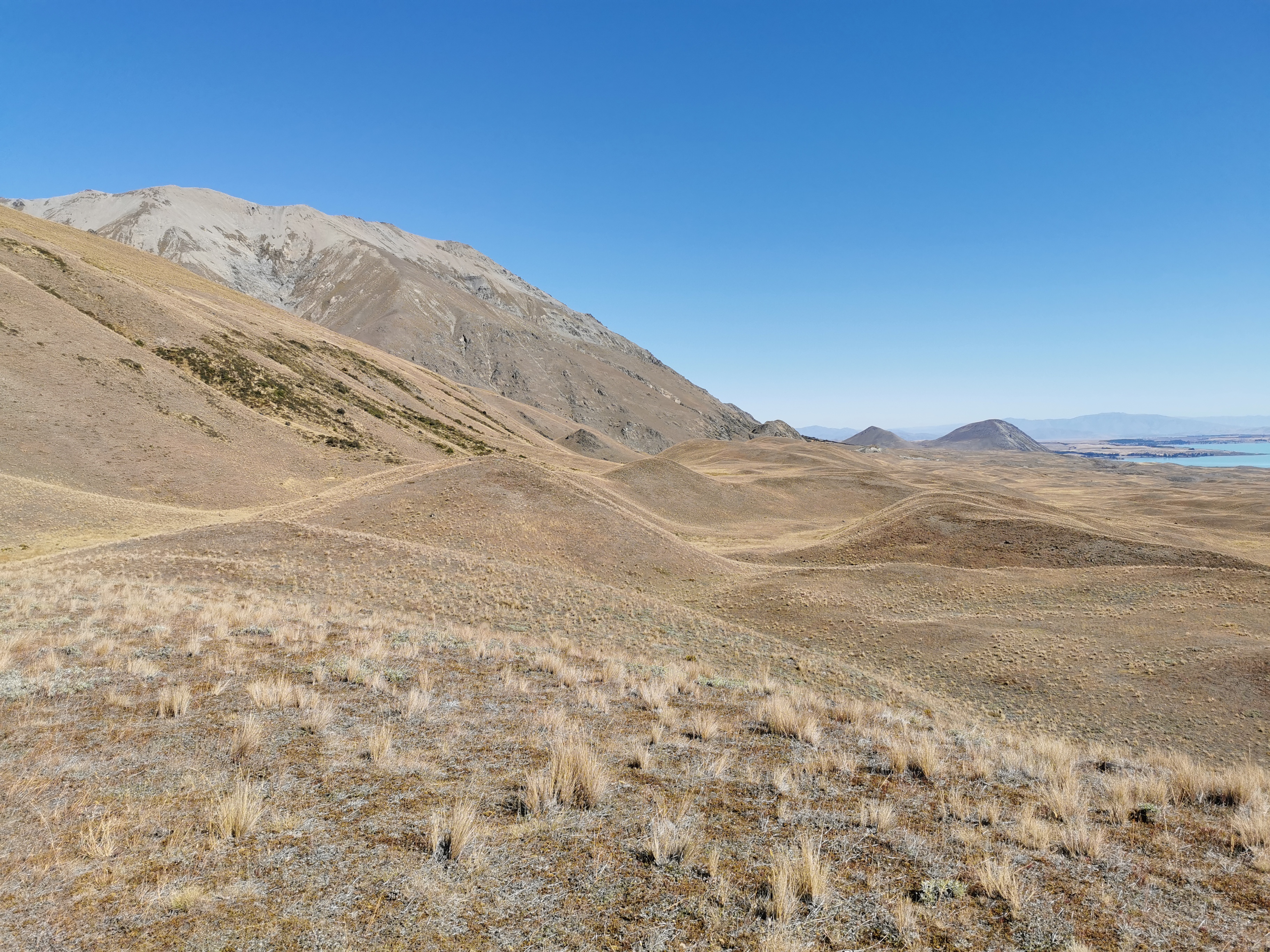
When I climbed up here, I could see opposite that there was kind of a line at a certain altitude that cut right across the landscape. Do you see what I mean? I wonder what causes that.
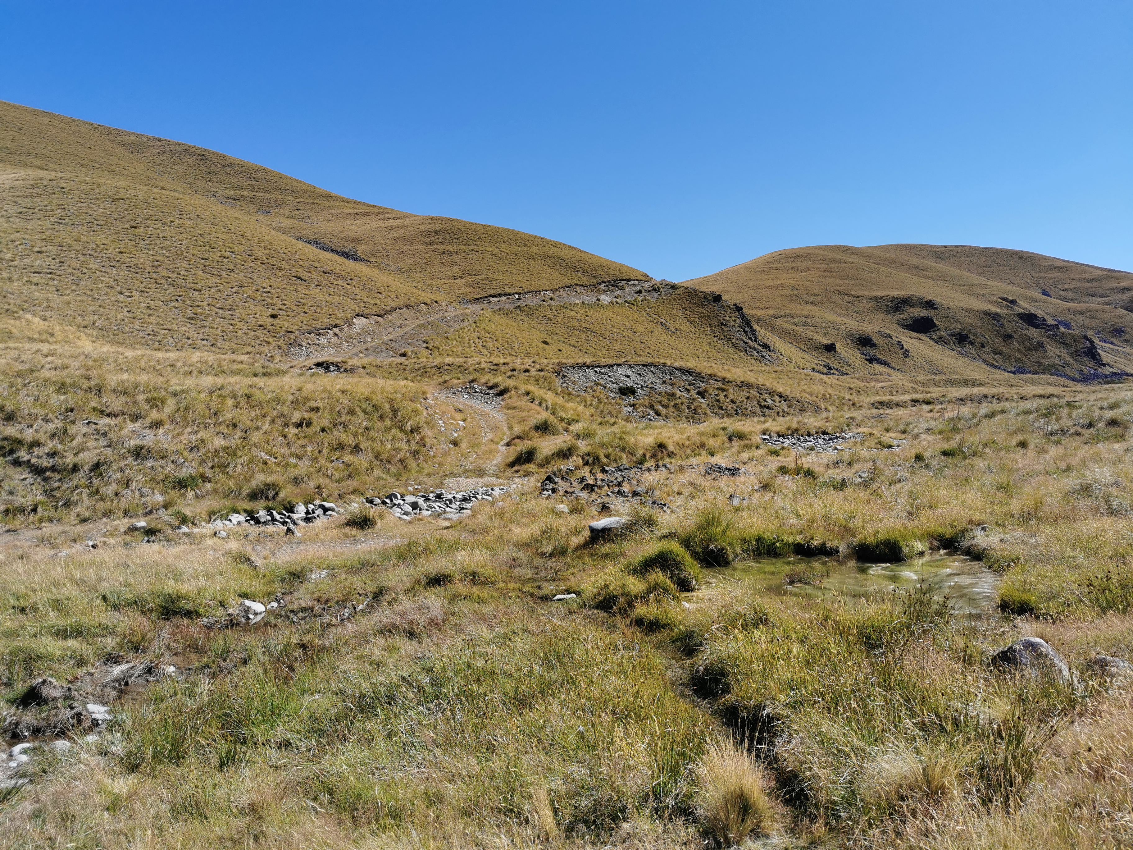
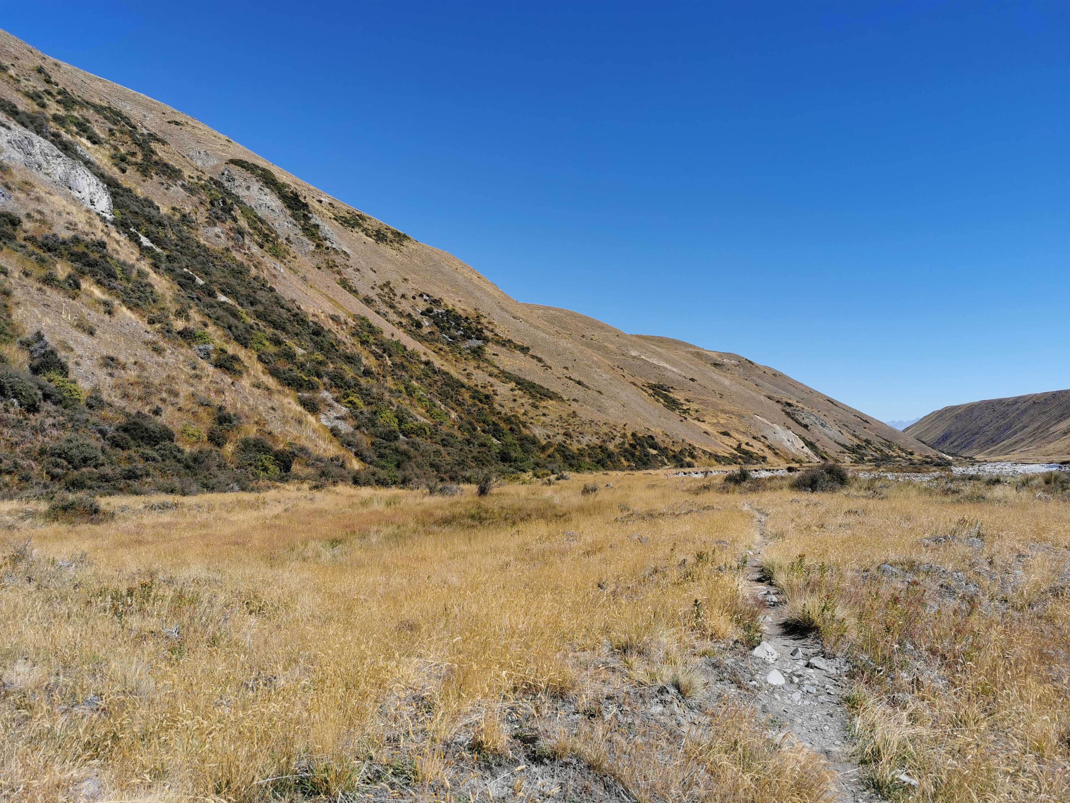
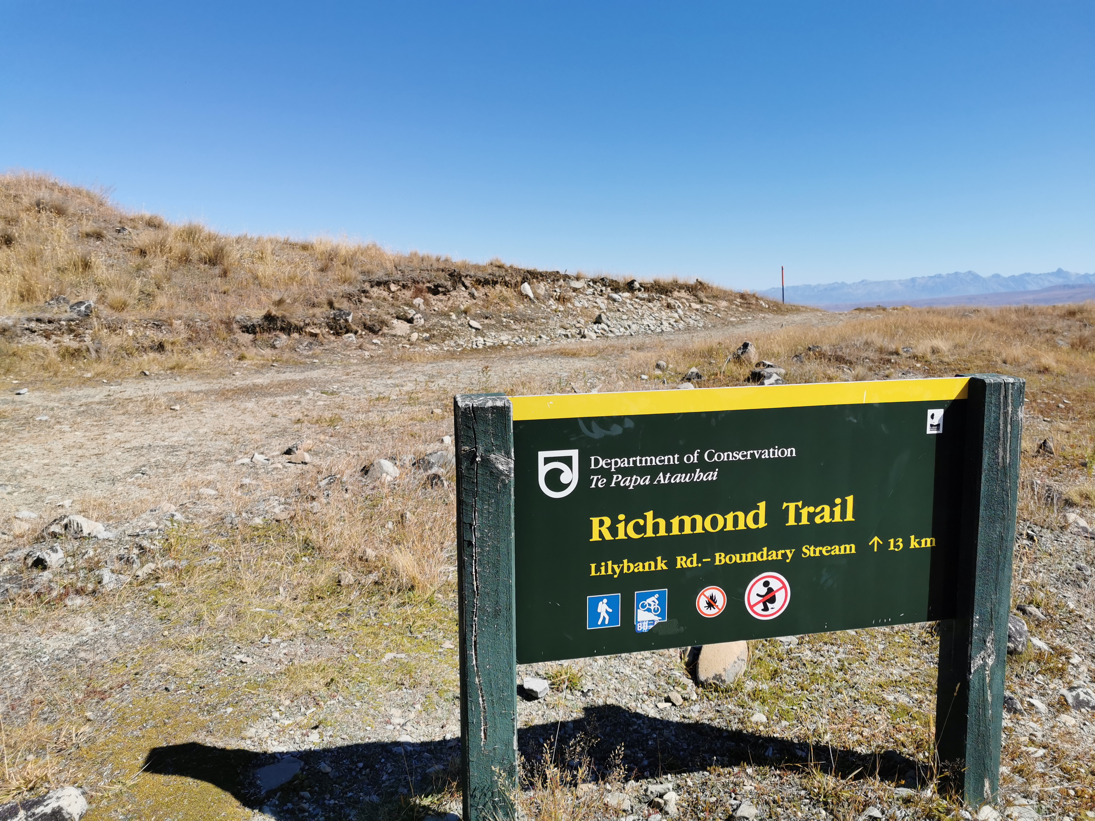
A bit further on and a bit more walking through tussock, you cross a road and reach something called the Richmond Trail.
Richmond Trail sign
The symbols on the sign are interesting. The second one indicates that it’s a mountain bike track and therefore should be easy to walk on. The fourth one… well I’ll leave that to your imagination!
Sure enough, this section of trail is easy to walk on. Luckily too, it was 3pm by this time and Tekapo was still 30km away.
I knew that the rest of the day from here was going to be a bit of a trudge. This bit was okay but the last 18km or so is almost entirely road walking. So I put on some good music and just walked.
Walk across this…And down this…And to Lilybank Road
I did meet a northbounder at one point and he said there are other southbounders just ahead of me. I wondered if I’d meet any of them.
My GPS watch was really unreliable along here for some reason. It jumped straight from 21km to 23km and then the same from 25km to 27km so I was never really that sure how far I was from the road. It also meant the line on the map below was not particularly accurate.
Once I reached the road, I stopped at this stream (Boundary Stream) and had a quick snack, even though I was looking forward to making it to town I was too hungry to make it there without stopping.
Boundary Stream
The trail notes say no camping between here and Tekapo. You either set up camp before here on the Richmond Trail or you walk all the way to Tekapo.
While I was having my snack, a southbound hiker named Daniel showed up to get some water from the stream. I think I startled him as he clearly didn’t expect anyone else to be around. He too was walking into Tekapo and was considering a night walk into Twizel the next day. I’d been considering that option too but didn’t want to let on.
There goes Daniel
Tekapo to Twizel is a long way – almost 60km, and there’s apparently nowhere to camp along the way. A lot of people choose to hire a bike and cycle it. Other people choose to hike it at night because it is flat and not dangerous. I might walk that section at night tomorrow if my legs feel up to it. It’s a full moon at the moment so that will be nice. But after the long day today my legs might not be up to it.
I didn’t want to let on to Daniel that I was considering the night walk too, because 60km is a long way to be trapped with someone if you don’t get on well with them!
Time for the remaining 18km into Tekapo, mostly down this gravel road.
Lilybank Road
Not a lot happened on this section of the walk. It was really just one foot in front of the other for most of it, walking as fast as I could to try and get to the restaurant in time. I did see these creepy houses though.
Houses from some kind of horror movie
It’s hard to tell from the photo but the smallest building second from the left has a toilet with no door, totally exposed to everyone going past. Maybe that’s a thing in these parts and I just don’t get it.
Haven’t seen an abandoned car for a while
After a while the town came into view, just as it was getting dark.
Tekapo is getting closer
I did spend time trying to work out if the town is called Tekapo or Lake Tekapo, because it’s always referred to as Tekapo in the trail notes but it is Lake Tekapo on all maps. Wikipedia tells me it is officially Lake Tekapo but it’s usually just called Tekapo to avoid confusion with the lake it sits on.
I was offered a lift by a guy in a rental car, but I declined as I was only 2km from town, and of course I wouldn’t have taken it anyway regardless of how far along I was.
Not far from the town, you turn right into a park.
I think it’s Tekapo Regional Park
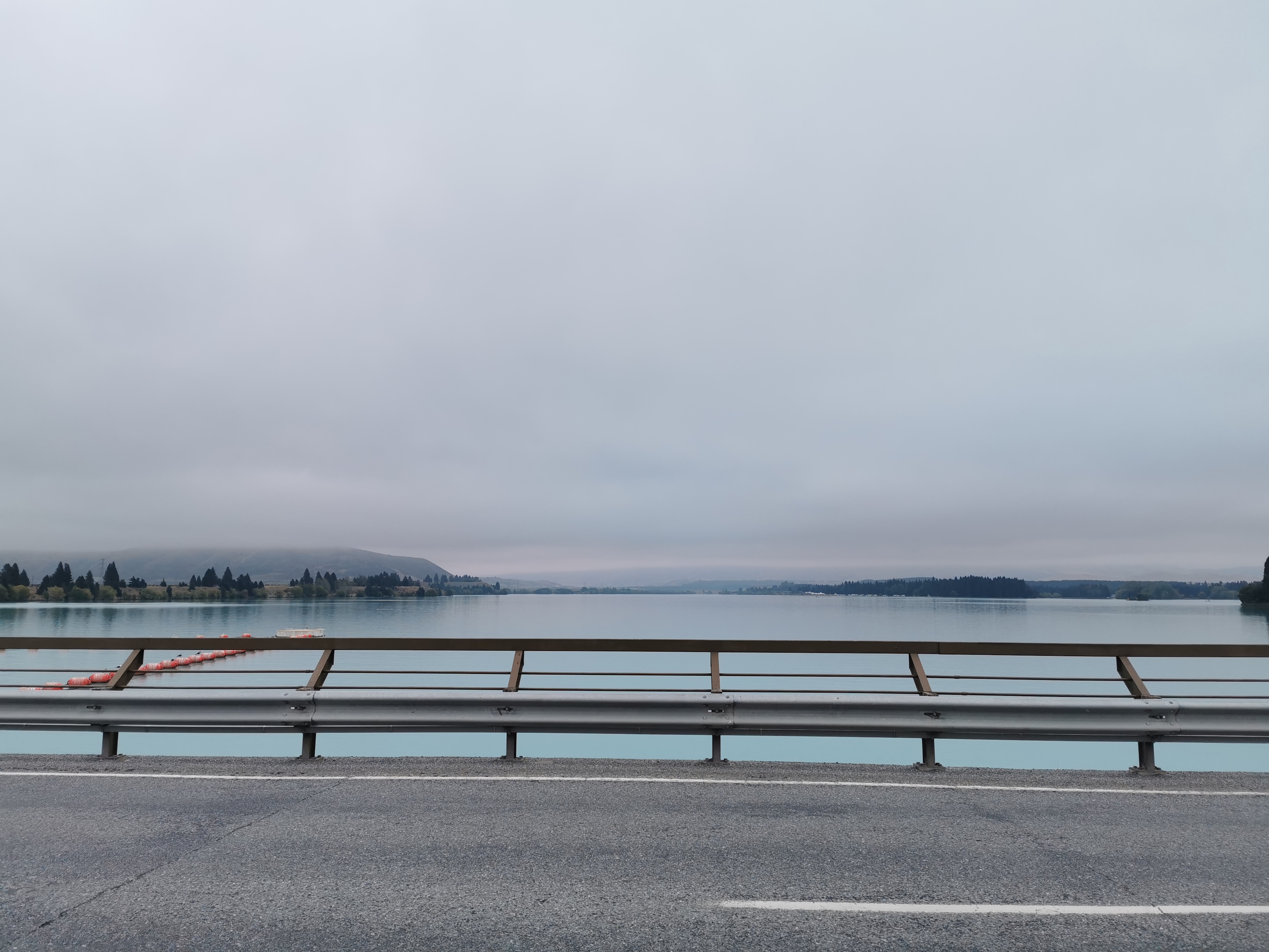
You then actually get to walk alongside the lake for the first time.
I made sure to actually touch the water at least once. It looks so turquoise while you’re walking but it is so clear once you’re up close to it.
As close as I ever got to the lake
The sun was really setting now.
As I came into town, I got asked how far I’d walked today by a couple (a very common question). I told them “50km from over the hills there in the distance” and the guy said “you’re awesome”. That made me feel good.
I passed various interesting things on the way into town. I had to adjust the brightness on each photo so you could actually see anything. That’s why it looks like a different time of day in each photo, but they’re all posted in order!
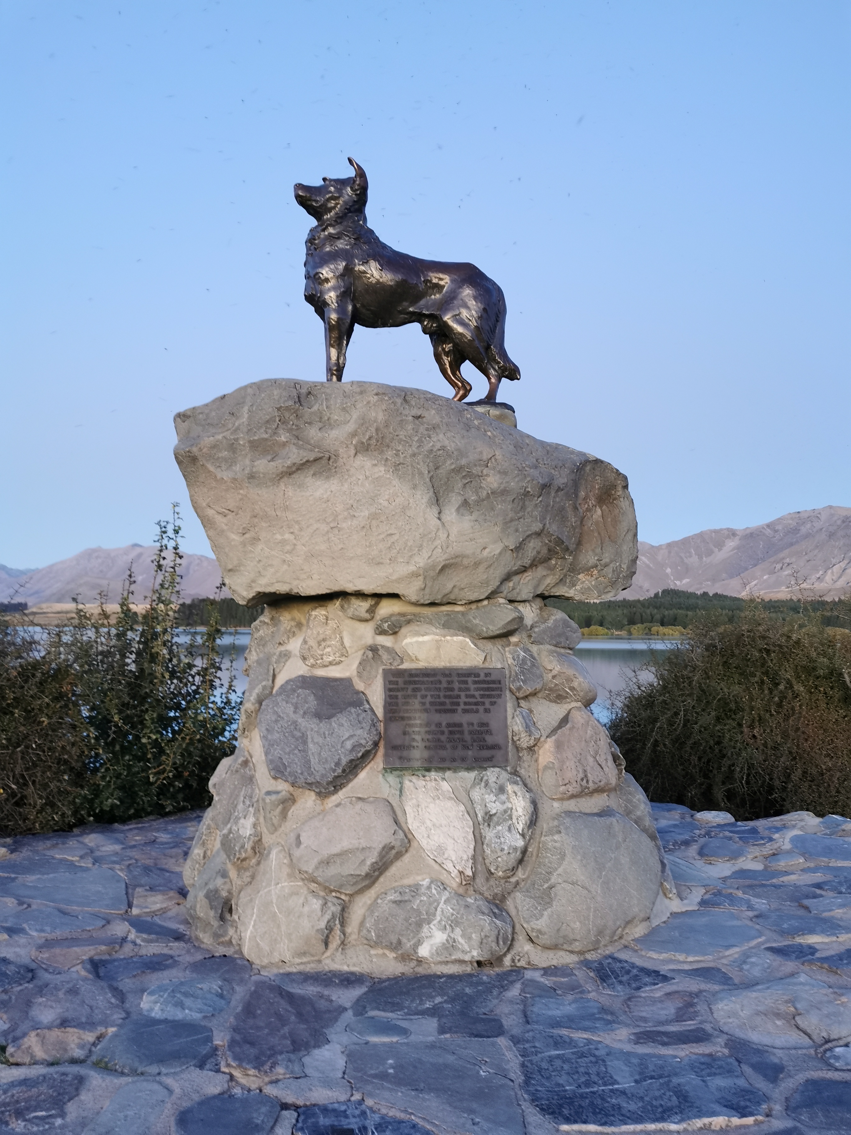
Monument to the Collie
“This monument was erected by the runholders of the Mackenzie County and those who also appreciate the value of the Collie dog, without the help of which the grazing of this mountain country would be impossible. Unveiled March 7th, 1968”.
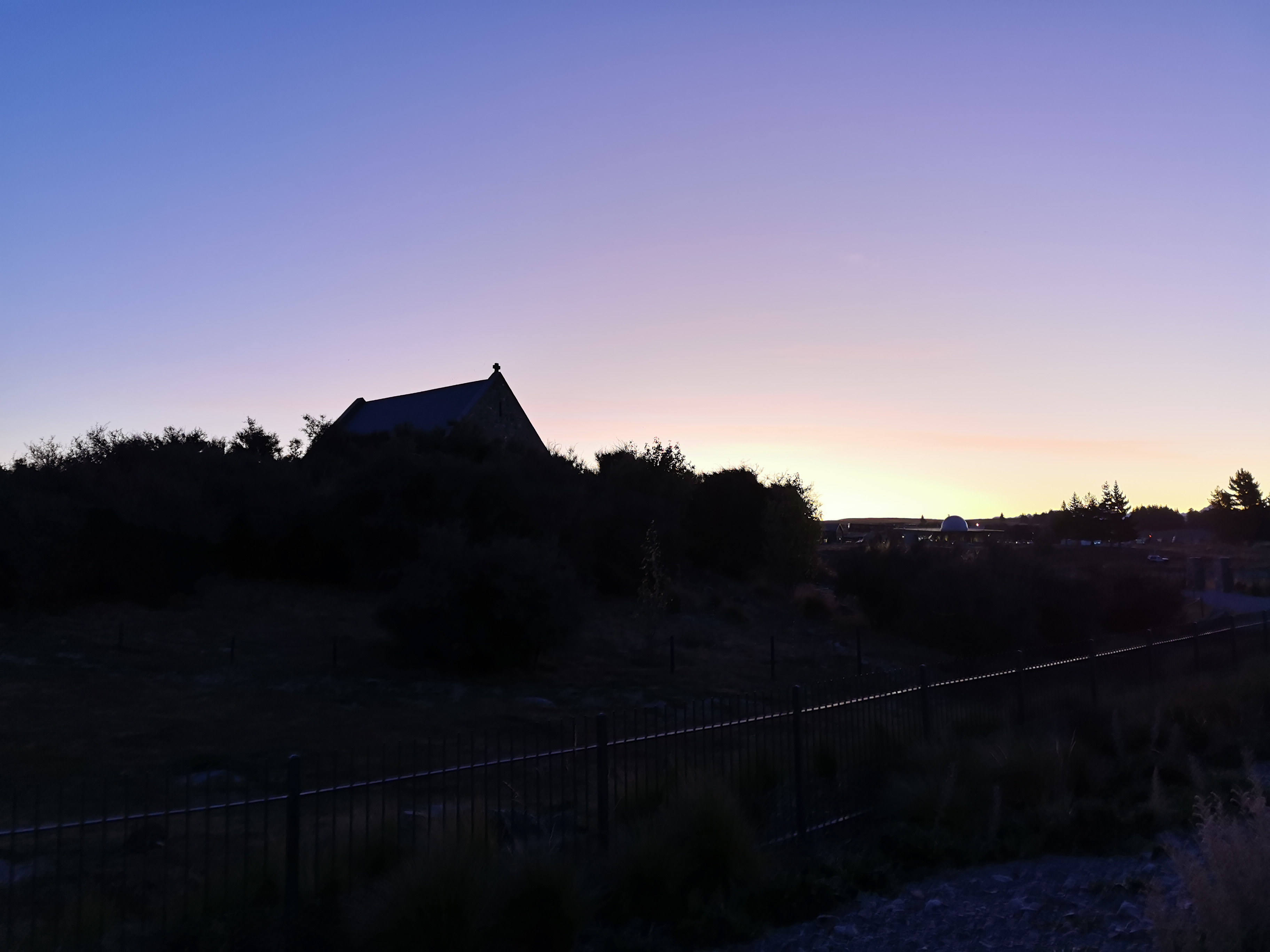
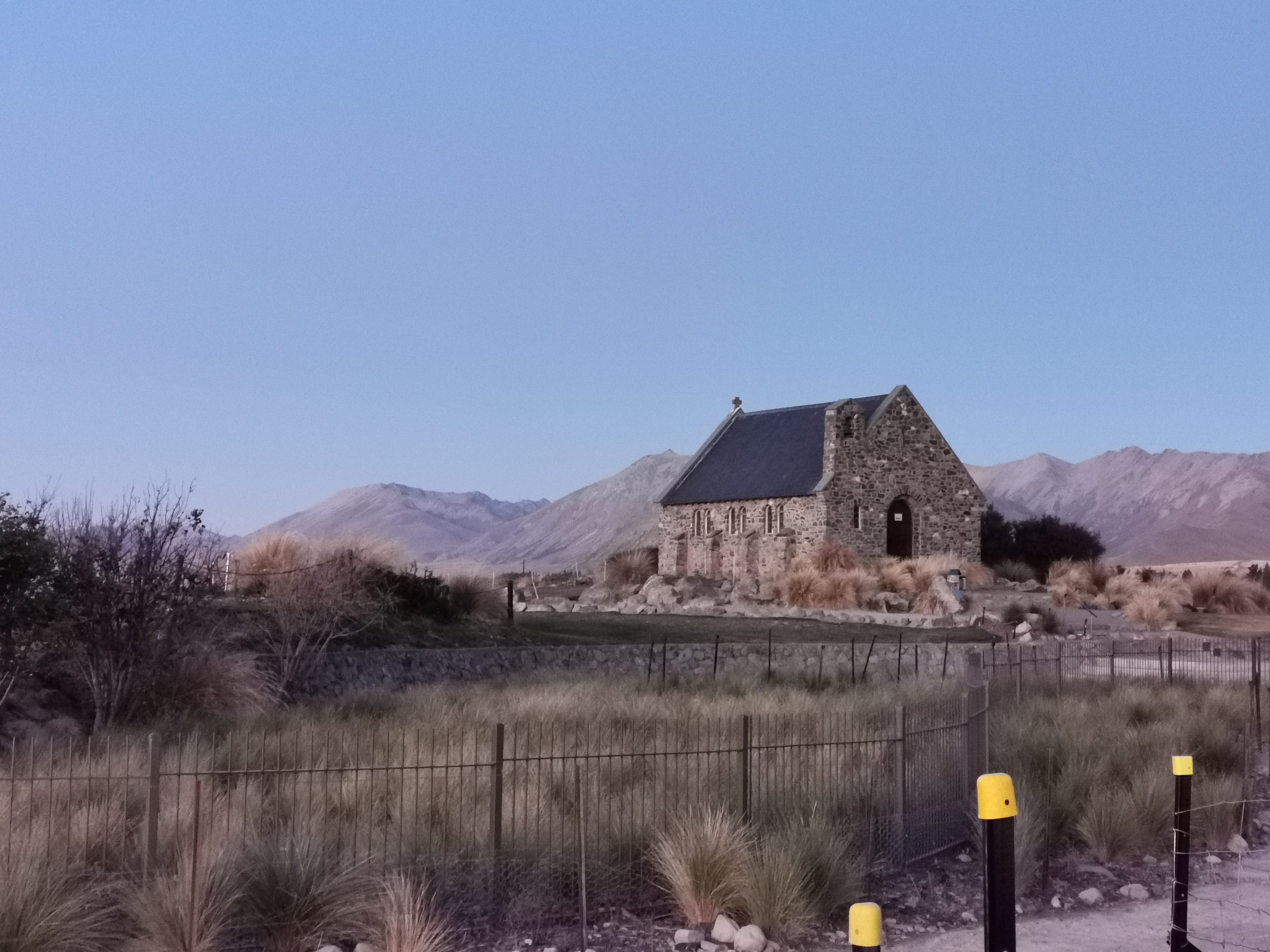
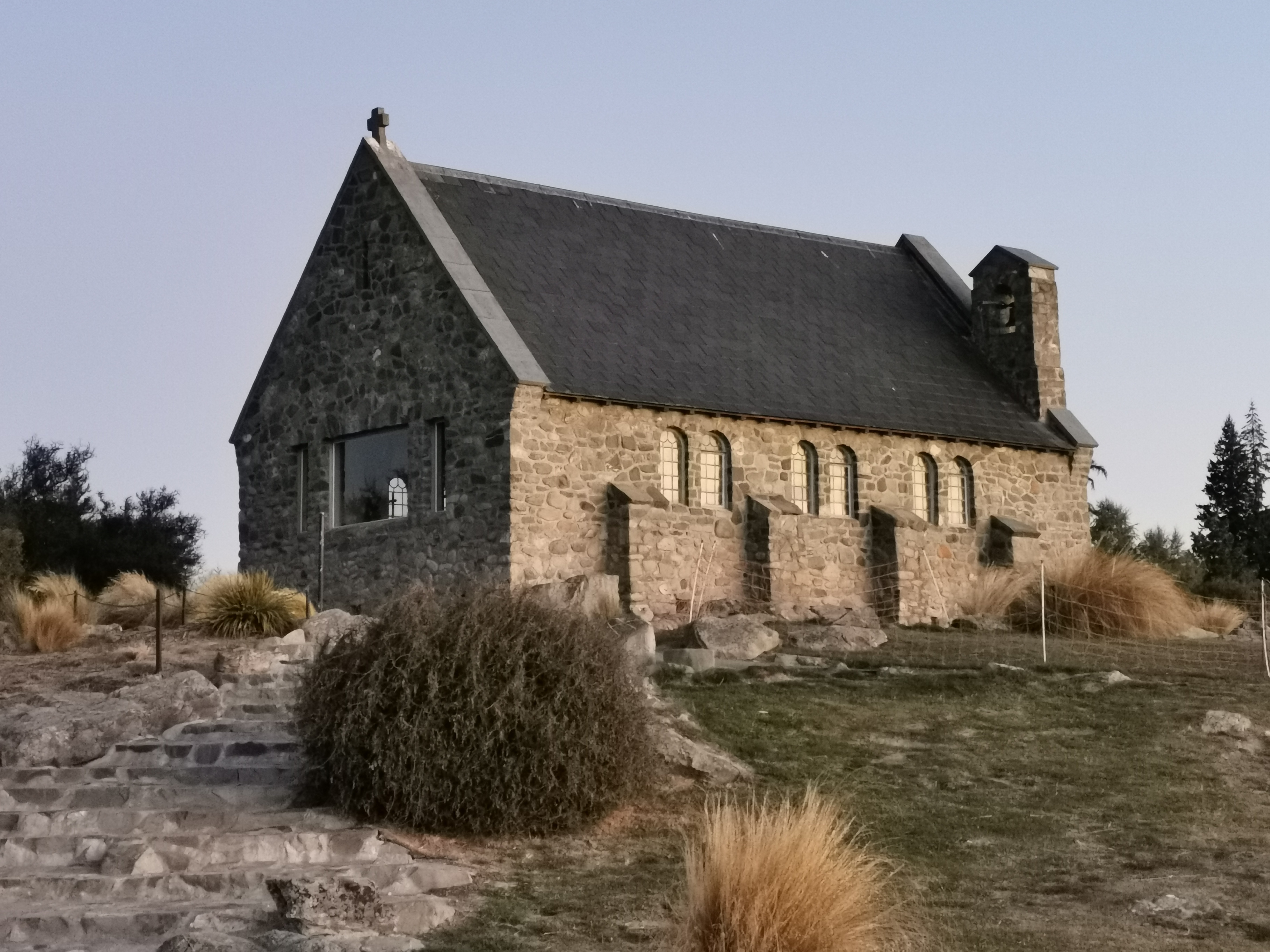
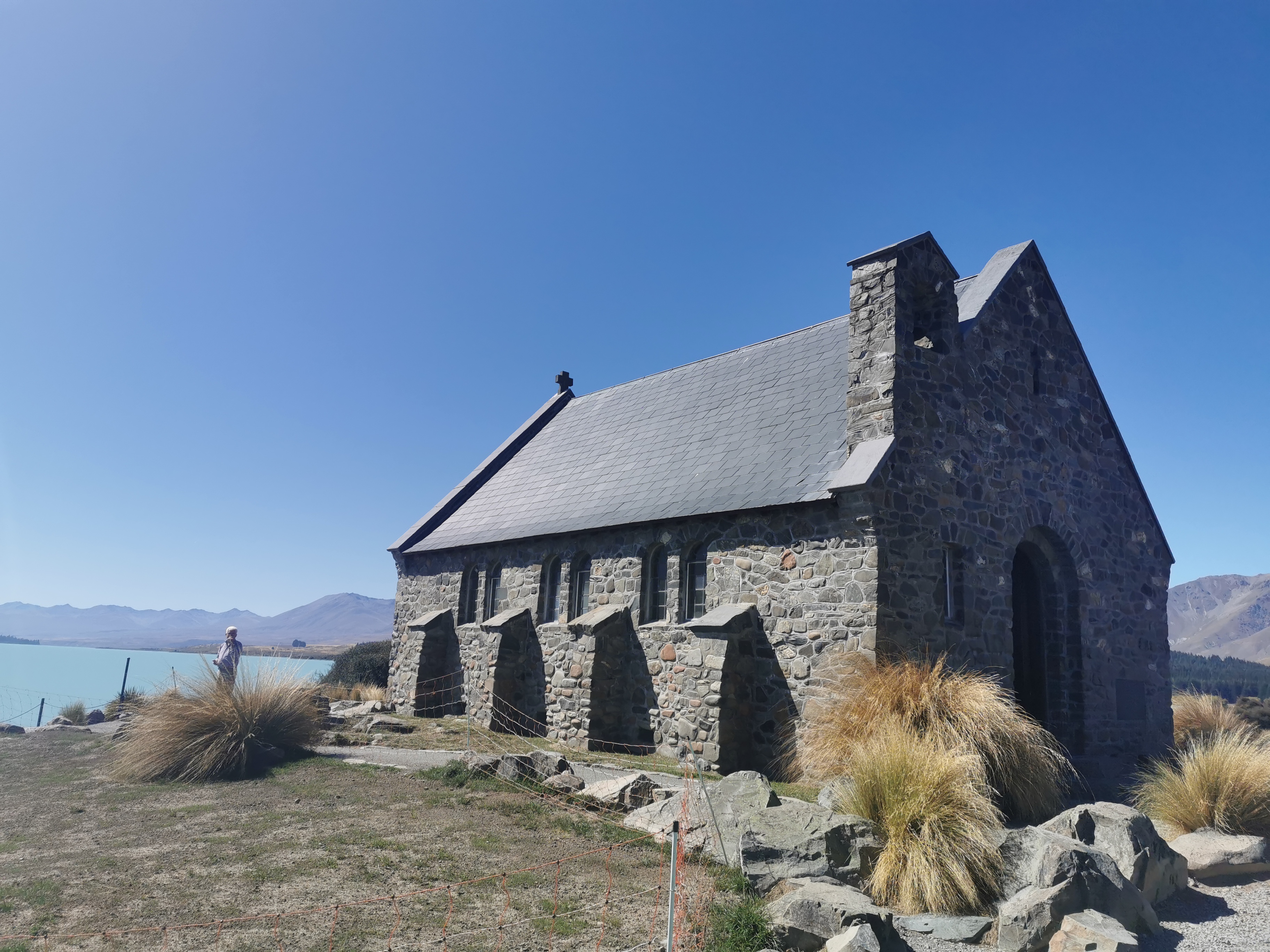
Here’s the Church of the Good Shepherd. It’s a very famous church and despite being very late, still had a lot of people taking pictures of it. I couldn’t see much on approach,
But with the right light I could still get a good picture.
The Church of the Good Shepherd
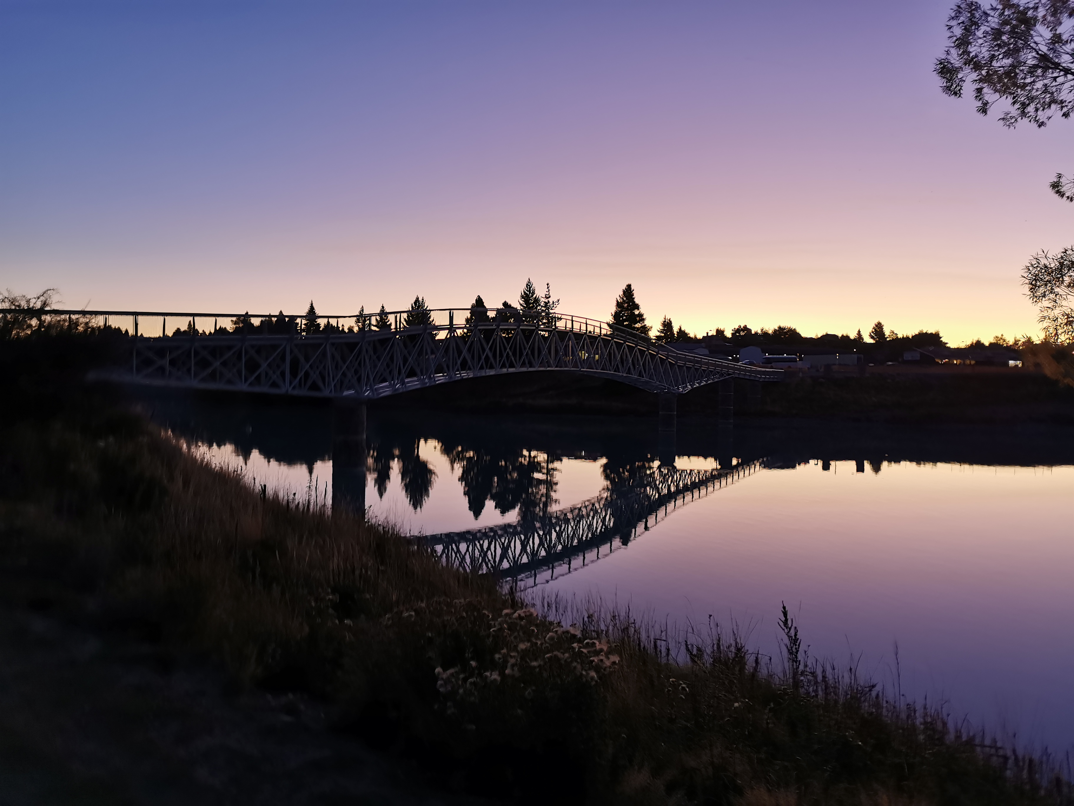
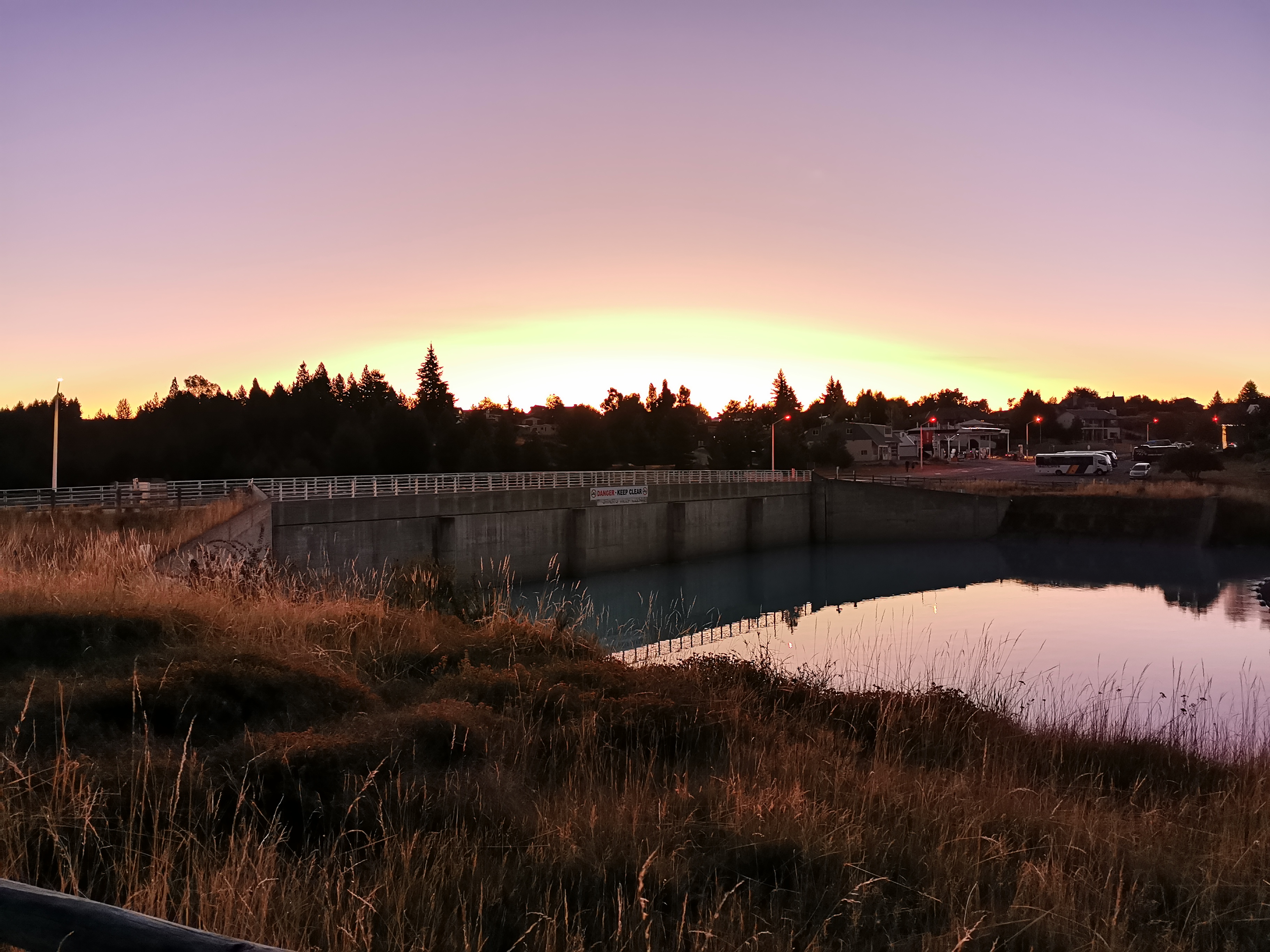
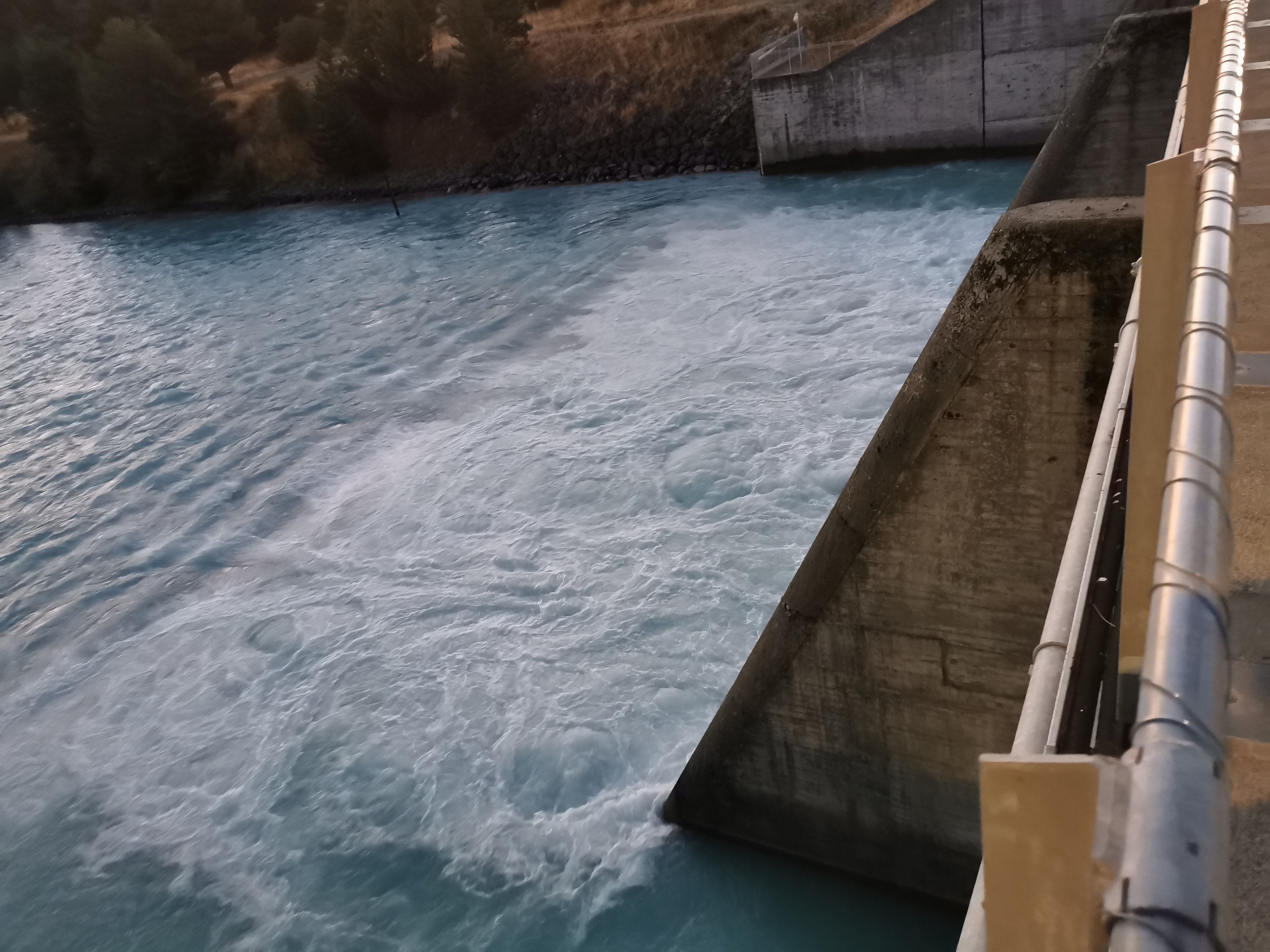
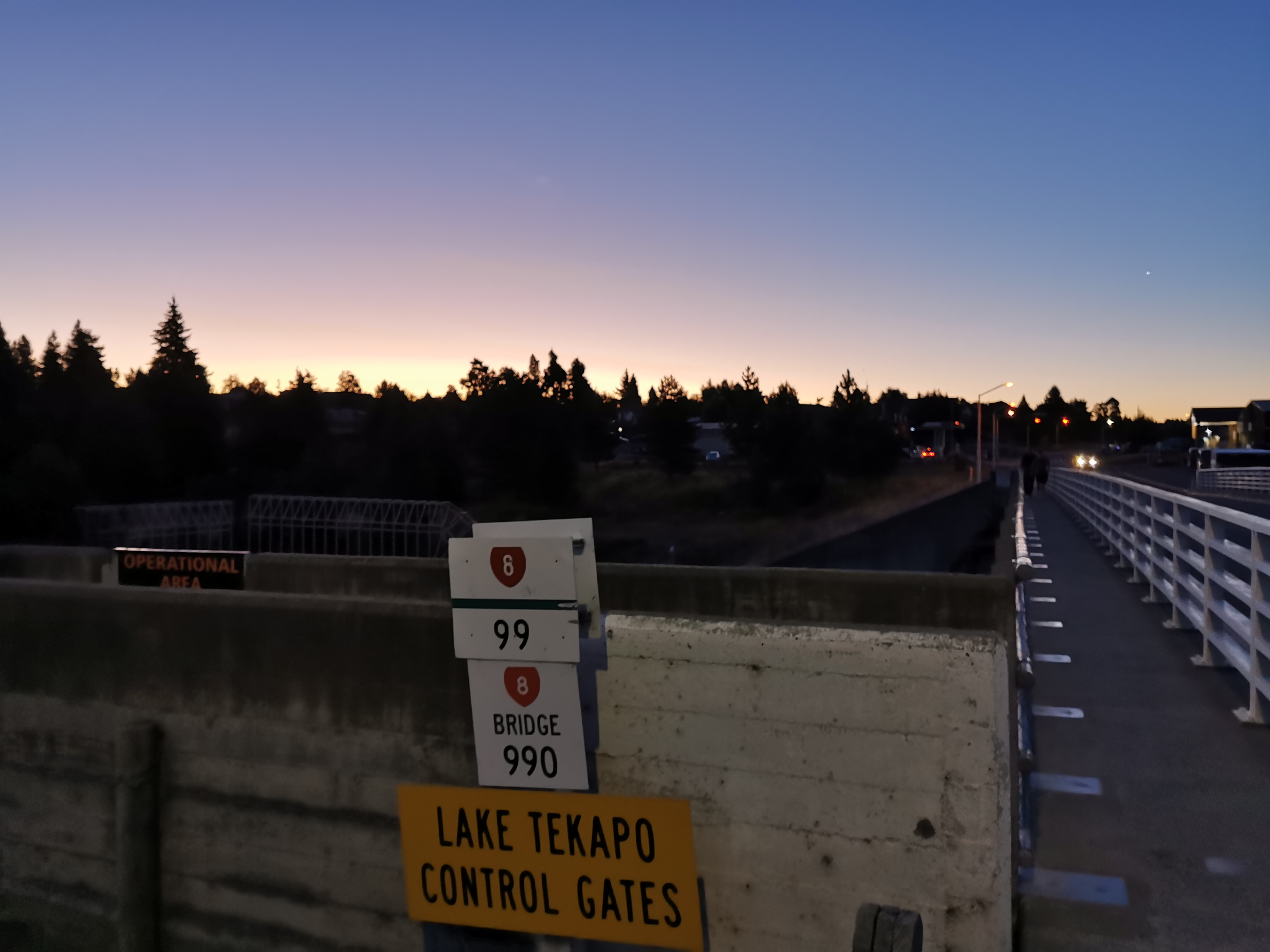
Next is this pedestrian bridge. I understand it’s a fairly new bridge, which probably explains why the trail doesn’t go across it.
Instead, the trail goes across the road bridge, which seems to also act as flood gates.
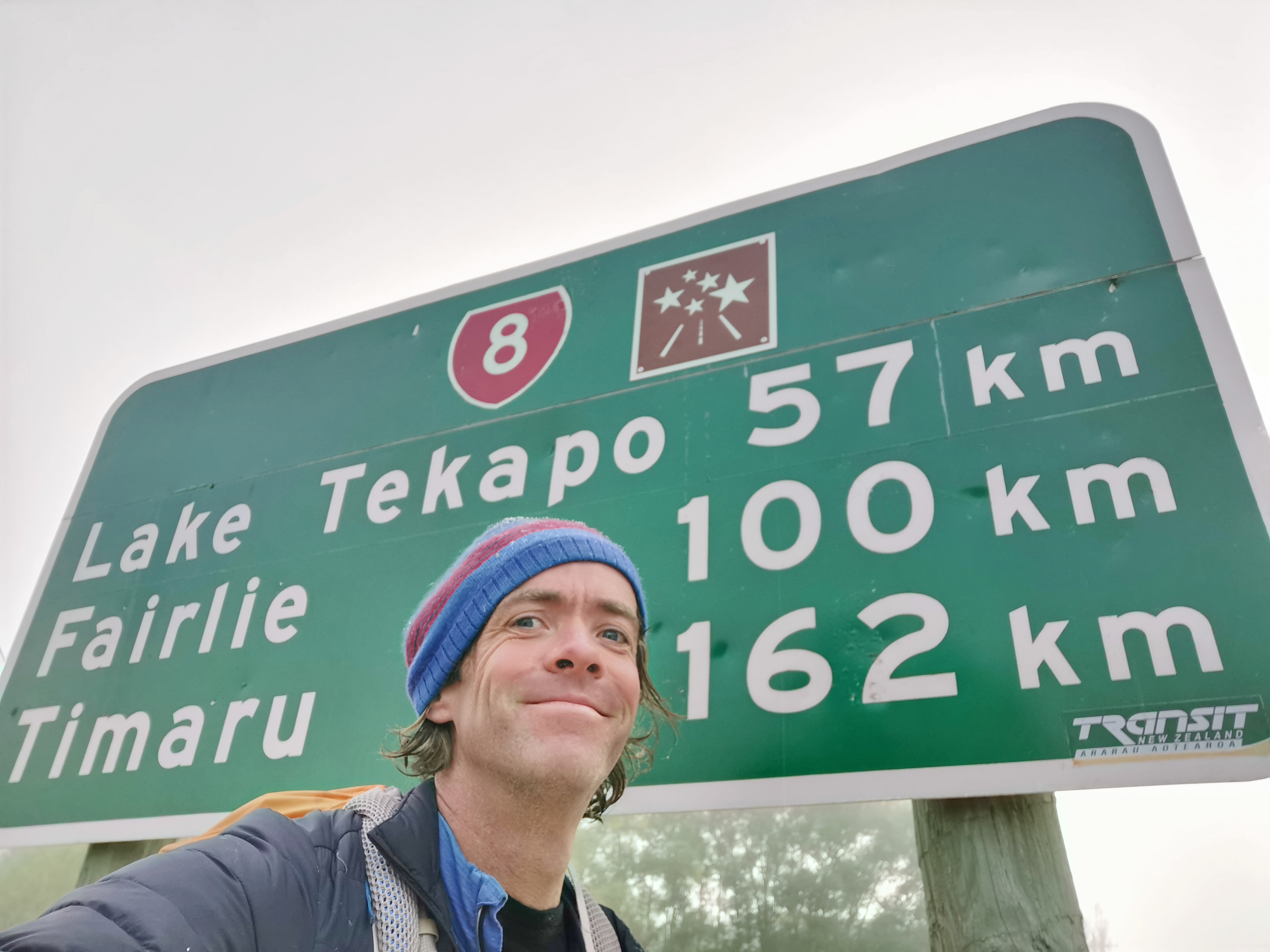
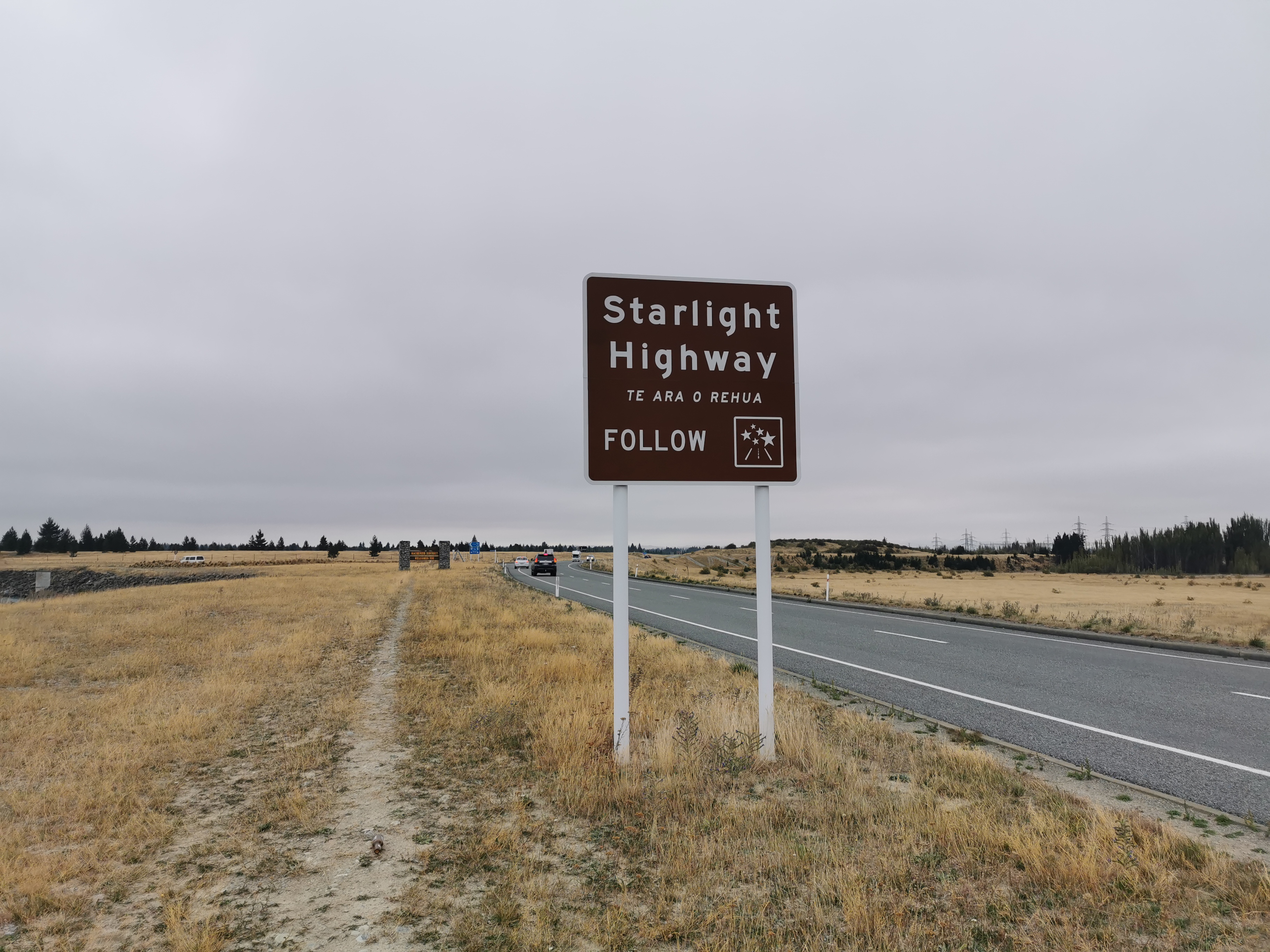
This road is State Highway 8. I’m up to the “8 highways” now. Only the 9 highways to go and I will have finished!
Getting dark now
At first I thought the Blue Lake Restaurant might have been this restaurant, and I thought “this place is too posh, they won’t let a hiker in here”. But it turned out to just be a hotel.
It’s The Godley Hotel, Tekapo
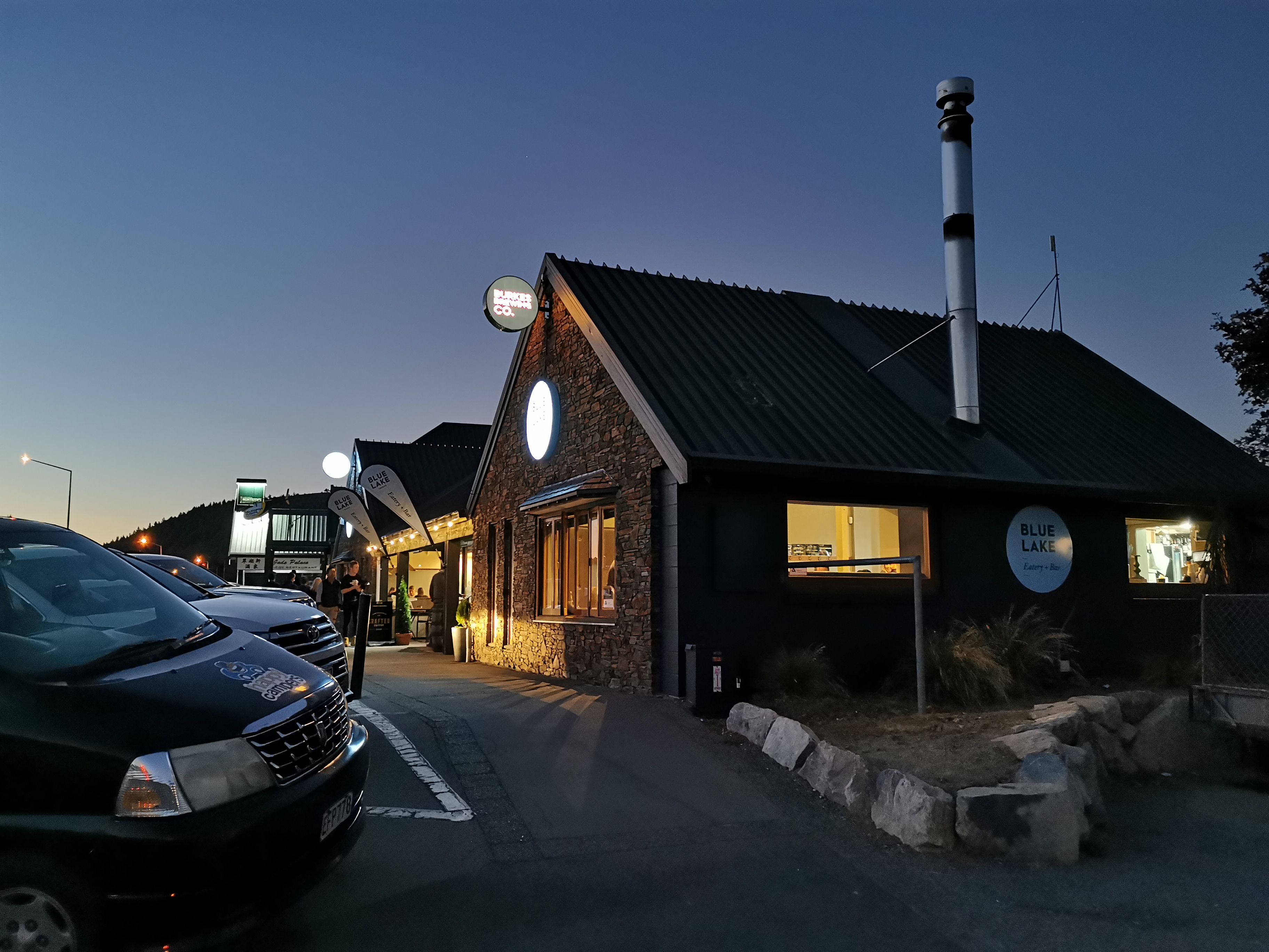
The Blue Lake Eatery seemed almost as posh though.
Blue Lake Eatery
Luckily they seemed nice and the clientèle was varied and I sat far enough away from other people so that they wouldn’t be offended by my odour.
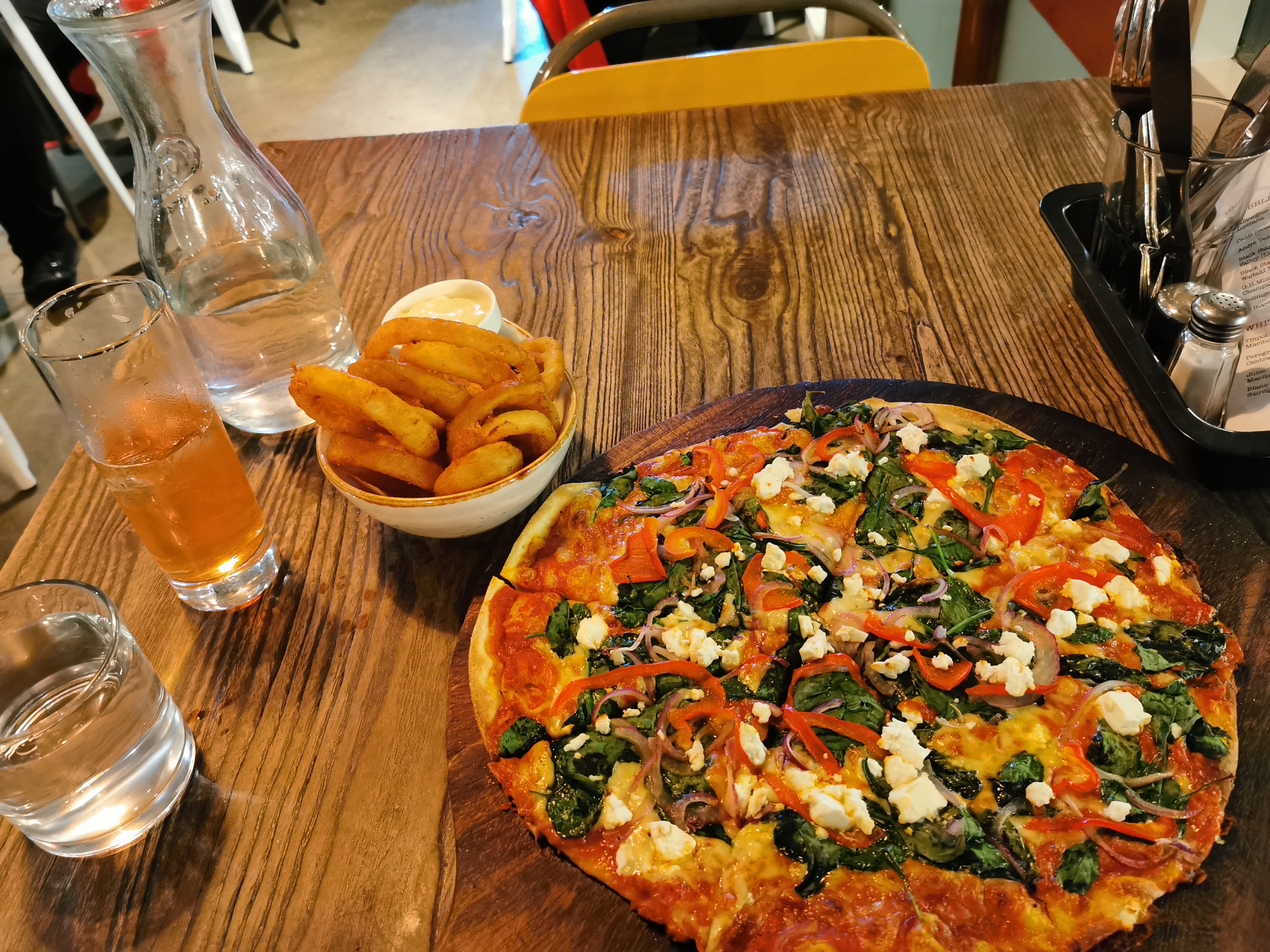
The problem here was that I didn’t really like any of the mains on offer, so the only thing I could have was pizza. I couldn’t go somewhere else because this was the only place in town that was open. So pizza (and onion rings) it was.
Vegetable Lovers pizza and onion rings
The whole time I was in the restaurant I was uncomfortable. I’d walked so far that even just sitting there was painful, and I was also sunburnt. I got quite shivery and cold and had to put my jacket on. I tried to straighten my legs as much as I could, otherwise they ached.
I also had dessert but didn’t photograph it. It was a nice lemon and blackcurrant thingy with French merangue. I was so full by the end of it. I wasn’t even sure I could walk the last bit to the holiday park.
The holiday park as it turned out was a fairly long way from town. It took about 20 minutes to walk the 1.5km there.
They had left a map with my name on it as promised, but it was still hard to find the tent site in the dark. The map suggested the sites would be numbered but they weren’t. There were a lot of other tents around so I felt bad setting up at 10:30pm making noise. After setting up I found the living room and plugged in my battery pack to charge it overnight. I hope it’s okay and nobody steals it. There were at least eight or nine other devices being charged in there.
It had been over a month since I set up my tent and sleeping mat, the last time was at Harper Campsite. Luckily both seemed okay – no extra mould or damage or anything. But I did notice that when I took off my left boot that my sock had filled with blood from the back of my foot rubbing against it. I was surprised because I didn’t feel anything like that while I was walking. And boy did it smell bad. I couldn’t wait to do laundry tomorrow and have a shower.
One last thing to do before attempting to sleep was to change to the last of four Guthook maps – I’m now on the map from Tekapo to Bluff. Now that I had Internet access it seemed to work this time.
I wasn’t sure how I’d sleep with my sore legs but I was glad to finally be lying down. This has been the longest day so far where I’ve had my pack the whole time, beating the previous record of Paekakariki to Ngaio so it was great to finally get some sleep.
Date: 13 March
Trail covered: 31.8km (kms 2387.8 to 2419.6)
Weather: clear
Coronavirus. That seems to be the theme of today in the real world. It’s every news story. It’s every email in my inbox from companies I haven’t dealt with in years. It’s every post on my Facebook feed. I wish I could hear about something else.
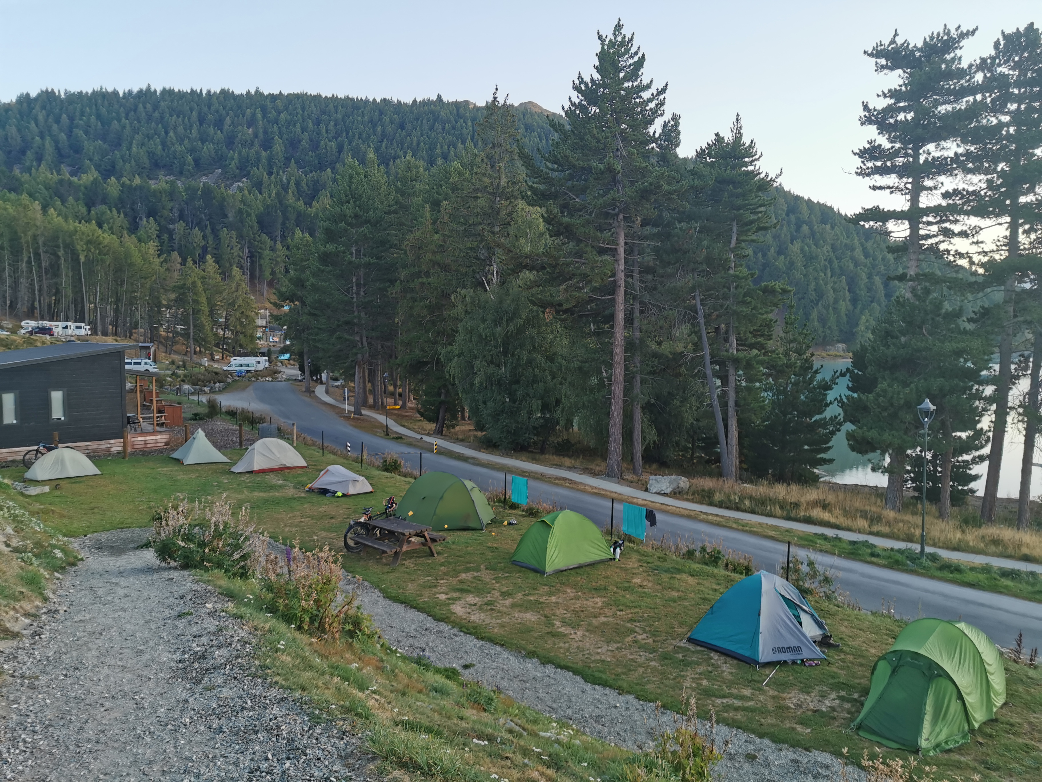
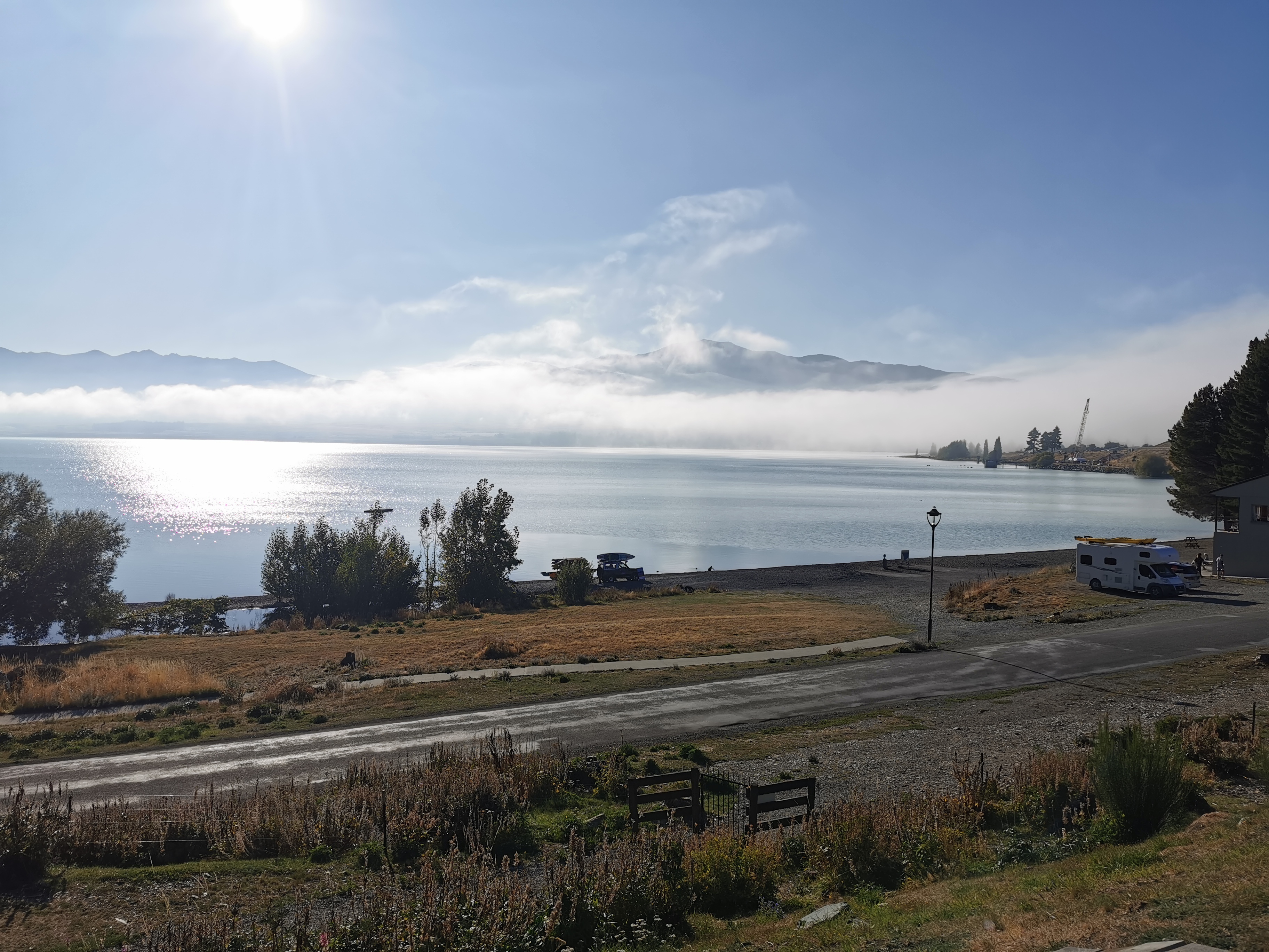
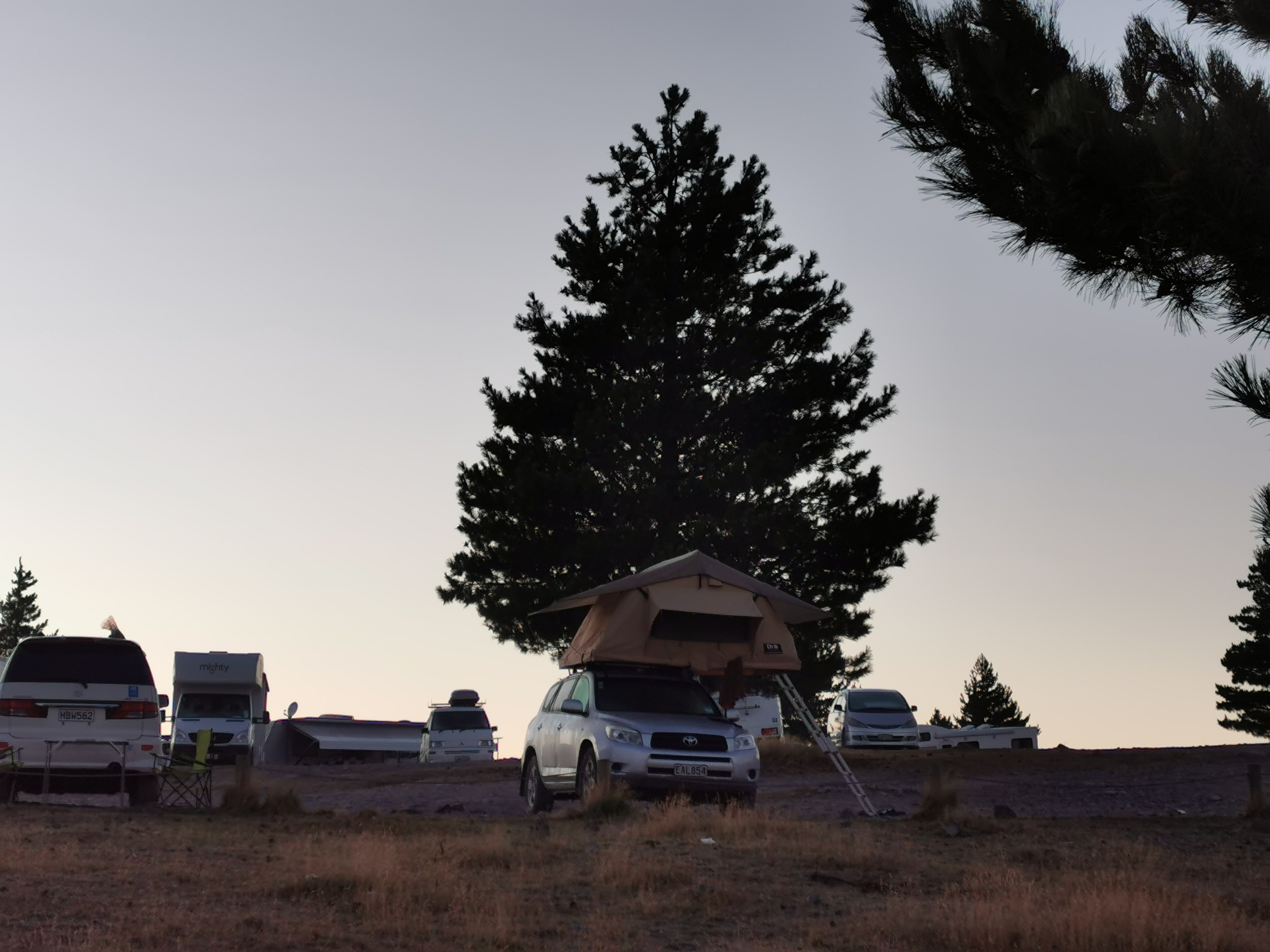
Tents. Mine is third from the leftView from the tent sites – not bad
This morning I talked to the guy who was camped next to me. He said he didn’t hear me setting up last night, which was good. He was hiking Te Araroa northbound but because of a family emergency he has to stop here and go back to Australia. That’s a shame for him because he was just getting to the good bits (well, I don’t know how the good bits compare to the bits he’s already done, obviously).
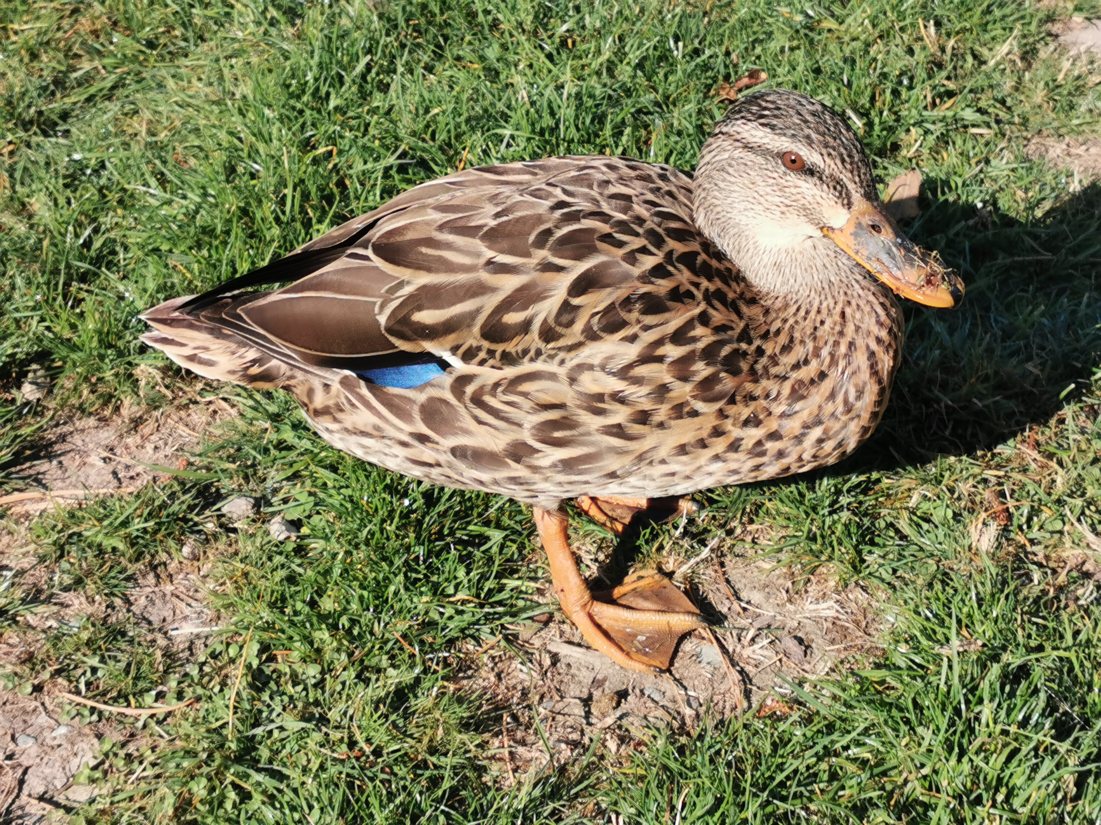
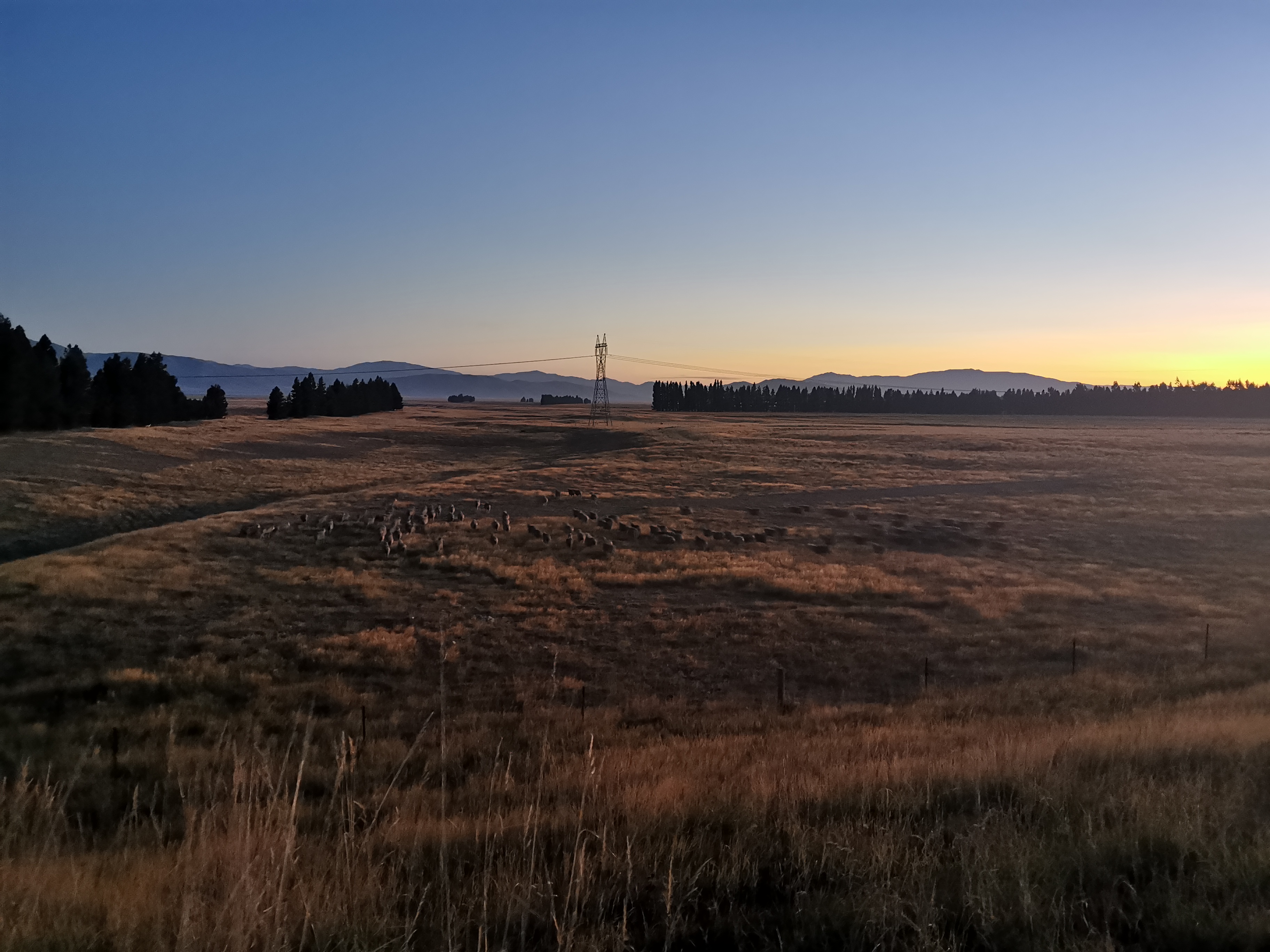
A lot of ducks hang around the tents here. They’re definitely not shy.
Ducky McDuckFace
I got all my laundry done and had a shower and a shave, everything smells so nice now. It feels great. And my leg hardly hurts at all after yesterday – a very nice surprise. I packed up my tent and headed the 2km back into town.
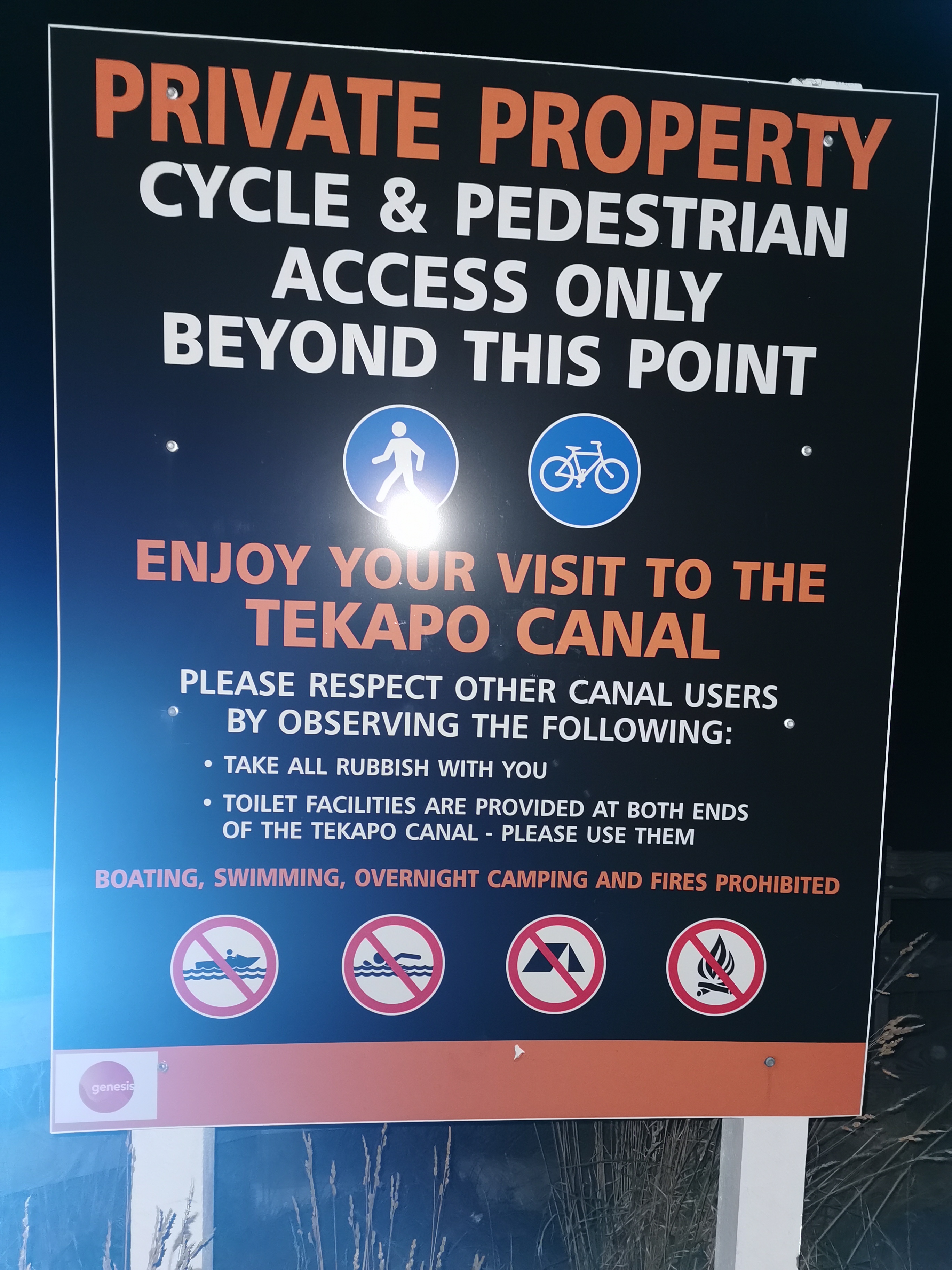
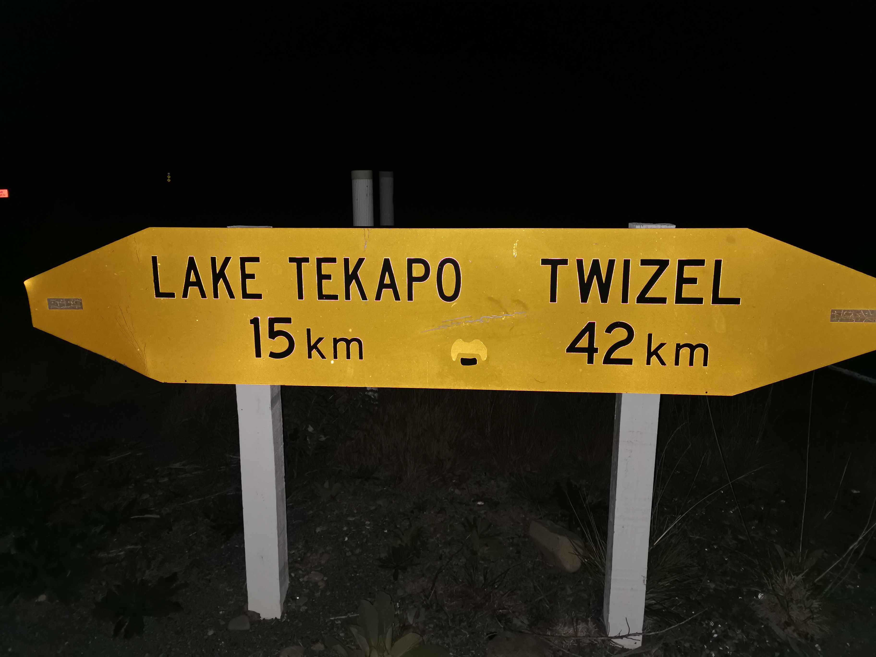
Since my leg is not hurting I’m going to stick to my plan of walking the 54km to Twizel overnight tonight. This is because there’s nowhere to camp between Tekapo and Twizel if you believe the trail notes, and also because I’ve always thought a night walk would be nice. And this is apparently one of the safest sections to do at night – first along a canal and then along a cycle path. And there was a full moon only two or three days ago so the moon should be big and bright in the sky.
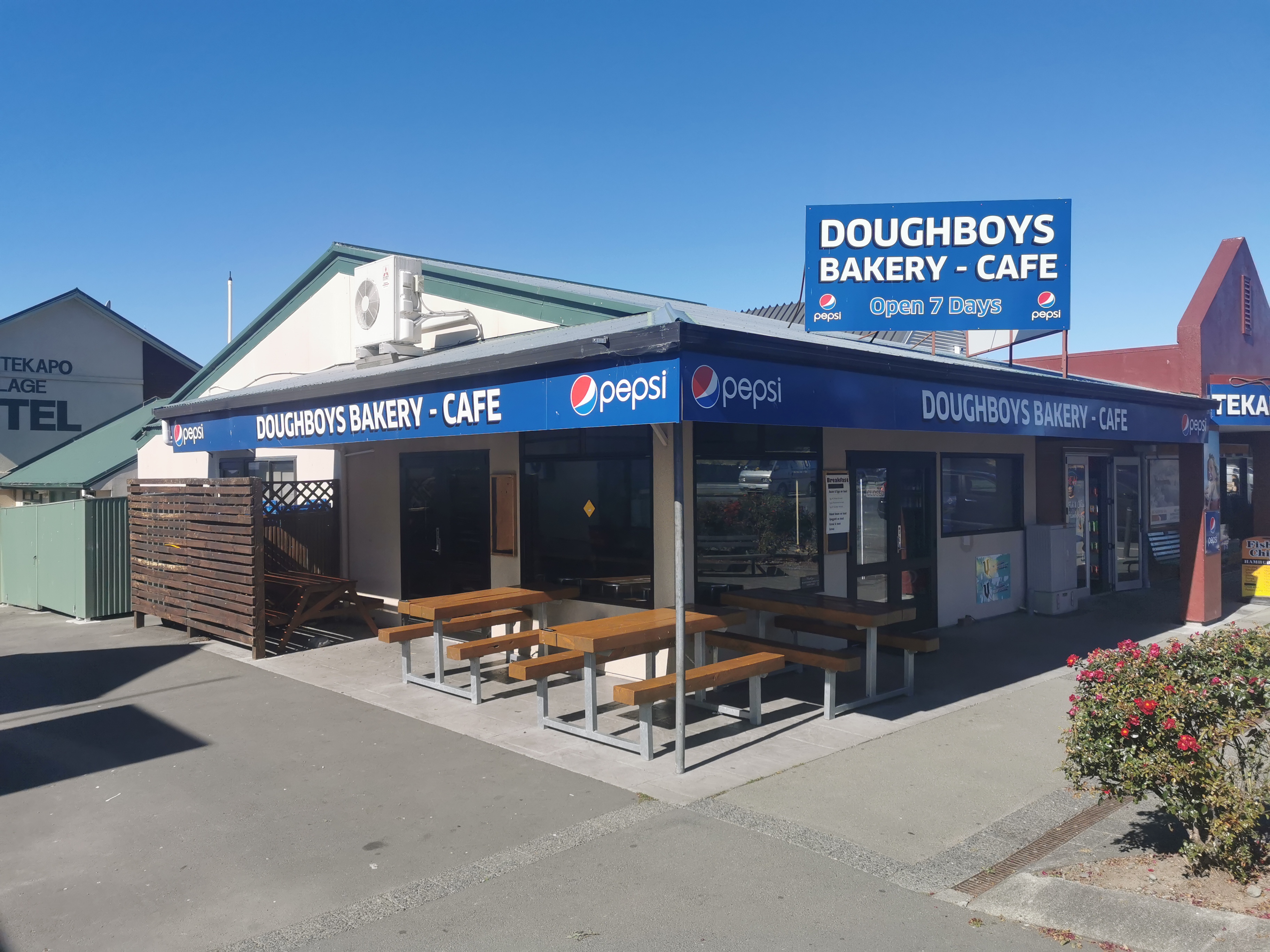
This meant I had to fill in my day somehow. I sat myself down in Doughboys Bakery. I spent a lot of the day here. Far too long. Long enough to hear the whole music playlist on repeat twice.
Doughboys Bakery & Cafe
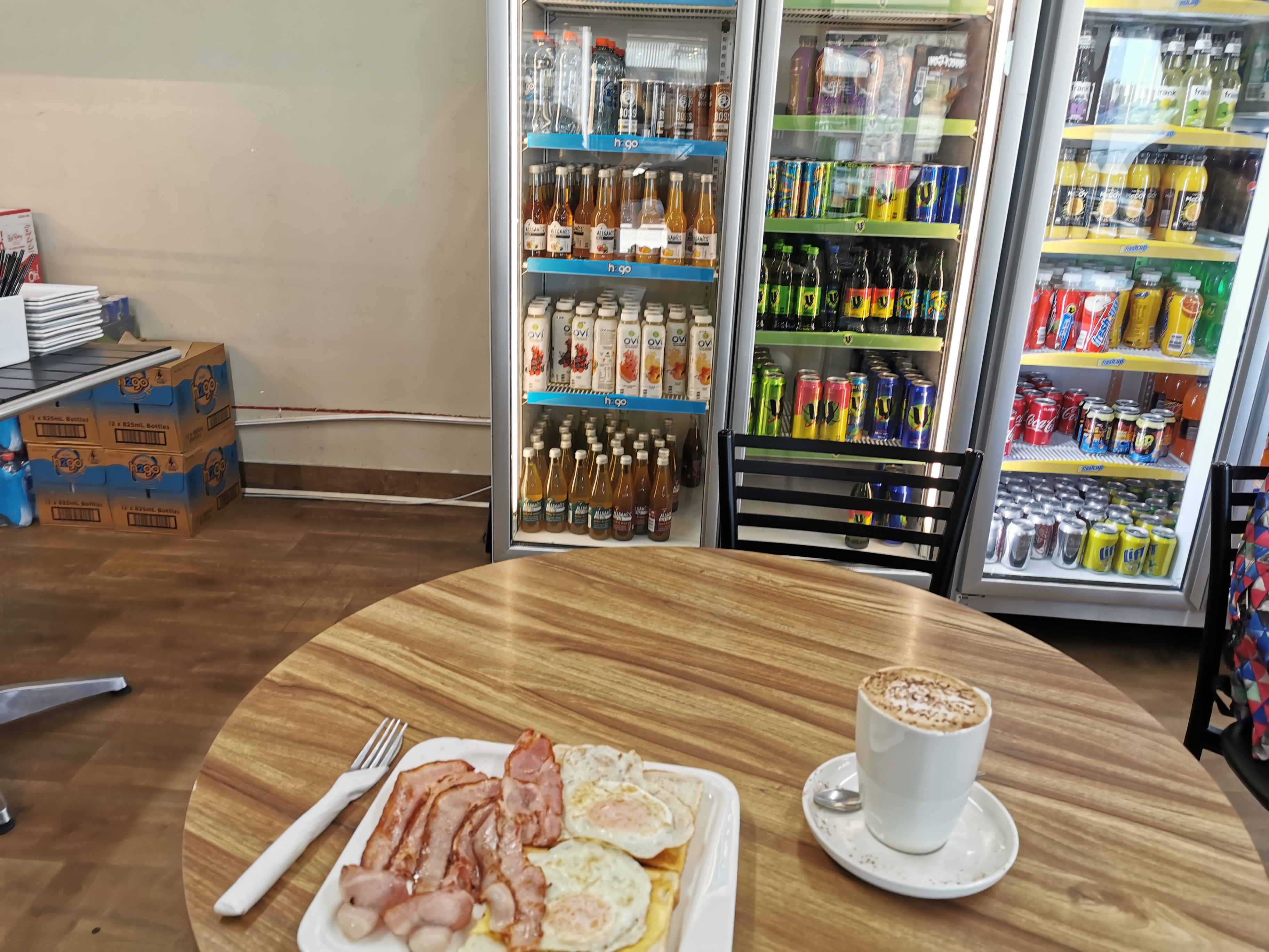
My 11am picture is the first round of food I got.
11am – very average food. You’re also not able to charge devices, as they’ve taped over the outlets
I caught up on blog posts, and once that was over I went for a walk around the town to see the sights (mostly the same sights I saw yesterday but in the daytime) and to look for some geocaches.
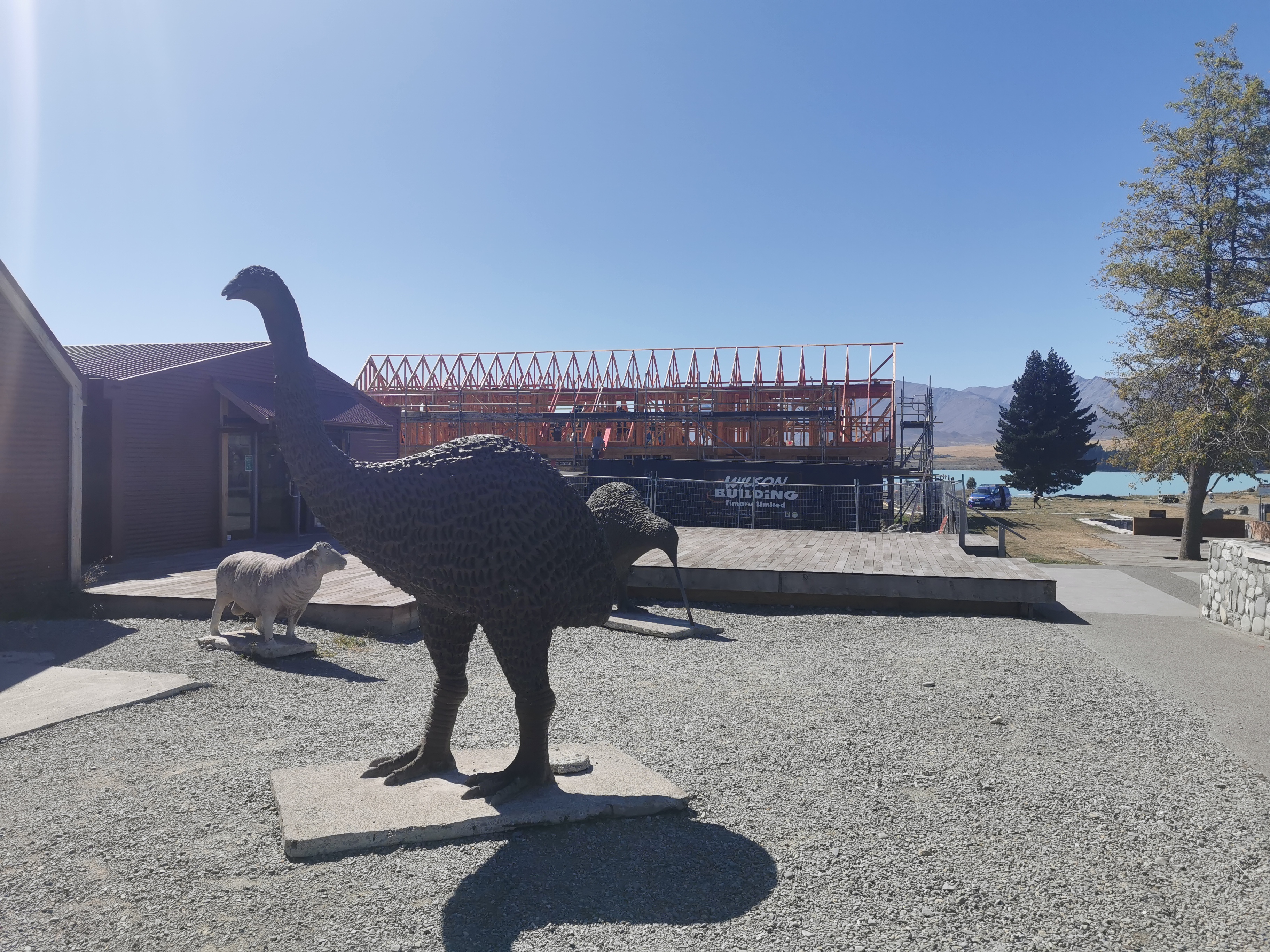
Animals and birdsChurch of the Good ShepherdA nice tree of some kind
By the time I did all that it was 5pm. I saw Christie at one point, she came over to say hi. She reminded me to book something in Twizel so I booked in at the holiday park online. She said the other day that there is a rowing regatta on in Twizel this weekend so I didn’t bother looking at any other options first.
Christie cycled from Boundary Stream to here today, and tomorrow she will be cycling to Twizel. Sounds like we will both be at the holiday park. Then Michael came over to say hi too. He said he didn’t follow the ridge track yesterday, and instead followed the TA official path down the valley.
Here’s a travel tip for Tekapo. Don’t pay $1.50 for the public toilets by the bridge. The ones down by 4 Square are free.
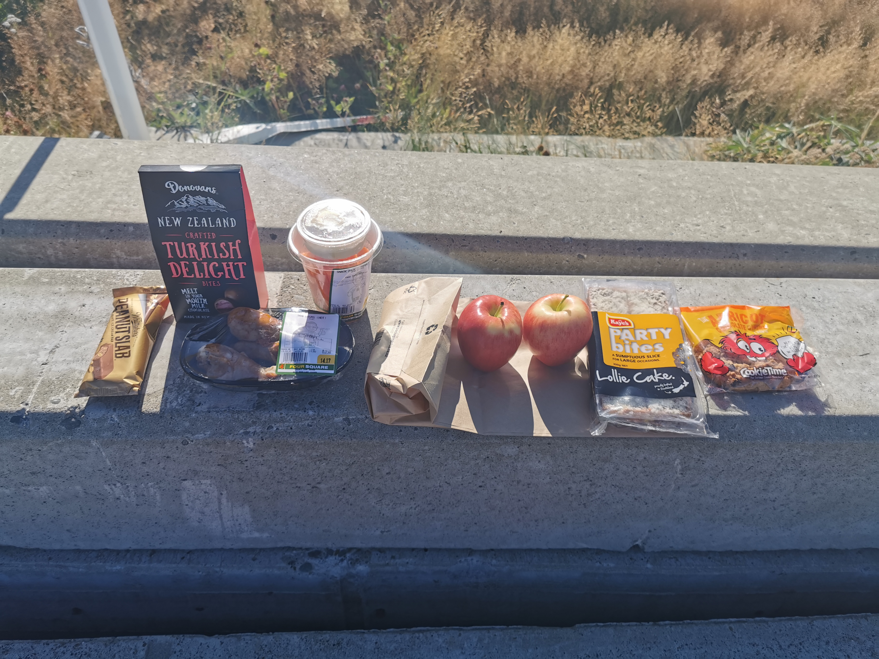
I had to make a quick stop to 4 Square to buy food – food only for the walk tonight. I don’t want to carry any more than is necessary to Twizel and there’s a 4 Square there where I can resupply for the coming sections.
My purchases this evening
The chicken legs and peanut slab ice cream were my dinner tonight. The rest is for the walk.
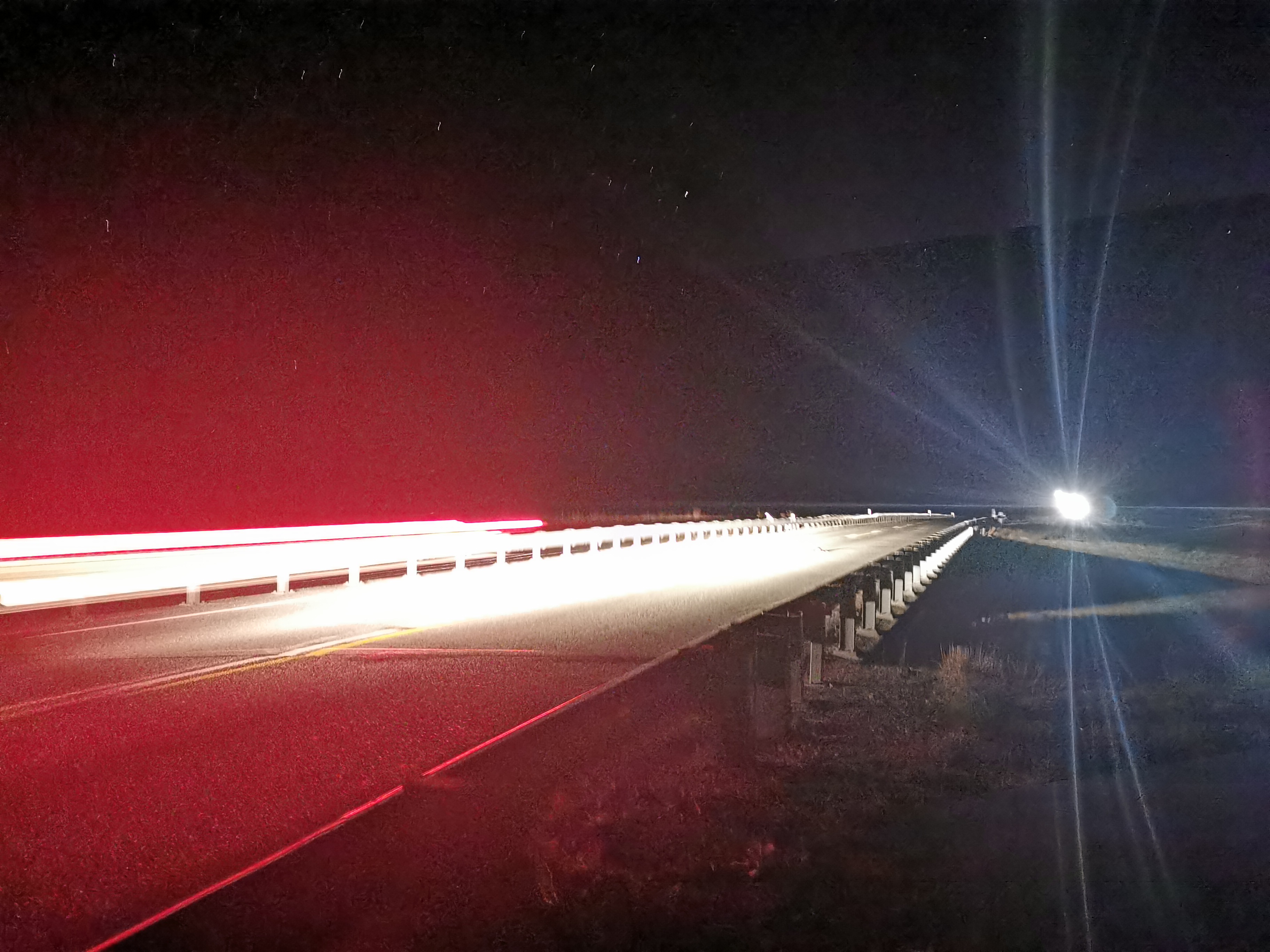
Eventually I left on my night walk at 5:45pm. I was cold right from the beginning so I put on my jacket. I hope it doesn’t get too cold tonight overnight.
Leaving early felt weird. I kept feeling like I left something behind for some reason. Maybe it’s because I didn’t walk with my poles because it was completely flat and I was trying to take my time. Walking without poles felt weird too. I had to keep reminding myself that they were in my pack and I didn’t leave them behind.
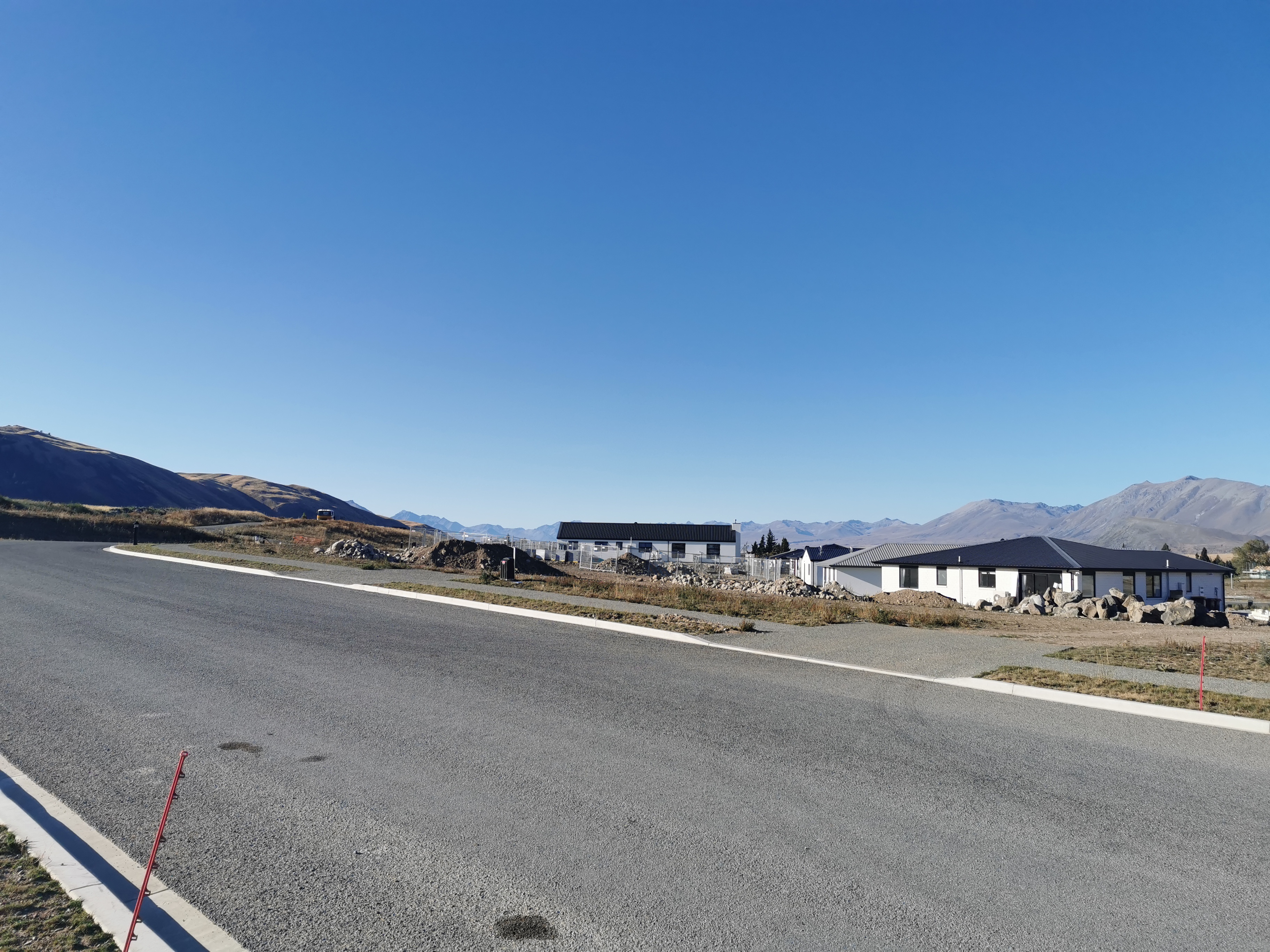
I haven’t seen these TA signs for quite a while nowThe last sight when leaving Tekapo – this new subdivision
I’ve gotta walk slowly, I keep telling myself. Partly so that I don’t injure myself but also I don’t want to arrive really early in the morning. Right now I’m feeling excited but also nervous.
I had to decide how much water to take. I already had 600ml or so – not much. But I shouldn’t need much. I stopped at the river at the beginning of the path twice, but both times it didn’t smell nice so I continued on without getting more water. 600ml will have to do, and that’s okay anyway, surely I won’t need too much water overnight and not carrying unnecessary water for this long section is important.
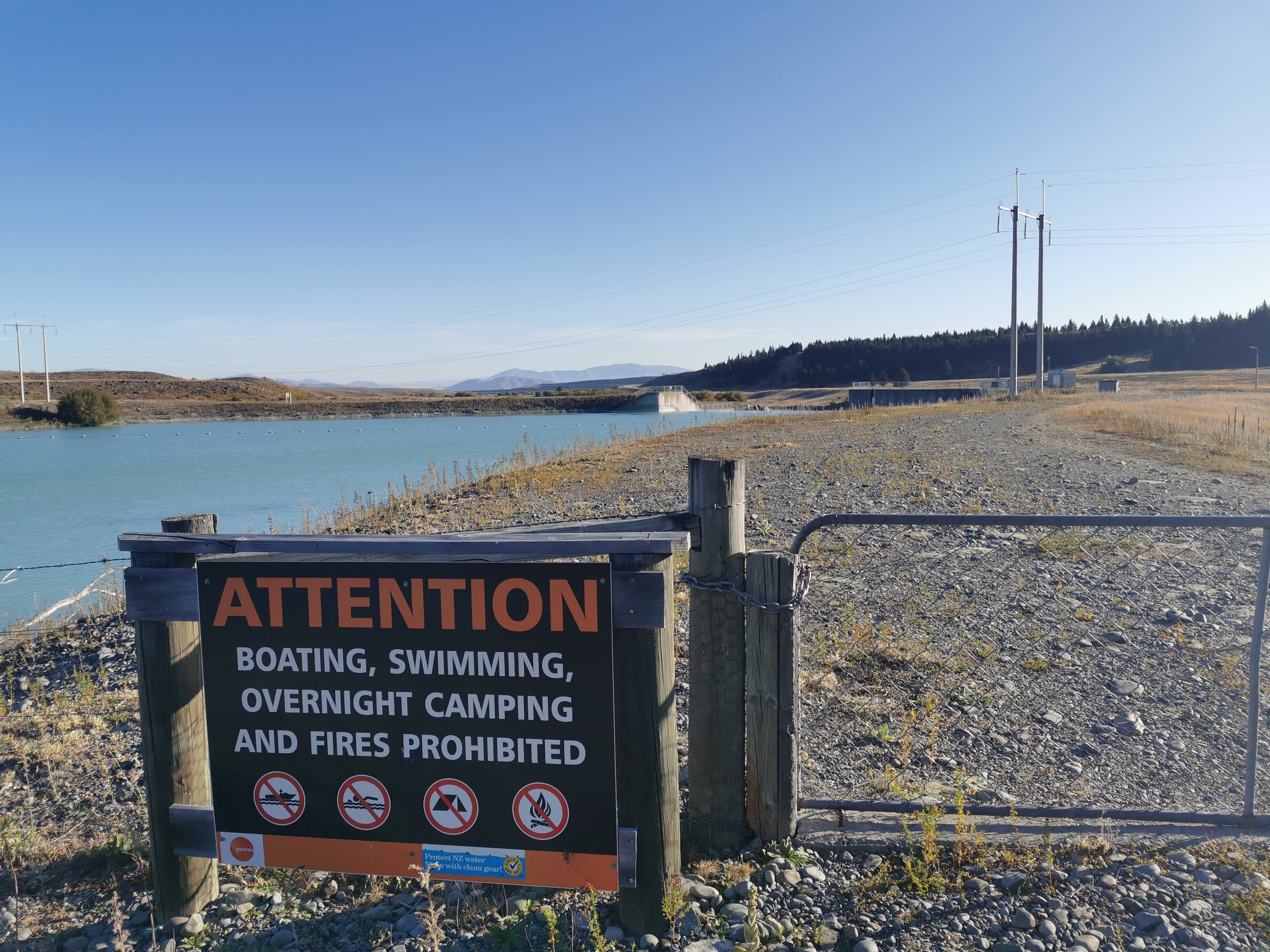
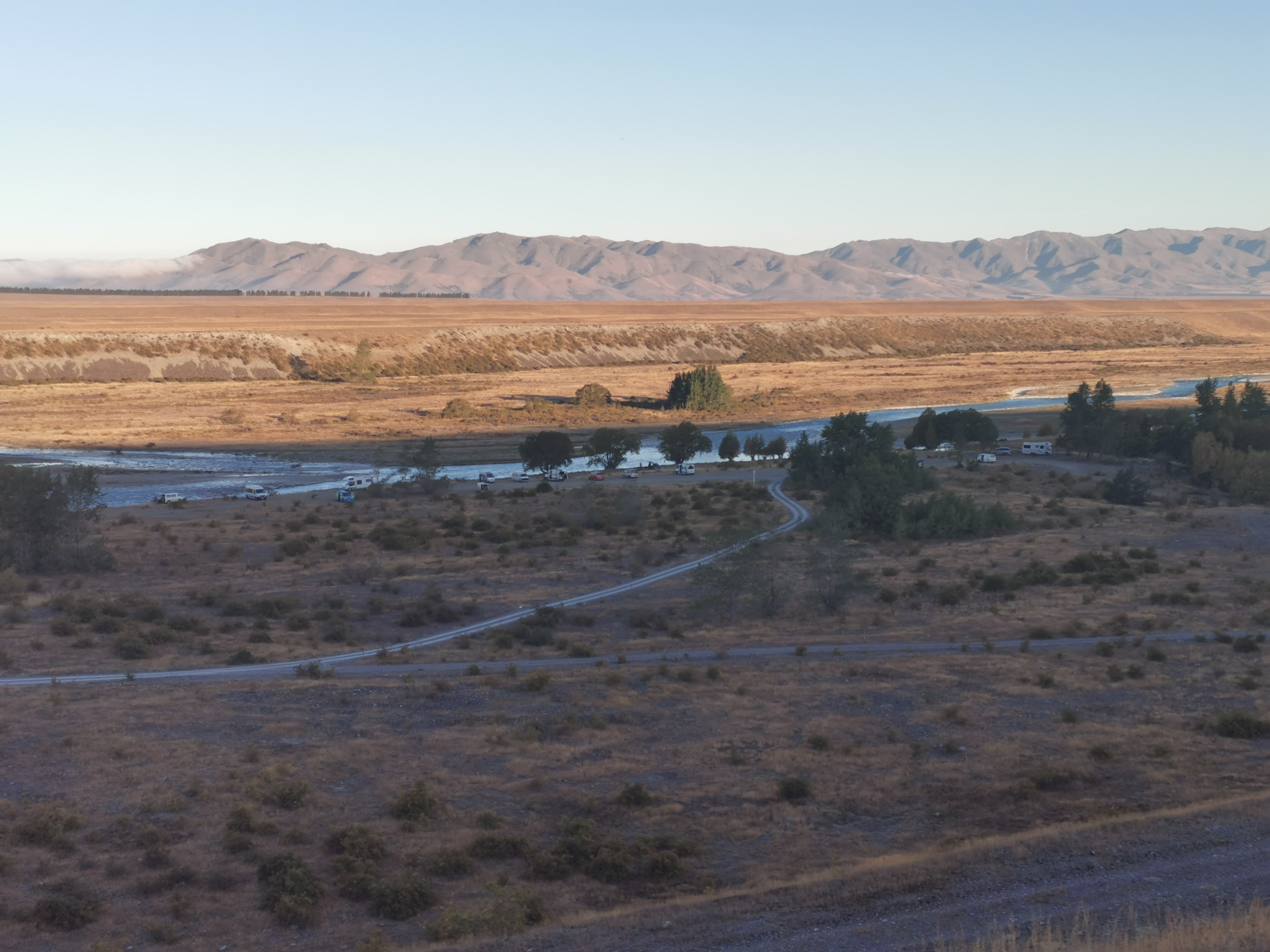
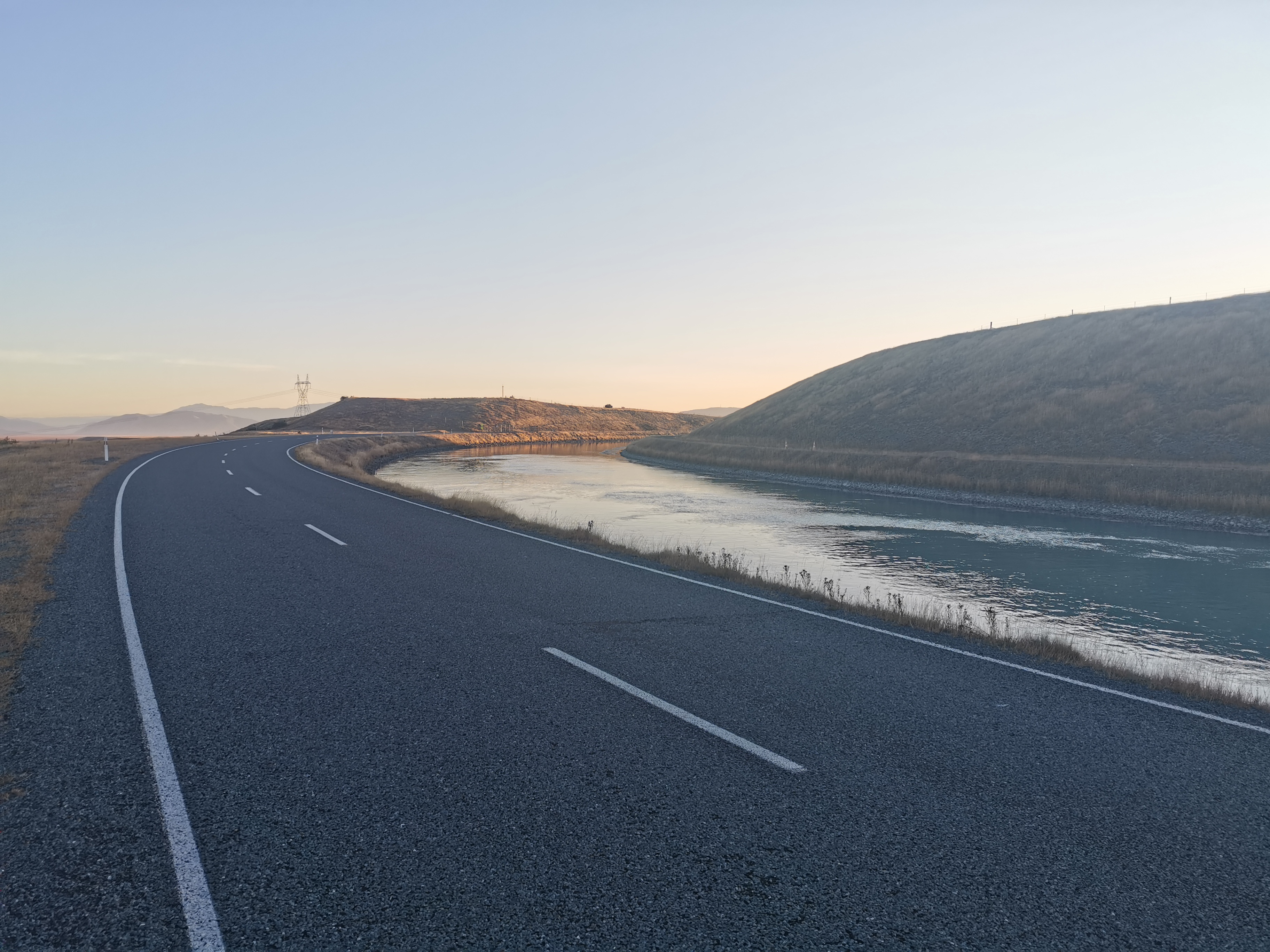
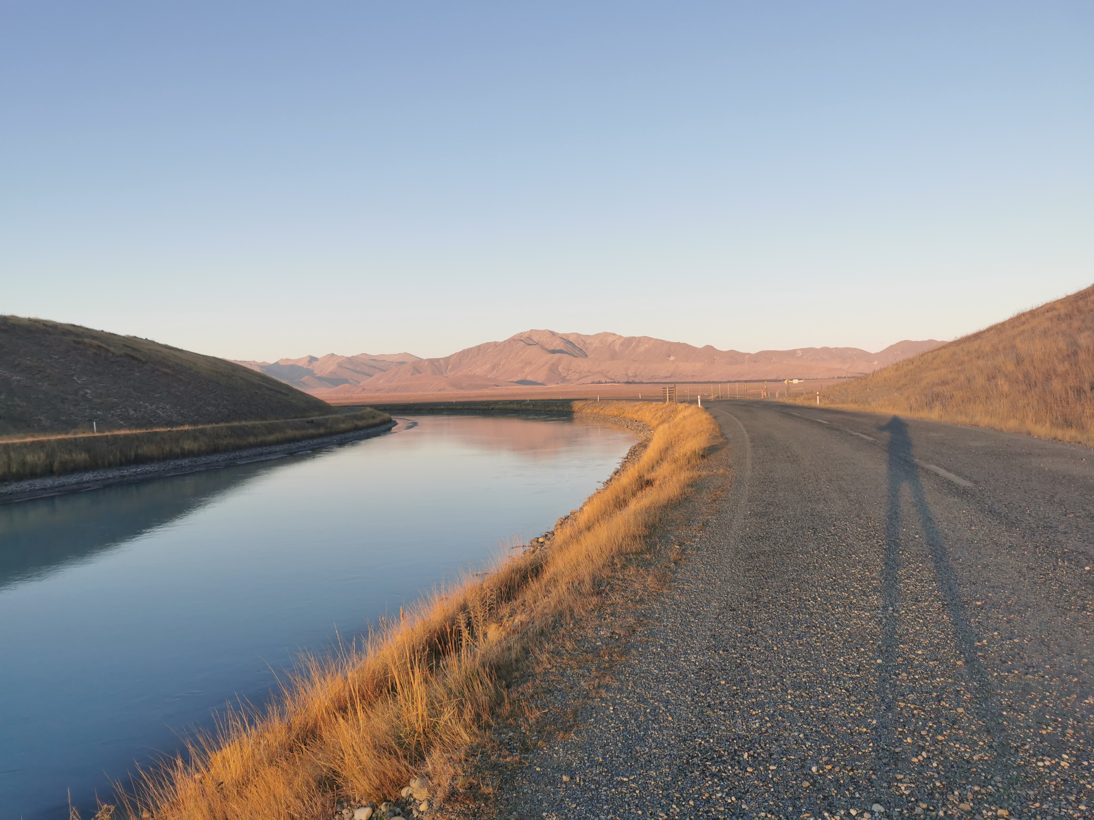
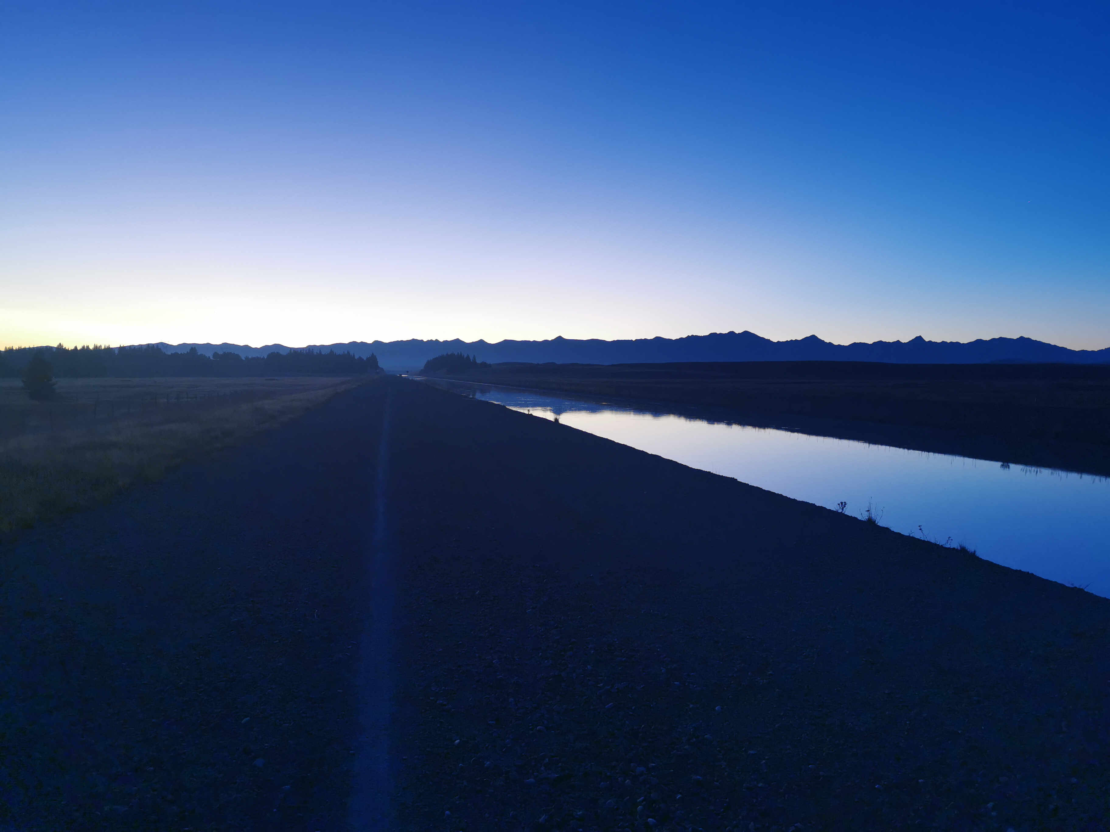
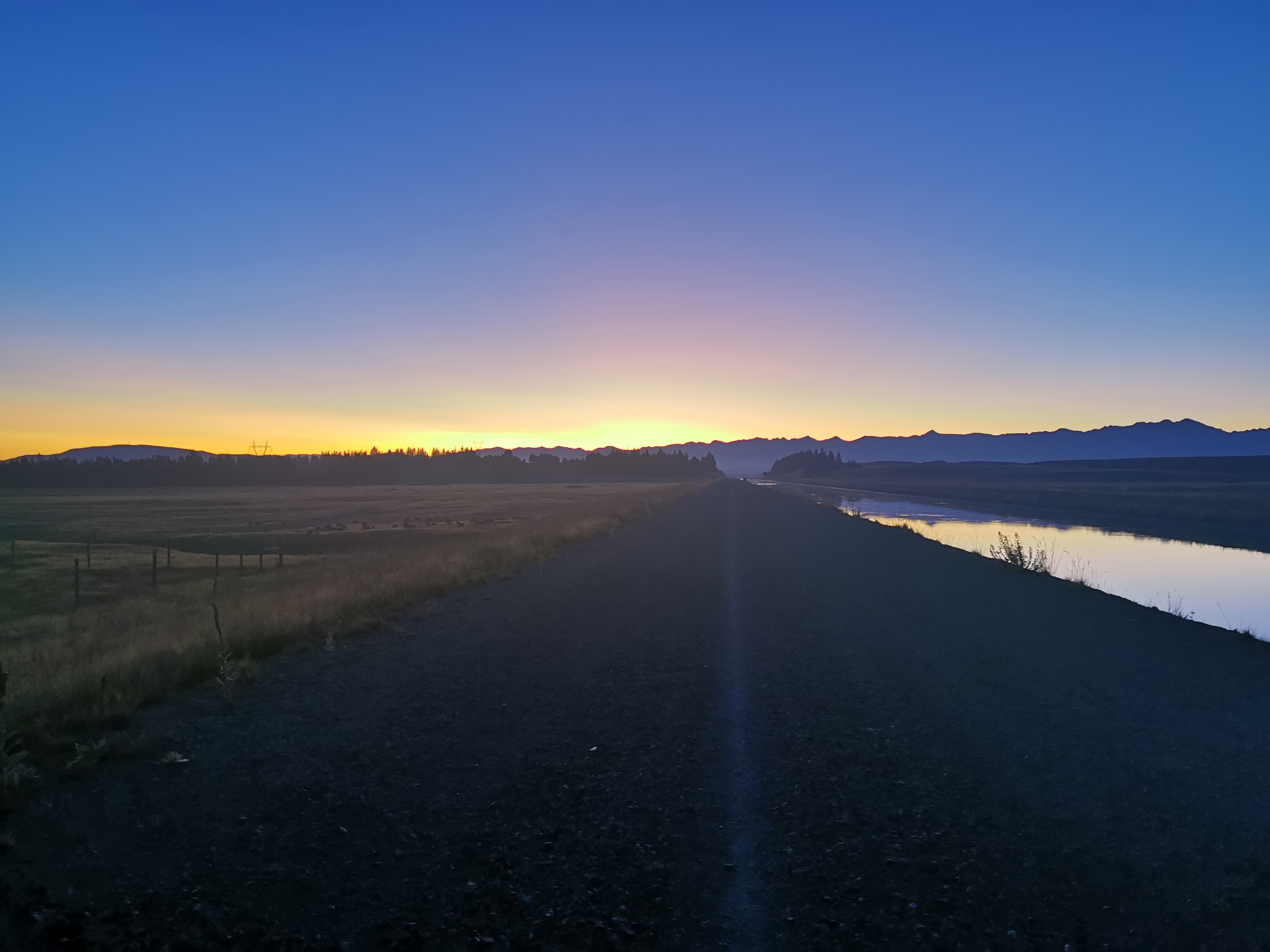
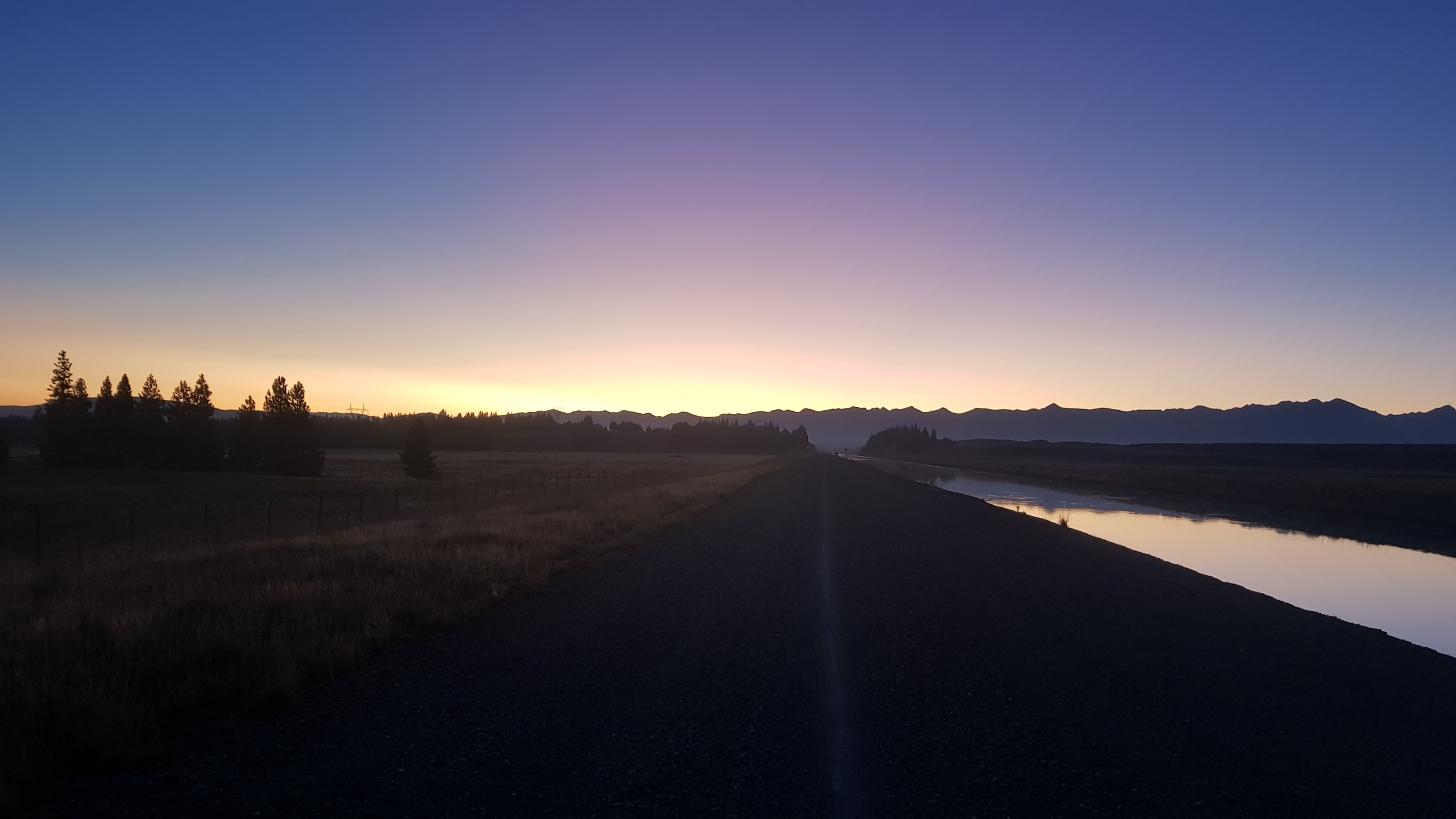
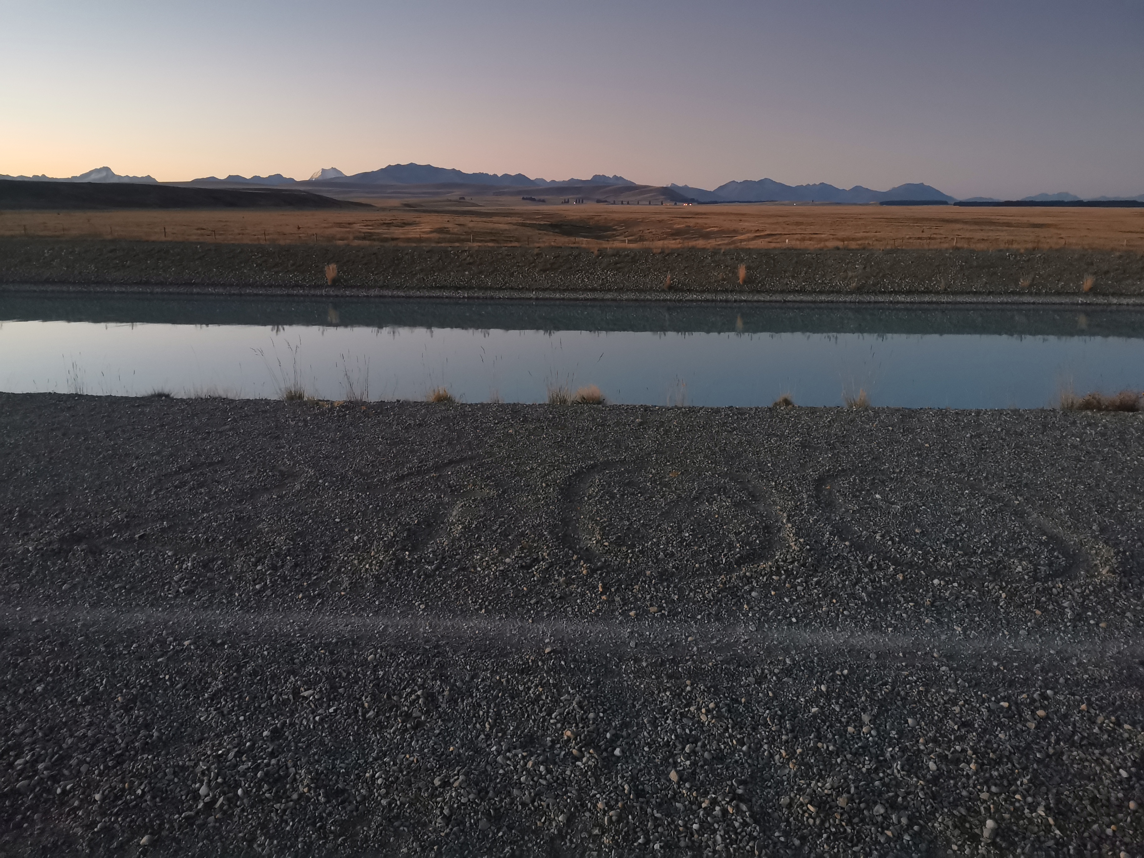
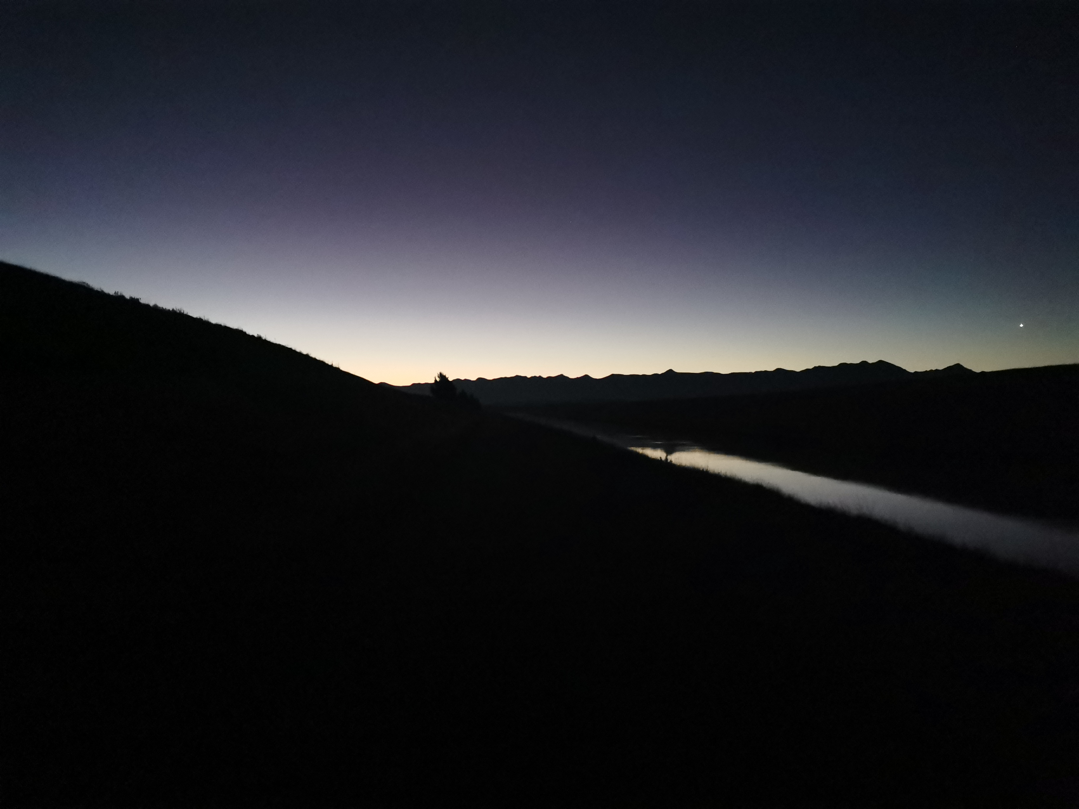
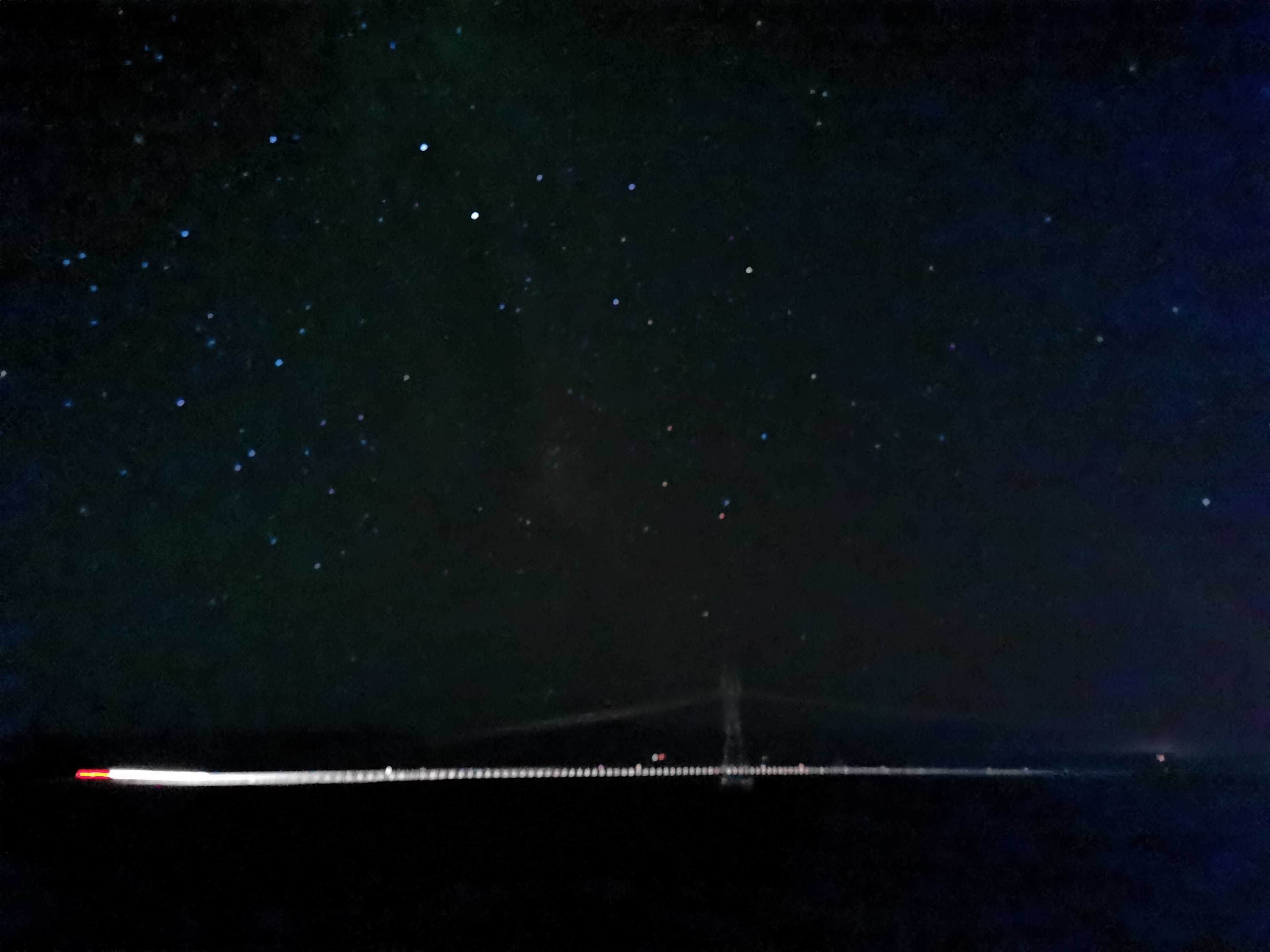
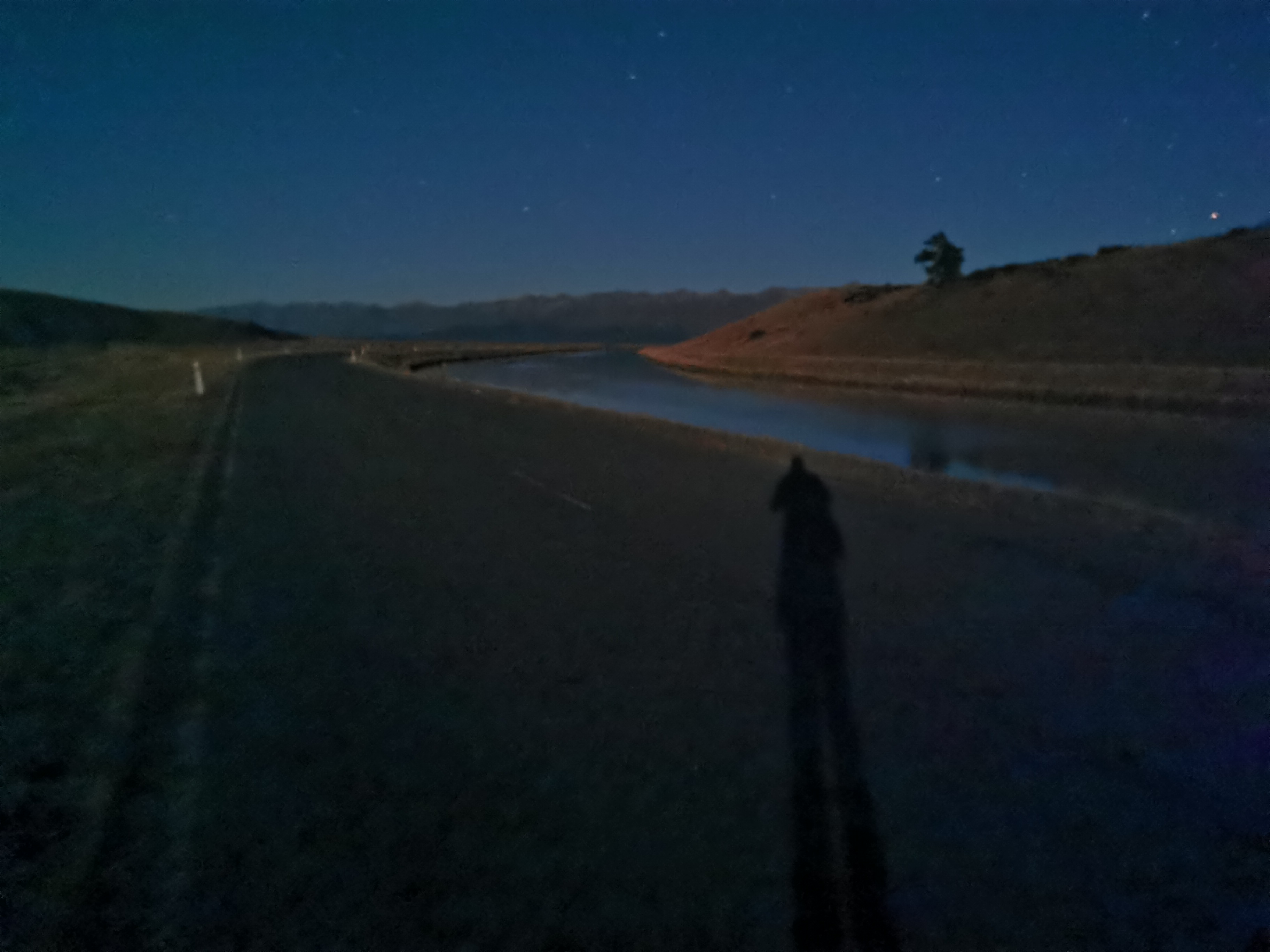
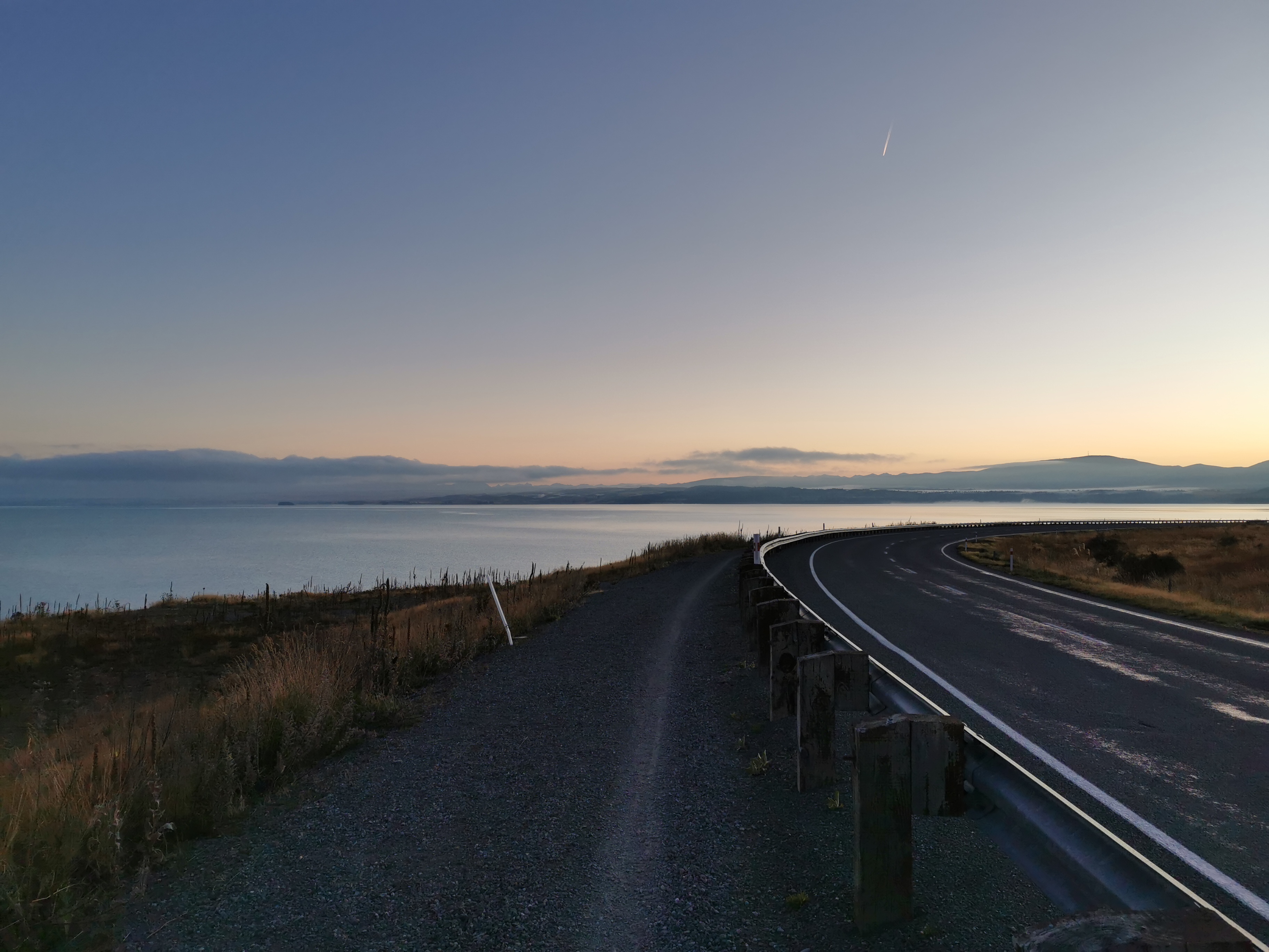
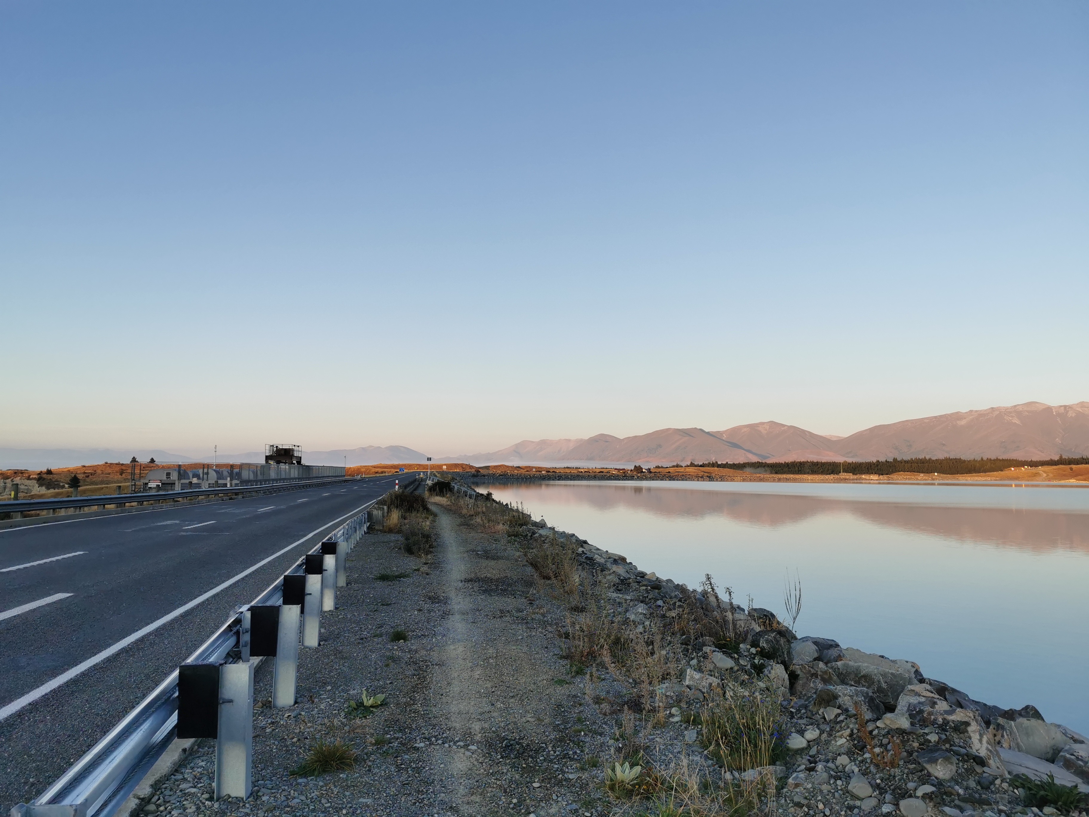
The first 20 or 25km of the walk are along the Tekapo Canal.
Water from the lake – half of it seems to end up here and then into the canalWhile the other half becomes the Tekapo RiverStarting down the path, with the river on the left and the canal on the right
At first the path beside the canal was a private road, but it soon turned into an actual public road with a 60km/h speed limit. I bet cars that drive down here want to do more than 60km/h. It’s a dead straight road with nobody around.
It was tempting to walk at my usual fast road walking speed, but I need to slow myself down. How do I stop myself walking too fast? One way I guess is just to relax. But it seems the best way is to use the phone while I’m walking. I don’t have the ability to walk and type fast at the same time so that forces me to slow down. I’ll just have to be careful of the cars on the road. At least I’m not listening to music.
It does look like you’re allowed to camp down there, so that’s weirdThe road takes a big turn to the right and you start heading west
I wondered if I would see Daniel, who I briefly met yesterday and who told me he was considering the night walk as well. I haven’t seen anyone else walking yet, actually one other person cycling at the start of the canal is the only other person I’ve seen who isn’t driving.
An Irish girl offered me a lift in her campervan at 7.30pm, which I declined. Interestingly, every car coming down this road is some kind of tourist campervan. I wonder where they’re all going.
Suddenly, something unexpected happened. The road ended. Weird. So why were so many people coming this way? It doesn’t seem to go anywhere.
End of the line, for cars at leastThese two forms of transport are alright though. I like the smiley face on the person
So suddenly I was on the road on my own, with no other cars around. I was on some kind of private road. I could take up the entire road and walk all over the place and nothing would happen. I could even put in my music… Although I didn’t yet.
The sun is really starting to go down.
Really loooong shadow
And it was feeling cold. Let’s have a look at the temperature, I thought.
21 degrees now? No way. It’s already very cold. Since the sun will be gone behind the hills in the very near future I think it’s best to change into all my warm clothes now. Plus I also put my headlamp on.
The worksA terrible attempt at a self timer
I don’t wear the gloves often, but tonight I’m certain I’ll be wearing them all night. Back at the start I made sure I bought gloves that work with a smartphone screen. They do… however I obviously can’t use my fingerprint to unlock the phone like I normally do. That’s a pain. I had a look through the settings and activated something called “smart lock”. That apparently means that as long as the phone detects I’m holding it, it won’t lock. If it detects it is put down, it will lock. That’s a really handy feature that I didn’t know about.
Earlier, the canal took a big turn to the right, so now I was walking west. That means right into the sunset. It was absolutely beautiful. I tried to take a photo of it, but I couldn’t capture what I was seeing. What I was seeing is a whole sky lit up yellow. But what ended up on camera was this.
Attempt 1Attempt 2
Still nice photos, but not what I was seeing in real life. I tried to take one with my backup phone.
Attempt 3
Still not what I was seeing. I even quickly looked up online how to take a sunset photo but didn’t really understand it. Most of the articles seemed to talk about how to find a good sunset, rather than how to actually take the photo. I wished I was walking with someone who knew photography. Anka from last week would have known. She carried a big, expensive-looking camera with her.
Suddenly I felt a lot of rumbling. Geez, what is that? An earthquake? Nope… it turned out to be a large number of sheep who all decided to run from me at the same time. I was too busy on my phone I didn’t even notice them.
Sheep all running for it
I felt like I was going slow and taking my time. That was good. It was a good feeling. Lucky I was going slow too, or else I might not have noticed this in the fading light:
2400km down!
Like usual it was just over 1km from where Guthook says the 2400km mark is, but I didn’t mind.
Attempt 4
Ok well the inevitable moment has come. The sun has completely gone, and it’s dark. I’m going to try and walk without a light on, so that I don’t attract bugs. I remember when the guys on the Whanganui River paddled at night and they said they could only have their headlights on for seconds at a time so that they didn’t get swamped by bugs. Besides, the full moon should mean I can see.
Wait a minute. Where is the moon. It’s nowhere to be seen. Weird. I swear to God I saw it the other day at Royal Hut and it was full. So it should still be relatively full now. I don’t understand why I can’t see it. I mean, I’m no scientitian, but the moon comes out every night, right?
Confused, I kept walking. I switched my phone’s camera to night mode, and started trying it out.
Tekapo Canal trees
The canal path crosses State Highway 8 after 13km. I tried out the night mode setting there too. I was in no hurry of course so I spent some time messing around with the camera.
Crossing the highway wasn’t too hard at what was now 9:30pm.
I stopped every now and again for a bit of food. I had to keep telling myself – don’t drop anything. And don’t lose anything. It’s too dark since there’s no moon out. Whatever I drop I’ll never notice and I’ll never find it again.
It really was pitch black. Despite being a private road that barely had a corner at all, I was still worried about walking straight into a fence or some other obstacle that I couldn’t see. I do actually have to pay attention. I also took this time to realise that I’m glad there are no bears or dangerous animals in New Zealand because I wouldn’t see them either.
There was a very faint white line down the road that I could follow in the darkness. When the road was gravel I could hear my footsteps but when it changed to tarmac I couldn’t really hear anything at all. It was eerie. Although every now and again I could hear things moving in the canal. Could it be salmon? I know there are salmon farms coming up later on.
My thoughts turned back to the moon. Why can’t I see it. I looked on the Internet. Apparently tonight the moon is waning gibbous. I even know what that means. So where is it? There’s a small glow behind the hills behind me. Is that the moon? I don’t think there is a town there.
For those that don’t know, gibbous (as opposed to crescent) means the visible portion of the moon is bigger than a half moon but smaller than a full moon, and waning (as opposed to waxing) means the visible moon is getting smaller each day.
I kept seeing lights on the opposite side of the canal. At first I got nervous because I thought they were people with torches. But it turned out they were just static lights. Nothing to worry about.
I got a message from my friend Nick at 10:30pm and so I took a break to exchange a few text messages. While I was doing that, what should rise up behind the hills behind me, but the moon. It seems the moon rises and sets like the sun. Who would’ve known. Probably you, the reader of this blog, but I didn’t know. You learn something every day.
I looked on the Internet and when the moon is waning, it rises after the sun sets and is still in the sky in the morning. When it is waxing, it rises before the sun sets but has set before sunrise. There you have it.
I can see the face of the moon. It’s watching me walk. It looks sad. Also it seems to have set off the cows – cows everywhere started mooing when the moon appeared.
That’s actually a picture of the moon rising. This photo makes it look like the sun.Stars on night modeA loooong shadow, the night version
Whatever the moon is doing, it is definitely helping me to walk. Everything is so much lighter now. I can see clearly despite it being night. Hell, I don’t even need to pay attention anymore!
One thing I can see is the saucepan constellation. Is that Orion? I’m not sure!
At this point of the walk I was still enjoying the night walk concept. I started thinking about the “100k challenge” which is where hikers walk the last 100km of the trail without stopping. This obviously means some kind of night walk. I’m still not sure I could do that yet. I mean, 100km is in a totally different league to 50km.
But it would tie in well with something else I’ve wanted to do, which is get my phone to show 100,000 steps in one day – which requires about 85km or 90km of walking. Maybe that could tie in with the 100k challenge. The thing with that is it has to be one calendar day, because the phone resets the step count each day at midnight. That would mean arriving at Bluff in the middle of the night, which is definitely not what I want, I want to get to Bluff in daylight hours. Hmm, maybe this 100k challenge isn’t gonna happen. And also around that time the moon would be a new moon, so I wouldn’t have the benefit of the moonlight.
While doing all this thinking and looking on the Internet I wasn’t paying attention and at one point I did walk off the side of the road into the ditch. Lucky it was that side of the road and not the other side of the road where the canal is. I guess I have to pay some attention at least!
At 1am I reached a bit where the private road ends and the road becomes public again. Not much further down here is the Mt. Cook Salmon Farm. This place reeks. You can smell it a mile away, and it kind of smells like cat biscuits.
Salmon farmThey had comfy-looking sofas that part of me just wanted to go and sleep on by this pointSalmon nets
And interestingly, after that just down the road I saw some Russian guys outside by the canal beside a van. It was weird to see others in such a remote place so early in the morning. I wonder what was happening. “What’s going on?” I asked, and “nothing” was the reply. I didn’t ask any more.
But one of the guys did comment on the fact that I was walking so late and then proceeded to tell me a story about some crazy Russian girls that he knows that we’re hiking on Lewis Pass and had to get a lift out to get back to Christchurch. I didn’t pay too much attention and got away as soon as I could. It all felt dodgy.
By now it was 2am. I was scrolling Instagram for something to do when one of Henry’s photos popped up. It was him doing this exact same section a week or two ago, also at night, and in the post he says that he took a nap by Lake Pukaki, coming up soon. You know what, I’m gonna do the same. There’s no point getting into Twizel really early and his post said that after a nap he was able to see the sunrise and Mt. Cook. That would be cool.
It seems my plan to only bring minimum water was good. I hardly felt thirsty at all during the night.
After the canal ended, there was one more chance to try the camera’s night mode, as Lake Pukaki is now in view. Here is a picture without night mode:
Non-night mode
And here’s the same shot with night mode:
Night mode
I couldn’t believe the difference. The camera was seeing things I couldn’t even see. This picture looks like it was taken during the early evening, not at 2 o’clock in the morning.
Here’s another night mode picture of some campervans. All along Lake Pukaki it is “camping for self-contained vehicles only”. That means little old me with just a tent isn’t allowed to camp anywhere along the lake.
Self-contained camping only, even though there’s a toilet there. This probably also applies to the campervans I saw back at the start of the canal. $200 fine for non-compliance.
But it’s not camping if I don’t set up my tent. I’m just going to have a short nap anyway. I found a spot that looked over the lake. Away from trees, so that there would hopefully be no possums. Away from campers and a bit off the road. I made sure that the grass isn’t wet. It isn’t – perfect. I lay down in the grass beside my pack and closed my eyes.
Date: 14 March
Trail covered: 22.4km (kms 2419.6 to 2442.0)
Weather: cloud cover that lifted
Where did I leave off with the night walk… Oh yes, I was having a quick nap on the side of the road facing Lake Pukaki. I ended up lying there for about two and a half hours, from 2:30am until nearly 5am. I didn’t use the sleeping bag as I was worried about damaging it lying directly on the grass. But I was wearing all my clothes so I didn’t get too cold. Once I started to get cold before 5am, that’s when I started to walk again.
I checked Metservice for the day for the sunrise time, when I might get to see Mt. Cook, and apparently it’s at 7:30am today – good timing. I noticed that as well as the sunrise times listed, the moonrise and moonset times are also listed. How have I not ever noticed them before.
I continued walking down the road that runs beside Lake Pukaki (Hayman Road). I could smell the smell of Pine trees. They were everywhere. No wonder the upcoming campground is called The Pines. And remember that anyone camping anywhere along here has to have a self-contained vehicle. So this guy is being naughty naughty with his tent (but check out the view).
Definitely not self-contained
The trail went off-road after a while, following the Alps 2 Ocean bike path (no relation to Wayne’s shuttle service). I nearly missed the turn at that point and nearly continued down the road. It’s clearly signposted but because it was so dark I didn’t see it. By pure chance I happened to open Guthook just ten seconds or so before I needed the turn. So look out for it! If you end up walking on State Highway 8 then you’ve missed the turn.
Still taking my time, there was a geocache on the south side of Lake Pukaki which I took my time to find. It was very close to sunrise now and I thought I could see the outline of Mt. Cook in the background from the geocache spot. Also I looked on Google Maps and the upcoming town of Pukaki has nothing there – no coffee, no breakfast. So I had some food now too, consisting of everything I had left over that I bought yesterday evening. Of course I’ll have a big proper breakfast in Twizel, hopefully 3 hours from now.
Finally the sunrise. It looks amazing, again much better in real life than photos.
Sunrise from the south end of Lake Pukaki
And Mt. Cook peeks through, but only just (on the left in the next photo).
Photo from the geocache siteMt. Cook poked its nose through, and then disappeared behind clouds a minute laterProgressing sunrise
It’s probably worth mentioning that Mt. Cook’s actual official name has been “Aoraki/Mt. Cook” since 1998 – backslash and everything – with Aoraki being the Maori name for the mountain. New Zealand has been doing that with some place names in the last decade or two, the other main one that springs to mind is “Stewart Island/Rakiura”.
The whole morning has been the nice dedicated Alps 2 Ocean cycleway. It runs from Mt. Cook to Oamaru I think – 300km. Or possibly Tekapo to Oamaru, although that might be the “alternate” course. There are some road sections though, like the one I walked down earlier.
Looking back
Sometimes it gets close to the road, but you are still separated from the cars.
Highway 8
Now that the sun is well and truly up, I can see the view.
I walked past this thing. What in the world is it? And surely it’s not self-contained?
Some kind of innovative solution to the housing crisis?
Walk along State Highway 8 to the visitor’s centre, and that’s when you turn left down the road.
Crossing another damThe last view of Lake Pukaki before turning and walking away from it
It gets slightly less beautiful from here on, now that the lake is out of view.
10 or so kilometres to Twizel
There are a lot of pine trees again.
I swear this one in the middle is giving me the finger, with its outstretched arm.
Do you agree?
I’m not really sure what came after here. The visibility was good at first, but it all turned to custard.
Can’t see much nowLots of spider webs 🕸Just walking through all the mist, not even through grass, was getting my thermal pants wet
I didn’t see much on this section, although I did see two cyclists and a runner pass me at 9am, and the runner ran back past at 9:40am.
It was about 10km of this, until you come out suddenly to the driveway in the next photo leading onto the highway. About 800m from the driveway I heard loud cars so that’s how you can tell when you’re close. My feet were really starting to hurt now so I was glad to nearly be there. Not reminiscent of the pain I just recovered from a week ago, this was just painful feet I think from walking on the road all this time.
Here the trail does go down Highway 8 a bit. I was reminded of how far I’d just walked.
Yes, thank you, I’m well aware of how far it is to Lake Tekapo having just walked it.
I don’t know what the other symbol next to the State Highway shield is though. Some kind of star-gazing route? This area is supposed to have some of the clearest skies anywhere.
Not far from here into the town.
Still about 700m from this sign to any sort of food
I really had felt like an omelette for at least a couple of hours, probably since the sunrise. I wondered if Facebook will have the menus for the cafés of such a tiny town, so I can work out which would sell me an omelette. When I looked, I was pleasantly surprised that it does. And the best news is that Musters Hut Café is the first café you come to in the town and they had an omelette on the menu.
I wish it had more than one piece of toast, but otherwise it was exactly what I wanted
They were really nice and let me charge my phone. More places should let you charge devices. It meant I ended up staying there two hours and ordering more food.
I arrived at 10am-ish to the town. This is only second time ever I’ve finished walking before 11am, the other time being coming into St. Arnaud.
Here’s my 11am picture, still sitting at the café. It was a lot busier when I arrived.
11am picture – Musterers Hut Café
Reception at the Twizel Holiday Park doesn’t open until 1pm so I used the time to do some stuff. Although first I was thinking. The town is really quiet. Is there really a rowing regatta this weekend? Google shows one in two weeks time – the Aon Maadi on 30 March, which is apparently really big. Nothing this weekend. I don’t see any guys or girls around that look like rowers.
I really don’t think there’s a regatta on this weekend. I wish I had’ve looked at other accommodation options in Twizel rather than just booking a tent site without looking first. I would have really loved a bed tonight given how tired I will be later.
I tried to buy a replacement knife for the lightweight one I left behind before Stag Saddle. Sadly, the shop here sells the same knife but only if you buy it together with the spork… and I still have that. I think I can probably go without the knife for now – it’s not essential.
One thing I did buy is a Lotto Powerball ticket. Earlier on in the trail I was discussing with someone, I can’t remember who, about being single. I said at the time that it would be funny if I happened to meet someone in some small out of the way hick town like Twizel. And then the day after I said that, somebody in Twizel won $17million on Powerball. After that I said I really hope I do meet this person when I get to Twizel. I haven’t met whoever it is yet, but there’s still time!
So I really wanted to buy a Powerball ticket from the same “lucky” place that sold the jackpot winner, and I did. Let’s see if it wins the jackpot for me tonight. The jackpot is only $7 million this time, but I’d cope with that amount I think.
I saw Chris in town. As expected he skipped the section I just did, and is skipping the section from here to Lake Ohau. I wonder if I’ll catch him again – seems unlikely since he has a tight deadline of 1 April for his flight. He told me I was mad for walking the last section. “A hiker, walking?” I thought. Pure madness! Look up mad in the dictionary and there’ll be a picture of me.
It occurred to me also that I haven’t seen Daniel since two days ago. I wonder if he did the night walk.
Okay it’s now time to go and set up my tent at the holiday park.
Twizel Holiday Park entrance – no vacancy on anything but non-powered sites
Interesting that the holiday park seems to be busy. I guess that doesn’t necessarily mean the regatta is actually on, I mean it’s a Saturday and it’s an absolutely stunning day. All the cloud and mist from this morning cleared by lunchtime.
Speaking of the weather, wow it’s hot this afternoon. I’m so glad I’m not walking in this heat. The night walk was nice, a tad too long possibly, but so much better than 54km of scorching hot sun.
This afternoon I wasn’t feeling sleepy, just a bit out of it. The nap during the night definitely was a good idea. Hopefully I sleep well tonight. There aren’t too many other tents around, although in the late afternoon a campervan pulled up right next to me and the occupants have set up a little table and chairs and have started smoking. Gutted.
I also fit a resupply in from Four Square for the next five days which should get me to round about Wanaka. Did you know this town of barely 1,200 people has two Four Squares? They’re almost across the road from each other. What’s up with that? Despite that, the one I went to (being the Mackenzie one, the closest one to the campground) was still busy.
And there was just enough time to have a beer and a bowl of fries with Christie who turned up along with her TA hiker friend Taia. One beer though made me so sleepy I had to return to the holiday park and go to sleep at 8pm.
And having just got into my sleeping bag now, I’ve noticed this stain on my sleeping mat. That wasn’t there yesterday I’m sure. Where on earth did that come from?
Date: 15 March
Trail covered: 29.2km (kms 2442.0 to 2471.2)
Weather: gloomy
My 11am picture is leaving the town of Twizel, less than 1km from where I slept.
Not the most exciting 11am picture
Yes, that’s how long it took me to drag myself out of my tent this morning, get packed up and leave. I got nearly 11 hours of sleep after the night walk and I felt great in the morning. I was in no rush since I knew today was another almost completely flat trip of about 30km alongside rivers and canals and lakes.
I had breakfast with Kristy – not Christie as I’ve been spelling it. I’ll go back and correct it, I promise! She showed me some Facebook posts that Michael had posted. He said he loved the last few days from the Rangitata River to Tekapo. He also saw my blog and something I said made him think that I thought he was the snorer. No way, I never said that. I always knew Kristy was the snorer!
Kristy also said the rowing event today is not the big rowing regatta but some South Island thing. That’s not exactly what she said but since I hadn’t had my coffee by that point I can’t remember what the event was.
This way
Kristy decided on having a rest day in Twizel today so I set off alone. It was a gloomy day to start with.
The path out of Twizel
I didn’t win Powerball with my ticket that I bought yesterday. Somebody did though because I noticed the jackpot has gone back down to $4 million which is what it always gets reset to when somebody wins it.
Disc GolfOne very photogenic deerThat explains the symbol on the sign yesterday
The trail goes beside Lake Ruataniwha, and over a dam. Its quite high!
Looking towards the lakeLooking away from the lake – much higher!
Then I knew that the trail went to the right, so I turned right straight after the dam. But that was wrong – it wasn’t long before I saw a dead end and turned back.
Oops – not that way
But I did get to see the salmon farm scarecrow. Hilarious.
Can you see it?
You’re supposed to go a bit further down the highway before turning right – across one more bridge.
I feel like it’s been a while since cows have been staring at me….
From the opposite side of the lake I could see rowing happening. Well actually I heard it first. People were yelling and screaming so I went to the shore to see what was going on. I could see the rowers but they were a bit far away to get a photo.
The path was a gravel road for almost the entire day, but it had a good view a lot of the time.
It’s been a while since I had to carry five days worth of food. It’s noticeably heavier but I will survive. I do wish that just for a few days I could try a different pack with more shoulder padding.
At the point above in the photo there’s a pathway down to the river to get water. I took it, and also used the time to have lunch. This was the first time I got water since two days ago when I was determining if 600ml was enough for the canal walk or not. Turns out it easily was.
When you’ve lost your knife, you need to use your finger.
There were not many people using this road. One car did come past as I was having lunch but came back the other way a minute or two later.
There it goes
And not long after, Taia came past on her hired bike. She said she didn’t like the gravel road on a bike. She also noticed that we had the same pack. She’d just passed another person, who she said appeared to be jogging. We looked behind us and could see someone coming up behind us in the distance. I wondered who it was – everyone else I knew or talked to at the campground was taking a rest day today.
There she goes
I saw one motorbike too, and further on when the path becomes the Alps 2 Ocean cycleway again, I saw a few cyclists. I got in the way when they came up behind me because I had my music on today. “Yoohoo!” I’d hear them yell behind me and I’d jump out of the way.
A nice tree-lined section of the pathBen Ohau
The hill above which was always in the distance is apparently called Ben Ohau if you believe the topographic map. The tiny village of Ohau is at the bottom of it, across the lake. That’s roughly where I’ll be staying tonight.
The walk today was almost entirely flat, the only hill of note was this one.
There have definitely been steeper hills than this one on the trail, but today this was notable
It was a shock going uphill after two and a half days of completely flat terrain!
Coming up to Lake OhauA boat on the lake
There was one hut on the way, but it must have been private. It was locked, had no visible name and I was too short to see in the window.
Once you leave the river trail and start on the Ohau Lake trail, the views get really good again.
And I was across from the bottom of Ben Ohau so I knew I was almost there.
The path along Lake OhauThe view further down
At the campground this morning I spilled something on my sleeping bag liner, and so I had to go rinse it. There wasn’t enough time in the morning to dry it because of the gloomy start to the day, and it went in my pack wet. Since the sun came out at about 4:30pm I decided to dry the liner while I was walking. I held my poles in the air and hung the liner from them. The wind was blowing quite hard so I knew it would dry fast. It looked like I was walking along flying a huge burgundy-coloured flag!
Here’s this scary guyRight by the lake nowWho needs the expensive digital speed limit signs on the motorway? This foldable sign with a lock works just as well to vary the speed limit!
Lake Middleton was the most likely spot to camp tonight. Its a DOC campsite that costs $8 and is just before the village of Ohau (which I was told has absolutely nothing). An alternative was to camp at the start of the next part of the trail 6 or 7km on, but I didn’t feel like walking that far. So Lake Middleton it was.
Nice to have somewhere scenic to camp
It’s a nice spot here. There were no sandflies, the sun was out, it was out of the wind, and there was even a flush toilet!
Tomorrow I want to make it to the Ahuriri River. It seems to be one of the most dangerous rivers on the trail that requires crossing. So my plan is to get there tomorrow and see how it looks. If I can’t cross it safely tomorrow, I’ll camp nearby and try the next day. There hasn’t been much rain recently so hopefully I can cross it first time.
If I still can’t cross it safely the next day, there’s a 10km detour to get around it. The river is 28km away so that should be a perfect distance to walk tomorrow.
And I never saw the jogging guy again which I found strange. I guess I’ll never know who it was.
Date: 16 March
Trail covered: 28.2km (kms 2471.2 to 2499.4)
Weather: hot but with sun often behind clouds
There was rain during the night. I woke up and thought it was mice trying to get into the tent so I moved my food. But then it got heavier and I realised it was rain. Silly me.
So I was surprised when I woke up at 8am and saw clear skies.
View from the tent
A duck seemed very interested in my stuff while I was packing up.
I couldn’t resist giving him a chip.
I know all the buzzkills out there say you’re not supposed to feed ducks. But I don’t care.
The terrain coming up between here and Wanaka is three quite significant hills/saddles. Hopefully I can do one each day. Today’s saddle seems to be unnamed, and goes from 531m elevation up to 1413m. Tomorrow’s is Martha’s Saddle, which goes from 693m up to 1687m, and has a geocache at the top of it which hasn’t been found for 8 years. I’m definitely looking for that one. The third hill is Breast Hill and goes from 601m up to 1569m. Anka said she really liked that last hill.
There aren’t as many huts coming up. The next one is Top Timaru Hut which is over Martha’s Saddle and is about 55km away so I’m definitely camping again tonight somewhere.
What is coming up today is the Ahuriri River – the largest unbridged river on the trail in the South Island. Quite a few hikers report problems crossing it so I’m a bit nervous. I want to make it past the river today if possible to get it out of my mind… Although if it’s not crossable then it’s a 10km detour to cross it by bridge. I’m not sure I’d have time today to do that detour so if I can’t cross it today I’d camp nearby and try again tomorrow. There hasn’t been much rain here recently so hopefully that helps but if it rains up in the Southern Alps then that feeds into the rivers so you just don’t know.
I was on the road again by 9:20am. The first thing I noticed was the zig zag road going up the hill.
It would be nice if the trail went up there, as it would be an easy walk, but I know it doesn’t.
View of Lake Ohau to the right
I was too busy looking at the mountains to realise that you’re supposed to turn off onto a track to the right that runs between the road and the lake. No worries, I just cut across the grass.
The proper way
The path was still shared with the Alps 2 Ocean cycle trail and there were a lot of cyclists this morning. All of them over 65 I think, I assume everyone else is at work. Everyone was friendly and said hi.
Starting to go upNice little waterfall (no need to walk up this one)Nicely manicured path at first
This sign marks where Te Araroa leaves the cycleway.
You know when a sign points to “bushline” that there’s not going to be much else up here – if that’s all they could come up with
It was still a pleasant walk through the trees until the bushline. It was steep though.
Steep in places
My 11am picture is at a fallen tree. It’s been a long time since I had to make my way around one of these!
11am picture – almost forgot how to get around this
There were rocks to walk over…
And these rocks mark the end of the bushline.
From there its still relatively clear where to go, and the path is well formed.
Look, the moon is even still out, and now I know why!
I stopped and had some food. Since I didn’t replace my knife in Twizel, I decided I could use my Swiss army knife to cut my cheese.
I might as well get some use out of it, the only thing I’ve used the thing for is the scissor attachment when I need to cut some duct tape (and also I used it for my toenail if you read that bit).
Also since my water filter bag got a hole in it, I realised that even though I attempted to tape it up water still leaks everywhere while I’m filtering the water. And some of the water that escapes from the bag makes its way into the bottle I’m filtering into, which kind of defeats the purpose of filtering the water in the first place.
So I tried connecting the filter to my second water bottle, which worked. So now I have two water bottles, one “dirty” and one “clean”.
This is a nice temporary solution but I have a feeling it isn’t going to last
Actually filtering using that bottle though is problematic because the plastic bottle crunches up and becomes smaller because air can’t get back into it, unless I loosen the filter every now and again. It’s a bit annoying but it will have to do.
Looking back
Most other saddles have a steep bit at the top where you suddenly see the view on the other side. This one however is steep for the whole way up but at the top it is not.
Again you have to avoid tons of these things
So when you get to the top, it’s flat this time.
Flat at the top of the saddle for a change
But there is a view. It’s very similar to other featureless landscapes I’ve seen recently.
Going down this next bit is difficult, and not well marked.
There’s more of these evil things to avoid, and even finding the path is tricky. The trail notes even say “go down the hill by any practical route”. It’s rare for the notes to be that vague.
Wild Spaniard again
It levels out though and becomes easier.
I scared some goats who ran off. They were a long way away but I guess they got spooked.
Goats in the distanceThat’s a lot of rocksComing out of the valley into the plains
Coming down wasn’t very pleasant. As well as a path that was difficult to find, there was all manner of obstacles.
Matagouri
And a swampy bit that seemed unavoidable.
It *seemed* unavoidable, unless I just went the wrong way. At least there was a stream further on where I could clean up
At the bottom there were signs of civilization.
Lots of fencing on the ground
And then three guys who were rebuilding the fence.
Guys fencing to the leftView to the right
Okay, now that I see the big canyon, I know that down there is the Ahuriri River.
The sign confirms it.
Well technically it doesn’t confirm it. But I know it is.
It didn’t look too dangerous today, but it’s hard to tell from a distance. I tried to cross immediately where the marker took me, after first putting on my rain jacket. I did that because my rain jacket has a pocket that is high up and my emergency beacon and phone can go on there. Everything else went inside my pack.
Crossing where the marker was started off easy, but after two thirds of the way across it got too deep and I had to retreat.
So I walked downstream to find something better. About 100 or 200m the river split into two and that seemed like a good spot to cross. I remembered from crossing the river just north of the Bealey Hotel that where the river split and turned was quite shallow and not too fast moving. That proved to be the case here too.
After crossing the river
I found the shallowest and slowest bits of each of the two divisions and crossed without any problem. The river never went above my knees and wasn’t flowing fast enough to make the poles shudder. Here’s where I went:
A nice technical diagram showing where I crossed the riverLooking from the other side
I was very glad to be across the river. That meant I didn’t have to take an extra three hours walking downstream to the bridge that crosses the river as a detour. Although the next problem was how to get out of the river bed. I misread the trail map and I thought I had to go along the riverbed and then up the hill. When I did that, the hill seemed impenetrable.
Maybe up there isn’t the way
I turned and looked behind me and realised I was supposed to go up the hill first, then along the top. That looks like it in the distance on the left.
Although actually the markers point up here. That looks steep.
Given that I’d walked almost 30km today and it was getting cold, I decided to simply set up my tent here (far enough away from the water) and I’ll worry about where to go in the morning.
Final destination
It’s definitely not an ideal spot, it’s flat but very lumpy with the long grass. No worries, I’ve survived in this kind of camp spot before and I’ll survive tonight too… Even though the temperature is supposed to plummet tonight. It’s going to be very cold tonight, I can feel it in the air already.
Date: 17 March
Trail covered: 34.2km (kms 2499.4 to 2533.6)
Weather: warm
Today I packed up my tent and had left by 8:30. It was quite cold when I left, although it wasn’t as cold overnight as I feared it would be.
Does this tent space count as “leave no trace”?
Today I didn’t have a destination in mind. There’s Tin Hut after 11km, Top Timaru Hut after 22km and Stodys Hut after 37km. I was fairly sure I’d be camping somewhere between the last two of those huts, unless the walk over Martha Saddle today went slower than expected.
But I planned to try and find a geocache at the top of Martha Saddle. It hasn’t been found in 8 years, and it’s only been found twice since it was placed there in 2009. To me, that doesn’t bode well, it should have had more finds than that, especially since it’s on the trail. But I’m going to look for it anyway.
I started off listening to music and just daydreaming because it was completely flat. Lucky I saw this. I would have totally forgotten about the milestone otherwise!
2500!
Of course it warranted a selfie.
2500 selfie
Here’s the flatness I was talking about.
This place is really bustling.
Two houses!
And a truck even went past.
It stopped at this point, turned around and went back the other way for some reason.Access to Ahuriri and Hawea Conservation Parks
The path eventually went through a farm. That meant the inevitable swampy mud.
Ewwww
And also streams to cross.
This is where I’m heading now. I got excited because I thought I saw people on the 4WD track in the distance… But if you look closely they were only cows.
Up through the mountains… again…
A helicopter went past. I wonder what it’s doing way out here?
🚁 – Hope nobody’s hurt
I can see that the 4WD track starts to go up into the mountains here. Is there any chance it goes anywhere near the top, I wonder?
Looking back
Okay, those are definitely three people on the 4WD track. I wonder if I can catch them.
Other people!!!!
They got away though when I needed to stop for water, and then at 11am I made it to Tin Hut (imaginative name, right?) so I went in for a snack.
Basic on the outside but actually not too bad inside“Intentions book”
The intentions book is interesting. Henry is only two days ahead (assuming he stayed overnight here) and since he appears to be doing side trails also, I might catch him. That’d be awesome. Also Mickey and Michelle are two days ahead also. I reckon I’ll definitely catch them.
This hut is a private hut, owned by the people whose land it sits on. You have to pay $10 into an honesty box to stay overnight.
If you hadn’t noticed, the weather in all the previous pictures was quite gloomy. When I emerged from the hut after finishing lunch, I was surprised to see clear blue skies.
The path starts going up now. This is where it starts getting really steep, once it goes up and over the hill to tbe right.
Going up this section I started singing to a particularly catchy song and just as that happened two NOBOs came around the corner and I got busted singing. I didn’t mind though. They are the first NOBOs I’ve seen since before Tekapo.
And look, here are the three people that got away from me earlier, stopped for a break.
I only chatted with them briefly before continuing on. They’re three retired guys who are from Dunedin and are just walking the section between Ohau and Lake Hawea.
The walk up to Martha Saddle was indeed up the 4WD track the entire way. However that doesn’t mean it wasn’t steep.
I don’t think I’d be wanting to bring any 4WD vehicle up such a steep, rocky track.
RocksMore rocks
The steepness left me out of breath and stopping quite a lot for a period of about 5km. But, like all good saddles, the top suddenly appeared…
The top… here we go again
What was the view on the other side going to be like?
Not bad! Now, to find the geocache. I looked and looked. The description gave no hint as to what I was looking for or where I should be looking, which was annoying. I turned over every rock within a large radius, which took a long time. But I never found the geocache, dammit. Oh well, time to continue on.
It was also a well marked 4WD track coming down the other side too.
Looking back, easy to see the path
I met a German girl going northbound who told me she had lost her Sawyer Mini water filter. How annoying for her. She asked if I’d keep a lookout for it, which I said I would, but then getting it to her would be near on impossible.
I knew Top Timaru Hut would be coming along soon, but I couldn’t see it. Suddenly I saw this though:
⬅️⬅️⬅️⬅️⬅️⬅️⬅️
It was pointing down the hill to where the hut was. I probably would have found it after seeing the toilet which was on the trail, but you never know.
Top Timaru Hut
Top Timaru Hut is not named as such because Timaru is such an awesome city. It’s named after the Timaru River which runs right beside it.
I arrived at 3pm. Clothing was hanging outside (surrounded by Bumblebees) so I knew people were in there. Inside were Mark from Hokitika and Hank from Greymouth. They’re also retired and also just doing this section of the trail. They congratulated me on getting here in such good time and then asked me all sorts of questions about the trail. They said they’re giving themselves three days to get to Lake Hawea whereas I’m hoping to be there tomorrow.
They also said they crossed the Ahuriri River where the marker poles pointed to yesterday, and encountered the deeper water towards the end, but kept crossing. They said in hindsight they should have turned back and looked downstream for a better crossing point like I did. They seemed surprised it was only up to my knees.
Originally I was tempted to stay at this hut, but there were still 5 more hours of daylight and it was quite a small hut. Once the other three guys I passed arrived at the hut it would be crowded indeed. So I continued on.
The terrain changes now.
The next section of trail was a totally different beast. It was following the Timaru River through a narrow gorge with steep sides. It would alternate between crossing the river:
To forest sections:
When I encountered this river crossing, the crocs went on.
There was no keeping boots dry from here
The crocs went on and off throughout the day as I was determined not to have wet feet and boots at the end of the day.
One of the numerous crossings of the Timaru River
This section of the trail was quite treacherous. It was steep – steeper than the track up to the saddle – and often on the side of a cliff. It was slow going and exhausting. It reminded me of sections in the North Island or through the forests in the Richmond Ranges.
A switchback going down the hill. This was rare, as usually I was climbing steeply down tree roots.
But one thing I noticed was freshly cut sawdust.
It looked like some trail maintenance had been done recently. That made me feel better about walking the trail knowing that someone actually cares about it.
And then not much later I came across this:
Suddenly, all these people!
At first I thought they were four TA walkers but then I saw the huge meal they were cooking and the big bucket of food, and the chainsaws. One of the guys said they were doing track maintenance. Aha, that explains the sawdust!
Their campsite
Before I continued on, they offered me a beer, which I declined. Right now I’m not entirely sure why.
River walking
There are some points where you could walk down the riverbed, but the trail points you up a massive climb instead. This is the silliest one:
You clamber up this massive rock only to come back down to the riverbed just around the corner.
This is 40m from the last picture
I knew I wasn’t going to make it to Stodys Hut before dark because of this section, so I started looking for a place to camp at 7pm. There were quite a few nice spots by the river further back but by now I was on a steep section way above the river with no flat areas at all.
No flat ground here
I started tripping over rocks and stuff. I was definitely getting sore and tired and was hoping for a flat piece of ground soon.
Still no flat ground
Sure enough eventually the track went back down by the river and I shoved my tent into a tiny piece of relatively flat ground right by the path.
This was a nice spot
It was 7:30pm and by the time I set up me tent and had a pasta dinner it was 8:30pm and dark. The days are definitely shorter now. Back before Goat Pass six weeks ago I was still walking at almost 9:30.
The hole in my water filter bag is bigger now and it’s made it essentially unusable. So I’ve done what I said I’d never do, I’ve started drinking water directly from the river without filtering it. I mean, I’d been following this river since the top of the saddle and it doesn’t flow through any farms. The guys in the hut and also the guys at the campsite told me that they never filtered it, and they were okay.
It was weird drinking straight from the river, but I also felt “at one with nature”. In saying that I wished I was able to filter it and I’m definitely going to have to see if I can get some kind of replacement in Wanaka. The last section of the trail passes through some big farms so I definitely want to filter the water, and drinking straight from the filter gives me quite severe hiccups.
Anyway, another day down, and tomorrow’s going to be another day of not knowing exactly how far I’m going to go. I’ll probably be camping again somewhere in Lake Hawea or Albert Town, which is the next place after that. My tent really has been getting a workout the last few days.
Date: 18 March
Trail covered: 14.4km (kms 2533.6 to 2548.0)
Weather: fine all day
It’s not every day you can say that you slept in a tent which had a view like this from the door.
The river was really loud overnight being right by my tent, but it was actually nice and soothing. It didn’t affect my sleep.
I had packed up and left by 8:20. I stayed in my crocs because there were still a few more river crossings. Surprisingly, the Timaru River wasn’t ice cold like I expected it to be at that time of the morning.
Just around the first corner I saw a big tent. It was occupied by Dave from Cambridge, England.
He’d only just started having his breakfast and so we didn’t talk for long. He set up camp at 6:30pm last night so he didn’t pass my tent as I set up at 7:30pm.
At this point I proceeded to go up a steep hill on the true right of the river bank. It was really steep in my crocs and when I got to the top the path didn’t go anywhere. Damn, looks like I’ve taken a wrong turn. I had to slide down on my butt to get back down.
Then, just down the river a bit more, I saw a group of people who looked like they were about to set off. However, they were off the trail a bit.
Trail left, people right
I went down to talk to them. They were a group of six retired people all hiking this section of trail. One of them pointed out that my pants are ripped at the back. Grrr, I bet that just happened now coming down the hill after the wrong turn. That’s frustrating because I only just bought these pants when I restarted the trail a week and a half ago. At least I was wearing underwear today!
As I had to change into my shoes to go up the next steep hill, the group of six trampers got past. It was then hard to get back past them because the paths are really narrow.
Two in this group in particular were going really slow and looked quite unsteady. Apparently one of them is 71.
Hard to get past…
I was reminded again that the trail maintenance people had been through yesterday.
This is the turnoff up to Stodys Hut.
Stodys Hut, straight up
I had read that it is steep up to the hut from here. An estimate of 1.5-2hrs for 2.2km seems to confirm that. Alright, time to go!
Steep
Yes it is indeed steep. And it didn’t let up at all.
Still steep
I was worried for the two slow trampers. If they struggled on a narrow ledge which was flat, how on earth will they be able to pull themselves up here? And then I told myself off for being quick to judge.
Friendly birdThis tree is staring at me.Quality nailing hereMore steepness
Being up so high though meant that the views started to show again.
It was hard going the entire way to the hut. It was the sort of thing where I took 20 or 30 steps and then stopped to catch my breath, and this went on for over an hour.
Still steep though
I knew that the hut was just past the treeline. So when I saw this, I was optimistic.
But no, you’ve got to go sideways a bit first, and then back into the trees.
Eventually I saw the hut peeking through the trees.
Stodys Hut
I don’t entirely know why, but the only photo I took of the outside of the hut was this one on a weird angle. But it’s the only one I have, so here it is.
Stodys Hut on an angle
At 11am I was inside the hut.
11am picture inside the hut. As you can see the last people left the bench of the hut in a bit of a state.
It was a dark and dingy hut, with a concrete floor which had a tarpaulin over top of it. The tiny little window hardly let in any sun and the hut was shaded in the trees anyway. I reckon instead of Stodys Hut it should have been called Scody Hut. I had my lunch outside the hut and up the hill where it was actually sunny and warm.
I noticed that the intentions book was completely full, but I managed to scrawl my name on a loose sheet of paper. It’s always annoying when the book is full because you don’t know who else is around.
Someone had written “steepest section since the Richmond Ranges” in the book. I’m inclined to agree.
I saw there was some quite brown newspaper plugging up gaps in the window.
I was really curious to know how old this newspaper was – would it be from the 1400s when this hut was probably built? No… When I took the paper out and read the edges it was just the Sunday Star Times from 2011. And since it was the sports section I didn’t even bother reading any of the news that happened that day.
The three fastest members of the group of six turned up at the hut about half an hour after me, after I’d had lunch and was preparing to go. We saw a helicopter in the distance.
Another helicopter
But then it started getting really close, and landed right by us.
Ooh, exciting!
We thought maybe something had happened. Had one of the other hikers hurt themselves? Was there some big problem that would mean we’re all stuck here? Nope… turns out the guy was swapping out the full intentions book for a new one – that’s all.
There goes Matt with the old intentions book
I don’t know how much it costs to run a helicopter but I bet it’s a lot. I wonder how many minutes that helicopter could stay in the air with the $92 I gave DOC for my hut pass.
Bye bye!
At least I got to be first to write in the new book, other than the DOC guy!
New book! And any chance to plug my blog…
After that excitement I continued on. I could see the hut in the distance.
Stodys Hut, looking backThe path up from here
The mountains were in full view now. As well as seeing the mountains, I could see the path running up the hill in the left side of this picture.
Path in the distance
It was many kilometers of again featureless landscape but with a great view. The only thing that happened along here was that I met up with a guy going north. He was so engrossed in his music that he almost walked right past me. But he said hello at the last second, and told me that he saw 5 people at the next hut, that it’s already quite full. That was a surprise to me, they can’t be TA hikers surely, they must be day hikers.
I’d decided earlier that I don’t really want to walk past the next hut tonight. The distance between here and Wanaka means that there’s no point in doing another long day today because it would just be a short day tomorrow. So I might as well have a shorter day today and a longer day tomorrow when the terrain is flat. But this conversation with the NOBO made me wonder if I’d get a bed in the next hut tonight.
MountainsMountains and path
At the point in the next photo there’s a decision to make, well for most people, not for purists like me.
A junction, in the distanceTrack junction
The trail to the right (as you approach) and up the hill goes to the next hut via Breast Hill and is the official TA route. It’s a fair bit steeper than the other route which goes to the hut via an easier 4WD track but doesn’t have any kind of view. The alternate route is also the poor weather route. Of course I went up Breast Hill.
Of course then I thought like Beavis and Butthead would. Heh heh heh, you said breast. Hehehehehe. I felt very childish that the word breast was making me giggle.
Anyway, this path was also fairly steep. Nothing compared to the track up to Stodys Hut, but enough to leave me out of breath at times.
Hmm, is that there the “nipple” of the breast? Is that why it’s called Breast Hill?
Whatever the reason for the name, there sure was a stunning view of Lake Hawea at the top.
I spent a bit of time up here admiring the view and also admiring how quiet it was. There was no wind most of the time, so it was really still. But when the wind did blow it was cold. The temperature at the moment over the last few days has been nice. When you’re up quite high, even when there are no clouds and the sun is shining brightly, it’s not too hot.
There was also cellphone reception up here, and other than a heap more companies emailing me about Coronavirus (no, Intercity bus company, I don’t need you telling me to wash my hands), there were no urgent emails to deal with.
I’d been thinking that since the section between Wanaka and Queenstown is apparently quite strenuous (the Motatapu Track) and I’ve been doing quite a lot of reasonably challenging sections since I restarted the trail, I really ought to take a rest day in Wanaka, so while I was up on the hill I booked myself into a motel in Wanaka for two nights from tomorrow. Time for a bit of luxury I think, even though it was the cheapest room at the cheapest motel, it’s more luxurious than another holiday park or backpackers. It might be the last bit of luxury on the trail.
So now I have to walk the 35 or so kilometers into Wanaka tomorrow, but other than a big downhill from the hut to Lake Hawea, it will be completely flat. That’s okay, today is only going to be a 14km day and I’ll have an early start after a night in the hut.
I started walking down to the hut.
Is this someone’s mailbox?
I saw two people walking very closely to the edge of a big rock. It looked dangerous to me!
Looks like an Instagram photo if ever i saw one
As I walked past they came down and introduced themselves. They said they were doing a day walk to the top and I’d see them at the hut.
I knew that the walk tomorrow to Wanaka went past Lake Hawea and so I wondered how I would actually be getting down to the lake from way up here. When I reached the junction to the hut, it appeared I’d simply be going straight down the side of a steep hill. Can’t wait.
Hard to tell from this picture though
I made it to Pakituhi Hut. It looks quite new.
Pakituhi Hut
Turns out it is, it was built in 2011. Much nicer than Scody Hut.
Despite reports of five people already in the hut, there were the two beds reserved by the couple I ran into up the hill and that was it. I reserved my bed and then spent some time relaxing enjoying the time to myself. I knew the hut would get full later.
I spent some time looking at this sign.
First, I noticed that the descent to the road tomorrow is estimated at 2 to 3 hours for a 4km walk. That’s seriously slow – it must be one hell of a descent.
Second, there is a hut on the map called Moonlight & Roses Hut. That’s an awesome name, but it’s up high in the mountains and seemingly has no track to it. I wonder what it’s like and who stays there? EDIT 1 April 2023 – three years later I went and found Moonlight & Roses Hut, as part of a four-day expedition hiking around this area. Click here if you want to read about it!
The third thing I noticed is that Little Breast Hill is taller than Breast Hill. How odd.
While I was enjoying time alone, a Dutch couple turned up and reserved beds but then did the walk up to Breast Hill, and also Dave who I met this morning turned up but decided to keep walking to Hawea. Dave and I talked a bit first and he said when he started out he had a 34kg pack. I remembered back when I started hearing about a guy called Dave who had a 34kg pack. It was nice to finally meet him! He was infamous back in September!
Dave said he got lost walking up the big hill to Stodys Hut. He wasn’t paying attention and must’ve taken a wrong turn. He said it left him exhausted and sore – must’ve been one hell of a wrong turn.
The group of six took a while to turn up, but they did eventually. So there were 11 people in an 8 bed hut, but all of the group of six decided to sleep in tents outside the hut, or in one case on a mattress directly on the balcony. Apparently most of them are snorers and they don’t want to bother people. That’s really nice of them.
Hard to find a flat bit of land here, but they managed itView from the top bunk
As you can see, 11 people in a small place is quite crowded so once I had my dinner and hot drink I went up to my bunk and wrote my blog entry. I don’t have any chocolate or anything sweet left in my food pack so I’m really looking forward to finding a café in Hawea in the morning. I hope to leave early but since I’m the only TA hiker here in this group, I have a feeling this group is going to be up late making a lot of noise.
They all ultimately were up till quite late, not being really loud but they were playing some kind of dice game and it smelled like they were making some kind of chocolate fondue which was excruciating because it smelled incredible. But I didn’t want to go and join them because the two exclusive subjects being discussed were translations of words in various European languages, and coronavirus.
I know I’ve been complaining a lot about the amount that people have been talking about coronavirus and I’m getting sick of it, however listening to these guys talk about it tonight was the first time I realised how much of an impact it has on foreigners here. They didn’t know if they would even be able to get back to their various countries and sounded quite worried. I felt bad for them.
Once the others were in bed I realised how annoying it is to be in a hut with couples. Not just couples, but young couples. Not just young couples, but new young couples. Every minute or so for half an hour I kept hearing “whisper whisper whisper whisper hehehehehehehe kiss kiss kiss” then they’d be silent for half a minute and then I’d hear “whisper whisper whisper whisper hehehehehehehe smoooooch”. Ick. I think the hut was finally quiet about 11:30pm and I could finally get some sleep.
Today is Day 150 over. On Day 100 I remember thinking that I hoped I wouldn’t be walking in another 50 days since then. Well, look what happened. I really hope I’m not still walking on Day 200! That would be May!
Date: 19 March
Trail covered: 35.3km (kms 2548.0 to 2583.3)
Weather: fine again
I had set my alarm for 6:45am so that I could get to Wanaka at a reasonable time today. At one point during the night I looked at my phone and it said 6:03am. Sweet, I thought, I’ve still got 40 minutes of sleep left. But I swear that once I rolled over the alarm went off for 6:45 instantly.
Sunrise
On the plus side, I was up before the sunrise. On the minus side, it was too cloudy to get much of a scene.
I tried to be as quiet as I could so that I didn’t bother the other two couples sleeping in the hut, despite the fact they kept me up so late last night. My breakfast consisted of the only food I had left in my pack – a wrap with marmite, cheese and a few chips. Now the last bit of food in my pack is a dehydrated meal I have left for “emergencies”.
Sunrise a bit later on and with the hut, as I was leaving
I left at 7:15am, and I was just able to see where I was walking without the headlamp.
Morning view of the lakeMountains to the left
I was apprehensive about the 900m descent. I pictured it being the reverse of the climb up to Stodys Hut yesterday but it turned out to be much tamer than that.
The descent
There were like usual a ton of Wild Spaniards to avoid.
This is the biggest clump I’ve seen in one spot. You do not want to walk through these.
I saw Dave’s tent again. I guess he hadn’t made it to Hawea after all. This must have been by choice as he left the hut yesterday about 5pm and so would have had plenty of time to get to Hawea if he wanted to.
The familiar green tent from this time yesterday
The tent was on quite a slope though. It looked uncomfortable. But since I heard absolutely no noise coming from the tent I decided to keep walking without trying to see if he was awake.
I saw these sheep, really close to the fenceline. I just knew they would all run away when I went near them, and I didn’t want to bother them, but there wasn’t any other way to get down.
Sure enough they did run off when I went near them. In fact all the sheep from all over the hill all formed several lines and made their way a long way from me.
Big lines of sheep
Farm dogs must have it really easy. I just had to look at these sheep and they all made their way off into the distance.
The bottom one-third of the descent zig-zagged it’s way down the hill without any steep climbs over rocks or anything challenging.
My knees weren’t burning as much as I expected at the bottom. That was nice.
Warning
It took 1 hour and 30 minutes to get down to the road, less time than the 2-3 hours the sign yesterday estimated for the 4km journey.
I noticed on this sign that the road is called Dingle Burn Road, same as on the sign in the hut yesterday, but on all other maps it’s called Timaru Creek Road. Dingle Burn Road is a great name, it should be called that.
Just as I got to the bottom of the hill and stepped onto the road, a girl started to head up. We had a brief chat – definitely rather her than me.
There was a short walk along the road beside Lake Hawea:
And then a walk beside the “beach”:
I caught up with a guy from the UK while walking along the lakefront to Lake Hawea. Of course he wanted to talk about coronavirus. If I understood him correctly he is self-isolating by living in a tent nearby. Hmm, should I be getting too close to him? He did give me a Paleo Bar when I told him I was hungry and had run out of food, which was nice.
I took a slight detour off trail and arrived at what seemed to be the only shop in Lake Hawea. It was great to get a coffee and an omelette. I noticed there were three other hikers there. Surprise surprise the topic of conversation at their table was coronavirus, so I made no effort to talk to them.
I also got a coconut slice, a chocolate bar and a sparkling water. It was a lot of food but I didn’t mind.
While I was in the café I got in contact on the phone with an old workmate, Gareth, and he was available to have a drink later once I got to Wanaka. That was good news, but I’m going to have to buy a new pair of shorts. I can’t go into a bar and have a drink with ripped shorts with my underwear showing.
That means I have to do the 25km from Hawea to Wanaka in five hours so that I get there before the shops close – time to get a move on that means.
There were lots of kids cycling on this section
That 25km is made up of the Hawea River Track, the Clutha River Track and the riverside track around Lake Wanaka.
A nice easy trail
My 11am picture was not far down the Hawea River Track.
11am pictureThe sign suggests this thing is man-made to allow surfers to practice. I wonder if that’s right? Due to time restrictions I didn’t walk down to read the sign.No, you can’t sleep in this hut.Hawea River swingbridge. It’s not clear if there are 10 people whether that’s okay or if the bridge will break.
People were friendly along the river trail. At first there were a lot of Mums and prams and dogs. Closer to Wanaka there were many many cyclists. It must be a popular pasttime there.
Once in Albert Town, halfway between Hawea and Wanaka, there are two campgrounds – the first one you come to is $7 and the next one is $10. They both appear to be just a big car park beside the river. I walked through both of them but there wasn’t an obvious water source, and it was a hot day. So I took a slight detour into Albert Town centre – it seemed to have exactly two shops, a Four Square supermarket and a takeaways. From the takeaways I got an ice cream and I also got a huge jug of water.
The trail from Albert Town was along the Clutha River. It was an easy walk, and I saw Dave with his brother sitting on the riverside chatting. I briefly said hi and continued on.
Clutha River trail
Once I was going around Lake Wanaka it became very windy. The trees in the area had very obvious slants to them.
Slanty treeSlanty trees in the other direction, after going round the point
There were a lot of fancy houses along here.
This was the first view of the main part of Wanaka.
I like this signAnd this one
Lots of construction was going on along the waterfront.
ConstructionLooks like this will be the finished product, not bad.The view from these apartments
It was a lot of walking today along the various river paths, and it was quite a hot day. My back was really hurting by the end of the day, I mean my back hurts every now and again, but it was really bad today. I was very glad to finally walk into the town.
I checked into the Bella Vista Motel that I booked from the top of Breast Hill yesterday. I had a nice big room, but for now I just put my stuff down and headed back out to the Red Cross Hospice Shop. The only shorts they had were size XL or 2XL, so I headed over to the Salvation Army shop. The only shorts that fit me there were a pair of turquoise swimming togs. But the good thing is I liked the colour, they had big deep pockets and weren’t too heavy. And they were only $5. Hopefully they last until the end of the trail. Since they’re a bright colour they’ll be hard to keep clean but I don’t mind.
$5 Salvation Army shorts
While walking I noticed that Wanaka has a lot of food trucks on Brownston Street. They all look amazing, but for now the only thing I got were some little donuts to tide me over until I met Gareth for dinner and a drink. I’ll have to check one or two of them out tomorrow.
I did turn on the news to see what was going on, and while I am sick of hearing about coronavirus, the news that New Zealand is closing its borders tonight at 11:59pm to all but citizens and residents is quite amazing news. What a memorable time we’re living in right now.
Breaking news: NZ borders to close from 11:59pm to non-residents
I met up with Gareth and we talked about all sorts of things. We last worked together in the start of 2016 and he didn’t know I was walking Te Araroa so there was a lot to talk about.
Gareth and me
After dinner I went back to the motel room via a Gelato place and caught up on blog entries. It was nice to have a real bed, and I’m happy I have a rest day tomorrow. Im definitely going to get a massage tomorrow because of how much my back was hurting today, and also I need to replace my water filter bag.
Before I went to sleep I decided to do a quick plan to see if I could finish by Easter, which is the 10th of April. Mainly because my flight back to the North Island might be expensive if I finish around Easter. This is exactly what I wrote down:
20th 2583 Wanaka
21st 2613 highland creek hut
22nd 2634 macetown
23rd 2668 frankton
24th 2689 greenstone hut
25th 2711 boundary hut
26th 2742 kiwi burn hut
27th 2777 lower princhester hut
28th 2793 aparima hut
29th 2814 Telford campsite
30th 2841 birchwood station
31st 2868 Merriview Hut
1st 2897 Martins Hutish
2nd 2926 colac bay tavern
3rd ?
4th invercargill
5th finish
Im not going to force myself to stick to this schedule or anything, it’s just nice to know that with an average of about 25km per day I should be able to finish around the 5th of April. I wrote “Martins Hutish” as I won’t be staying in Martins Hut because of all the stories of rats I’ve heard!
Pineappple (sic) Lumps and Donut flavoured ice-cream!
Chocolate! (thanks Kathryn)
Massage!
New gear!
Enough said.
Info
Distance walked is the distance I walked according to my GPS Watch (Suunto Ambit 3 Run).
Trail covered is the number of Te Araroa virtual “km markers” I have passed.
Distance walked may be higher than Trail covered if I deviated from the trail, or it may be lower because the GPS Watch often under-reads the actual distance walked.