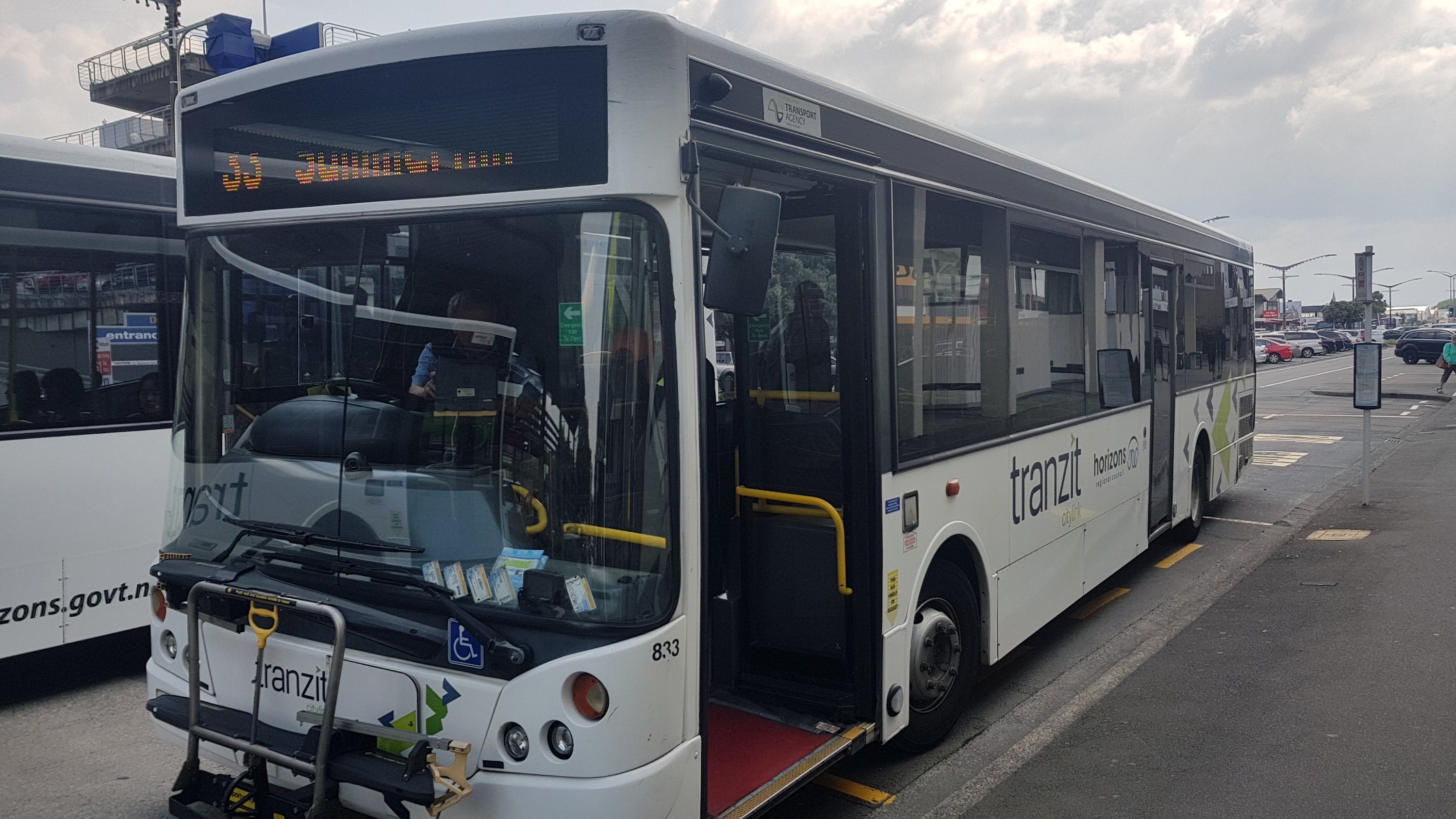
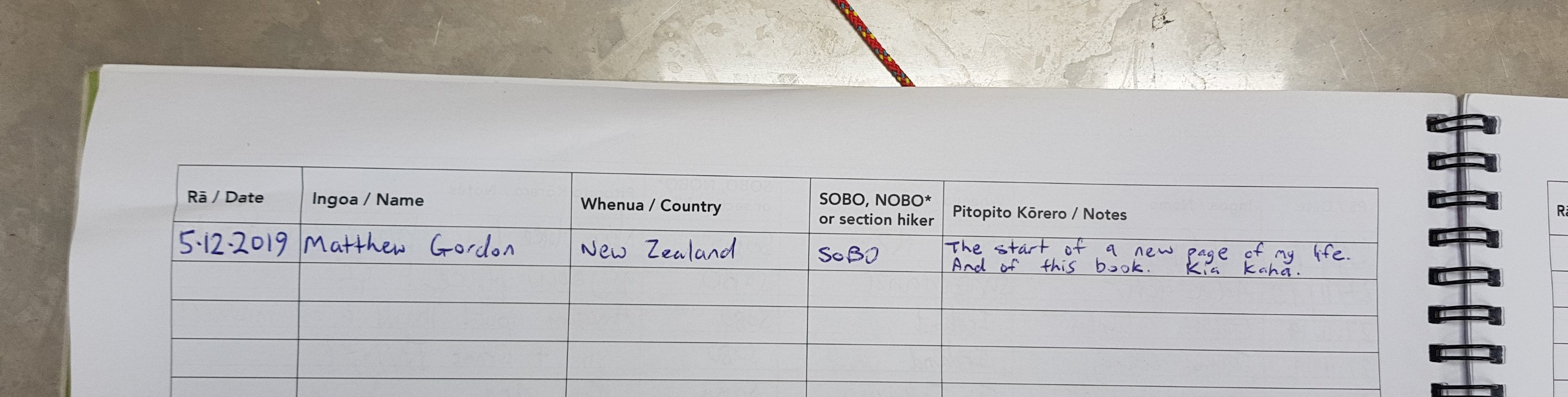
Date: 25 November
Trail covered: 41.9km (kms 1161.0 to 1202.9)
Weather: scorching
Wow, so the two month mark is here. I’ve been out doing this for two months now. Really doesn’t feel like it. And today we just passed the 40% mark of the trail. At this rate I won’t get to Bluff until mid-March, since I will be taking a break at Christmas and I also have to take 5 days off at the end of January to attend a wedding. I’ve sped up in the last two weeks though since travelling with this group. That will help bring the time down.
Take today for instance – a 42km day. I probably wouldn’t have thought it possible a month ago. We all knew it was going to be super hot today, so I wanted to get up early and set out early.
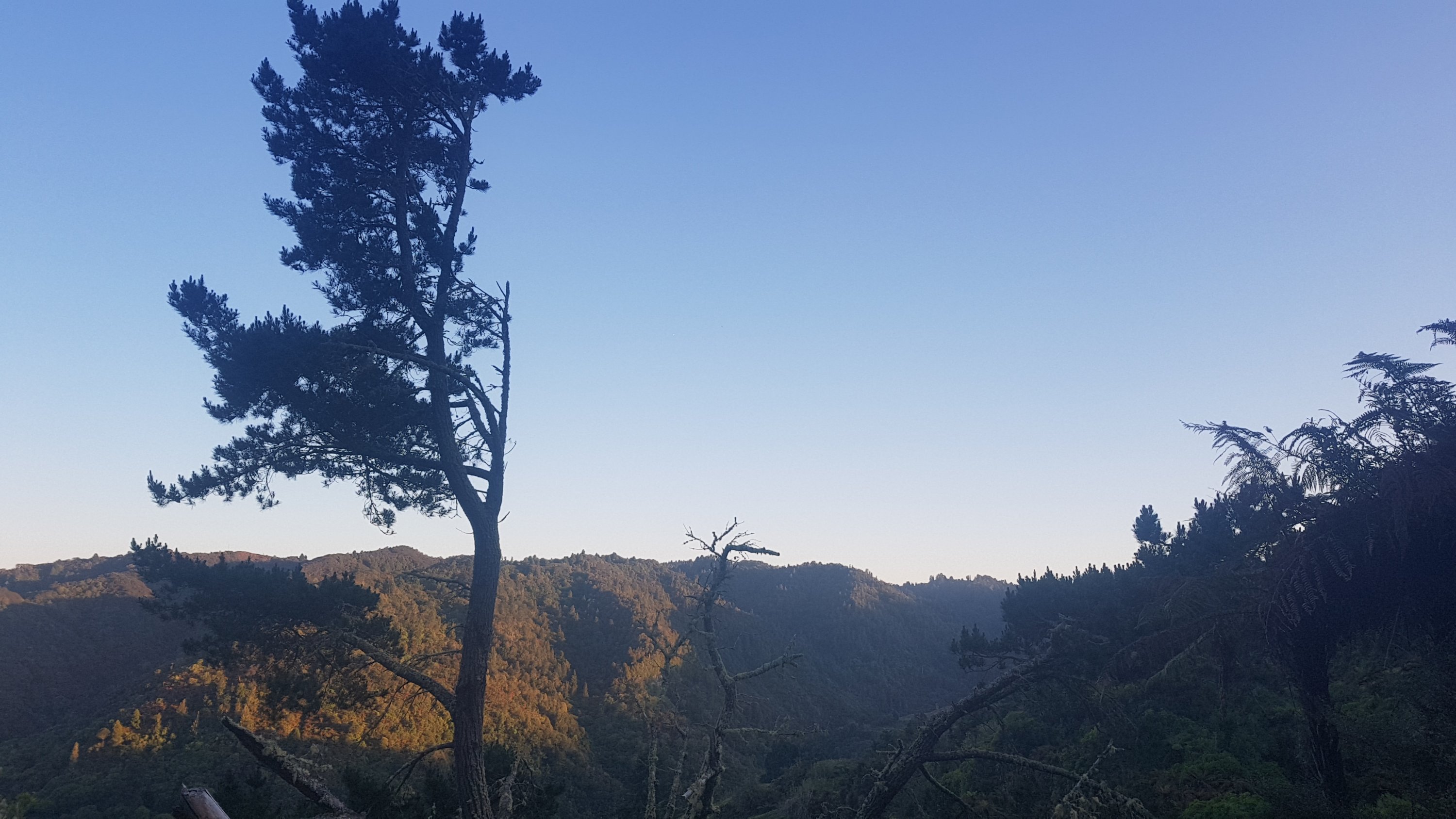
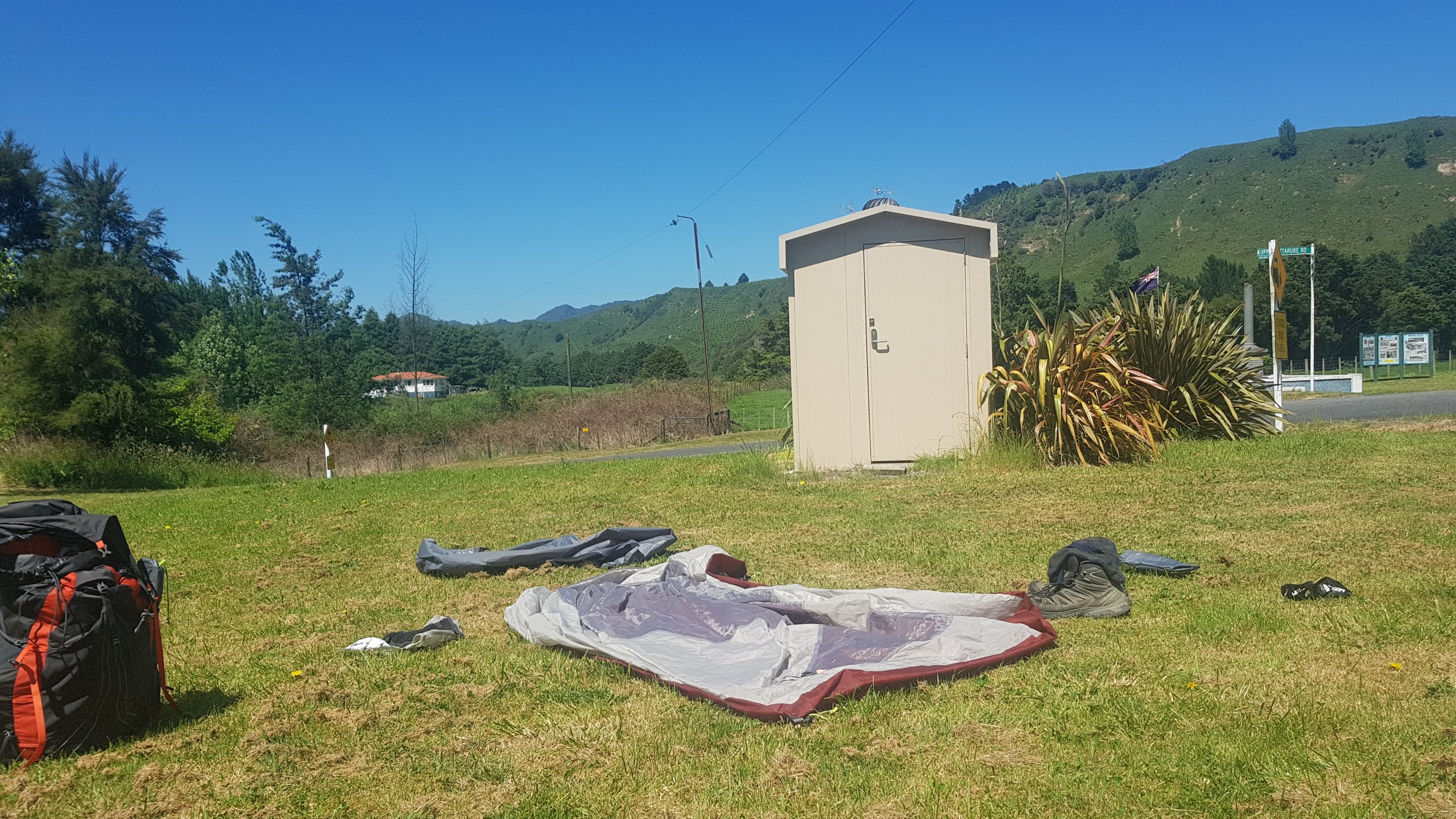
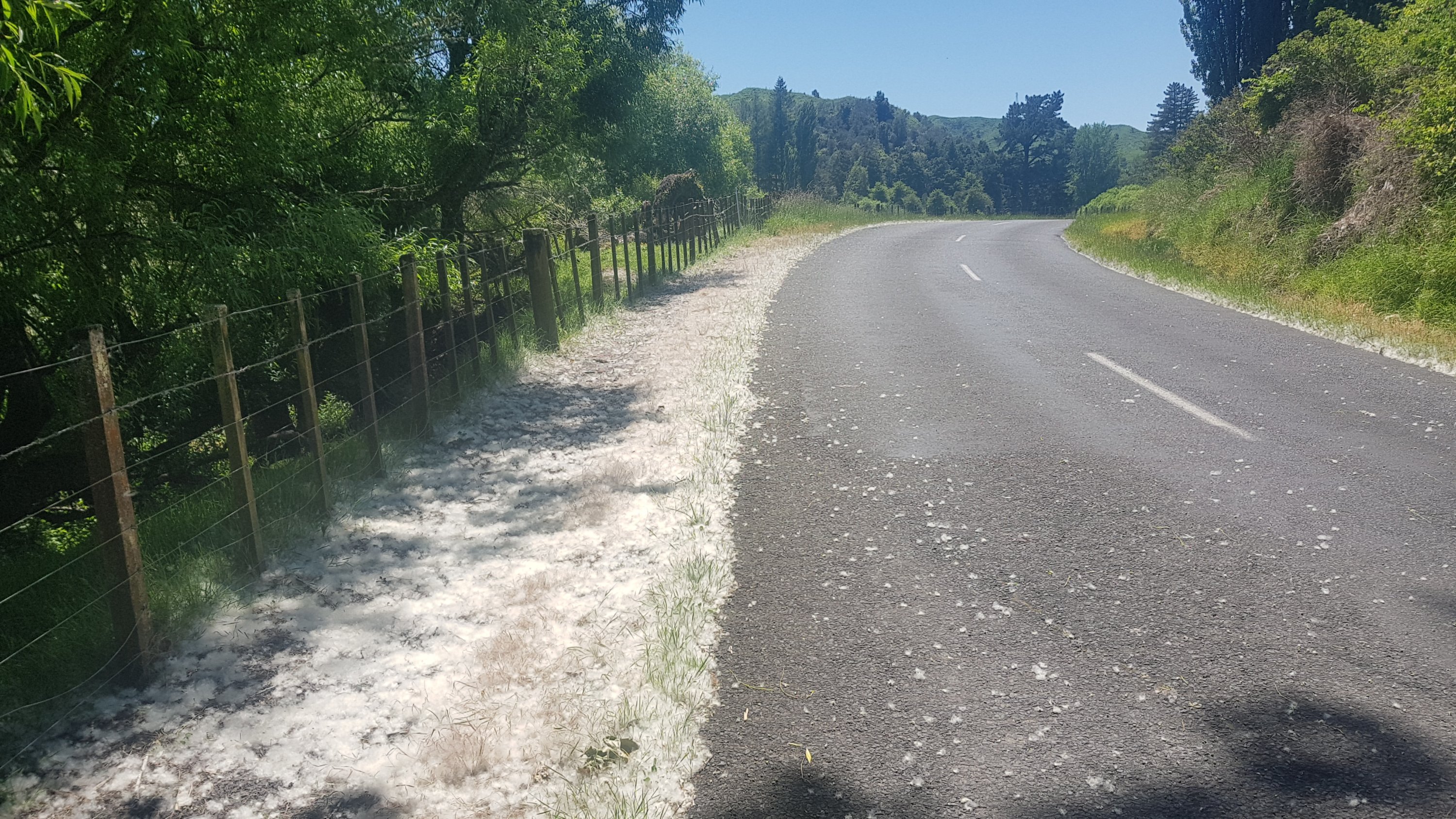
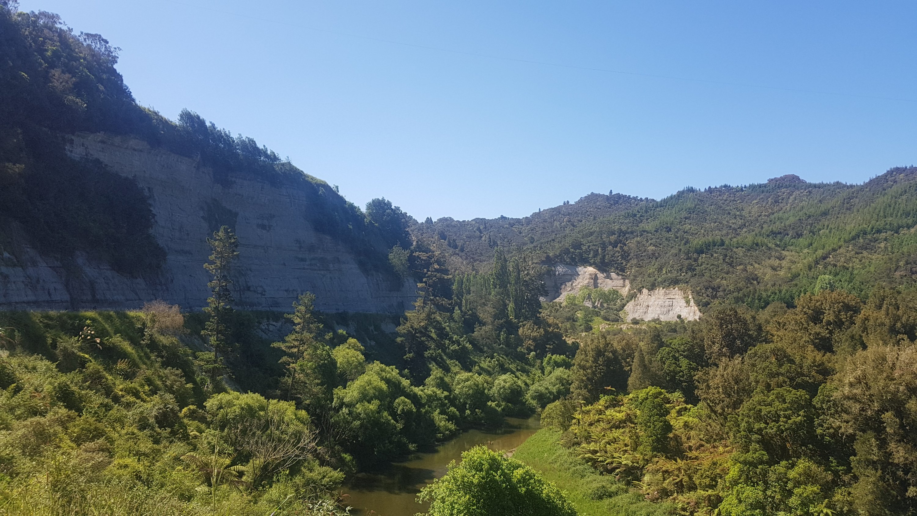
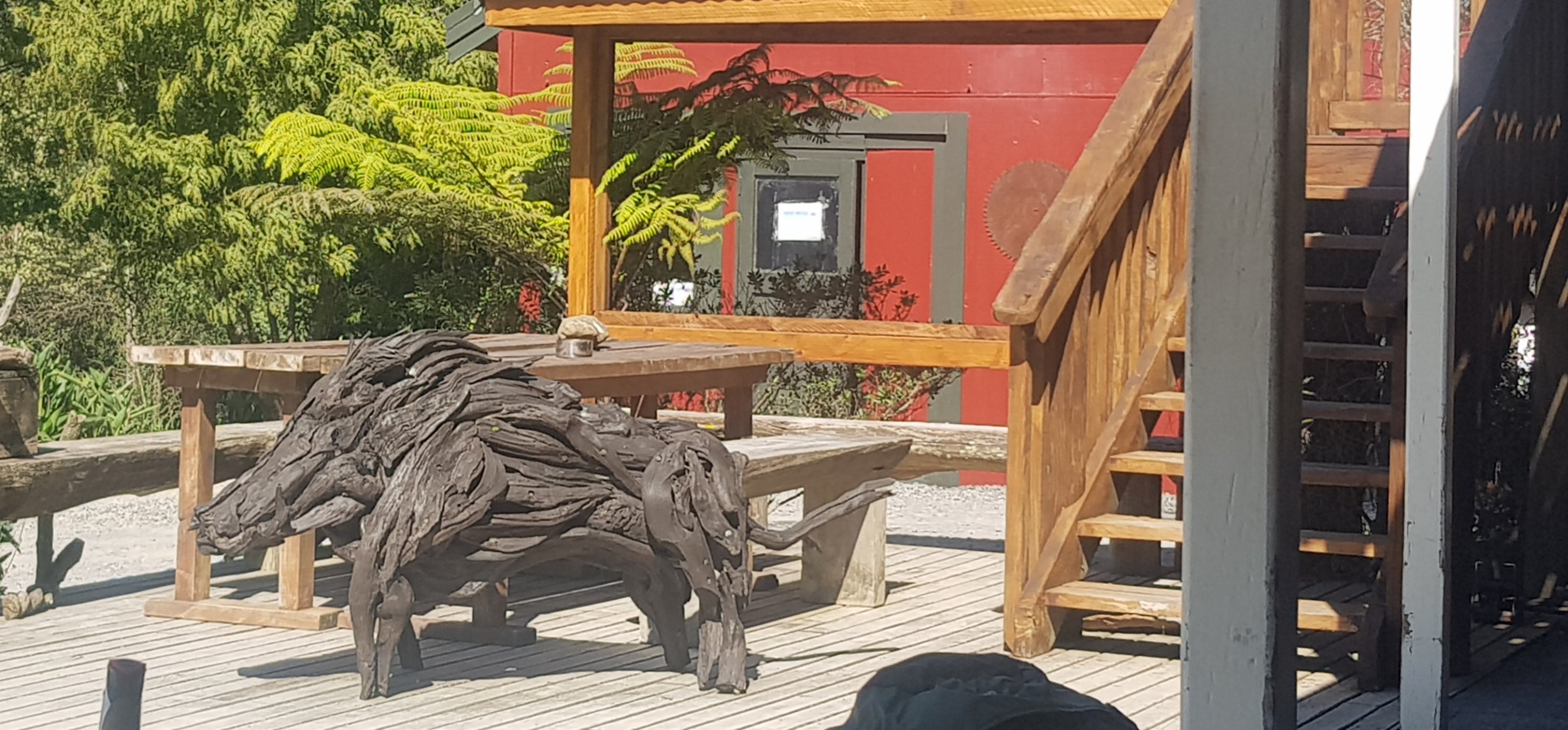
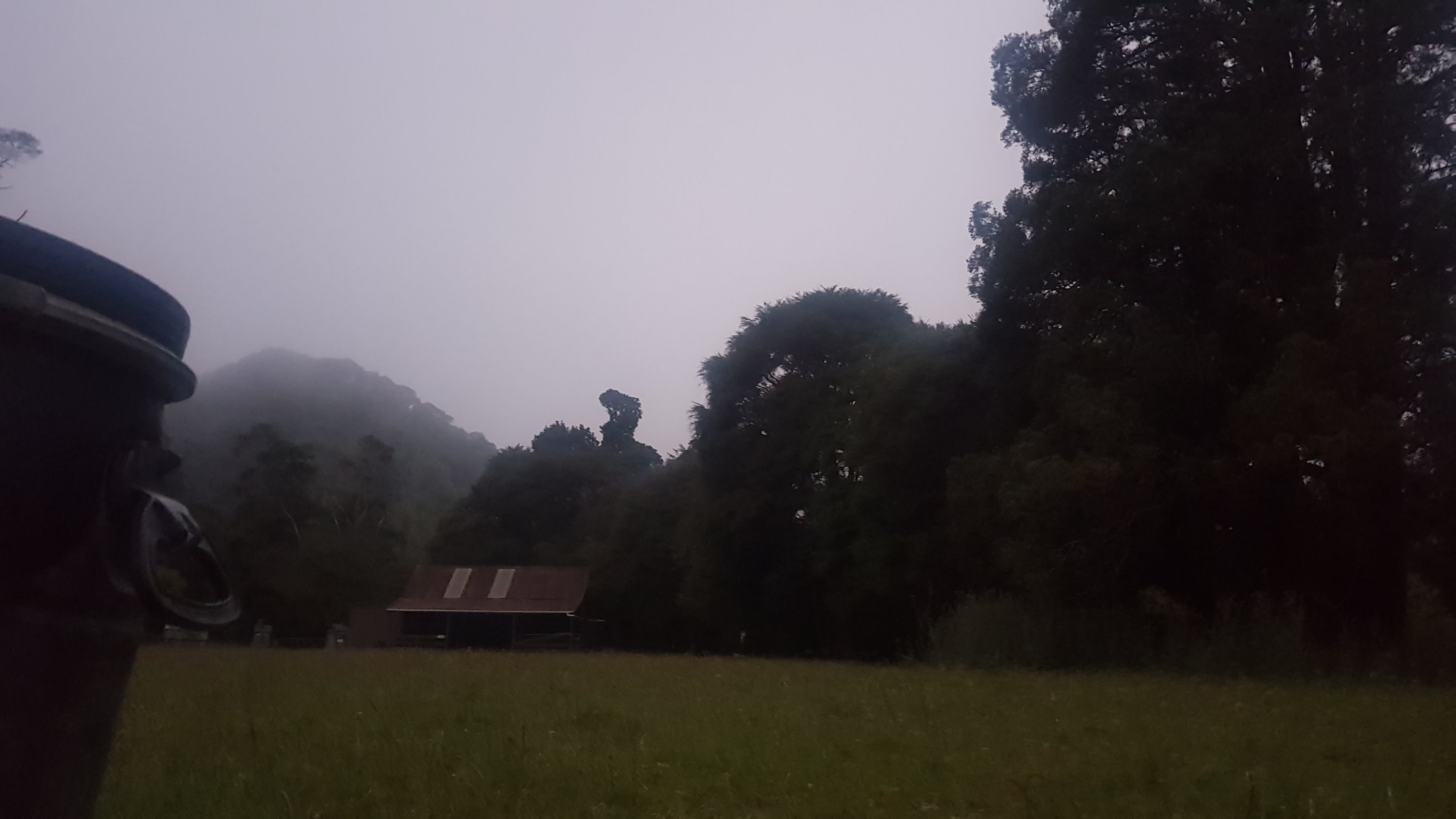
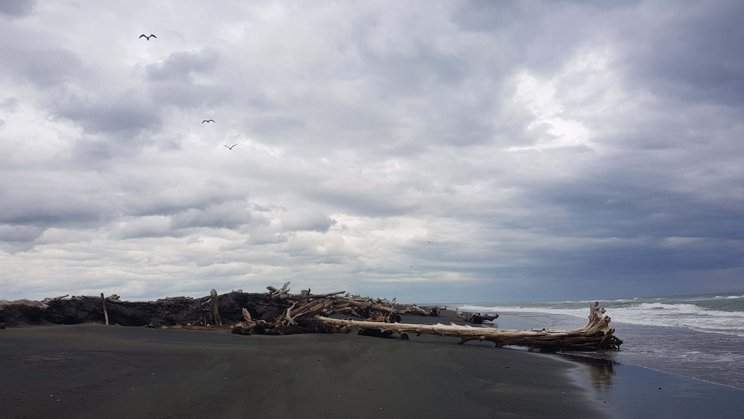
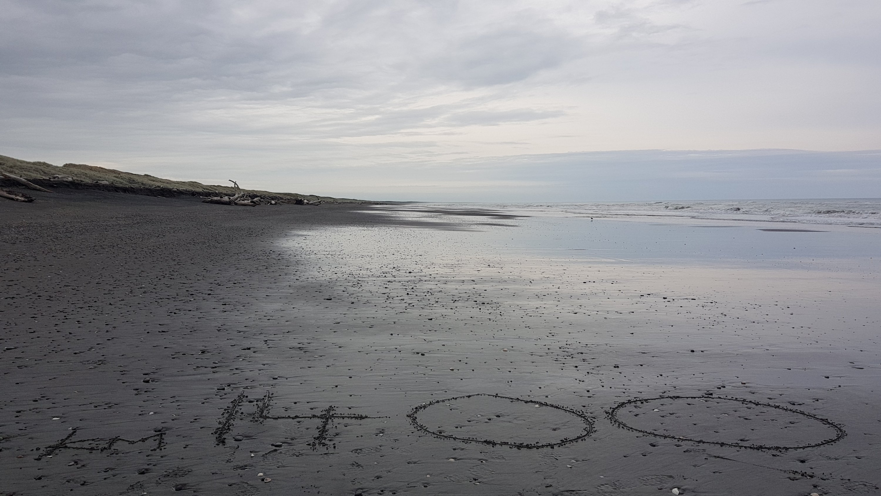
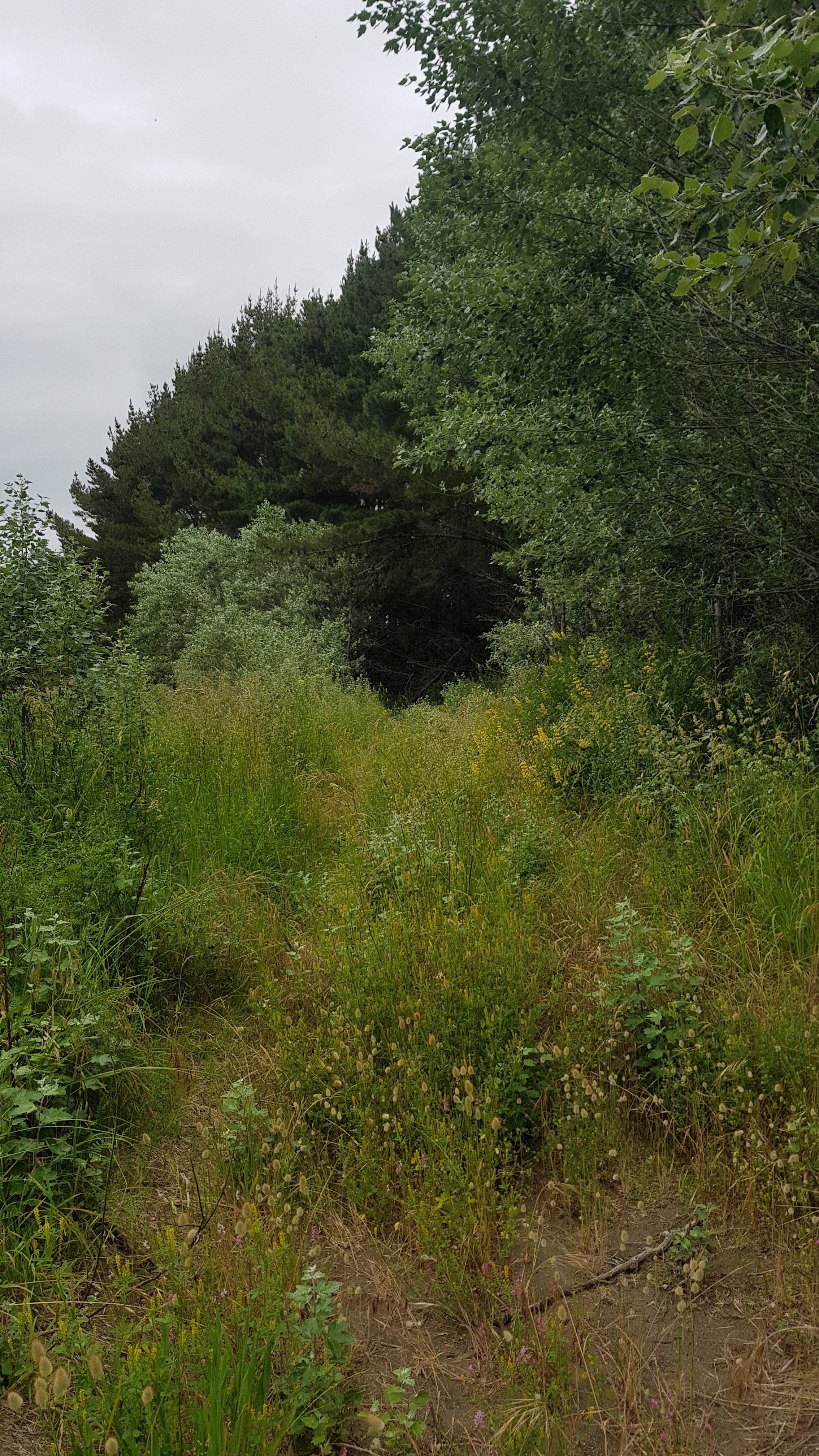
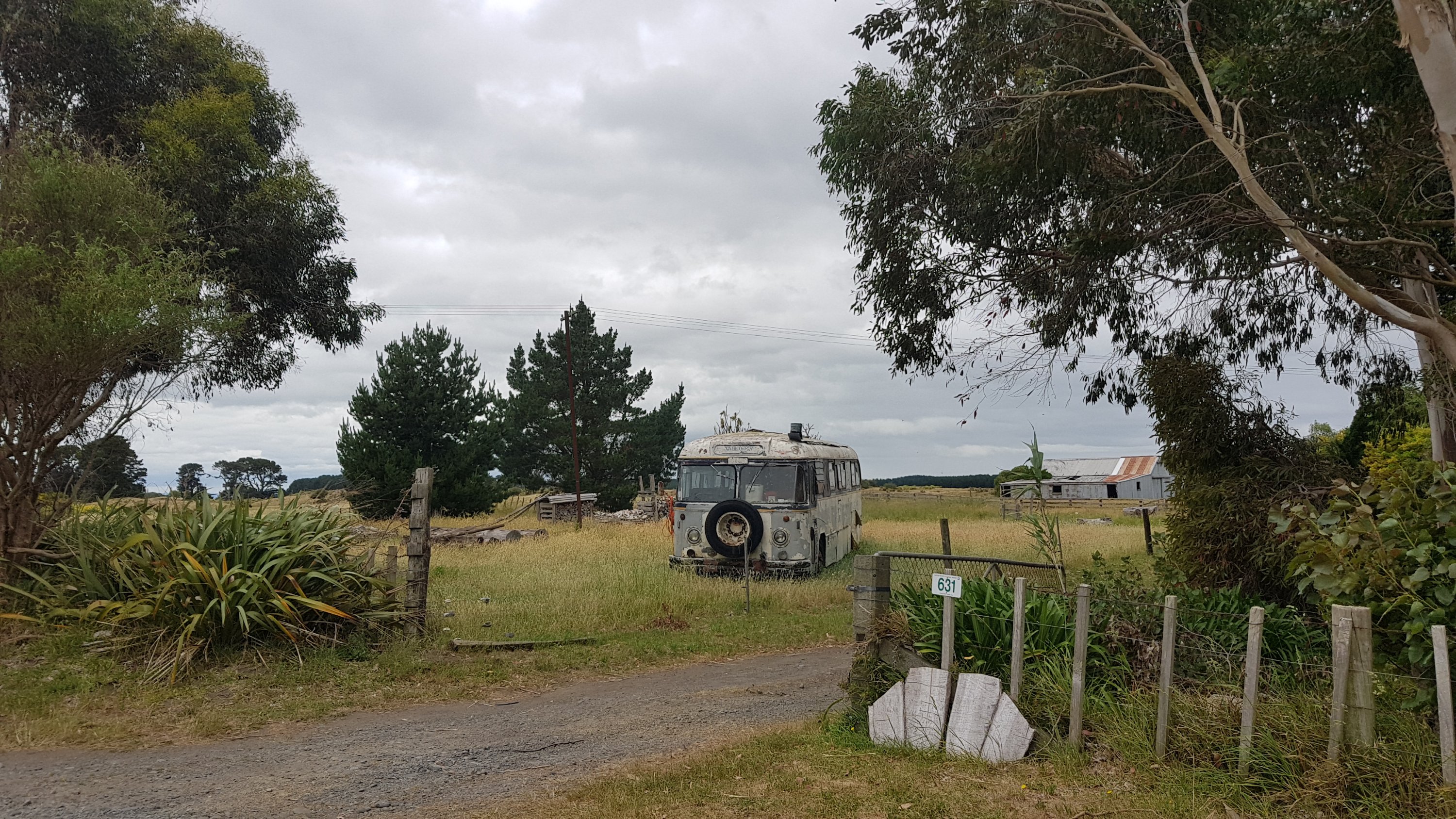
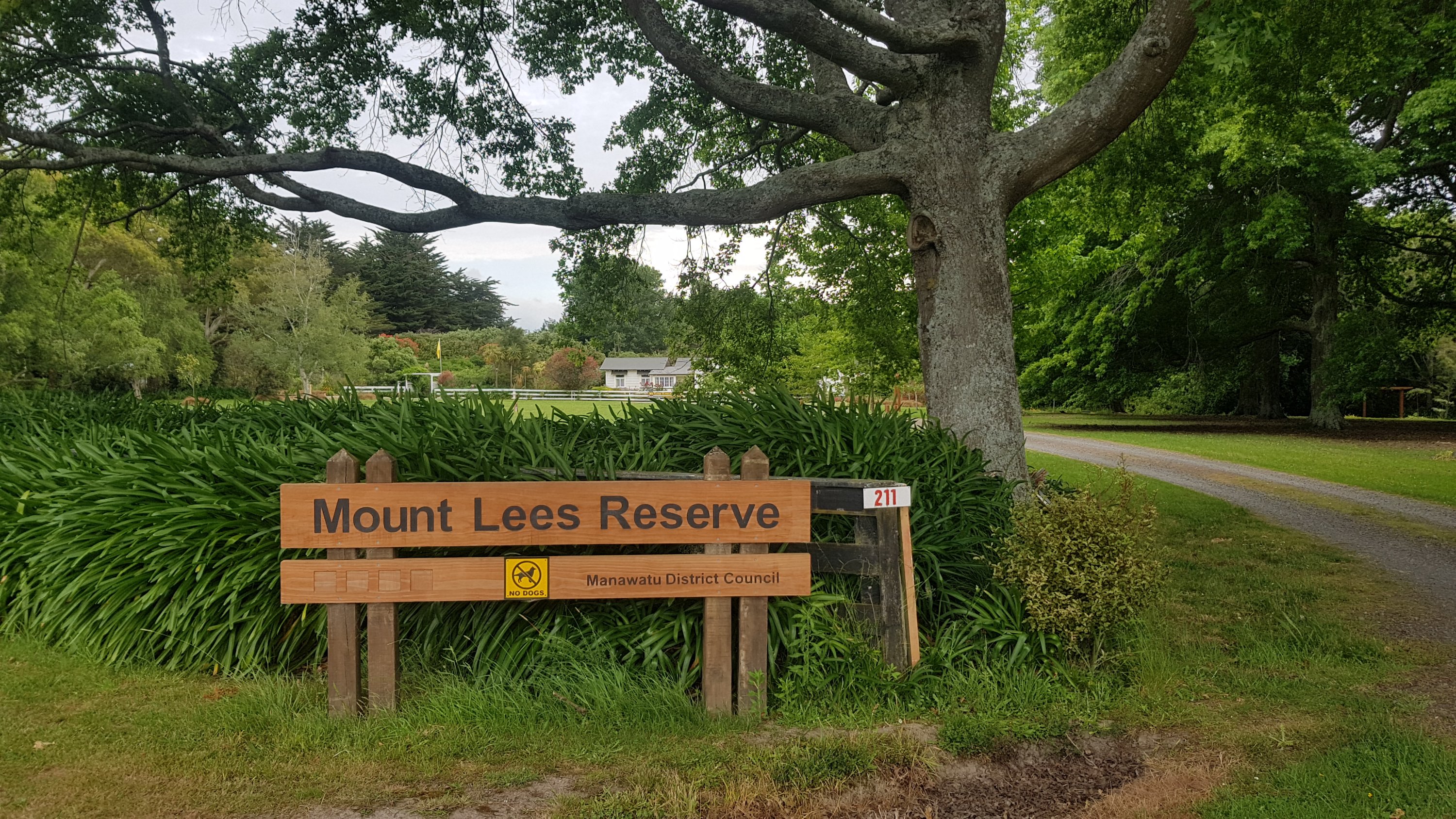
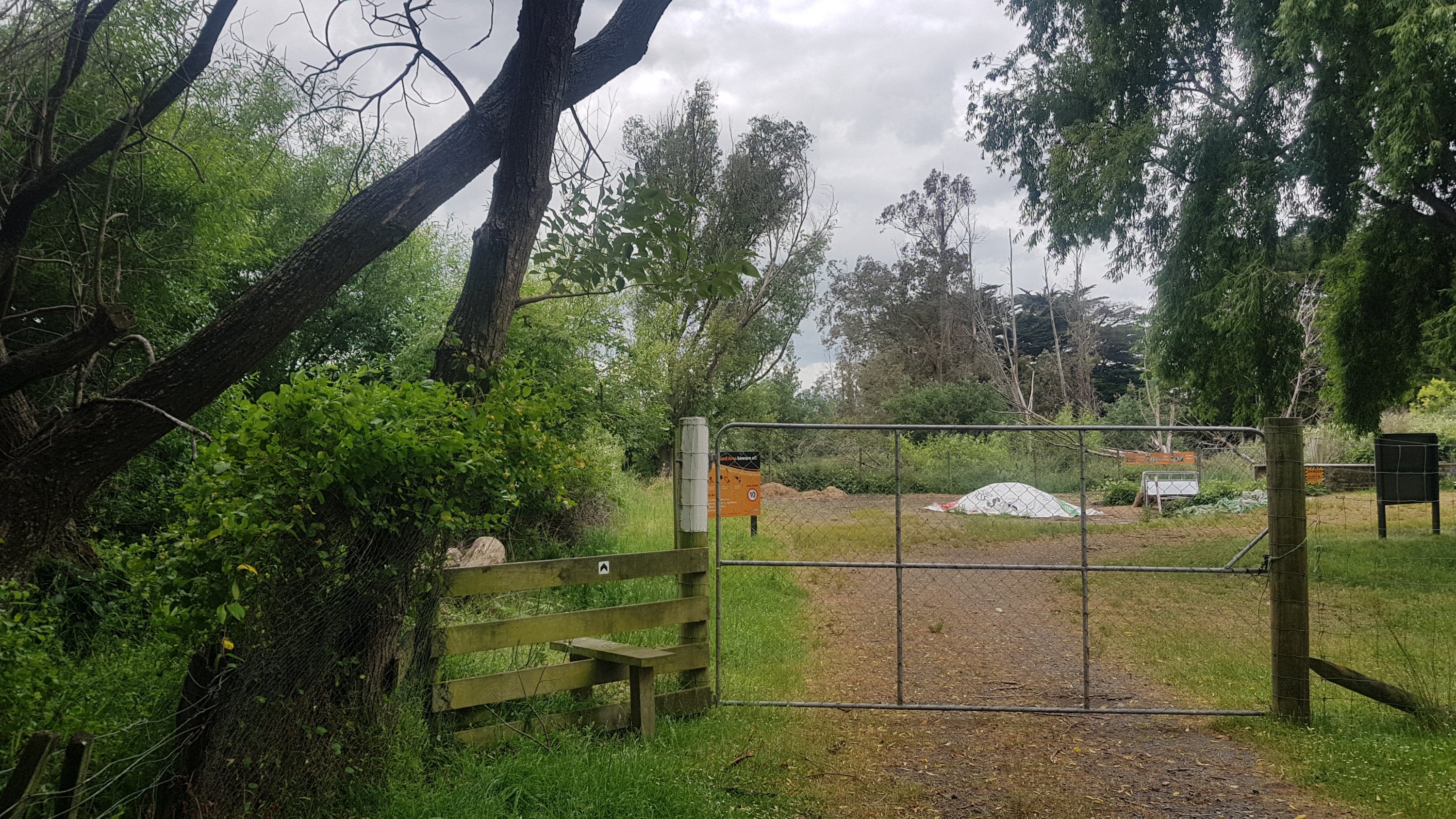
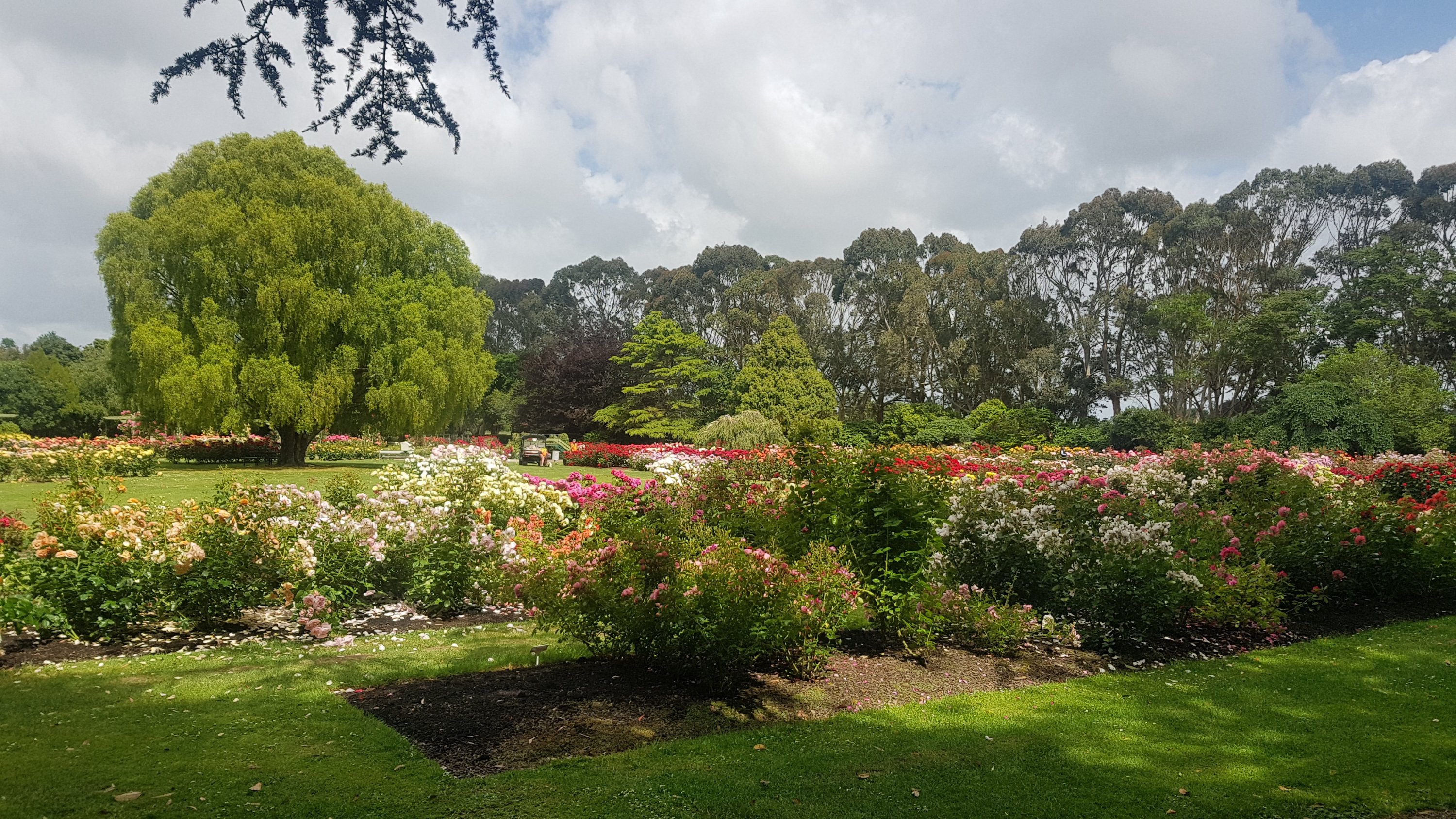
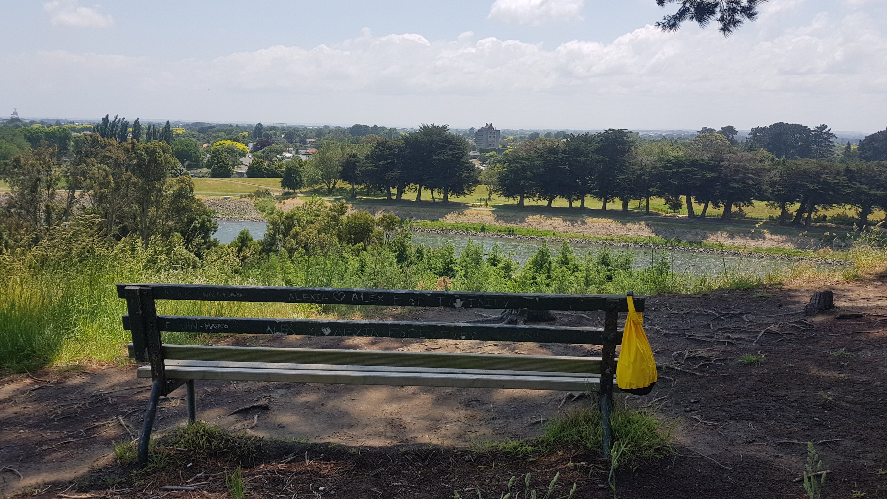
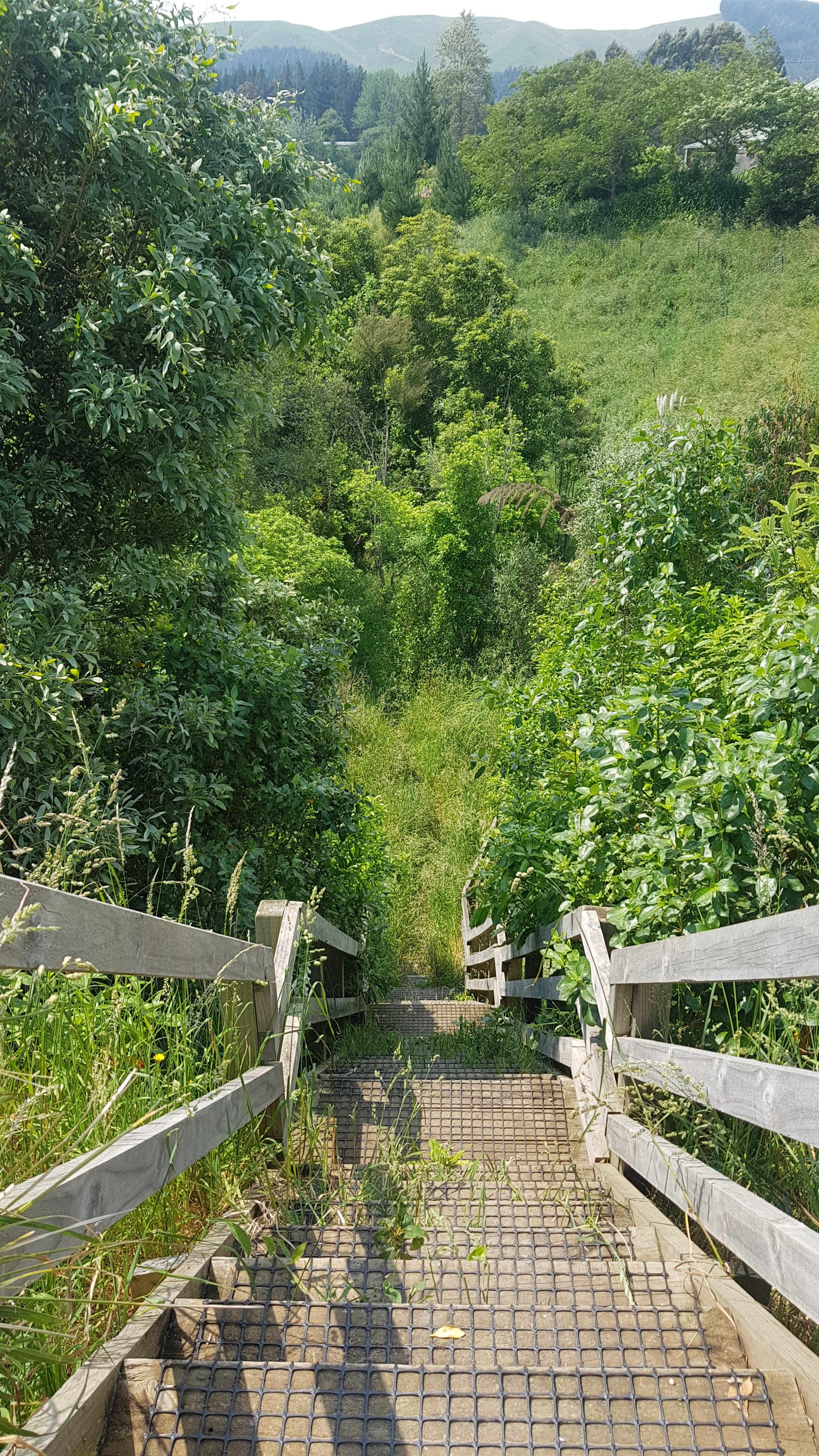
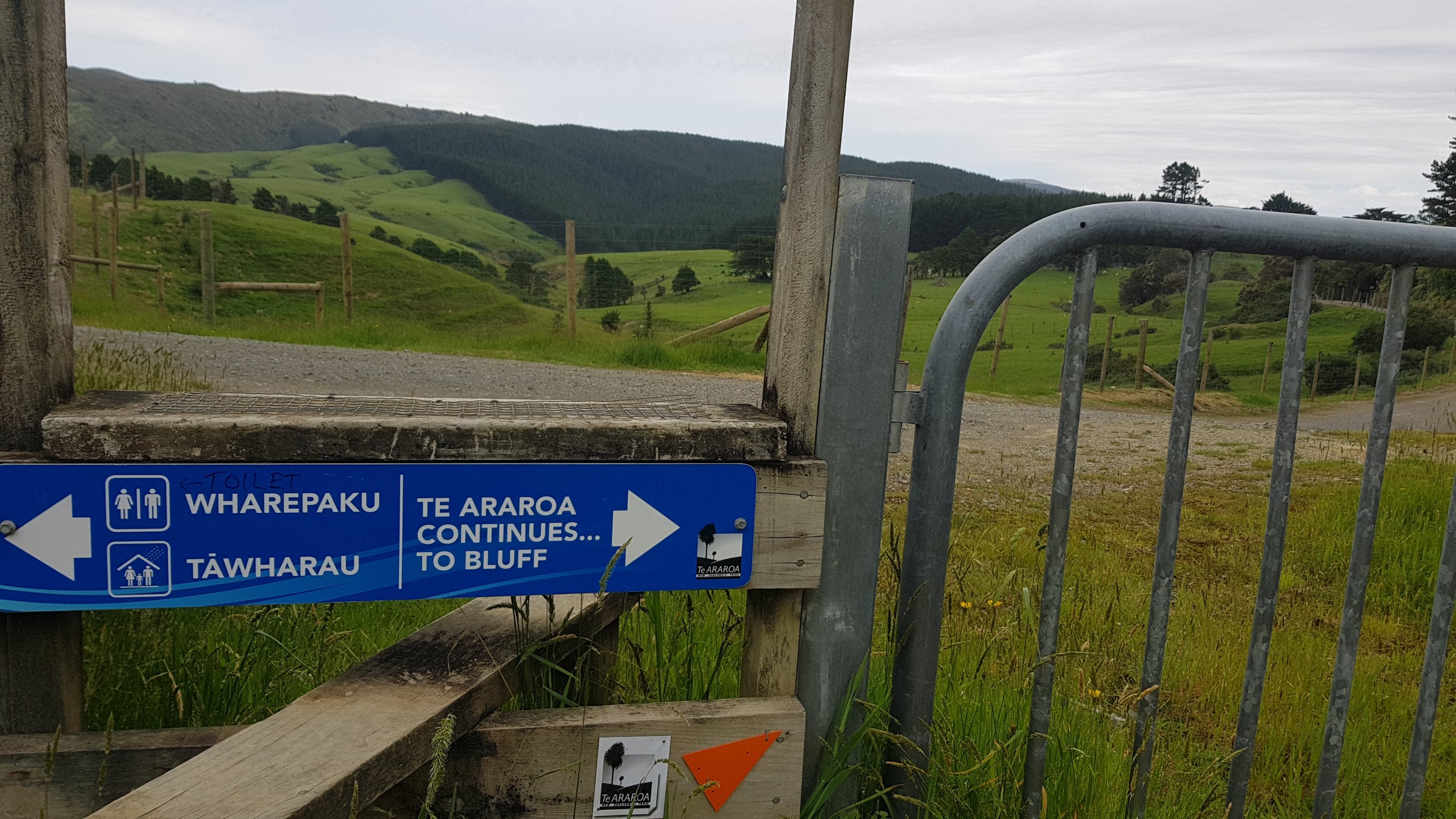
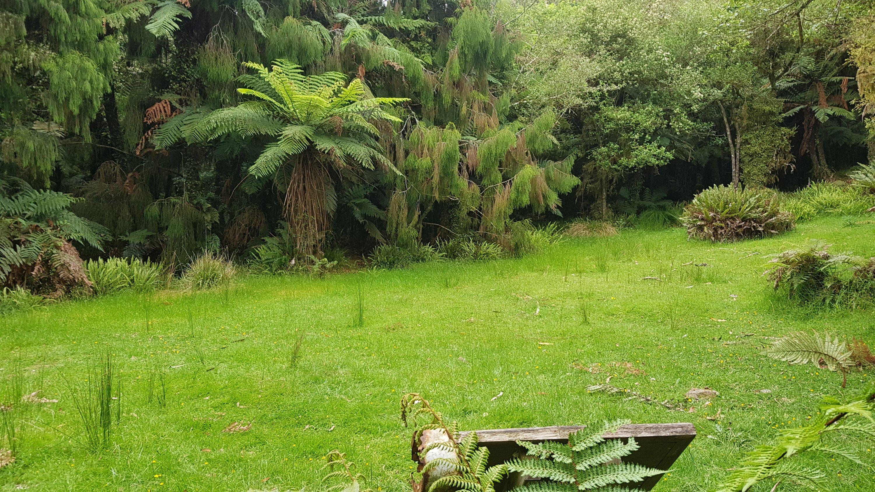
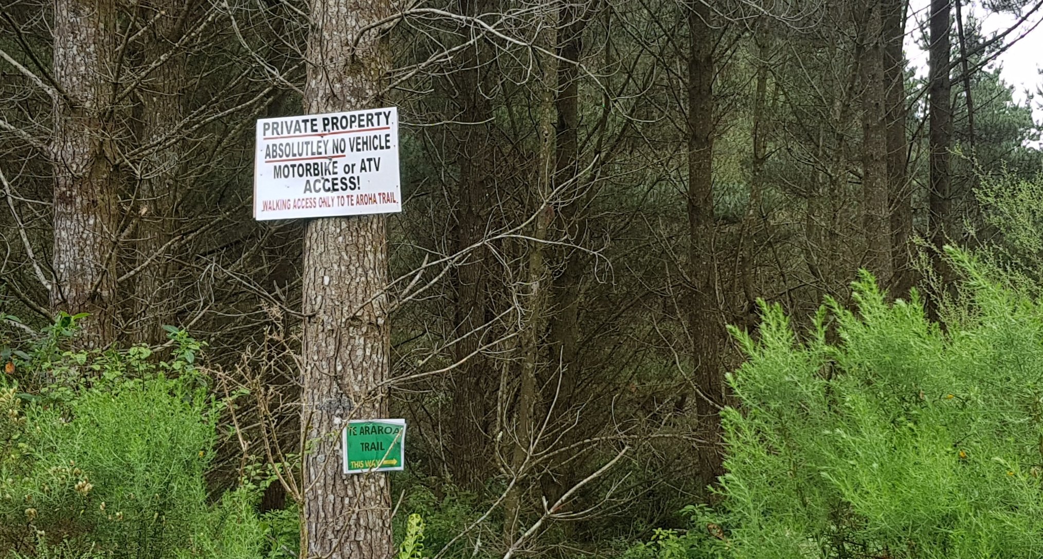
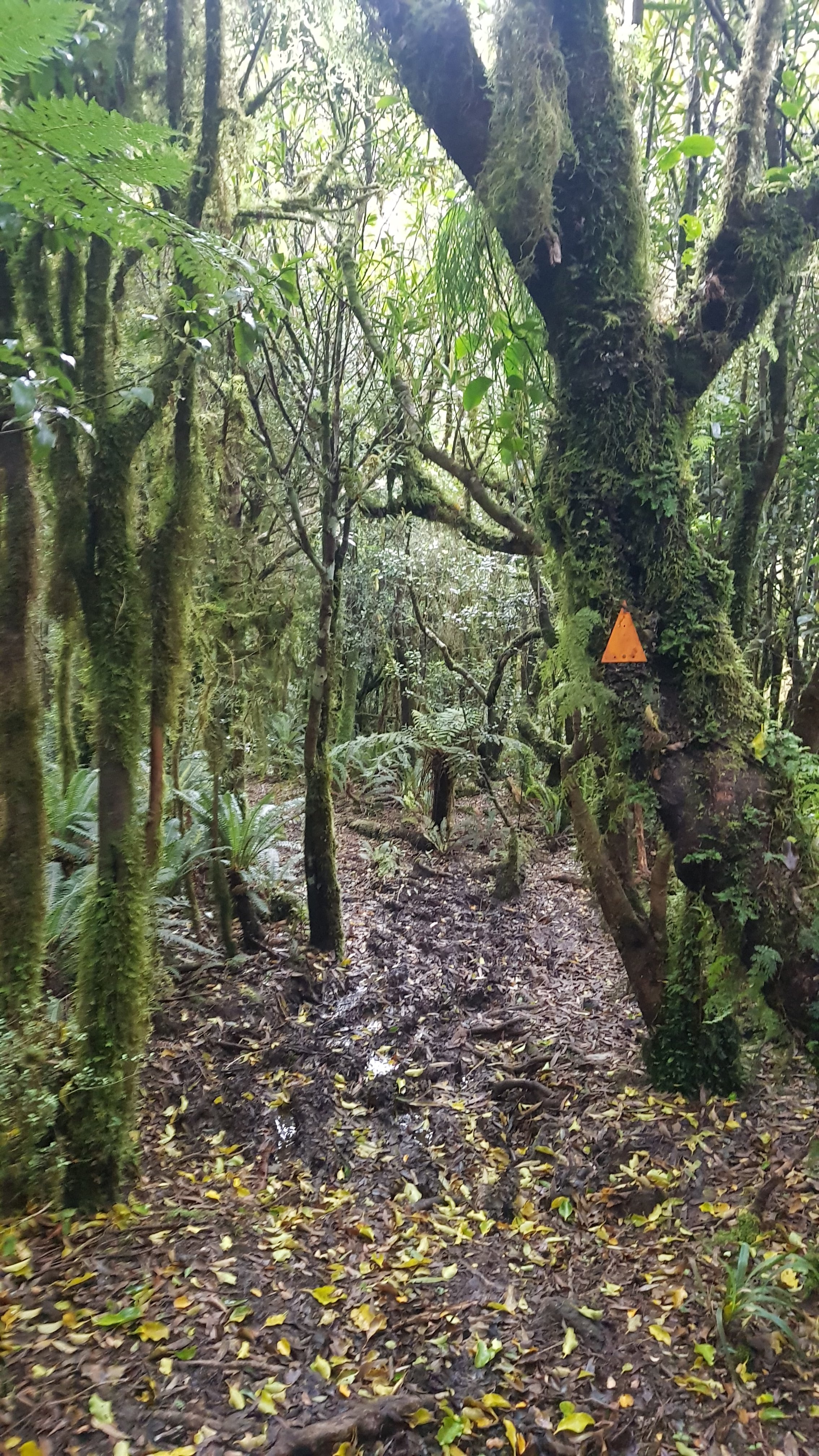
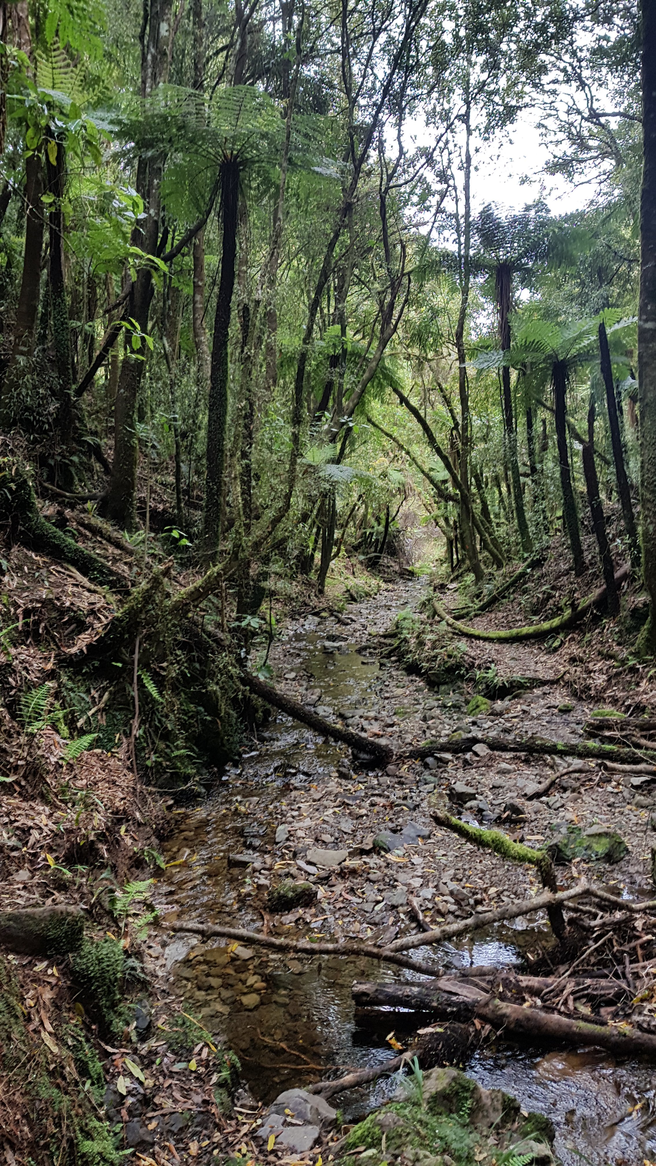
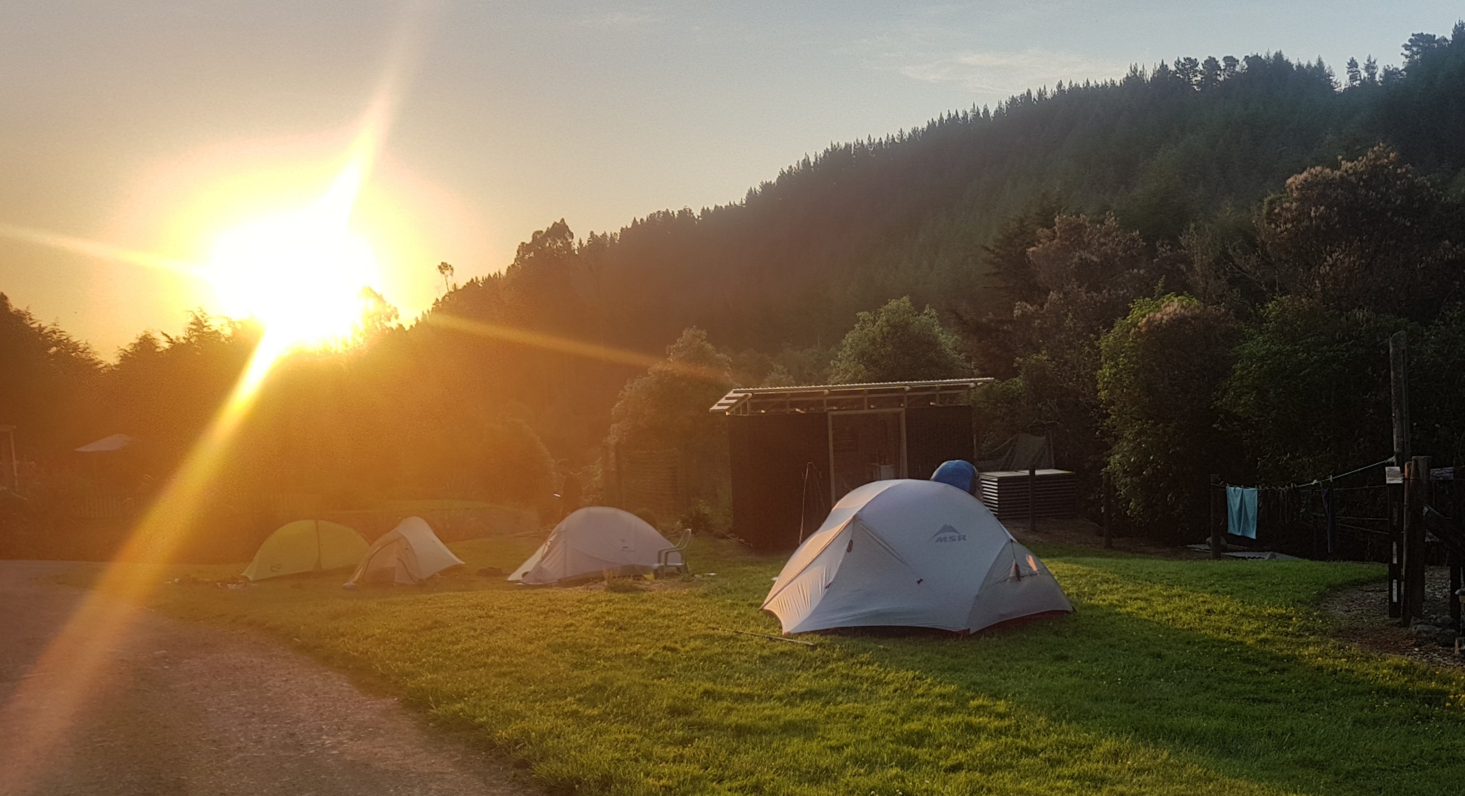
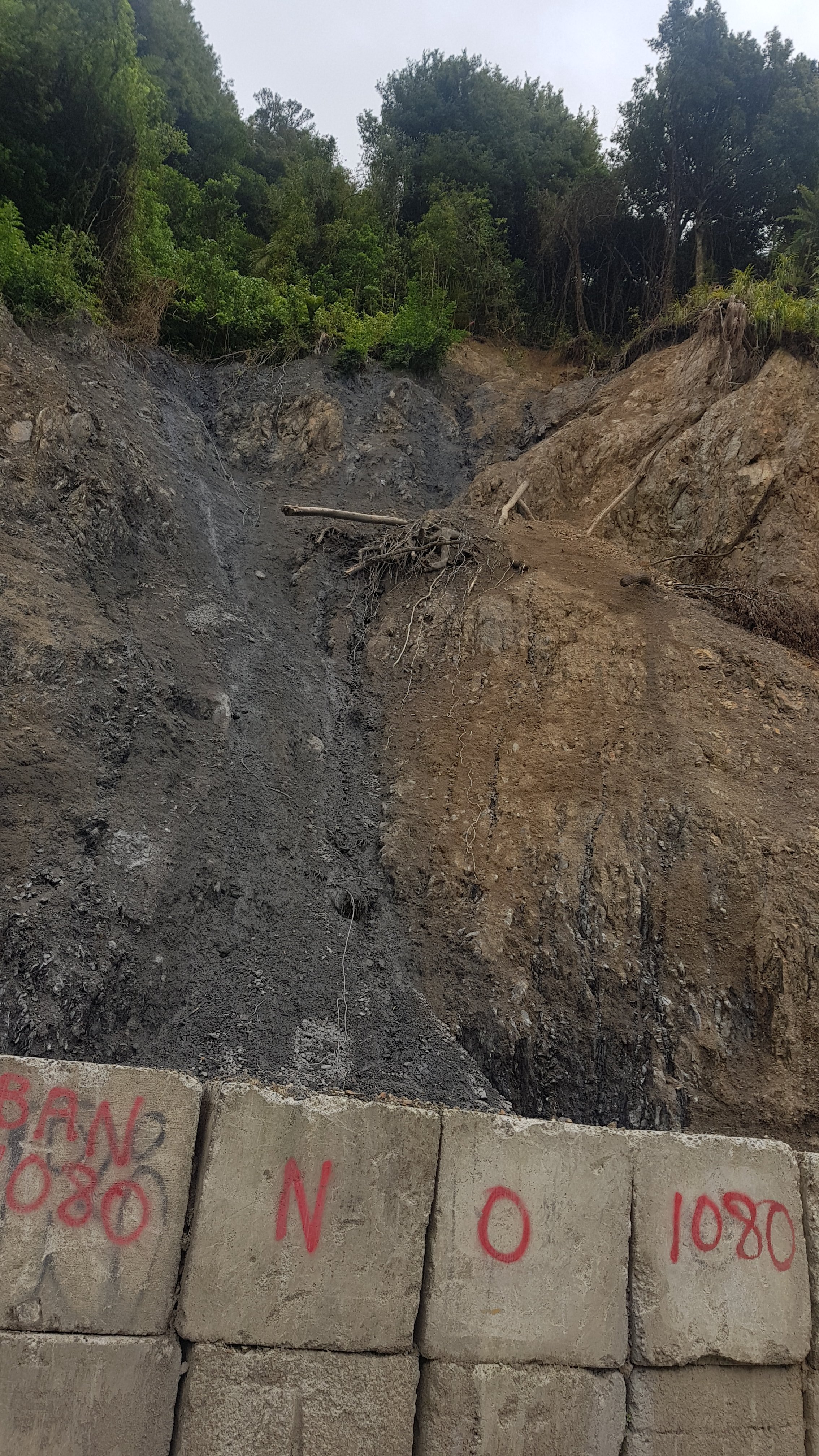
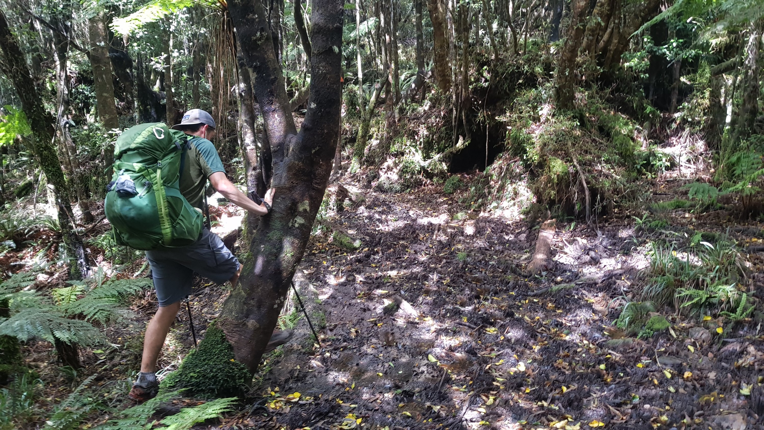
Just down from campsite – what appears to be half a tree
Having no tent fly last night was great. I saw stars in the middle of the night without getting out of my sleeping bag. The outside of the tent and my stuff that was outside got a little bit wet with condensation but not much, and the super hot day forecast would take care of that later.
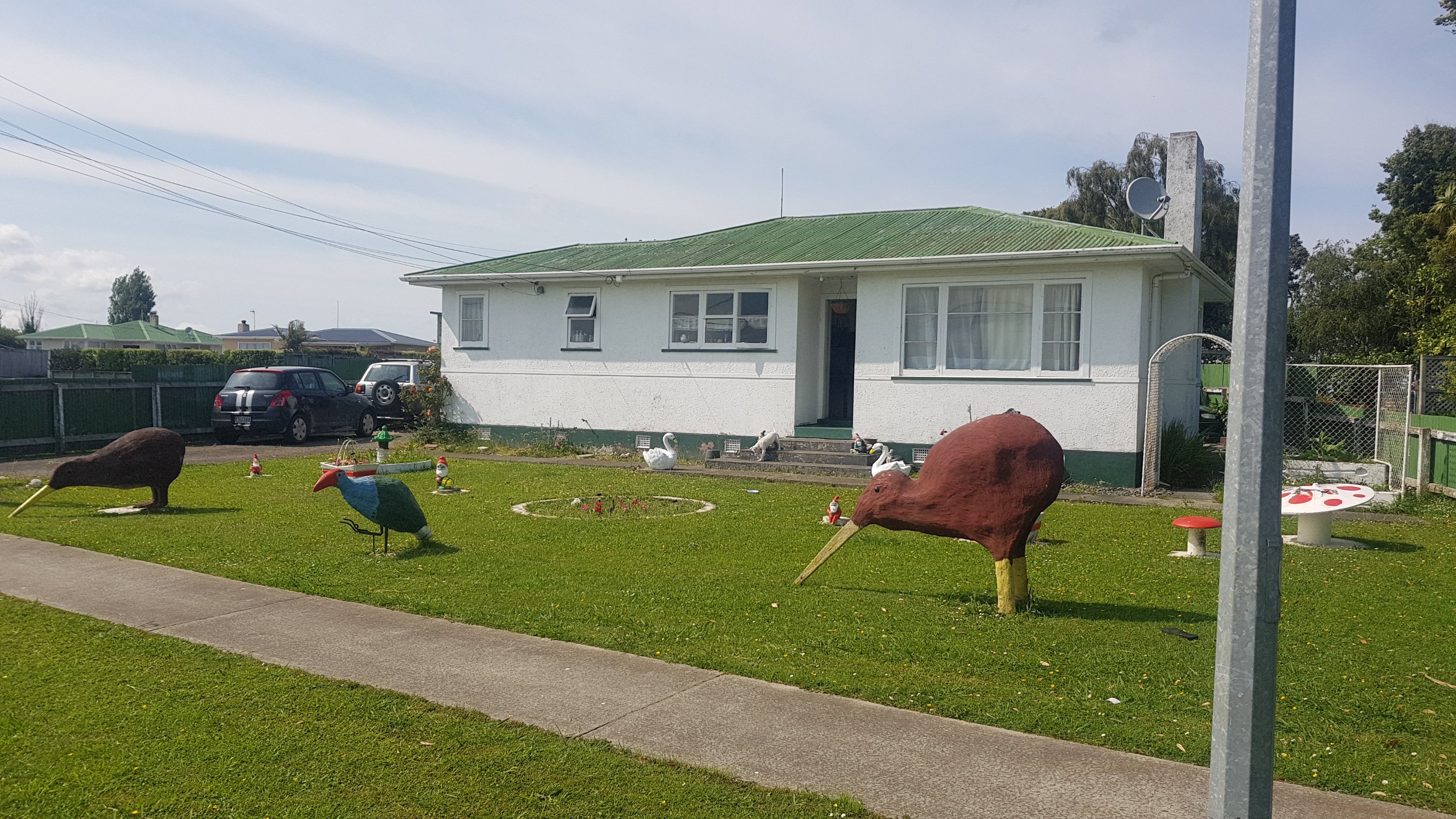
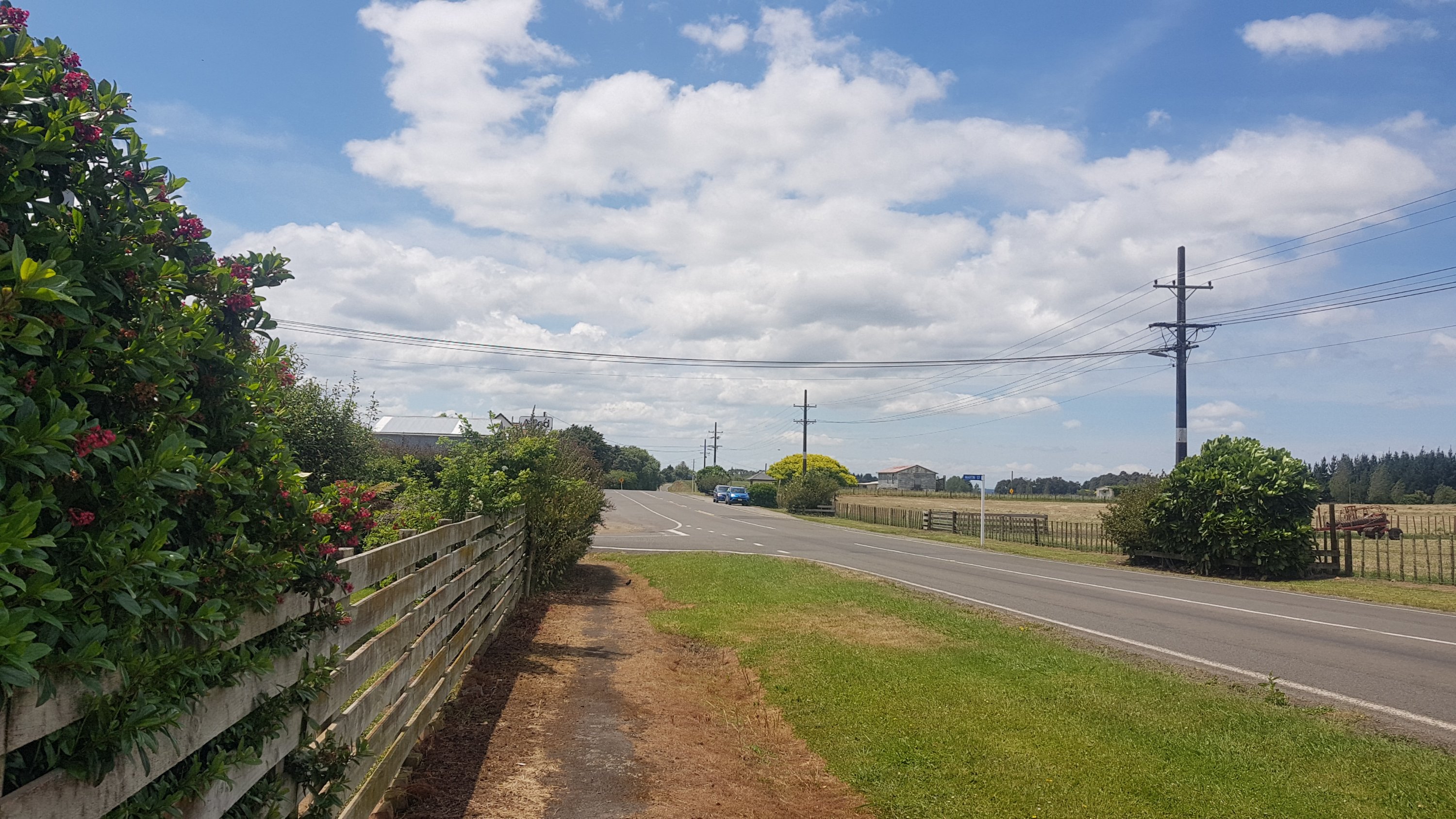
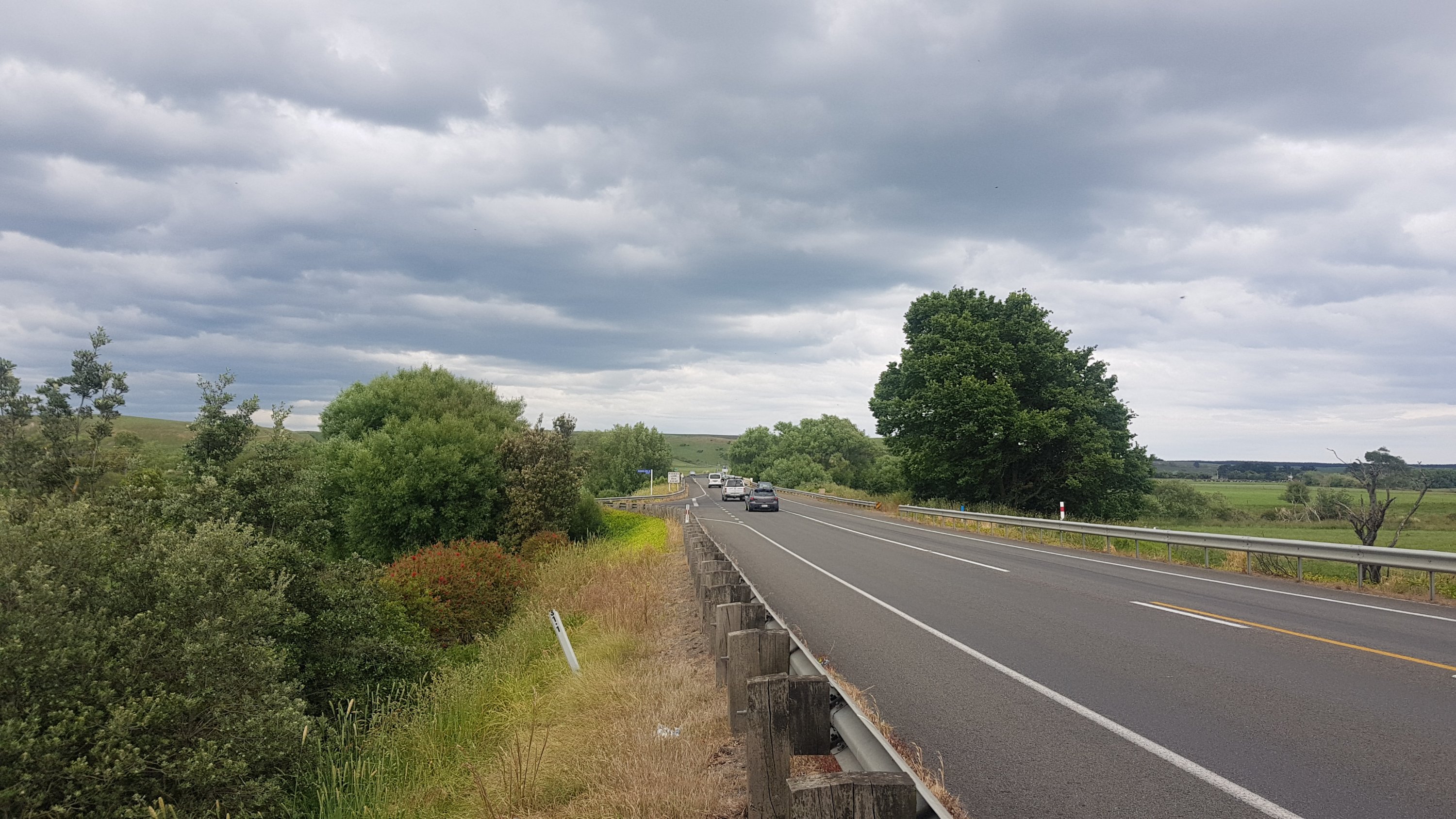
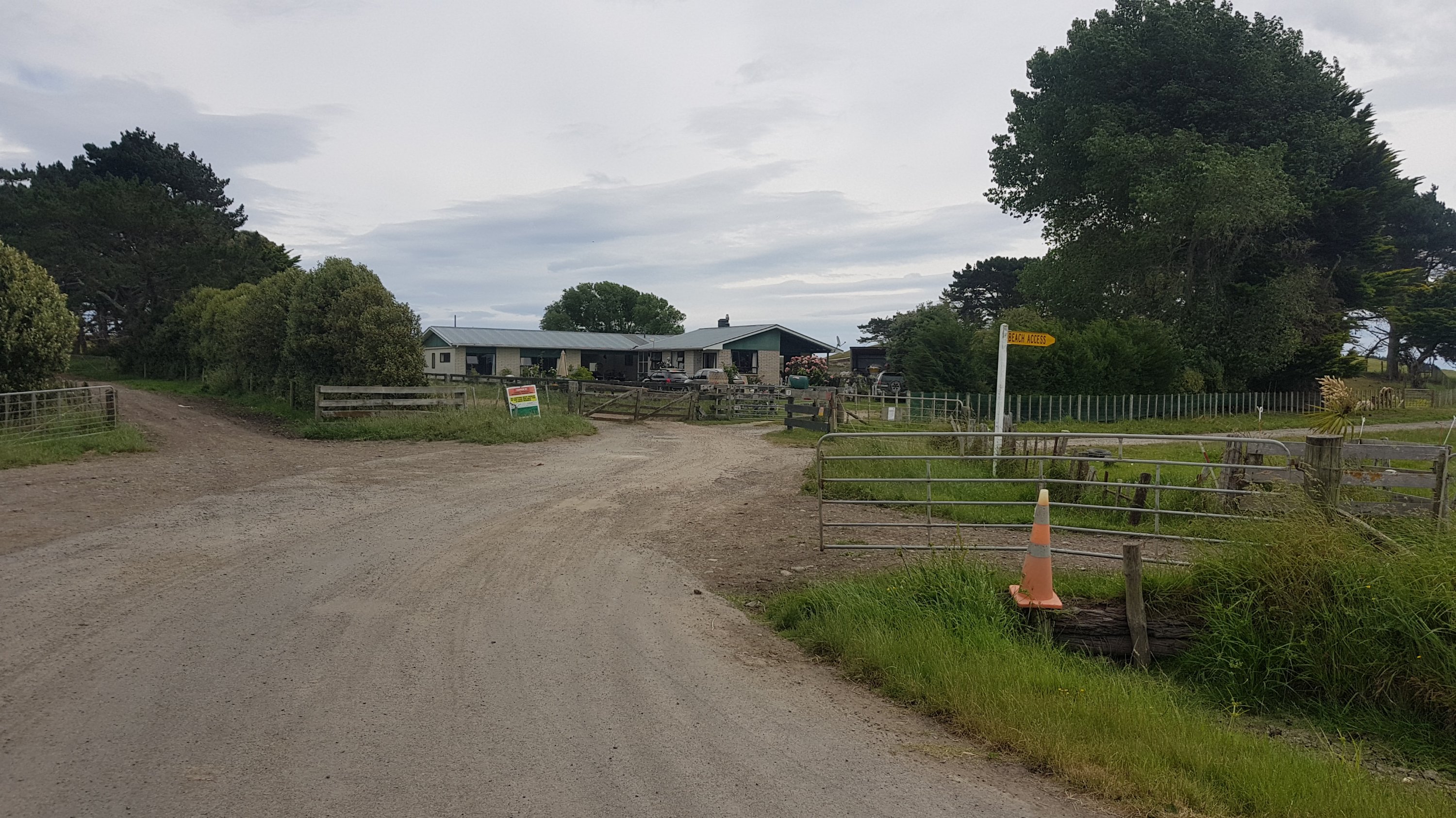
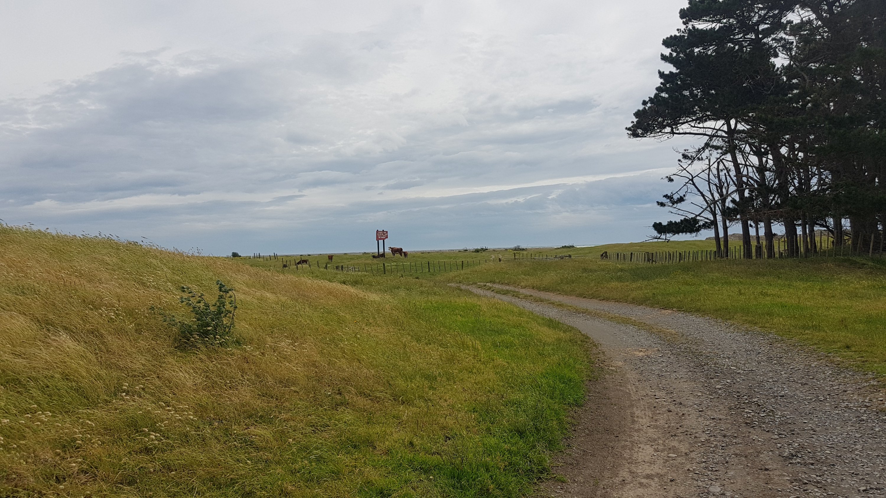
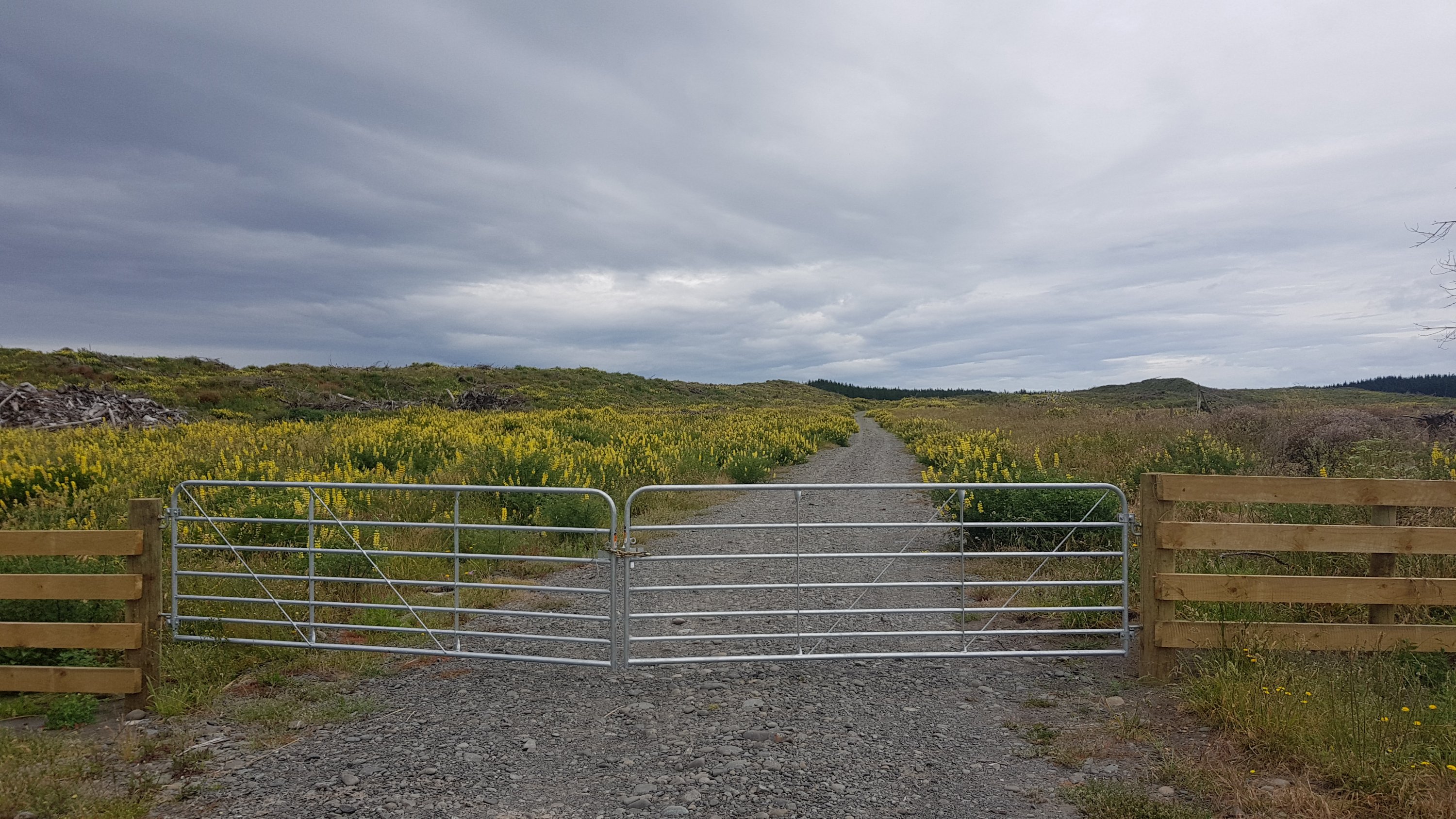
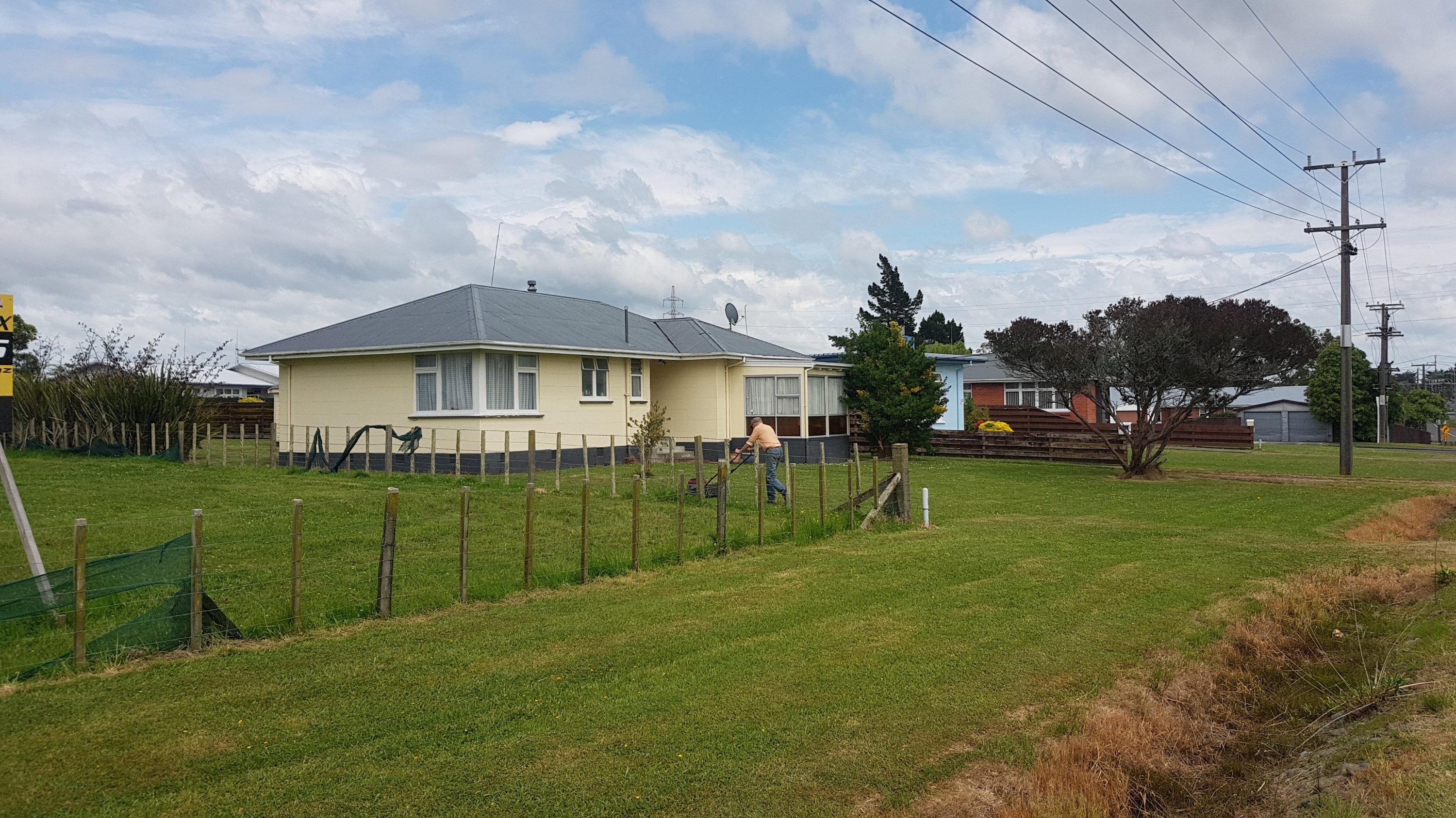
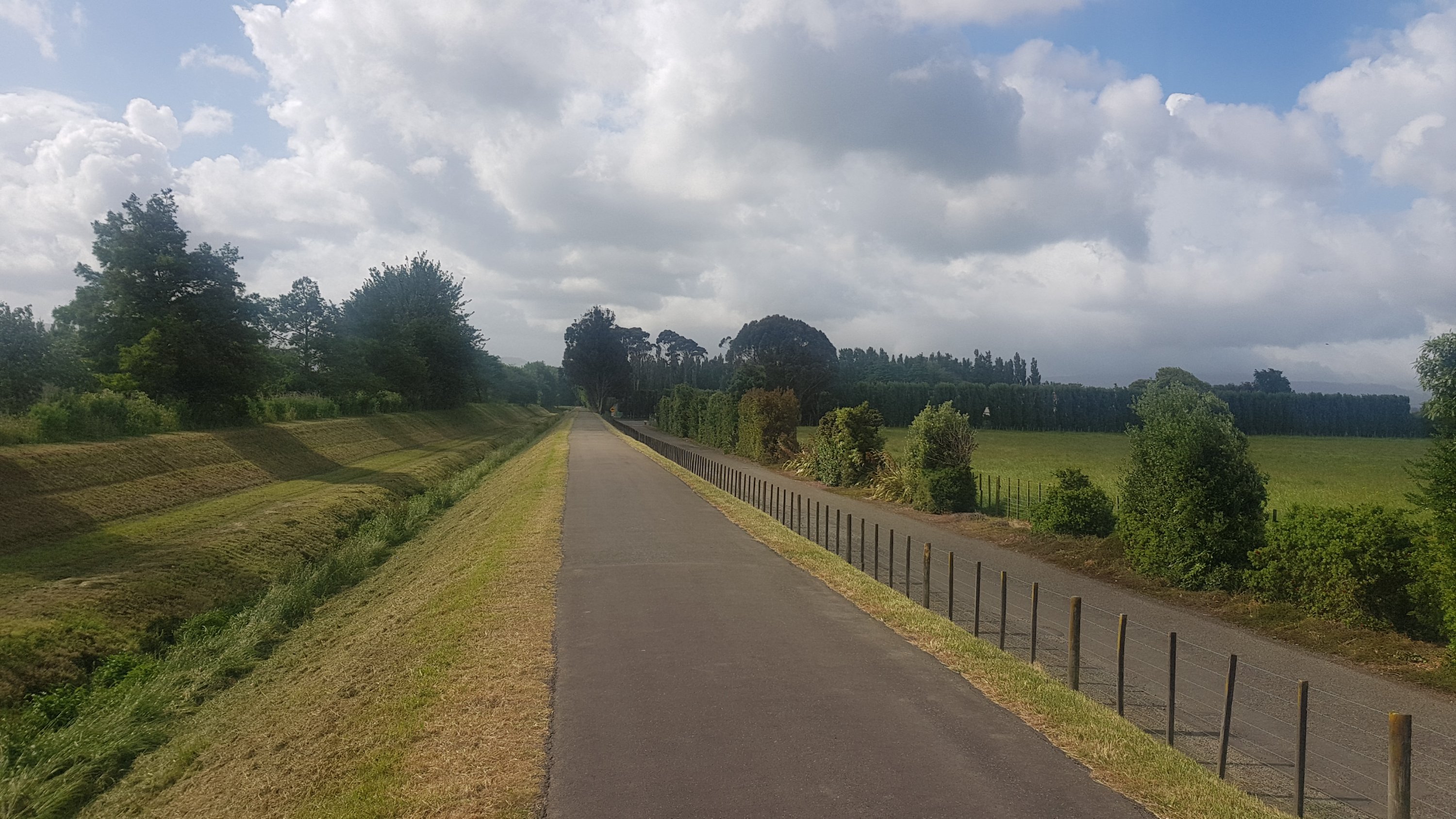
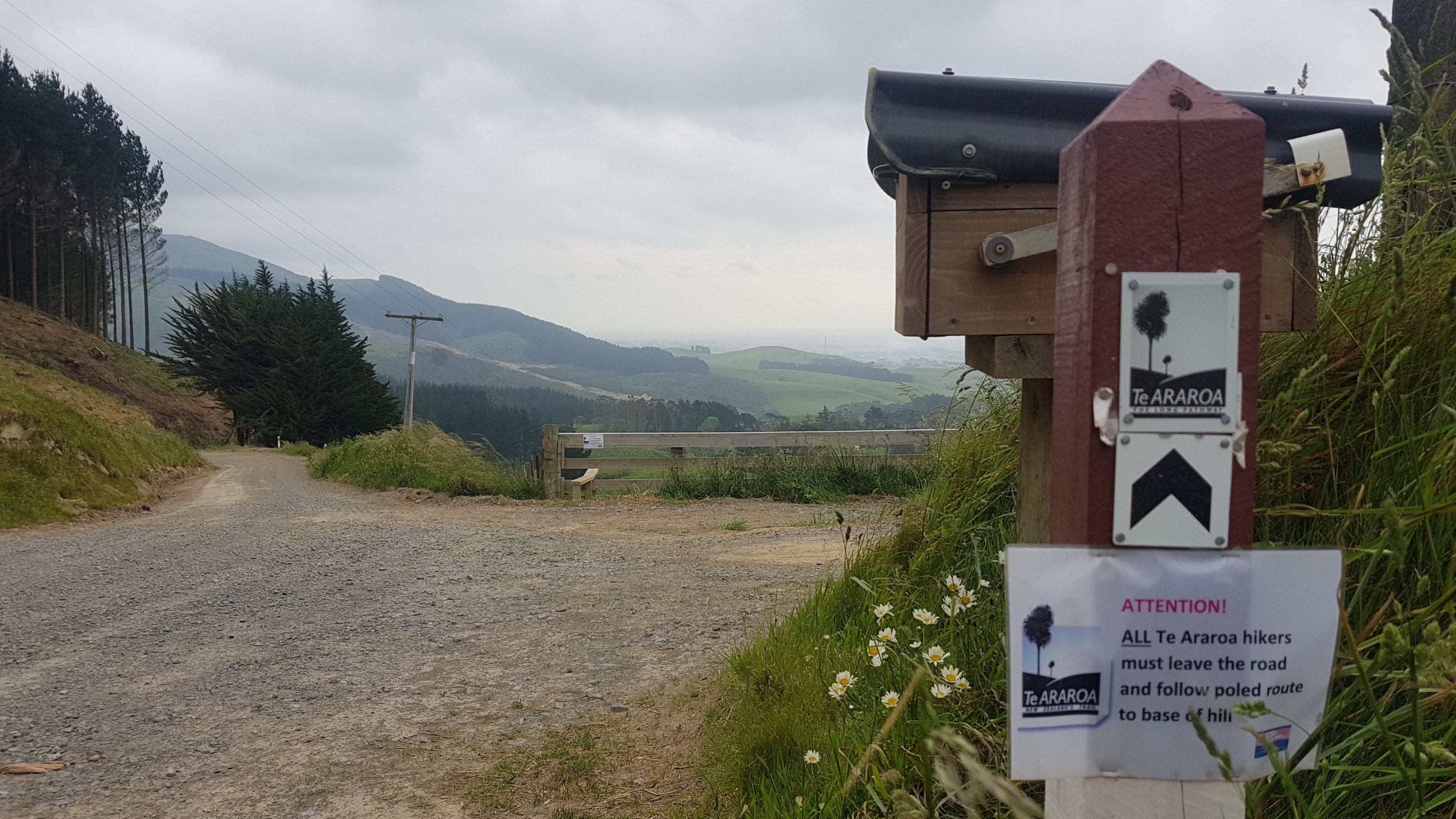
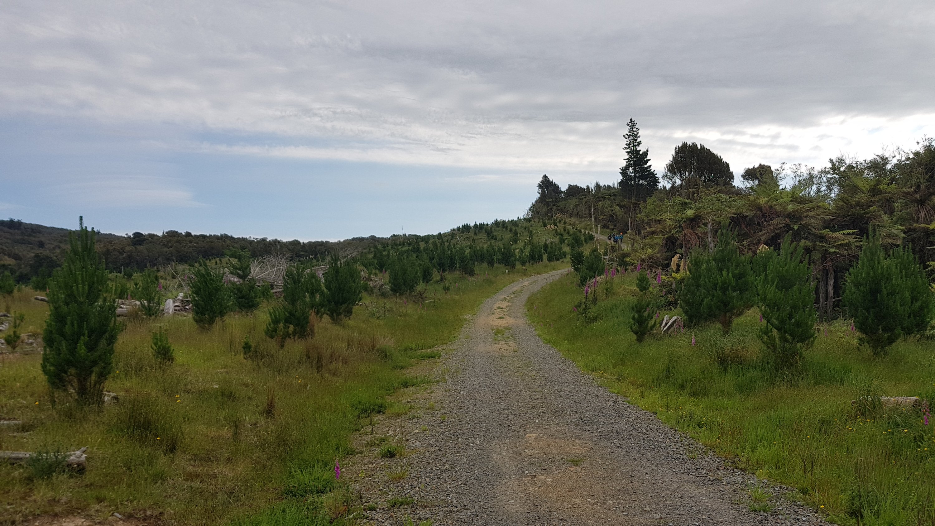
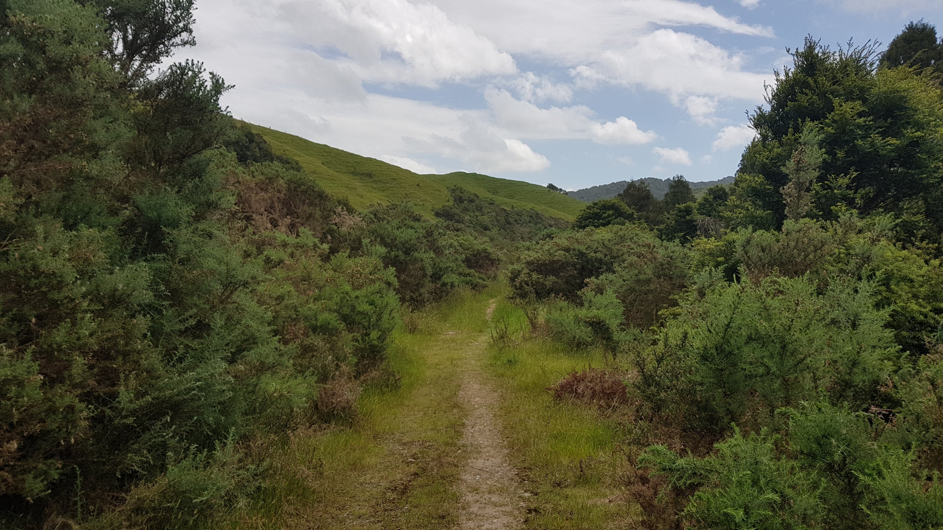
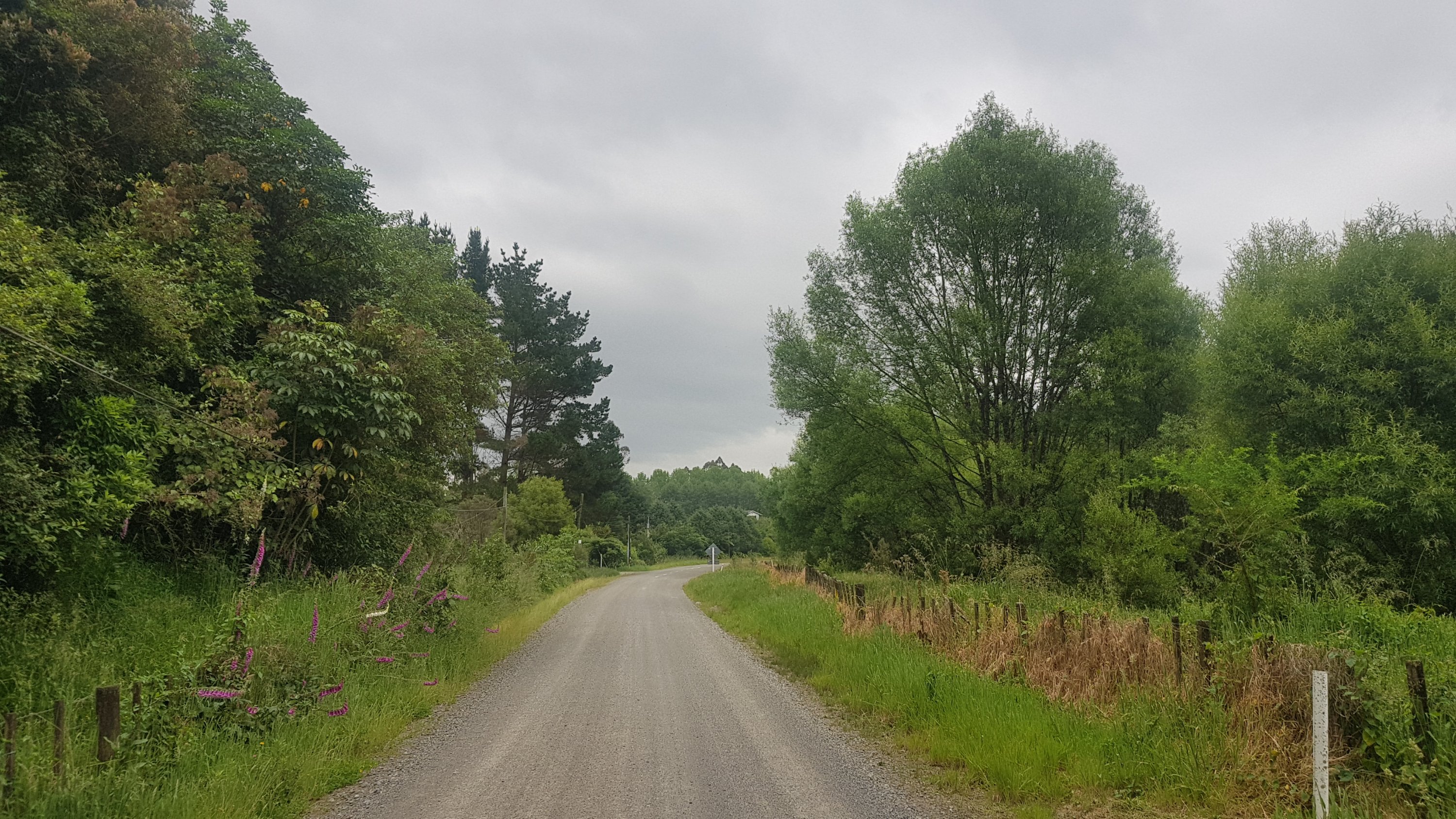
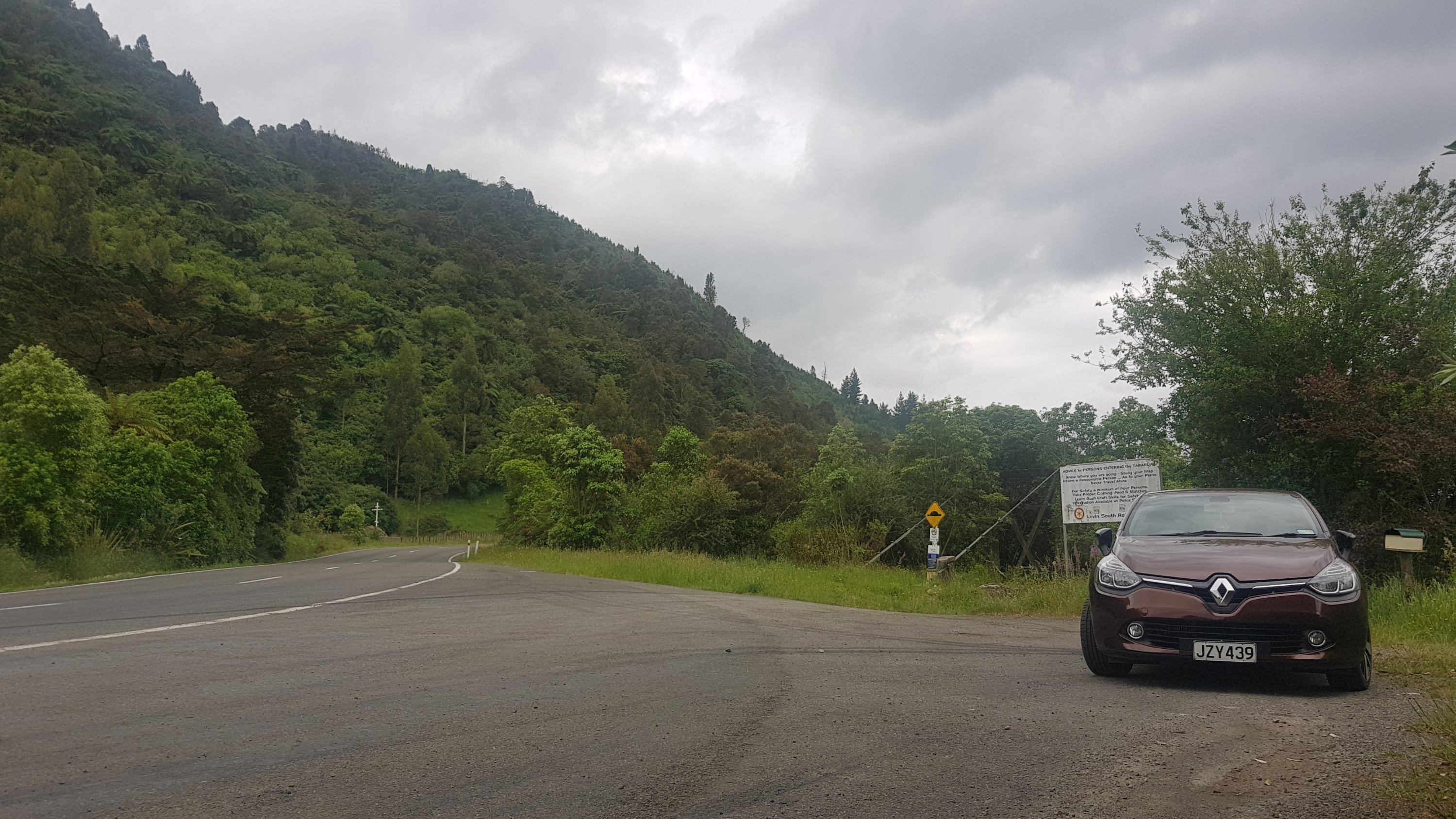
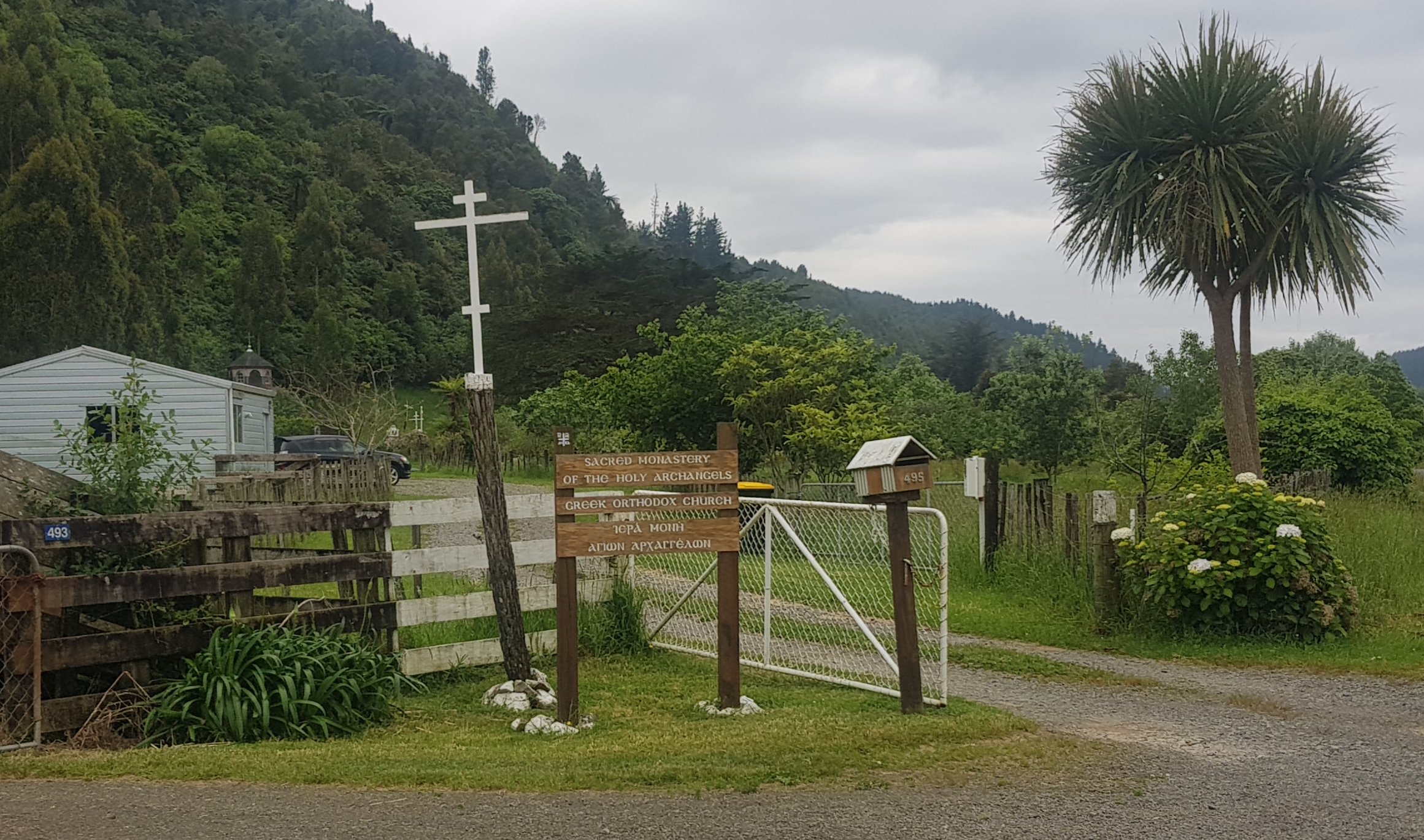
The first bit was continuing down what was officially a public road, but the grass was very long – it would be hard for any sort of vehicle to get through here. But there’s a house here. Does anyone live here? How would people drive to it?
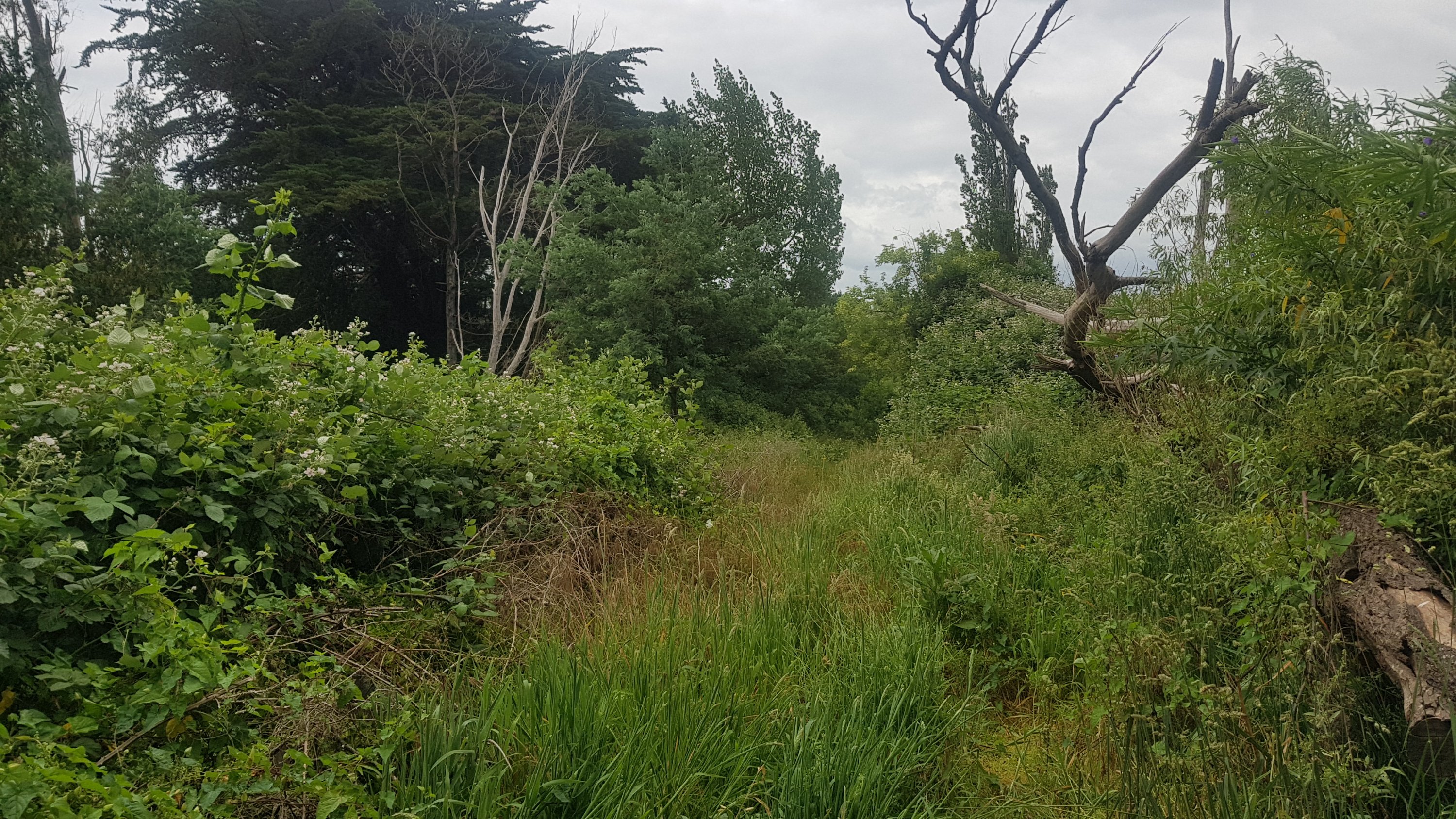
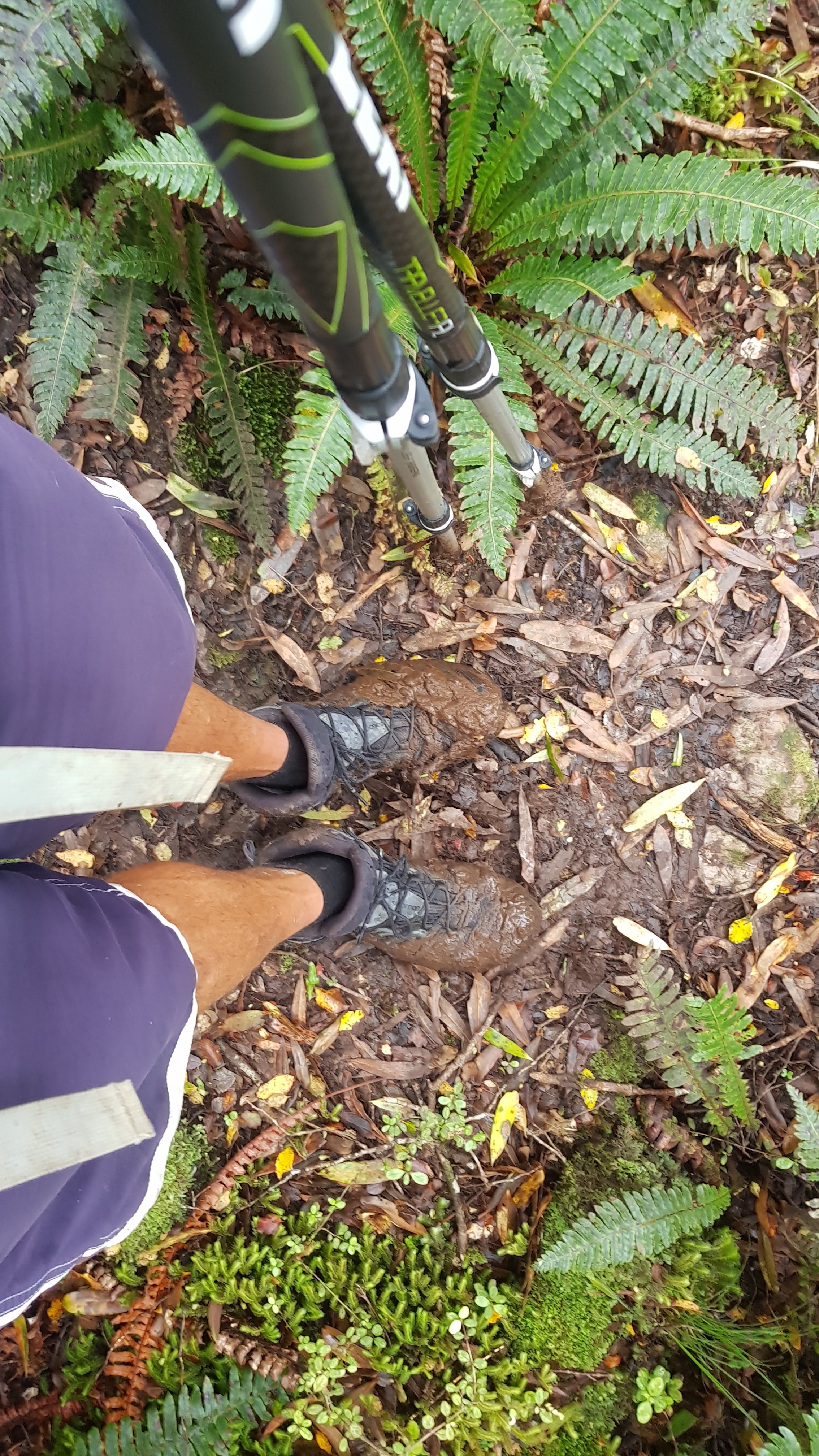
Walking through the long grass in the early morning got my boots and socks wet – and there was no avoiding it.
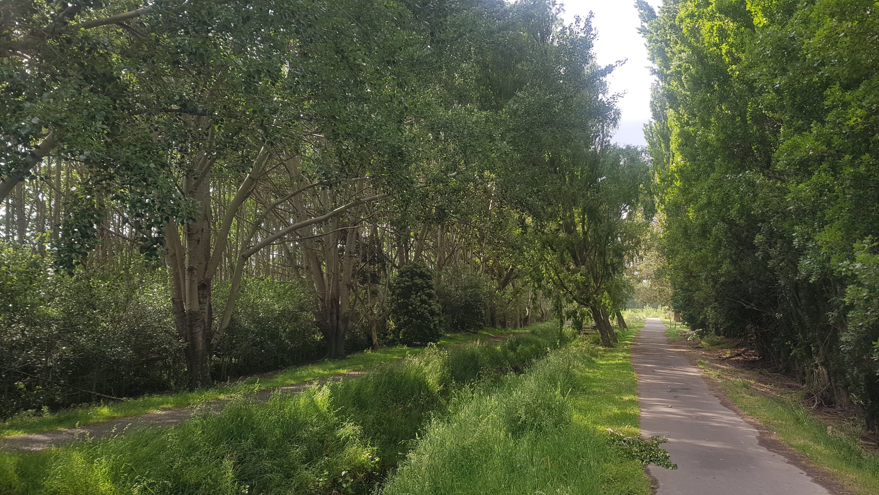
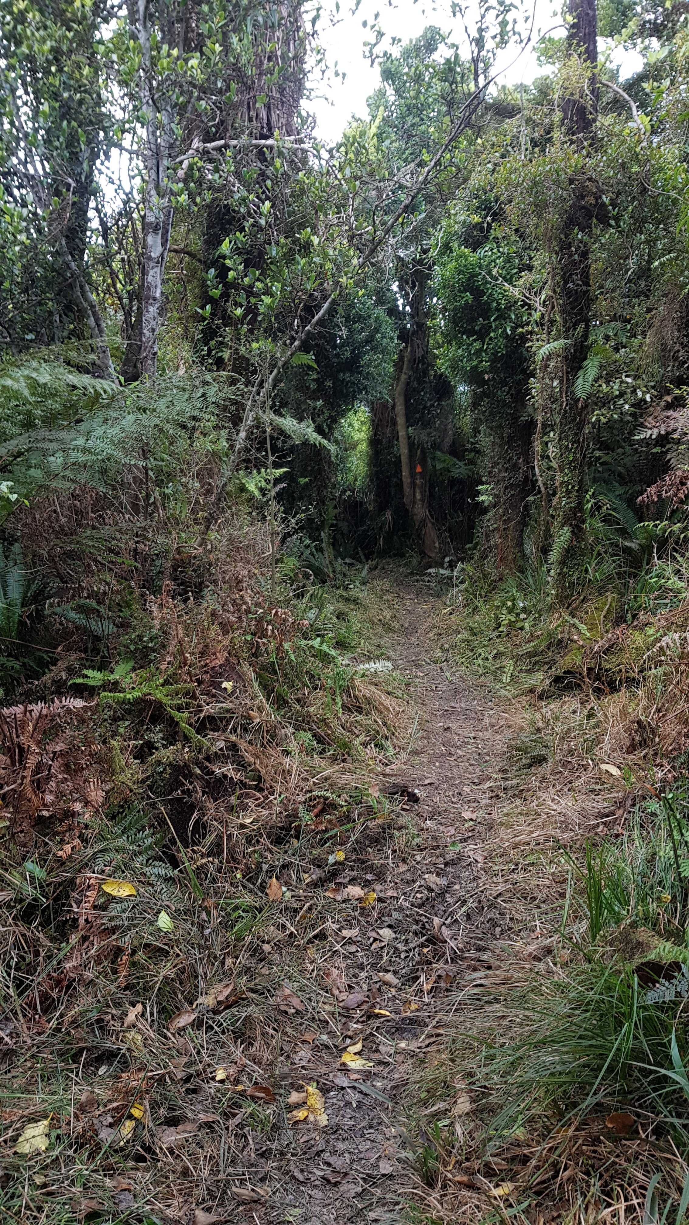
Not my favourite type of path in the early morning
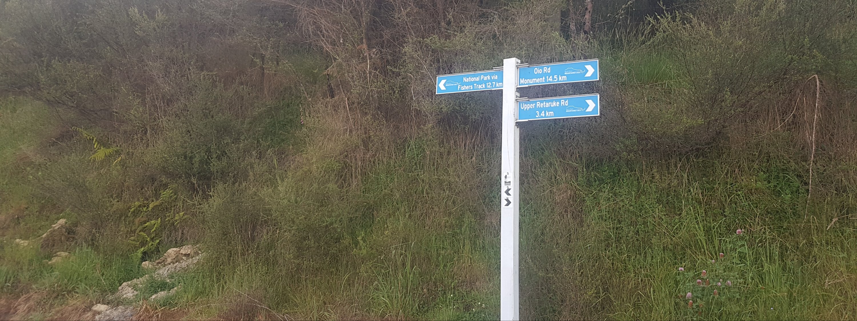
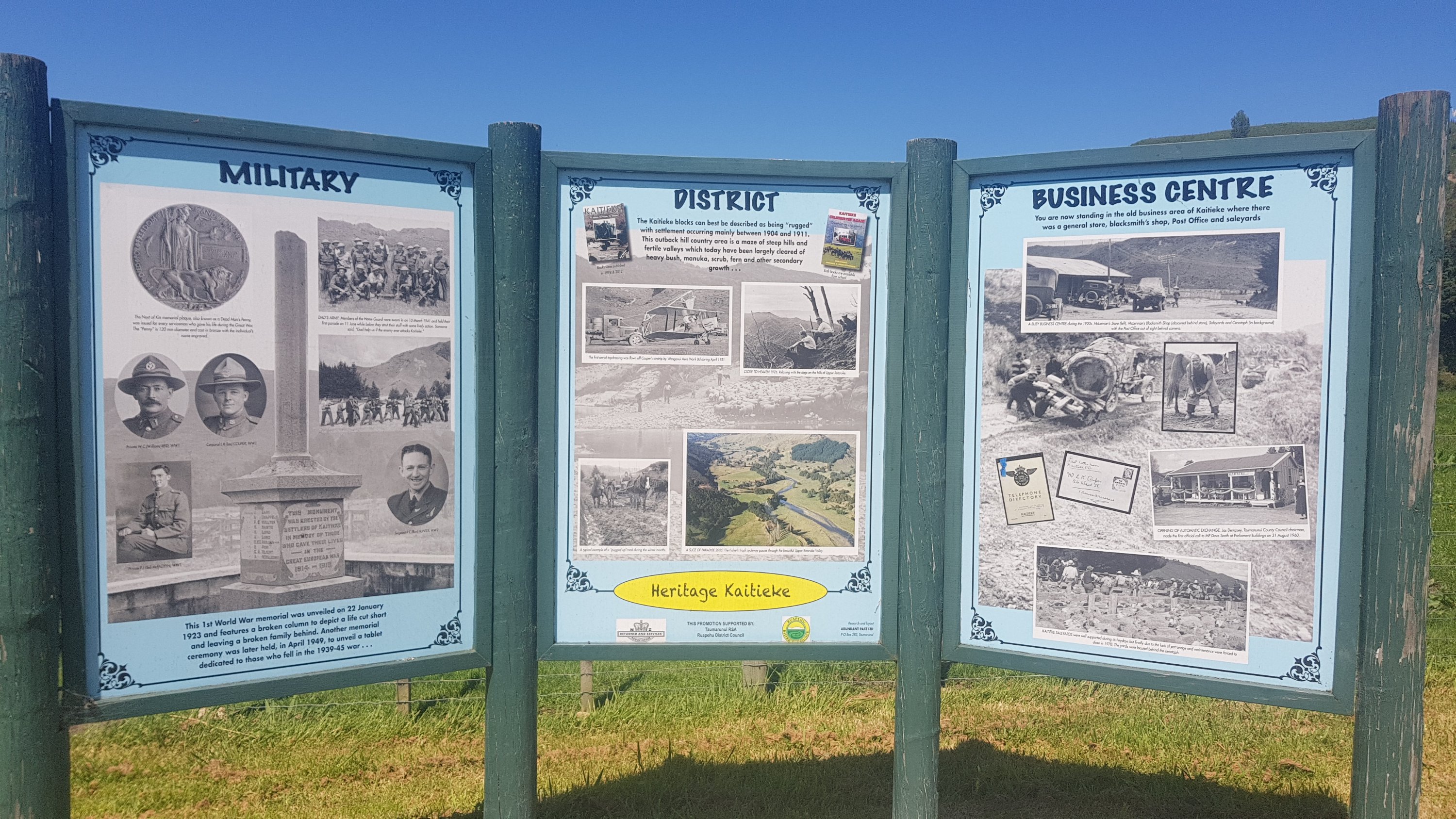
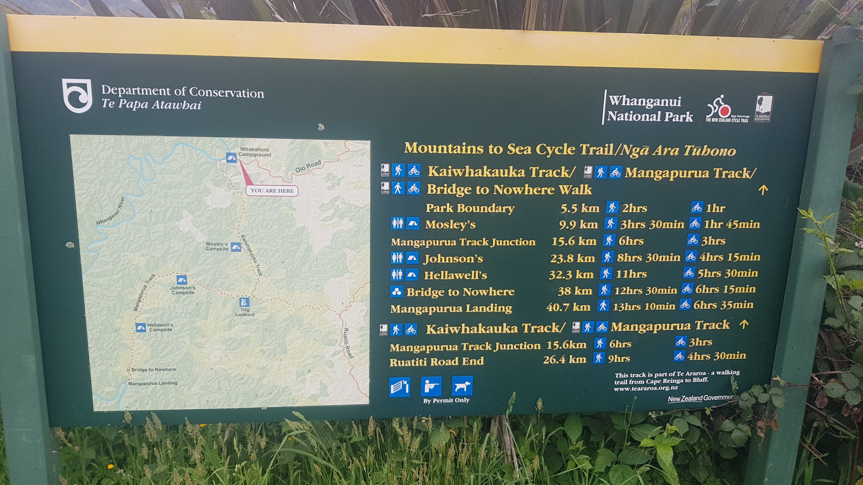
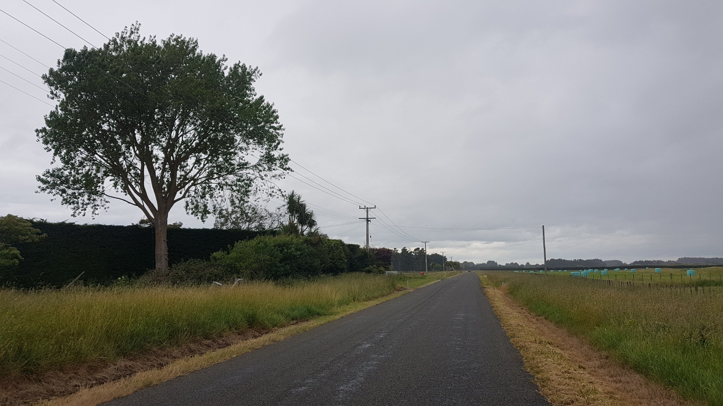
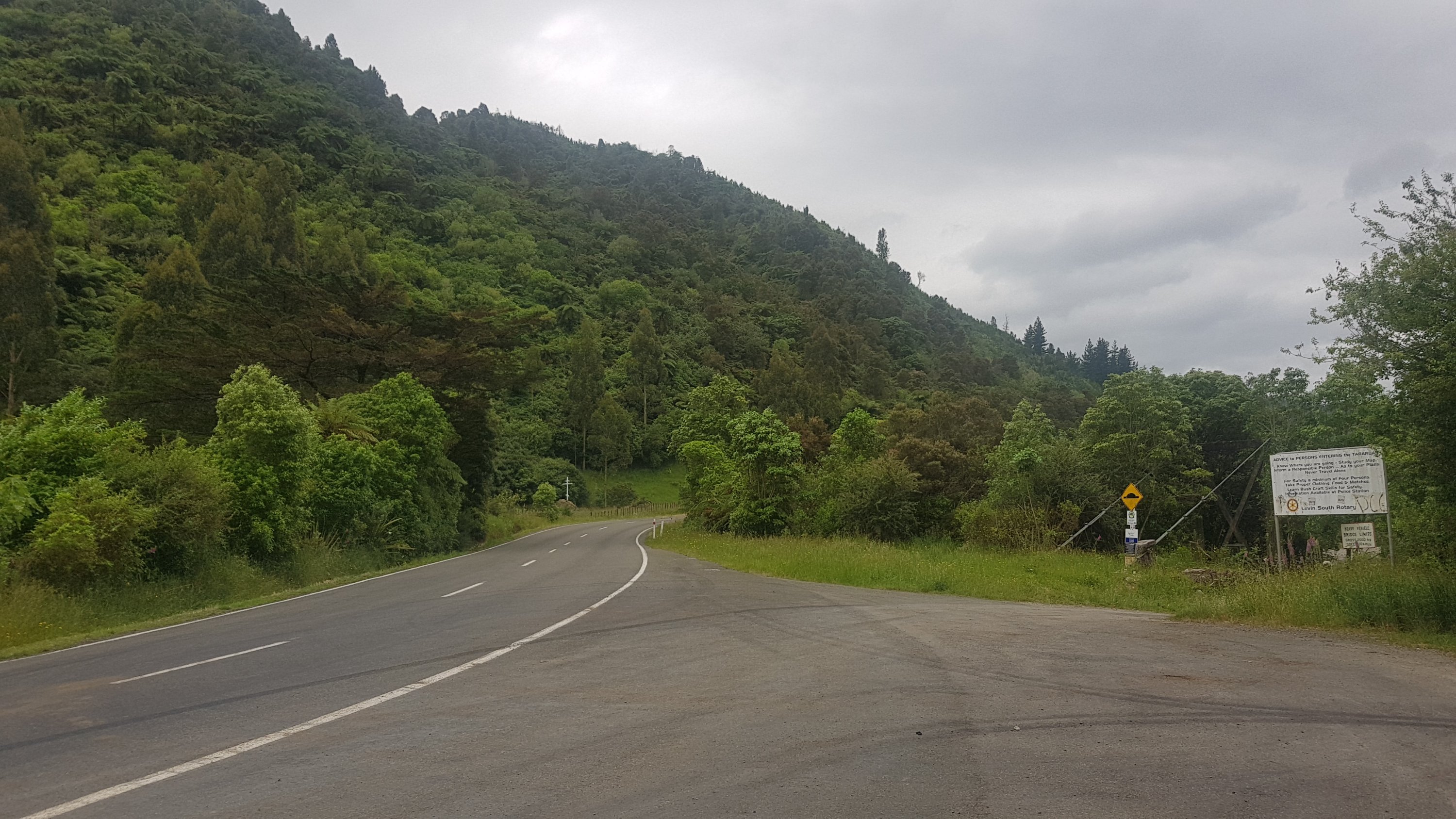
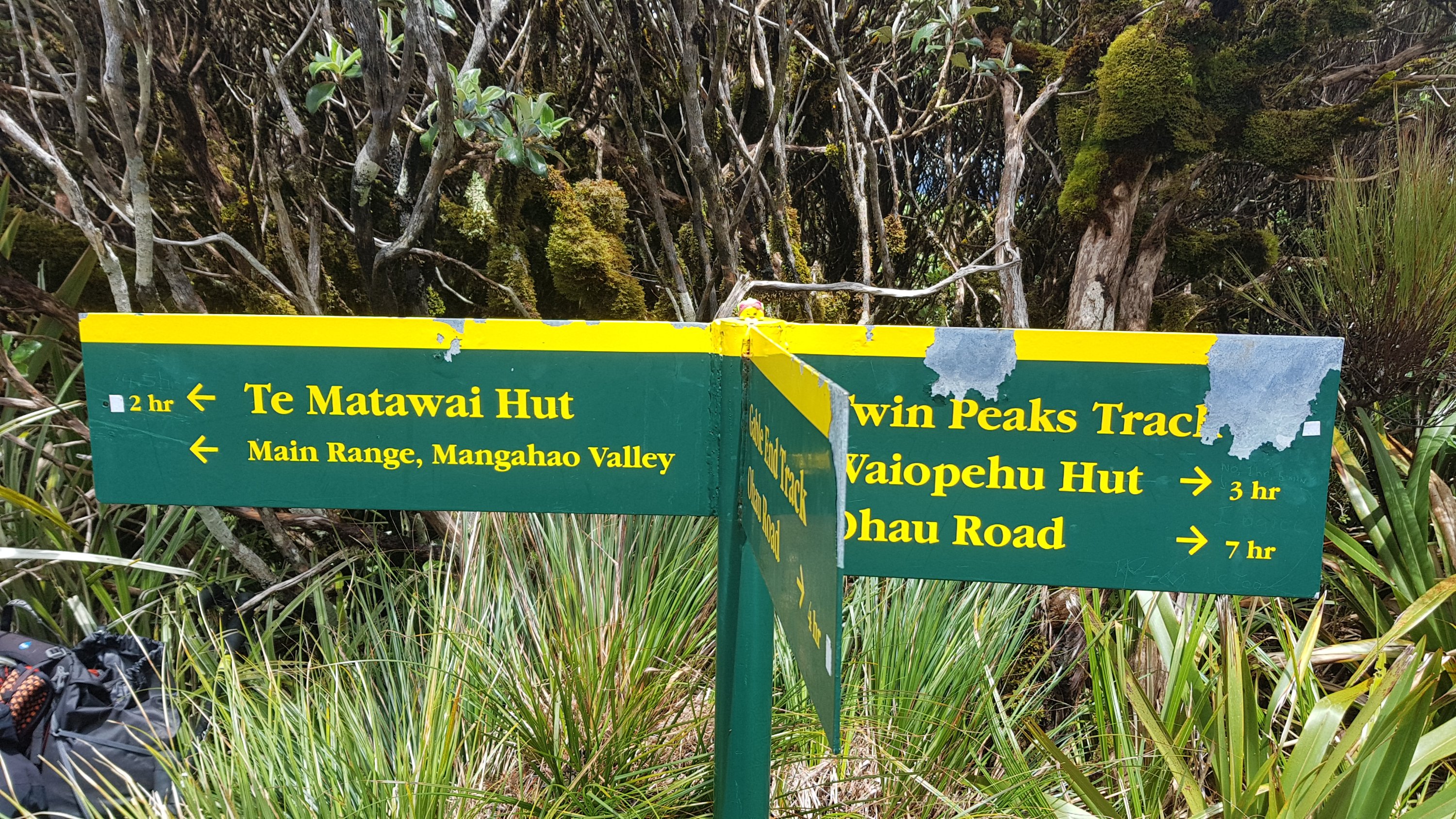
The grass only lasted 20 minutes or so. It was road walking for the rest of the day. A very long day of road walking. I tried to set goals for myself to keep it interesting. I had walked 2.5km at 8am. So let’s aim for 8.5km at 9am, and 14.5km at 10am. Then I would get to the war monument by 10.30am to dry stuff and have lunch. The war monument is the only landmark scheduled on the walk today before Whakahoro and was about 40% of the way so it seemed like a good place to stop. And it was signposted so we were unlikely to get lost.
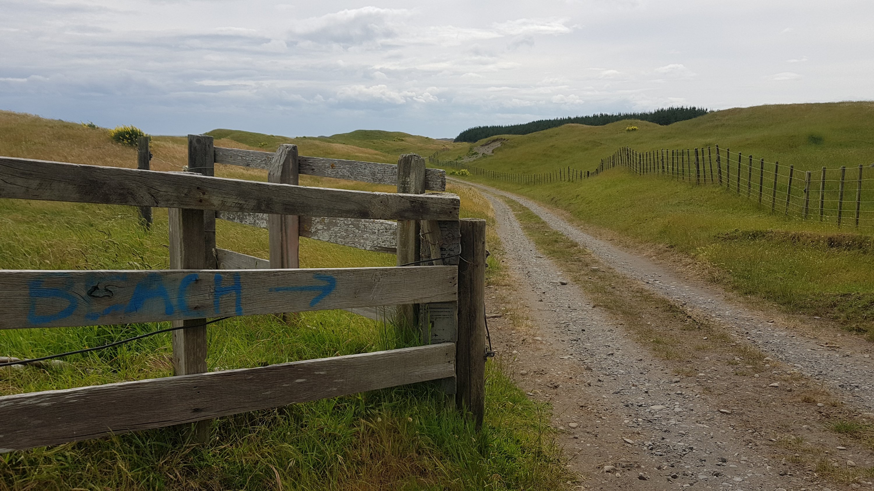
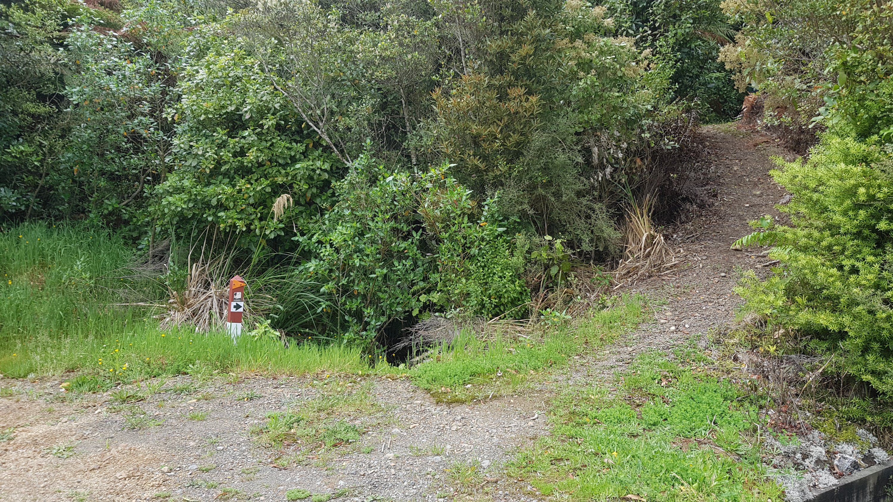
Just follow the signs…
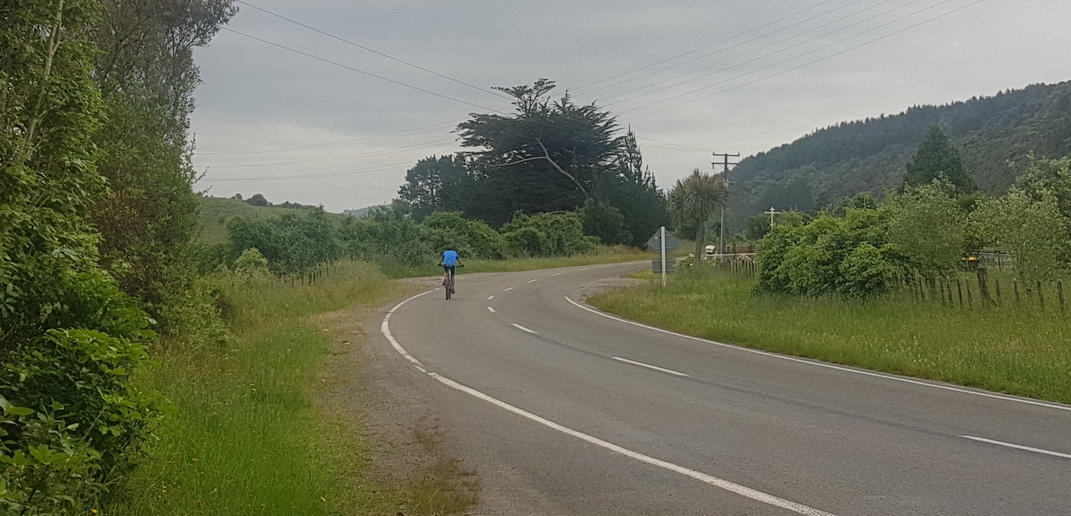
The walk was predominantly north for the first half. It was weird having the sun on the “wrong” side.
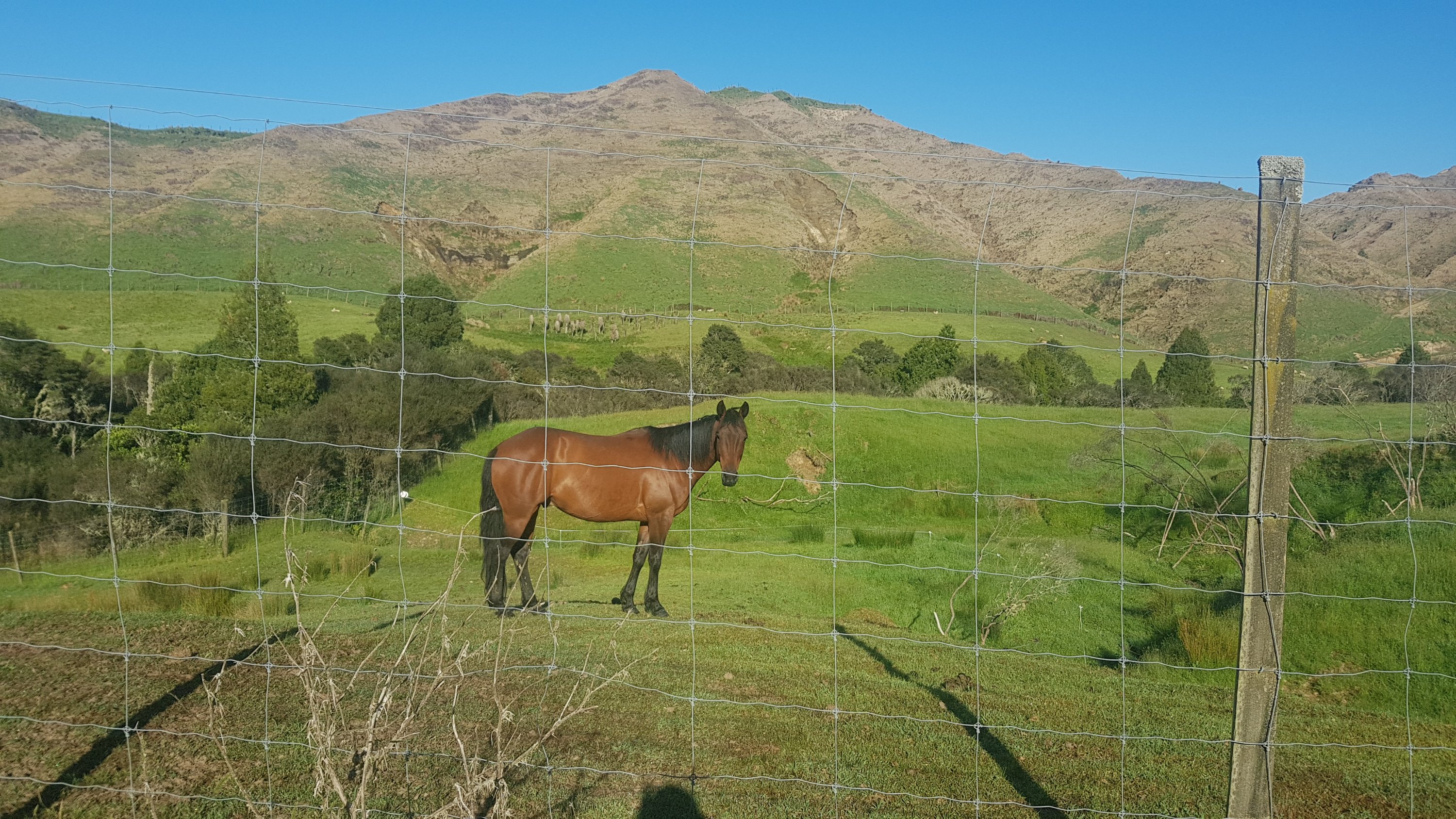
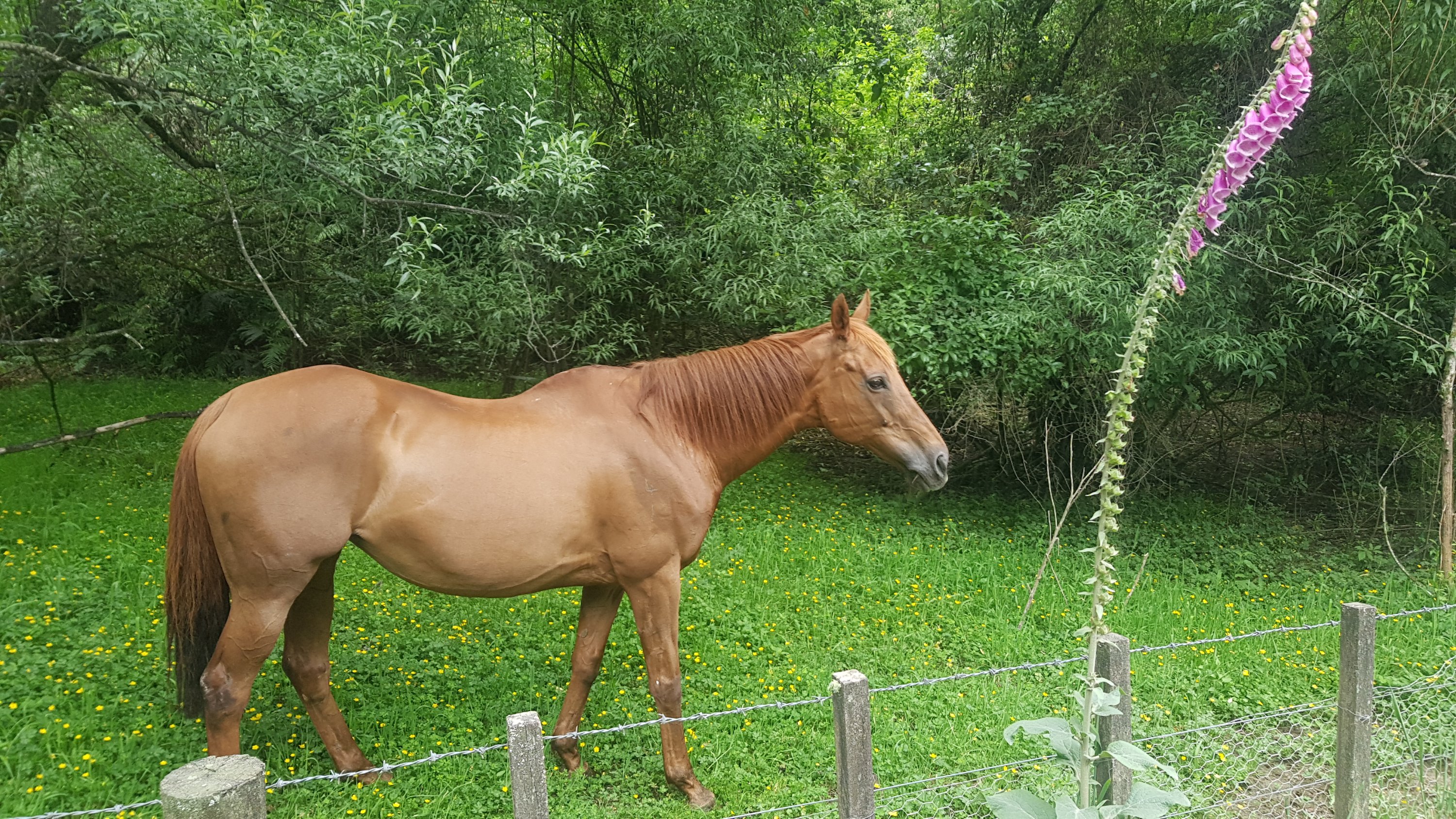
I’m not going to meet my goal times if I keep stopping to take photos of good-looking horses.
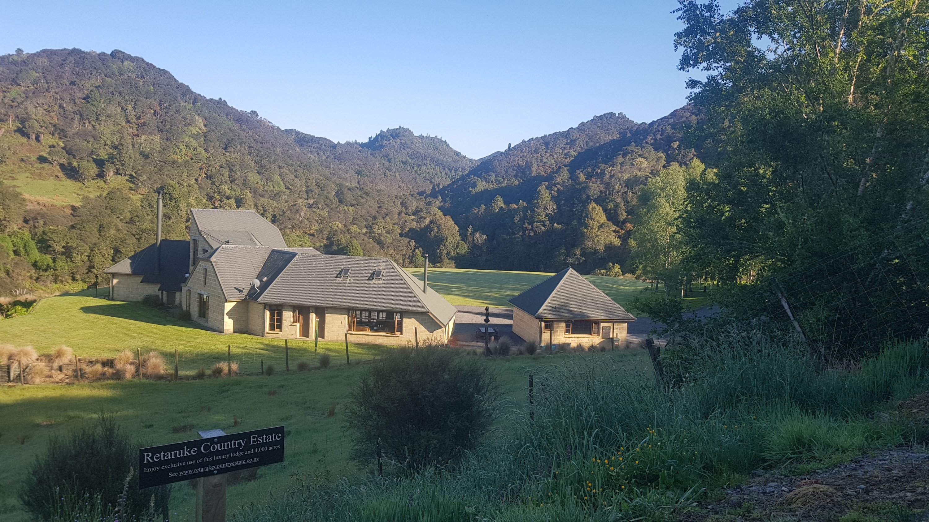
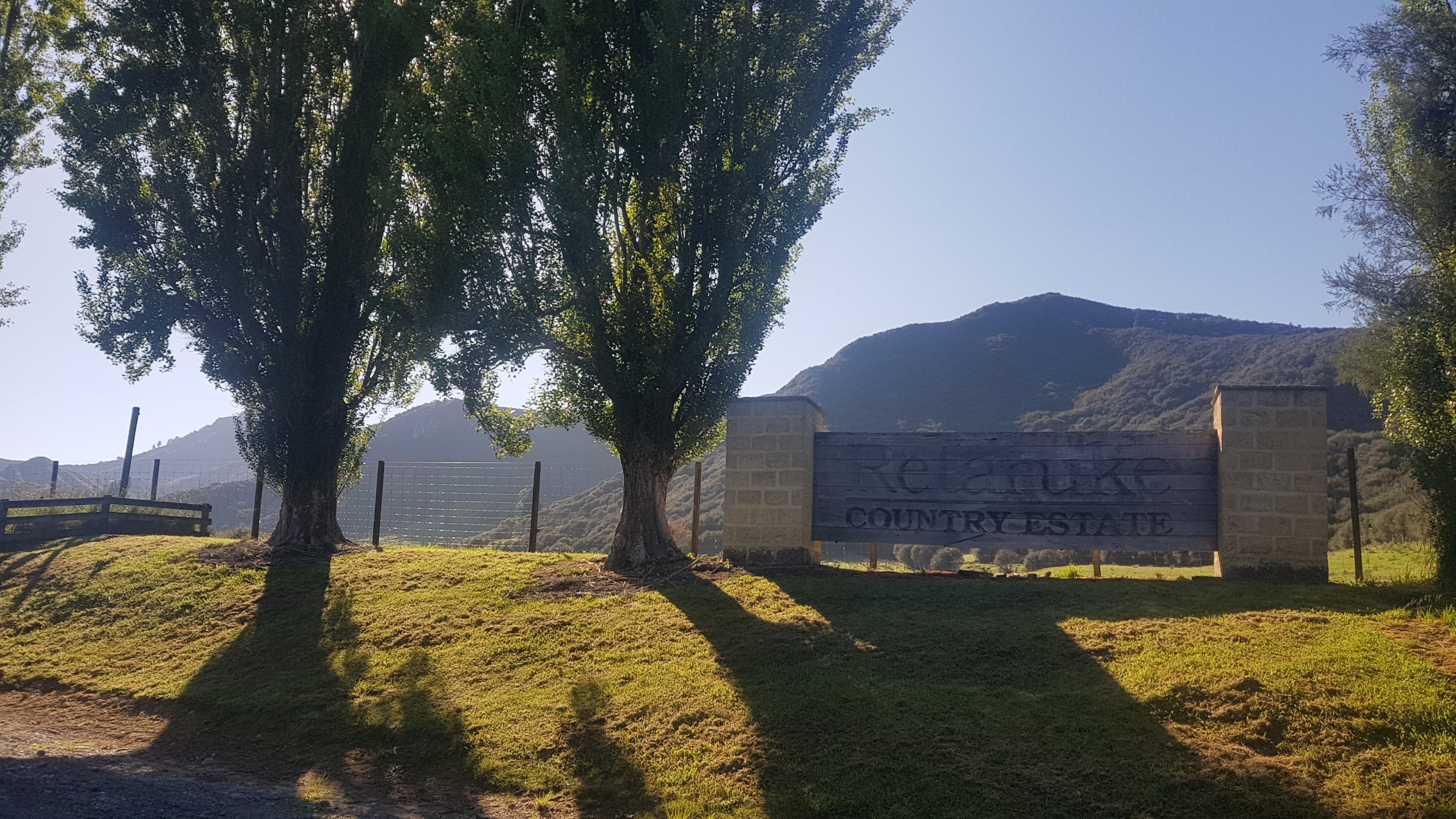
The houses around here varied a lot. From big country estates…
With big signs…
Retaruke Country Estate
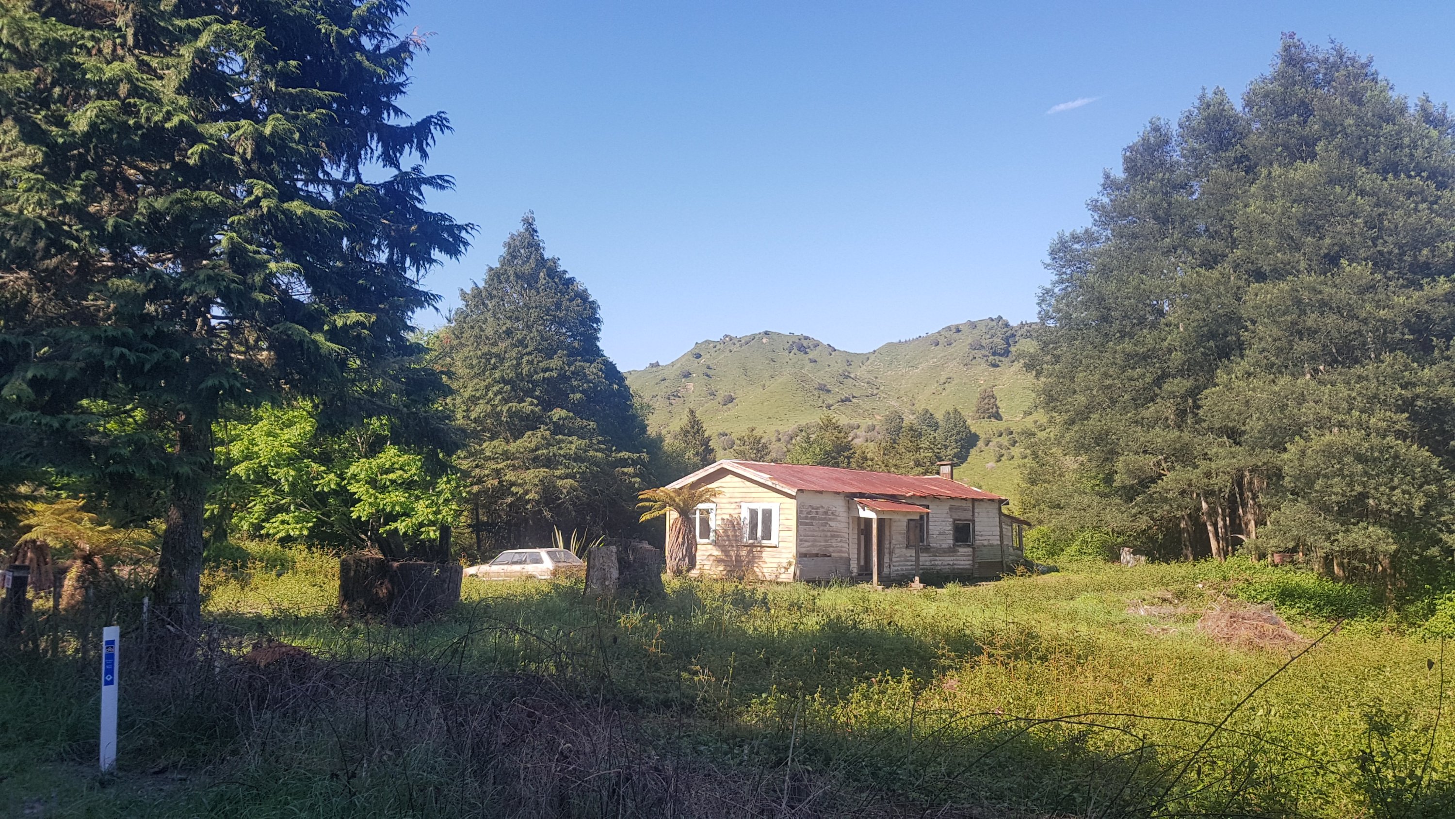
To houses like this which look like they’re about to fall to the ground.
I wonder if anybody lives here too.
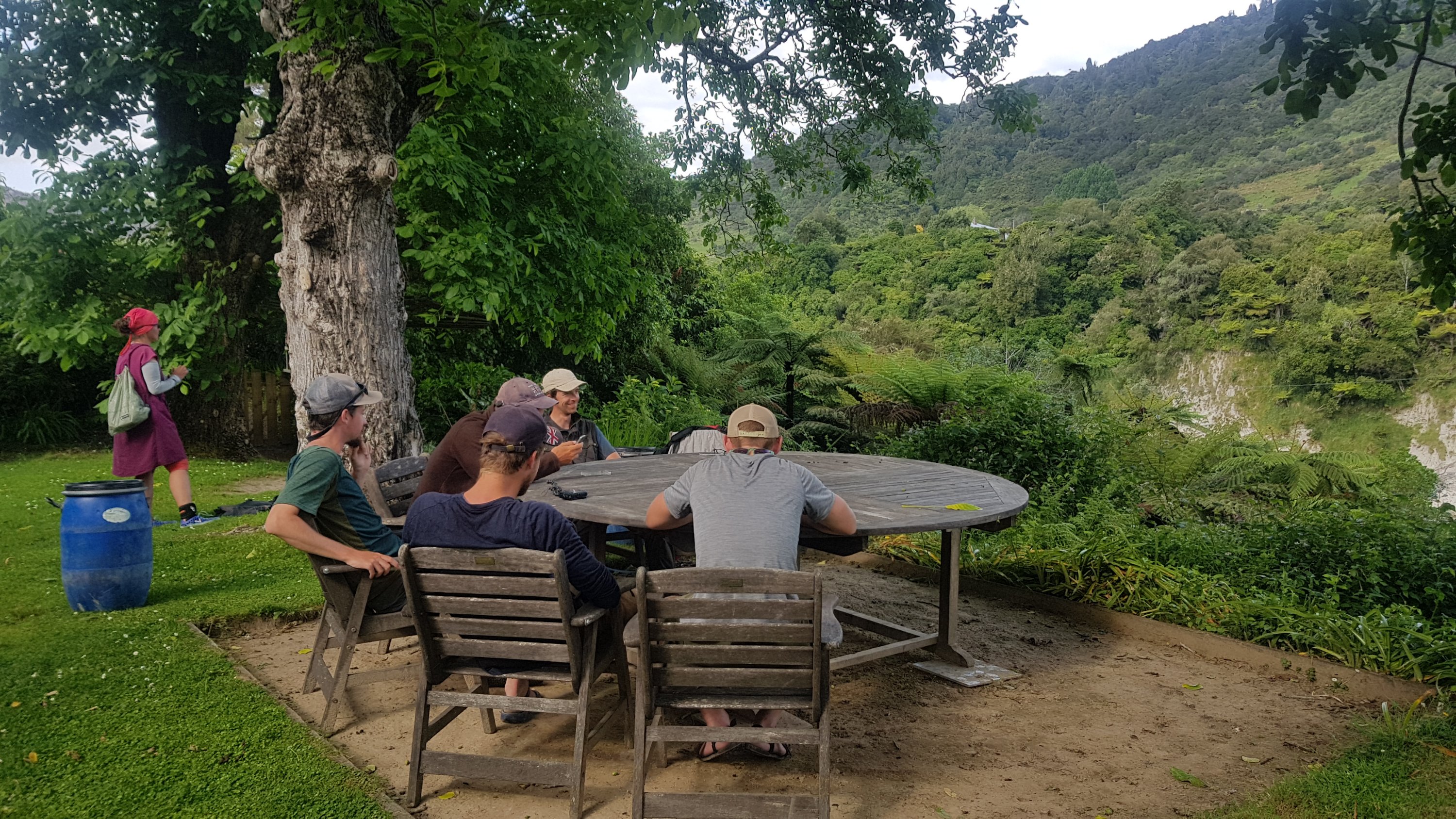
I managed to keep the 6km per hour I set for myself as a goal and so I got to the war memorial at 10:20. Nobody had caught up to me yet – the others turned up over the next hour. Only Alex had turned up by 11am.
11am picture – drying out my stuff
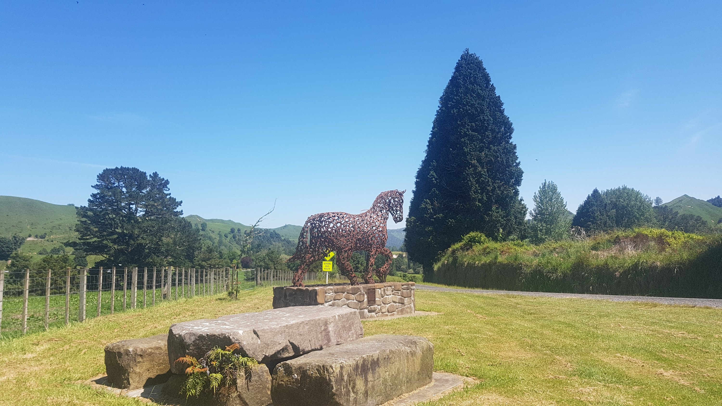
The war memorial had a bit of interesting information. Apparently there used to be people making a living here. Now it’s just the middle of nowhere.
But I’m embarrassed to say I didn’t take the time to see what the significance of the horse was.
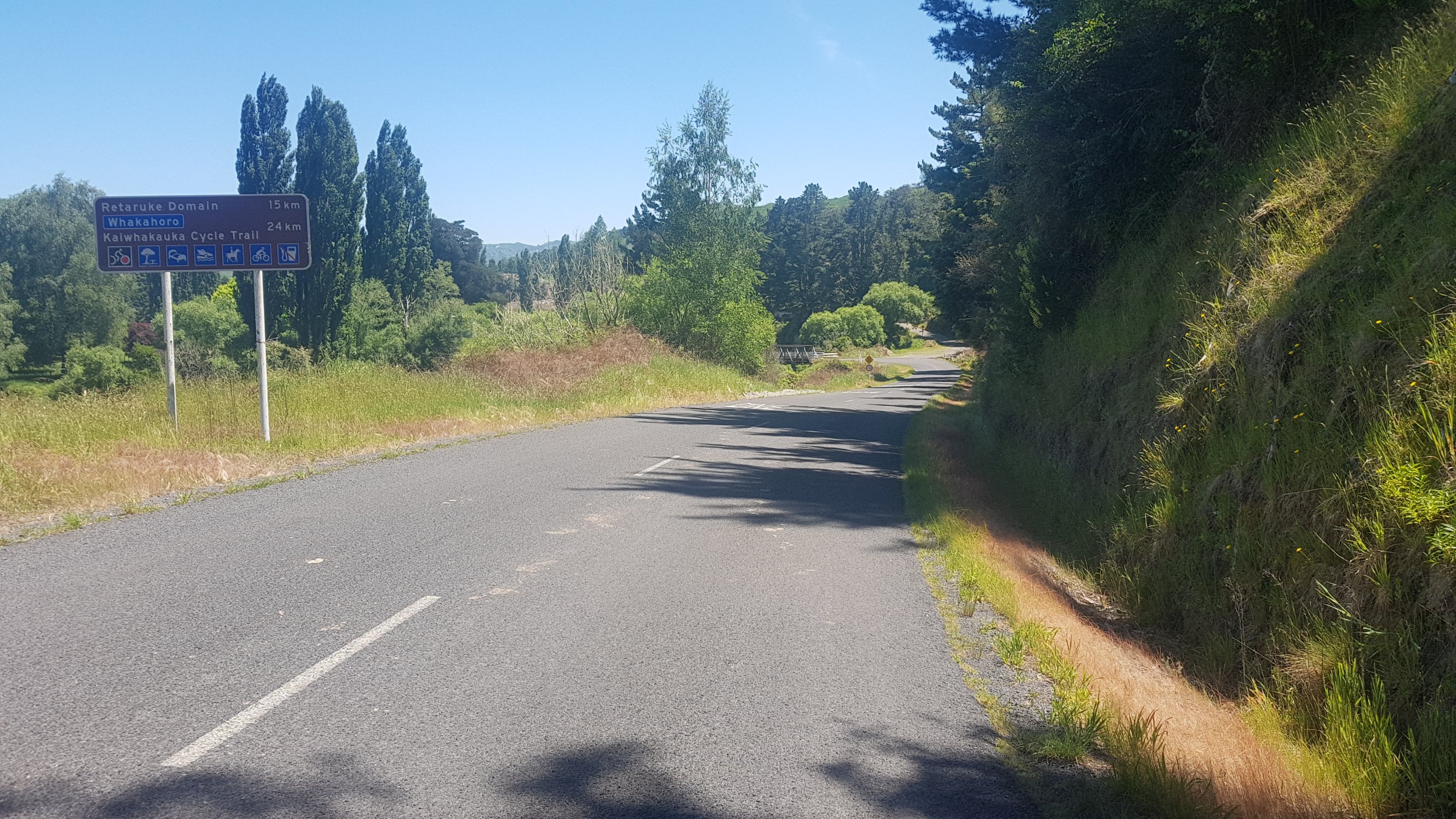
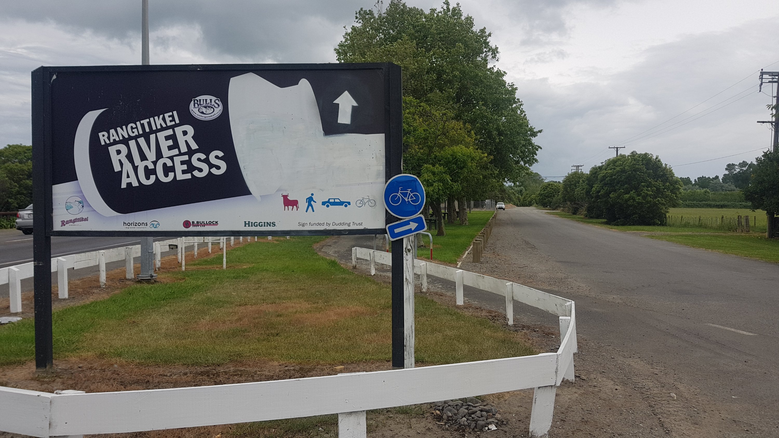
After lunch was over, this sign confirmed our fears – 24km more road walking to Whakahoro.
Whakahoro – 24km
Lots of cotton on the sides of the road here.
Kinda looked like snow
The road was sealed which was a surprise. About the only vehicles that went down here were towing canoes.
Oooh, that’s gonna be us tomorrow
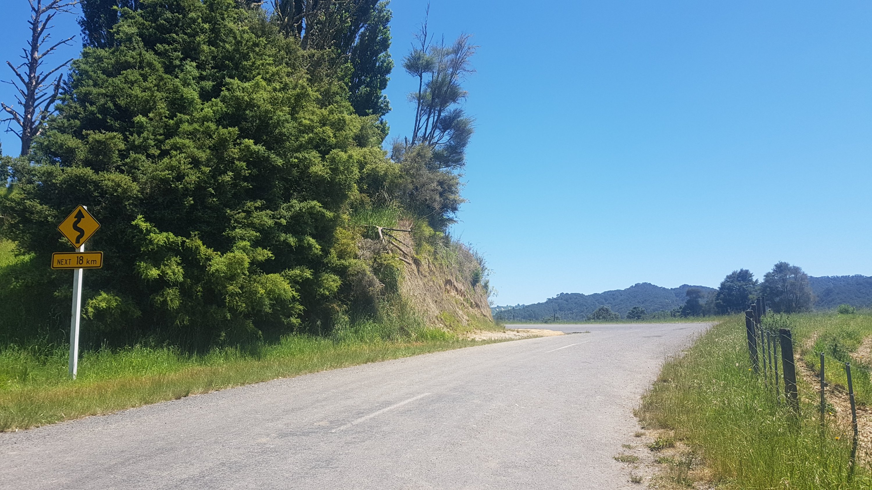
The road did turn back to gravel after a few km. And the signs slowly counted down the remaining distance.
Windy road, next 18km
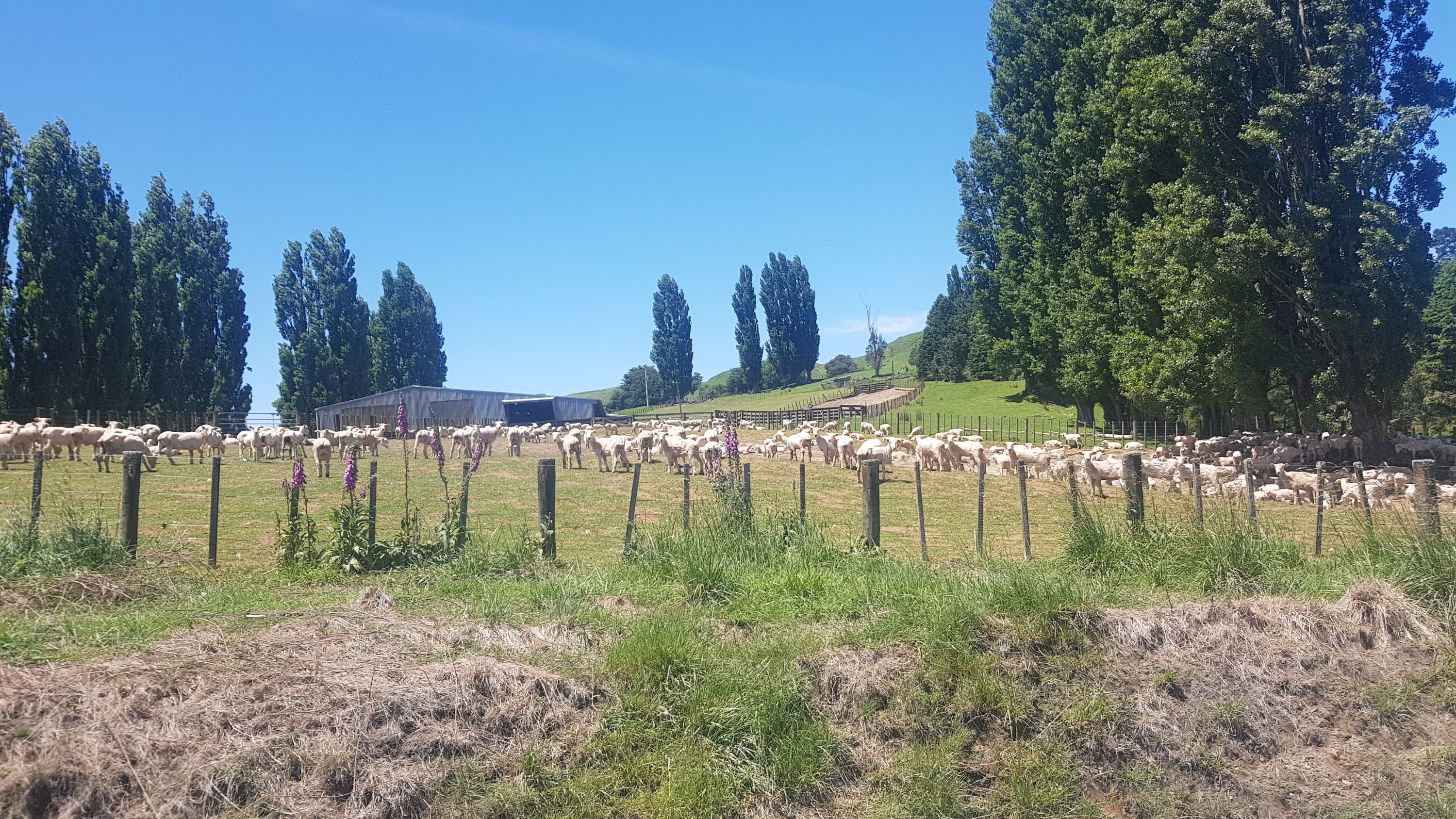
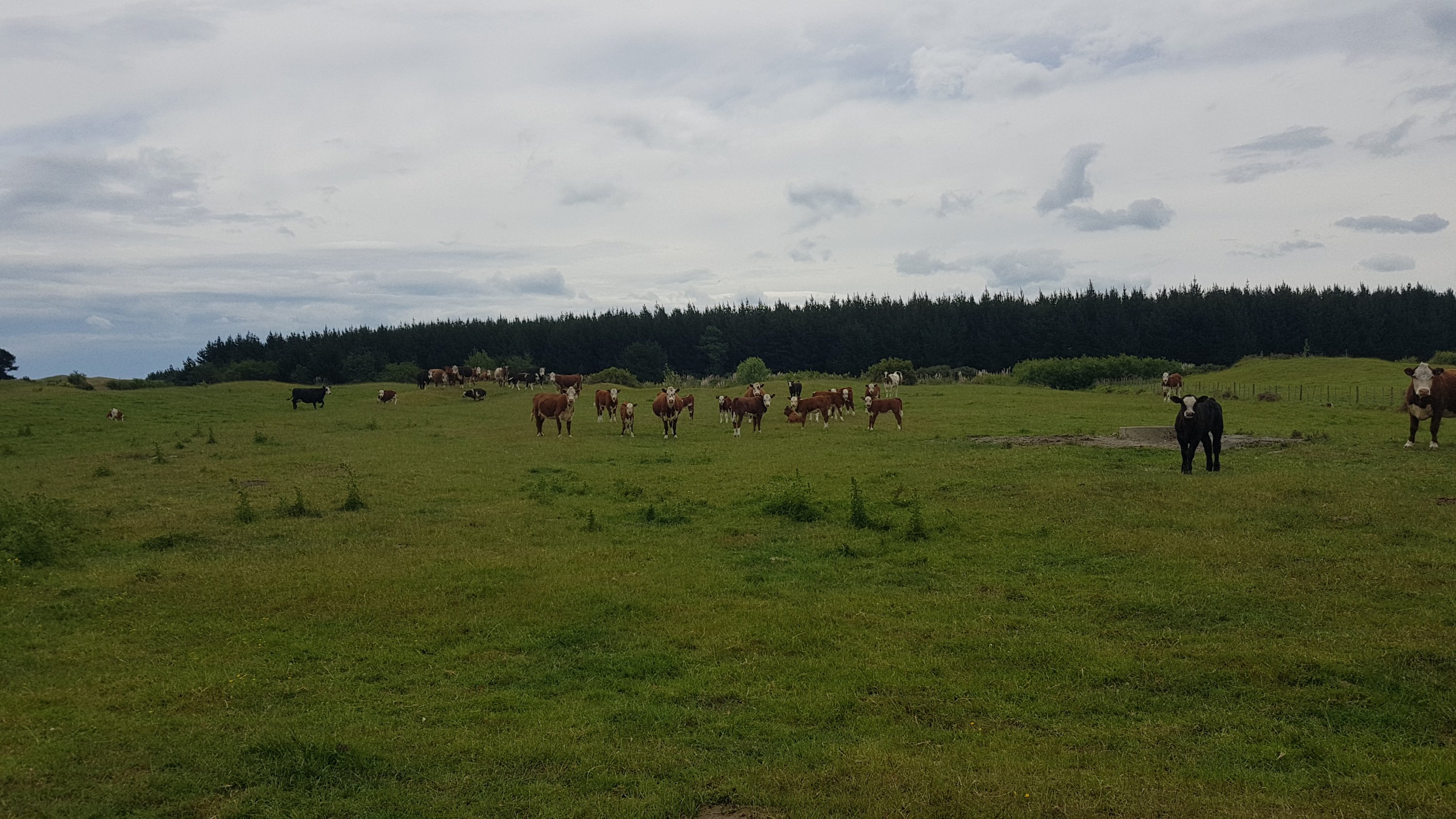
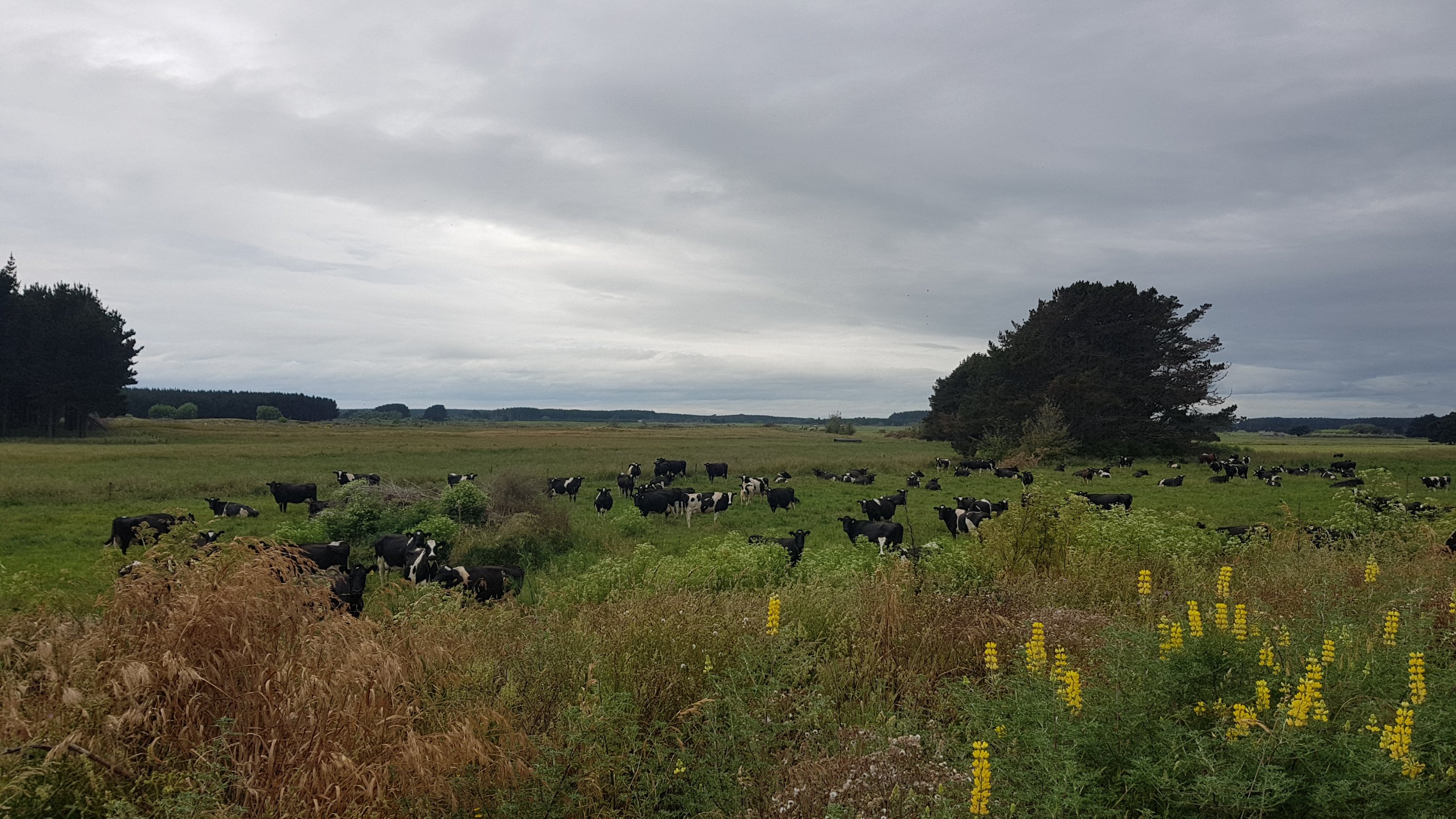
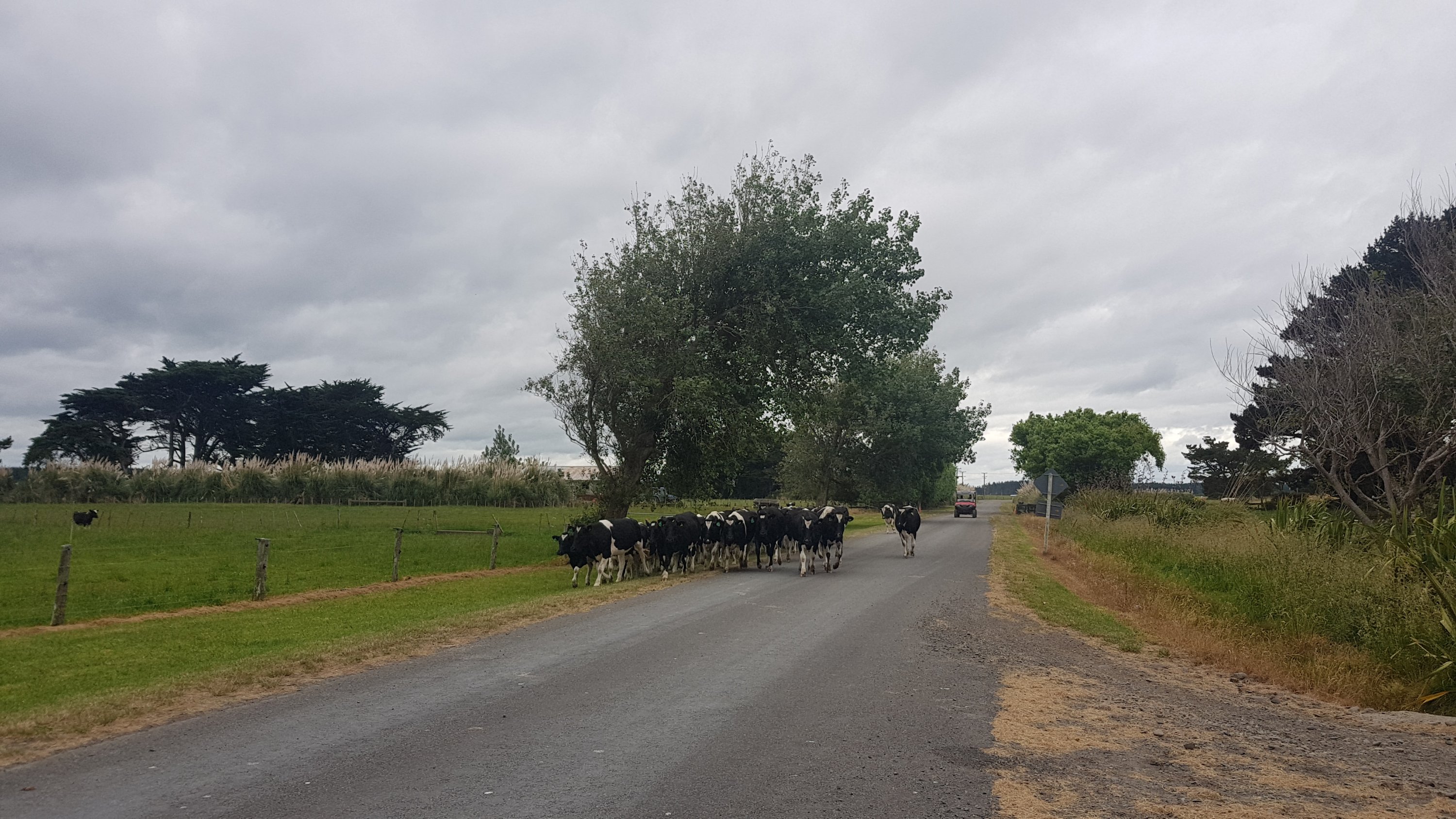
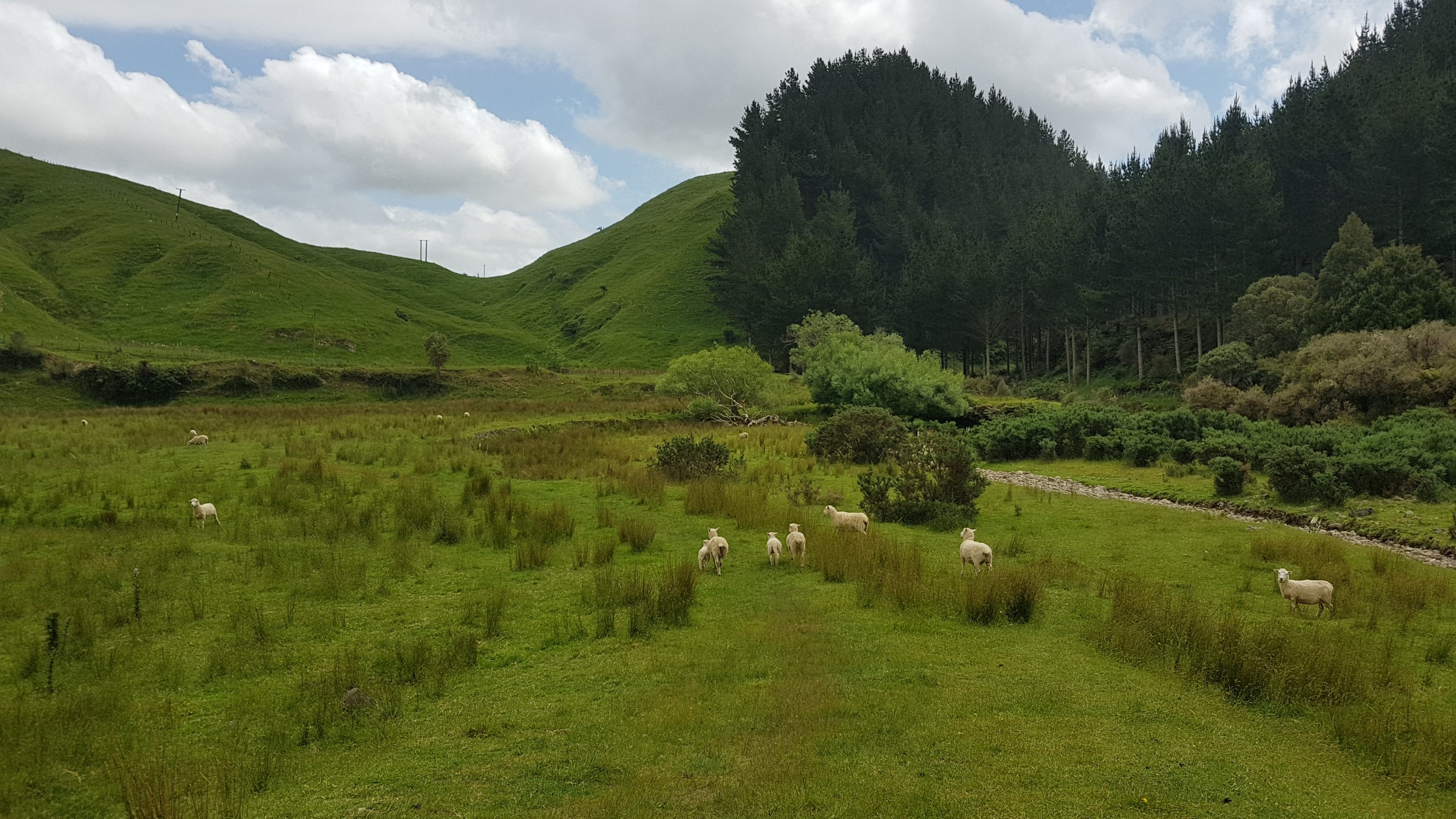
We passed a farm where they were in the process of shearing all the sheep. Like usual they all looked and when I got close they all ran away.
Shorn sheepies
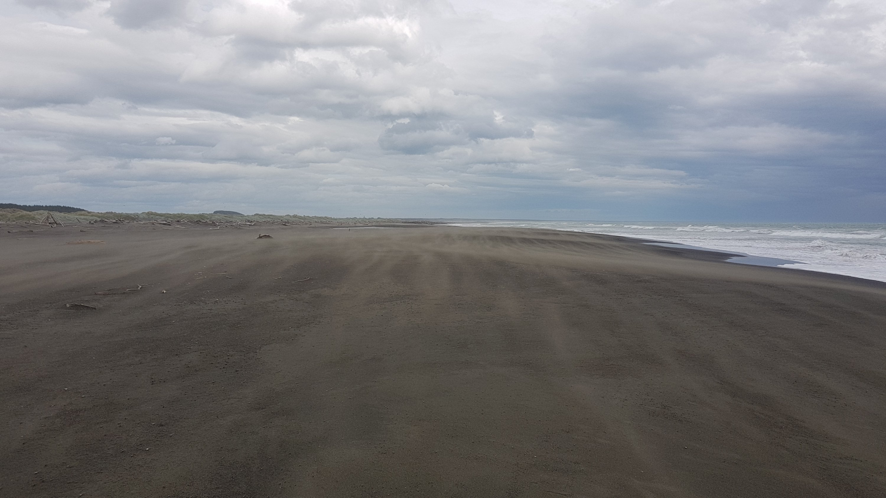
The sun was beating down today though, and hard. It was by far the hottest day of the trail so far. It made it just that much harder and you felt so much more exhausted. There was not a cloud in the sky all day, and there was barely any shade.
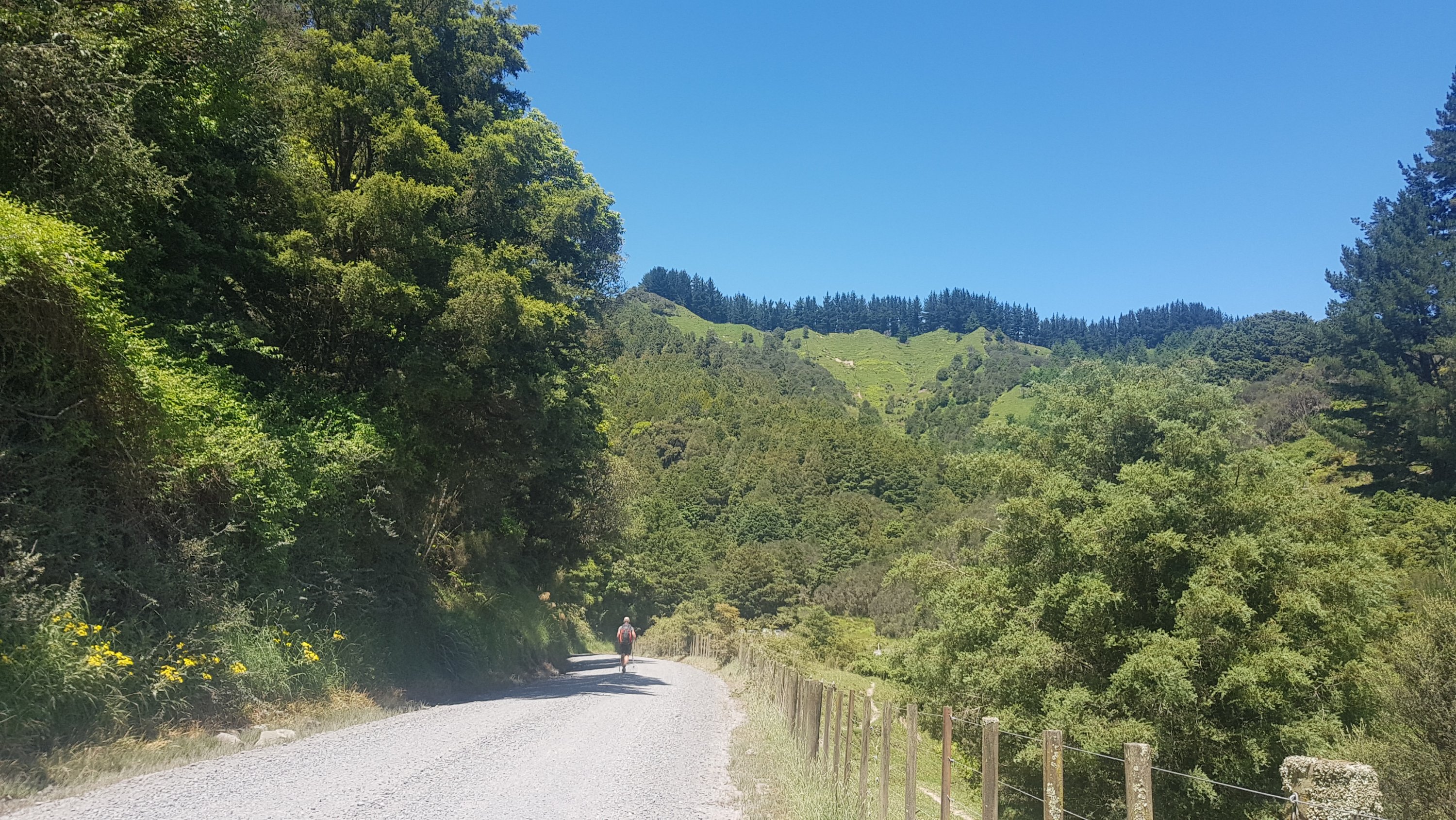
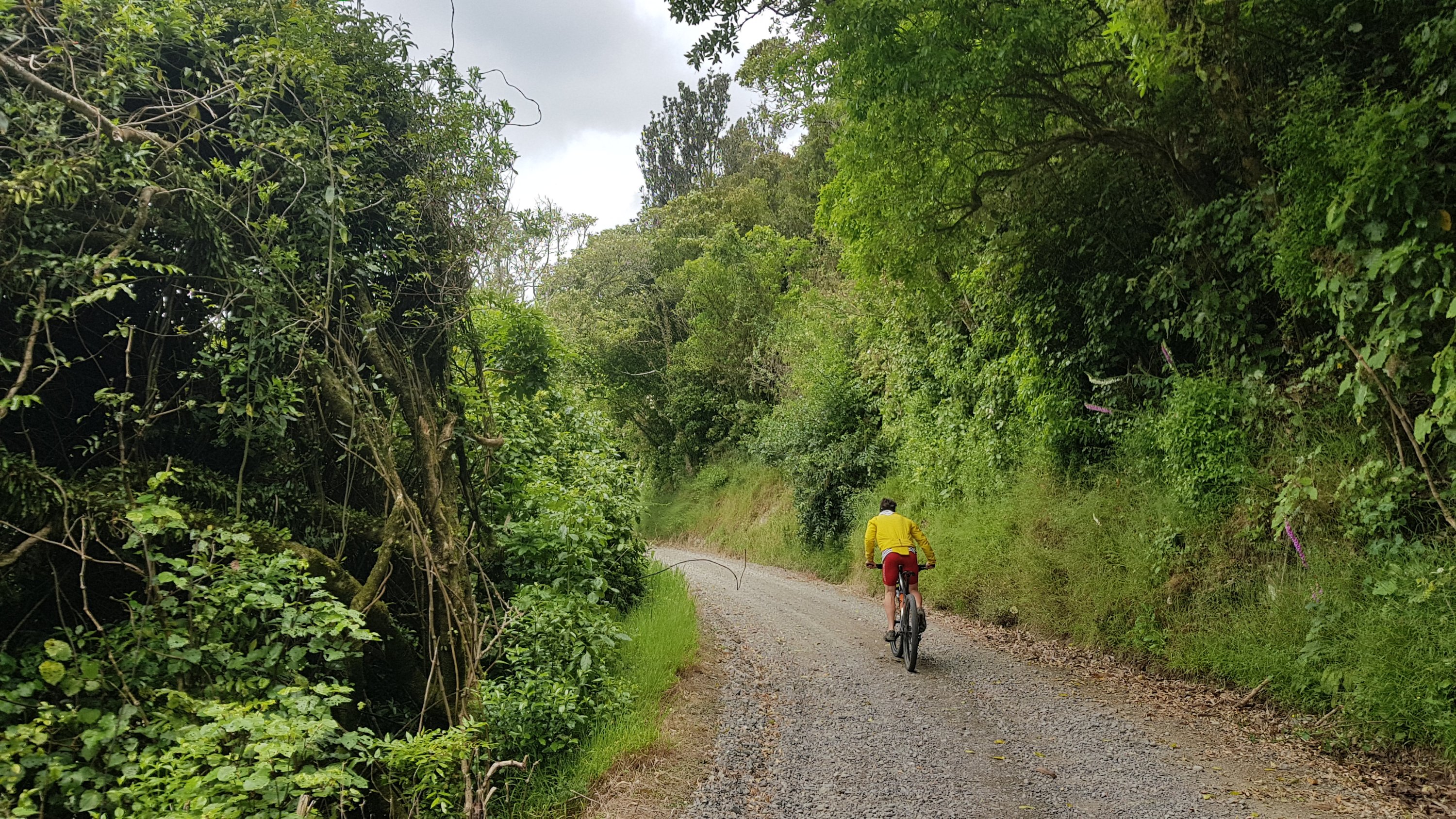
Alex ahead of me
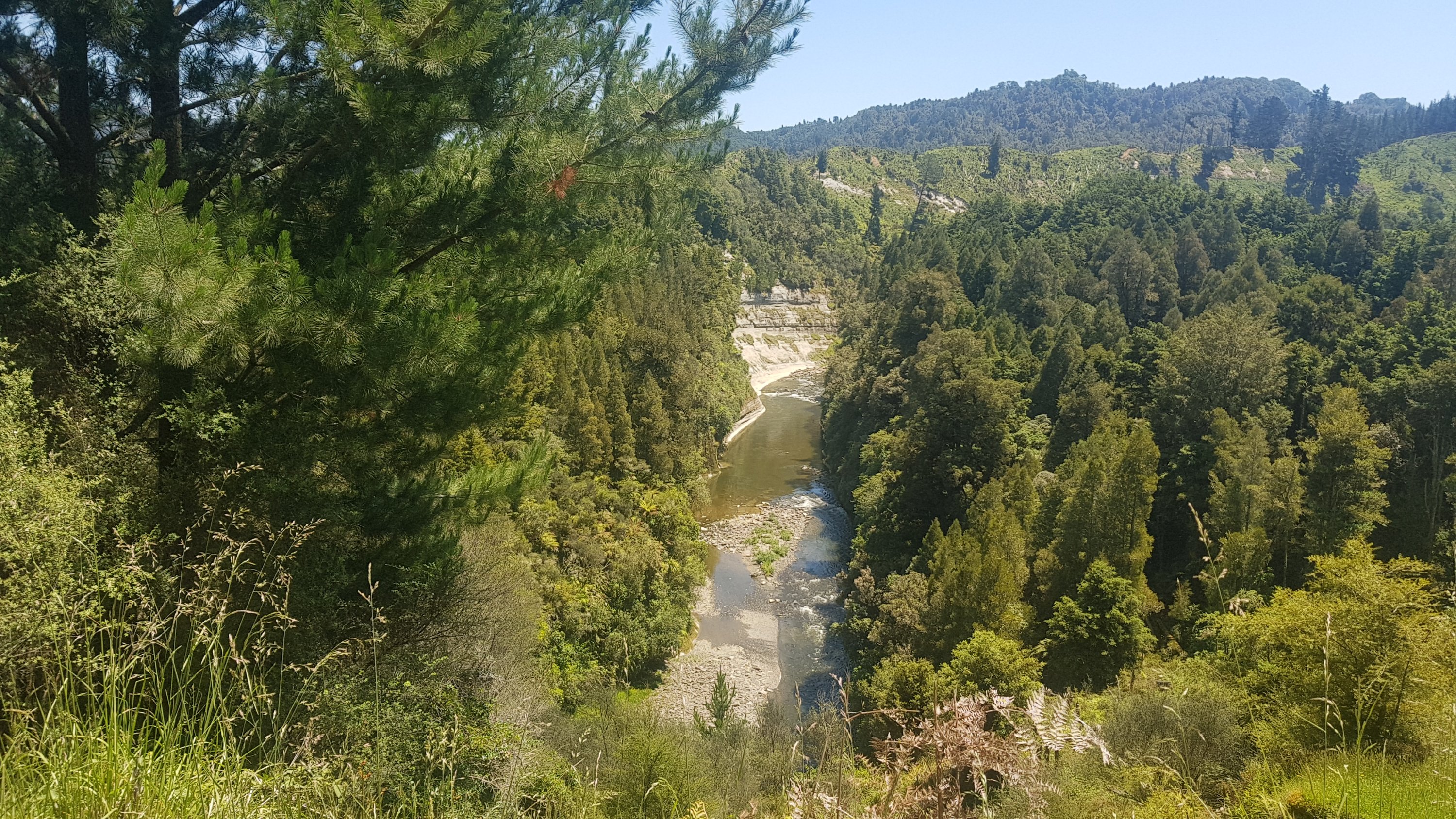
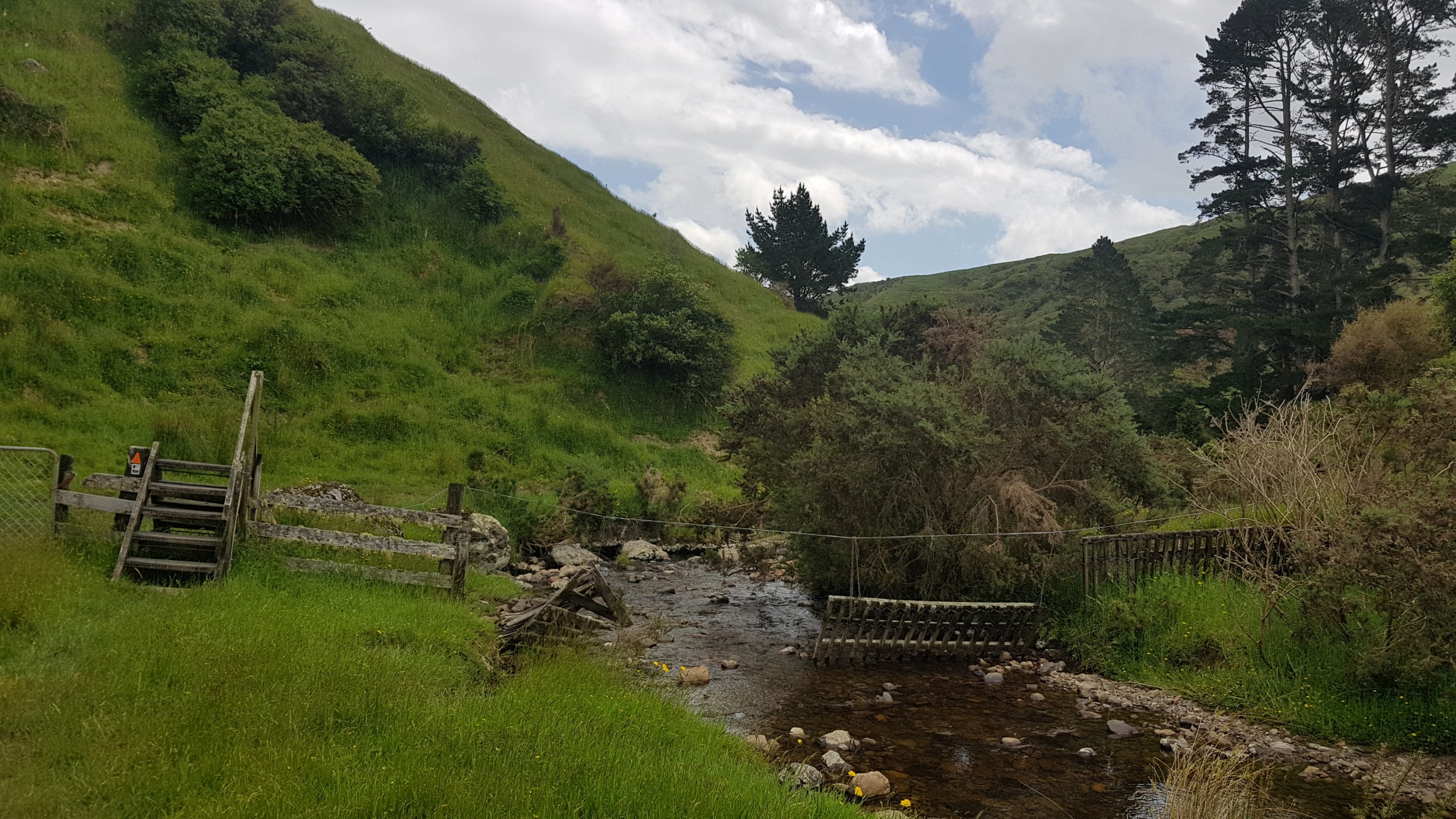
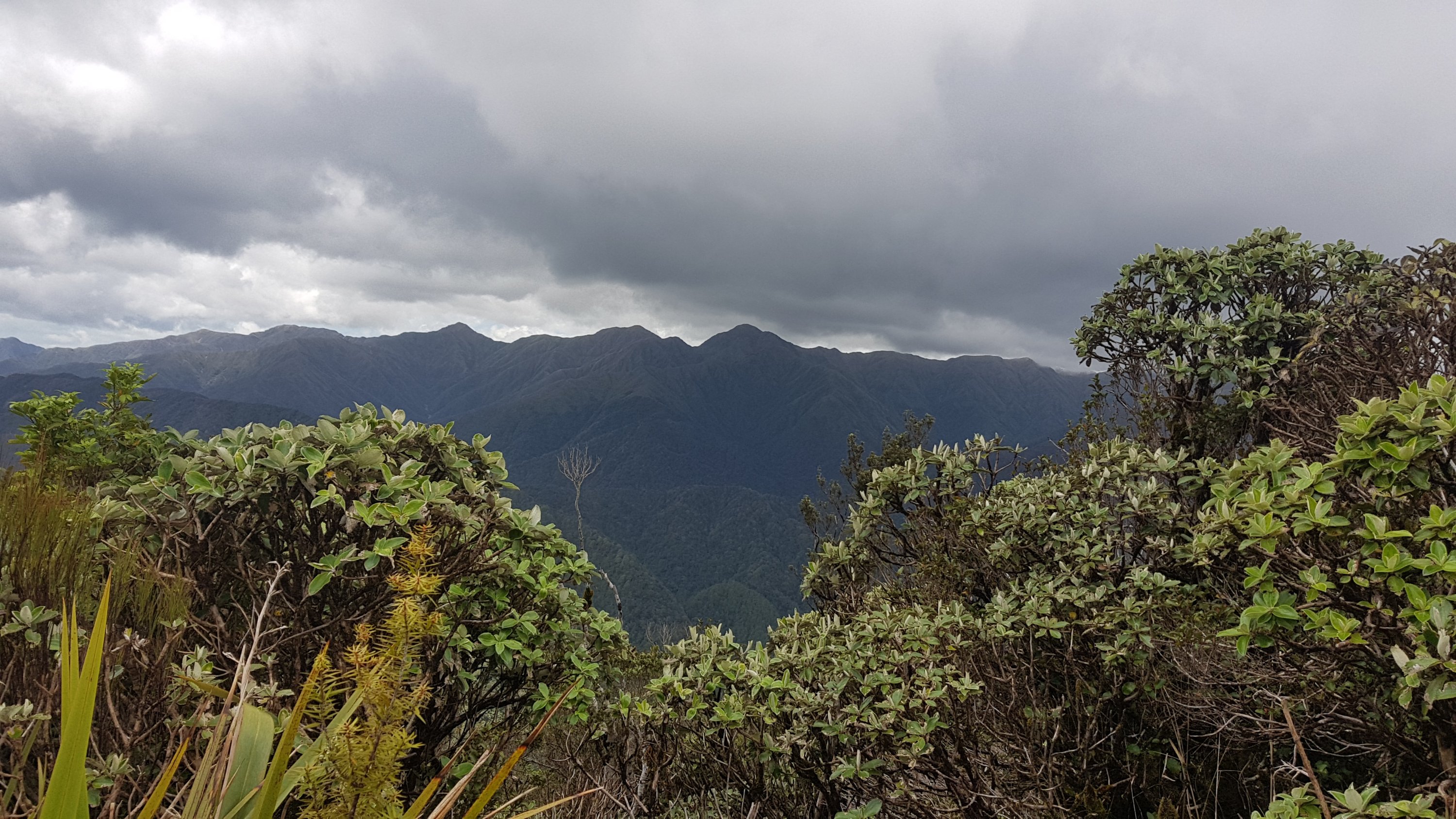
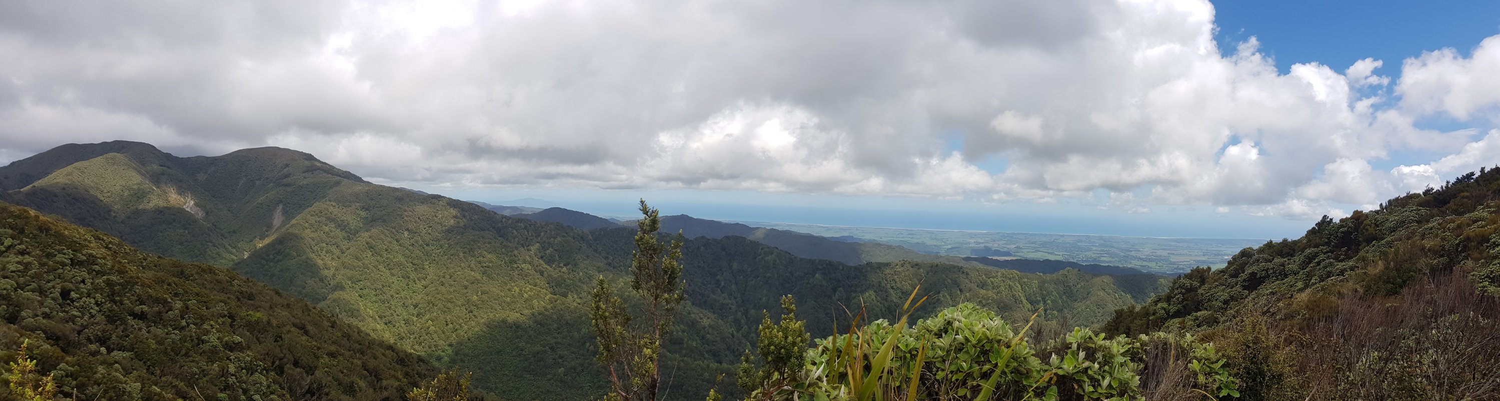
The view didn’t change much but we did come across the odd interesting natural feature.
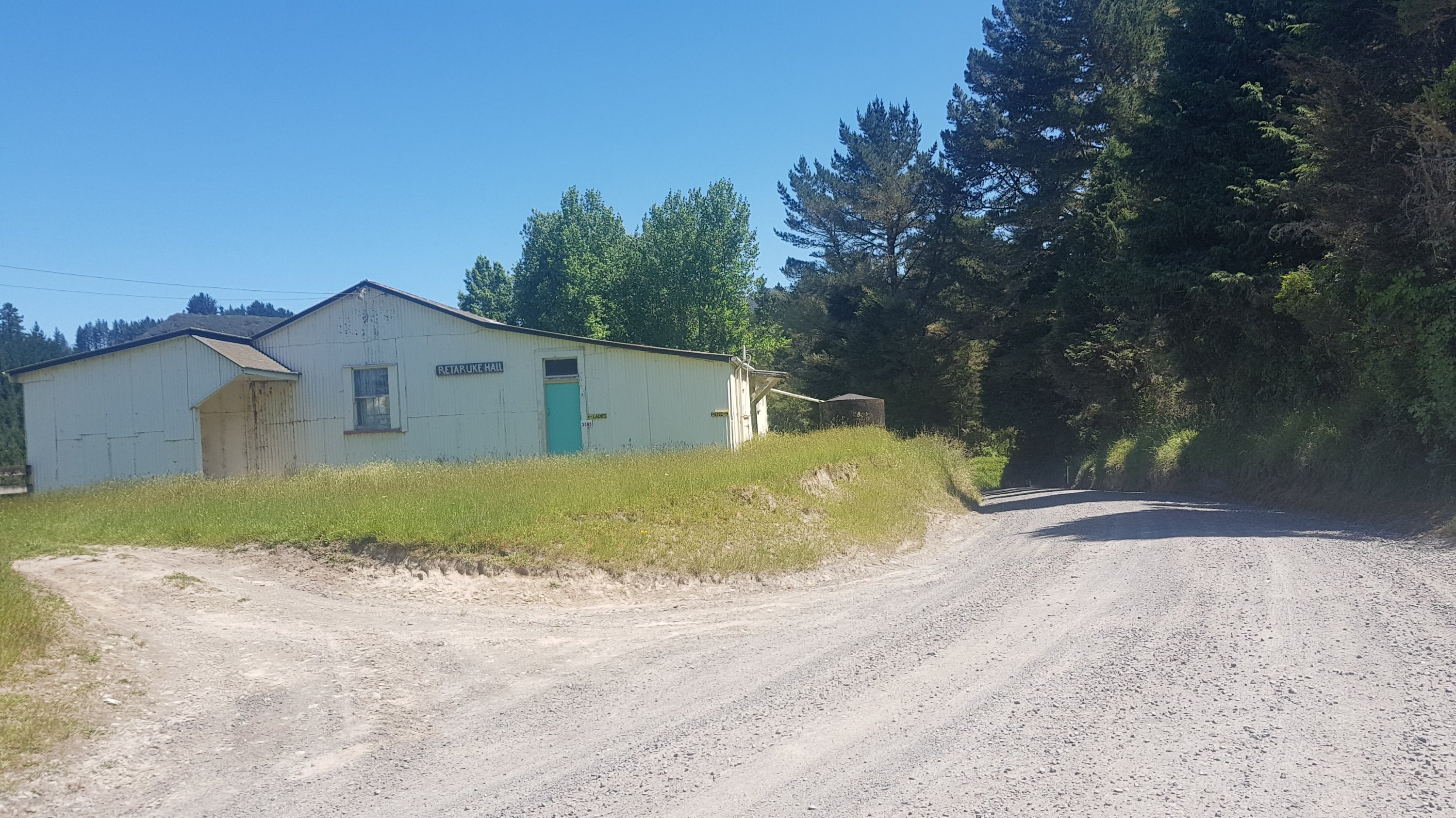
And here is the Retaruke Hall, about 9km from Whakahoro. There are toilets on the side of the building but I didn’t check to see if they were open.
Retaruke Hall
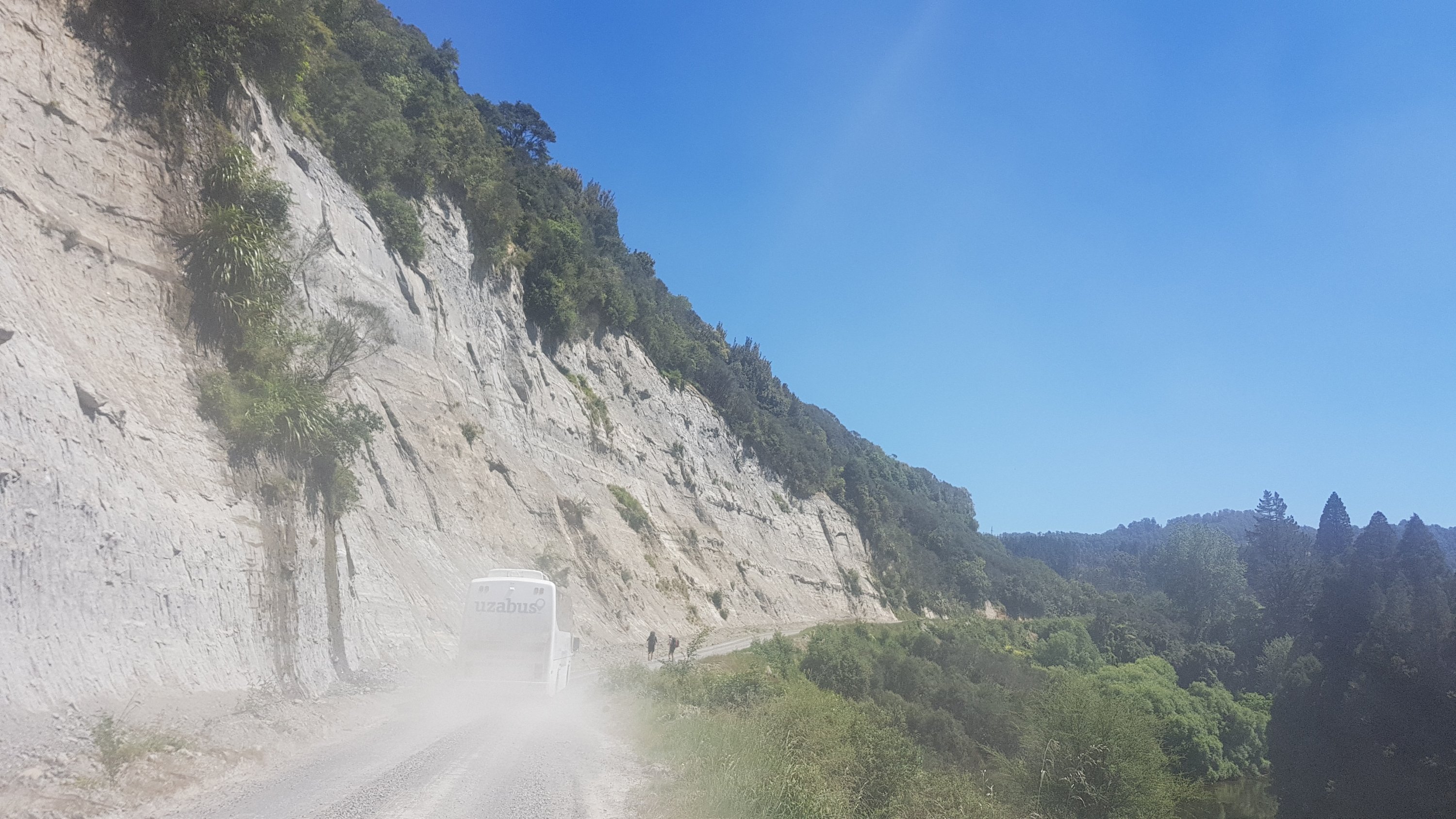
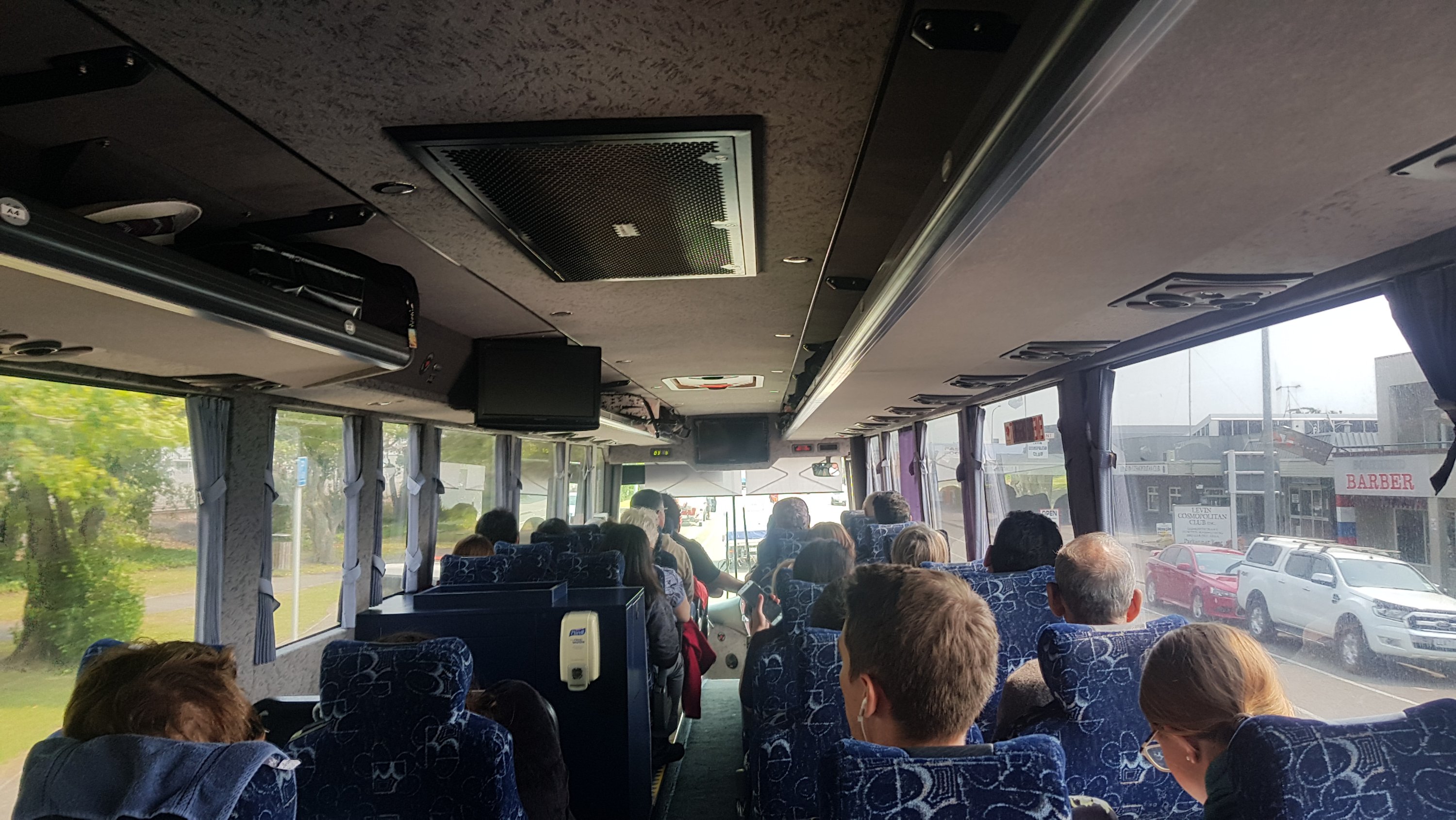
We also got passed by a big bus full of school students. Given how small the place is, I have a feeling they will be staying at the same campsite as us. And like every other vehicle that went past, it covered us in road dust.
Alex and Charlie better move out of the way…
7.2km to go now. It is 2:45pm. Is there any chance the cafe mentioned here will be open when we arrive? Hope so, but doubt it!
We just kept pushing on and on. At least the hills of the last section provided a small amount of shade.
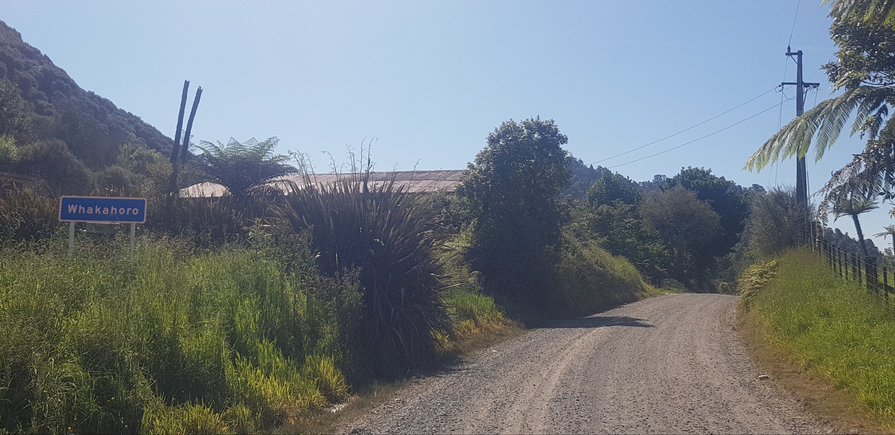
Finally made it. The little sign below the blue Whakahoro sign if you can’t see it says “Population: 8”.
I wonder if they keep that sign up-to-date…
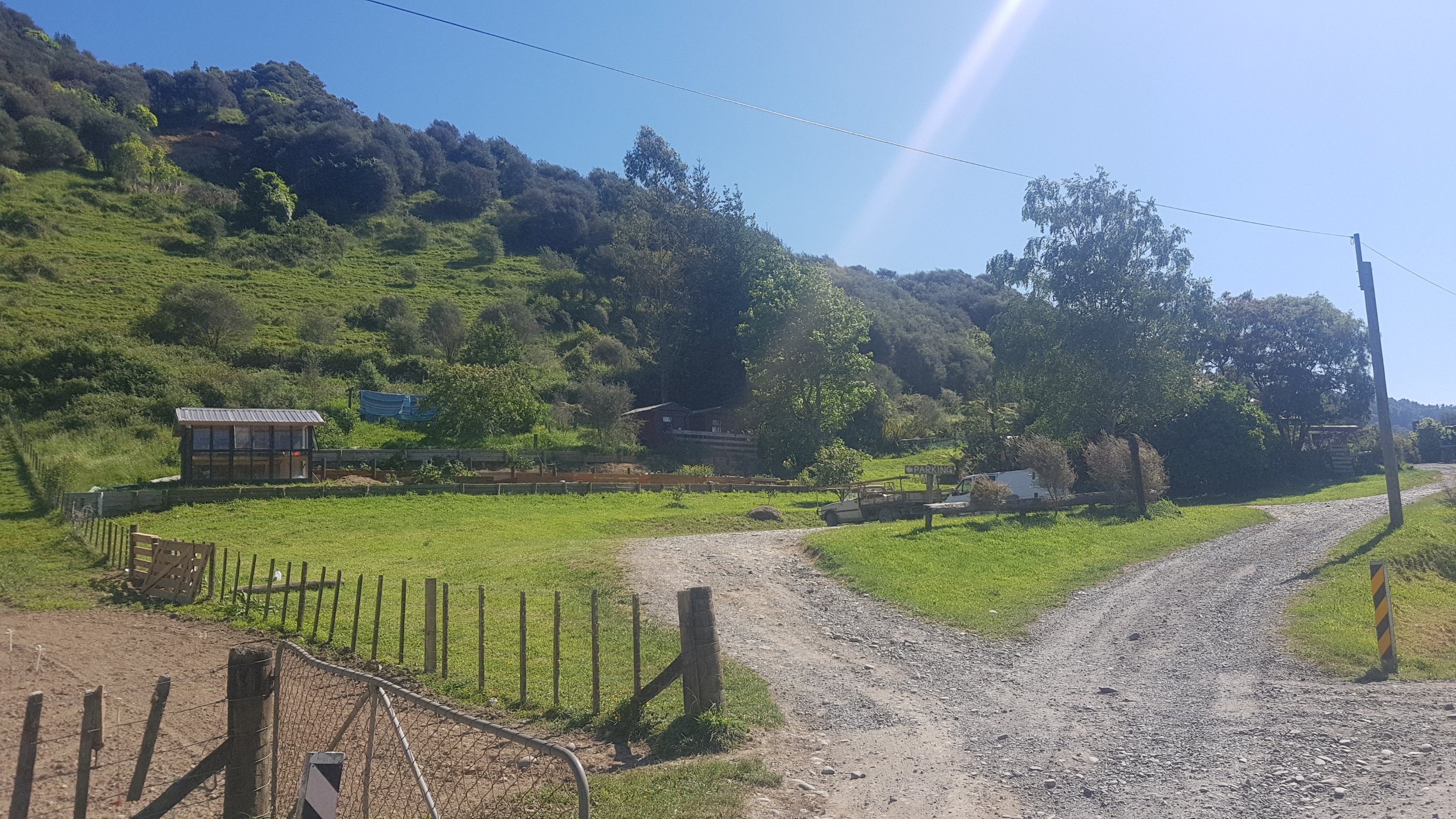
It looks like this here is the cafe. As expected, it was closed.
Bummer, a closed cafe, but not entirely surprising
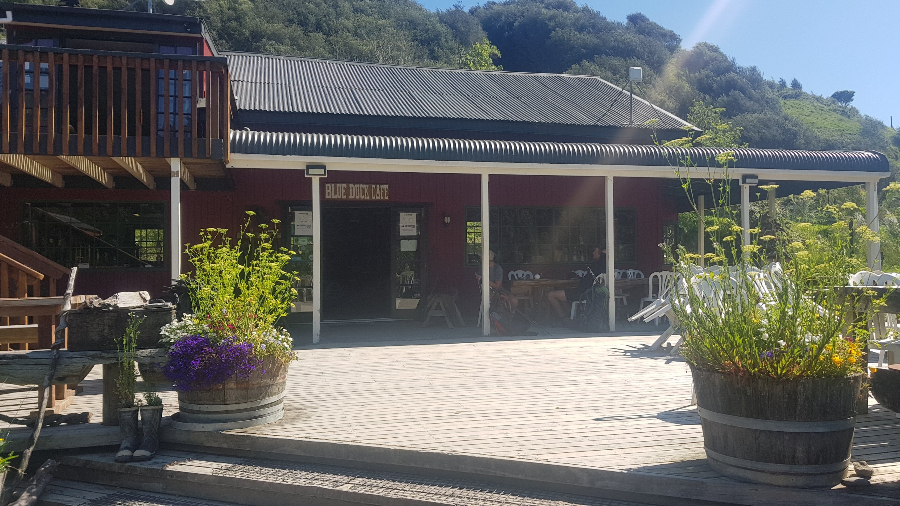
No wait, that’s not the cafe – this is the cafe! And with Alex and Peter outside, it must be open!
Woohoo!
I arrived at 4:15pm and it closed at 5pm – wonderful. I managed to get iced coffee, a toasted sandwich and chocolate. We sat here until it closed as we were all so sore.
We figured this guy’s name was Pumbaa
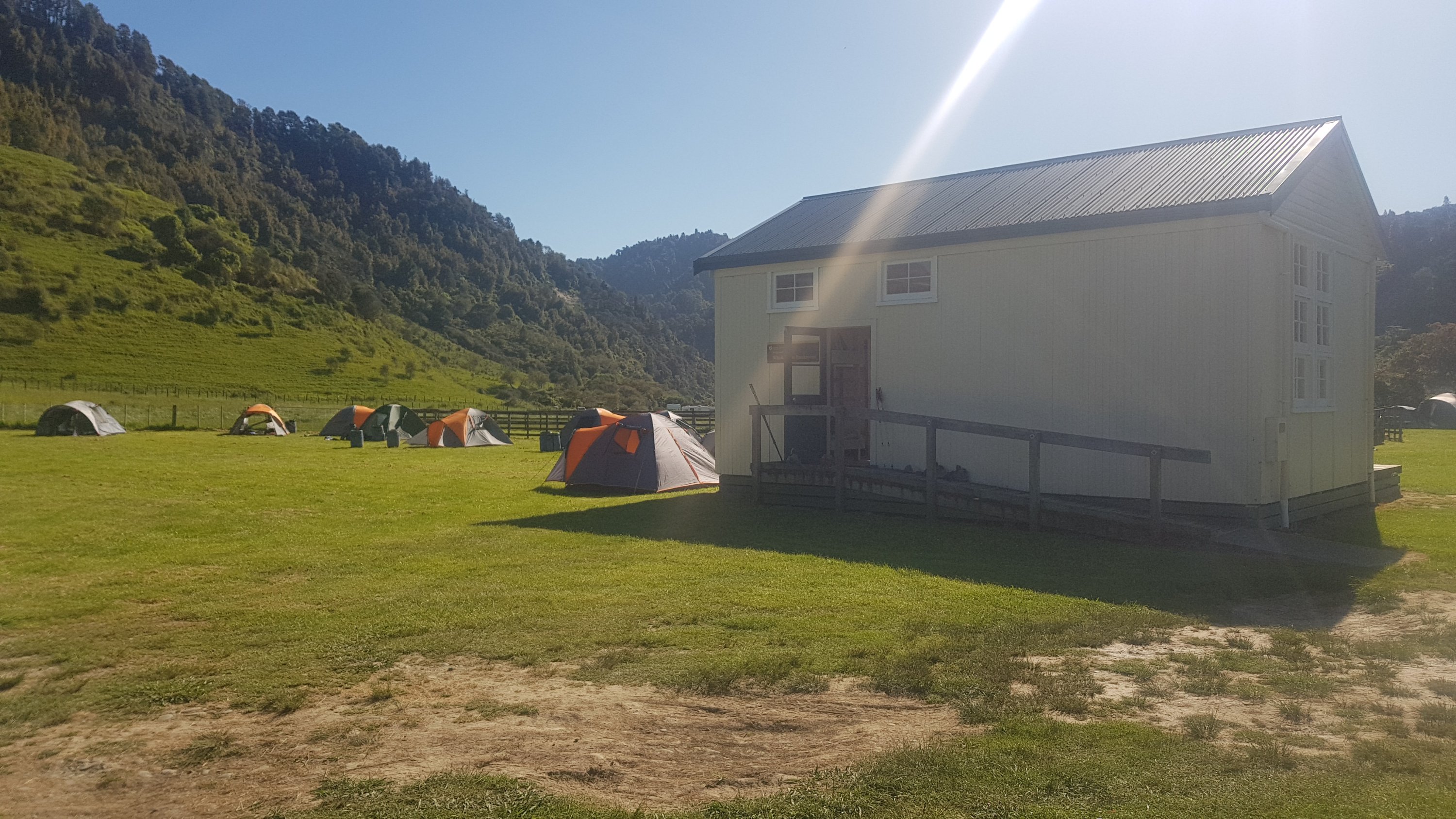
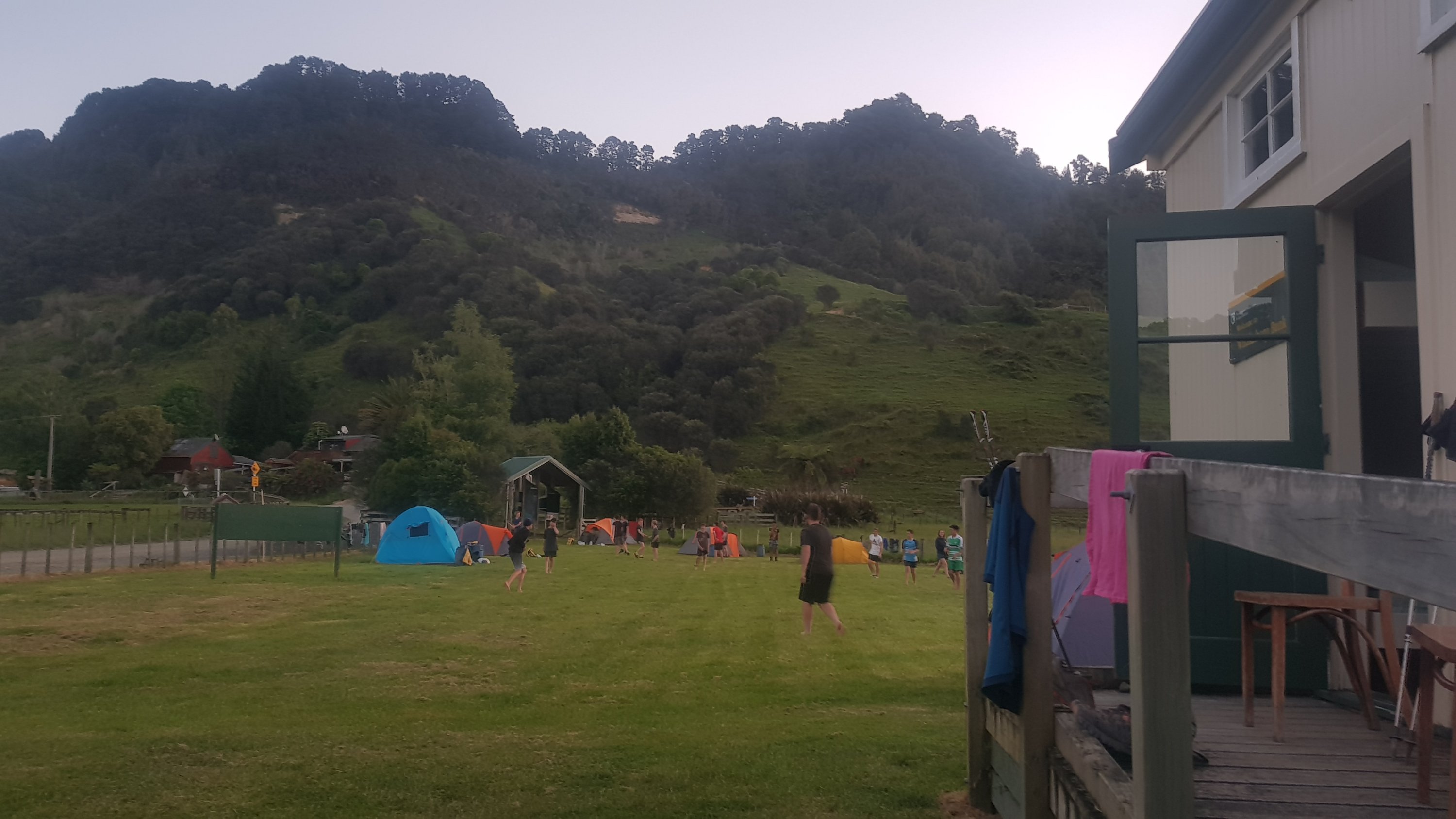
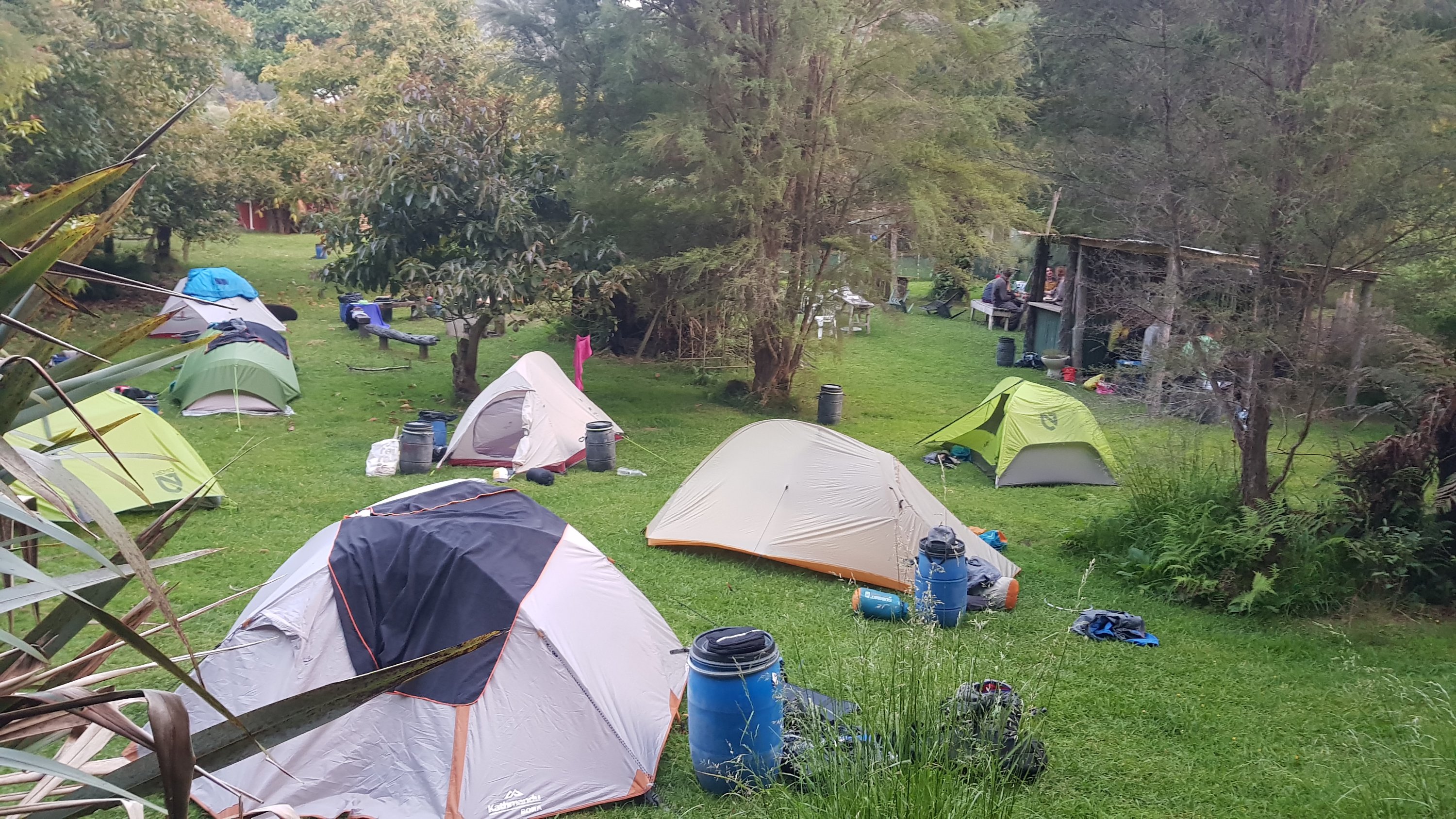
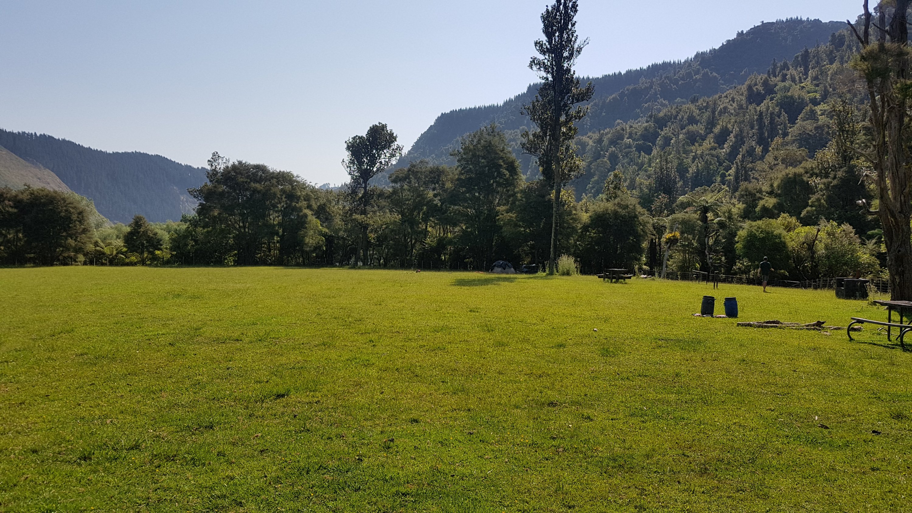
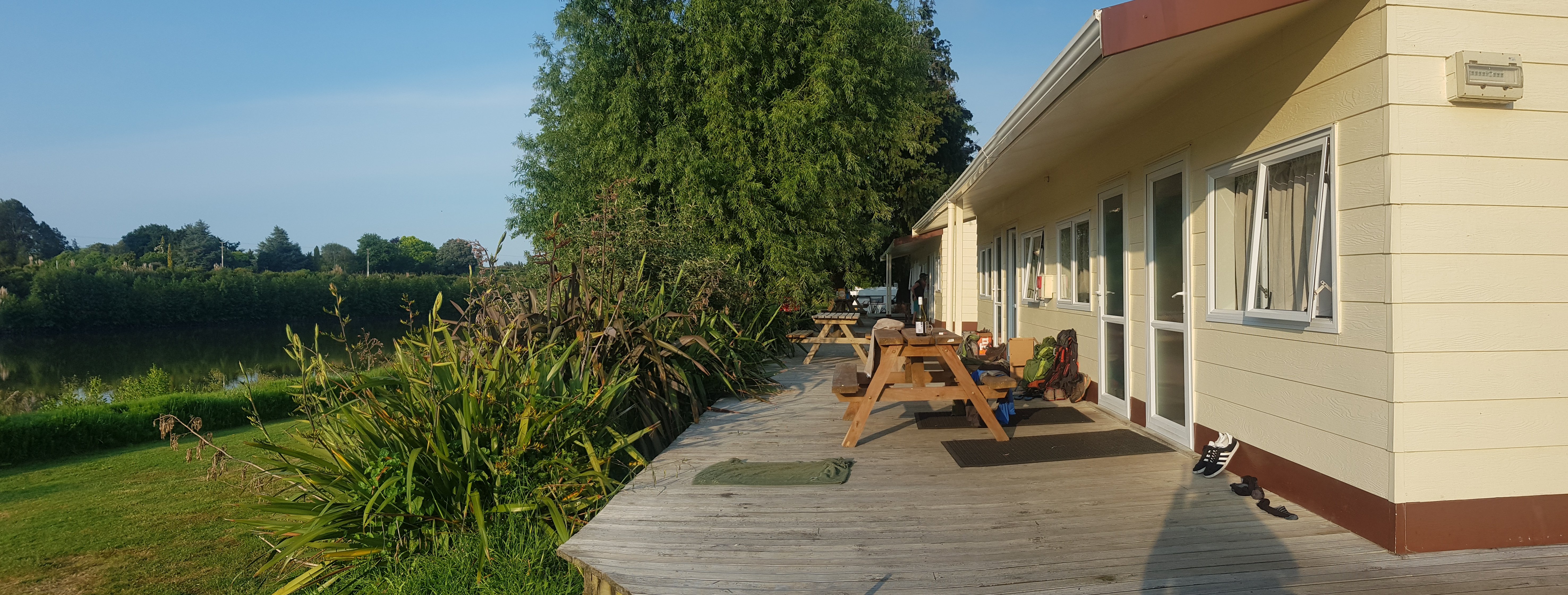
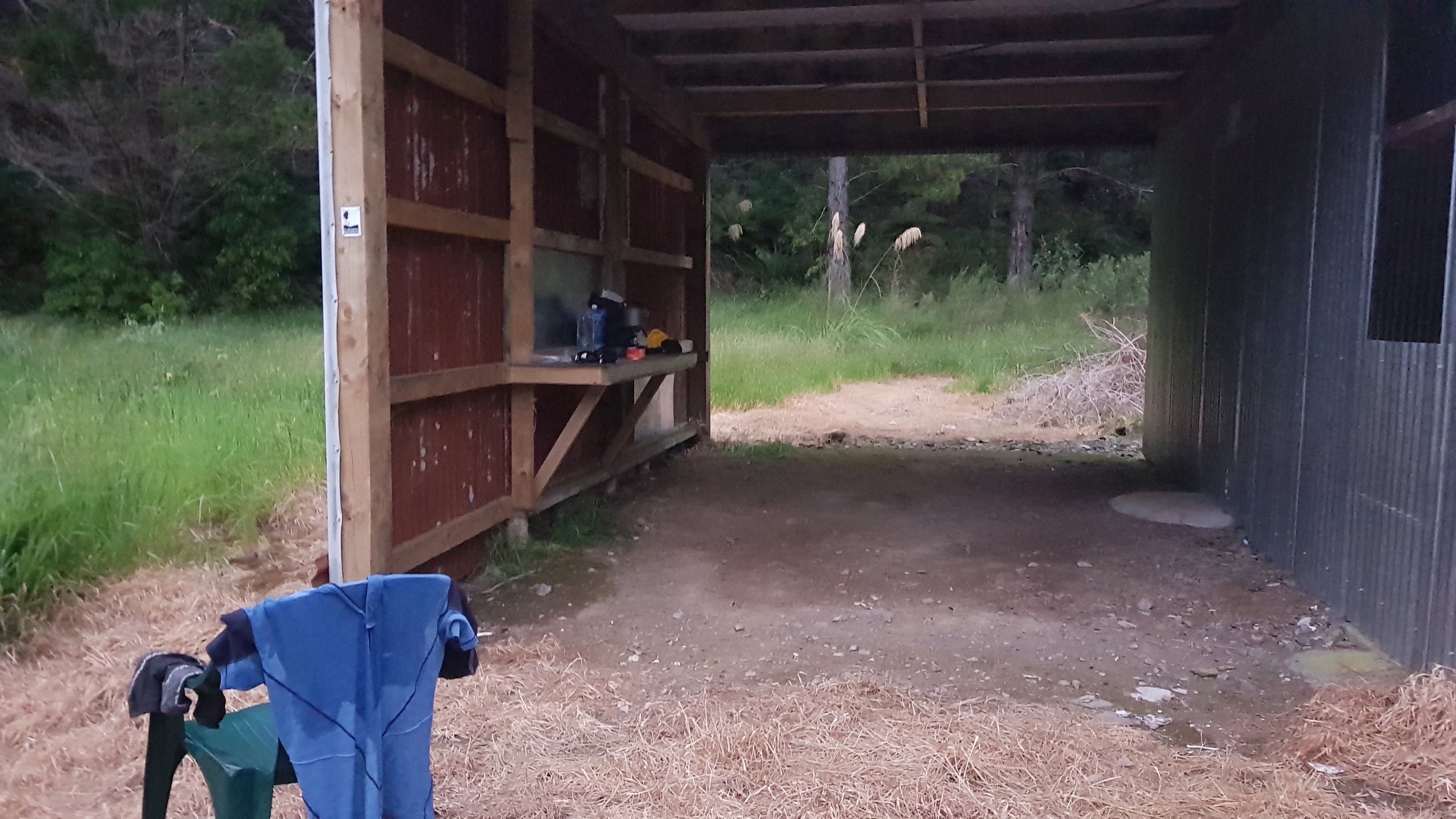
Across the road was the campsite and bunkroom. Based on all the tents around it does seem we are staying right next to the large school group. We have reserved the bunkroom.
Whakahoro bunkroom and campsite
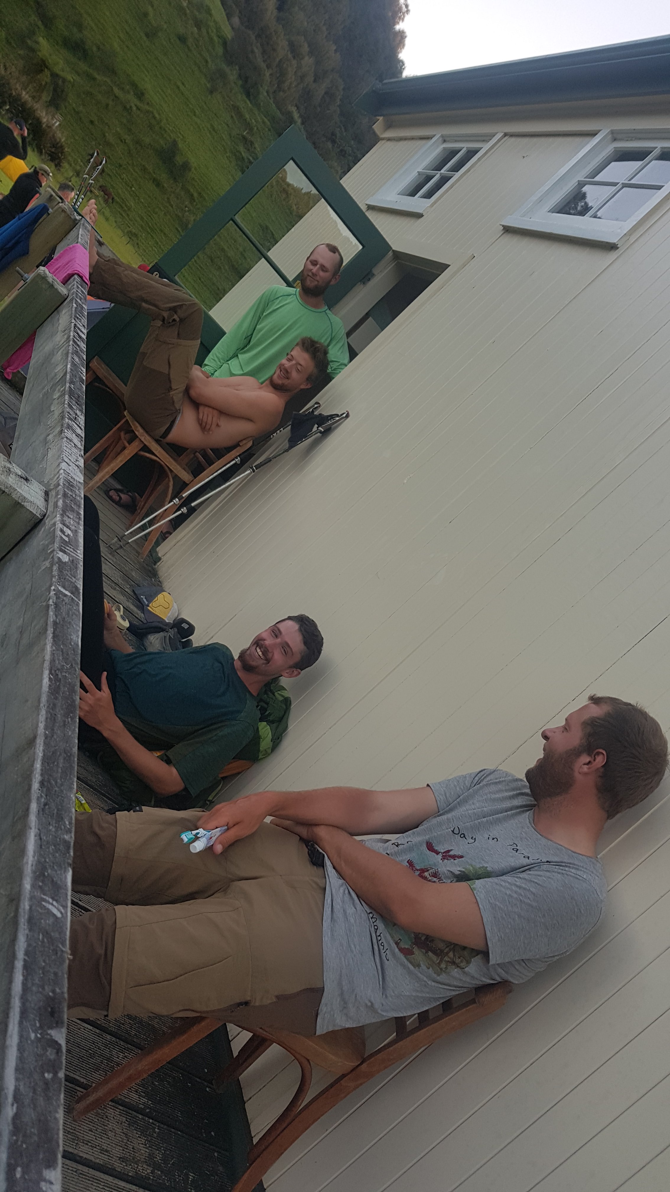
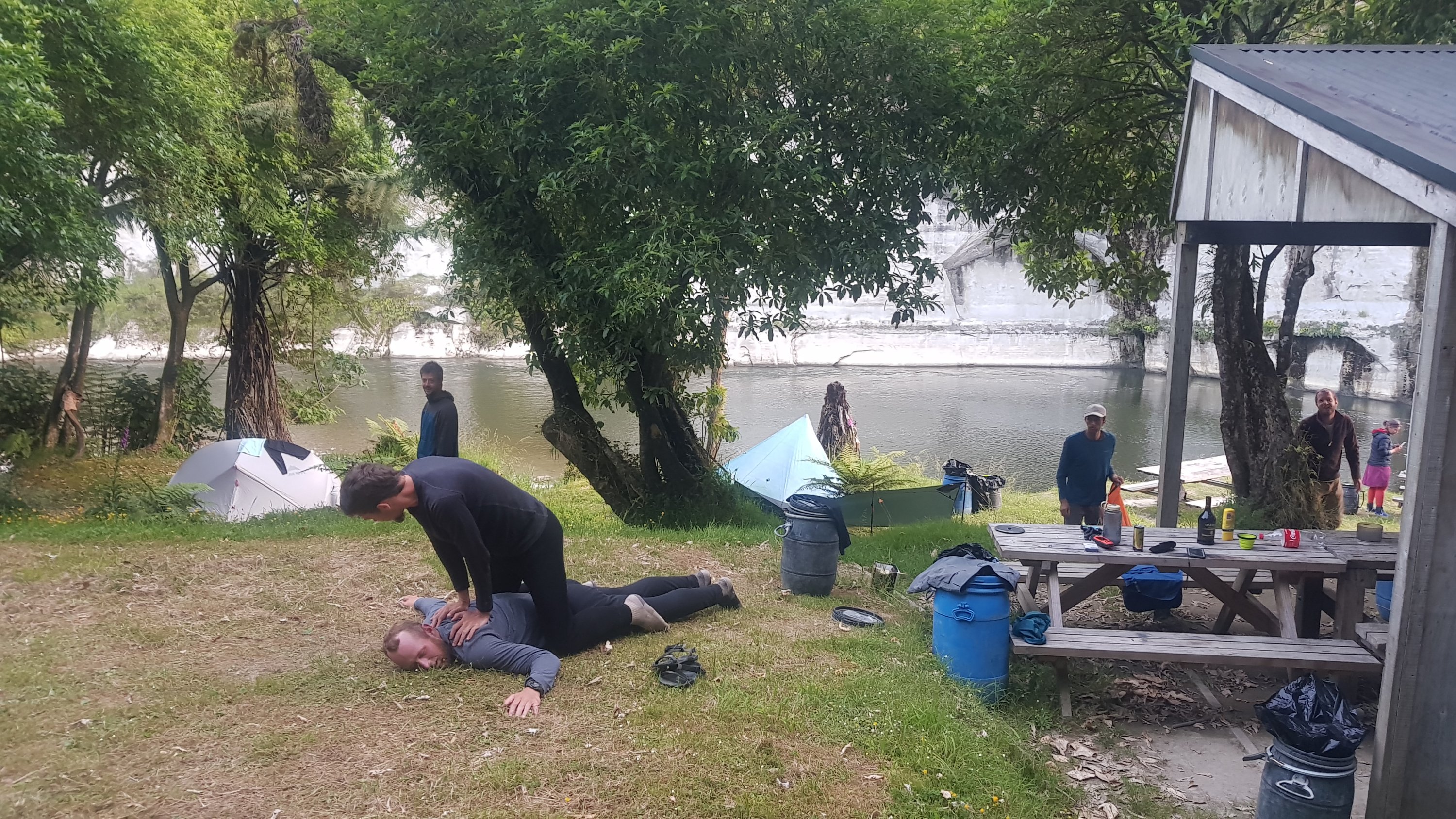
Even in the evening it was still real stinking hot. We all sat outside to try and escape the heat from inside the hut but of course that meant we were getting attacked by bugs all evening. Ethan had an interesting idea to stop the bugs – tuck his shirt into his pants. Everyone thought it looked ridiculous.
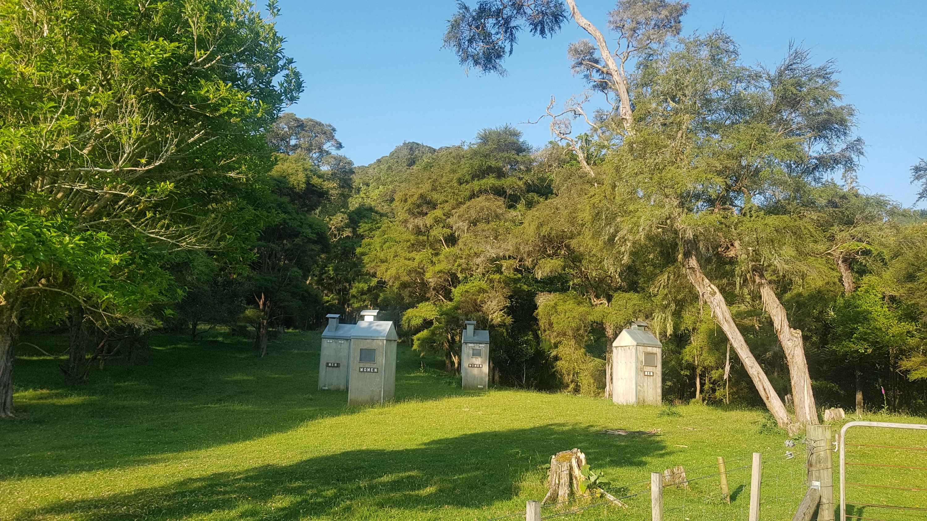
The only thing stinking more than the heat were the toilets. You had to do all you could to not breathe while inside the toilets. Even just spending two minutes in there you felt like the smell was clinging to you when you left.
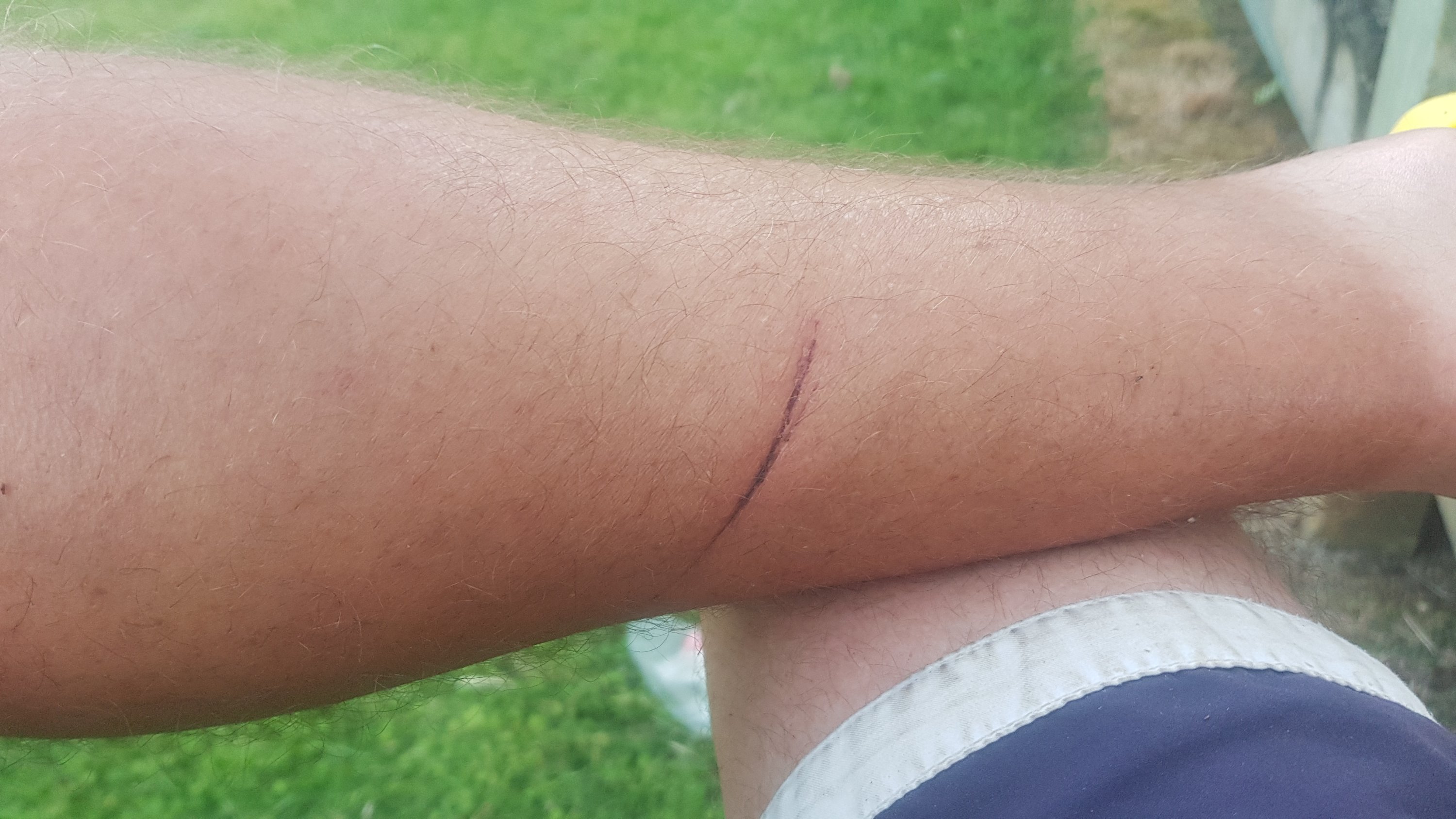
The scratch I got the other day had set in now.
After lots of bug spray we just sat around watching the kids play their sports games.
They seemed to keep switching sports every five minutes.
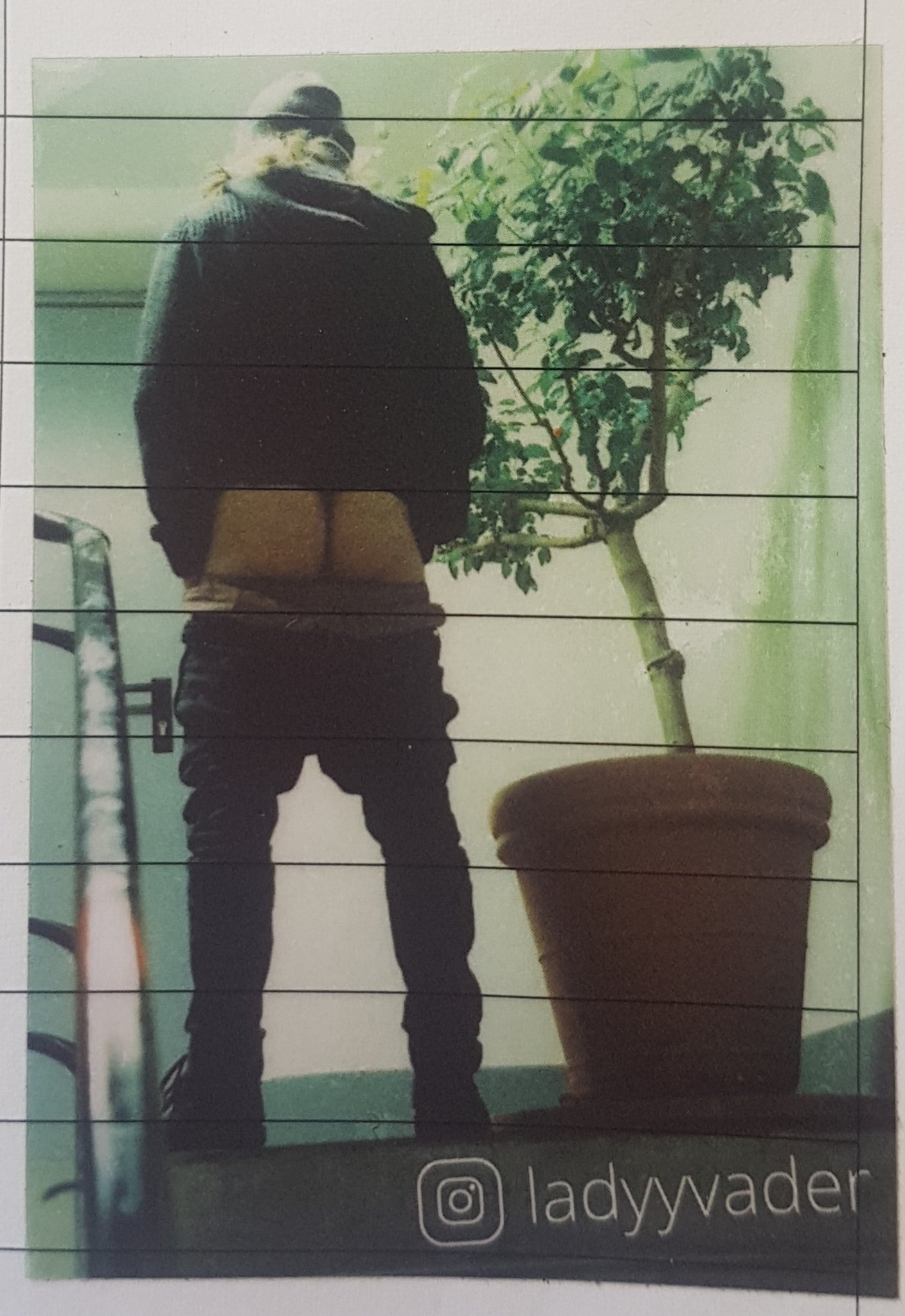
Today something else that annoyed me was this huge sticker which has been affixed to seemingly every hut, every shelter, every block of toilets, in fact every structure of any kind along the trail.
Annoying ladyyvader sticker that I’m seeing everywhere
To whoever is doing this… stop it. Who the hell do you think you are defacing all the trail buildings like this. I encourage anyone who feels the same way and has an Instagram account to visit this profile right now and express your disappointment to the person responsible for this mass defacement of our trail buildings. Please report the profile for spam also. I’m going to message the owner of the profile right after this and see what she has to say.
Anyway, now that that’s out of my system, it is time to sleep. That’s not easy though, just like on Day 2 at The Bluff campsite, the kids are all playing a game with torches which illuminate the entire bunkroom when they’re shone in the windows. Unlike the other people at that campsite, which had a “kids will be kids” attitude, this group was less enthused. Charlie eventually asked them to stop with the torch and it stopped after that.
There was seemingly a lot of complaining today but then not every day on the trail is shits and giggles. Tomorrow is going to be an adventure with the start of five days on the river. I’m excited and nervous at the same time.
Date: 26 November
Trail covered: 48.1kms kayaked via alternate route – kms 1202.9 to 1234-ish
Weather: scorching
Whanganui River Journey – Day 1
First off, let me say it feels a bit strange to be on the water given Te Araroa is supposed to be a walk. Although actually, the section of the Whanganui River journey from Taumarunui to Pipiriki is classed as one of New Zealand’s “great walks” so perhaps other people have a different definition of the word “walk” than I do. But then if you start redefining English words like that, then you might start saying crazy things like the Whanganui River is a legal person, with all the associated rights and responsibilities that are implied by that. Oh wait… that also, already, has happened.
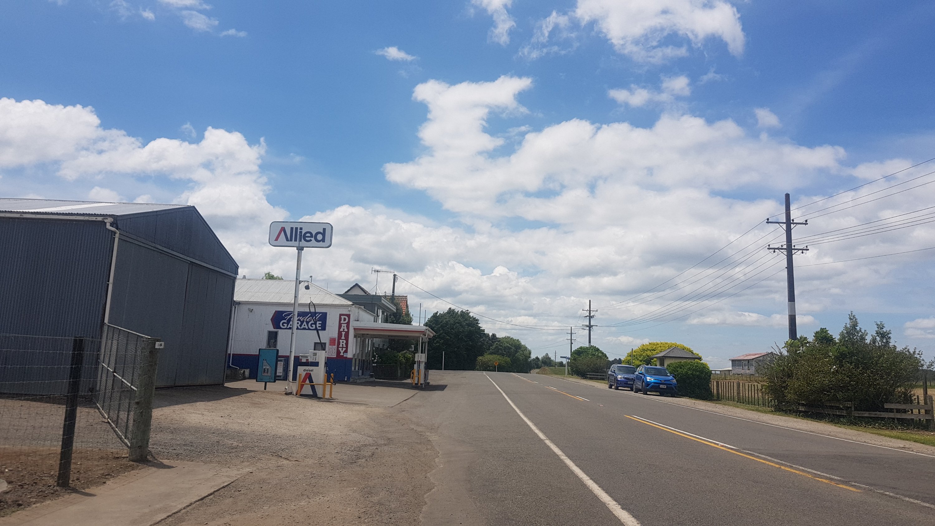
We went to the Blue Duck Cafe where everybody had two breakfasts. That’s what walking 42km does to you, well to me anyway… makes me super hungry the next day. And apparently everyone else too. I’ve noticed that they like to really smother the bread with butter in this part of the country. Here, every time I even touched the bread, butter oozed out of it. But the eggs were big and the bacon was high quality so it was much better than the awful bacon and eggs I got in Taumarunui.
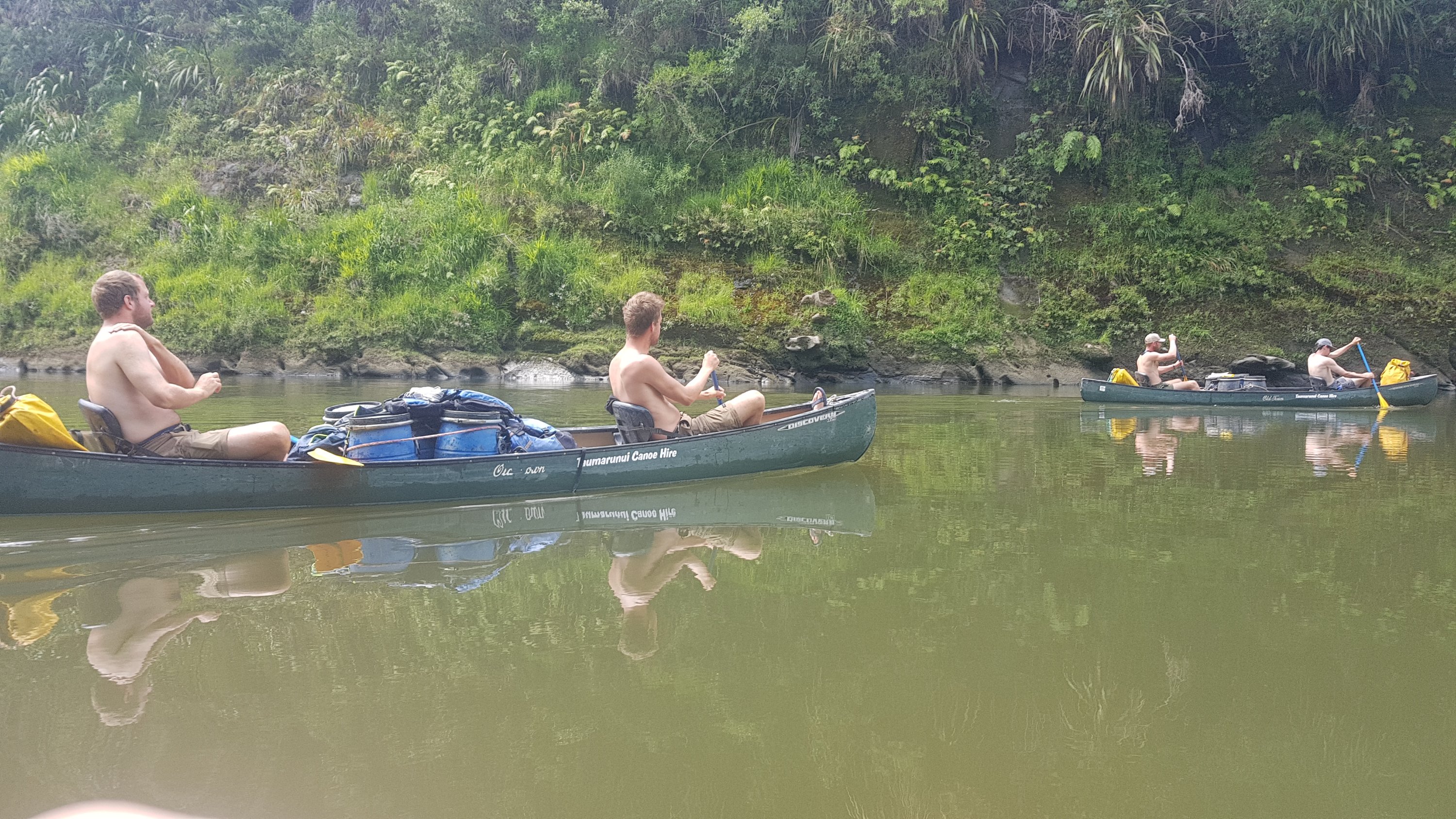
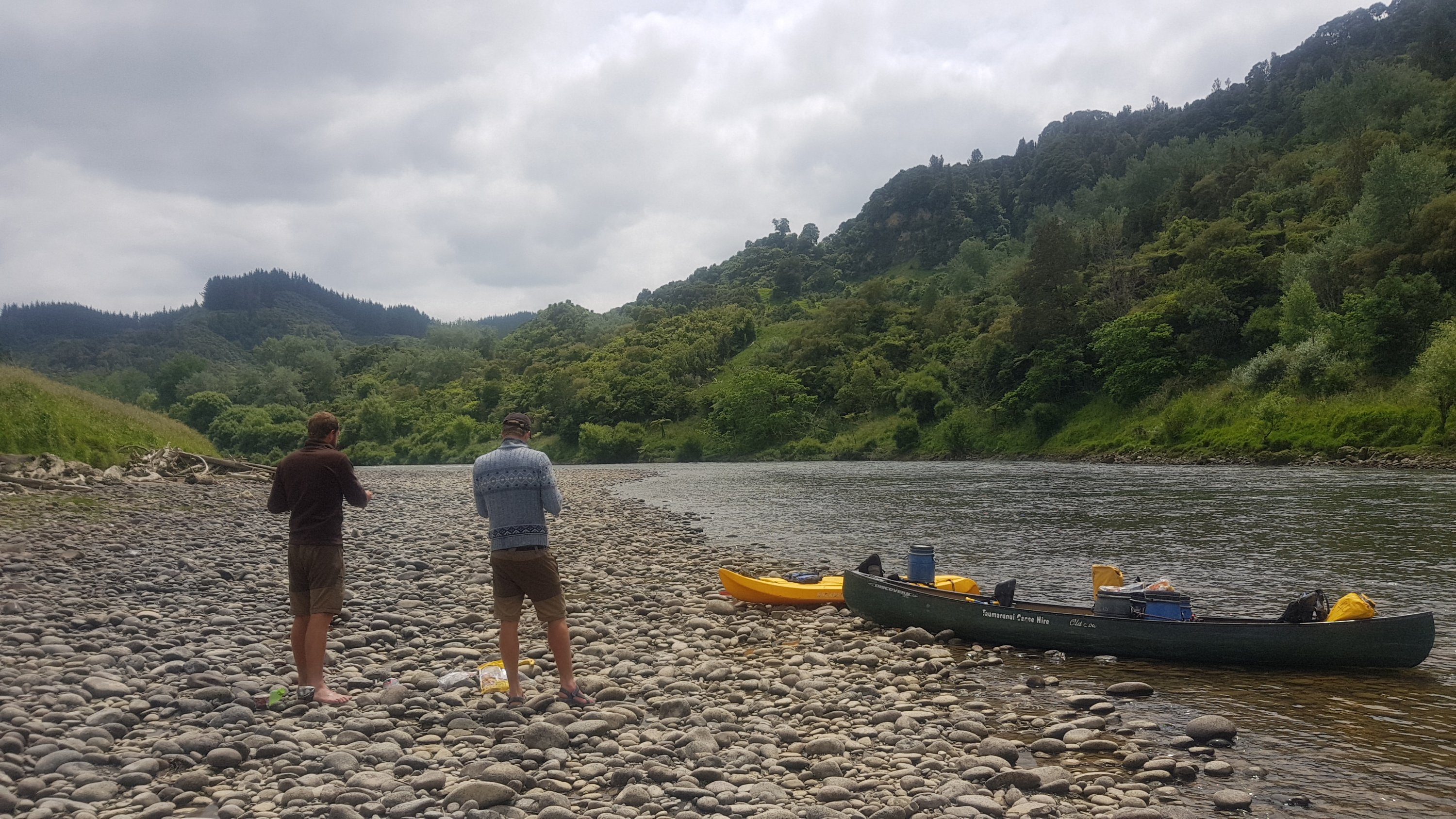
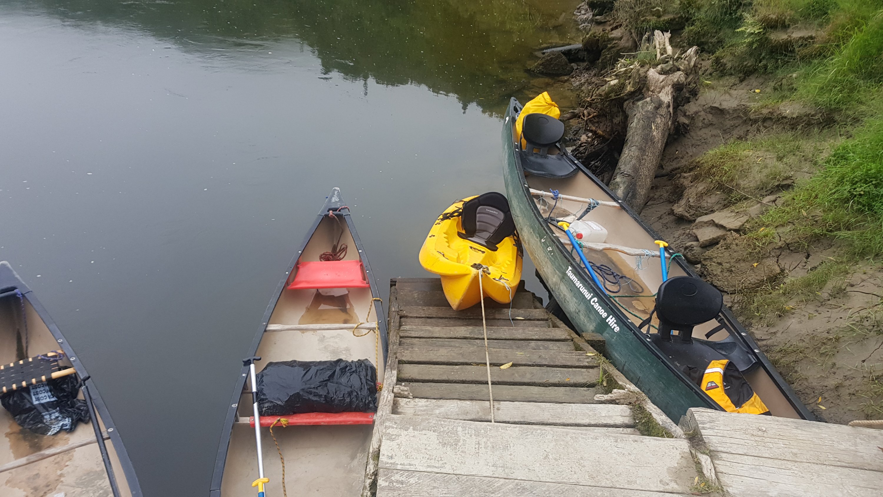
We went back to the hut to wait for Taumarunui Canoe Hire to turn up with the two canoes and the kayak. I am going to go in the kayak at first, and Alex and Ethan in one canoe and Peter and Charlie in the other. Then we might look at switching around.
Once the canoe hire van turned up, then the moment was officially here. The moment I have been dreading since I first thought about doing the trail back in February. Yep – getting on the water for five days. While there is part of me that has been looking a little bit forward to it because it’s something different, I’m mainly very anxious. Not because I can’t swim – I can a bit – but because I’m not very good in the water generally, and I’ve read stories like if you flip a canoe, it may be 45 minutes before you’re able to find a spot where you’re able to get back in. And also the rapids – mainly the infamous rapid called “50-50” on Day 3 just before Pipiriki – so named because 50% of people either fall out or sink the boat when going through it. Oh what fun.
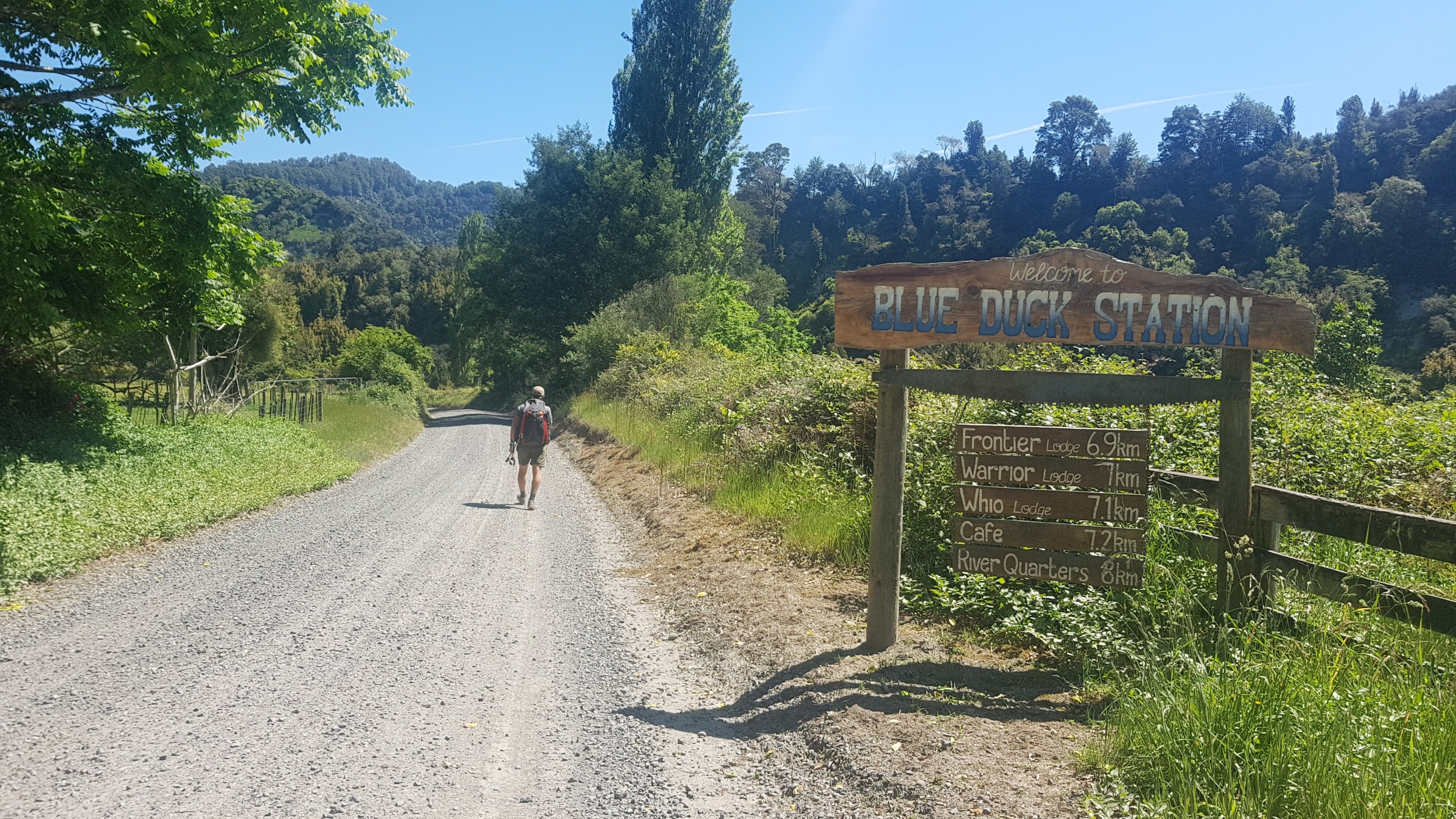
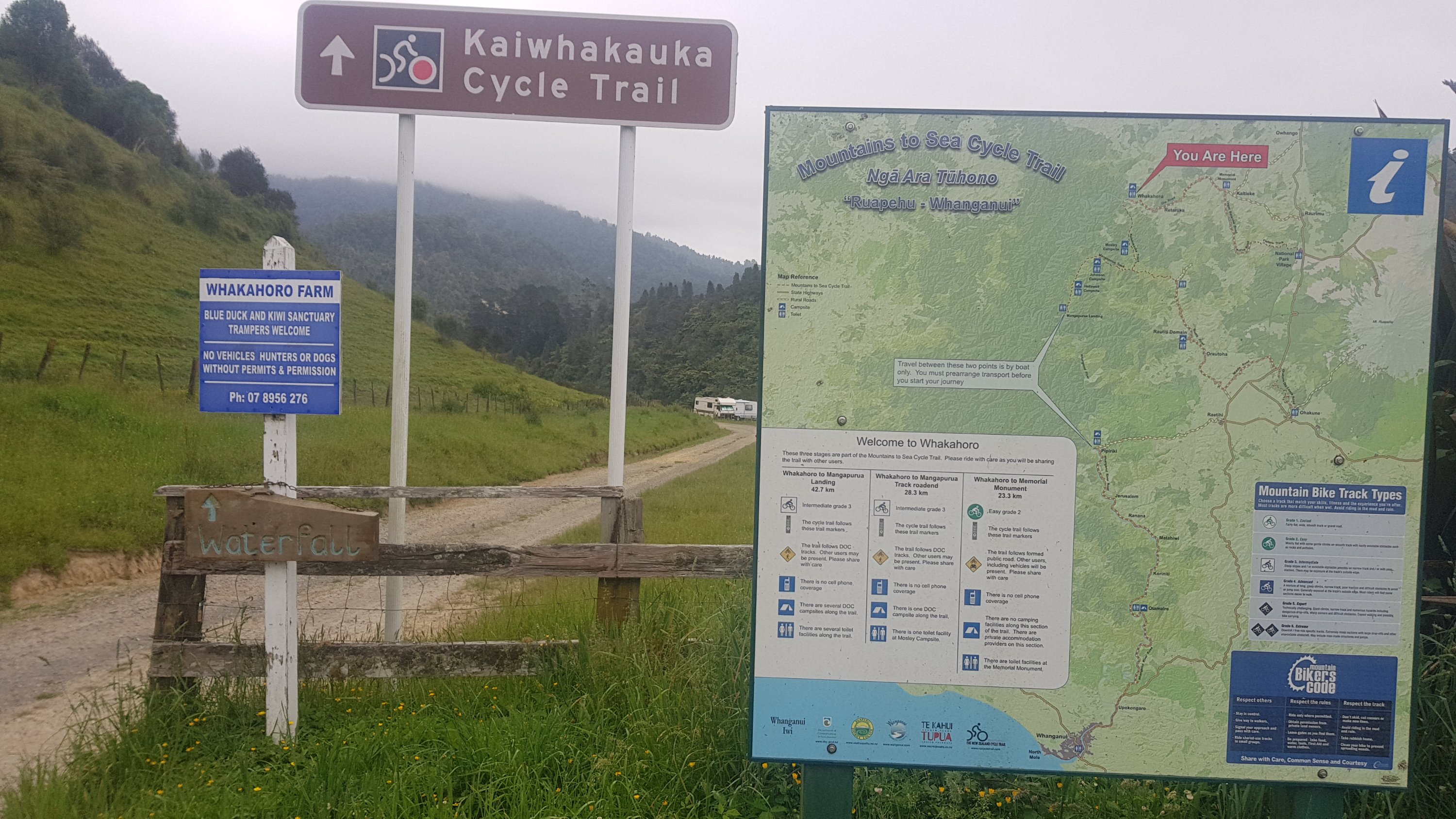
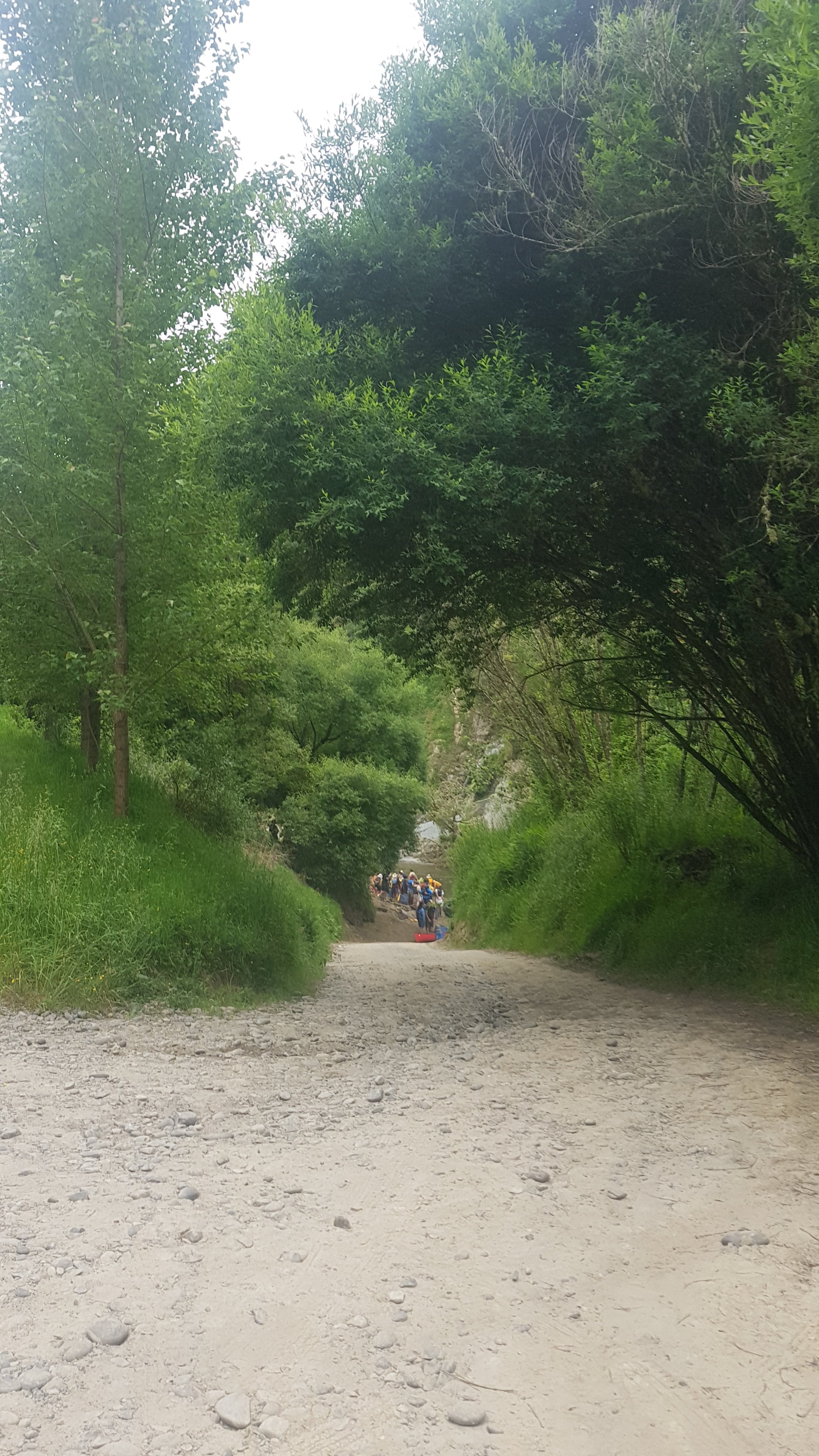
Another thing worth mentioning is that the official TA route has the river journey starting at Mangapurua Landing – some 37km south of Whakahoro. Launching the boats from Whakahoro is an “accepted alternative” in the trail notes and it seems to be the route almost everyone takes. I think because it’s cheaper but also for some crazy reason everyone else seems to be looking forward to this bit so they actually want to spend more time in their canoes! I’m not sure I would have chosen to go from here but as a solo hiker I have to join a group as no hire company will let you hire a kayak as a solo hiker. That’s why I’m so glad to have Alex, Ethan, Charlie and Peter who are very cool guys and don’t mind me tagging along. So I told them I will do whatever itinerary they want to do.
Seems there are lots of trails around here!
Oh yes, right, the whole point of me describing all that was to point out that I can’t accurately determine the km end marker today because we are officially off the trail. That’s why it is “1234-ish”. And it’s also why the red line on the map at the end of the post doesn’t follow the blue line.
Here’s where you’d go if you were following the actual TA route.
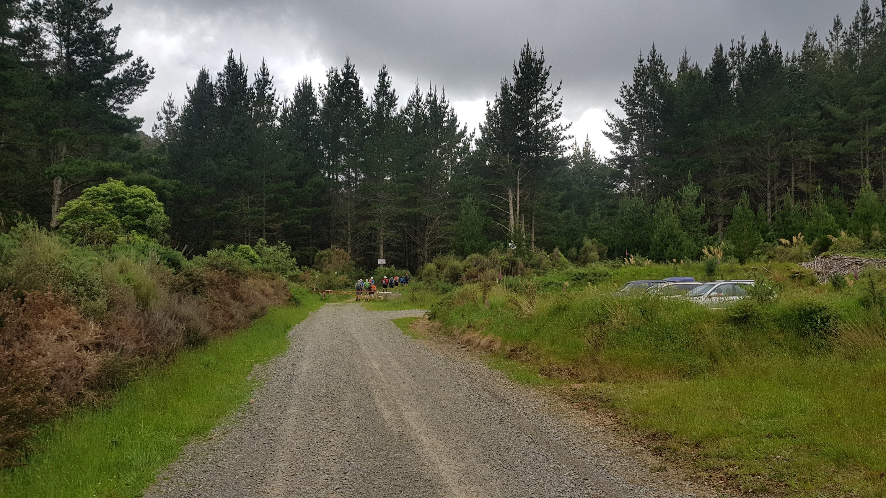
The first challenge was even getting to the boat ramp. Turns out one of the big school groups from last night are all on canoes today too. So we had to wait for them to hurry the hell up.
I’m glad I’m not the one reversing the trailer down here with all those other people at the other end
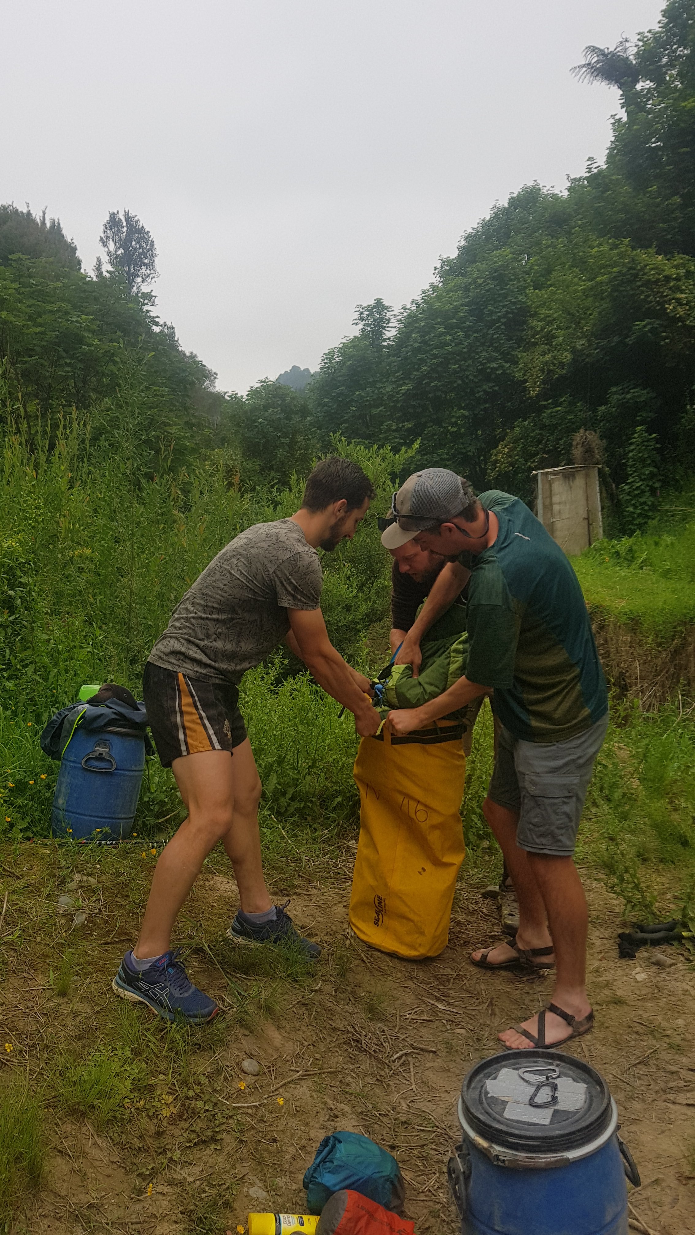
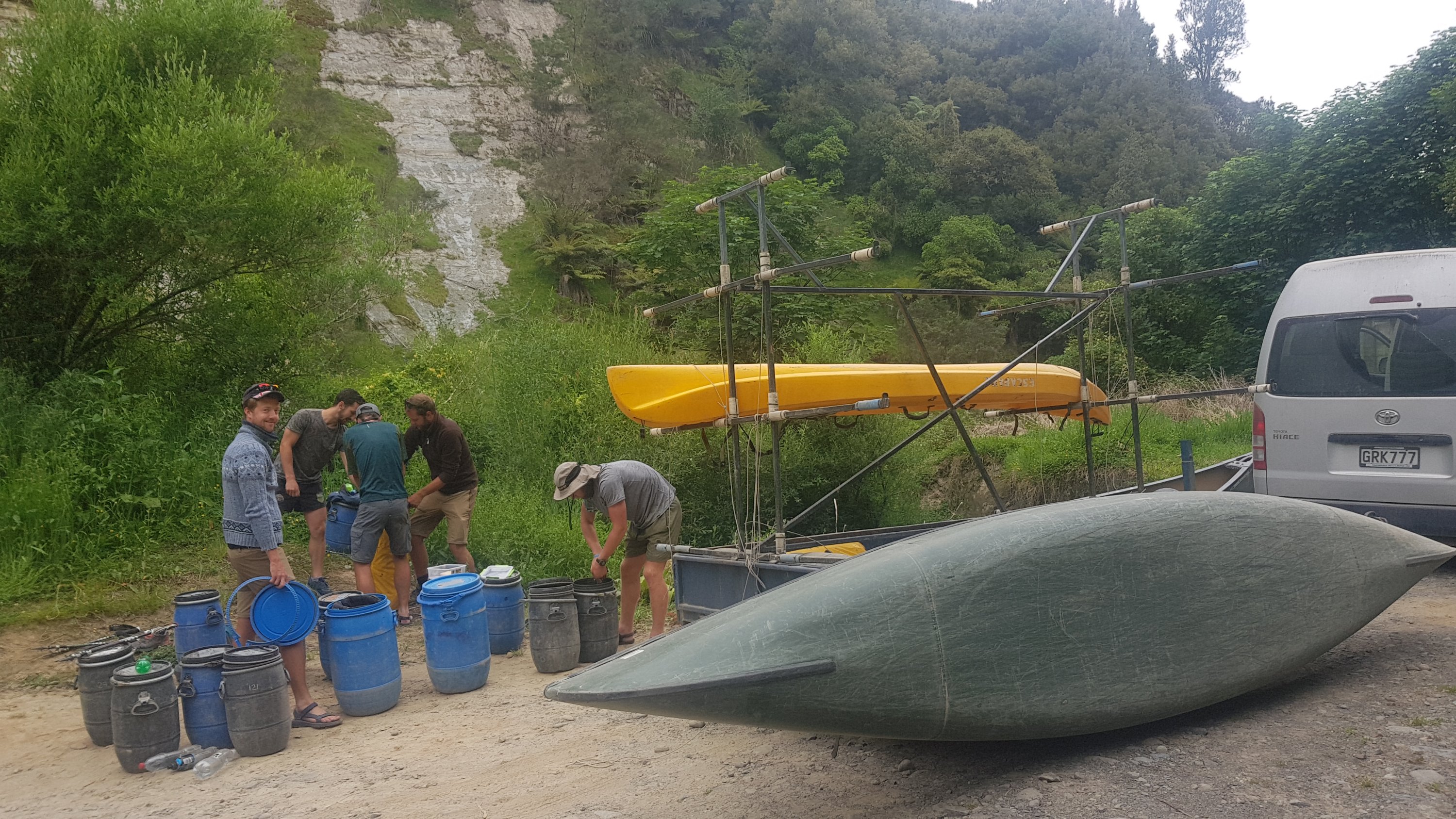
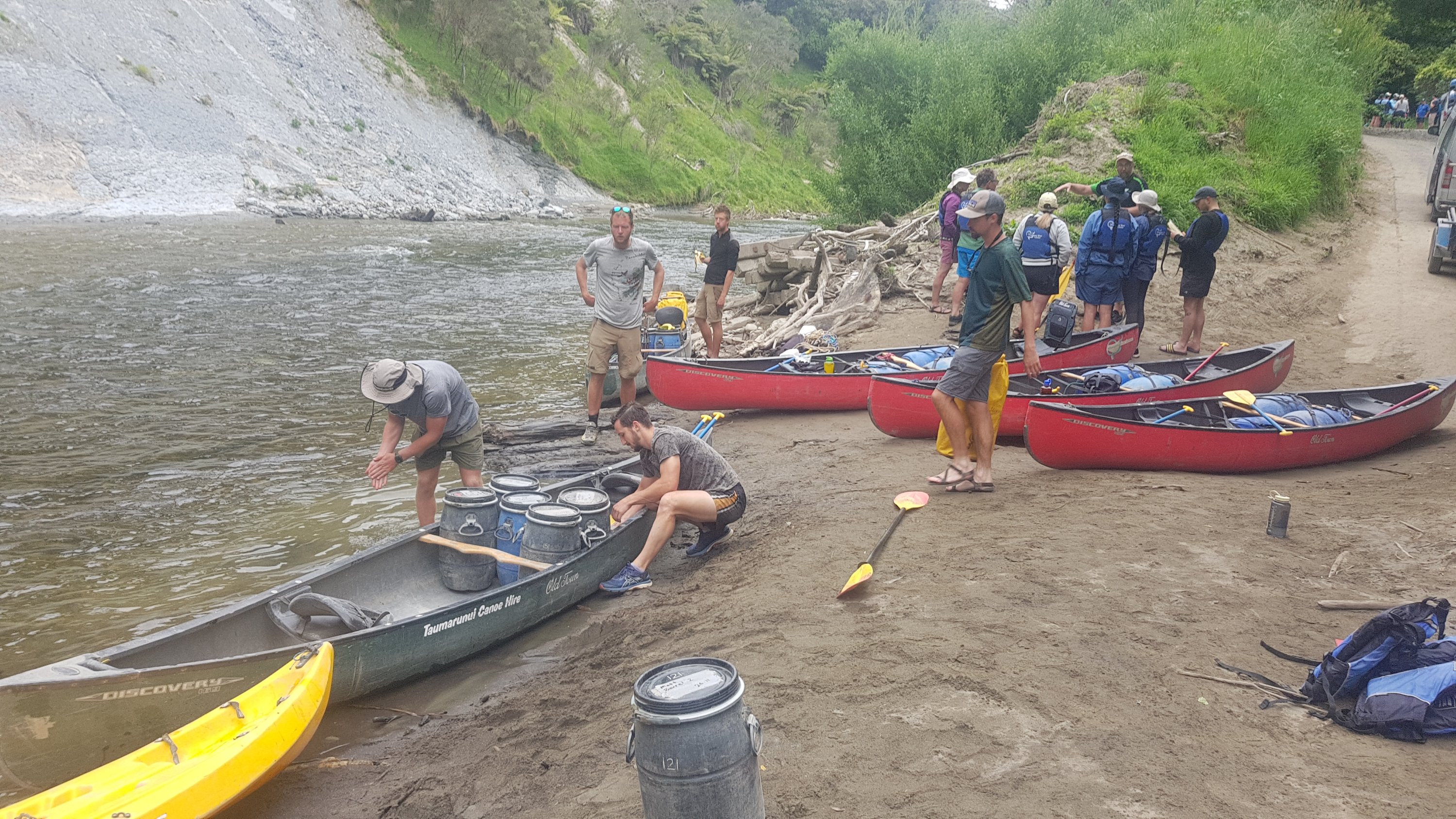
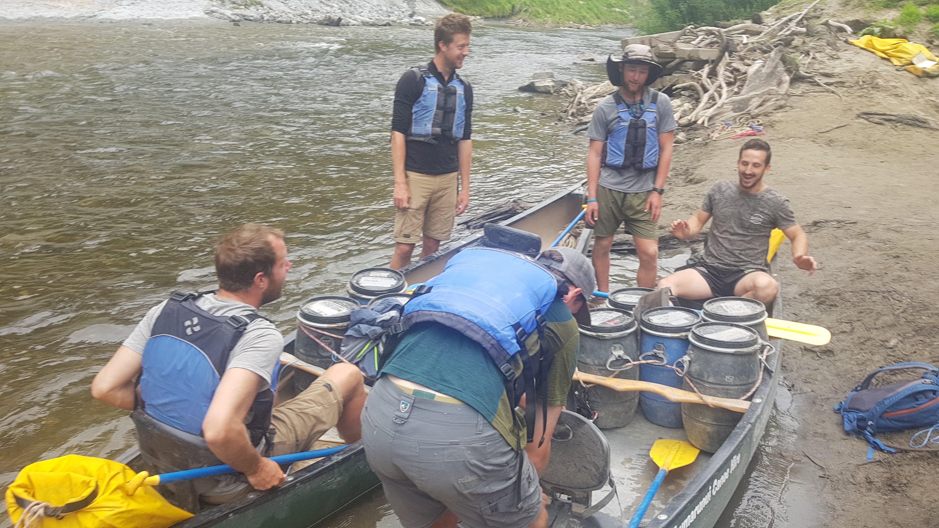
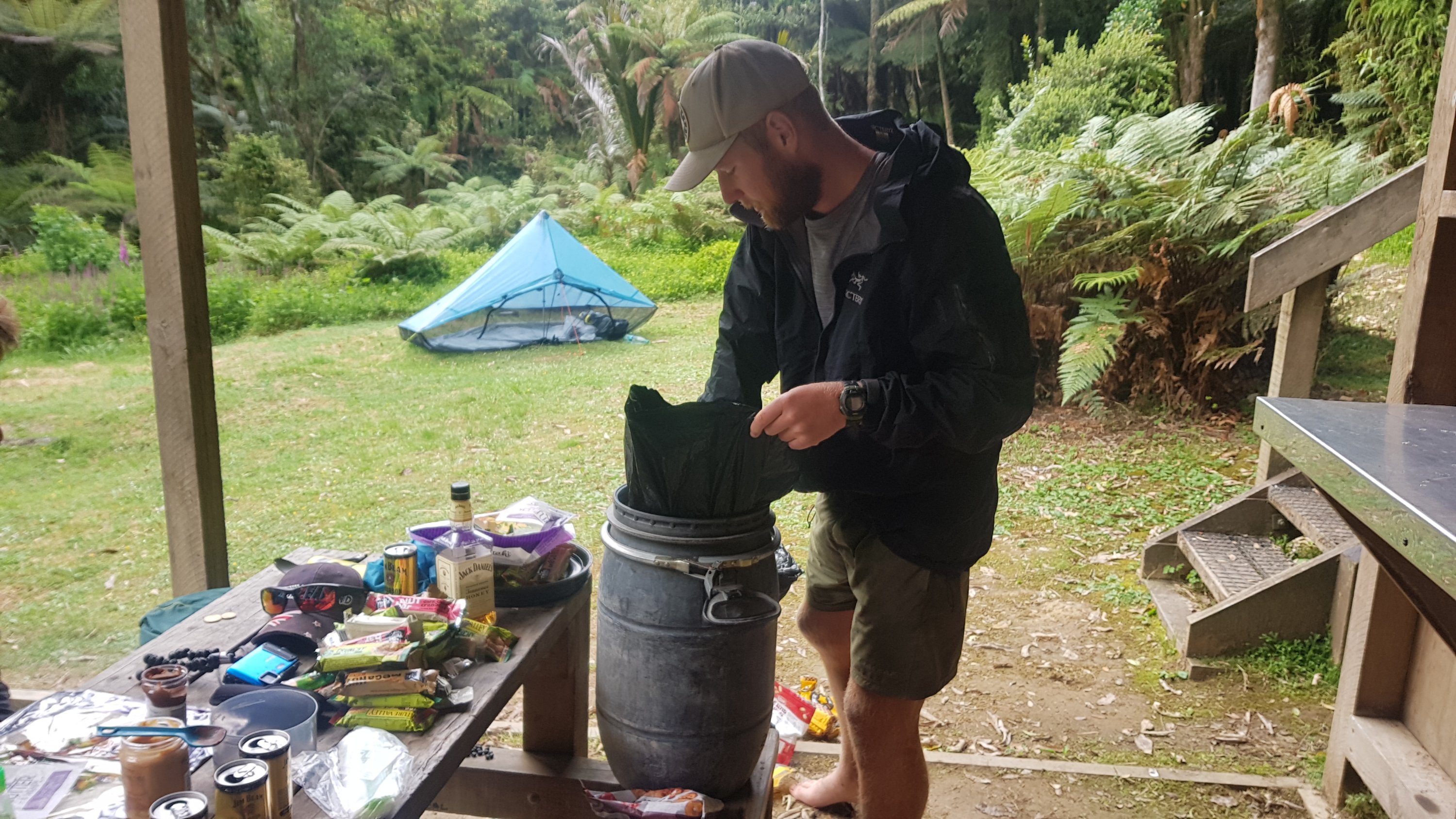
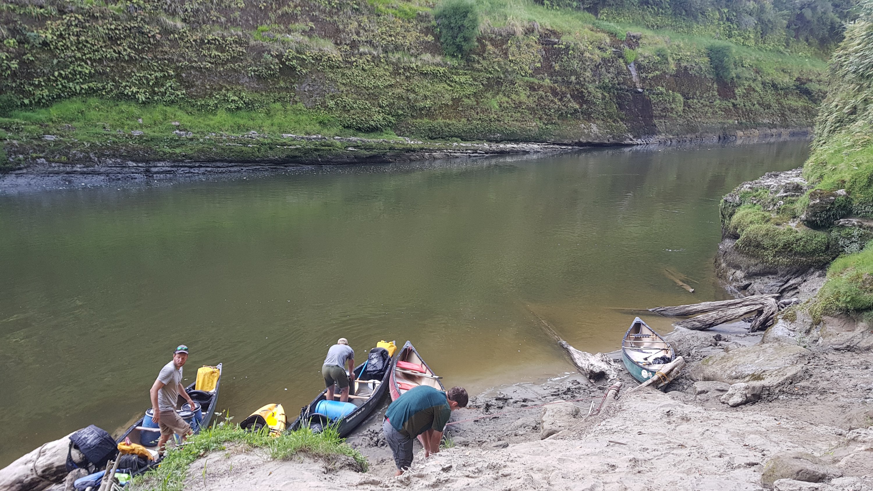
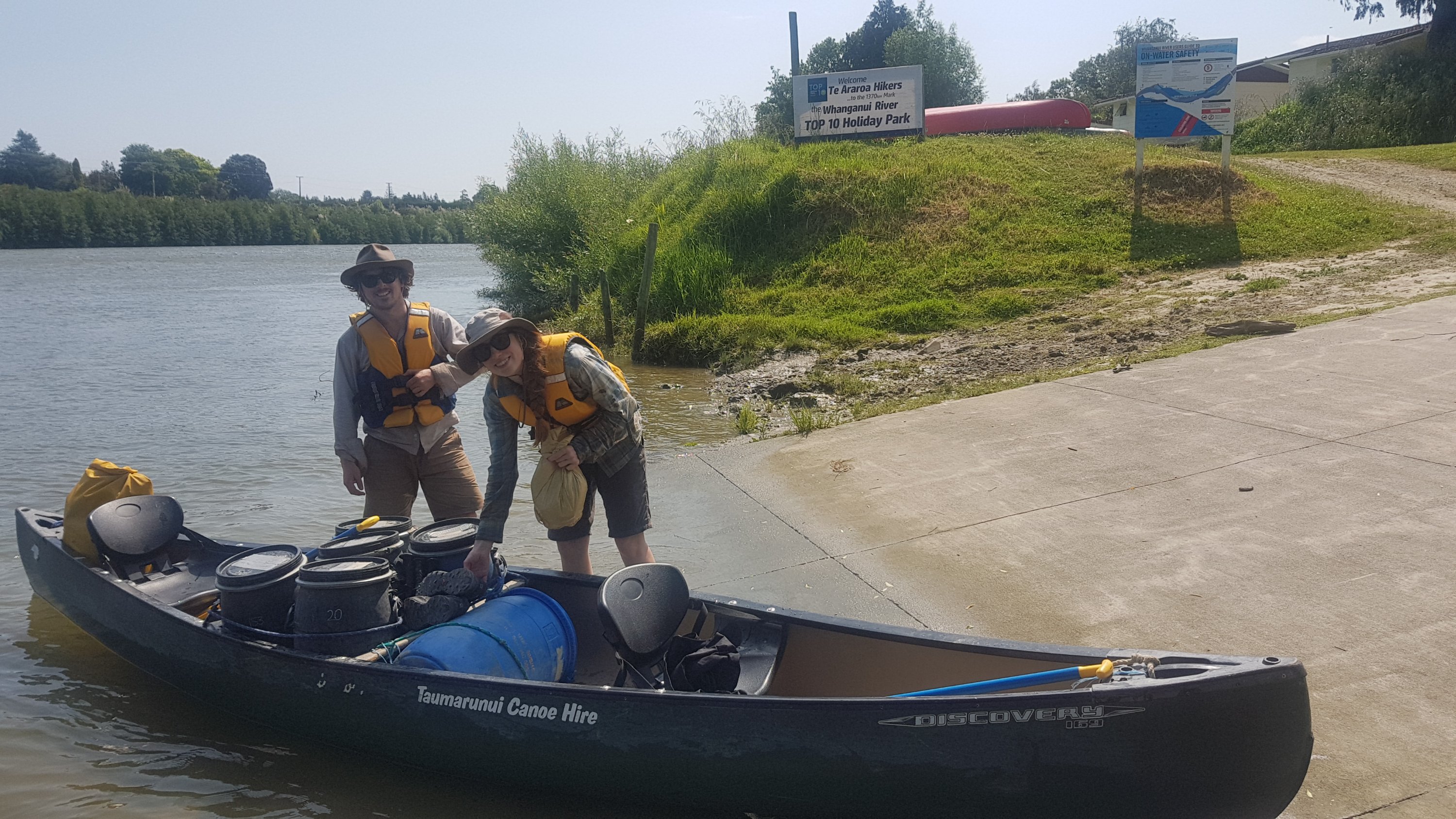
In the meantime we put all our stuff into the waterproof barrels. The hire guy had brought 14 barrels but we only needed 11 – yay for us. There was also one bigger barrel and a couple of yellow “dry sacks” to put our packs and poles in, and anything else we won’t actually need to get our hands on for the next five days like hiking boots.
In theory these barrels are completely waterproof. So if you submerge the canoe or flip the kayak then your stuff will be fine. Assuming that 1. you actually put your stuff in the barrels, 2. you attach them to the canoe properly and 3. you seal them properly. For some reason I have a feeling that we will be testing the waterproof-ness of these barrels on more than one occasion.
Barrels mostly done
I also have my phone in a waterproof case – Lifeproof brand. That is tied to me with a piece of rope. So even if I end up out of the kayak then the phone should not sink to the bottom of the river and should also keep working in theory.
On the kayak I can fit one barrel but since my stuff is in three barrels that means I’m separated from a lot of my stuff as the guys in the canoes have my barrels on their canoes. I’m sure I will get better at working out what stuff needs to go into which barrel but for now Ive just shoved everything in wherever so that we can get underway.
Ok next, we go down to the boat ramp and muscle our way in – it’s a small boat ramp. And then the hire guy brings out five chocolate muffins to say thanks. They’re cool guys at Taumarunui Canoe Hire, and their premises is right on the trail. I wish I got their names. The reviews for this hire company on Guthook are overwhelmingly positive.
So many people on the water today. That actually makes me feel better.
We put our lifejackets on and get the canoes and kayak in the water and we have to do a demo. And this is where I learn that canoes only have a one-ended paddle. Oh boy, I’m way out of my depth here. It just occurred to me right now that I’ve never even seen a canoe before!
More prep
I was in the kayak though and I’ve kayaked a bit before. So I could demo my paddling skills just fine. Interestingly, Peter and Charlie had also not been in a canoe before today. But they managed to convince the hire guy that they knew what they were doing. I think that this whole exercise of demoing our paddling skills is just a health & safety box-ticking exercise.
Finally ready to go
And then Ethan signed something on everybody’s behalf and we were off. Oh boy, it starts now. Approximately 160 kilometers down the river over five days. I loved the Puhoi Kayak last month. That was just two hours long and had no rapids to speak of. This is going to be a whole different beast.
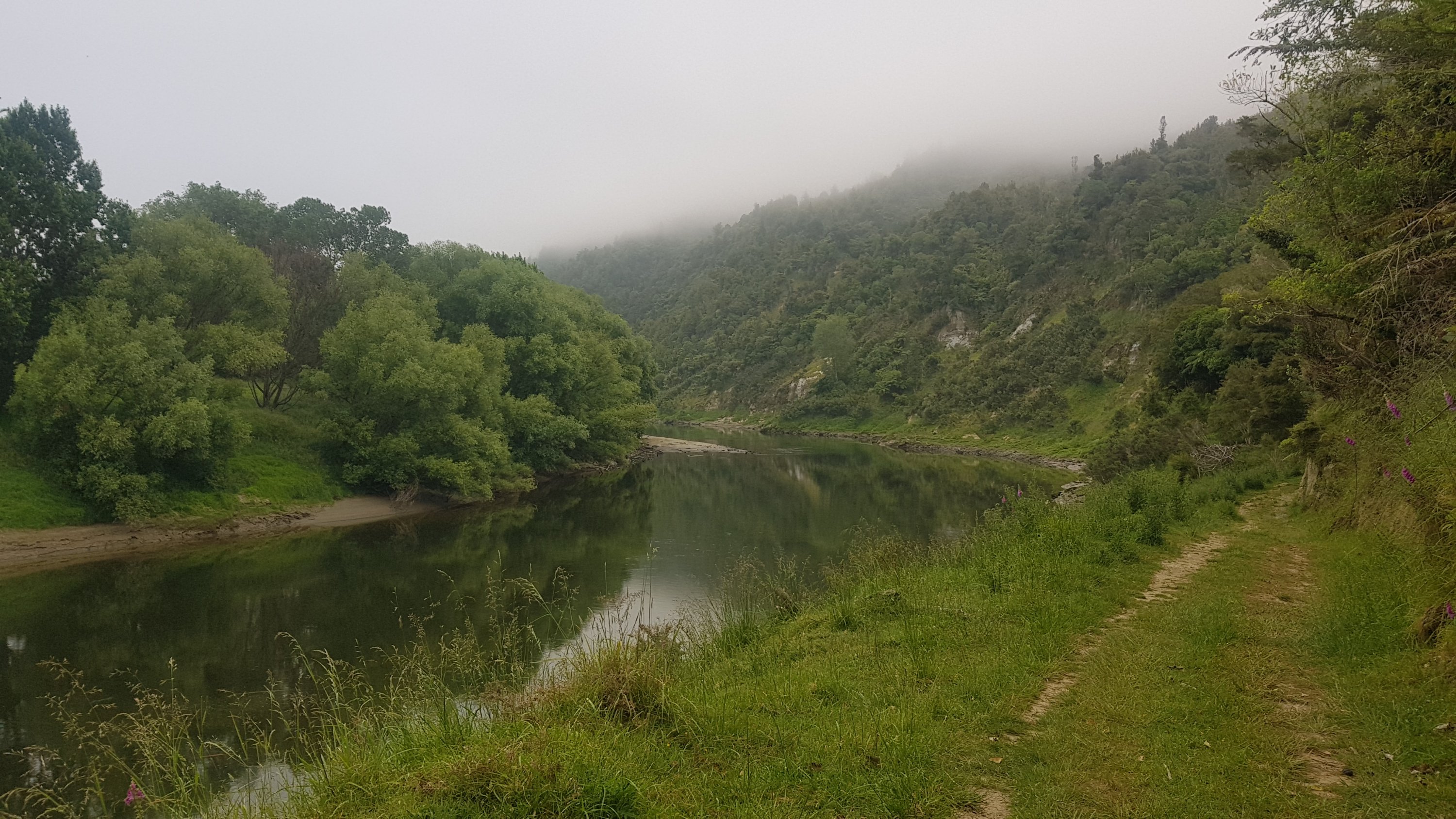
It was nice for the first hour or two. The paddling was easy – we were making 8 km/hr which is quite fast. It is good too – our first day is by far the longest, we have 48km to travel today and didn’t start out until just before 11am.
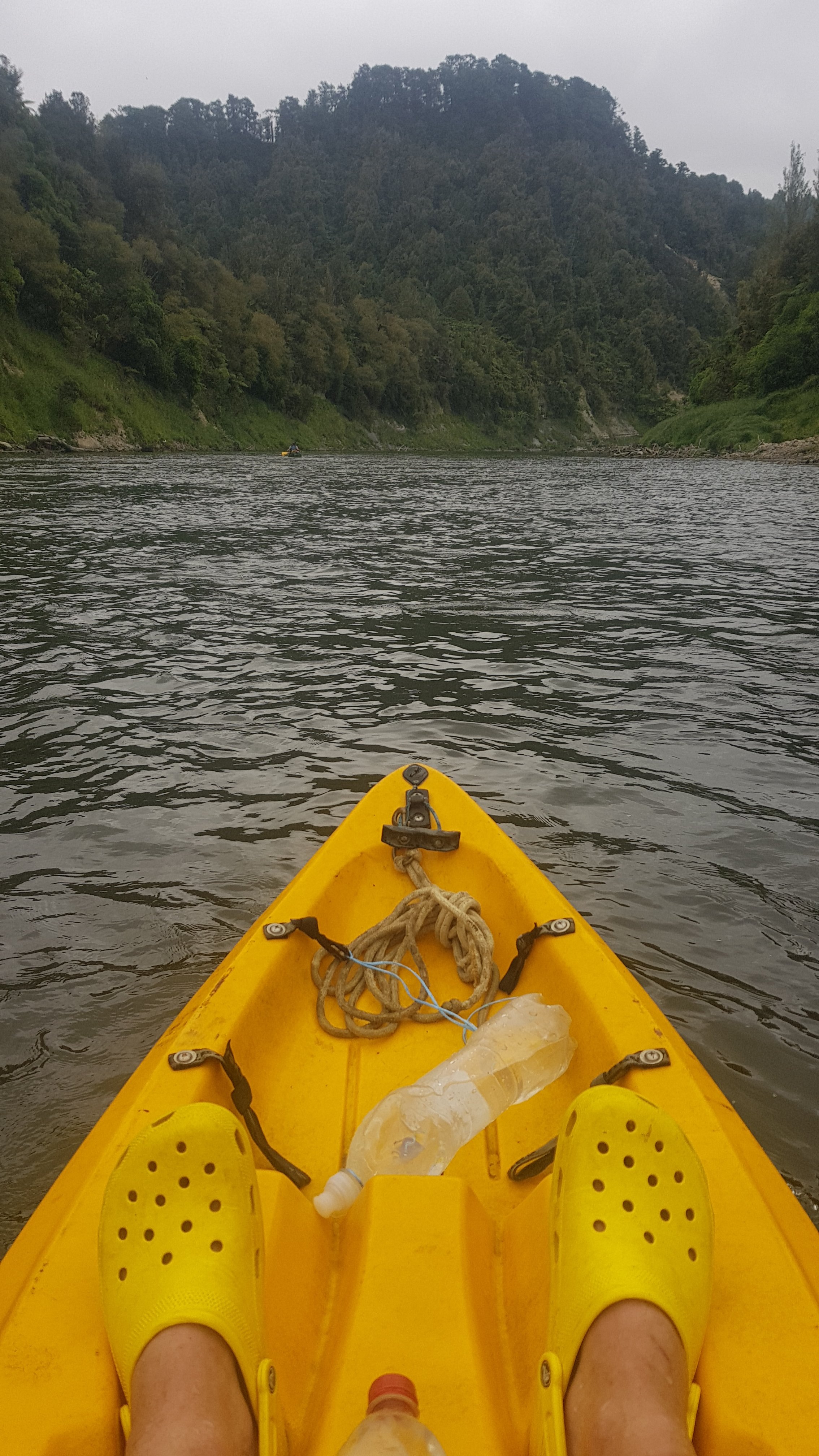
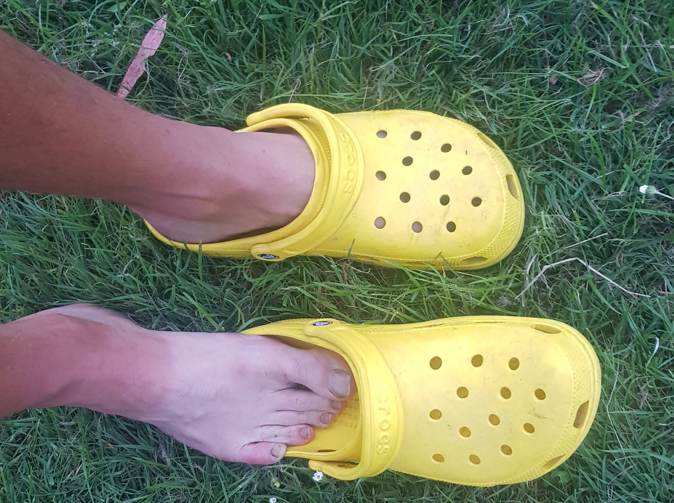
Crocs on the water. Dun dun dun, dun dun danun, dun dun dun, dun dun.
The rapids didn’t even seem that bad. You aim for the V which is the point where the fast-moving water converges on, then the water gets a bit rough and you bounce around a bit but it’s fine. You balance and don’t fall out and everything is peachy. Let’s hope it stays that way.
Alex and Ethan in their canoe
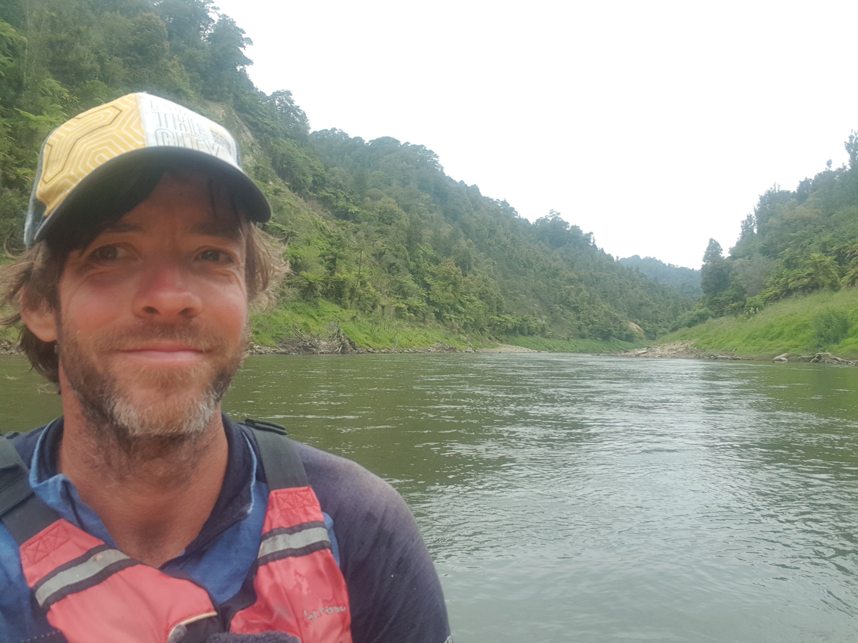
And here’s my 11am picture on the water!
11am selfie
We were making good progress.
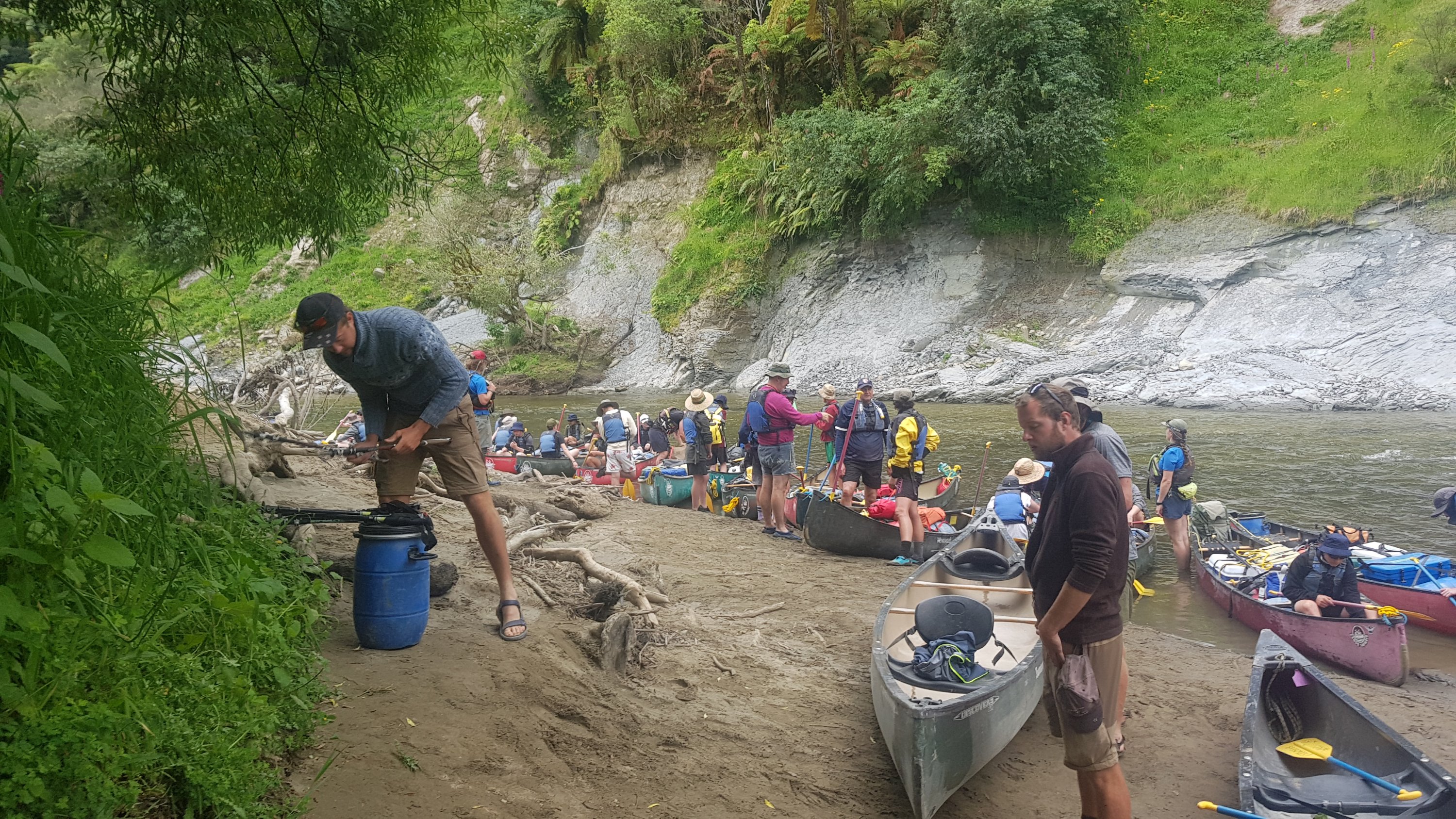
It didn’t take us long to catch up to the schoolkids. I had a chat with the teachers. Apparently each class is allowed to choose what they want to do for school camp and this river journey is the most expensive option.
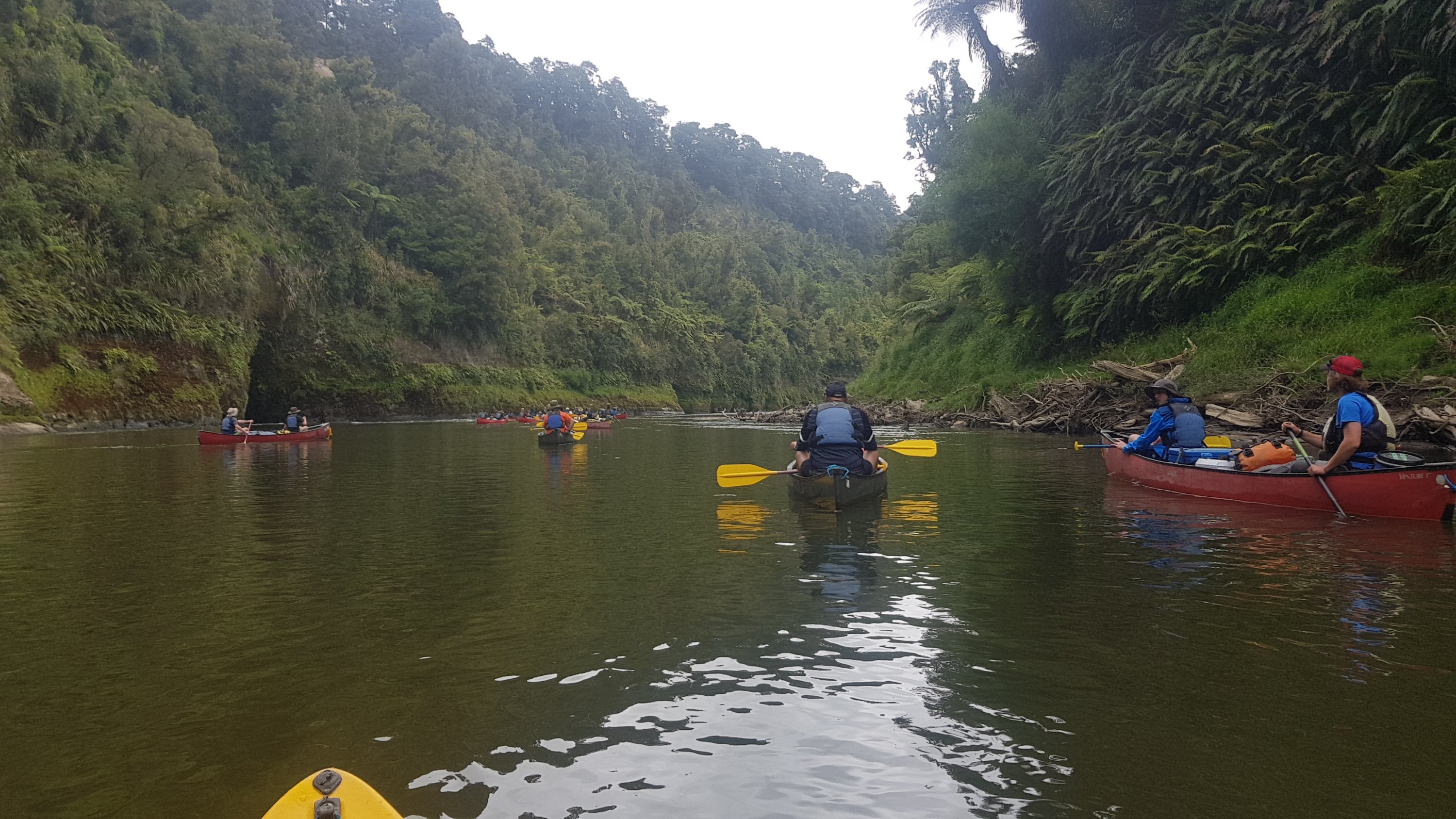
Catching up to everyone else
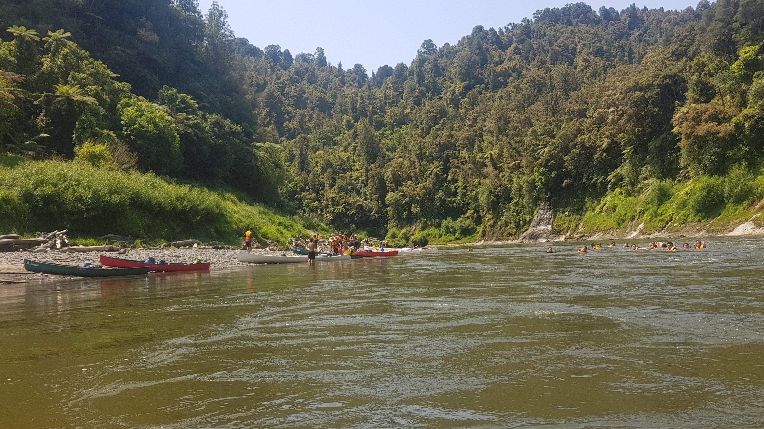
We had to stop chatting however, when we saw that one of the pairs of schoolkids had already flipped their canoe. I didn’t see how it happened but I was surprised to see it happen so early on.
After it had happened
We stopped for lunch after a bit more paddling. All was still going good. I opened up my food barrel which I packed at Taumarunui. Because we had stopped on a less than ideal spot for lunch, I had to have whatever happened to be on the top of the barrel for lunch, because there was no room to unload it. That turned out to be chicken-flavoured potato chips and biscuits called “Shapes” – I just couldn’t remember what flavour they were because I had thrown away the box to keep the volume of food inside the barrels down.
Deep mud on the shore of where we stopped made it an unpleasant place to stop – we need to pick our lunch spots more carefully next time. But when we got back in the water, we realised that the next campsite we passed was where all the kids had pulled up and were making lots of noise and that would not have been a good place to stop.
Back on the water
Further on was a second group of schoolkids. They were making a lot of noise and were also all swimming in the river at a narrow point. This put me off a bit because it was hard to go around them. Once I was past them I turned around to take this photo.
They’re brave swimming in the water like this, approaching a rapid
And that’s where my first mistake happened. I was so busy concentrating on avoiding the kids who were all swimming downstream that I wasn’t paying attention to the upcoming rapid and I fell out at the end of it. And I did the one thing that they say not to do in the safety briefing – I let go of the paddle. Uh oh – now what.
Well, luckily the water was calm after that bit. It was surprisingly easy to hold onto the kayak but also kick in the water to steer myself towards the paddle. So it only took a minute or two to catch up to the paddle in the water. Then I floated gently into a tree that was sticking up in the water. I used the tree to get back into the kayak, I make it sound easy and relaxing here but actually I was breathing heavily in the water and was quite scared. At least I knew I wouldn’t sink with the lifejacket on. My big fear was the kayak or paddle or my stuff floating away, never to be seen again. Fortunately in the kayak, as I now know, that doesn’t seem too likely to happen.
The others weren’t too far behind and they saw me out of the kayak in the water and came over to offer assistance. Fortunately I didn’t need any help.
Ok let’s do a damange report. My GPS watch is still going. The phone didn’t get away and still works but water definitely got inside the “waterproof” case. That made me unhappy. And the one barrel I was carrying in the kayak was still secured. Hooray.
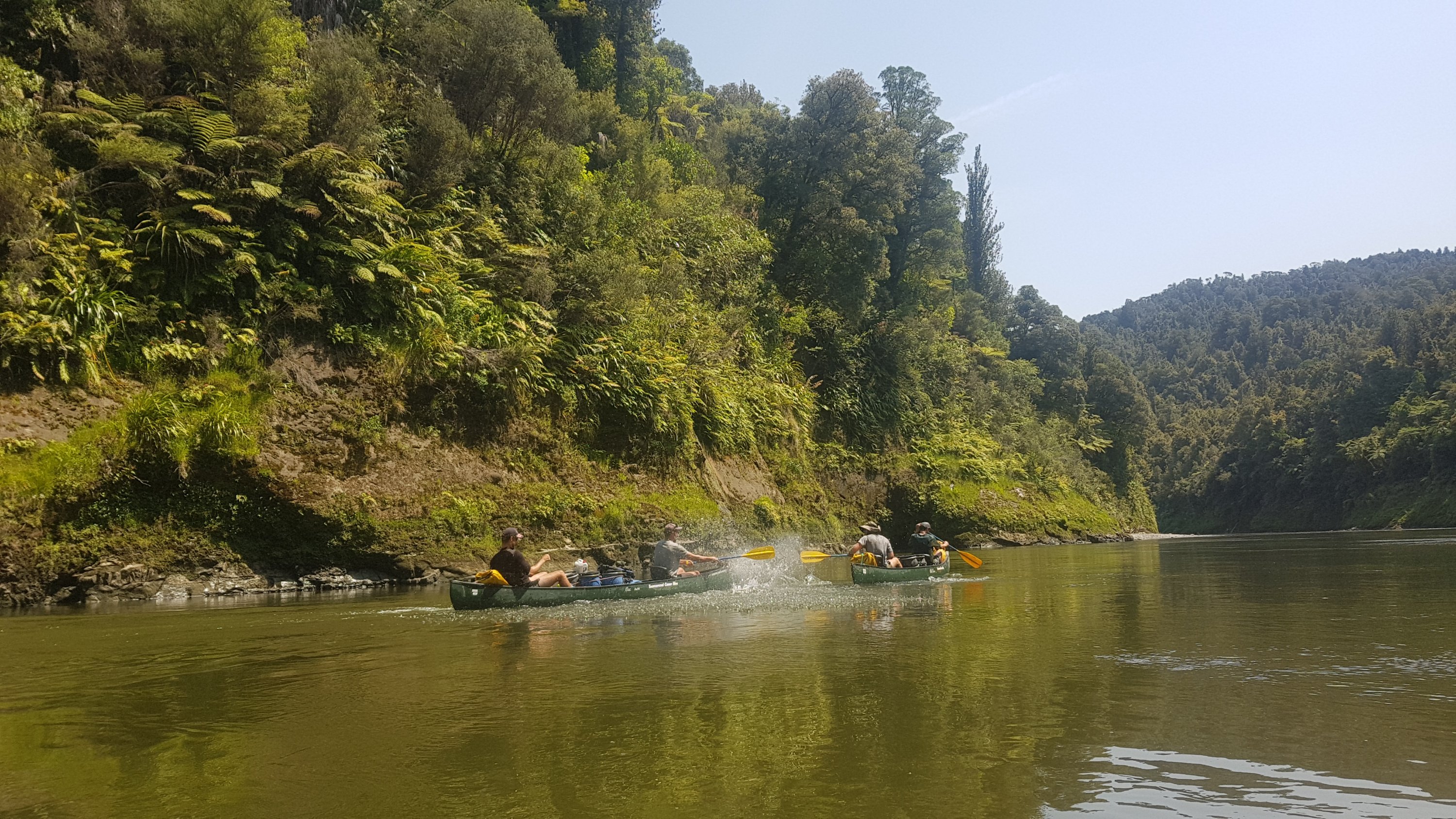
In the second set of rapids after John Coull Hut I managed to get through okay… but then I saw a big tree and since the rapid was on a corner I just couldn’t get away from it. I sideswiped the tree and this time the whole kayak flipped. Here we go again! I held onto the paddle this time because I could see the tree coming and I knew I would be tipping out again. But this time I had to get the kayak upright. It was again surprisingly easy – one big push and it was upright, and I could just jump back into it in the middle of the water. I managed to do that before the others came around the corner to the same rapid so they didn’t even know it happened – but I told them anyway. They haven’t had any troubles yet. Canoes are a lot more stable in the water than a kayak it seems. But apparently when you make a mistake in a canoe, the mistakes are harder to recover from.
Ok damage report again. GPS watch still works. Phone still there. Phone still works. Barrel still there. It’s been completely submerged in the water so when I stop next it will be interesting to see the condition of what’s inside.
After falling out twice, I was more nervous than when I started because it seems like something that will happen often… but I’m also more confident of my ability to get back in when I fall out. There are definitely more rapids coming up and I feel sure I’m going to fall out again.
Alex and Ethan were “trash-talking” Charlie and Peter and splashing each other and pushing each other’s canoes around. That would have made me nervous if I was in either of those canoes. It really was Belgium vs USA.
Shenanigans
The long day really started to take its toll on my arms, and 40km in, I really started to fatigue and make mistakes. Every corner suddenly seemed hard. I was worried if I flipped again then I wouldn’t have the strength to get it upright a second time and to get back into the kayak. Because I was so tired, I had to keep saying “calm, calm, calm” out loud whenever I went through any rapids.
I think everyone was starting to get tired and making mistakes by the end. At the 44km mark Charlie and Peter were right behind me in a rapid. I slowed down but they sped up and ended up hitting my kayak which spun me sideways near the end of the rapid. I managed to keep my balance though, and the kayak didn’t tip, so everything was okay. It was honest mistake, I didn’t feel angry at them. Charlie was really apologetic because he knew how nervous I was all day.
Coming up to the end of a long day
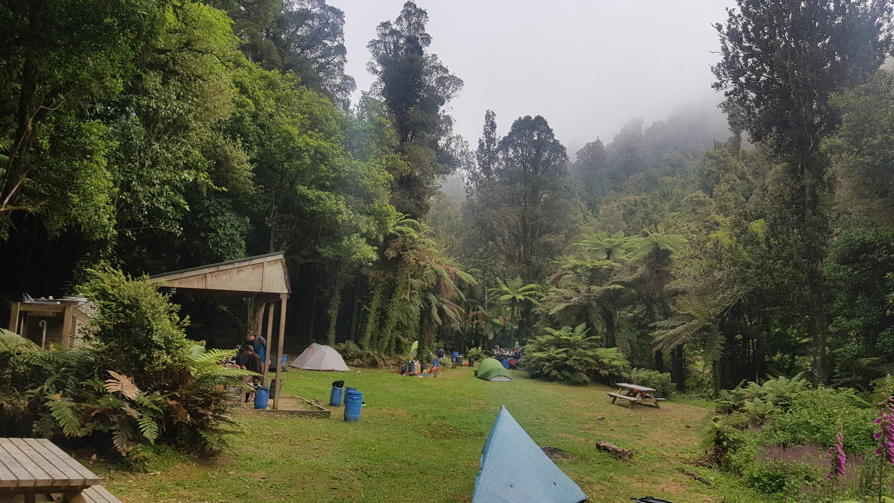
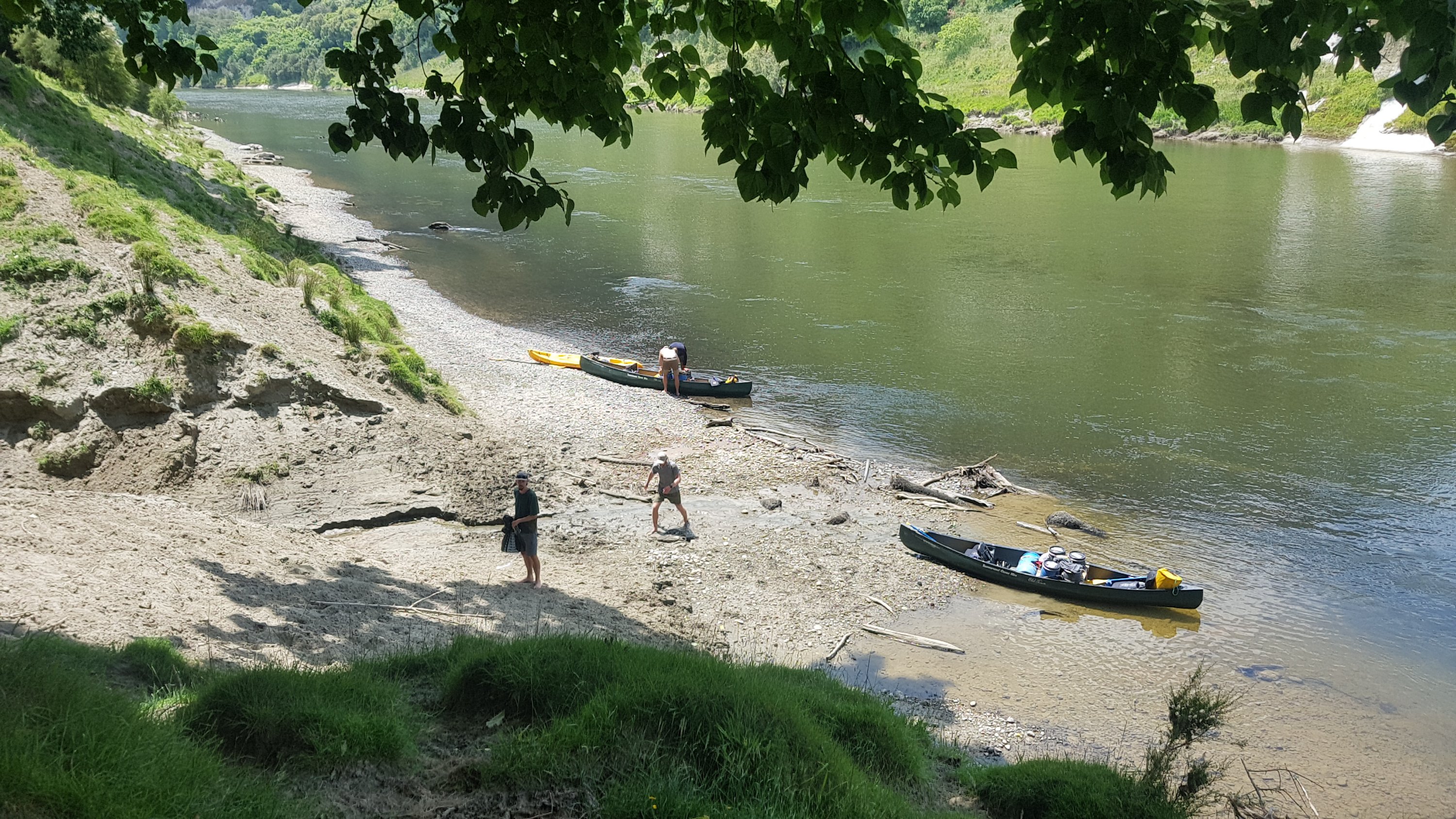
I felt relieved to get to Mangawaiiti Campsite, although I was surprised how many stairs we had to lift up our barrels. It was up quite a lot of stairs! I checked in my barrel. Yep – all good. Everything is dry, no water inside. Wonderful!
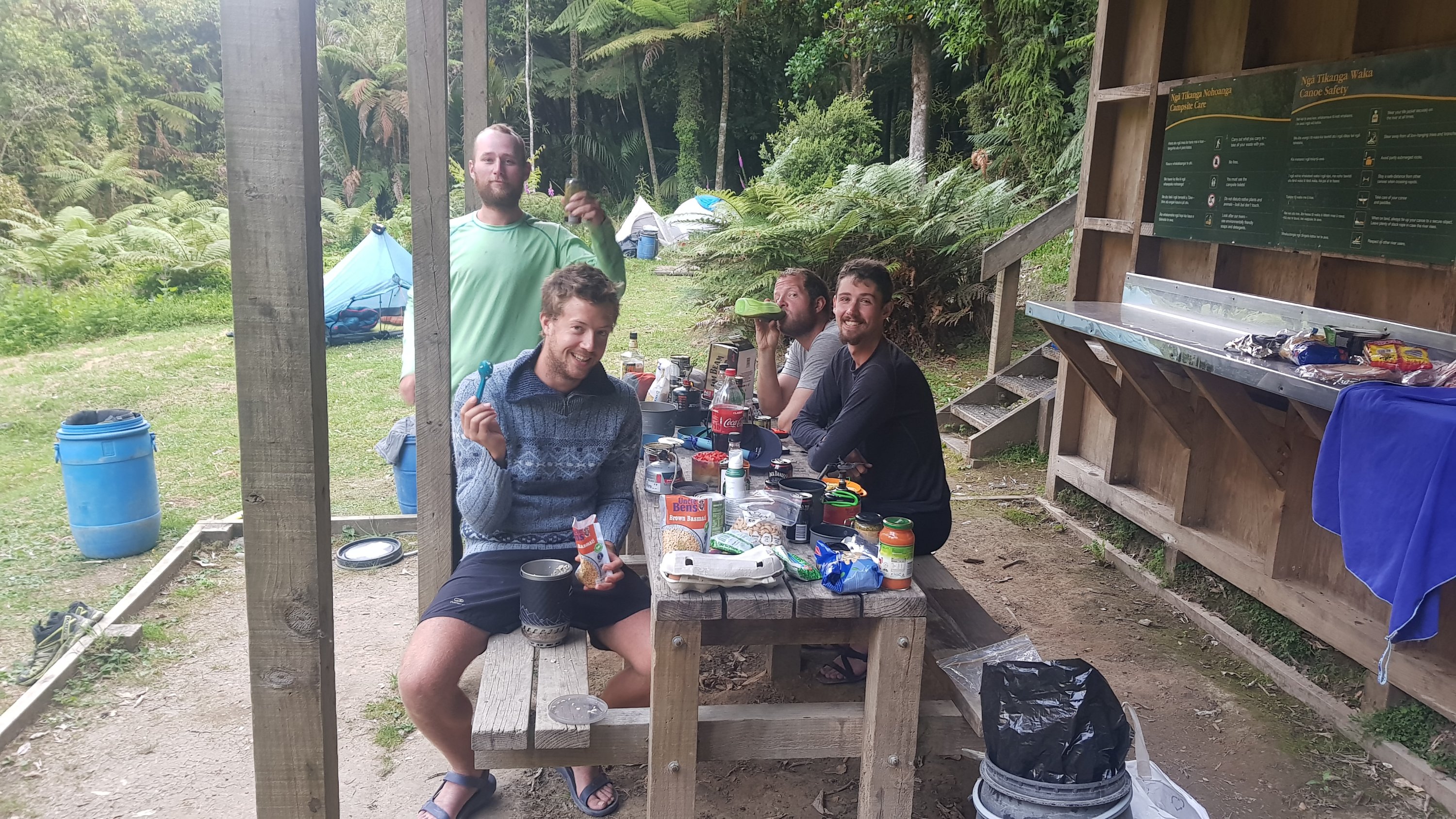
We did the usual setting up of our tents and then for the first time since buying my “food for the river” back in Taumarunui I got to pull everything right out and see it all again. Ooh I forgot how much cool stuff I bought. The first thing I had was a can of Jack Daniels and Cola. Everybody had brought alcohol of some description so we had a few drinks. It was excellent.
And then I had a very big pasta dinner, followed by chocolate and sweets and a few pieces of the blackberry pie I brought. It was so nice!
Cheers!
There were others at the campsite – maybe about ten or so others. I didn’t recognise anyone but the rest of my group did. They went and socialised with them for a while but I didn’t join as I was uncomfortably sunburnt and also a bit drunk. I had really sunburnt upper thighs and tops of my feet – because these parts of my body were only seeing the sun for the first time because of the way I sit on the kayak.
Time to sleep at last. I go to plug my phone into the battery pack like I do every night… but where’s my charging cable? It’s not where it usually is. I pull out every single thing in every barrel. Wow it is not there. Oh no. I must have left it in the bunkroom at Whakahoro. This is the first thing I have lost on the trail. Well that sucks. My phone is fortunately still at 60% and that 60% is going to have to last the next four days. I guess it’s not terrible though because I don’t need to look at the map to see where we’re going – just follow the river.
And another thing… my phone is displaying the “moisture in charging port” warning. Eek. I have a feeling this is the universe trying to tell me not to take my phone on the kayak any more, and to seal it in a barrel from now on. That’s what I’m going to do. Moisture is obviously getting into the phone each time I end up in the water and the view from the kayak doesn’t really change often. So no photos on the water from now on, sadly.
It’s been an eventful first day on the river. I wonder what the next four days on the river hold for us.
Date: 27 November
Trail covered: 32.5km kayaked and 5.5km walking detour (kms 1234-ish to 1262.5)
Weather: no clouds yet again, and very hot
Whanganui River Journey – Day 2
During the night I had to get up to pee three times due to the alcohol we had last night. But it gave me a chance to look at the stars. They were beautiful. Every spot in the sky seemed to be taken by a star.
The campsite in the morning with everyone having breakfast. It’s surprising that the sky is misty after such a clear sky during the night.
After breakfast we had to pack everything back into the barrels.
Alex packing his hundreds of muesli bars into his barrel
Time to say goodbye to the campsite and head back to the canoes.
We had to carry all the barrels back down all the stairs which was hard work. On one of the several trips down to the canoes we briefly saw Abby and Jason. They had stopped for a break where had tied up the canoes – they must have started early!
Loading canoes
Today we’re travelling in the same configuration as yesterday, so I’m in the kayak again. Because I am now keeping my phone in a barrel while I’m on the water there is no 11am picture today, or any other day while on the river sadly. But having my phone inside the waterproof barrel makes me more confident on the water because if I flip again I won’t damage the phone. And of course I’ve already flipped the kayak twice on just the first day.
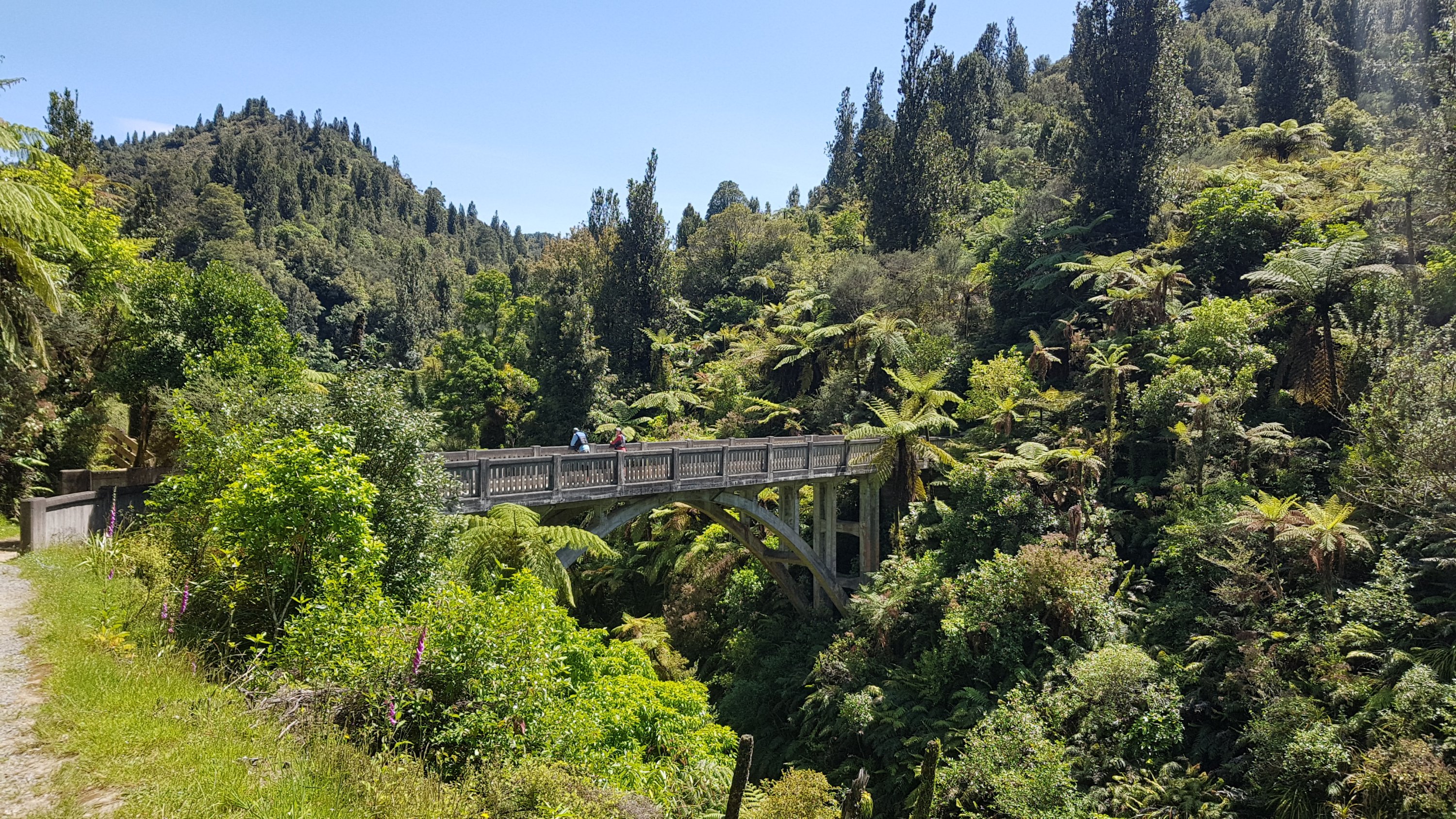
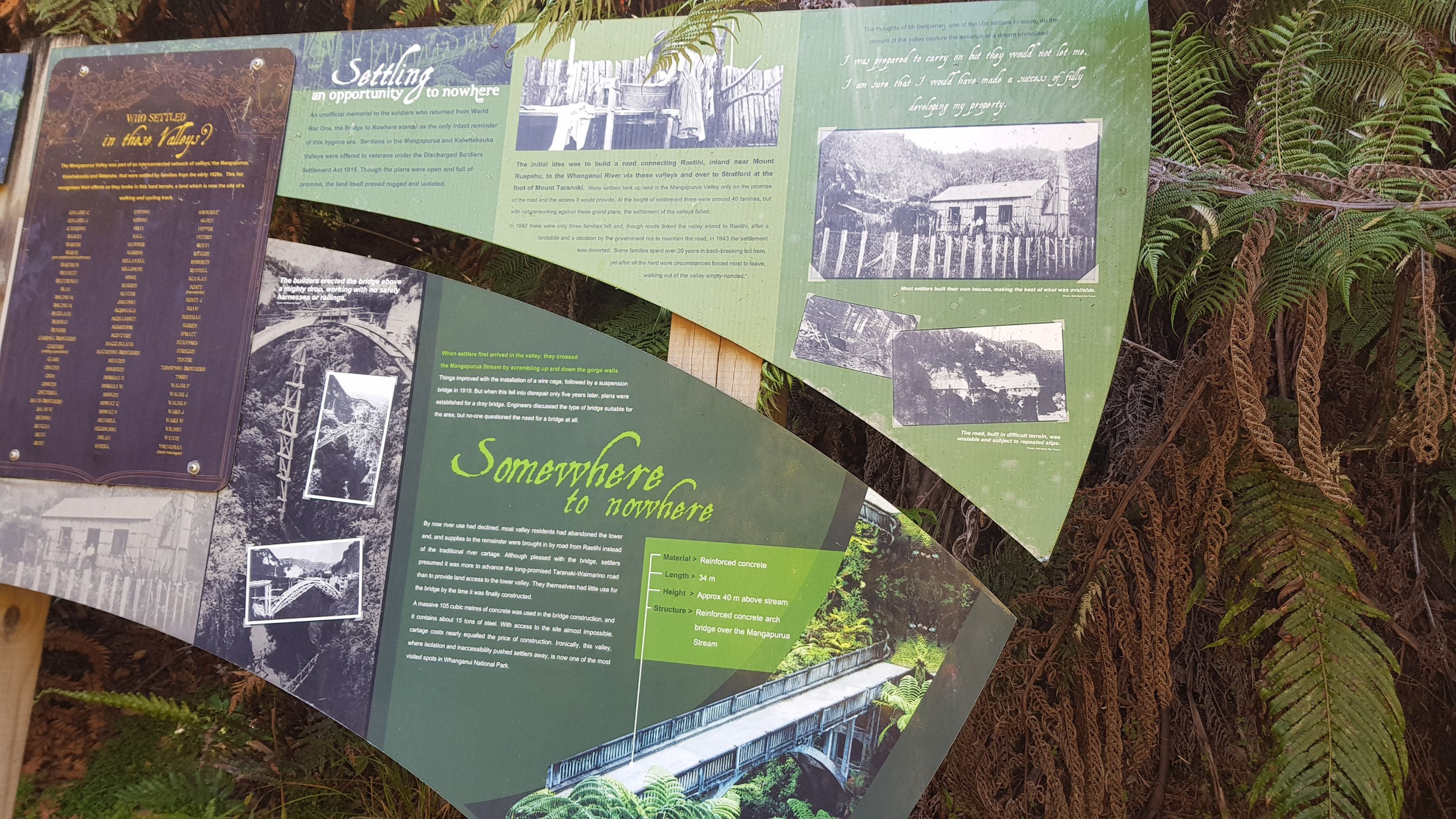
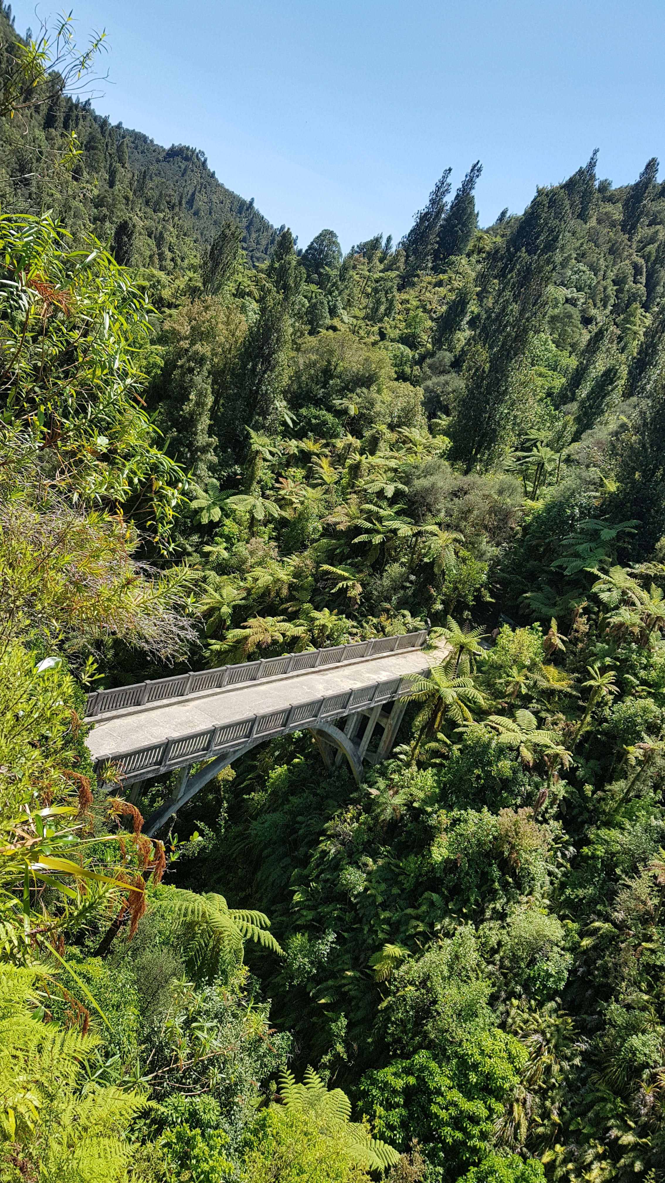
The touristy thing we did today was stop at the “Bridge to Nowhere” – a bridge that was built for a town that never happened. Spoiler alert… the bridge does now go somewhere.
More confusing signage
I could never have seen this on my own because the place where you tie up the boats is very steep. It’s so steep it’s like you almost need somebody on the land first to tie up your canoe and then you climb up the side of a cliff.
The most treacherous path to a tourist attraction I’ve seen
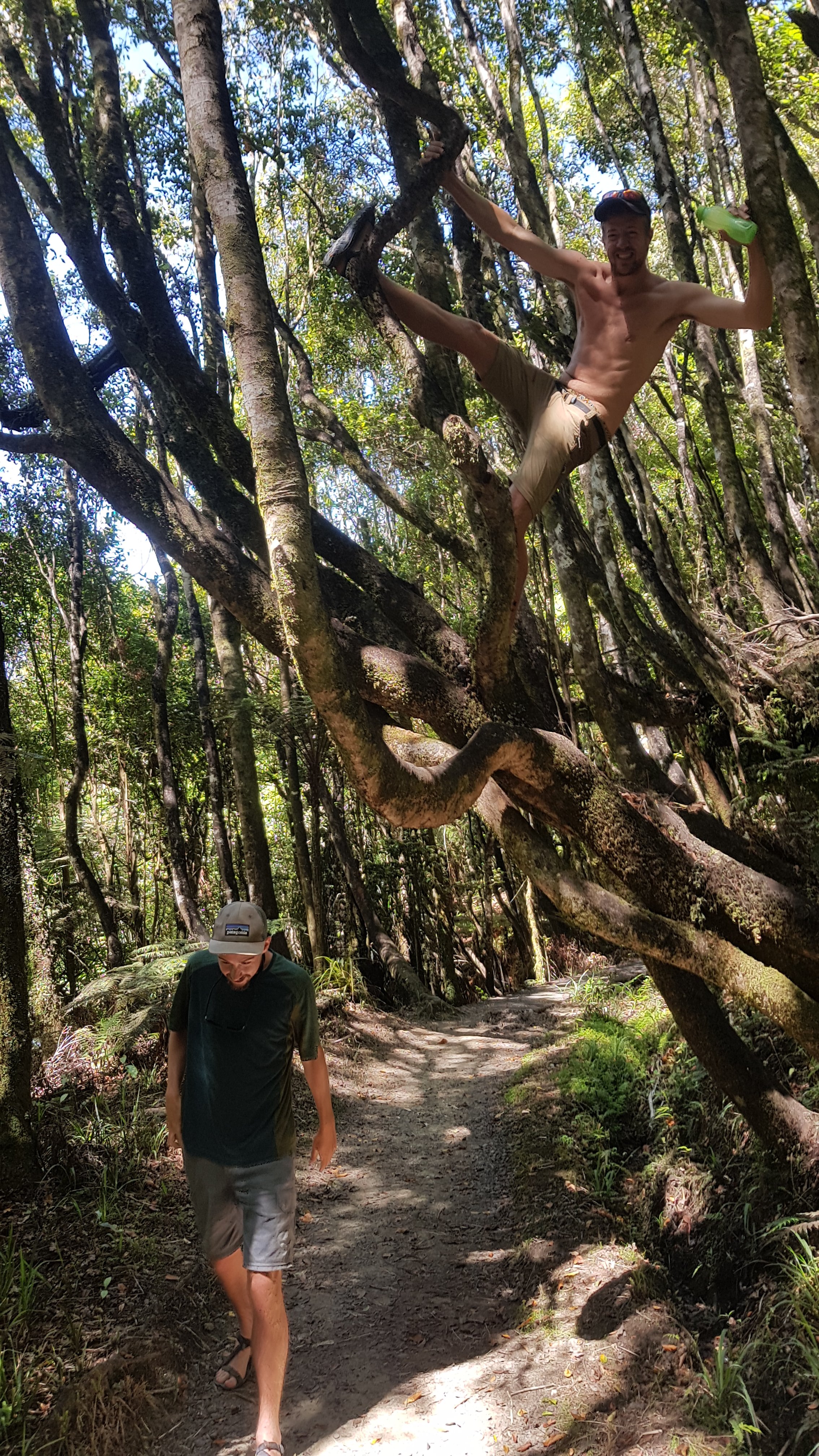
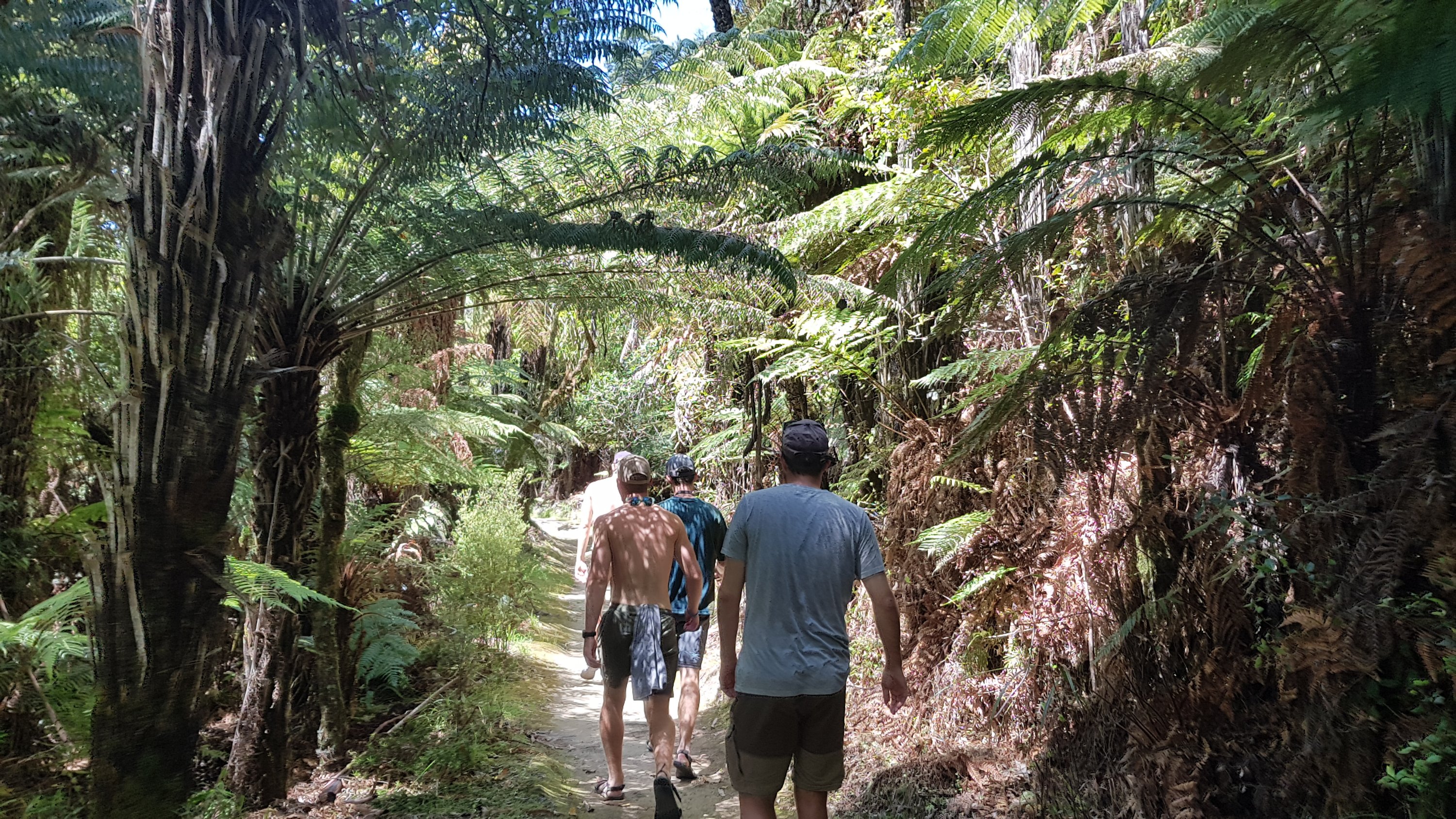
It was about a 5.5km round trip on foot to see this bridge. On the way it was a chance for Peter, who always walks fast, to hide up in the trees and pour water on people as they went past.
Peter being a monkey and Ethan being a victim
It seemed weird to be walking again.
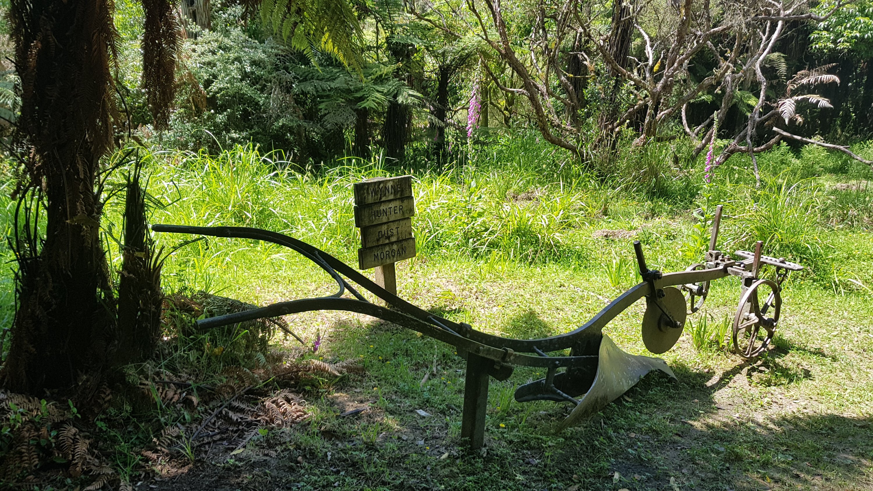
The sign says “Wynne Hunter Dust Morgan”. I’m not sure what that means.
Here’s the bridge!
The Bridge to Nowhere
There were so many people there that it was hard to get a good view of the information board.
I was surprised, I thought it would be bigger. I mean, the carriageway isn’t even wide enough for two lanes.
There was also a lookout two minutes up a side path. You could see a slightly higher view of the bridge from there.
Another view
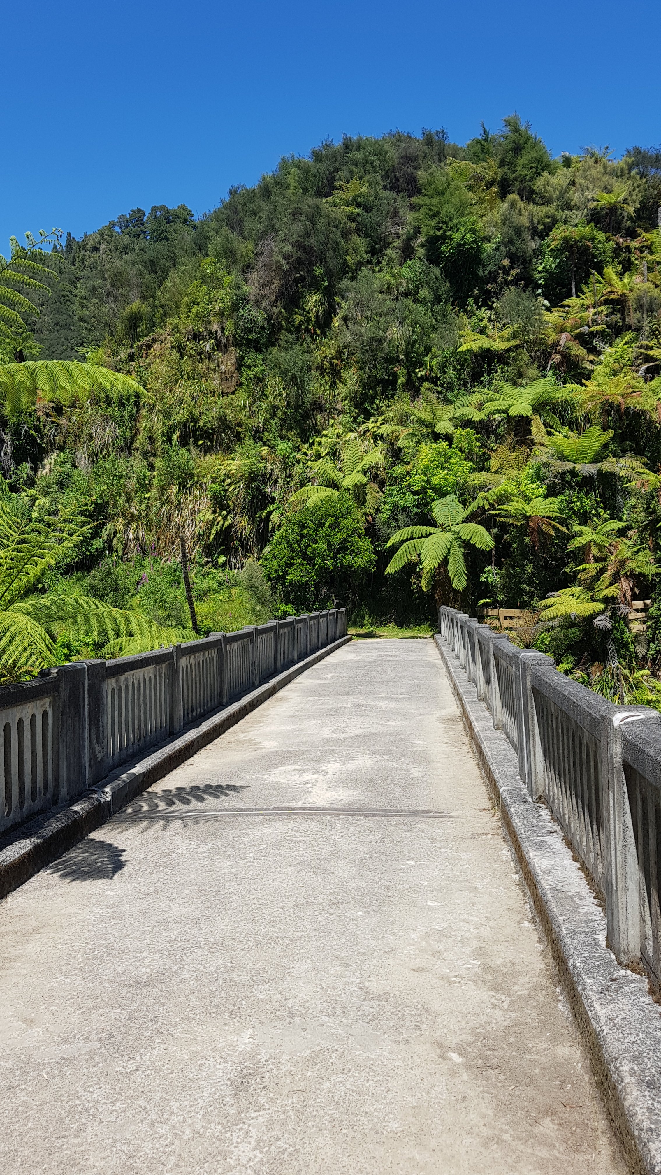
I think people thought it wasn’t worth the walk. But there were a lot of people visiting this place – even though I managed to get pictures of the bridge with nobody on it. We also thought maybe the end of the bridge would just abruptly end at either a wall or trees, i.e. “nowhere”. But actually continuing down this path would take you back to Whakahoro and is the actual Te Araroa trail path.
Walking back to the boats
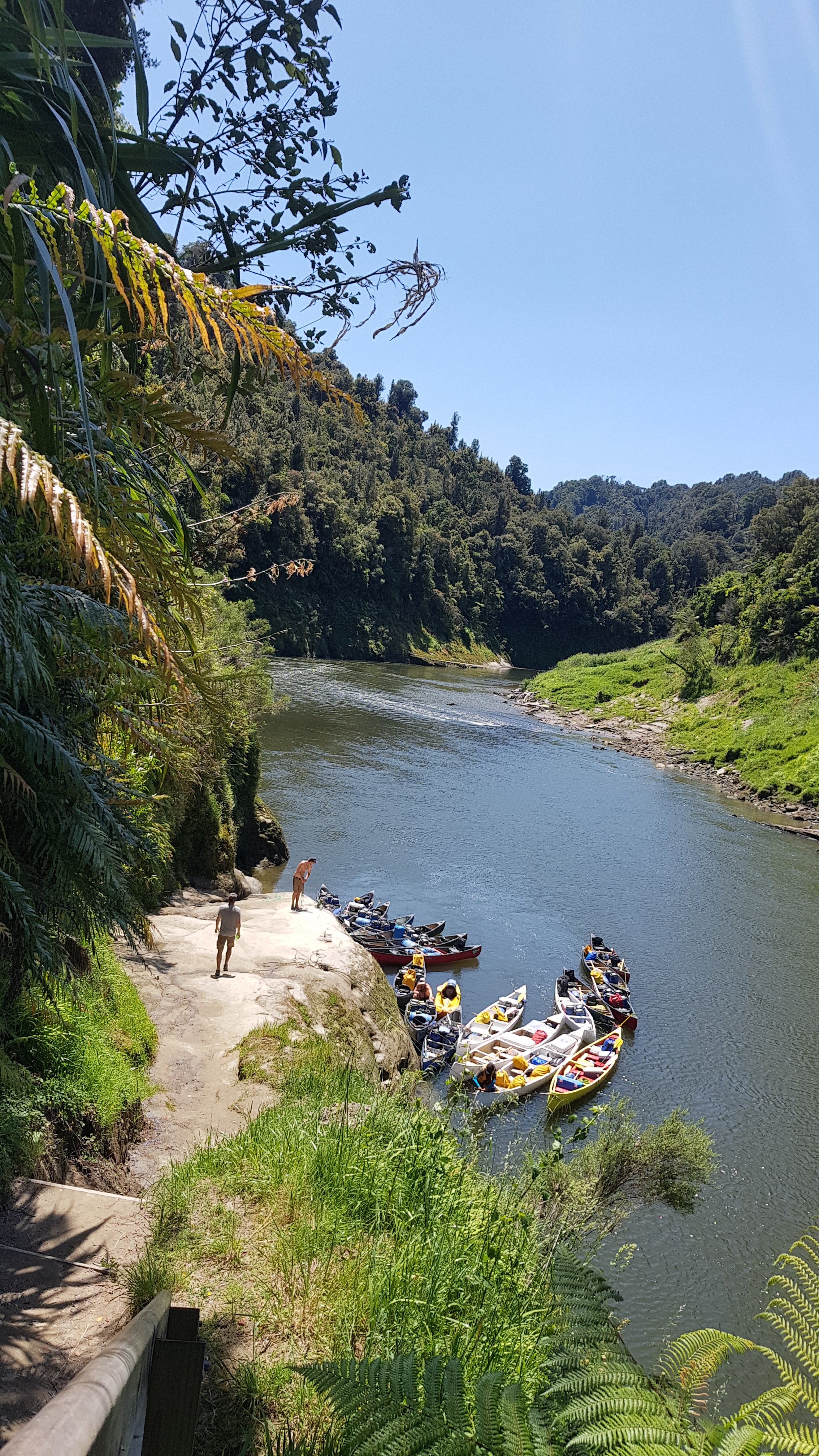
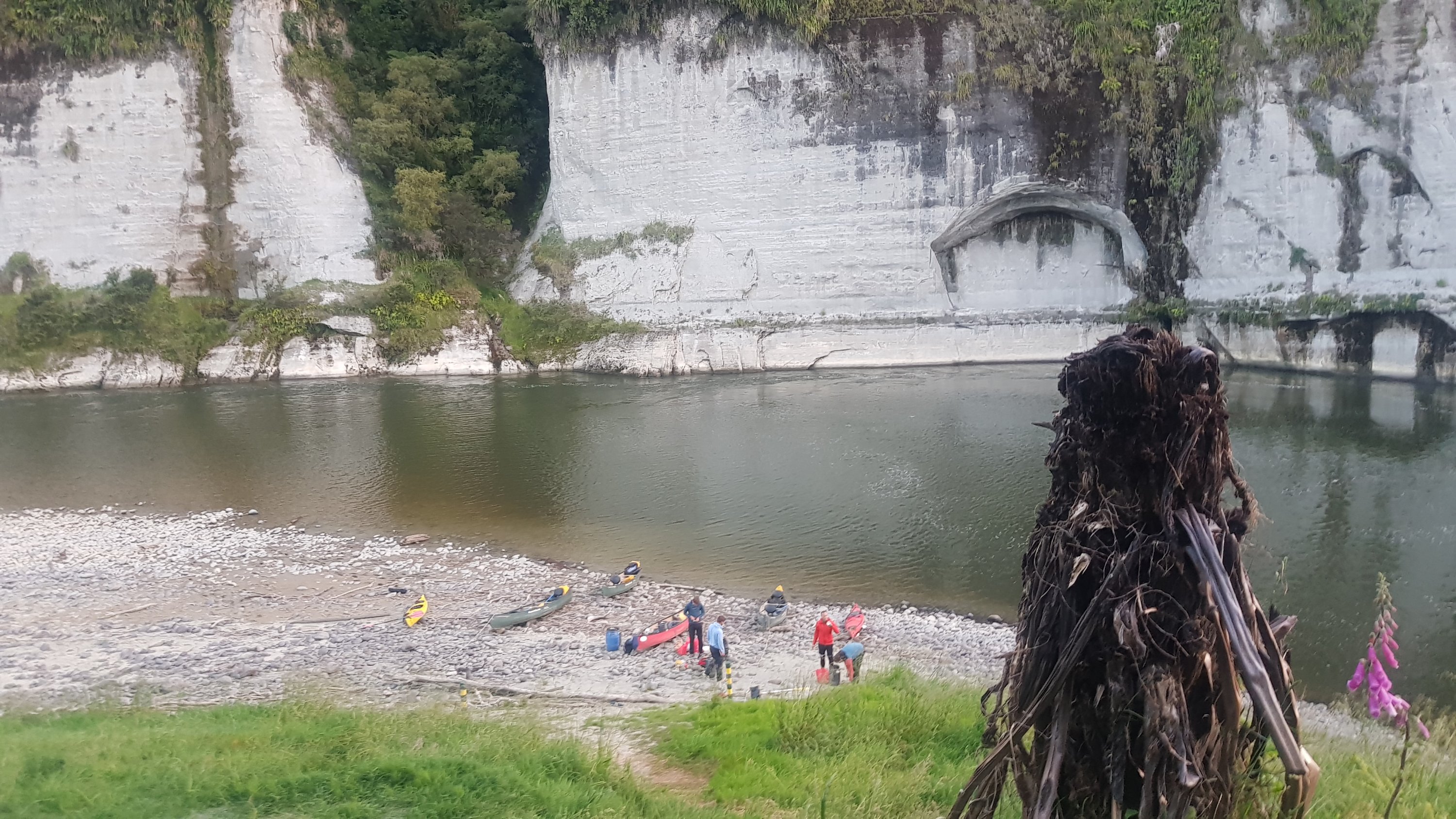
And where we had tied up the boats is actually Mangapurua Landing – the official place to start the river section if you follow the trail notes religiously.
Mangapurua Landing
While we were here, we saw the first jet boats arrive. A lot of the people here visiting this bridge have come via jet boat from Whanganui. Each time a jet boat comes while you’re on the water, you have to move to the side to allow it to pass in the centre and then you have to turn the kayak towards the wake left by the jet boat so that it doesn’t tip you out.
One thing that I did notice while I was at the Bridge to Nowhere was that the moisture alert that appeared on my phone yesterday has now gone. Phew.
There is a place just downstream from here called the “Bridge to Nowhere Lodge” where the guys stopped to get a drink. They originally said they weren’t going to so I actually went past it – but then I looked back and saw that the rest of them had stopped there. I wasn’t prepared to battle against the current and go back, and to be honest for me beer and rapids don’t mix anyway, so I just pulled over to the side, had a snack and waited for them.
Yesterday and today I kept a bit of distance between me and the other four. At first it was because I was nervous and didn’t want to participate in the splashing and monkey business but after a while I discovered I was happiest when I was in front of the others. The sweet spot was close enough so that I was where they could see me if I got into trouble… but far enough away so that if both the canoes suddenly had bursts of energy then I had a bit of leeway and wouldn’t get left behind as the other four are strong paddlers.
The river today was not flowing much so we had to put a lot more effort into paddling. We were going at a noticably slower pace than yesterday. I also had to do what I could to keep my already sunburnt feet and thighs out of the sun, but that is hard. The shade starts out on one side at the start of the day, but then at noon the sun is right above you and you can’t escape it. Then in afternoon the shade moves to other side. But as you can see from the maps the river meanders so much and has so many twists and turns it’s hard to predict exactly where the shade would be.
Downstream from the lodge, one jet boat went past me and waved but then it stopped at the others who were back a bit in the canoes. They had a chat and I wondered what they were discussing. I wondered if it was possibly the fact that the other four were not wearing their life jackets. Turned out I was right.
Charlie has quite a loud voice and often he is the only sound on the river. Which to be honest is actually beneficial. I always know how far behind or in front the others are without actually looking. But it does make it hard to concentrate in the rapids.
I always look at my GPS watch which tells me how many kilometers I’ve been today, because it tells me when the campsite will be coming up. Today I knew there were rapids right before the campsite. Eventually I saw the rapids… these ones were fast but were in a straight line and there were no obstacles like the ones yesterday. So I didnt fall out. Hooray! And also hooray – there are a lot less stairs to this campsite to carry the barrels up!
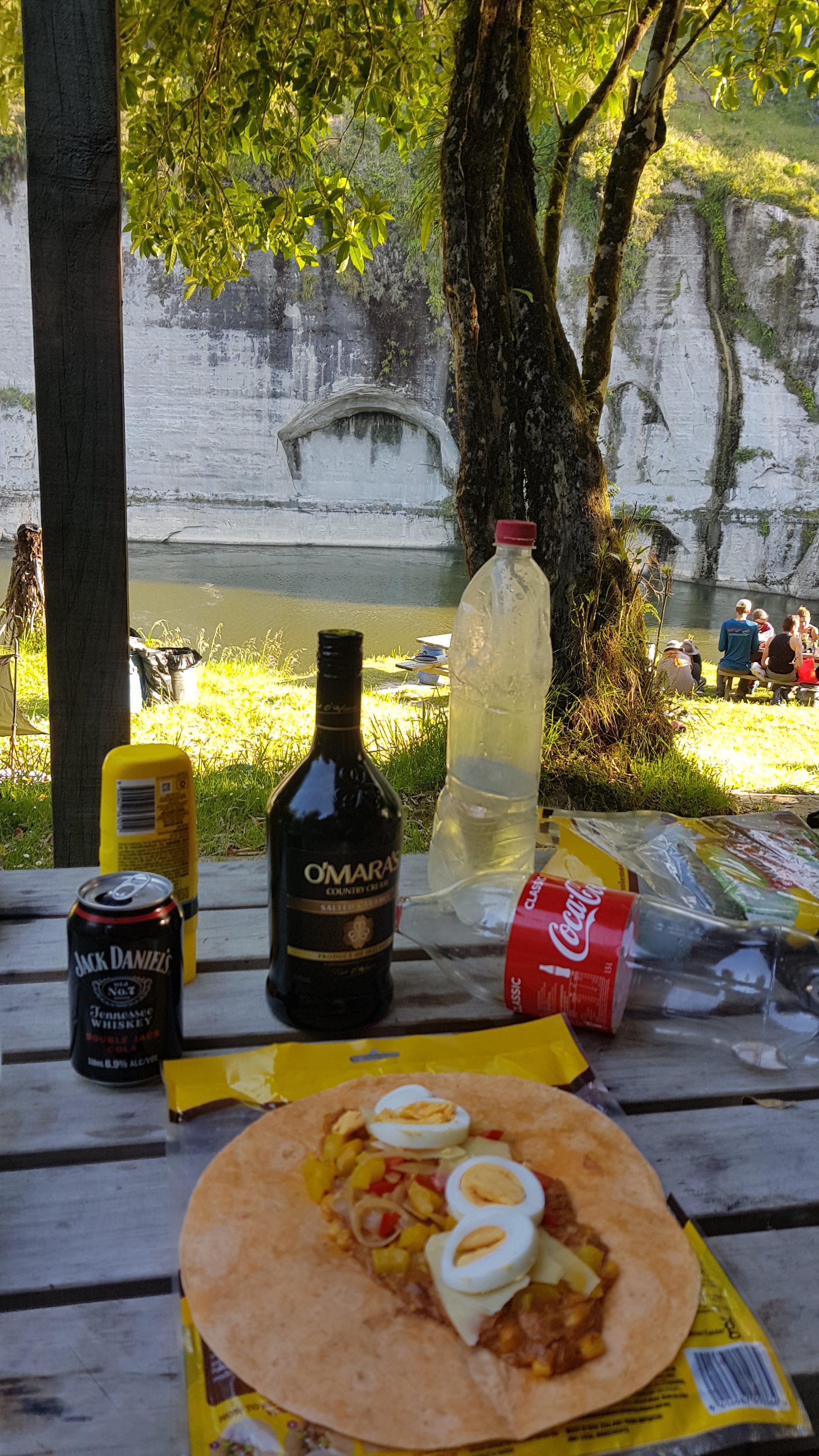
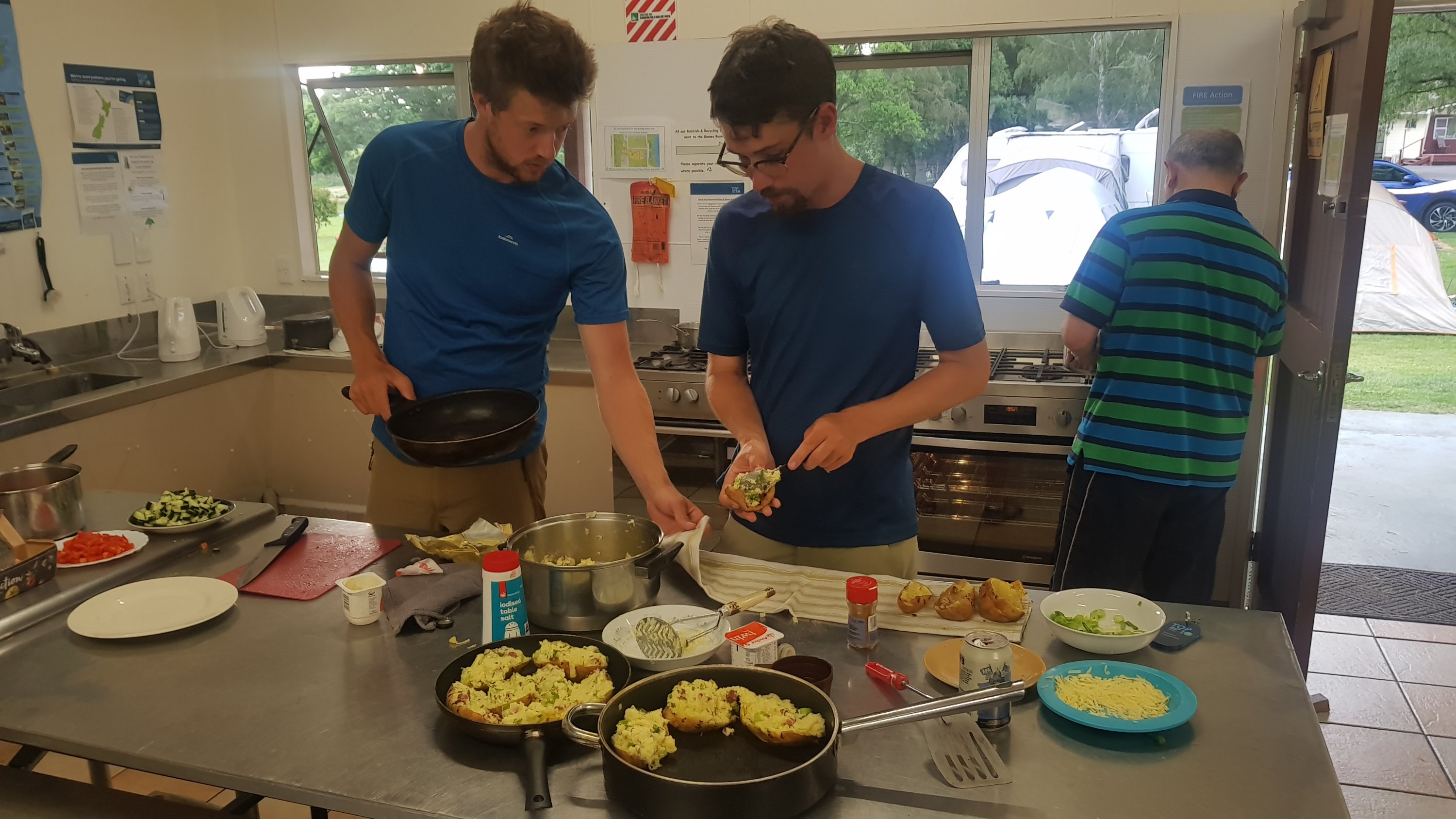
We made dinner, and Charlie and Peter made faijtas. They traded me one of their fajitas in exchange for one quarter of my block of cheese. An excellent trade, if you ask me.
My fajita, along with the O’Mara’s Irish Cream I bought, which was actually quite nice
But boo hiss… the moisture alert on my phone came back at dinner time.
There was some back-cracking going on tonight…And some drinking games
We had a drink to celebrate nobody falling out today. Although there was only one real fast-flowing rapid today which was the one immediately before camp. There are lots of rapids tomorrow, including the dreaded “50-50”. I’m going to let Charlie go in the kayak instead, because he says that he wants to, and that means tomorrow will be my first time in a canoe. But the others are actually telling me that they want to do the 50-50 multiple times. Craziness.
Now that I look, the topographic map actually shows rapids on the map, with the word “rapids” beside the river where they are present. According to this, there don’t seem to be any after tomorrow. That makes me feel good, although it might make paddling on those days even harder because of the water flowing slower.
This river journey is kinda fun but I am already looking forward to it being over if I’m honest. I’ve seen all I want to see on the river in two days.
Everyone in our group was in bed by 8.15pm tonight. I never like going to bed that early, especially when it’s still light, but I can’t use the phone too much since I lost the charging cable and need to conserve battery, and so I’ve got nothing to do.
One last walk back towards the boats before going to bed
So I had a look for a geocache which is supposed to be at this campsite but I couldn’t find it where the instructions said… it’s a shame because it’s a “Terrain 5” which is the highest level of terrain – meaning you need special equipment to find it, in this case the special equipment being the kayak.
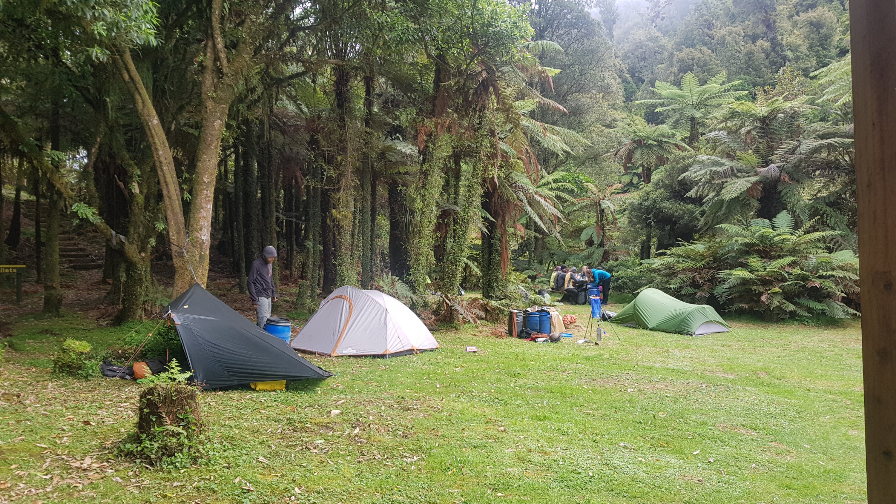
Instead I just try and sleep early but I can’t sleep straight away – it’s quite a full campsite and some people are laughing incredibly loud. Plus I think I’ve set up too close to the incredibly stinky toilet. It’s weird how it’s a full campsite since there is no road anywhere around. We all came by canoe or kayak.
And the moisture alert’s gone from the phone again…..
Date: 28 November
Trail covered: 39.2km in canoe (kms 1262.5 to 1301.7)
Weather: mostly cloudy
Whanganui River Journey – Day 3
Today was definitely the most action-packed day on the trail so far. It’s definitely not a day I will forget.
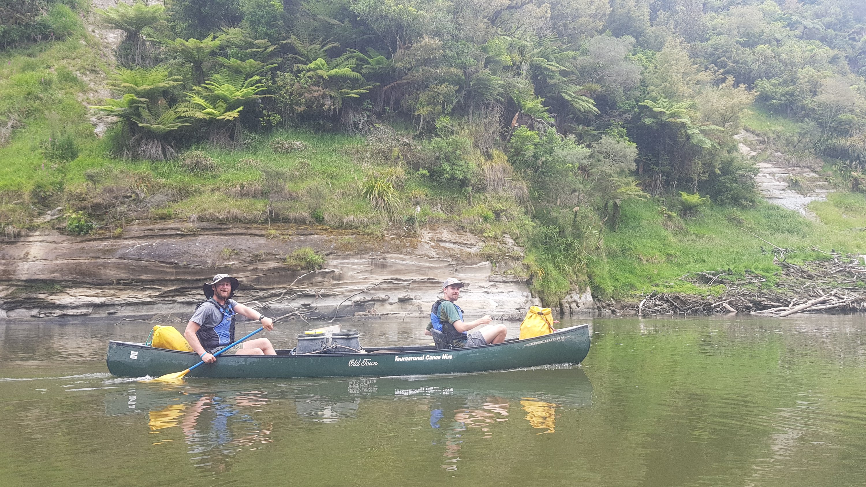
There were rapids immediately after leaving the campsite. And the rapid known as the “50-50” was not far away. So I asked Charlie if he wanted to go in the kayak today, and he said yes. He wasn’t afraid of the rapids. I went on the front of Charlie’s canoe with Peter in the back. What that means is that Peter is the “boss”. He does the steering, makes the decisions about which path to take, and decides when we change hands (since the paddle just has one blade). I just sit in the front and look pretty (and paddle too).
The initial rapids today were no problem. However I was apprehensive that the “50-50” rapid was coming up, where the statistics say that 50% of people fall out.
When it did finally arrive, Peter and I almost filled the canoe with water but we remained stable and didn’t tip or sink. Charlie made it through in the kayak. But Alex and Ethan were not so successful – they had a real bumpy ride and filled their canoe with water, which meant having to move to shore to empty it out.
That didn’t stop them though, and they did in fact do the 50-50 multiple times like they said they would. I declined to participate and so I became the video taker. Peter went first with the kayak and tipped out almost immediately, but then went on to do it successfully after.
Alex, Ethan and Charlie all went in the canoe through the rapid again, since they had taken all the stuff out of it after bailing the water out from the previous failed attempt. And again they were not successful. In fact it went so wrong that Charlie threw up in the water. Here’s the video:
During one of the rapid runs, Ethan lost his $500 satellite phone which broke free from its carabina. I felt gutted for him since he had made a decent effort to secure it.
Alex and Ethan also lost their bailer – the bucket you use to remove water from the canoe after going through rapids – so they “borrowed” mine and Peter’s, but didn’t return it, and then they went ahead without us. That immediately left me with a real uneasy feeling. What would we do if Peter and I somehow filled our canoe with water?
Very soon we would find out. Charlie tipped out of the kayak at the next rapid and lost his cap. And while Peter and I were trying to retrieve it for him, we didnt see a big rock and our canoe banged right into the side of it. The canoe tipped on its side, facing the water coming towards us, and so it filled with water very fast. We were stuck on this rock and it took us a long time to get the canoe the right way up and then we had to bail out the water with the paddles, which took forever. Nobody could help us because we were in fast moving water and people couldn’t stop.
The barrels stayed in the canoe but everything that wasn’t secured came out, including Peter’s and my water bottles and Peter’s t-shirt and sunglasses (the sunglasses he had just bought in Taumarunui). And Peter found one of his barrels wasn’t secured properly and was partially open.
Once we recovered from that we moved straight to the side to have lunch as it appeared Alex and Ethan didn’t wait for us. We don’t know if they didn’t see us tip or what but it looked like they went ahead. I ate all my remaining chocolate because after that ordeal I needed it.
Not long after the rock incident
Reading Ethan’s blog post for today (definitely worth a read) I can see that they were apologetic about this happening!
We soon passed one of the groups who had seen us fall out and they gave us one of their bailers which was really nice. They also recovered the two water bottles and even Charlie’s cap but nothing else that was lost.
The rest of the day was more uneventful but we were tiring fast. How could Pascal do this whole river journey in 3 or 4 days? He must be fit – I couldn’t do it.
We passed under a derelict swingbridge near a settlement called Jerusalem. You could see it had floor panels missing and generally looked like it was about to collapse. I normally would have taken a photo but with my phone in the barrels I turned to the internet for a picture. Weird – there’s nothing I can see about this bridge on the Internet except for a one-line mention of it on a Wikipedia page. Gee, we must really be in the wops out here!
There were reports of kids throwing rocks from this bridge recently at people going underneath in canoes. Luckily there were none there today.
Another thing we saw was a canoe upside down on a big rock. It did not appear to have been there a long time, but we couldn’t see any people around and there appeared to be nobody in trouble so we just kept going. I kept thinking how that could have been us if we hit the rock earlier a bit harder.
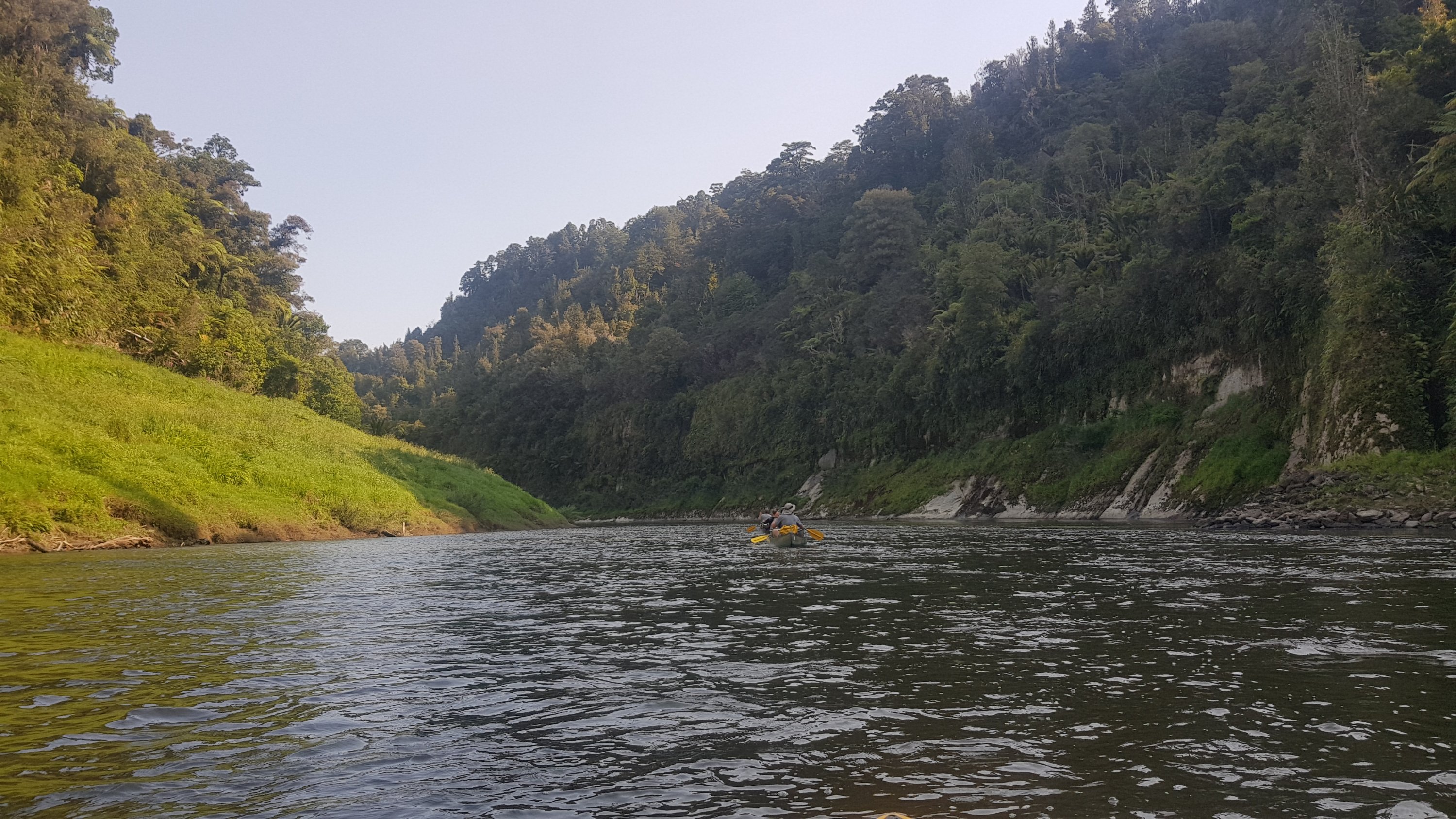
For the last two kilometers Peter and I swapped places so I was at the back and he was at the front. This was real scary because now I had to make the decisions and steer the canoe. I don’t know enough about which path is good and I also had a lot of trouble getting the canoe to go in a straight line so I was really nervous. You need a good decision maker who is confident in the water in the back of the canoe. I am neither of those things.
For a lot of today I wondered why Peter often seemed to be zig-zagging across the water a lot, and I was getting a bit annoyed about it. But after steering the canoe myself, I realise how hard it actually is and I take it all back! Peter did an excellent job of steering the canoe.
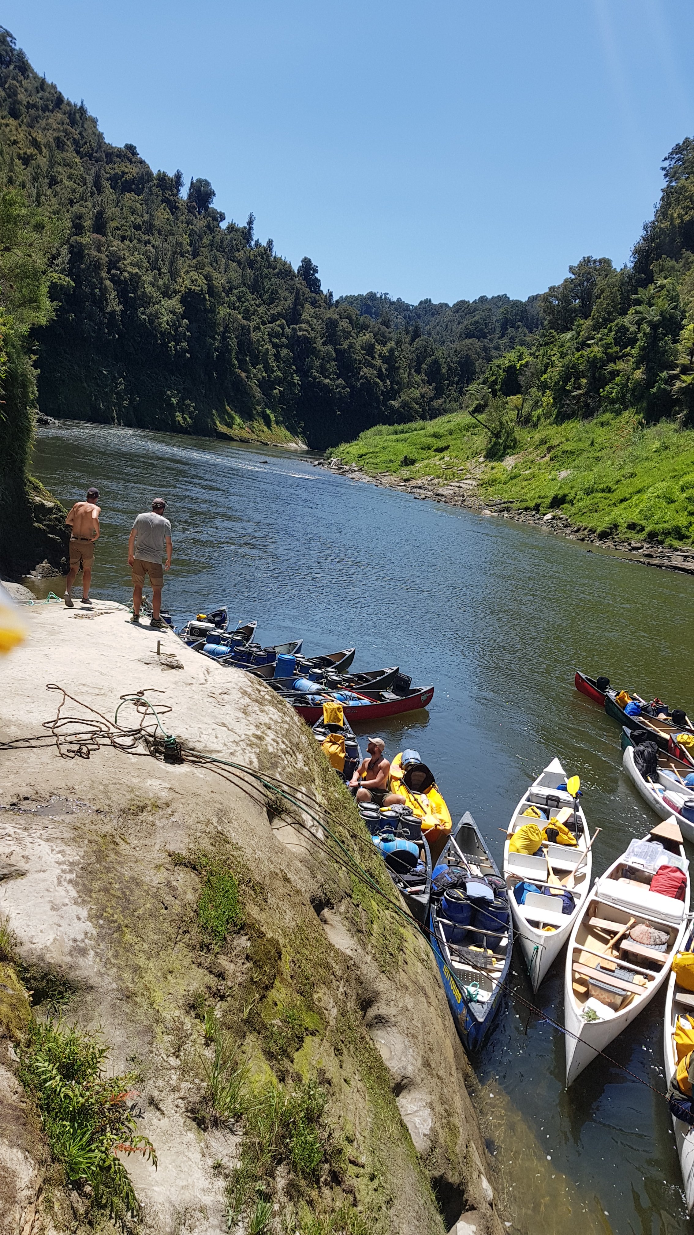
Found Alex and Ethan at the place we agreed to meet at which was called the Flying Fox… although it appeared to be closed. All the others from the previous campsite turned up here too, and the owners clearly saw us all here. They were unhappy at first, but opened the place all up for us. There were 14 hikers here I think.
Sitting around the table at Flying Fox
But before being allowed to set up our tents we had to all gather around and we all got a lecture from the owners about how we should be more grateful as some TA hikers apparently aren’t. Apparently one of the owners was the one that rescued the occupants of the canoe we saw abandoned just before, and those occupants did apparently not even say thank you. This happened less than a week ago.
It was all quite awkward but once they got through everything they wanted to say then we could talk with the owners normally and they were quite friendly. And they even let me borrow their phone charger so I could have my phone for the night to use the excellent free Wifi.
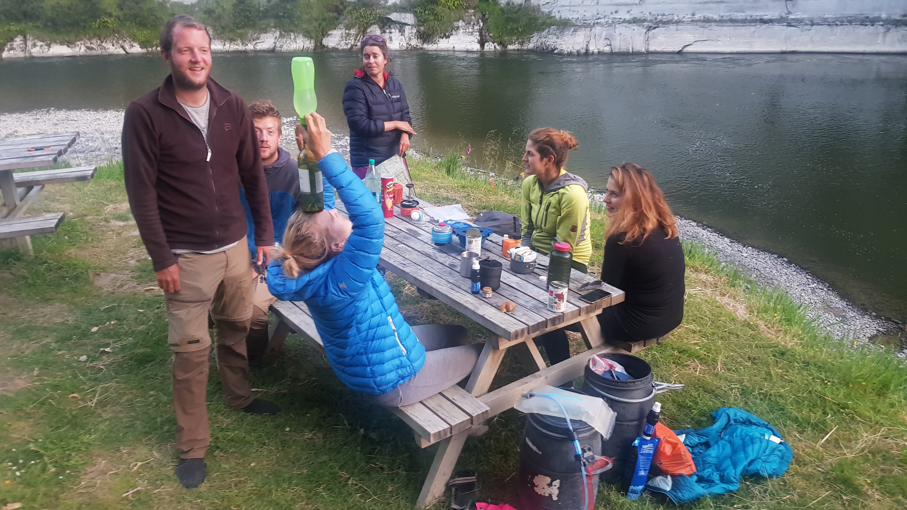
They also had a little shop there and we bought a lot from their shop. The Americans celebrated Thanksgiving today and so more than a couple of bottles of wine were bought. I bought more chocolate. Their shop was good because they had a variety of things and not a huge markup. A chocolate bar was only $1.50. That’s really good for a shop
which is in the absolute definition of “the wops”.
Peter was unhappy because the barrel that was partially open had his passport and phone in there and they both got very wet. He spent a lot of time drying them out with varying degrees of success.
There was a hot shower too which was nice, but I didn’t realise it had no door. I almost walked in on a couple who were showering together and had just come out. Yikes!
The outdoor shower
There were lots of tents in a small space. It was hard to sleep with talking and noise and the aftermath of lots of drinking. But at least I had the phone tonight to keep me occuped. And noise had stopped by 10pm.
Lotsa tents
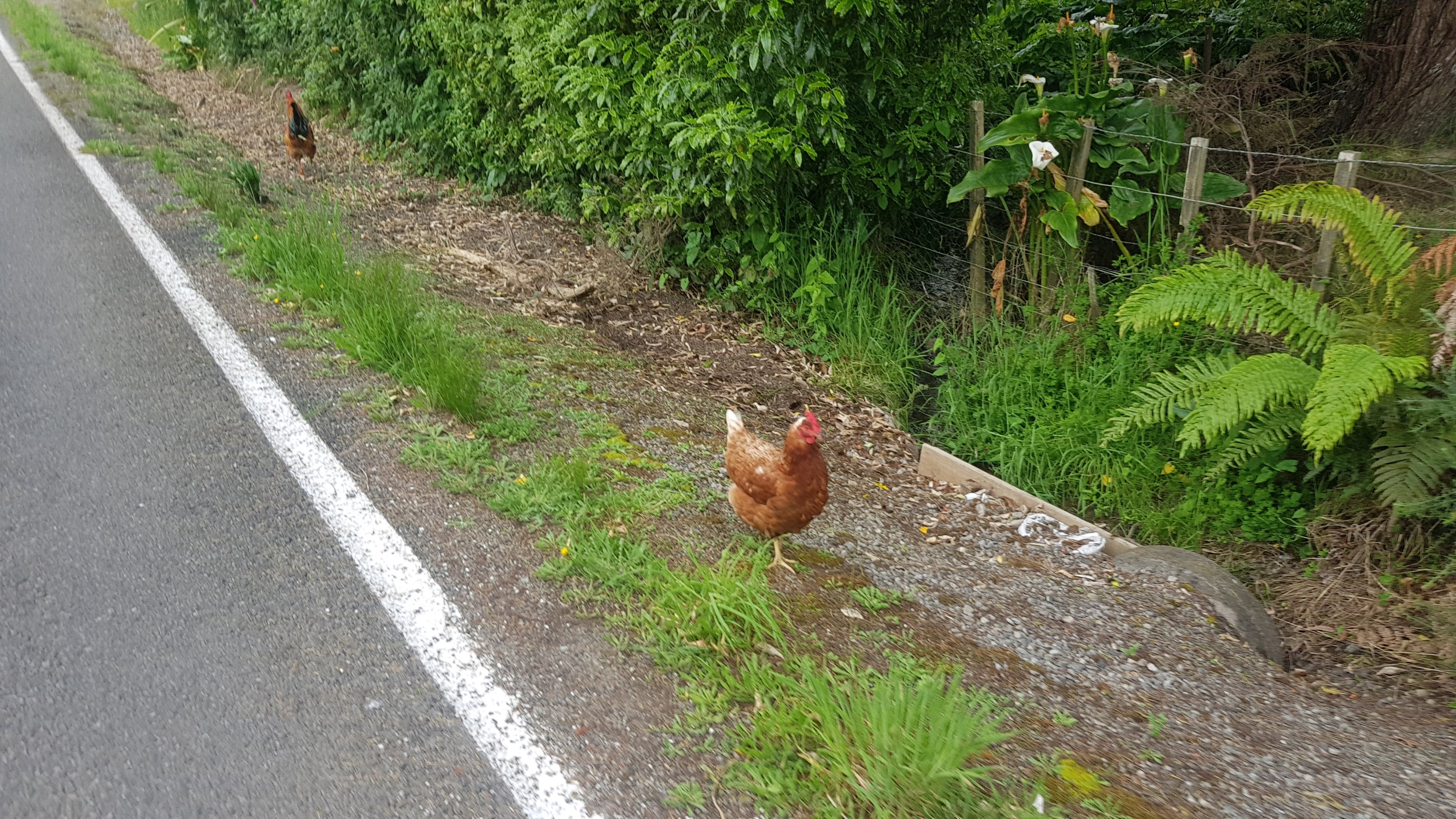
There were a lot of animals around too, including chickens and roosters. They were not afraid of us – this one was particularly ballsy.
The leader of the chickens
I tried to research what is coming up in the final two days of the river journey… but the “great walk” section of the river ended at Pipiriki which we passed today. Trying to get information on the lower part of the Whanganui River is impossible – there’s nothing about it on the internet. Is it hard? Challenging? Or just boring with nothing to see? I guess we’ll find out soon enough.
If I can survive two more days on the river then it will be back on dry land finally in the Whanganui Top 10 Holiday Park. If I’m honest it can’t come soon enough. This river journey has pushed me just a bit too far out of my comfort zone to be honest. I wonder tomorrow who will be kayaking and who will be in the canoes.
Date: 29 November
Trail covered: 33.1km by kayak (kms 1301.7 to 1334.8)
Weather: same as every day – roasting
Whanganui River Journey – Day 4
Like I figured there would be, there was a rooster making a bunch of noise at 4.30am. We saw the roosters last night so weren’t entirely surprised. But none of us were happy!
This morning at breakfast we overheard the rest of the hikers discussing who goes in what canoe. It looks like some don’t want to go in the back of the canoe, the same as me. But some want to take one turn with each person since this lot have 7 days on the river instead of 5 because they started from Taumarunui and not Whakahoro.
Also I heard that apparently it is recommended that you are a confident kayaker or canoeist to start your journey at Taumarunui instead of Whakahoro. I’m glad I didn’t have to do that.
And apparently it gets easier from here, with fewer rapids. But nobody could tell me how they knew that.
Just before we left the owner of the Flying Fox came up to us and told us one particular member of the other group of hikers didn’t pay. This person was down launching a canoe and so Charlie went down to get the money out of him. His response was “oh I forgot, and the money is in the barrel now, can you just pay for me?” – Charlie was not happy. I thought that given the lecture we got yesterday, this really doesn’t show hikers in a good light and really was not on.
Speaking of hikers not being shown in a good light… I used my Wifi last night to send a message to the owner of the Instagram profile who has been putting up the stickers everywhere. I woke to a response… here it is.
Me: Hi. I see you’ve been posting your Instagram stickers all over the Te Araroa trail buildings – every hut, every shelter, every toilet has that damn sticker on it. Can you stop please? Do you really think it’s okay to graffiti everything like this? How would you like it if I stuck pictures of my genitals all over your stuff? I’m taking it down everywhere I see it so could you please just save me the hassle and just stop it?
Her: Well I’m gonna put my stickers where ever I want- if you don’t like it, don’t look at it. It’s not your business at all. A lot of people like it though.
Ah, the old “if you don’t like it, don’t look at it” defence. Kind of hard when it’s staring you right in the face every time you use a shelter. The response wasn’t too nasty and she didn’t swear at me so I’m not going to start a witchhunt on Facebook to find this person, but like before if like me you don’t appreciate this kind of thing then I encourage you to send ladyyvader on Instagram a message.
Enough about that. I’m going to be on the kayak again today. We packed up our stuff and I got on the kayak and didnt have my lifejacket. I didn’t even realise until Ethan yelled out to me – oops.
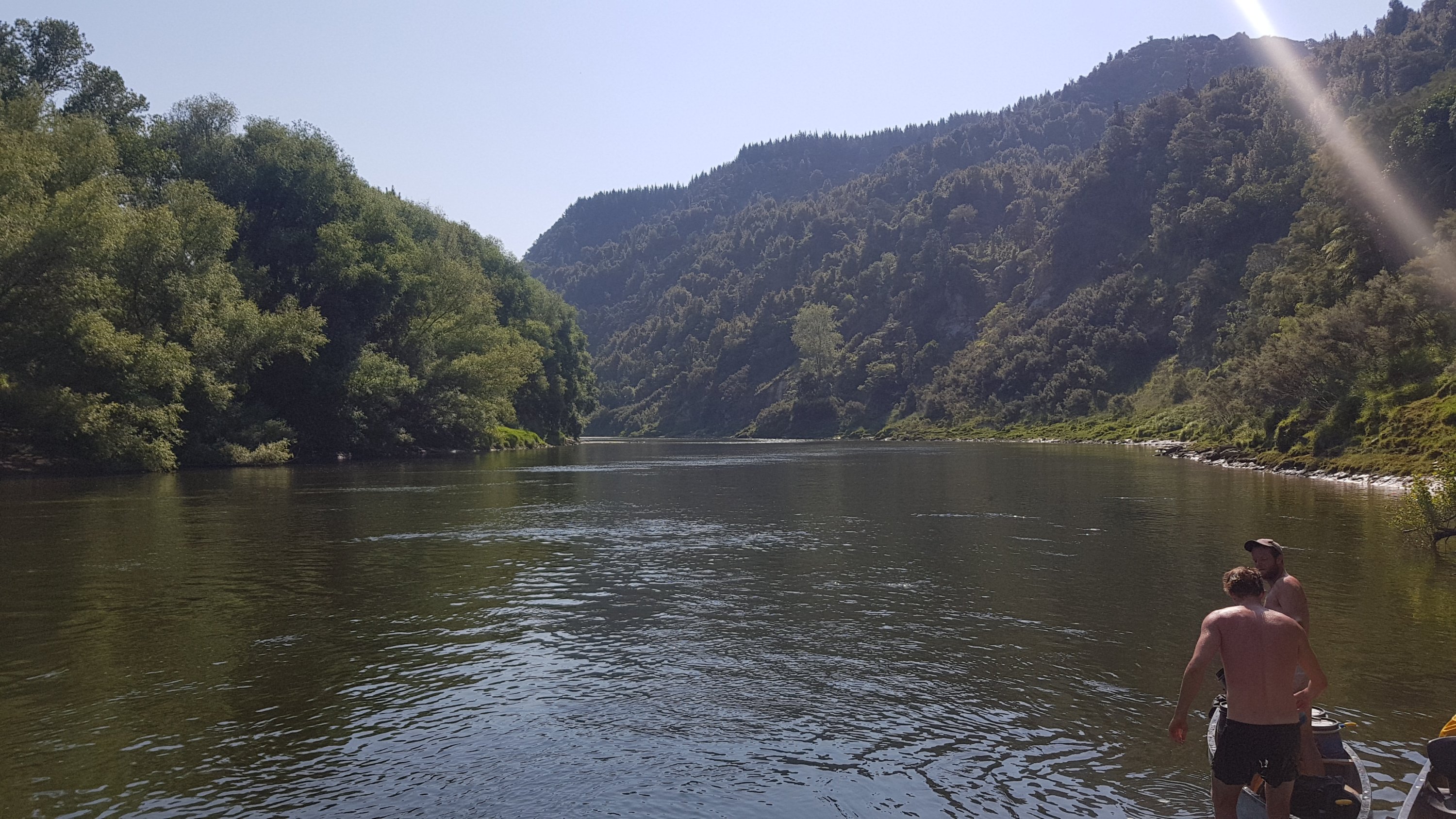
The water was indeed a lot calmer than the previous three days. We stopped at a pretty good lunch spot – no mud when disembarking and a nice shady hill.
Sweet lunch spot
To be honest the day was quite uneventful. The most interesting thing that happened was Peter and Charlie wrapped their canoe around a big tree branch in the water. I didn’t see how it happened and it’s not clear how they didn’t see it. The canoe didn’t tip but the front of the canoe was sticking way up out of the water so it took a bit of a balancing act to get it afloat again. It wasn’t as bad as yesterday with the rock incident Peter and I had.
There was lots of headwind towards the end. It seemed to affect me on the kayak more than it affected the canoes. I can’t really complain. I’ve said it before and I’ll say it again, overall I’ve been lucky with the weather. I took a bit of time to reflect how much this river journey would suck if it was windy and raining. The answer to that is a lot.
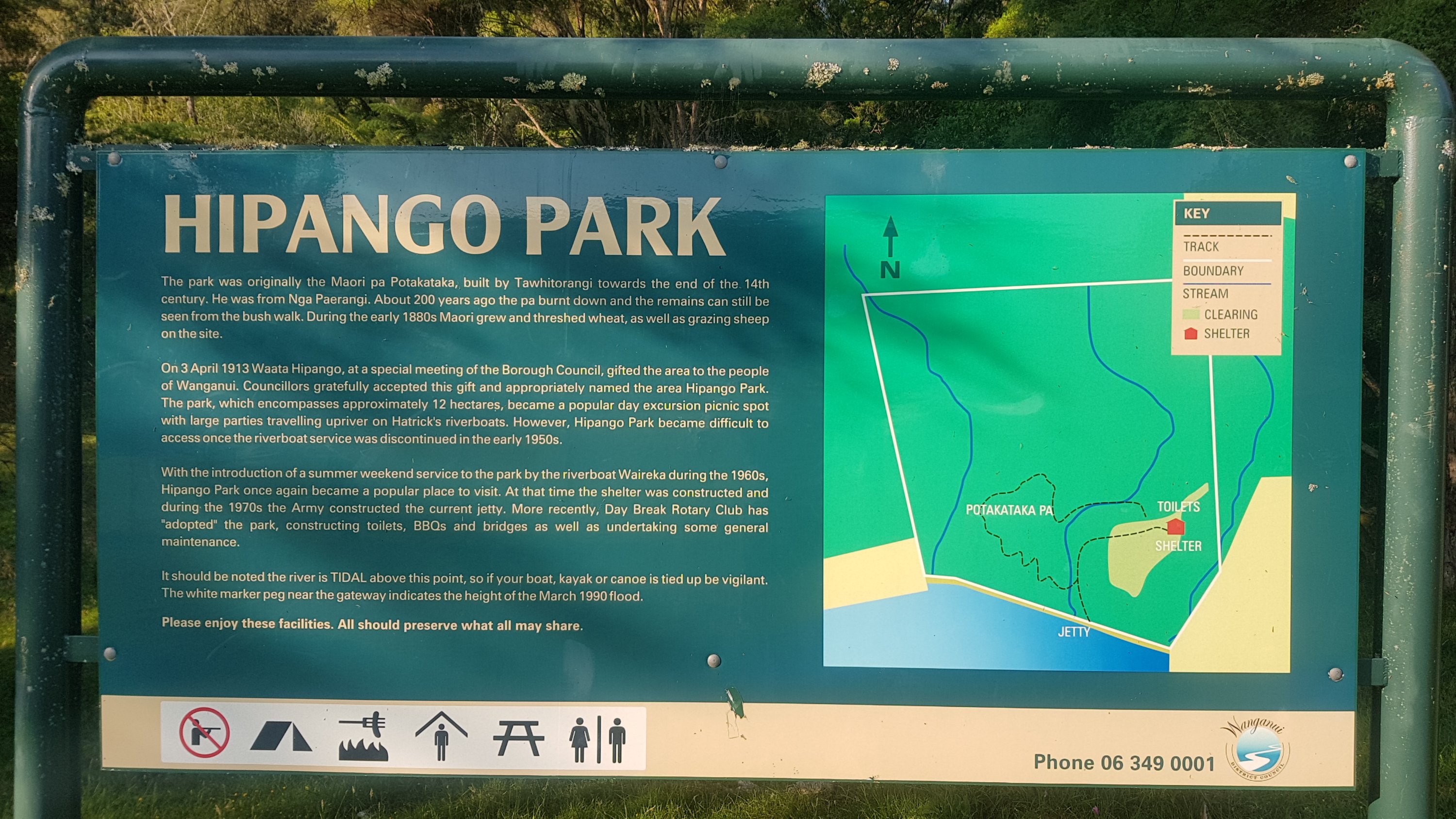
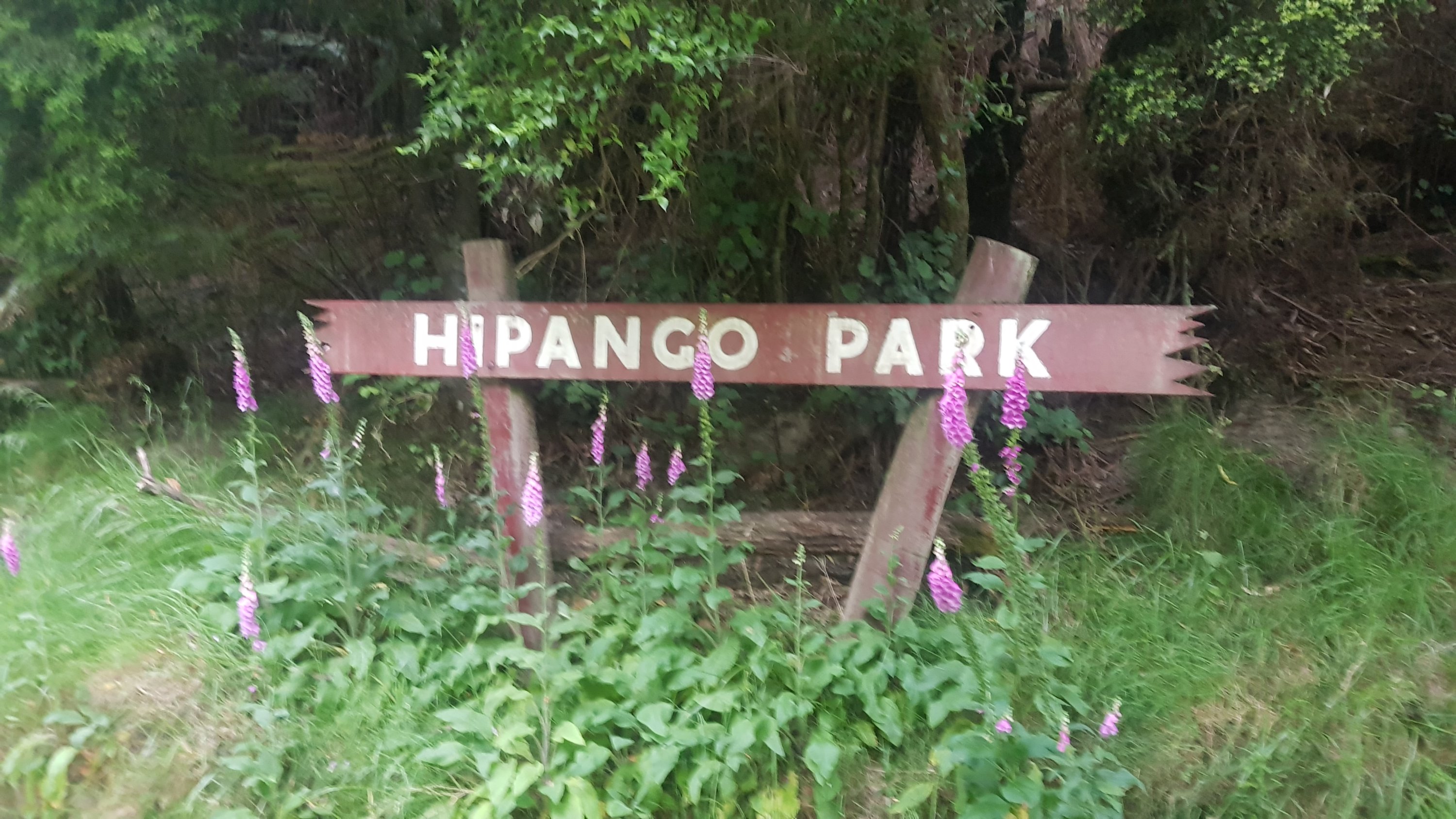
We arrived at a place called Hipango Park.
Hipango Park information
This was a legitimate campsite owned by the council, but yet it didn’t exist on the Guthook app. I looked online and in the FAQ the creators of the app seem to suggest that if a campsite exists but doesn’t show in the app then it’s almost certainly an illegal campsite. Gee, that’s a bit obnoxious. There is no obvious way to tell Guthook that they’re missing something. That is just another reason to add to the list of reasons that the Guthook app annoys me a bit.
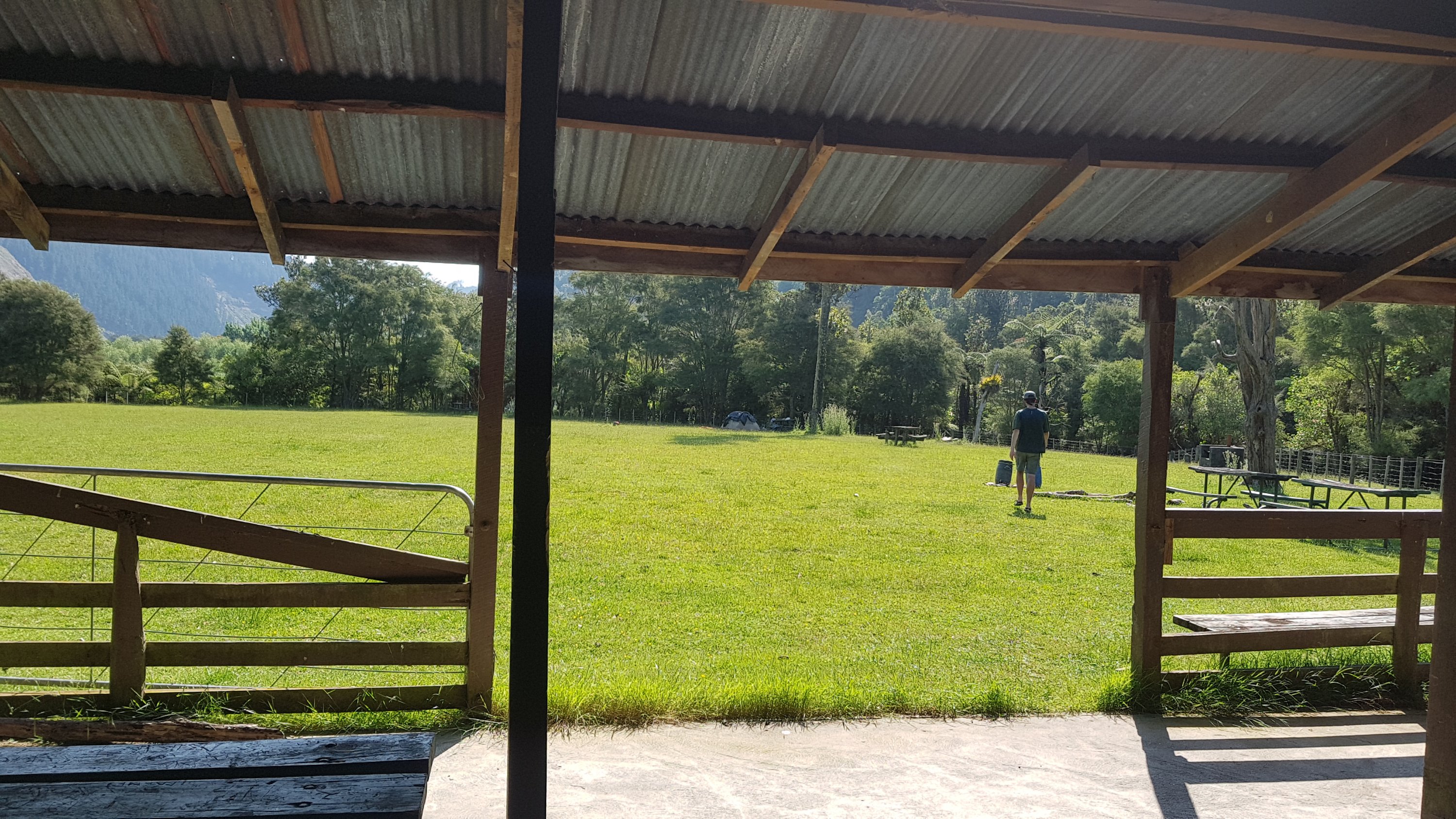
The campground from inside the shelter
This camp has a big grass area and shelter.
Lots of space to set up
And four toilets.
4x loos
The information on the sign explains that the river is tidal from this point, meaning that if you don’t leave at high tide or shortly after, you’re going to be paddling against the current. That’s a bit annoying as the high tide tomorrow is at 1am or 1:20pm. Of course I’m not leaving at 1am and so that means a fair bit of waiting around tomorrow morning so that the tide is right.
Here is where I learned an interesting fact. The other four told me that they are actually planning on leaving at 1am. At first I thought they were joking but they are actually serious. Apparently it means that 1. they don’t have to wait for high tide in the afternoon, 2. they can see the stars as they paddle and 3. they will have a lot more time to hang out in Whanganui.
What it also means is that they have to take two out of my three barrels with them as my kayak can only hold one barrel. So I have to do a bit of organising and sort my stuff out so that anything I need for tomorrow fits into one barrel, including the tent of course. That shouldn’t be a problem, but what I’m less excited about is that they will have to leave my stuff at the Whanganui Holiday Park where the canoes are left, and everything will just be sitting around there for maybe 12 hours until I arrive and can retrieve it. I’m less thrilled about that but I’m not going to change their minds.
Part of me wants to go with them at that time but I don’t have a strong headlamp and also it seems dangerous. So that I’m not kayaking alone I will attach myself to the other hikers that have been at every campsite and have once again turned up here.
Because of this early departure, they have to go to sleep really early to get up for such an early start time. They decided to save time by just sleeping in the shelter at 7pm. It looked quite funny.
Charlie lying in the shelter and Peter brushing his teeth at 7pm
Alex said this evening that this is one of the more dangerous rivers he has canoed. For someone like him who has done a lot of canoeing to say that is scary. I’m glad I was with this group while on the river. They have been patient and have respected my wishes… and also they aren’t aren’t loud at night!
Time for sleeping with no tent fly again, I decided
Today I managed to get a very sunburnt top of my right hand. A really odd place to get sunburnt, I thought!
Alex asleep in his tent and Peter asleep on the other table in the shelter
Date: 30 November
Trail covered: 20km via kayak (kms 1334.8 to 1354.8)
Weather: overcast at first then hot again
Whanganui River Journey – Day 5
This morning my internal alarm clock went off at 5:30am like it always does – which was inconvenient since we have to leave Hipango Park late because of the tides. I would liked to have slept in a bit longer! But my internal alarm clock goes off at the same time every single morning without fail.
It was misty when I woke up. If the boys left at 1am for the holiday park like they said they were going to, they wouldn’t be able to see the stars like they said they wanted to. So did they go? Looks like they did – their tents have gone. Wow. I didn’t even hear them go, they must have been quiet.
The view from my tent door. The others are clearly not here.
Everyone else that didn’t leave at 1am was still asleep when I woke up. I went for a walk down to the boat ramp to make sure my kayak was still there.
Sign near the entrance
It seems that the others had not realised that the river is tidal from this point. It’s hard to see here, but one of the canoes here is a metre off the ground and wedged in between two big pieces of tree. Seems the river level has dropped a lot since the canoes were left here.
Oops
I hung out with the other people in the campground for breakfast once they woke up since I had a lot of time to kill. They had previously agreed that I could kayak alongside them. And I finally learned their names. They were Mickey and Michelle, a couple who are doing Te Araroa but also stopping as they go to do concerts since they’re both musicians. The other six were Rita, Fabian, Luigi, Kerstin, Elodie and Katherine.
I heard a story from the girls, and how the canoe belonging to Kerstin and one of the other girls hit a rock and they couldn’t recover. The canoe was fully submerged in the water and the girls were just floating down the river holding onto it for about 20 minutes. Kerstin had hit both her knees and they were blue.
They said they soon realised that it was unsafe to hold onto the canoe in the rapids and they had to let it go. They walked down the riverbank following the canoe – that in itself is surprising because 80% of the time the riverbank is not passable because of cliffs or trees – and eventually two others downstream managed to stop the canoe.
Then, while they were bailing the water out of the canoe, Kerstin got bitten by a big eel and let out a big scream. This became the story of the week and nobody let her live it down. But I really felt sorry for the girls. That was the thing I was scared about the most – if my canoe or kayak got away and I couldn’t get it back.
One of the popular games played a lot by this group was “would you rather”. For example – would you rather do Crossfit with Donald Trump or cooking class with Hitler. Would you rather be able to fly by flapping your arms, or you could fly easily like Superman but you have to consistently make a noise like a police siren. Would you rather have a single pebble in your boot for the entire Te Araroa or would you rather walk in the knowledge that at some random point on the trail your boots would turn into roller blades for an hour.
These would then prompt further questions like “could I just sit down for the hour during the roller blades” and the proposer would answer with something like “no, you have to remain standing for the hour”. “What happens if I stop flapping my arms?” “You immediately plummet to the earth and die.”
We played a lot of this game since we were up early and high tide is 1:20pm. We couldn’t really even consider leaving until 11am – firstly because the current would be going against us and secondly because we can barely even get into the canoes like they are so far down in the water.
Not only are the tides are all wrong for today, there is a low tide river crossing along the beach tomorrow after a 35km day from Whanganui, and low tide is either 8am or 8pm. Neither of those are really ideal.
Downstream from Hipango Park
11am rolls around. We all go down to start loading the canoes. It’s a slow process because the tide doesn’t seem to have risen much so it’s quite challenging to get into the canoes. The destination is Whanganui Top 10 Holiday Park – precisely 20 kilometers downstream. The official trail goes a bit further downstream by river, to a public park in Whanganui, but the canoe hire company asks people to leave its canoes at the holiday park, which is much more convenient.
I took a few photos but then packed my camera away and put my barrel on the back of the kayak. And as soon as I did that, we noticed the biggest spider I have ever seen in one of the other canoes. It was absolutely gigantic, I swear it was as big as my entire hand. And it was running fast around and around the canoe. Lucky Fabian was in the canoe loading barrels and he didn’t seem afraid of it. He grabbed it with his hands and just put it into the water. I wished I could have taken a picture of it.
We all had departed Hipango Park by about 11:30. We stayed together as a group for the first 5km but then the opposing current really became apparent and the other group started taking their time, so I went ahead on my own. It was so tough to paddle against the current that it took 22 minutes to complete the seventh kilometer of the journey – that is really slow. That’s less than 3km per hour. There were times I thought I’d never actually make it to the holiday park.
But I kept at it. And 45 minutes after high tide at 1.20pm the current slowly started to turn the other way which made it a fair bit easier.
There were some Maori kids playing in the water, with their speaker pumping and a big log they were jumping off into the river. They were really cool and wanted to know everything about what I was doing. They asked if there was food in my barrel and when they asked if they could have some, I said “no” and they said “stink”.
There were also a lot of people further downstream sitting on a bank – about 30 or so people. I think they were watching the water skiiers and people in sea biscuits and the other recreational rivergoers that were around. When I went past, they yelled out “do a skid!” – I get asked by bystanders to do that in my car all the time, but I’ve never been asked to do a skid in a kayak! I don’t even know how I would do that!
As I got within 5km of the holiday park the wind picked up and the water got choppy. And also the many jet boats and other recreational boats on the water were constantly creating wakes. There was nothing that made me think I would tip out but I did have to remain focused. There were so many other boats on the water, no doubt because it was a stunning Saturday afternoon.
I was watching my GPS watch so I knew when to expect the holiday park sign. And suddenly – there it was! HOORAY IM ON DRY LAND!
Mickey and Michelle at the sign – they pulled up just after I arrived
I put my kayak beside the canoes belonging to the other four guys who left early – they obviously made it. But my stuff that the guys had brought on their canoes wasn’t there. Hmm…. where is it. I turned on my phone, which by now only had a tiny bit of battery left, and Ethan had sent me a message saying that they had got a private cabin and my stuff was outside the door. Check – yes, there it is, all there. I wonder why they decided to stay in the holiday park since they originally said they weren’t going to.
Goodbye canoes. It’s been an experience.
The cabin they got only had four beds so there was no room for me. I didn’t mind – I previously told the guys that I have no problem sleeping in my tent. But it meant I had to go to reception and pay.
A tui right beside where I planned to set up my tent
The holiday park owner saw me standing in the queue to pay and immediately asked if I was a TA hiker and if I needed to go into town for anything (the holiday park is 6km from Whanganui City Centre). I said yes, I urgently needed a charging cable. By chance he was just leaving to pick up the other four who he had previously dropped in town. I would be able to rush into The Warehouse and grab a cable in two minutes.
During the drive I talked to him – his name is Ben and he is an awesome guy. He takes hikers into town, holds packages for them and is just generally super helpful. I bought a charging cable and also some chocolate – finally I can charge my phone! I didn’t get any other food though. I really must finish what I have – the stuff that I bought in Taumarunui that I didn’t eat on the river journey. That means my dinner tonight is spaghetti with cheese and crackers mixed in, and there will be several lunches of pasta for a few days.
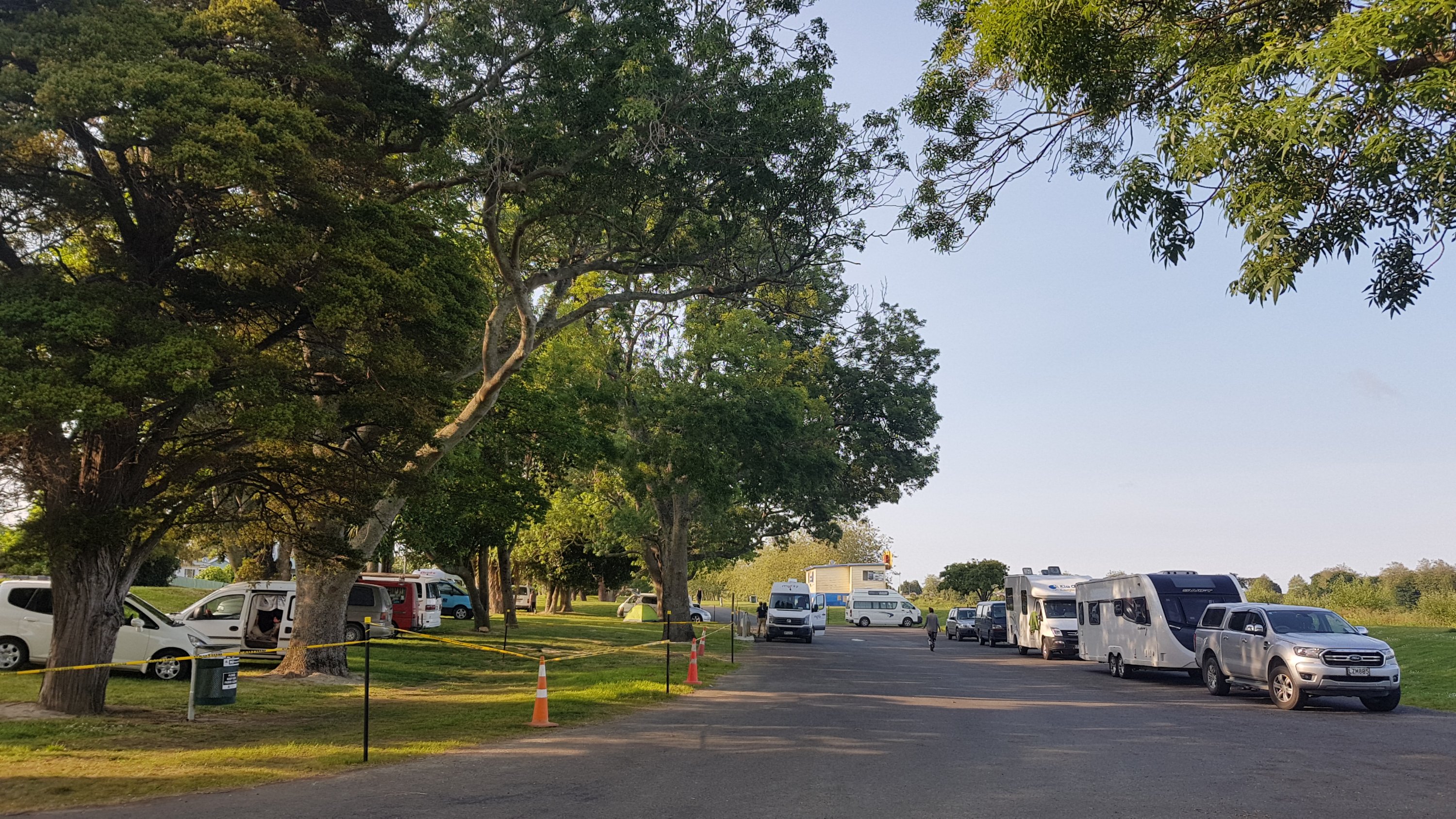
The holiday park was overrun with hikers. The thirteen of us from last night plus Abby and Jason, the Swiss Family from the Timber Trail and even two people who I knew from Hamilton who just happened to be there – Kevin and Angelica.
Originally when I started out for the day I considered the idea of continuing walking straight away from the holiday park after arriving – mainly because I thought I’d need to walk to buy a charging cable in town but also because I was looking forward to walking again. I decided not to though – even though the kayak was only 20km, it was a very tough 20km and I didn’t have a lot of energy left. Plus Ben was so cool, and because of all the other hikers in the holiday park, it was a very cool place to hang out and so I’m glad I stayed put.
Seems like I’m the only one planning on leaving in the morning though. It seems everybody else is taking a rest day here. It means I’ll be walking by myself again tomorrow for the first time in a while.
While cooking dinner I talked to the others. Apparently they enjoyed the challenge of paddling in the dark for four hours but every time they had their headlights on they got swamped with bugs. So they could only have the headlights on in short bursts. They had arrived around 5am. Having just done the river I knew that it was mostly calm all the way and there were very few exposed obstacles, and so there was nothing really to watch out for. And they had the advantage of the outgoing tide. When other people in the holiday park heard what they had done though, most thought they were crazy. Even Ben the owner said that he had not heard of anyone paddling through the night before.
Peter and Ethan cooking dinner, Peter wearing a new shirt that he got in Whanganui to replace the one he lost to the river
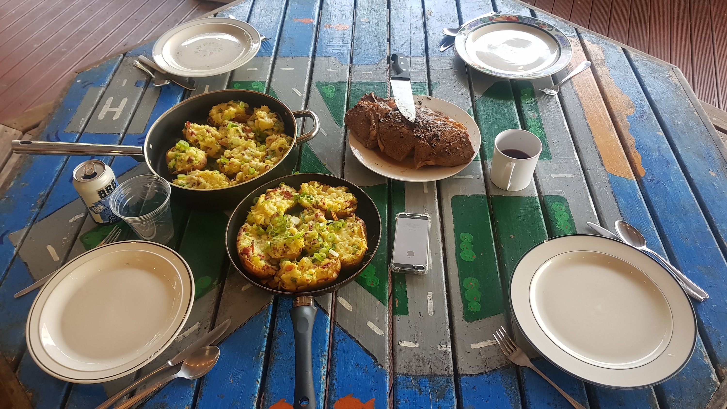
I had my spaghetti on crackers with cheese. The others had spent $200 on food and wine for tonight, including four massive pieces of steak. I had to double check – $200 on food and wine just for tonight? Yes, I had heard correctly. Crikey.
Probably one of the nicest-looking meals ever cooked in the holiday park
Afterwards there were a few games of air hockey in the games room.
I spent a lot of time talking to the other hikers I hadn’t seen for a while. And before going to sleep, I caught up on emails and social media, and also booked two nights in a Palmerston North motel for three nights from now – so I’ll definitely be having a rest day there. I’m looking forward to it.
Date: 1 December
Trail covered: 38.8km, but watch read 43.4km – I did a few detours (kms 1354.8 to 1393.6)
Weather: hot at first but windy and cold by the end of the day
If anyone told me that I would be meeting the Prime Minister, Jacinda Ardern, while walking Te Araroa, I would have simply said “don’t be an egg, ow”.
I mean the day started out like any other. Like every day, my internal alarm clock woke me up at 5.45am, even after nearby people were loud past midnight (Grrrr). I was aware that it is now officially the first day of summer. I wonder if the weather will suddenly change.
I was also aware that my clothes all smell like the Whanganui River. And there were lots of flies on my tent this morning. Little, colourful flies. And also, earwigs – quite a few earwigs. I wonder why these new bugs are on my tent, I haven’t seen them at any other campsite before.
The Whanganui Top 10 Holiday Park
Since I got my new charging cable yesterday, I can photograph things again. Yay.
The other four’s cabin in the morning
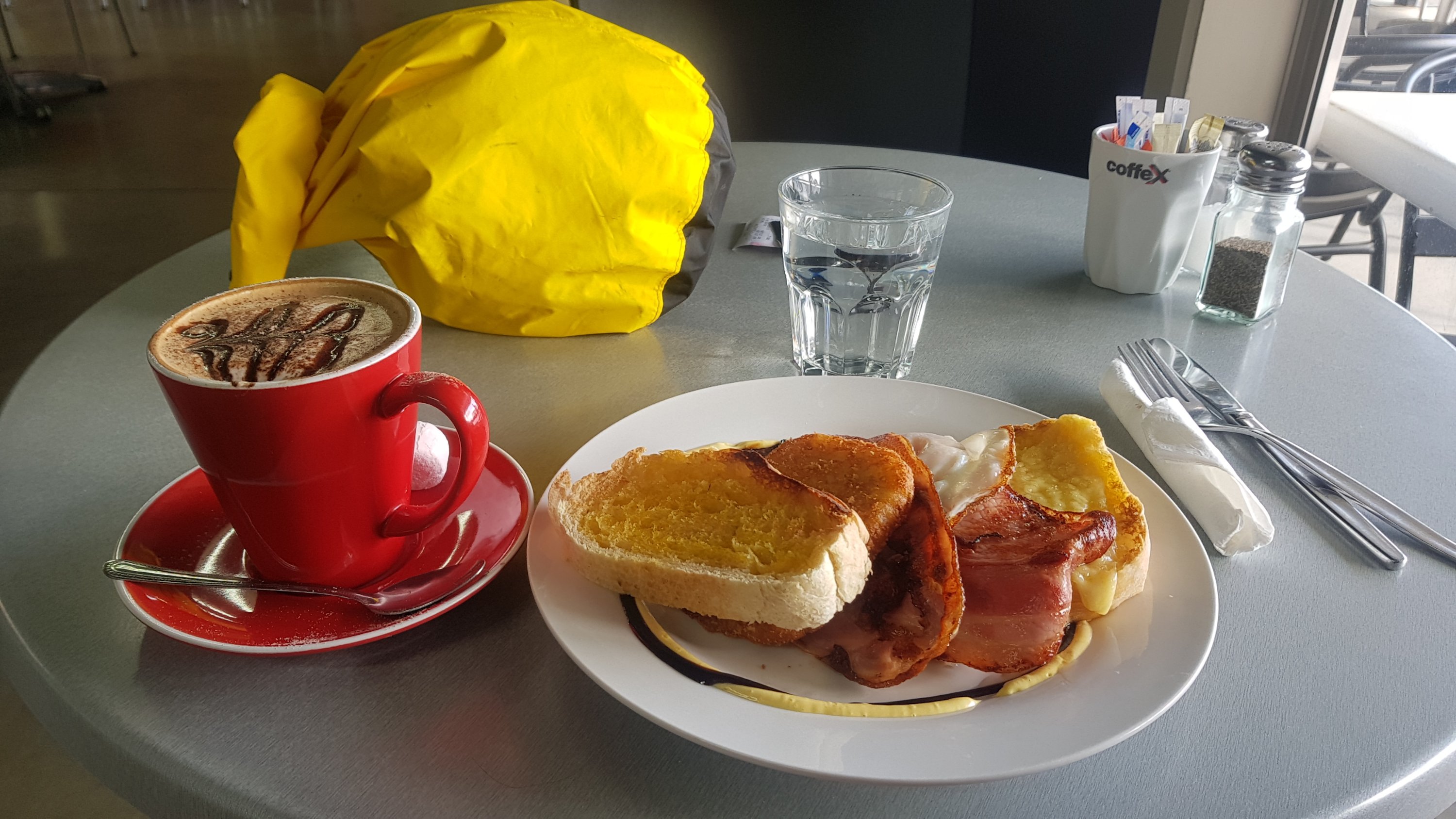
Now that I’m back on dry land after five days on the river, I really feel like a coffee and a decent cafe breakfast. That will be my treat today.
As I determined yesterday, I am the only one continuing walking today. I did learn that Fabian is bussing to Wellington and then going to Picton to start the South Island section of the trail. The Swiss family is skipping the next three days which is almost entirely road walking and are going to Palmerston North. Everyone else is taking a rest day.
I set out at 7am. My hopeful destination is a small campsite at the little settlement of Kotiata, 38km away. There is a river at approximately one kilometer before the campsite, which needs to be crossed at low tide. Low tide is 8:35pm tonight – how inconvenient. I’ll get there early, and the plan is to cook pasta for dinner while I wait for low tide, and then cross. I could also write some blog entries while I wait. It will be fine. What could go wrong?
My phone has no case now. I stopped using the waterproof case because since it got wet on the river it doesn’t seem to work well any more. I have to be careful – my phone without a case is very slippery. I hope I don’t drop it! I was tested just a few minutes into the walk, when a bumblebee flew into me while I was using the phone and I nearly dropped it because of the fright. I’m going to need to buy a new case in Palmerston North.
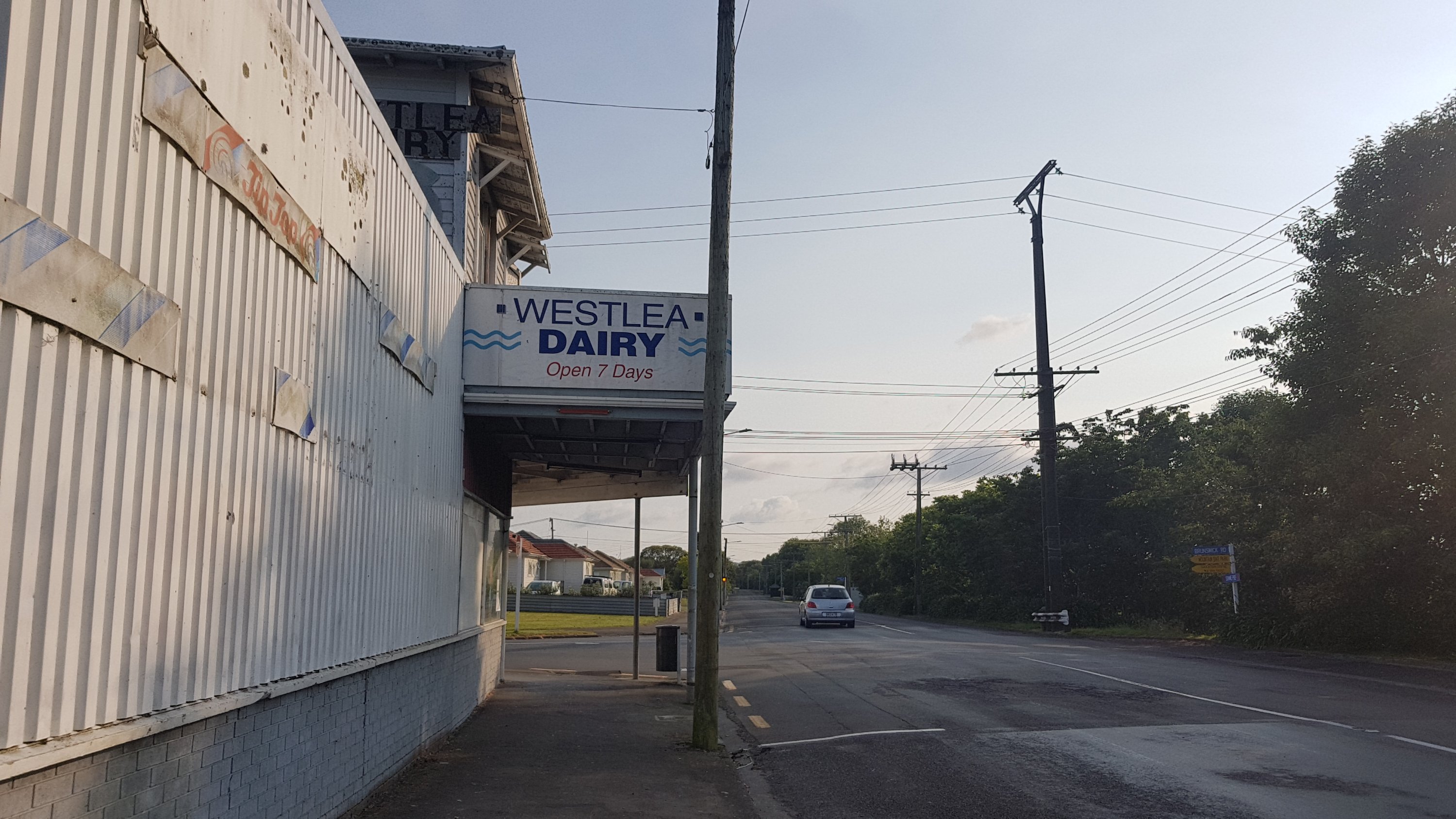
The walk from the holiday park to the city centre is about 6km, and is through the northern suburbs, which as I noticed, is not the nicest part of Whanganui. Along the way I passed this dairy:
Westlea Dairy
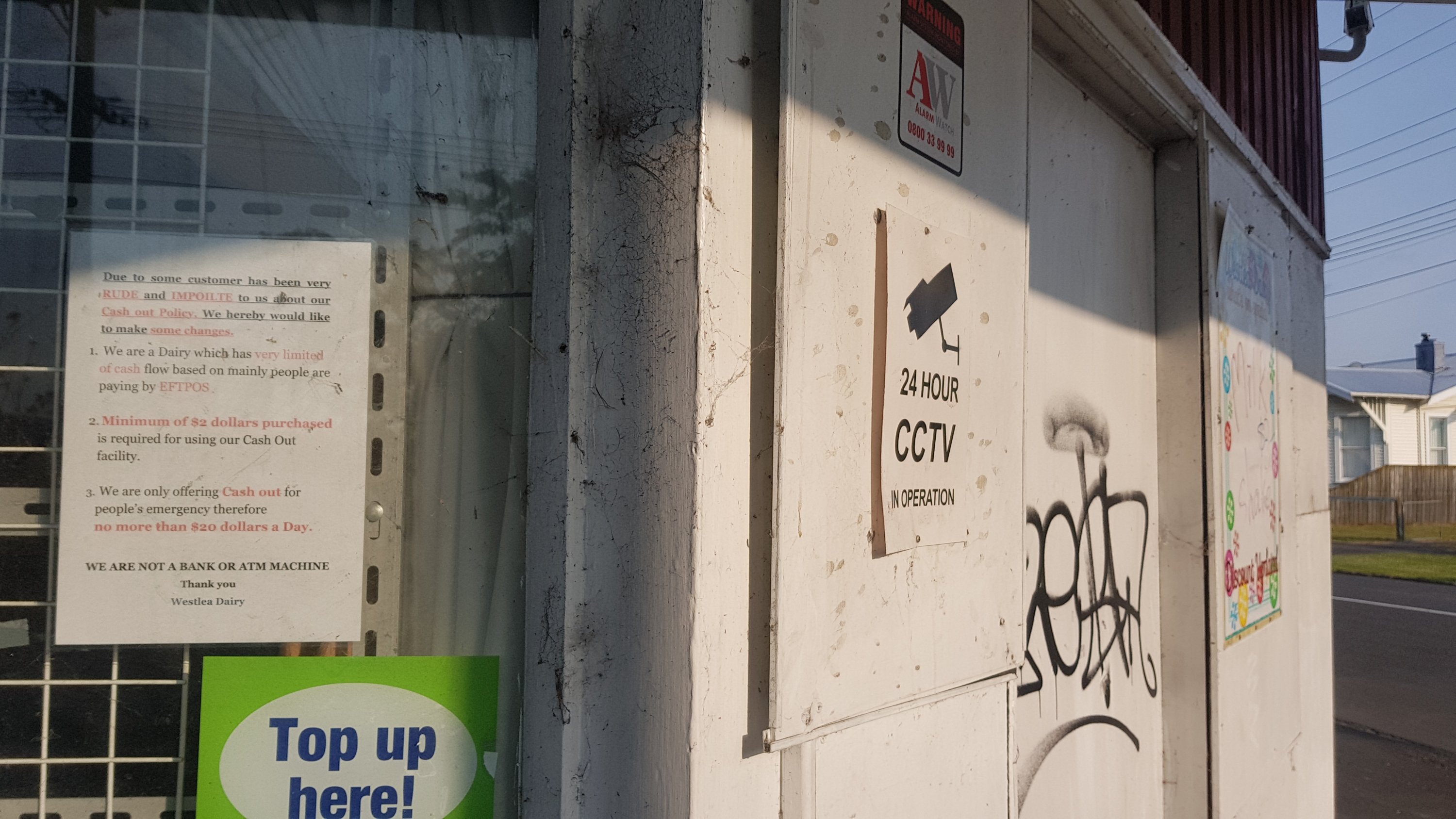
I thought their big long notice about getting cash-out was funny.
I just wouldn’t bother asking…
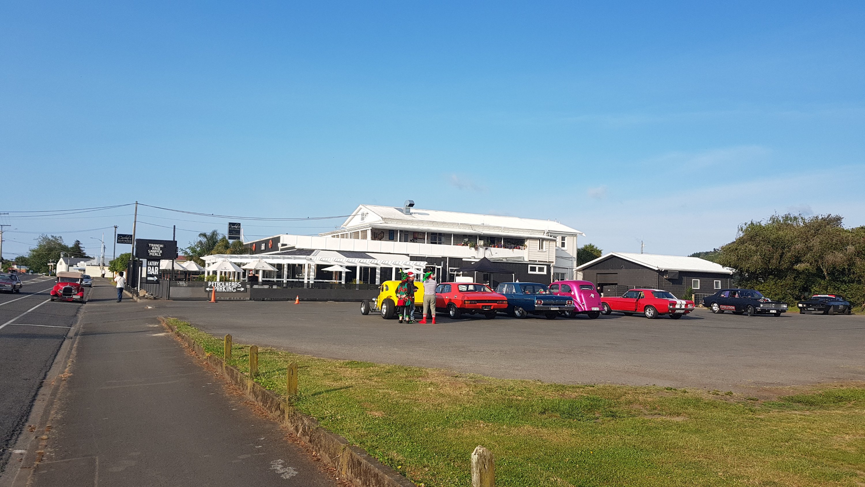
I also passed this cafe. I thought about getting my breakfast here but there were cars revving outside and while they were very cool, they were also very loud. I wanted a quiet breakfast. This must be a known spot for cars to congregate – the sign says ‘petrolheads parking”.
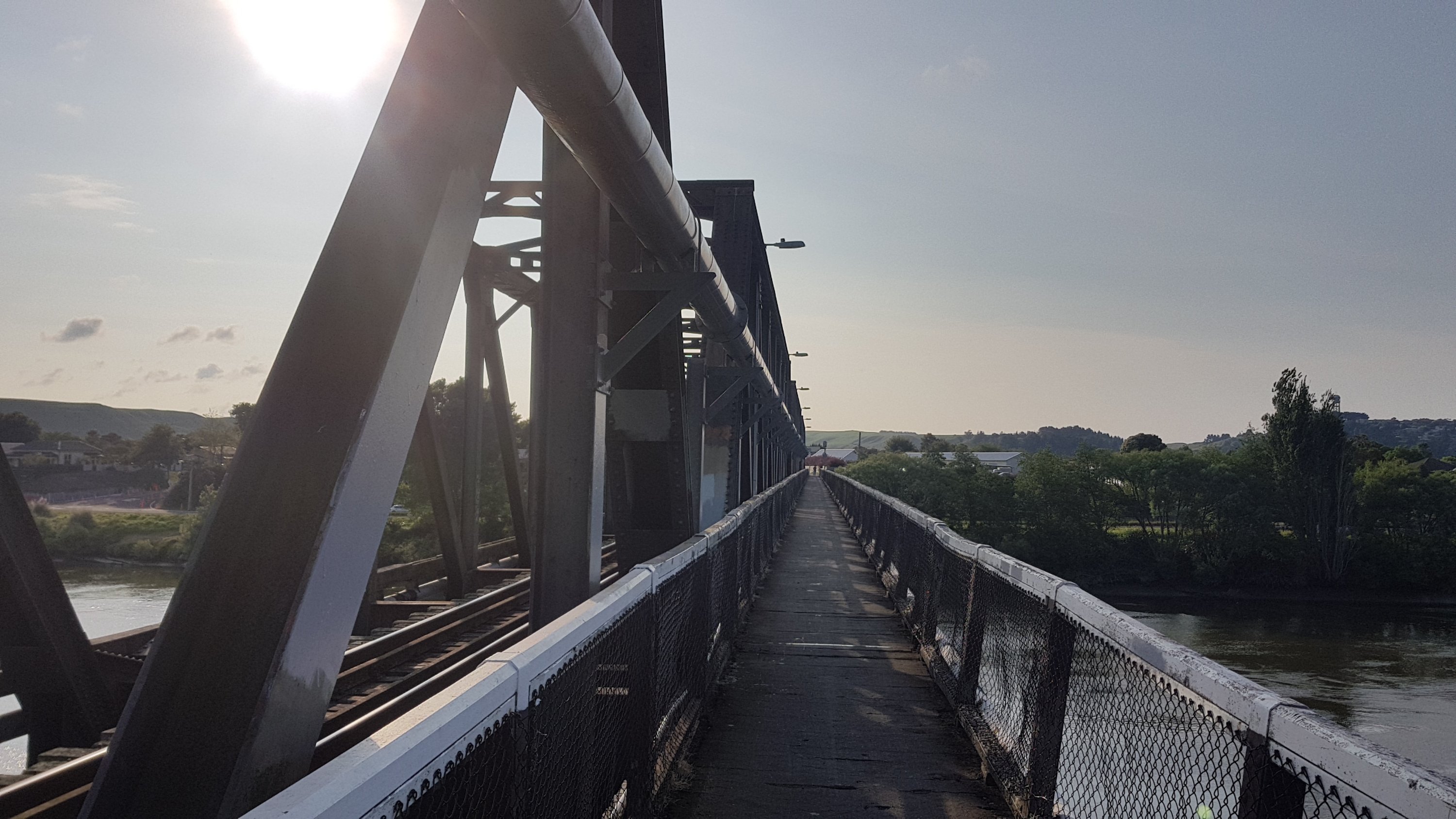
You soon cross the railway bridge to the other side of the river, away from the city centre.
Railway bridge
And you go past this free camping spot set up by the council. This is one of the places I considered walking to yesterday after arriving at the holiday park, but decided not to. It was quite a big bit of grass next to a toilet block, and there were a lot of campervans there. I talked to two of them (the occupants, not the actual campervans) tand they said they got a good night’s sleep here.
Whanganui Freedom Camping
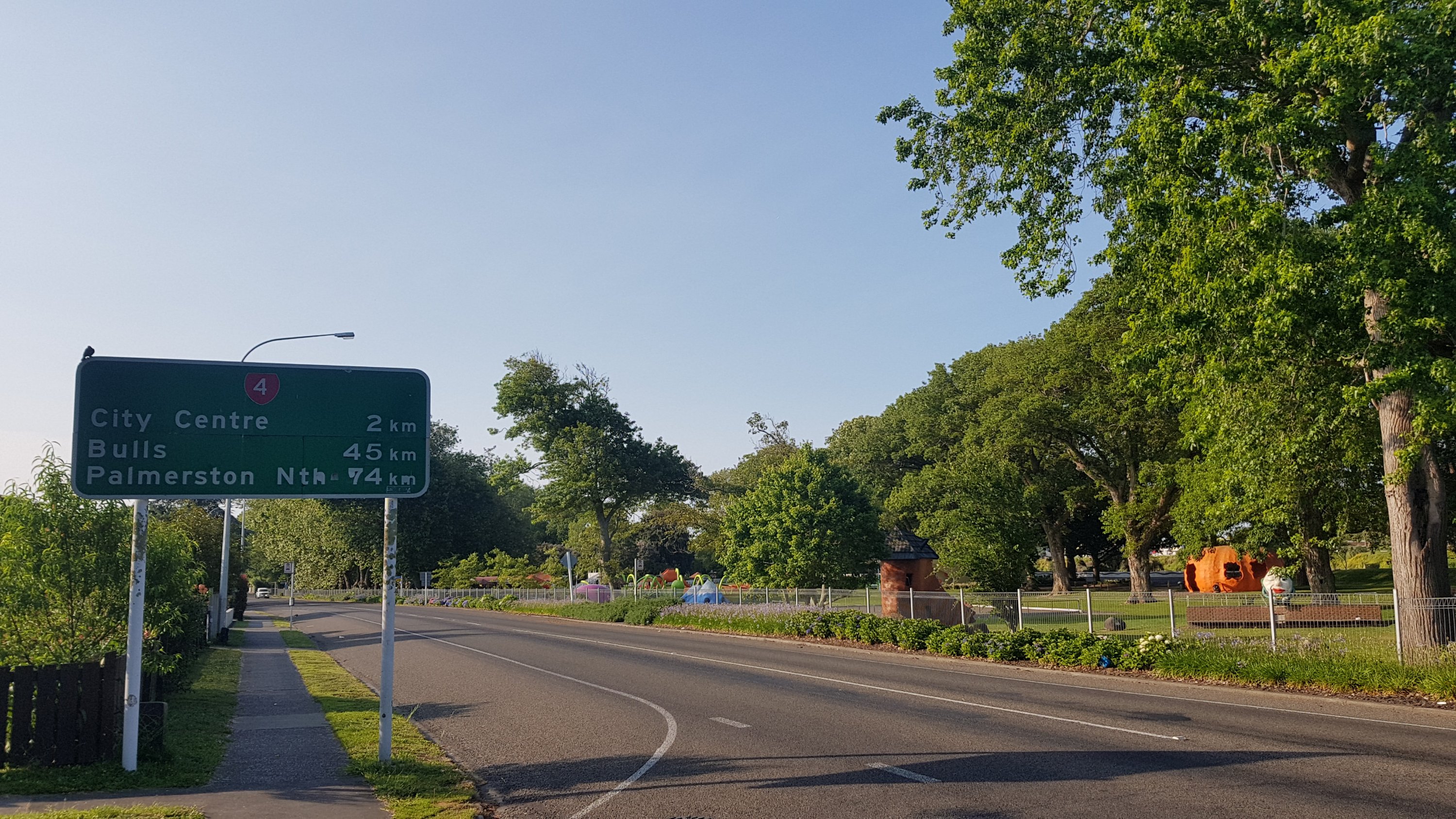
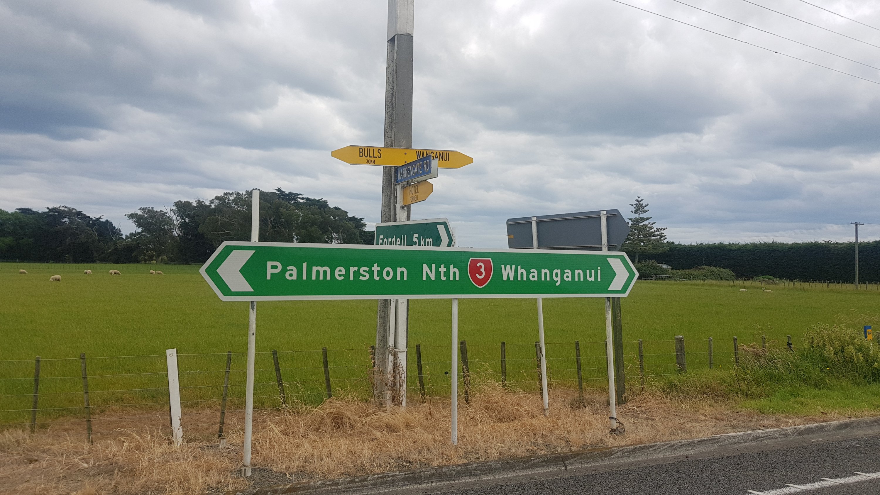
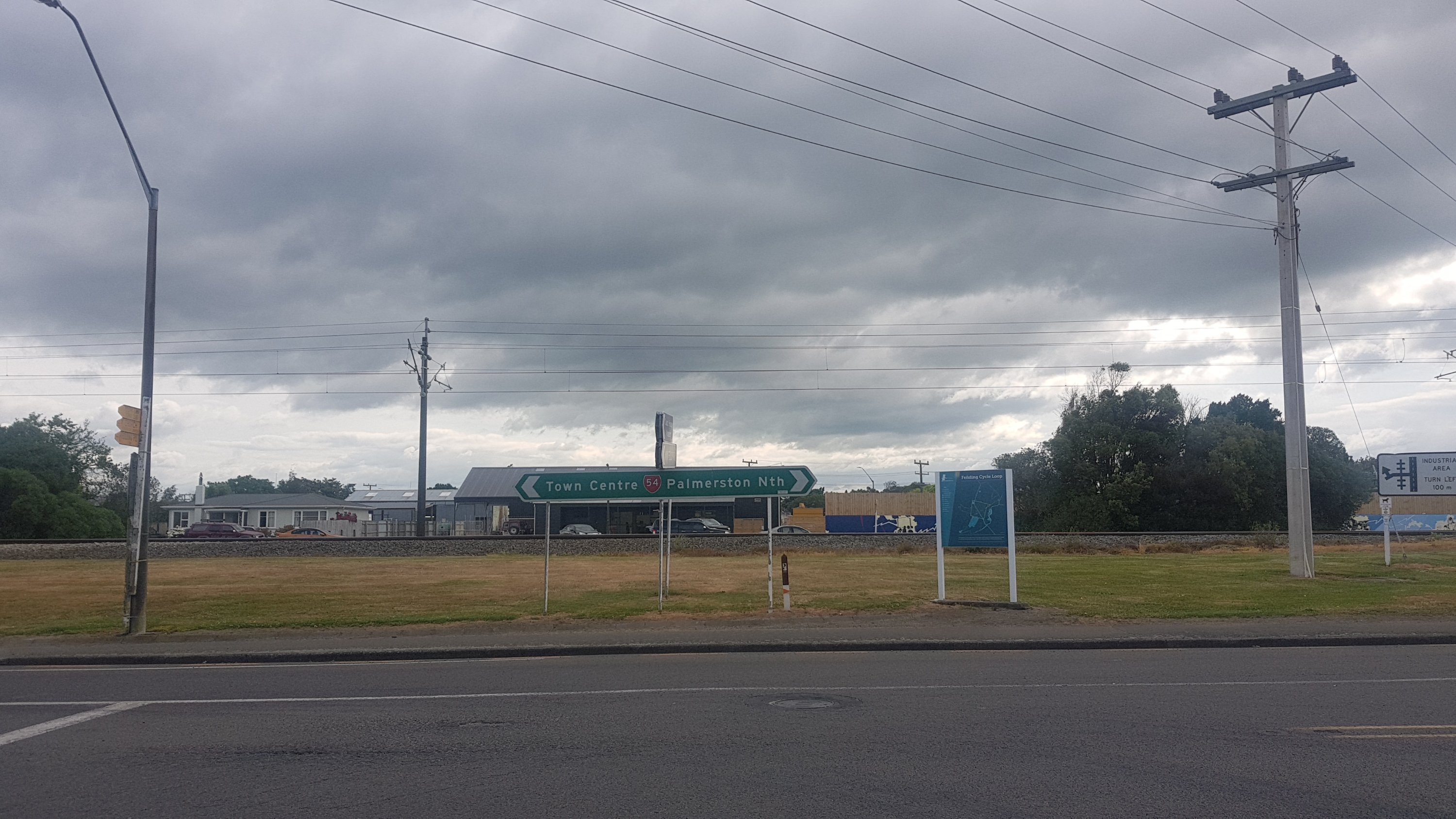
Here’s a sign for Palmerston North – apparently it’s 74km. So why is the walk to it 105km? Because it’s the TA, that’s why. It doesn’t go in a straight line – from here we go down a beach for 20km and then divert through the towns of Feilding and Bunnythorpe which one wouldn’t normally drive through to get to Palmerson North (Palmy for short).
Palmerston North – 74km
It was a nice walk by the river and it appeared that today was going to be a glorious day, just like the 12 or so days before it.
I passed this cafe on the trail. However I didn’t go in – I’m not entirely sure why.
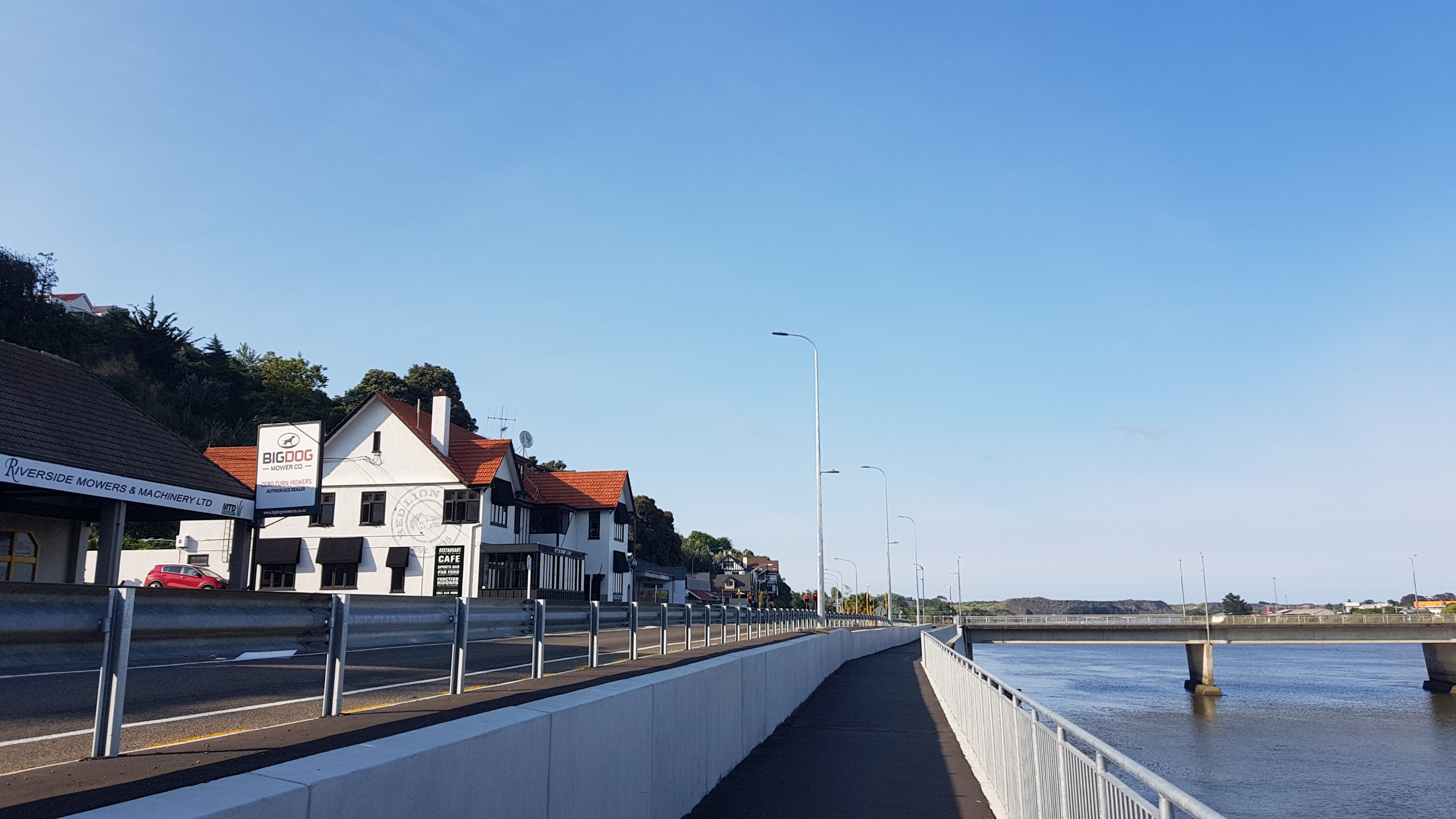
The Red Lion
I decided to go off trail and cross the bridge over the river into the city centre and find a nicer-looking cafe there.
Crossing the river
I found a cafe called Mud Ducks. It opened at 8.30am and I’m glad I arrived at 8:33am as it filled up quite fast. When I looked at my watch at 8.40am it was mostly full.
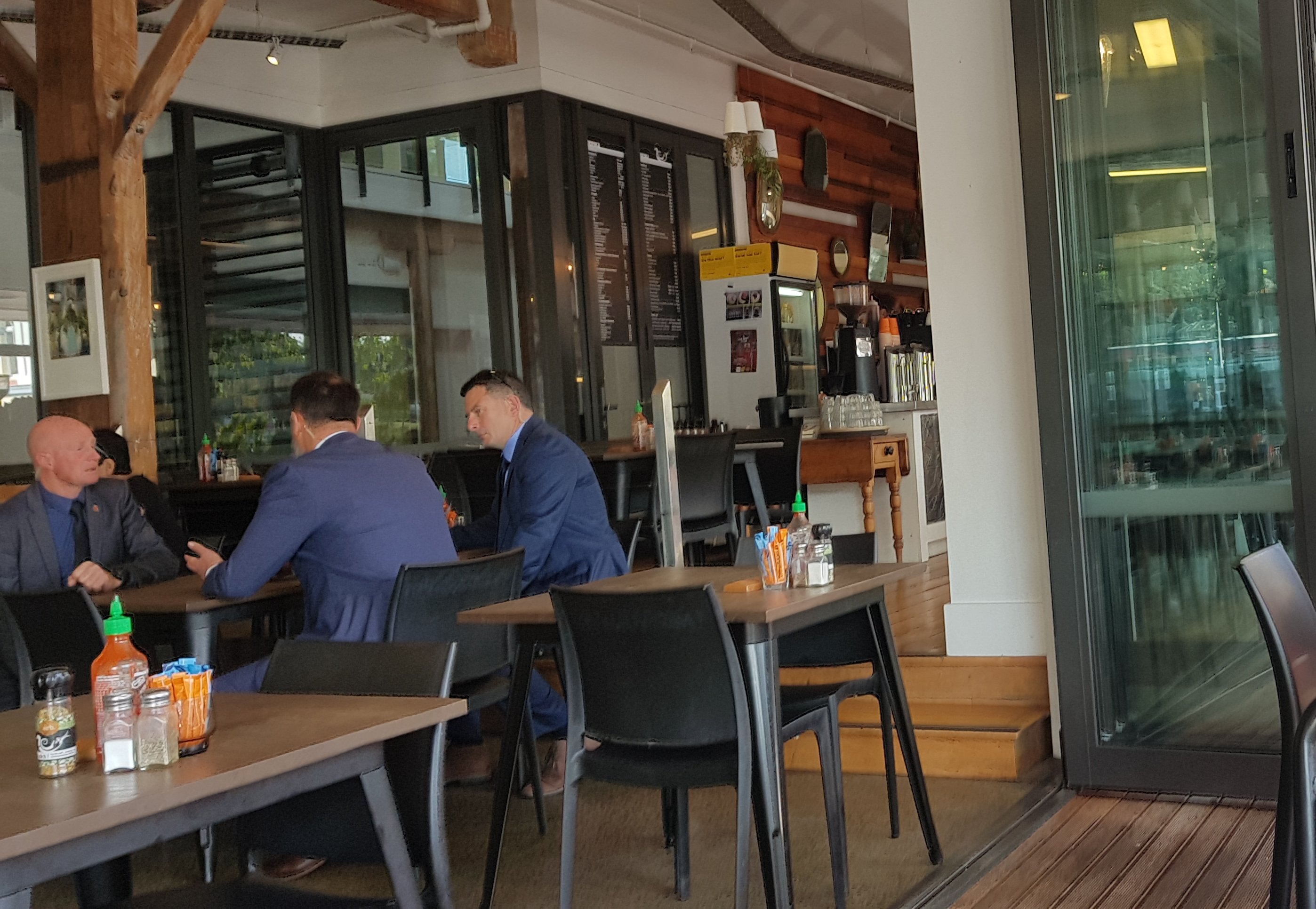
As I walked into the cafe, I noticed a few people in the queue to order food. The last guy in the queue was a tall guy in a crisp blue suit, and I joined the queue behind him. While I was waiting, four other guys in crisp blue suits came in behind me, and said hi to the other guy in the suit in front of me. I immediately thought “no way in hell are you four cutting in front of me”. I stood with my legs wide apart near the food cabinet so they couldn’t get past. It worked – they went around me on the other side and went and sat down at a nearby table.
I ordered an iced coffee and a bacon butty and sat down near the window where I could see outside and could also see the guys in blue suits. I noticed they were all wearing earpieces.
My attempt to covertly photograph the members of the blue suit brigade
And that’s when I started thinking. These guys look important. And why do they all have earpieces? They look like bodyguards. And there is only one person in New Zealand who travels with five bodyguards. The PM.
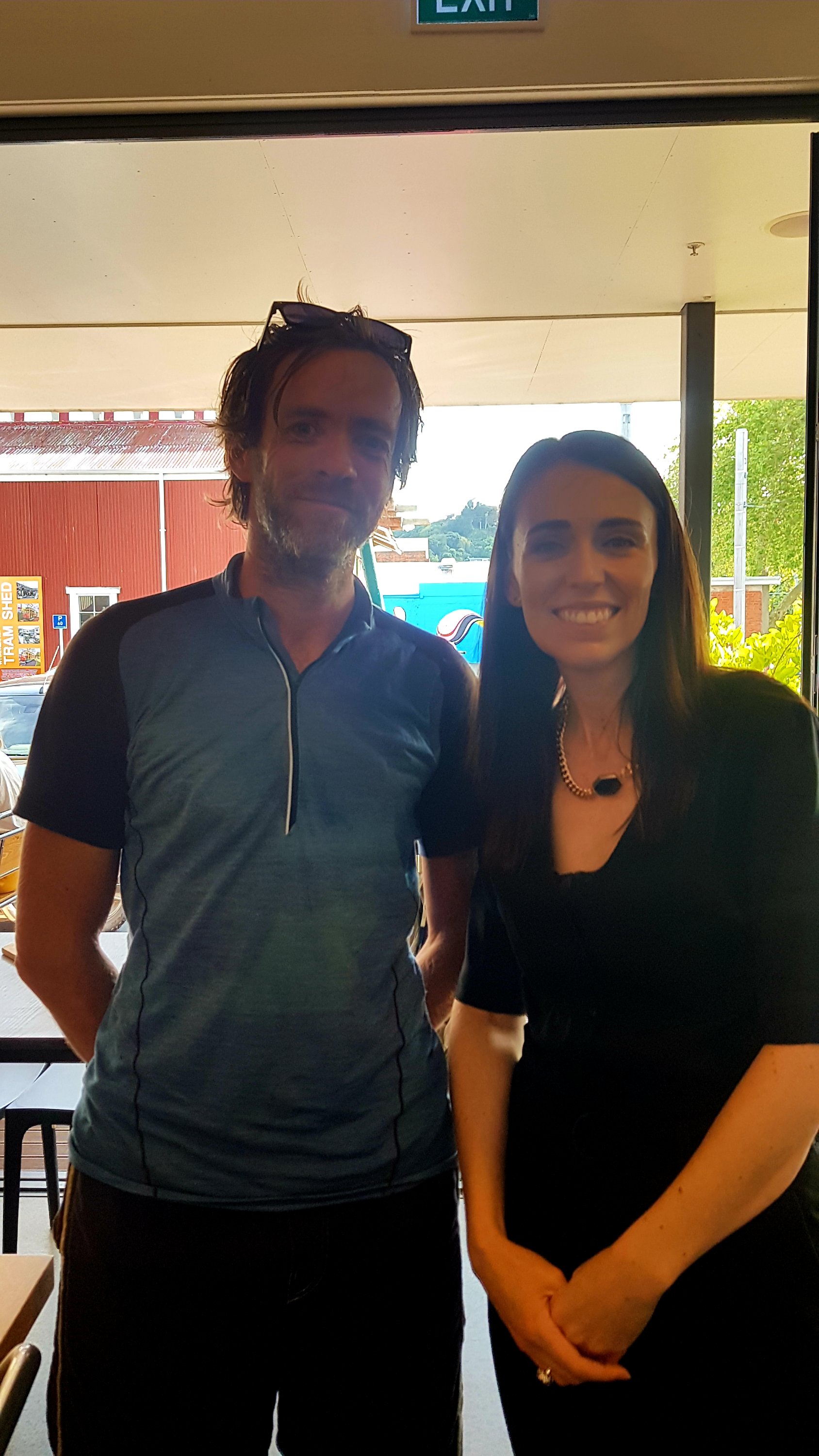
I wonder if she’s somewhere nearby. I looked around and at a table nearby I recognised Clarke Gayford, her partner. And then there she was, sitting with her back to me. Oh my god – how exciting. There were also three other people at her table who I didn’t recognise. They were having a meeting.
If Clarke wasn’t there, I might not have known it was her from behind. But it definitely had to be her. Ooooh wow, I’m so excited. They look like they’re having an important meeting. I don’t care. I sheepishly walked over and stood over the group and when they looked at me I asked Jacinda if I could get a picture with her. She was very obliging.
OMGOMGOMGOMG it’s Jacinda Ardern
She even took the time to ask where I was from, what I was doing and details about Te Araroa – she didn’t seem to have heard of it. But that’s all we talked about, I let her get back to her meeting. She was so friendly and polite, despite my rudeness at interrupting. She smiled the whole time and was very obliging with the picture. I may not agree with everything she says or does in politics but she is genuinely a nice, normal friendly person. And in what other country could you just go up to the Prime Minister like that.
And that’s when I realised that earlier on in the queue, I blocked Jacinda’s “secret service” from accessing the food cabinet. Oh boy. If I suddenly disappear overnight without a trace, you’ll know why!
I ordered more food because I didn’t want to leave the cafe until after Jacinda. I got a sugar-free cola and a slice called “gravel road” – seemed appropriate.
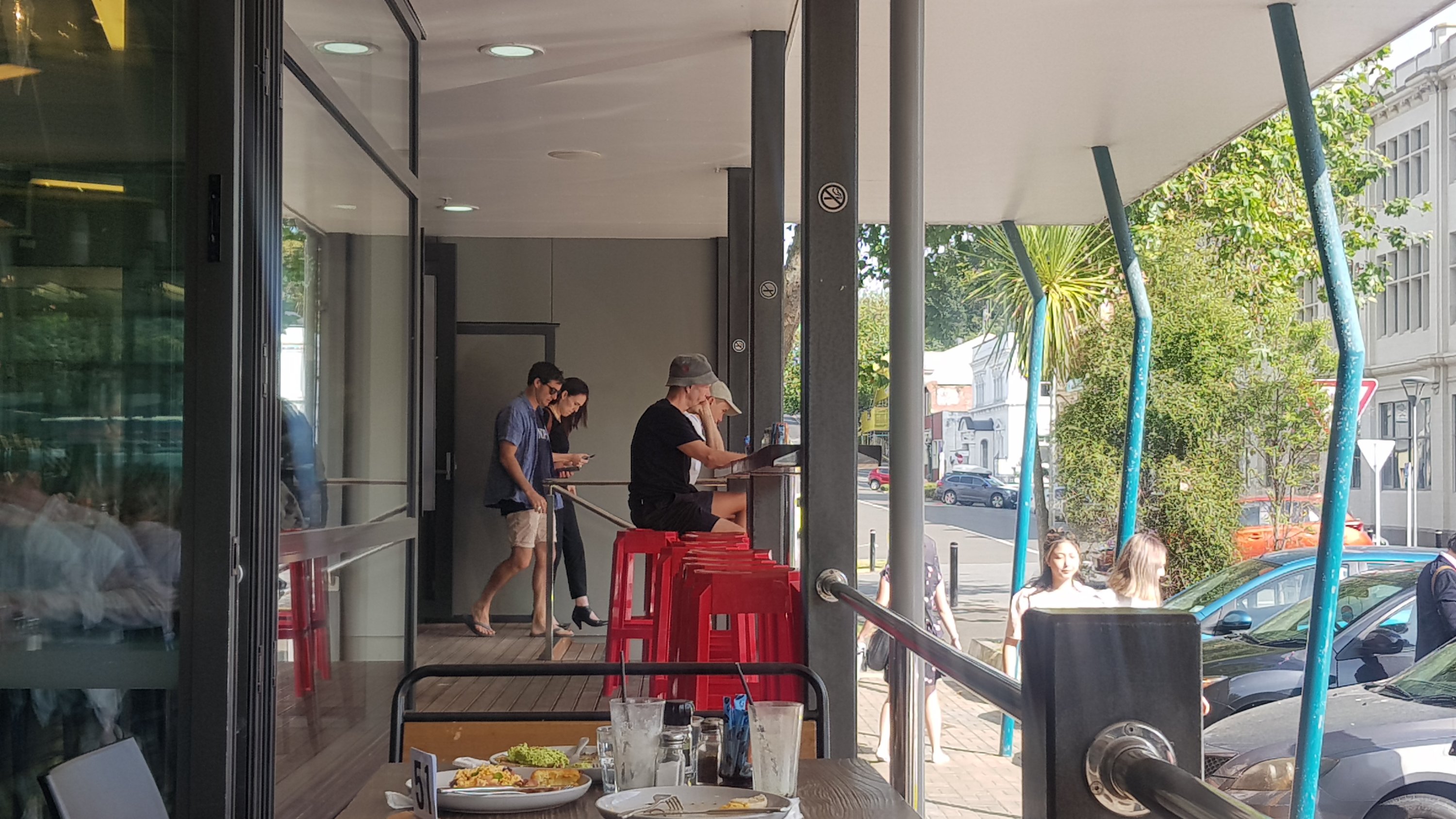
When Jacinda finally left…
There they go…
I left shortly after and continued on the trail.
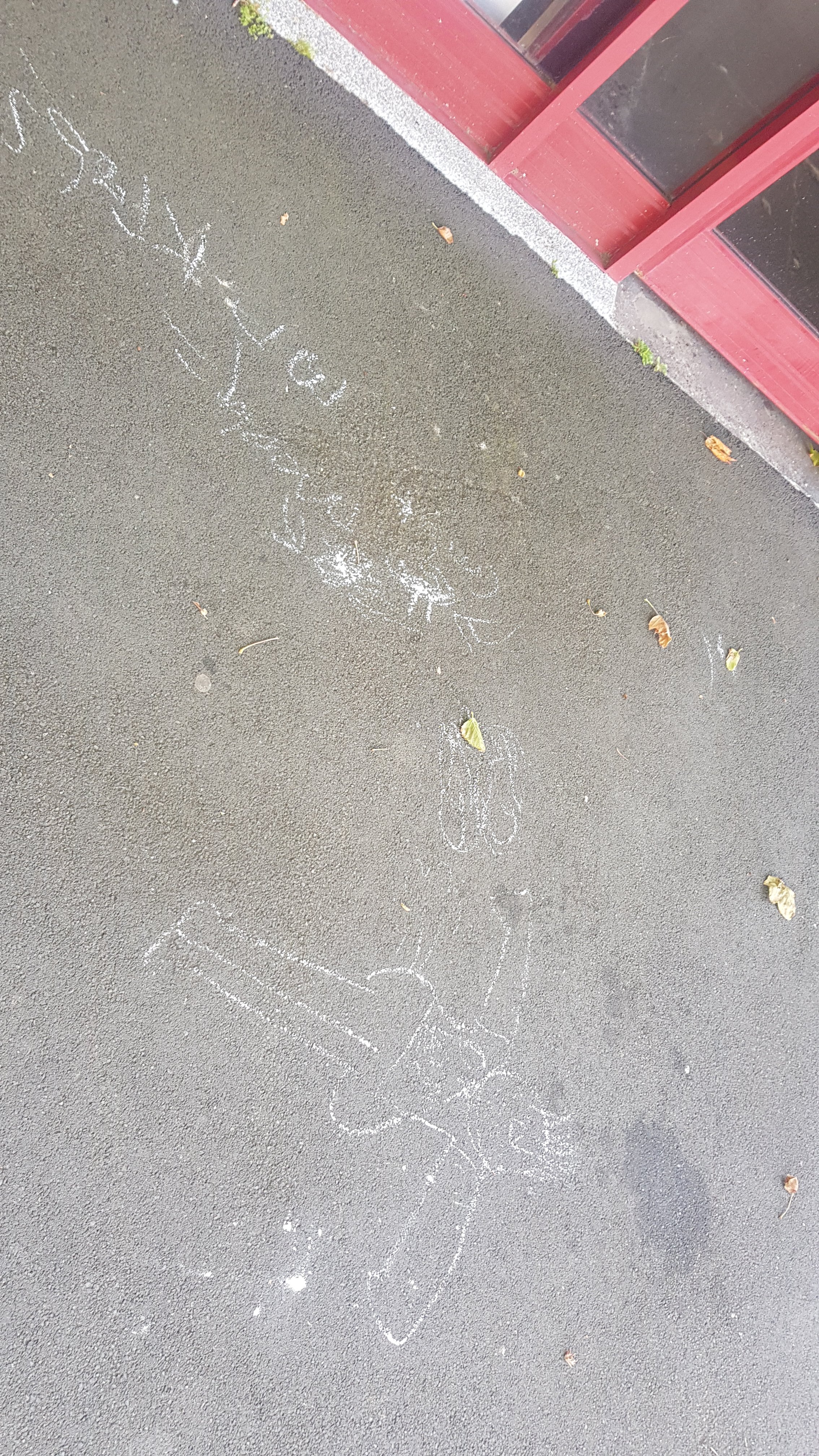
Interesting chalk drawings on the concrete
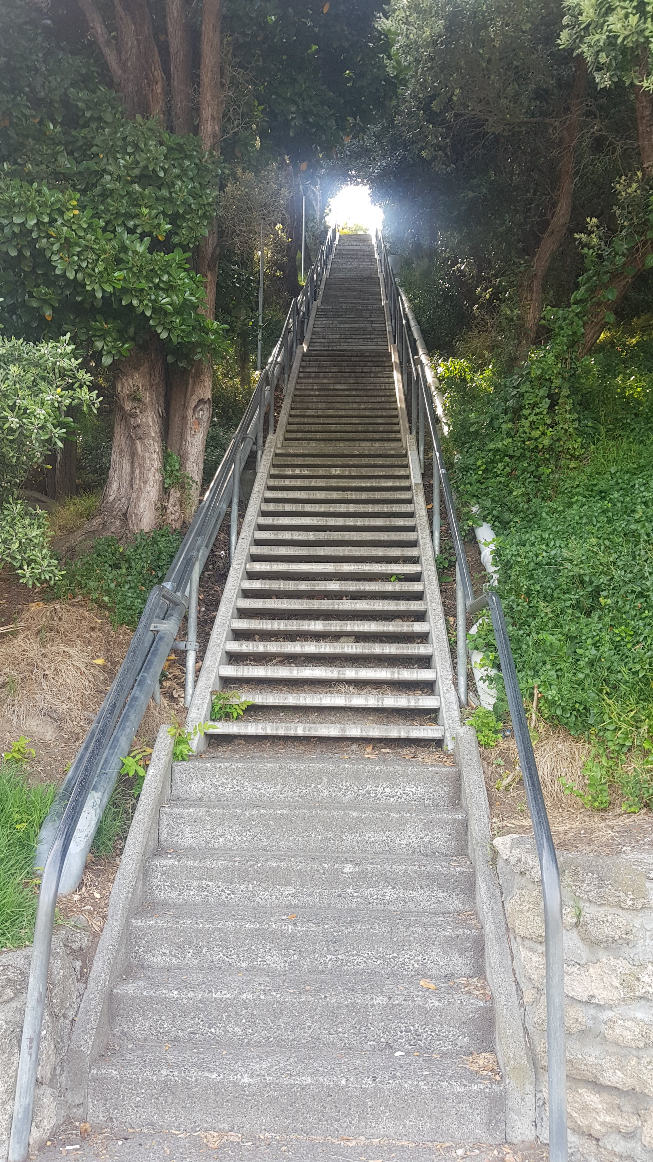
I was so happy after that chance encounter that I didn’t even care that the next part of the trail was up a billion stairs.
You could take the elevator but you had to pay for that.
Durie Hill Elevator information
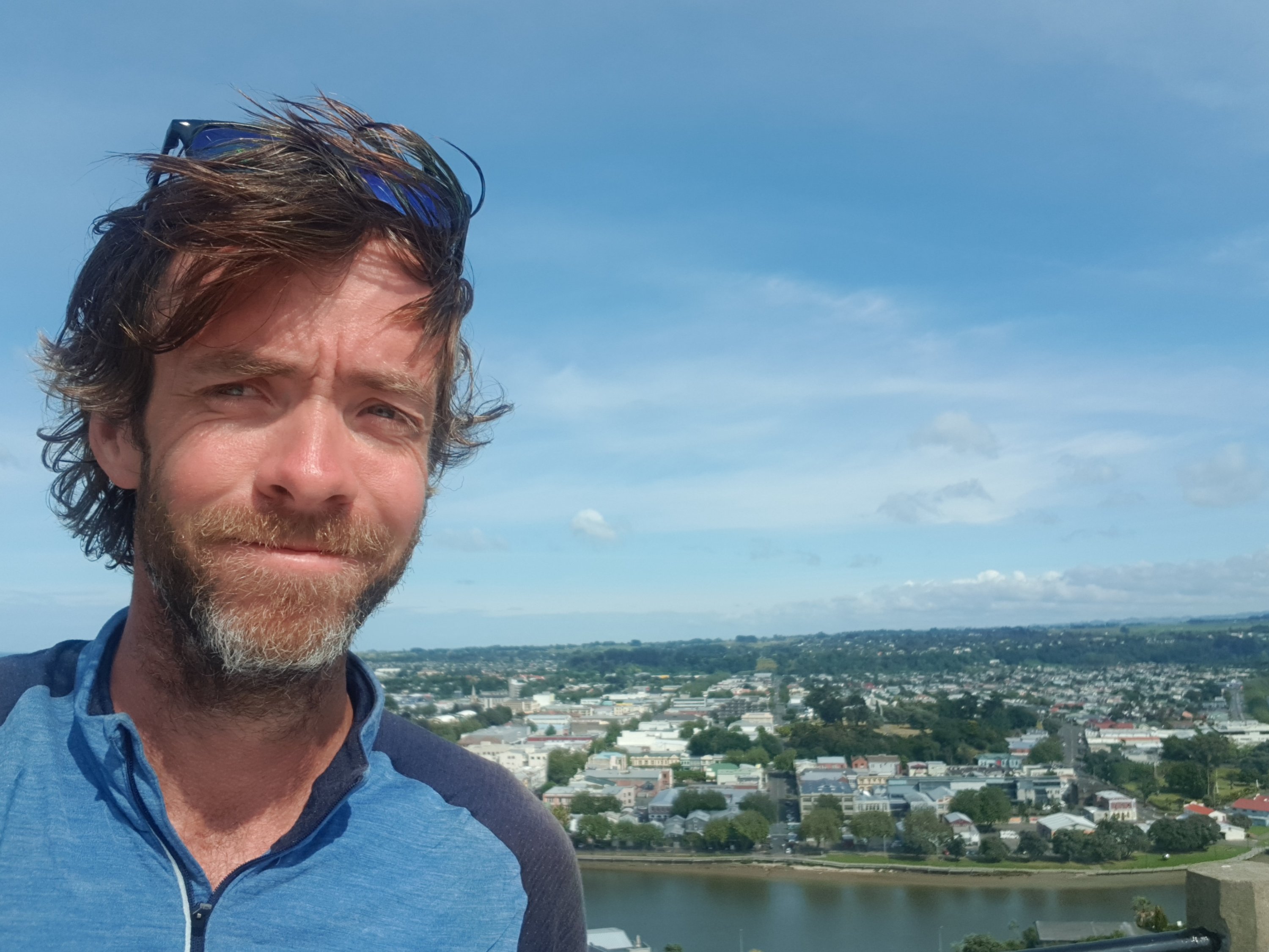
There was then a few more stairs and a viewing platform. This was not part of the trail but I had a quick look.
And a selfie of course
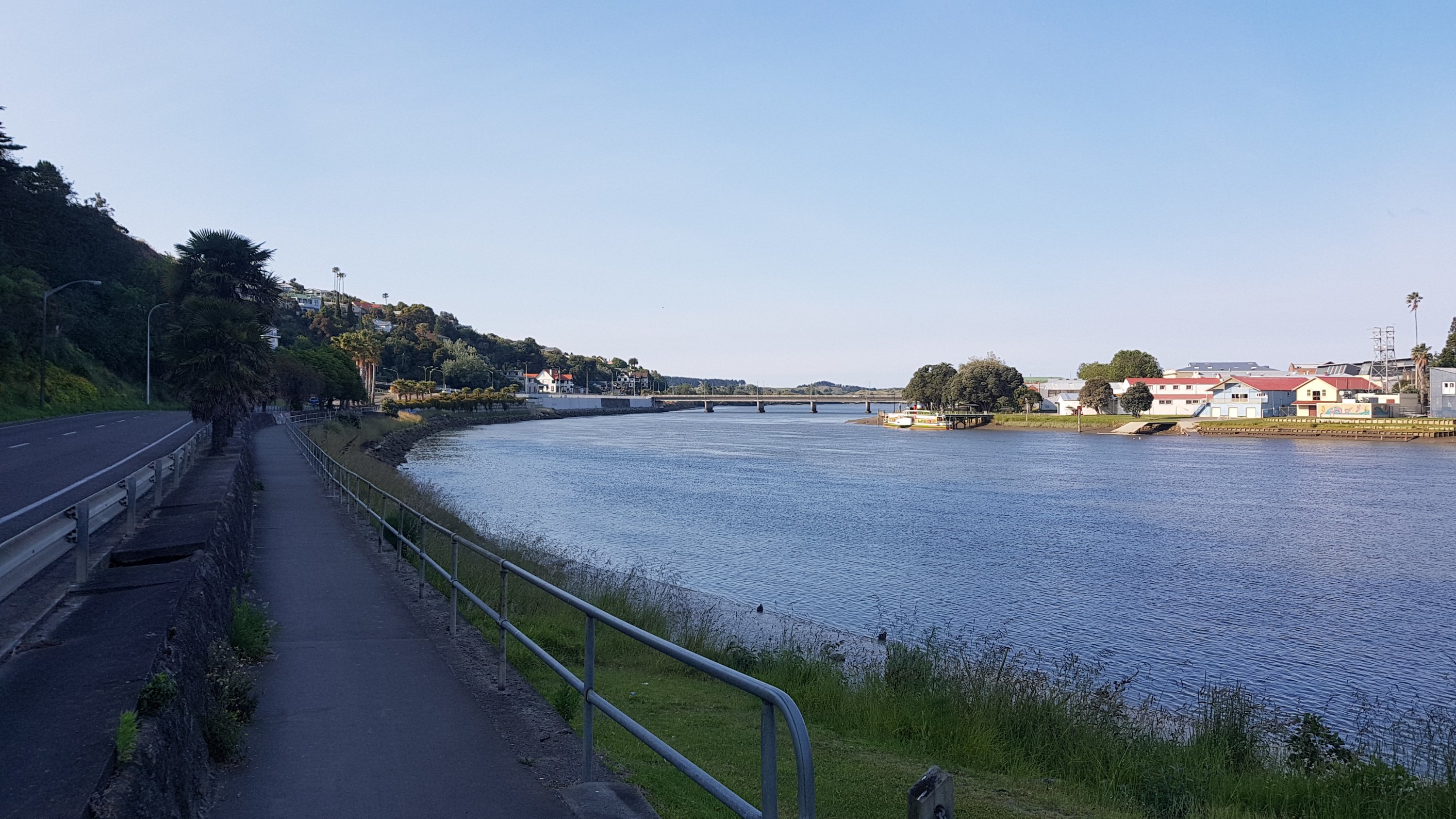
I had one last look at the Whanganui River and said goodbye to it.
View from the lookout
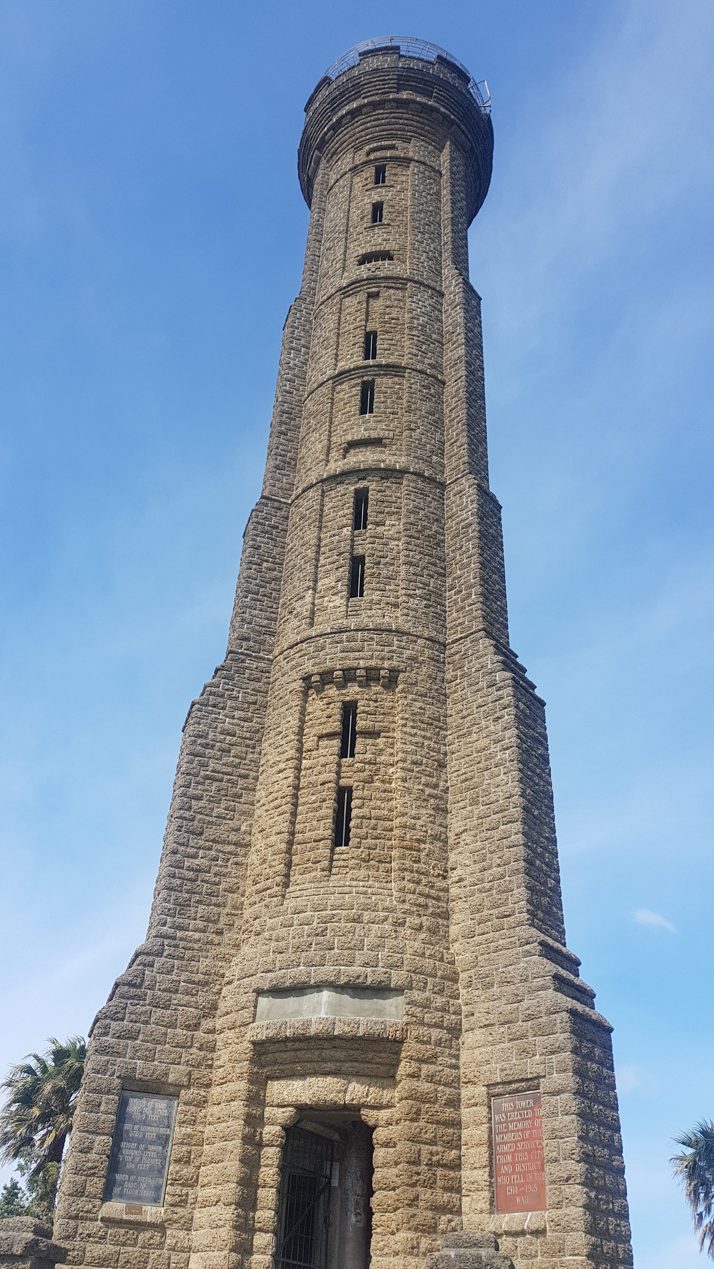
There was also this tower nearby. It was “erected to the memory of members of the armed services from this city and district who fell in the 1914-1918 war”.
You could walk to the top of it but I decided not to. I’d done enough walking up stairs right now.
Time to start the road walking. 12km or so to a place called Fordell, then another 15 or so km to get to a beach. This place just on the outskirts of Whanganui had some interesting sculptures.
And here’s a sight I haven’t seen for a while – the footpath in the town ending and the 100km/h area with only a minimal road shoulder beginning.
Goodbye Whanganui
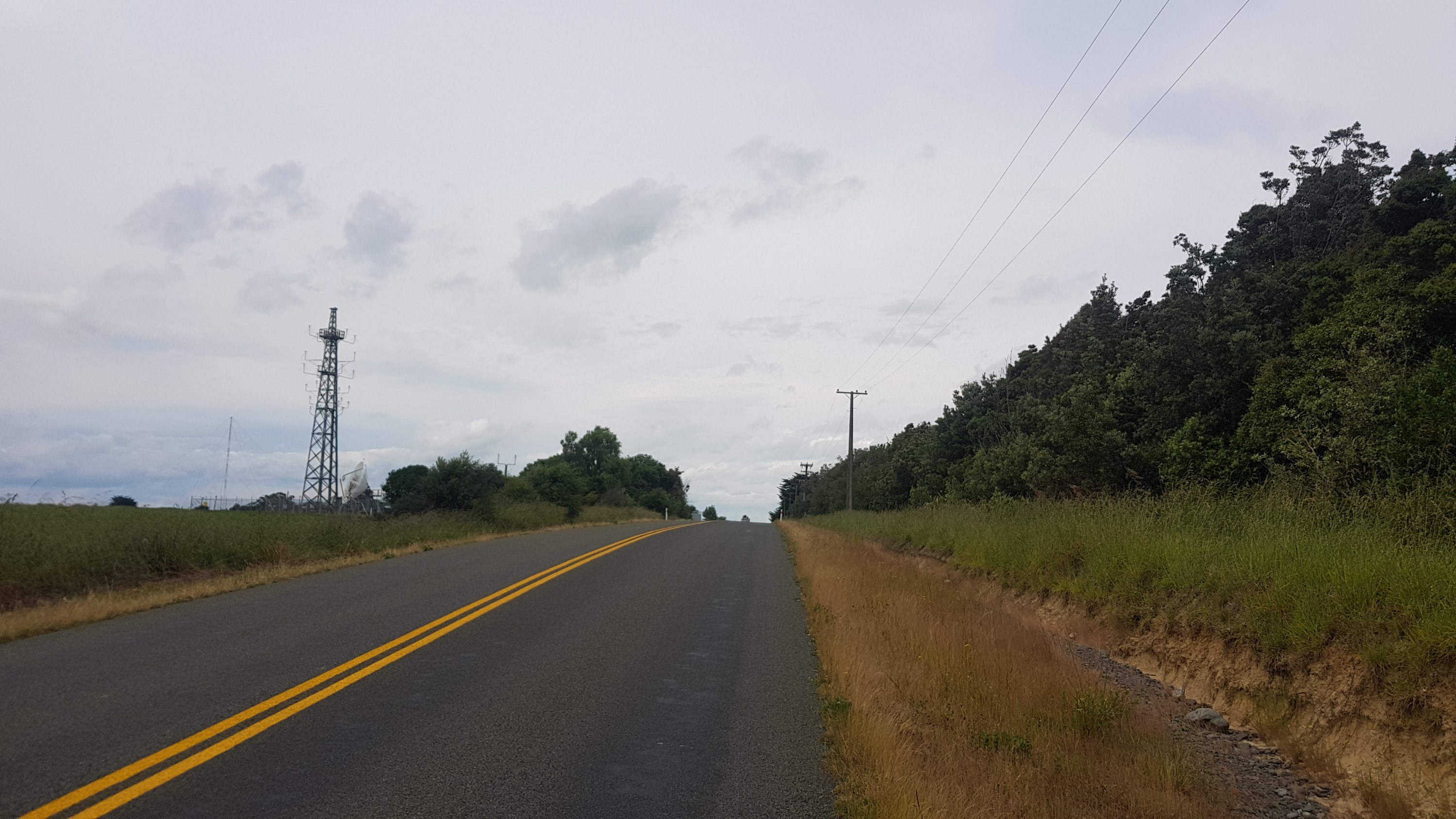
Not a lot happened between Whanganui and Fordell. And I haven’t taken an 11am picture since I’ve been on the river. Now they can start again! Unfortunately this 11am picture is just looking back at the electrical substation where I had earlier stopped for some water.
11am picture – electrical substation
At one point I saw all these cars and wondered what was happening:
What’s going on here
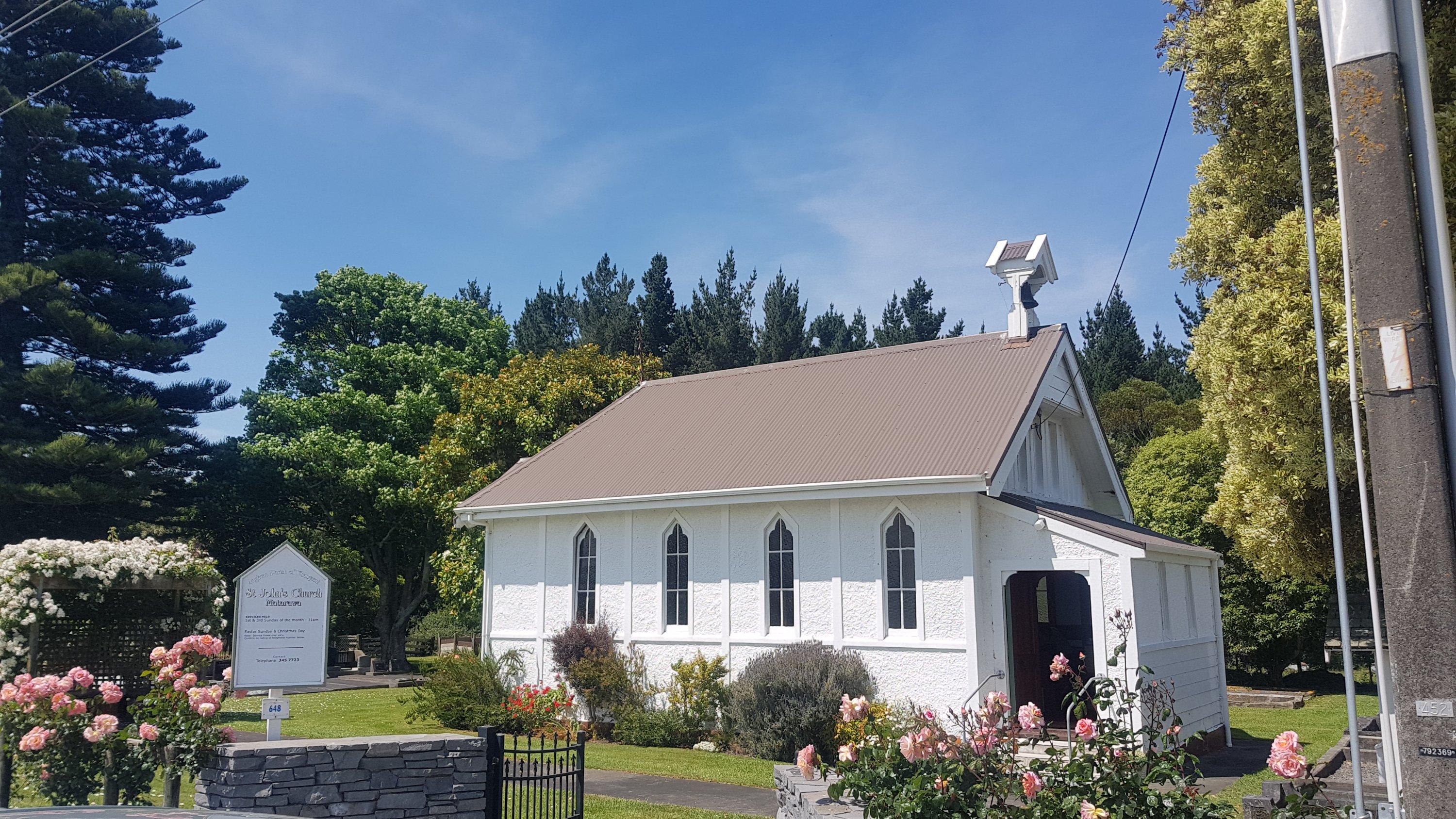
Turns out, being Sunday morning, that it was a church service.
St. John’s Church
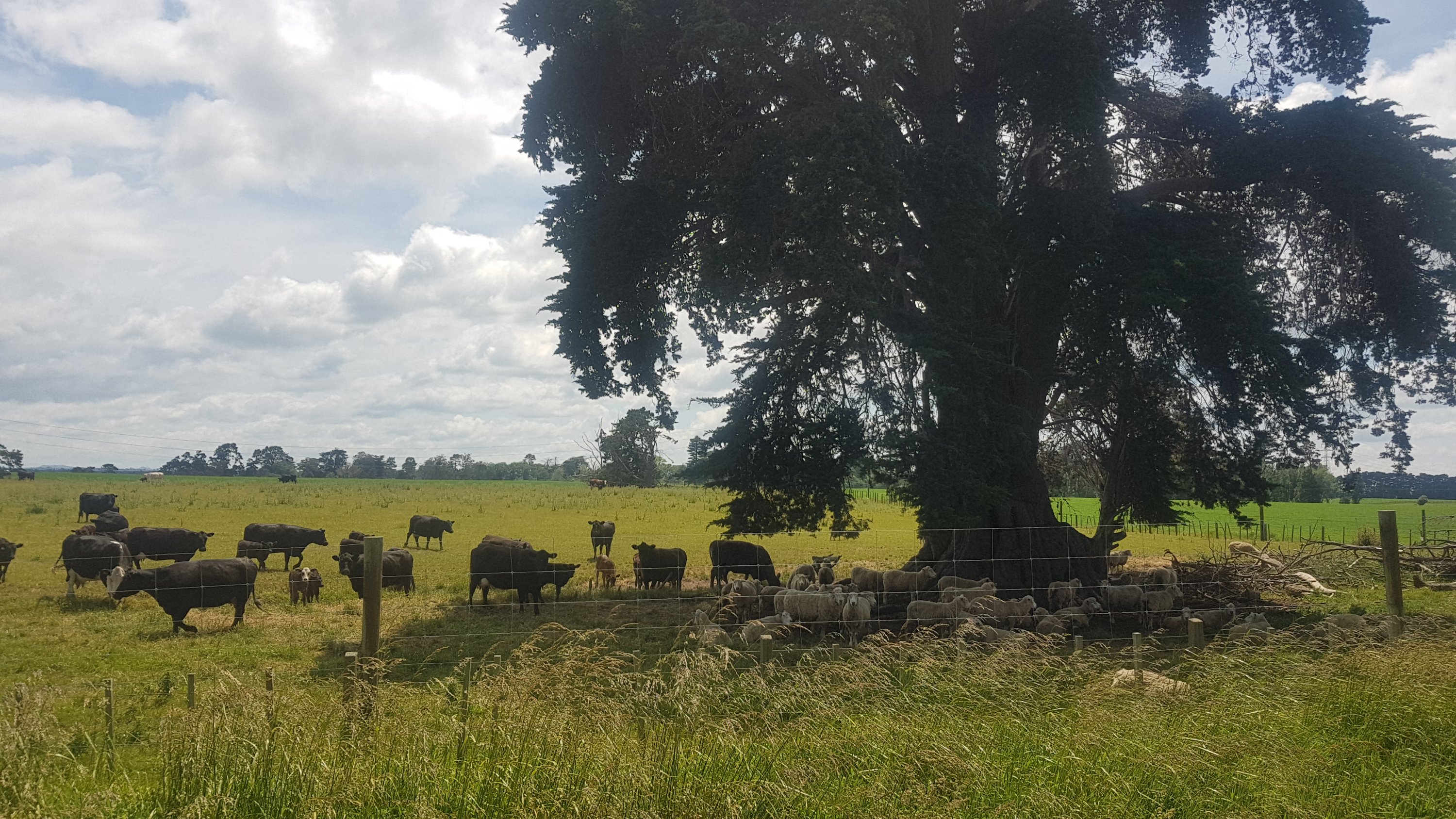
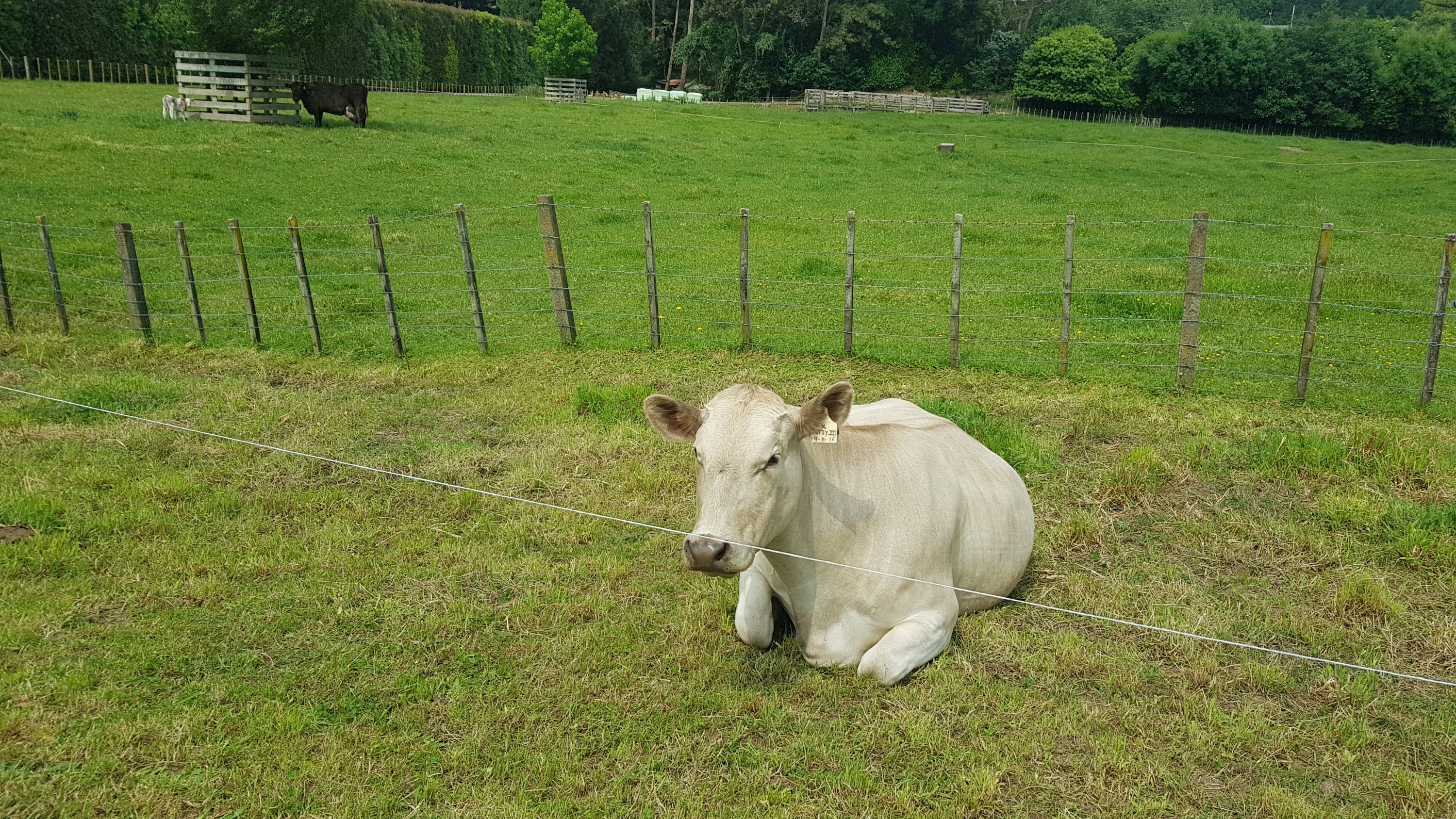
There were some cows and sheep in the same paddock, being buddies.
By Fordell, I was really craving a milkshake.
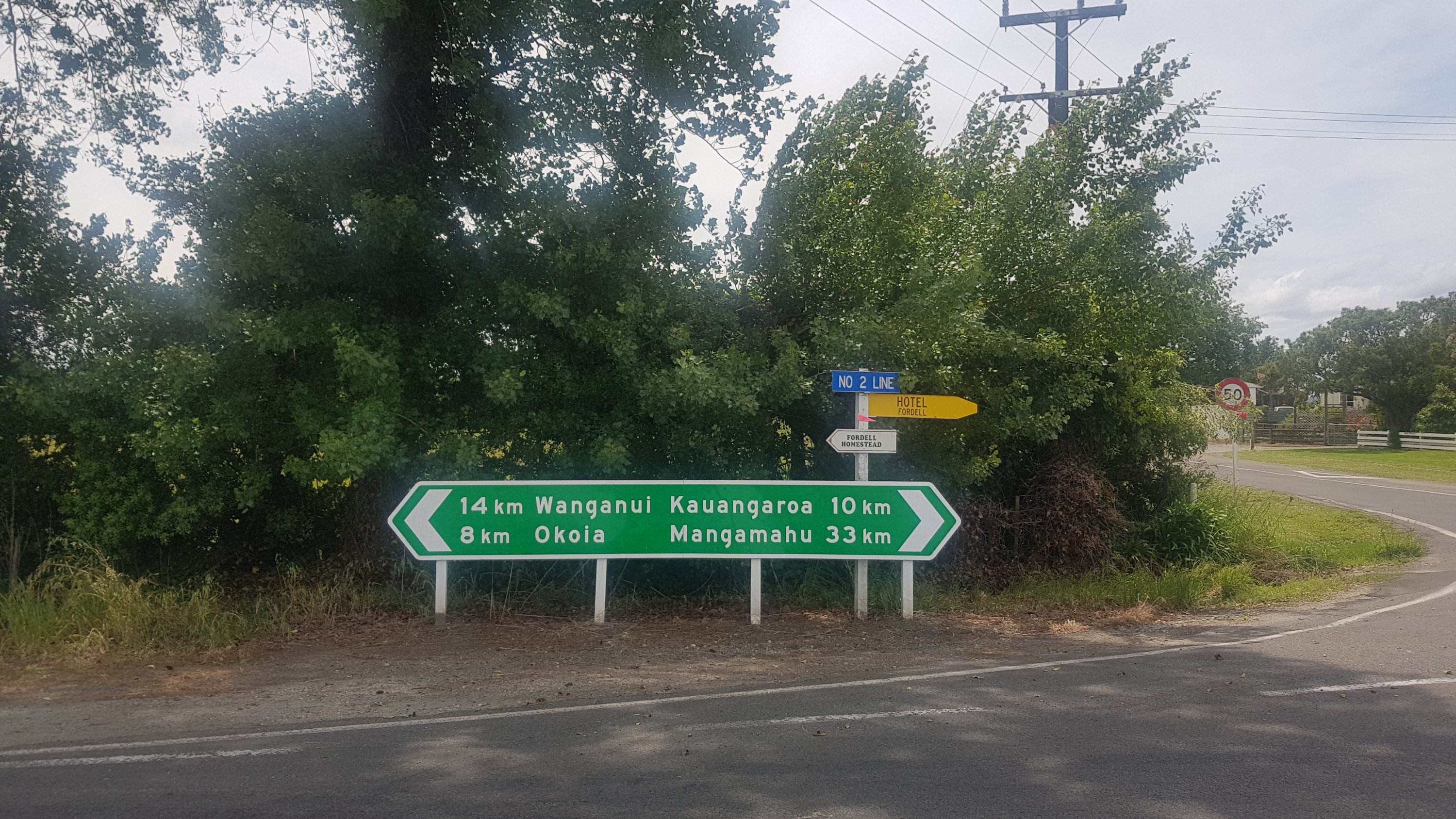
Ever heard of this place before? Nope, neither have I.
In this town you turn onto a side street fairly fast, avoiding the centre of town.
Ever heard of these places before? Nope, neither have I. Especially not Wanganui. It’s had an “h” in the name for a long time now.
But I looked on Google to see if I could buy a milkshake somewhere. Apparently the only two places in this town are a hotel and a petrol station. The petrol station is open 24 hours apparently, so I headed there. I would be happy with just a milk drink from the fridge.
It was about 700m off trail to the petrol station, and the same back again. I hope that it actually had a shop. In Auckland at least, these “24 hour” petrol stations are often just automated petrol pumps with no actual shop. When I got close, I saw cars parked opposite. Woohoo, that must mean the shop has staff!
Cars in the distance
And when I got closer, I saw that it’s also a dairy! My chances of getting a milkshake have improved!
Sweet!
But… my bubble burst when I realise that it’s closed on Sundays. Google was wrong.
DANG
Deflated, I just sat on the forecourt and ate some cheese and crackers and some of the chocolate I got yesterday at The Warehouse. The milkshake will have to wait. I also spent time updating the opening hours for this place on Google so others don’t have the same problem.
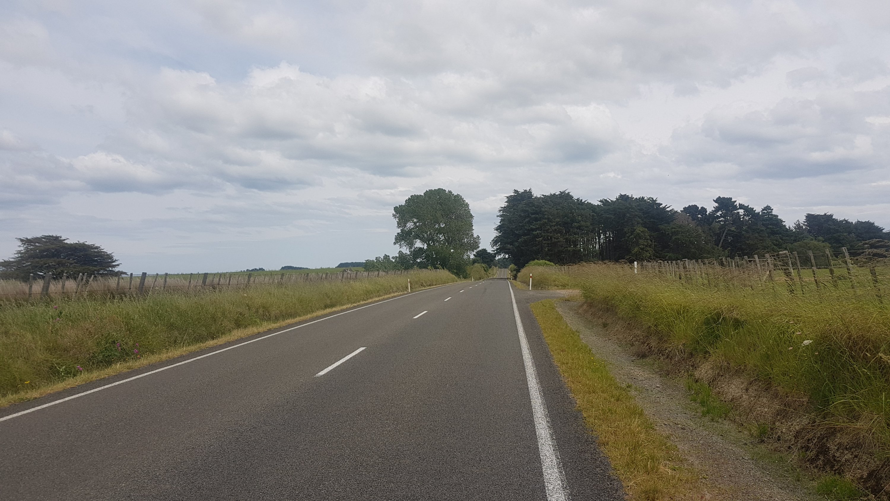
Back to the trail, more road walking. The bit of road after Fordell is long and straight and there isn’t much space to walk.
It’s not too busy though. That all changes once you get to State Highway 3.
Wanganui or Whanganui?
This road is a lot busier.
Being a State Highway and all…
Apparently up until this year, the walk along State Highway 3 was long – like 20 or 30km long. They’ve rerouted the trail this year so the walk along here is only 2 or 3km. I was grateful for that at least.
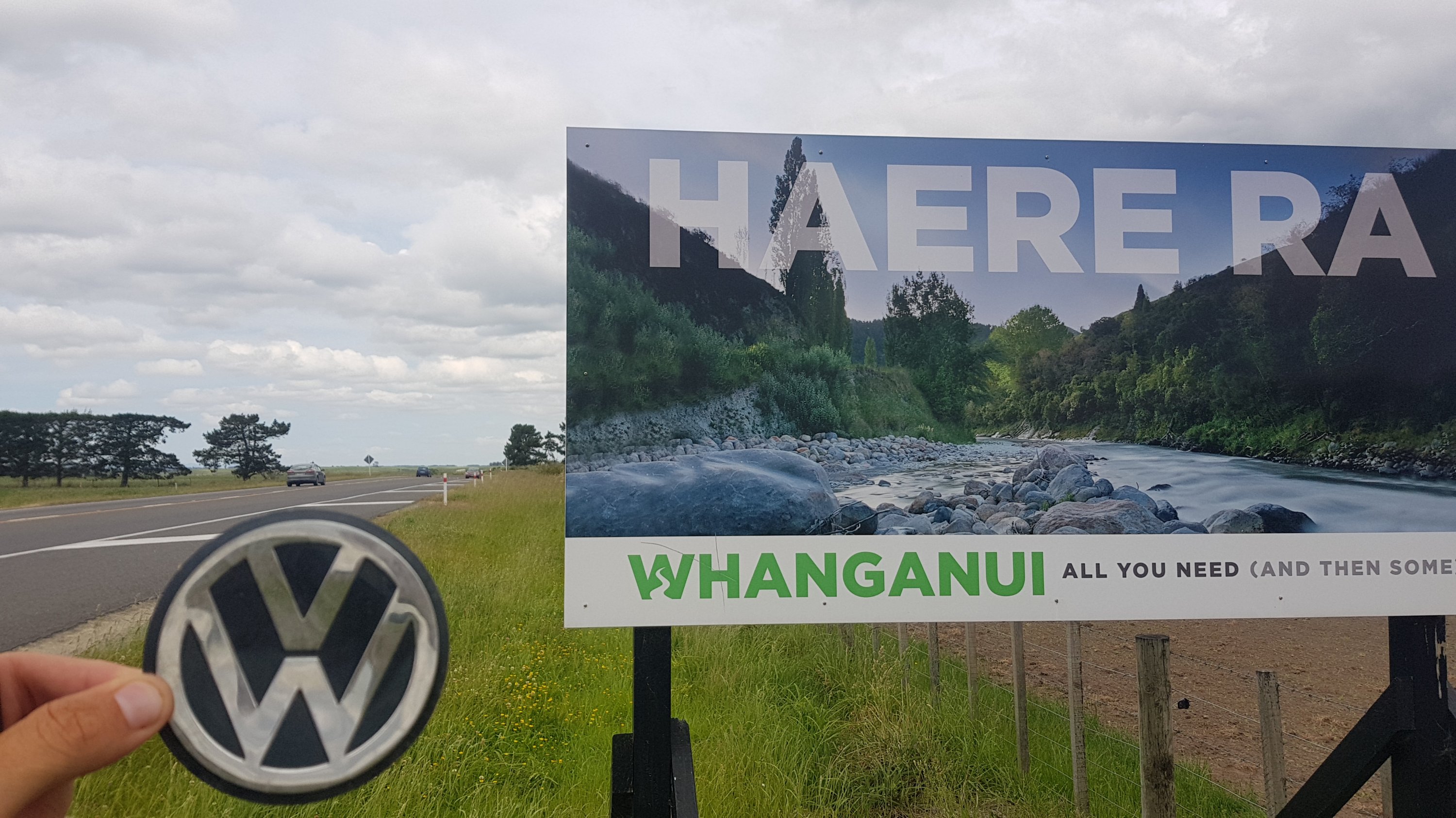
I did find this VW badge which I presume had come off a car.
A rest area along this stretch of the highway was also marked on Guthook as a possible place to camp. If I was feeling really really full of energy yesterday, I had identified this as a possible camping spot last night.
Rest area
This got me thinking – perhaps the universe wanted me to be in the same cafe at the same time as Jacinda, because it knew I’d be so happy about it. Not walking beyond the holiday park, leaving earlier than anticipated this morning, and skipping the first two cafes I came across for breakfast – this all must have happened so I could meet Jacinda. I was still buzzing about it by this point.
Since I never got my milkshake or a proper lunch, I wanted to stop at this rest area and have lunch, but the guy in the red car was playing some kind of house music really, unbearably loudly so I just walked past.
Walking along Highway 3 wasn’t too bad. Most of it was on the other side of these barriers. The worst part was all the dead bits of plants that got inside my boots.
The bridge you can see in the background has a large footpath. It crosses the Whangaehu River, which was a bit cleaner than the Whanganui River.
Whangaehu River
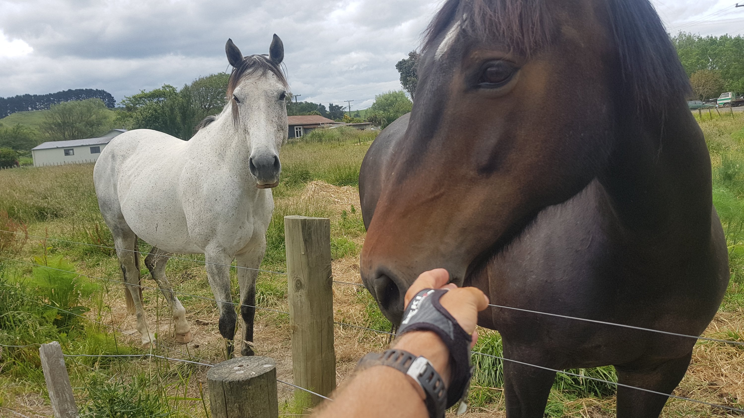
Just over the bridge was a place called Whangaehu. Is there a shop here? Would I finally get some lunch? It was 2:30pm by now and I was getting hungry. But no, no shop. Just these two friendly horses.
Then a turn into Whangaehu Beach Road, which was a small road to the beach.
It wasnt a problem though, it’s well signposted and along a 4WD farm track.
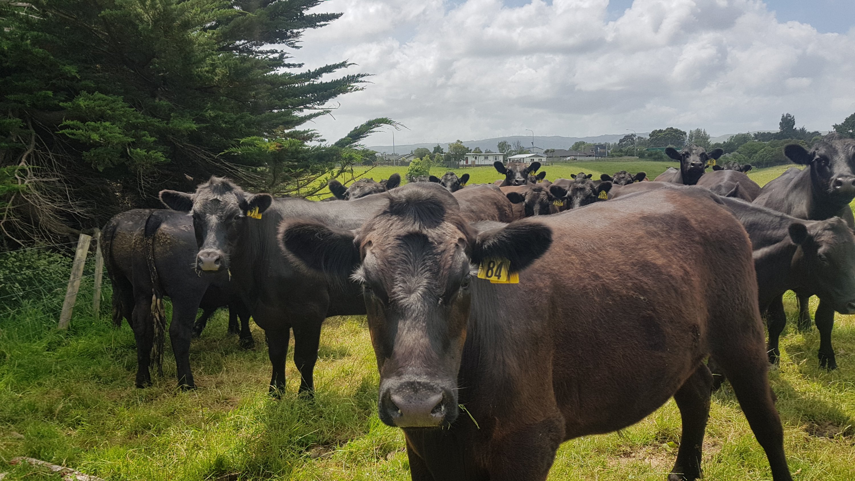
Past a lot of staring cows.
I was nearly at the beach now. I sill hadn’t had any lunch by this time. I was going to be at the river crossing fairly soon, and I would be four hours early for the low tide crossing, so I’ll wait until then and cook some pasta.
I was excited to get to the beach. I hadn’t seen the beach since Devonport on Auckland’s North Shore.
Still going the right way, apparently
Finally, I got a glimpse of it!
Can you see it?
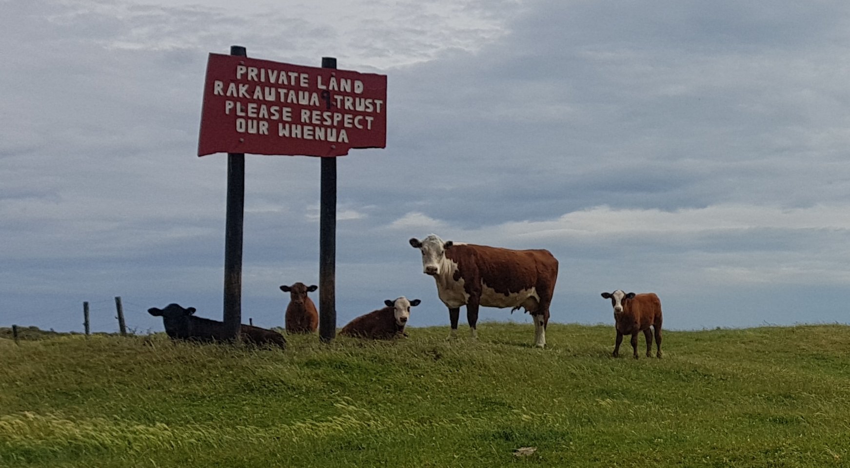
There were more signs reminding you that you are on private land.
These cows are here making sure you respect the whenua.
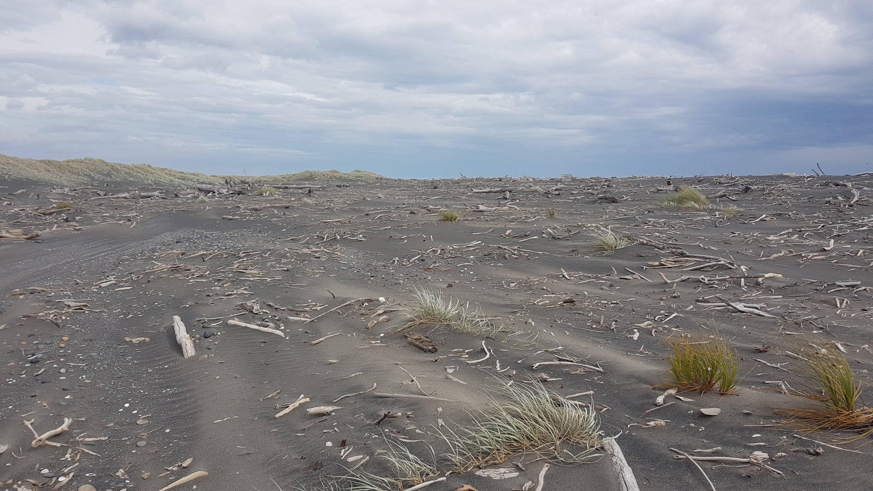
When I finally got to the beach, I was a bit disappointed at what I saw.
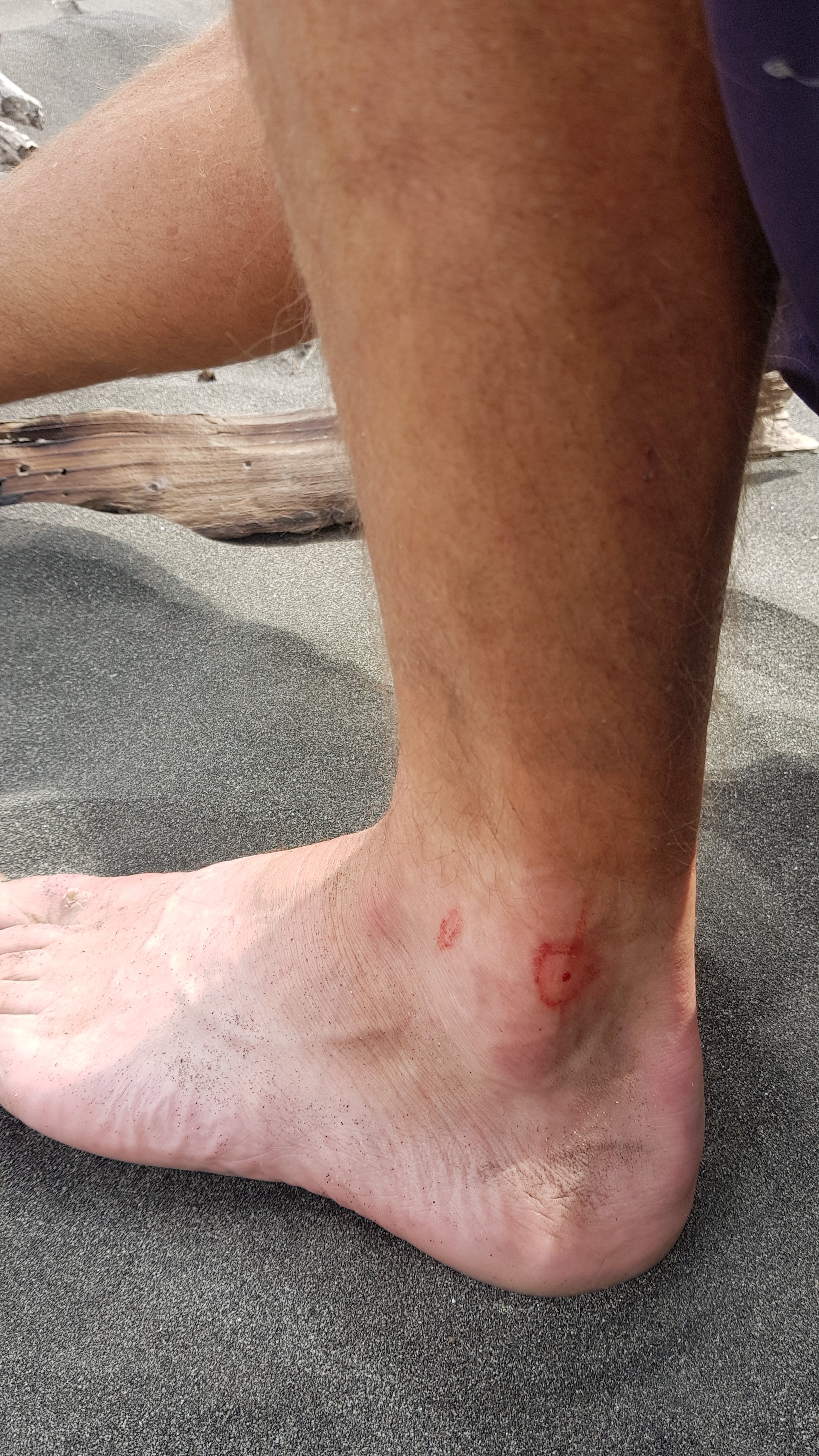
I soon after felt a burning on my left ankle. I figured it was sand that had got into my boots and was rubbing. I was wrong. It was this:
I didn’t know what that was. I tried to think what it might be and as I was doing that, an earwig crawled out of my boot and onto the sand. Oh gee… has that been in my boot all day since the holiday park, where I saw them on my tent? Probably! I think it had bitten me. Ouch.
I changed into my crocs so that I didn’t irritate it, and also because the river crossing was coming up soon.
This beach wasn’t as nice as I hoped. It was a black sand beach, and with all the dead trees it kind of reminded me of the elephant graveyard from The Lion King.
And the wind… oh god the wind. I had not anticipated this. There is no way I will be cooking on the beach in this wind. Sand was constantly blowing down the beach – everything I had was getting covered in sand. Aargh. I’m going to be very hungry for a while, it seems – probably until I get to camp at about 8pm.
At least I was walking with the wind, rather than into it. If the wind was blowing towards me, that would have been a nightmare.
I tried to capture a photo of all the sand blowing down the beach
I was at the river crossing at 5:15pm. Low tide was 8:35pm. Nearly three and a half hours early.
Cross here
Looks deep. Not that you can really tell.
The weather looks nice here, but the wind was howling and the rain was threatening. I’m here way before low tide but I might as well try to cross. I took my pack off and started to walk across the river. But it became too deep quite quickly, so I retreated.
There was no shelter from the howling wind and blowing sand here. And it was freezing cold by now. So much for the first day of summer. I put on my jacket and just stood there, facing away from the wind.
I sent a message to Ethan telling him what to expect tomorrow when he came through this way, but didn’t do much more than that because the phone was getting sand in it. So I sat down behind the biggest log in the area to try and get some shelter.
An hour later, at 6:20pm, I tried the crossing again. I shuffled out into the river, very slowly. My decision was that if it didn’t reach my groin, then it would be okay as it wouldn’t get my pack wet. But at about halfway it started to get too deep. I retreated again.
I walked up and down a bit to see if there were other places that might be better to cross, but it didn’t look like it, and because of the colour of the water, you couldn’t see how deep it was anywhere. Plus they had put these orange markers out, so somebody has clearly done this research already. While I was doing this, people were on the other side of the river in the distance in 4WD vehicles. I think they wondered what I was doing just standing there doing nothing. Or they thought I was some idiot that didn’t know about the low tide crossing. I did know about it obviously… I just didn’t anticipate the wind.
At 6:50pm, I tried again. Success – I made it across and my shorts remained dry as I had rolled up the legs of the shorts as much as I could. So I crossed back to the original side, got my pack, and did the crossing again. Hooray, I had crossed the river – 1 hour 45 minutes before low tide.
The campsite was just a bit further on – down a track that 4WD vehicles were using to drive onto the beach.
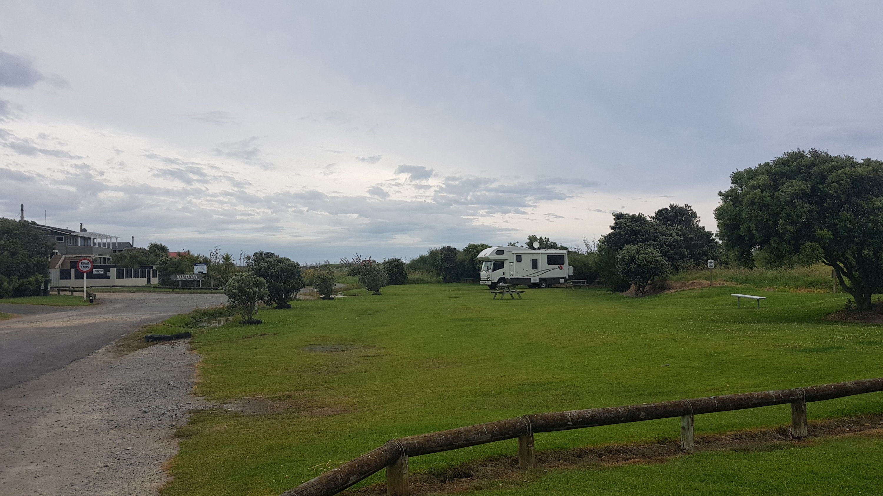
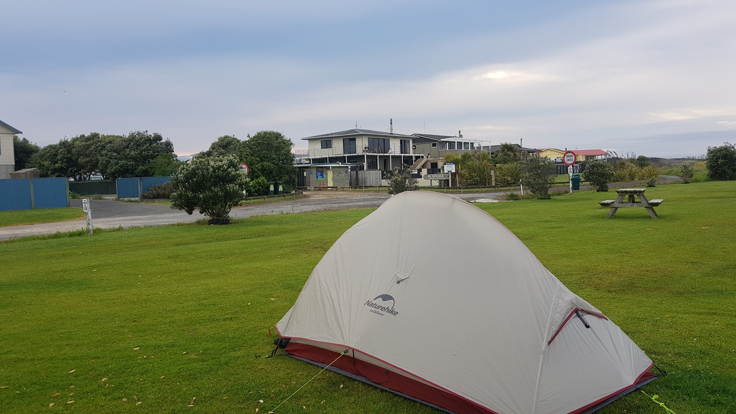
The unpowered section of the Koitiata Campsite
I was the only tent on the Koitiata Campsite. There were a few campervans, but they were mostly in the powered sections which were at the other end. I think this is the first time I’ve camped in my tent with no other tents around since Mt. Tamahunga, north of Auckland, when I camped in the gorse. That was a while ago now.
Finally, at 7:30pm, I got to have some food. I missed lunch, but I had a big pasta dinner to compensate. And yes, by this time I was still buzzing about meeting Jacinda. I might not get any sleep tonight!
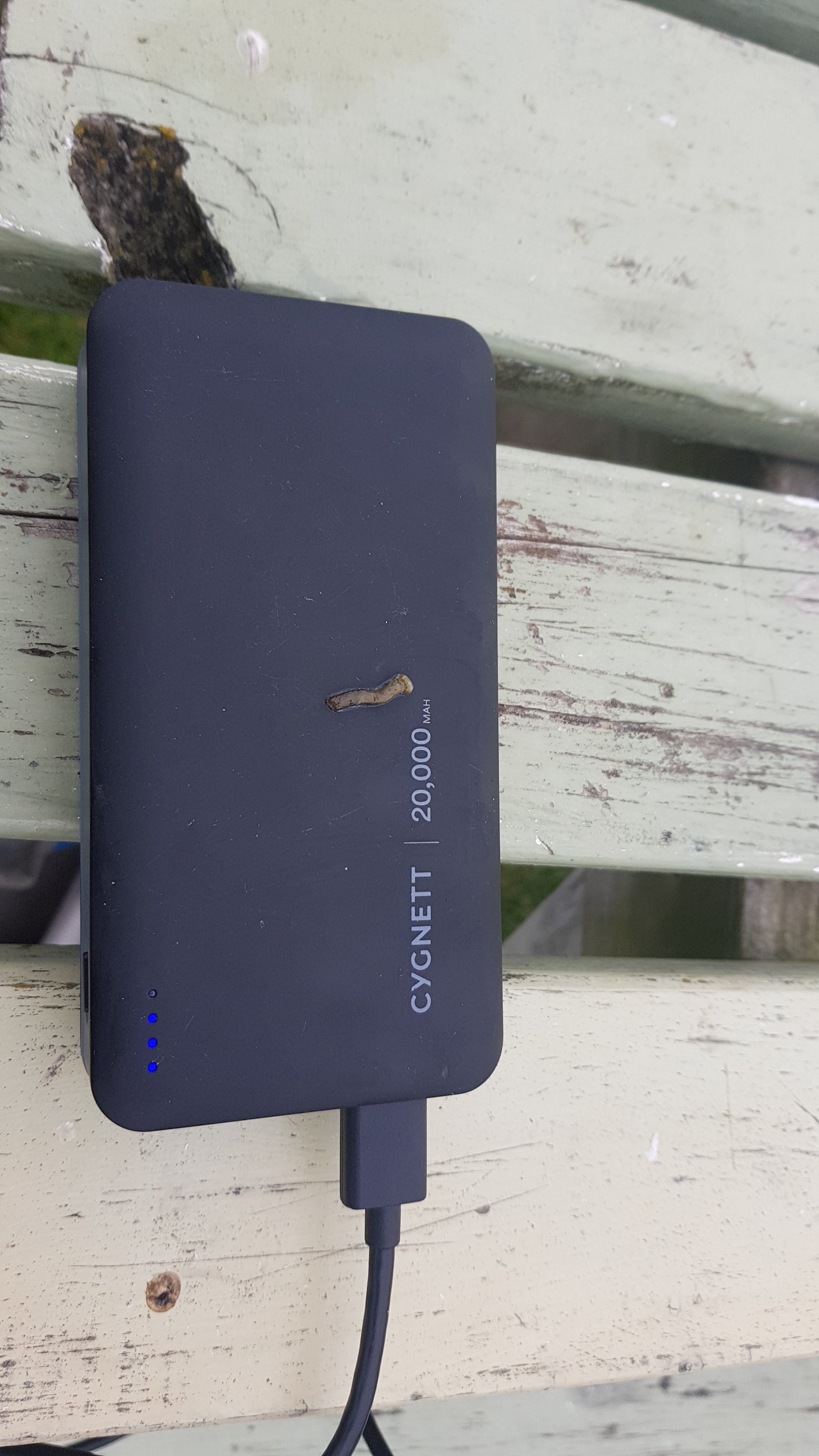
I then spent two minutes going to the bathroom. When I got back, a bird had crapped on my power bank! I was only gone two minutes!!
You little shit (literally)
One thing I did notice today is a crack on the back of my phone. That’s very strange – I don’t remember any kind of impact or anything that would cause this. The same thing happened to the front of my phone earlier in the year – cracks on the screen and I don’t know how they happened. I might have to buy myself a new phone for Christmas, and it won’t be another Samsung.
And I guess the weather did change for the first day of summer – change for the worse it seems.
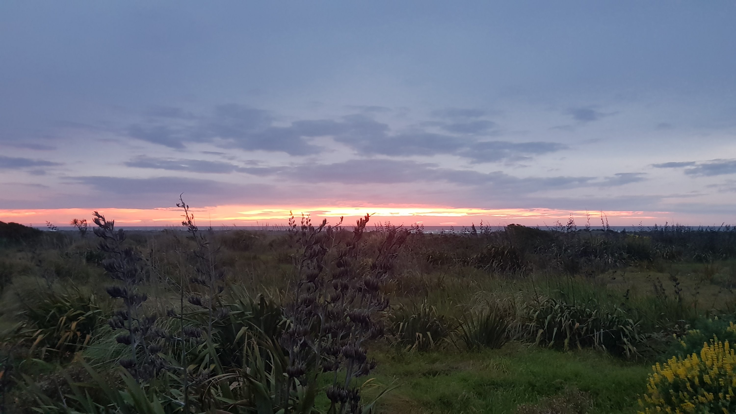
Although in saying that, I stayed up writing blog posts until after dark. I went over to see the sunset as the sun went down. It was beautiful – much more beautiful than this picture shows.
Koitiata sunset
I kept writing until 10.20pm with the headlamp on, when a big cockroach appeared on the table where I was working and so I ran off to the tent. Eww, how did it get there – in the centre of the table top – had he been there the whole time while I was cooking my pasta? I won’t be eating breakfast there in the morning!
Come to think of it, maybe that’s how random bugs are getting inside the tent every now and again. Perhaps I keep stuff outside, then bugs get into the stuff and I bring the stuff inside the tent later. I’m definitely gonna be more vigilant from now on. I do NOT want any cockroaches inside the tent. Nor any spiders as big as the one I saw on the canoe yesterday.
This certainly has been an eventful and long first day back walking after five days on the river. I can’t work out if meeting Jacinda was better than the Tongariro Crossing or not. I’ll have to have a think about that one.
Date: 2 December
Trail covered: 41.6km (kms 1393.6 to 1435.2)
Weather: overcast
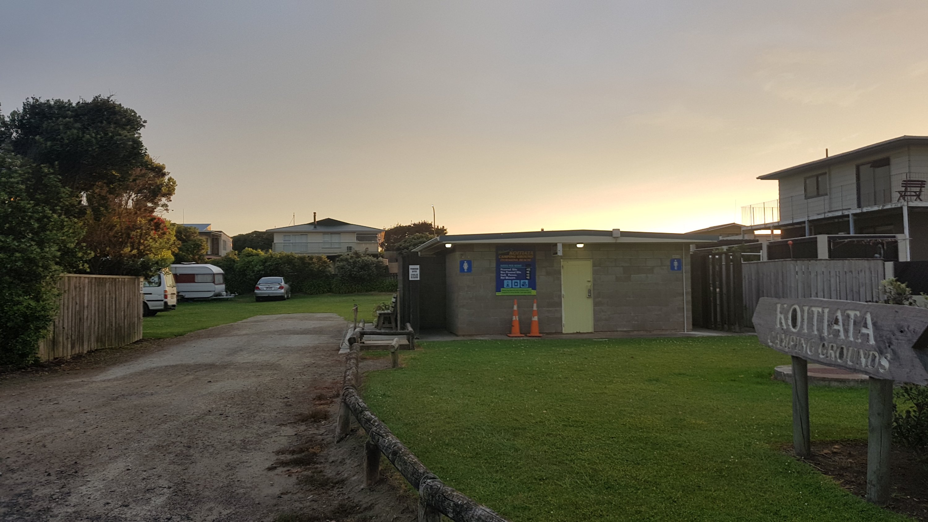
I slept well at the Koitiata campsite since I was alone, and nobody else was around all night.
Koitiata Campgrounds
I enjoyed a bit of breakfast and then packed up and left relatively quickly.
Time to go. Oops, 30 seconds in I realised I needed to put a plaster on the earwig bite or whatever it was that I got yesterday. I was wearing crocs on the beach yesterday so I forgot about it as it didn’t irritate me. But I’ll be wearing shoes for the beach today as there’s 15km of beach walking today and no river crossing… at least none that I know of.
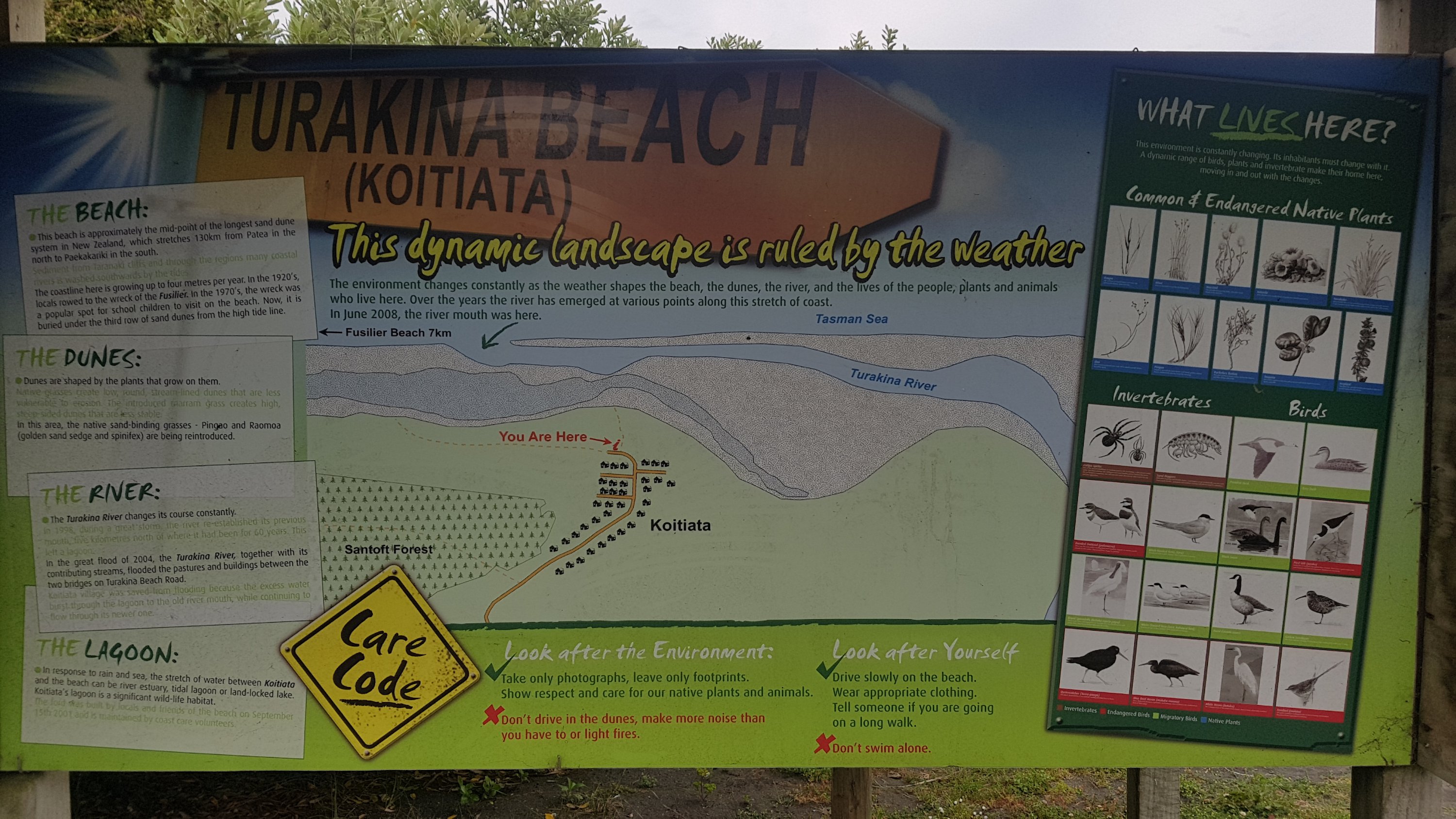
Information about the beach
And there is no wind on the beach today. It is much more pleasant.
The crack I noticed yesterday in the back of my phone is bigger now. It has spread from one side to the other. Although it seems to be inside the glass outer shell, not the glass itself, so sand won’t get in. Definitely need a new case though soon.
A 4WD drove past with a dog running behind. The good ol’ kiwi way to give your dog some exercise.
4WD and dog passed me
The 4WD returned after a short time. The driver stopped and chatted to me about Te Araroa. He obviously saw a lot of people walking this way and he knew the route well, as well as the changes made to the route this year. He said that yesterday’s wind on the beach was very common and that the fact there was no wind today is unusual. He also said I might see seals further down the beach but it’s probably the wrong time of year for them.
The guy’s dog was huge and very friendly but it slobbered all over my shorts. I didn’t mind, in fact it probably made me smell better.
The walk down the beach was fairly uneventful. It was helpful that it was low tide – it made the sand much easier to walk on. There were no real river crossings, just a few very small streams.
There was even a log to cross this one.
Other than a few birds, there were no signs of life on the beach. There were definitely no seals.
I listened to my music for the first hour until a voice in the earphones kept saying “battery low”. Then a minute later “battery low”. Then again “battery low”. Grrr… just tell me once and let me continue listening until the battery dies!
When the earphones’ battery did die, I stopped for some water and connected the earphones to the battery pack. I walked musicless down the rest of the beach.
I haven’t marked a milestone since the 1000km mark, and I had the camera out and wasn’t in a rush so I thought why not mark the 1400km mark!
1400 down, 1600 to go. Almost halfway!
I noticed along here that so many of the Guthook waypoints are wrong. Some were blatantly wrong – saying “leave the beach” when the trail continues down the beach. I basically just ignore the waypoints now and follow the red line. At least the line seems to be correct.
The only things around were my footprints.
I saw this building from quite a long distance away and figured it was the end of the beach walk. It was hard to see what it was, it looked like a lighthouse. This was as close as I ended up getting to it though, as you turn off the beach before it – and from the topographic map it seems that it is a “fire lookout”.
Fire lookout. When you get to this stream, you turn off the beach.
When it was time to actually leave the beach, you first need to cross one last little stream, using any number of available logs.
Cross the logs and go down the path to the right
Then it was down this sort of path for a few kilometers.
It was down a forestry road and then through a farm.
And like always, lots of staring cows
I don’t know if I followed the right path through the farm – there are absolutely no markers of any kind around here.
Where to now?
I ended up to the right of these tyres. Seemed correct.
The actual gate that was right on the line on the map was locked. At least I knew that the path I did take was not a shortcut and so I don’t feel like I cheated.
Locked gate on supposedly the actual path
As I was leaving the farm, a bug flew right in my eye. I thought I’d stop at this point and have some lunch and try and get the bug out of my eye, but there were a lot of bugs around here and so I lived with it and just kept walking.
I started walking down the road and saw some guys from Downer who were doing some construction work who waved out. When they drove past me a few minutes later, they stopped and offered me a ride to Bulls. They seemed surprised that I was walking in this area.
It was 11am so I thought it was a good time to try for lunch again, since I was a bit further down the road now. There were still bugs around.
11am picture – bugs on my pack.
I decided I didn’t care about the bugs and made myself a wrap. On the wrap was cashew butter and another unknown flavour of “Shapes”. And also bugs. Once bugs landed on the cashew butter they couldn’t get away and I had to keep picking them out.
I also used this time to get sand and plant debris out of my boots again.
And then a bug flew right in ear. All I need now is one up my nose and I will have won the bug trifecta.
As I was finishing my lunch and was halfway through packing my stuff away, I turned to the side and saw all these cows walking towards me quickly. They were being herded down the road. I quickly grabbed the rest of my stuff and moved to the other side of the road, and took this photo.
Cows being herded right towards where I was having lunch a moment ago
I talked to the farmer and laughed that “one second I was eating lunch and suddenly all these cows are coming at me”. I thought it was funny at first, but the more I thought about it, the more angry I got. I know the farmer has a job to do and probably brings cows down this road every time. But it’s a public road and I have a right to be here if I want. And if I hadn’t moved, the cows would have probably run right through me. I could have been severely hurt. If it had’ve been 5 minutes earlier all my stuff would have been unpacked and it would have been trampled by the herd, as I wouldn’t have had time to get it out of the way. I would not have been happy.
I’m interested to hear people’s opinions on whether I had the right to be angry about this.
Random campervan I saw
It did start to rain around 12;30pm. It was just a few rain spots. It was quite nice actually – we haven’t had rain in so long. But it did increase the humidity a bit.
Starting to rain
I was looking forward to McDonald’s in Bulls. The road walking was getting tiring and the town didn’t seem to be getting any closer.
As soon as I did eventually come into the town of Bulls, I started seeing bulls everywhere. Here was the first one, outside the fire station.
Bull guarding the fire station
I knew the bull puns would be starting as well. I knew from a previous visit here that there are heaps of them here.
Oh no, here are two at once! (This is a rubbish bin, by the way)
The bull puns are lazy. All you have to do is take any word that ends in “able”, of which there are heaps, and replace it with “a-bull”. Come on, get a bit more creative!
I liked the paintings though.
Here’s another painting by the police station.
And there’s McD’s in the background!
I got McDonald’s…
My happy place
And then I went to the petrol station across the road. They were advertising something called a “fantasy frappe”. Of course I had to get one.
I also got some cash while I was in town, and continued walking. My destination was a place called Mt Lees Reserve, which apparently has a camping area. It is 10km out of Bulls.
This bull outside this building was a bit different to the rest.
Wellington is mentioned on signs for the first time!
Wellington – 148km
And you get to walk on two state highways at the same time again. Although it’s not like earlier when you walk on the two minor highways SH23 to Raglan and SH39 to Pirongia at the same time. Nope – this was Highway 1 to Wellington and Highway 3 to Palmerston North. Two very busy highways, meaning that trucks were passing me constantly and it was so loud all the time that I couldn’t even hear the voices in my head.
At least the big bridge out of town had a footpath
Make sure you follow the signs.
Bulls even have their own marked path here.
When you see this last bull, you’re out of Bulls finally and it’s onto back roads. The name of the area that Mt Lees Reserve is in is apparently called Halcombe.
Hi up there…
On the last bit of the road walk for today, even though it was overcast all day, I was really feeling hot and exhausted. I couldn’t wait to sit down and relax in the campsite. I should get there at an earlier time today than my late arrival yesterday so there should be more time to relax.
There are a lot of defence buildings around this area. Here’s one.
Am I allowed to photograph this?
The road got less and less pleasant to walk down. Lots of blind corners and hill crests. And I was starting to get quite a bit of knee pain. I hope its okay. Maybe two 40km days in a row after not walking for five days wasn’t a good idea.
One such hill crest
When I did get to Mt Lees Reserve, it was a nice spot with nicely landscaped grass and gardens. I set up my tent and talked to some of the people in campervans. Again I was the only tent there.
Mt. Lees Reserve entrance
As I was sitting down at a picnic table catching up on blog posts, a guy came and talked to me. His name was Graham and he runs the B&B that is inside the reserve. He was really friendly and welcoming. He said that I was able to use the “summerhouse” which was a little sheltered area with tables and electricity and an electric jug, sink and microwave. That was excellent.
The summerhouse – a pleasant place to hang out
Graham is on a local “Te Araroa Group” for this area. He said that not all areas have such a group, for instance Auckland, and so Mark Weatherall (the chairman of the TA Trust) has to negotiate directly with landowners and councils in those areas.
I spent a lot of time in the Summerhouse catching up on blog posts, having dinner and just generally relaxing. A few other campers turned up but they arrived in cars – there were no other TA hikers. There was a visitors book in the summerhouse with entries that went back to 2006. It was nice to read the comments which were overwhelmingly positive. There was a donation box and a notice that said a donation for the use of the summerhouse was appreciated, so I left $5.
Lots of birds around here that aren’t afraid of anything. Here’s one I can’t identify.
The notice also said to please vacate the summerhouse at 10:15pm so that’s how late I stayed up. That was a good time – I want to get up early in the morning to get an early start. There is supposed to be heavy rain tomorrow from 2pm according to MetService so I want to get to Palmerston North before that happens.
There were a lot of loud animals around at night. Were they bulls? I’m not sure. One noise I’m hearing literally sounds like someone is being murdered. Don’t animals need sleep too?
Check out my crocs tan. At least the tan didn’t come through the holes.
Date: 3 December
Trail covered: 28.8km (kms 1435.2 to 1464.0)
Weather: overcast in the morning and wet in the afternoon
Like always I woke up at 5:45am, and I had everything packed up and was on the road by 6:20am – nice and early.
5:50am – nice and light by this timeFlying the smiley flag!The B&B within the Mt Lee’s Reserve
I should be on track to beat the heavy rain forecast for 2pm. Palmerston North is about 20km from here and then the track through the city is another 20km or so. And Palmerston North has Uber. My plan today is to walk as far as I can until the rain starts, and then get an Uber from wherever I am (which should be somewhere in the city) to the motel I’m staying at – the Broadway Motor Inn in Palmerston North CBD.
I have been looking forward to KFC in Feilding ever since I knew I was approaching the town a few days back.. but I’m going to be going through too early sadly. The national opening time for KFC in New Zealand seems to be 10am or 11am and I will be passing through around 8:30am. Oh well, it might have to be KFC in Palmy tonight.
The other hikers that are not locals keep referring to the city of Palmerston North as “Palmerston”. When they say that I often have to stop and think where they mean. Maybe it’s just me, but I’ve never heard anyone refer to Palmerston North as Palmerston before and it just sounds weird. It’s always either its full name or “Palmy”. Is it just me?
My knee was not hurting when I started out but by 2km I could already feel it hurting a bit. And my back started hurting early on too. Maybe I might stop today as soon as I get to the city boundary if things are still hurting.
And the forecast for next week shows atrocious weather all of next week. That’s exactly when I’m going to be in the Tararua Ranges north of Wellington, which are known for being an unforgiving environment in bad weather. I’m starting to think my stay in Palmy might be an extended one.
The road coming into Feilding was really nasty. There was no shoulder at all, it was a busy road and that meant each time a car came, I had to stop, move over, wait, move myself back to the road and keep walking. Then repeat over and over and over again. It reminded me of the road to Kaitaia from Ahipara on Day 5.
Corrugated iron cows on the way into Feilding. The artist is from Helensville in Auckland.
Coming into Feilding, I looked at Google and saw that most of the cafes open at 9am. It was 8:30am as predicted and it seemed weird that I had already been walking over two hours but I was still too early for a cafe breakfast. Never mind – there was a coffee cart coming up right on the trail which I’d go to. It meant I didn’t need to detour into the town centre of Feilding – the trail goes around the edge.
The town centre looks like it’s down there….
I got a coffee and croissant from the coffee cart. It was good.
An internet picture of the coffee cart since I forgot to take a photo
It got me wondering why Feilding is spelled with E-I instead of I-E. I looked it up and it’s an interesting story. Apparently Mr. Field was filling out some government forms back in 1876 and he noticed that they had misspelt his name as Feild. He wanted them to correct it but his colleague said “just ignore it, Donut King closes in 10 minutes and I really want some donuts”. And then Mr Field went on to establish the town, but because of the spelling mistake on the government form, the error persisted as Feilding and now it’s 143 years later and the error remains. A lesson to always use correct spelling and grammar!
Lots of ducks
Okay, I may have made that entire story up. But doesn’t it sound plausable?
Clearly someone likes living here… if you believe her bumper sticker.
The woman who owned this car seemed bemused that I took a photo of it.
The road walking from here on didn’t get a lot better, it was down dead straight roads with no shoulder but at least it was on a road that was parallel to the state highway so it wasn’t as busy.
Full steam ahead to friendly FeildingPlaying “chicken” with the train
I saw wind turbines up on the hills in the distance, but they don’t show up well in this photo. I’ve been right up to them before, when I was in a car. They’re so loud when you stand right under their blades.
Wind turbines
The small section of trail immediately before the town of Bunnythorpe is one of the few bits of non-road walking sections.
Go hereAnd down hereAnd across here
Once I got to Bunnythorpe, I discarded the glass jars I had been carrying since Whanganui, along with other rubbish. I had pesto and cashew butter and other things in glass jars because they didn’t need to be carried on the river journey. But when the river bit was over I didn’t want to throw them out without finishing their contents. That should make my pack a bit lighter now.
I saw this billboard at the entrance to the town. It scares me a bit, and I am struggling to work out its message. Is it “this guy got mangled in a car wreck but at least he didn’t die because he was wearing his seat belt – he just got a horrible bruise from it”? I don’t know.
“Belt up, live on” billboard
Bunnythorpe is a depressing little town. There’s very little here, and the dairy was so empty it looked like it was shutting down.
It’s also “hory”, apparently. Not a word I’ve heard for a while now.
Wisdom…
At least I did get an ice cream.
Goody Gumdrops and Passionfruit
You soon pass this, which looks like you should go this way but a very very faded sign says not to.
It says “Do not enter, trail under construction, stay out”
My 11am picture is of this guy who stopped me and asked me where I had walked from today, and liked to talk a lot about the trail and the other people he sees go past his house. He said he doesn’t normally meet many kiwis doing it but recently he had seen a lot more of them.
11am picture
The trail switches to gravel road.
Looks like I’m about to get covered in dust….
I passed this house which seems to love Christmas.
Having the flag flying is “next level”.
You then go across a farm. Nice to have something that is not road.
Thanks for putting an electric fence right across the stile. Does that really achieve anything?
Not much further from here to Palmerston North. You first come in past the airport. Lots of little planes were coming in, and the wind was blowing hard which meant that the planes were all over the place.
Everyone seemed to be staring at me from their cars as I walked through this part of town. I couldn’t work out exactly why. Maybe they could smell me from their cars. It’s been a while since I showered now – not since Whakapapa I think. Or maybe I just look that bedraggled.
A sudden flashback to the Rapids from day 3 of the Whanganui River journey…
By now though, I felt fine. Nothing hurts. Weird. That often happens – things start hurting in the morning but after 10km or 15km, things stop hurting. I don’t understand why but it happens a lot of days – most days in fact. I used the old theory “keep going if nothing hurts”. Make hay while the sun shines, is what they say.
The road you come in on to Palmy is not a pleasant road. It’s very busy, with lots of cars crossing the footpath and it doesn’t look like a great neighbourhood.
Eventually you walk through a cemetery:
And you turn left and go past Cafe 116. I stopped here for lunch. Again I got asked by a lady where I had walked from today, and then asked about the trail.
I got this…And this…
After I finished at the cafe I walked a short distance more to the start of the Manawatu River Trail, and that’s where the rain started. The rain started early – it was only 1:15pm by this point and not yet 2pm when it was forecast. It’s kind of lucky it started at this point though, because I could call an Uber from here. I looked at the map later and if I had’ve continued walking down the river path, it would have been a lot harder to call an Uber because there are very few places where you cross roads and so I would have got quite wet.
The final point of the walk today, where it started raining
I wondered if there was only one Uber driver in this city. When I requested the ride, it said “connecting you to one nearby driver” which took a while, and then he had to come and get me from the far side of the CBD. Still, more convenient than calling a taxi or working out the buses.
As soon as I checked into the motel, I walked down to the nearest phone repair shop to try and get my backup phone fixed, which broke two or three weeks ago. The girl seemed to know her stuff and agreed with me that the power button of the phone seems to be stuck down internally. To fix that would require soldering which would mean the phone would need to be sent away, and I don’t have time for that. I’m not sure I’ll bother getting my backup phone fixed. So right now I have one dead phone, and one phone which has cracks on both the front and the back and has no case. I might have to buy myself a new phone for Christmas, I think.
When I stepped back into my motel room, the heavens really opened. I was very happy I wasn’t outside caught up in this.
Safe and warm
The forecast for next week still shows atrocious weather, but the next few days are supposed to be okay. I don’t know what to do. Do I stay in this town for a few days or not? I’ll decide tomorrow.
Abby and Jason are also here in Palmerston North but they are at the holiday park which is a bit out of town so I won’t see them as I’m in the city centre.
When the rain cleared, I walked down to KFC like I knew all day that I would. It was good, except I asked for extra seasoning on the chips twice but there still was barely any seasoning. I love the chicken seasoning at KFC and I wish they would give it out in sachets or something like that so I can add heaps of it. One restaurant in Auckland Central used to have canisters of the seasoning on the tables, but they took them away fast, I can only assume it’s because people were stealing them.
I have two nights booked in at this motel. I wonder if my internal alarm clock will finally disable and I can get some kind of sleep-in tomorrow?
Date: 4 December
Trail covered: 12.8km plus 6.6km of detours and other walking (kms 1464.0 to 1476.8)
Weather: windy
Wow, I managed to sleep in! I woke up at 8:15am – amazing. I guess that was partly because I stayed up until 1am catching up on blog posts. I was way behind since I lost my charging cable at Whakahoro. But now I’m caught up!
Today was originally supposed to be a rest day, but there is still a fair bit more of the path through Palmerston North to do and I could leave my pack at the motel, which is always good. So I just took a minimum of stuff and looked at how I could get back to where I left off yesterday. My plan would be to walk as far as I can that is within the limits of the Palmerston North public transportation system.
I found the Palmerston North bus website last night and found there was a bus from right by where I was staying right to where I left the trail yesterday.
Heading to the bus stop. Looks like it’s right in the middle of the flower bed.
So I figured I’d take it, and have breakfast at the same cafe, Cafe 116, that I had lunch at yesterday. The bus was $2.50 and turned up right on time.
Although I did have to cross State Highway 3, otherwise known as Napier Road, at morning rush hour.
It took a while.
After a bacon buttie and coffee with extra shot for breakfast…
It was good. I want it again right now.
I was on my way down the river trail.
It was a pleasant walk where the scenery changed a fair bit.
I was slightly closer to the wind turbines than yesterday and got a better view of them.
Wind turbines in the distance
I did notice that everyone I met along this pathway said hello to me, which sometimes you don’t get in the city. But, seems people do need to be told to control their dog.
Damn right
Not long after I saw this message on the path, I saw a guy whose dog was at least 100 metres away from him, going to the toilet on the grass, and the guy made no effort to go over and clean it up. Seems he didn’t get the message.
The weather in the distance looked bad, and I think this is where I’ll be walking tomorrow – if I decide to continue on. I still have to decide what to do for next few days after I look at the weather tonight.
The walk through Palmerston North seemed a lot longer than the one that went through Hamilton, which is a bigger city. I think it’s because the path through Palmy goes around and around and almost loops back on itself. It’s definitely not a direct route through the city.
Which way do I go here? It’s not marked! Aaaaaaargh!
The track goes alongside a BMX track for parts.
Here’s the main bit where the track loops back. The direct way would be to go across this bridge, but you have to walk down to the bridge in the distance and then walk almost back to the same point on the other side of the river.
I don’t mind though. I wasn’t in a hurry and going this way meant I could take a short detour to see the aviary.
If you have time and you’re coming through here, I’d highly recommend taking the short detour. It’s just before the holiday park.
This bird was very popular.
While detouring I also saw the conservatory.
Peter Black Conservatory
And the rose gardens.
Palmerston North Rose Gardens
I’m from Te Awamutu which is in theory famous for its rose gardens. But I’ll be honest the rose gardens here are better (just).
These ducks are clearly waiting for somethingView from a small viewing platformSelfie
Back to the trail and across this bridge.
It was so windy across here that I really had to hold onto the phone.
My 11am picture today is just over the bridge.
11am trees
And there’s a helpful sign. I hope signs like this help promote Te Araroa!
There is a lot of bush walk on this side of the river. There are a multitude of paths here – I’m glad that the paths are really well marked.
A lot of the grounds you walk through are owned by Massey University, with signs to keep out.
These cows will make sure you keep out
I walked to just past State Highway 57, about where Turitea Road starts. I was enjoying walking without my pack, and I decided to walk back to the city centre instead of taking the bus, grabbing some geocaches on the way.
One of the views on the way back
Walking back through the city, I saw this car.
Colon Hydrotherapy – is that really a thing? Yikes!
And I saw the Palmerston North branch of Jetts gym. It made me realise I still have an active membership here. I really ought to cancel it.
I also think the billboard on the side of the gym is interesting. It gives you five very specific instructions, but then finishes with “live life on your terms”. You tell me to live life on my terms, but then give me a specific set of instructions to follow? How odd!
In town was this Santa. It creeps me out, firstly because it looks upset but also because having a space for kids to sit right in between Santa’s legs is just creepy.
Disturbing Santa
I decided not to buy a case for my phone while I was in the city. If I’m going to buy a new phone at Christmas there’s no point getting a case for this one. Hopefully I can simply not destroy my phone before Christmas.
When I got back to the motel I disposed of my “Lifeproof” case, which no longer works properly, and also some excess rubbish bags I had that I bought before the Whanganui River. I also took stock of what food I had. It wasn’t much.
Definitely have to go and buy some food later tonight.
Here’s Taco Terry hanging out on the balcony.
Taco Terry
In the evening I had dinner with Charlie, Peter, Alex and Ethan at Little Savannah which conveniently was halfway between where I was staying and where they were staying. They had four stout beers, which is unprecedented. And one of them was $40.
I went with the Moa Stout instead, which was nice.
I talked to the waiter about wanting to try the $40 bottle of beer and he said that the guy at Table 2 had a bottle. And if he left any behind then he would bring it for me to sample. I thought he was just making fun of me but then that’s exactly what he ended up doing. Turns out it was half stout and half Pinot Noir – an interesting combination.
The five of us talked about all the stuff that had happened in the last three days since I saw them last. It was great to catch up.
Palmerston North Christmas lights on the way back to the motel
We also spent a lot of time discussing the plan for the next few days. We discussed all sorts of scenarios but ultimately decided that because we can’t predict the weather we need to just push on to Levin and then reassess the situation. Because the trail doesnt quite go through Levin, we will carry 6 or 7 days worth of food so that we dont have to detour into Levin and spend half a day buying more food if the weather works in our favour.
I was a bit drunk after leaving the restaurant so I will go to Countdown in the morning. Time for an early night tonight I think.
Date: 5 December
Trail covered: 38km (kms 1476.8 to 1514.8)
Weather: threatening rain all day and windy in the exposed places
I woke up at 7:30am. Today isn’t a rest day… I have to drag myself out of bed.
First things first. I headed to Countdown where I bought what I hoped would be 7 days worth of food (when combined with the little bit of food I still had yesterday), because we might have to walk as far as Waikenae and we may get stuck in the Tararua Ranges if the weather is bad. So here it is:
This is what $103 buys you at Countdown.
I was worried that I should have got more chocolate – I just have the two small-ish packs. And I realised later that I forgot to buy crackers to go with the cheese. Too bad.
On the way to Countdown I got a message from Ethan saying that the other four just woke up. Since they still have half of the trail through Palmy to do, I will be starting ahead of them today… unless I mess around too long.
I checked out of my motel room right on 10am and walked into The Square, which is the very centre of Palmerston North. I worked out that there was a bus to where I left the trail yesterday, and it leaves at 10:20am. So once I was confident I knew where the bus would leave from, I had 10 minutes to kill.
I contemplated taking Uber, but if there is genuinely only one Uber driver in this city then the bus might even be quicker. Plus the bus is $2.50 and Uber is $12.50.
In The Square, I saw these people up in a tree, I’m not sure exactly what they were doing.
If they lost their ball up in the tree, I don’t know why they didn’t just get a big stick.
There was also a big Christmas tree set up, right next to the Army guys.
A very Army Christmas
The bus turned up a couple of minutes late, but here it is.
Luxury transportation
There were a few people on the bus this time, although compared to Auckland buses where you’re often standing, this actually was very luxurious.
The bus driver didn’t seem to notice when I pushed the STOP button and drove two more stops before letting me off. Oh well, I’m already walking potentially 40km today. What’s another 500 meters?
It was almost 11am by the time I started walking. Here’s my 11am picture – a cow that was completely just chilling on the side of the road:
It barely even turned its head as I went past.
I didn’t really have a plan today. There are a fair few places to camp and even two shelters with 40km of here. So it’s one of those good kind of days where you can just go as far as you feel like. One of the huts is right on the halfway point (km1500.1) and so Alex mentioned that as a possible end point for today, although that would make tomorrow quite long. Let’s see what happens.
There was a bit of road walking coming up, but also some other paths on the map that could be anything. This was one such path, early on:
It came complete with a lot of stairs at one point.
There were two geocaches along this section of trail. And while I was here, for the first time ever, I managed to get a cow to come and sniff my hand!
Time well spent
There was a bit of gravel road after this. I didn’t know at the time, but it leads to some mountain bike tracks. Hence I got passed by a cyclist on my way up the road.
I had read in the trail notes that there is supposed to be a road closure along here – from 586 Turitea Road onwards. It’s supposed to be every weekday from 5:30am until 2pm, and today it’s Thursday and it’s now just after midday. But last night, I looked for details of this road closure on the internet, perhaps on the council website. There was nothing at all. The detour would be down State Highway 57 and I didn’t like the sound of that. So I thought I’d take my chances, and if the road was actually closed, then I’d have an hour or two lunch break while I waited.
Turns out there was no road closure. This is the point right here where it was suggested that it would be closed:
Totally passable
So I kept on walking. I never saw anything that suggested there ever was a closure or that there will ever be one.
There was this sign though, a bit further on, instructing all walkers to leave the road and follow a marked path along the fenceline.
Hmm… easier said than done. It took me four attempts to get over that stile. The first attempt failed because it was so windy, I got taken aback at how difficult that made climbing over a stile which has nothing to hold on to. You of course can’t see how windy it is in a photo, so I tried to capture it in a quick video. Not sure how well it will turn out.
I tried a second time but then realised my hat would blow away in this wind. So I retreated and tightened the hat a bit. On my third go, I thought nope, the hat has to come off, so I replaced it with my beanie. Finally, fourth time lucky, I made it over and walked down the hill.
The detour appeared to be getting us away from some road works:
Something major was going on, but you couldn’t quite see what it was.
Not long until the road section starts again.
I wonder if we go up that steep path in the distance?
Here’s the first camping option: Kahuterawa Reserve.
You’ll notice that boy racers seem to like it here.
It was only just after 1:30 by the time I got here so clearly this isn’t where I’m stopping. I didn’t even go in to look.
After this came a bit more road and then the mountain bike paths. I saw one other cyclist loading his bike into his car at the end of his run but didn’t see any cyclists actually using the paths.
And I never had to go up the steep path in the earlier photo. The gradient, despite going up four or five hundred metres, is quite gradual today.
What I did see though… is this!
The halfway point… or is it?
This was the halfway point three years ago. Now, it’s actually about four and a half kilometers short of the halfway point, but I didn’t mind, I still took a selfie with it anyway.
Here’s the other side of the board.
Graham, from a few days ago at Mt. Lees Reserve, said that one of the guys on the Palmerston North City Council is a big Te Araroa fan and of the outdoors in general. That might explain the big signs all over the place and the absolutely fantastic markers everywhere. Good on you, PNCC.
One such example of good signage
I’ll keep an eye out for the actual halfway point. Although for now I have this big gate to deal with. Have I gone the wrong way? Has the good signage let me down?
Looking back, there is a sign, and crossing the stile beside it means you can get around the gate.
It’s interesting to note that on that sign, after not long ago being told we’re halfway, Bluff is suddenly still 1,541km away. Also, there’s quite a warning about river crossings. We haven’t had any rain for two days so it should be fine. The forecast said it would be raining this morning, and clearing in the evening but so far it hasn’t rained at all today.
I stopped to look at this formation of clouds. It’s one of those things that doesn’t look that impressive in a photo but it really was in real life. The clouds looked like they were moving in waves, as if they were waves in the ocean.
This right here is the actual 1500km point. I didn’t mark 1500 in any way – the sign from earlier took care of that. I’ll just take another selfie instead.
1500km down
Even this isn’t technically the halfway point either. The trail is actually about 3005 kilometers, so halfway is about 1502.5. But whichever of those you consider to be the halfway point, I passed all of them today.
And the hut that is at 1500.1 is just around the corner. And it’s very cool. Guthook calls it Motu Rimu Hut, but I’d say it’s more of a shelter since it doesn’t have any mattresses.
Motu Rimu Hut
Turns out it’s actually a “whare” if you believe this sign.
I had a look at the “visitors book”. I was interested to note that there were lots of people through a few days ago but nobody yesterday or today.
A few names on here I recognise.
I got to start a new page.
Do you like my comment?
This would have been a nice place to stop, and this is where Alex was expecting to make it to. But I had only done 23km and I wasn’t feeling tired. There is the “Tokomaru Shelter” 14km from here, which has quite good comments on Guthook, and also several places to camp in the bush by the sounds of it. I don’t know what the track is like from here, but even if it takes me four and a half hours to do the 14km, then it would still be light – just. And given that there doesn’t appear to be anybody ahead of me, I probably don’t need to worry about waking anyone up. So that was my plan. Tokomaru Shelter by sunset, and camping in the bush if the track was harder than expected. I don’t know exactly how far behind the boys are though. There’s no mobile coverage around here.
Here’s the first bit of track. I saw six hikers coming towards me – you can just see them in the top of the picture.
I was interested to find out who they were, but five of them were school aged and didn’t seem interested in talking to me. The one adult said hi but didn’t stop or ask anything so I just kept on going.
This only lasts for about 1km. After this you’re onto Burttons track.
Hmm, 5 hours 30 to get to the carpark – that will mean a late finish. I looked on the map to try and find where the carpark is, but couldn’t spot it. Surely the shelter must be some distance before the carpark. I haven’t yet seen any shelter on the side of a road. Also how did that ute get up there? We’re still inside the big gated area.
I did look on Guthook and apparently it’s muddy from here for the first bit. Uh oh.
A quick look back at where I came from.
The track was well formed for almost the entire track. In fact it looked like people had come through here very recently with a weed-whacker. It was a little bit muddy, but not too bad – I’ve definitely seen worse.
And there were definitely a lot of river crossings.
BIG triangle on this one
And walking alongside rivers.
Here’s the guy that this track is named after. I thought this was quite an interesting story.
He must have been a bit of a hermit (Charlie later used the word “lunatic”).
And this is the site.
The track varied a bit between different landscapes. The second half of the track is through private property.
Farmland
I was starting to get a bit exhausted by this point though. Even though the track wasn’t too challenging, the river crossings were annoying and it was really humid so I was sweating a lot. I was trying to go relatively fast to get to the shelter by sunset but also because the rain looked like it could start at any moment – it was threatening all afternoon and the sky was getting greyer and greyer.
I also was slipping a few times, which caught me off-guard. I had a look at the grips on the bottom of my boots, and they’re definitely not in good shape – the ones in the middle have worn away. No wonder I’m slipping.
I was also making silly mistakes like tripping which I often do once I get tired. So I felt much relief when I saw the top of a building, about 1km earlier than I had anticipated.
Can you see it?
And there it is! A real sight for sore eyes. And nobody else is around, it seems.
Tokomaru Shelter – not as fancy looking as the previous shelter, but definitely bigger and it has a door on it
I had made it at 8:20pm, which meant slightly less than four hours between the two huts. I quickly got some water from the nearby stream and started cooking dinner. And I normally wouldn’t change clothes in the evening but my shirt was drenched from sweat and it was cold so tonight I had to.
My cooking station and drying rack
After I put some pasta in, the white ute from before drove past, and then reversed and parked near me. The driver came and talked to me for twenty minutes or so. His name was Glenn and he said he is a local and has a key to the gated area. He talked about all sorts of things, like how the shelter here used to be really dilapidated but it’s better now (I’ll take photos tomorrow). He also talked about the Tararua Ranges.
Once he left and the sun went down, it was quite spooky being in the shelter on my own. There’s no electricity of course. The wind picked up from time to time and made something bang on the side of the building – probably tree branches. But it’s clean and there don’t seem to be any sandflies or other bugs inside, nor any rats.
A lot of comments in the guest book for this shelter say “tough going today”, and then an entry from today says “DOC Maintenance – track clearance mostly done now”. So it seems the track has been cleared for me early today! Excellent!
There was also another entry for today for the six hikers I passed earlier. Alex, Claire, Victoria, Isabella, another Isabella and Theo. It says they are “NOBOs” (going northbound) and that they just started. I’m surprised then that they didn’t stop and talk to me! And they’re officially the first NOBOs that I’ve passed – which is something I’ve been waiting for but I figured it wouldn’t happen until the South Island. Although really, I’m waiting to see when I will pass the first NOBOs who started at Bluff, and they don’t usually start until December because of the weather patterns and snow down south.
This shelter has locks on both the inside and the outside of the door. I hope the outside lock doesn’t engage while I’m inside. It’s a bolt that points downwards so it potentially could. Why would you need to bolt the door from the outside, I wonder? I did my best to ensure that it stayed unbolted and I could actually get out tomorrow.
I don’t know what kind of track is in store for tomorrow and there’s no phone coverage here so I don’t know the weather forecast, so tomorrow is very much an unknown. I just wrote my blog post and went to sleep. It’s cold tonight so it felt good to get into bed. Things kept going bang outside when the wind picked up though. After the chair falling over I’m not sure what else could be making noise. I’m not going to find out though – I’m way too warm and comfy in my sleeping bag. There’d have to be a nuclear meltdown for me to get out of it.
Date: 6 December
Trail covered: 18km (kms 1514.8 to 1532.8)
Weather: just peachy
I woke up this morning and the time was 8am! That’s a late sleep in for me. There were no possums or rats or mice to keep me awake so I slept right through the night. This shelter is definitely a nice place so sleep.
View as I woke up
I did have to put on a wet shirt though, nothing that I hung up got dry at all.
View from the other end of the shelter
The other four didn’t turn up during the evening, which didn’t surprise me. There’s no mobile coverage here so I can only assume that they stayed at the previous shelter (Motu Rimu shelter) which was 4 or 5 hours before here. Either that or they camped somewhere in the bush, but they’re not the sort of group to pass up a night in a shelter so I have to assume they’re 4 or 5 hours behind.
Saying goodbye to the shelter
So I took my time departing, because I only have 18km to walk today. The plan is to go to the Matahika Outdoor Pursuits Centre to at least check the weather and wait for the others. Apparently they’re very hiker friendly and will let you put up a tent for free, so it sounds like a good place to spend the night. I have sore legs from yesterday which doesn’t happen often so a short day sounds good. Even more so when there’s a possibility we will be starting the ascent up the Tararua Ranges tomorrow.
There are a couple of spelling errors on this sign… the most glaring being the name of the trail itself…
The car park referred to in yesterday’s signage was just a few minutes walk from the shelter. I met a big group of hikers who were all setting out down Burttons Track, the path I came down yesterday. When I said I’d stayed in the shelter, one of them scoffed and said “can’t be a legitimate shelter, surely” which meant he obviously hadn’t seen the shelter before. I’m sure he’s in for a surprise.
Hikers disappearing into the distance
There was also a dam nearby. I read that people had been camping here before the shelter was in place.
And the Tararua Ranges have now officially started!
Not the grandest of welcomes, but I’ll take it.
Not long after the sign you turn into this conspicuous little pathway…
Turn right
And encounter this information.
That sign just talked about being respectful when crossing private farmland. This sign up the hill a bit was more informational:
It was a nicely maintained path at first. Here’s my 11am picture, crossing the Blackwood Stream.
11am stream crossing
My back hurt all morning though, pretty much from the time I set out. Normally the pain only lasts a few kilometers but it lasted a lot longer this morning. And my legs were sore. At least it’s a short day. I don’t think I could have managed both the walk between the two huts from yesterday and this walk too, if I had to do them both today, like the other guys probably are.
The sun poked its head through every now and again in the morning, but it wasn’t enough to dry my clothes that I had on.
View to the side
The path started to get muddy as well.
While I was walking I started to think of a rating system for mud. On a scale of 1 (dry as a bone) to 10 (dry as Wellington in July), I gave this mud 5 (mildly inconvenient) initially.
Muddy boots
It started to get muddier, so I raised the rating to 6 (grrrrr).
Checking the depth of the mud
Then, when the dipsticks/walking poles showed mud up to here, I raised the rating to 7 (you’ll lose your shoe if it’s not tied on properly).
The Horowhenua Lookout gave me a chance to stop for a second, as was mobile phone coverage here. No message from the boys though.
From the Horowhenua Lookout
There is 400 metres or so of downhill from here. There’s not a lot of mud on the downhill but yet I still managed to slip right over onto my butt at one point. Yep I definitely need to get some new boots at the first opportunity.
There were lots of stream walks after the downhill section. Crossing streams and walking down streams, and it wasn’t always obvious where the markers were.
Walking down the stream
Then, the farmland.
At least all the grey had cleared a bit.
Right on cue was the Outdoor Pursuits Centre.
Makahika Outdoor Pursuits CentreGuard dogs at the entrance to the office
There is a nice little building which looked quite new, containing a hot shower that runs on gas and a composting toilet. TA hikers are allowed to camp here for just a donation.
After I’d set my tent up
I turned up at 3:30pm, Alex turned up at 6pm and then the other three weren’t far behind. Some of them looked exhausted. Seems they too thought that both the Burttons Track and the Makahika Track were a lot to do in one day. I was glad at this point that my big day was yesterday and I could have a relaxing evening tonight.
The owner of the centre, John, brought a Corona for each of us, which was really nice. He also helped us understand the weather forecast. Based on an earlier forecast I saw, I had planned to go up to the Te Matawai Hut tomorrow and wait out some bad weather that was forecast for the next day there. But it appears now that on Monday (the next day) it’s forecast to still be raining and also the temperature may drop to freezing so we all decided to spend the next two days in Levin and head up either Monday or Tuesday.
The information we got
We have enough food but decided two days in a hut in rain and cold would get boring. John said he would take us to Levin tomorrow, since the campsite is about 12km from Levin and Levin is not actually on the trail.
I also learned that the other four did stay at the Motu Rimu shelter but they couldn’t actually sleep inside the shelter because the group of six hikers I saw going the other way had taken over the shelter first, and apparently they weren’t very considerate. So the guys had to set up their tents outside.
It dawned me that I walked further on my day through Palmerston North two days ago than I did today, and that was originally going to be a rest day. But today was definitely harder. Plus I’m resting all weekend in Levin it seems, which the more I think about it, is good. My back is still hurting a bit and I’m getting a bit worried about it, and plus I can get some more chocolate and some crackers to go with my cheese.
Goodnight!
Oh, I almost forgot. My thighs that got sunburnt on the Whanganui River are really starting to peel now. I took a picture… though if you want to see it you’ll have to click here!
Date: 7 December
Trail covered: 3.5km of trail plus at least that again walking around town (kms 1532.8 to 1536.3)
Weather: definitely deteriorating…
This morning the sandflies were extreme. They don’t seem to be affected by the Goodbye Sandfly product that I use. Ethan gave me some of his stuff that he has. It seemed to work better although they were still quite persistent. I haven’t written much about sandflies so far, despite them being a pain almost everywhere, because usually they are easy to control. Not so today for some reason!
At least sandflies seem to die when you just touch them. They’re not particularly hard to kill.
I also had a thought that maybe I could get new boots in Otaki. Ethan said they have a Kathmandu there. Today is kind of a rest day so we won’t be doing much.
This morning the owner of the Outdoor Pursuits Centre where we camped for the night said he would give us a ride to Levin. There was the inconvenient technicality that while Levin is not on the trail, the next 3.5km of road after the Outdoor Pursuits Centre is. I of course didn’t want to skip this 3.5km, so I left at 9:30am to walk this small section and then the others would pick me up as they got their ride into Levin from the centre owner at 10 or 10:30am.
Alex was even more pumped and decided to go for a run to Levin instead and the others would bring his pack for them. I might have considered that option if I didn’t have to run in hiking boots or crocs.
Alex stretching before his run
So I started my walk to the intersection with Poads Road which was the spot where we will start hiking once the bad weather passes.
Goats…And a horse…
I got offered a lift quite early on by people coming out of their driveway, shame I couldn’t accept it.
So this was my walk instead.
There were a couple of long one-way sections where, as a driver, it would be hard to see what’s coming.
This one had a particularly bad rockfall.
And some interesting messages written on the barricades.
Plus an anti-1080 message. 1080 is a poison that DOC use to control possums and other pests. I don’t know a lot about it but I understand it is fairly toxic.
Ban 1080
This was actually one of the things that Glenn, they guy who stopped and talked to me at the shelter two nights ago, talked about. He said that he and some of the locals have done their own predator trapping and control, and someone he knows even released the North Island weka into the bush around there. DOC haven’t released the 1080 poison since 2003, he said, but if they decide to do it again then the locals will have no say and their efforts at repopulating the birds here will be wiped out. It’s a shame I didn’t see any weka here, they’re cool birds. They’re normally seen way up north and also in the South Island.
Looking back at the landslip, it was clearly quite bad.
When I knew the intersection was approaching, I had a look to the left to see if I could see what we would be walking through next.
The view to the left
This doesn’t look too bad, but I know there are a couple of big summits coming up.
After a while, when I saw this weird building coming up…
And poultry on the side of the road…
And in the middle of the road…
Rooster on the loose!
I was at the intersection, and it comes complete with a big warning to be safe and responsible if you’re entering the Tararuas.
I’m not sure what scares me more, the warning or the haphazard capitalisation.
I arrived here at 10:05am and I was going to just keep walking to Levin, knowing that they would pick me up as they went past, but I was worried that maybe there wouldn’t be a safe spot to pull over and so I waited here for them.
Looks like this kid is trying to escape out the window.
I saw this car drive past a few times. In the end she pulled up here to walk her dog. She told me that cars often get broken into around here. I think she was driving around a bit at first waiting for me to go away before parking because I looked dodgy and a bit like a car thief.
At 11am, I was still waiting to be picked up. Each time a car came around this corner I hoped longingly that it would be them.
11am – same picture as before but the car’s gone
A guy on an e-bike came past. It looked very easy to ride, he wasn’t even pedalling at all and I could hear the whine of it as it went past.
Too easy!
At 11:30 I decided to keep walking as perhaps they’d taken another route into Levin, and there was no mobile coverage here so I didn’t know where anyone was. There had been a post by the Pursuits Centre on Facebook two nights ago implying that some hikers had been taking advantage of them. So the post said “1 night maximum” and “no we won’t do your shopping in town for you”. So I already felt like I was pushing my luck by getting them to pick me up from an arbitrary spot on the side of the road. But at 11:45 I came into phone coverage and Ethan said they hadn’t left yet so I found a driveway where they could pull into easily and waited for them.
I got to see what the weird building from before was… the Greek Orthodox Church.
Once in Levin we walked to the nearest pub to fill in a couple of hours before the reception at the holiday park opened at 2pm. On the way we got asked some questions by one of the locals. What time zone is Cape Reinga in, and what time is it there now? And did you guys walk all the way here from the United States? I struggled with the answers to some of these.
We made it to O’Malley’s bar, which despite sounding Irish and having shamrocks everywhere did not sell Guinness… or any other decent beer for that matter (the woman behind the bar said they’re Irish in name only). The choices on tap were Tui, Export Gold, Lion Red or Speights. Crikey. I got a Jim Beam and Cola and we all sat down. It was a real dark and dingy place – and there were pokie machines one side and the TAB on the other side.
Charlie ordering the next round
While everyone chatted and recharged their phones and considered betting on the horses I made enquiries to see if Kathmandu in Otaki (20 minutes by car down State Highway 1) had a replacement pair of boots that exactly matched the ones I already had. Turned out they did… I just needed to get down there. I could have used this as my first hitchhiking practice – because if you can’t hitchhike down the busiest road in the country on a Saturday afternoon then there’s no hope for you. But given the dismal weather forecast for the rest of the day I decided to pay $26 for the bus instead, so that I didn’t get caught in the rain. I mean, check this out:
Yikes…
And this, for tomorrow:
Double yikes…
Two o’clock rolled around and we walked over to the Levin Holiday Park and booked a six-bed studio for $35 each per person per night.
Saw Santa on the way. Not as creepy as the Santa in Palmerston North, wouldn’t you agree.Saw this also on the way. I’d kind of like to stay in this for a while. Gee I must be a real hiker now.
The studio unit has air-con, a private bathroom, and a TV, but with only basic cooking facilities. The best part was I could leave my pack there while I got the bus to Otaki. Once I’d checked in I briskly walked to the bus stop back in the middle of town.
The bus arrived, and I could see the Tararua Ranges to the left. The weather didn’t look flash up there.
I saw on Instagram that Rhydian had made the trip up to the first hut today, Te Matawai Hut. He said he was greeted with hail. Seems like we made the right decision to stay in Levin.
It took less than 20 minutes to get to Otaki. There are a lot of outlet stores in this town, I’ve never quite understood why. Maybe cheap rent? Maybe the traffic is often so bad here that people feel like stopping and shopping instead of sitting in traffic?
Otaki’s main highway
A quick walk down to Kathmandu, and I now have shiny new boots!
Retail therapy is always good!Coffee and an Afghan biscuit as well
It’s hard to throw out my old ones though. I only got them halfway through October but they’ve been really good, which is why I wanted to get exactly the same ones again. I’ve got no choice but to throw them out though… I can’t exactly go around carrying two pairs of boots.
Old and new boots and grips
We got a chance to do our laundry too. I changed into my emergency clothes so that I could put everything dirty in the wash. I definitely look like a Waikato supporter, wearing these colours.
These are also the Germany colours, and as Charlie pointed out, the Belgium colours
The others went out for dinner but I didn’t join as I’d already had McDonald’s once I got off the bus. It gave me a chance to just relax by myself in the unit. I was going to join the others in a bar after dinner but they said they couldn’t find anything. Apparently Levin is not a young person’s town.
Today was a genuine rest day in Levin. The weather was bad, just as forecast, and so not a lot was done. During the night the rain was so hard it woke most of us up, and Alex said it was the heaviest rain he has ever seen here.
When we woke up though the rain wasn’t too bad. Everyone except Alex walked into the centre of town and went to New World to get some supplies.
At one point on the TA Peter had avocado and chocolate on a wrap and ever since I’ve wanted to try it myself, but all the avocados at New World were hard as a rock so it will have to wait. I’m not carrying avocados or anything unnecessary up the Tararua Ranges tomorrow.
Ethan and I then went to McDonald’s where I had hotcakes and coffee for breakfast. Ethan reckons that the hotcakes here are much better than the ones in the US, where they apparently taste like plastic and are barely edible.
While the two of us were walking back to the holiday park, the owner saw us walking and she gave us a ride back to the park, which was a nice surprise.
There was a lot of sitting around using phones and watching TV in the cabin today as it was raining most of the time which stopped anything else from happening. We did spend a bit of time mocking the accent of the Australian guy on the fishing show on TV.
She’s a bloody ripper!
I also threw out my old boots. It was sad to see them go… especially since the grips had gone but otherwise they were in really good condition.
At least I’ll have dry new boots tomorrow to put on… for about five seconds probably.
Alex and I braved a walk into town in the afternoon when the rain stopped. I got an ice cream and together we got a Jim Beam and Cola 12 pack… I had two of them and by the end of the day Alex had eight. Amazingly he didn’t really seem drunk at all.
On the walk back we did get quite wet as the rain started again.
Untropical Levin
We complained a bit about getting wet but very soon after we got back the rain got torrential again… so can’t complain too much.
Looking outside
After some dinner we were in bed relatively early, but not before Charlie and Peter rearranged the cabin and put the mattresses on the floor. Firstly because they’re 6ft3 and 6ft4 and so don’t fit well in the beds, and secondly because the bunk beds are not secured to the wall and almost fell over.
The rearranged accommodation
We’re going up into the Tararuas tomorrow if the weather plays ball, and looking at the mountains this evening suggests that it might do. But one thing we dont have is a ride to the point where we left the trail, so tomorrow it is either an awkward 10km hitchhike or nearly two hours of additional walking. But we can worry about that tomorrow.
Date: 9 December
Trail covered: 13.5km plus 3.4km of walking to get to the trail start (kms 1536.3 to 1549.8)
Weather: sunny and no rain but rained as soon as we got to the hut
Today is the day we start up the Tararua Ranges. We’re gonna be up here three or four days… it’s gonna be great!!
Our first stop is Te Matawai Hut, which is only 13km down the trail and is at about 900m above sea level. Apparently it has cellphone service and is not above the treeline, so it shouldn’t be too cold.
First we all have to get from Levin to where we were last on the trail at Poads Road. We didn’t know of anybody that would be able to drop us off there, so we all planned on hitchhiking to the start. But nobody is going to, or would even be able to, pick up a group of five guys and all their hiking gear. So we left the holiday park separately. I went first at 7:50am.
The weather really looks like it could go either way
This is going to be my first hitchhiking experience… exciting! There are two main bits of road you have to walk down to get to the trail. One is State Highway 57. It would be hard for people to stop there so I didn’t expect to get a ride from there.
SH57
Then you turn left into Tararua Road. This is a quiet road and where I hoped I would actually be able to hitchhike from. It can be hard for the front person in a group to hitchhike though, mainly because anybody that’s willing to pick up a hitchhiker will likely pick up the person at the back of the line first, and have no space left in the car by the time they catch up to me. So I was fully prepared to have to walk the 10km to the trail.
But the third car that drove past picked me up! It was Leonie, a lady I talked to who worked at the Outdoor Pursuits Centre where we stayed on Friday night. She recognised me once she stopped and she took me to the Poads Road intersection. I asked her if she sees a lot of people looking for rides along here and she said no.
You can see on the map below where I got picked up from and how much walking it saved me.
When I got dropped off at the intersection, a guy walking his two dogs asked if I wanted a walking companion for the first bit of the walk down the road. I said sure, and we walked together for about 60 seconds, but then another car turned up carrying Ethan and Alex. They had managed to get a ride with a family who were also walking up into the ranges today. So I left the guy and started walking with Ethan and Alex. Luckily too, because the guy with the dogs walked really really slowly.
This is where the track starts and that’s the car that picked up Alex and Ethan
The three of us started on the path, after looking at the information board.
We didn’t know where Charlie and Peter were, or how successful they would be at getting a ride.
We wanted to make sure we started off going the right way. Like often the case, the trail notes were a bit confusing and said that the DOC signage refers to the told trail route, and the path has been updated since then. But the signage seemed right to me.
Alex investigating the signage
The path was mostly flat at first, and there was a swingbridge.
SwingbridgeEthan crossing the swingbridge
The easy, flat ground lasted until this point.
The beginning of the Gable End Ridge Track
From here it just goes up and up and up, and there was also a lot of mud. My 11am picture is one such section of muddy track.
11am mud
Having two rest days definitely helped though, my back wasn’t hurting at all and it felt like a lot less effort than it was getting up the Tongariro Crossing, despite the path being rougher here.
Ethan negotiating the mud
It wasn’t long before there were good views on both sides. More of the ranges on the east side:
And Levin and the Tasman Sea on the west side:
At one point you could see a hut off in the distance. I don’t think this hut is on the trail, though – there are a lot of huts in the Tararuas that the trail doesn’t go past.
That might be Waiopehu Hut…
The highest point on the trail today was a spot called Richard’s Knob.
Taco Terry on top of the signage board
Just before here we passed two other TA hikers called Joshua and Nina, from Germany.
Joshua and Nina admiring the view
They started even before me, on the 18th of September, so they must be taking things quite slowly.
After a bit of lunch at Richard’s Knob, and locating a geocache there, we carried on. The view of the Tararuas from here was amazing. This is the sort of view I expected, because when you drive south into Wellington down State Highway 2, this is the sort of landscape you see about an hour or so before you get there.
It got even steeper still after this though – thankfully just for a short time.
Alex and Ethan hauling themselves up here
There were the same mossy trees that I encountered on the Timber Trail. They weren’t quite as spooky up here though, with the sun shining down on us.
Semi-spooky trees
But with only 13.5km to walk today, it wasn’t long before we got to the hut. It’s quite an old hut, and a bit dark and dreary. It’s been around a while.
Te Matawai Hut
Surprisingly, it rained not long after we got to the hut. The weather hadn’t given a lot of indication that it would rain, although the forecast had said it might. Luckily we got here before that happened. Peter and Charlie turned up and just missed the rain, but Joshua and Nina arrived thirty minutes later, and were not so lucky with the rain as they were a bit wet.
Where the trail goes tomorrow. Hopefully it clears up again and doesn’t stay like this.
Peter and Charlie apparently took an hour to get a ride this morning. Maybe the rest of us just got lucky.
We learned from the DOC Intentions Book that since the 1st of December, only three people have passed through here – one of them being Rhydian. That definitely shows how bad the weather has been up here the last week.
And it was cold too. The freezing level is only 2000m tonight, so we know it’s going to get cold. Peter lit a fire – it took a long time to get going, but he did a lot better than I would do at lighting a fire. Apparently he was given the nickname Pyro Peter before I met him, because he loves to start fires.
Pyro Peter
Everyone else had a nap and so it was left to me to keep the fire going. I don’t think I did a bad job.
I got a photo of everyone cooking dinner. Makes a difference from all the scenery photos!
Peter, Charlie, Joshua, Nina, Ethan and Alex
Went out to use the toilet and got a photo of the hut on the way out.
Not much more beautiful from this side….
The rain seems to have gone and since I seem to get a tiny bit of reception on the front porch, I learned that the forecast for the next two days is perfect.
Can’t wait!
The seven of us were in our sleeping bags at 8pm, but we heard noises and then a new person turned up in the hut. It was still light outside, and I’ve always said that turning up at a hut late is fine, as long as it is still light outside.
Tomorrow we really push into the hard stuff. We’re planning on getting up at 6am to start early tomorrow, and doing both of the upcoming two summits in one day. Ethan wants to finish the North Island before Monday and I’d like to be in Wellington for the weekend so hopefully we can do this.
Distance walked is the distance I walked according to my GPS Watch (Suunto Ambit 3 Run).
Trail covered is the number of Te Araroa virtual “km markers” I have passed.
Distance walked may be higher than Trail covered if I deviated from the trail, or it may be lower because the GPS Watch often under-reads the actual distance walked.