Day 76 – Te Matawai Hut to Waitewaewae Hut

Date: 10 December
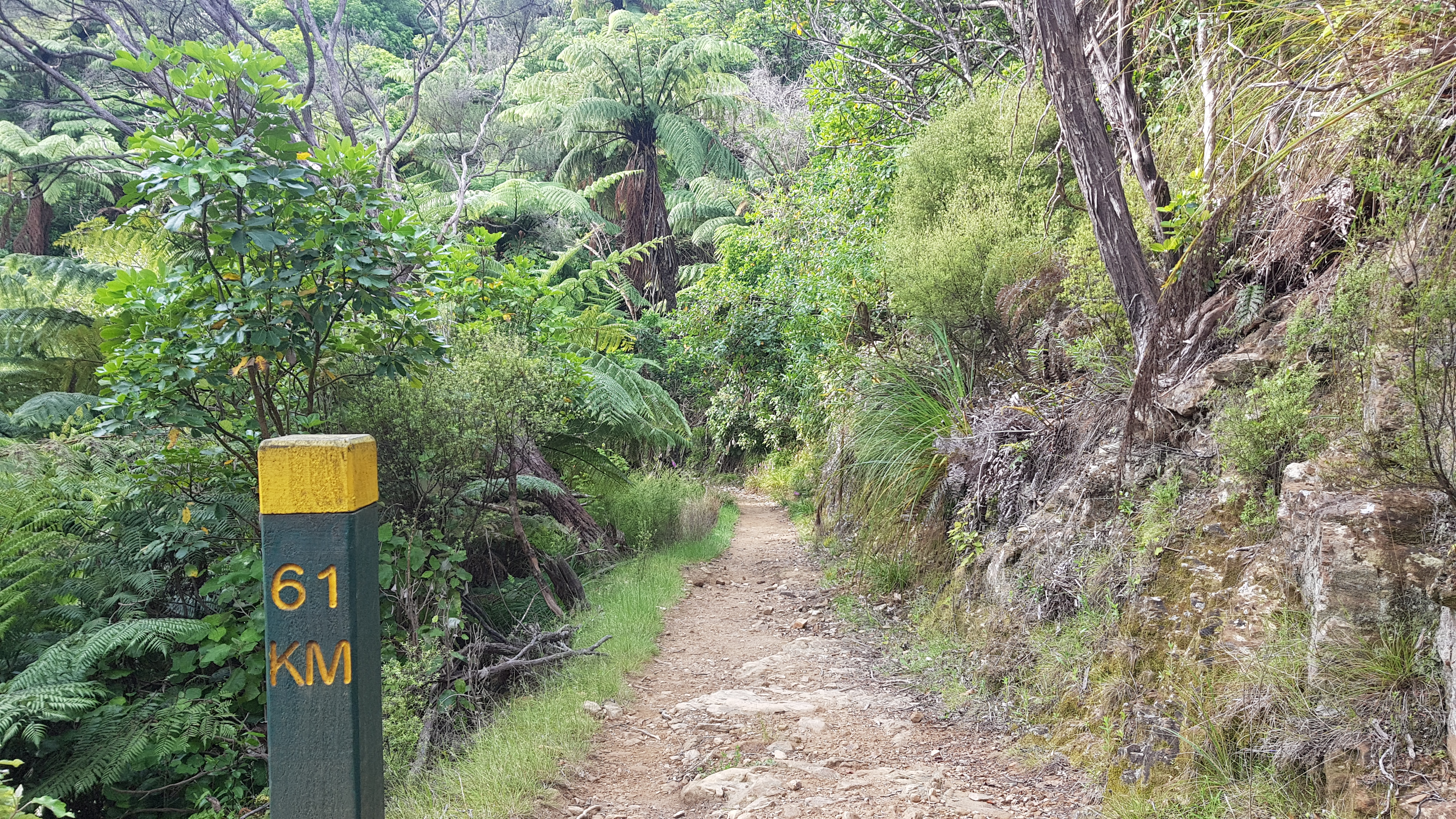
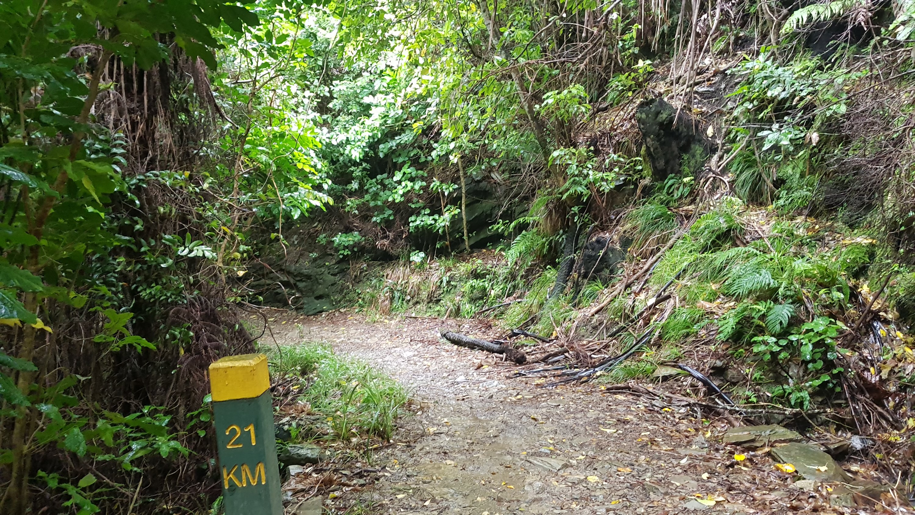
Trail covered: 20.3km (kms 1549.8 to 1570.1)
Weather: beautiful but with a cold wind

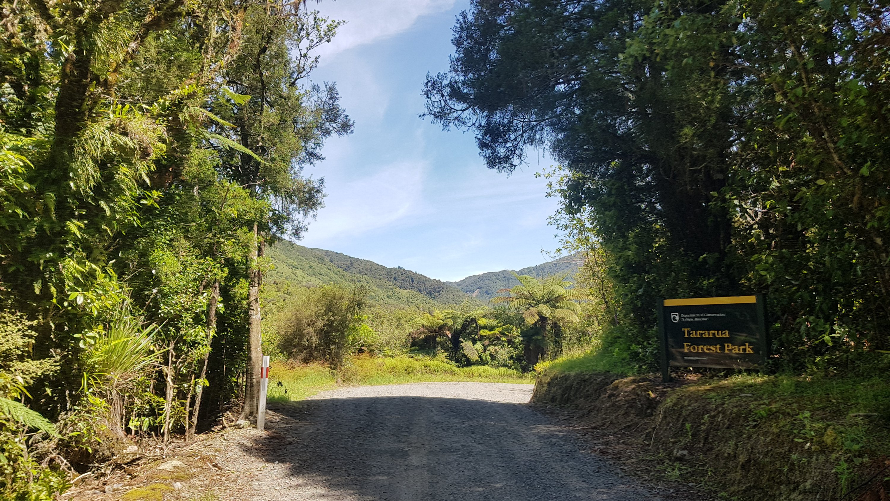
Today we’re going up into the real meaty bits of the ranges. I can’t wait!

Oh yeah

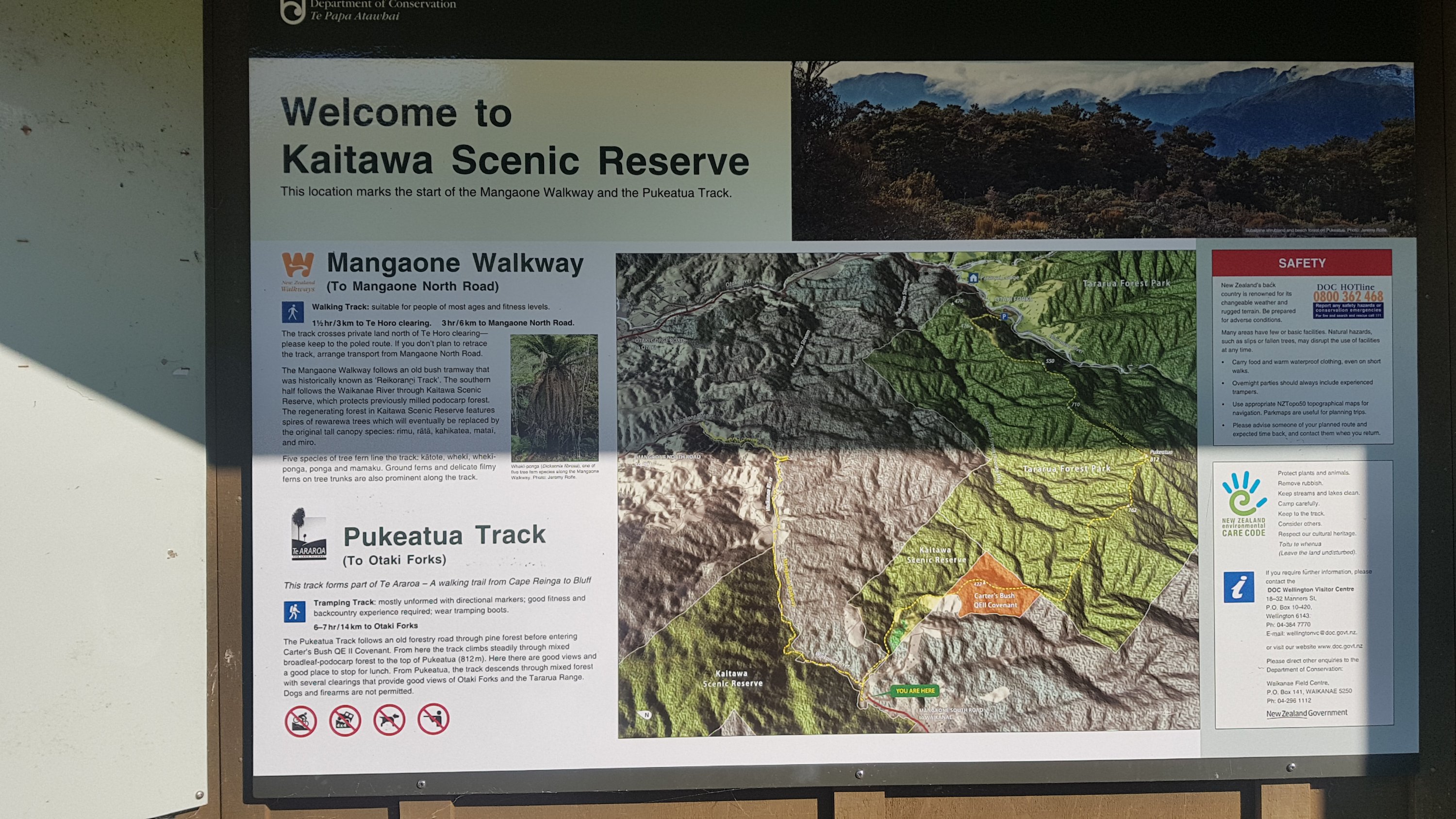
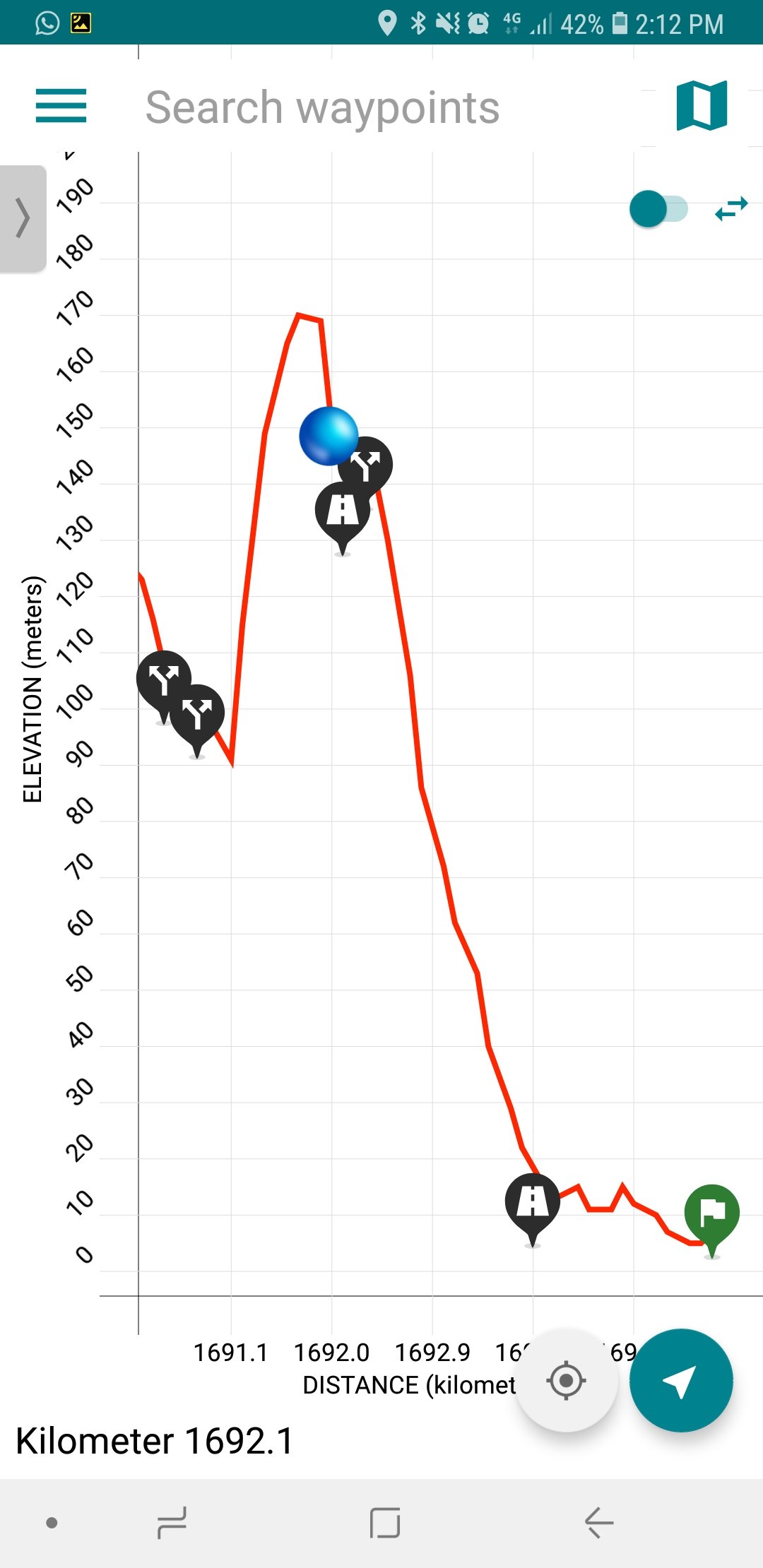
It’s probably worth showing the upcoming section on the elevation profile, so you can see what we are in for.

One of the more intimidating elevation profiles

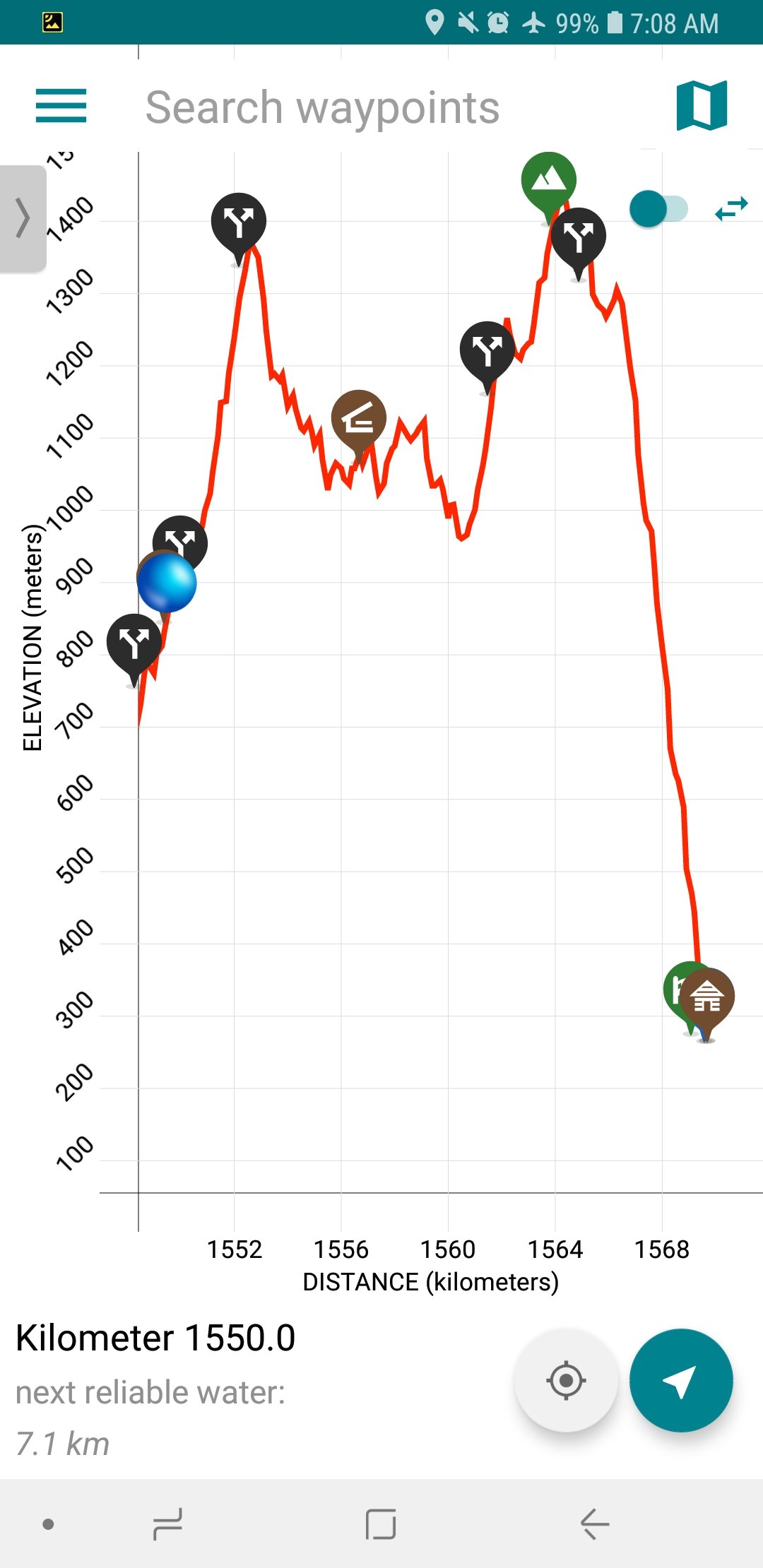
Dracophyllum Hut is the brown waypoint between the two peaks. Nichols Hut is slightly off-trail so doesn’t appear on the chart but it is located at the black arrows waypoint after Dracophyllum Hut and before the second peak which is Mt. Crawford. Then after Mt. Crawford, way way way down the giant hill, is Waitewaewae Hut.

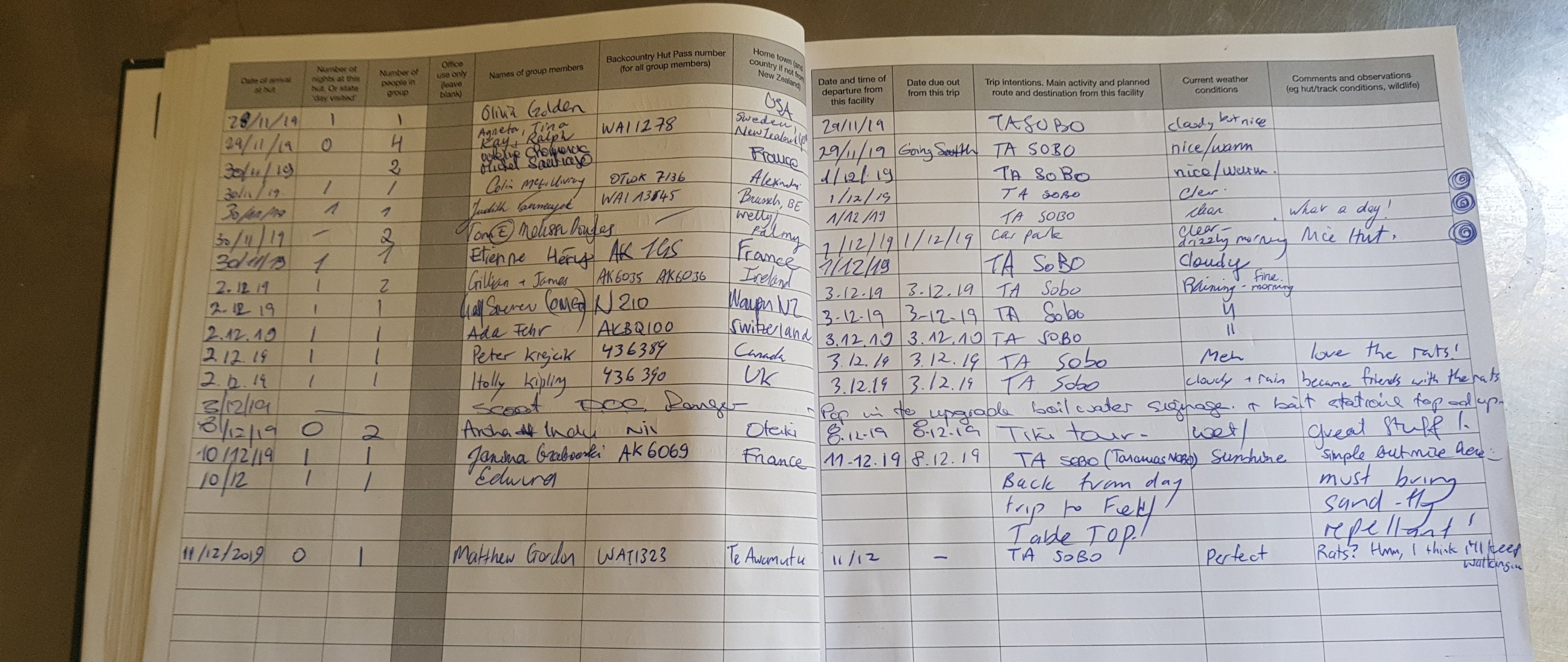
We knew from the intentions book at our current hut that there is likely to be nobody ahead of us except Rhydian, so that means the huts won’t be full – awesome. But how far do we actually want to go today? The trail notes say 3-6 days for the Tararua Ranges.

We spent a bit of time last night deciding how far we planned to go today. Ethan wants to make it to Wellington by the weekend (5 days away) to catch a flight, and John from the Outdoor Pursuits Centre said that both peaks can be done in 12 hours. So we decided, yes we can do it. From here, over two peaks, past Dracophyllum and Nichols Huts, and then down the massive hill to Waitewaewae Hut. Sorted.

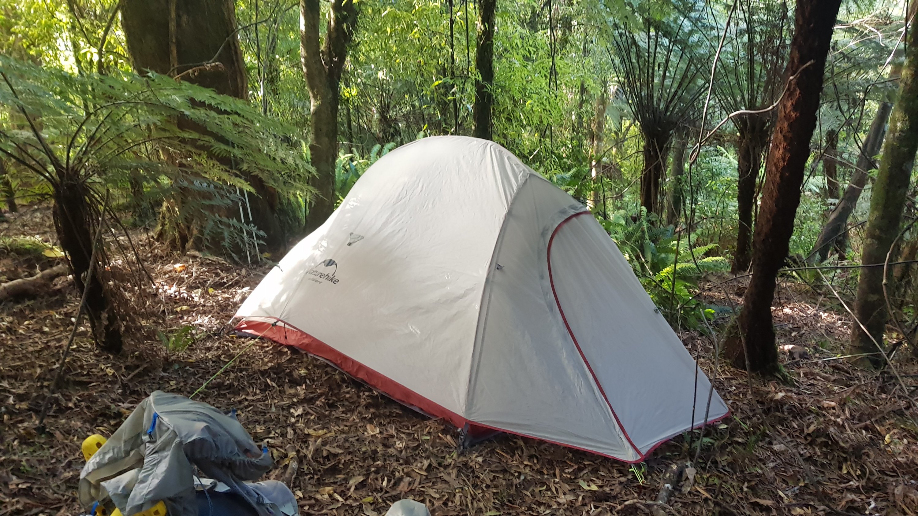
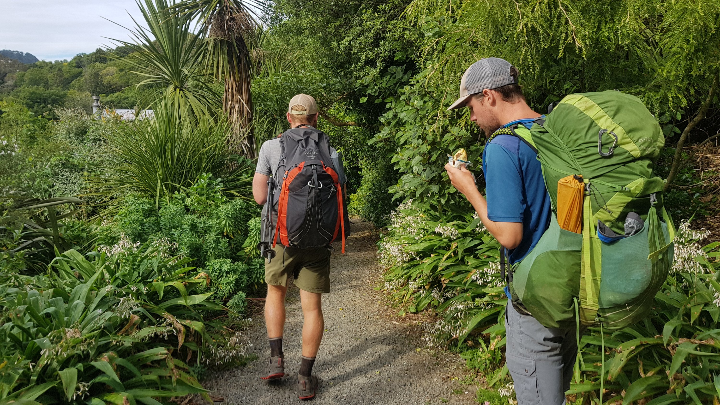
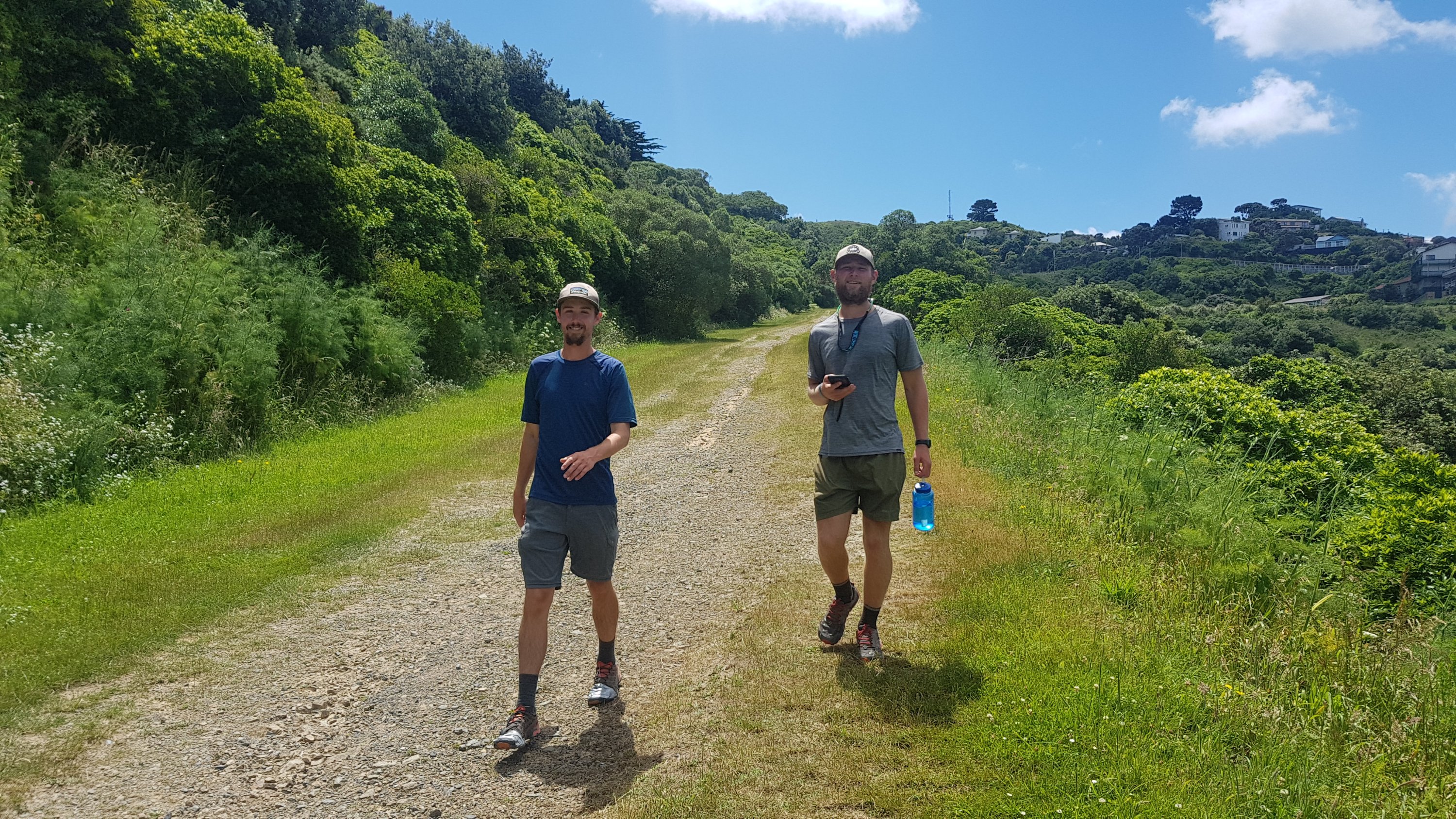
It was quite cold this morning and I didn’t feel like leaving without a warm breakfast of porridge and coffee. Joshua and Nina had set their alarm for god-awful o’clock in the morning and had left the hut by 6am. Alex and Ethan never have a warm breakfast so they were out before me – they left at 6:30am. I left right on 7am. Peter and Charlie were still asleep when I left.

I left wearing my down jacket because it was a cold morning. I figured that like last time I left wearing the jacket, which was Ongarue, that it would come off again fast since the sun was shining brightly.

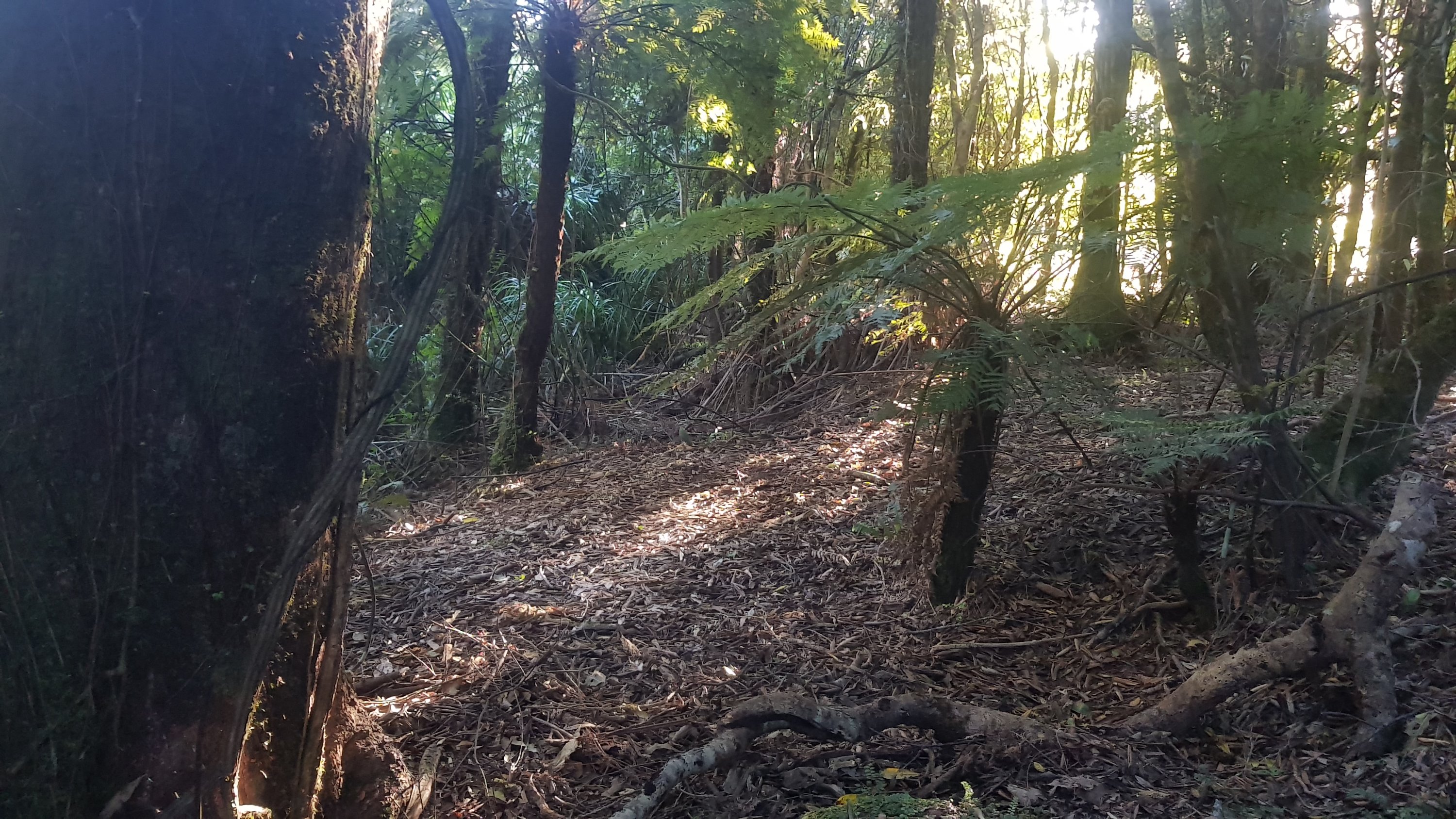
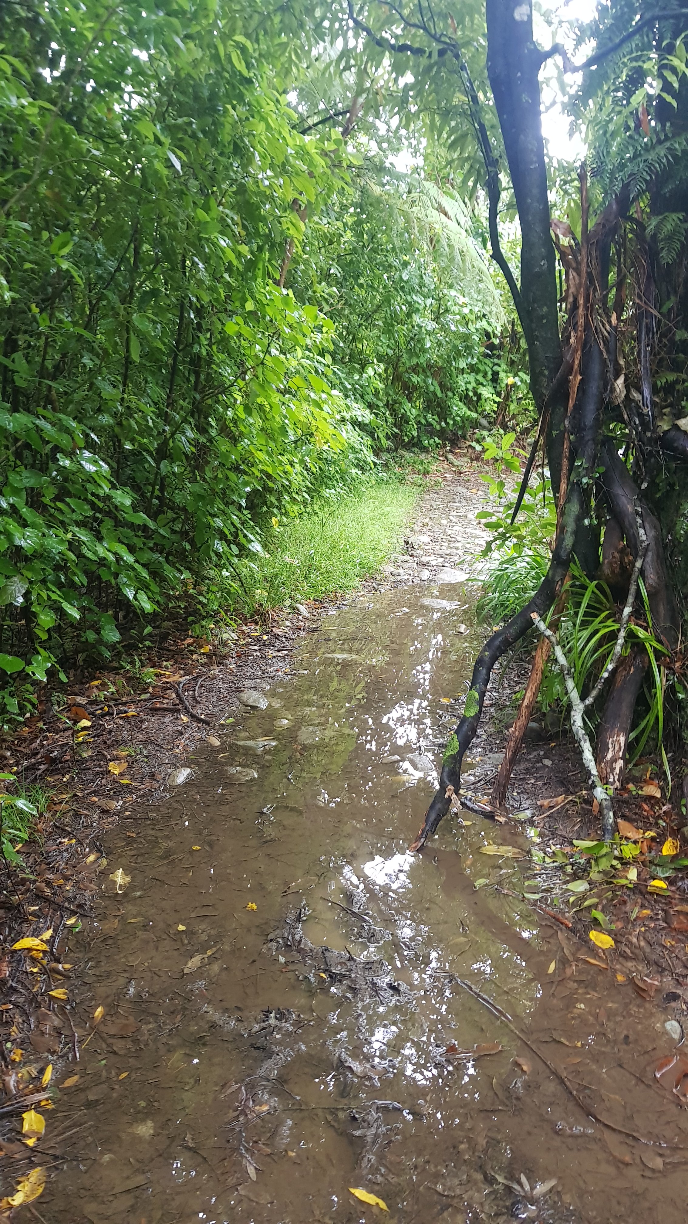
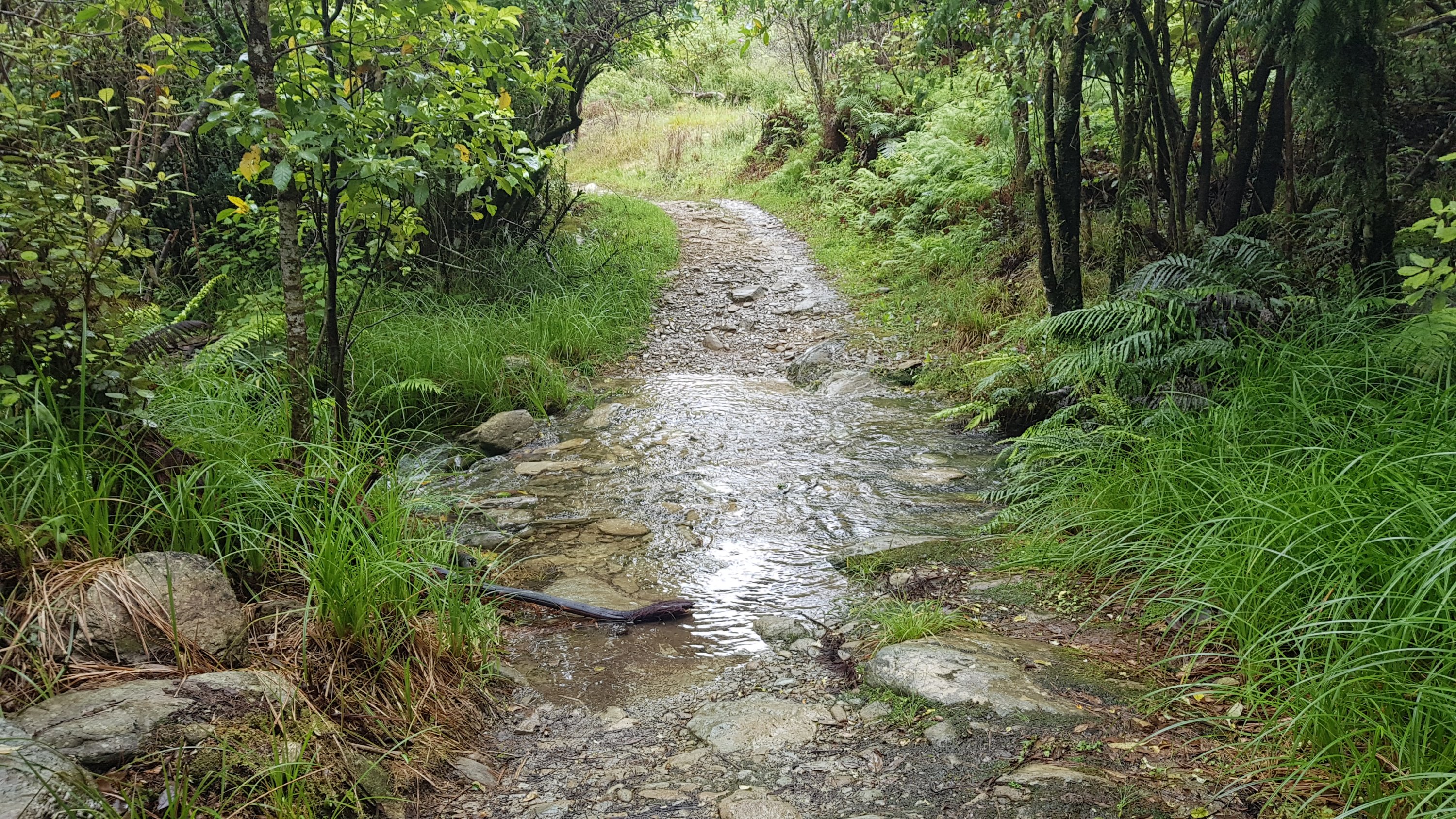
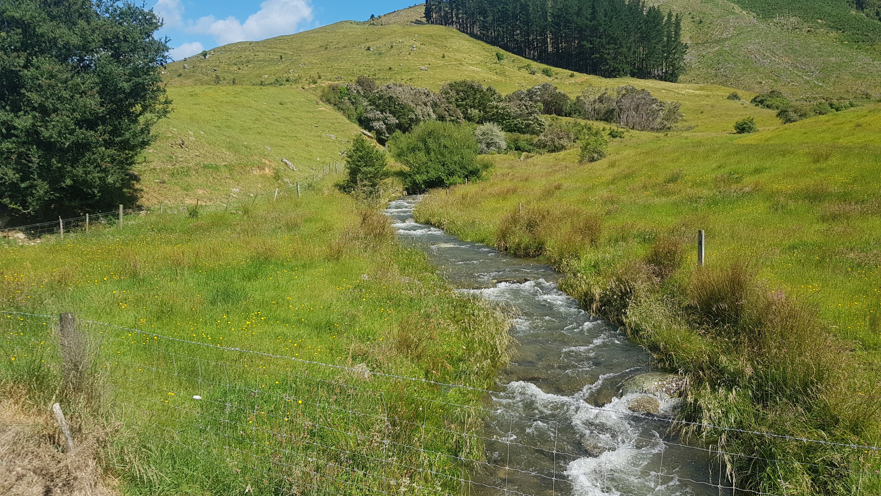
The track was muddy at first.

Yep. It’s mud.

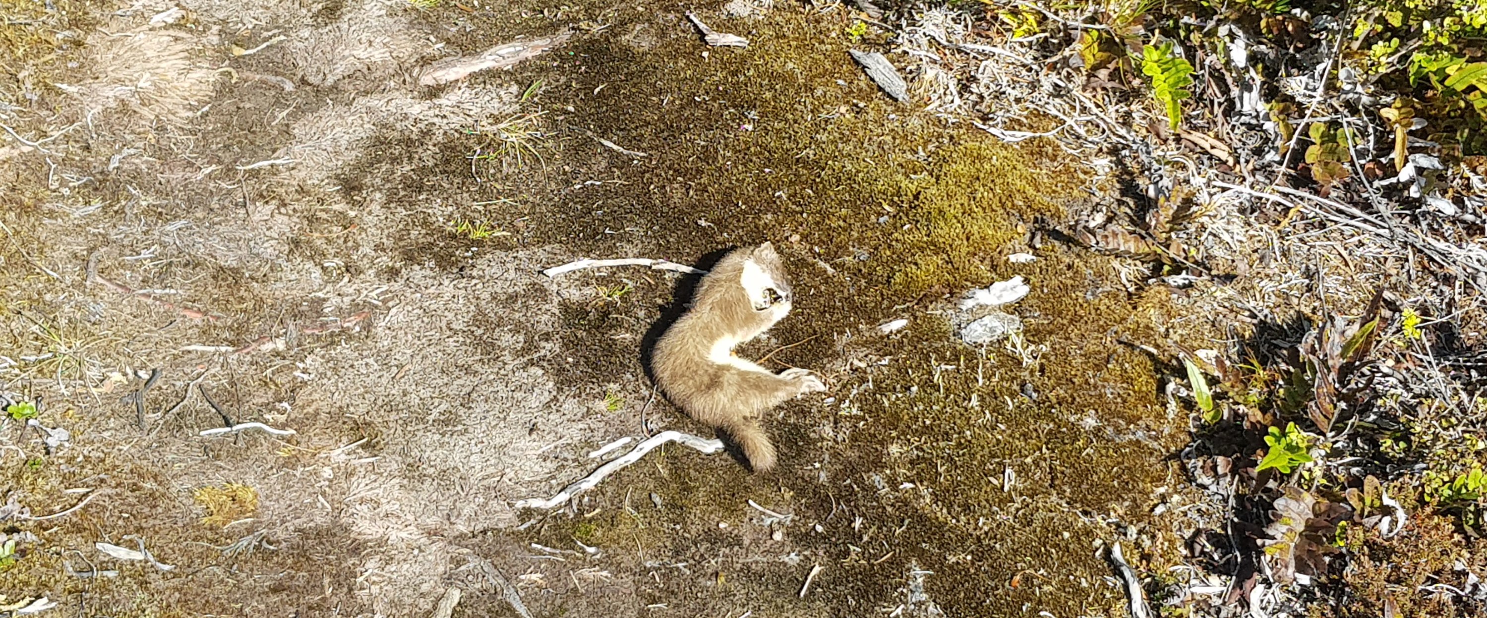
It was steep too. And there was a dead deer right in the middle of the path. We had been warned about this deer on Guthook’s comments section so I was looking out for it. I saw the skull first and so managed not to stand in it. According to the comments, others weren’t so lucky.

And like I thought, I wore the jacket for about 800 metres, and then off it came. I get so hot so fast when I walk with the down jacket on.

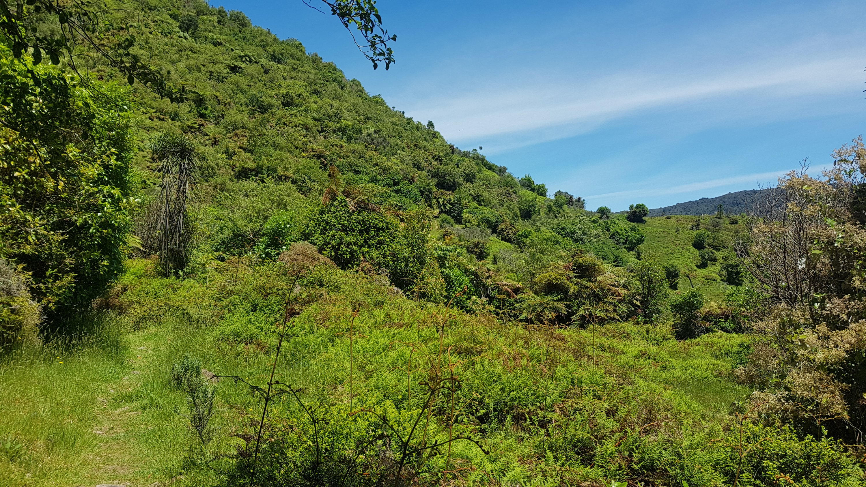
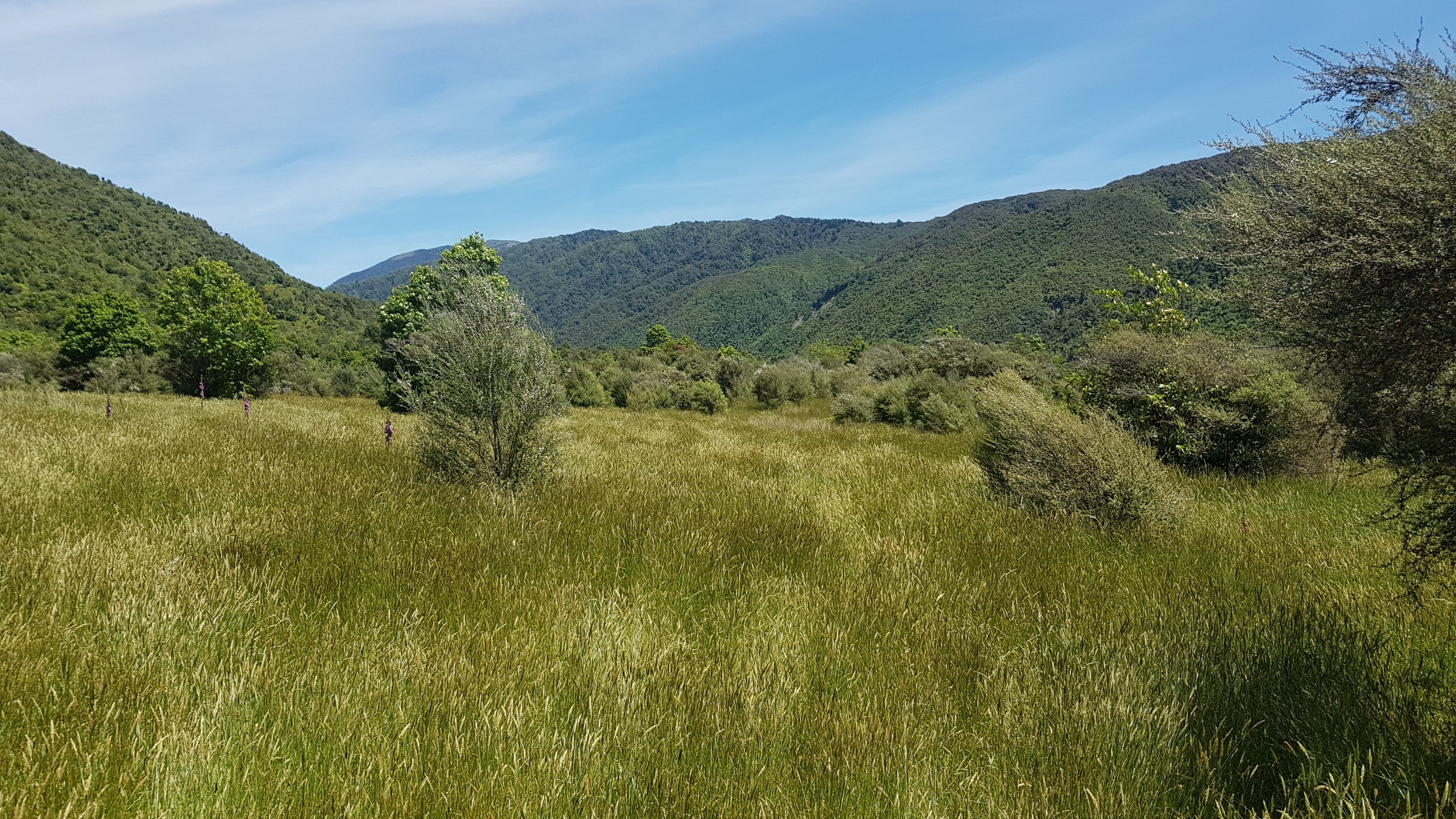
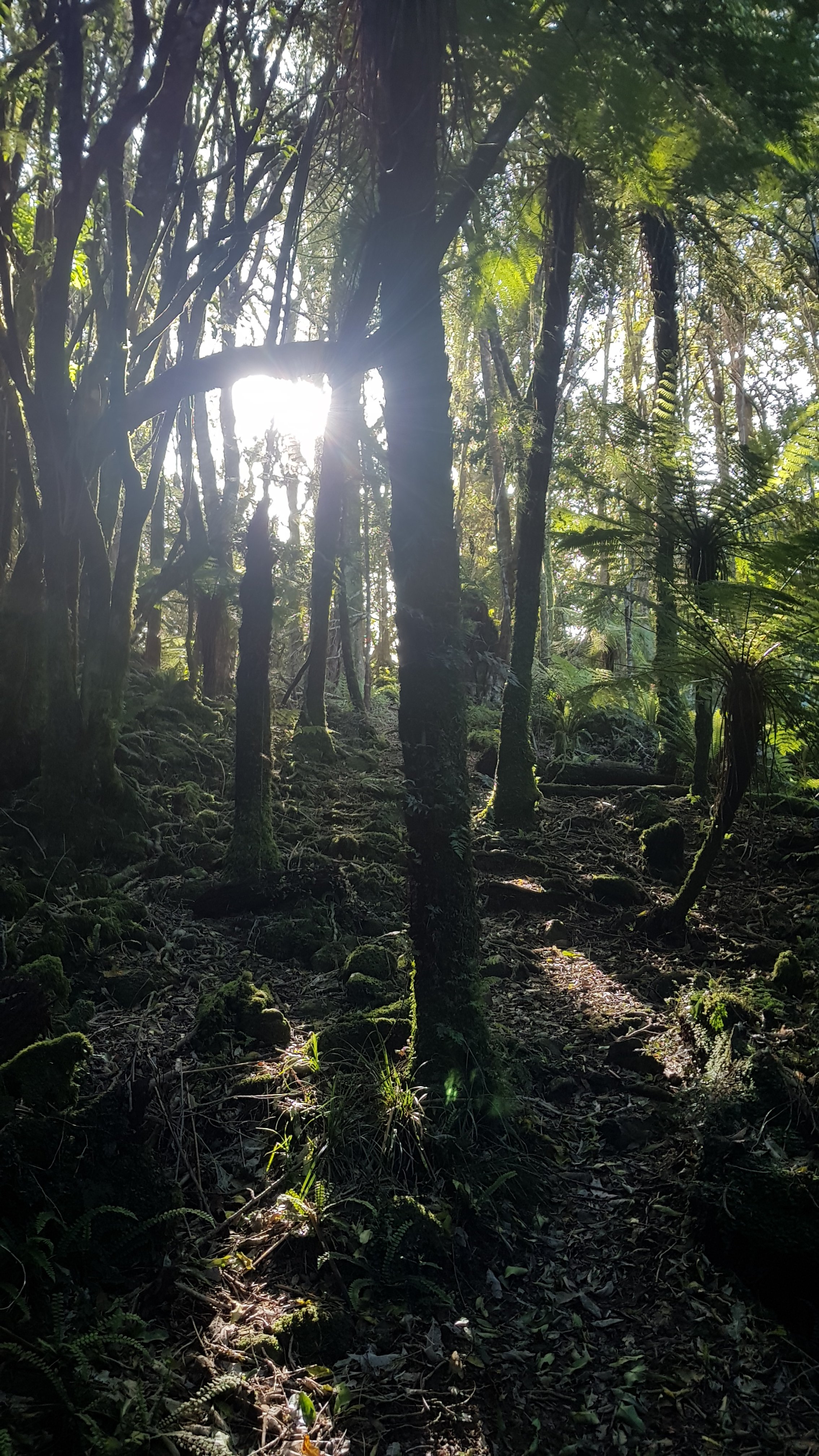
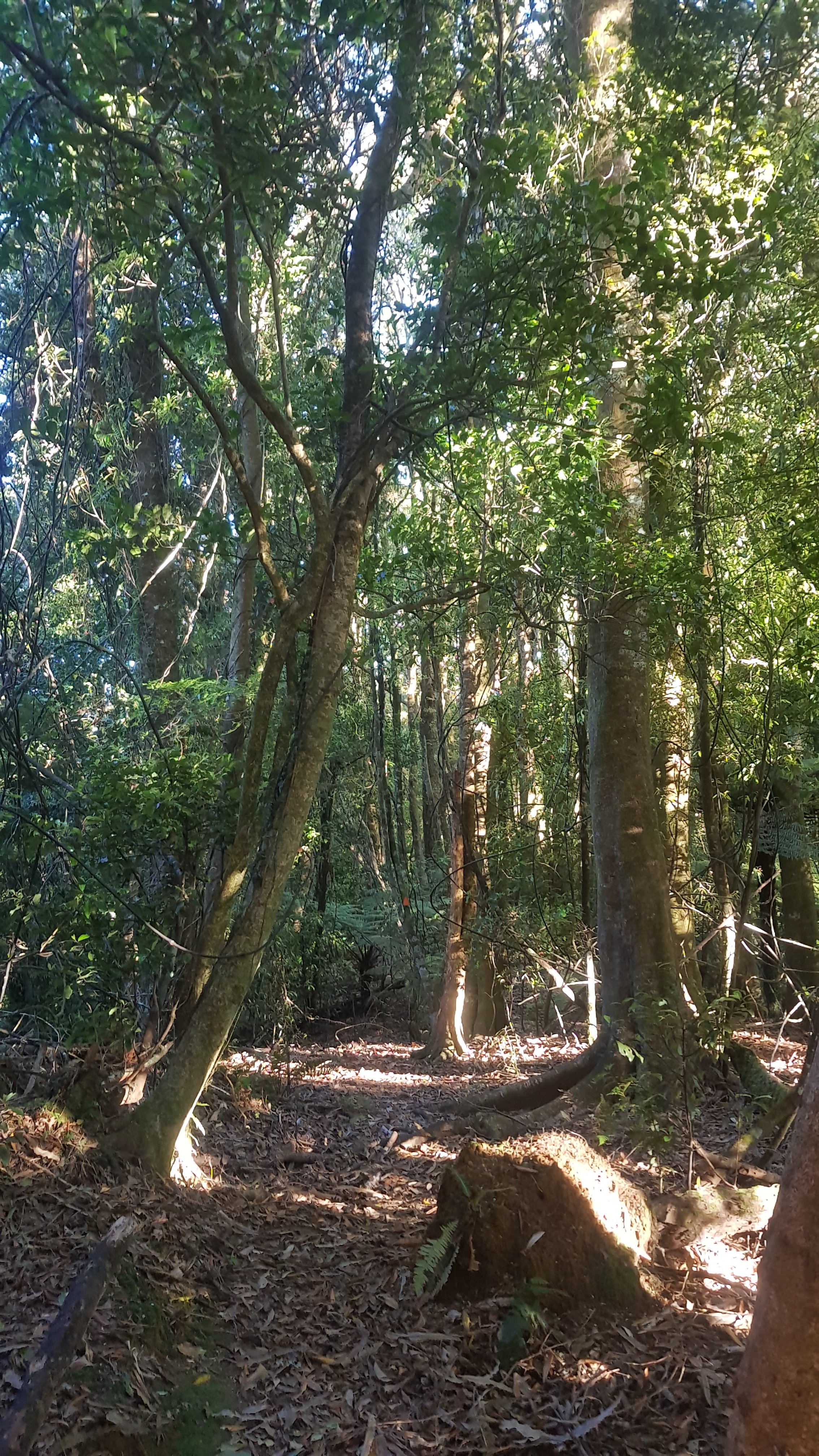
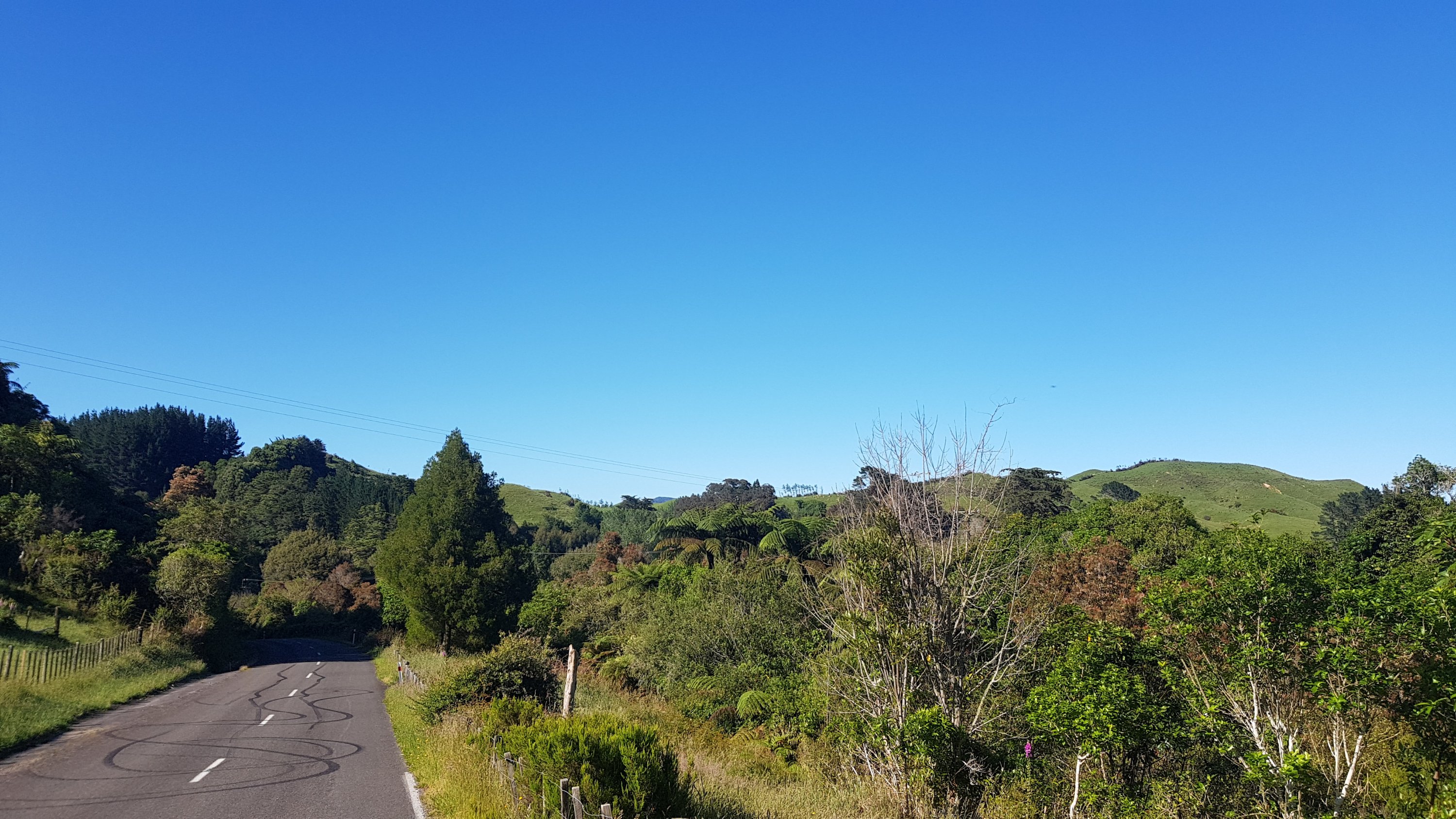
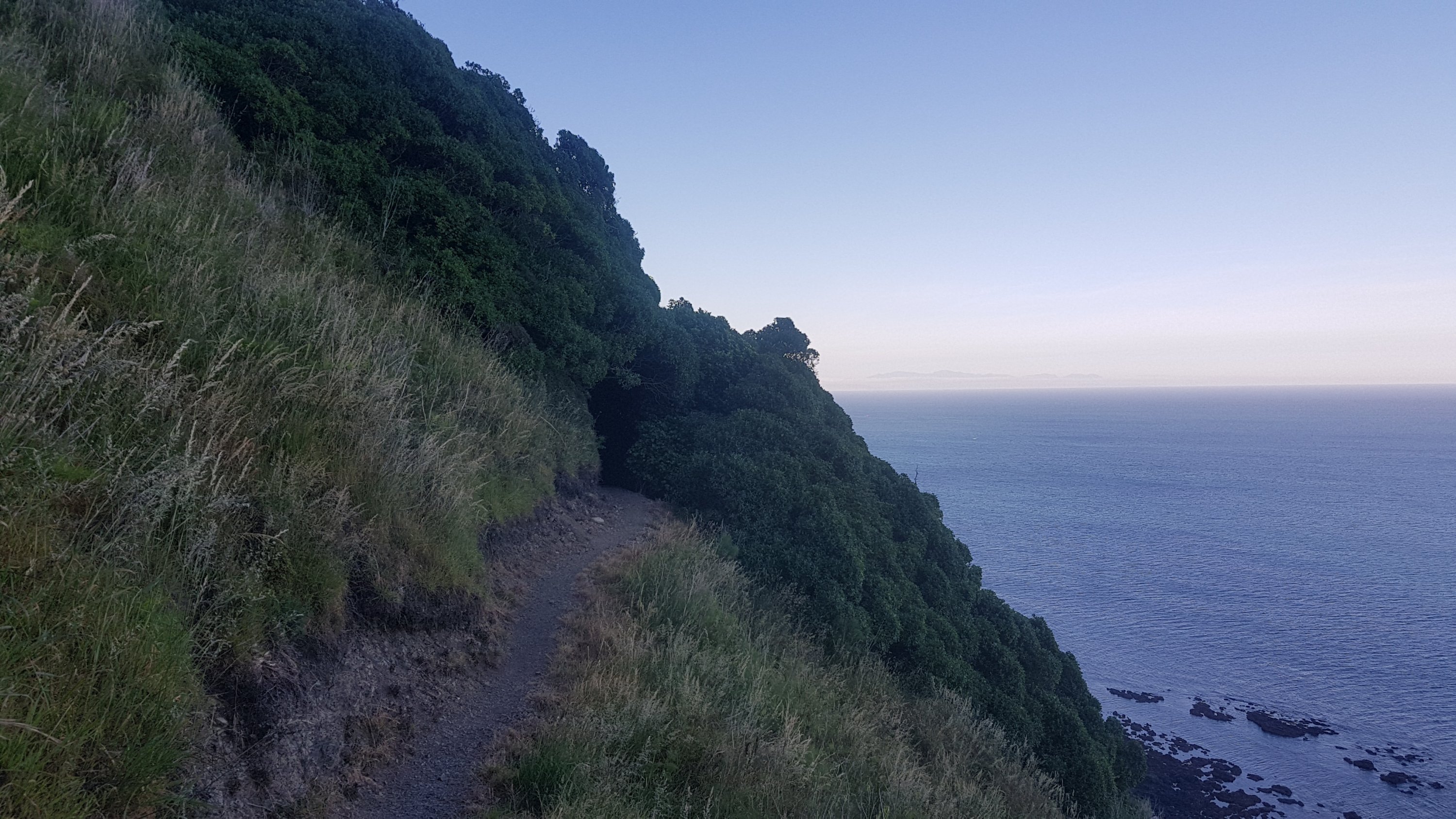
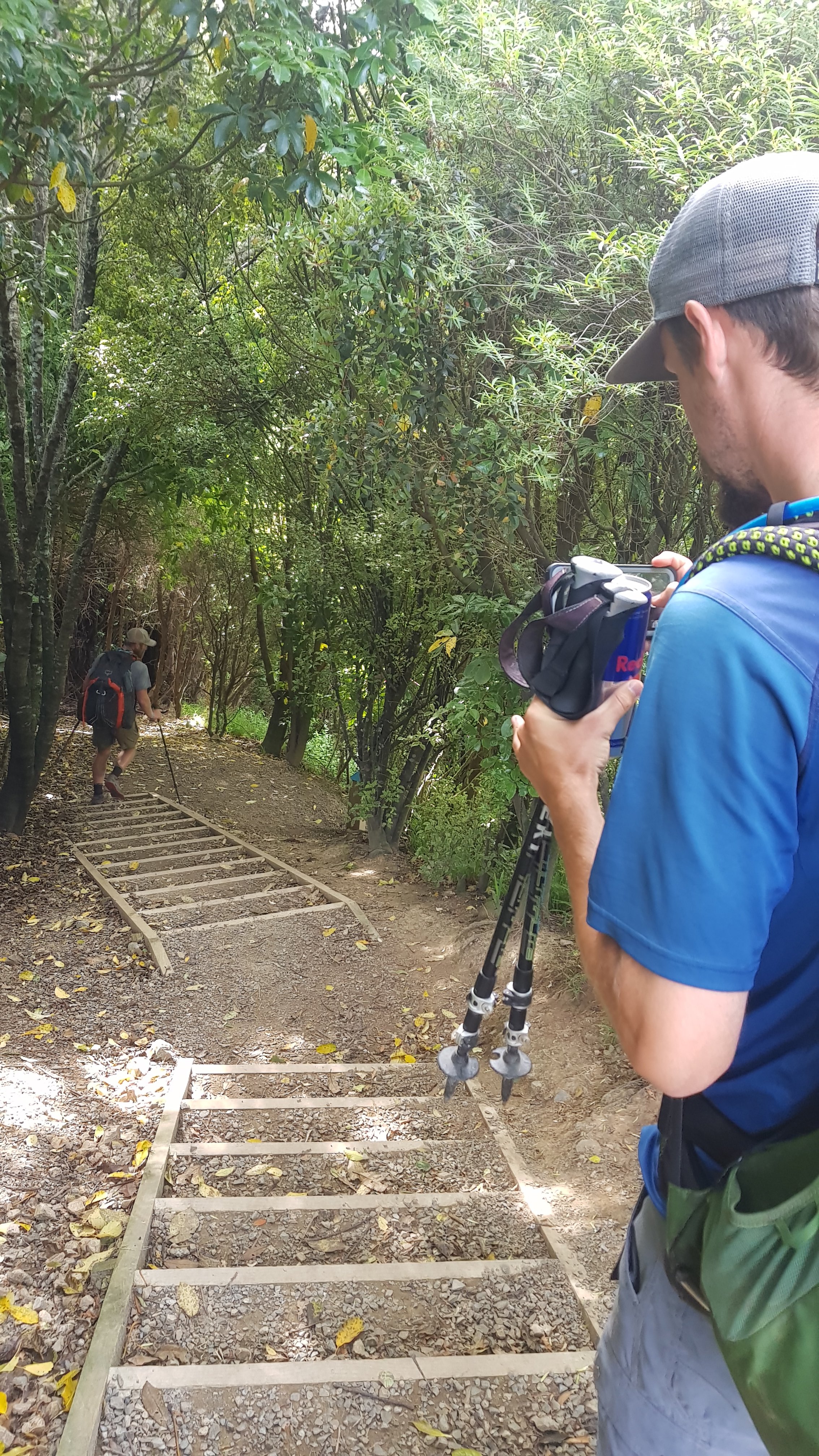
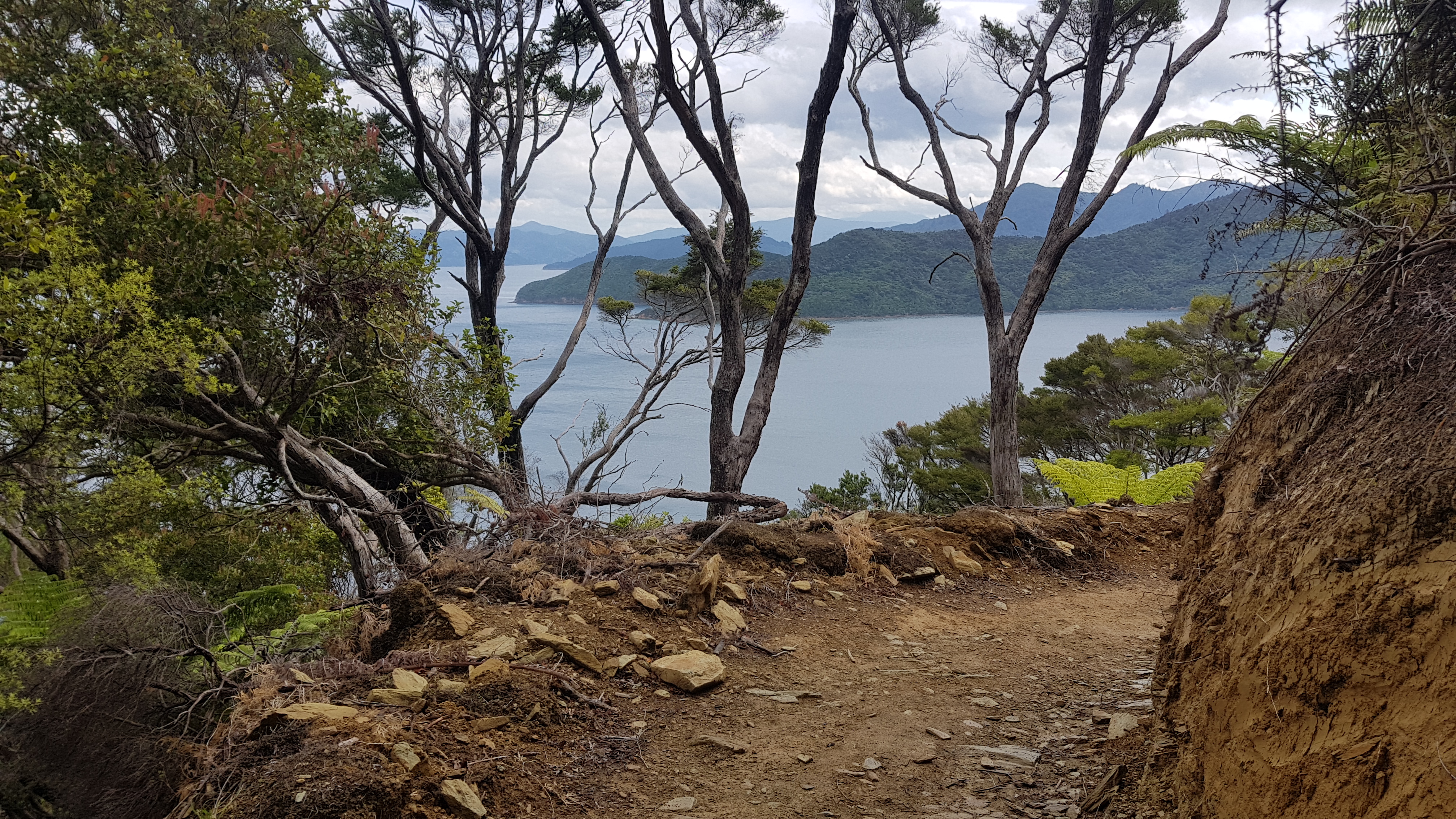
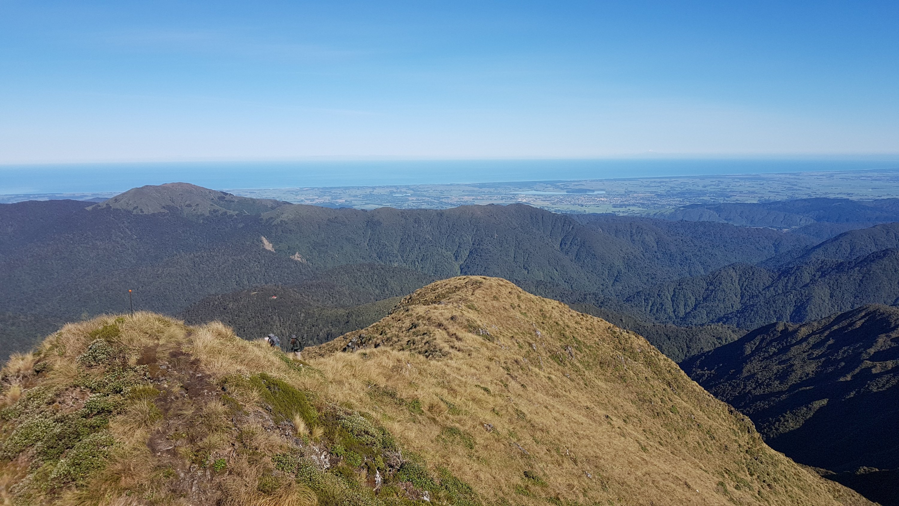
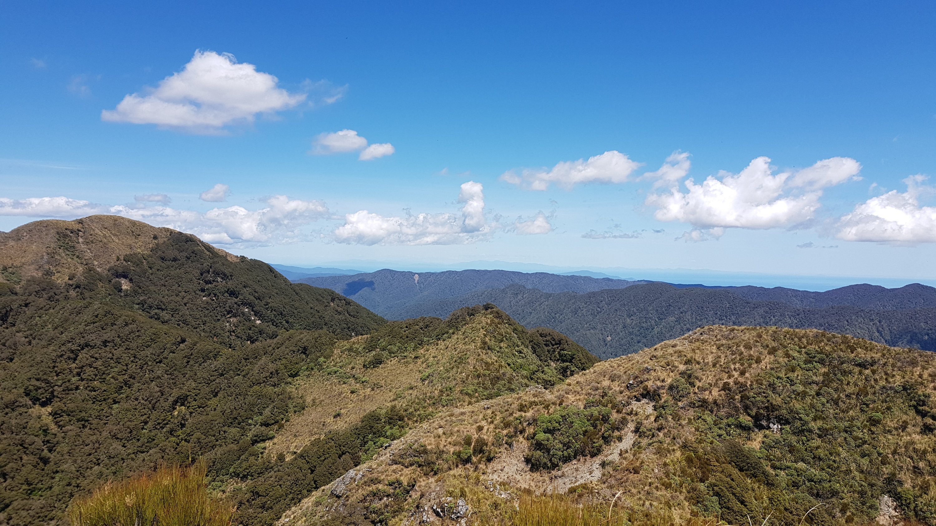
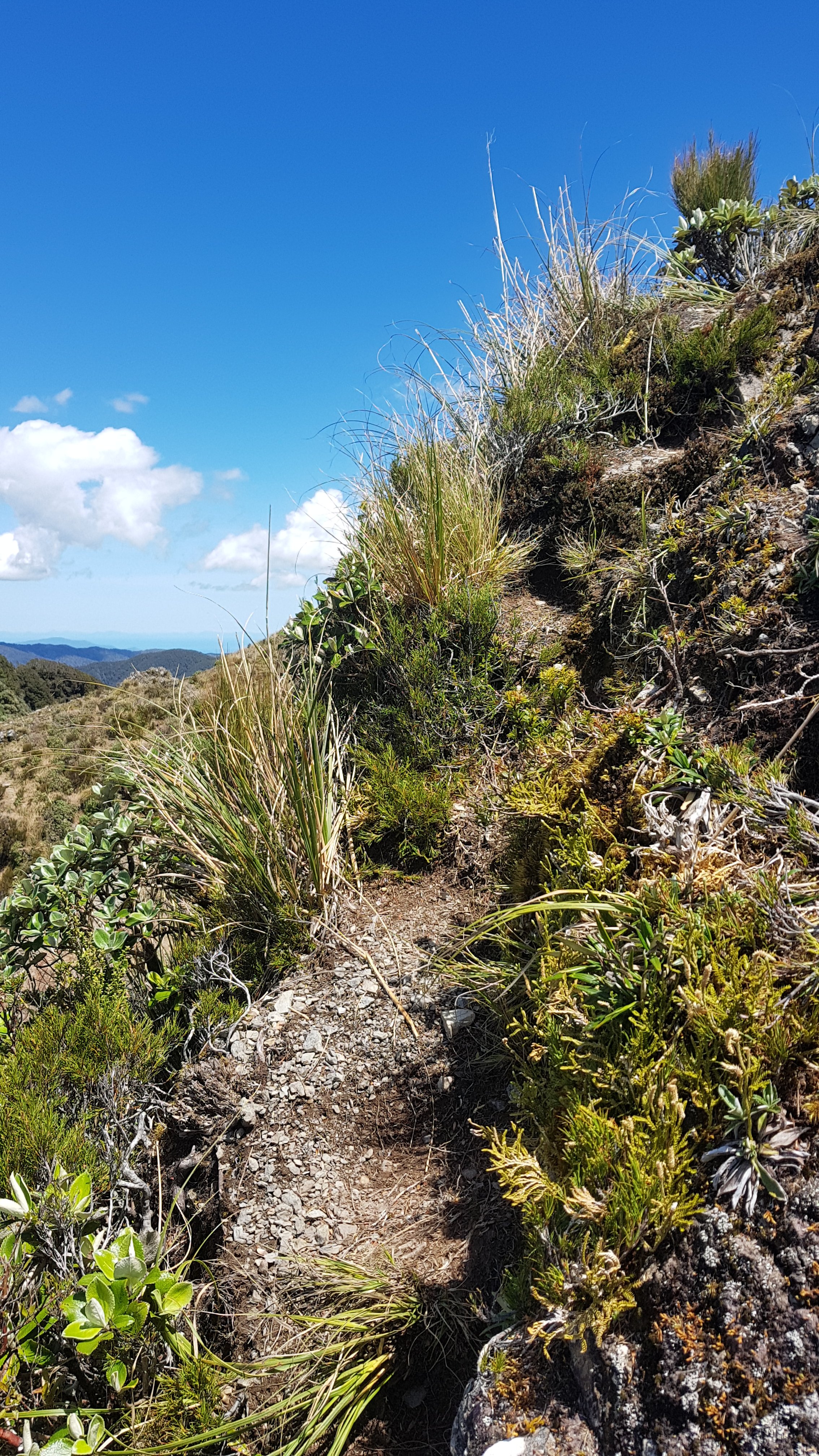
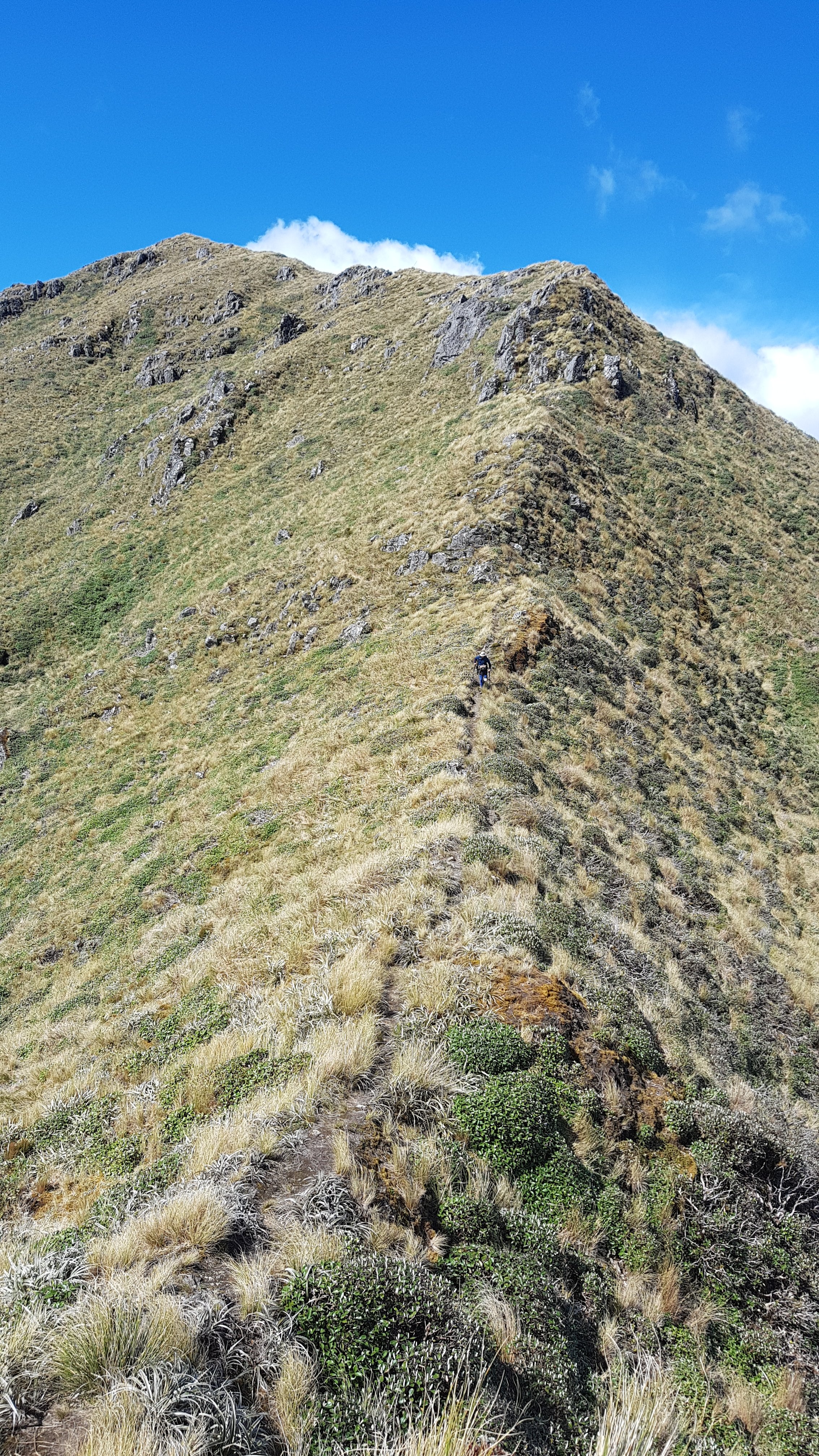
Once you got above the treeline, the path became very different. And it was quite hard to see the actual path at times.

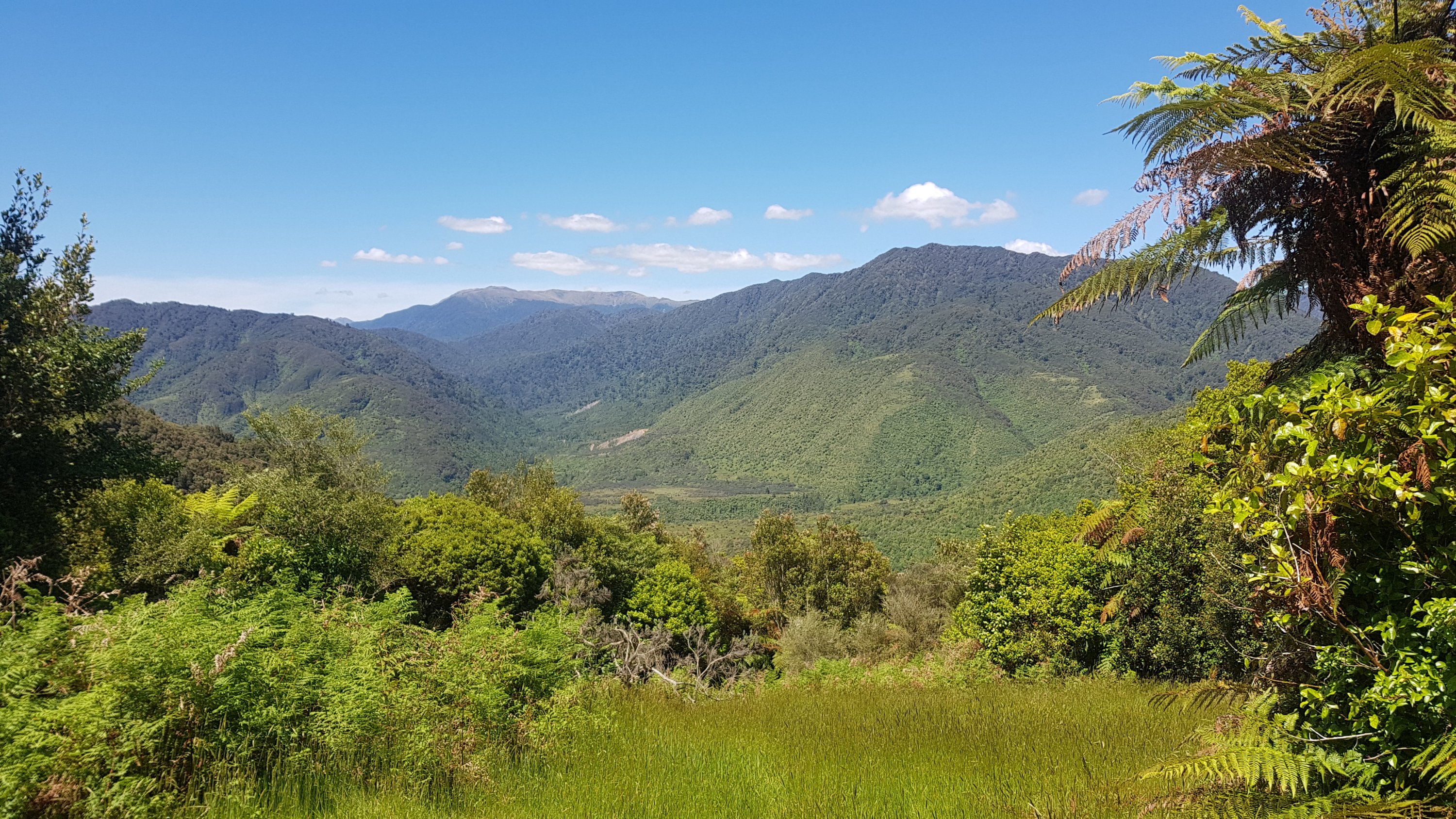
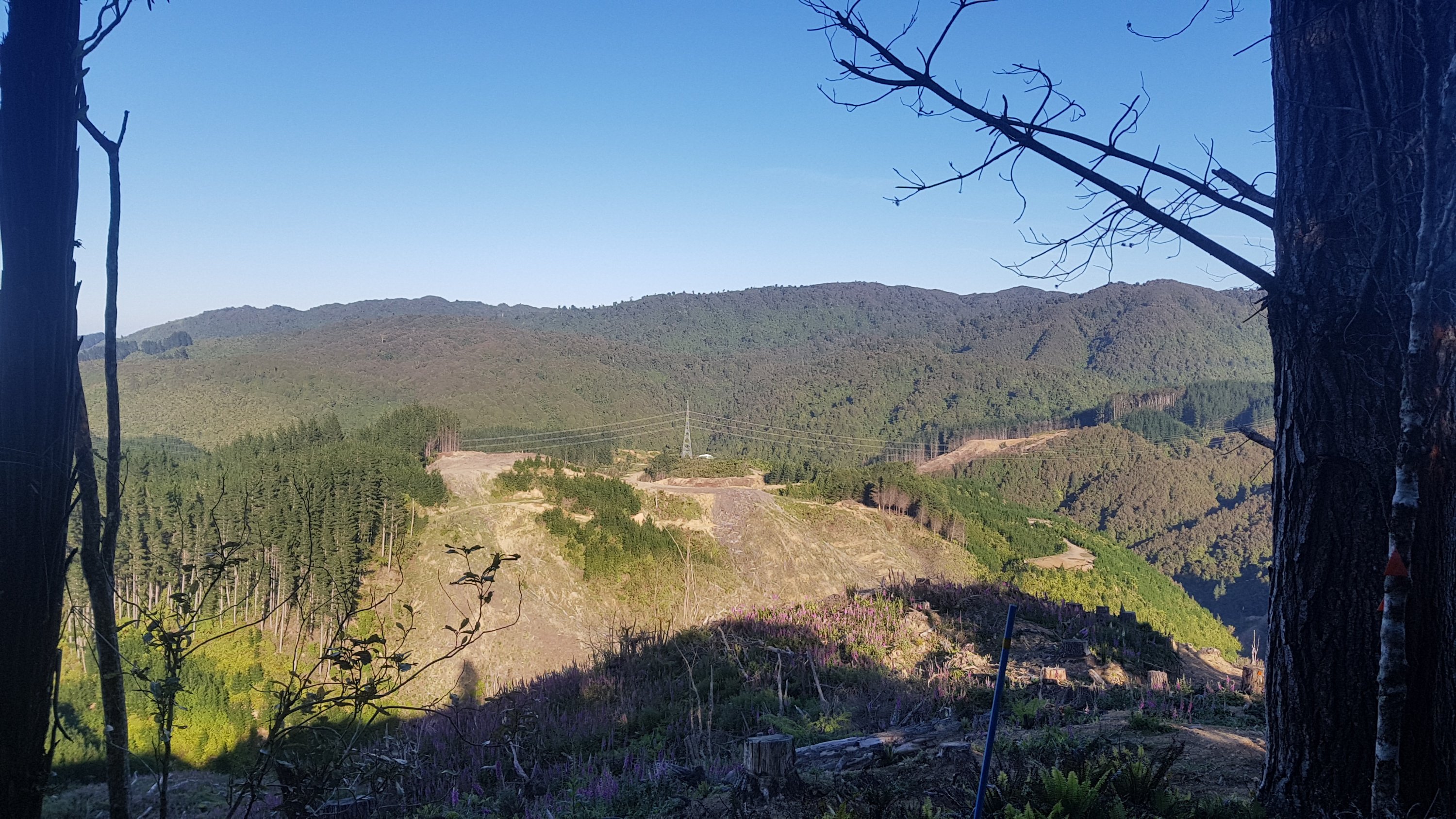
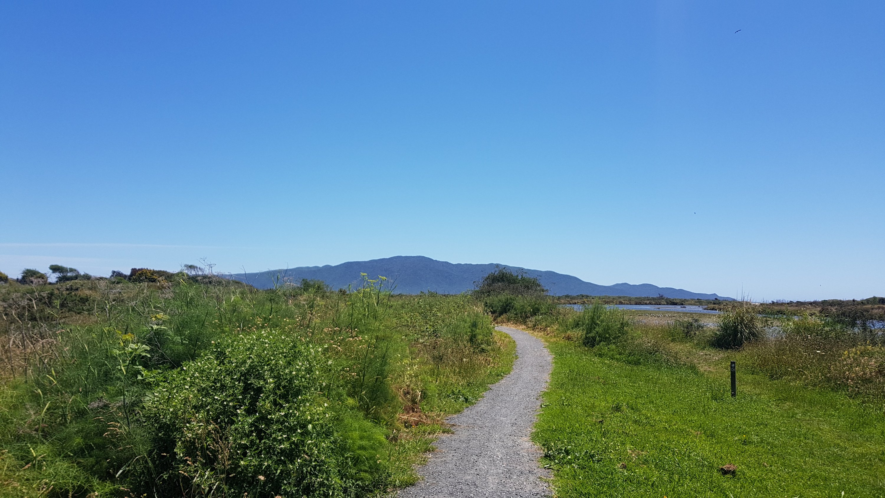
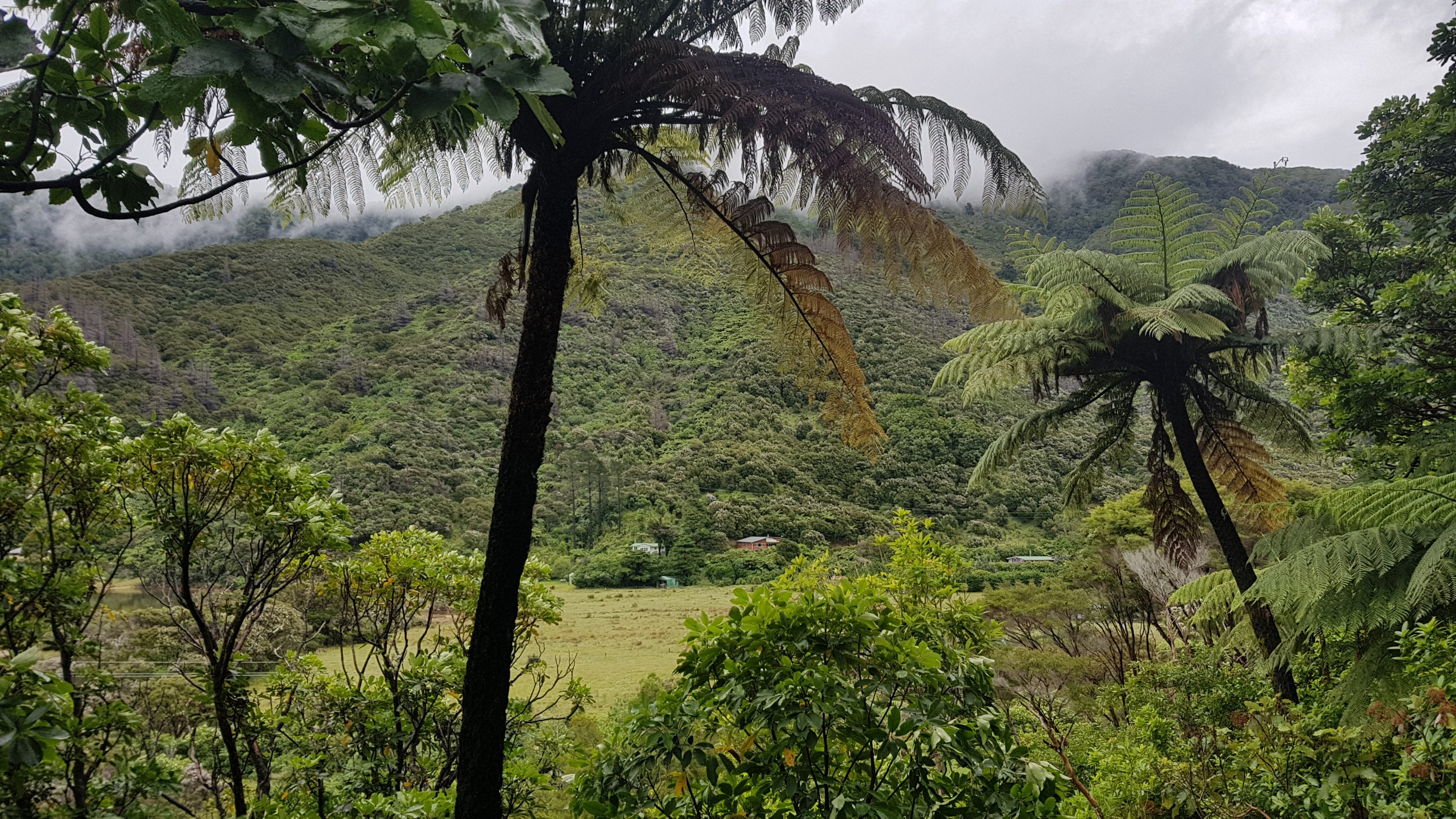
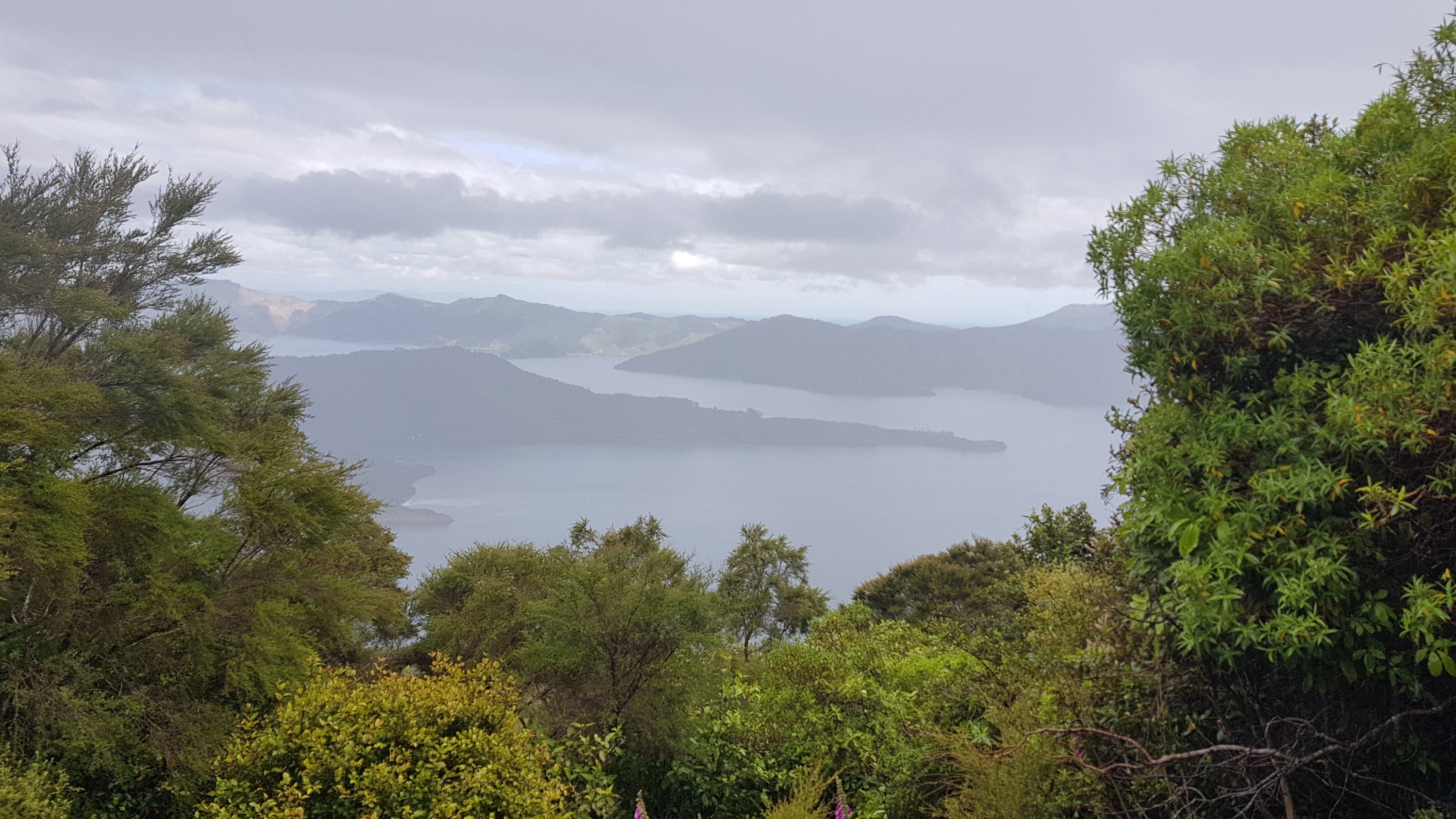
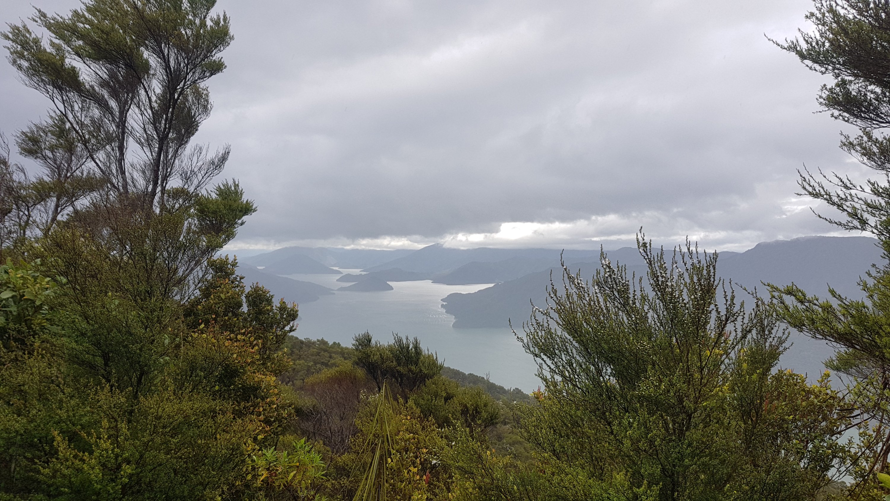
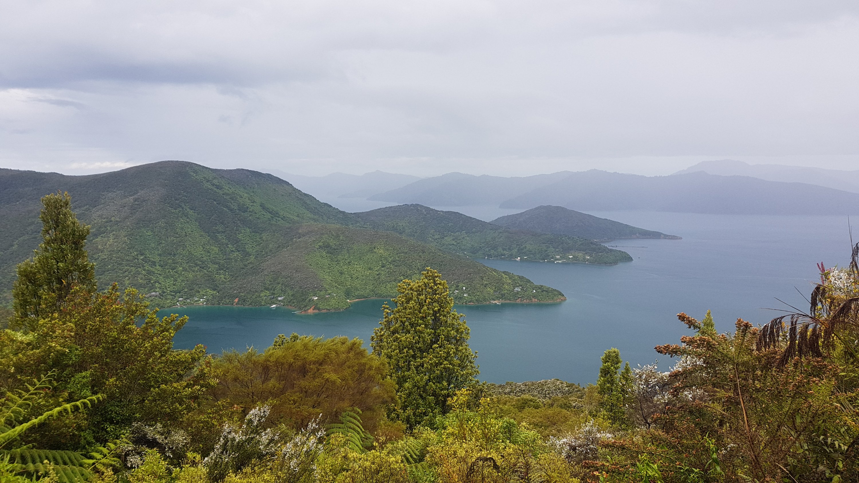
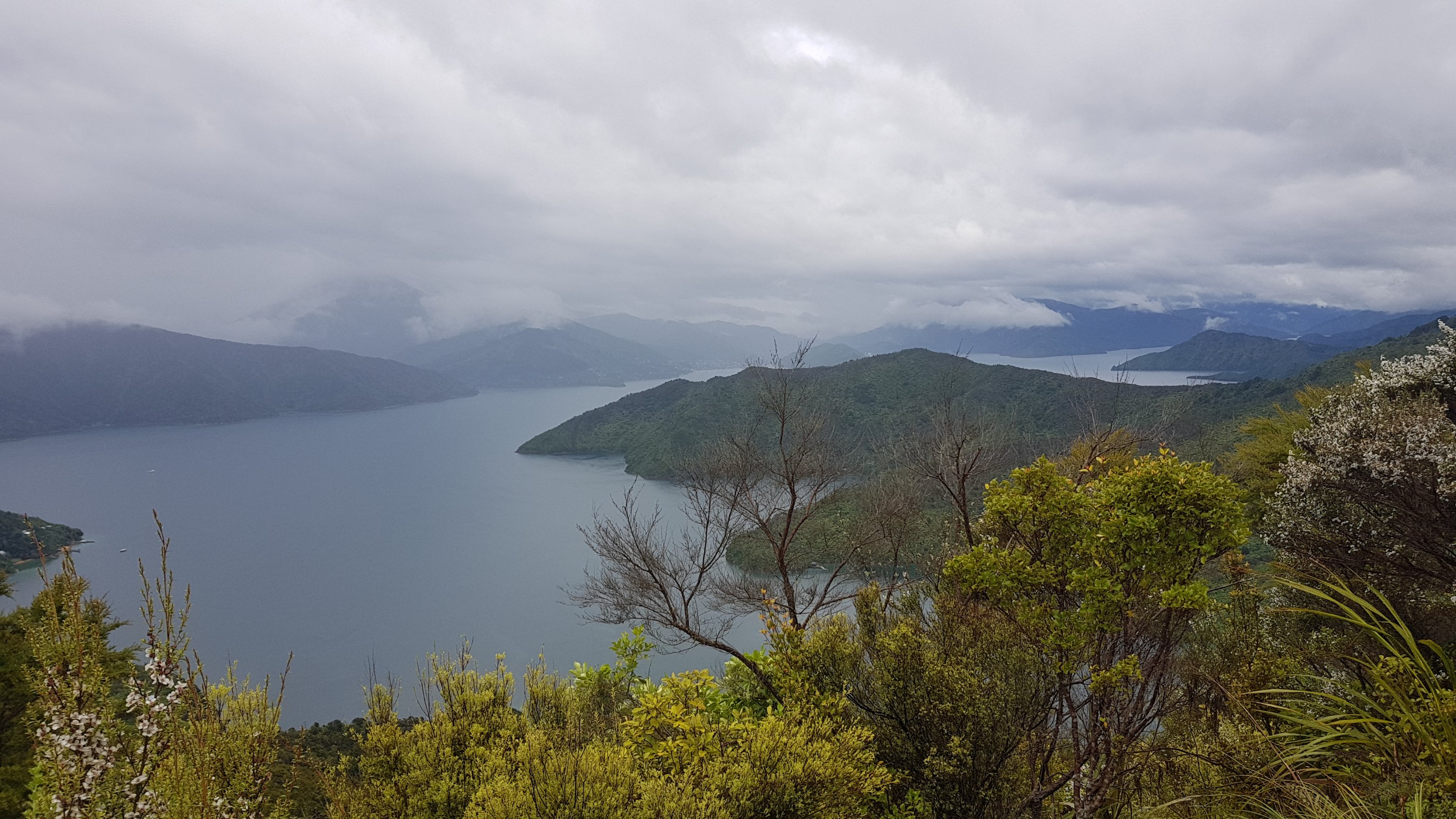
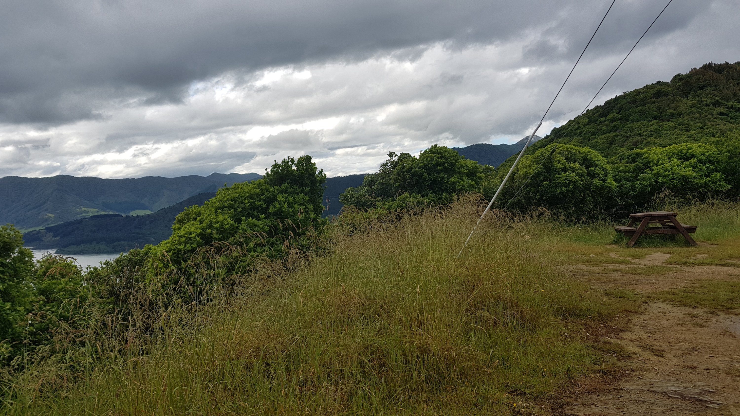
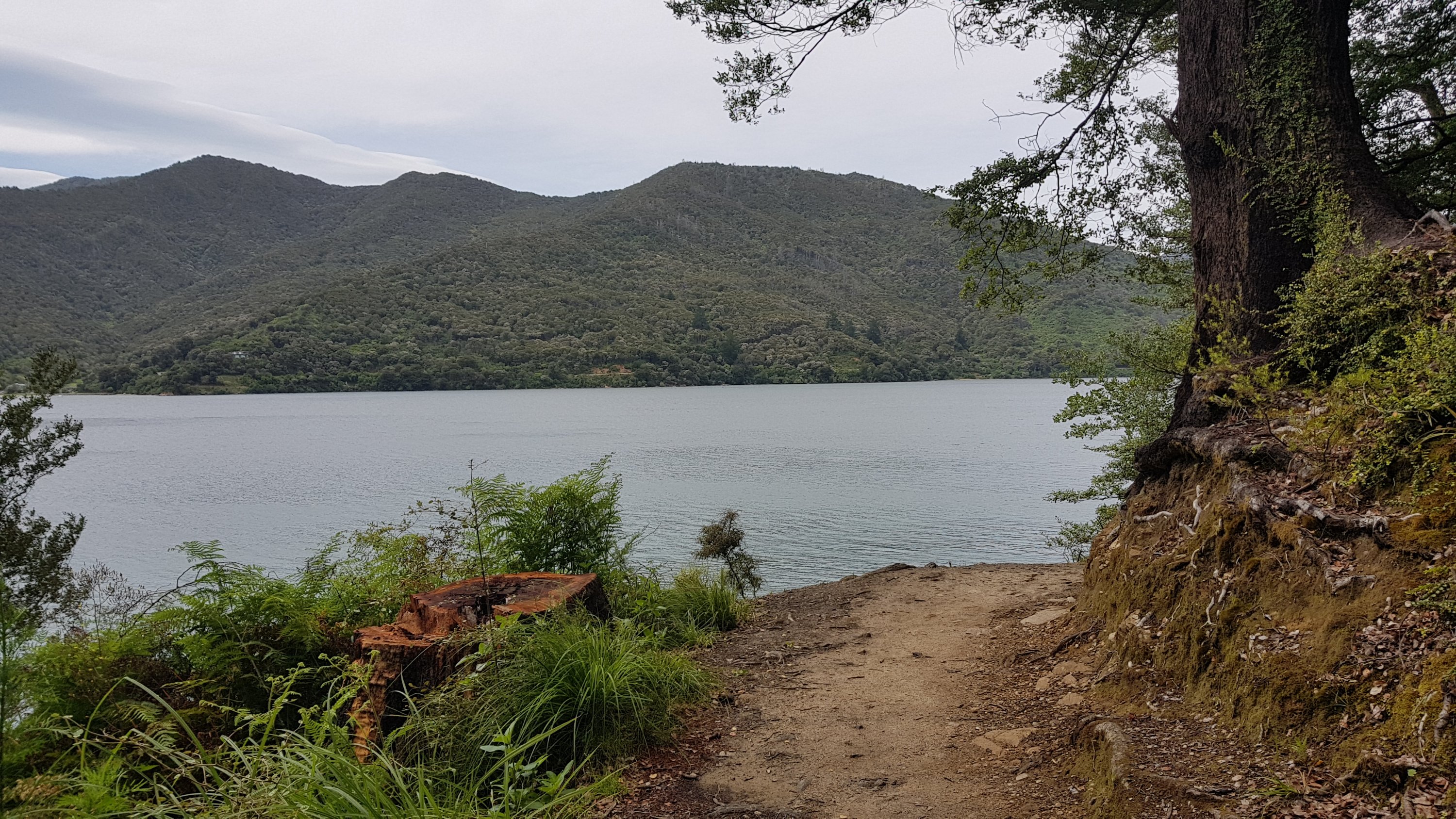
The views soon came back though.

Looking back towards Te Matawai Hut. You can just see it sticking out.

I passed Joshua and Nina quite early on… they do go quite a bit slower than me.

Joshua and Nina going up the ridge

At this point though, there was a really cold wind blowing – we were about 1200 metres up now. Despite taking my jacket off not long ago because it was too hot, now it was too cold. I put my thermal top on underneath my shirt as that doesn’t get me quite so hot and sweaty. I also changed my cap for my beanie so that it didn’t blow away, and I also put my gloves on for the first time ever. Joshua and Nina saw me stopped to put on my warm clothes and they did the same thing.

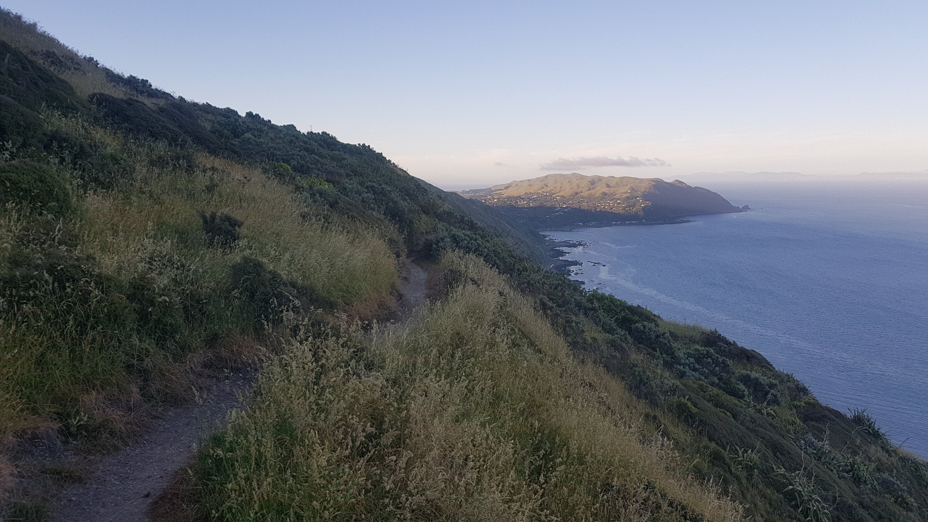
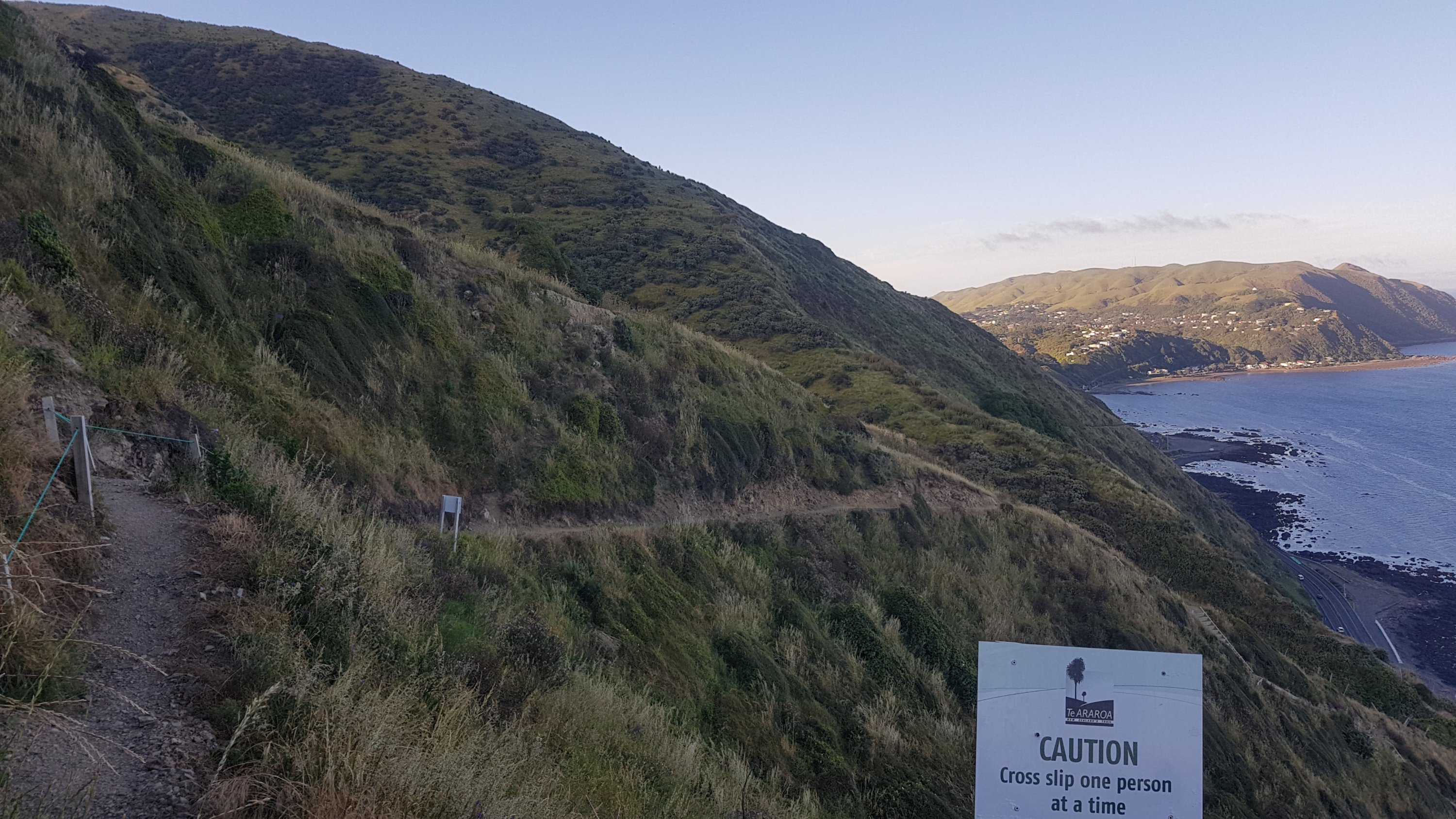
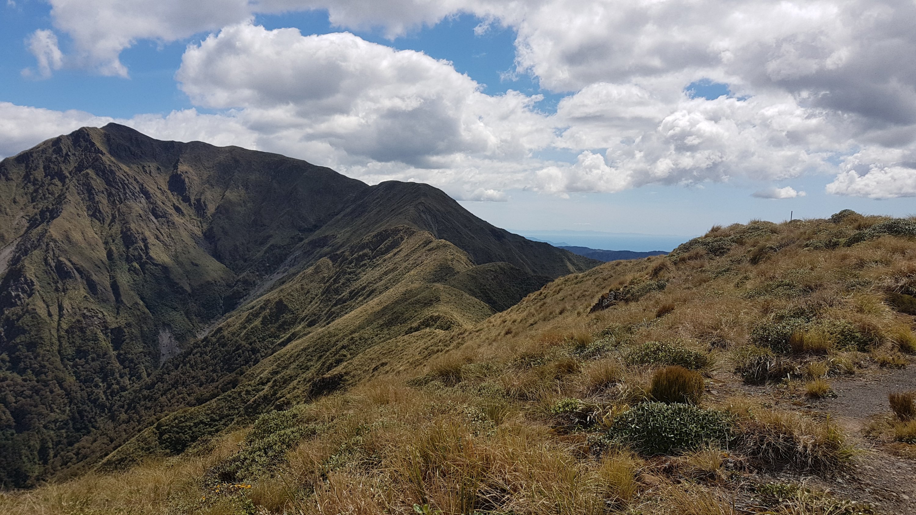
The wind wasn’t blowing hard though, it was just cold. I’m glad it wasn’t blowing hard, because the paths along these ridgelines are narrow with drops on both sides. The last thing I wanted to contend with was having to stop myself being blown over the side too. Although, ridge walks do make it easy to see where you’ve come from and where you’re going.

The first peak is called Pukematawai.

After going over the first peak, the wind stopped, so the thermals and gloves came off again. It’s annoying having to keep changing clothes… but necessary!

The big orange poles mark the way.
The ranges just seem to go on forever at times.

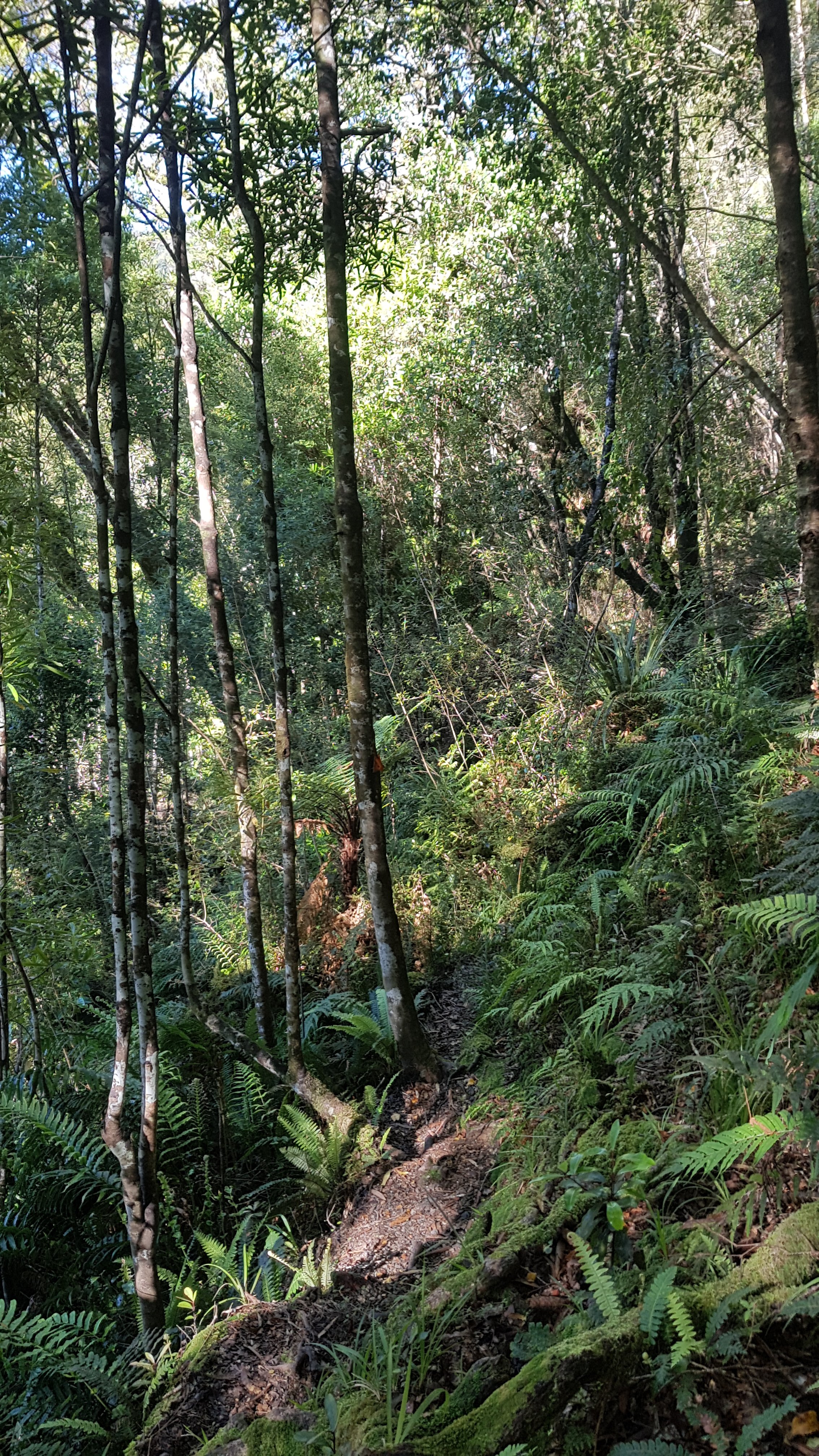
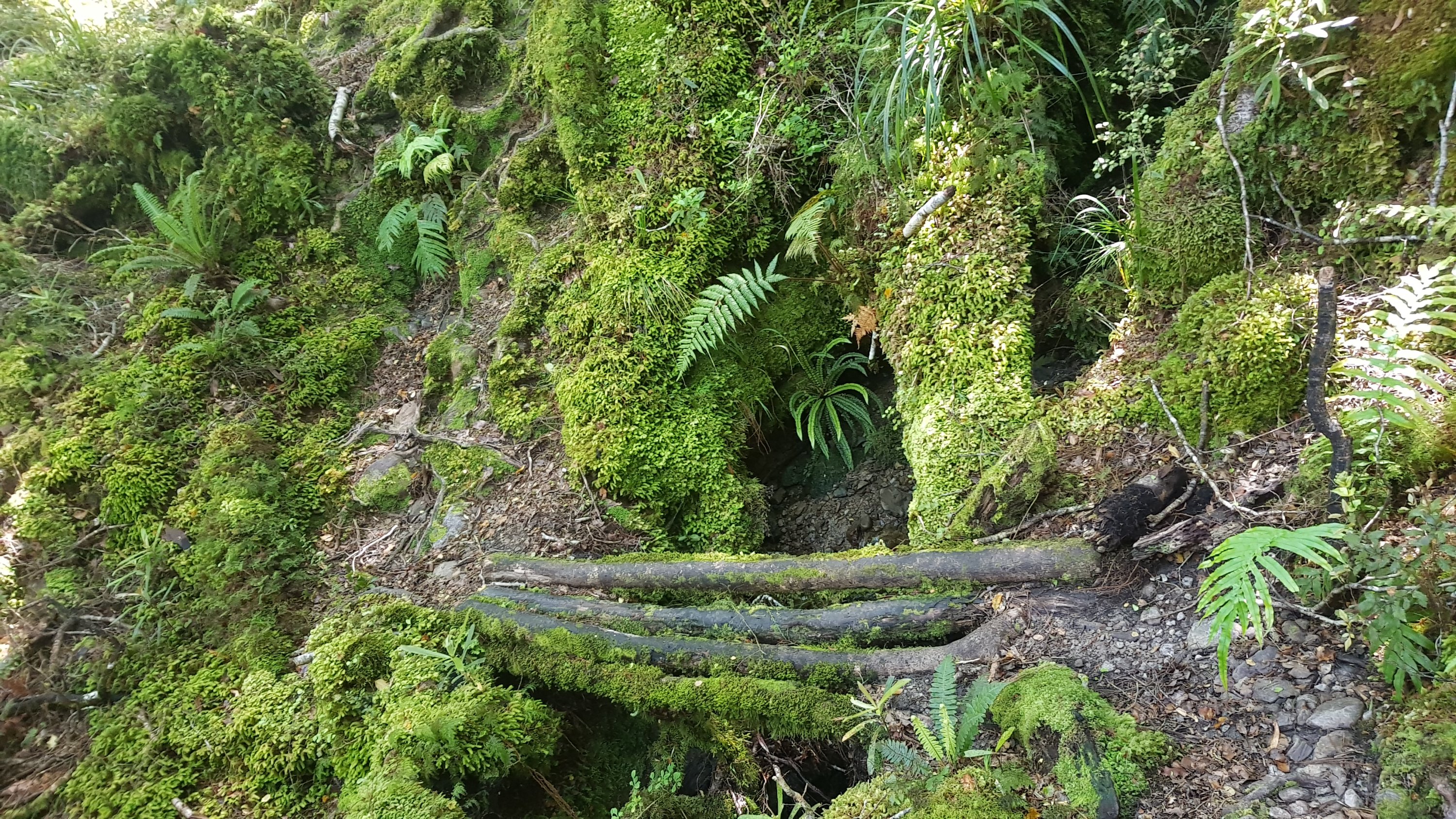
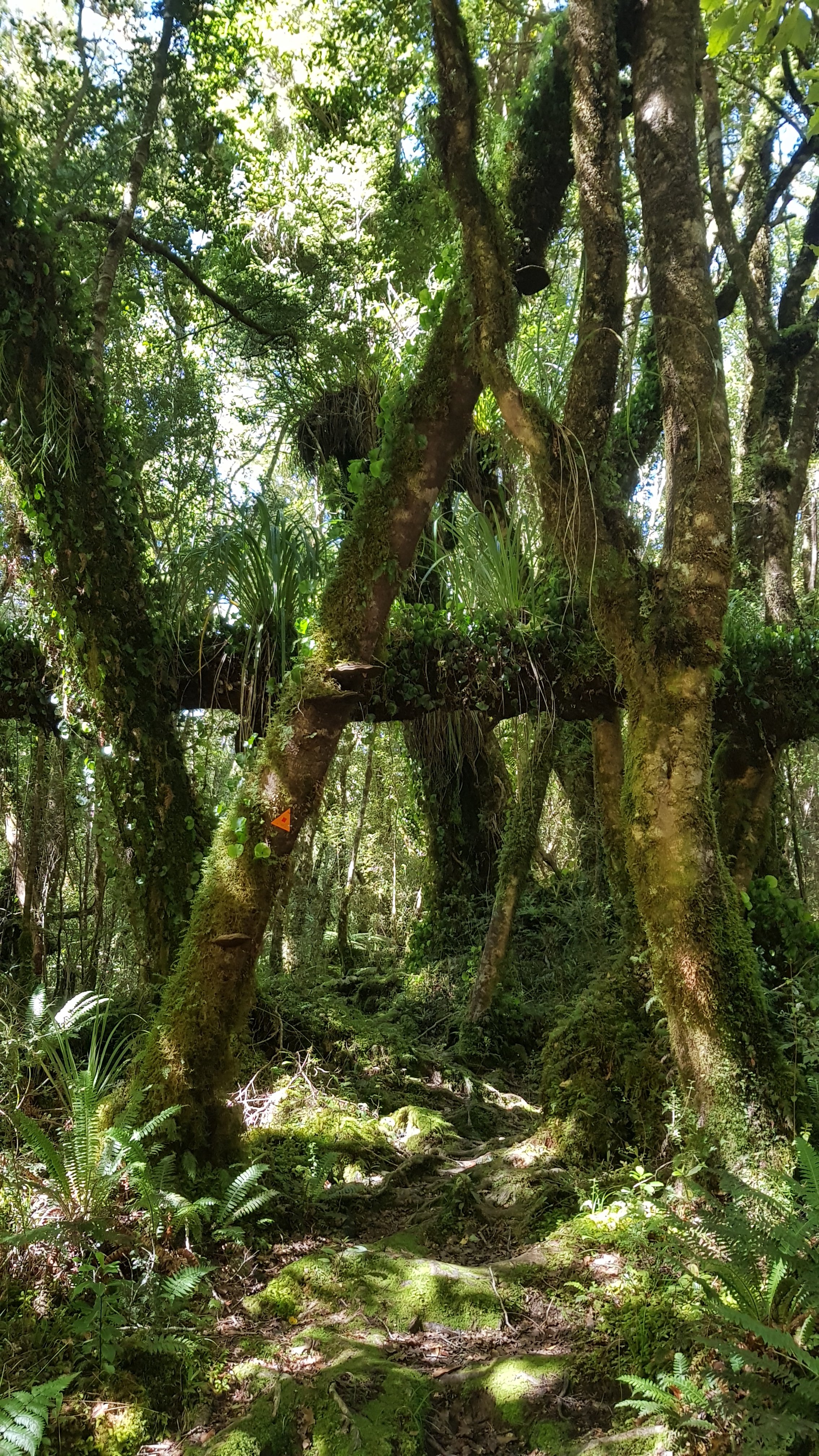
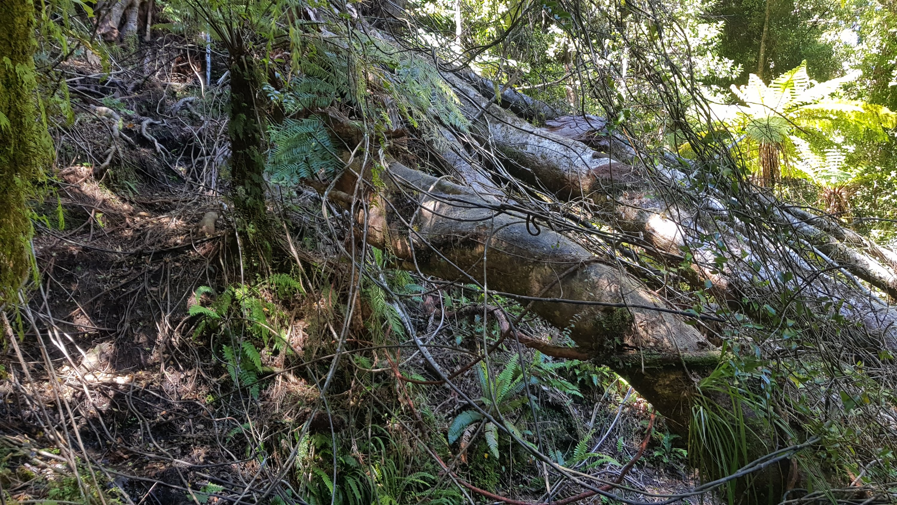
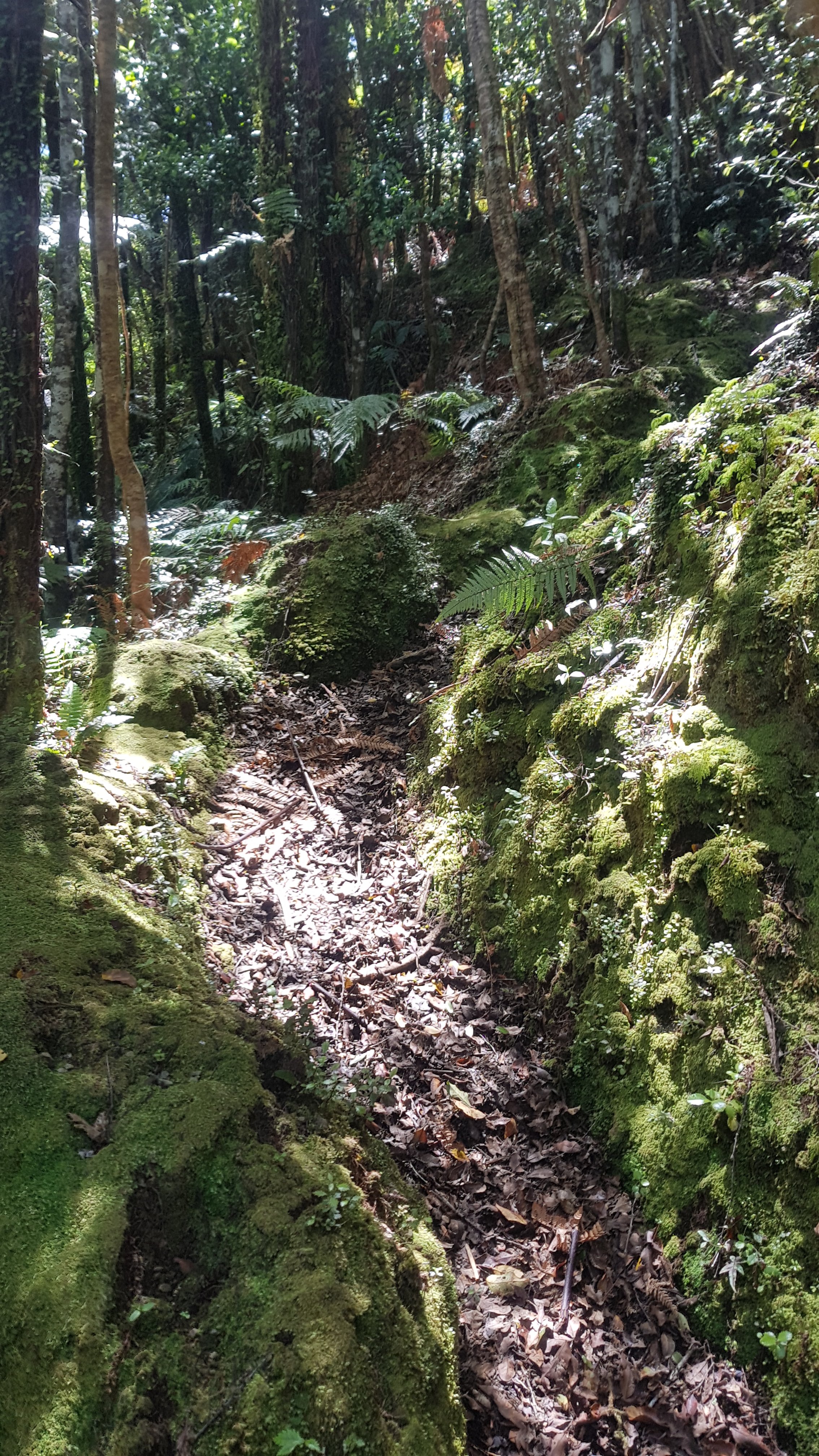
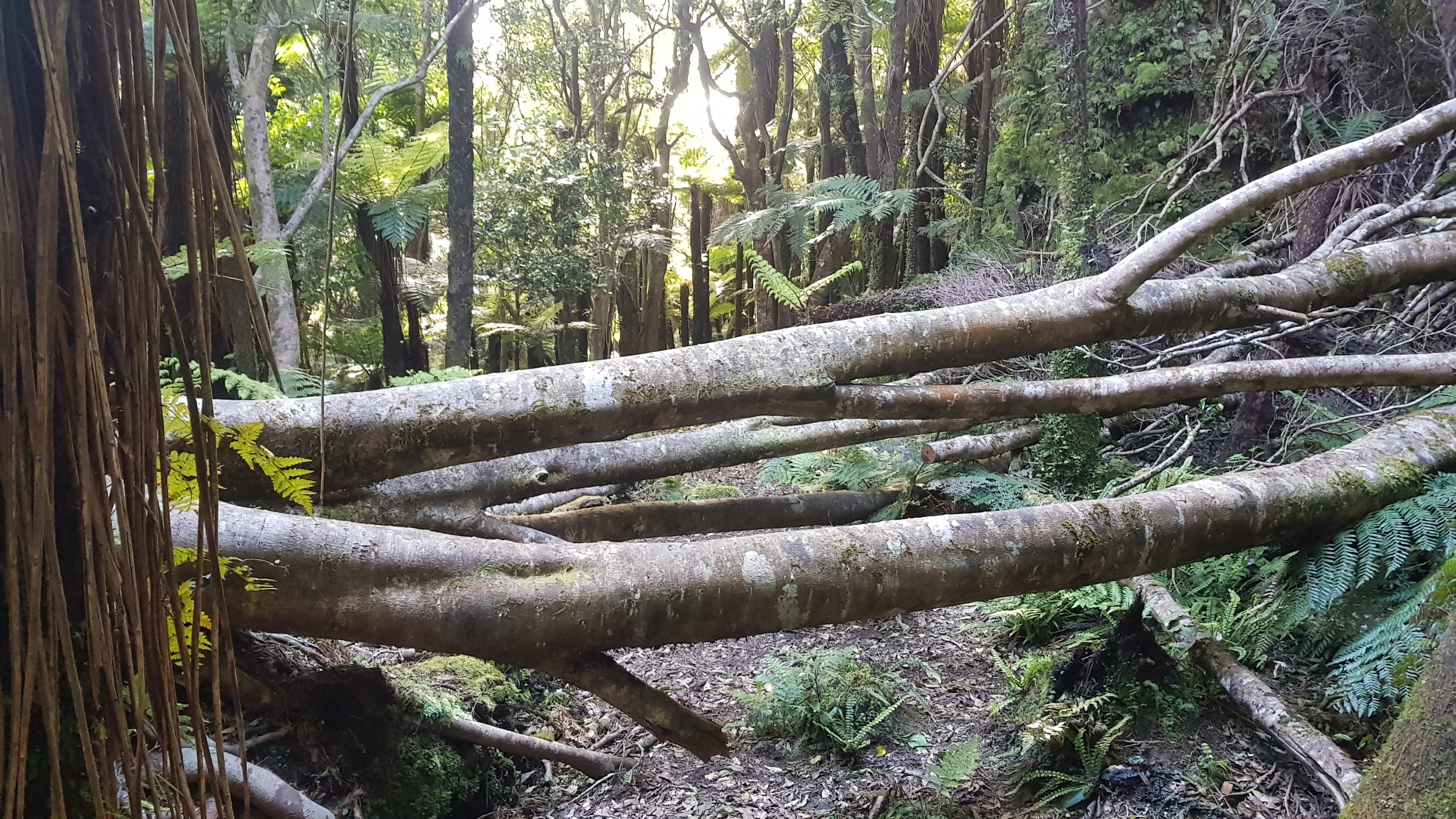
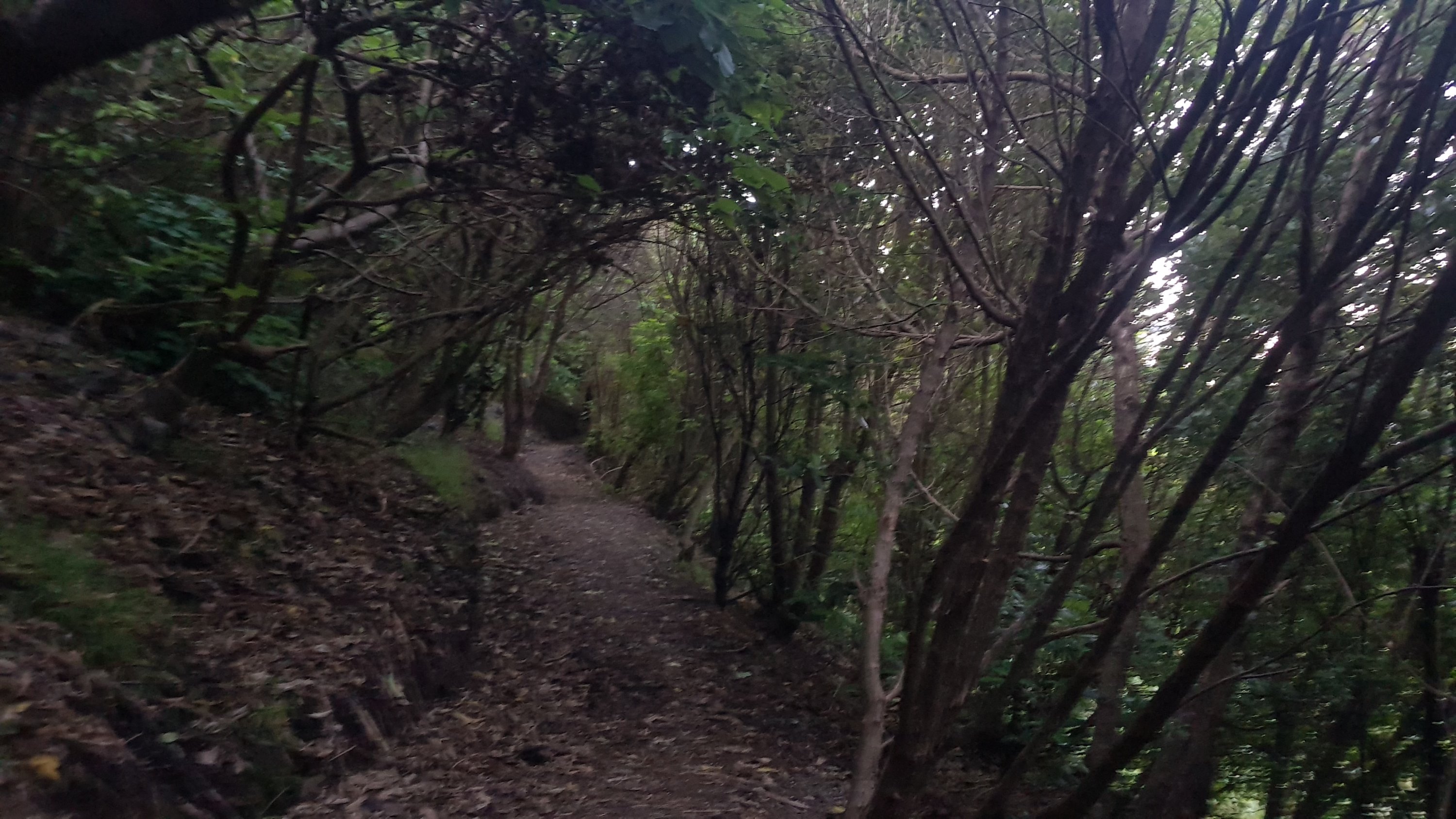
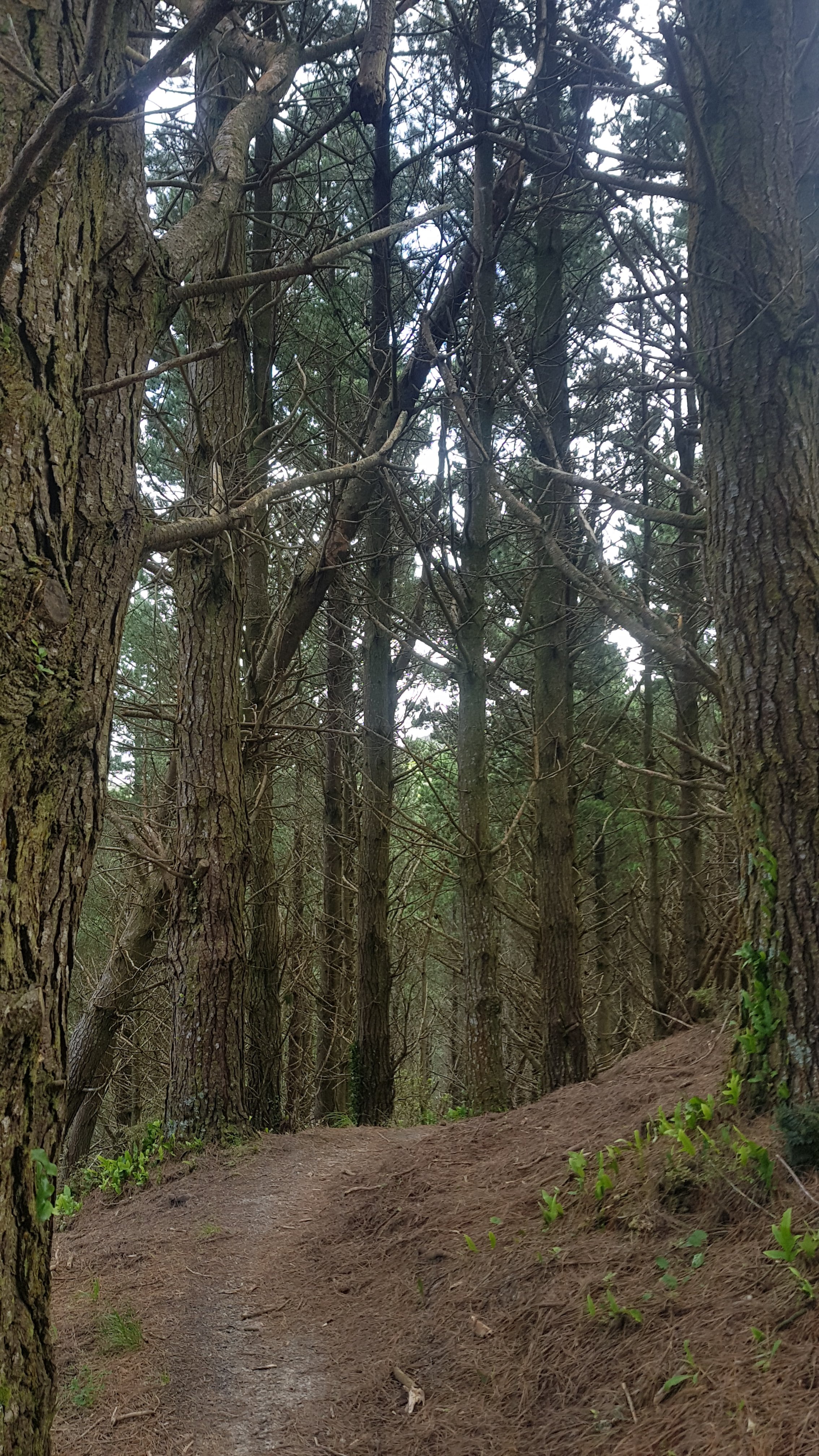
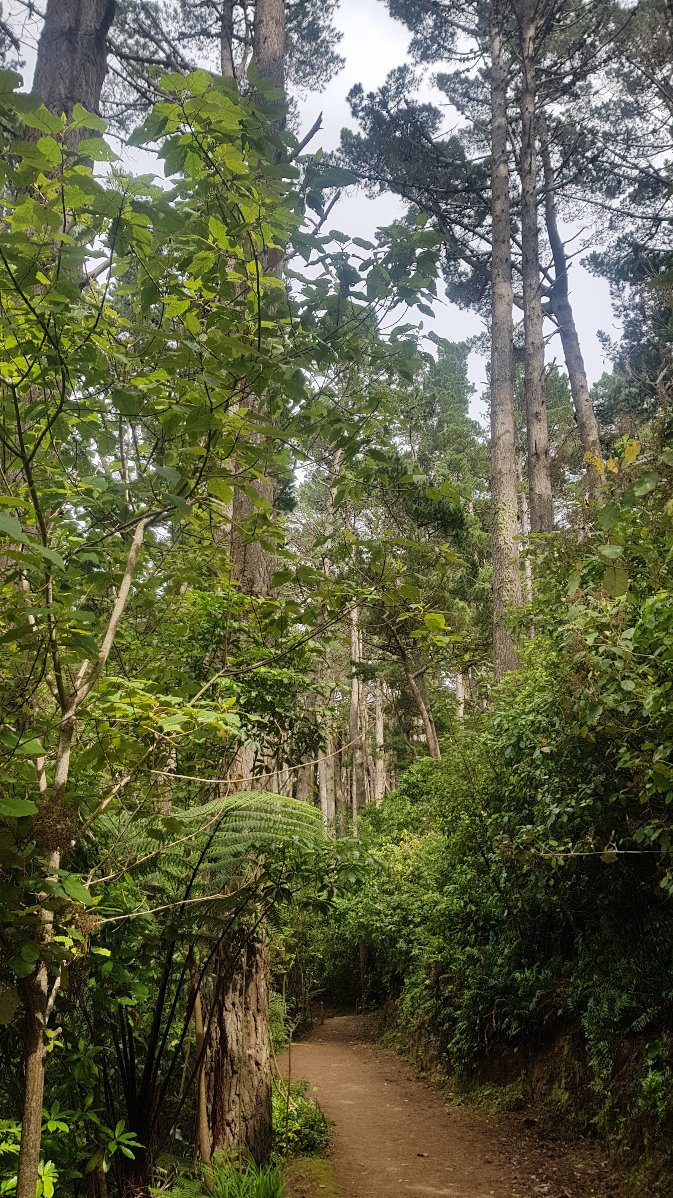
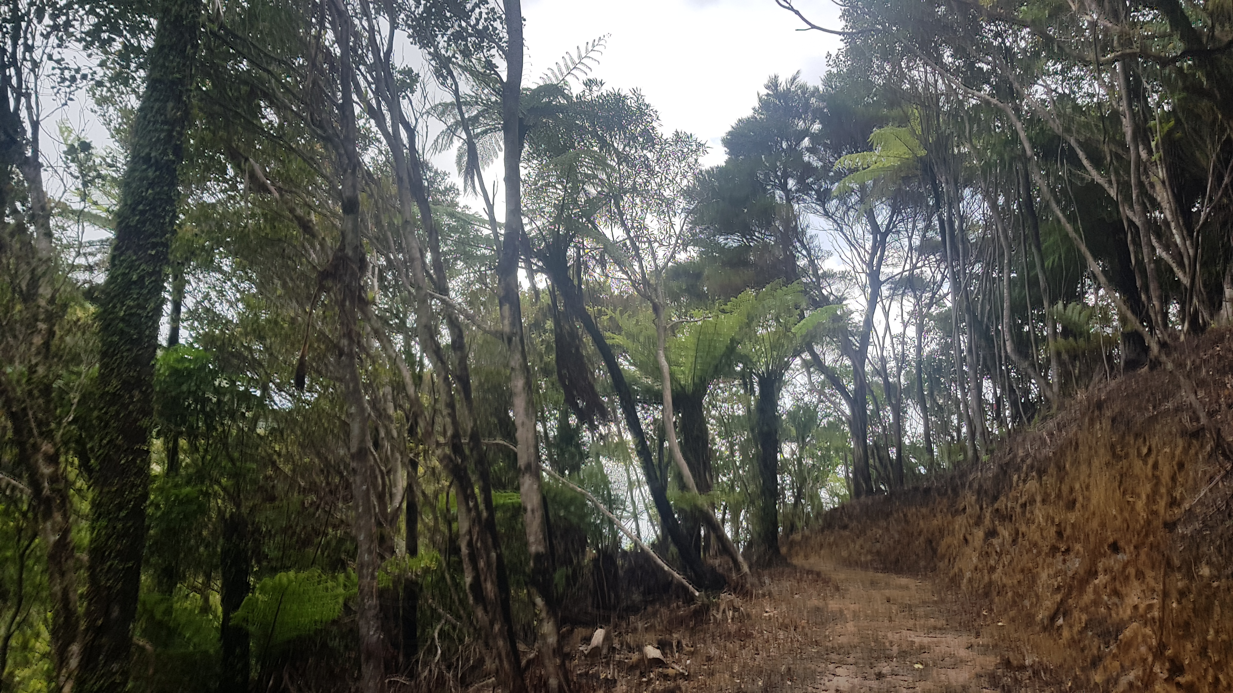
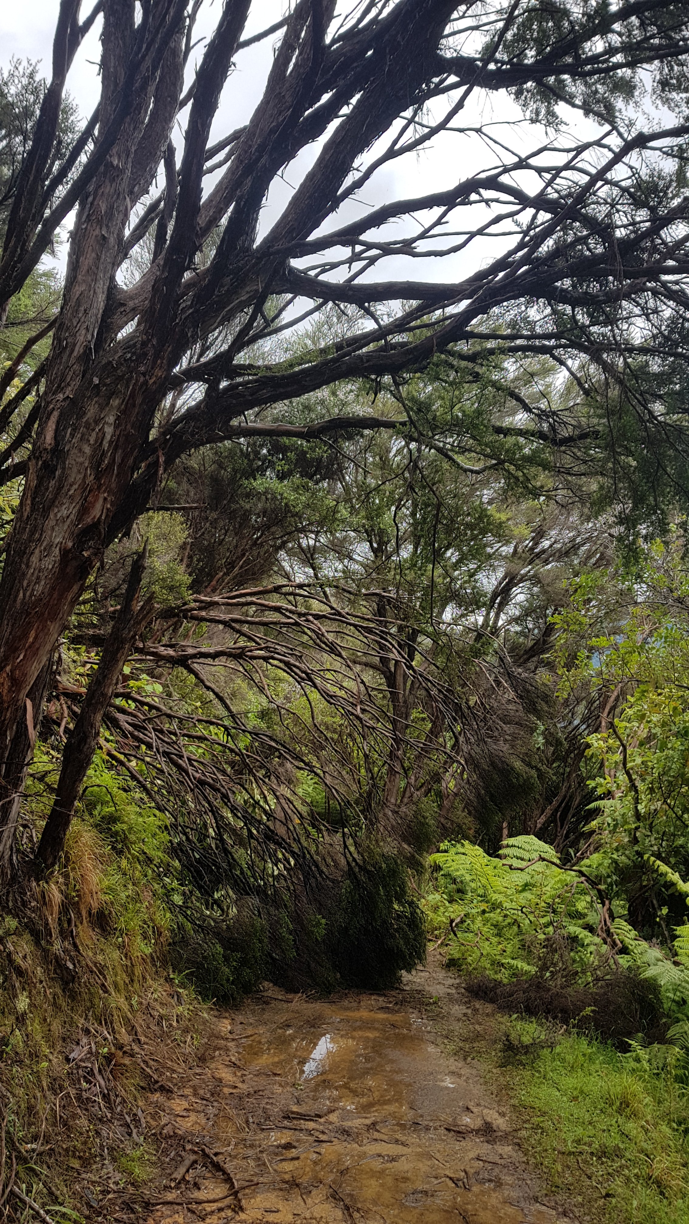
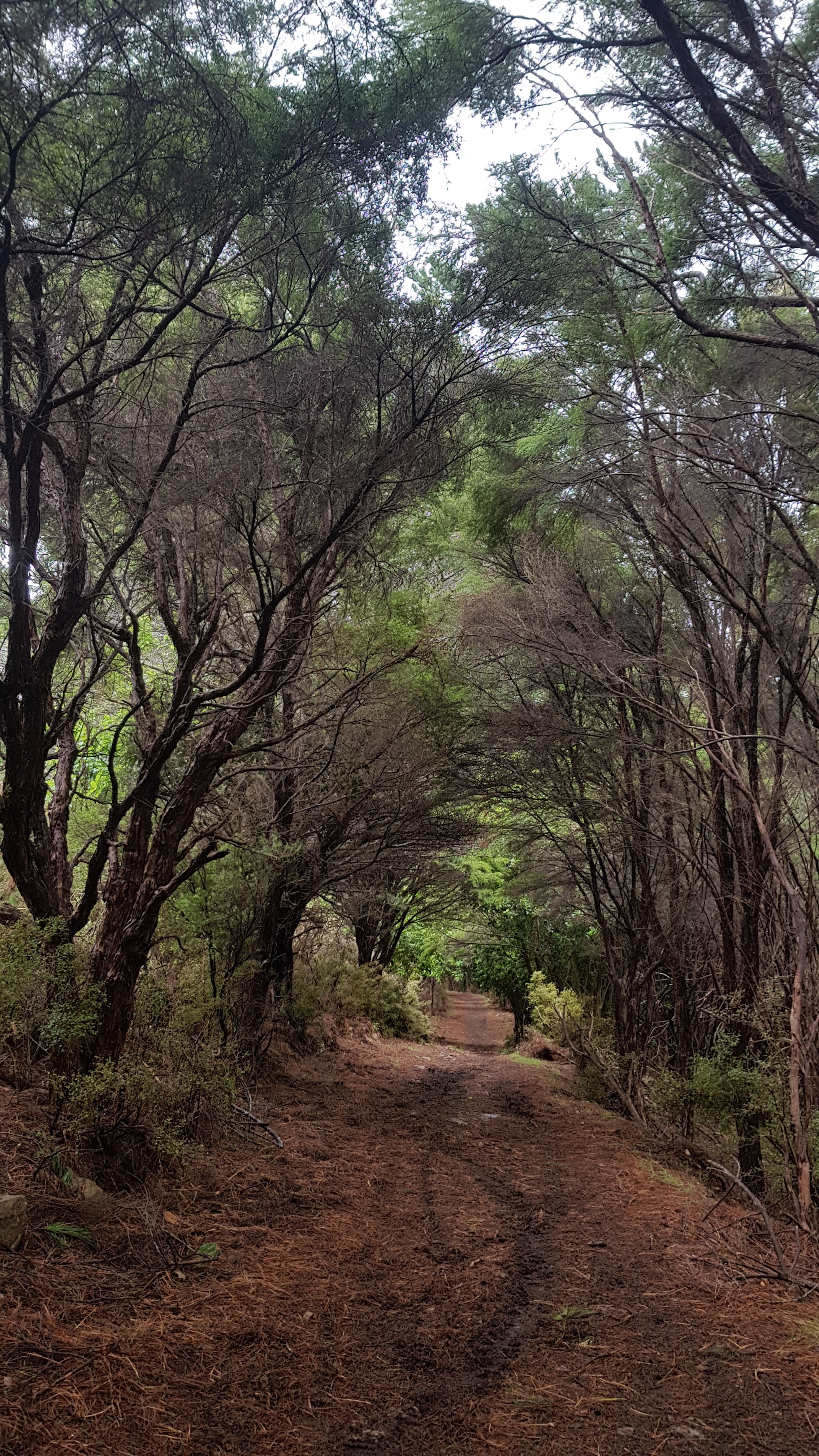
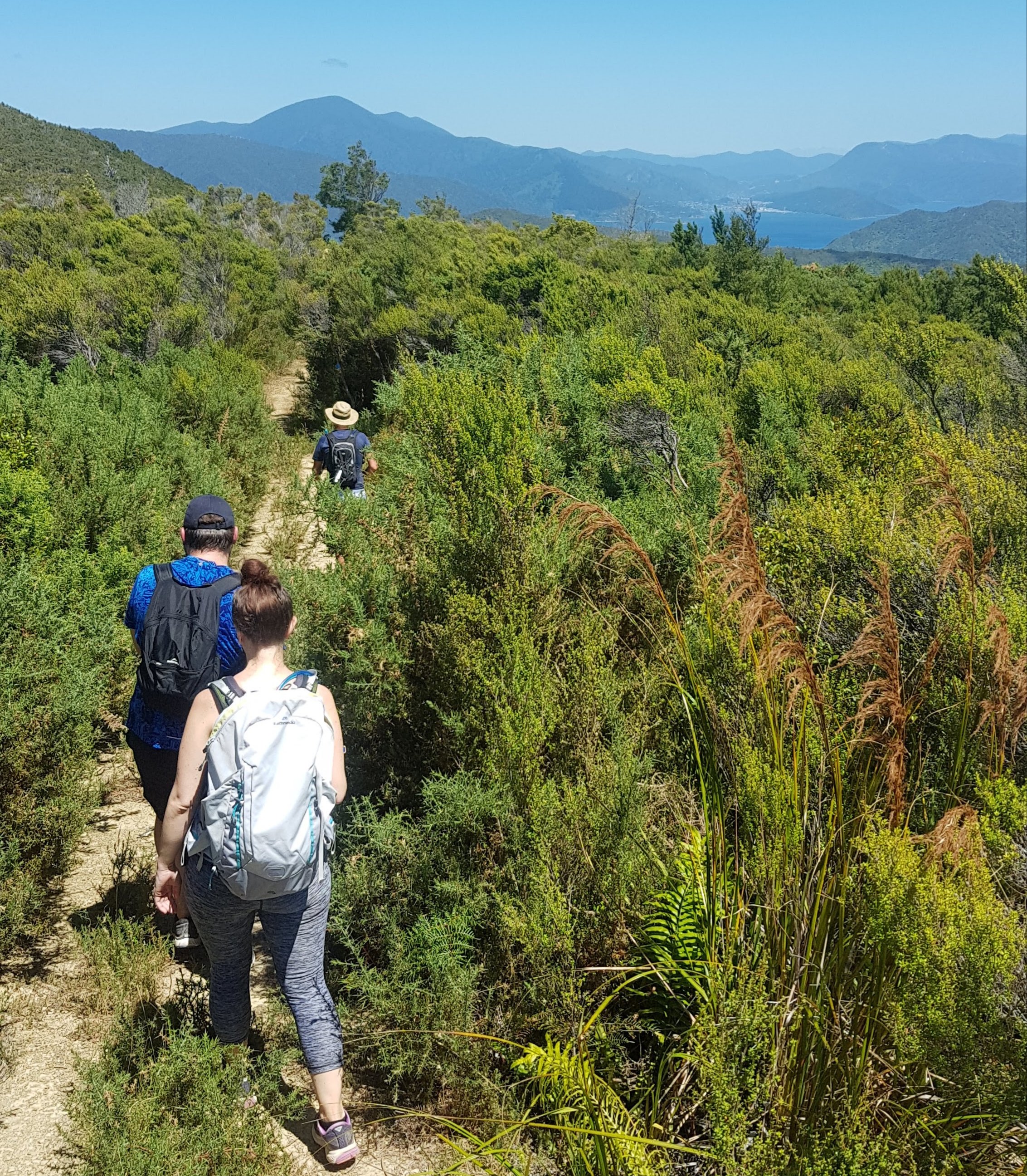
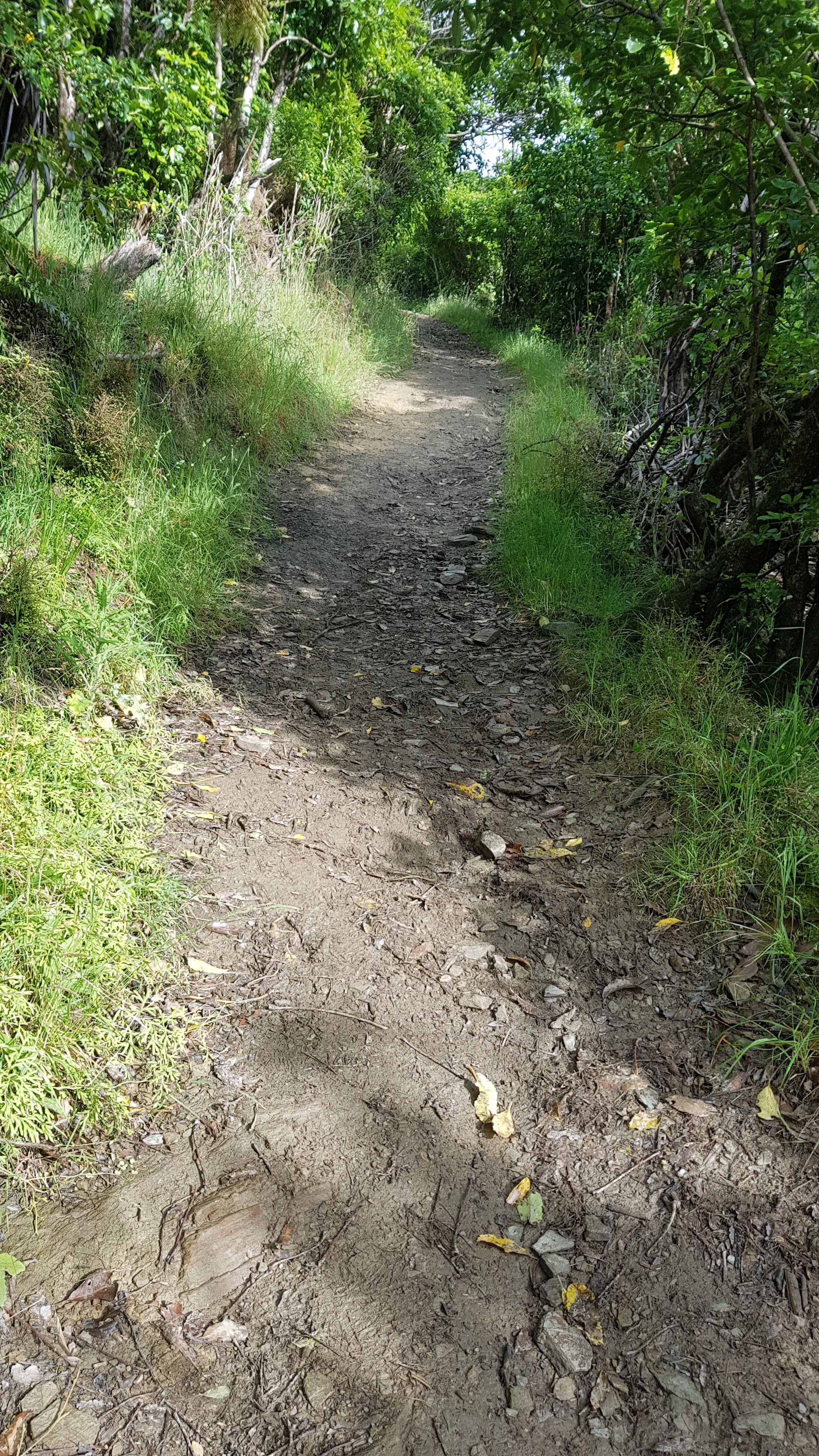
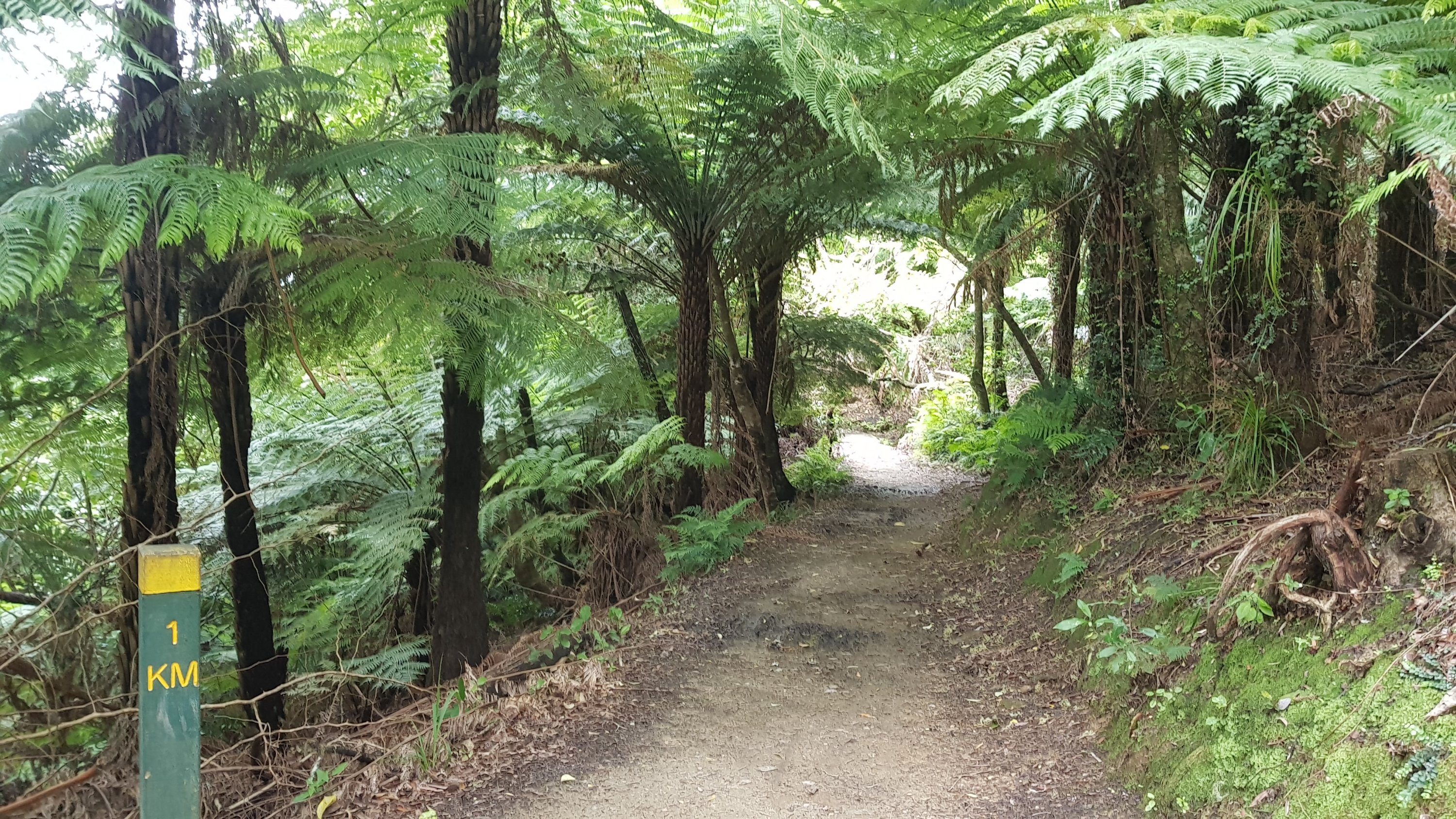
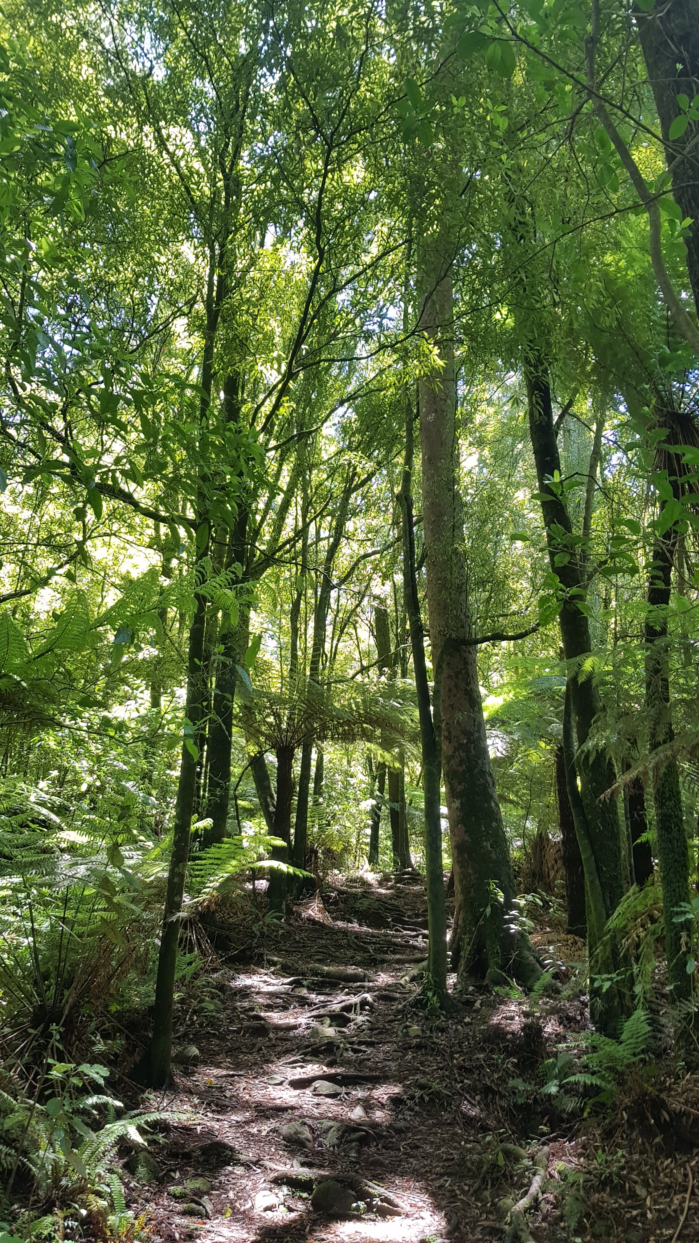
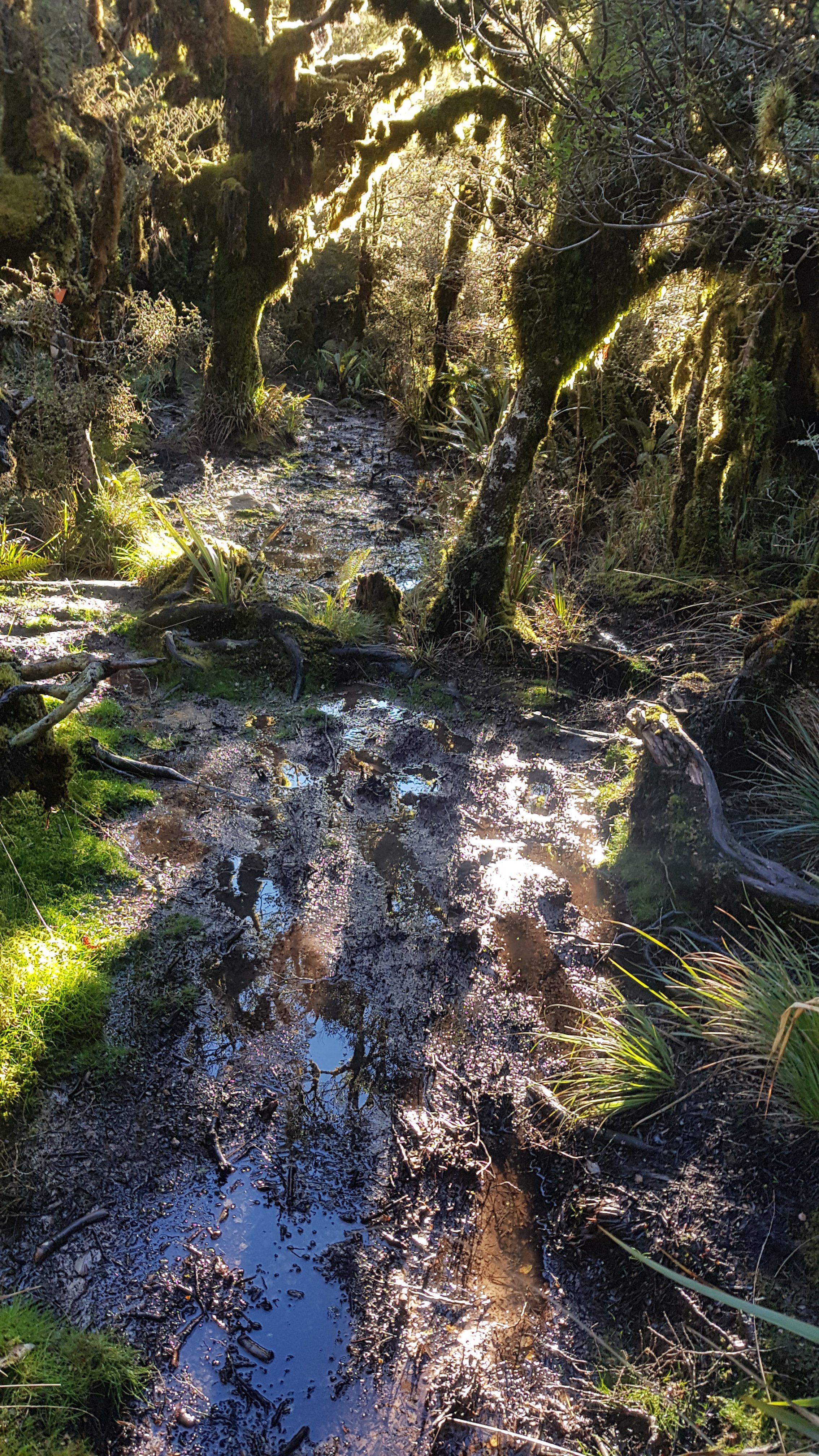
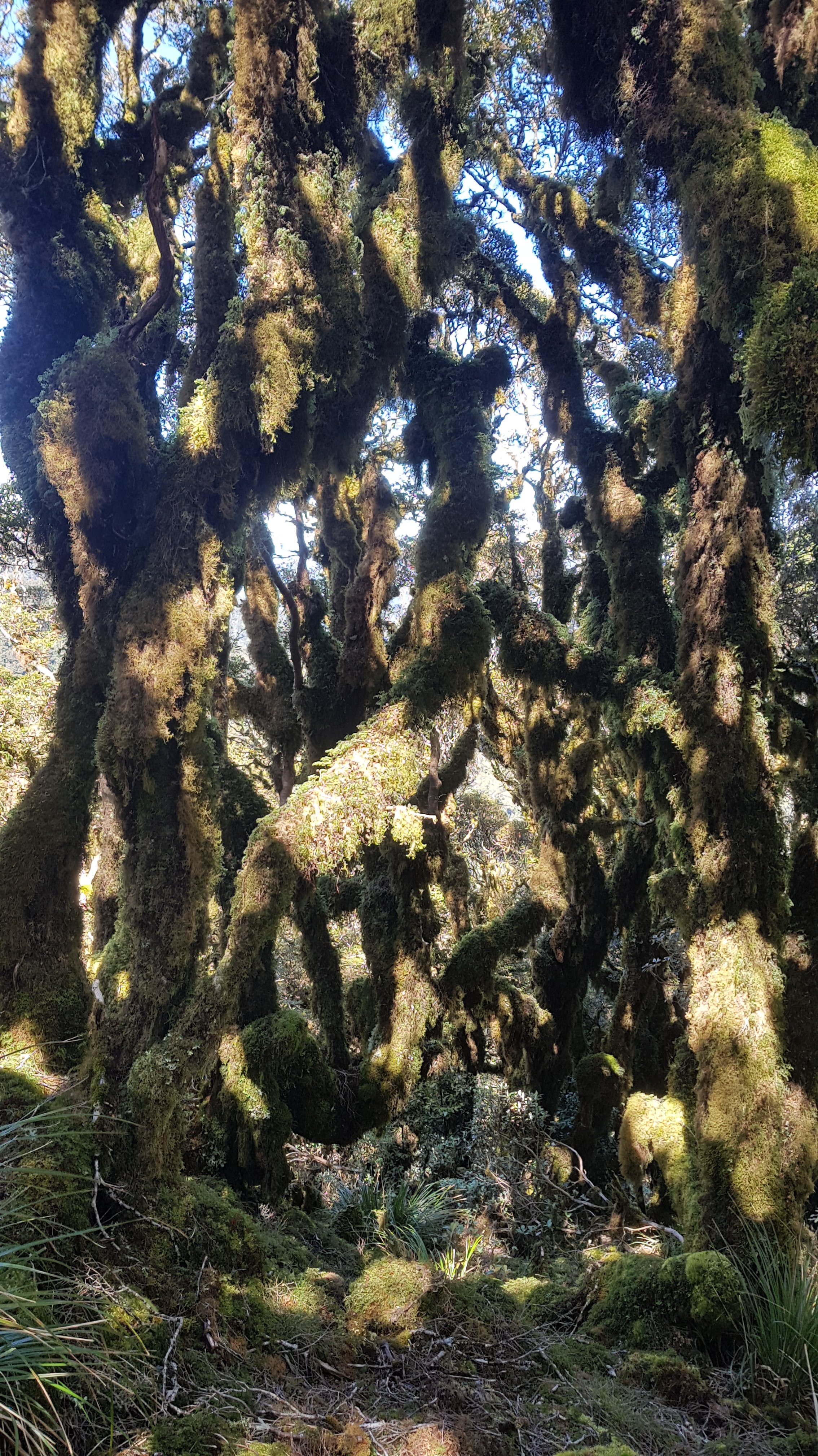
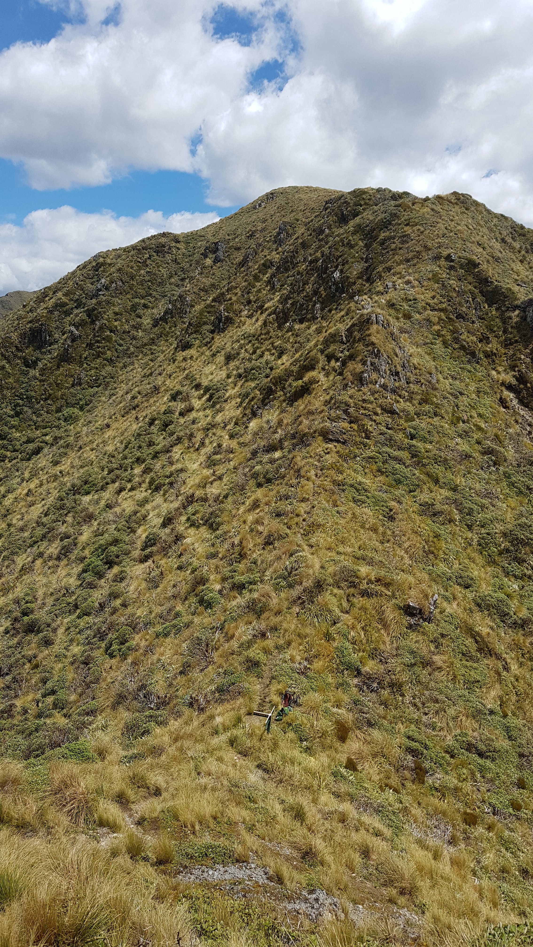
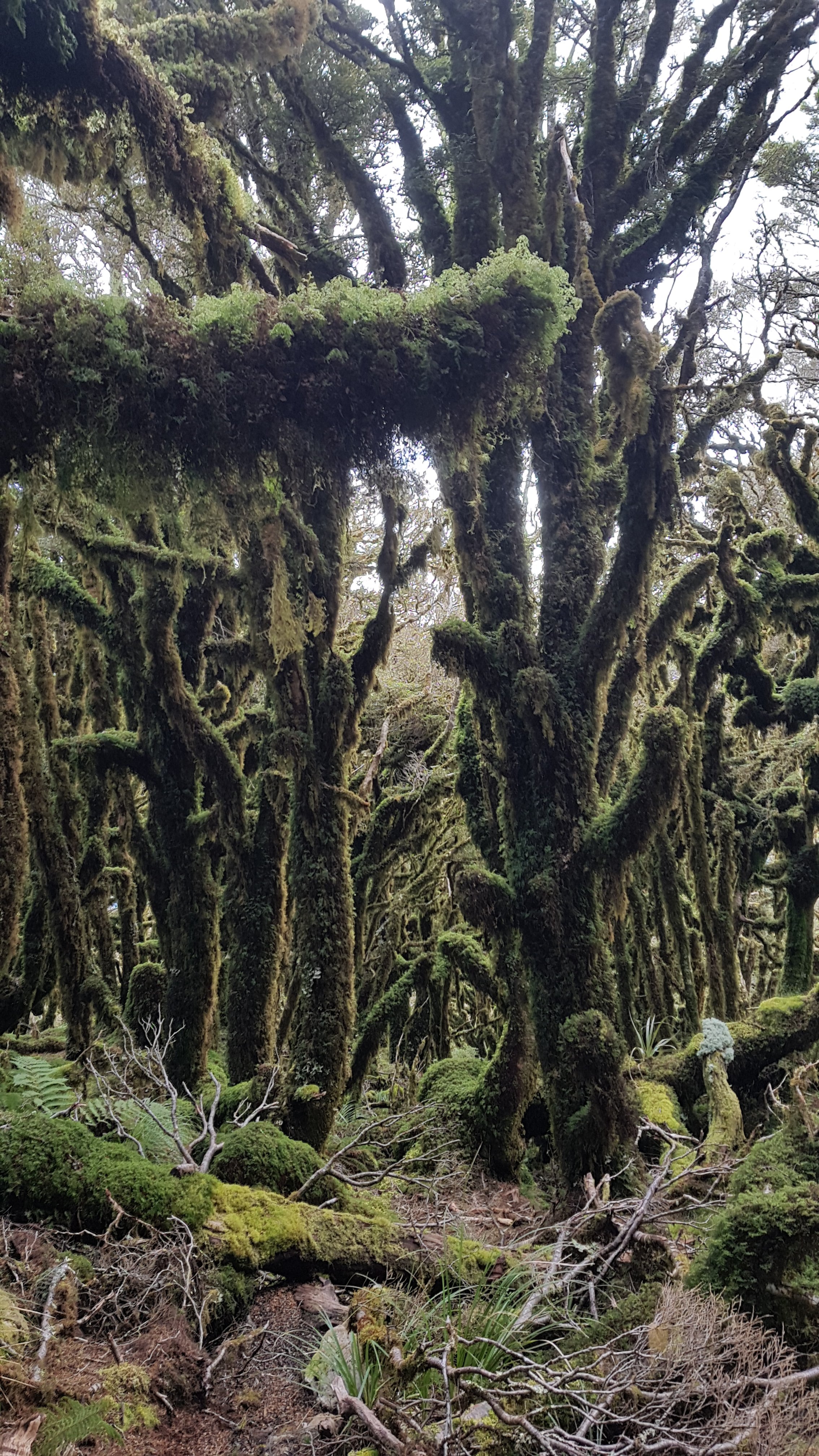
Once over the first peak, you go back below the treeline, and it’s clear when that’s happened, because you’re suddenly in the middle of this:

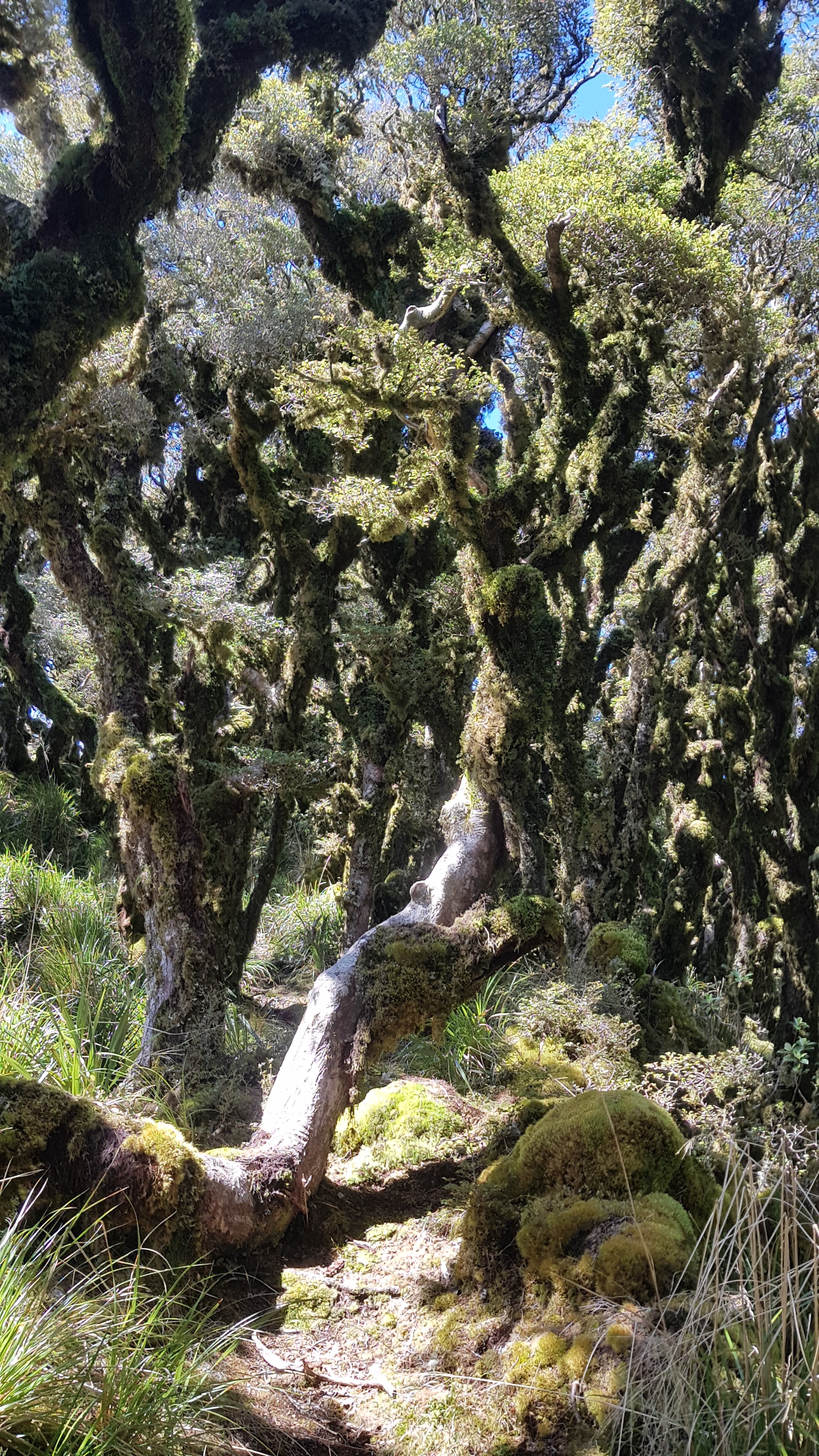
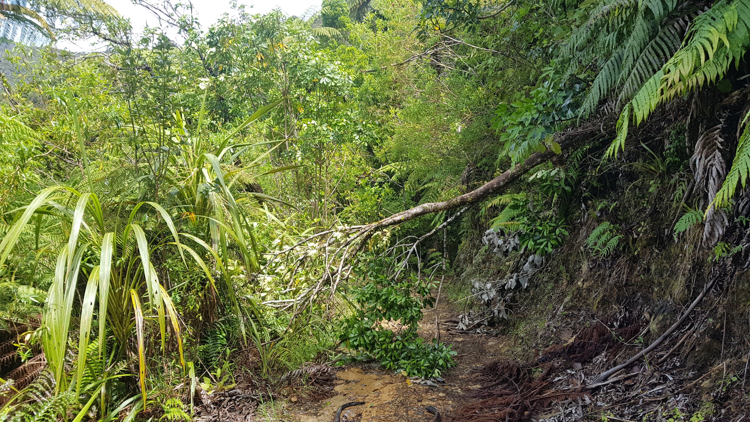
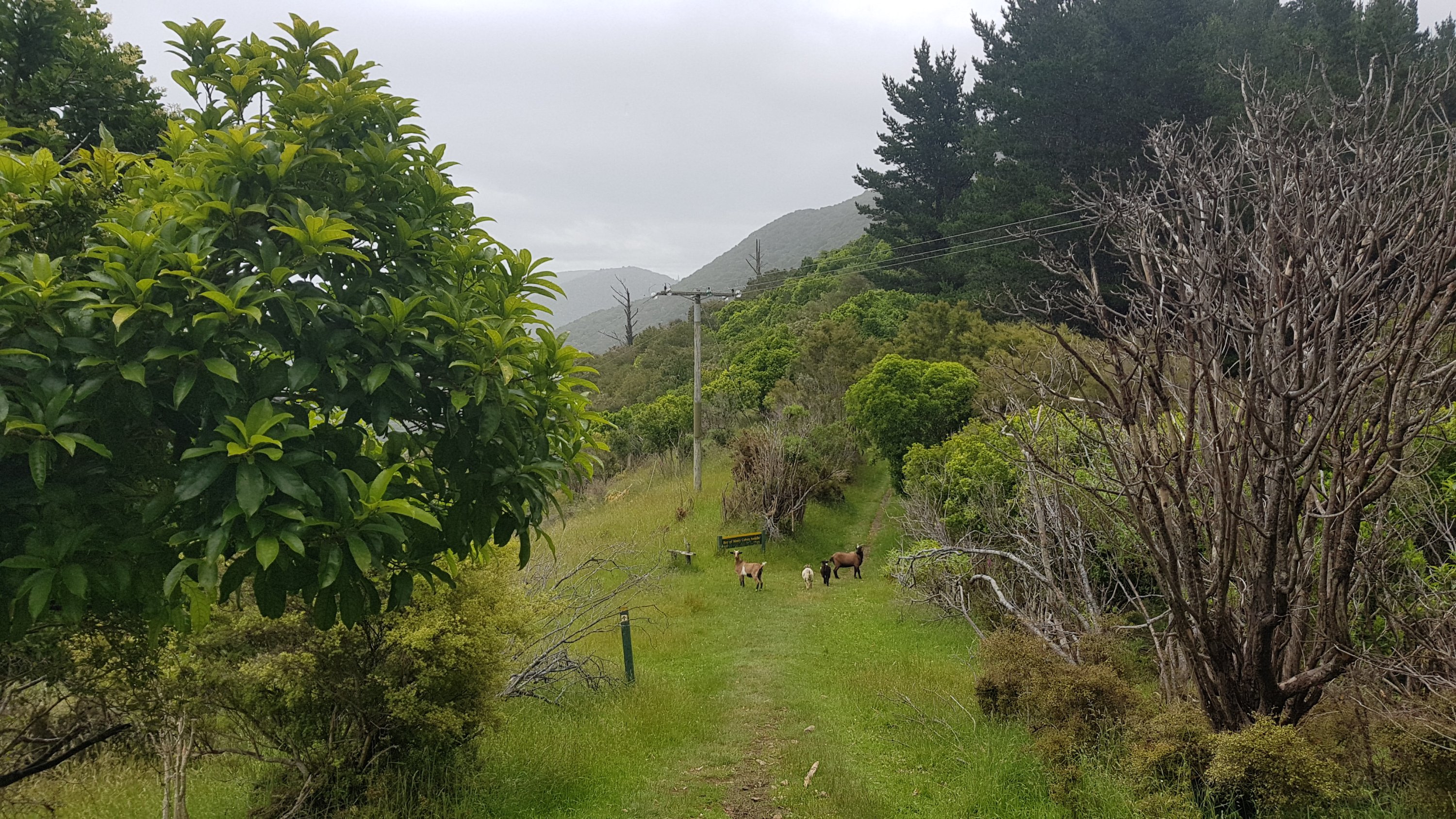
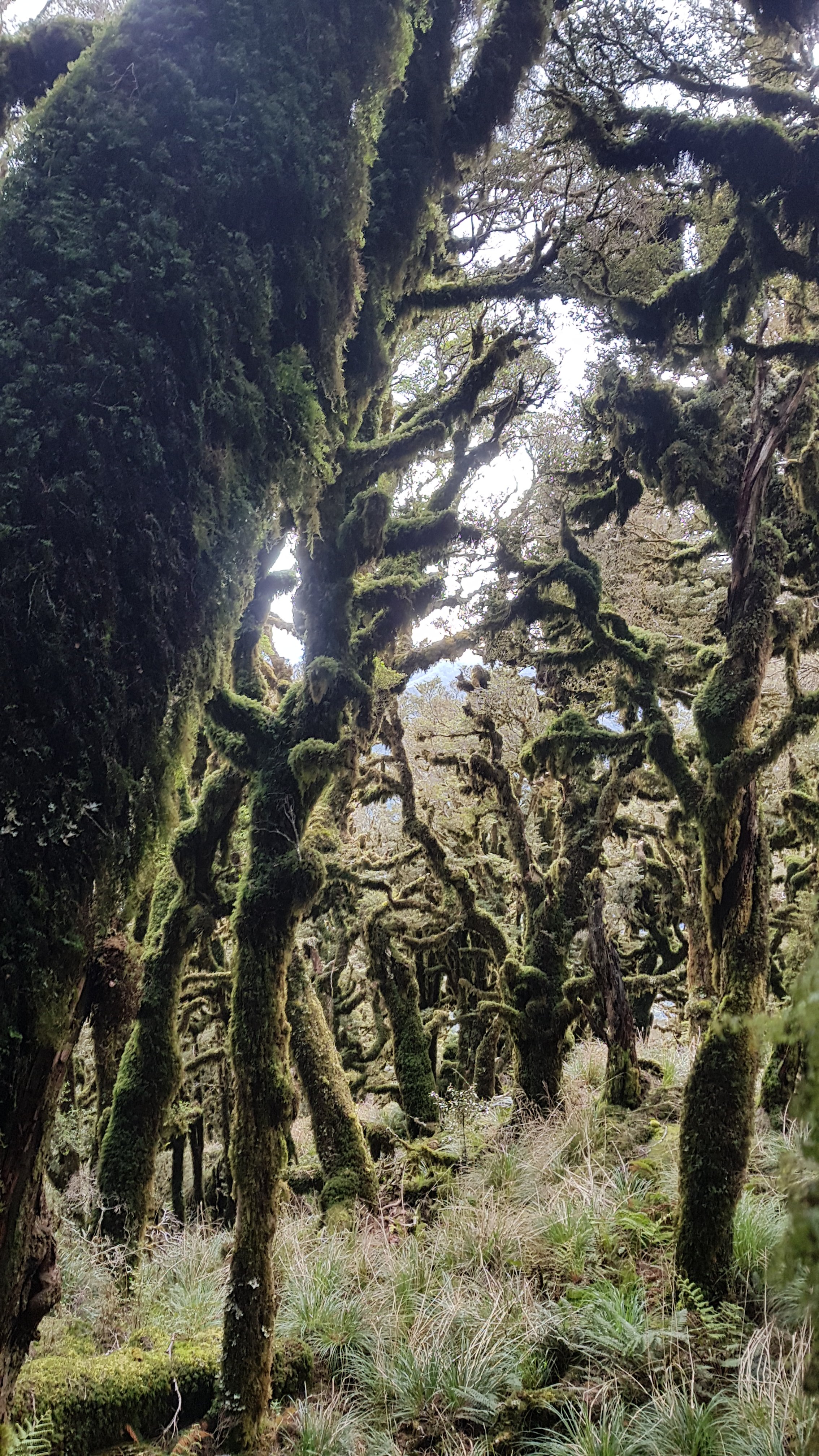
It can be very hard to find the way through here. For example, this section is marked but it’s not obvious how to get through:

Somewhere there’s a path through…

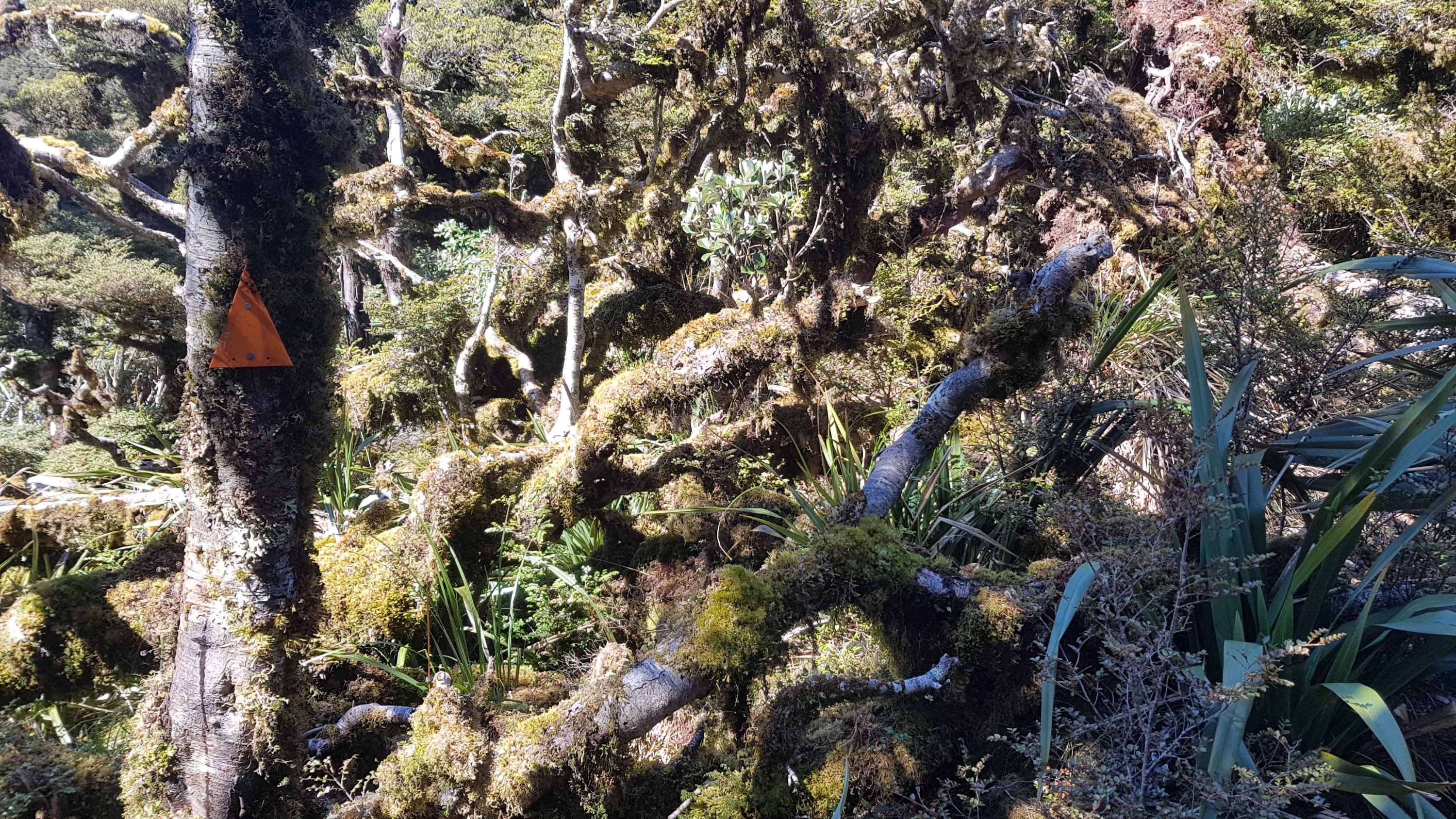
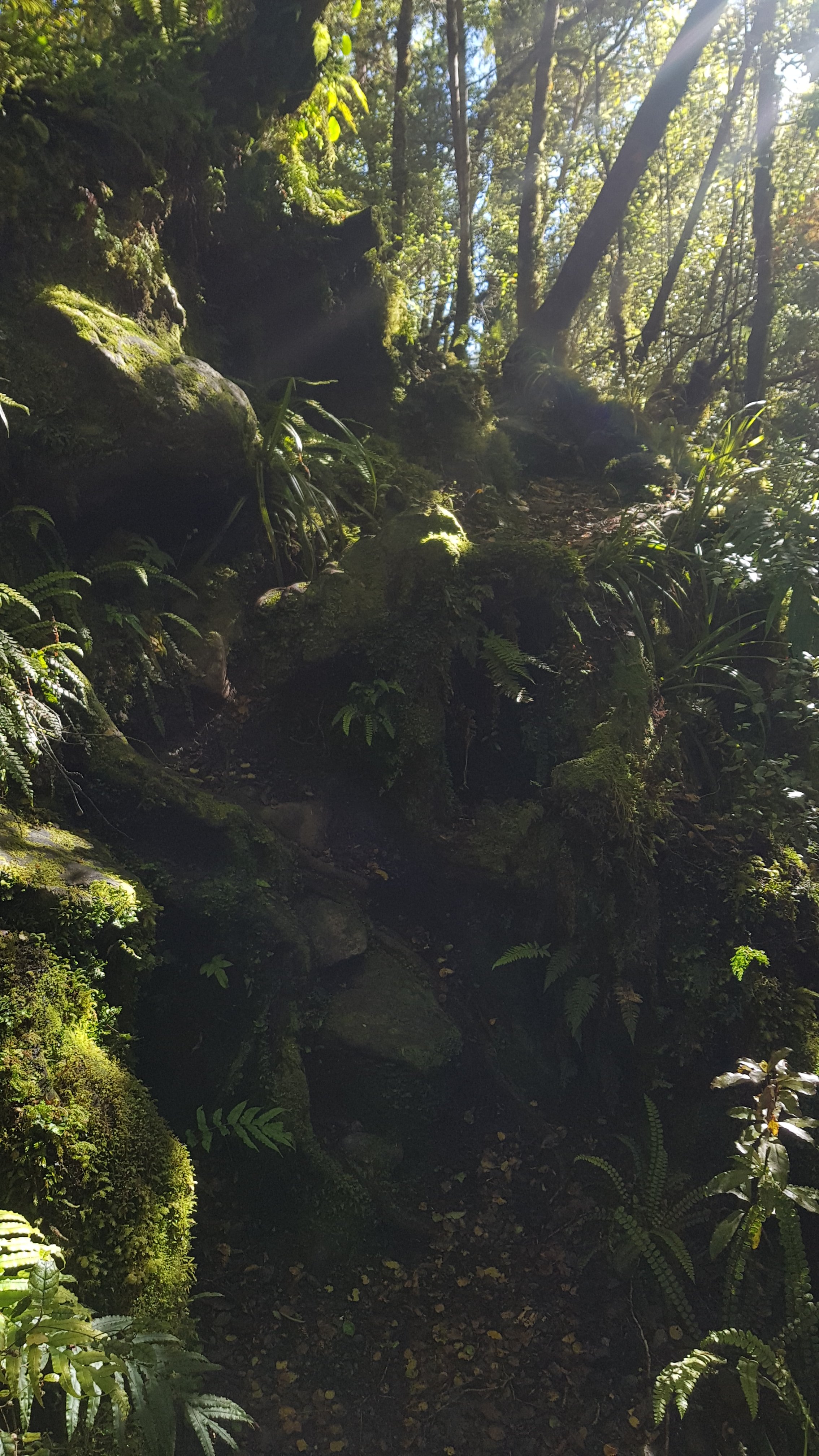
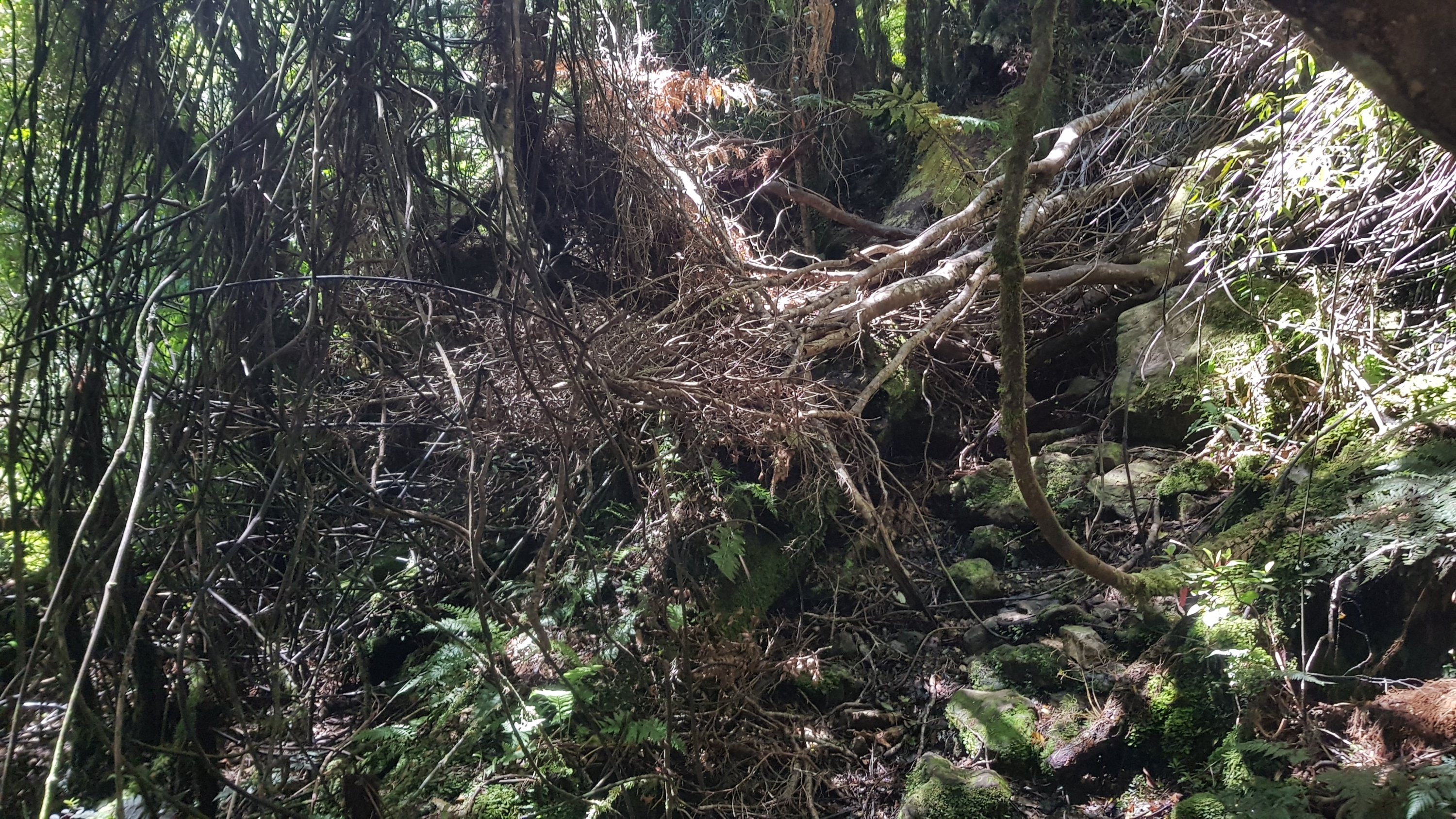
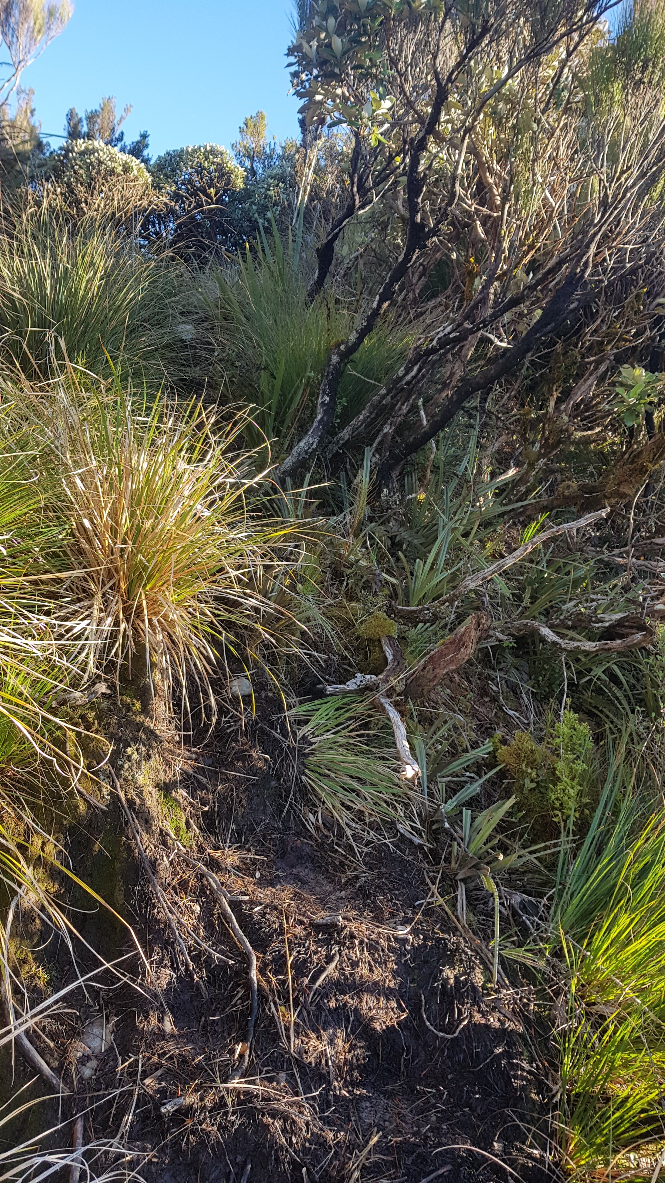
And sometimes it’s just not marked at all.

There were more than a couple of occasions where I stopped, thought “this can’t be right”, backtracked to the last orange triangle I saw and found a better way. Sometimes it was a bit scary being in the middle of all these trees and not having any idea where the path is and feeling lost. Lucky I have a relatively good sense of direction, and also a GPS-capable phone and also a compass.

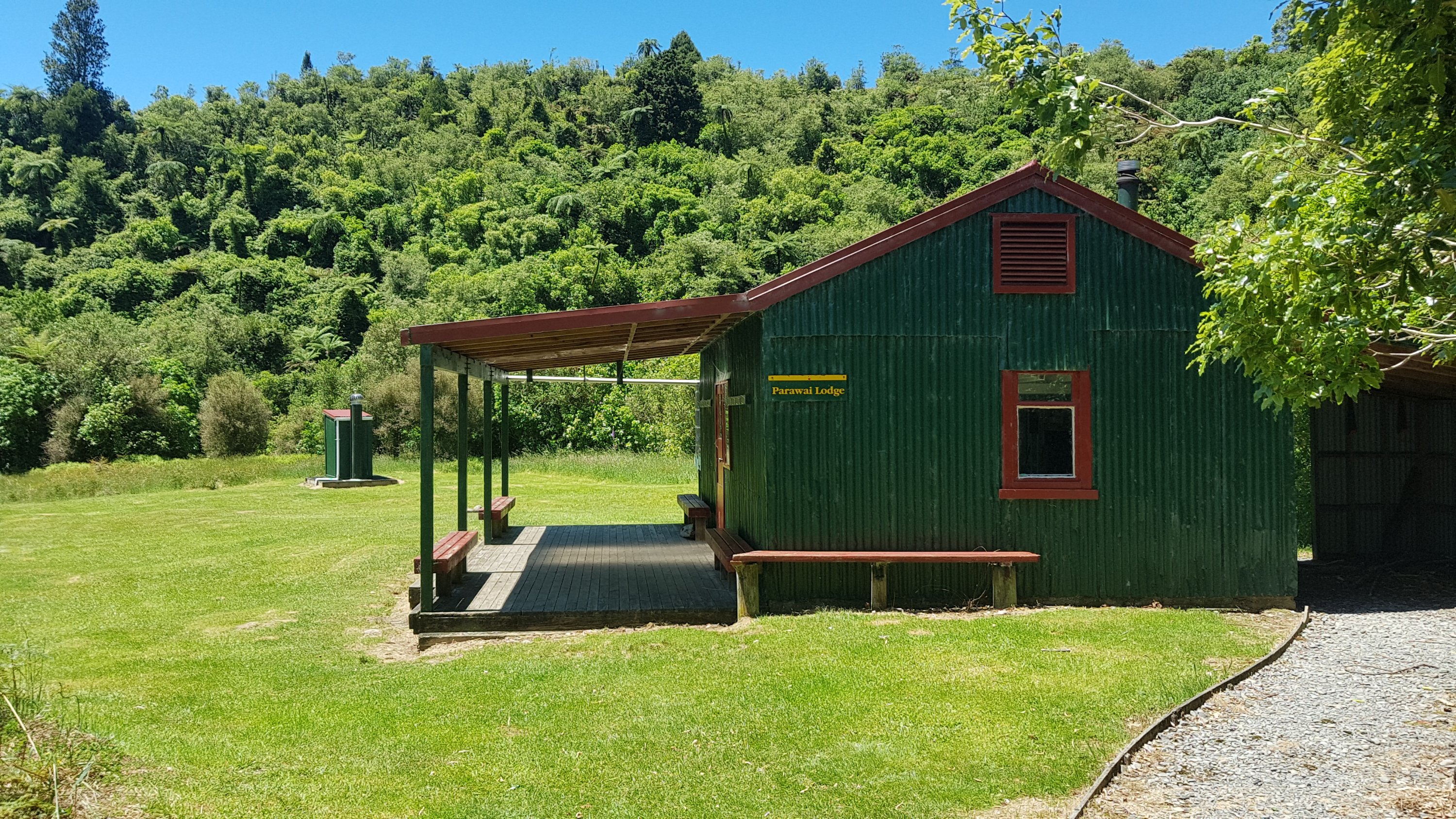
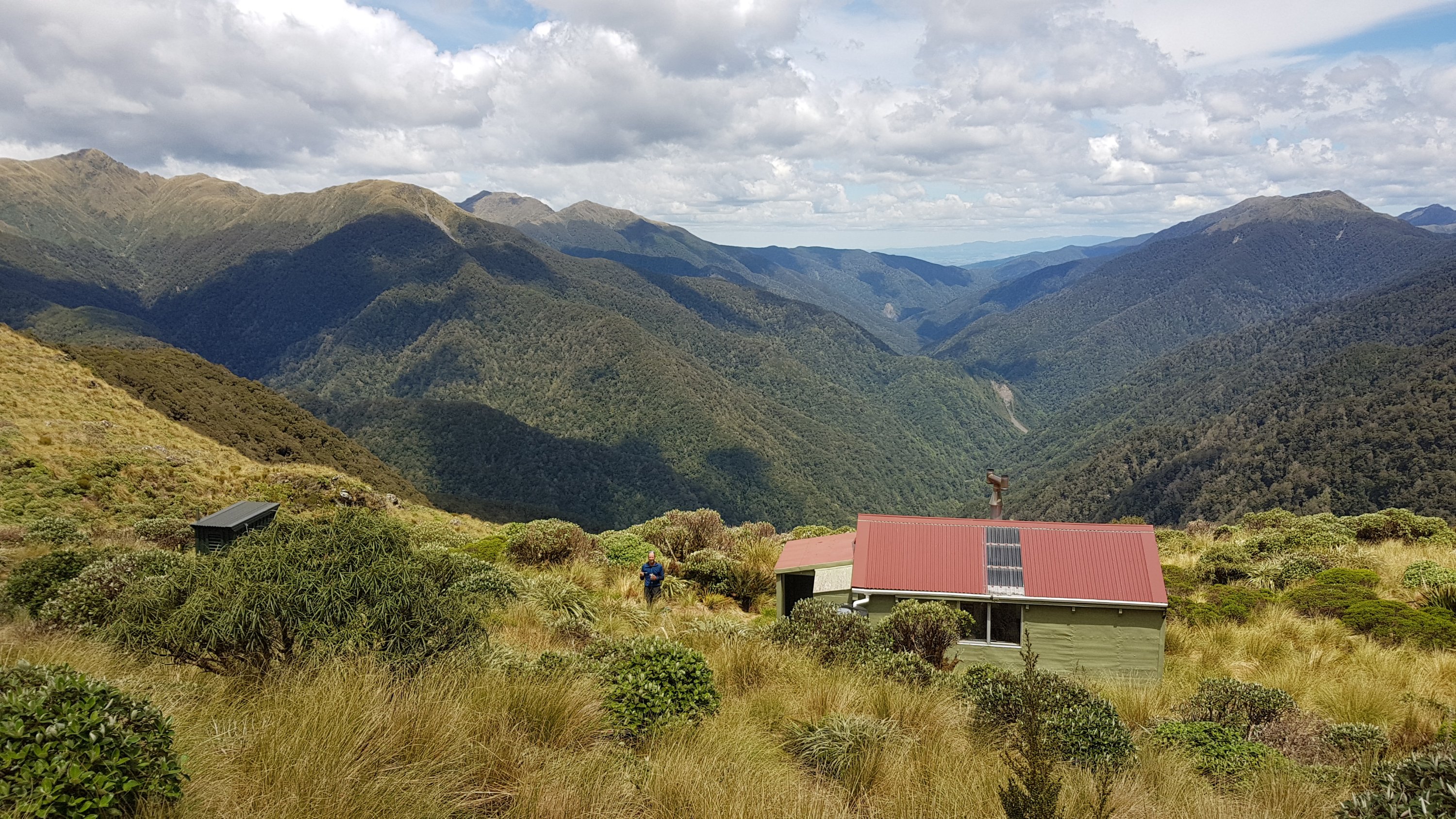
My plan today was to leave at 7am, get to Dracophyllum Hut by 11am, to Nichols Hut by 3pm and to Waitewaewae Hut by 7pm. I got to Dracophyllum Hut right on 11am.

11am picture – Dracophyllum Hut
I’m glad I spelt Dracophyllum correctly so I don’t have to go back and change it everywhere

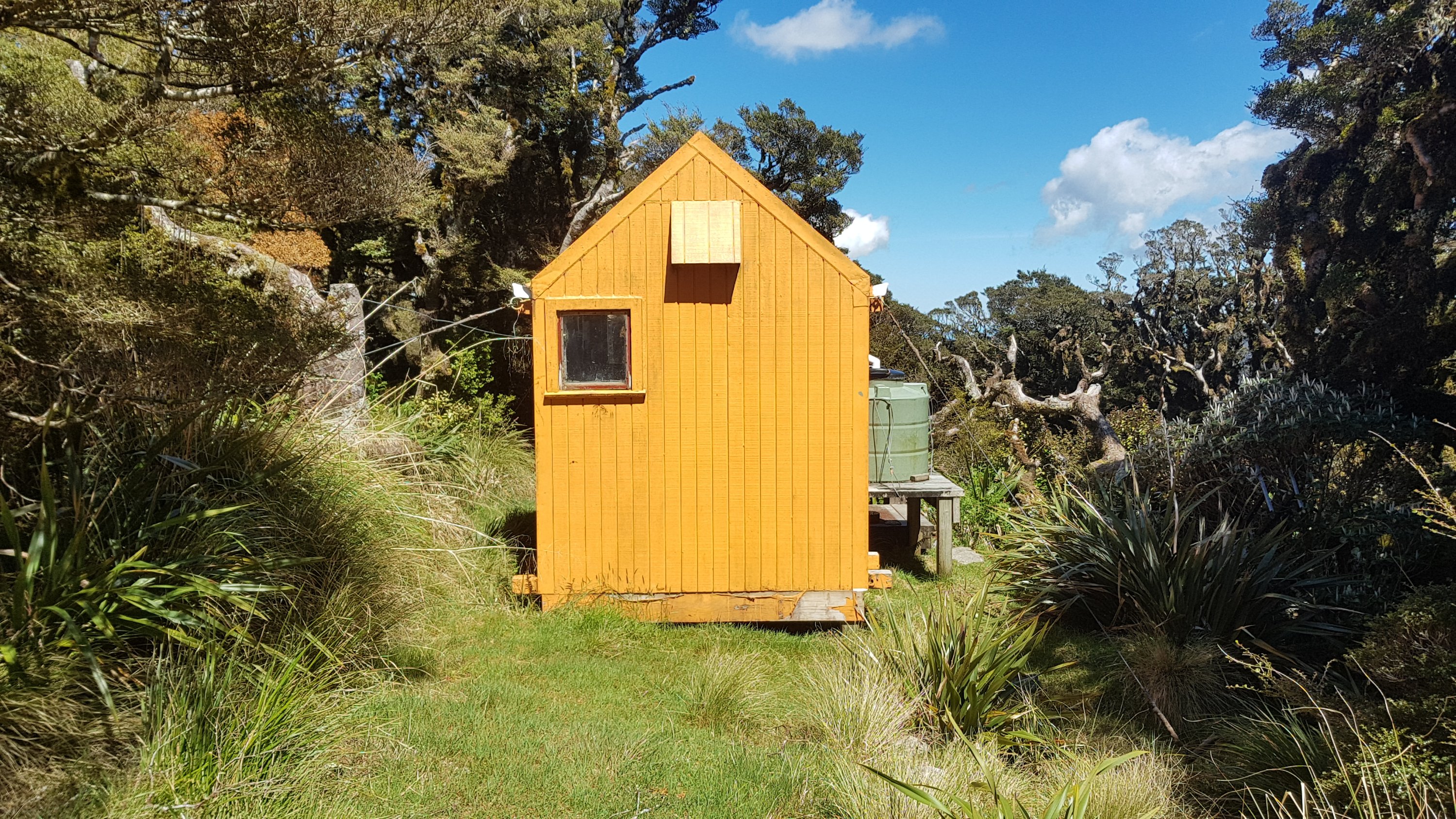
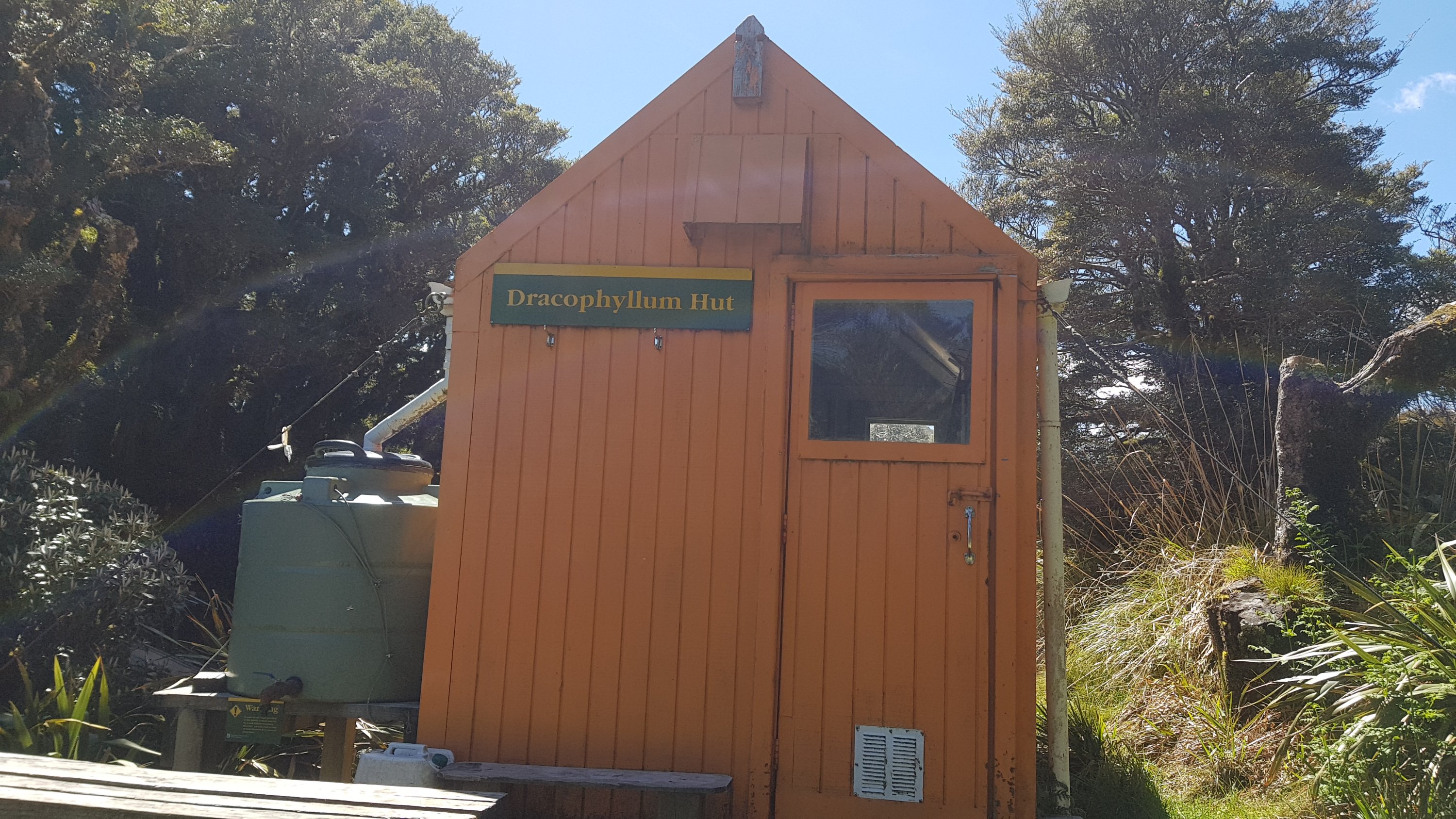
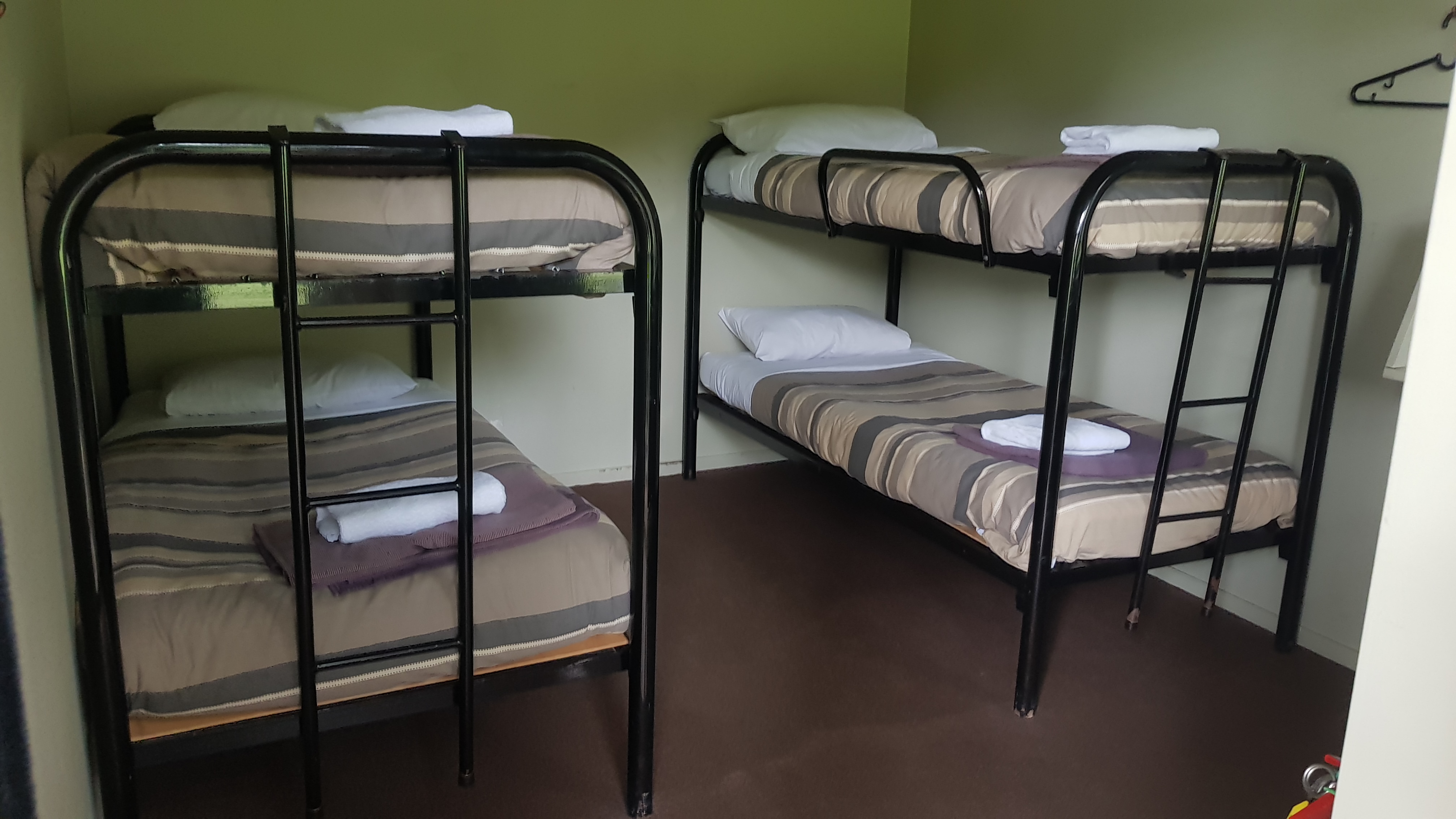
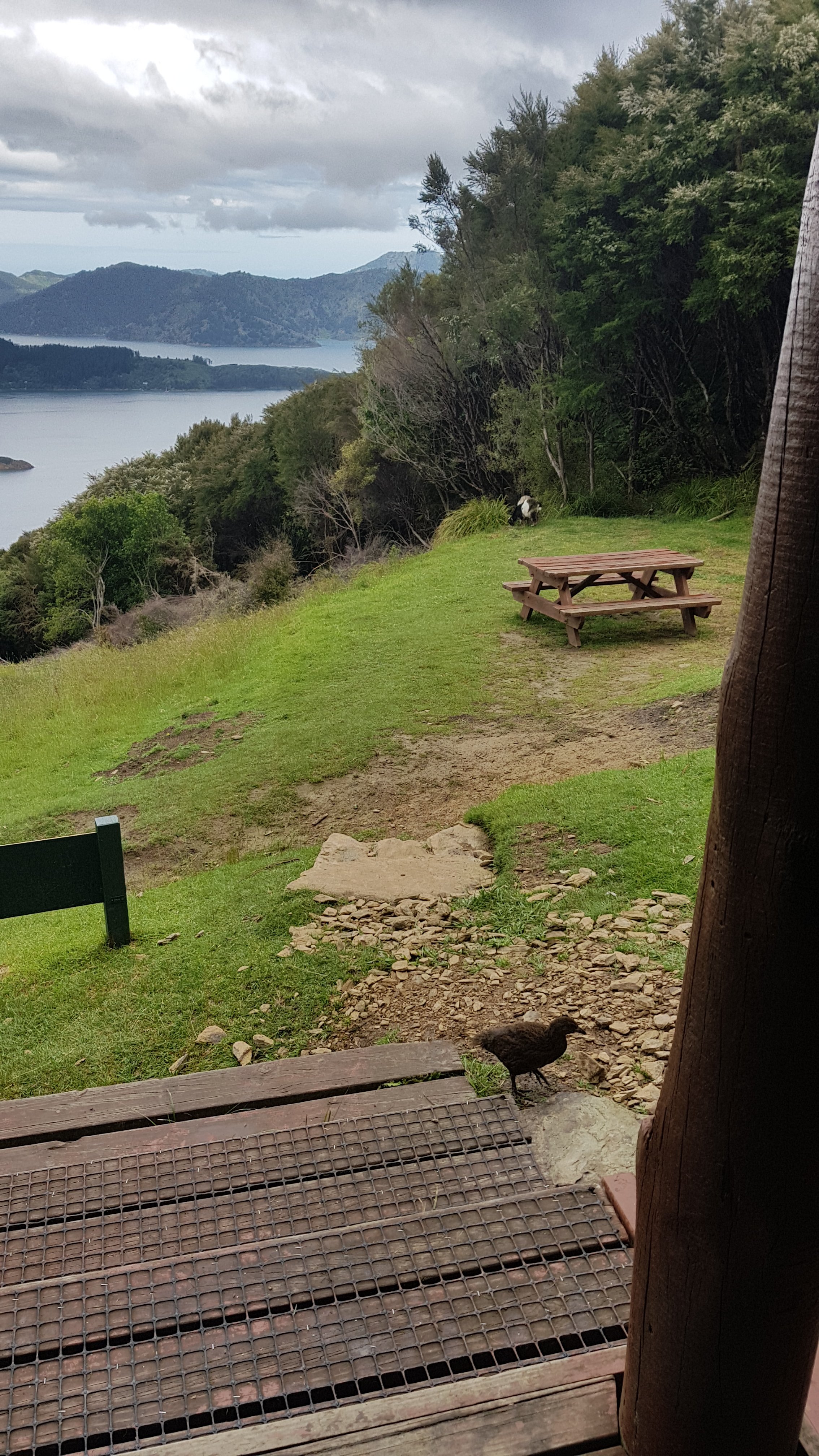
It was a cute little hut with only enough space for two people to sleep.

I saw from the intentions book that Rhydian had spent the night here

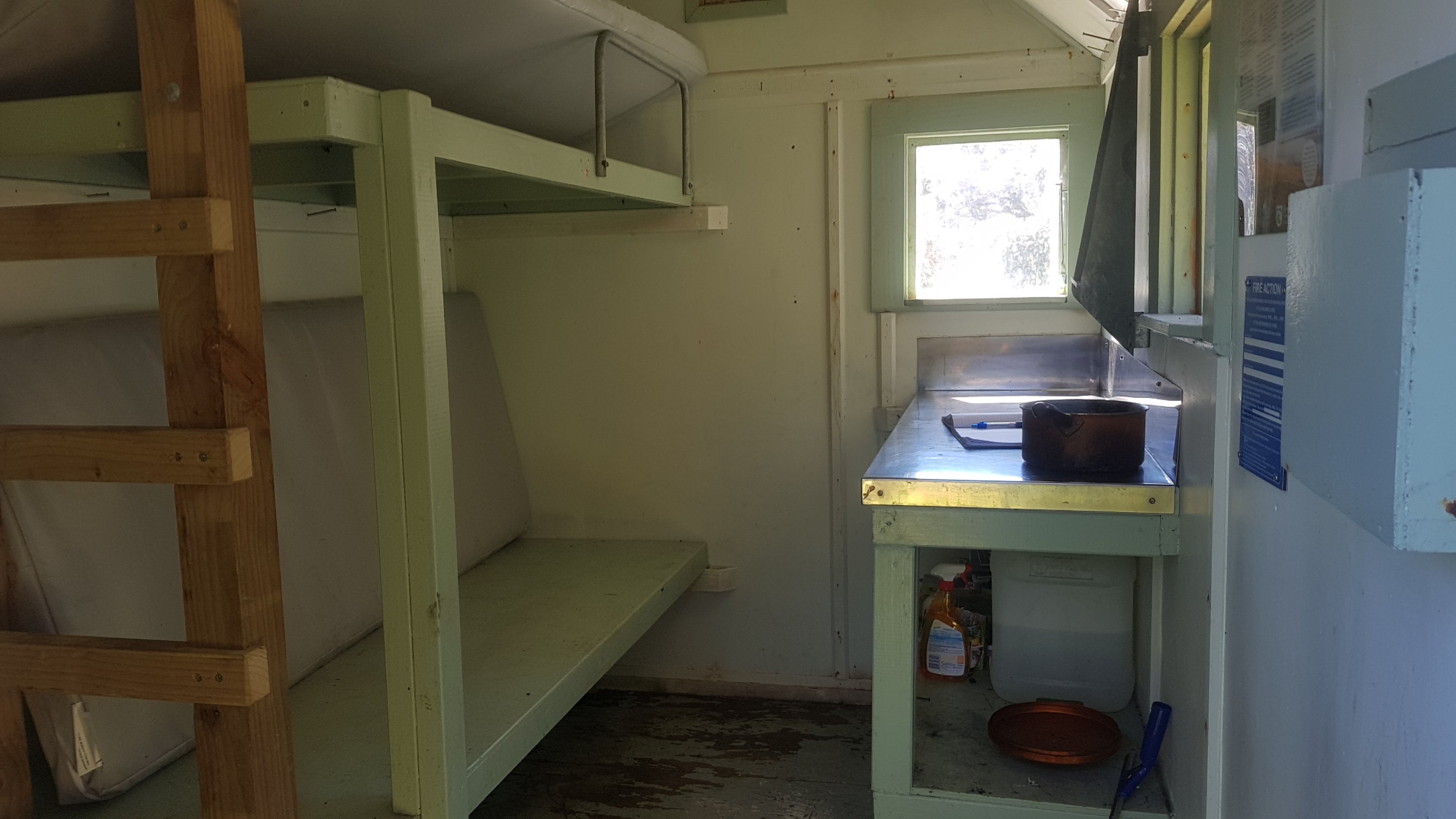
I didn’t spend much time here except to grab a quick snack, write my name in the intentions book and fill my water bottles.

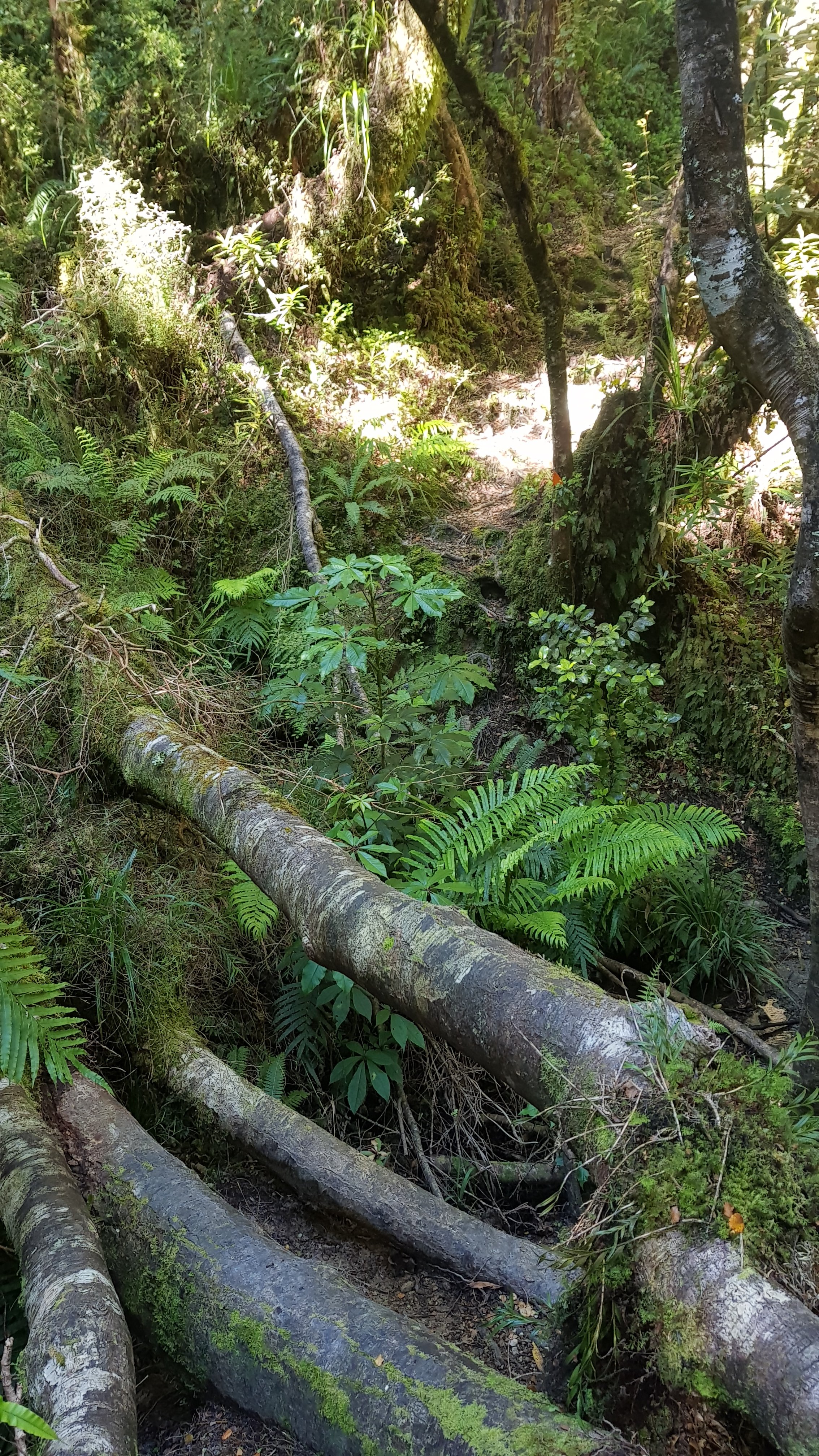
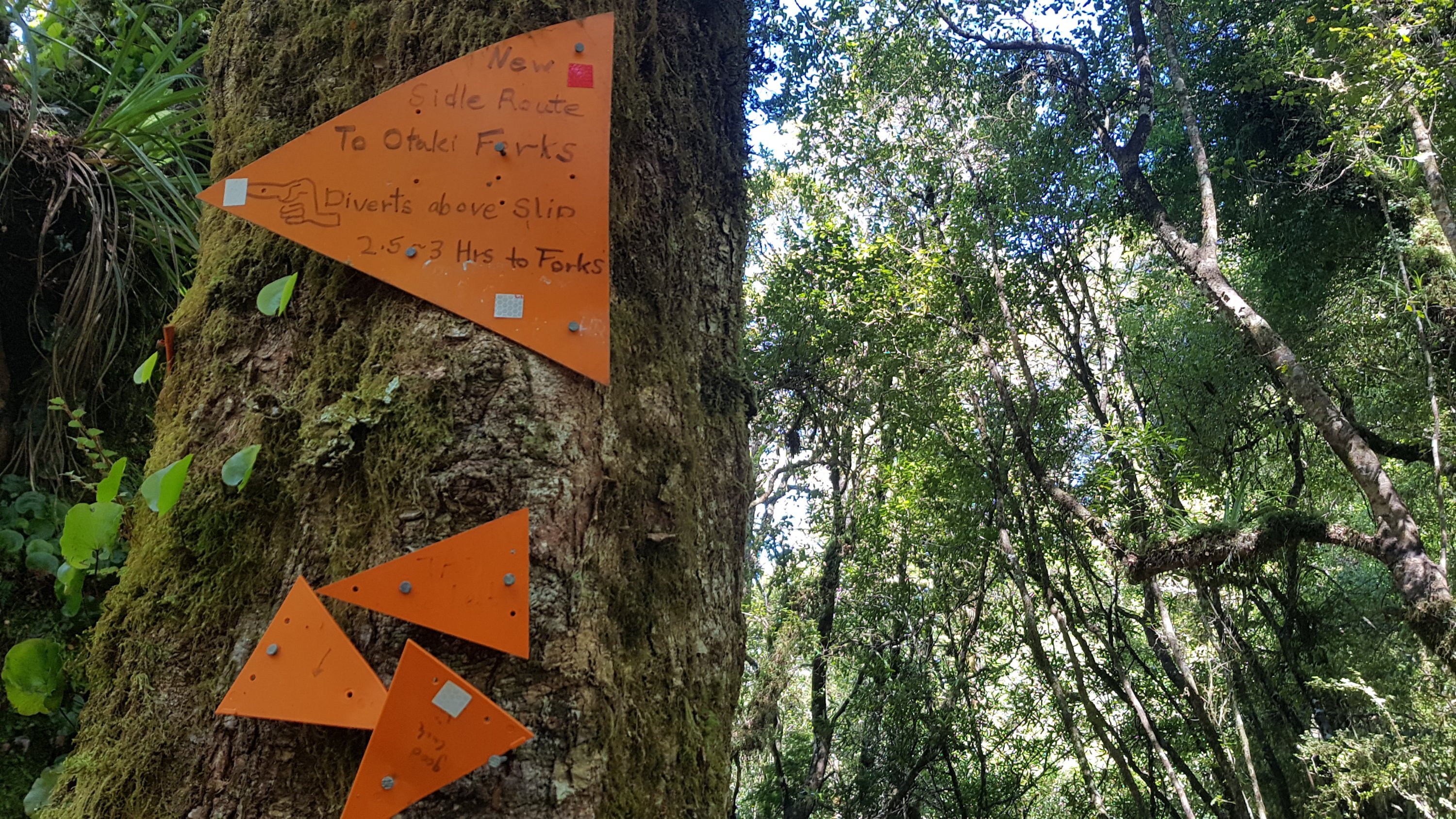
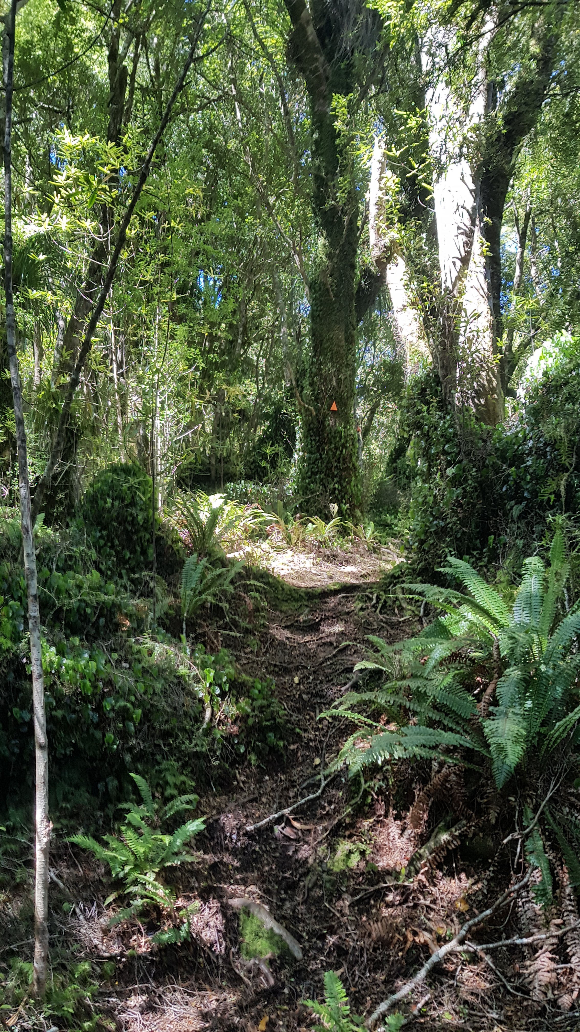
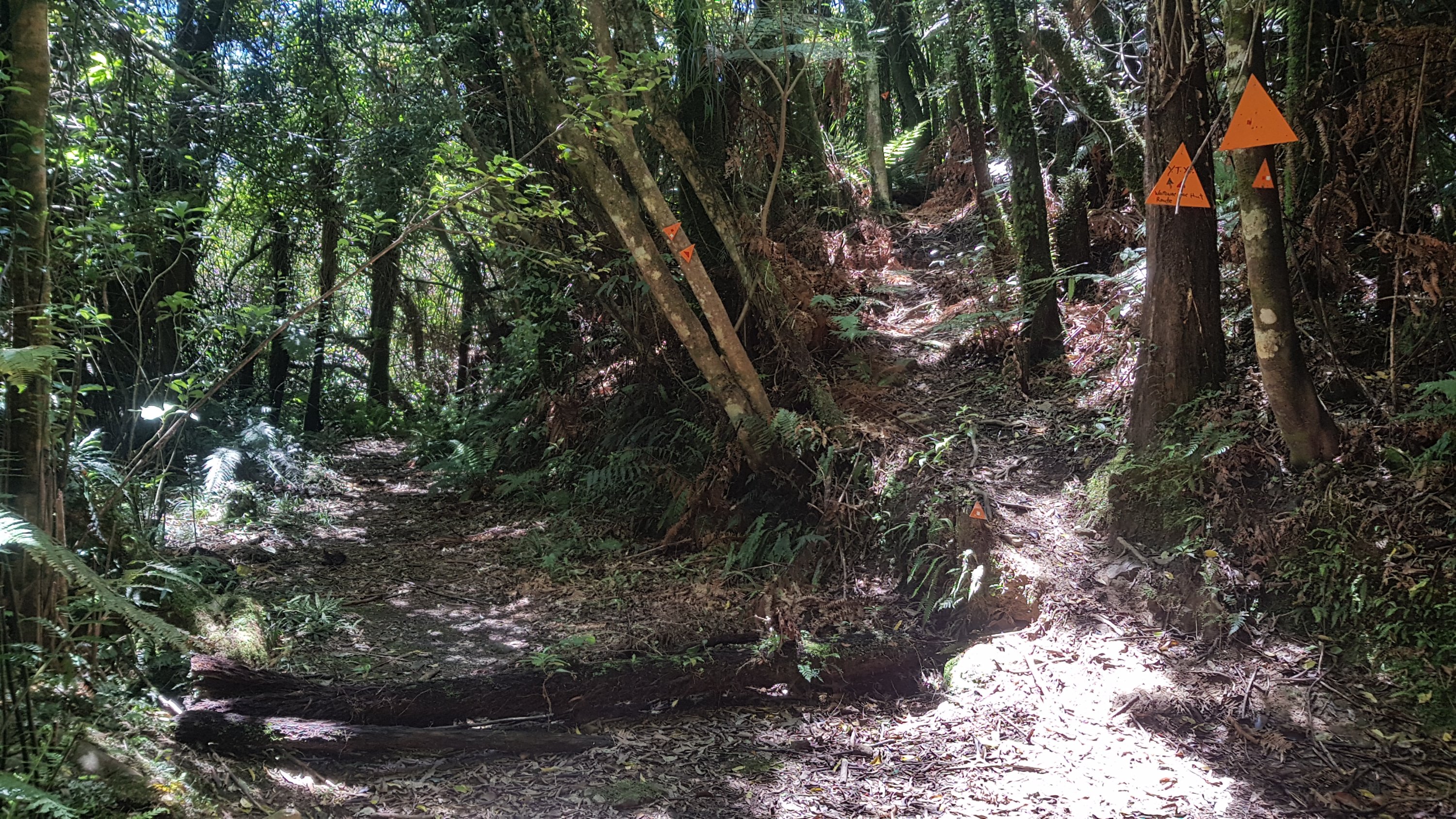
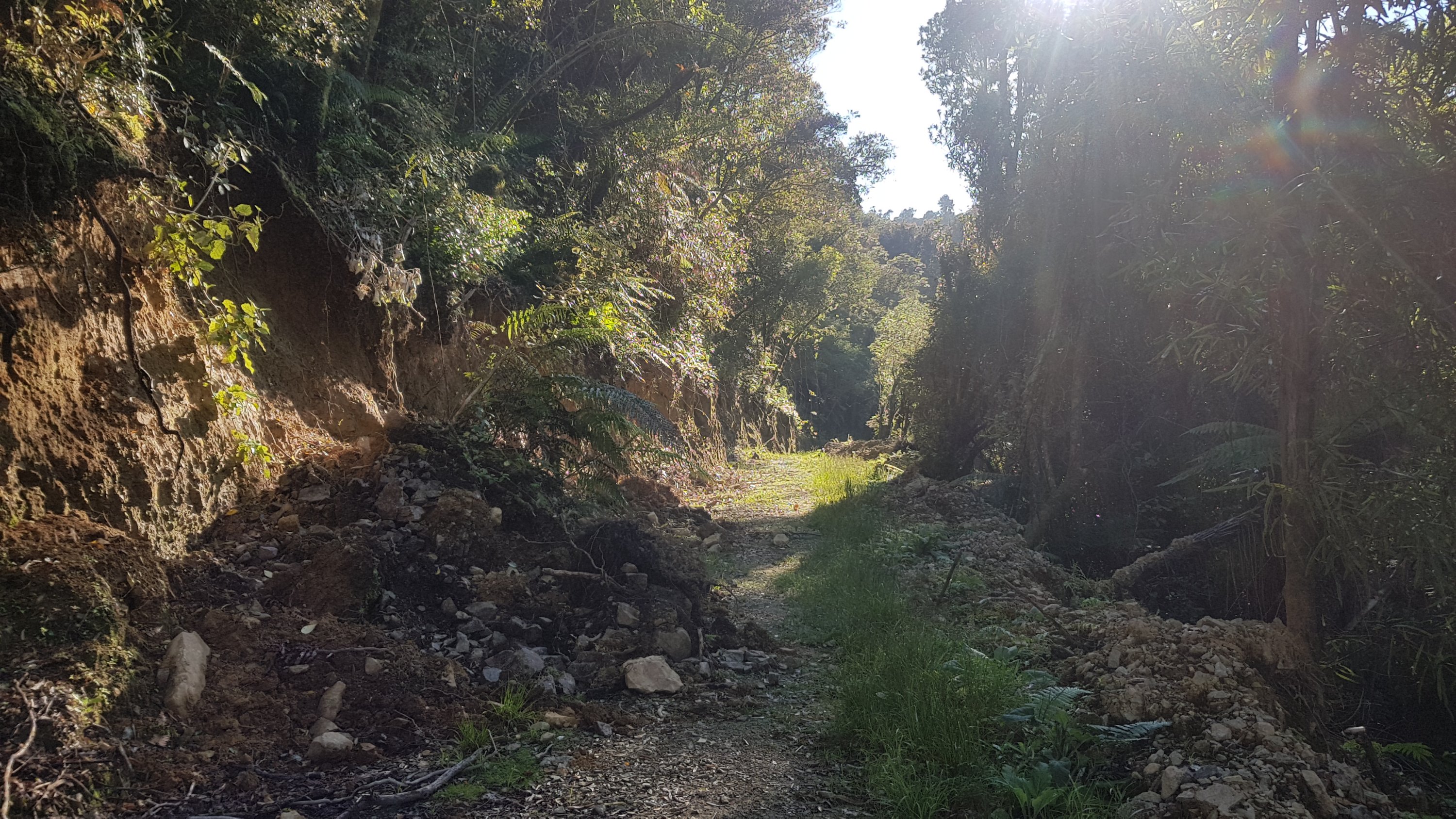
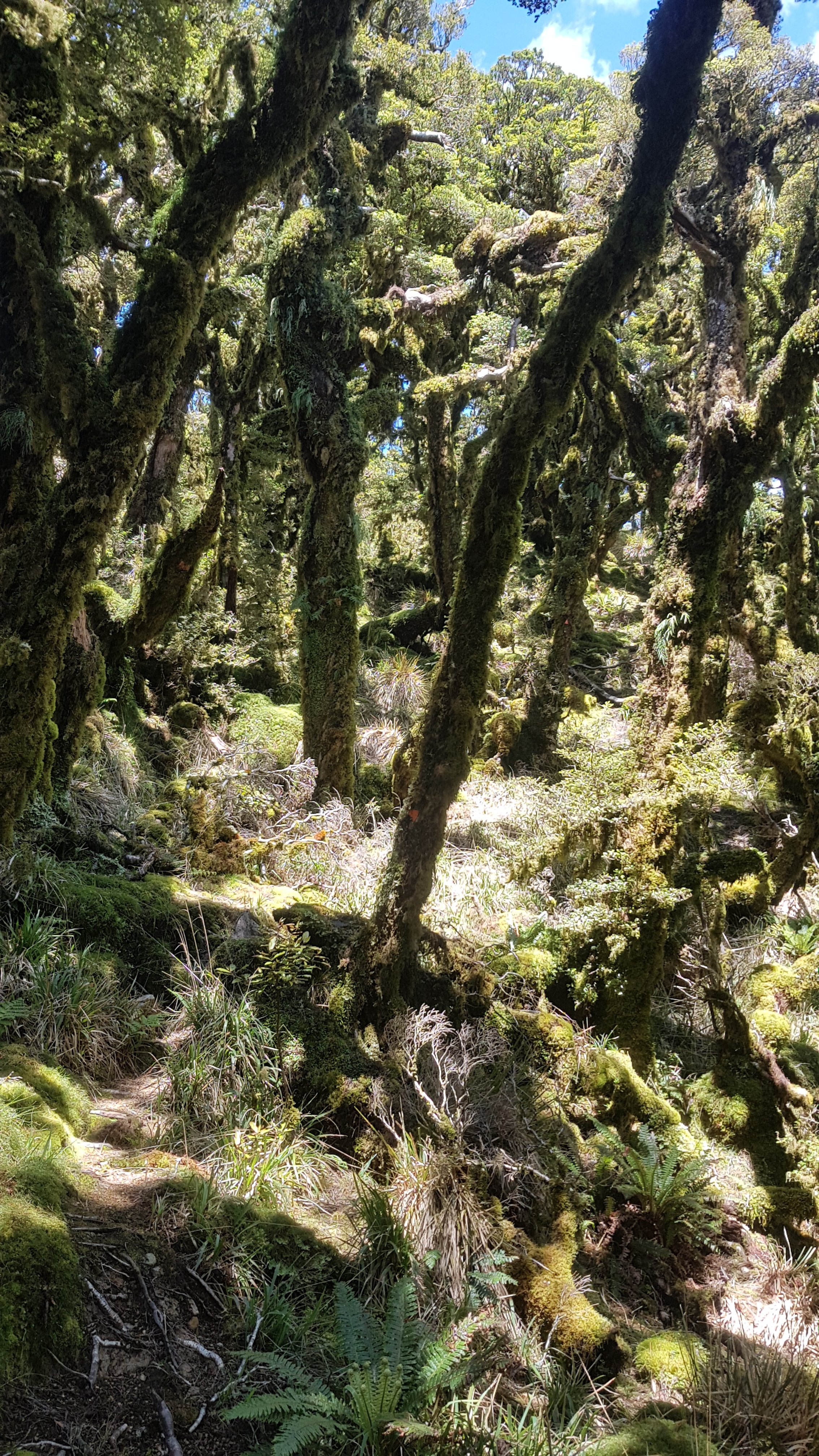
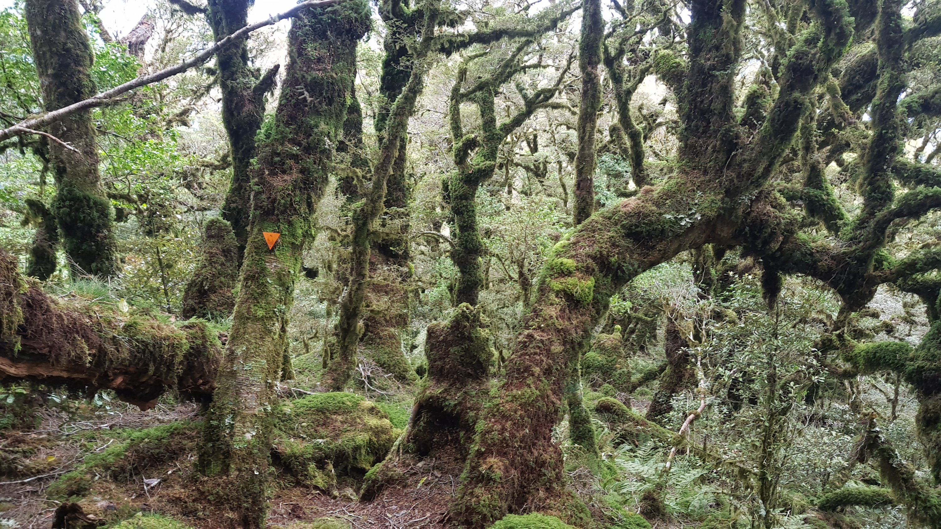
After here the path again became quite hard to locate sometimes. It’s not that there aren’t orange triangles, it’s that they don’t seem to be in the places that they are needed. Again I had to stop quite a few times and backtrack and find the correct path.

And I slipped a few times today too, despite getting new boots three days ago. I have no doubt that I would have slipped more if I didn’t get the new boots so I’m glad I did. It’s slippery up here.

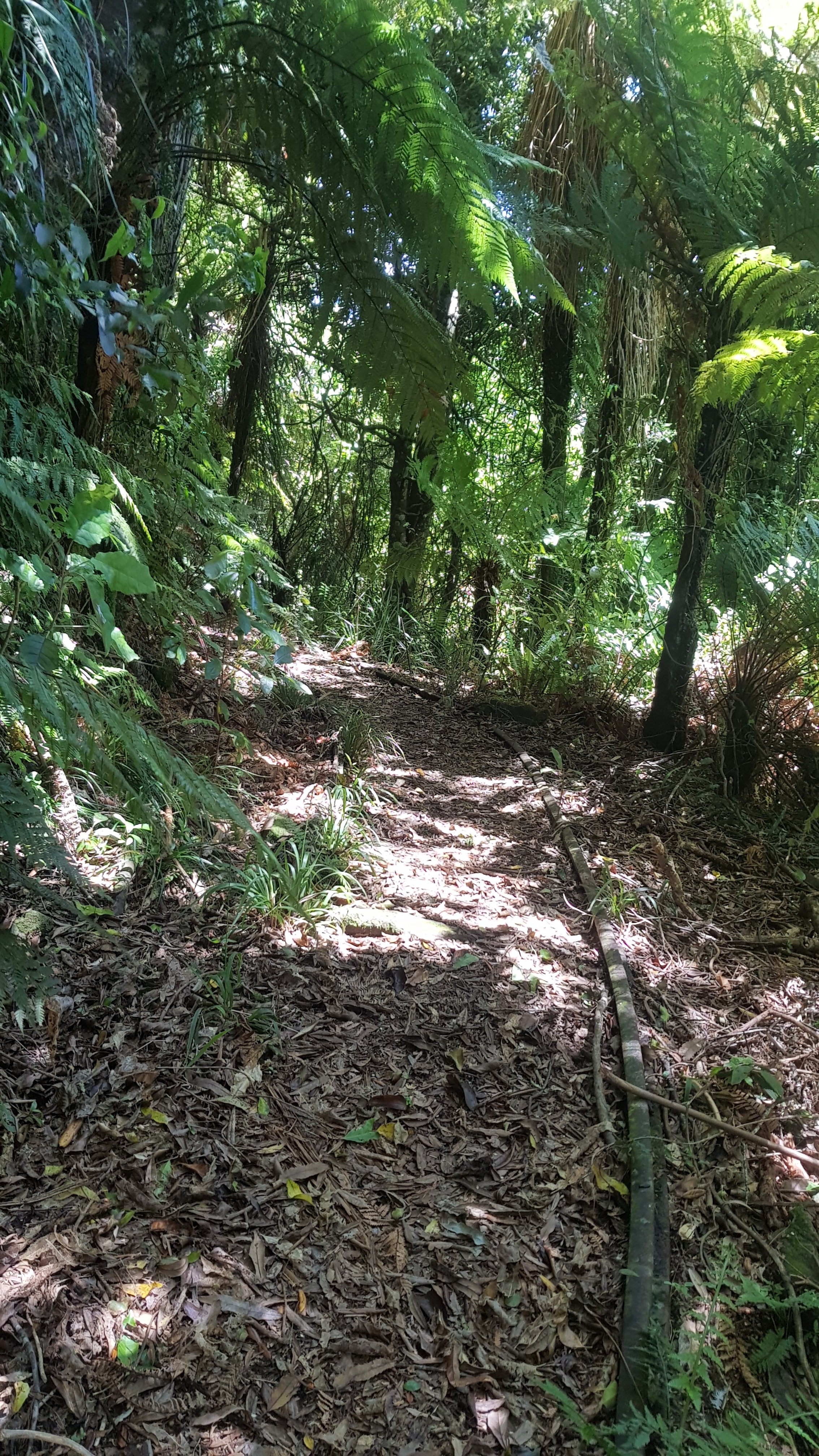
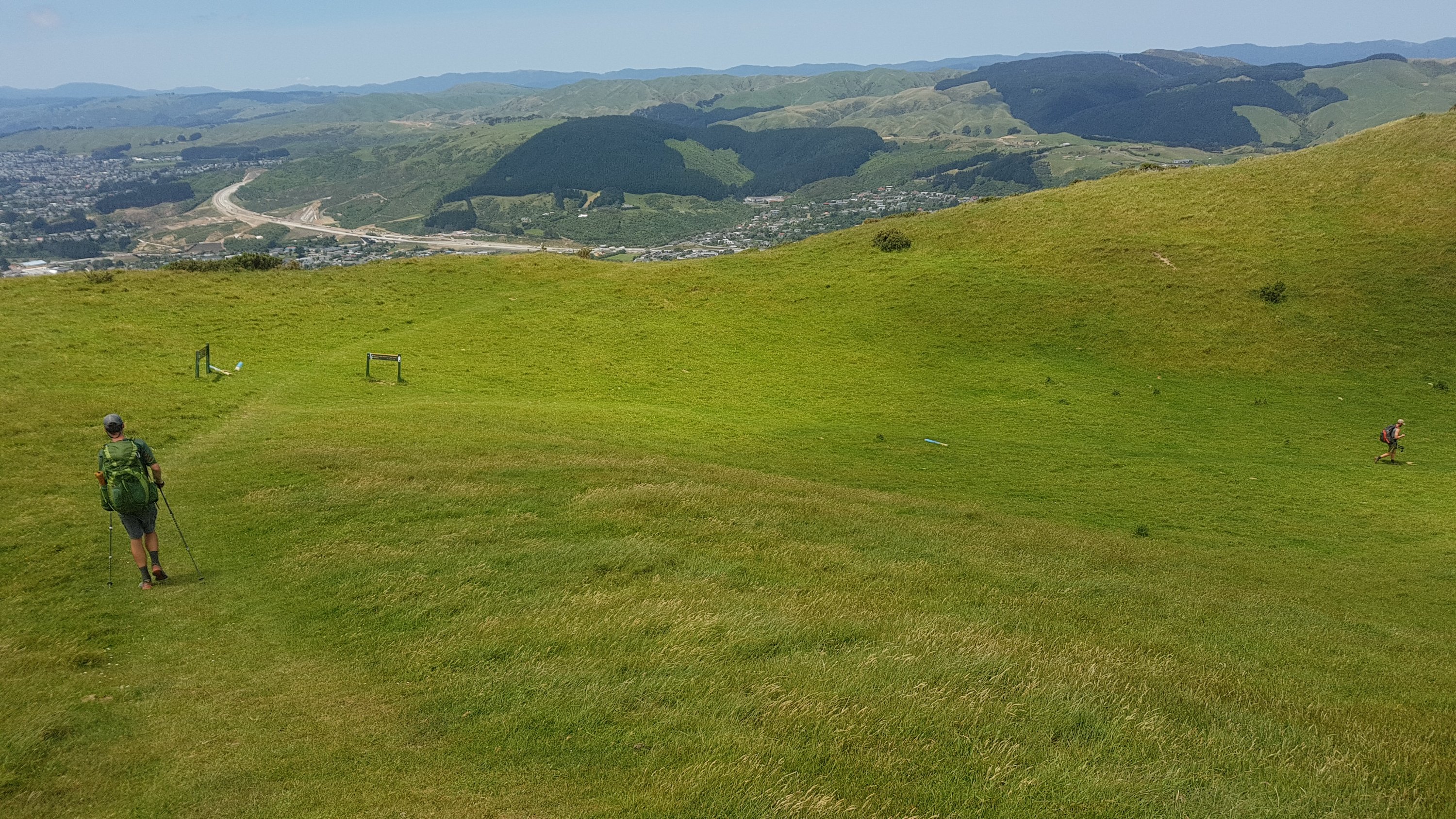
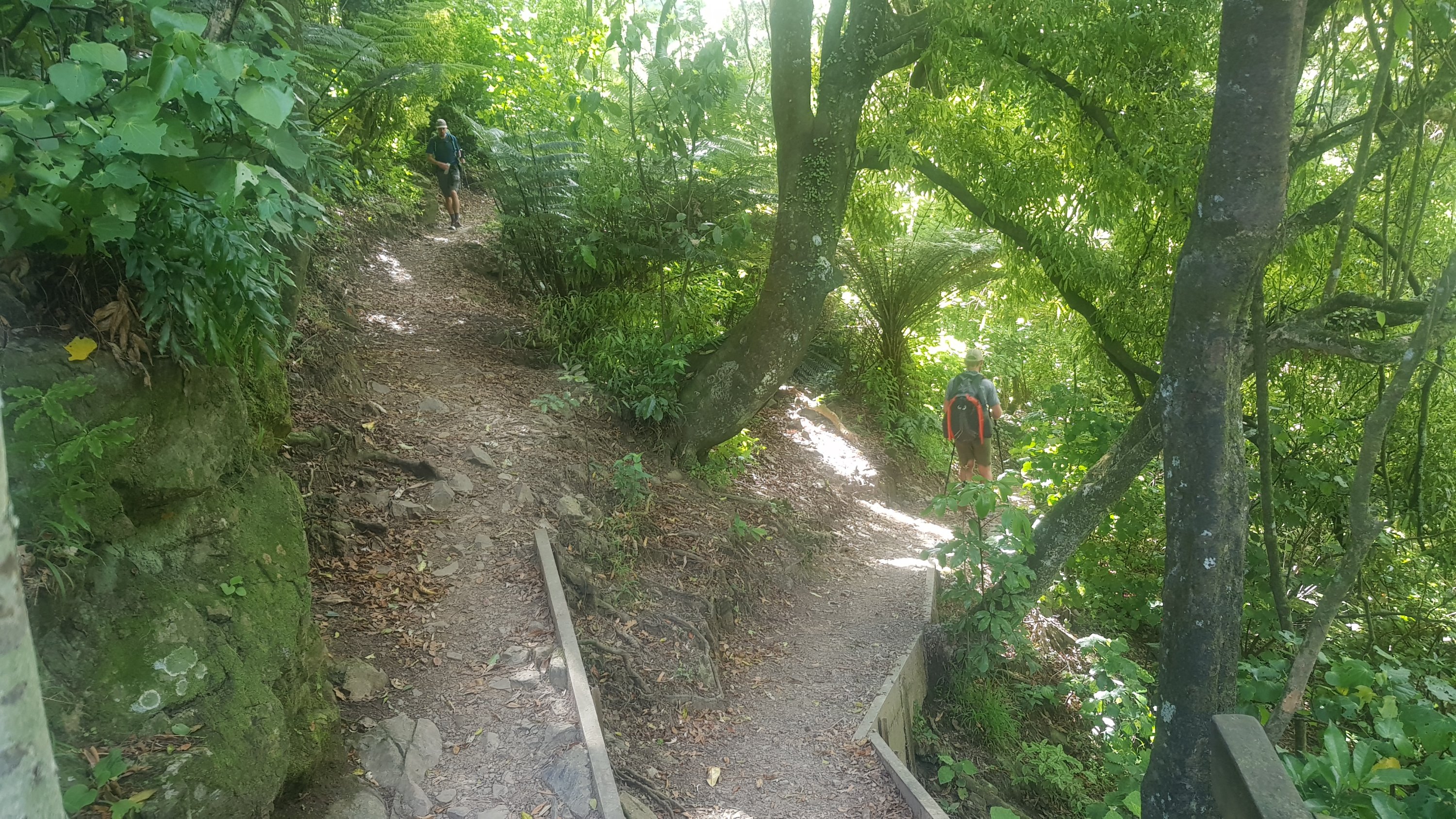
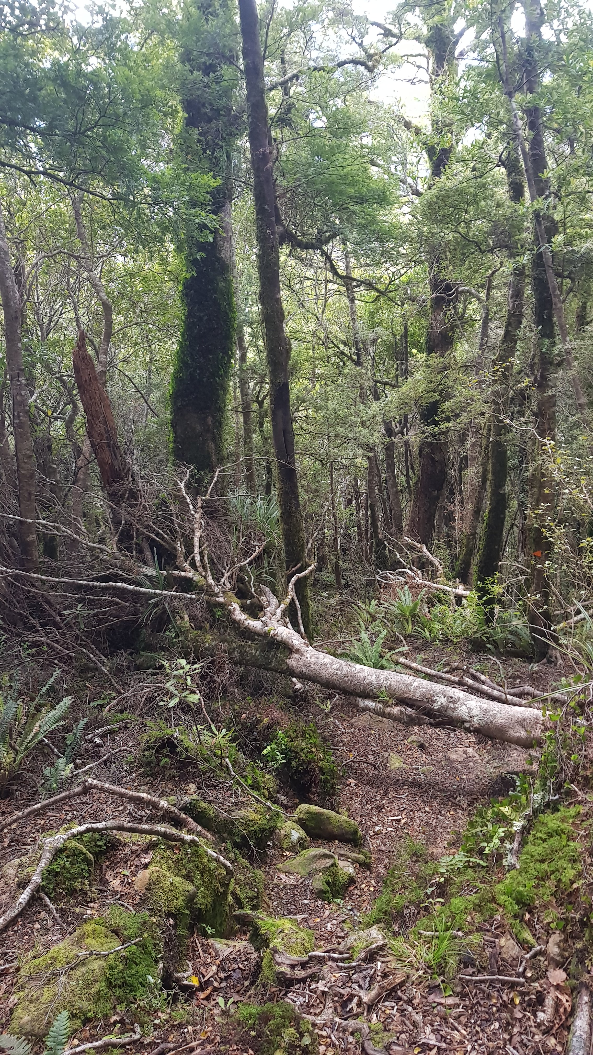
Once I was above the treeline again it became easier to see the path again.

Around here I saw this daisy. I thought that it was the only flower I’d seen all today and yesterday, so I took a photo.

What do you expect from someone who is named after a flower… go figure

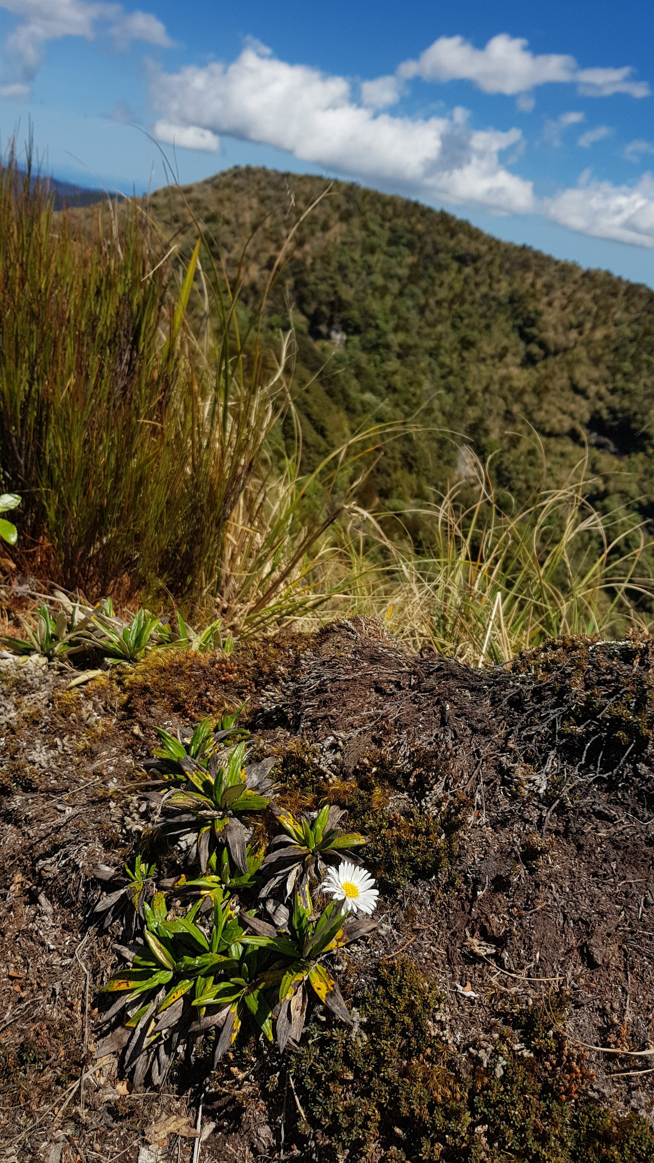
Although once I kept going and looked a bit harder, there were actually quite a lot of daisies. Still, that one caught my eye.

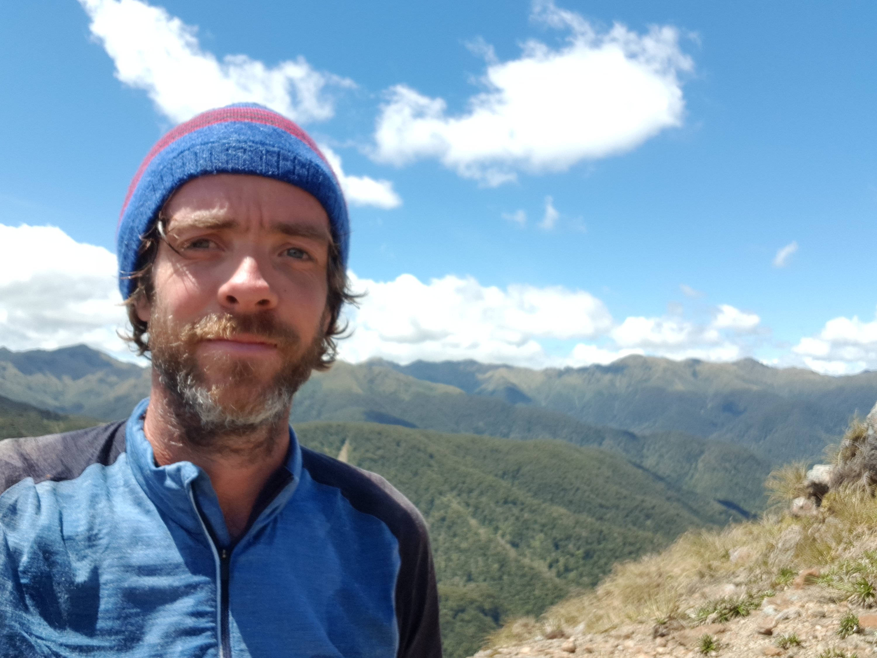
Again it was steep in places.

Hold on

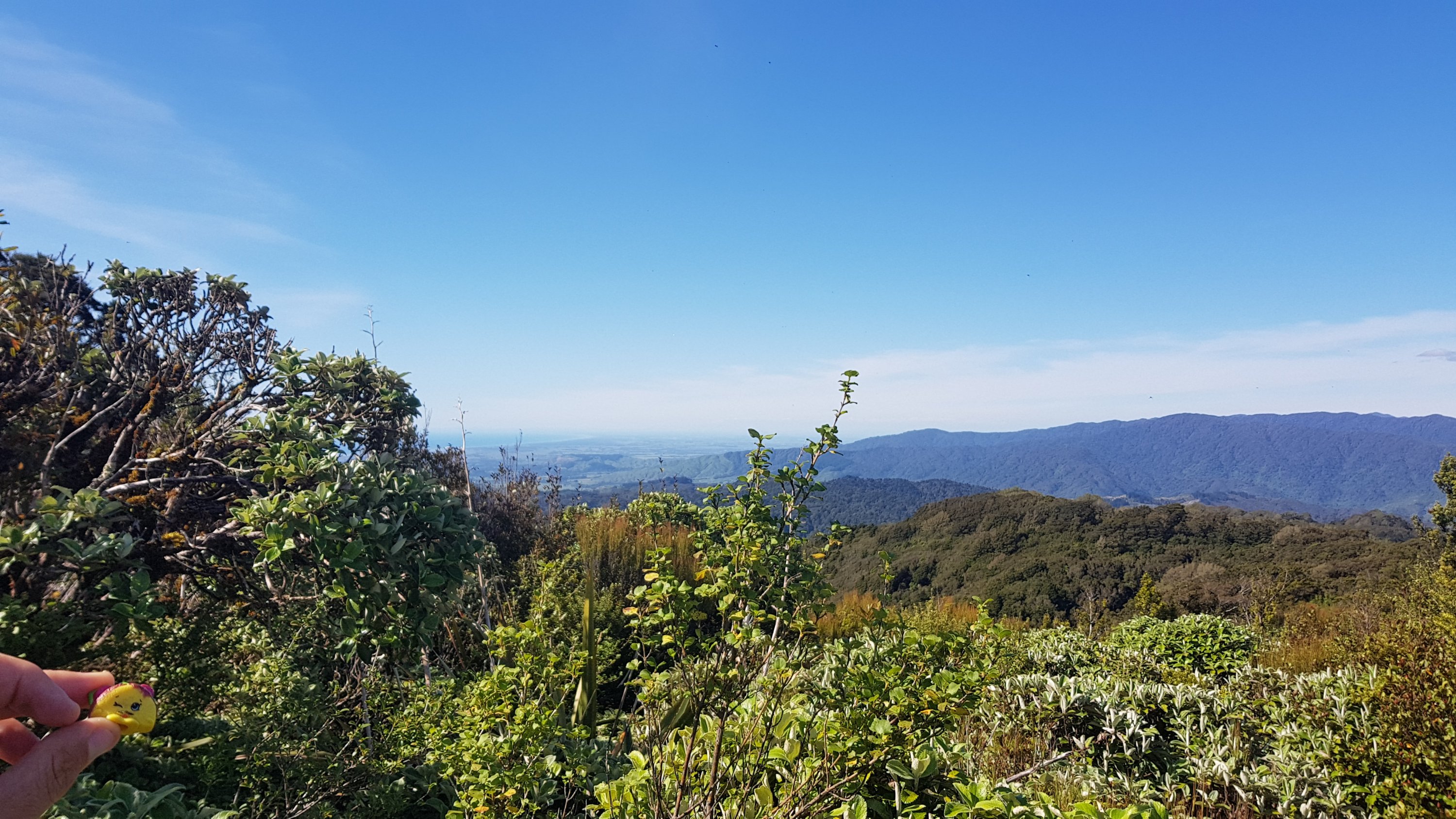
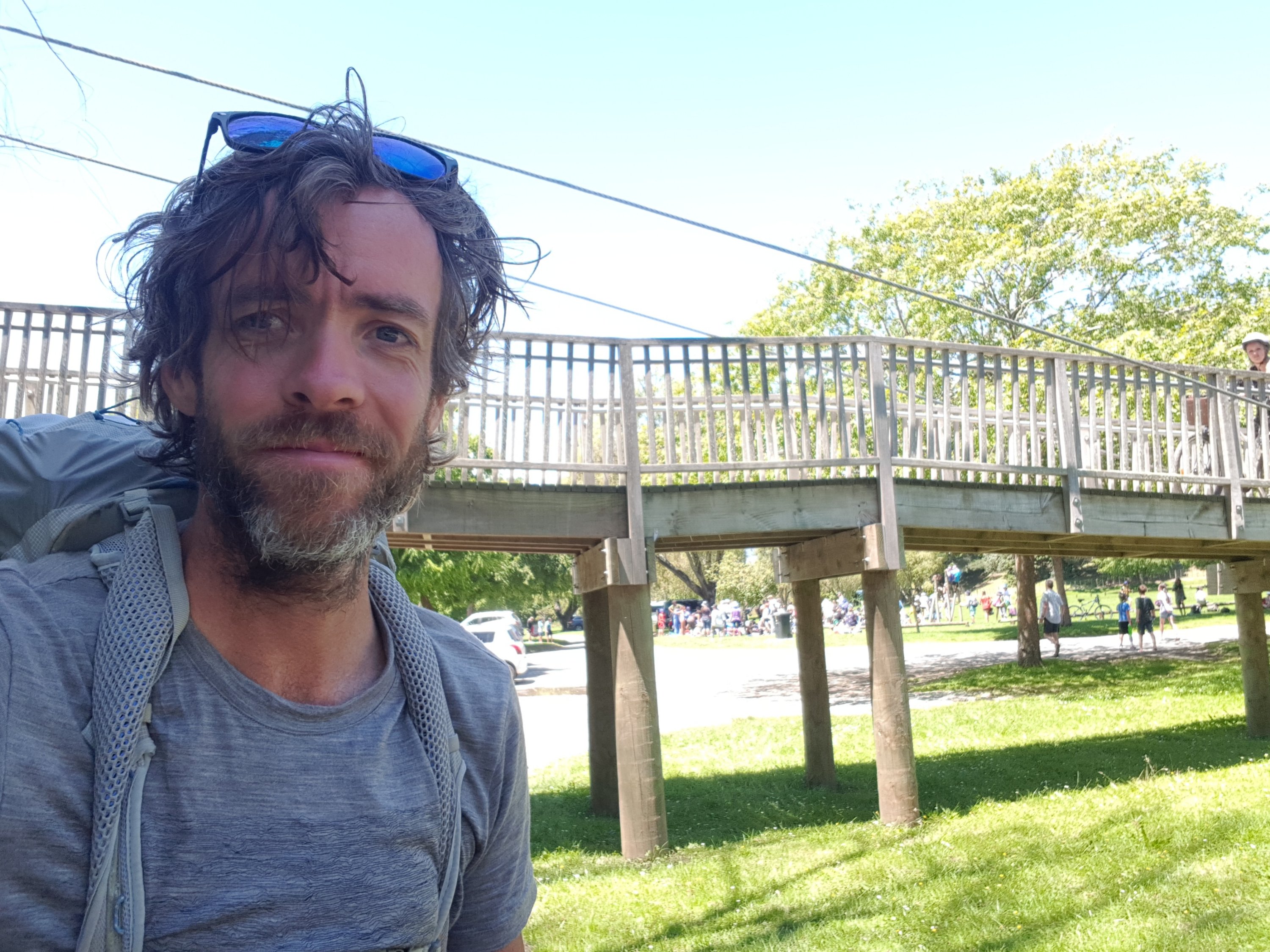
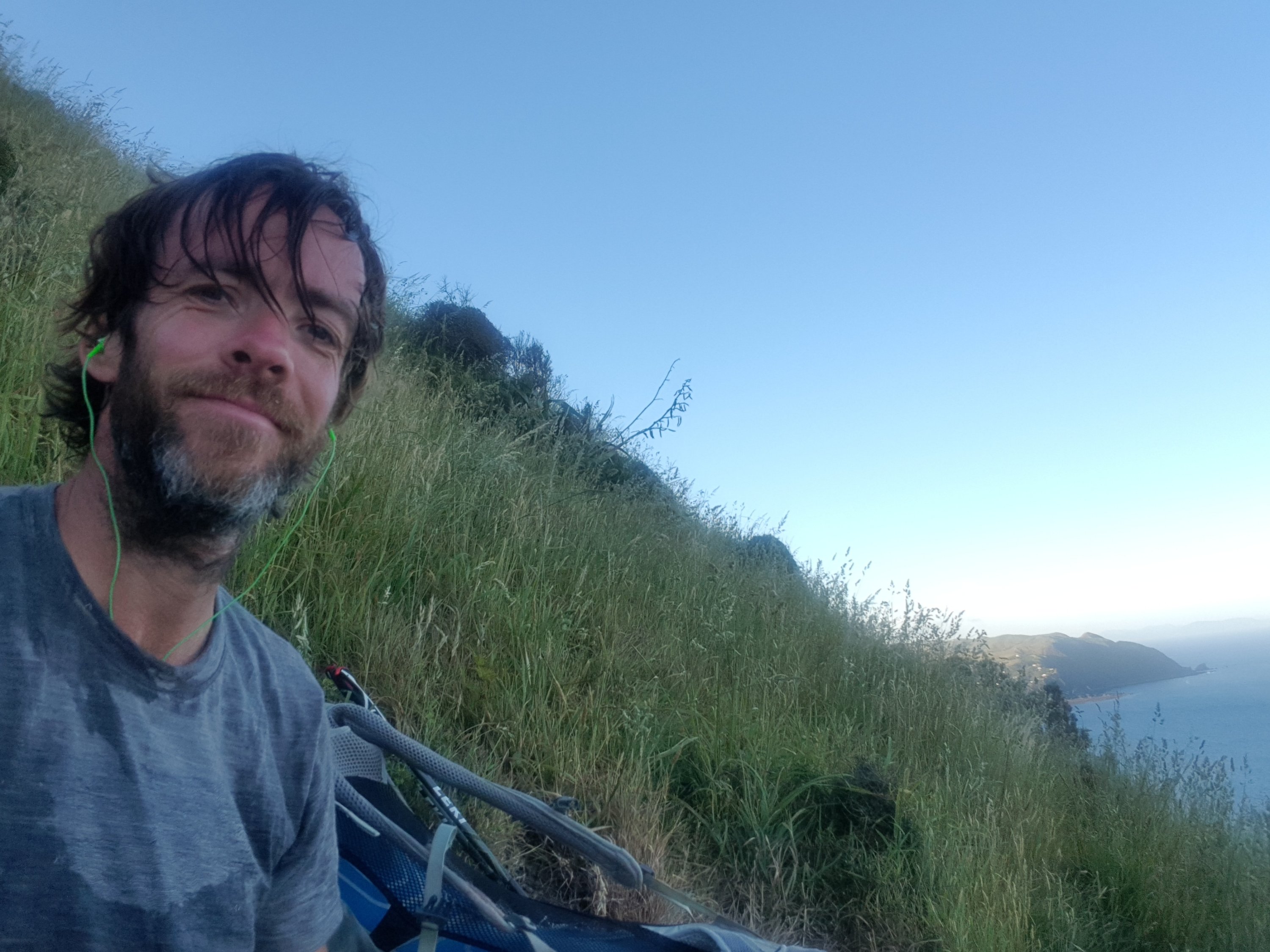
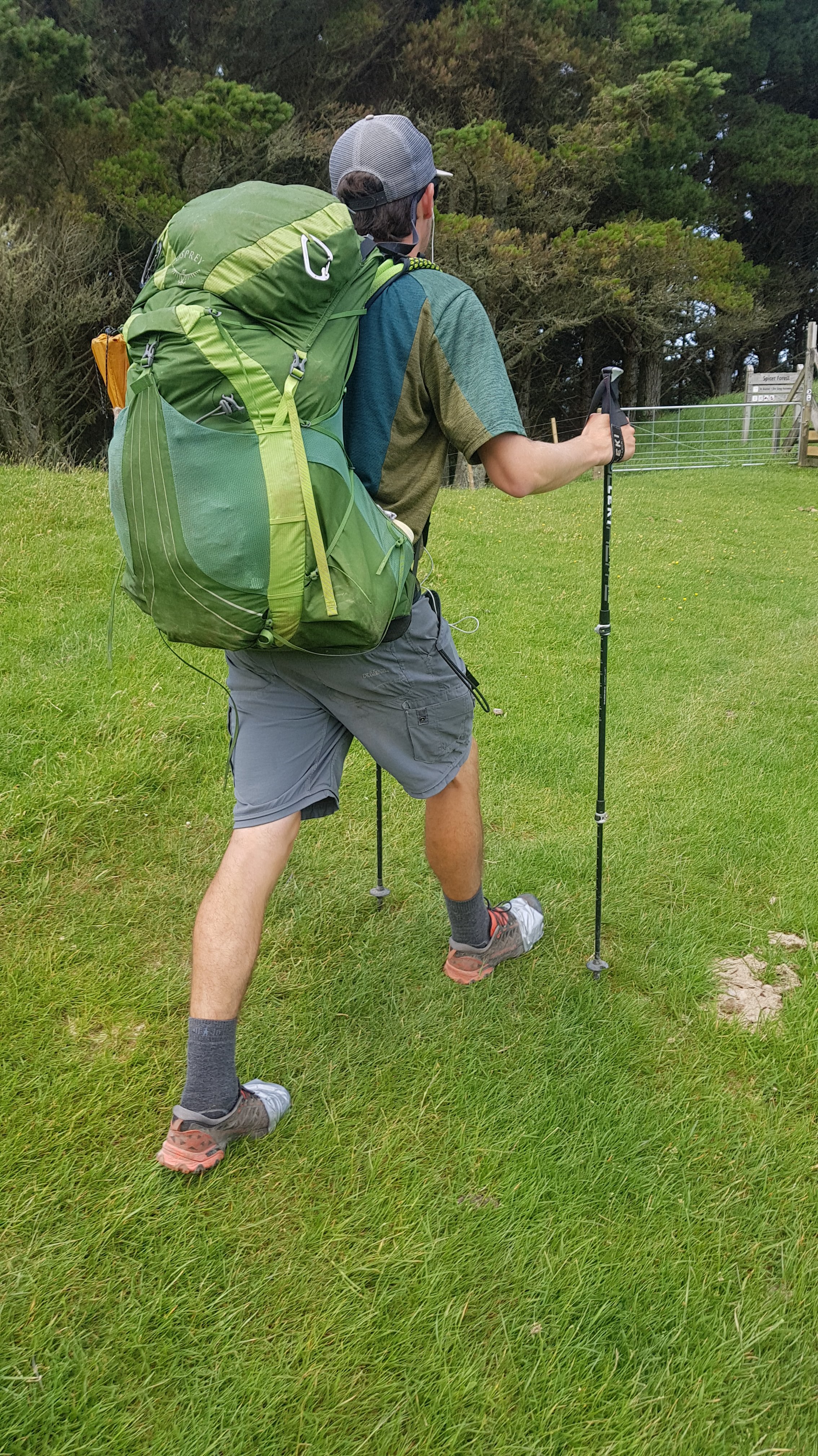
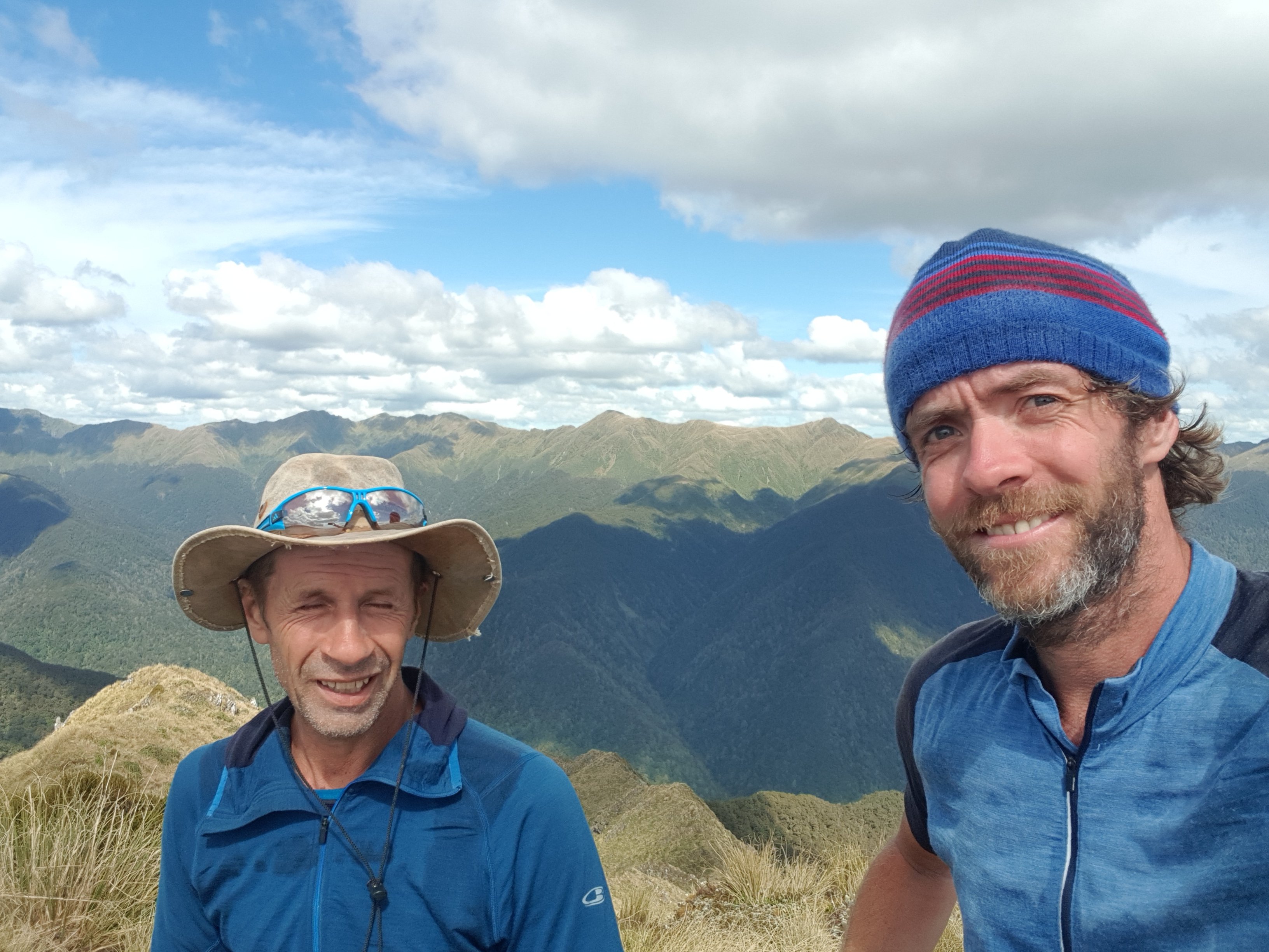
After that steep bit, I thought a selfie was in order.

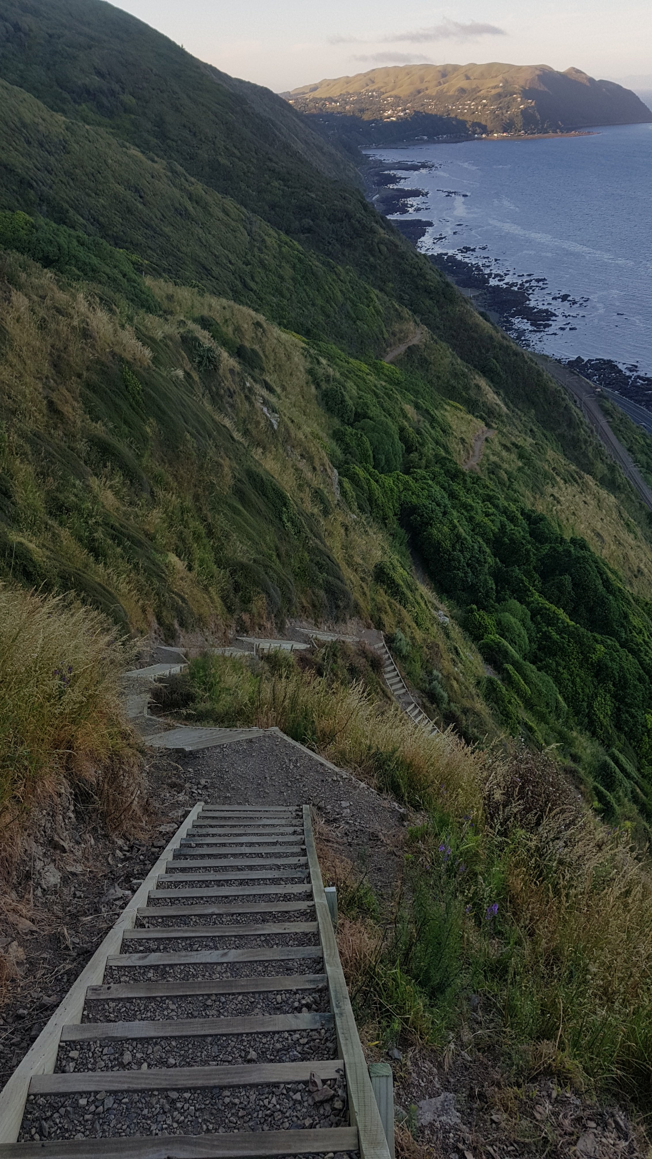
I could then see the path going back down into the trees.

And so it did.

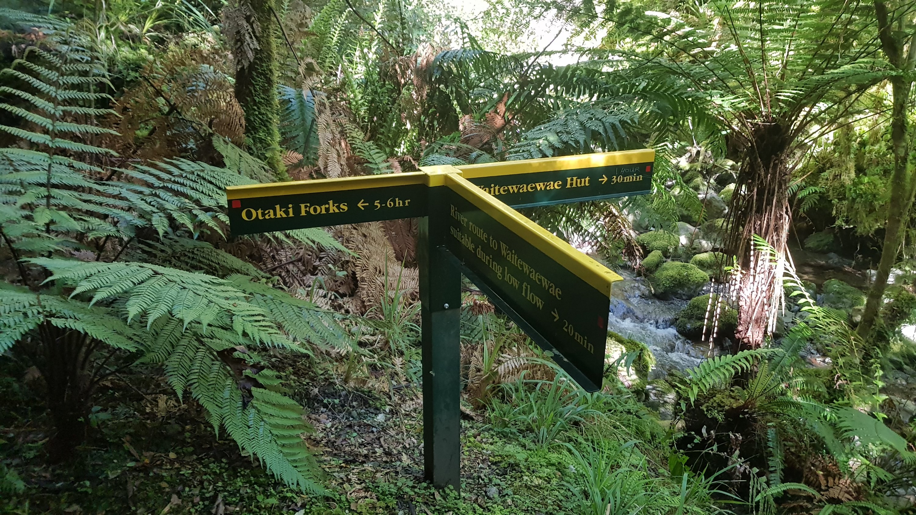
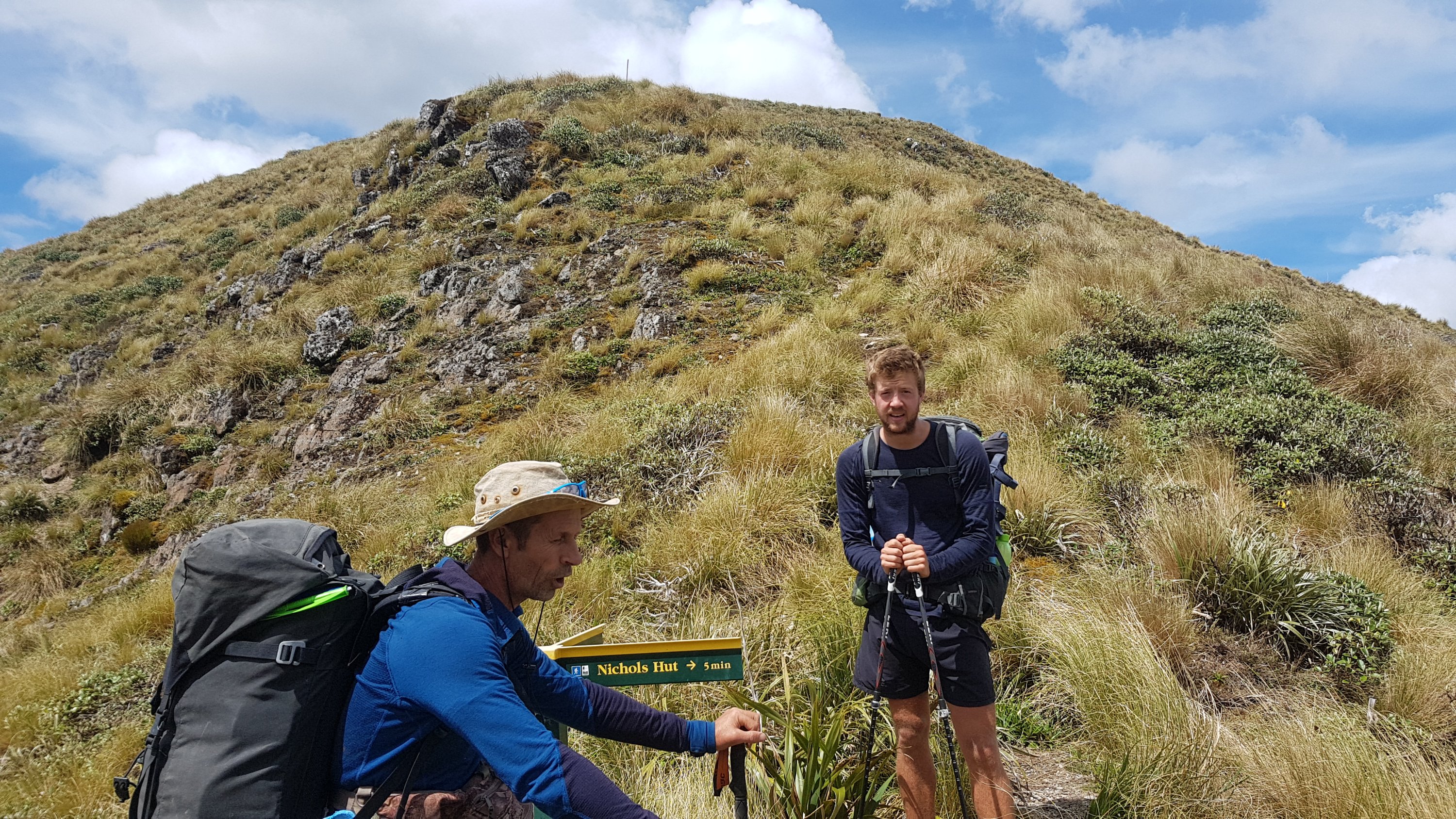
I pressed on to Nichols Hut. I first saw the sign that pointed to it. I could also see Alex and Ethan’s bags resting on the sign.

Did you see the sign? Did it open up your eyes?

It’s a short detour down to the hut and they must have just taken water bottles and lunch down to save taking the whole packs down. I wasn’t that organised so I just walked down with my pack on. On the way down, I saw the hut, and Rhydian standing outside.

Always nice to see a familiar face

I also passed Alex and Ethan on the way back up the hill.

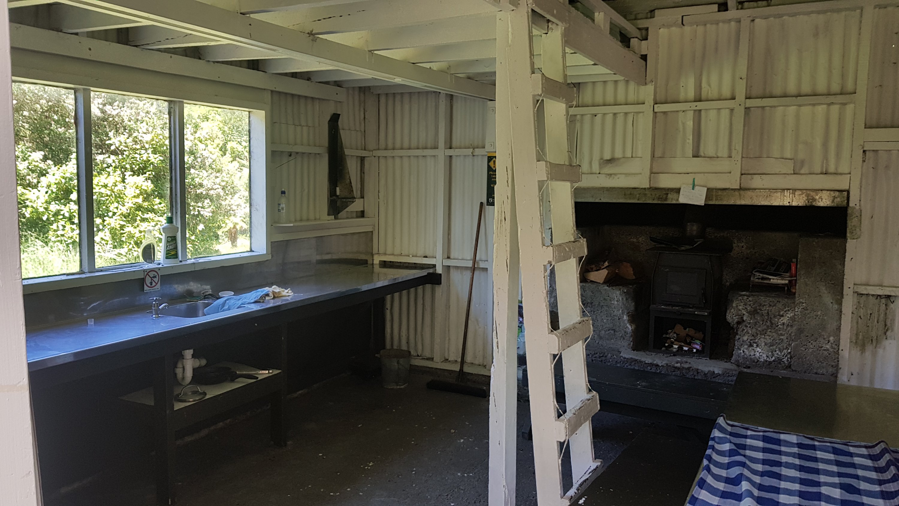
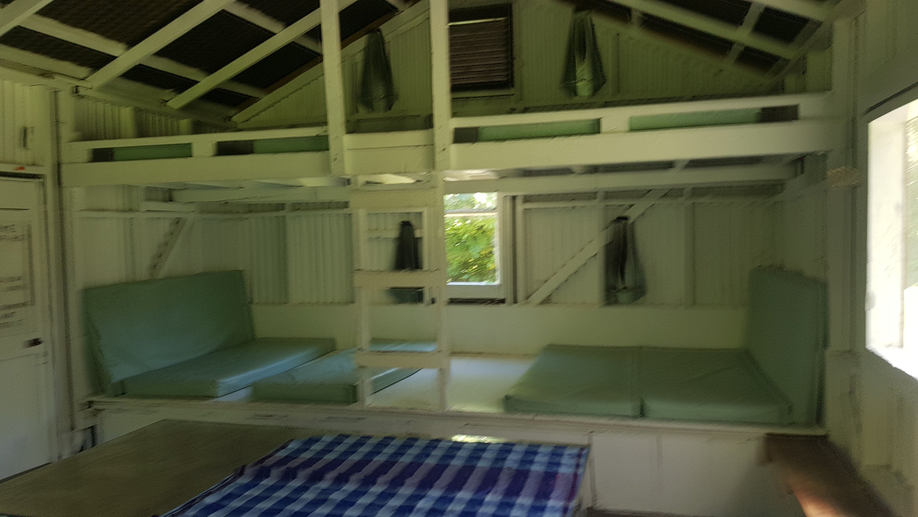
I got to the hut at 2:15pm, earlier than I expected. This hut was not so nice, there were a lot of flies. I had lunch here for 45 minutes and talked to Rhydian. During that time he killed all the flies inside the hut, about 15 of them, but within 5 more minutes just as many had replaced them.

Rhydian had stayed at Dracophyllum Hut last night and was thinking about staying tonight at Nichols Hut but after chatting to me he decided to press on with me to Waitewaewae Hut.

Rhydian and Peter. Charlie is up the hill somewhere.

We saw Peter at the junction sign. He said that he and Charlie were probably going to spend the night at Nichols Hut. Charlie doesn’t like downhill and there’s a hell of a lot of it coming up so it was what I expected. This will be the first time I have seen Alex and Ethan separated from Peter and Charlie, although apparently it happened once before prior to me meeting them for a few days.

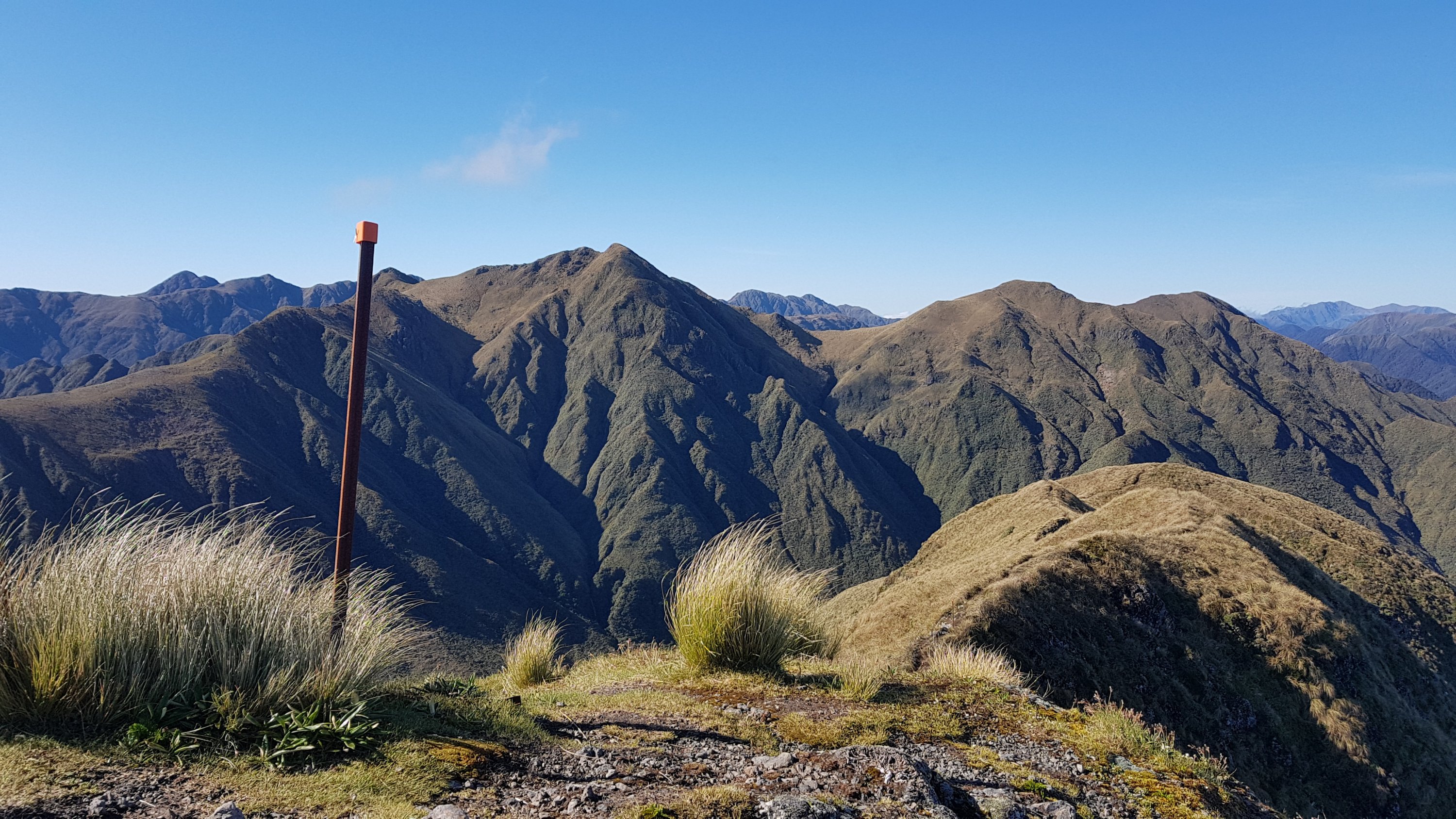
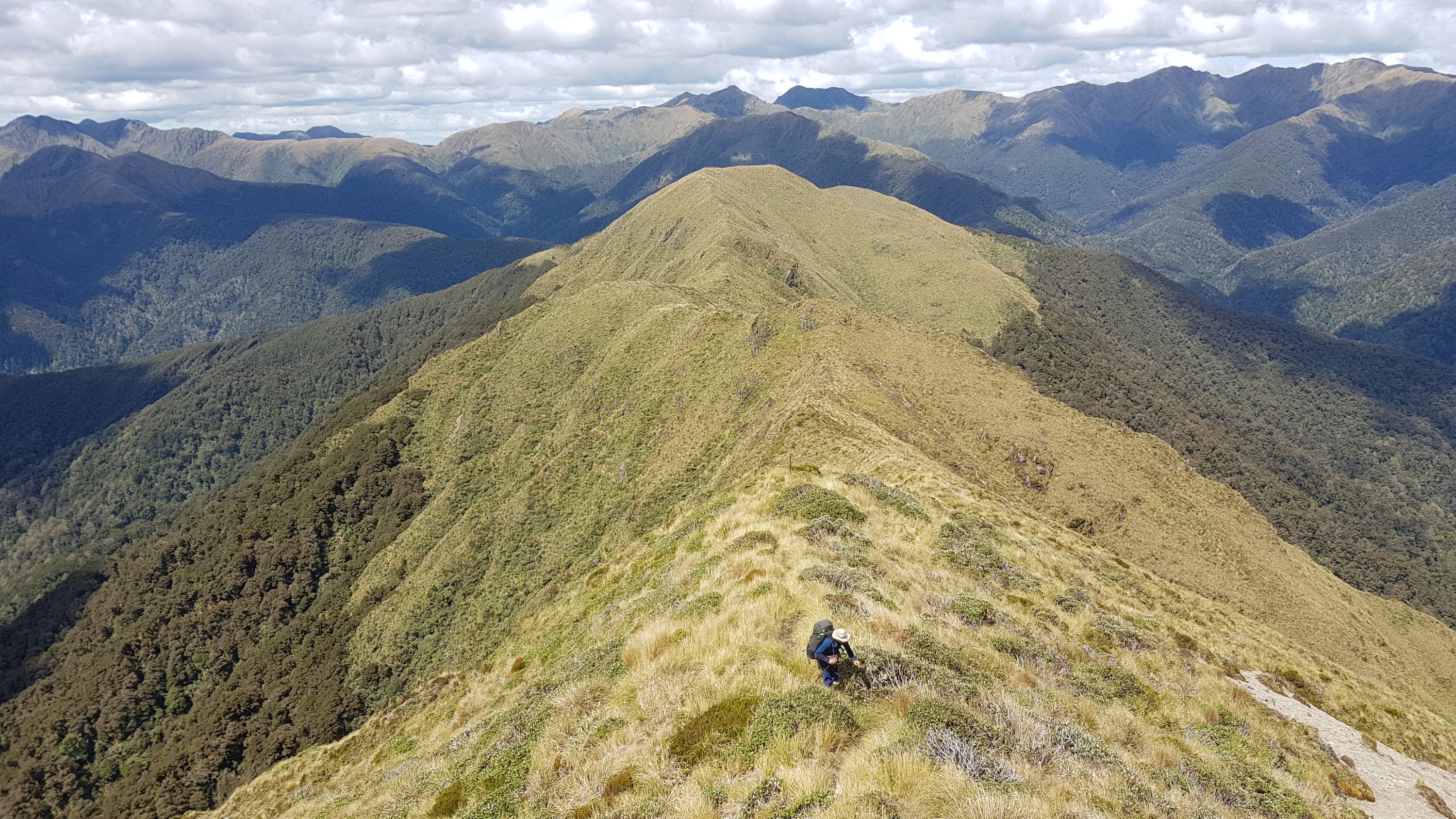
The track after leaving Nichols Hut was particularly steep. There were several times where I felt like I was rock-climbing.

Follow the path to the orange pole at the top

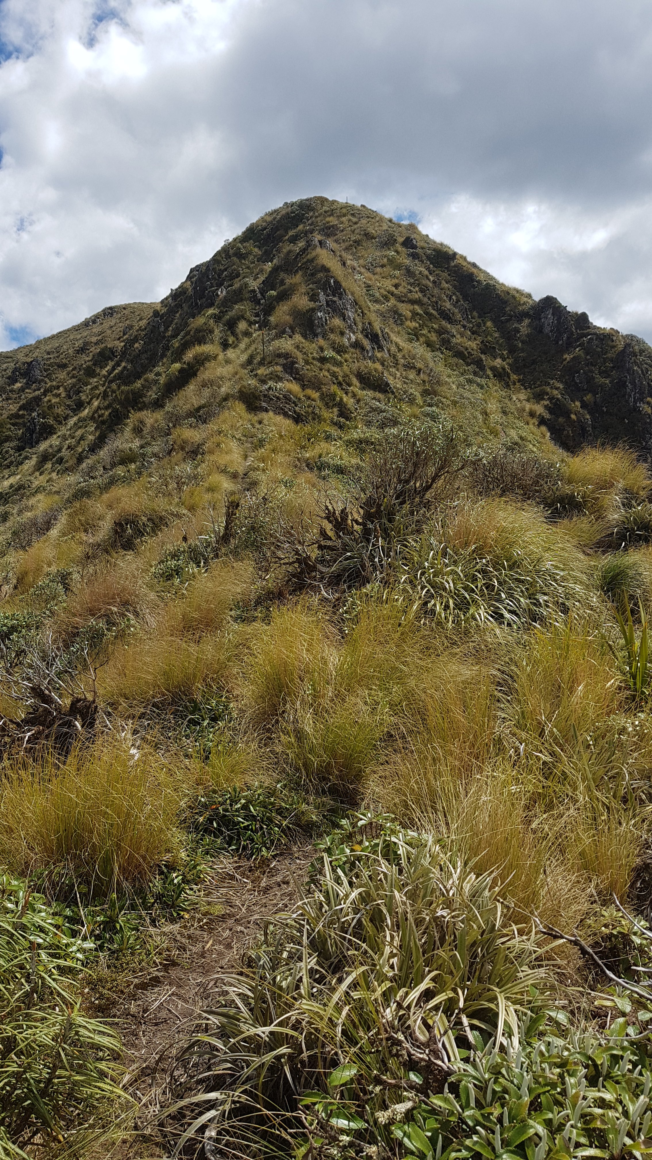
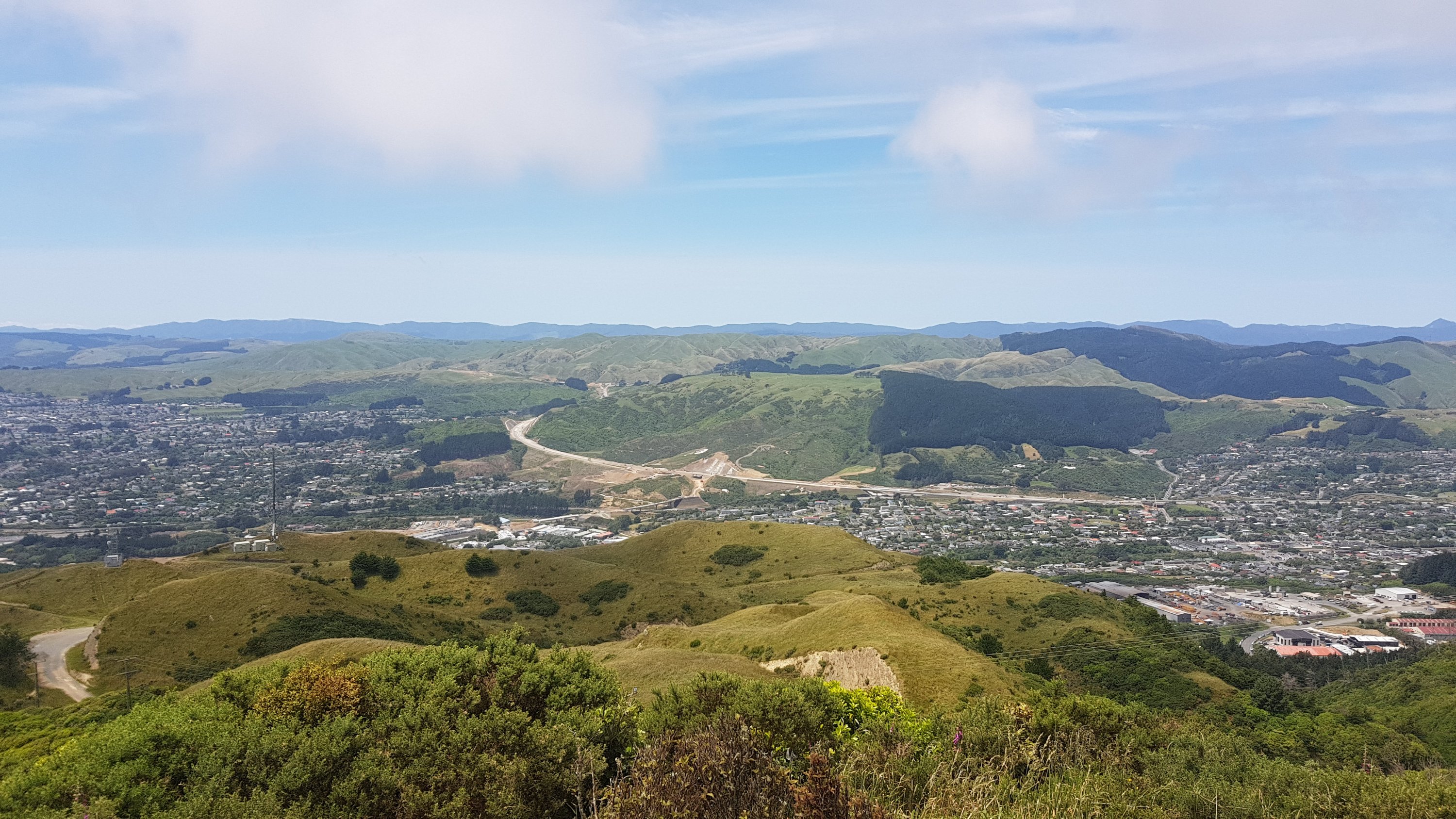
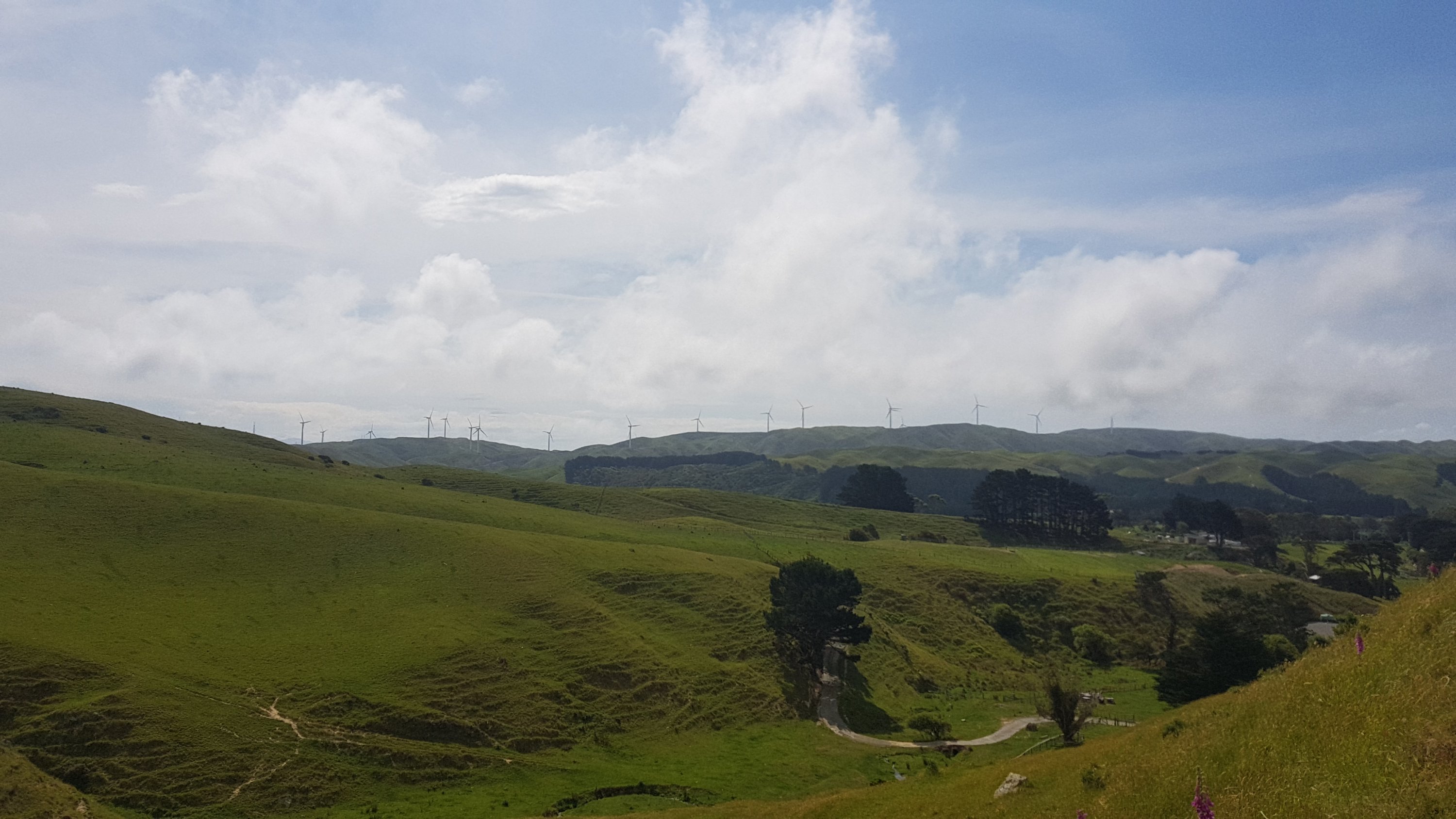
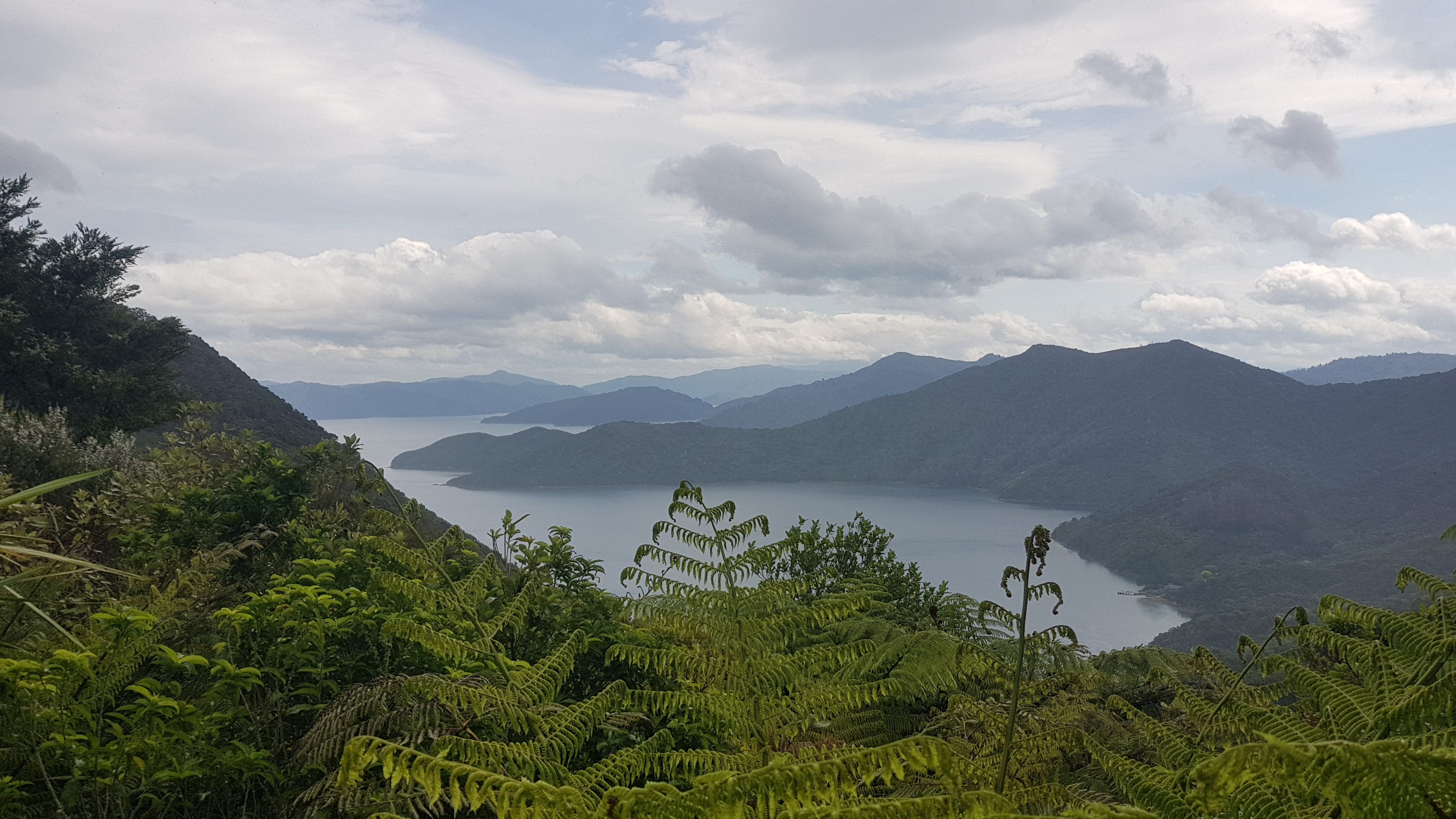
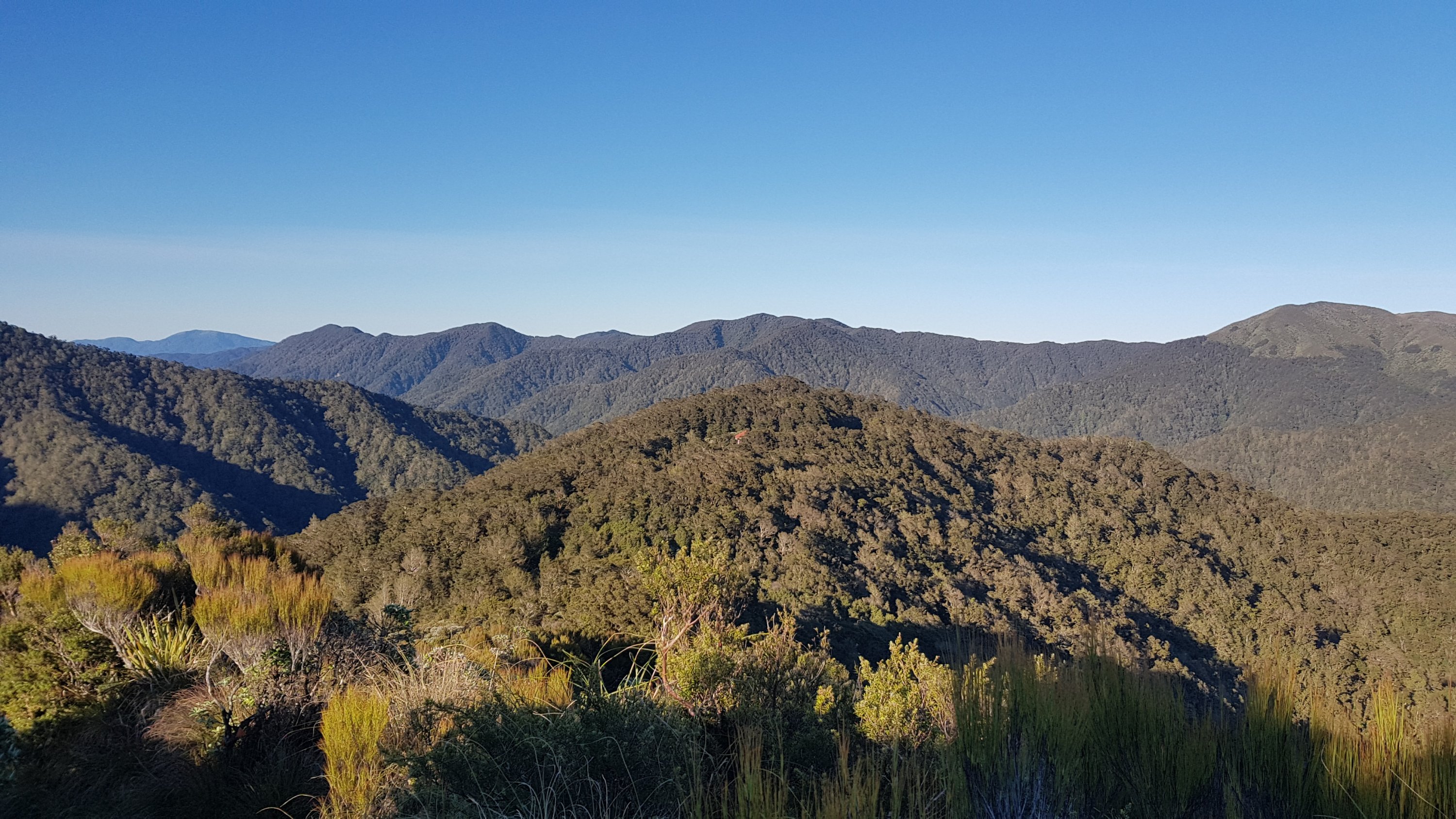
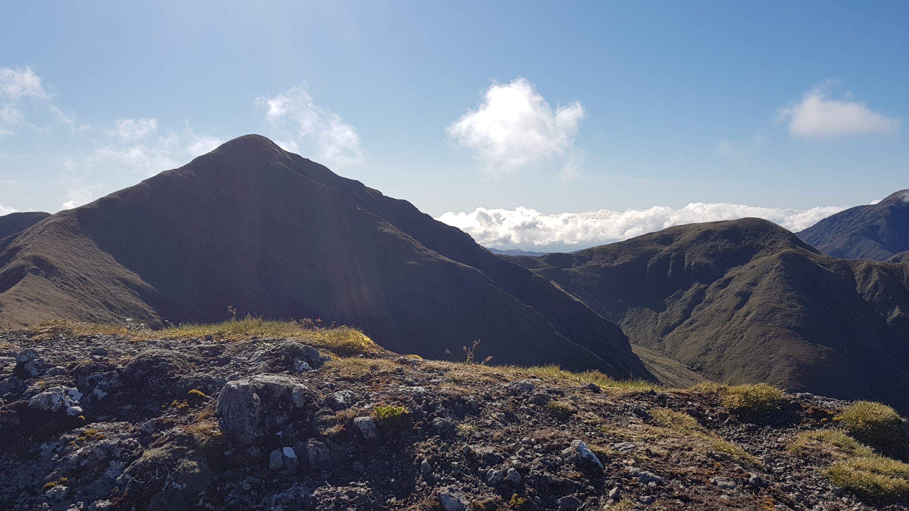
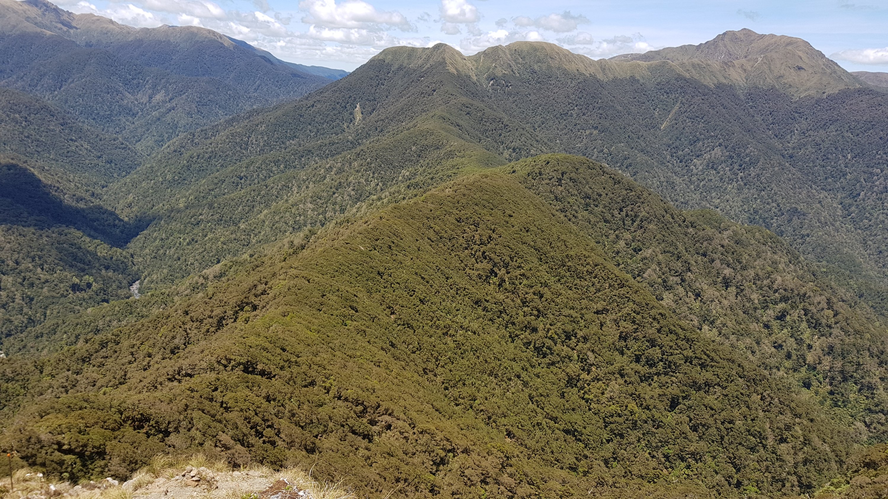
You could clearly see the ridgeline we would take up to Mt. Crawford.

Mt Crawford, left of picture

And we could see Alex and Ethan making their way up.

I had to zoom in a fair bit, but there they are…

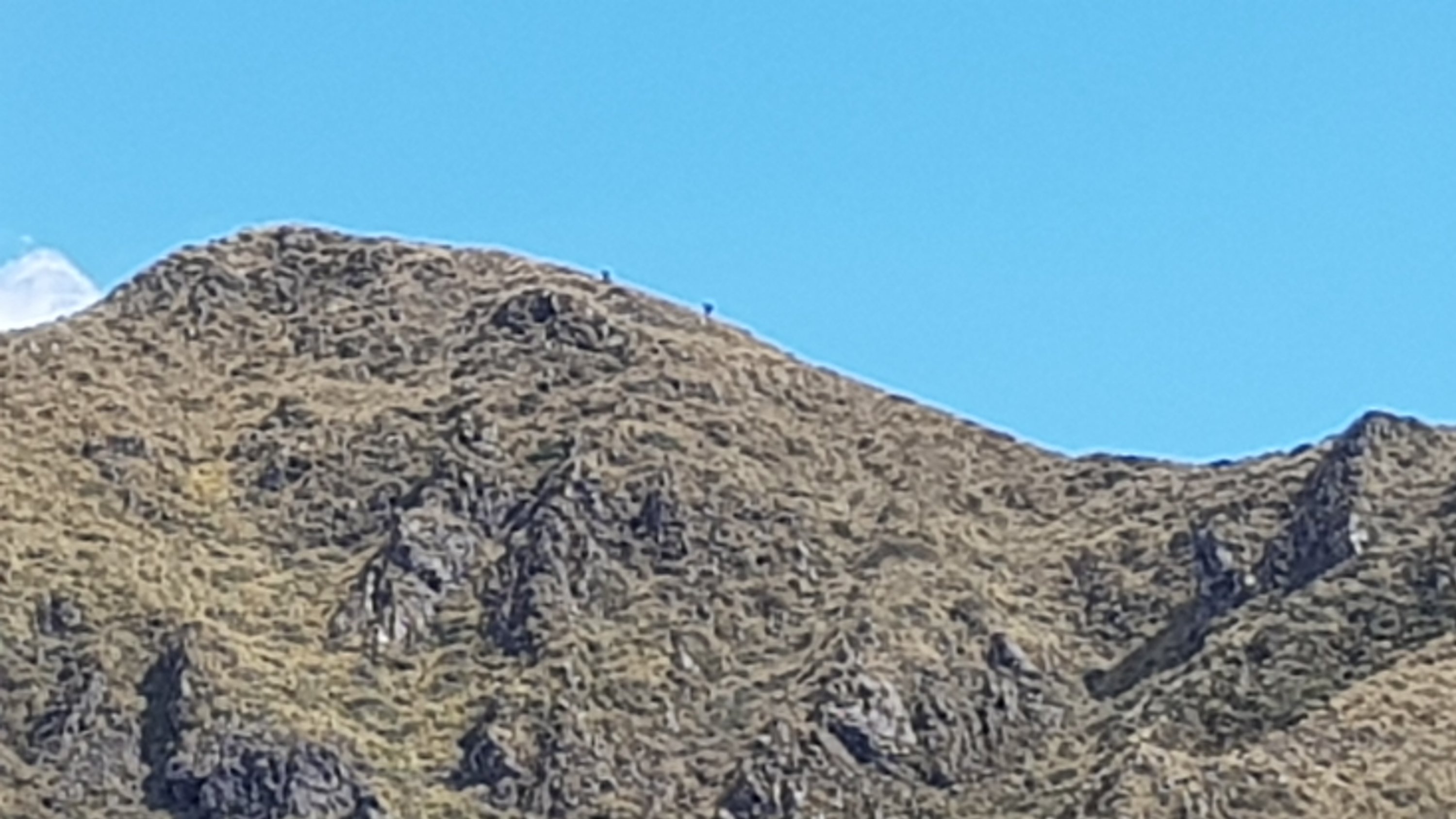
Without all the trees, it’s really easy to spot other people.

Rhydian following closely behind

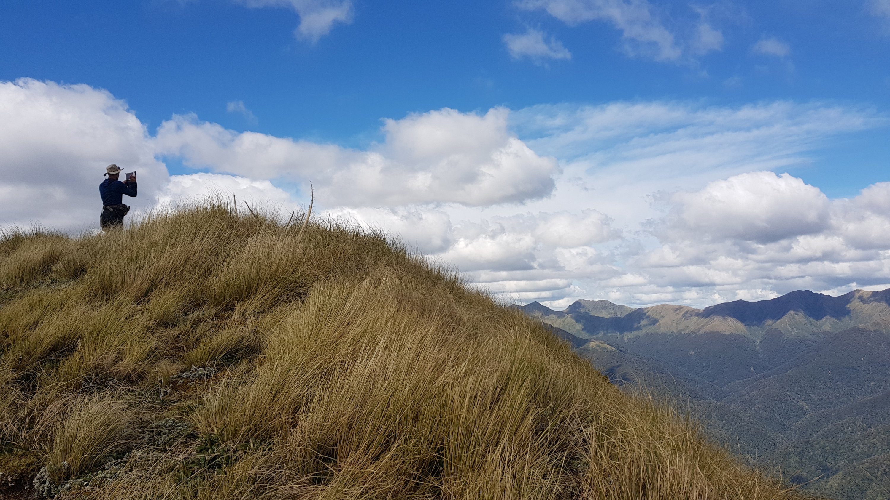
For some reason once we got to the summit of Mt Crawford I expected there to be a guy in a white suit congratulating me and offering me a glass of champagne. That never happened, in fact nothing happened. There isn’t even a sign there. Just a pipe.

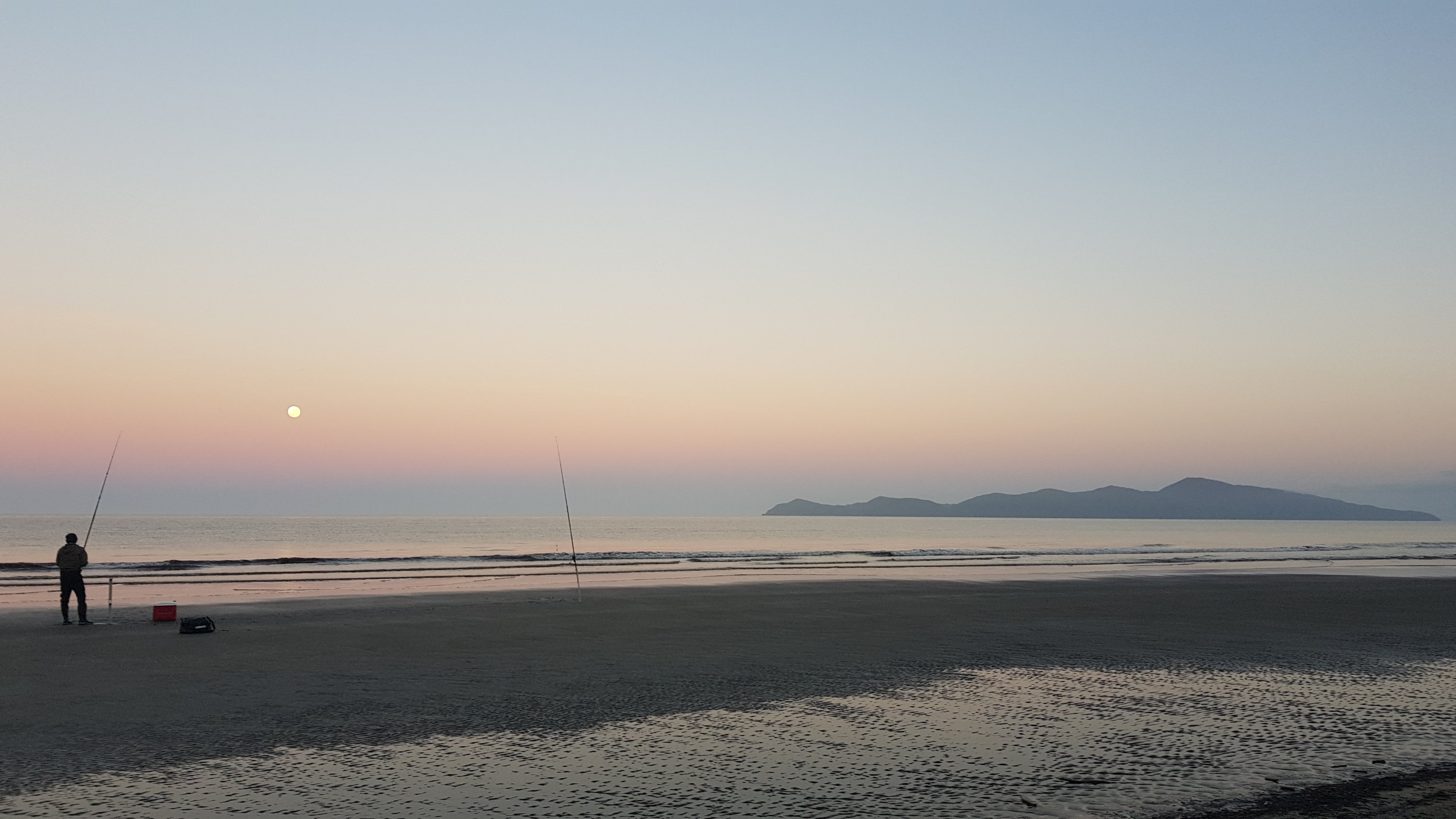
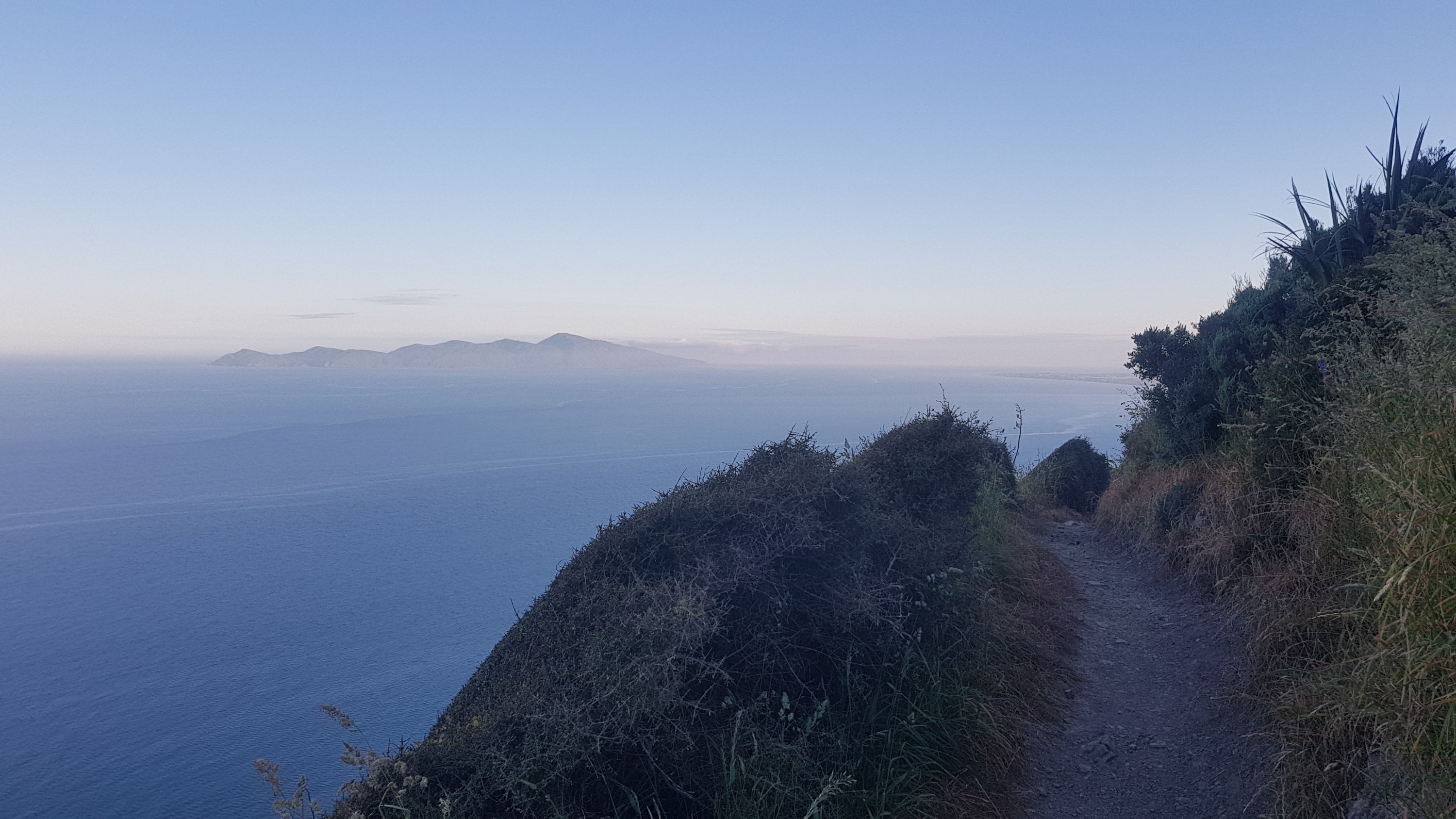
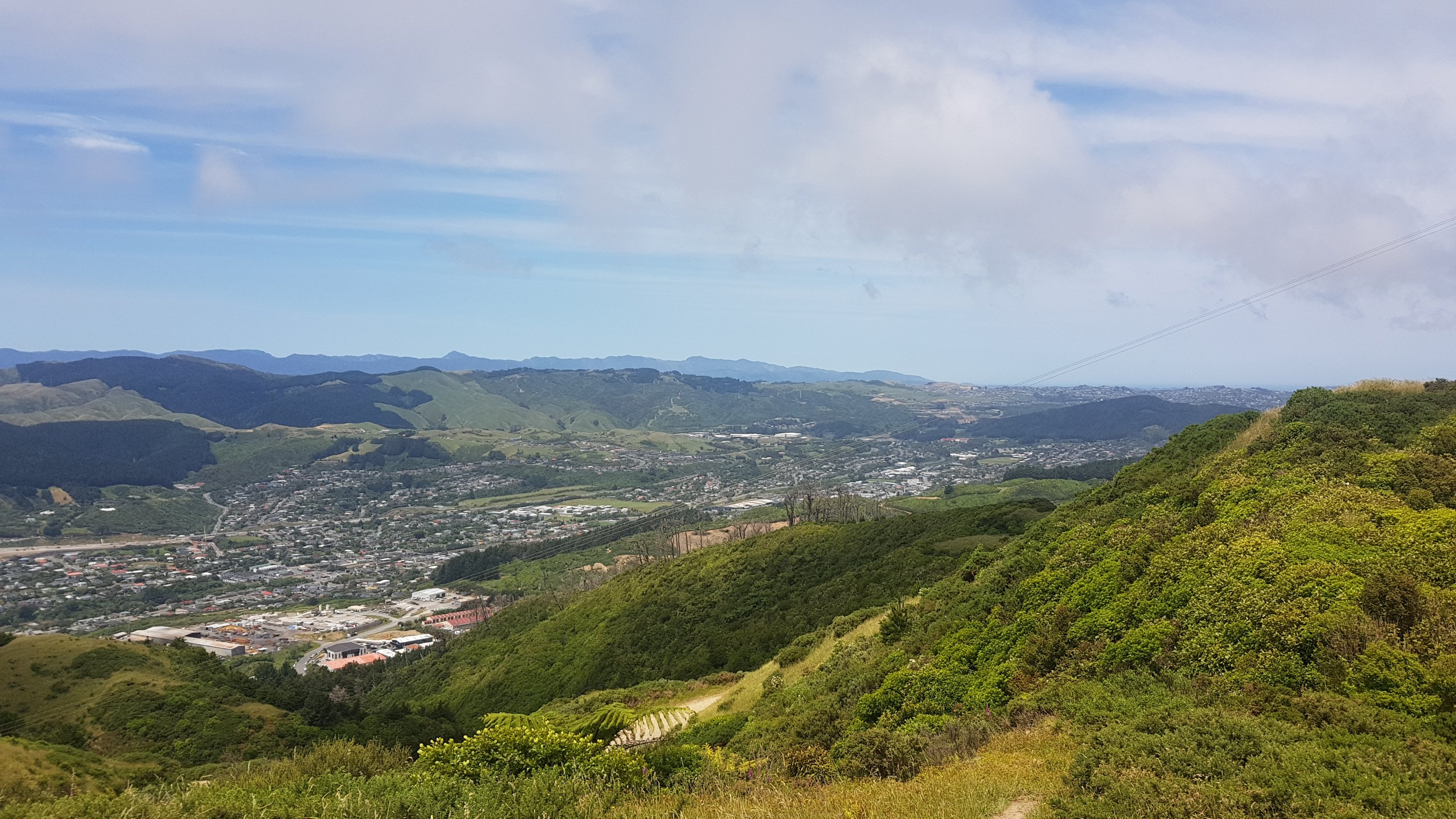
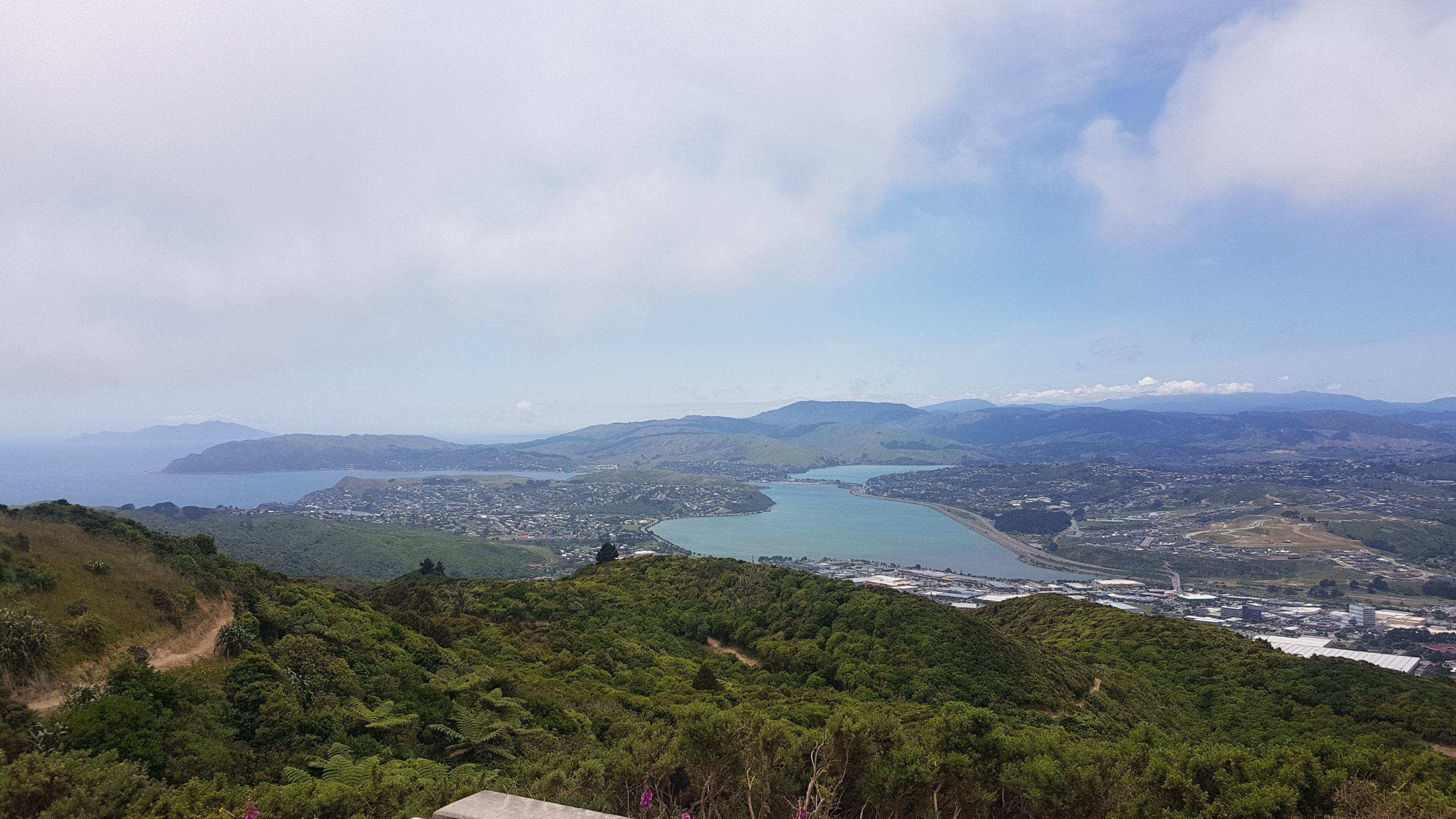
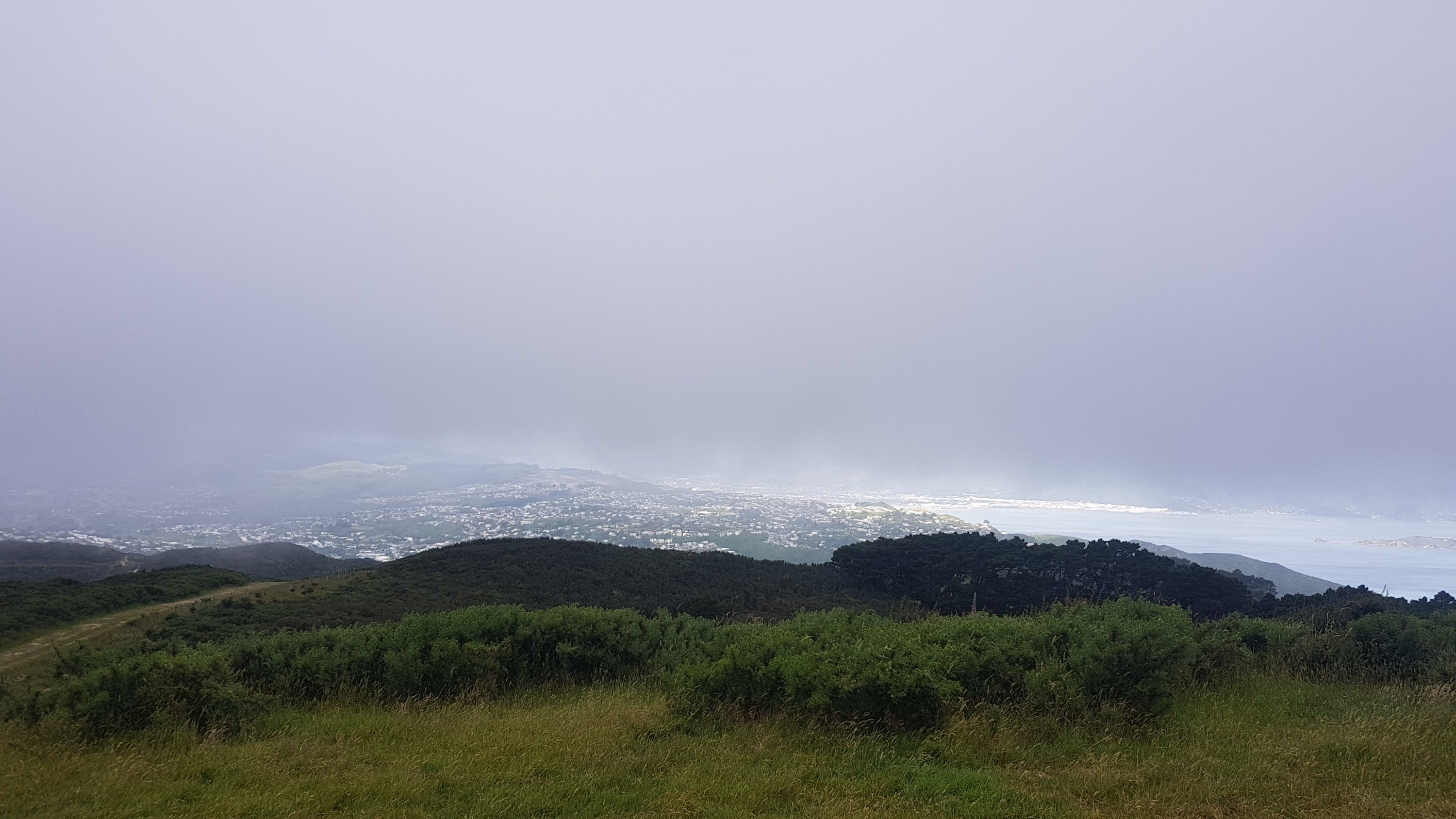
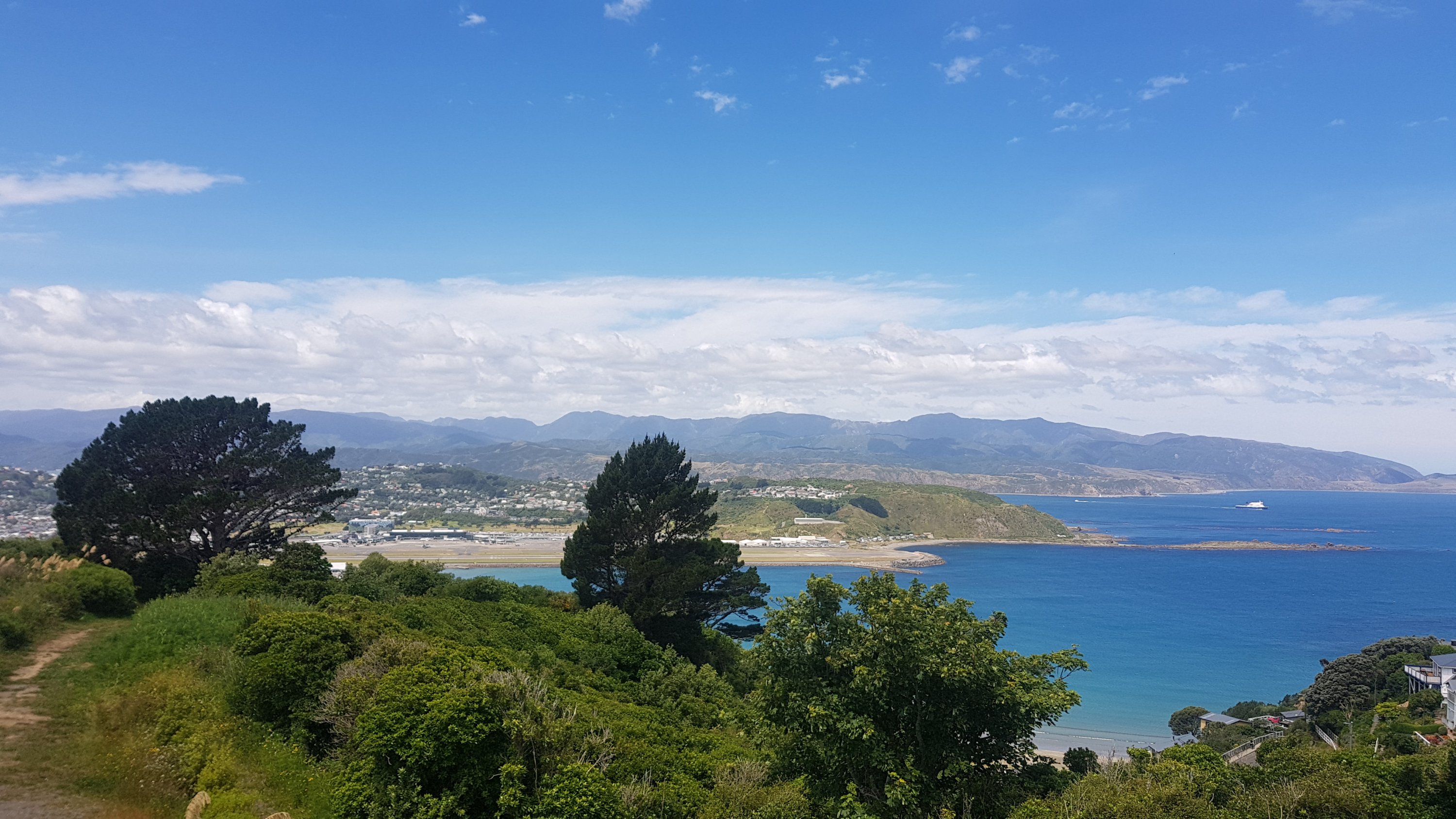
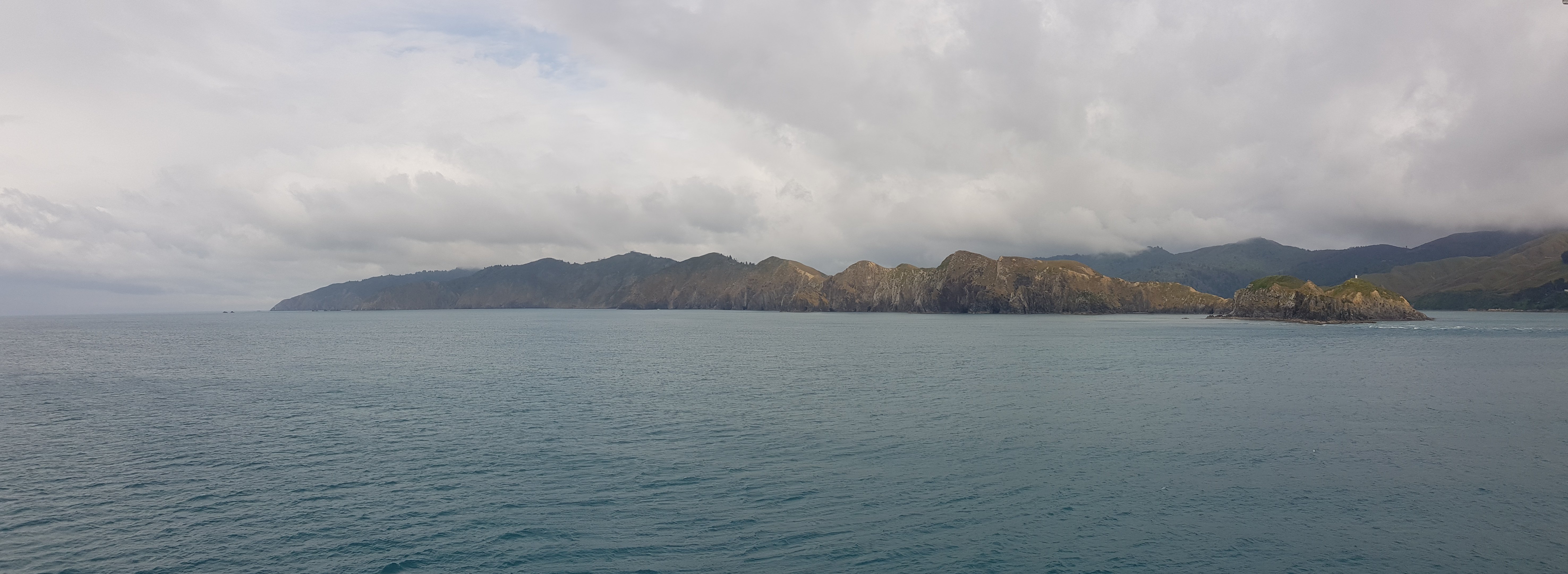
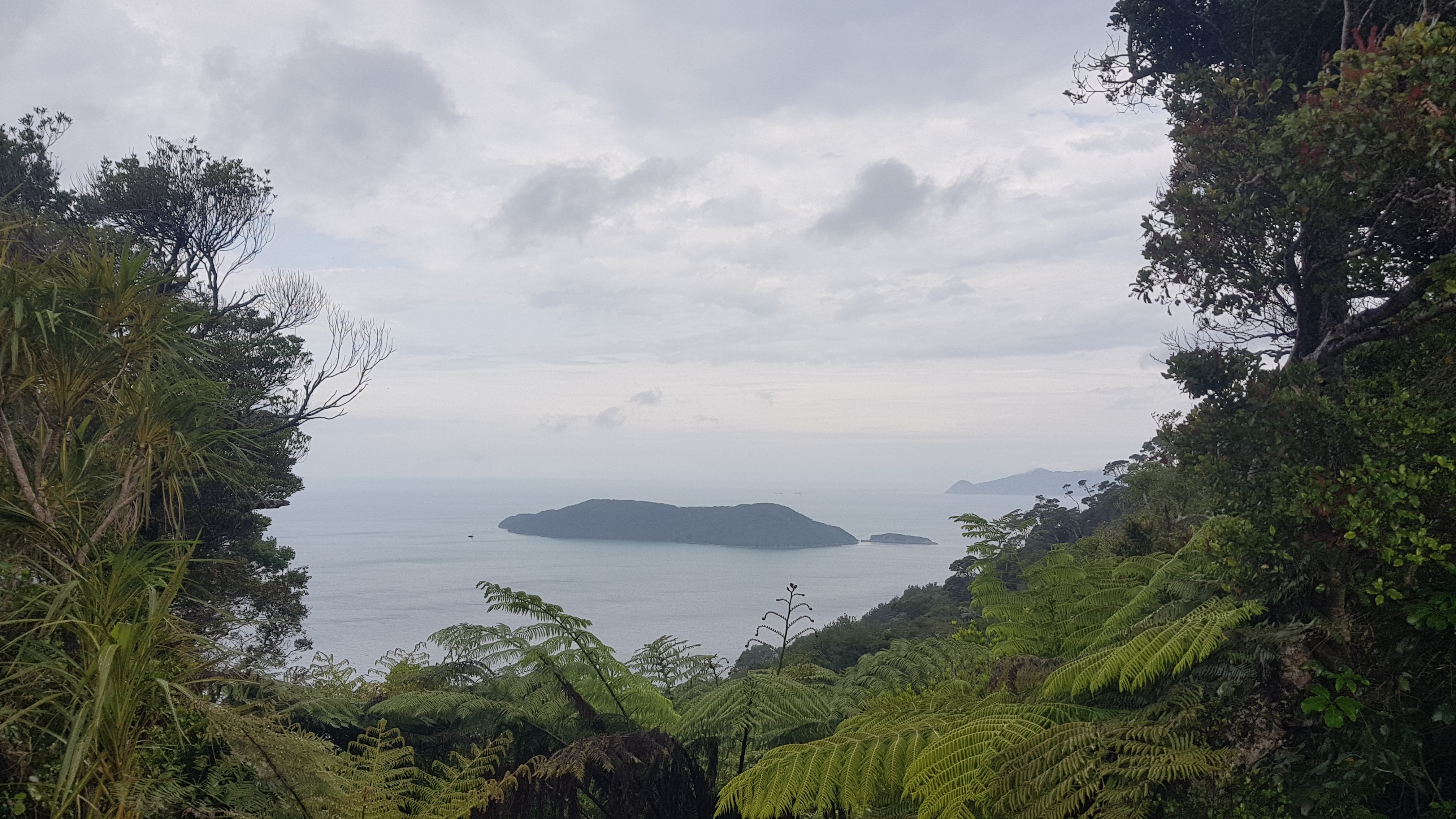
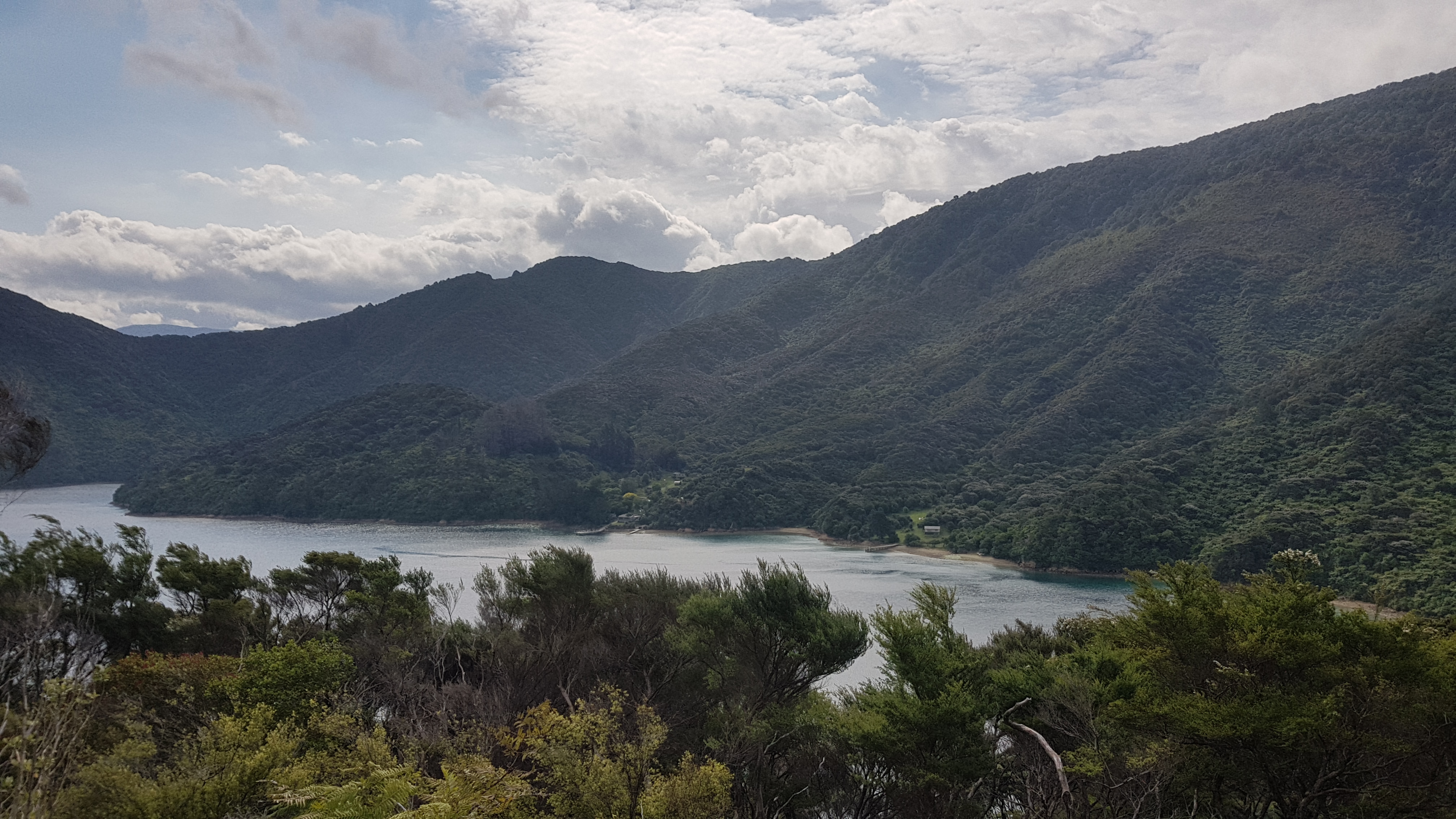
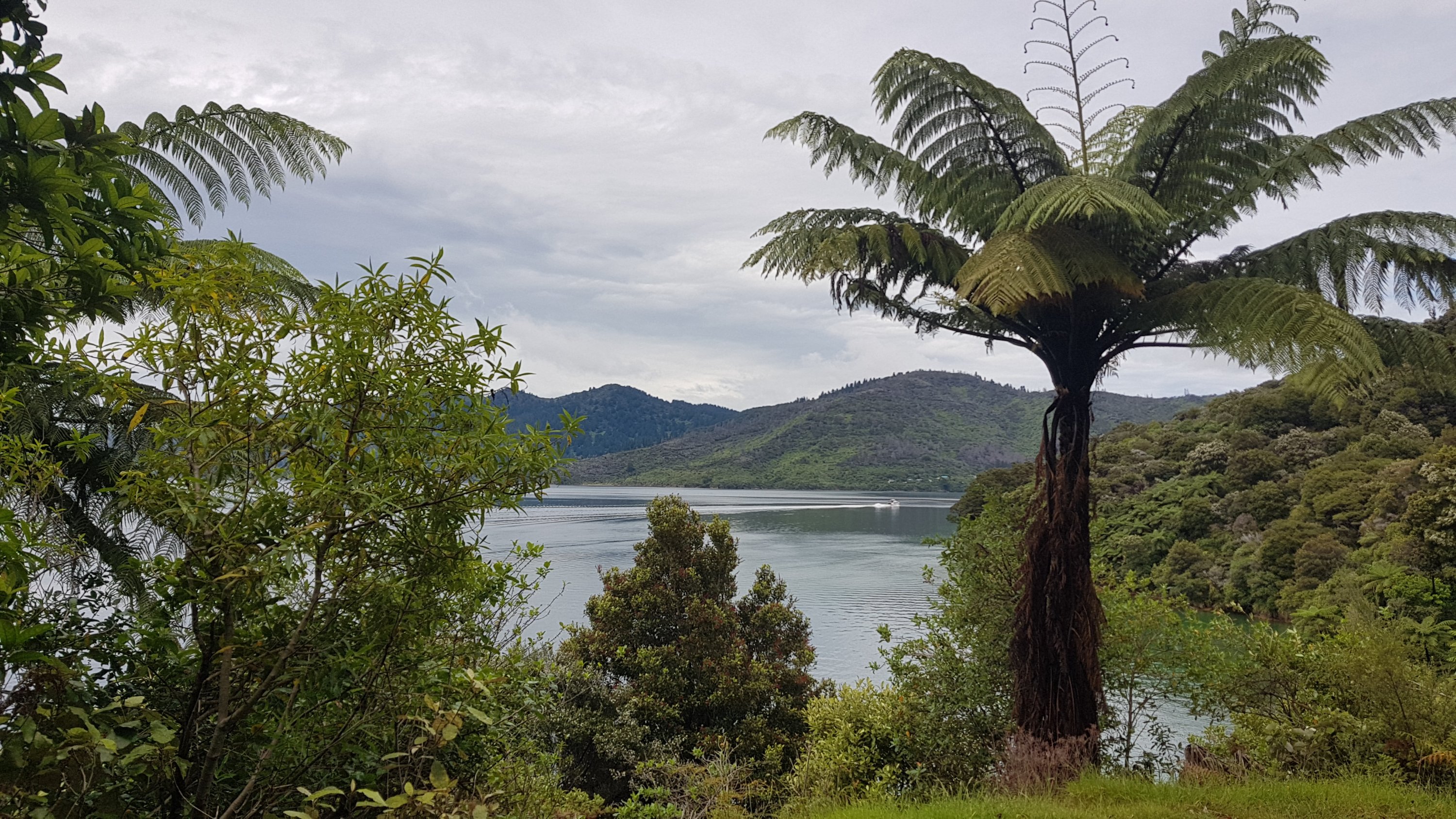
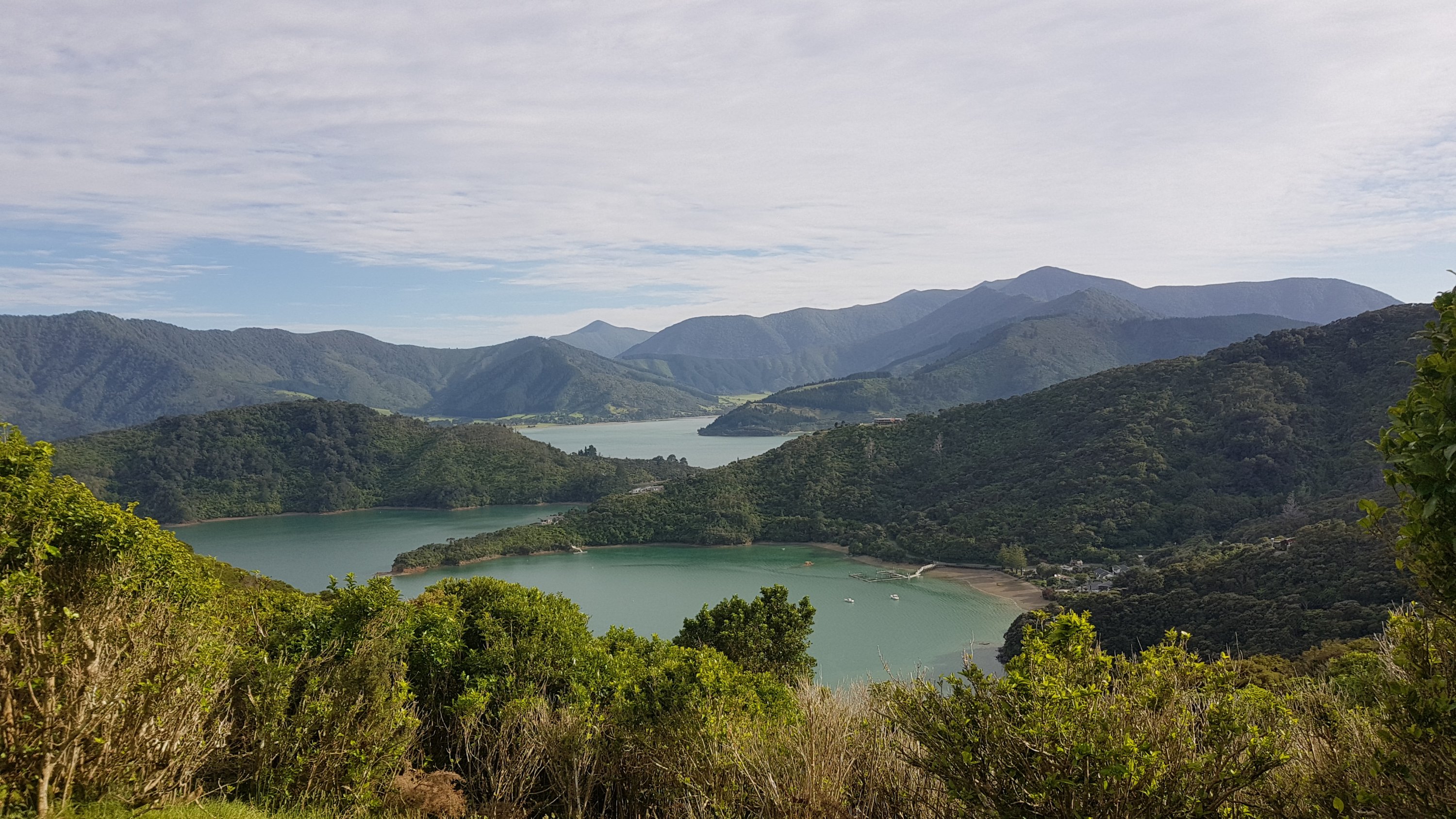
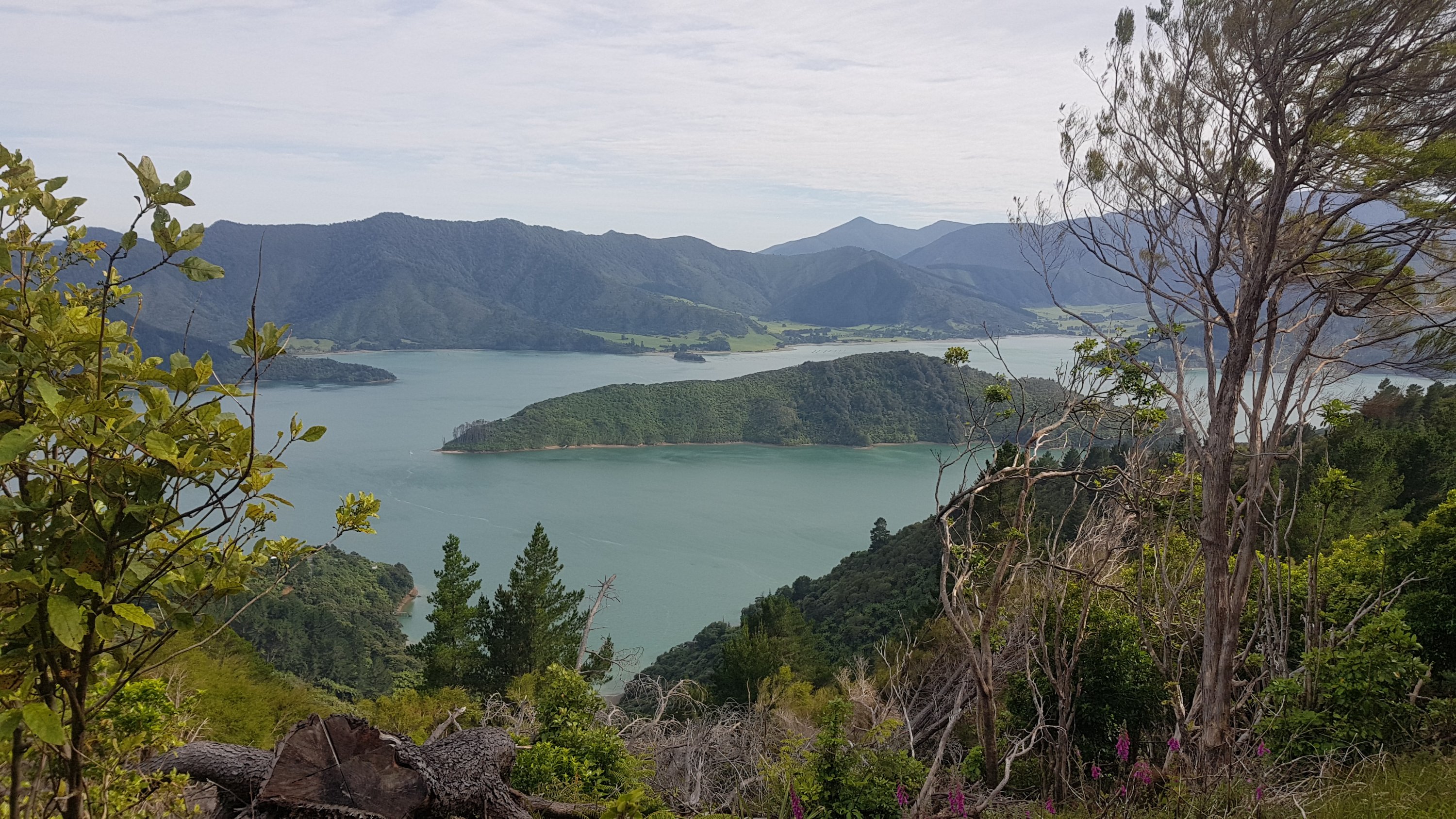
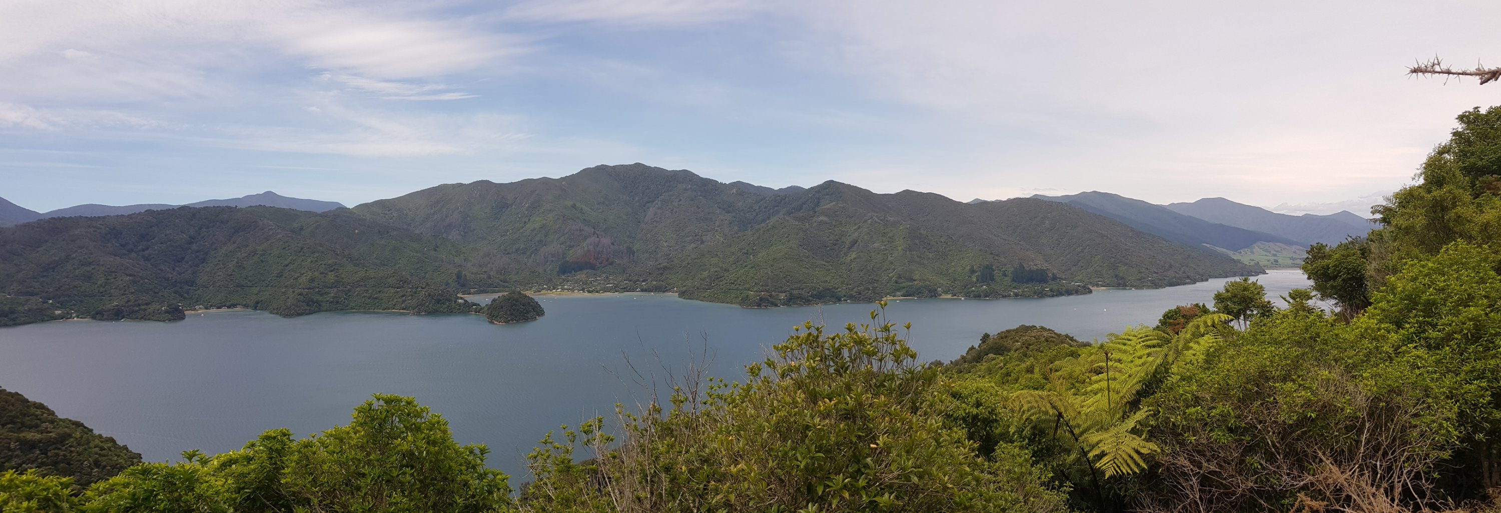
Yesterday, one thing that happened was that we briefly saw the South Island. Today it was much clearer to see, and there was a great view of it today, as well as Kapiti Island in front of it.

One might not expect to see the South Island from so far north, but there you are.

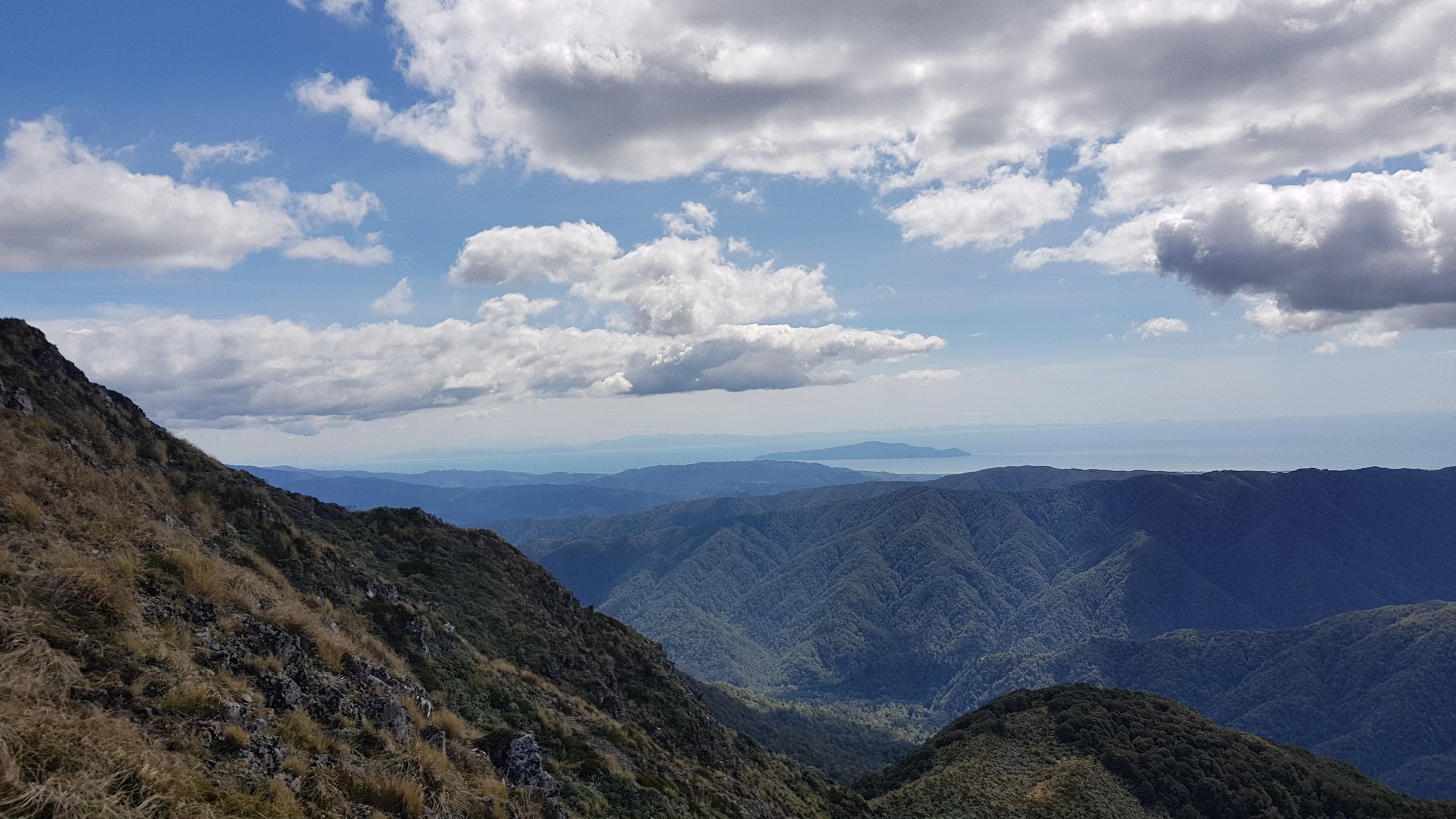
You could also see Mt. Taranaki and Mt. Ruapehu far in the distance, although I can’t see them in any of the photos I tried to take of them.

From the peak you go down but also up again briefly

Rhydian said we were very lucky to have such a clear and beautiful day to come up here – he has come up here many times before and says he has never had a day so good.

We made it to the highest point on this part of the trail!

After a bit more walking, Waitewaewae Hut was apparently only two hours away, and Nichols Hut was only an hour and a half behind. That seemed very odd given that Waitewaewae was signposted at Nichols Hut as being five and a half hours away.

What’s up, DOC?

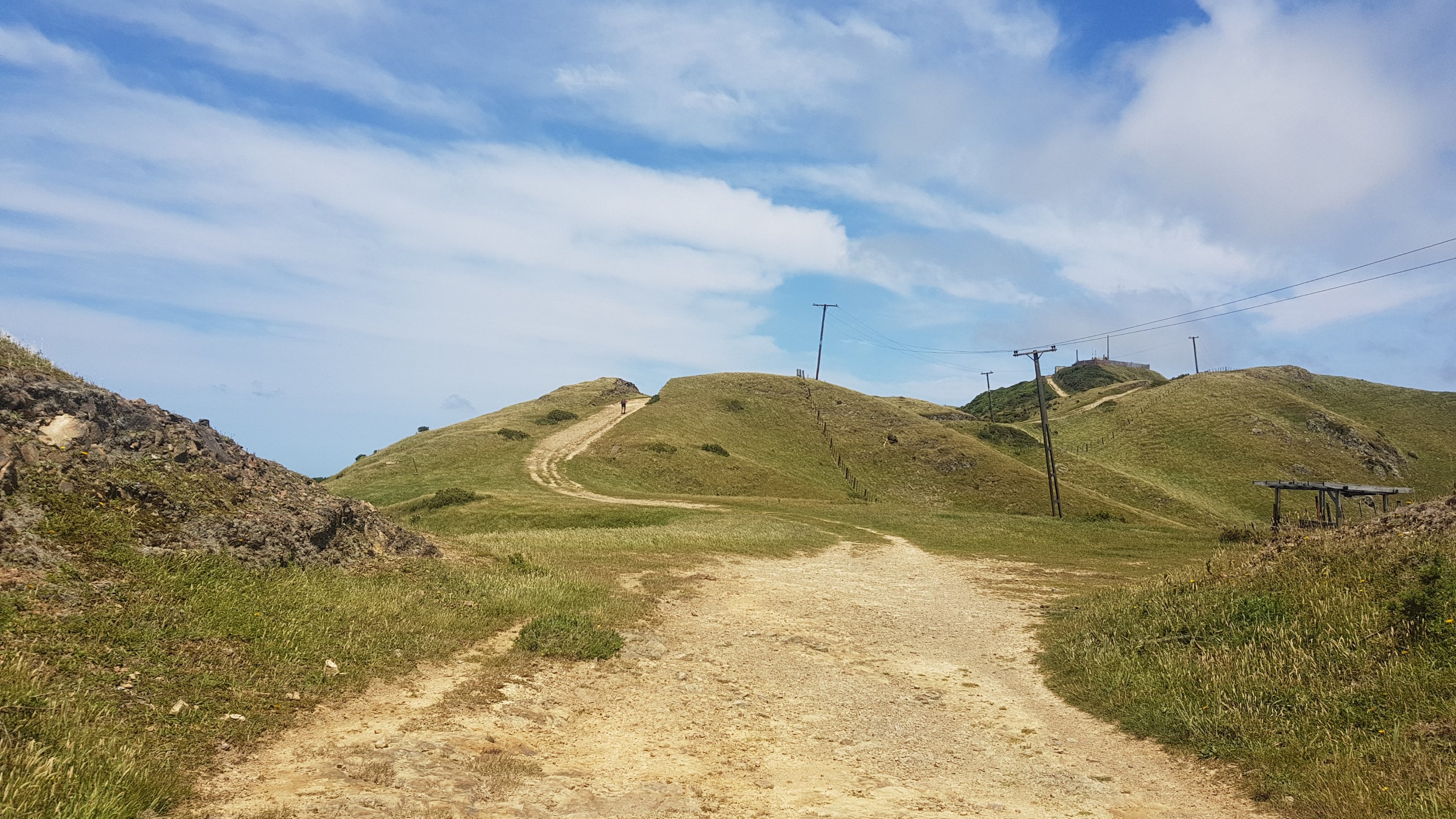
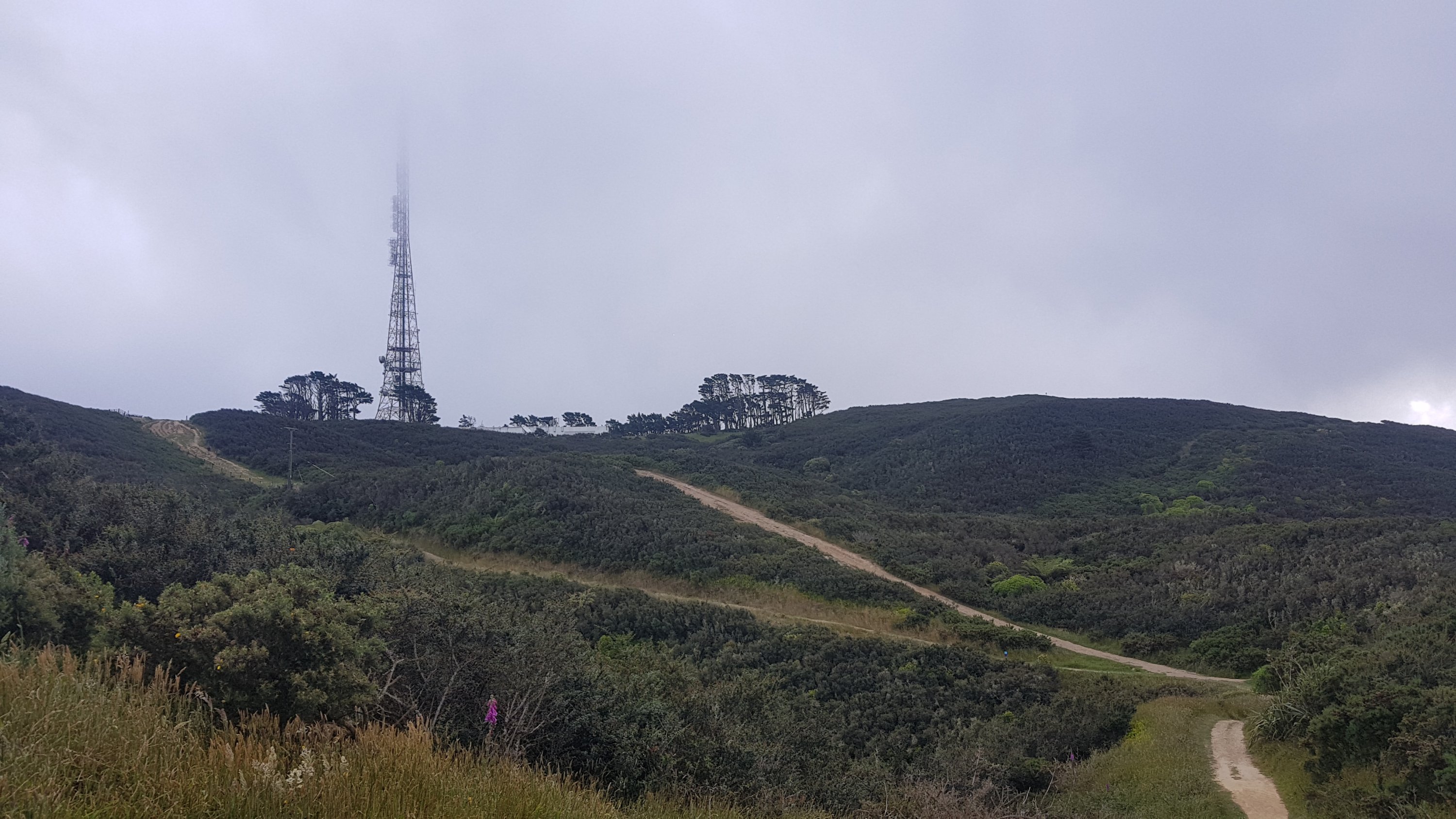
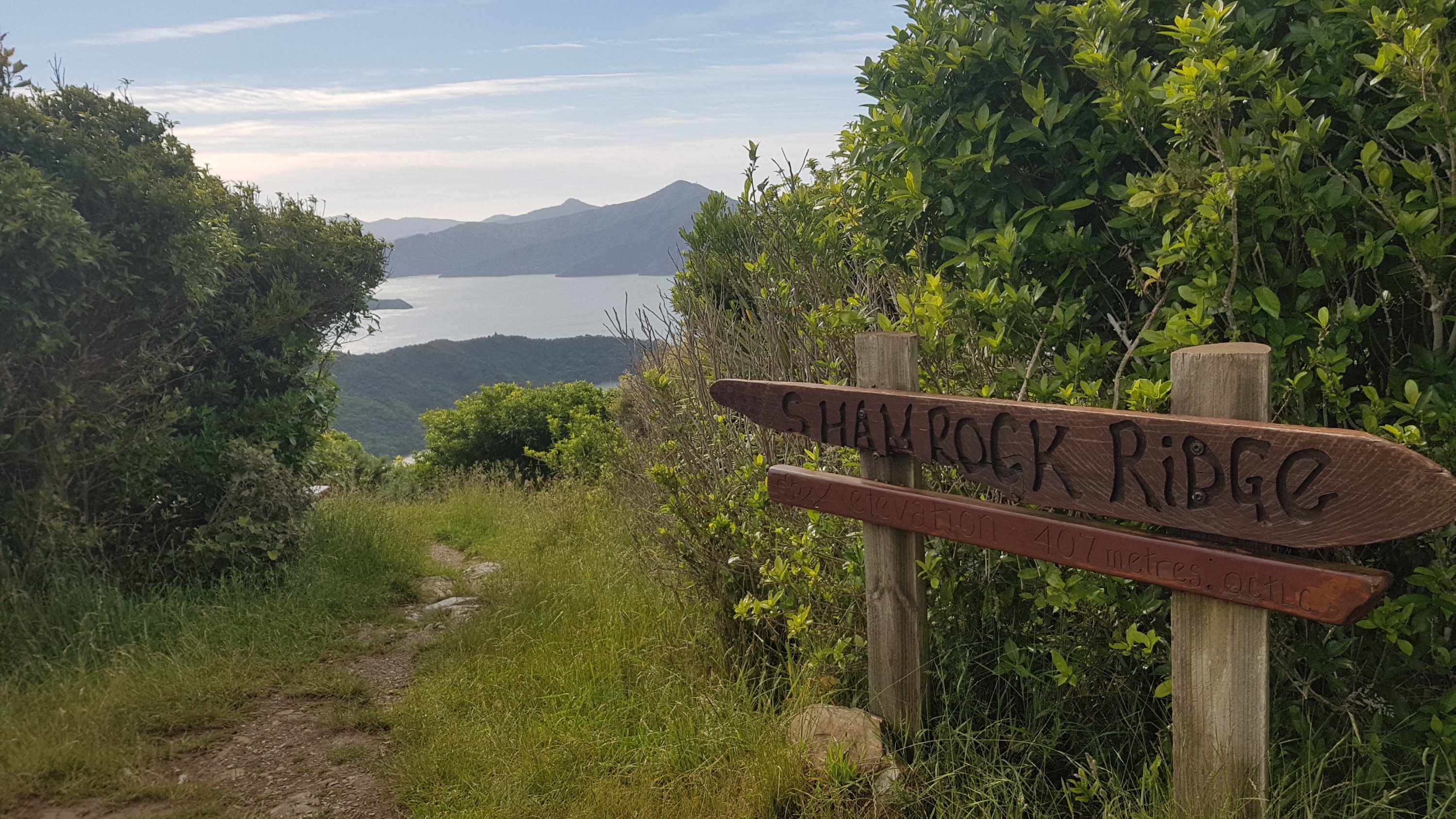
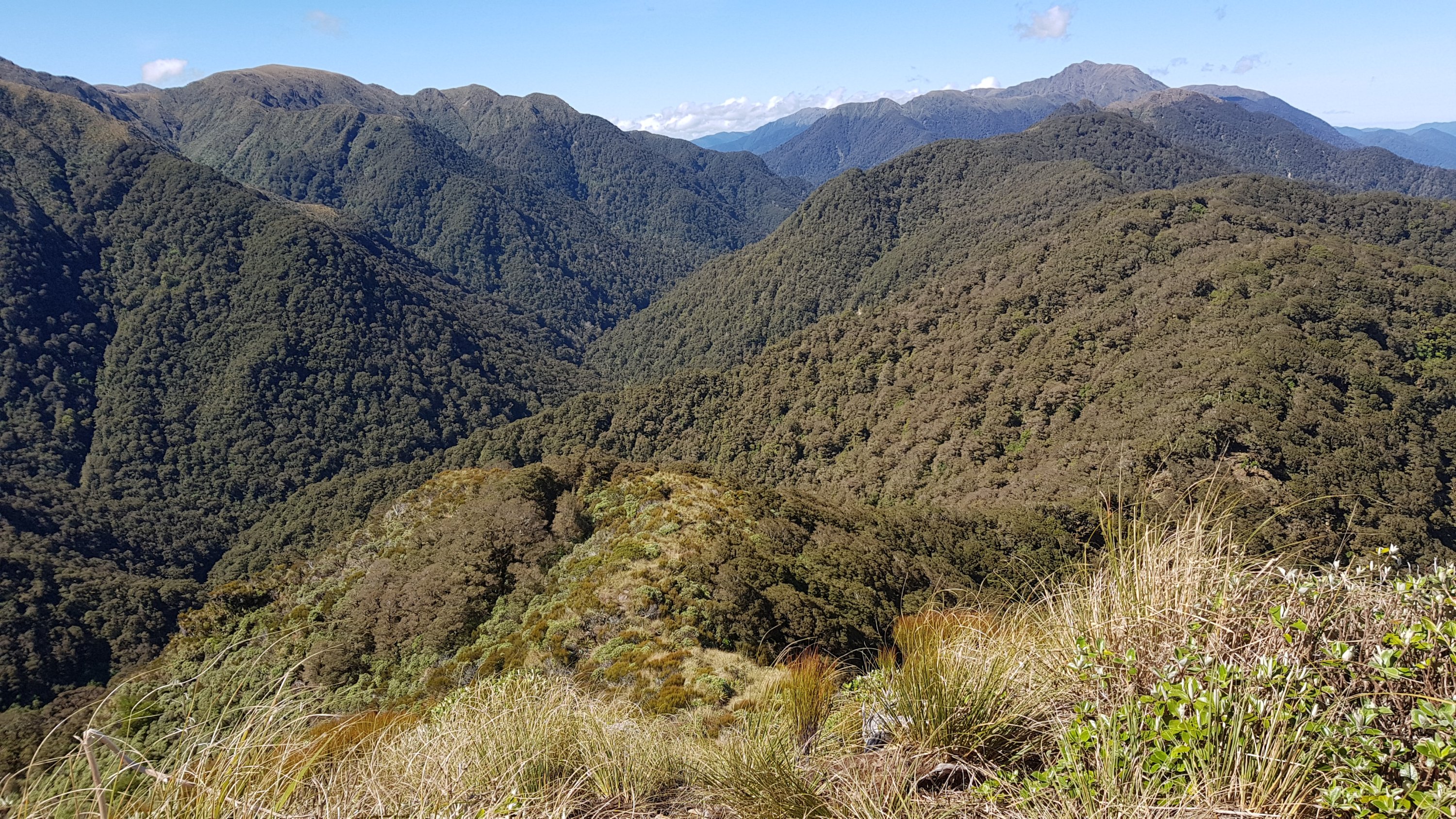
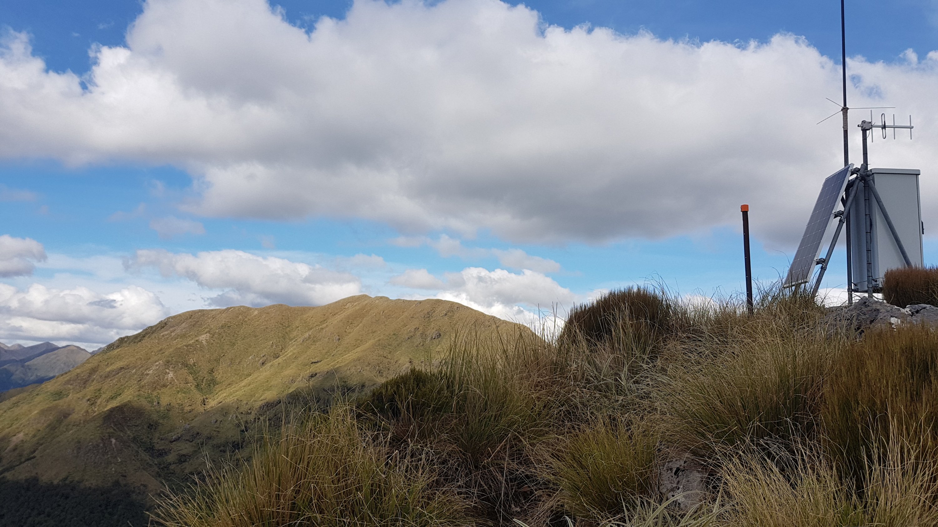
After a bit of a walk through Junction Knob and Shoulder Knob…

That’s Shoulder Knob. Who comes up with these names?

And past this device, which I can only assume is checking for signs of extraterrestrial life…

We came looking for intelligent life. Oops, we made a mistake

I lost Rhydian when he stopped at a point where he had phone coverage.

People who take photos on iPads look hilarious

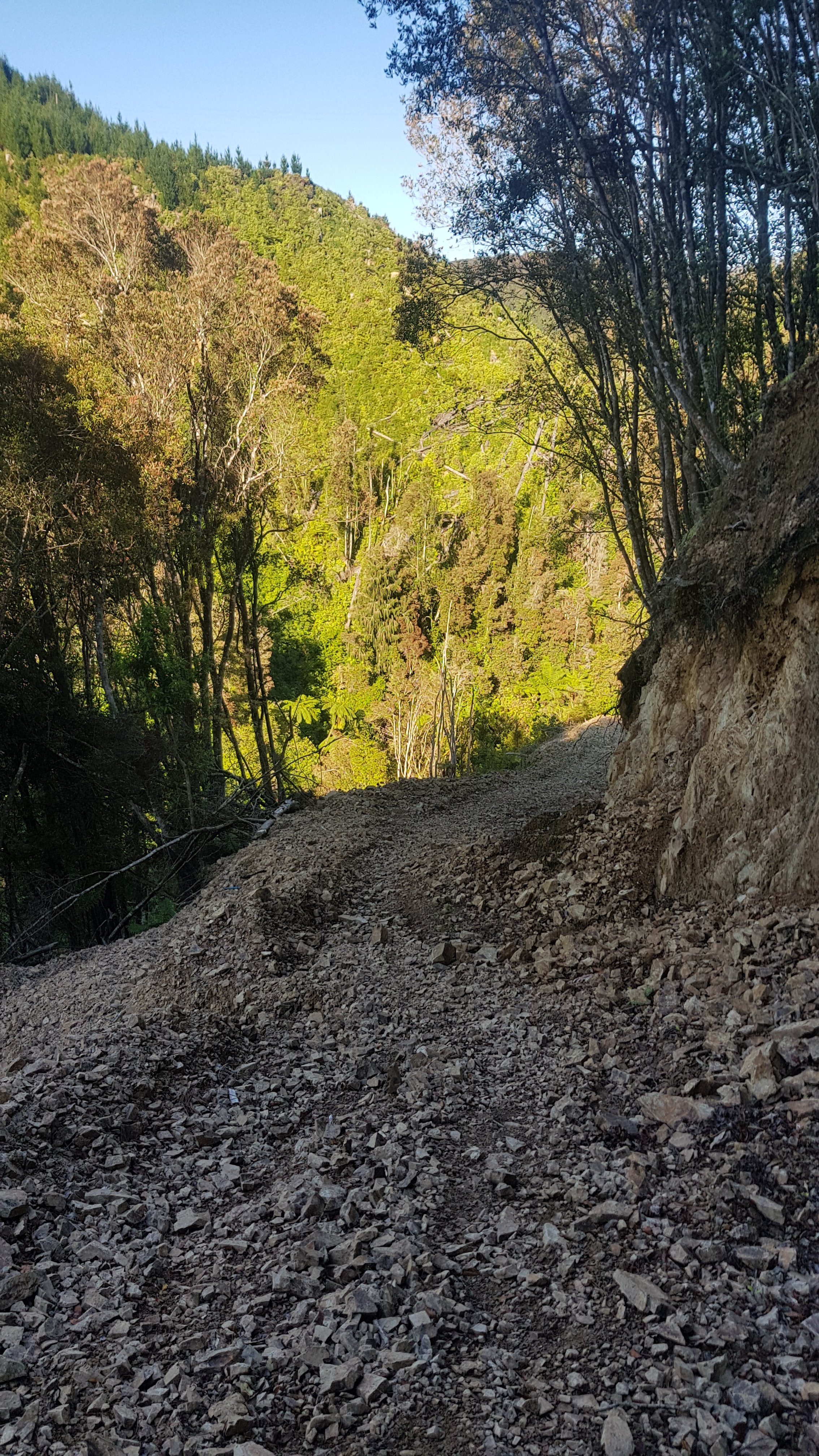
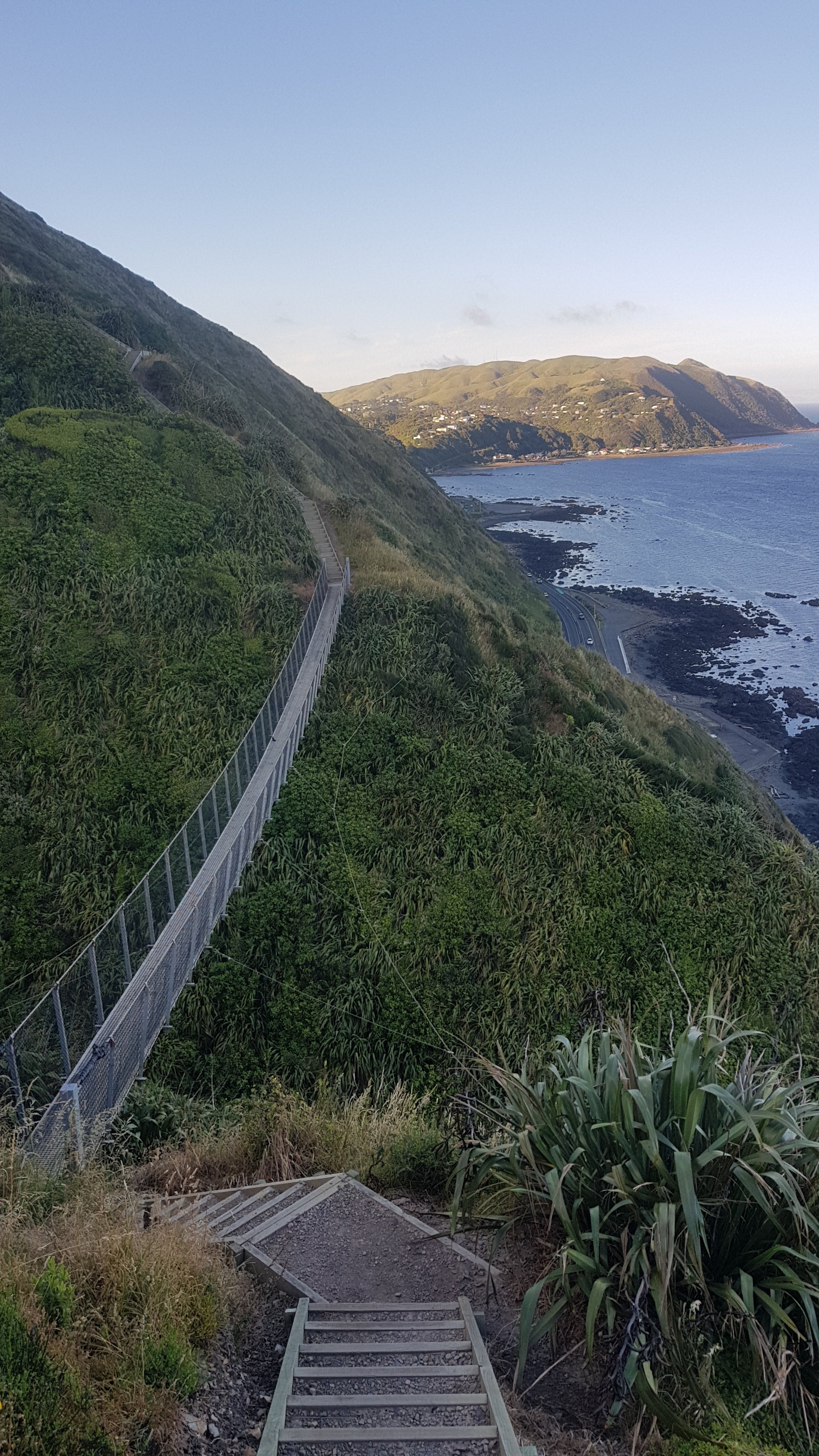
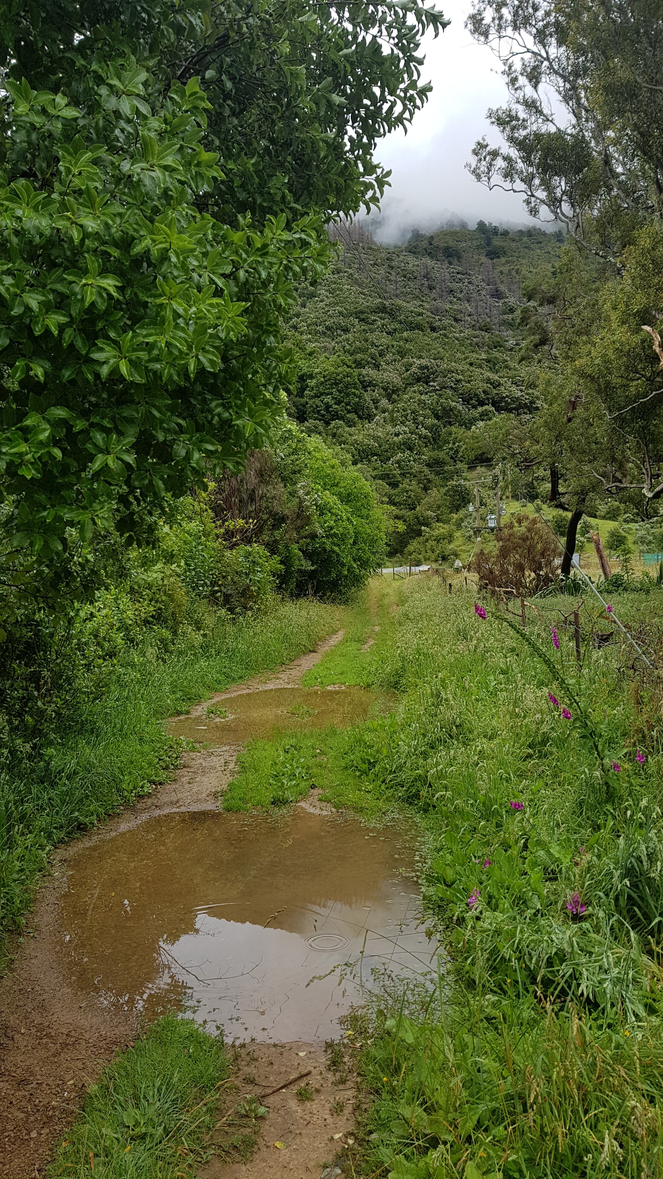
From here it was the start of the downhill. And it went down…

And down…

And down…

And down some more.

And it wasn’t a nice path down, it was steep, with lots of natural steps made from tree roots, and a lot of them were quite steep. There were also lots of fallen trees to climb over.

This was one of the easier ones.

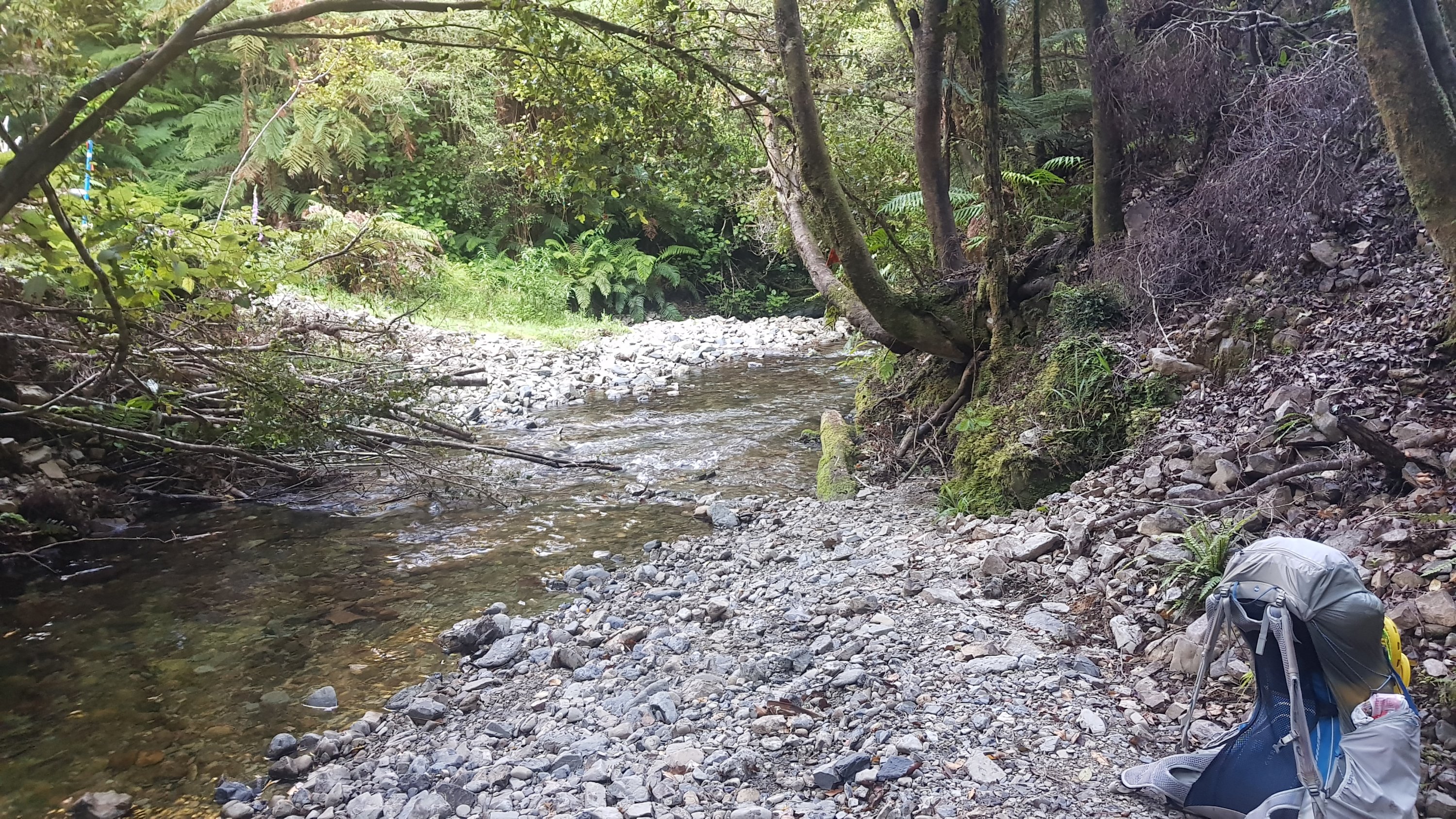
We went from 1200m elevation down to 300m in a very short time. It was basically nothing but lowering yourself down each step, either by hoisting yourself down, climbing down or just jumping down. I really started to feel every single step by the bottom. It was very tiring.

One thing I started to realise as it got late in the day was that all today and yesterday there would be nowhere to camp up here. I don’t think I saw a flat piece of ground anywhere, except maybe at the huts. Lucky there are lots of huts around… but I wonder if they ever get full? I mean, Dracophyllum Hut had only two beds and Nichols Hut had six, but I remember at Whanganui Holiday Park there were 20 hikers there at once. Do the huts get full, I wonder? These huts, like all huts that aren’t on one of the “great walks”, are first come, first served – they can’t be booked.

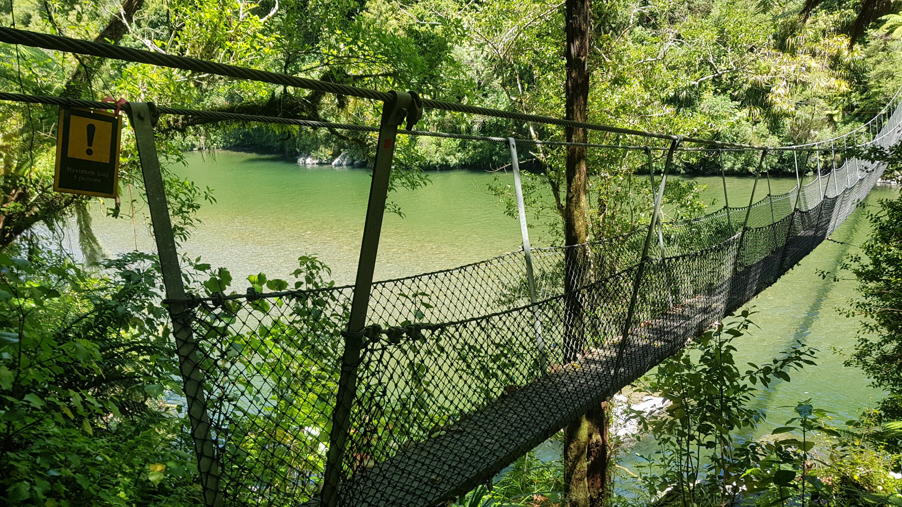
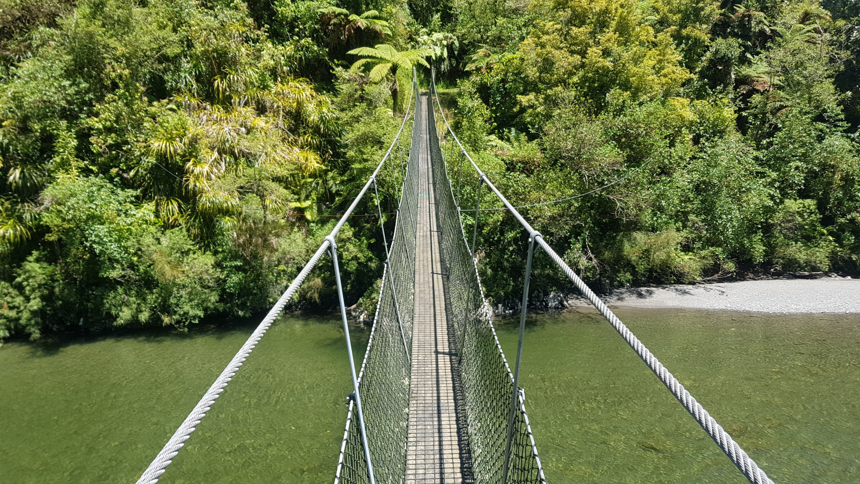
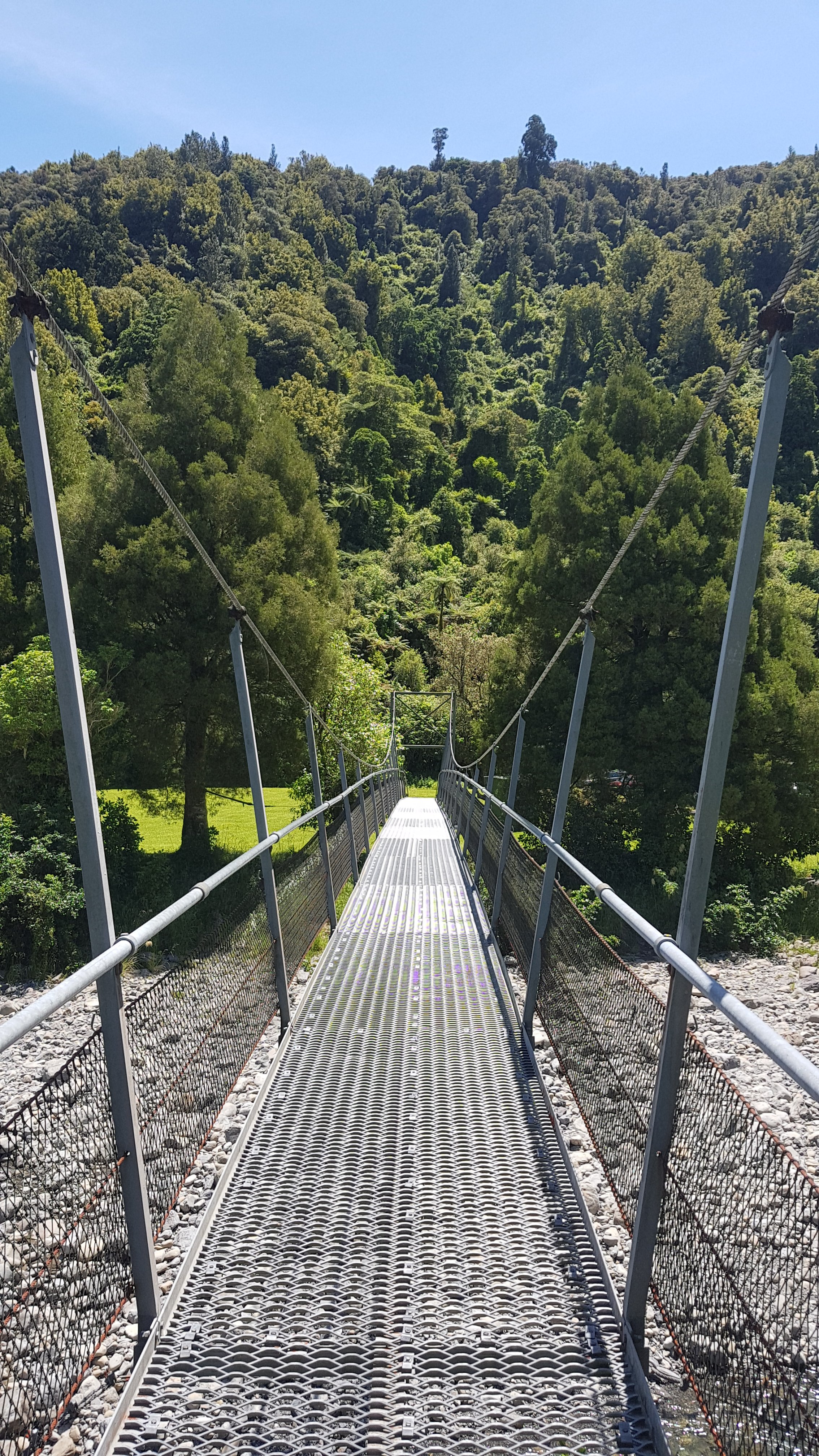
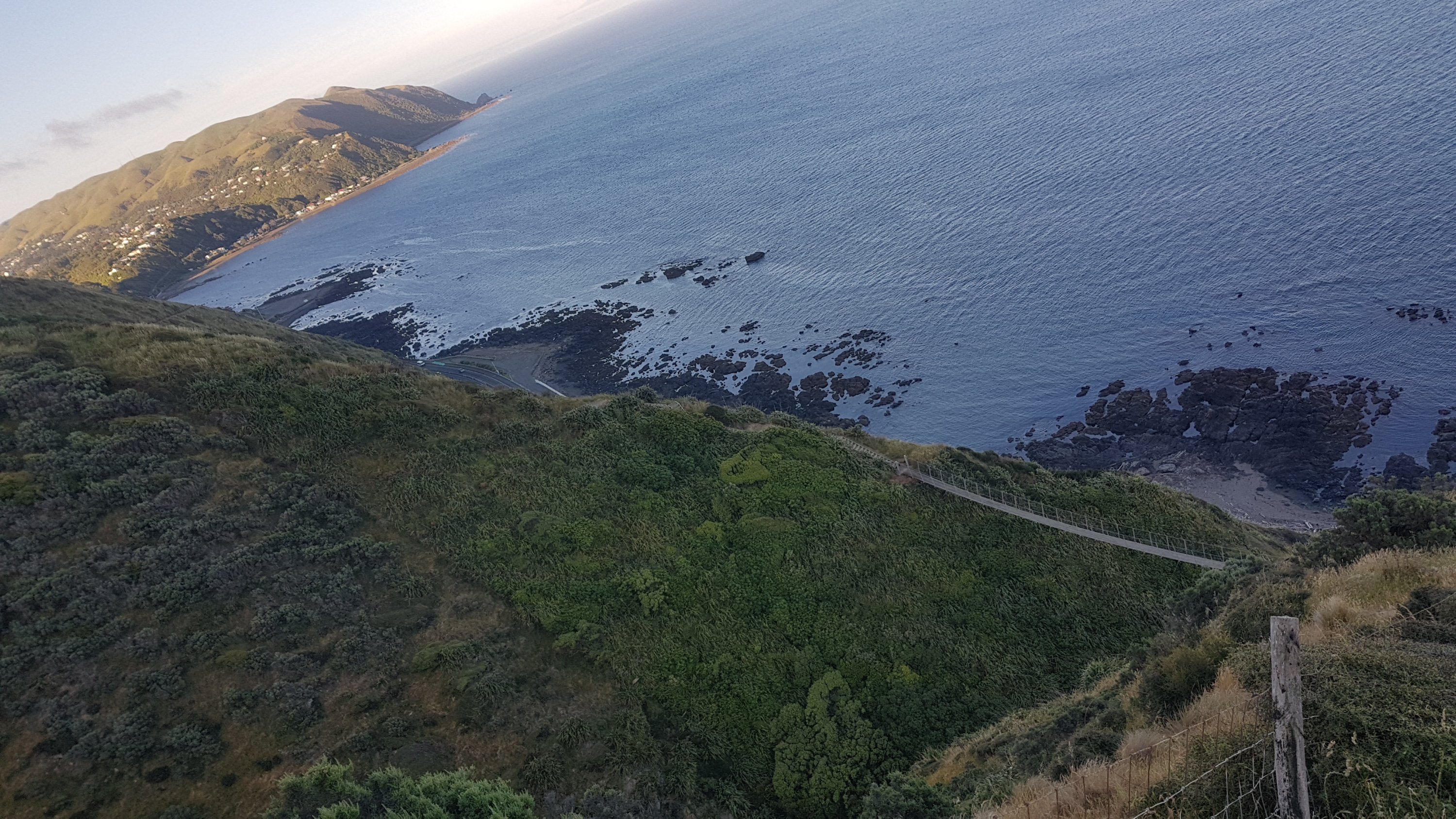
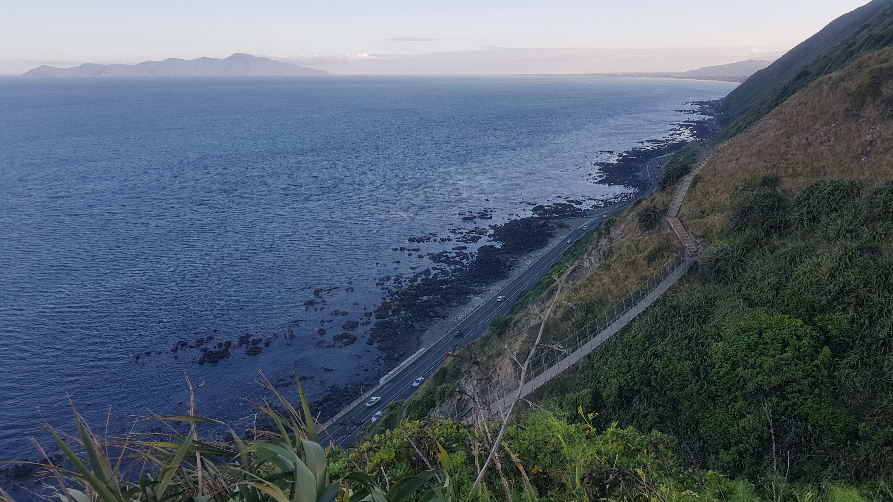
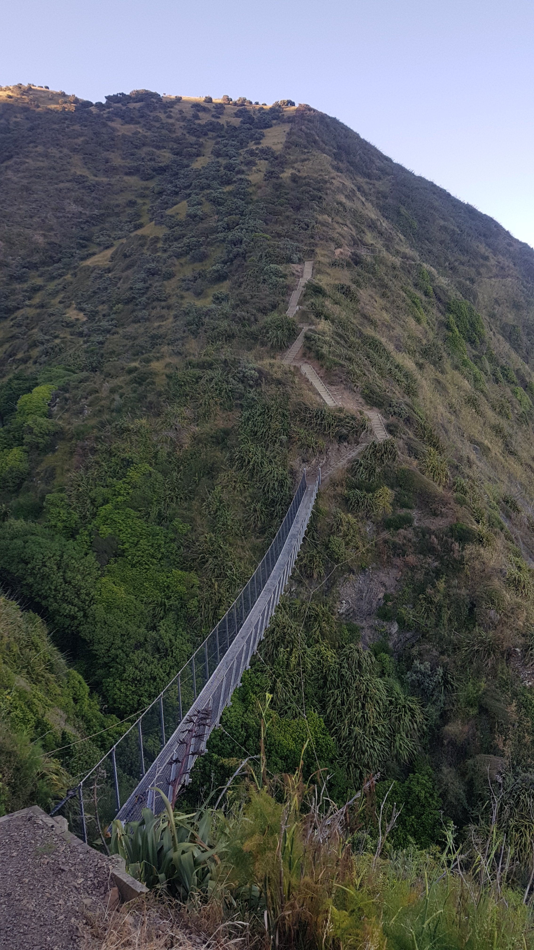
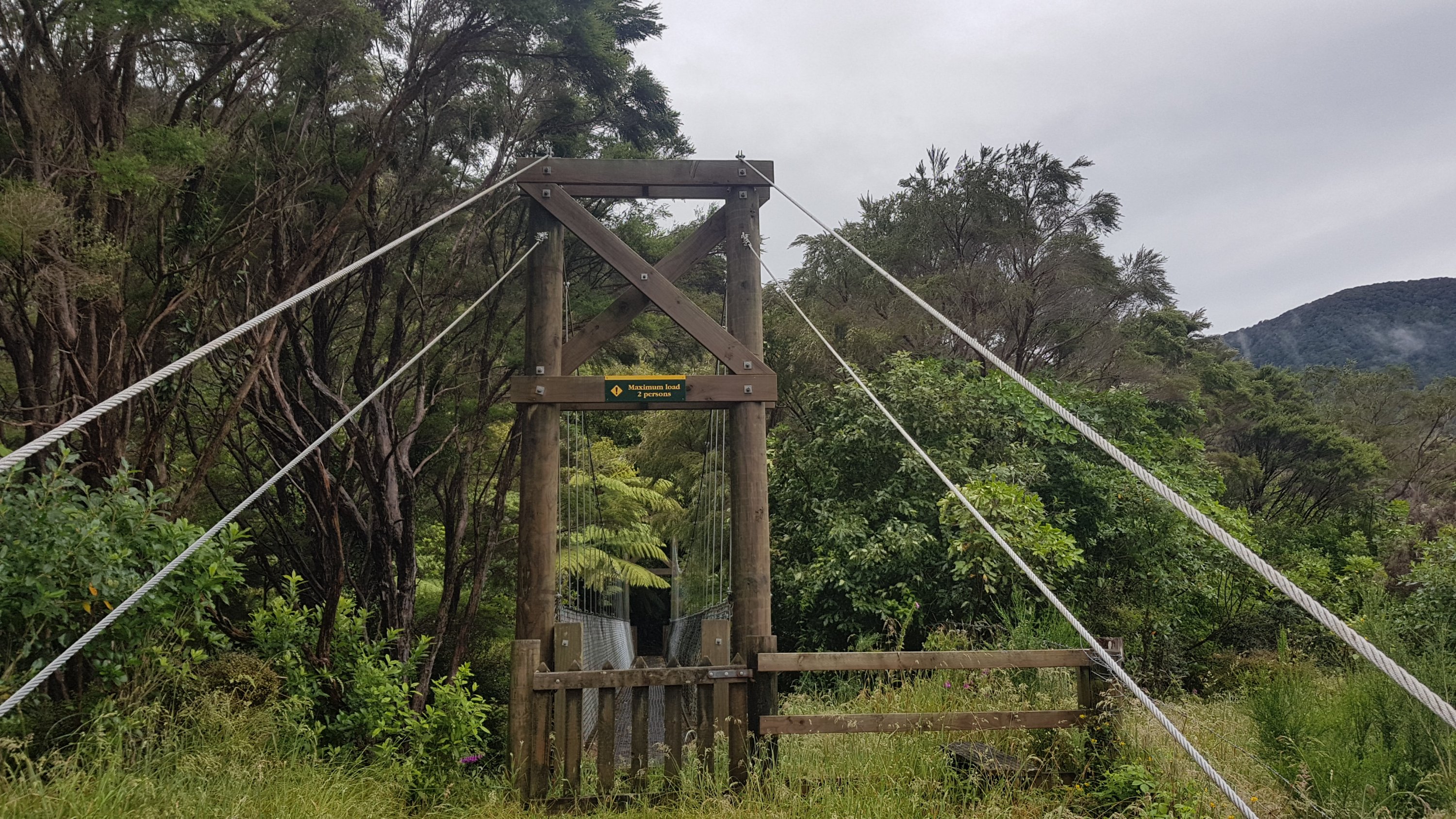
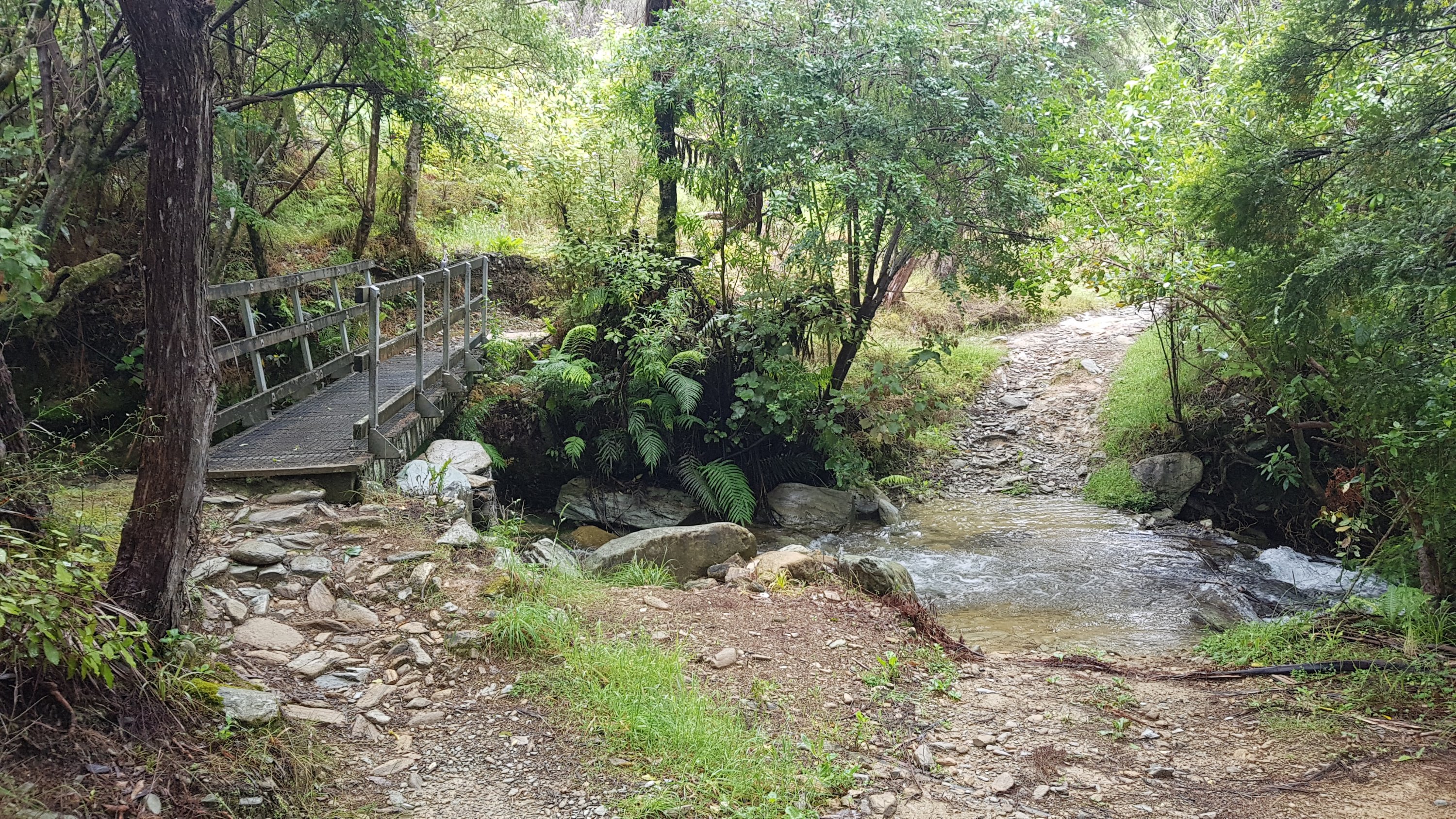
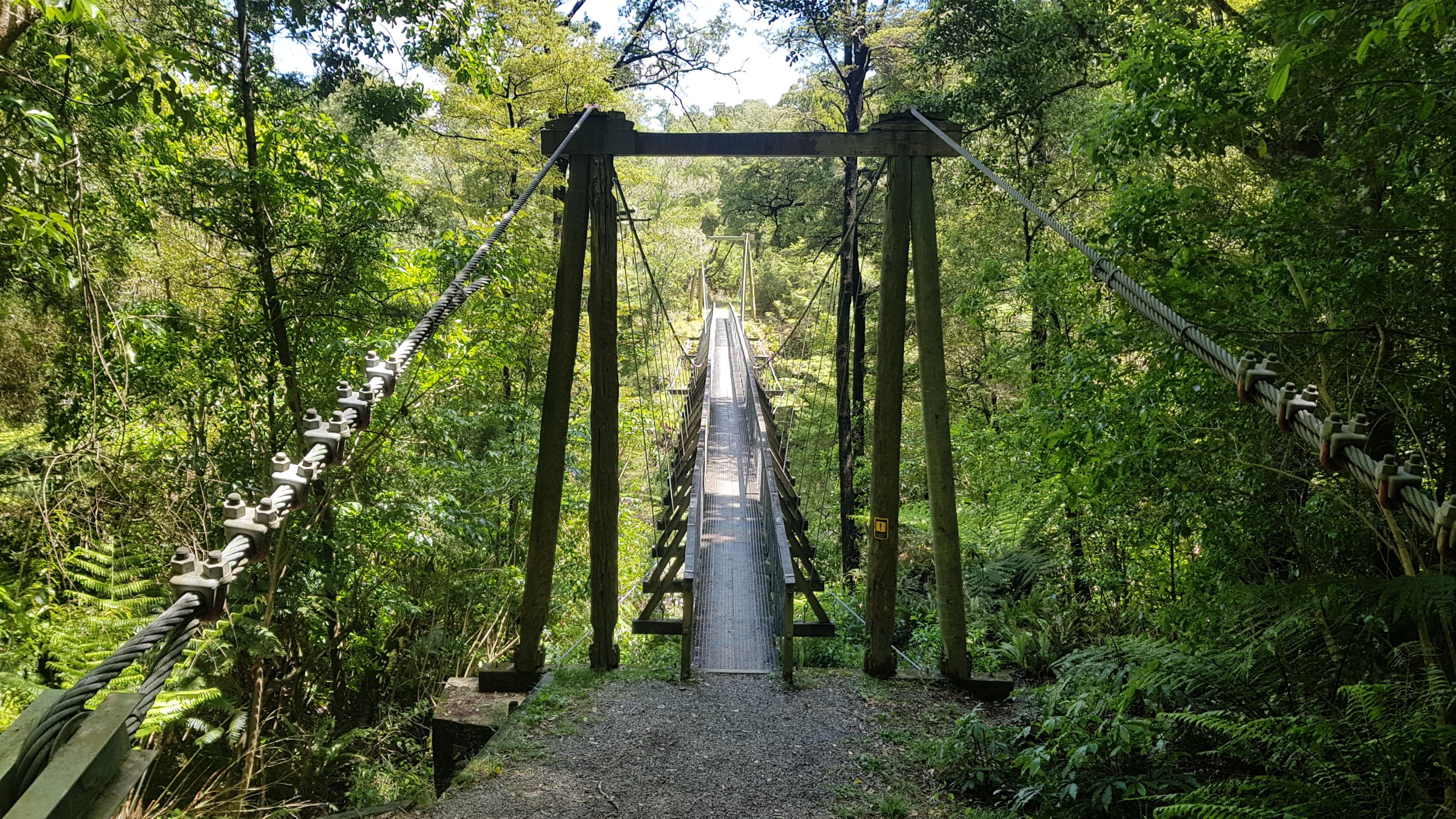
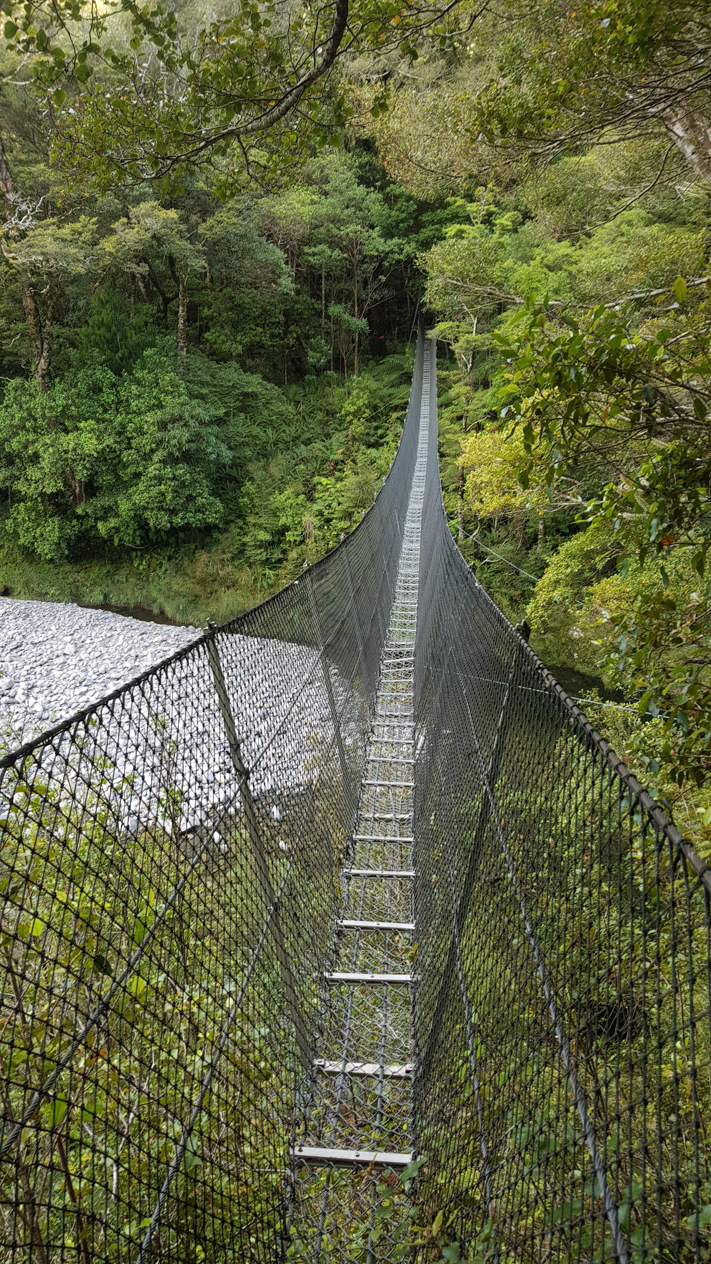
You know when you’re reaching the bottom of the downhill section because you can hear the Otaki River. I knew there was a swingbridge coming up that crosses the river so I was looking forward to getting there. Even when you start hearing the river though, there is still a fair bit of time before you actually reach it. More downhill yet!

This looks like fun…

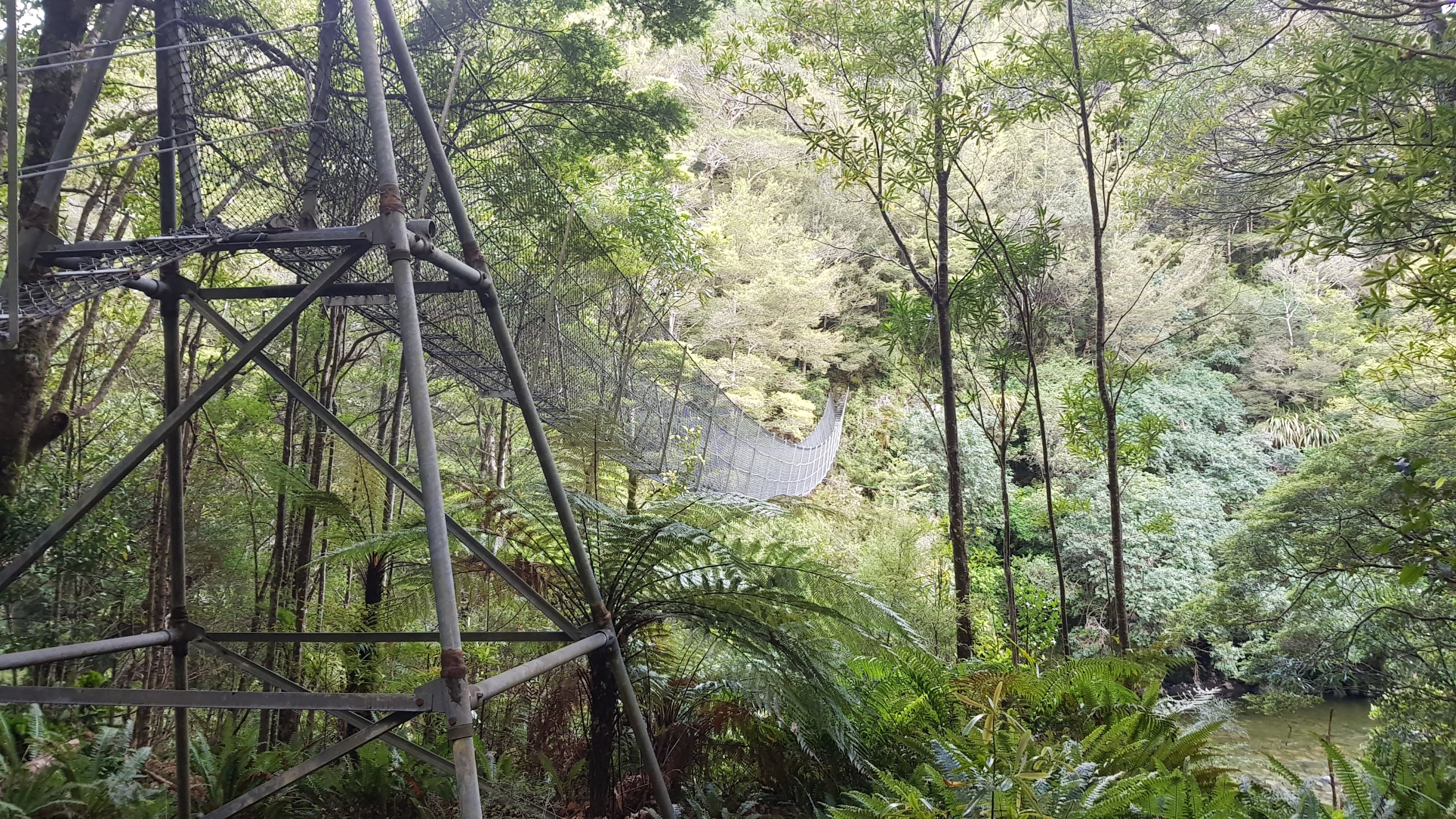
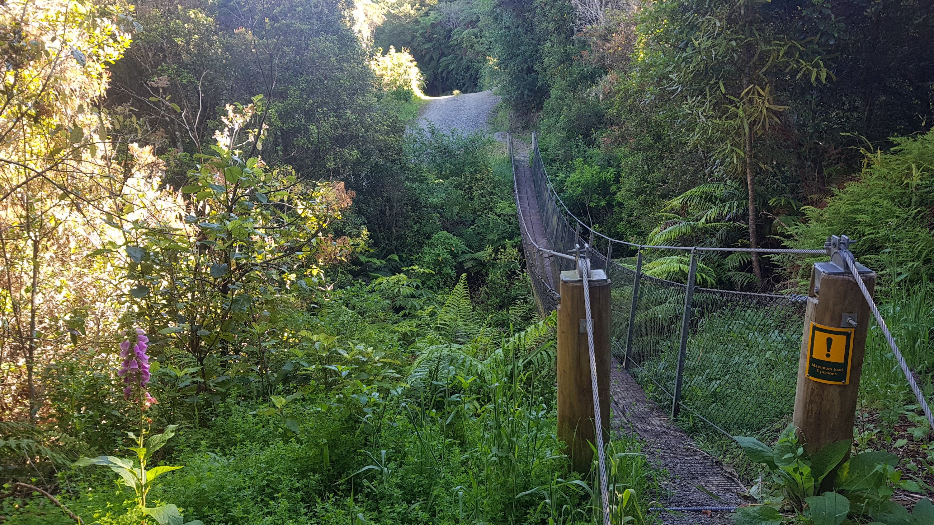
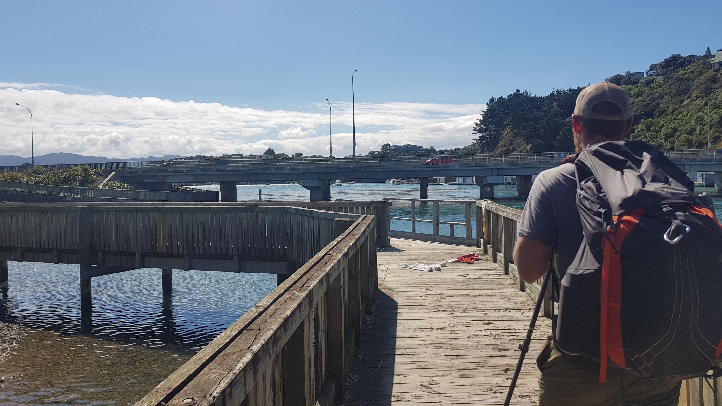
There’s the swingbridge. And it looks narrow and quite scary. Even climbing up to it made me think of the old TV show Gladiators.

Tha-dee, two, one (in a Scottish accent)

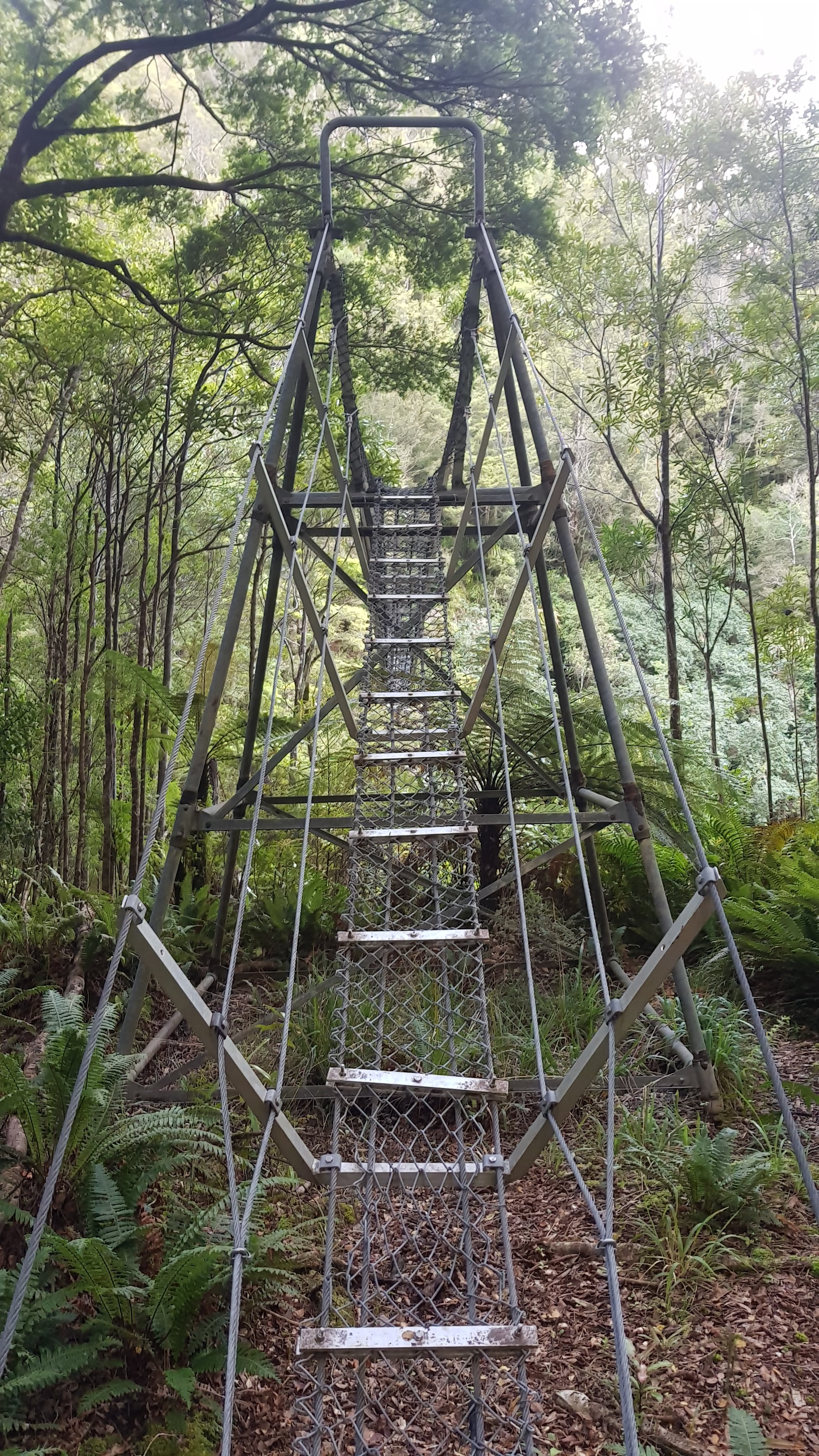
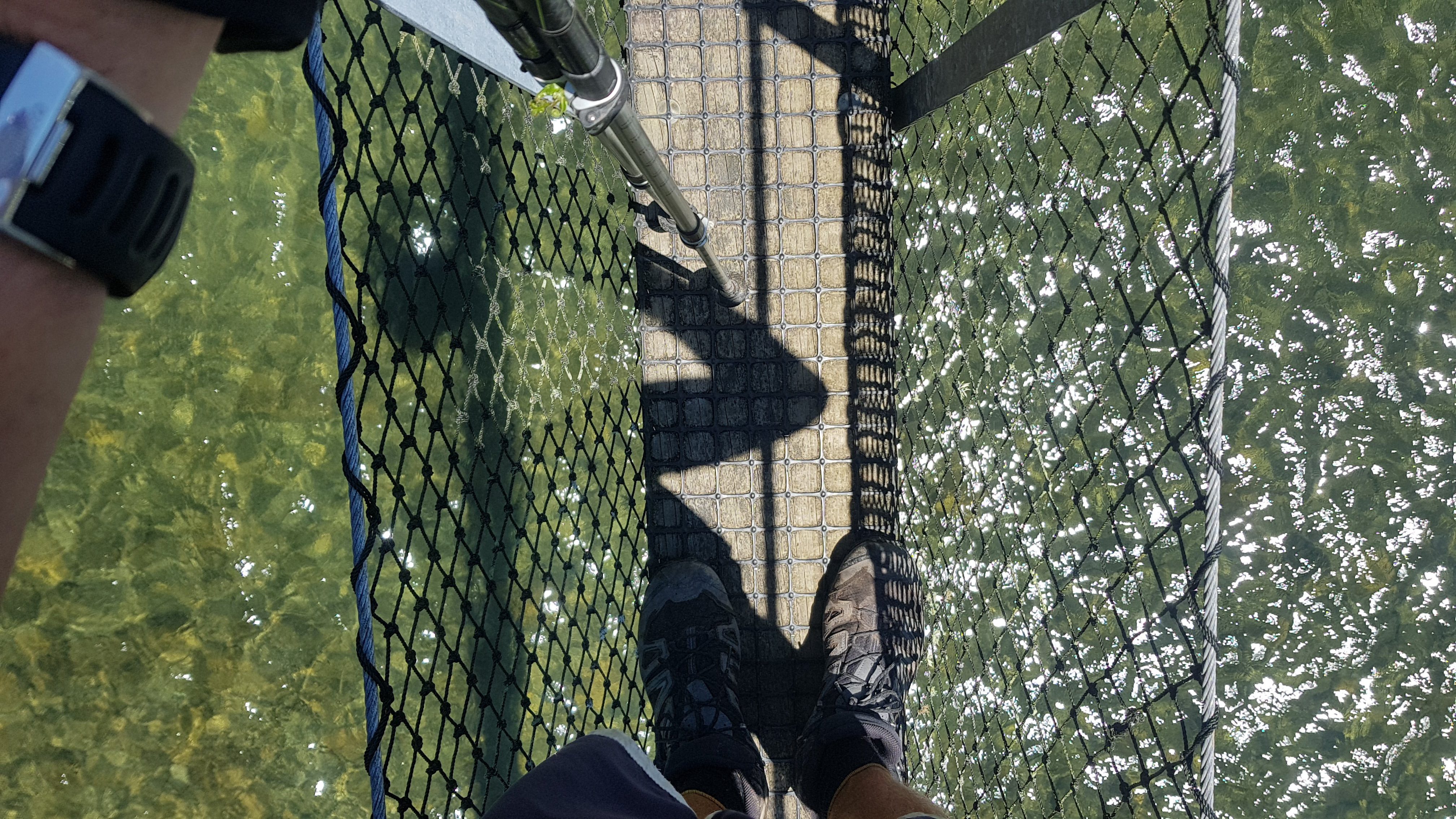
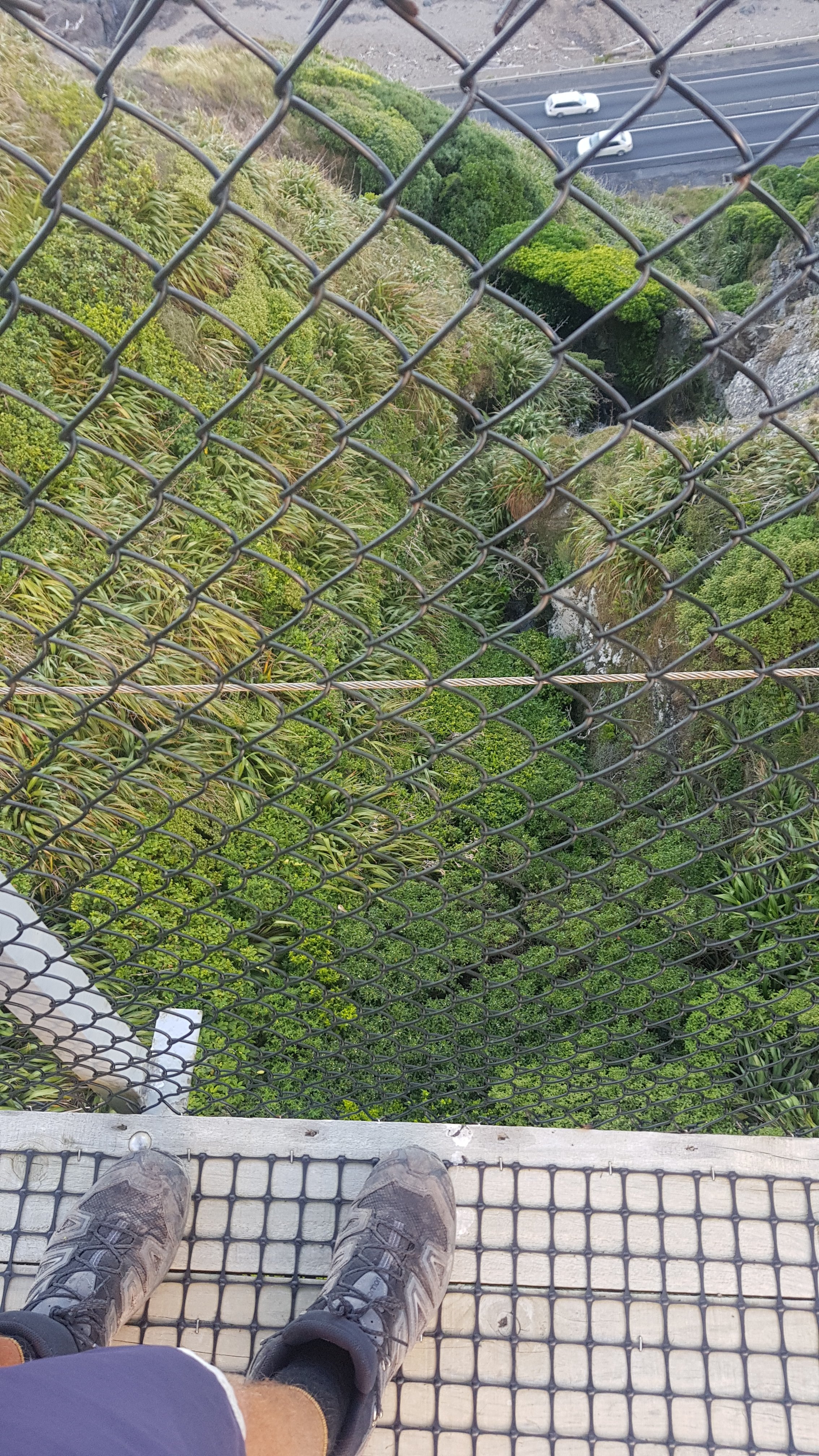
It was very wobbly, and I am not normally nervous on these bridges but I was here.

I wanted to take a photo from the middle of the bridge but it was swinging a lot and I was afraid of dropping my phone, so I didn’t.

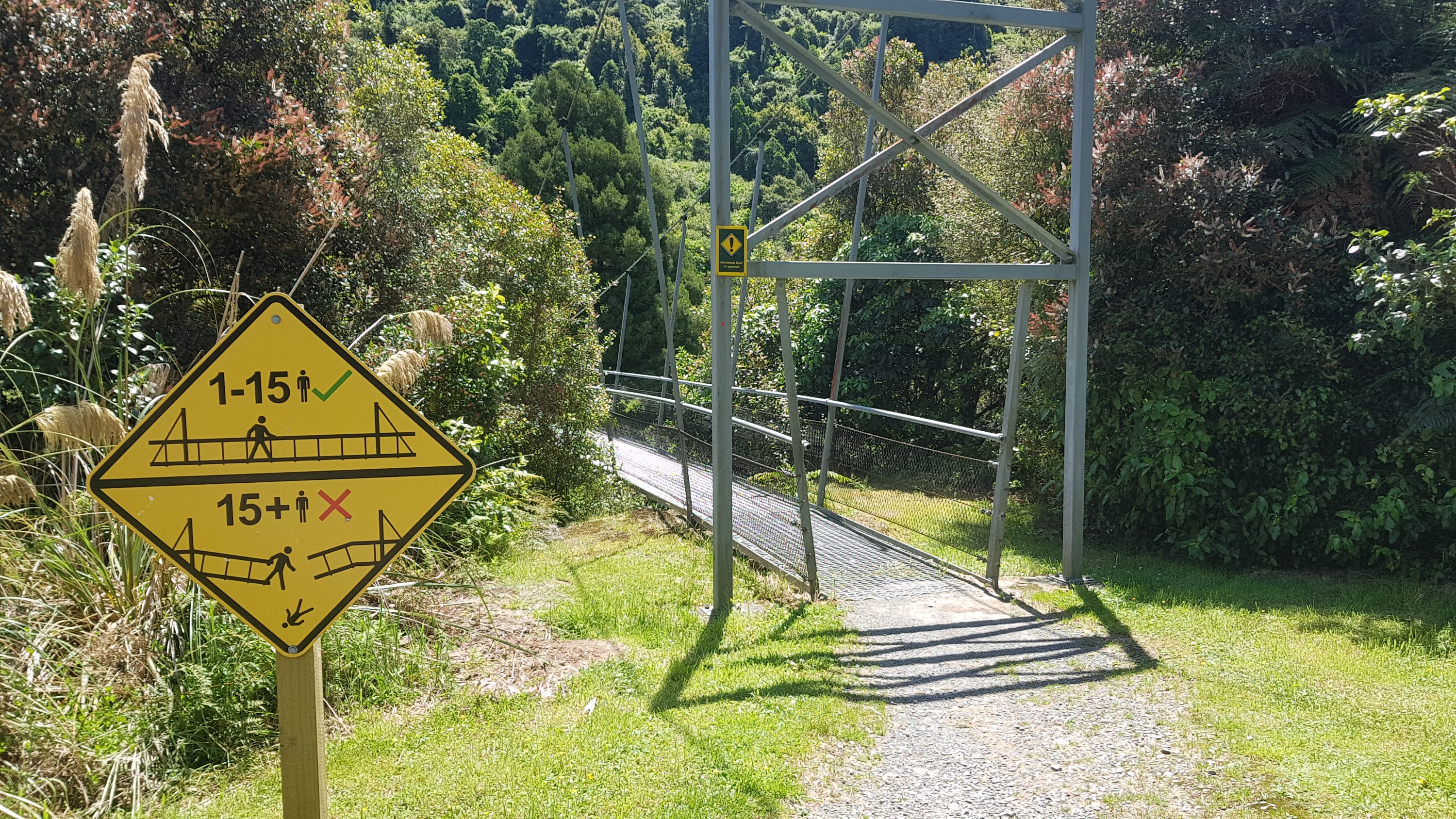
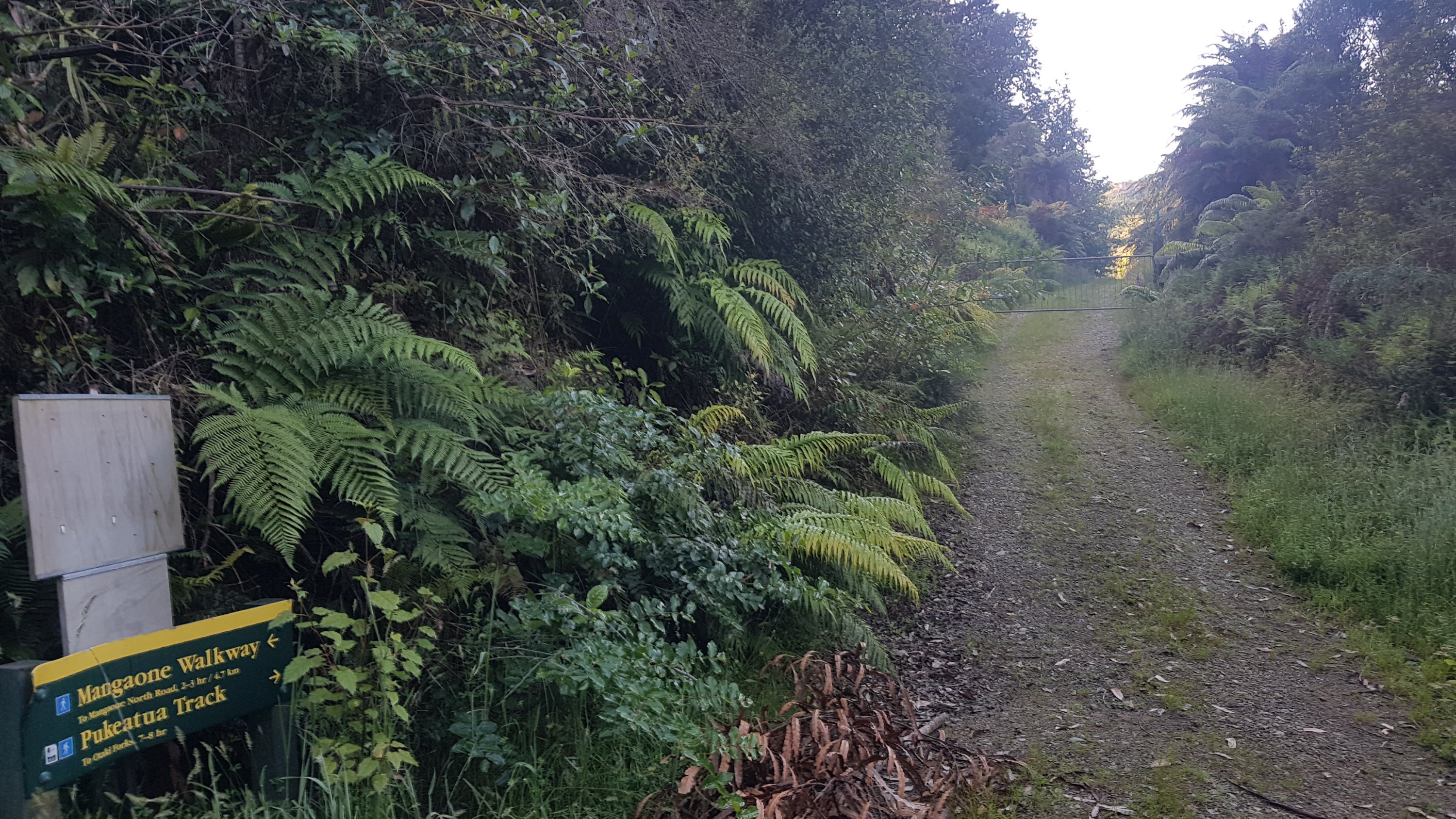
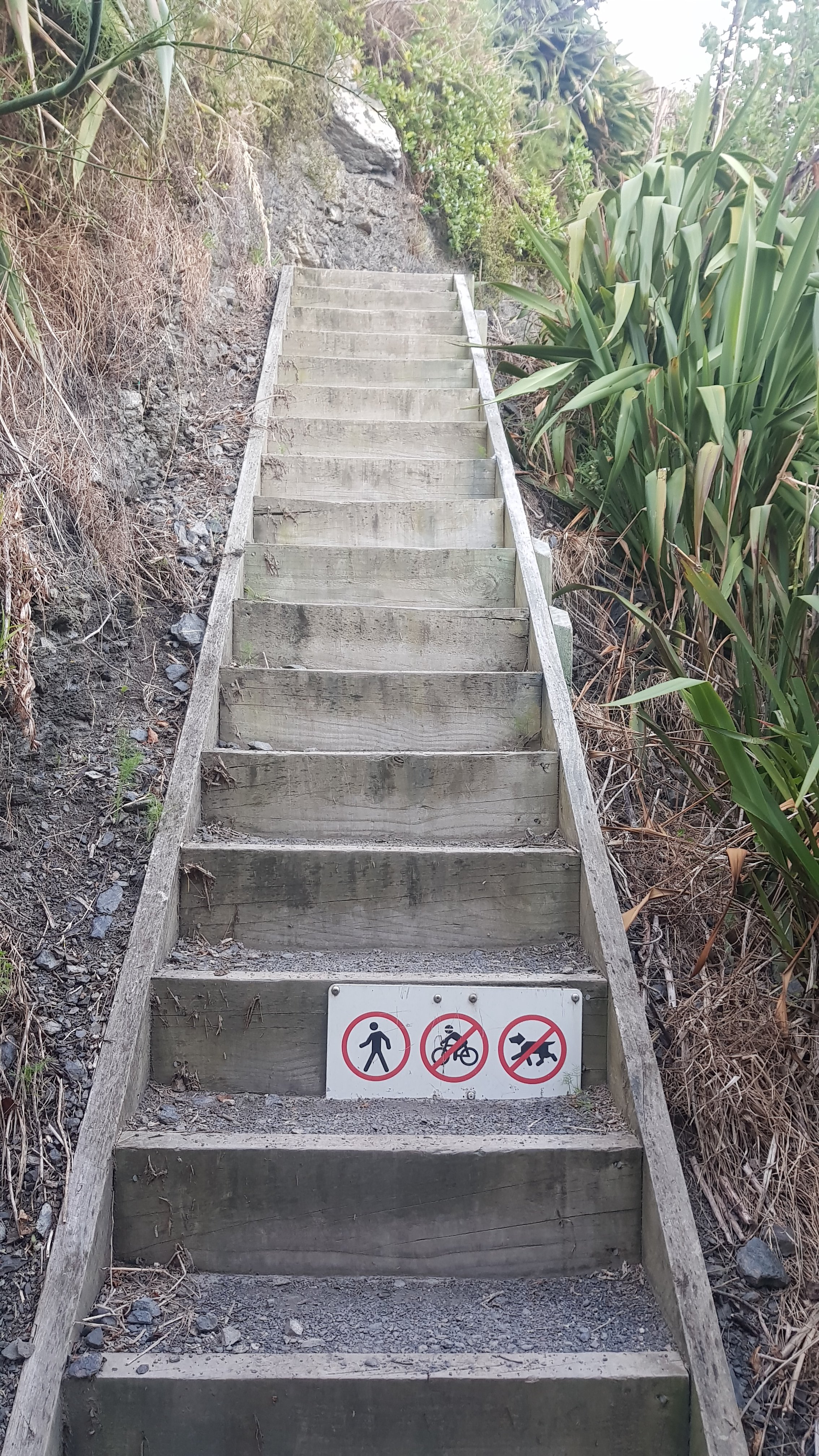
Over the bridge is this sign…

“New hut 10 min”

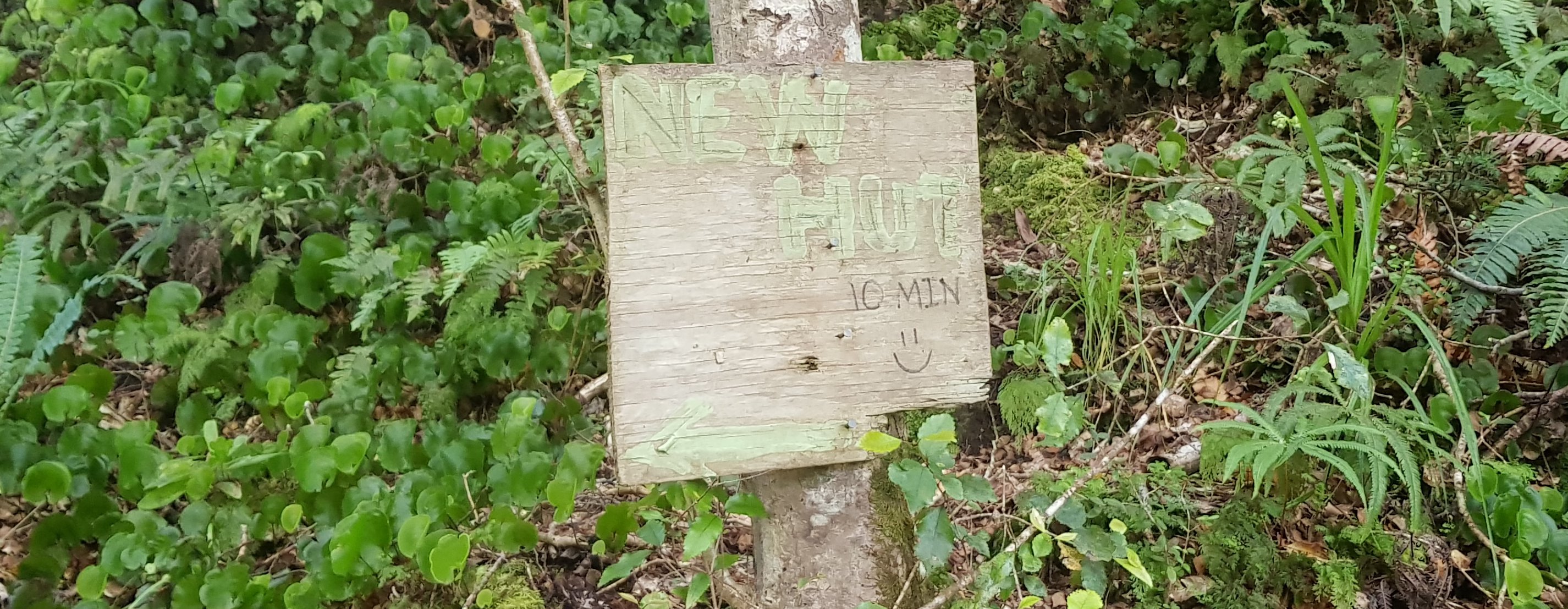
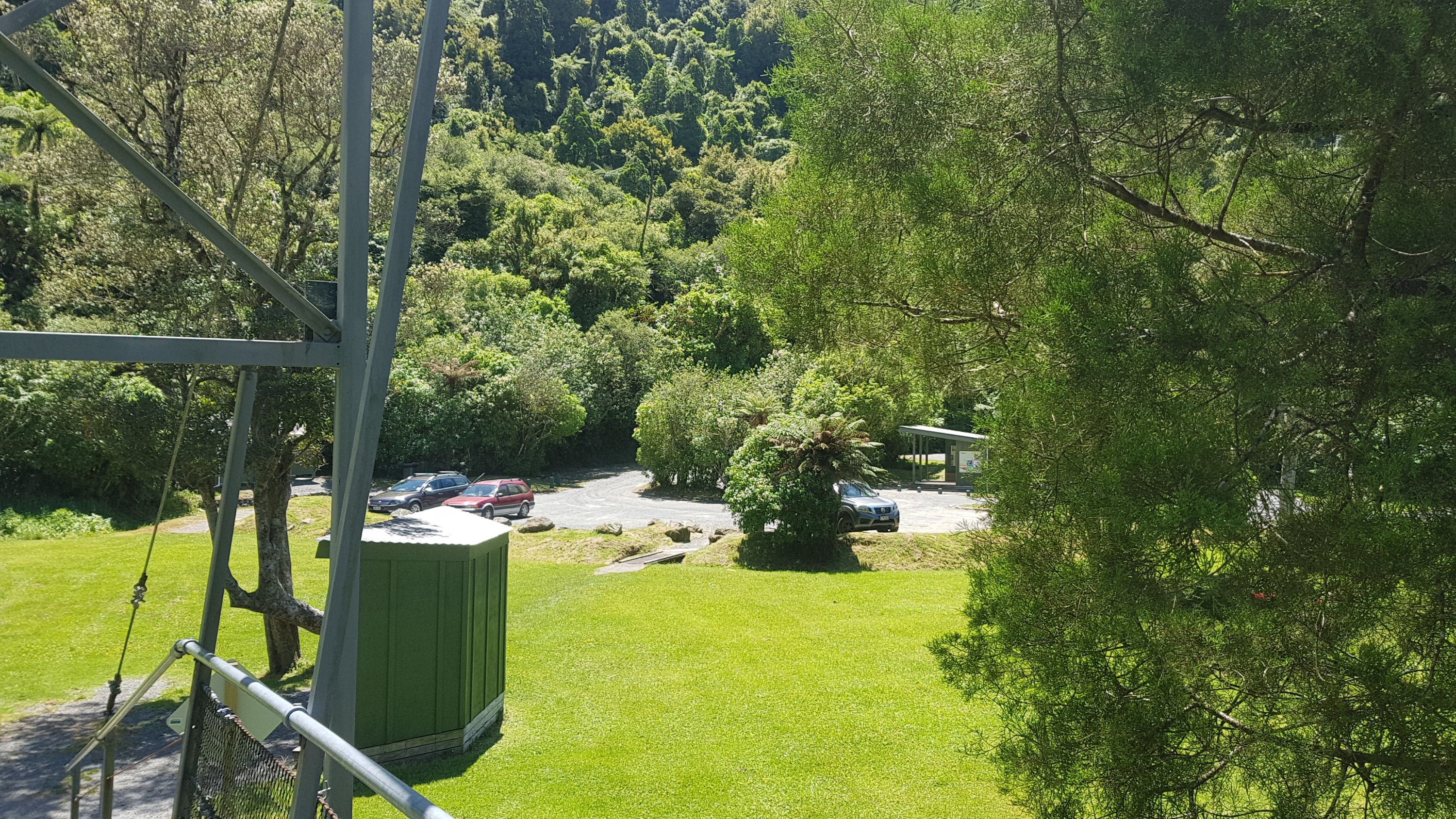
Hooray! It actually took me 14 minutes from the sign to the hut (LIES!) but suddenly there it was.

Waitewaewae Hut

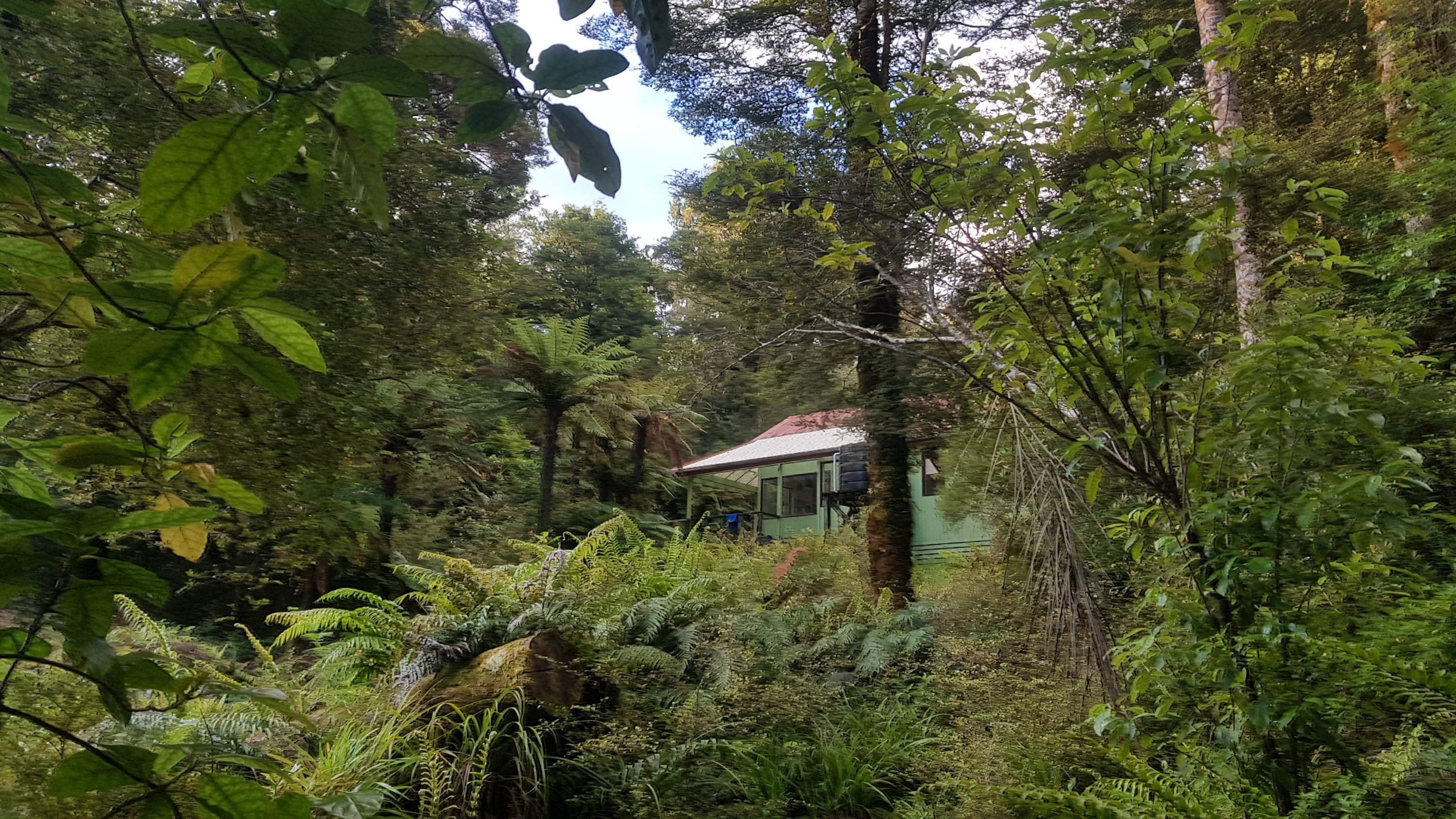
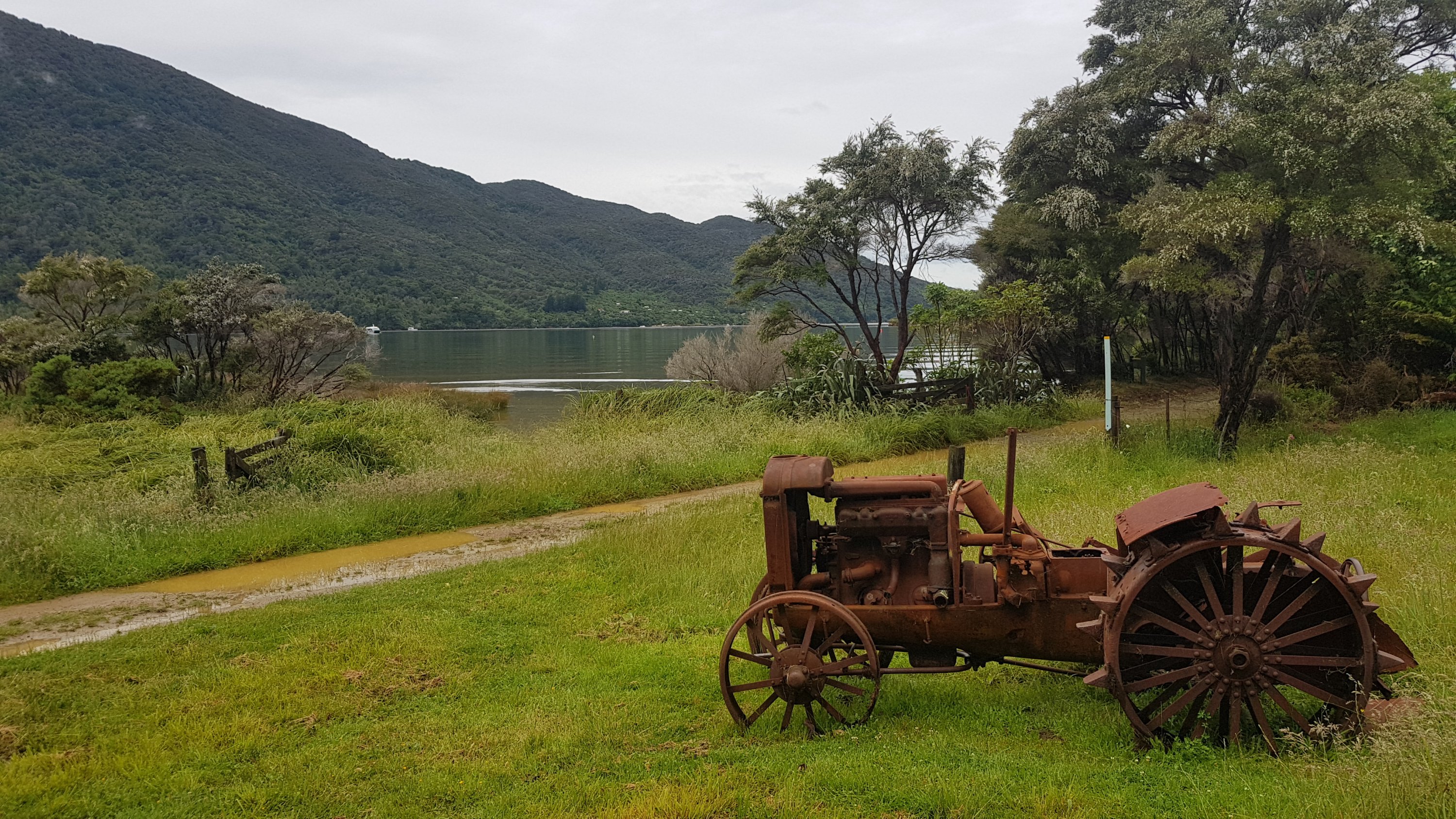
This was a nice hut, but for some reason I neglected to take any other pictures of it. It was a long day and I didn’t get in in until 7:30pm. Rhydian turned up about 8pm. He also commented that the 10 minutes written on the sign was the longest 10 minutes ever.

Alex and Ethan mentioned at the hut and also on their blog entry for today that they don’t like heights so that made the day slightly more nerve-wracking than other days. It’s funny, I didn’t even give that a thought even once. One thing I did think of though at the peak was that when you’re 1400 meters above sea level that you have almost a kilometer and a half of land below you. That blew my mind.

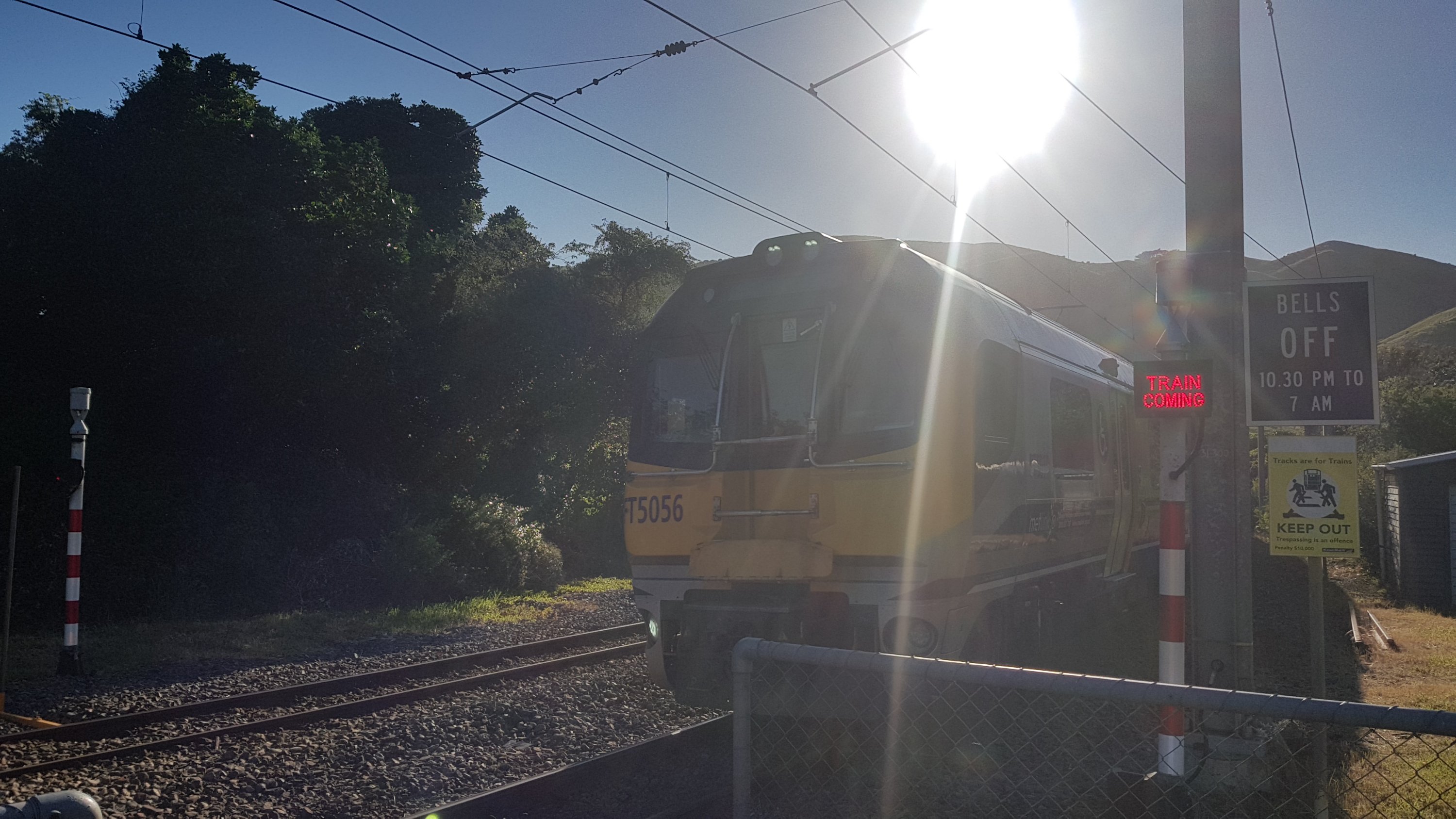
During the day today I ignored all the areas with phone reception because I wanted to make it to the hut sooner rather than later. So I was surprised when Ethan told me White Island had erupted and some people had died. There is no coverage at the hut tonight so I’m going to have to wait until tomorrow evening or even later to get the details. I feel very sorry for those that have died but at least I know that it’s very, very unlikely anybody I know will be affected.

It was a long and exhausting day but like every time we do a long and exhausting day when we didn’t actually have to, I feel glad we did and definitely feel like we accomplished something.

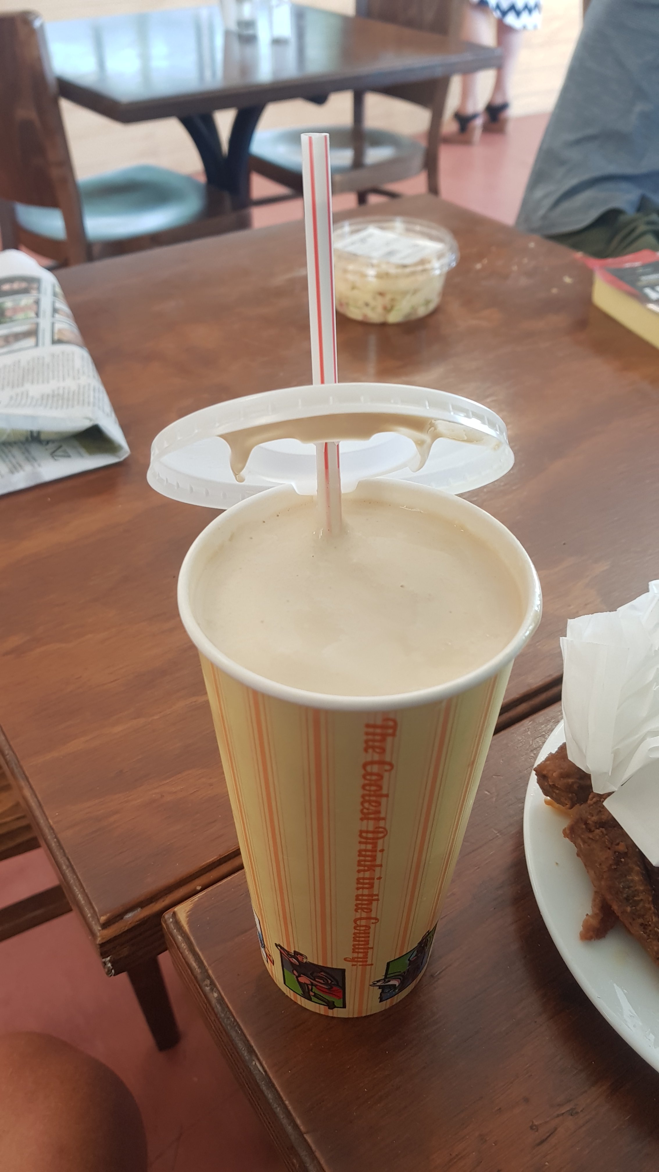
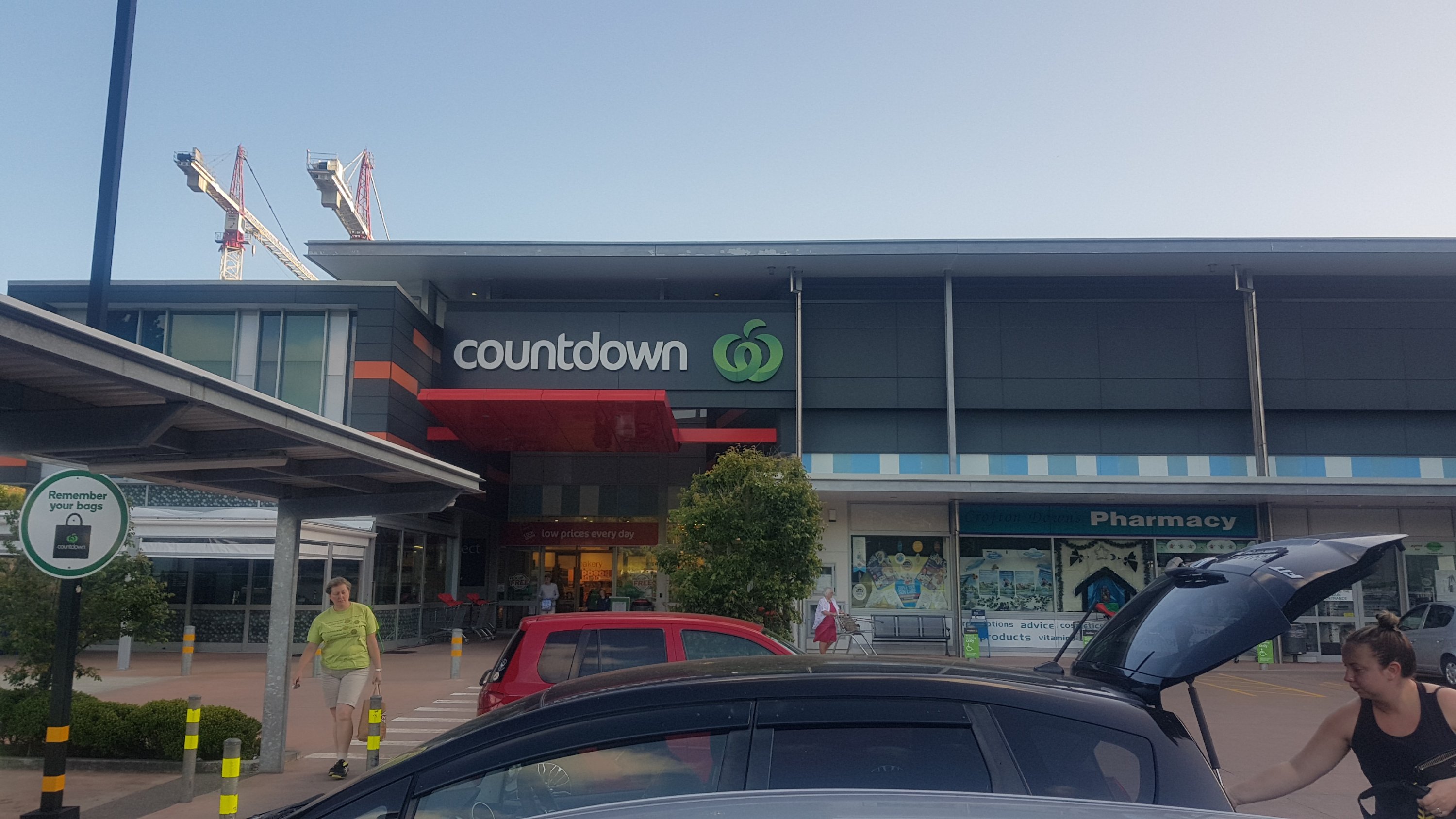
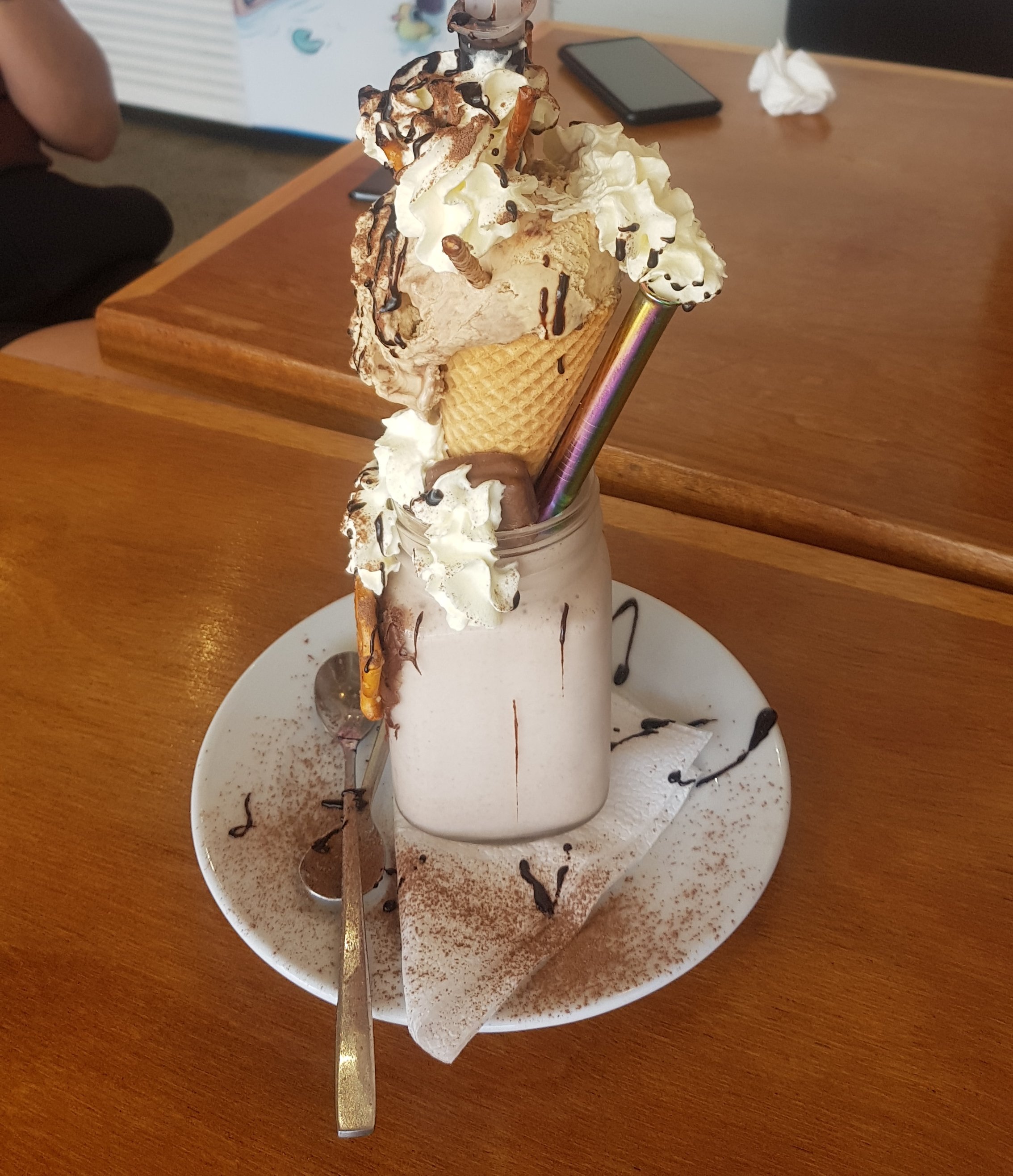
Hopefully we can sleep well tonight. Ideally Alex, Ethan and I want to make it to Waikanae tomorrow which is 30+ kilometers, and apparently the path out of here to Waikenae is not a very nice path. There are people arguing with each other in the intentions book as to how long it takes to get to Otaki Forks, which is only 10km but some people have written that it takes 5 hours with some even suggesting 9 hours. So we will have to allow a lot of time and we will have our work cut out for us. Plus I’m out of chocolate and almost out of all other food so I can’t wait to get to Countdown. And of course I’ll get a milkshake if I’m lucky enough to get to Waikanae while a dairy is still open.

Rhydian doesn’t think we can make it to Waikanae from here in one day though… he says it’s not possible.

Click here to see today's walk on the map.

Day 77 – Waitewaewae Hut to Reikorangi

Date: 11 December
Trail covered: 19.9km (kms 1570.1 to 1590.0)
Weather: rather hot

The big question today is: Is it possible to make it from Waitewaewae Hut to Waikanae in one day? Spoiler alert: yes, it is. Ethan and Alex managed it.

Quite often you see the hut referred to as YTYY. It took me longer than it should have to work out what that means.

Ethan and Alex left before me like often happens. I left at 8am and Rhydian left sometime after me. I was nervous about what was coming, because there were a lot of comments about it in the intentions book at the hut. In particular the section between the hut and Otaki Forks, which is about 9km. Some accounts say it takes five hours, some say nine. That’s slow going for 9km.

The first section of track – the path is slipping away a bit

And I could see why – it was slow going from the very first kilometer. I was tripping over things from the start, and my back hurts today too. It might be a short day today; Waikanae is looking unlikely already at this rate (although that’s quite a defeatist attitude after only one kilometer).

I climbed down these rocks

The first kilometer took me 48 minutes, which I think might be the slowest ever. At least it’s the slowest where I’ve looked at my watch. During the second kilometer my back hurt so bad that I had to stop and take off the pack. That meant that kilometer number 2 took me 49 minutes. Yikes.

The official DOC signpost. Somebody had scratched out 30 minutes and written 1 hour back to the hut. I’d agree with that.

During the second kilometer I met a TA hiker going the other way. I stopped and asked her where she was going, and she said Nichols Hut. She was surprised when I said that it had taken me an hour and a half to get from Waitewaewae Hut to this point. She looked familiar, so I hope I hadn’t met her before and I couldn’t remember her. That would be embarrassing. But I follow a lot of people on Instagram so maybe she looks familiar from there.

How do I get past this?

I got a lot of practice at dodging fallen trees, like the ones above.

An interesting bridge to cross
A nice formation of trees

At one point, there are orange triangles all pointing you off the main Te Araroa trail and down a side path. This side path shows as a separate blue line on Guthook and is the first time I’ve seen this.

“TA go left” and “good luck”

This sign does seem to suggest that the actual TA route is impassable right now, but I looked on “The Trail App” which is the official app put out by the Te Araroa Trust and there is no mention of this side route on there. Nor is it mentioned in the trail notes. But I trusted in the arrows and Guthook and followed the side route. It went up high and it was not well maintained at all. Lots and lots of large, fallen trees and more than once I said to myself “surely that’s not the way” but it turned out it was.

My 11am picture is just after this junction.

11am picture

Because this side route was so slow going as well, kilometer 3 took 45 minutes, kilometer 4 took 34 minutes and kilometer 5 took 46 minutes. You can see the detour clearly on the map at the end of the post.

How do I get around this?
And this?

But once you reached the other end of the detour…

Looking back northbound

I could see railings in the ground.

I had high hopes. Does this mean it used to be an old railway line or tram line and therefore the path is groomed from here? Turns out yes! I read in the notes afterwards that it is an old tram line.

The path from here was indeed much easier going than the paths before it. Suddenly I came out into a clearing, which I hadn’t seen for a while now.

Makes a change!

And there was another swingbridge. This one was quite nerve-wracking too, but the floor was wooden instead of metal wire so at least you felt like you were standing on something.

Maximum 3 people on this one
Don’t drop the phone… don’t drop the phone…
It’s long!

Then a bit where you really need to follow the app. There are paths cut into the grass, but the trail cuts right across the middle of the grass where there is no path. There are orange markers, but not many.

This is the path

Just before Otaki Forks there is a sign to “Parawai Lodge”. This is just a hut like any other and it’s 3 or 4 minutes off the trail. I decided to go check it out. It was 2pm by this point and I had done less than 10km so I really ought to consider staying here a night. There were a couple of campsites a few kilometers further down the road but then nothing it seemed between here and Waikanae.

Parawai Lodge

It was not a bad place. The grounds were excellent, and the hut itself was fairly standard.

Kitchen area, and some sleeping space above
This photo’s a bit blurry, but you get the idea.

I had a bit of lunch and ummed and ahhed about whether or not to go on. The trail notes said that the next big hill – Pukeatua – takes 6 or 7 hours, so I assumed I’d be able to do it in five. The notes also mention that at 20 Reikorangi Road, a few kilometers before Waikanae, there is an old church that you can just turn up at – it has mattresses inside and the owner just asks for a $10 donation. That would be another 90 minute road walk from the end of Pukeatua, and therefore I’d get there about 8:30pm. Possibly not polite to turn up that late. And I didn’t even consider the walk from the hut I was in to the start of Pukeatua, which is a few km of road walk. Doesn’t seem doable.

And I’d been looking forward to going to the first cafe out of the ranges – the cafe in the Reikorangi Pottery Centre. If I stay here tonight, then I’ll pass the cafe when its open tomorrow, whereas if I go on it will be closed by the time I get there tonight.

But then I read in the intentions book very recent entries that talk about “making friends with the rats”. That kind of put me off staying. I decided to push on. The worst that can happen is that I have to find somewhere to camp up on Pukeatua if it takes longer than expected.

Intentions book at Parawai Hut

I also saw from the intentions book that the girl was almost certainly Janina (if I’ve read her handwriting right). Nope, definitely haven’t met her before. Phew. And Alex and Ethan weren’t there. Given their desire to get to Waikanae I guess they didn’t have time to do the short detour.

I left the hut and crossed another swingbridge.

This one was much more blunt about what happens if you exceed the limit on the number of people.

Paints quite a picture, doesn’t it!

There were cars on the other side. Back into civilisation, it seems!

And of course with cars comes people playing loud rap music out of their car stereo.

I saw an American guy who was clearly a hiker just over the bridge. We talked and he said on Sunday just gone – the day with the torrential rain, he had been in a hut up on Mt. Taranaki and it was a terrible storm up there. Seems that the bad weather was everywhere that day. Right now he was getting ready to head into the Tararua Ranges, heading to some huts that I hadn’t heard of.

I got a bit lost trying to find where the path went from here but when I did I had a quick laugh at this sign.

If it takes you one whole minute to get to the carpark from here… you really should stay indoors

I walked down the road a bit to the start of the Pukeatua Track. It was nice to be out of the Tararua Ranges… or so I thought.

Just when you think you’re safe…

The track up to Pukeatua was very steep in the beginning, but very well groomed.

Steeper than it looks

Then it became less steep over time. I really liked this track. The forest was nice, it required a bit of effort but not too much, and because it was mostly well groomed I could get up to the top quite quickly. In fact it was 3pm when I started at the bottom of Pukeatua and 4:50pm when I got to the summit. So much for taking 6 or 7 hours to do the whole thing – I’d already done the uphill part in less than two hours! Maybe that meant the descent was hard?

A view of… something
Taco Terry enjoying the view of the west coast

I spent a small amount of time at the top admiring the view and searching for a geocache at the top which hadn’t been found since February (yes I found it). There were a lot of flies at the top though, and it wasn’t a very pleasant place to be.

I started the descent and I think the reason for all the flies became apparent.

He looks mad

The path for the descent was essentially the same as the path for the ascent. It was quite easy and didn’t require too much effort to get down, and what mud there was you could mostly just walk right through without sinking in it.

Fallen trees

Although there were some fallen trees going down as well, as you can see.

A nice part of the forest… but it’s getting late

But all the little breaks and extra bits meant that I was aware of the time. At 6:15pm I was doing sums in my head and at my current pace I wouldn’t get to this old church until 8:30 at the absolute earliest, and 9pm if the upcoming logging track wasn’t simple walking. I decided that was too late. I’m going to have to camp somewhere. And then not long after that thought I saw this:

Private Property from here on

Not wanting to piss off the landowner, I found the nearest flat ground that was not in the private property and set up my tent. I was on DOC land, there was no “no camping” sign that I saw on Pukeatua, and so I thought this would be kosher. It will be a fun night in the bush.

My home for the evening

I didn’t have much water though, because I anticipated at least making it as far as the big stream at the bottom of the descent. And since I had anticipated getting to Waikanae tonight the only food I had left was “emergency food” – pasta, couscous, wraps and peanut butter. I didn’t have enough water to cook the pasta or couscous so wraps and peanut butter it was. Better than nothing.

Once I had that and brushed my teeth, it was about 7:15pm and I got into my tent. Flies had found the tent and were hanging around, so no way was I coming out of the tent again. The flies started coming up under the tent fly and then getting stuck between the tent and the tent fly, unable to get back out. There is not a lot that is more annoying than flies under your fly. You know that noise flies make when they’re trapped or dying? I had that coming at me from all sides. One fly even managed to get trapped between the tent and the groundsheet somehow. I really hoped that once the sun went down, the flies would stop all this noise, but for the next hour and a half I had to endure it while I caught up on blog entries.

Now our little group is really split up. There was cellphone reception from the Pukeatua summit onwards and so I learned that Alex and Ethan made it to Waikanae quite late and had booked a motel. I made it to here in the forest (officially part of Reikorangi according to Google), Rhydian will be in Otaki Forks somewhere (I assume in the Parawai Hut) and Peter and Charlie could be anywhere.

It’s kinda scary here at night. There are lots of noises but I think most of it is just wind blowing leaves onto the tent. There are lots of moreporks and quite a few other birds so they were making noise too. And the noise from the flies did die down. I hope that the flies aren’t in my shoes which are outside in the tent vestibule.

There’s only the last part of this descent to go, and then the Tararua Ranges are officially over. The next few days are gonna be great. Eating at cafes, getting milkshakes, walking down beaches – hopefully nice beaches! It will make a change from the Tararuas, that’s for sure.

One advantage of spending the night here is that I will actually get to go to the Reikorangi Pottery Cafe in the morning after all.

Click here to see today's walk on the map.

Day 78 – Reikorangi to Paekakariki

Date: 12 December
Trail covered: 35.8km (kms 1590.0 to 1625.8)
Weather: stunning… again

This morning I woke up at 2am to hear the familiar sound of a possum. It didn’t sound like it was near the tent… but it was definitely nearby somewhere. Fast forward to 6am – there are two possums now so of course they’re hissing at each other and fighting. Ok, looks like I’m up now.

The Reikorangi cafe doesn’t open until 10am, and it’s only just over two hours from here so maybe if I don’t rush I can still visit it. It’s often nice to take time to go slowly and stop and smell the roses but I’m now out of water so I’m looking forward to finally getting back to civilisation. I had another wrap with peanut butter for breakfast (as it’s all I had left) and I was on my way by 7am.

What’s left of the campsite… leave no trace

Once inside the private property area the view didn’t change at first…

But then suddenly you come out of the forest and it’s clear you’re in a logging area.

The “road” down was a lot of stones, some were really steep. It must take a really chunky vehicle to navigate these pathways.

Chunky logging road

Not long after there was a stream where I could finally refill my water supplies. And I managed to get across without getting wet boots and without having to take them off.

Should I make some couscous now that I’m able to? No, I think I’ll continue on to the cafe.

Still more walking down the forestry road. But I never slipped. Hooray for the new boots!

Okay surely no vehicle can drive over this

Out on the road I took a moment to look at the sign. The sign at the other end said 6-7 hours, which was much longer than it actually took… but this one says 7-8 hours! I’m really surprised at the variance in the signs, and how some of them underestimate a lot (like the ones from yesterday) and some overestimate a lot.

“Pukeatua Track To Otaki Forks 7-8 hr”

After one more swingbridge…

And one more information board…

I was on my way for the road-walking section. There was still a good couple of hours of road walking into Waikanae. The gravel road was fairly uneventful although at one point this truck came hurtling down the road. I bet it would be difficult if anyone was coming the other way.

I wondered what this truck was doing down this dead-end road, and I figured it must be something to do with the logging operation. But then five minutes later, here it is coming back the other way.

Not a lot of space

I feel like it was going to be a very hot day today once I get to Waikanae and have to do a beach walk. There wasn’t a cloud in the sky.

The weather gods are shining, and so are the boy racers

I used this time to see what accommodation was around. Paekakariki seemed like a good distance to walk – it would be 35km from where I camped and then from there just two more days and I would be at the end of the North Island – exciting. The only accommodation other than the holiday park was an AirBNB – I had a brief look and the ad mentioned homemade bread and Swiss muesli, and for an extra $20 I could have a home-cooked vegetarian dinner. Without even looking at any of the pictures, I was sold, and I booked it.

Walking a bit further, I had a brief bit of excitement when I thought I saw a building in the distance – it must be the cafe.

Oops… it clearly wasn’t the cafe, it was just a little shelter. Never mind, it’s only 9:15am and the cafe is unlikely to be open anyway, so I turned right at the intersection above and kept going for a bit. But after a short distance further I looked at Guthook, and after a brief panic I’d taken a wrong road because the GPS hadn’t settled, I realised that I had somehow gone right past the cafe. I didn’t even see it. I’ll just have to assume that it was closed anyway.

I saw this, but didn’t walk the 15 meters to see what the sign said. A darts club of some sort, perhaps?

It was around this time that I got a text from Jason (of Jason and Abby – the Walk for non-violence couple). It said: “When you’re past Otaki Forks and past the Pukeatua summit, text me as soon as you get coverage and I’ll meet you with some beers”. That sounded so good… problem was, I was already past that point! The problem with going too fast, eh? Then he offered for me to join an event he has on in Waikanae later that day but the problem there was I had already booked my AirBNB in Paekakariki. It was a shame that we just weren’t able to meet up.

My friend Paul had been wanting to walk with me and last night I tried to see if he could meet me tomorrow to do the Escarpment Track which is coming up. It would have been perfect because I will be staying just before the track and there was public transport for Paul to get home. But it didn’t work because by some chance he was away on the day that I was doing that track. I was quite disappointed!

Also I’ve had other people wanting to meet up with me as well and it just is too hard. The biggest problem is that people who want to walk with you have to get back to their car somehow, whereas I don’t have to. The next biggest problem is that people want you to give them some kind of date or time that you will be in a particular spot and that just isn’t possible – it depends on the weather, unexpected injury, the plans of other people that you’re travelling with, the unknown terrain coming up, and just the mood in general. So far my Mum has managed to walk with me for about 2km and my sister for about 1km, and I’m grateful that it happened. If you want to walk with a TA hiker then all the planets really do have to align!

I made it into Waikanae just after 10am, and the train station was surprisingly busy for that time.

Now that I look at the photo again, it doesn’t look that busy…

I found a “raw food” place. The food looked nice, but as soon as I found out they only had filter coffee, I had to go somewhere else. I wanted a big strong mochaccino and so I would have to look a bit further for it. I went to the Olive Grove Cafe around the corner, and this is what they gave me.

I tried to put other objects in the picture for some perspective, but it was hard to show the size of the coffee – until the food came out.

The coffee was almost the size of the plate. It was amazing.

I went to Countdown afterwards and the checkout lady said that “two American hikers” (I’m assuming Ethan and Alex) were there an hour before. Ethan messaged me to say they were staying at Pukerua Bay tonight so they are definitely ahead of me (but that was no surprise).

As I walked down the old State Highway 1 (before they built the Kapiti Expressway) it turned 11am.

11am picture

The sign on the left says “Reikorangi” which was interesting, I was sure I’d never heard of the place before but I should have seen this sign before when I used to live in Wellington and drive this way. It also says “Akatarawa”. This is the road from Waikanae to Upper Hutt and is one of the few roads across the Tararua Forest Park. I drove it once when I was 19 – it was possibly the scariest road I have ever driven on. Massive hills on one side, massive drops on the other side, and it’s only a small one-lane road for a lot of the time.

It was getting hot and so before continuing on I decided to get an iced coffee (despite the huge coffee I’d just recently had). I went to the GAS petrol station and they advertised iced coffee but the girl at the counter was new and didn’t know how to make it. So I walked a bit further down to a place called Maison 8. They don’t normally sell iced coffee but she was prepared to make coffee with milk and stick it in a glass with some ice. It was perfect.

Then it was onto the Waikanae river path. For a “river path”, it didn’t spend a lot of time by the river.

River path

It did go past an equestrian centre…

And under the new expressway which went over the river…

And up over this bridge.

“Don’t be a quitter – dispose of your litter”. I don’t know how littering makes you a quitter, but at least it rhymes I suppose.

This part of the river really seemed like the place to be – there were kids everywhere.

Seems like the place to be

Not just here but at the Otaihanga Domain right next to it.

For the last 15 minutes or so it had been an uncomfortable walk, due to all the coffee I had consumed. So I took an hour or so here to find a geocache, and catch up on blog posts (with all the big days we’ve been having, I’ve been doing a lot of playing catch-up). It was nice to have a rest, and besides at my current pace I’d be at the AirBNB quite a bit earlier than I told the host I would. The kids in the domain were playing rugby the whole time I was there, it was fun to watch them and listen to the teacher get angry when they made mistakes.

This is what I bought from the Countdown earlier:

Strawberries, apricots, pretzel sticks, chocolate, sweets and muesli bars

Just enough food for the parts between here and Wellington where there aren’t any towns. There are a lot of little towns on the way so it’s mostly just snack foods. I’ve had bad luck with buying fresh fruit from Countdown in Auckland but these strawberries and apricots were juicy and ripe and tasted like heaven.

Ethan pointed out on Messenger that where I had stopped was the 1000 mile mark so I thought that was worth a selfie.

1,000 miles down, apparently!

Once I felt better and all the coffee had settled down, I continued on, after a quick visit to the nicely painted bathroom.

There was first a short bit of walkway connecting this area to the beach.

This is the “Waikanae Estuary Scientific Reserve”.

The rest of the day was all beach walk, as far as I was aware.

Lots of old pipelines were on the beach

There was a headwind for the whole way. Normally I would say that was a bad thing but this time it was actually quite beneficial as I could tell that without this headwind it would have been boiling hot. The wind was just enough to take the edge off the heat.

You could tell when Paraparaumu Beach was coming up, because you could see all the cars at the boat ramp with their trailers.

Including this big monster truck!
A random chilly bin on the beach – trail magic maybe? No, just old fishing stuff

Some of the real estate along here was nice.

Including lots of stairs to keep you fit

And some of it was “interesting”.

I can see Santa!

The map showed that a bit past here, you are supposed to exit the beach and follow the Coastal Track. However, that proved difficult.

CLOSED

This photo proved that I at least tried to follow the official route, but was blocked due to “erosion”. So I did what the sign said and continued down the beach. It was low tide, so there shouldn’t be any problems with water crossings.

There was one stream I came across and rather than get my feet wet I walked up to the bridge that crossed it. I realised that this was the southern point where the Coastal Track was closed and so I could actually rejoin the trail here. As I suspected, it was hot out of the wind – the Coastal Track was quite sheltered and so suddenly I felt the heat really bad.

The Coastal Track – right beside the beach

The total walk down the beach was about 15km. It was a nice walk but once I got into Paekakariki I realised just how sweaty and hot I was. At least when you turn up at a campsite, hut or even a motel looking ragged and stinky, it’s okay. But because this is somebody’s house, it feels inappropriate. And I had gotten quite sunburnt, especially my nose. But what can I do – not much!

The AirBNB was just down here to the left, down a road called “Sand Track”. It was neither sand nor a track.

The AirBNB was a really nice place to stay, and Doris the host had heard of Te Araroa and so we spent a bit of time talking about it. The dinner she made was frittata with carrots, salad, toasted seeds and of course the homemade bread, and it was fantastic. She and her family are big into hiking themselves and know the Tararua Ranges inside and out.

I’d highly recommend staying here if you want more than just a tent site at the holiday park but don’t want to pay too much. Here’s the listing. Remember, if you are new to AirBNB and sign up with this link you apparently get between $19 and $69 off your first booking. This AirBNB was different to the one I stayed at in Kerikeri, this one was sharing a house with the host whereas in Kerikeri I had the place to myself. It was nice to have a home-cooked meal and some company for a couple of hours, and then we each had our own space in the big house after that.

The view from my room

The only disappointment was that the room was upstairs and was roasting hot, and there was no fan in the house. It probably didn’t help that I was so sunburnt – most people that stay would not have turned up so red and hot. I must have consumed about 10 litres of water today.

The plan is to do a 50km walk to Ngaio in Wellington tomorrow, as I have a friend that lives there. Then the next day I can leave my pack behind at her house and walk the last 21km or so with only essentials. The Escarpment track which is the next track I’ll be on has a bit of elevation gain and then there are two 400 metre climbs, one in Porirua and one in Wellington. So if I want to get to Ngaio at a reasonable time with this kind of terrain, I’m going to have to get up at 5am and leave by 5:30am. Fun!

Sadly that means I wont get to try the homemade Swiss muesli because the host doesn’t want to get up at 5am to serve it… but I’ll forgive her for that one.

On the plus side, leaving that early I’m likely to pass or at least catch up to Alex and Ethan who are about 10km ahead of me right now!

Click here to see today's walk on the map.

Day 79 – Paekakariki to Ngaio

Date: 13 December
Trail covered: 47.4km (kms 1625.8 to 1673.2)
Weather: a real mixture

“Almost 50km today” I thought as my alarm went off at 4:58am. “No snoozing”. “Get out of bed right now. Otherwise Alex and Ethan will beat you to Wellington”. We definitely can’t have that.

Breakfast by candlelight (kind of)

I had the bread, butter and honey with coffee that my AirBNB host had left for me the night before which was nice. I also had the remaining apricots that I bought yesterday. Then at 5:30am I was off to the Escarpment Track.

The view from the bottom of the AirBNB driveway of the hills I’d be walking up this morning
This was the road known as “Sand Track” from yesterday.

First I had to continue down the last bit of the beach that I missed yesterday. It was a nice start to the morning’s walk.

Last bit of the beach
An early-morning fisherman fishing with the full moon

There was a short walk through Paekakariki town but nothing was open yet.

The town
This is pure class. Is the first word misspelled on purpose? You may be able to guess the last word.

To make sure I stayed at a fast walking pace I put on the fastest music I had on my iPod. I had to look back to the stuff that I listened to when I was a university student. First it was Rancid’s album from 2000 which is basically punk rock with a lot of screaming. Then three albums by a group called the Suicide Machines which, despite the name, is a light hearted punk band where the guy sings about his new girlfriend and his Vans shoes and other such topics. At least for the first album. The second album turned into a lot more screaming about “fighting the system” and then the third album changes into a pop record where he sings about liking his dog better than his girlfriend and how he buys it presents.

I like how there’s parking for Te Araroa, but I feel like people should be parking back at Cape Reinga.

State Highway 1 was actually quite busy at 5:45am – lucky there is an underpass to go under it. Lots of people commute from here to Wellington early, I’m guessing. I could easily hear the highway and also the train over my music.

Seems like there other people who believe in “fighting the system”. Although I don’t believe many people are supporting corrupt judges.
A not-so-pleasant underpass

The Escarpment Track was a really cool track.

Three and a half hours? Pffffft.

At first it was through trees like a lot of previous paths…

But then it was mostly this kind of thing.

The kind of view from the next hour and a half

And look what I found! Today is starting off to be a good day.

SCORE! $15!

It was steep at first but not for too long and the views were always fantastic.

It seems funny that people would try and bring cycles up here.

The sign in the previous photo confused me a bit at first, because I lived in London for a long time and in the UK a symbol inside a red circle means “prohibited” – so the sign above on the stairs would mean pedestrians prohibited.

For example, this means no cars or motorcycles in the UK.

Because I was on the track so early there was nobody else on it and also the sun never shone on me because of the big hills blocking it, making it the perfect temperature all morning.

Looking back north
A helicopter was the only sign of life I saw other than the cars way down below

I also found a geocache, which required walking off the path and across a 45-degree gradient to look under a flax bush. Kinda scary.

My happy face after finding the geocache

After the highest point there were a lot of stairs down.

Low low low low low low low low

I wondered how often they check this path for slips. There is no exit from this path except for the beginning and end and so I can’t imagine how frustrating it would be if you got 80% of the way and had to turn back.

There was definitely evidence of slippage.

There was the obligatory swingbridge…

With the obligitatory “shoes” photo.

Spot the cars way down that look like ants
Looking back
Heading into a “tunnel”
A second swingbridge, with a lot of stairs afterwards. Note that the sun is only just starting to come up over the hills two hours after I left the house.

Once all this is over you walk alongside the railway lines for a while and then eventually cross them.

Trains never toot for me.

Looking at the time on this last photo, I completed the Escarpment Track in 1 hour 45. Exactly half of the 3 hours 30 that the sign at the start suggested it would take.

A big flat bit of grass immediately after the train tracks. I bet people use this for camping.

There was a small amount of residential street walking.

YUH8TN? Because you have parked your stupid, unregistered STI across the footpath, you dick. That’s why I’m H8TN.
At least the awesome Evo had parked correctly. But apparently they have a need for SD… a new SD card for their phone or something? I’m not sure.

I was really looking forward to getting a coffee (what’s new right) while walking the Escarpment Track and so I got excited as I was coming into Pukerua Bay. Although the town didn’t appear to have a lot based on Google Maps – in fact the only thing it seemed to have was a dairy.

An ice cream is hard to resist, especially when it is on the TA sign.

Surely if the dairy is the only shop in town then it will also serve coffee. Surely a town can’t exist without a place that sells coffee!

Well… after the weird series of twists and turns that the trail takes through the town… the dairy was closed! At 8:15am! Come on…

CLOSED

Ethan and Alex were just finishing up at their AirBNB so I waited for them at the dairy, and in the meantime I ate two muesli bars from my pack and a few pieces of chocolate.

Here they come… haven’t seen them for a few days now!

Just as Ethan and Alex arrived the owner of the dairy showed up and opened up the dairy. Bad news… they don’t sell coffee. Gee, I was quite surprised.

I settled for a one scoop ice-cream and the three of us continued walking. The path from here to Plimmerton was alongside the expressway but at least it was a dedicated wide footpath and it wasn’t along the road margin.

Plimmerton Domain

In Plimmerton we didn’t stop since the city of Porirua is not far over the bridge and we could get some decent food there. It was a nice little spot though with some good chances to see the bays that are coming up.

Water!
Alex on the boardwalk
Between the railway bridge and the road bridge
Another of the “belt up, live on” series. This one is not as graphic as the one I saw in Bunnythorpe.

Along the next town of Mana we played a game called “guess how much this house is worth” which started when Ethan pointed out a huge house and asked what I thought it was worth. It had four stories and was quite modern but was also right on State Highway 1. We used a website called Trade Me Property Insights where you can type in the address of any house and it gives you a price estimate. I guessed $1,250,000 and the correct answer, according to this site, was $1,180,000. Not a bad guess.

When you get to the Paremata train station, you actually have to go onto the platform because you need to take the big pedestrian overbridge. Thanks to Ethan for working that out.

You walk through something called the Adrenaline Forest.

All sorts of activities are up in the trees

We wondered if this place sponsors the trail in some way, because you leave the road, walk through this business, then come out on the same road further down. Or maybe it’s just part of the TA Trust’s desire to get the trail off the road as much as possible.

Looks scary…

The Americans were surprised at the lack of staff watching the kids who appeared to be latching themselves to the pulleys and cables without assistance. Apparently in the States that would never be allowed.

The next bit

We walked beside the expressway at 11am for a while but at least it wasn’t for long.

11am picture – take this exit

We decided that Porirua is still a good place to stop for lunch, and found a fairly standard bakery with a fairly good selection. Since I only had a small breakfast at 5am and it was now midday I was quite hungry, also consisering that there was no coffee or anything in Pukerua Bay. I’m not ashamed to admit I had three pieces of fried chicken, chips, a piece of cake, a small can of blue V, and a large iced coffee. That really should have been sufficient but then I saw up on the menu something called a “coffee thickshake”. Wow, two of my favourite things together in one delicious milky drink. But I was already so full and it would make for a very uncomfortable climb up Colonial Knob (the next peak) if I had this as well. But I had to try it.

The “offending” (but delicious) milkshake

What followed were the most uncomfortable 4 hours of walking on any point of the trail and, to be honest, of my whole life. Every twenty seconds the milkshake would “resurface” in the form of a hiccup or a burp or some other uncomfortable feeling. This of course was totally self inflicted, and I should have known better because the same thing happened when I had a big lunch and cider at National Park and walked uphill after that, and also just yesterday after Waikanae when I had a record amount of coffee in the morning. At least yesterday I could stop and rest for an hour but today I was with Alex and Ethan and didn’t want to lose them. So I pressed on through the pain.

A nice Pohutukawa tree. These come out in full bloom in red around Christmas each year and New Zealand is full of them.
A scenic or not-so-scenic pathway, depending on your perspective

Colonial Knob was a lot steeper than any of us expected. For a city centre walkway it sure went up high, and there sure were a lot of stairs. I was happy that there were quite a few people coming down because it gave me a chance to pause and rest for 30 seconds. And the milkshake plus all the other lunch I had made it three times as bad as it needed to be. Plus Alex was in his usual “mountain goat” mode and wasted no time at all in getting to the top fast.

“Jesus H. Christ” I exclaimed on more than one occasion

We got our first good view of the area. I think this is Porirua, I’m fairly sure that Wellington itself doesn’t start until over the next lot of hills.

Suburbia
This one is definitely Porirua
That, if I’m not mistaken is a new road called “Transmission Gully” – a motorway being built up into the hills to take State Highway 1 away from the towns of Pukerua Bay, Plimmerton and Paekakariki

After the viewpoint we had to keep going up. Luckily it was not quite so steep and it was mostly a 4WD track, but I was still feeling quite uncomfortable.

Still going up…

The descent was through farmland:

And forest:

I laughed at Ethan who has duct-taped his shoes. They’re falling apart quite badly but he only needs them to last two more days.

LOL

Once down the other side it was a couple of hours on Ohariu Valley Road – a fairly standard road walk during which time I organised myself a ride on the Bluebridge ferry to Picton for Monday (2 days away) which was $54, and then a ride with Beachcomber Water Taxis to Ship Cove where the trail restarts in the South Island. If you mention on the phone that you’re a TA walker you get the Beachcomber ride for $50 instead of the usual $71.

Ohariu Valley Road
Horses around…
Good looking horses!

Bluebridge departs at 8am and Beachcomber departs at 1:30pm arriving at 3:30pm so Monday is going to be mostly relaxing on the ferry and not much walking.

We took a little break before the next climb which is up Mt. Kaukau. I’ve been up here before a long time ago and don’t really remember it but I reembered it being fairly easy going and quite pleasant at the top.

A much needed 15 minute break

Well, on a normal day it would be easy going. I had already walked 30km with a full pack by this point. While I had recovered a bit from all the food at lunch, it was still there and noticeable.

Whatever that is, it’s a bit creepy

And something I didn’t expect… the wind. Oh wow, the wind! Wellington is often called Windy Wellington but this I didn’t expect.

Wind turbines

The wind blowing right in my face combined with still feeling a bit sick from lunch made me feel really nauseous. And the wind kept changing direction every minute or two – one minute it would be blowing from in front and then from the side and then suddenly there it is behind you. The whole way up I had to use half my energy not to get blown off the track and the other half trying not to throw up.

The top of Mt. Kaukau. The weather is starting to pack it in and you simply can’t see the gale force winds at this point.
One last push…
Gloomy weather at the top

Fortunately we didn’t get rained on. The wind never let up though, it was exhausting. We still had to walk along a ridgeline before dropping down into the suburb of Ngaio. As soon as you start dropping down you are so thankful for the reduction in wind levels.

The purple dwelling of Ngaio

I walked with Ethan and Alex to the house of the “trail angel” they were staying with. I then continued a few streets further up to stay with my friend Kathryn. She is the first person I’ve seen from my “old life” since Day 51 in Te Kuiti when my Dad dropped me off at New World – almost a month ago now. It was very nice to see a familiar, friendly face.

Kathryn had a selection of craft beers to choose from (how very Wellington). The one I chose sounded very nice, and it was, but it wasn’t mentioned until after I chose it that the percentage of alcohol in this beer was 10.6%. Because of the uncomfortable state of my stomach today I couldn’t finish it all.

A can of “slay ride” – 3.6 standard drinks per can!

I have my own bed for a few nights which is fantastic. Although while carrying my pack up the stairs I kicked my big toe (the one with the dead toenail) on the wall so hard that it actually partly ripped off the toenail. It hurt bad all the rest of the evening and now I’m certain the nail is going to fall off very soon. Don’t worry, there’s no picture… yet!

Today the total distance was about 49km – the furthest distance I’ve walked where I had a full pack the entire time. It wasn’t too bad though, because there wasn’t much food or water as there is only one more day of the North Island to go.

Just one more day and that’s it! And I get to do it with just a day pack!

Just for you, Dave 🙂

Click here to see today's walk on the map.

Day 80 – Ngaio to Island Bay (North Island terminus)

Date: 14 December
Trail covered: 22.4km plus a fair amount of detouring (kms 1673.2 to 1695.6)
Weather: Nice but the usual windiness of Wellington was present

Well, today’s the last day of the North Island. I can’t believe it’s finally here. I remember saying to myself at the start that the odds of even getting here would be about 75%. I haven’t succumbed to a major injury, I haven’t decided that it’s too hard and given up, and it’s honestly been a blast every single day so far. The time has just flown by.

Originally I thought I’d be emotional when I got to the North Island finish line but since I’ve already booked my ferry ticket for two days from now, it seems kind of like a regular day with just one rest day tomorrow. I wonder how Ethan is feeling, since he is not continuing with the South Island and is instead flying back to the USA on Monday. This really is the end for him.

I emptied out my pack and only brought along a few things today – namely my remaining food, a litre of water, my charging cable and power bank and my cash and credit card. It will be nice walking with a light pack today.

Once I’d left the house I had a quick look for the nearest geocache to where I was staying and it was up this great big set of stairs somewhere but I wasn’t successful on this occasion, so I came down empty handed.

No joy

I walked down back towards the Ngaio shops and to where Alex and Ethan had spent the night apparently with their tents pitched in the back yard of somebody’s house.

I like that the trail angels put stickers on their mailboxes – I last saw it at Helena Bay

I knocked on the door and didn’t get any answer so not wanting to disturb people I went down into the Ngaio shops and found a coffee in the GAS petrol station. It was very busy with people waiting for coffees because it seemed to be the only place around that sold coffee and was open.

Today I set the GPS watch to high accuracy for the first two thirds of the journey, because anyone who has spent time in Wellington knows that nowhere in this city goes in a straight line. When the battery on the watch started to get low, somewhere on Oriental Parade, I switched to low accuracy mode. You can definitely see the difference in the two on the map.

Let’s go – pie or no pie

When the guys turned up we continued on the trail. It was straight onto the Northern Walkway and through Trelissick Park. We passed two other TA hikers but they were going quite slow and we were on a mission so I didn’t get to talk for long or find out their names, sadly.

Having lived in Wellington for all of 2013 I knew this part of town. I knew that the path won’t be as challenging as Colonial Knob or Mt. Kaukau from yesterday, but there were going to be a few ups and downs, and this was the first. Down through this park and then up and over Te Ahumairangi Hill.

Twists and turns
Heading up near the top of that hill

The walkway also takes you up Weld Street, which is reported to be the steepest street in Wellington City. I’m not sure if it is or not, but it’s certainly pretty steep. Of course the photos never really show this. I used to drive up this street to get to a tree swing at the top of the hill which used to be a really good place to just sit and swing and look at the view of the city. I was sad to realise that the tree swing had since gone and so had the trees it was attached to.

Starting up Weld Street

This section is Te Ahumairangi Hill, otherwise known as Tinakori Hill. You can see this hill from just about anywhere in the city.

At this point we’re just happy we don’t have to go up too many more big hills

The city was getting closer and closer.

Wellington City

There was a bit of up and down but it was mostly a well formed path.

I kept on going on about how much I used to love living in Wellington and I kept pointing out all the different things around. I think the others were starting to get bored of me after a while.

Even closer still

The walk then goes through the Botanic Gardens. It can be quite easy to get lost through here, I wish I’d read the trail notes before coming through here. But basically you first follow the signs up to the Cable Car and then you do almost a 180-degree turn and follow the Northern Walkway signs back down. It’s a very “contrived” path.

During the walk through the gardens, I was telling Ethan about the Sour Patch Kids lollies I bought yesterday and how they weren’t really that sour. Ethan is a big fan of sweet stuff and so he told me about all the ones that exist back in the United States. Warheads, Toxic Waste – they had all sorts of crazy names. I wish I could try them!

I didn’t take a lot of photos in the gardens for some reason… but I did catch Ethan redoing the duct tape on his shoes.

LOL again

At 11am we were walking through Bolton Street Cemetery and we just happened to be in view of the apartment building where I used to live. That’s it in the background – the yellow square building between the big glass building in the foreground and the building with the sloped red roof.

11am picture – my old place

Apparently they had to relocate hundreds of graves to put the motorway through the cemetery back in the 60s or 70s.

And I wonder how these dead people feel about having a walkway right over their heads?

Going past the Beehive, we could see that the flags are at half mast to honour the memory of the people killed in the White Island eruption a few days ago.

The Beehive on the right – which contains the offices of the members of parliament, and the stone building next to it is the actual parliament buildings containing the debating chamber

We ventured down Wellington’s main street, Lambton Quay, where there are Te Araroa plaques as part of the footpath.

These were neat

There has been a woman running the entire trail, whose name is Lucy. She was due to be finishing the North Island today also so we were looking out for her. But it was about this point where we felt like having lunch, so we went into a foodcourt around this point where I had Subway and the other two had sushi. While we were in there, I thought to myself “I bet knowing our luck Lucy will run past while we’re having lunch”. Alex wants to get his picture taken with her, and I would quite like that too.

Lambton Quay

Next was a walk around the waterfront.

Don’t let this thing scare you… I’m 95% sure it doesn’t have any evil powers…

We took a detour at Taranaki Street and walked to The Marion hostel where Alex and Ethan were staying, as well as Peter and Charlie who were due to arrive into Wellington today. This hostel has a 4.9 star rating out of 5 on Google with just under 100 reviews, which is almost unheard of, so we knew it was going to be good.

On the way we passed a shop called KCT Streetwear, and a sign stated that they also sell American lollies. By amazing coincidence they had all the sour lollies that Ethan had been talking about just an hour or two before – incredible. We’re definitely stopping in there on the way back. My wallet is about to get a lot lighter and my food bag a lot heavier.

KCT Streetwear, who also sell American candies

We found our way to The Marion and as expected, the guys couldn’t check in yet but were able to leave their packs there while they walk the rest of the trail. While they were dropping off their packs I had a quick look around and it looks like a very nice, possibly even custom built building where each bunk bed has its own curtain, power outlet, light and USB charger. I stay at some motels that don’t even have power outlets by beds and it drives me nuts, so I can see why this place is popular. They also have free skateboard hire. Only in Wellington!

Back down Taranaki Street to rejoin the trail and into the USA Candy store. It was mostly a streetwear store but had a large section of American candy. I bought one of everything that had the word “sour” on it, plus a couple of other things. These were the sour ones:

My purchases

Along Oriental Parade we played the “guess how much this house is worth” game again. This time I wildly overestimated. This street is often in the news for having some of Wellington’s most ridiculous house prices and is where some of the “bigwigs” of the business world live but I guess “ridiculous” by Wellington standards is different to “ridiculous” by Auckland standards. We picked a couple of the big stand-alone old houses along here which I guessed both at $4,000,000 but according to Trade Me Property Insights the value of each was only $2,850,000. A right bargain if you ask me. That wouldn’t even buy you a dog kennel in the northern suburbs of Auckland.

A Pohutukawa tree on Oriental Parade
A panorama of Wellington City

At the end of Oriental Parade is the start of the Southern Walkway and where the next two peaks of 200 or so metres of elevation begin. Despite having been raving about how much I love Wellington, because of the steepness of the paths in this area I suddenly proclaimed how much I hate this city.

I was only joking though. Wellington is the best city in New Zealand. Notice that Alex and Ethan don’t have their packs anymore.

There’s this point which is apparently an “alien abduction zone” if you believe the small sign on the post.

The aliens must have abducted the signs, because we got a bit lost here. When you see this post, you have to make a hard left so that you keep following the pink Southern Walkway signs.

Not the first time the trail has directed us right through the middle of a sports match.

This point on was new to me. I had never really spent much time in the southern suburbs, despite living in Wellington for a year.

Southern Walkway / Mt. Albert

Another residential street…

The lone Brooklyn wind turbine in the distance

And another part of the trail through a sports field…

Melrose Park
Another cricket match

We got to the zoo, although we couldn’t see any animals except a few goats.

Clearly some sort of animal enclosure

This is the last bit of hill before the south coast.

Nearly there…

Then there was a view of the airport. The airport is so close to the neighbouring houses – the people that live there must really like watching the planes because otherwise being that close to the airport must be a pain in the backside.

Wellington Airport, and one of the passenger ferries going to Picton on the right

Yesterday I had pointed out a boat to Ethan, telling him it’s the Interislander taking people to Picton from Wellington. He pointed out that I was an idiot and it was in fact a cruise ship. He was absolutely right of course. This ferry in the picture above definitely is either the Interislander or the Bluebridge ferry – both of which take people to Picton from Wellington!

One last look at the view:

And one last look at the Guthook elevation profile, confirming that we had completed all the uphill:

Not far to go now

We were all smiles as we could smell the finish line.

At the bottom of the hill you turn right and walk along the coast for the last kilometer and a half.

There are a few interesting houses along here. One, which is way up high and only seems accessable via a lift (fairly common in Wellington it seems) and which is right next to a castle (well, seems to just be the turret of a castle).

Interesting architecture

We’re definitely almost there now.

See! Told you!

The finish line is there, across the water where the building in the centre with the round roof is.

Turn right…

Enter Shorland Park…

Shorland Park

Go down the slide…

This part’s not actually compulsory

And there it is!

The actual finish line!

Here we met Ed – a very cool guy who helps out people where he can. He picked up Ethan’s bounce box and also gave the three of us a ride back into town afterwards. Plus he had beer for us.

Ed, chatting with Alex and Ethan
I would walk 500 miles and I would walk 500 more, just to be the man who walks a thousand miles to fall down at the finishing point of the North Island section of Te Araroa. Hmm, doesn’t have the same ring to it.

I’m here. Around the world in eighty days. Well not the world, just the North Island I guess. Around the North Island in eighty days. And yes it is “around” because the trail definitely does not go in a straight line in the North Island!

The information on the finishing stone, which of course is a bit out of date already. We’ve walked further than that and Bluff is not that far away.
Cheers!

The lighting wasn’t the best for our final photo… I suppose the creators of the plaque didn’t consider that during its placement!

Ed reported that Lucy the runner arrived at this point about one hour before us. It seems my premonition from earlier about her passing us while we were having lunch was true after all!

I am also pleased to report that my toenail is still attached after banging it into the wall yesterday and walking a whole day with it. That’s nice.

There wasn’t time to be emotional or anything given that Ed was our ride back to the city centre. If I had’ve been on my own and I had a bit more time to sit around and contemplate the journey, things might have been different. I didn’t even have time to find a geocache near the end! But I wasn’t going to let a free ride go, and I really wanted to have a celebratory drink with the others.

Back in the city, Alex and Ethan checked into the Marion properly, and were shortly joined by Charlie and Peter who have walked as far as Ngaio, and will be finishing the final bit on Monday. We then all went for a drink at a place called Golding’s Free Dive. There we met up with Ed and also a girl called Ada who has been a few days ahead of us for most of the trail and has been leaving very useful comments on the Guthook app. It was nice to meet her in person.

Only in Wellington are the beers on tap four craft beers that you’ve just never heard of. Makes a huge change to the “Irish” pub in Levin that only had the four cheapest beers that exist in this country available on tap.

I only had one cider with everyone and then I went to join Kathryn and my other friend Katrina for dinner and a drink at Mexico nearby. I just had a feeling that the others were going to get very drunk tonight… so I was secretly glad I didn’t stick around too long!

Leaving the others at the bar

At Mexico we had margaritas and a variety of Mexican food. I didn’t realise that the cauliflower florets I got had three little chilis beside them on the menu… and boy were they spicy.

We dropped in at Countdown to get some dessert on the way home. I was very excited because I always used to go running past this Countdown but never got the chance to go in before. I even remember when they were building it. Katrina was very excited for me.

Countdown Crofton Downs

I also got to try all the sour lollies I bought earlier. They were more sour than the Sour Patch Kids you can buy in NZ, but the Toxic Waste lollies in particular promised a lot and didn’t deliver. Kathryn and I agreed that they really weren’t that sour, especially when the packaging suggested that if you can keep one lolly in your mouth for 60 seconds then you’re a legend. They didn’t even have 60 seconds worth of sourness to them. The Warheads were good, especially if you had two at once. The Now and Later were not sour at all (despite saying “Extreme Sour”) and the Cherry Sour Balls were nice and chewy and had a nice flavour but were pretty tame.

So that’s it for the North Island. After one rest day I’ll be making my way to Ship Cove for the start of the South Island leg… getting as far as I can before heading home at Christmas for a two week break with family and friends. It will be weird not walking with Ethan any more and I might lose Alex, Charlie and Peter since they’re heading to the South Island two days after me and I doubt they’ll take two weeks off at Christmas.

It’s going to be a very different experience down there. Not having a town every two or three days is going to be tough.

Click here to see today's walk on the map.

Day 81 – Wellington rest day

Date: 15 December
Weather: hilariously windy

I was hoping to meet my friends David and Kelly today but it turned out that wasn’t possible. So I had an unexpected chance to just wander around Wellington and take in the sights.

I walked back past my old apartment building from when I used to live here.

54 Hill St, Thorndon

The most memorable thing that happened while I used to live here was one day when I woke up at 7am to the fire alarm, and looked out into the hallway to find the building actually was on fire. So I got into the closest clothes I could grab and got out of there. They wouldn’t let anyone back in to the building for several hours after the fire was put out so I had to turn up at my office job that morning in a ragged shirt and tracksuit pants. Luckily when I showed them this news article about the fire, they believed I wasn’t just making it up.

I went for a walk again through the Botanic Gardens, and this time I took a few photos.

Wellington rose gardens

I have seen the rose gardens in Te Awamutu and Palmerston North, and now the one in Wellington also, in the Botanic Gardens. They’re pretty cool.

Rose gardens

By chance I came across Ethan in the main street and he said that everyone got very drunk last night and was very hungover today. So I definitely won’t be having a drink with them today by the sounds of it. At least by pure chance I got to say goodbye to him before he flies back to the USA tomorrow. Bon voyage, Ethan!

A cute little French Bulldog who really wanted to come and say hi

I spent the morning getting a few geocaches and searching out a good milkshake. I found this place that Kathryn recommended. Can’t quite work out what its name is though.

They rent out the crocodile bikes on the left there
Inside

They have some ridiculous shakes.

I didn’t get this one – it belongs to the table next to me who shared it between four

The wind was so bad today that people coming into this shop looked like they’d literally just walked out of a tornado.

Nice Pohutukawas on Oriental Parade

As I walked around I noticed Wellington has some strange business names.

“Zero Cool Haircuts”? Does that mean they’ve never done a cool haircut, and therefore you’re guaranteed to get an uncool one?
“Not For You”? Ok I guess I won’t bother going in there then!

Later I went and had a late dinner with my friend Paul and he interviewed me about my time on the trail 😁 it was nice talking to someone who knows so much about the tracks I’ve been walking on – Paul is an extremely outdoorsy type of guy!

Anyway time to get some sleep. I’ve got to check in an hour early for the ferry in the morning, which leaves at 8am. What’s up with that??

My favourite view of The Beehive with Te Ahumairangi Hill in the background. I used to see this view every day when I walked home from work on the waterfront.

Day 82 – Ship Cove (South Island commencement) to Furneaux

Date: 16 December
Trail covered: 15.3km plus 1km detour to see a waterfall (kms 1695.6 to 1710.9)
Weather: on and off drizzle

I woke up to a bit of a dreary Wellington morning… but at least the wind didn’t seem to be blowing too hard. It wouldn’t make for a very nice ferry crossing if the winds were gusting at 100km/h like they were the last two days.

Morning view out the window

Kathryn gave me the first pieces of a Christmas cake she had made which tasted amazing, and also some candy canes to take with me.

There was more than this, but of course I ate it fast

The bus ride down to the ferry terminal was uneventful and I managed to get on the ferry.

Bluebridge ferry

The ferry had more stairs than the Colonial Knob, more disobedient children than a Jetstar flight and more coughing than a doctor’s waiting room but at least there’s a fair bit of space to move around on the boat. At least they open the on-board cafe as soon as you’re on the boat, unlike Fullers in Auckland who don’t open the cafe until the boat departs. So I could get a coffee straight away.

Panorama of Wellington

You could see a lot from the viewing platform.

Away we go

When I went on an extremely turbulent ferry crossing in 2003, I said I’d never take the ferry again as it was very rough and very unpleasant that day. I had to take it again in 2013 when I bought my current car from the South Island and now I’m taking it even though technically I could have taken a plane to Picton from Wellington.

The first point we pass of the South Island. The weather looks unsettled.

The boat ride turned out to be very smooth today. It was nice seeing the view out into the Marlborough Sounds. The landscape here is so different to Wellington.

Another panorama

It was 11am as we were coming into Picton.

Howdy Picton
11am picture from inside the ferry

Bluebridge put on a bus that takes you from the ferry to the office and baggage claim, and then can continue on and take you to the town centre if you so desire, but I decided to walk it because it’s only about ten minutes, I still had two hours before leaving for Ship Cove, and I also had to book my car in to get its flat tyre fixed, which I’m going to do on Christmas Eve. If I’m not back in Auckland by then then something has gone wrong!

I bought another block of chocolate and also some fruit from the Four Square in Picton.

High St, Picton

Once I got into the town centre of Picton it started to rain.

The waterfront here is beautiful, despite the unsettled weather

I checked in at Beachcomber Cruises. I could leave my pack at their office while I went and got lunch, which was nice. There are apparently quite a few other TA walkers on this boat. How exciting, I wonder who they are?

Time to go

They turned out to be Meredith and Nova, two girls from Hamilton who are section hiking the TA and had planned doing this bit around time off work. There was also a guy called Nick who claims to have done the North Island in 46 days without skipping or hitching any bits, and only taking one rest day. Wow.

The two Wellington to Picton ferry companies – Interislander and Bluebridge

A bunch of dolphins swam alongside the boat as we were heading out – they were very cool.

This was an unexpected surprise

The 1:30pm Beachcomber sailing takes a while to get to Ship Cove because it’s actually the mail run boat. They are the official mail deliverers for NZ Post to the settlements in the Marlborough Sounds which don’t have road access.

Pulling into the next little settlement

So we had a bit of fun going to all these little settlements delivering mail. We even got to deliver it ourselves.

Meredith, Nova and Nick delivering the mail

The captain was really interesting and funny and he told us all sorts of interesting things about the people and places around here. He was not a fan of John Key though, at one point calling him a “stupid ex-prime minister”.

Preparing to deliver some carpet
Delivering the carpet

One such place we delivered mail to was the Bay of Many Coves resort. I stayed here with five friends back on a February trip where the six of us walked the Queen Charlotte Track. It’s a real five-star place. Back then we did get told off for getting a bit drunk and making a lot of noise while jumping off the jetty in the evening, and also for cooking in our room (despite there being cooking elements present in the room). But they always referred to you by name there, and if you ask for something you need, you’re pretty much guaranteed to get it. For example, in other lodges if you ask for a certain cocktail they’ll just say “we don’t do that”. At Bay of Many Coves resort they will somehow make it happen.

Bay of Many Coves Resort getting their mail

It’s exclusive there because like everywhere else around here there’s no road access to it, but it’s also far enough off the Queen Charlotte Track that 98% of people who walk the track won’t reach it. It’s at least a 90 minute walk off the track, down a side track classed as “advanced tramping track”, so the majority of people wouldn’t bother.

Bay of Many Coves Resort. Between $1200 and $4200 per night for accommodation here.

Once at Ship Cove, I took a bit of time to explore around. In February we were straight into the walk but this time I went to have a look at the Captain Cook display.

Coming into Ship Cove
Captain Cook display

This oystercatcher was not happy about people being so close to its nest taking photos of the monument.

One bird I do know the name of….

I also did a 15 minute “waterfall walk” to go and see a waterfall. It was okay. It helped that there was a geocache there.

Waterfall with a geocache nearby

There was a school group there who had been to see the waterfall as well. I reckon I’ll pass them soon at some point – a big group of kids carrying their own stuff can’t walk that fast surely.

There were also weka around. These birds will appear suddenly out of the bush, grab whatever you have left lying around and run back into the bush with it. Someone a few weeks ago told me that someone left their passport on the seat beside them on a lunch break, and a weka grabbed it and ran into the bush with it. They never saw it again.

Don’t let these little blighters steal your stuff

A cruise ship was also here with people. I guess the highlight would have been the cruise itself and not Ship Cove as there really wasn’t that much here.

Cruise ship passengers – I don’t know how they get back to the ship

The boat arrived at Ship Cove at 3:30 but I didn’t start walking the main track until 4:10pm after seeing the display and the waterfall. I had booked into the “hikers cabin” at Furneaux Lodge, 15km from the start of the track, and I told them I’d be there at 7pm. I wasn’t too worried about being a bit late except that I didn’t want to miss dinner. So I did the next 15km quite fast.

Queen Charlotte Track information

There are markers to show you how far there is to go until Anakiwa.

71km to Anakiwa

4:10pm is definitely the latest Ive started walking on any day!

I have booked into the Furneaux Lodge for two nights already. The forecast for tomorrow is so bad that no way will I be walking anywhere tomorrow if it’s accurate. On the other hand if it’s not accurate and tomorrow is a beautiful day, I will be sitting around the lodge tomorrow for no reason.

Finally back on Te Araroa

It wasn’t too long before there were great views.

The view from one direction
The view from the other direction

At this point there was a bit of drizzle, so I put the pack cover on my bag. The little pull thing you pull on to tighten the cover immediately broke off. Come on, couldn’t that have happened while I was in Wellington?

At this point…
Grrr

It didn’t really matter, it’s a 55 litre pack cover on a 60 litre pack, so it doesn’t really need tightening anyway. But I might get a new one over Christmas. It is hard to get a hi-viz pack cover in a 60 litre size but that’s not so important now that I’m in the South Island because there is hardly any road walking.

I can see a campsite…

When I was halfway there, I suddenly got a sharp stabbing pain in my back. It was so intense that I had to immediately stop, take off my pack and also my shirt, and see what had happened. It was in a very different place to the back pain I was having last week, and it was also a lot more concentrated in one very specific spot. I wondered if I had been stung by a bee or bitten by an insect. I had a look and couldn’t see anything. Whatever that was, I hope it doesn’t come back – that was scary.

I feel like I haven’t had an annoying song stuck in my head for a while now. It tends to happen when I’m on my own, I think. Today it was the old Tux dog food television commercial that most kiwis would recognise. “Tux keeps ’em full of life. Fit as a fiddle, sharp as a knife”. I think it was in my head because of the line “from Cape Reinga to The Bluff, only one feed that’s good enough”. What they don’t seem to realise is that to TA hikers, The Bluff is the campsite on Day 2, whereas the point at the bottom of the South Island is simply Bluff. So therefore Tux doesn’t have a very wide reach at all.

The first campsite is Schoolhouse Bay campsite, about 5 or 6km in. I saw Meredith and Nova there.

Meredith and Nova setting up camp

They had set up as far as possible away from the school group, who were also there.

The weather cleared again quickly after the tiny bit of rain earlier. It was looking very pleasant. Does that mean it’s going to be nice tomorrow? Have I made a mistake booking into Furneaux Lodge for two nights already without seeing the weather tomorrow first?

61km to Anakiwa. From memory these posts are every 5km. I must’ve missed the 66km one.

I continued on and about an hour and a half later reached Furneaux Lodge. Just before getting there there were a bunch of houses – they had no driveways (due to no road access) but did have boats in garages.

Houses with no driveways

I can see the Furneaux jetty now!

I checked in at 7:15pm, only a little bit late – and as luck would have it, I had the bunk room to myself. And it smelled really nice since it had a diffuser in it. The top bunk was really close to the bottom bunk though. I slept in the bottom bunk but scraped my head on the top bunk twice even though I knew this fact. And like often happens, there are no power outlets by the beds. Do people not factor this in when they design rooms?

Furneaux Lodge hiker’s accommodation
Coffee and hot chocolate-making station

The staff here were immediately very nice. The lady even offered to carry my stinky pack and shoes to the room for me, but no way was I going to let her do that.

The main Furneaux Lodge building

What I like about this place is that the staff are professional, but also really friendly and helpful and just normal people – it was just how I remembered it from when I stayed back in February. I got some dinner and the whole time I was eating the waiter was behind the bar telling the waitress “so I was like really and she was like yeah and I was like no way and she was like totally”. You wouldn’t have got that from the staff at the Bay of Many Coves 5-star resort.

The grounds

I got a three course dinner and also a drink. The food almost cost more than I paid for the room. The food was $62 and the room in the bunk room was $65.

Dinner – halloumi and eggplant burger, and cider
Dessert – chocolate tart with sour cherries

I also put my wet stuff in the drying room – a little room with a heater which felt a bit like a sauna. My stuff was wet from the humidity and walking the 15km so fast. Hopefully I won’t forget it’s there.

I went to sleep pretty soon after that. And not long after I was in bed the rain started pouring down – very fortunate timing indeed. It was nice to be wrapped up warm in bed. Looks like the forecast was right after all.

Not the best forecast for tomorrow. I also don’t like the use of the phrase “the north”. The north of what exactly?

Click here to see today's walk on the map.

Day 83 – Furneaux rest day

Date: 17 December

The weather this morning was exactly as forecast… positively ghastly.

Ho hum

I went to the lodge to have breakfast and saw all the packed lunches lined up. We got given those when we were walking the Queen Charlotte Track back in February – and so I knew that most people here were continuing walking today in this weather. They probably have to because they will have accommodation booked. Sucks to be them. It’s nice to have the luxury of time and being able to wait out awful days like this.

Packed lunches ready to go

Obviously Nick from yesterday will be way ahead now. I wonder if Meredith and Nova will drop in on the way past… or if they will also decide to stay put.

The majority of people that are staying here are walking the Queen Charlotte Track, but I seem to be the only TA hiker. The waitress hadn’t even heard of it when I asked her. I guess most TA hikers stay in the campgrounds. The main reason I stayed here was because I wanted a bit of nostalgia from when I stayed here in February, well that and with the bad forecast for today I didn’t want to be in a tent.

I managed to resist the French Toast and went for the healthy Halloumi Bowl instead. Maybe the French Toast will be tomorrow’s breakfast. I removed the avocado from the breakfast and took it back to the cabin… I had plans for it.

Breakfast

The wifi here doesn’t reach to the rooms so I spent most of the morning playing games on my phone in my bunk room. At lunchtime I finally got to try an avocado and chocolate wrap using the avocado I took from breakfast. I’ve wanted to try ever since Peter had it for lunch one day. I’d describe it as weird and wonderful.

The “Peter Special”

Then at lunchtime I moved from the room into the bar. The school group were here for lunch waiting out the rain. They’re from Howick College in Auckland, and they’ve already done the Abel Tasman track in both directions before starting the Queen Charlotte Track. Since it’s school holidays now, it must be some kind of extra-curricular thing.

I spent the afternoon drinking beer and talking to the various people who came into the lodge. There was a steady stream of people arriving for lunch who would come and go, and then from about 3:30 were people arriving for the evening.

A few Murphy’s Irish Stout were consumed

I did talk to a couple of the other staff who had heard of the TA. They asked if I was doing it for any spiritual reasons, and I mentioned that I hope I have some kind of epiphany while I’m walking, but it hasn’t happened yet. There’s still time, they told me.

I had dinner at 6pm and watched videos for the rest of the evening. I don’t think the rain stopped for even a minute today. Not even a second. It was a great day to be inside watching everyone else arrive and leave soaking wet.

I wished that Alex and Charlie and Peter were here though, it would have made the time pass a lot faster. They’re arriving at Ship Cove tomorrow, I assume at a similar time in the afternoon as me, so I hope the weather clears by then.

Day 84 – Furneaux to Portage

Date: 18 December
Trail covered: 33.7km (kms 1710.9 to 1744.6) plus 600m off-trail to campsite
Weather: showers

I wake up, and oh wow… it’s still raining. Who woulda thought.

It looks kinda nice in the rain, although that doesn’t make me want to walk in it

I know what will make me feel better… coffee and French toast.

I’d been looking forward to this since I saw it on the menu yesterday

It had feijoa-flavoured jam on top, which had a strong feijoa taste. It’s a shame that Ethan couldn’t have tried it – in Wellington he asked me what a “fay-hwa” is and I didn’t know what he meant. And when I worked out he meant a feijoa (fee-joer), I couldn’t describe what it tastes like. Friends suggested that I should have said it’s like a tangy pear.

I was the only one at breakfast for the first hour today, unlike yesterday when it was fairly full. I wonder where everybody is. Once I finished I sat around waiting out the rain, and one other group did turn up for breakfast then.

Lonely… I’m so lonely

The rain still didn’t really show any signs of stopping so I went back to my room to pack up at 10am, and brought my pack up to the bar and settled the bill.

The “hiker’s bunkhouses” where I stayed

Then I caught up on the blog. I was determined not to leave until the rain stopped completely.

Looks like it’s clearing

At 11am the rain finally seemed to have stopped. I took my 11am picture from inside the bar and I was off.

11am picture – sitting facing the bar with the fireplace behind me

The first thing I noticed was that the trail had turned to rivers and lakes, after over 36 hours of relentless rain.

All the water on the track after setting out

That made the waterfalls along the track cooler. These were better than the one I detoured to visit two days ago at Ship Cove.

The ground was very slippery after all the rain. I didn’t slip over like I have done on other parts of the trail, but many times when I took a step, my back foot slipped out from under me and gave me a bit of a fright. You really had to be careful where you stood – so that you didn’t slip but also so that you didn’t end up with mud up the side of your leg if you stood in a puddle.

I still had my rain jacket on because of the rain earlier on. This came off after 2km because it wasn’t raining and it was getting hot and sticky. I would love to arrive wherever I end up tonight and not be soaking wet.

An early section of track today was across a small farm:

And across a small swingbridge:

And through some more soaked ground.

There was a campsite here – Miners campsite. It was privately run and you couldn’t see much of it from the track.

But it did have this cool thing…

The mail boat came through at lunchtime. I was surprised as I thought it only did afternoon runs.

People will be thrilled their bills have finally turned up

I also got to look back at Furneaux Lodge, as the track skirts around the edge of Endeavour Inlet – Endeavour being the name of the first ship Captain Cook sailed here on.

Furneaux Lodge from a distance

I also got to see just how many houses there are in Furneaux. It’s a lot more than it looked from the track!

I can understand the desire to be isolated from the rest of NZ, but this is too far for me

Most of the streams and rivers along the Queen Charlotte Track are bridged. When I walked it in February, I didn’t remember there being any point where there was any water to walk through at all – but back then, it had been a hot dry summer. I remember that between 26 December last year and when we walked the trail in February, this area received no rain at all. In fact, there was a fire near Nelson and the smoke from that drifted all the way here – we could see it from the Bay of Many Coves Resort.

FROM FEB 2019. This was the view from Bay of Many Coves Resort and it was very hazy because of the fire – although it’s hard to tell from this photo

Today though, with all the rain, I had to cross this.

A flooded stream

Luckily I didn’t quite get my feet wet. This was the worst of it – the other streams along here are bridged like this:

Not sure which of these paths is Te Araroa… but I’m guessing the right

They always have one track that goes through the stream and one bridge. Perhaps that’s for 4WDs, I’m not sure. Can’t 4WDs go over the bridge though? Maybe the track through the stream is just the “original” track.

There was one gated area, and there were a few sheep. These sheep were not at all interested in what I was doing.

We see you, and we don’t care.

There was the odd boat bringing people into the area. The boats also stop at the various lodges and resorts and transport people’s luggage between places if you pay for that option, like we did in February.

Boaty McBoatface

Another thing I don’t remember from February was any obstacles to avoid, but there were a few of them today.

Obstacle 1
Obstacle 2

There are lots of picnic tables along here, almost always with nice views. I recognized most of them from February because back then we stopped at almost every single one. This time though, I skipped right past most of them.

And the water seems so green here

Once you get to the Punga Cove turnoff, you can go this way:

Another person with strong opinions on 1080

Or this way, which is the actual Te Araroa:

In February we detoured to Punga Cove and stayed there for a night, and then rejoined the trail further up. However if I did that here, I would be skipping part of the trail and we can’t have that.

FROM FEB 2019 – at Punga Cove. Gee, I don’t even recognize myself.

Punga Cove apparently do free fries for TA walkers but to get them I’d have to detour 45 minutes each way to avoid skipping any of the trail. I decided I would pass on the fries and kept on the trail.

Information

The trail goes up a hill, and then not long after you cross a road you find this shelter:

A good place for lunch

With this view:

In February this table was crawling with weka, all wanting a bit of food. Today there were none, just a solitary black fly that wouldn’t leave me alone, and a bee that flew right into my food bag. I’m glad I saw it fly in so I could coax it out again, and I didn’t end up packing it away into my pack.

The “outer Totaranui viewpoint”

From this point on you have to have the QCTLC (Queen Charlotte Track Land Cooperative) pass, because it’s private land. Most people would get the 5 day pass because the only other option would be to get the 1 day pass and from here to Anakiwa in 1 day is a big ask unless you’re on a bike. It costs $25 and you buy it from Beachcomber when you buy your boat ticket. It’s the only part of the whole TA that isn’t free to walk down.

At least all the homemade signs seem to suggest that the private landowners welcome us here. Well they would, wouldn’t they, if everyone that comes through pays them $25.

Homemade signs

The last half of the walk was along a ridgeline instead of along the coast. That meant you could see the Kenepuru Sound to the right.

The end of Kenepuru Sound

To get right up high you can take the detour to Eatwell’s Lookout. I didn’t do that today, as I already did it in February.

The sign to the lookout

Here’s a photo that was taken then…

FROM FEB 2019 – Eatwell’s lookout

It started to rain again about 15km in. At first I didn’t really notice because I was walking through pine forest.

But once I was out in the clearing I had to put the rain jacket back on. And of course the rain has to start at the bottom of a big uphill section. Looks like I’m going to arrive at camp drenched and sweaty again!

Goats on the walkway

Here’s the Bay of Many Coves campsite – very different to the resort. There were both weka and goats here.

Not the best photo but I did manage to get both weka and goats in the same photo

There was an intentions book here but very few people had written in it. I think that’s for two reasons – 1. there was no pen and 2. the North Island campsites don’t have intentions books so people don’t expect them.

The view once the rain started

Just after the campsite is the highest point on the entire Queen Charlotte Track, at 465m. I don’t think it had a name or any point marking it or anything – this was just according to Guthook. Although there is the path you can take to the Bay of Many Coves resort.

“Experienced trampers only. Use at your own risk”

It’s quite a challenging track for tourists – I’d say a moderate track for TA walkers. But if you’re not staying at the resort then there’s no reason to venture down there.

FROM FEB 2019 – down to the resort. This bit was not particularly challenging but was full of gorse
The view from here today

Another little settlement…

And at the 22km mark you could see Picton.

Picton – it’s there if you zoom in

This bench is at Blackrock Station. This spot holds particular sentimental value to me because it is the bench where our group in February talked to Miguel who was the first person we had talked to doing the TA, who was with a couple of others. I remember it specifically because I wanted to talk to them about the TA more but there was a girl at the bench smoking and I didn’t want to hang around the smoke, so I retreated and had my lunch roughly where I took this photo from.

Blackrock Station bench

I saw the Howick College guys at the Blackrock campsite at 27km. I had a chat to them, they’re a cool bunch of kids. But they took up most of the space there so I kept on going. And just as I left them it started to rain… again not too hard.

A couple of the girls seemed convinced that the town we could see here from the track was Wellington – it was Picton as in the picture above.

Early in the day I wondered if I could make it from Furneaux to Davies Bay campsite, however that’s 50km and would have required an early start. Since I was waiting out the rain early this morning there was no chance of making that. I wasn’t going to stay at Blackrock campsite with all the schoolkids so I kept on walking. The only other choices are Cowshed Bay campsite at Portage or Mistletoe campsite which is a private campsite and might not appreciate me arriving late. The good thing about going to Cowshed Bay is that next to it is the Portage Resort where I could get a nice dinner.

Just before the road to Portage I passed a big group of kids just hanging out on the track in the rain. I asked what they were doing and they said they just stopped for a break. They’re hoping to get to Anakiwa tonight. Given that it was 7:15pm and Anakiwa is 23km away, good luck with that! Although they were from the Outward Bound centre and I think they have a base in Anakiwa, so perhaps they’re planning on walking through the night. It’s the sort of track where you could if you wanted to.

The last of the distance signposts I saw today. 21km to Anakiwa.

At the road to Portage, I got ready to walk down the road to the Cowshed Bay Campsite but then I saw it has its own dedicated walkway. Luxurious!

Left to continue the Queen Charlotte Track, right to Cowshed Bay campsite

It was the same as others, clay and slippery and downhill, but it lead directly into the campsite, which was nice.

I decided not to go to the Portage Resort to try and get dinner because it was still raining and I would need to set up my tent quickly during the first break in the rain. So I found the campsite’s shelter and in there were two new people – they were Eric from the USA and Rowan from Waiheke Island. Eric is doing different popular walks around NZ and Rowan is a TA hiker who is only doing the South Island, so he’s only just started. I was surprised he was a TA hiker – he has some interesting luxuries with him like a small chess set and a ukelele, as well as a Hawaiian shirt. Although he did play us a song and then make us some tea. He seems like a cool guy.

He also has a green kazoo.

The rain stopped finally about 8:45pm so I quickly went over and found the least wet part of grass to set up the tent on (which was still pretty wet). By the time I got it set up it was dark and the other two had gone to bed. I wonder if they’re early risers.

There are weka around here too so I hope they don’t try and get into the tent looking for food. Eric said that further south when you start seeing Kea that these birds will rip holes in your tent.

Wekky McWekface

Tomorrow the camping options are Anakiwa which is 21km from here, Linkwater at 25km, Havelock at 37km and then nothing until Pelorus Bridge at 61km. I don’t want to try and predict which will be the winner but I have a pretty good idea.

Lying in my bed tonight it feels cold and wet. Hopefully it is actually just cold. Surely the water from the saturated ground can’t get through the groundsheet, and the base of the tent, and the airbed, and the sleeping bag, and the silk liner. It’ll be interesting to see what it all looks like in the morning when I pack up. I’m surrounded by hills and trees so there won’t be any sun in the morning.

Click here to see today's walk on the map.

Day 85 – Portage to Havelock

Date: 19 December
Trail covered: 38km (kms 1744.6 to 1782.6)
Weather: warm, fine, cloudy, cold, gale winds, downpour (in that order)

What a day today was – emotionally and physically exhausting. There wasn’t anything particularly unusual about the trail today… but the day was really about to take its toll on me.

It started out with a quick breakfast at the shelter of the Cowshed Bay campsite:

Cowshed Bay Campsite shelter

Keeping it away from the weka of course…

I don’t think so, buddy

And then I went down to pay my camp fees. There was a whole second section to the campsite that I didn’t know about, and there were three tents hidden away down there. I wonder who they are!

Oooh… other people…

To stay at this DOC campsite costs $15. You are supposed to take one of the envelopes and put your money in there and deposit it in the box. Then you’re supposed to take the little tag from the envelope and attach it to your tent to prove you paid if the ranger comes around. That meant you were supposed to pay before setting up camp, which I didn’t do. I wonder if many people didn’t pay at all? There were only six envelopes in the stack. If each tent at the campsite tonight used one of the envelopes, the supply of them would be exhausted already. I bet a lot of people don’t pay.

The area around my tent was still pretty wet and the base of my tent was very wet as well as the groundsheet on both sides.

My lonely tent

I can’t work out how the groundsheet gets wet on both sides.

Somehow the water gets through the groundsheet. Is there no such thing as fully waterproof material? Or does the water come in from the sides somehow?

I left the campsite at 7:45am, after Rowan had already left about thirty minutes before. Now to head back up the Cowshed Bay side path and back to where I left the trail.

Memorial to World War II soldiers

The path here starts off very steep. It starts off at 100m elevation, or 0m if you stay at Cowshed Bay like I did, and it climbs to 407m quickly.

Steep!

You can see the little settlement of Portage:

Portage Resort on the right

And here’s the view from the top of the big hill.

The top of the hill is called Shamrock Ridge. There are lots of little names along this section for any sort of hill, landmark or clearing.

Shamrock Ridge

A bit of walking and you come to the turnoff to the Lochmara Lodge.

Lochmara Lodge turnoff

I had heard people talking about this place but wasn’t sure if I knew it or not. Had I stayed here in February? I can’t remember. I remembered the other four places we stayed like it was yesterday – Furneaux, Punga Cove, Bay of Many Coves, Portage. But I couldn’t remember staying here.

Afterwards I looked through my photos on February and yes, we had indeed stayed here. Ah, the place with the animals! I remember it now.

FROM FEB 2019 – Lochmara Lodge
FROM FEB 2019 – Animals at Lochmara Lodge

It wasn’t that this place wasn’t good, it just wasn’t as memorable as the other four. From memory it was overrun with kids – it was more “family-friendly” than the others.

And now that I look above at the advertisement for Lochmara, I can see it contains the text “once discovered, never forgotten”. Oops! Sorry Lochmara, that seems to be untrue this time!

The walk to Anakiwa takes you along the end of the Queen Charlotte Sound.

This bit is called Grove Arm if you believe Google Maps. Anakiwa is near the end of the water on the right.

At 11am I was passing opposite this settlement.

11am panorama. It’s either Momorangi Bay or Ngakuta Bay according to Google Maps.

The last ten or so kilometers before Anakiwa are quite close to the water.

I passed quite a few other people walking today – I guess the fine morning weather brought them out. There are a few places you can access the track from a road so that also gets people here too, I’d say. For the last 6km especially, there were a lot of other walkers, and even two cyclists.

Not far to go!

Once at Anakiwa, I located the Green Caravan Cafe. I knew from the February trip that it didn’t open until 1:30pm, so I wasn’t surprised to see it closed now.

The Green Caravan Cafe. It delivers exactly what it promises. There’s also some kind of accommodation behind it.

When I did this last section of the track in February, I had been thinking what it would be like if I was walking Te Araroa. Back then we all felt a big sense of accomplishment finishing the Queen Charlotte Track and I remember think how much more I would have to go if I was on Te Araroa. I looked at the map at that time and realised I would have hardly made even a dent in the TA. Well, it definitely feels like that now – that was all just a 71km blip on a 3,000km trail! A beautiful blip, but a blip nonetheless.

I saw Meredith and Nova at the shelter. They were waiting for their ferry from Anakiwa back to Picton which wasn’t until 3pm. I mentioned to them that they will be joined by the Howick College group soon because their ferry is at 4pm. They didn’t seem to like that idea. Apparently at one of the campsites the college group were all sleeping in the cooking shelter because they didn’t want to set up their tents, and therefore they were taking up all the space.

The girls also said they did come into Furneaux while I was taking my rest day there but I didn’t see them because they arrived at 11am and I stayed in my room until lunchtime before going to the bar. They then said I might see a guy with a ukelele up ahead and I said yeah, that’s Rowan, he was my campsite buddy last night. Apparently he is only just in front of me now.

Looking back at the end of the Queen Charlotte Track

Here’s the jetty at Anakiwa. This is where a lot of the others get a water taxi back to Picton and it’s as far as we walked back in February. That means everything past this point is all new to me. Exciting!

Anakiwa Jetty

Don’t miss the Link Pathway which is just after this point. It is set down off the road and you might miss it like I did! It’s much safer than walking on the road.

The thing with the Link Pathway is that it’s supposed to take you all the way from Anakiwa to Havelock, but like most well-intentioned pathways and cycleways in New Zealand, it’s only partly complete.  It’s good for a while, and then you’re suddenly dumped back onto the dangerous open road. In fairness though, the Link Pathway did make up more than half of the walk between these two places, and it was a really nice path.

Walking alongside farmland
One of the more “average” sections of the Link Pathway
The sort of road you’re walking on when the Link Pathway stops
A friendly goat

The only other place encountered between Anakiwa and Havelock is the small settlement of Linkwater. It has a hall, a fire station and a school.

The hall
The fire station and school

Fortunately a bit further on there is also a Challenge petrol station if you desperately need a chocolate bar, or the Queen Charlotte Tavern across the road if you want something a bit more substantial like I did.

The Queen Charlotte Tavern – I love the colour scheme

I got a chicken burger from here. The food comes with a lot of fries. Then a bit more walking, sometimes down the pathway and sometimes not.

A dangerous one-way bridge to cross
Still part of the Link Pathway
This is a nice view, and you can see the pathway cut into the side of the hill above the houses
Look out for these signs – they’re easy to miss

The red line on the Guthook app (and also the one in the official TA Trail App) doesn’t match the trail over the hill, which is unusual. I started to become worried that I had taken a wrong turn… but I was following the Te Araroa signs so I was confident. The trail directed me onto the winding road that went around the point, which seemed wrong. But the reason became clear when I followed a sign up a hill and then saw this:

“Pathway Closed between Cullen Point ridge and Moenui due to landslip danger”

After this sign there was a view of Havelock. It looks like a nice town from here.

Havelock views
Another nice view from the trail

Here’s the first time I’ve seen a “6” highway. Seems appropriate that this is almost the 60% point of the trail (should hit that tomorrow). Then there will only be the “7”, “8” and “9” highways to go and that will be the end of the trail.

State Highway 6 into Havelock

As I walked into town, I was surprised that I hadn’t seen Rowan. I didn’t see him anywhere, despite being told that he was only just in front of me at Anakiwa. But I did see the Havelock mascot – seems to be a green bean on a surfboard.

Kia Ora – Welcome to Havelock

I did see other signs as I walked around that Havelock is the “green-shelled mussell capital of the world”. I guess that’s what the mascot is – not a green bean!

I got a few groceries from the Four Square – I really had a craving for fruit. I got blueberries, cherries, peaches, nectarines, and some Just Juice. Then I got a thickshake from the Fish & Chips across the road.

And then I saw Rowan. It turns out he got a ride from Anakiwa to Havelock – I guess that means he is not a purist! He didn’t have his pack with him so I asked him if he had set up at the holiday park. He said he checked into the backpackers. I had considered the same idea when I walked past it but my tent was wet from the night before and since the sun was shining, checking in at the holiday park would be a good chance to dry my tent.

I wandered over to Havelock Holiday Park and set up tent. Surprisingly, I felt absolutely knackered. Everything aches, and I have a headache. It was a surprise given that I had felt good all day. I wonder what has happened.

The holiday park owner said that I looked sunburnt, so maybe that’s why I wasn’t feeling good… but then I’m always sunburnt. She also didn’t know where Te Awamutu is. Most people north of Whanganui know where it is when I mention that I’m originally from there. Between Whanganui and Wellington the response is usually “oh yeah, I think I know where that is” but in the South Island people don’t seem to have heard of it. It’s only fair I guess – I probably couldn’t name where 75% of small towns and villages in the South Island are either.

It started raining after I set up my tent, which was a bit unexpected given how sunny it was a minute ago. I went over to the shelter by the kitchen to do blog writing.

But oh no… the tent site they’ve assigned me is right next to Coughey McGee. He coughs so incredibly loudly, and it is every 90 seconds without fail. He has to be the loudest cougher in the South Island. And he’s now come to the kitchen to cook dinner, right next to where I am – of course.

People that know me will know that I often struggle to concentrate when there is loud noise, and it is especially bad when it is sudden loud noise. This guy could stop me getting any sleep tonight if he coughs all night. I definitely couldn’t concentrate on my blog writing because of it. If it hadn’t just rained and I hadn’t unpacked all my stuff I would have gone and asked to switch tent sites. I know that this might seem like a bit of an extreme reaction to some people but for some reason it’s just one of those things that is really hard for me to deal with.

I figured I’d go try the shower. The sign at the entrance said that the shower is $1 per 8 minutes and that any coin is accepted. I only had 50 cents so I figured that would give me 4 minutes. But nope… the shower took my 50 cents and gave me no hot water. Apparently the machine only pro-ratas the hot water once you reach the initial $1 minimum. I retreated back to my tent, fifty cents poorer, and realising how bad I actually smell.

I noticed that there was a very loud wind, although it was mostly in the trees and not hitting the tent. On the plus side the noise should drown out the coughing if I’m lucky. My tent survived the strong winds at Twilight Campsite on day 1, so I know my tent will withstand this. I didn’t give the wind another thought at this point.

Not long after I got back to the tent I got a massive cramp in my right leg. It was so painful and I couldn’t move myself into a position where it went away.

I don’t know why the day started off so well but then suddenly started to go so bad. Maybe my body is trying to tell me that it wants an extended rest. I need to get back to Auckland for Christmas and I’d always planned to fly back on the 23rd or 24th of December – three or four days from now. I started to consider the possibility that I should stop here and fly back to Auckland tomorrow night instead.

It was about 9pm when I realised that Coughey McCougherson and the shower stealing my fifty cents were the least of my worries. The wind suddenly and unexpectedly really picked up. Soon after that I heard people outside the tent discussing if it was safe to be sleeping in tents or not. It was hard to hear everything but the consensus seemed to be that we were protected by trees and the worst of it simply blows over top of the tents. But the tent was flapping very hard.

At 10pm it became gale force. The tent poles were bending and trying to lift off the ground. I’m trying to think of words to describe the sound I could hear, and it’s difficult. It was kind of like what the end of the world might sound like. Like the sound a dam would make if it burst and the stream of water careered through the valley destroying everything in its path. As long as this keeps up there is no chance at all of getting any sleep. It is now much, much worse than it was at Twilight, and so this is definitely a big test for the structural integrity of my tent.

At 12:30am… it’s still bad. There was one occasion where the wind was exceptionally strong and I was certain that the tent would definitely come down… but it didn’t. I started to pack important things into my two dry bags in case the tent collapsed and I had to abandon it. Clothes into one bag and electronics and my headlamp into the other. I also had a midnight snack and took some Panadol which made my headache go away. I thought I could use the time to concentrate on catching up on blog posts but I was too tired and disoriented to focus.

At 1:30am the rain was now torrential to go with the gale force winds. I was pretty sure I’ll be waking up either in a big swimming pool or somewhere in Kansas, possibly on top of a wicked witch.

At 2:30am it was still bad. How did I miss this in the forecast yesterday? I swear the forecast must have changed quickly. I’m very annoyed at myself for not checking into the backpackers.

I got thinking. It’s a given that I need to be in Auckland for Christmas. My plan was originally to walk to either Hackett Hut or Rocks Hut, about three days south of here or two days south of Pelorus Bridge, and both of these huts have accesses to Nelson where I could get a flight. But right now I don’t think I can go on. Everything aches and hurts, I’m sick to death of this constant bad weather and I just want to sleep in my own bed.

So since I can’t sleep I started thinking about what to do tomorrow (technically now today) assuming that I won’t actually get any sleep which is looking very likely. I looked at accommodation options in Pelorus Bridge, but there’s nothing there except the campsite – that’s even if I’ll even be able to do any walking tomorrow. There are more gale force winds forecast tomorrow night – “gusting 120km/h about the Sounds” – that’s stronger wind than now if you believe the forecast.

Realistically I thought that I really only had three options for tomorrow – walk to Pelorus Bridge and camp, walk a further 19km past there and make it to Captain’s Creek Hut, or take a rest day off in Havelock. I didn’t want to go through the hell of gale force wind and rain while in a tent two nights in a row, so Pelorus Bridge was out, and given how much I was hurting when I arrived in Havelock earlier, I wasn’t confident I could do a 40km day, so Captain’s Creek Hut was out too. The thought of spending a rest day in Havelock filled me with dread too – I’ve had too many rest days recently. So that was out too. That’s all the options I could think of.

At 3:30am after dismissing all the other options I booked flights back to Auckland for 5pm tonight. It is three days earlier than I planned to be back in Auckland for Christmas but I didn’t see any other option. $309 is what a last-minute ticket from Blenheim to Auckland cost me, plus $18 for a bus to Pelorus Bridge to the airport. That means that I have to walk from Havelock to Pelorus Bridge. I know I can at least do that.

Flights from Nelson were a bit cheaper but Nelson Airport is a difficult airport to get to. It has no bus or any form of public transportation, whereas Blenheim Airport has the Intercity bus stop right outside the entrance.

At 4am I needed the toilet. It gave me a chance to check the tent and the ground around. The ground, needless to say, is very wet. The wind and rain have died down to about half of what they were, so I attempted to finally get some sleep.

At 5am Mother Nature had other ideas. The wind was back up to gale force strength and the rain had become torrential again. Once again there was a particular point around this time that I was certain that the tent wouldn’t survive one particular gust of wind… but again it did. I lay down, hoping once again that the tent would survive the entire night and resigned myself to the fact that I would not be getting any sleep tonight.

EDIT Two days later – I realise that this sounds quite dramatic and the day after it all happened I was able to joke about it. But I wrote all this as it happened and I want this blog to be an accurate reflection of my feelings at the time so I’m leaving it all as-is.

Click here to see today's walk on the map.

Day 86 – Havelock to Pelorus Bridge

Date: 20 December
Trail covered: 20.9km (kms 1782.6 to 1803.5)
Weather: wonderful once the overnight rain eventually stopped

After all the rain and wind overnight, I think I actually did manage to get one hour of sleep… although if I’m honest I’m not actually sure. I think from about 5:30am to 6:30am. I definitely had that dazed and confused feeling that you get when you only get a couple of hours sleep.

In the morning

The tent was still standing. The ground all around and under the tent was very wet but other than some dampness that had come up through the floor of the tent, there was no water inside the tent at all and it was exactly how I set it up. That definitely scores NatureHike some brownie points. If I do a full on gear review at the end of this walk then this has definitely added a point or two to the rating for this tent.

Surprisingly, it looks like nothing even happened last night

I remembered in my dazed and confused state that I’d bought a bus ticket from Pelorus Bridge to Blenheim and a flight from Blenheim to Auckland overnight. So my only job today is to make the 21km from here in Havelock to Pelorus Bridge by 3pm. Given that it is 14km of road walking and 7km of easy farm walk, it should be no problem at all. Great, that means I can take my time today.

First, coffee. I went to The Sneaky Beach and got coffee and a bacon buttie. The food was quite disappointing – the bacon was under-cooked and the toast was a bit soggy but the coffee was fantastic and that was mainly what I cared about. Despite getting only one hour of sleep, I felt surprisingly good after that coffee. Maybe I shouldn’t have been so hasty to change my plans overnight.

The Sneaky Beach

Talking to the waitress, she seemed shocked that I was walking anywhere today. “Don’t you know there are thunderstorms and hail tonight?” she asked me. If I had any doubts about last night’s decision to end the trail today, those doubts had all gone now.

It was about 9am when I left the cafe. And what followed next was precisely 14km of road walking.

I’m glad to have seen the “6” highways but they’re not so pleasant to walk down

The first bit was walking down State Highway 6, but only for a few kilometers.

I assume this river gets higher at some point, and this boat can actually get out of here

Then the rest of it was down this gravel road, heading towards the hills and then alongside them.

Te Hoiere Road
A small TA sign… it doesn’t go anywhere cool like the other two ways
One very old road sign

The rivers were flowing quite fast after all the rain.

Here’s my 11am picture – a not particularly interesting bridge.

11am picture

The rest of the track to Pelorus Bridge is across somebody’s farm. It’s got the type of sign that indicates it is set up specifically for Te Araroa.

Daltons Track information
Starting off it looks like this is going to be wet.
But actually it was a relatively easy wander across the farm

The most fun part of this section was getting across this stream by climbing across this log.

There’s even an orange marker on the other side of this tree

There were a few cows – I wonder if cows in the South Island are different to cows in the North Island? Seems not, they looked at me but didn’t even move.

South Island cows. They have a slightly different accent to North Island cows.

While walking the farm track, someone yelled out to me and I stopped and talked to them. It turned out to be Eric and Zoe that I met on the Hakarimatas just before Ngaruawahia, but I didn’t recognise them at first. I felt bad – I guess that’s what getting no sleep overnight does to you. Eric didn’t recognise me either at first, I was clean shaven when we first met.

Eric and Zoe walking off in the other direction

This stile comes into view after a while.

Once through here it’s a nice easy little walk through a forest. It’s a circular track, so make sure you follow the line to ensure you don’t end up going around in circles!

A fairly standard flat forest walk
And a fairly standard swingbridge

After here, you reach Pelorus Bridge. I can only assume this is the “bridge” part of it:

Pelorus Bridge

The only thing here is a campground and a cafe – both in the same place.

Pelorus Bridge campsite and cafe

I couldn’t quite work out what the deal was with this campground. It seemed that there was a “nice” campground on this side of the road and a “basic” campground on the other side, but yet it was all the same campground and you had to register for both at the same office prior to setting up.

I met Rowan here while I was having food at the cafe. He said that he saw me in Havelock but that he left after me because he went to Four Square. He was with a girl called Megan. She said that she walked the North Island in 46 days. When I said that I recently met Nick who had done the same thing, she said they had walked together across almost the entire North Island. Small world!

Rowan and Megan checked in at the campsite. The guy doing the bookings said that the forecast tonight was perfect. When I look at the forecast, it still says possible thunderstorms and hail. I wonder which will turn out to be correct? I guess I’ll never know!

I was here two hours before the Intercity bus was due to turn up to take me to Blenheim Airport. While I was waiting for the bus eating my food, I was feeling sad. Not because I felt I’d made the wrong decision, but just because I was leaving the trail. I was always going to leave the trail for Christmas so I was surprised at how I felt.

When you’re on the trail it just becomes your life. To suddenly and unexpectedly be leaving it and be heading back to the “real world” for a while is quite emotionally jarring. I think that’s what is making me feel sad.

At least Pelorus Bridge is easy to get to when restarting. Hackett Hut or Rocks Hut would take hours to reach from Nelson Airport. And like I mentioned yesterday, Nelson airport doesn’t have any bus service at all, whereas Blenheim has Intercity right outside. If I had continued on for two more days, any upcoming river crossings might be too high anyway, given all the recent rain. I felt that I had to convince myself yet again that I’d made the right decision to leave the trail today, but again I feel like I have.

Here comes the bus over Pelorus Bridge
On the bus. The weather looks like it’s really coming in.

The bus arrived on time, early in fact, and took me to Blenheim Airport – also known as Marlborough Airport – also known as Woodbourne Airport (very confusing!).

Marlborough Airport Blenheim

The bus driver said that this is also an air force base, and it’s the only active air force base in the South Island.

That might explain this beast on the runway…

This big advertisement caught my attention:

I wonder if it does or doesn’t come with the alpacas?

The flight was delayed by over an hour but was otherwise uneventful. I arrived back in Auckland at 8:20pm. That’s the end of the trail for me for now. After a week or two with my family and friends for Christmas, I’ll be restarting the trail from Pelorus Bridge sometime in early January. See you all then. Thanks for reading!

My chariot awaits

Click here to see today's walk on the map.