Date: 17 October
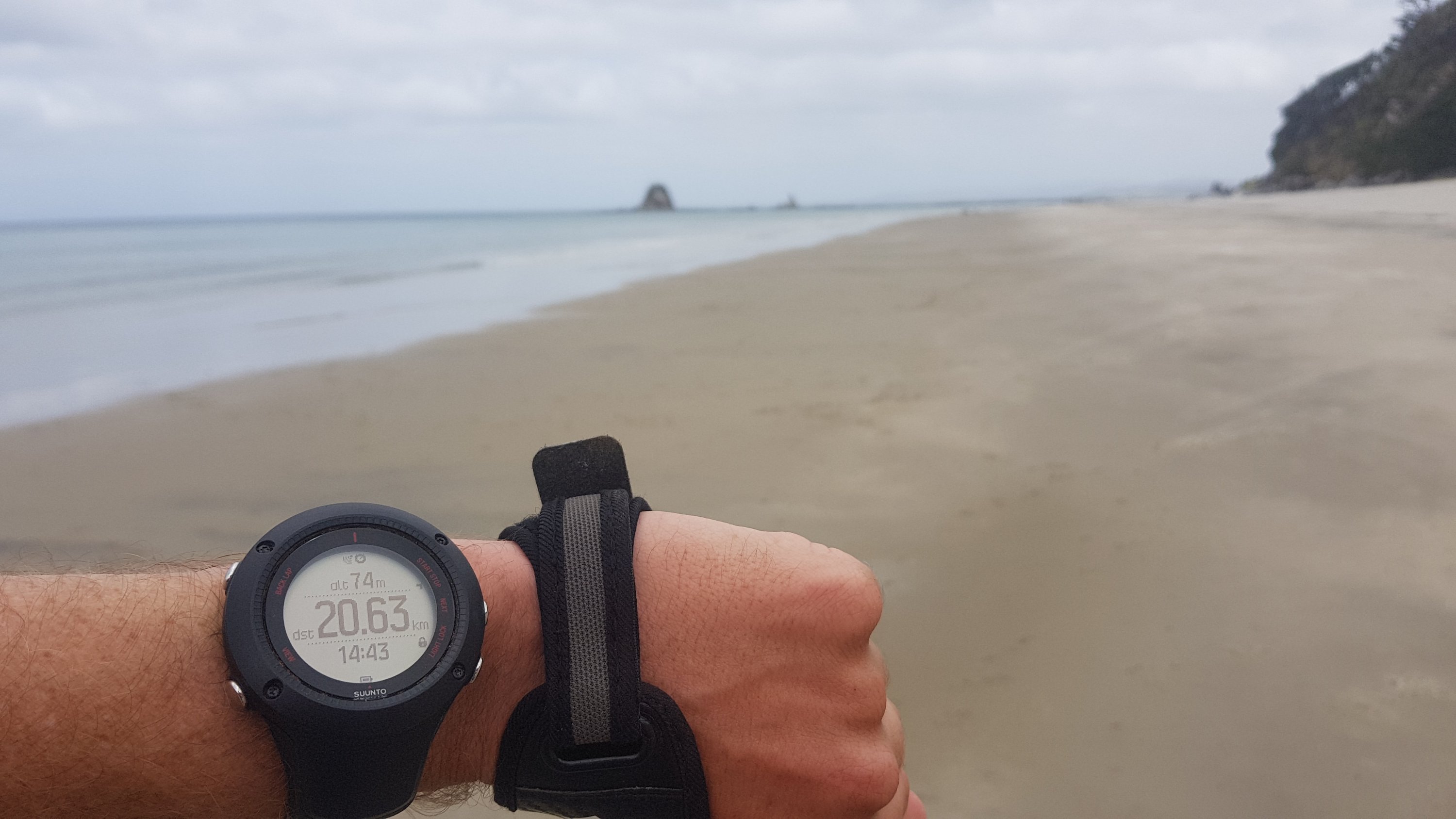
Distance walked: 25.7km 
Trail covered: kms 272.8 to 297.9
Weather: hot
Number of piglets seen: too many to count
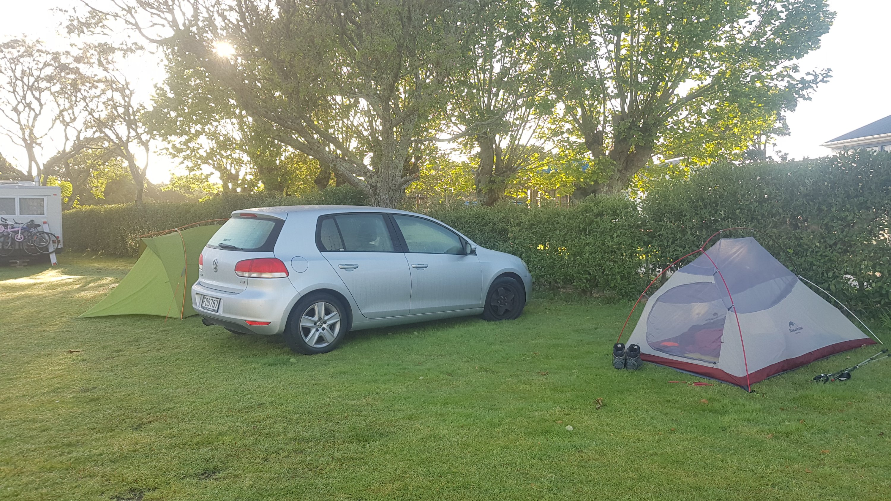
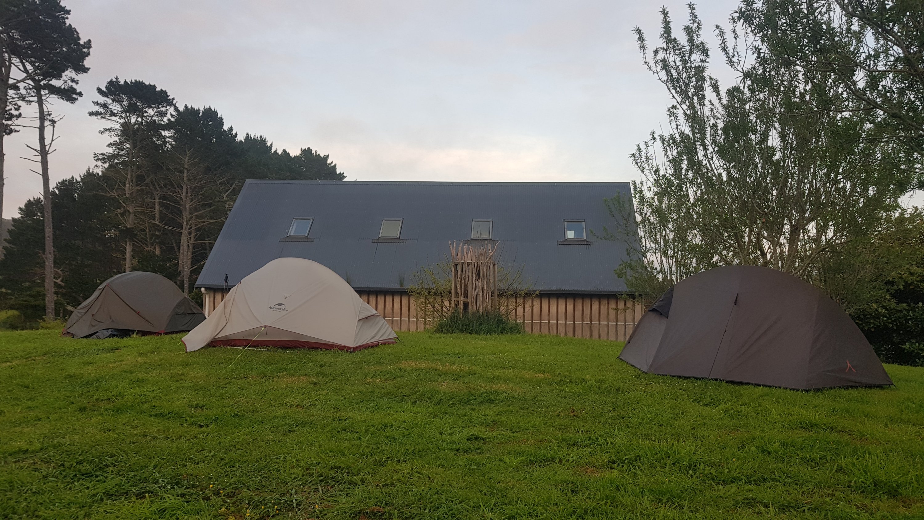
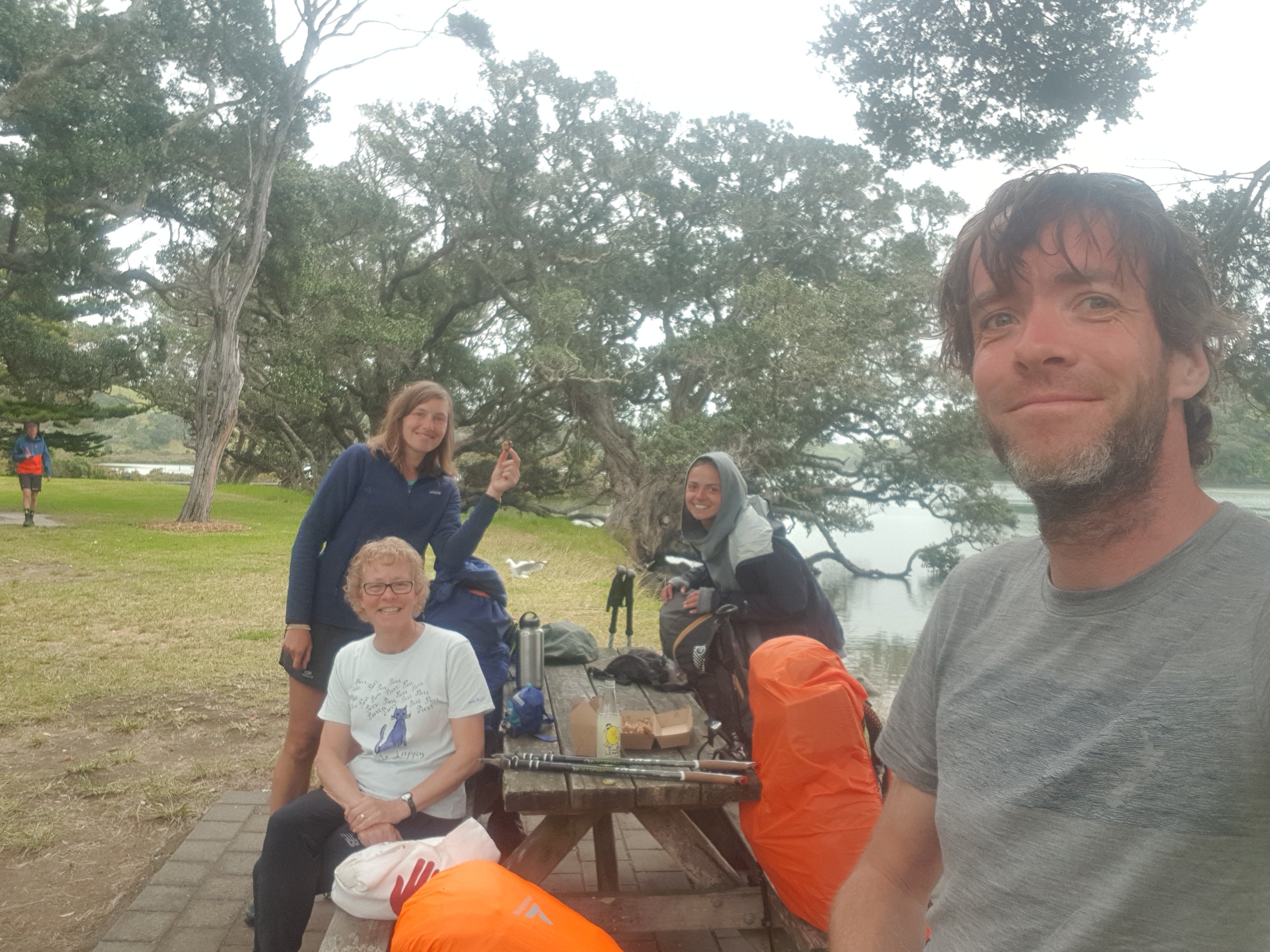
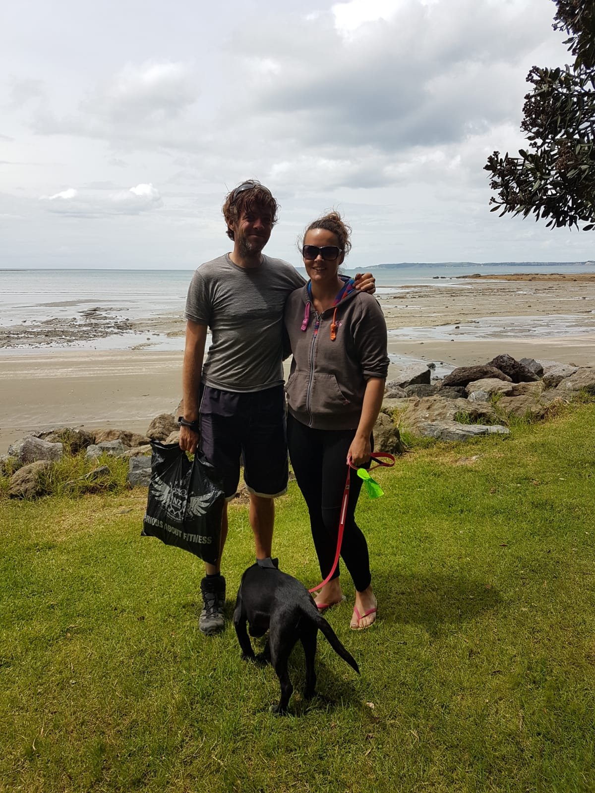
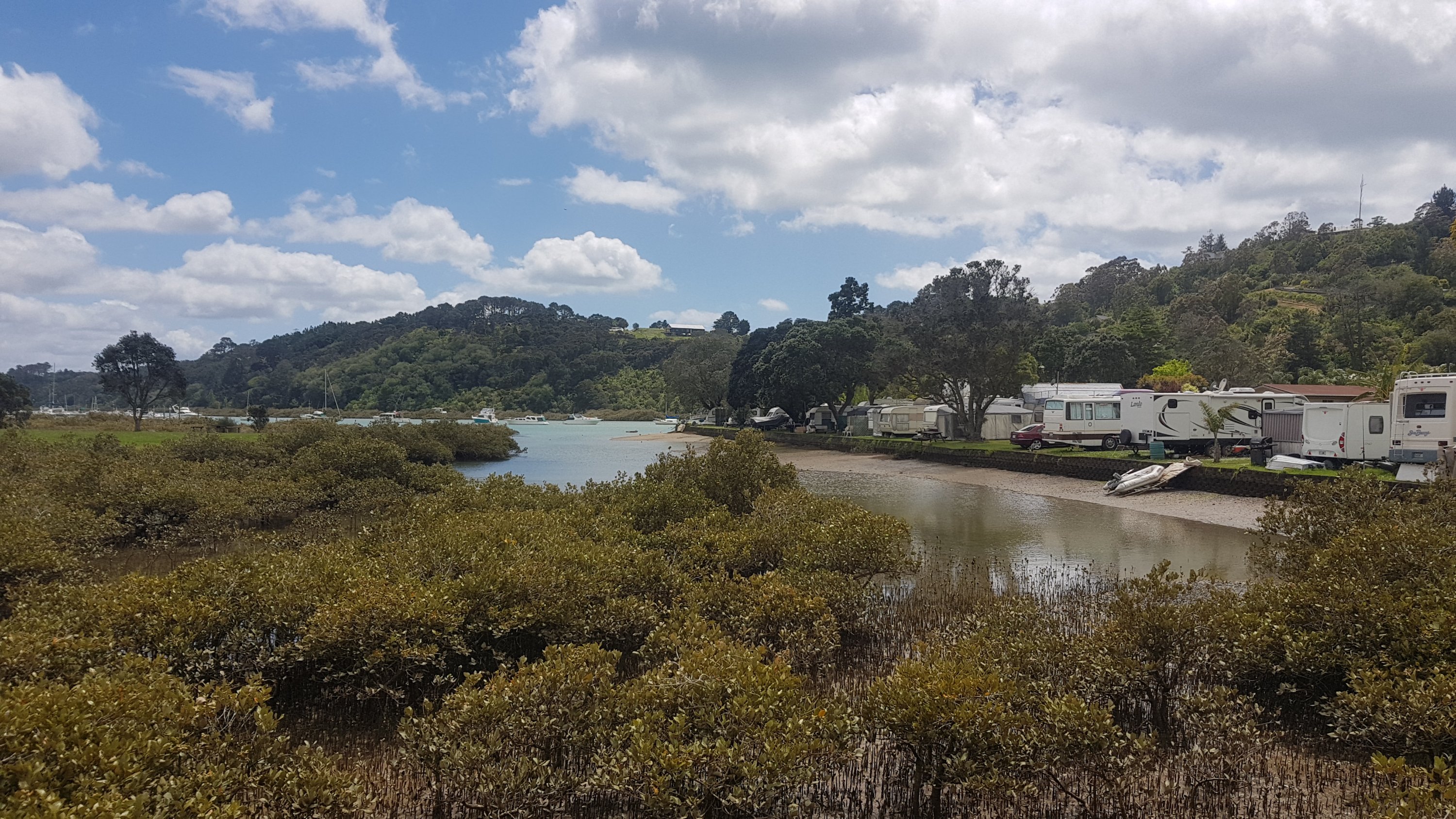
This morning I learned that the occupants of the other tents in the campground were Nick and Robert who were from Sydney, Olivia who I think was from somewhere in North America and Frederick who I saw last night when I arrived.
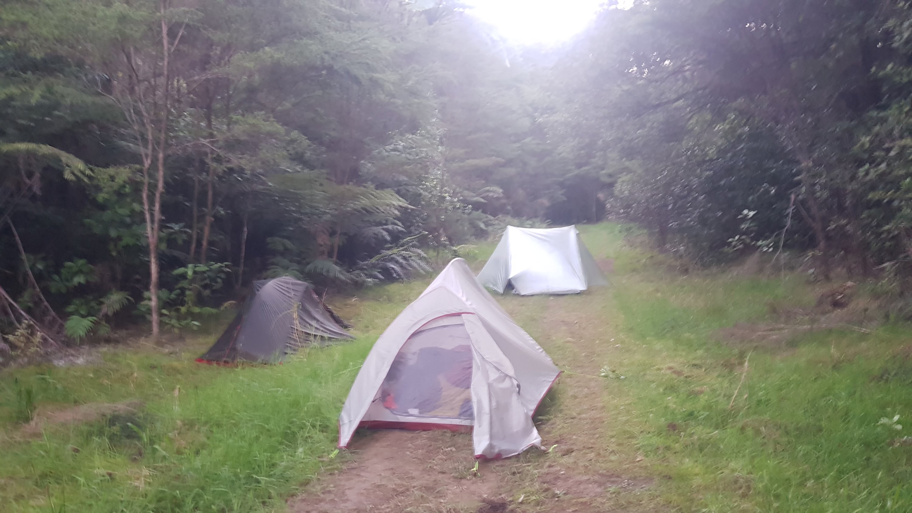
I also found the previously unfound geocache! I should have waited until everyone else left because they were already packing up when I woke up. But I was too excited. One of the campers was using the spot near the geocache as a urinal just before I found it – gross. But I bet that happens more than I would like to imagine.
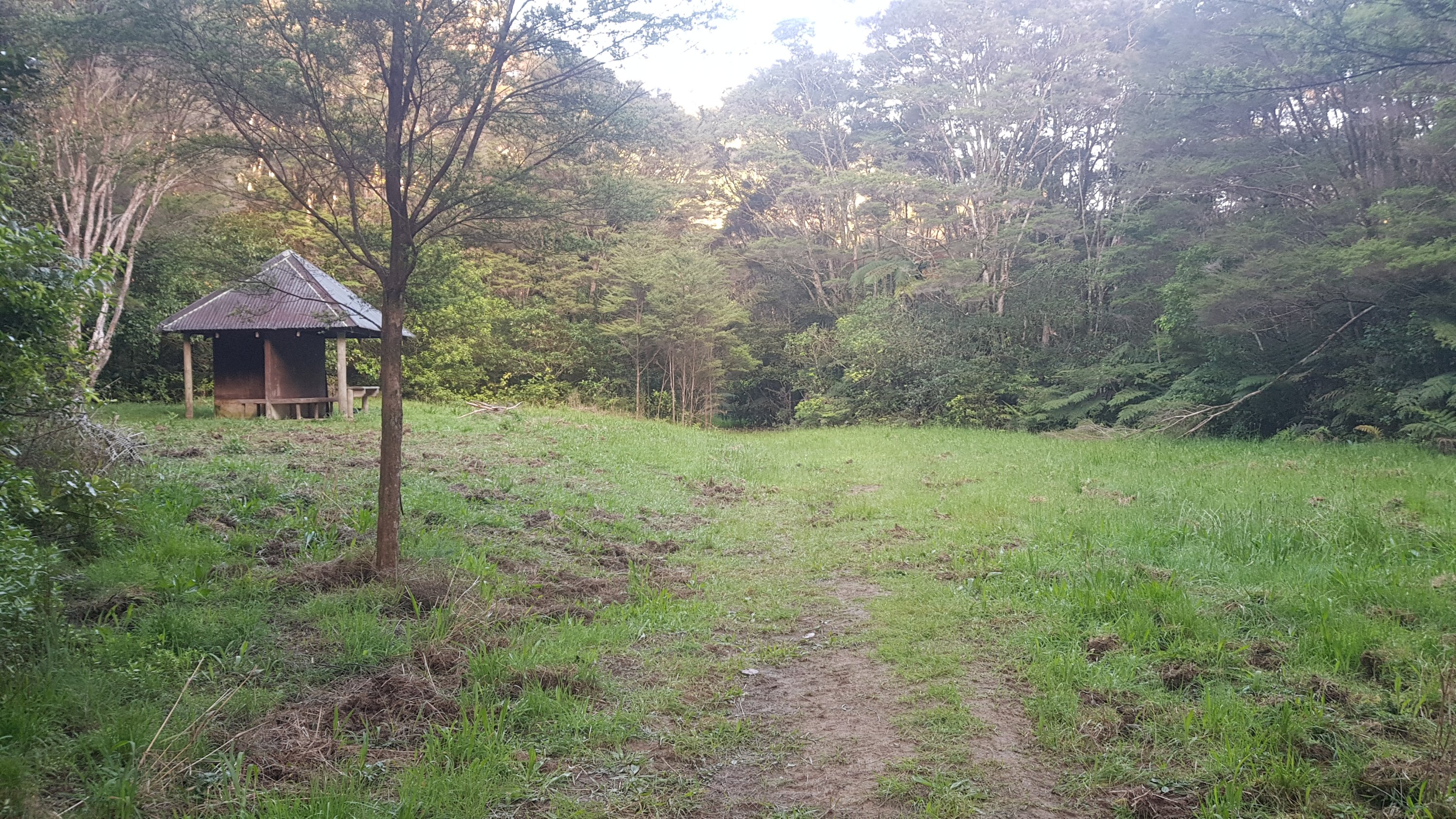
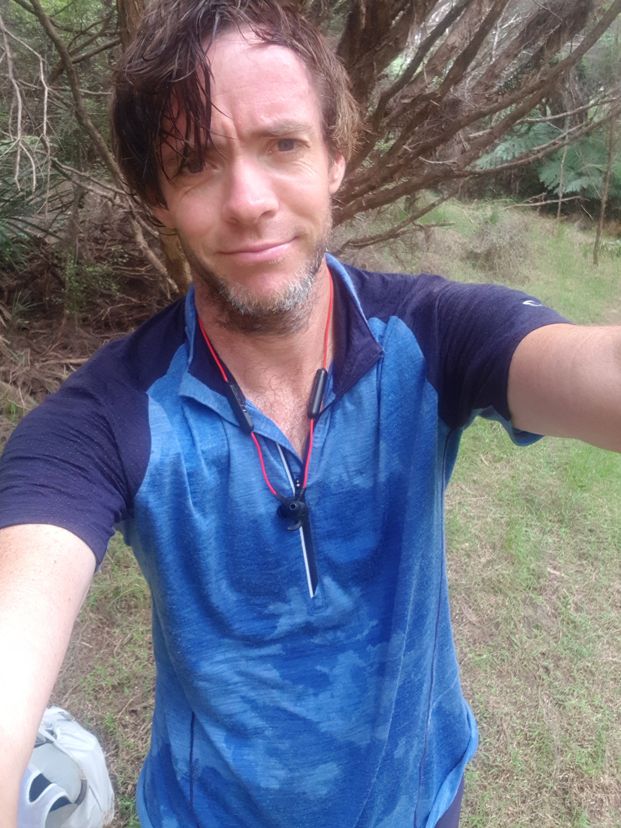
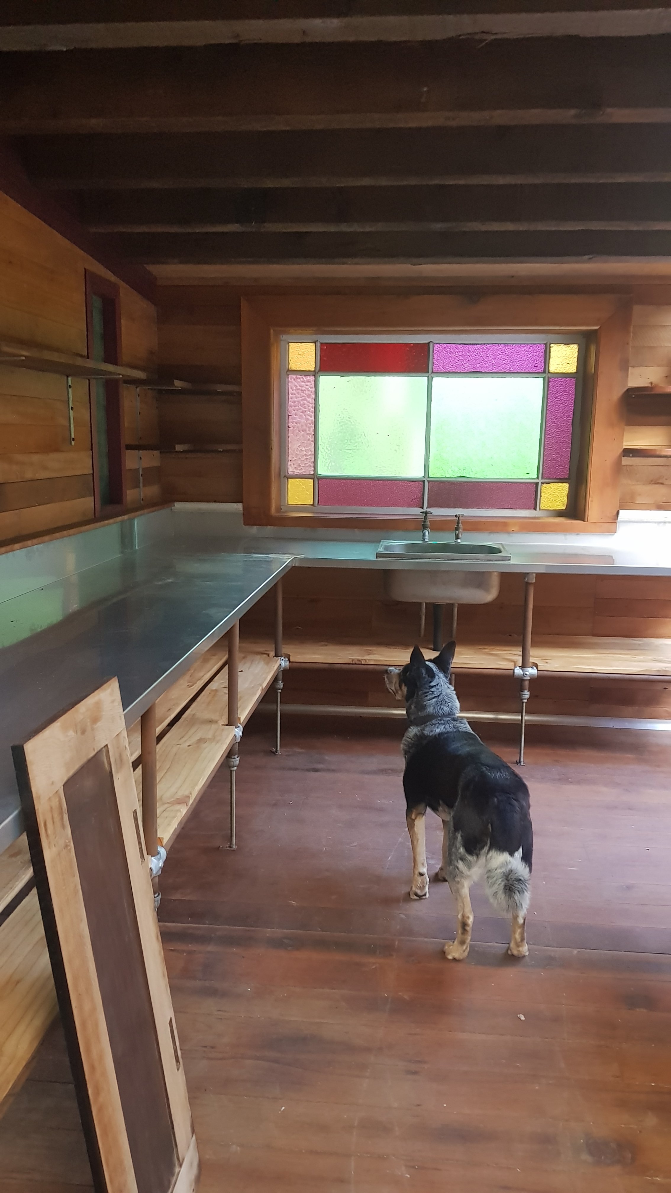
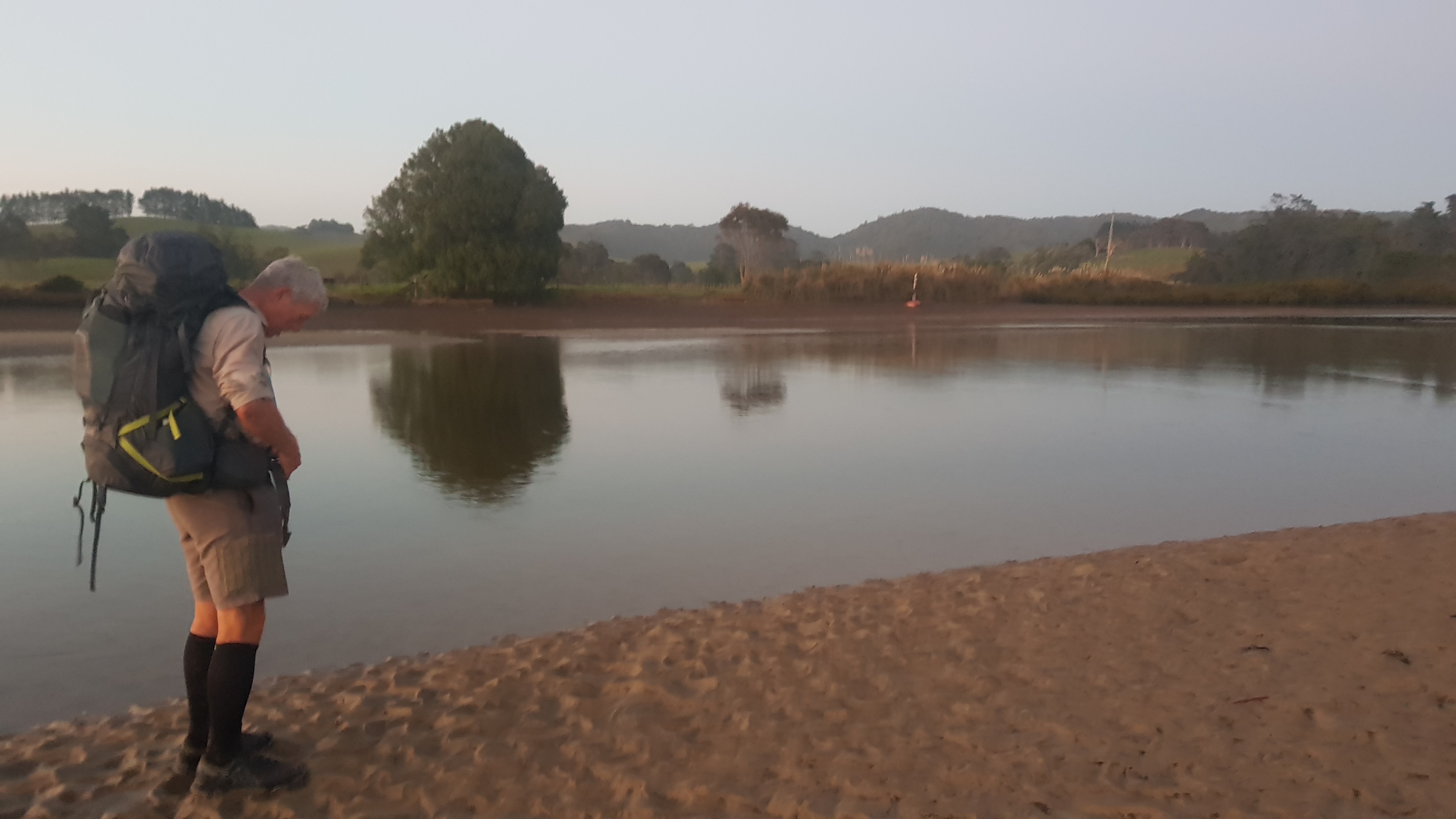
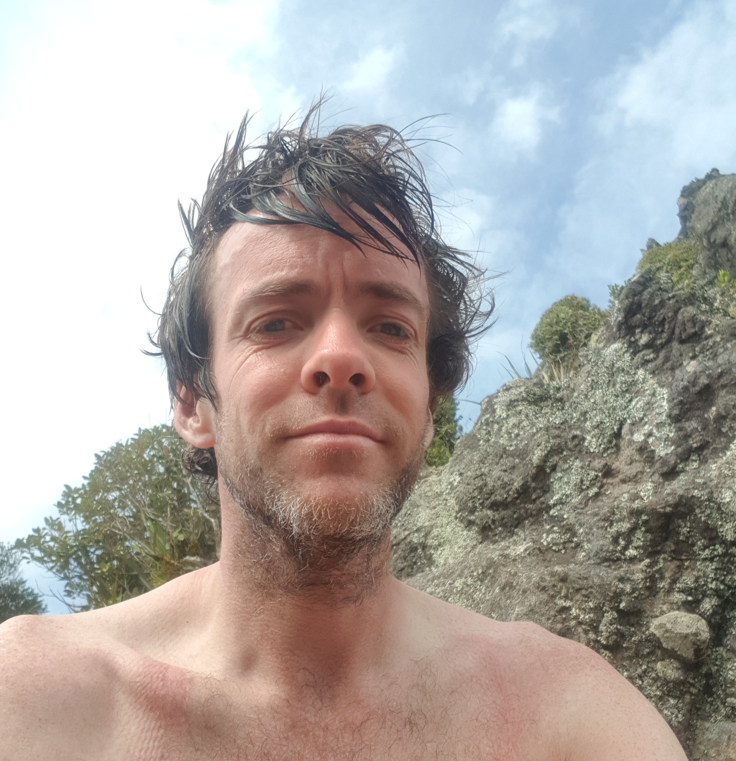
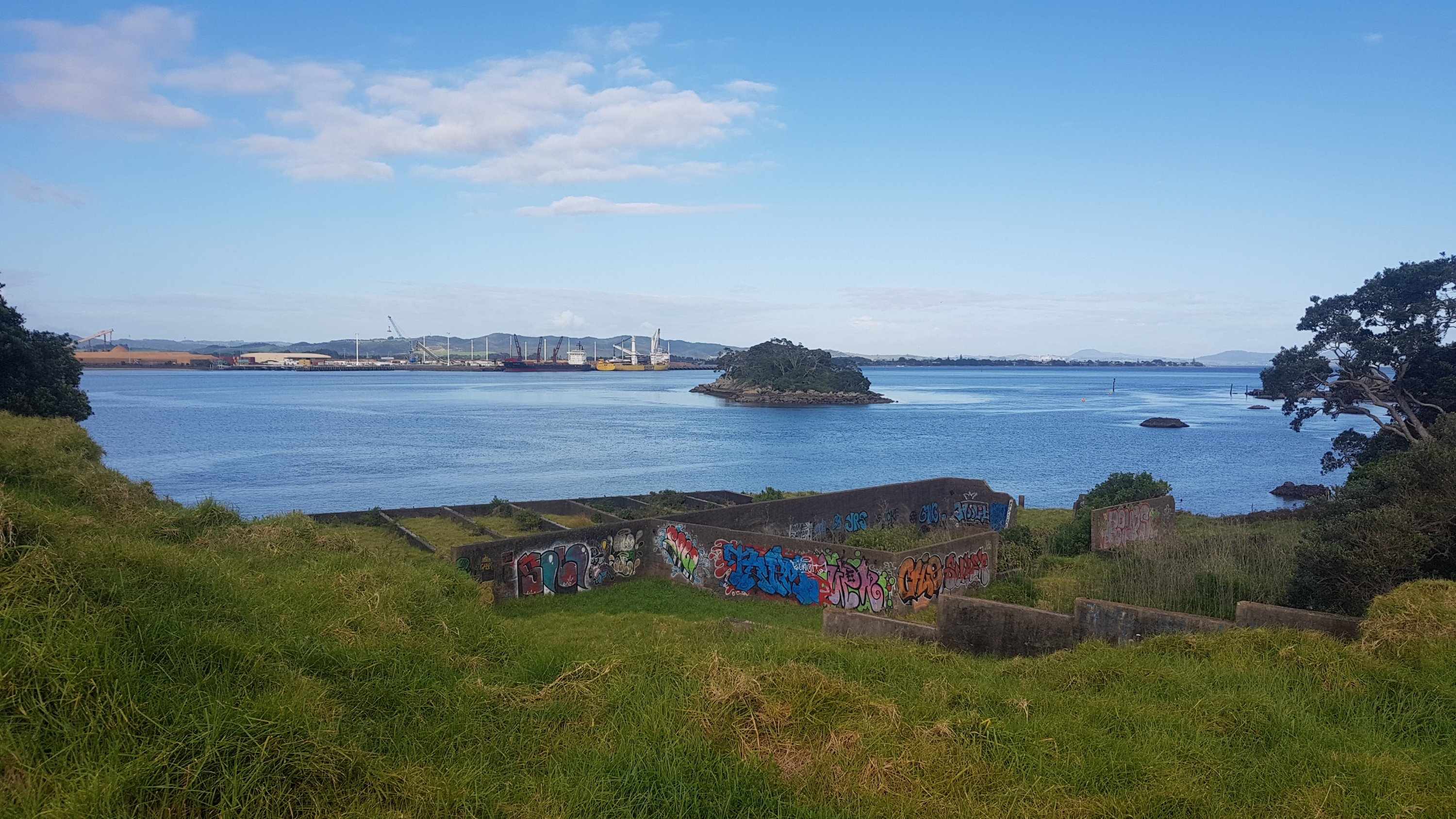
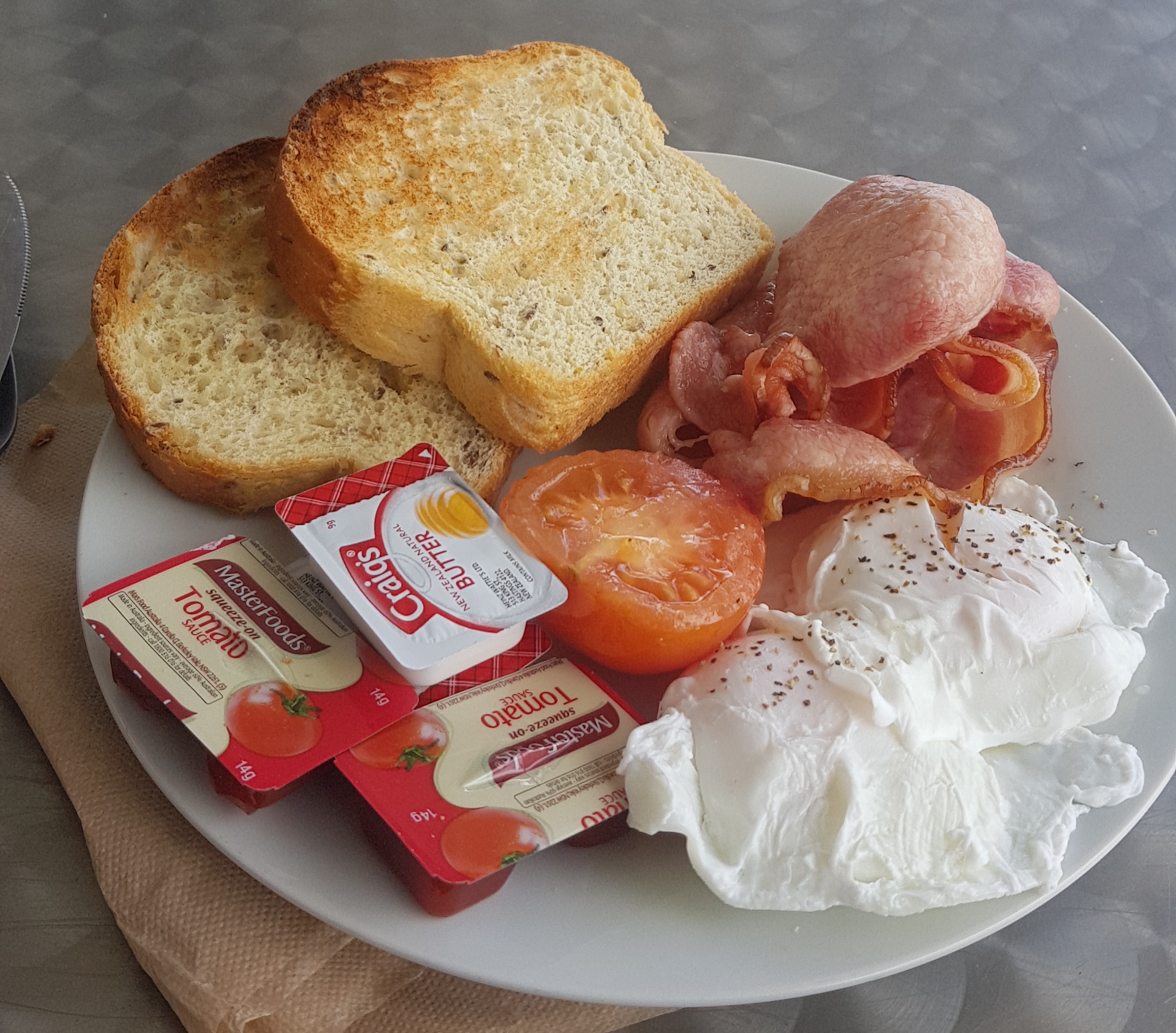
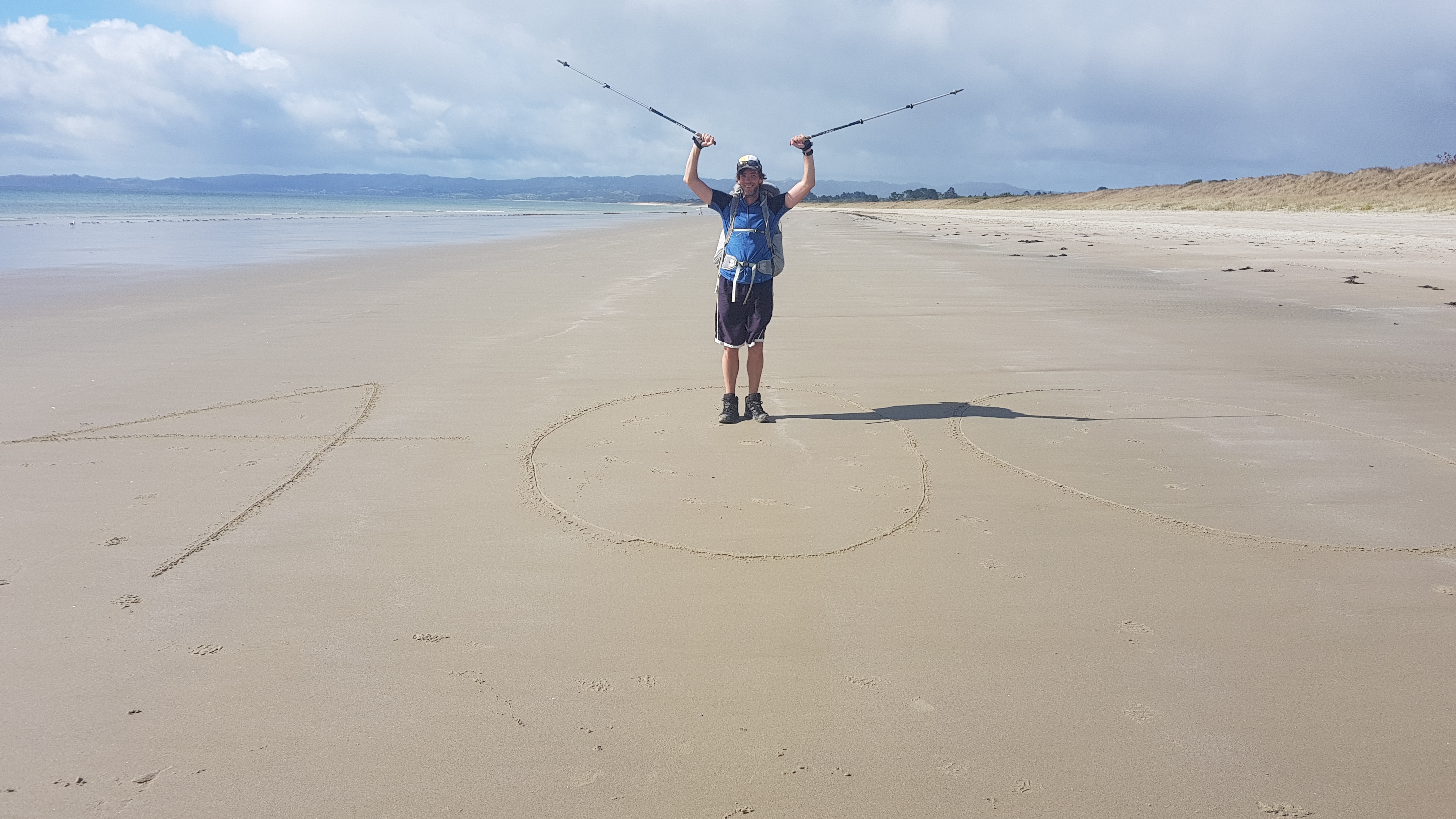
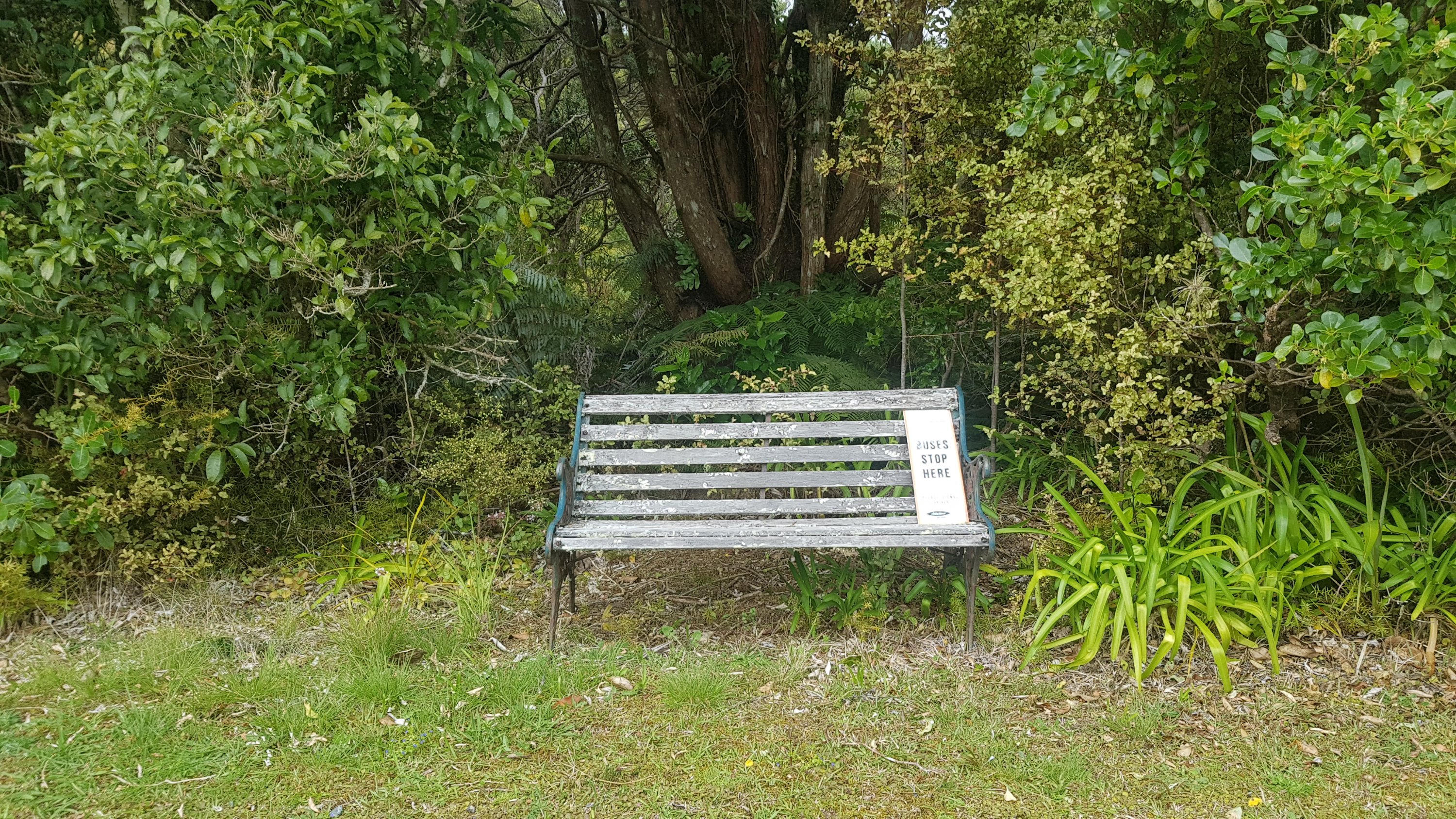
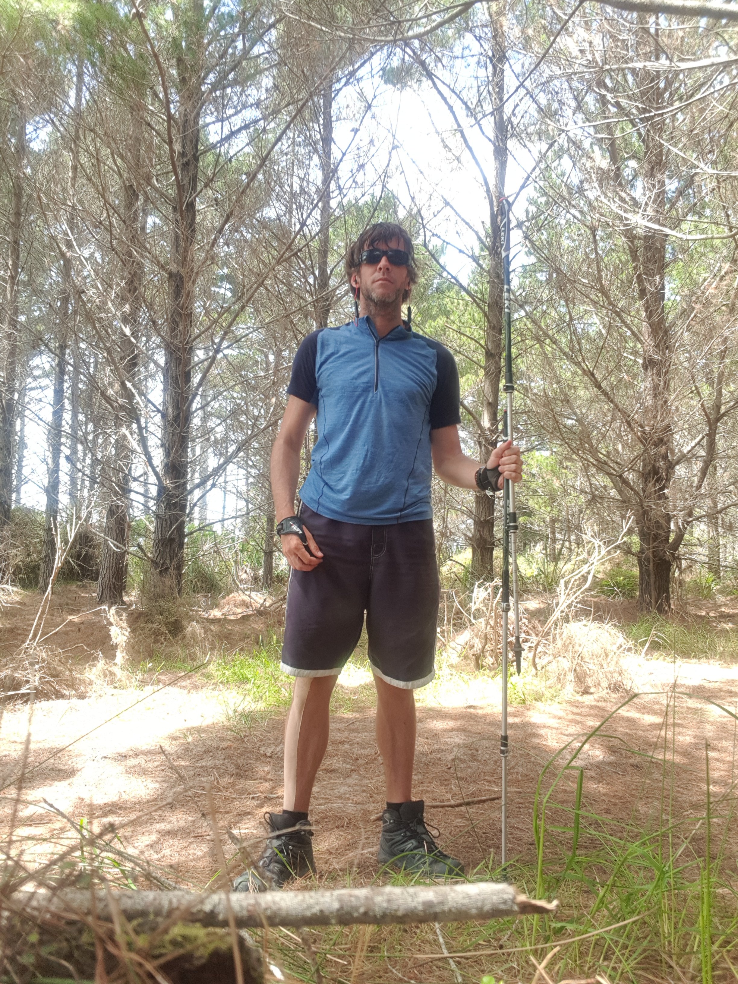
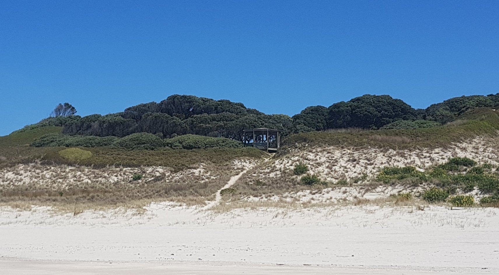
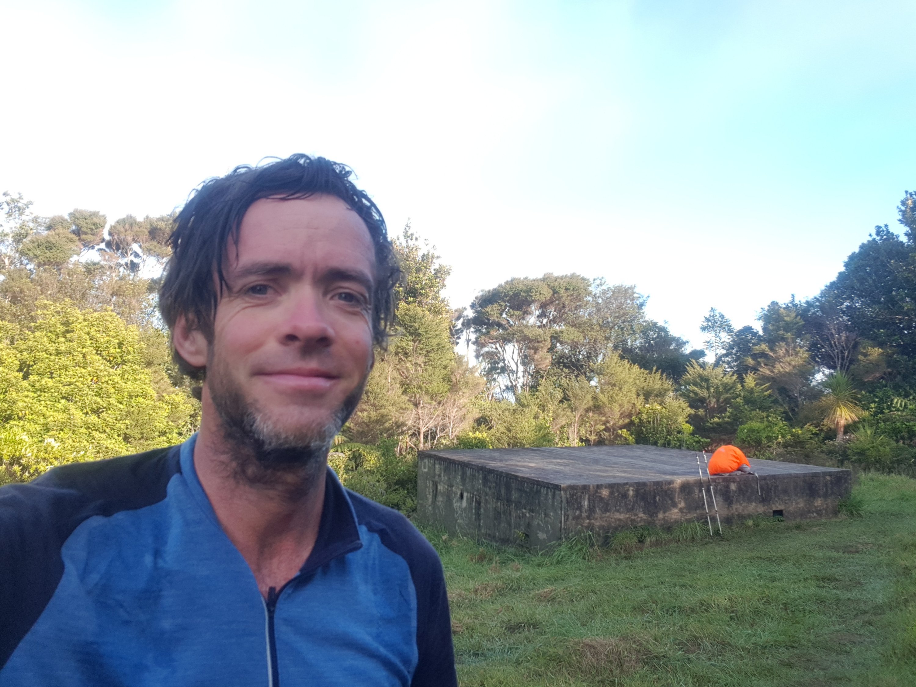
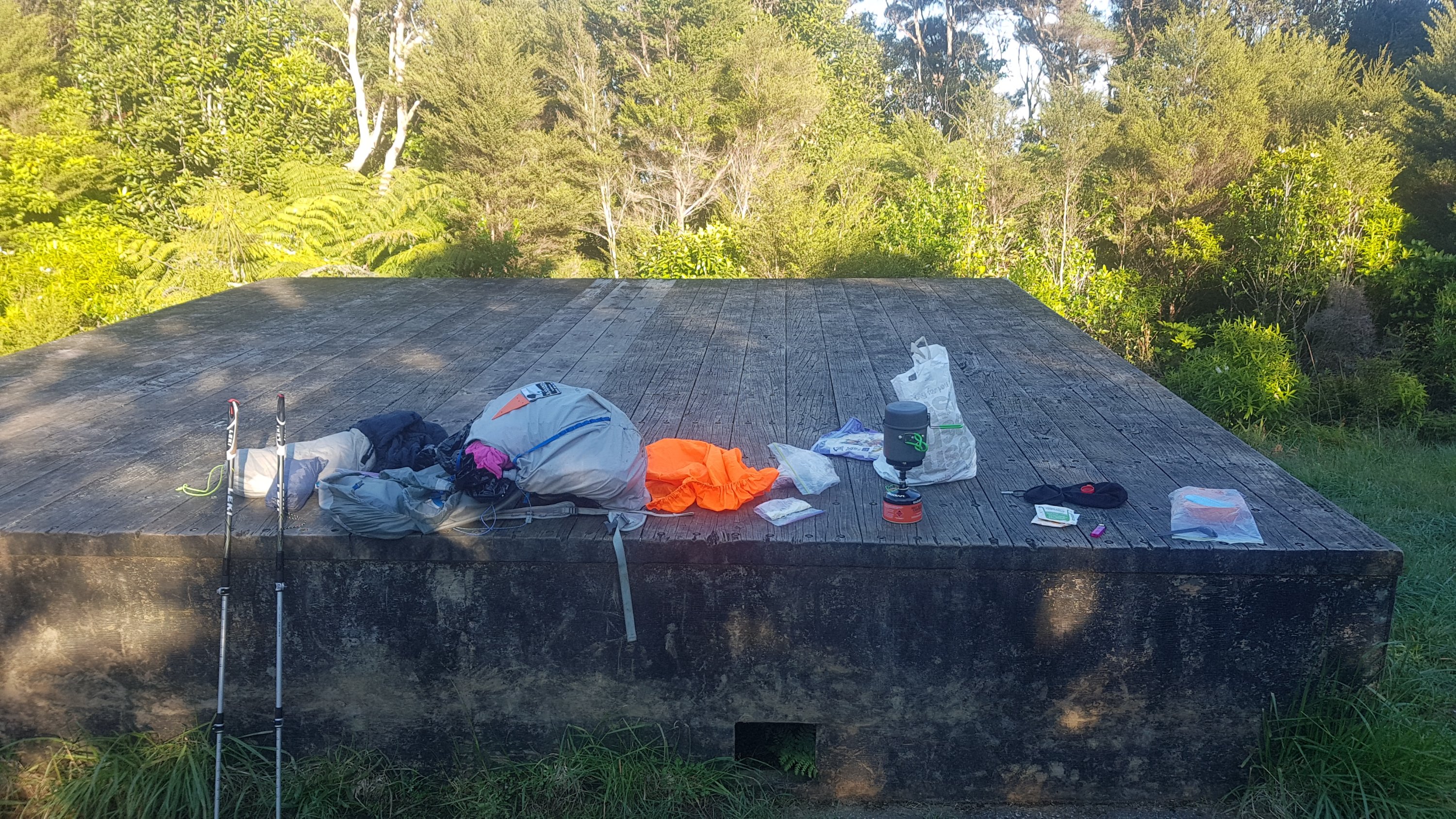
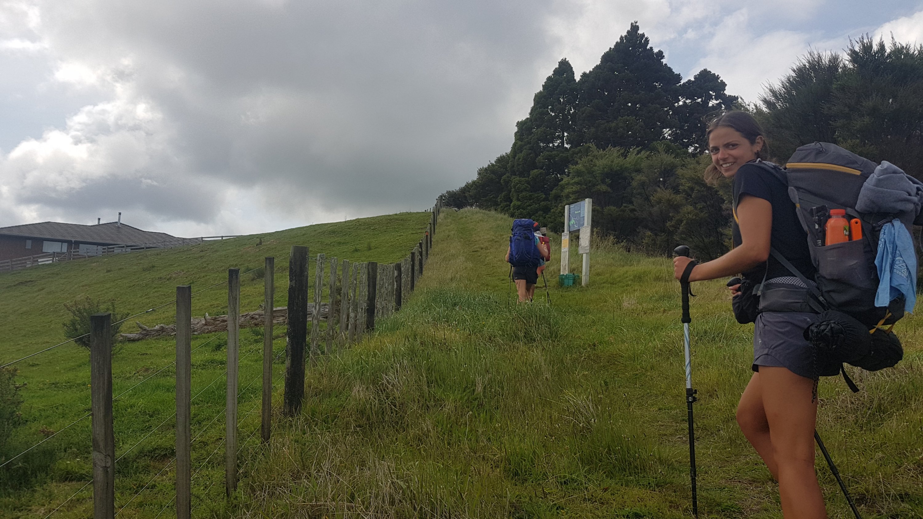
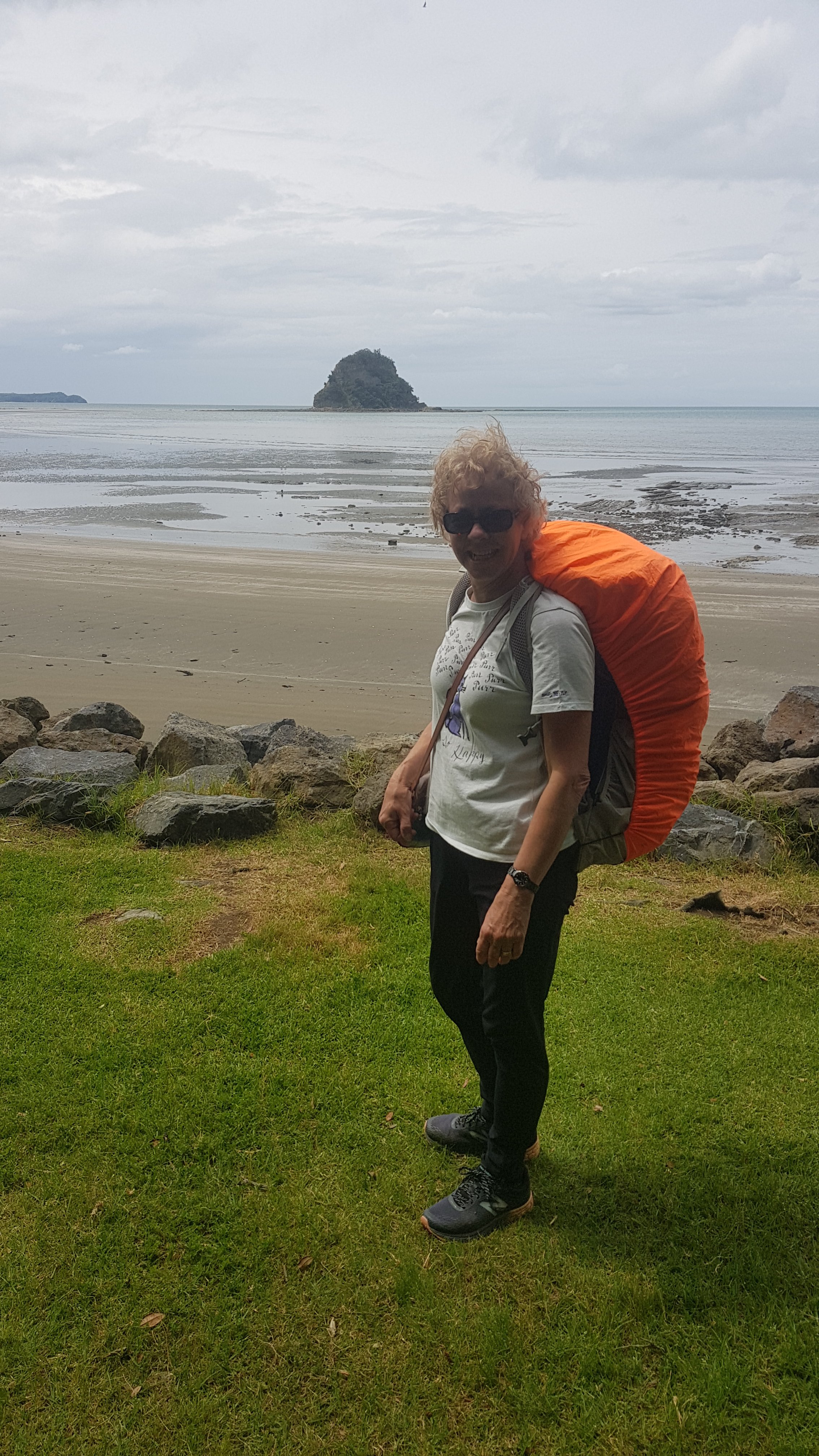
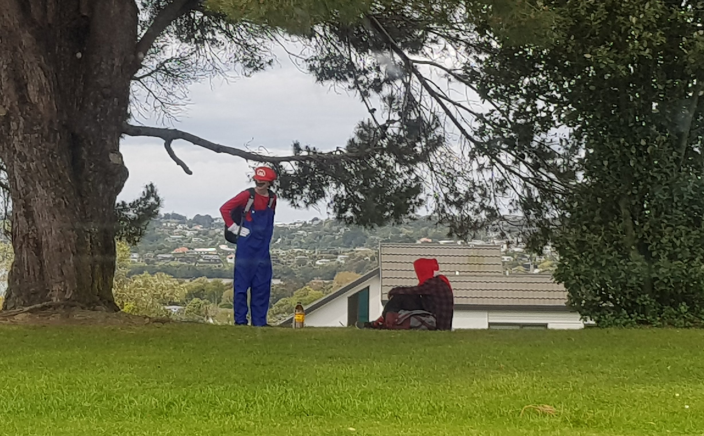
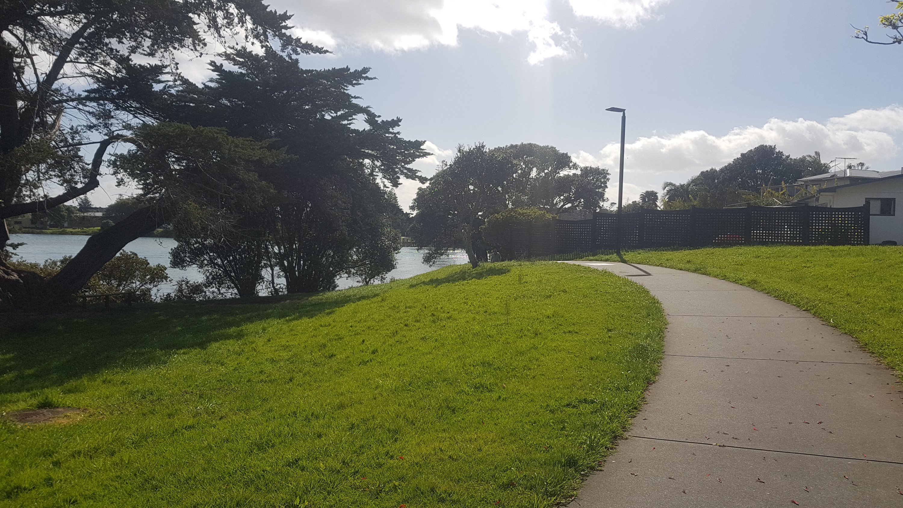
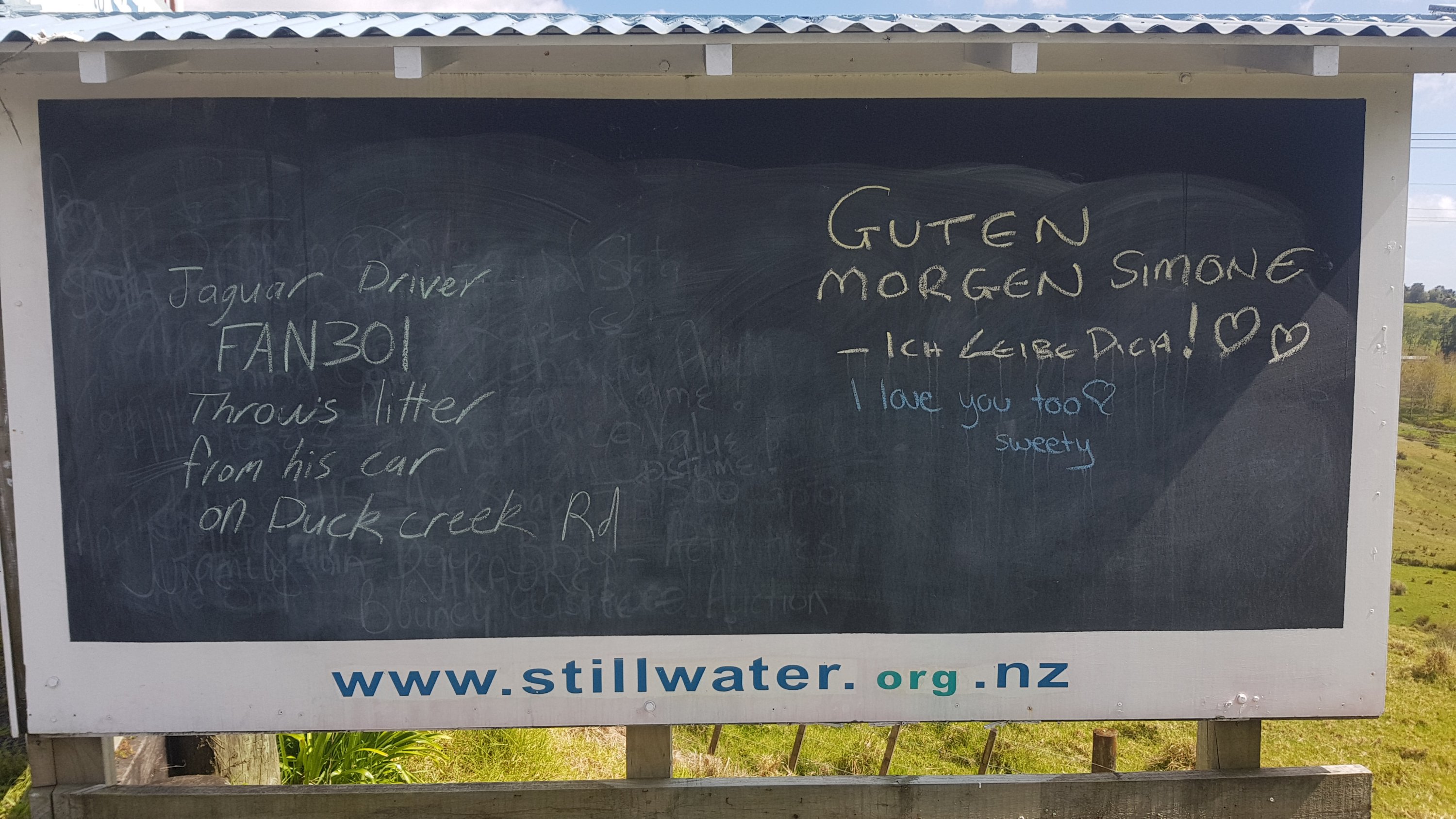
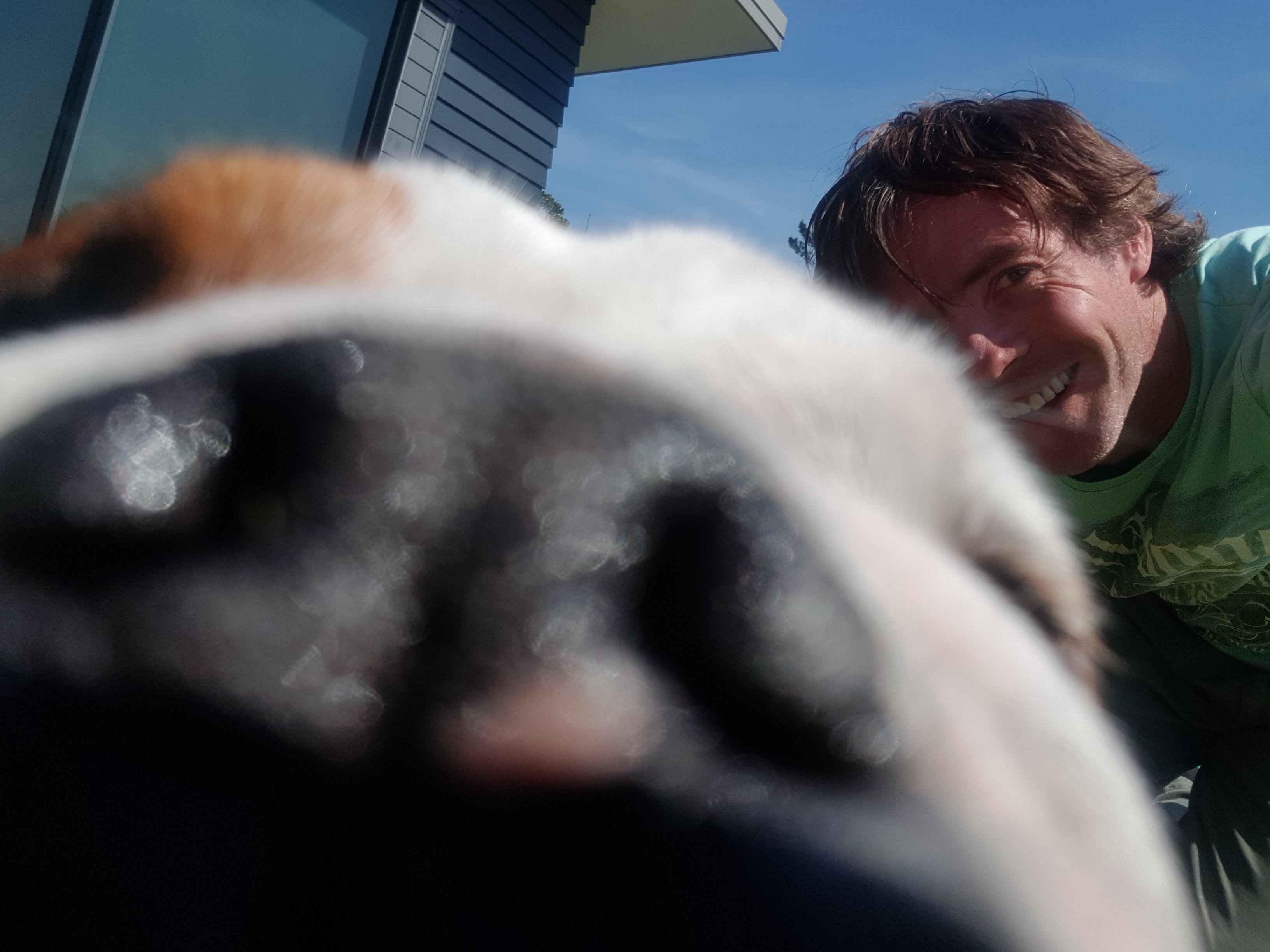
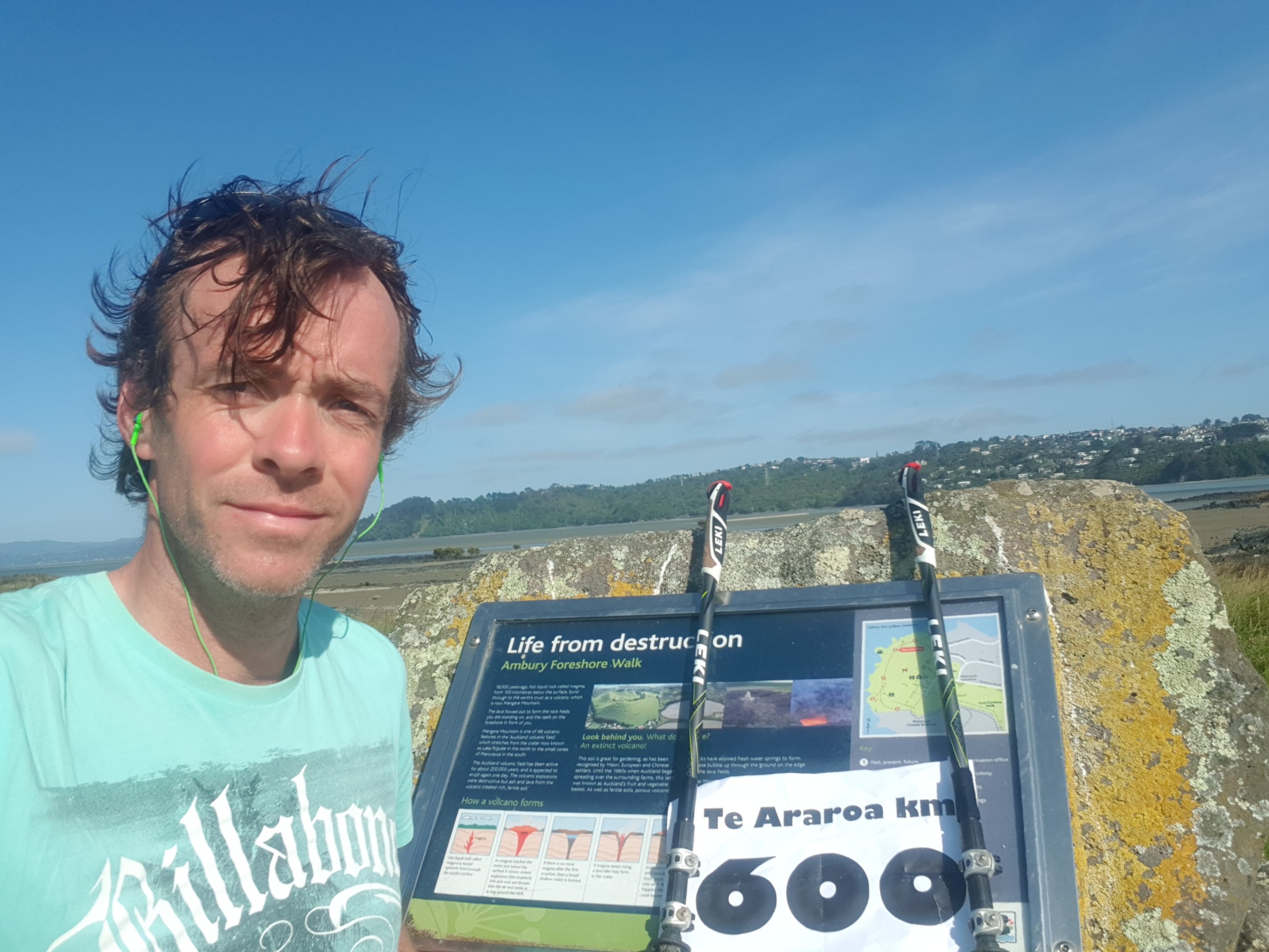
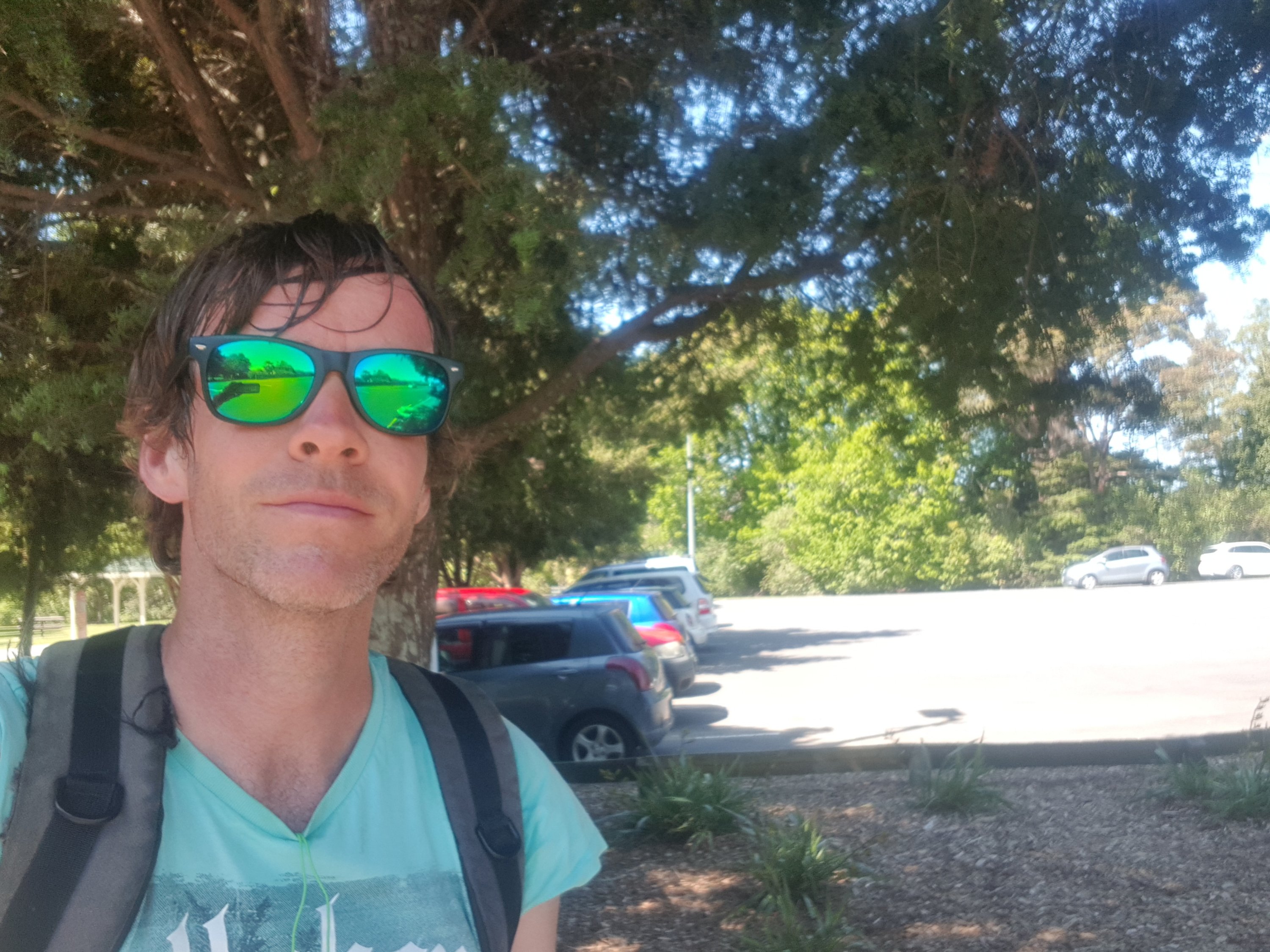
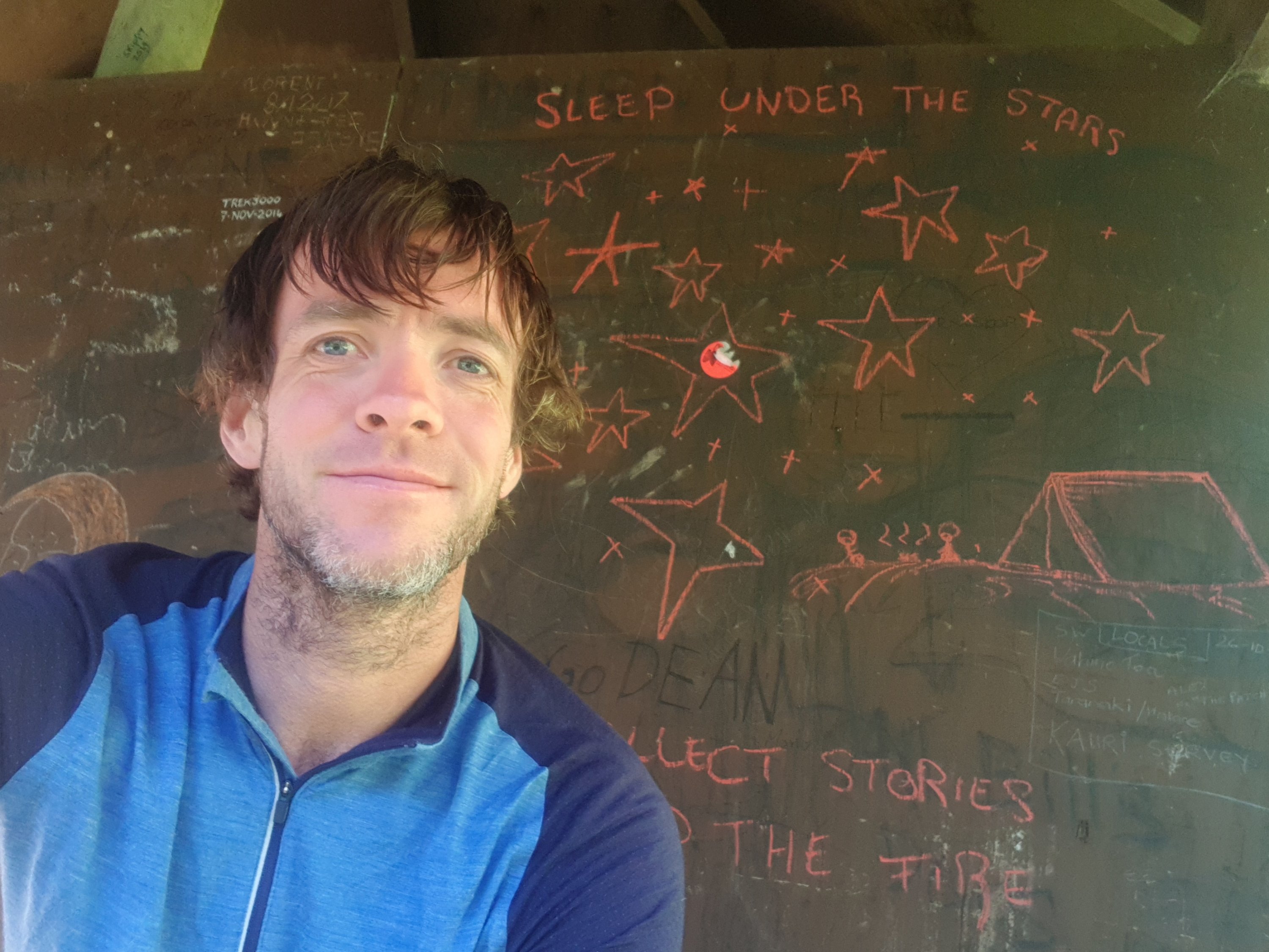
Everyone else left early, they had all gone by 8am. I bet it was because I was getting very stinky by now. Of course I was definitely not leaving that early. I could have left early because it was a beautiful day and my tent was dry but I was in no rush, like always. I sat down at the shelter and had breakfast. I took a selfie while I was there. I don’t normally like to encourage people graffiting the walls of huts and shelters, but I liked the stars someone had drawn.
And there was a toilet, which was a nice surprise. The notes for this place said no toilet.
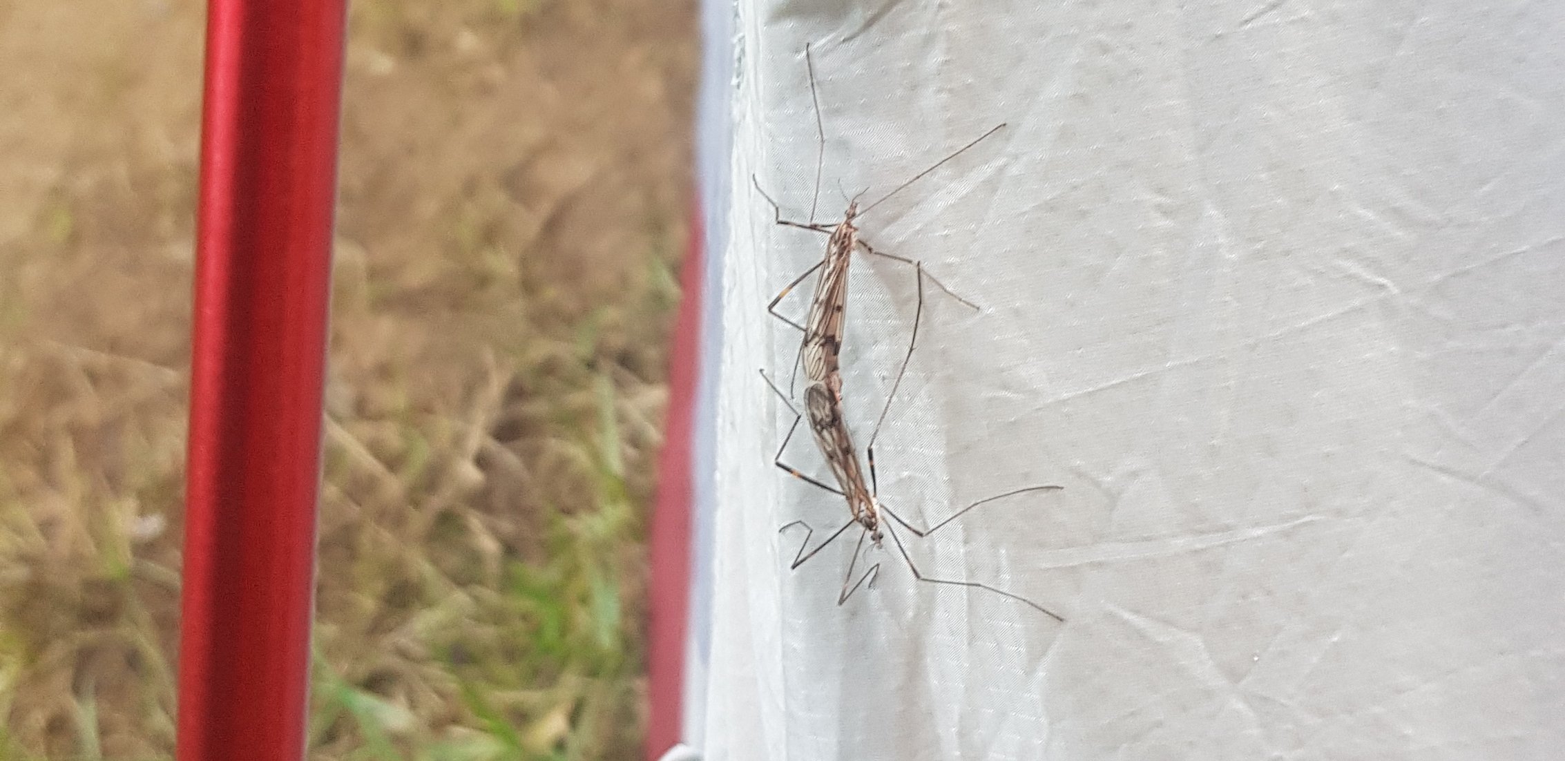
There were these bugs on the tent though. Vamoose bugs.
The song in my head now was Metallica – Wherever I May Roam. Very appropriate, although I have no idea how that got there. “Roamer Wanderer Nomad Vagabond call me what you will” – seems appropriate.
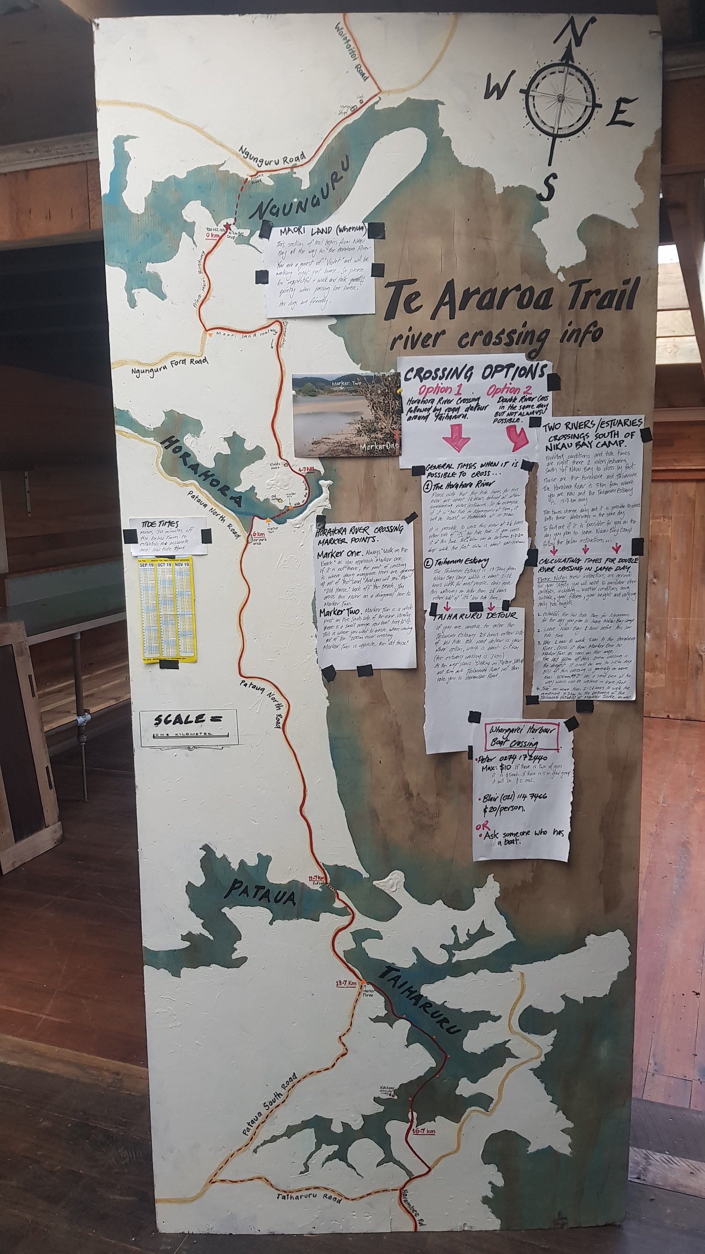
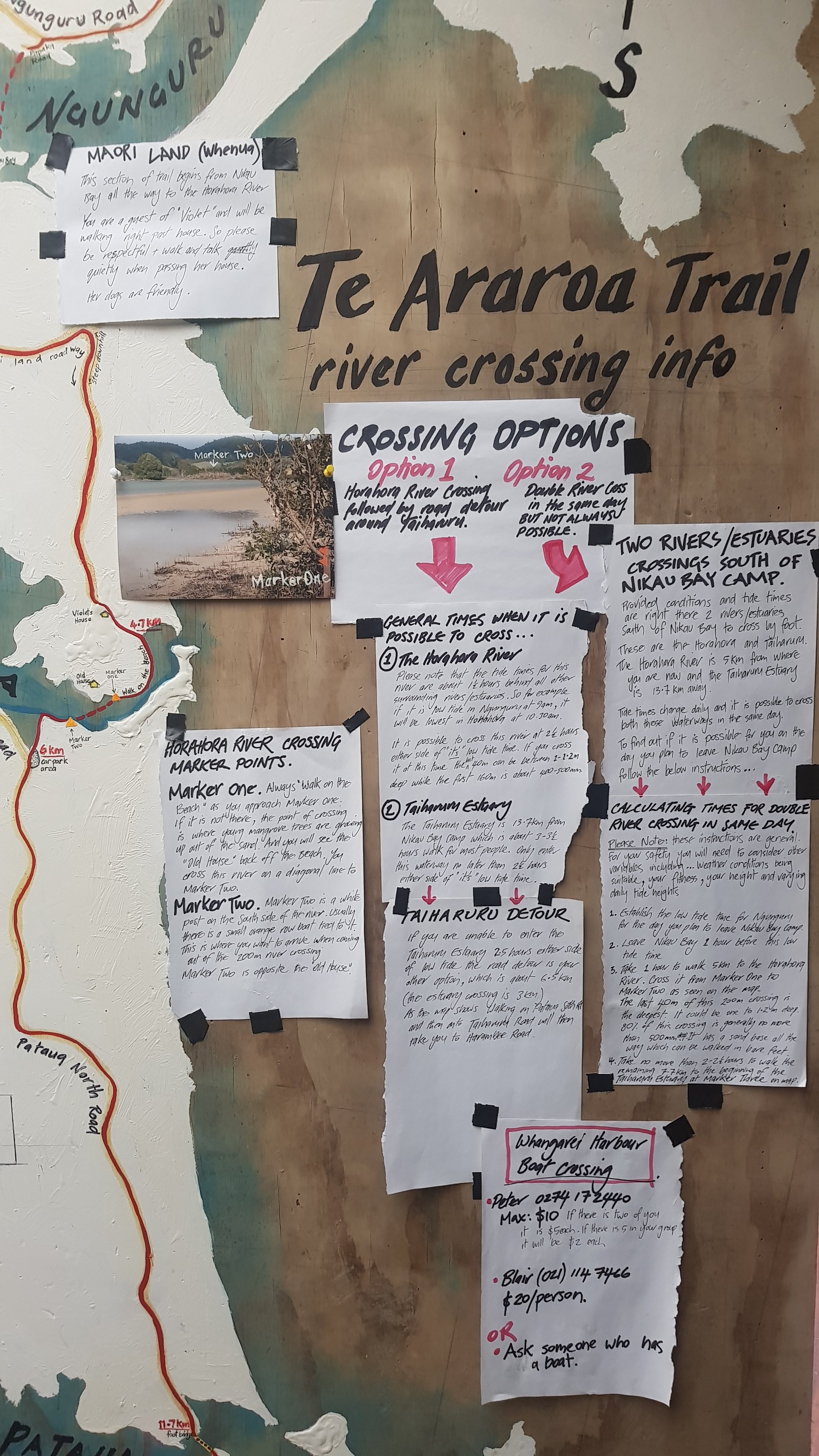
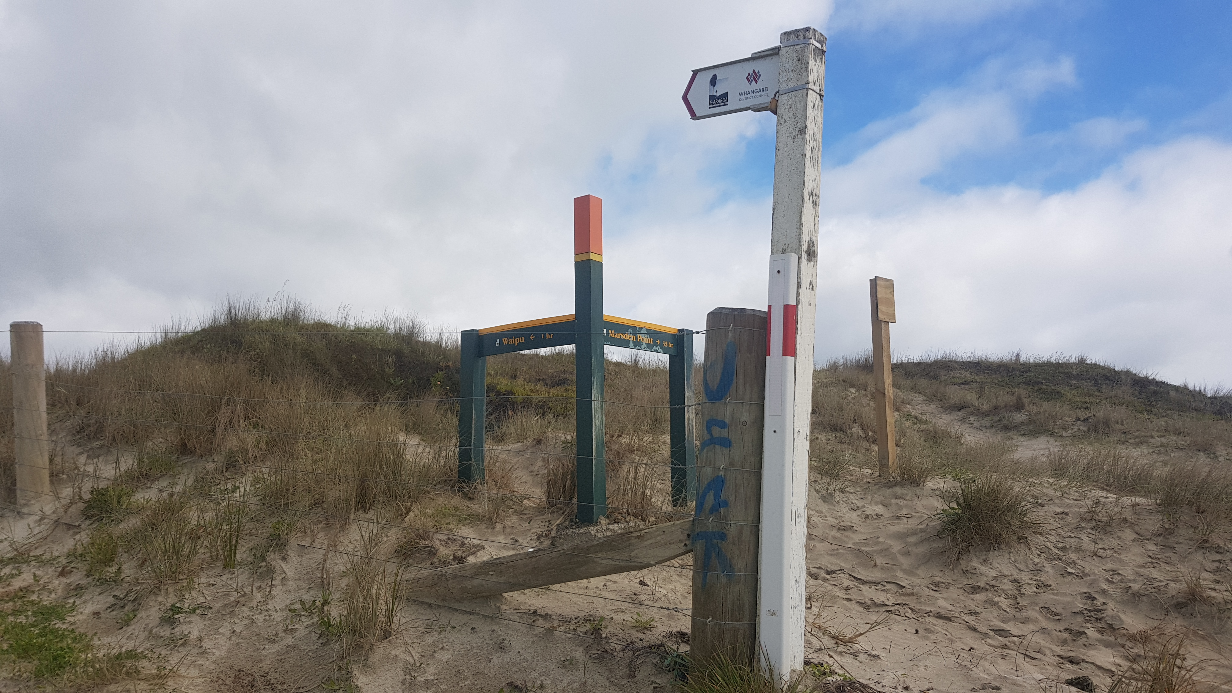
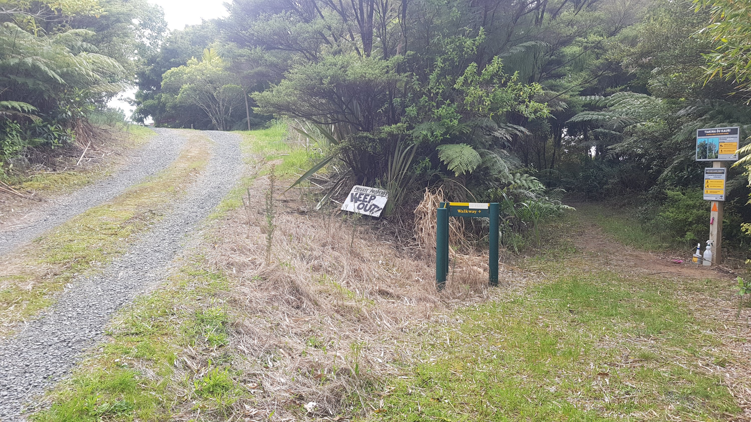
I eventually left at 9am. I had no idea what accommodation was to come today or even where I’d be walking. The notes for this section are long and rambling and the accommodation part was a bit lacking. All I knew (well I thought I knew) was that there was one more walk in the stream.
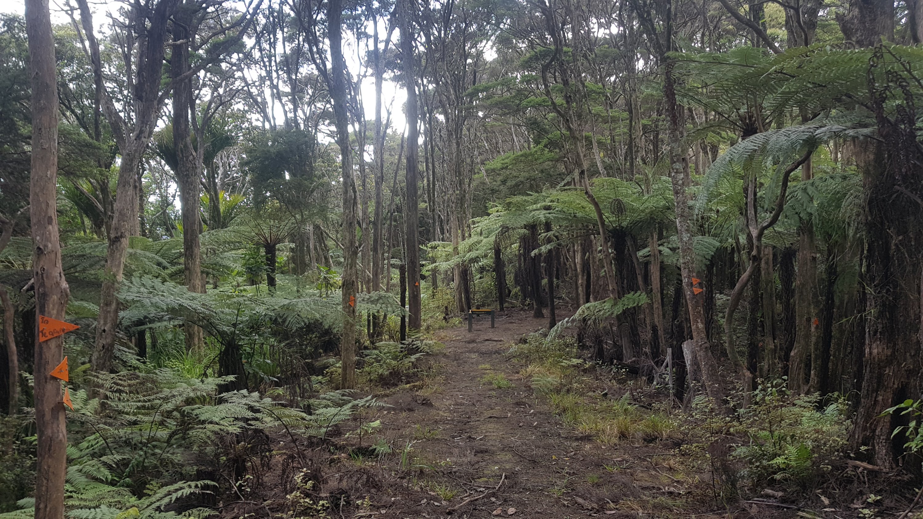
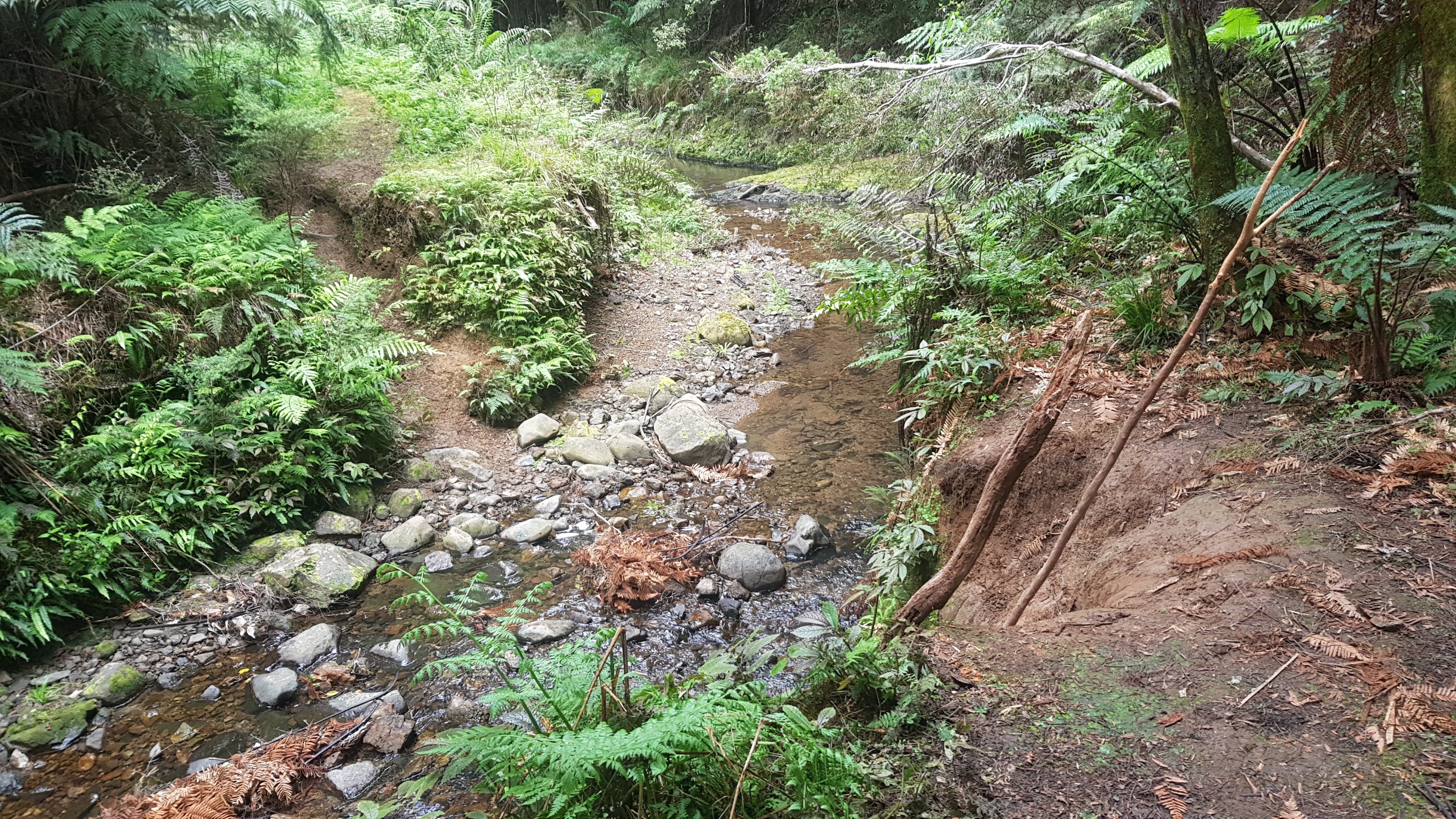
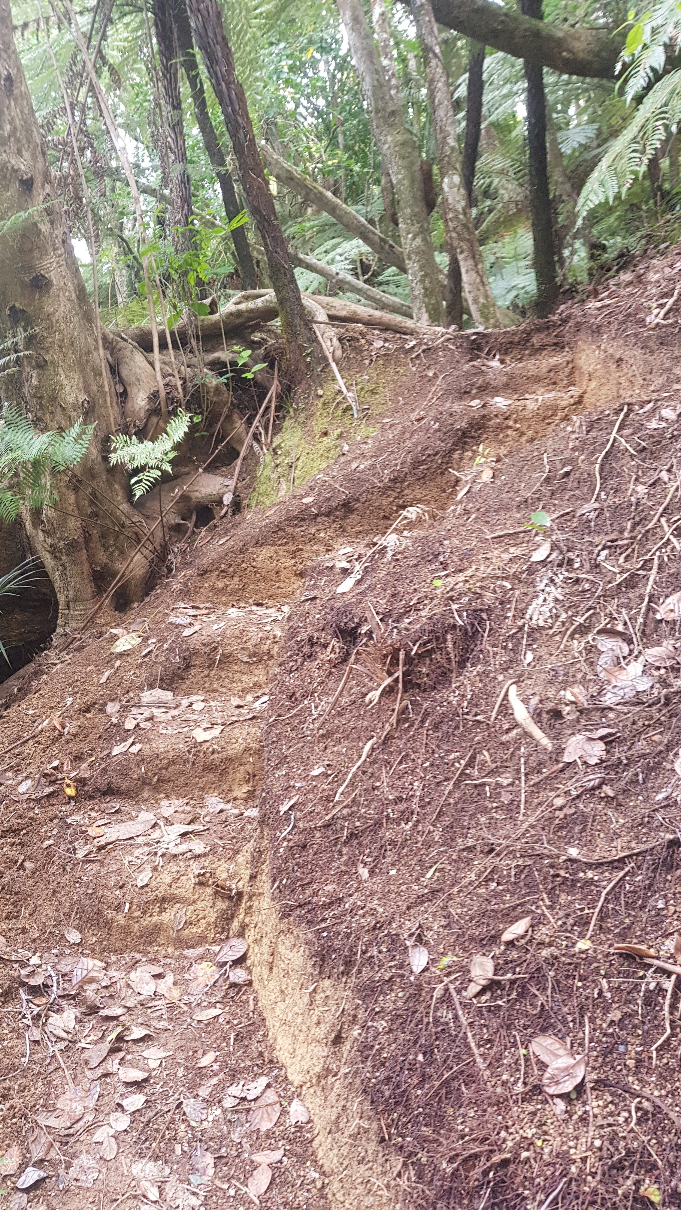
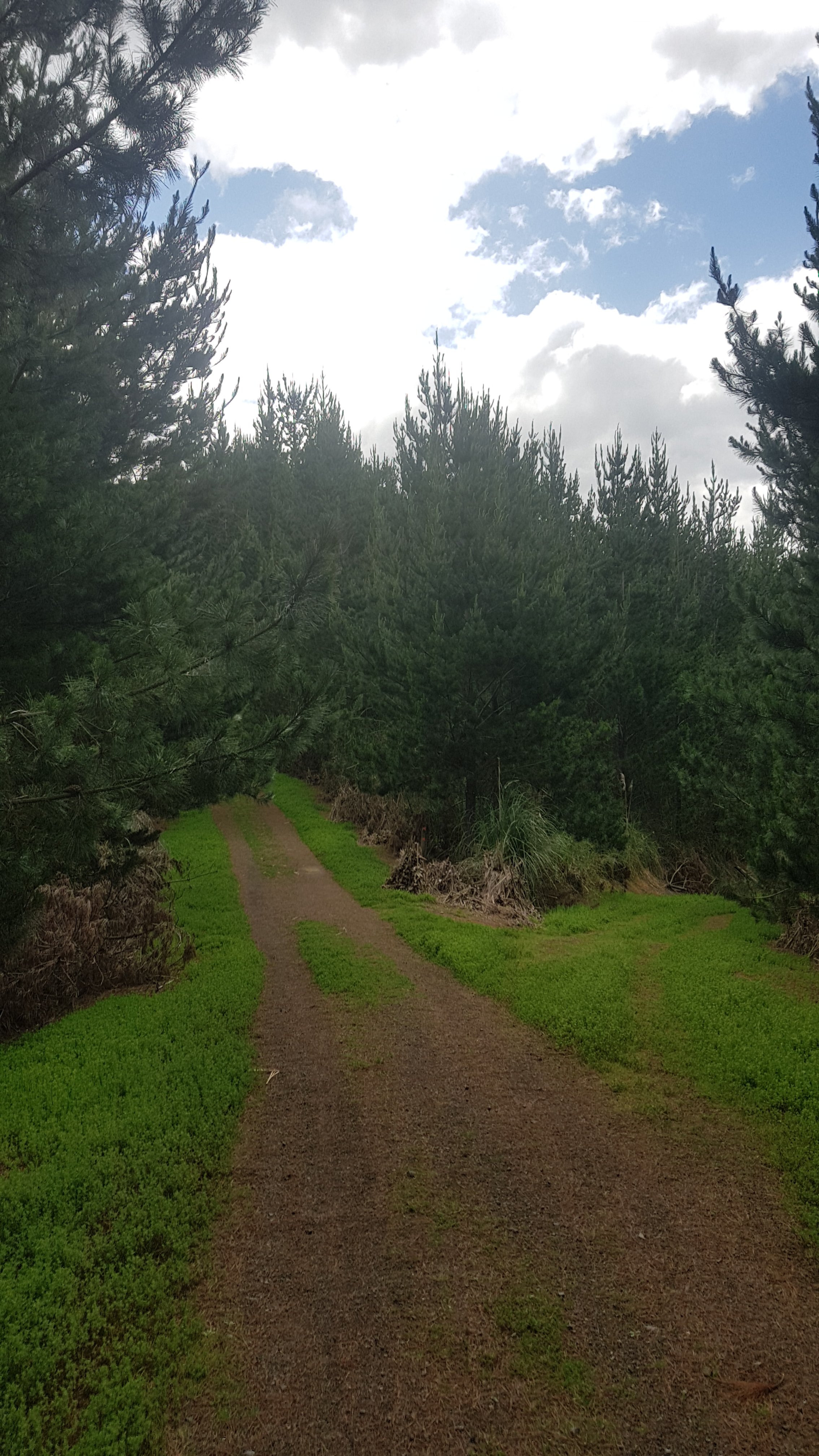
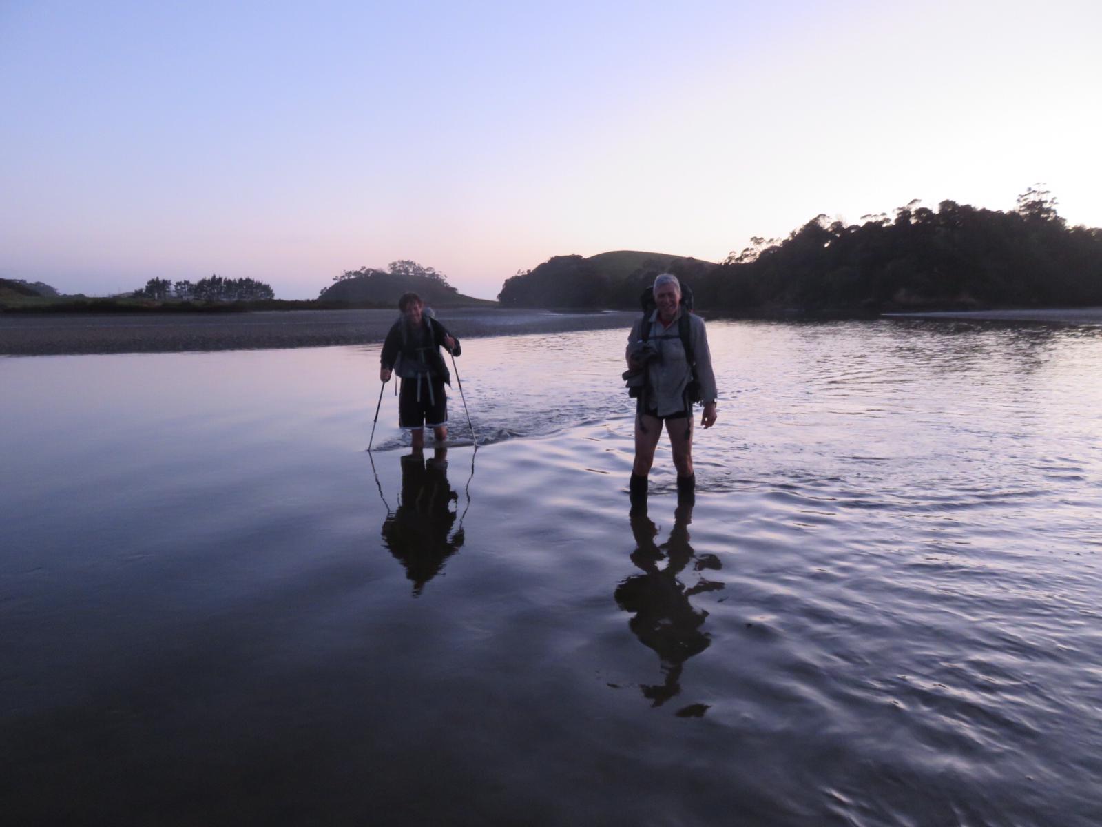
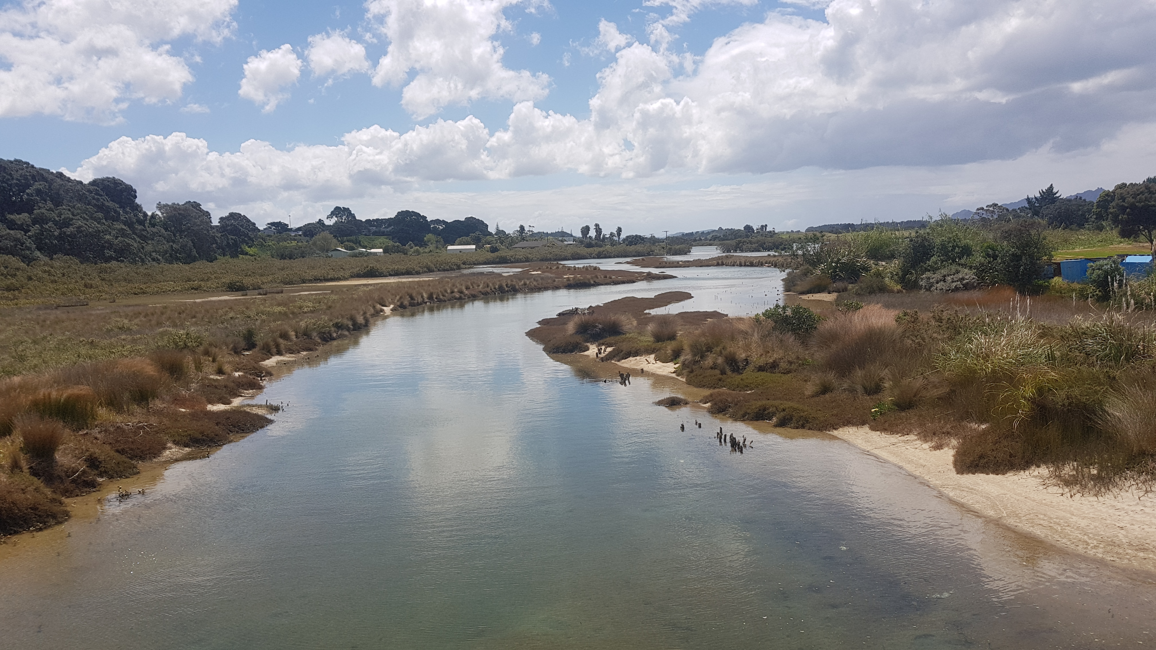
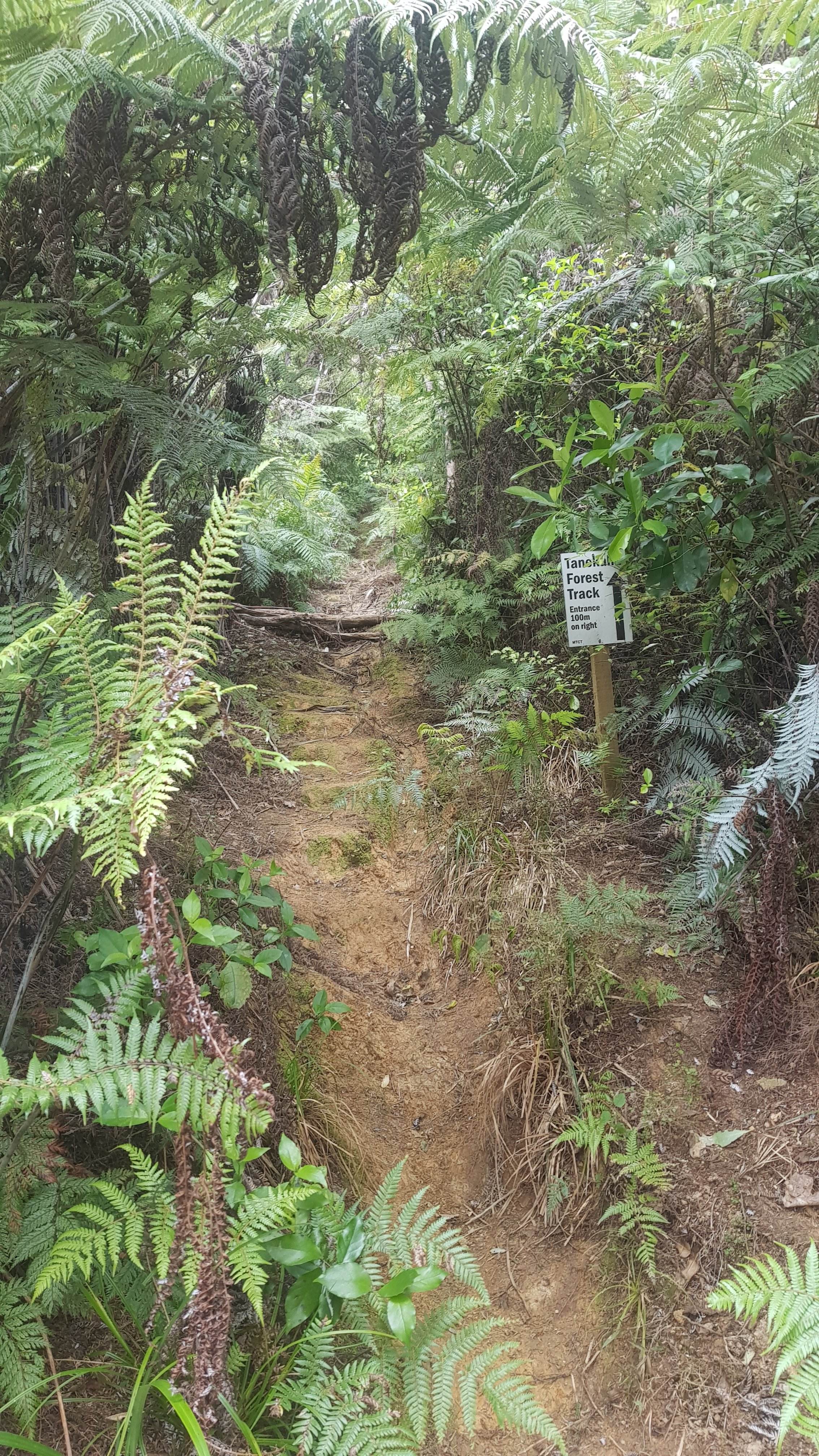
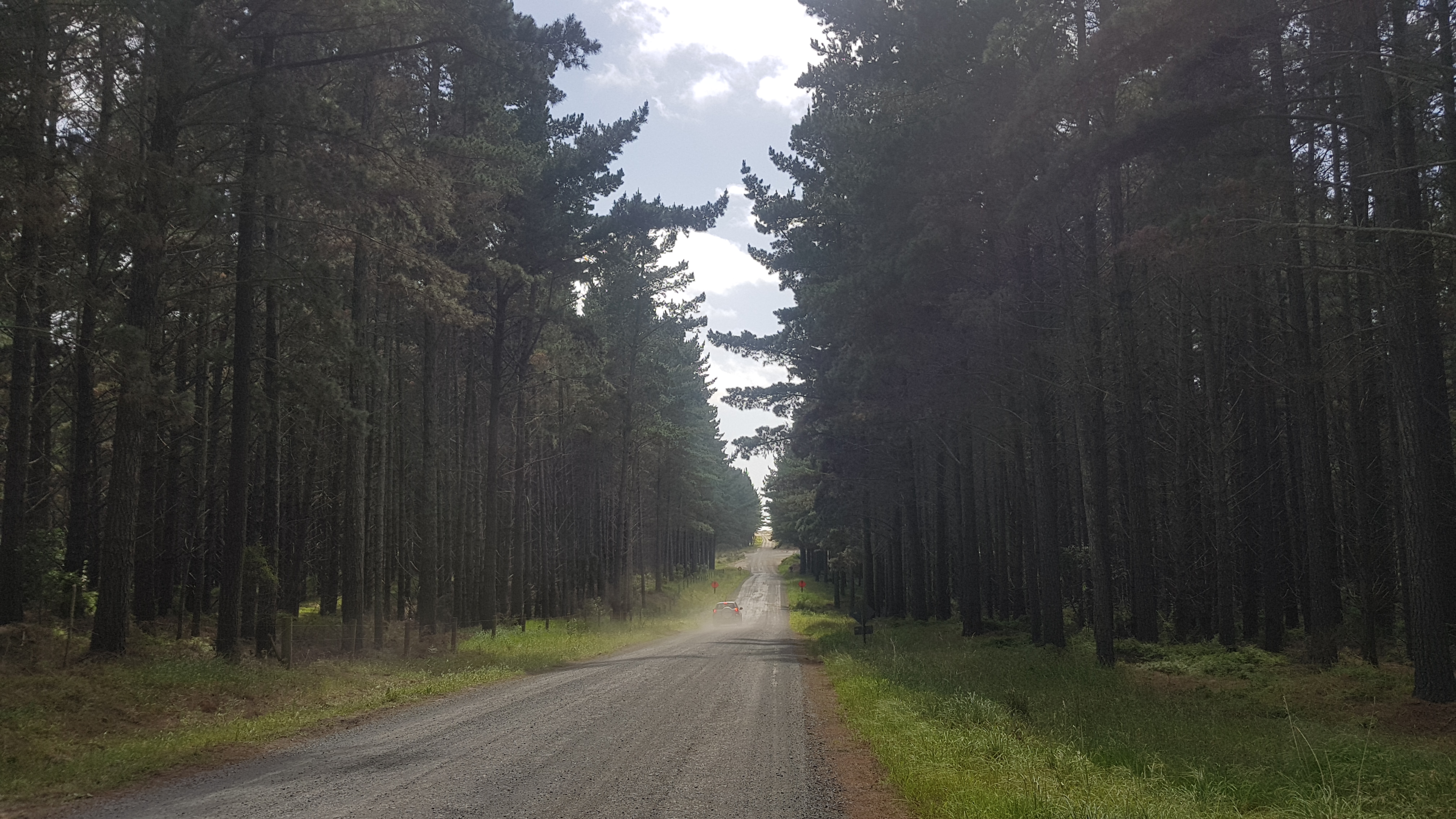
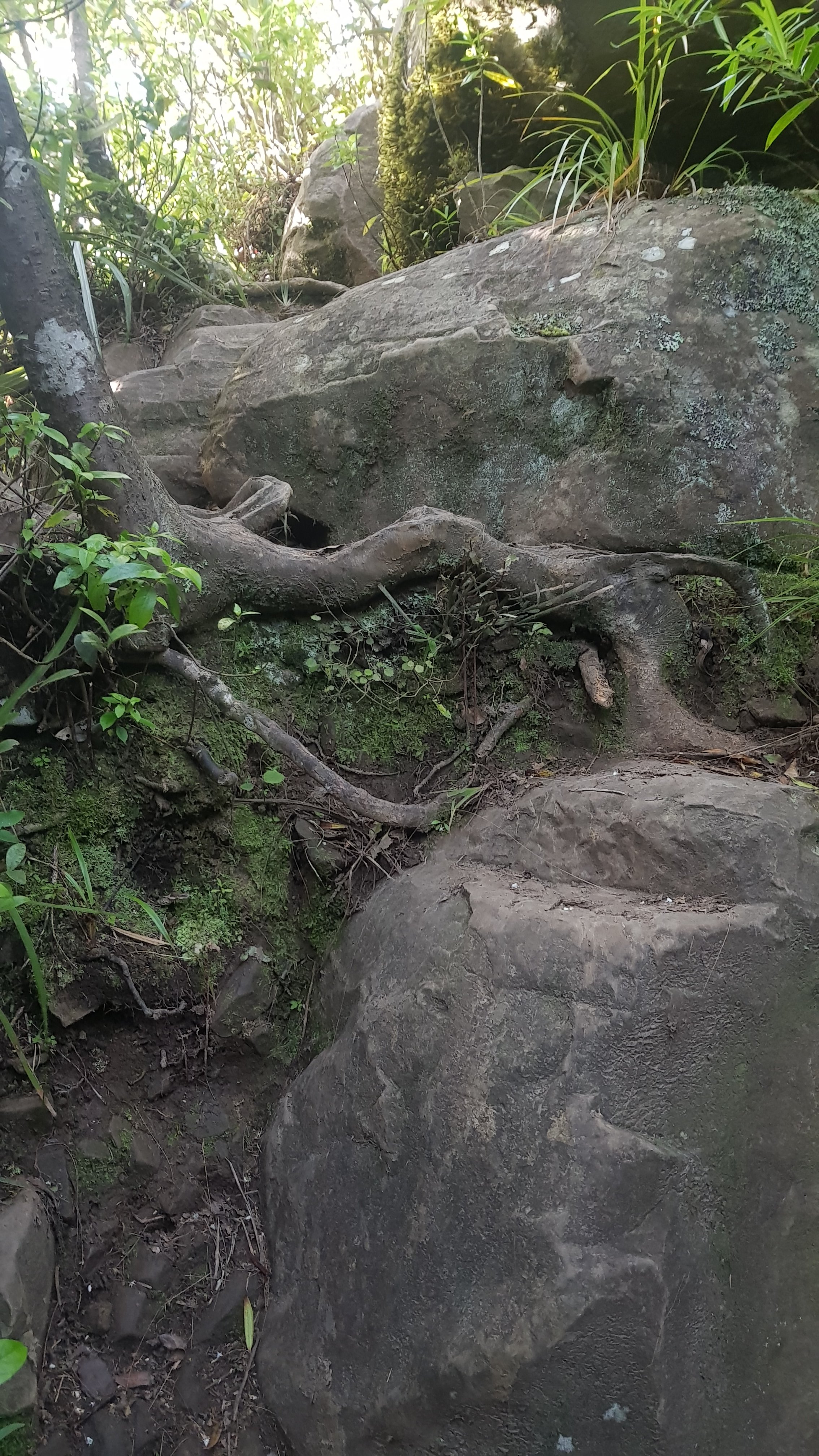
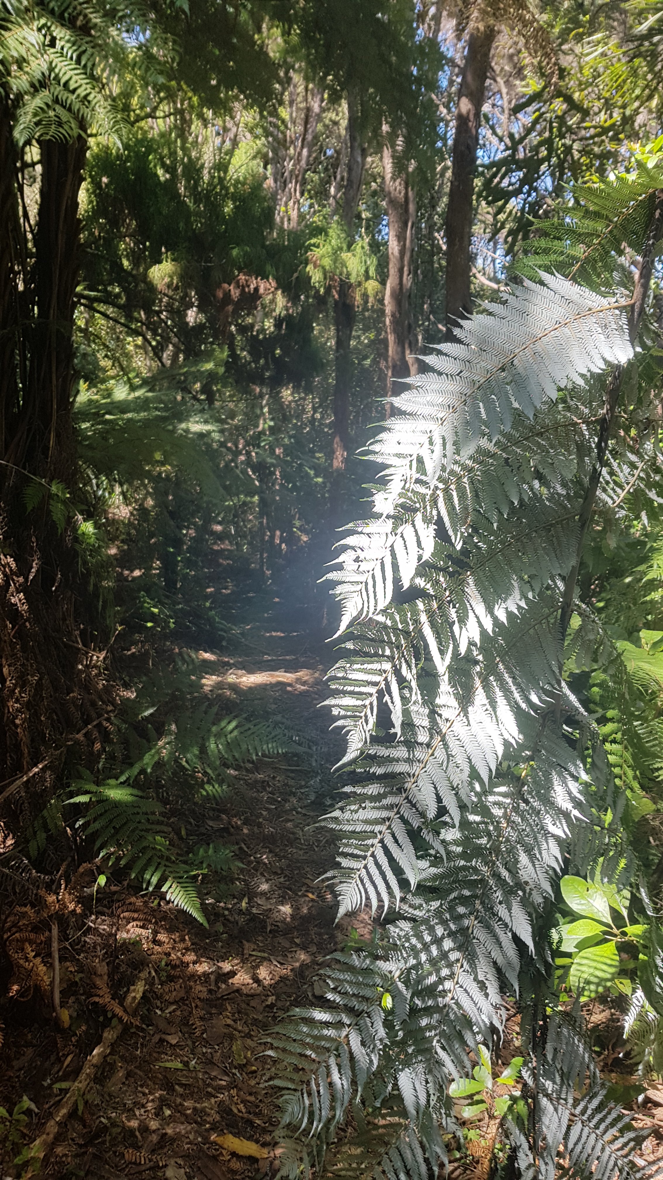
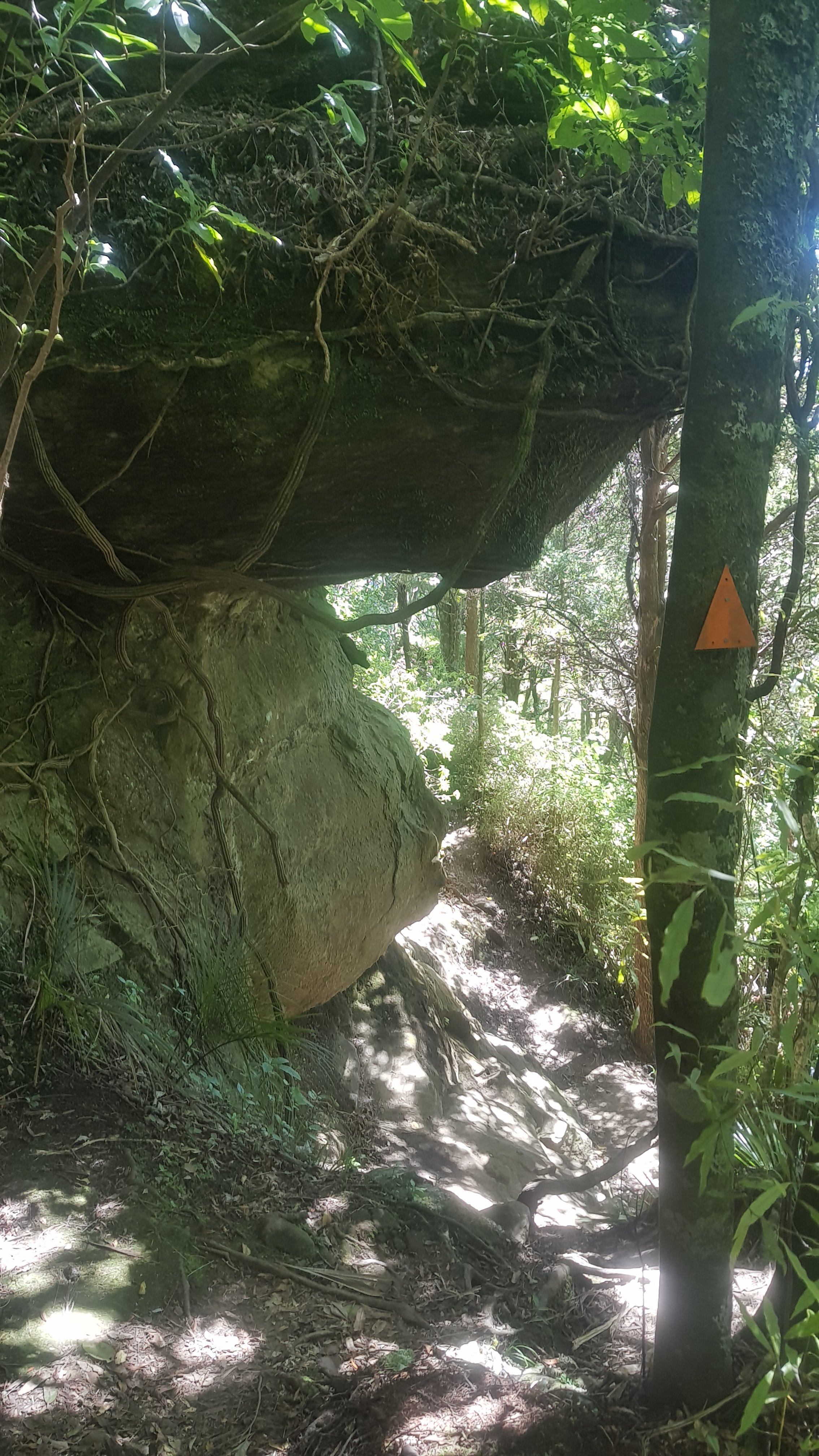
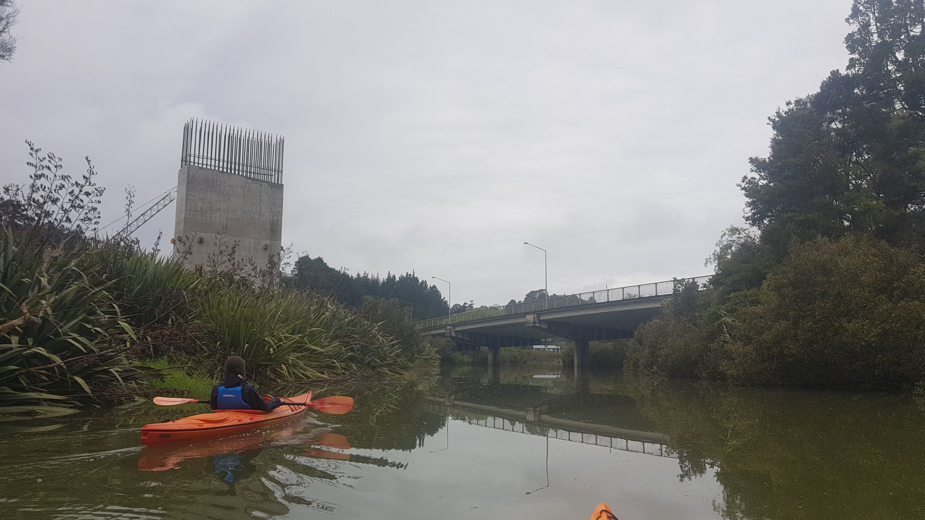
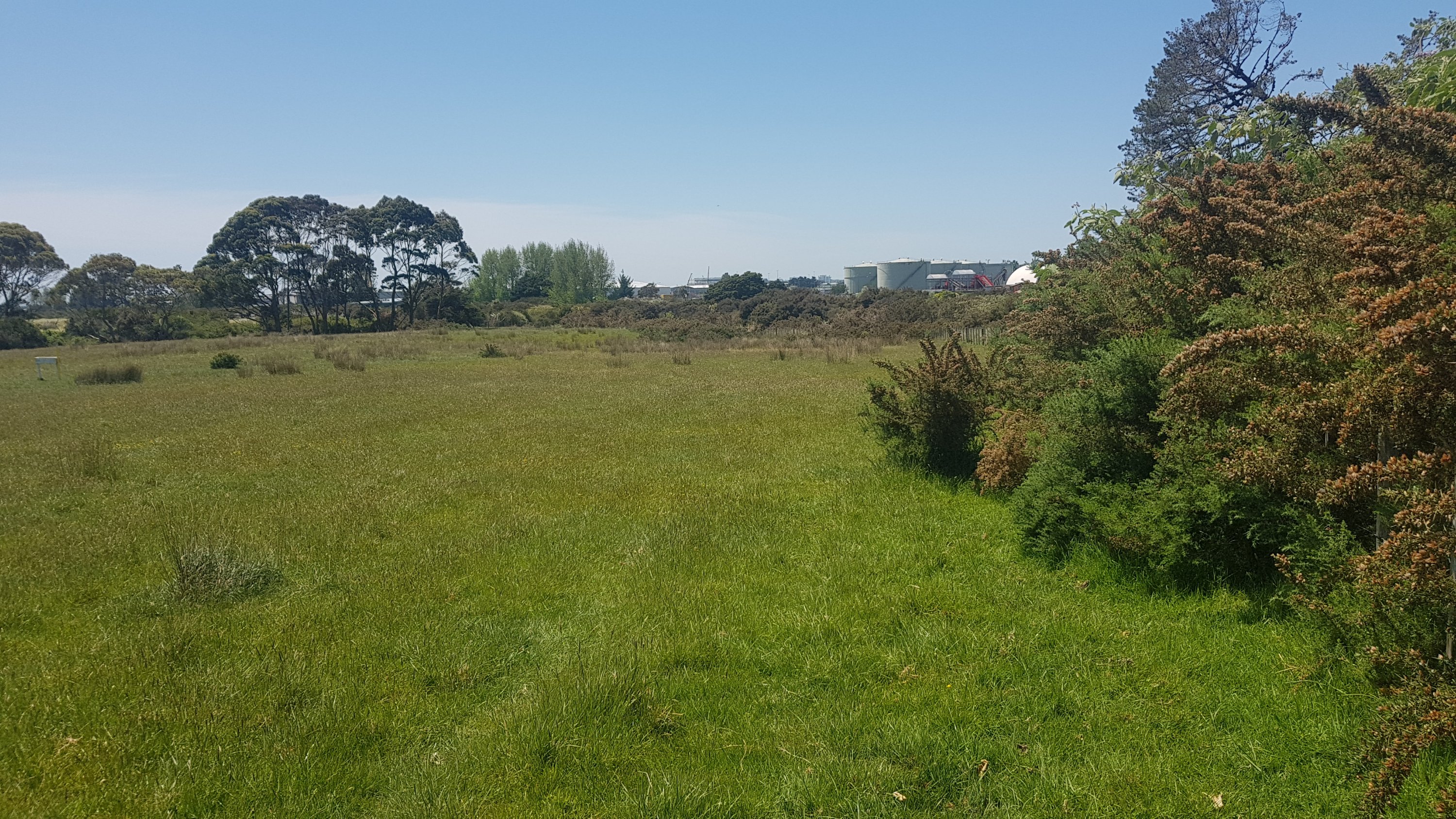
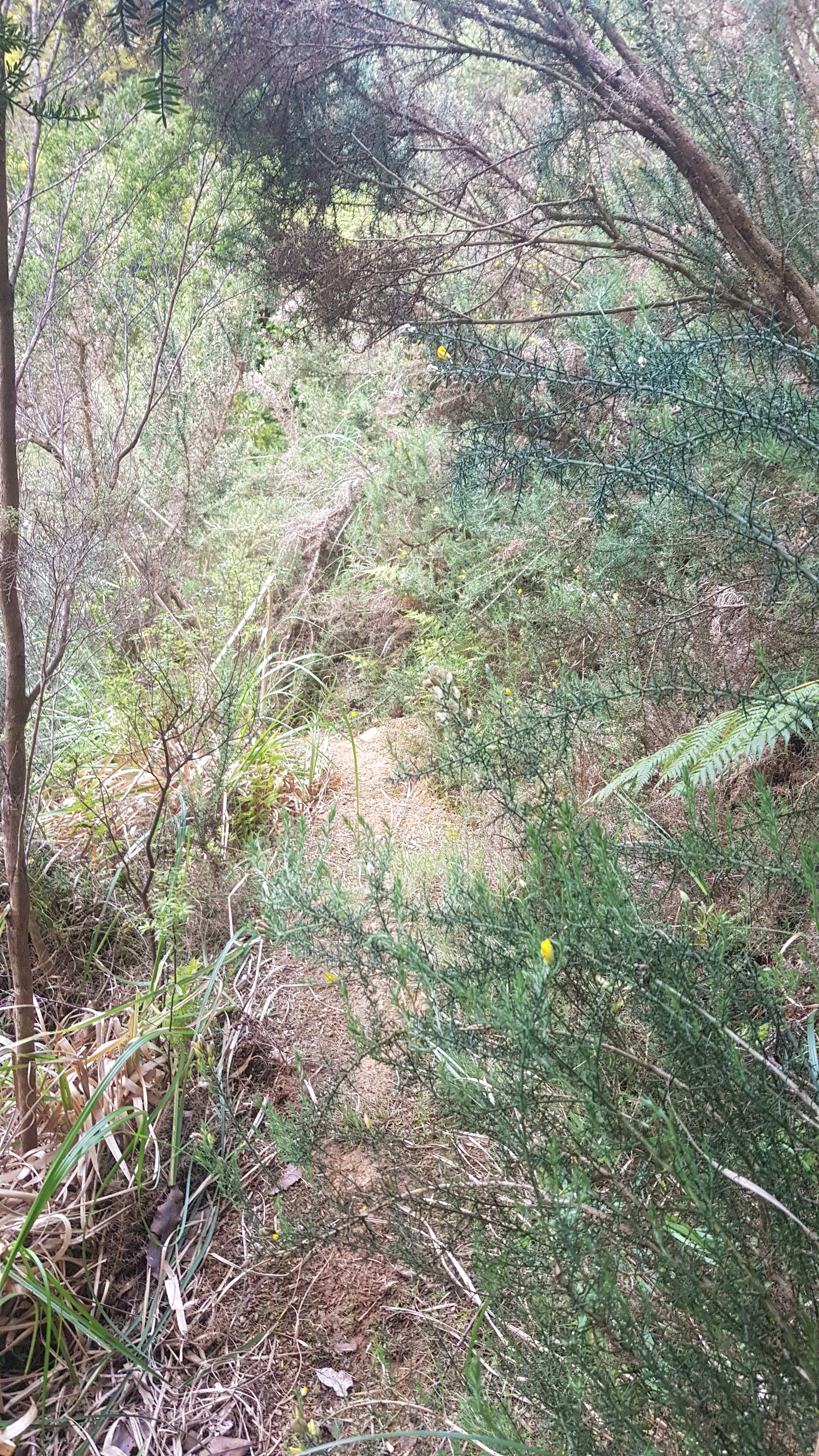
From the shelter, I ventured into the stream again and continued upstream, just like yesterday. There were lots of fallen trees, like this one:
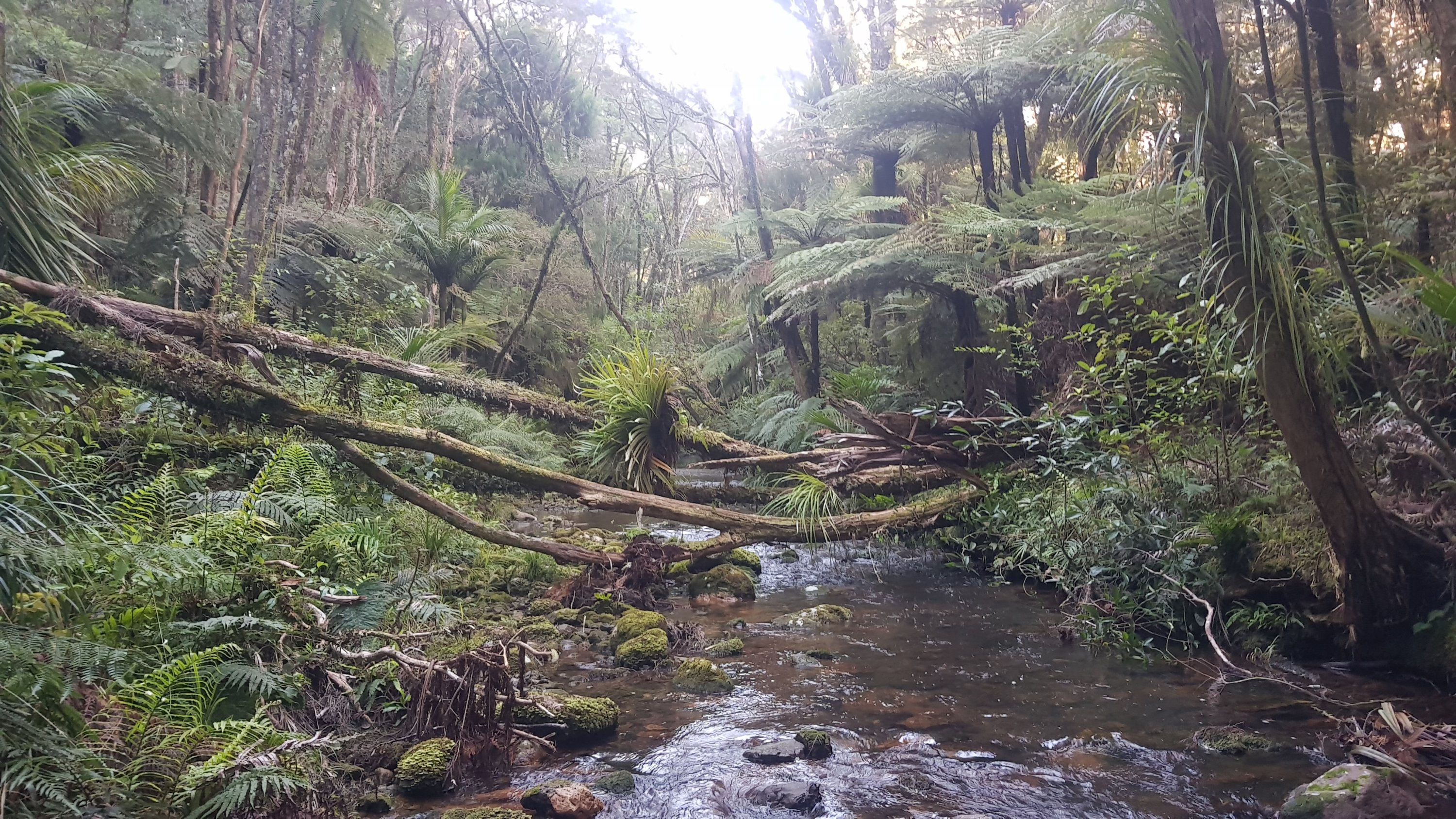
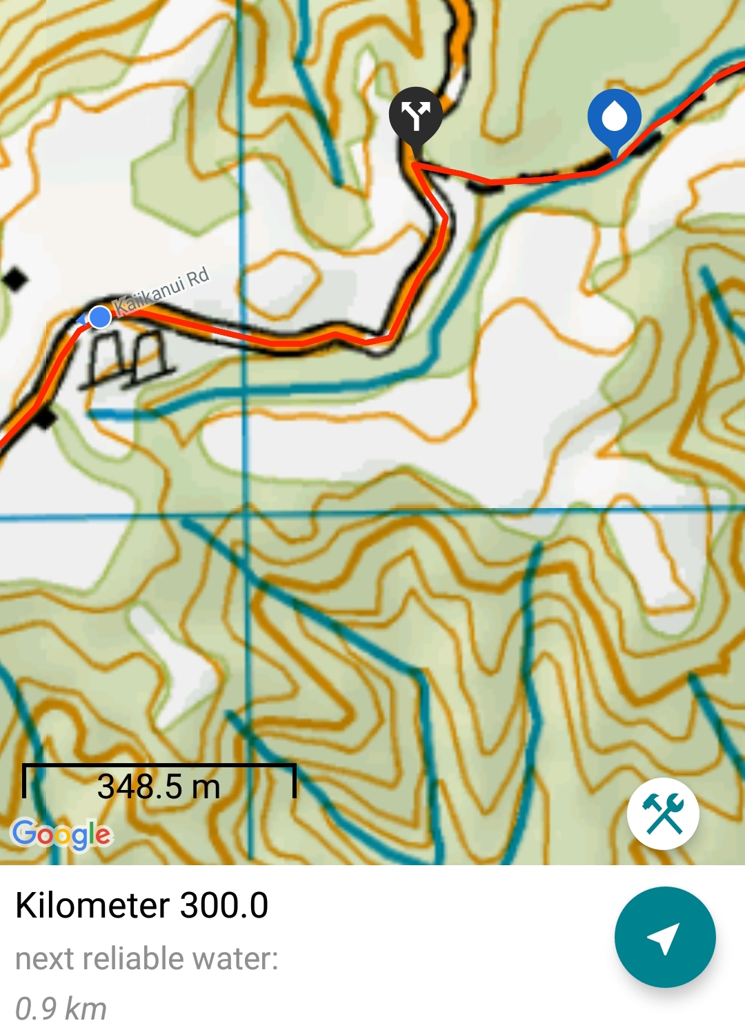
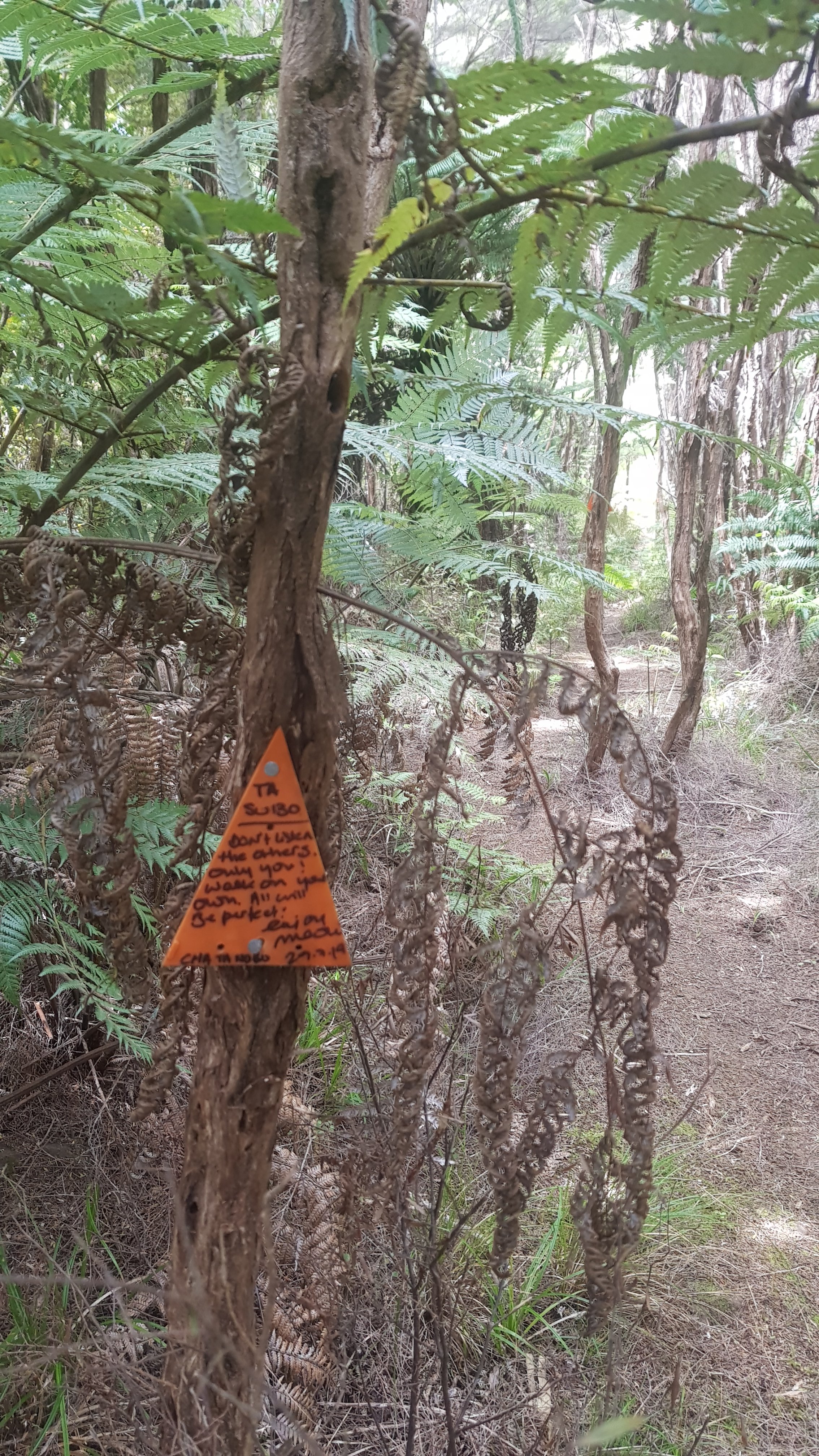
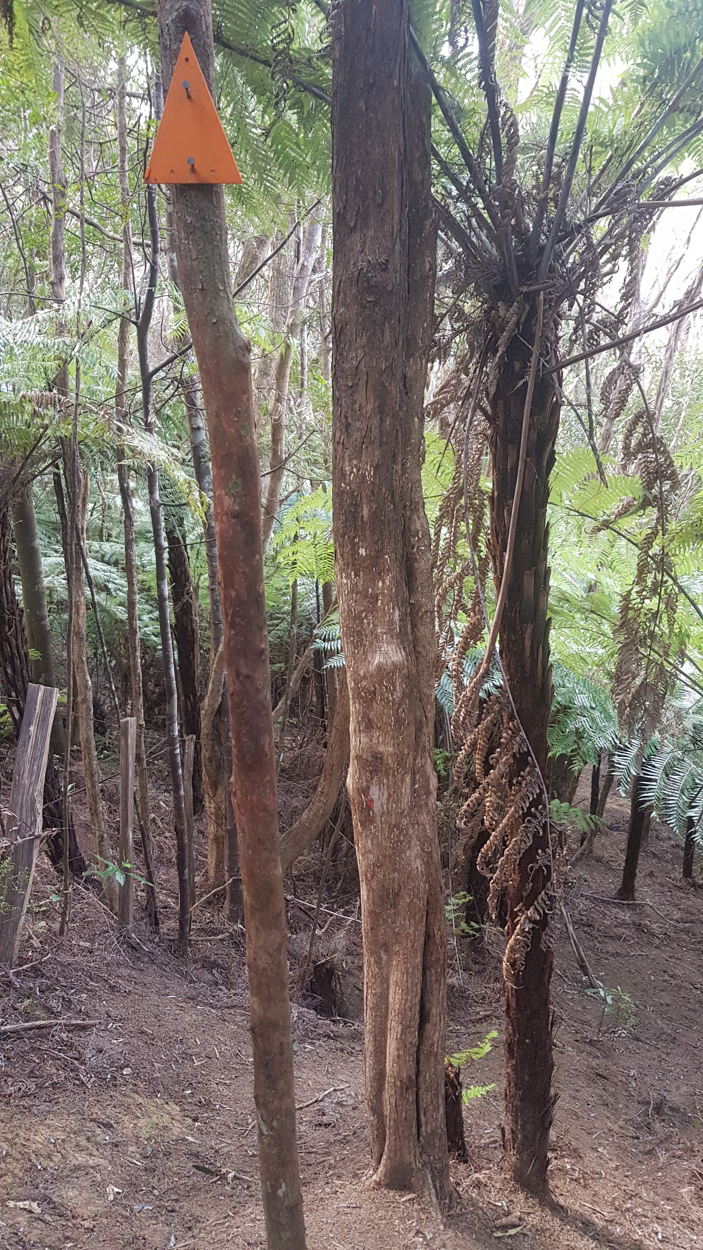
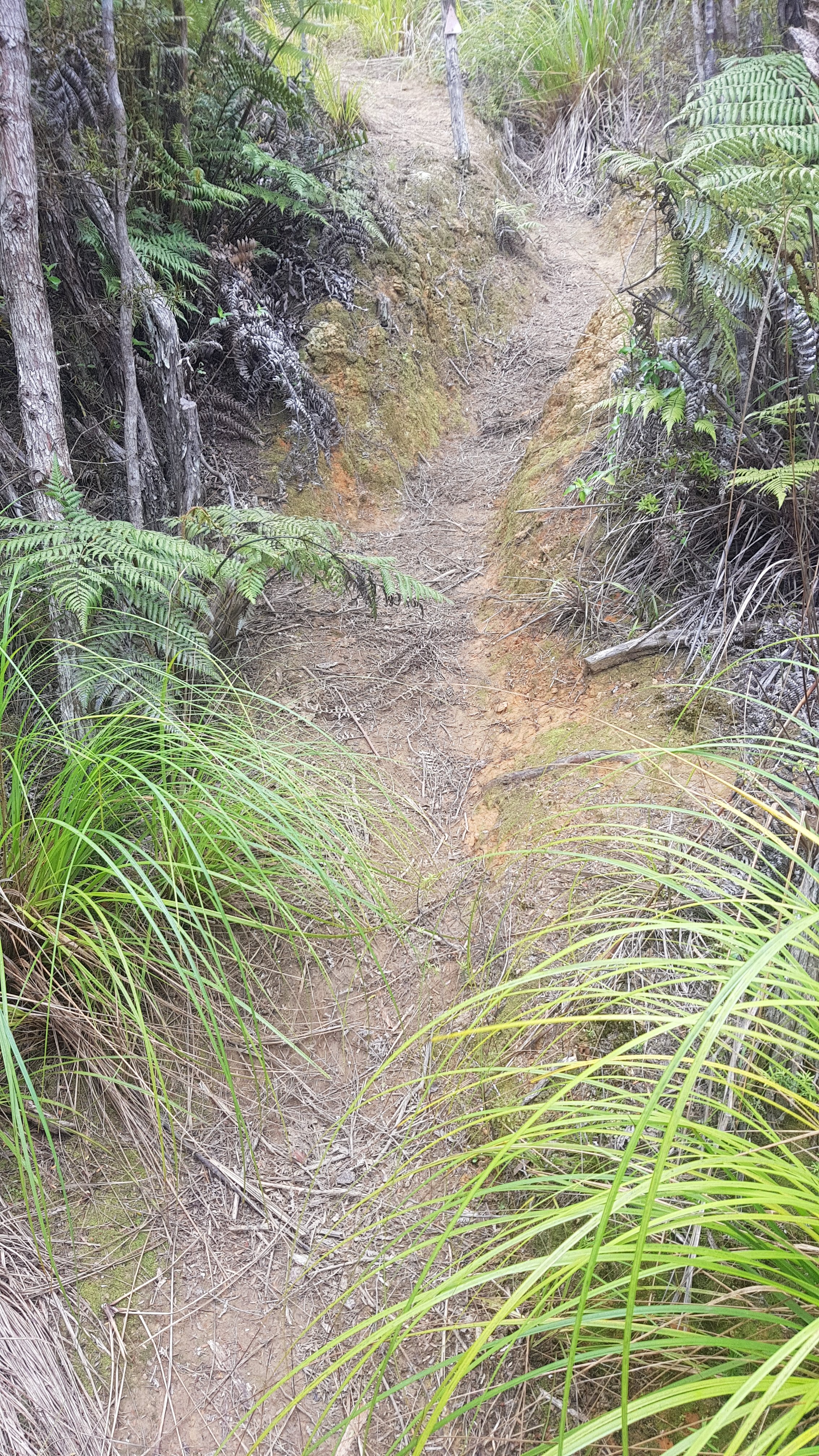
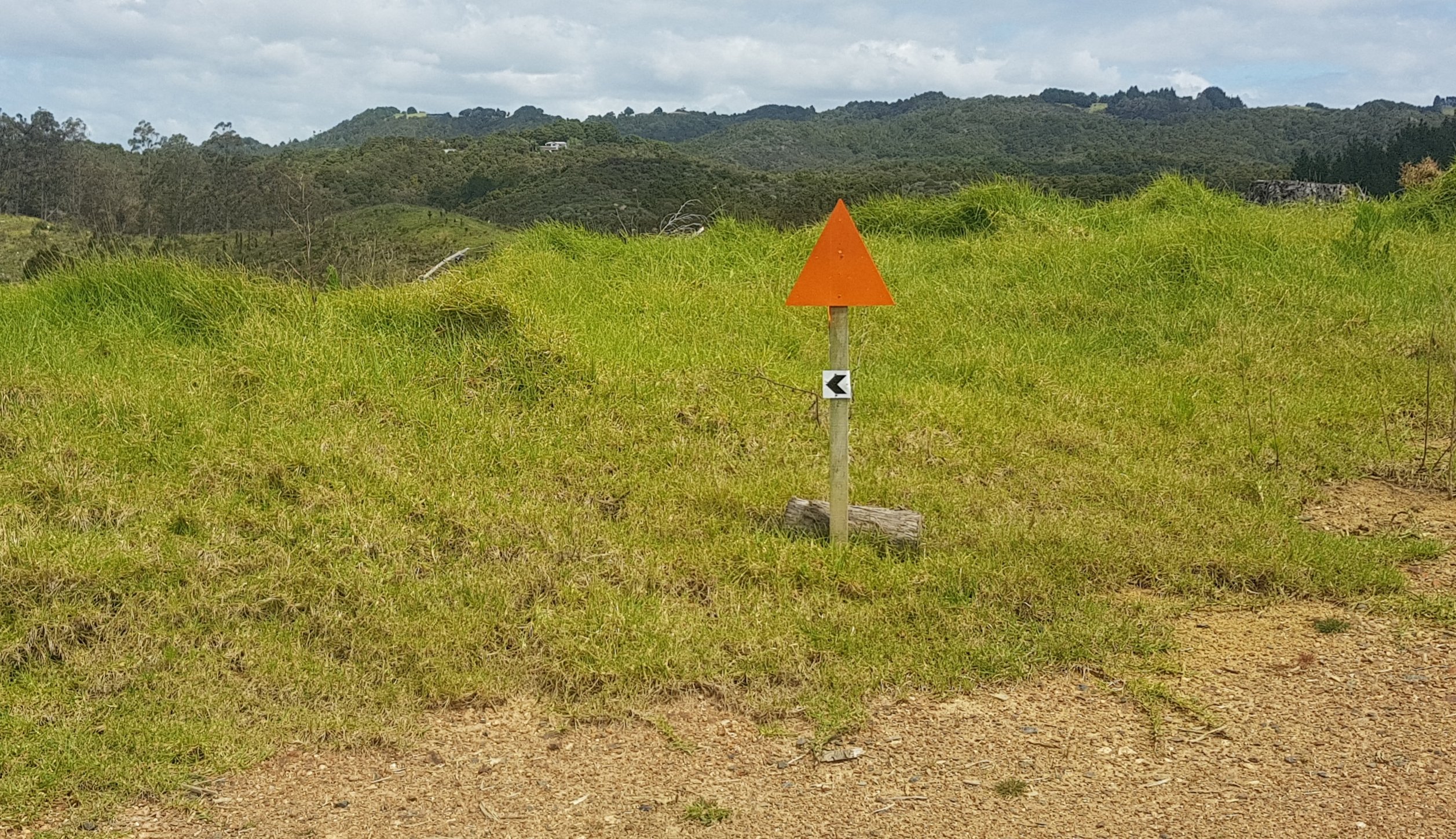
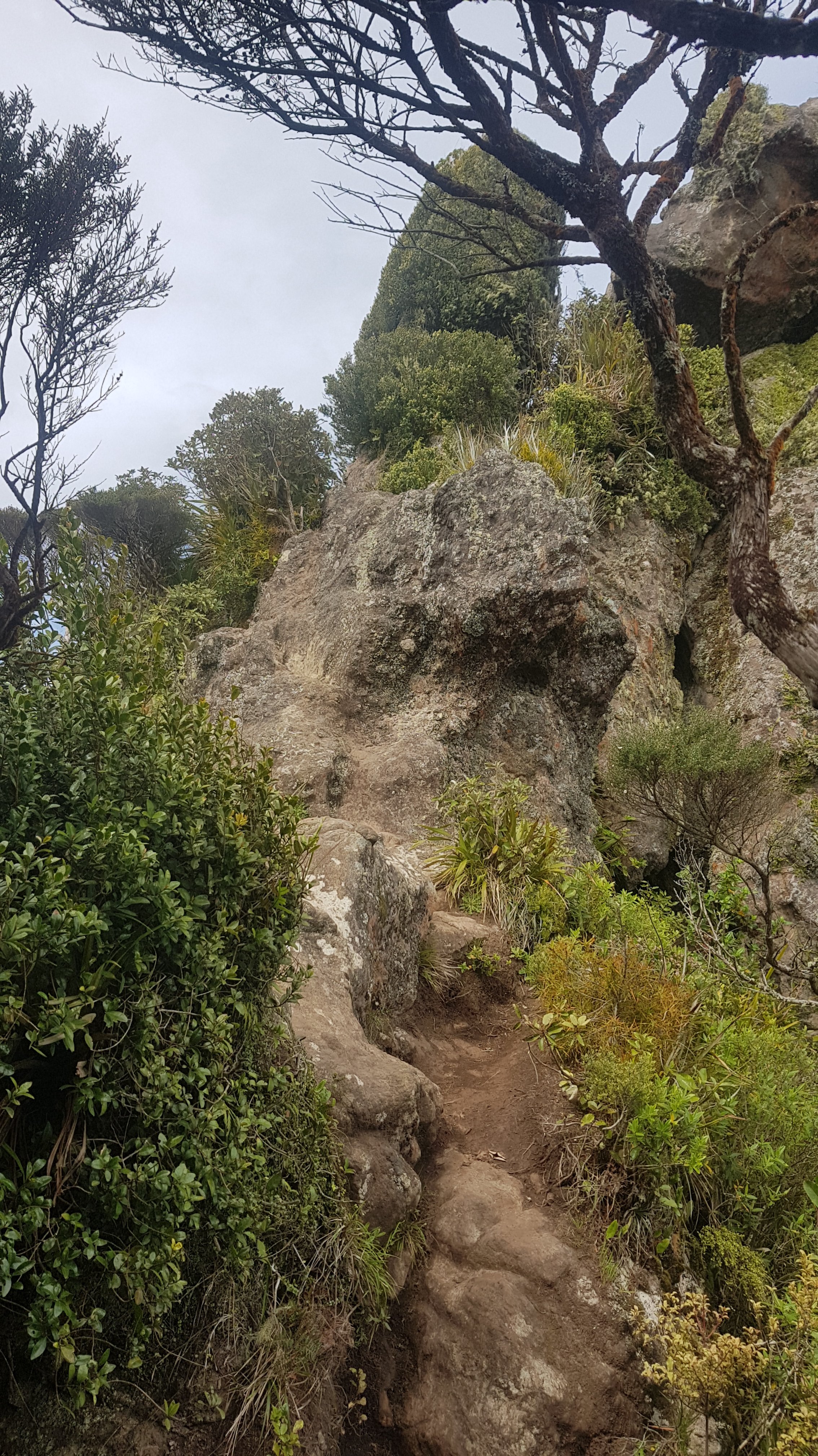
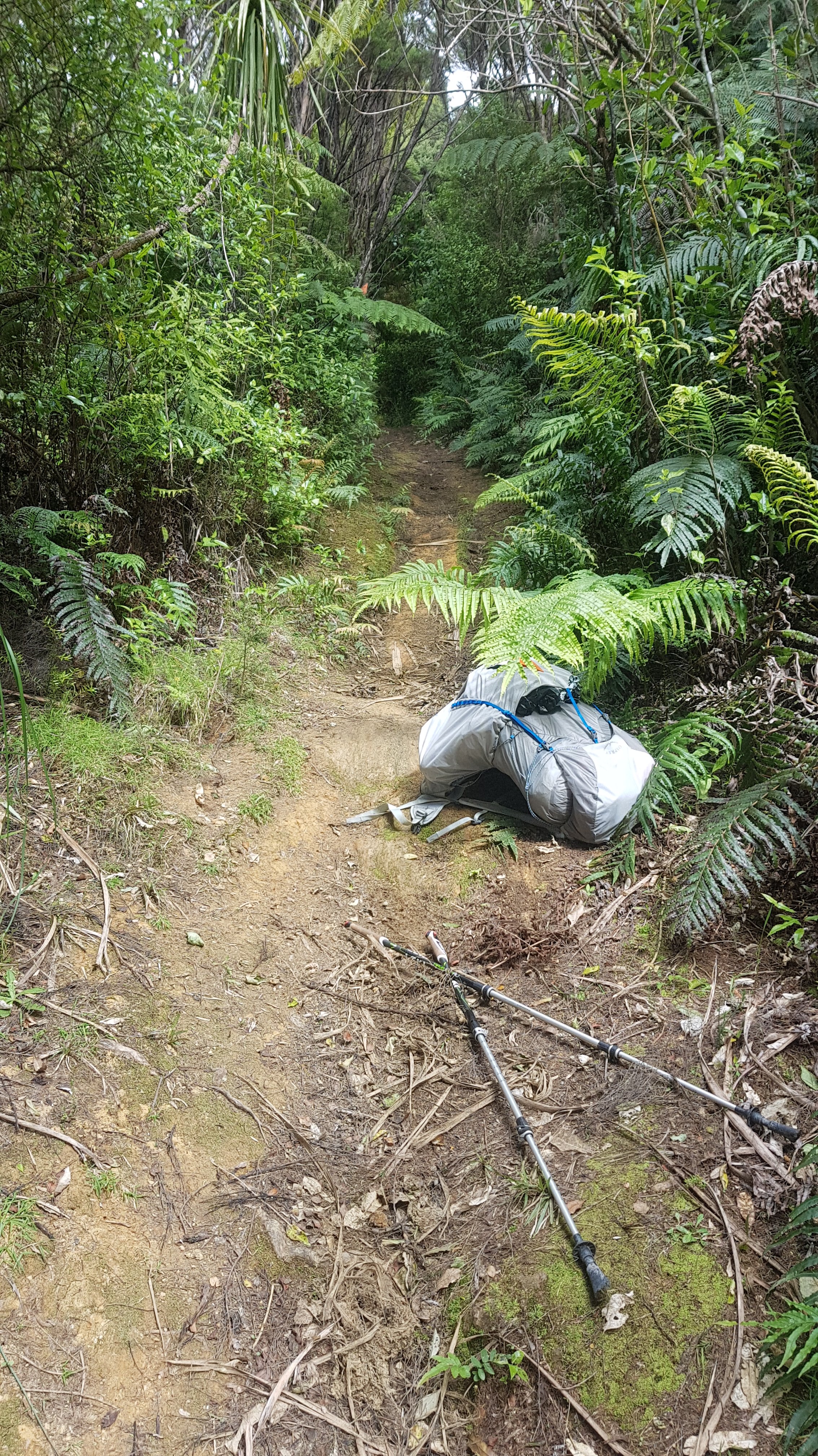
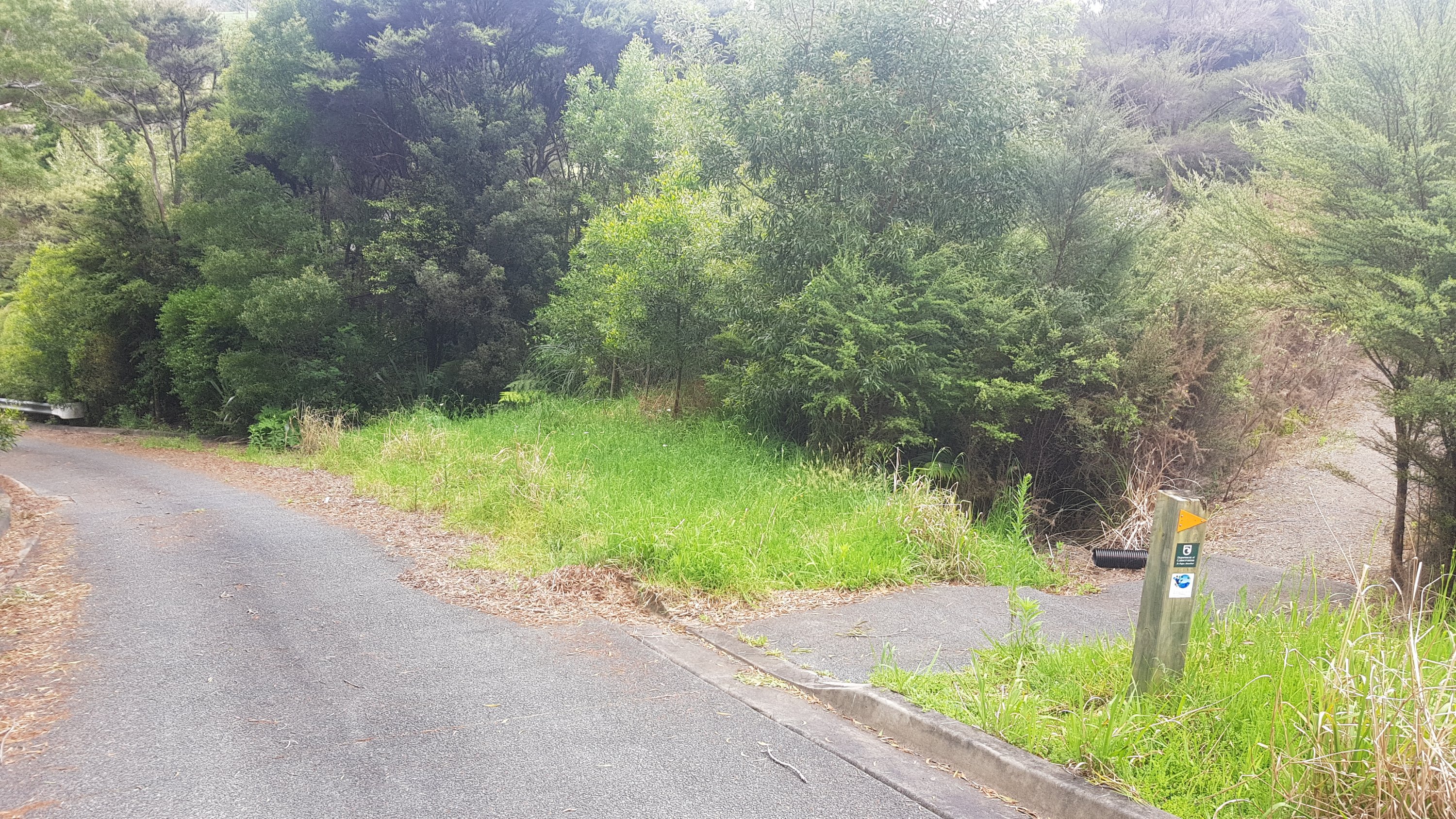
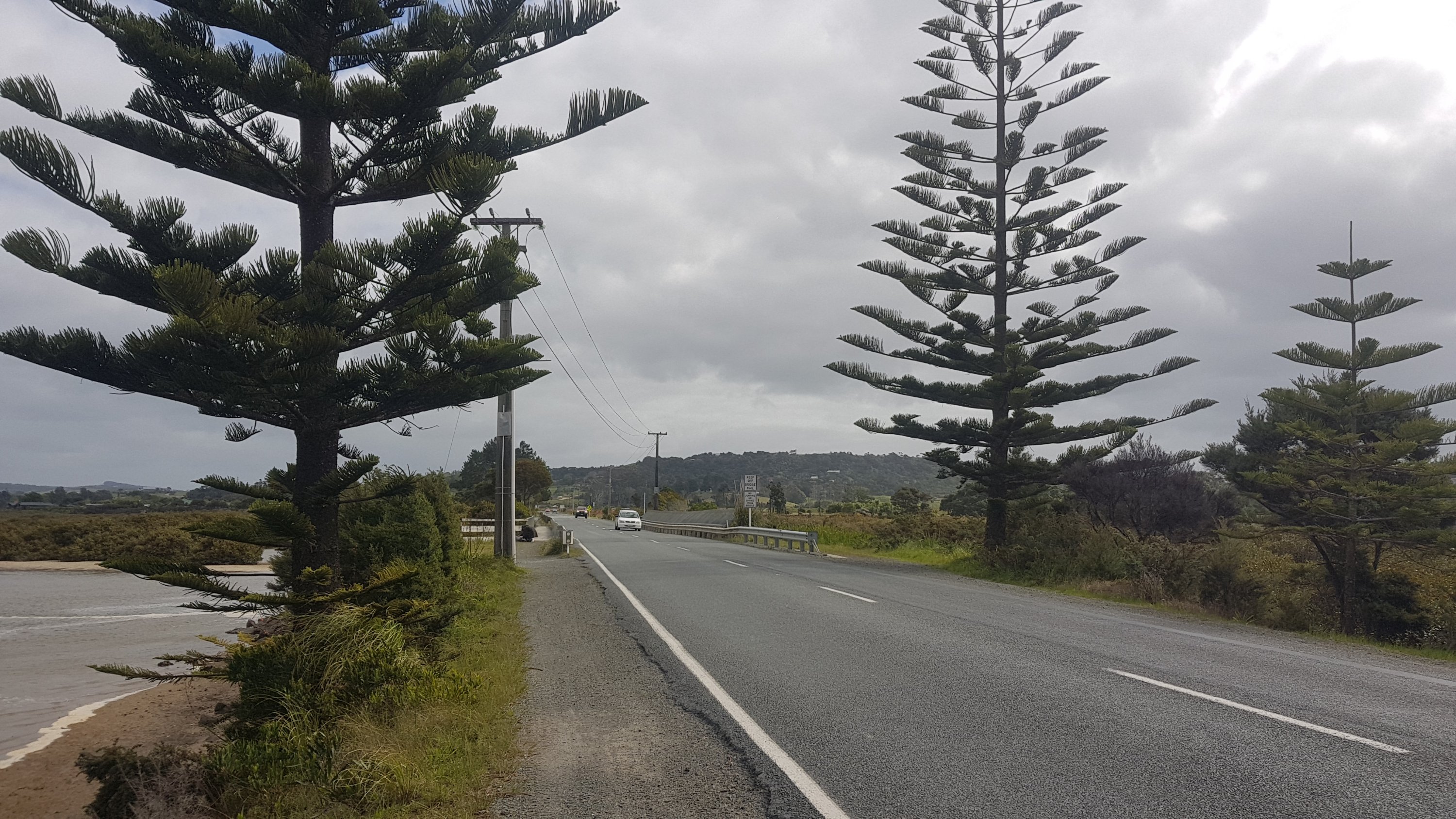
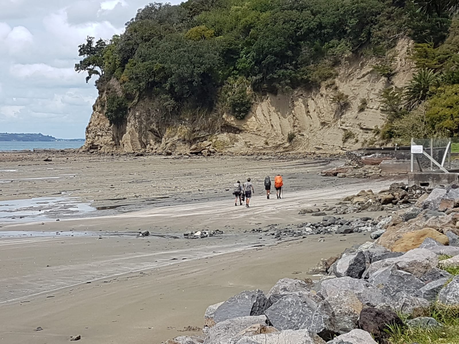
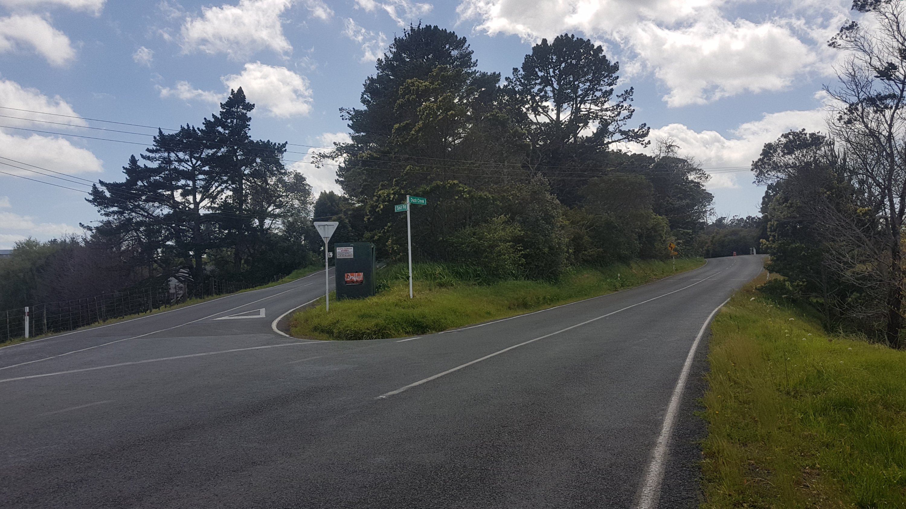
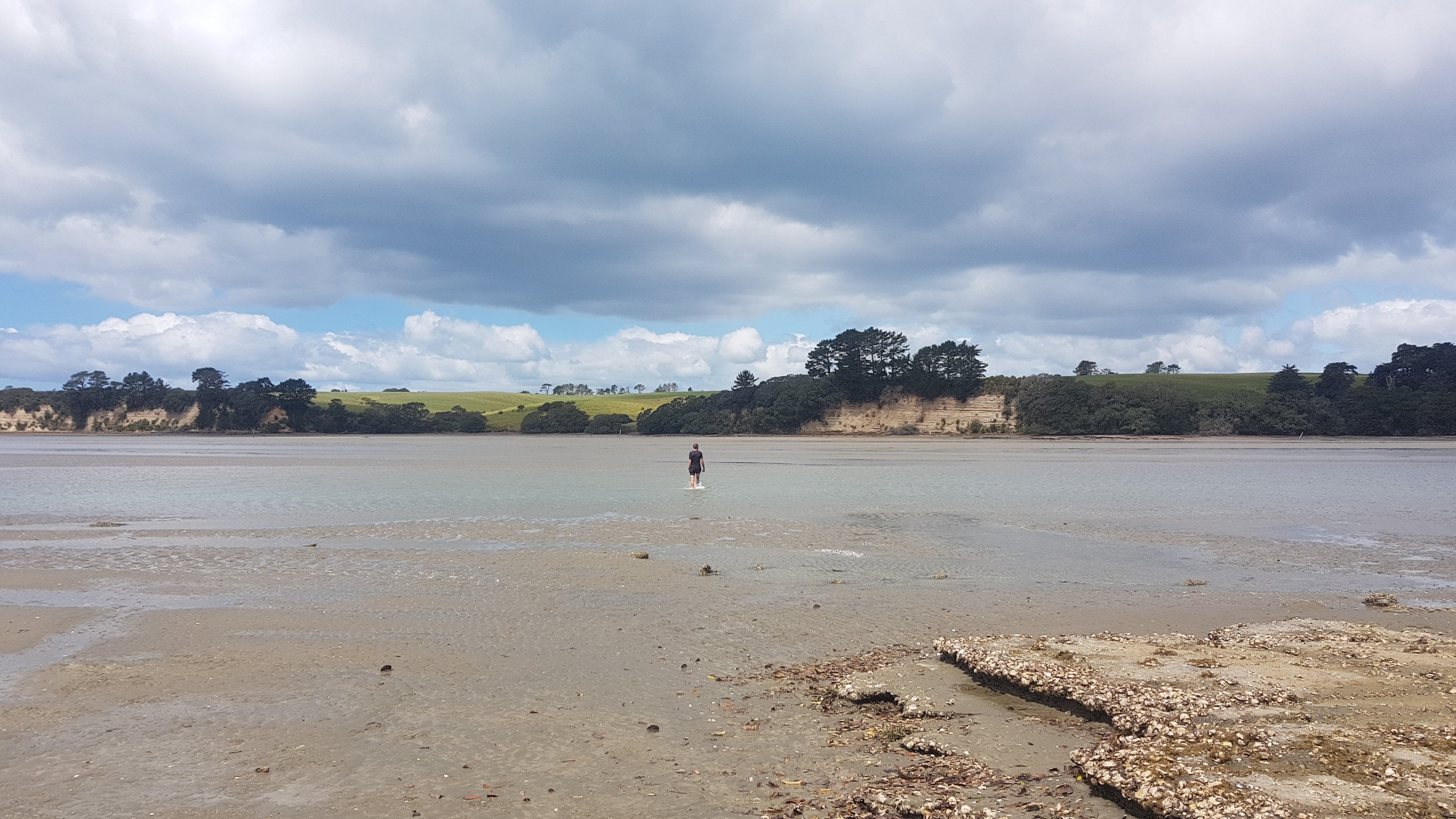
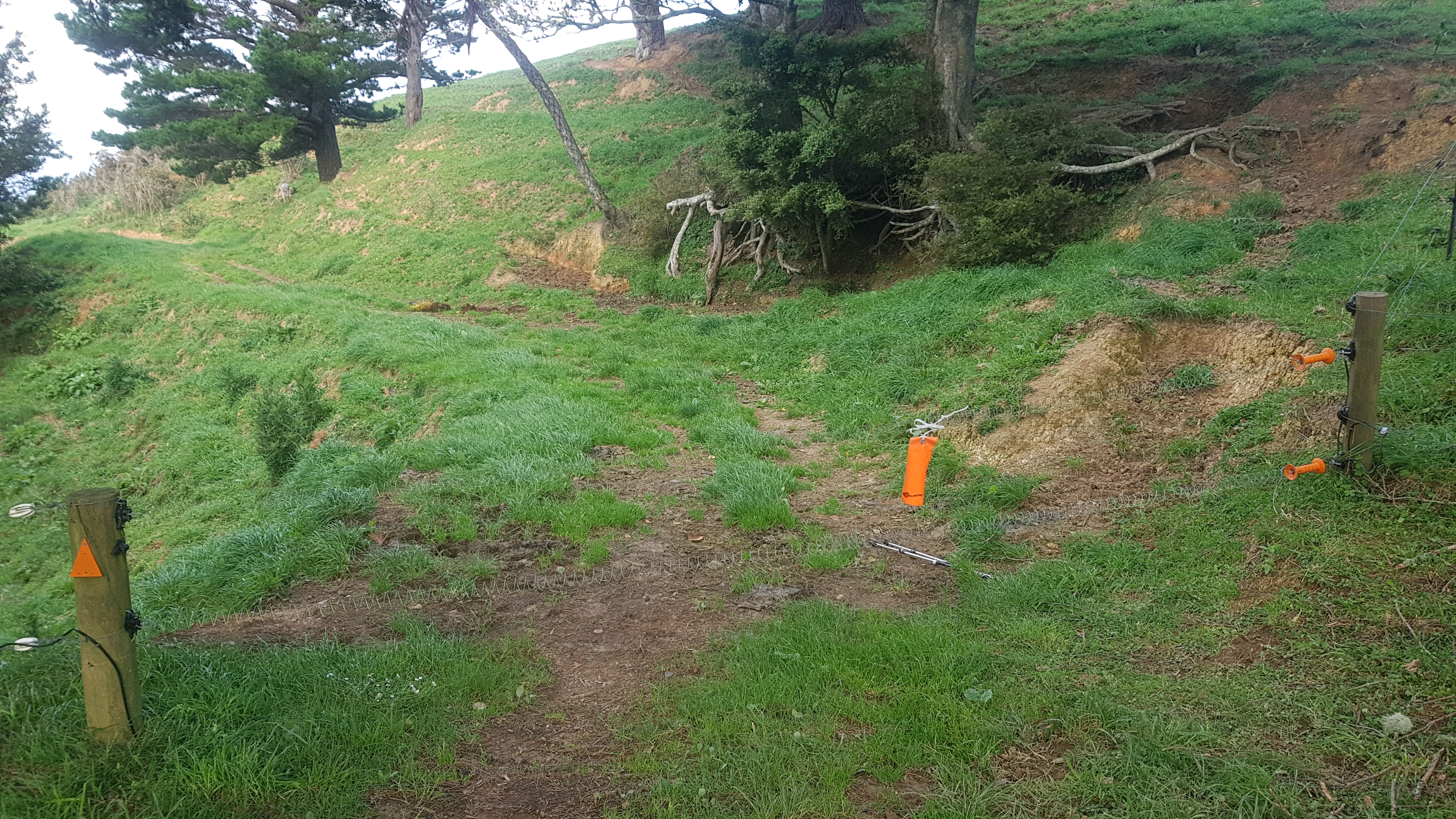
But wait… soon I was at the junction of two streams, both looked too deep to navigate. No orange markers anywhere. Uh oh, what’s going on. Looked my app and I had gone way off course. I had taken a wrong turn at the very beginning – I was supposed to cross the stream, not walk up it!
NOTE: From the shelter, continue straight across the stream, don’t walk up it like I did! If you see the tree in the photo immediately above, you’ve gone the wrong way!
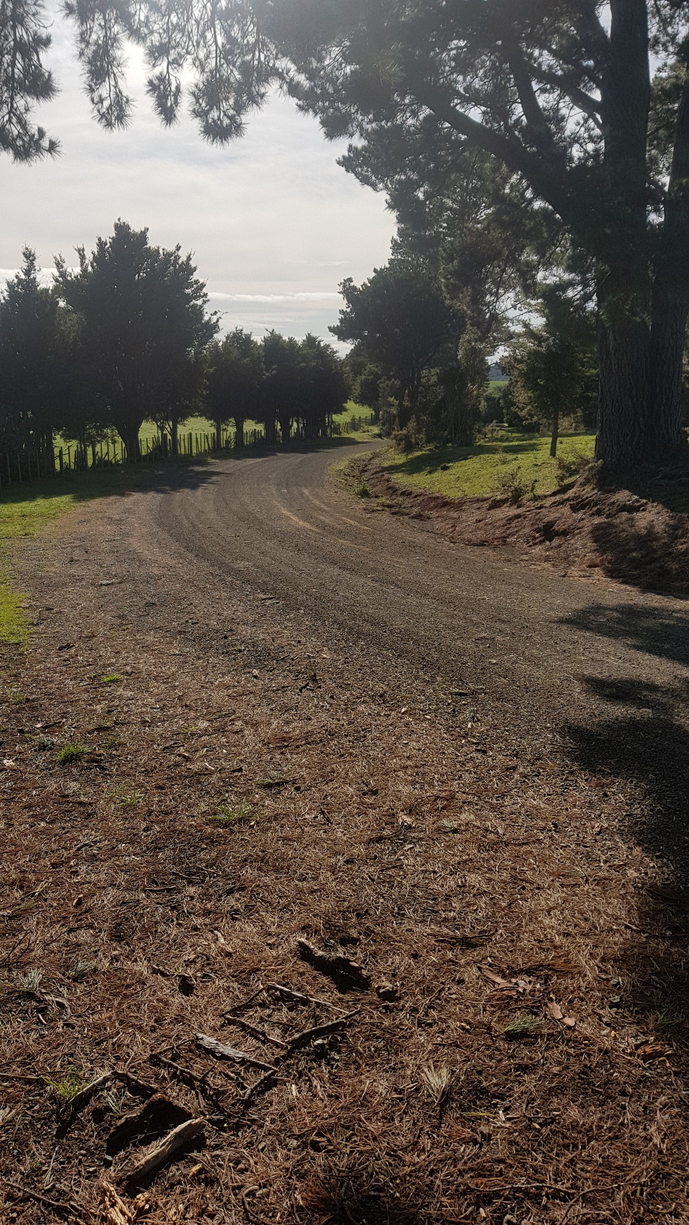
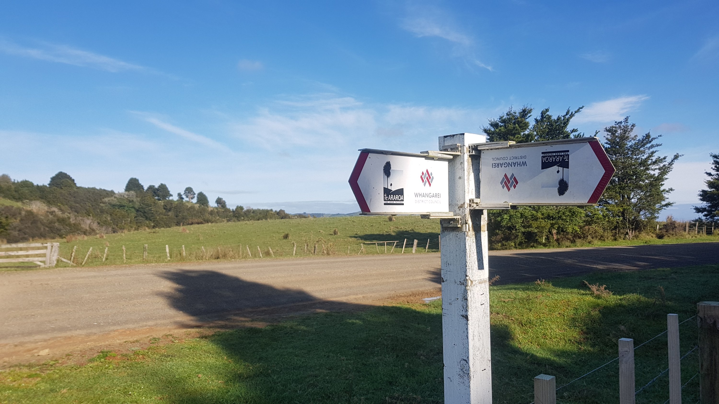
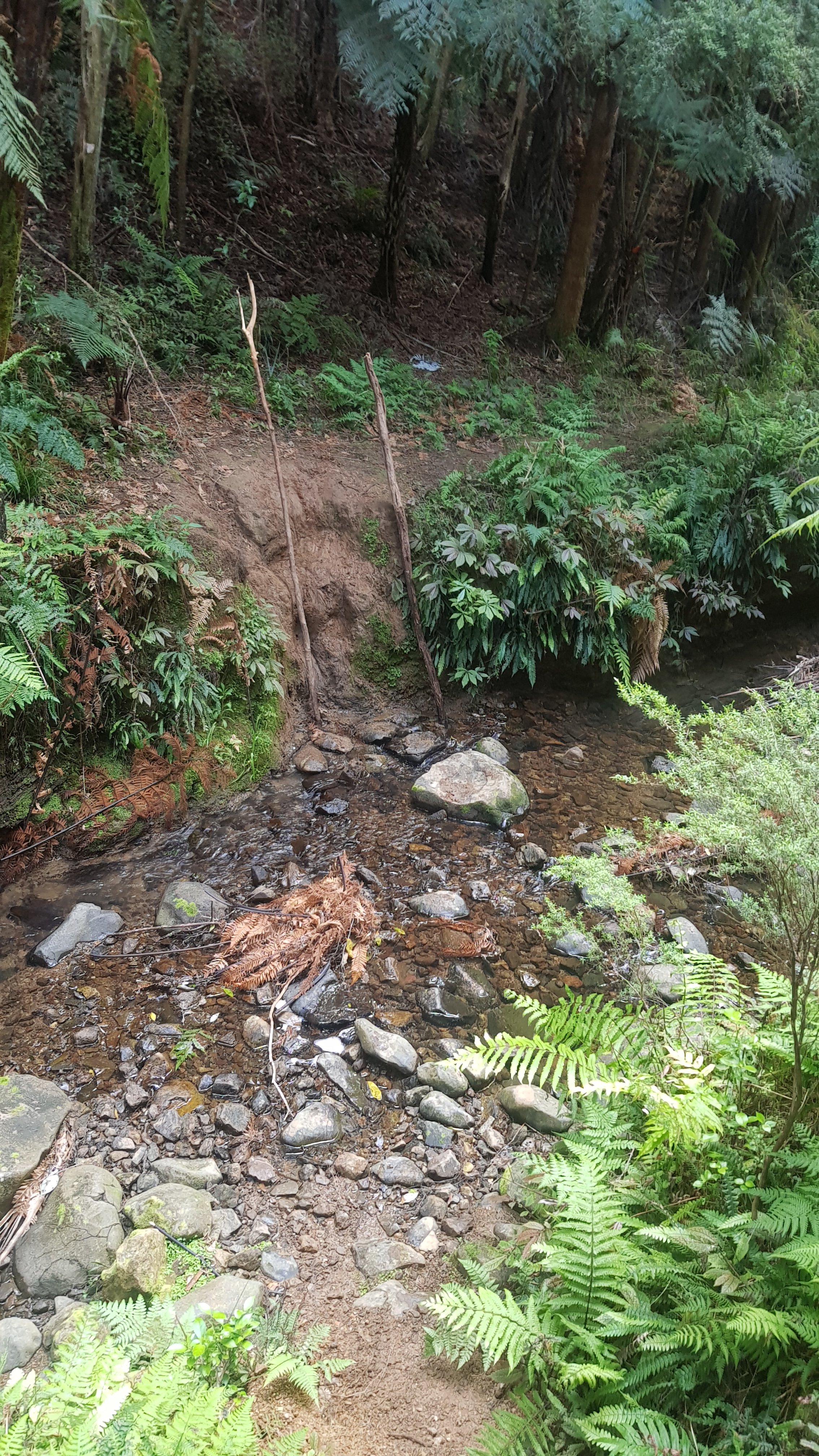
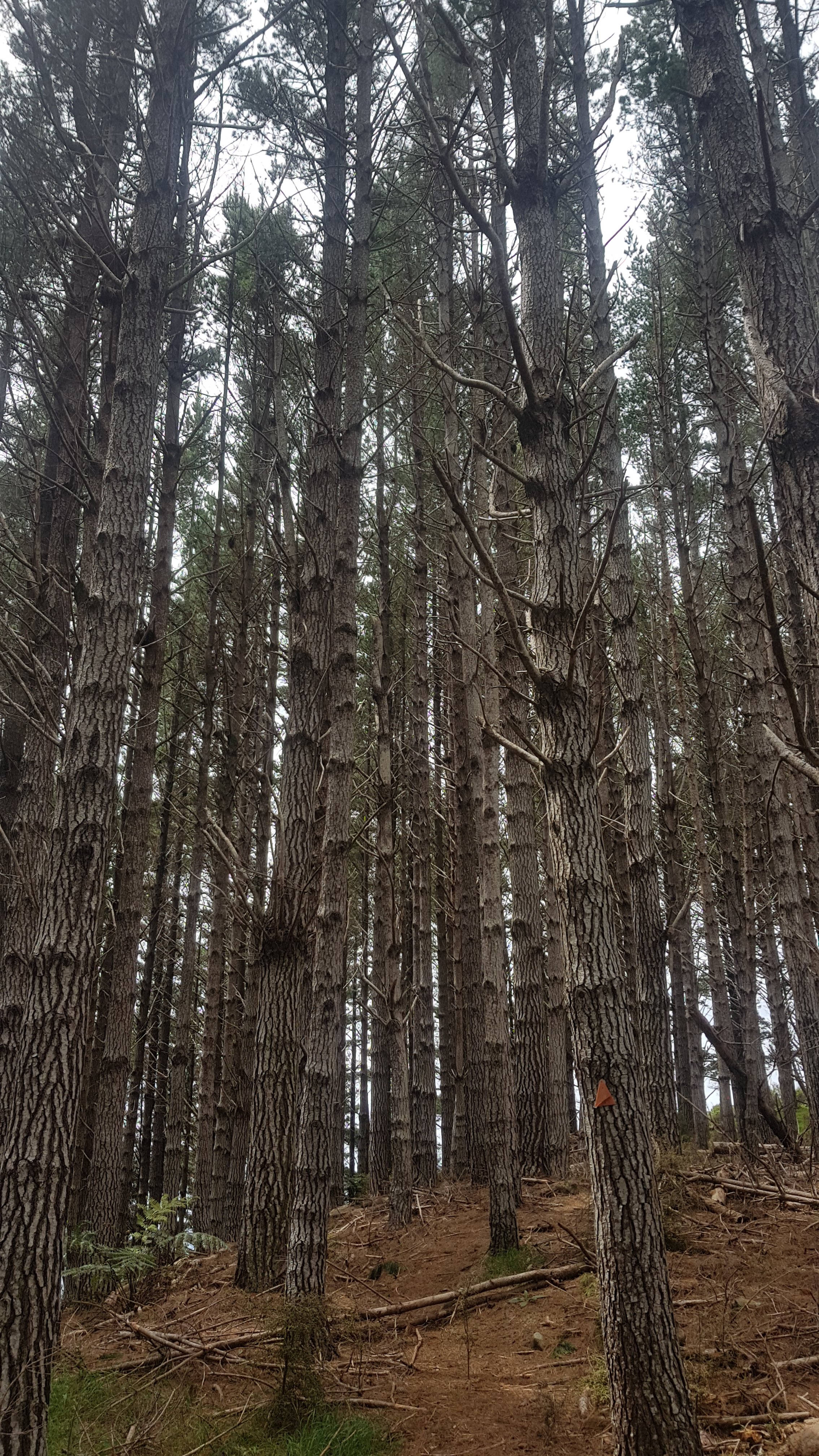
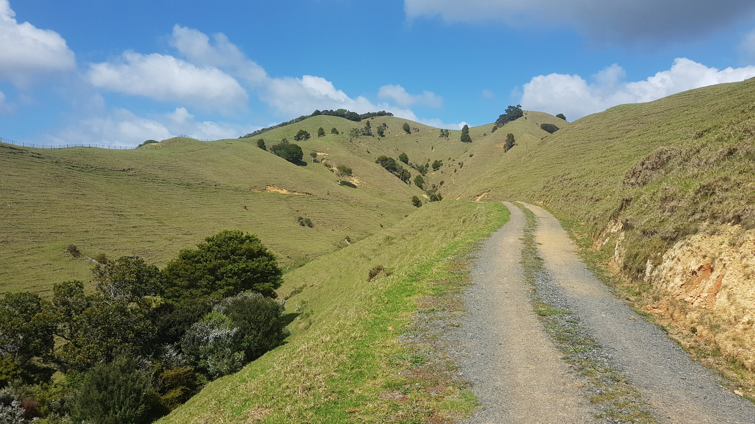
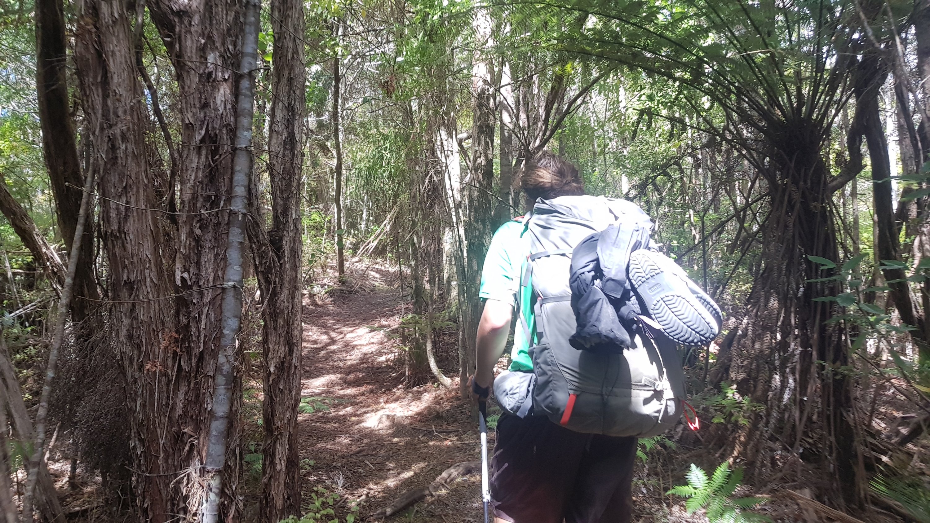
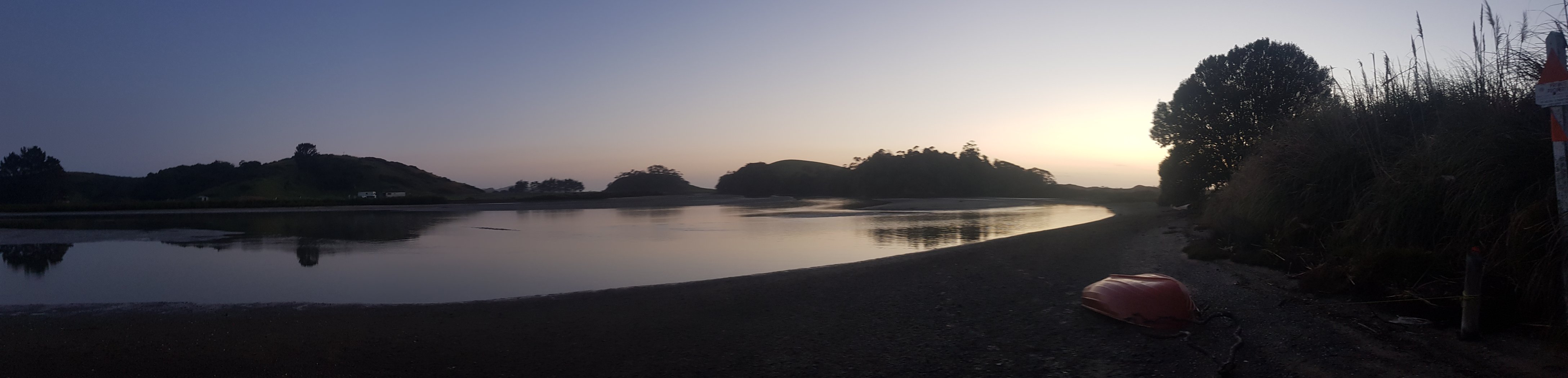
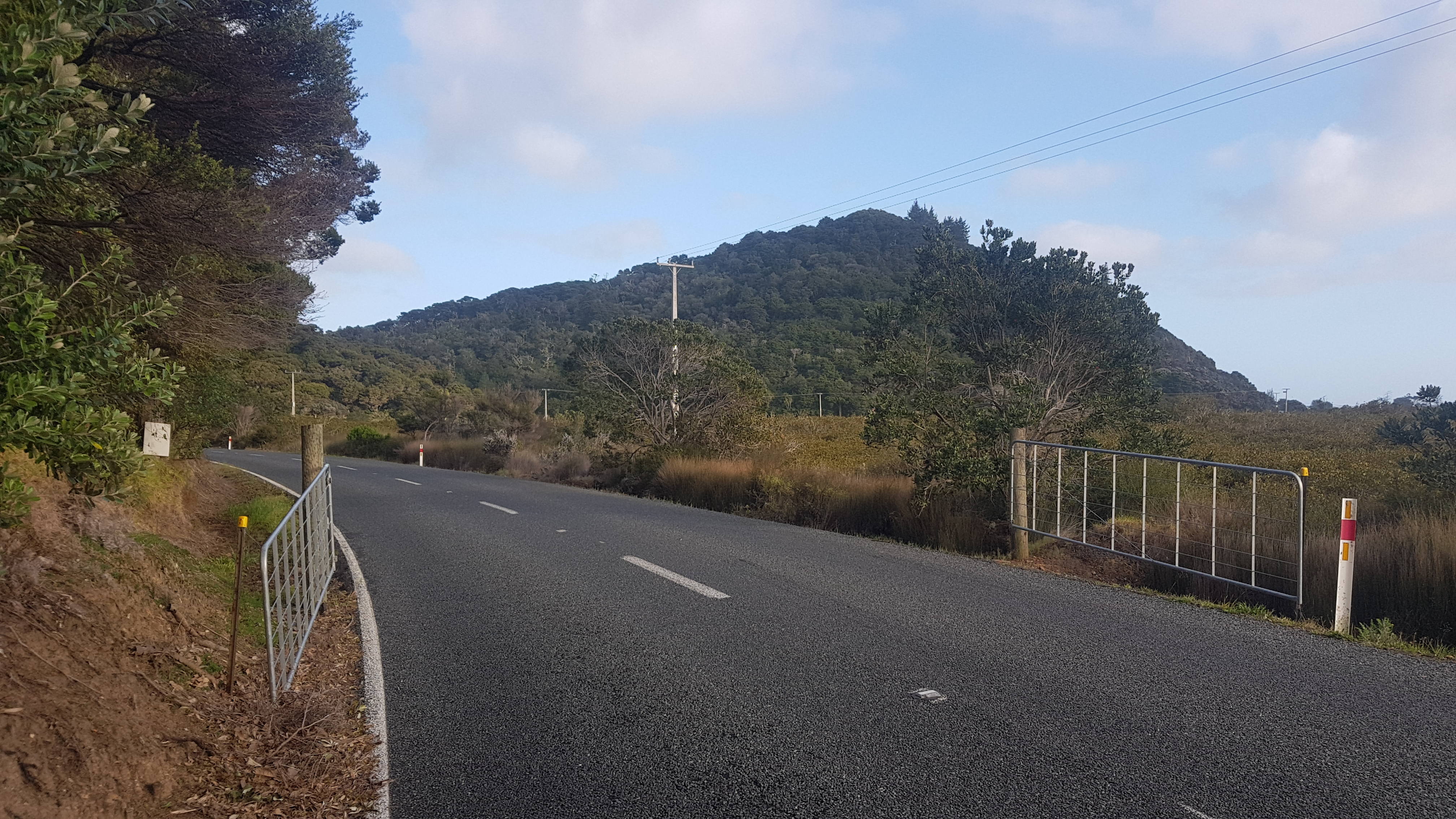
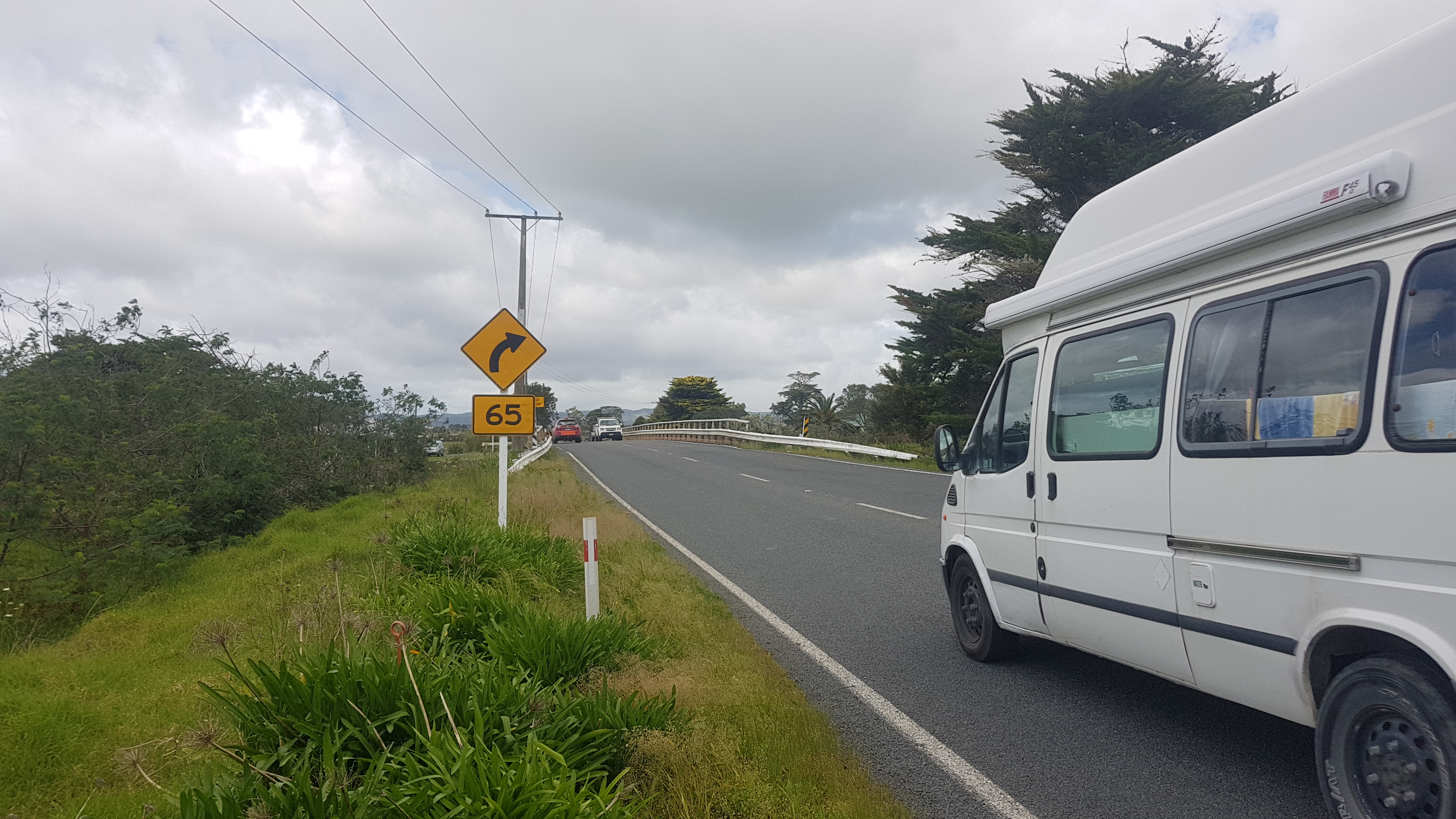
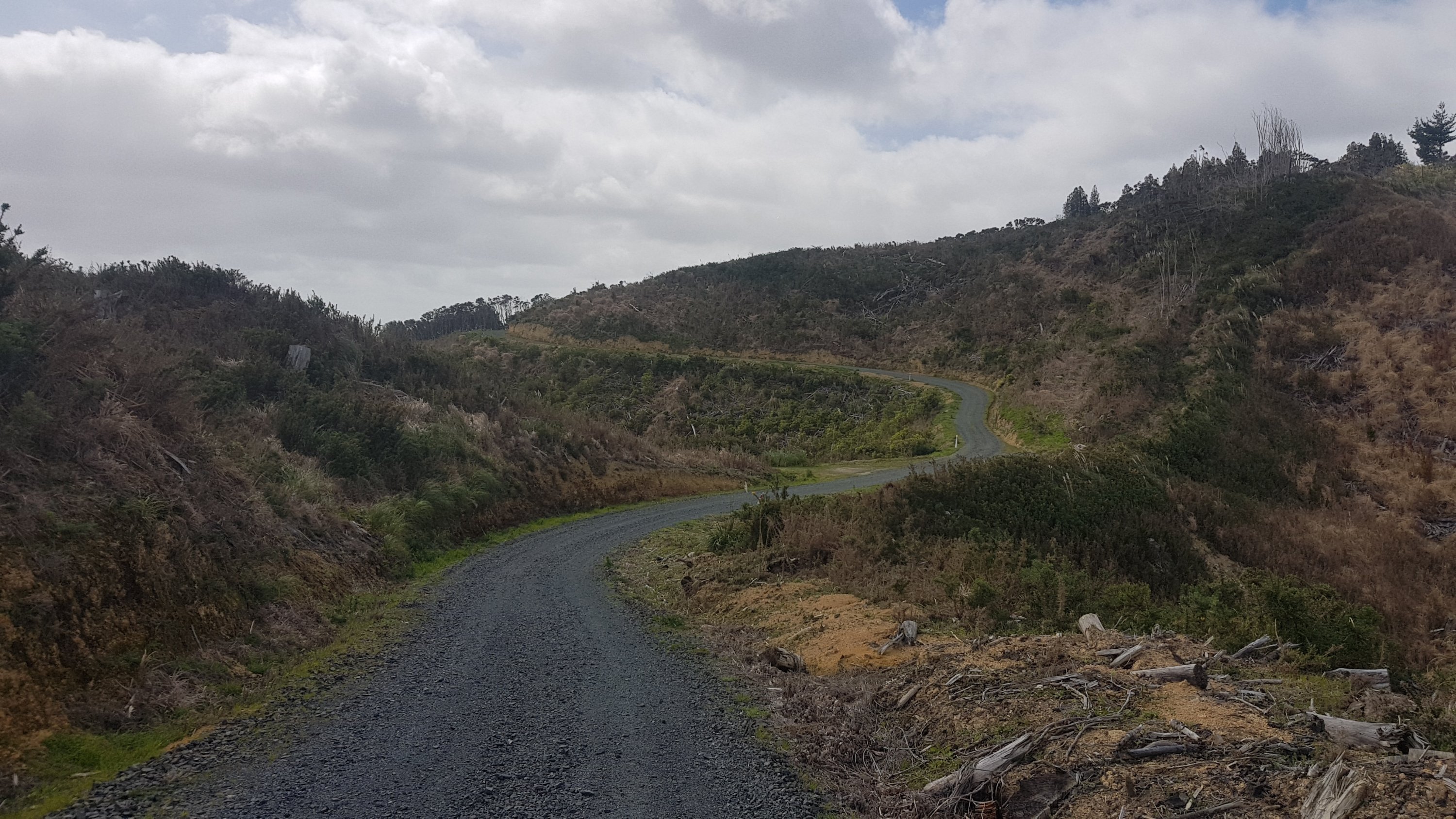
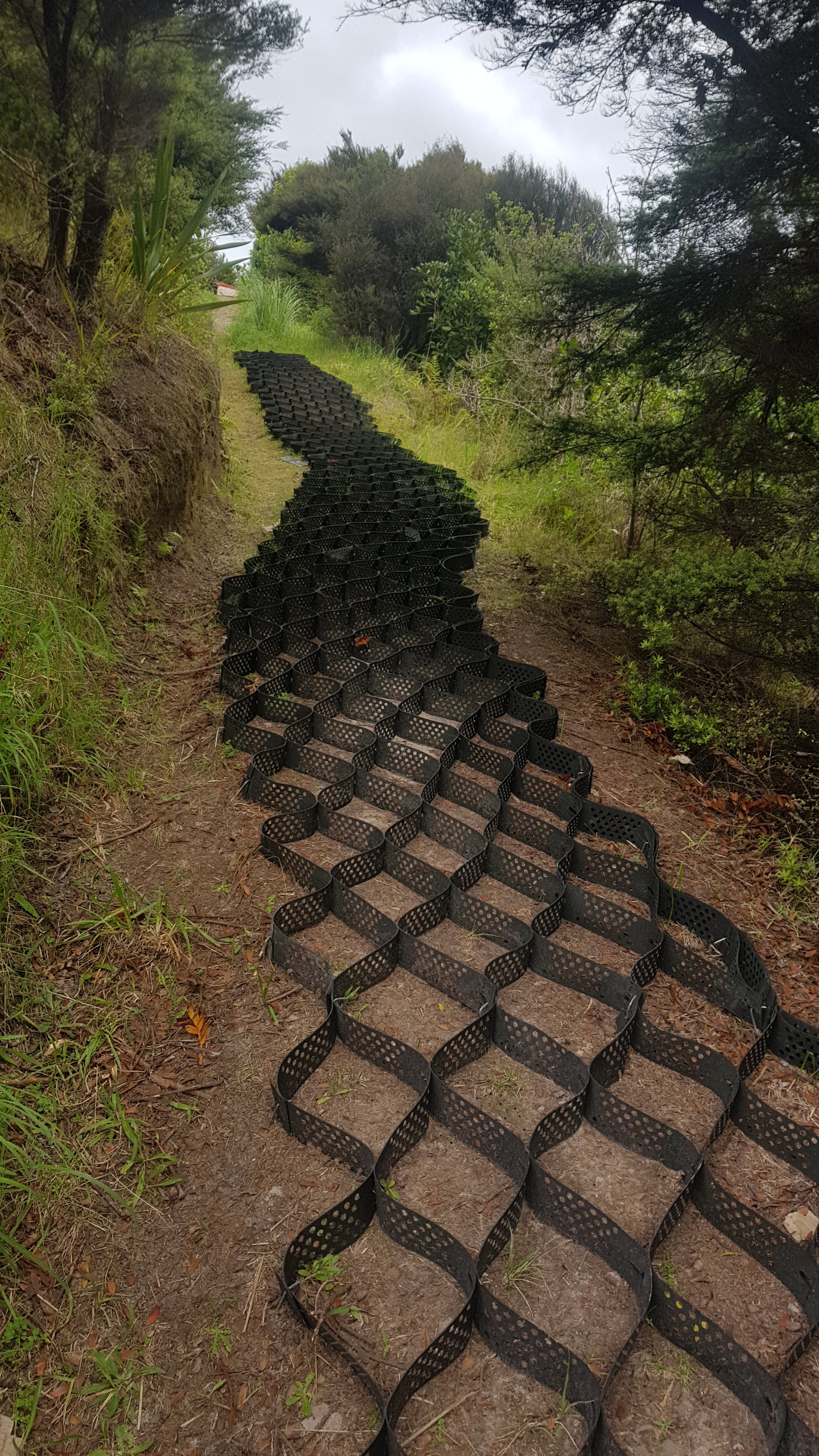
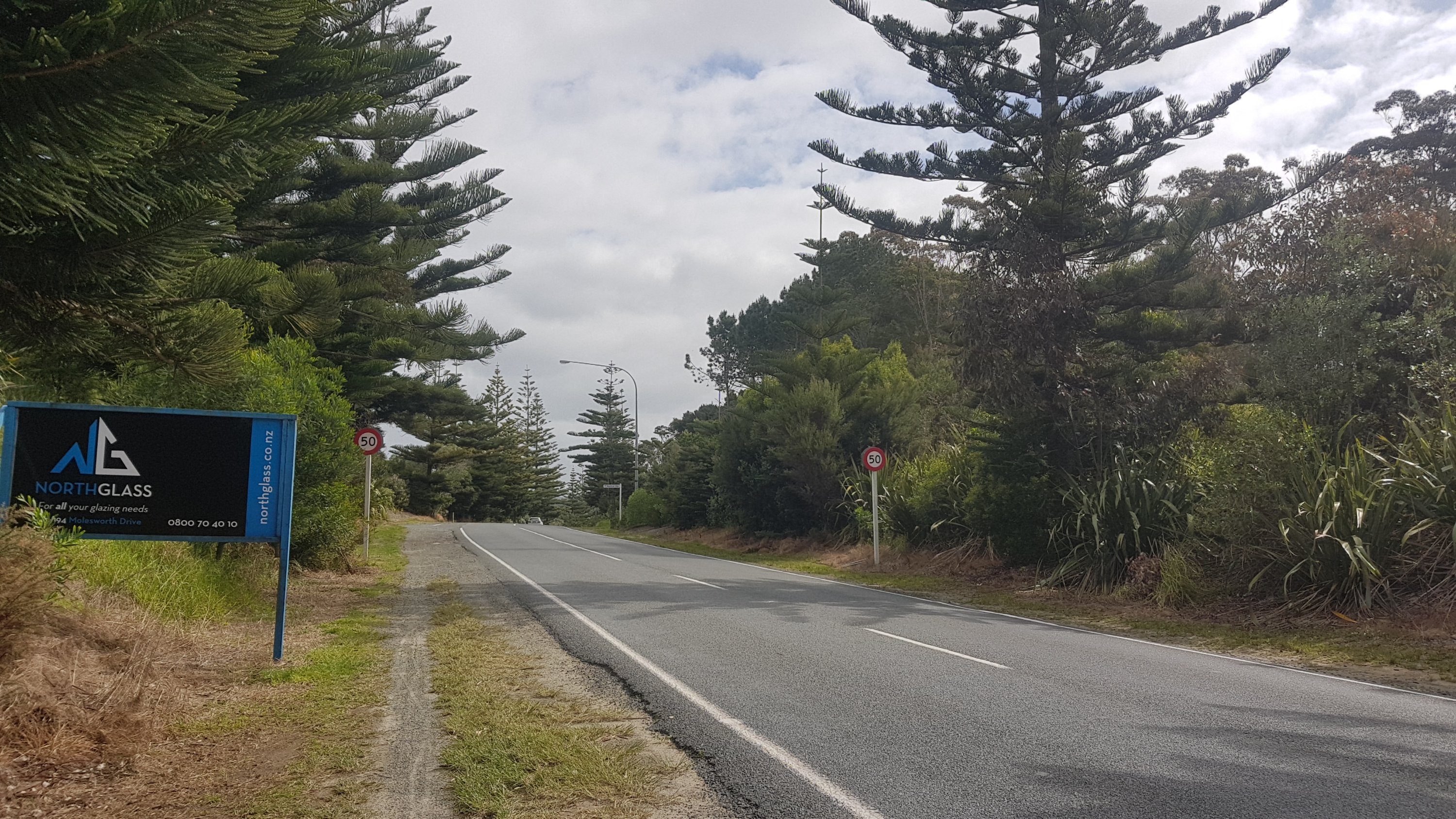
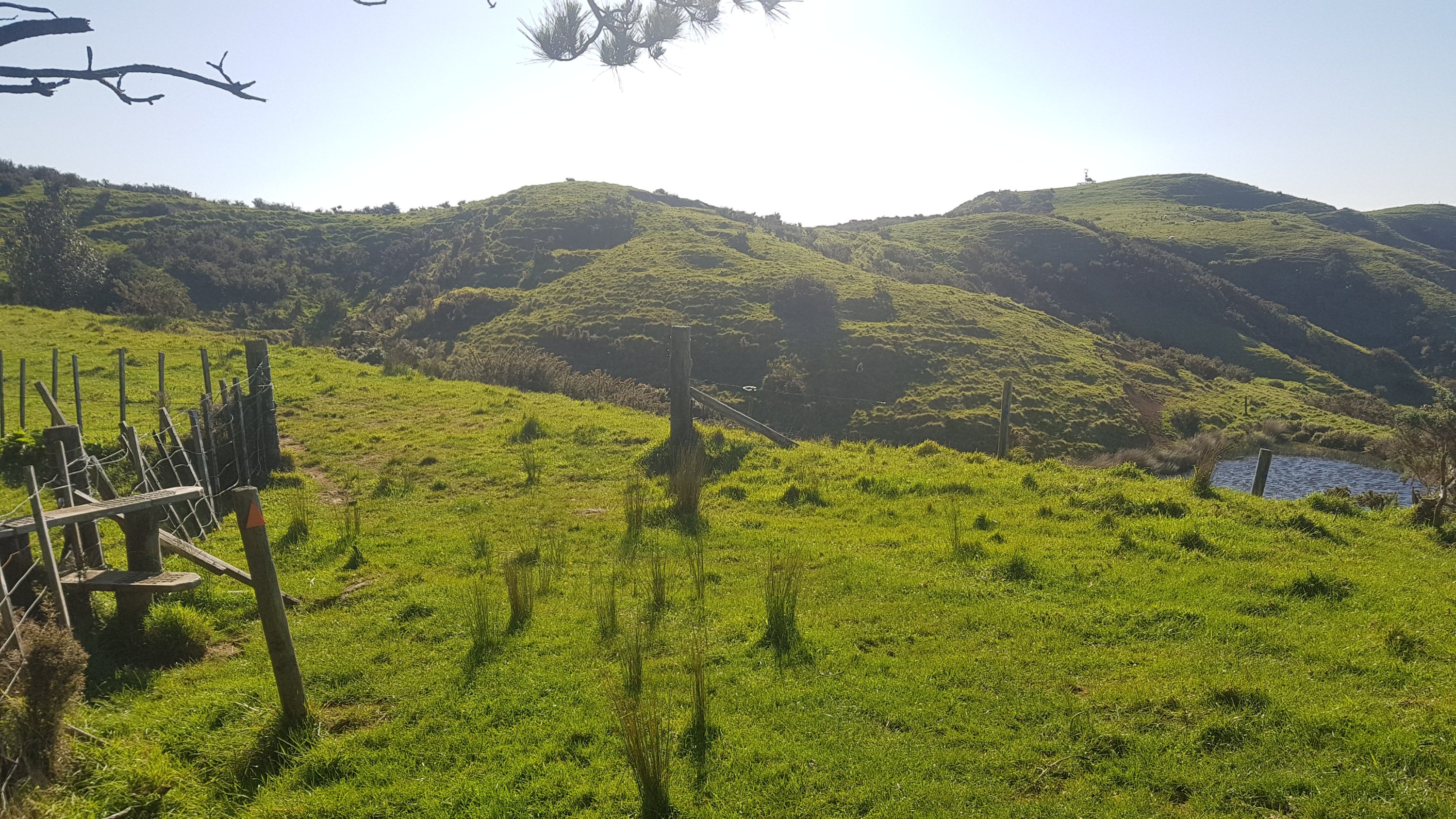
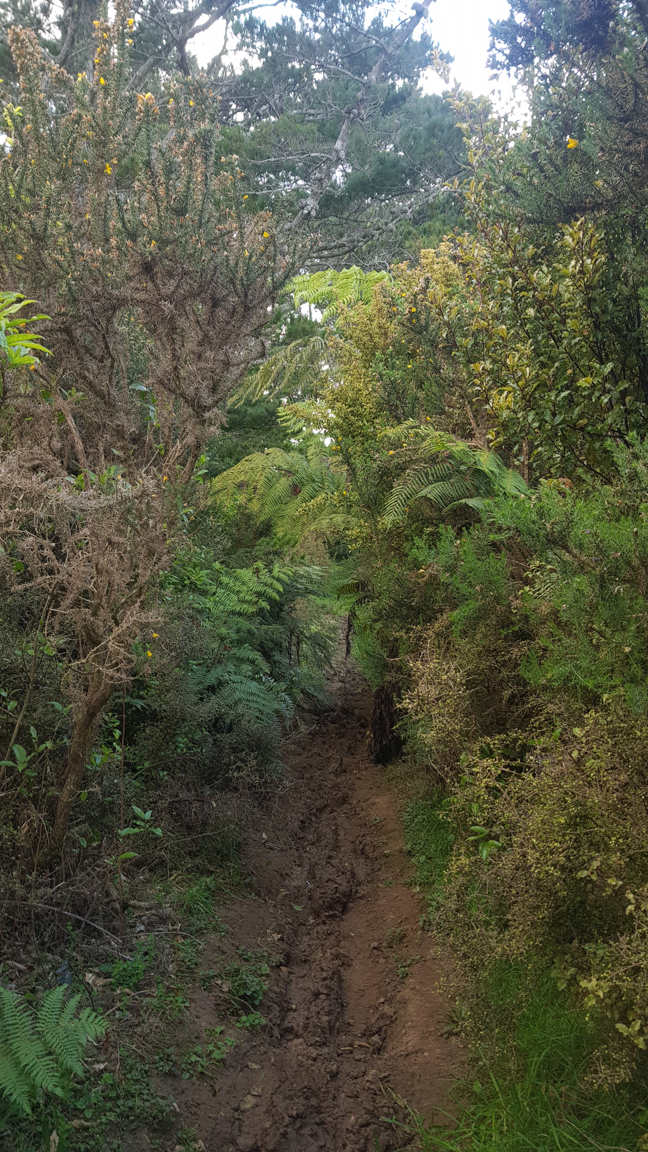
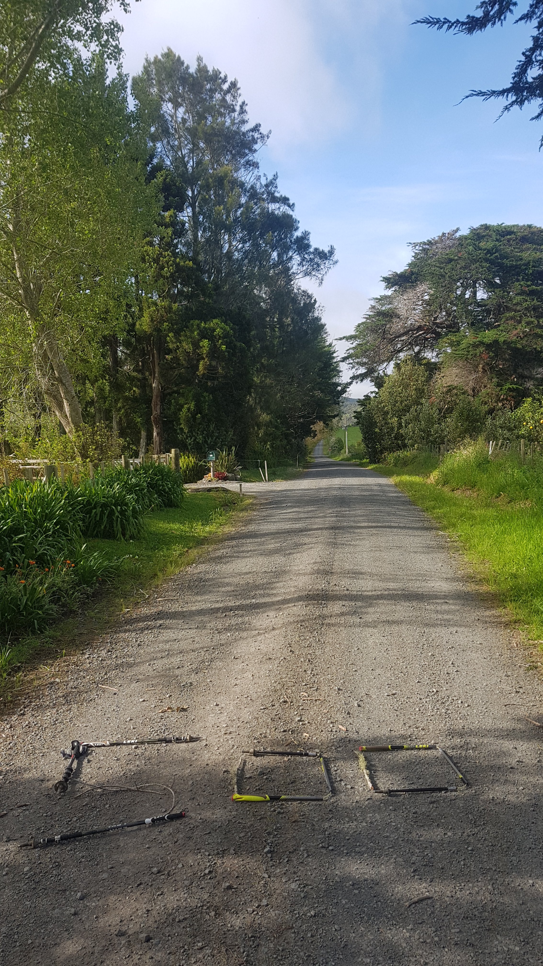
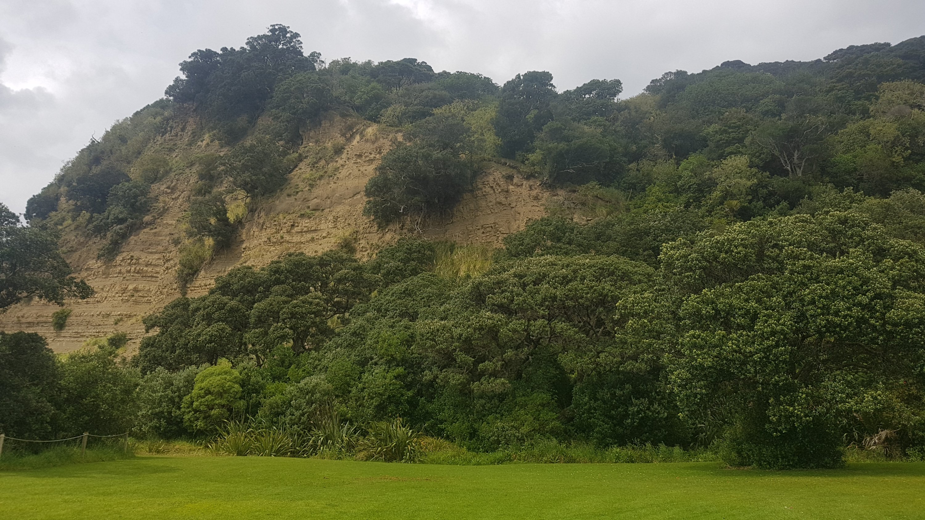
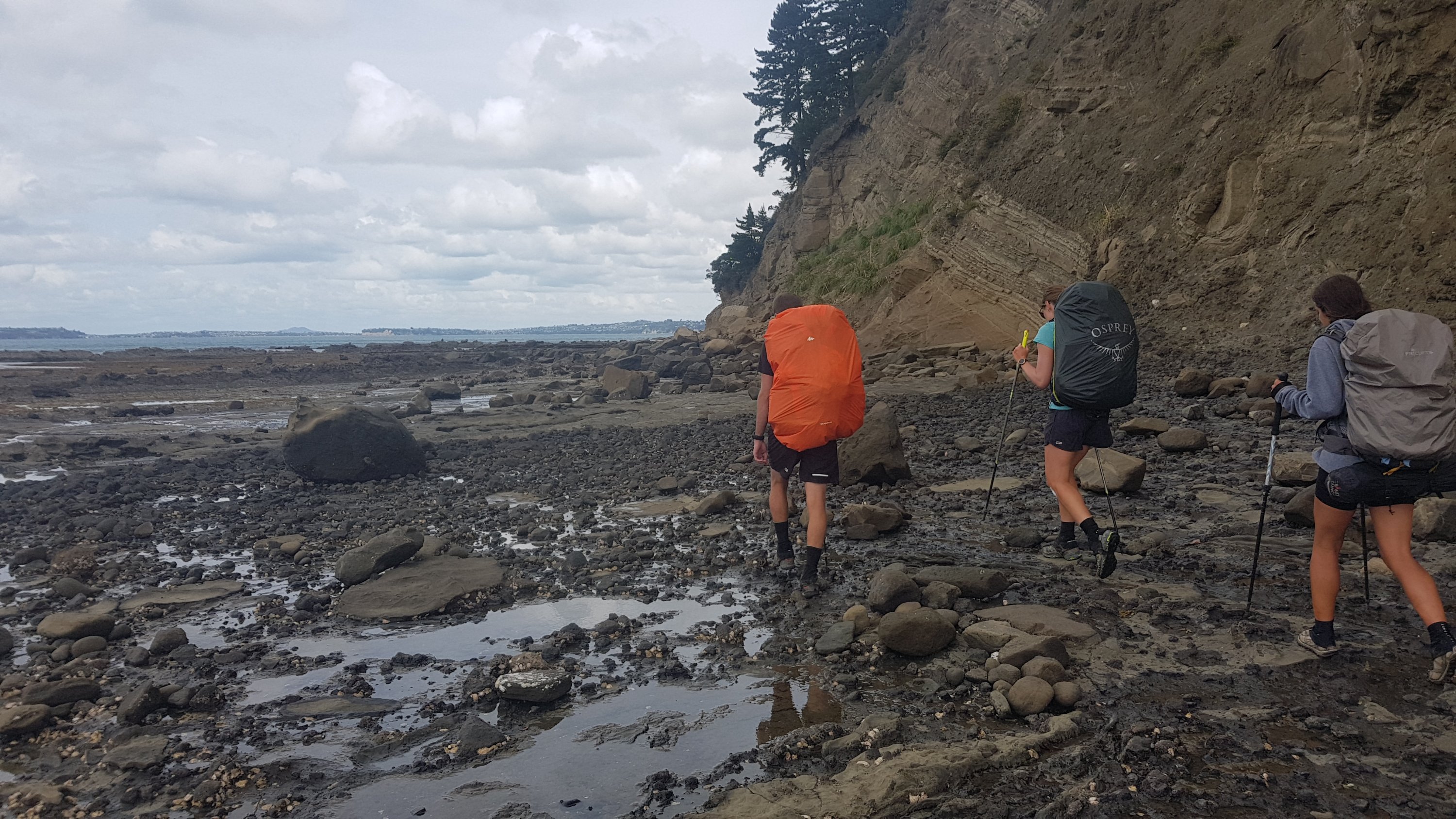
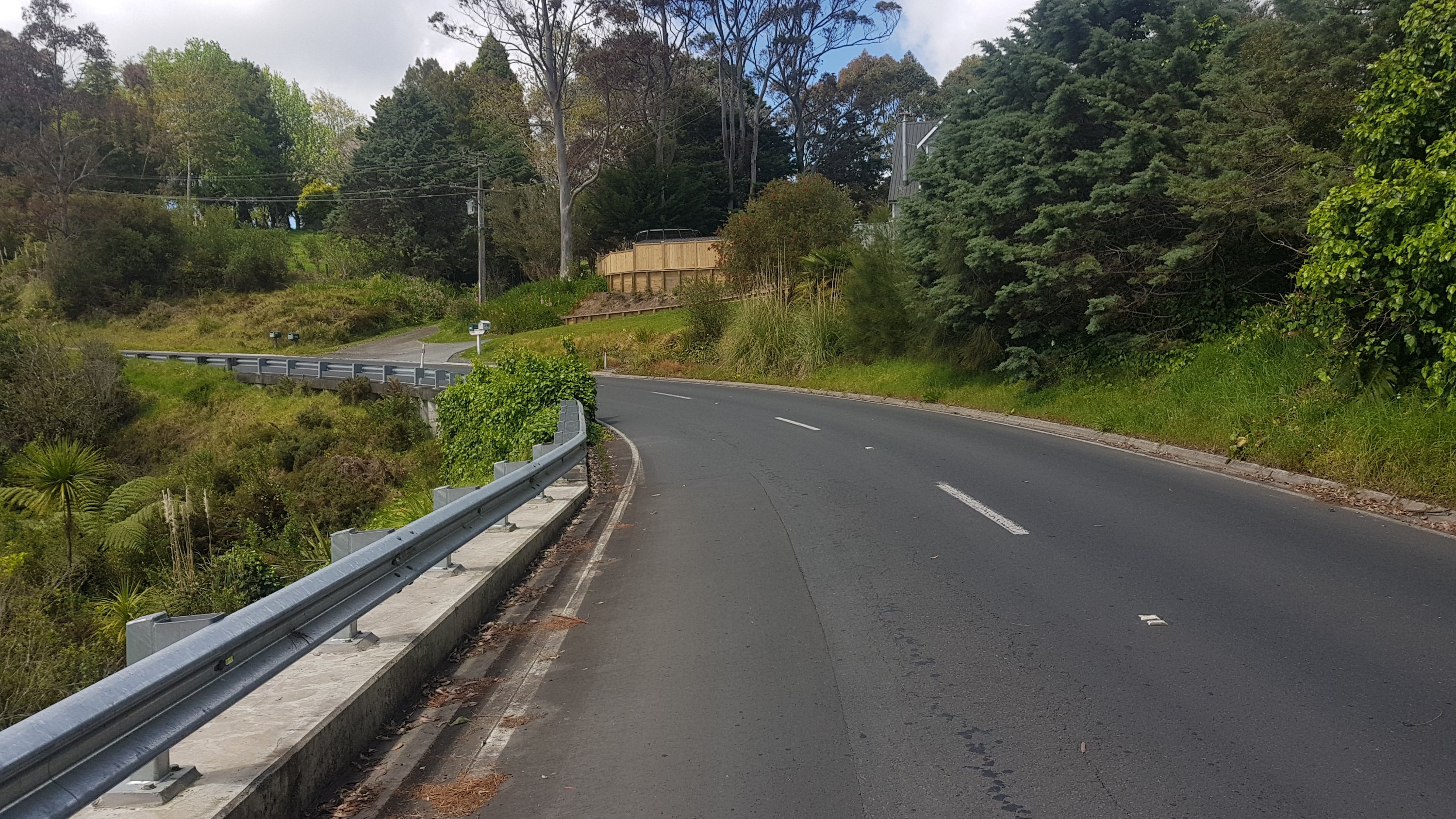
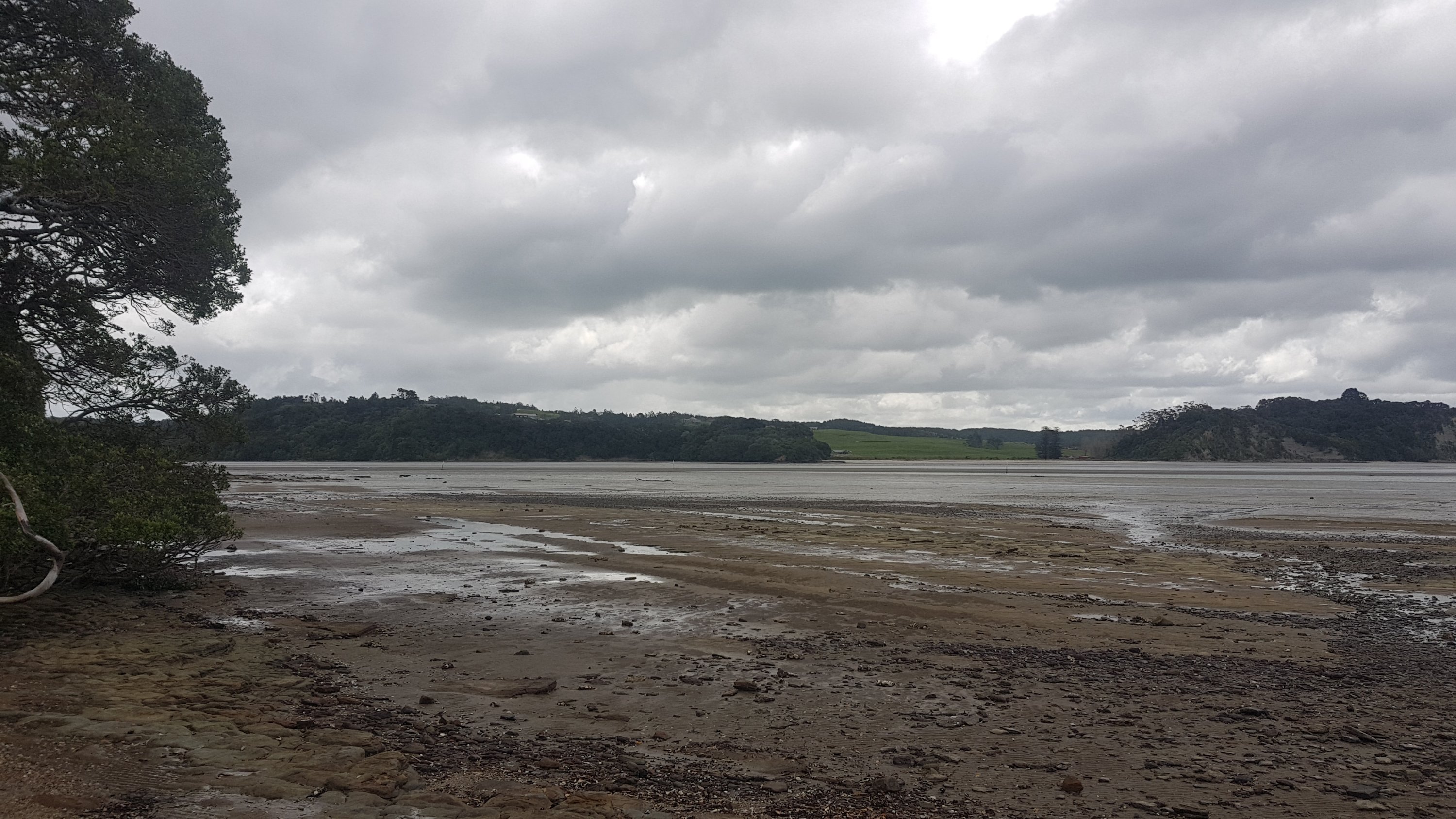
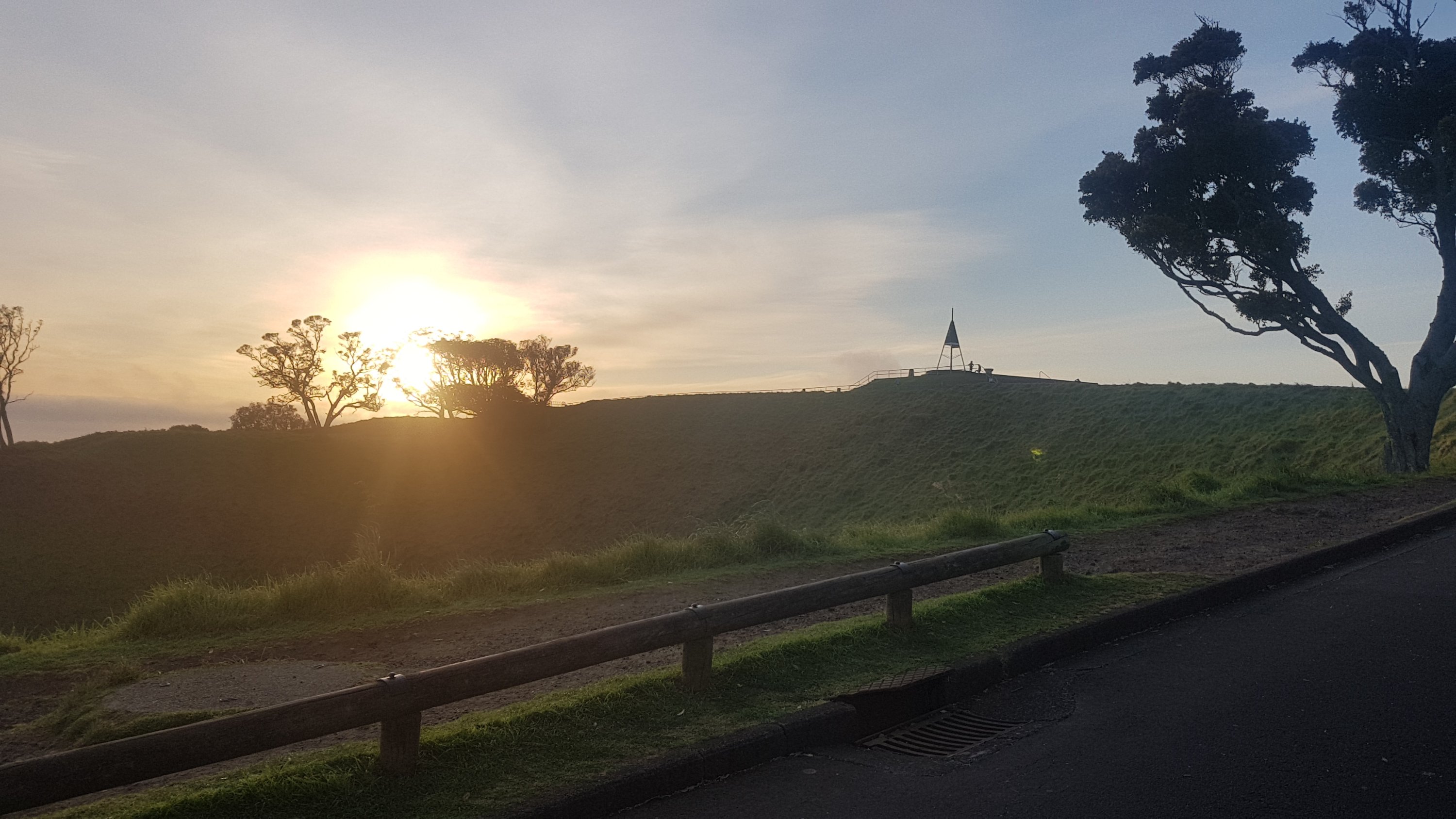
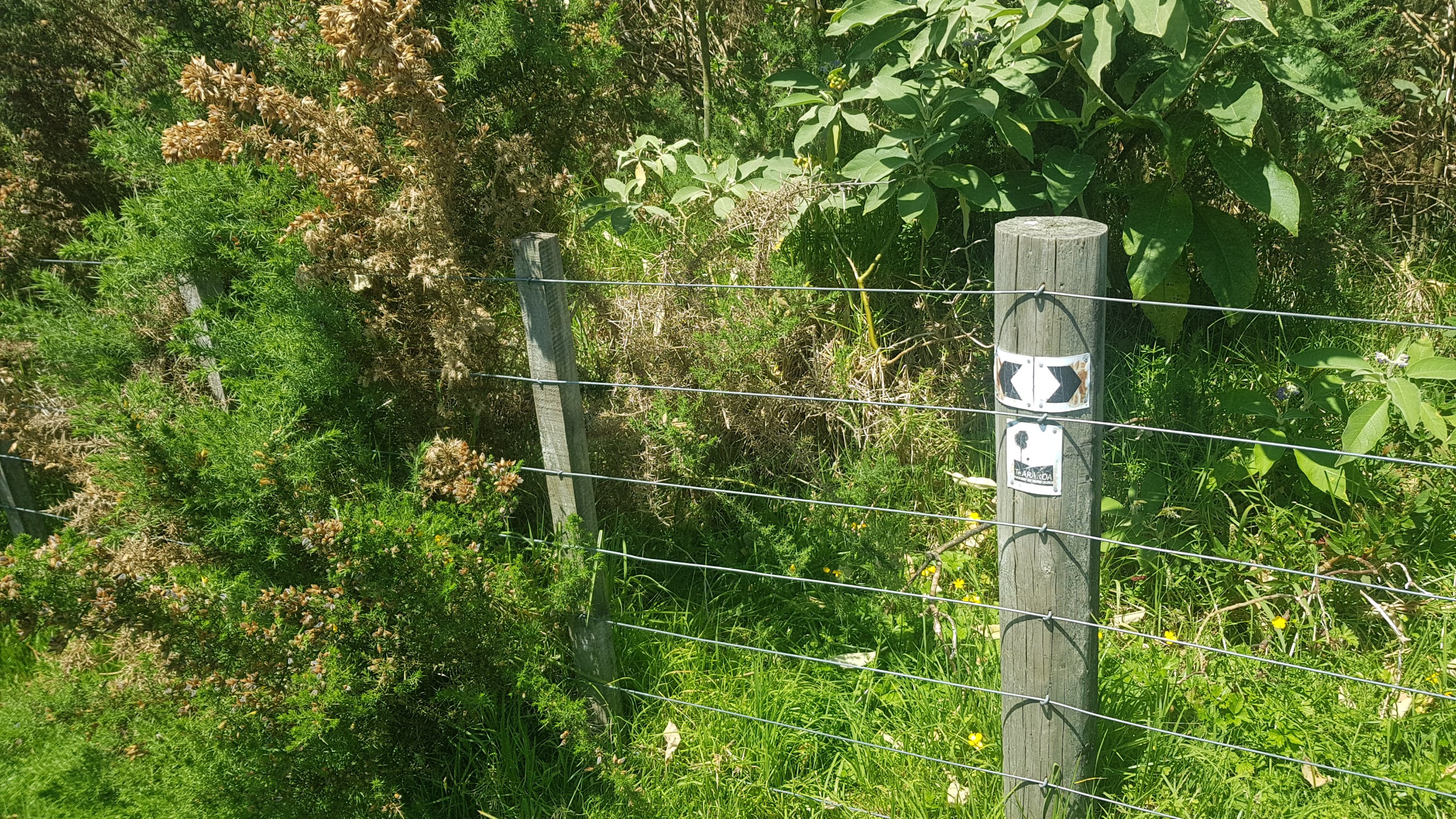
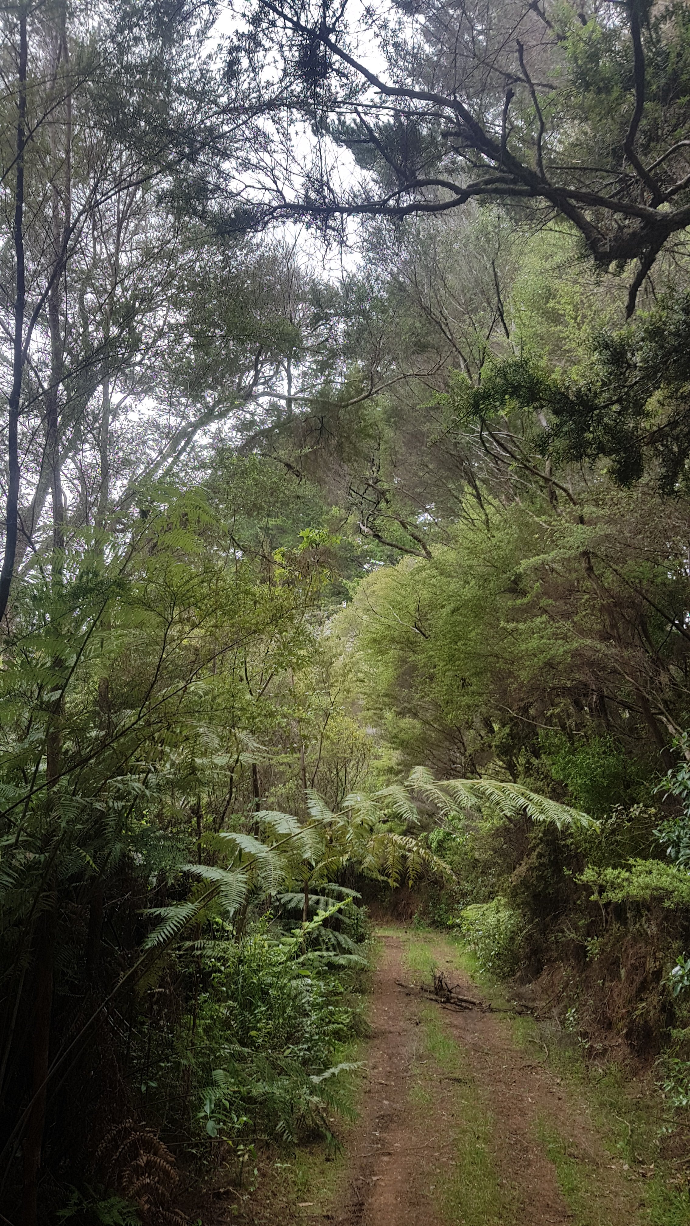
So back to the shelter I went. That cost me about 25 minutes – it was now 9:25am and I was back at the start. Bah. My first major wrong turn, although it didn’t set me back too much. You can see it on the map at the end of the post, if you zoom in. This was the type of road I was supposed to be on:
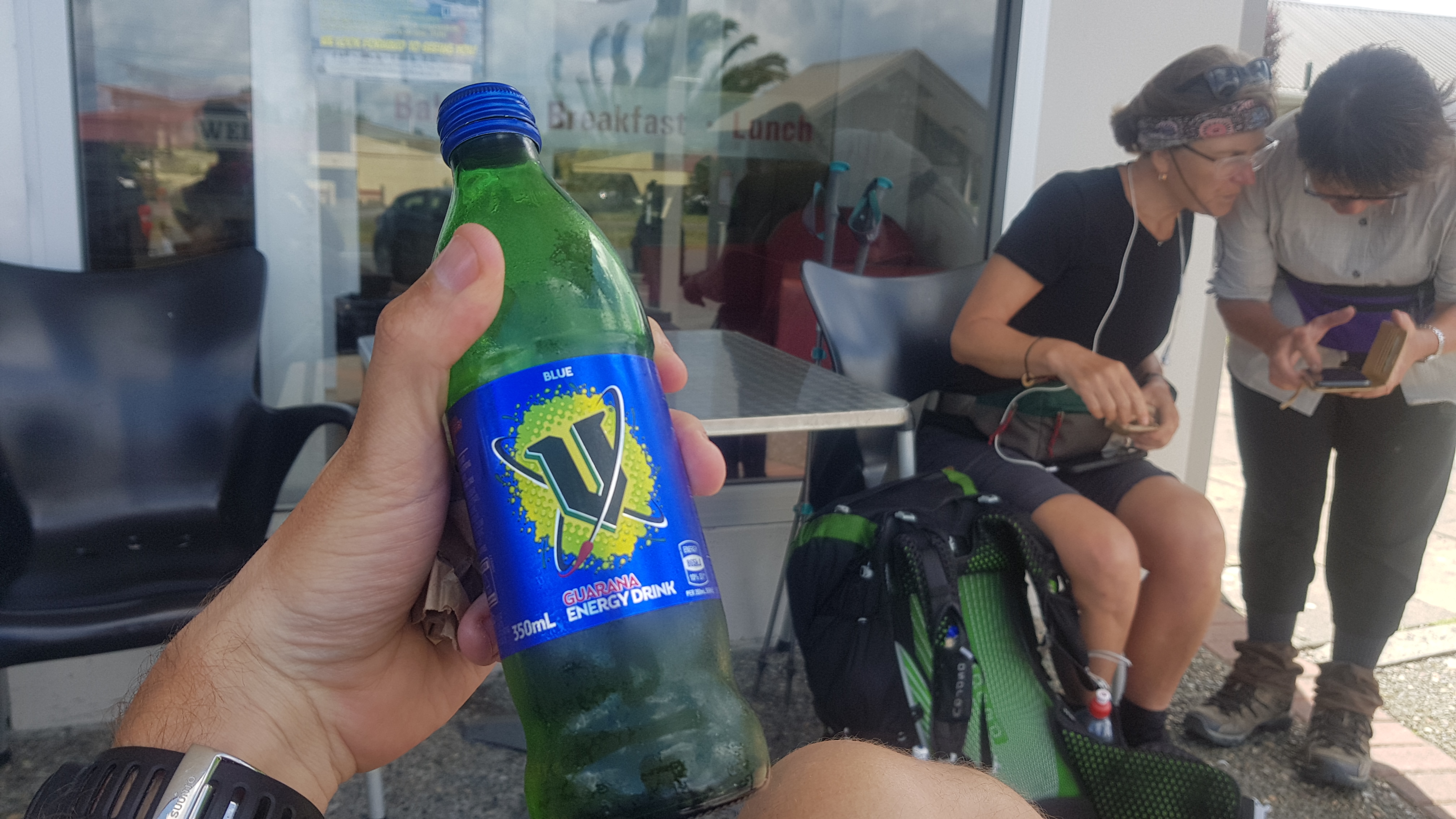
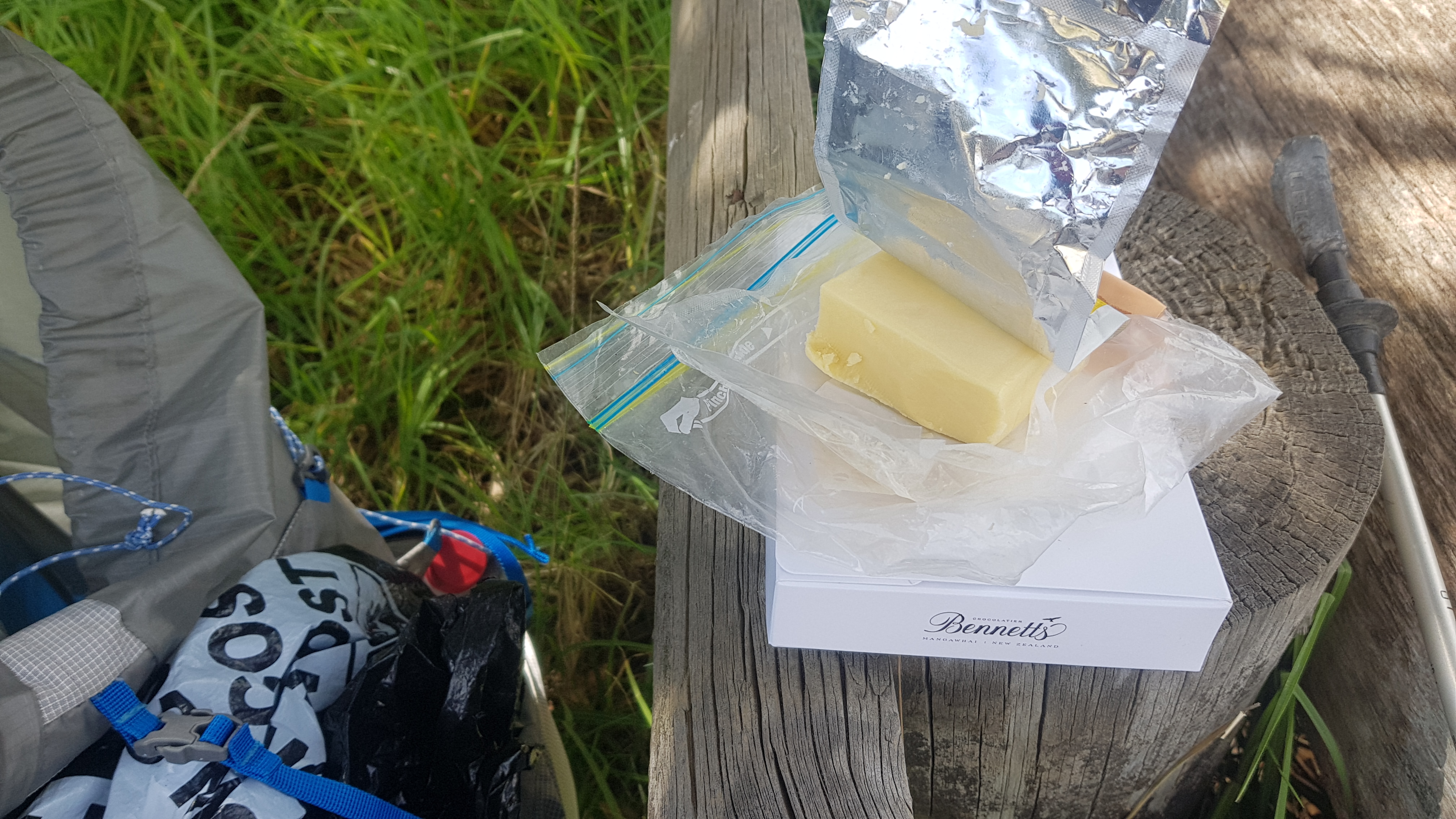
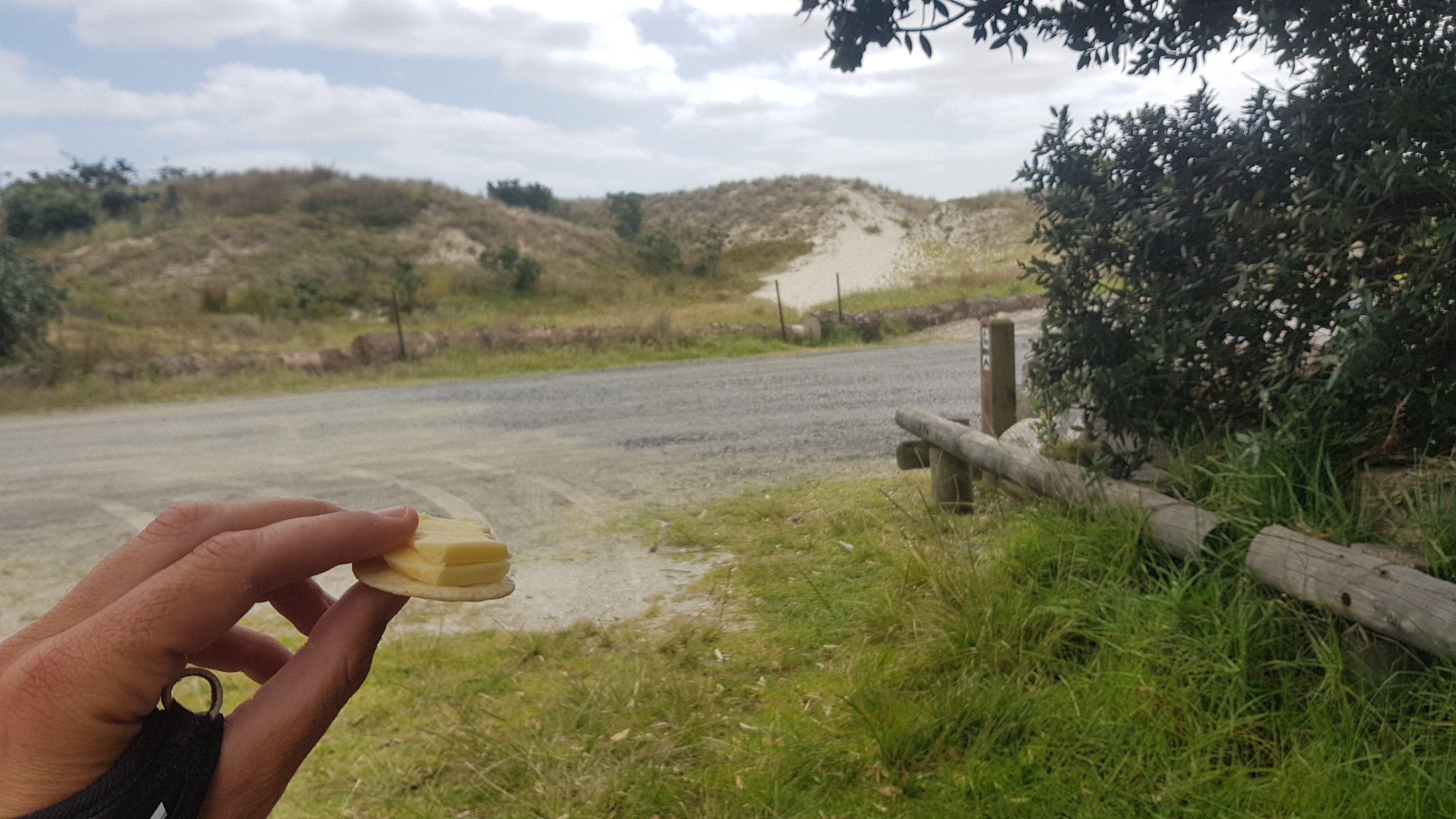
I stopped at the 2km mark to have a second breakfast. The porridge I had earlier just wasn’t enough. I had some muesli and some trail mix. Partly because I was hungry but also because I need to eat some of the food in my bag. It was ages ago that I was in Countdown in Kerikeri but it still felt like I had 5 days worth of food in my bag. It’s so heavy.
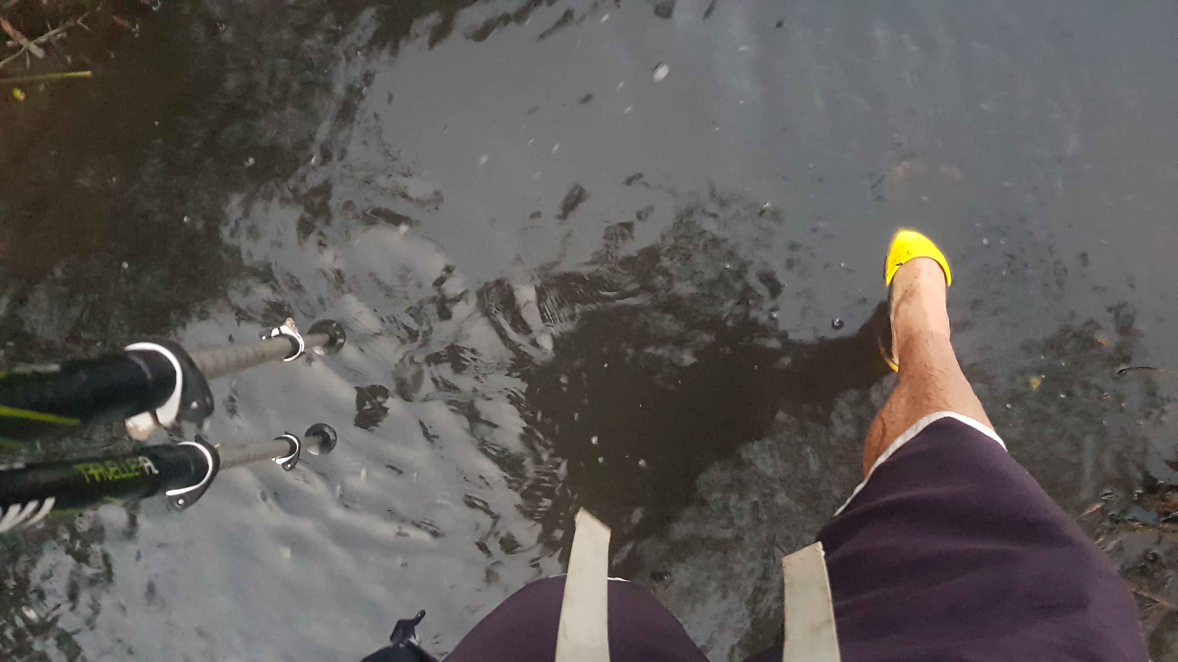
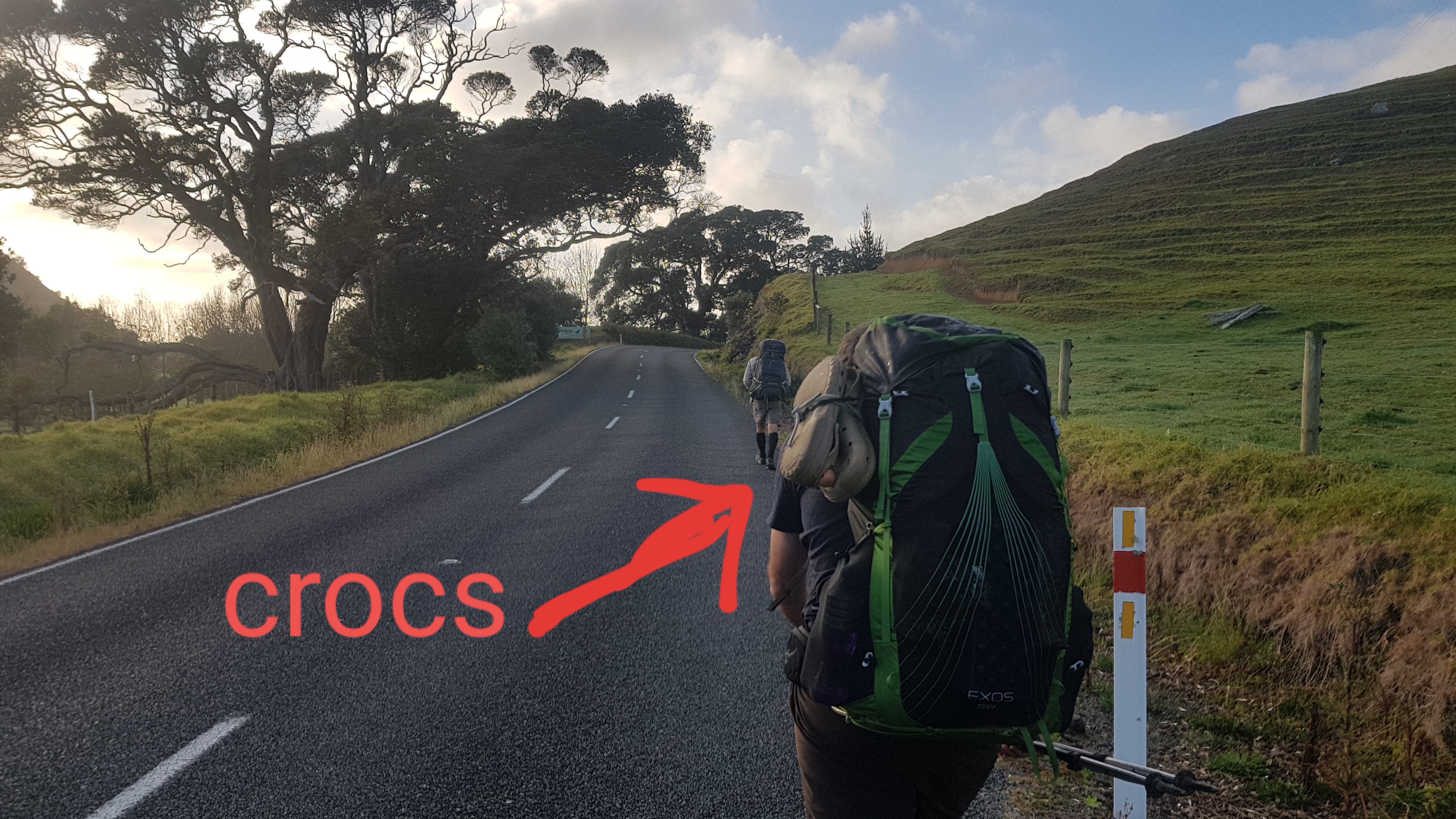
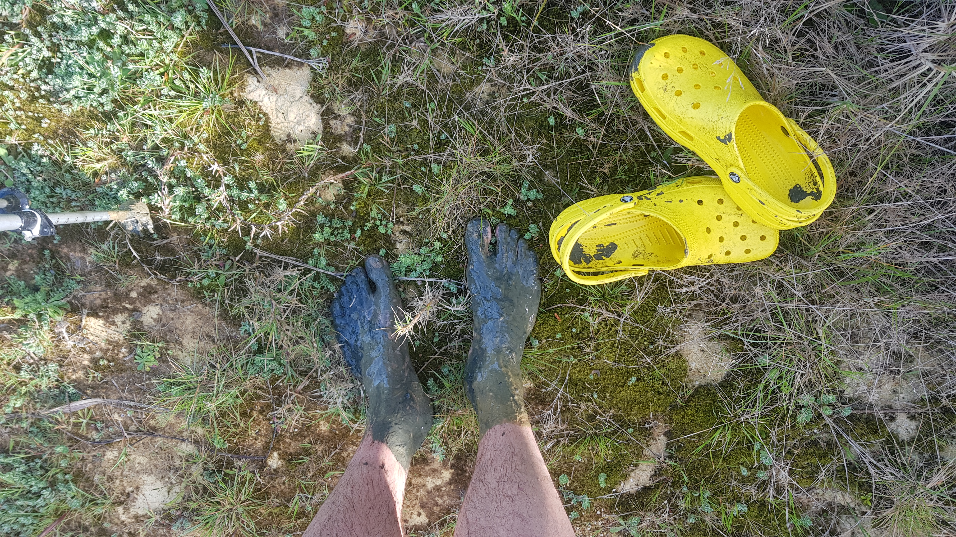
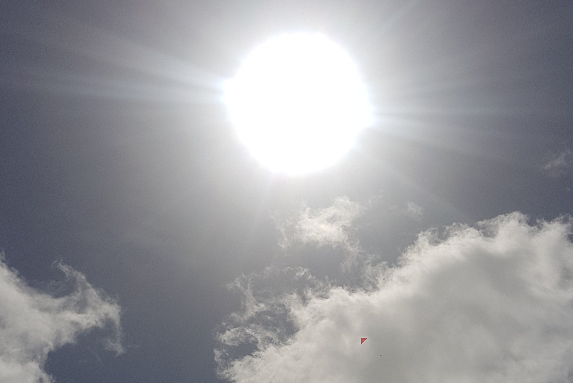
Since I’m not actually walking upstream after all, it was crocs off and boots on. The boots are still dry of course so it was no problem. I was also going to put on sunscreen, but it had clouded over at this point so I decided not to. This turned out to be a bad idea.
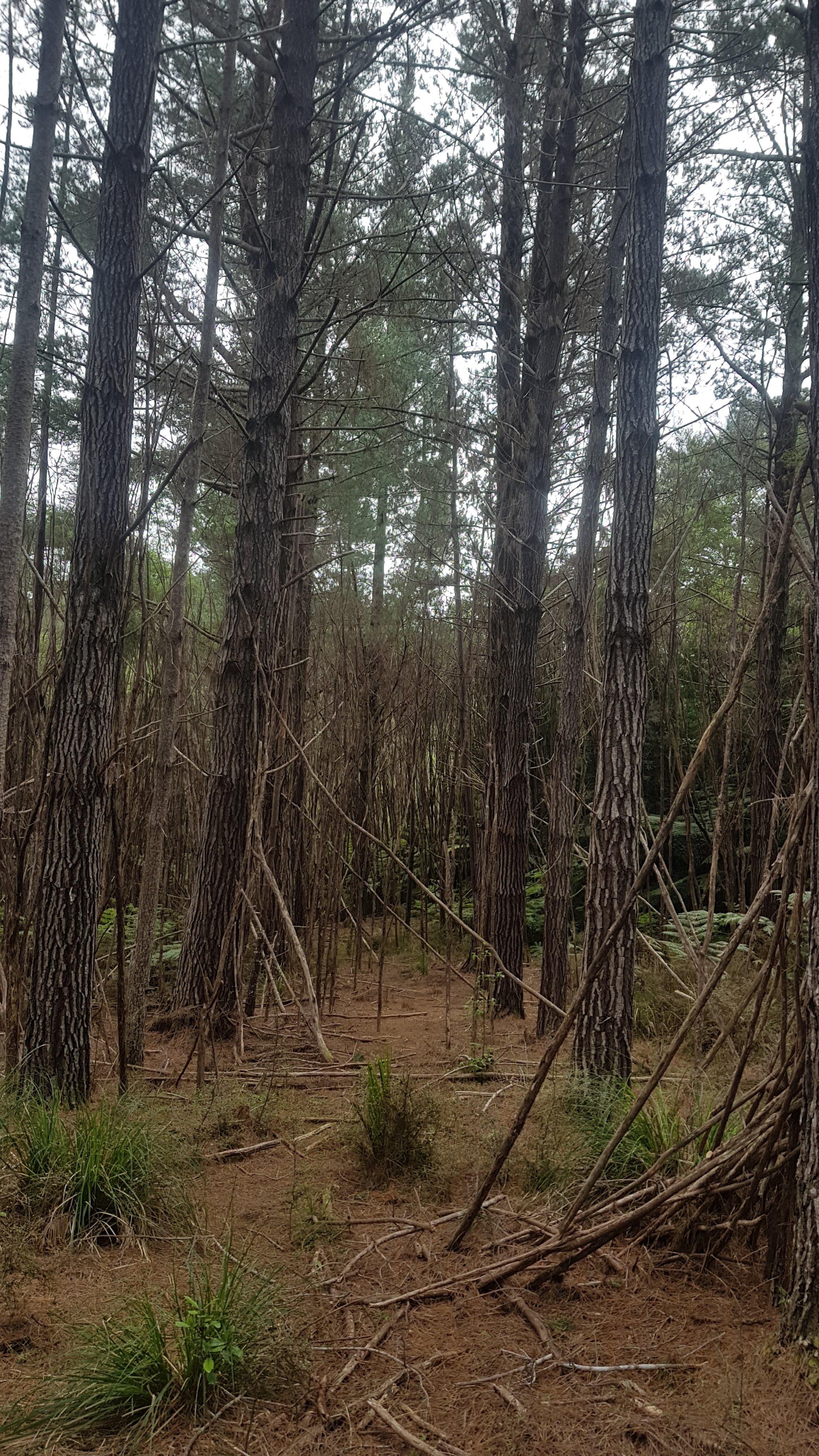
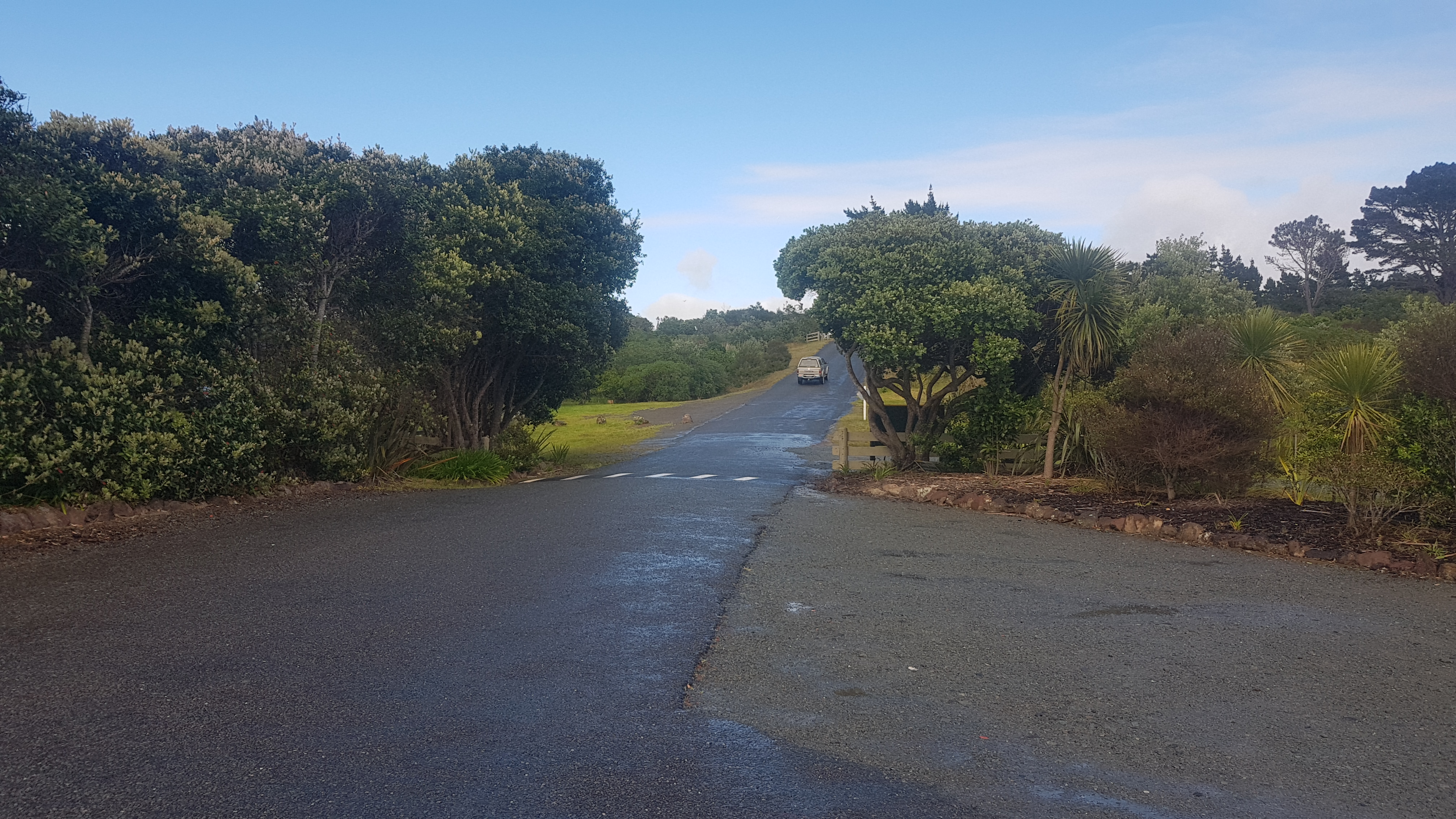
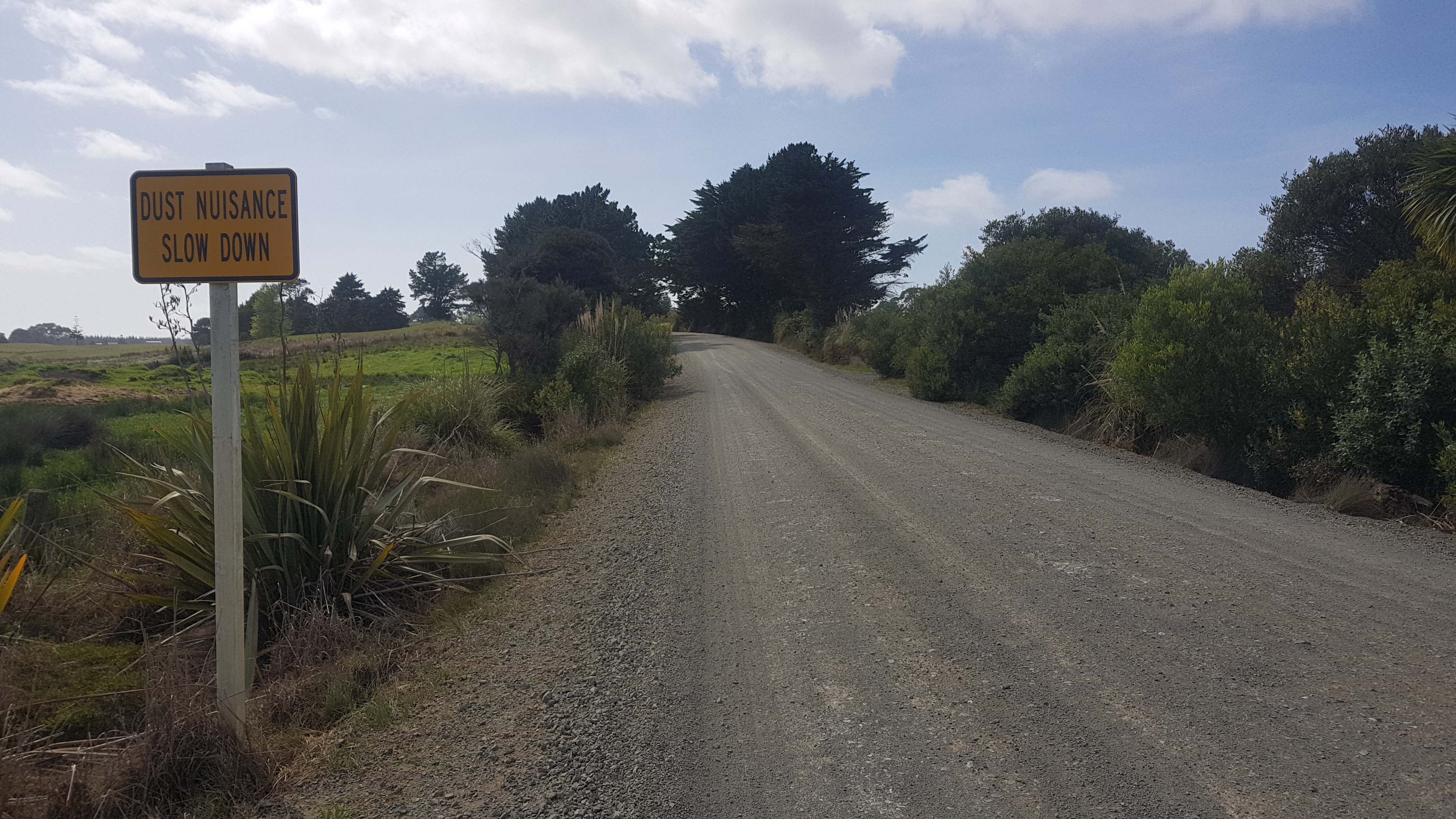
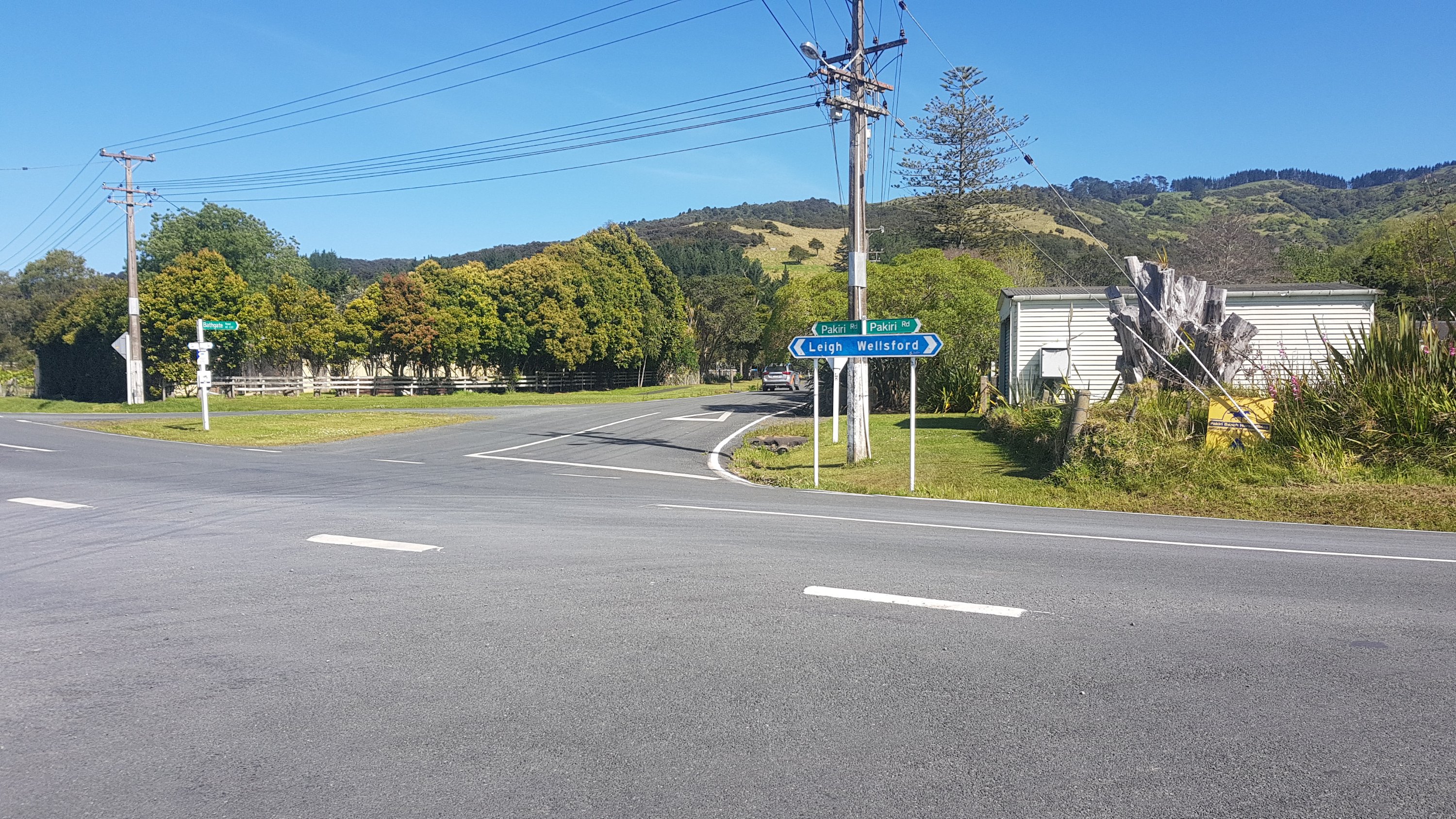
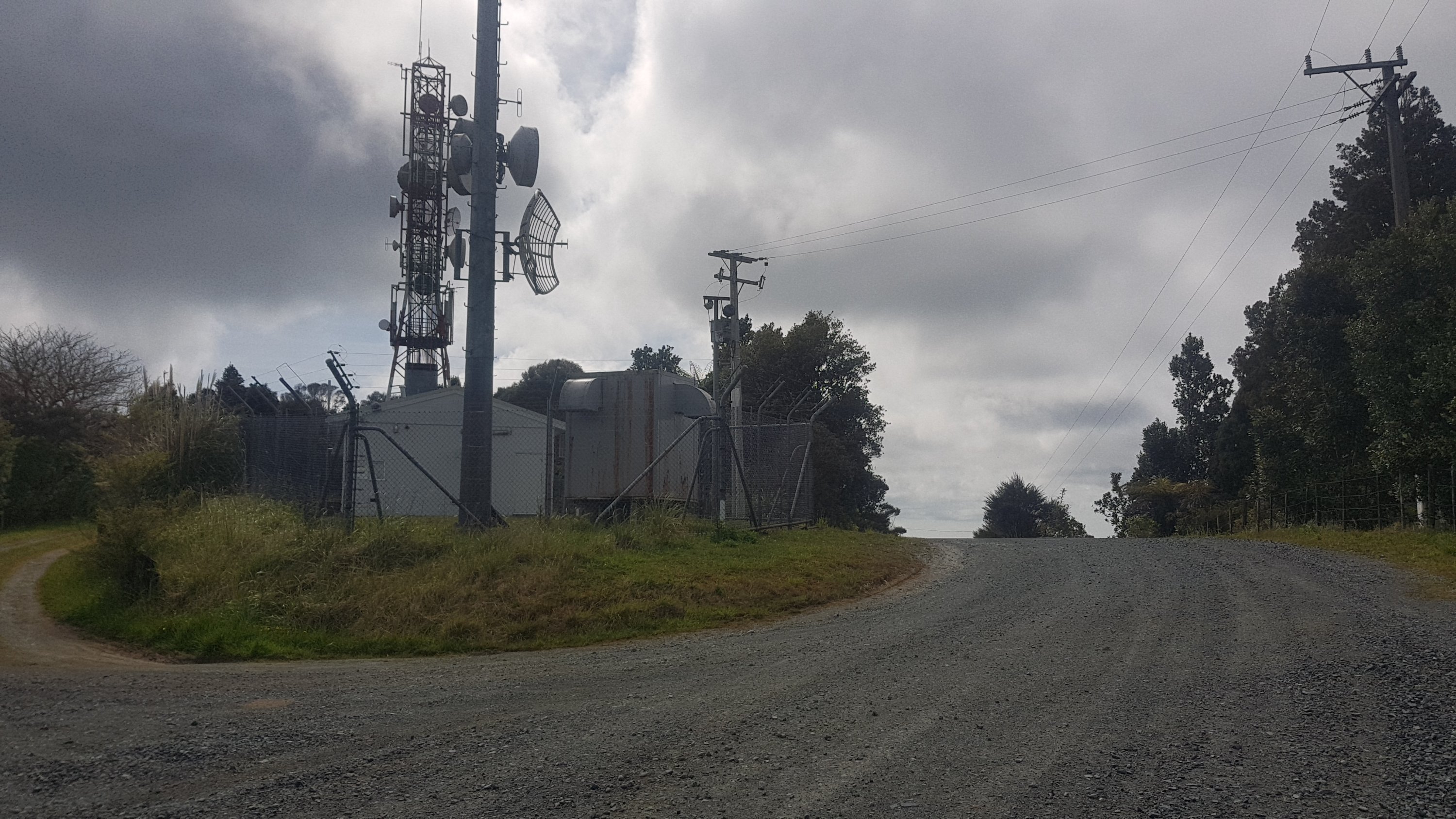
The way out of the forest was a fairly standard forest road. My 11am picture was where this road met the main road. It was also where a local Maori guy stopped and chatted with me about the area, forestry, and the fact he sees a lot more walkers now but a lot less cyclists. It was quite intereting actually.
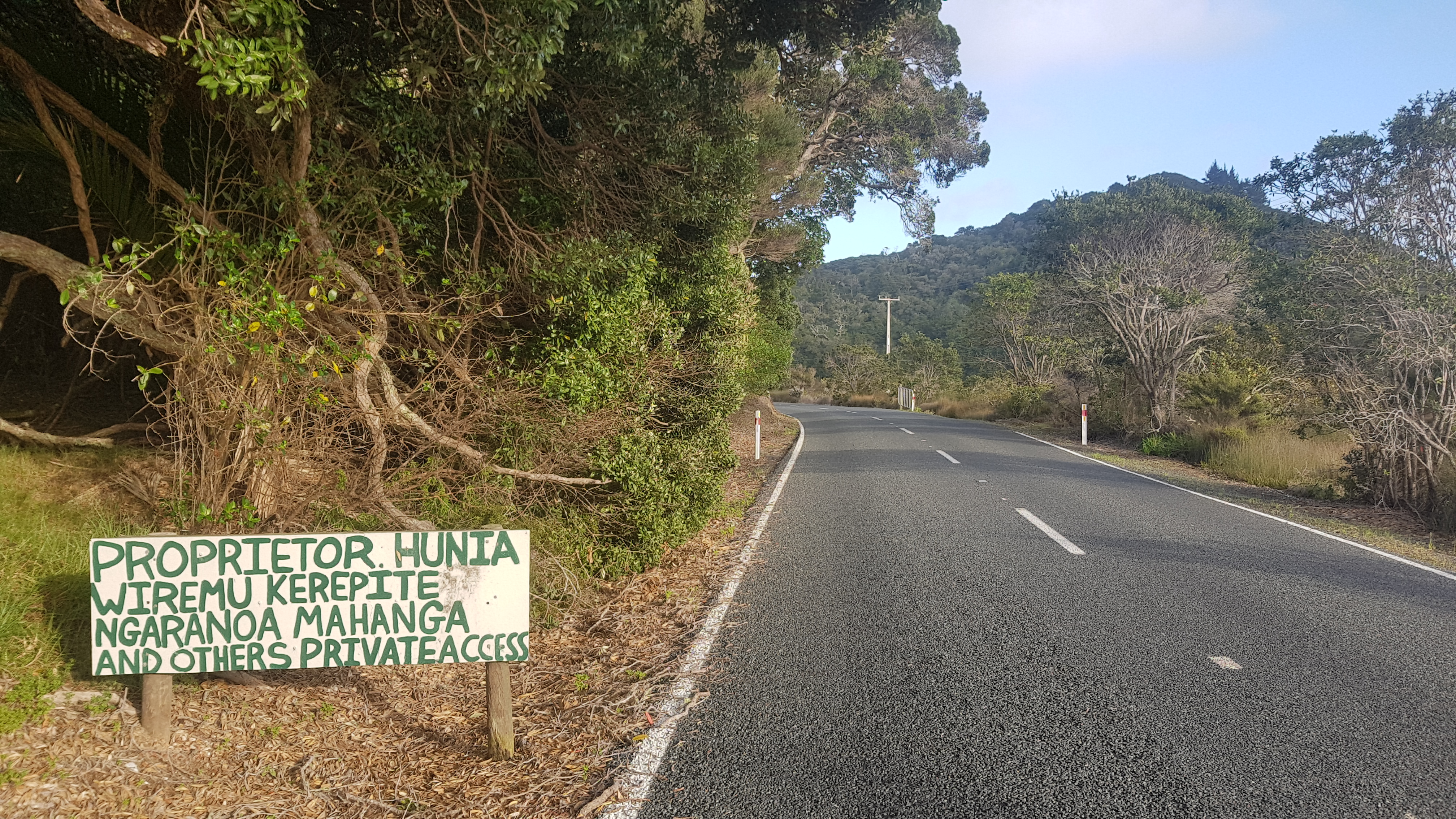
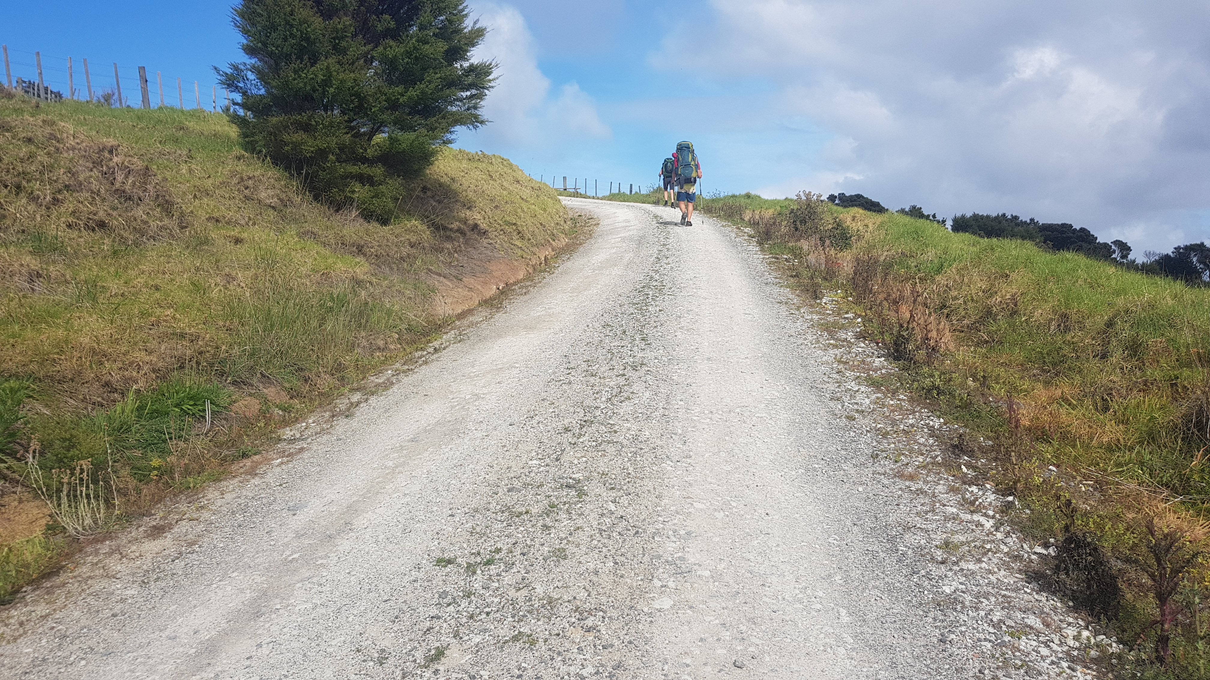
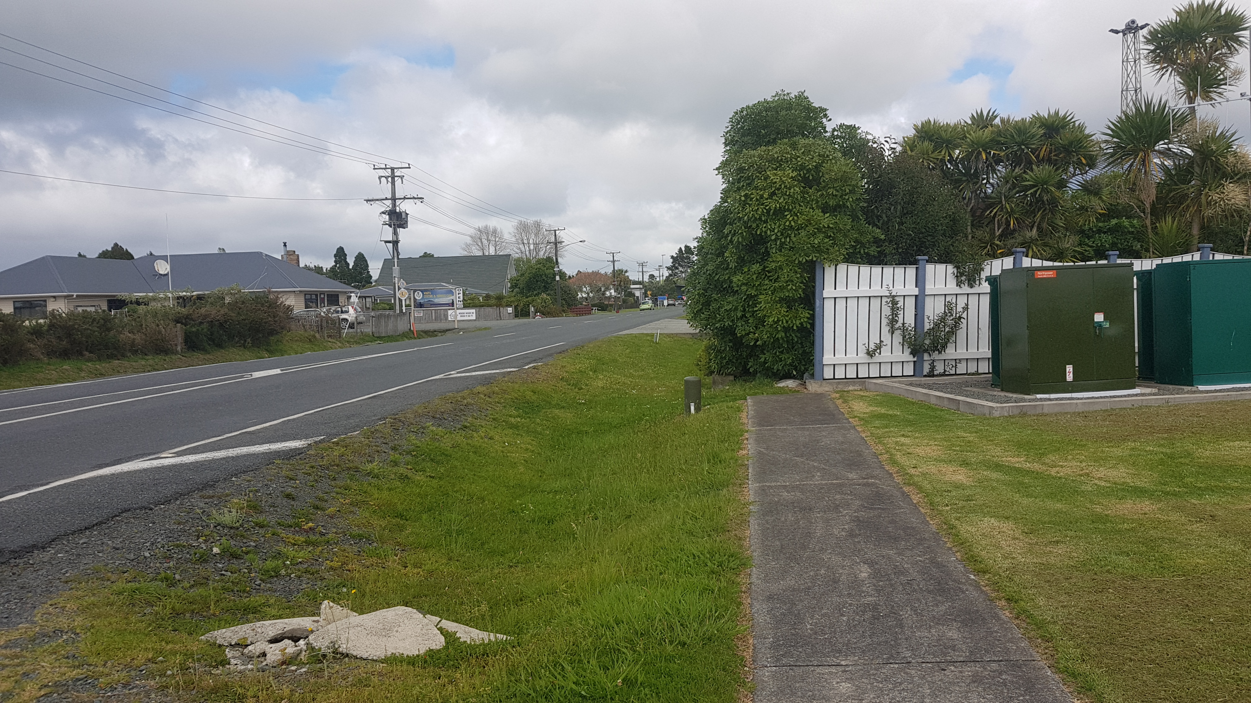
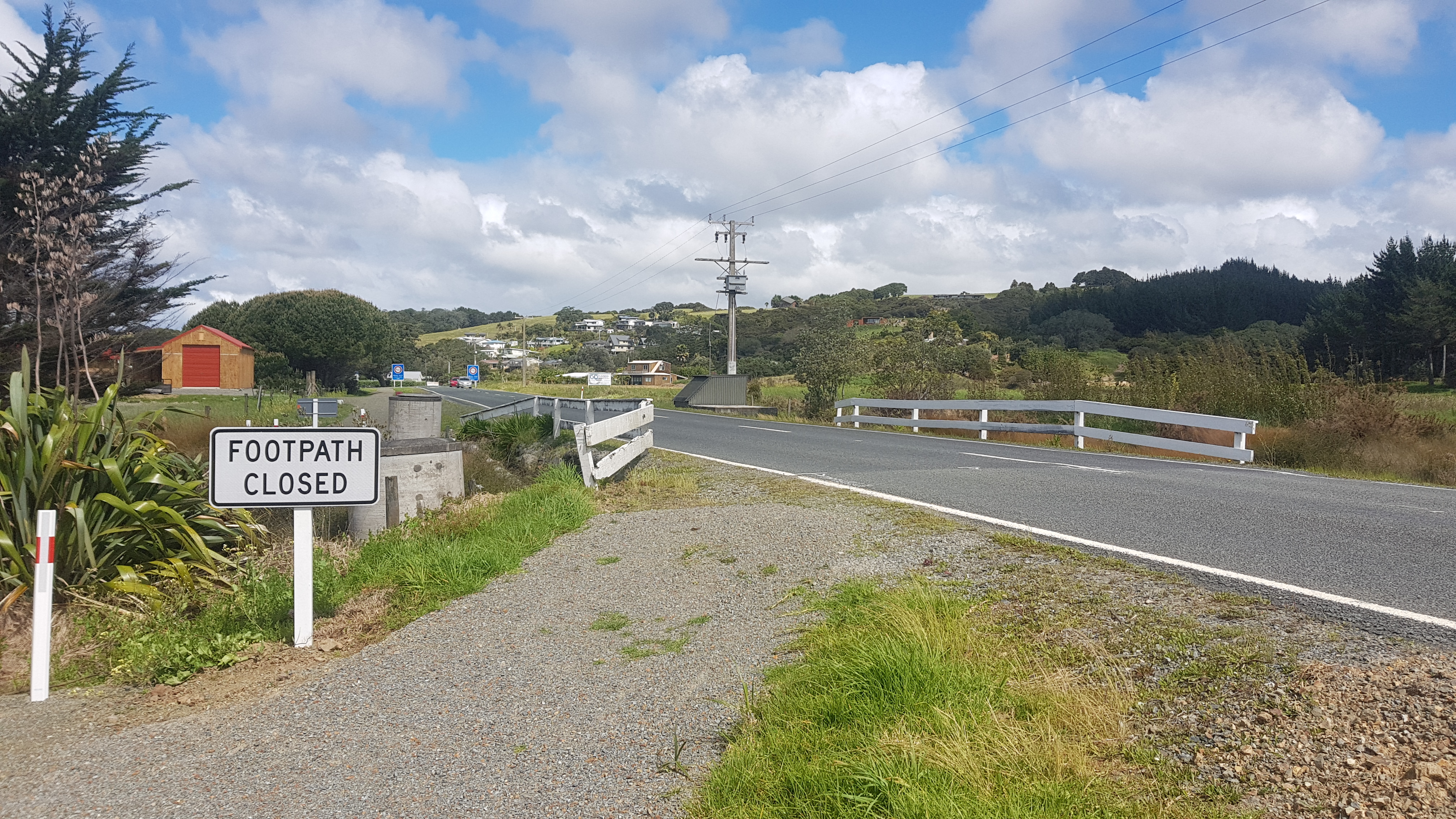
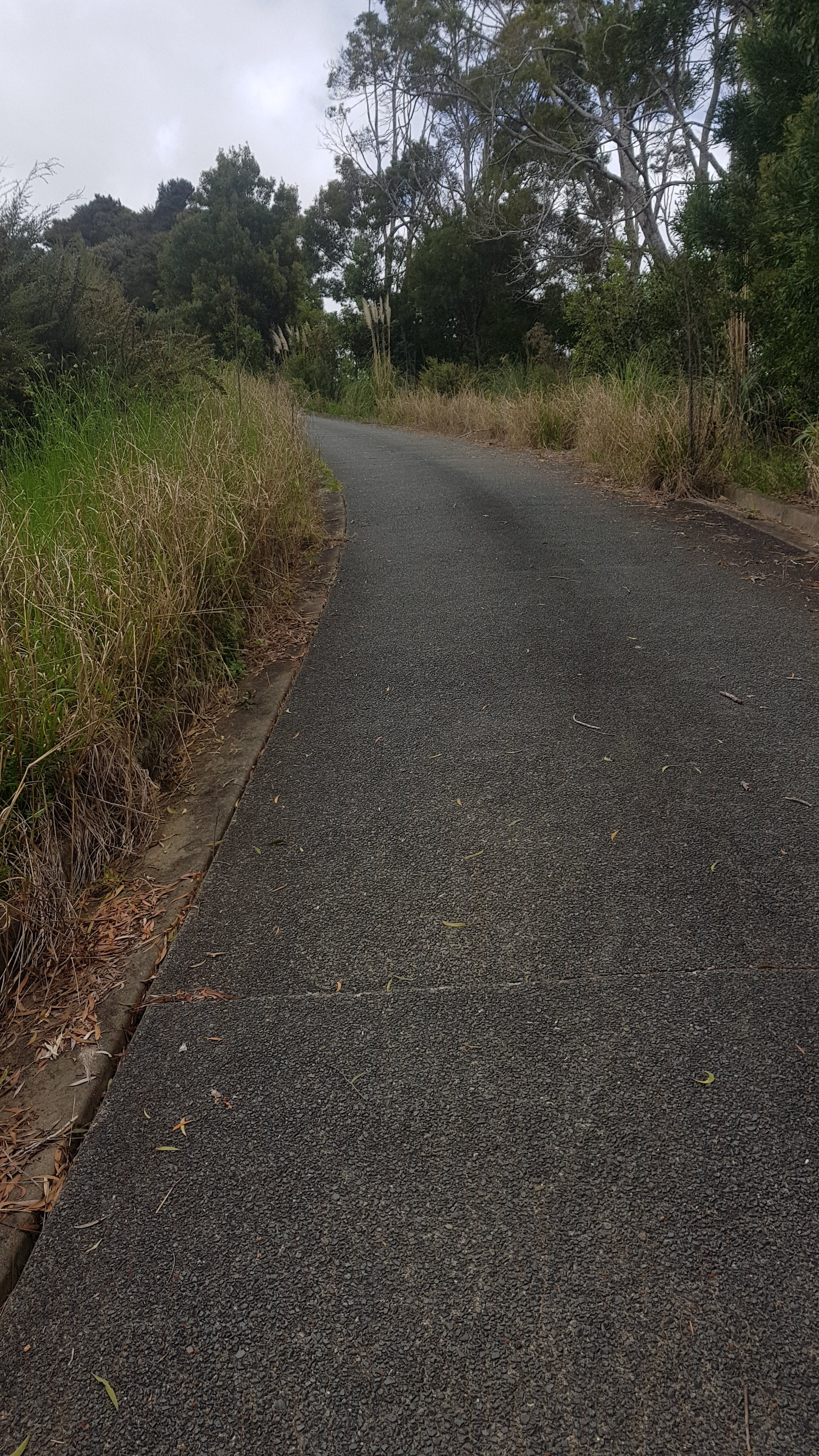
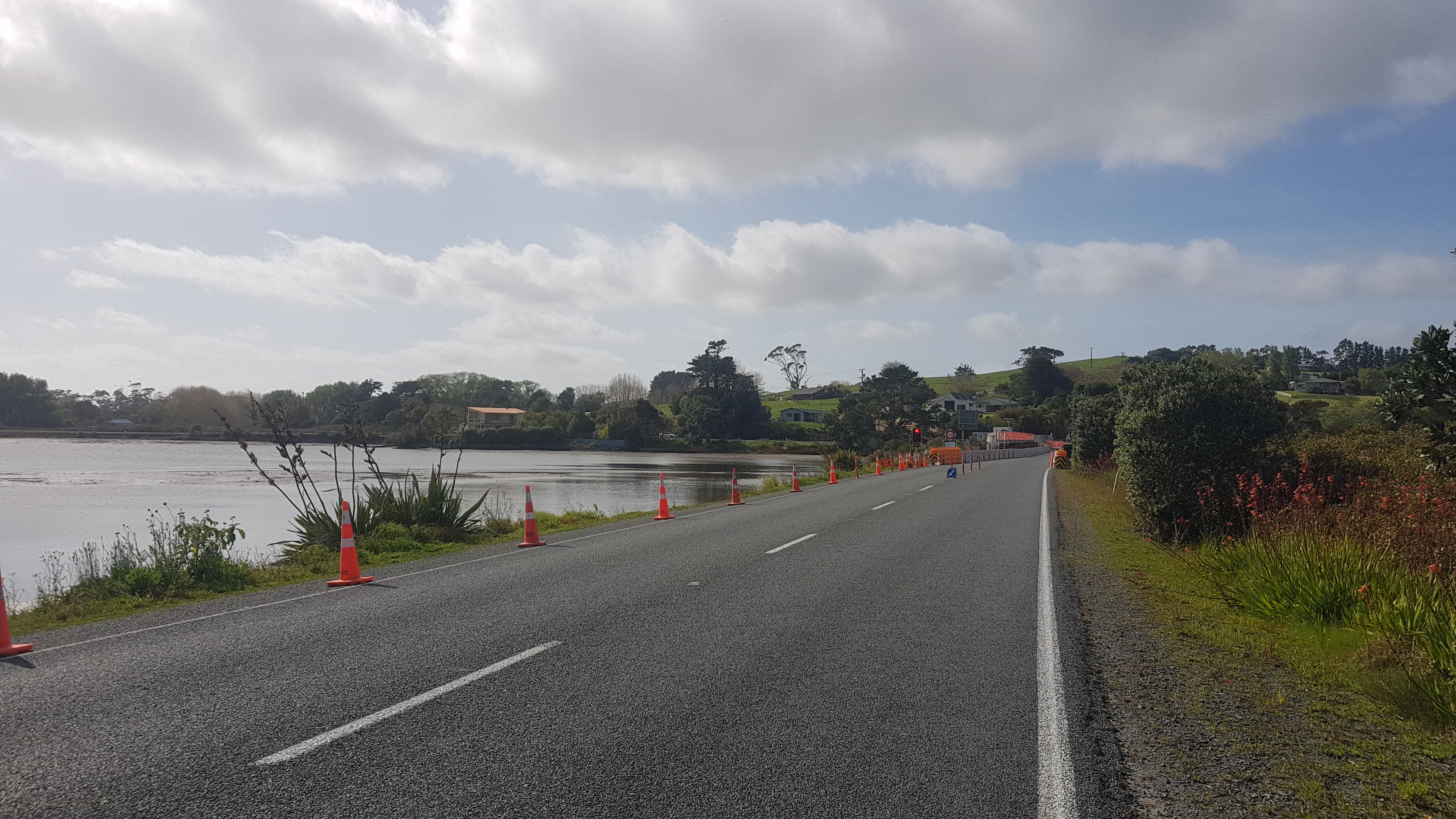
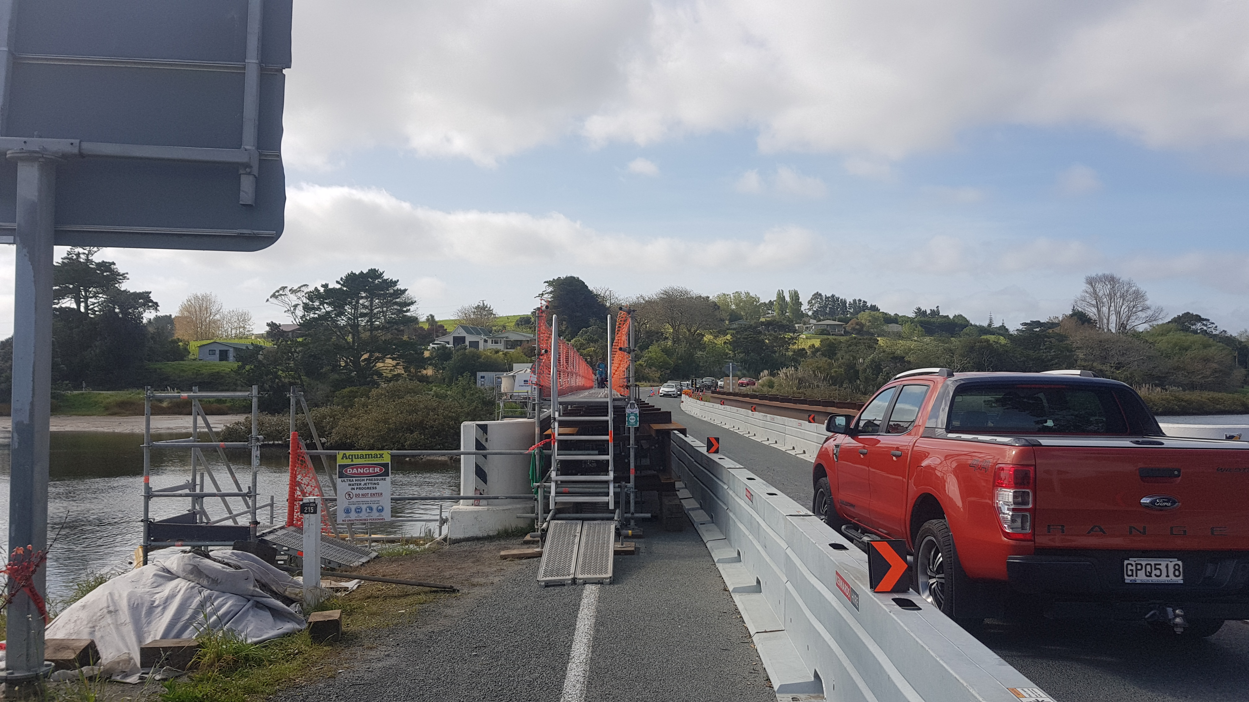
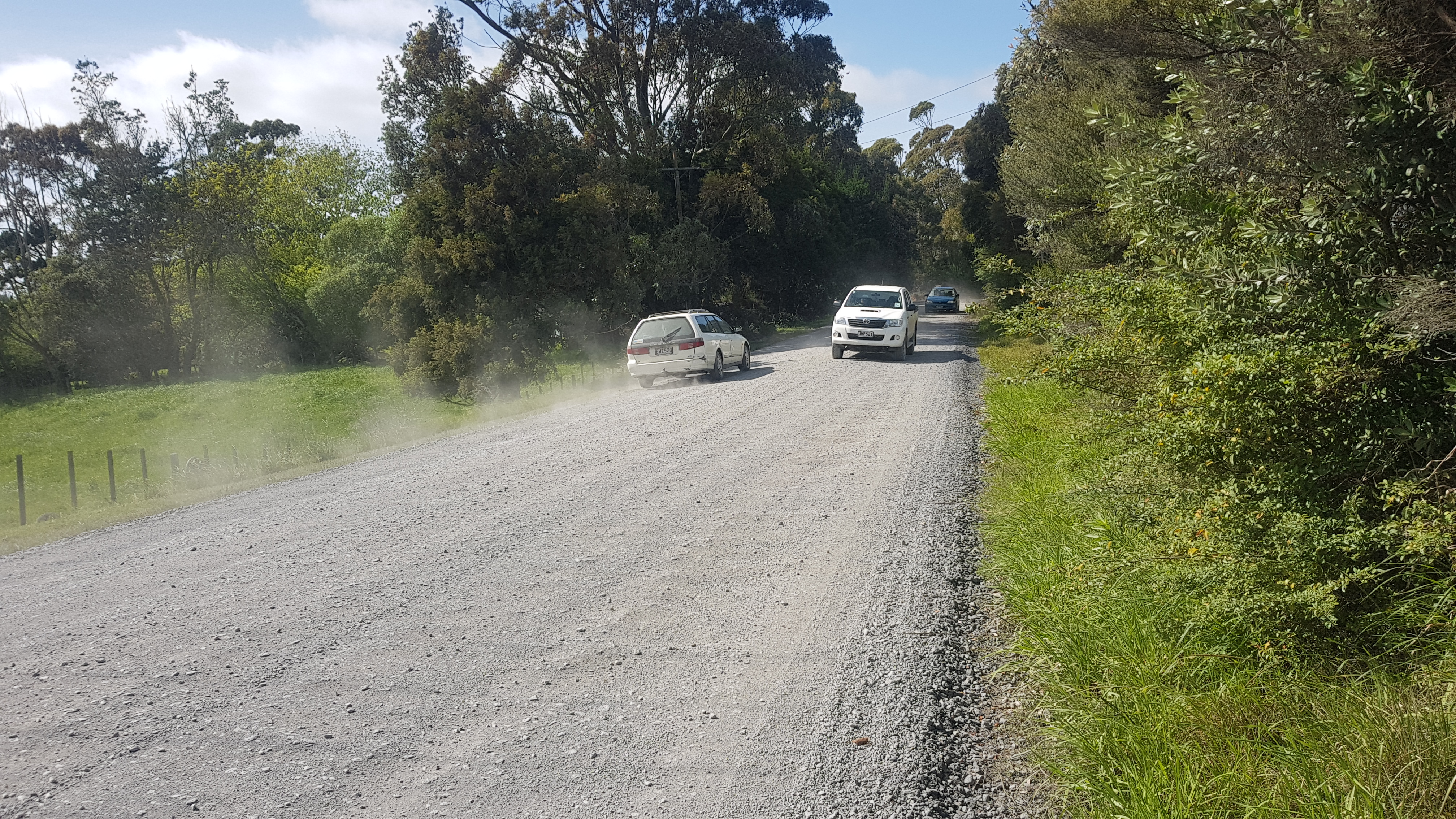
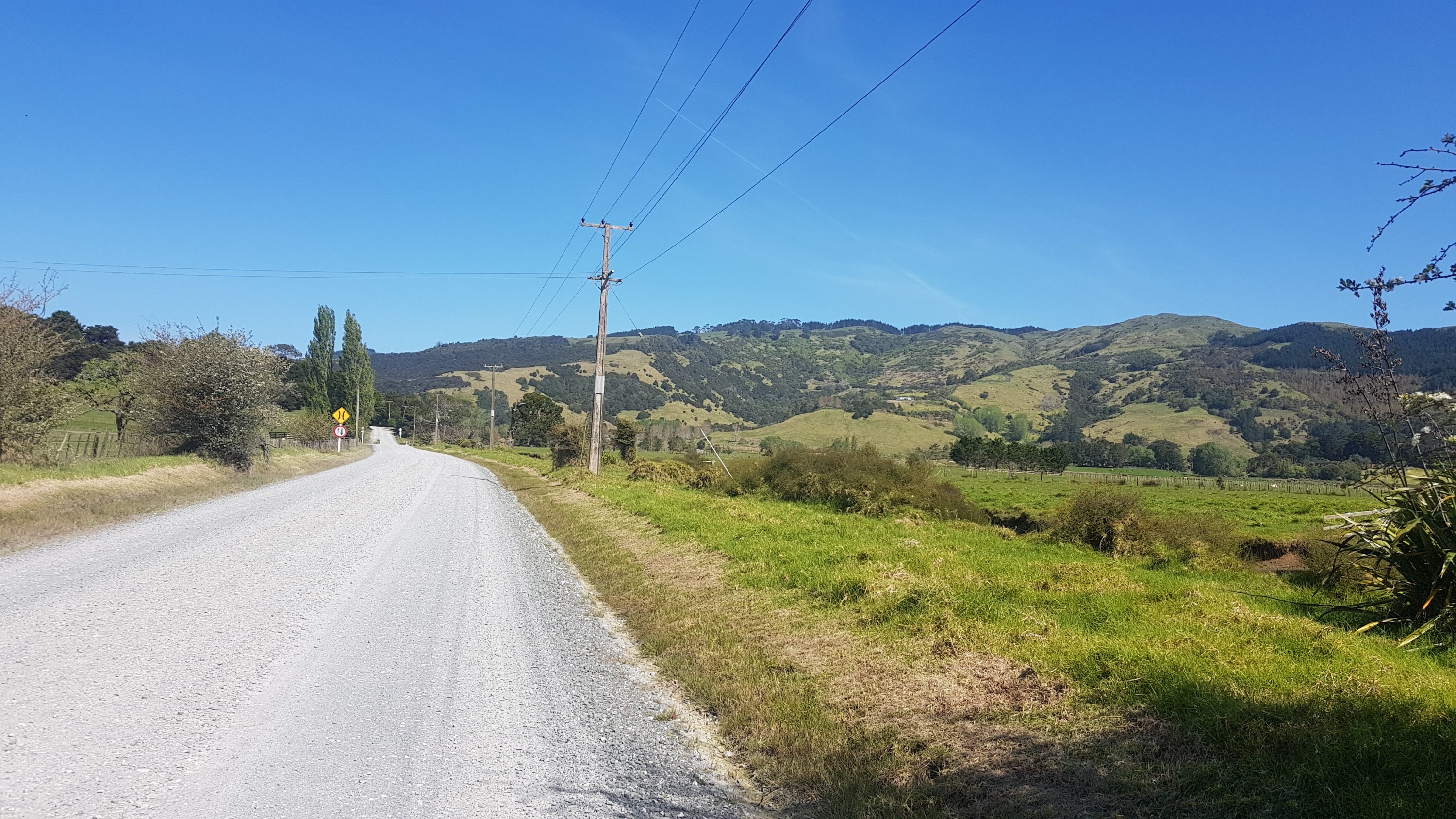
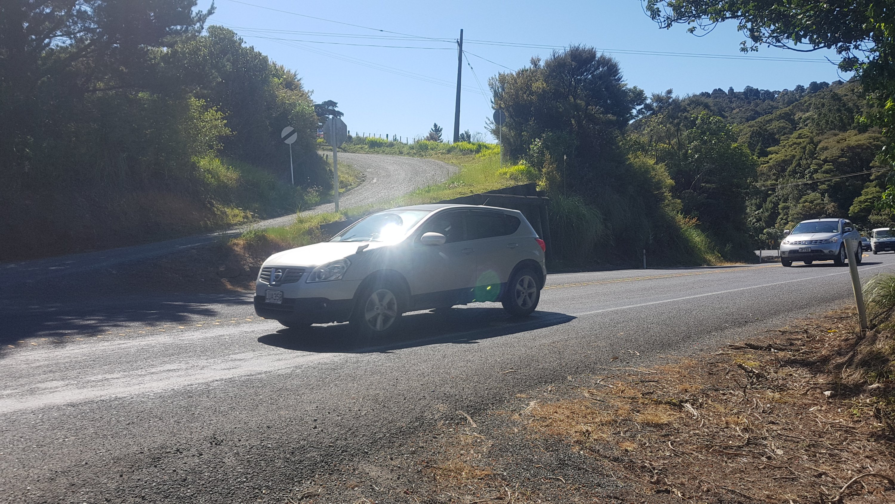
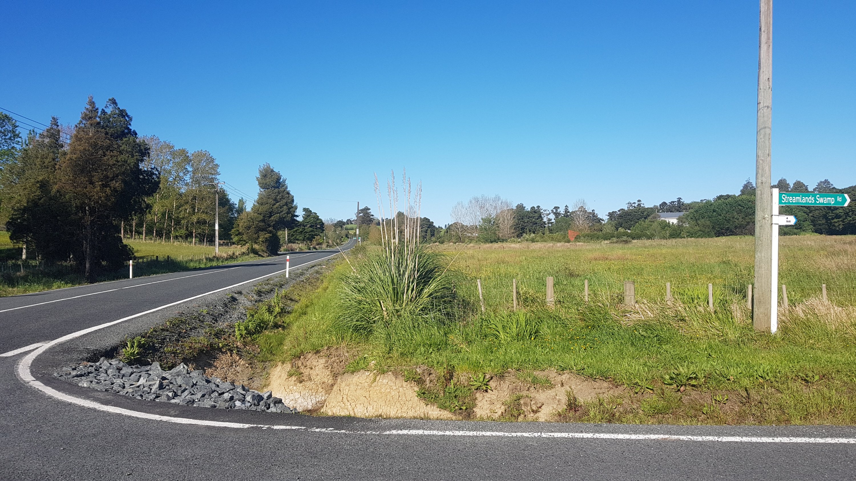
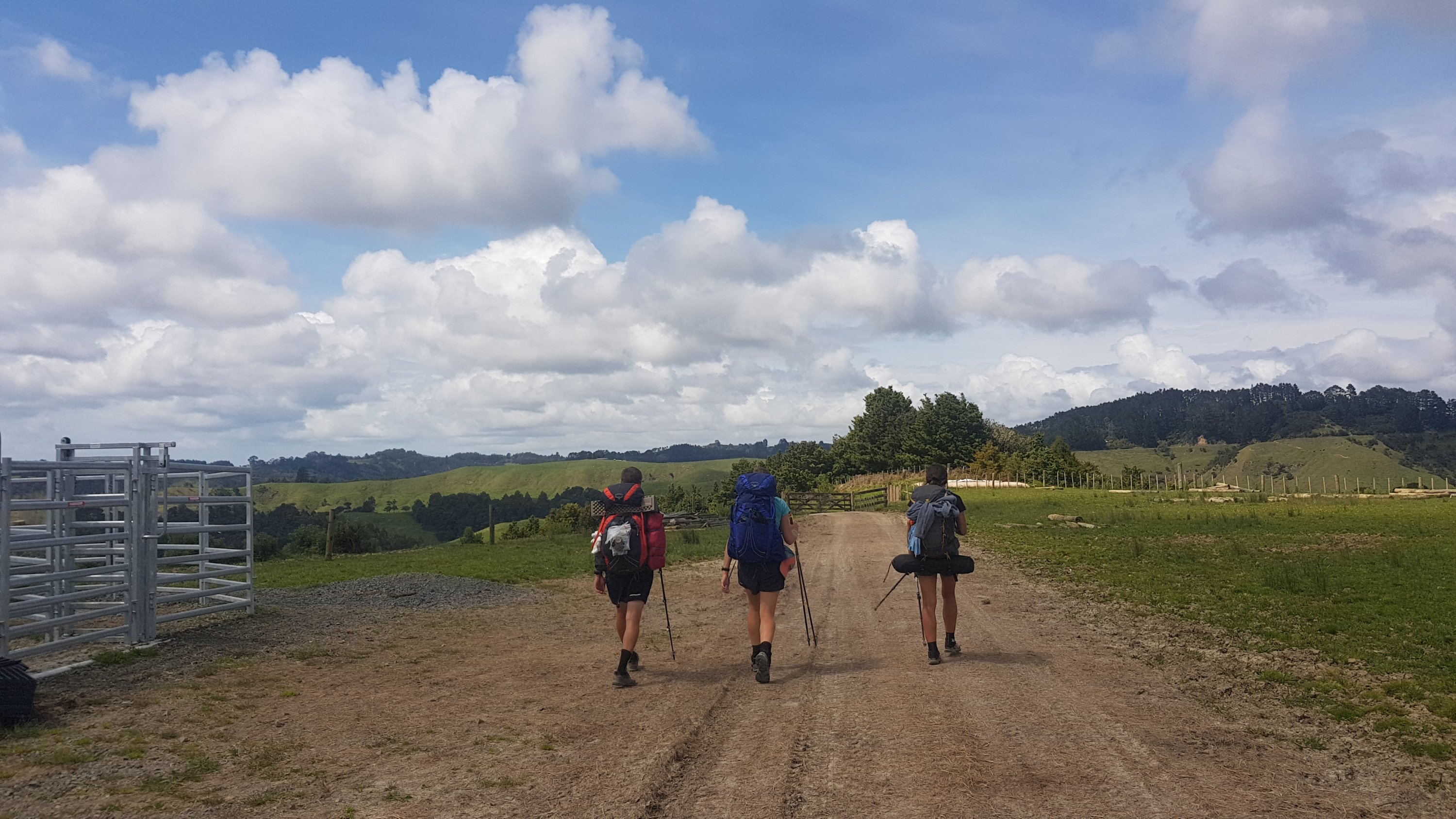
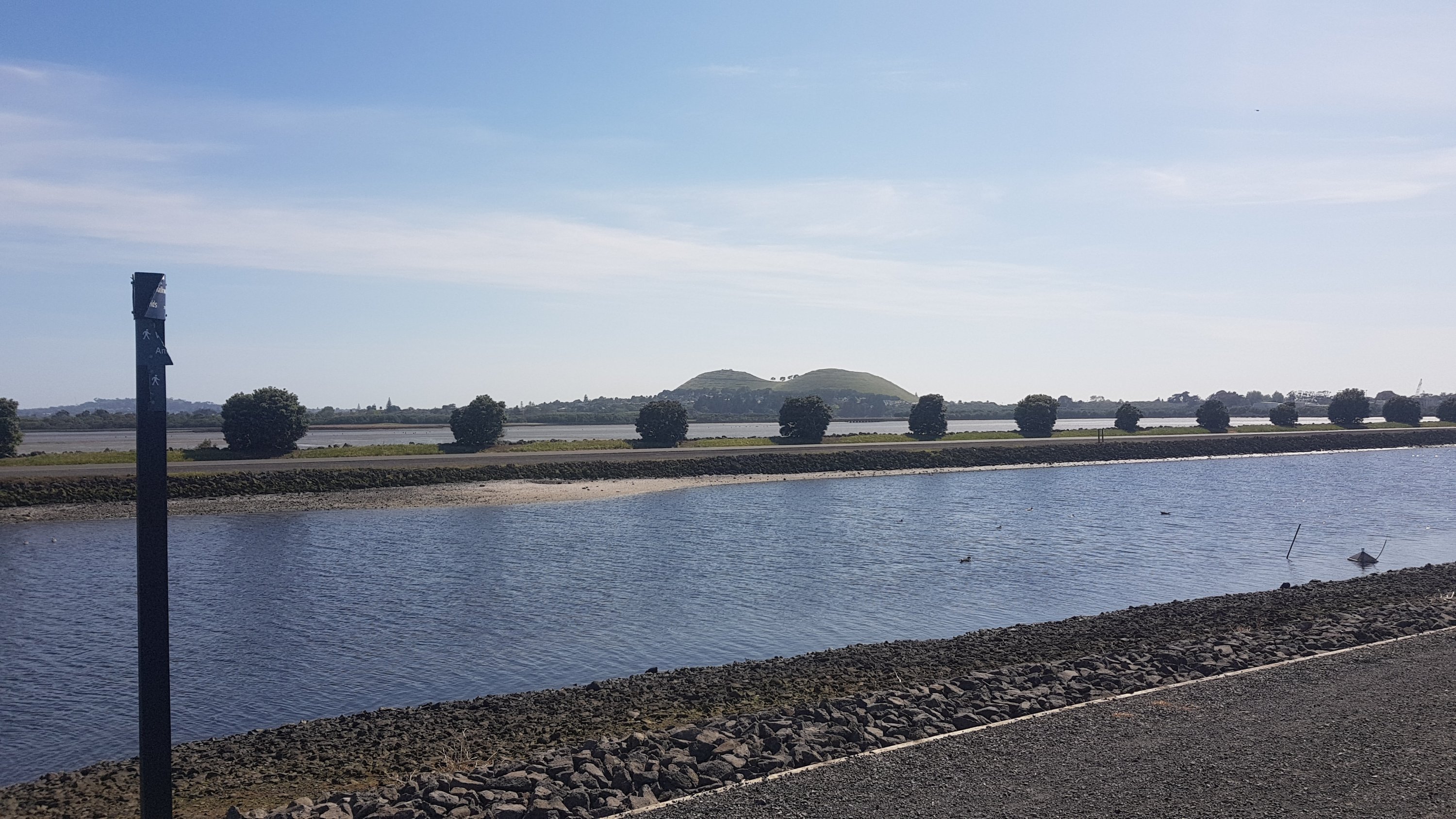
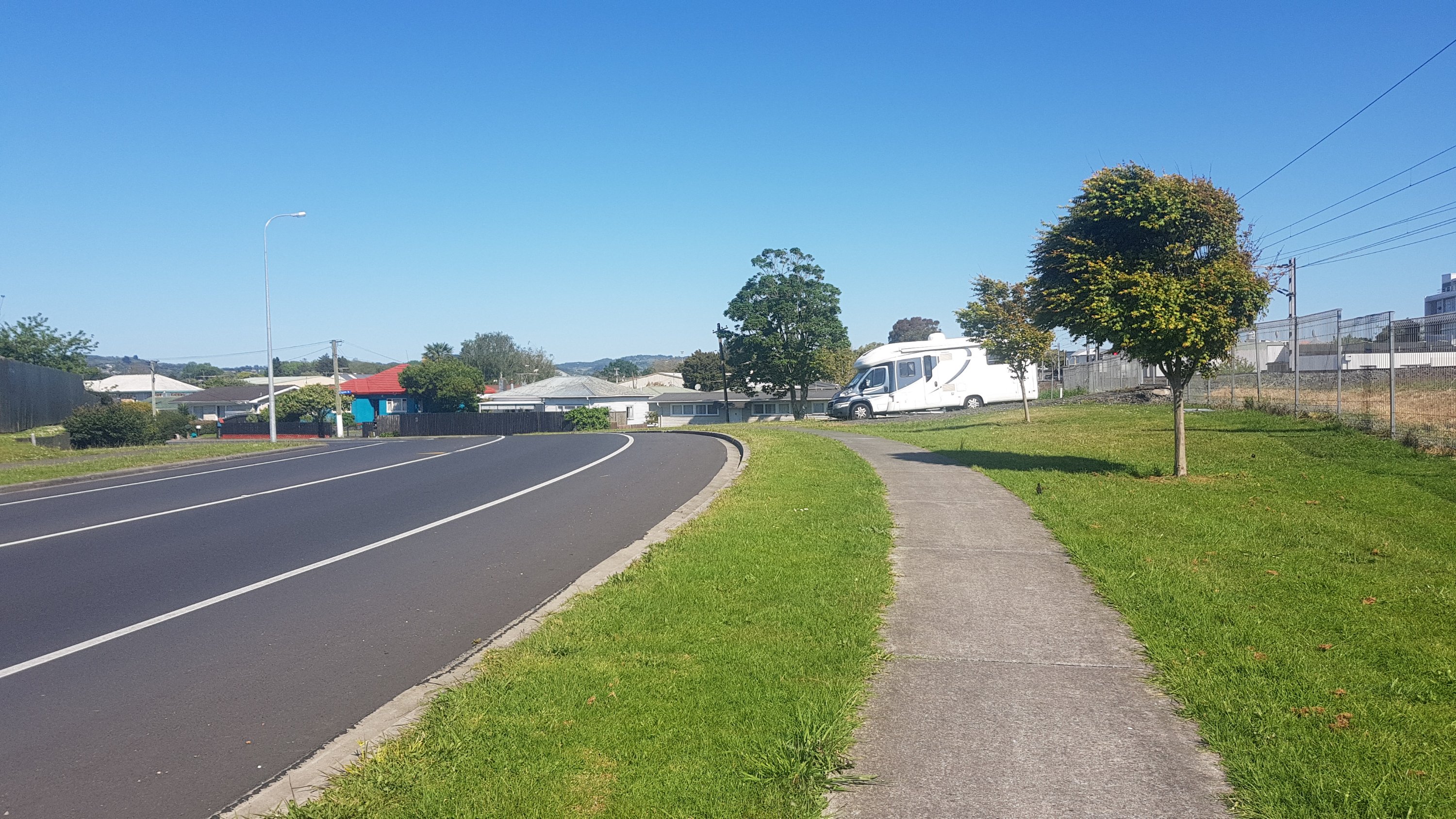
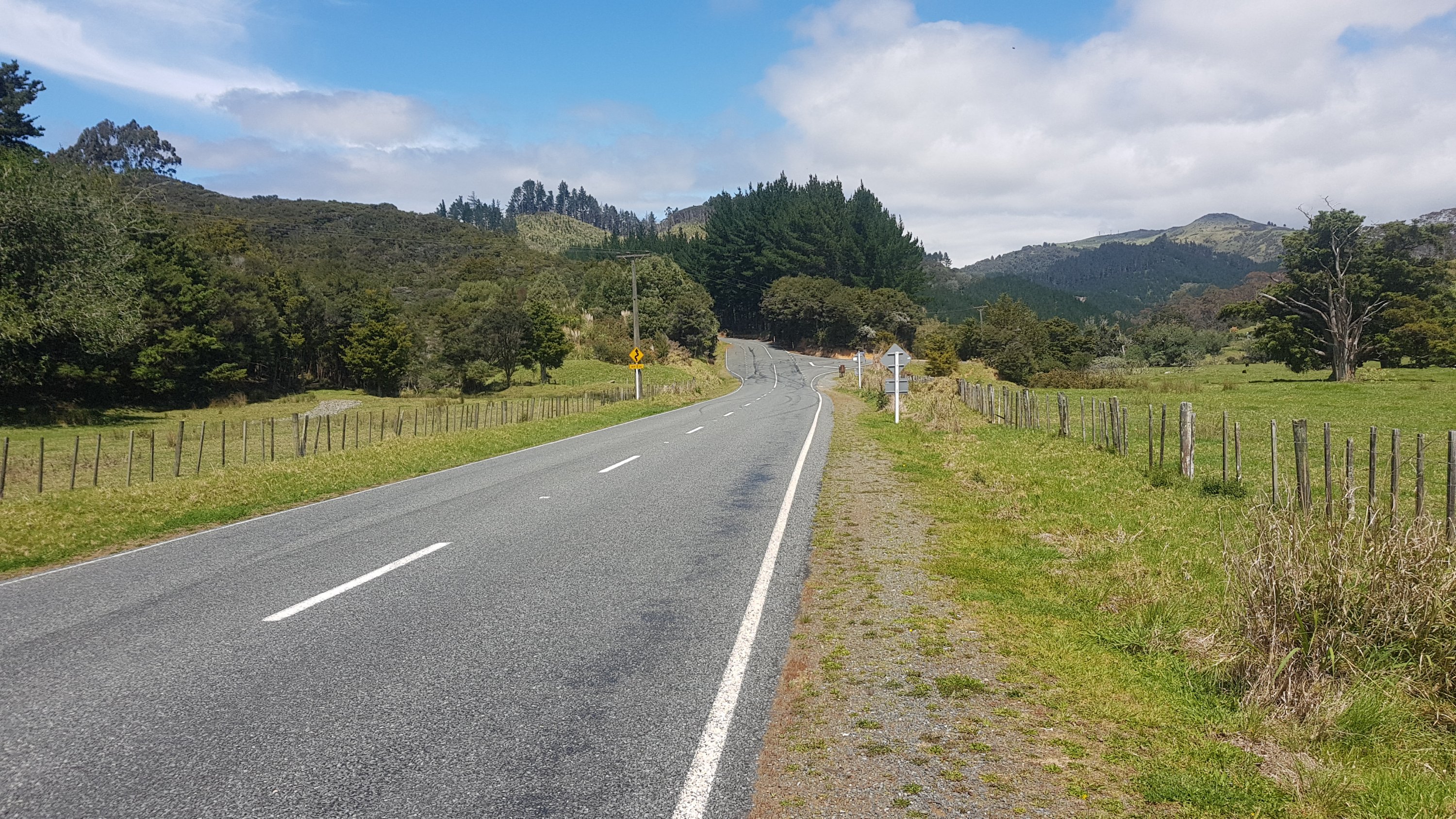
A lot of road walking now between here and Helena Bay. And really not a nice road – lots of twists and turns and sharp corners so you had to keep crossing from one side of the road to the other and back again. It wasn’t too busy but every now and again a big truck would come down the road and use up the entire lane.
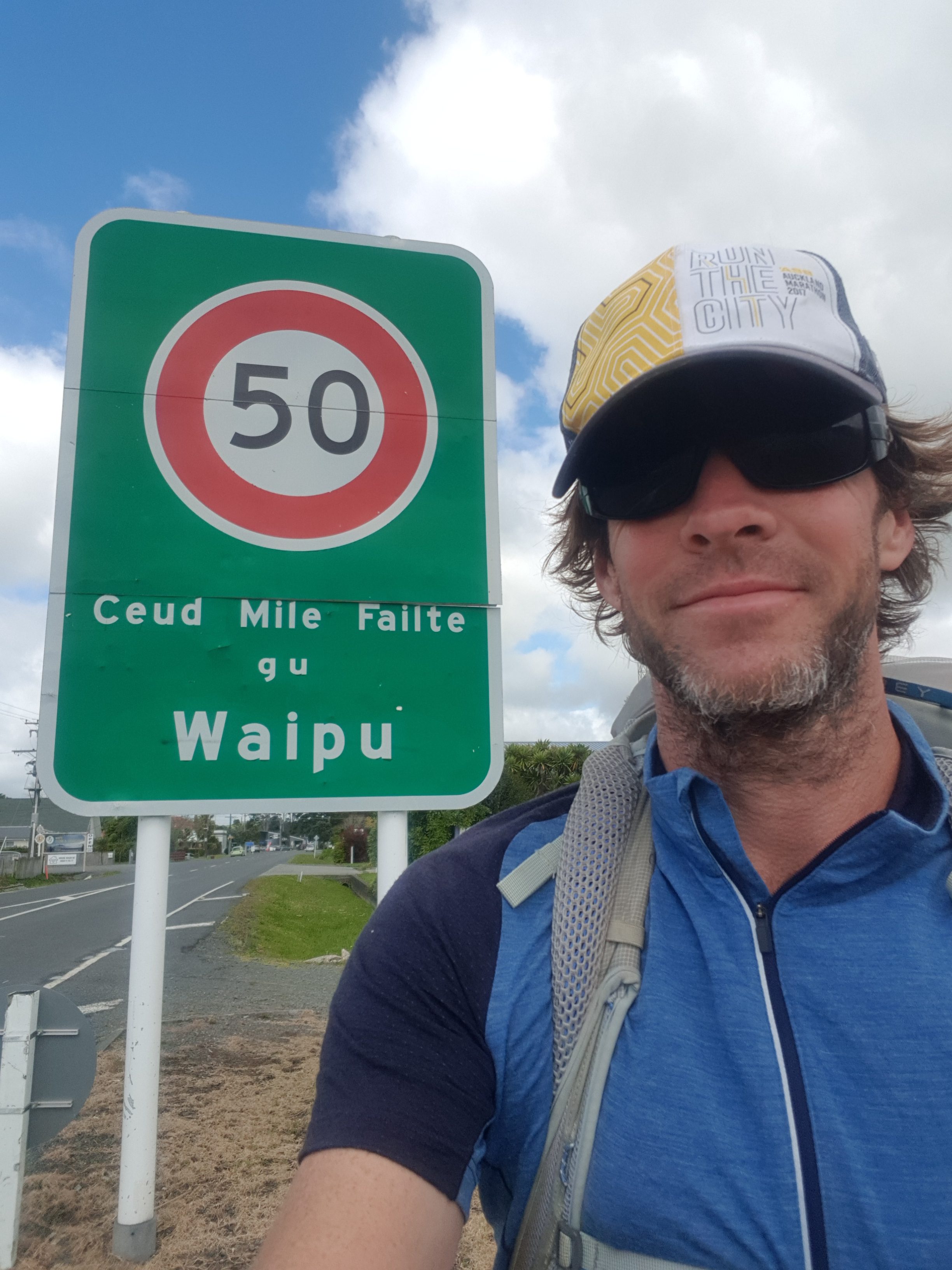
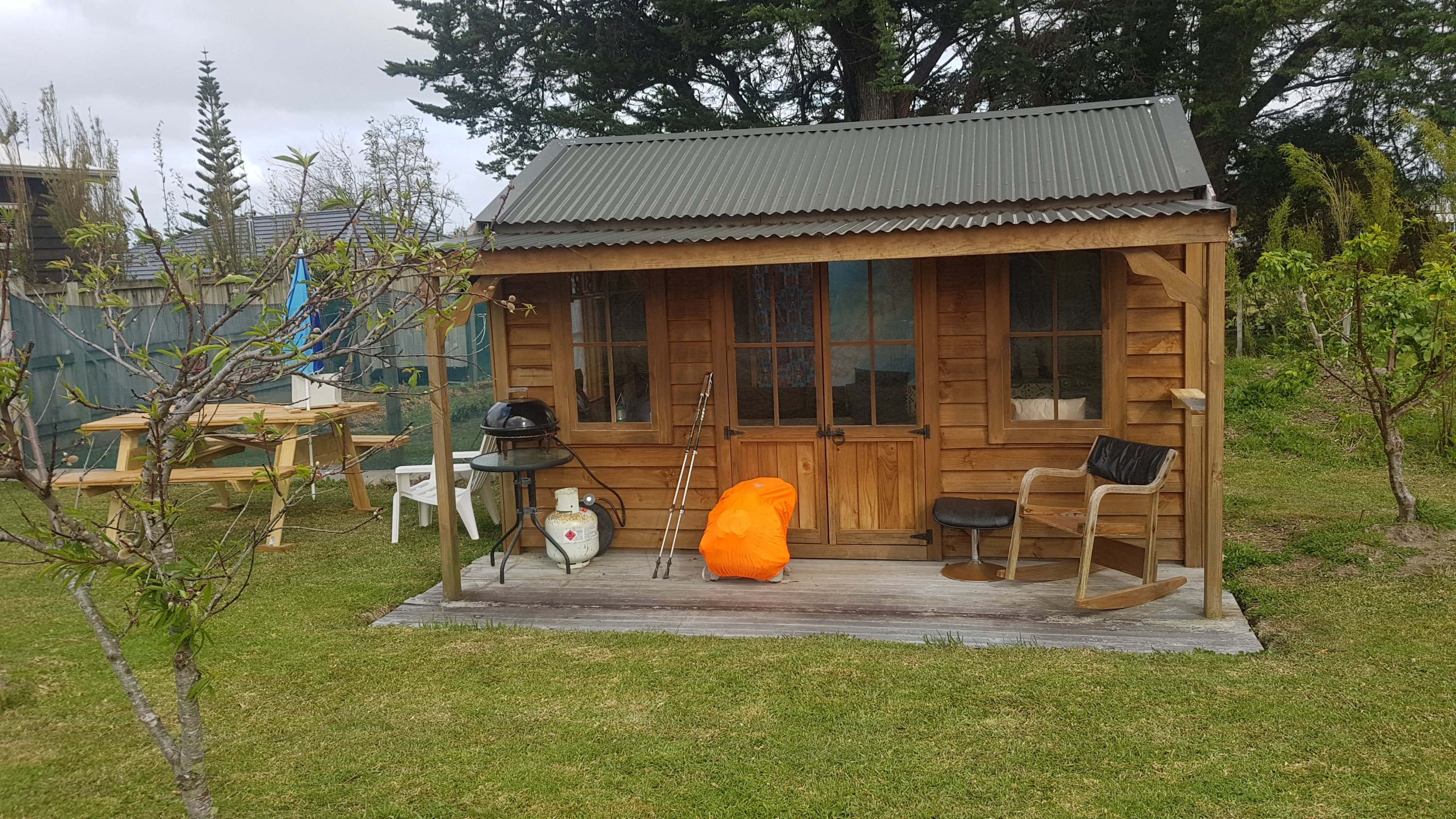
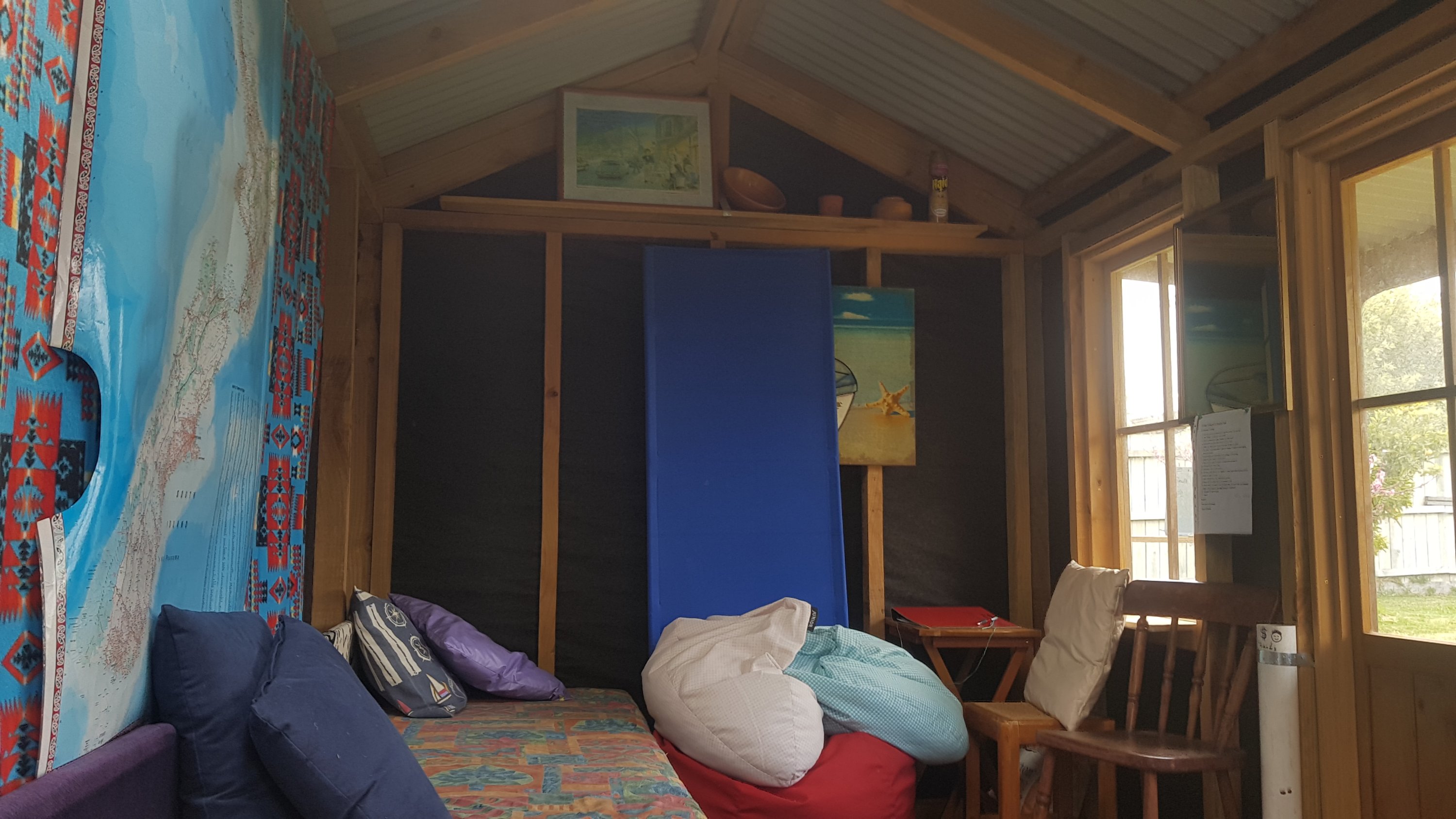
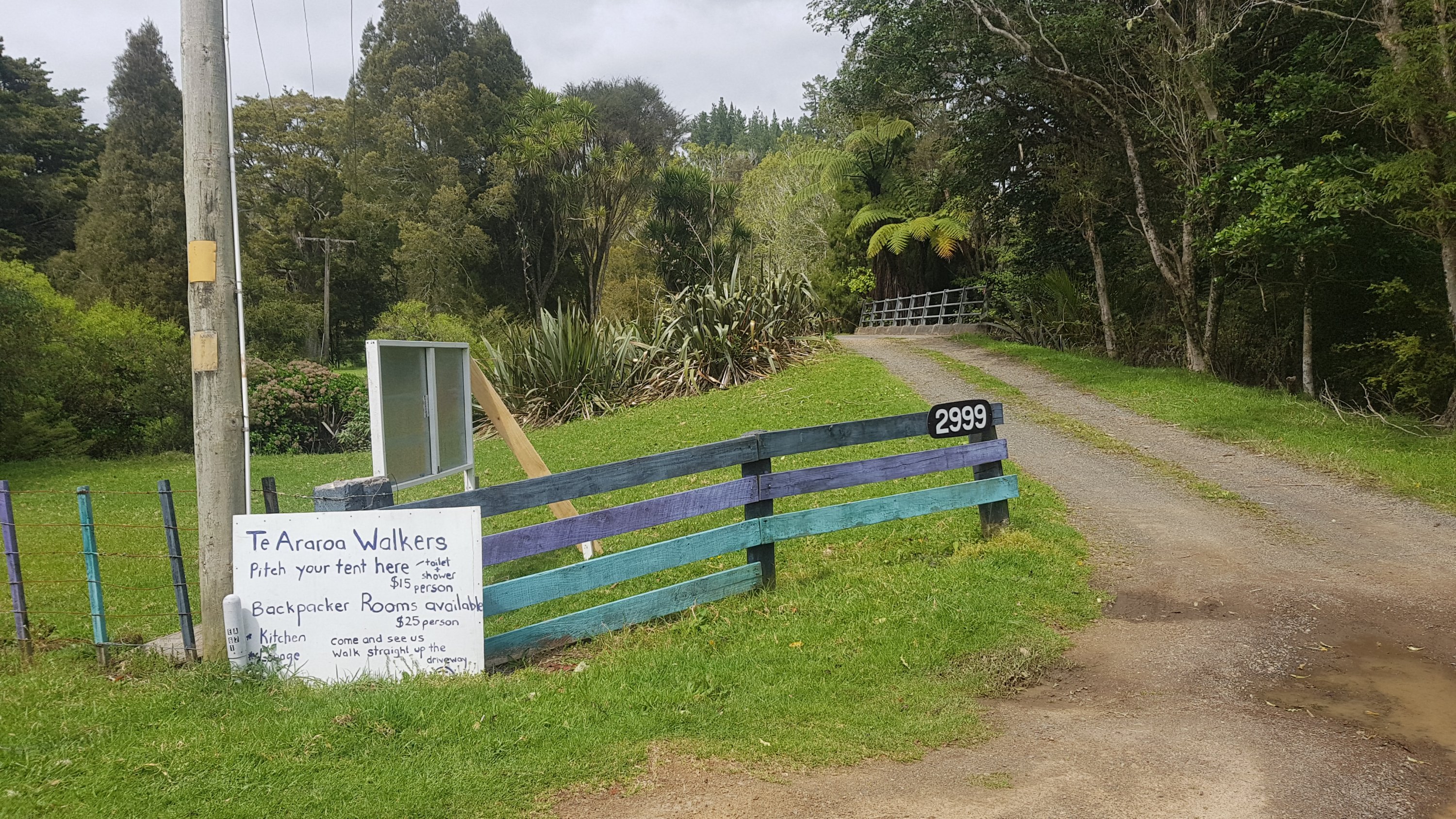
Just a small distance down the road was 2999. I know Rhydian stayed here and I’m fairly sure he said he liked it… so that’s an option if you don’t want to stay at the shelter where I stayed last night.
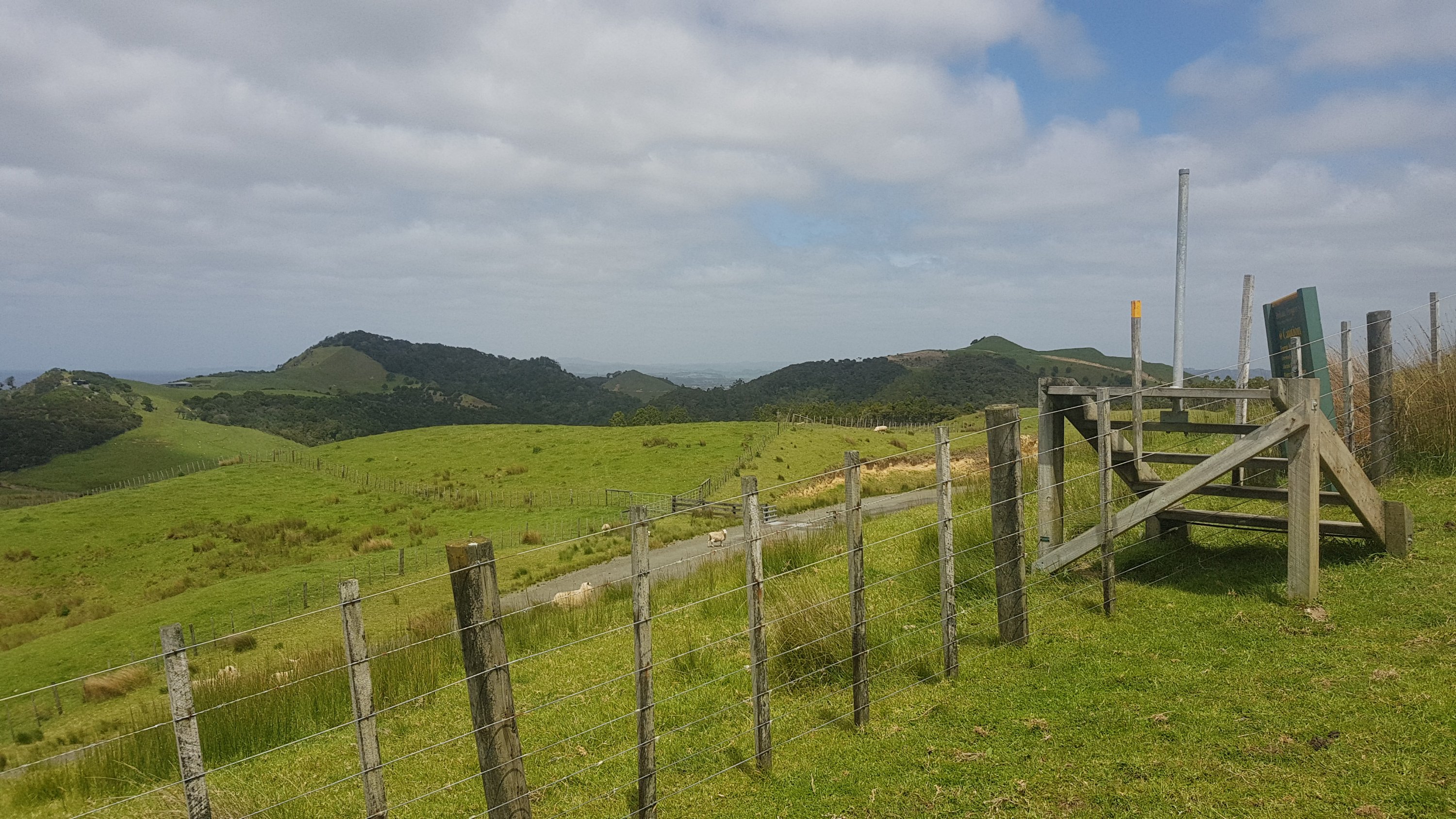
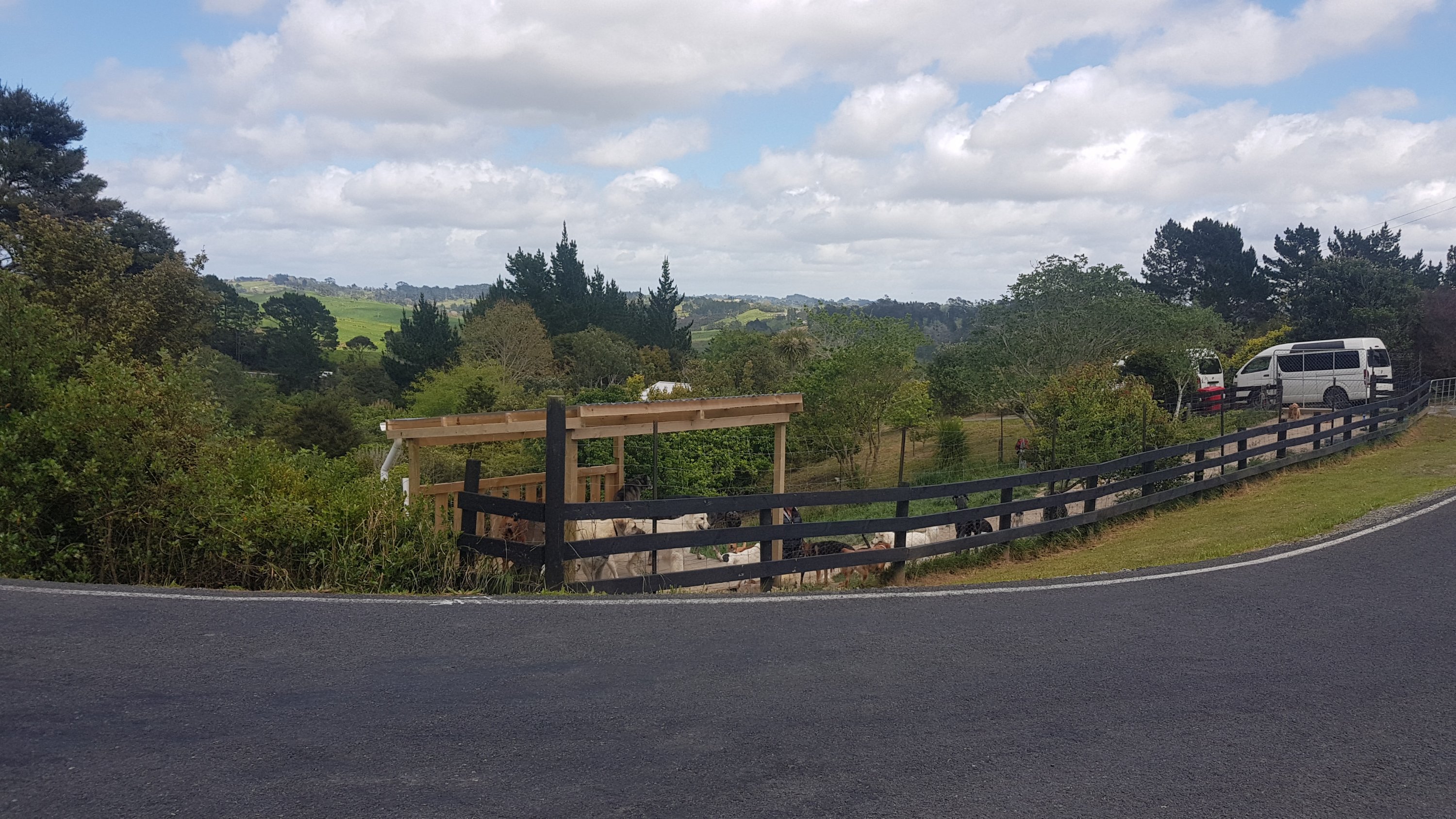
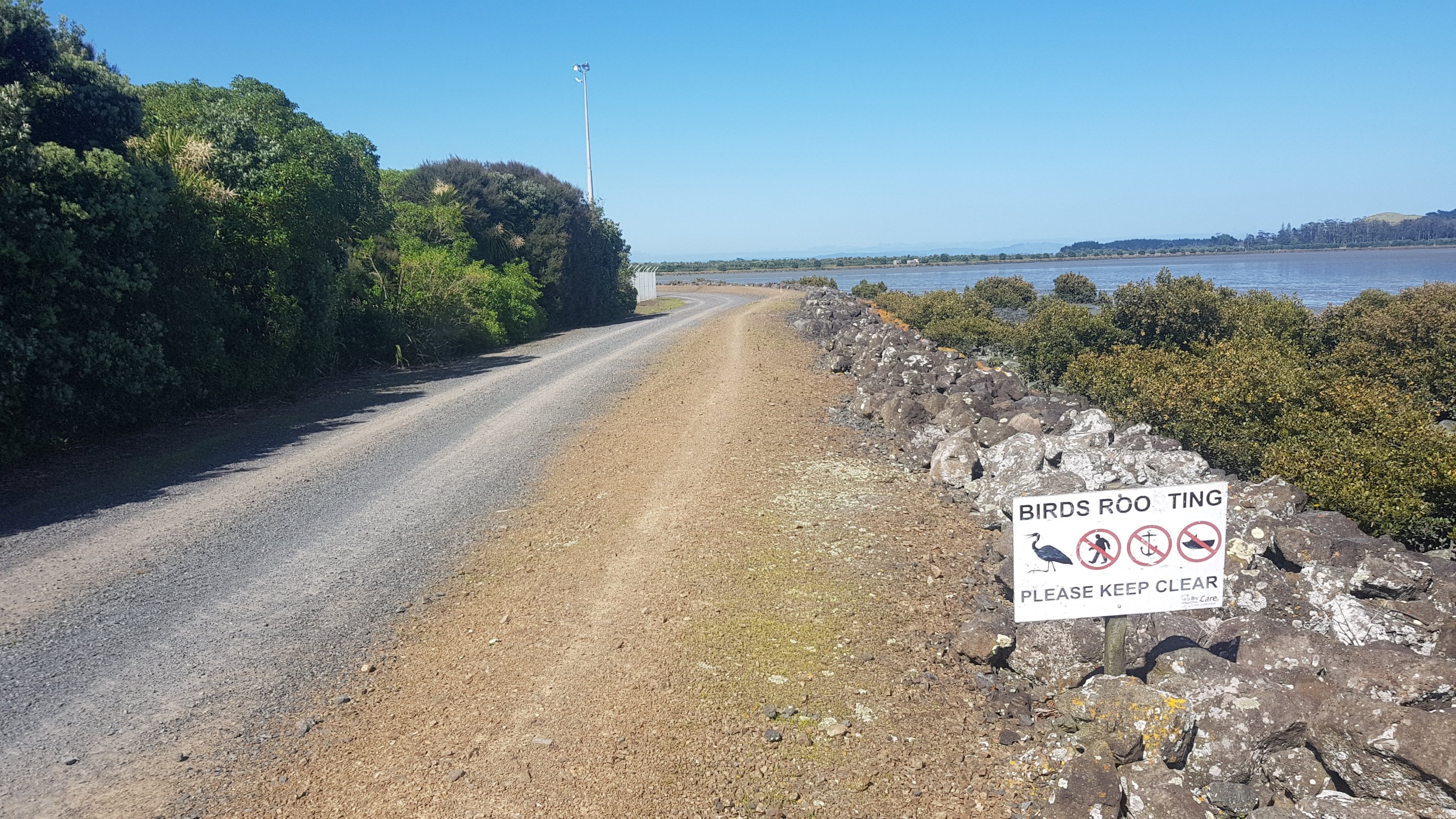
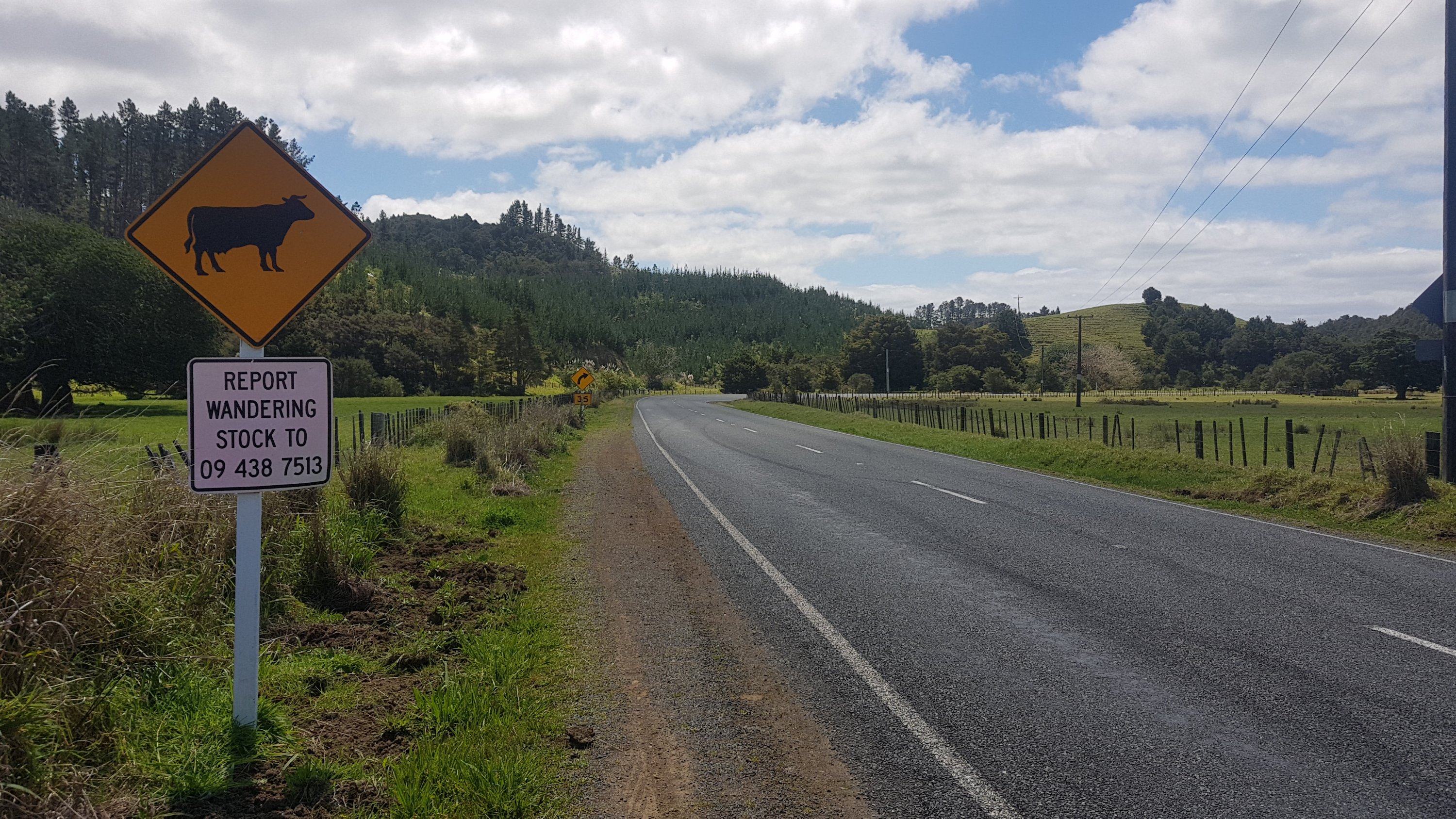
There was a sign to report wandering stock:
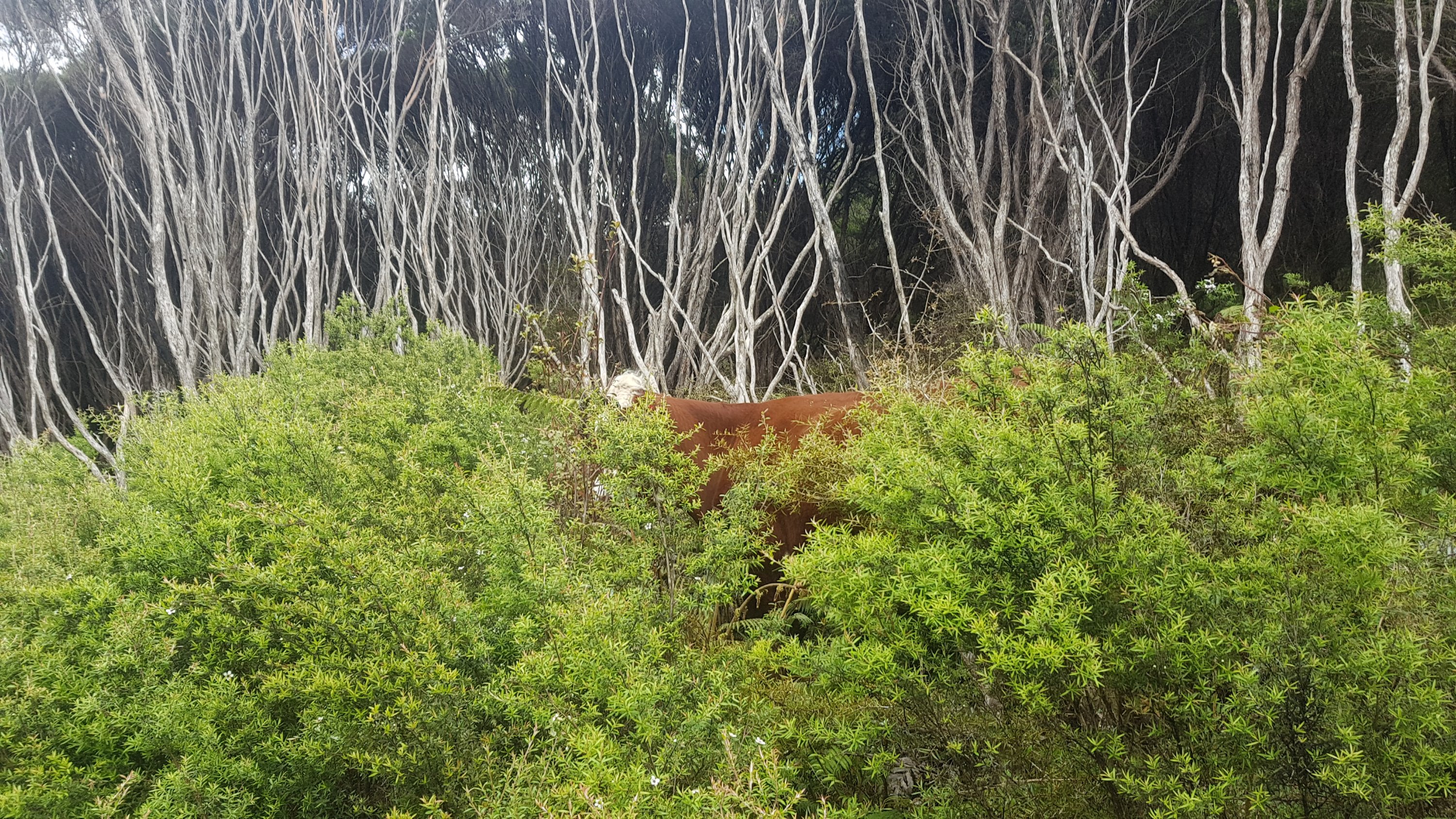
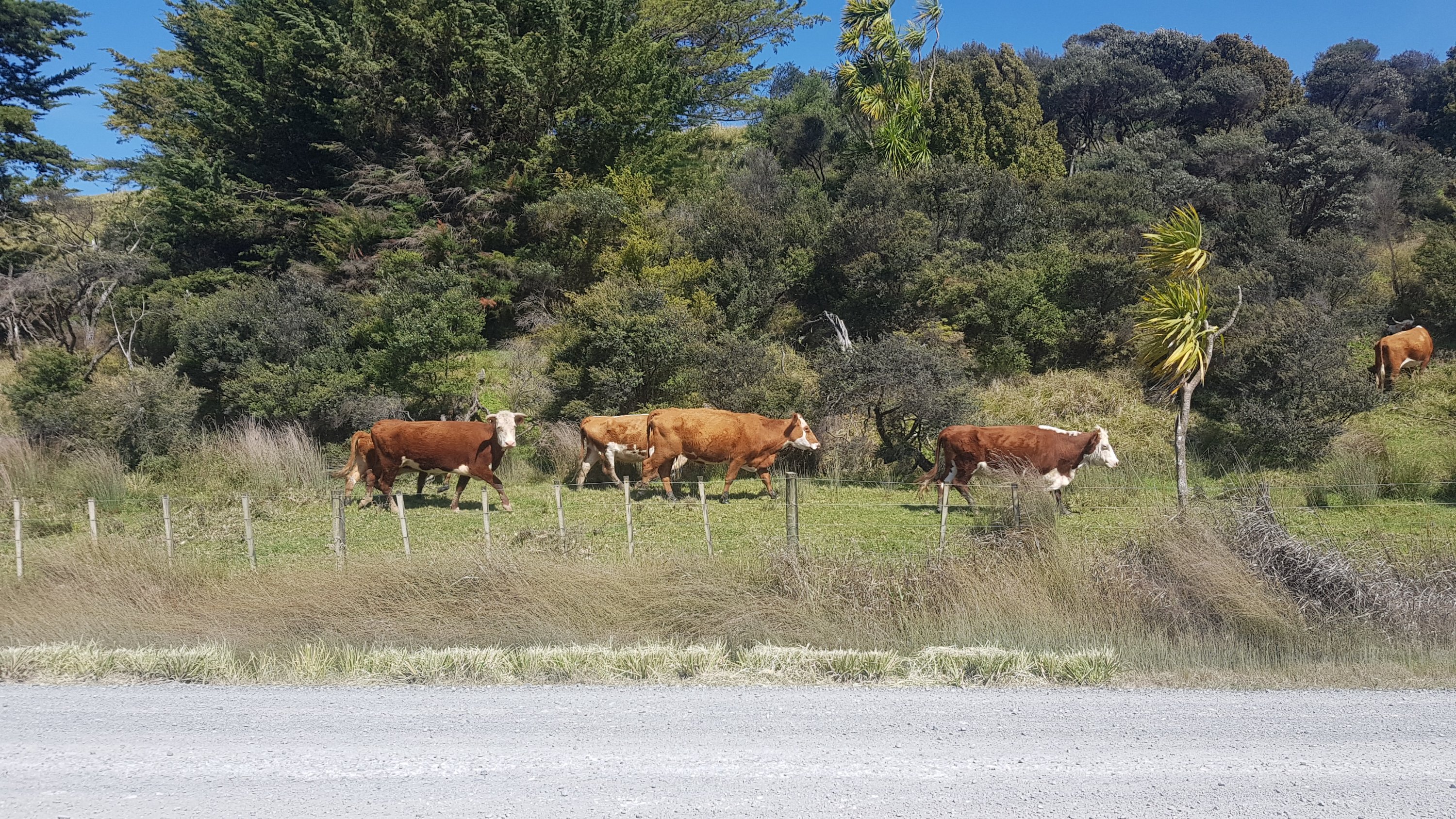
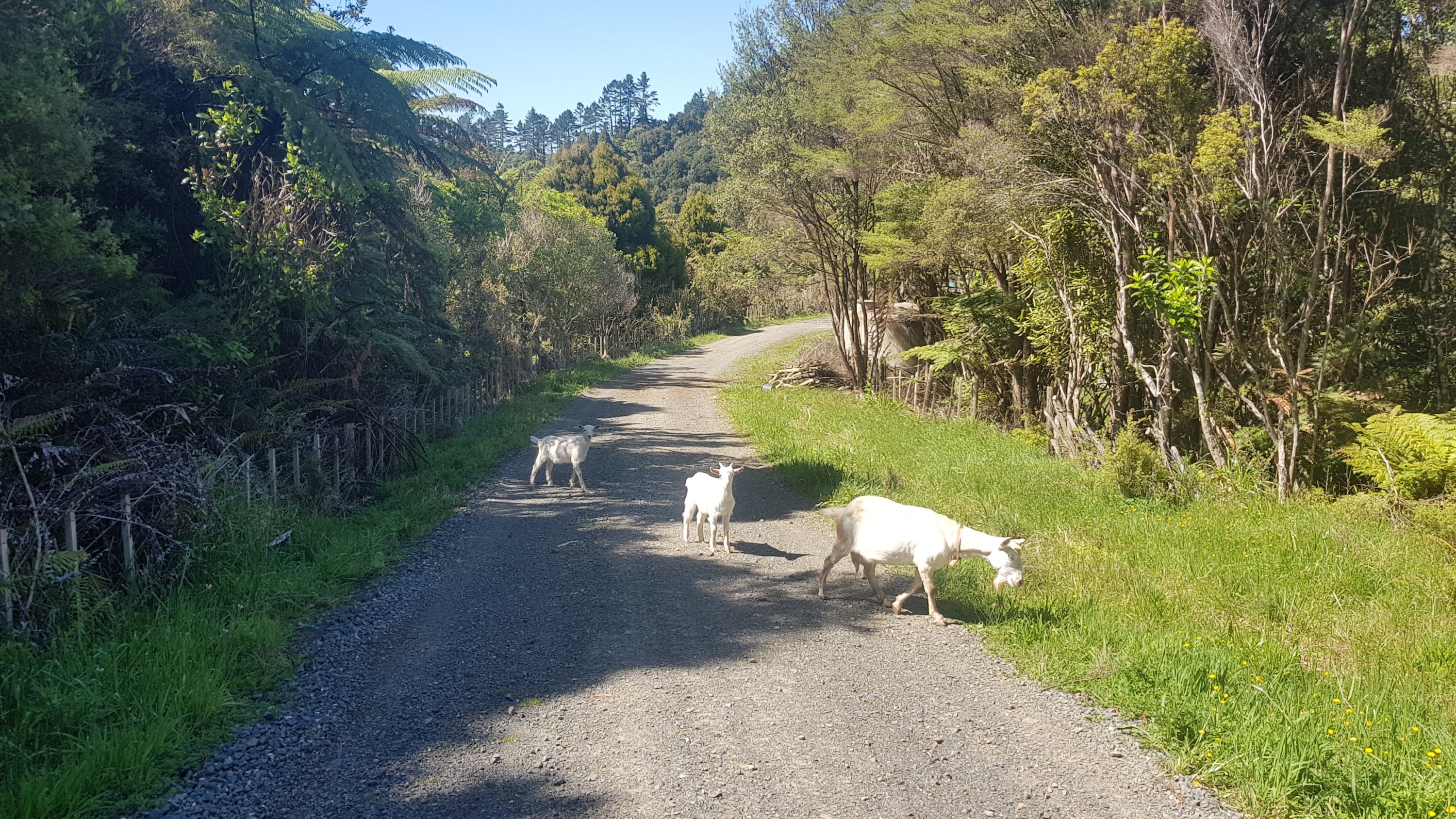
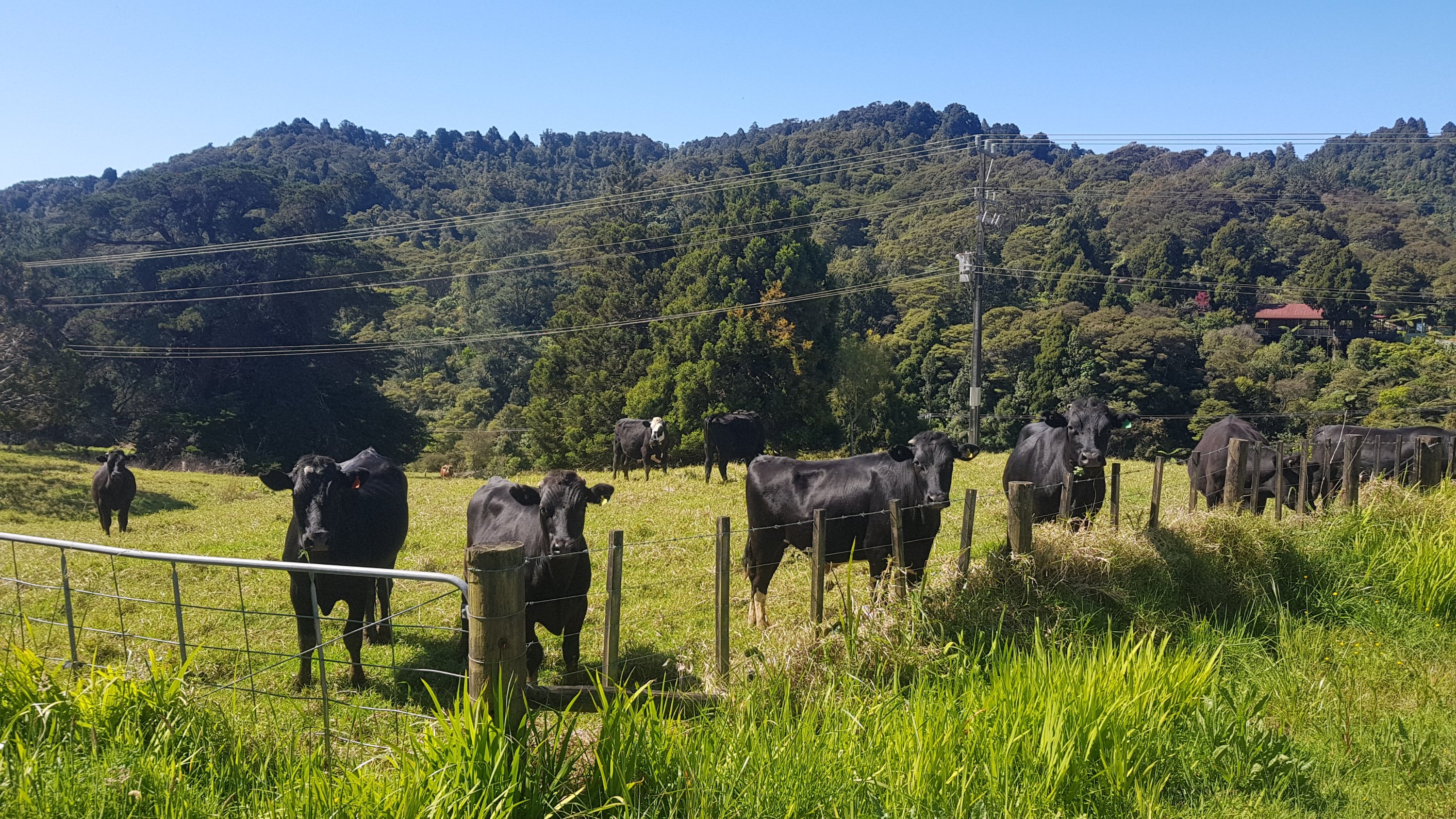
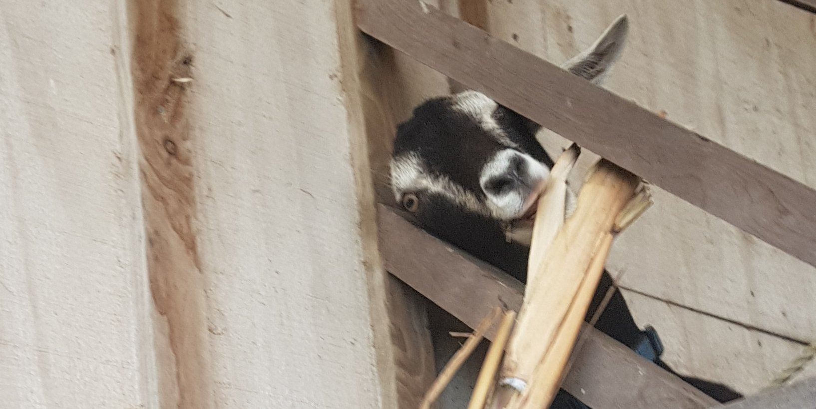
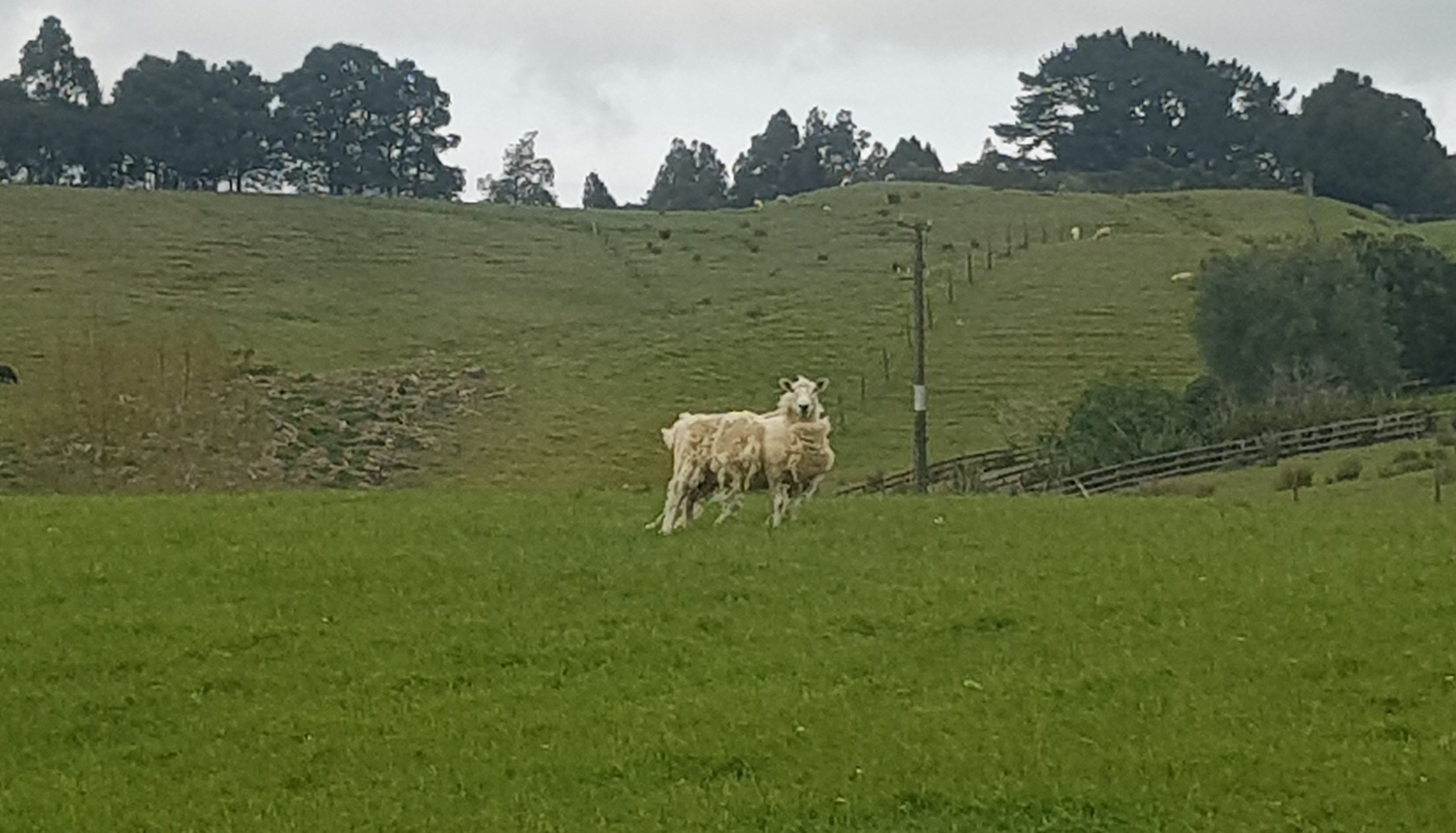
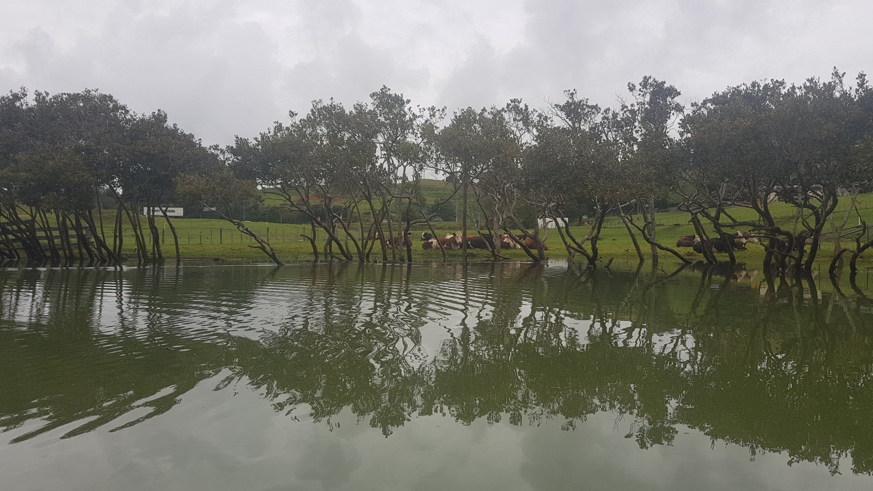
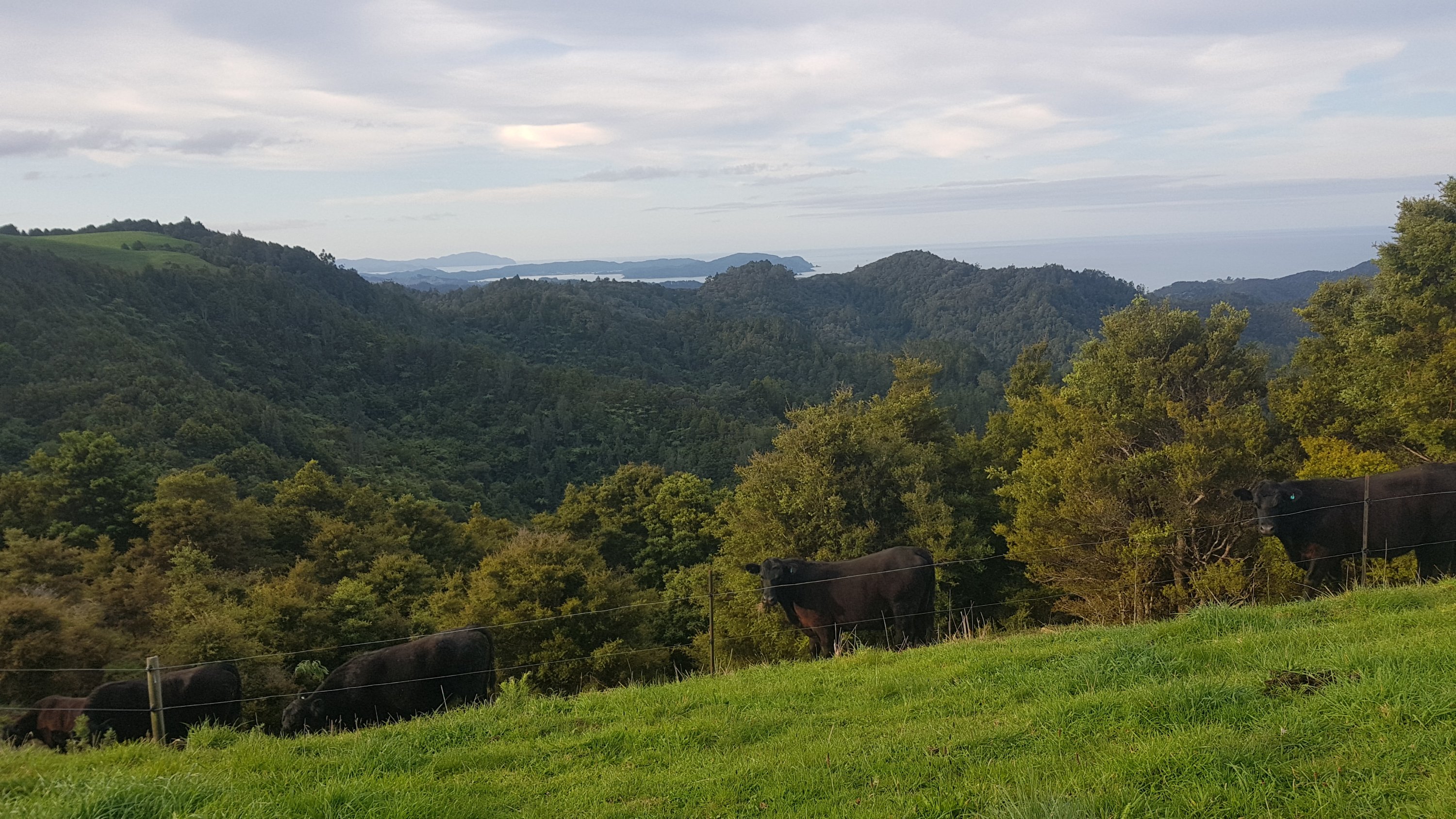
I thought this was a bit odd but literally one minute later was this guy:
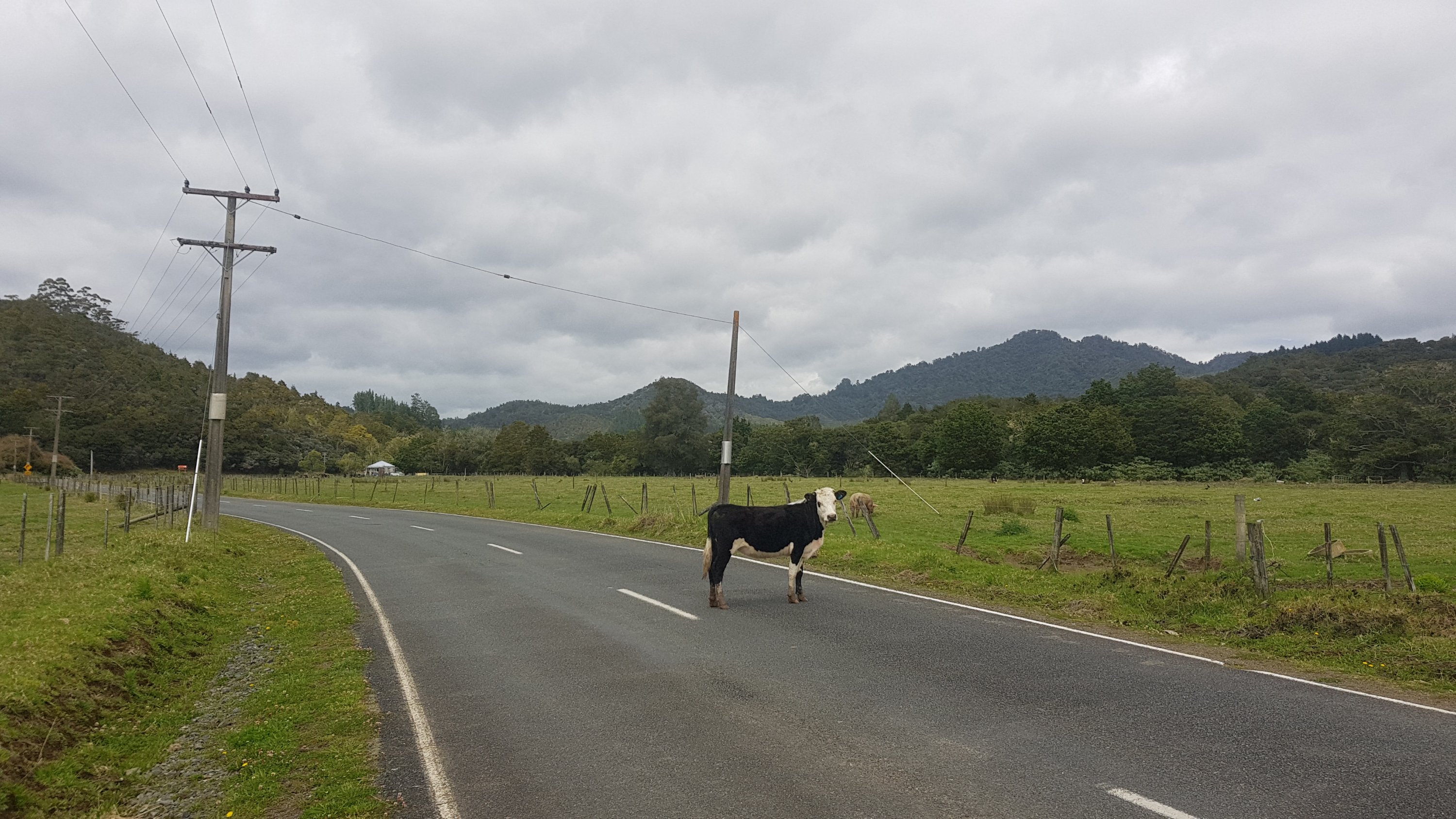
And then a bunch of other cows on the road further up.
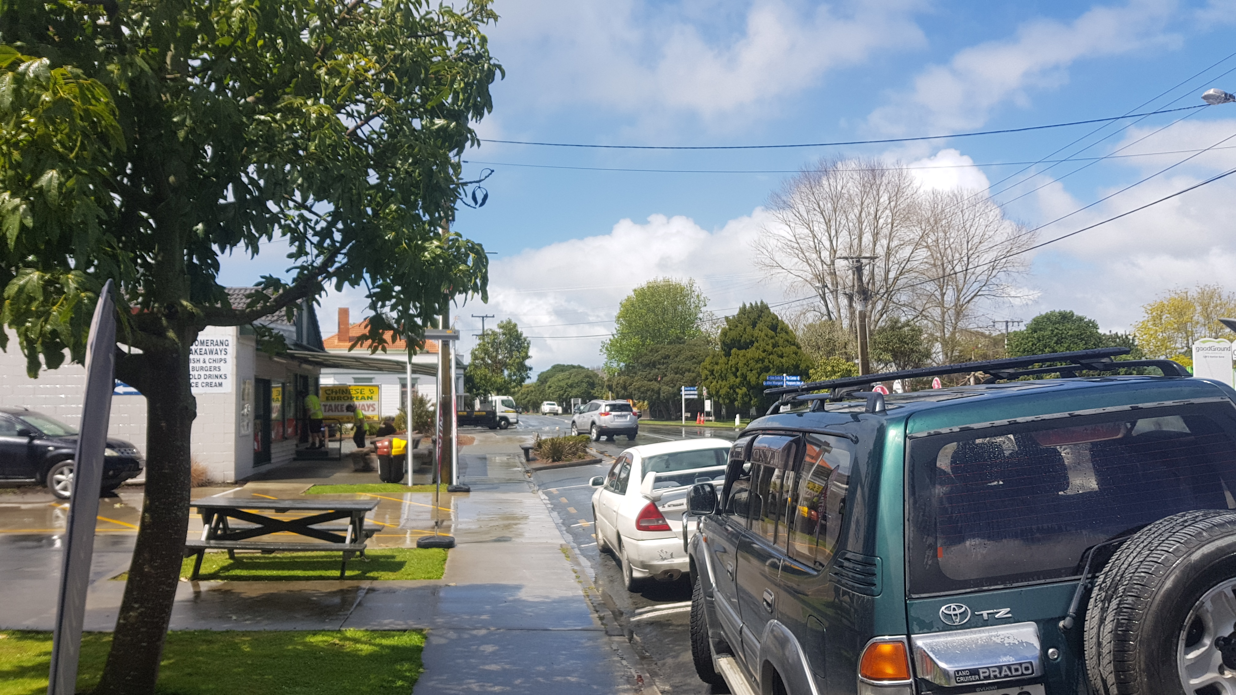
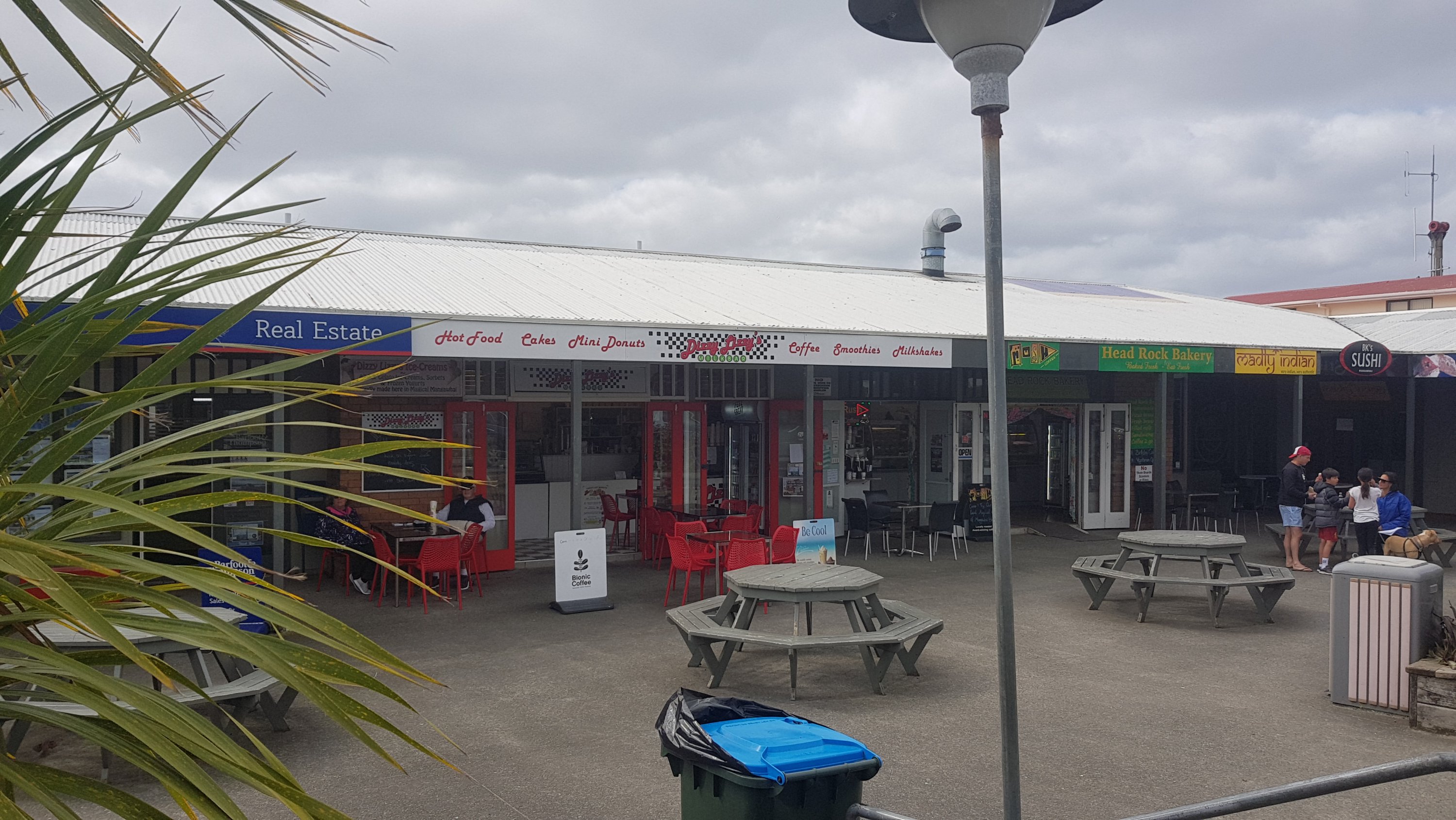
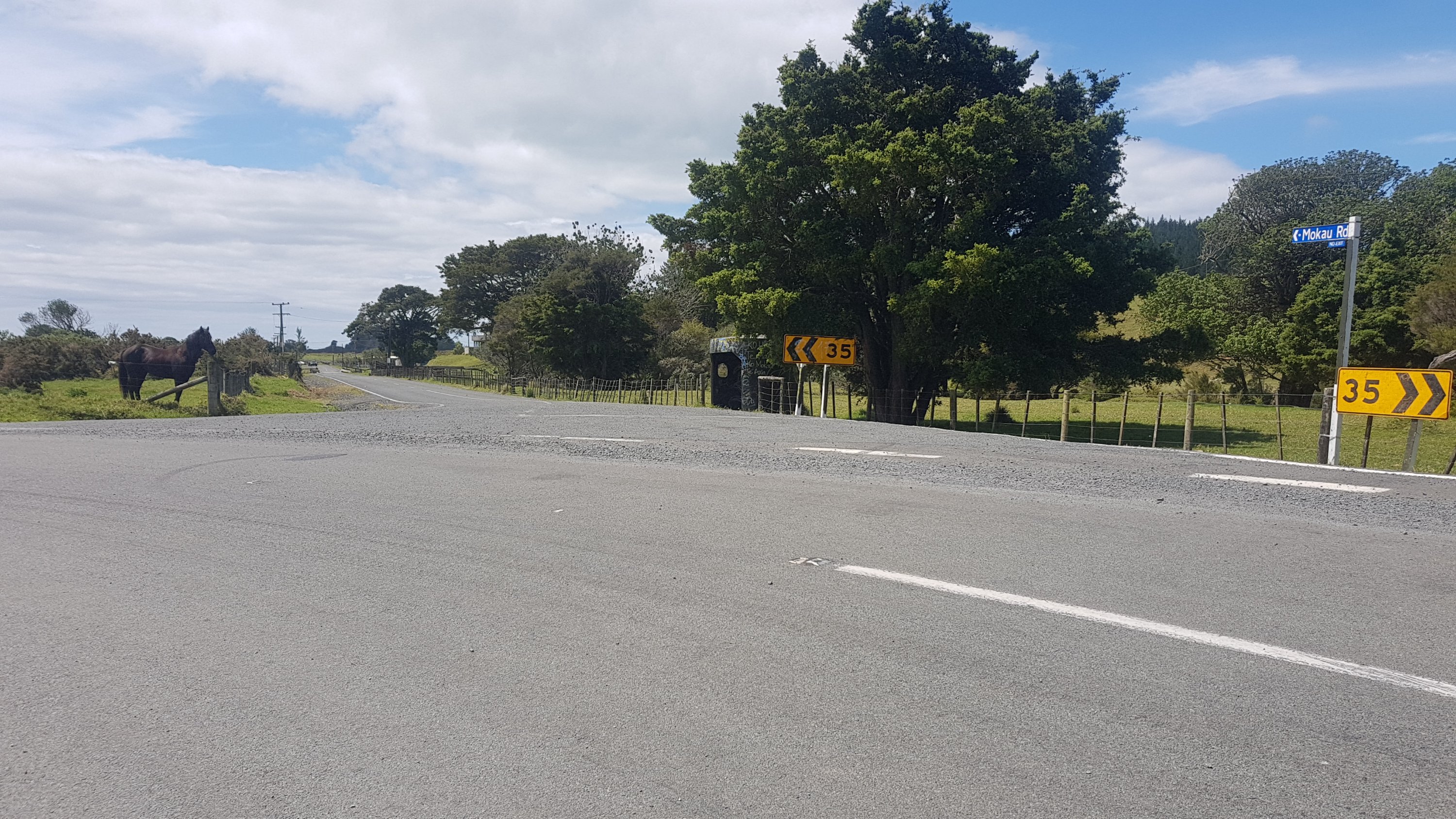
Really felt like a shop again to get a drink. I don’t know this part of the country and so I thought Mokau (which I saw on the map) might have a shop. But no, this was all there was:
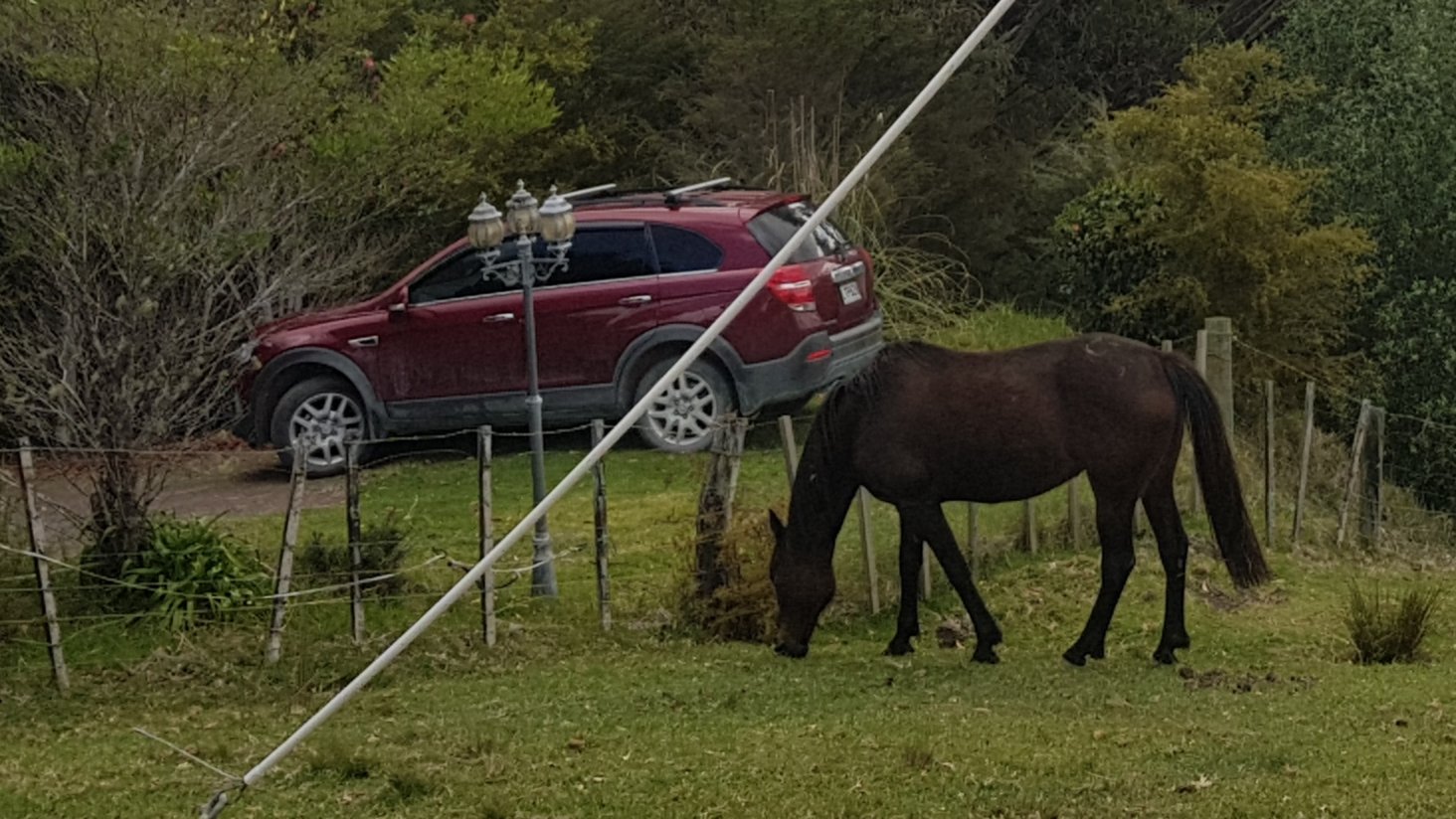
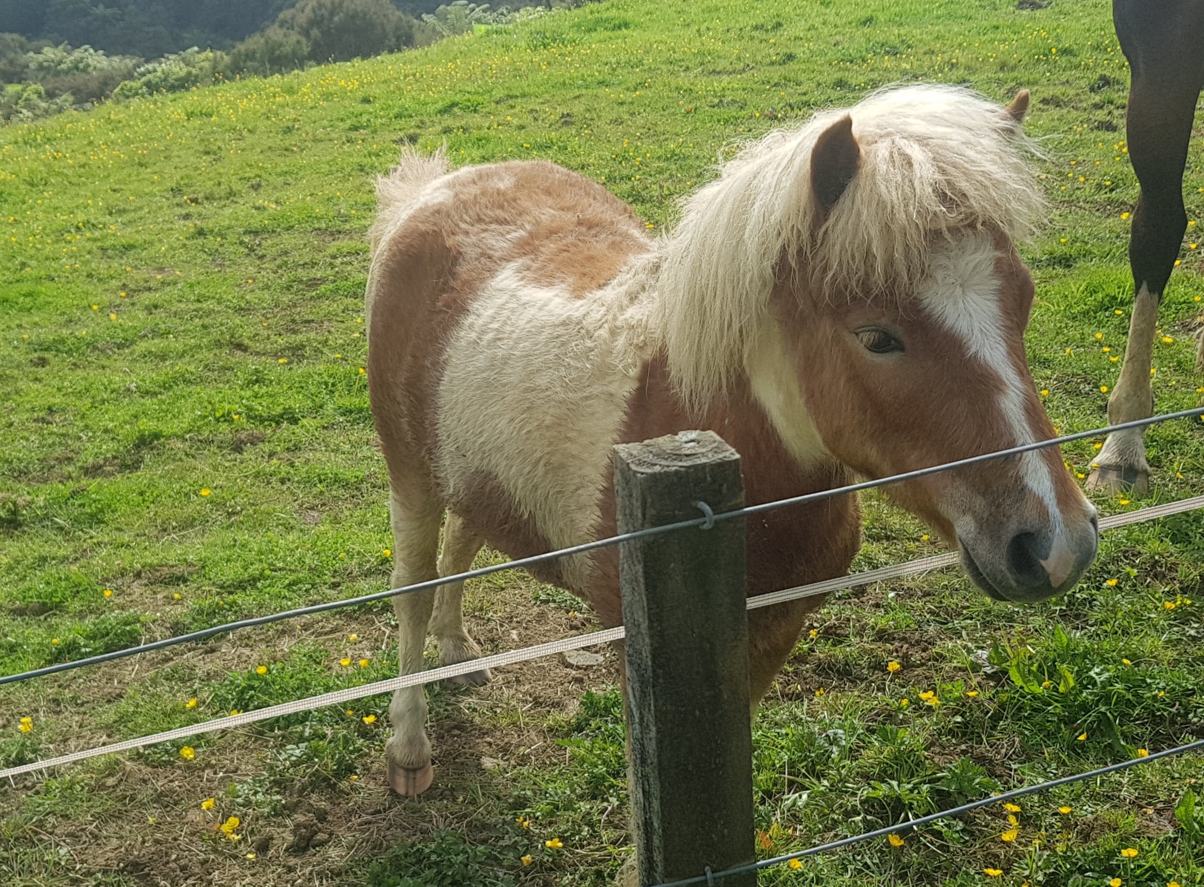
At least the horse there on the corner was a very good looking horse. Winston Peters would definitely give this horse a tax break.
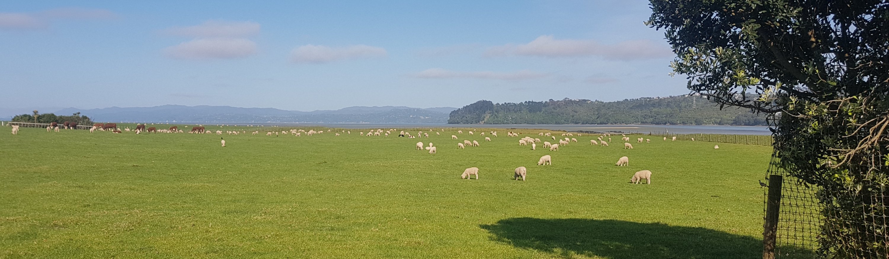
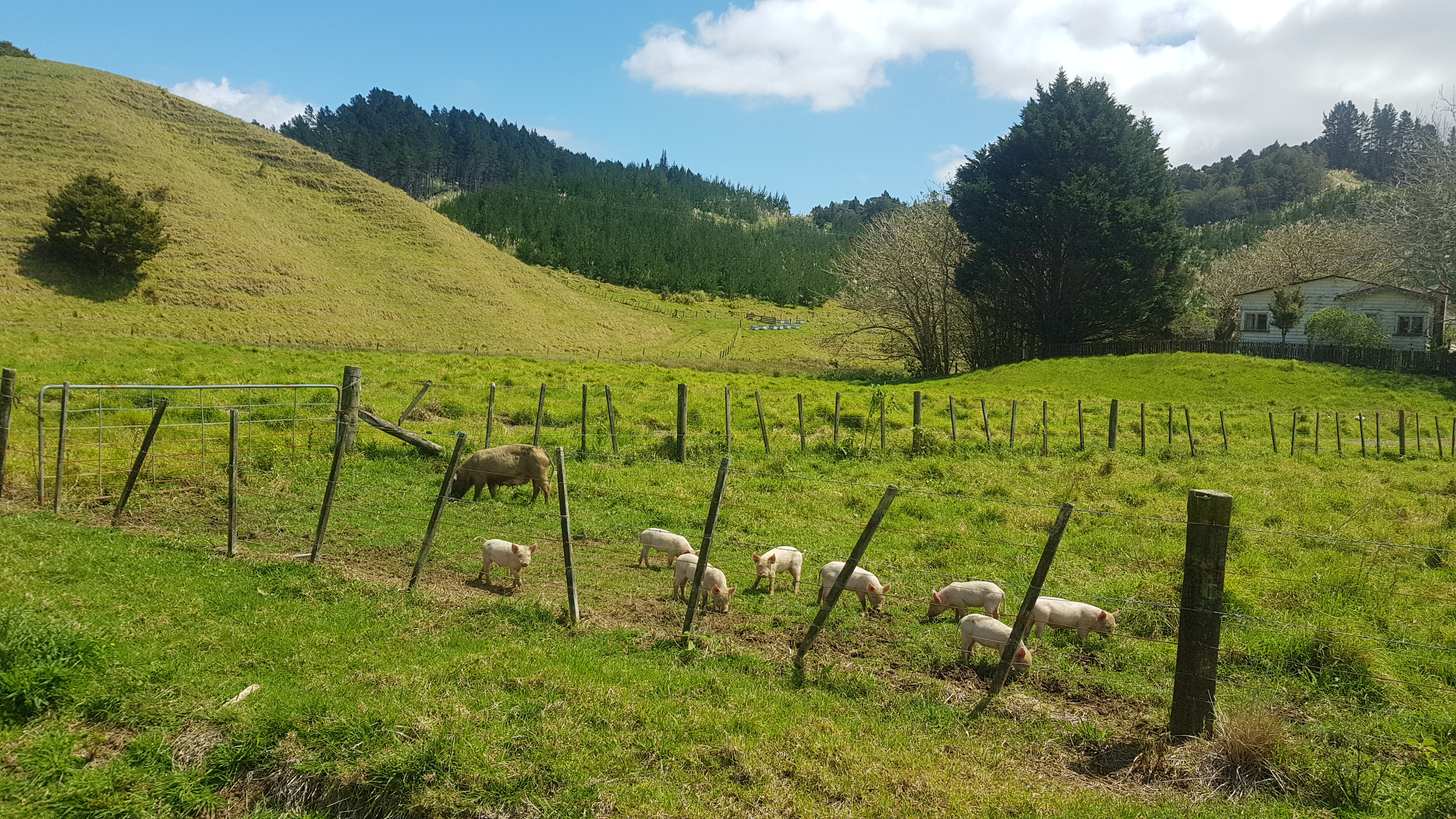
And then up the road was a pig which had escaped from the paddock.
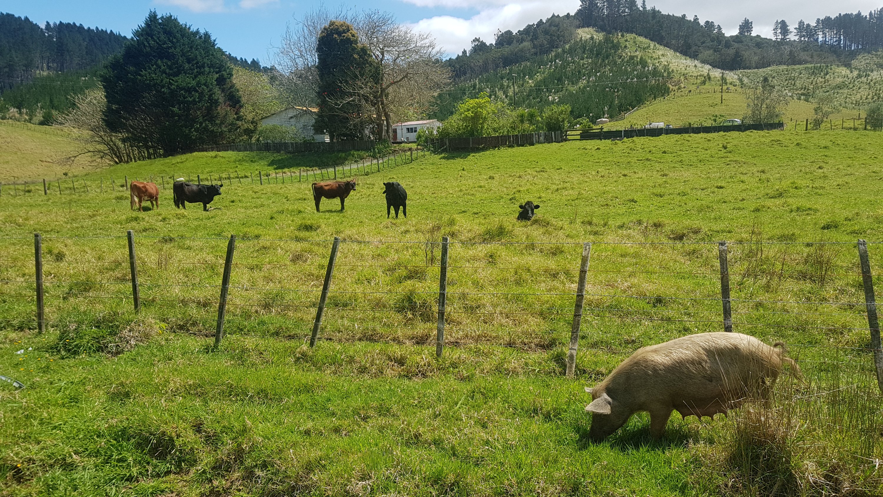
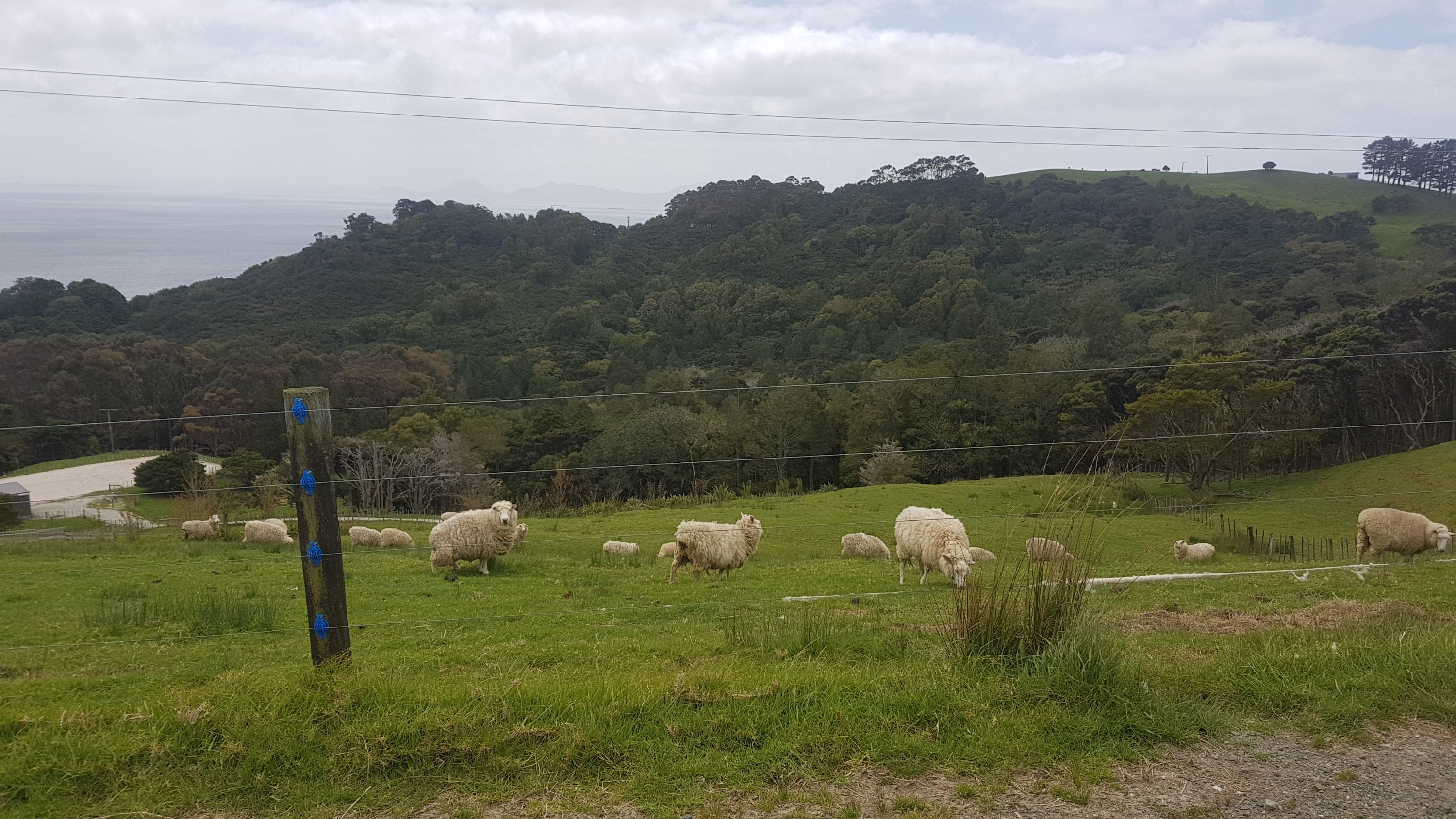
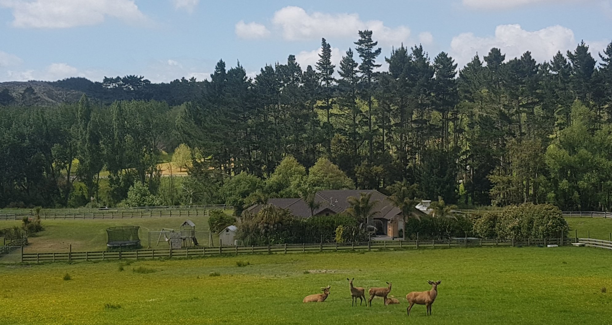
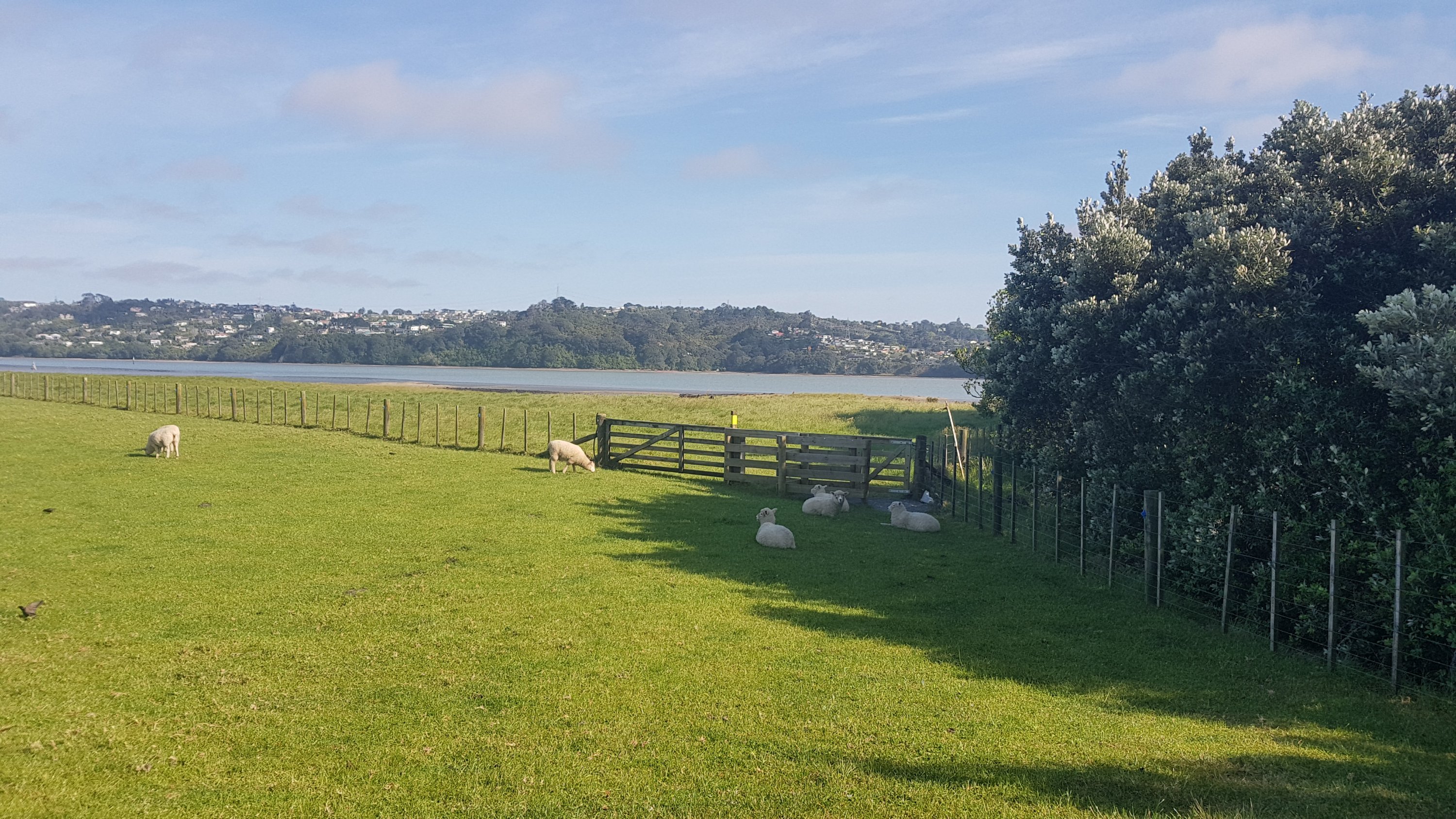
And then just past that… piglets!!! I’ve never seen so many piglets in one place. They were so cute.
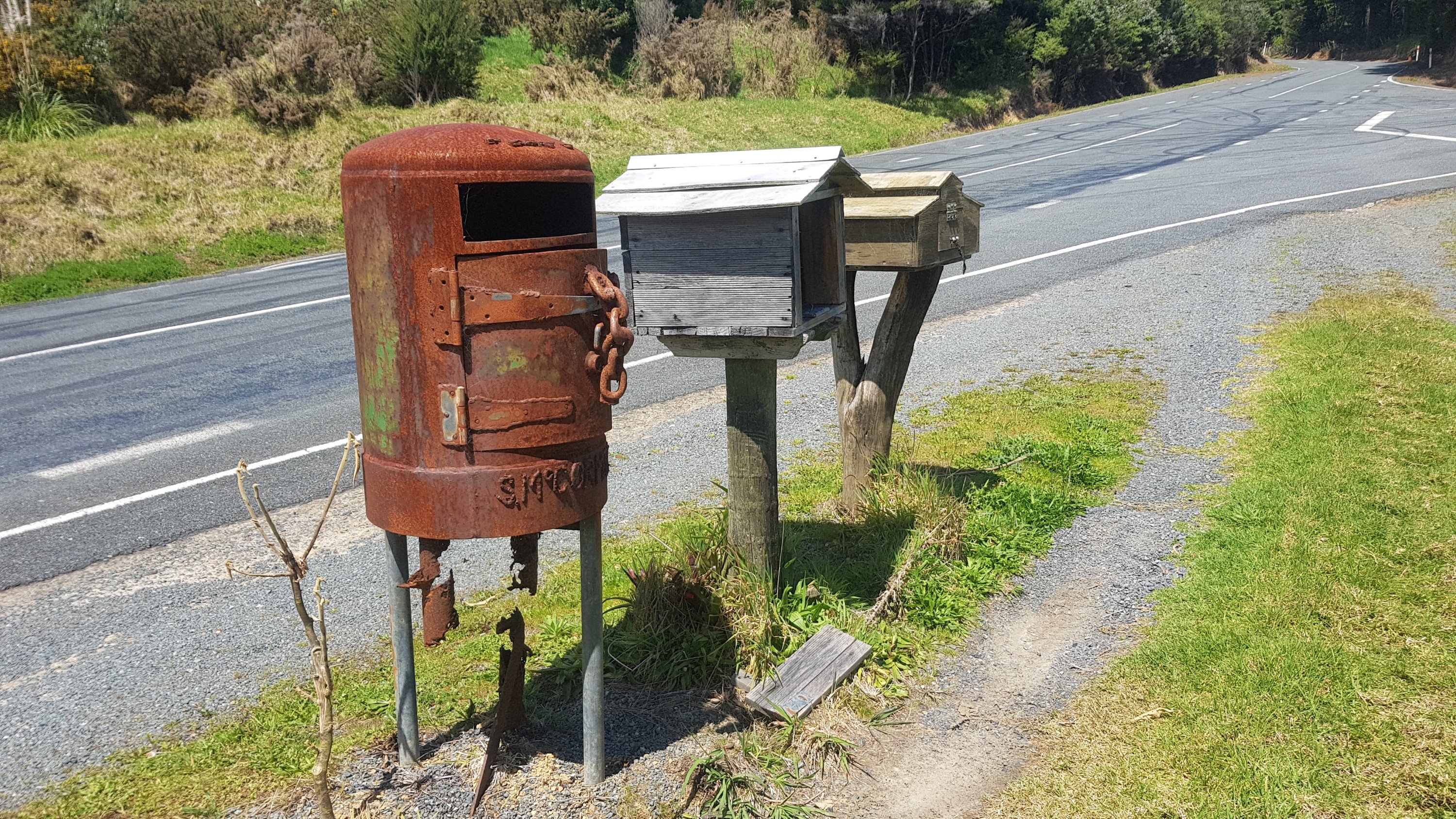
The road walking started to play tricks on me. At first I thought this was a cow on the road in the distance:
But it was actually just mailboxes:
It was at this point that I got asked by a woman driving a car if I was lost. First time I’d been asked that! She still didn’t offer me a lift though.
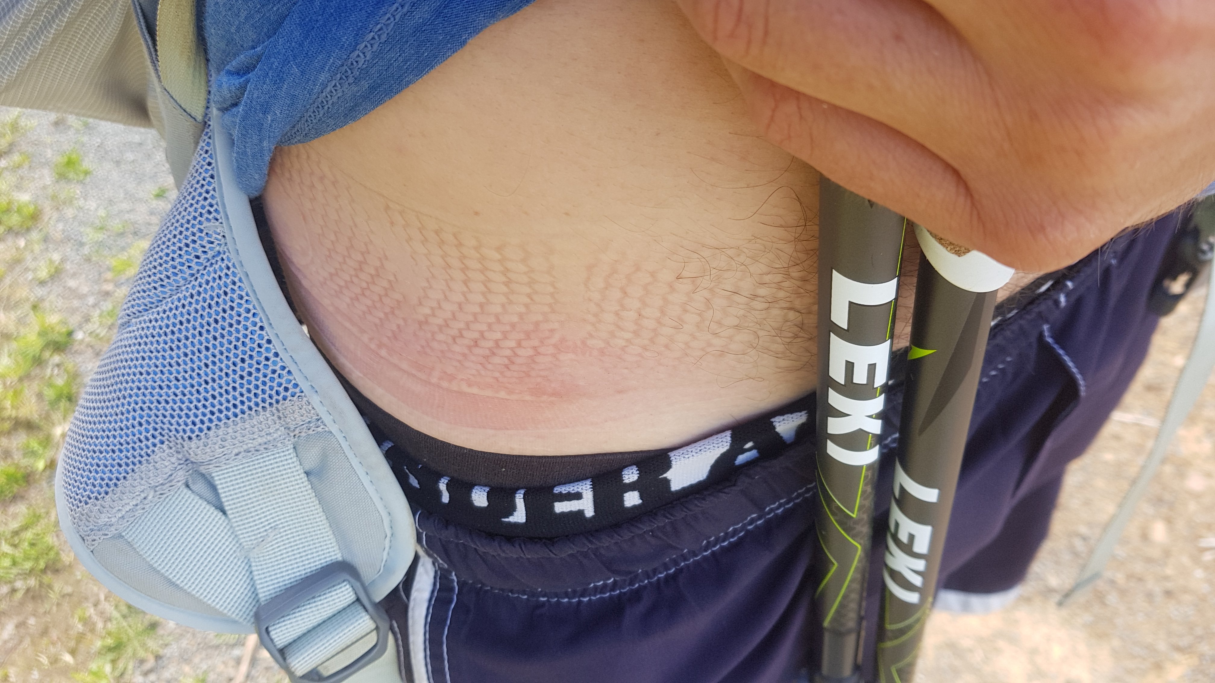
It was also at this point that I realised my bag strap had gone under my shirt and onto my bare skin. Didnt hurt too much but looked ugly.
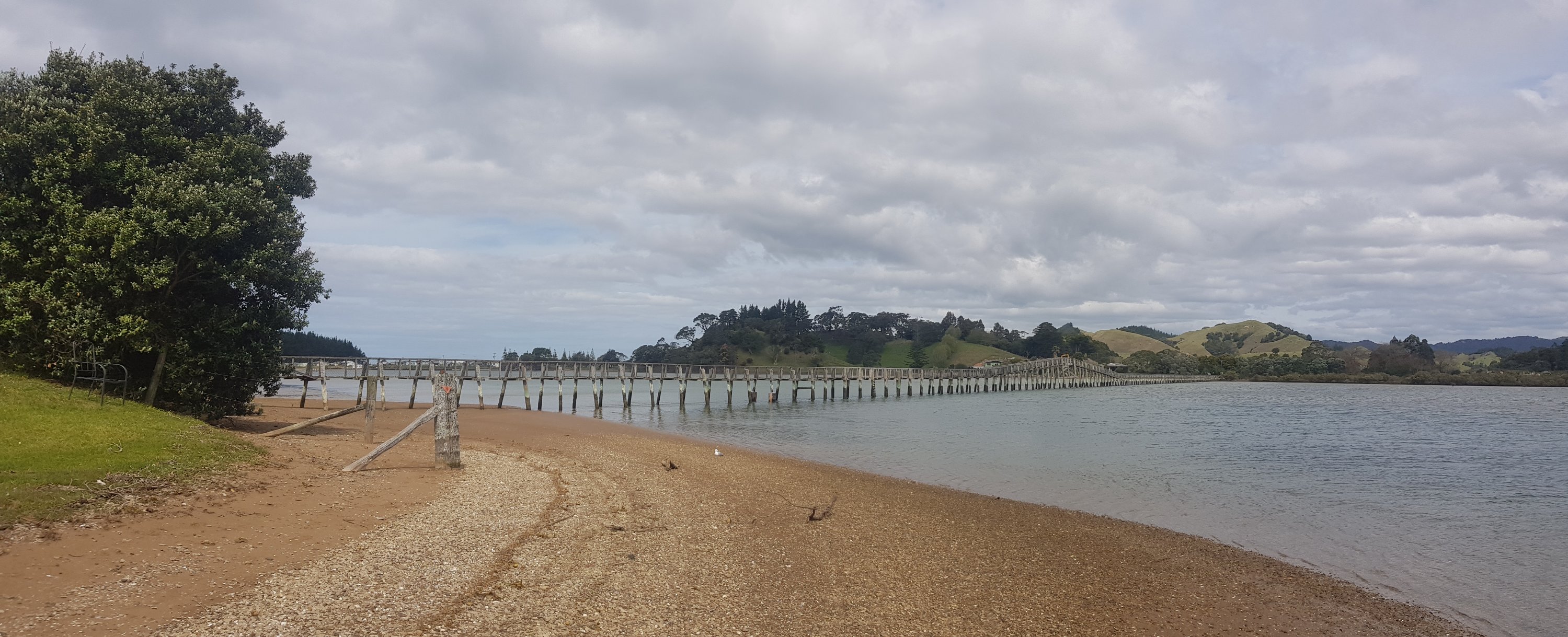
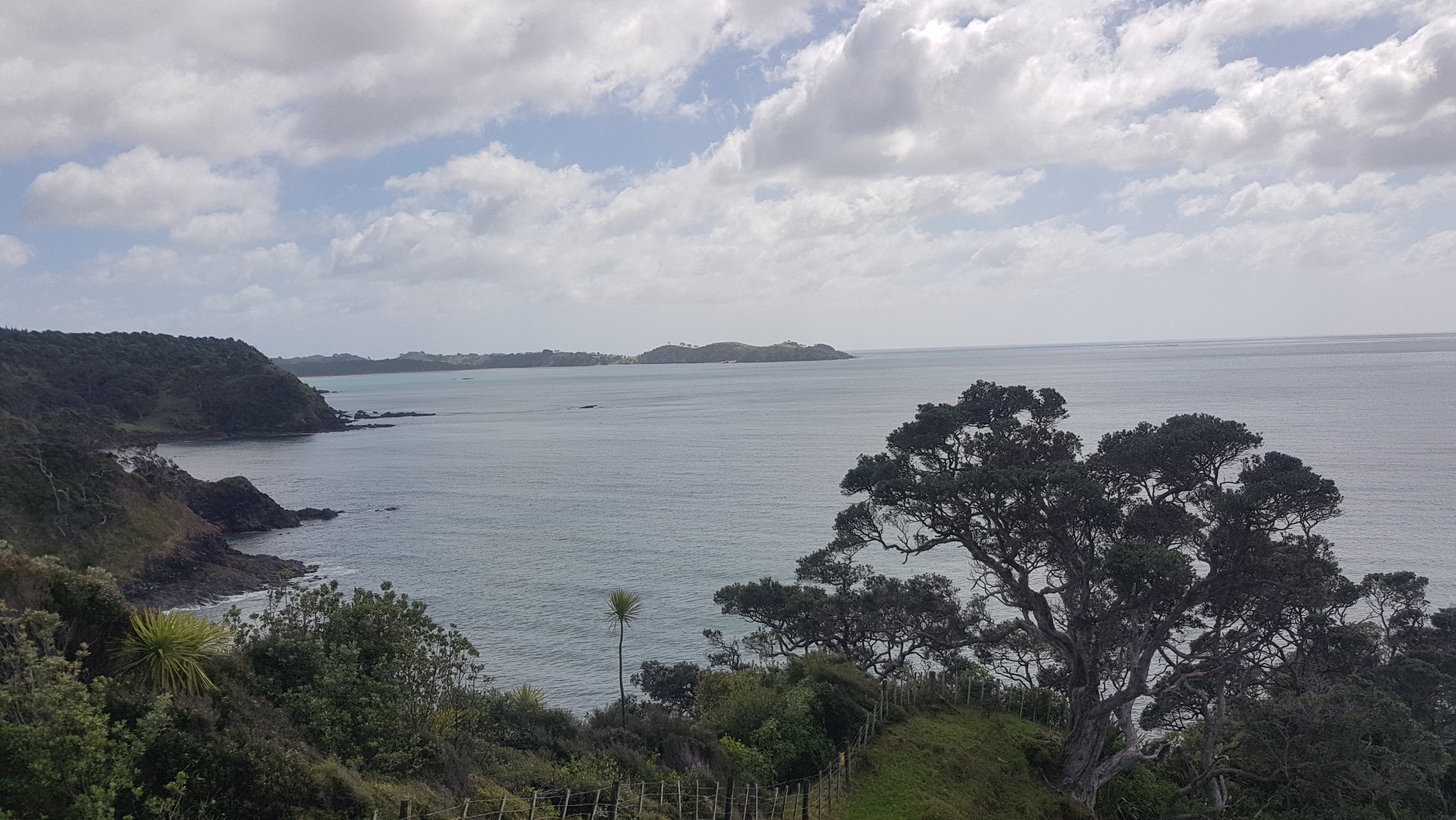
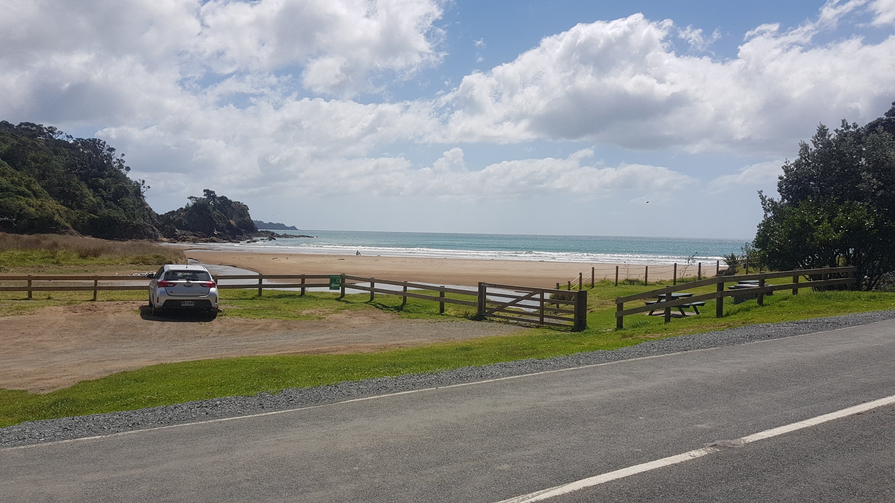
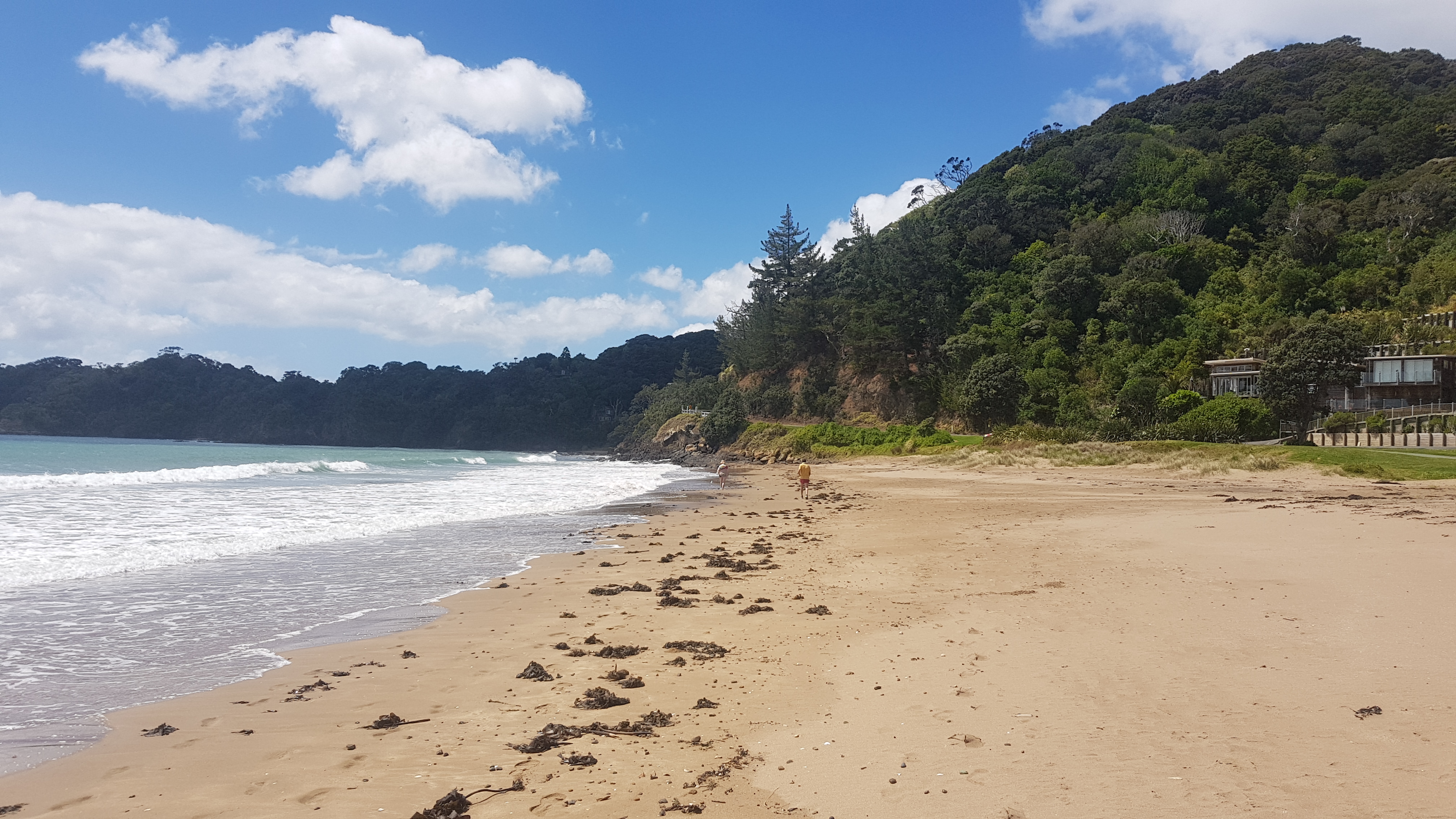
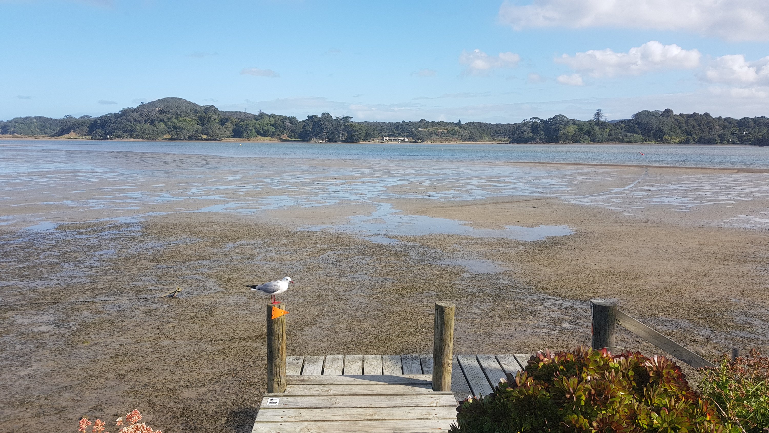
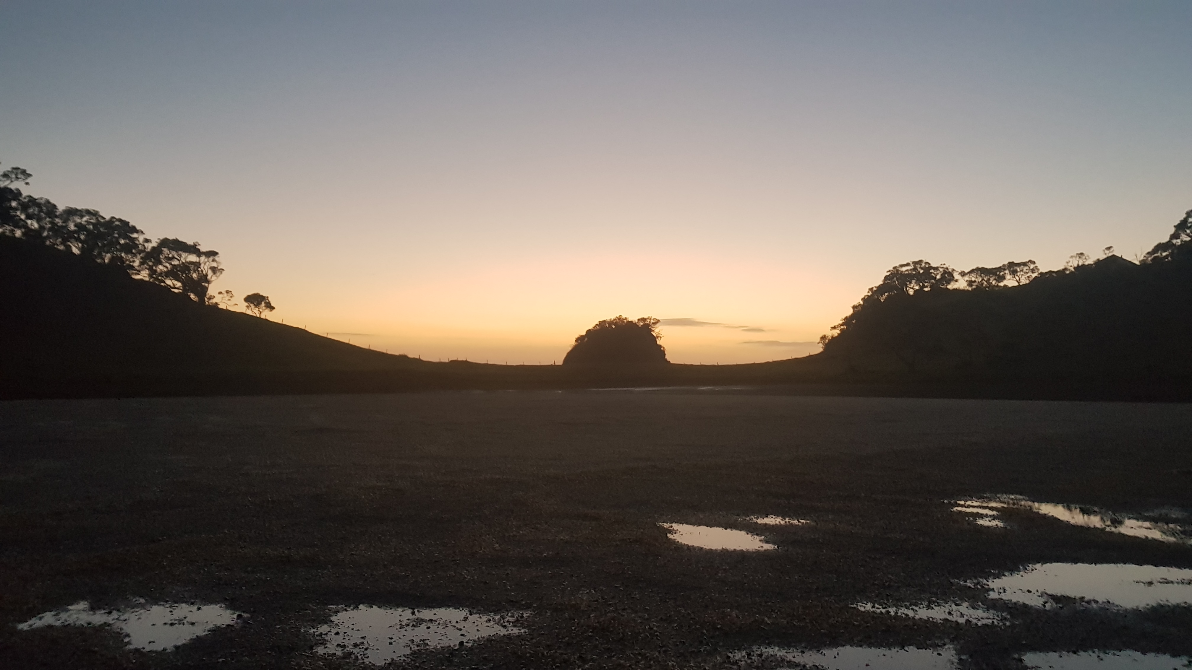
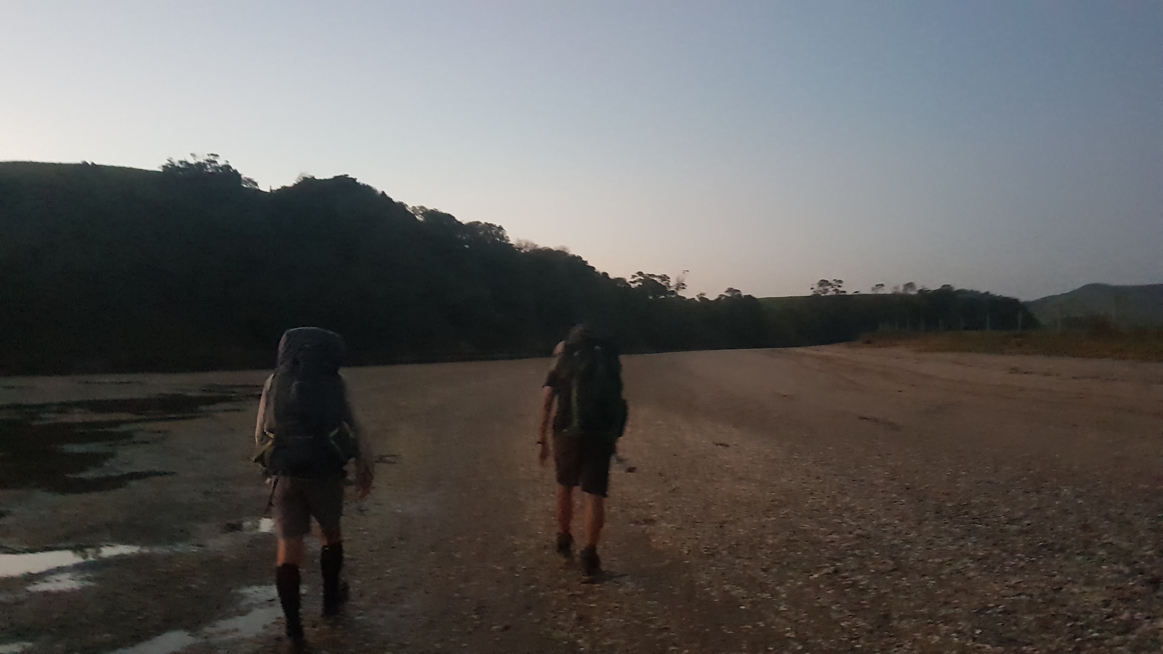
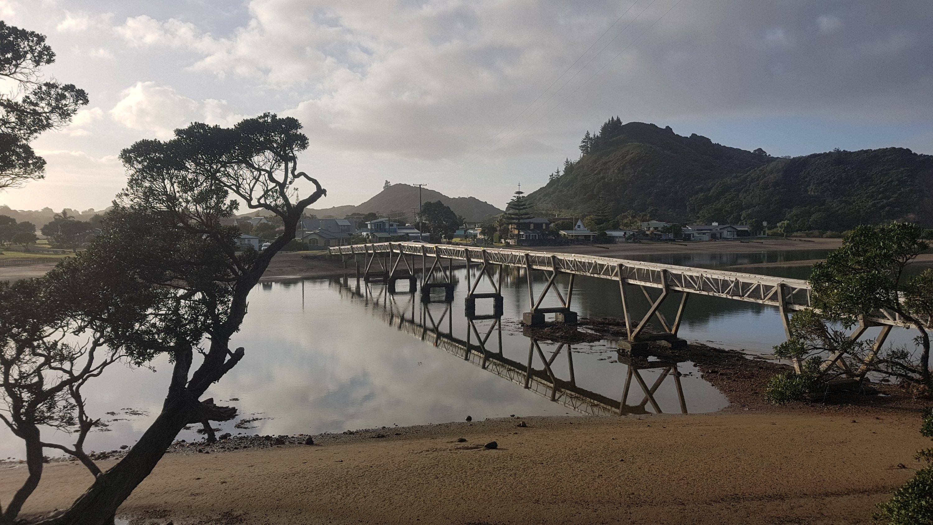
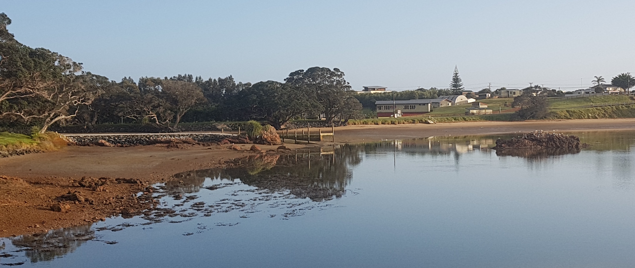
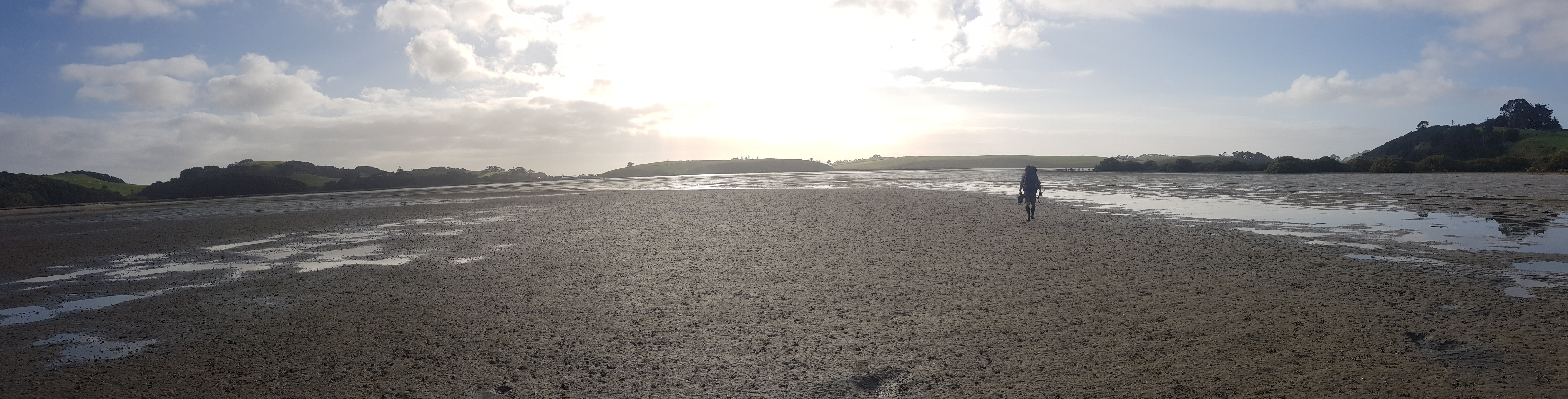
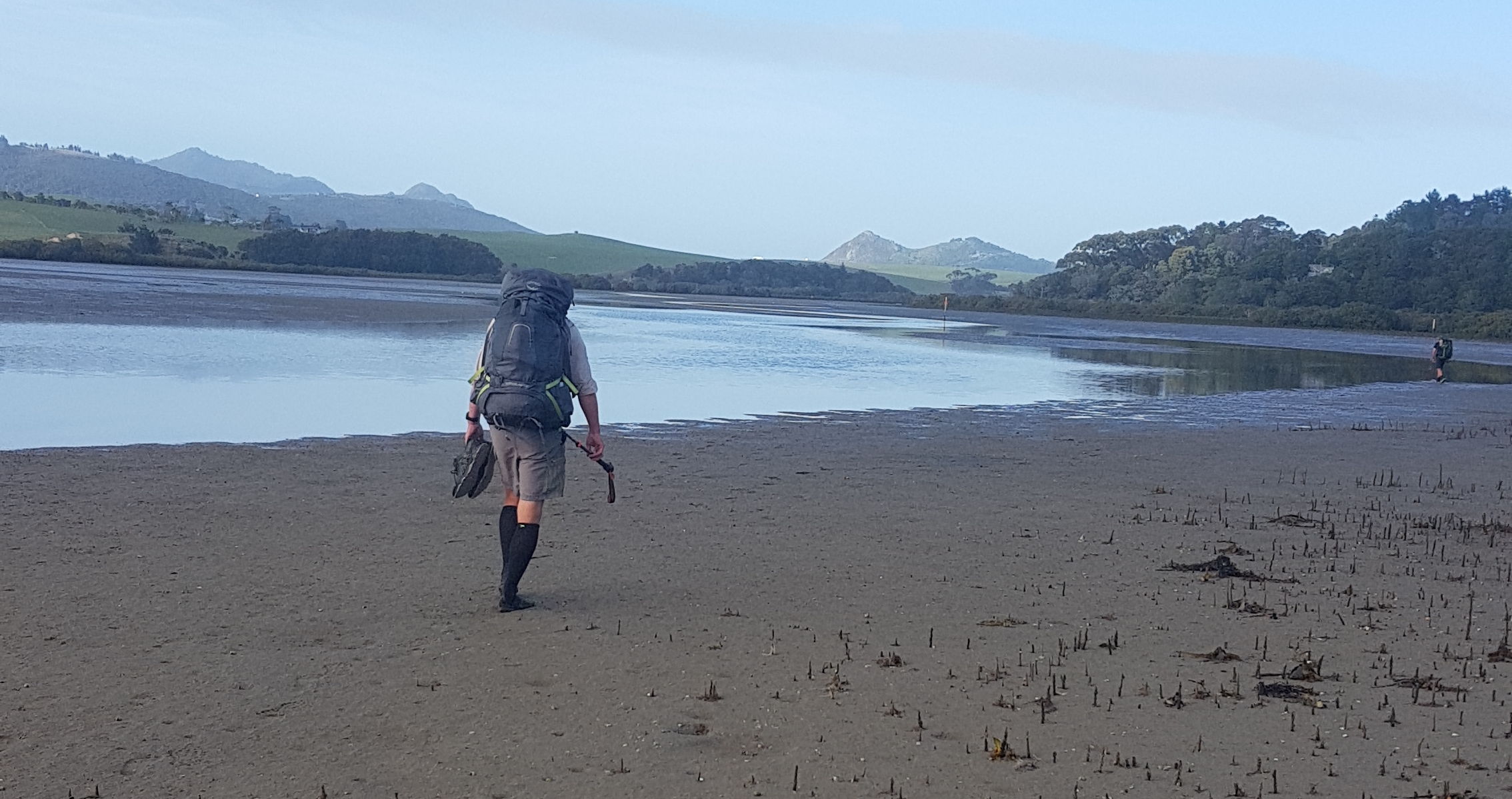
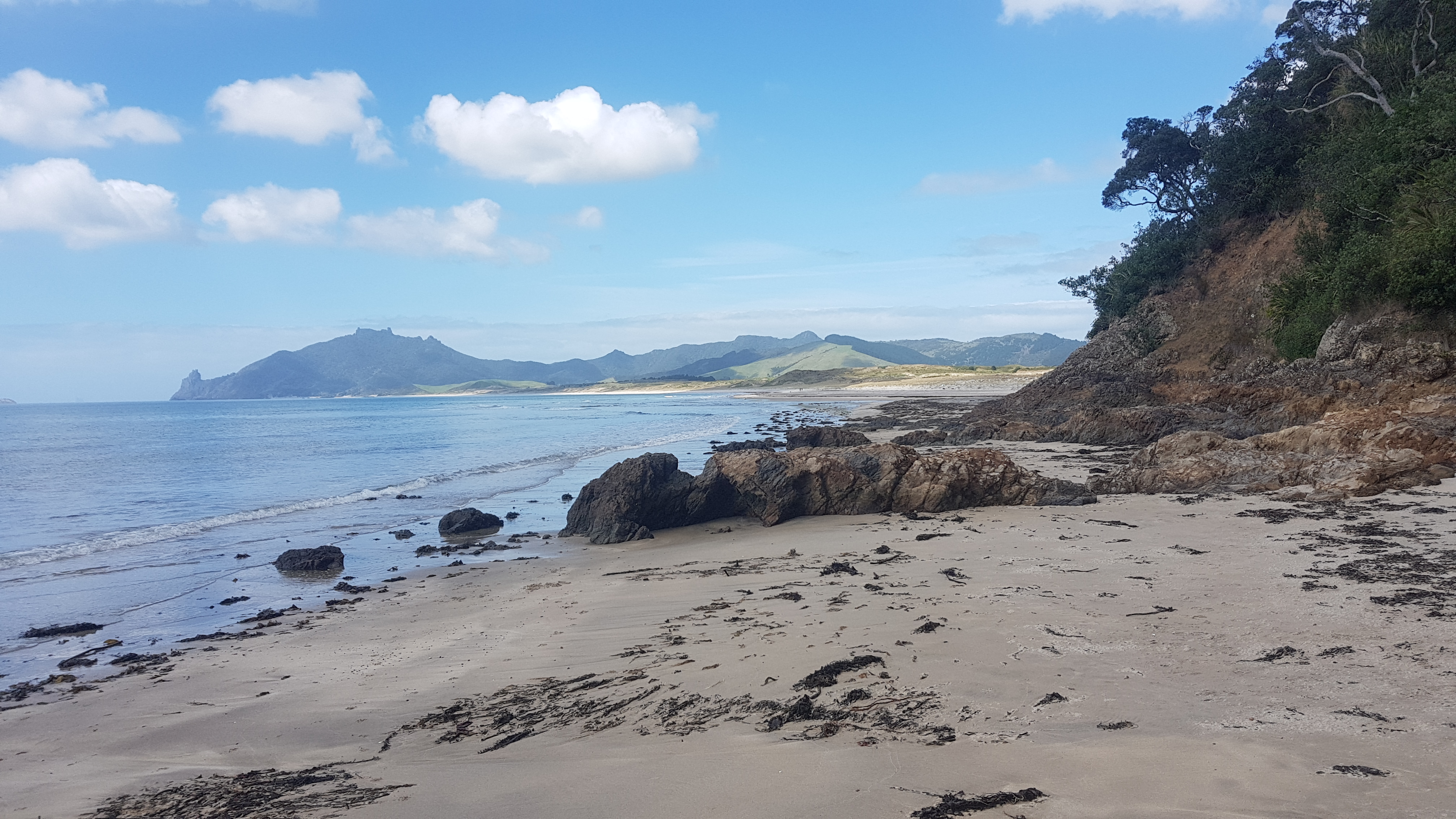
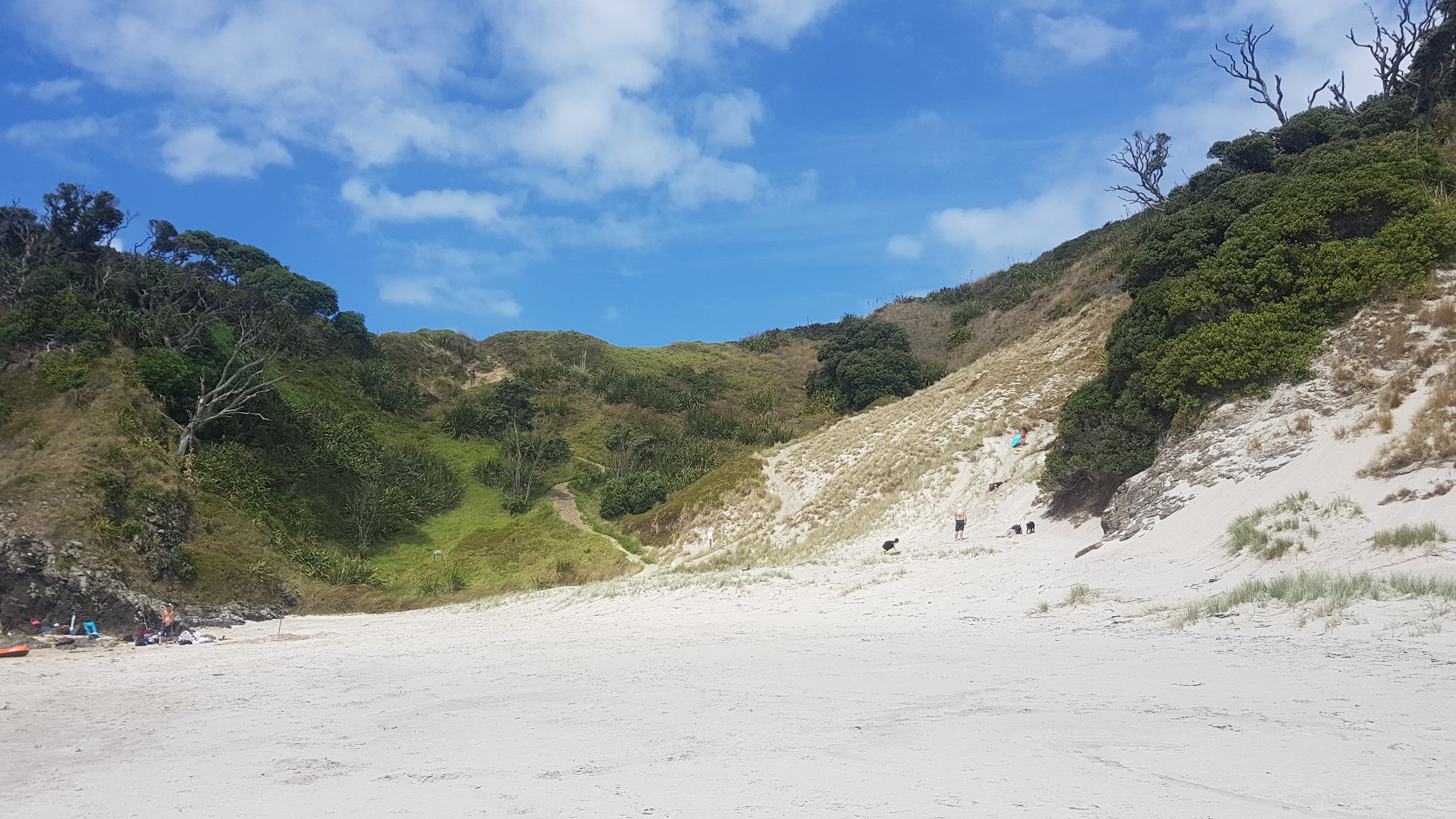
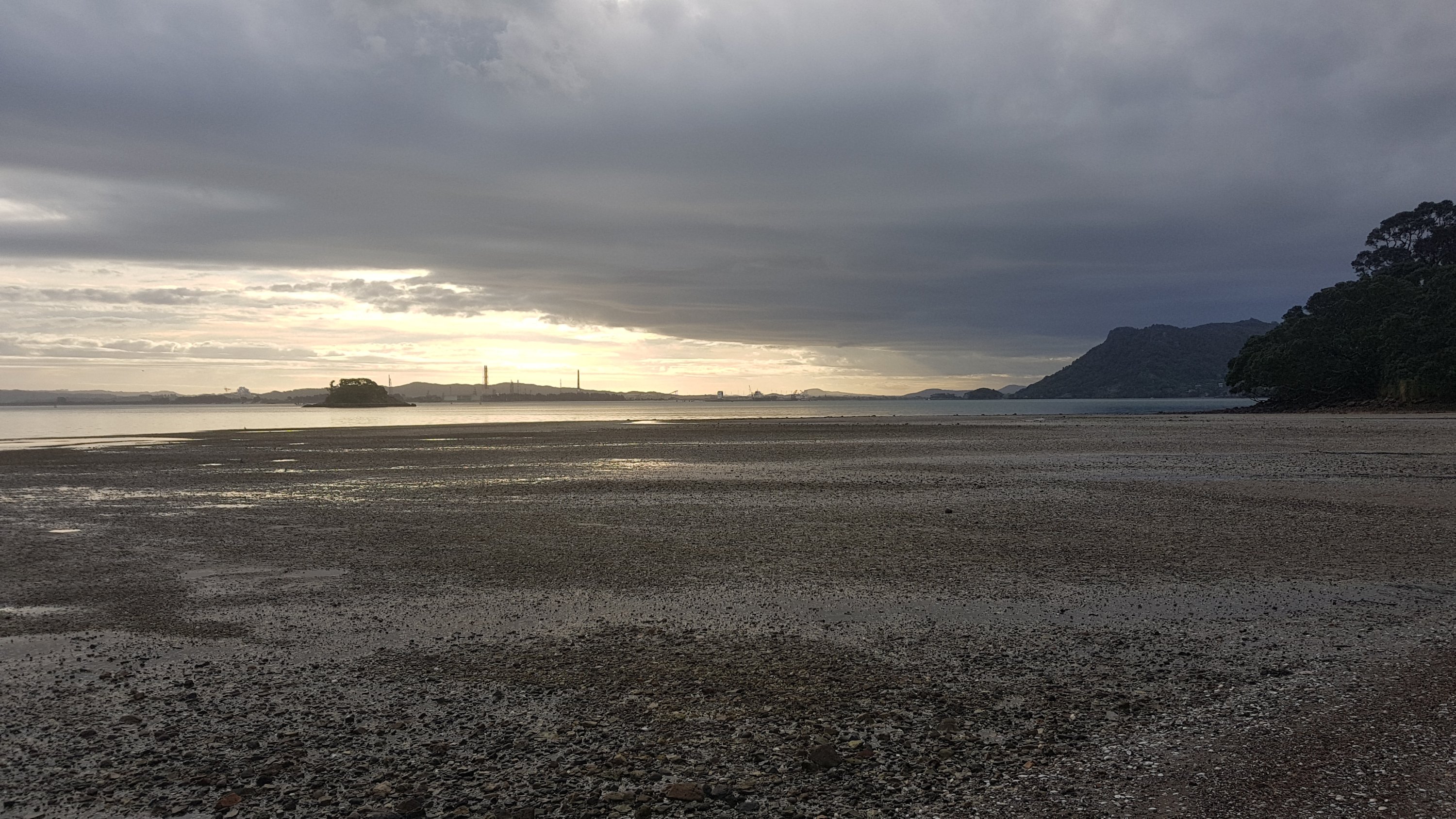
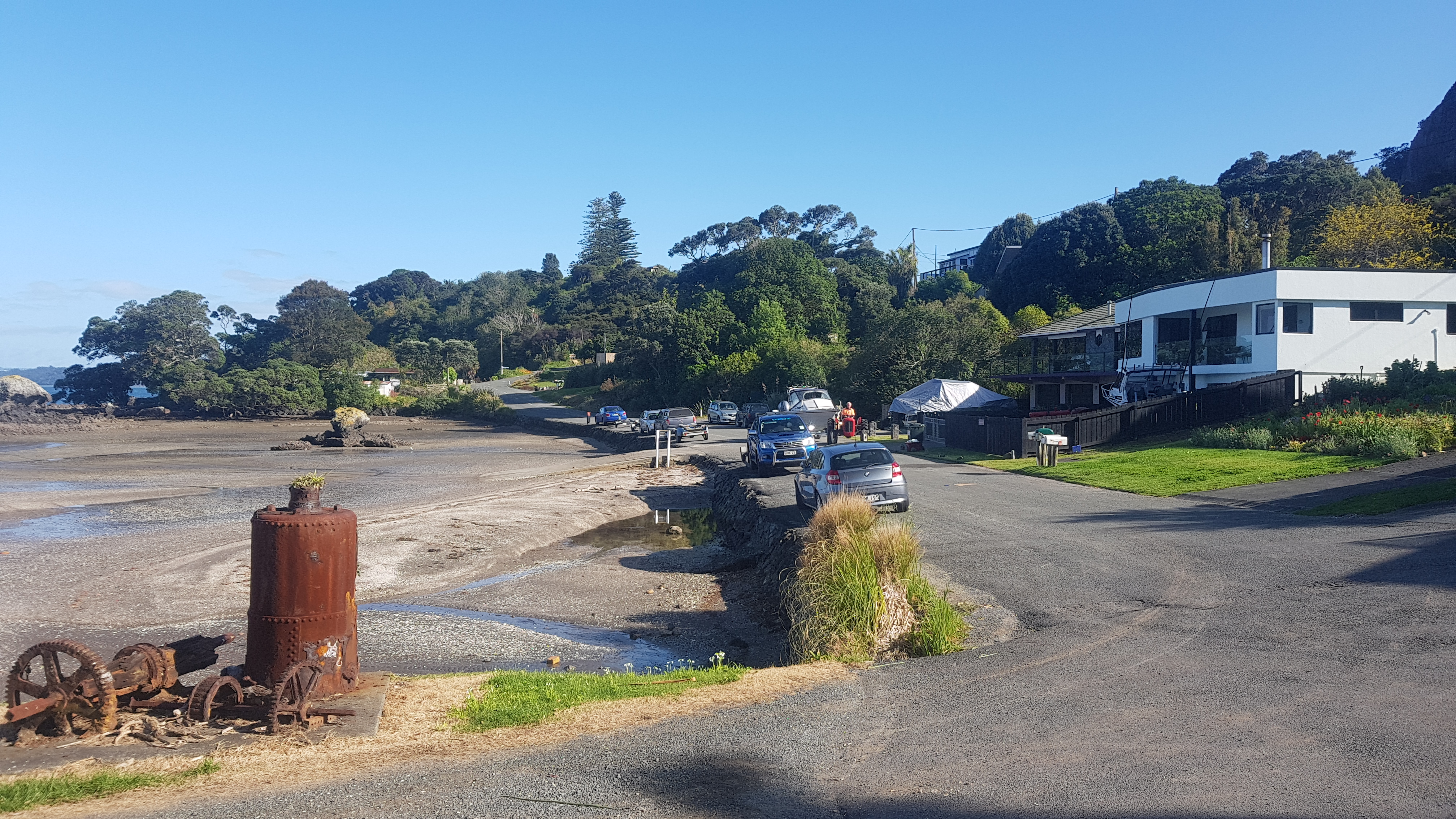
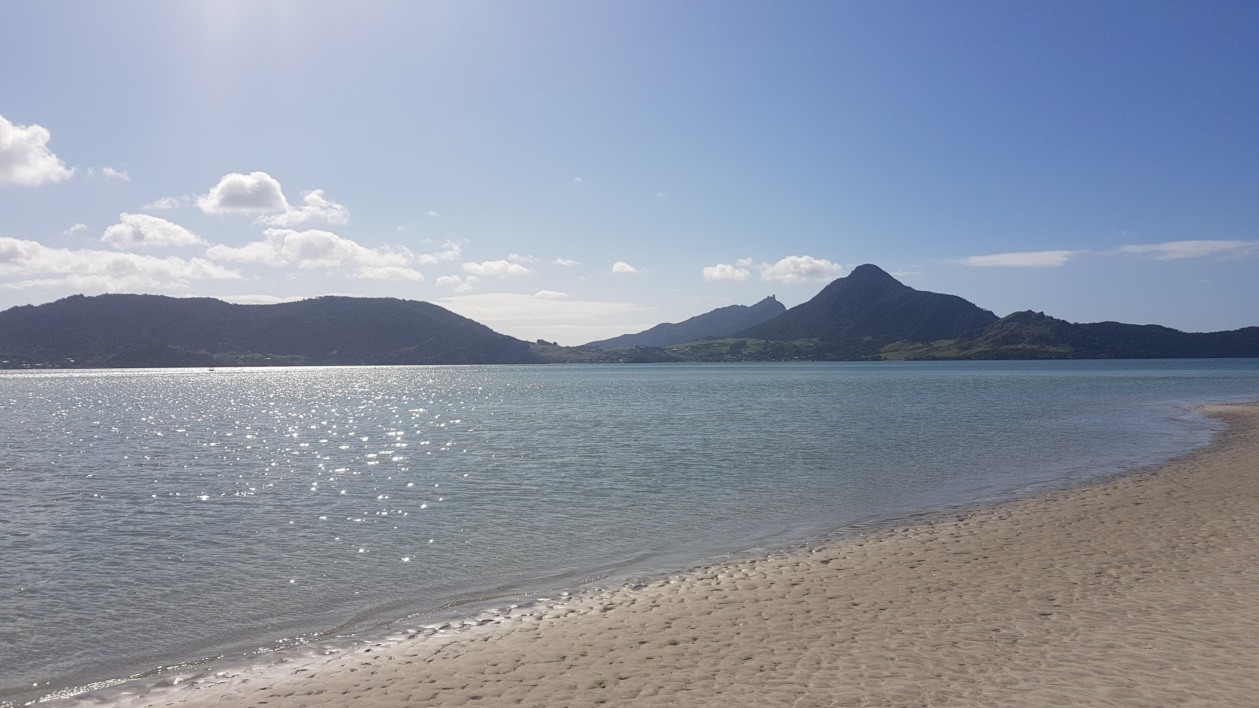
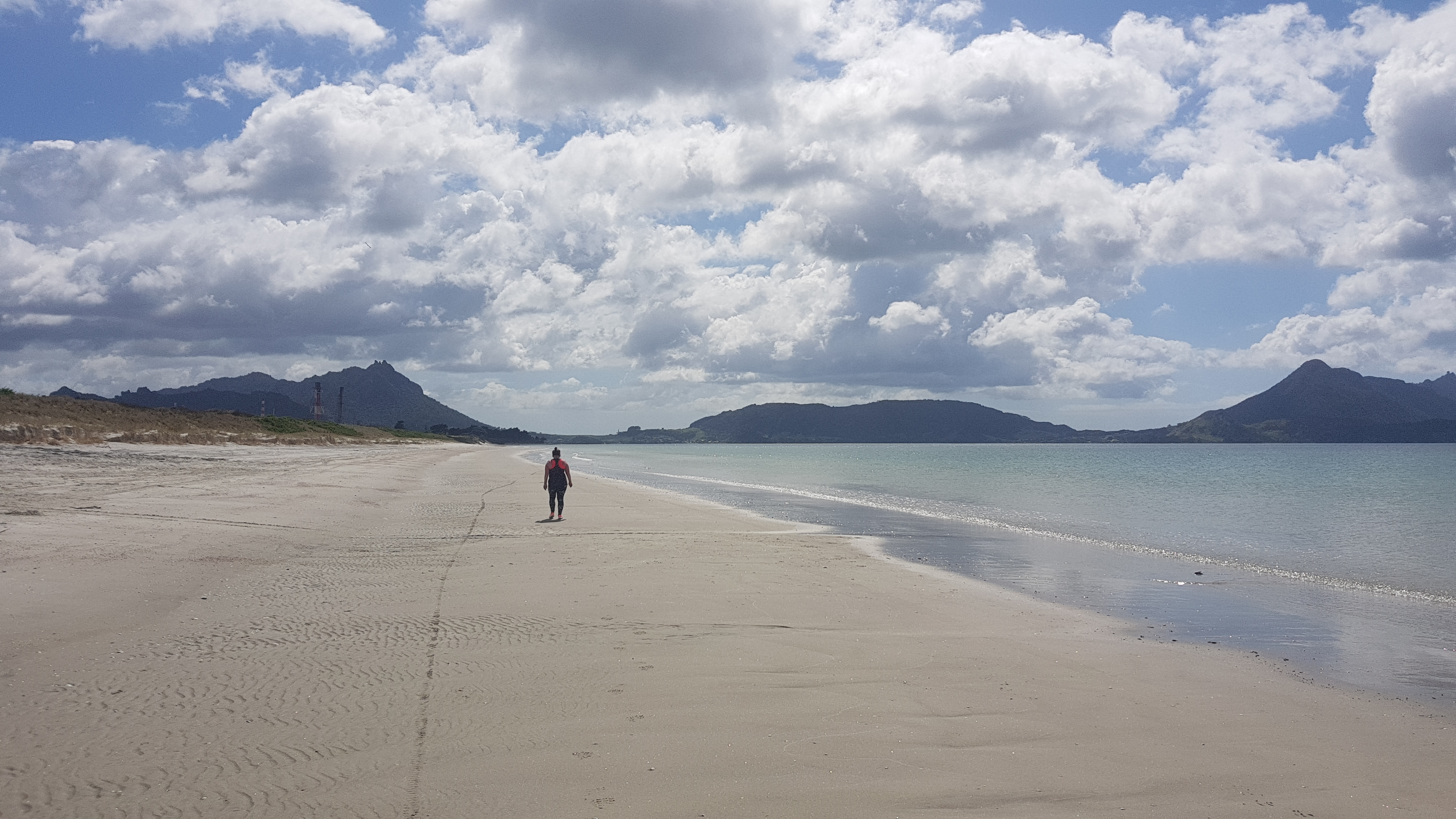
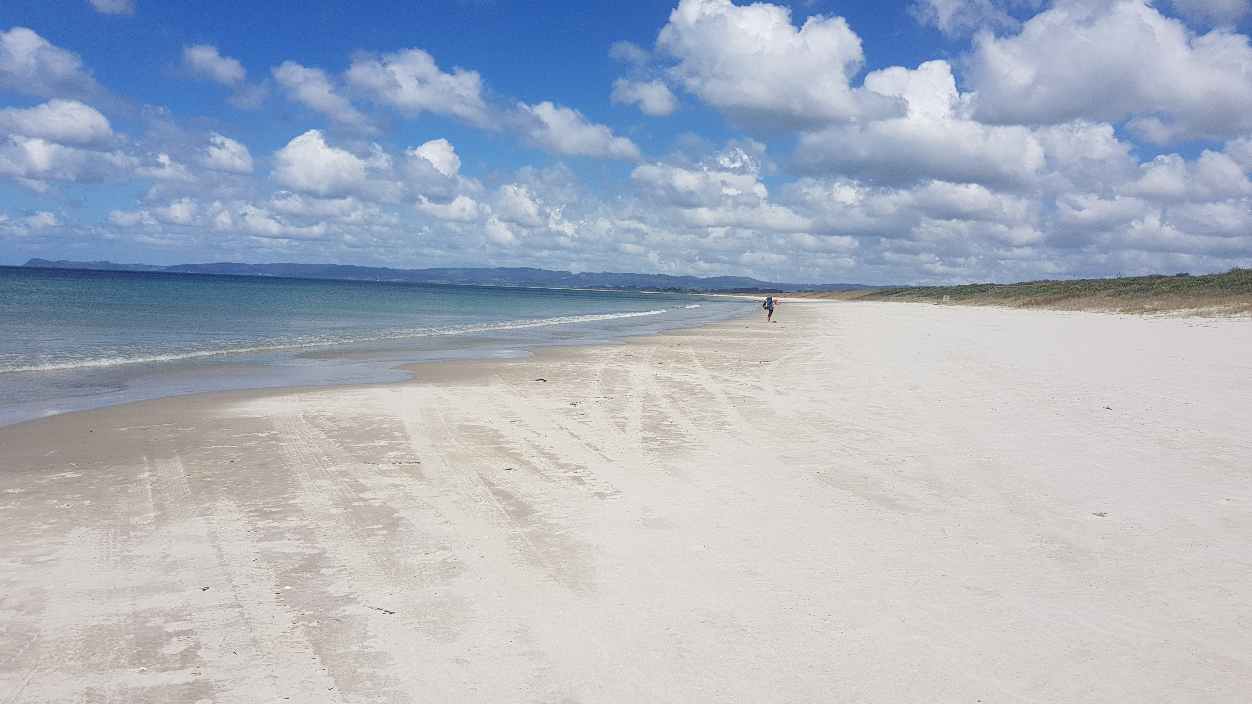
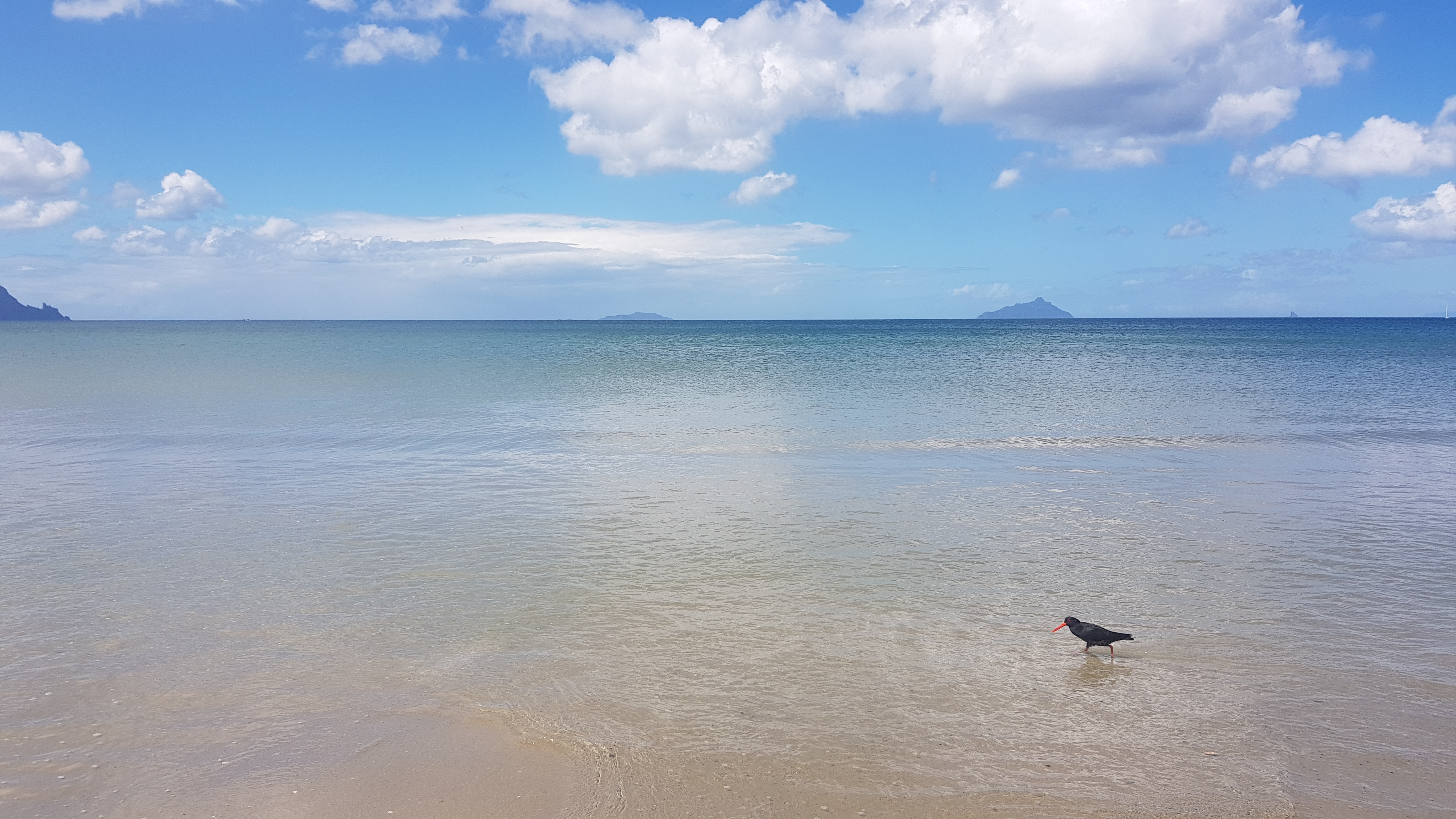
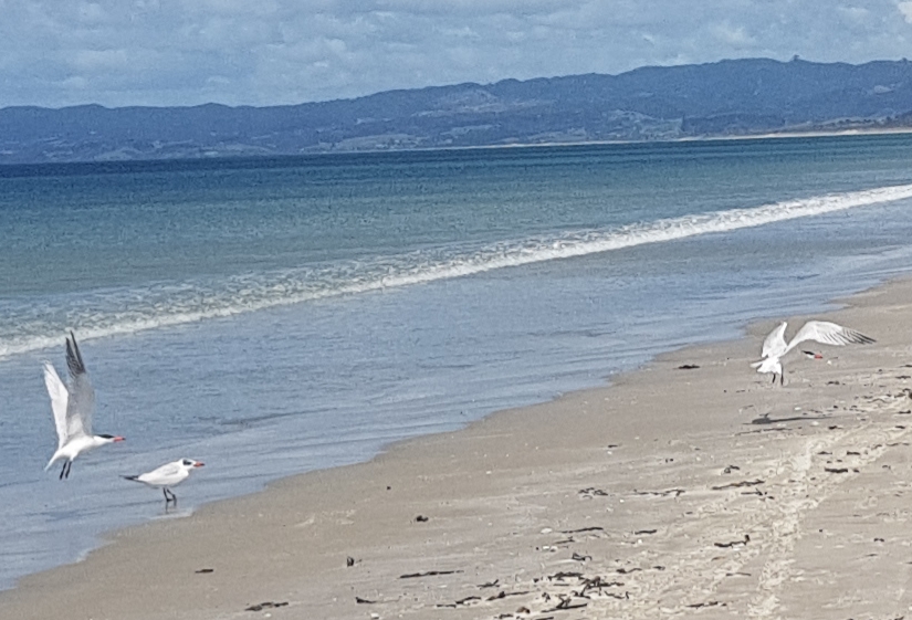
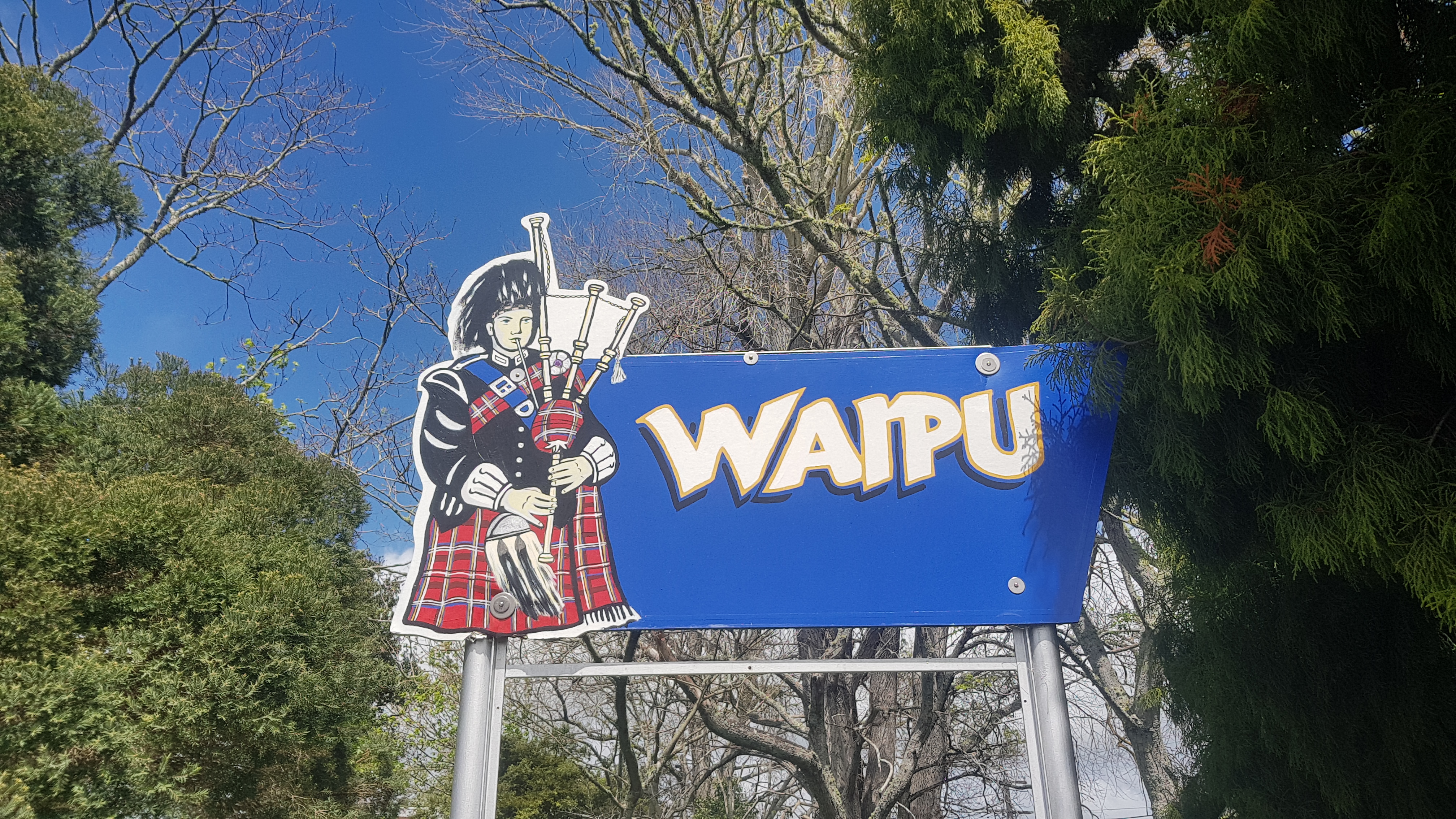
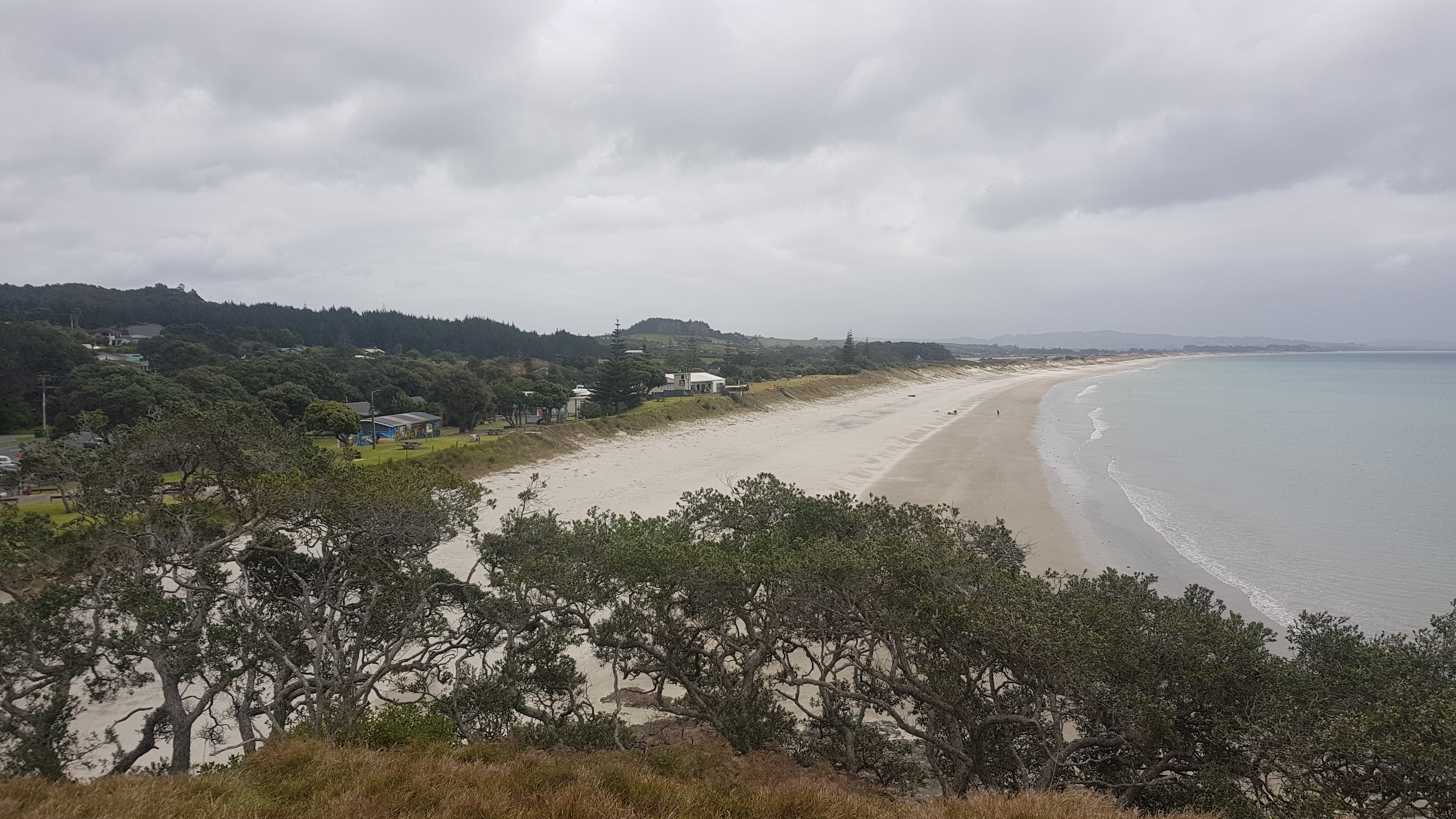
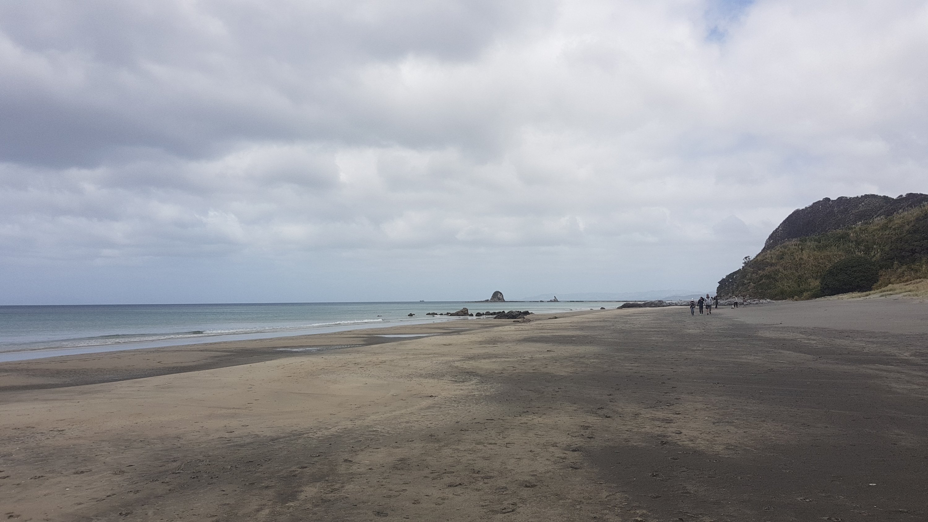
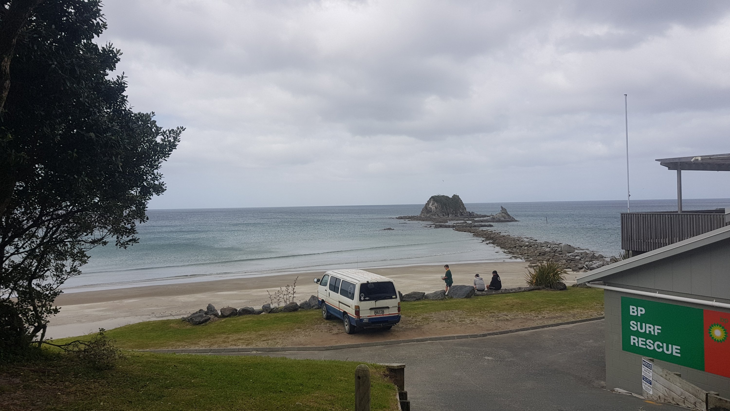
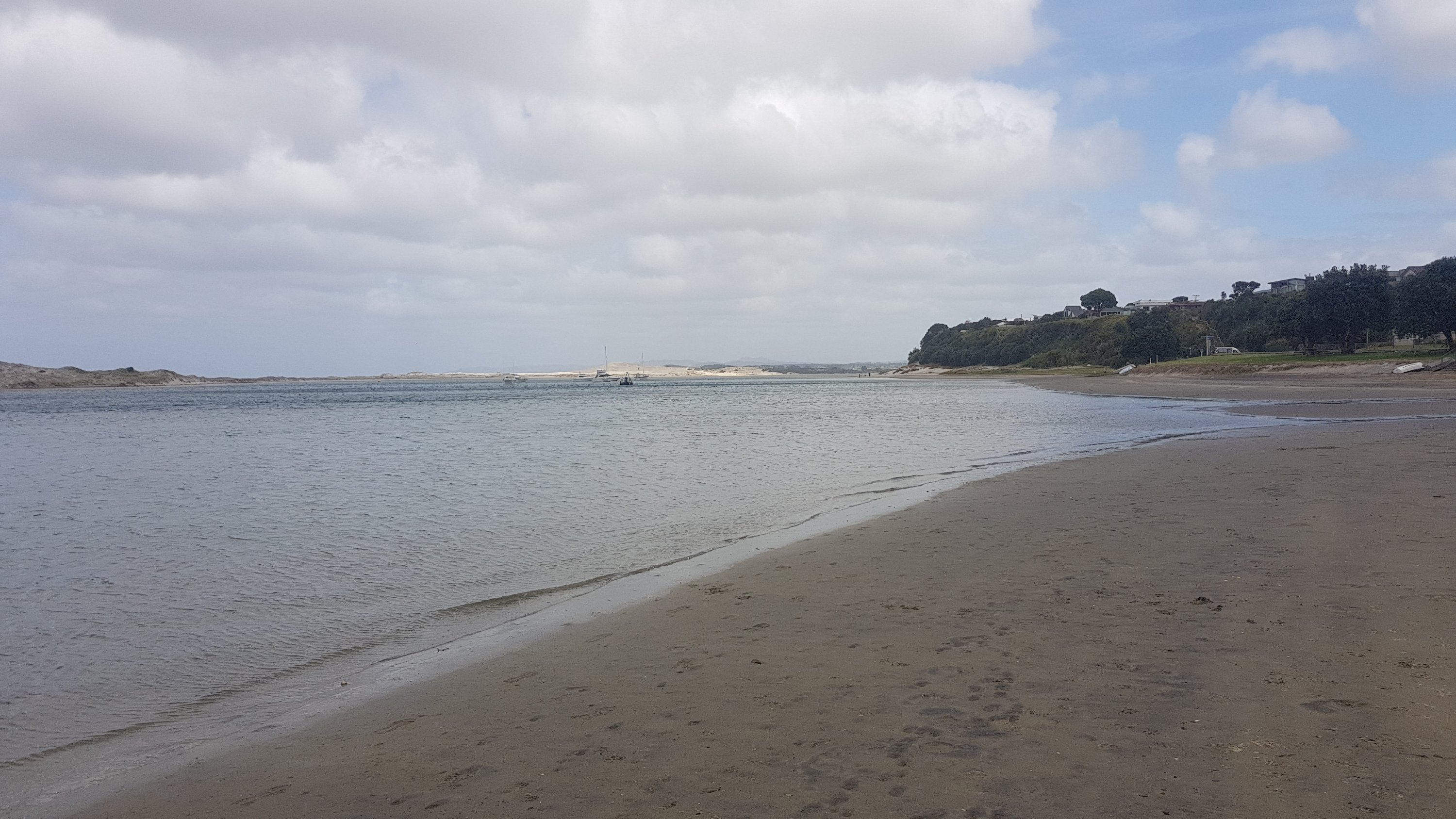
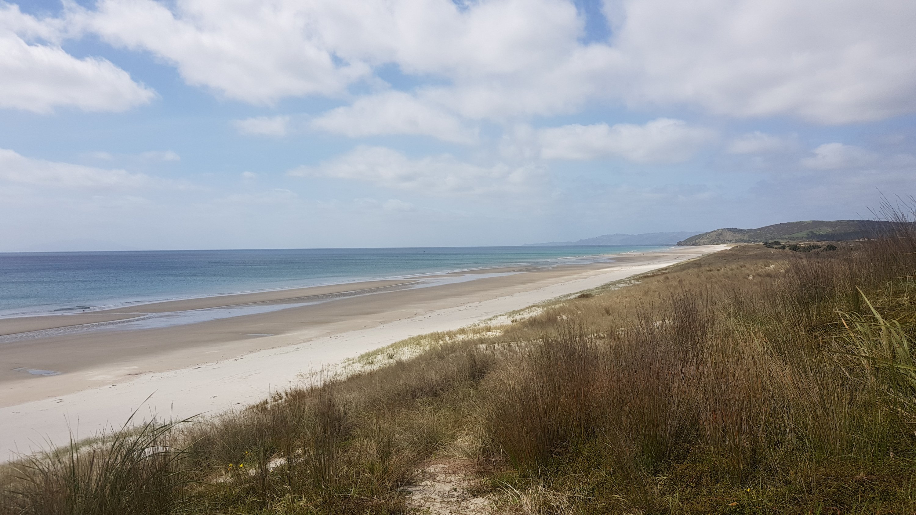
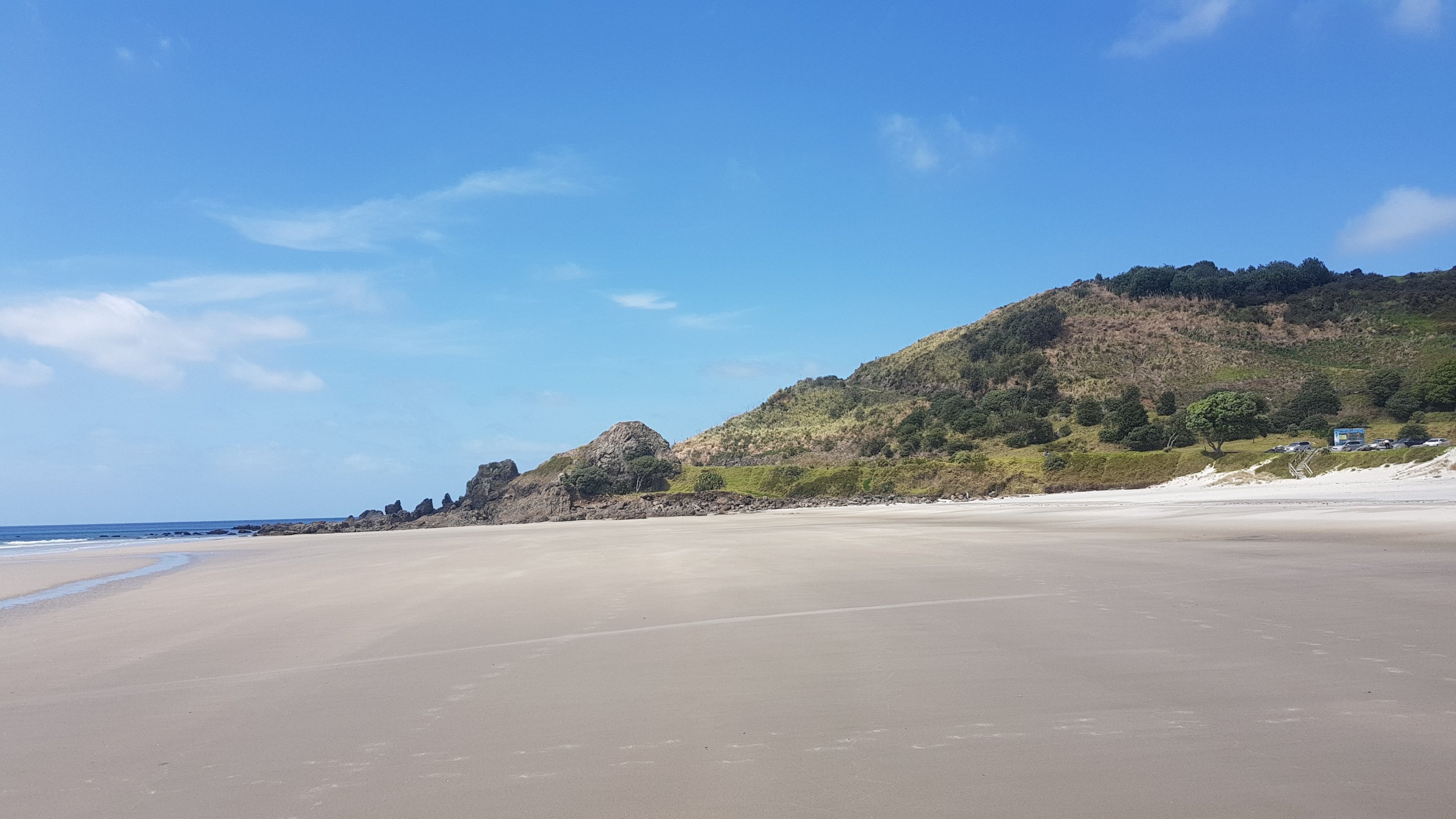
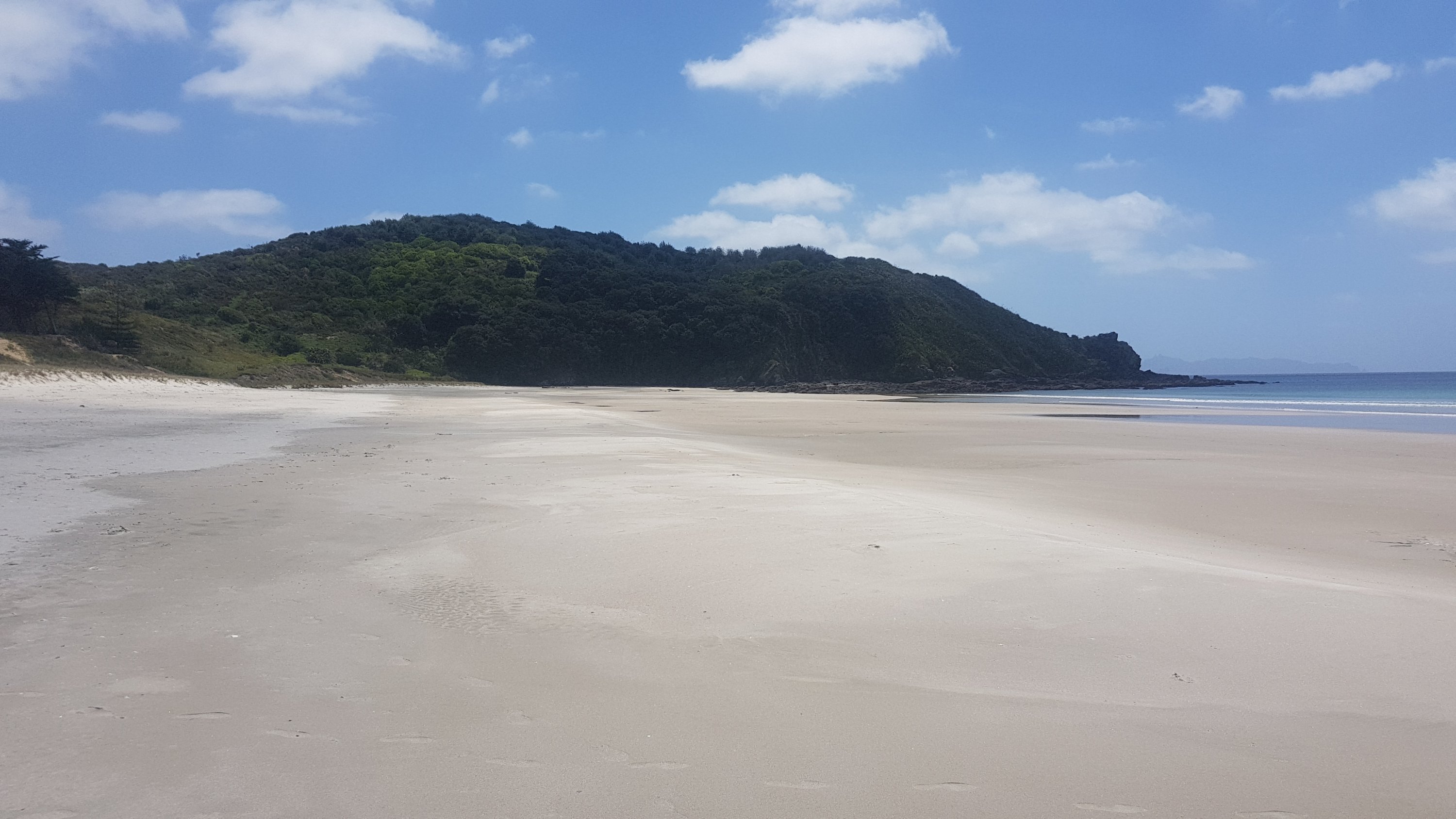
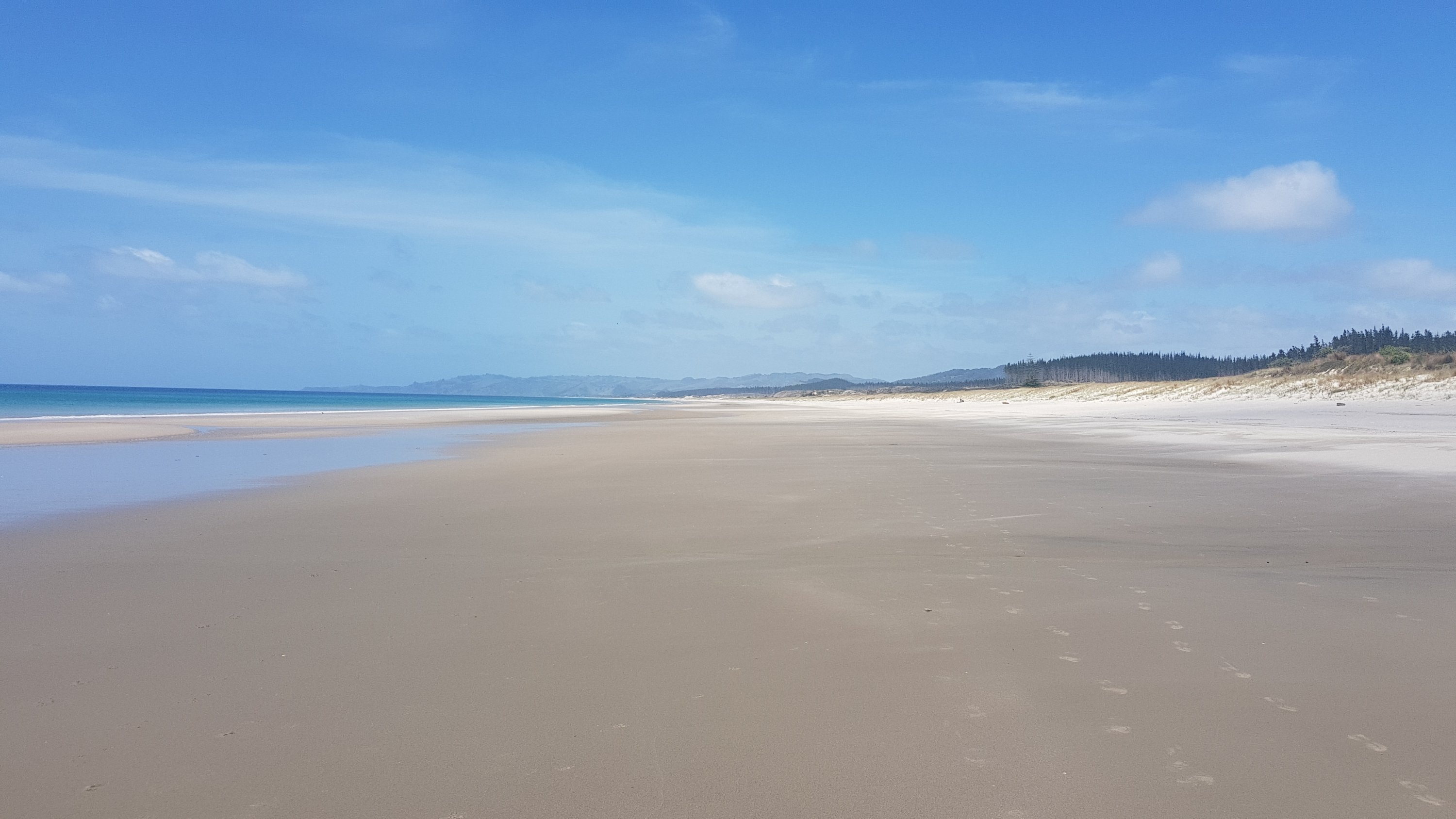
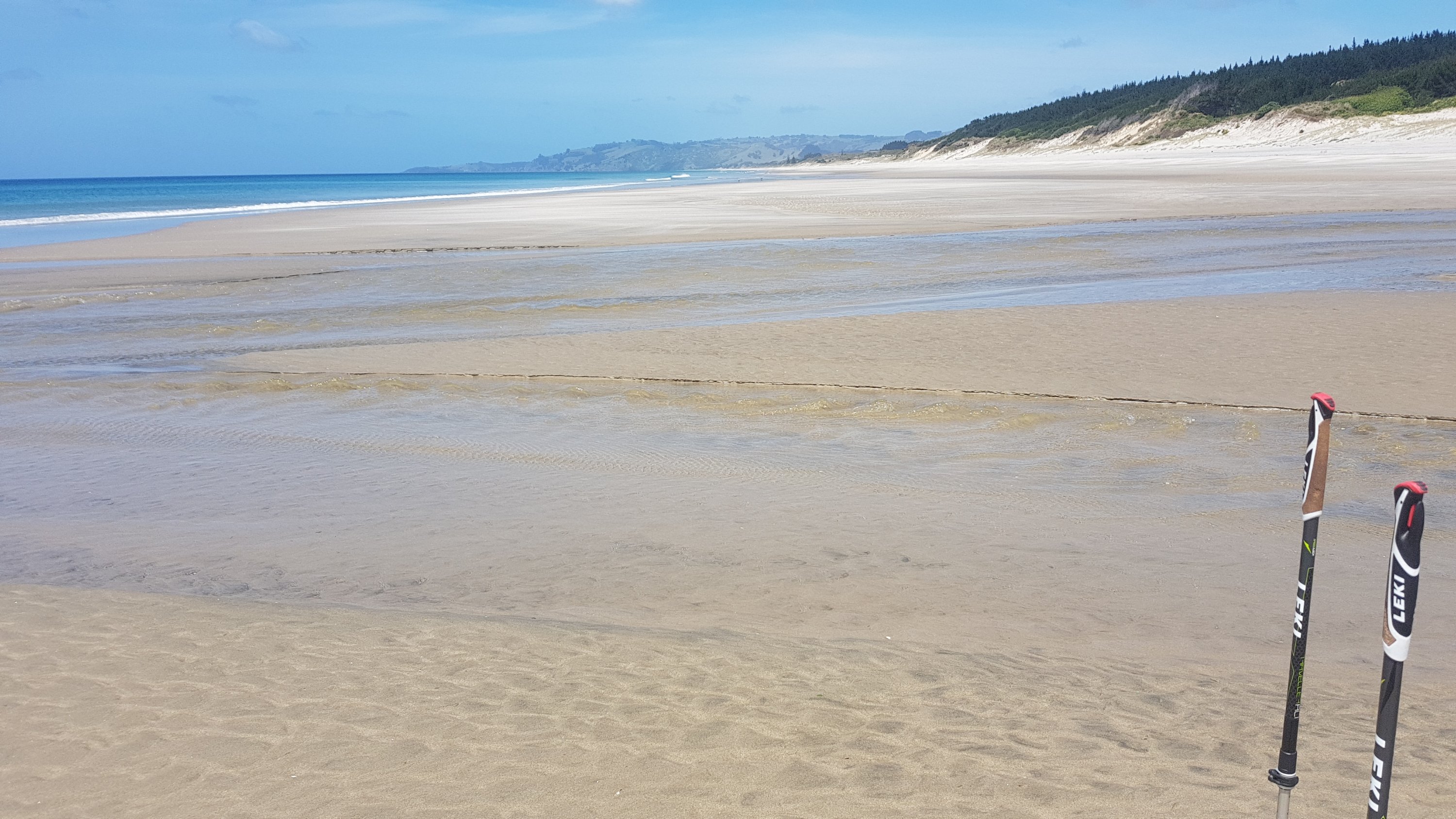
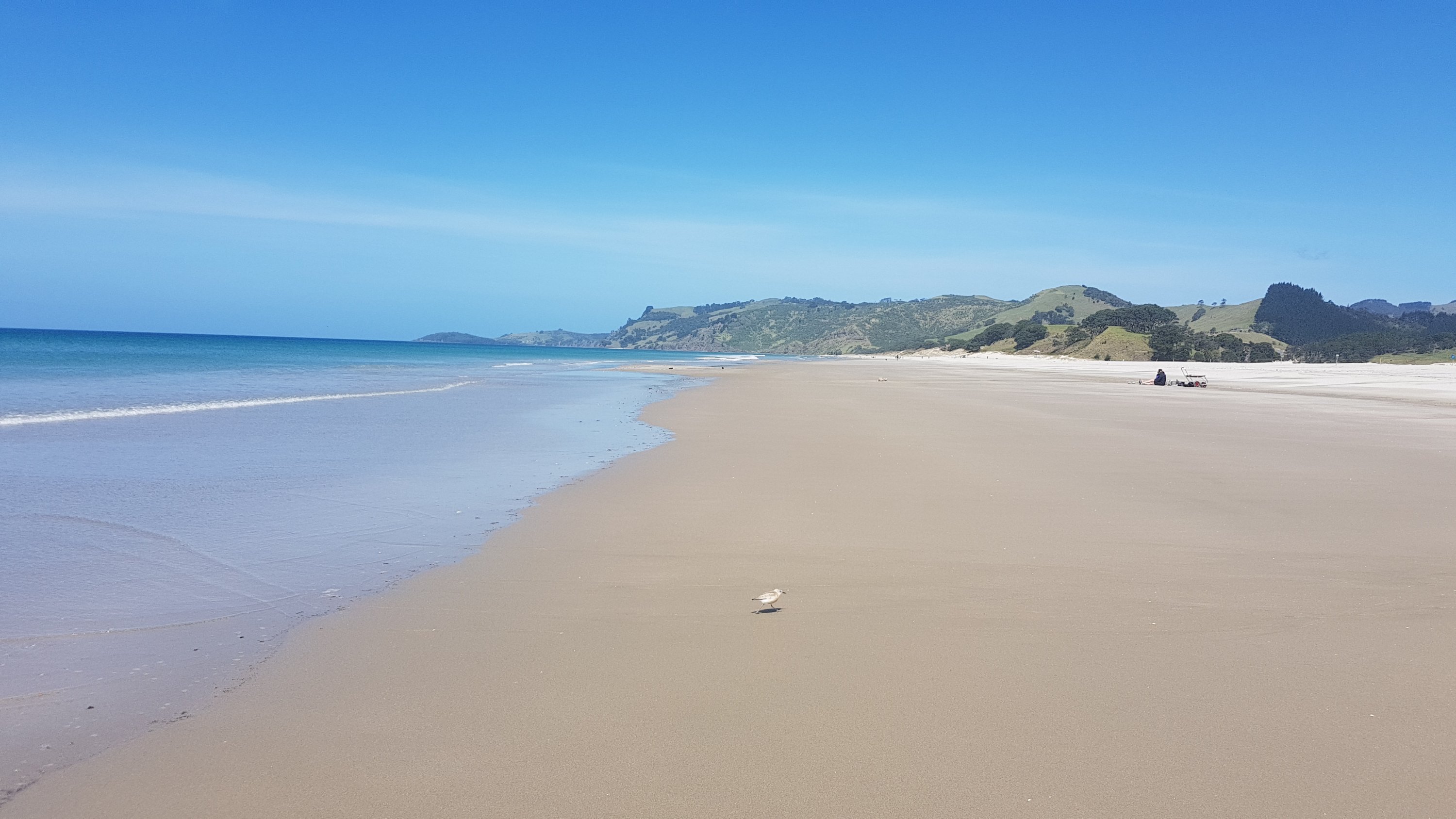
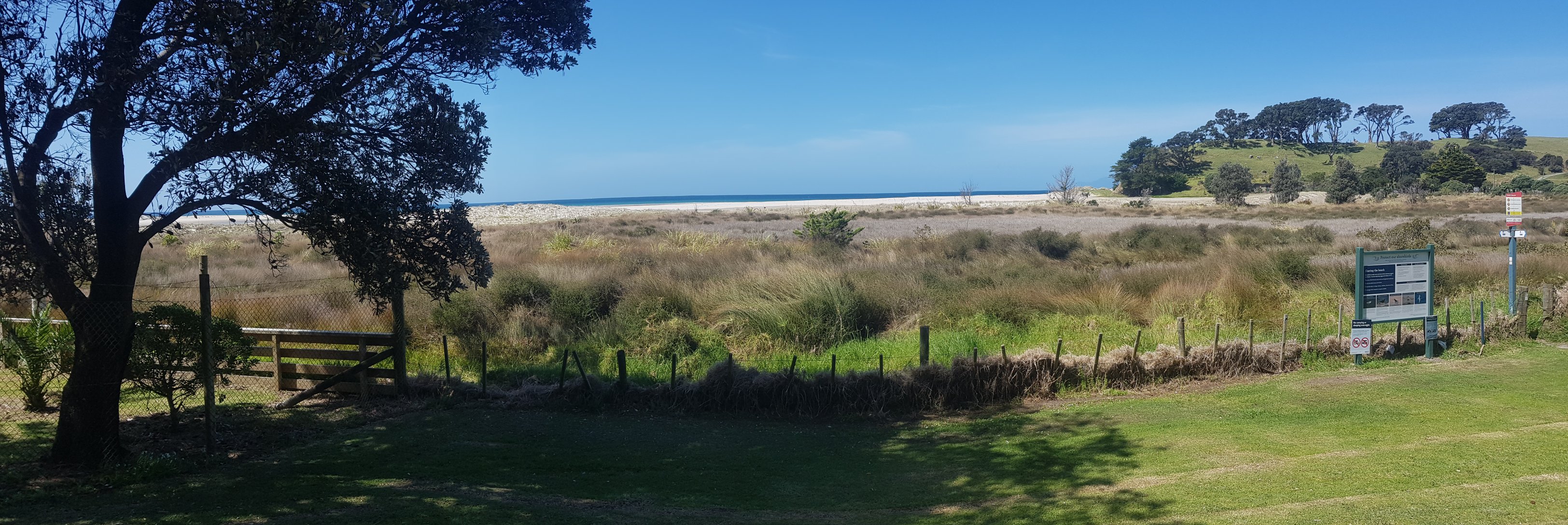
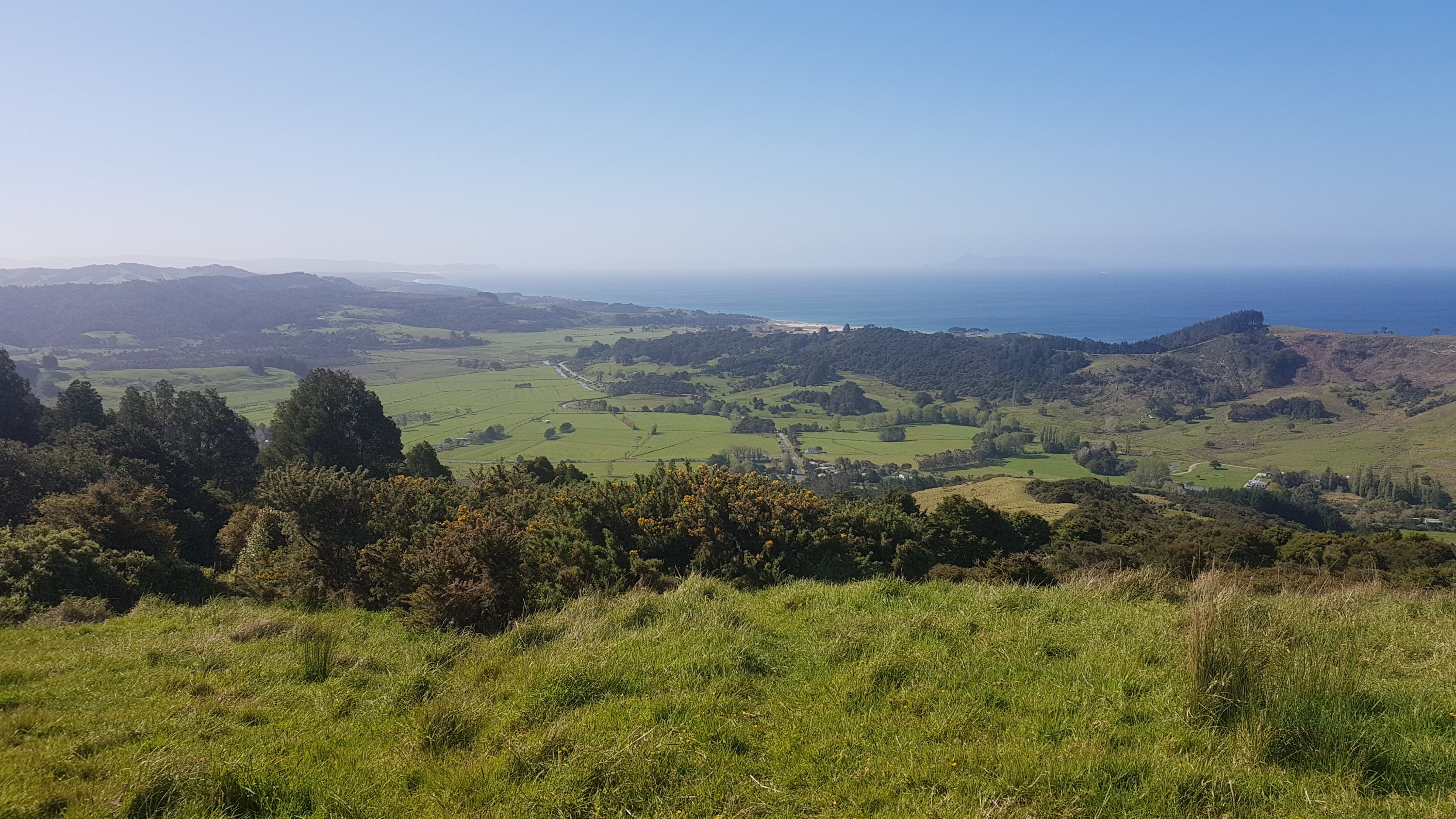
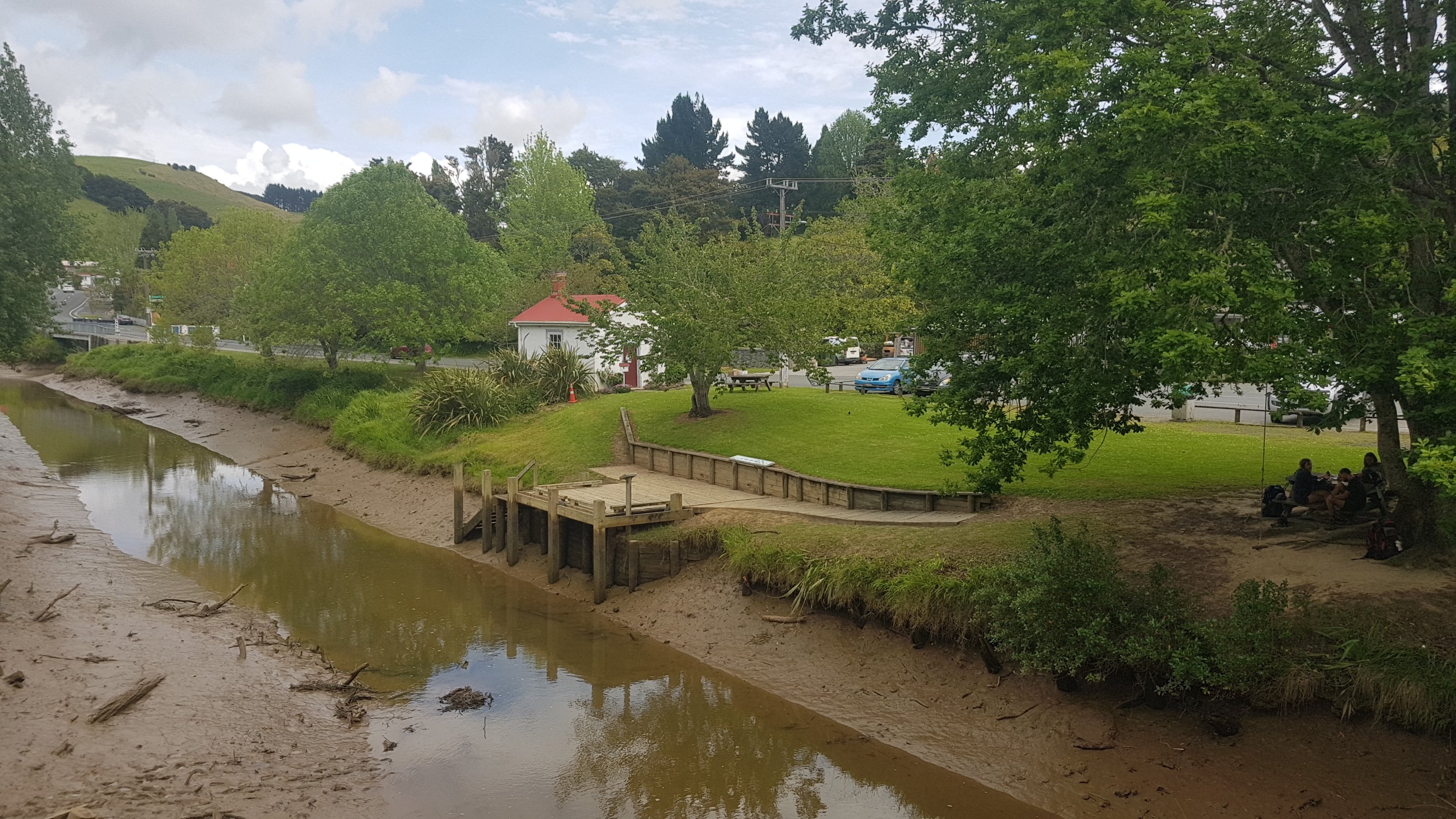
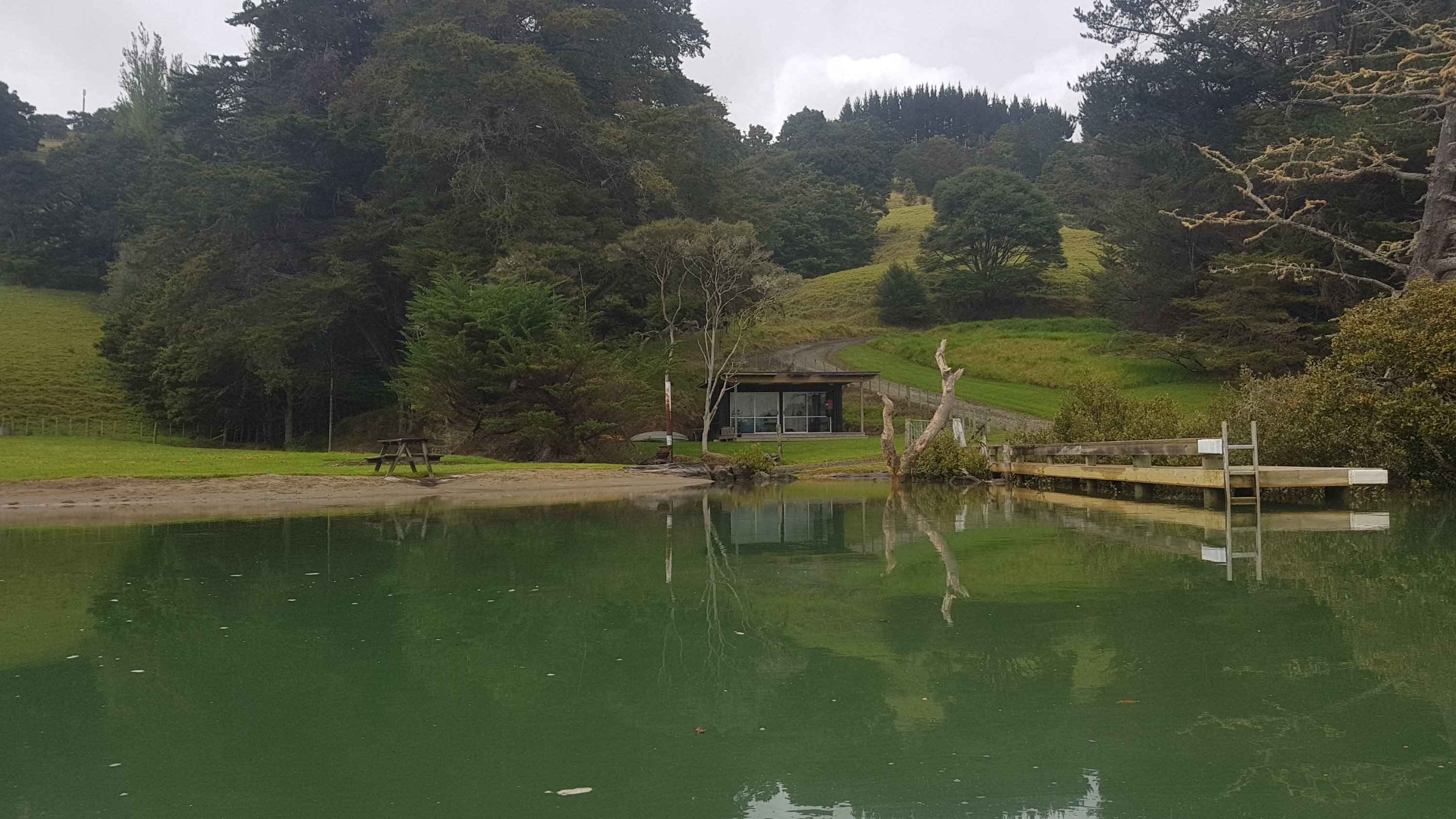
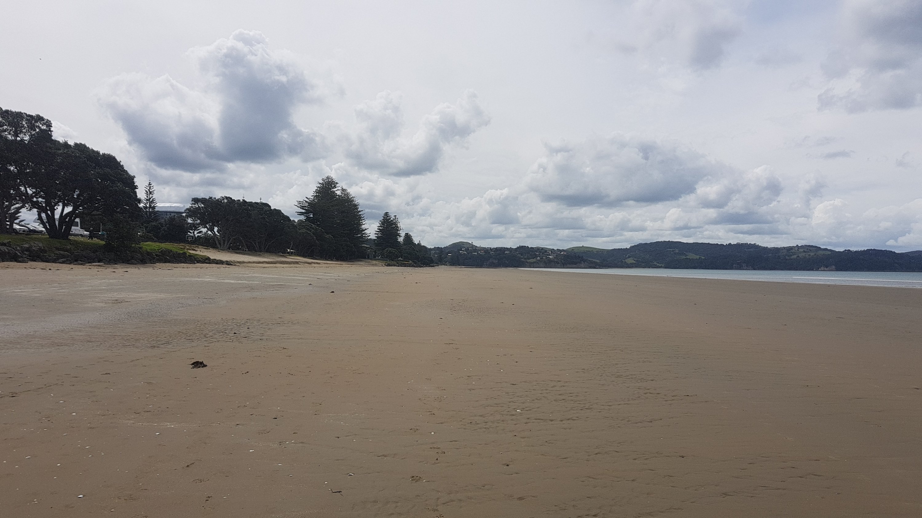
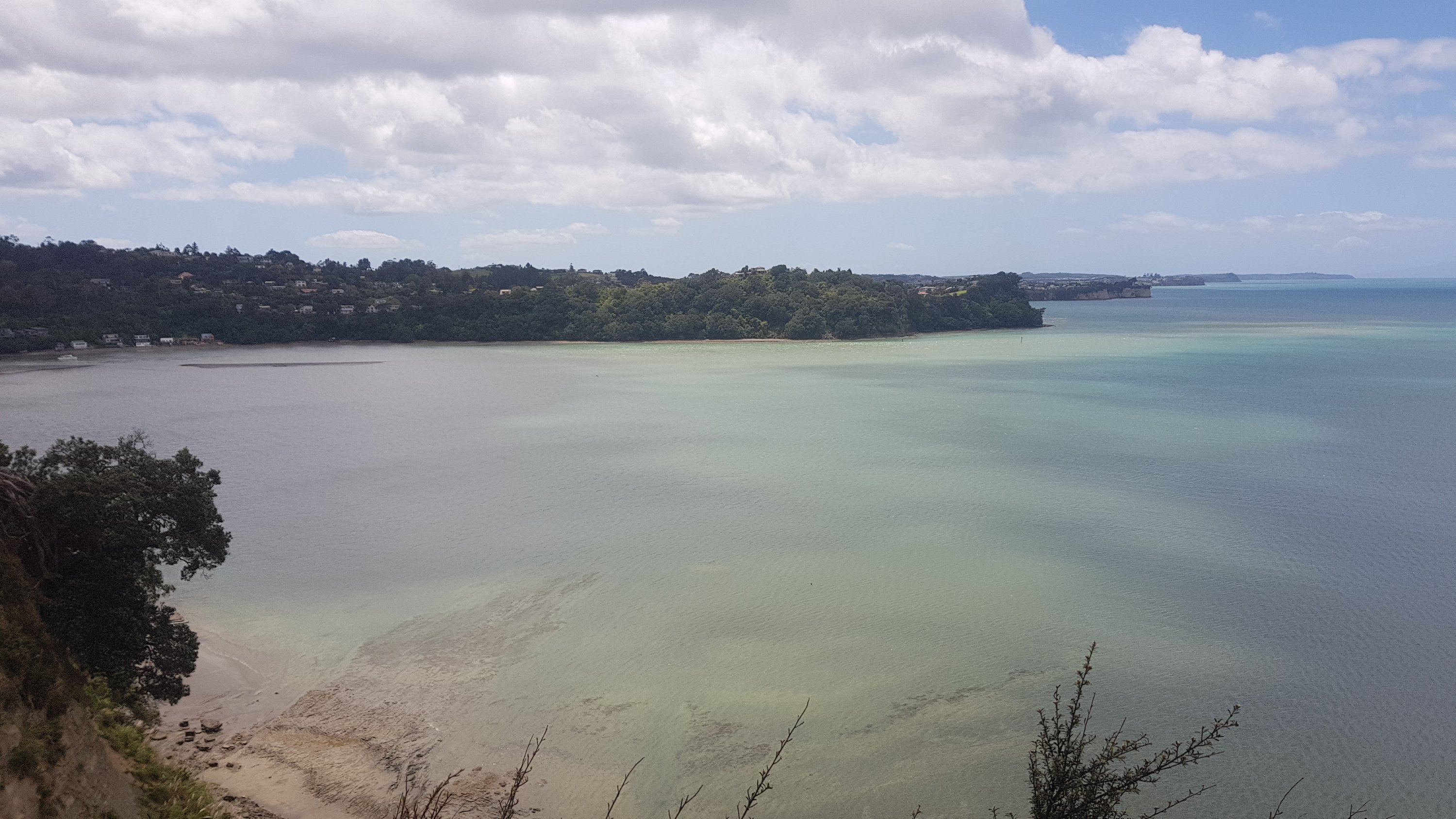
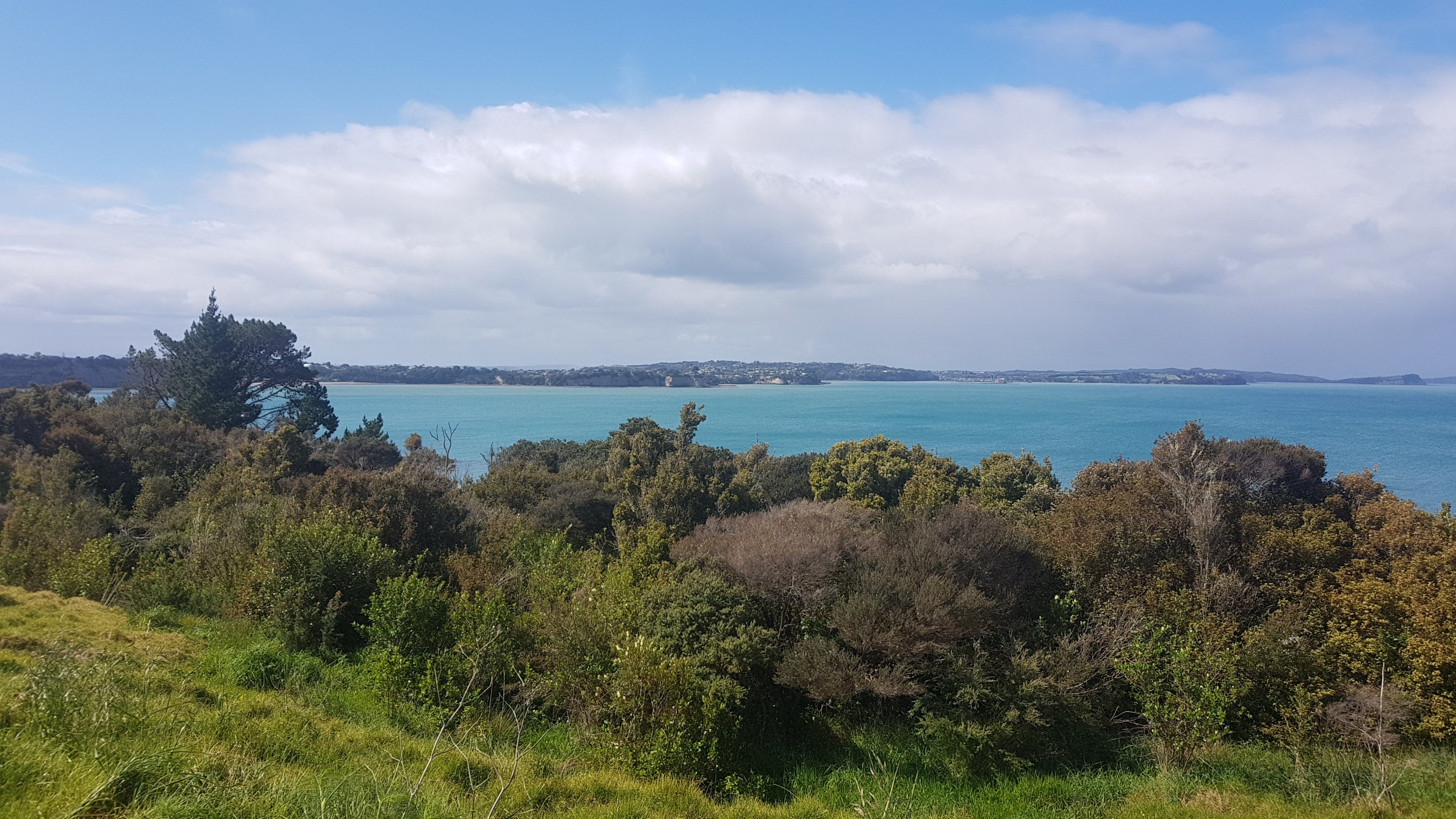
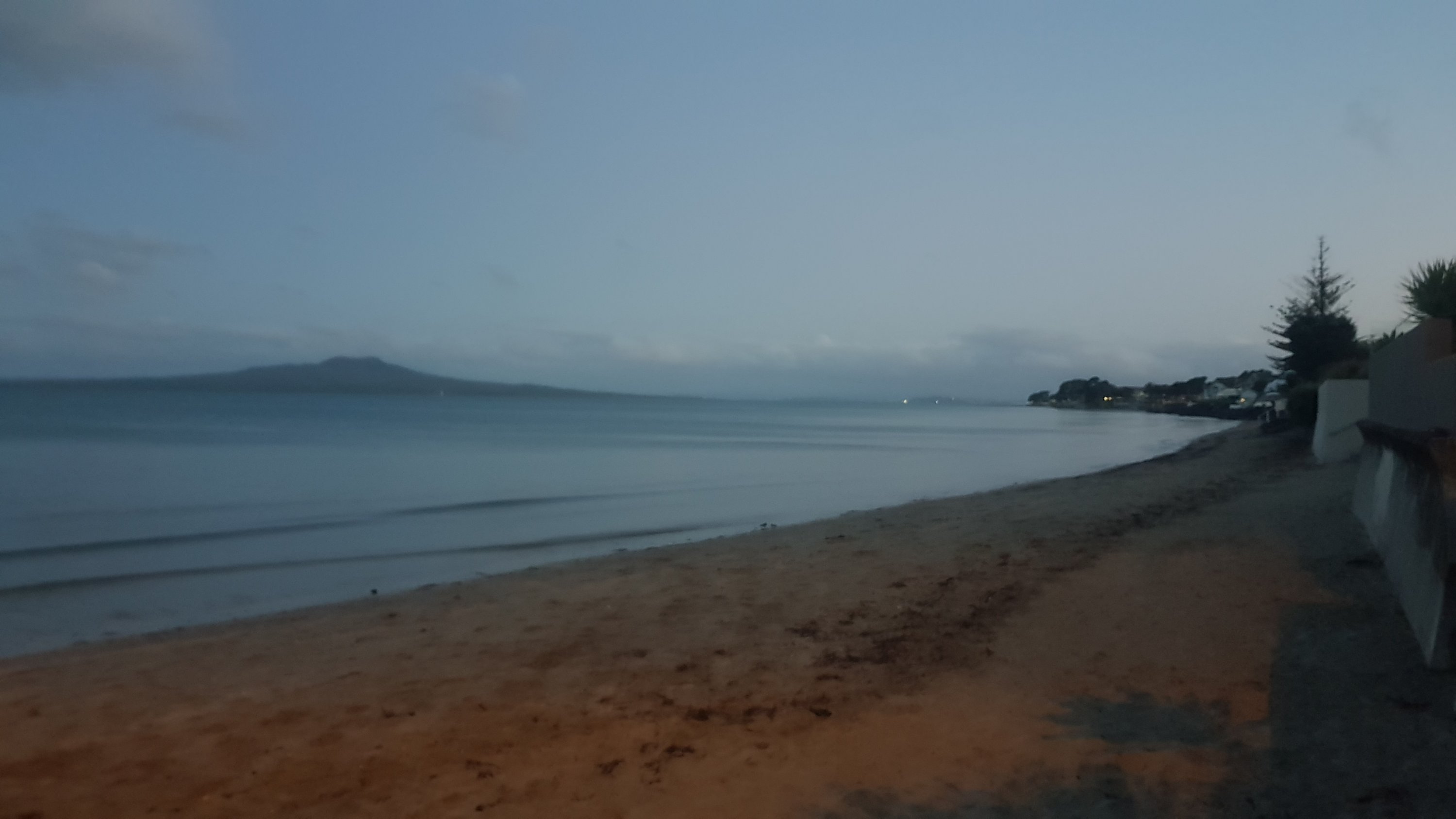
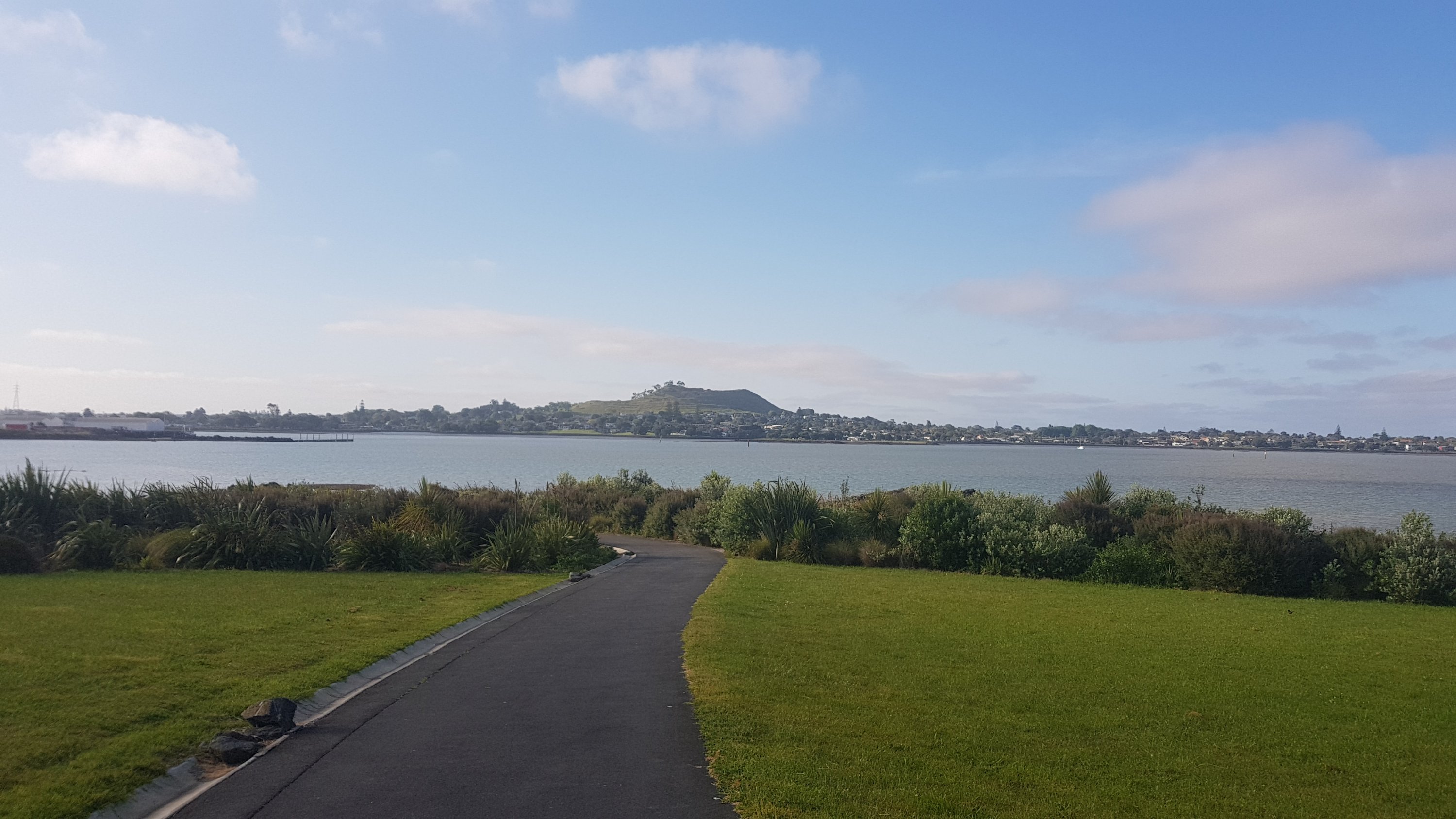
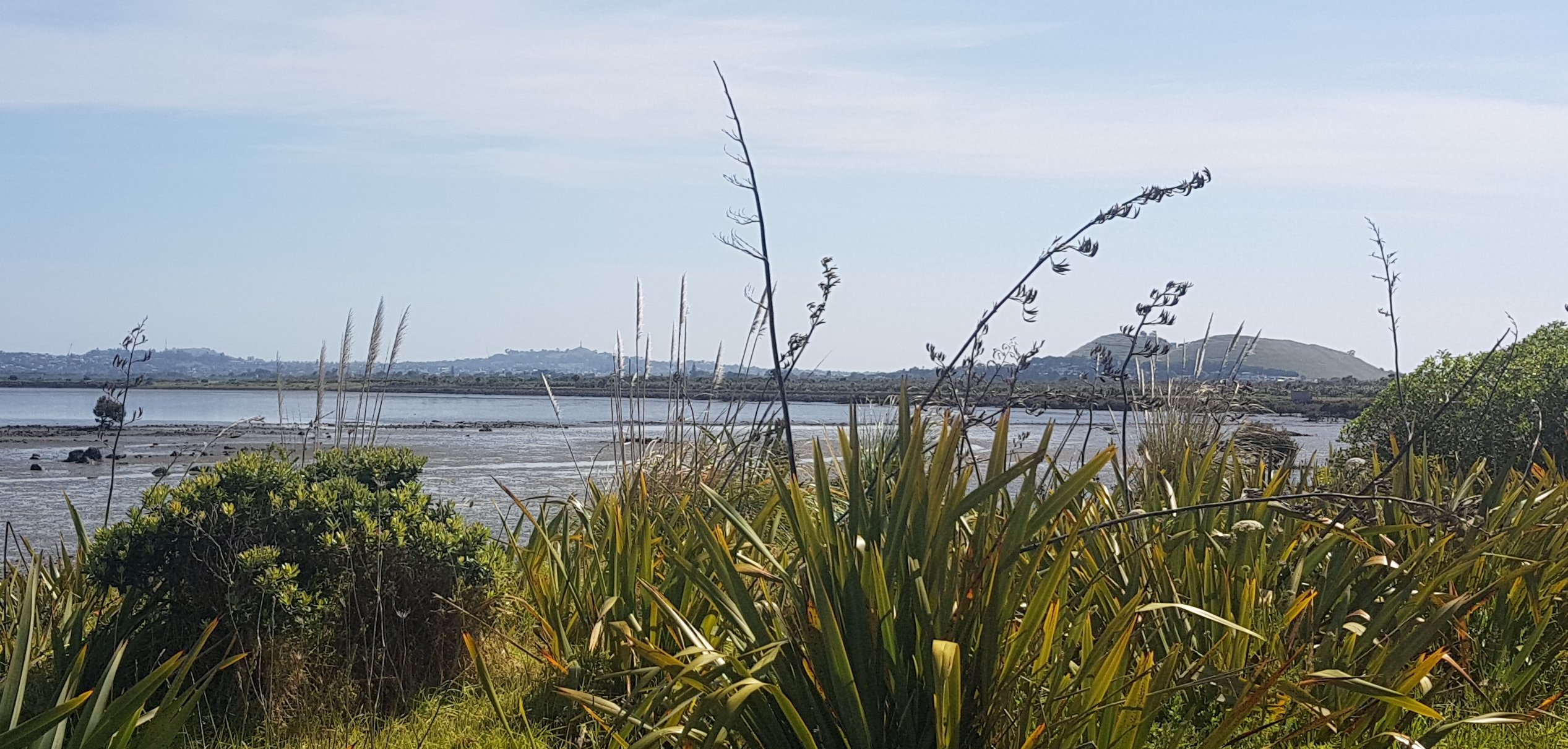
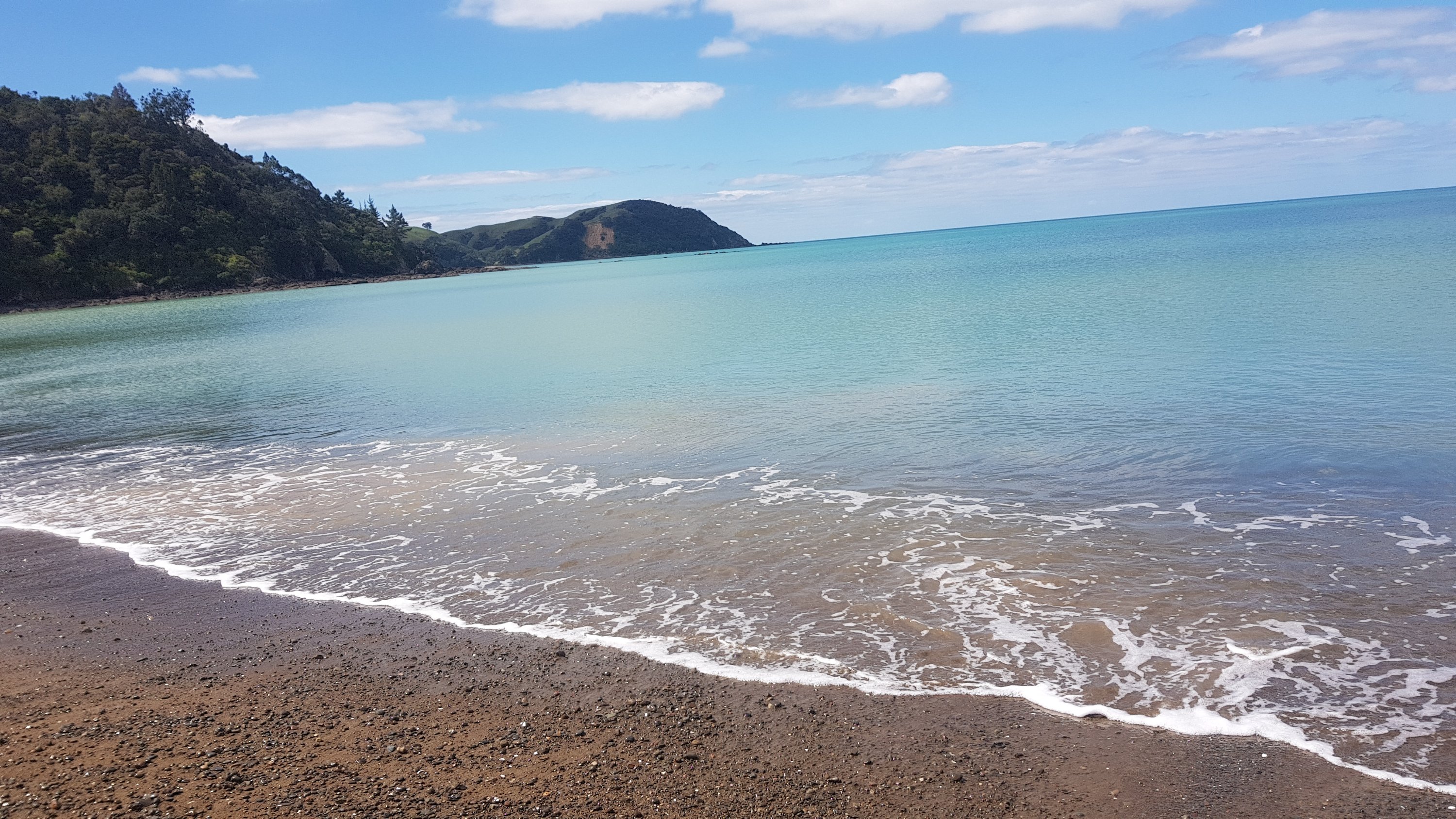
Finally found the turn to Helena Bay. It was a beautiful little bay with very blue water, and it was the first time I had touched water on the east coast since I started walking. It was a great feeling.
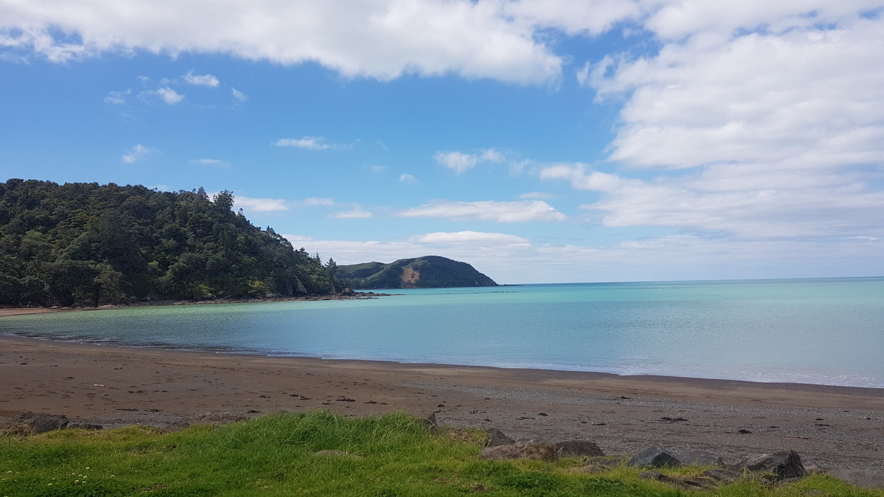
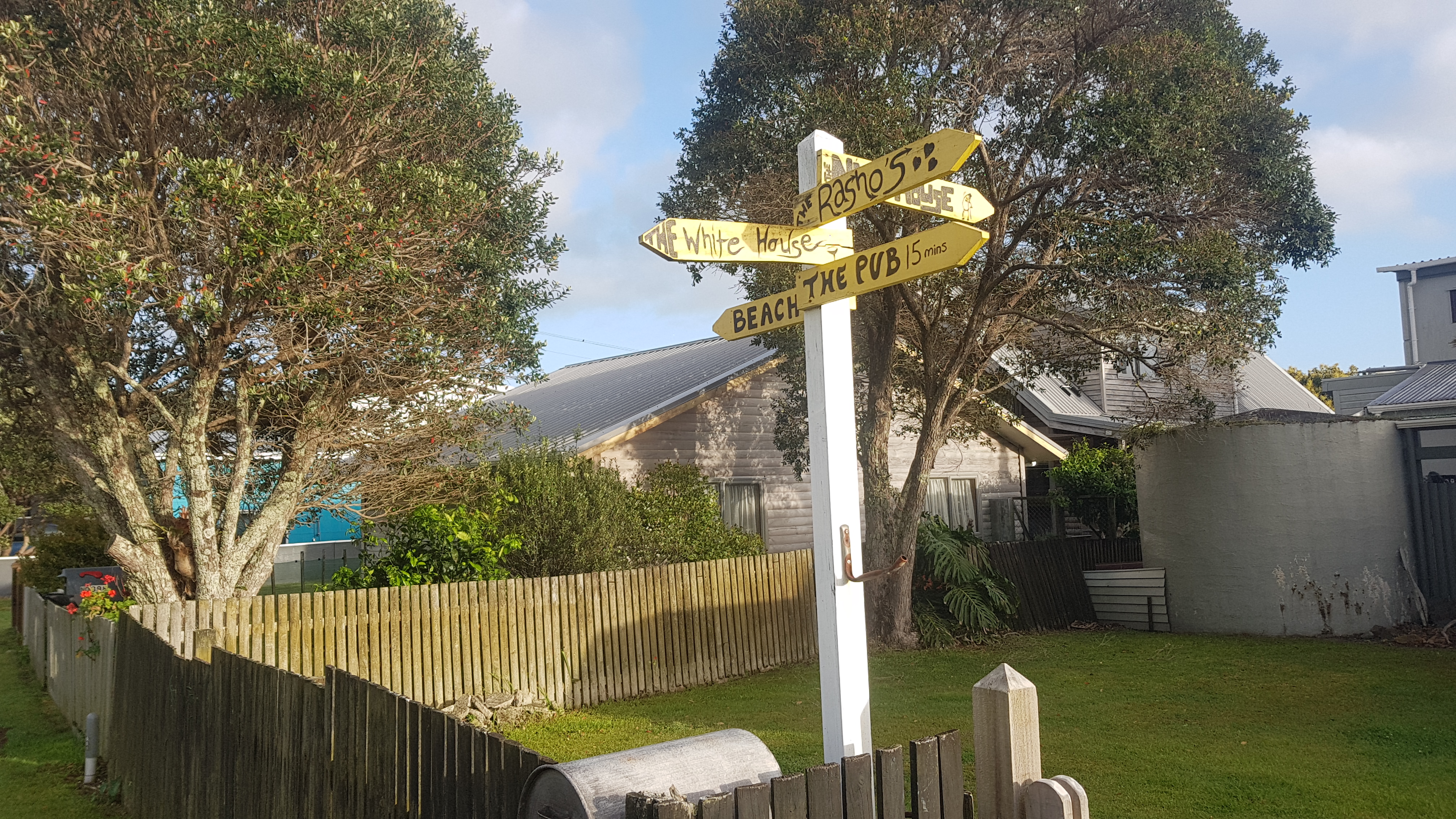
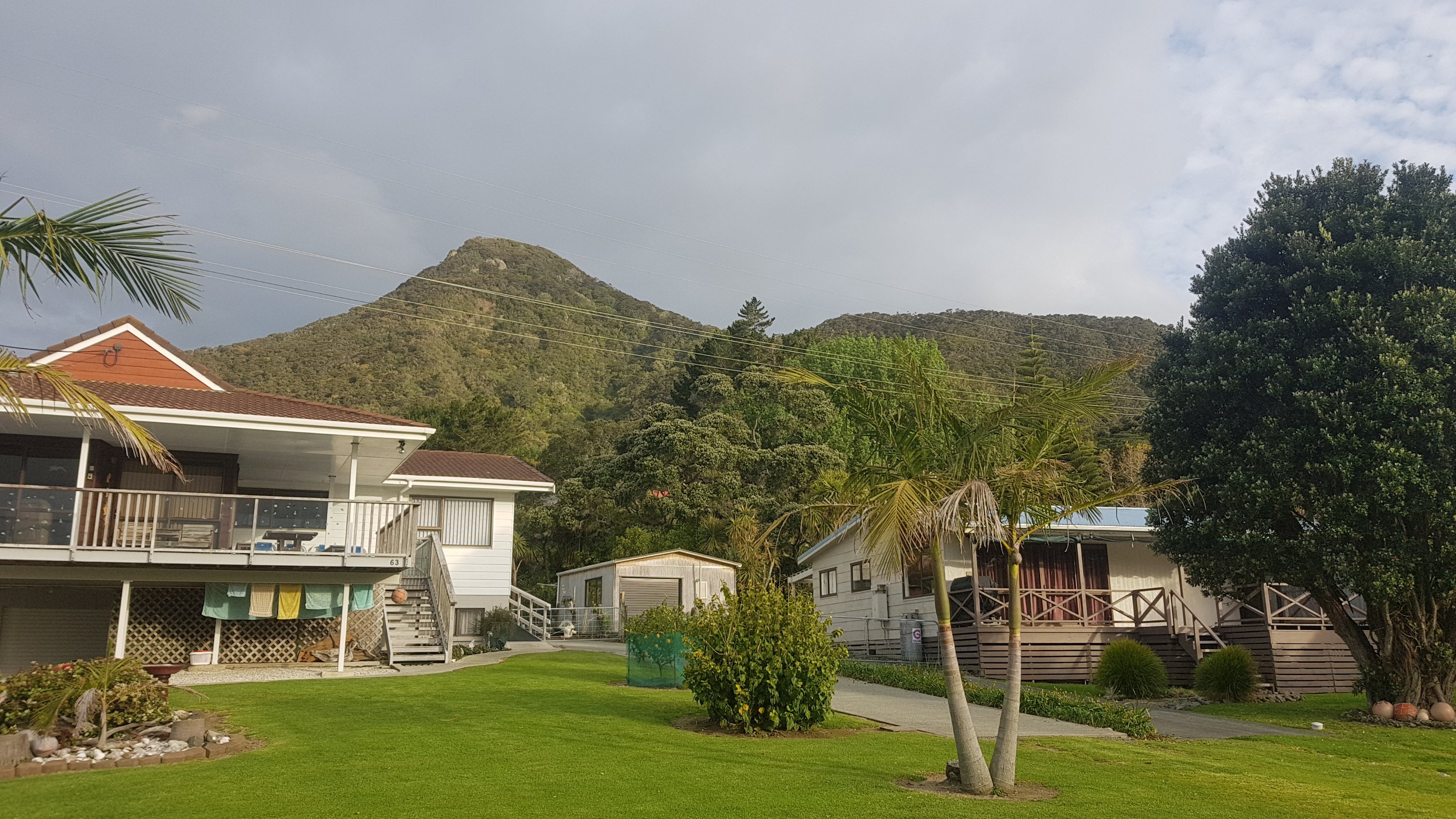
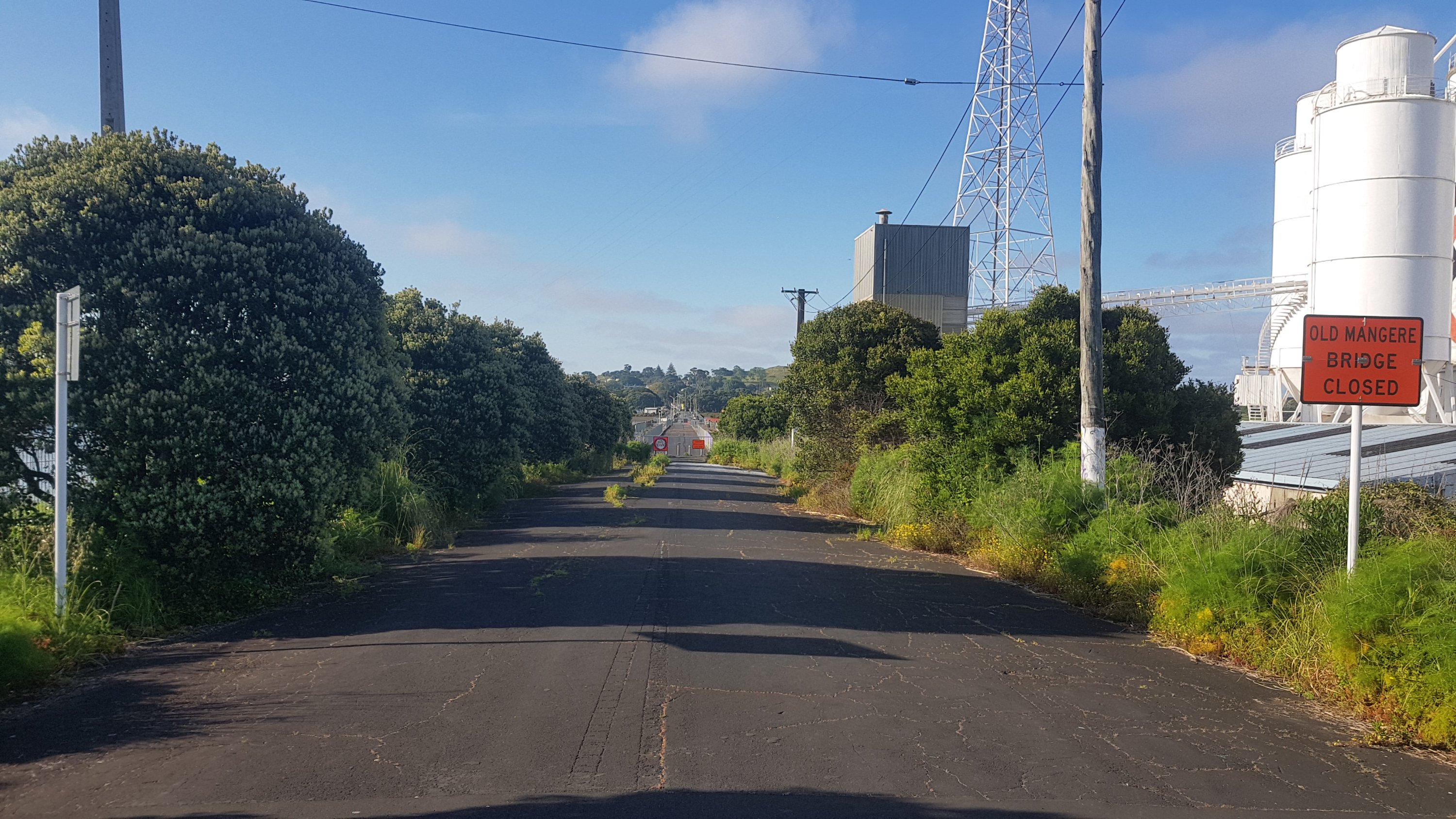
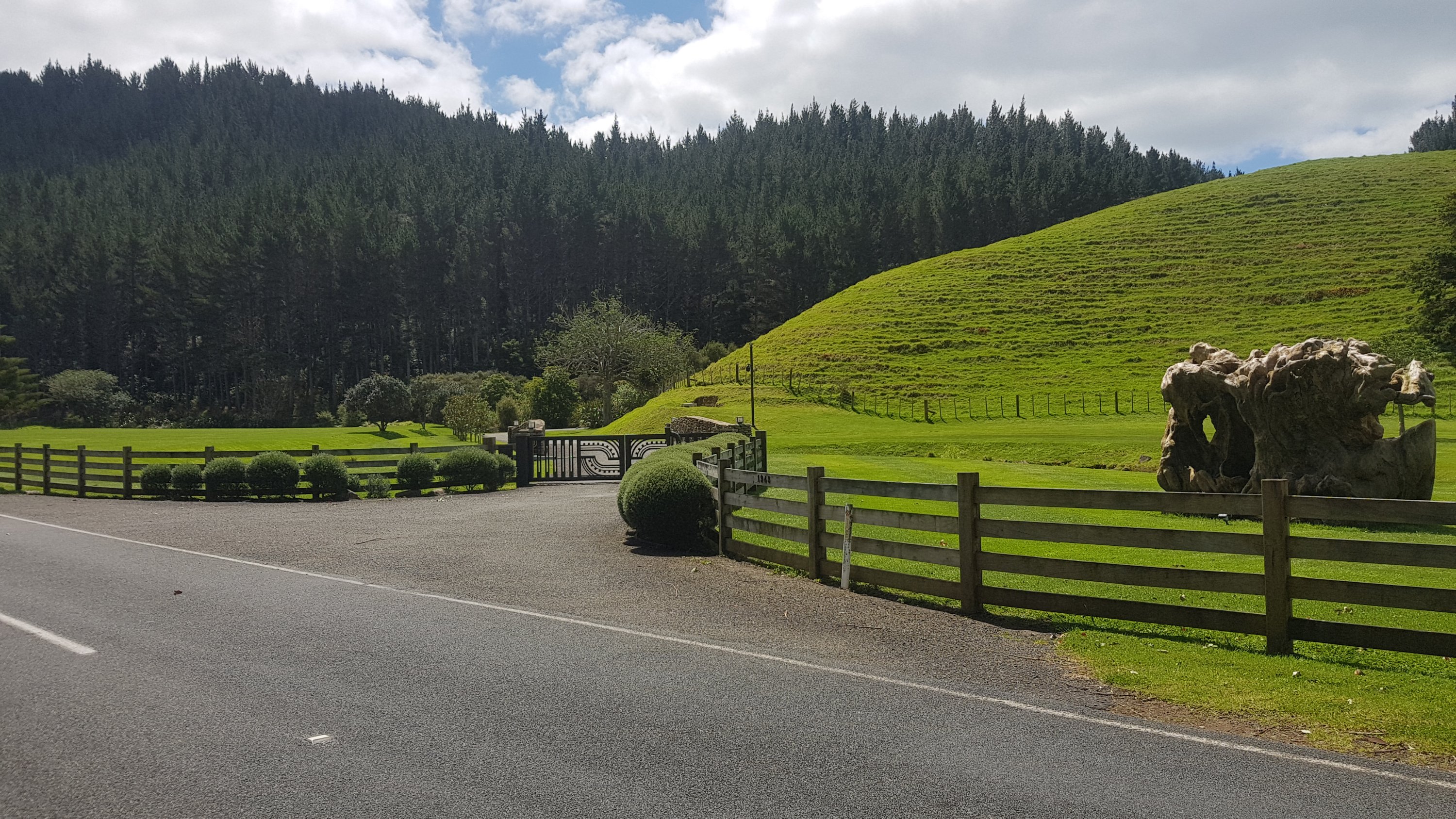
I was really sure that this was going to be a big place, and that there would be somewhere to stay. Turns out no. There are exactly 7 houses here, and not one of them showed any signs of life. All holiday homes for rich Auckland people perhaps? I don’t know. There was the Helena Bay Lodge less than a kilometer back from Helena Bay itself, but it looked far too posh with it’s perfectly manicured grass and odd-looking sculpture and gates. And with no actual sign I think they want to keep riff-raff like me out.
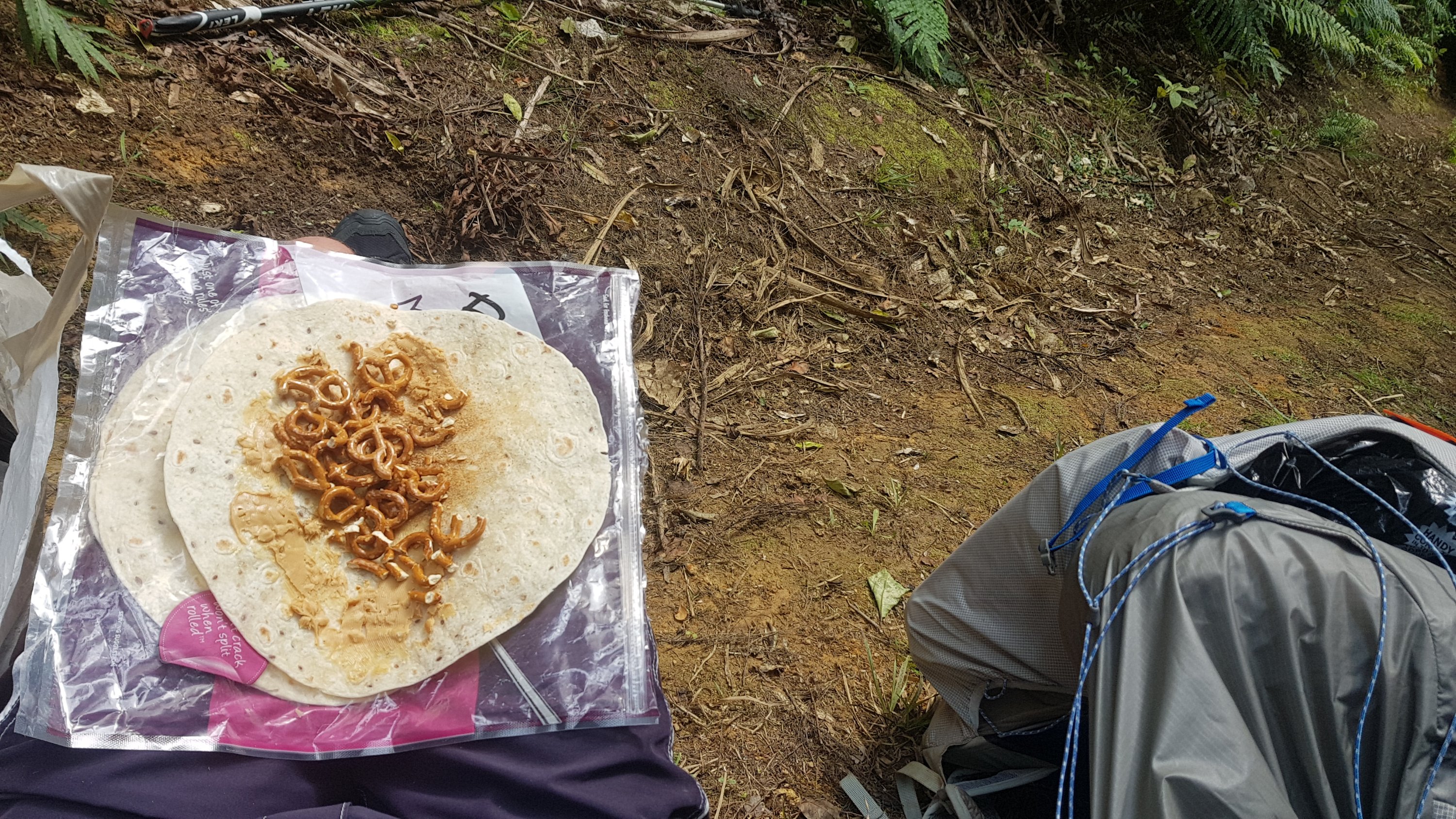
I met a girl in a campervan who had seen me walking. She gave me roast vegetables, I think she felt sorry for me when I pulled out my wrap, peanut butter and pretzels. The roast veges were amazing. Whatever seasoning she had put on them was awesome.
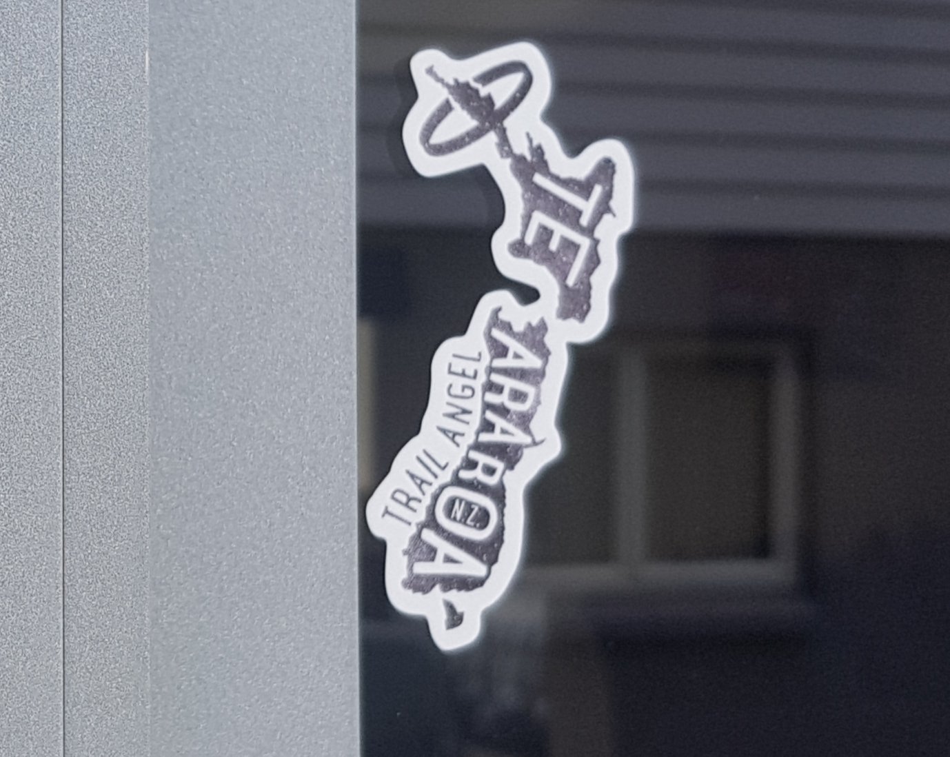
I had heard there was a guy by the name of Jock who lived in Helena Bay, who let people camp in his yard. I had looked at all seven houses for signs of life but didn’t find any. I was sure I found the right house because I saw this sticker. But the house didn’t looked recently lived in.
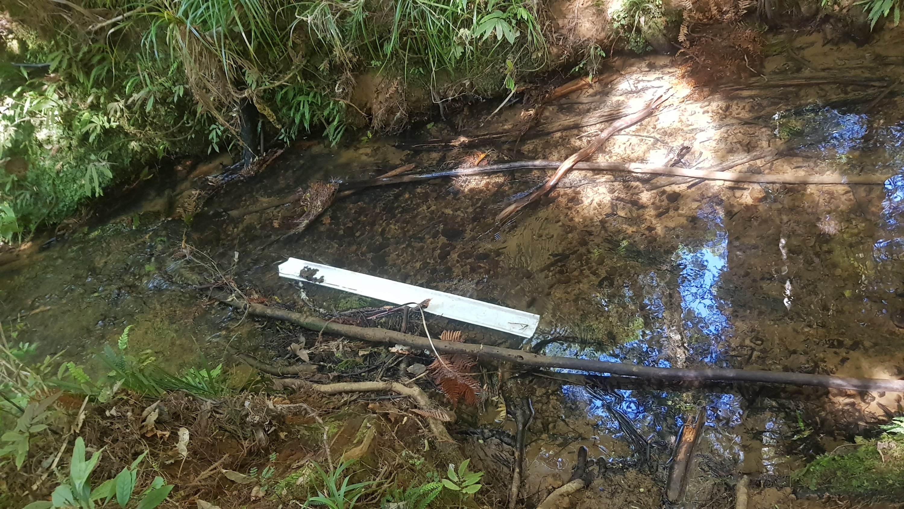
It was also a super hot day and I had run out of water. Since it looked like I was going to continue walking, I first tried to get some water from the stream that fed into the ocean, but the sides were too muddy and I was getting more mud than water into the water filter. So I gave up on that idea. Note to self: if the days are always going to be this hot from now on then I need to start bringing more water or stopping at suitable streams more often.
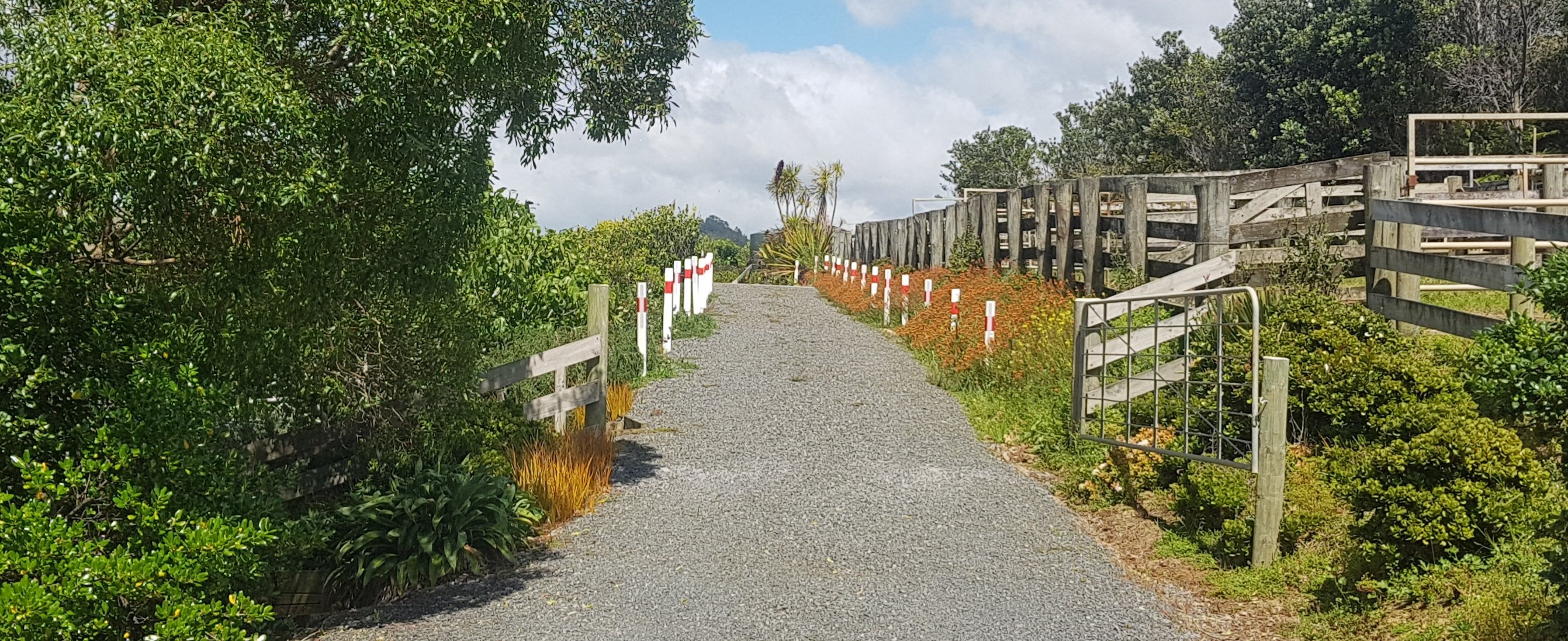
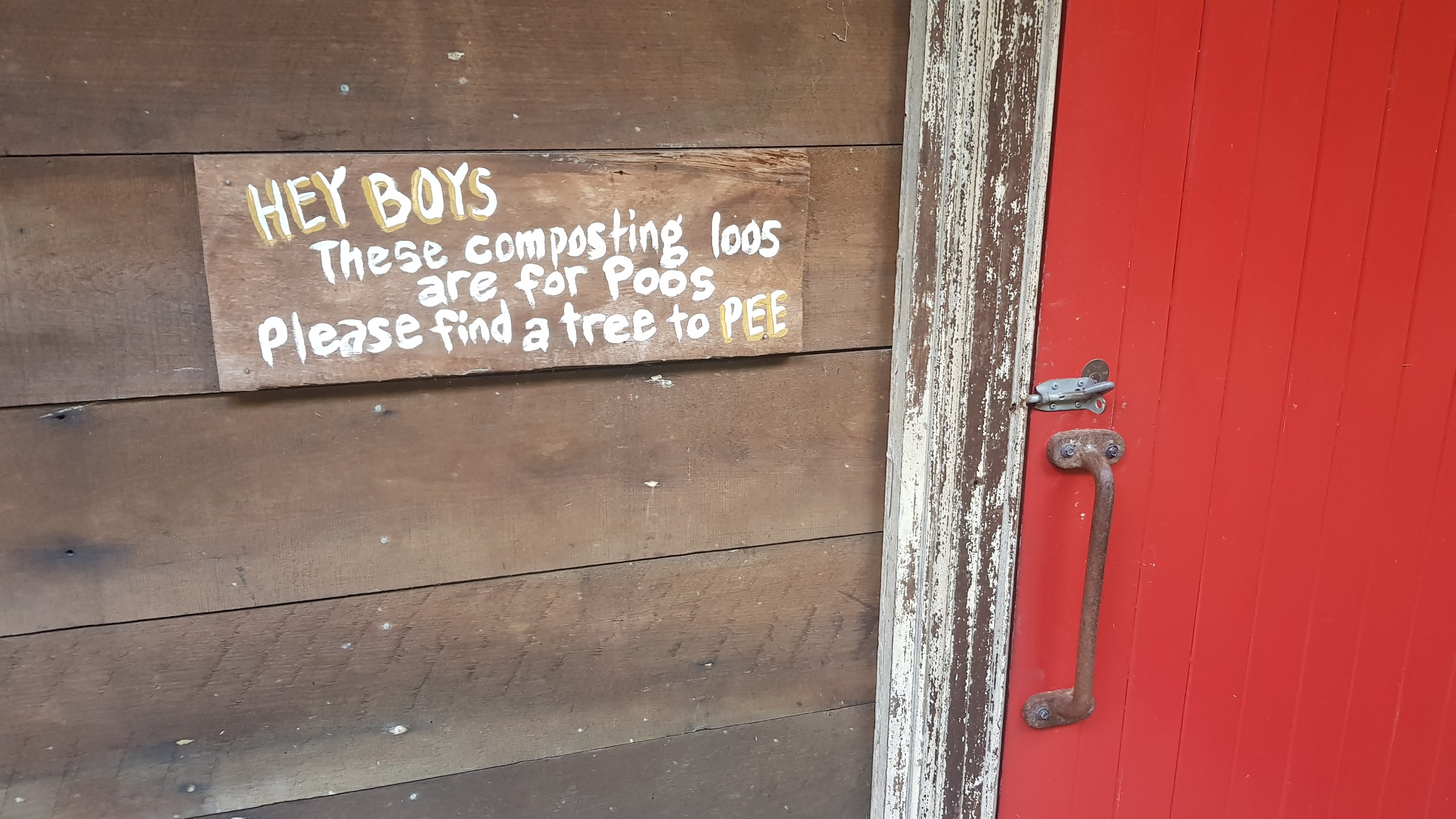
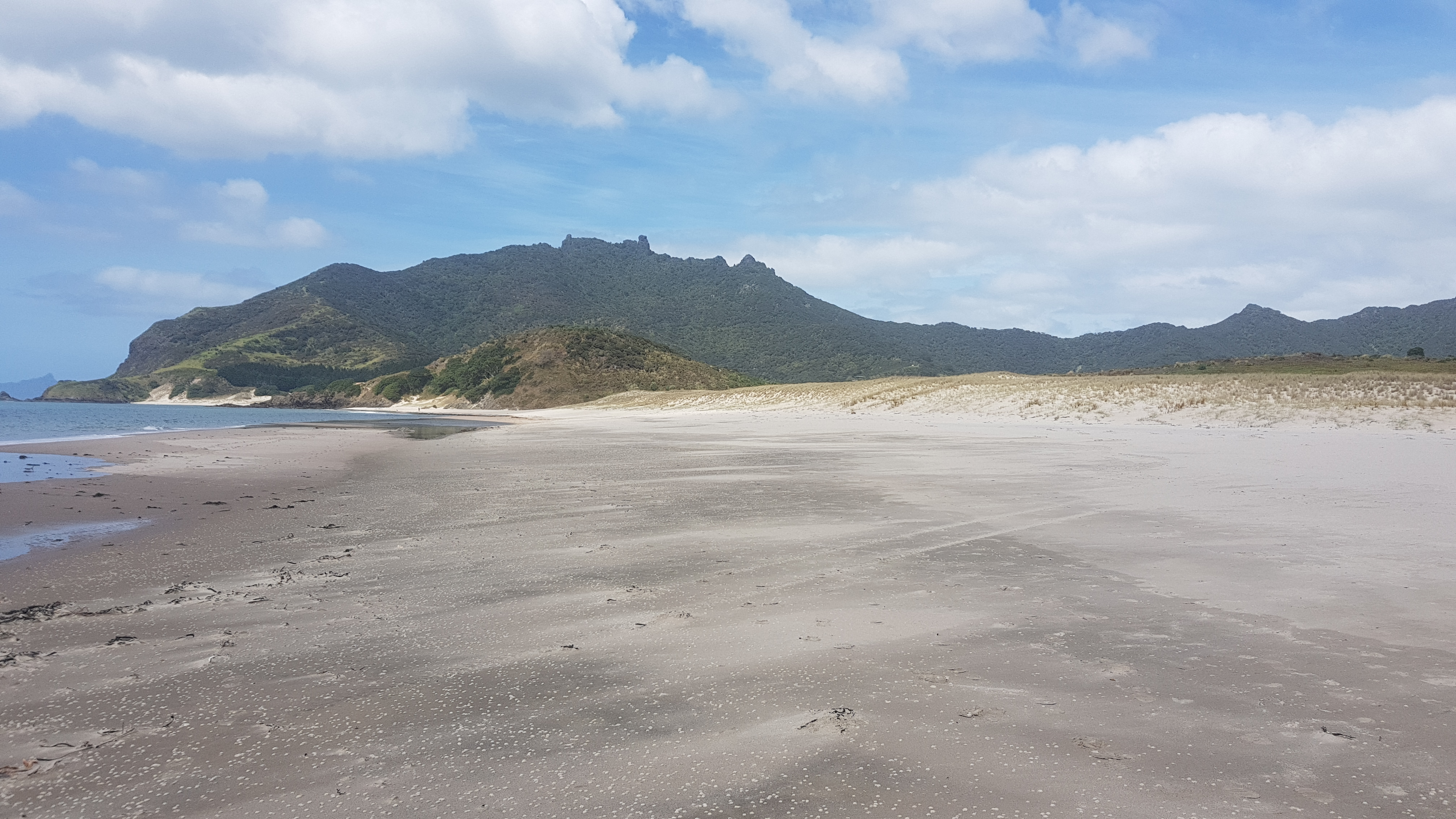
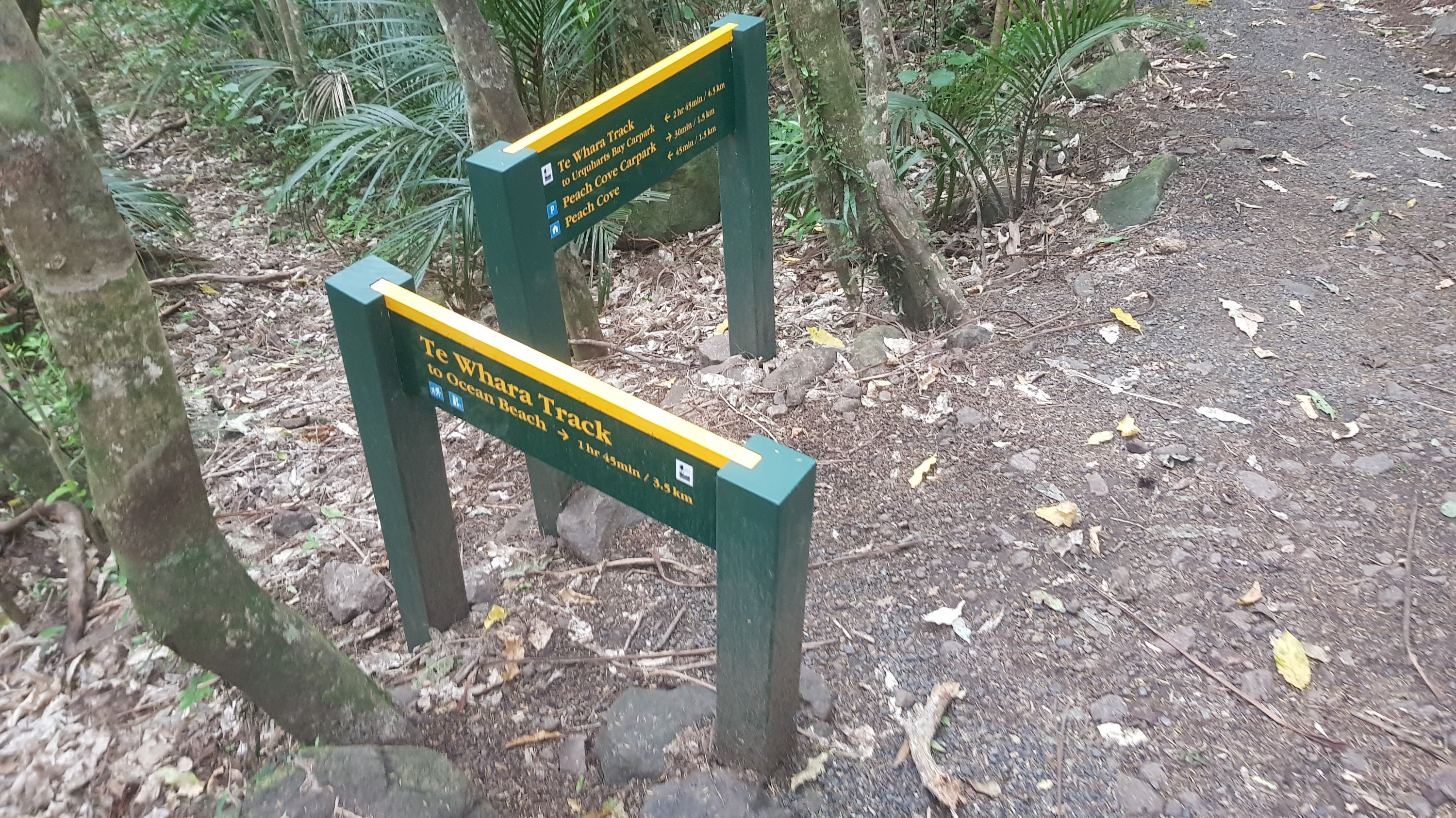
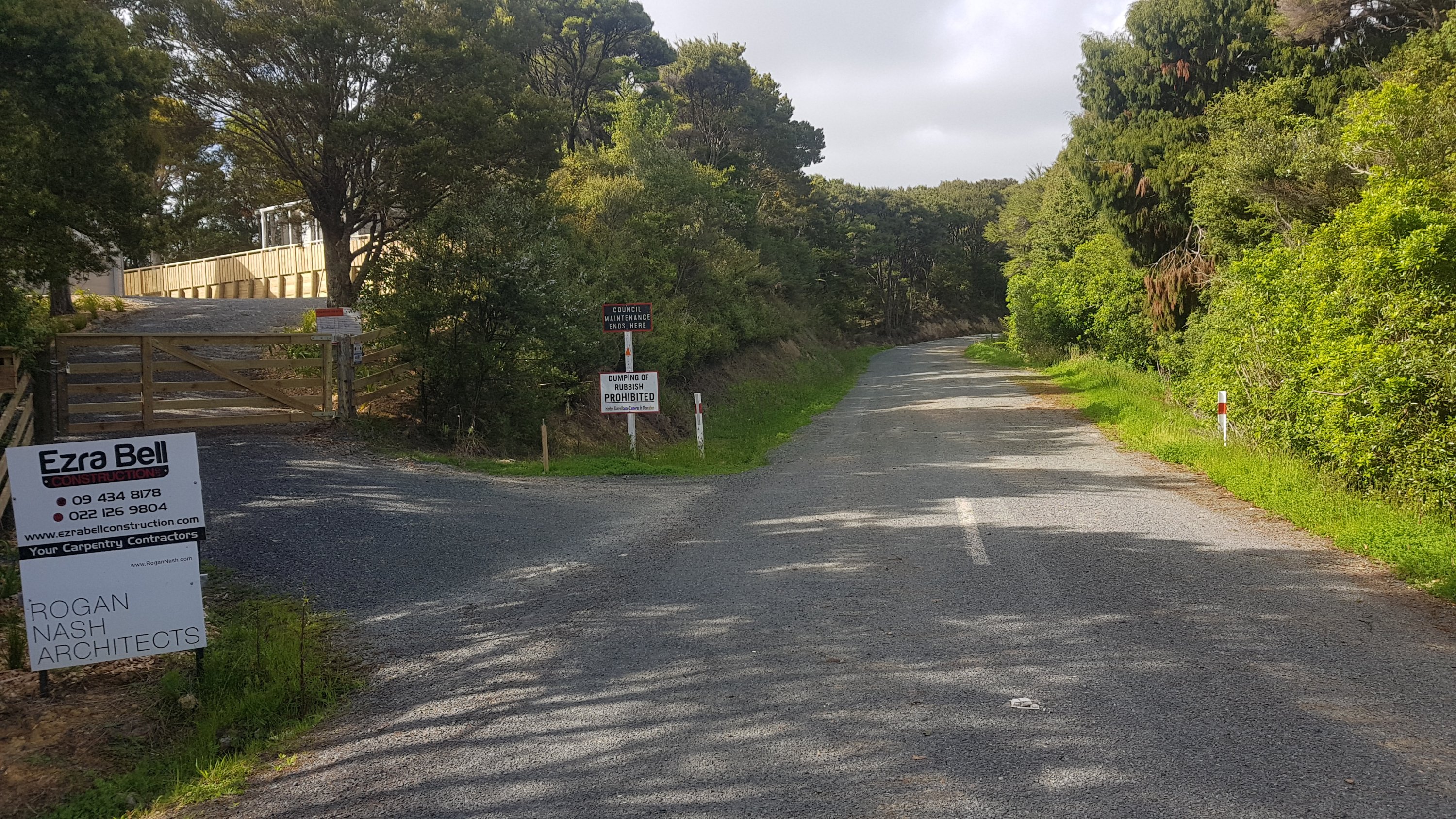
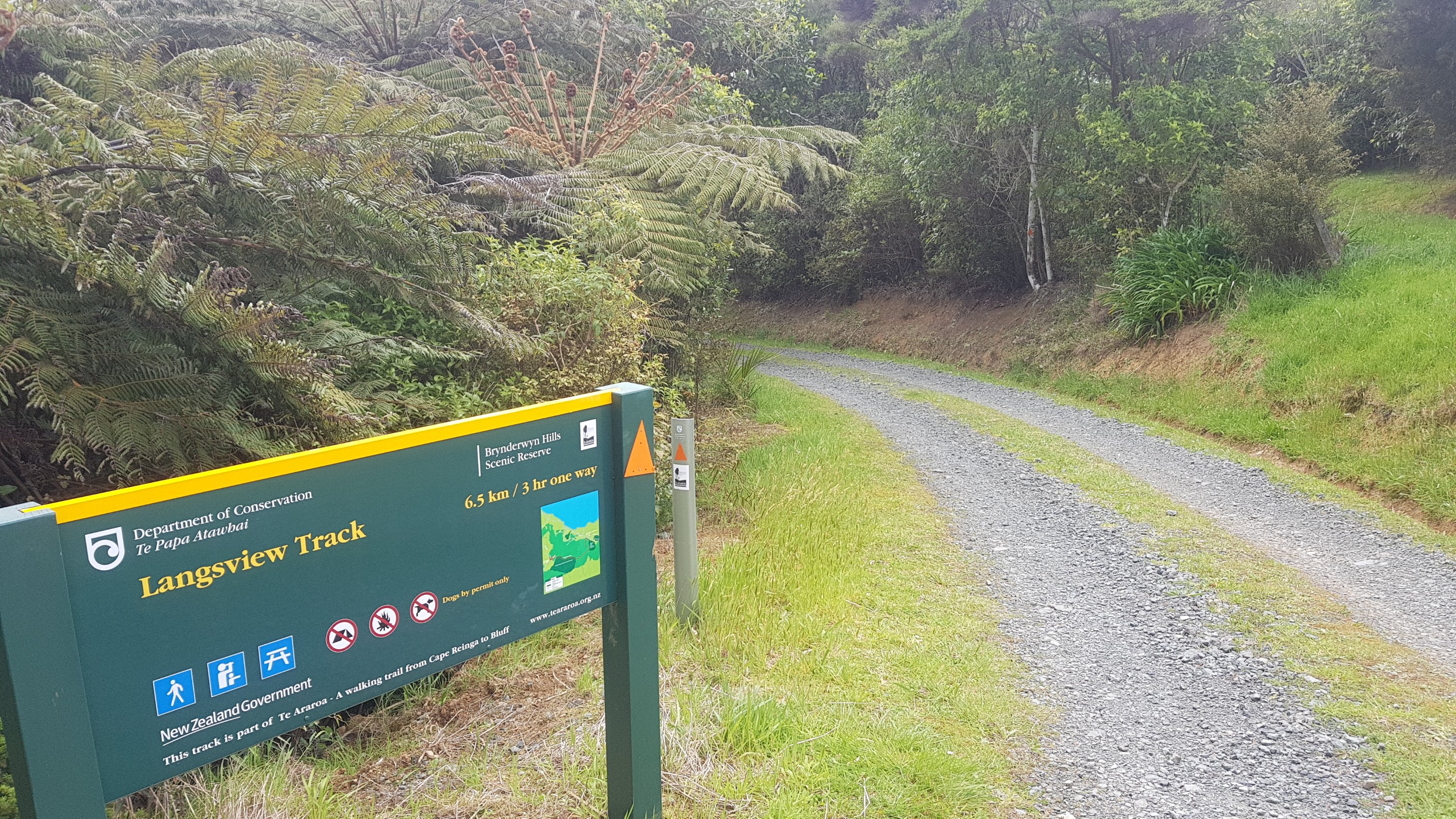
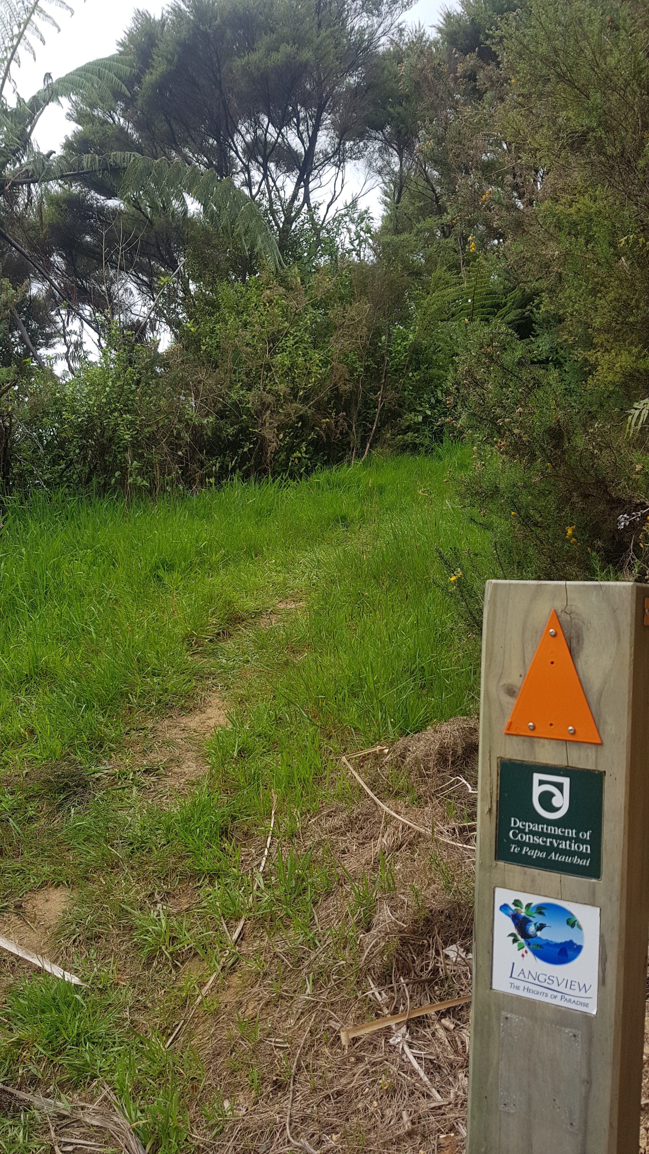
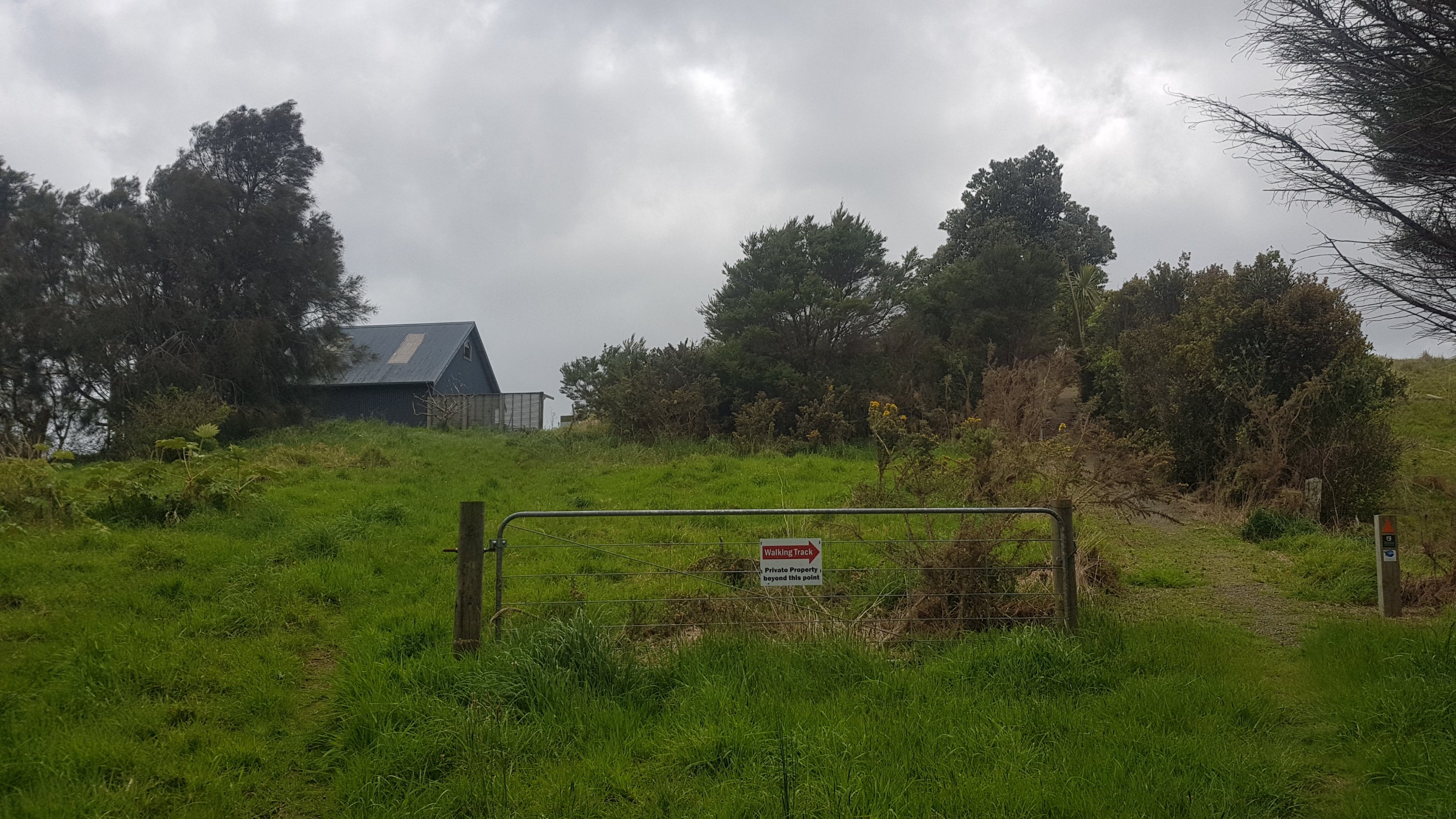
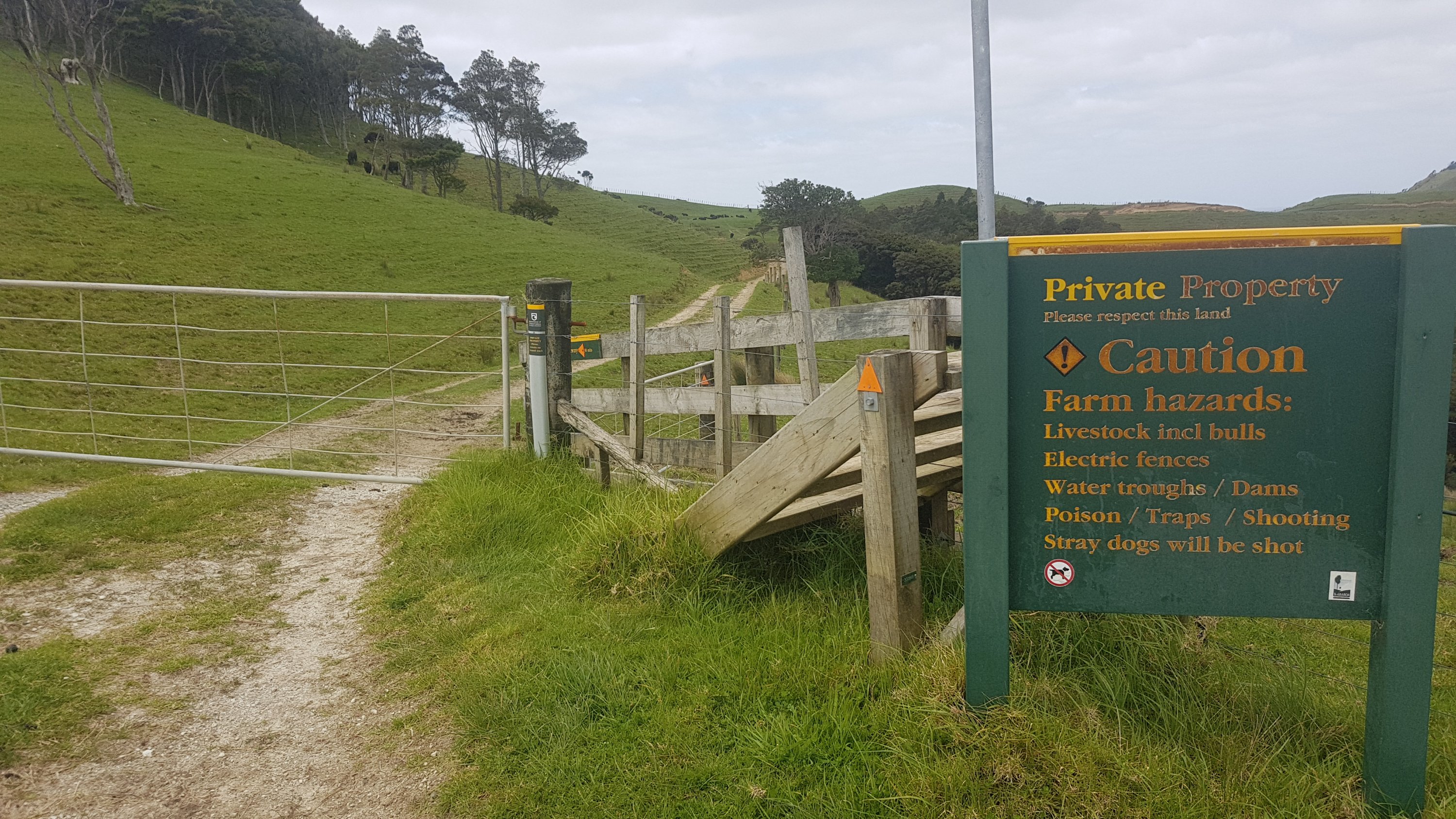
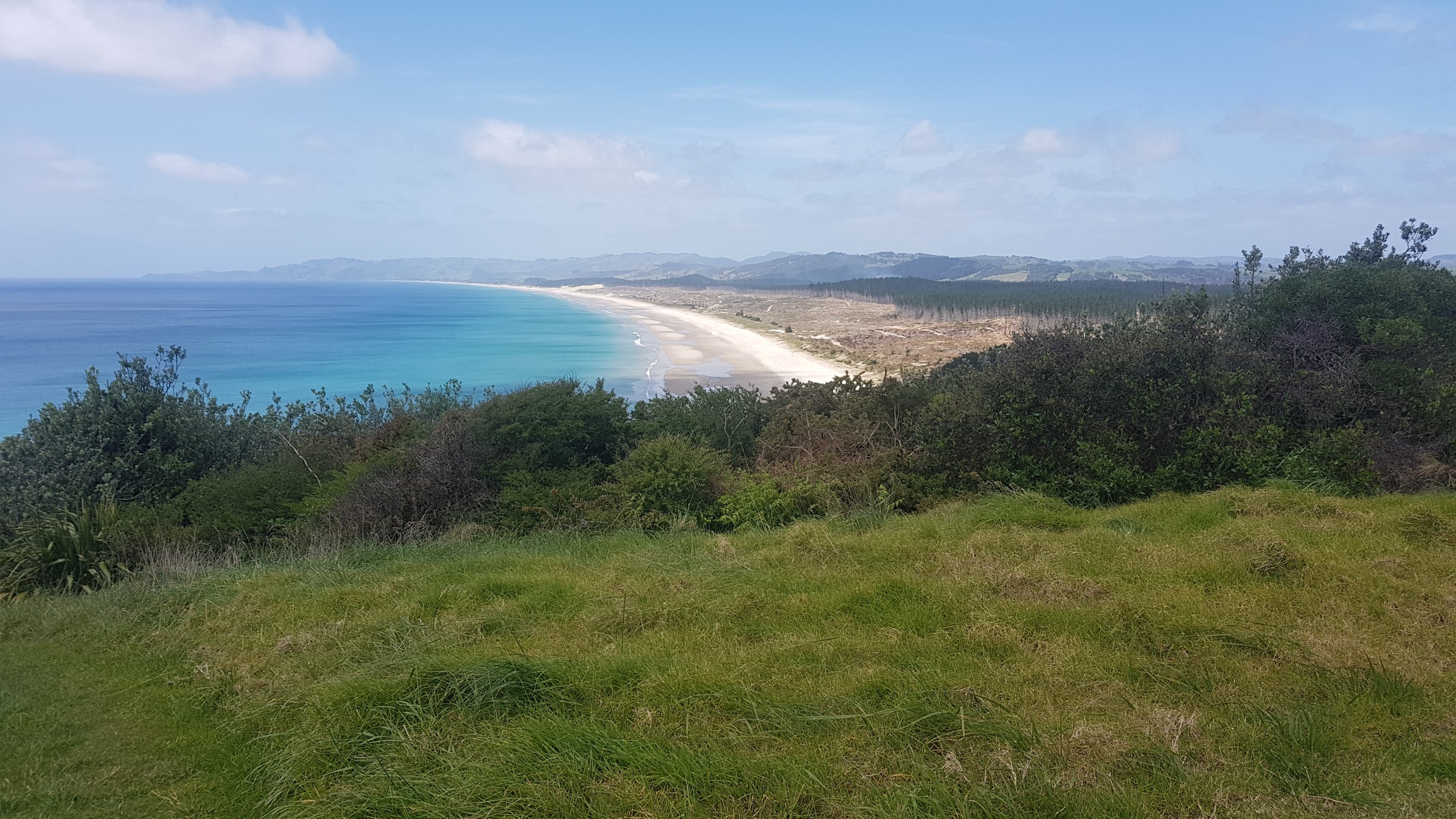
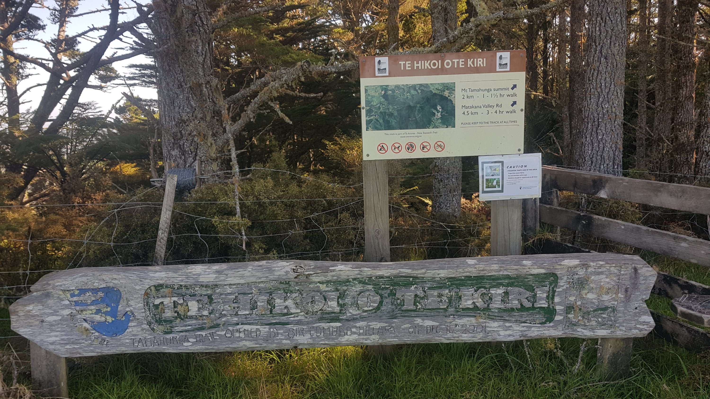
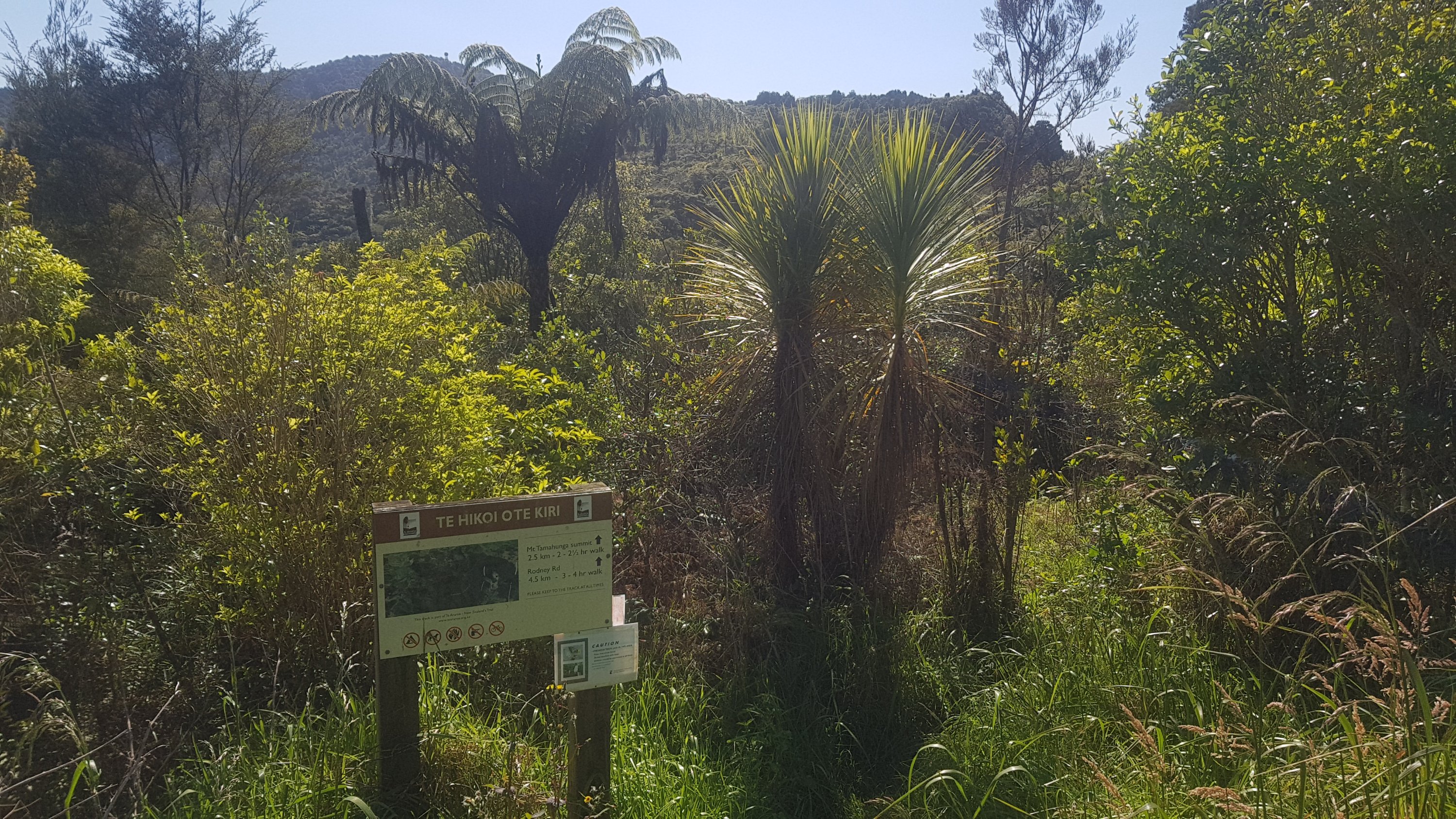
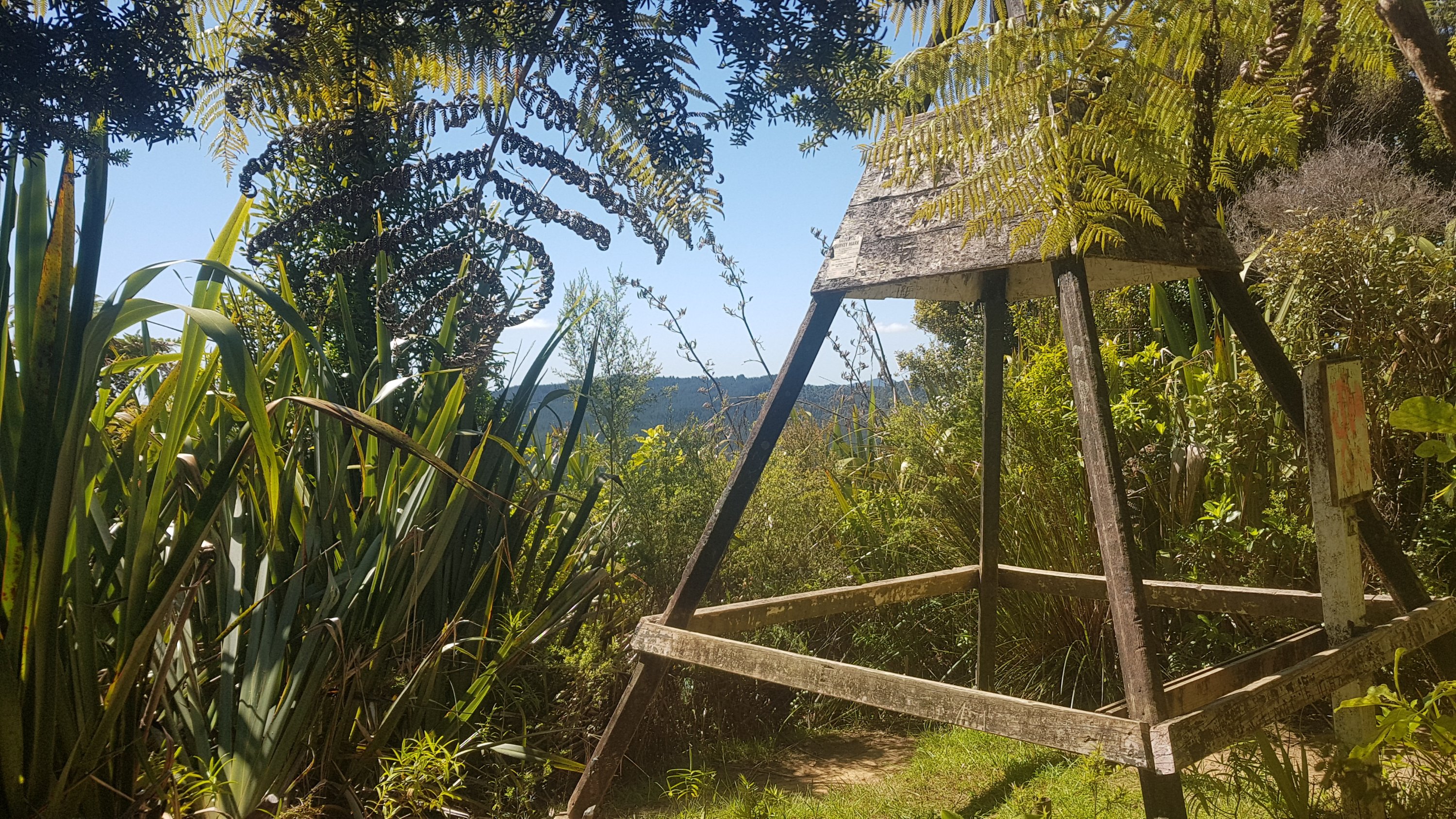
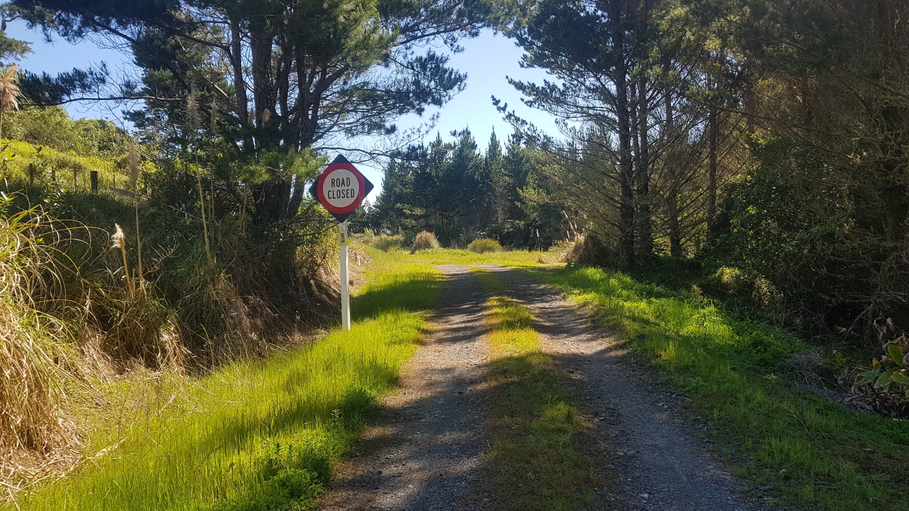
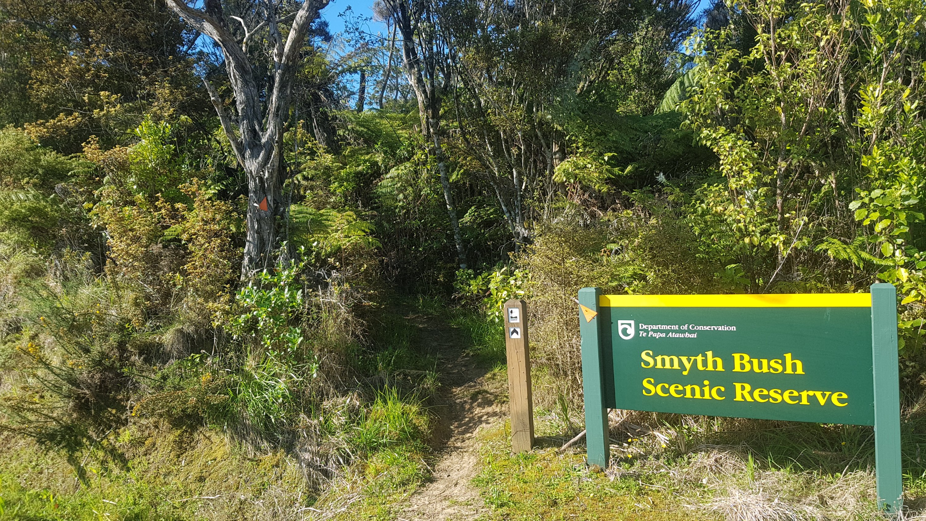
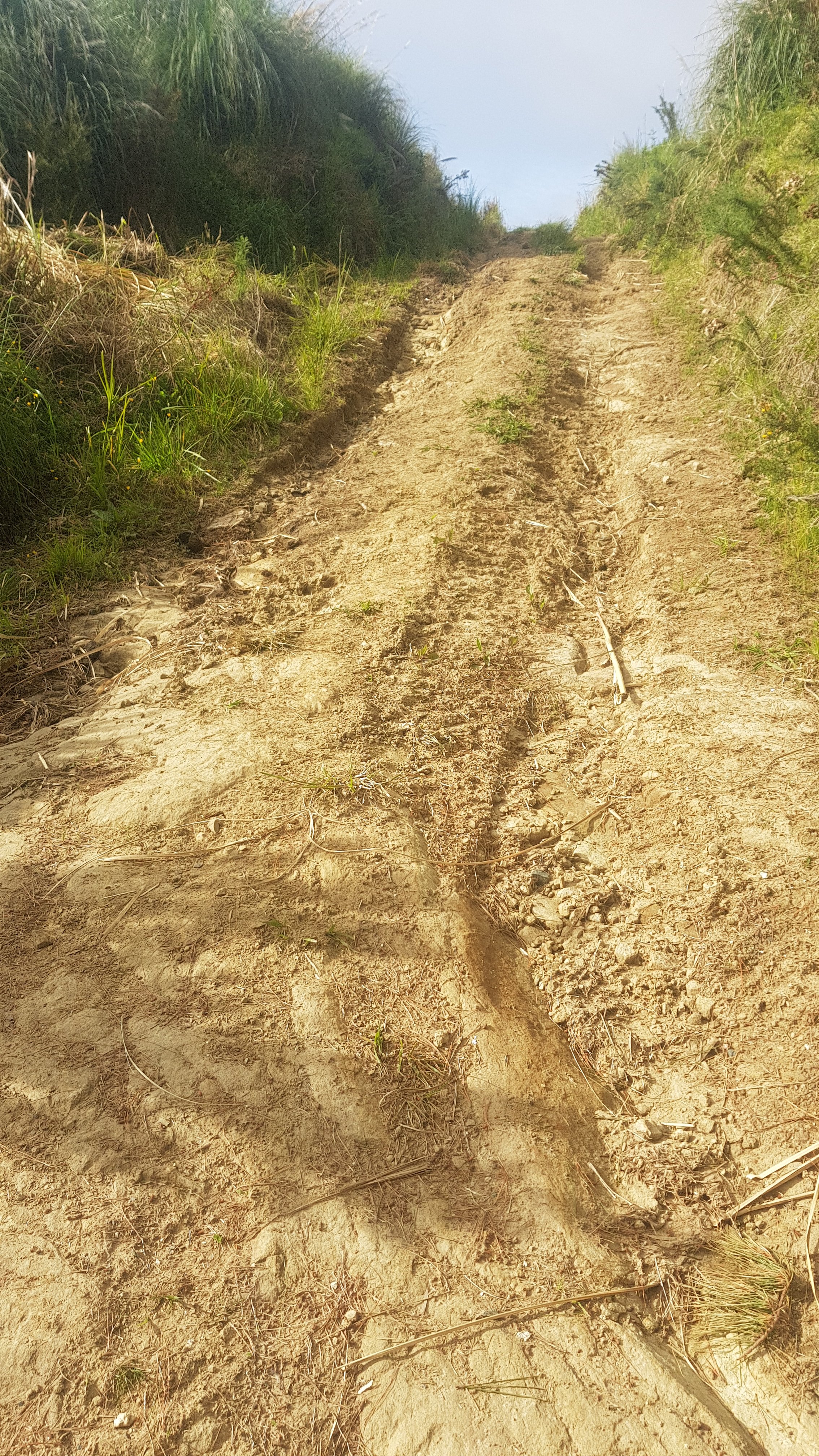
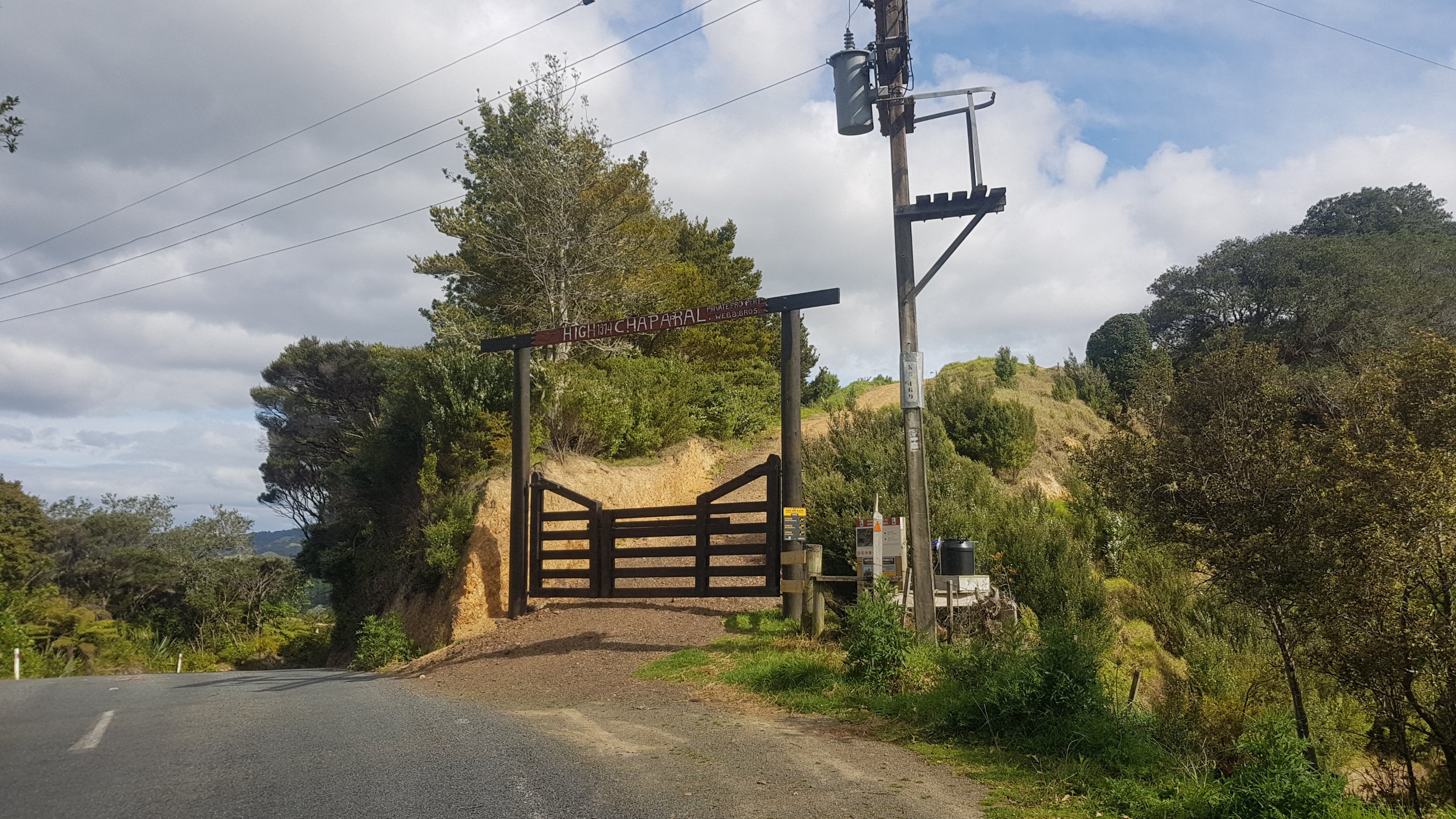
I continued on the trail since I couldn’t find Jock and all of Helena Bay had No Camping signs everywhere. I took a walk down the length of the bay first and then continued up the road to Helena Ridge. This was the entrance to the Helena Ridge Track.
I was still really thirsty and contemplated knocking on the door of the house opposite here and asking them for water, and if they didn’t answer, just using their outside tap anyway. But when I heard barking dogs, I decided against it. I guess it was going to be like last night where I turn up without water and just live with it until the morning. But I wanted a proper meal tonight. Hmmm, what to do. Hopefully I’ll find something.
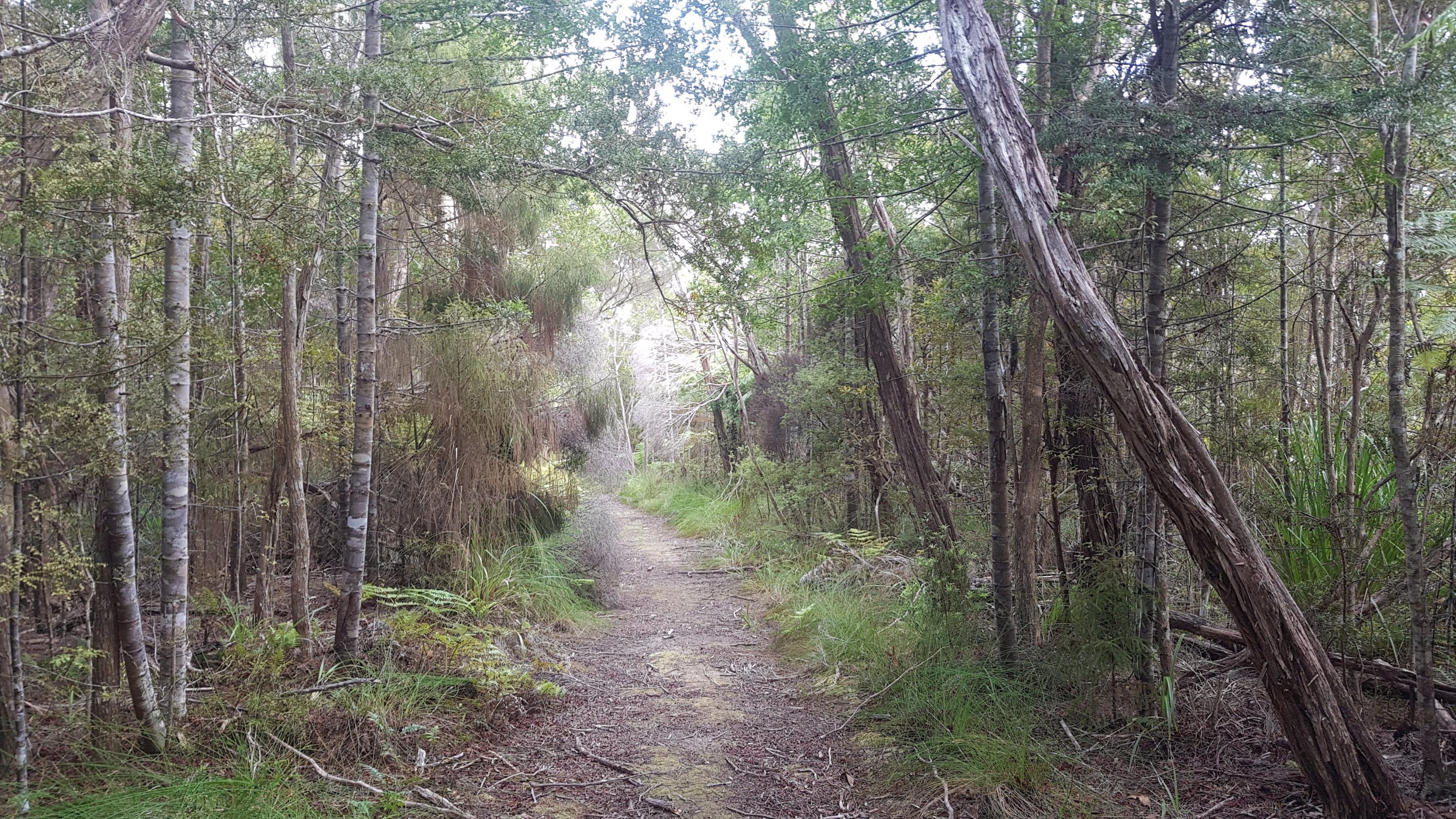
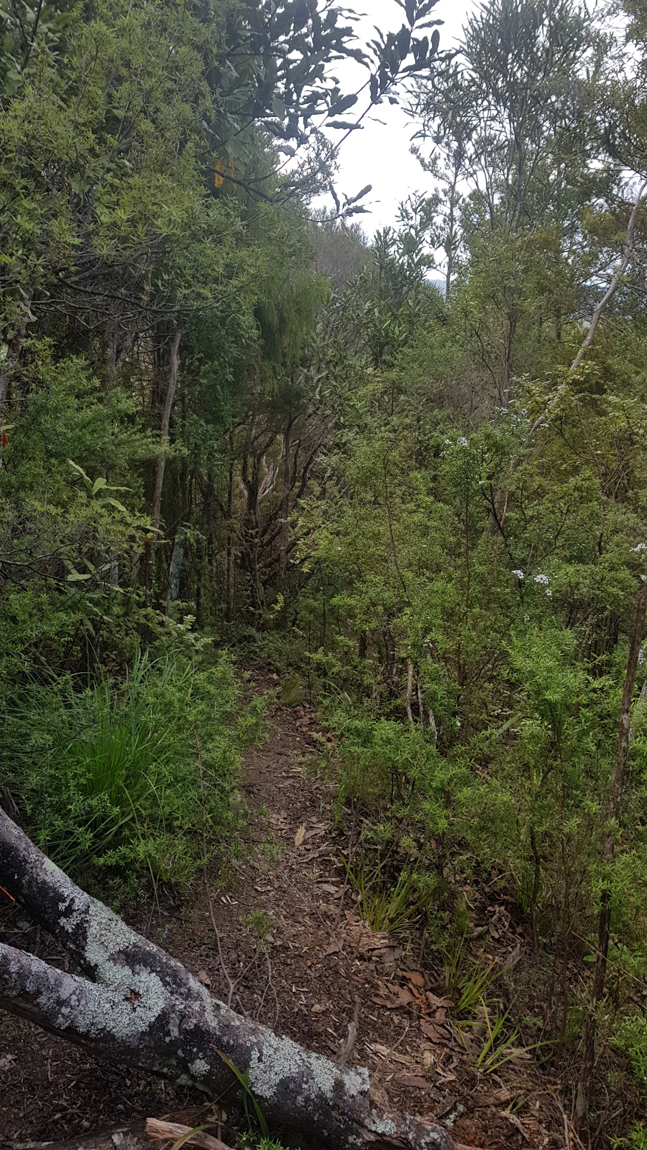
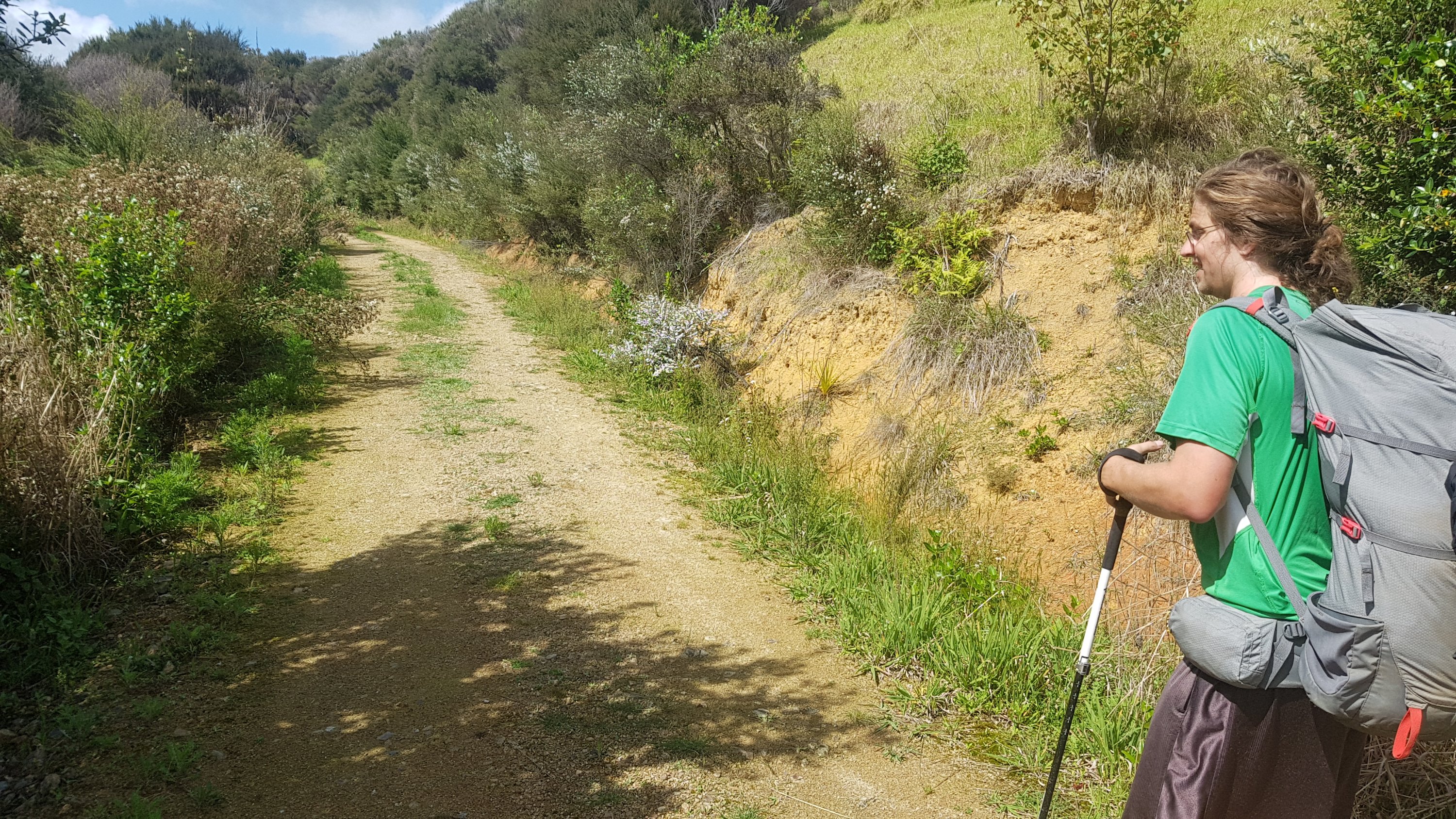
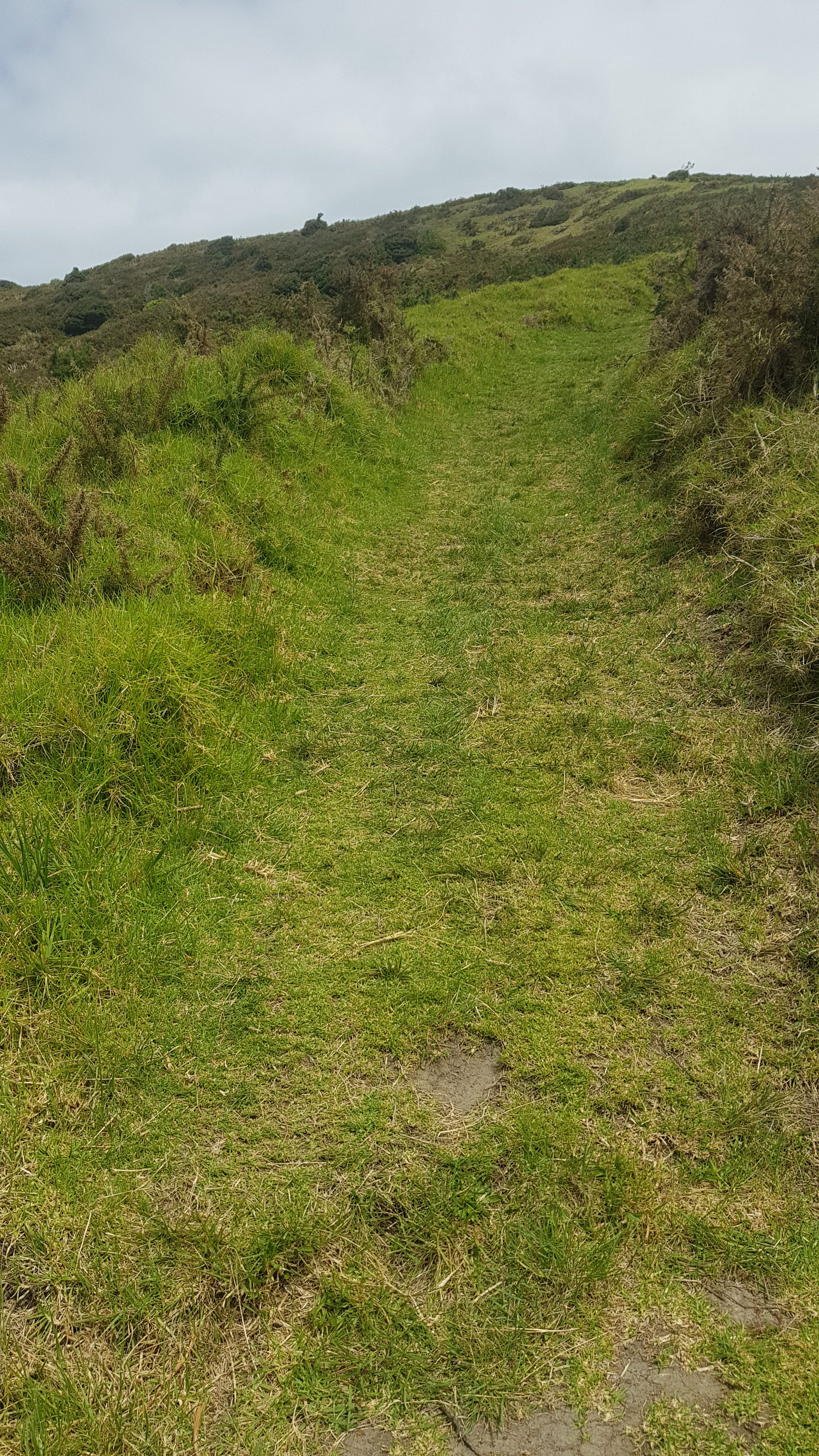
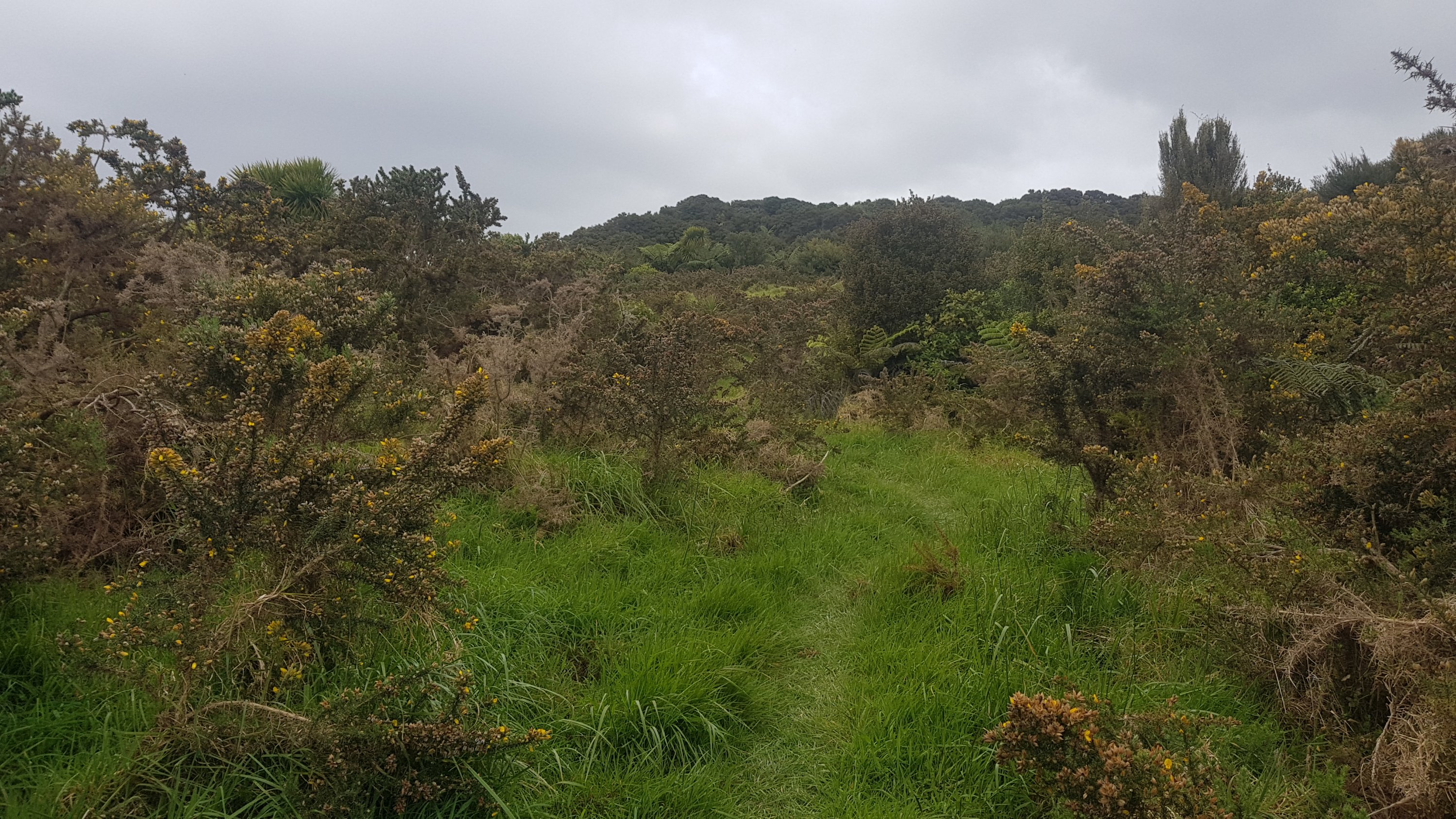
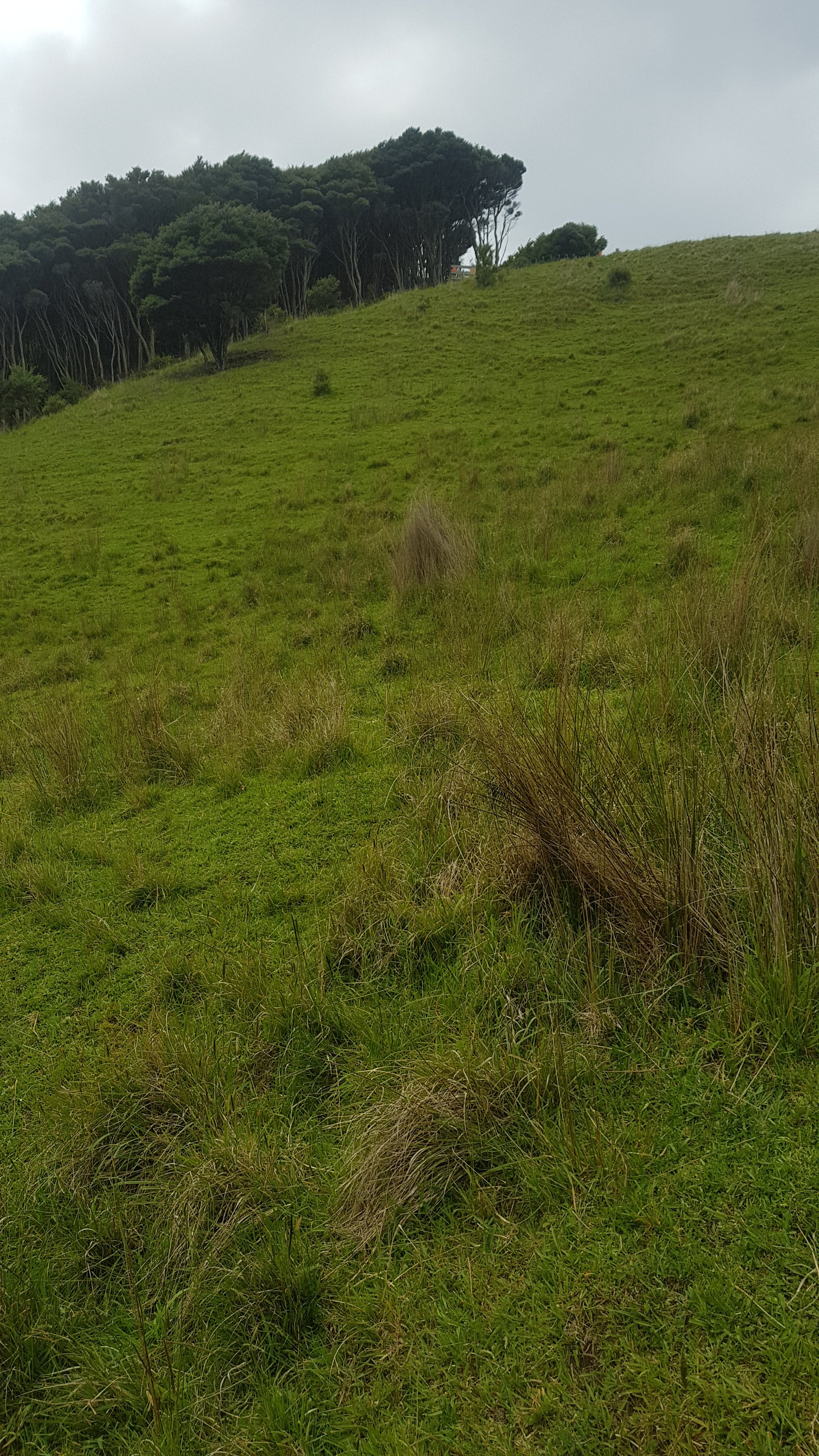
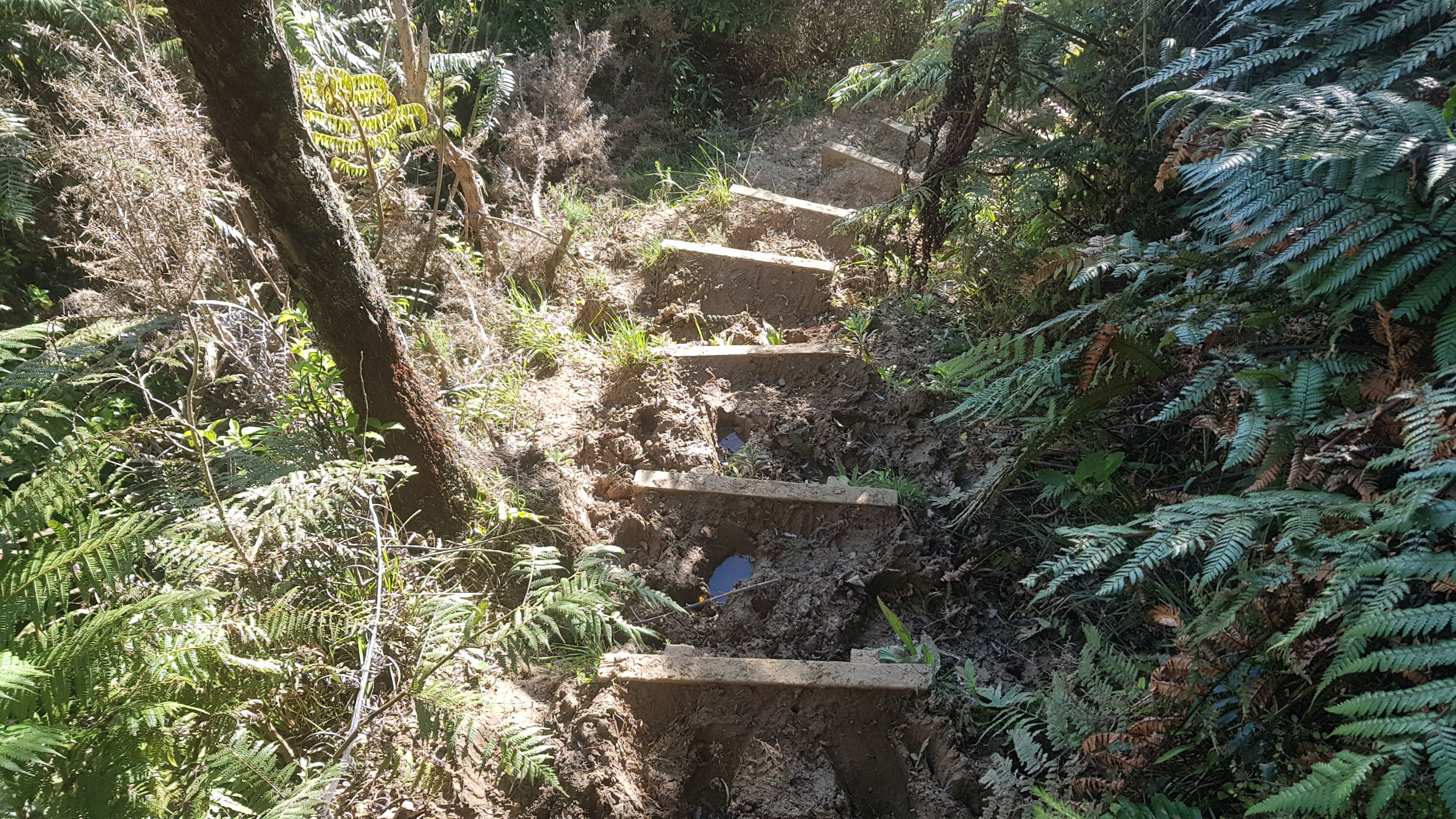
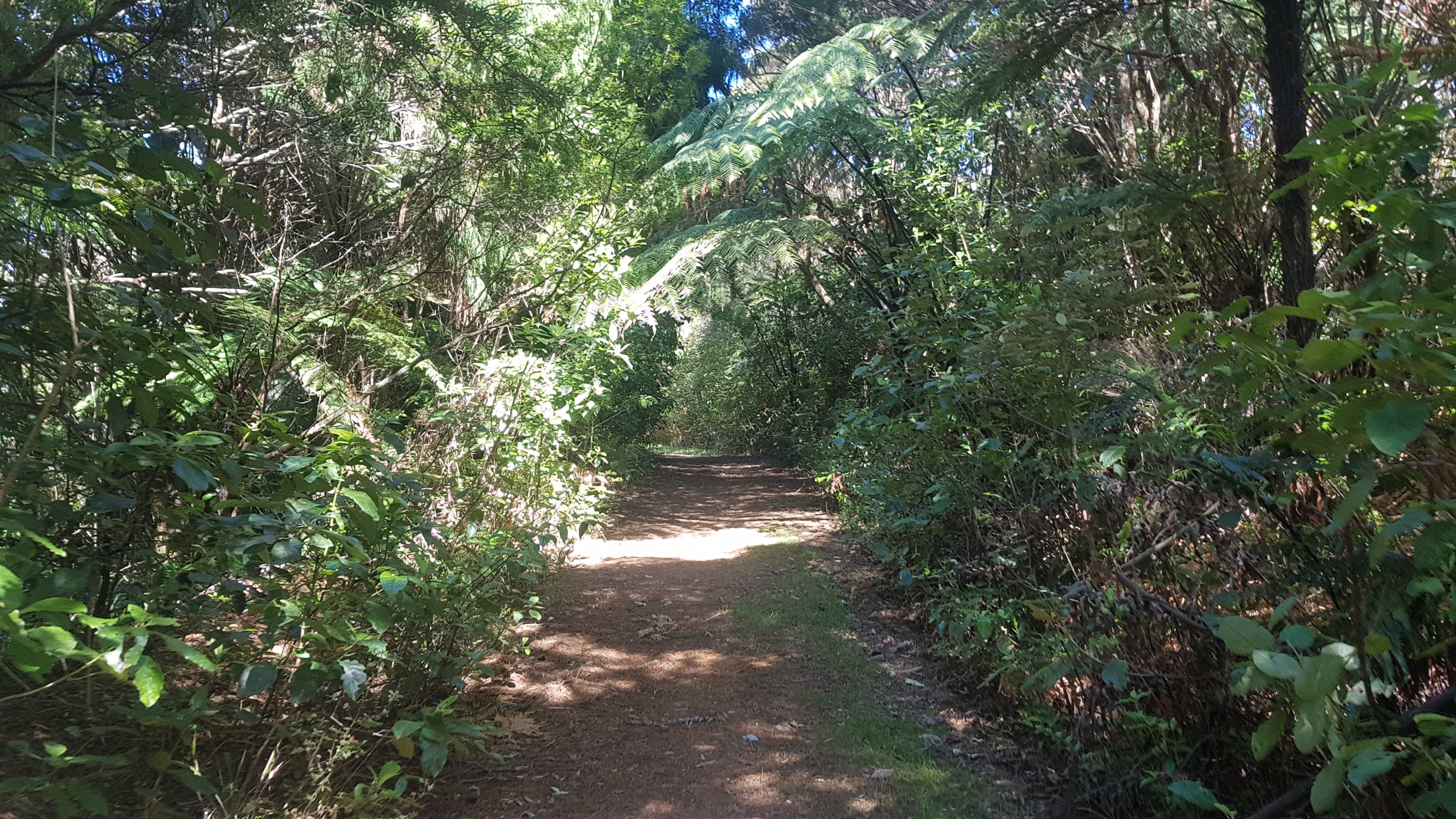
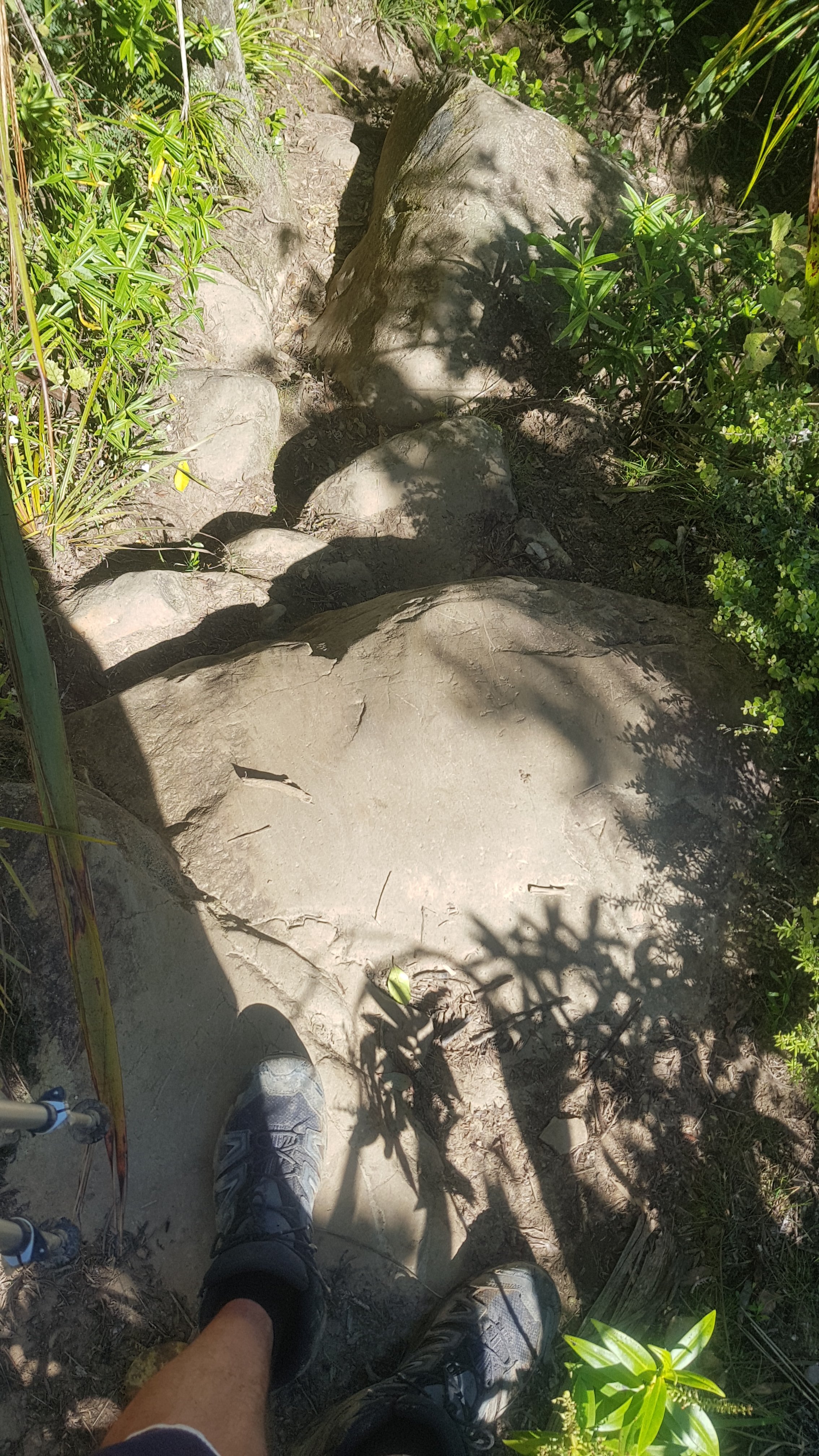
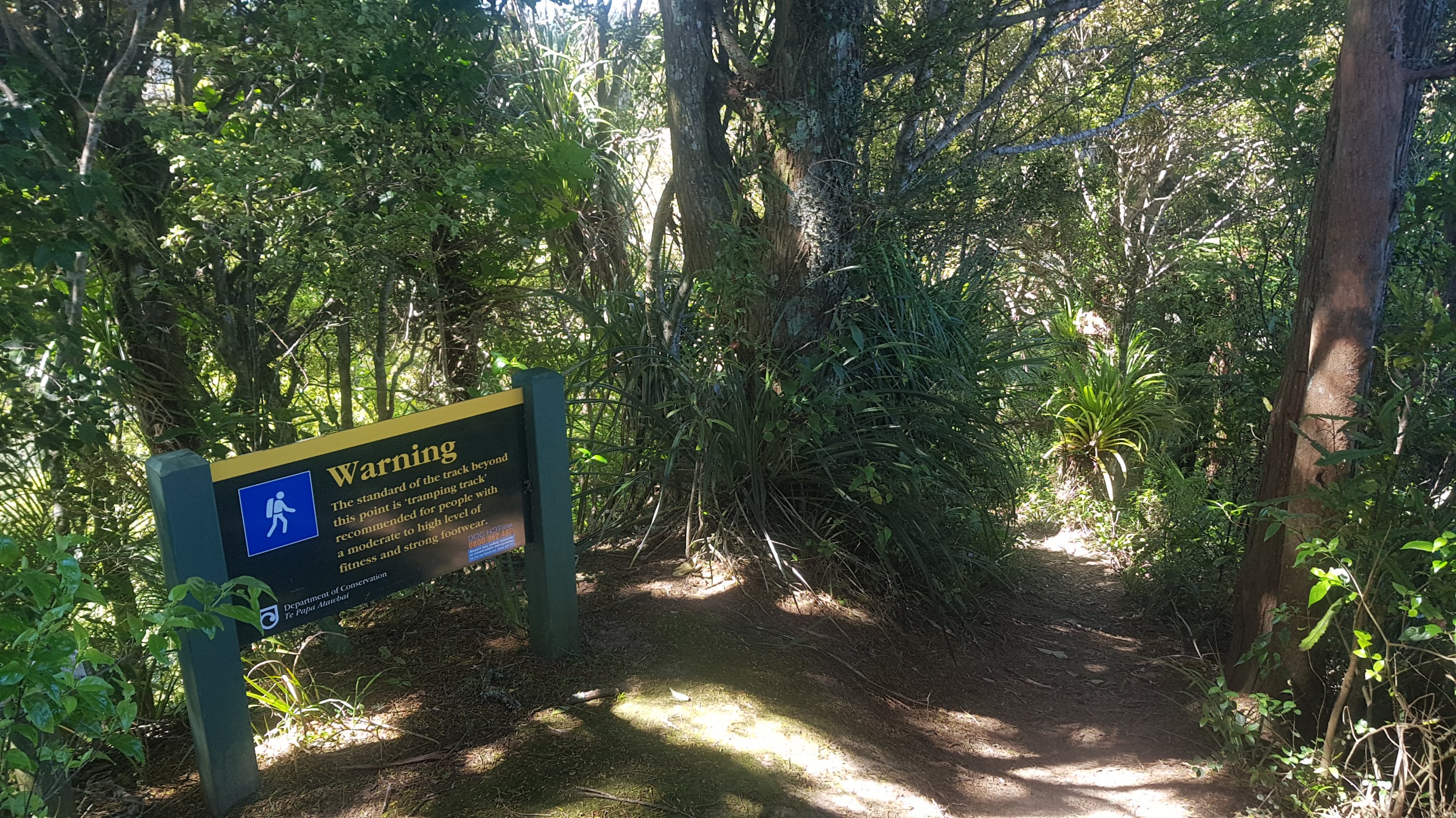
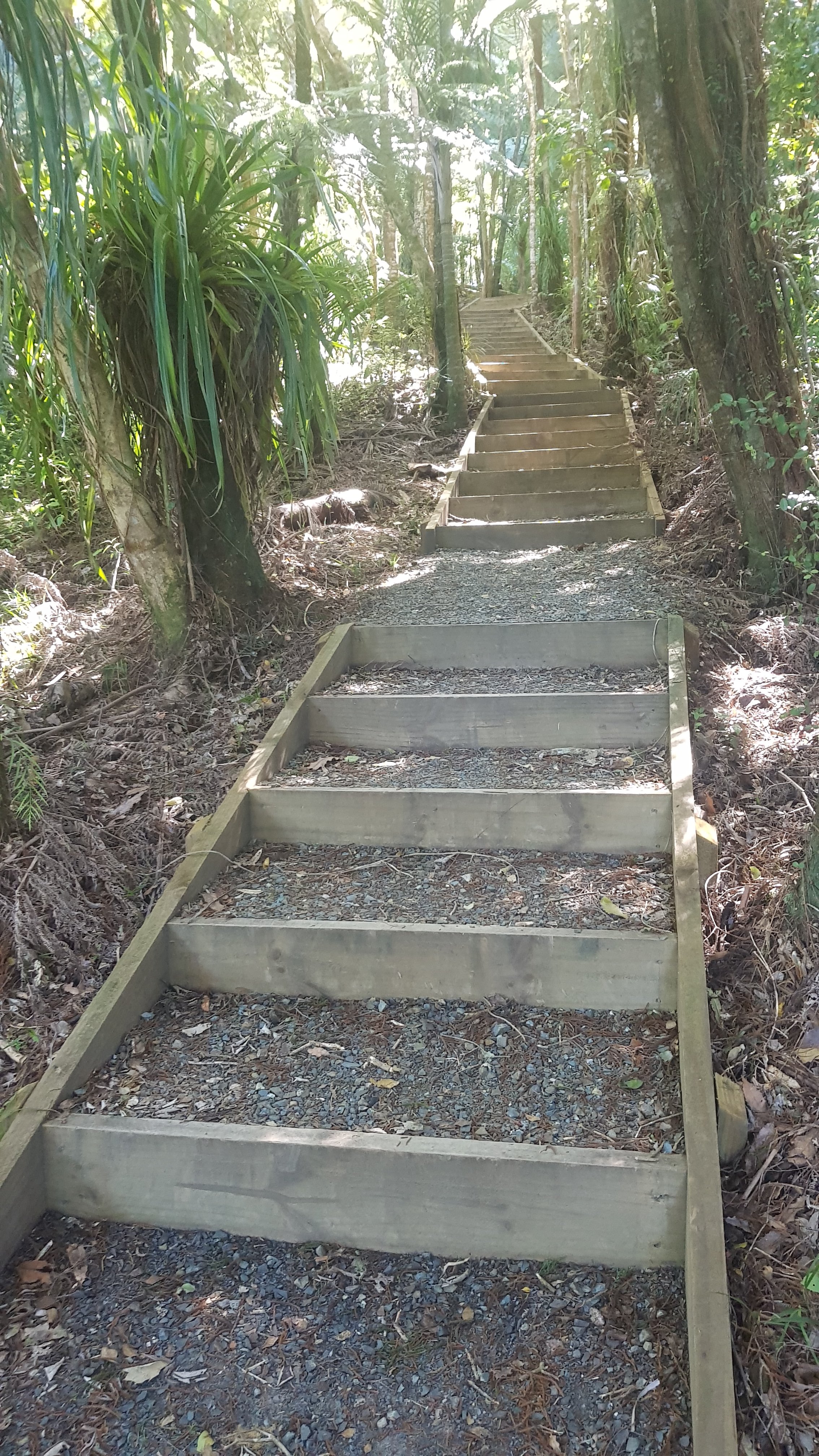
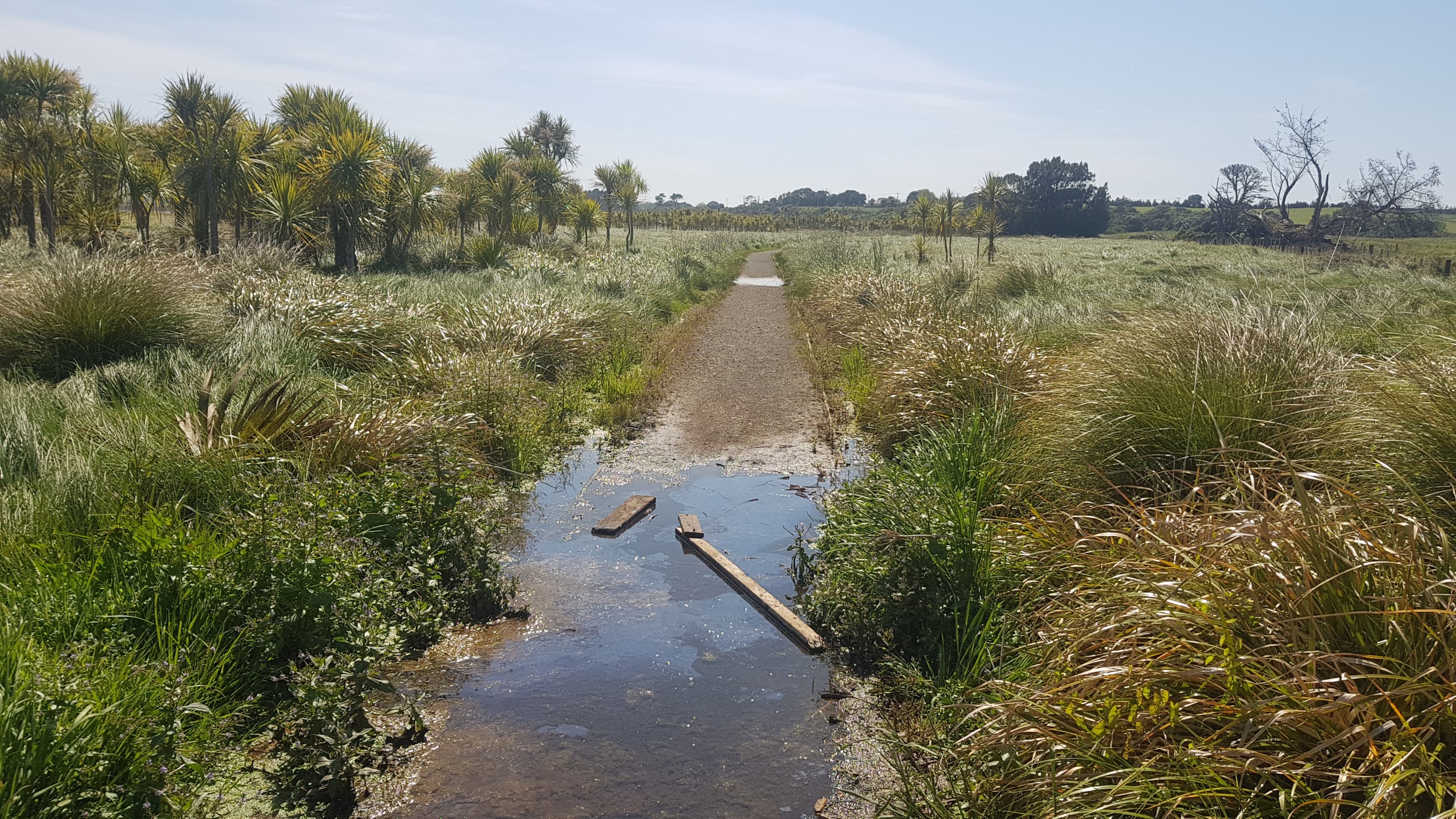
Helena Ridge track was nice at first (just don’t fall down the sides):
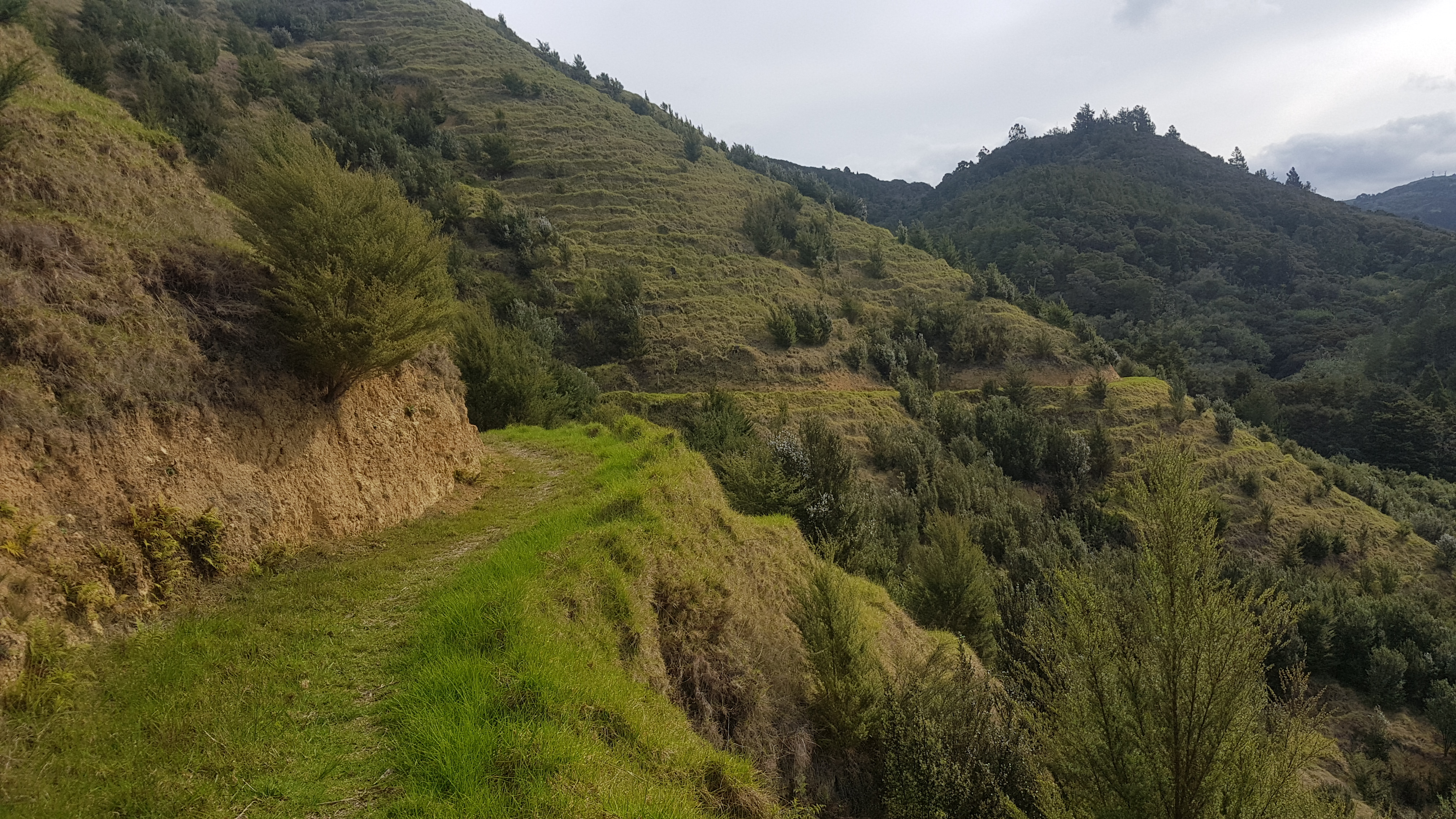
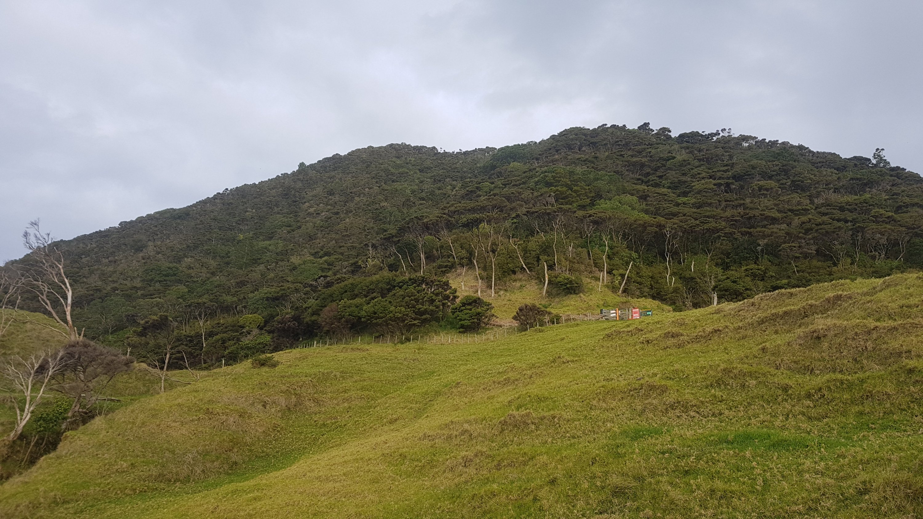
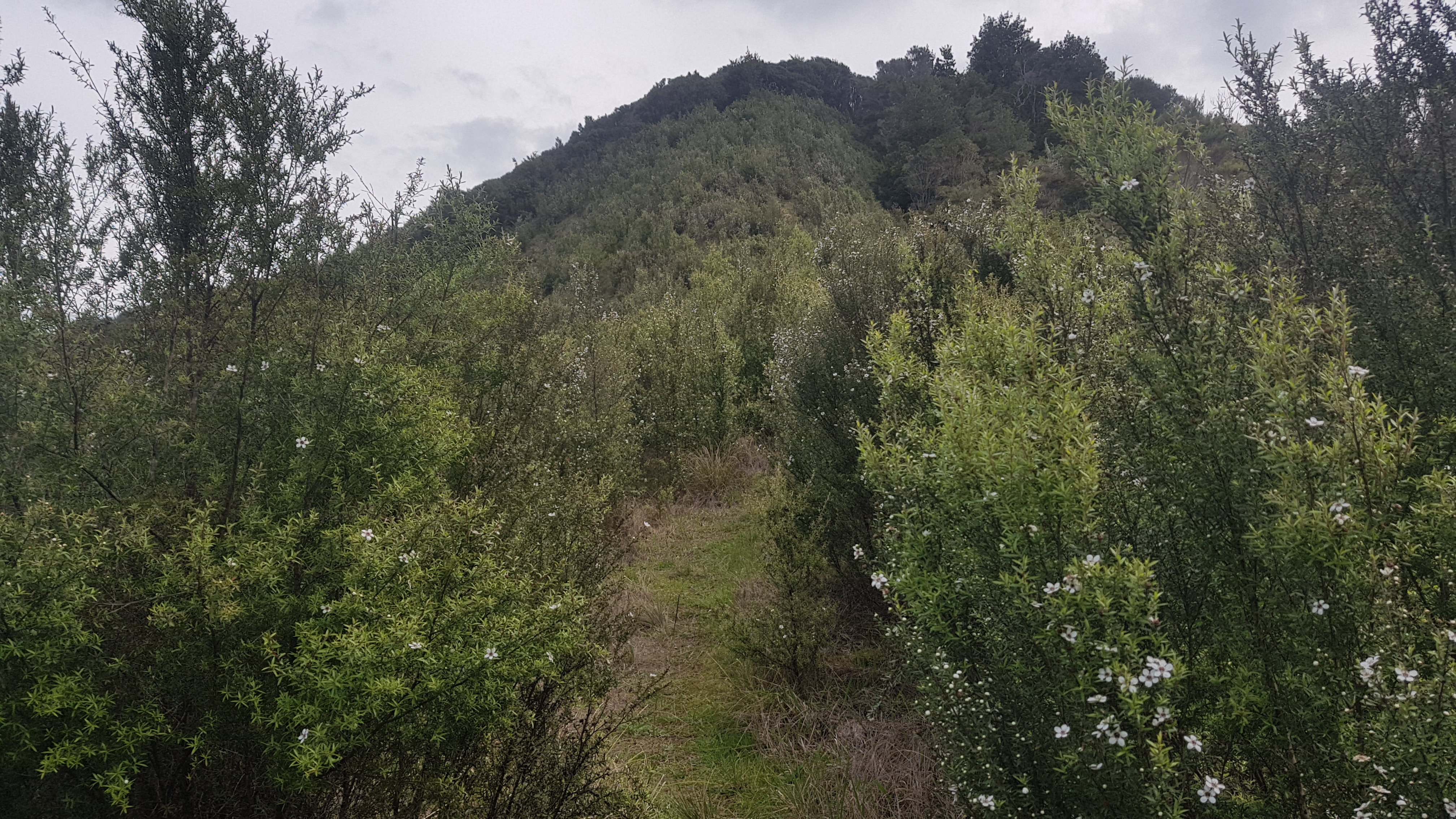
But wasn’t long until it got steep and bristly.
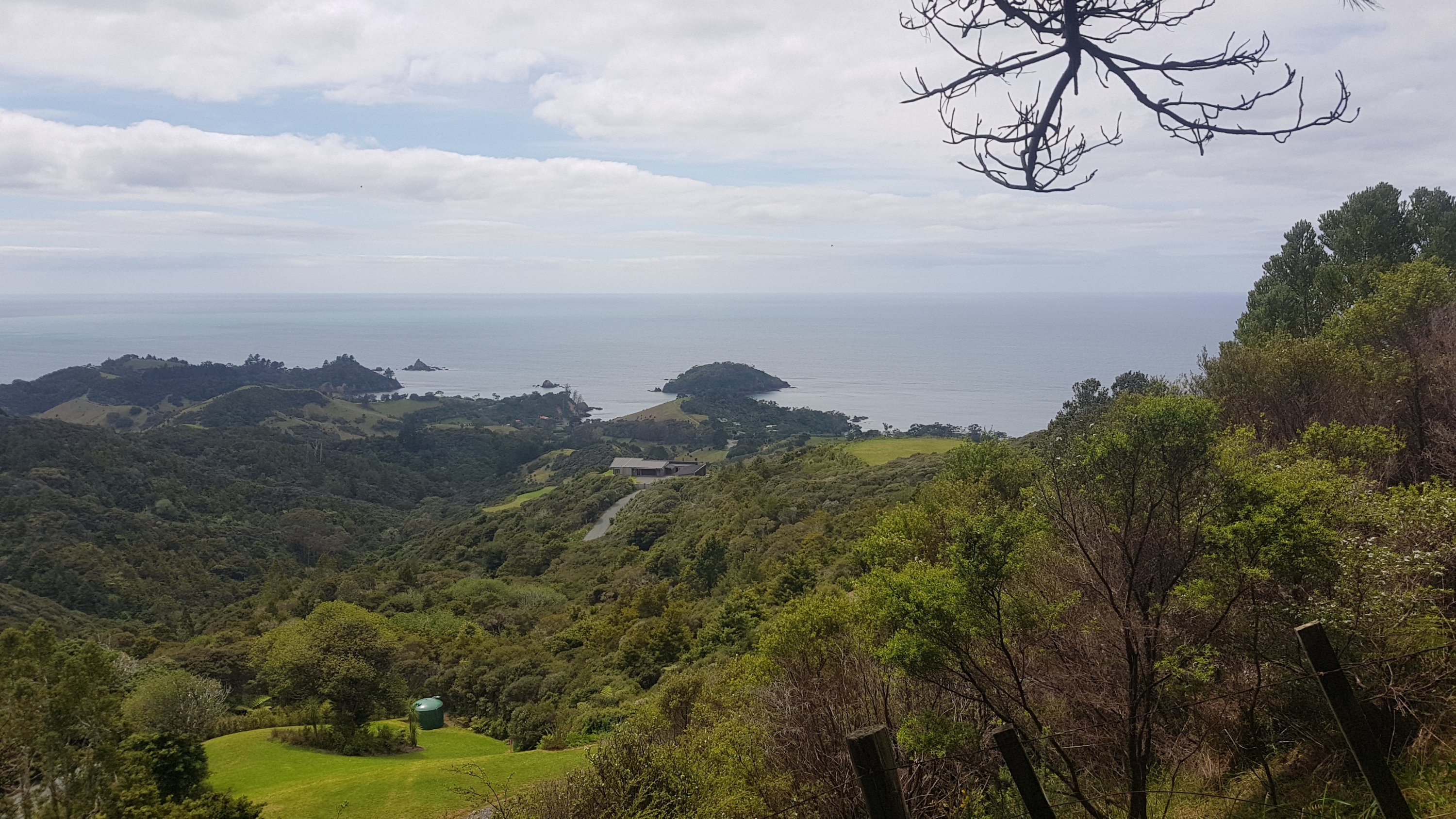
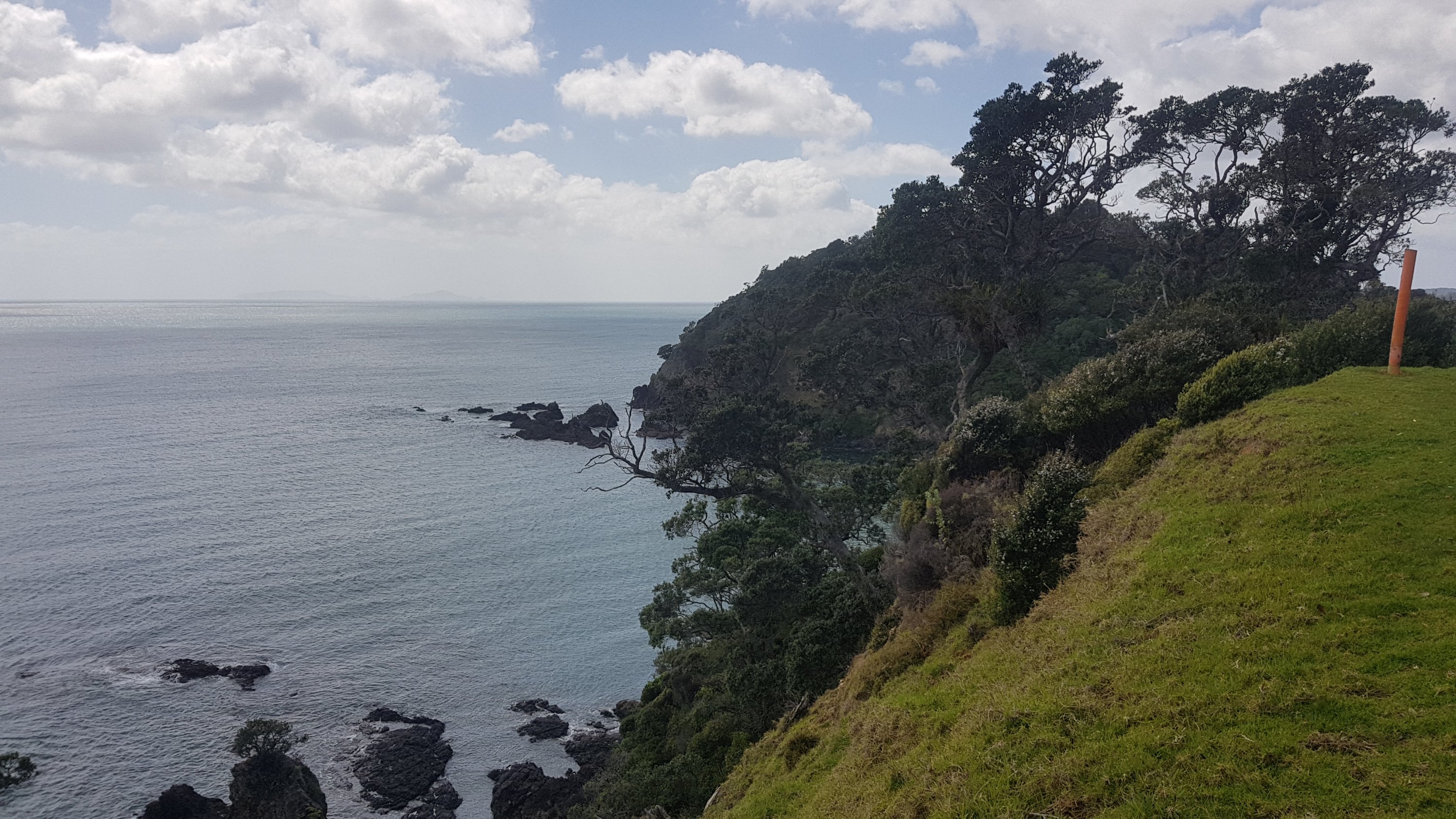
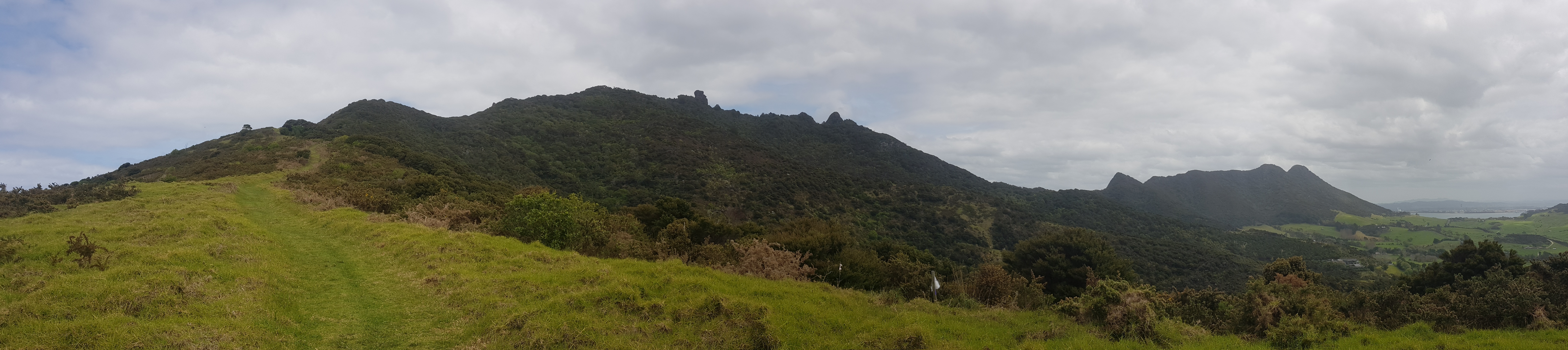
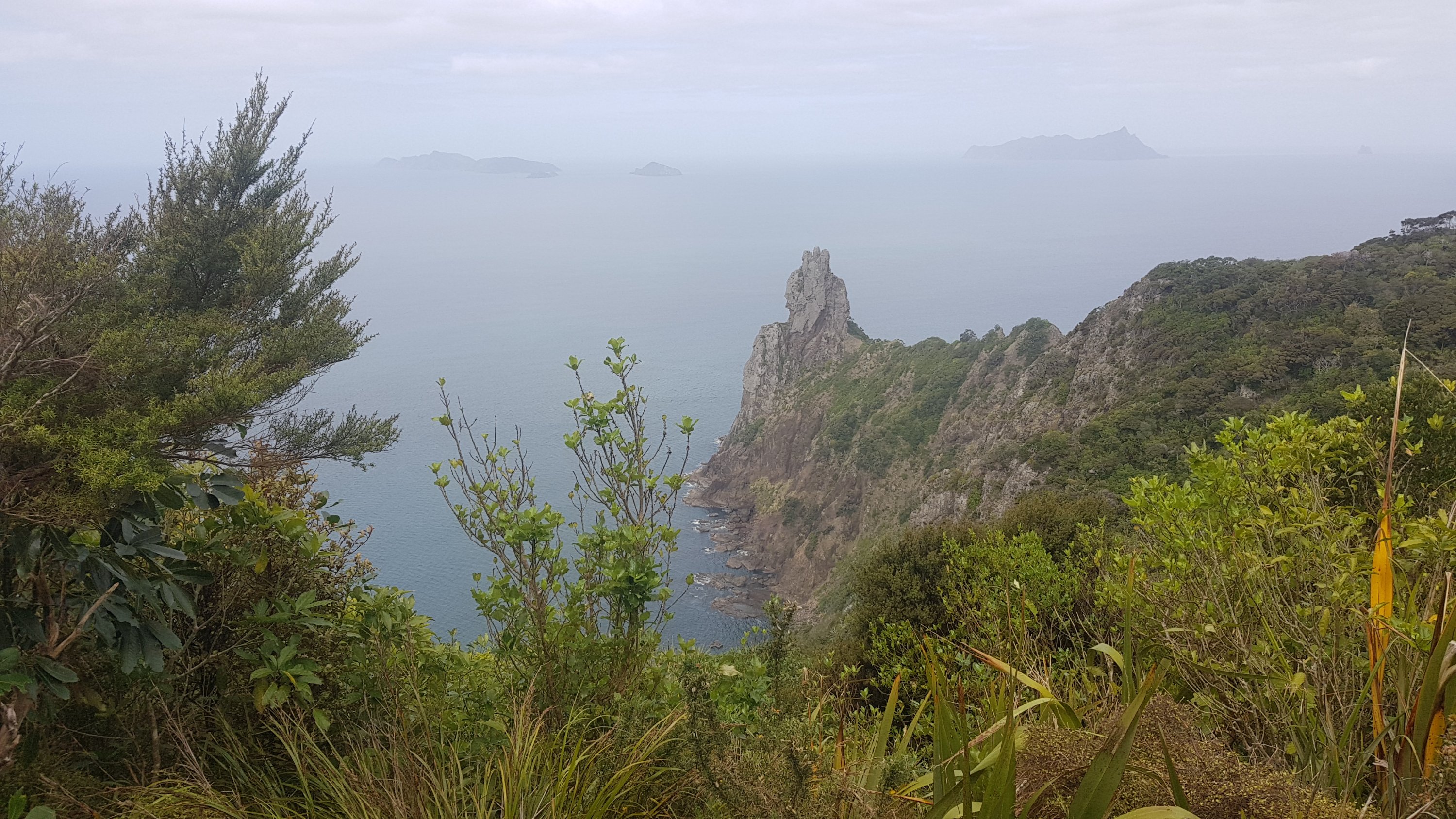
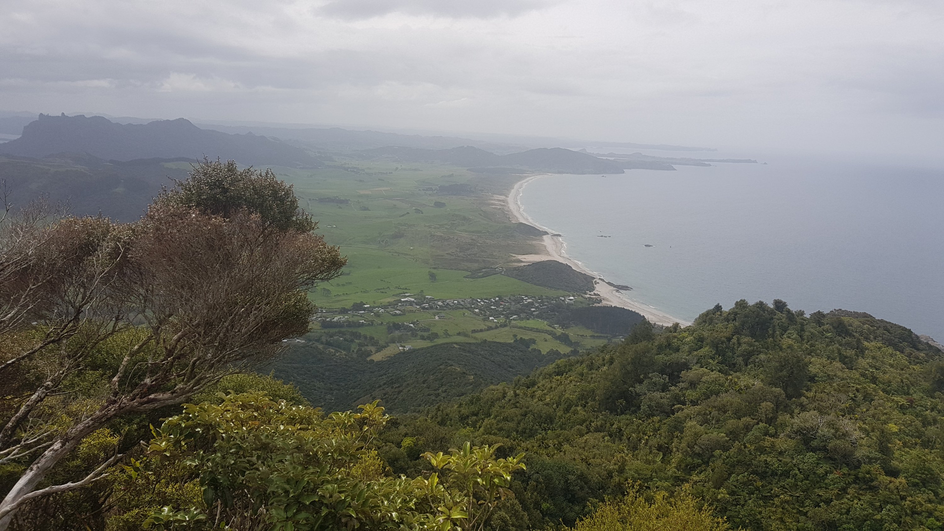
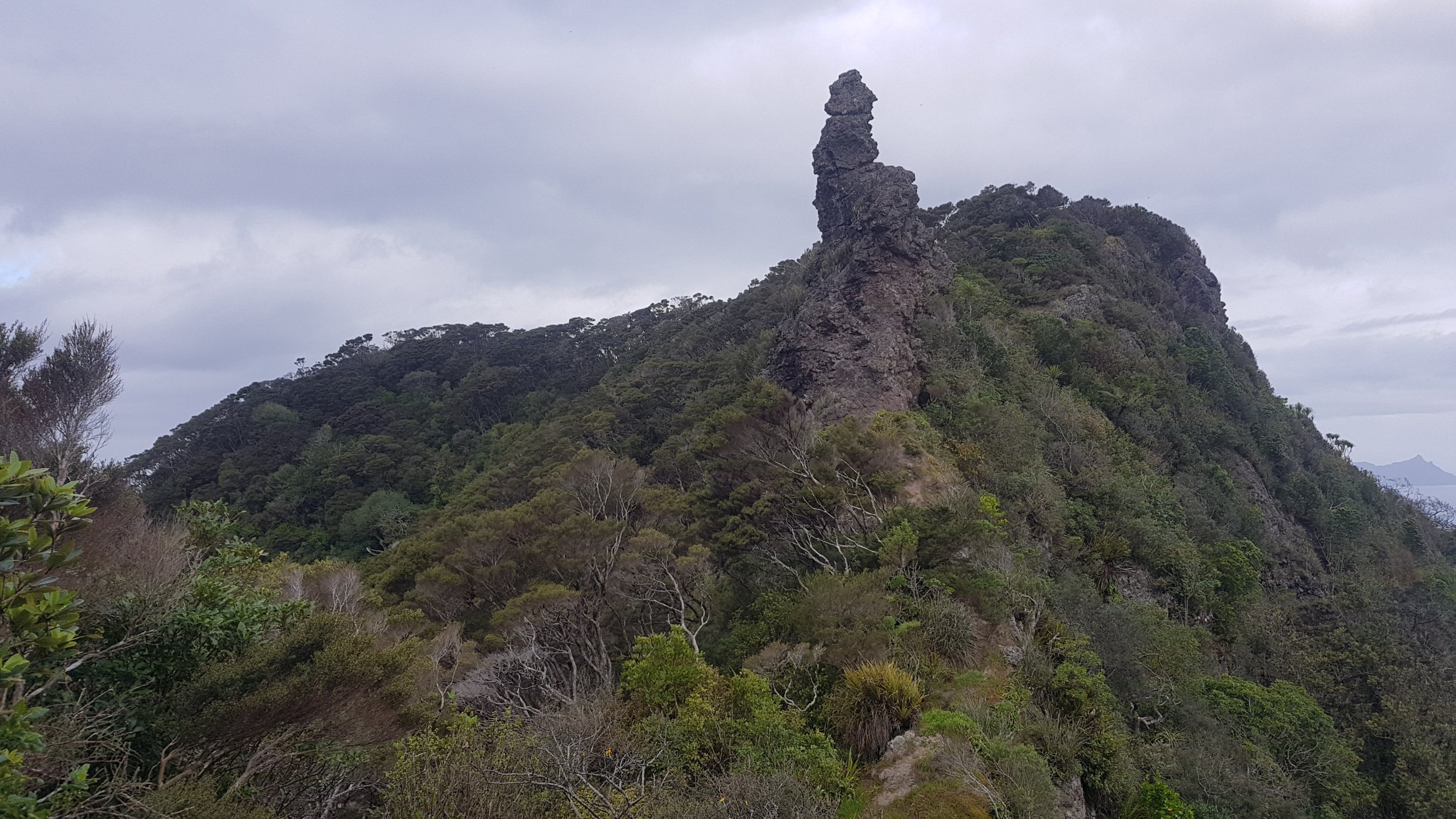
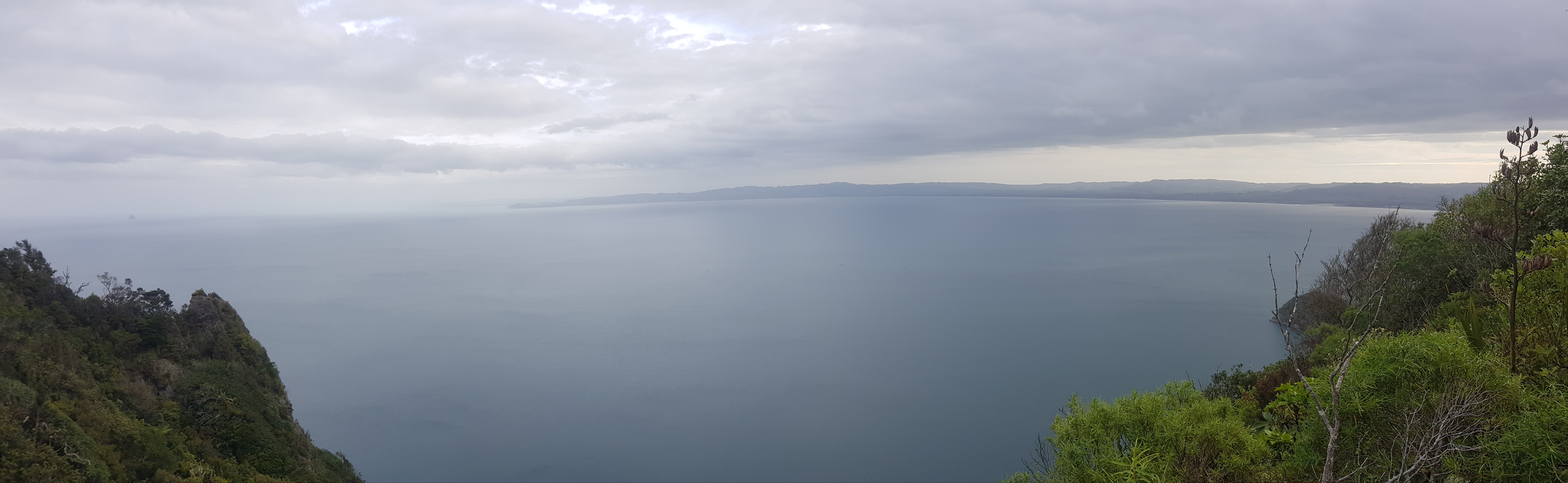
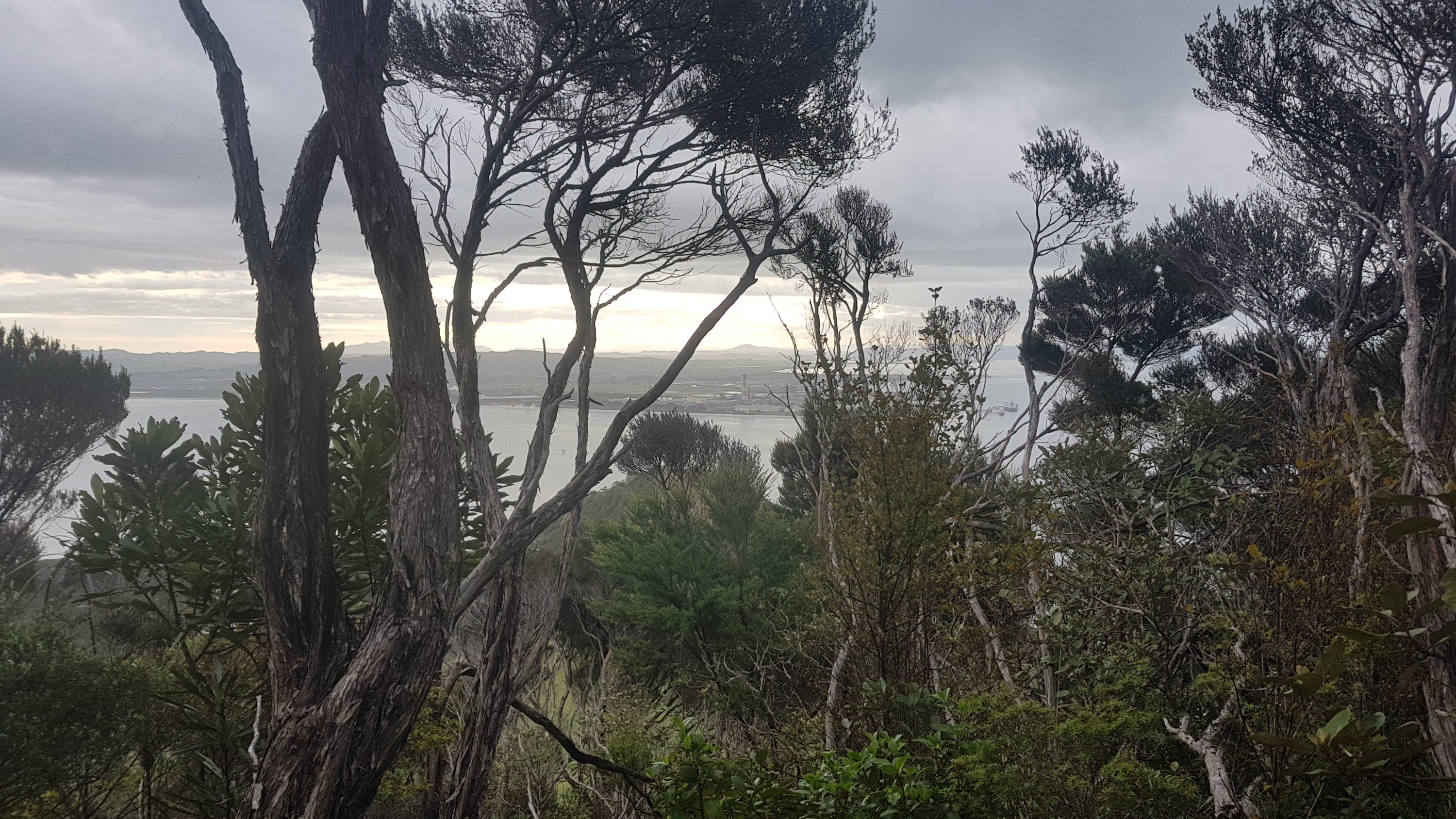
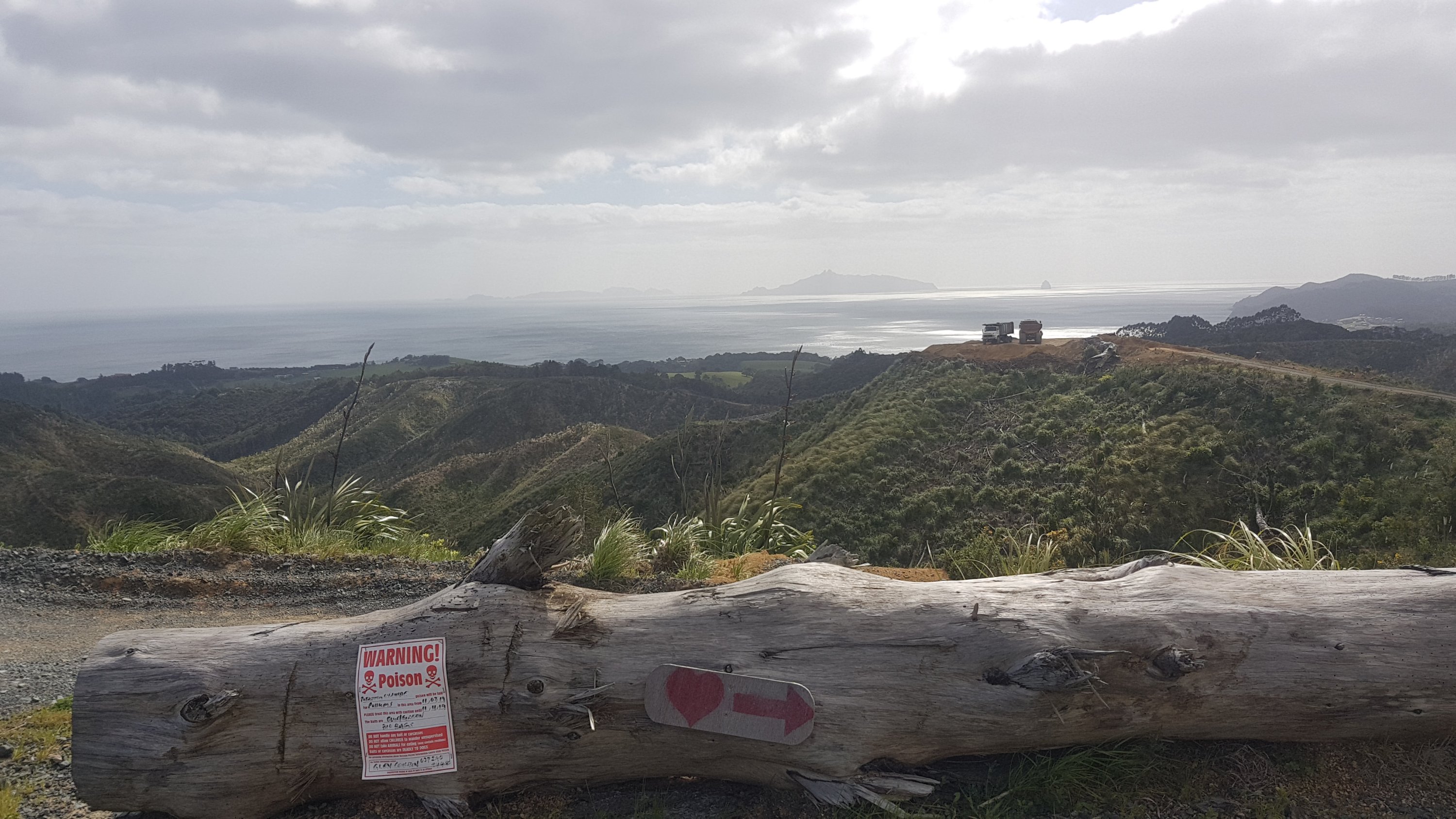
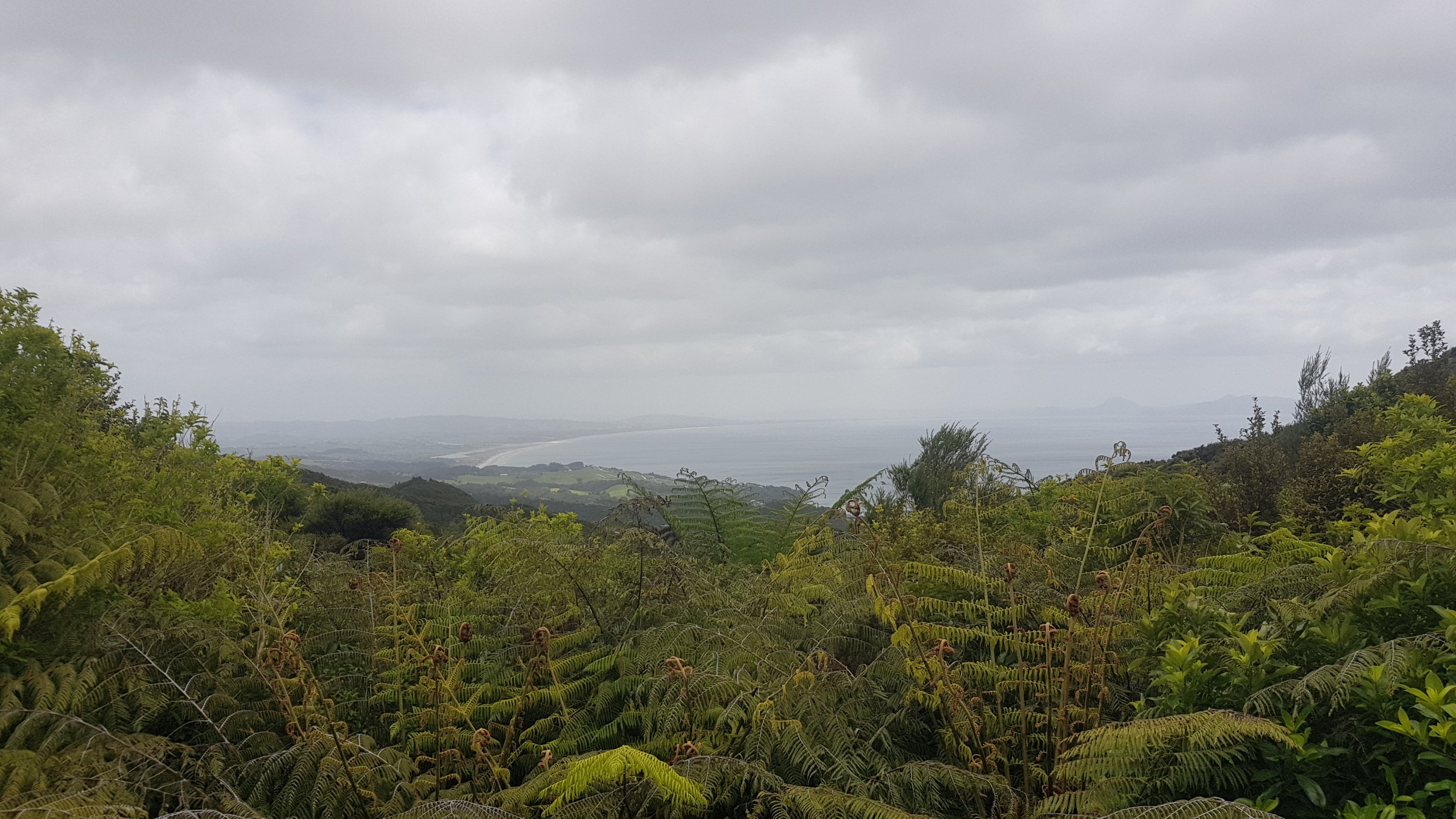
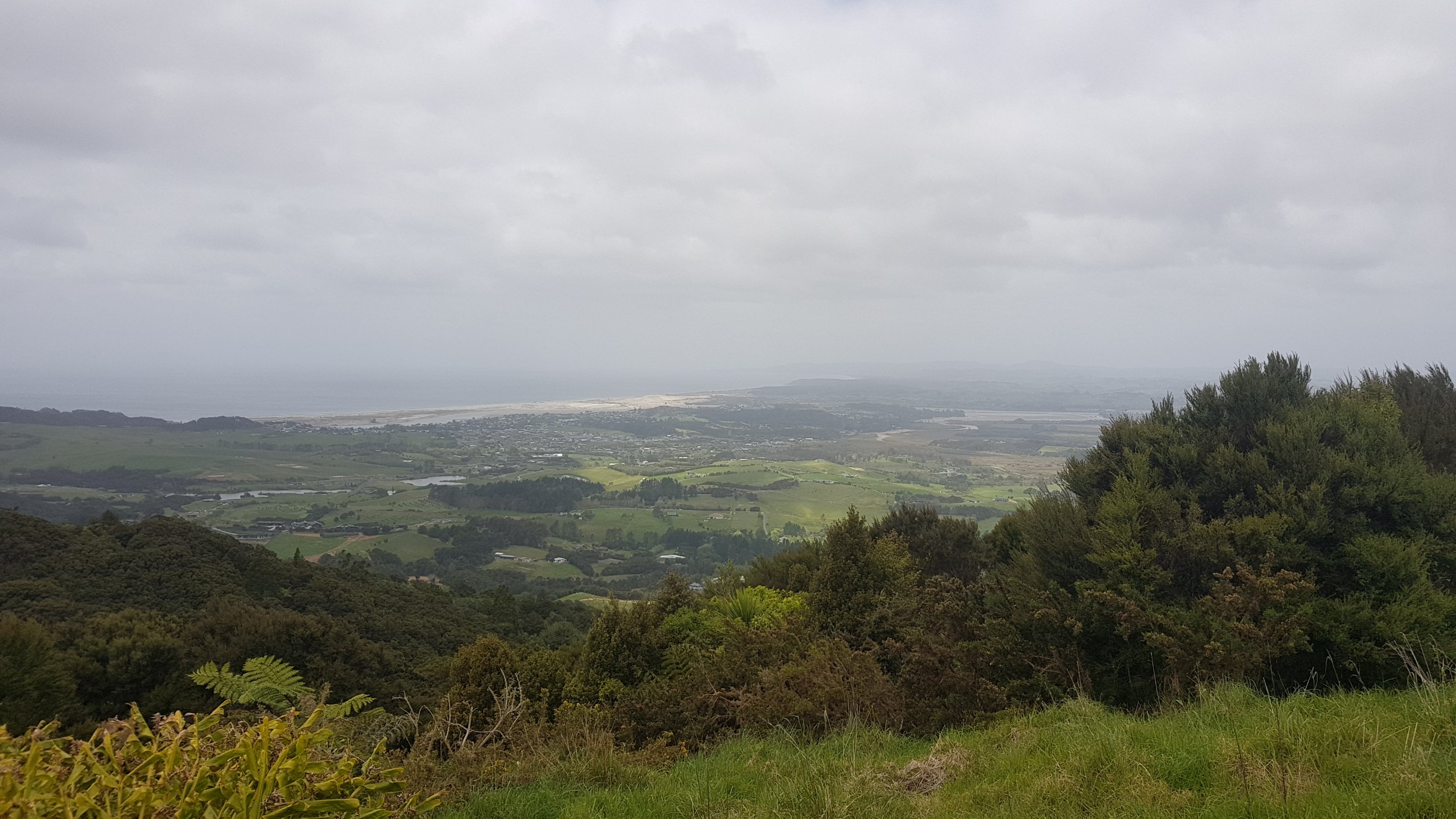
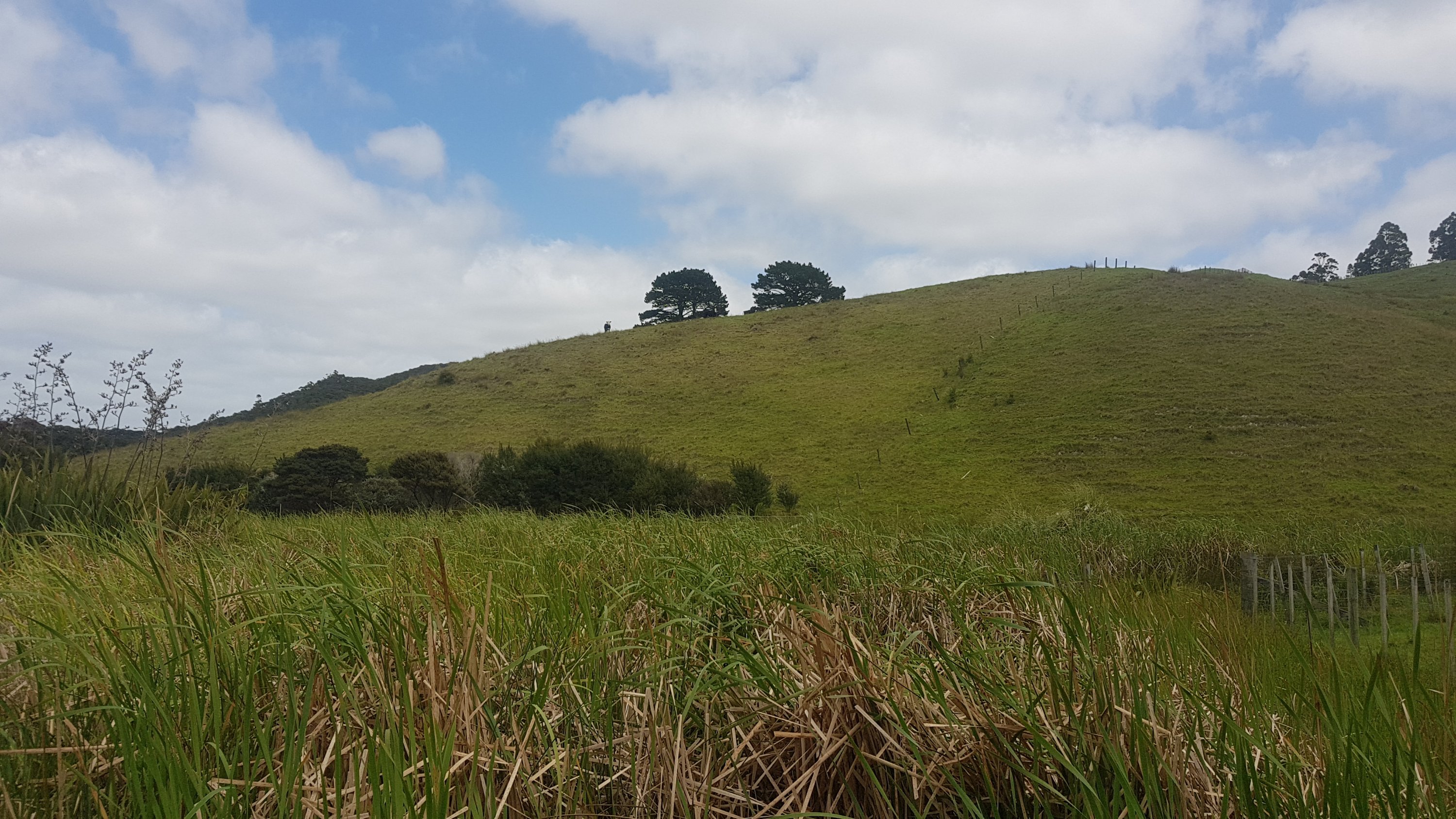
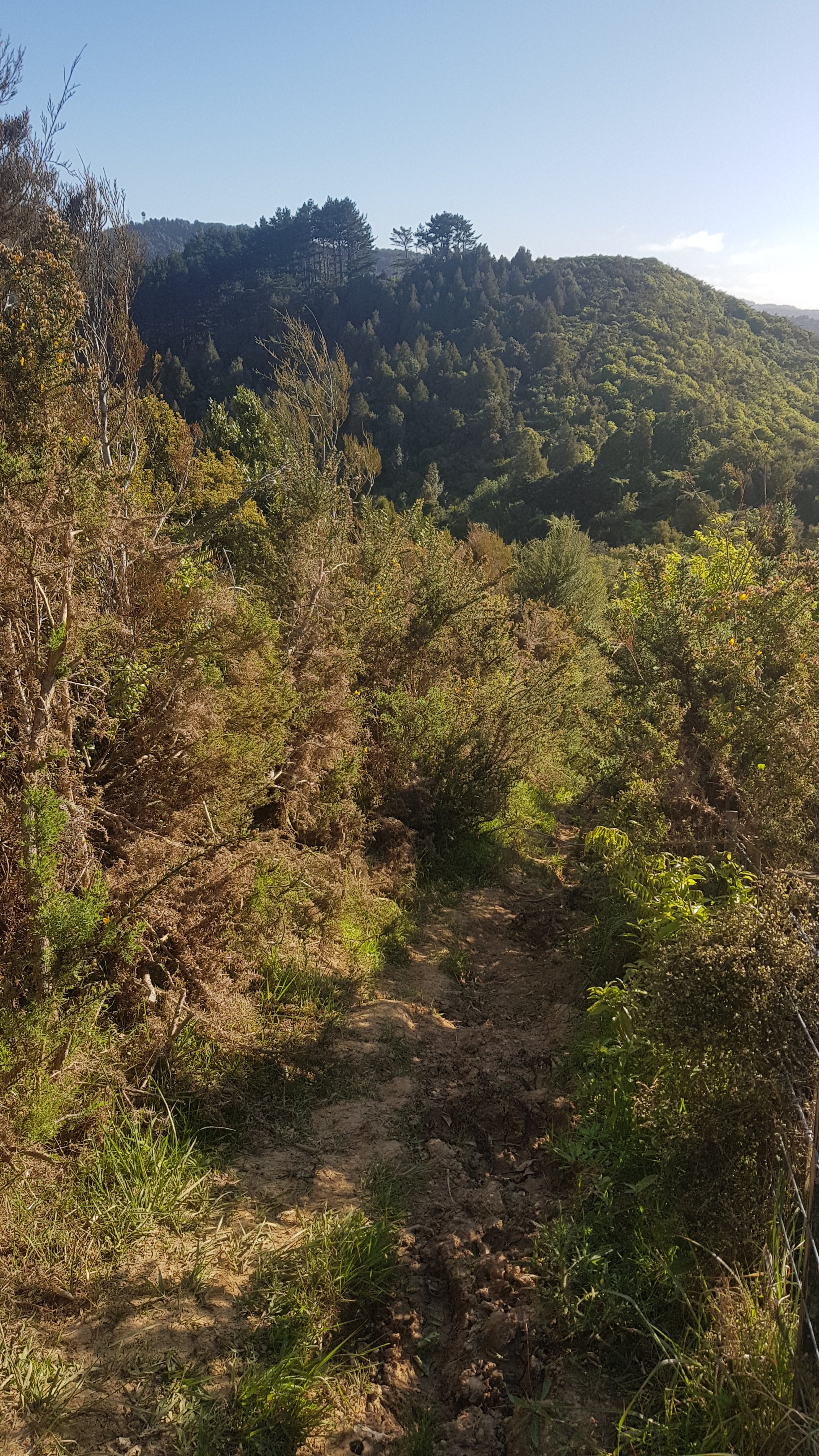
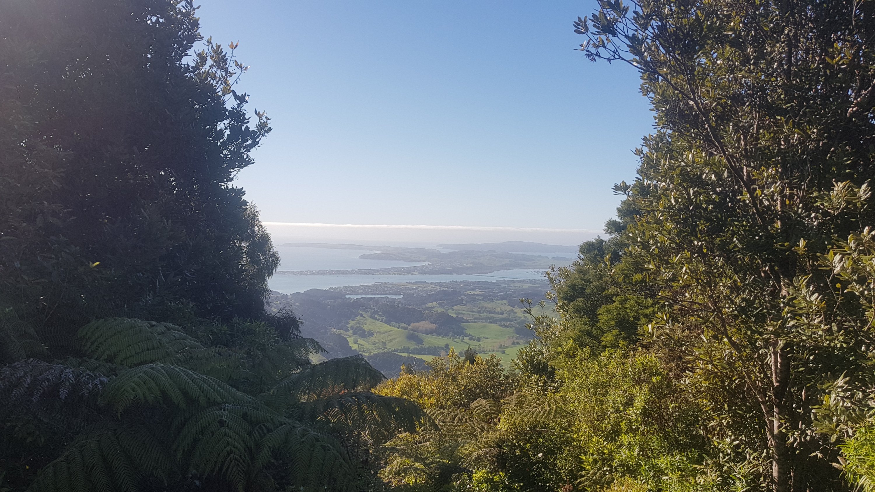
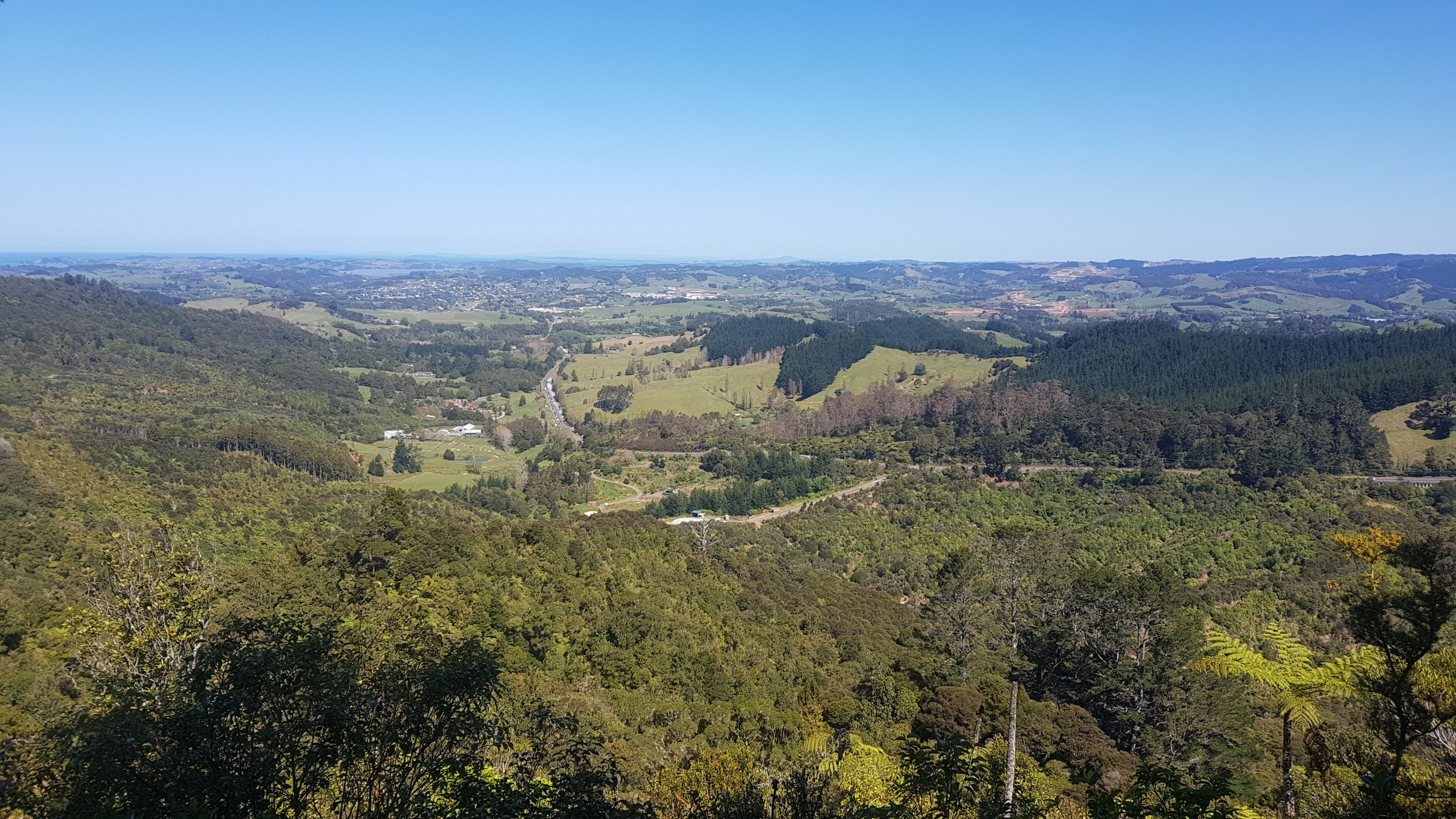
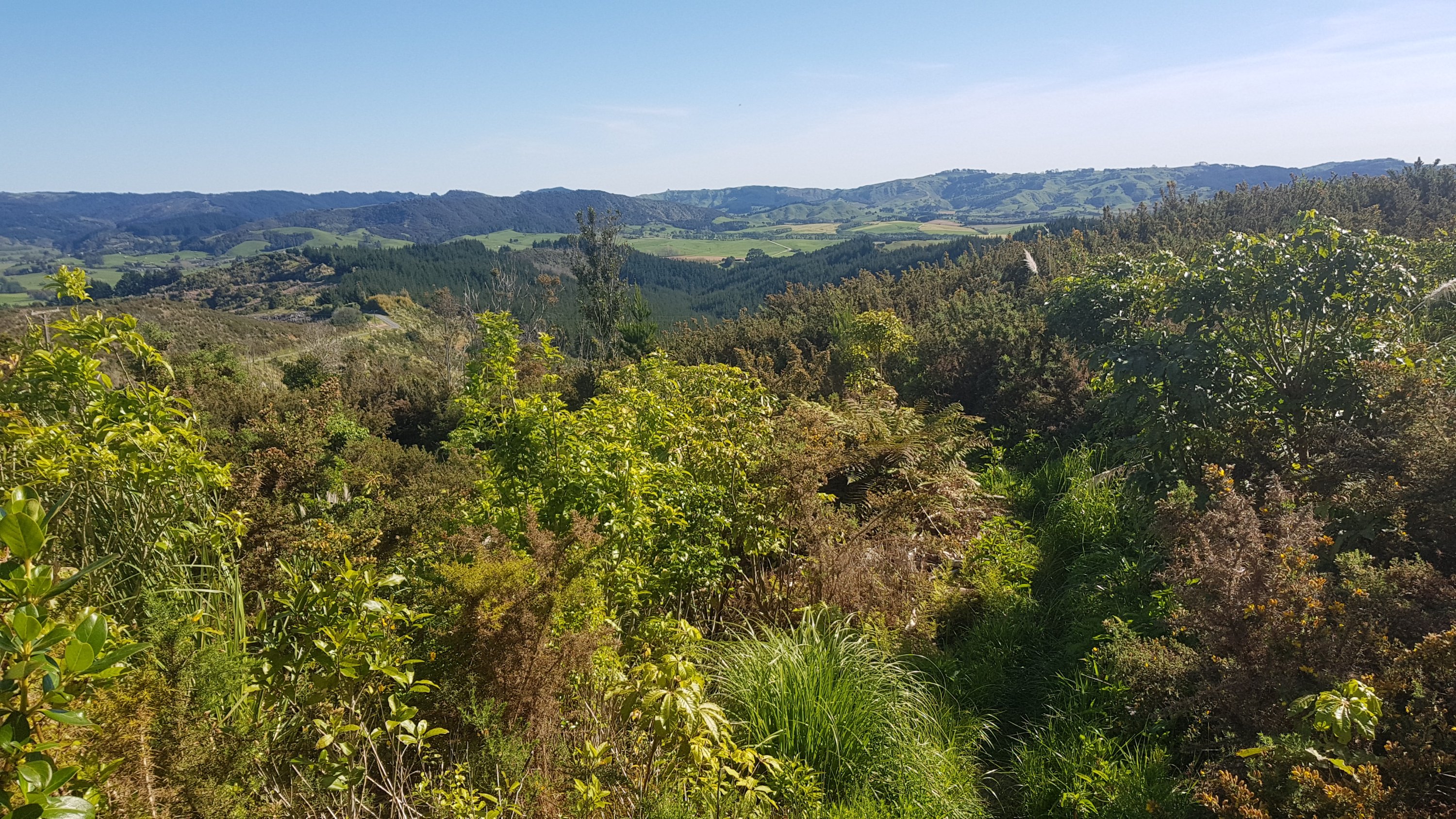
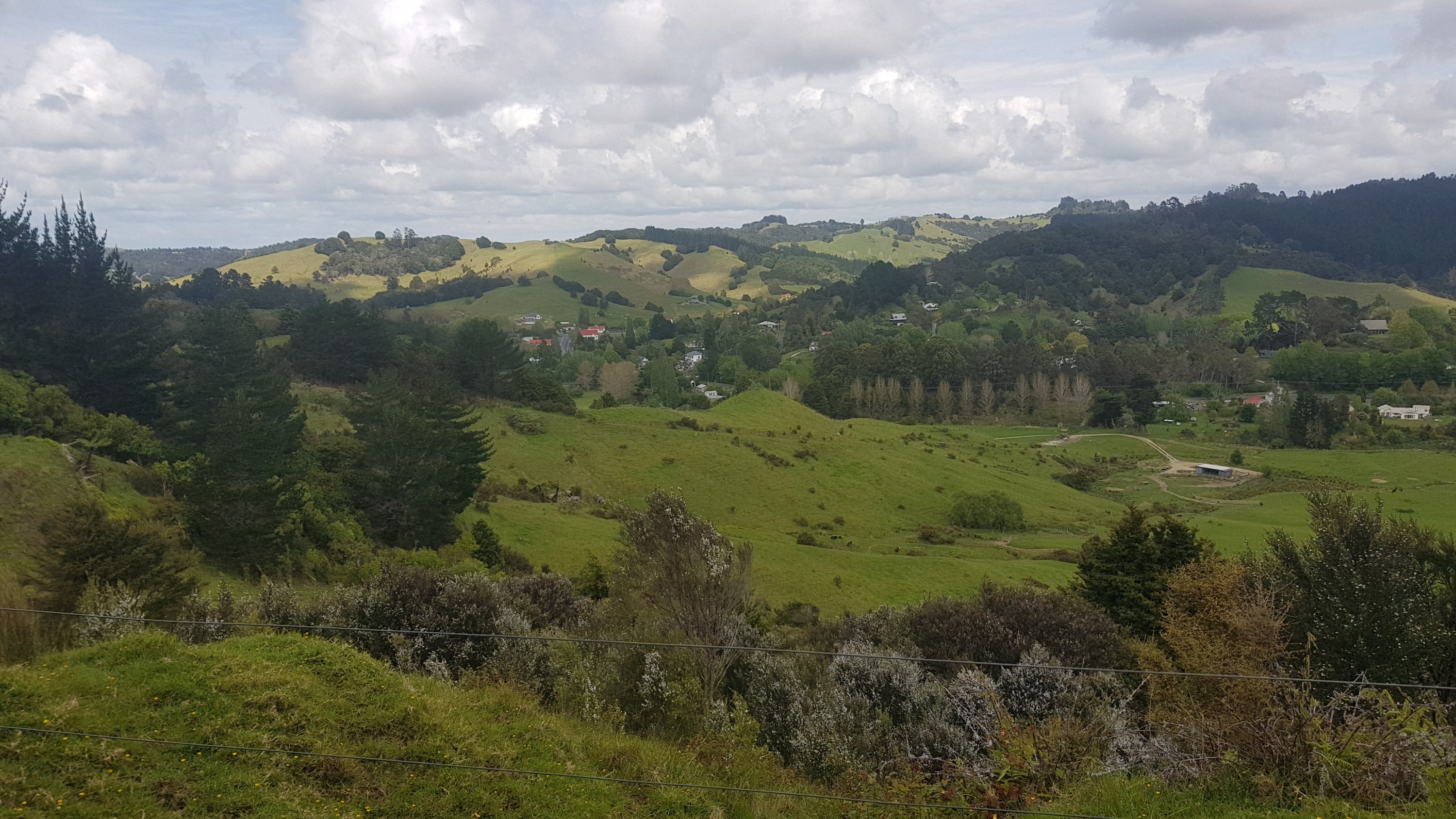
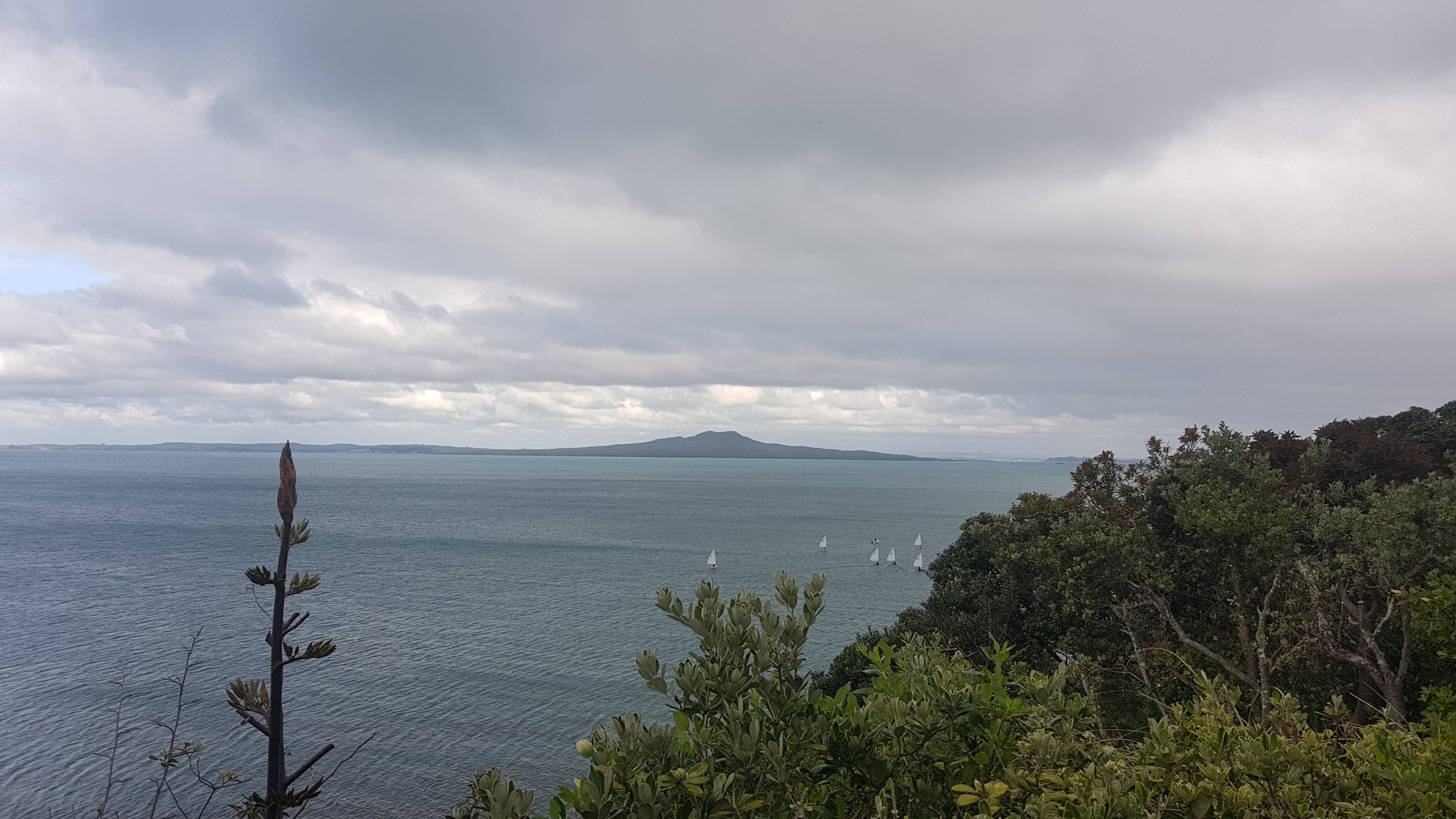
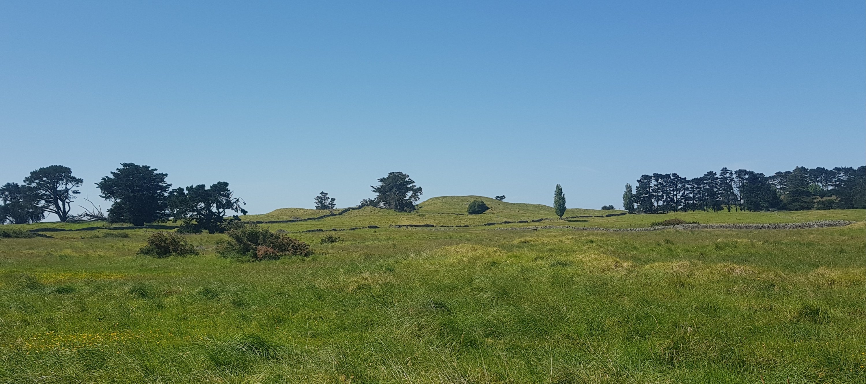
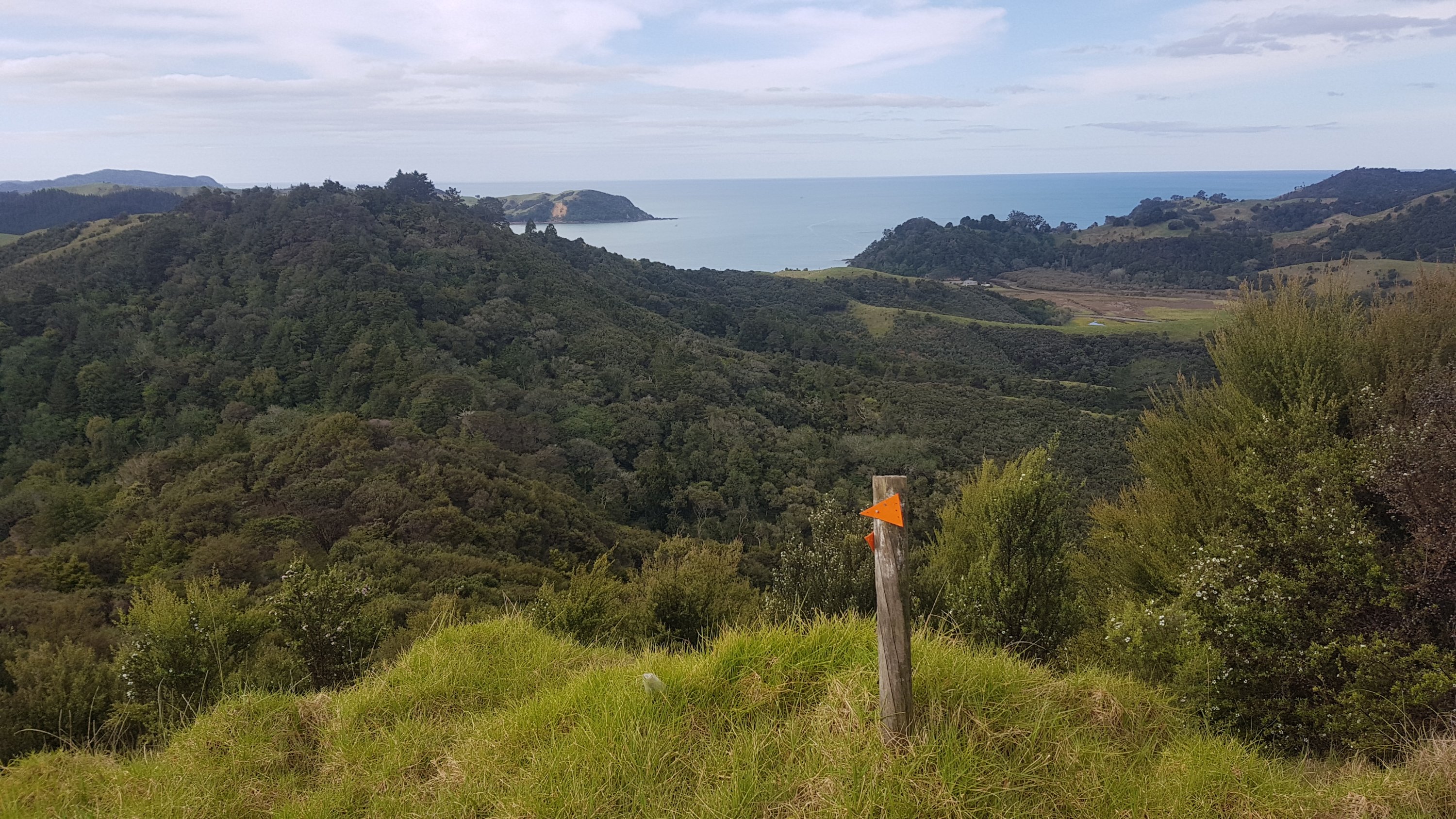
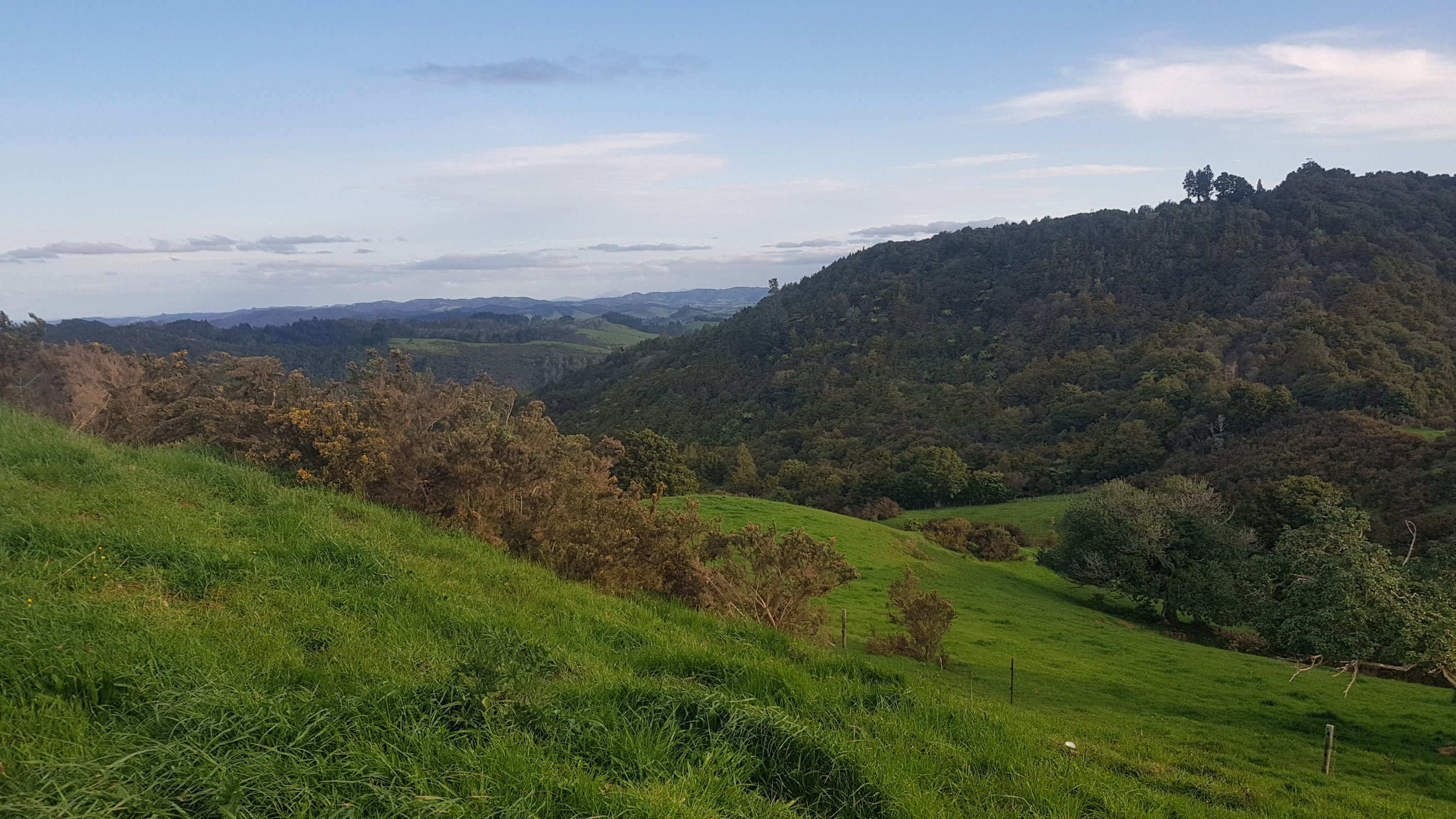
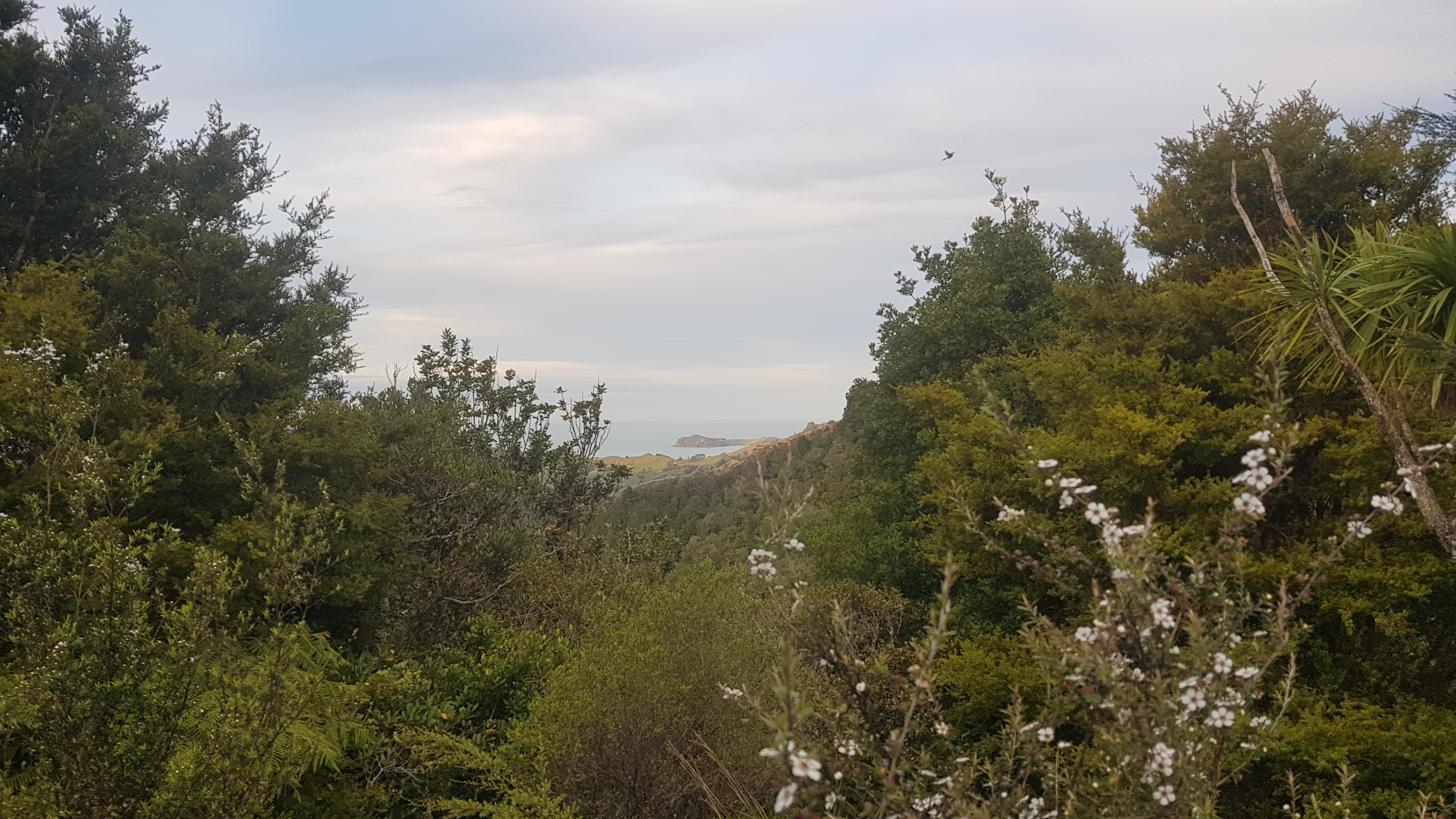
Nice views to be had though!
After this… it went up. Up and up and up. The up seemed to be never ending. It probably wasn’t that bad, but I was tired, it was hot, and every time I paused a river of sweat ran down my face. I changed the name of the track in my head to Helena Handbasket Ridge, which seemed more appropriate.
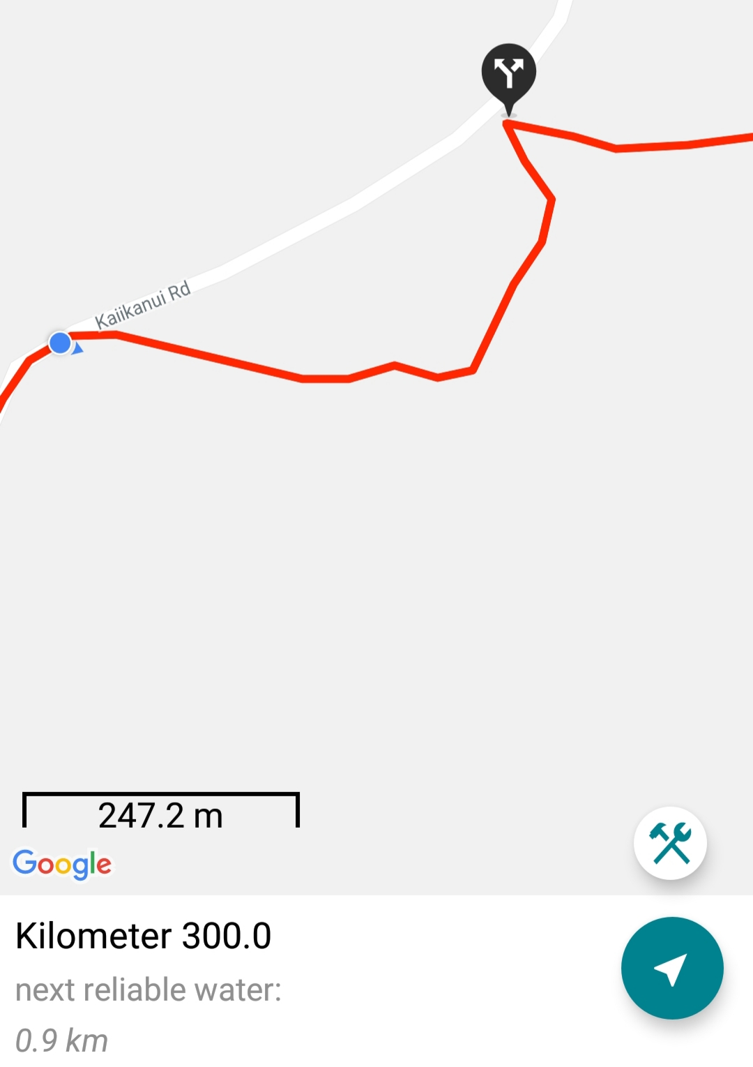
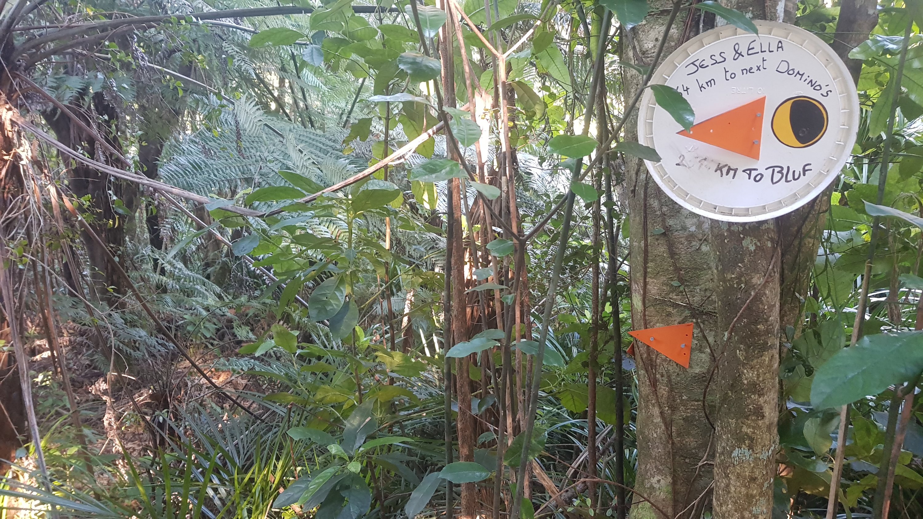
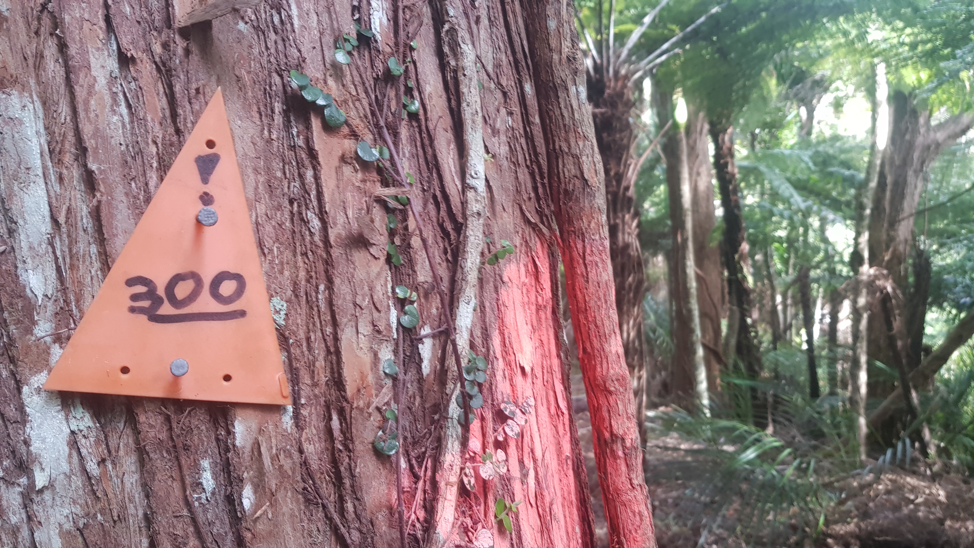
On this steep bit I saw 300 written on a triangle. Maybe last year this was the 300km point but since they reinstated Puketi Forest and removed the large detour around Day 12, this year it was only 294km.
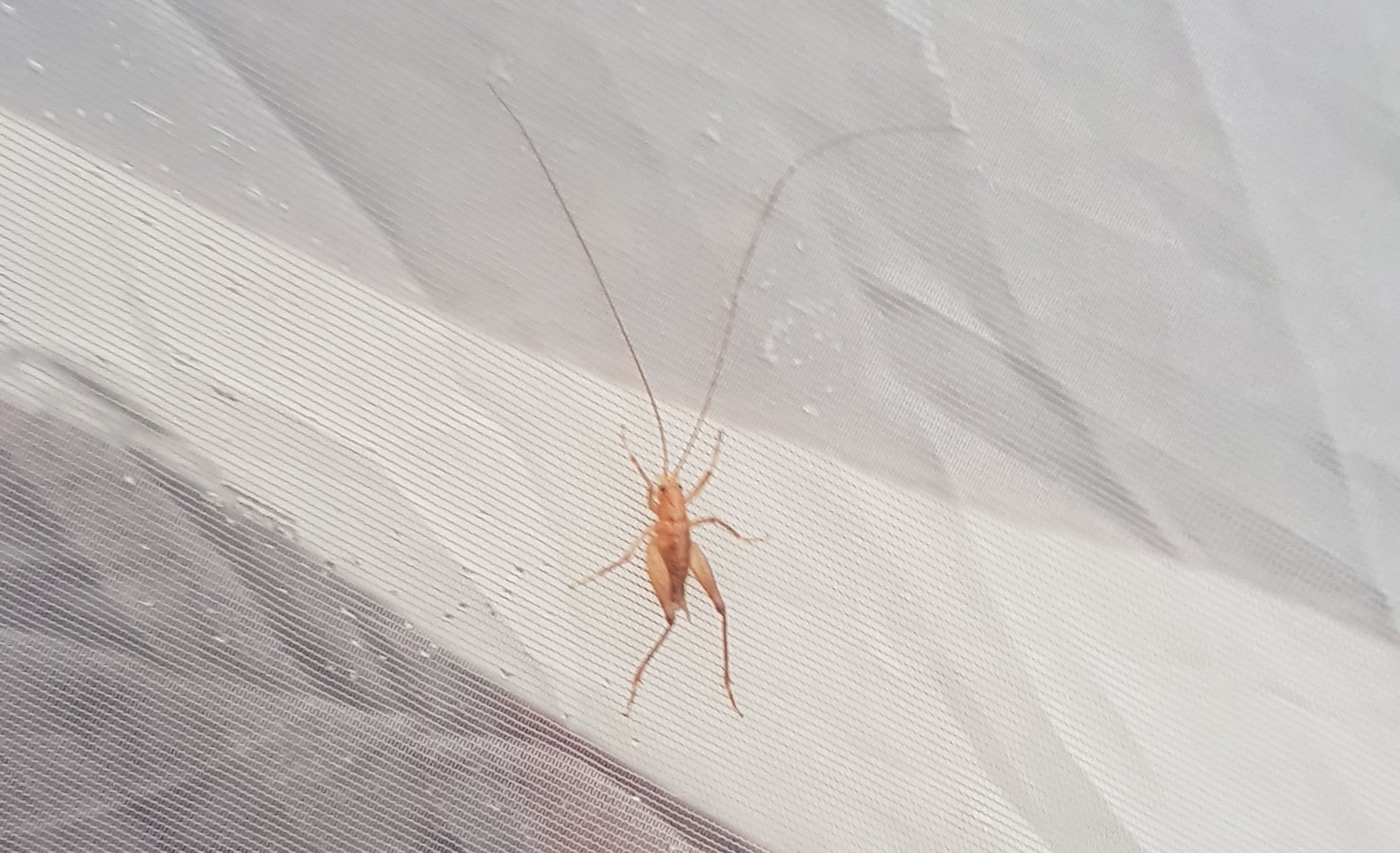
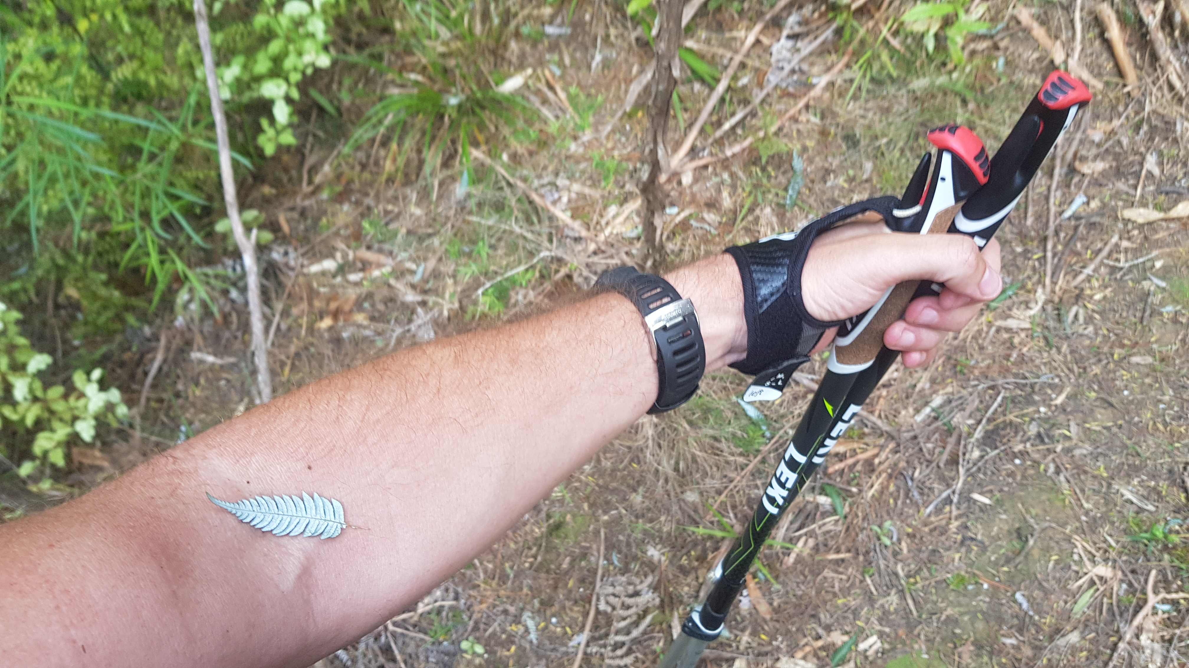
Also at some point on this bit something brushed up against my arm. I looked down, and suddenly there was no doubt as to which country I was in.
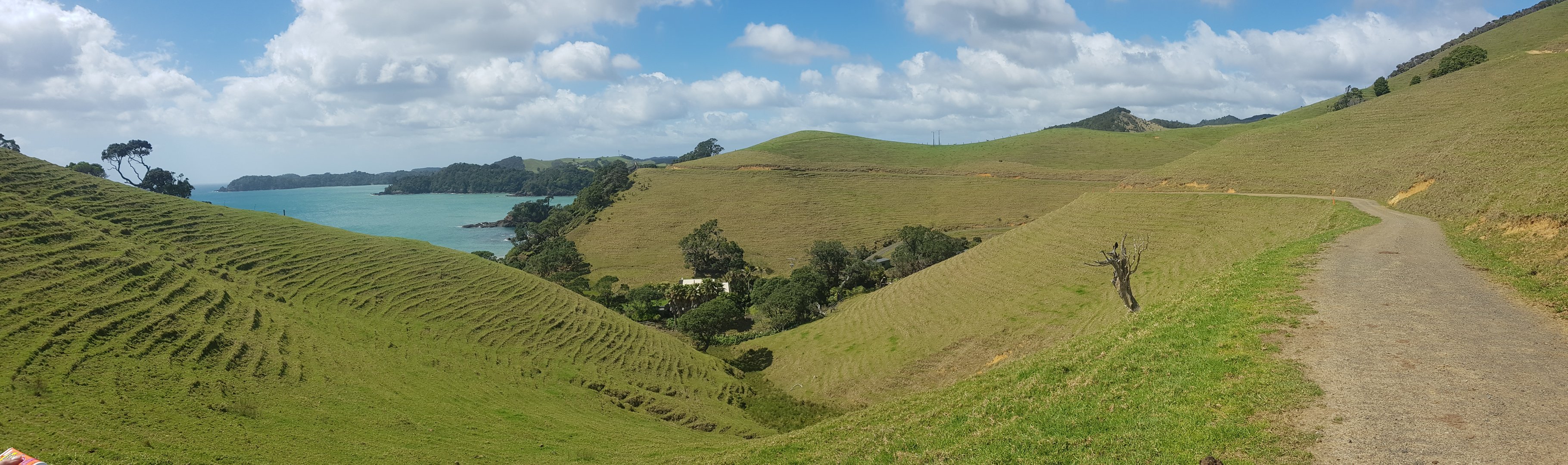
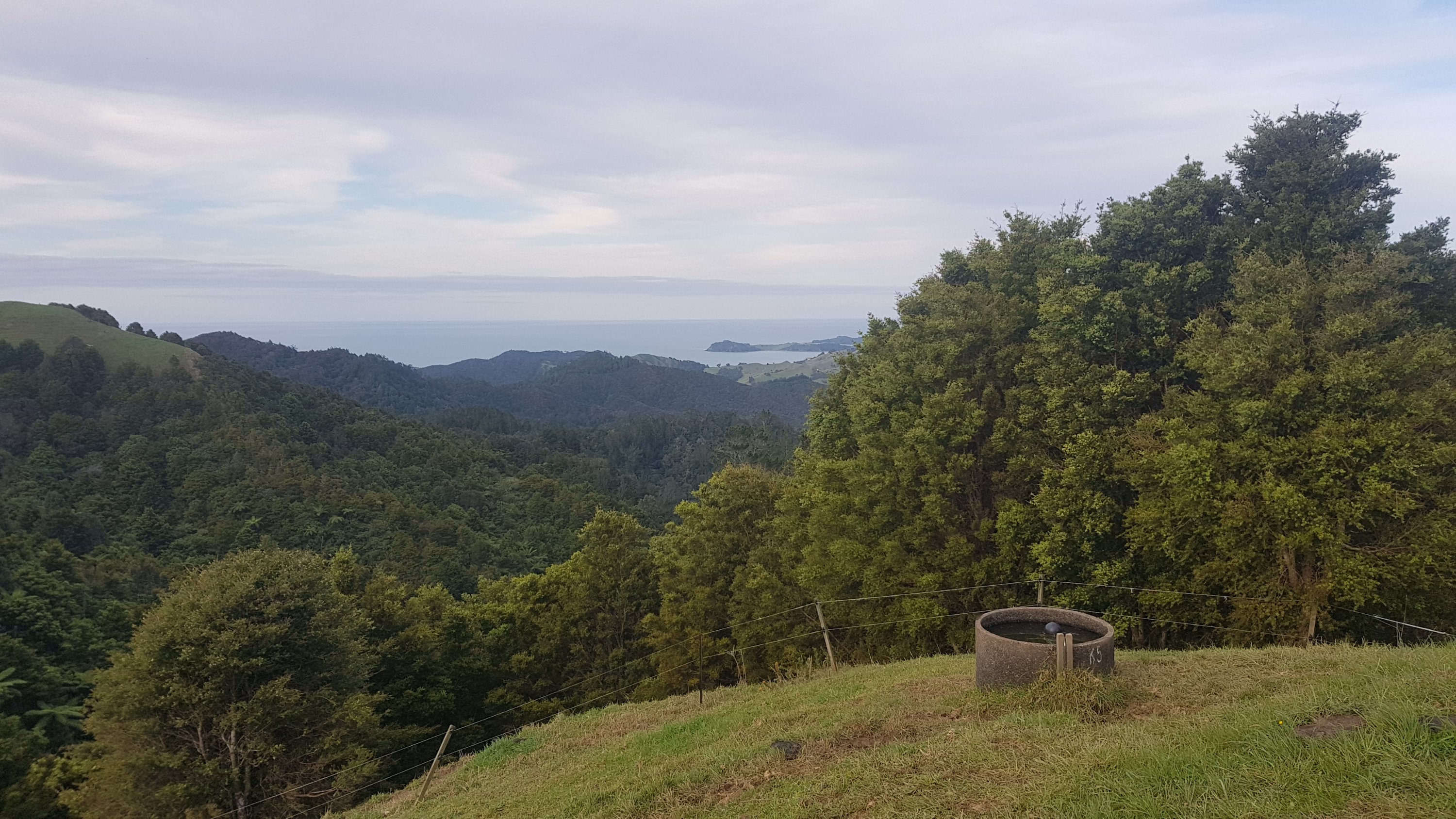
Eventually the forest stopped and I came out onto a farm. There was suddenly a breeze, which felt like the best thing in the entire world. More of that please, I thought. And after going up 320 or so metres of elevation I was really thirsty now. Luckily it was a farm, so there must be a water trough somewhere. And sure enough, there was. Complete with little floaty things in it, but I didn’t care.
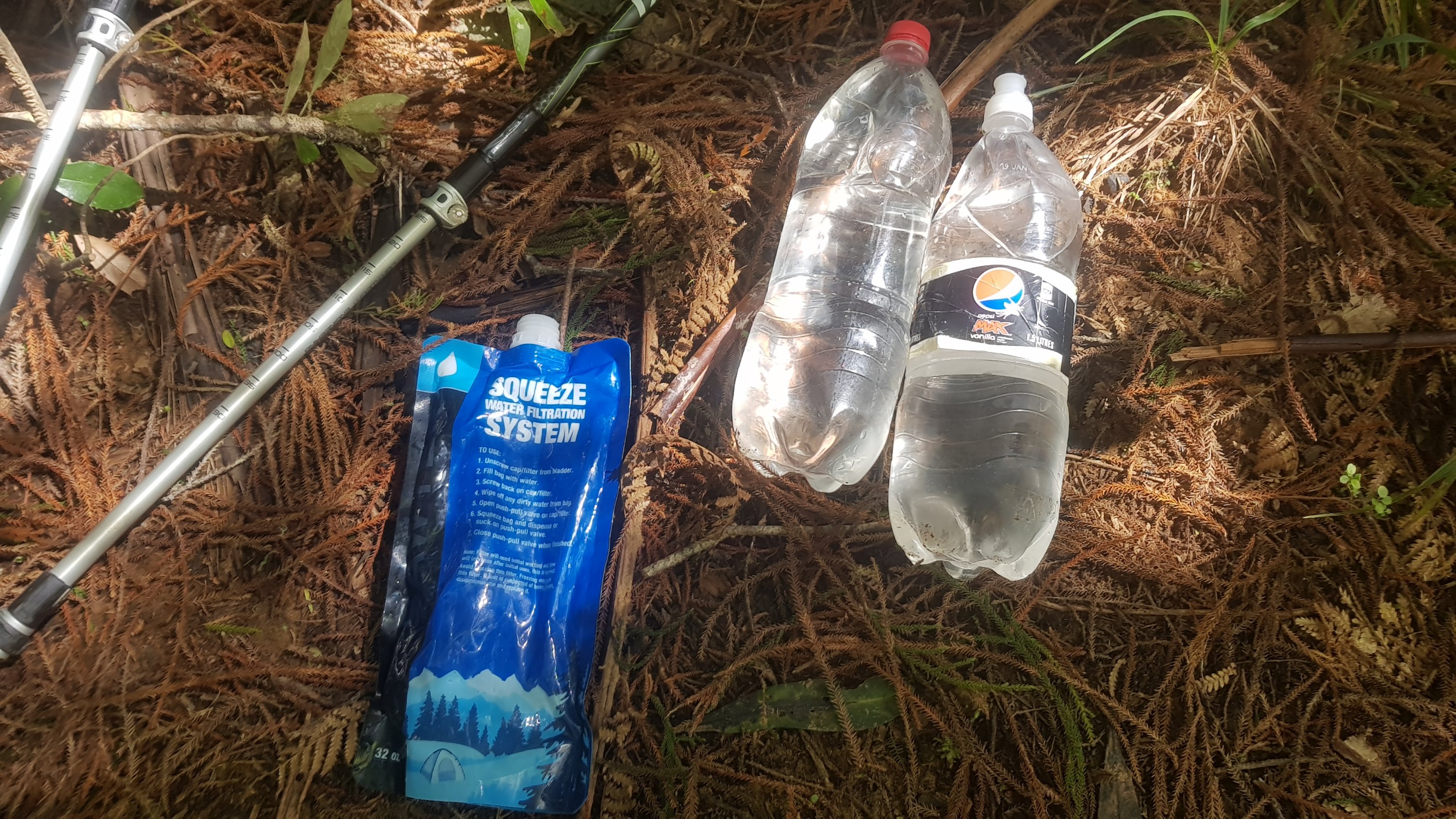
I had trouble though getting the water from the trough into the Sawyer Squeeze water filter bag though, which was a surprise. So I only got a little bit of water, but it was better than nothing. I was ready to continue again.
Now that I had a bit of water and I was thinking better, I looked at the Guthook Guides app which tells you what is coming up. It talked about an area that people used for camping and apparently the farmer even filled up a tank there with water for you to drink. This was at odds with the official trail notes which say “no camping along this ridge at all”. I hoped that the campsite existed and was legitimate. It was only a few kilometers away so I’d find out soon.
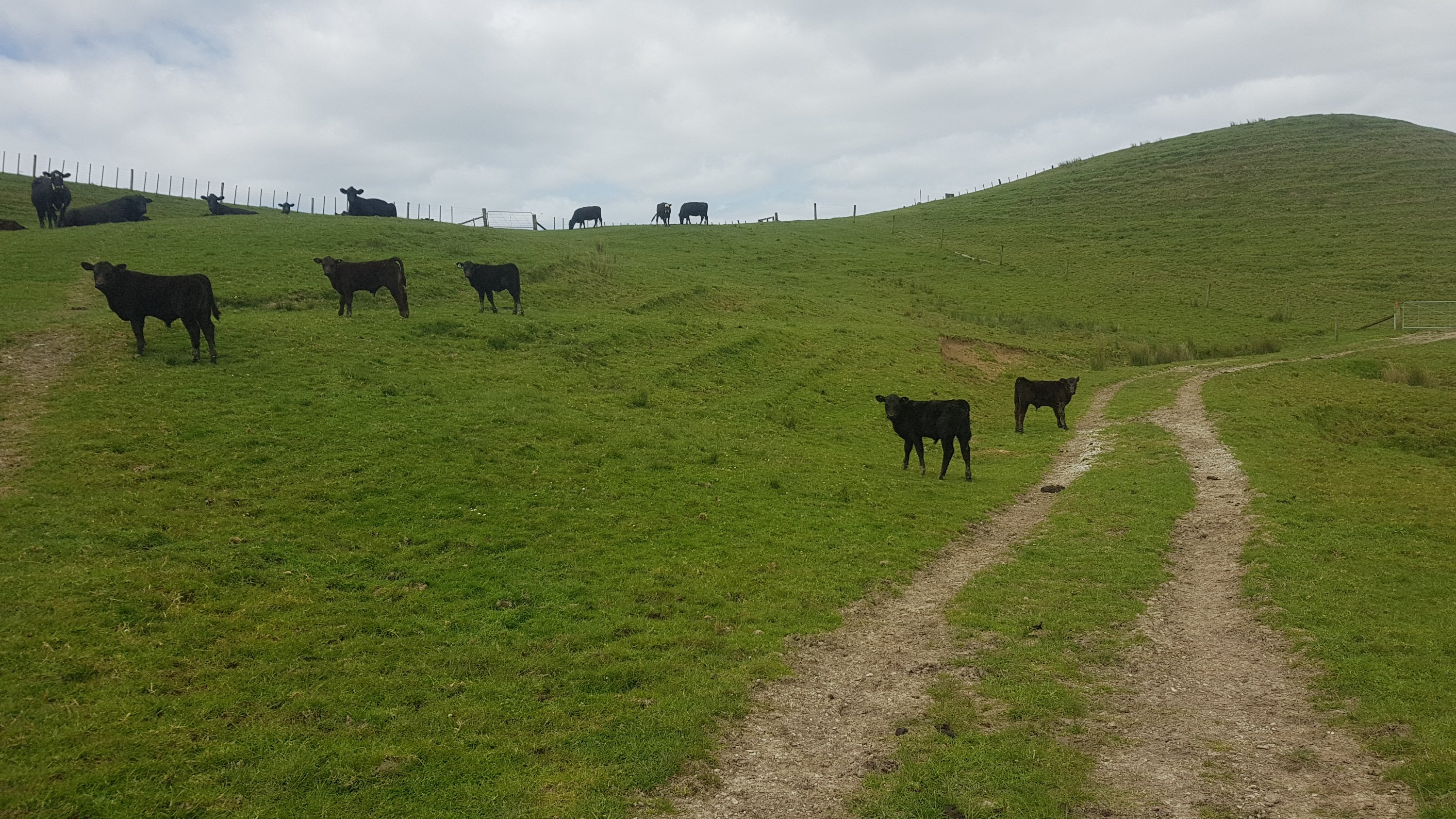
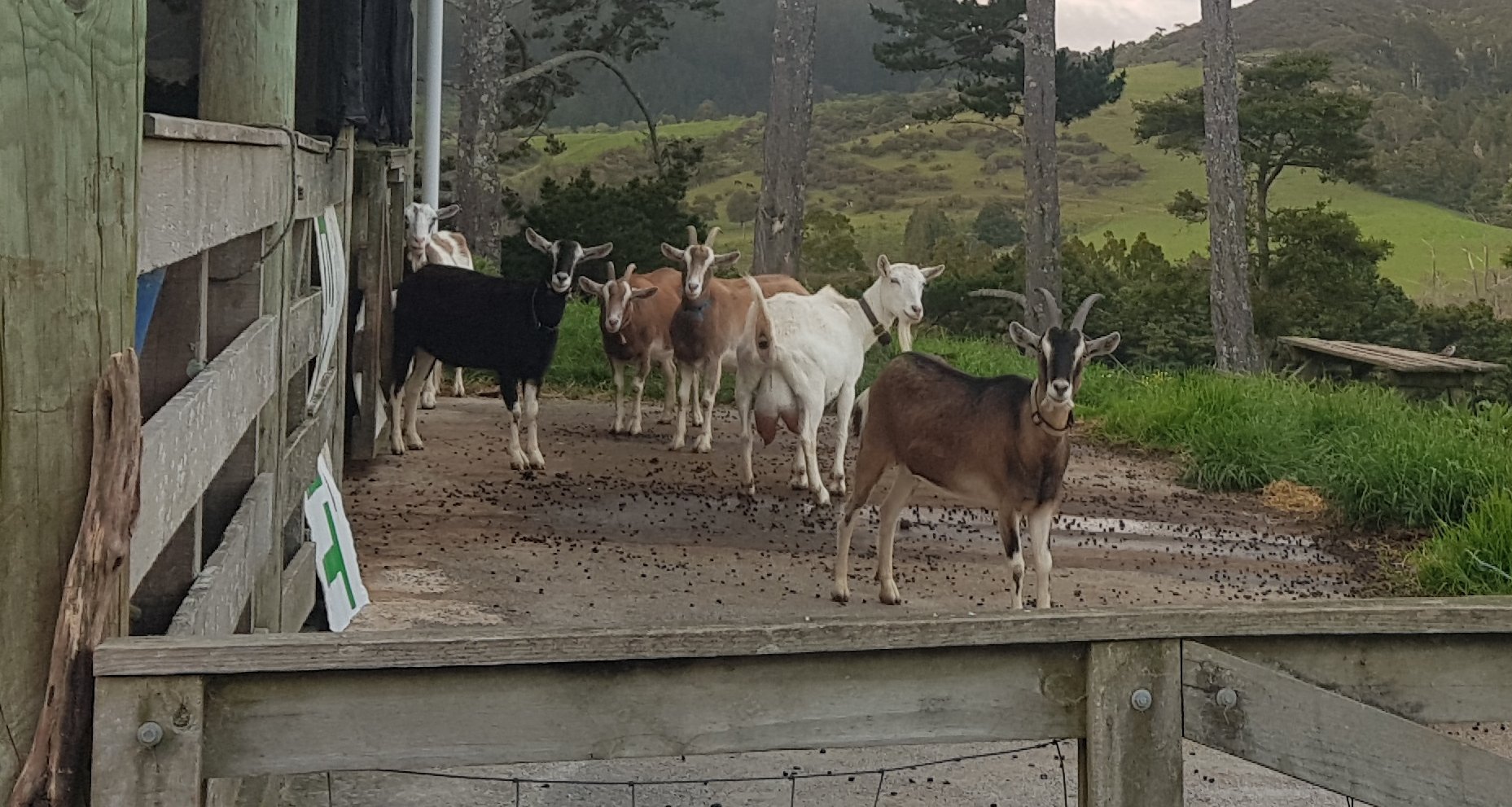
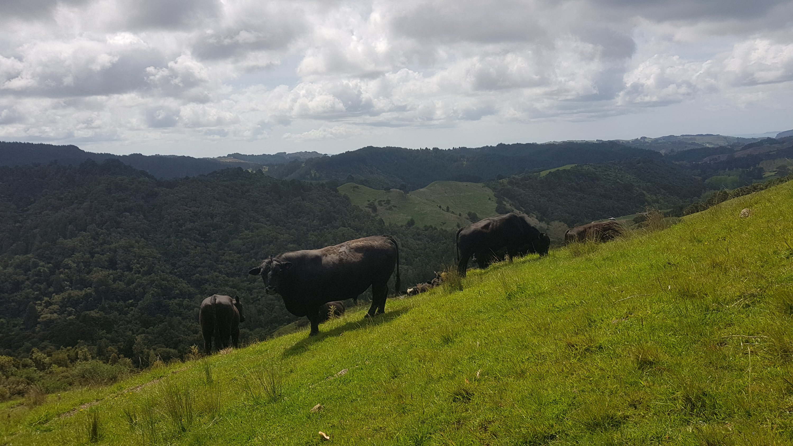
I approached this gate, and noticed that this time I would have to walk through cows. I just figured as I approached the gate they’d all scatter. But this guy wasn’t having any of it.
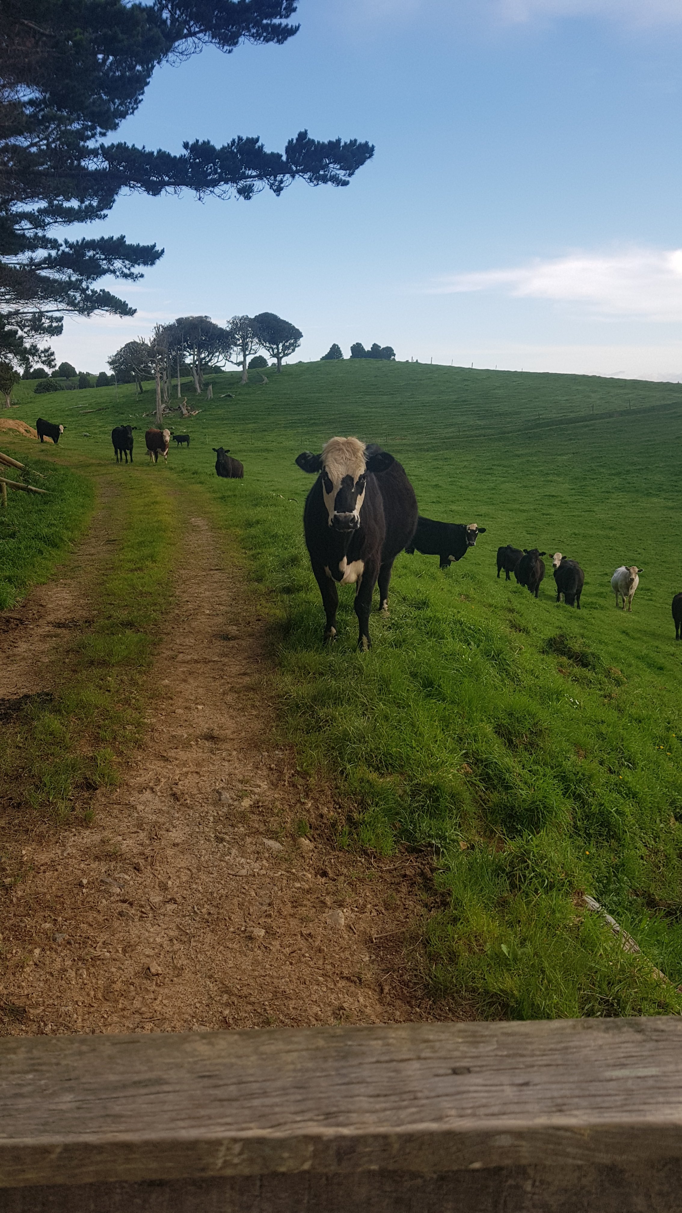
As I walked through, the cows gave me the minimum amount of space possibe, and then they started following me. It was a weird feeling. I took this video, and I love the point in the video when one cow walks into another cow and then they have a fight about it.
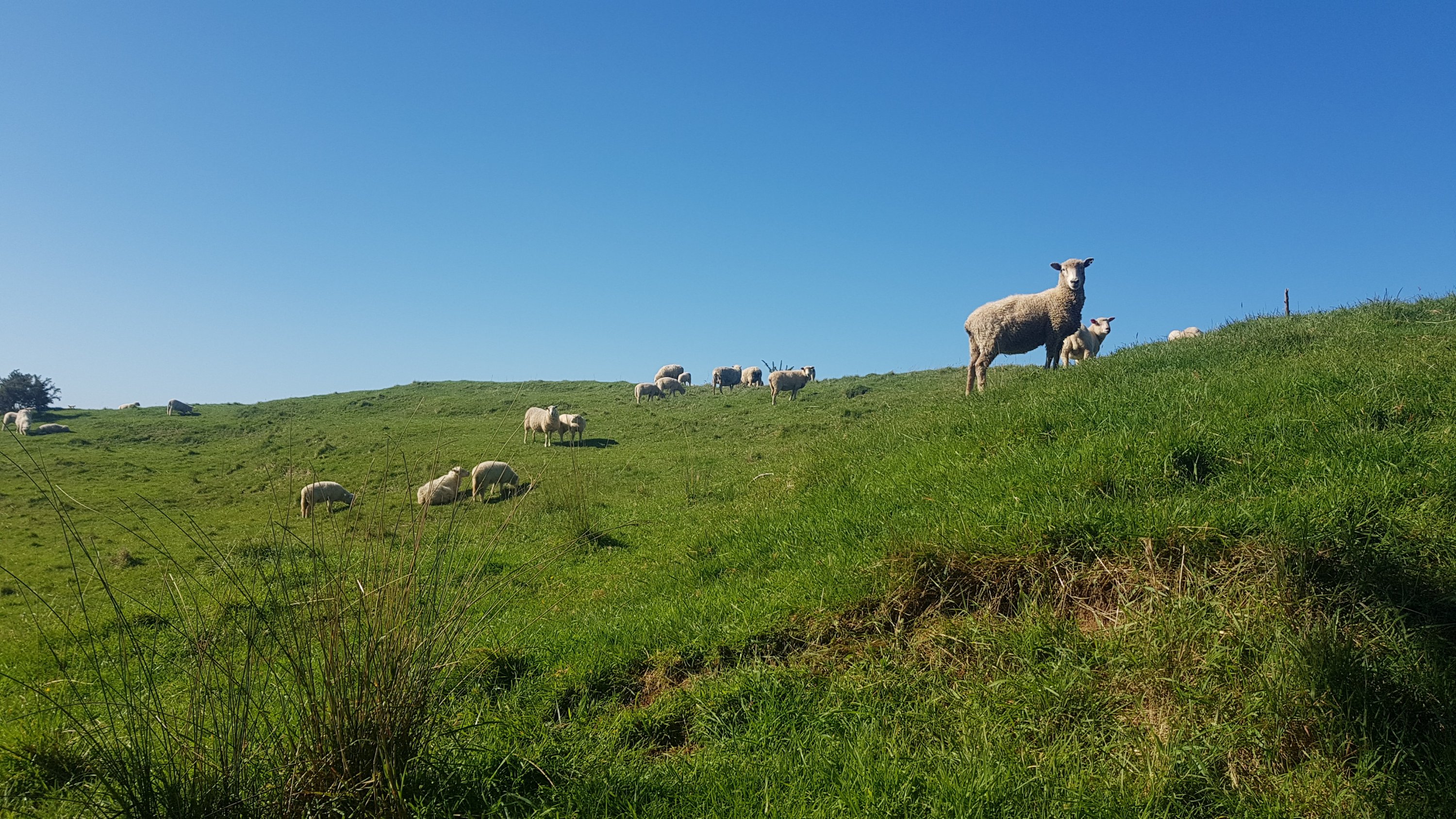
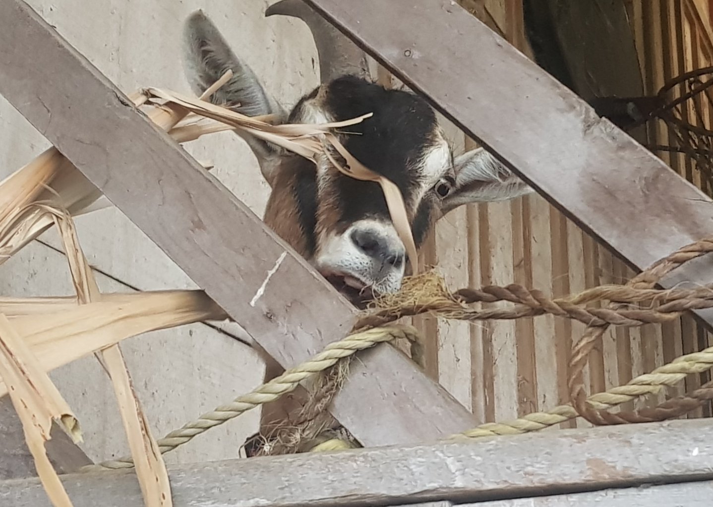
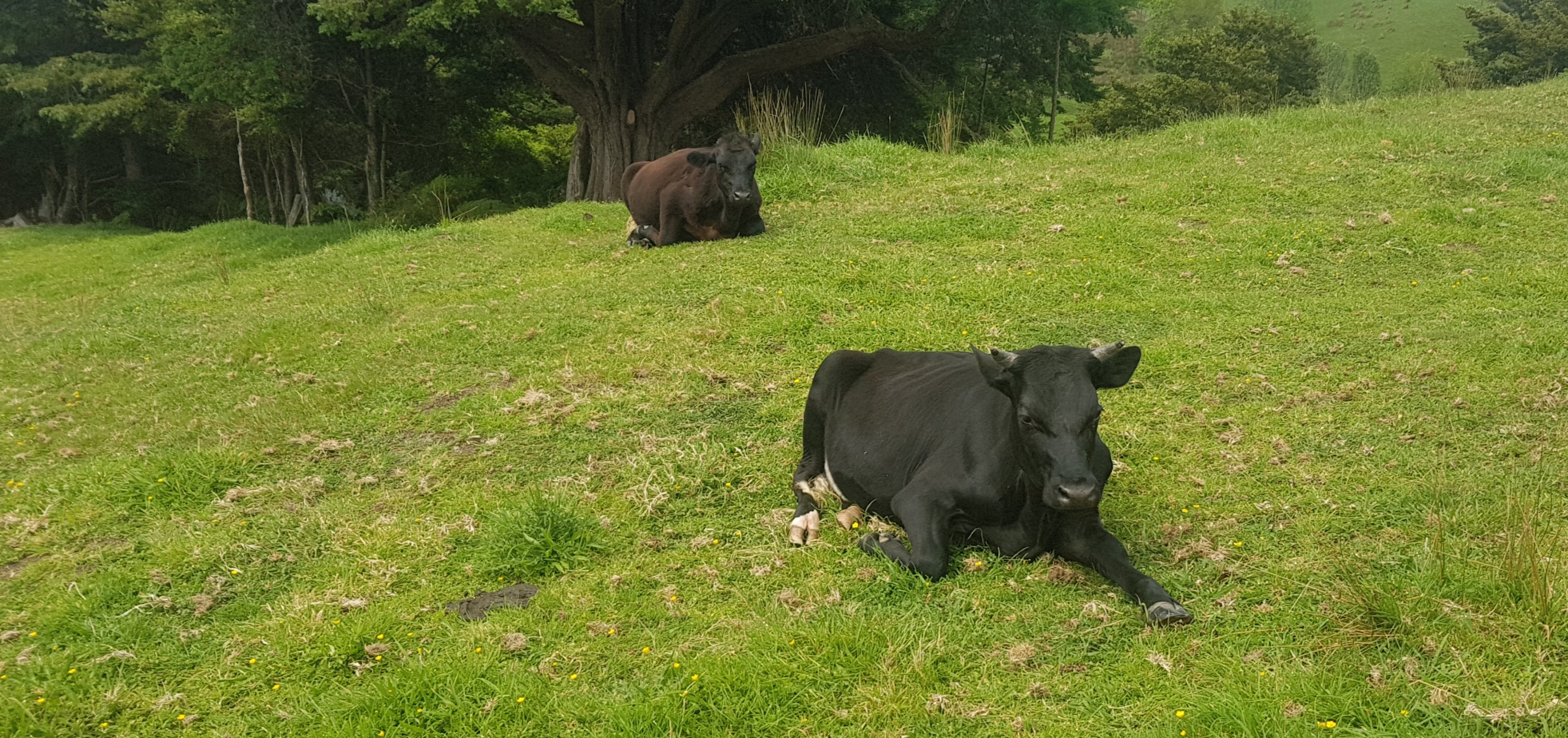
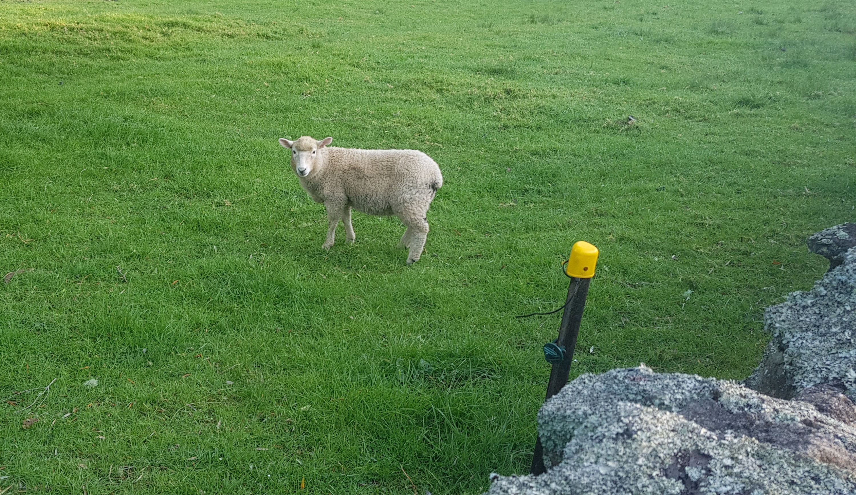
The farm was nice. These cows had a nice view, but they were too busy looking at me.
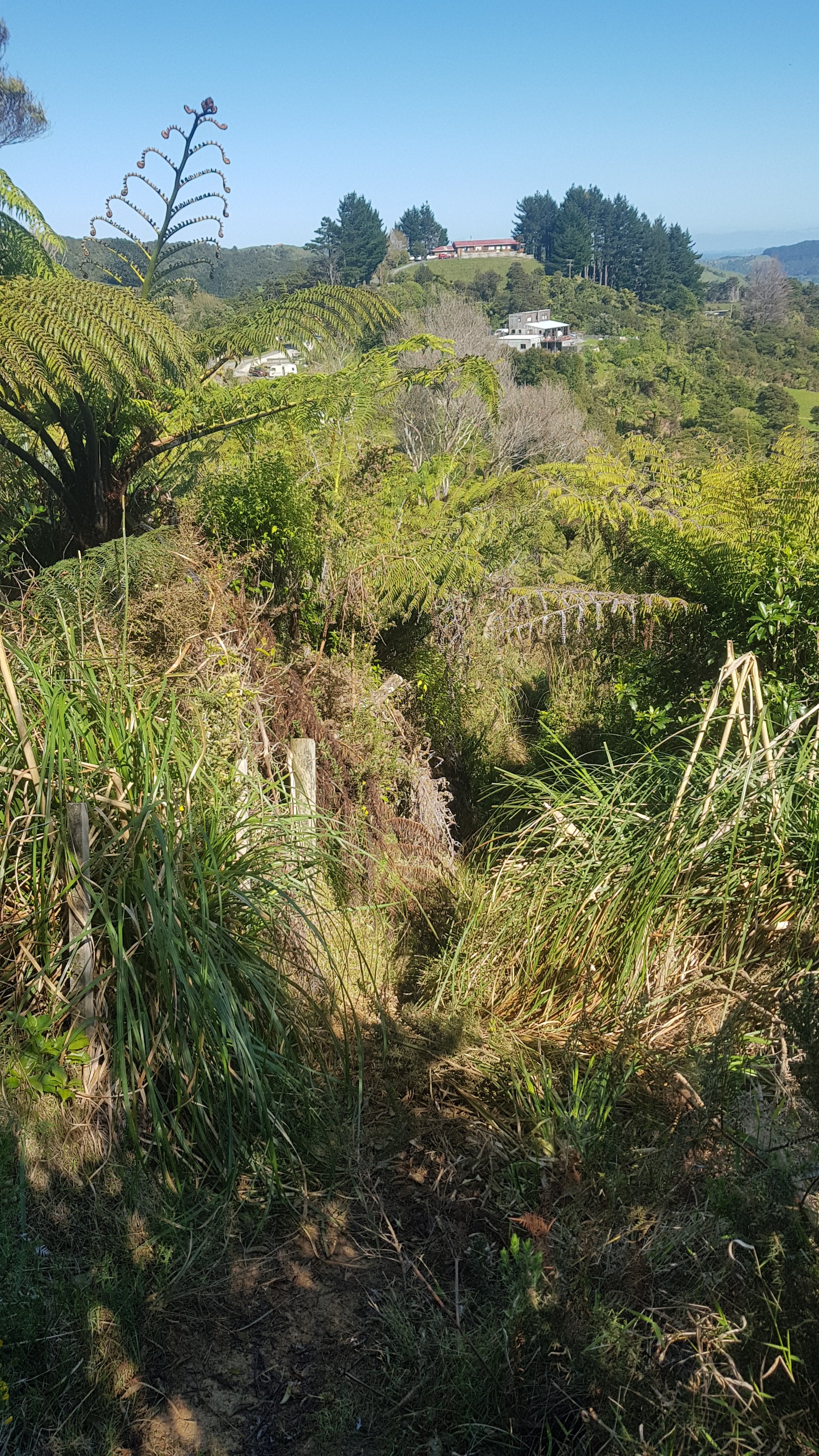
This was the view from the other side at this point.
And there were lots of these. I didn’t like these very much.
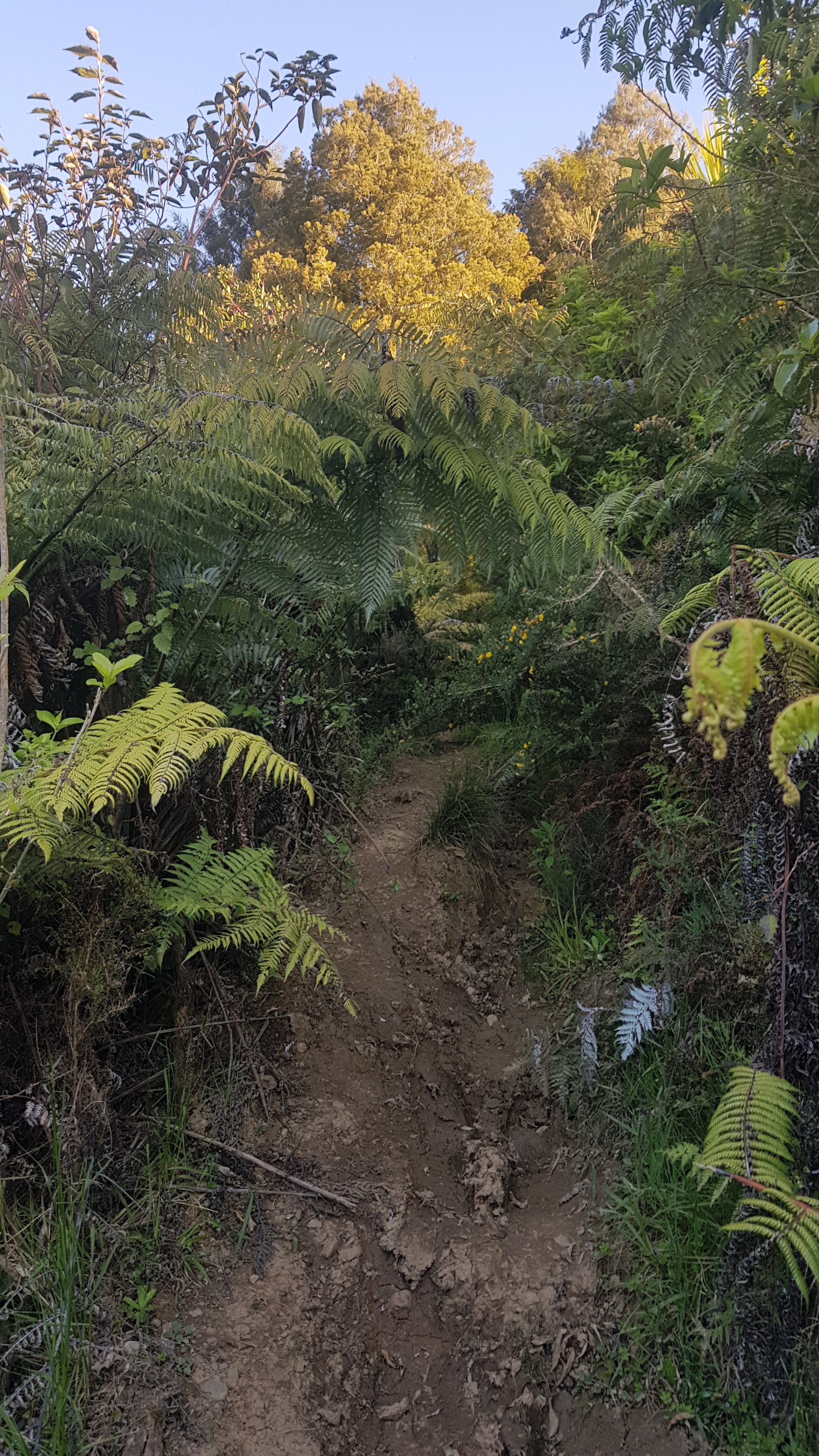
After that the terrain changed again. It was now a little overgrown track around the side of a hill. I found it odd how first it was steep forest, then easy rolling farmland, and then suddenly gorse city.
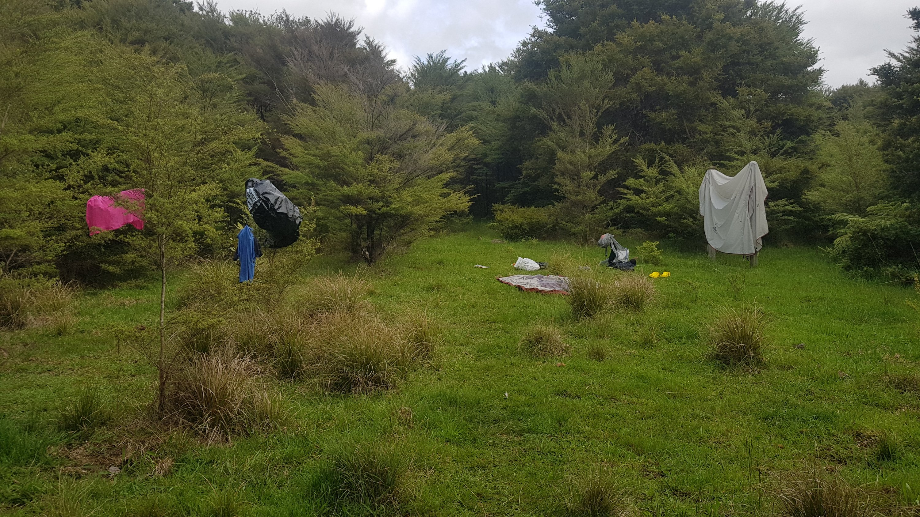
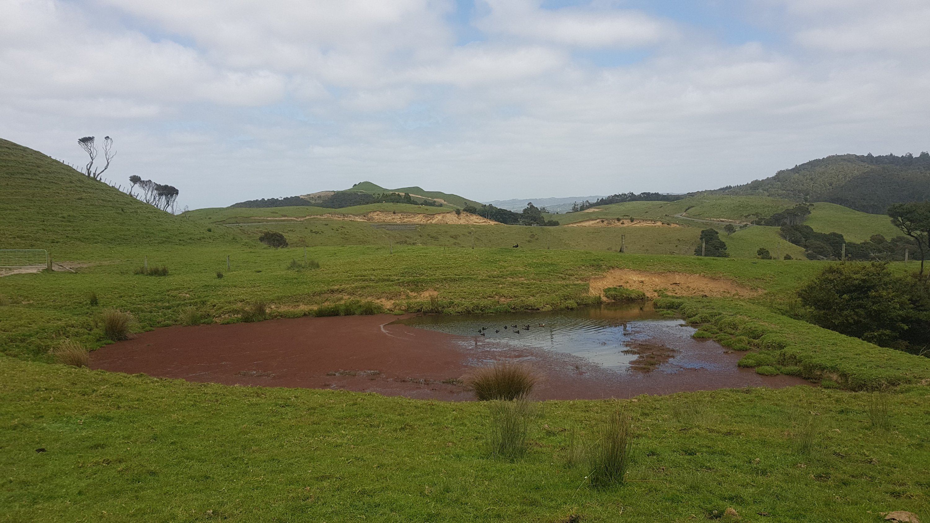
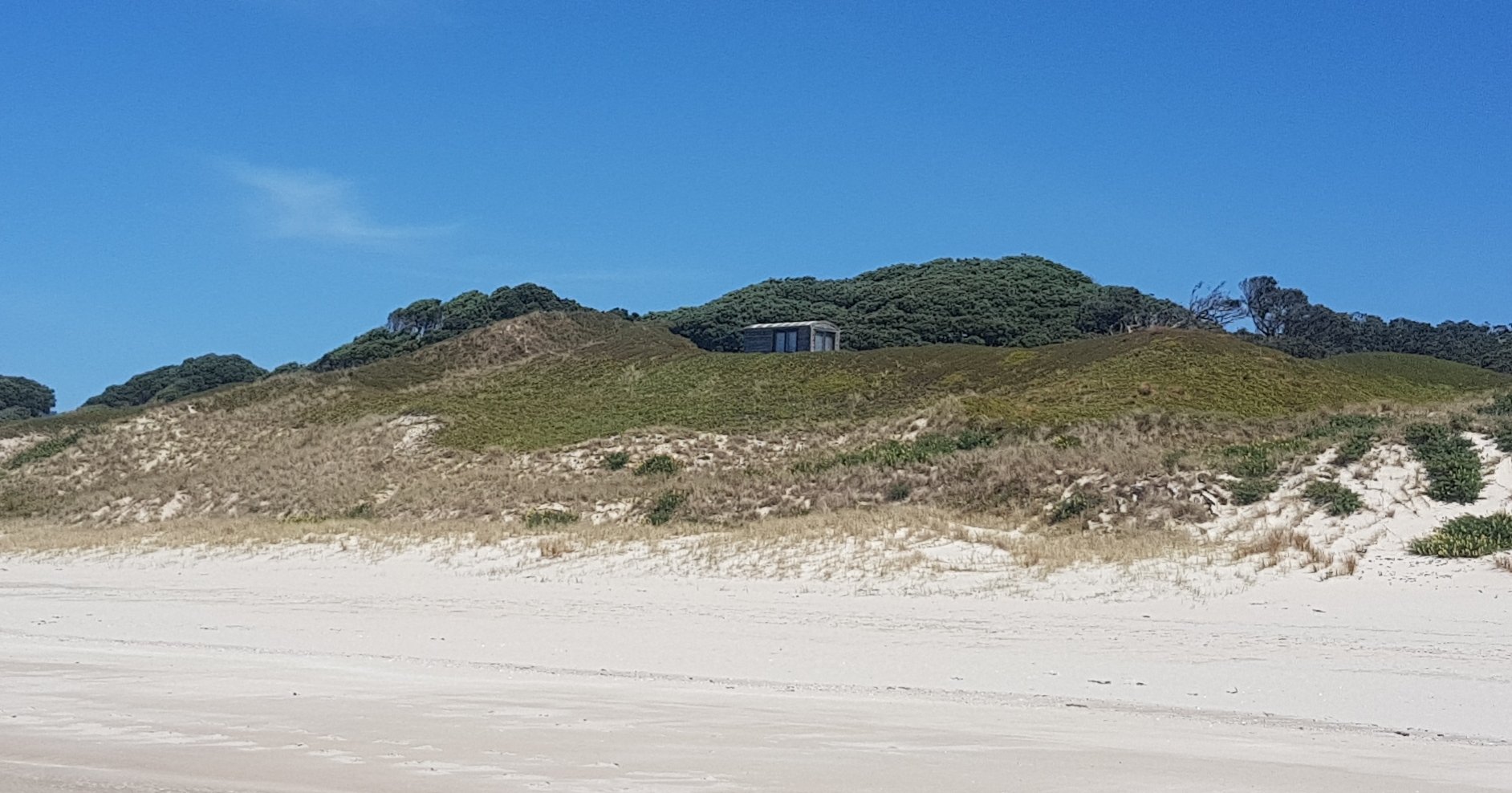
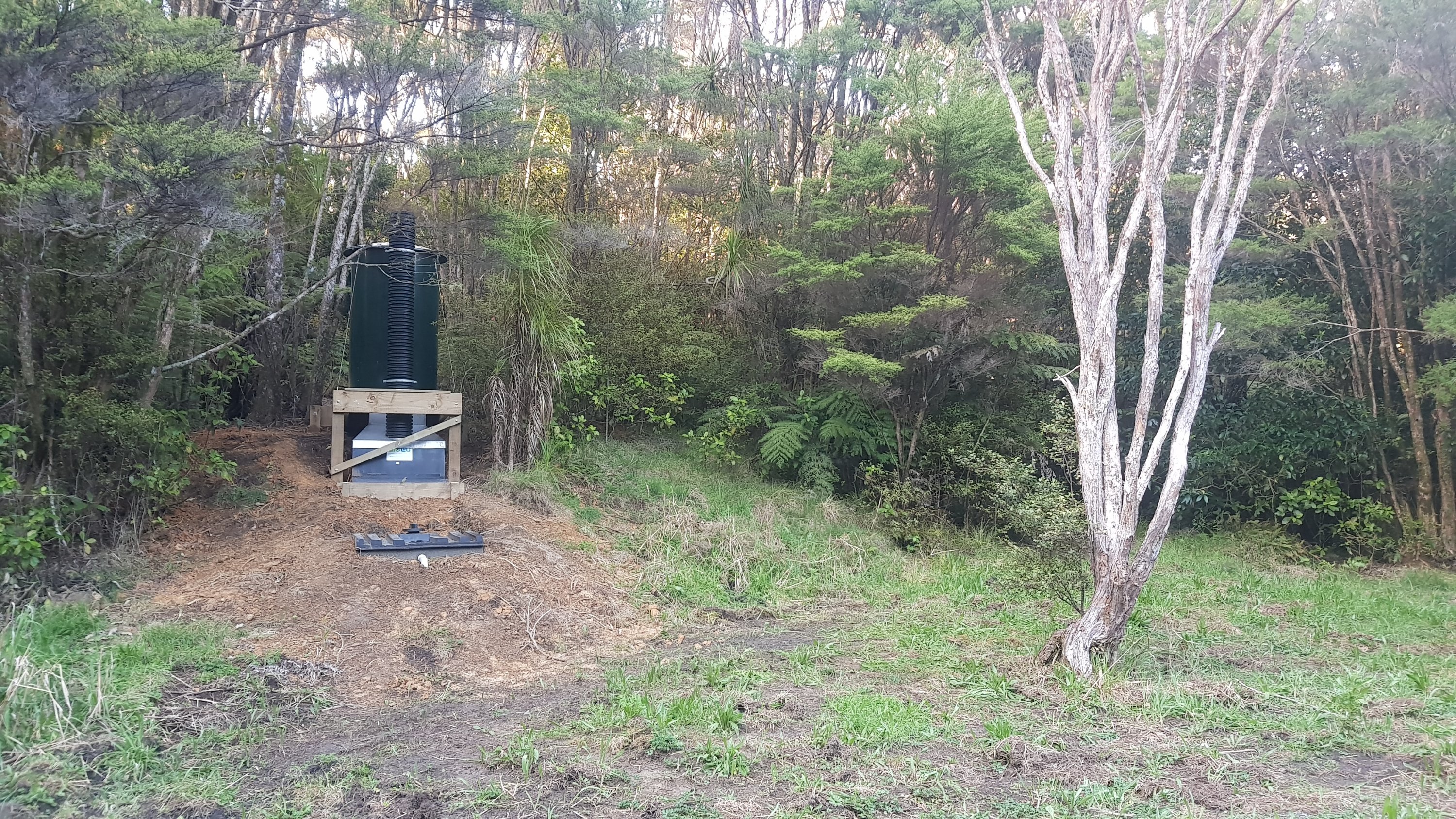
Not long after I found the campsite that the app talked about. It was everything that it said… an open grass area with a water tank but no toilet. It did seem that someone was filling up the water tank manually. Thanks to whoever does that, it was awesome. It was even labelled as “drinking water” so I didn’t filter it.
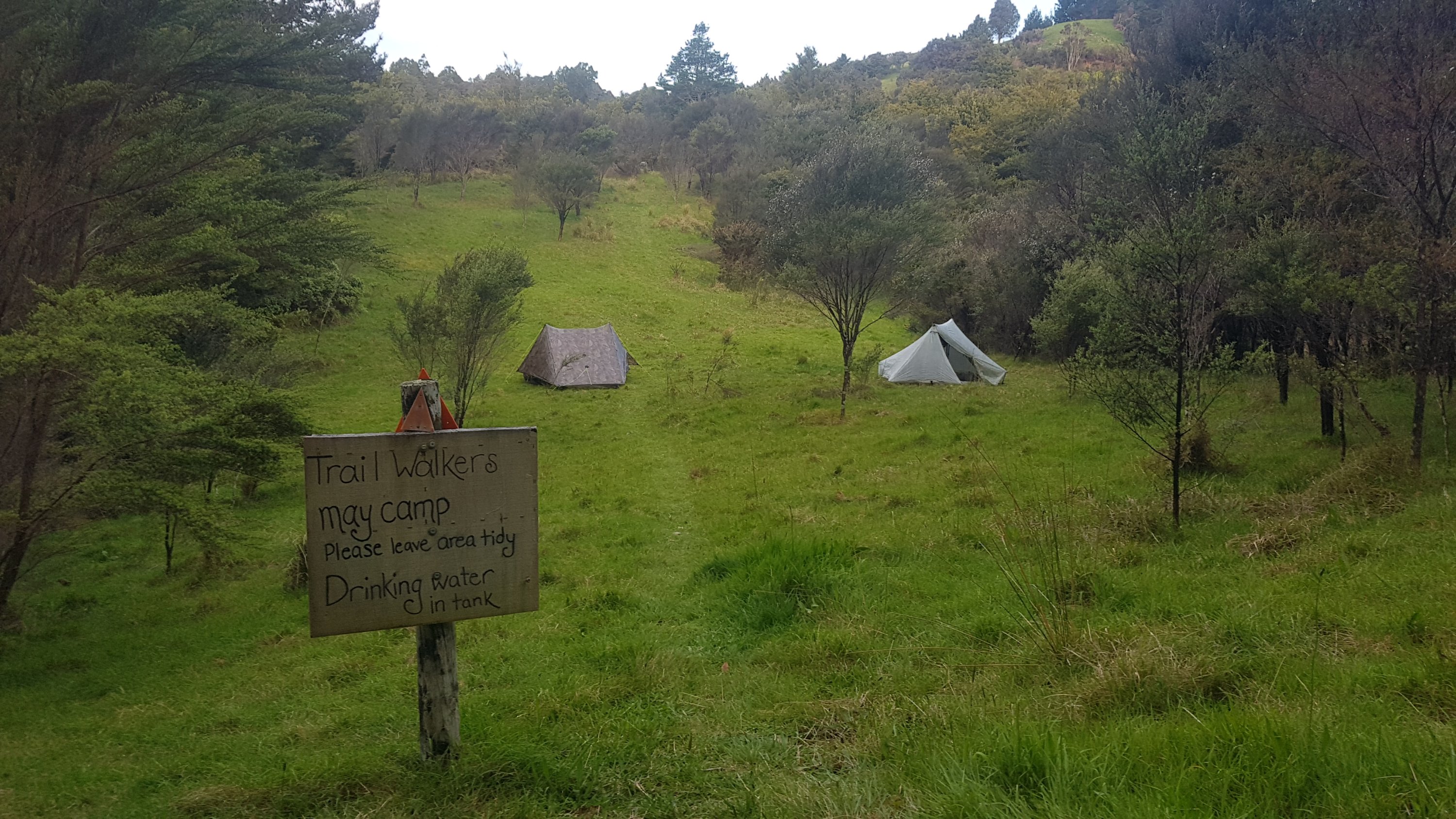
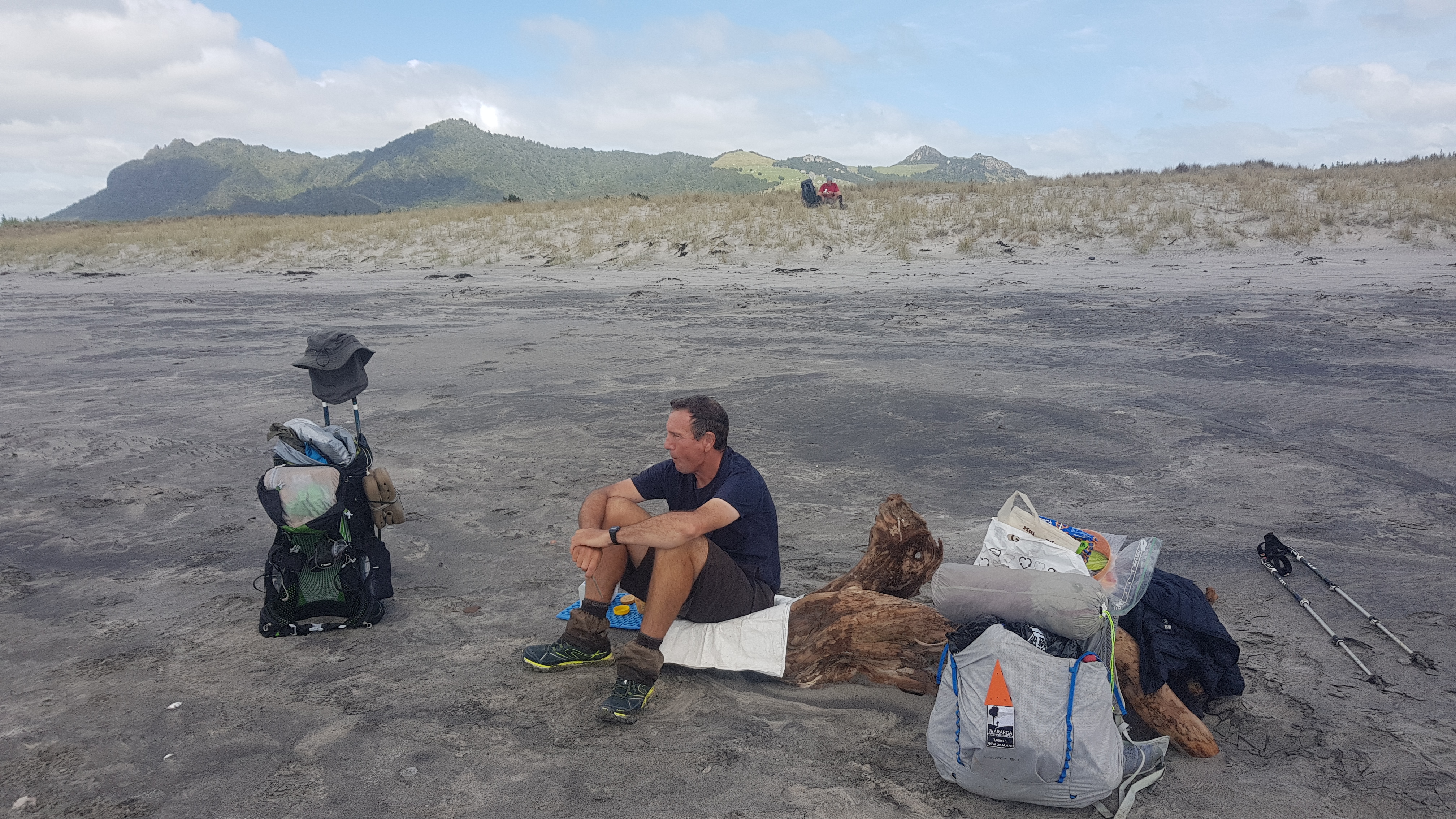
It was 6:45pm, and Nick and Robert were already there. I said hello but they were both locked away in their tents and there was a chance I woke them up. They asked me if I had seen Frederick and I said I’d seen no other hikers. They said okay and I left them alone because they wanted to sleep early.
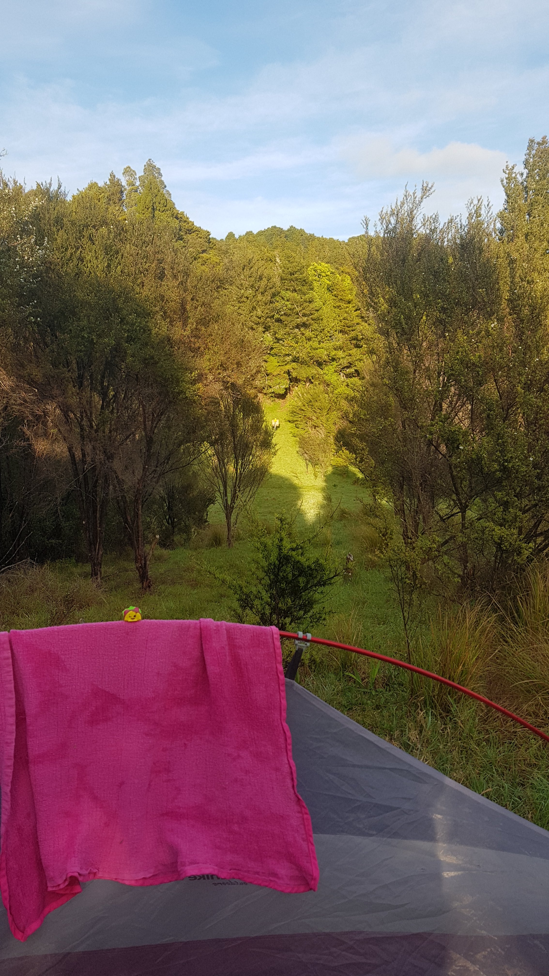
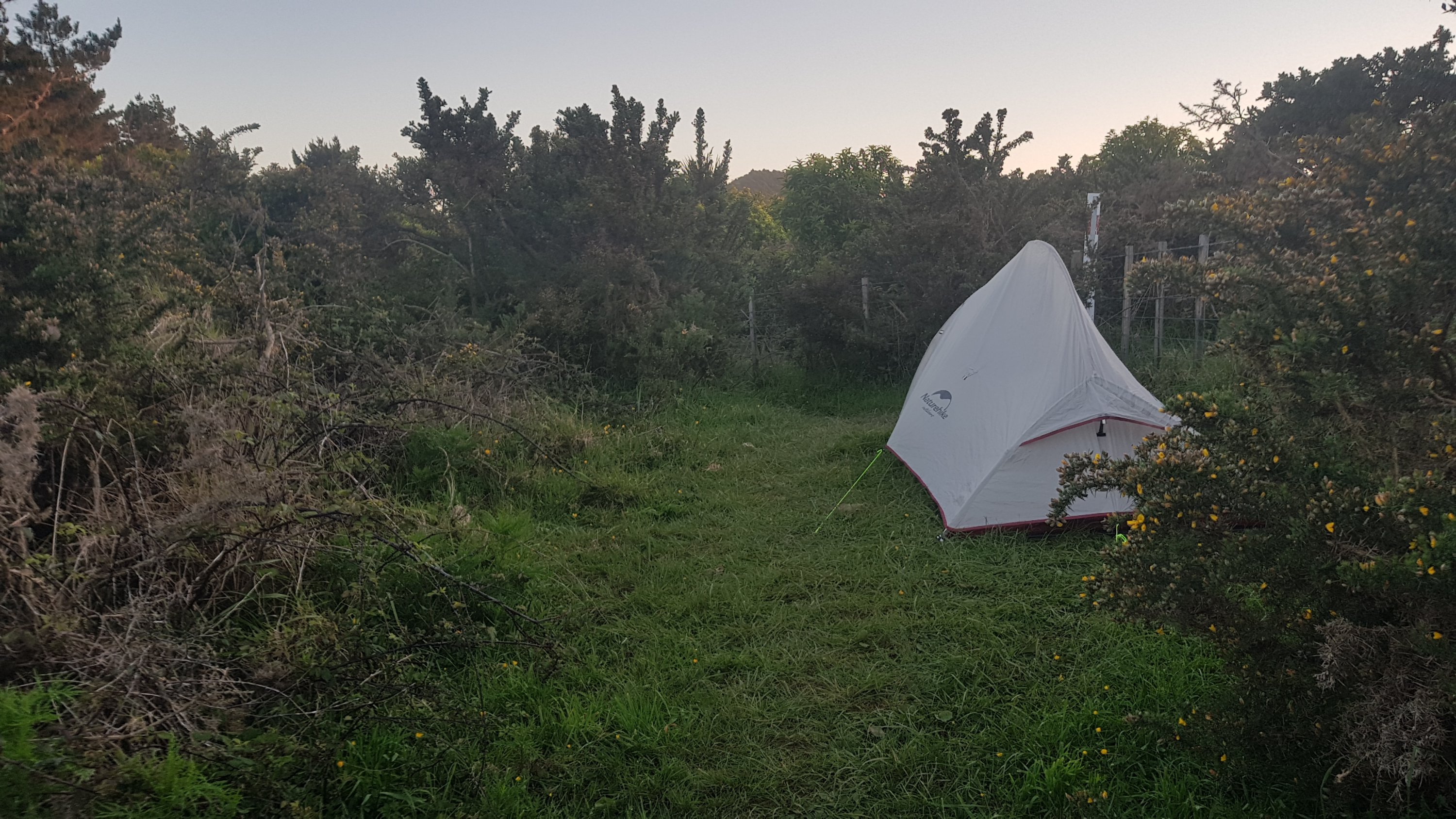
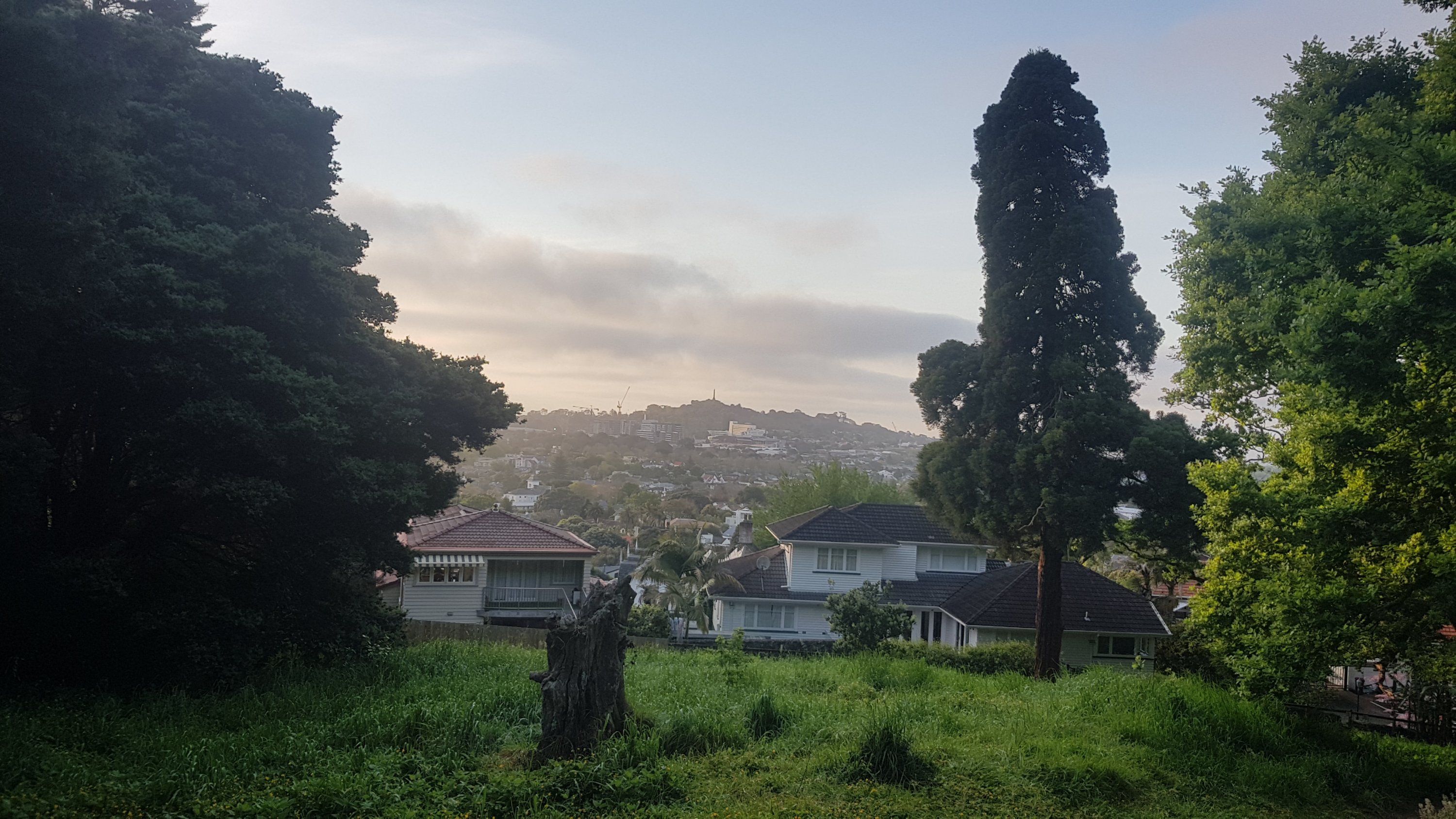
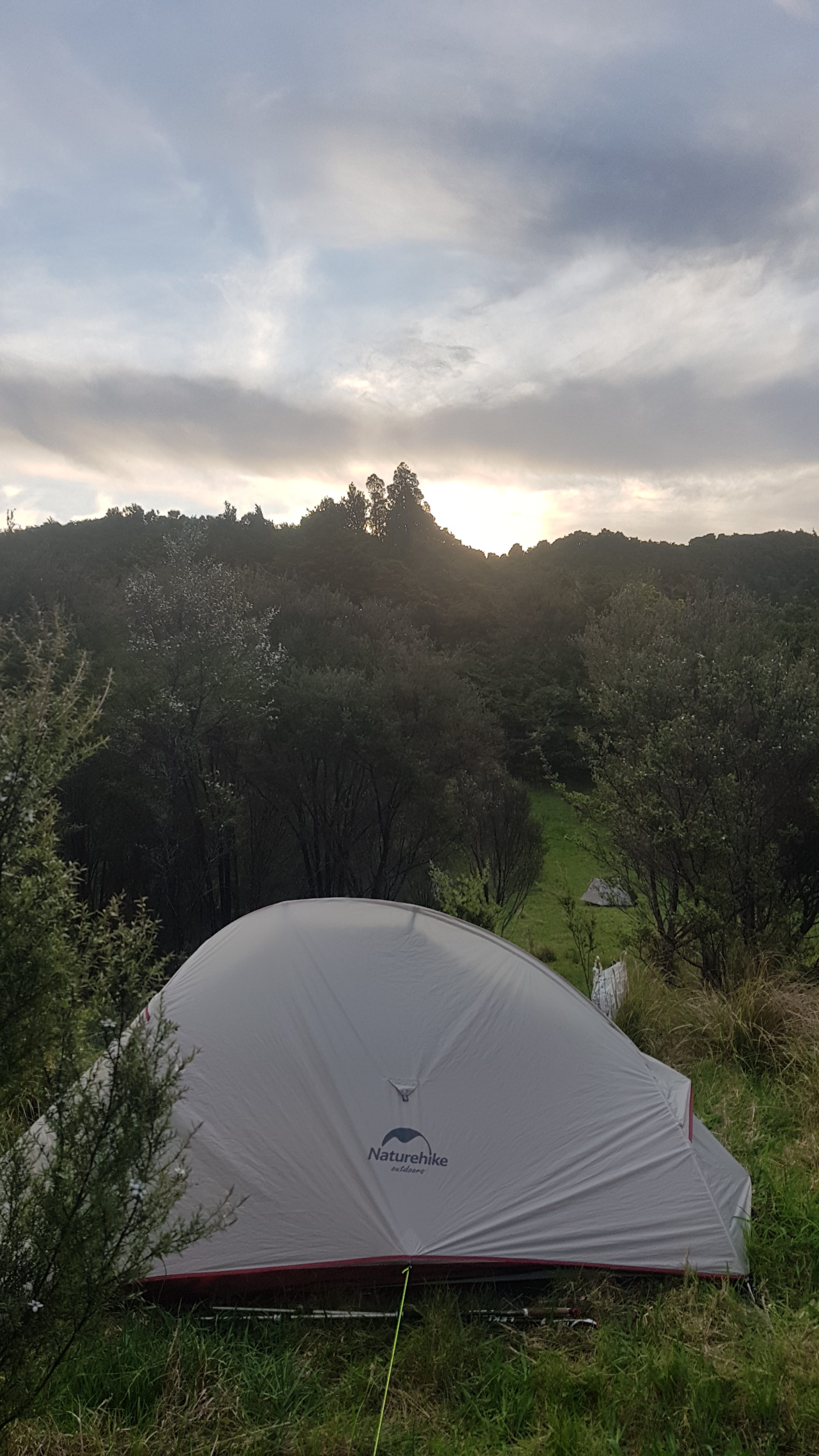
I went and found a nice spot further up the hill so that I wouldn’t be annoying. It was a good spot because I had a nice view just a few metres away.
Also because it was at the top of a hill I had a kind of a seat where I could sit and make a proper dinner. The fact that I had a water supply and at least another hour of daylight really helped with that.
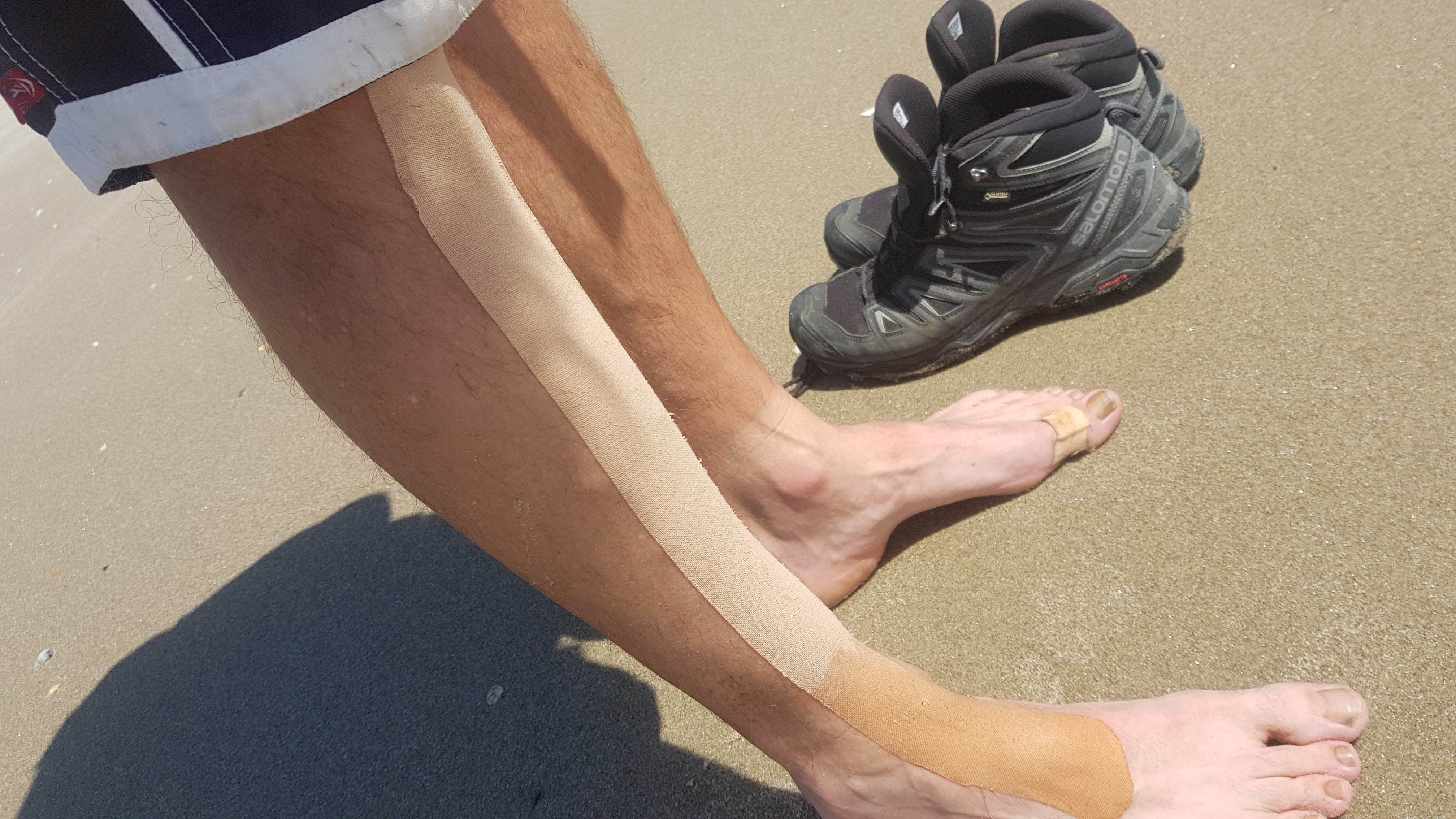
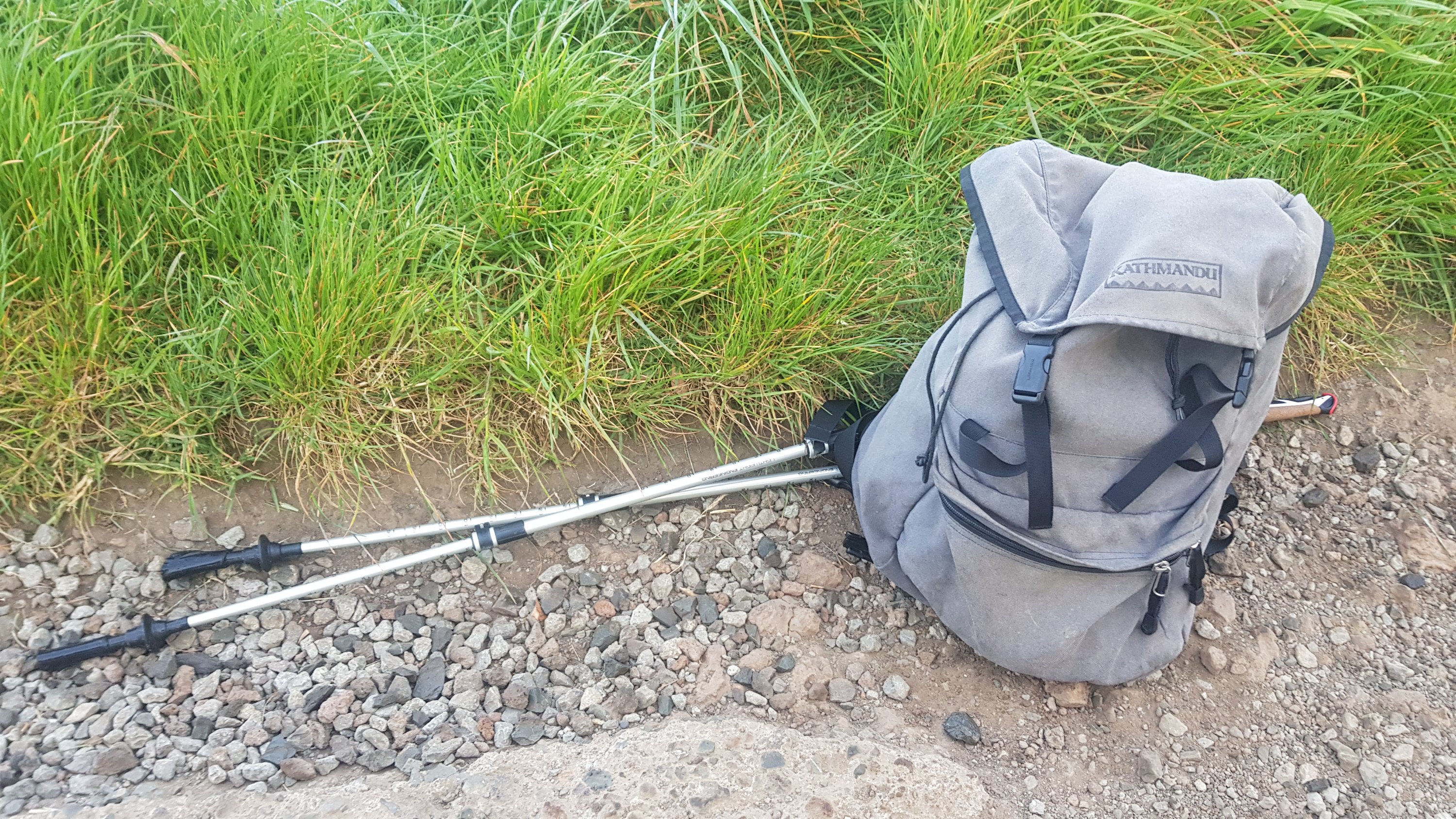
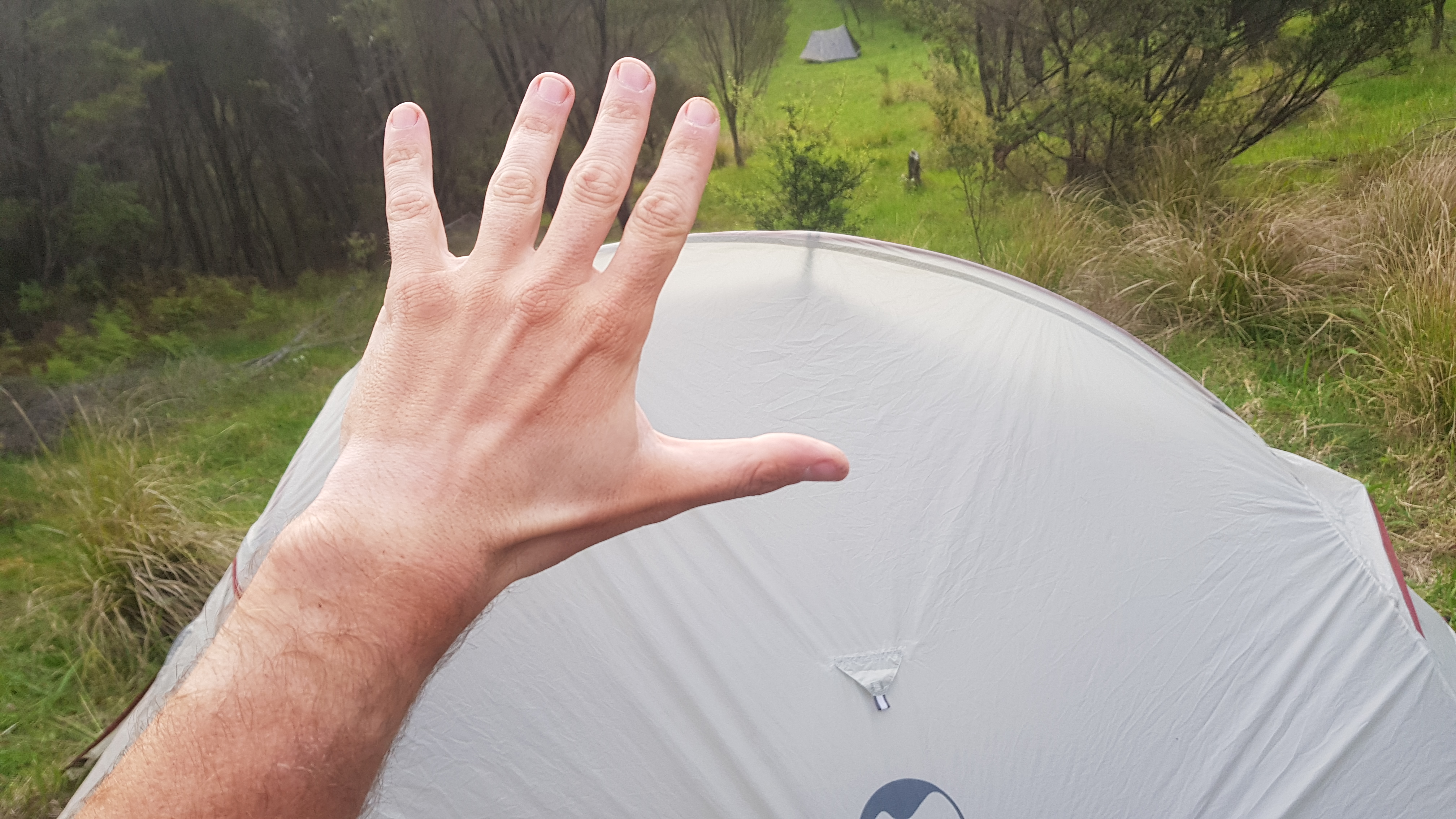
I noticed that I was starting to get hiking pole tan lines. It’s not that clear here but it is when you see my hands.
I took some time to put a plaster on a new blister forming just below the toenail on the big toe of my left foot. I took a picture but it’s really not pretty so I’m sorry, you won’t get to see it. It was a bit red and quite painful.
Went to bed fairly soon after having dinner, as it had been a long day. It was much colder tonight and I had to wrap myself up in my sleeping bag. I could hear a possum around but it wasn’t being too annoying and didn’t bother me. How kind of it.
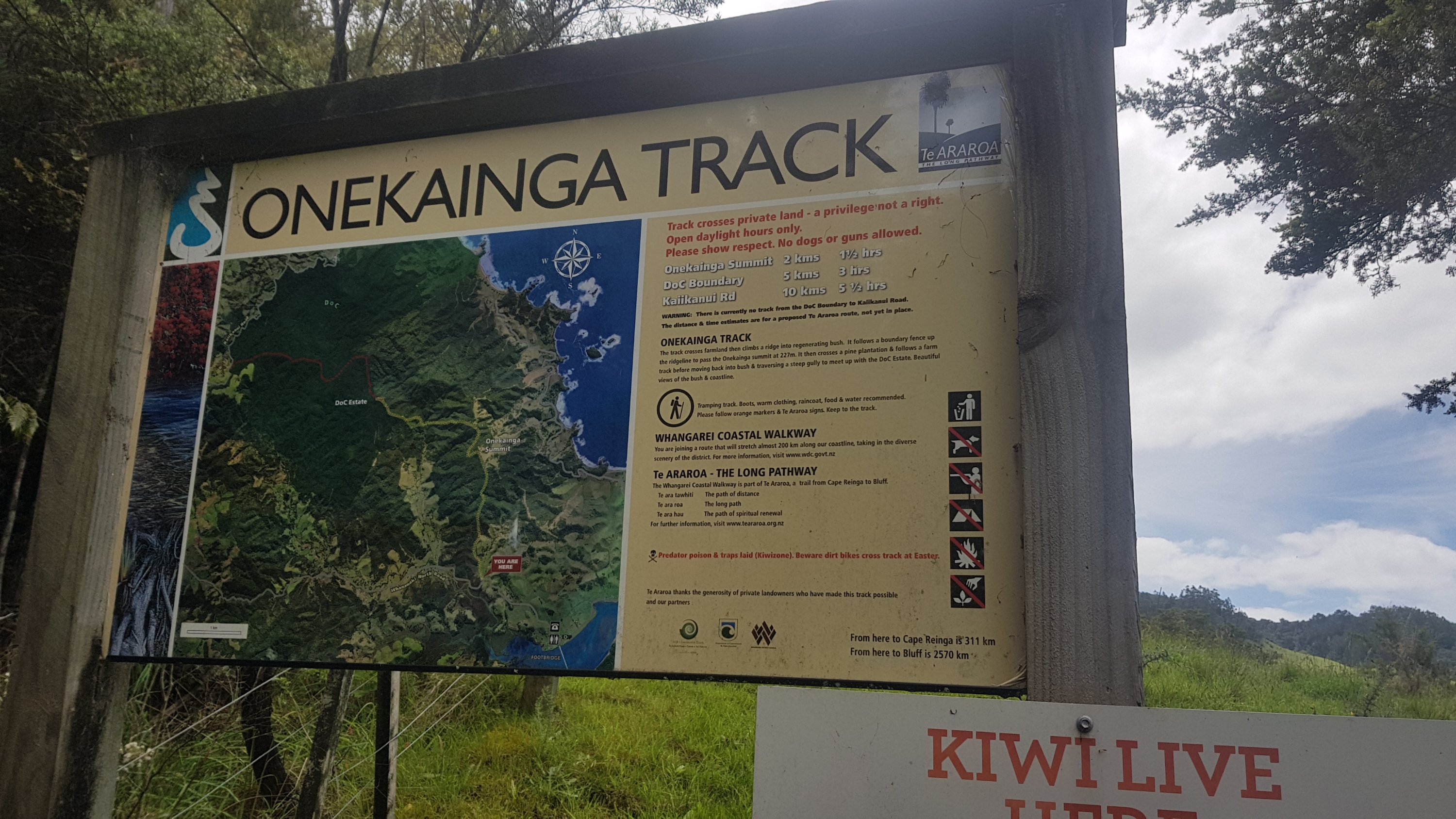
Click here to see today's walk on the map.