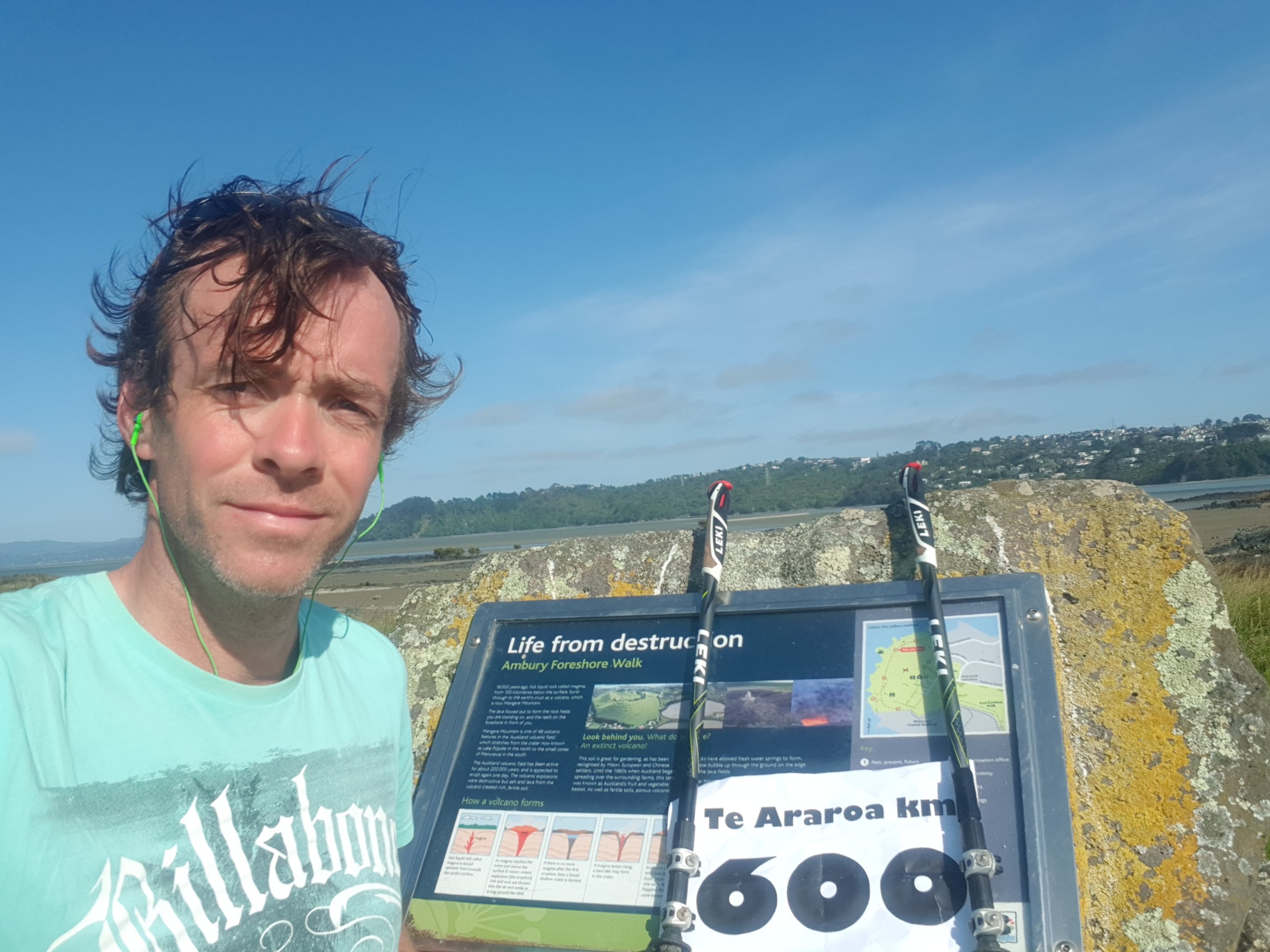
Date: 21 October
Distance walked: 19.7km
Trail covered: kms 381.6 to 399.1
Weather: perfect again
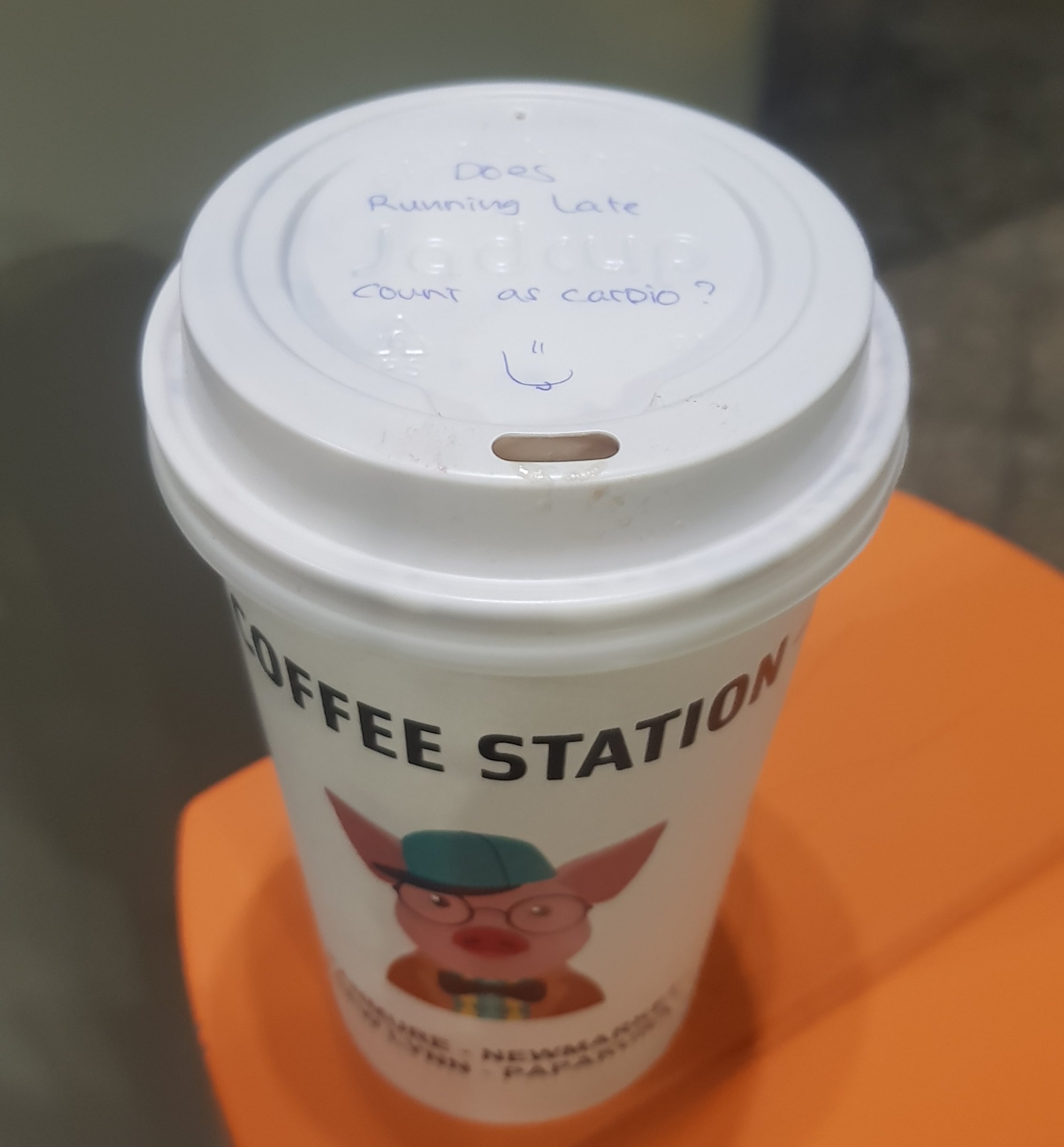
Cost of a very expensive lamington: $4.90
Was it worth it: damn right
First thing that had to be done today before anything else was call the owners of the AirBNB I was currently in and ask them why there was no hot water. This was as soon as I woke up at 6:30am. She said she had just read the email I sent her last night and her husband was on the way to change the gas bottle for one that actually has some gas in it. So 10 minutes later I did have hot water. It was good that it was fixed so fast but annoying because it was an entirely preventable problem. I spent much of the day deciding whether to give a 4 or 5 star review, because she was very nice and apologetic, and the food last night was awesome but I really feel like hot water is a necessity. But in these days of the internet, anything less than a 5-star review is basically a scathing indictment. I once left a 3-star review for an Uber driver in London and I got a phone call from Uber themselves apologizing profusely and telling me that the driver had been “dealt with”.
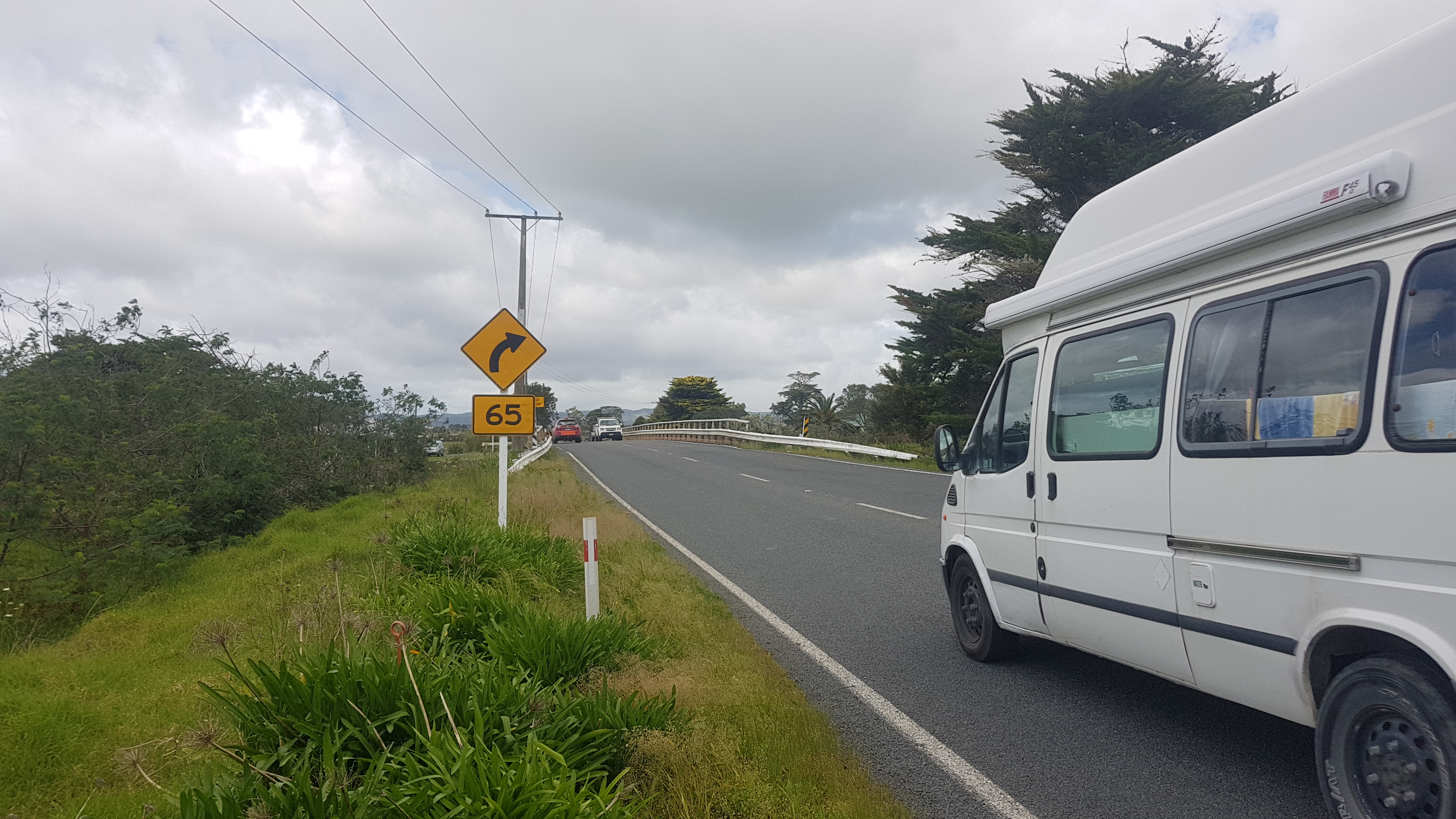
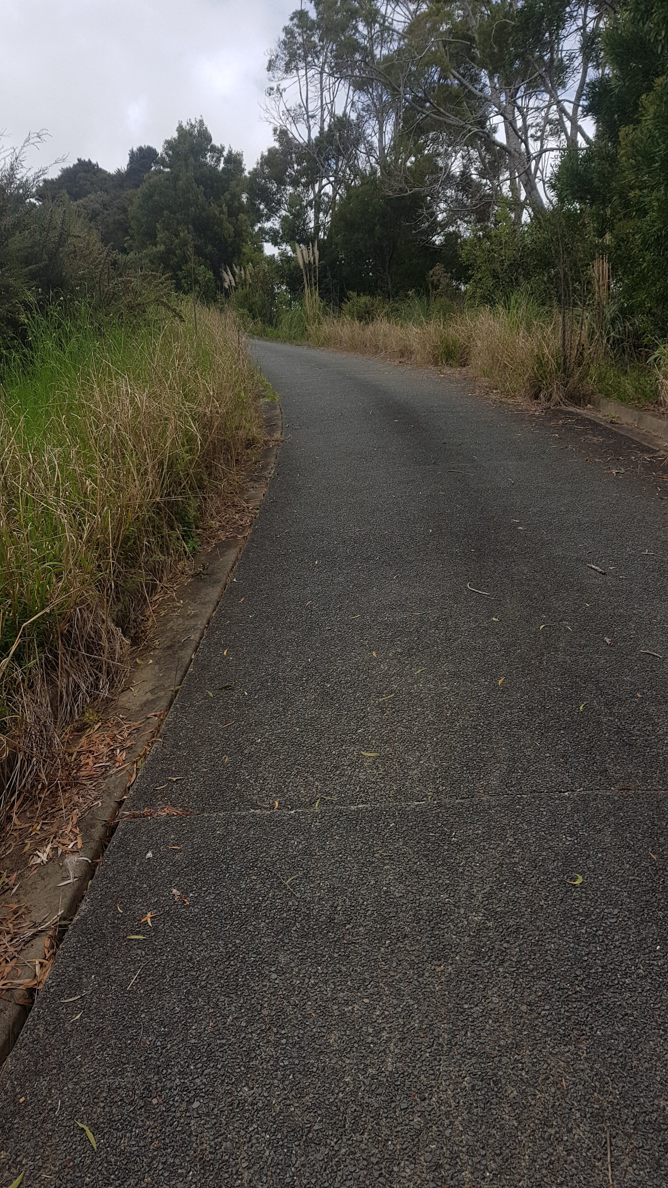
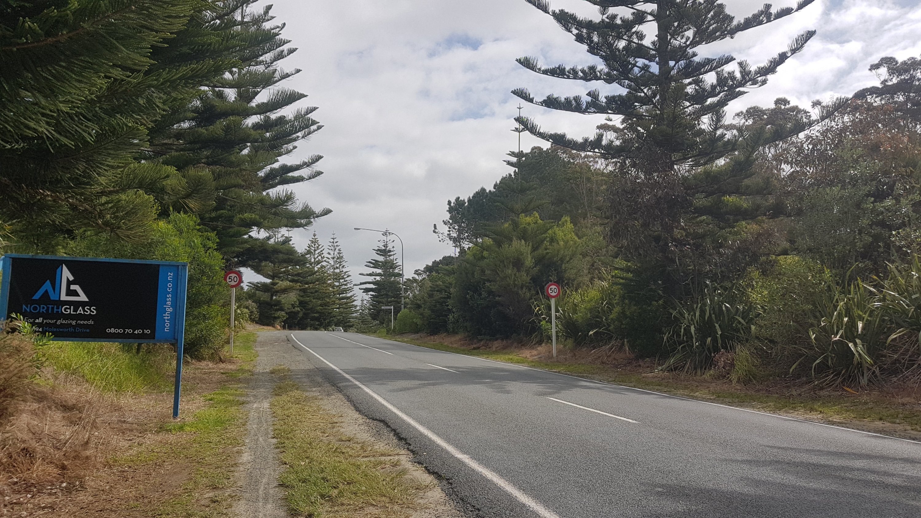
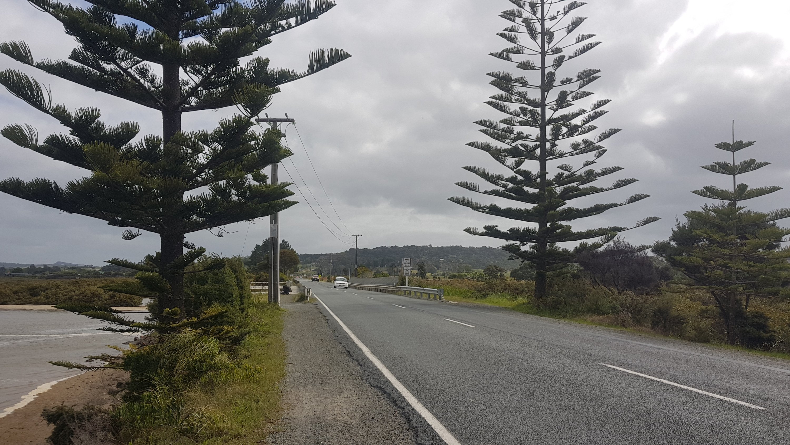
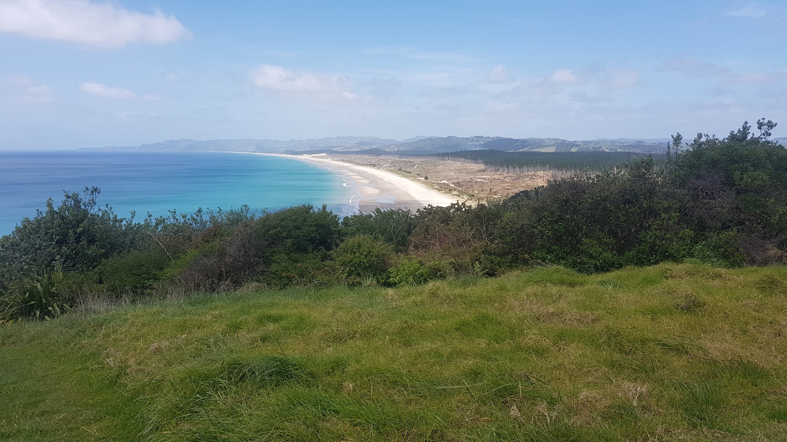
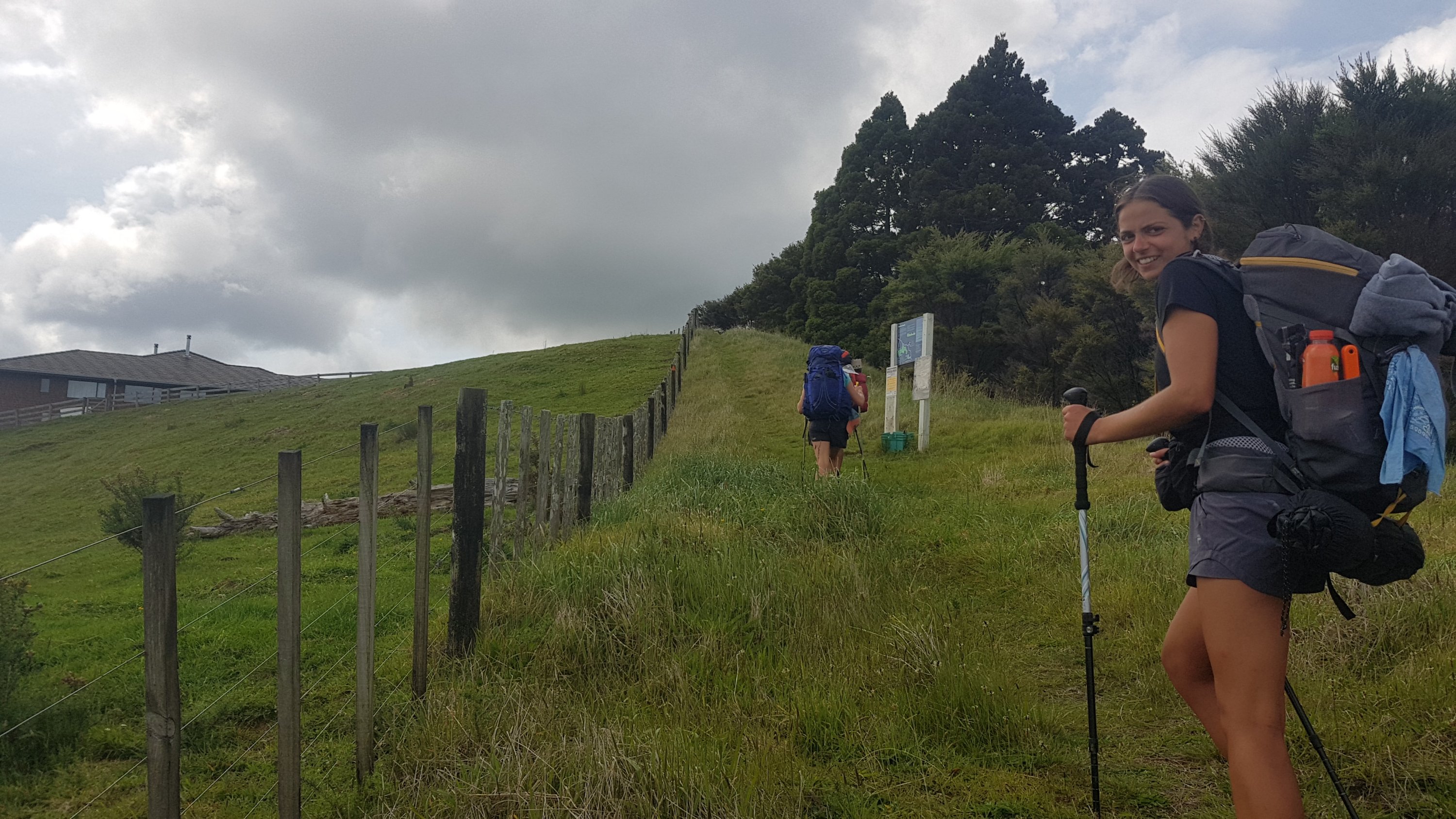
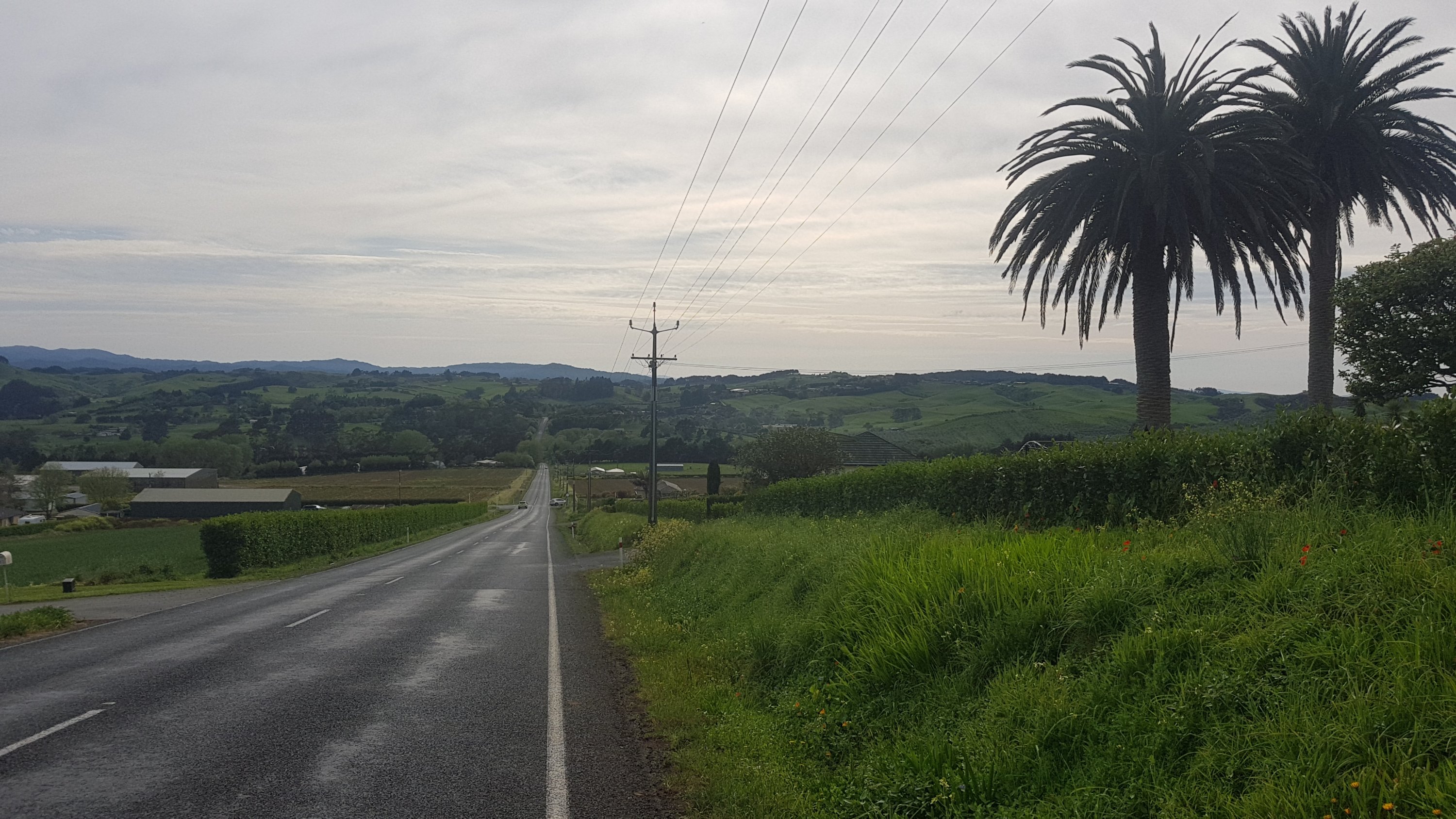
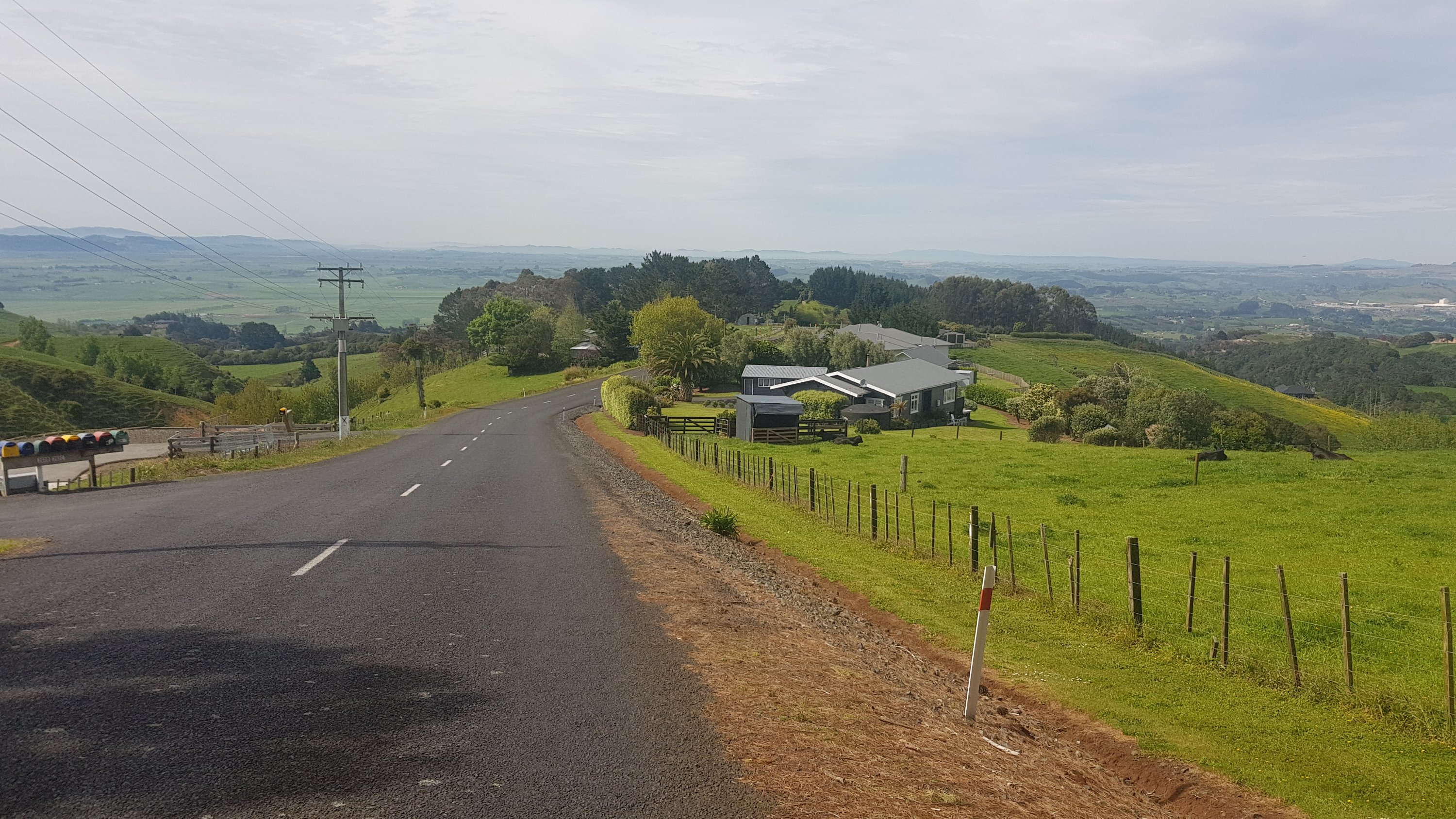
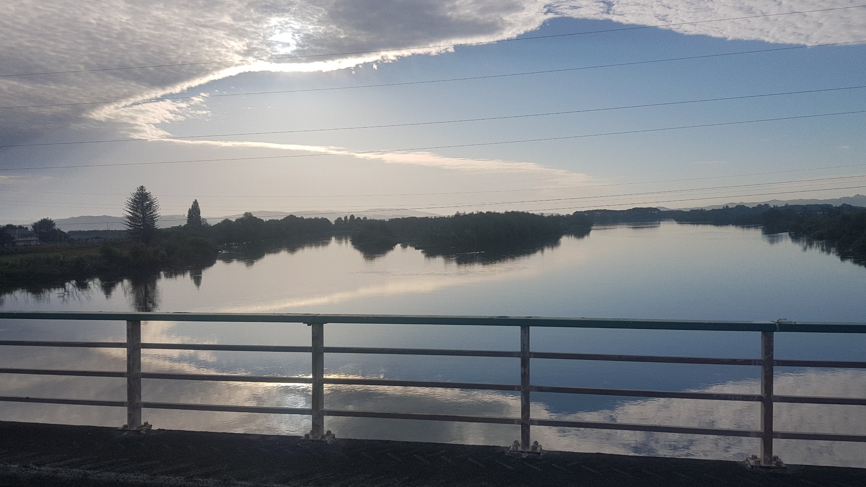
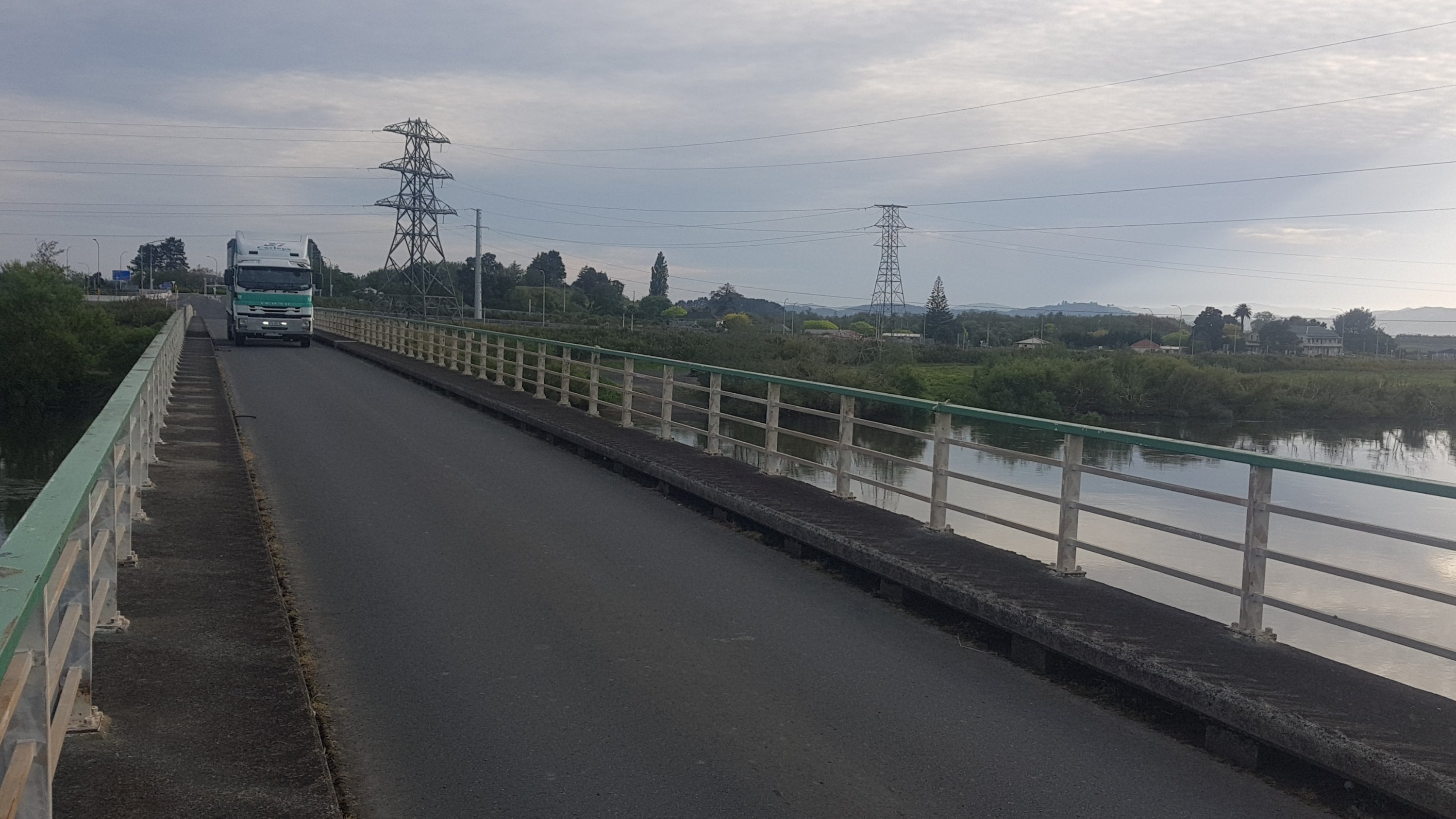
Anyway, the time was approaching to continue on. I had a shower finally and some breakfast and left at 8am to get the 9am boat across to Marsden Point. The boat leaves from Reotahi Bay at the end of Beach Road which according to Guthook was 3km away. However it ended up taking a fair bit longer than that, because the line on the map is a straight line but it didn’t accurately represent the path which went in and out from the coastline.
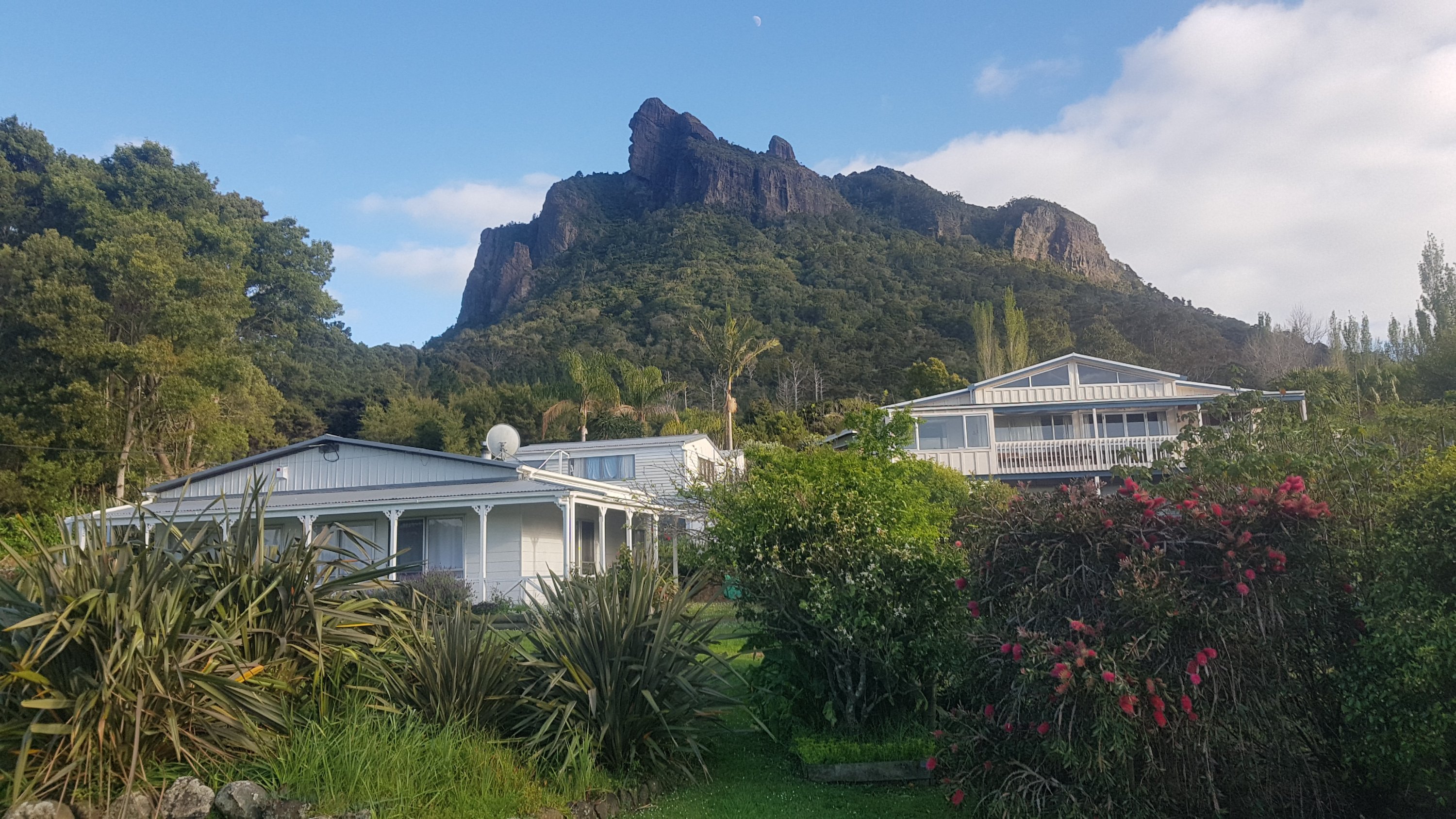
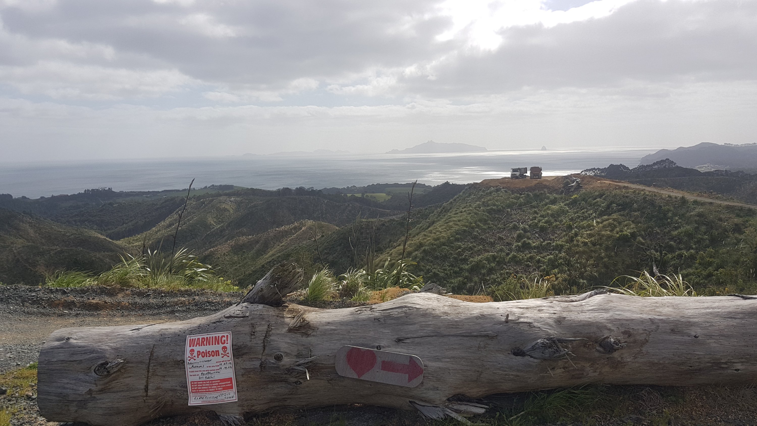
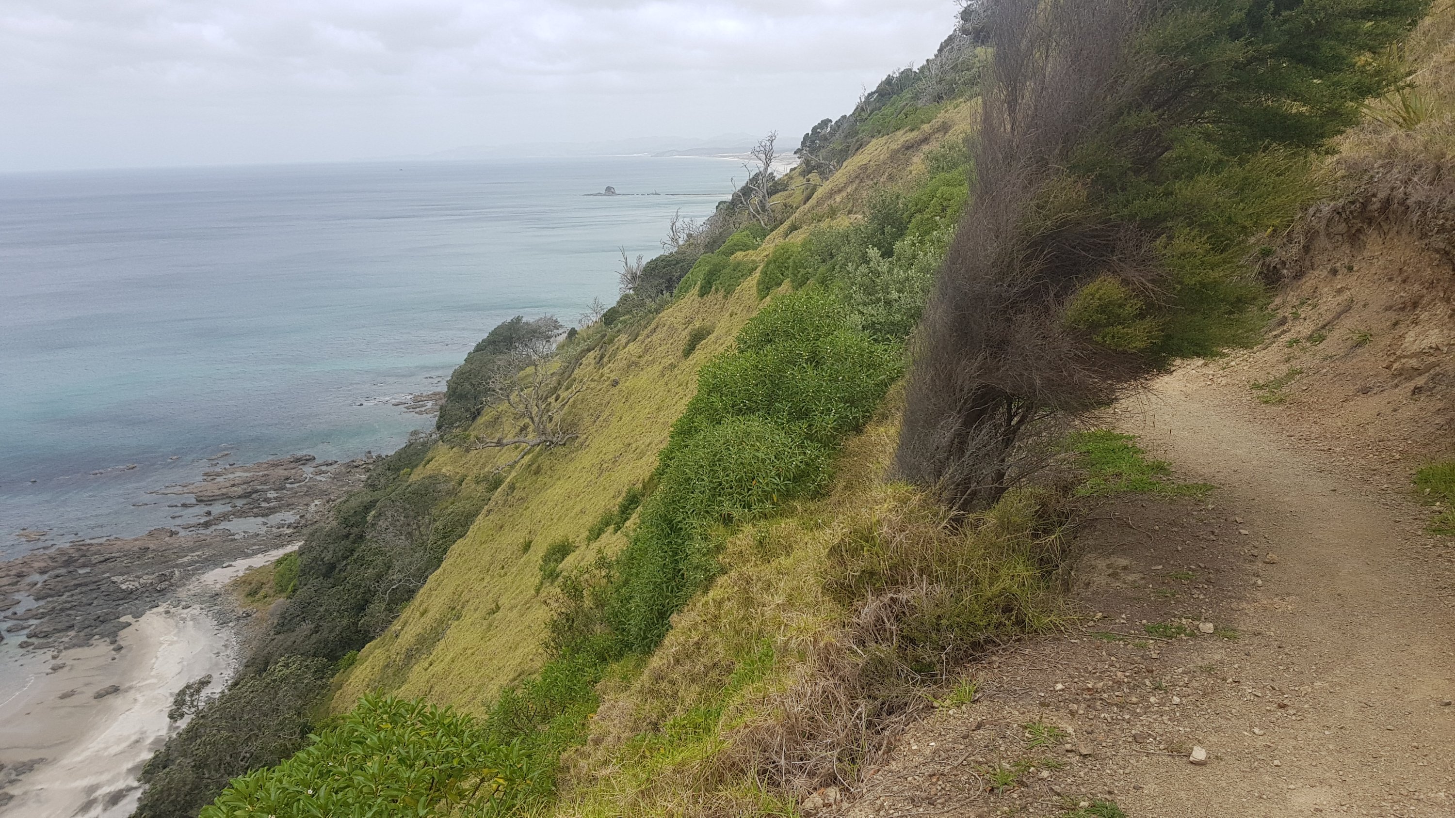
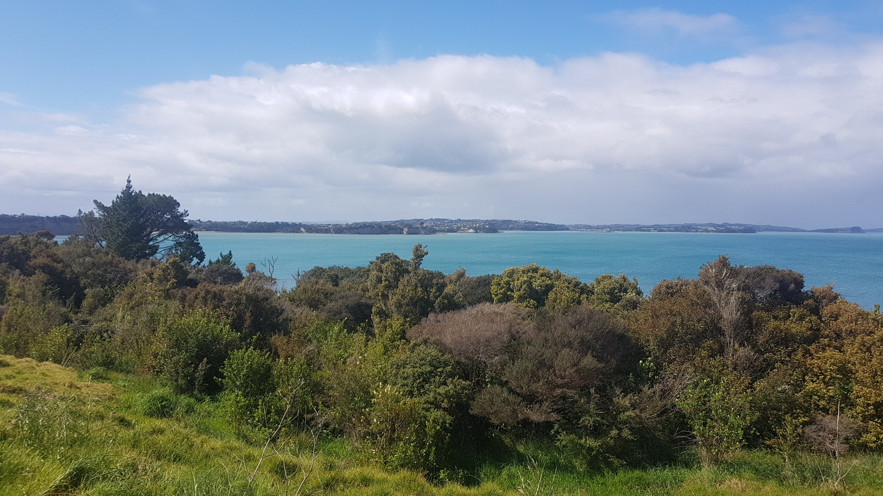
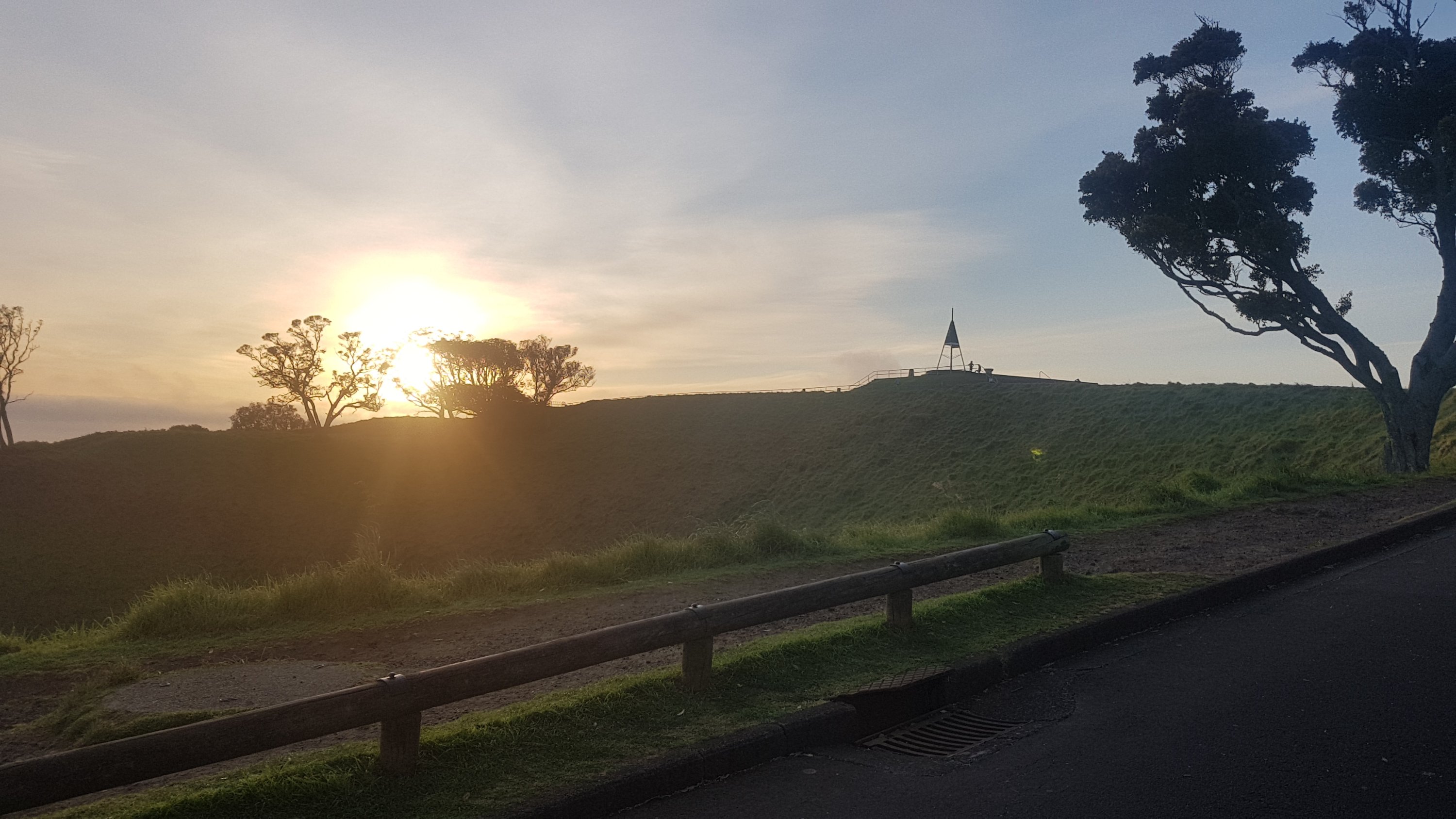
On the way I did see some more cool views in-between houses.
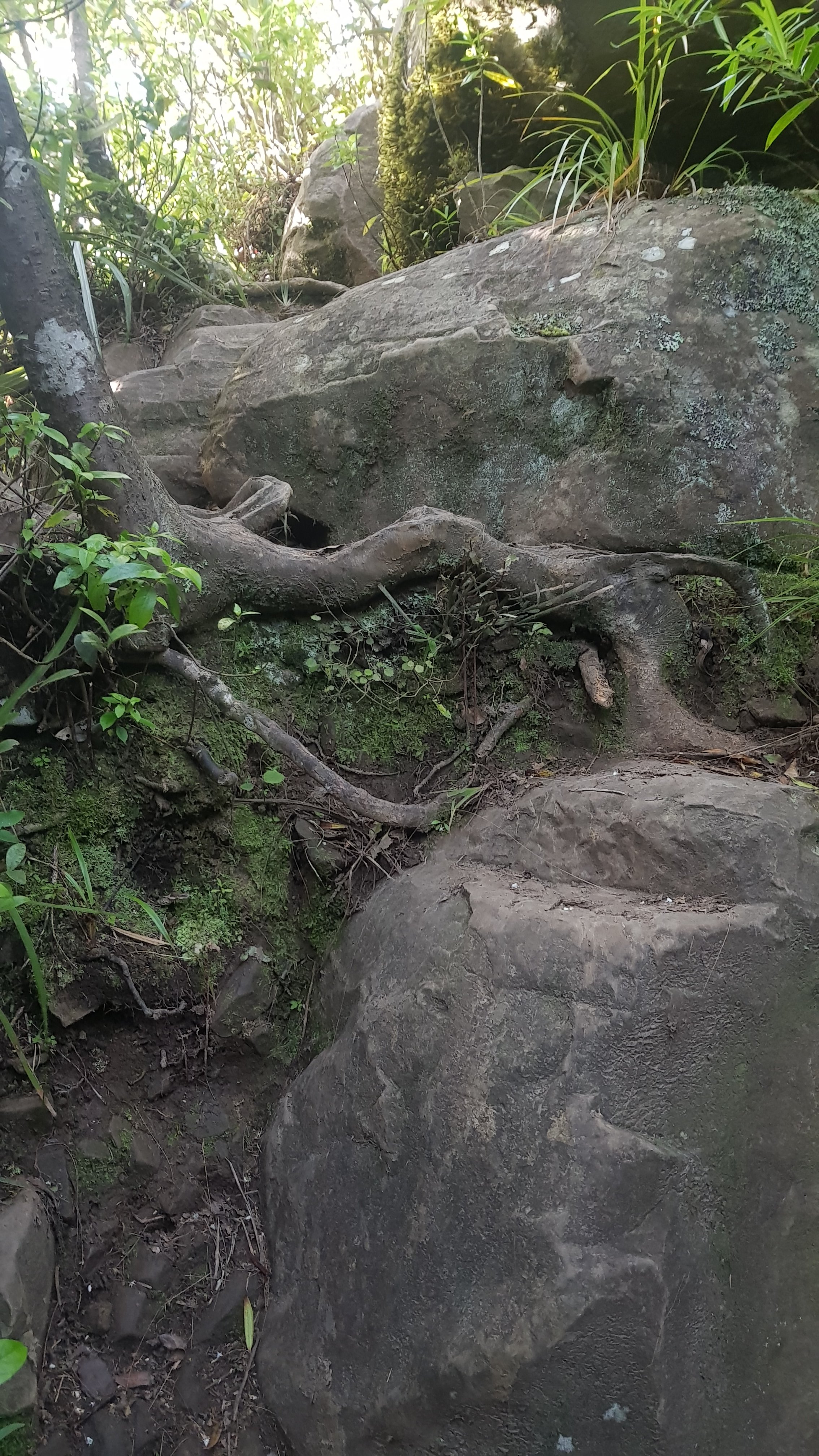
Love the rock formations
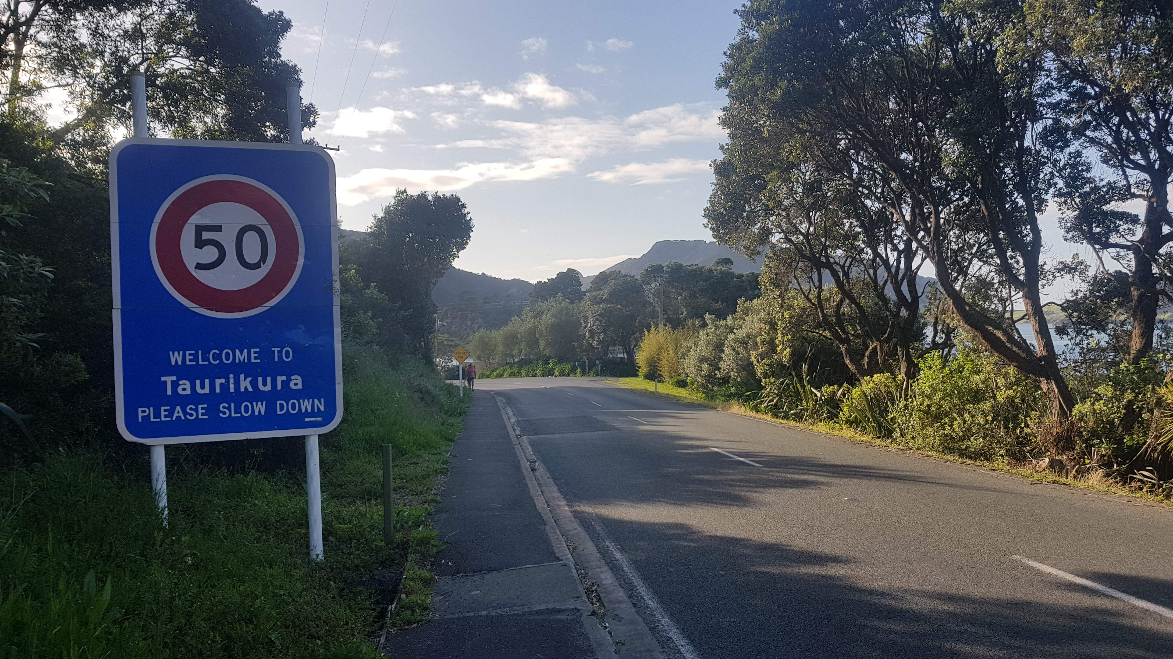
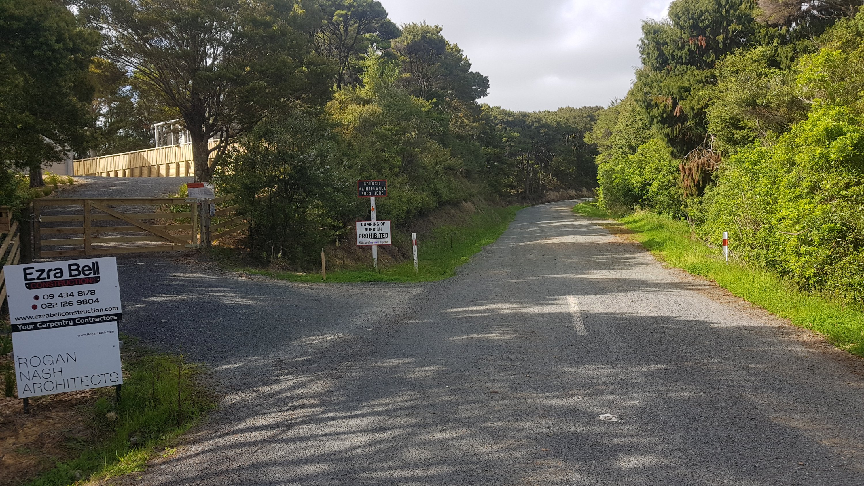
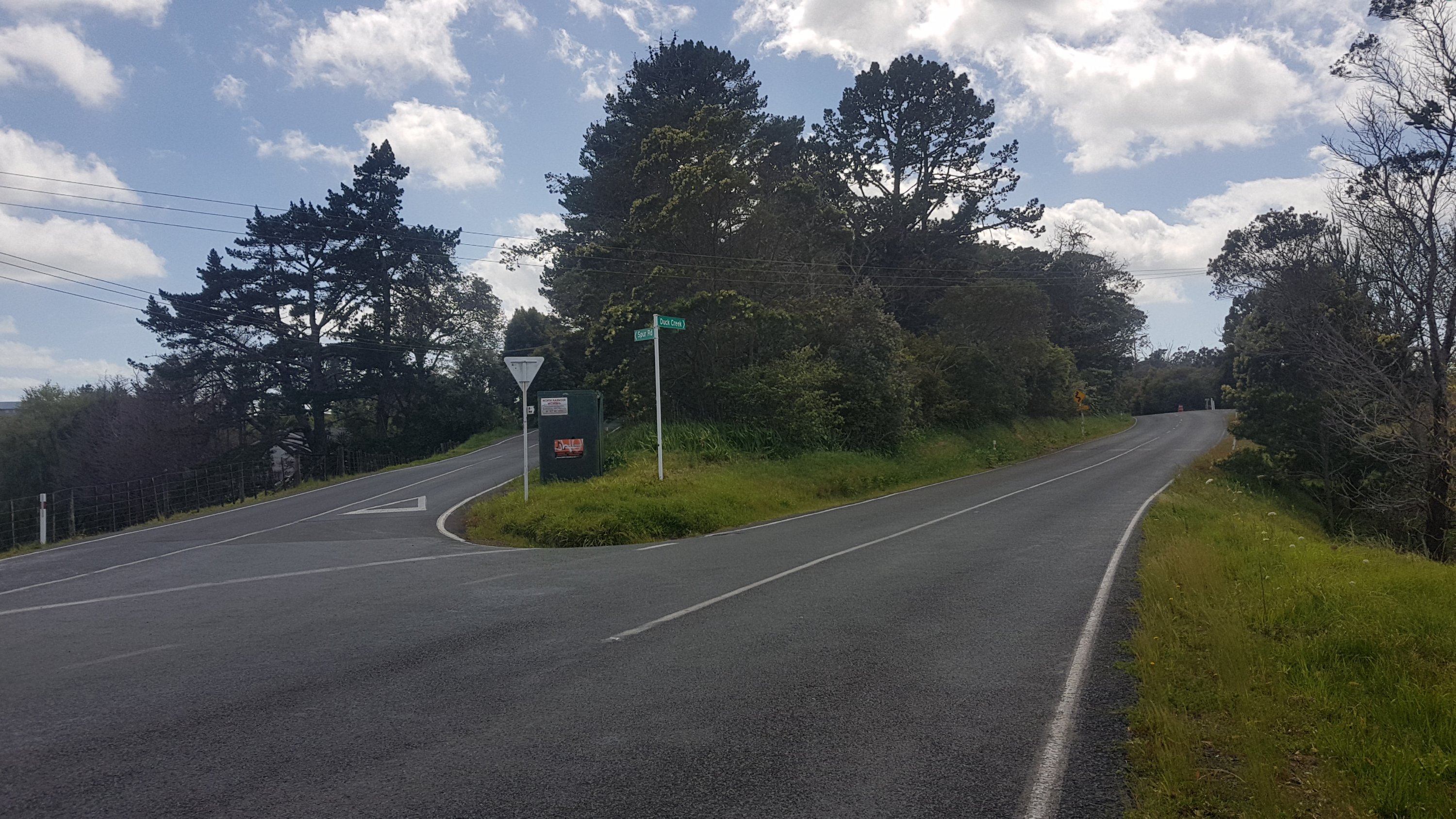
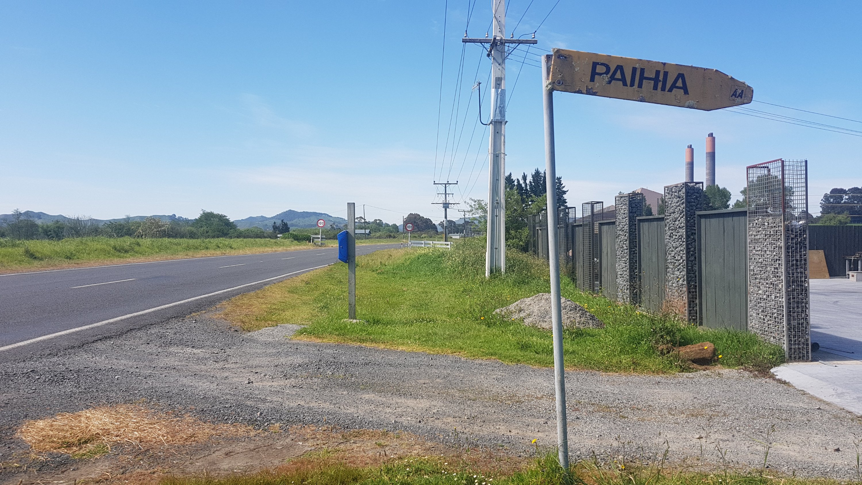
I also saw the name of the town on a street sign. So even though Google said it doesn’t exist, this was proof enough for me that this is the name I should be using in the title of my blog post today.
Taurikura it is
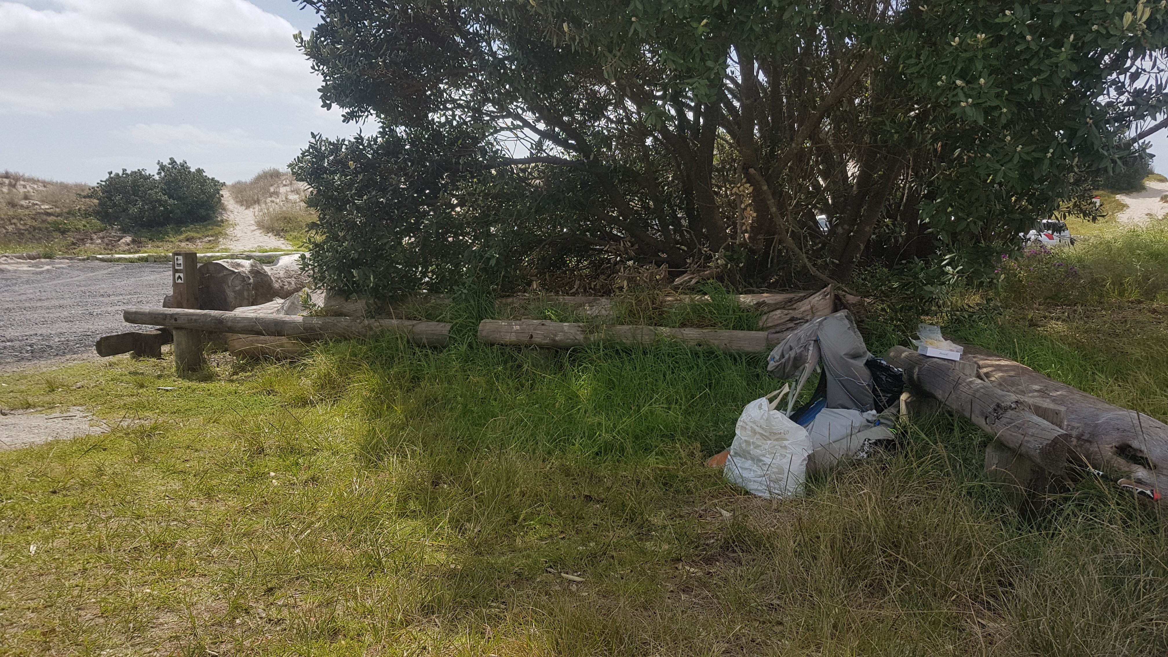
I also saw this. People dumping rubbish does indeed suck but I really loved the detective work going on here.
CSI Whangarei Heads
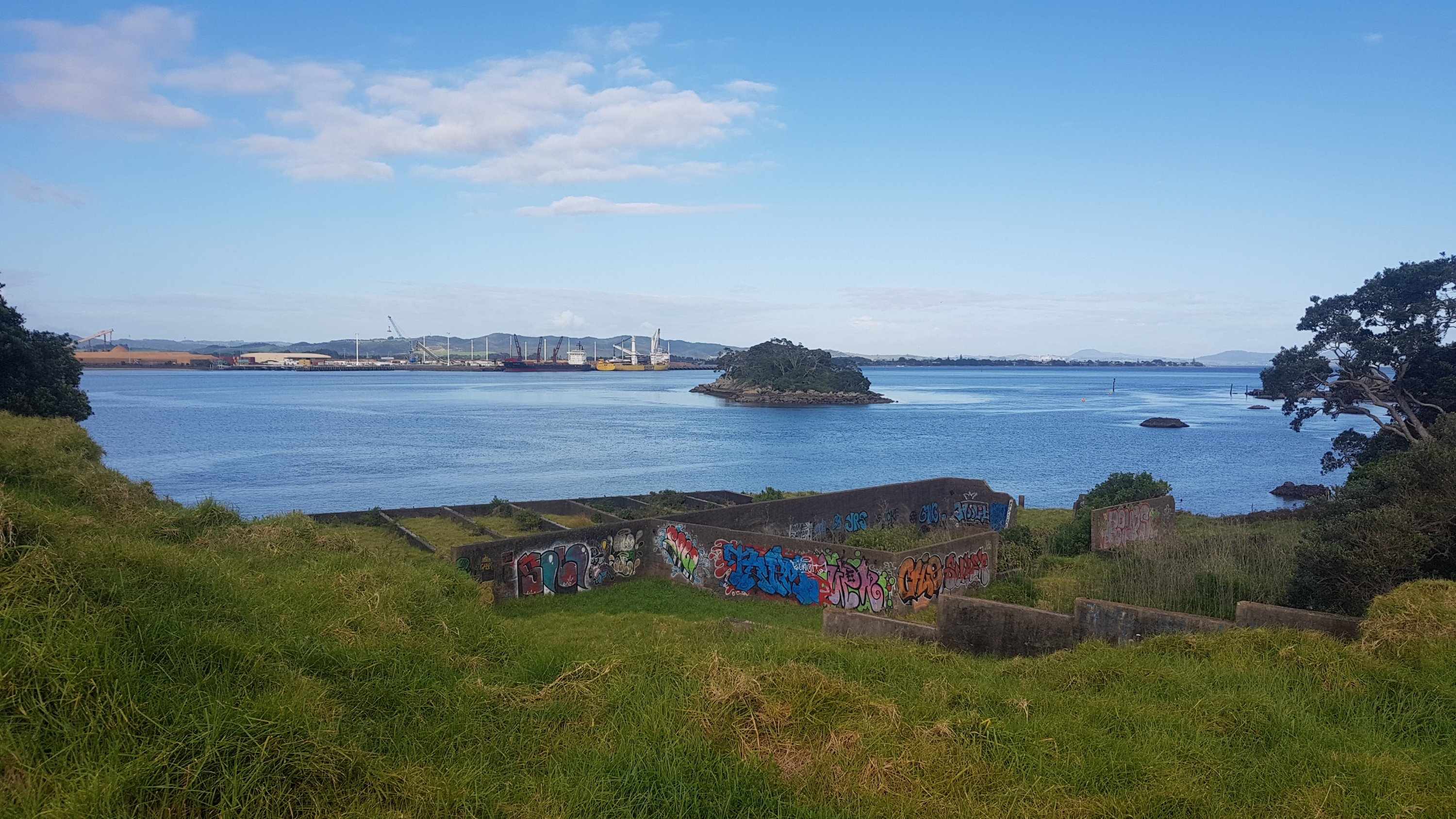
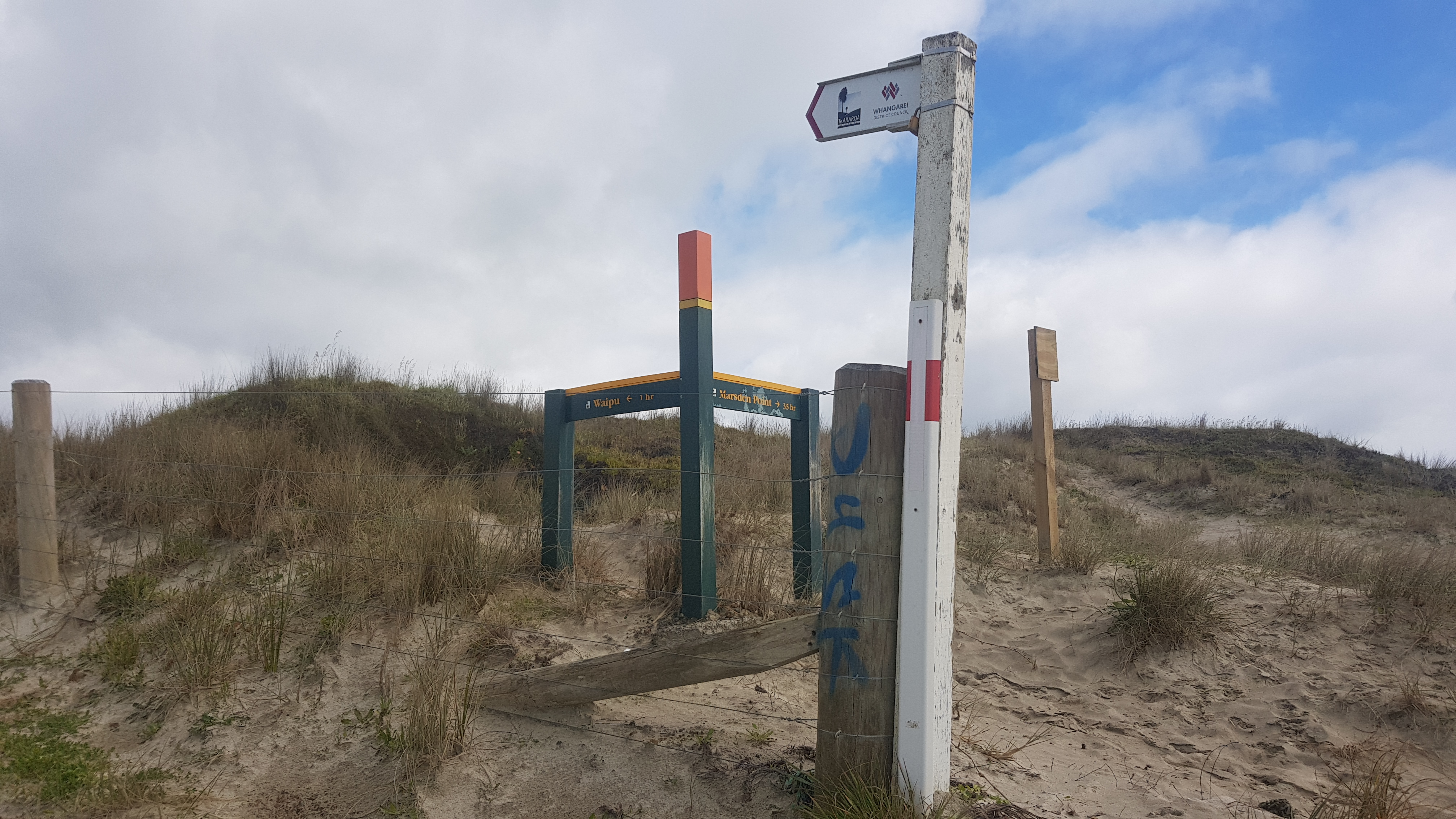
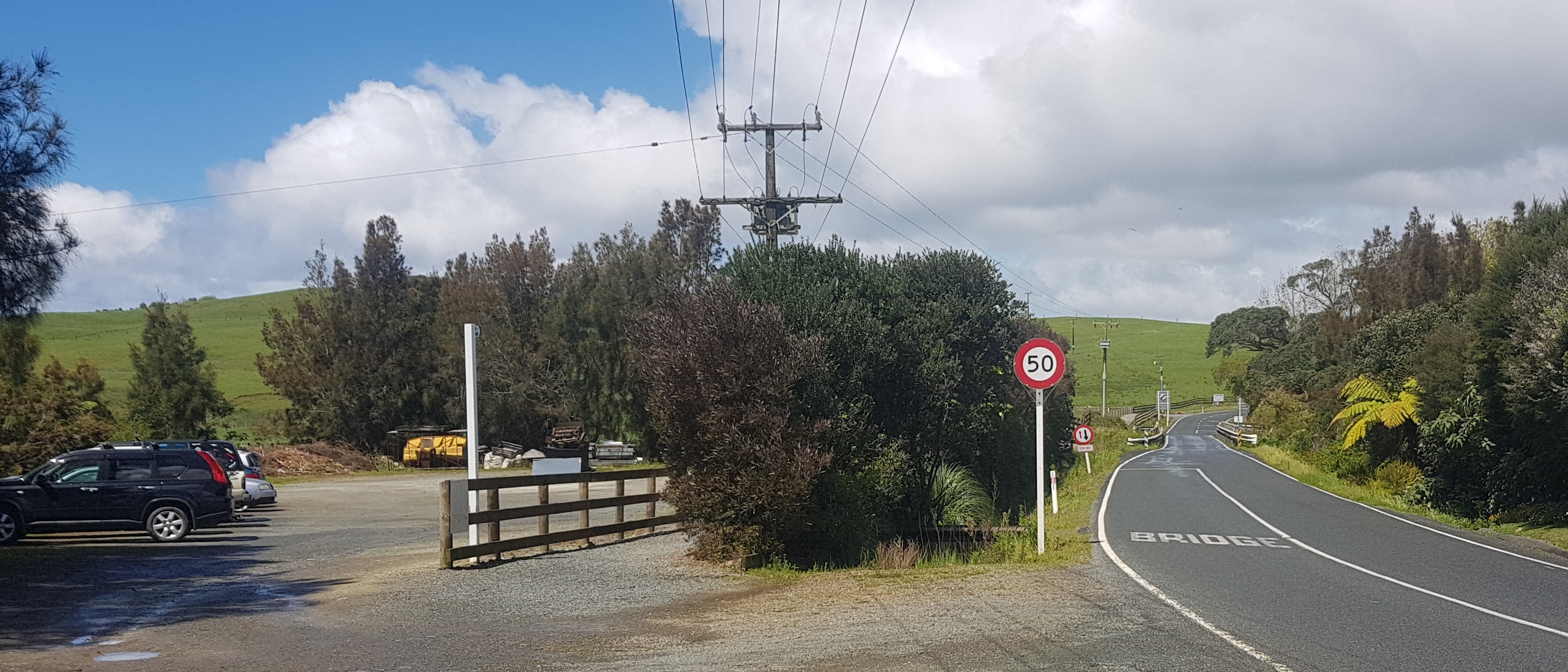
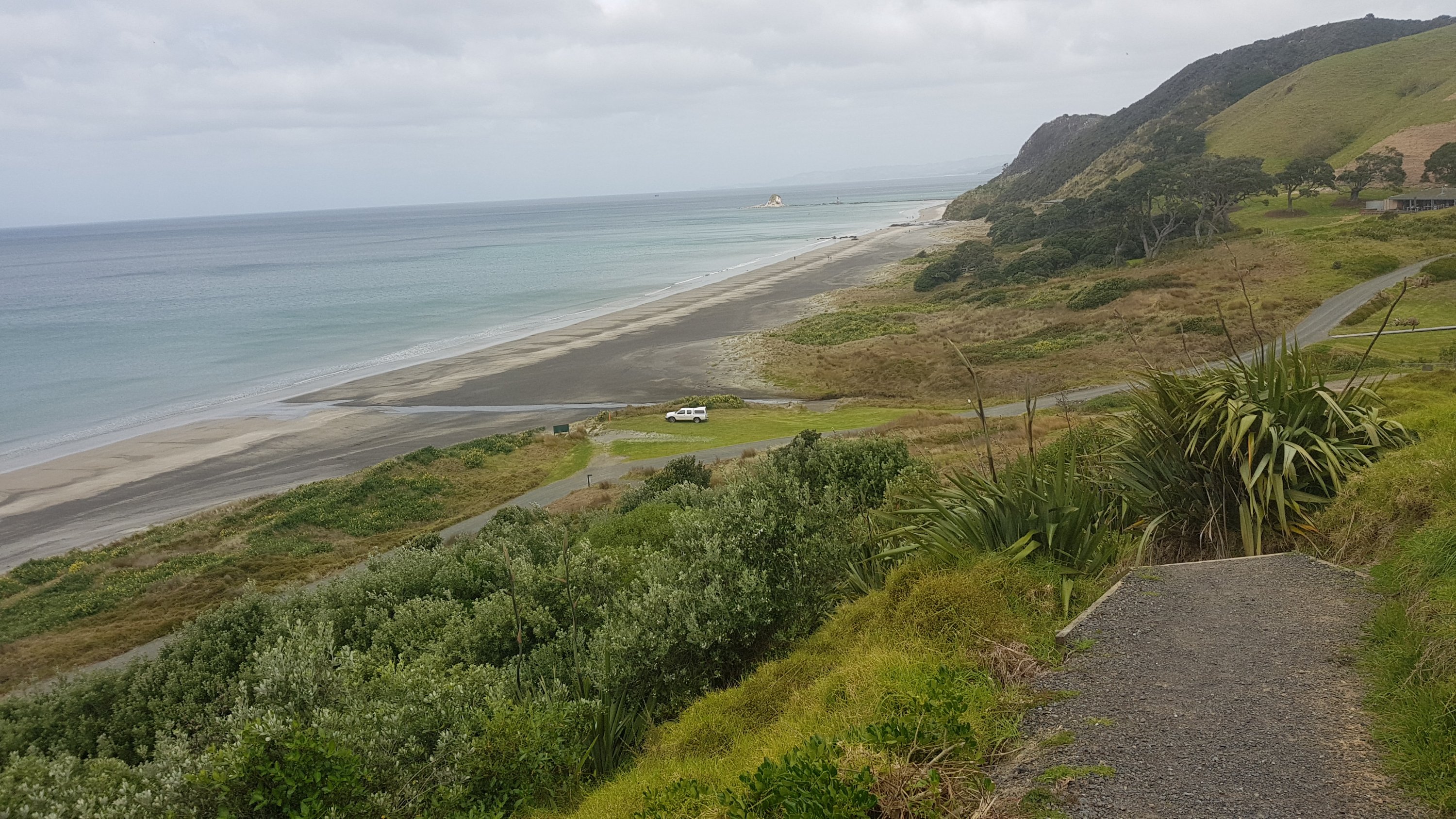
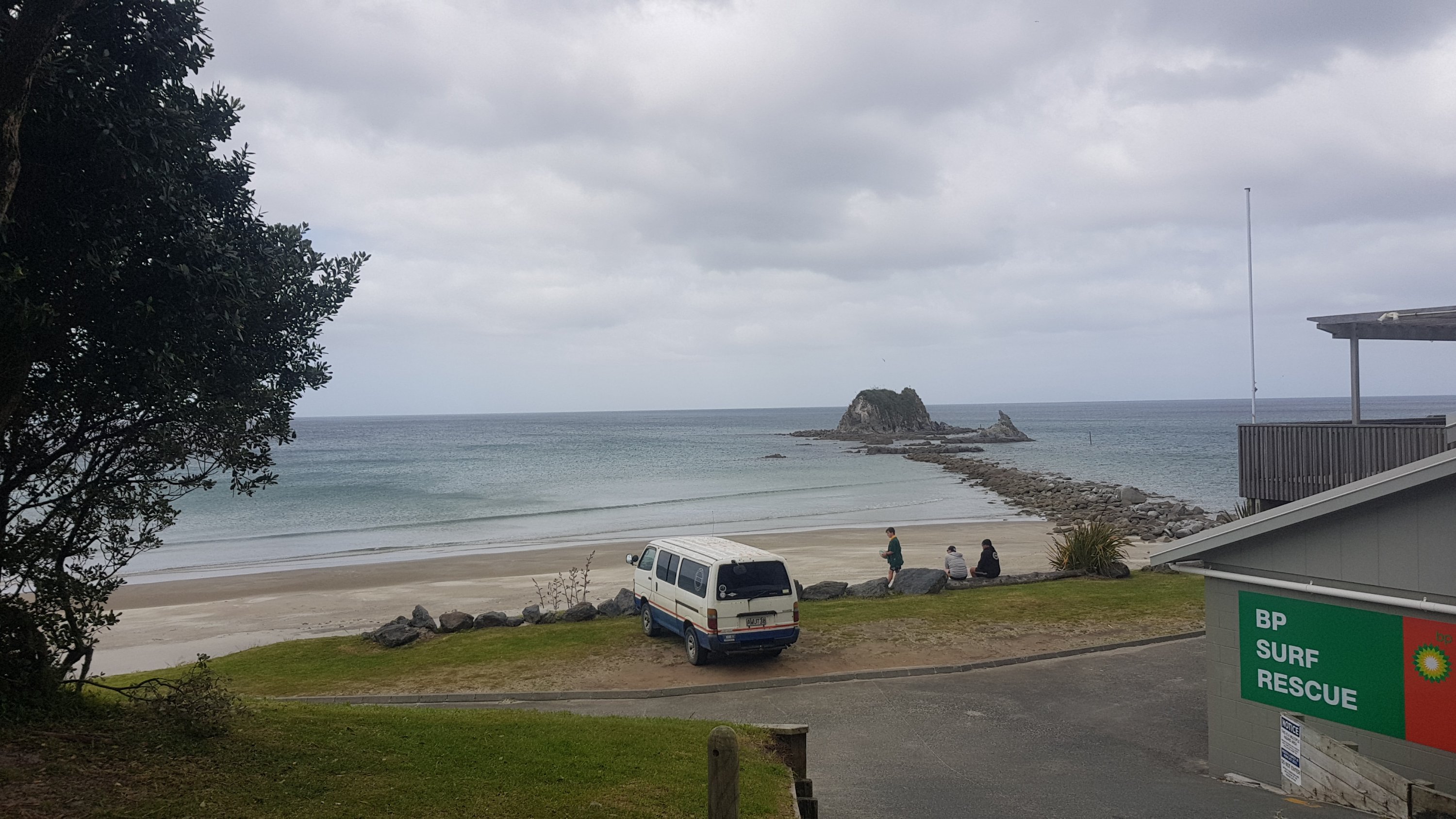
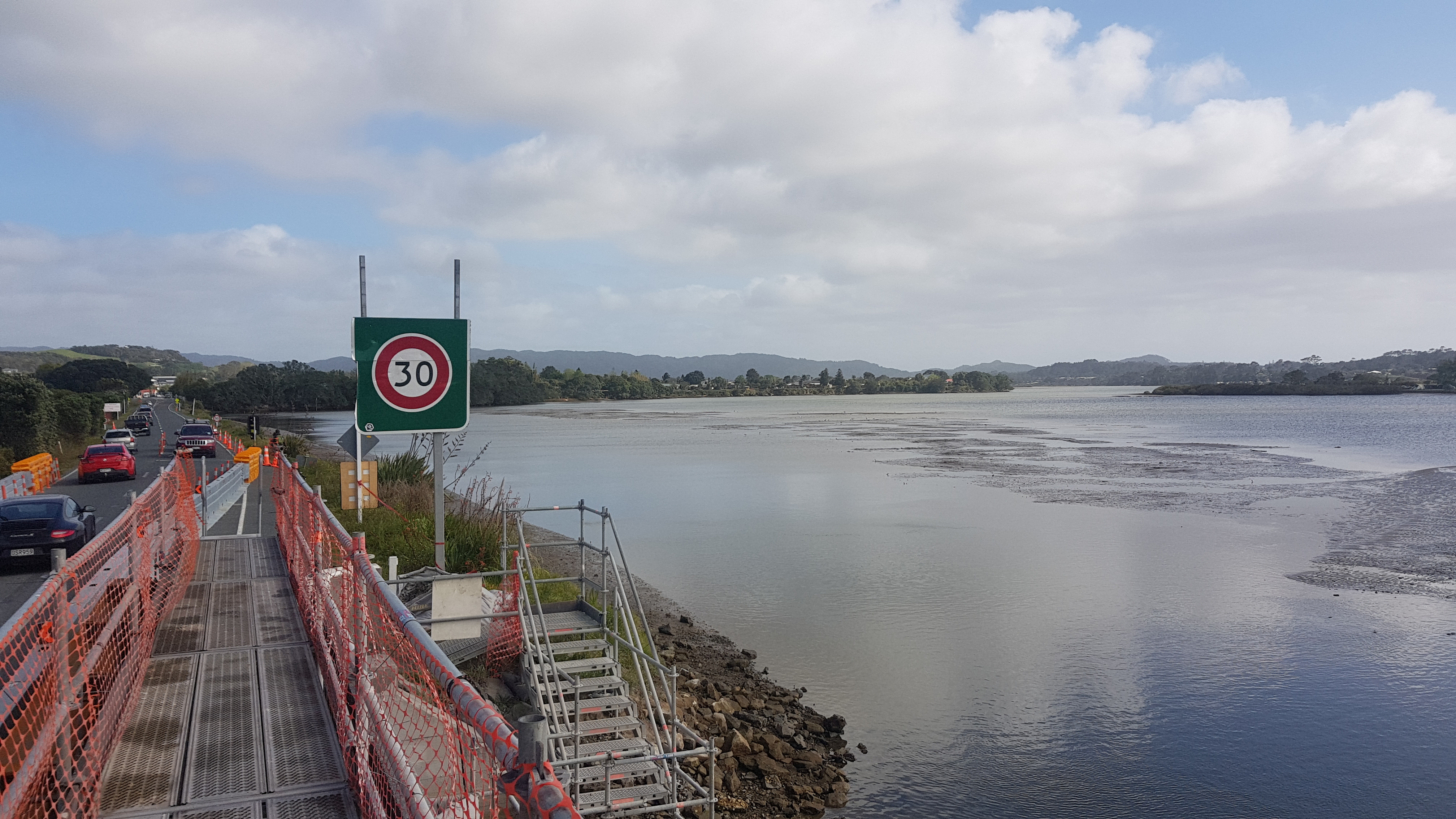
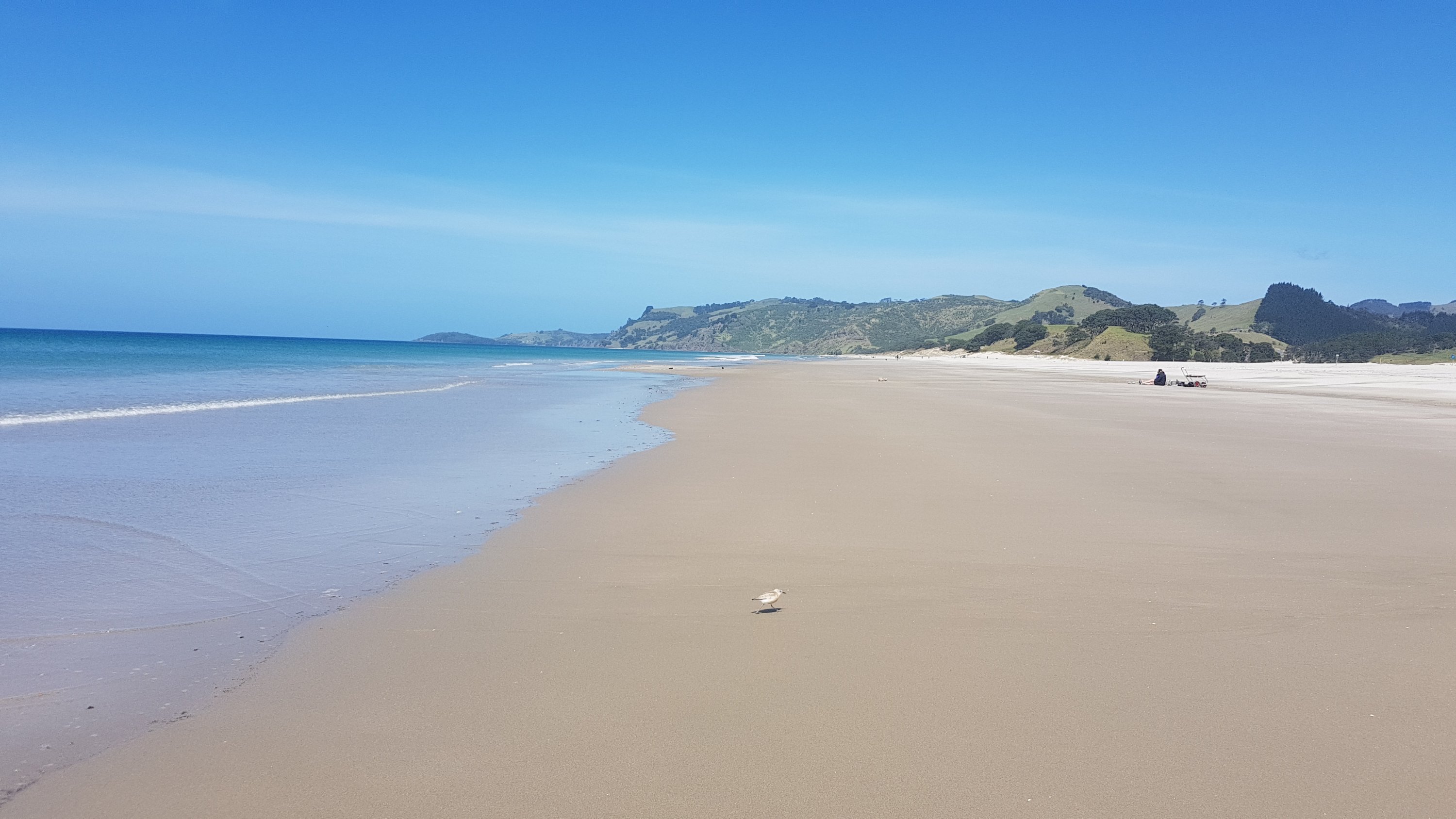
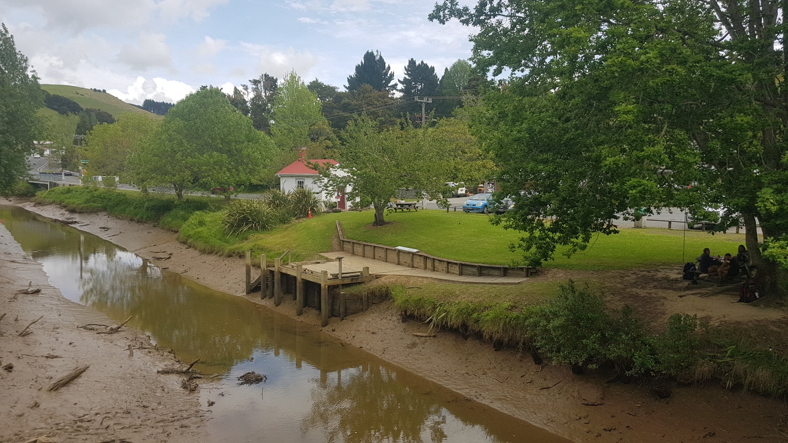
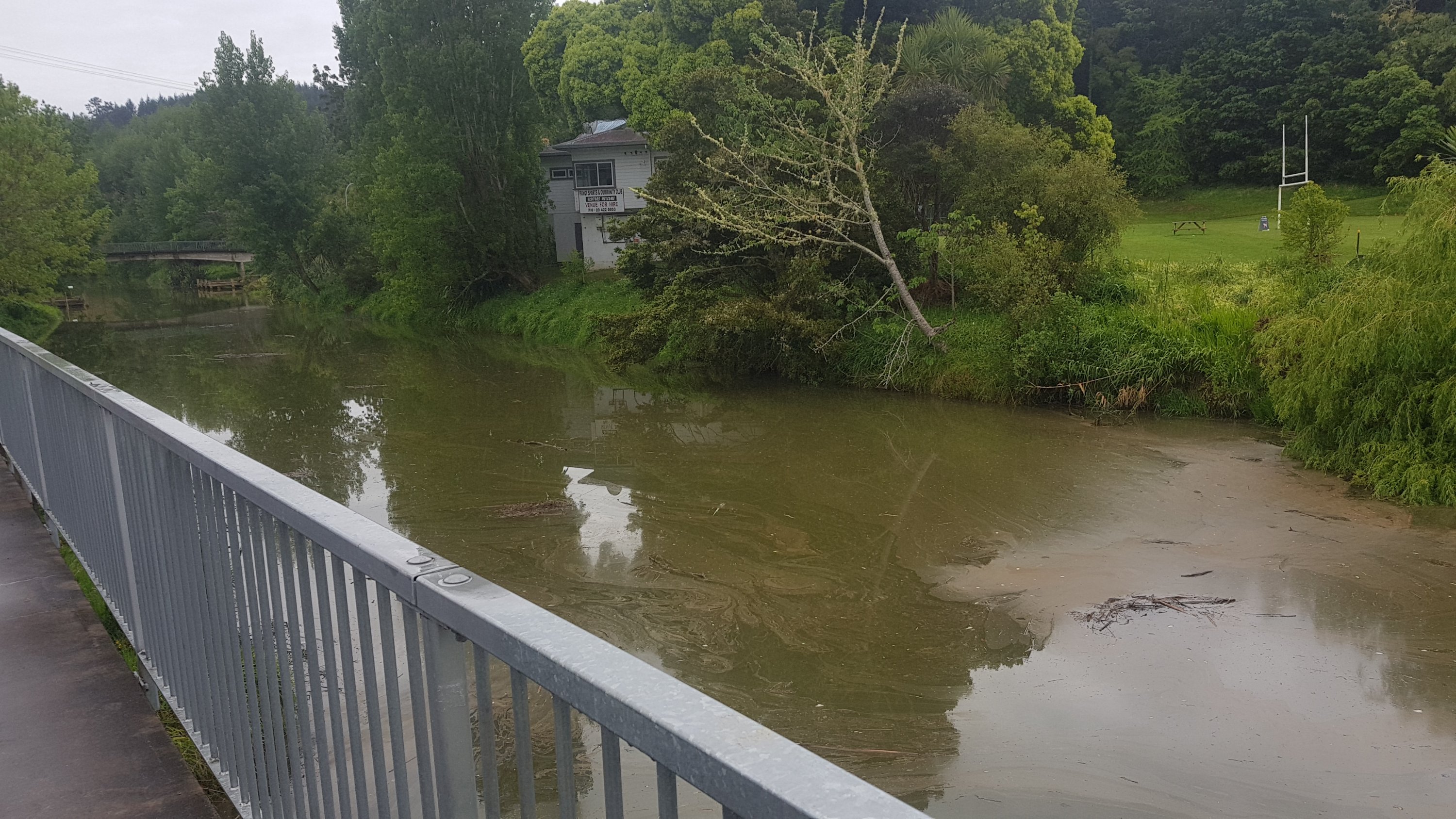
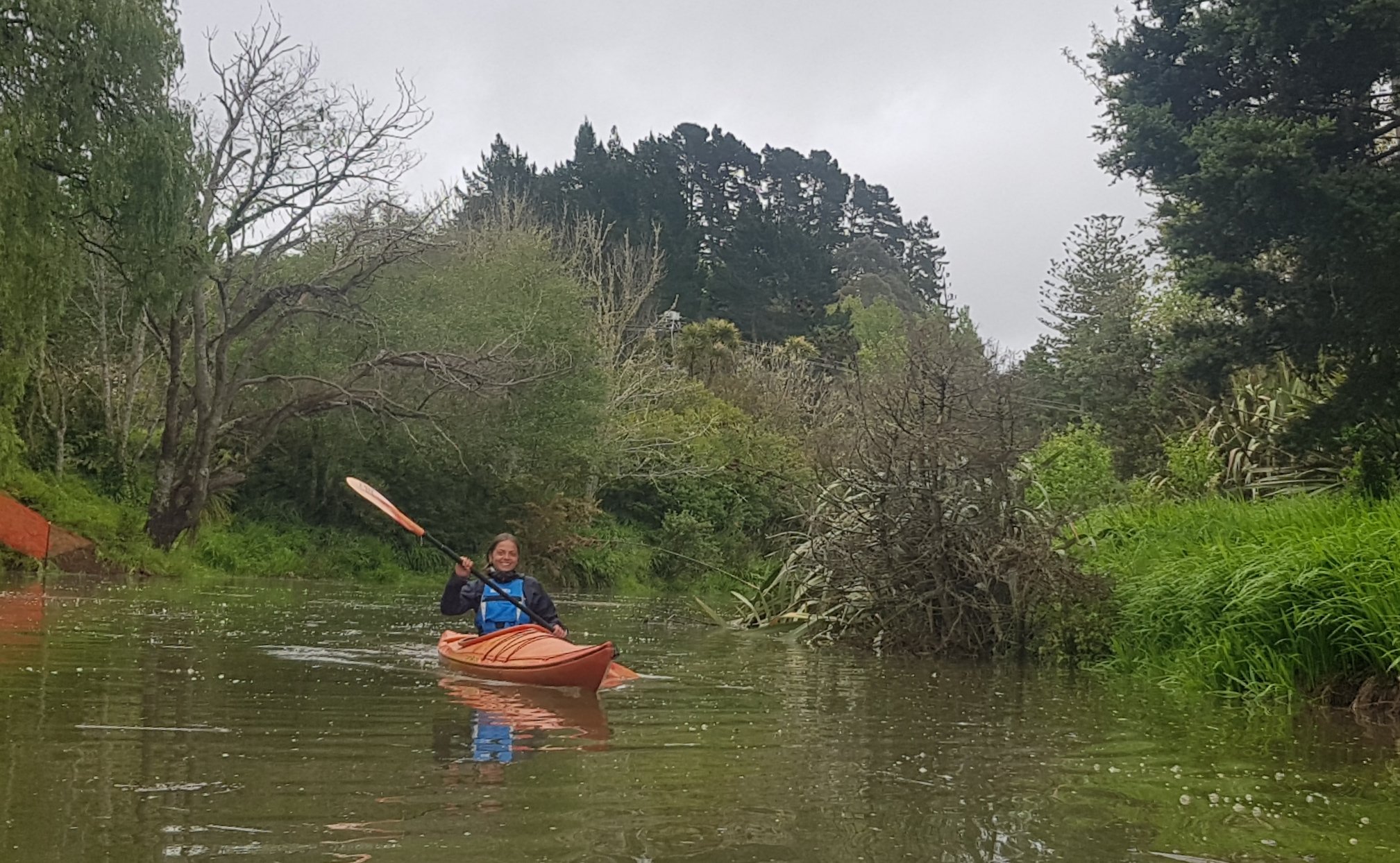
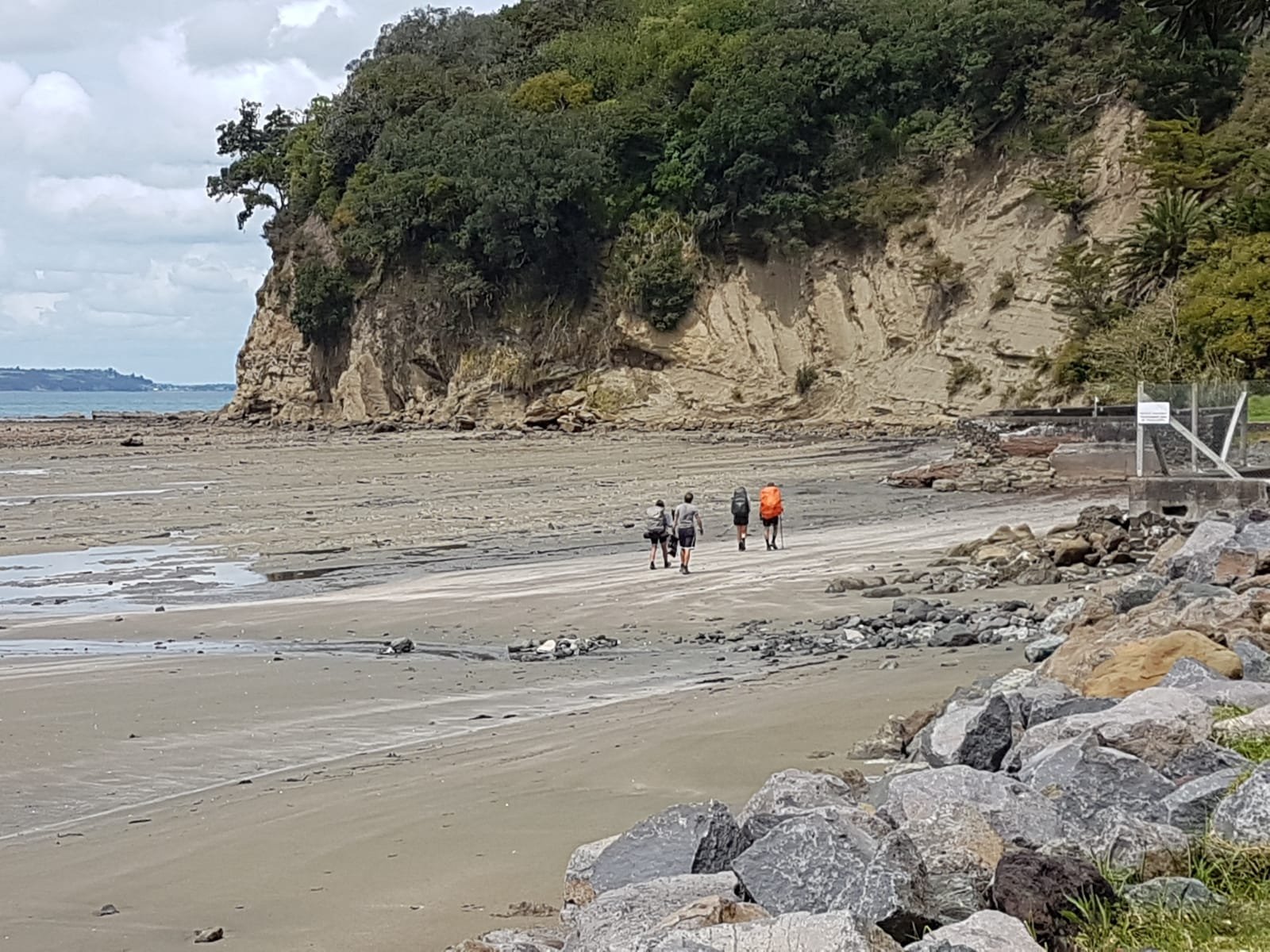
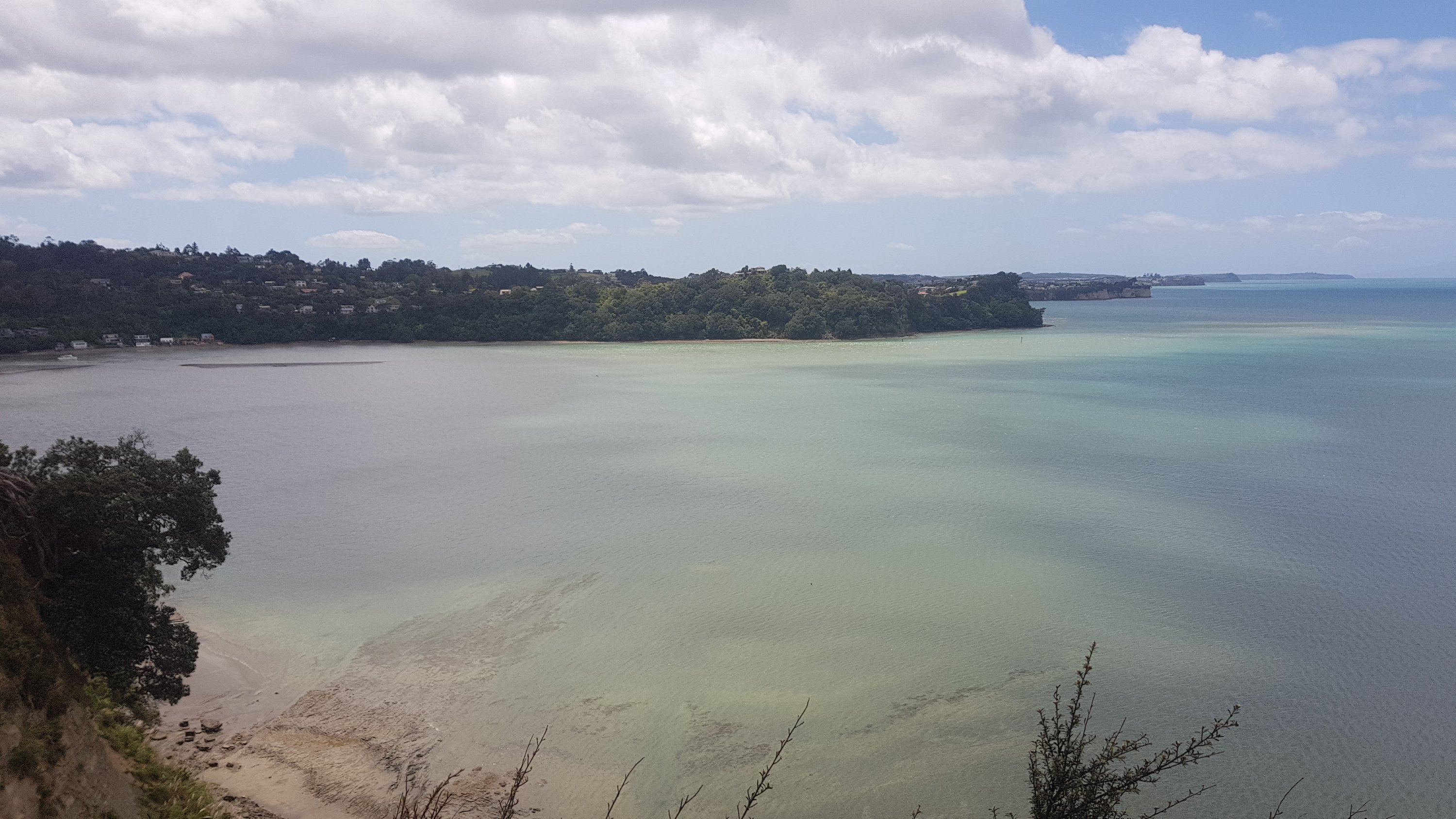
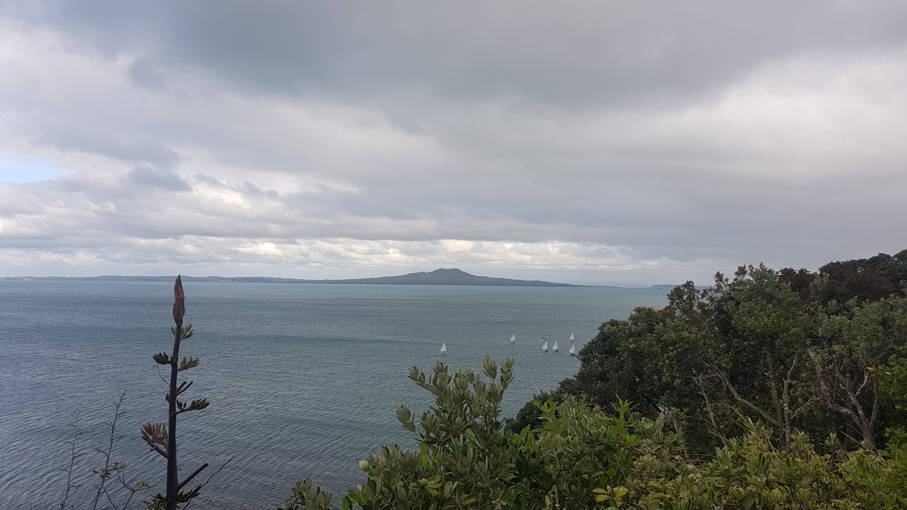
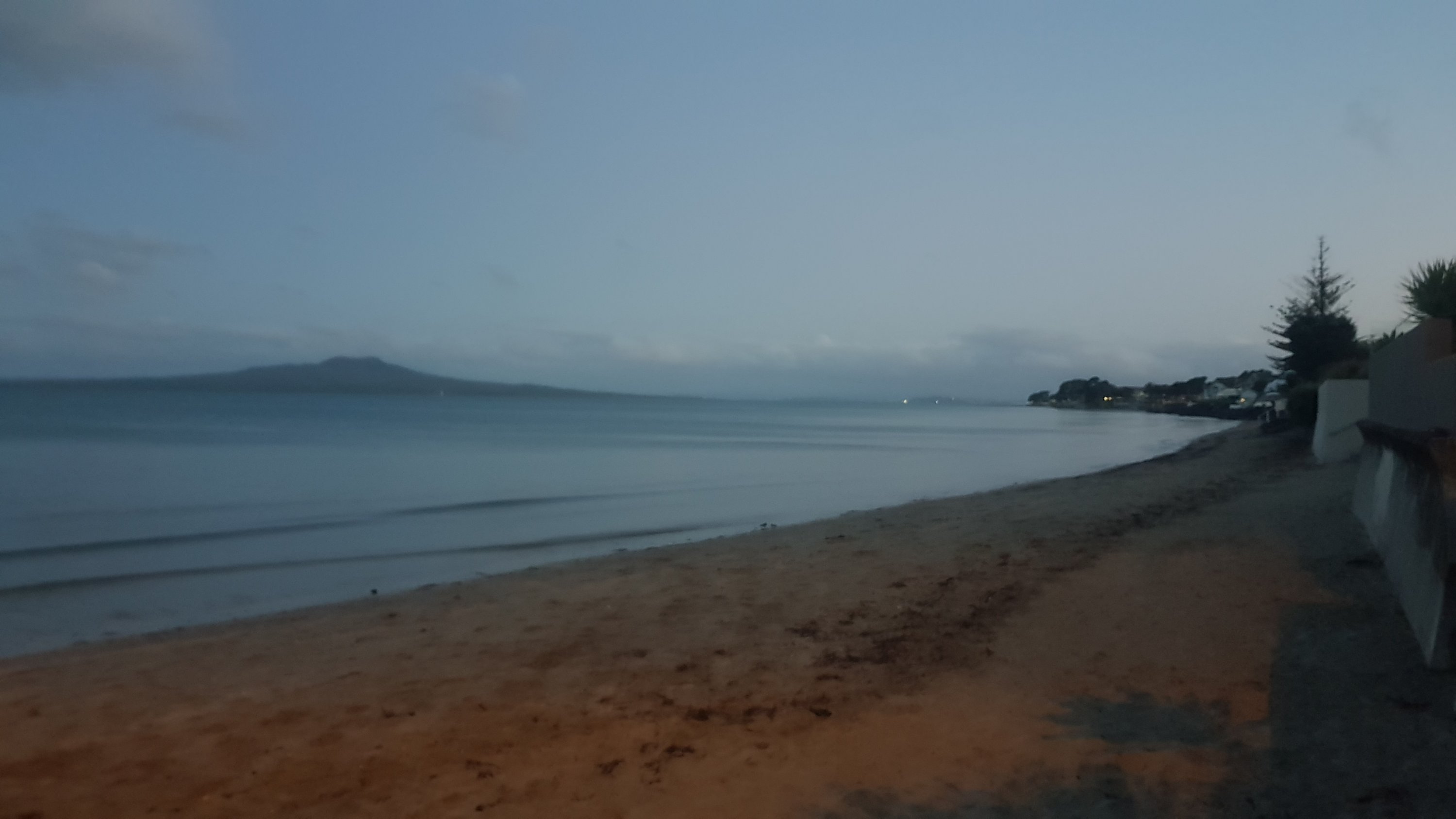
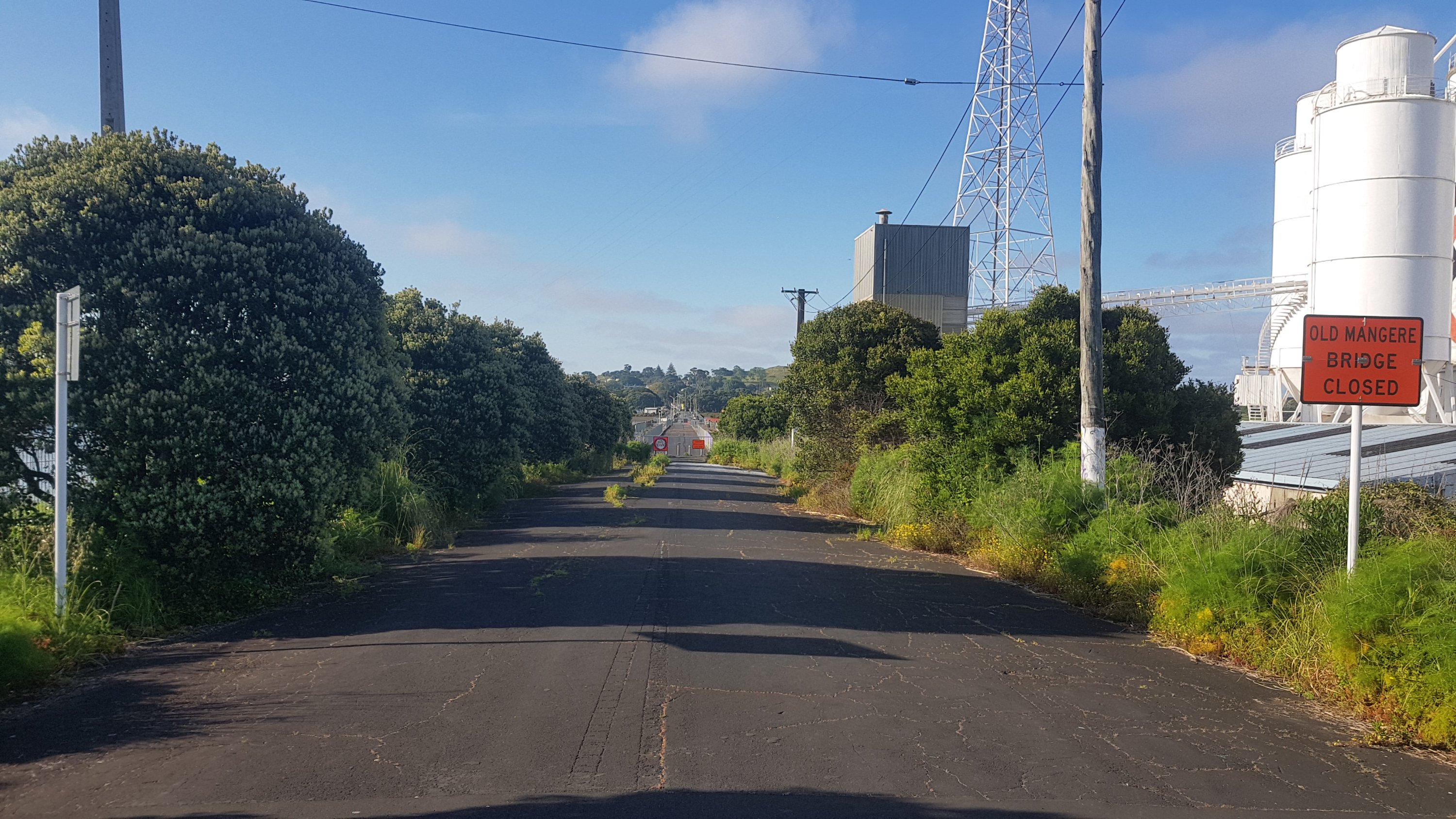
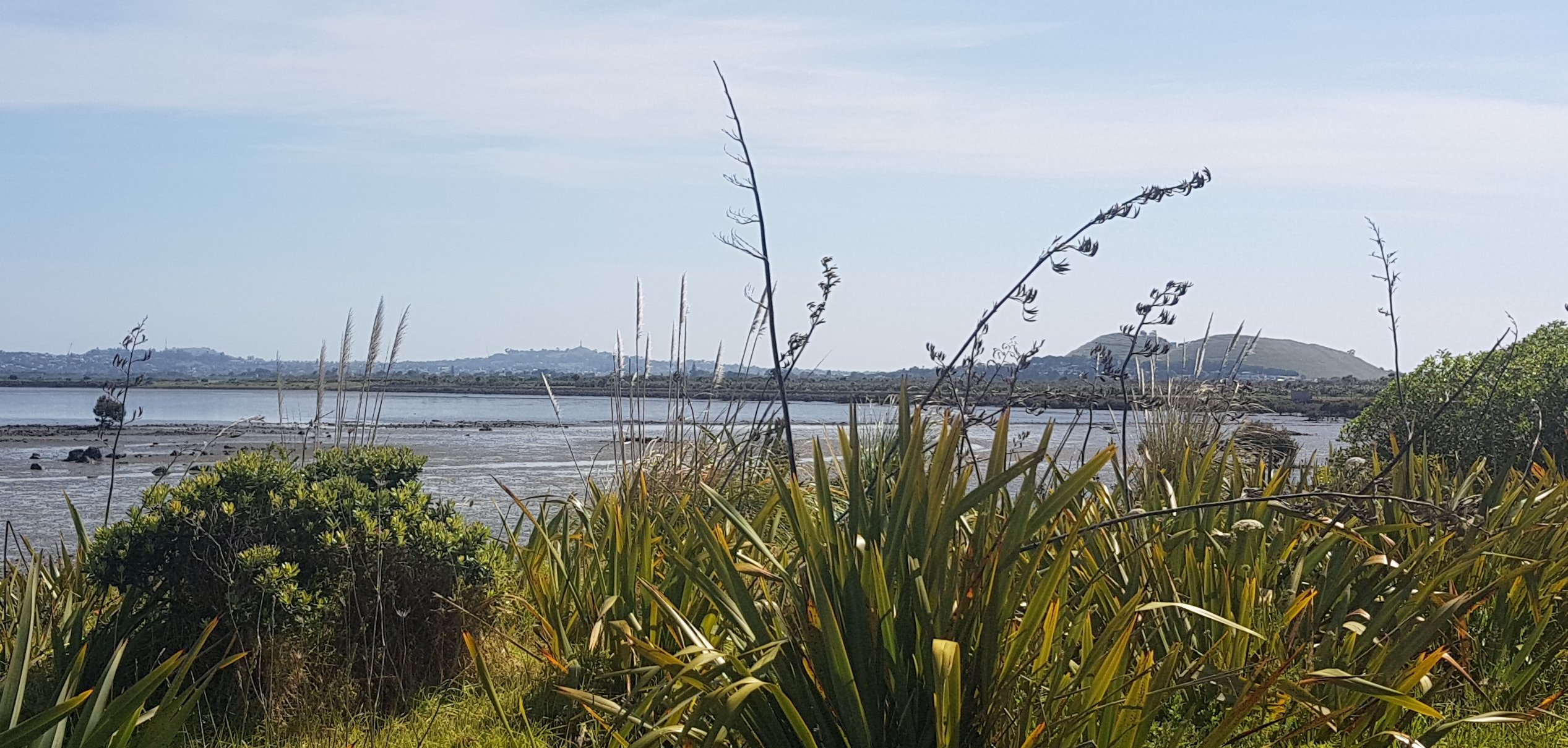
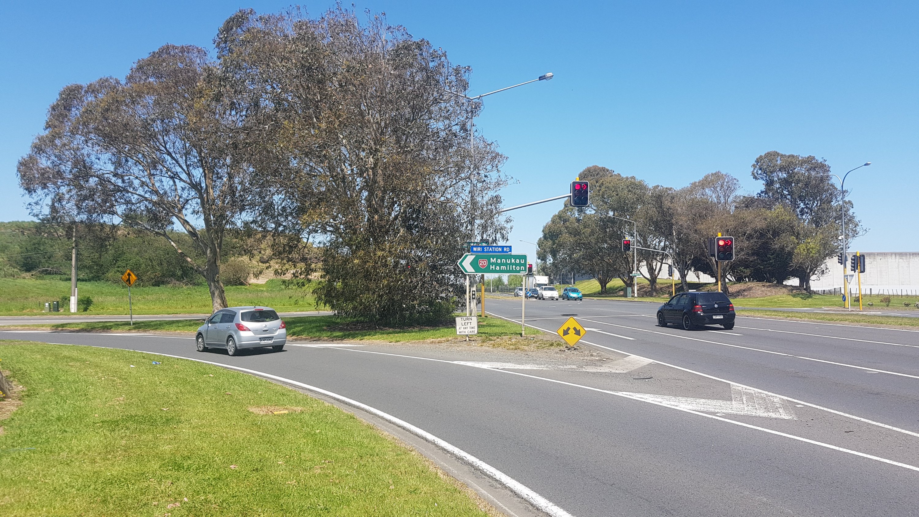
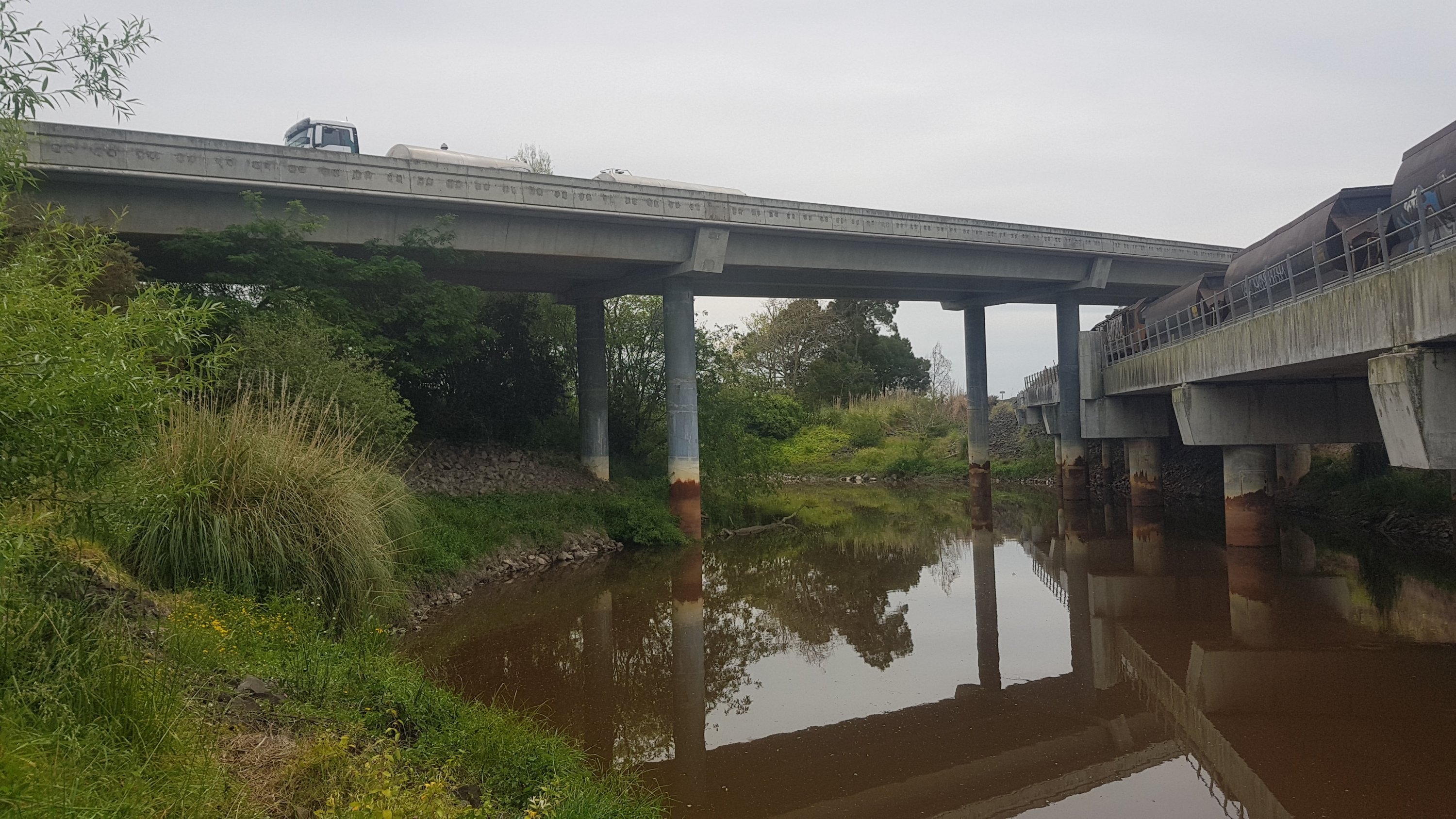
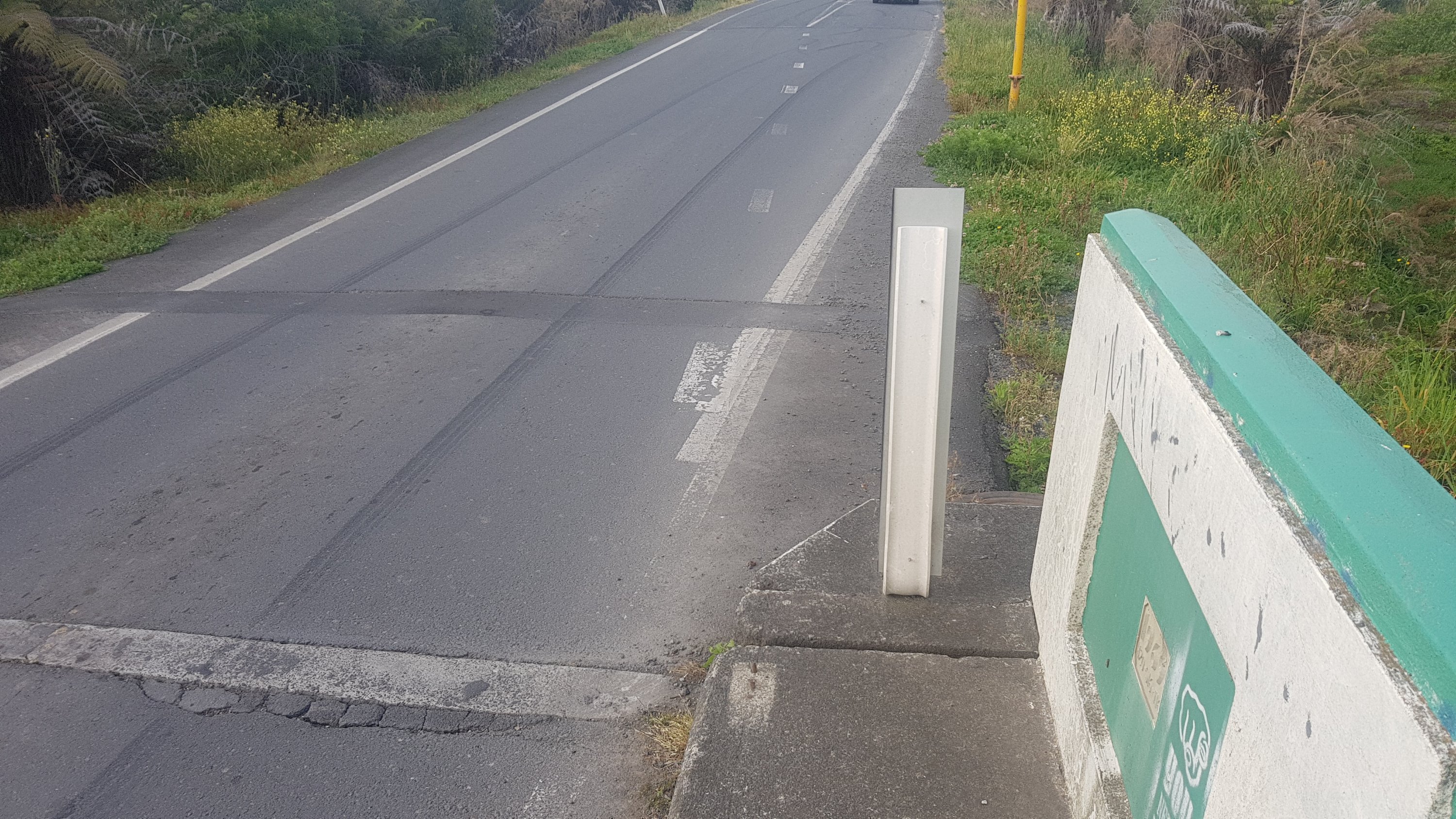
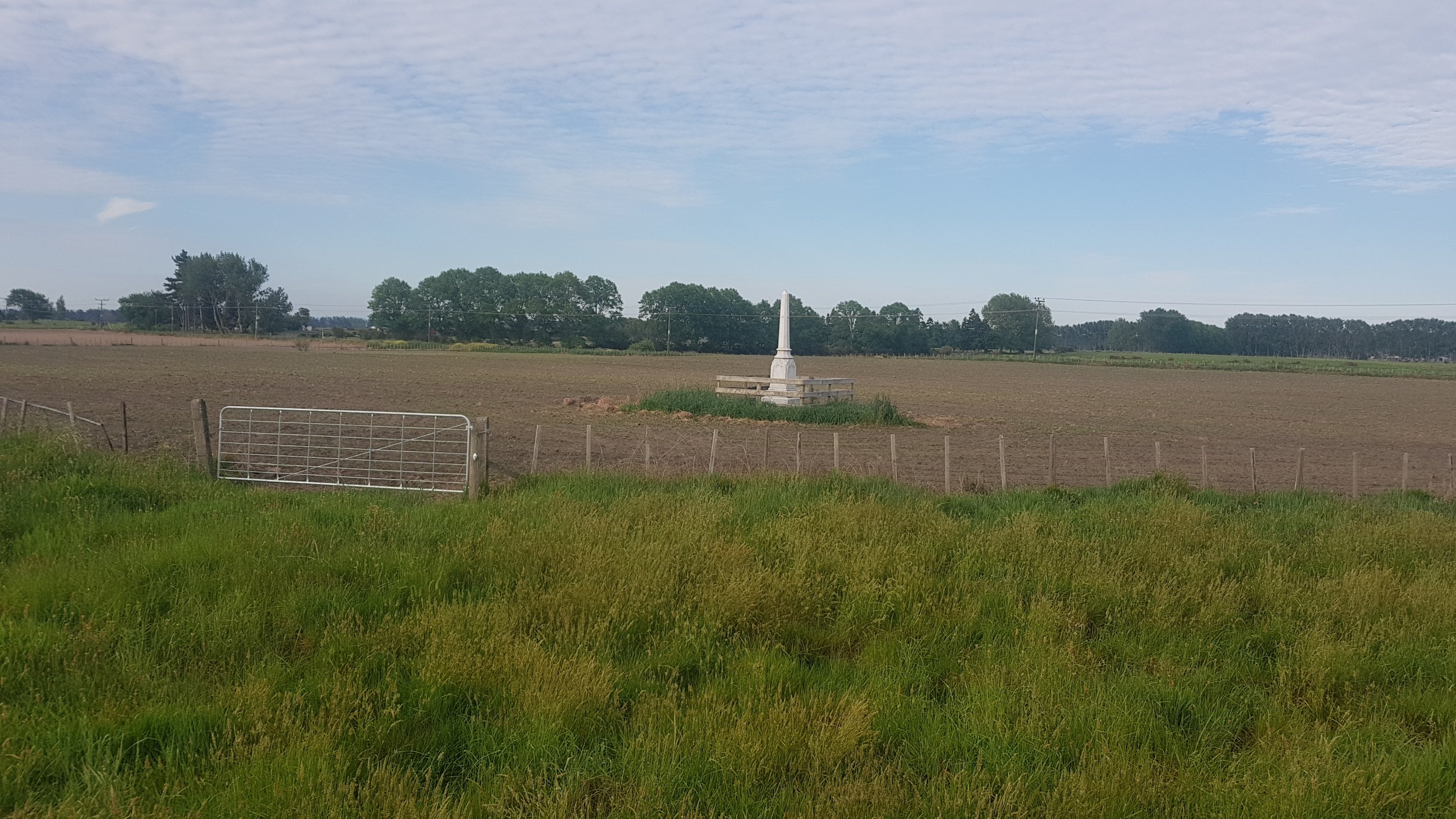
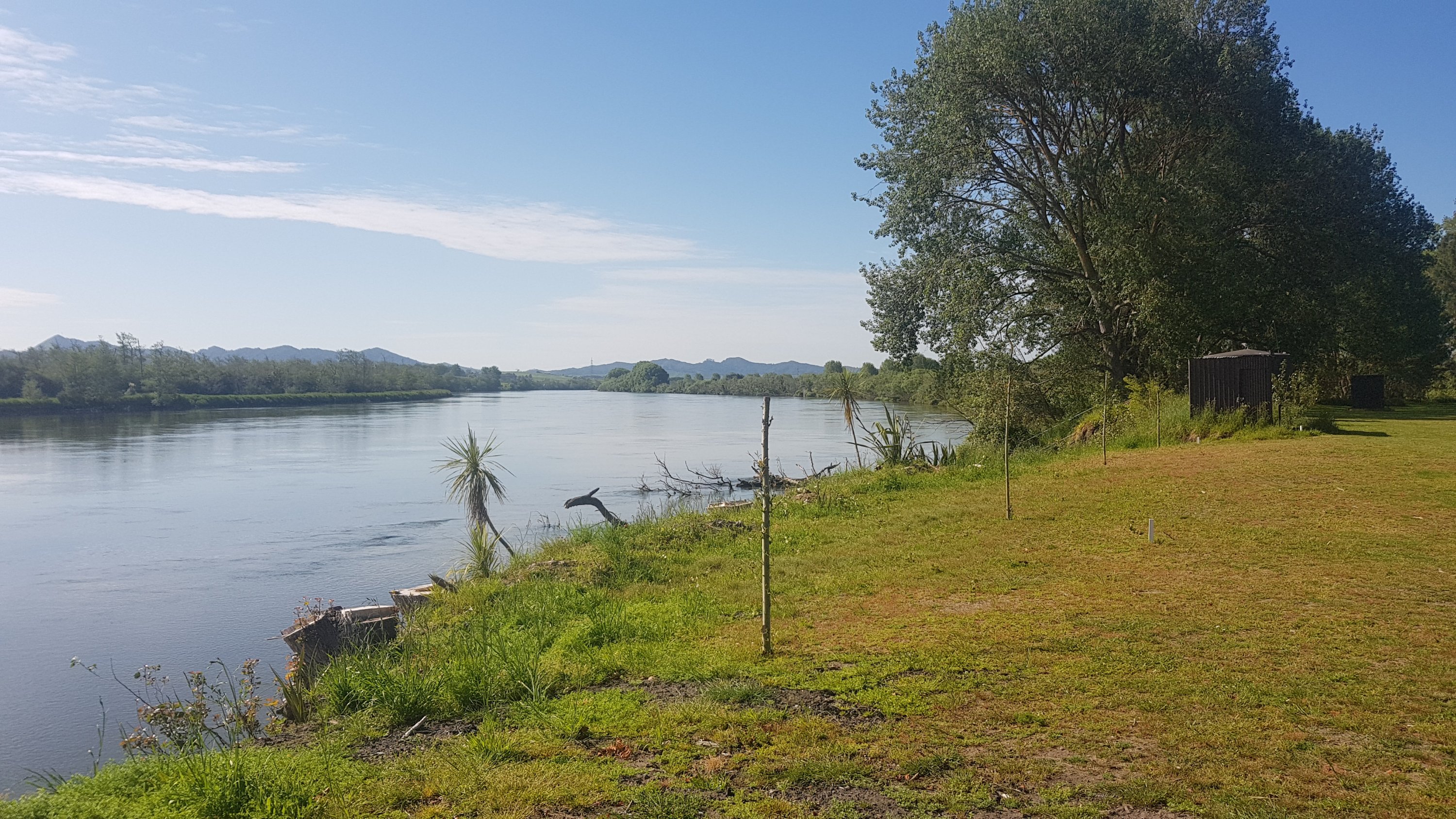
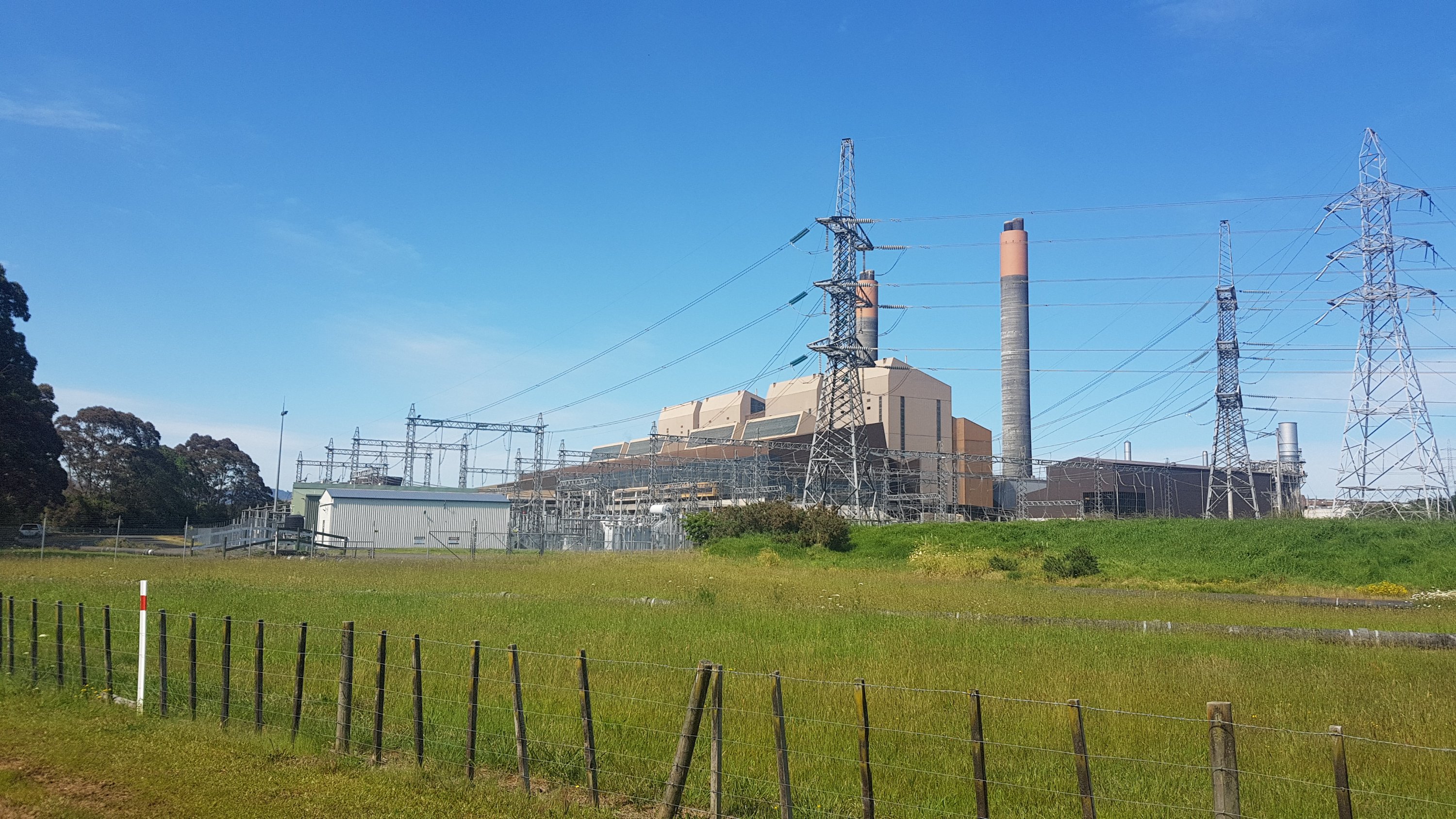
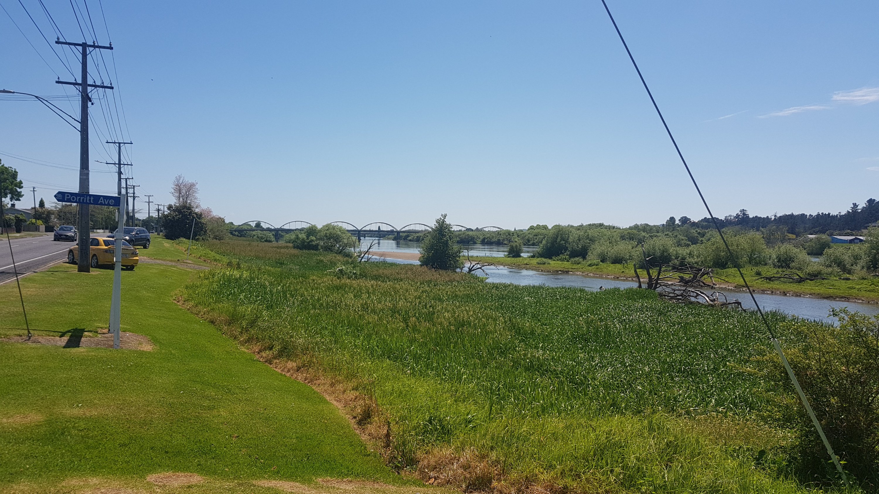
Here’s the bit of water we would be crossing on the boat shortly. Unfortunately I don’t know anything about the installation that is right in front of me. I was worried I wasn’t going to make the 9am boat so I didn’t stop to read any information.
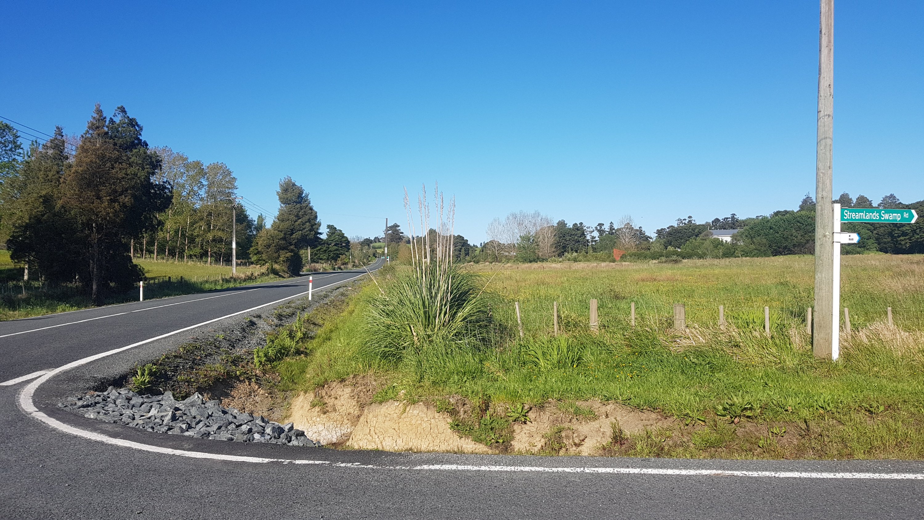
Whangarei Harbour crossing
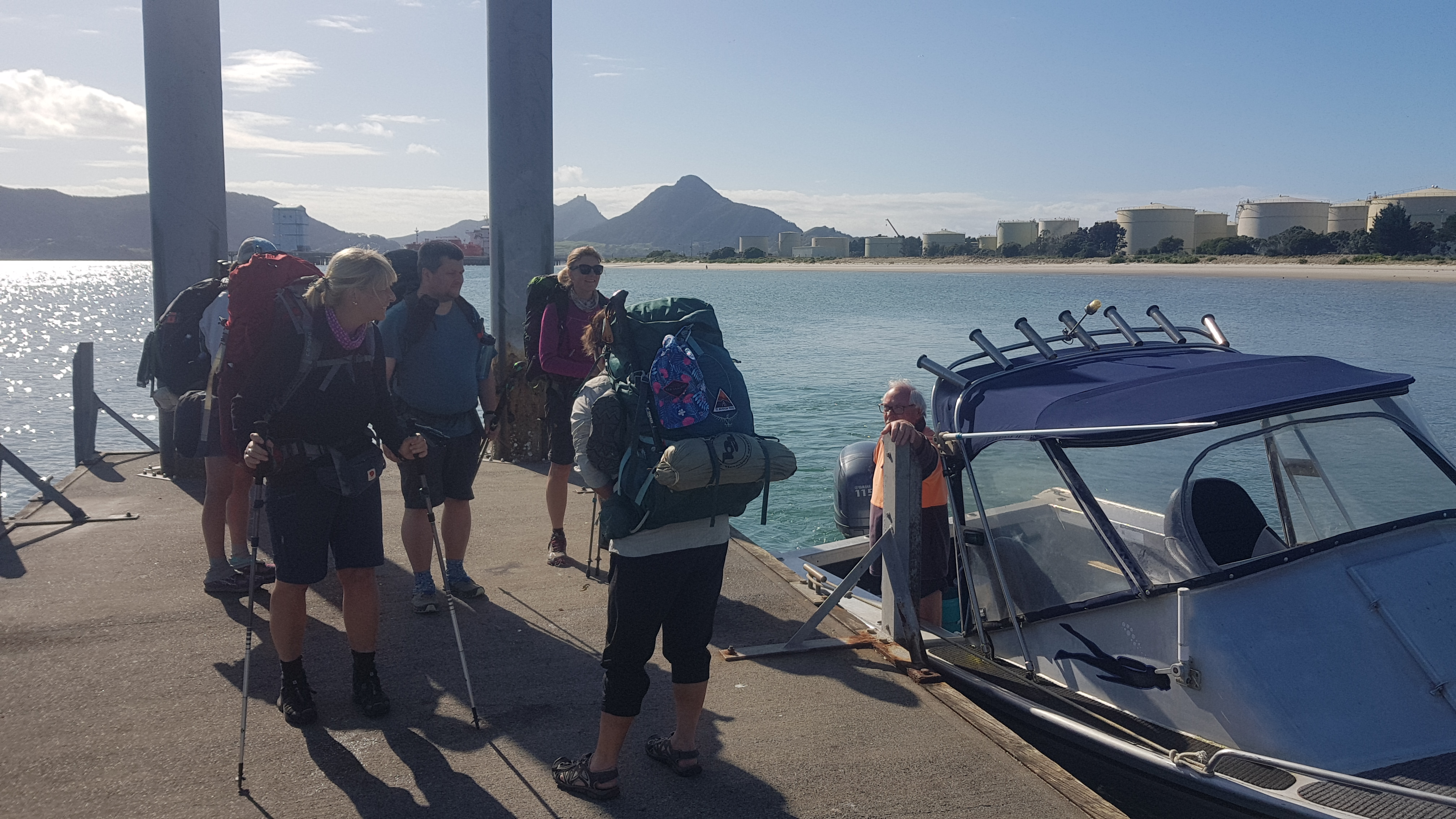
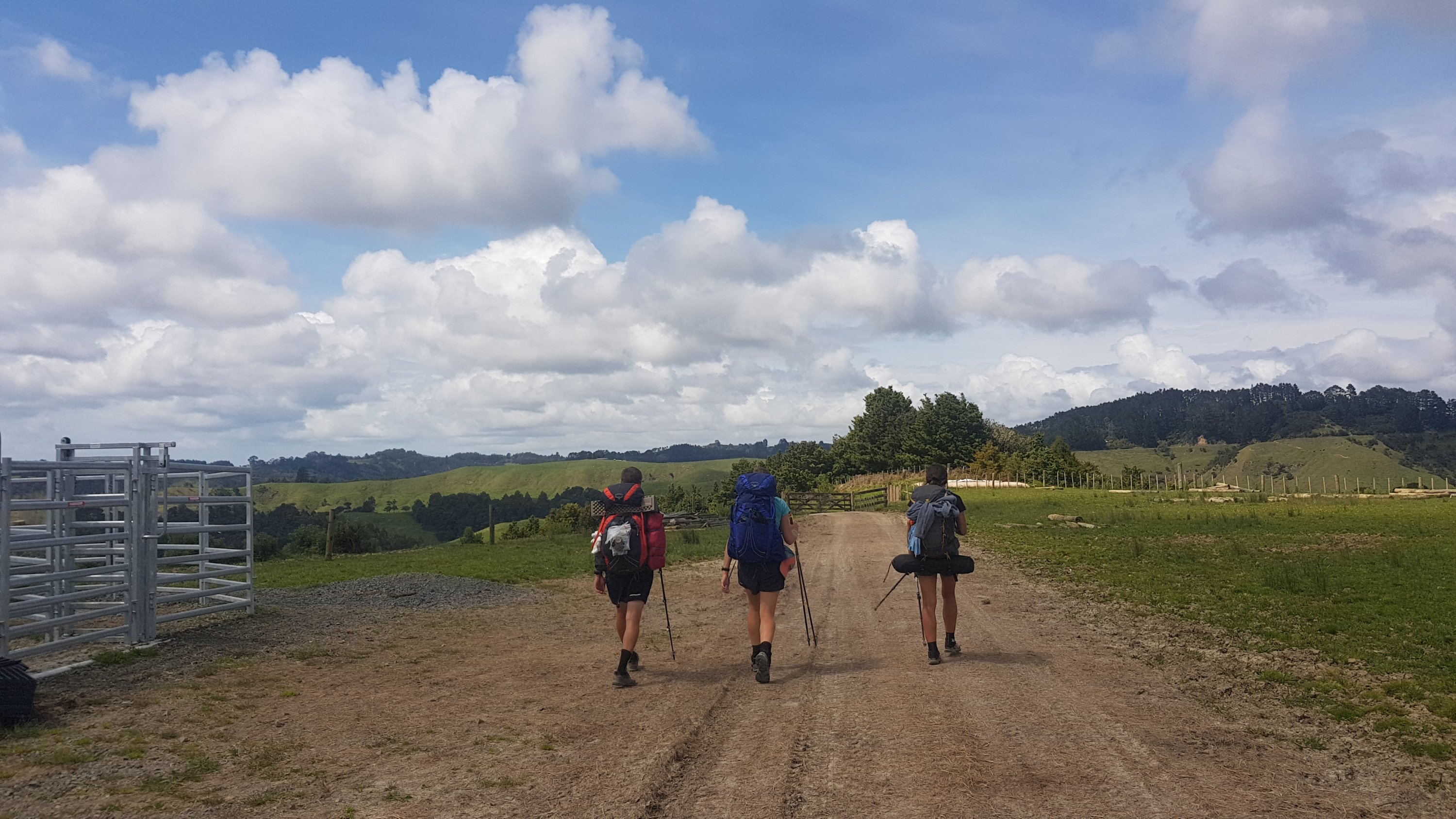
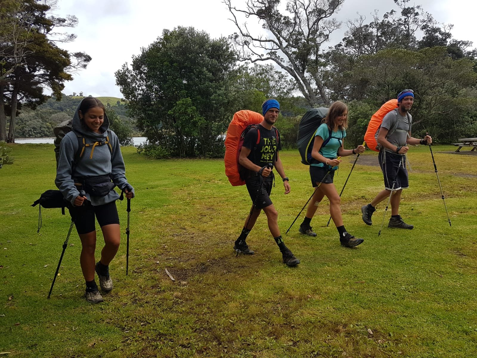
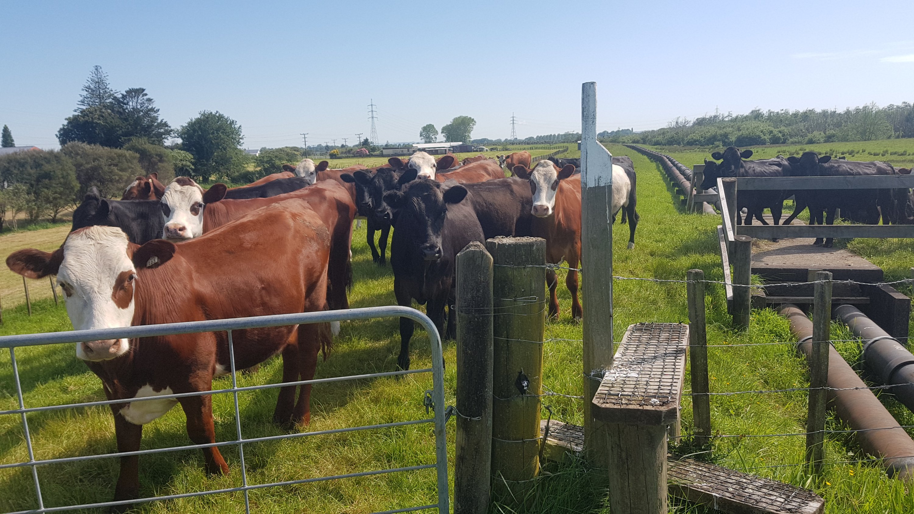
I got to the spot marked on the map to see Tina already waiting there… hooray at least I have the right spot. She and Kay and Agneta had stayed in their tents the front yard of the people who live right across from the boat ramp. The name of the owner of this yard was Graham. He, like Kay was also from the small town of Putaruru. Small world.
At 8:45 Kay received a text message from Ralf who said that he and Olivia had already met up with Peter, who was the owner of the boat. Oh no, does that mean they left without us? Surely not! Peter wouldn’t take two across when he knew that six wanted to go.
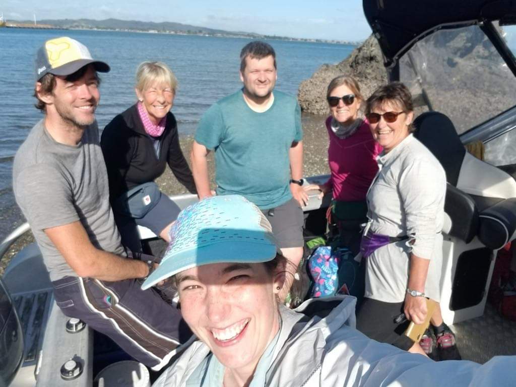
But soon enough we looked down the other end of the bay and saw a hand waving. And not long after the boat came around the corner. Olivia and Ralf were in the front seats of the boat. I hope they’re not driving!
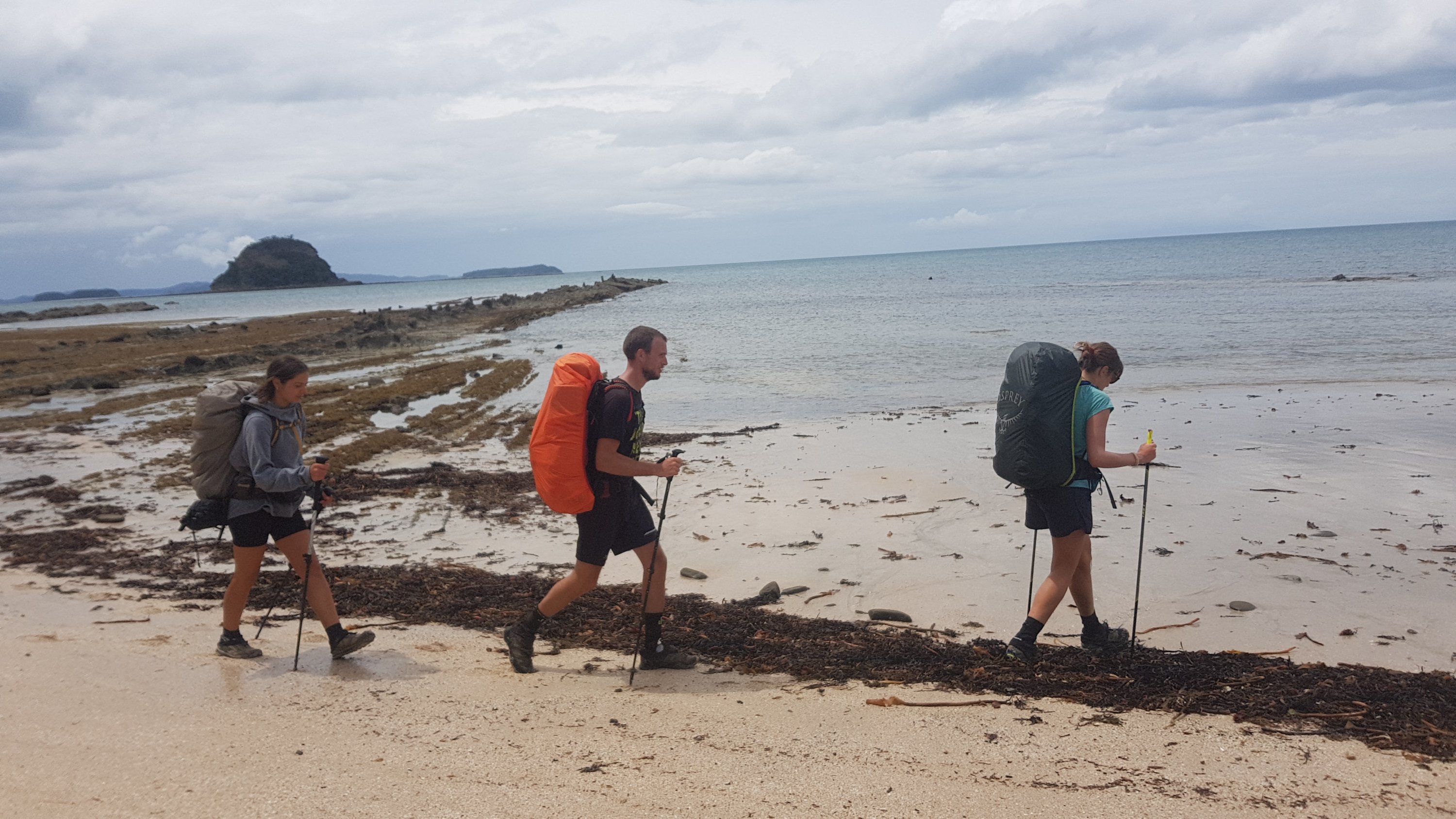
Boat’s on its way
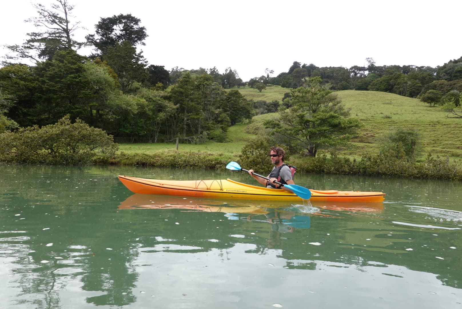
We all got on the boat. We did notice the lack of life jackets. But all part of the fun, right?
Thanks to Olivia for taking this picture and to Ralf for sending it to me
I did learn later that there were life jackets there if you asked. I probably should have.
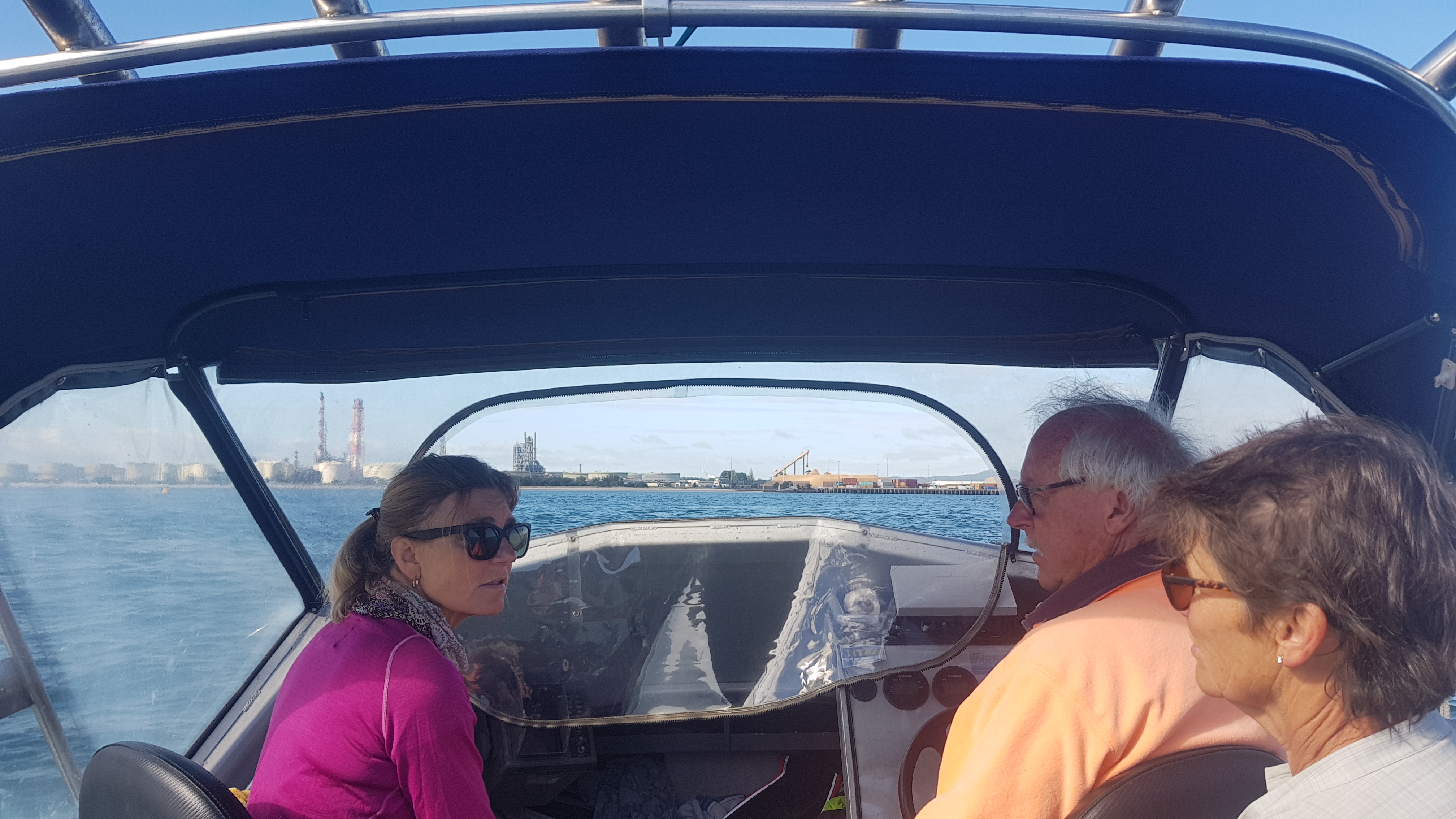
On the way over, Peter told us all about the area and detailed the various options for how to progress from Marsden Point. He is clearly used to taking people who are section walking – I didn’t pay any attention because the trail is the trail, and I don’t deviate from it. I was also a bit concerned at the amount of time he spent talking to us as opposed to the amount of time not watching where he was going.
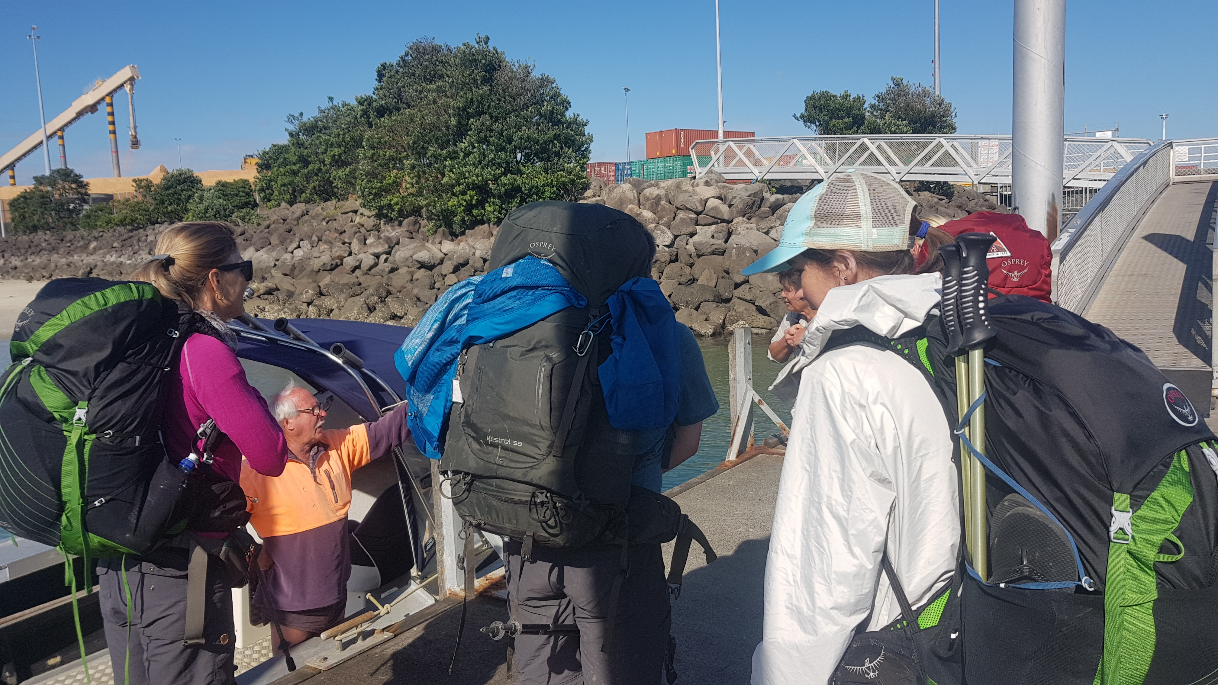
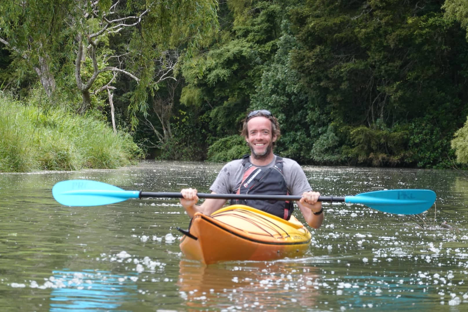
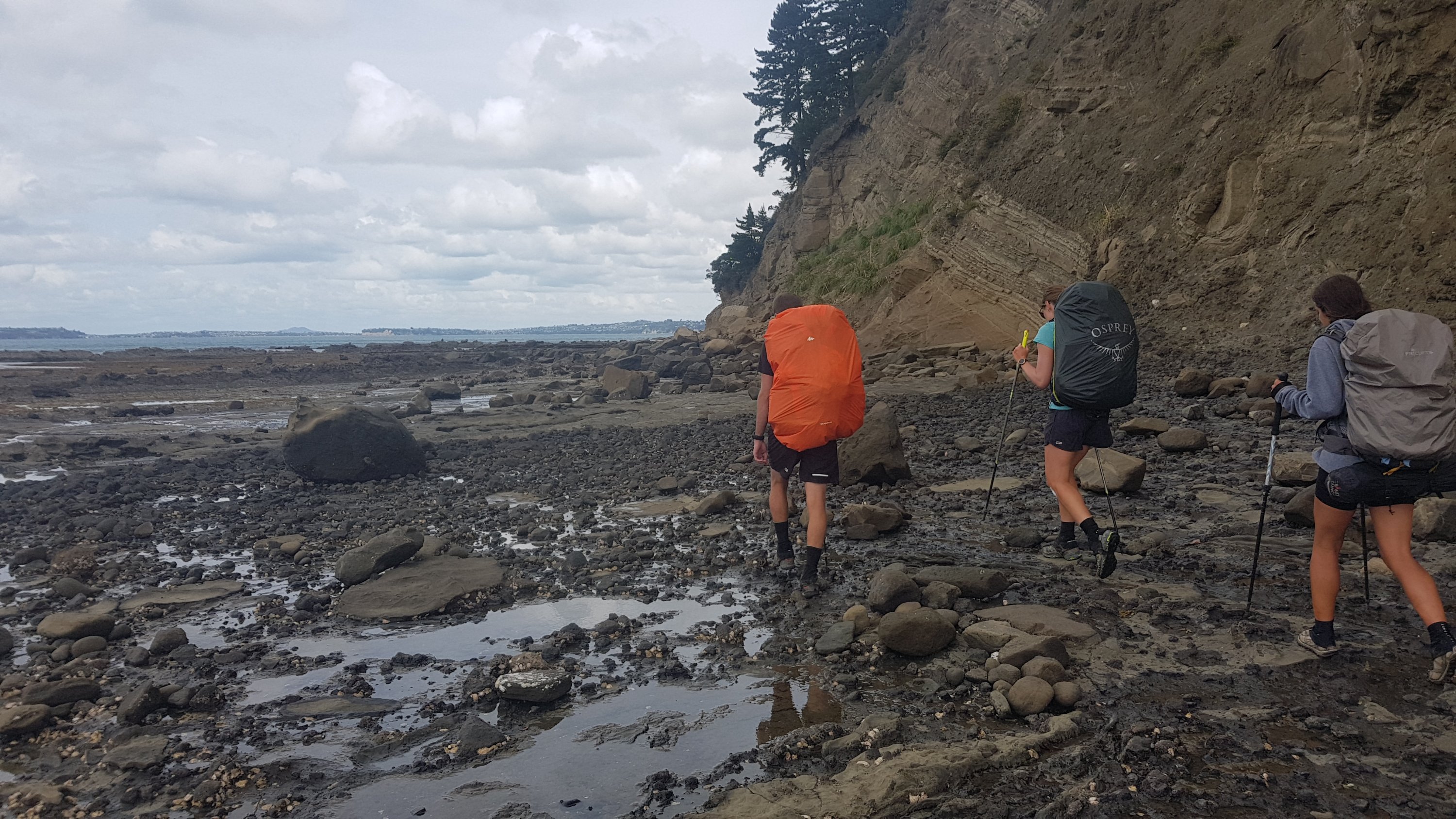
Unloading from the boat was an interesting chance to see who has the heaviest pack. Surprisingly, it seemed to be me. But I did have 3 totally unnecessary litres of water and some food in there.
Unloading
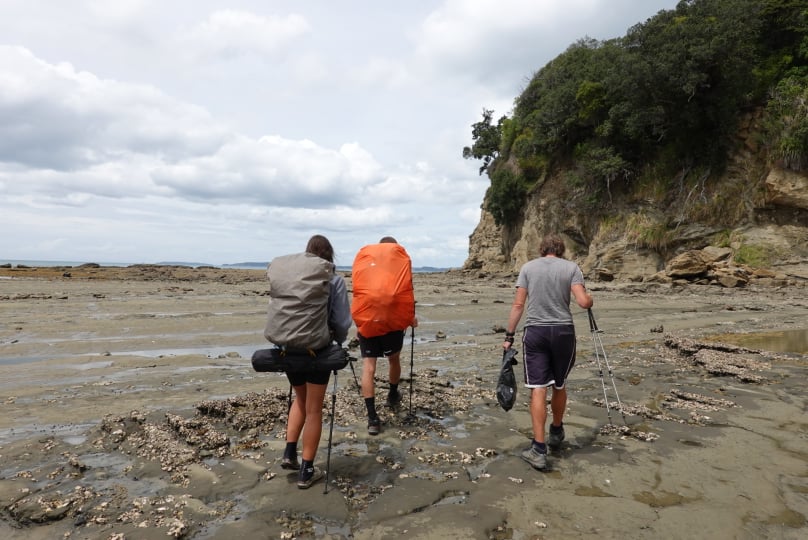
The boat left us…
Bye bye
… and not long after we got accosted by some guy. He claimed to be from some ministry, the Ministry for Primary Industries or Fisheries or Silly Walks or something like that. He wasn’t even in uniform. But he demanded to know who brought the six of us across the water and his number because whoever it was was operating illegally. We all exercised our right to remain silent.
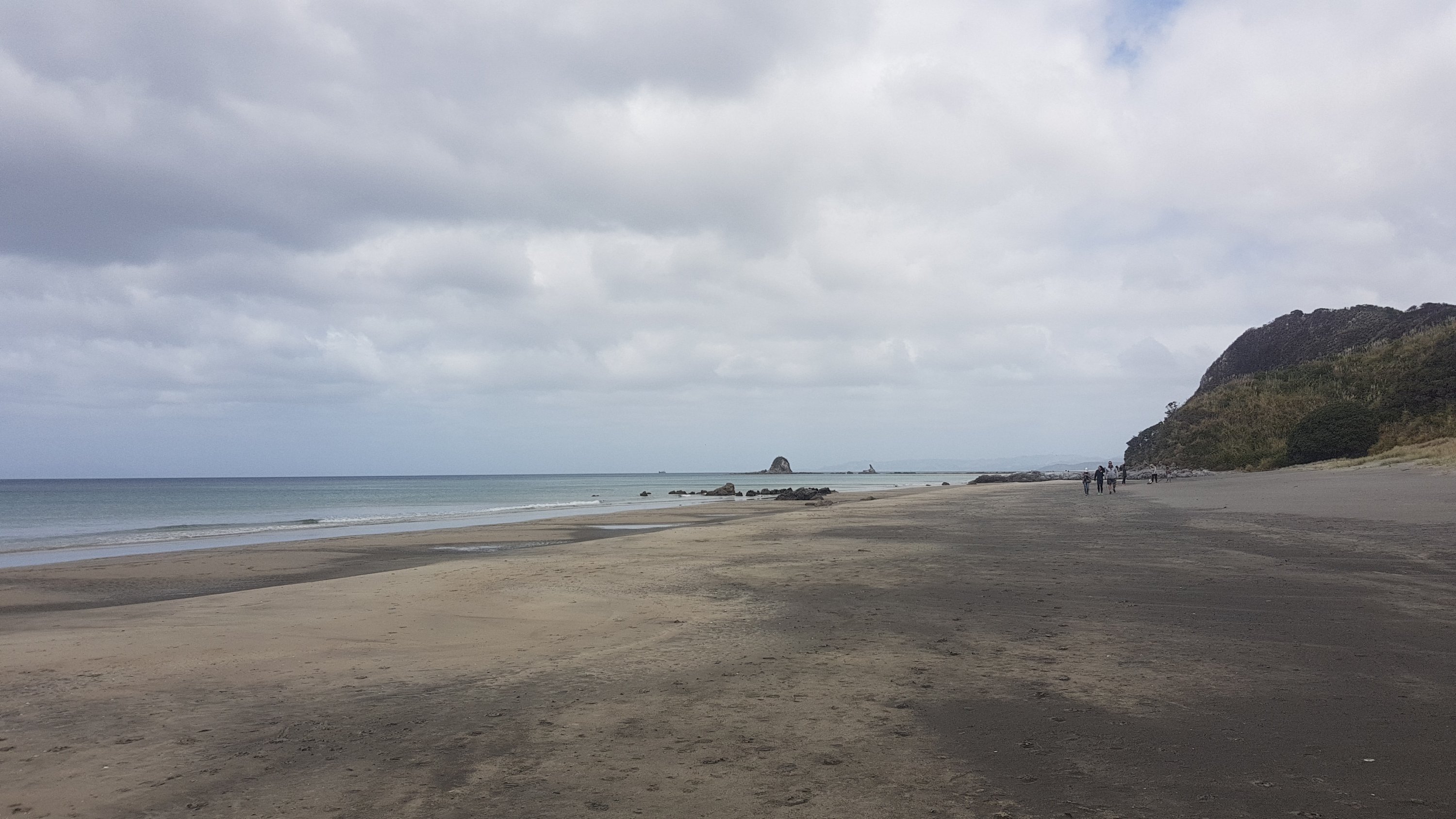
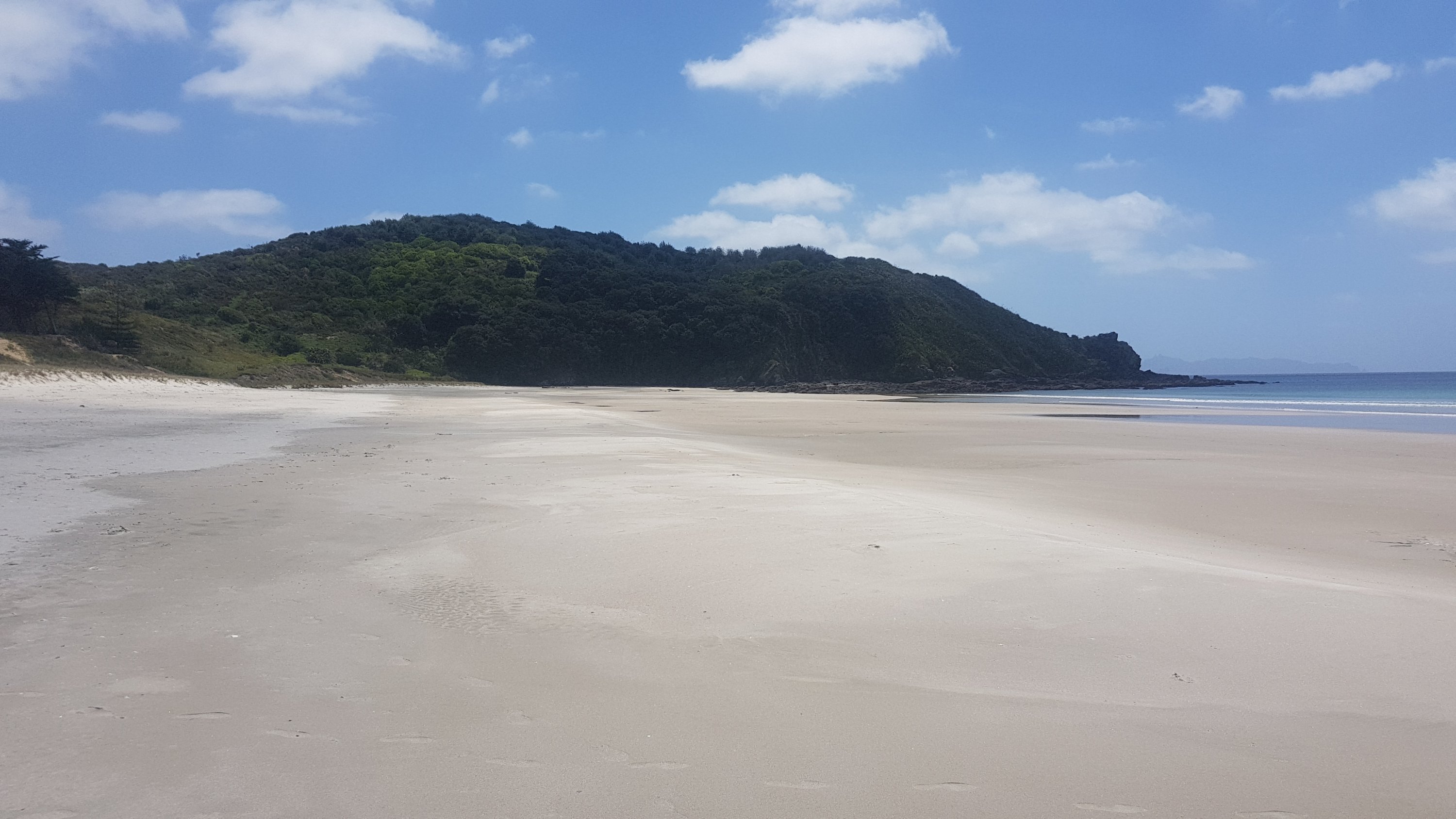
From here, even though there were six of us I was the only one that started walking down the beach, everyone else went down the road. Tina was hobbling so I think she was going to hitchhike somewhere and the others were going with her to make sure she got a ride, or perhaps they were going to the cafe in the Oil Refinery.
There were a lot of quite vicious seagulls at the start of the beach. They were flying at me and squawking at me. Luckily I could wave my walking poles at them and that kept them away a bit from me.
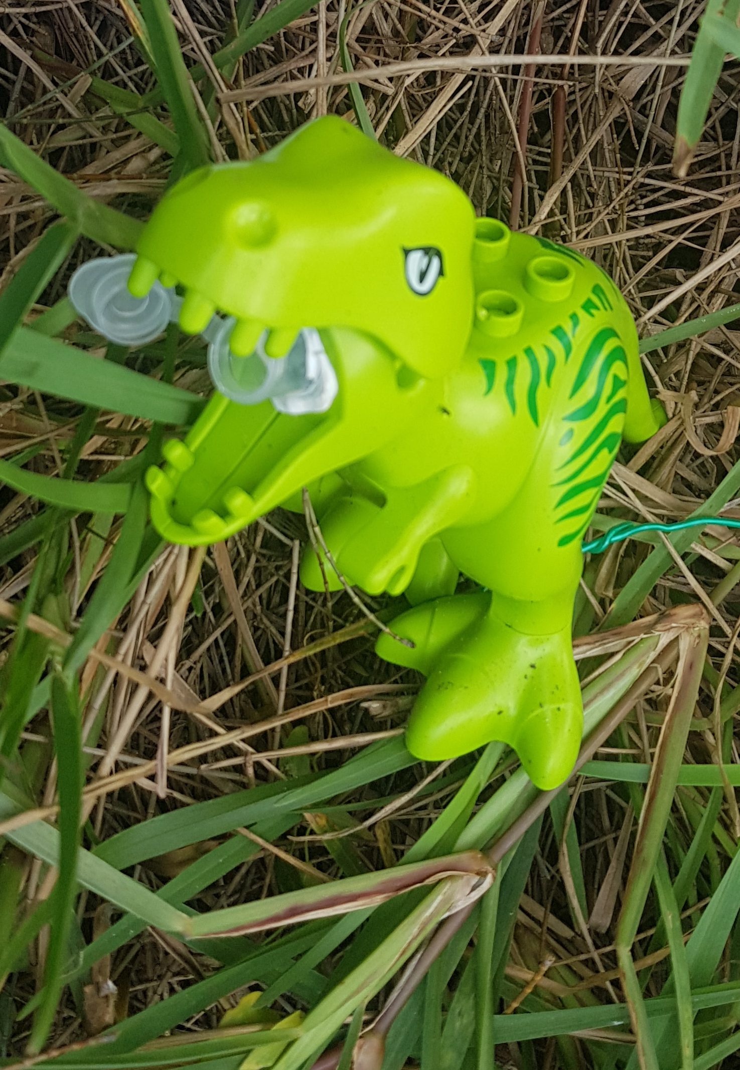
I wanted to go down the beach because there was another unfound geocache about 2km down the beach. It had been placed five days before and nobody had found it yet, which would be unheard of in Auckland. I dropped my bag off where the Internet said the geocache was and headed up into the dunes. After 15 minutes or so, I found it.
Tammy the Tyrannosaurus
And the little logbook inside was blank so again, I was the first one to find it! I signed my name and the date and time, and replaced it where I found it. Interestingly, there is another dinosaur-themed geocache just a bit back up the beach which I was also the first one to find a few months back, which meant that I had already walked this bit of the beach before. So that meant this was the first section of the whole Te Araroa that I had already walked before.
I later found out that two people visiting from Wales were also hoping to be first to find on this geocache, but I beat them to it by an hour.
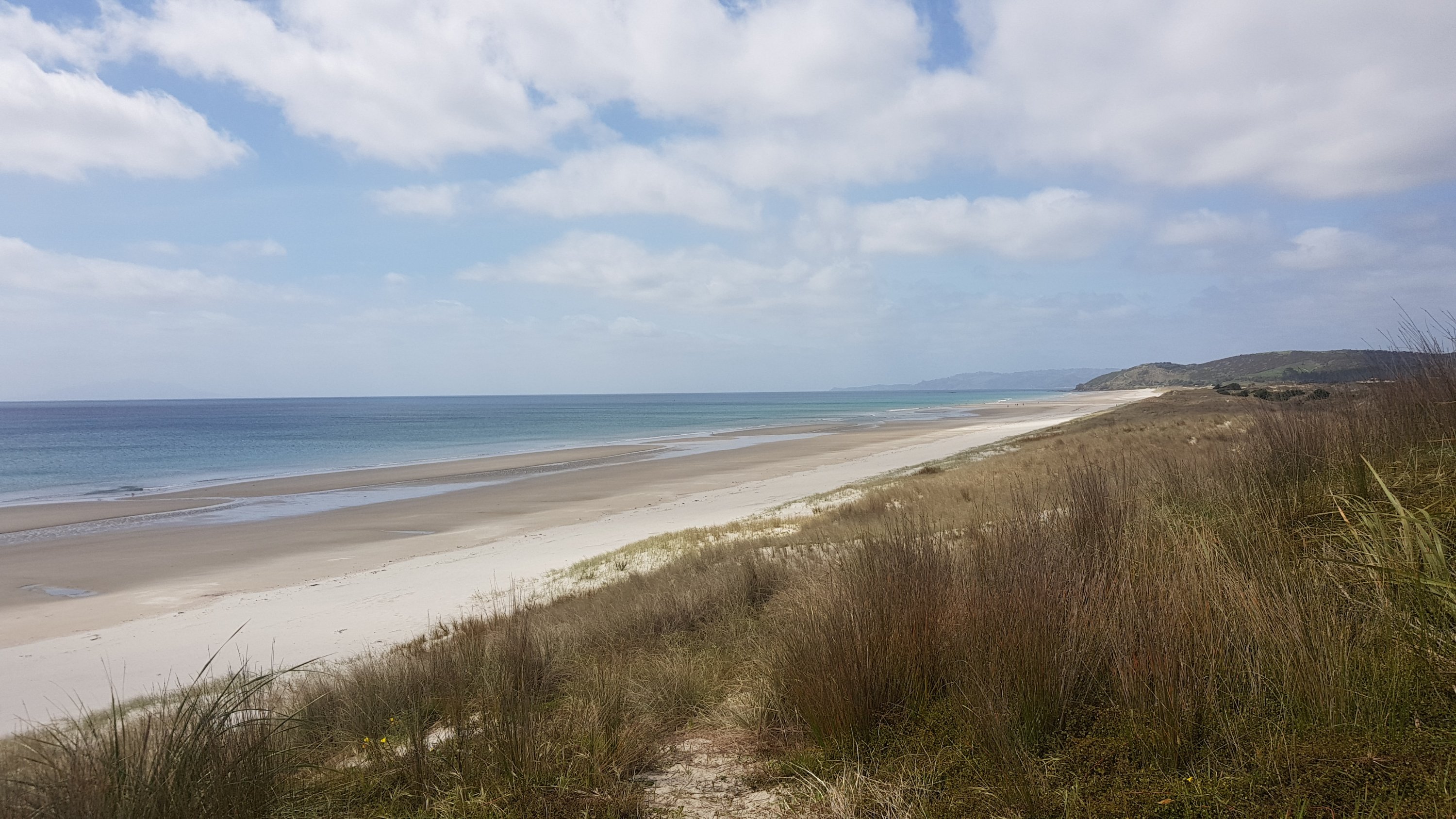
While I was walking I had a look back behind where there was a clear view of the mountains that I walked across yesterday evening.
Climbed these yesterday
There was also a stream to get water from, if you were desperate. I wasn’t desperate, in fact I was carrying far more water than I should have been.
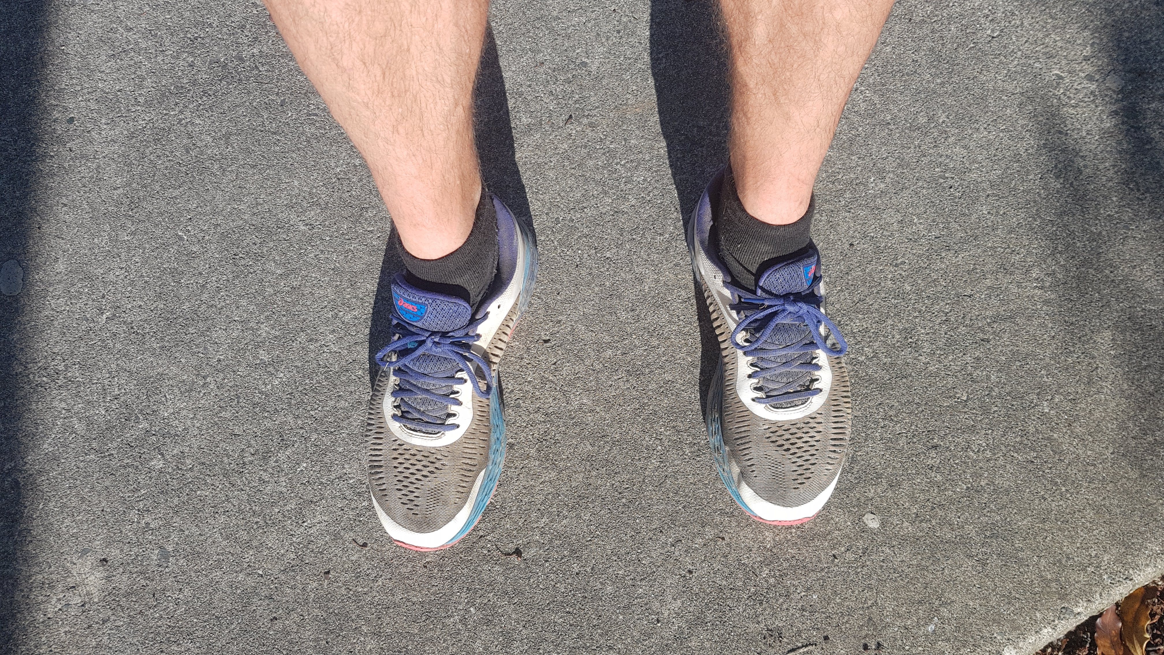
Not long after it was 11am so time for my 11am picture. This girl had just gone past me. She is the only person I’d seen so far who had brighter shoes than my yellow crocs.
11am picture – Pink shoes… although they’re hard to see here
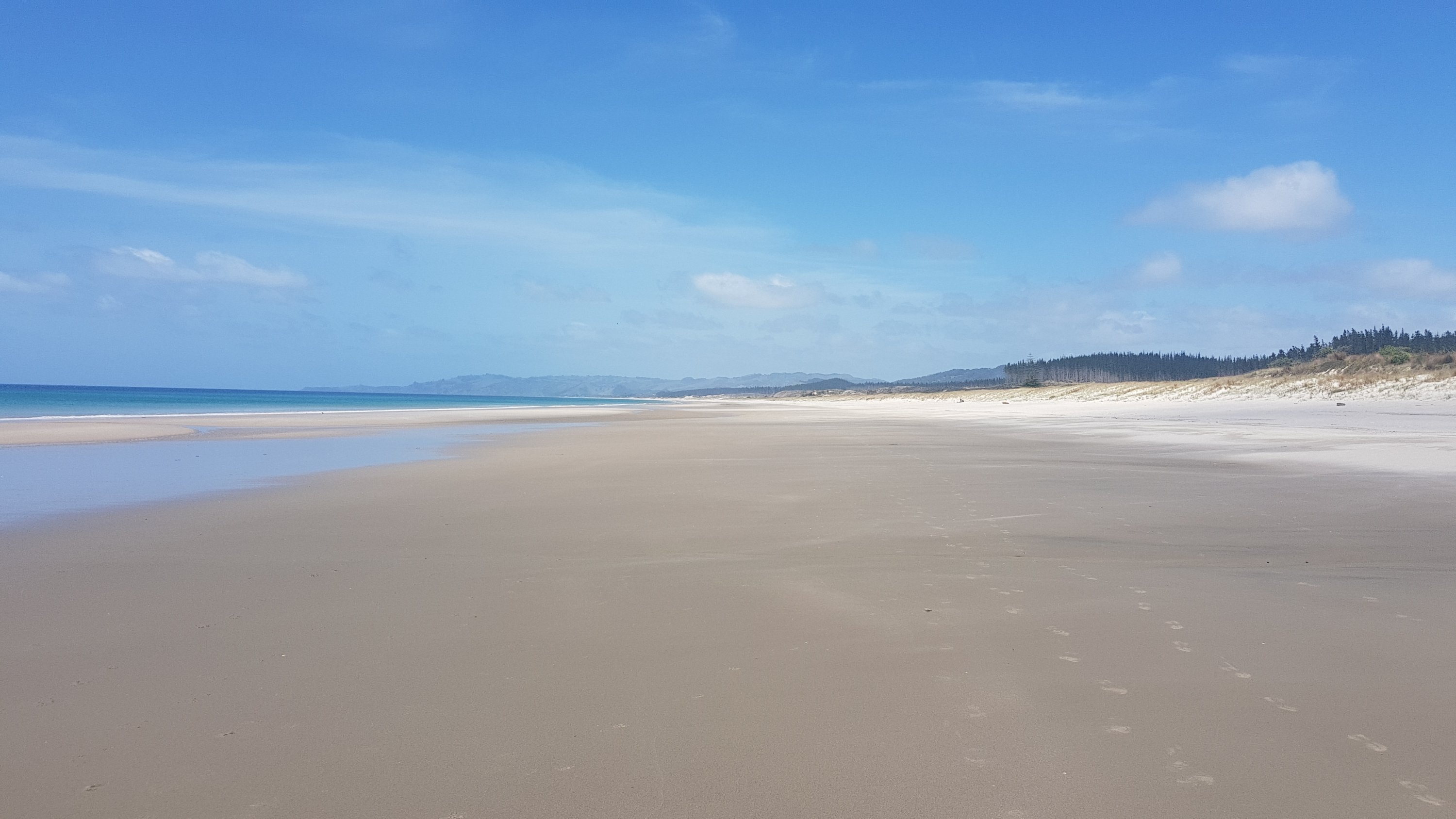
Soon there was a river crossing coming up that was only crossable at low tide. Since it was almost right on high tide, I had to detour off the beach and walk through Ruakaka. That suited me fine as again I wanted a coffee and a good lunch. I looked at the map and exited the beach at what looked like a path, but I ended up at the back entrance to the “NIWA Northland Marine Research Centre”, and whatever that is was clearly top secret as there was a huge fence right around it. Obviously I wasn’t the first one to make this mistake as the workers who were inside pointed out that I could walk around the perimeter of the fence to get back to the road. Just go around the big rusty gate, apparently.
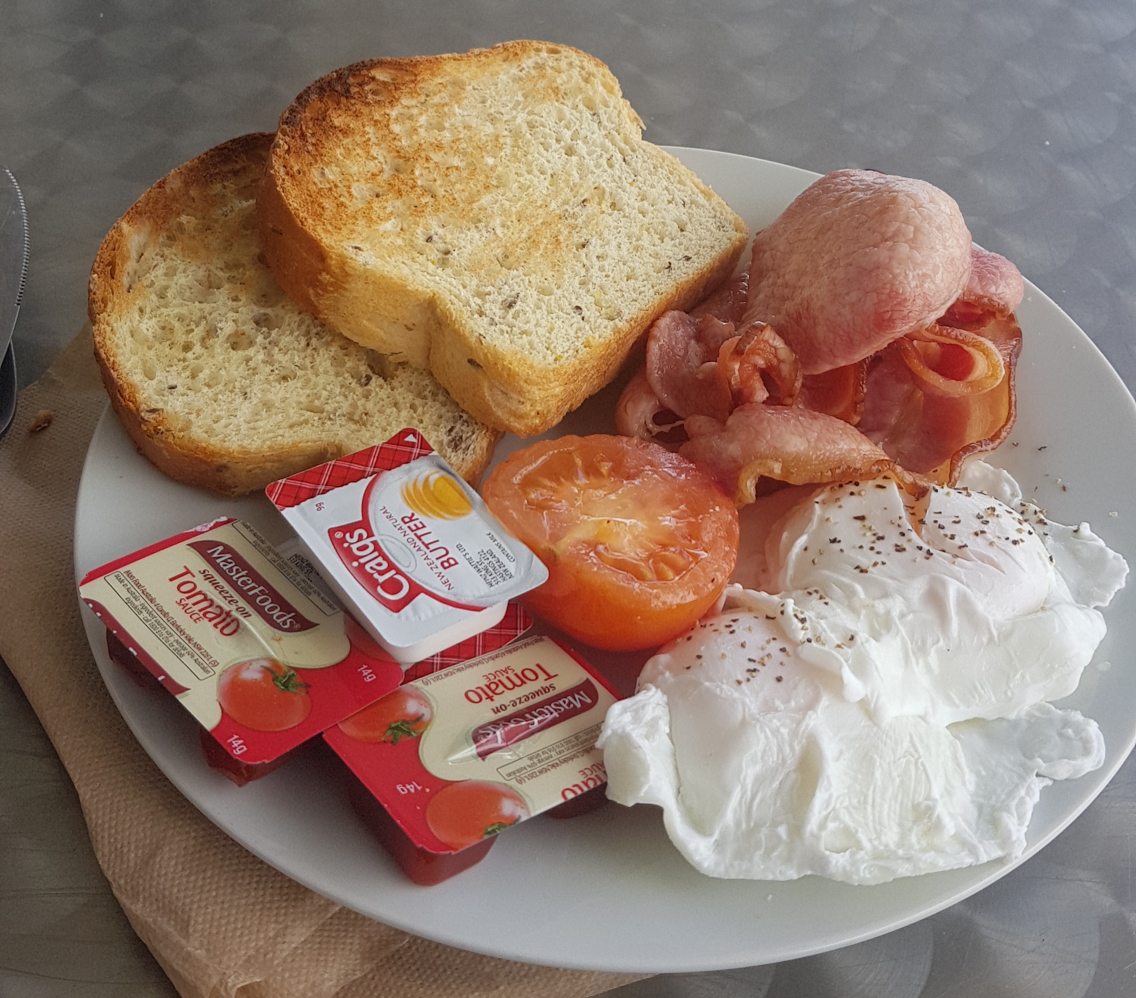
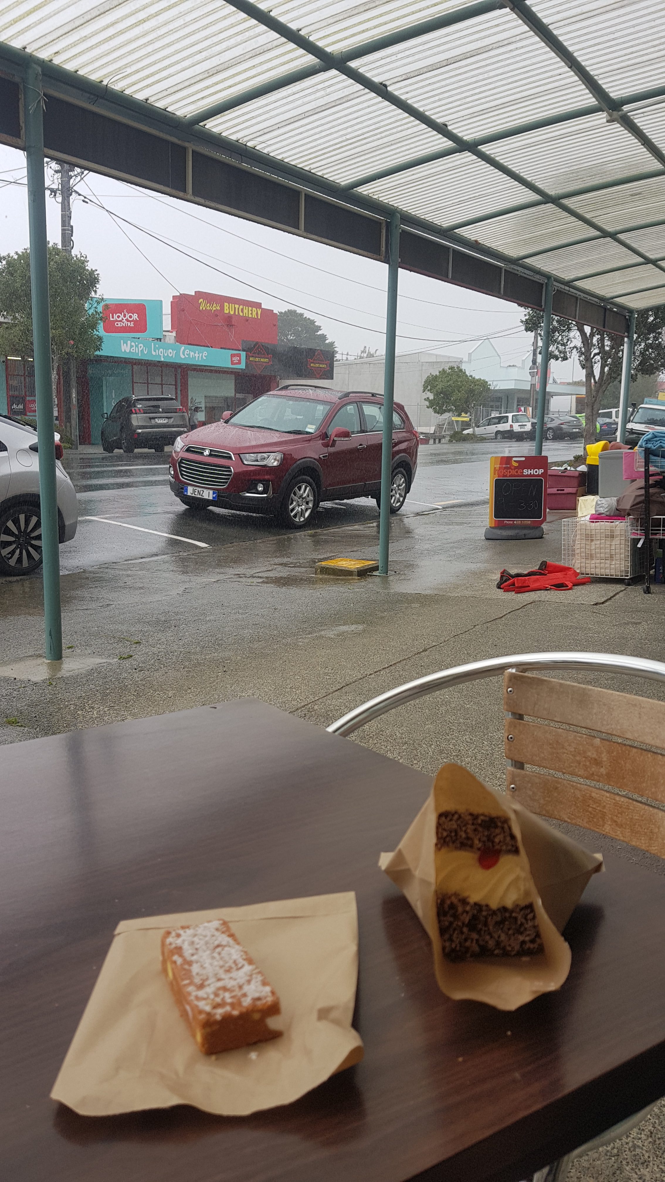
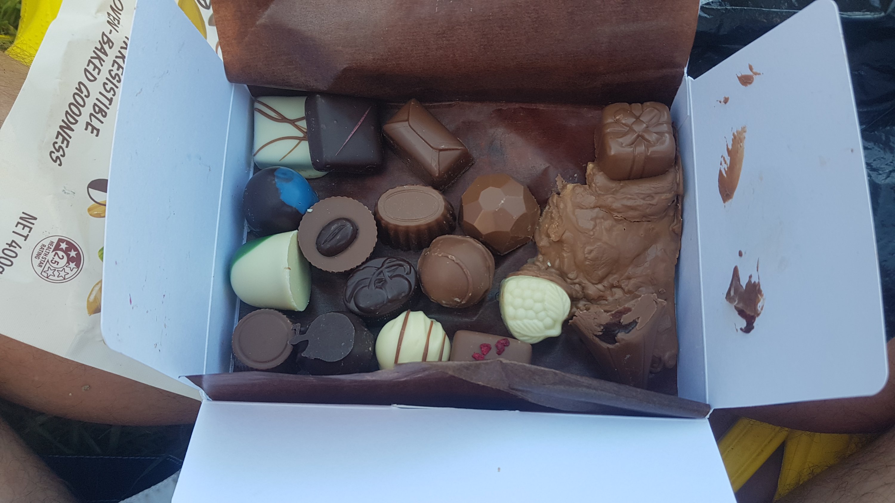
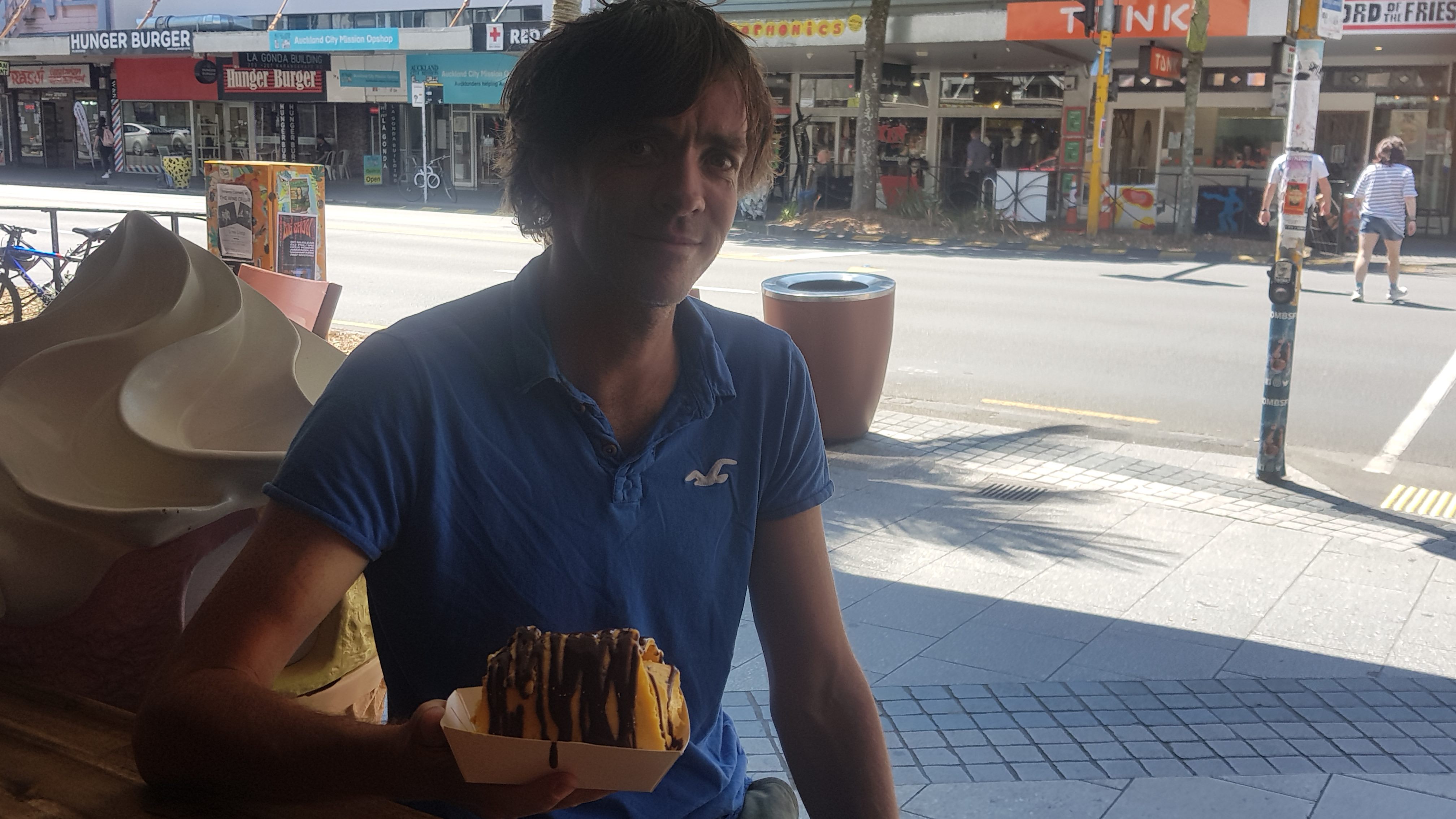
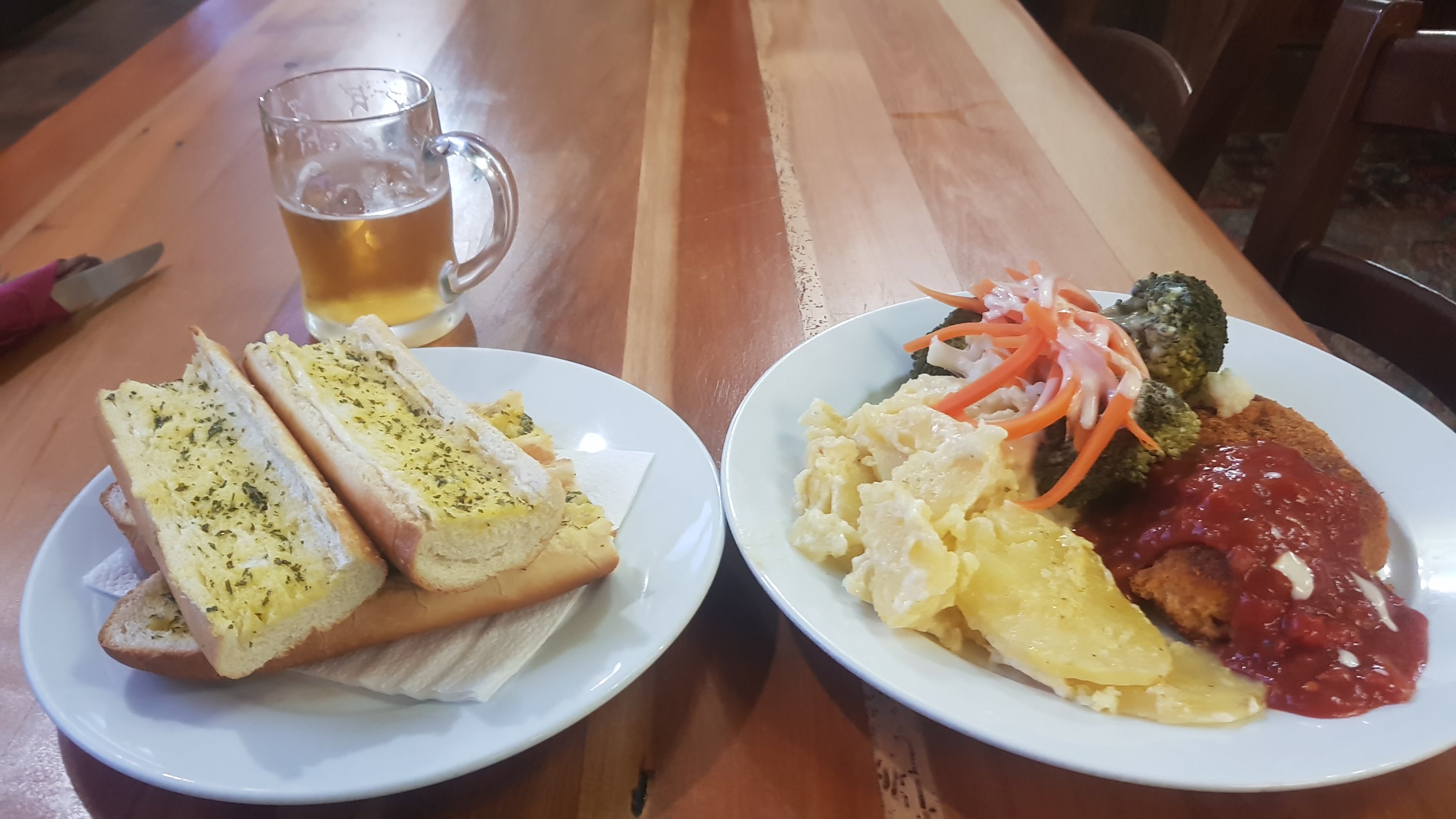
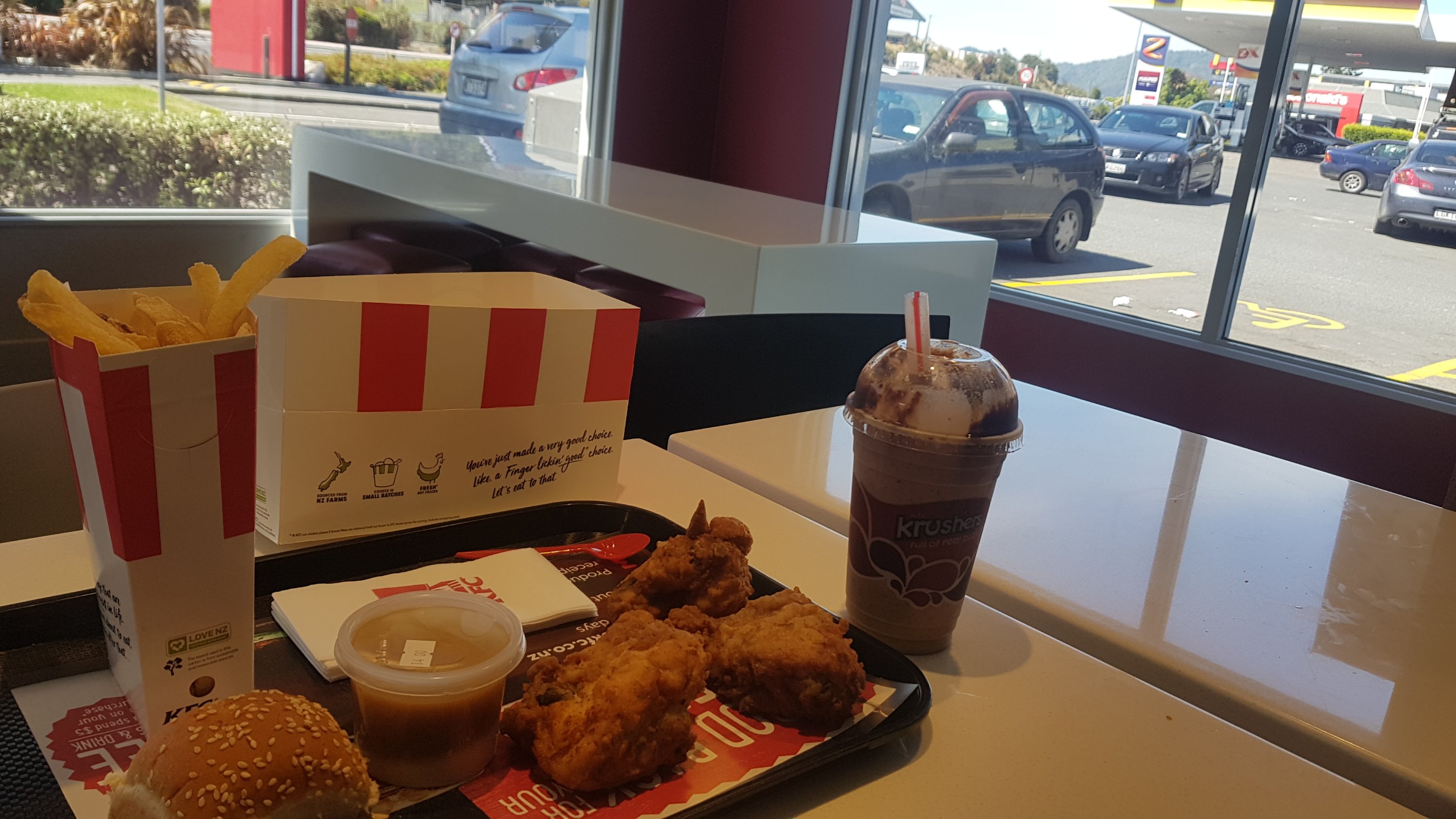
Not long after I spied a cafe – the Country Bake bakery in Ruakaka. I was very hungry and ended up getting a coffee, bacon and eggs, a lamington, a Blue V and a caramel tart.
Yumm
The coffee was large and good, and the bacon was high quality but the lamington was $4.90 which I thought was pricey. While I was eating, Kay and Agneta turned up. We all had a bit of food together and then they spent some time deciding what to do next.
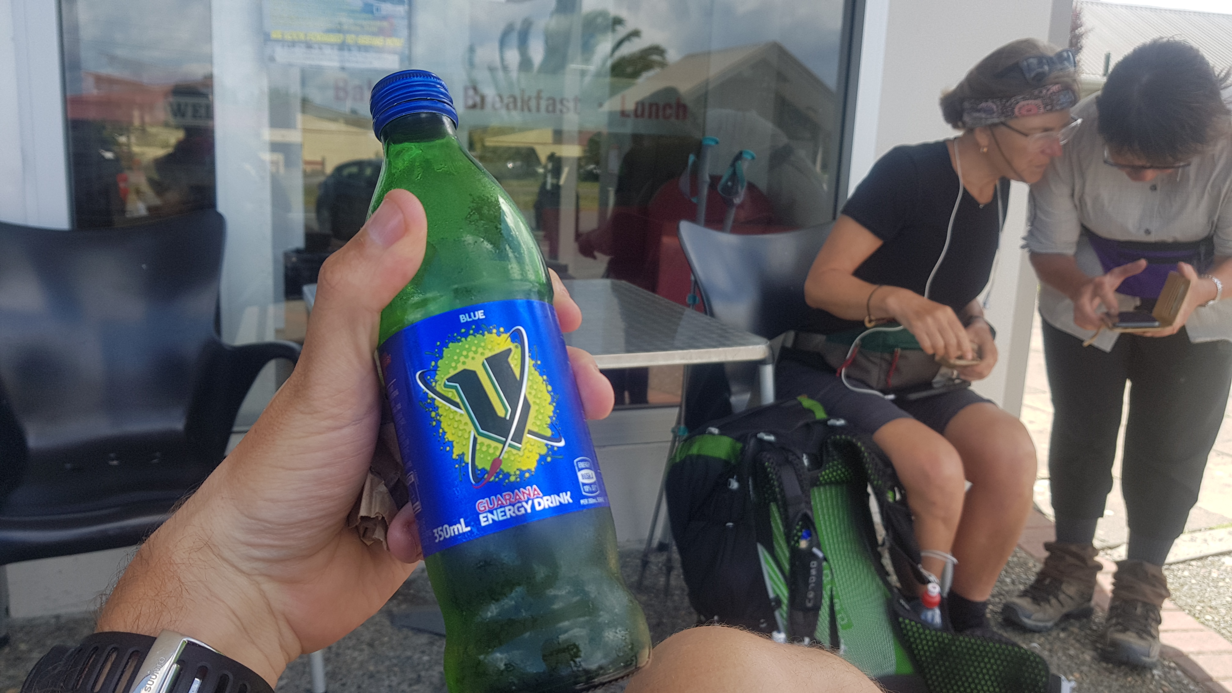
Round 2… with Agneta and Kay in the background. I love blue V but don’t normally drink it because of its high sugar content.
The other two were going to hitchhike to Waipu because I think they were meeting someone. That meant I couldn’t walk with them because I would cramp their hitchhiking style, apparently. I think that’s fair. I wouldn’t pick me up either!! So I left them, and walked down the road a bit to cross the river and rejoin the beach.
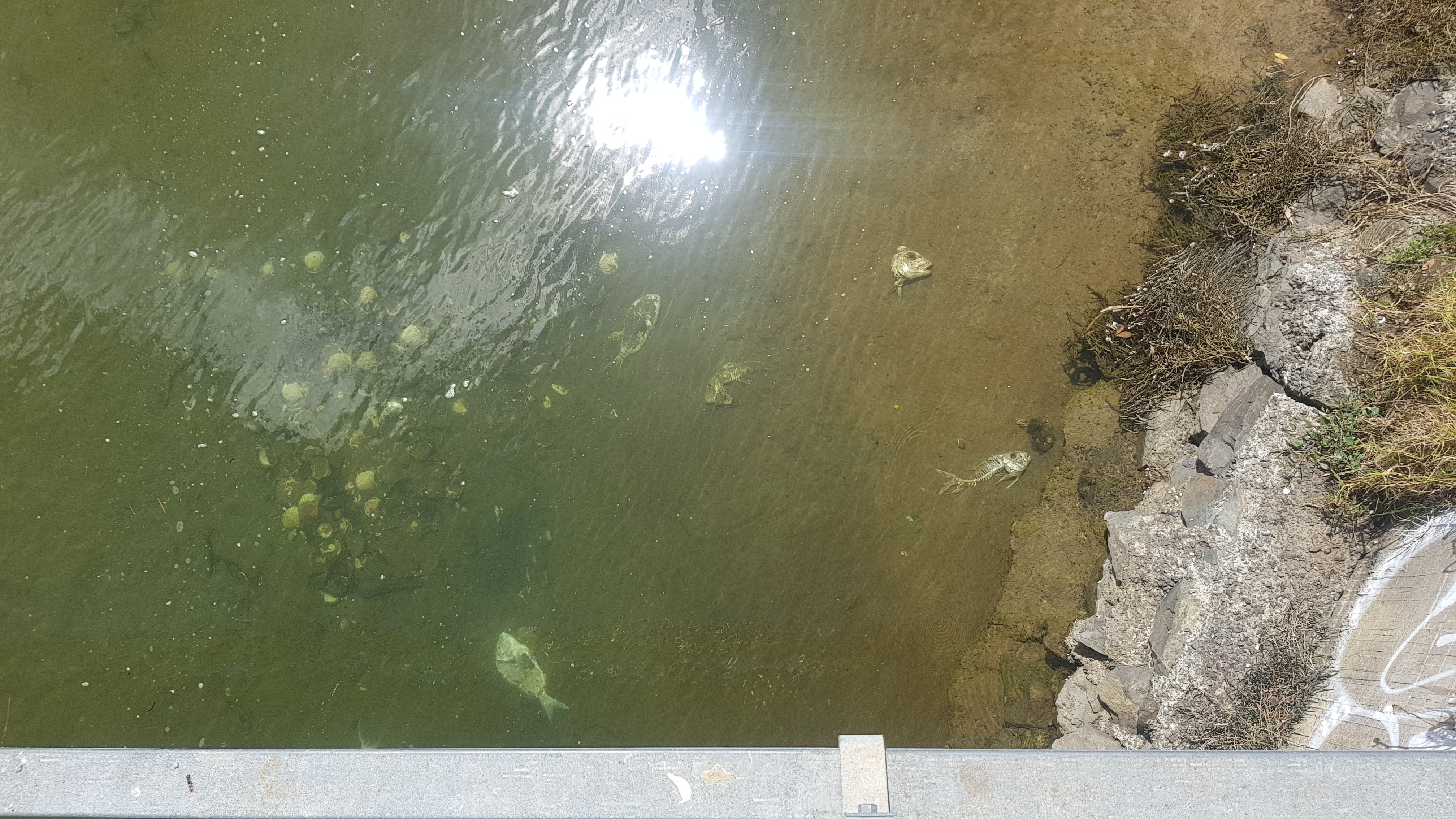
High tide river. Wouldn’t want to try and cross that right now.
There were lots of fish bones in the water. Another reason I am glad I am not walking through here.
Ewwwww
I thought this house in Ruakaka was worth taking a picture of. I can’t decide if I like it or not.
Would you live here??
And as soon as I got onto the beach, I saw this girl who I thought was taking a selfie. But she was actually doing a video chat with someone. Of course I walked right through the middle of it, and waved.
Video chat is going on
And there were more oystercatchers.
And these birds which I don’t know the name of.
What are these?
Down the beach I saw vans with dogs running alongside. I figure this was just a very Kiwi way to get your dogs their daily exercise. I saw the same thing on 90 Mile Beach a few times.
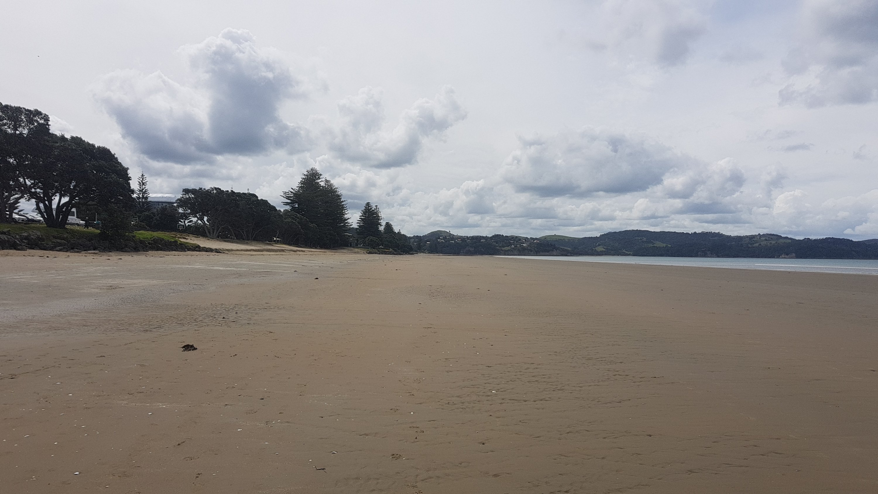
Eventually I got to Uretiti campsite. I was going to try and make it to Waipu but my foot was hurting a bit after yesterday, so I decided to end the walk here for today. I was less than one kilometer short of the 400 mark. Too bad, that will be something to look forward to tomorrow.
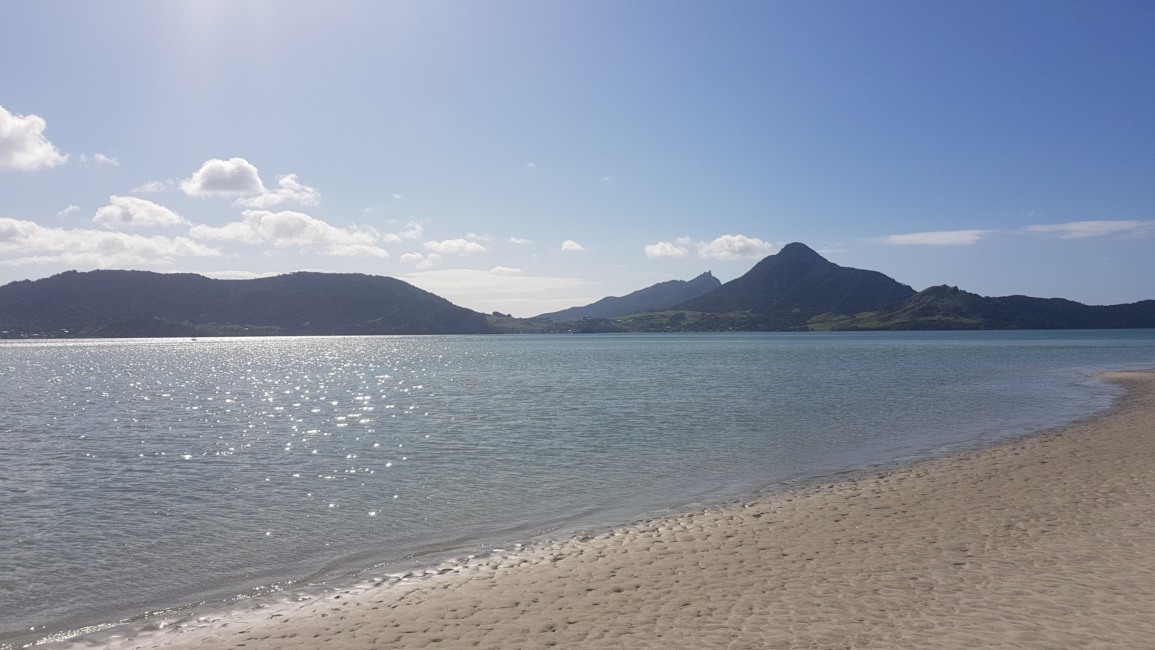
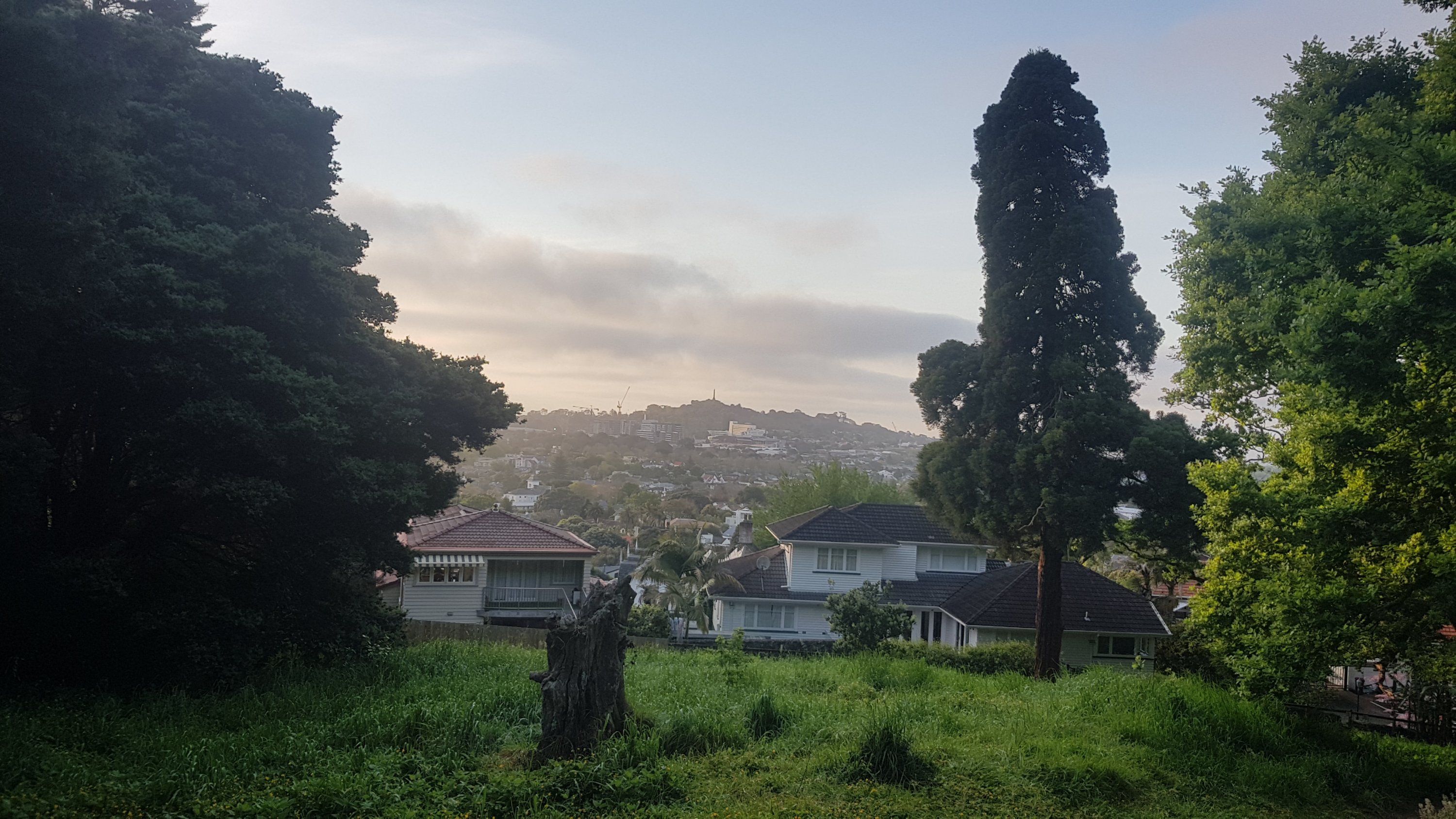
I didn’t actually stay at Uretiti. Someone I used to work with has in-laws who live not too far from Waipu and they kindly offered to pick me up from there and host me for the night. I’m glad I took them up on their offer because they were very kind and welcoming people who took me in and showed off their wonderful hospitality. They had a party in the weekend and so had lots of great food in the fridge also. And from their house I got another view of Bream Head.
View from where I stayed
It was nice to be able to rest my foot a bit and enjoy a wonderful meal and some nice chat. Thank you very much Ginny and Brian.
Date: 22 October
Distance walked: 16.2km
Trail covered: kms 399.1 to 412.2
Weather: variable
Milliliters of beer consumed: 328
Got dropped off by Brian back at Uretiti this morning. It was raining hard while we were driving there but literally as he stopped the ute the rain stopped also. Yet again, the weather gods are being nice to me. I feel like I owe them a sacrifice. When I got dropped off, I turned and saw Brian driving away. It felt like Day 1 where Tania dropped me off and suddenly I was in the middle of nowhere on my own. At least I’m used to that feeling now.
Brian driving away
I crossed through Uretiti campground to get to the beach. The ranger asked me if I was camping because she wanted to make sure I paid my $15 if I was. But I told her I was just cutting through as a shortcut and she smiled and pointed the way to the beach. And as soon as I was on the sand, I saw Jeremy walking down the beach who I walked with a couple of days ago just before the two river crossings. That day he had gone ahead with the river crossings while I waited until the next day… so I was very surprised to see him behind me. He’d done a short day because he too had foot pain. I’m hearing so many stories about foot pain.
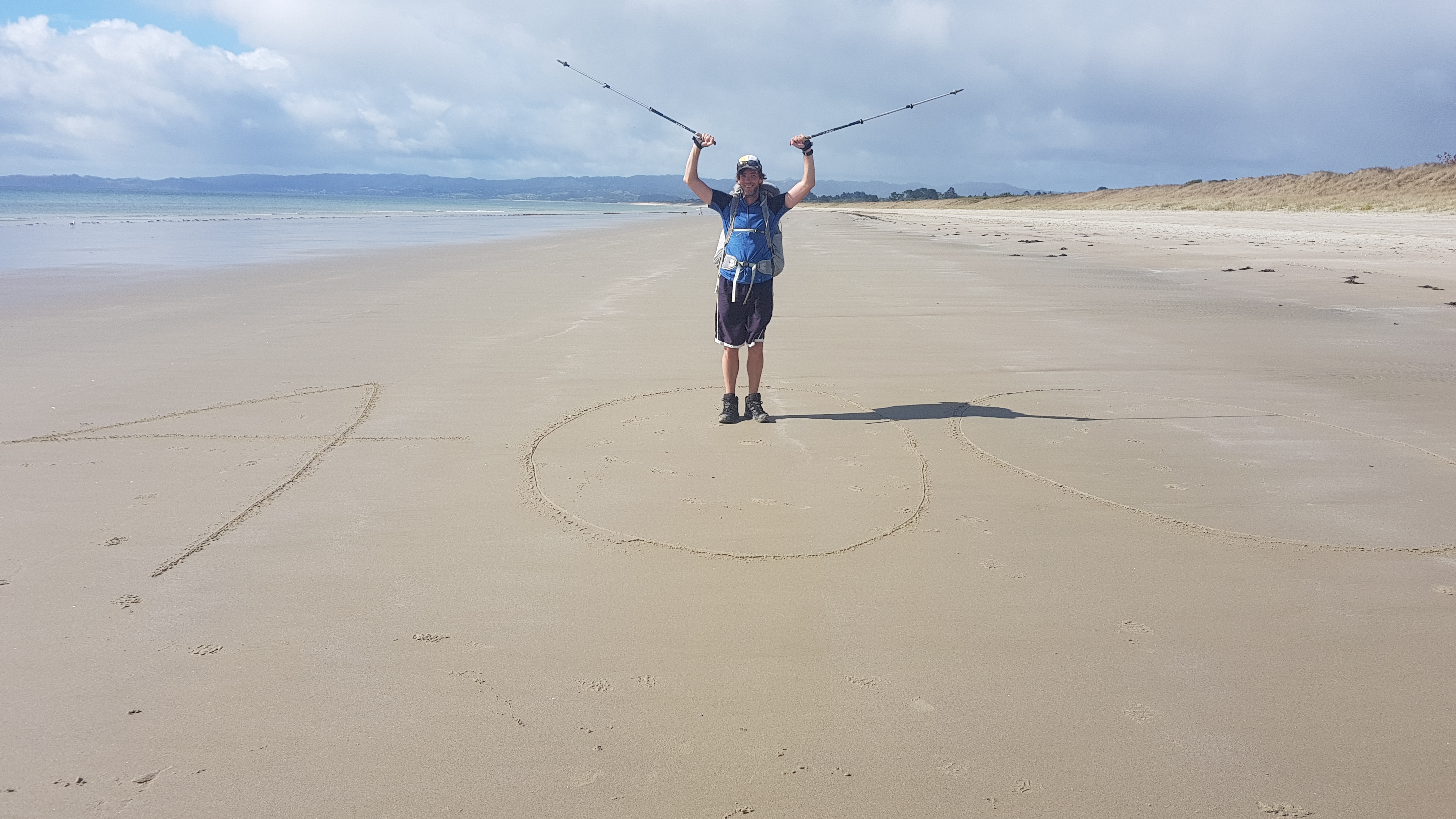
And less than 1km down the beach was the 400km mark. Since I had somebody else with me this time, I could be in the photo!
400km! I love these milestones…
Jeremy said that he got the boat across the water a few hours after we did yesterday, along with Nick and Robert. And he also got accosted by the guy from the Ministry of Silly Walks.
Time to go this way, off the beach and onto the road for most of the rest of the day
It was nice to talk with Jeremy again but I left him at the main road into Waipu where he started hitchhiking.
Jeremy hitchhiking
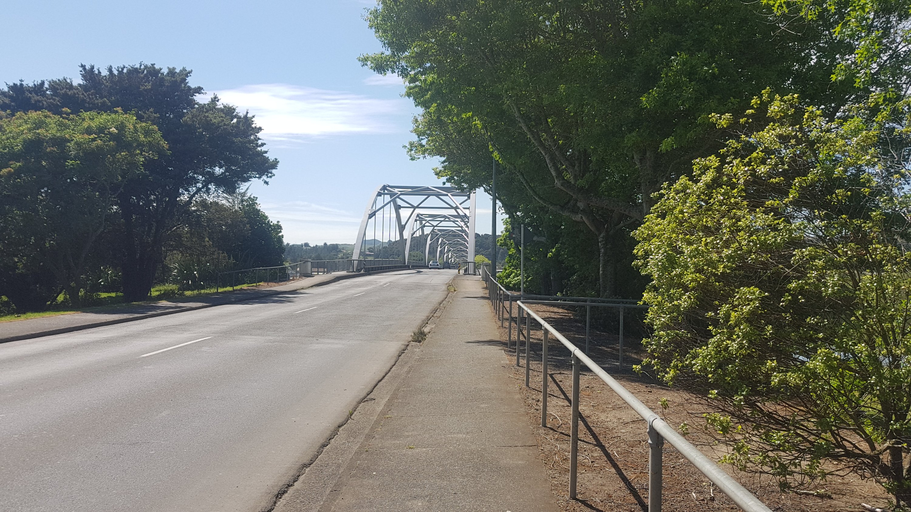
And soon it was 11am. At that point I was at this narrow bridge that I had read about. It’s a typical “built for cars with absolutely no consideration given to pedestrians” bridge. So at 11am I was here at the start of it, waiting for a break in the traffic so I could race across and not die.
11am – This should be a riot
The strategy was to move to whichever side you could see cars coming from better, wait until no cars were coming on that side, then run for your life across the bridge. It wasn’t actually too bad today, a Tuesday morning. If it had’ve been a long weekend, it would have been scary. This is the main road into Waipu and a lot of the upcoming beaches from the north, so it can be very busy. At least after this there was a footpath, which was nice.
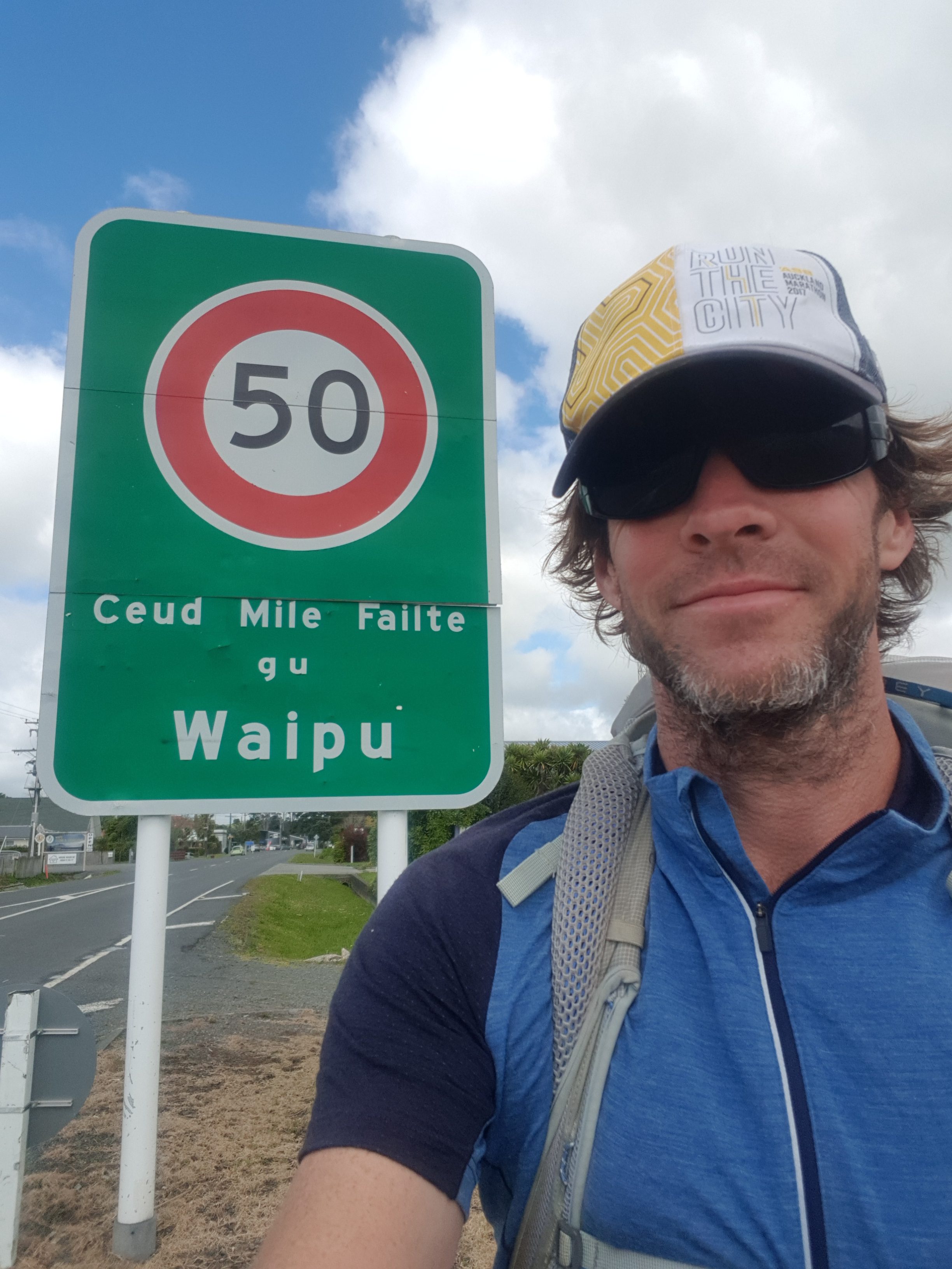
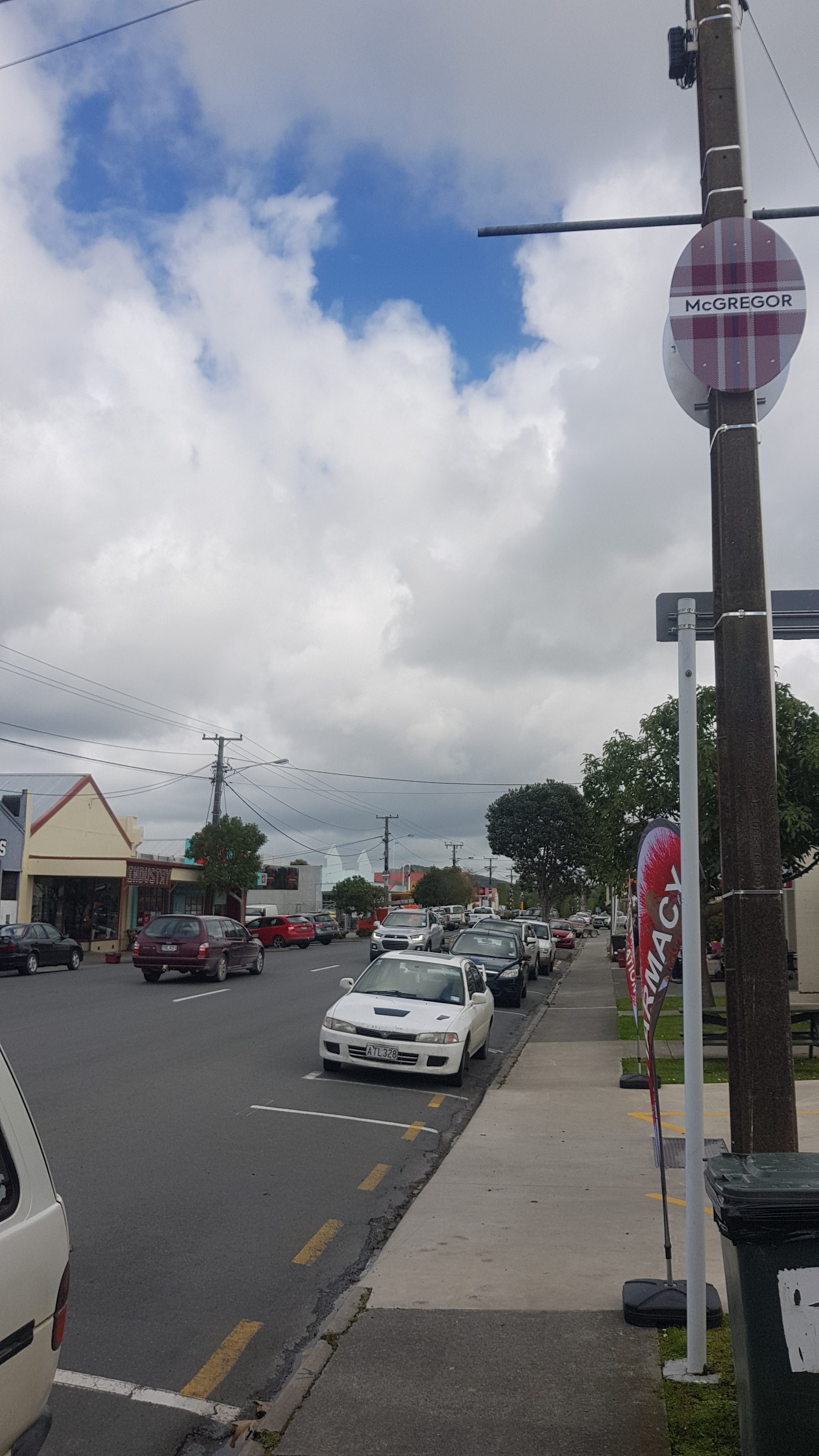
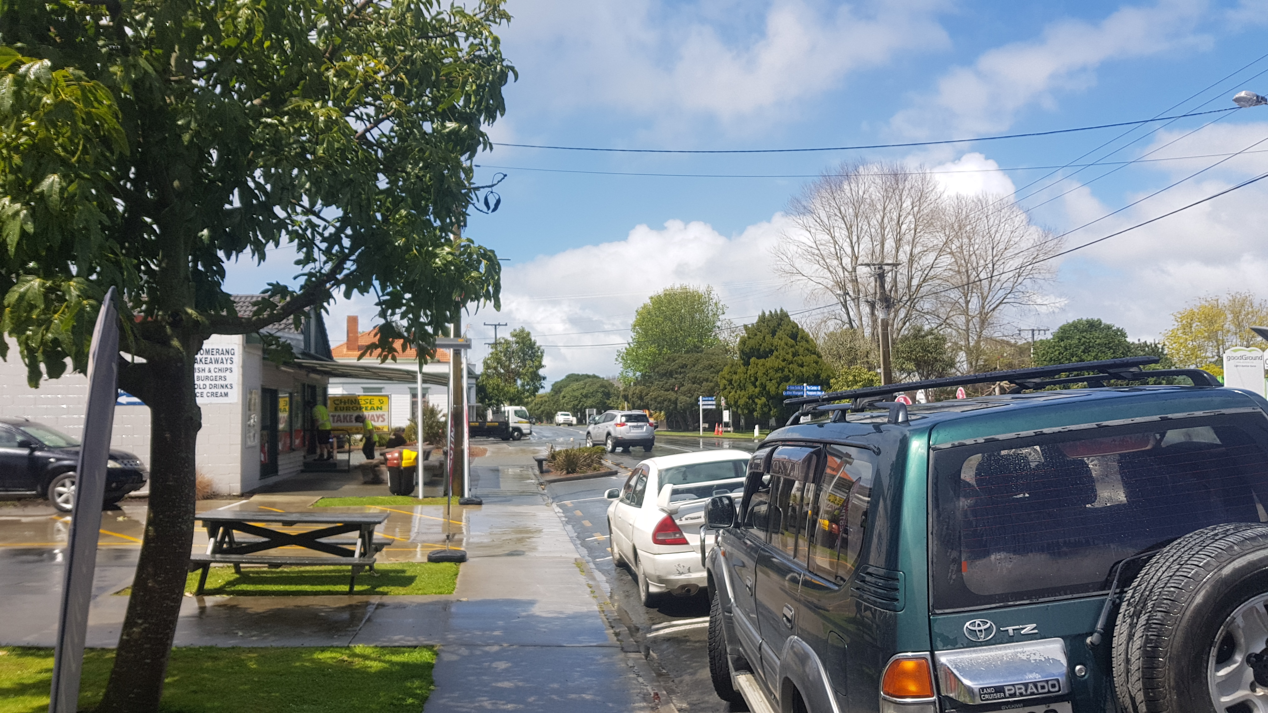
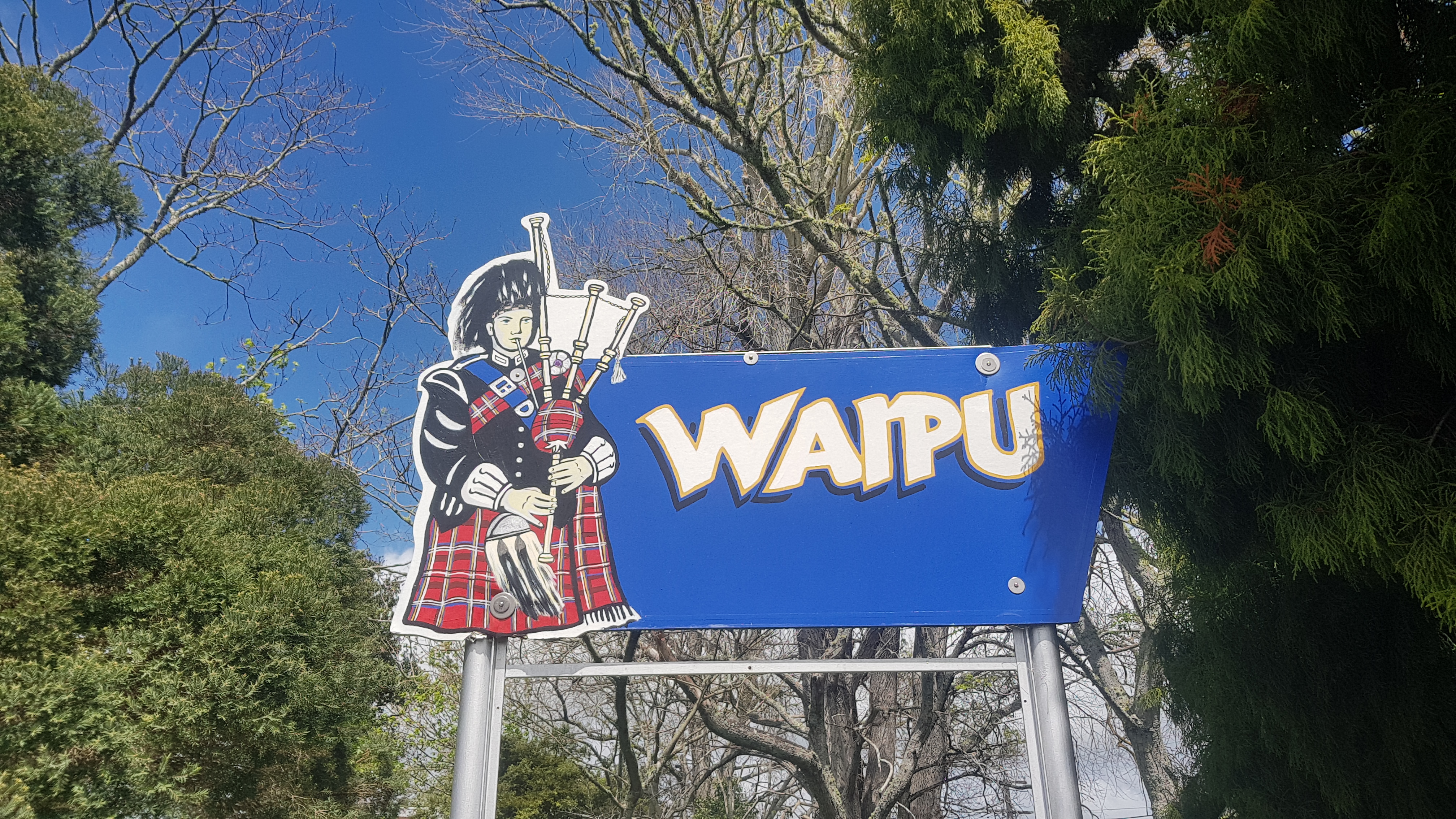
It wasn’t much longer before I got to Waipu. There is a big Scottish influence here.
What what what Waipu??
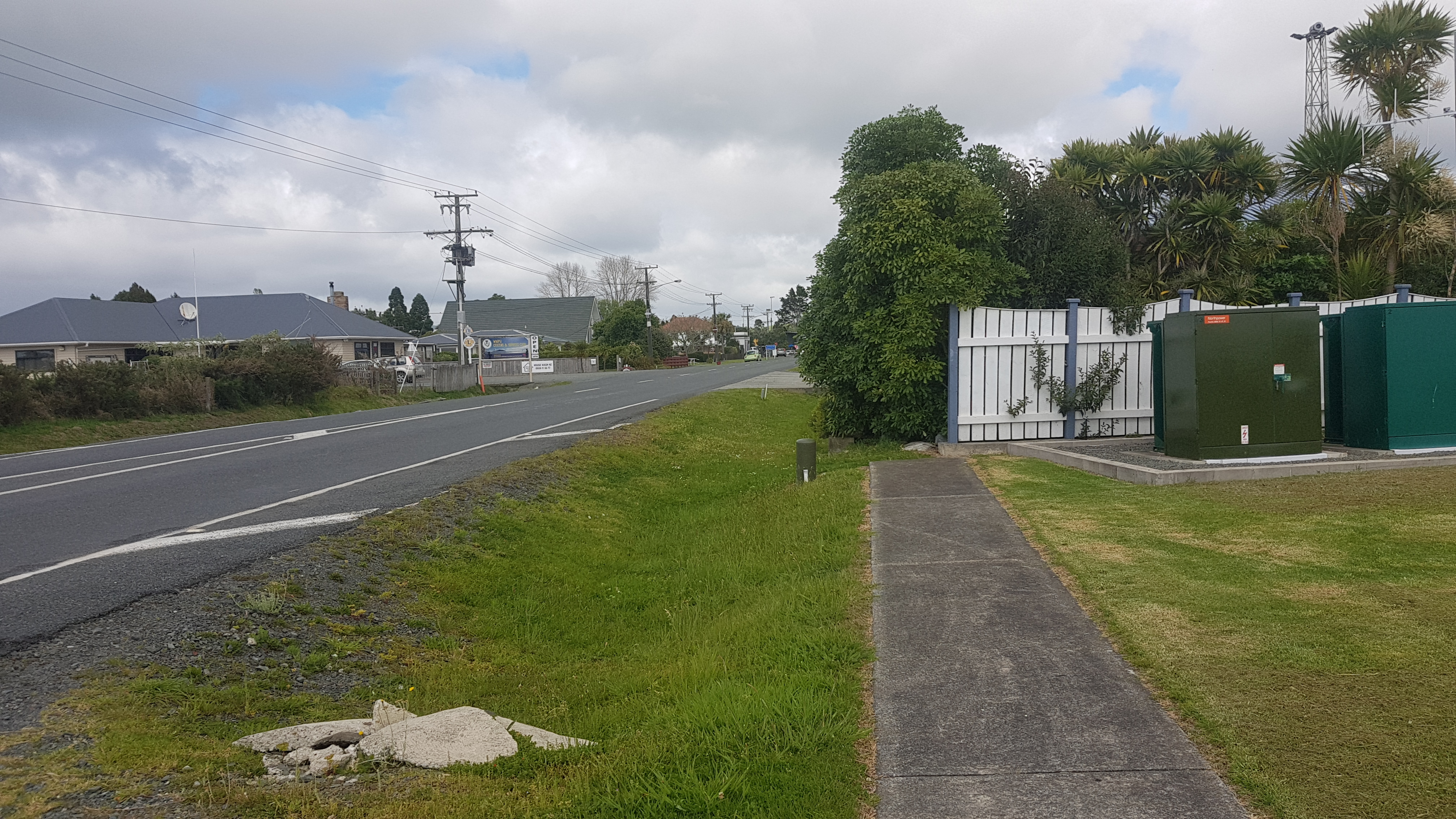
Not long after the entrance to the town, the footpath magically stopped.
Yes, walking into that hedge is exactly what I felt like doing today. How did you know?
I’ve been really surprised at the haphazard footpaths in New Zealand. They seem completely arbitrary and start and stop for no reason. If I were mayor, a footpath on all roads would be compulsory. At least within and near towns.
Never noticed the names of Scottish clans and their tartans before up on the poles
I stopped at the nearby bakery and stuffed my face. And as I was eating, the rain started pouring. Looks like I’ve avoided getting wet again. I am so lucky. I don’t know how I keep doing it.
I’m really starting to think I should buy less junk food.
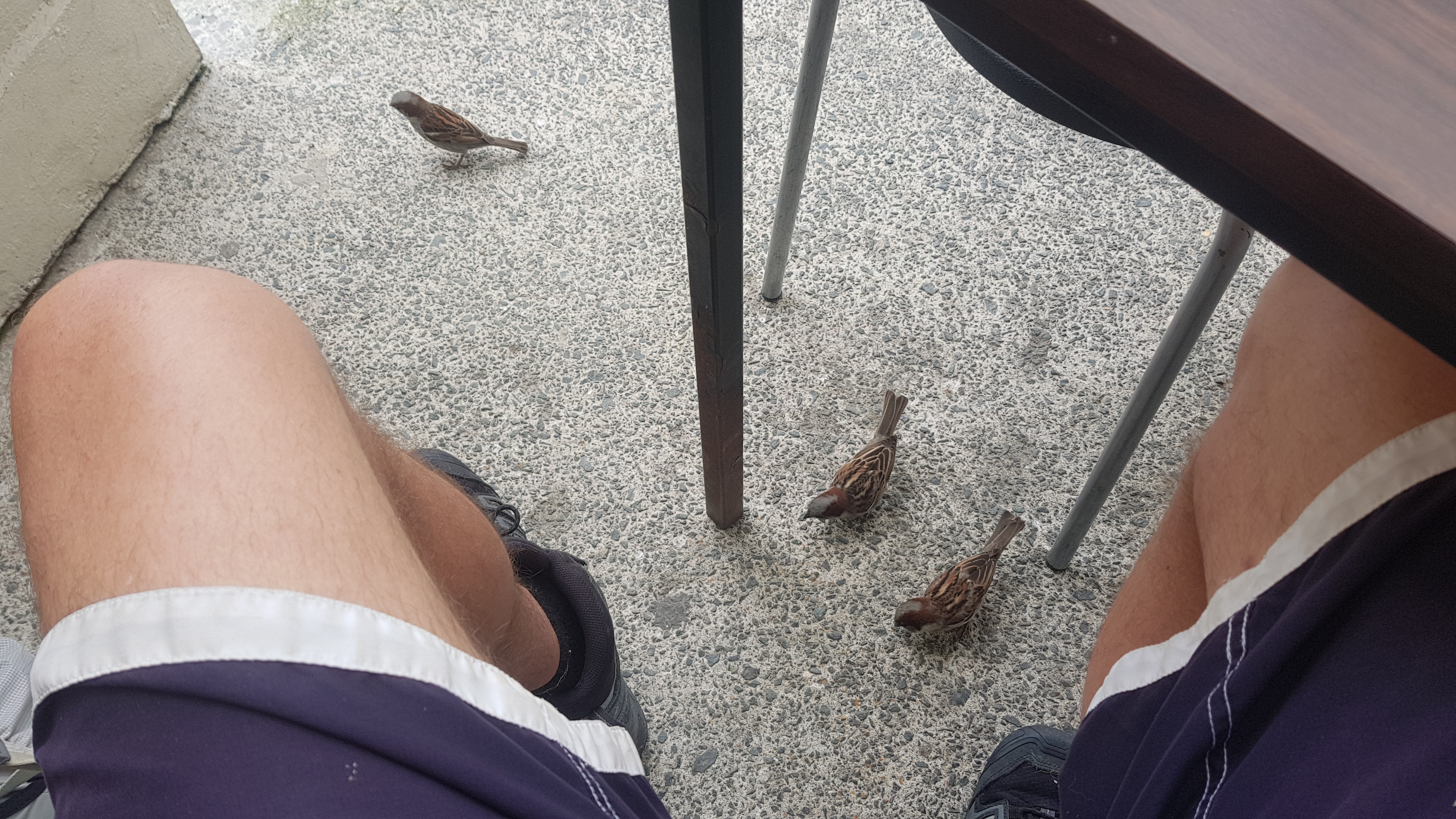
The Waipu birds here don’t mind getting up close and personal when they think you’re going to give them something.
I’m talking about sparrows of course…
After lunch I spent over two hours writing up blog posts while waiting out the rain. Next stop is Waipu Cove, 8km away, and I bet I’m going to get wet at least some point on the 8km. The rain is really start-stop-start-stop today, but when it starts it rains hard.
But right now the rain has cleared. QUICK MAKE A RUN FOR IT!!!!
A pptentially brief period of blue sky
I quickly grabbed my stuff and said goodbye to the Scottish bagpipe player and headed out of town.
I really don’t have a good answer to this question.
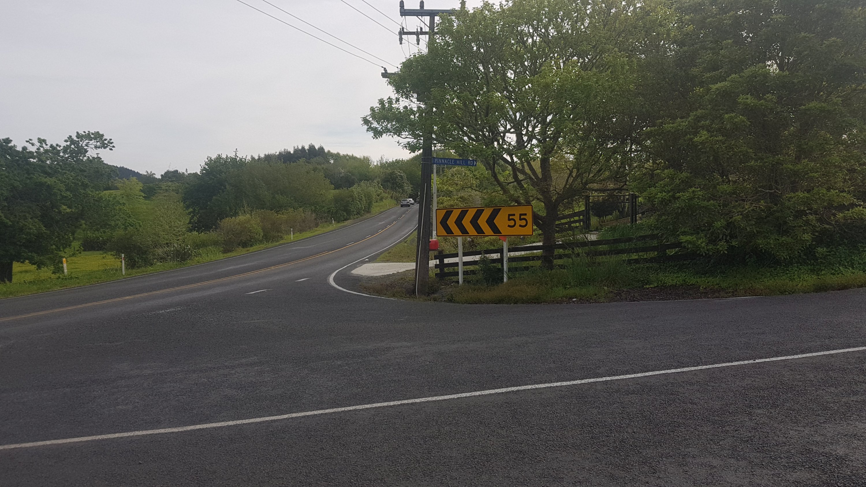
I wasn’t looking forward to walking on the road. From memory having driven on this road, it’s narrow and fairly windy like other roads I’ve walked on, but quite a but busier. So I was pleasantly surprised there was a pedestrian walkway to the left of this narrow bridge just east of Waipu.
Glad I don’t have to run the gauntlet across this bridge
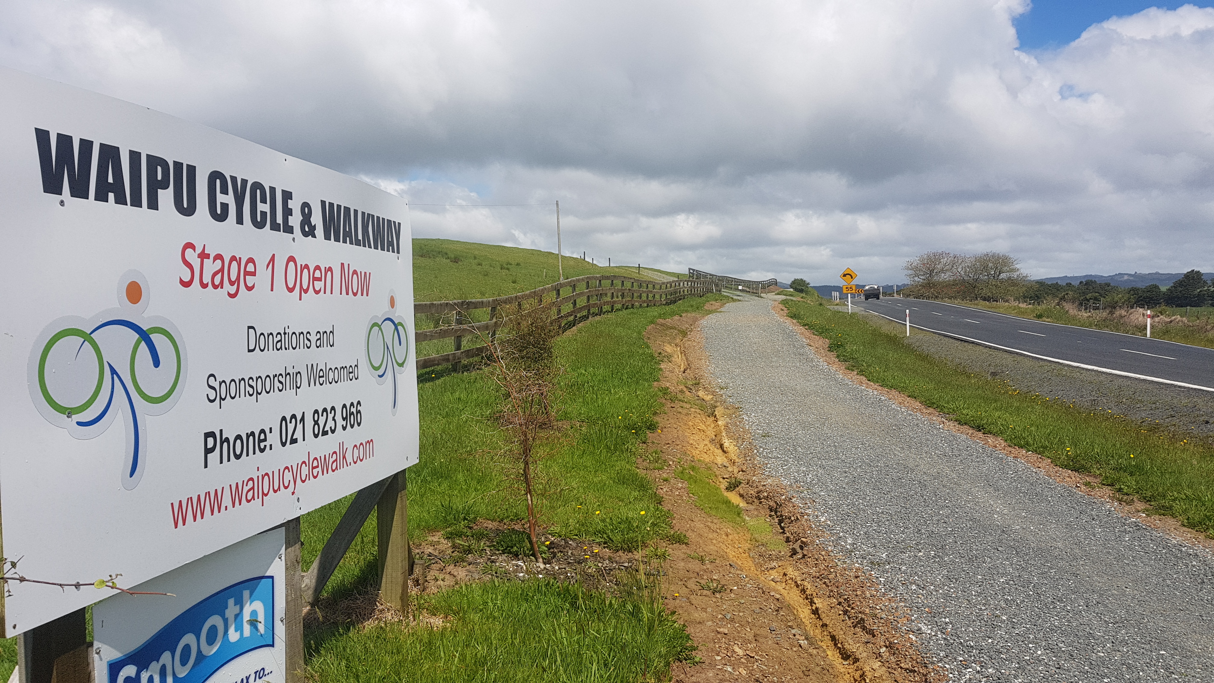
And then that turned into a fully-fledged cycle trail.
Waipu cycle way, but only a very small portion of it is built
However of course, the nice cycle trail lasted only 20 minutes or so, then it was back to narrow road walking and moving to the side and waiting for cars to pass.
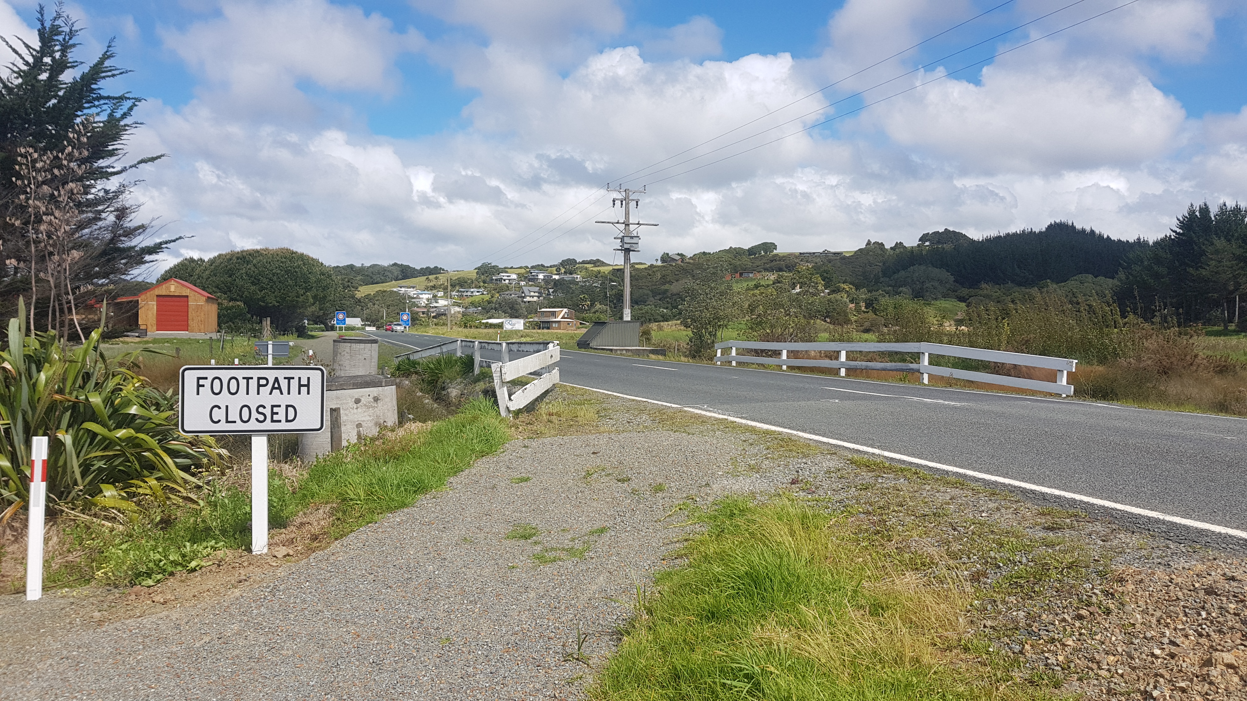
And, more silly footpaths that go nowhere.
This sign lies. The footpath can’t be closed if it doesn’t exist at all.
I didn’t stay completely dry. There was a little bit of rain, enough to make me stop and put my rain jacket and pack cover on, but not enough to get too wet. Given how much it actually rained in total today, I consider that a success.
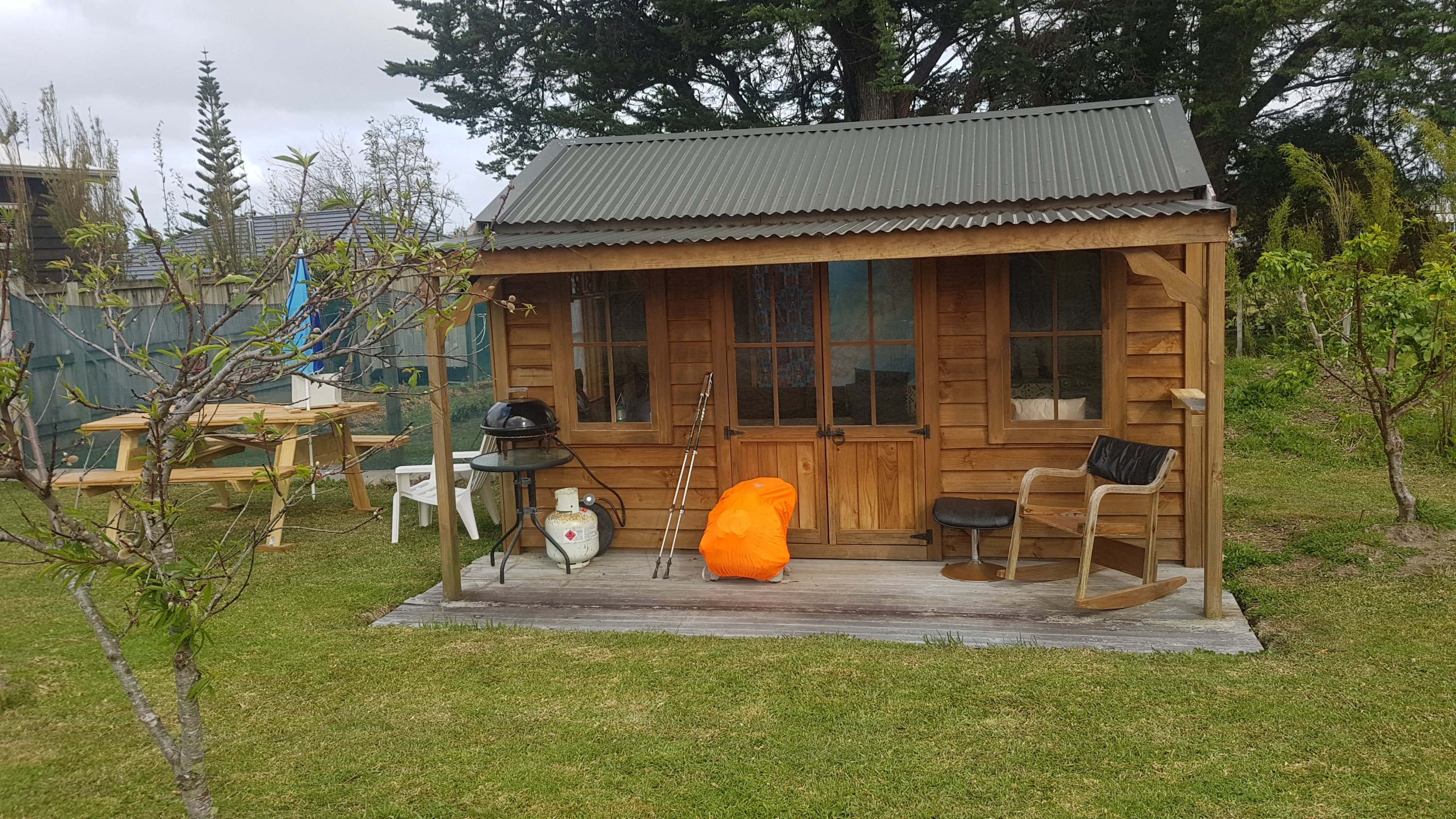
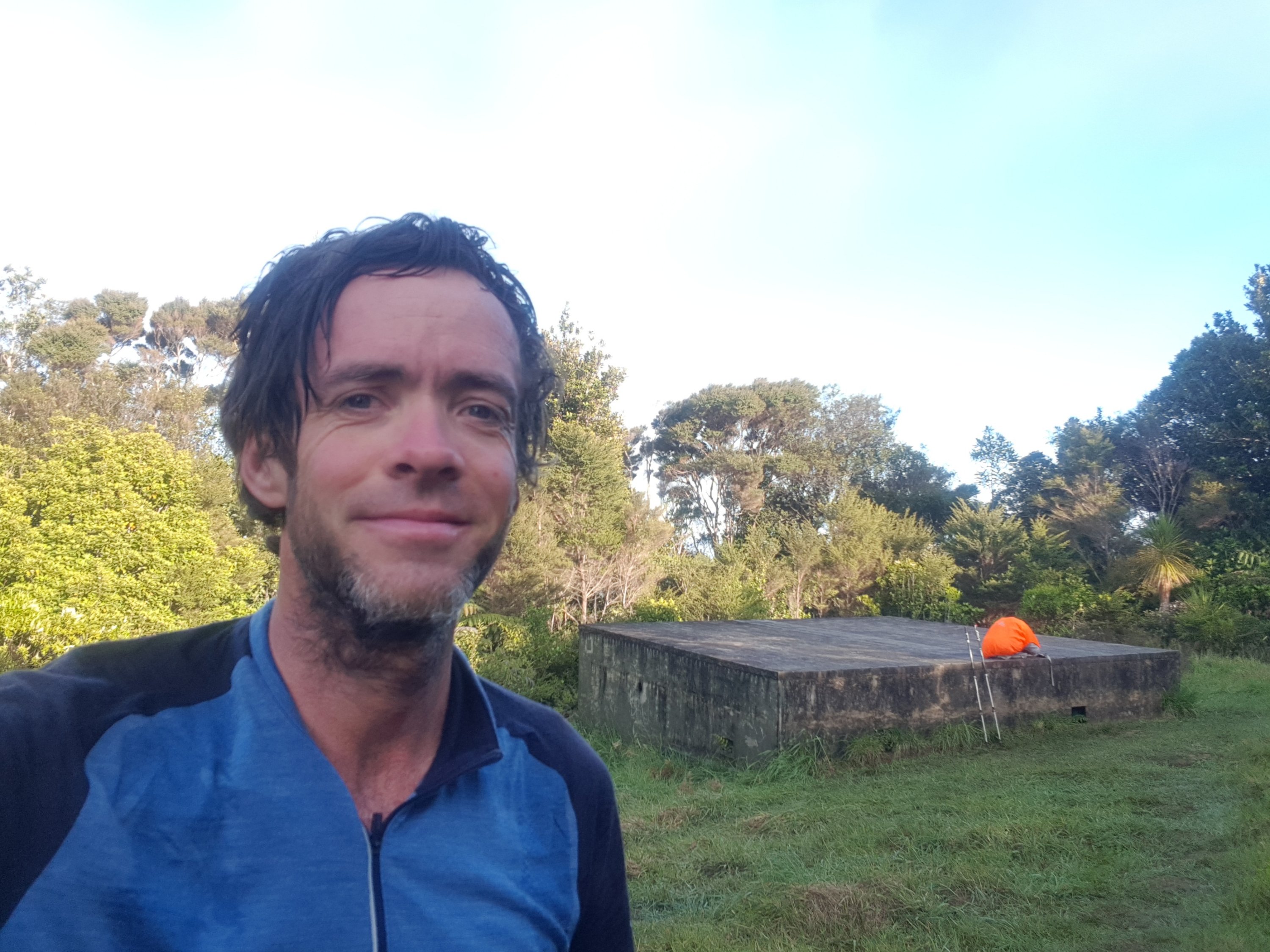
Got to Camp Waipu Cove eventually. It’s a bit off the trail but my foot is hurting a fair bit now.
Tonight’s accommodation
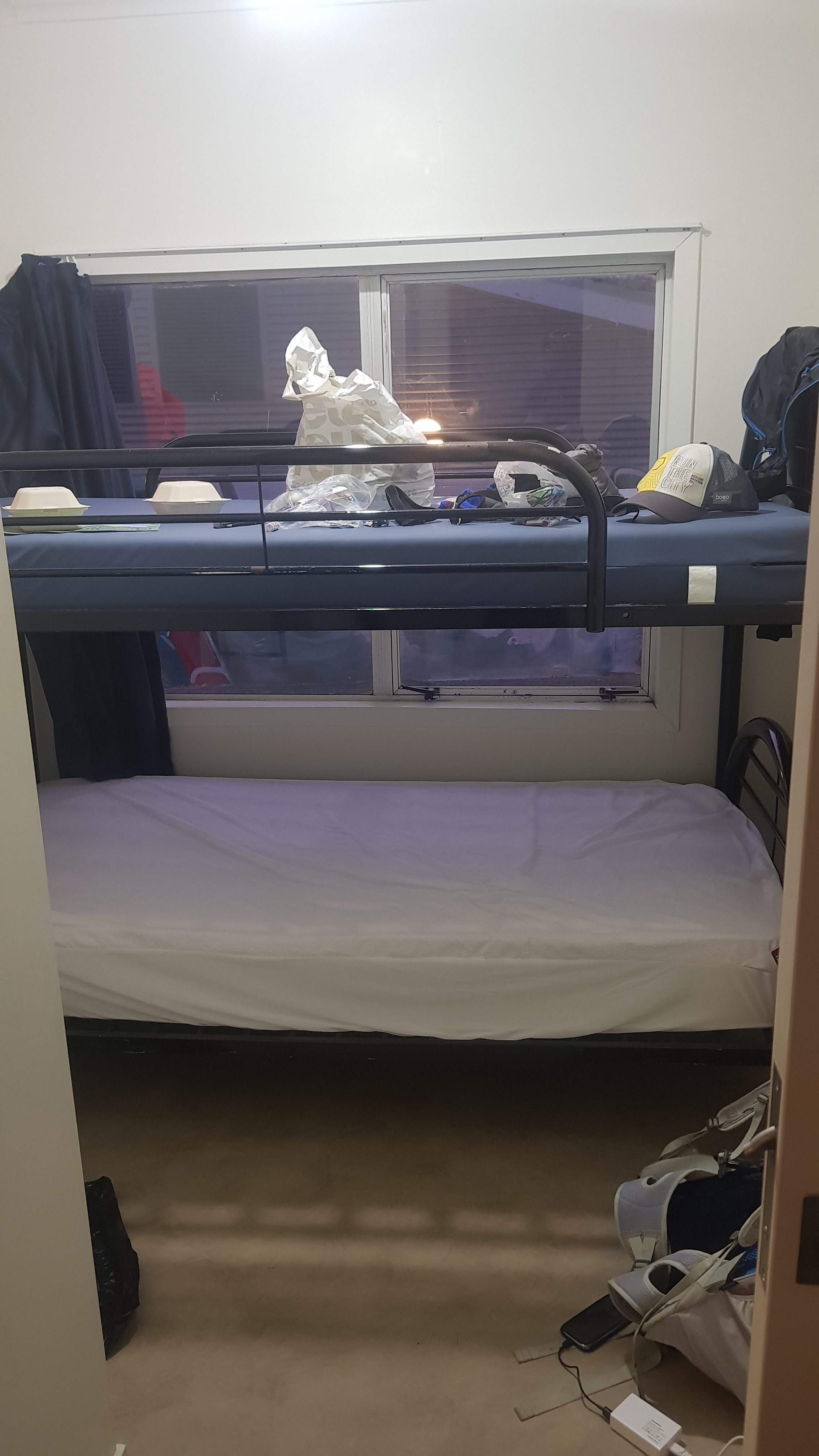
I checked into something called the “surf club bunk house”. It’s a little building which has four rooms, and each room has one or two bunk beds (two or four beds). Given that the actual surf club is right next door, I guess that this is where the off-duty lifeguards stay in the summer when the club is manned. The room is very basic, but I have it to myself and I should be protected from the high winds and stormy weather scheduled for tomorrow.
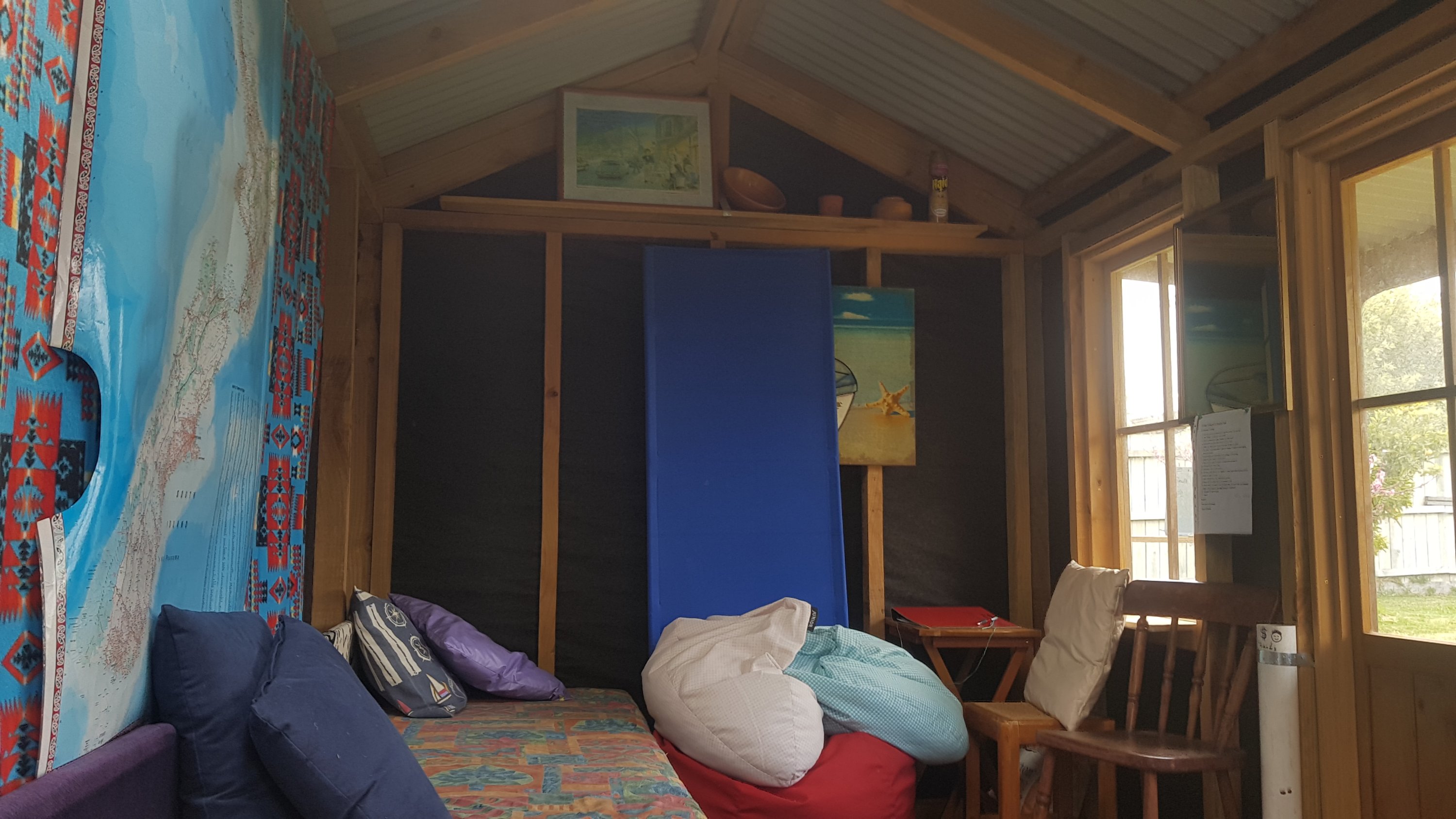
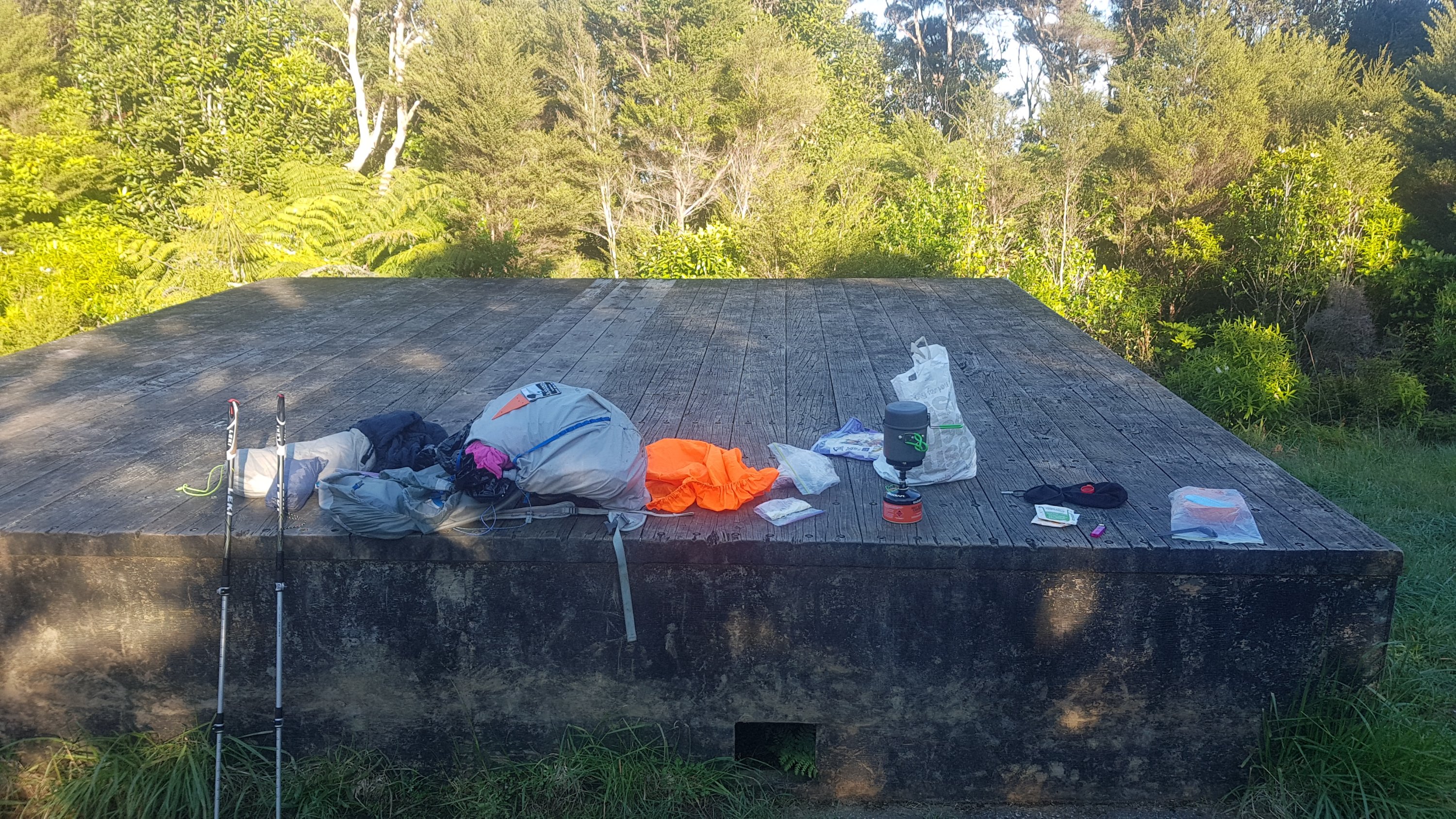
My room
As well as the four rooms it has this miniscule common area. A two-seater couch for a building sleeping 10 or 12. Not very luxurious.
Bunk house common area
And wouldn’t you know it… Nick and Robert were here too! And Ralf nearby in a private cabin, and Frederick in his tent. Now we have all the crocs together.
Crocs party
But, shock horror, Nick’s and Robert’s crocs arent genuine crocs! I only just worked that out! Theirs are cheap knockoffs, they said. Although they work just as well apparently, and in fact they’re lighter than my genuine crocs, so I can’t really blame them for choosing those.
Ralf and I went to have dinner at The Cove Cafe, and a drink as well. I love my stout beer and they had two to choose from which is rare.
Then I grabbed a cronut for dessert, as they were recommended to me by someone on Facebook.
More junk food
Now for bad news again. My foot hurts again, quite a bit. I’ve booked in for two days at this campground so I will have a least one rest day. It hurts quite a bit less than last time when I had a week off, and a different part of the foot hurts this time, so hopefully these are good things. But it means I need to take it easy for a bit. You would think I would have learned the first time.
All the others are moving on tomorrow. Maybe some other hikers will show up. If not, then with the bad weather and the crappy phone reception, I could be in for a boring day…
On my first rest day I slept in as late as I could, which wasn’t really that late since I needed to pee and the toilet block is a decent walk from my room. Nick and Robert had of course left already. My foot was still quite sore… damn.
So I spent a few hours watching TV shows that I had copied onto my phone before I started the trail. The phone reception on Skinny/Spark isn’t good enough to stream videos and the reception on 2Degrees was usually zero so I didn’t have a lot of choice.
It wasnt long though until there was a knock at the door – it was Ralf. I immediately thought “uh oh” – Ralf was supposed to have left. He told me that he’d walked a fair distance up the hill, about 6 or 7km, then walked back to the camp because his calf muscle is really hurting. He is going to take the bus to Orewa tomorrow. Poor guy, I definitely know how frustrating it is to want to continue but not be able to.
At least I had a bit of company. Ralf said that out of the 11 people he keeps in contact with, only 2 have no injuries. That is a low number.
Later on in the day I was browsing Instagram and I saw that a guy by the name of Eirik had hiked into the camp. I contacted him and with Ralf the three of us went to have dinner at The Cove Cafe again, as it is the only place around. He is from a place 400km above the Arctic Circle in Norway. Sounds cold and dark.
Ralf, Eirik and me, having a fancy dinner at The Cove Cafe – well it seemed fancy to me!
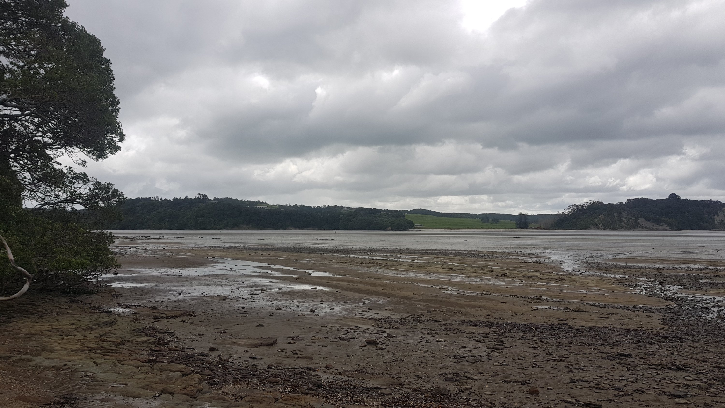
The next morning my foot was a bit better but I could definitely feel some pain still so I decided to take another rest day. It was still windy so didn’t spend much time on the beach. However I did go for a small walk to the top of the little hill opposite the cafe and had a look down the beach. It did make me wonder, how come there was so much road walking to Waipu Cove when the beach here seems to go on forever?
Waipu Cove Beach, as far as the eye can see
But, like I said to Jeremy while I was walking with him the other day, I trust in “The Creators” – being the people who designed the trail route. I’m sure they have investigated every option to get the trail off the road where possible. Jeremy said at the time he didn’t have as much trust in The Creators as I did.
I spent a bit of time writing down in sequential order all the possible places to camp between here and Auckland. I felt this was necessary because starting tomorrow evening is Labour Weekend, the last major public holiday and three-day weekend in New Zealand before Christmas. Everywhere is likely to be booked, except I would say the holiday parks would still have tent sites. The good news is that between here in Waipu Cove and Auckland, the places to stay are the Holiday Parks at Mangawhai Heads, Mangawhai and Pakiri, and then there are places to camp in the various forests after that. So it seems that places being full won’t affect me over this long weekend… hopefully. And by the time I get to Puhoi, where I will need to rent a kayak, the long weekend should be over and they should have kayaks available.
On rest day 1 I had the Bunk House to myself as nobody replaced Nick and Robert once they left the camp and continued their walk yesterday. But on rest day 2, when I asked at reception to stay another day, I had to move from Room 3 to Room 2 because some people who are starting their long weekend early had booked that room.
Thankfully those people never showed up until 9:45pm so I could rest by myself most of the day. I didnt see or learn about any other hikers staying. I had some takeaways from the dairy and then slept relatively early.
I plan to continue tomorrow no matter what. If it hurts too much, then I’ll go back and rest in Auckland at my house until I recover as honestly these enforced rest days are getting annoying. Hopefully it doesn’t hurt and I can continue on as normal.
Date: 25 October
Distance walked: 28.7km
Trail covered: kms 412.2 to 440.4
Weather: overcast
Butts in the mud: 1
Today was really an emotional rollercoaster.
It started off well. I realised I could walk without any pain, at least for now. I went to the Waipu Cove dairy to get coffee, because the Cove Cafe didn’t open until 9 and I was there at 8:20am. The coffee from the dairy was not as good as the coffee from the cafe but that was to be expected, and it was passable.
Even though the ultimate goal today was Mangawhai Heads, a relatively large town, I still had to carry a full load of water because with my foot hurting as recently as last night, I wasn’t sure if I’d actually make it there. Just in case I was in for a night in the forest, I had to stock up on water. The Guthook app showed no water sources available between Waipu Cove and the possible camping spots so I took over 2 litres with me.
I returned the key and went north to rejoin the trail where it continued up Cullen Road. It was a 275 elevation change uphill but because it was over a long distance, it seemed easy.
After 6km, where I felt like I was largely at the top of the hill, I was happy because my feet didn’t hurt. The two rest days must have done what I’d hoped they’d do.
For lovin’, turn to the right
But then suddenly, at 6.5k in, I got sudden pain in my other foot. Not my right foot, which is the one that I’ve been resting for the last 2 rest days and the 7 rest days that I had the week before… this time it was the left foot. It hurt so much I could barely walk.
HOW THE HELL IS THIS POSSIBLE???? 😡😡😡😡😡😡😡😡
I have literally just rested two and a half days. I have never had any pain from this foot since the swelling I encountered after 90 Mile Beach on Day 4. This makes absolutely no sense.
Where my left foot started hurting
I sat down where this happened but it was very exposed and windy and unpleasant. So I hobbled down a further two kilometers into the bush, which seemed to take forever.
Apparently Auckland buses stop here, so I could have taken a bus instead. Seems unlikely.
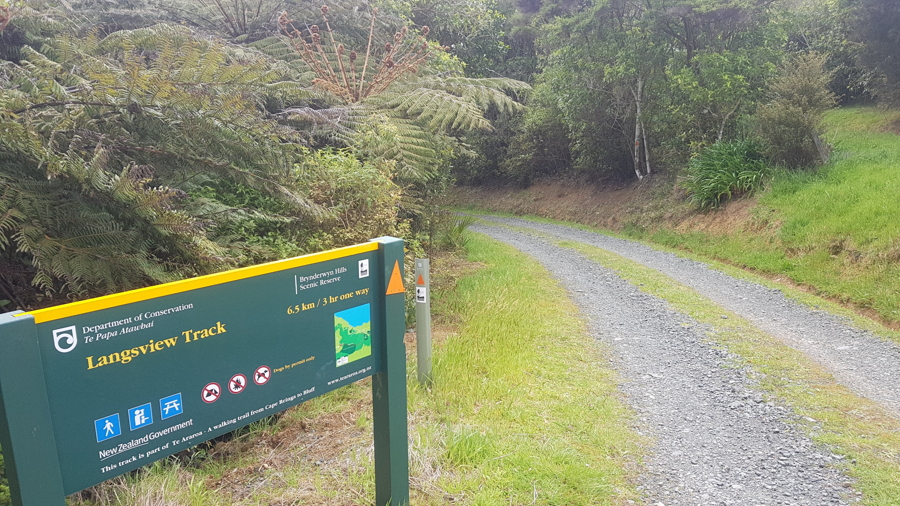
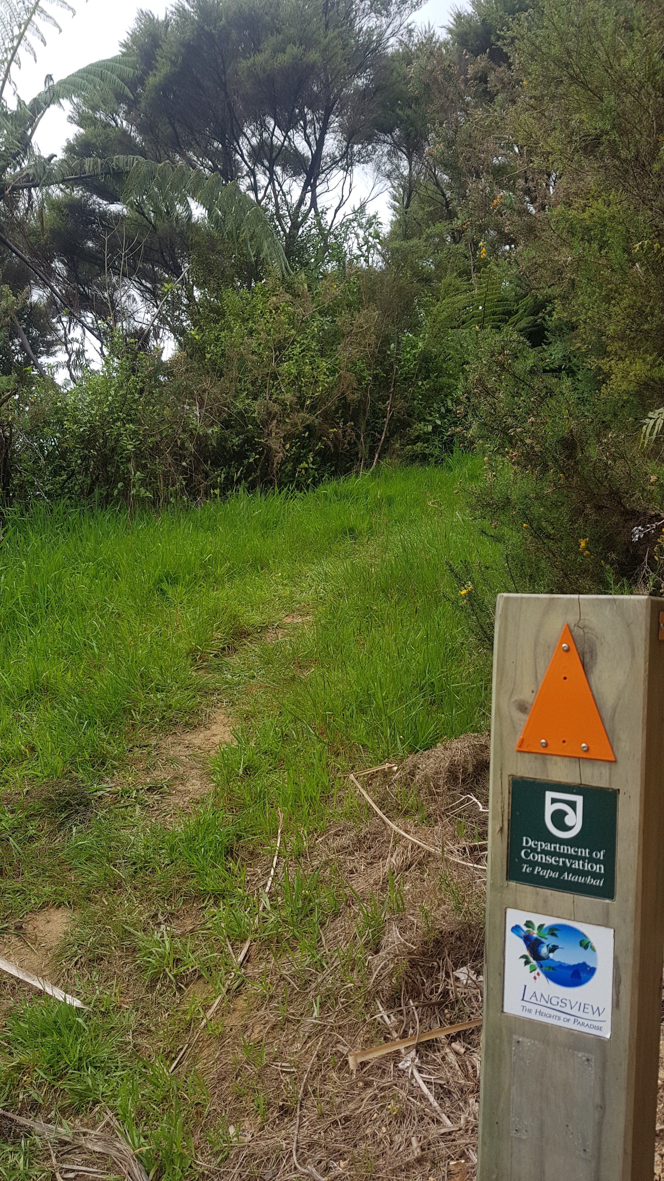
The first part of the walk was called Langsview Track.
Langsview Track info
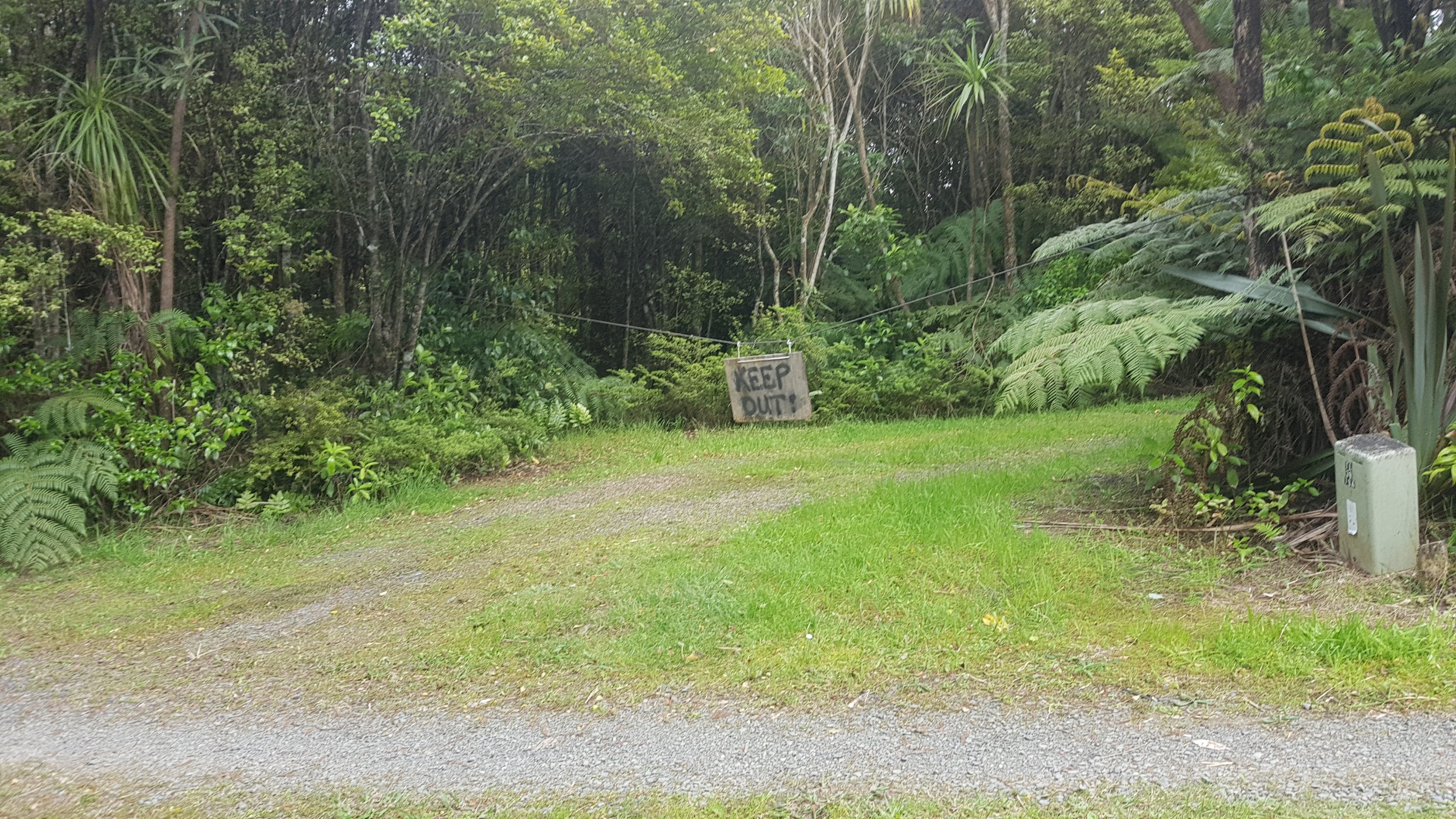
Passed a lot of private property.
Keep out!
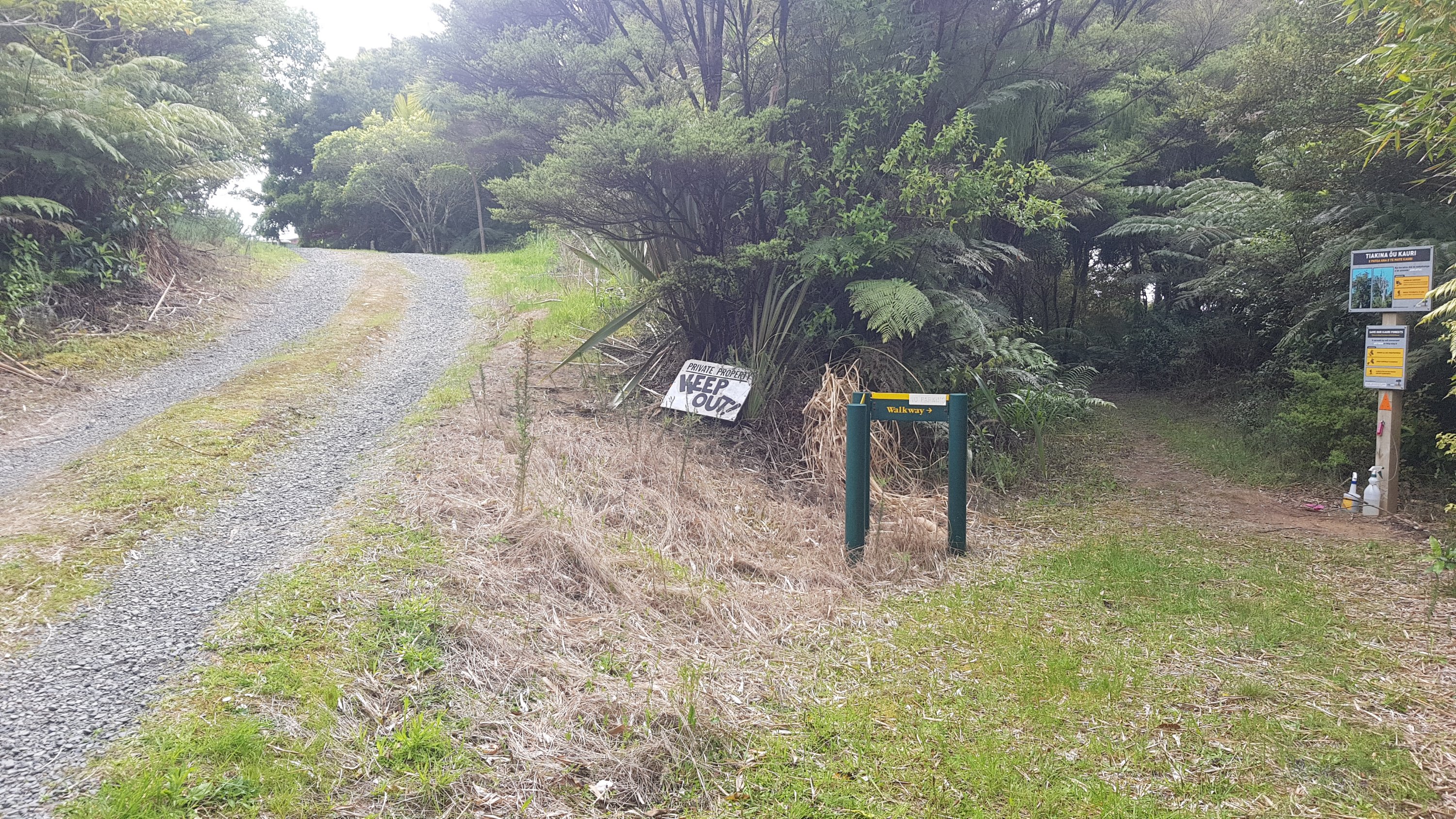
And a lot of keep out signs.
Make sure you head to the right
And not long after that, probably two minutes into the bush, is where I fell flat on my butt. The first time that I’ve fallen properly. That really did not help my mood. I think I fell because 1, I was in a bad mood anyway and 2, I forgot to take the rubber tips off my walking poles once I came off the road and therefore on the slippery dirt I had less support and grip than usual.
So with my left foot in a lot of pain and having just fell on my butt, I nearly broke down and started crying.
The point where I fell
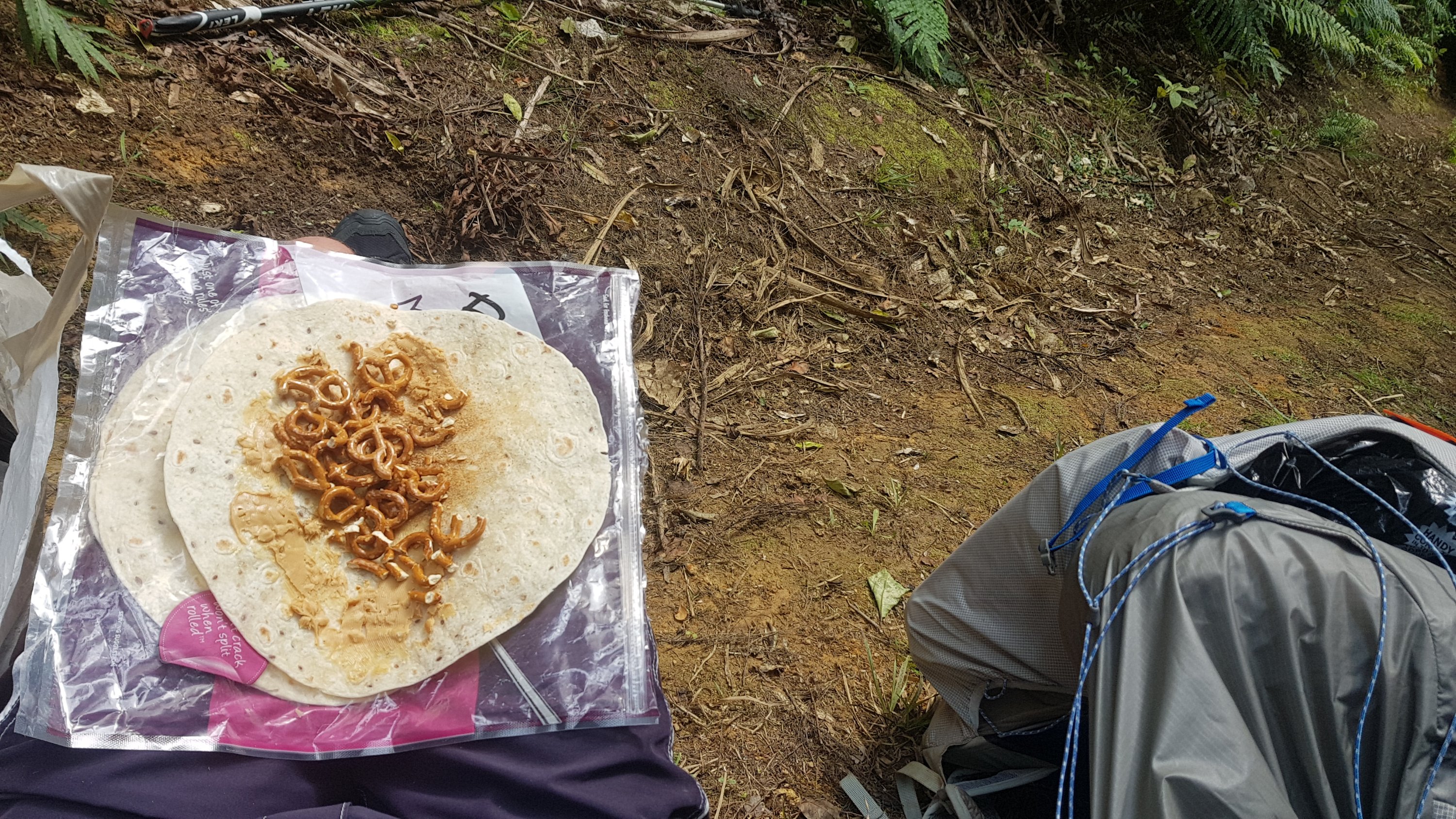
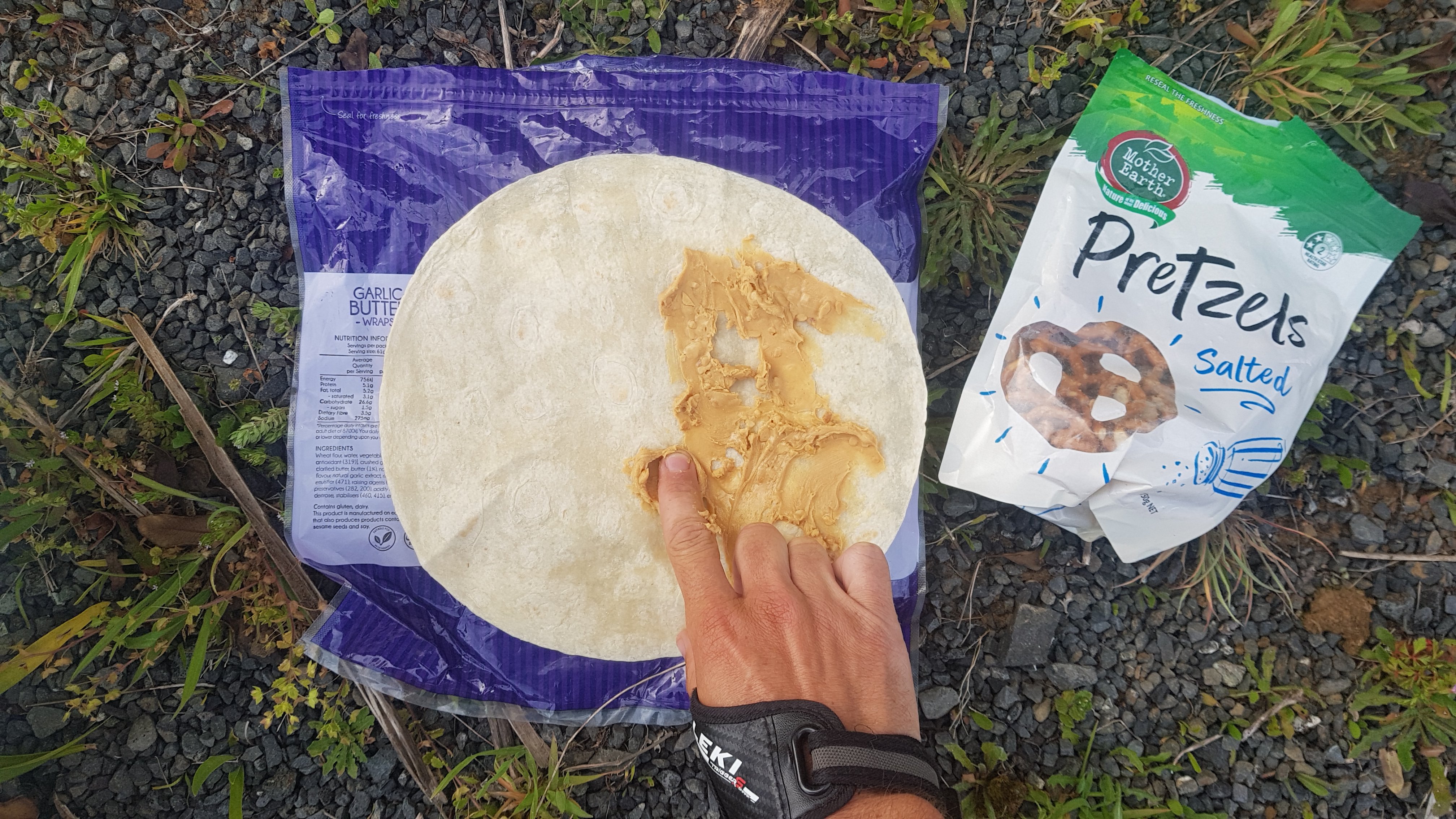
Fortunately I didn’t cry… I just sat exactly where I fell and had some food and rested. 11am passed during this time and so my 11am picture is the wrap I made for myself at this point. I’ve run out of pretzles now. Must get some more at Mangawhai Heads Four Square – if I make it that far and don’t die here in the forest on a track that is graded “easy”.
11am picture – my favourite wrap
After sitting here for 45 minutes, I got up and was happy to find my left foot was no longer sore. Just one of those things I guess. The universe trying to even things out? Or just tell me to go slow, perhaps? Who knows. But I did go slow from here on despite being an easy track.
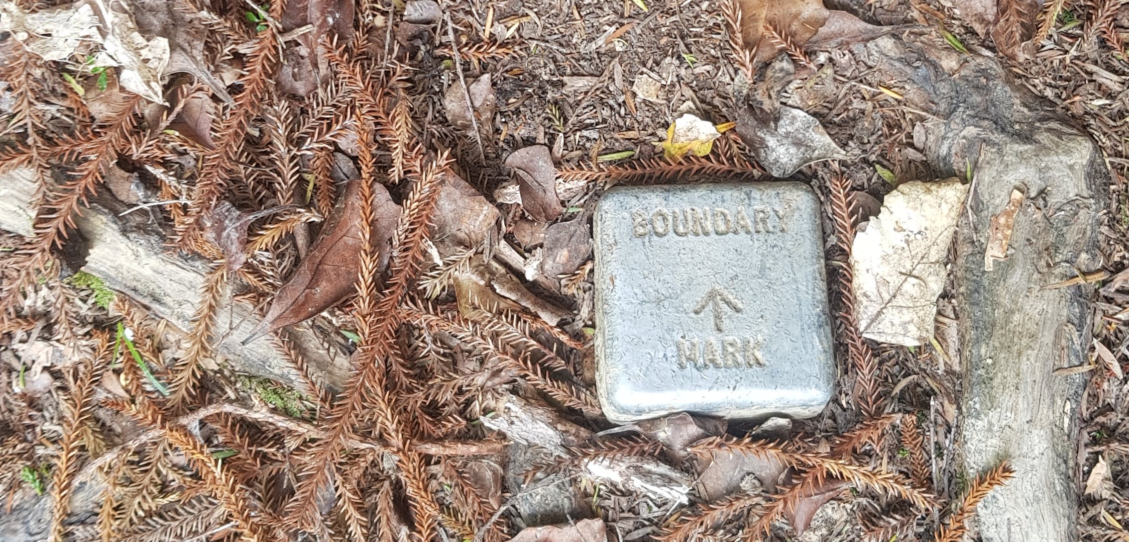
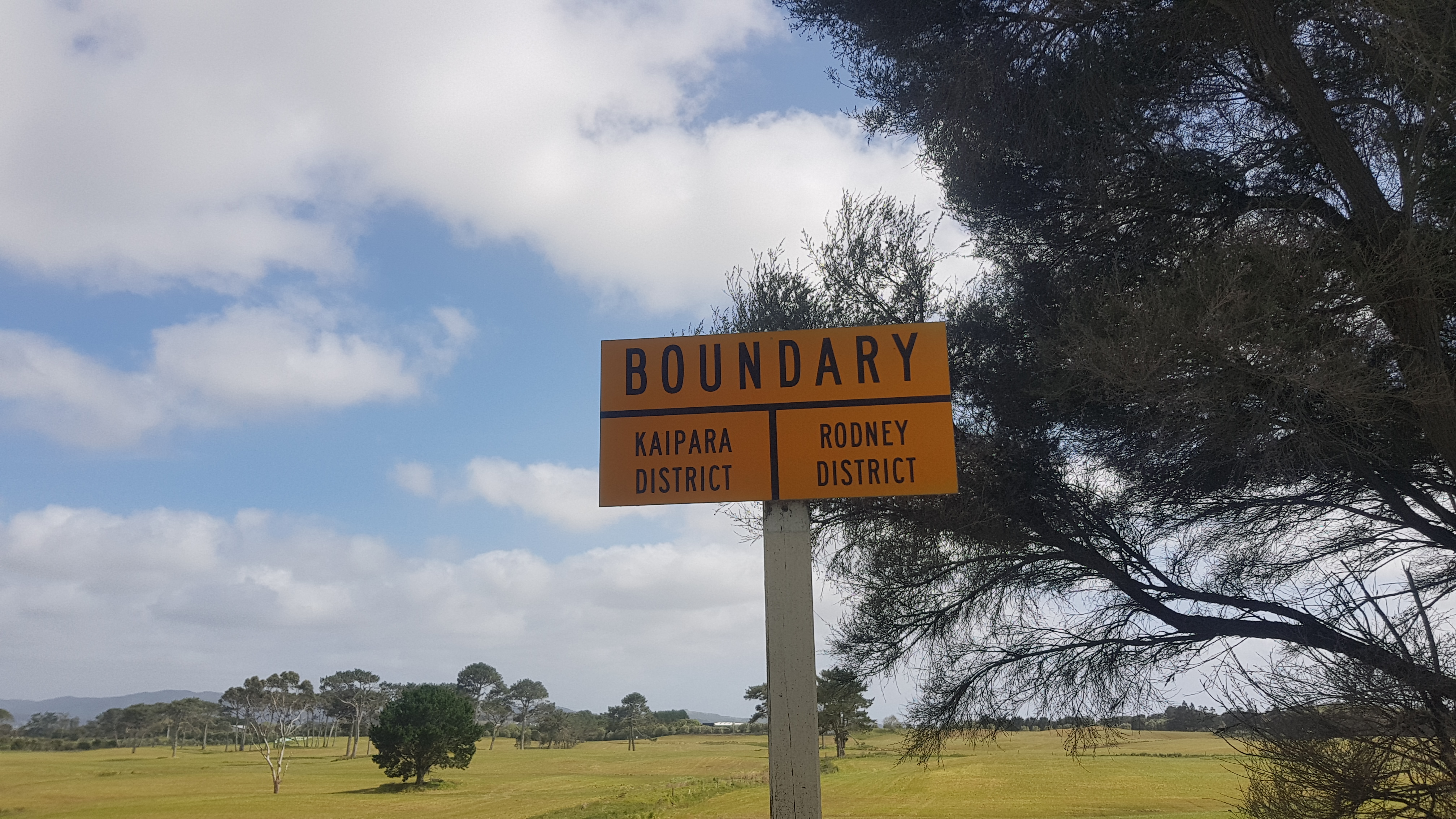
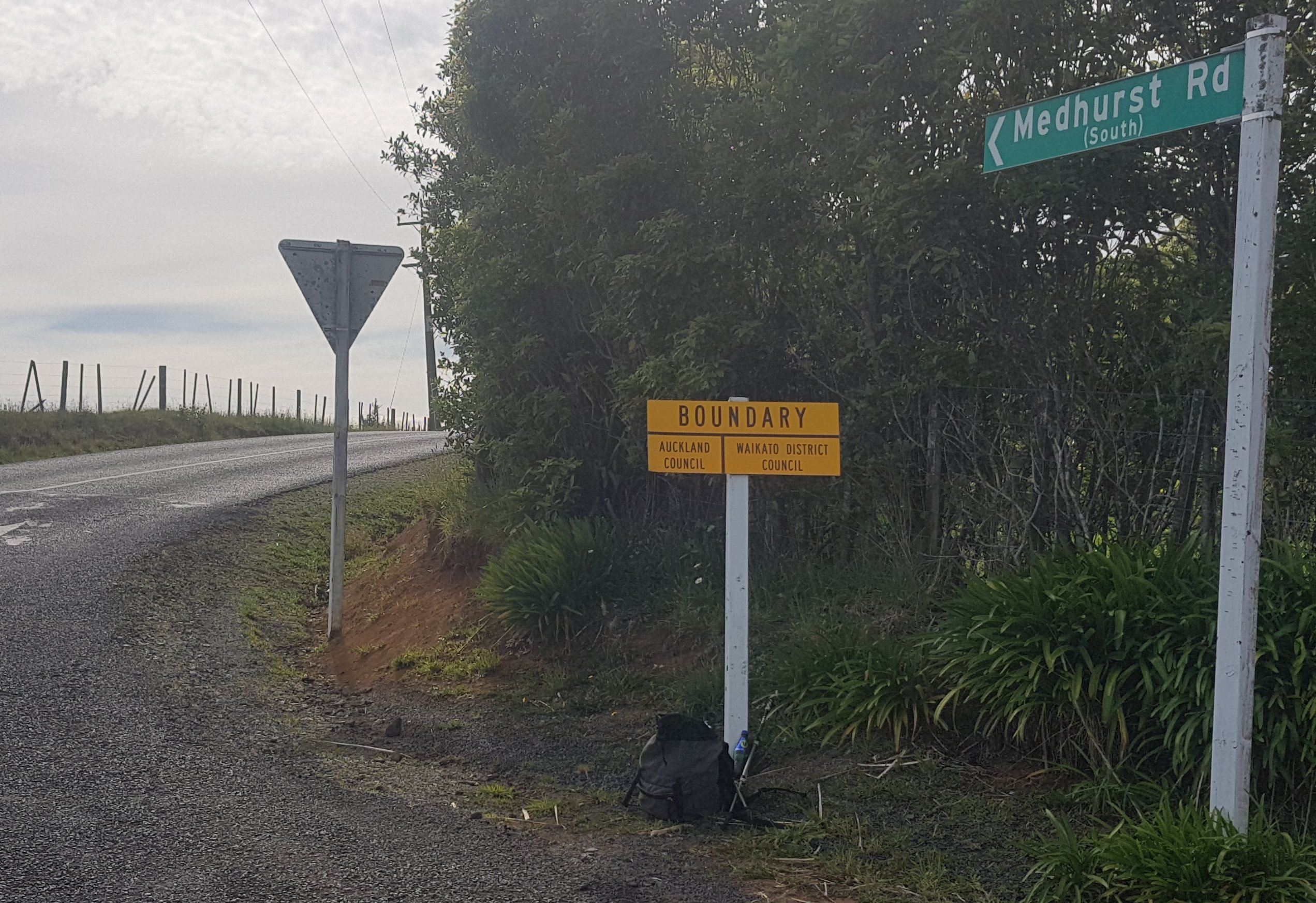
Saw this in the ground.
Boundary marker
I looked at the map to see what it might be the boundary of. It could have been the boundary of the upcoming house’s land, or it is the boundary of the Whangarei District and the Kaipara District.
After a bit of gorse, which luckily I didnt have to walk right through:
Of gorse you have to go this way
I came across this. I really wasnt in the mood to go bush-bashing.
Steep and overgrown entrance
Luckily you don’t have to go that way. You turn left and go this way…
This is better
I started seeing these signs:
“The Heights Of Paradise”, apparently
Just before I took that photo there was a huge black blowfly on the “PA” of Paradise. I shooed it away before I took the photo but then I immediately wished I hadn’t because it really epitomized the mood up to this point. I really didn’t feel like I was in any kind of paradise.
I know I’m whinging a lot. The thing is I don’t want this to be one of those blogs that only show smiling faces and beautiful scenery and people who make heart shapes with their thumbs and forefingers in front of sunsets. I want it to be an honest recollection of my trip.
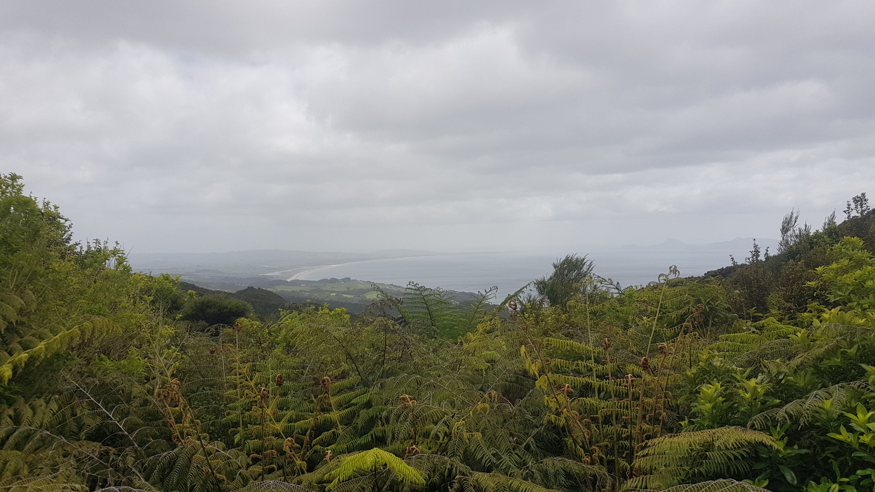
Things did start to look up though, when I saw this view of where I had been out one side:
Waipu Cove and Langs Beach
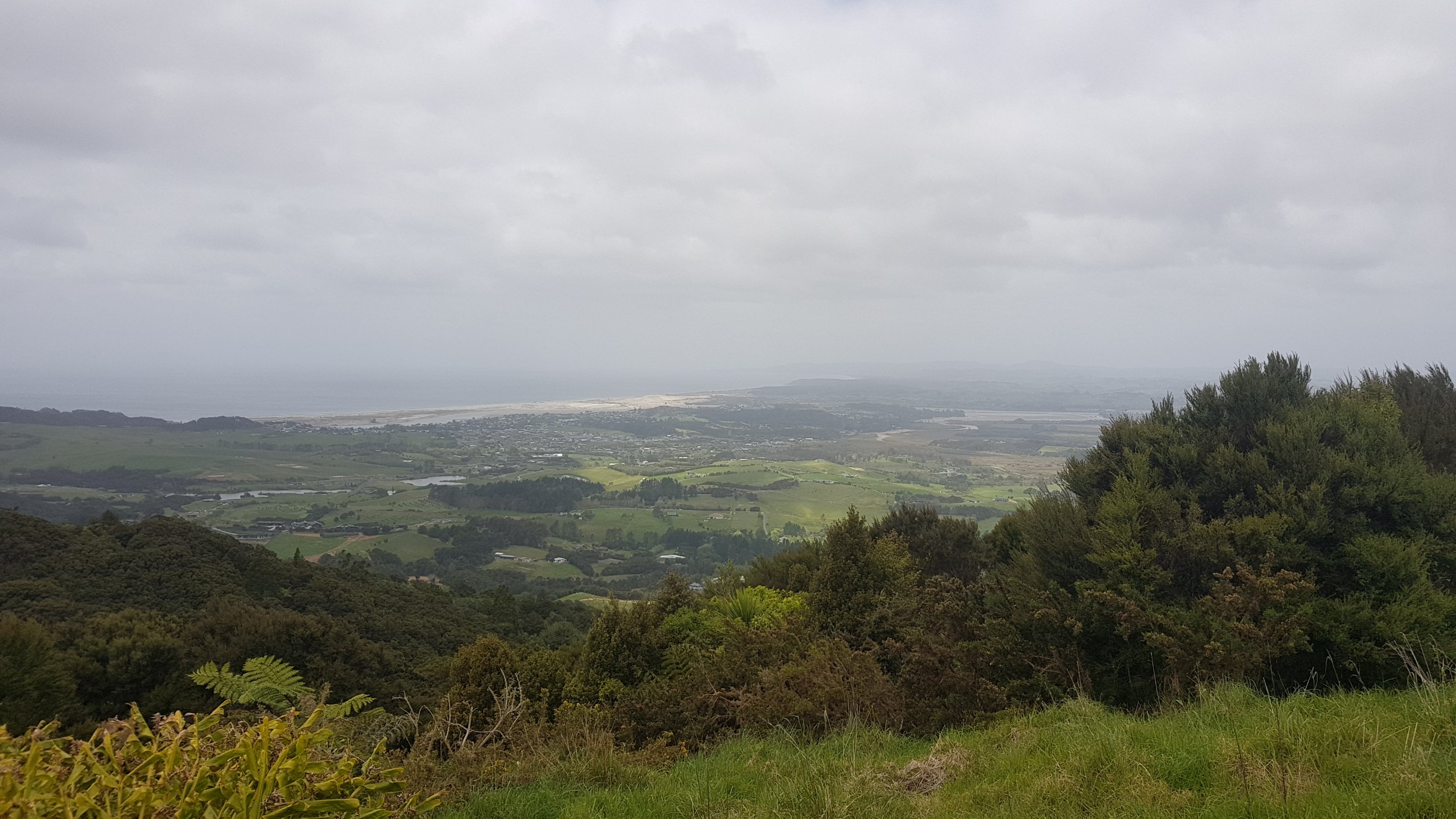
And where I was going out the other side:
Mangawhai Heads
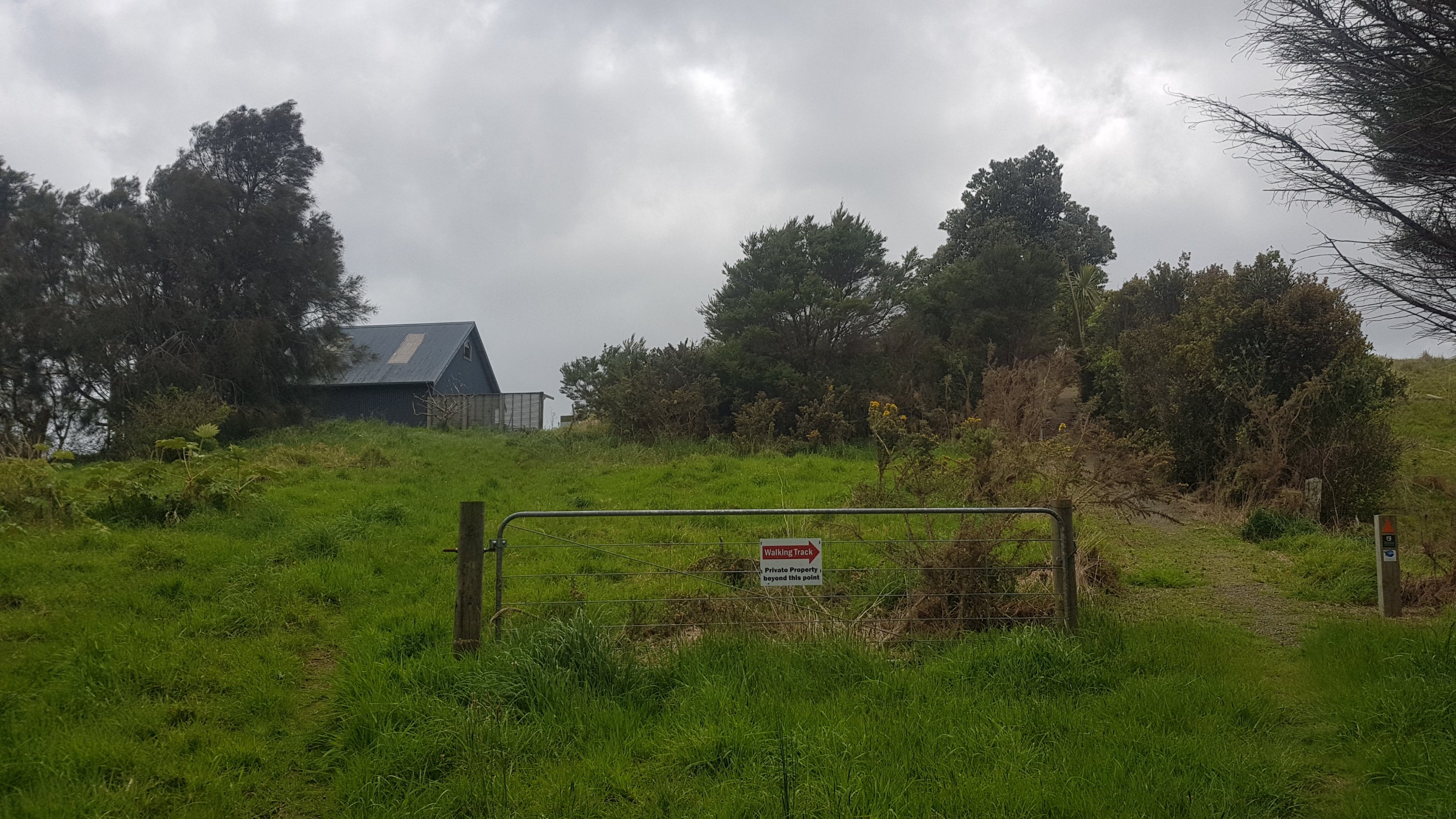
Came across this house, and had to skirt around it to continue on the track.
I just couldn’t see how anyone accessed this house. It was so high up and into the bush. But it had trailers and vehicles and other big things that must’ve got up there somehow. I guess it should have dawned on me that once you’d gone around this house, there was a road that will take you all the way down to the main road. It was a dirt road at first, and then a sealed road, but it was surprisingly steep.
Looking back up the road
Just before the main road though was this little detour down a well-formed bush walk path. I say detour, but if you look at the map in the middle of the walk, it is actually “the way”. It must avoid something… maybe a dangerous stretch of Cove Rd? Trust in The Creators……
Mystery right turn
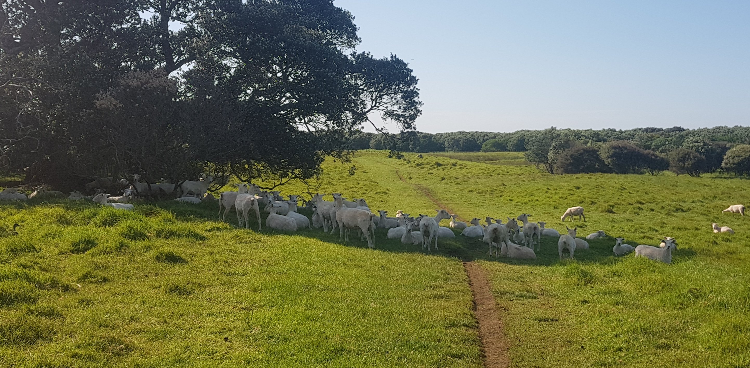
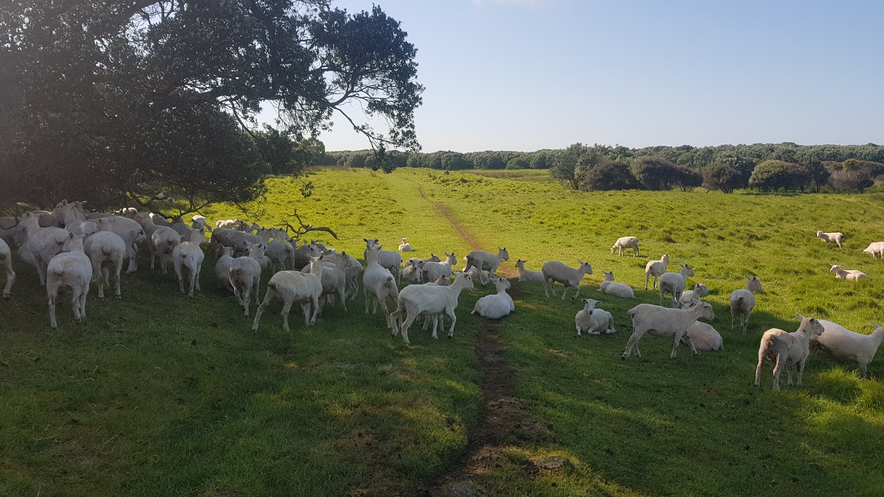
Once that was over, there was some more road walking, although the road just suddenly turned into a farm without really any obvious delineation.
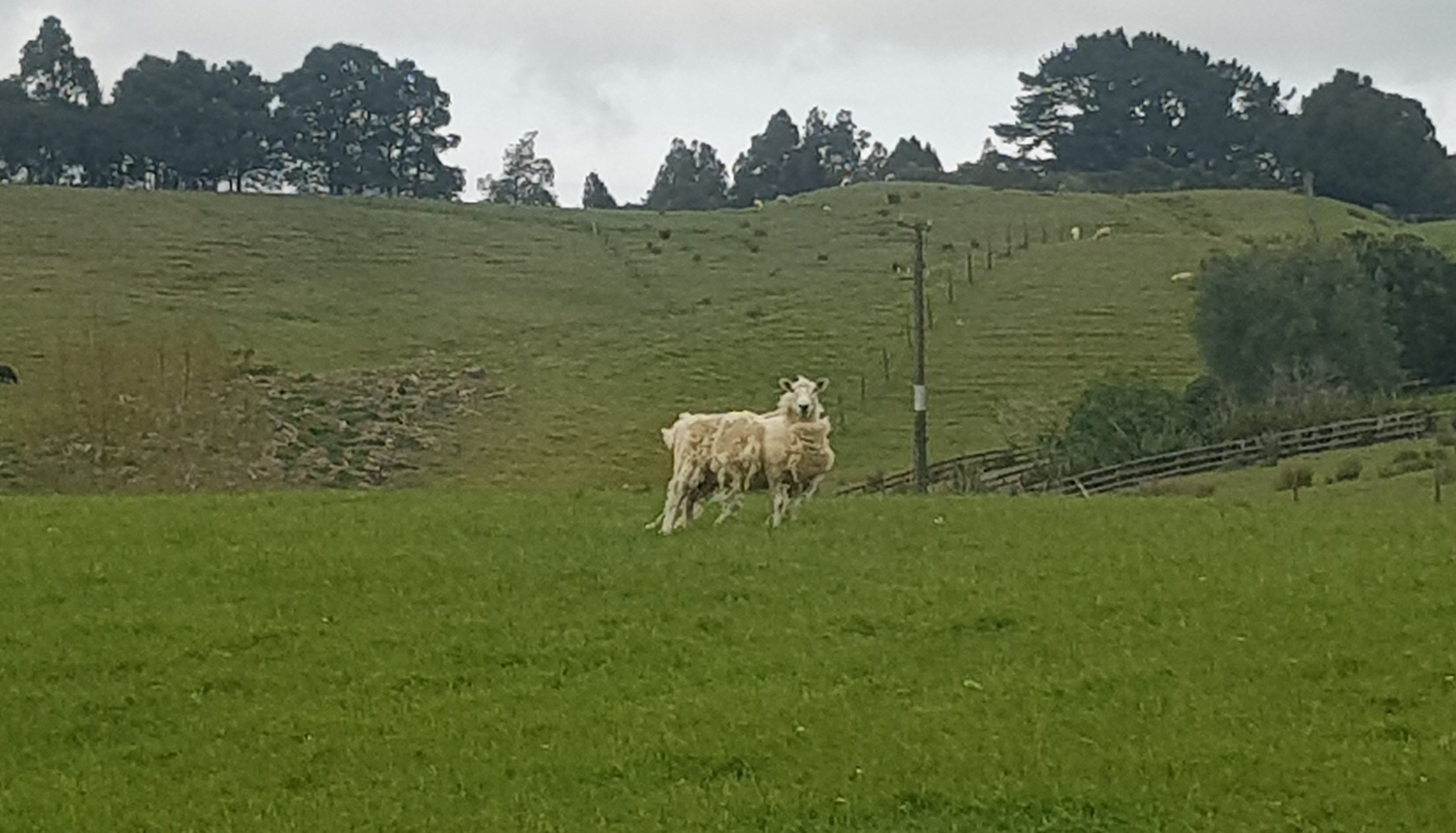
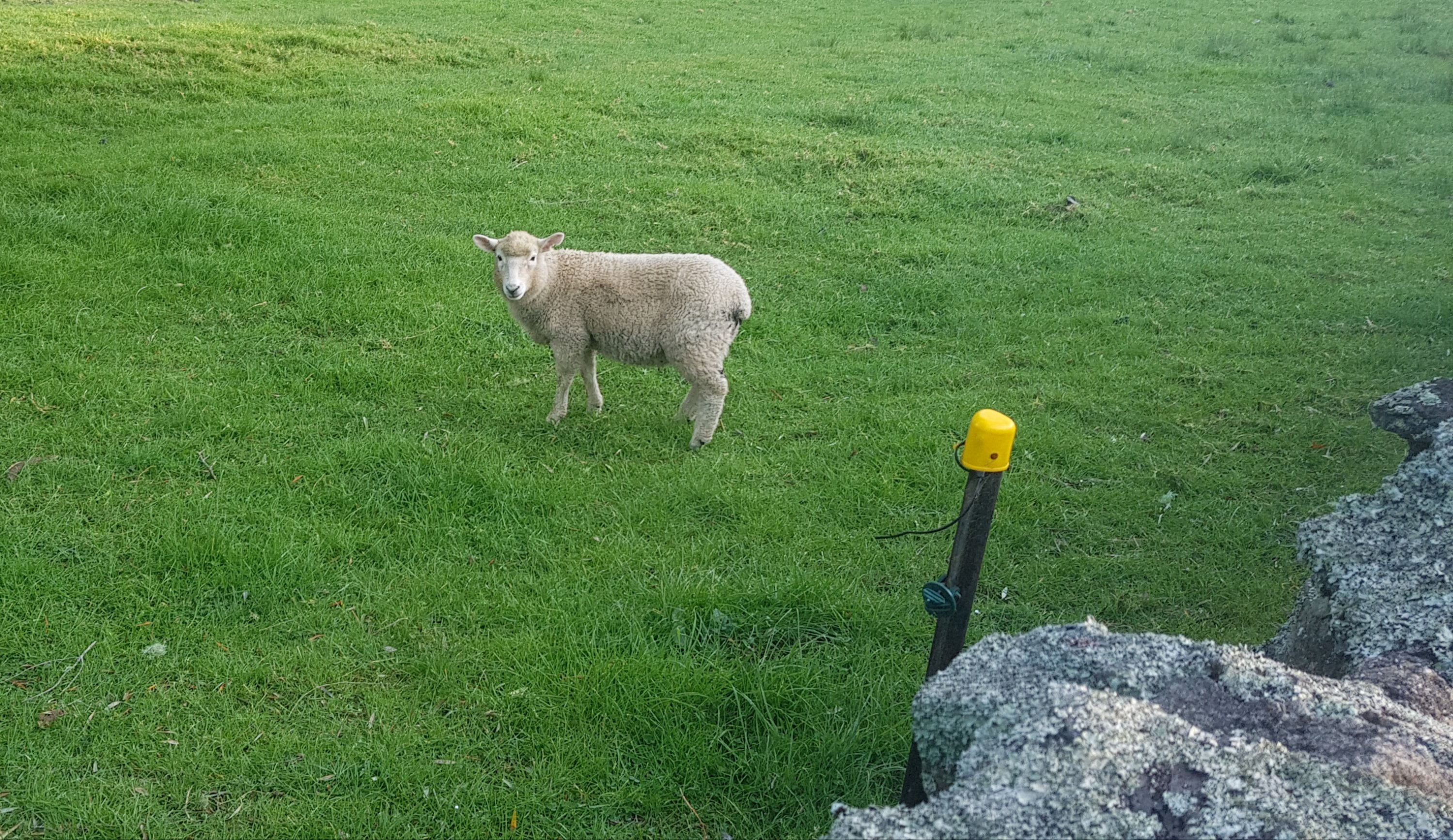
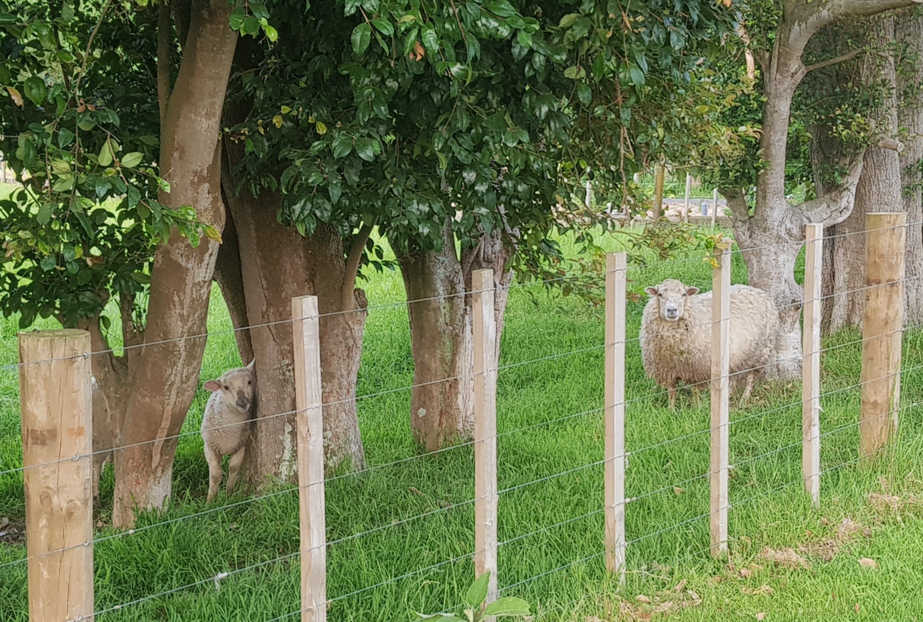
Hi sheepies
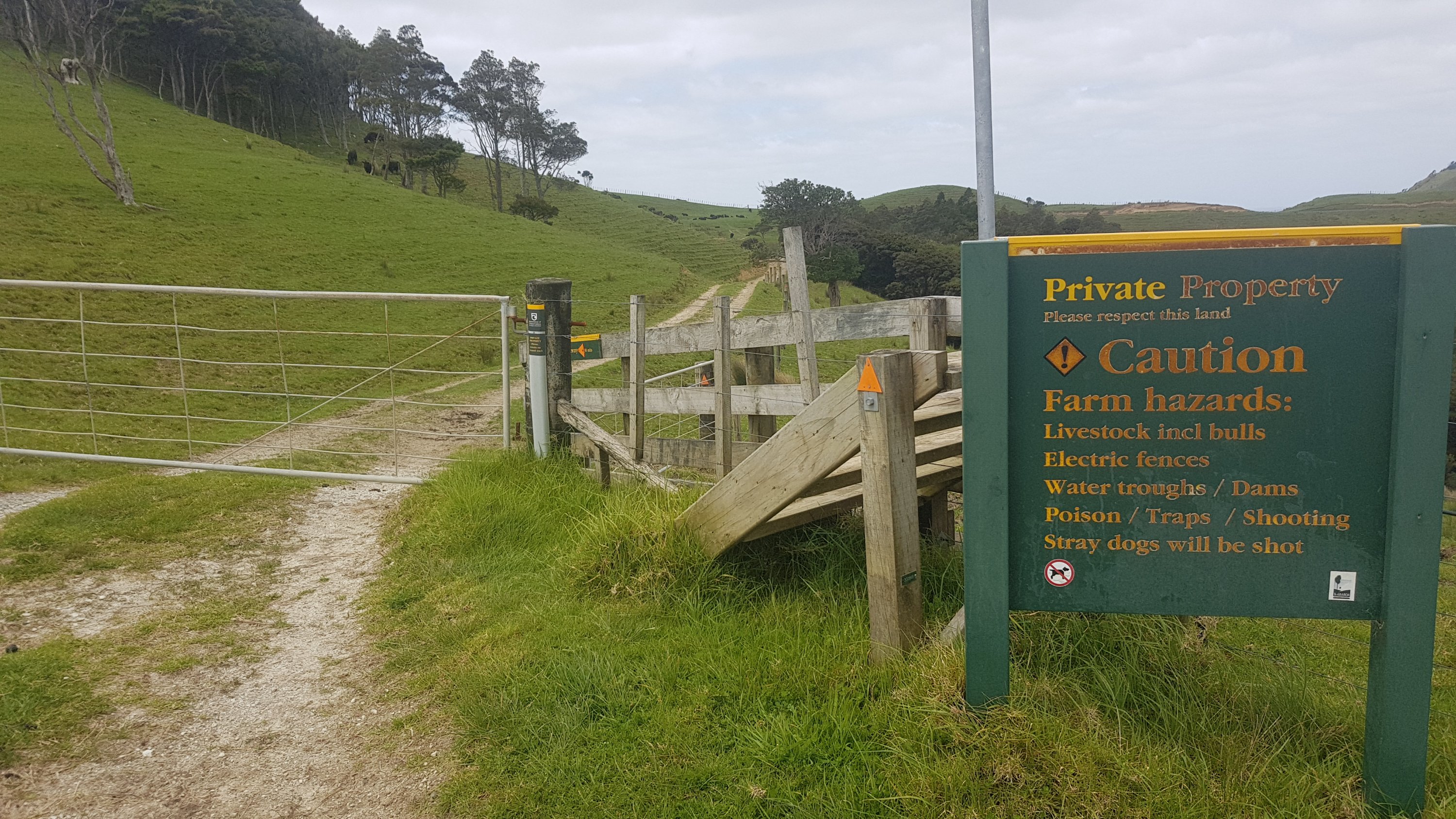
This must have been one of those areas where the TA Trust negotiate with the landowners to get access across private farmland to join the Mangawhai Cliffs Walkway.
Uh oh… those “incl bulls” are the most dangerous bulls of all.
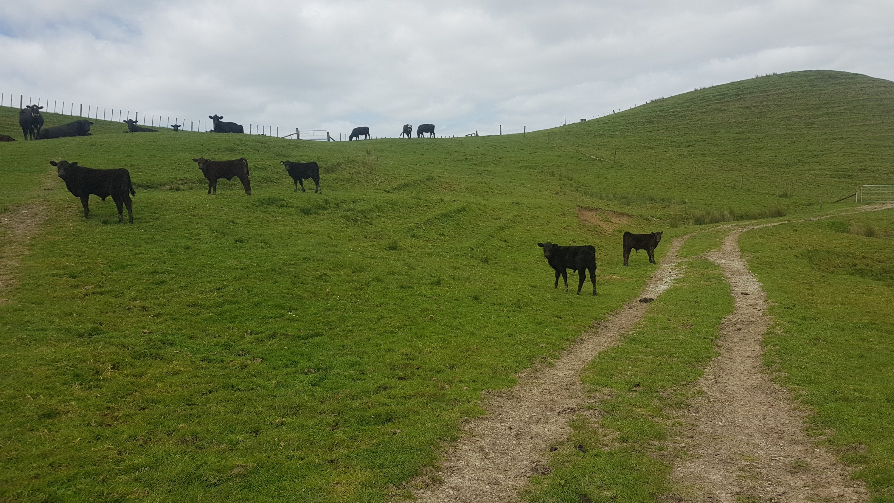
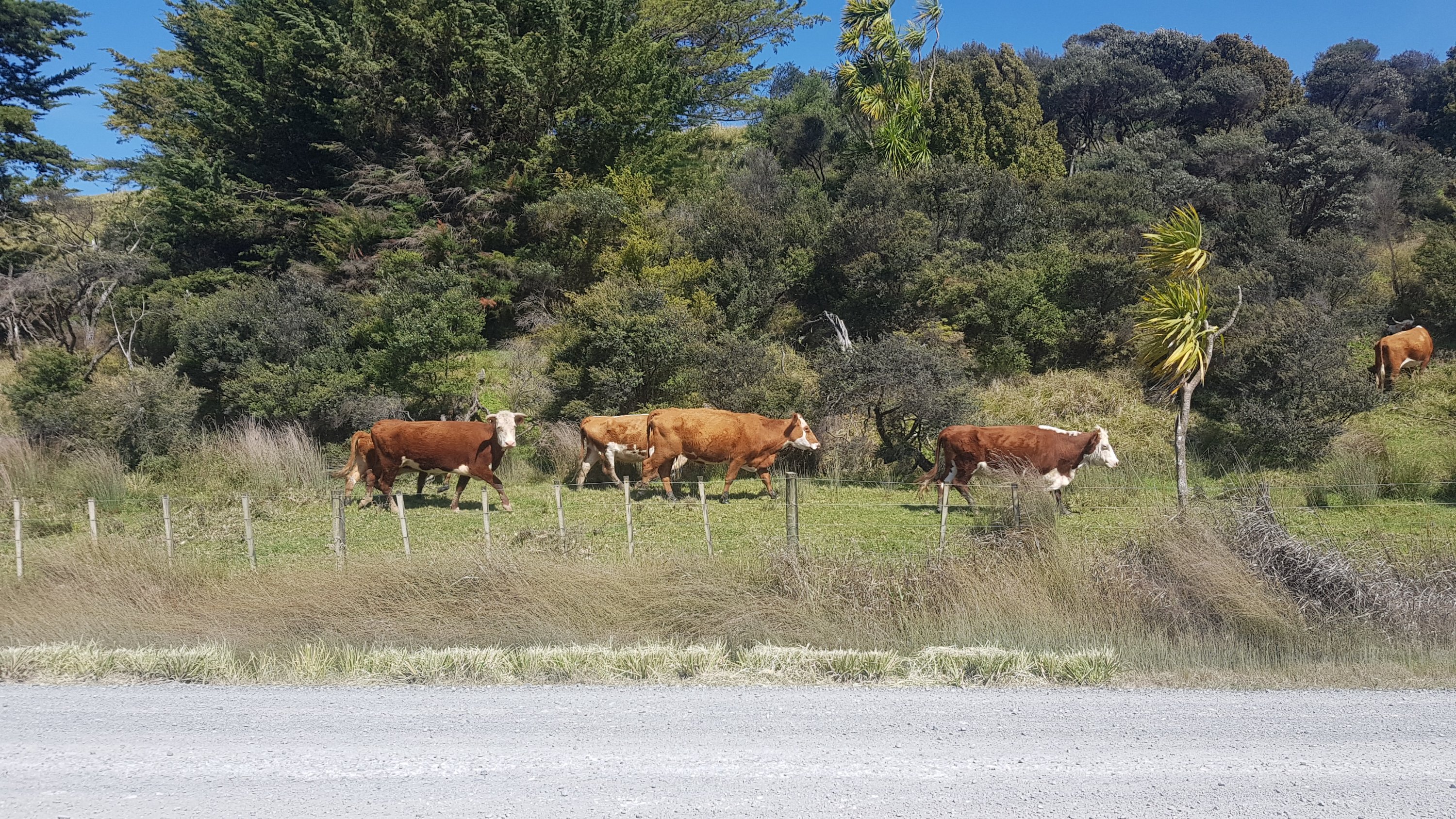
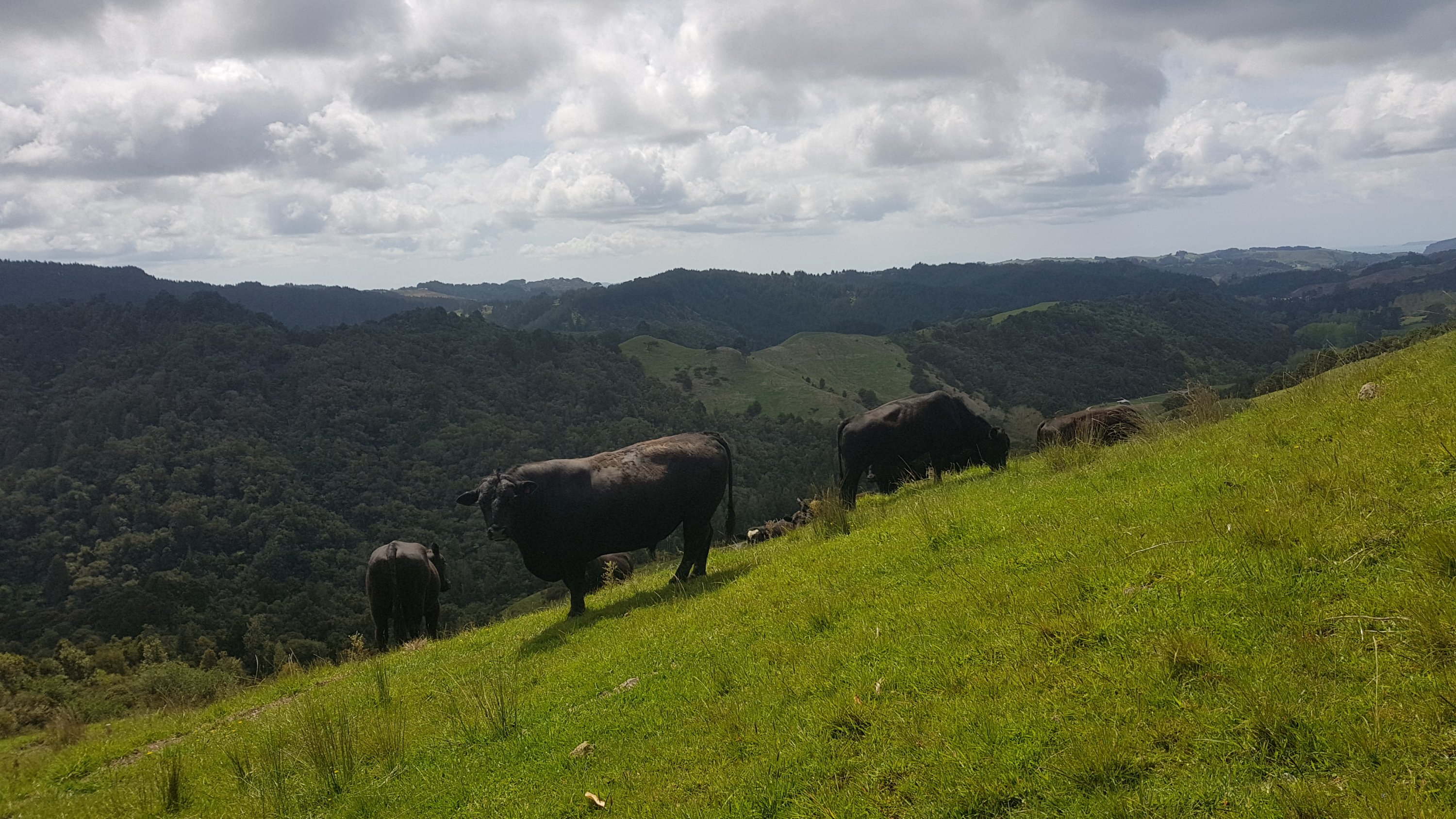
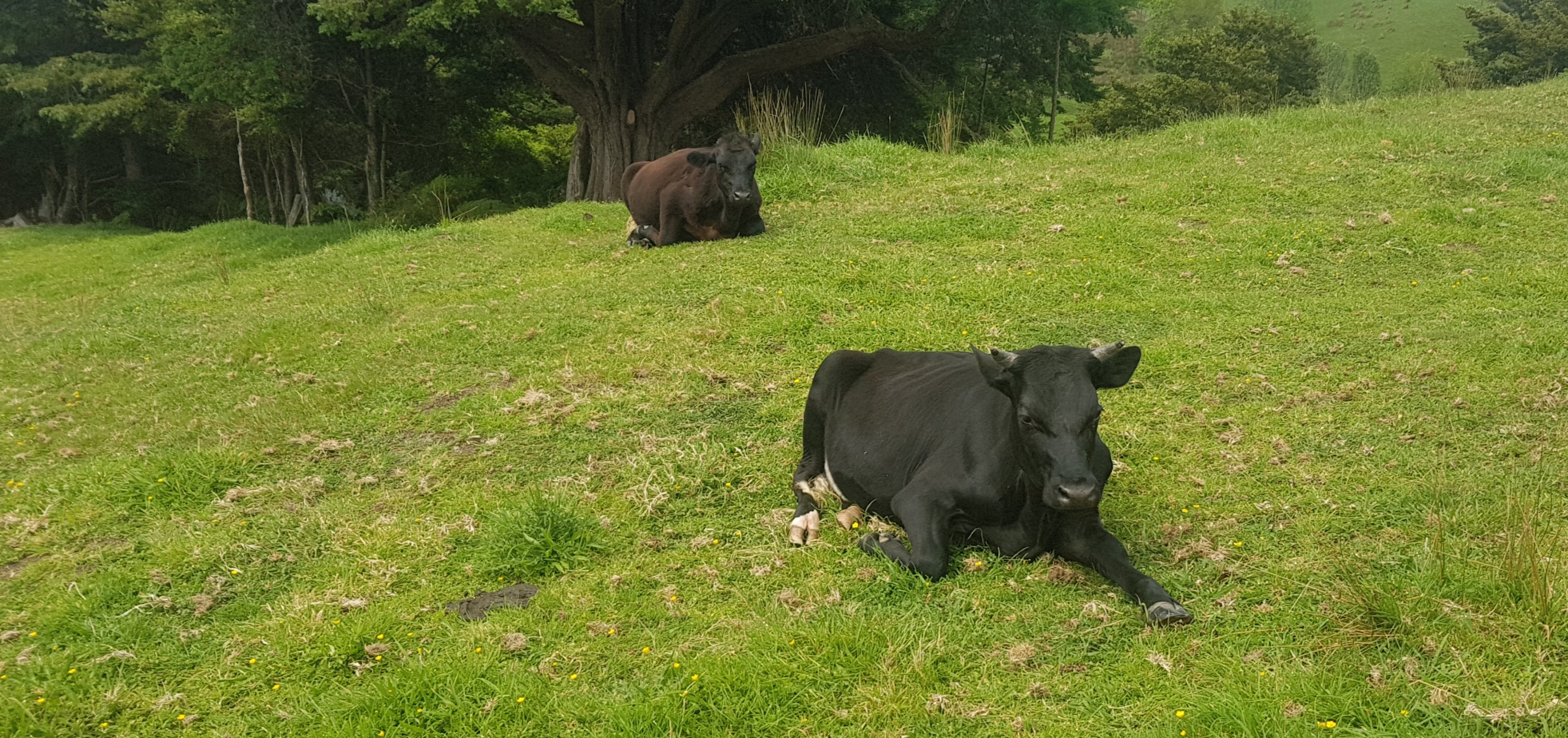
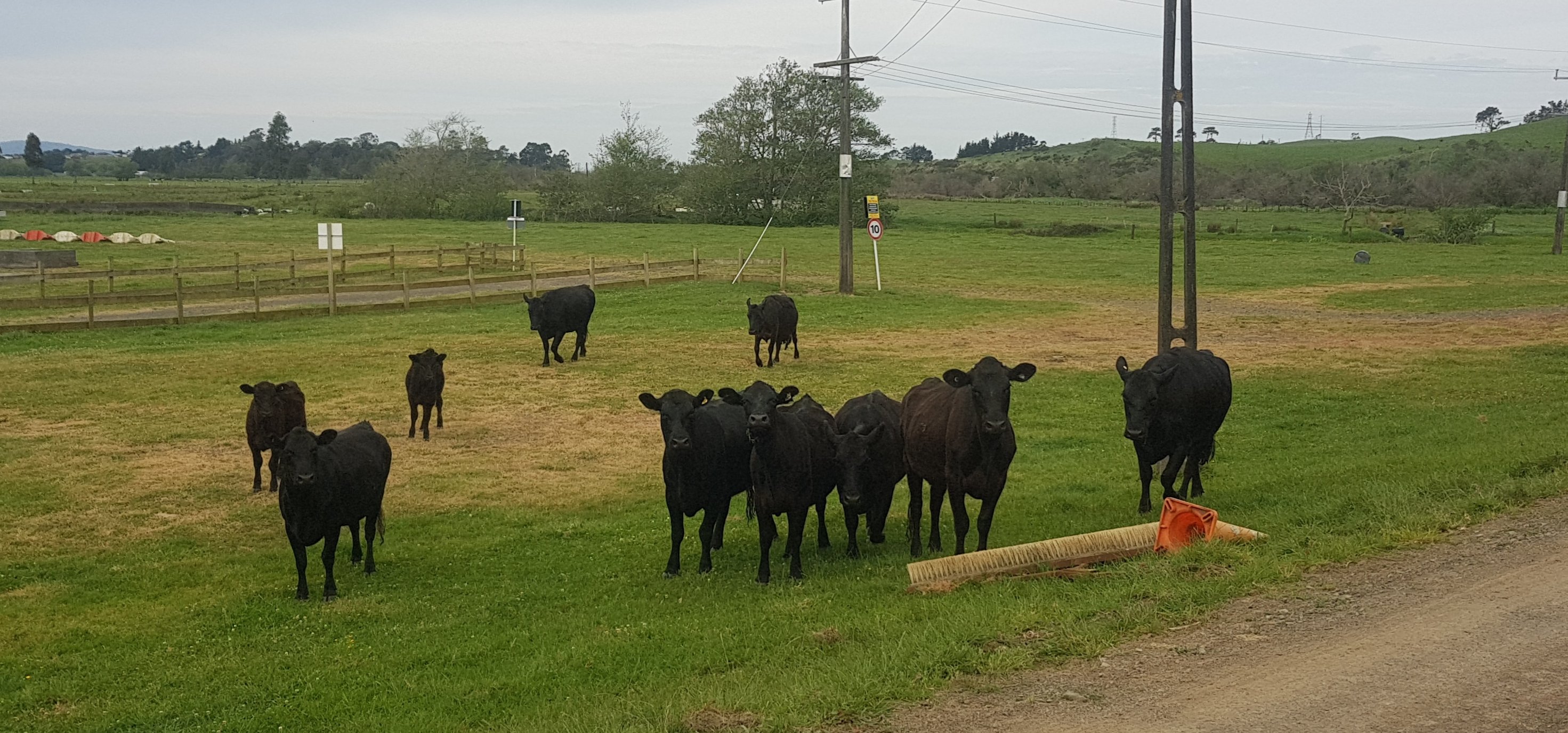
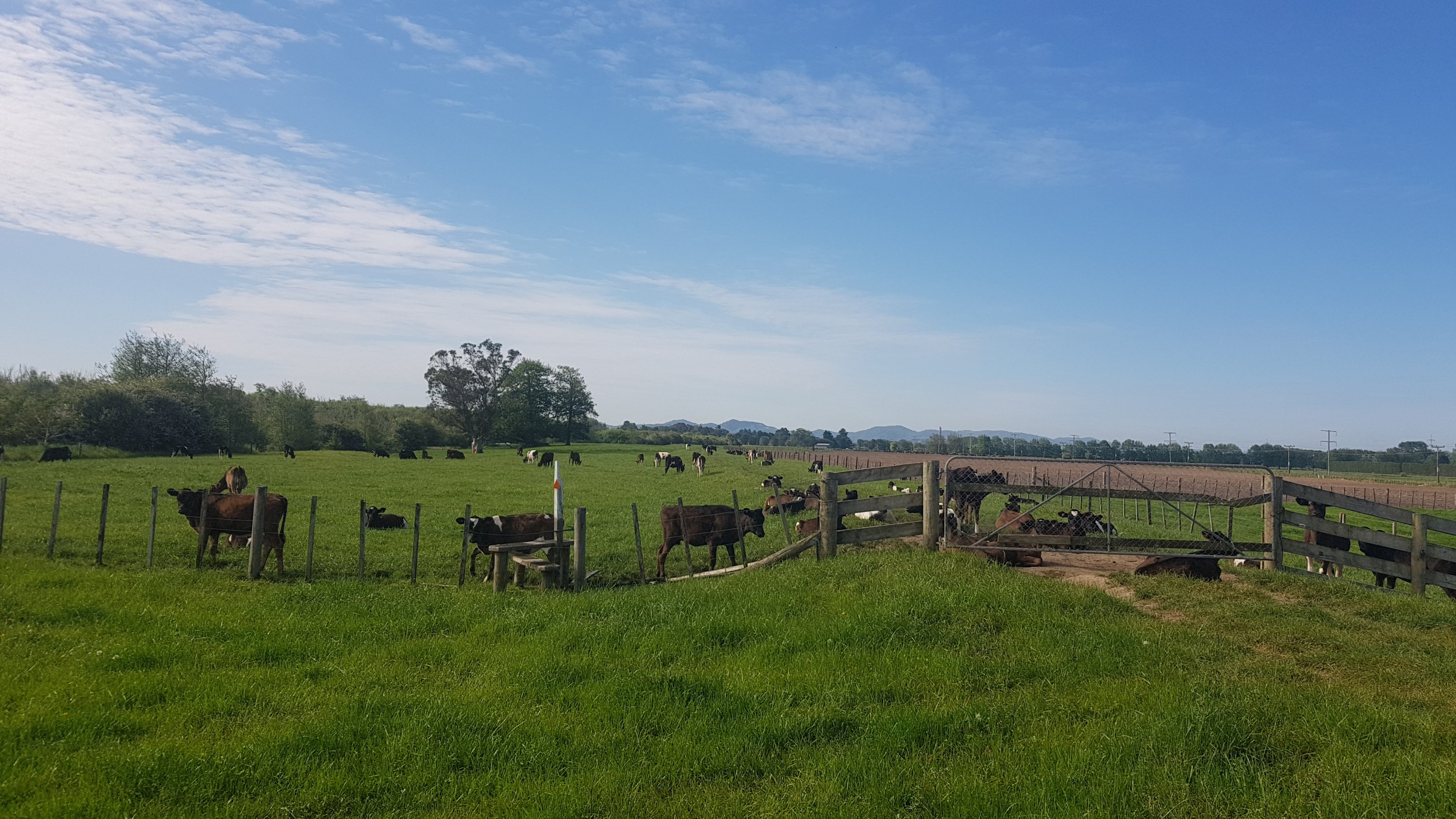
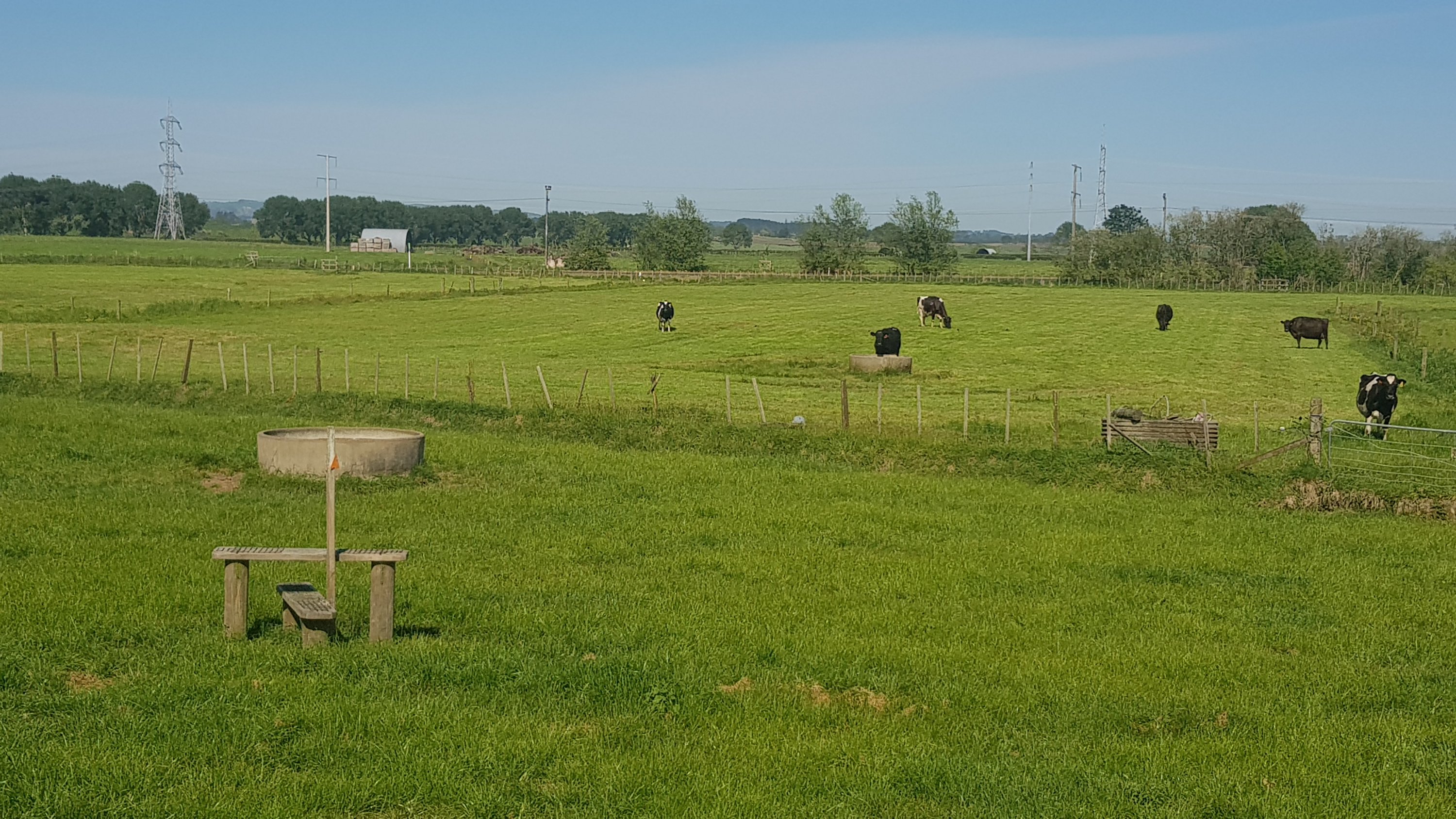
There were a lot of cows, of course.
These cows moved quickly out of the way. Not like the Helena Handbasket Ridge cows.
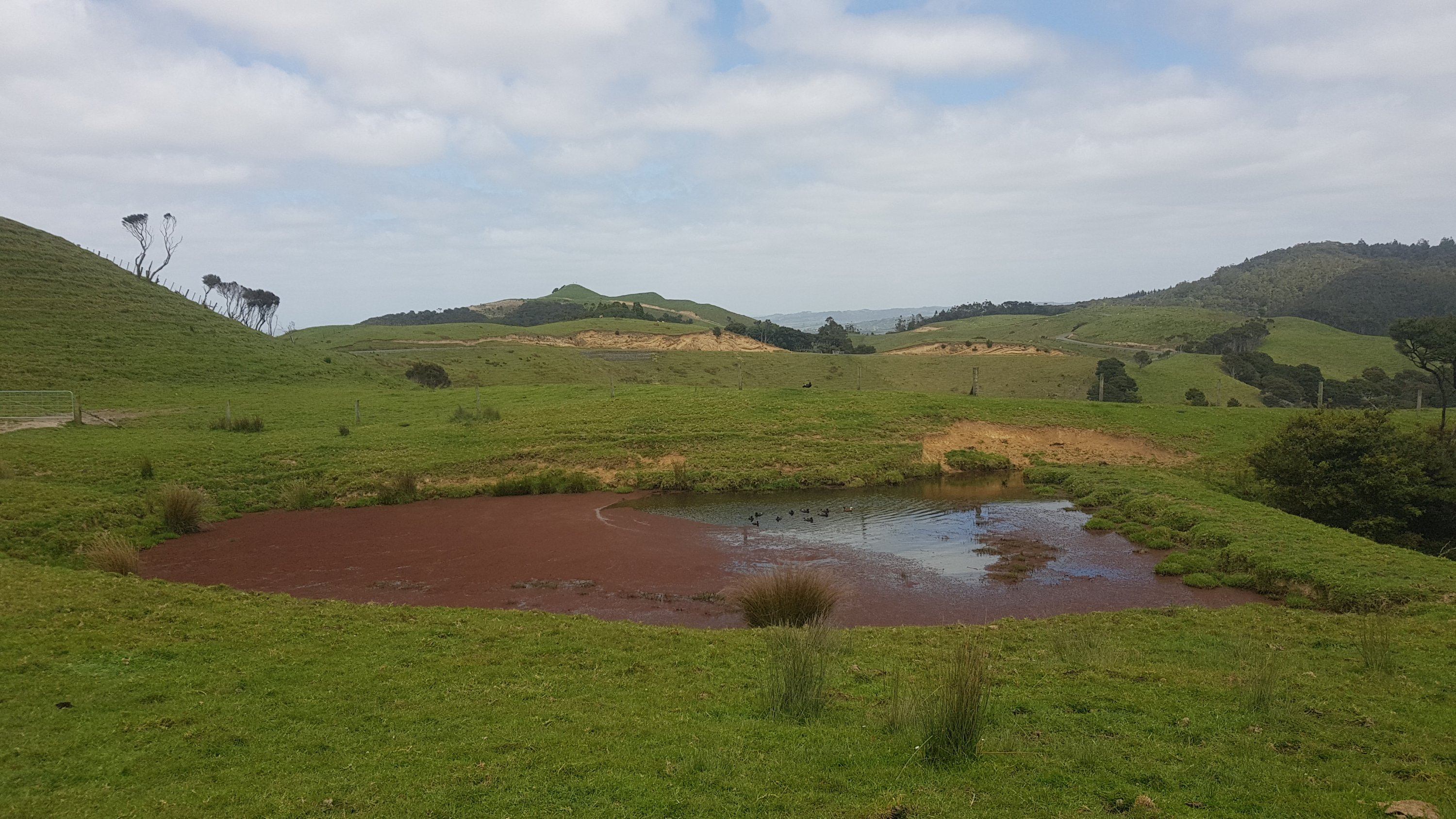
And these ducks, which I felt kinda sorry for.
The ducks’ habitat slowly eroded by icky-pants red stuff.
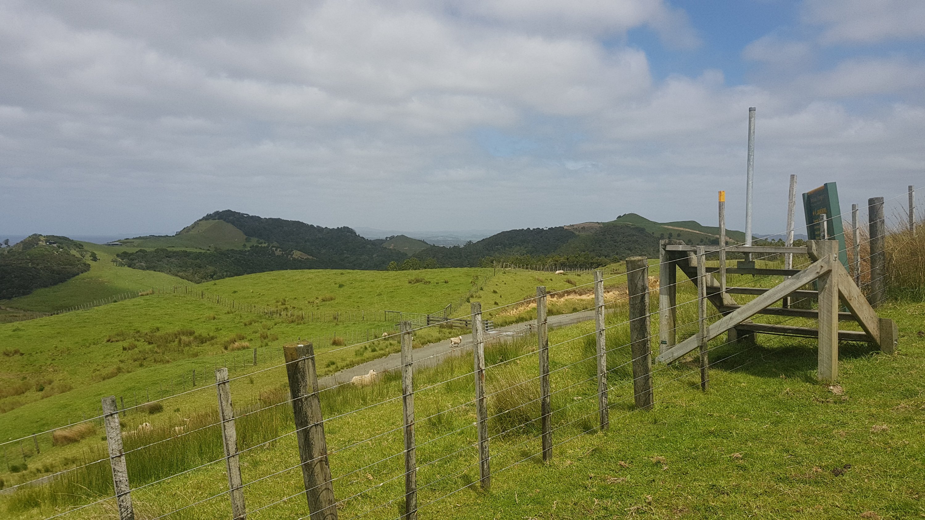
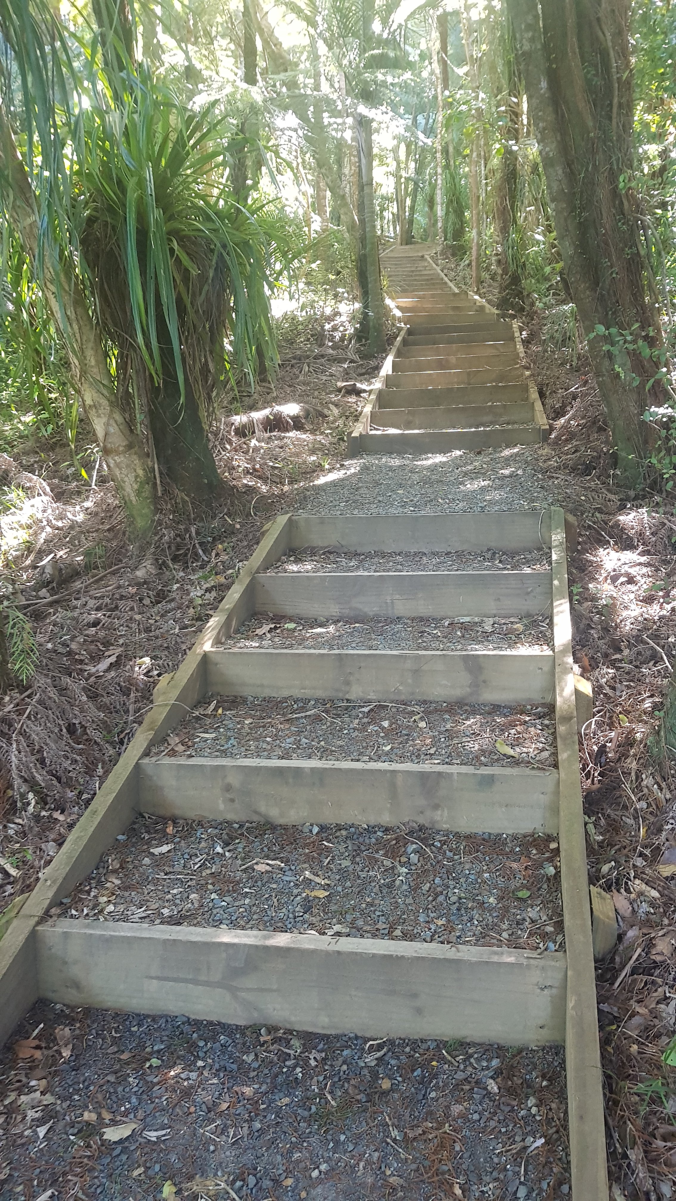
The views weren’t too bad in places, and the usual stiles had been replaced by nice sets of stairs.
These stairs are great. Even the Queen herself wouldn’t mind walking over these.
I still felt like I was being watched.
Even from this massive distance, the cows still stare at you.
And then it got quite steep.
Where the hell is the next marker? Oh yep it is way up there, of course it is.
After this was forest. Some more unfinished stairs…
And some more unfinished pathways…
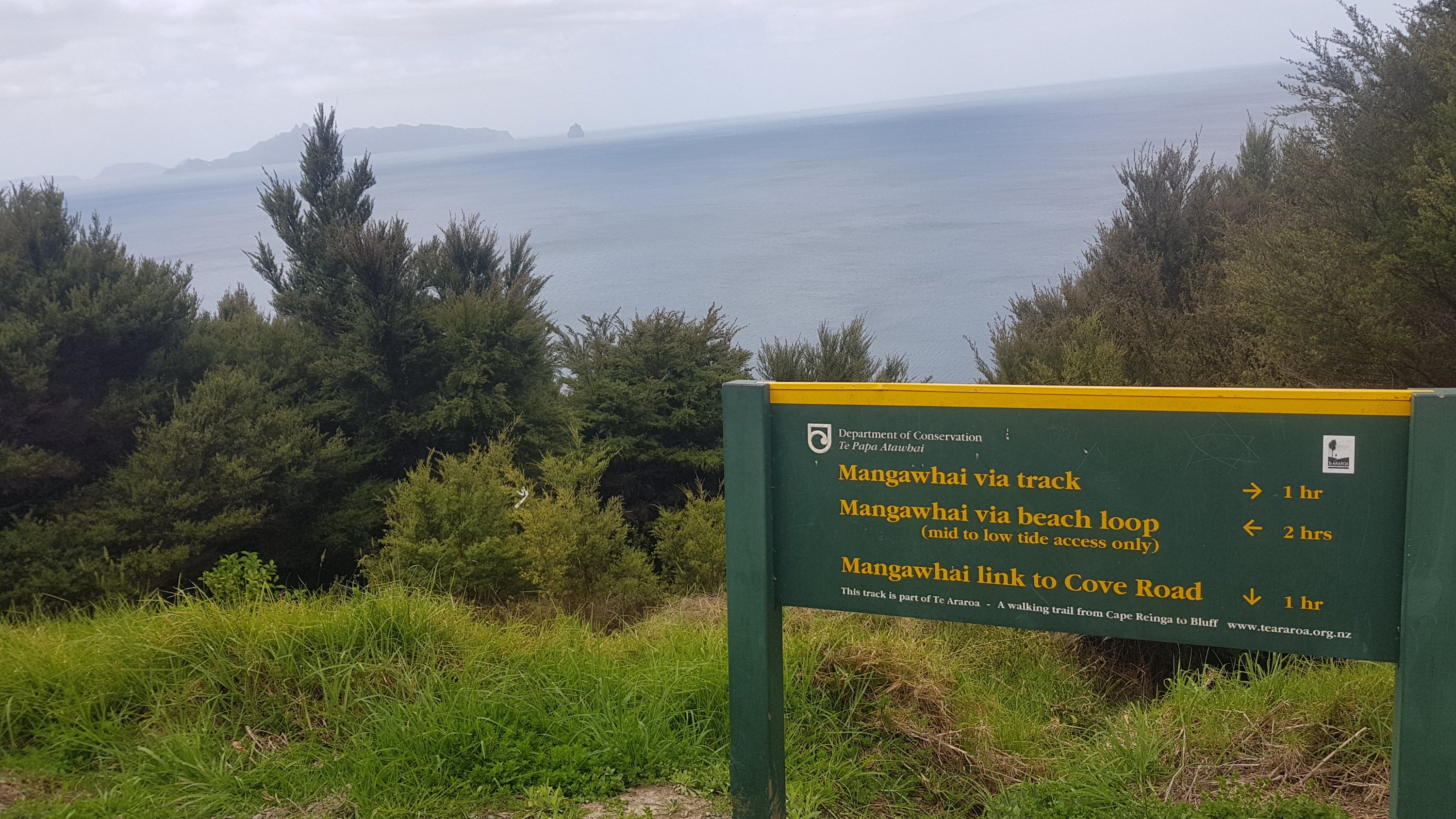
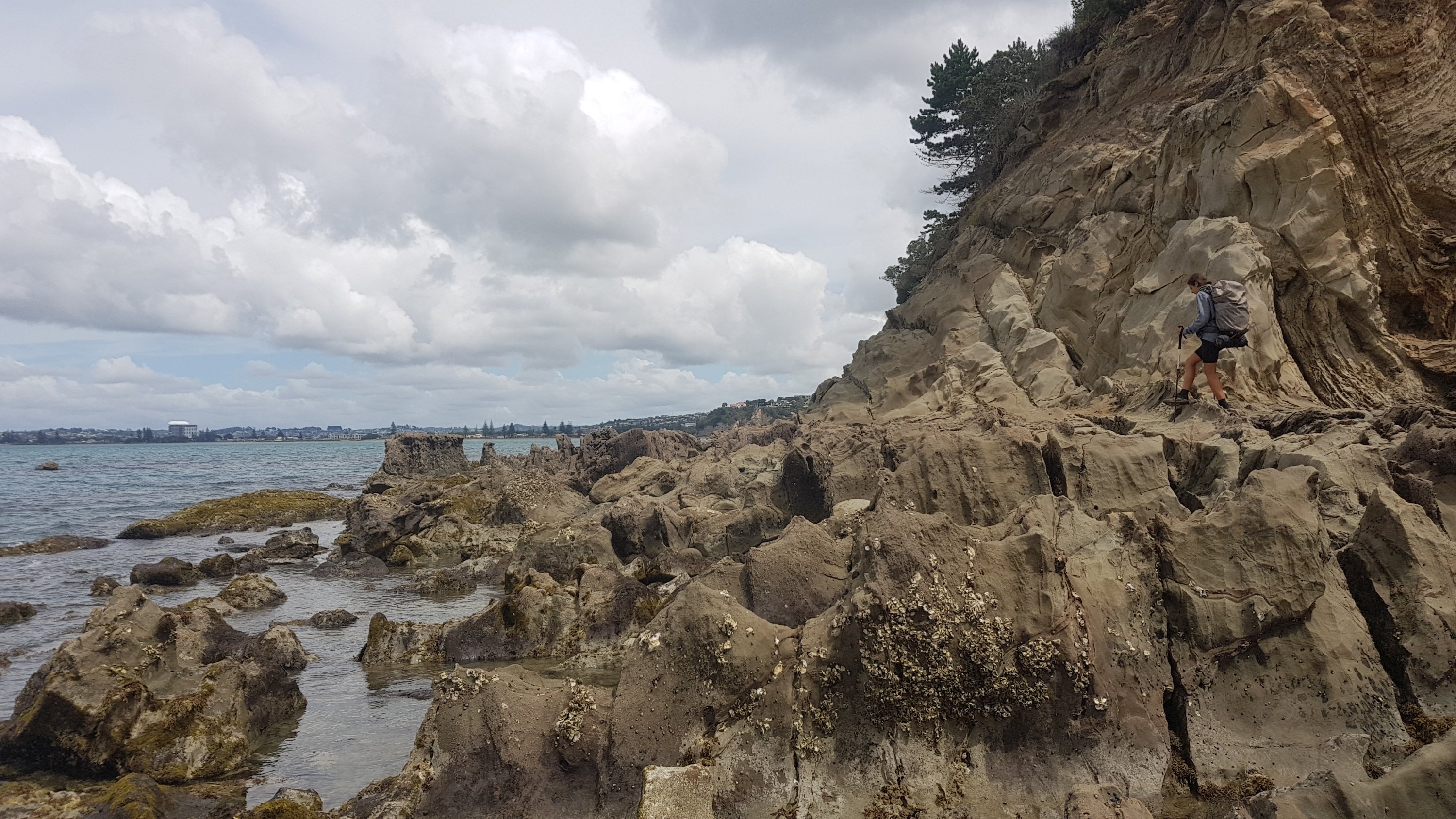
And finally I was out on the Mangawhai Cliffs Walkway. I had done this walkway a few years ago with some friends. Back then we walked up to this point and then back down to the beach and along the coast, which can be done at mid to low tide.
I don’t understand how the sea is on such an angle but the edge of the sign isn’t 🤯
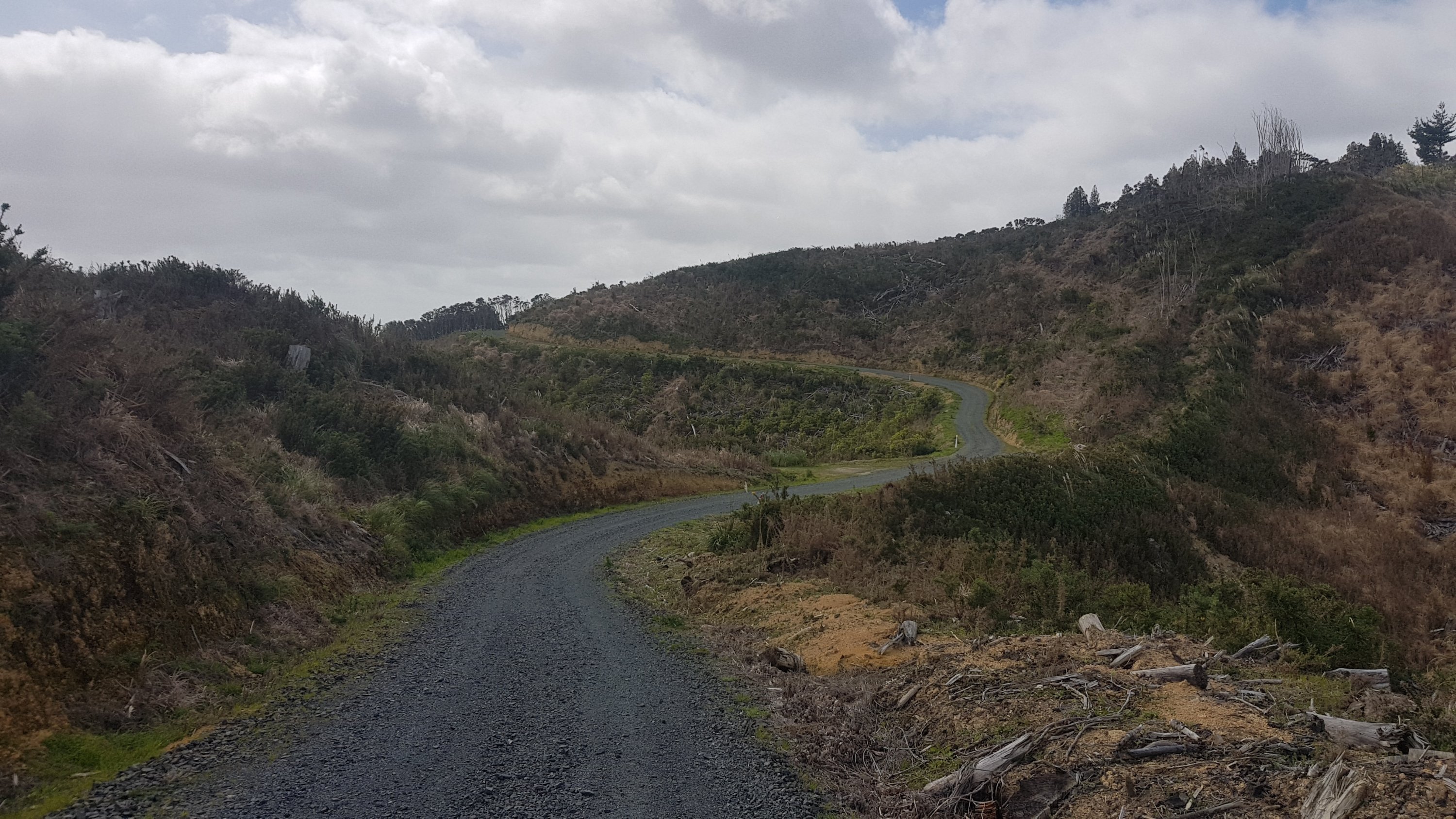
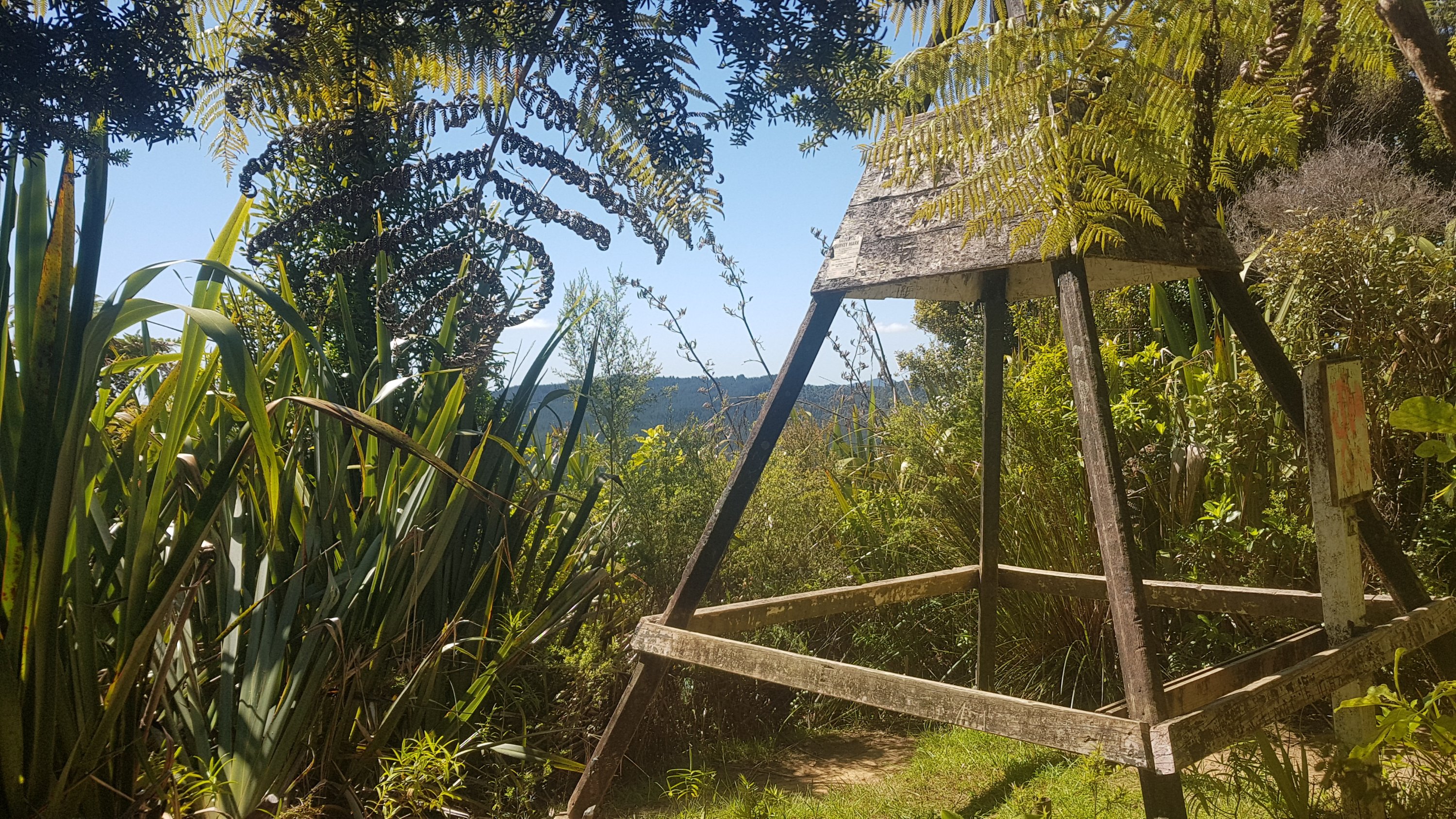
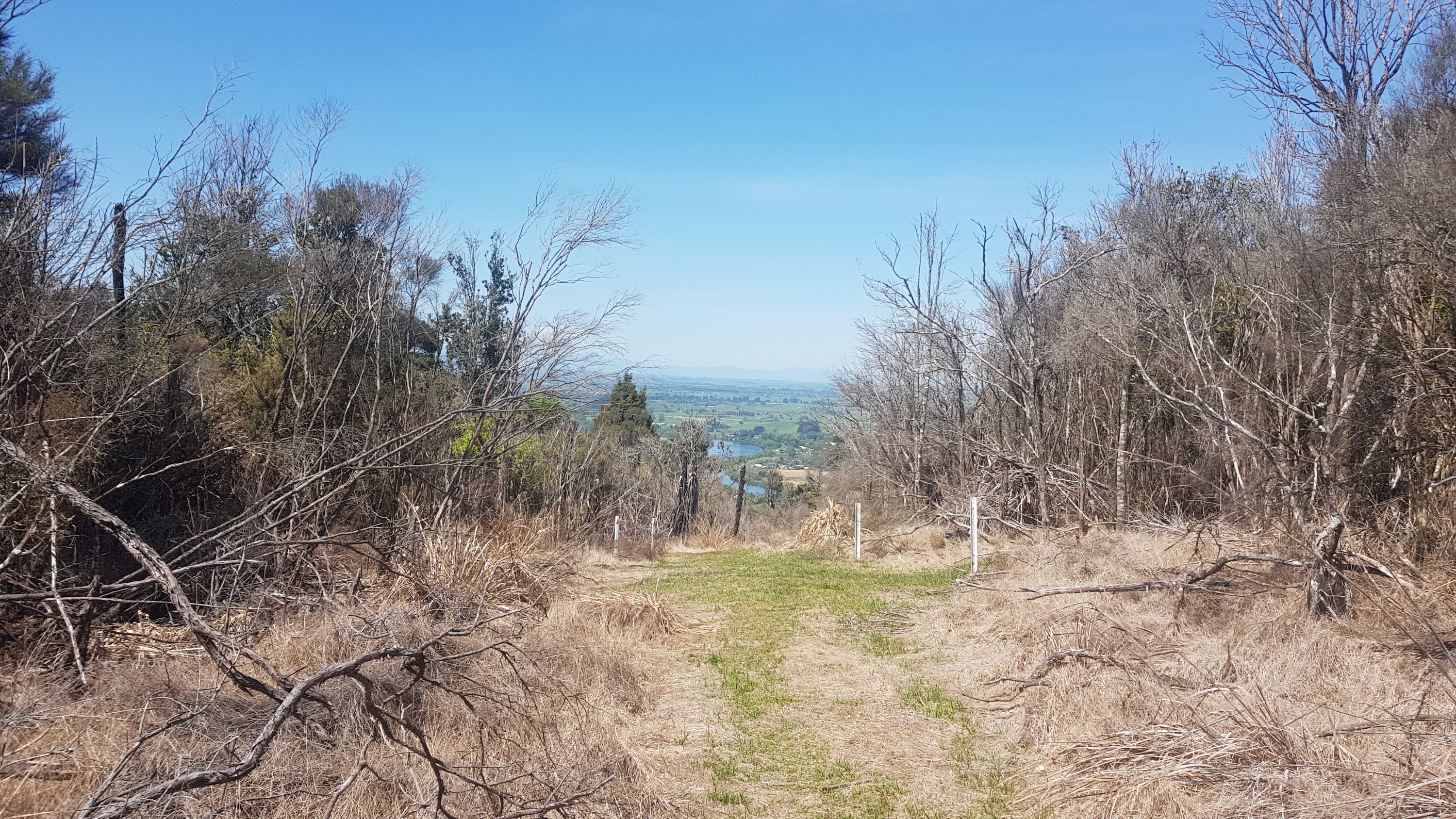
Te Araroa goes via the track, which means it’s shorter to Mangawhai Heads and also not tide-dependent. It’s a well formed track and stairs which for most of the walk looks like this.
Mangawhai Cliffs Walkway
And this, once you get closer to town.
There’s a short walk along the beach.
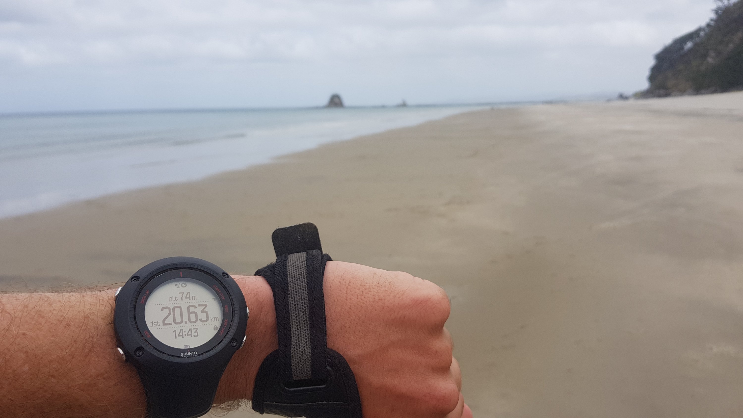
I looked at my GPS watch at this point. When it is on the “low accuracy” setting that I have it on to save battery, one of the quirks is that, while the distance is reasonably accurate (it often reads about 1 or 2% less than you’ve actually walked), the altitude is often wildly inaccurate. Which is kind of a shame because it would be nice to know sometimes how much further there is to climb or descend, but the Guthook app can tell you that if you switch to the “elevation view”.
Altitude 74m. At sea level. Riiiiiight.
At the end of the beach is the surf club. It was pretty quiet around here today – today is the first day of the Labour Weekend holiday, but not really until 5pm when all the Aucklanders start driving up here after they finish work.
Surf Club
I saw the mostly empty carpark. The few other times I’ve been here with friends, this carpark is absolutely chocka-block and getting a park here is like winning the lottery.
Car park
Thing is, if you can’t get a park here, and in summer you often can’t, you’re completely out of luck – the roads leading up to here are all no-parking zones. You have to park in the front yard of someone’s house, and pay them $5 or $10, or you go without. I looked in people’s front yards as I was walking, and didnt see any entrepreneurs today with their “park here” signs out today. I bet they’ll come out tomorrow when the long weekend officially starts.
Not long now and I had reached the entrance to the Mangawhai Heads Holiday Park.
The other day I said that you never see a speed limit sign ending with a 5. Now suddenly I’m seeing them everywhere.
Being Labour Weekend, I had to plan beforehand where I was going to stay. All cabins / rooms / backpackers were almost certainly full. So it was either holiday parks, which hopefully had some tent sites available, free camping in the bush, or something a bit more creative. I had heard of a “trail angel” named Mark offering accommodation in Mangawhai Village, separate to Mangawhai Heads and a further 6 or 7km away. Apparently Mark only offers it to hikers and not to the general public. Seemed almost too good to be true… but since nothing was really hurting, surprisingly, I figured I could walk another 6 or 7km.
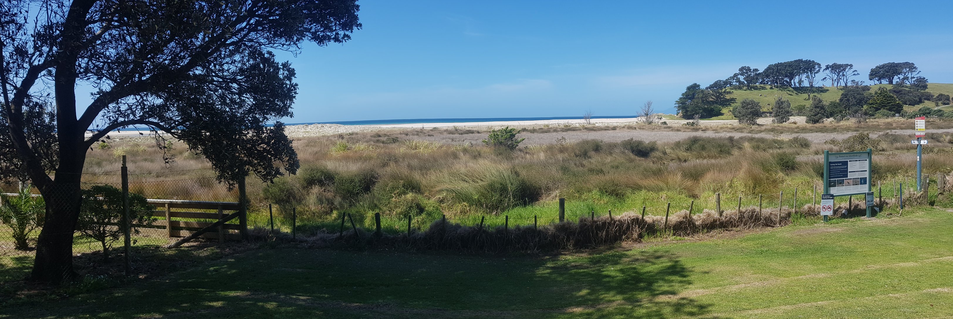
I sent Mark a text message, to see if his generous offer was available on Labour Weekend, and continued down a bit of beach. Mangawhai Heads beach is weird. This bit of the beach is not a swimming beach, instead it’s a flat bit of water trapped between here and a large sand hill.
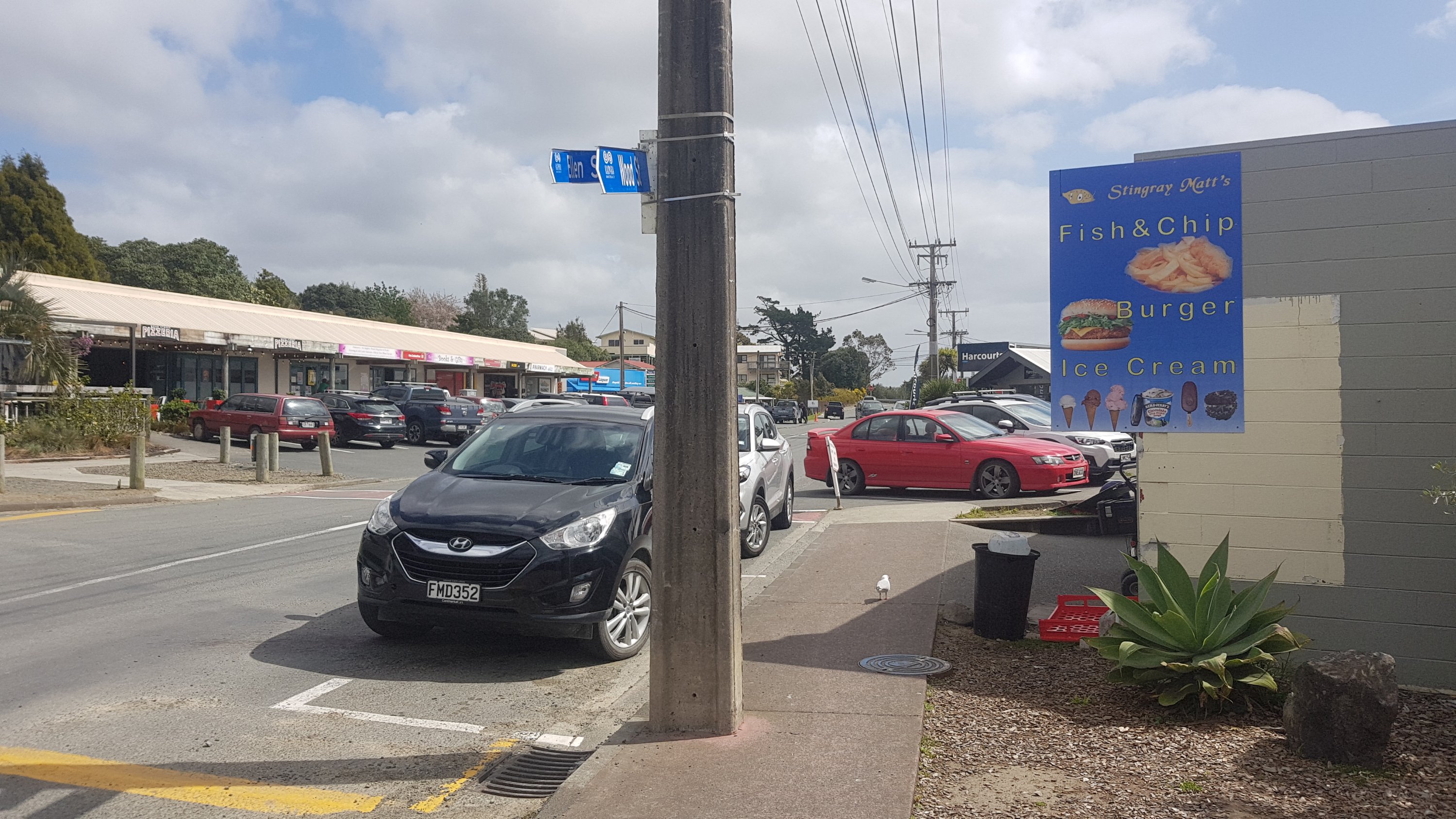
Up some big stairs and into the town, finally, I can get some food! I felt like a milkshake of course. Looks like I can get one at Stingray Matt’s.
No relation.
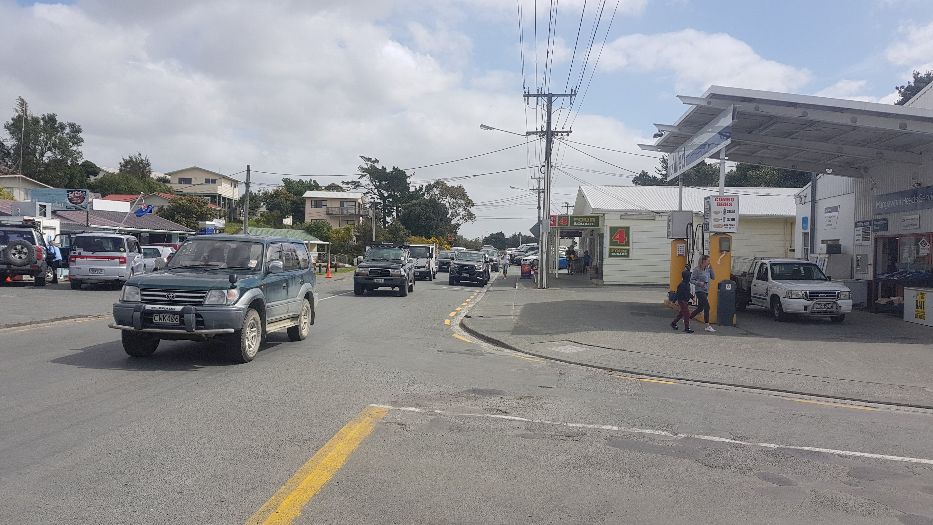
But first, even though it was further on, I wanted to go to Four Square because it was late in the afternoon and soon it would be overrun with Aucklanders doing their shopping. Although, judging by the traffic in the town, I’m too late…
Aucklanders everywhere!
The supermarket was pretty busy. Maybe it was just because I had my big pack on, or maybe because nobody would move the hell out of the way.
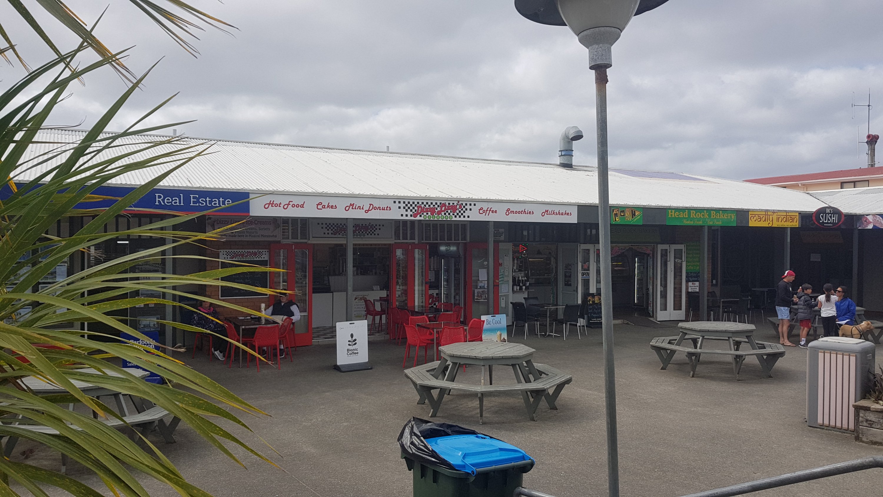
I survived, and I went back to get my milkshake. I chose Dizzy Lizzy’s instead. Stingray Matt’s had the same milkshakes you get everywhere, which are usually cold and nice and taste good, but I felt like something different. I hoped that Dizzy Lizzy wouldn’t let me down.
Dizzy Lizzy’s of Mangawhai Heads
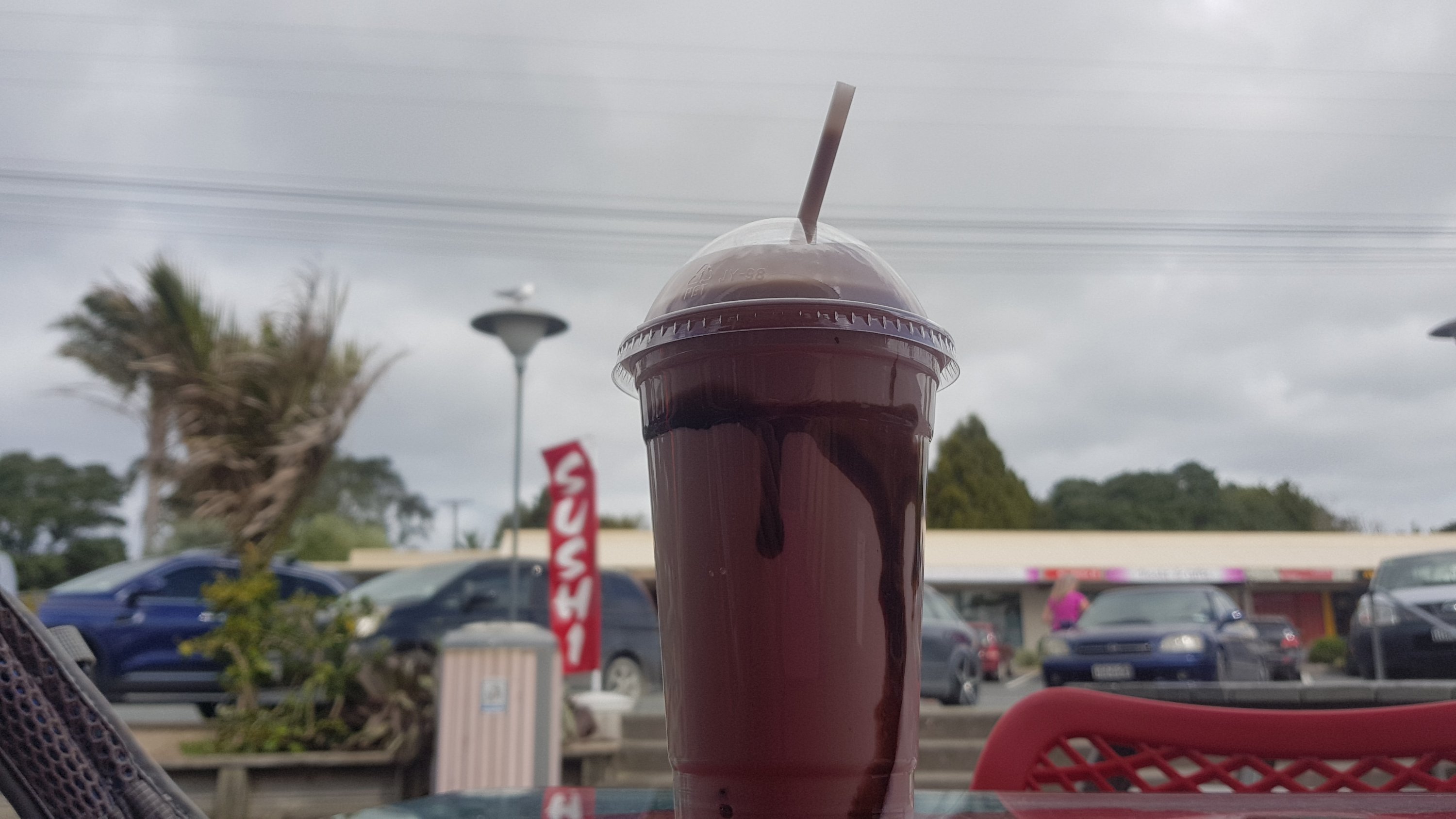
This chocolate milkshake was creamier and richer than others I’ve had. It wasn’t very cold though, but I was happy.
Sweeeeeeeet
I got text confirmation that Mark’s place was available. Fantastic. So I continued out of town. I was apprehensive about the road walking, because again from past driving I remembered the road being narrow. But I was pleasantly surprised at the size of the shoulder.
Nothing wrong with this
And then there was a dedicated walkway once you crossed this bridge.
The walk was fine. I just hoped the weather gods would again be nice to me. I can see rain clouds in the distance. Would they hold off at least until I put my tent up? And would my tent survive the wind?
Well… I got to Mark’s place… and was pleasantly surprised at what I saw.
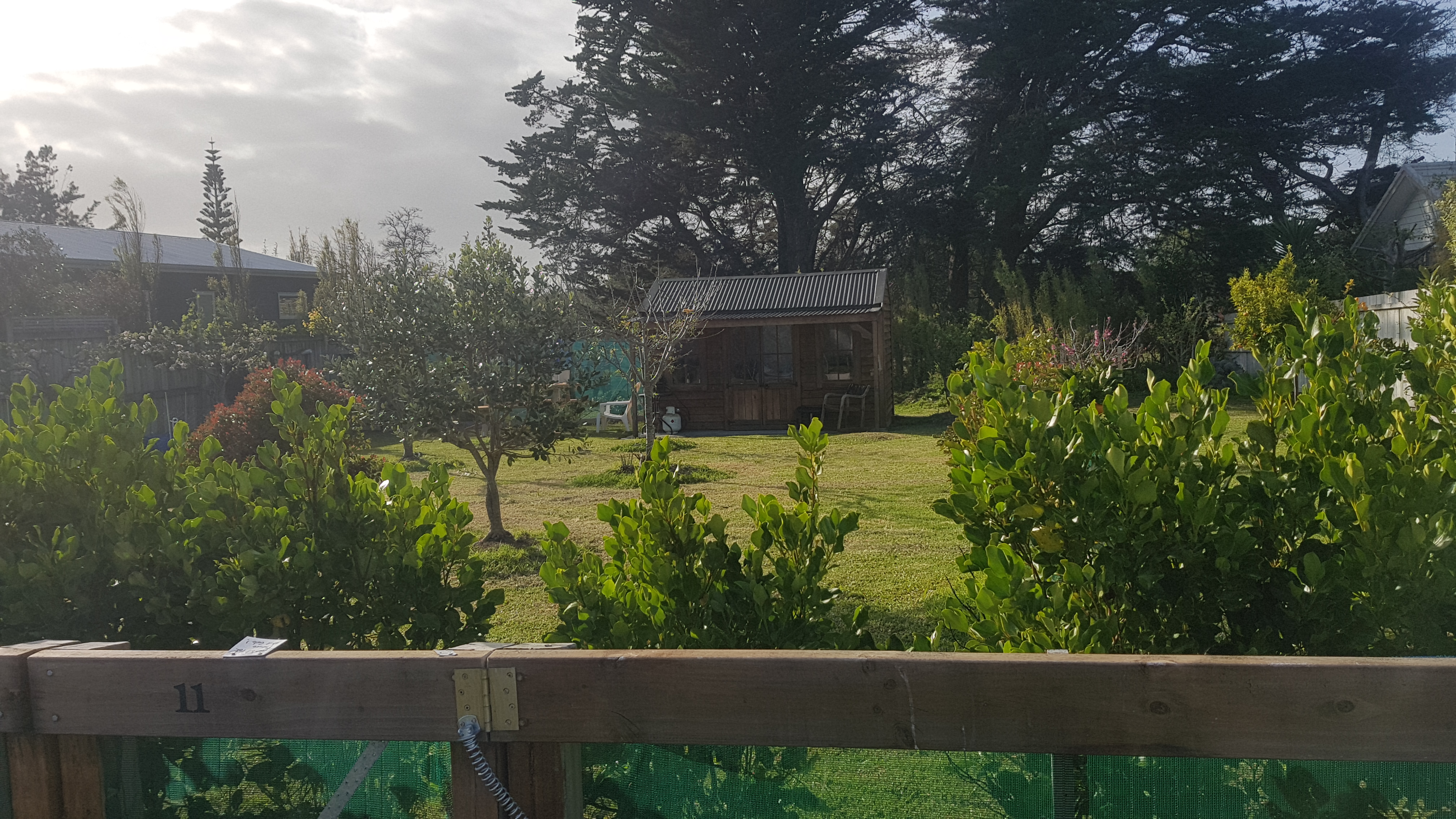
Mark’s place
There is actually a little cabin here. Not only did I beat the rain, but I get to sleep inside!
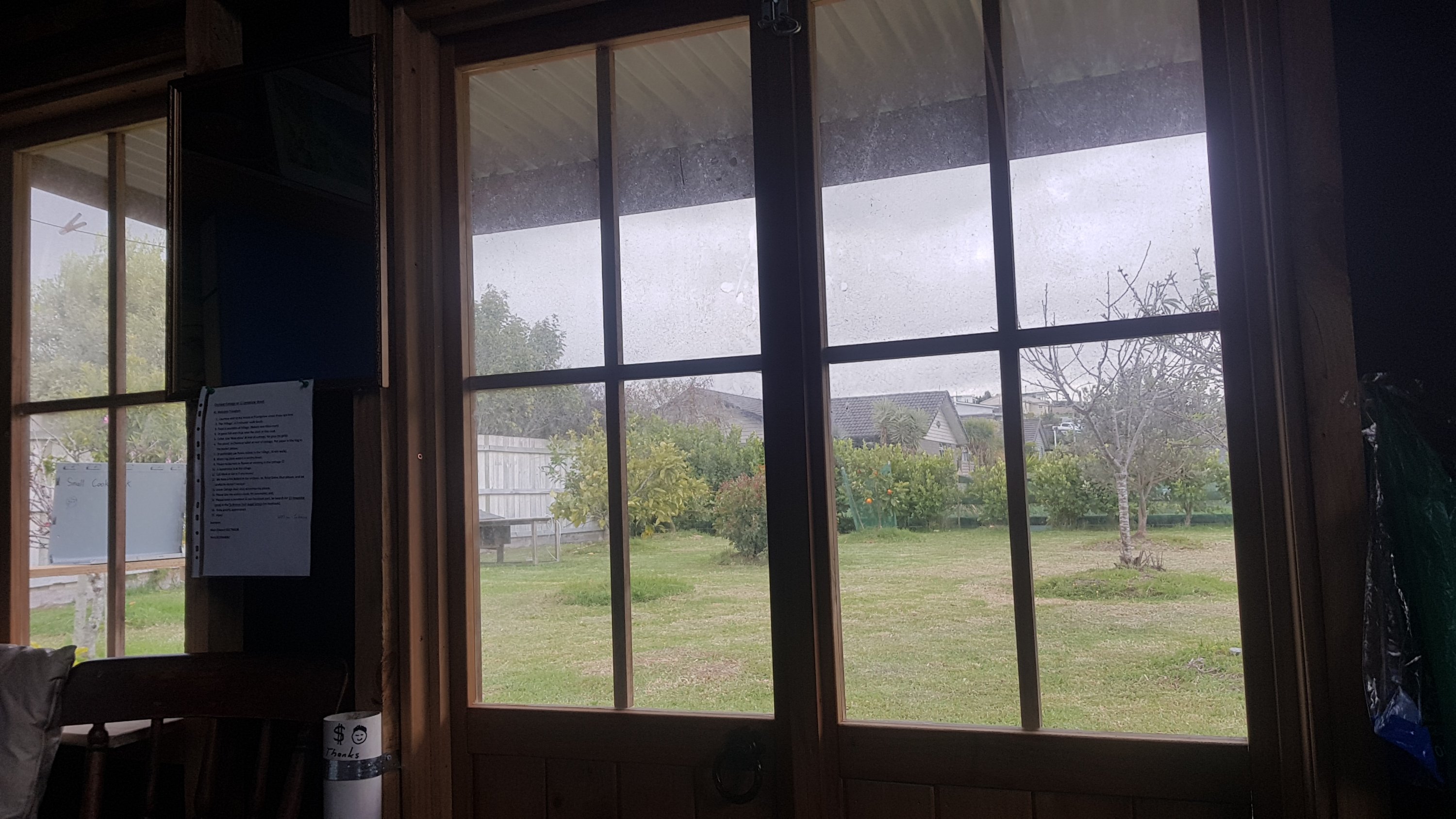
Inside the cabin
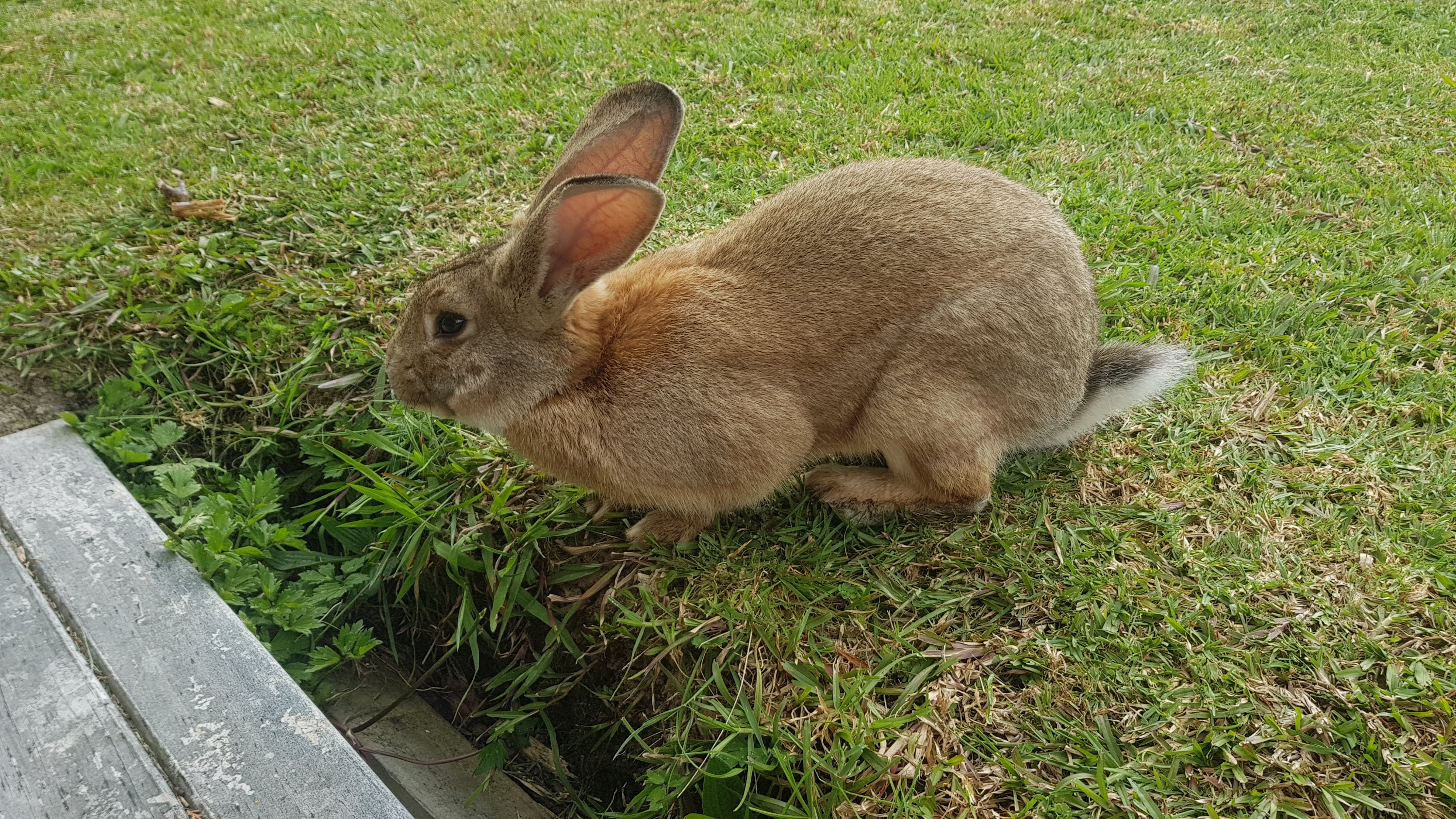
There is also Stu the pet rabbit, who has absolutely no problems coming right up to people. He scared the hell out of me at first.
Stu the rabbit
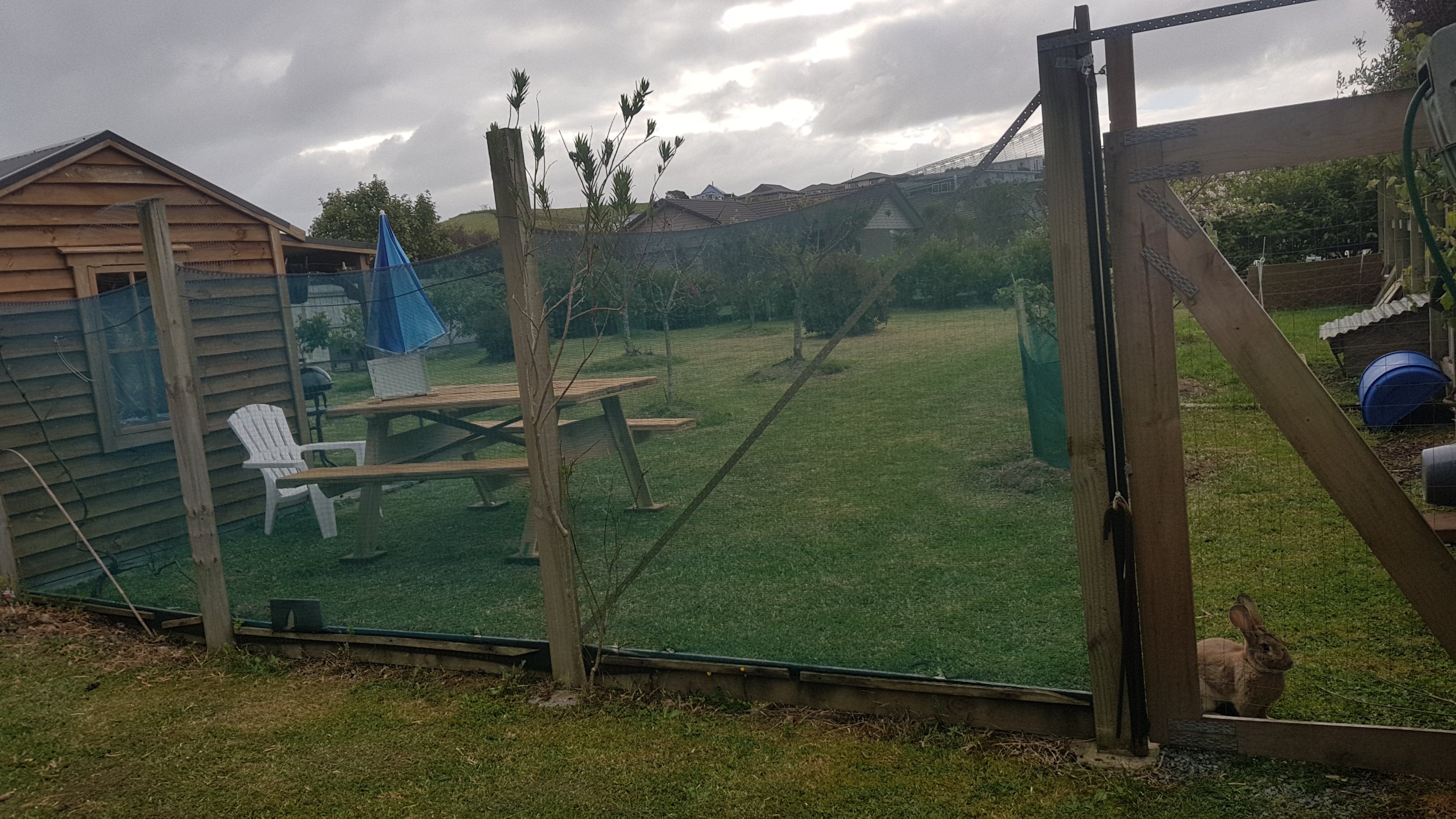
Mark uses the grounds as an orchard. They’re next to his main house.
Just don’t let the rabbit out
Mark came over a bit after I arrived and to make things even better he brought me a beer. We had a chat about Te Araroa. He and his wife did it last year and they made it 90 or 95% of the way but his wife was swept down a river towards the end and broke her arm, so she wasn’t able to finish. That sounds terrible, in fact it sounds like every hiker’s worst nightmare.
I got some Chicken Chow Mein from down the road and came back to the cabin. And only then did it start raining… but by now I was cosy inside and I didnt have a care in the world. Thank you yet again, weather gods.
I wrote my blog entry, and as you can see it is long and unnecessarily detailed, so once that was over there was just time to watch one TV show on my phone and go to sleep.
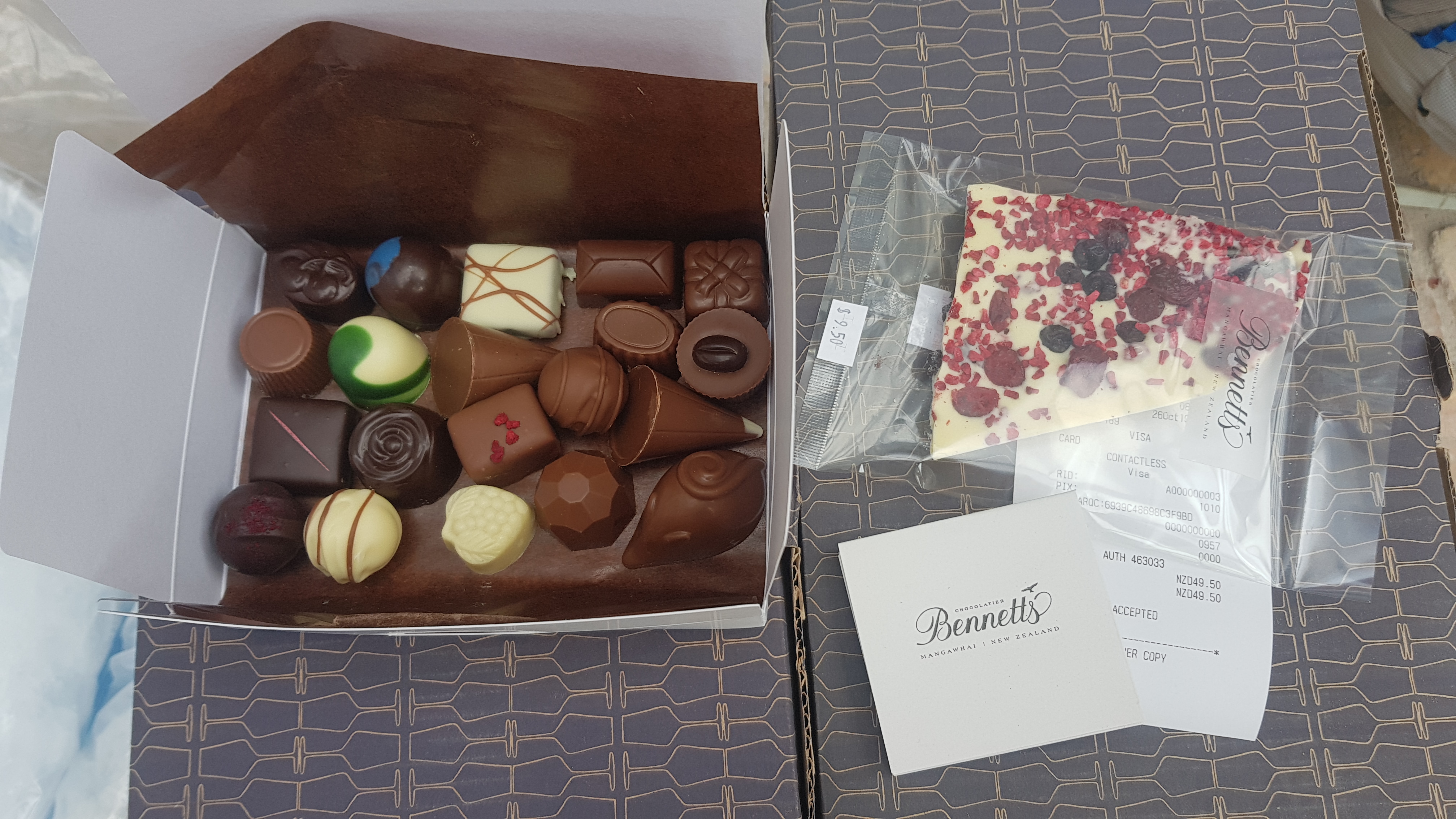
So after a bad start to the day, it ended very well. I don’t hurt too much, and my accommodation is awesome and I even have it to myself. No wind thrashing against the tent, and no Aucklanders clogging up the holiday parks. And in the morning I can have breakfast at the chocolate shop, called Bennetts of Mangawhai. These chocolates are sold in Auckland and I absolutely love them and I have been looking forward to going to the shop here for a long time… but it’s always been closed when I’ve driven through. Well not this time! I am not leaving this town until I enter that chocolate shop and spend at least $50.
Date: 26 October
Distance walked: 29.4km
Trail covered: kms 440.4 to 469.2
Weather: stunning
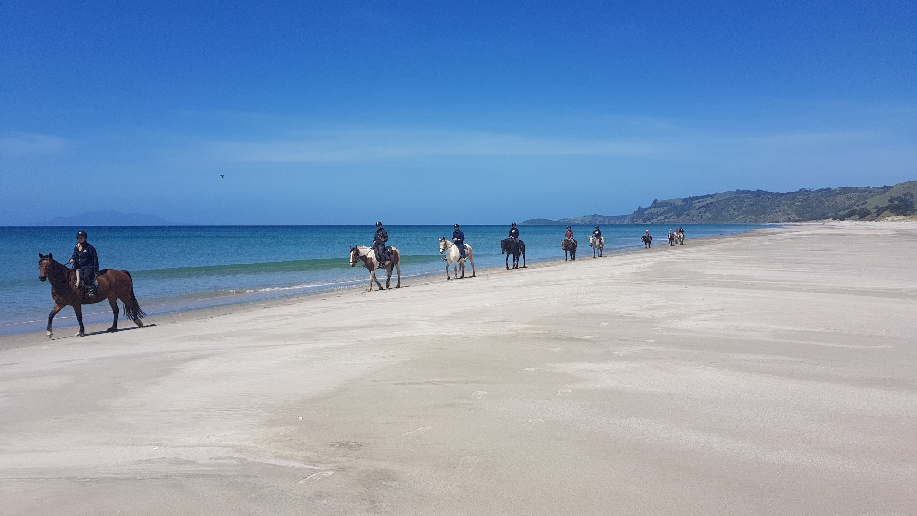
Number of horses in a line down the beach: 10
Well, today was the day I had originally hoped to be back to my house in Mount Eden in Central Auckland. I figured it would take between 26 and 32 days. Obviously I didn’t expect the 10 rest days I have had so far. Im still at least three days from the northern Auckland suburbs and four or five days from Mt. Eden. Oh well… at least I switched to the Auckland trail notes today, from the Northland trail notes. One region down!
I mean honestly, at this rate it is going to take 6 months to finish the whole trail. That’s a long time from what I’ve read. Maybe fewer rest days due to injury in future will mean it won’t take so long.
I woke up early because Mark’s cabin has no curtains and the light shines in. I didn’t mind at all, I had a great sleep in this little place.
Stu the rabbit was outside running round and round and round my shoes. Here’s a video of him doing it for 30 seconds, but he was doing it for at least 5 minutes. Is this some kind of mating ritual?
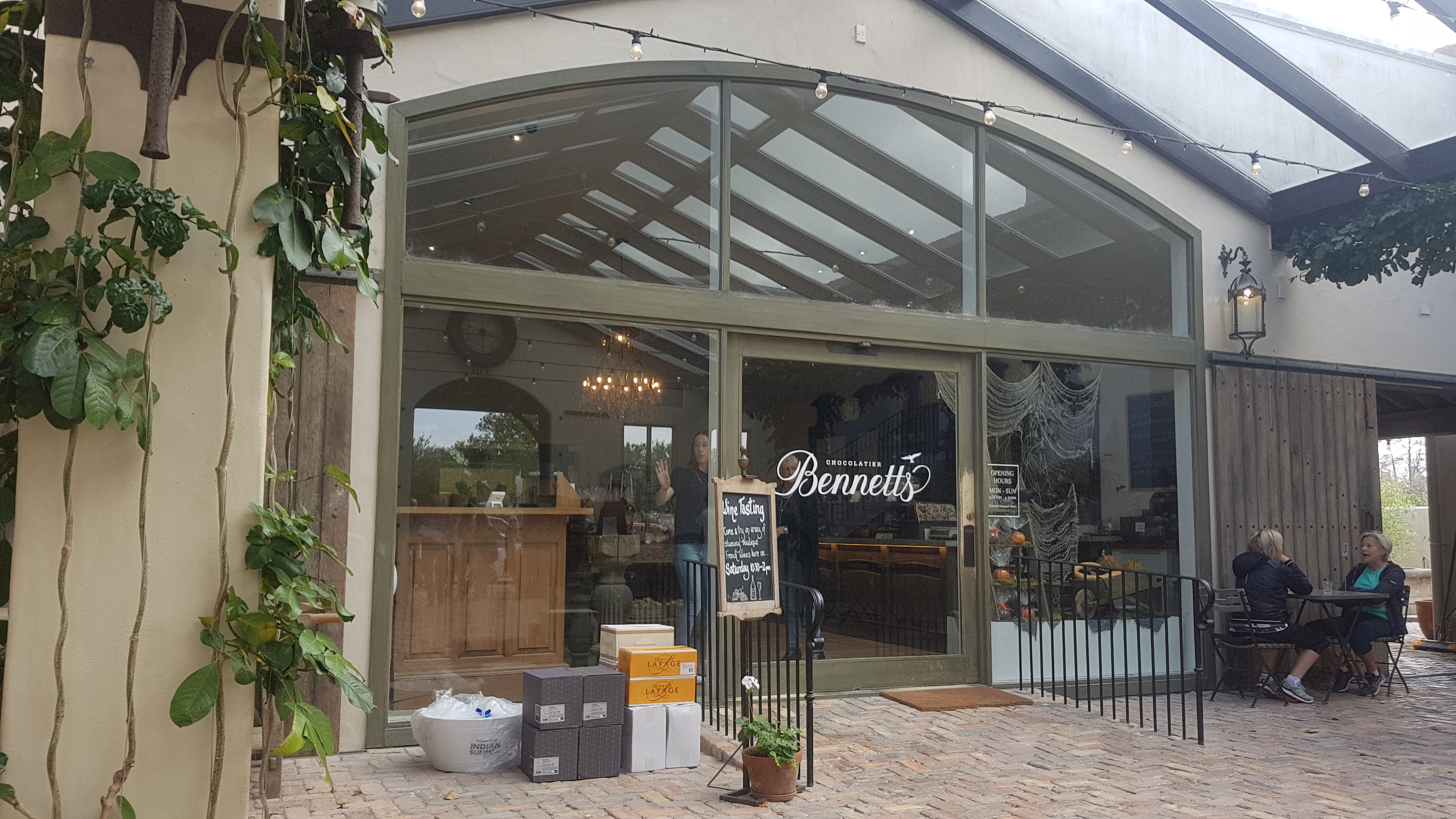
I went into town and of course the first stop was the chocolate shop – Bennett’s of Mangawhai. I was not leaving this town without going to this shop. The chocolate shop didn’t open until 9am and I left Mark’s at 8:20am but the cafe next door to the chocolates was open from 8am.
One advantage of being forced to stay in Mangawhai until 9am is that low tide today is midday and there are three stream crossings which should be done at low tide. What excellent timing.
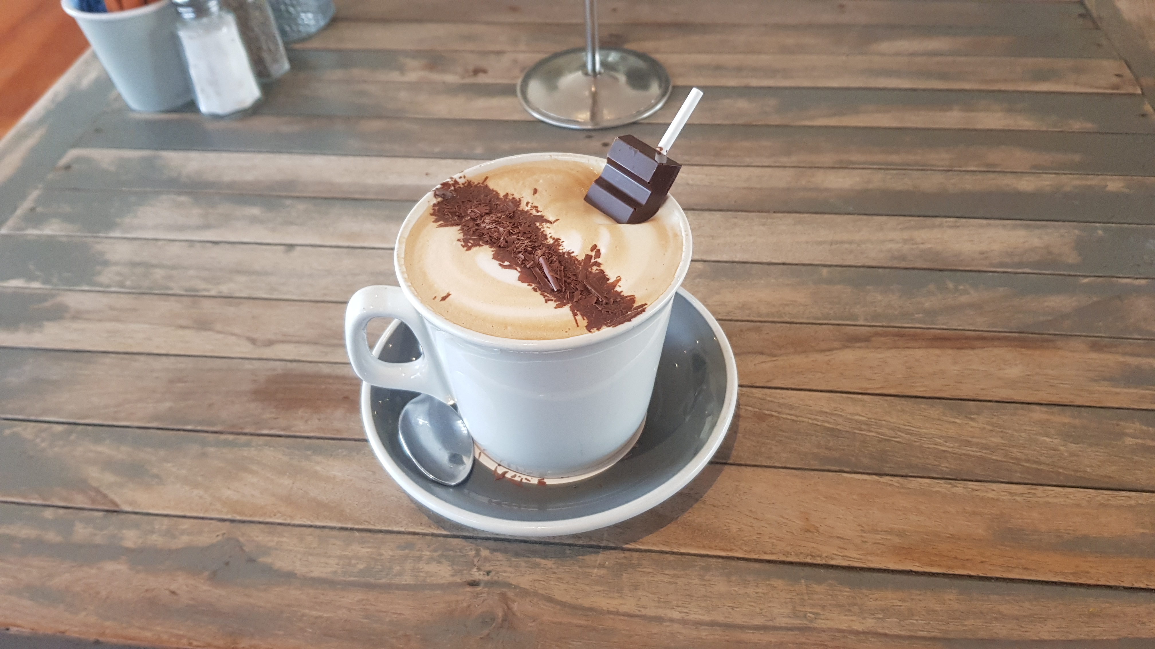
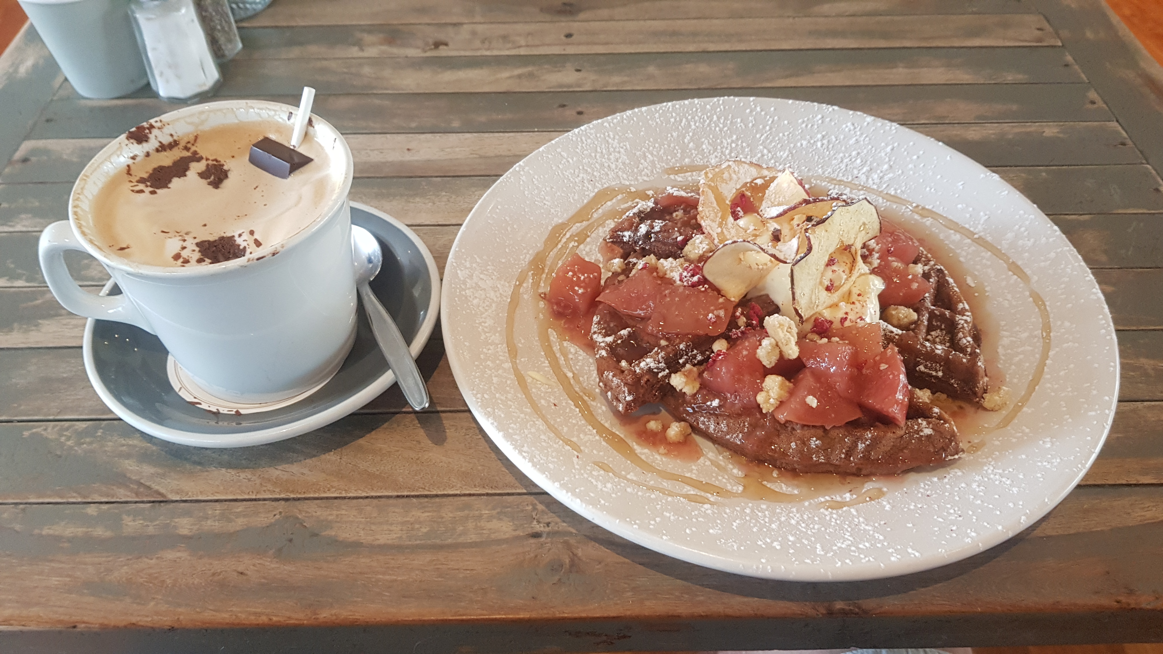
Being Labour Weekend it was already very busy at 8:30. Although, my coffee arrived very fast, and since the cafe was owned by Bennett’s also, I wasn’t surprised to see my mocha came with an “insert-it-yourself” chocolate stick.
I love mochas served like this
And then straight after, waffles for breakfast.
Sugar overload
They don’t sell any chocolates in the cafe though. So at 8:58 I went and stood forlornly at the chocolate shop door, sad that they hadn’t yet opened. They didn’t open until 9:01. Shock horror!
The front of the shop
The girl said she was a bit late because the people going to the market across the road park in the shop’s staff spots. Given how busy it was out on the street, I absolutely believe it.
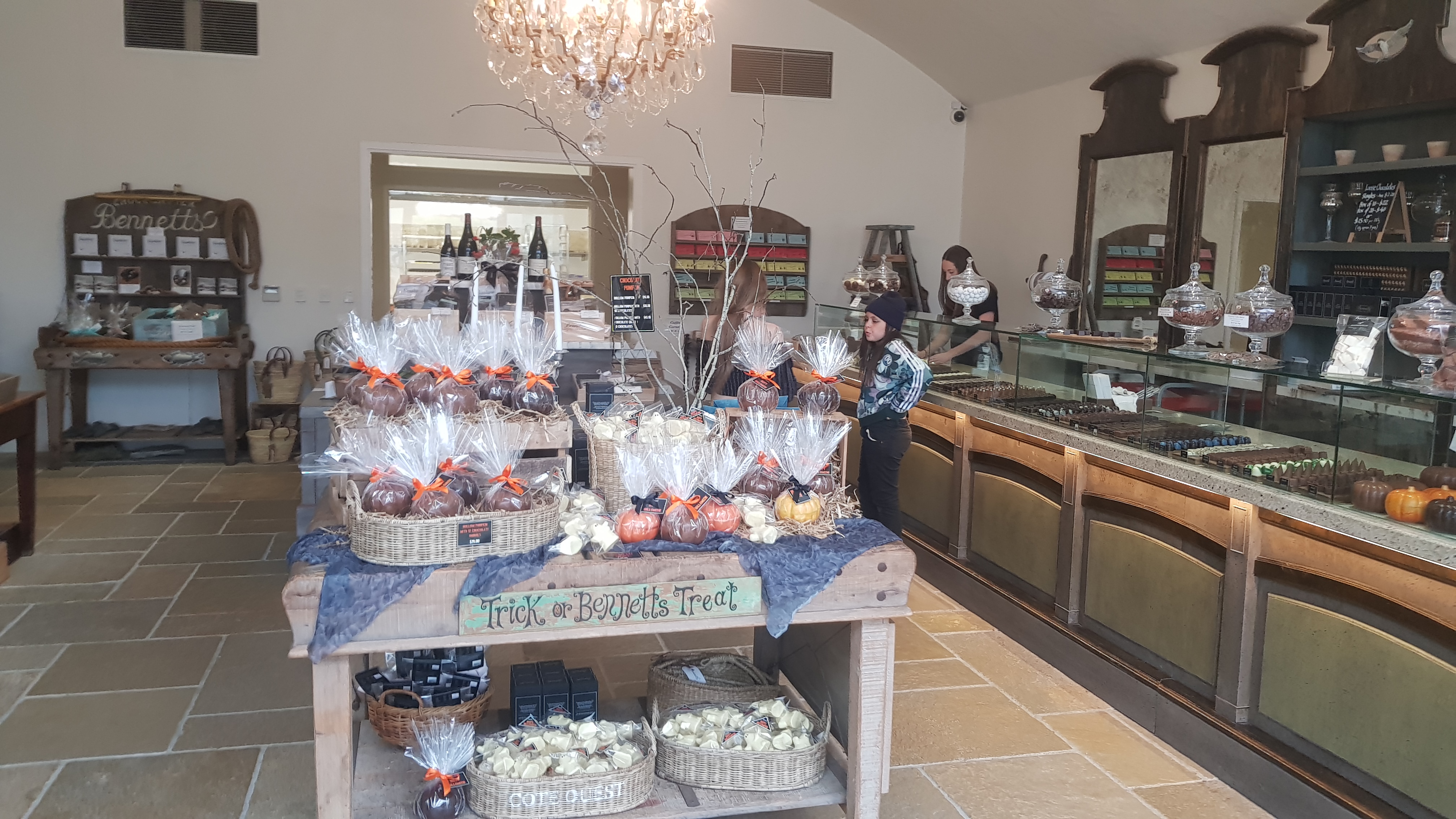
Inside the shop
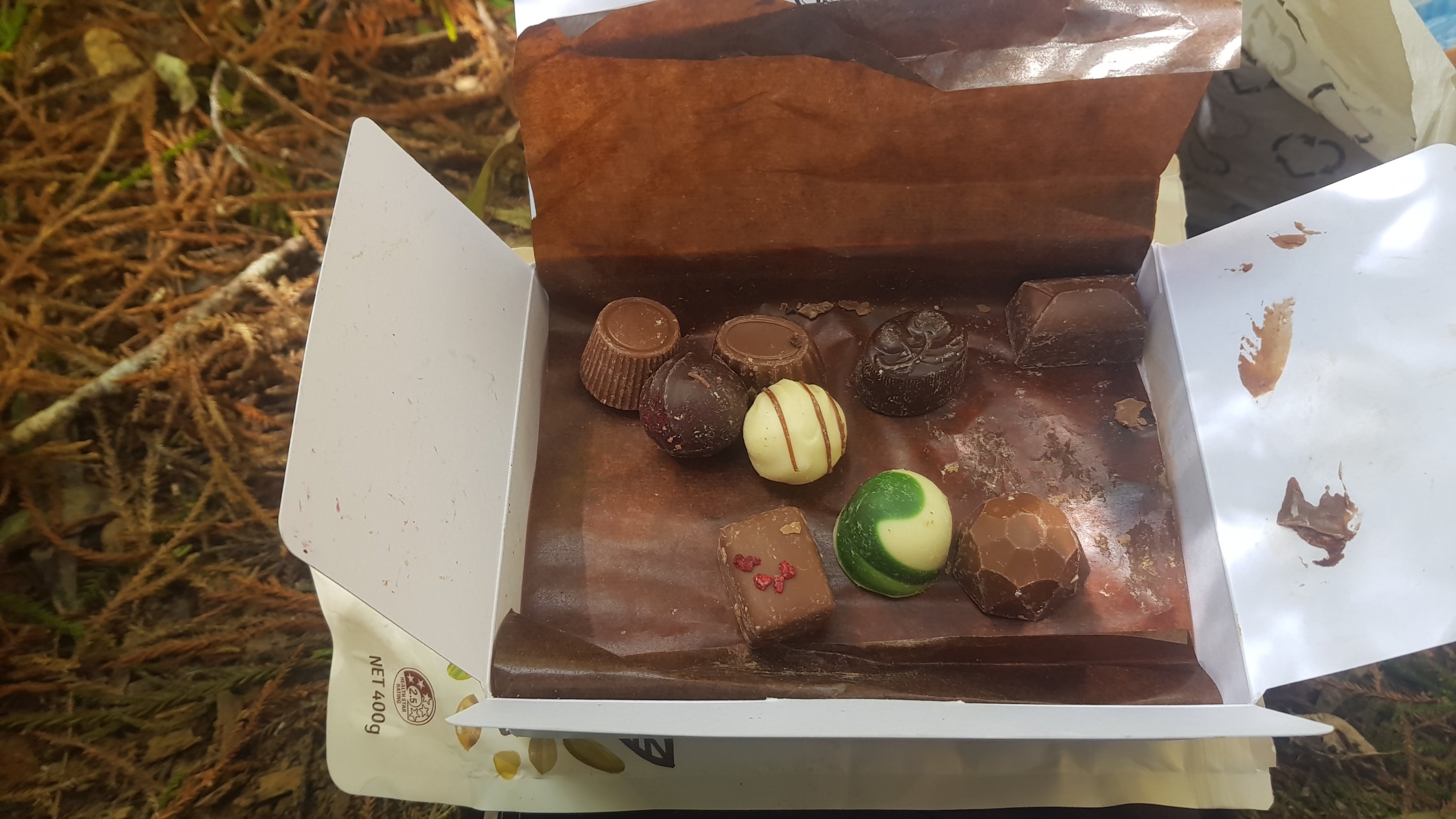
You may remember in yesterday’s blog post I estimated that I’d spend $50 in the chocolate shop. Well, turns out I’m a lightweight. I only spent $49.50. I felt like a failure.
My purchases and my receipt. You’d think I didn’t even like chocolate or something.
I bought a box of 20 which cost $40 and a slab of white chocolate with fruit in it for $9.50. I love the individual chocolates, they’re all on display and you can pick any 20 you want. And there are ten different varieties of alcoholic ones, as well as tons of non-alcoholic ones.
While I was there I also asked if I could buy a big bag of “seconds” – any chocolate that was broken or not perfect quality or anything they didn’t want to sell at full RRP because the chocolate wasn’t showroom standard. Her reply was “we get that a lot” followed by “no, sorry”. Oh well.
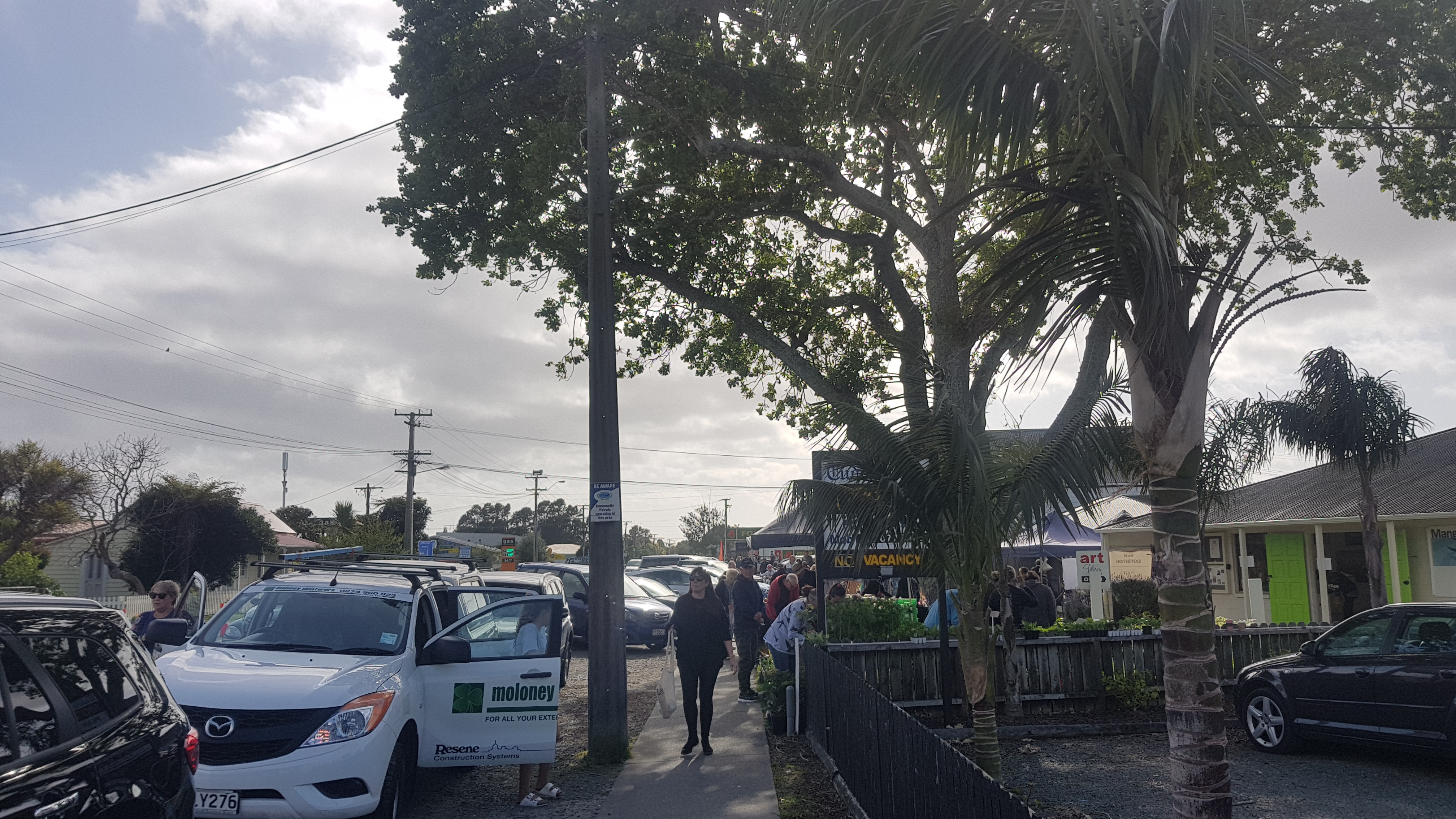
Outside the market was busy. I didn’t buy anything as I’d just have to carry it around.
Mangawhai market
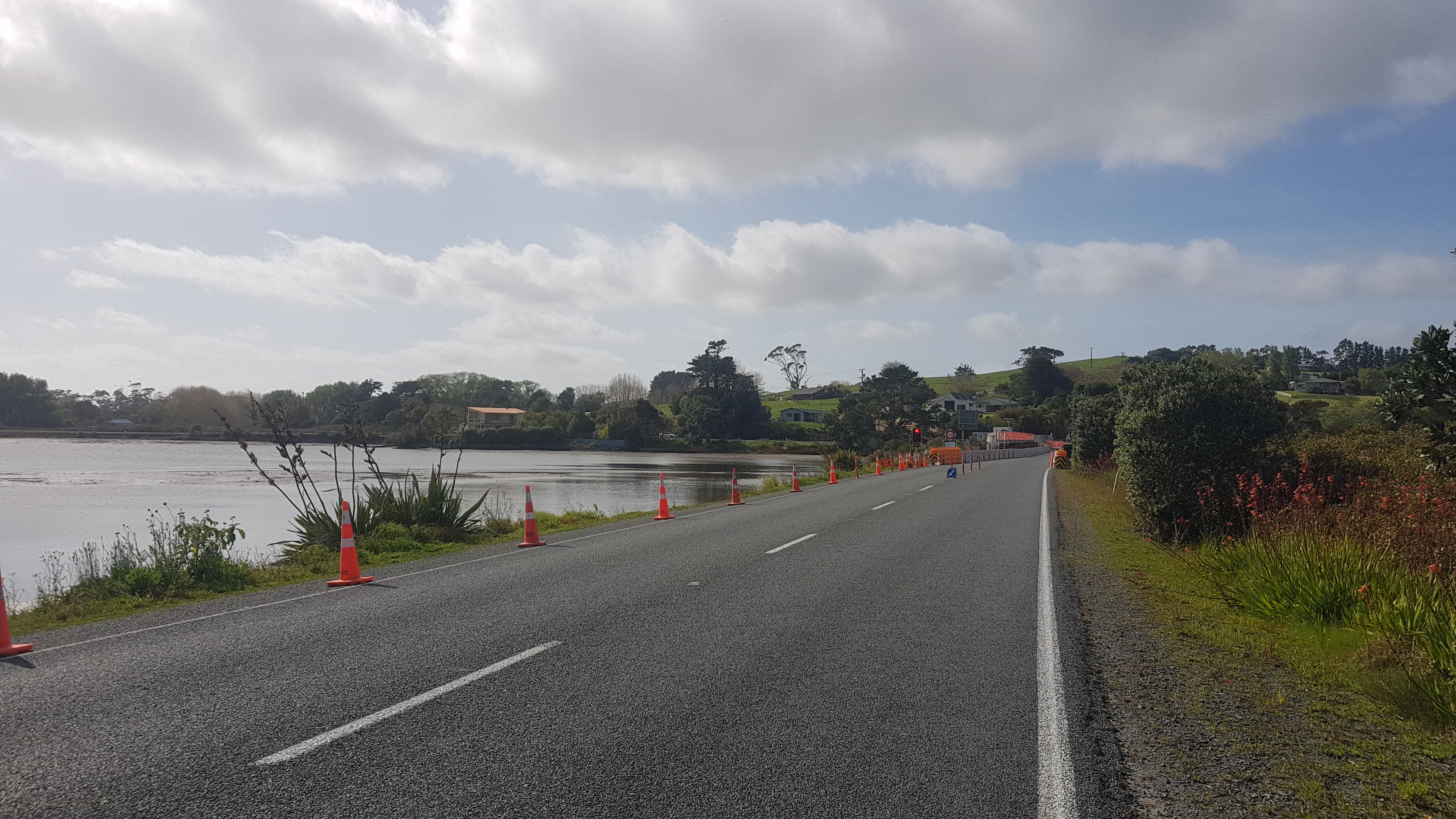
Then it was time to head out of town on the road. The first potential obstacle was this.
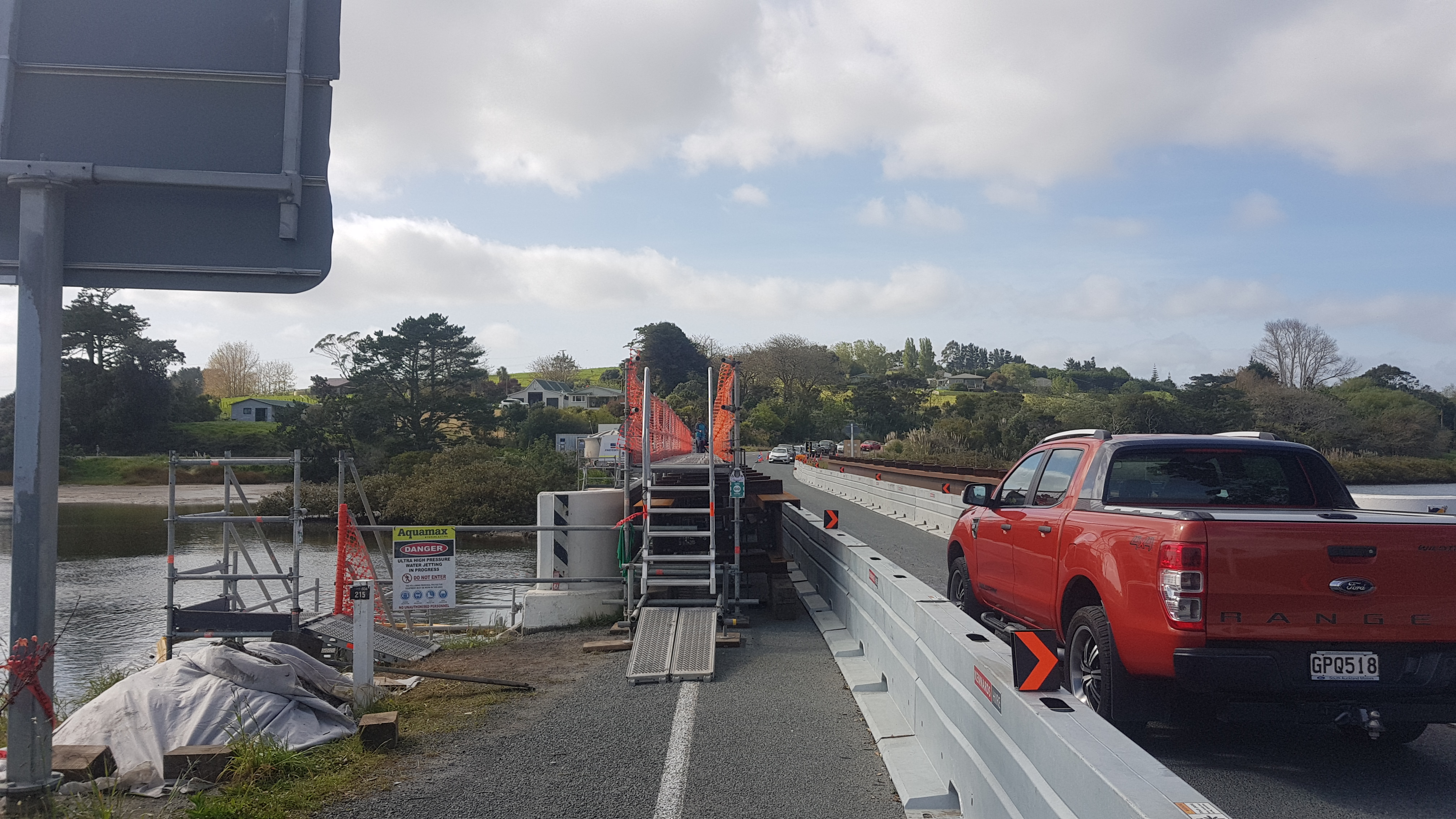
Uh oh… road works on the bridge
But the construction had very helpfully included a pedestrian bridge up some steep stairs.
How kind
It was quite amusing watching a lady walking a dog towards me and watching the dog nearly pull her head first down the stairs. I shouldn’t have laughed but I did, inside of course.
And you know by now that I’m a nerd for speed limit signs. Here they have “fashioned” a 30 sign out of whatever was there before. I can tell because the digit 3 doesn’t normally look like that. Quite clever, I thought.
More speed limit sign excitement
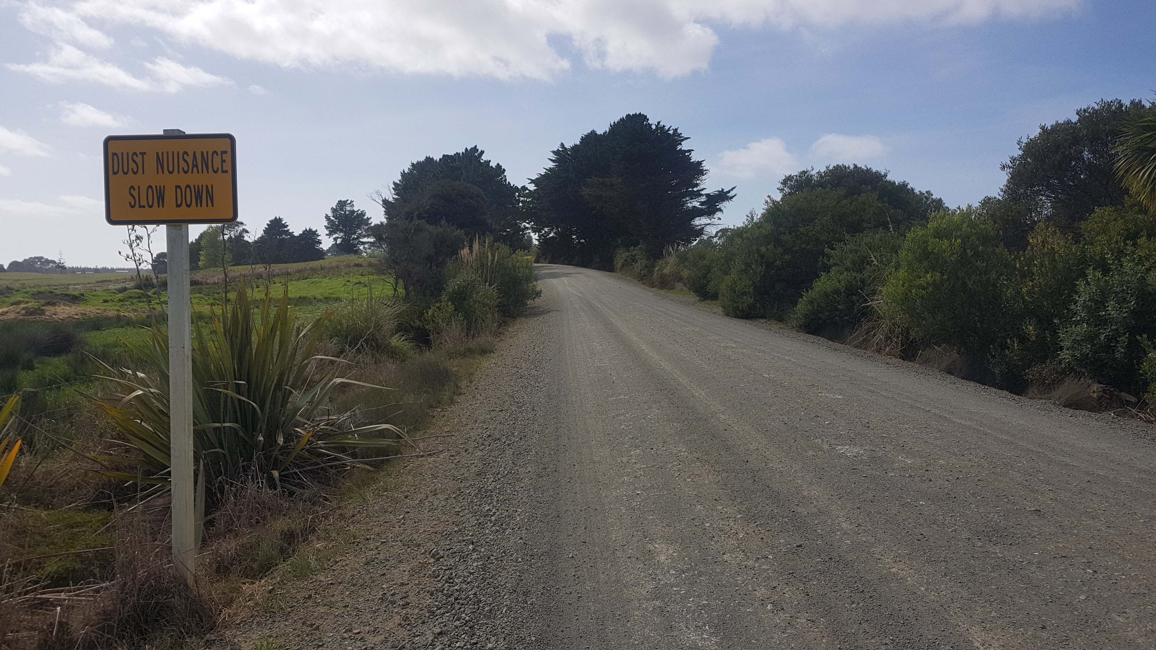
The gravel road that came up wasn’t wonderful to walk down, despite this sign.
Stop being a nuisance!
But I did enter the Rodney district. Progress is being made!
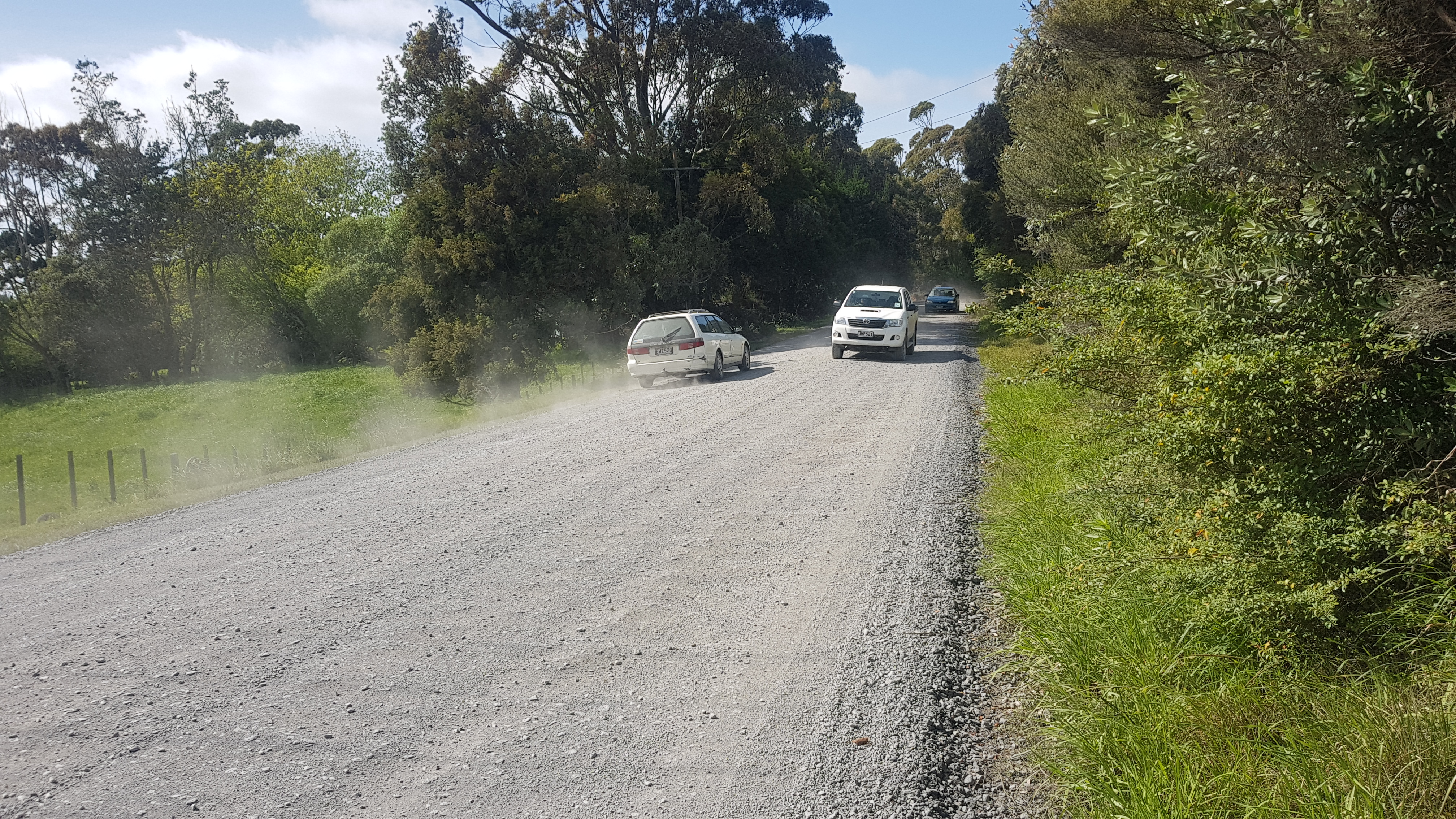
This small gravel road was very busy. Again, probably all the holidaying Aucklanders going to the beach.
Busy gravel road towards the beach
When it gets busy like this, I like to hold both walking poles in one hand, extending one up high. Firstly, it makes the cars notice me more, so they slow down, and secondly, it makes me feel like Gandalf.
You shall not pass!
The gravel road did go through forest when I got closer to the beach, which was nice.
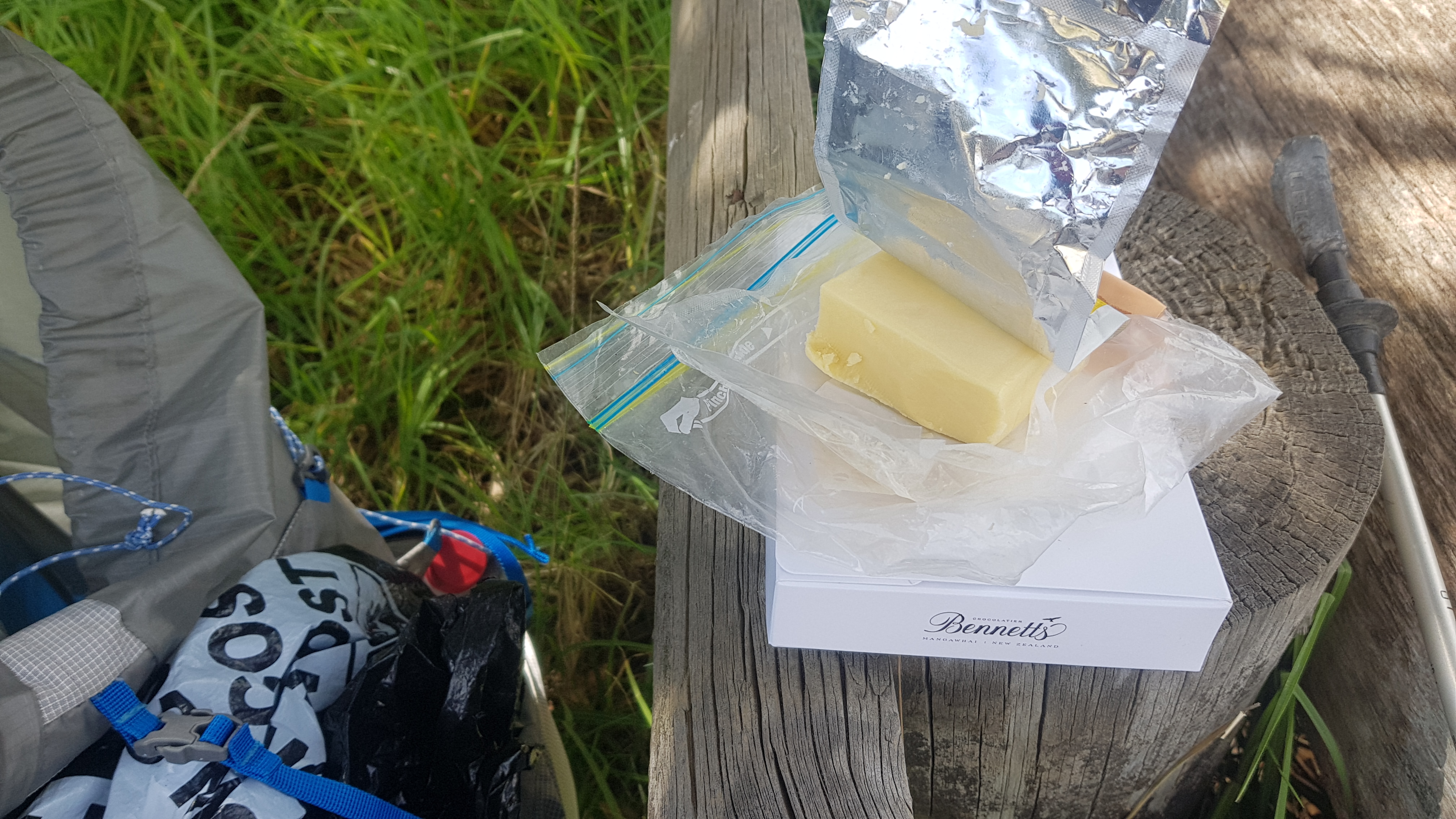
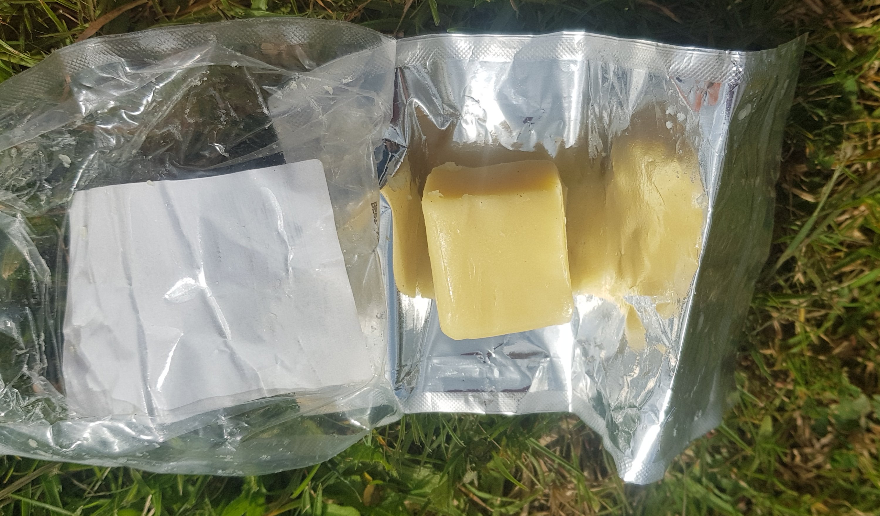
Just before I actually got to the beach, I stopped in the last bit of shade available to have some food, as I knew there was a lot of beach walking coming up. It gave me a chance to check on my cheese that I bought 3 days ago, and has been in my pack ever since. It was just like new. When I bought the cheese, I put it inside a zip-lock bag, which went inside a second zip-lock bag that some nuts came in, which went inside my rubbish bag, which went inside my food bag, which went in the middle of my pack. If that doesn’t stop the sun getting at my cheese, I don’t know what will.
Oh, cheese and crackers, how I love you so very much.
My precious
I gave my $40 box of chocolates the same storage treatment – inside two zip-lock bags inside two plastic bags inside my pack, next to the cheese. It’s so sunny today, I will learn later on if they will melt or not.
Now that I have my two favourite foods with me, cheese and chocolate, I feel ready to face anything. It was now 11am by this point, so my 11am picture is my little lunch station.
11am picture – my lunch setup
I also put sunscreen on as there wasn’t a cloud in the sky. I haven’t been wearing sunscreen because it has been quite cloudy and I’ve built up quite a “base tan” now, if that’s even a thing (I think it is).
Here’s the start of the beach – Pakiri Beach I think.
Walk this way
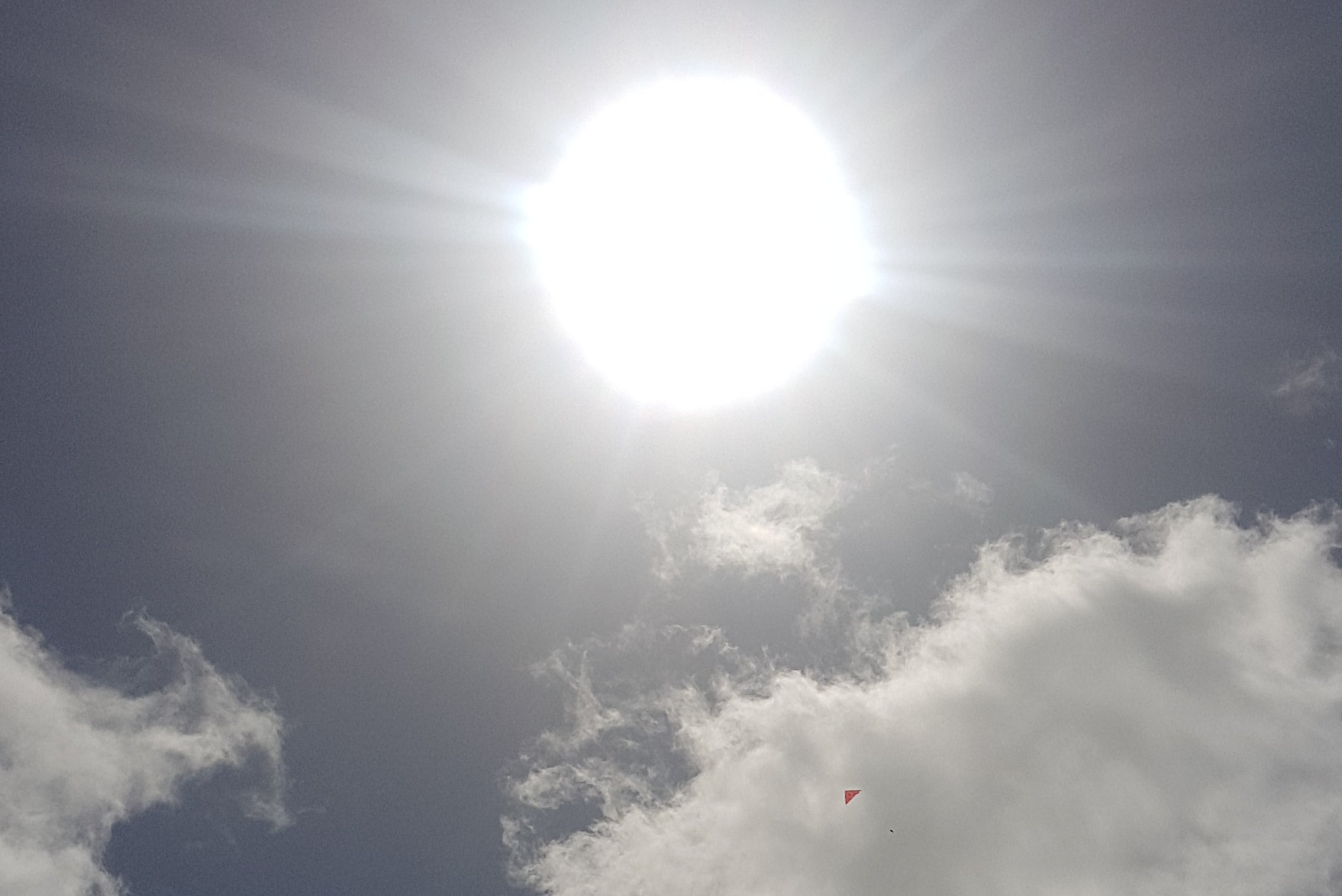
And there was a guy flying a kite. I tried to take a photo of how high it was. It turned out that I mostly got a picture of the sun… but you can see the kite there too.
The beach takes a short break at Te Arai Point. You go up and over this.
Te Arai Point
From up there, you can see the next bit of beach.
Once over the point, you could see where I came from…
Te Arai Point from the other side
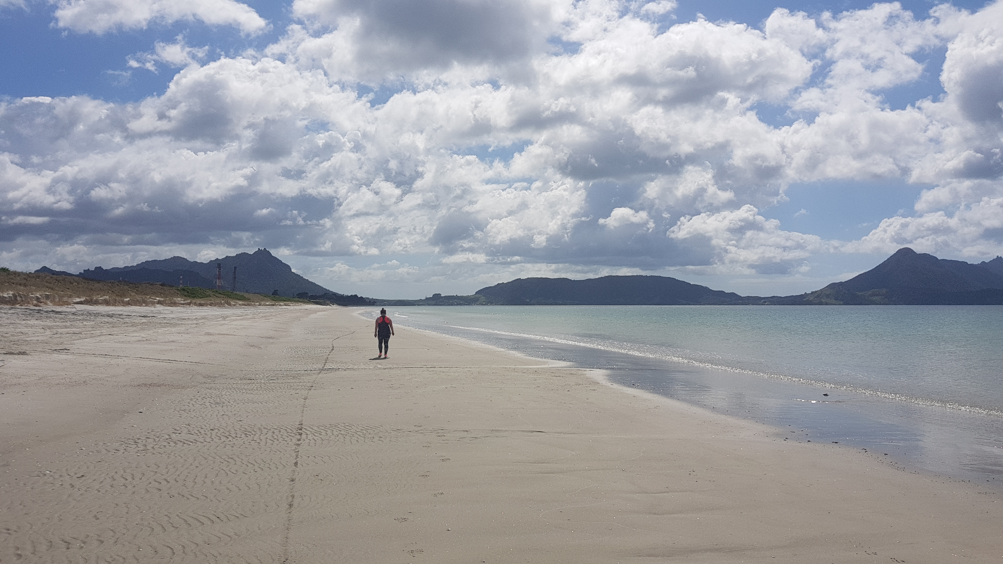
And here is what is next. Hours and hours of beach. And despite the holiday weekend, there was absolutely nobody there.
Lots of beach now
There were three streams you had to cross. Because there has not really been any rain and because I started the beach walk half an hour before low tide, they were all 10 or 20cm deep, max.
Not very deep stream crossings at low tide
I took my boots off for each of the stream crossings, walked for a bit in bare feet until they dried (maybe 5 minutes) then put my shoes back on. I wanted to walk longer with bare feet to maybe give the sun a chance to even out my ridiculous tan lines.
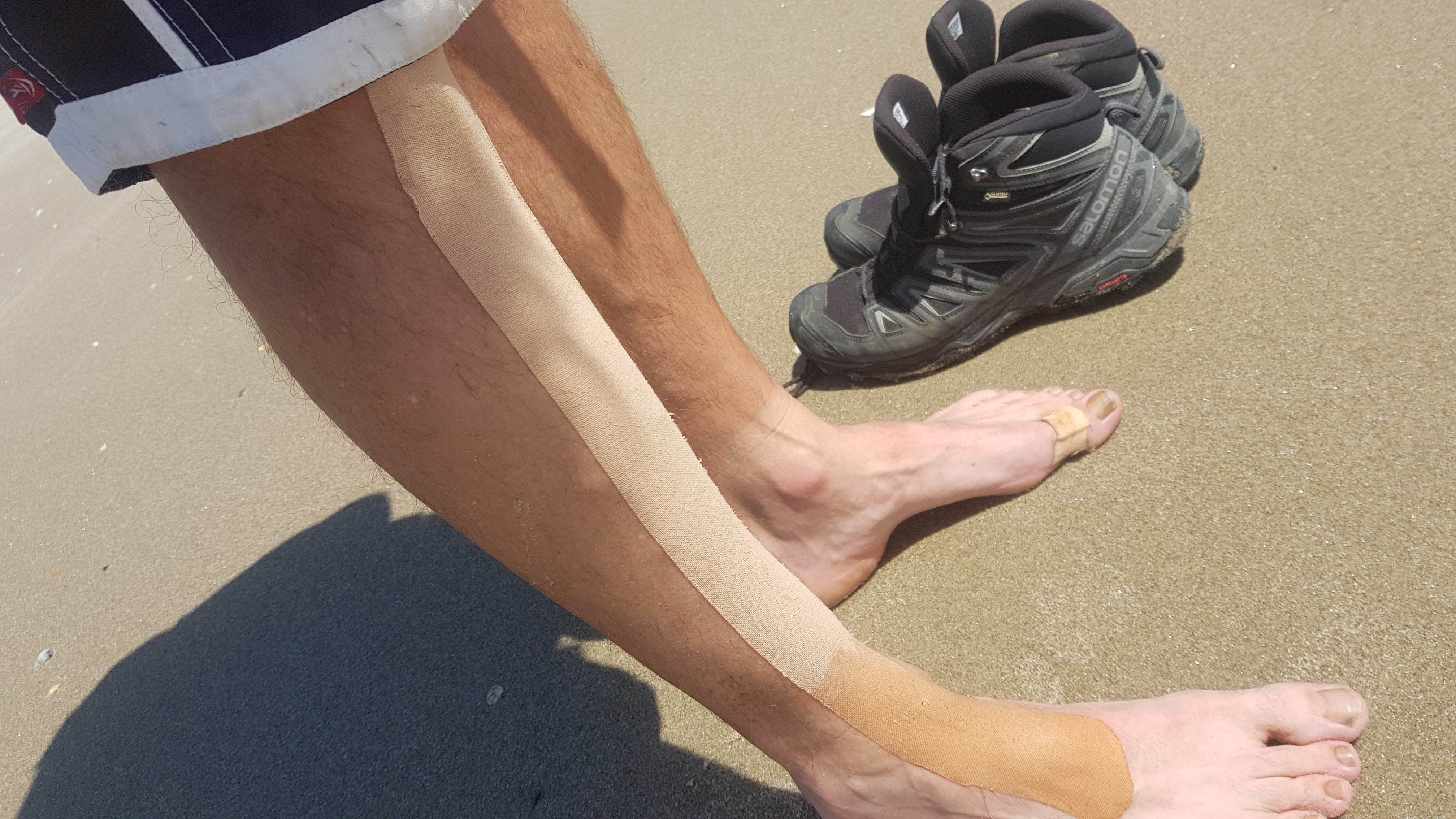
Even the strapping tape has a ridiculous tan line
But walking in bare feet was painful, because of my previous foot pain. In fact, this makes me certain that the most recent time I hurt my foot was because of walking in my crocs all day. As soon as I put my boots back on, there was no more pain.
I didn’t want to walk across the streams in boots though, because apart from getting wet boots and socks, I want to keep my feet dry so that my toenails don’t fall out further down the trail. You hear a lot of stories about this happening. In fact, when Mark showed me the cabin last night and was telling me about his Te Araroa journey, he said he was actually happy when his toenails fell out, because then it hurt less. He was upset when they grew back. Maybe I’ll get into that frame of mind but I don’t think so!
Saw a few interesting buildings while walking.
This one didnt even look like it had windows. An old farm building perhaps?
It was a bit of a lonely walk today. At least four times throughout the day I looked behind me on the off chance that somebody was following me, but nope, nobody was. Once I got closer to Pakiri though, I saw a bunch of horses.
The horse at the front is like “look at me, I’m awesome”
I think there is a lot of horse riding in this area. I definitely saw a horse riding school on a previous visit to the area.
Getting closer to Pakiri, I saw a few people, but definitely not many.
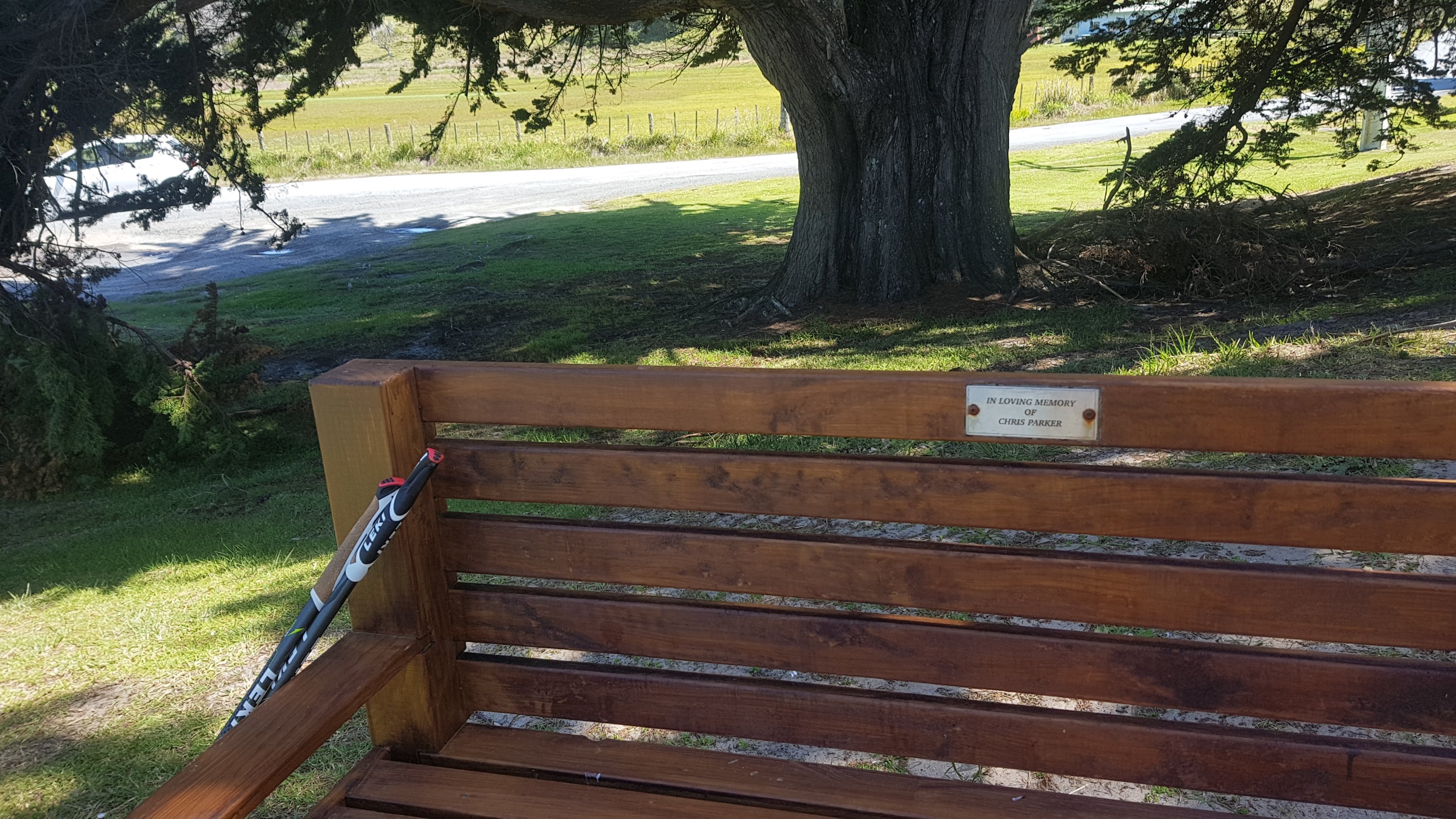
Came off the beach at 3pm – nearly four hours of walking on the beach, although I did take my time going over Te Arai Point. Had a rest on this chair just off the beach:
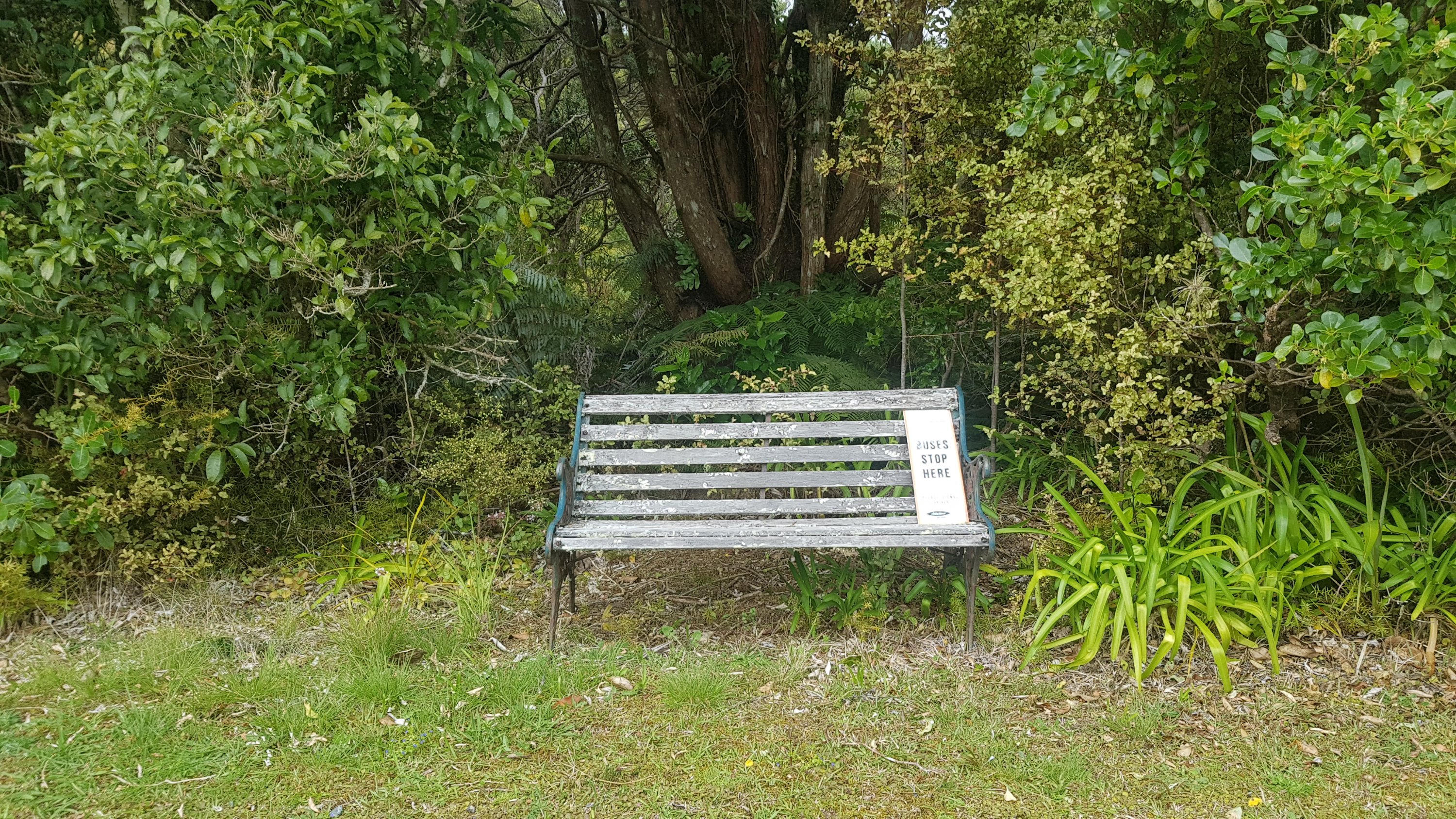
Thanks Chris Parker, without you this chair wouldn’t be here
And admired where I’d just come from.
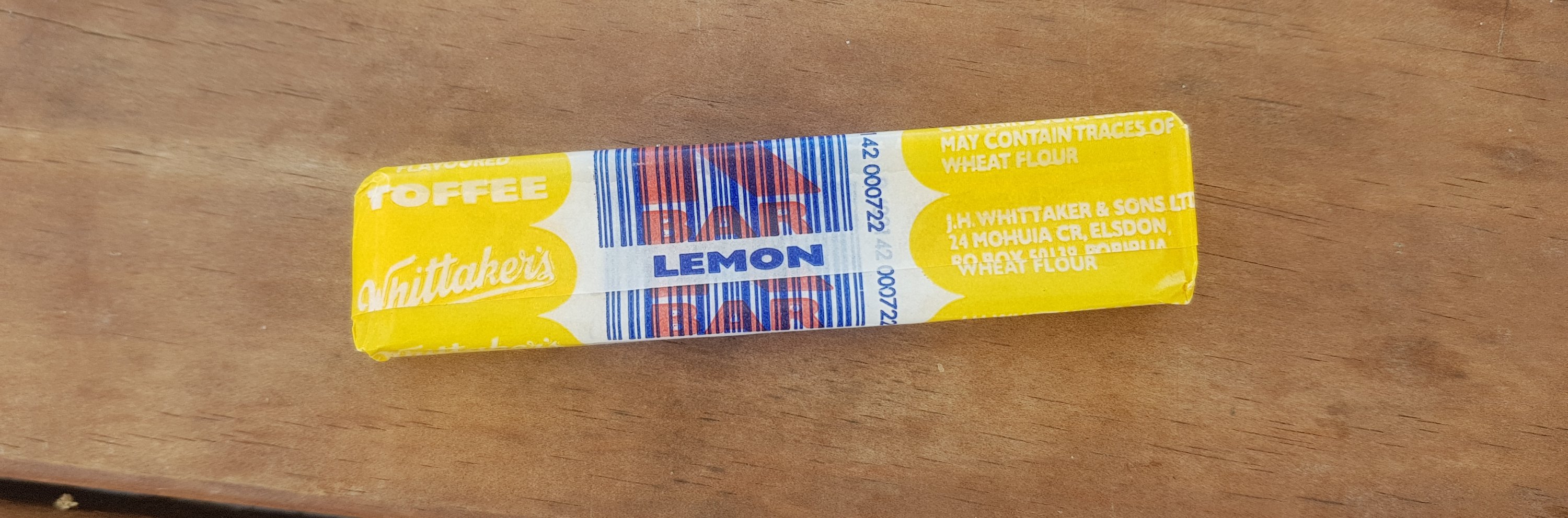
I paid a visit to the Pakiri Holiday Park which was just off the beach. I bought a Popsicle, some lollies, and one of these:
Whittakers K-Bar
I didn’t know these still existed. They were popular when I was a kid, and they were cheap. I think the dentists subsidised them because they were so chewy that they’d pull your fillings out. More work for the dentists then. And I had no idea Whittakers made them. That must be a recent development I’m sure.
I thought about staying here, but ultimately I decided not to. However the very friendly women behind the checkin at the holiday park were kind enough to let me go into the camp to fill up my water bottles. They also said I could use the bathrooms too. Very nice of them.
When deciding whether to stay or not, I used the logic I came up with on 90 Mile Beach. If nothing’s hurting, then keep going. My decision was also helped by the perfect weather, and the large number of people in the holiday park, and the fact that I’d read that the tent sites area is quite noisy and gets a lot of through traffic. So I continued on towards Omaha Forest, down a typical gravel road with some typical cows following me.
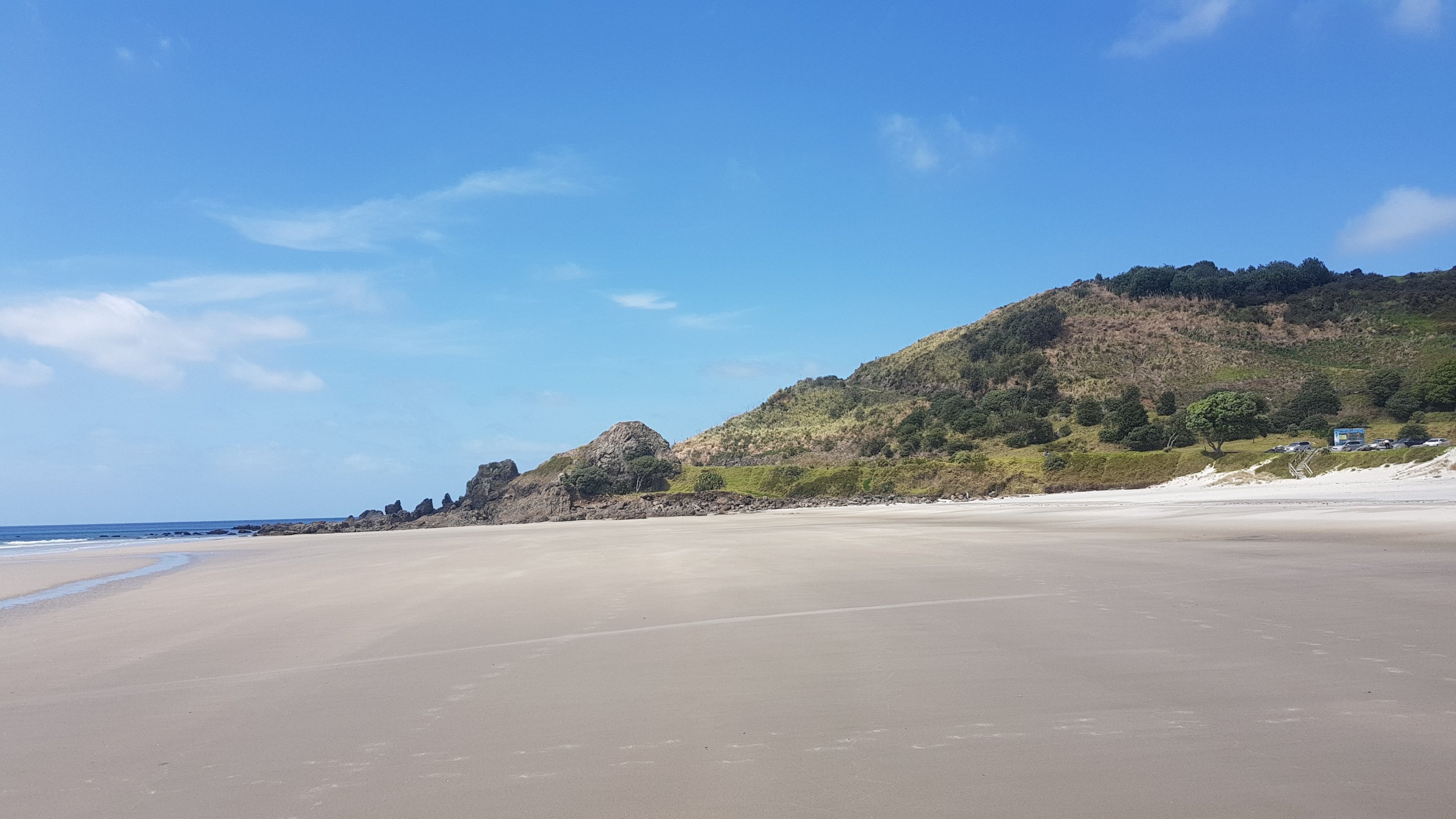
Round the next corner, I was fairly sure I could see what I’d be walking up and over. It doesn’t look too bad here, but I was fairly sure that Mt Tamahunga, which I think is behind these hills, has a summit of 430m.
Walking up there soon!
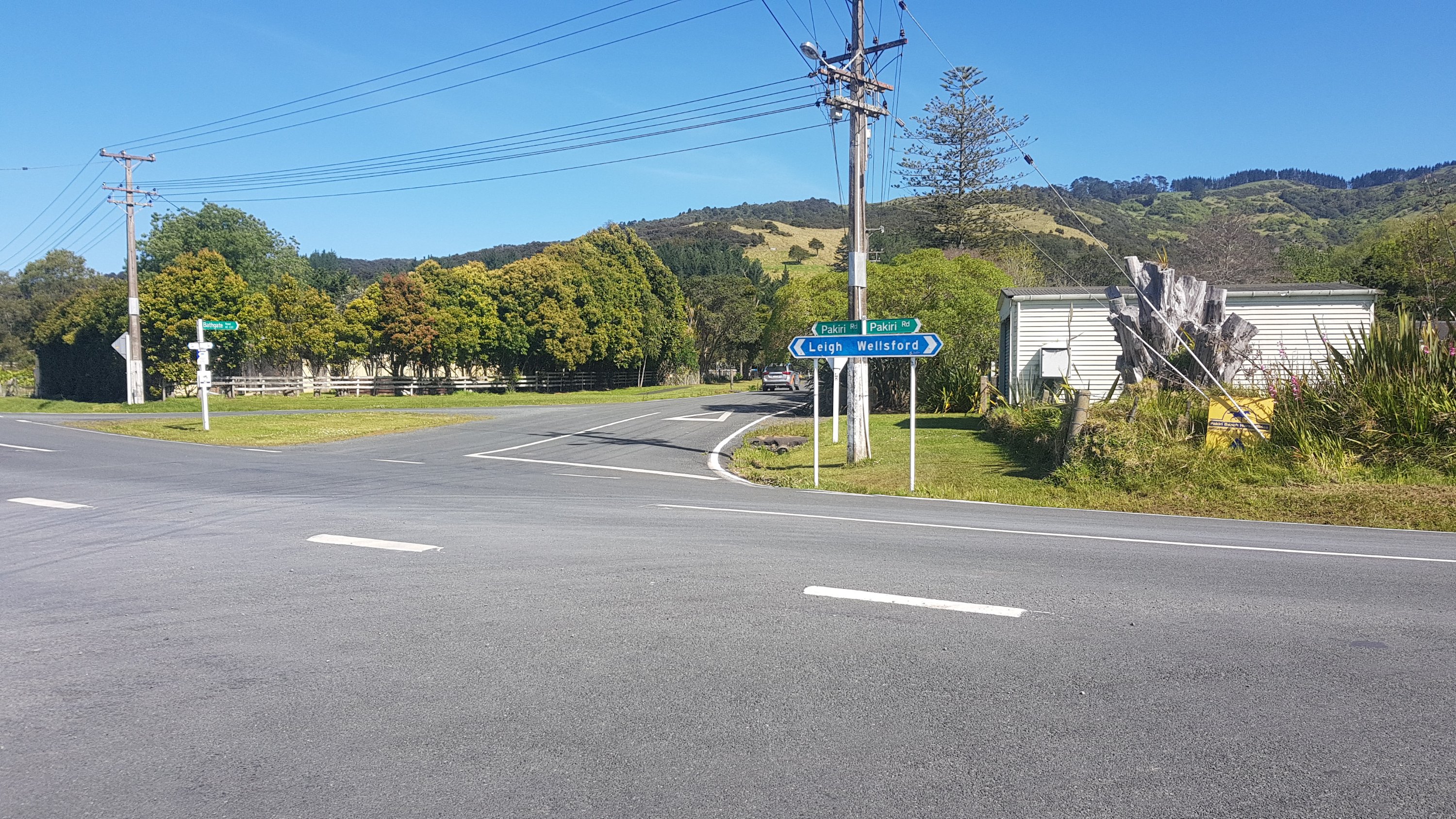
At this crossroads, you go straight ahead, because you aren’t going to Leigh or Wellsford. I wish I was going to Wellsford though. There is a McDonald’s there and also a place that sells Jesters Pies. Do I have time to hitchhike to go get a feed?
No I don’t have time for that sadly.
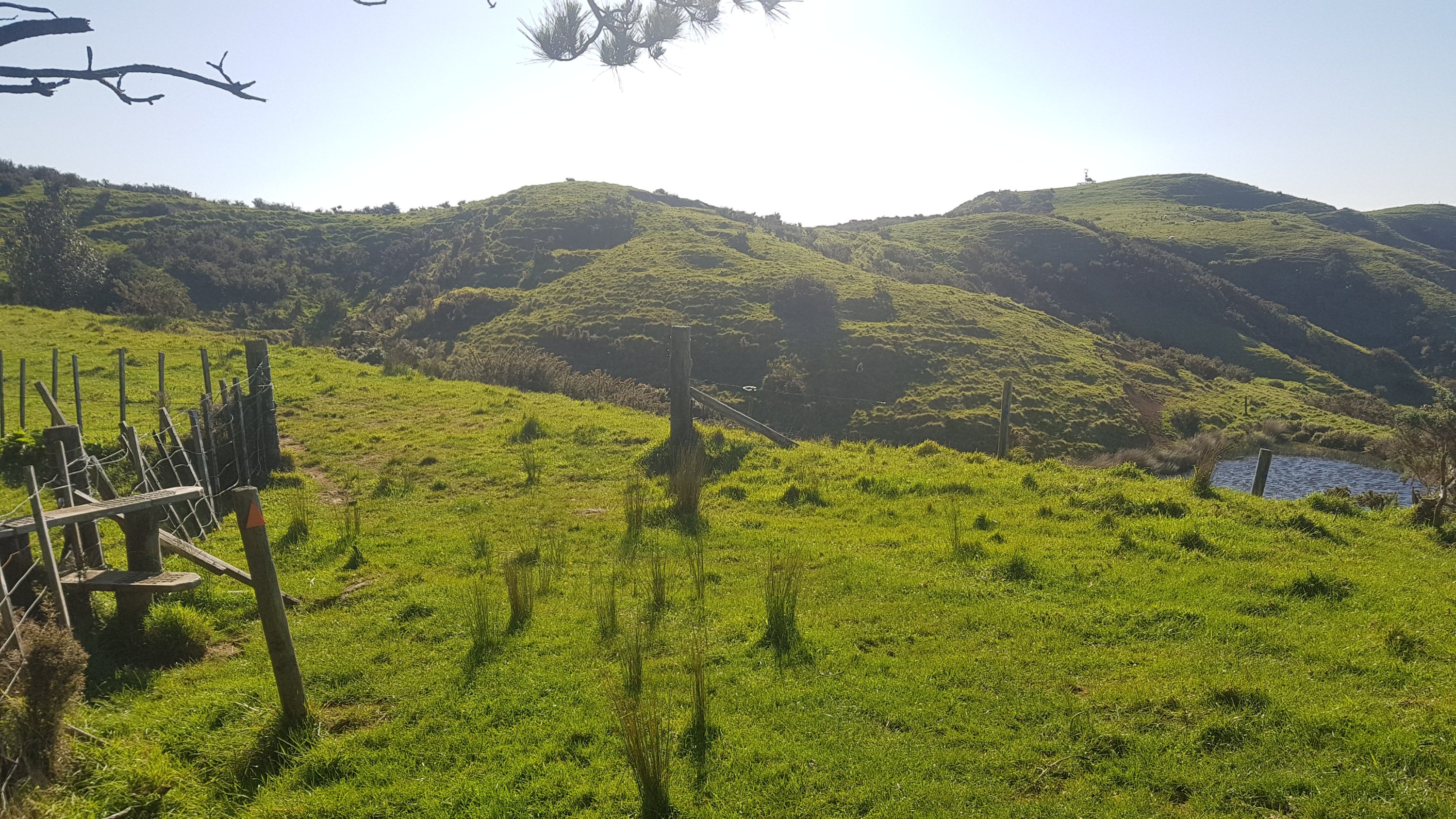
Once through this intersection, you start your ascent. It’s straight up through some farmland. Not too hard at first. And after a while, you can see the beach that you spent the day walking down, and also the crossroads you went through not long before.
I think this is a side entrance to the trail, across private farmland. Most of the way up the hill was this sign.
It says “Tamahunga Trail opened by Sir Edmund Hillary on December 15th, 2001”. Good guy, Sir Ed.
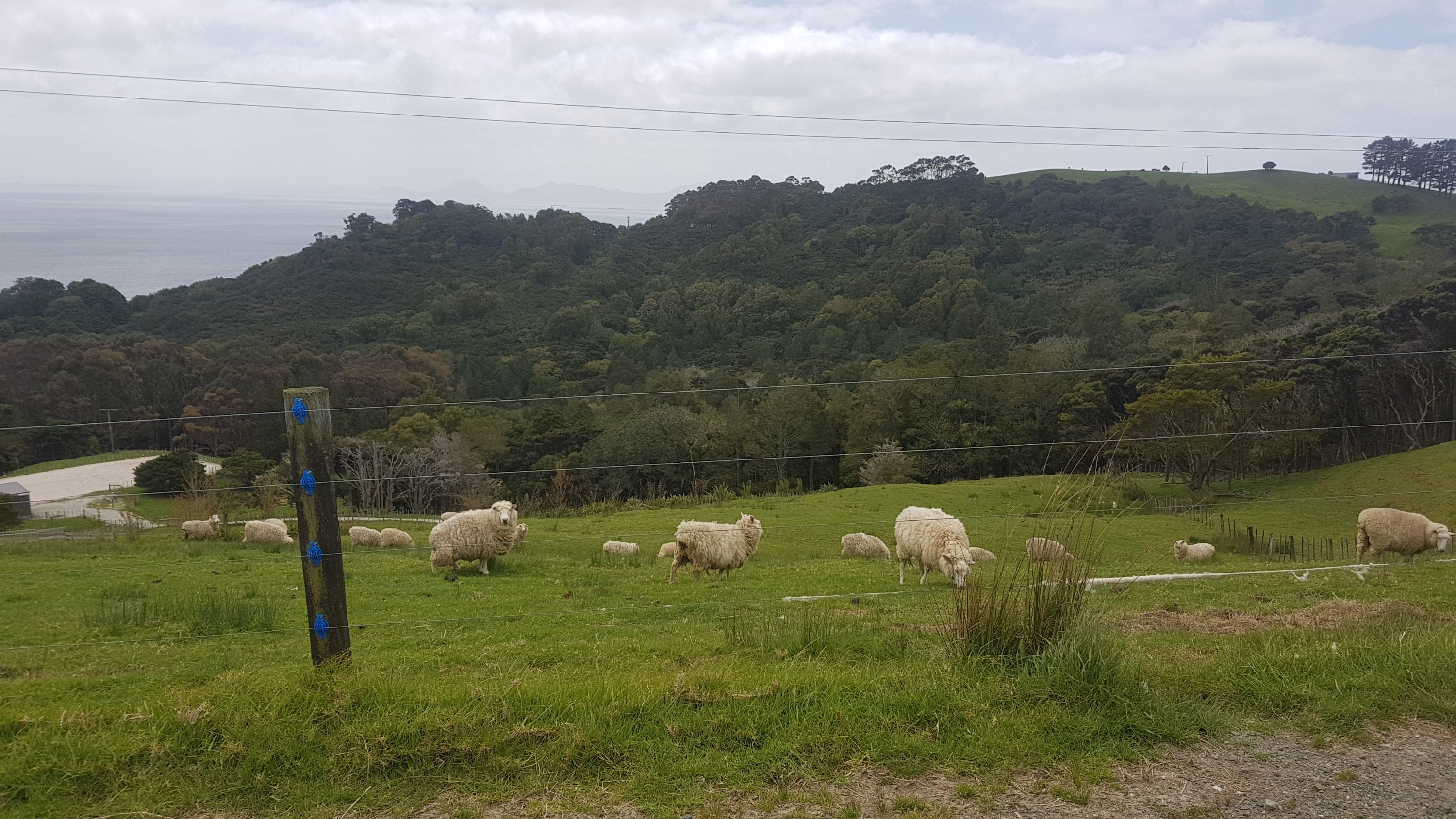
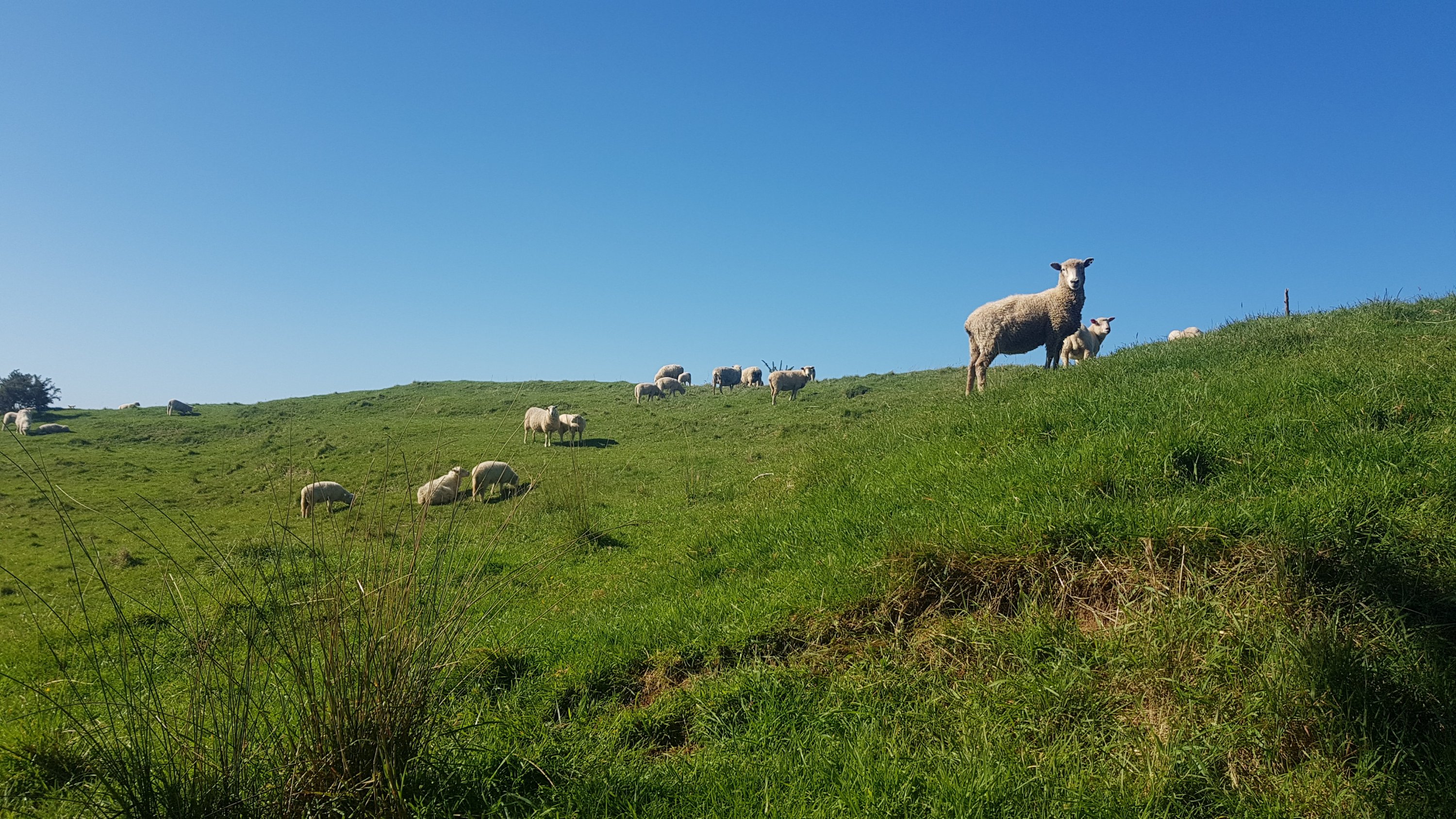
Even though I was quite high up now, sheep would still appear out of nowhere.
It was at this point that I took a wrong turn. If you look at the next picture, there is a stile to the left. I missed that. If you head to the right, and start walking to the structure way up on the hill on the right, you’ve gone the wrong way!
Go left here!!
Then it was a short walk through a nice forest.
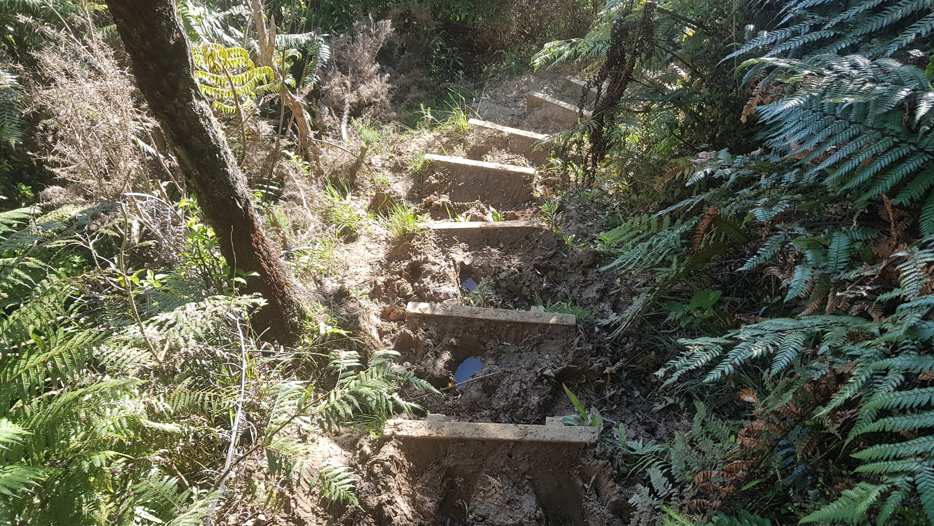
And then after that, the intersection of gorse boulevard and mud junction. I was not expecting that. There was a lot of gorse, most of it unavoidable. At least the mud was not as bad as Raetea on Day 6. And someone has tried to help and put in these “stairs”.
“Stairs”.
But this was usually what it was like.
And this.
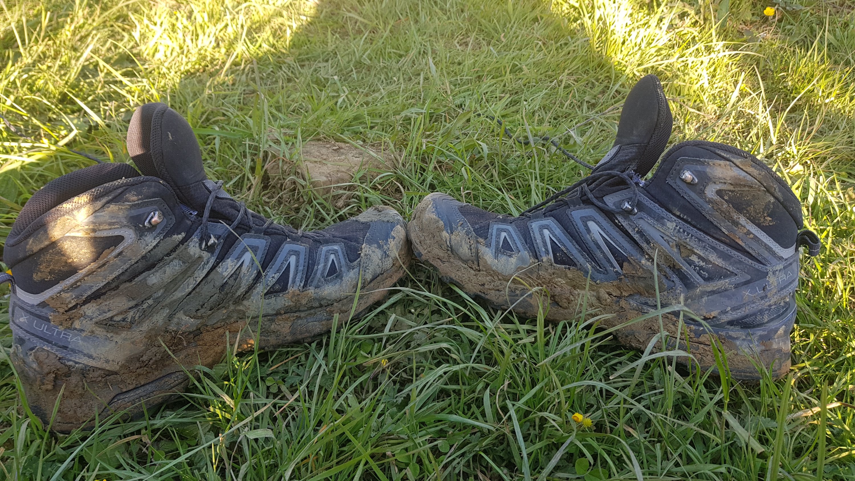
One advantage of this mud is, that up until now my boots still looked fairly new and unused. Now, they are muddy enough so that I look like a real hiker, but not so muddy that my feet got wet. It was the perfect amount.
Boots that finally look like they’ve been worn
There hasn’t been much rain recently though. If you come through here after a lot of rain I would be prepared for a lot of mud.
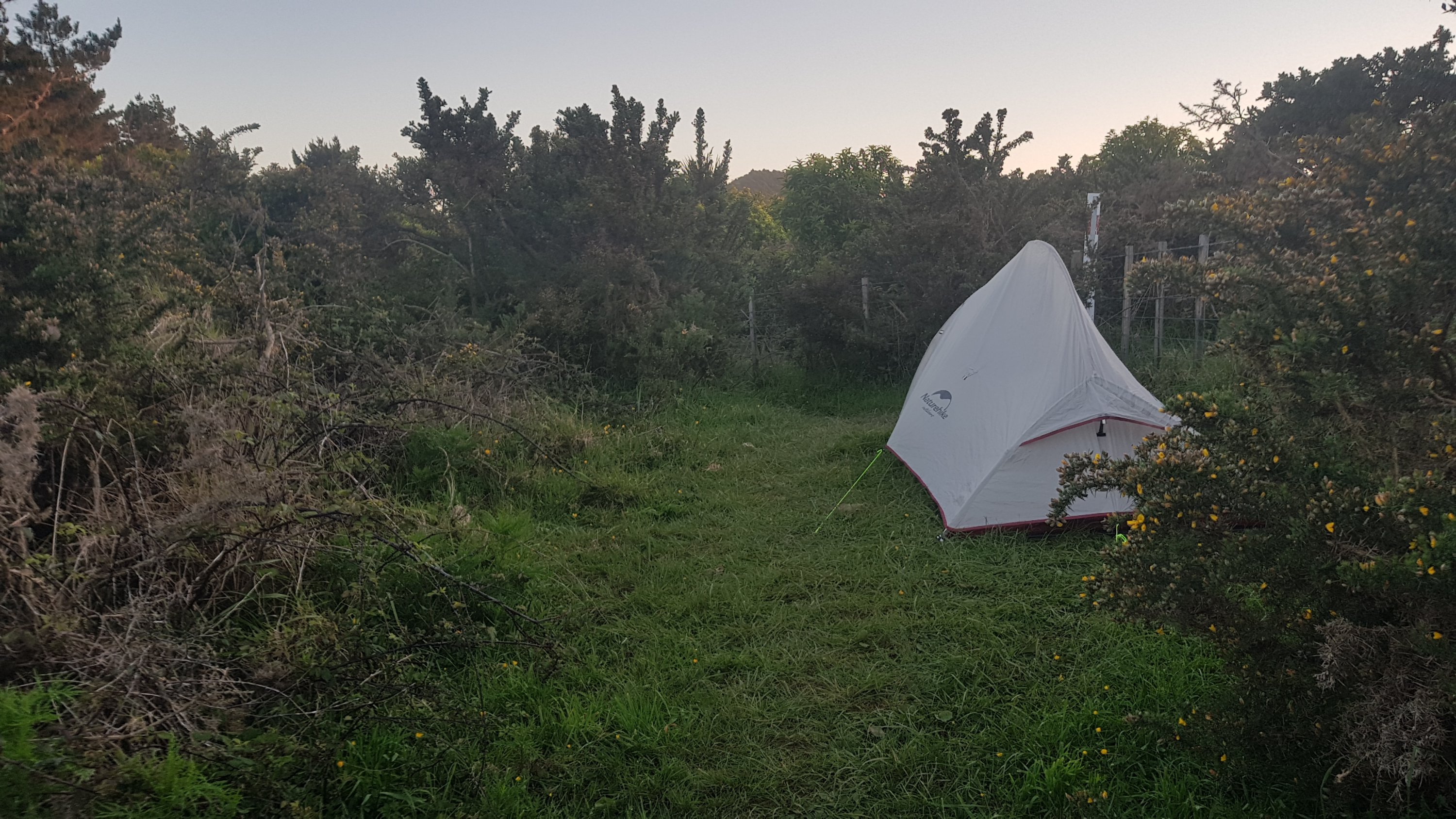
All this time I had been looking out for somewhere to camp. I thought there was somewhere before the summit, and one of the women at the holiday park supported my theory. But I couldn’t find anything. Eventually, out of desperation and low light, I just set up on a flat spot in the middle of the gorse. I felt okay with this spot. There are no animals, no Kauri (no plants except gorse), there is room for people to get past, and it’s sheltered.
Impromptu campsite for tonight
I had a Back Country Cuisine meal. I think I bought it in Kaitaia. Finally my food is starting to actually get low! I still have a lot of hot chocolate in my bag though. Since the nights are noticably warmer now than they were a month ago when I started, I haven’t felt like I needed a warm drink at night anymore.
My meal was Nasi Goreng – the same thinf I had at Utea Park on Day 3 while watching the sun set on 90 Mile Beach. It brought back good memories.
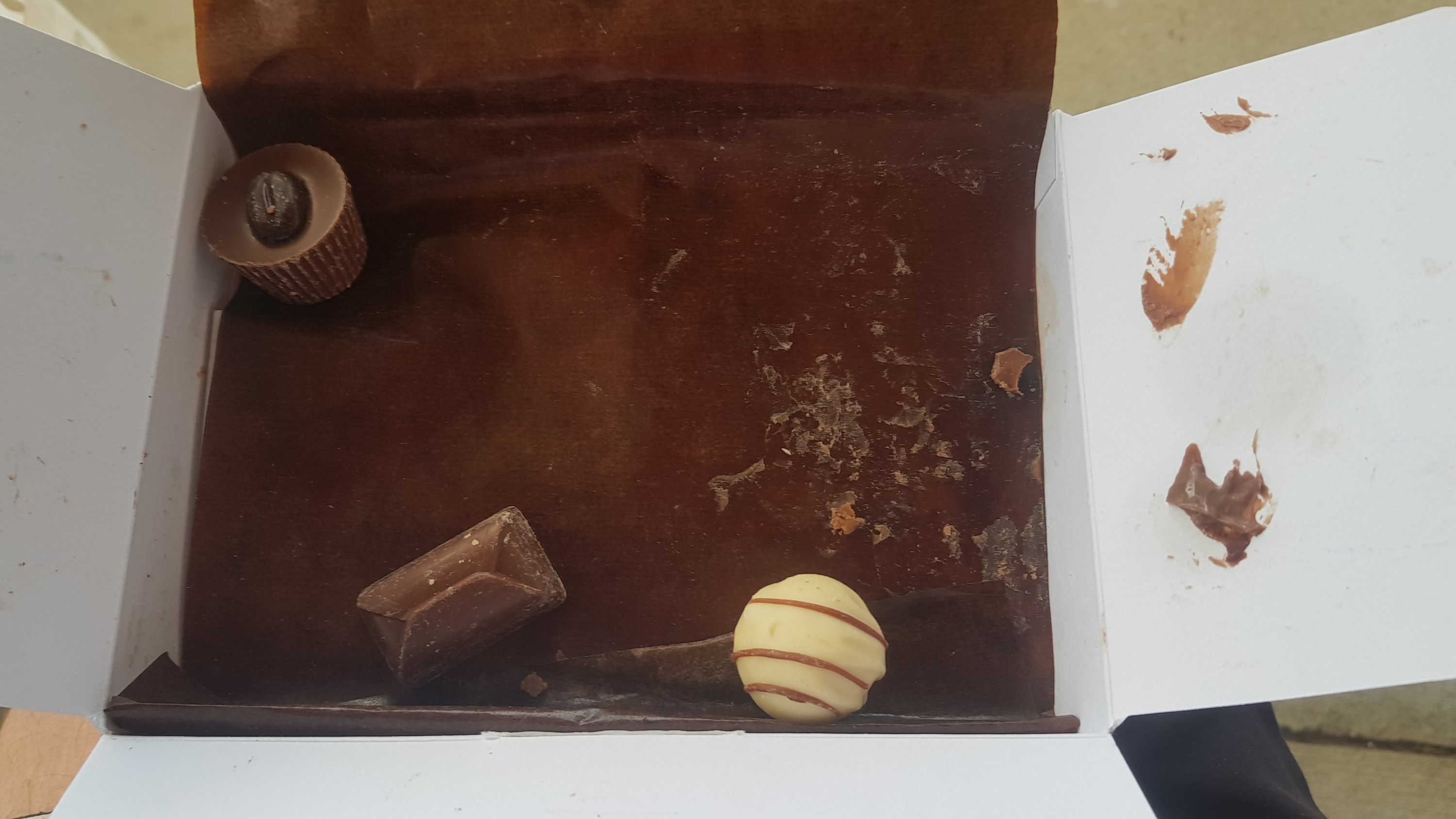
And then I went to get one of my Bennett’s chocolates. The sun had been shining down all day without a break. Had they melted?
That doesn’t look appetising…
Well, I didn’t expect that. One had melted completely – the Peanut Butter one. The rest were 100% intact… how bizarre. Only one thing to do – eat that one anyway! Still tasted great!
Got into my tent, and realised it’s the first time I’ve slept in it since Whananaki. I’ve actually kinda missed it. I spent a bit of time just admiring the spikey view from my tent door.
Then, after a bit longer, I realised how isolated I am up here and how pitch black it was once the sun went down. Definitely time for bed now – 9:30pm. I have a big day tomorrow. There isn’t much accommodation around tomorrow so I’m planning to walk 28km between here and the Nanekoti Farmstay which I booked with earlier today. They have tent sites for Te Araroa walkers for cheap. However 28km is a long day because I have to finish off Mt. Tamahunga and then all of the Dome Forest which I know is fairly challenging. Then I don’t know what makes up the last 9 or 10km. Better get some good rest.
Date: 27 October
Distance walked: 27.7km
Trail covered: kms 469.2 to 498.1
Weather: not a cloud in the sky
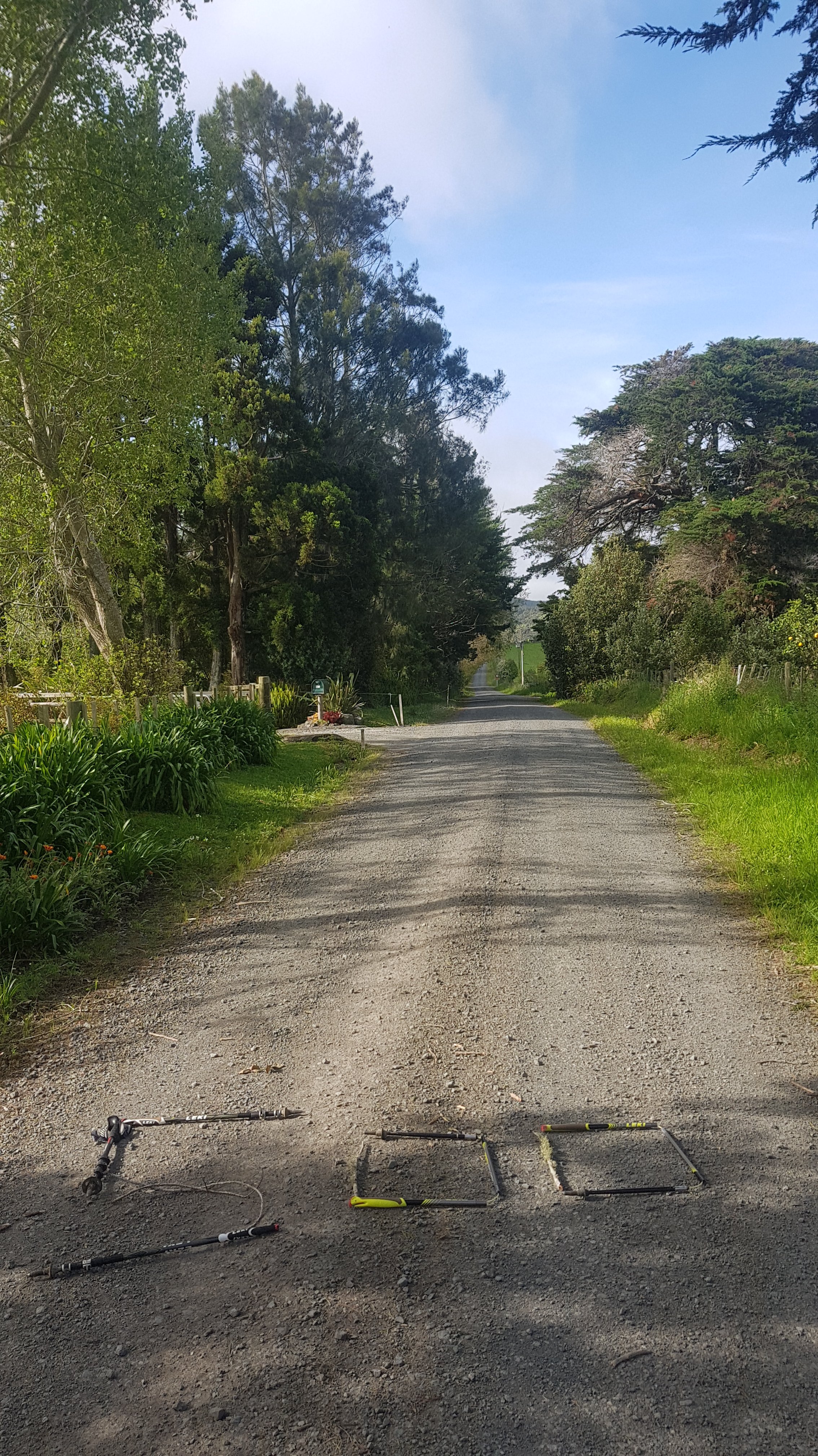
Number of times i had to unstick my walking poles in the forests: dozens
This morning I woke up in my makeshift camping spot in Gorse City and my phone wasn’t charging. That was weird. In fact, my charger was on the other side of where I was sleeping from the phone. Even weirder. I find that I toss and turn many many times each night. Perhaps last night I snagged the charging cable and pulled it over to the other side of the bed.
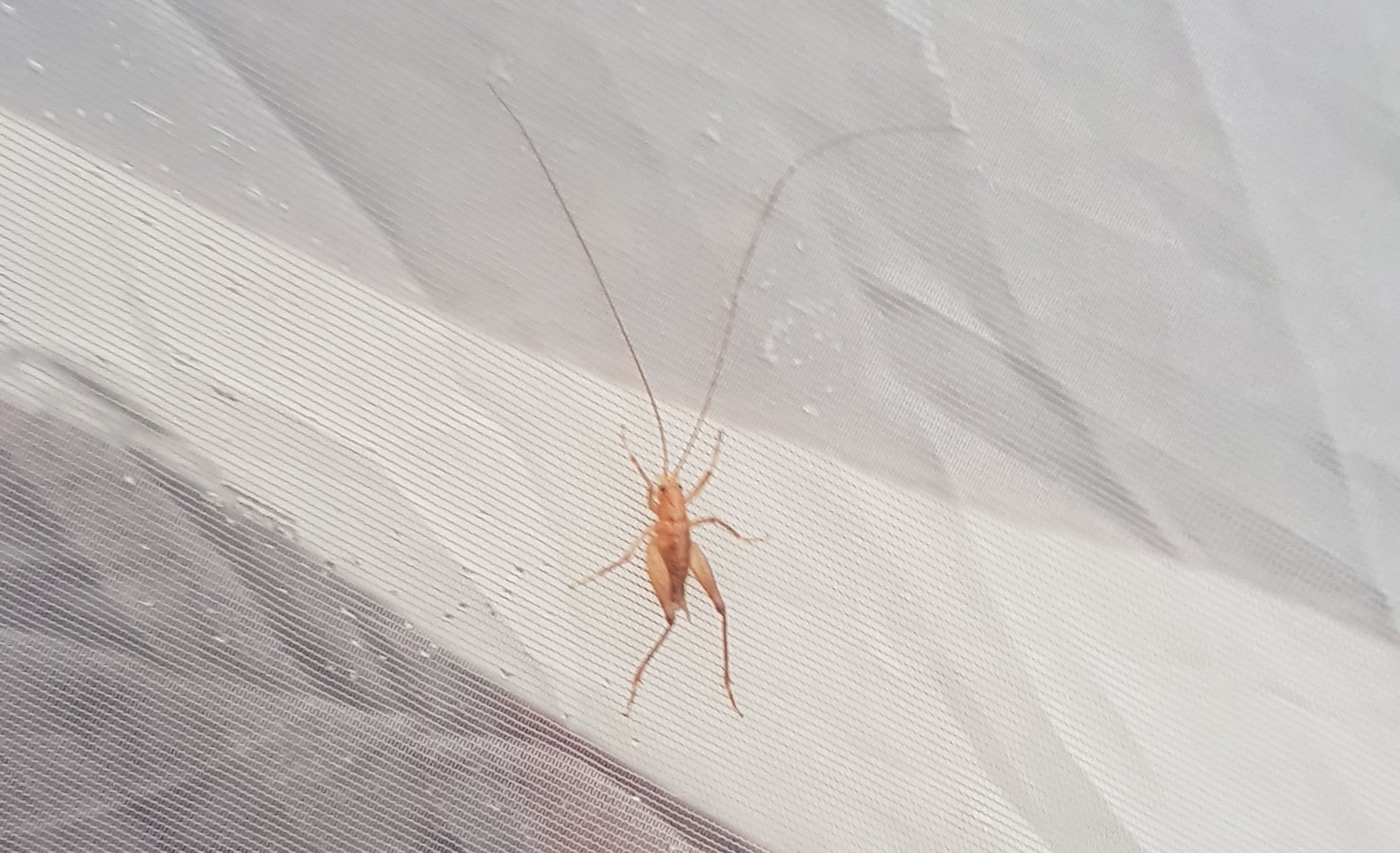
And I also found this guy on my tent. I named him Wally – Wally the Weta. I called him that because he really is a Wally if he thinks he is going to be hitching a ride with me over the next section.
Lucky this weta wasn’t joined by his grandad. These things can grow massive.
Today was a big day. I had to make 28km today and I know it included the rest of the forest I was on plus the Dome Forest which I thought was fairly challenging based on having done part of it before. I wasn’t sure if it was doable. I told the Nanekoti Farmstay where I had booked in that I would be there by 7pm. So, if I could average 3kms per hour plus an hour for breakfast, an hour for lunch and filtering water, and half an hour for leeway, that would mean I need 12 hours. Yes, that sounds like a doable plan, although I will be sore and exhausted by the end of the day. So at 7am I was off, with only a muesli bar for breakfast. Straight into the gorse, of course.
Starting out
Walking up the rest of Mt Tamahunga didn’t take too long, although there was one big rock to climb over.
I was at the summit just before 8am. And the sun was just coming up, so it was the perfect place to have some porridge for a proper breakfast – even though I didn’t have much water left. Eating porridge as the sun was coming up over the trees felt perfect.
At least I was still smiling at this point
I’d been to this summit before, back in 2016 with my friend Charlie, and I remembered the walk to this point not being too strenuous. So I didn’t rush with breakfast, and I even found the geocache at the summit. I also found a ton of rubbish under the structure at the summit and also some feces. Gross.
Spreading out my stuff at the summit
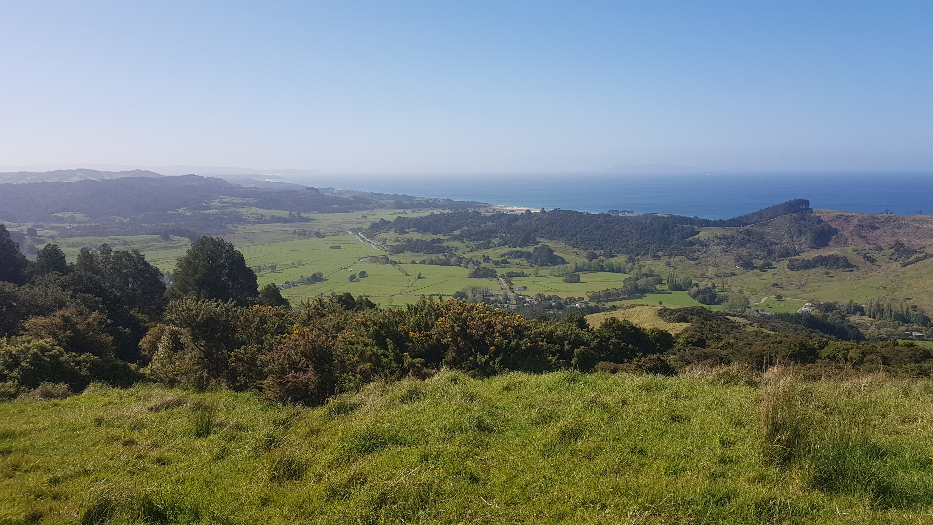
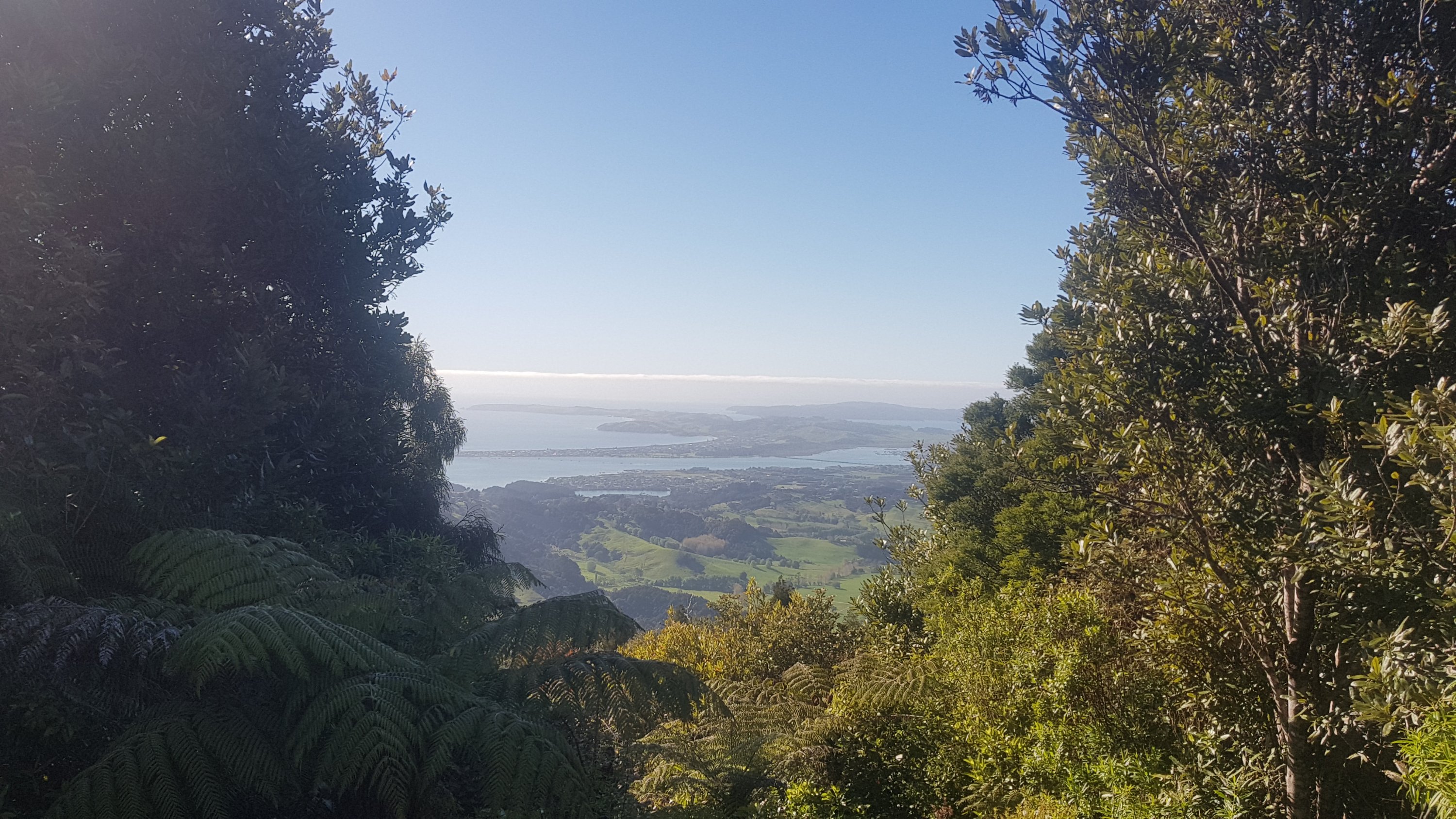
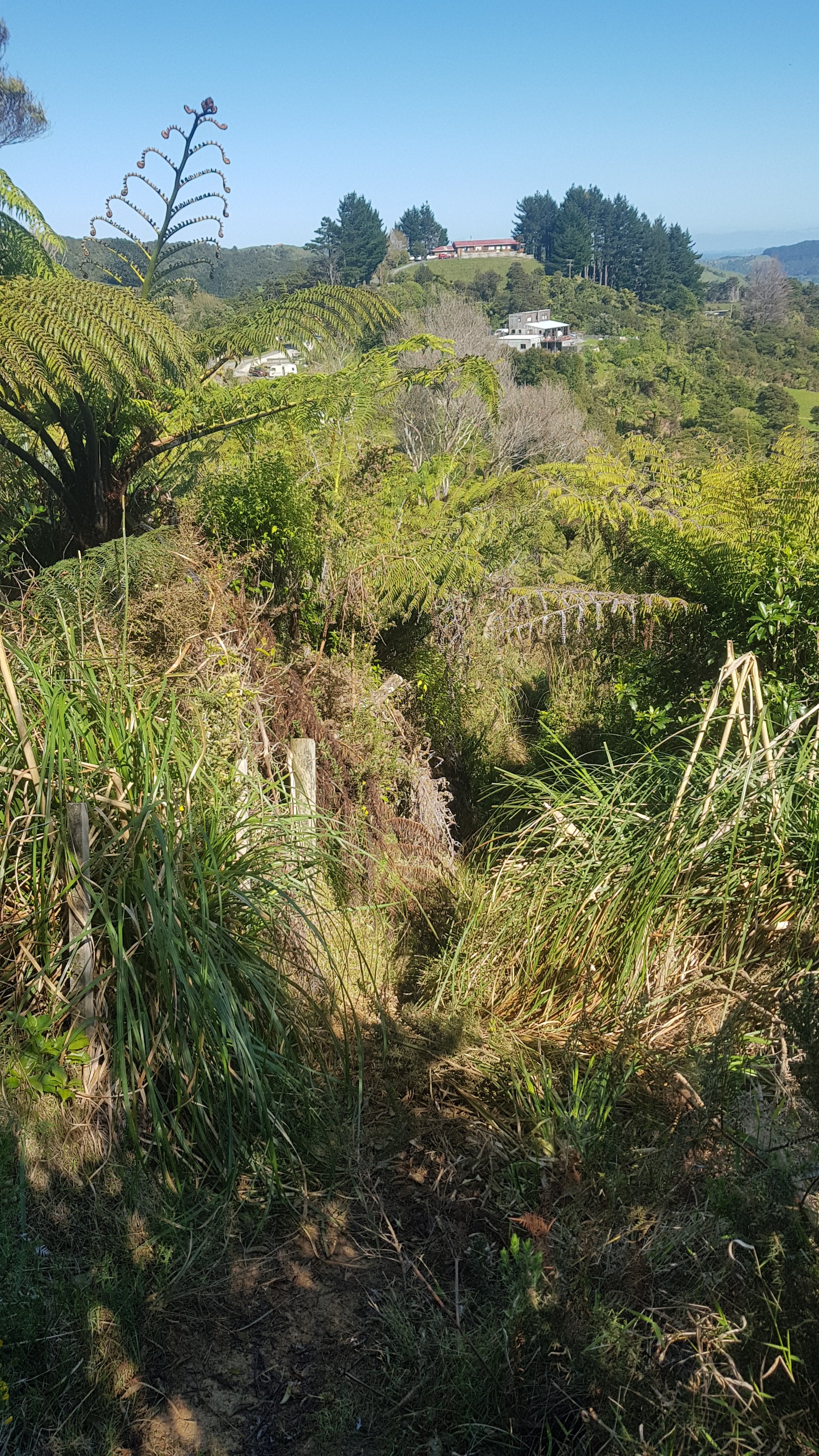
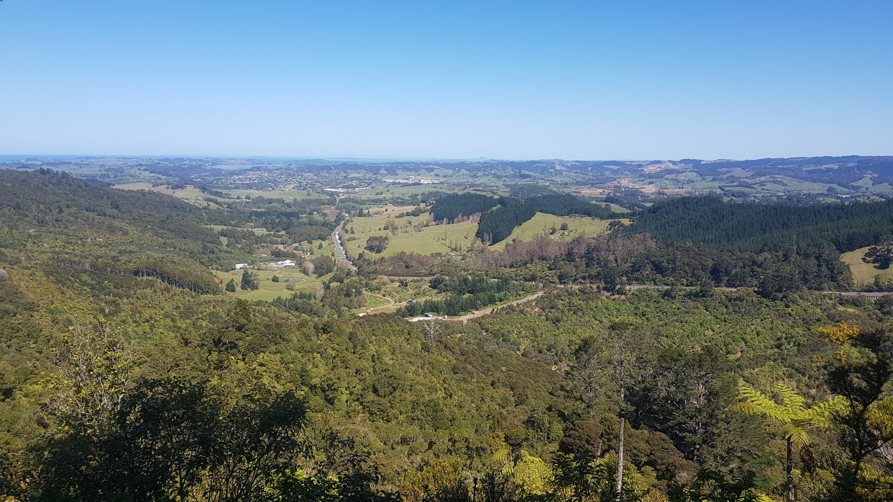
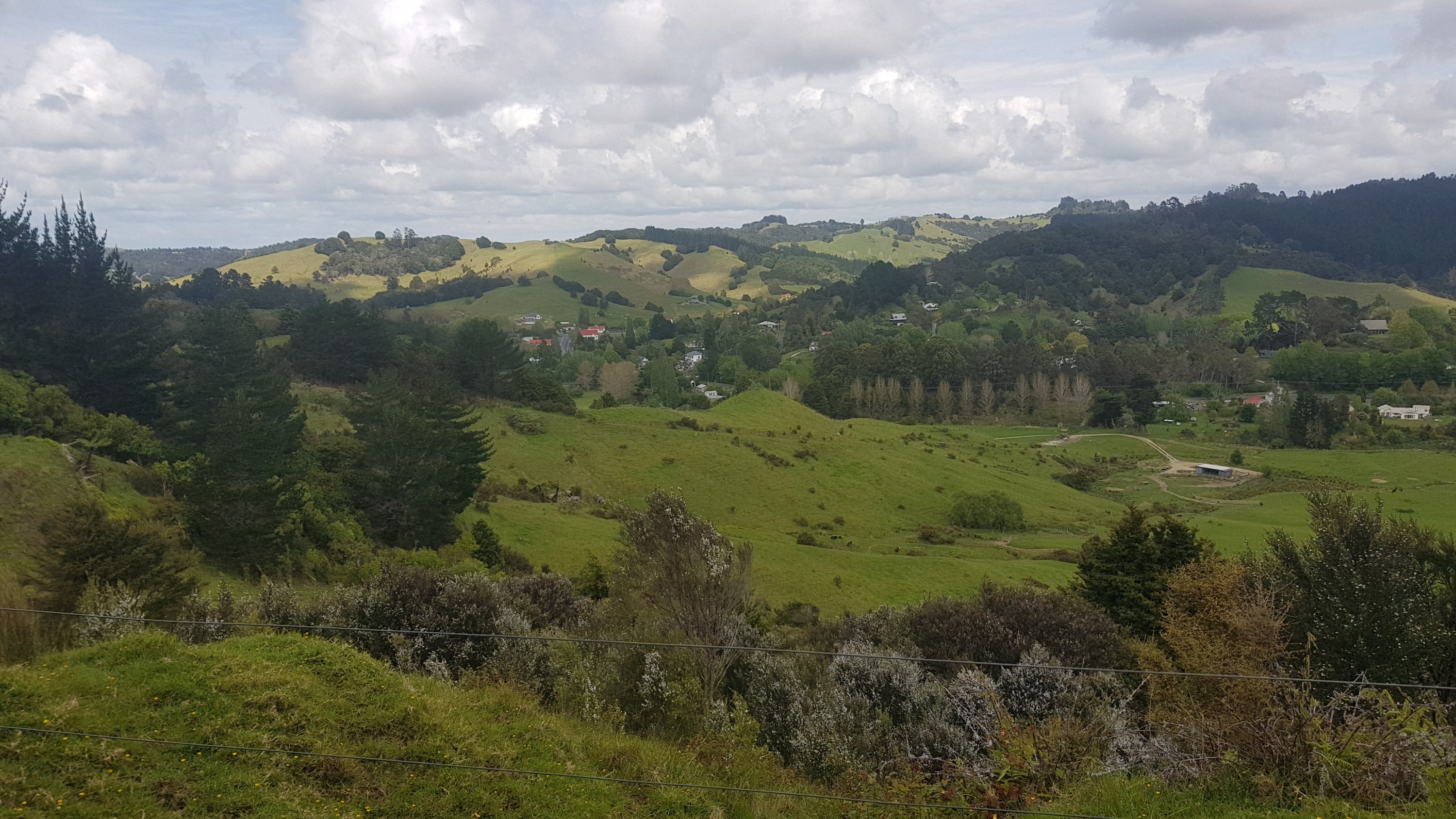
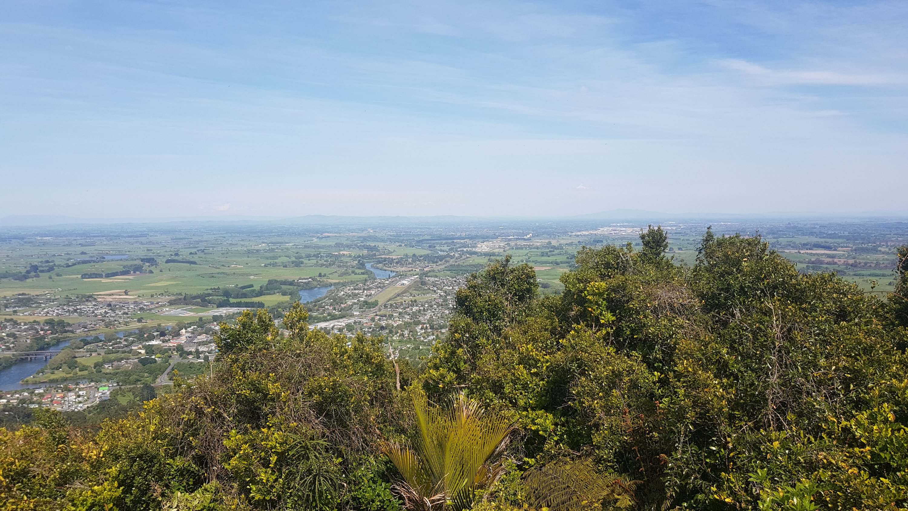
Took a picture of the view from here. I believe this is Omaha, which a couple of years back I found to be quite a soulless little town, full of new houses which all look the same and were mostly unlived in. Again, probably the domain of rich Aucklanders who only stay here on holidays when they’re sick of being in their boat in Westhaven Marina.
View from Mt Tamahunga summit
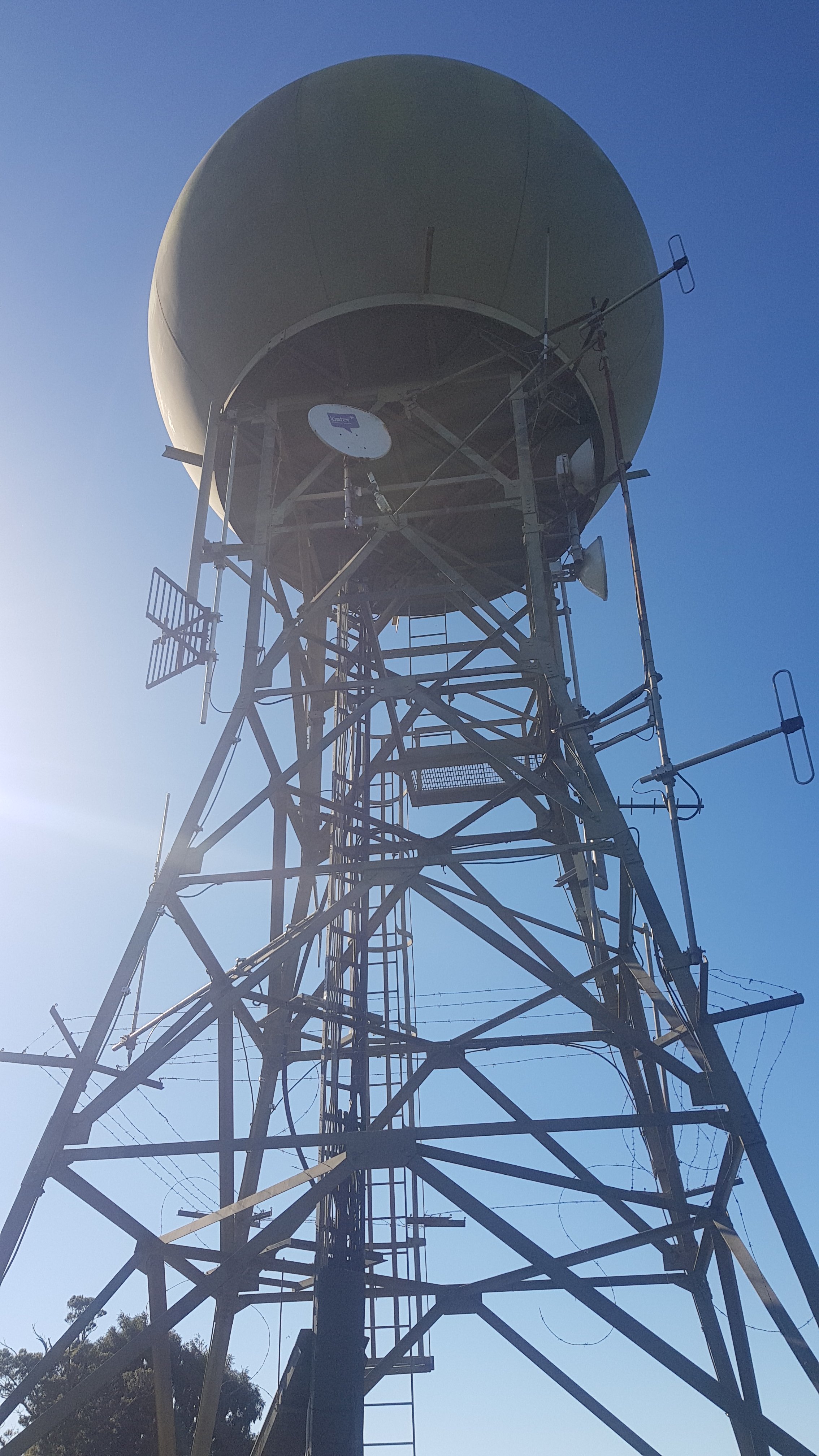
Then there was the weather station…
A very space-age structure
The descent down Tamahunga took a different path to the one I took three years ago, and it was a bit more strenuous, but the worst of the mountain’s challenges were over by now, apart from maybe this bit towards the end of this section.
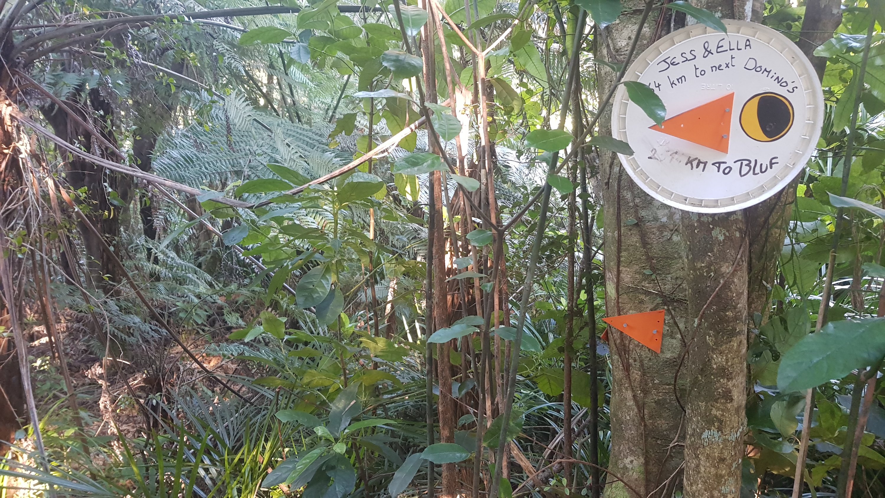
Thanks to Jess & Ella who kindly pointed out that it was 64km to the next Dominos – which must be the one in Red Beach past Orewa. It’s not clear though exactly how far it is to “Bluf”.
Now I’m just hungry
It was a bit of a relief to reach the exit of this section. Although I still didn’t have any water, it was a very hot day and I had used all the water I had left. Because I had camped in the gorse field I couldn’t get any water from there. There was one very small stream towards the end but it would have been very time-consuming to get any water from it. Fortunately in about 7km there was a stream called the Waiwhiu Stream which, according to the Guthook app, was deep enough to take a hiker bath, so I really hoped I could get some good water from there. I could hold out that long… but not much longer!
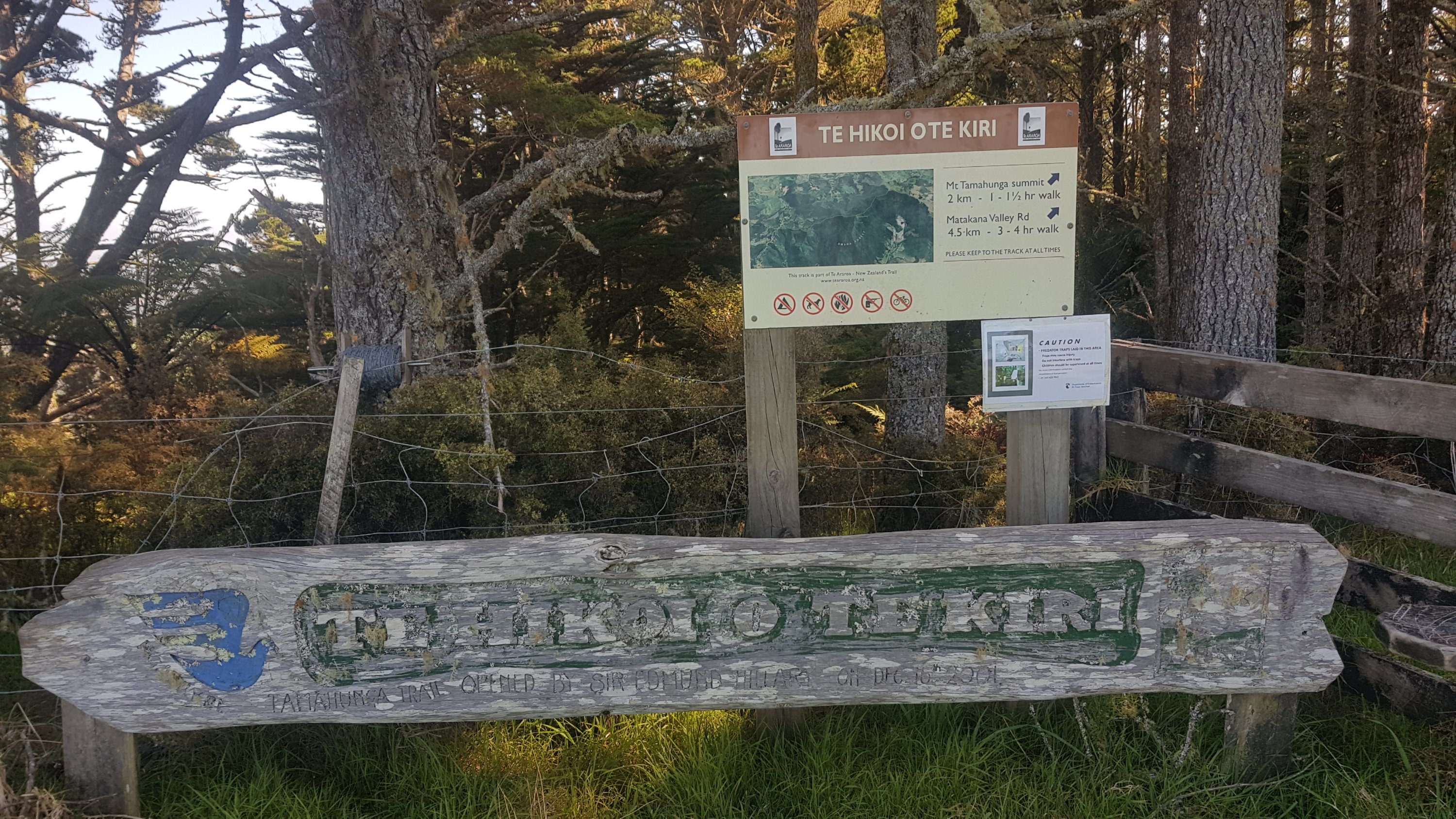
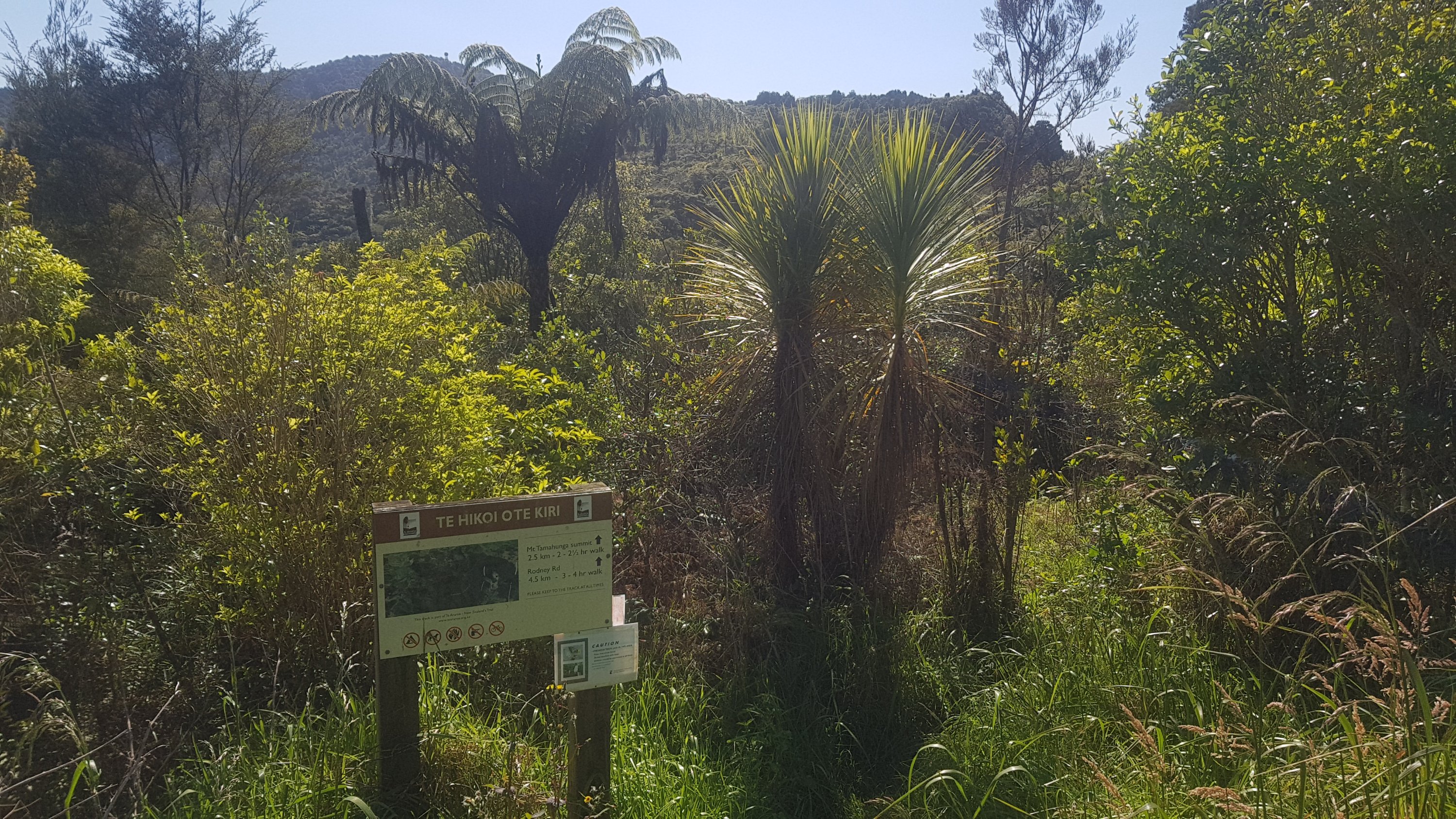
The exit to the track (where I’d come from) – Te Hikoi O Te Kiri
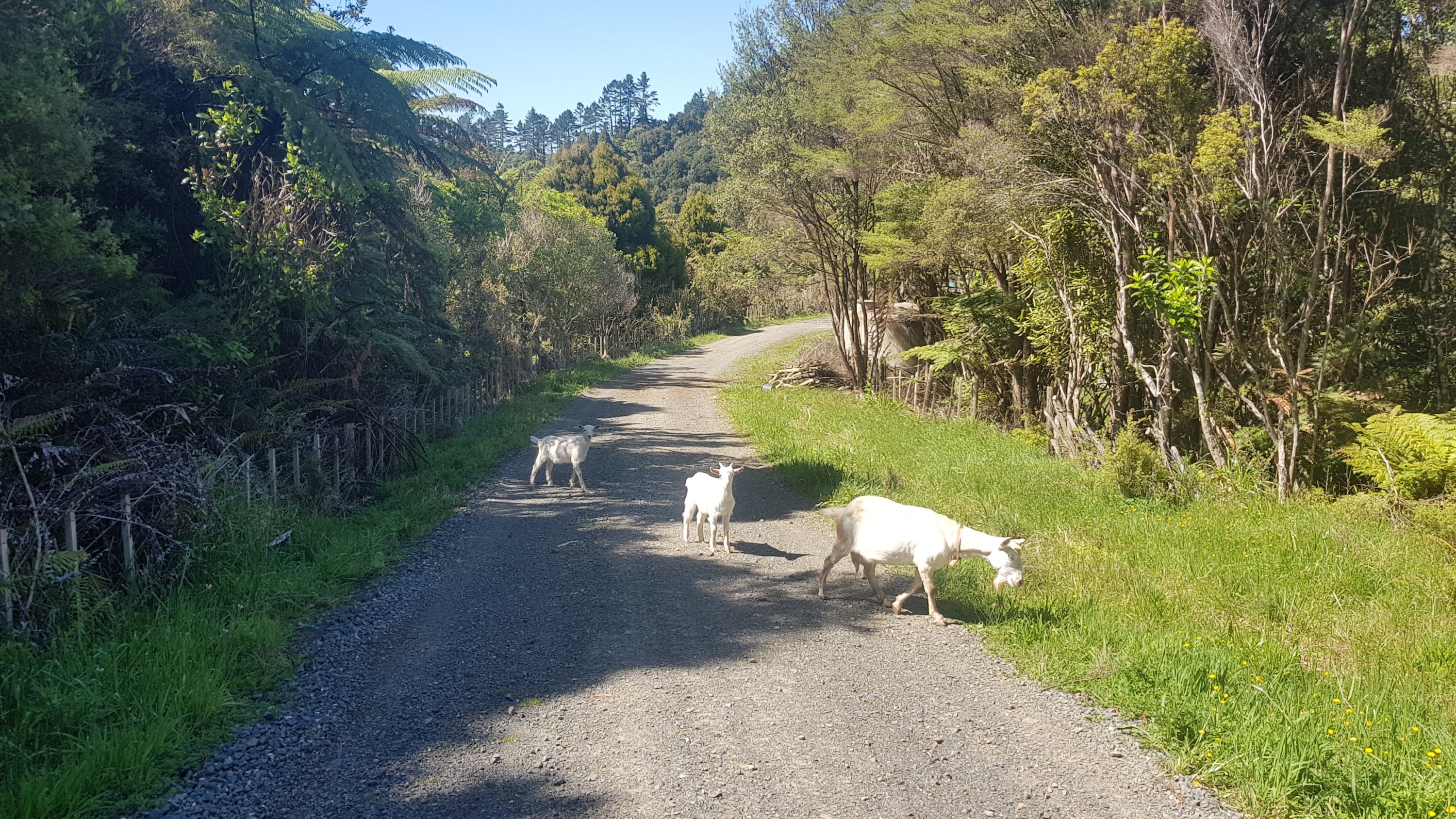
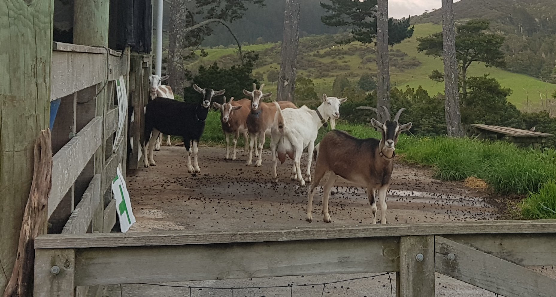
The next section was “Govan Wilson Road to Dome Forest”. It was a walk down Govan Wilson Road which was a standard road and then a walk up what appeared to be somebody’s driveway. I saw some goats here for the first time on the trail.
Goats
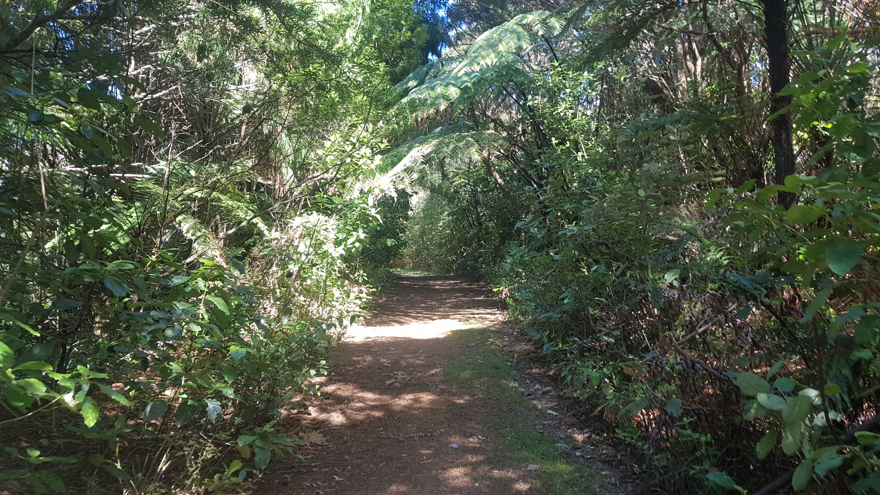
And then through a bit of forest which connected to the Dome Forest. It turned 11am at the first bit of this section so my 11am picture is just a standard bit of forest track.
11am picture
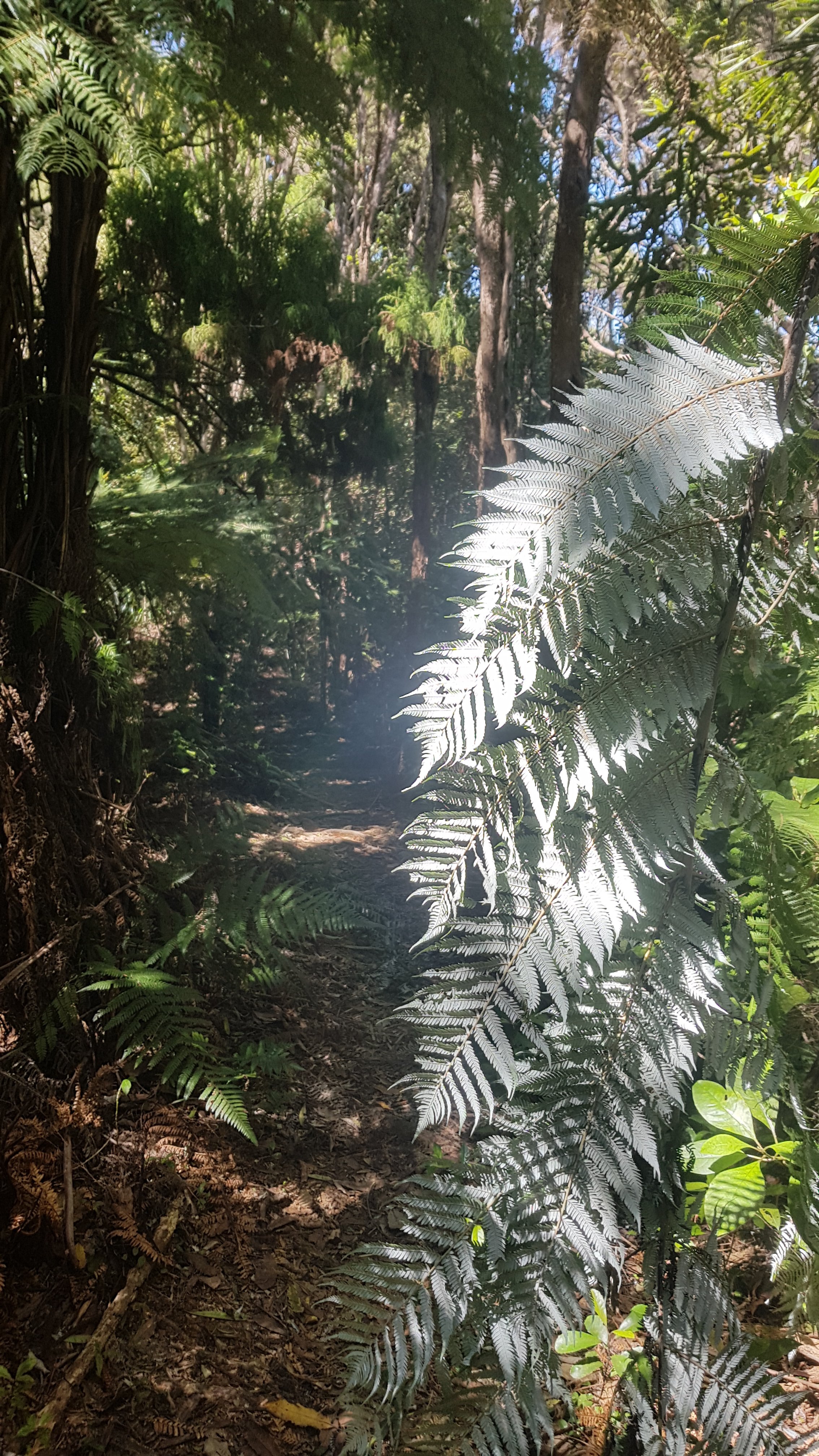
I did see a particularly impressive bunch of silver ferns. There are heaps of them around here, but I thought this one was particularly impressive.
Silver ferns – and I’m not talking about netball
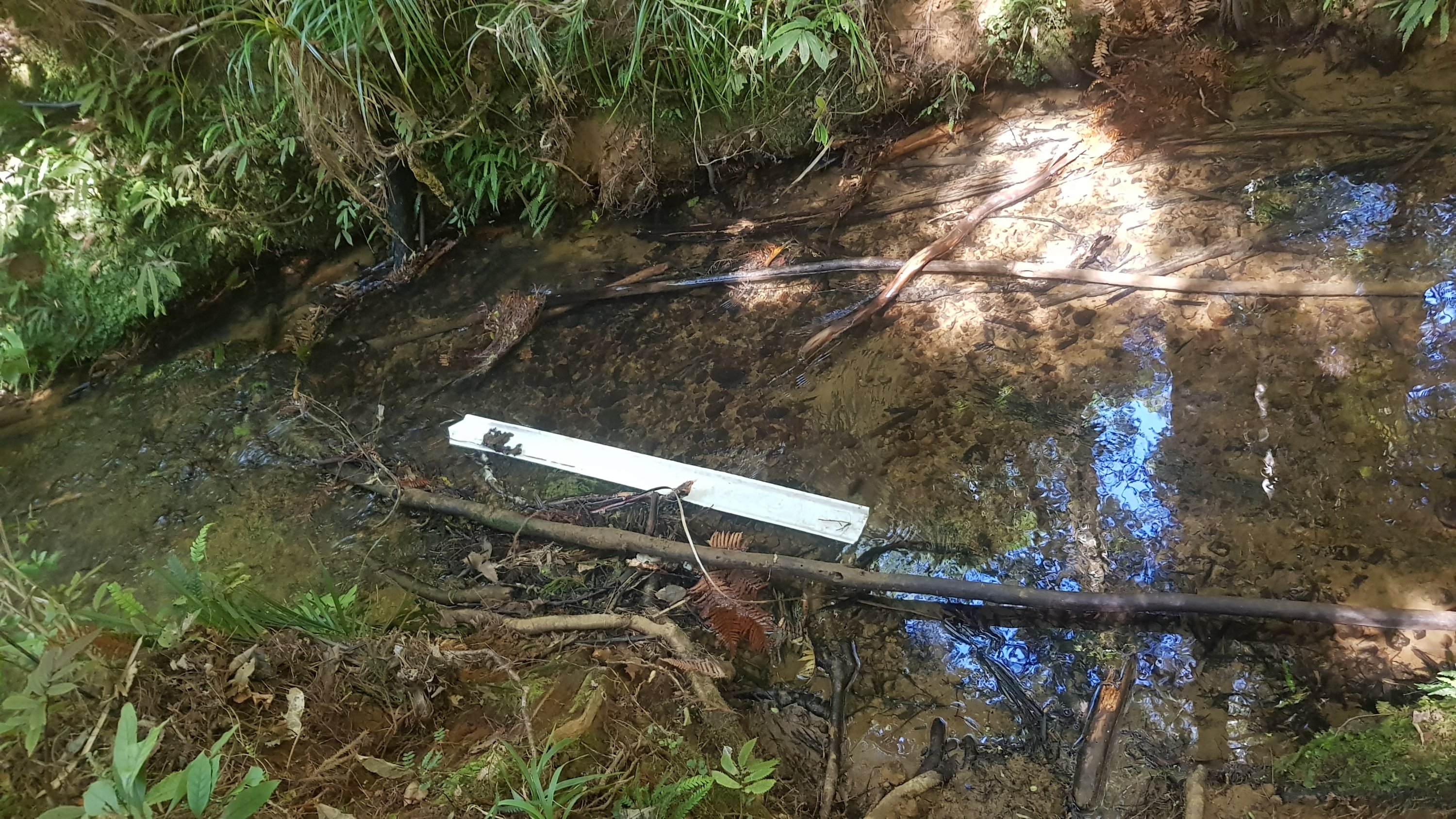
I was counting down the kms to the Waiwhiu Stream where there was supposed to be water. I was feeling dehydrated and it got to the point where every corner I went around I got annoyed when the stream wasn’t there. But eventually, there it was. It wasn’t very picturesque, it had all sorts of debris floating in it, but the water was clear so I was happy.
Not the most beautiful of water sources, but I’ll take it…
It took the usual ten minutes or so to filter three litres of water but given the long day and the temperature I was not leaving this spot without two full bottles.
I was much happier once I had these.
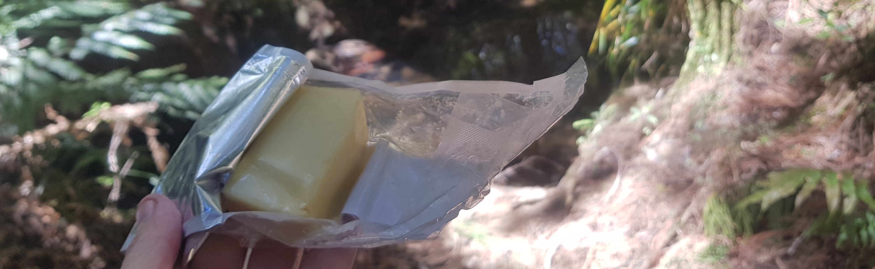
Since I’d stopped I might as well have a break. Better do the daily cheese report. It was still surprisingly almost like new.
Day 4 of the cheese – still pretty much perfect
And the daily chocolate report. All good as well.
Nothing melted
After this, it was up the very steep forestry road known as Fisher Road, and once I was at the top of there, it was a good spot to have a lot of water and a short break.
And there happened to be a geocache at this spot too, so I found that. Interestingly, in the description for this geocache were the words “fit people can walk from here to the Dome Valley car park in 2 hours”. Well that sounded like a challenge to me. I checked how far it was – 6km. That’s exactly the goal I set for myself earlier in the day – 3km/hour. So that was my next mini-mission – it was now 1:33 and I needed to get to the car park by 3:33.
The first part of the Dome Forest was not very challenging, it was a fairly easy pathway with little elevation change. The only annoying thing was that it was mostly tree roots and a bit of mud. So that meant my walking poles were constantly getting trapped between tree roots or getting stuck in the ground, and I had to keep stopping to free them. That was a bit annoying – but I still wouldn’t be without them.
I was getting a bit exhausted by now, even though the terrain here was moderate. I kept tripping over a tree roots. And at one point I did slip a bit, and ended up scraping the underside of my right arm against a tree. It was at this point where I thought if I’m going to get out of here on time and also alive, I needed to be free of distractions. So the phone went off, and the music went off. All I could hear now was the roar of nearby State Highway 1, and the voices in my head. I wish I could turn both of those things off too.
The Dome Summit is where it gets a bit more challenging. While there is always an obvious path, there are a couple of points where you have to pull yourself up or down rocks, and it’s quite steep which makes it exhausting if you’ve been walking all morning.
Near the summit
There’s nothing at the summit except a trig station. Not even a view.
Trig station at Dome Forest summit
And just after this is one such rock which you have to climb down.
The most challenging bit of rock so far
Not long after the summit though is the lookout. Surprisingly for Labour Weekend Sunday there weren’t many people – I only saw four others.
View from the Dome Forest lookout
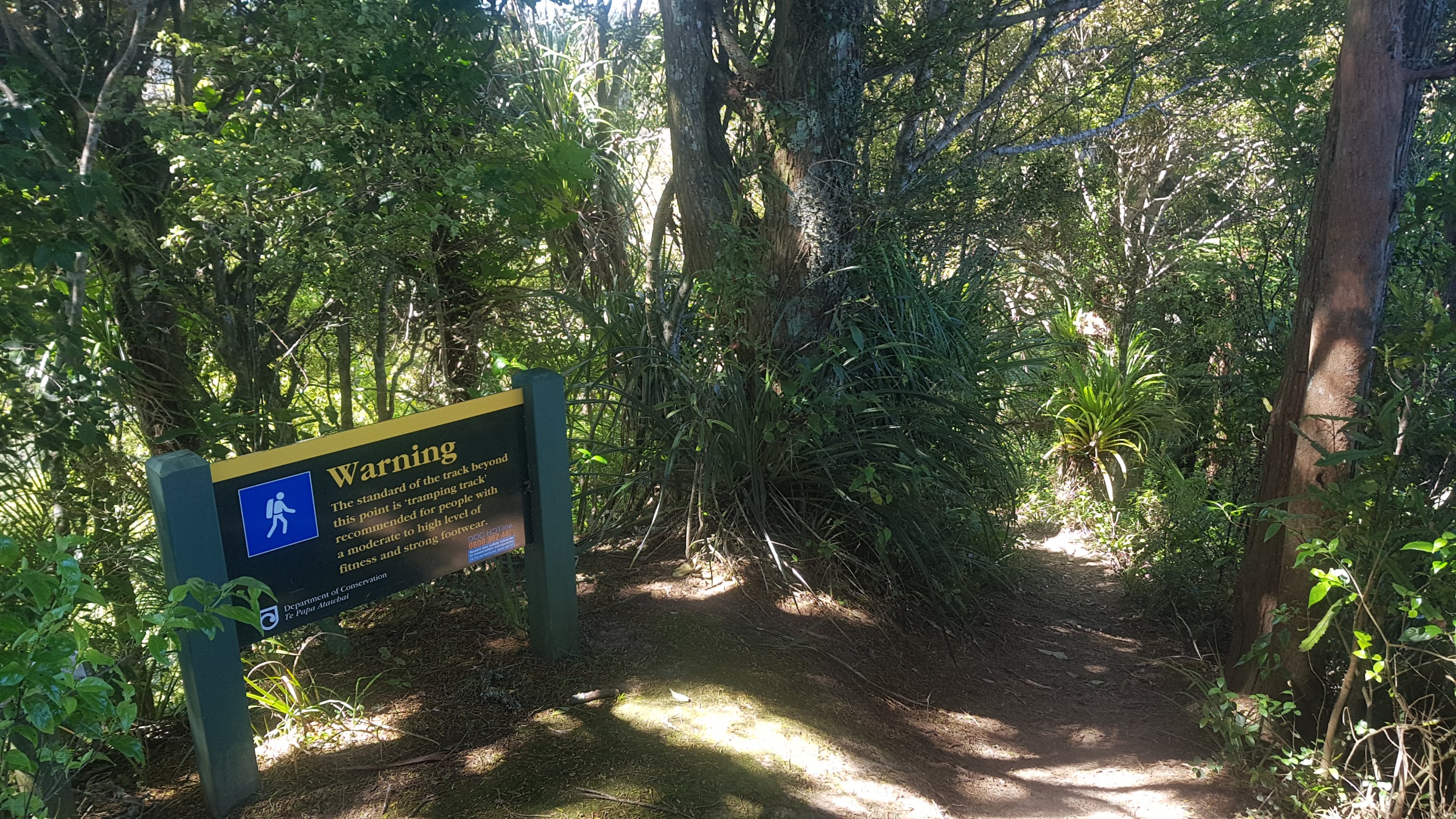
And one you’re at the lookout you see this sign:
“The standard of the track beyond this point is ‘tramping track’ – for people with a moderate to high level of fitness and strong footwear”
The good thing is that this sign points the other way, so from here on it’s an easy pathway… I think! I only had 16 minutes to get from the lookout to the car park to beat the 2 hour challenge I set for myself. So I picked up the pace. And then I thought to myself… how can there be so many stairs going up from a lookout??
This is really hindering my “2hr to the carpark” challenge
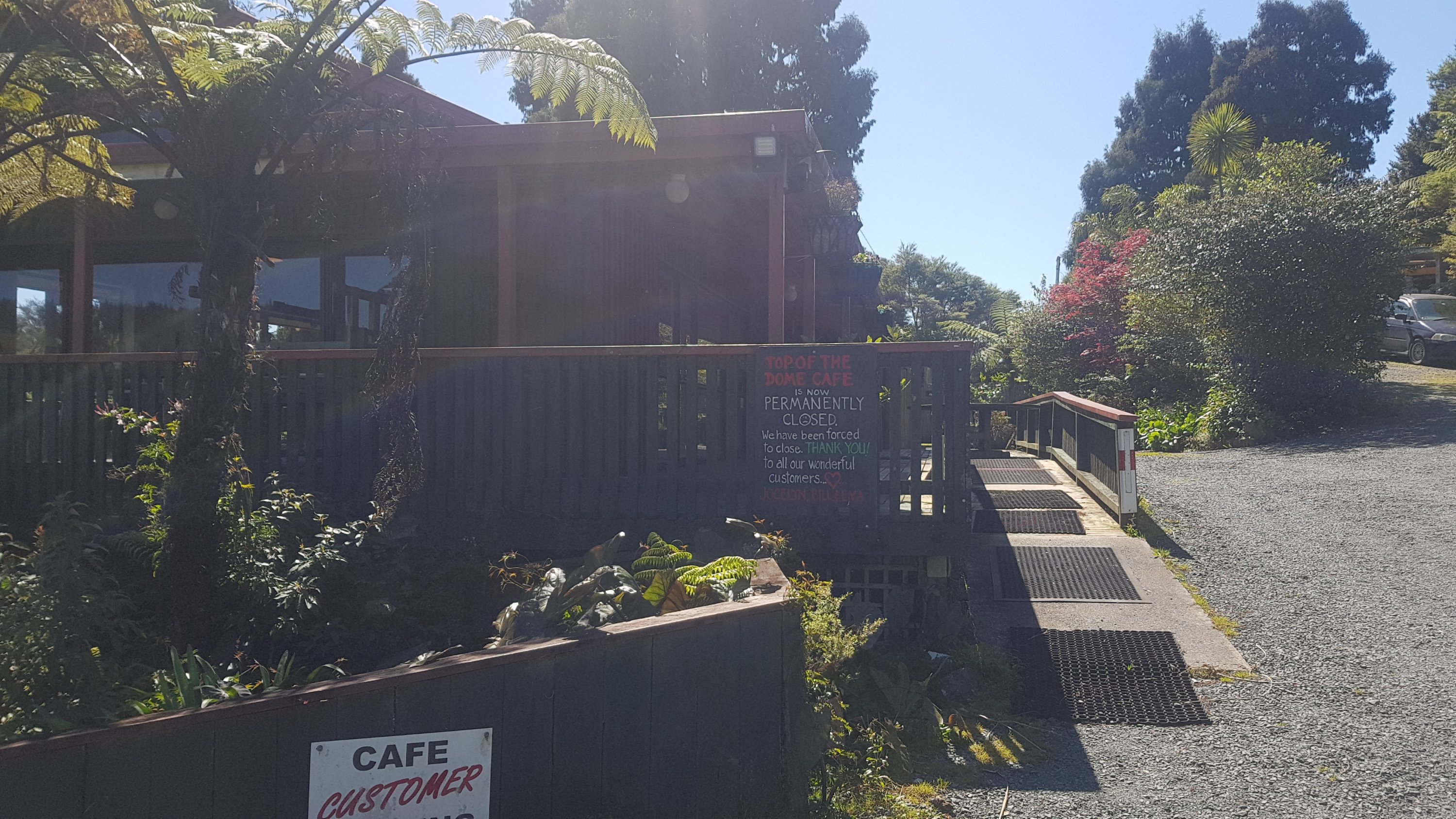
Still, when I went through the Kauri Dieback cleaning station at the other end of the forest, and entered the car park, it was 3:31. Woohoo! I had done the walk in 1 hour 58 minutes – two minutes to spare! I qualify as a “fit person” according to that geocache description. Not bad going for someone pulling a 14 or 15kg pack as well.
Here’s the Dome Cafe at the exit of the forest… but it’s now closed, seemingly permanently
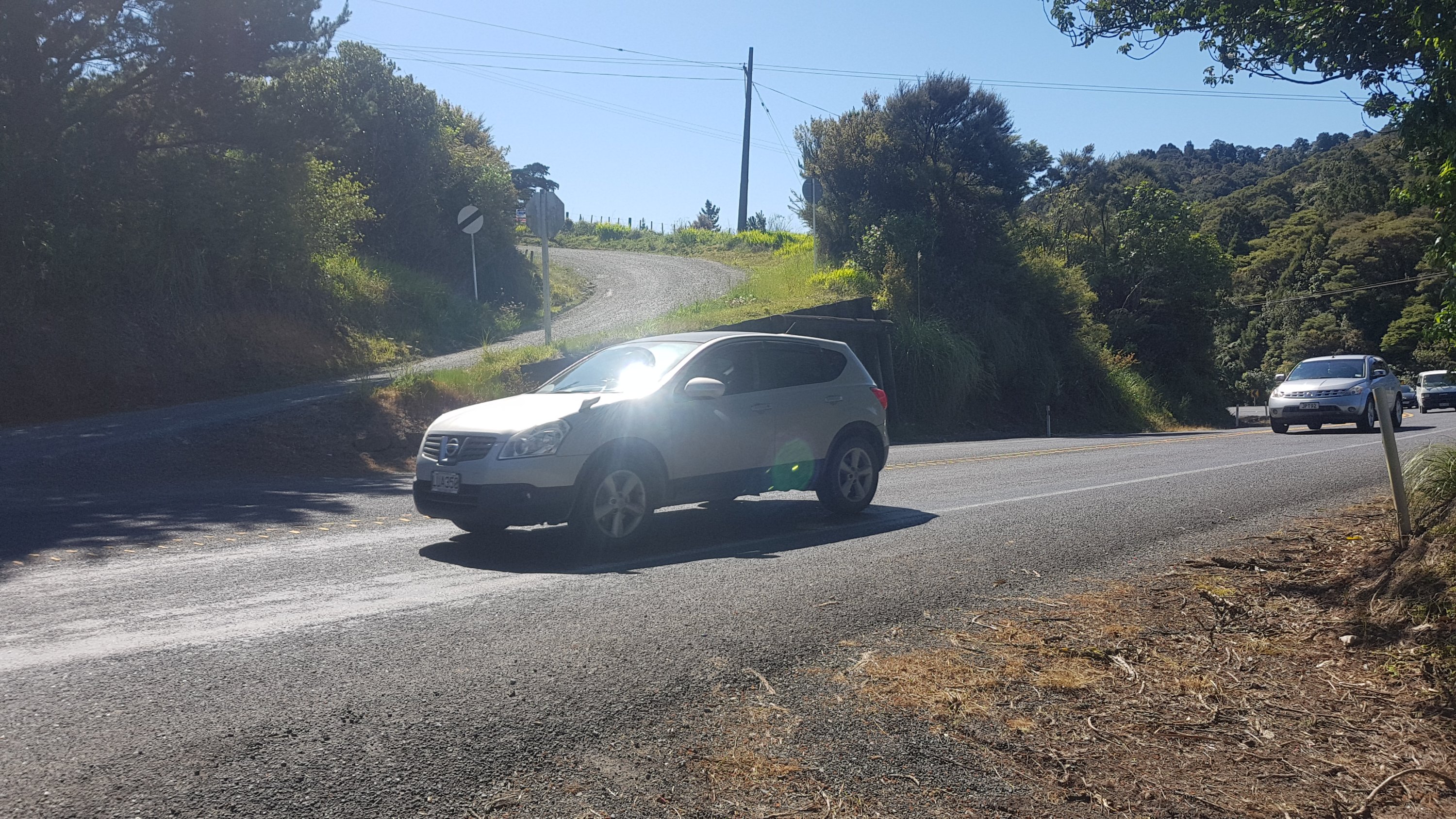
Now the next challenge was crossing State Highway 1. There was no walking along it, just crossing it… but the traffic was relentless. I bet if it was tomorrow, when everyone would be returning home from a long weekend, it would be impossible. It took about three minutes to get a break in the traffic big enough to dart across the road, and even then I had to run.
Cross State Highway 1 and go up there (Kraack Road)
Once I got across, I started up a steep gravel road with the wonderful name of Kraack Road. It didn’t have a street sign, I bet because people keep stealing it. When I used to live in Hamilton as a student, there used to be Holden and Ford Roads, and because these are both makes of car and Hamilton is a real boy-racer city, these street signs used to go missing all the time.
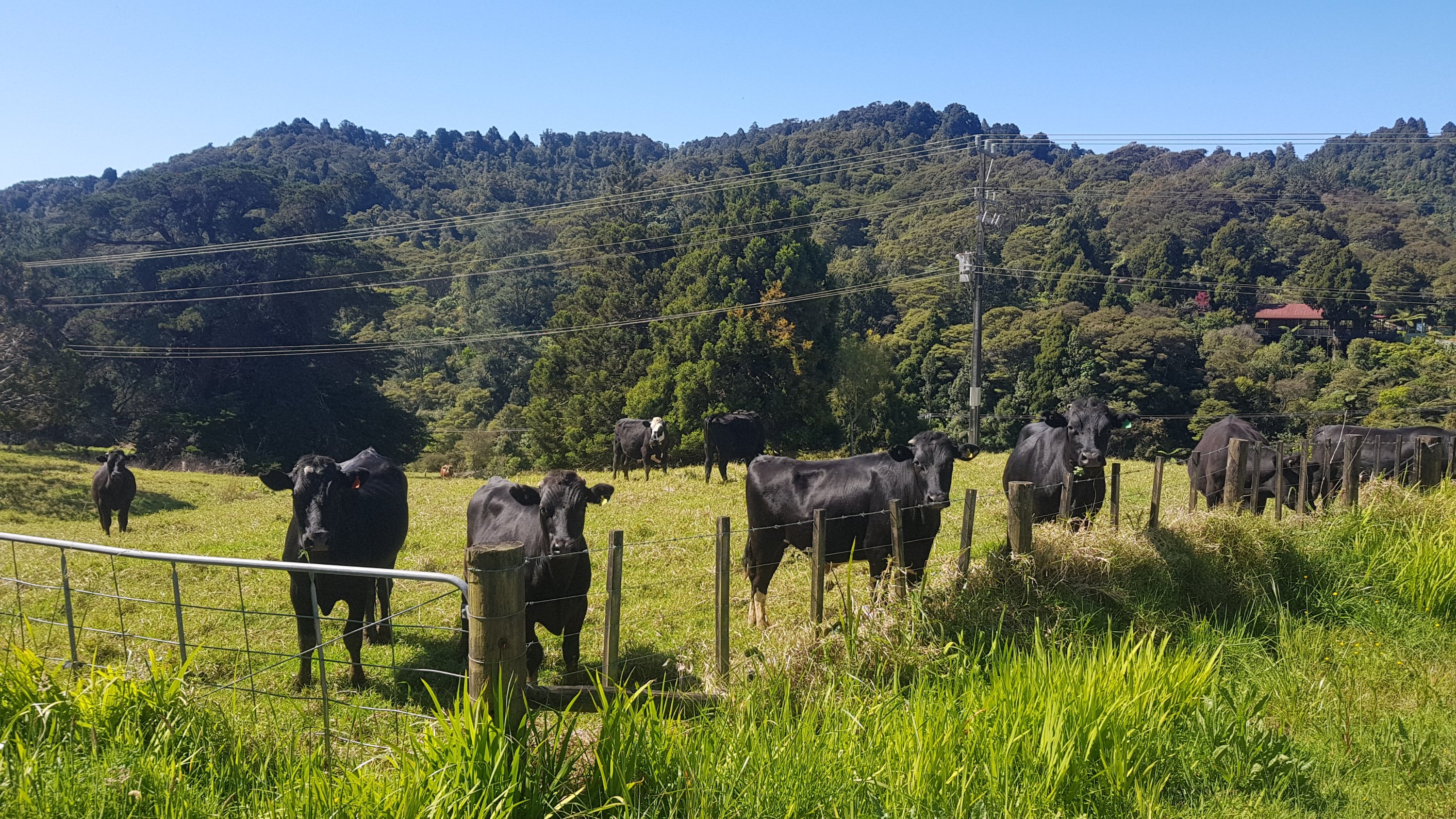
Some cows came over to see me. They got close enough that I could see the name Fletch on one of the ear tags. Is this cow’s name Fletch? Or is that the name of the farm, or the farmer?
Hey Fletch and buddies
After the unrelenting steep gravel road you came across a landmark known as Kraack Hill. I wanted to end here just so I could put the name Kraack Hill as the title of my blog post… but sadly I had to keep going. This is the hill right here. At some point I will have to find out where the name comes from. I bet this area has been inhabited by a long noble line of Kraacks.
Kraack Hill
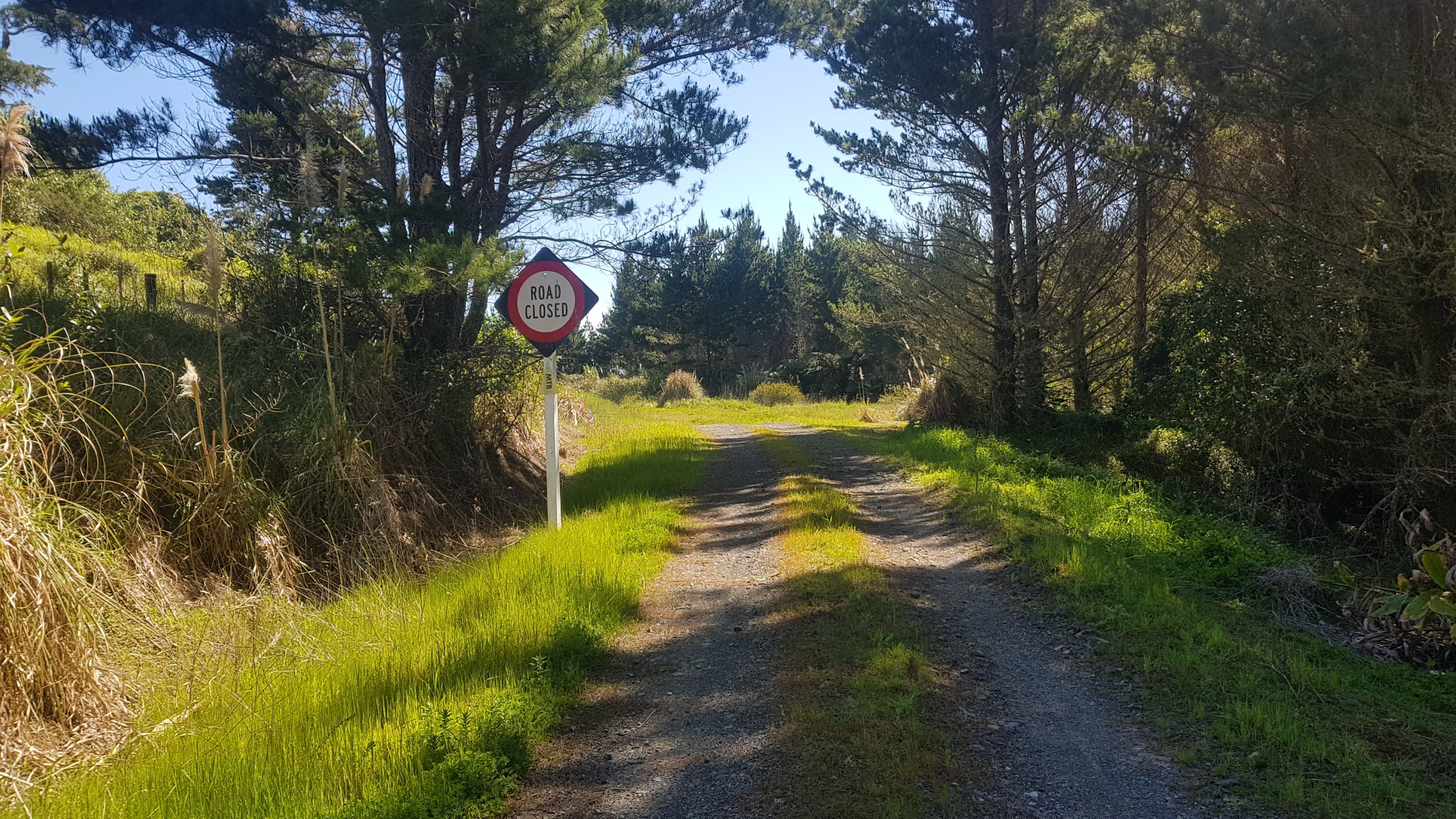
From here though it was mostly road walking, forestry roads and gravel road. There were no cars, which was no surprise according to this sign.
Road Closed
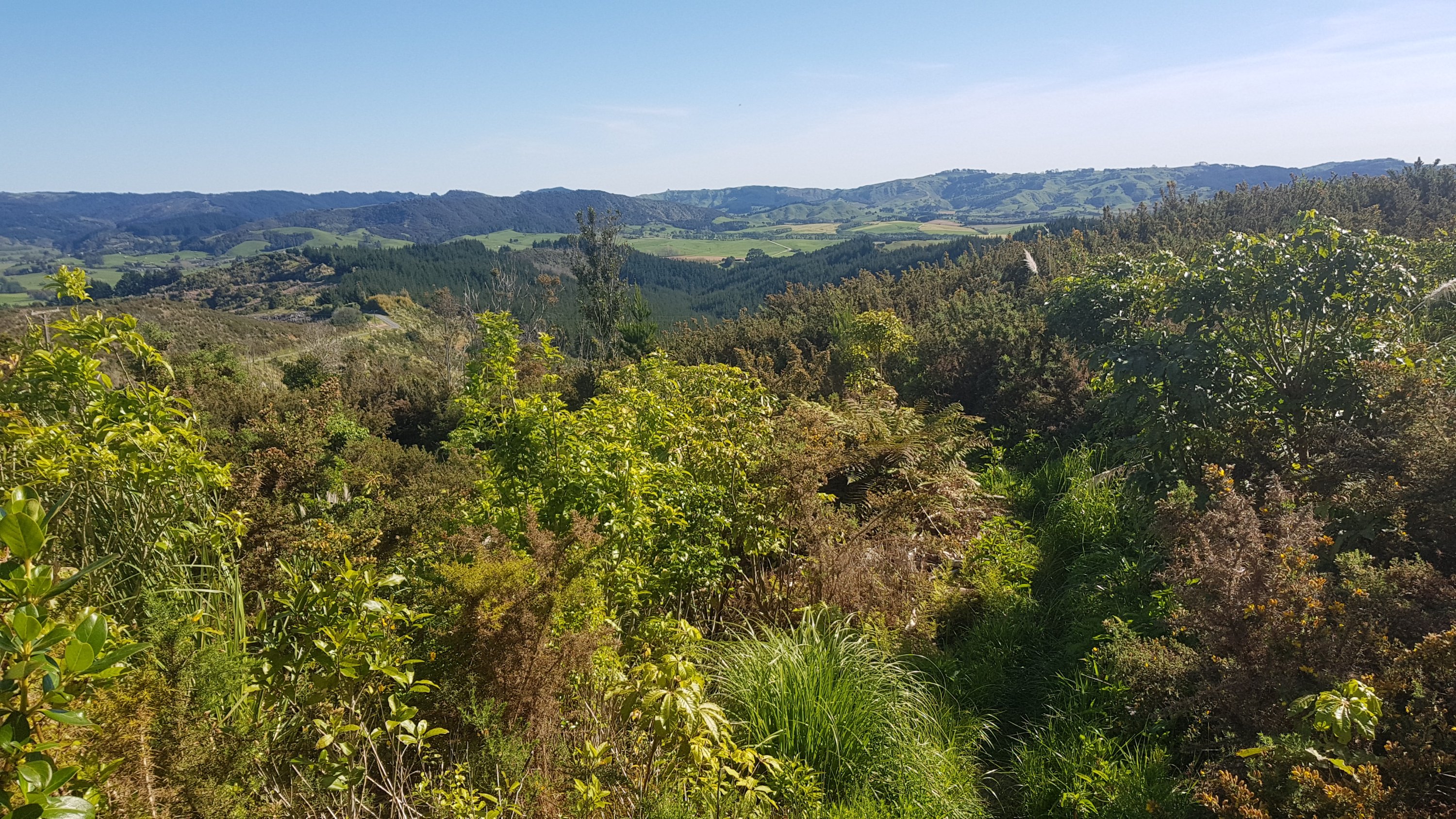
And a short walk through something which at the time I thought in my head was “wasteland”. Full of gorse and impenetrable scrub. At least there was a nice view of the farmland.
A path through the wasteland
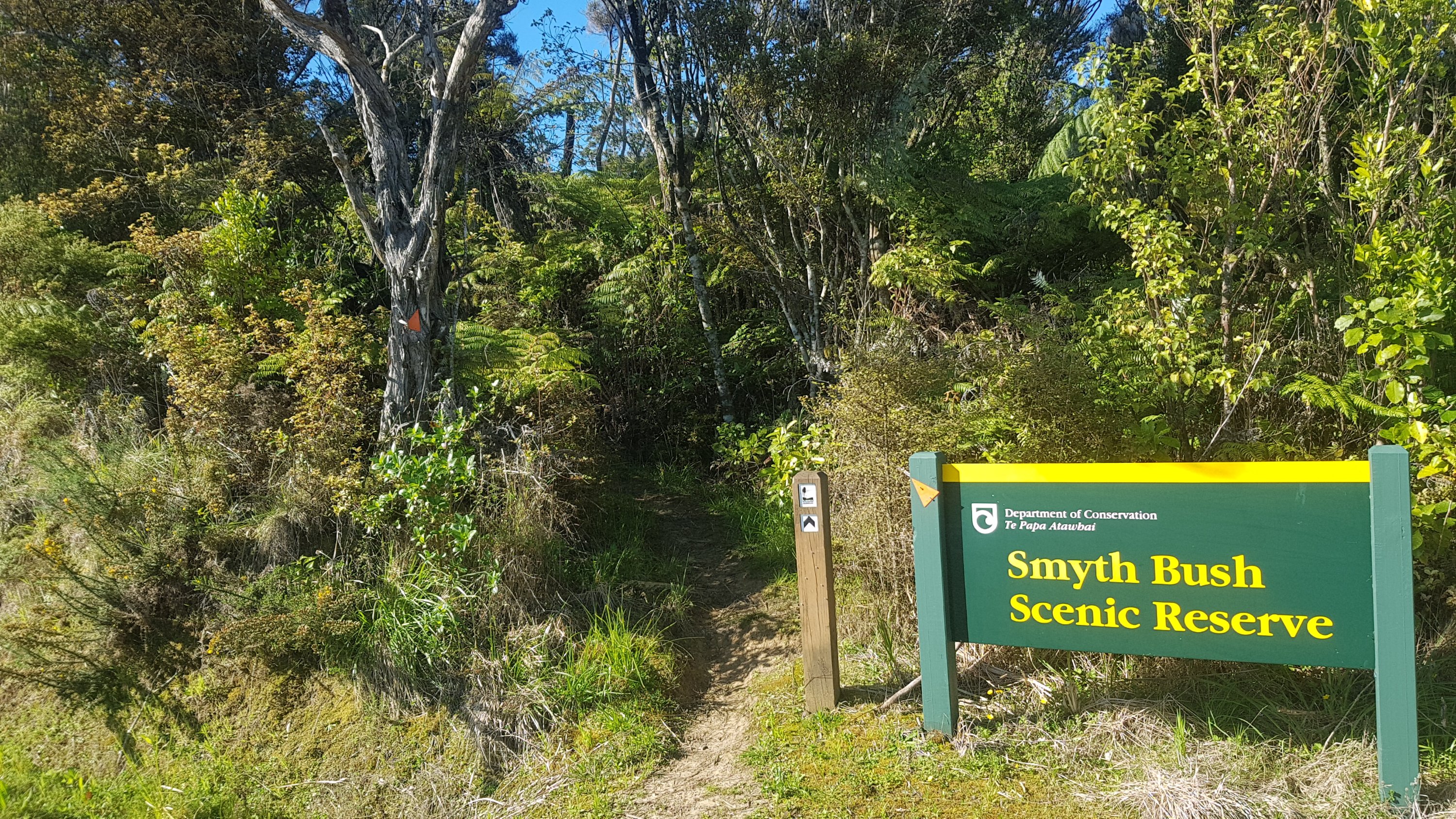
At the other end I found out this bit was called the Smyth Bush Scenic Reserve. Is “scenic reserve” just another name for “land which isn’t good for anything so just let DOC take it over”?
Smyth Bush Not Very Scenic Reserve
One last walk down a bit of sealed road. This short section of Kaipara Flats Road is nasty. It’s very short, just a couple of hundred metres, but there is absolutely no shoulder and cars go fast down here. Luckily in the time I was there, cars only came from the other direction.
Kaipara Flats Road
Since everything after the Dome Forest was easier than expected (i.e. it wasn’t forest), that helped me get to Nanekoti Farmstay quicker than I thought. I actually got to the farmstay just before 6pm – a full hour earlier than expected. Although not before one final obstacle.
Ummm, ok…..
And I saw one of their water troughs. Back at Helena Bay where I was so desperate for water that I drank out of the farm trough, I’m very glad it didn’t look like this.
It’s green, so maybe it’s good for you.
The farmstay was right on the trail, in fact you actually had to walk through their farm at the end, so I was surprised I nearly walked right past the entrance without realising I had made it. I didn’t catch the name of the owner of the farmstay but she was very “anti-1080”. 1080 is the name of a pest control that is used in New Zealand and it is quite controversial. When she heard I was drinking out of the rivers I got quite the lecture about how there is 1080 in the water and there is no antidote. And maybe she’s right. But when it’s been as hot as it has been and there’s no alternative, a bit of poison isn’t going to kill me. I hope.
She also had a “5G – don’t let it fry our kids’ brains” bumper sticker on her car… but interestingly I was told she thinks climate change is not real. She did also give each of us an apple and a banana, which is such a nice gesture when you haven’t had fruit for ages, and the place had a hot shower and for all this we were only charged $10 each to pitch our tent, which I thought was a fantastic deal.
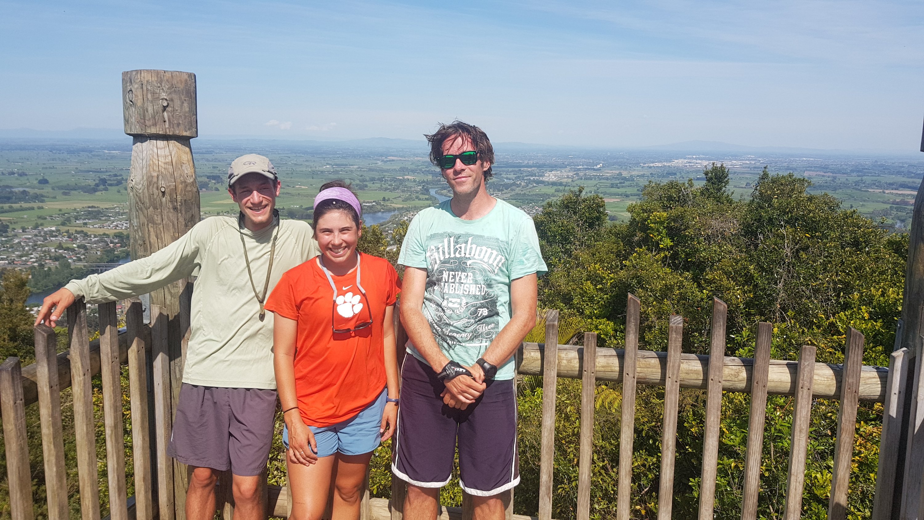
There were three others with their tents out at the farmstay which was nice. Louise and Benjamin from France who had taken a rest day, and Paulina from Germany who it sounds like had been walking the same days I had since Waipu Cove, but we had somehow missed each other.
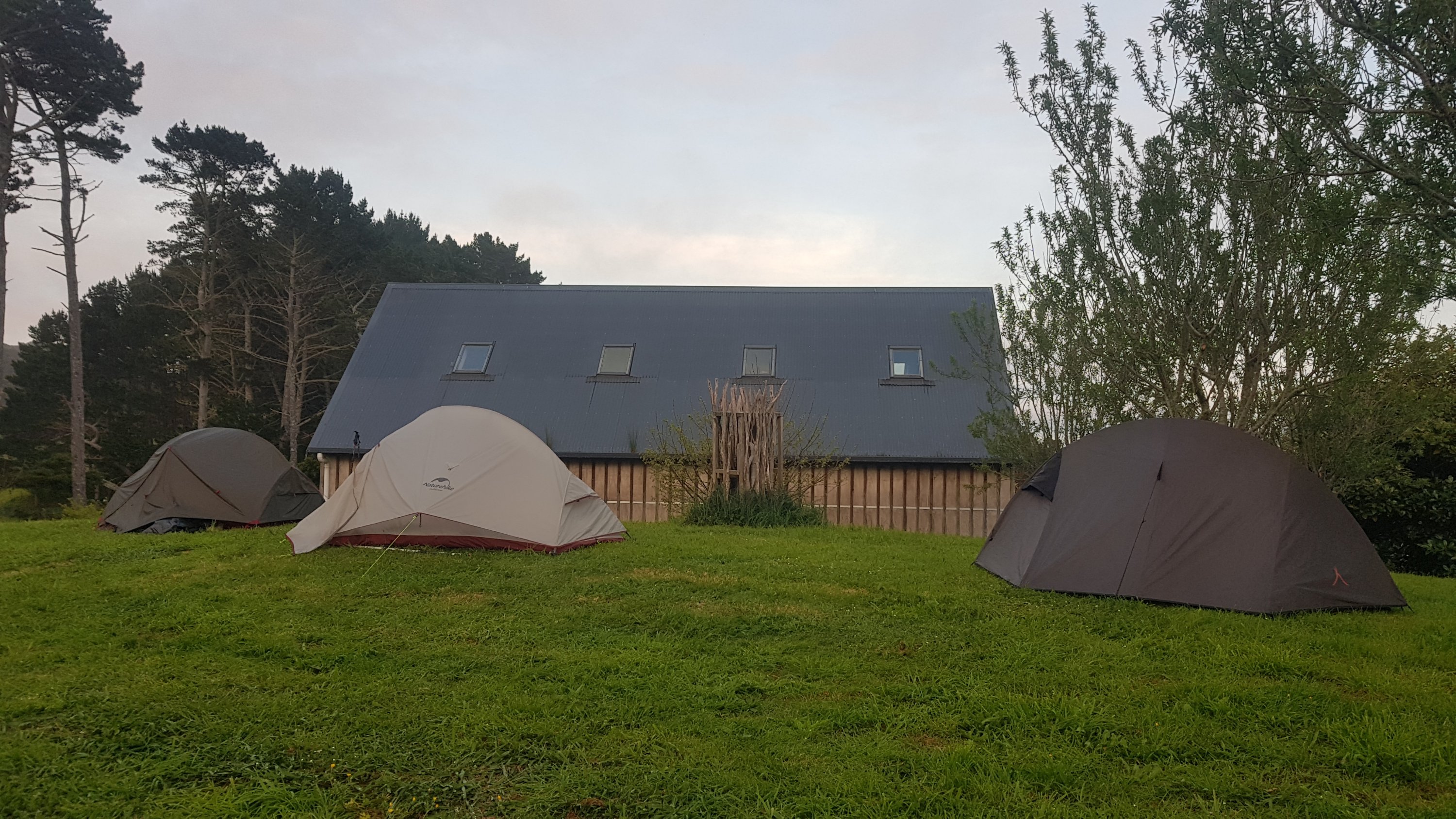
The tenting area at the Nanekoti Farmstay
I started on 26 September and the others started on 6 October. I started so far ahead… but they caught up because of all the rest days! Regardless, it was nice to finally see some other hikers, it had been nearly a week now since I saw anyone else – way back on my second rest day at Waipu Cove.
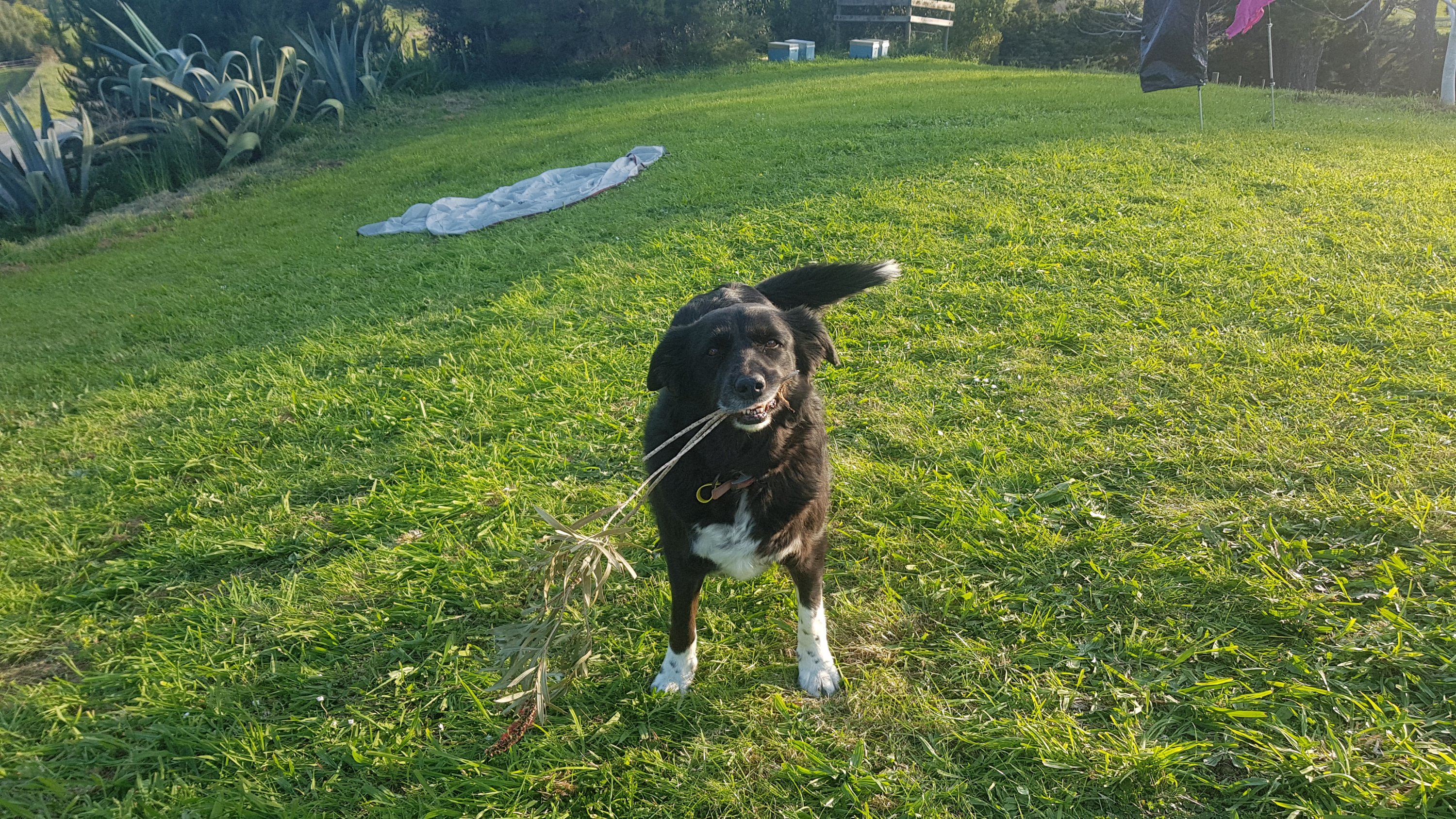
There was also this dog at the farmstay. I didn’t get her name, but she sure knew how to do “puppy dog eyes” to get what she wanted, which was either to get you to throw a stick or to give her some food. I’m normally very good at resisting puppy dog eyes, but this dog was very good at it. And she hung out with us the whole time right until the sun went down.
Tomorrow the four of us (not the dog) are all going to walk to Puhoi together and then we will all take the kayak the next day to Wenderholm. I’m glad I won’t be doing that part alone. I’ve had three relatively big days in a row now, so at least tomorrow is only 18km through terrain which I don’t think is too hard. And we have all said we are looking forward to a drink and a meal at the Puhoi Pub.
We all had a good chat but once the sun went down we retired to our tents. There were lots of dogs barking around and somewhere nearby a few people were partying. Hopefully I will sleep well tonight, I need it that’s for sure.
Date: 28 October
Distance walked: 17.8km
Trail covered: kms 498.1 to 516.1
Weather: hot again
New card games learned: 2
How bad did I suck at both of them: immensely
Last night the barking dogs or the partying people weren’t a problem… but this morning I did wake up to “nature”. Cock a doodle doo! Squawk squawk squawk! Bllebekldldrbghj! Nature is nice but it sure is loud.
On the plus side I did have a dry tent. It’s weird, when I camped in the gorse the other night the weather conditions seemed exactly the same but my tent was saturdated. This time it was dry. Maybe it rained during the night the other night and I just didn’t realise.
I really wanted coffee even though I haven’t had any coffee for a while and most days now I don’t feel like I need it. I woke up feeling a bit under the weather today. Maybe I’m getting scurvy from eating no fruit or vegetables. The coffee helped though.
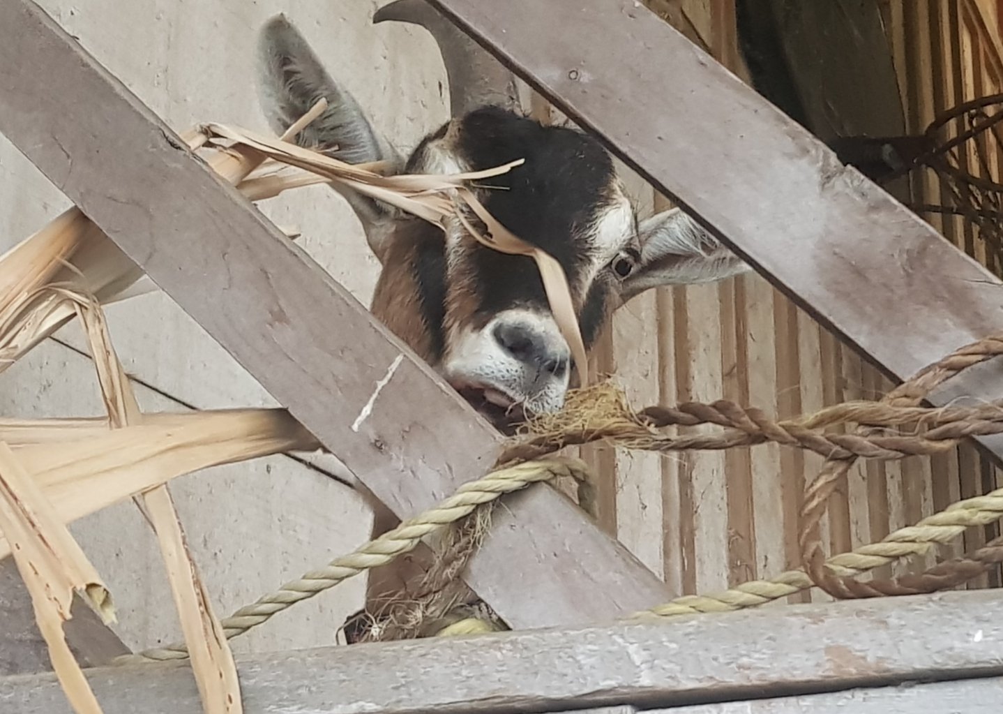
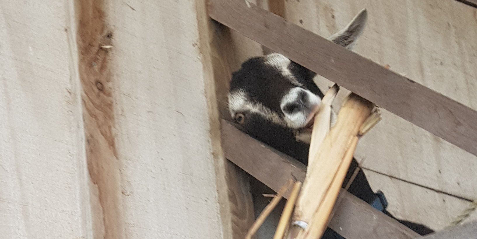
I had my breakfast next to this bunch of goats.
Goats!!
I sat there eating my porridge and I did get a fright when I heard a noise above my head. It was a goat trying to eat a bamboo stick which was up high. And when each goat had finished its turn, the next goat would have a try. And the goats all had scary looks on their faces.
Goat 1Goat 2
Even though I’ve had a shower, my blue shirt is getting to the stage where it looks wet before I’ve even put it on, and it smells disgusting. Each day I sweat so much because of the heat, and my shirt ends up completely drenched because of it. Over a week this adds up to a really disgusting shirt. I am really looking forward to washing my stuff, but that won’t be for a few days yet until I get to Auckland.
Very soon after we left the farmstay, it was the 500km mark. It was on a gravel road that seemed uninteresting at first, but it had a very cool name.
Matthew Road – woohoo
We marked the occasion by arranging our hiking poles creatively. Louise has cool yellow ones which fold into three parts like some tent poles, so those made great zeros. Luckily no cars came while we were doing this.
500!!!!
We thought today was going to be relatively straightforward, but as has been the theme recently, there was quite a steep uphill forestry road at the start.
Aargh not again
At the top we stopped to admire the view.
Louise and Benjamin admiring the view from the top of the road. I noticed Ben’s little pet sheep attached to his pack. That’s definitely a luxury item!!
And shortly after we came across a little horse with the coolest haircut I have ever seen in my entire life. I wish I had my hair like this.
I <3 this horse.
This point marks the actual top. Once you’re here it’s easy going.
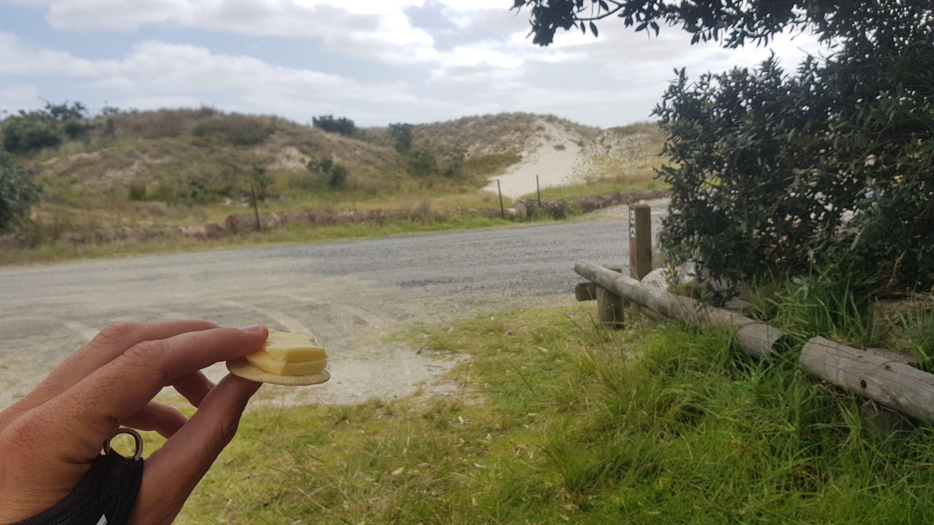
We stopped here for some lunch. Time for the final cheese check. Day 5 and the cheese is starting to sweat a bit but there’s no sign of mould and it still tasted great.
Cheese report day 5
Also the chocolate report. They were fine too, but something has been eating them. Must be possums.
There were definitely more than this yesterday.
My 11am picture was walking up this bit of farm track which I would have missed the turnoff to as I wasn’t paying attention. Paulina is looking at me wondering what on earth I’m doing taking a photo of such an uninteresting piece of the trail.
11am picture
This farm had some big bulls. Some of the group were a bit nervous of them, but I went forward and pushed past them.
I didn’t really want to mess with these guys…
However in my efforts to lead the group away from the bulls, I did accidentally lead us over a stile which didn’t have an orange marker on it. This meant that a bit further on we had to climb back over the fence which had barbed wire on the top of it. I nearly ripped open my pants on this wire. Don’t climb the stiles if they don’t have orange markers!
Easy farm walk
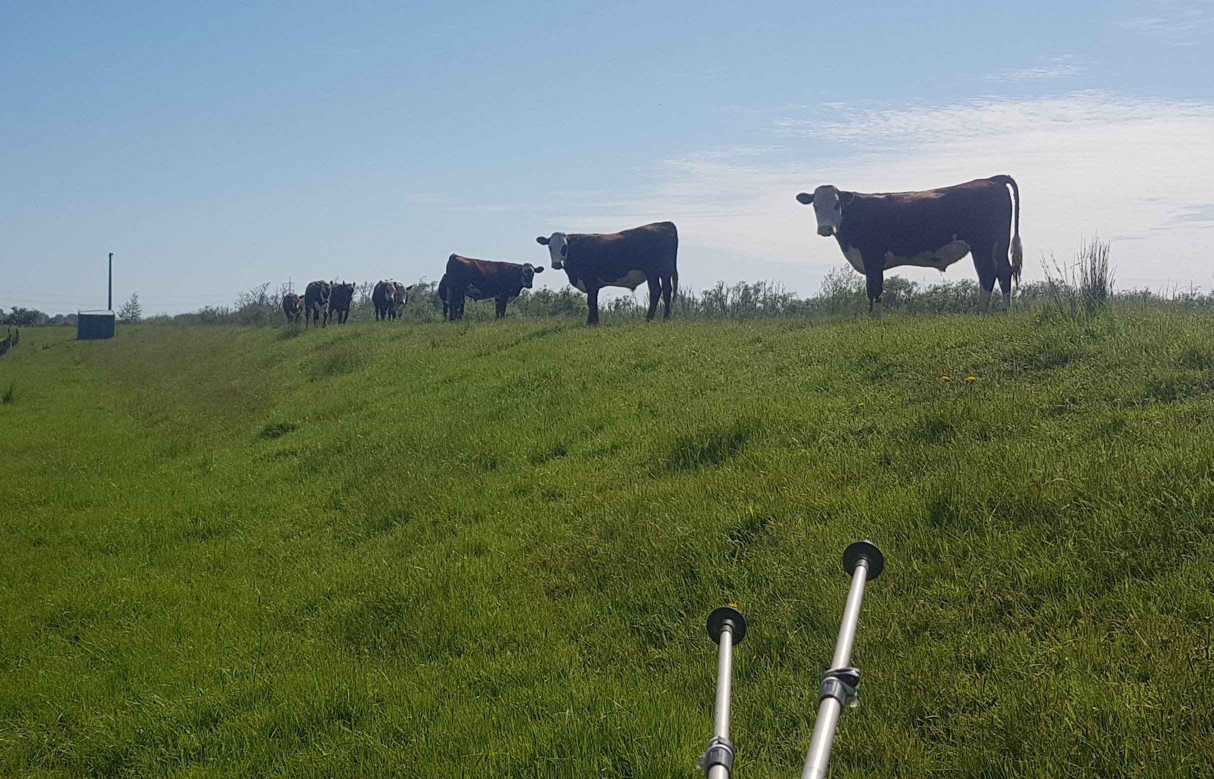
This farm had some of the most chilled out cows I’ve ever seen.
These guys didn’t move.
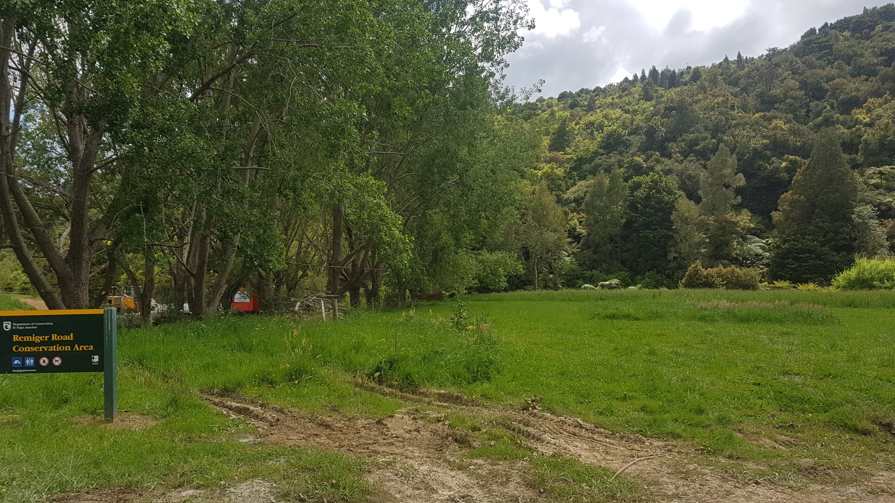
Just past this farm was this campground – the “Remiger Road” Conservation Area. This was a full DOC campsite complete with a toilet and a great bit of flat grass to camp. This didn’t appear on any of the apps, and I don’t believe it was on the trail notes. I really wish I had’ve known this was here.
Remiger Road Campground
There was also this sign. Word must be getting around that I have a fetish for strange speed limit signs… because this is just taking the piss.
16km/h speed limit – very specific
And we saw this sheep which looked like it had escaped mid-shearing.
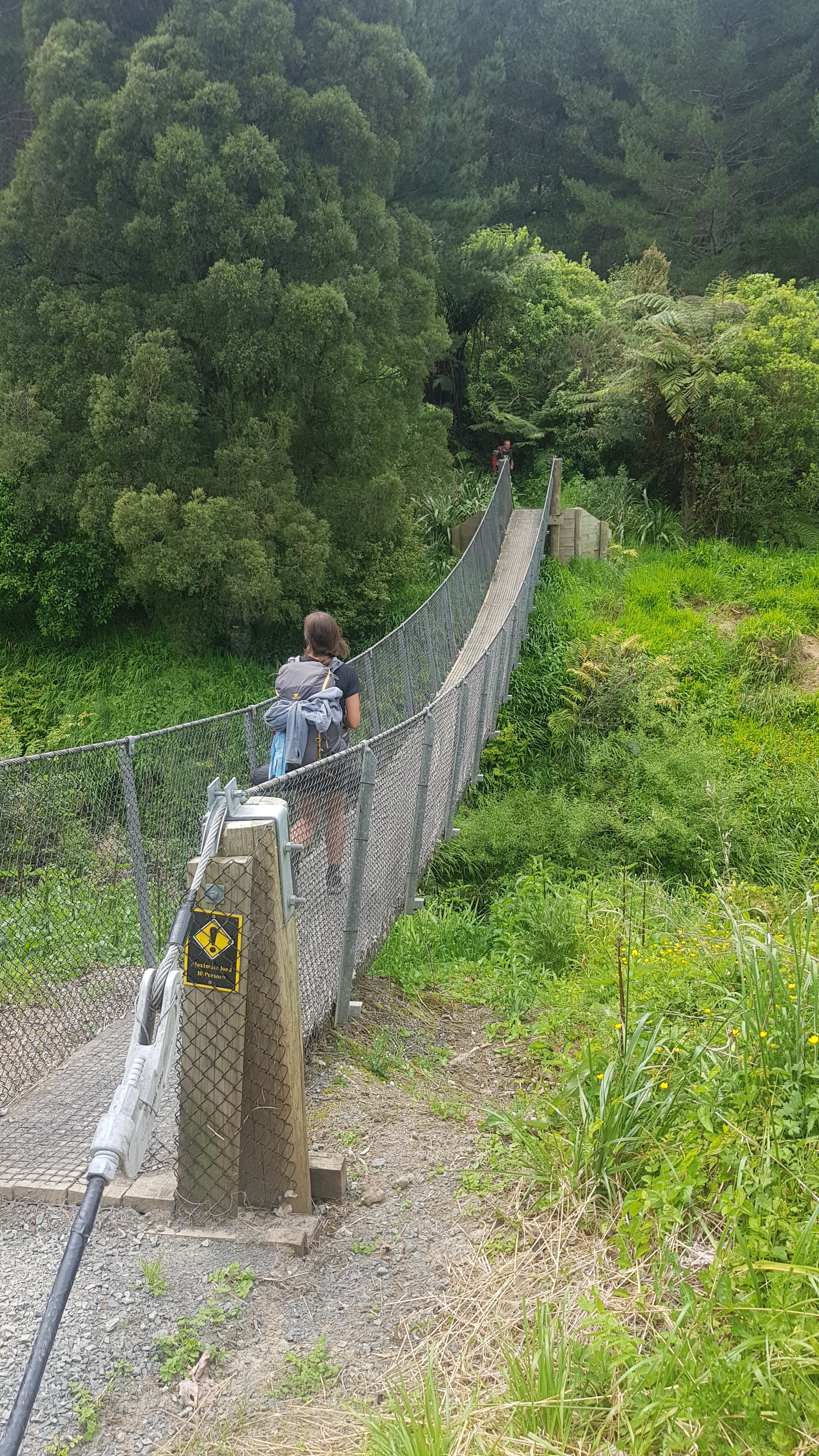
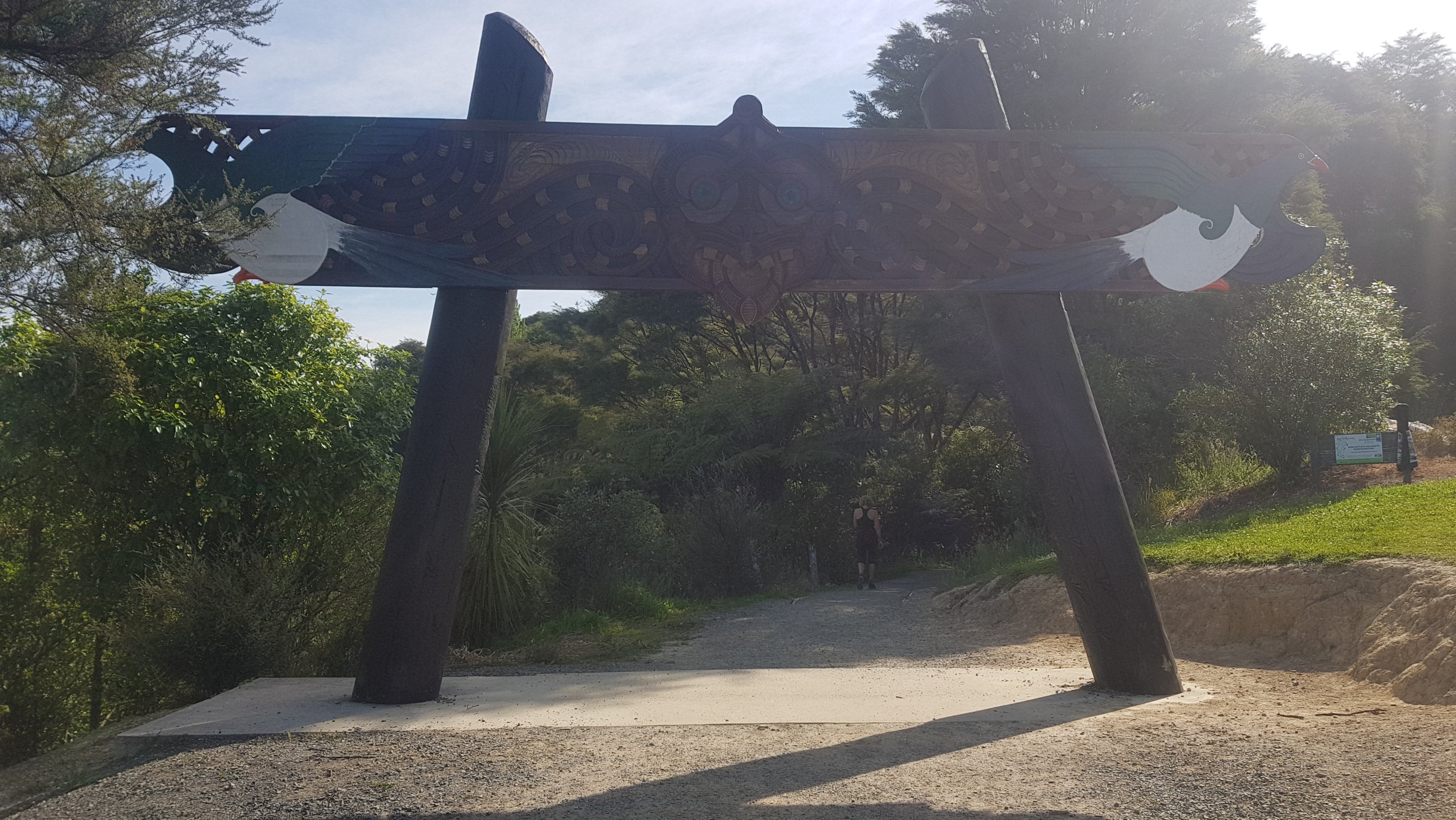
There was a swingbridge soon after which took us into the Puhoi Track. I think the French couple hadn’t seen this type of bridge before, judging by their reaction and their excitement walking over the bridge.
Puhoi Track swingbridge
There were a few other people on this track, which you don’t see a lot of. There were a lot of stairs here, and it was quite a long track. It was generally a well formed track but there was the usual gorse section at the Puhoi end.
I didn’t know what sort of town Puhoi was, but I definitely thought it was bigger than this:
Puhoi Village
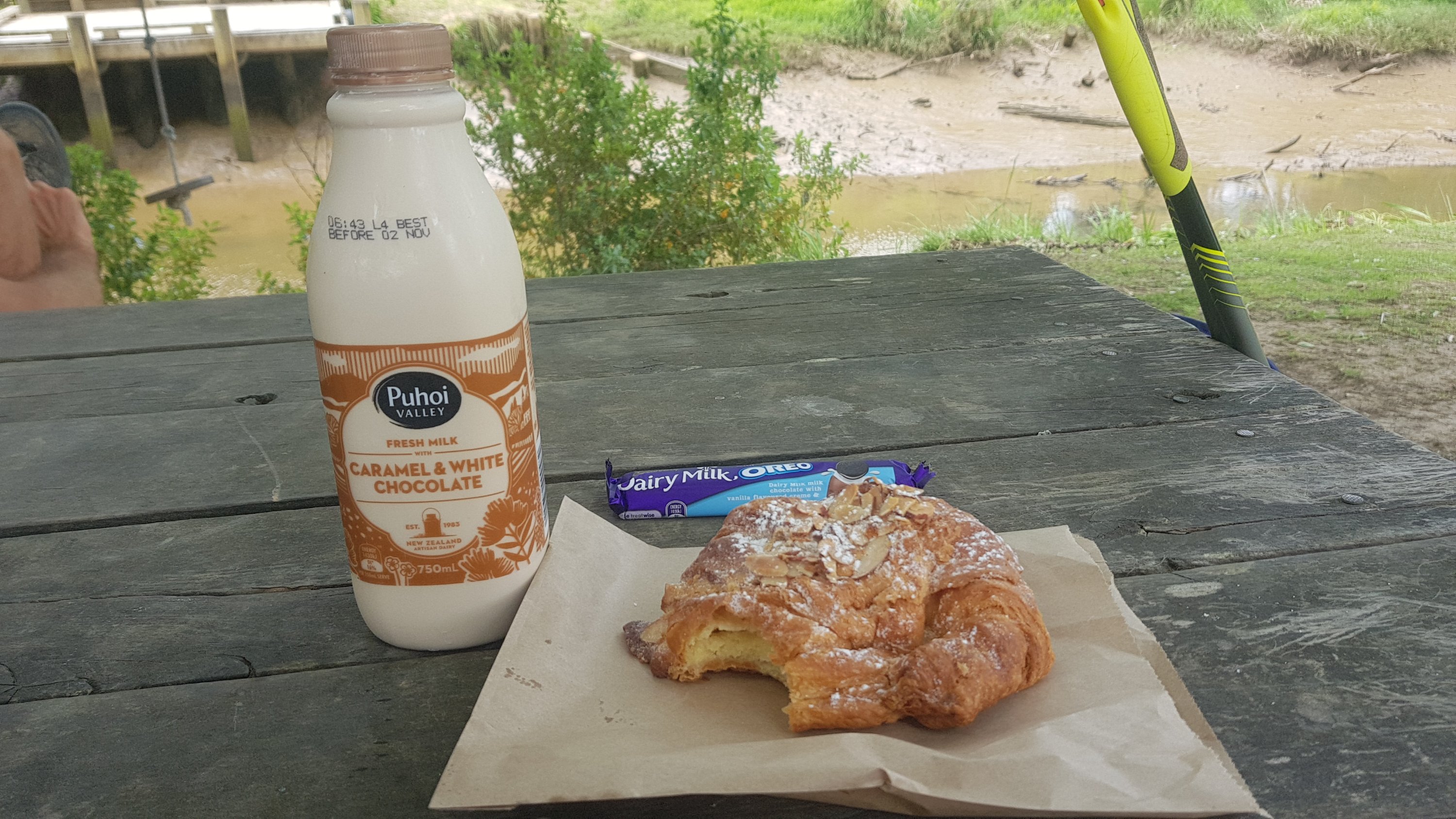
Coming into the village it was straight to the village store. I seem to have forgotten my time at Matapouri Dairy a week or so ago, where I said I would always get fresh fruit and one treat. This is what I got instead:
1,050 calories of goodness. And that’s just the milk! No joke!!
It tasted so good. We all sat down and ate some food, next to the Puhoi River which is what we would be kayaking tomorrow. Although at low tide, it looked quite unimpressive.
Our food spot on the right there, next to the Puhoi River.
We were looking forward to going to the pub across the road, but it was only 2:30pm at this time and we were worried that if we arrived at the pub this early, we would be drunk and broke by the end of the day.
Puhoi Pub
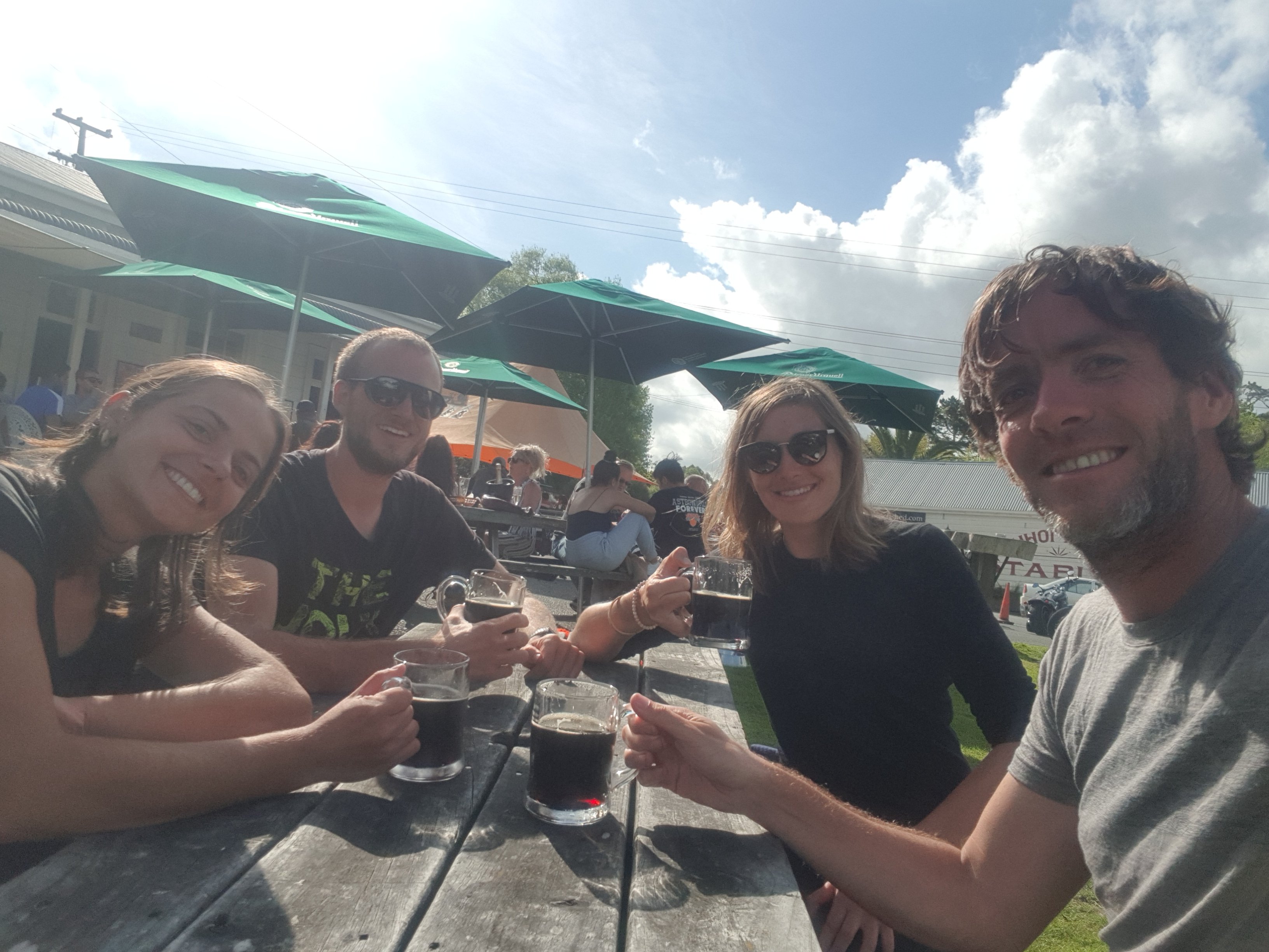
It was very busy at the pub today because it was Labour Day, and a beautiful sunny day again. We waited until about 5pm before making our way over, and at that time most of the crowds had left. But not before I changed my shirt – no way was I going to wear my stinky and gross blue shirt into this place. I introduced the group to Monteith’s Black, which is one of my go-to beers if there are no stouts. Unlike my Auckland friends, they were all willing to give it a go!
Cheers to Te Araroa!
We had three beers in total, and we each had a burger. We also got wedges and a bowl of fries to share. And then the people at the next table also gave us the remainder of their fries, which it looked like they had barely touched. So this was definitely one of those days where I consumed more calories than I used up walking.
To fill in some time Benjamin taught us all two card games. I thought I was good at card games but I sucked badly at these two games, even though I enjoyed them.
The pub was almost empty by 7:30pm and despite saying that it opened until 10, the manager (who was very friendly by the way) said he was closing up at 8:30.
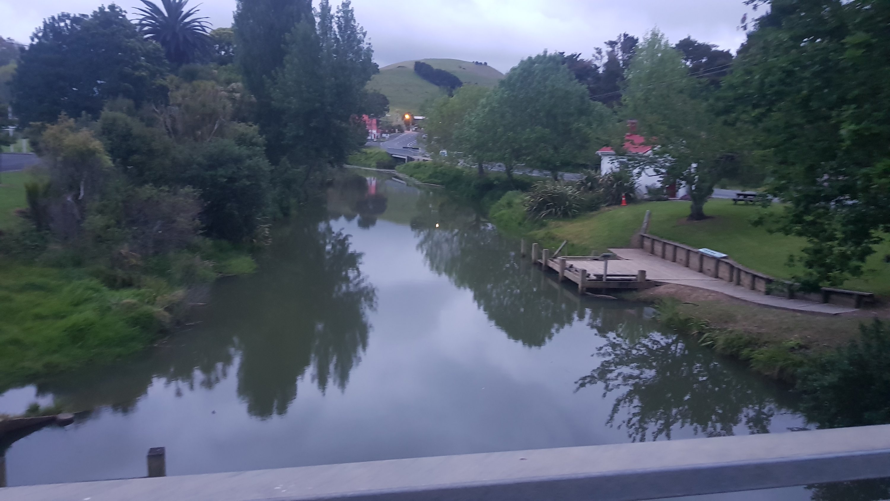
In the evening, I went back to the river which was now at high tide. It looked a lot more impressive. I couldn’t wait to get in the kayak tomorrow morning to do the 7km kayak to Wenderholm. We were due at 9am at Puhoi Canoe Hire which was just a few minutes’ walk from here.
Puhoi River in the evening at high tide
Although I did hear that my Mum and my sister were going to meet me tomorrow after the kayaking. How embarrassing, am I right!!! 😂😂
Date: 29 October
Distance walked: 12.5km and distance kayaked: 7.1km
Trail covered: kms 516.1 to 534.7
Weather: short periods of rain
Number of family members that came to visit me: 2
We only had three beers each yesterday but it must have been a while since I had that much to drink because things were a bit strange this morning.
During the night I had three really unusual dreams. In the first, I found myself in my tent and when I looked to the side there was a huge gaping hole in the side of it. In the second, I was on a plane on the airport taxiway waiting to take off. I was with my friend and my other friend was the cabin crew. But the large plane taking off on the runway in front of us took off and crashed into the ground seconds later in a massive ball of flames. In the third dream, I was in a bar and everybody wanted lemons for their Coronas. I had to fight for the remaining two lemons with Tag from Friends and the office lady with the crazy haircut and dress sense from the movie Liar Liar. The office lady seemed popular in the bar so everyone seemed to be on her side and so I ended up with no lemons.
I don’t normally remember dreams so vividly but last night they were really vivid dreams.
Then once I actually woke up I realised I had left my little bag of toiletries outside, so it got drenched from the overnight rain. All except my toothbrush which I found under my sleeping mat. How it got there I have no idea. I knew I could feel that I was sleeping on something hard during the night but I figured it was just a stick.
Anyway because of all this I woke up at 6am and was packed up by 7am. I went and relaxed outside the Puhoi General Store which had just opened. I got my coffee, just in time it seemed because after the very busy long weekend just gone they only had one litre of milk left. Lucky I got in early, I guess!
The Puhoi General Store is also the pickup point for all the region’s school buses so a lot of schoolkids started hanging around. One kid in particular, a 12 year old boy named Dylan was very chatty and wanted to sit next to me and tell me all about his experiences hiking the Tongariro Crossing. Then other subjects he wanted to talk to me about included how beneficial the new motorway being built will be for Puhoi, details of the new Waiwera motorway interchange, and which music was currently number one on The Edge radio station. He also said that the schools in the area were several schools in Orewa and Mahurangi College in Warkworth which is where he was going.
The Puhoi River this morning. This is what we were going to be kayaking through today.
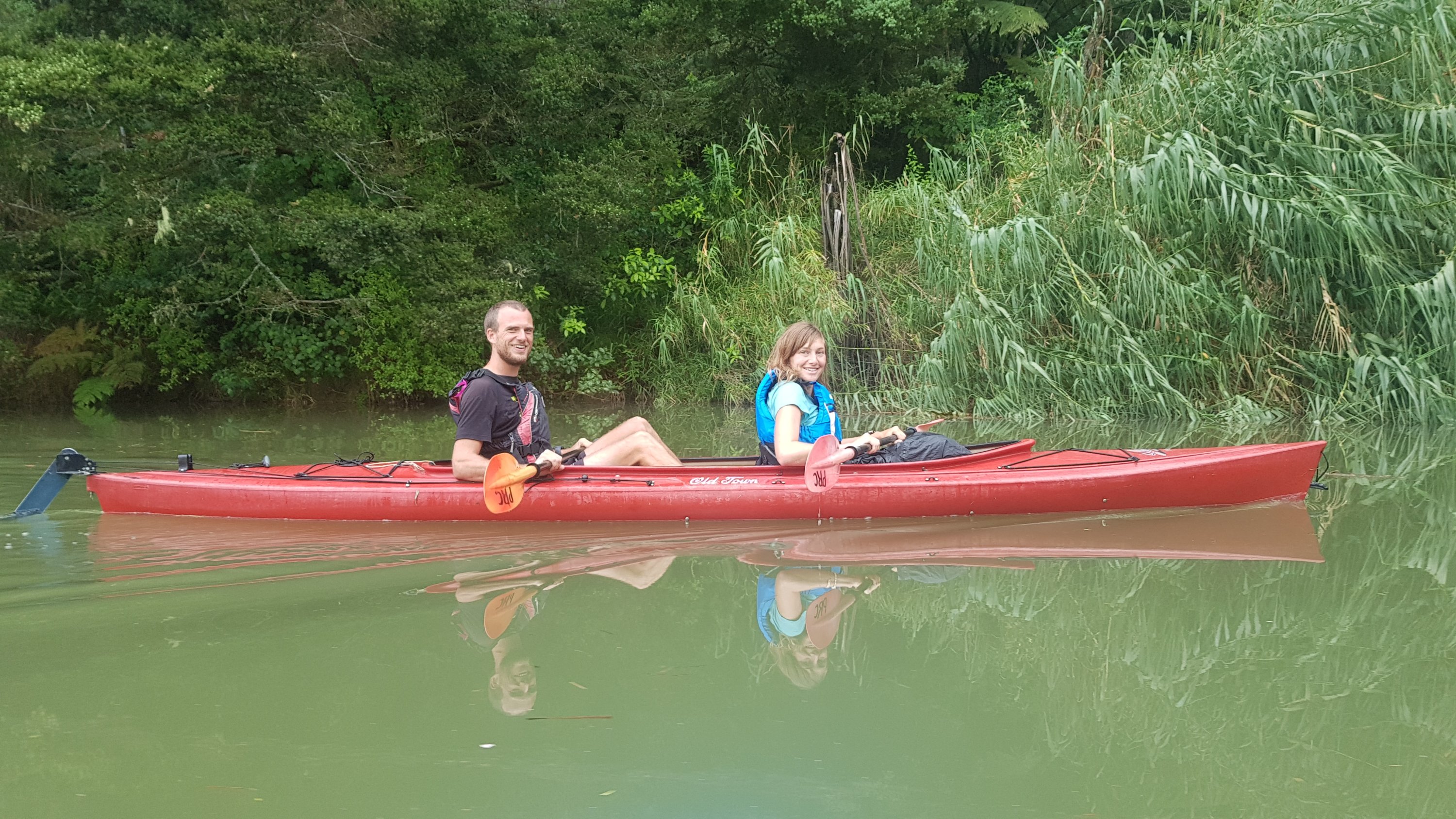
Eventually Louise, Benjamin and Paulina came to join me and just before 9am we wandered just down the road to Puhoi Canoe Hire. Despite the fact the town is tiny, we were told that the canoe hire is opposite the church and so it didn’t take long to find.
Opposite the church
There is also a big kayak right above the entrance so you can’t miss that either.
Puhoi Canoe Hire entrance
First we had to do the necessary safety briefing and sign the piece of paper saying that if we get eaten by piranhas then the Canoe Hire company is not responsible. The owner had pre-written Paulina’s name as Paulini so we had a laugh and tried to decide if Paulini sounded more like a type of salami or a type of pizza.
Then we had to pay our money. The two single kayaks were $55 each and the double kayak was $100. We wondered if the two other canoe hire companies in the area would have been any cheaper.
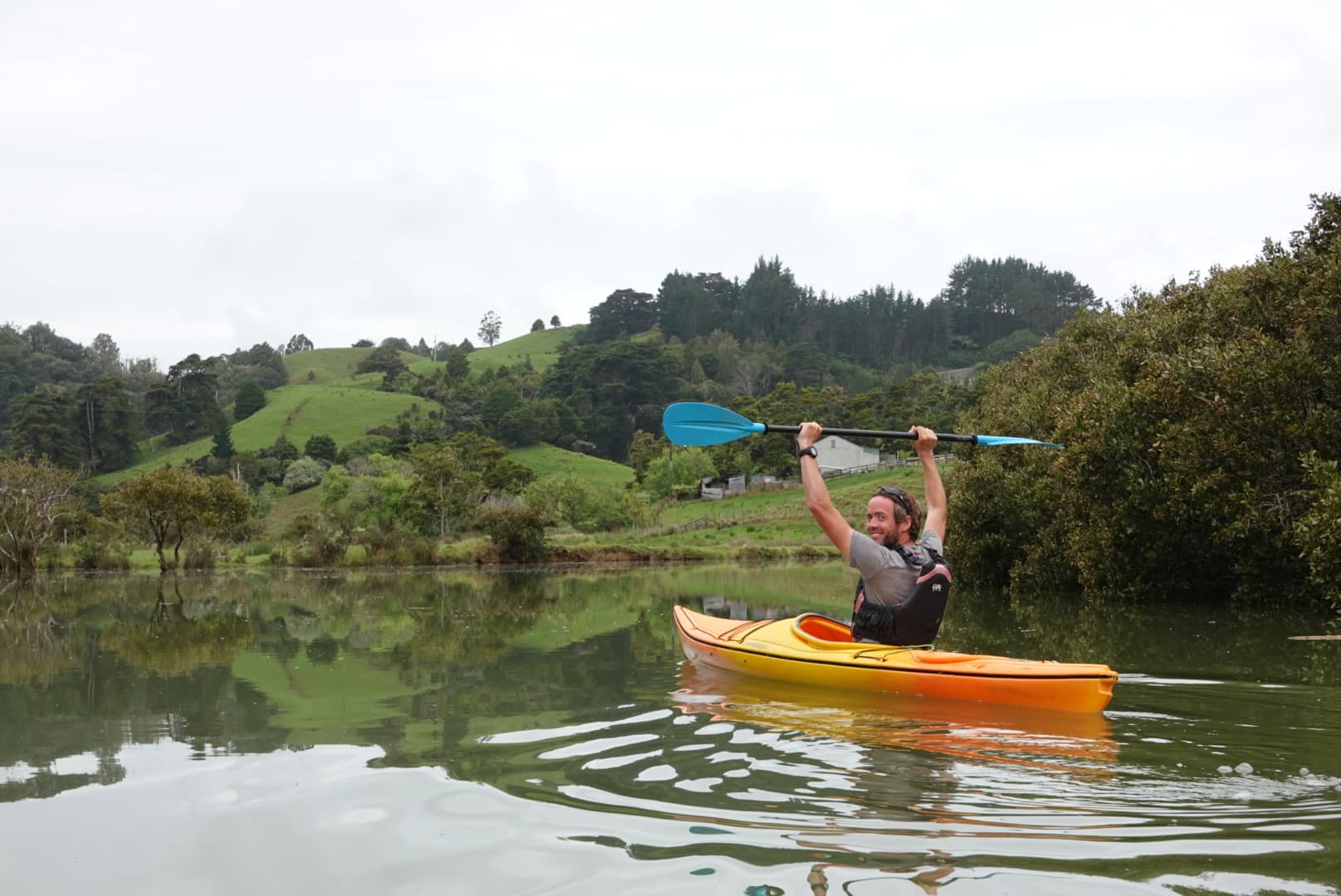
It started to rain just as the kayaks were being launched. But once we were in the water, the weather gods did their thing again and it didn’t rain for the entire trip.
The technical way of launching the kayaks – just hurl them down the hill
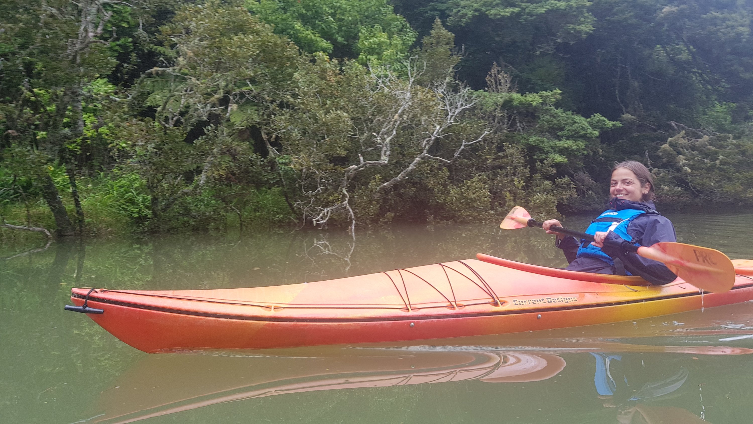
It was very nice being on a kayak. We launched at high tide and so the tide was going out, which made for an easy ride (in fact an outgoing tide is necessary to do the kayak in the first place). In the few days before, people weren’t able to hire kayaks because high tide was too early. I missed the kayak from Paihia a couple of weeks ago so I’m glad I didn’t miss this one too.
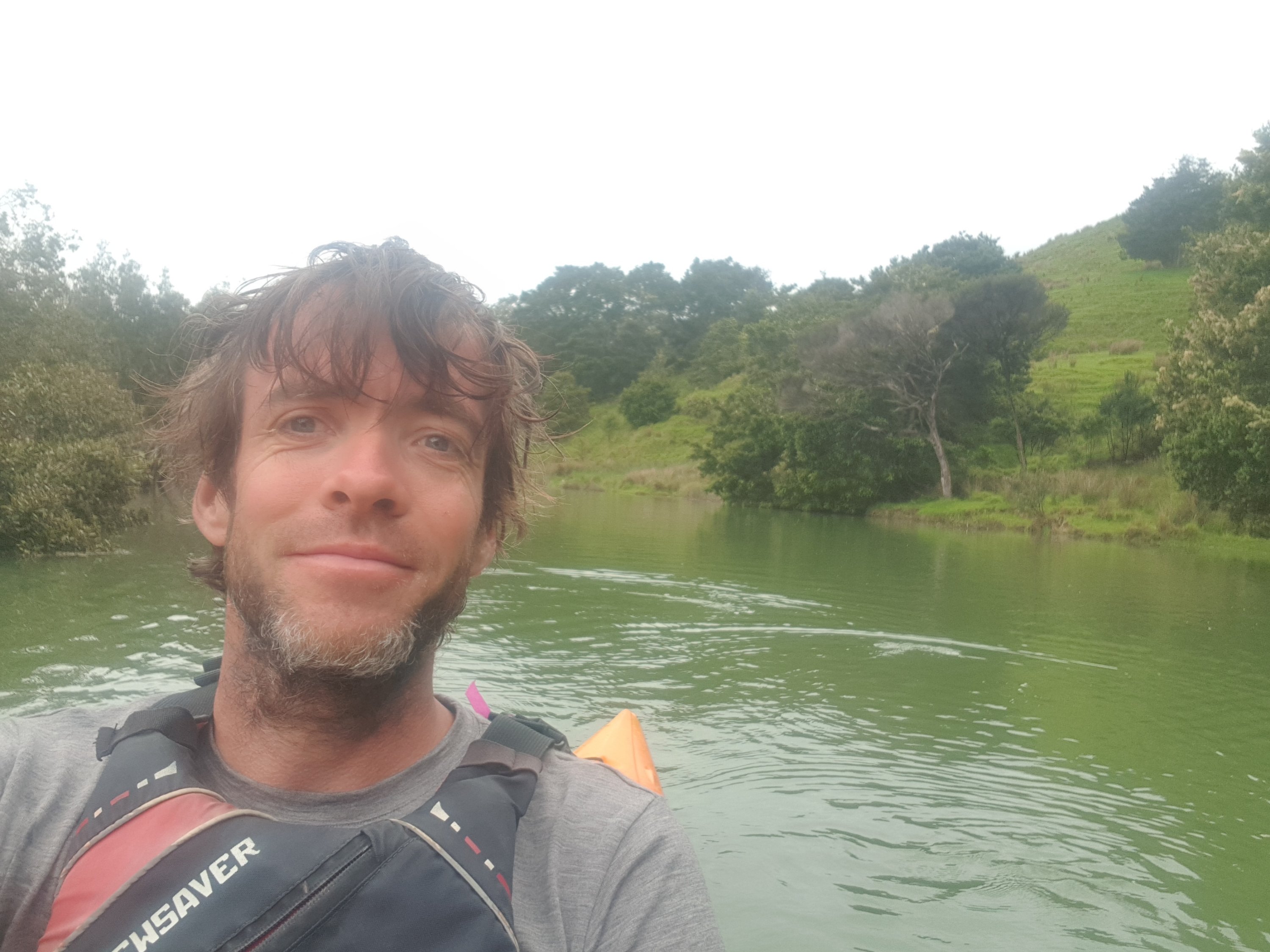
Paulini in the kayak
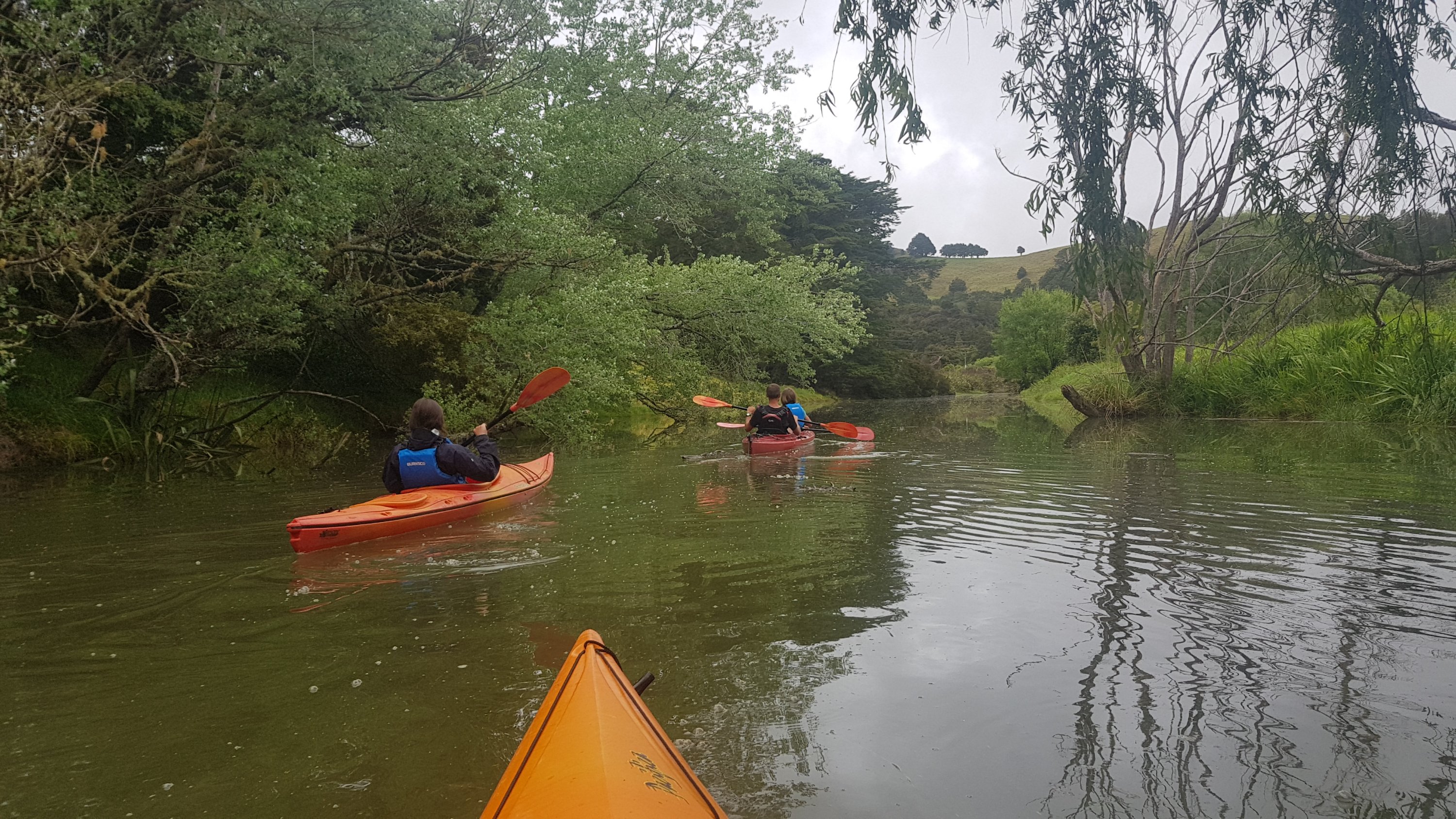
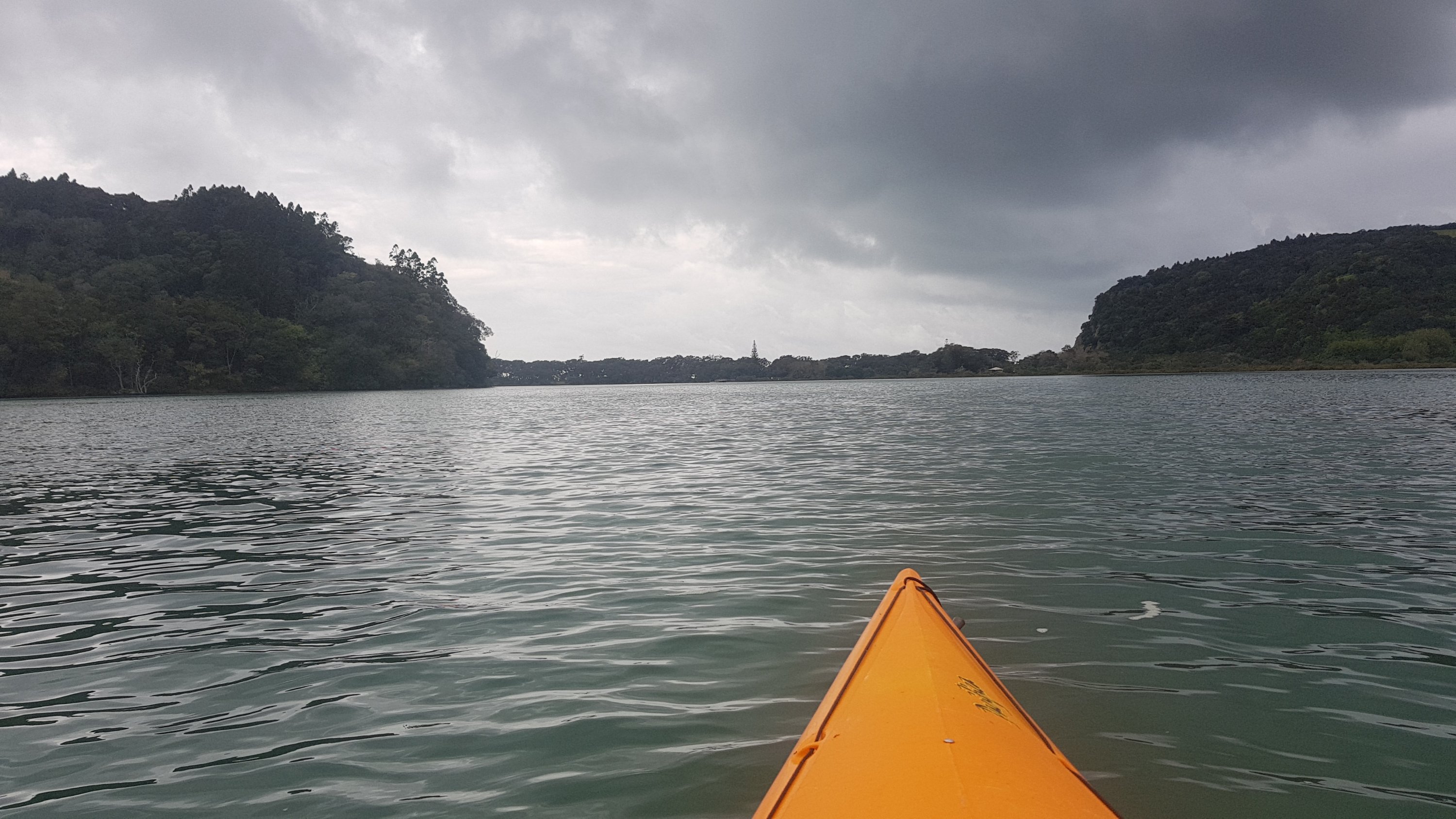
The river started off fairly narrow but it was so calm there was never any point where we felt like we could get into trouble.
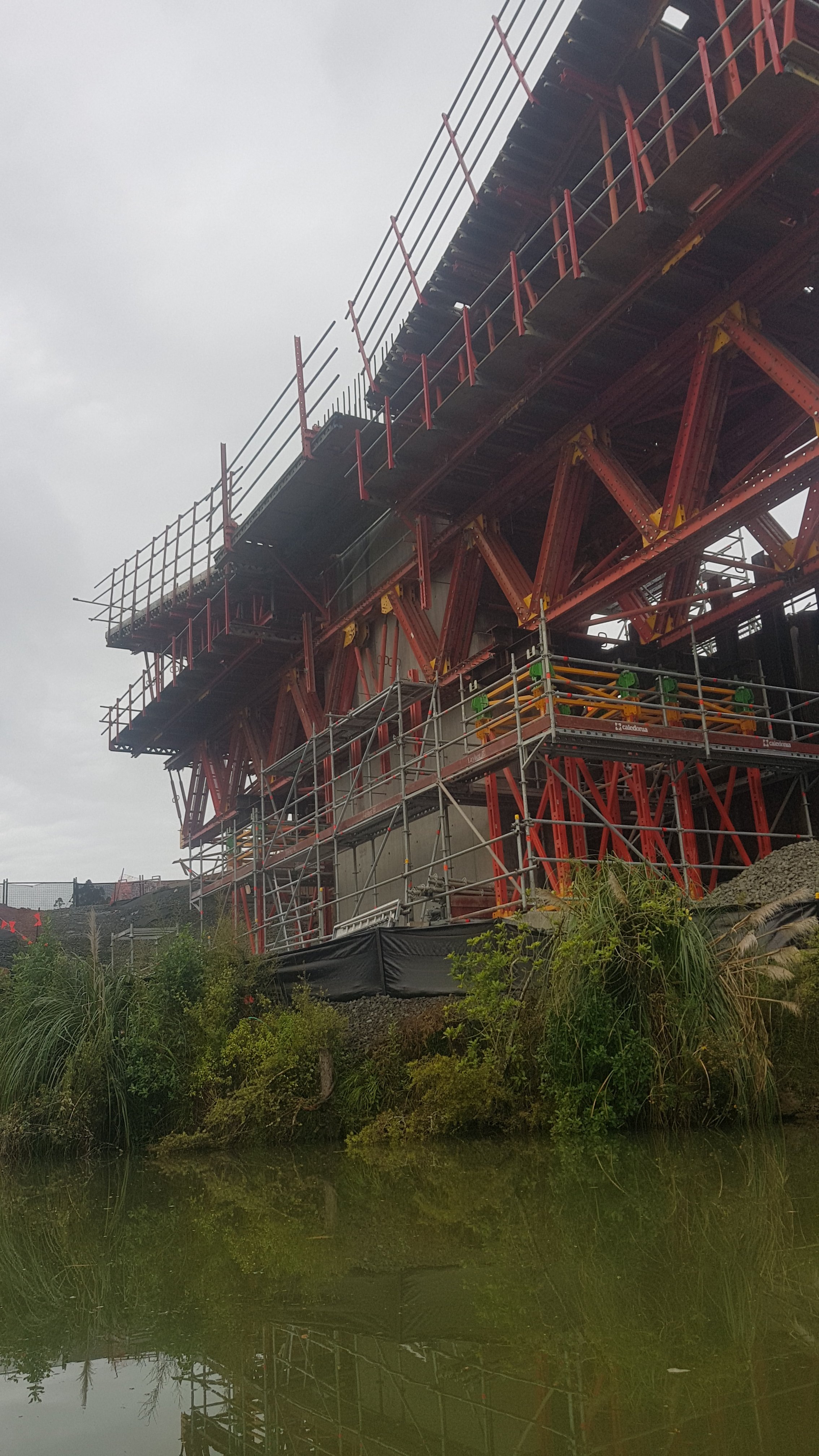
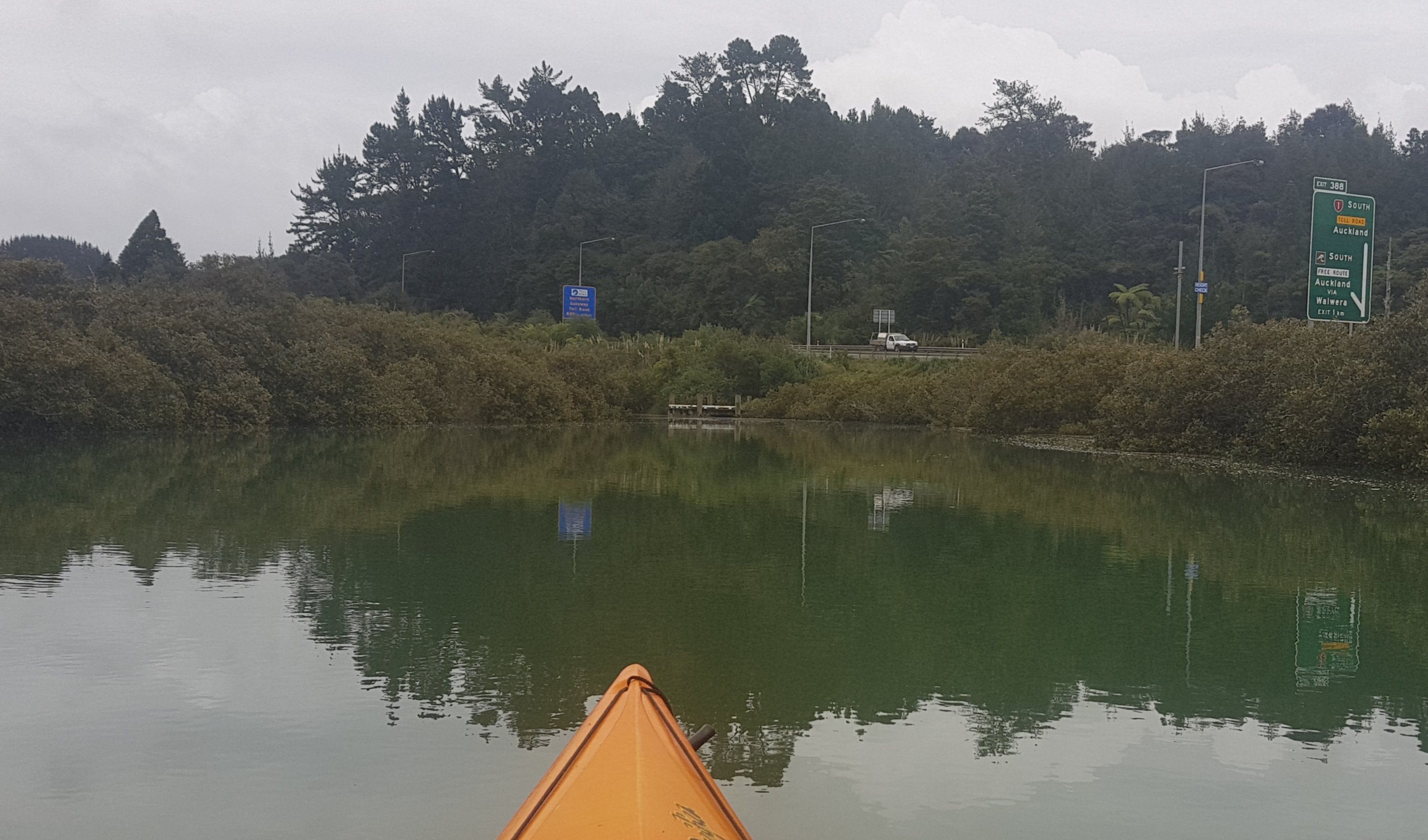
The first part went under State Highway 1 and you could see where they were building the new motorway.
Then the trip went along State Highway 1 for quite a while, and you could hear the roar of traffic the whole time, which wasn’t too pleasant.
Another part of the new bridge
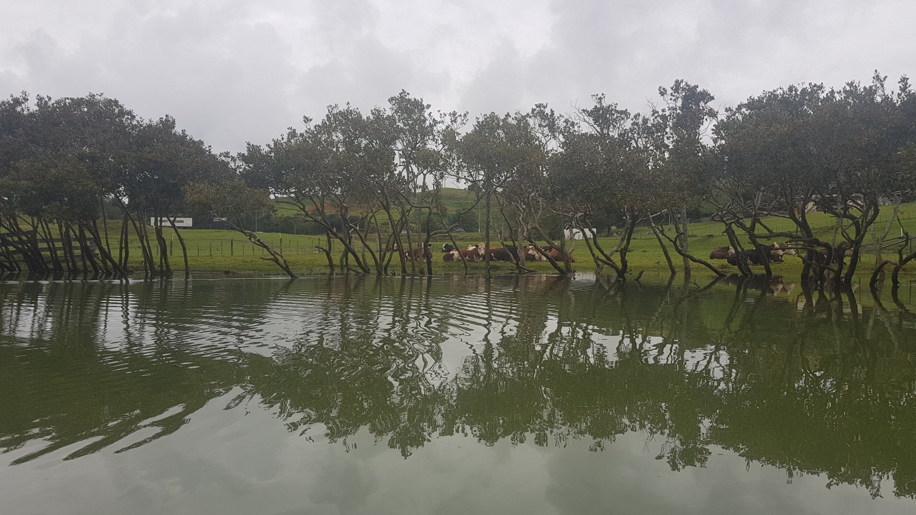
We passed some cows, like every other day…
Latest cows
And there was even time for a selfie.
The water wasn’t as green as it looked here.
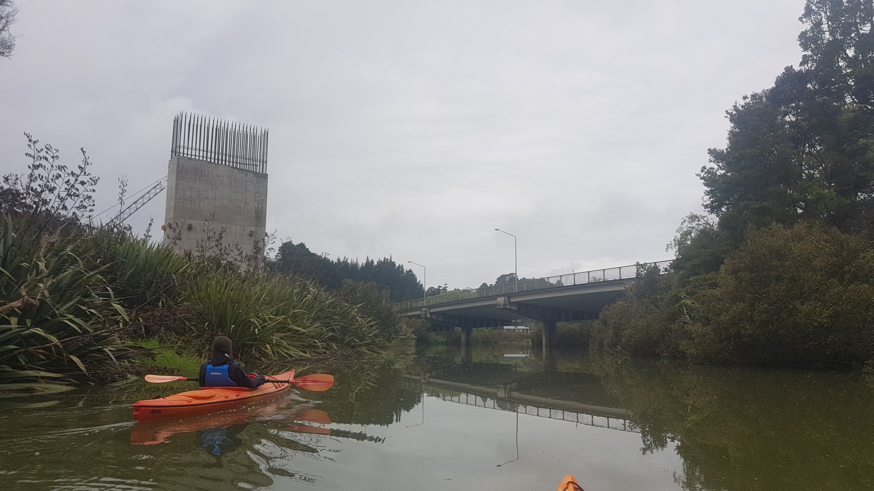
Anybody that can’t do the kayak has to walk down the side of State Highway 1. That was bearable when it was way up in Northland but I can’t imagine doing it here just before the motorway. Then you have to walk down the road to Waiwera which was the old State Highway 1 and is still the route to Auckland if you don’t want to pay the $2.20 toll for the Johnstone Hill Tunnels. So glad we didn’t have to do that.
The Northern Motorway starts over there
Once we were away from roads the journey was a lot more pleasant. It was very relaxing and a chance just to chill out. The river got a lot wider too so you didn’t have to be so careful about running into anything. We saw this little building, which turned out to contain nothing but gym equipment.
Mystery “middle of nowhere” gym and picnic table
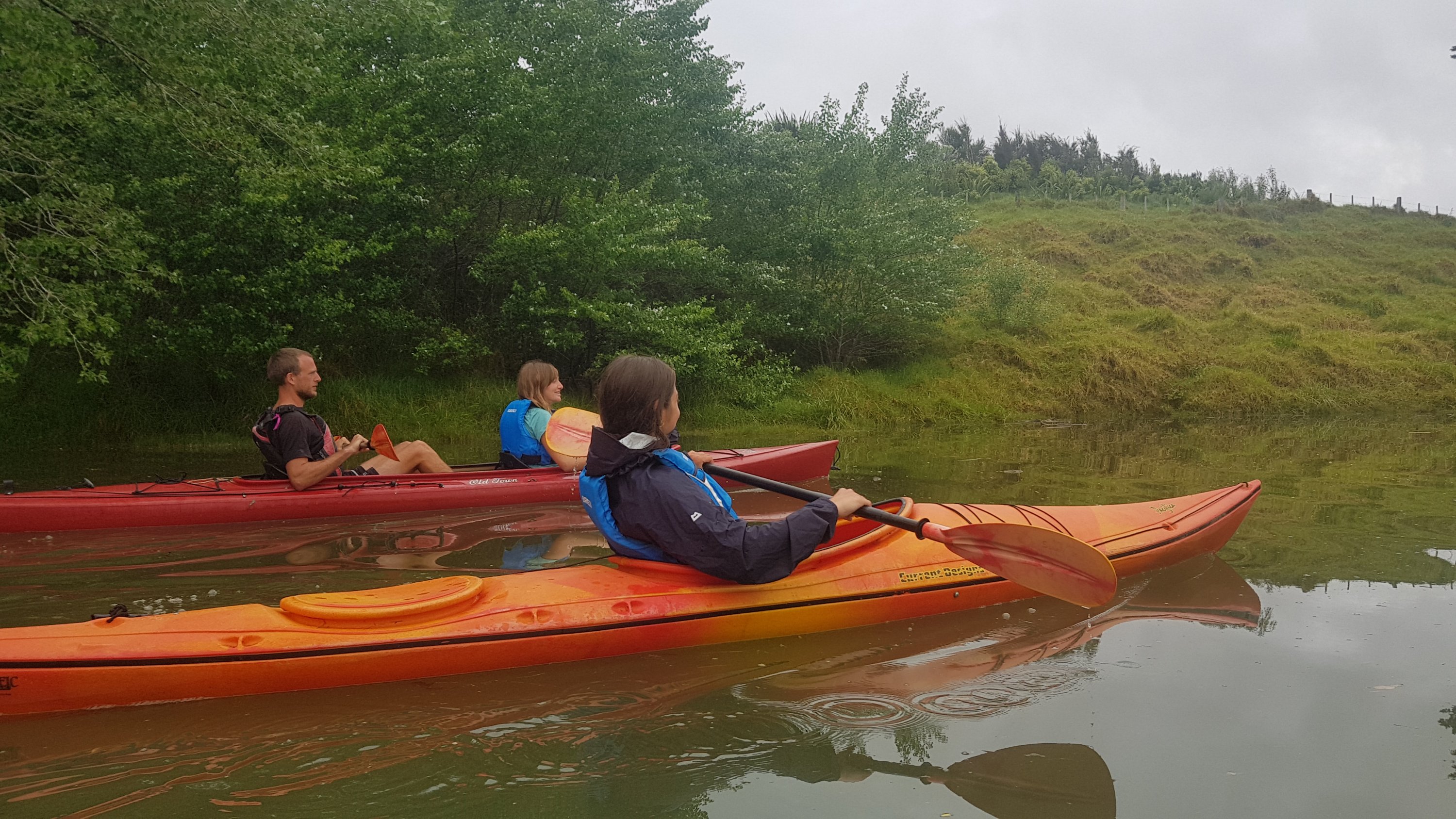
Louise took these next three photos. Thanks Louise!
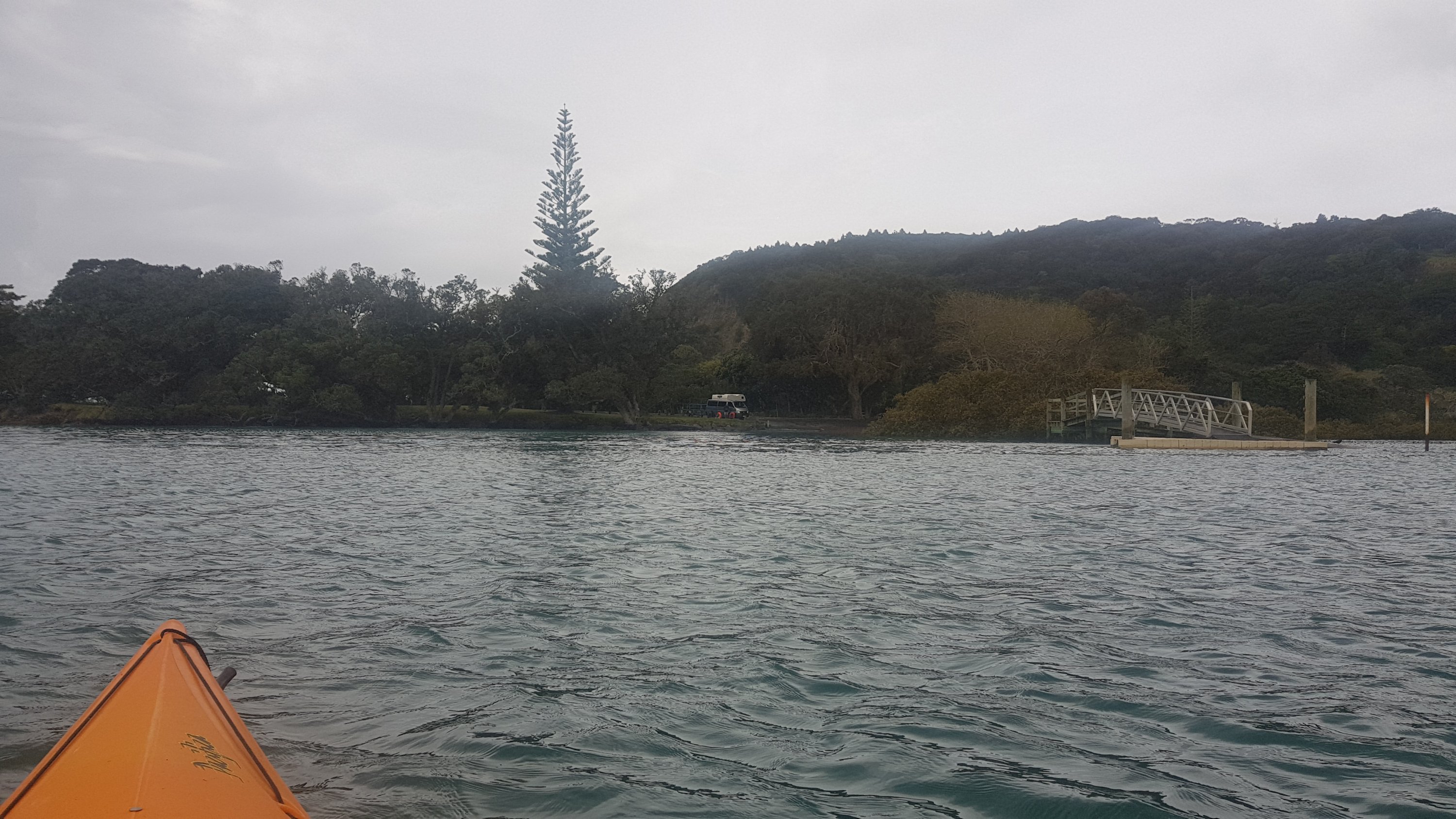
We were told to look out for a big Norfolk Pine tree. This was where we were to aim for. I thought “how on earth will we be able to find one particular tree” but it was pretty obvious once you saw it.
The Norfolk Pine, our destination
And soon after, there it was.
Boo, the ride is ending. I wish it was longer.
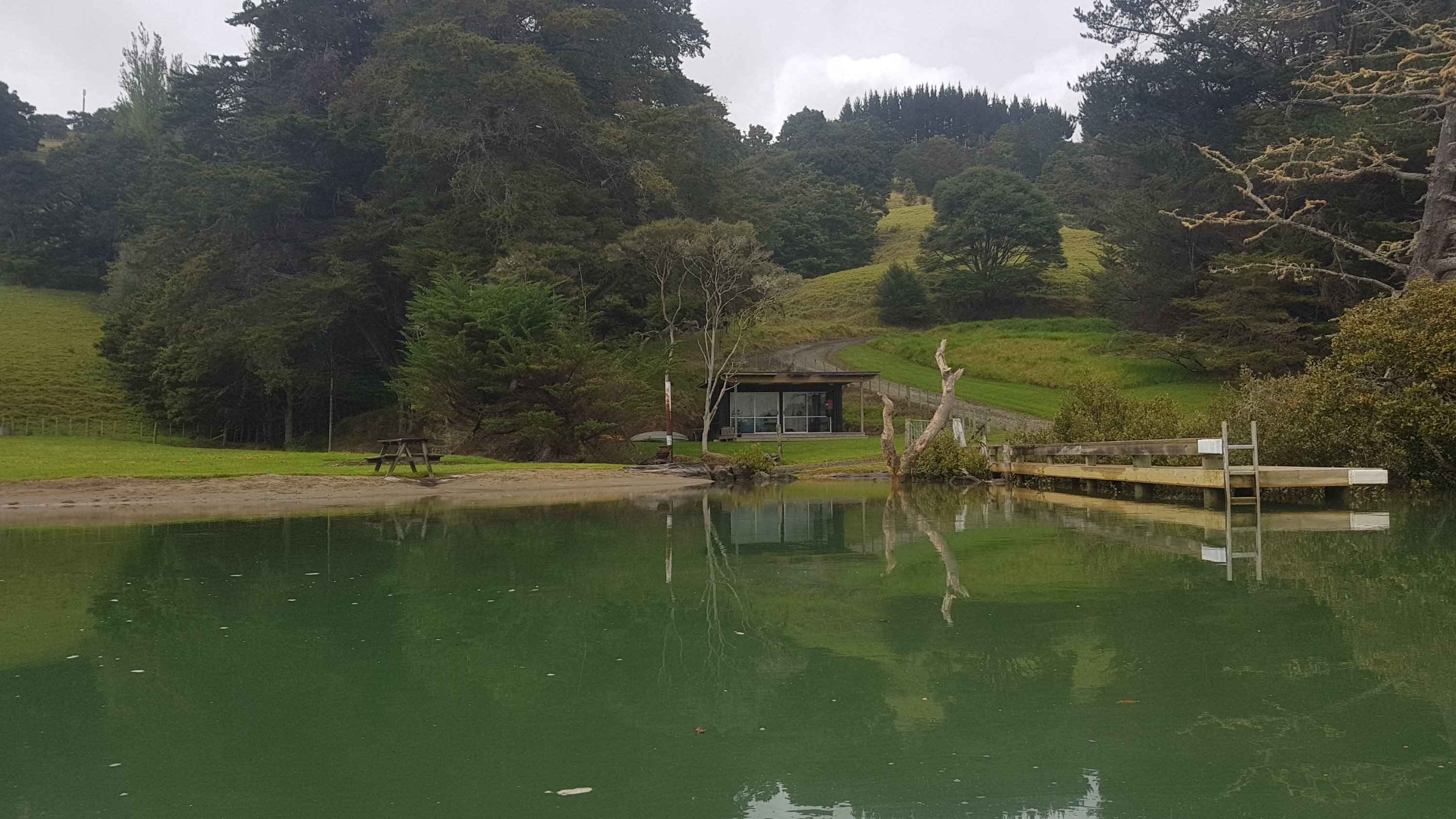
We arrived at Wenderholm Regional Park at 10:30am which meant the ride was only 90 minutes. I was disappointed, I wished it could have been a lot longer. Could I kayak all the way to Auckland?
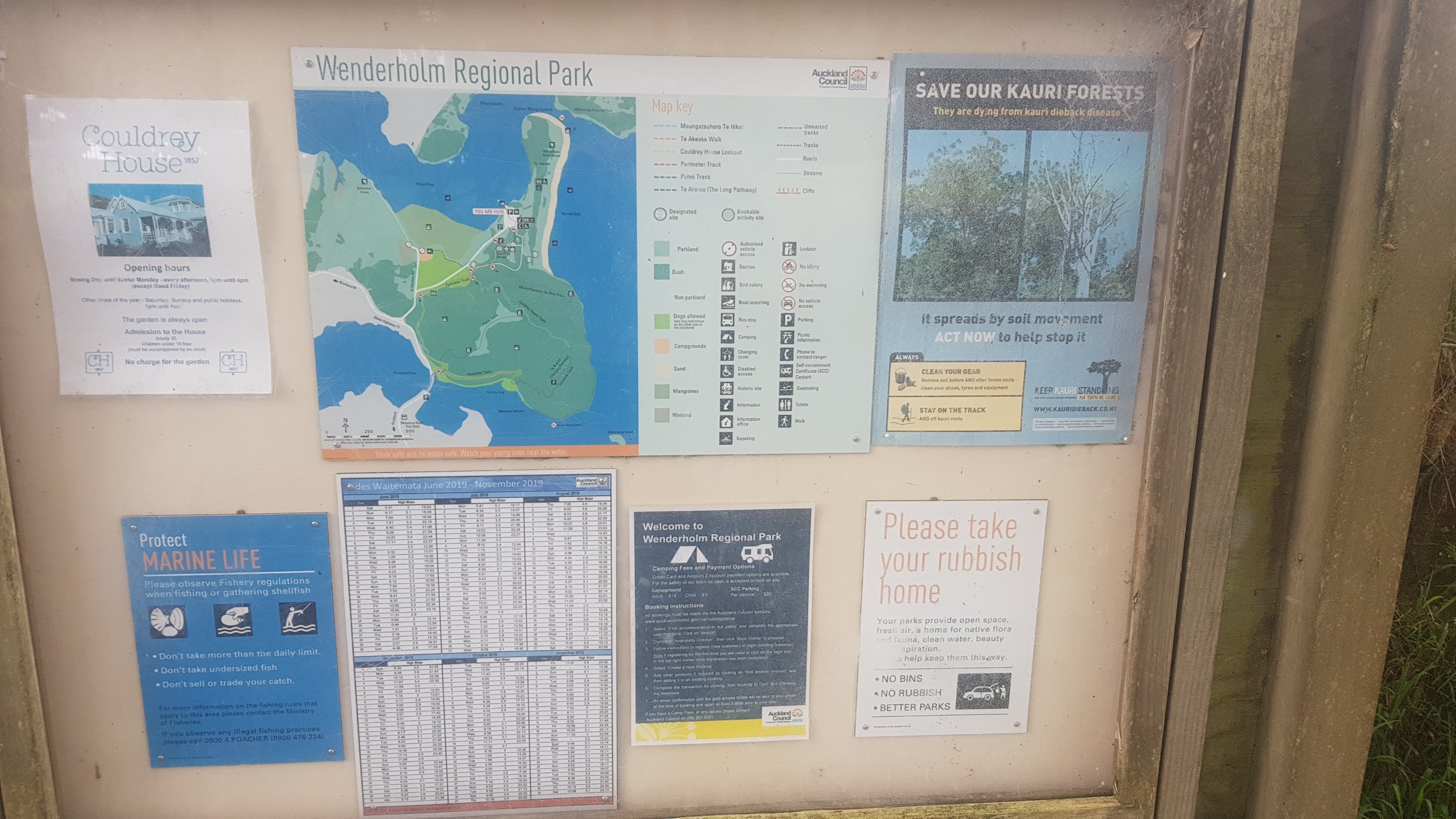
Wenderholm information
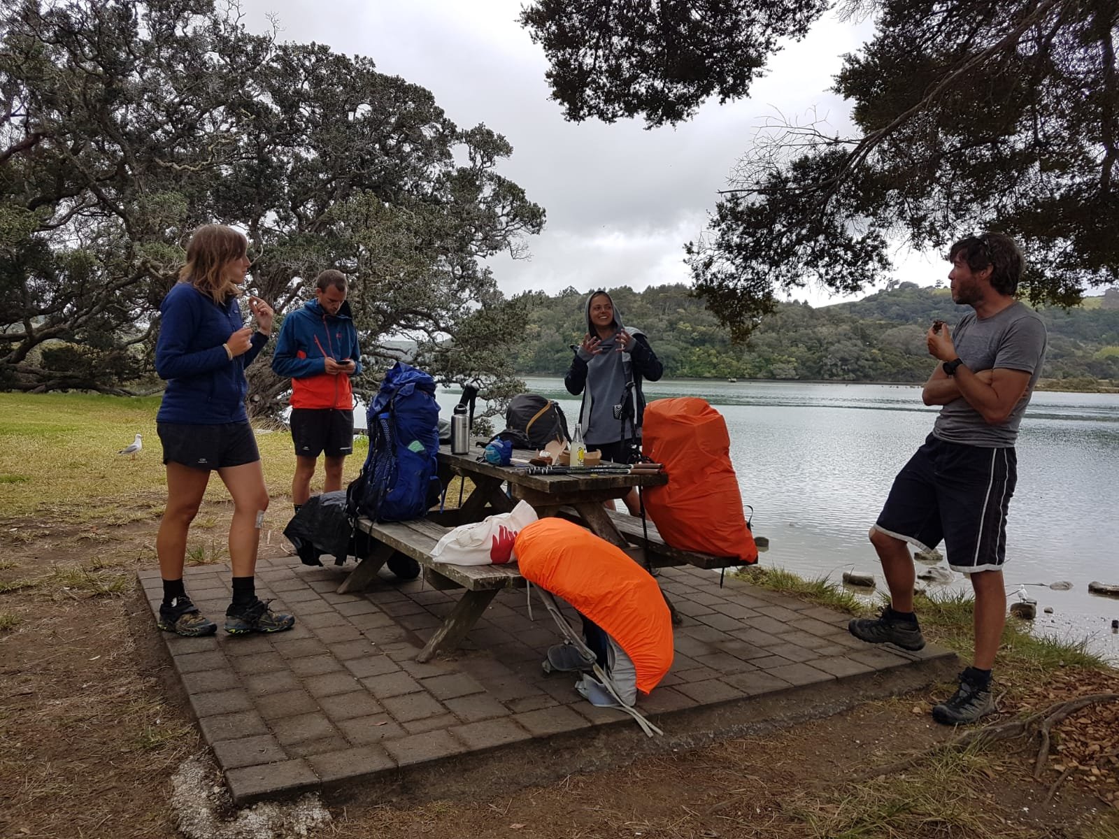
We spent a bit of time getting our stuff together at Wenderholm and just hanging out. Ben left his water bottle on the kayak so he had to wait while they brought it back to him. I even snuck back over to the boat ramp and found a geocache there during this time.
Picnic table by Wenderholm ramp
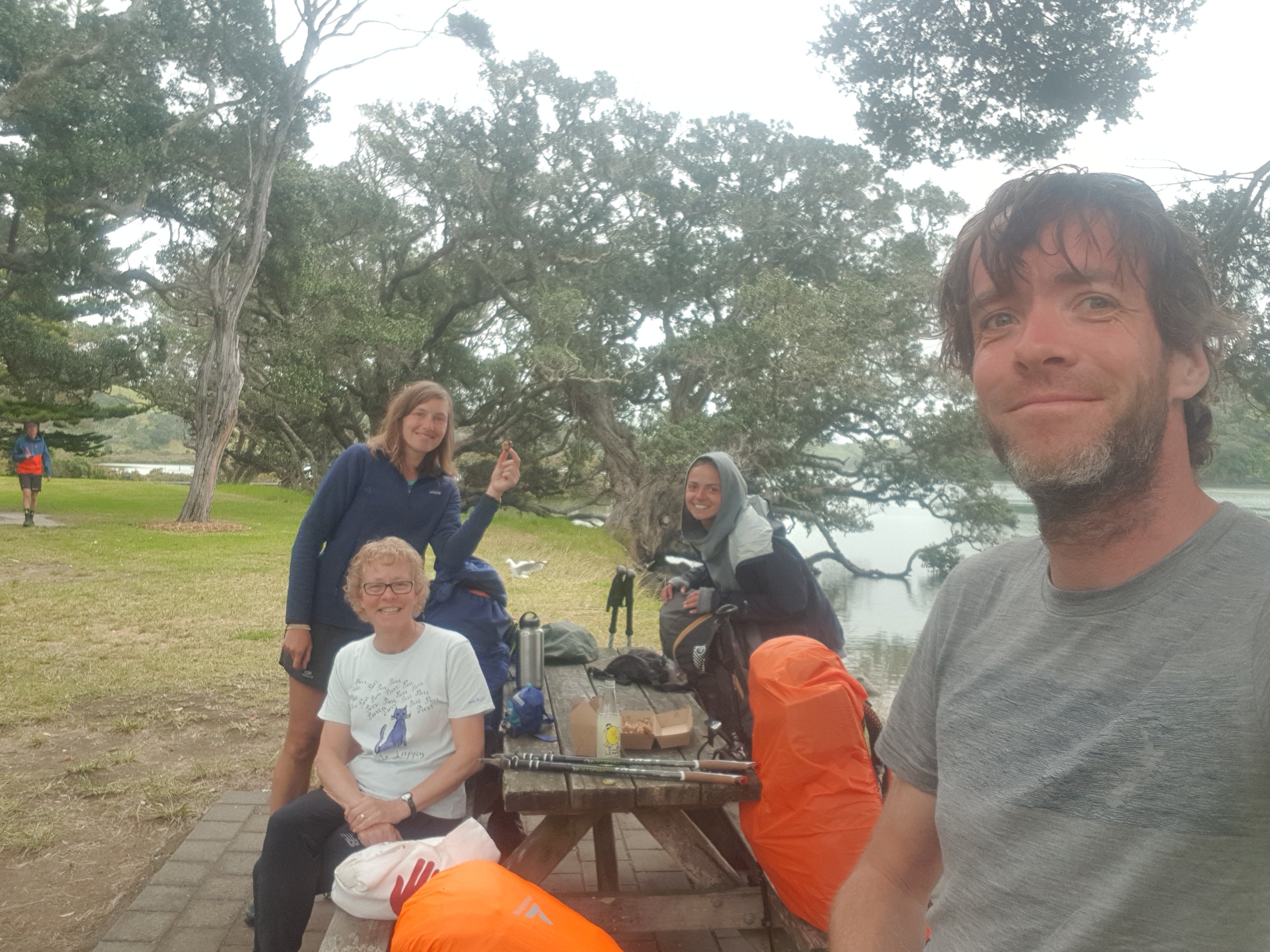
Just before 11am my Mum turned up like she said she was going to yesterday. It was the first time I’d seen anyone from my “old life” since I saw my friend Nick on Day 19 in Kerikeri. Hi Mum!
11am picture – all of us including Mum at the table except Ben in the background who just got back his water bottle
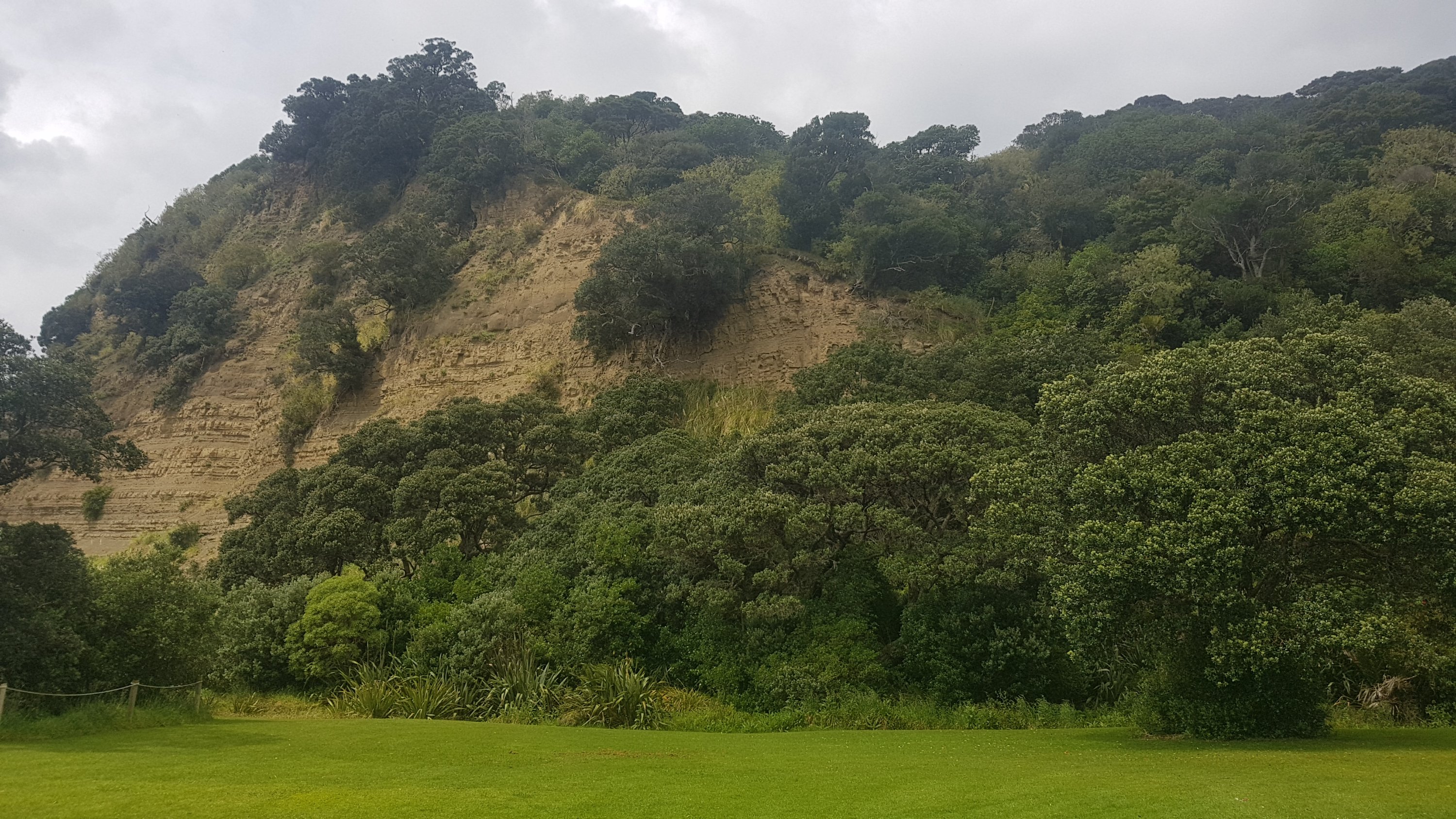
Next step was over this hill at Wenderholm.
Our only real elevation change today – up and over this hill
The red line of the GPX file showed us just going straight up the side of it, which wasn’t the case – it took us a while to locate the correct path up the hill, even though I had walked this path before.
The four of us just before getting slightly lost
We could see the river we had just kayaked down. I still wished I was still on it!
Puhoi River from Wenderholm
Then it was out of the forest and time to cross the bridge into Waiwera.
Waiwera Bridge
Two exciting things happened at Waiwera. The first is that I managed to offload my pack onto Mum – because she was going to meet me again tomorrow and could bring me my pack back then. That was awesome because it meant that I could walk the next 24 hours or so with only a very small amount of things in a plastic bag. The second thing is that my sister arrived to greet me with her dog Alice.
Me with my sister, and with my new “pack”
Mum said that if I could walk this far with the pack on, she didn’t mind carrying it 100 metres to her car.
Mum is all ready to go walking
After that the next stage was walking around the rocks from Waiwera to Hatfields Beach and Orewa. This can only be done at low-ish tide. It was high tide when we started the kayak but because we messed around a while at the end of the kayak trip, the tide had gone out a fair bit by the time we started this bit.
Off we go
Having a plastic bag was a bit annoying because it was hard to hold my hiking poles and the plastic bag at the same time. Although it was still really great to walk without my pack for a while.
Rocks galoreIt felt weird without a pack
The rocks were fairly jagged in places and you did have to watch what you were doing.
Then onto Hatfields Beach, which to be honest didn’t look very beautiful at low tide.
Just before Hatfields Beach
Then a big walk down Orewa Beach. We stopped in for a bit of food at McDonalds. It was just going to be Paulina and I getting McDonalds but of course the whole group decided to get it once we were there. How can you resist?
I had organised to stay with my sister tonight. She was going to pick me up from wherever I was at 4pm and take me back to her place in nearby Whangaparaoa. I hoped I would have made it to Silverdale by then or at least to Millwater but it turned out that I’d only made it to the south end of Orewa Beach by then. So that was as far as I went today.
Tomorrow I plan to make it all the way to Auckland City and starting from Orewa Beach is going to mean a 50km day. But I’ll be without my pack for the first half and I can start early so I wasn’t daunted. The only two time factors tomorrow are the Okura River crossing which needs to be done at or very near low tide (which was 3:47pm tomorrow) and the last ferry from Devonport to Auckland which was at 11:45pm. Yep, I decided it was all doable.
Orewa Beach at low tide
My sister drove me out to her place and I got to see my niece. We also saw Mario on the side of the road, and another odd character that I didn’t recognise (clearly it’s not Luigi).
Hey, Mario!
I got a wonderful home-cooked chicken dinner and then we went for a drive to get some dessert at a fancy restaurant in Manly. It was a great day today, quite relaxing with no feeling of exhaustion, and despite the huge day planned for tomorrow I’m really looking forward to getting back to Auckland and finally back to my house – where my first goal (get from Cape Reinga back to my house in Auckland) will be complete.
Date: 30 October
Distance walked: 49.6km
Trail covered: kms 534.7 to 584.7
Weather: jacket goes on, jacket goes off, jacket goes on, jacket goes off, jacket goes on, jacket goes off, jacket goes on, jacket goes off
Number of records broken today: 5
Wow! I’m finally home!
Back when I wrote this post, I said that my first goal was to make it from Cape Reinga back to my place in Auckland. I’ve managed it! There were two times that I thought I might not make it – namely both times I had to take rest days due to injuries. But here I am.
I’m going to keep walking. I want to make it to Wellington. Hopefully by Christmas, which seems possible but a bit of a challenge – it’s about 1000km away and I have about 50 days to do it. That’s an average of 20km per day which is certainly achievable, and if there are no injuries or holdups at all then I’ll do it.
Today Guthook said that the distance I had to complete was precisely 50 kilometers. It’s a shame that ultimately my GPS watch said 49.6km even though I ended up doing the river crossing three times and detoured twice off the trail to get food. The GPS watch always under-reads though. You can see on the map how it cuts across corners which explains why it always reads under. So I know that I managed to do a 50km day today – so that’s a record for the number of kilometers done in one day.
Some other records I managed to break today are: first time walking at night, first time walking past midnight, and the largest number of steps done in one day (again) – 72,635 steps!
The day started off with my sister dropping me back at the south end of Orewa Beach, precisely the same spot where she picked me up from yesterday. I still had no pack, my Mum took it off me yesterday so I was only walking with a phone charging cable, my rain jacket, my crocs and a couple of other small things. I was dropped off at 9:30am, and it was 18km to the low tide crossing at the Okura River. I needed to be there at 2:30pm for that even though low tide wasn’t until 3:47pm. I had planned to meet Louise, Benjamin and Paulina there so that I didn’t have to do the river crossing alone. This is one of the deeper rivers so I wanted some people there for support. 18km in five hours should be easy since it’s almost entirely road walking and I’m by myself. They talked about potentially crossing an hour before low tide if it was possible so I wanted to get there in plenty of time so they didn’t go without me.
One of the first things I saw today was this cool bird:
At first I thought it was a pigeon which the nearby school had doused in blue paint as a joke. But as I got closer it appeared to be naturally that colour. I love the colourings on this bird.
I walked along the Orewa Estuary, and after a very short time I reached this point which locals in the area will recognise as the turn-around point for the Millwater Parkrun.
Turnaround point for Millwater Parkrun
The Millwater Parkrun is a 5km run which is free and starts near the Millwater Shops:
Start of the Millwater Parkrun is just down at the right of the picture
It starts every Saturday morning at 8am. If you register at the site above and take a barcode, they will record your time. I used to do the five different parkruns around Auckland quite a lot before I hurt my hamstring two years ago and mostly stopped running.
Next step is through Silverdale where there is a decent sized mall, containing a large Countdown and a Kathmandu store. There were heaps of other shops too, including four different bakeries. I bought this thing called a “lolly cake”. You can find this in pretty much every single bakery in New Zealand and it’s worth trying. Although this one from Wild Grain Bakery on Silverdale Street was sadly not very good. It was just too buttery.
Lolly Cake
Then, you have to cross the busy road known as Hibiscus Coast Highway. Good luck with that. At least there’s a refuge in the middle of the road.
EDIT: apparently there is an underpass under this road! Look out for that instead!!!!!
Make sure your timing is right…
The road walking from here was not great. You turn into East Coast Road which, while busy, largely has a bit of a shoulder to walk on. You then turn into Spur Road, which has less of a shoulder. You’ll soon come across this sign:
Welcome to Stillwater
I get confused. Having Stillwater so close to Millwater confuses me. I am easily confused though. At this point I wondered if there would be any chalk around, but I figured there wouldn’t be any or else everybody would be writing their silly little messages on the board (I know what TA hikers are like!). Then, I saw the other side.
Who doesn’t love Simone?
Now I’m not a fan of “trial by social media”, but, Jaguar Driver FAN301, if what’s written here is true, then shame on you.
I came across this too. I’d seen this many times on Instagram, but before now, didn’t know where it was.
Interesting sculpture on Spur Rd
The lady who owned the house was there and seemed intrigued that it was being photographed so many times by people.
At 11am, I was at this intersection:
11am picture – where Spur Rd becomes Duck Creek Rd
From here, the road walk is really bad – one of the worst. There’s no shoulder at all for a lot of the time, and the cars go quite fast. I really would not recommend walking this road in the rush hours, especially not at the morning rush hour. At least at 11am it was doable. This is the kind of road you will be walking down most of the time – windy and with no shoulder at all.
Duck Creek road walk
Another “record” broken today on this road… the first time I had seen deer.
Stillwater deer
Found a geocache which was at a random intersection. While I was signing it, there was a lot of barking. Either there was a dog boarding house across the road, or the woman that lives here just loves dogs.
That’s a lot of dogs!
Finally, once you arrive into Stillwater and the speed limit drops to 50km/h, there’s a footpath. And also this:
Stillwater Community Pantry
It says: “Community Fruit and Veg Stand. Free produce provided by our local community. Feel free to take what you like and drop off anything you have spare”. I opened it and there was a fair bit of canned goods in there but also five apples. I took one of the apples, which tasted really good (as fresh fruit always does). Thank you, Stillwater community, if I’m ever in the area again, I’ll be sure to put something in there to replace the apple.
I really needed the toilet by now though, which doesn’t usually happen in the middle of the day. As luck would have it, there’s a toilet block just as you come into the town.
Stillwater public toilets
Without going into too much detail, my body seems to have got into the routine of needing to go number two once in the morning when I wake up, and then I don’t have to worry about it for the rest of the day. Today was different for some reason – not sure why.
Here is the Stillwater Holiday Park:
Stillwater Holiday Park
Apparently almost all TA hikers stay here – and apparently hikers get to stay for free. In fact, the owners even let you sleep inside if they have a spare mattress, still for free. This was confirmed by the three others who I met up with at midday.
Good timing!
The entrance to the camp has a big gate so it was very good timing that I turned up at midday to see the others walking towards me.
Next was a walk through the Okura Bush had some nice views of the area.
View from Okura Bush walkway
And not long before we arrived at the Okura River crossing. We had arrived at 1pm, and low tide was 3:47pm – nearly three hours early. We could see that we definitely would not be crossing any time soon.
Okura River mid-tide
It was a good chance to just sit and chill out for a while. The rain came and went while we were here, but the wind was ice cold at all times. I made a joke earlier that I hoped the water would be warm. We laughed, but it turned out to be actually true. It was nice walking in the water, but the wind sent a chill through my spine.
One thing I learned during these few hours resting was that the All Blacks were knocked out of the Rugby World Cup by England a few days back. I hadn’t heard this piece of information until now. Another thing I learned was that the other three had all missed the bright blue Community Pantry fridge on the way into Stillwater. None of them had noticed it.
At about 2:30ish, Ben went out to test the waters.
Ben being a guinea pig
He got most of the way out to the other side, but it got deep at the other end, and also started to rain again. He returned and said that it wasn’t time to cross yet. So we just hung around a bit more.
At 3pm, the sun was out, so I went out to try the water, leaving my pack and everything else with the group. There are big white markers on poles along the river, and I went to the fourth one which is where the trail notes suggest to cross. It seemed okay, but you couldn’t see the bottom, and the water was moving relatively fast. I walked out into the water, and before I realised it I was on the other side, and the water had only reached the top of my thighs. Excellent! I’d just made it across the Okura River… however now I had to go back again and get my stuff and the rest of the group.
So I did the crossing a second time, went and got the group, and we all walked across the river together. Everybody managed to keep their stuff dry, which I think everyone was happy about. Others changed into a different pair of shorts, which I didn’t do – so they had become very wet. However with the wind still howling, they dried out in no time.
A look back at where we had just crossed
Walking through Long Bay regional park, the weather cleared and the water looked a lot bluer.
Long Bay Regional Park
And I got to see Rangitoto Island for the first time since I started the trail. This volcano is an iconic Auckland Landmark and it can be seen from all over the city. Many Aucklanders see it on a daily basis.
Rangitoto Island
Once you reach the south end of Long Bay beach, you’re into the North Shore of Auckland, which is just walking through beachside suburb after beachside suburb. Often along the beach, but sometimes up into the suburbs around cliffs.
I met my Mum again at Murrays Bay, and she walked with me 1km to Mairangi Bay where we had dinner. I also got my pack back off her. It was nice walking without a pack up until this point, but at least now that I have it back I’m refreshed and it wasn’t too heavy to carry. It helped that it had no food or water in it.
Halloween is tomorrow. There were a couple of houses which had halloween decorations up, like this one.
Halloween decorations… either that or nobody has entered this house for a long time
I also saw these two tuis hanging out in a tree, having a beautiful conversation.
Two tuis
It was starting to get dark by this point. This was the last photo I took before the sun went down.
Rangitoto Island as seen from Milford Beach
Once it got dark, the walk along the beach became interesting. There is one section after Milford Beach where you have to clamber around rocks, and in the dark at high tide it seemed a bit dangerous. There was one small section that I didn’t attempt and went around the road as it just seemed too dangerous.
Once that was over though, there’s Takapuna Beach which is an easy beach to walk down. At Takapuna Beach, despite there being no light, there were lots of young couples walking down the beach. I wonder if I cramped their style walking along the beach with the light on my phone shining brightly.
I was starting to get hungry now though – the dinner that I had with Mum in Mairangi Bay was nice but not big enough… and I knew that there was no more food between here and Devonport. The last ferry from Devonport on a Wednesday was 11:45pm and I didn’t want to miss it, so I didn’t divert into Takapuna to get food.
There were the typical footpaths that didn’t go anywhere.
I guess this is the end of my Te Araroa journey. There is no way to get around this thing in the middle of the footpath.
The last beach was Cheltenham Beach. My understanding is that this is the last beach you walk down on the trail until you get to Whanganui in a month or two’s time. It was nice and quiet and there was nobody around. From here it was up into North Head. It was nice walking around North Head at night. I couldn’t see any Te Araroa signs though, so I had to follow Guthook closely. There was one point where there was a fork in the path, where the left path went steeply down some stairs and the right path went up some stairs. I walked down the stairs before realising this was the wrong way. Hint – take the right fork and go up the stairs.
View of Auckland City from North Head
I arrived at Devonport ferry terminal at 10:33pm – more than an hour to spare before the last ferry. The Devonport ferry terminal is a confusing place. The signs say to have your ticket ready before you board the ferry, but there is no place to buy a ticket. The announcements say that the ferry will arrive at Pier 1 but yet it arrives at Pier 2. I don’t understand why these things are so hard to get right. I guess you don’t have to be a genius to work at Auckland Transport.
If you don’t have the Auckland Transport “HOP Card” (a prepaid travel card), then you buy your ticket at the Auckland City end once you get off the ferry. It cost me $7.50.
Ferry arriving at Pier 2, not Pier 1 like the announcement said
I took the 10:45pm ferry to Auckland. They sold some food on the ferry, which was fantastic. Although, they’d locked the doors to the upstairs area so I couldn’t get a decent view of the city from the ferry. This was the best that I got.
View of Auckland City from the ferry
I did notice that the Sky Tower was not lit up like it usually is. I wonder why that is? Is it because of energy savings? Because of the fire at the Sky City convention centre last week? Because the All Blacks lost a few days back?
Once in the city it was 11pm. It’s about 5km to my place so I might even manage to get home by midnight. Walking down Customs St I went into a convenience store to get some more food. I was surprised anything was open to be honest. Auckland isn’t known for being a late night party town on a Wednesday night. The guy behind the counter asked what I was doing and when I explained, he wanted to get a picture taken with me and then he offered me a free pie.
I walked through the Auckland Domain. The trail map has people taking a really ridiculous route through the domain, up one of the steepest hills in the domain and then through the middle of the sports field. If it was during the day instead of late at night, the grounds would most likely be full of people playing sport. It was alright tonight though. The only people around were two people sitting on the seats at the grandstand smoking.
Then it was just a short walk down Mountain Road and Clive Road and I was home. I walked in the door at 12:05am. I plonked myself down on the couch and reflected on what had just happened, and watched a bit of TV. I then realised I could hardly move and even could hardly breathe. I think it was because the wind was so cold for half of the walk but I didn’t actually realise until I stopped walking and started to cool down. Luckily a hot shower helped with that. I was in the shower for a long time.
Got into bed finally at 1:30am. What a long day. I’m going to be sore tomorrow no doubt. I’m going to take a few rest days at home to let everything heal a bit and to go and visit my friends. And also contemplate the next goal, walking to Wellington before Christmas.
It was nice to spend four days at home. I did mundane things like chores, mowed the lawns, and more exciting things like visiting my friends and driving my car around randomly.
The remains of the water after handwashing the silk sleeping bag liner
I got a chance to wash everything on a hot wash. It felt very good. But I did remember one tip that Rhydian gave me back on Day 9 or 10. He said that even after washing his silk sleeping bag liner over and over again, years later the colour still runs. And I’m glad he said that because it made me handwash my silk liner instead of throwing it in with the rest of the wash. And sure enough, the water turned into a deep red wine colour. I’m very glad I don’t now have a laundry full of pink stuff. That has to have been one of the best pieces of advice I’ve received on this trip so far.
The first night was halloween. Driving around the “nicer” part of Mount Eden I saw kids in very elaborate costumes everywhere. Every year I put out a few small Halloween decorations but no kids ever show up. However this time, three kids did! Two young girls in elaborate witch costumes and then five minutes later a young boy in a Captain America costume. He looked very very pleased with himself, it was so cute. I had a bunch of chocolate but I only gave the three kids one piece each. I should have given them more because they were the only three kids that turned up all night.
Duck Island Ice Cream
It was nice to drive my car around again. I found myself driving more slowly than usual because I couldn’t get out of my head the fact that around any corner could be a bunch of hikers walking around the middle of the road.
I chatted with other hikers that are in Auckland. I wish I had some grass at my place so that people could pitch their tents. Next year I might have to get some bunk beds so that people can stay at my place and I can be a Trail Angel.
I saw a lot of my friends and family. And I got a fantastic ice cream from Duck Island on Ponsonby Road.
Tomorrow though it’s time to continue on. I won’t get to Wellington by Christmas if I sit around.
Tried to get a selfie with my Mum’s British Bulldog. This was the best I did. As you can see I shaved on my second rest day
Date: 4 November
Distance walked: GPS watch said 55.5km but I know that it was at least 58km
Trail covered: kms 584.7 to 642.3
Weather: not a cloud in the sky
Percentage of the day that there was not a cloud in the sky: At least 90%
Okay, first I’m going to describe what I’ve been thinking about recently. I actually did proper calculations to determine what the likelihood of making it to Wellington by Christmas is. The southern point of the North Island on the TA is km1695.5 and I’m currently at km584.7. So that leaves 1110.8kms and 50 days to do it. So that requires 22.2kms per day. Doable. Or, assuming 5 rest days, 24.7kms per day. Slightly less doable, but not impossible.
So while I’m in Auckland, which is my home and mostly road walking… could I bash out a lot of kilometers in a short time, leaving my pack at home? I reckon I can. So first check – how far south does public transport actually extend in Auckland that is still on the trail? Turns out, the answer is Drury, and more specifically, the bus stop outside the Mobil in Drury. That’s 57.5km. That’s now my goal for today. Walk to this point today, and get the bus and train home tonight.
And if I decide that I can actually walk that distance, then I will have a rest day tomorrow, and on Wednesday go back to the point where I left off and walk from Drury to Rangiriri which is roughly the same distance. Then I’ll walk to Ngaruawahia the next day and after that get the bus back to Auckland. Then after that I’ll continue walking properly with my pack. Three days walking without a pack with two rest days, meaning I’ll cover 156km in 5 days.
Anyway now that’s out of the way. I have to leave early if I want to cover that kind of distance – so I was off at 6:30am this morning, and straight up Mount Eden. The sunrise at the top was nice.
Looking at the summit of Mt Eden
I’ve been up this mountain probably about fifty times but I don’t get sick of the views from up here.
Auckland City from the top of Mt Eden
I was already feeling good that I didn’t have my usual pack. All I had was this pack that I was given at university in 2001 by ASB Bank when I signed up to their student account. It’s going bloody well after 18 and a half years. I only had a water bottle, battery pack and charger, a small amount of food, my keys and my wallet.
Kathmandu backpack from 2001
I decided not to walk with my poles initially. The bag was so light and the path was well formed so by using the poles I felt like I was just adding unnecessary work. So they got retracted and put in the pack.
From the far side of Mount Eden you can see One Tree Hill, the next peak to walk on. Though curiously you don’t walk to the summit of this one, just around the base. And yes One Tree Hill used to have a tree on it, until about 20 or 30 years ago. A protester cut it down. Right now I can’t remember why.
One Tree Hill as seen from halfway down Mount Eden
One Tree Hill is the closest place to central Auckland where you can always find sheep, and sometimes you can go right up to them as long as you’re cautious and quiet.
Lonely sheep at One Tree Hill
Then you end up at the Royal Oak Roundabout. One of two major roundabouts in Auckland with five roads coming off it, the other being Panmure Roundabout. These roundabouts terrified me when I was a new driver.
The Royal Oak roundabout from above
This one is much easier to walk around though, there are pedestrian crossings on all five roads.
Royal Oak Roundabout
Then along the Onehunga walkway. You get a clear view of Mangere Mountain from here.
Mangere Mountain
You don’t walk up here or even around here, but it’s a prominent landmark in this area. But first you have to cross the Manukau Harbour to get to it. Thing is… the bridge shown on the Guthook and Trail App is closed, and has been for some time.
Old Mangere Bridge Closed
So instead, you have to walk under the motorway which is a small detour. It’s a much less appealing place to walk, but it does the job and has a nice view (and a low headroom). You can also see the “Old Mangere Bridge” which is the one that’s closed, and apparently getting rebuilt.
Under State Highway 20
Then you walk along Kiwi Esplanade, which is a nice walk but the pathway was designed by a drunk guy on a Friday night after work. Could this pathway really not have gone in a straight line?
Curvy!
I knew the 600km mark was coming up, so I looked out for it. But I noticed something unusual – the Trail App and Guthook disagree on where the marker is. They’ve always been in sync up until now. Here is where the 600km mark is, according to the Trail App – the Manukau Yacht & Motor Boat Club.
600km mark according to the Trail App
But since I’ve always been following Guthook, here was the “actual” 600km mark – 900 metres later at the Ambury Foreshore Walk. I cranked out a sheet of paper that I prepared earlier at home. I planned to ask anybody around to take a photo of me holding it, but there was nobody around. And it was windy… so here’s the picture to mark the occasion.
The “real” 600km mark!!
Ambury Regional Park has very few people around… but a *lot* of sheep (and a few cows).
Lots and lots of sheep, and a smattering of cows
These ones were blocking the pathway.
Move!
They moved quickly enough.
There they go.
Uh oh… more sheepies blocking the path. It’s getting hot now, and the clouds have all gone. I feel bad shooing them away from the shade.
Many sheepies in the way
Sorry sheepies, you’ve got to move.
Now just a note – please don’t use the word “sheeps”. The plural of “sheep” is “sheepies”. Saying “sheeps” really singles you out as a clueless tourist.
I liked walking around the park, but I did get my poles out at this point and started using them again since it turned into farmland. After a while it turned into the Watercare Coastal Walkway, which wasn’t quite as wonderful but still not too bad. It goes right beside the Mangere Wastewater Treatment Plant. A bit stinky.
It was along here I went about 400m off course. You can see it in the map below. At one point I followed the “Watercare Coastal Walkway” sign but the TA goes a slightly longer way. I could have kept going along this path, but it would have been considered a “shortcut” because it would cut off some distance. That’s cheating… so I backtracked and continued the proper way.
It was also at this point that my sunglasses broke. These $10 sunnies that I got on Day 5 lasted 35 days. Not very long.
And speaking of juvenile humour, Mangere Mountain from this angle really looks like boobs.
The notable South Auckland landmark known as Mount Boobs. Well it is to me.
And actually, you can see the three main peaks of the walk so far all from right here. Mangere Mountain is closest, One Tree Hill is in the middle and Mount Eden is in the left, so far away now that you almost can’t see it.
3x peaks
Next was through the Otuataua Stonefields Reserve. I’d never been through here and I was looking forward to it. The stone fences reminded me of farms that you see a lot in England – bordered by stone fences instead of the type of fences you see everywhere here.
Stone Fences 1Stone Fences 2
Like everywhere today, the path was well formed and dry, except for this one small bit. Thank you to whoever put large pieces of wood down. They saved me getting my shoes wet.
The one wet and muddy path all day
And next was the Ihumatao Quarry. This is where I met Mark and Jolanda – they had set off from Ambury a short time ago. It was great to have someone to talk to for a while.
In the news a few months back, Ihumatao was the site of a lot of land protests. I haven’t been watching the news since I started the trail – quite frankly, I’m quite happy not knowing what other things are going on around the country and around the world right now. But I was talking to my Mum yesterday and she said she hadn’t heard anything about the protests in the news recently.
But… we found ourselves blocked by a road block. It was protesters blocking the road. And they have done a real job of it.
Ihumatao Quarry Road blocked
The three of us were refused access to the area. I don’t want to get into the politics of the protest too much but I wonder if they really have the right to deny us entry to a public road. Regardless, we took a detour through an avocado orchard, which was easy and you were allowed to take five avocados each, according to the sign.
If you need to follow the detour, when you first see the blockade above, and you are on the path in the picture, look to the right and you will see the entrance to an avocado orchard which has a small Auckland Council sign. Follow the fenceline on the left of the orchard and it will bring you out on the next road south, and you will rejoin the trail shortly after. Again, you can see it in the map below.
My 11am picture is us trying to figure out if the detour we had just taken was across private or public land. We worked out it was on public land. Jolanda’s finger here is pointing at the point of the blockade.
11am picture – closed road
Not long to the Airport now. I was looking forward to having McDonald’s! Although… when I realised that the McDonald’s is actually inside the airport terminal, and that required a bit of a detour, I just stopped at the first Z petrol station that you come to (called Z Skyway).
When I walked in… I saw this:
Free sunnies!
Free sunglasses… for buying my most favourite cold drink in the world! Yes please! What perfect timing – I had just broken mine two hours before, and I finally got some new ones.
From this angle they look okay.
I put them on and had my lunch.
Me in my trendy new sunglasses
There are few things to point out from this picture. First – thanks to Jolanda for taking it. Second – I’ve been wearing my running shoes today instead of my trail runners or boots. Good choice since the day was almost all on roads. Third – the lenses of my new sunglasses are hideous colours. Fourth – the Z has great coffee and some good pies but nowhere to sit, so I had to sit on a milk crate. Fifth – I’m wearing a different shirt. This shirt really rubbed on my nipples and they were quite raw by the end of the day. I should have anticipated this, as it used to happen all the time when I used to go running, and I used to put waterproof tape over them to stop them rubbing. However, the more I thought about it, that probably doesn’t happen normally because my usual pack straps across my front and so that would stop the shirt moving around and stop the rubbing. Ok fine, I shouldn’t blame the shirt, I should blame the pack.
I left Mark and Jolanda at this point as they were taking it easy but I had a long day ahead so couldn’t dawdle for too long.
And I completely forgot about this McDonald’s just around the corner! I really thought the only McDonald’s was in the airport itself.
McDonald’s on Tom Pearce Drive
I guess that the universe wanted me to get the free sunglasses. If I had gone to this McDonald’s instead of the Z, I might not have noticed the deal. Although, there are four Z petrol stations between the Airport and the next 10km. They really want the business of people driving to the airport.
I passed this mini golf course. This golf course always bring back memories – in 2003 I flew to the USA for a few months and I played mini golf with my family while we were waiting for my flight.
Treasure Island Adventure Golf
I saw this too.
2003 Mitsubishi Evo 8
This caught my eye because it’s the exact same make, model and year as my car but it’s clearly been heavily modified. I wondered if the scoop was missing the grill on purpose or if it had just fallen out. You could just reach in and touch the pipes.
I also saw this. Don’t speed around the airport!
Can you see the sneaky speed camera in there?
There’s a camera in there which will send you a fine if it detects you’re speeding. They call them “traffic safety cameras”.
I also discovered that State Highway 20B, despite being the road to the airport from the south, has a footpath along a lot of it.
State Highway 20B
And where there was no footpath, at least there was a shoulder. You also get to see the planes coming into land. Here’s an Air New Zealand plane arriving.
A reserve comes after this, and also a bit which I think is somebody’s farm. There’s lots of gorse, but fortunately you don’t have to push through it.
And it’s well marked.
Once you come out of here though, you really do hit the industrial area. People who are hitchhiking bits to save time – I really would suggest hitching the entire section after the airport – potentially until you get to Ngaruawahia (although I don’t know exactly where to yet because I’m only at Drury). The section once you turn onto Wiri Station Road is rather depressing.
These signs need updating. This has not been State Highway 20 for many, many years now.
When I reached Totara Park, I had to take a selfie and send it to my friend Nick, as we always said we were going to do a lot of running in this park together. Although so far, we’ve only done it twice.
Man, those lenses are intense!
And from here, it is down a road called Porchester Road. This is long, and straight, and residential, and boring. Lots of dairies if you need anything. Although I did get a “real fruit ice cream” at the start of the road, and had to explain to the operator there why he keeps seeing people with hiking poles walking past. And I also saw one of my friends, Helaman, from university – he saw me and did a u-turn and we had a chat. I had not seen him for many years and had no idea he had even moved to this area. That was a nice unexpected surprise.
After a long time walking on this road though with not much happening, I was excited to see this:
No I don’t mean the campervan. It’s the bend in the road. If you can’t appreciate it, you haven’t had the pleasure of road walking on a perfectly dead straight piece of road for what felt like over an hour.
It had been so hot all day. I was starting to get quite burnt. I put on sunscreen when I left the airport but I don’t like reapplying it because it just runs down your face with your sweat and ends up getting in your eyes. But the sun was shining intensely all day, so maybe this time I should have. And I ran out of water, and it was surprisingly hard to find. All the Central Auckland playgrounds and parks have water fountains but in South Auckland none of them do. I was really starting to struggle.
In Papakura I still couldn’t find any water so I actually did a small detour and went into the “Massey Park pools” and asked them for water. I think I was being an inconvenience because it was a busy afternoon with parents bringing their kids in but the lady was nice and she went and filled up my water bottle with water. I could have bought it from the shops along the way but if I had to keep buying water I would have spent a ton of money.
Walking through Papakura I met up with Barry from Dunedin. He was walking fast and I had to pick up the pace to catch up to him. We were chatting as I saw signs pointing to Drury.
I took this while on the bus, but I forgot to take a photo of the actual “Welcome to Drury” sign so this will have to do
I was getting close to my destination now – the Mobil at Drury. We had a good chat about all sorts of things… and eventually in the distance I saw a hint of blue…
Mobil Drury in the distance
And not much longer before I was right outside it.
Finally, I’d made it!
The bus stop on the other side of the road is where I would wait for my bus to go back to Mount Eden to go home. I said goodbye to Barry who was staying just a bit further up the road. I also looked at my watch…
Reads 55.47km (and for some reason, 115 metres below sea level)
Now I know that according to Guthook, I had walked 57.6km. And, I had detoured and backtracked over one kilometer today. My watch should be reading at least 58.5 – it’s reading 3km under what it should. I’m quite annoyed about how much it under-reads in the city. Looking at the map below, I can see why – the line cuts most corners and in some places, especially around Greenlane, Royal Oak and the southern end of Porchester Road, it’s wildly inaccurate (in each of those places I followed the trail exactly). I wanted to put it on high accuracy mode today, since I knew I was walking through city streets, but I knew that the battery would not last long enough to track an 11 hour walk. Oh well, I guess it doesn’t matter. I know how far I’ve walked!
I had arrived at 5:19pm though. Since I started at 6:30am I thought that wasn’t too bad for a 58km-plus walk. That makes me confident that I can walk from Drury to Rangiriri on Wednesday and arrive in Rangiriri at a reasonable time. There is a bit of farm walking I believe in that section, but I have a few hours leeway up my sleeve and so I’m confident.
I got on the bus, and I had the bus all to myself the entire way from Drury to Papakura Train Station.
Like an uber, but larger
And then I took the train from Papakura to Mount Eden. From the train I could see the State Highway 20 bridge that I walked along earlier in the morning.
View from the train – way in the distance is the bridge I walked across this morning
This meant transiting through the Newmarket Train Station. Back in 2003 I took a train from this station, and back then, there were no display boards, and the trains themselves didn’t have a destination written on the front of the train, or anywhere on the train for that matter. You had to actually go up to the driver in person and ask him where the train was headed. Things have improved there now… but only very slightly.
In the twelve minutes I was at this station, I heard three “your train has been moved to a different platform” announcements. Fortunately none of them were my train – I’m not sure I actually could have walked up the stairs to the other platforms. The 18:24 train towards Swanson (the one I needed) just disappeared from the board, and never showed up. The actual train can’t have just vanished, surely, so I always wonder how this actually happens. And then, the next train was supposed to come at 18:32, however a train going to Britomart just randomly turned up on the platform. And the display board got confused. You can see it above, it says the train is 18 minutes away but actually that’s the train right there in the picture and left less than a minute later.
My train did eventually turn up, a fair bit later than what the boards said. I’ve said it twice in three days now… but you clearly don’t have to be a genius to work at Auckland Transport. Sorry to my friends who actually work at Auckland Transport! I pity anyone that has to travel from this station on a regular basis.
Once home I had Sal’s pizza. I was in the public transport mood so I was going to get the bus to go get it, but I knew they’d never let me carry it home on the bus, so I had to go home first and get my car.
I love Sal’s pizza!
I also got this interesting can of Coke. Nick emailed me a picture of a can of Coke a few days ago which said “Have a Coke with Bogan” and so it was quite a coincidence that I grabbed this can. I’ll let Urban Dictionary define “bogan” if you don’t know what it is. A “Westie” is basically a bogan from West Auckland.
The only westies I know are my Mum and stepdad.
And I got this from Sal’s – which I think must be gram-for-gram the most expensive ice cream in the world. $6.90 for a 120ml tub. It looks big because it’s close up but trust me, it’s tiny.
$6.90? HOW DO YOU SLEEP AT NIGHT??????
I sat on my couch and ate all this… and then I just couldn’t get off the couch. I was hurting a bit, but honestly not as much I was expecting to. Still, it was a challenge to get off the couch, and I thought there’s no reason to if I don’t have to. When it started getting dark, I was excited to realise I could reach the light switch with my walking poles so I didn’t have to get up off the couch.
This is the best news ever.
I have a feeling that I’m going to be on this couch for the rest of my life. Perhaps I won’t bother going to Wellington after all.
Well, since I managed to complete 20% of the trail yesterday, I thought I’d write up a short recap. The first thing I noticed is that it took me 40 days to complete the first 20%. That means it would take me 200 days for the whole thing at this rate. Yikes. At this rate I’ll be finishing mid-April, after starting on 26 September. That’s a real long time, in fact I don’t think I’ve heard of anyone taking that long. 14 of those 40 days were rest days though. I’m really hoping that my body will be used to it by now, and I’ll be able to do the rest of it with no injuries and less than the 14 rest days I’ve taken so far!
Although after my 58km day yesterday – imagine if every day could be like that. It would take less than two months for the whole trail. That would definitely give me some kind of long-term injury though. I definitely don’t want any long term injuries from this. As a runner I know what it’s like to have an injury that is still around years later. It sucks.
Once I go past Hamilton though I’m going through fewer areas where I know people – that should mean I take less time. It’s also kind of scary because up until now I’ve had family and friends around, and I can break up the walk by spending time with them and also staying at my place in Auckland. I’m not going to have that luxury from now on so I guess I’ll be like most other people on the trail!
I’ve been fairly happy with my gear choices. Closer to the end of the trail I will write up proper reviews of each item that I’ve brought. So far, I haven’t used my gloves – it just hasn’t been cold enough. Or my compass – I haven’t strayed far enough from the trail yet to need it. Or my iPod Nano – I’ve been listening to music on my phone. Or my beacon – let’s hope it stays that way.
I’m still undecided about doing the South Island. Back when I was walking between Waipu Cove and Mangawhai, and my left foot suddenly started hurting completely out of the blue, and I couldn’t walk, that was not good, but it would be really not good if I was in the South Island five days from any town. I know that I was able to walk again an hour or so later, but what if I couldn’t? When I get to Wellington I should have a much better idea of what I want to do.
I guess that’s about as likely as an important piece of gear breaking far from any town. People obviously can get through that.
I’ve been thinking about my favourite day so far. It was definitely Apple Dam to Puketi Forest, because of the sheer variety of stuff and the general “epic-ness” of the day. It’s funny, I’ve been asking a lot of people what their best and worst day is and a lot of people say that that section was their worst day, because of all the rain that they happened to experience when they went through. I haven’t hit any big rain yet – I’ve been undercover or resting every time it’s rained. I don’t think I’ll be so lucky for the next 80%.
In fact I think I’ve been lucky, I remember back in July/August, about the time when I wrote this post, how it rained literally every day for two months, and I thought it would never end. Thank God it did.
I also liked 90 Mile Beach. It was quite soul-destroying at the time, but everything was new and exciting back then. Great memories. I watch the Te Araroa 2019/2020 Facebook group and keep seeing other people mentioning that they’re starting out, and it makes me miss the anticipation and excitement of the first few days. But I still look forward to continuing the walk every time I’m having a rest day.
I updated my cost spreadsheet. I’m spending quite a lot – especially on “convenience food”. It’s just too tempting to spend up at the cafes and shops when I’m in towns. I’m okay with it though. It does look like a lot on paper but by far my biggest cost is the money I’m not earning while I’m walking so compared to that these figures are small.
I like my Leki poles a lot, but I find I have to keep tightening the screws on them – one every few days or so. It’s a bit annoying, but also it makes me worry that I’ll lean on them more than I ought to when going down a hill, and then they won’t be tight and I’ll fall forward when the pole retracts. Maybe I should get into the habit of tightening them every couple of days to make sure that doesn’t happen, or at least before going up or down a big mountain.
Writing this blog has given me something to do in the evenings, and I’m enjoying writing it. Without it, I think I would get quite bored once the sun goes down and everyone retires to their tents. Some nights though when I’ve walked a long way and I’m sore then it’s too much effort to type up a blog entry. I do force myself to spend 5 minutes taking notes each night though so that I don’t forget what happened that day. It takes about an hour or an hour and a half to write up each entry – in part because the WordPress app for Android is so bad. It often fails to upload pictures, and doesn’t automatically retry when they fail. And sometimes you get multiple copies of each picture. The app claims to work offline but pictures can’t be uploaded offline, so it doesn’t work very well if you don’t have an Internet connection. That was a problem during the first two days where there was zero phone coverage, but it hasn’t been too bad since then.
Today I tried to find out why Guthook and The Trail App have started reporting different km markers (which I noticed yesterday when trying to work out where 600km was), and I can’t quite work out why. I think it’s just because the line in each app follows very similar paths but not exactly the same path, and over time the errors accumulate and now after 20% the two apps are about 1km apart. I don’t think that’s a big deal though. You often see people referring to specific km numbers, like “there’s a campsite at km 297.5”, however km297.5 depends on what app you’re using, and also they’re different each year, because when detours are in place, especially at the beginning of the trail, it shifts all the km markers for the entire rest of the trail so they change all the time. That’s frustrating when you’re trying to work out exactly where something is, but I don’t really know what could be done about it.
And while I was at home for 4 rest days, I weighed myself on the first rest day and the scales said I’d lost 4.5kg since day 1. But then four days later I weighed myself again and I had apparently put 1.5kg back on. Obviously it fluctuates a lot with walking and water retention so that doesn’t tell me a lot. I don’t want to lose too much weight. I really ought to start eating more fruit and vegetables where possible, and good food.
I’m nervous but also excited to see what the next 35% brings on the way to Wellington.
After my 58km walk yesterday, I had to be careful in the shower. I was sunburnt, red from chafing, I had a new blister on my foot from the running shoes, and a strange rash on both my feet. But yet, no pain that concerned me – hooray. When you have a very light pack, it’s definitely much easier to do a long distance. And the more I thought about it, the more I thought that the rash on my feet was because I had a cheaper laundry detergent in the house that my skin didn’t like. It was gone by the end of the day.
I went to have breakfast in Newmarket and I passed the Crocs store. I saw this display in the window – “Croctober – 31 days of comfort, style & crocs”. I can’t believe I missed “croctober”. Now all I have is “movember”.
And I don’t like the phrase “comfort, style & crocs” – the way I read this is that crocs are neither comfortable nor stylish. We all know that isn’t true!
I also couldn’t stop thinking about the tiny ice-cream I got last night from Sal’s. I had to do something about that.
That’s not an ice-cream. THIS is an ice-cream.
I went to Bangkok Rolled Icecream on Karangahape Road. And I got a real icecream. Actually, I tried to go there during one of my previous rest days but I got there at lunchtime and didn’t realise that it doesn’t open until 2pm. Afterwards, I wished I got a chocolate icecream instead of the tropical one that I did get, but it was still good.
In the evening, I went and had dinner and drinks with friends. But now I’m gonna make sure I get an early night because I have to get up early to catch the first train in the morning. Although it’s Guy Fawkes and with all the fireworks going off around me, it might be hard to sleep.
Date: 6 November
Distance walked: 61.3km
Trail covered: kms 642.3 to 703.2
Weather: a weird cloudy haze
Number of bees that hit my face: at least 15
Guy Fawkes fireworks last night didn’t bother me much, although I did wake up in a bit of a daze needing to pee. Looked at the time on the way… 1am. Phew, I still have four more hours of sleep.
Alarm goes at 5am… because the first train to Papakura is at 5:48am from Newmarket which is a 25 minute walk from my house. That’s ok, I actually got about 7 hours sleep and I was looking forward to walking so it was easy to get up. Although by the time I actually got up and messed around and got my pack I had to go straight away and didn’t have time for breakfast. I guess it’s gonna be breakfast at the Mobil gas station in Drury.
I got my small pack and it seemed heavy. I weighed it and it was actually 8.5kg. All the fruit in there and 3 litres of water obviously weighs something.
Packed and ready to go
Ok next challenge. I can’t be bothered walking the 2 or 3km to Newmarket Train Station when I have such a big day ahead. Lime Scooter it is. There was only one around, and it was 5 minutes walk in the wrong direction, but it’ll have to do. At 5.30am there will be nobody on the streets and so I can ride it at top speed.
My first mode of transport today
Got to Newmarket at 5:42am – six minutes to spare. I thought, if only there was a coffee shop open at this ungodly hour, I could grab breakfast quickly. And, once again, Auckland surprised me.
Oh my God something is actually open
Wow, coffee! The barista told me he opens at 5am. Amazing. I got an almond croissant too.
And also a cute hand-written note on the lid…
Great – once at Drury I can start walking straight away. I have a lot of distance to cover today. I have pre-booked with the Rangiriri Hotel because they were the only place I could find which had accommodation in that area for someone without a tent. The only AirBNB in that area had their calendar open but when I tried to book, they declined saying that their mother was using the room. SO BLOCK OUT THE CALENDAR THEN!!!!!
This is the photo I wanted to take last walking day when I walked into Drury but forgot… so here it is from the bus
All public transport ran on time today and so after transferring to the 376 bus at Papakura with two other guys who looked like they were off to work, I started walking at 6:45am. Although it became very clear that I’d tied my shoelaces far too tight and they were cutting off the blood circulation to my left foot. I’d done that on purpose to not disturb a small blister on my heel but I needed to loosen them a bit or my foot would fall off. I had to find the right balance between blister irritation and blood circulation.
I saw a cute sheep. I couldn’t tell if it was frightened, or trying to look cute, or scratching itself.
Cute little sheep on the left
And I passed right beside the Drury Quarry where lots of road building is going on.
Road works outside Drury Quarry
It’s probably a good time to point out that in previous years, the trail never went this way, it went through the Hunua Ranges instead. However, both Kauri Dieback and slips have closed parts of the ranges and so the trail now goes down roads instead. And that means lots of road walking today… and they were rural roads. Each bit of road that I walked along was about 4km long until an intersection or something else happened (which wasn’t much). When I went around a corner and saw a really long stretch of road, all I could think was “ay yay yay”.
One such stretch of road
A lot of the walking at first was parallel to the State Highway 1 motorway.
My road on the left, motorway on the right
I tried to make good time while I could. I had told the Rangiriri Hotel that I would be there between 6pm and 7pm, or was it 7pm and 8pm? I couldn’t remember. Either way I had 61km to walk and getting there by 8pm required 5km/hr if I was to have any lunch at all. And while I was walking along the road, I was averaging 6km/hr. That was good, because it wasn’t road walking all the way and I didn’t really know what type of terrain was coming up today. Some was farm walks, but not all of it.
I didn’t want to use headphones because of the road, and the song I had in my head this morning was Milk and Alcohol by Dr. Feelgood. After a while that got replaced with the theme song to the 1960’s TV show Get Smart. I don’t know where that came from, I never even used to watch that show. I needed to put the headphones on to get some better songs going through my mind, and since the roads now weren’t too busy, that’s what I did.
Although one thing I did notice about these roads is that despite not a lot of cars when I went through, there were a *lot* of dead birds, which wasn’t nice to see. A lot of other dead animals too, but heaps more birds than usual.
When you drive from Hamilton to Auckland you always know when you’re in Auckland because you drive up the section of motorway that goes up the “Bombay Hills”. That meant that at some point I was going to have to walk down some kind of big hill, but obviously not on the motorway. And when I came across this road, “Pinnacle Hill Road”, I figured this was probably it.
Pinnacle Hill Road
It was another long stretch of road.
But I did see this helpful sign:
I couldn’t read what the third one said.
A short way down here I found a good place to have a snack. The border of the Auckland district and the Waikato district. I spend the first 23 years of my life living in the Waikato District so it was a nice feeling crossing the border.
Welcome home!
Here’s another reason it was a good place to stop.
It’s (almost) all downhill from here!
I had one of my favourite snack foods which I hadn’t had for quite a while.
Had to spread the peanut butter with my finger, as I forgot to pack a knife
It was a long and continuous descent down this hill, but the views were nice.
On the way down I started to feel a tummy rumble and then it suddenly dawned on me that the 35km between Drury and Mercer is noticably devoid of any toilets, or any shops at all. So that meant I was going to have to hold on. And from where I was it was still 16km to Mercer. This is going to be a long and uncomfortable 16km.
A random donkey which had nothing to do with the preceding paragraph
At the bottom of Pinnacle Hill Road you come out onto State Highway 2 which starts very near here. I hate driving down this road because it is busy and full of slow trucks and mostly only one lane in each direction. So walking down it is going to be even worse. I definitely stopped the music for this bit.
There was both a road shoulder and a grass shoulder at all times, so it wasn’t too bad…
State Highway 2 road shoulder
Except of course for two bridges which had no shoulder and you had to wait for a gap in the traffic and then run across. Yep what I remembered about this road was true. State Highway 2, where the trucks are large and the roadkill is so flat you can’t even tell what it used to be. There was actually a post on the Te Araroa Facebook group saying that somebody saw two people walking on SH2 today who were walking with the traffic flow as opposed to against it, and they couldn’t be seen easily. I know that wasn’t aimed at me, because I always try and walk against the traffic flow if possible,and I had my walking poles in the “Gandalf” configuration – holding both poles in one hand with one of them sticking up high, so they could be seen for a long distance. Just be careful, I guess.
If you don’t watch yourself, you’ll end up the same as this “90” sign.
You only have to cross this evil narrow bridge (good luck with that)…
The second and nastiest of the two narrow bridges
And you’re here.
Mangatawhiri Track
I read here that walkers on this section average 2.5km/hr. Uh-oh, that’s really going to interfere with getting to Rangiriri by 8pm. For some reason I had it in my head that if I didn’t turn up by the time I said then they would give my room to somebody else, as I hadn’t paid for it yet. Maybe I’ll be sleeping on the pub’s couches once it closes.
First you go under the bridge that you just ran across:
Uninviting bridge
Then it was pretty much this for 2 hours. And I managed to keep up a 5km/hr pace here too, it really wasn’t that hard. Suck on that Mr. Sign From Before.
Stopbank walking for a long time
The only semi-exciting thing I saw along here was these horses.
And my dodgy tummy seemed to have stopped. If the trucks hurtling down SH2 didn’t scare the literal shit out of me, I guess nothing will.
Next was under the expressway, which was kinda weird. But first, even getting to the expressway was difficult. I saw on the map that you also had to cross the railway lines… although that was the easy bit.
Cross here
Now both Guthook and The Trail App have the line going to the right at this intersection. However the more observant of you may have noticed above two orange markers directly below the street sign, pointing into the bush. Yes, that is the correct way to go, and yes, it appears the apps are both wrong. A little bit of bush bashing and you come across this.
A little bit less subtle
But where is the path now? Is it here?
Immediately after the bridge
Or here?
Immediately after that
I got sick of trying to find the path. It is not well marked. So i just walked along the side of the SH1 expressway. At least there was a barrier to stay behind, so it was a hell of a lot safer than SH2.
Walking down the side of the expressway
For the record, it is legal to walk on expressways in New Zealand, but not motorways. SH1 in Auckland is motorway north of Bombay but at this point it is expressway.
WARNING – the next bit does talk about bodily functions. If you don’t want to read this bit, then skip forward to the next picture. Don’t worry I don’t go into too much detail! 😁
Here I did have to decide how much information to share, and hopefully it is not too much. At this point the dodgy tummy reared its ugly head again and this time there was no holding it back. I wasn’t gonna make it the final 2km to Mercer… so I dashed off the expressway and into the bushes. Luckily I added toilet paper to my pack since the last day I walked.
Now people… maybe this might gross some people out, but consider taking your used toilet paper with you. Put it in a zip lock bag and dispose of it when you can, like I did here and took it to Mercer. Or if not, then at least bury it. I haven’t seen it personally, but the Facebook posts of people finding used toilet paper at campsites makes me really sad.
And while we’re on the topic of bodily functions… there is only one thing brighter and yellower than my bright yellow crocs, and that is my pee. I looked it up, and while it wasn’t exactly clear what causes it, I do know that if you’re severely dehydrated, it comes out a very dark colour, even brown. I learned that from Survivor. That’s definitely the opposite of what’s happening, it is almost flourescent yellow.
Okay now that that subject has had enough said about it, and I’ve done my business, it is time to rejoin the expressway. Half an hour or so of this, and suddenly, Mercer. Only one important thing to do here.
Ten nuggets combo. I really wanted to buy 20, but even after walking 35km I felt I couldn’t justify buying that many nuggets.
Left Mercer…
This is Mercer. Apparently hikers can stay at Podge’s Place (beside the motel there) for real cheap.
And it was onto the Whangamarino River Track. Guthook says it is an easy walk through farm and bush.
Whangamarino Track
How wrong Guthook was. It started off okay (ish)…
But soon it was up and down very steep hills, through swamps, and sometimes you couldn’t find the path at all.
Yes, there is the marker way the hell up there.
It was one of the worst-marked paths I’ve seen so far. I should have read the trail notes which described it as a “basic” path for trampers of reasonable fitness.
Which should path I take – the cutty grass or the gorse? There’s no markers, so just pick one!
I was getting angry quite fast. I was making excruciatingly slow progress. And no sooner did I trip and fall at one point did I then see Mark and Jolanda from two days ago. How embarrassing. They were on the other side of a swamp, and Mark was trying to yell something at me but because of our proximity to SH1 I couldn’t hear him over the roar of the traffic. Given that he was walking in the opposite direction to the trail and that the trail simply sucked, it appeared that they were abandoning it. But where were they going to go? Down the side of the expressway, I assume?
Bruised and battered I eventually emerged from the river track, and looked at the map. Okay, appears I am headed under the expressway again. I did think that this view of the expressway was cool though. It goes right over the train line, and a train was passing.
Going under the expressway again
The headroom here was extremely low. One of the very small number of times where being tall is a disadvantage.
Max Headroom not much
And then, yep, more walking down the side of the expressway. At least it was marked this time, so I knew I was actually supposed to be there.
There’s the old Meremere Power Station in the background
A short walk along the river and you come out at the end of a road called Dragway Road. When I was a kid the road was called Drag Way which I thought was an excellent name but some buzzkill obviously changed it. It still shows on the Guthook topographic map as Drag Way though, so I know I’m not making it up.
The cattle followed me, but weren’t too menacing. I am noticing though that the further south you go, the braver the cows are. Coincidence? I’m not sure.
And now, more walking along a stopbank. I thought this tree was worth taking a picture of. And it had a geocache in it.
Cool tree and a destroyed house in the distance
Here is one thing I didn’t see at first. Can you see it?
I was busy looking down at the ground trying to maintain a fast pace and therefore checking that I didn’t trip. But soon I felt tap tap tap tap of large things flying into my face. I looked up and my face was less than a meter from this thing. Yikes! Thousands of bees or wasps were flying around! But I wasn’t getting stung… odd. Regardless, I got a safe distance away before taking that picture.
I spent time deciding if they were bees or wasps and thought they must be bees because there were beehives just a little further on. But I’ve never seen bees in that formation before. I had to ask my Mum, and she said it’s a swarm of bees. Interesting. Apparently when bees are swarming they are docile because they aren’t protecting a queen bee or any honey, and so don’t sting. Lucky me.
And another thing to defend myself from… some young bulls. I had also read on the Facebook group that there were young bulls in this area charging at people, so I was weary. Luckily waving my poles and yelling “Yah!” kept them mostly away. I felt a bit like Thor.
Young bulls
The stopbank came to an end and moved to a riverside path.
It was mostly easy to follow but I did go the wrong way briefly for about 50m. And there was one point where you go up a hill and then the orange marker points you here:
Impenetrable gorse
There was the tiniest of tiny paths there and I spent a bit of time deciding if I really do need to fight my way through that, and fortunately common sense won and I found the correct marked path a bit to the right. Long story short, don’t go through that gorse.
There was a lot of climbing fences and stiles, and a lot of walking through these yellow flowers.
No, I don’t know what type of flowers they are
This large field of dead gorse was a lowlight however.
Gorse graveyard
And their signs clearly need replacing!
Merem to Rangiriri
Just after here was a water tap, provided by the Te Kauwhata Water Association. I don’t know why Te Kauwhata needs a water association, but at that point I didnt care. It was super hot and I’d been outside all day and I grabbed 3 litres of the stuff, and drank another litre. Thanks TKWA!
I was so happy to see this!
From here you could travel on either the road or move back to the stopbank. The trail notes list the road as an alternative if you don’t like walking through cattle. Sounds good to me, and also it’s faster. It was 5:30pm by now and there was 9km to Rangiriri. Let’s walk, and walk fast.
Churchill Road East / Plantation Road, with a stile if you don’t want to walk on the road
Although, there is always time for the milestone photo. Let’s take that really fast.
The largest hill in the background is apparently called Rangiriri, and stands at a proud height of 61 metres. And yep, my forehead is burnt.
By this time I was starting to get a bit exhausted. To keep myself sane, I found myself singing out loud to the music playing on my iPod, and I didn’t even care what the people around thought… not that there were any.
Soon I could see where Churchill East Road, the road I had been walking on, came to the expressway. It seemed strange to have a gravel road so close to the expressway, and with its own traffic lights.
And also these signs for the Te Araroa trail – which look as if they’re aimed at cars and not walkers.
Unusual TA signs
Here was my first view of Rangiriri, and there’s the hotel in the middle (behind and to the left of the bowling club). I spent a few seconds working out what a EWY was. When I worked it out, I made sure I didn’t go that way. I’d had enough of walking on the EWY today.
Rangiriri
It was great to see the pub finally. Looks busy from the outside. I had arrived at 7:20pm. Should be alright, I hoped. What am I gonna do if they’ve given my room away? Surely they haven’t. They never tried to call.
Rangiriri Hotel
It took me a while to check in because they were so busy, but despite being so busy, the staff were all still friendly. I did get checked in just fine. And after that, I immediately got a cider and reflected on my walk for the day.
A new record
61.3km in one day. I really don’t see that record being beaten for a while now, if at all. Potentially when I get to Wellington I might make a final push to the North Island finish line without my pack, which might be longer than 61km. Or maybe the same at Bluff. Although finishing at Bluff without my pack would just feel wrong, I think.
81,664 steps today – another record
And I got some food, which was huge. The food (not including the cider) was only $25, although the garlic bread was not particularly warm.
Garlic bread and cajun chicken with veges
The floors in the hotel, in the upstairs area where the accommodation was, were on quite a big angle, and the room was very hot, although my sunburn might have had something to do with that. Whenever anybody used water, a loud noise would present itself which was annoying. The room was also quite pricey I thought – $90 for a twin room with a shared bathroom. I’m not sure I’d stay again, although it depends on the price of the single rooms which I never found out as they were all booked.
When I went up to my room and unpacked some of my stuff, I realised that the three uneaten bananas in my pack had essentially exploded. I guess 61km worth of rolling around in my pack wasn’t good for them. Note to self: Bananas are not good hiker food to travel with. I’m glad they didn’t destroy my electronics and the other things I had in my pack, or even the pack itself – I had my electronics all in the same bag when I walked Mount Eden to Drury. This time I put the food inside a separate bag. Smart idea.
I looked at the GPS line for this walk and it was largely accurate this time, except for two occasions where it shows me walking out into the river. That definitely didn’t happen! At one point the watch display skipped from 52.8 to 54 kms. It was like I’d gained a kilometer without doing the work!
A fairly early night tonight because I’m so sore, and another relatively big day tomorrow with a time pressure. Although I can’t have too many of these long days, because this blog post turned out to be so long it’s taken me over two hours to write it!
Date: 7 November
Distance walked: 36.0km
Trail covered: kms 703.2 to 737.9
Weather: hot and spicy all day
KFC satisfaction level: 975,000
This morning I woke up at the Rangiriri Hotel and had breakfast there. I didn’t realised when I booked that they provide breakfast, but they do. It turned out that all it was was Weet-bix, cornflakes, milk, white bread, butter, spreads and Fresh-Up, but better than nothing. Since my bananas exploded in my bag yesterday I was glad to have any breakfast at all.
Left at 7:30am. My time deadline today was to make the Intercity bus which I had booked for 6:30pm. After walking to Ngaruawahia today I am going to get the bus back to my house in Auckland and stay there two more nights. And then after that, I will get my pack and return to the trail properly on Saturday. I just want to spend one or two more nights in my own bed!
Eleven hours should be enough to walk 35km – but the last part of the walk today is the Hakarimata Ranges which are 11km long and described in the trail notes as “steep and arduous but the views are worth it”. So, let’s not waste any time.
I still only had my running shoes though. And they have absolutely no grip on them. This could make walking through the Hakarimatas interesting if they were muddy.
Not a grip in sight
The first part of the walk is across a one-way bridge controlled by traffic lights which goes across the Waikato River. At least there is a footpath of sorts.
The sun was interesting today, it was behind a strange cloud which gave it quite an eerie look.
Interesting sun today
Be careful while you’re taking photos though. There isn’t a lot of room when a truck comes.
Better suck it in!
And then somebody helpfully put this in the middle of the footpath.
I have had good practice at getting around things like this now – after all the footpaths that don’t go anywhere.
Saw the bilingual signs welcoming cars to Rangiriri.
“Welcome to Rangiriri”
More stopbank walking today. The strange cloud stuck around for quite a while.
11km or so of walking on stopbanks.
The grass was quite long though for a lot of it, and because it was early, my feet got nice and wet.
Refreshing on my feet!
There was a monument at the start which was apparently to the Ngati Naho chief, Te Wheoro, but I didn’t take the time to go up to it and check it out because of time constraints. Seemed weird to have a monument in the middle of a farm paddock.
Now yesterday I’d read about young bulls charging at people, and was always a bit wary of them. About 7km in today was something I wasn’t expecting. There had been no animals or livestock or anything up to this point… but then suddenly I find myself face to face with four bulls. One of them in particular was not happy about me being there. He walked up to me quite quickly on the stopbank and so I went around him, keeping as far away from him as I could. When he came right up to me I banged my poles together and yelled “Yah!”, which worked for the young bulls, but ol’ Bully Joe Armstrong here was having none of it. Even a “GETOUTOFIT!!!” didn’t make him move. When he got a bit closer I shoved my poles right in his face, I think it actually hit him on the nose. He paused for a second and I used that second to pick up the pace and climb over the stile fast.
Later on I read several other people complaining about the same bull. Others noticed the bull before they got in the paddock and did the road walk around instead, but I didn’t see him until I was already 90% of the way through the paddock so I had nowhere else to go. I’m surprised they’re allowed to keep such aggressive bulls in a paddock which has a public right-of-way.
When I was on the other side of the fence, Bully Joe expressed his disappointment further. My pictures just don’t do it justice so here’s a short 9-second video.
A further 5km now down the stopbank. I saw a busted trampoline:
I did not jump on this. Perhaps the bull did.
And a bunch more cows blocking the way. Although this lot moved out of the way fast.
Move it or lose it
And then suddenly into a golf course. And I walked right through the middle of the 16th tee without even realising.
I know what “16 M 346m 4 st8” means – all of it except “st8″…
This was the right way though. I saw only one person playing golf, and I felt a bit self conscious because it was so hot I had my shirt off on the golf course. I bet I wouldn’t have been allowed in the clubhouse dressed like that – although I read the trail notes and apparently the clubhouse welcomes hikers.
I looked at my watch around here somewhere and noticed it tick over from 8 to 9km. I remember this happening yesterday and that can be quite depressing when you know you’ve got a 61km day ahead. But you soldier on. Left foot, right foot, left foot, right foot. When you’ve got a 35km day ahead it is not so daunting.
I remember Rhydian back at the start saying that he didnt like to know how far through the day he was or how long there was to go. I didn’t understand why at the time but I think I’m starting to see it now.
A bit more walking beside the Waikato River followed:
Just for the record, I wouldn’t drink out of this river, even after filtering it. I got Giardia when I went swimming in it in 2001. Never again.
Then a bit more farm walking, including the “stile to nowhere”:
World famous “stile to nowhere”
As I got closer to the power station there were big pipes running alongside that made an interesting noise. I assume it is something to do with the power station, which you can see in the distance.
Big long power-carrying pipes, I assume
And in amongst these pipes were a bunch more bulls. These ones were curious but not as aggressive. Still, when they even thought about coming near me, I got the walking sticks out and shoved them in their faces.
Don’t even think about it, Sonny Jim
Once I’d left that paddock, they all came bounding over for a look. If anyone was planning on walking the path the other way today, I hope they were brave. I’m not sure I would have the guts to climb back over this stile.
Are you feeling lucky?
Okay, into Huntly. I’m kinda glad that’s over but it was nice to have something a bit more interesting happen for a change! Although, am I sure I’m in Huntly?
Paihia
Unless I’ve made some kind of major wrong turn, or my GPS watch is more inaccurate than usual, I’m going to go ahead and say that this sign lies. Plus, I could see the big power station, and I’m pretty sure the Paihia coal power station got closed down (or never existed in the first place).
Huntly coal power station
My friend Luke sometimes works at this power station, and he was actually in the building right as I passed it. It was unfortunate that I couldn’t meet him for lunch, mainly because he wasn’t free till the early afternoon and I needed to be at the bus, and also it’s just too hot to be walking at 1pm. So it’s a shame that the timing was wrong. That often happens on this walk though, you want to meet up with people in passing but unless the timing happens to be perfect, you really need at least half a day to coordinate.
I walked through the town of Huntly on the west side of the river, and one guy in a house came out and asked me where I was going, and then offered me a lift to Hamilton. I declined, because I told him that I enjoy walking and also I was looking forward to KFC in Huntly – both things being entirely true.
If you’re hungry, turn off the trail to the left over this bridge…
Tainui Bridge
And you will see this glorious sight.
KFC!
Ok, so actually as KFCs go this is one of the least appealing approaches there is. But I was still very happy to be there, as I’d only had the small Rangiriri breakfast of cornflakes and toast. It was an early lunch for me, in fact it was precisely 11am. So here’s my 11am picture:
OH YEAH (in a Duffman voice)
I always like to get the bread roll, some chips, some potato and gravy, and some chicken, and make my own little mini-burger. It’s great.
This creation is copyrighted – don’t go selling this marvellous idea
I enjoyed it a lot. There is also a bakery, a petrol station, a Subway, and some kind of takeaway restaurant here. But once I got my KFC I was back on the road.
Going back across the Tainui Bridge to rejoin the trail, here is the view
It was walking down the road for a while now. For some reason the songs I had in my head today were the songs that played within old 1980s Sega Master System games. The first was the music from Wonderboy 3: The Dragon’s Trap that plays when you start off in the town, and the second was the main theme to Ultima 4: Quest of the Avatar. They’re simple but very catchy songs. And they’re both really fun games too, big open maps where you can play for hours and hours were you don’t have a specific path to follow (that was relatively rare in the 80’s games). I really ought to see if I can download them to my phone to play when I’m alone (once the blog writing is done of course).
With the road walking at least I could get a better view of the bridge I crossed to get lunch.
Tainui Bridge in the distance
It was real hot by now. Yet another day of blaring sun with no let up from it. And no wind at all. Yes this was a road walk but this time when a truck went past I actually looked forward to it because the truck would blow a lot of cool air onto you which felt amazing – so nice and cool. In fact, I can only describe it as feeling like a mini-orgasm.
Saw a cool bird on the way:
And then saw the Hakarimata Range. I didn’t know what to expect here. As mentioned before the trail notes say that it’s steep and arduous but comments on Guthook said it’s okay, and that there are a lot of stairs. To be honest, since it looks like it’s undercover, I don’t really care, I just want out of the sun. And from here it doesn’t look that high anyway:
Hakarimatas as seen from Parker Road
Well I know how high it is – Guthook tells me. I can’t remember the exact number now, but I think the summit was around 380 metres up.
I discovered there’s an actual car park, so that must mean the walk is at least a bit touristy.
Hakarimata northern carpark
It was 12:30pm by this point. I had six hours to traverse the range and get to the bus. Let’s take a look at the sign.
Hakarimata Walkway information
Okay fine, six and a half hours for 9km. I can shave half an hour off, surely. But just in case, I set off fast. There were a lot of stairs, up at least 300m. Oh great, here comes the sweat. And despite having three litres of water when I set out, because it was so hot I had almost nothing left. Dammit.
There was a good view of Huntly and the Waikato River from halfway up:
View to the north
And a nice information board, so I don’t have to tell you what anything is! Although I can tell you the walk was down the left (west) side of the river.
Just after I saw this view, I saw two young hikers, a guy and a girl. They said hi but then sped quickly off. I heard them talking, and they sounded American, but I didn’t get to ask them anything.
The track actually wasn’t too bad. The stairs stopped once you passed the viewpoint and it became a standard tramping track. But it hadn’t rained in ages, so there was absolutely no mud. I’m glad – it meant my running shoes coped just fine.
You can see that it used to be muddy, but with all the sun it was all dried up
At one point though about halfway through the range there was this interesting clearing:
There was a nice flat spot right there. I can guarantee that people have been using that spot for camping!
I had long since finished my water though, and there was no water until most of the way down at the other end. That’s fine, I’ll cope this time. But after today I really need to rethink my water situation. First, I need to take a facecloth to wipe the never-ending sweat off my face. I can’t keep using my shirt – my shirt ends up gross and feeling like cardboard after just one or two days. And I’m going to have to increase my water capacity. I have a CamelBak (water bladder) at home which I could get tomorrow, but I’m not sure if it would take up too much space in my pack. Maybe I’ll just bring a third water bottle.
Throughout the whole walk I did hear the American voices. I assumed it was the two hikers I saw near the start of the trail. And one km from the summit, I actually caught up to them. They were Eric and Zoe who were hiking the TA. And get this, they started on 13 October – a whole seventeen days after me. I really am starting to feel like I’m walking slowly! It’s okay, I remind myself that I’ve taken a lot of rest days.
It was nice to have some other people to chat to, it made the last km to the summit go really fast. One thing they said that I thought was interesting is that they were one of the people that saw the bull and decided to go around instead of go through the paddock.
Another thing Eric said was that he couldn’t believe I could have such a greasy KFC lunch and then drag myself up this massive hill and still feel okay. Well I was feeling great! I love KFC, I used to work for KFC Ulster St in Hamilton when I was a student.
From the summit, you got a nice view of Ngaruawahia and the southern end of Hamilton.
There were three others at the summit, which was interesting. It meant I could get someone to take our photo.
Eric, Zoe and me
The way this range works is that you start by climbing a lot of stairs to 80% of the total height, then there is a gradual rise to here, the actual summit. And then, it is stairs all the way down. Nothing but stairs. Not even any breaks in the stairs.
Like this for instance
And this is where I noticed something interesting. This section of the path was very, very popular, despite being tremendously steep. I think I counted about 40 people walking up here. That is literally more than all the people I’ve seen on all the other forest tracks up until now combined. And nearly half of them were running. We said hello to everyone but half the people just looked at us with a face that said “do I look like I have enough breath left to say hi back?”.
There was a group of about 12 teenagers who were all running up the stairs in a group. I talked to their coach and she said that this was nothing for them. They were training for an extreme running event on Great Barrier Island. Wow.
Halfway down the stairs is a stream. It was clear and flowing well, so I stopped here to refill my water bottles. I almost wasn’t going to, I was just going to wait until Ngaruawahia which was only 10 minutes away but it was not even 4:30pm by this point and only 20 minutes or so to the bus from here. So I had a bit of time to kill. Eric and Zoe left me to continue on to the holiday park where they were staying.
The southern entrance to the walkway
My running shoes are dirty now. I think this was mostly due to the swamp yesterday. These were definitely pure white when I bought them.
Stinky shoes
One thing I thought about today was that when I was reading the trail notes, the time taken for each section is often useful but sometimes it says something ambiguous like “1 day”. Now that shouldn’t really be ambiguous, but to me it is. If I was asked how long it takes to drive from somewhere to somewhere else, and the answer was 1 day, I would take that to mean driving every single hour of the day except for sleep and maybe stopping for dinner. So – 15 hours. However the section from Rangiriri to Huntly is described in the notes as “1 day / 21km” and it took me less than four hours. I wonder why they can’t just express everything in hours?
The last thing to do was to grab a milkshake in town. I passed Eric and Zoe on the way who were chatting to the locals and organising accommodation for the next day. I had my milkshake – it was lime flavour and really good, from a dairy on Great South Road.
After all this I had made such good time today that I still had to wait an hour for the bus and then went home. But it turned up right on time.
One more rest day tomorrow, then back onto the walk properly with my pack. I’m both nervous and excited.
Distance walked is the distance I walked according to my GPS Watch (Suunto Ambit 3 Run).
Trail covered is the number of Te Araroa virtual “km markers” I have passed.
Distance walked may be higher than Trail covered if I deviated from the trail, or it may be lower because the GPS Watch often under-reads the actual distance walked.