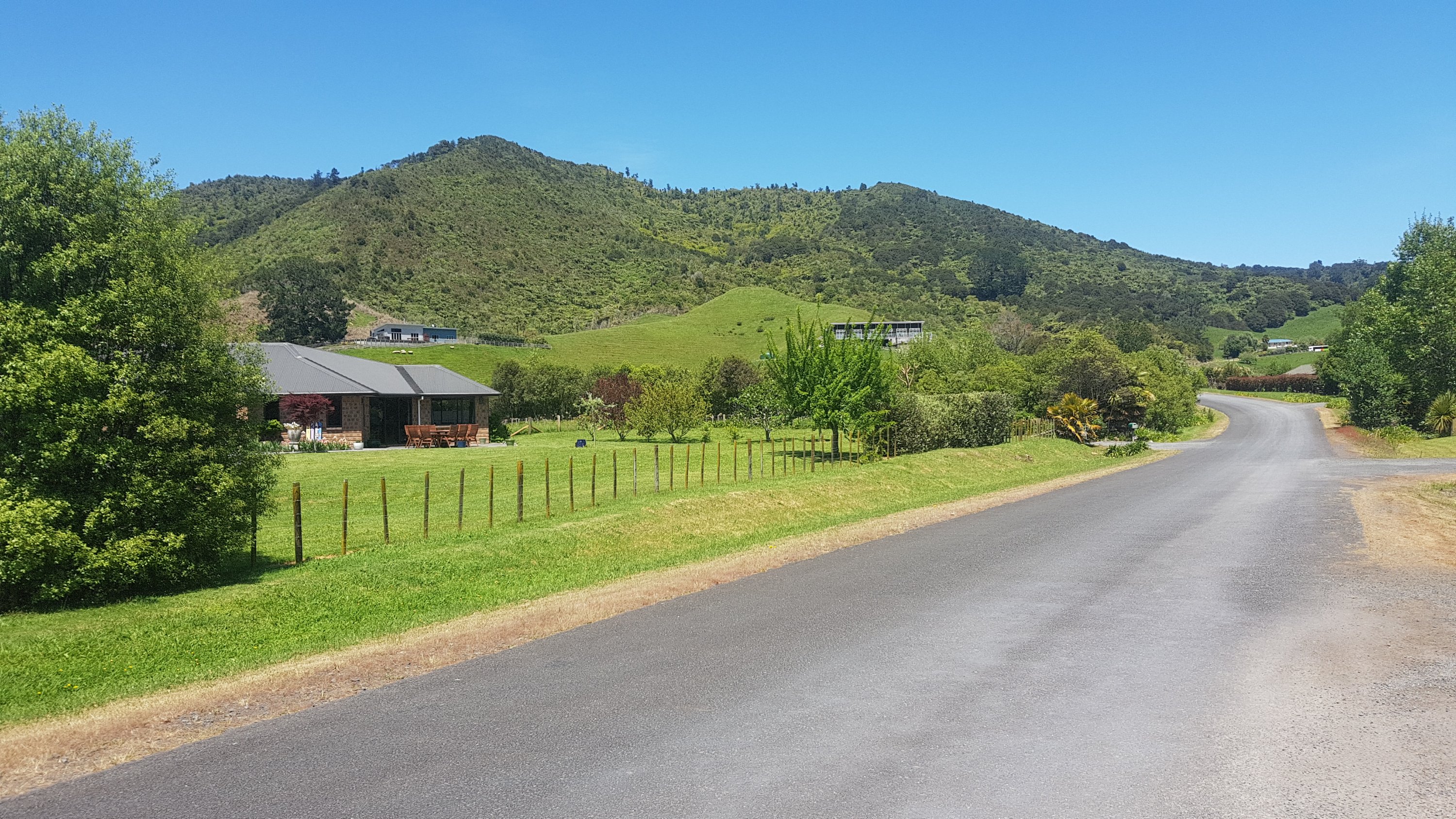
It was nice to spend four days at home. I did mundane things like chores, mowed the lawns, and more exciting things like visiting my friends and driving my car around randomly.
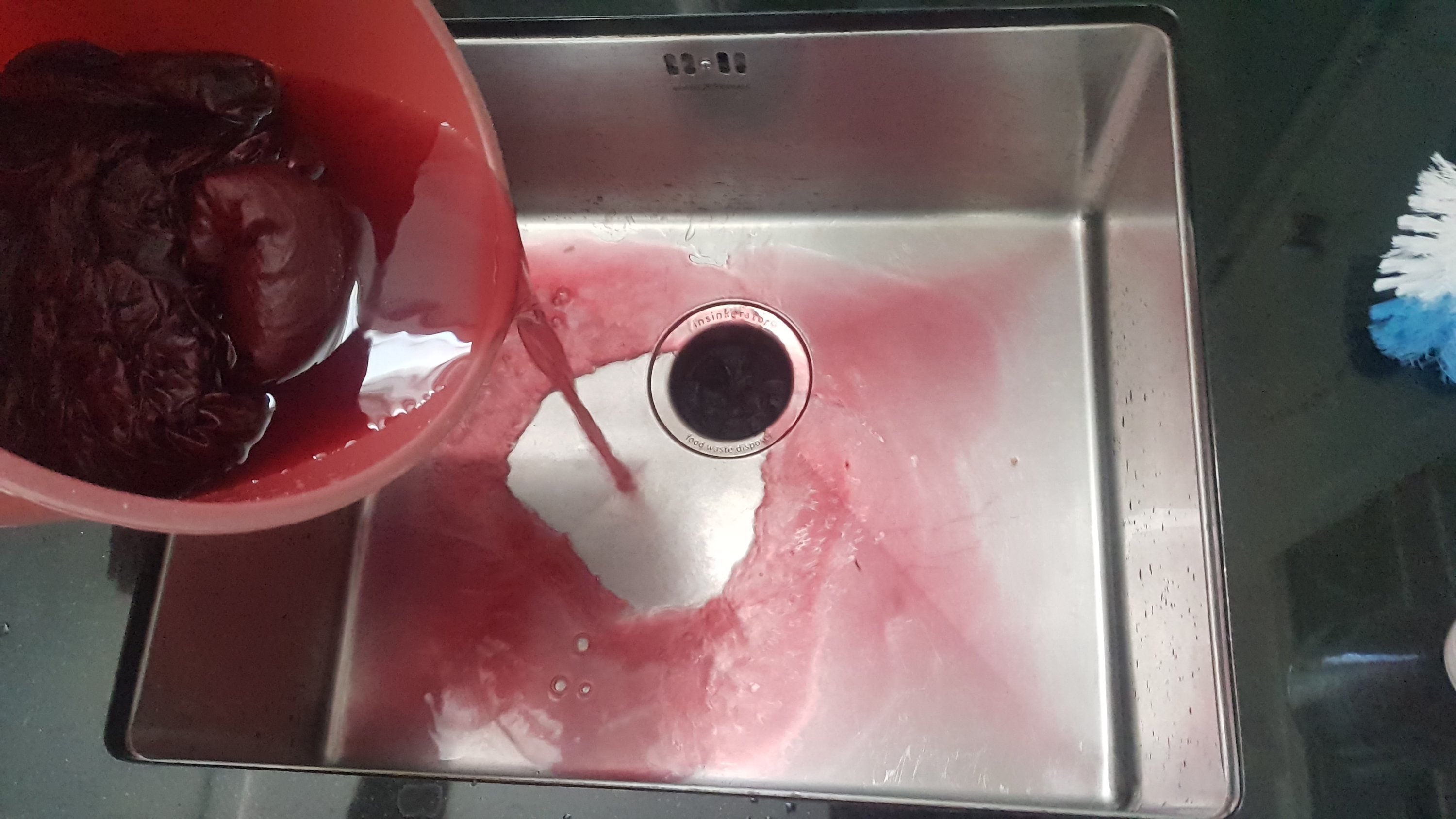
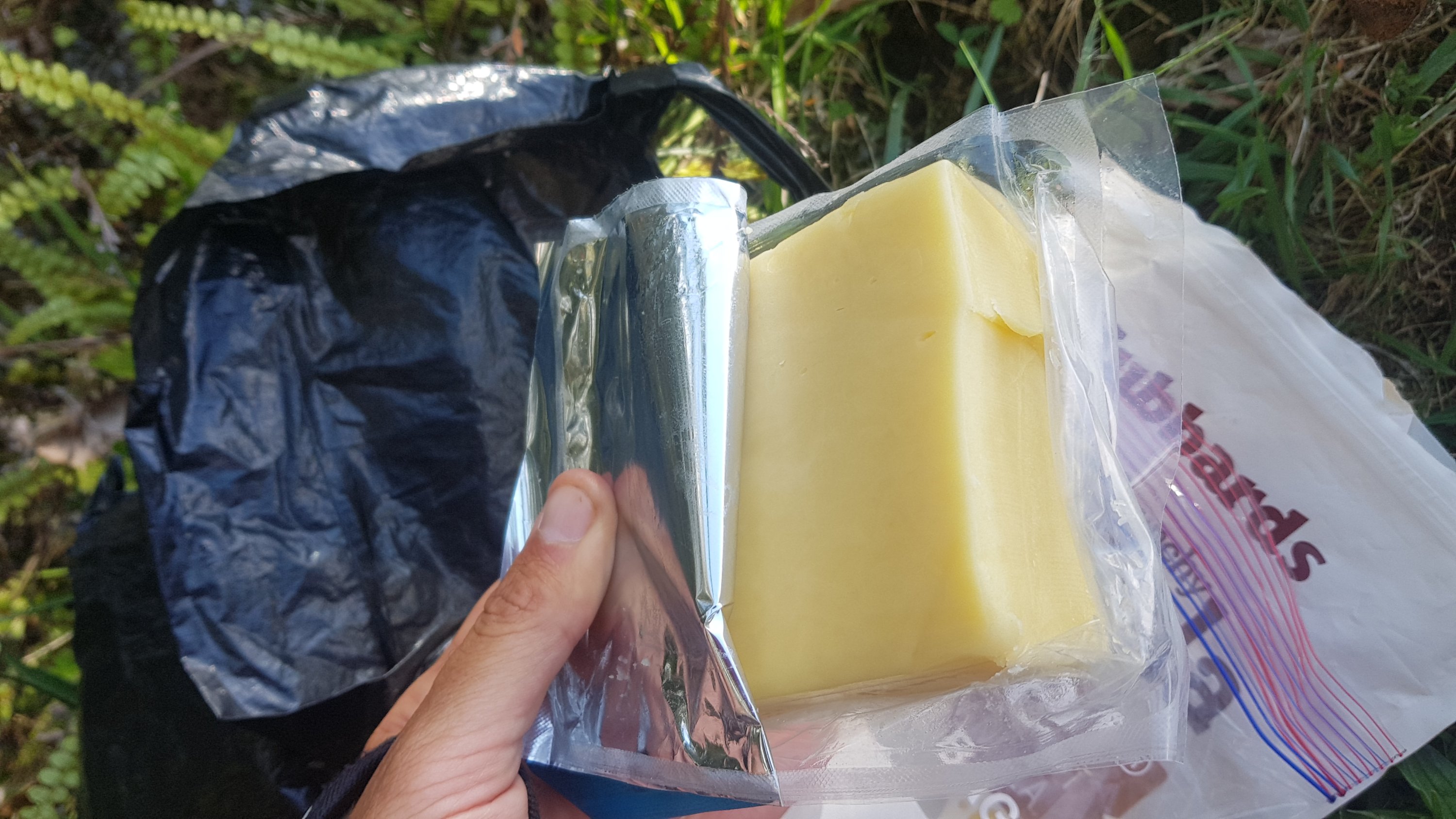
The remains of the water after handwashing the silk sleeping bag liner
I got a chance to wash everything on a hot wash. It felt very good. But I did remember one tip that Rhydian gave me back on Day 9 or 10. He said that even after washing his silk sleeping bag liner over and over again, years later the colour still runs. And I’m glad he said that because it made me handwash my silk liner instead of throwing it in with the rest of the wash. And sure enough, the water turned into a deep red wine colour. I’m very glad I don’t now have a laundry full of pink stuff. That has to have been one of the best pieces of advice I’ve received on this trip so far.
The first night was halloween. Driving around the “nicer” part of Mount Eden I saw kids in very elaborate costumes everywhere. Every year I put out a few small Halloween decorations but no kids ever show up. However this time, three kids did! Two young girls in elaborate witch costumes and then five minutes later a young boy in a Captain America costume. He looked very very pleased with himself, it was so cute. I had a bunch of chocolate but I only gave the three kids one piece each. I should have given them more because they were the only three kids that turned up all night.
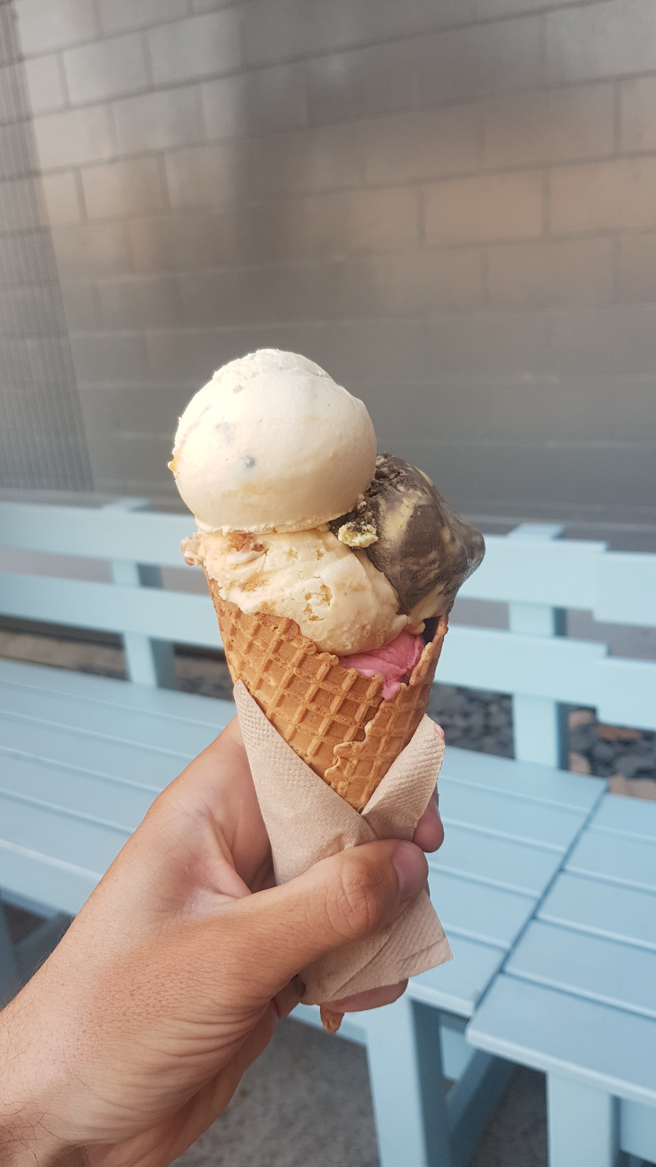
Duck Island Ice Cream
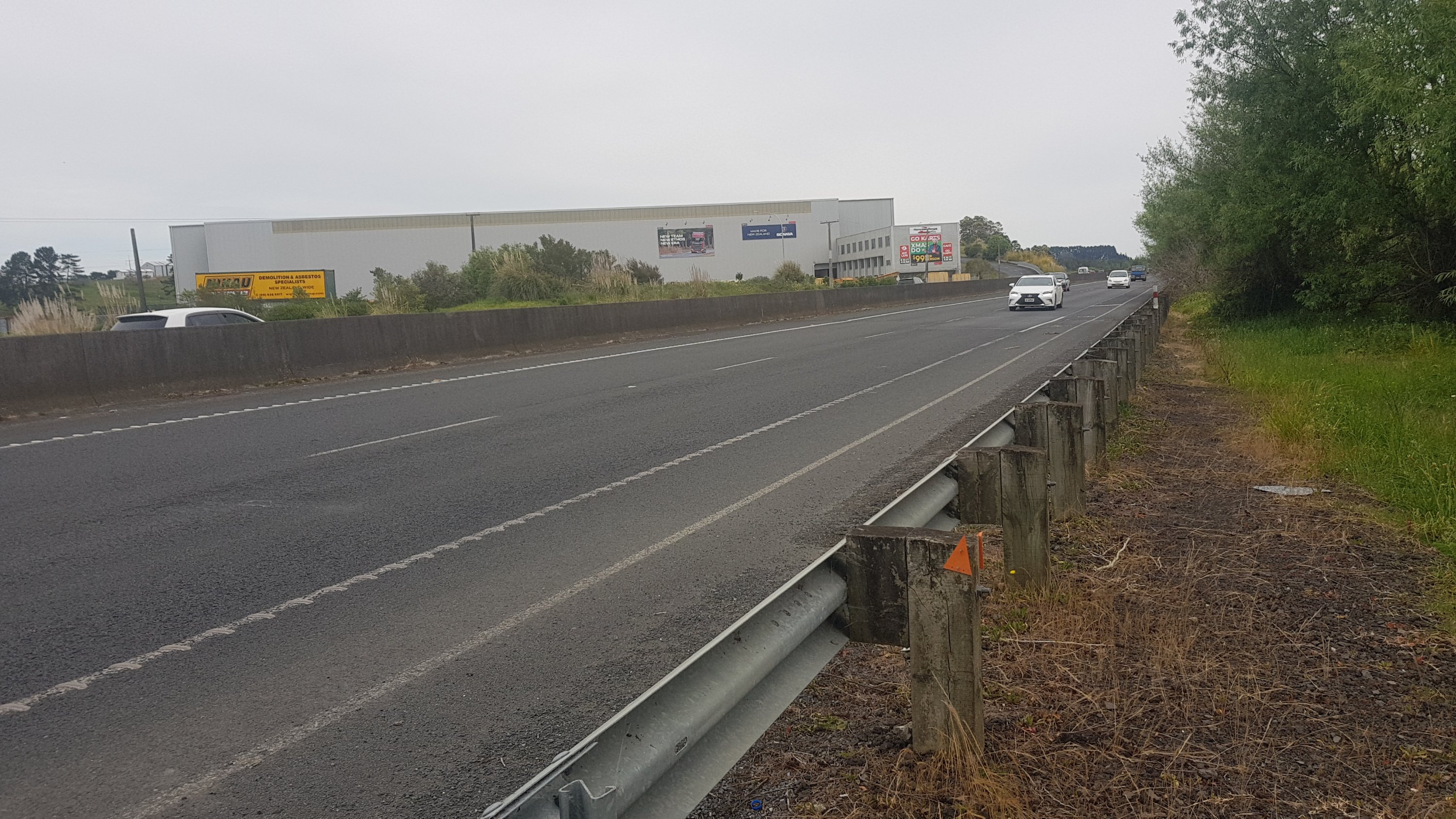
It was nice to drive my car around again. I found myself driving more slowly than usual because I couldn’t get out of my head the fact that around any corner could be a bunch of hikers walking around the middle of the road.
I chatted with other hikers that are in Auckland. I wish I had some grass at my place so that people could pitch their tents. Next year I might have to get some bunk beds so that people can stay at my place and I can be a Trail Angel.
I saw a lot of my friends and family. And I got a fantastic ice cream from Duck Island on Ponsonby Road.
Tomorrow though it’s time to continue on. I won’t get to Wellington by Christmas if I sit around.
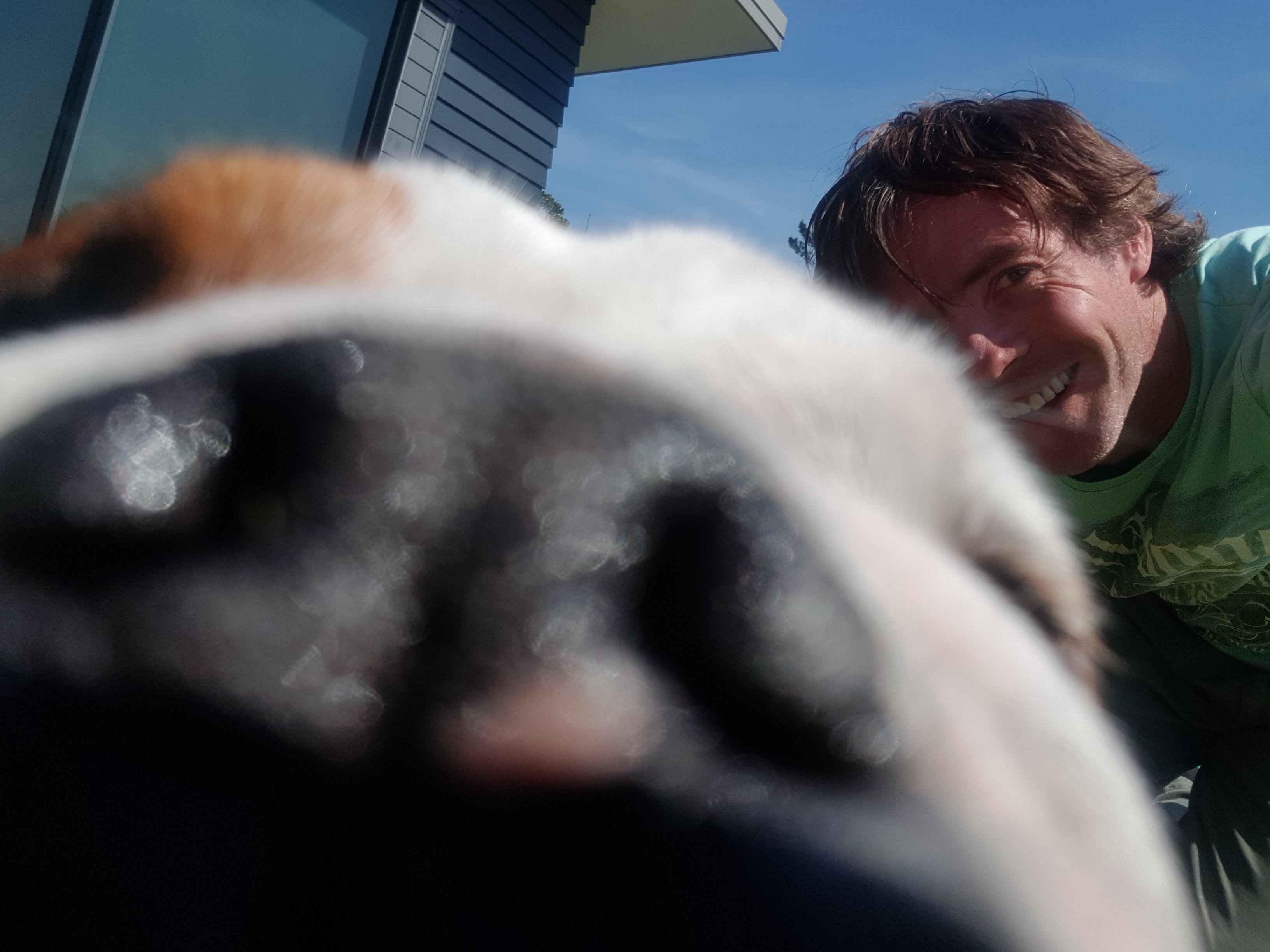
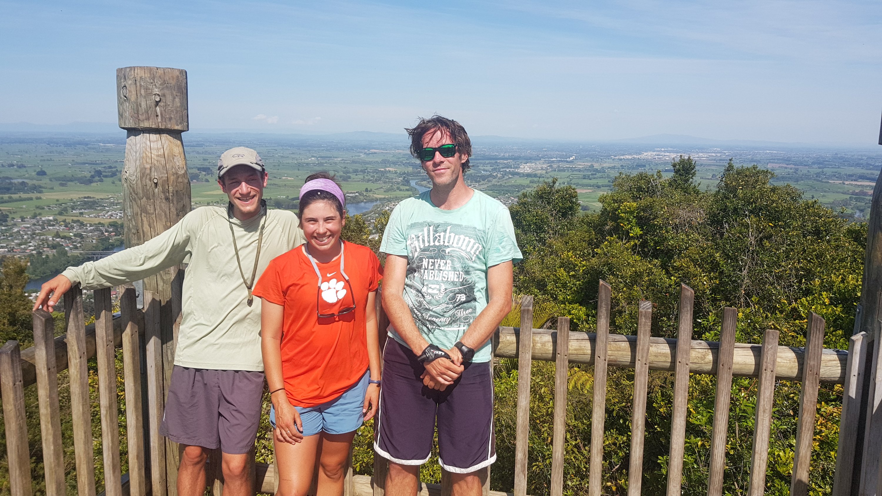
Tried to get a selfie with my Mum’s British Bulldog. This was the best I did. As you can see I shaved on my second rest day
Date: 4 November
Distance walked: GPS watch said 55.5km but I know that it was at least 58km
Trail covered: kms 584.7 to 642.3
Weather: not a cloud in the sky
Percentage of the day that there was not a cloud in the sky: At least 90%
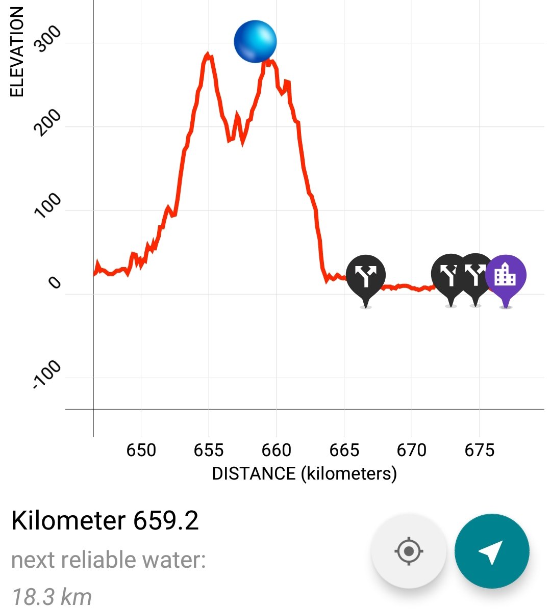
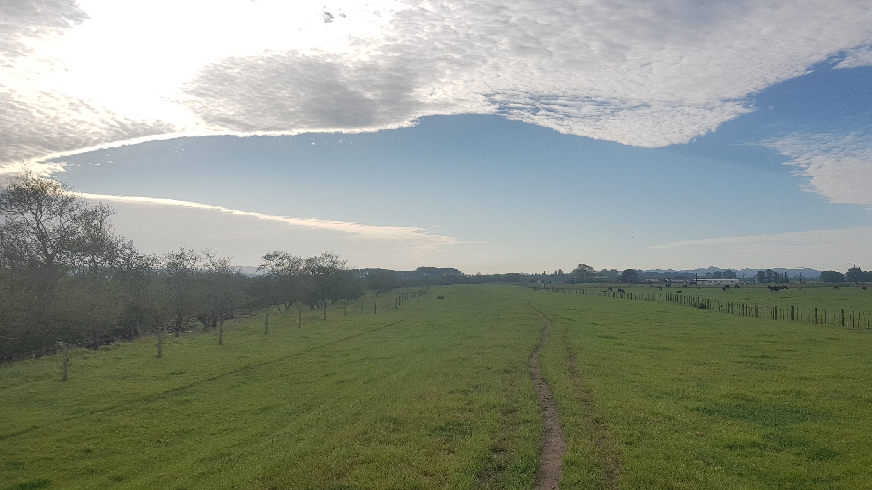
Okay, first I’m going to describe what I’ve been thinking about recently. I actually did proper calculations to determine what the likelihood of making it to Wellington by Christmas is. The southern point of the North Island on the TA is km1695.5 and I’m currently at km584.7. So that leaves 1110.8kms and 50 days to do it. So that requires 22.2kms per day. Doable. Or, assuming 5 rest days, 24.7kms per day. Slightly less doable, but not impossible.
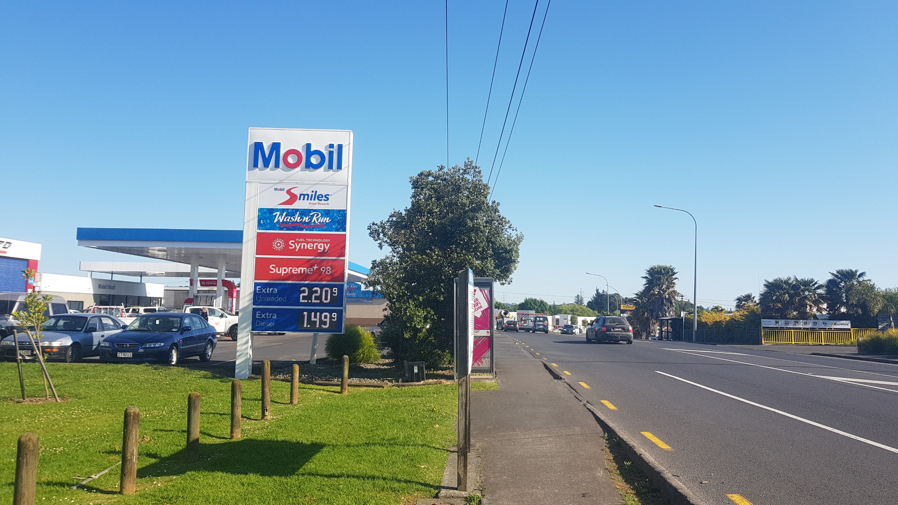
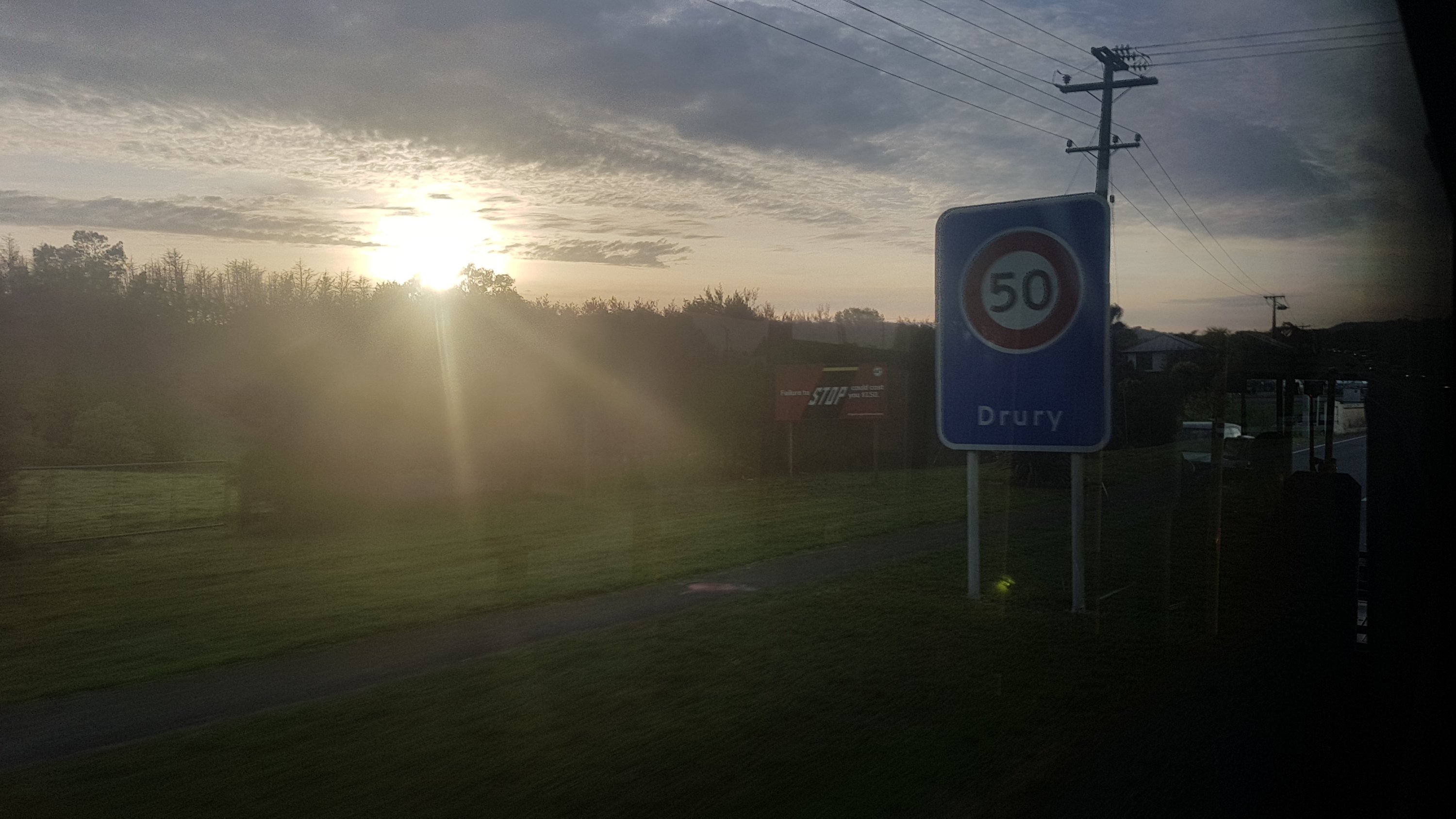
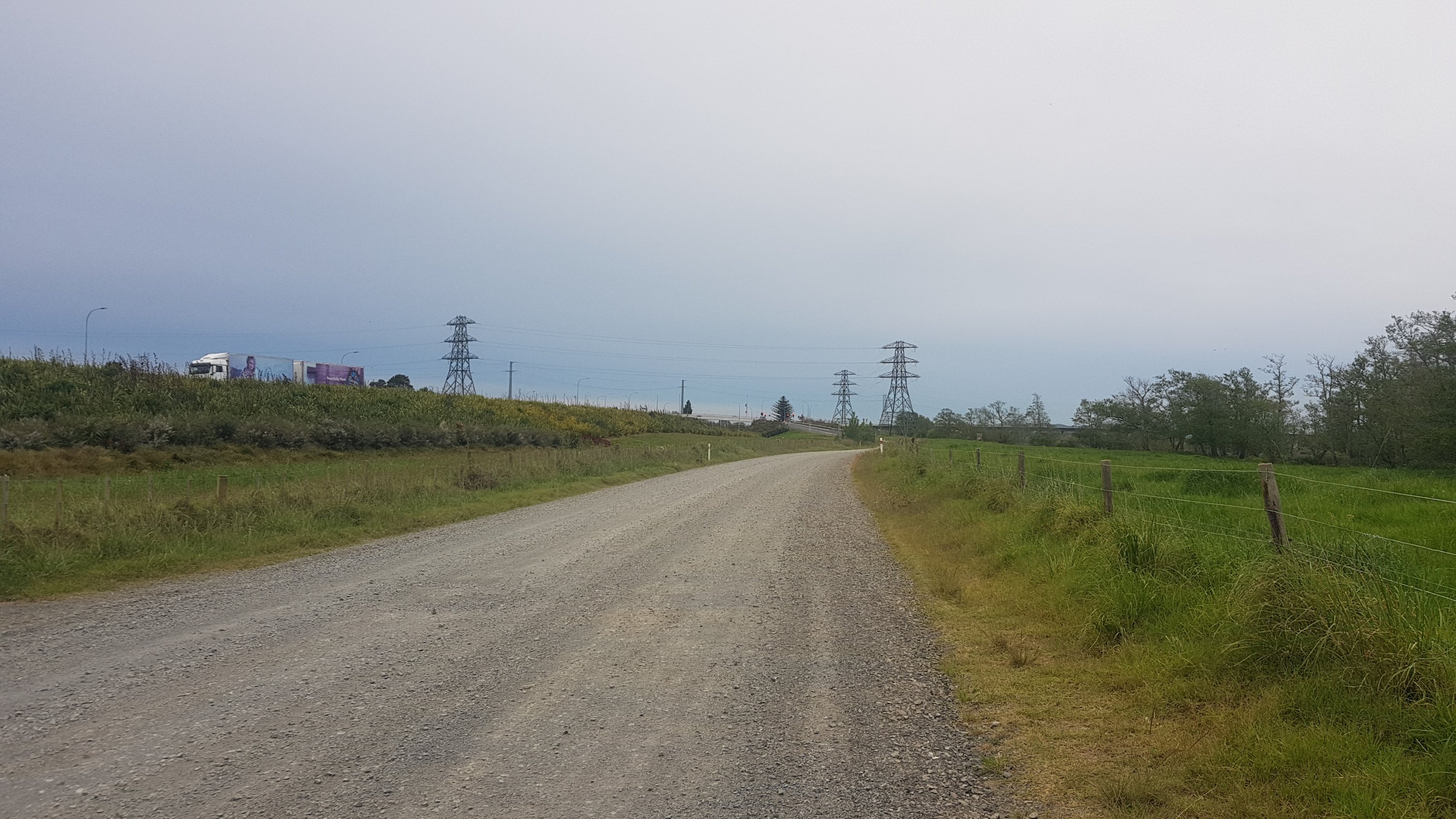
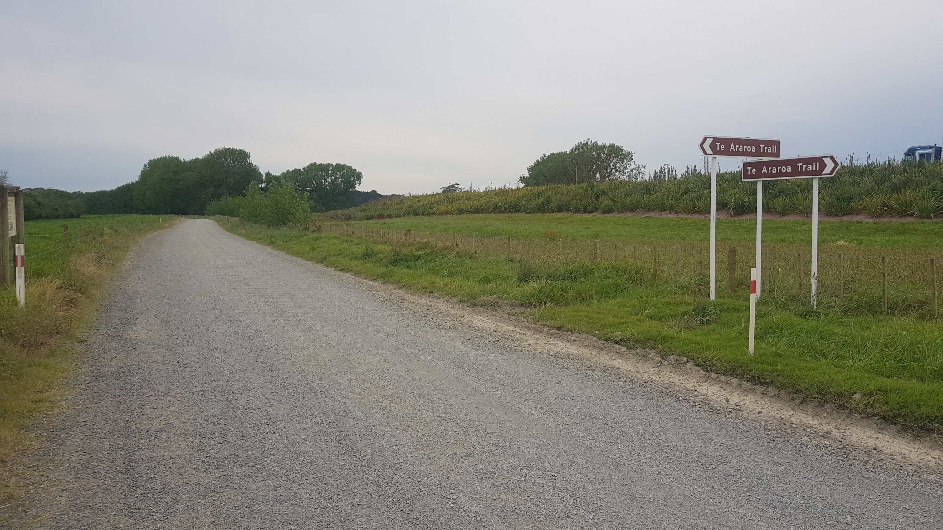
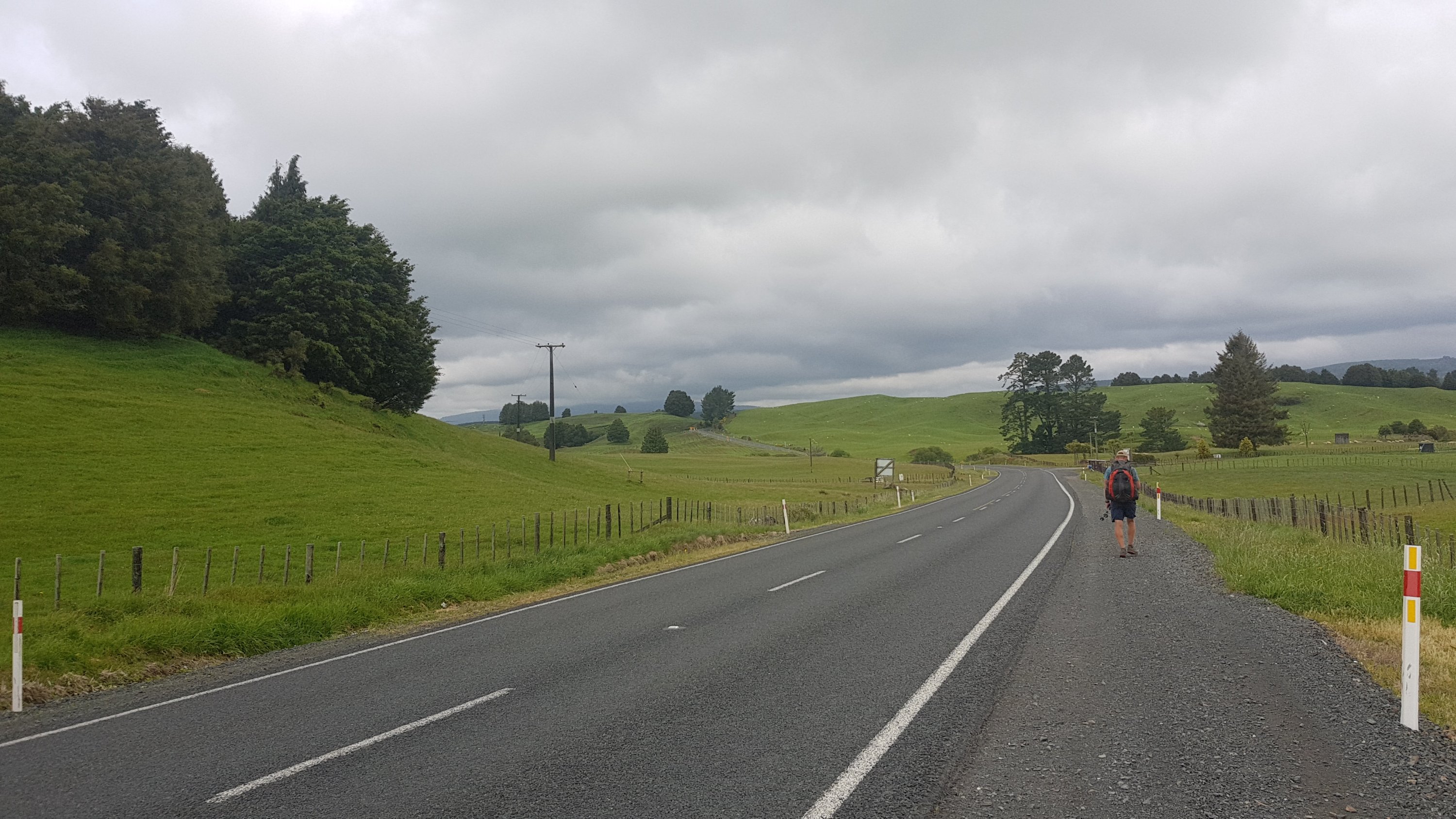
So while I’m in Auckland, which is my home and mostly road walking… could I bash out a lot of kilometers in a short time, leaving my pack at home? I reckon I can. So first check – how far south does public transport actually extend in Auckland that is still on the trail? Turns out, the answer is Drury, and more specifically, the bus stop outside the Mobil in Drury. That’s 57.5km. That’s now my goal for today. Walk to this point today, and get the bus and train home tonight.
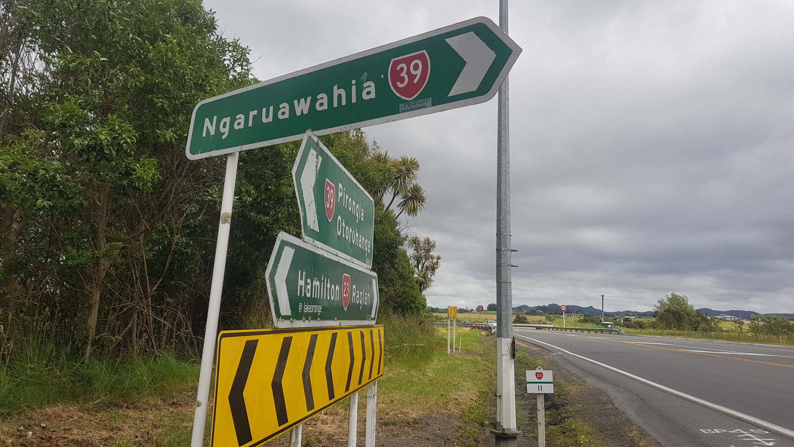
And if I decide that I can actually walk that distance, then I will have a rest day tomorrow, and on Wednesday go back to the point where I left off and walk from Drury to Rangiriri which is roughly the same distance. Then I’ll walk to Ngaruawahia the next day and after that get the bus back to Auckland. Then after that I’ll continue walking properly with my pack. Three days walking without a pack with two rest days, meaning I’ll cover 156km in 5 days.
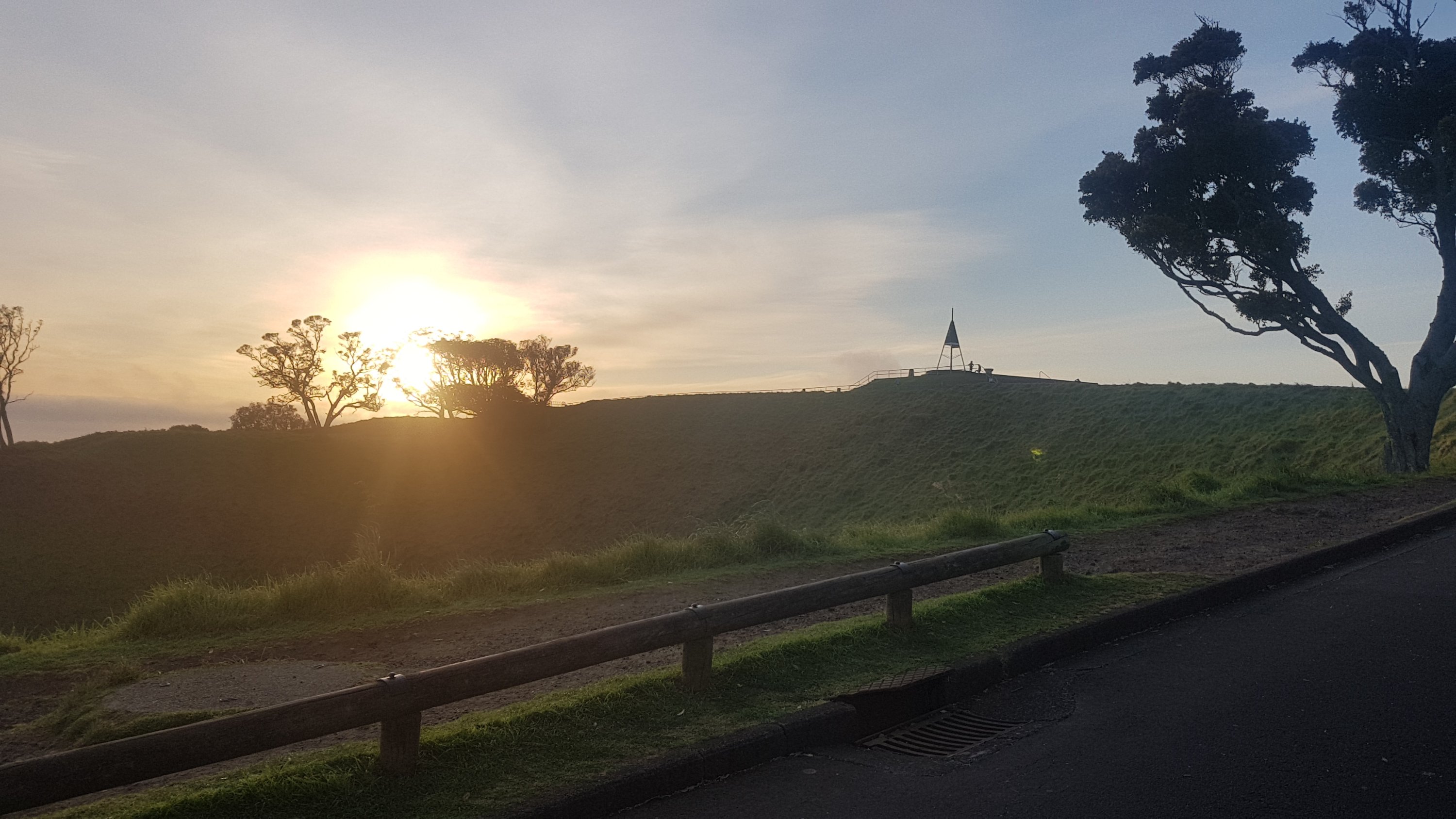
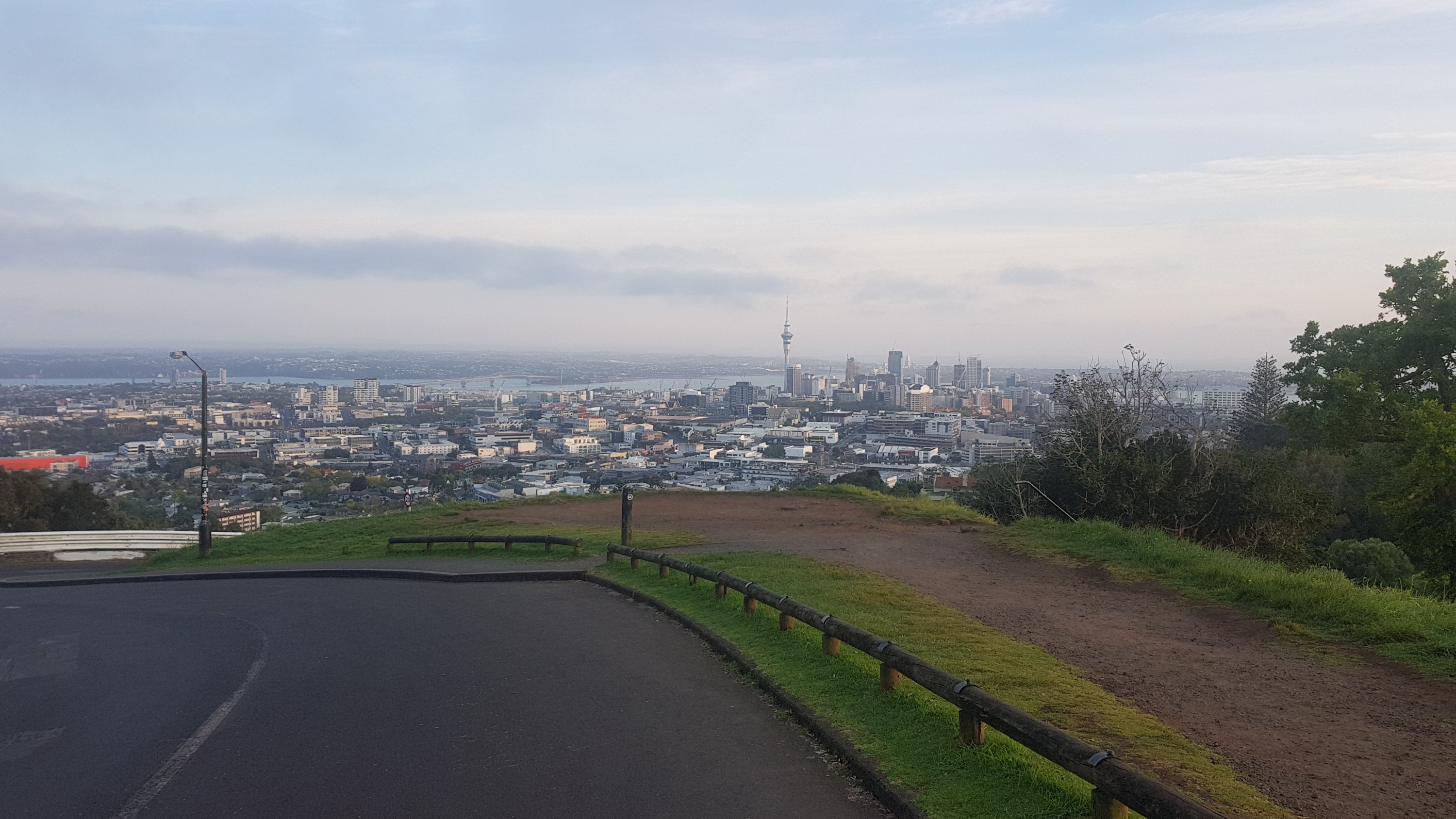
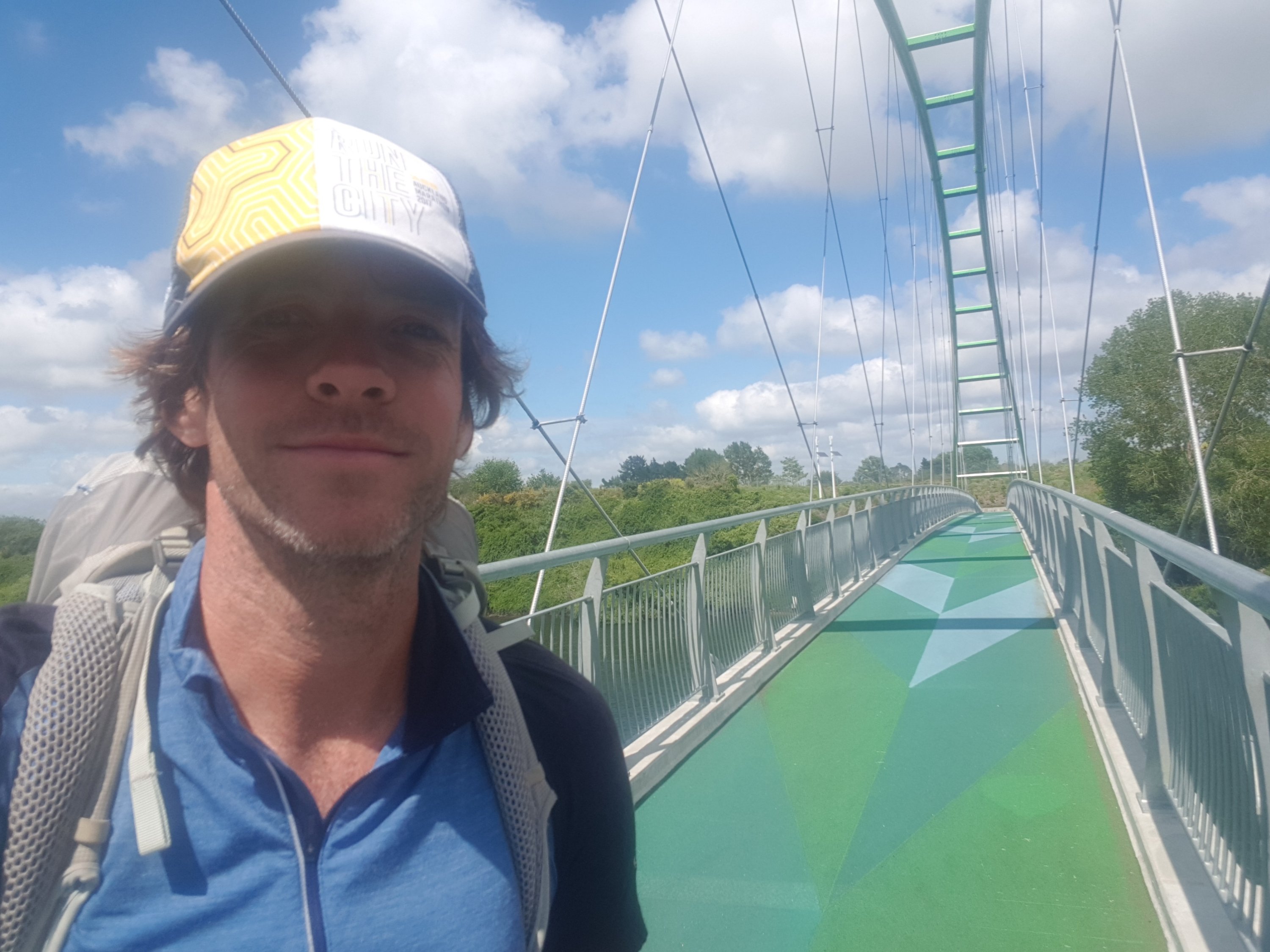
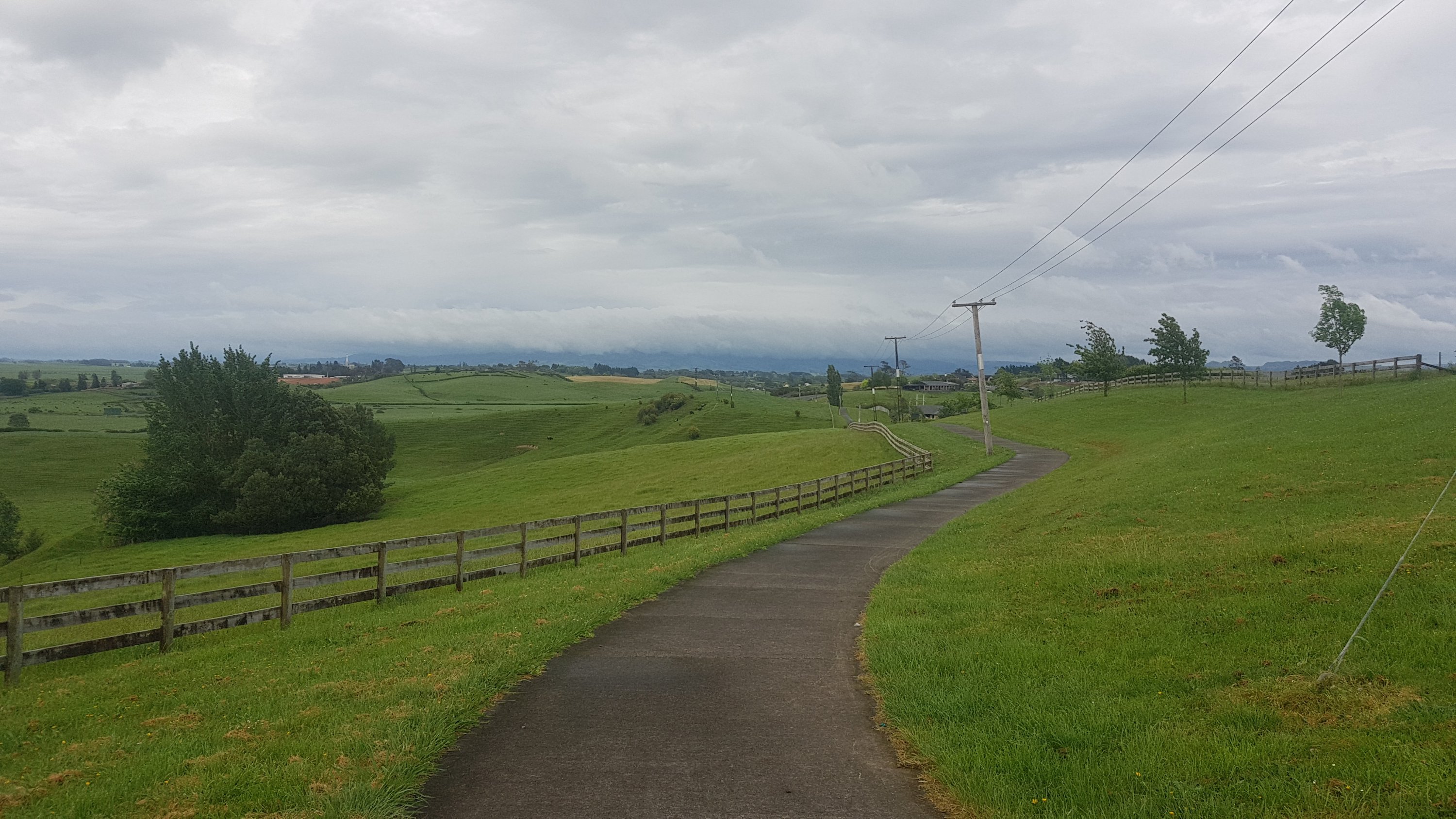
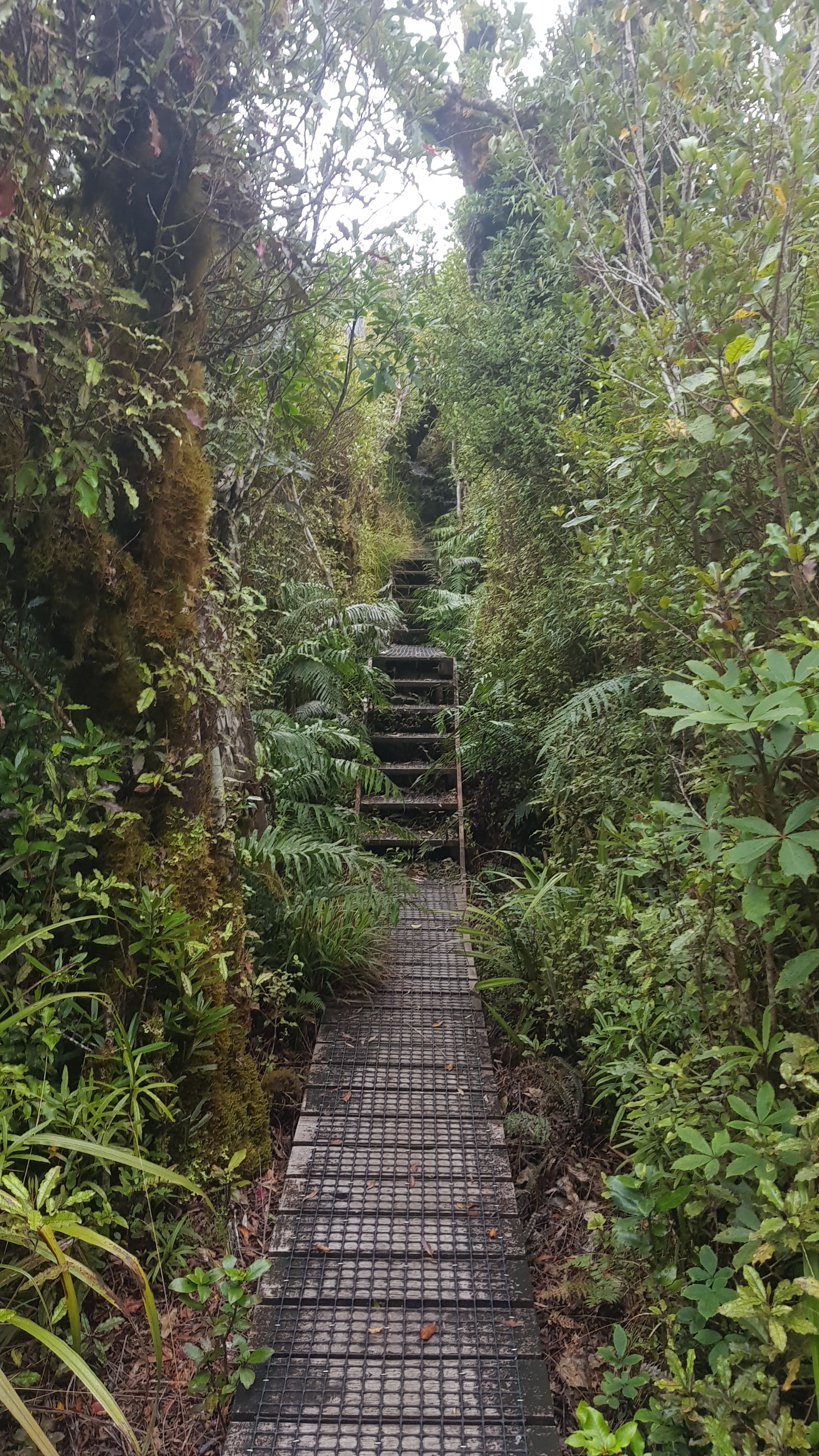
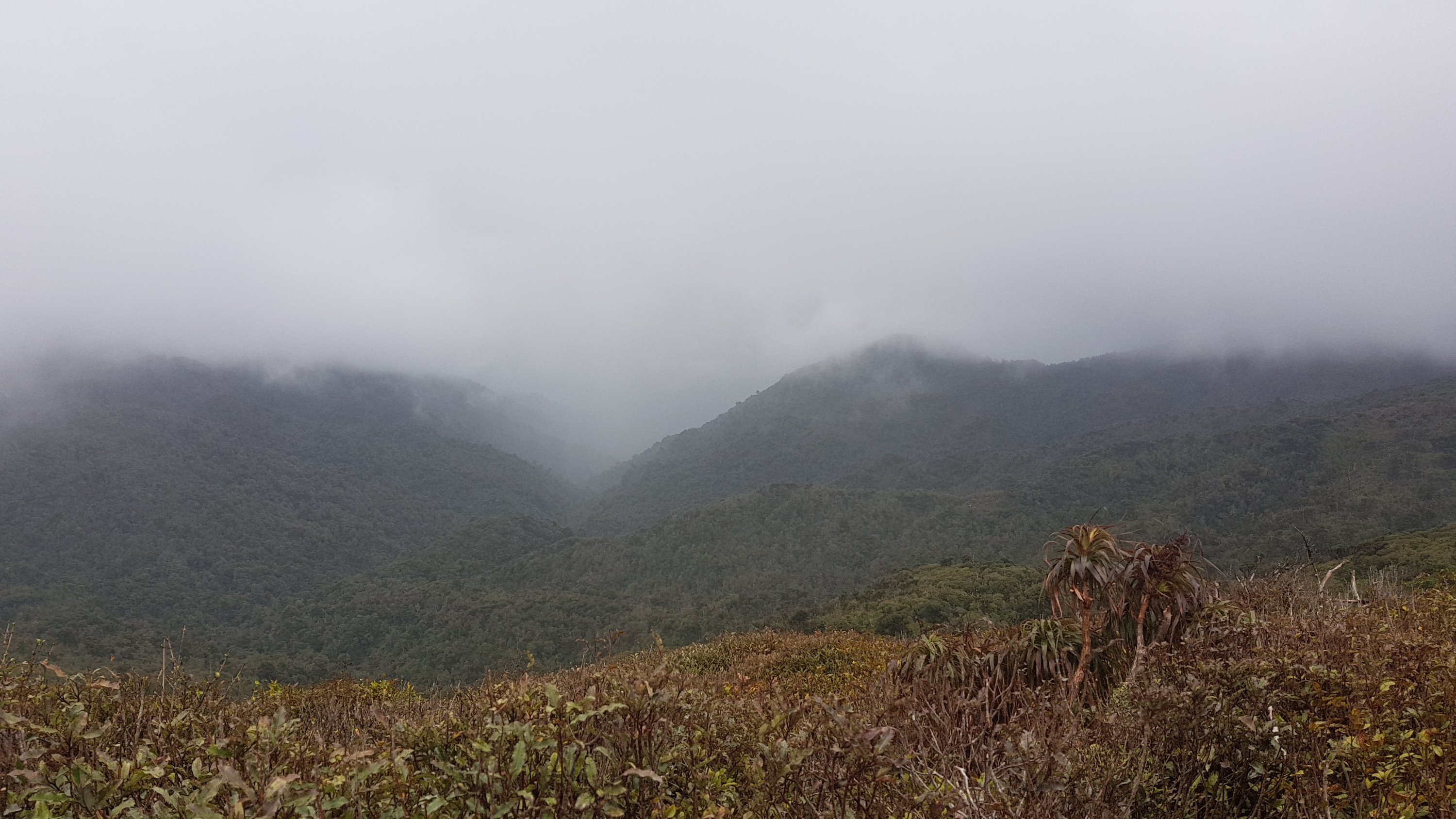
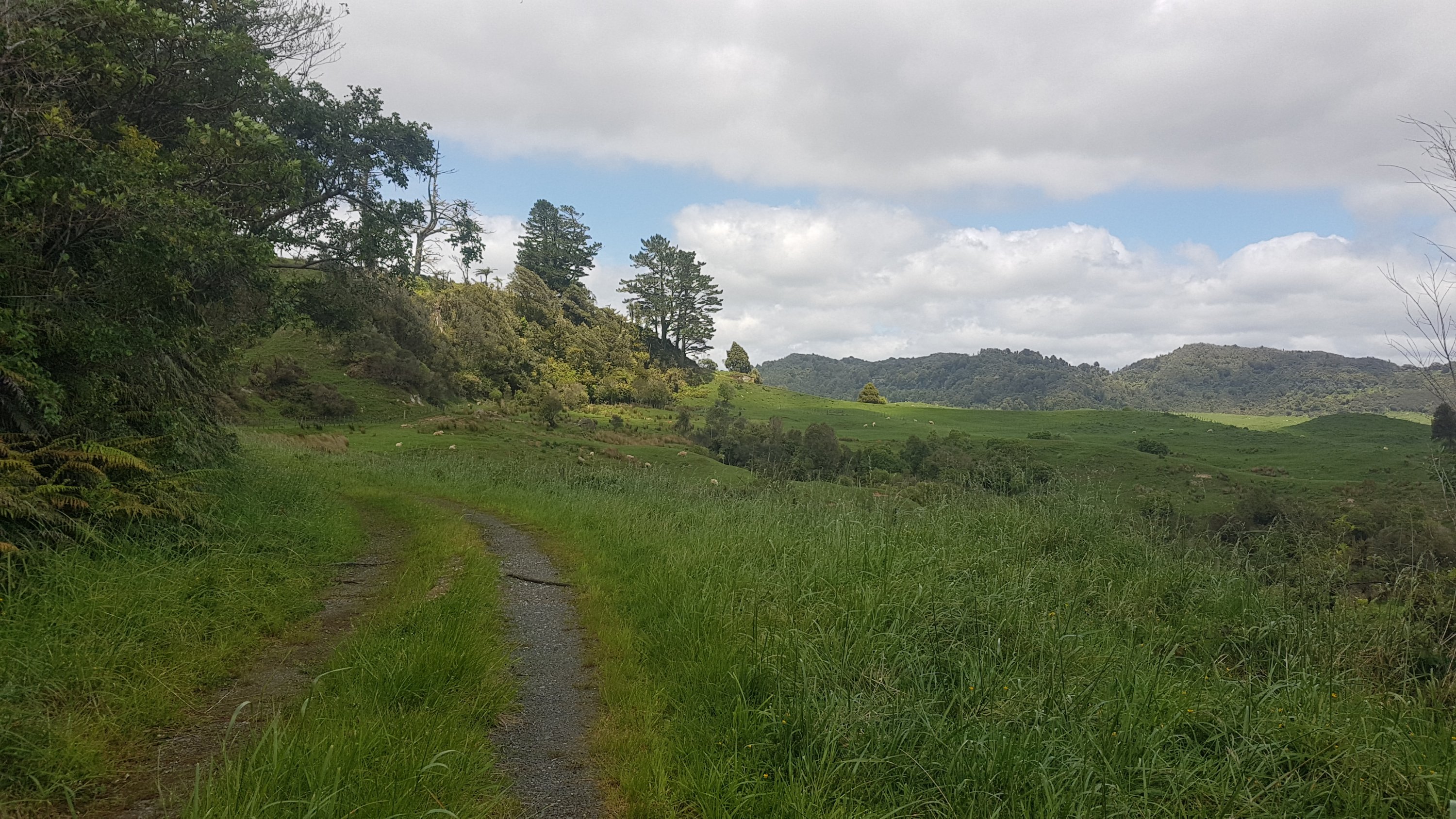
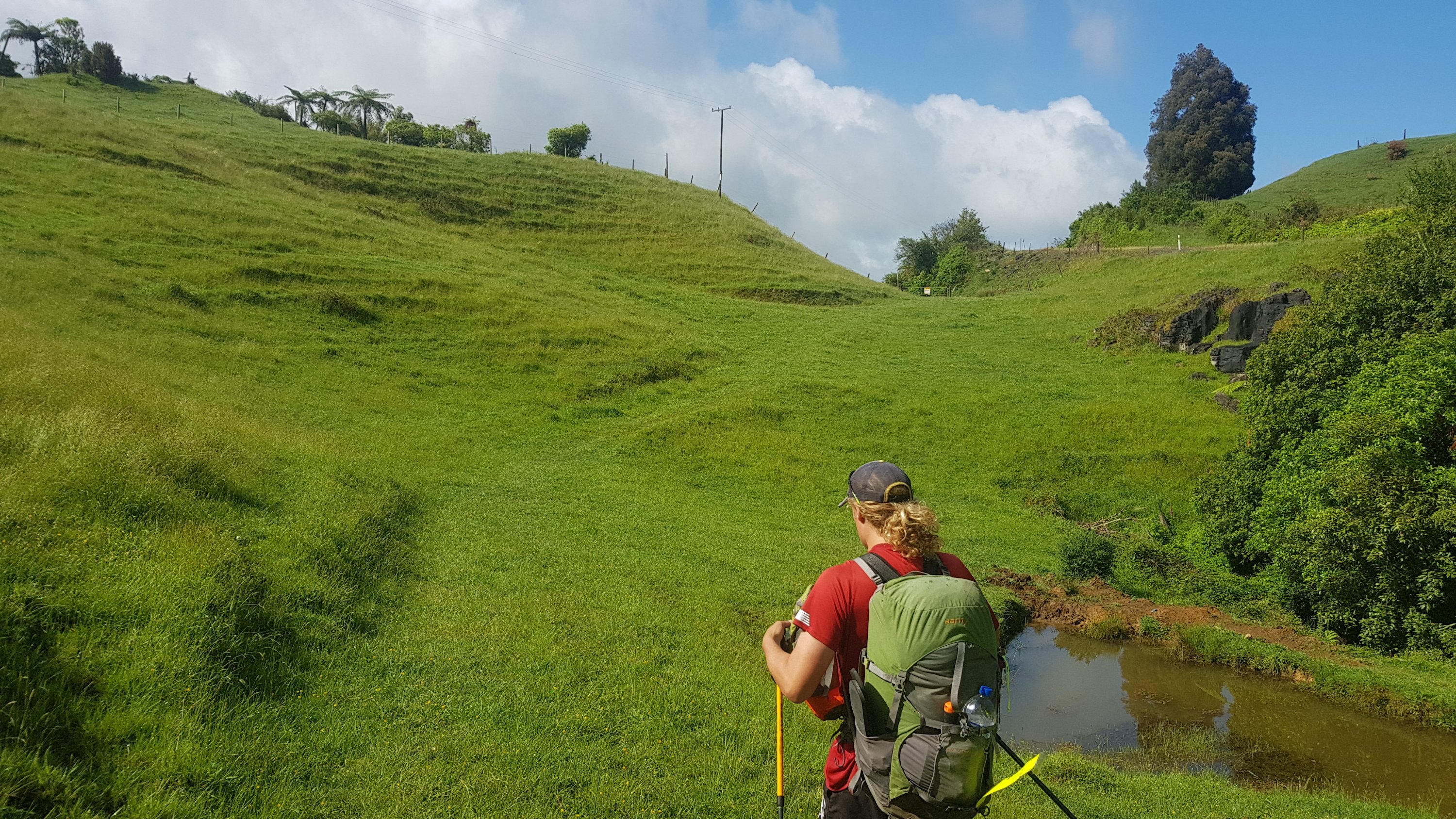
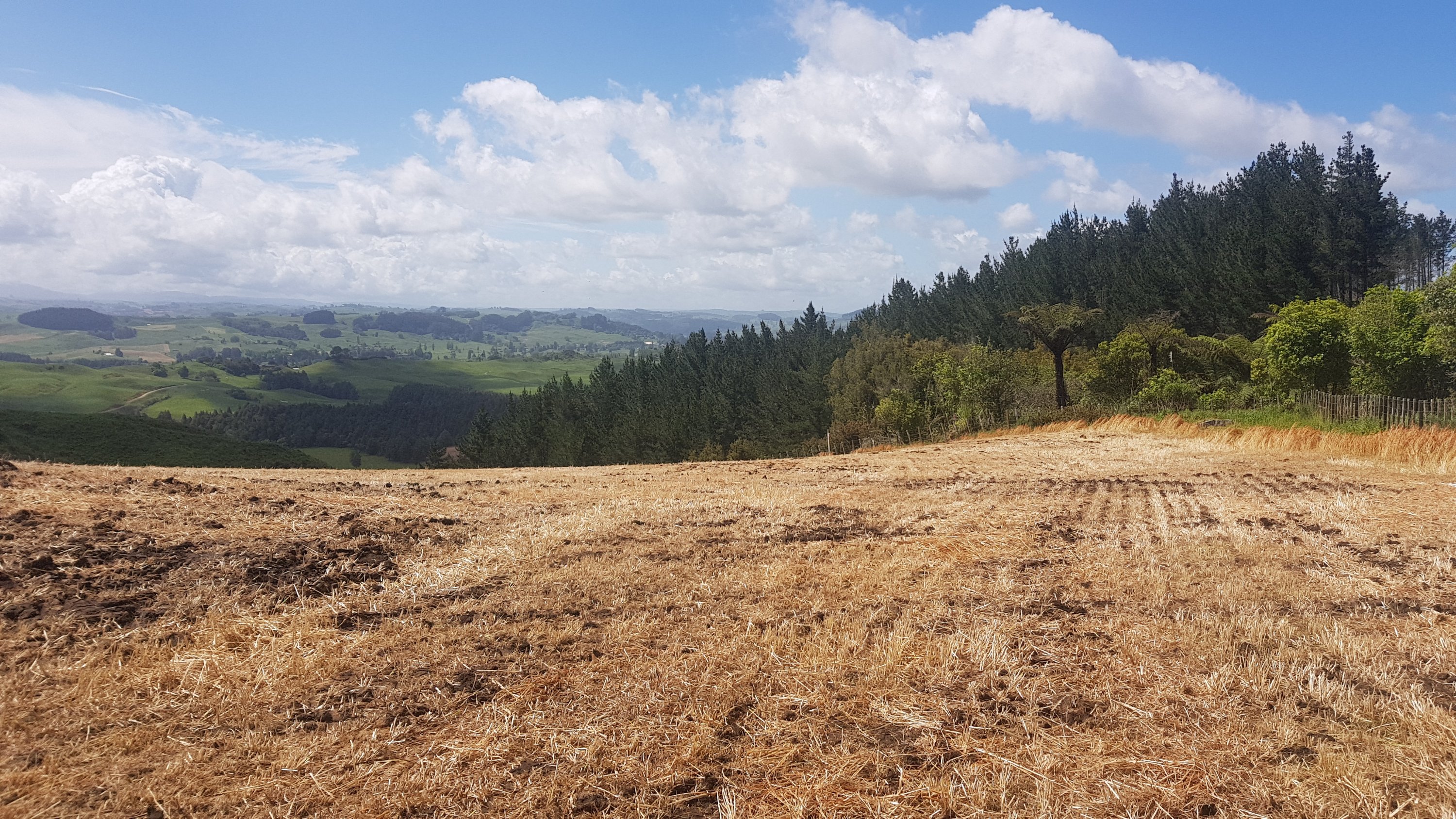
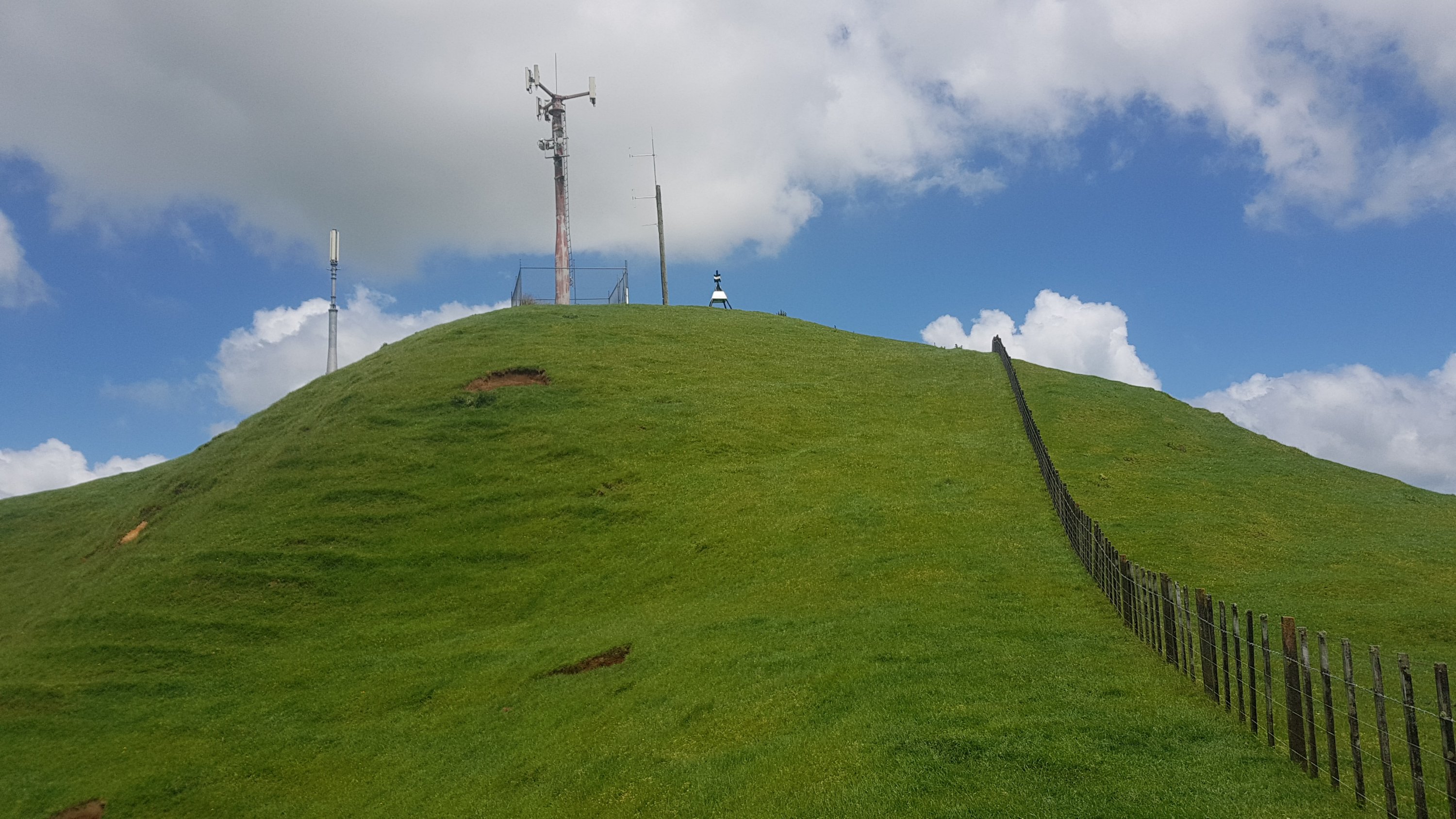
Anyway now that’s out of the way. I have to leave early if I want to cover that kind of distance – so I was off at 6:30am this morning, and straight up Mount Eden. The sunrise at the top was nice.
Looking at the summit of Mt Eden
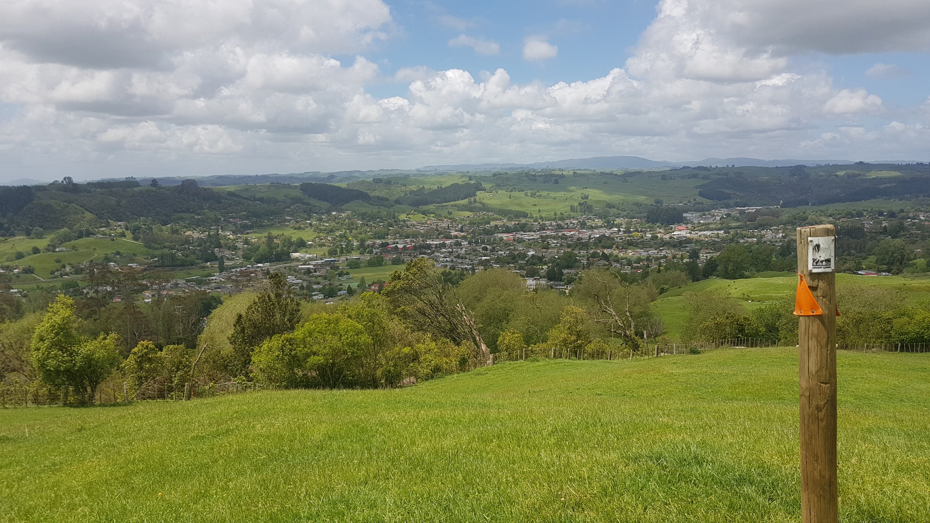
I’ve been up this mountain probably about fifty times but I don’t get sick of the views from up here.
Auckland City from the top of Mt Eden
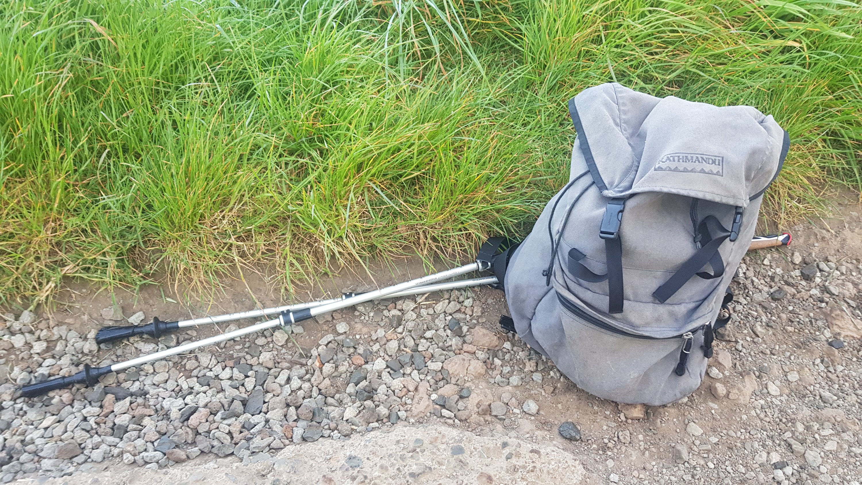
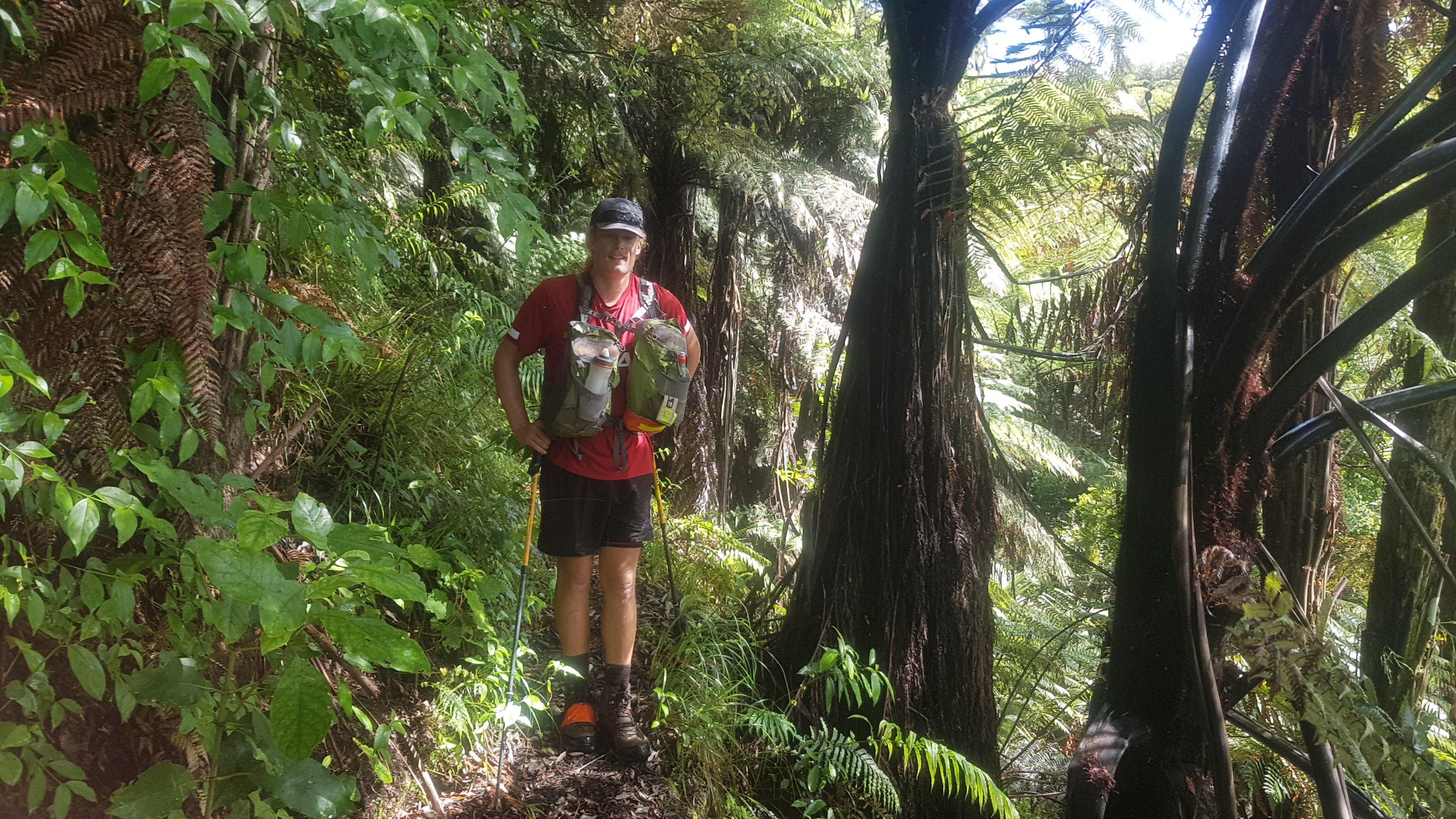
I was already feeling good that I didn’t have my usual pack. All I had was this pack that I was given at university in 2001 by ASB Bank when I signed up to their student account. It’s going bloody well after 18 and a half years. I only had a water bottle, battery pack and charger, a small amount of food, my keys and my wallet.
Kathmandu backpack from 2001
I decided not to walk with my poles initially. The bag was so light and the path was well formed so by using the poles I felt like I was just adding unnecessary work. So they got retracted and put in the pack.
From the far side of Mount Eden you can see One Tree Hill, the next peak to walk on. Though curiously you don’t walk to the summit of this one, just around the base. And yes One Tree Hill used to have a tree on it, until about 20 or 30 years ago. A protester cut it down. Right now I can’t remember why.
One Tree Hill as seen from halfway down Mount Eden
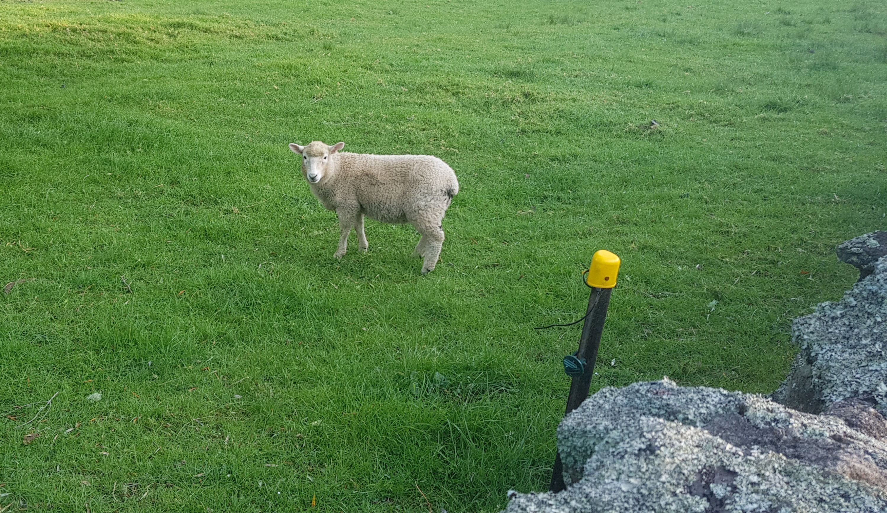
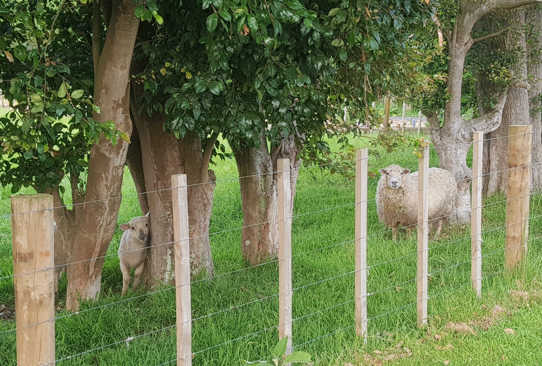
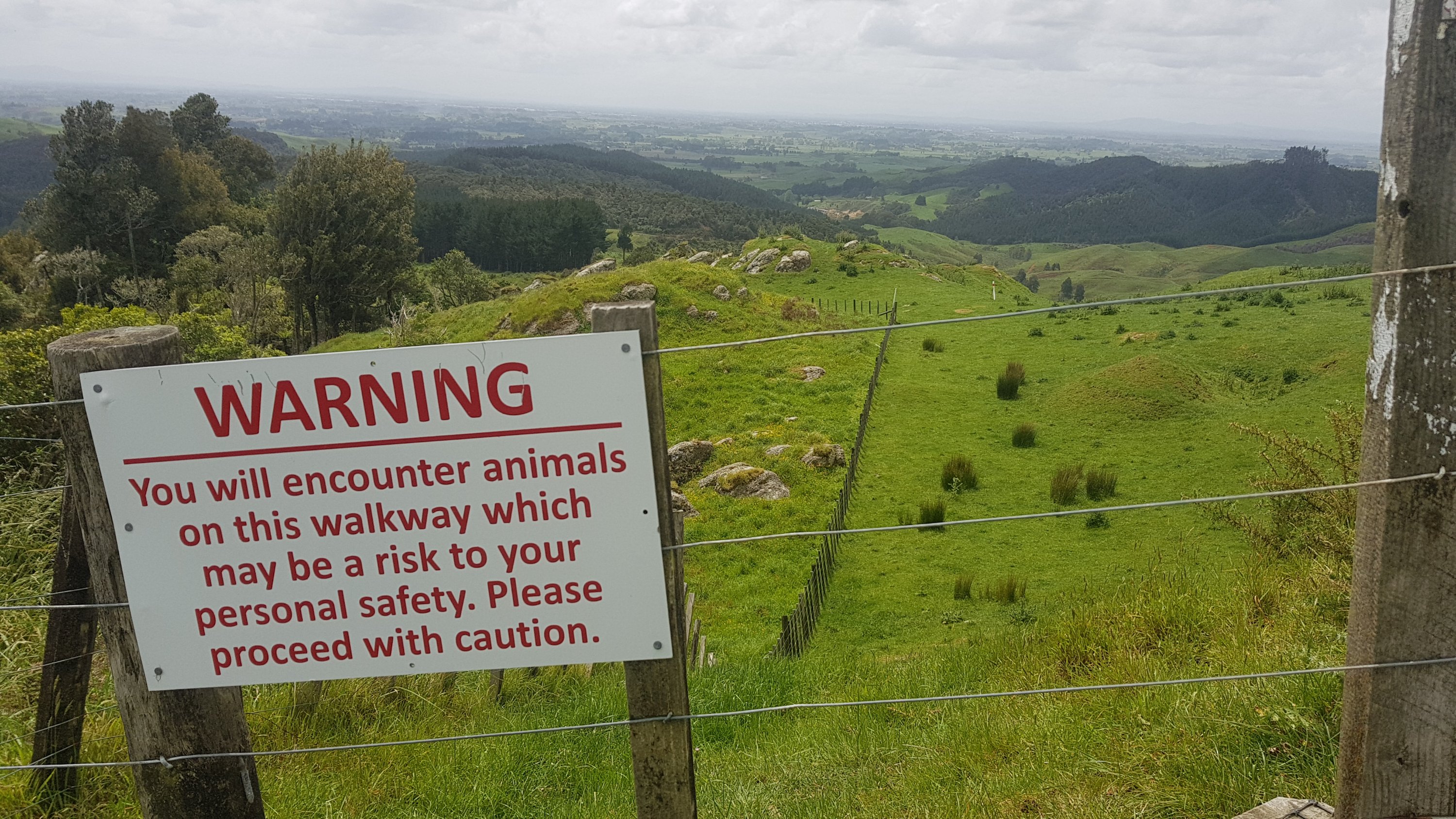
One Tree Hill is the closest place to central Auckland where you can always find sheep, and sometimes you can go right up to them as long as you’re cautious and quiet.
Lonely sheep at One Tree Hill
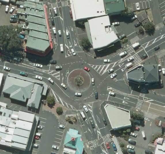
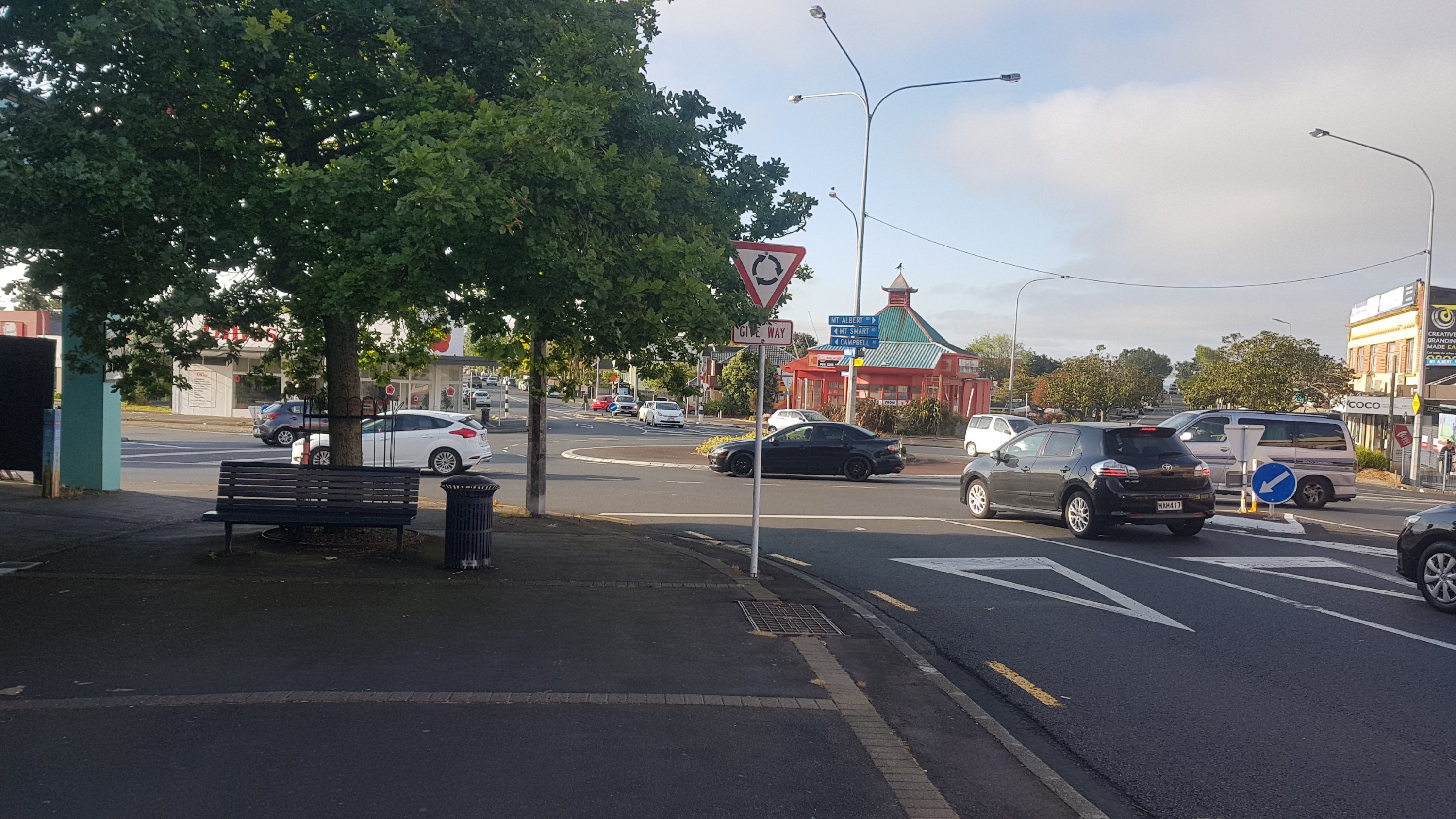
Then you end up at the Royal Oak Roundabout. One of two major roundabouts in Auckland with five roads coming off it, the other being Panmure Roundabout. These roundabouts terrified me when I was a new driver.
The Royal Oak roundabout from above
This one is much easier to walk around though, there are pedestrian crossings on all five roads.
Royal Oak Roundabout
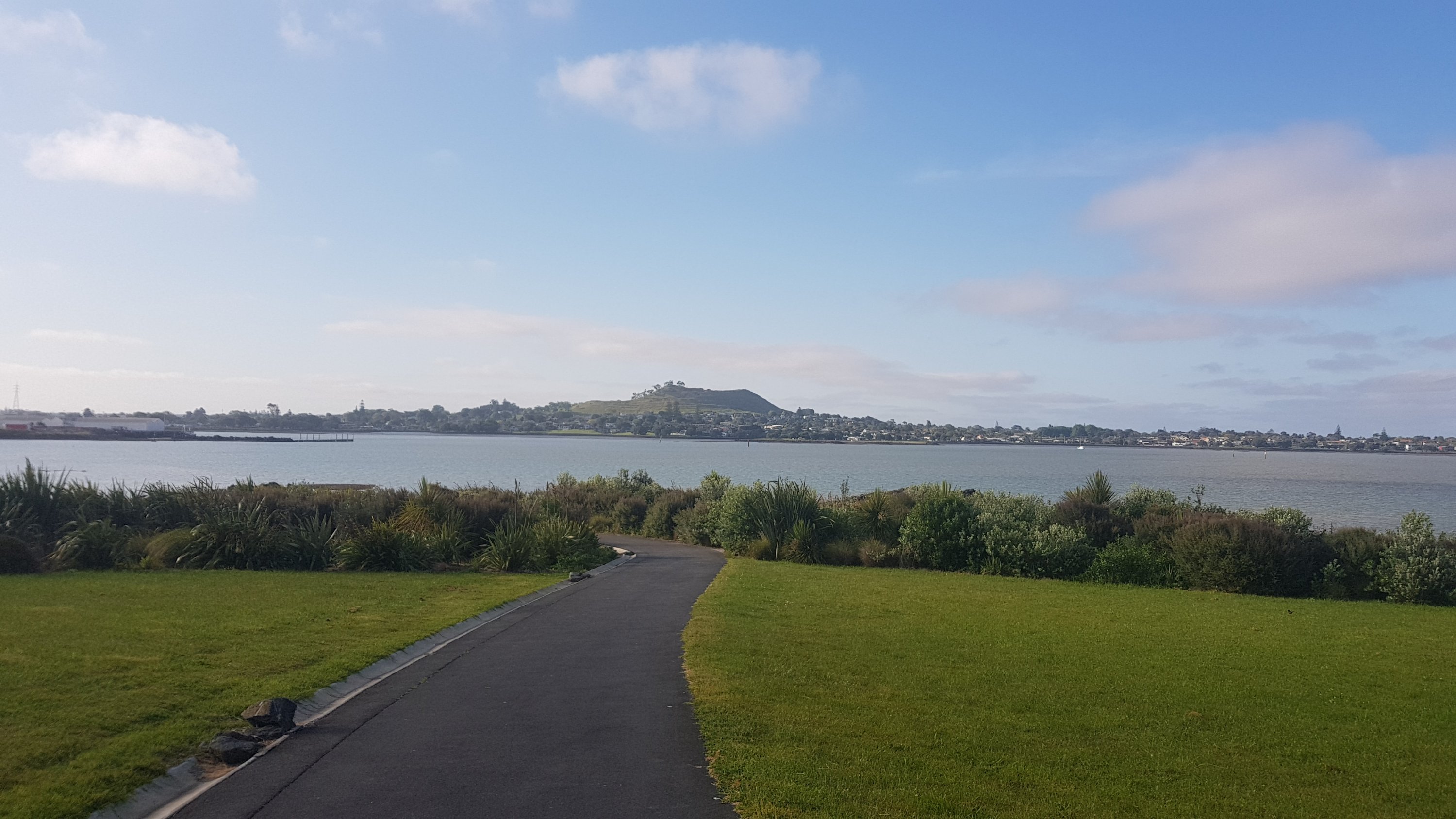
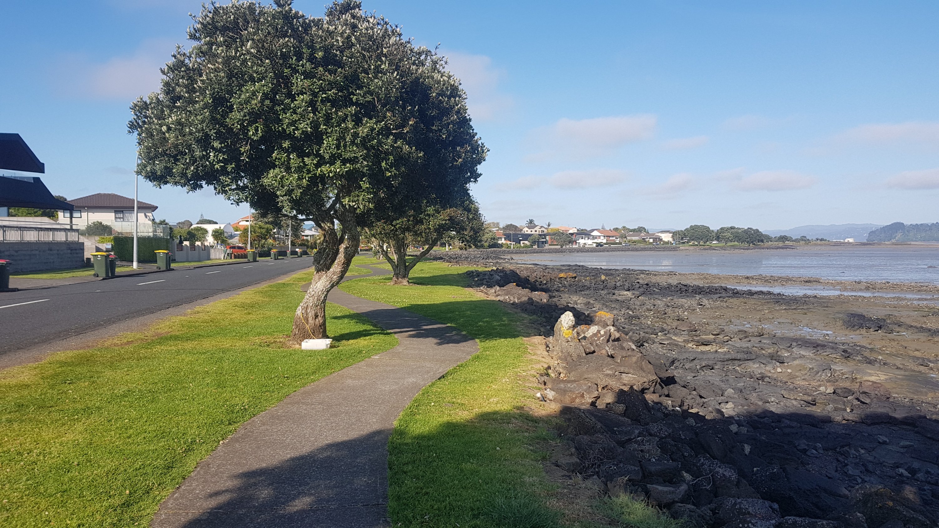
Then along the Onehunga walkway. You get a clear view of Mangere Mountain from here.
Mangere Mountain
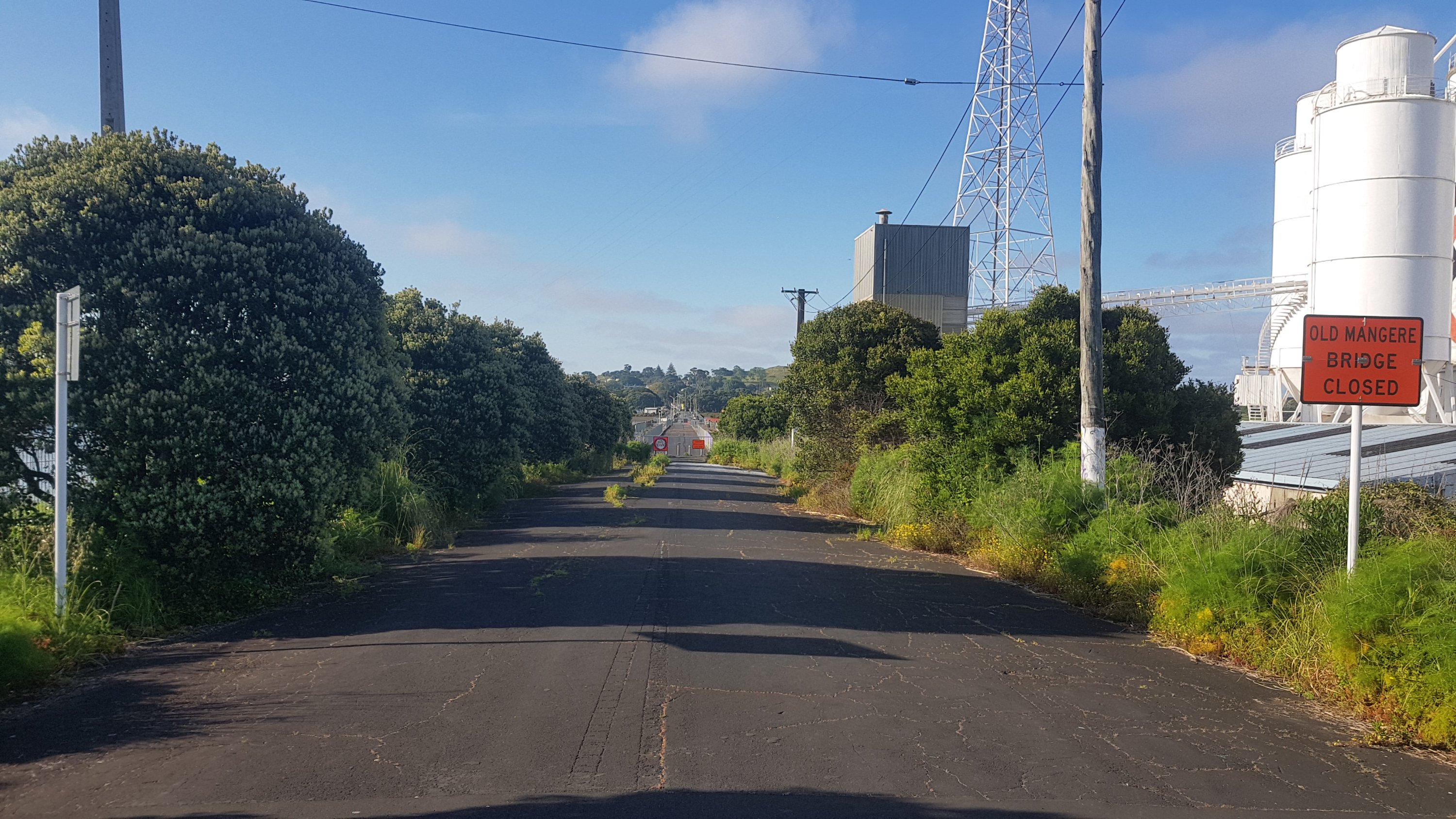
You don’t walk up here or even around here, but it’s a prominent landmark in this area. But first you have to cross the Manukau Harbour to get to it. Thing is… the bridge shown on the Guthook and Trail App is closed, and has been for some time.
Old Mangere Bridge Closed
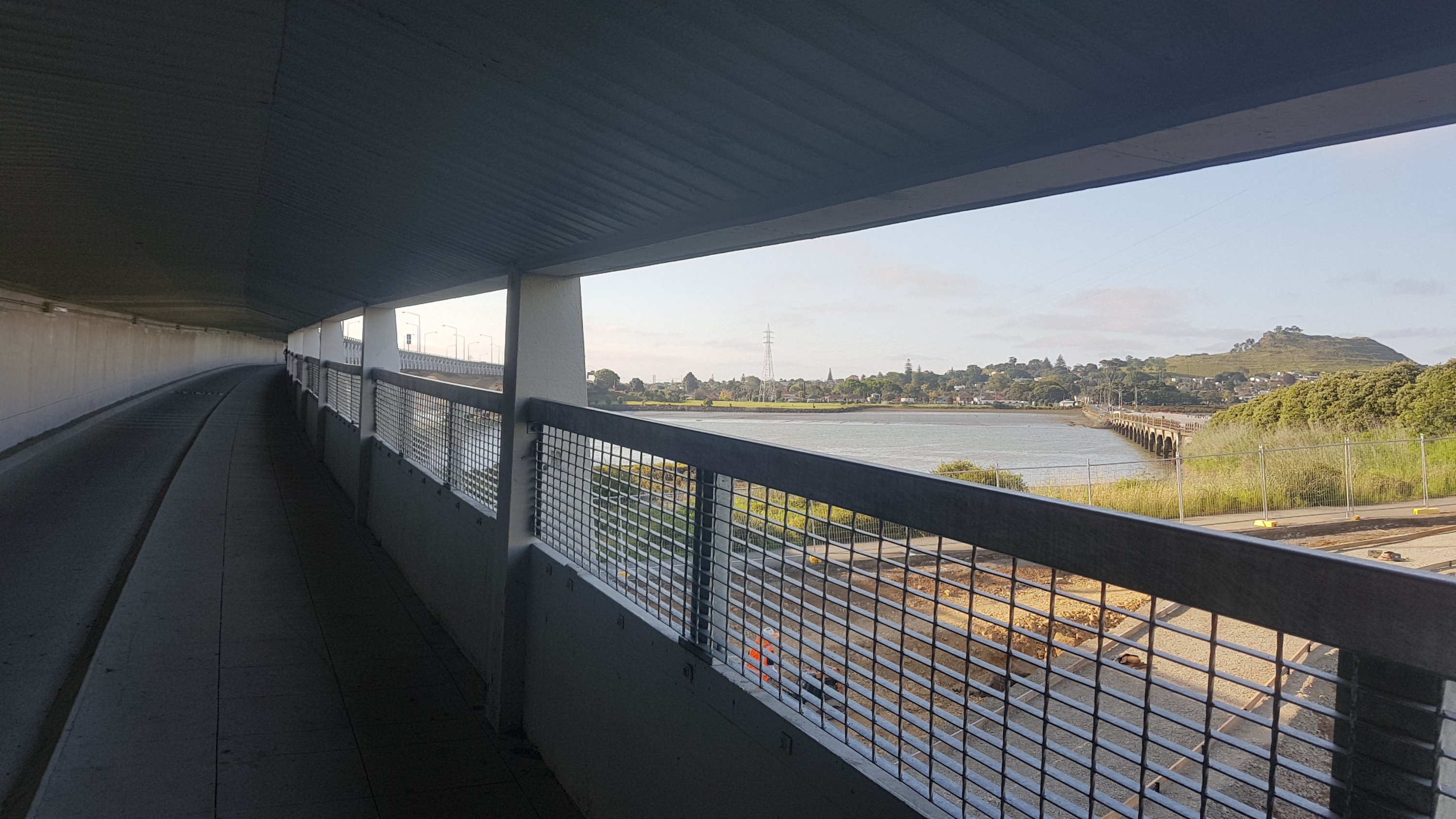
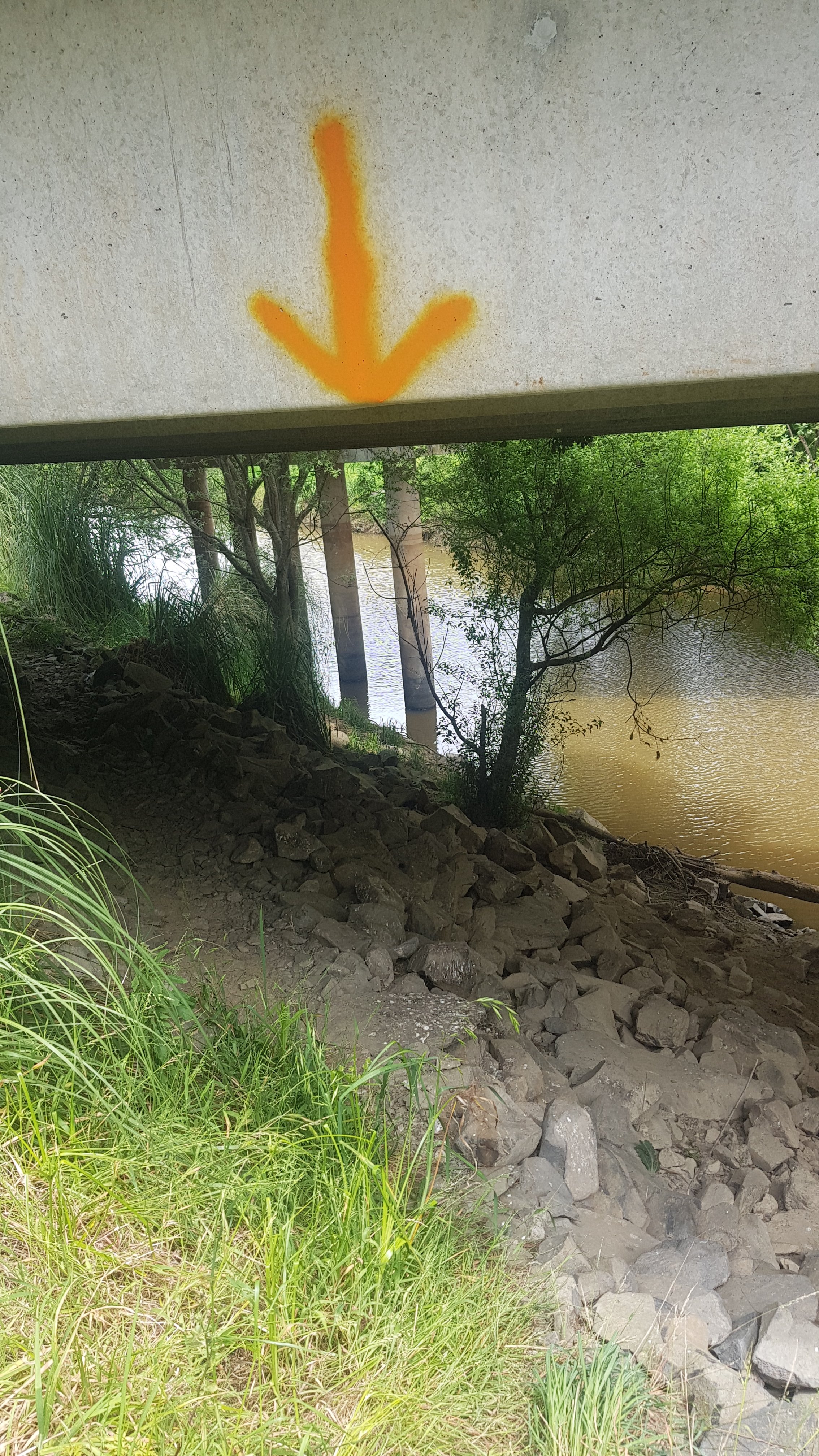
So instead, you have to walk under the motorway which is a small detour. It’s a much less appealing place to walk, but it does the job and has a nice view (and a low headroom). You can also see the “Old Mangere Bridge” which is the one that’s closed, and apparently getting rebuilt.
Under State Highway 20
Then you walk along Kiwi Esplanade, which is a nice walk but the pathway was designed by a drunk guy on a Friday night after work. Could this pathway really not have gone in a straight line?
Curvy!
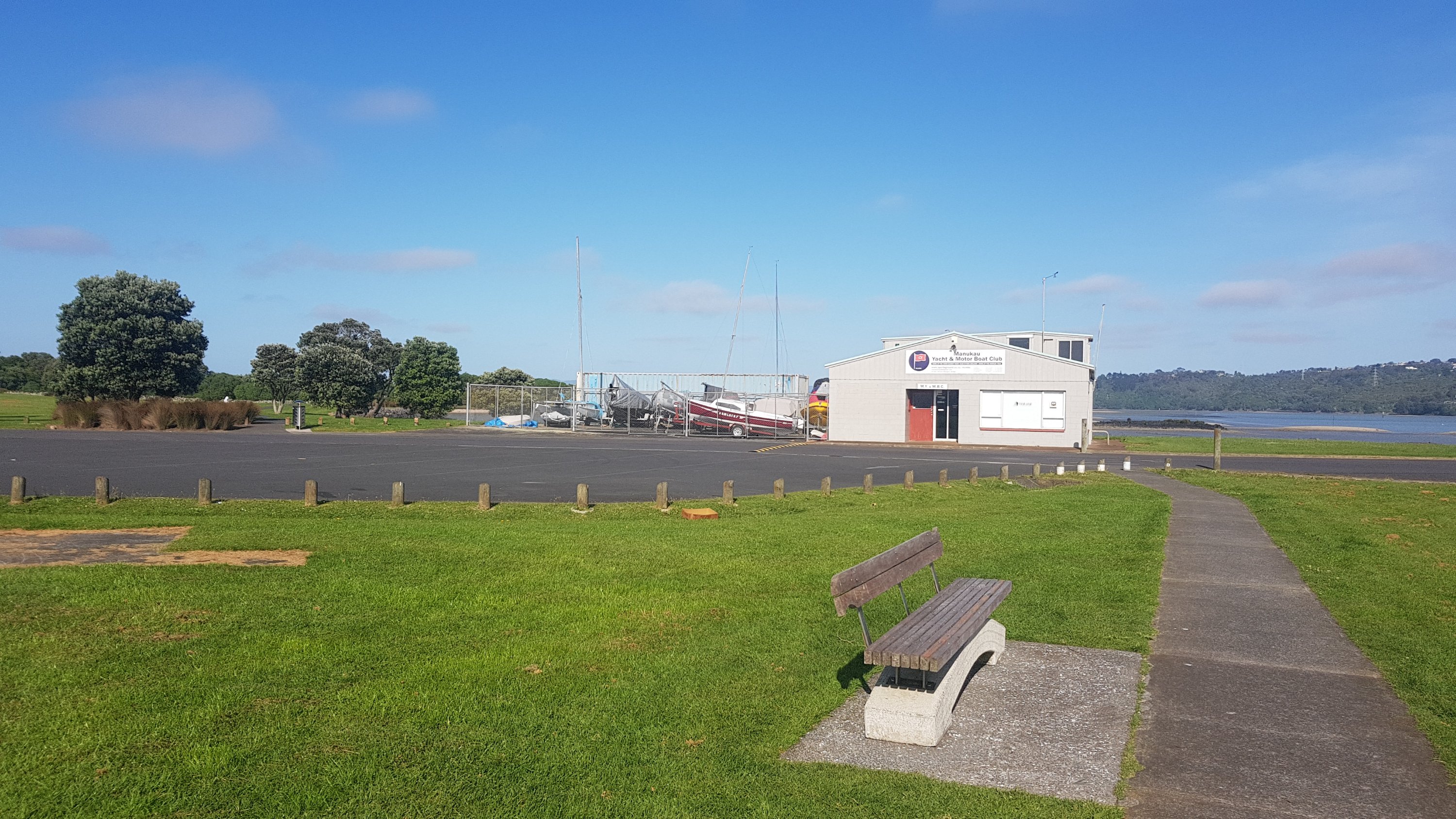
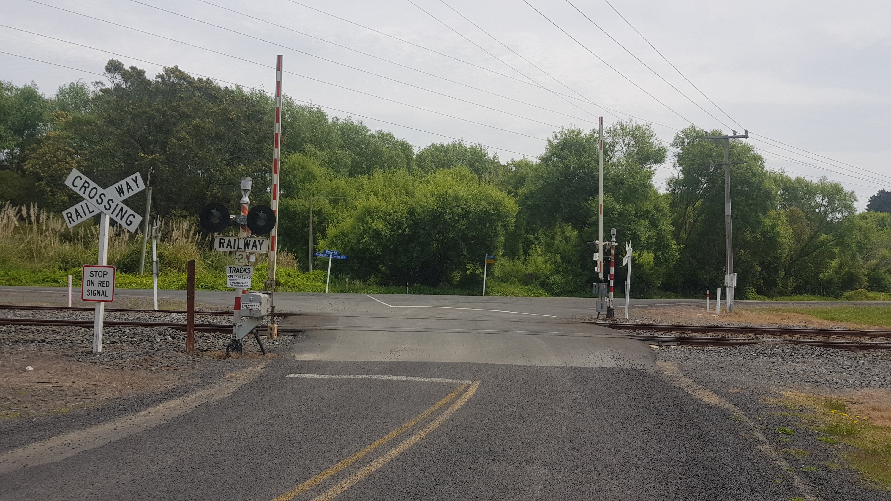
I knew the 600km mark was coming up, so I looked out for it. But I noticed something unusual – the Trail App and Guthook disagree on where the marker is. They’ve always been in sync up until now. Here is where the 600km mark is, according to the Trail App – the Manukau Yacht & Motor Boat Club.
600km mark according to the Trail App
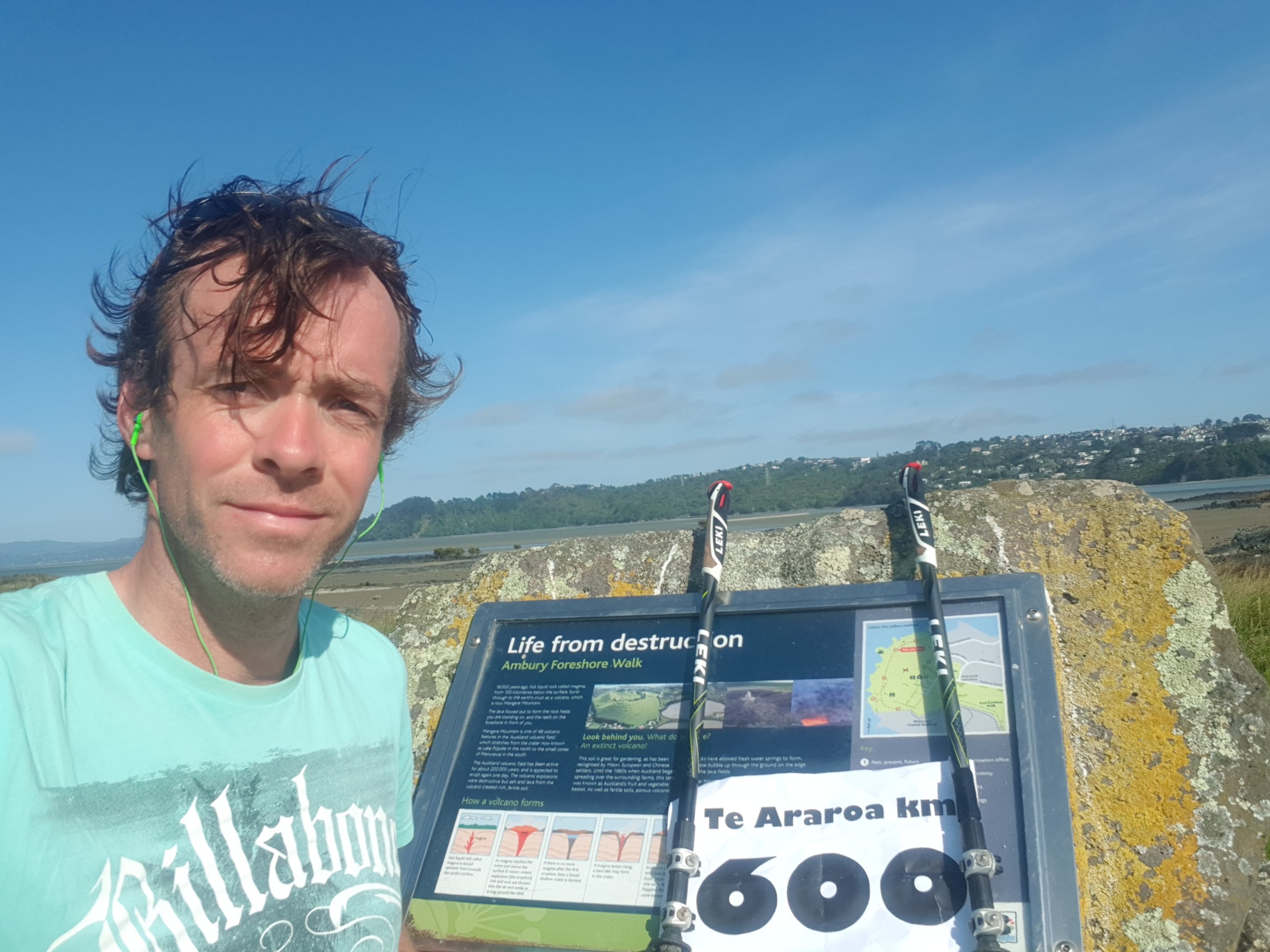
But since I’ve always been following Guthook, here was the “actual” 600km mark – 900 metres later at the Ambury Foreshore Walk. I cranked out a sheet of paper that I prepared earlier at home. I planned to ask anybody around to take a photo of me holding it, but there was nobody around. And it was windy… so here’s the picture to mark the occasion.
The “real” 600km mark!!
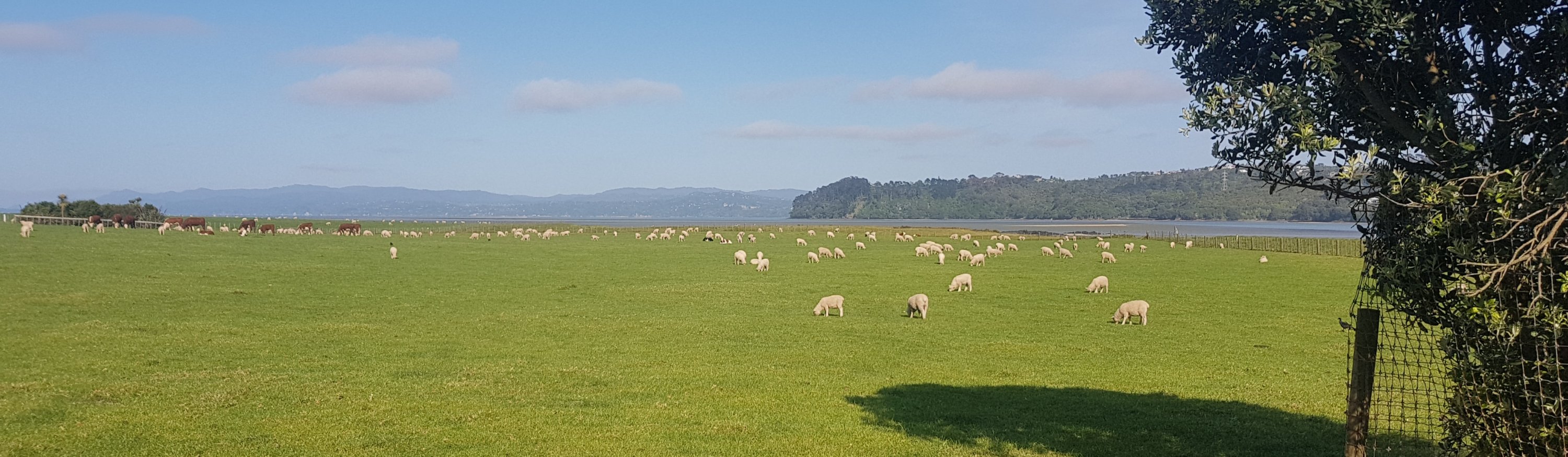
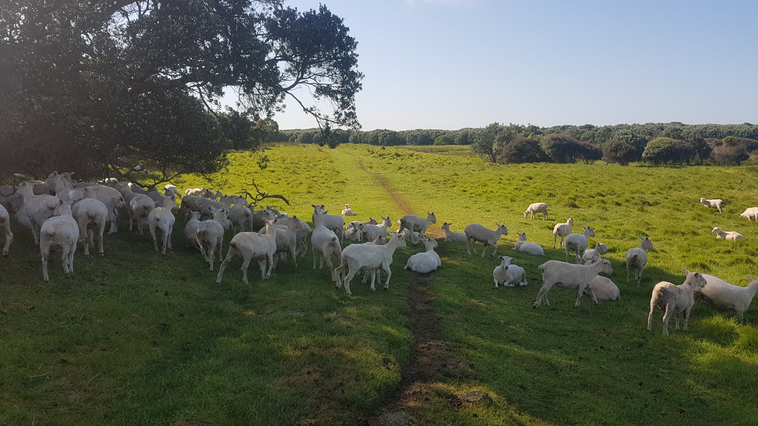
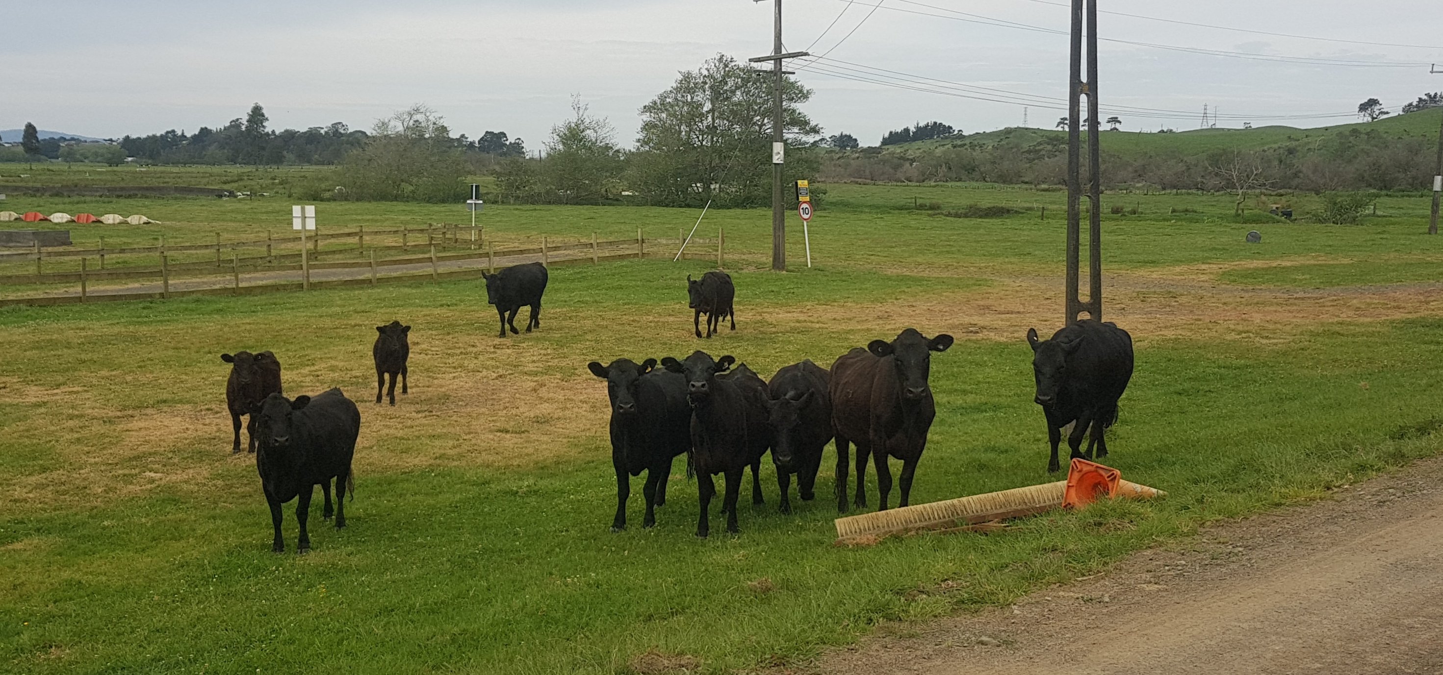
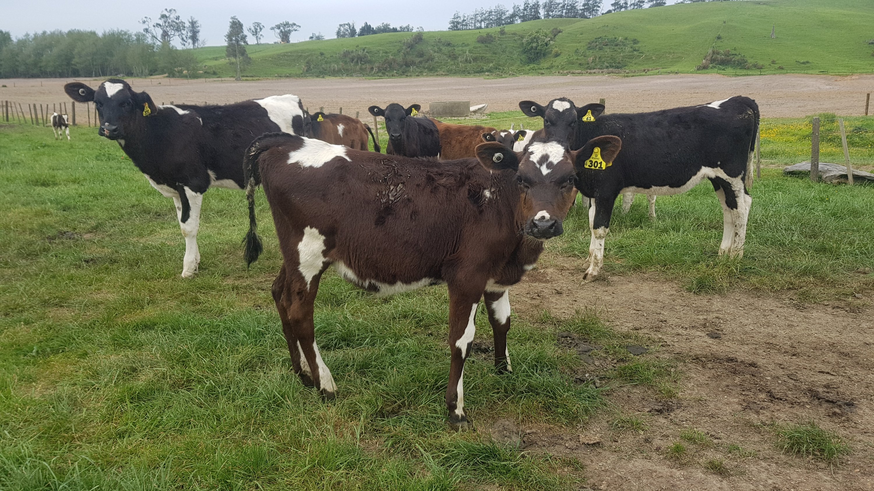
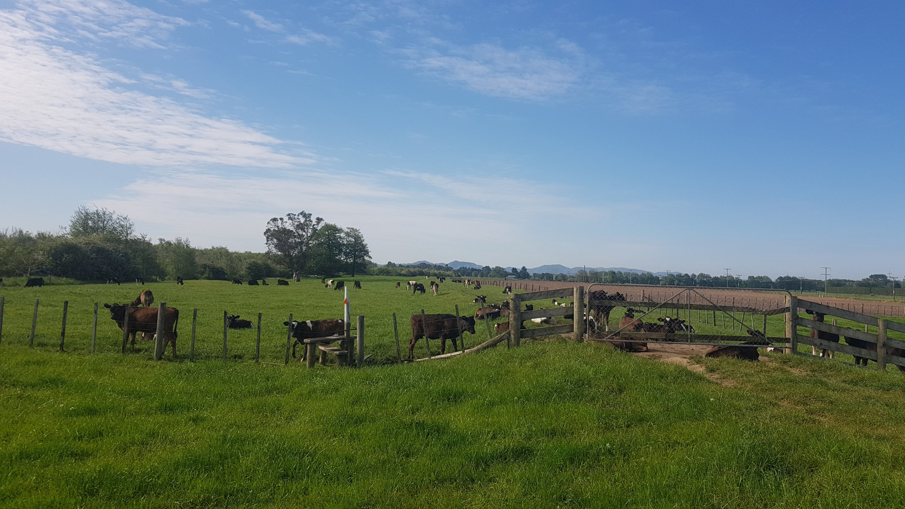
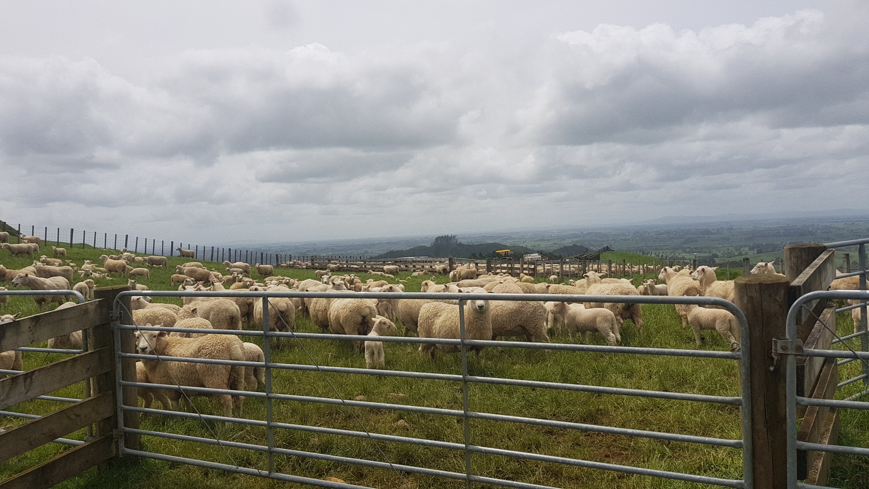
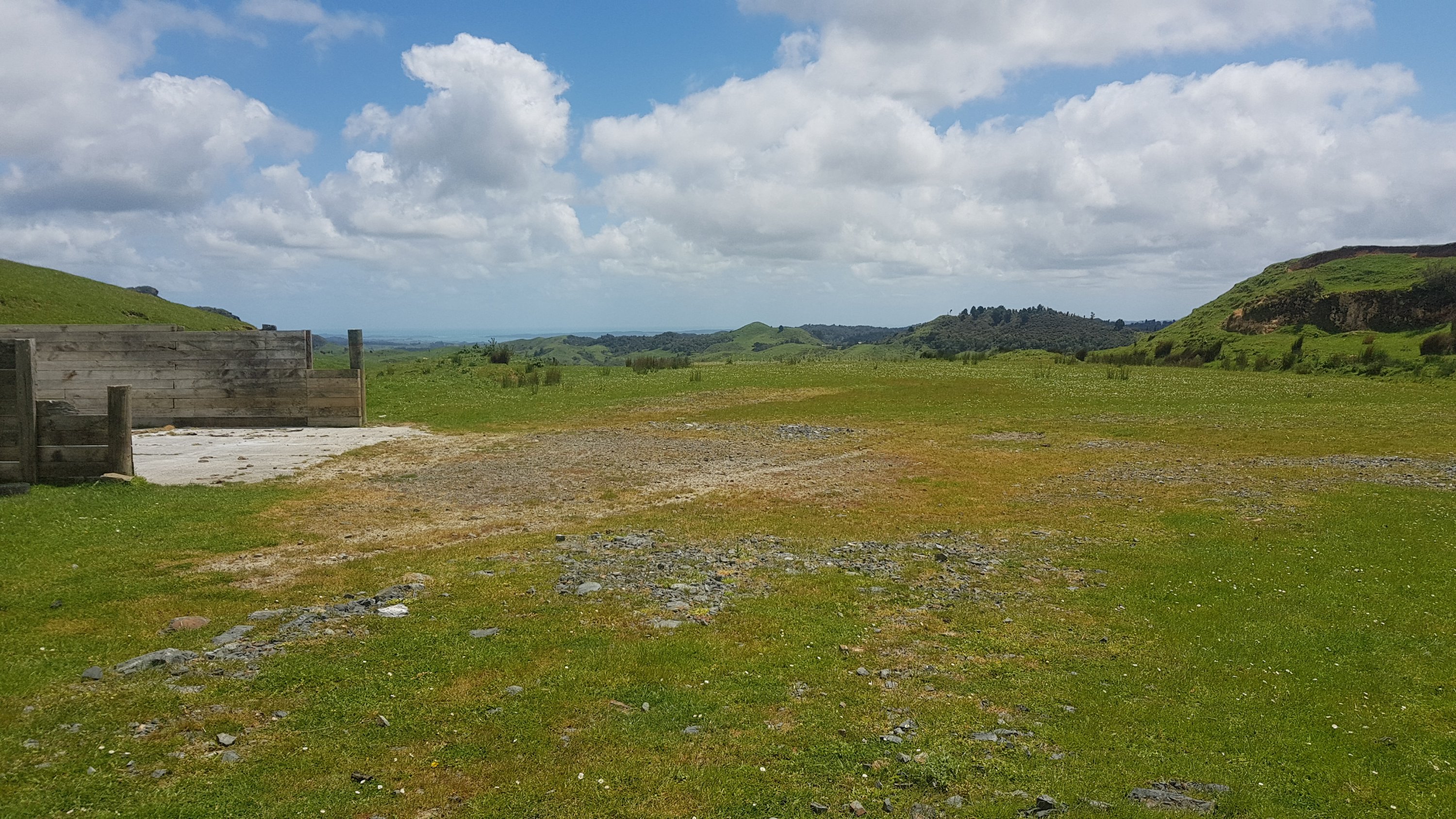
Ambury Regional Park has very few people around… but a *lot* of sheep (and a few cows).
Lots and lots of sheep, and a smattering of cows
These ones were blocking the pathway.
Move!
They moved quickly enough.
There they go.
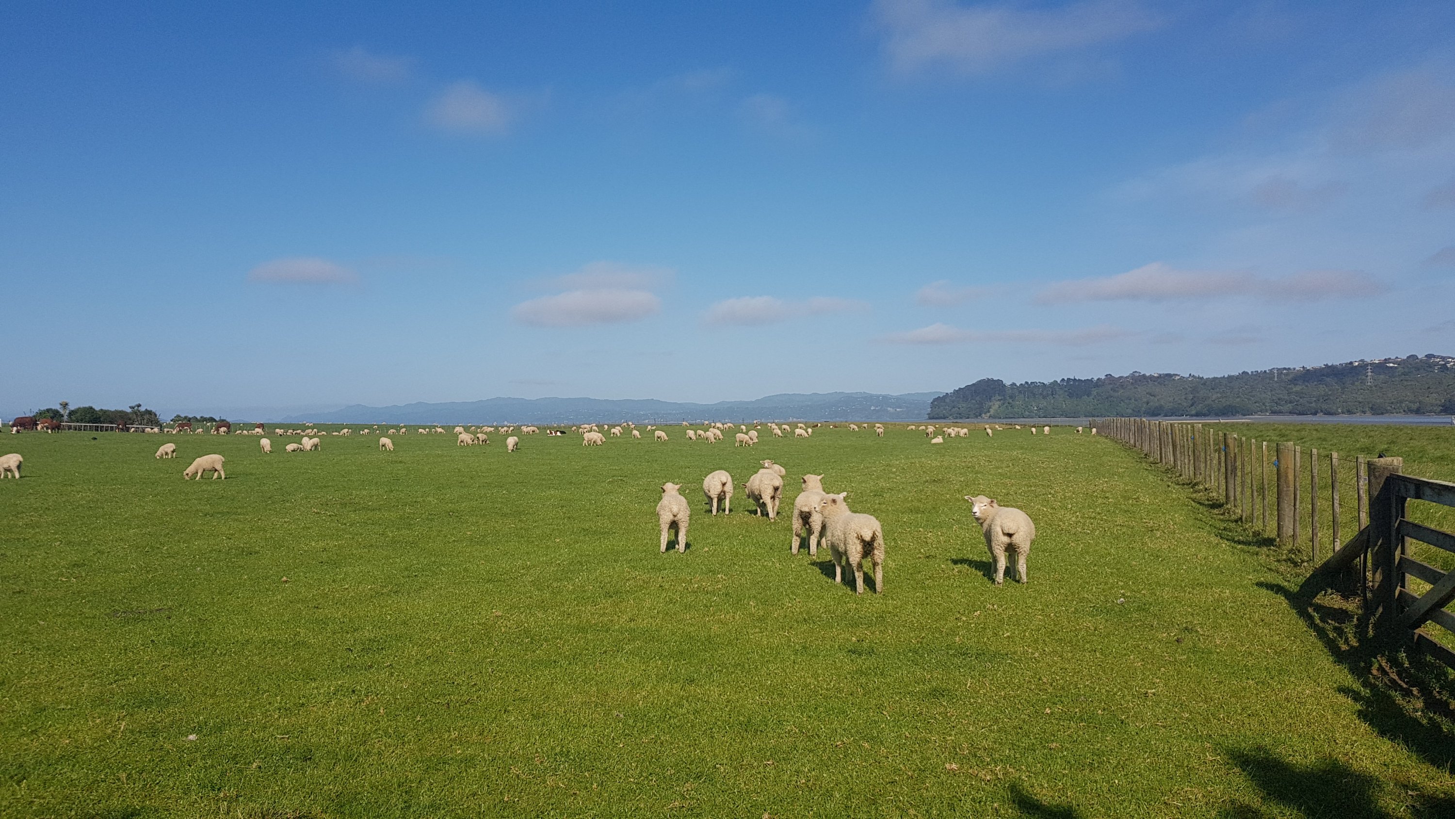
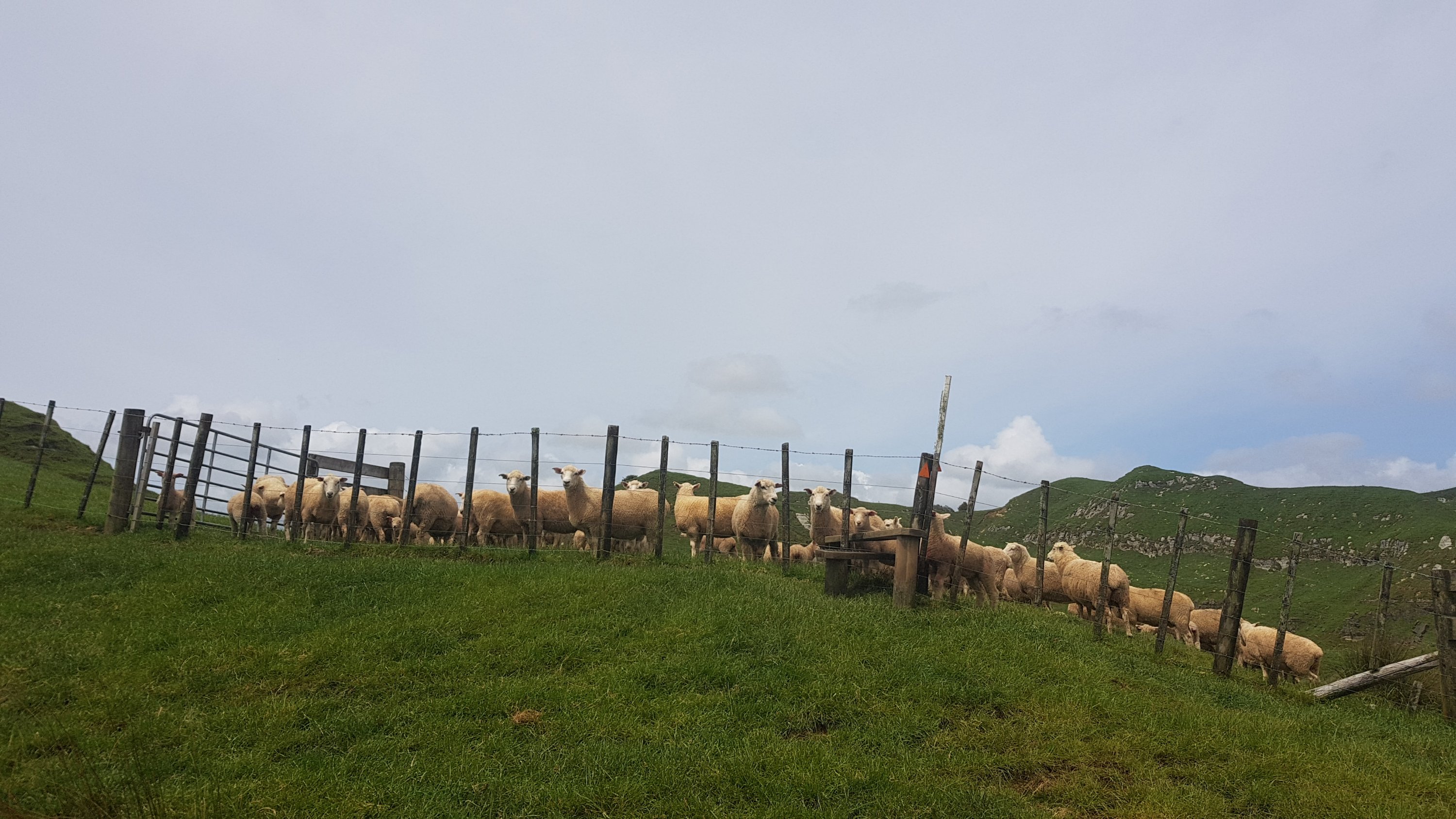
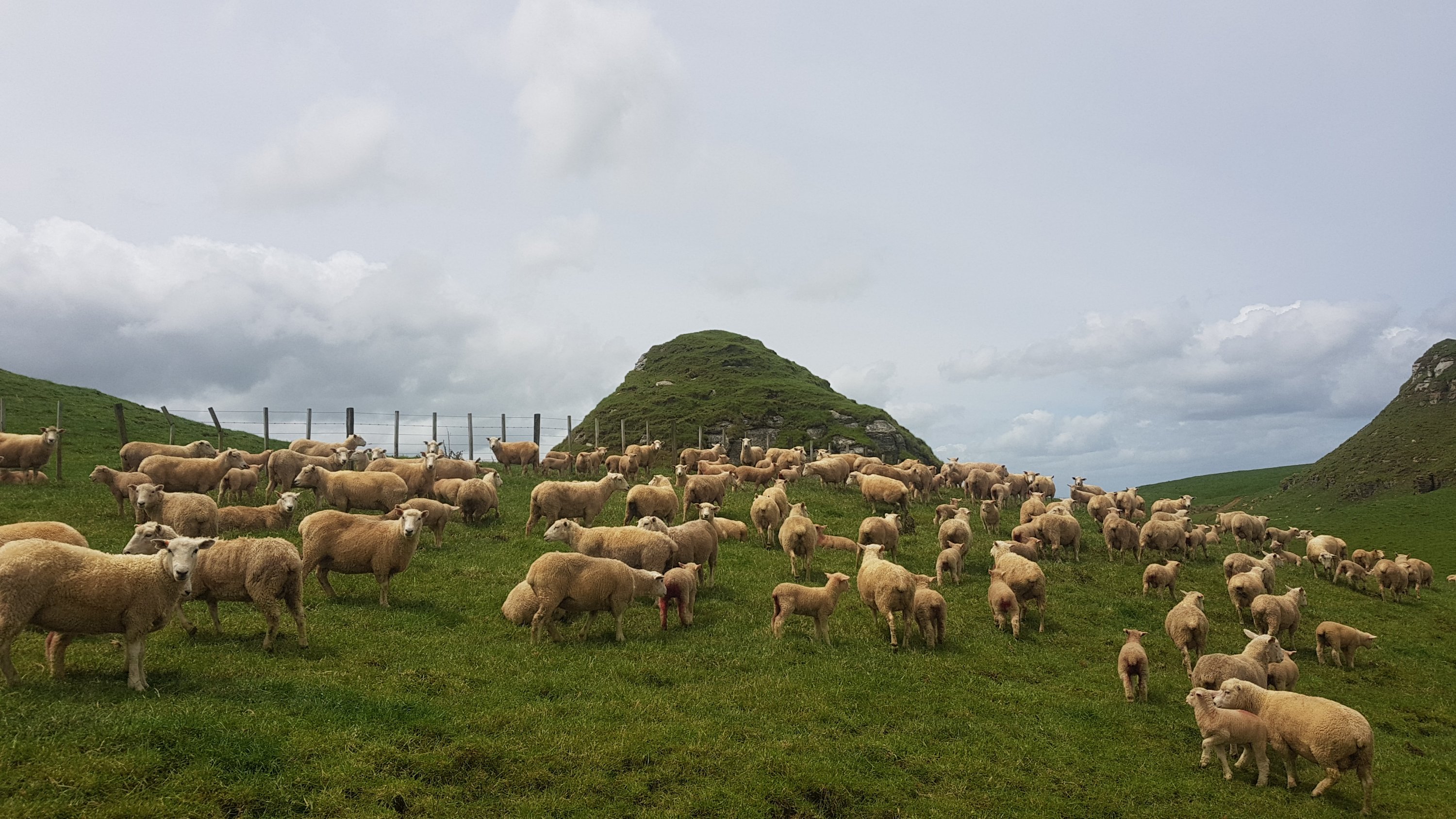
Uh oh… more sheepies blocking the path. It’s getting hot now, and the clouds have all gone. I feel bad shooing them away from the shade.
Many sheepies in the way
Sorry sheepies, you’ve got to move.
Now just a note – please don’t use the word “sheeps”. The plural of “sheep” is “sheepies”. Saying “sheeps” really singles you out as a clueless tourist.
I liked walking around the park, but I did get my poles out at this point and started using them again since it turned into farmland. After a while it turned into the Watercare Coastal Walkway, which wasn’t quite as wonderful but still not too bad. It goes right beside the Mangere Wastewater Treatment Plant. A bit stinky.
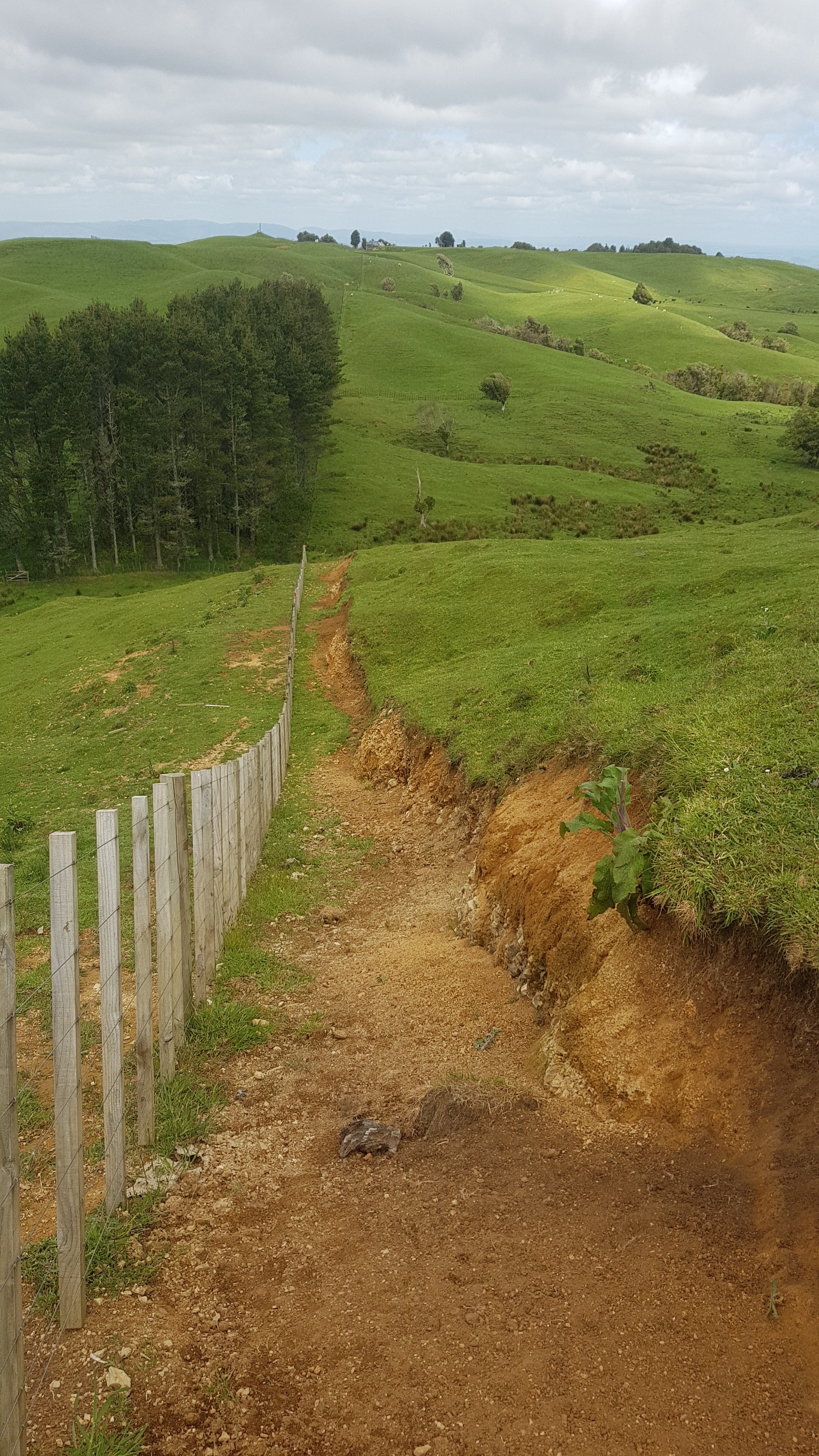
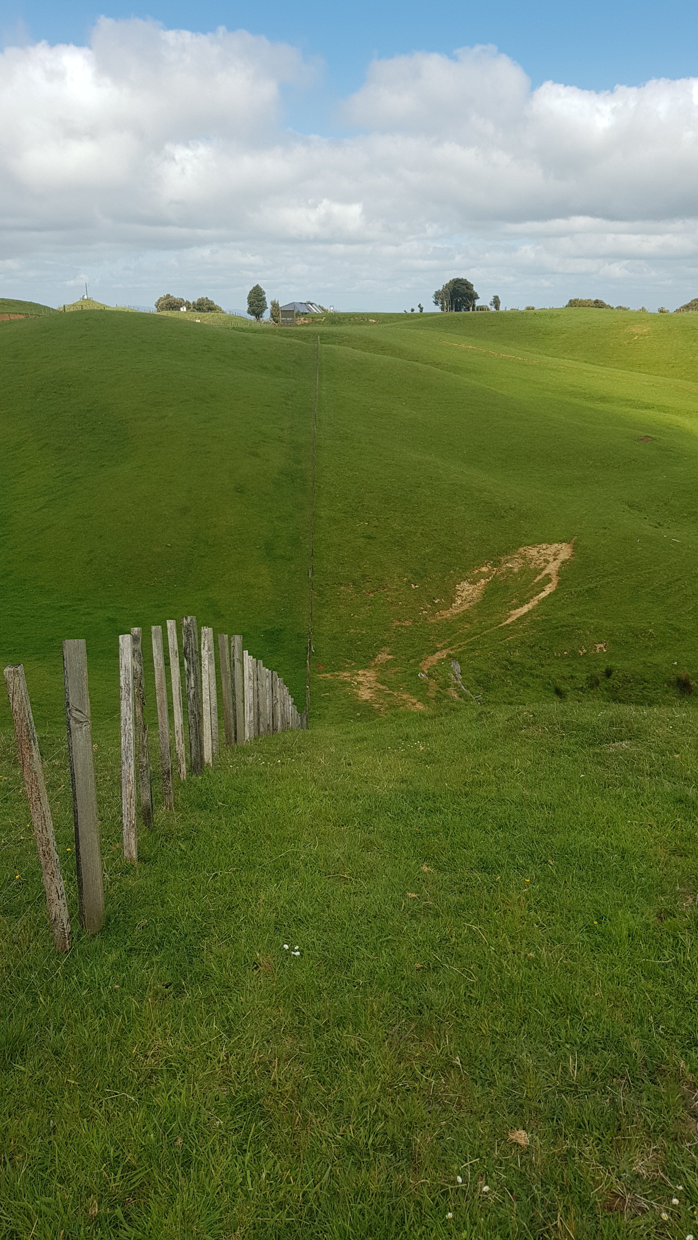
It was along here I went about 400m off course. You can see it in the map below. At one point I followed the “Watercare Coastal Walkway” sign but the TA goes a slightly longer way. I could have kept going along this path, but it would have been considered a “shortcut” because it would cut off some distance. That’s cheating… so I backtracked and continued the proper way.
It was also at this point that my sunglasses broke. These $10 sunnies that I got on Day 5 lasted 35 days. Not very long.
And speaking of juvenile humour, Mangere Mountain from this angle really looks like boobs.
The notable South Auckland landmark known as Mount Boobs. Well it is to me.
And actually, you can see the three main peaks of the walk so far all from right here. Mangere Mountain is closest, One Tree Hill is in the middle and Mount Eden is in the left, so far away now that you almost can’t see it.
3x peaks
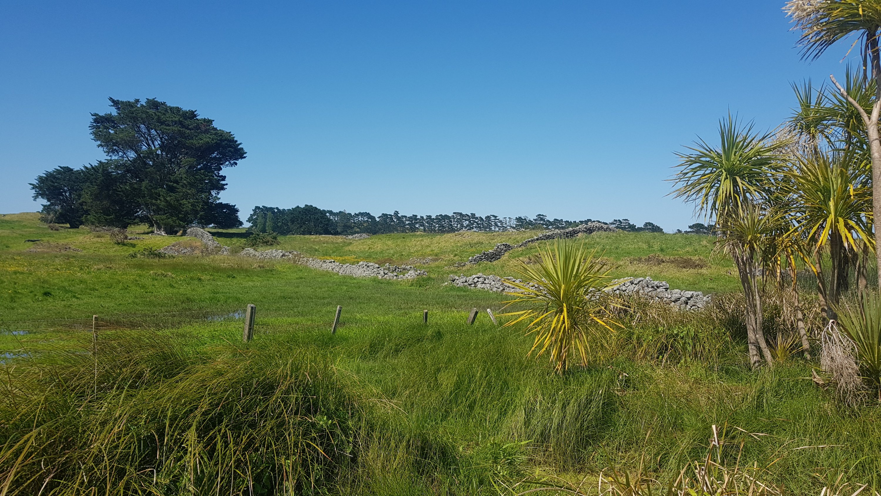
Next was through the Otuataua Stonefields Reserve. I’d never been through here and I was looking forward to it. The stone fences reminded me of farms that you see a lot in England – bordered by stone fences instead of the type of fences you see everywhere here.
Stone Fences 1Stone Fences 2
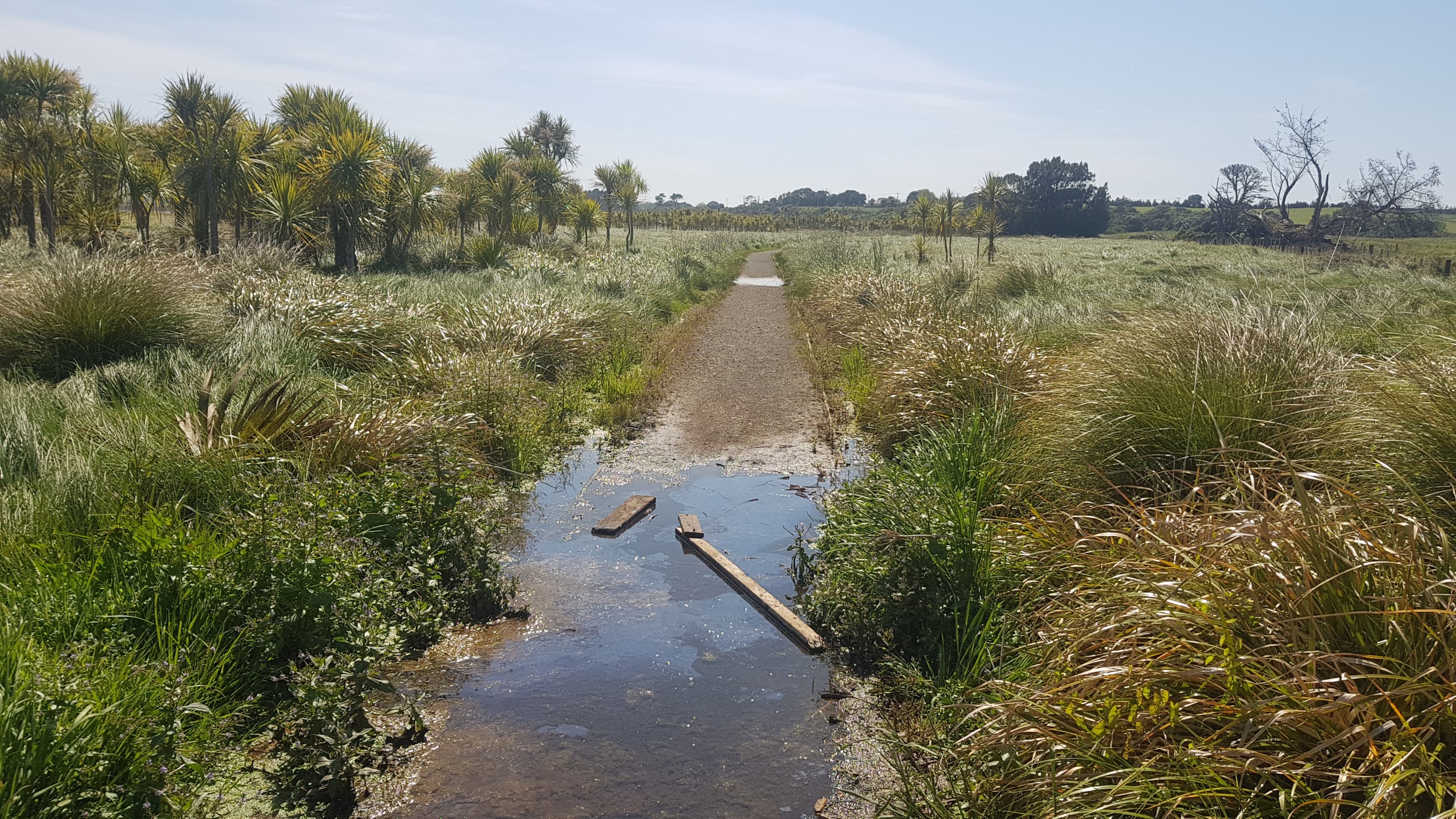
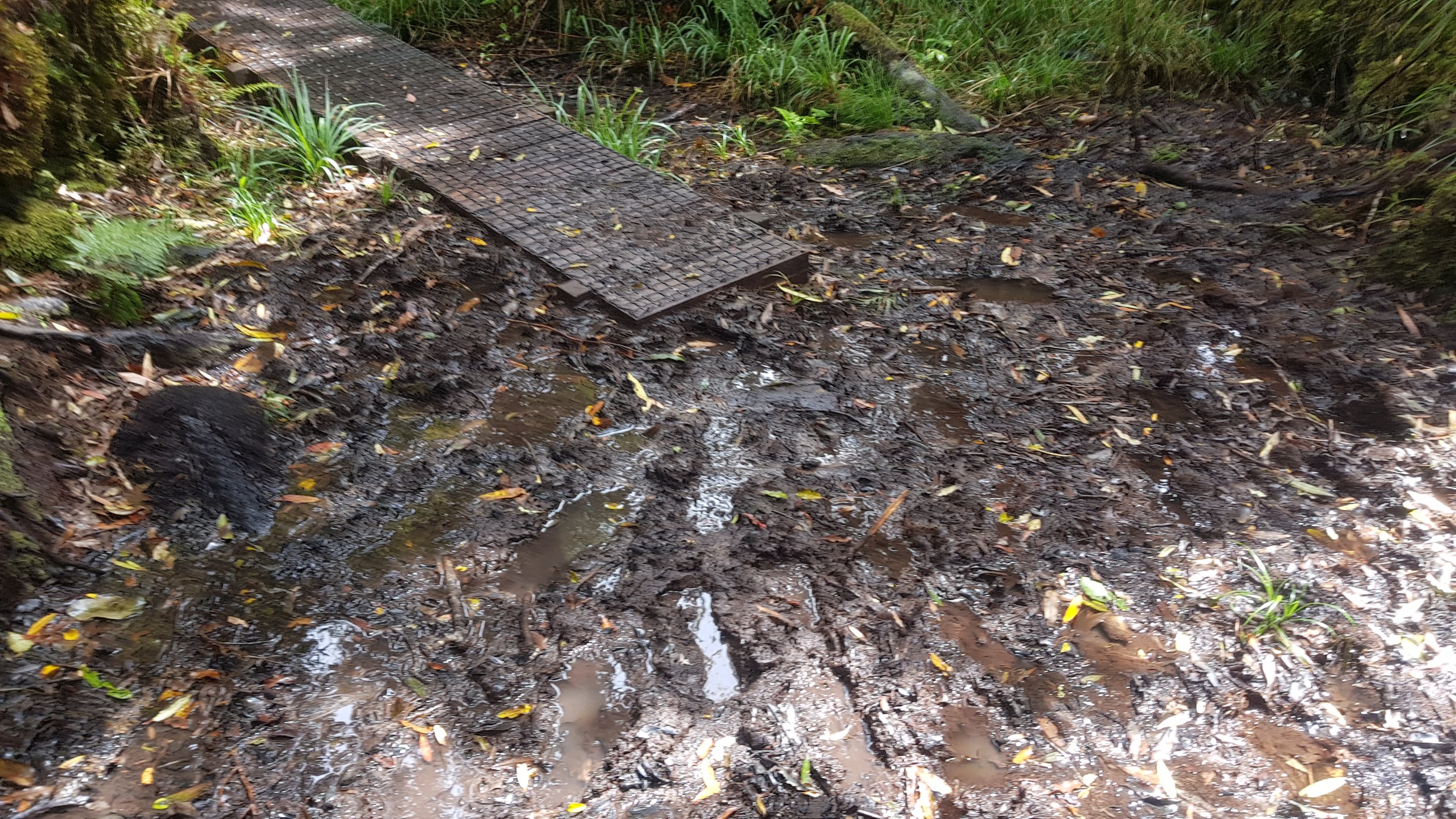
Like everywhere today, the path was well formed and dry, except for this one small bit. Thank you to whoever put large pieces of wood down. They saved me getting my shoes wet.
The one wet and muddy path all day
And next was the Ihumatao Quarry. This is where I met Mark and Jolanda – they had set off from Ambury a short time ago. It was great to have someone to talk to for a while.
In the news a few months back, Ihumatao was the site of a lot of land protests. I haven’t been watching the news since I started the trail – quite frankly, I’m quite happy not knowing what other things are going on around the country and around the world right now. But I was talking to my Mum yesterday and she said she hadn’t heard anything about the protests in the news recently.
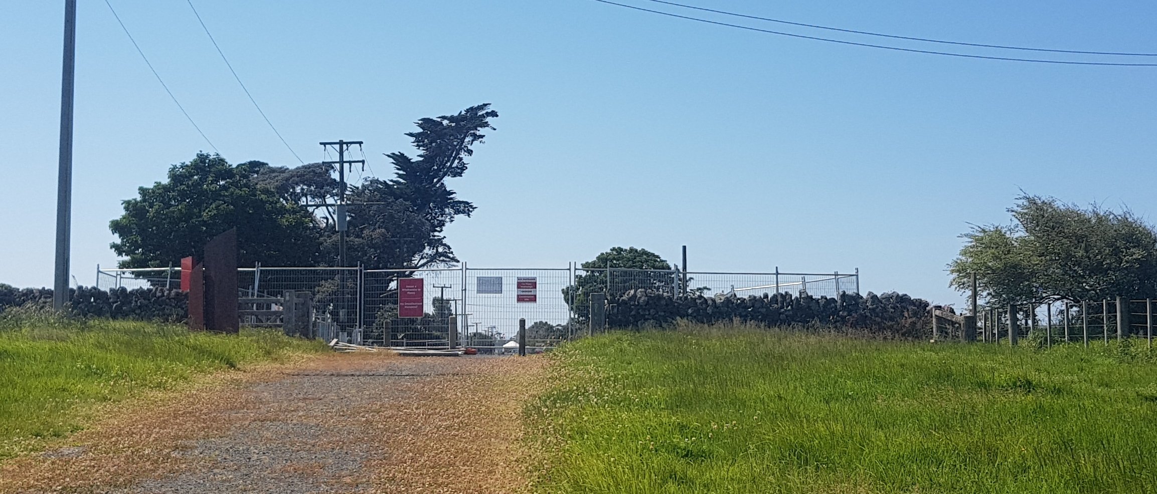
But… we found ourselves blocked by a road block. It was protesters blocking the road. And they have done a real job of it.
Ihumatao Quarry Road blocked
The three of us were refused access to the area. I don’t want to get into the politics of the protest too much but I wonder if they really have the right to deny us entry to a public road. Regardless, we took a detour through an avocado orchard, which was easy and you were allowed to take five avocados each, according to the sign.
If you need to follow the detour, when you first see the blockade above, and you are on the path in the picture, look to the right and you will see the entrance to an avocado orchard which has a small Auckland Council sign. Follow the fenceline on the left of the orchard and it will bring you out on the next road south, and you will rejoin the trail shortly after. Again, you can see it in the map below.
My 11am picture is us trying to figure out if the detour we had just taken was across private or public land. We worked out it was on public land. Jolanda’s finger here is pointing at the point of the blockade.
11am picture – closed road
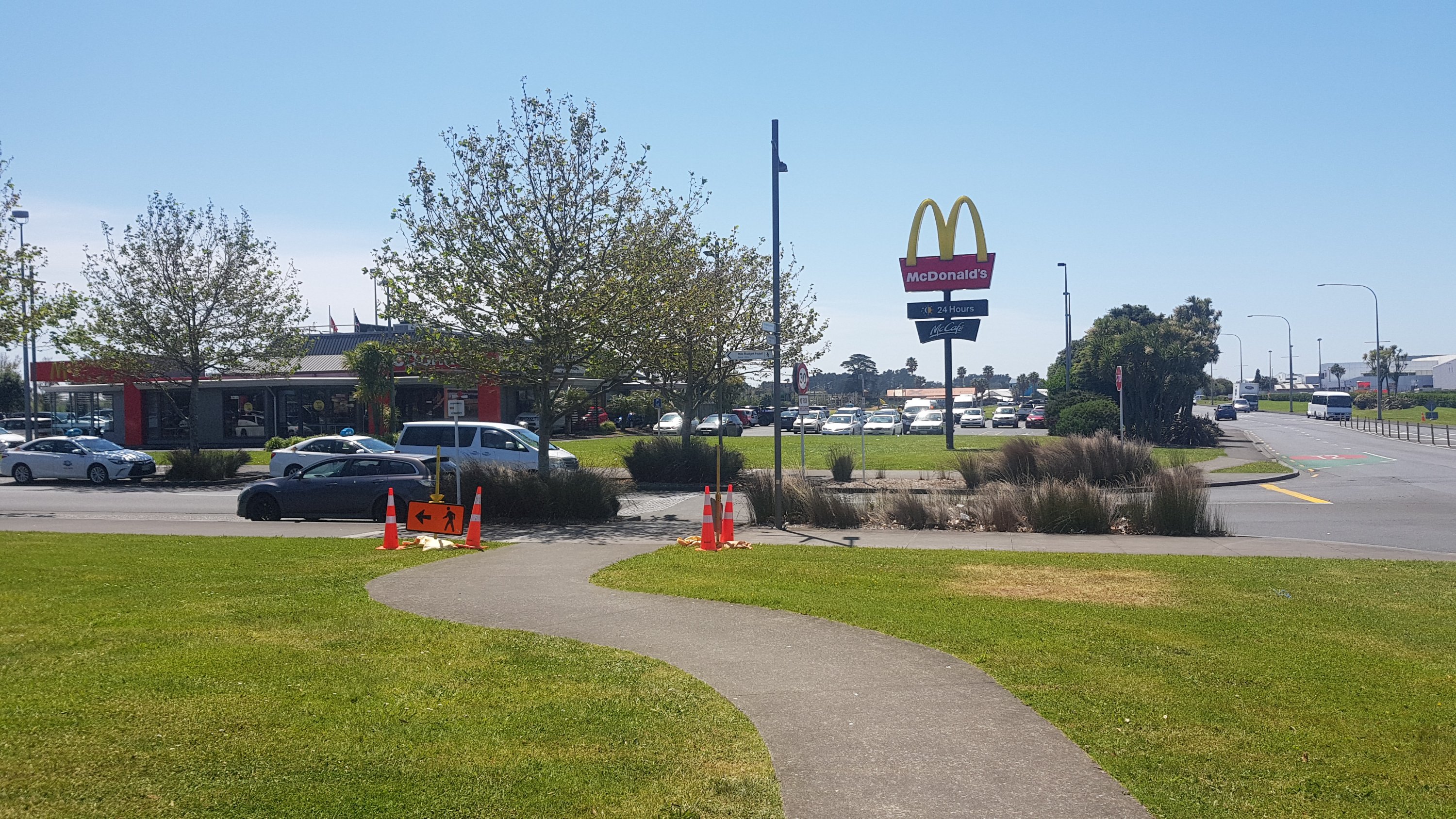
Not long to the Airport now. I was looking forward to having McDonald’s! Although… when I realised that the McDonald’s is actually inside the airport terminal, and that required a bit of a detour, I just stopped at the first Z petrol station that you come to (called Z Skyway).
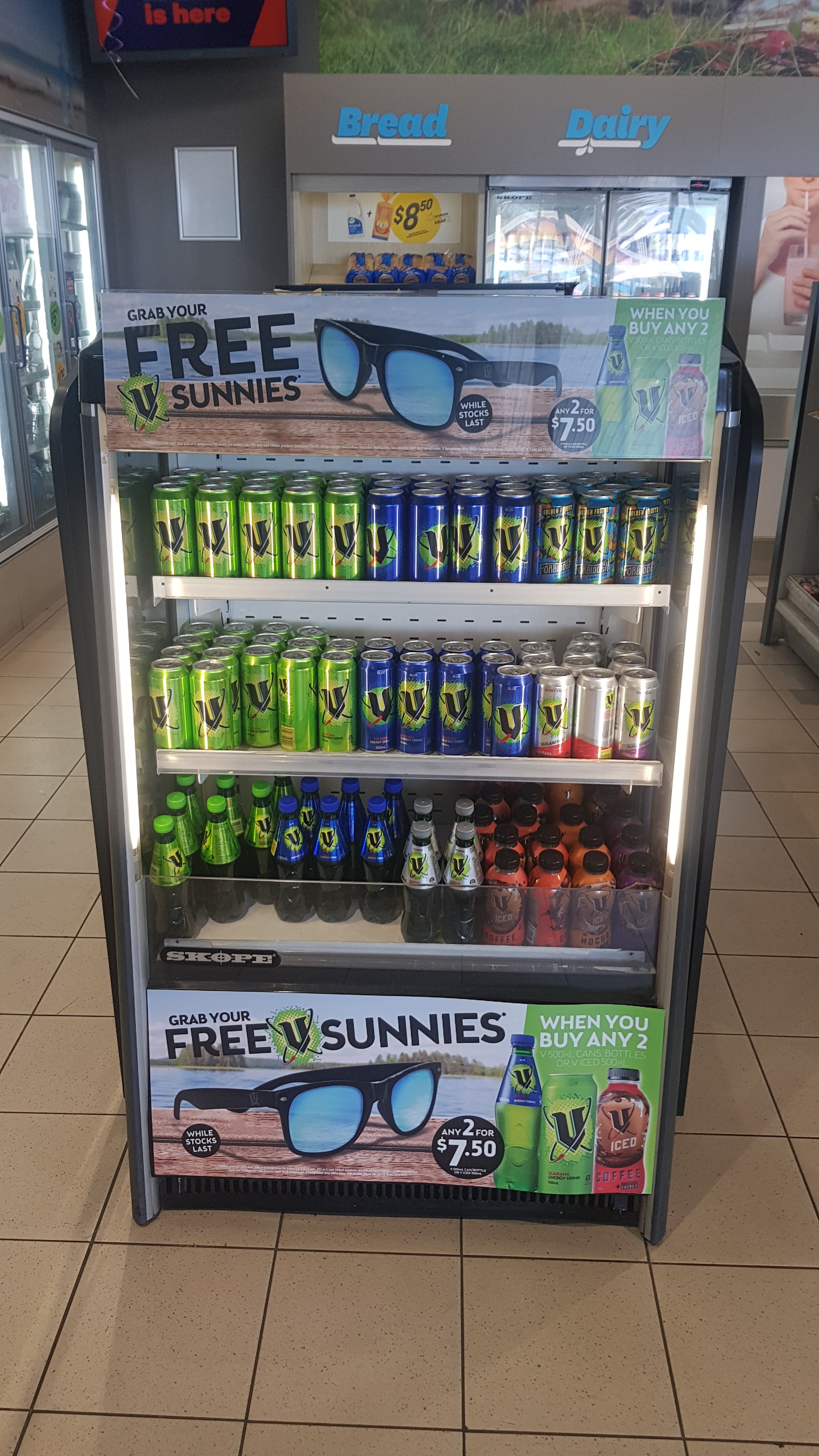
When I walked in… I saw this:
Free sunnies!
Free sunglasses… for buying my most favourite cold drink in the world! Yes please! What perfect timing – I had just broken mine two hours before, and I finally got some new ones.
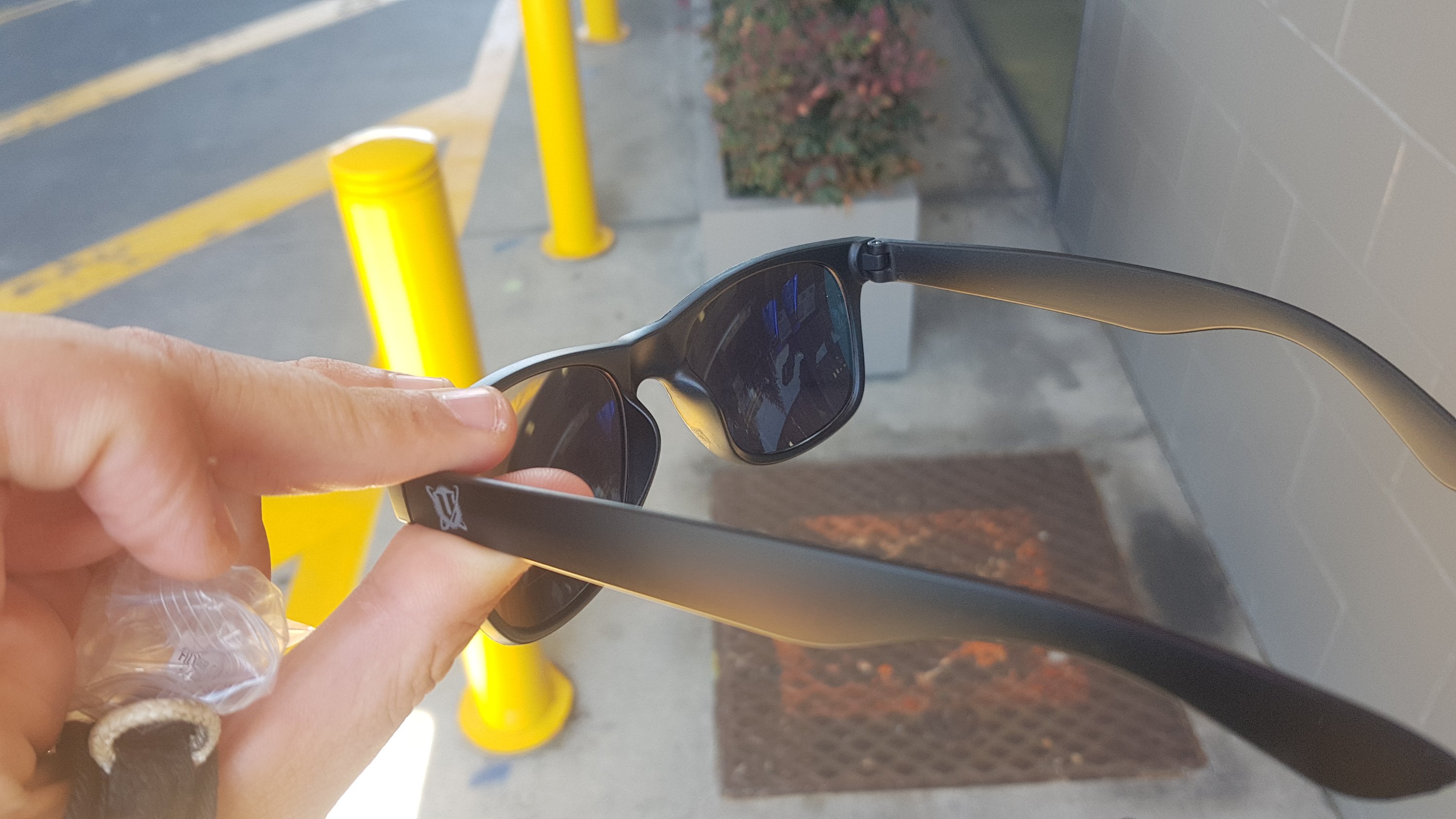
From this angle they look okay.
I put them on and had my lunch.
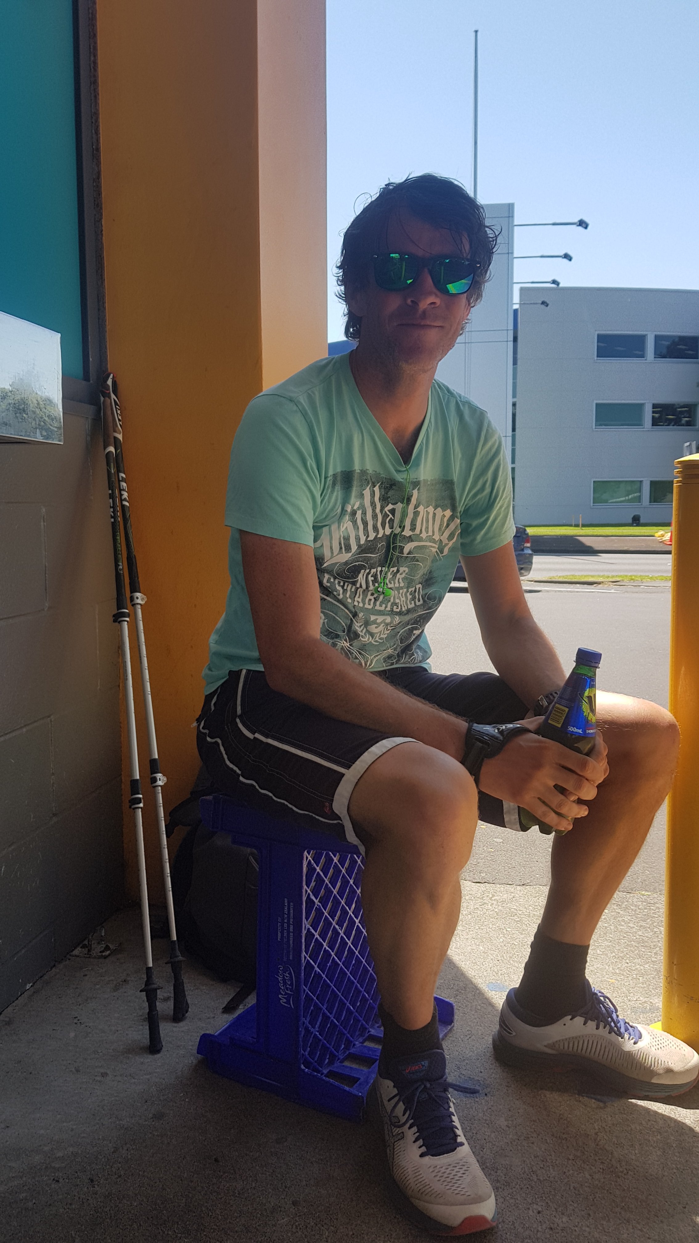
Me in my trendy new sunglasses
There are few things to point out from this picture. First – thanks to Jolanda for taking it. Second – I’ve been wearing my running shoes today instead of my trail runners or boots. Good choice since the day was almost all on roads. Third – the lenses of my new sunglasses are hideous colours. Fourth – the Z has great coffee and some good pies but nowhere to sit, so I had to sit on a milk crate. Fifth – I’m wearing a different shirt. This shirt really rubbed on my nipples and they were quite raw by the end of the day. I should have anticipated this, as it used to happen all the time when I used to go running, and I used to put waterproof tape over them to stop them rubbing. However, the more I thought about it, that probably doesn’t happen normally because my usual pack straps across my front and so that would stop the shirt moving around and stop the rubbing. Ok fine, I shouldn’t blame the shirt, I should blame the pack.
I left Mark and Jolanda at this point as they were taking it easy but I had a long day ahead so couldn’t dawdle for too long.
And I completely forgot about this McDonald’s just around the corner! I really thought the only McDonald’s was in the airport itself.
McDonald’s on Tom Pearce Drive
I guess that the universe wanted me to get the free sunglasses. If I had gone to this McDonald’s instead of the Z, I might not have noticed the deal. Although, there are four Z petrol stations between the Airport and the next 10km. They really want the business of people driving to the airport.
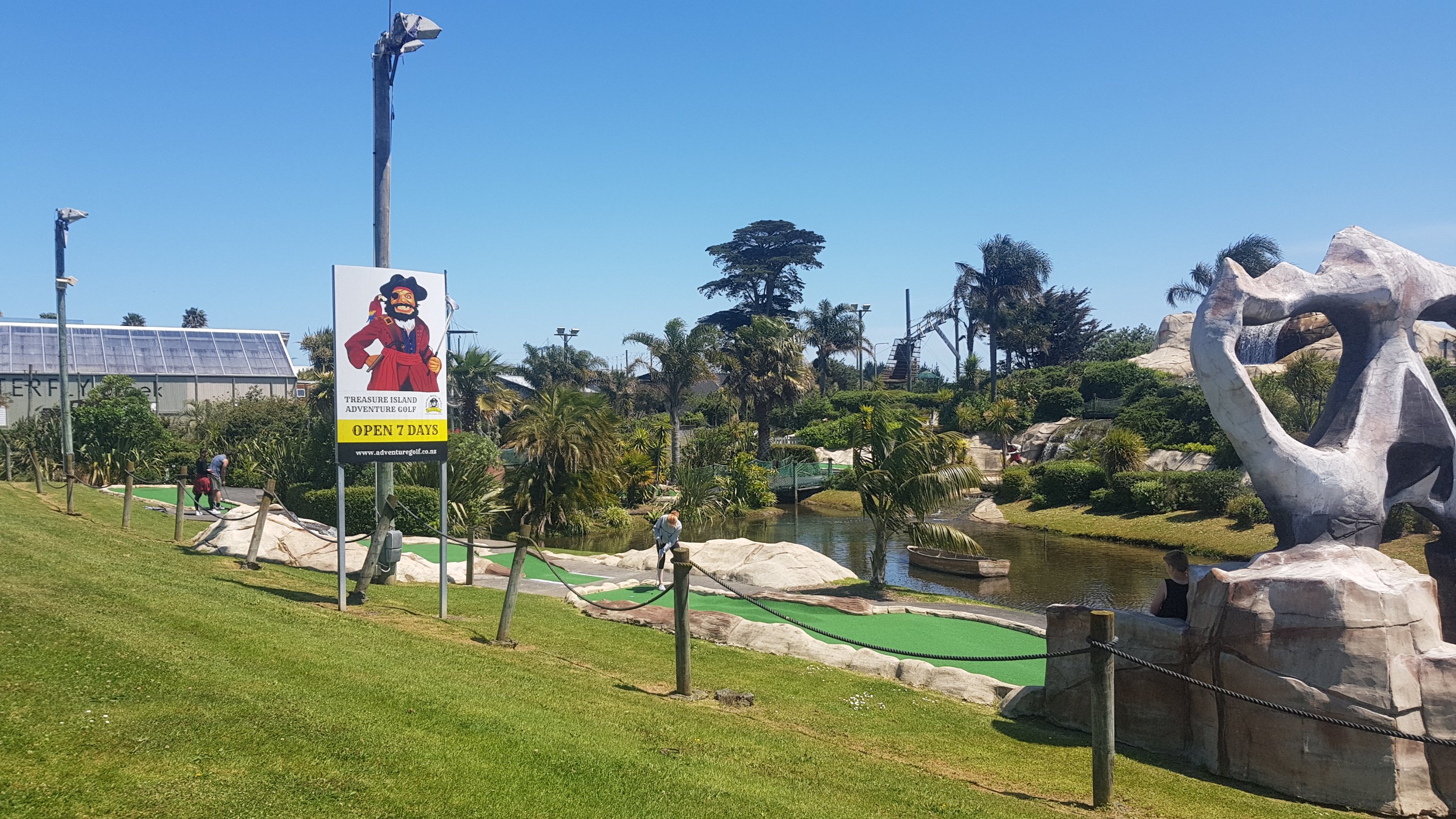
I passed this mini golf course. This golf course always bring back memories – in 2003 I flew to the USA for a few months and I played mini golf with my family while we were waiting for my flight.
Treasure Island Adventure Golf
I saw this too.
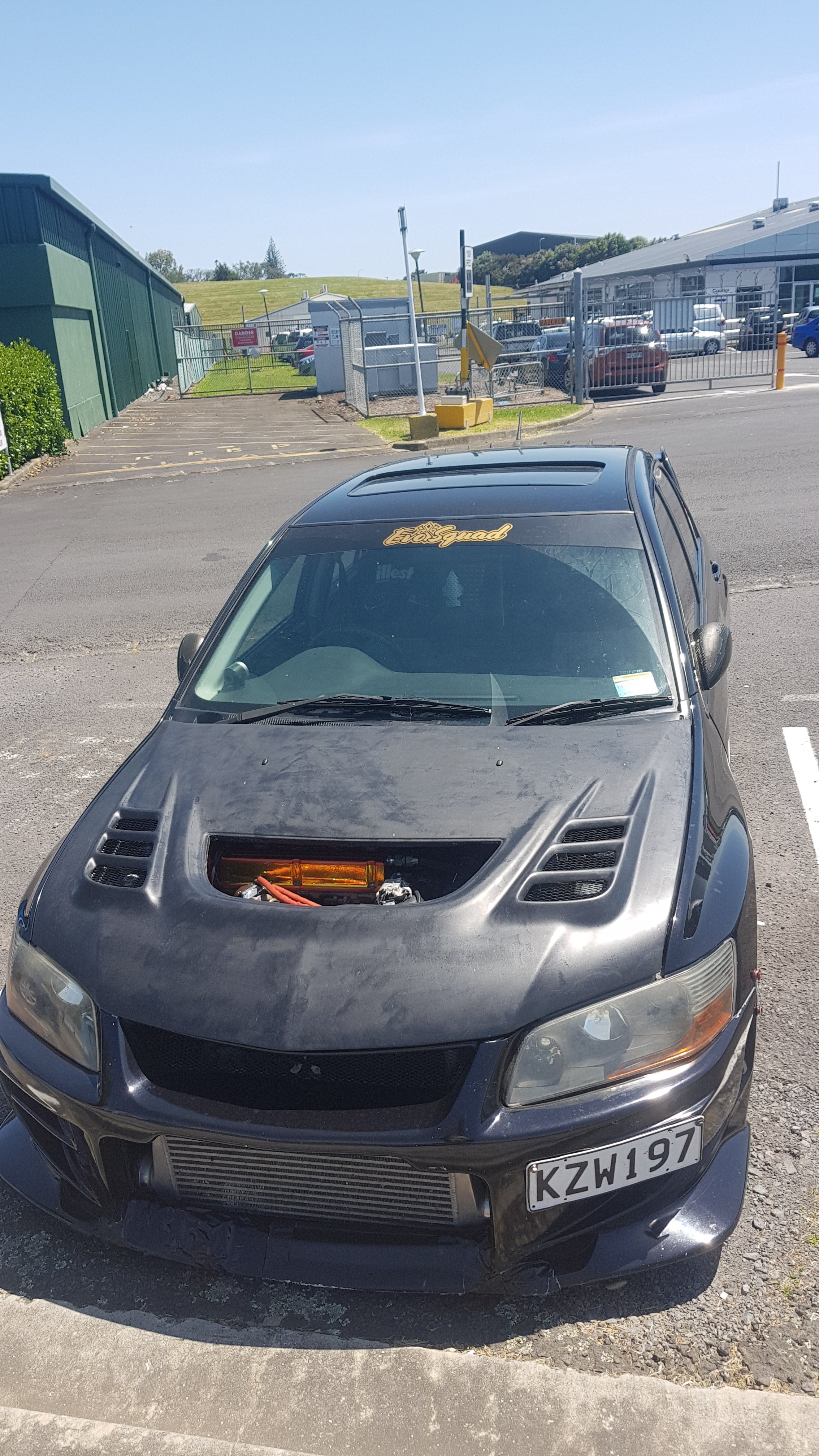
2003 Mitsubishi Evo 8
This caught my eye because it’s the exact same make, model and year as my car but it’s clearly been heavily modified. I wondered if the scoop was missing the grill on purpose or if it had just fallen out. You could just reach in and touch the pipes.
I also saw this. Don’t speed around the airport!
Can you see the sneaky speed camera in there?
There’s a camera in there which will send you a fine if it detects you’re speeding. They call them “traffic safety cameras”.
I also discovered that State Highway 20B, despite being the road to the airport from the south, has a footpath along a lot of it.
State Highway 20B
And where there was no footpath, at least there was a shoulder. You also get to see the planes coming into land. Here’s an Air New Zealand plane arriving.
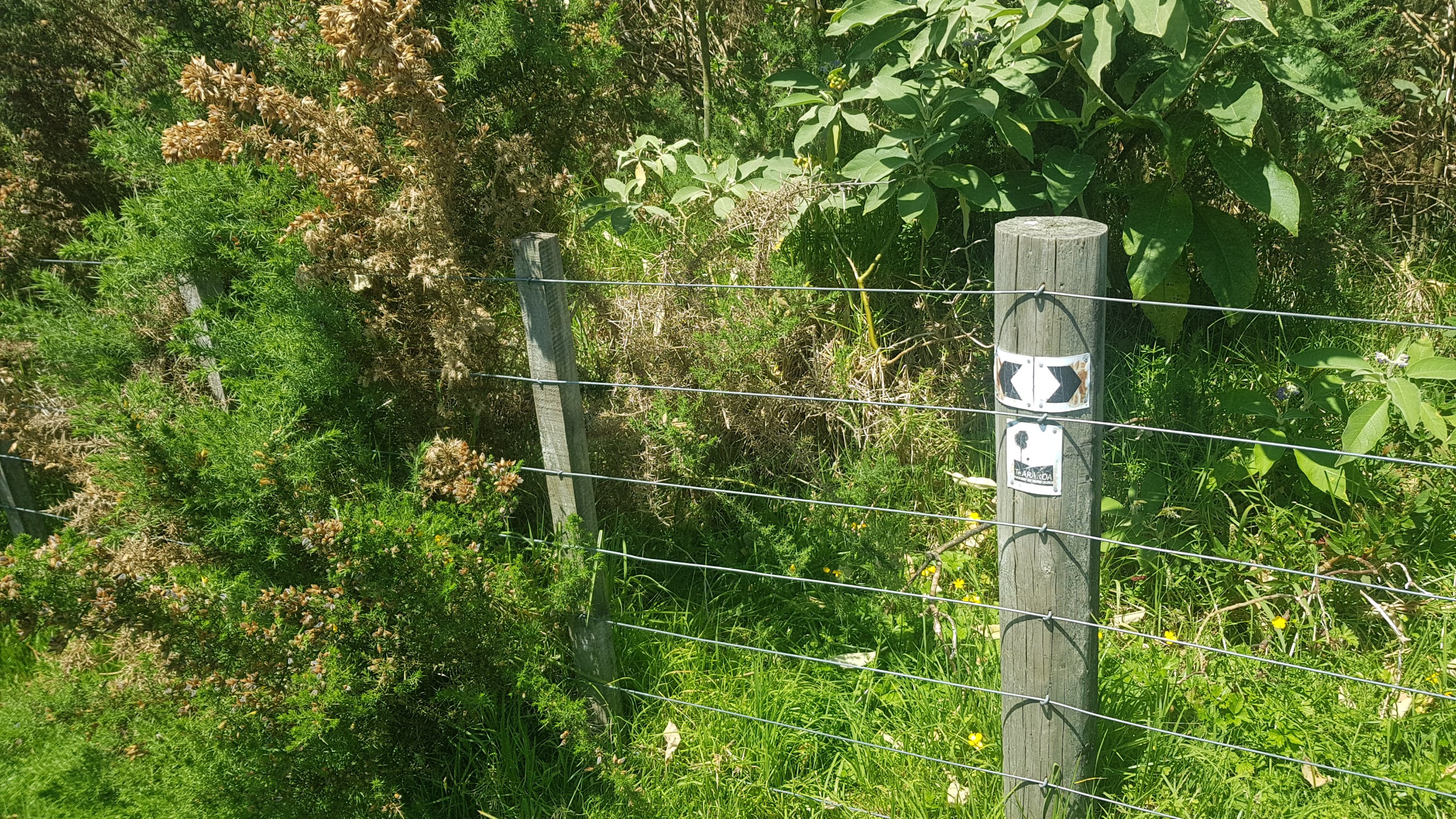
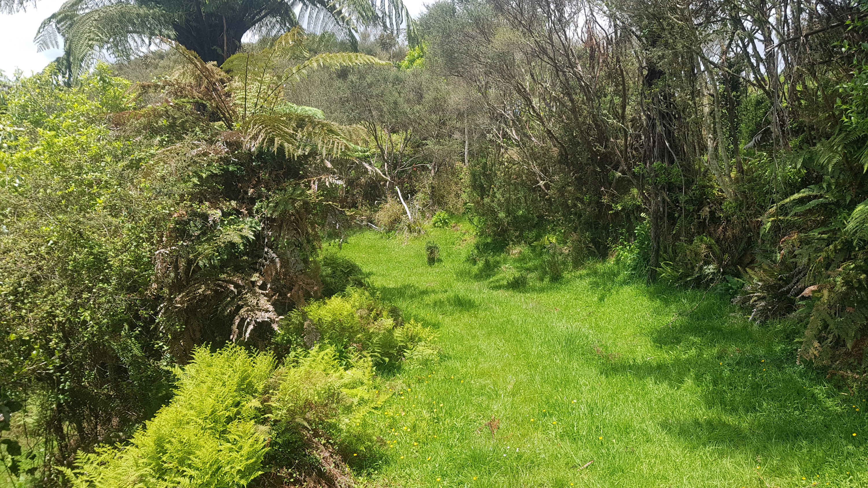
A reserve comes after this, and also a bit which I think is somebody’s farm. There’s lots of gorse, but fortunately you don’t have to push through it.
And it’s well marked.
Once you come out of here though, you really do hit the industrial area. People who are hitchhiking bits to save time – I really would suggest hitching the entire section after the airport – potentially until you get to Ngaruawahia (although I don’t know exactly where to yet because I’m only at Drury). The section once you turn onto Wiri Station Road is rather depressing.
These signs need updating. This has not been State Highway 20 for many, many years now.
When I reached Totara Park, I had to take a selfie and send it to my friend Nick, as we always said we were going to do a lot of running in this park together. Although so far, we’ve only done it twice.
Man, those lenses are intense!
And from here, it is down a road called Porchester Road. This is long, and straight, and residential, and boring. Lots of dairies if you need anything. Although I did get a “real fruit ice cream” at the start of the road, and had to explain to the operator there why he keeps seeing people with hiking poles walking past. And I also saw one of my friends, Helaman, from university – he saw me and did a u-turn and we had a chat. I had not seen him for many years and had no idea he had even moved to this area. That was a nice unexpected surprise.
After a long time walking on this road though with not much happening, I was excited to see this:
No I don’t mean the campervan. It’s the bend in the road. If you can’t appreciate it, you haven’t had the pleasure of road walking on a perfectly dead straight piece of road for what felt like over an hour.
It had been so hot all day. I was starting to get quite burnt. I put on sunscreen when I left the airport but I don’t like reapplying it because it just runs down your face with your sweat and ends up getting in your eyes. But the sun was shining intensely all day, so maybe this time I should have. And I ran out of water, and it was surprisingly hard to find. All the Central Auckland playgrounds and parks have water fountains but in South Auckland none of them do. I was really starting to struggle.
In Papakura I still couldn’t find any water so I actually did a small detour and went into the “Massey Park pools” and asked them for water. I think I was being an inconvenience because it was a busy afternoon with parents bringing their kids in but the lady was nice and she went and filled up my water bottle with water. I could have bought it from the shops along the way but if I had to keep buying water I would have spent a ton of money.
Walking through Papakura I met up with Barry from Dunedin. He was walking fast and I had to pick up the pace to catch up to him. We were chatting as I saw signs pointing to Drury.
I took this while on the bus, but I forgot to take a photo of the actual “Welcome to Drury” sign so this will have to do
I was getting close to my destination now – the Mobil at Drury. We had a good chat about all sorts of things… and eventually in the distance I saw a hint of blue…
Mobil Drury in the distance
And not much longer before I was right outside it.
Finally, I’d made it!
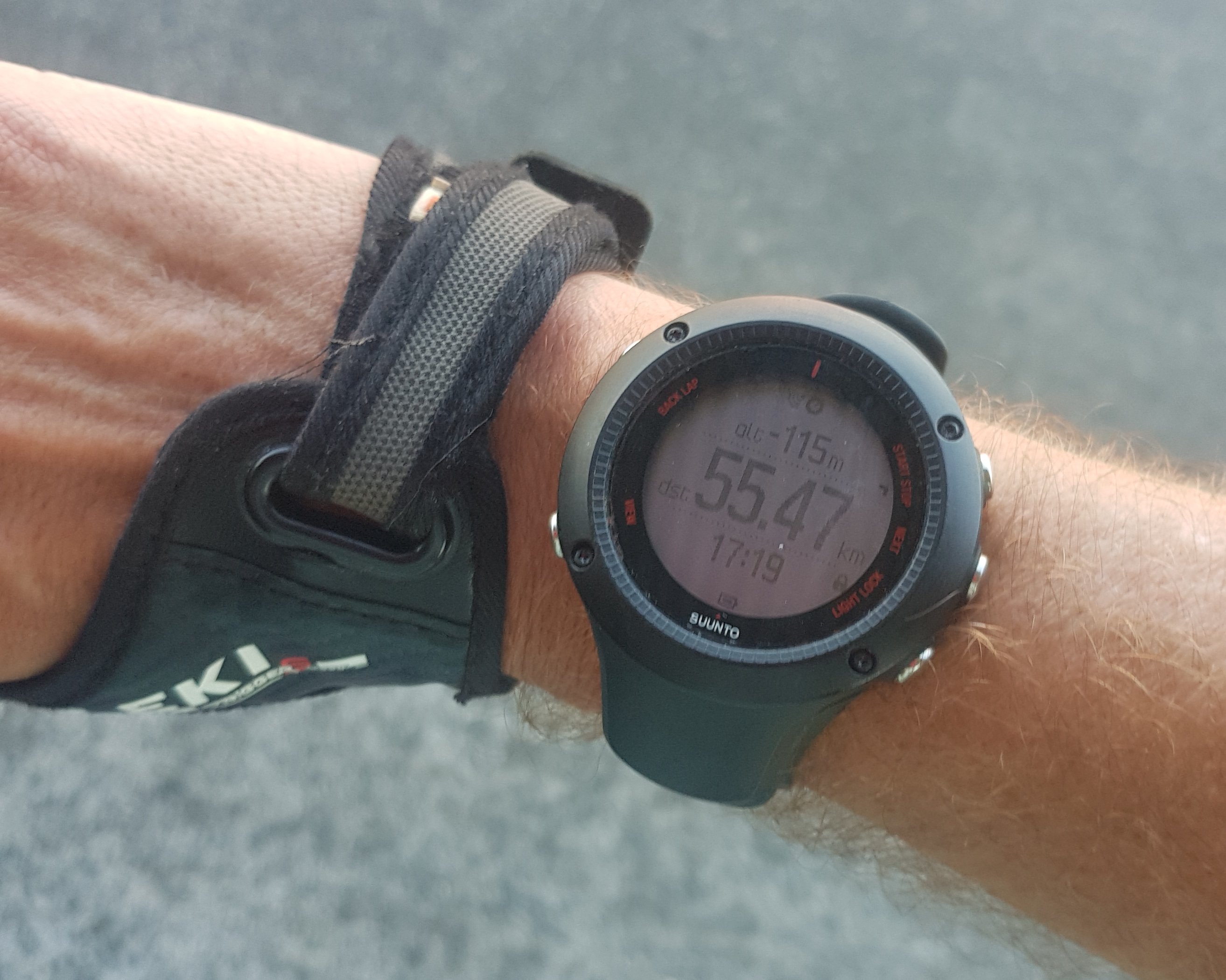
The bus stop on the other side of the road is where I would wait for my bus to go back to Mount Eden to go home. I said goodbye to Barry who was staying just a bit further up the road. I also looked at my watch…
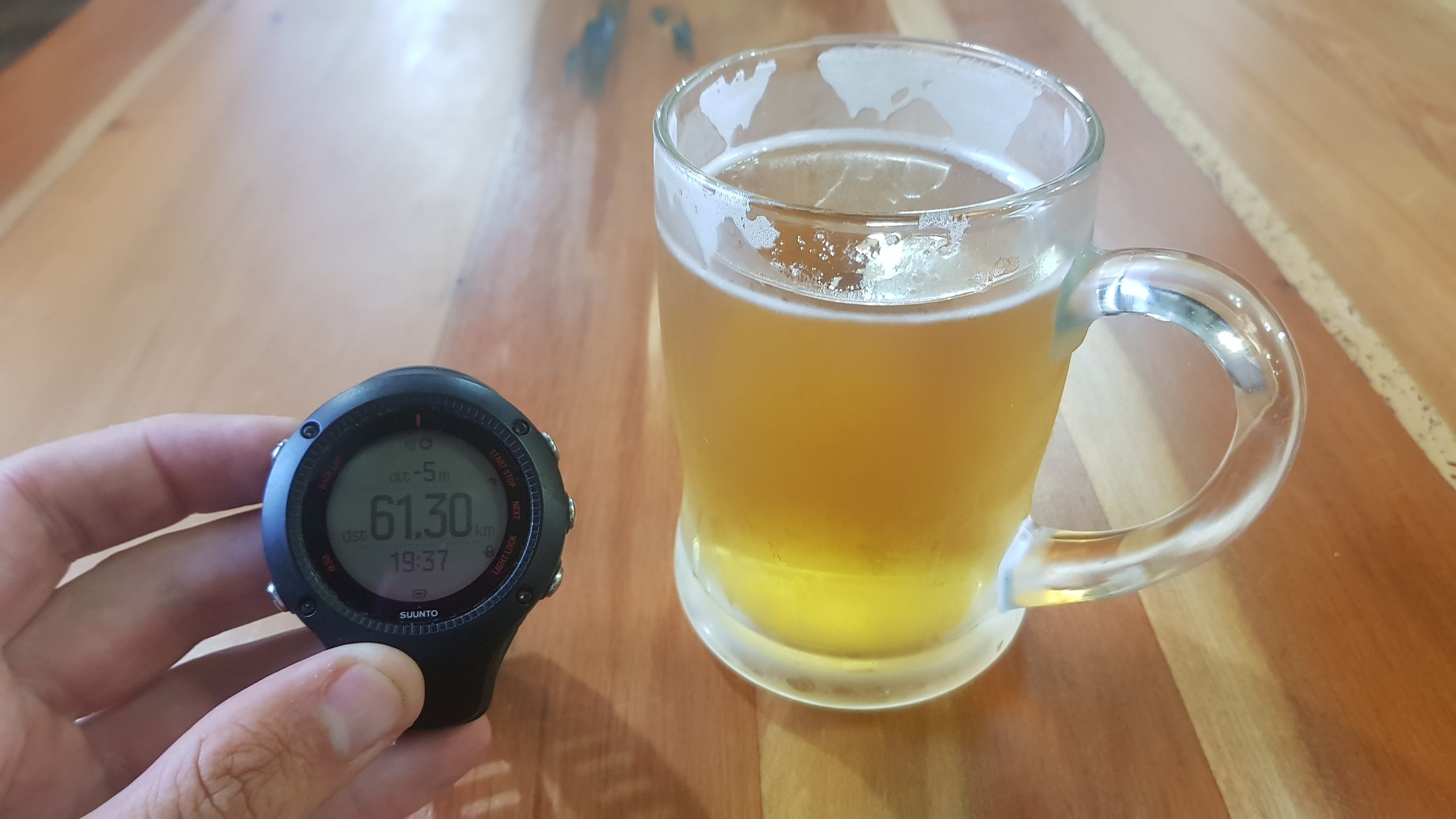
Reads 55.47km (and for some reason, 115 metres below sea level)
Now I know that according to Guthook, I had walked 57.6km. And, I had detoured and backtracked over one kilometer today. My watch should be reading at least 58.5 – it’s reading 3km under what it should. I’m quite annoyed about how much it under-reads in the city. Looking at the map below, I can see why – the line cuts most corners and in some places, especially around Greenlane, Royal Oak and the southern end of Porchester Road, it’s wildly inaccurate (in each of those places I followed the trail exactly). I wanted to put it on high accuracy mode today, since I knew I was walking through city streets, but I knew that the battery would not last long enough to track an 11 hour walk. Oh well, I guess it doesn’t matter. I know how far I’ve walked!
I had arrived at 5:19pm though. Since I started at 6:30am I thought that wasn’t too bad for a 58km-plus walk. That makes me confident that I can walk from Drury to Rangiriri on Wednesday and arrive in Rangiriri at a reasonable time. There is a bit of farm walking I believe in that section, but I have a few hours leeway up my sleeve and so I’m confident.
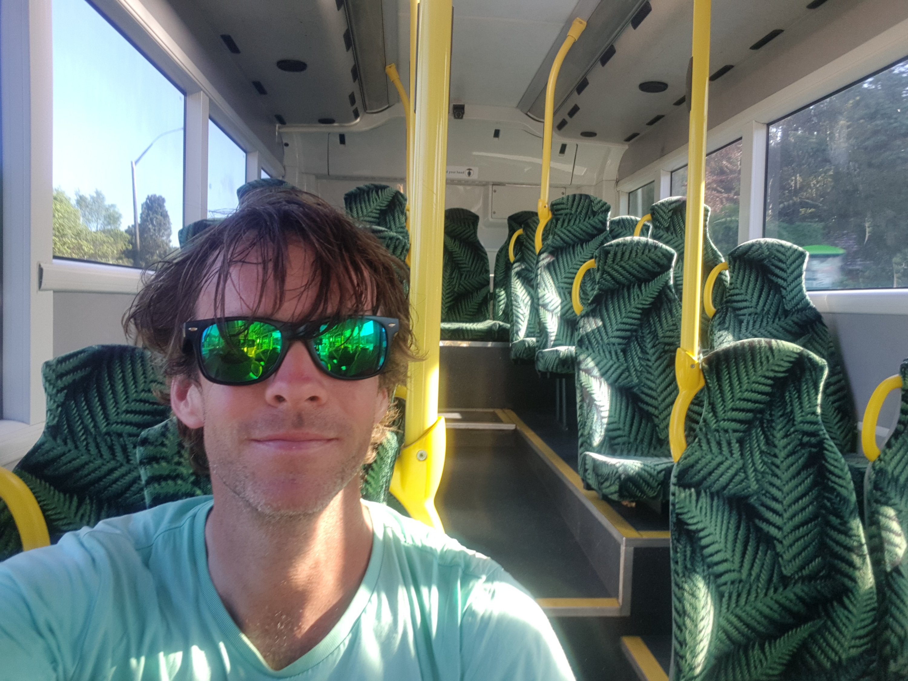
I got on the bus, and I had the bus all to myself the entire way from Drury to Papakura Train Station.
Like an uber, but larger
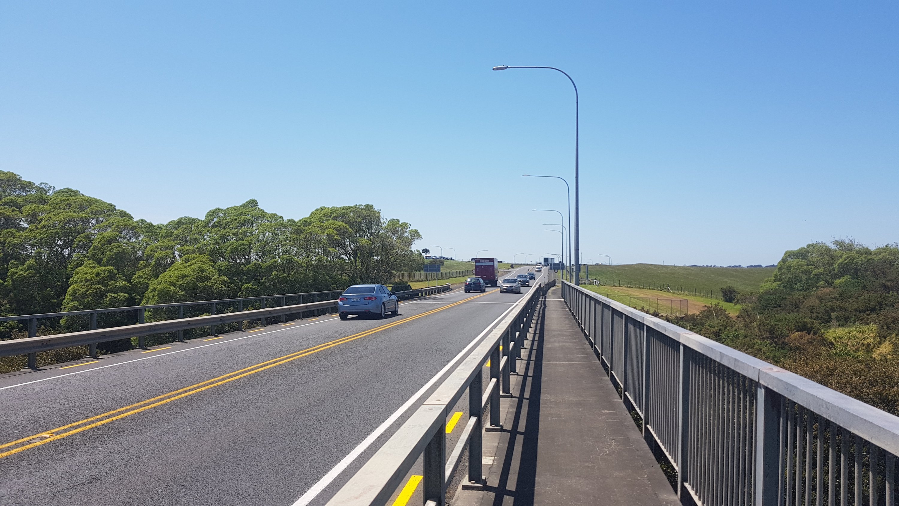
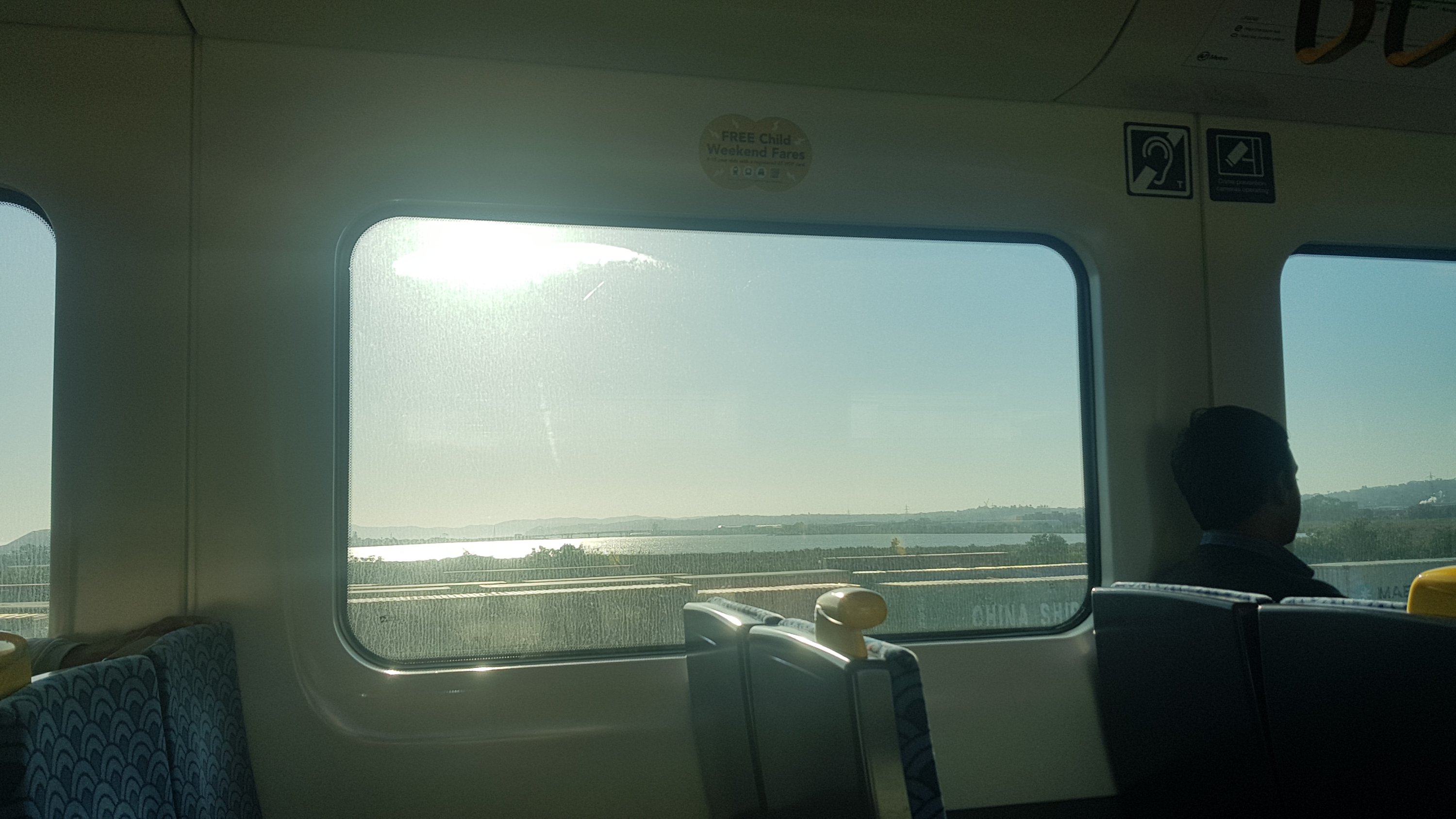
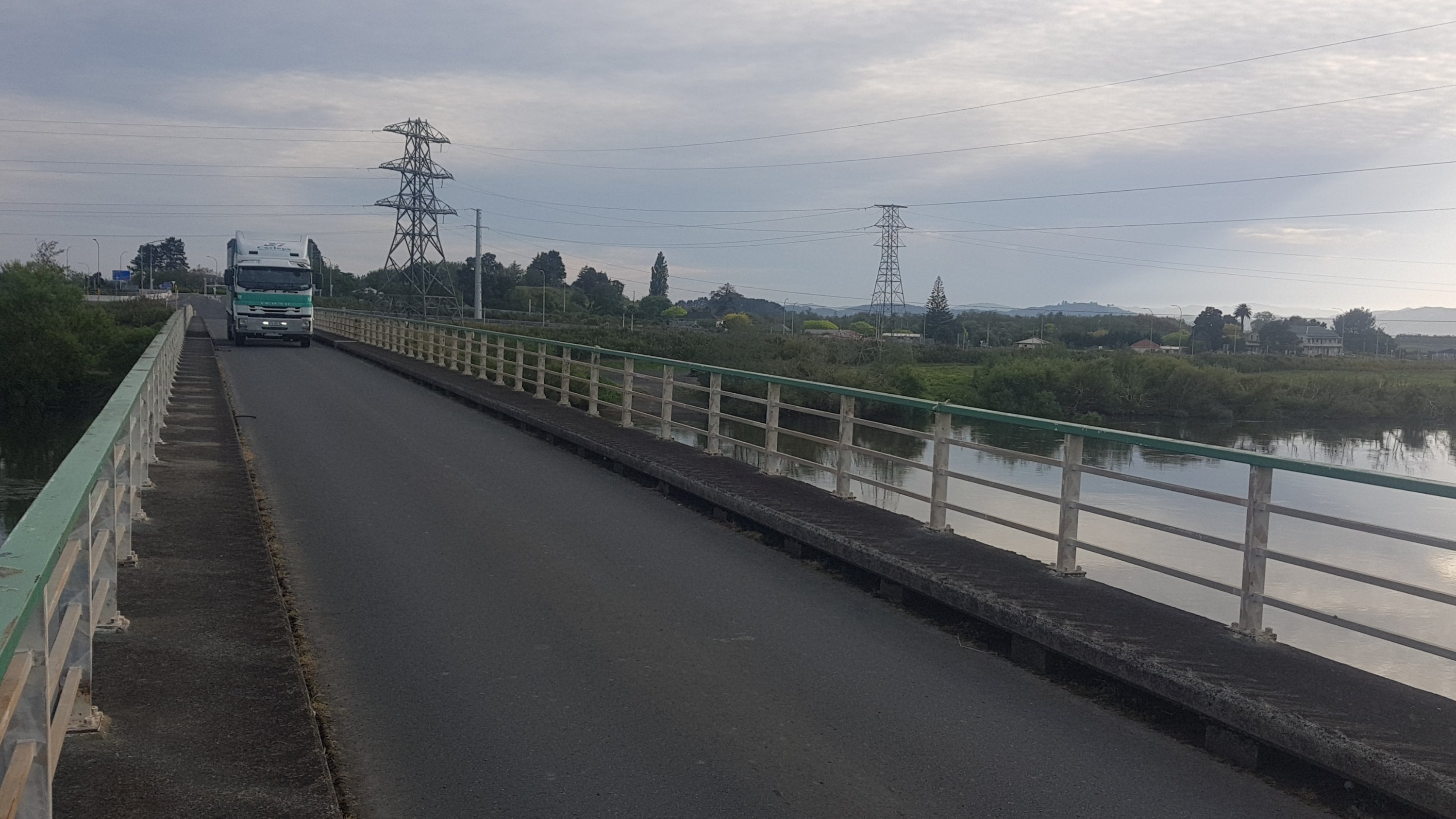
And then I took the train from Papakura to Mount Eden. From the train I could see the State Highway 20 bridge that I walked along earlier in the morning.
View from the train – way in the distance is the bridge I walked across this morning
This meant transiting through the Newmarket Train Station. Back in 2003 I took a train from this station, and back then, there were no display boards, and the trains themselves didn’t have a destination written on the front of the train, or anywhere on the train for that matter. You had to actually go up to the driver in person and ask him where the train was headed. Things have improved there now… but only very slightly.
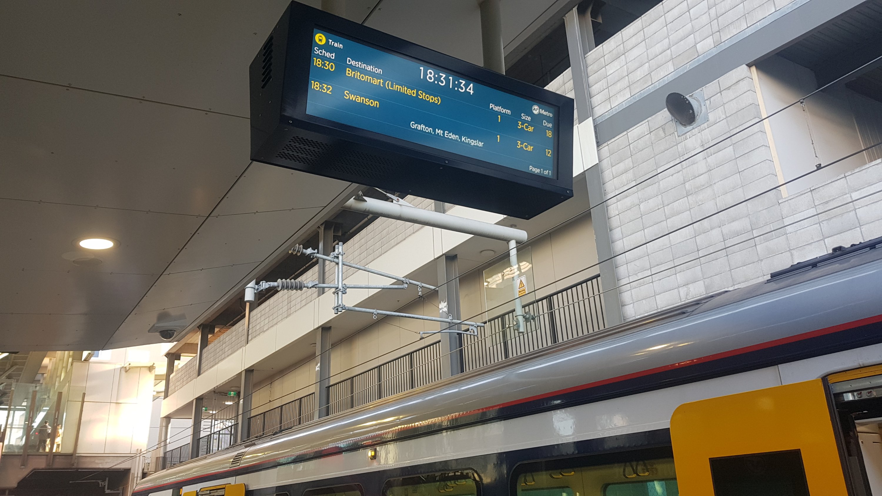
In the twelve minutes I was at this station, I heard three “your train has been moved to a different platform” announcements. Fortunately none of them were my train – I’m not sure I actually could have walked up the stairs to the other platforms. The 18:24 train towards Swanson (the one I needed) just disappeared from the board, and never showed up. The actual train can’t have just vanished, surely, so I always wonder how this actually happens. And then, the next train was supposed to come at 18:32, however a train going to Britomart just randomly turned up on the platform. And the display board got confused. You can see it above, it says the train is 18 minutes away but actually that’s the train right there in the picture and left less than a minute later.
My train did eventually turn up, a fair bit later than what the boards said. I’ve said it twice in three days now… but you clearly don’t have to be a genius to work at Auckland Transport. Sorry to my friends who actually work at Auckland Transport! I pity anyone that has to travel from this station on a regular basis.
Once home I had Sal’s pizza. I was in the public transport mood so I was going to get the bus to go get it, but I knew they’d never let me carry it home on the bus, so I had to go home first and get my car.
I love Sal’s pizza!
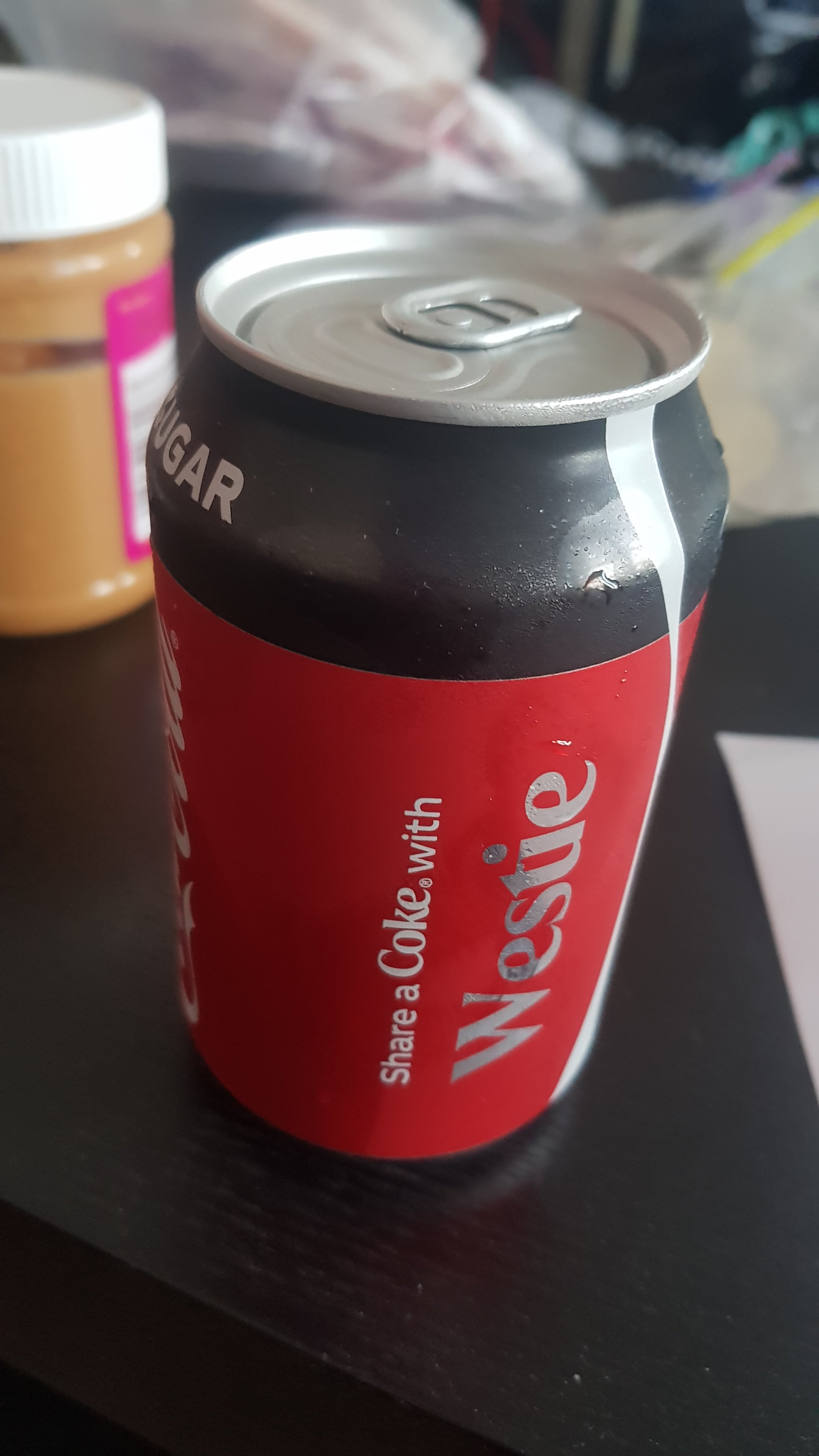
I also got this interesting can of Coke. Nick emailed me a picture of a can of Coke a few days ago which said “Have a Coke with Bogan” and so it was quite a coincidence that I grabbed this can. I’ll let Urban Dictionary define “bogan” if you don’t know what it is. A “Westie” is basically a bogan from West Auckland.
The only westies I know are my Mum and stepdad.
And I got this from Sal’s – which I think must be gram-for-gram the most expensive ice cream in the world. $6.90 for a 120ml tub. It looks big because it’s close up but trust me, it’s tiny.
$6.90? HOW DO YOU SLEEP AT NIGHT??????
I sat on my couch and ate all this… and then I just couldn’t get off the couch. I was hurting a bit, but honestly not as much I was expecting to. Still, it was a challenge to get off the couch, and I thought there’s no reason to if I don’t have to. When it started getting dark, I was excited to realise I could reach the light switch with my walking poles so I didn’t have to get up off the couch.
This is the best news ever.
I have a feeling that I’m going to be on this couch for the rest of my life. Perhaps I won’t bother going to Wellington after all.
Well, since I managed to complete 20% of the trail yesterday, I thought I’d write up a short recap. The first thing I noticed is that it took me 40 days to complete the first 20%. That means it would take me 200 days for the whole thing at this rate. Yikes. At this rate I’ll be finishing mid-April, after starting on 26 September. That’s a real long time, in fact I don’t think I’ve heard of anyone taking that long. 14 of those 40 days were rest days though. I’m really hoping that my body will be used to it by now, and I’ll be able to do the rest of it with no injuries and less than the 14 rest days I’ve taken so far!
Although after my 58km day yesterday – imagine if every day could be like that. It would take less than two months for the whole trail. That would definitely give me some kind of long-term injury though. I definitely don’t want any long term injuries from this. As a runner I know what it’s like to have an injury that is still around years later. It sucks.
Once I go past Hamilton though I’m going through fewer areas where I know people – that should mean I take less time. It’s also kind of scary because up until now I’ve had family and friends around, and I can break up the walk by spending time with them and also staying at my place in Auckland. I’m not going to have that luxury from now on so I guess I’ll be like most other people on the trail!
I’ve been fairly happy with my gear choices. Closer to the end of the trail I will write up proper reviews of each item that I’ve brought. So far, I haven’t used my gloves – it just hasn’t been cold enough. Or my compass – I haven’t strayed far enough from the trail yet to need it. Or my iPod Nano – I’ve been listening to music on my phone. Or my beacon – let’s hope it stays that way.
I’m still undecided about doing the South Island. Back when I was walking between Waipu Cove and Mangawhai, and my left foot suddenly started hurting completely out of the blue, and I couldn’t walk, that was not good, but it would be really not good if I was in the South Island five days from any town. I know that I was able to walk again an hour or so later, but what if I couldn’t? When I get to Wellington I should have a much better idea of what I want to do.
I guess that’s about as likely as an important piece of gear breaking far from any town. People obviously can get through that.
I’ve been thinking about my favourite day so far. It was definitely Apple Dam to Puketi Forest, because of the sheer variety of stuff and the general “epic-ness” of the day. It’s funny, I’ve been asking a lot of people what their best and worst day is and a lot of people say that that section was their worst day, because of all the rain that they happened to experience when they went through. I haven’t hit any big rain yet – I’ve been undercover or resting every time it’s rained. I don’t think I’ll be so lucky for the next 80%.
In fact I think I’ve been lucky, I remember back in July/August, about the time when I wrote this post, how it rained literally every day for two months, and I thought it would never end. Thank God it did.
I also liked 90 Mile Beach. It was quite soul-destroying at the time, but everything was new and exciting back then. Great memories. I watch the Te Araroa 2019/2020 Facebook group and keep seeing other people mentioning that they’re starting out, and it makes me miss the anticipation and excitement of the first few days. But I still look forward to continuing the walk every time I’m having a rest day.
I updated my cost spreadsheet. I’m spending quite a lot – especially on “convenience food”. It’s just too tempting to spend up at the cafes and shops when I’m in towns. I’m okay with it though. It does look like a lot on paper but by far my biggest cost is the money I’m not earning while I’m walking so compared to that these figures are small.
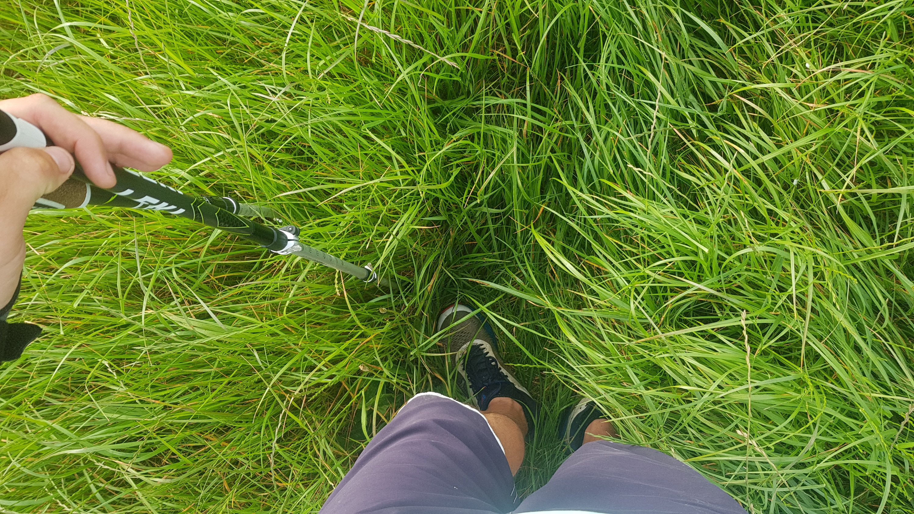
I like my Leki poles a lot, but I find I have to keep tightening the screws on them – one every few days or so. It’s a bit annoying, but also it makes me worry that I’ll lean on them more than I ought to when going down a hill, and then they won’t be tight and I’ll fall forward when the pole retracts. Maybe I should get into the habit of tightening them every couple of days to make sure that doesn’t happen, or at least before going up or down a big mountain.
Writing this blog has given me something to do in the evenings, and I’m enjoying writing it. Without it, I think I would get quite bored once the sun goes down and everyone retires to their tents. Some nights though when I’ve walked a long way and I’m sore then it’s too much effort to type up a blog entry. I do force myself to spend 5 minutes taking notes each night though so that I don’t forget what happened that day. It takes about an hour or an hour and a half to write up each entry – in part because the WordPress app for Android is so bad. It often fails to upload pictures, and doesn’t automatically retry when they fail. And sometimes you get multiple copies of each picture. The app claims to work offline but pictures can’t be uploaded offline, so it doesn’t work very well if you don’t have an Internet connection. That was a problem during the first two days where there was zero phone coverage, but it hasn’t been too bad since then.
Today I tried to find out why Guthook and The Trail App have started reporting different km markers (which I noticed yesterday when trying to work out where 600km was), and I can’t quite work out why. I think it’s just because the line in each app follows very similar paths but not exactly the same path, and over time the errors accumulate and now after 20% the two apps are about 1km apart. I don’t think that’s a big deal though. You often see people referring to specific km numbers, like “there’s a campsite at km 297.5”, however km297.5 depends on what app you’re using, and also they’re different each year, because when detours are in place, especially at the beginning of the trail, it shifts all the km markers for the entire rest of the trail so they change all the time. That’s frustrating when you’re trying to work out exactly where something is, but I don’t really know what could be done about it.
And while I was at home for 4 rest days, I weighed myself on the first rest day and the scales said I’d lost 4.5kg since day 1. But then four days later I weighed myself again and I had apparently put 1.5kg back on. Obviously it fluctuates a lot with walking and water retention so that doesn’t tell me a lot. I don’t want to lose too much weight. I really ought to start eating more fruit and vegetables where possible, and good food.
I’m nervous but also excited to see what the next 35% brings on the way to Wellington.
After my 58km walk yesterday, I had to be careful in the shower. I was sunburnt, red from chafing, I had a new blister on my foot from the running shoes, and a strange rash on both my feet. But yet, no pain that concerned me – hooray. When you have a very light pack, it’s definitely much easier to do a long distance. And the more I thought about it, the more I thought that the rash on my feet was because I had a cheaper laundry detergent in the house that my skin didn’t like. It was gone by the end of the day.
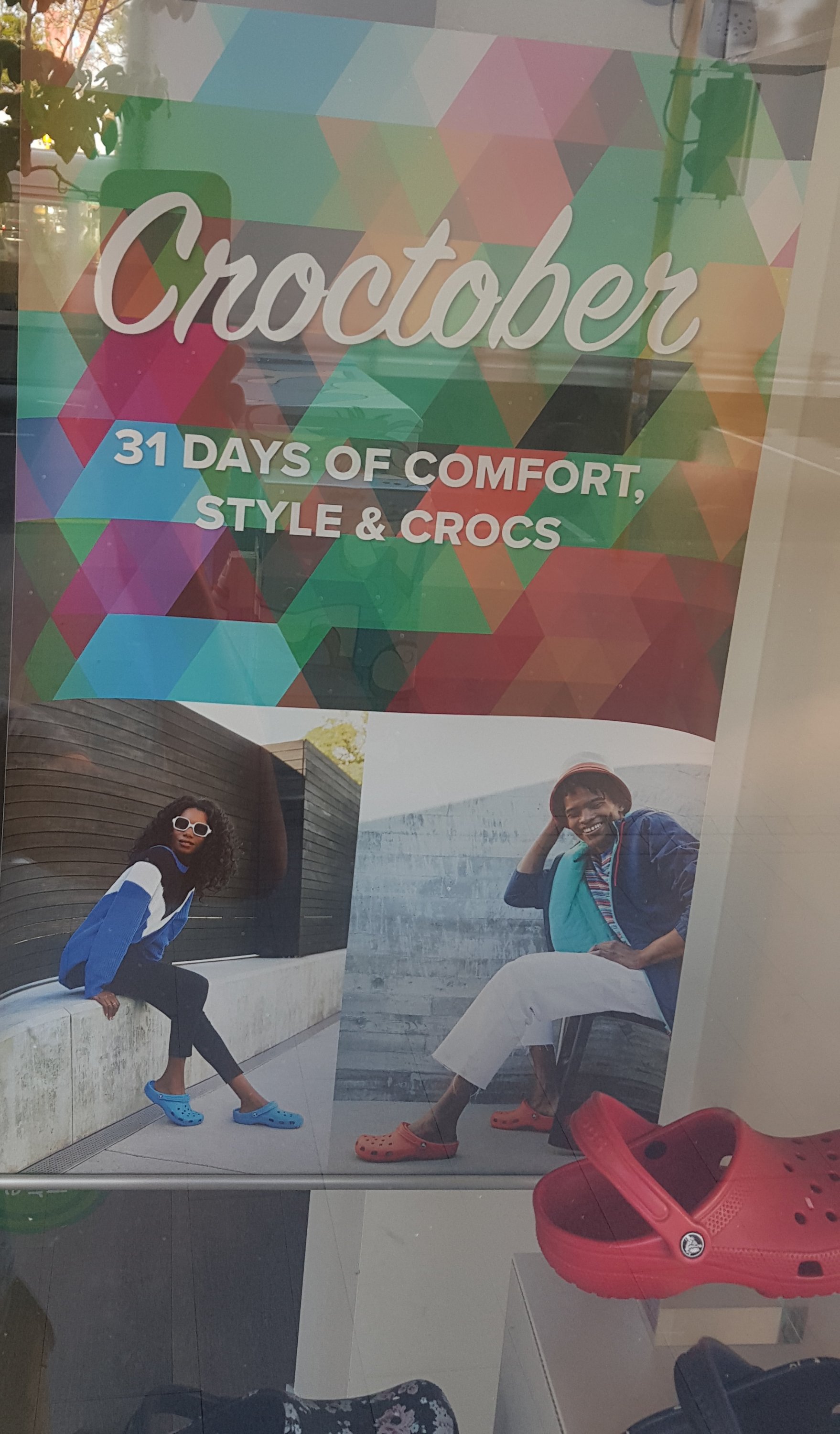
I went to have breakfast in Newmarket and I passed the Crocs store. I saw this display in the window – “Croctober – 31 days of comfort, style & crocs”. I can’t believe I missed “croctober”. Now all I have is “movember”.
And I don’t like the phrase “comfort, style & crocs” – the way I read this is that crocs are neither comfortable nor stylish. We all know that isn’t true!
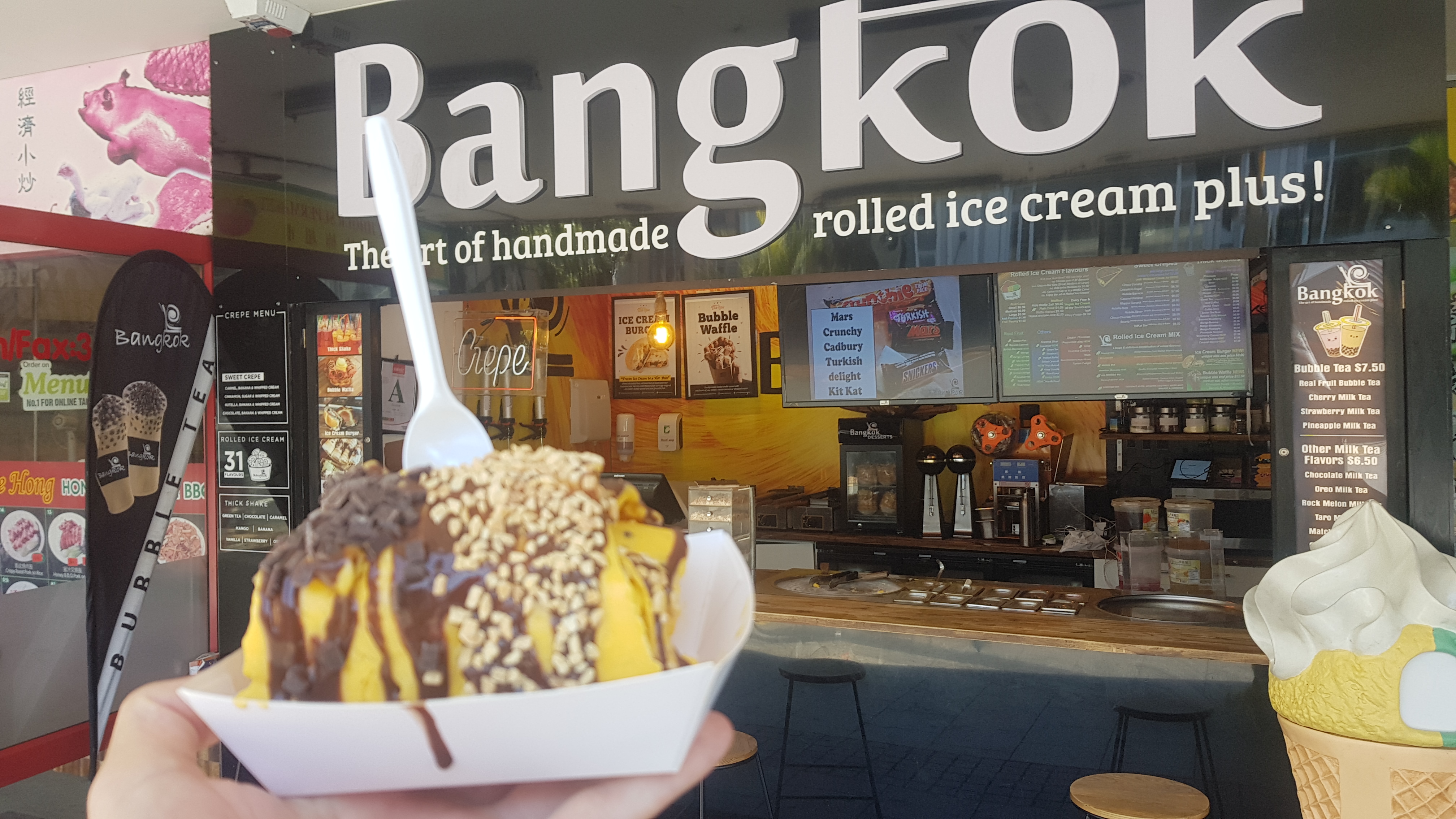
I also couldn’t stop thinking about the tiny ice-cream I got last night from Sal’s. I had to do something about that.
That’s not an ice-cream. THIS is an ice-cream.
I went to Bangkok Rolled Icecream on Karangahape Road. And I got a real icecream. Actually, I tried to go there during one of my previous rest days but I got there at lunchtime and didn’t realise that it doesn’t open until 2pm. Afterwards, I wished I got a chocolate icecream instead of the tropical one that I did get, but it was still good.
In the evening, I went and had dinner and drinks with friends. But now I’m gonna make sure I get an early night because I have to get up early to catch the first train in the morning. Although it’s Guy Fawkes and with all the fireworks going off around me, it might be hard to sleep.
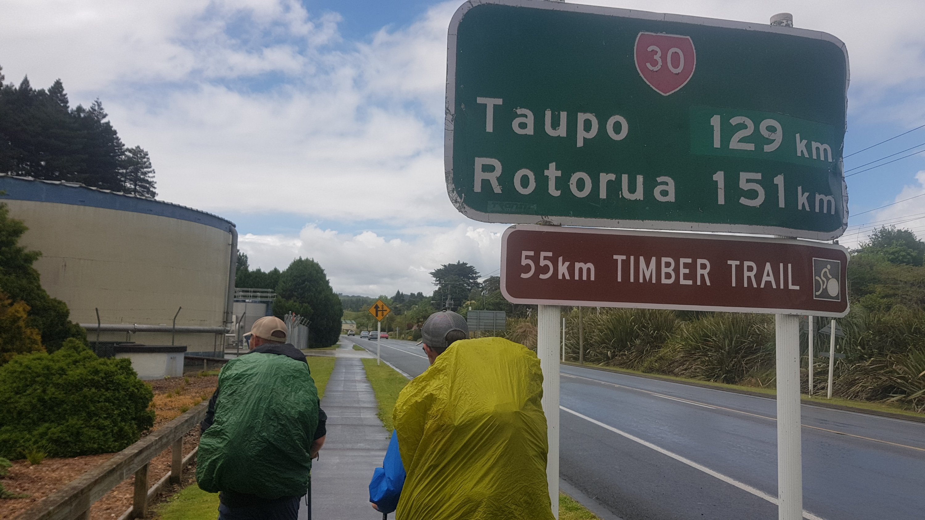
Date: 6 November
Distance walked: 61.3km
Trail covered: kms 642.3 to 703.2
Weather: a weird cloudy haze
Number of bees that hit my face: at least 15
Guy Fawkes fireworks last night didn’t bother me much, although I did wake up in a bit of a daze needing to pee. Looked at the time on the way… 1am. Phew, I still have four more hours of sleep.
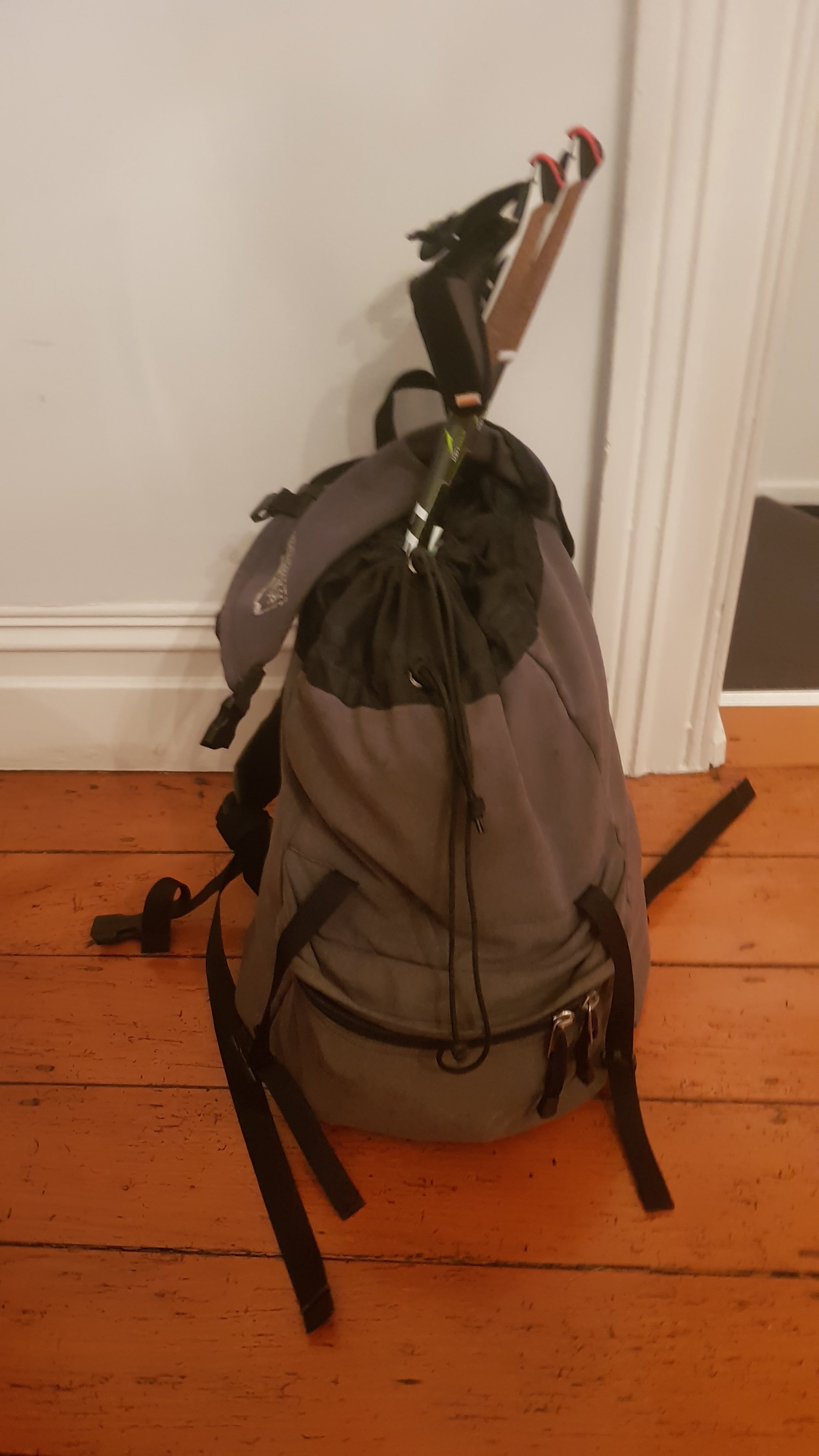
Alarm goes at 5am… because the first train to Papakura is at 5:48am from Newmarket which is a 25 minute walk from my house. That’s ok, I actually got about 7 hours sleep and I was looking forward to walking so it was easy to get up. Although by the time I actually got up and messed around and got my pack I had to go straight away and didn’t have time for breakfast. I guess it’s gonna be breakfast at the Mobil gas station in Drury.
I got my small pack and it seemed heavy. I weighed it and it was actually 8.5kg. All the fruit in there and 3 litres of water obviously weighs something.
Packed and ready to go
Ok next challenge. I can’t be bothered walking the 2 or 3km to Newmarket Train Station when I have such a big day ahead. Lime Scooter it is. There was only one around, and it was 5 minutes walk in the wrong direction, but it’ll have to do. At 5.30am there will be nobody on the streets and so I can ride it at top speed.
My first mode of transport today
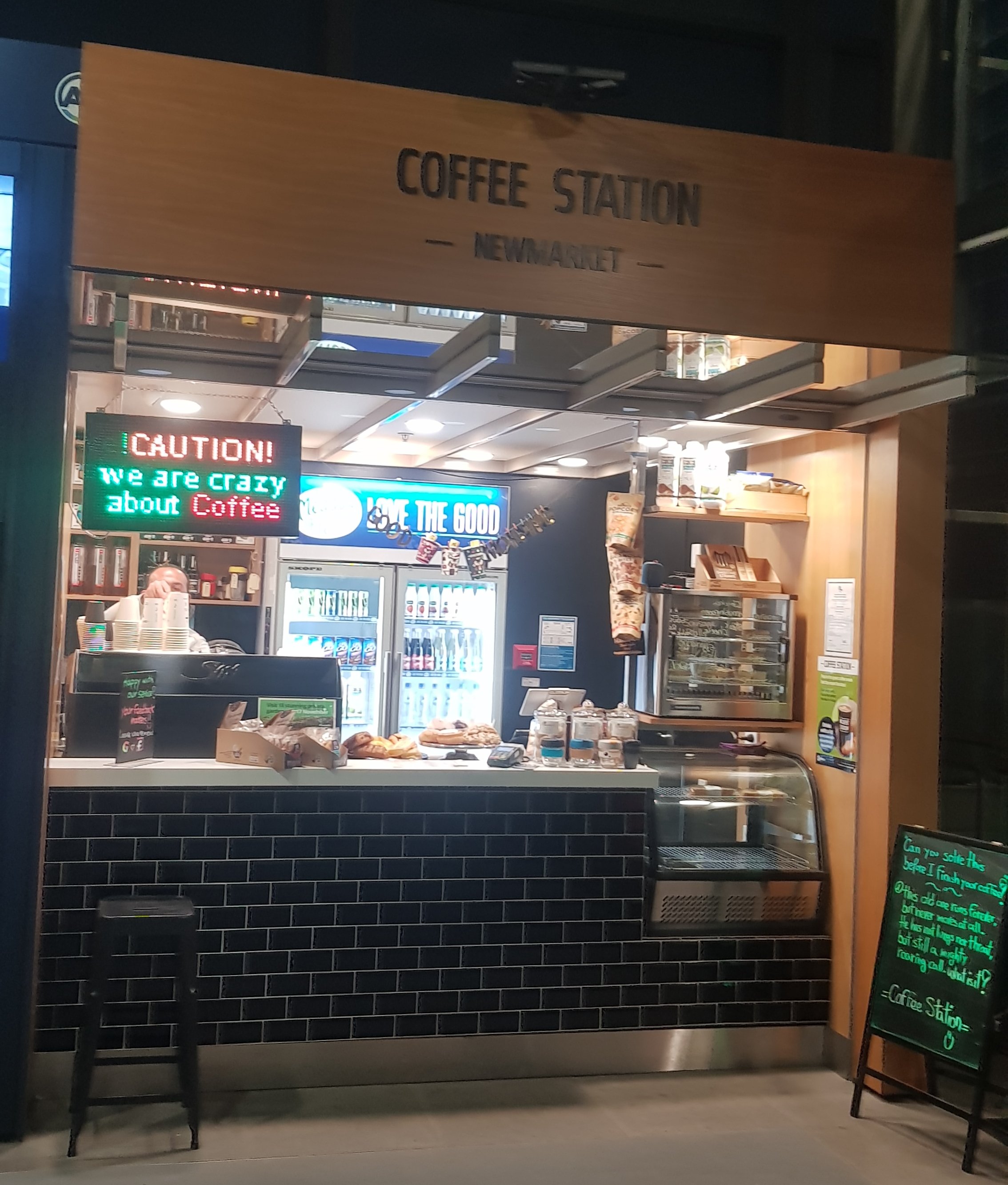
Got to Newmarket at 5:42am – six minutes to spare. I thought, if only there was a coffee shop open at this ungodly hour, I could grab breakfast quickly. And, once again, Auckland surprised me.
Oh my God something is actually open
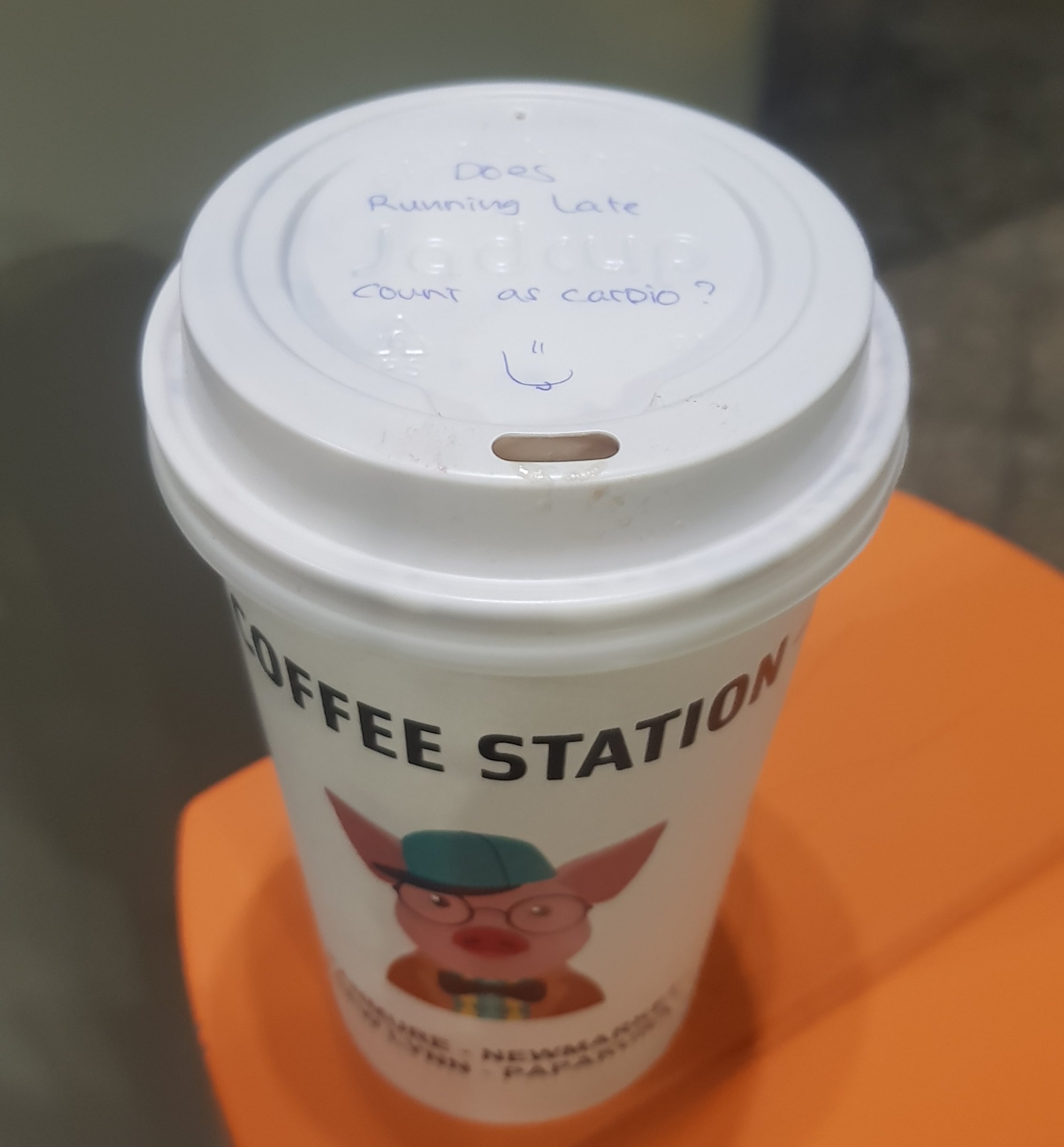
Wow, coffee! The barista told me he opens at 5am. Amazing. I got an almond croissant too.
And also a cute hand-written note on the lid…
Great – once at Drury I can start walking straight away. I have a lot of distance to cover today. I have pre-booked with the Rangiriri Hotel because they were the only place I could find which had accommodation in that area for someone without a tent. The only AirBNB in that area had their calendar open but when I tried to book, they declined saying that their mother was using the room. SO BLOCK OUT THE CALENDAR THEN!!!!!
This is the photo I wanted to take last walking day when I walked into Drury but forgot… so here it is from the bus
All public transport ran on time today and so after transferring to the 376 bus at Papakura with two other guys who looked like they were off to work, I started walking at 6:45am. Although it became very clear that I’d tied my shoelaces far too tight and they were cutting off the blood circulation to my left foot. I’d done that on purpose to not disturb a small blister on my heel but I needed to loosen them a bit or my foot would fall off. I had to find the right balance between blister irritation and blood circulation.
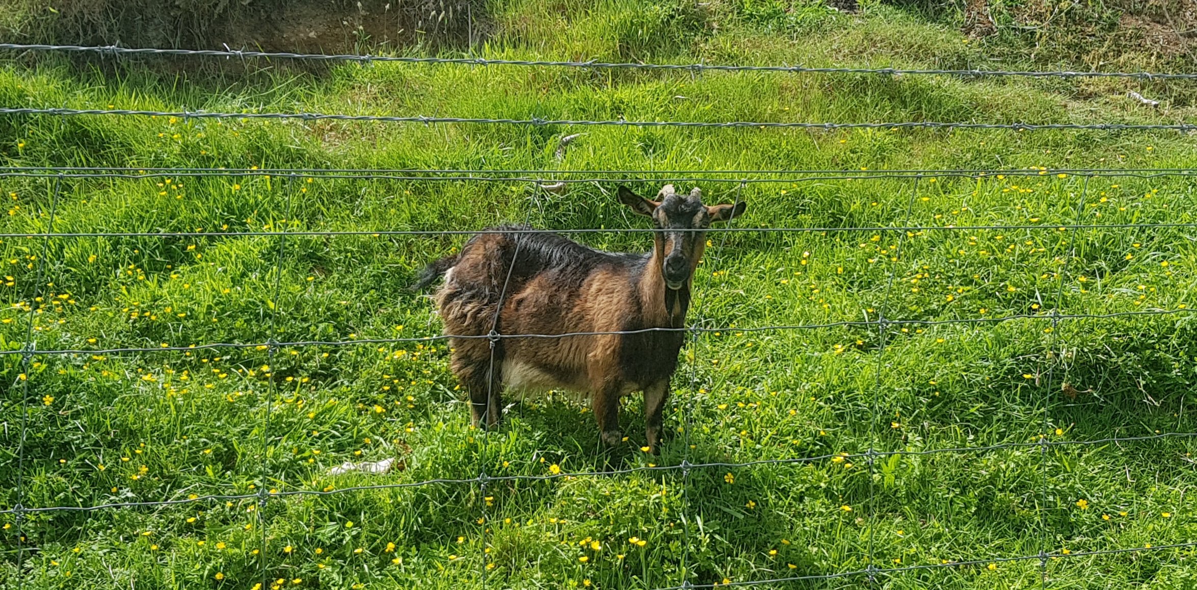
I saw a cute sheep. I couldn’t tell if it was frightened, or trying to look cute, or scratching itself.
Cute little sheep on the left
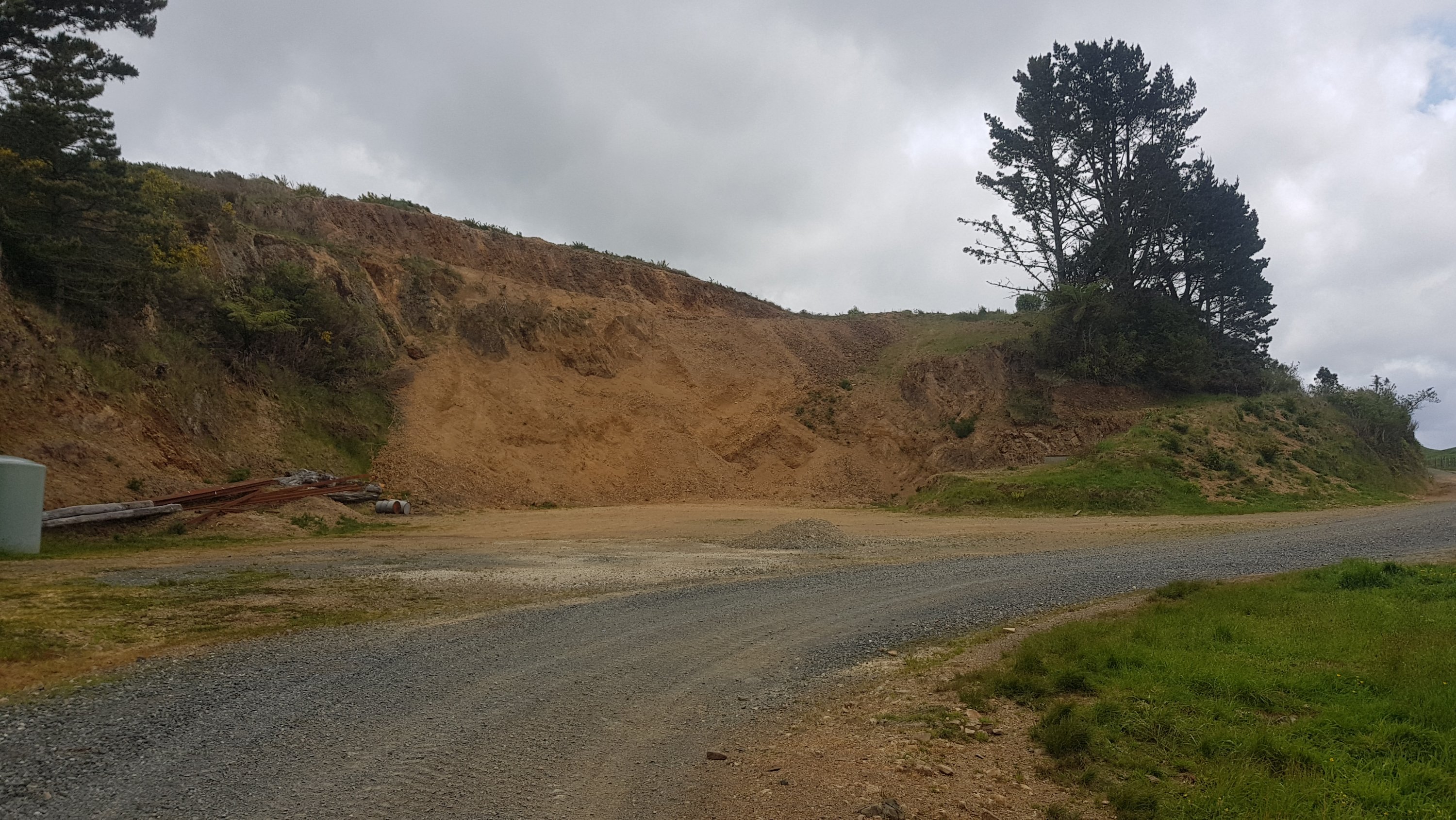
And I passed right beside the Drury Quarry where lots of road building is going on.
Road works outside Drury Quarry
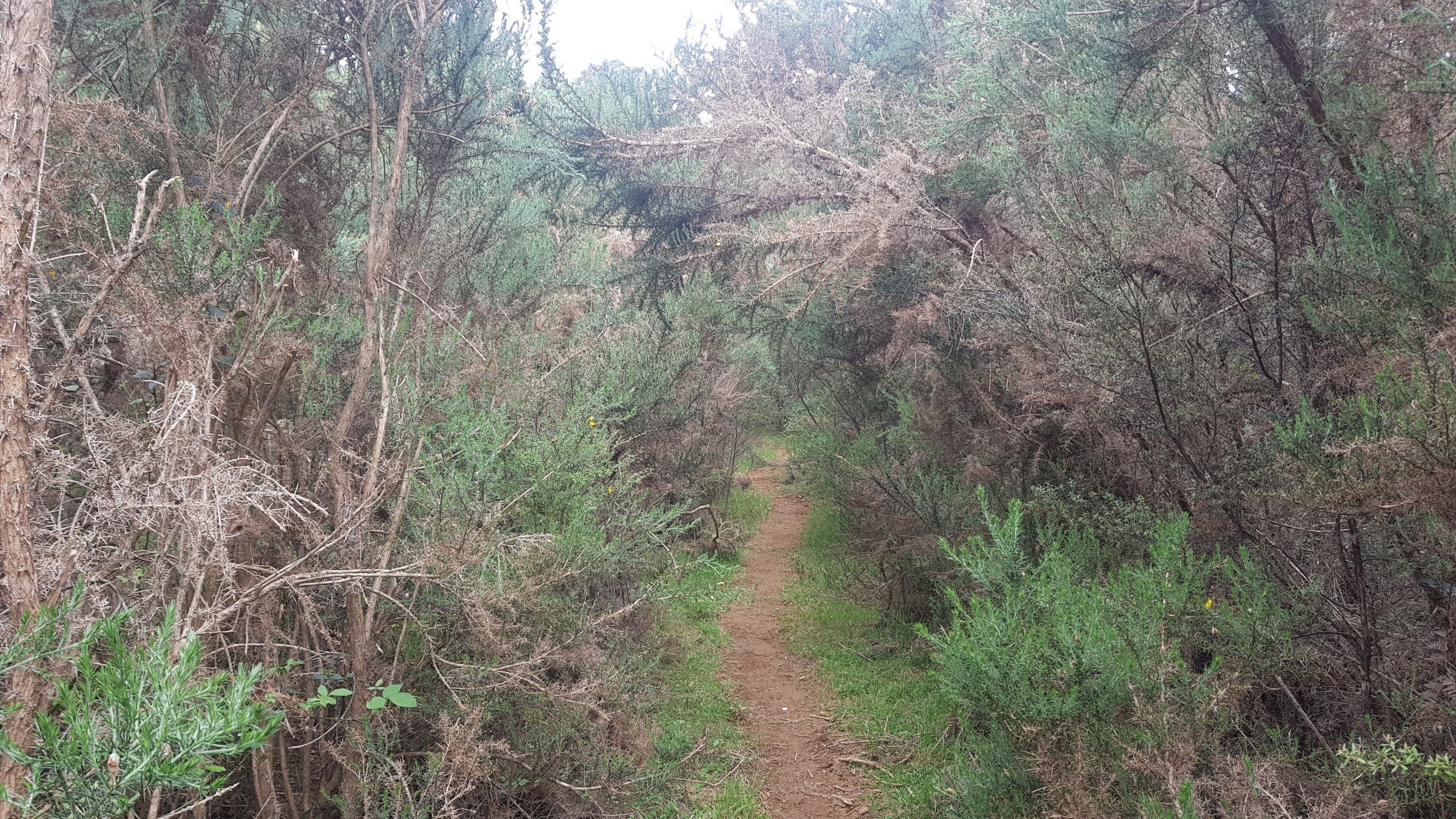
It’s probably a good time to point out that in previous years, the trail never went this way, it went through the Hunua Ranges instead. However, both Kauri Dieback and slips have closed parts of the ranges and so the trail now goes down roads instead. And that means lots of road walking today… and they were rural roads. Each bit of road that I walked along was about 4km long until an intersection or something else happened (which wasn’t much). When I went around a corner and saw a really long stretch of road, all I could think was “ay yay yay”.
One such stretch of road
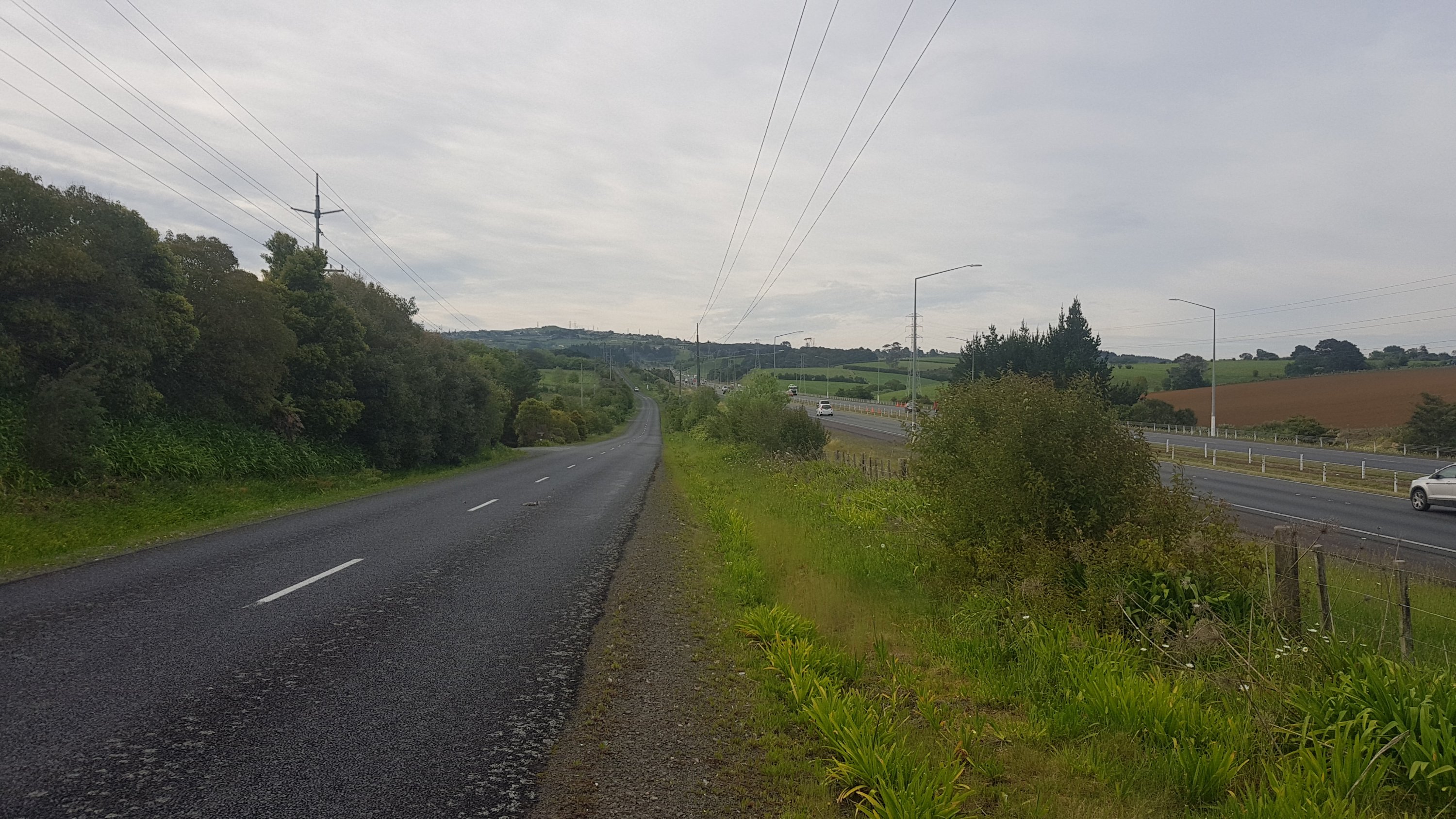
A lot of the walking at first was parallel to the State Highway 1 motorway.
My road on the left, motorway on the right
I tried to make good time while I could. I had told the Rangiriri Hotel that I would be there between 6pm and 7pm, or was it 7pm and 8pm? I couldn’t remember. Either way I had 61km to walk and getting there by 8pm required 5km/hr if I was to have any lunch at all. And while I was walking along the road, I was averaging 6km/hr. That was good, because it wasn’t road walking all the way and I didn’t really know what type of terrain was coming up today. Some was farm walks, but not all of it.
I didn’t want to use headphones because of the road, and the song I had in my head this morning was Milk and Alcohol by Dr. Feelgood. After a while that got replaced with the theme song to the 1960’s TV show Get Smart. I don’t know where that came from, I never even used to watch that show. I needed to put the headphones on to get some better songs going through my mind, and since the roads now weren’t too busy, that’s what I did.
Although one thing I did notice about these roads is that despite not a lot of cars when I went through, there were a *lot* of dead birds, which wasn’t nice to see. A lot of other dead animals too, but heaps more birds than usual.
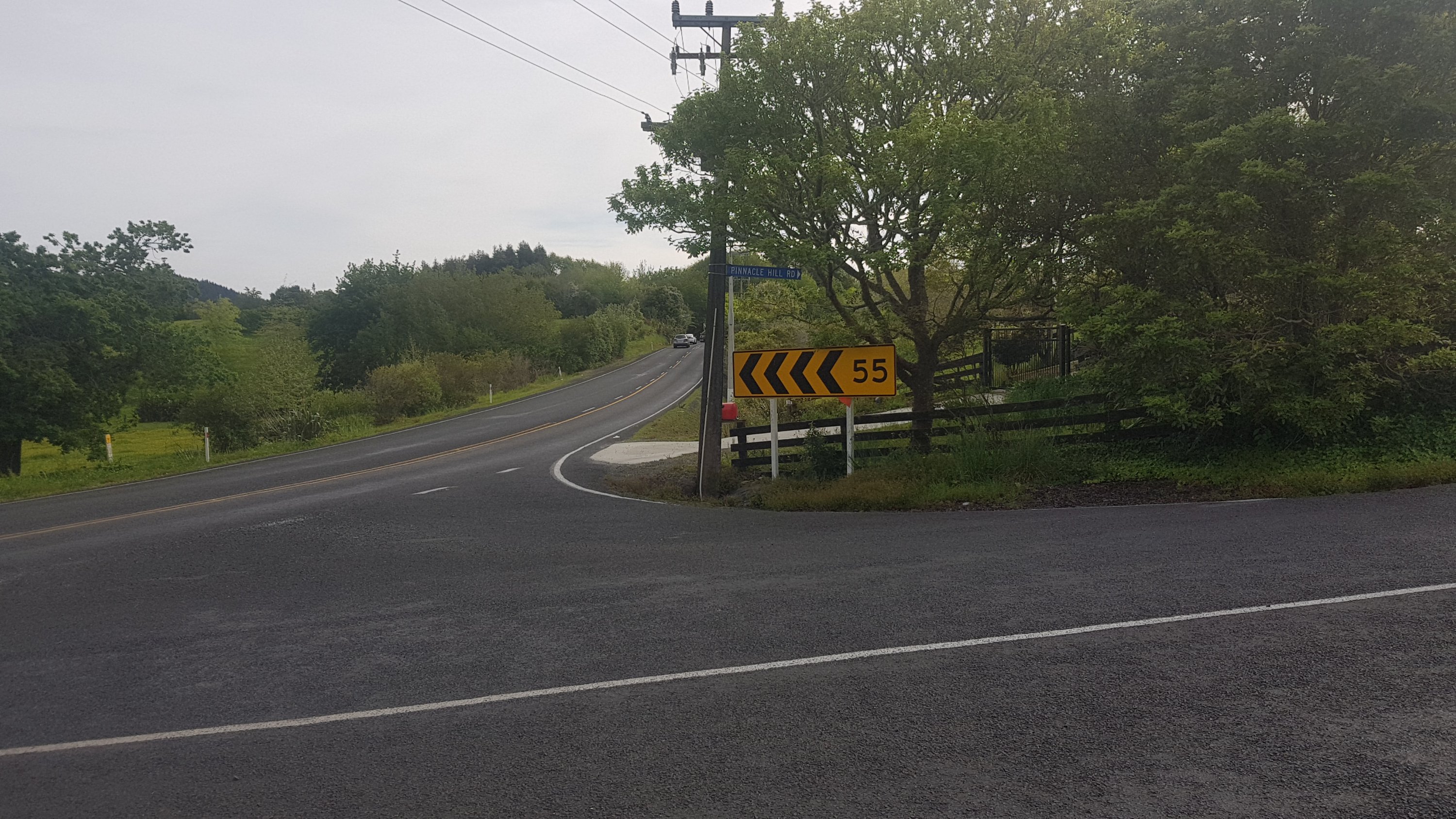
When you drive from Hamilton to Auckland you always know when you’re in Auckland because you drive up the section of motorway that goes up the “Bombay Hills”. That meant that at some point I was going to have to walk down some kind of big hill, but obviously not on the motorway. And when I came across this road, “Pinnacle Hill Road”, I figured this was probably it.
Pinnacle Hill Road
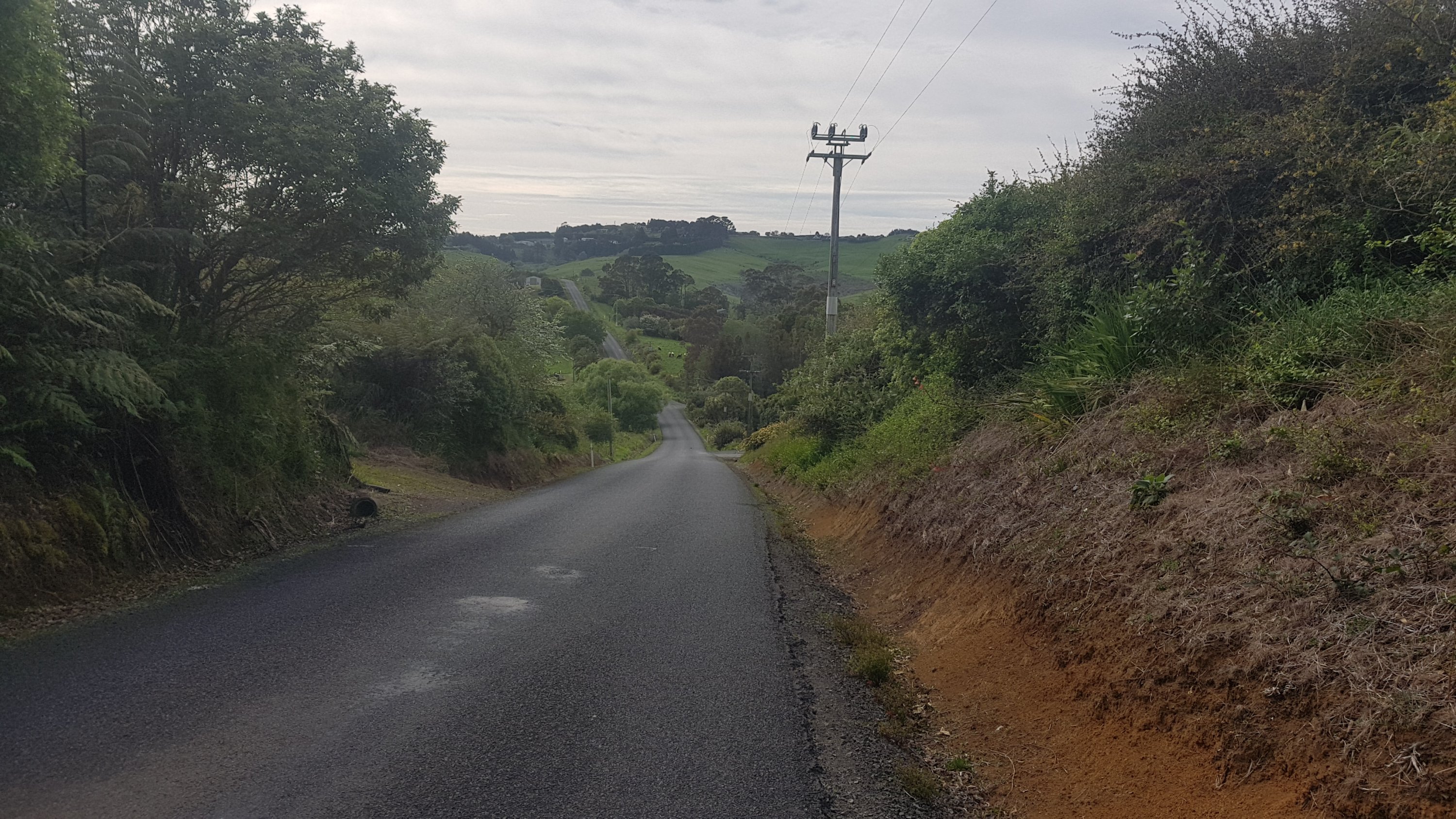
It was another long stretch of road.
But I did see this helpful sign:
I couldn’t read what the third one said.
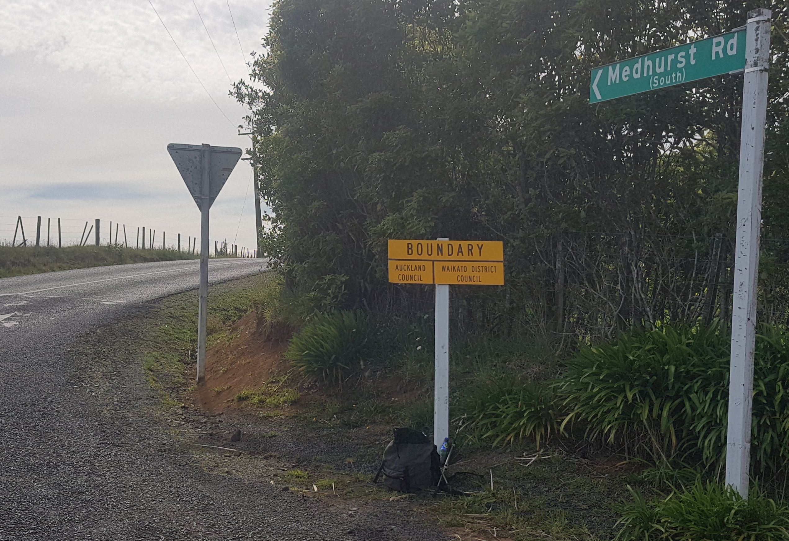
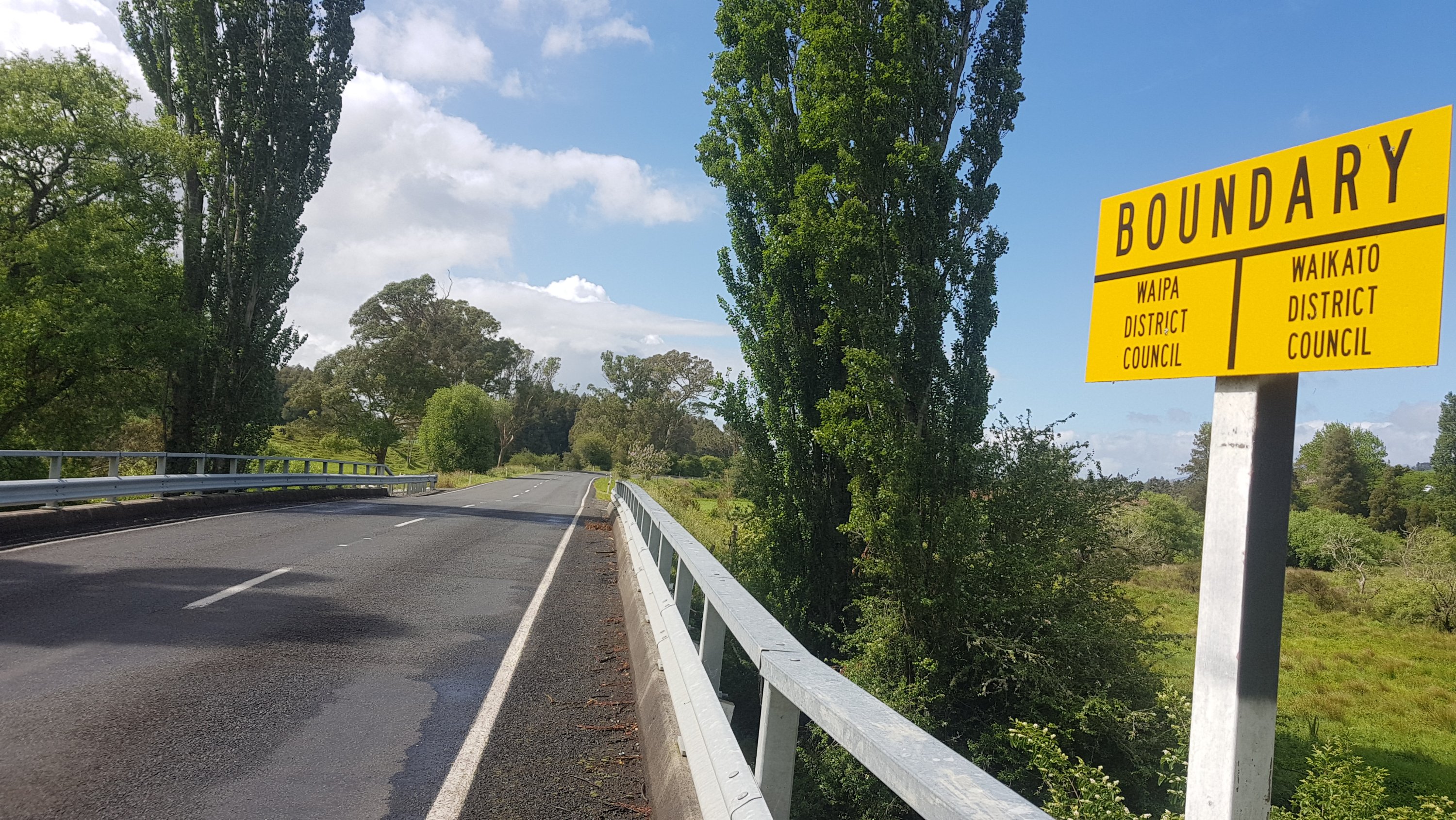
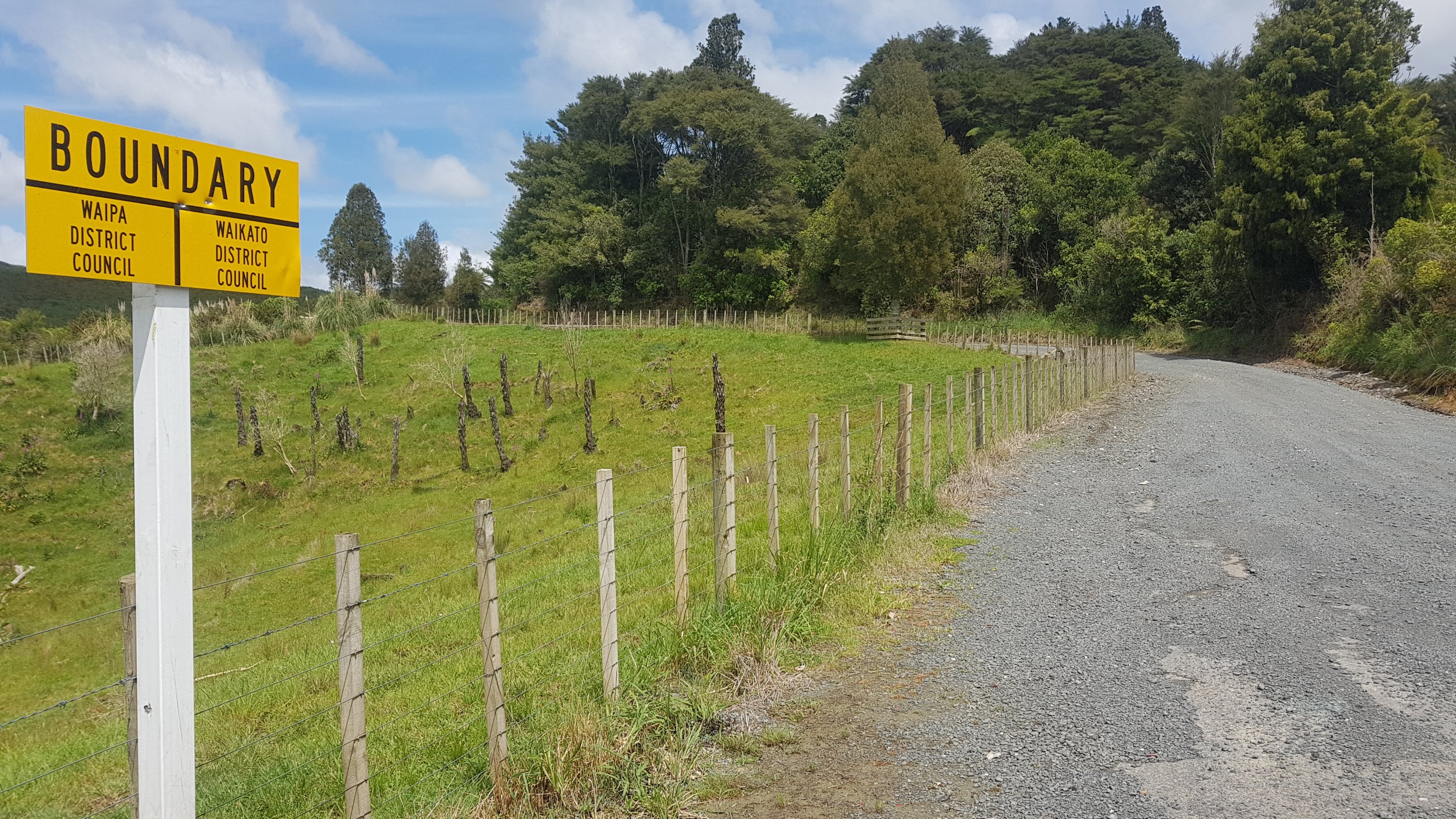
A short way down here I found a good place to have a snack. The border of the Auckland district and the Waikato district. I spend the first 23 years of my life living in the Waikato District so it was a nice feeling crossing the border.
Welcome home!
Here’s another reason it was a good place to stop.
It’s (almost) all downhill from here!
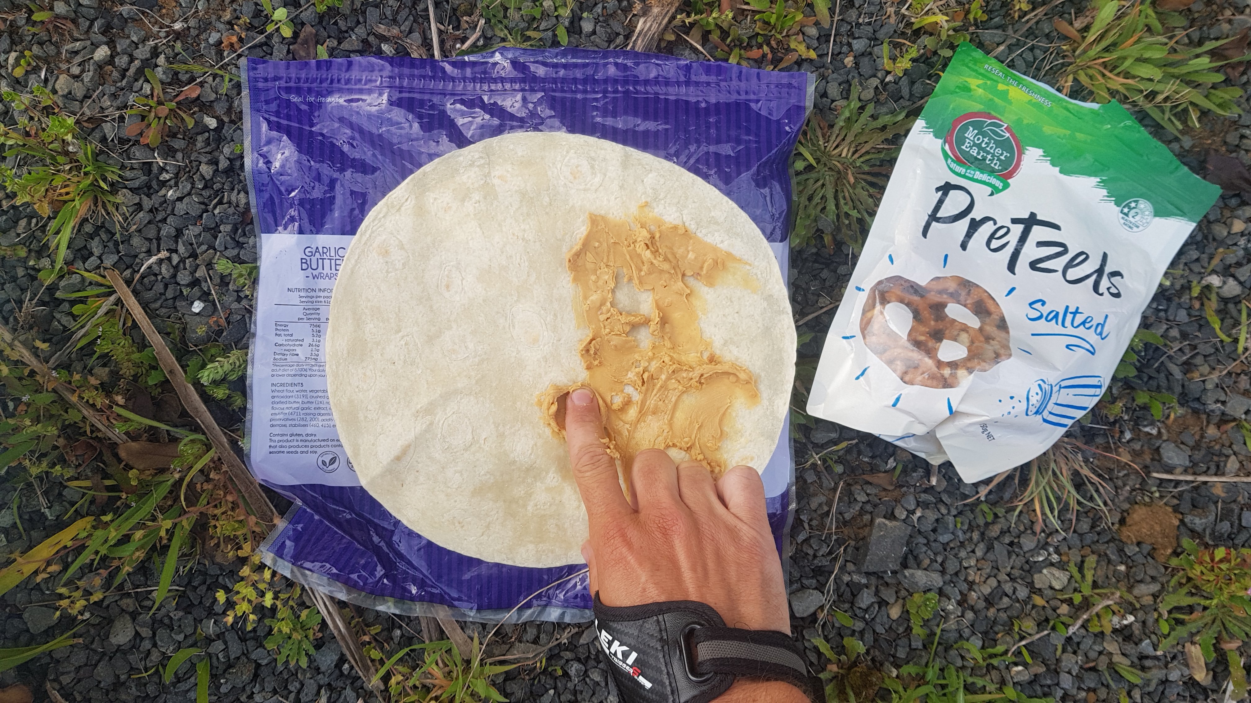
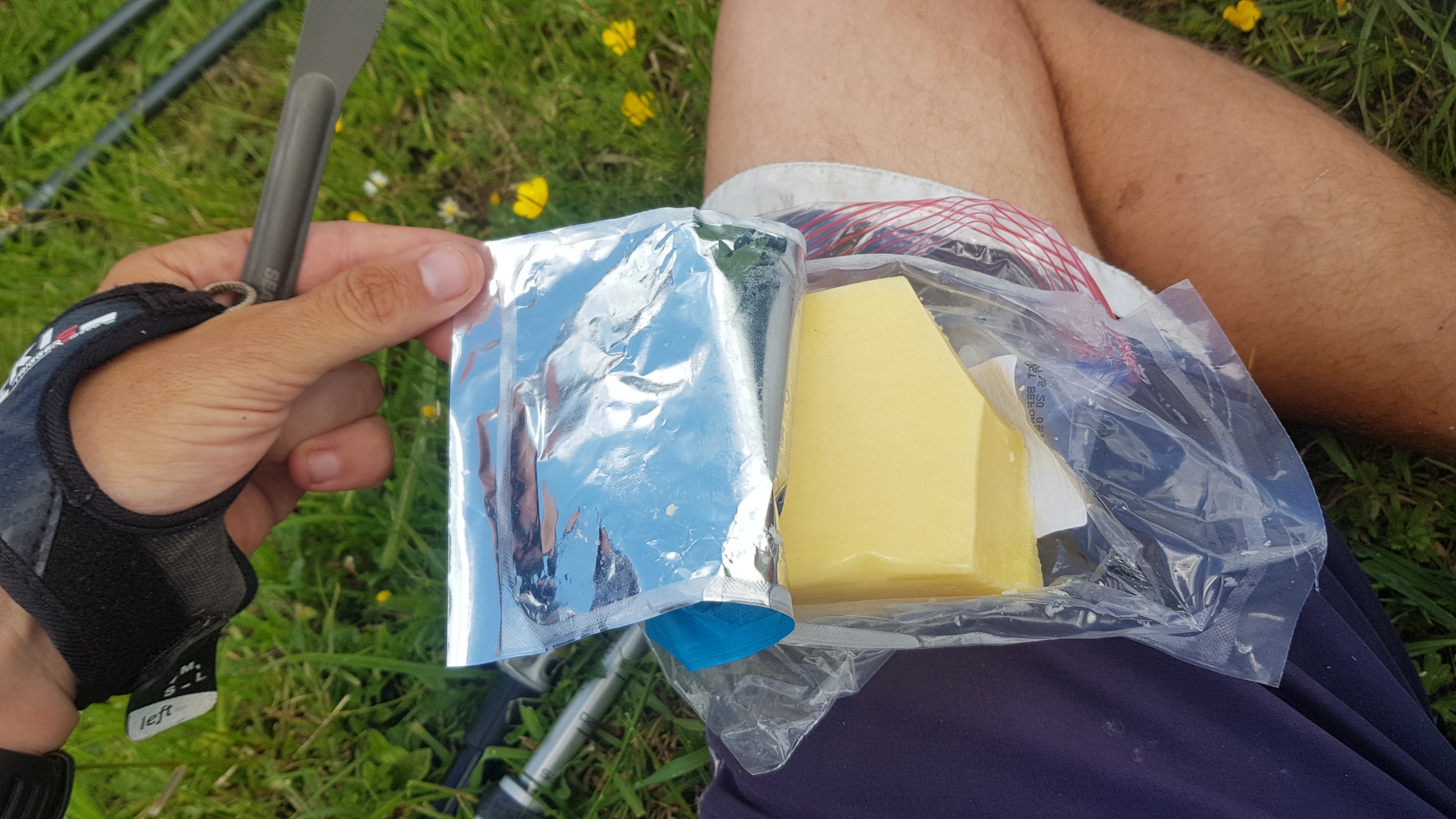
I had one of my favourite snack foods which I hadn’t had for quite a while.
Had to spread the peanut butter with my finger, as I forgot to pack a knife
It was a long and continuous descent down this hill, but the views were nice.
On the way down I started to feel a tummy rumble and then it suddenly dawned on me that the 35km between Drury and Mercer is noticably devoid of any toilets, or any shops at all. So that meant I was going to have to hold on. And from where I was it was still 16km to Mercer. This is going to be a long and uncomfortable 16km.
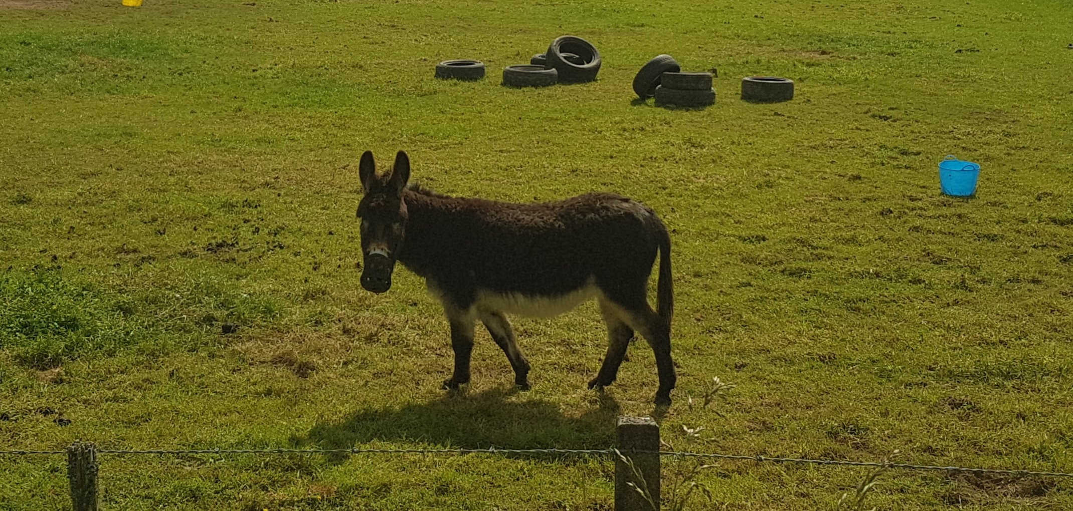
A random donkey which had nothing to do with the preceding paragraph
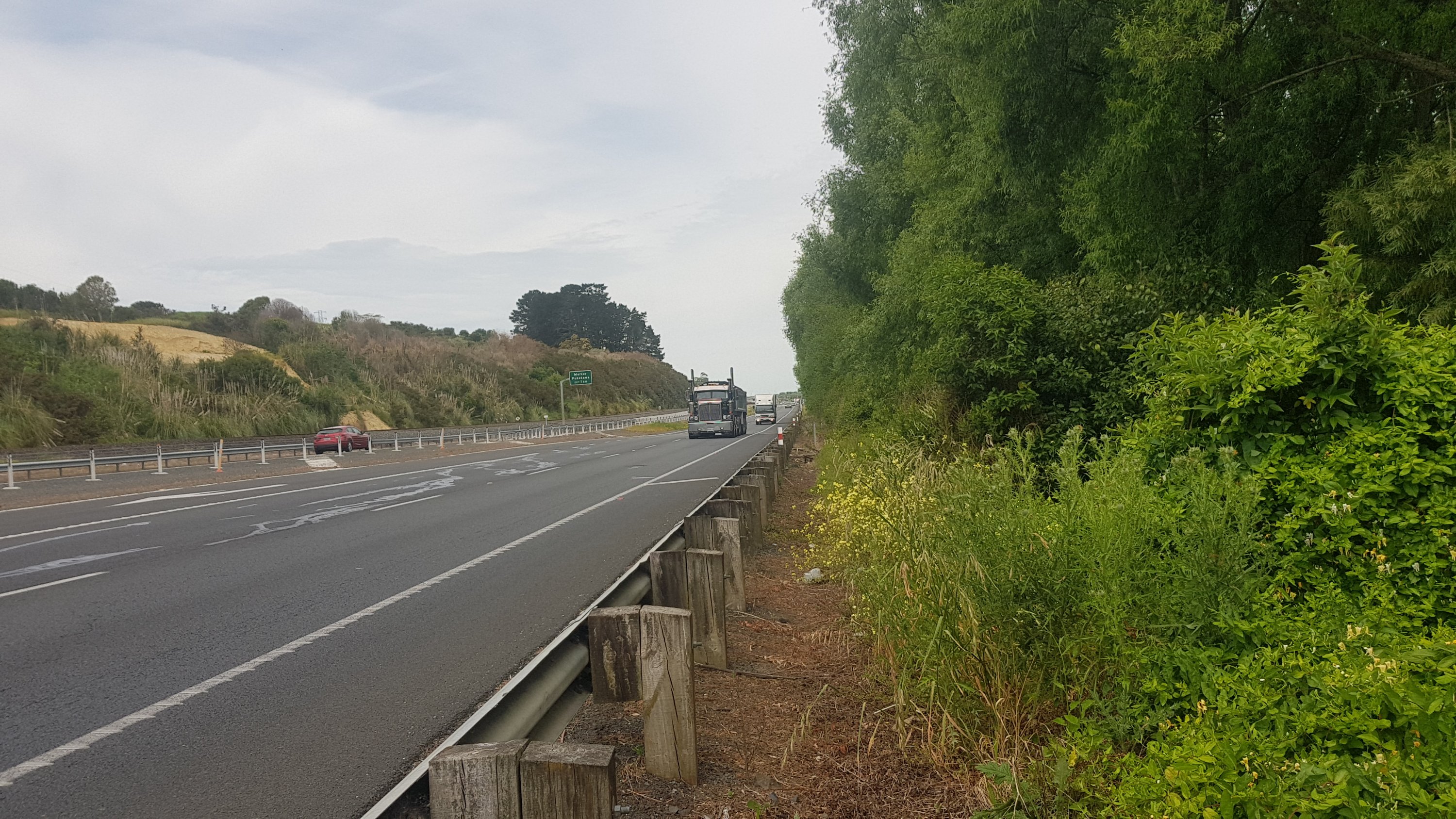
At the bottom of Pinnacle Hill Road you come out onto State Highway 2 which starts very near here. I hate driving down this road because it is busy and full of slow trucks and mostly only one lane in each direction. So walking down it is going to be even worse. I definitely stopped the music for this bit.
There was both a road shoulder and a grass shoulder at all times, so it wasn’t too bad…
State Highway 2 road shoulder
Except of course for two bridges which had no shoulder and you had to wait for a gap in the traffic and then run across. Yep what I remembered about this road was true. State Highway 2, where the trucks are large and the roadkill is so flat you can’t even tell what it used to be. There was actually a post on the Te Araroa Facebook group saying that somebody saw two people walking on SH2 today who were walking with the traffic flow as opposed to against it, and they couldn’t be seen easily. I know that wasn’t aimed at me, because I always try and walk against the traffic flow if possible,and I had my walking poles in the “Gandalf” configuration – holding both poles in one hand with one of them sticking up high, so they could be seen for a long distance. Just be careful, I guess.
If you don’t watch yourself, you’ll end up the same as this “90” sign.
You only have to cross this evil narrow bridge (good luck with that)…
The second and nastiest of the two narrow bridges
And you’re here.
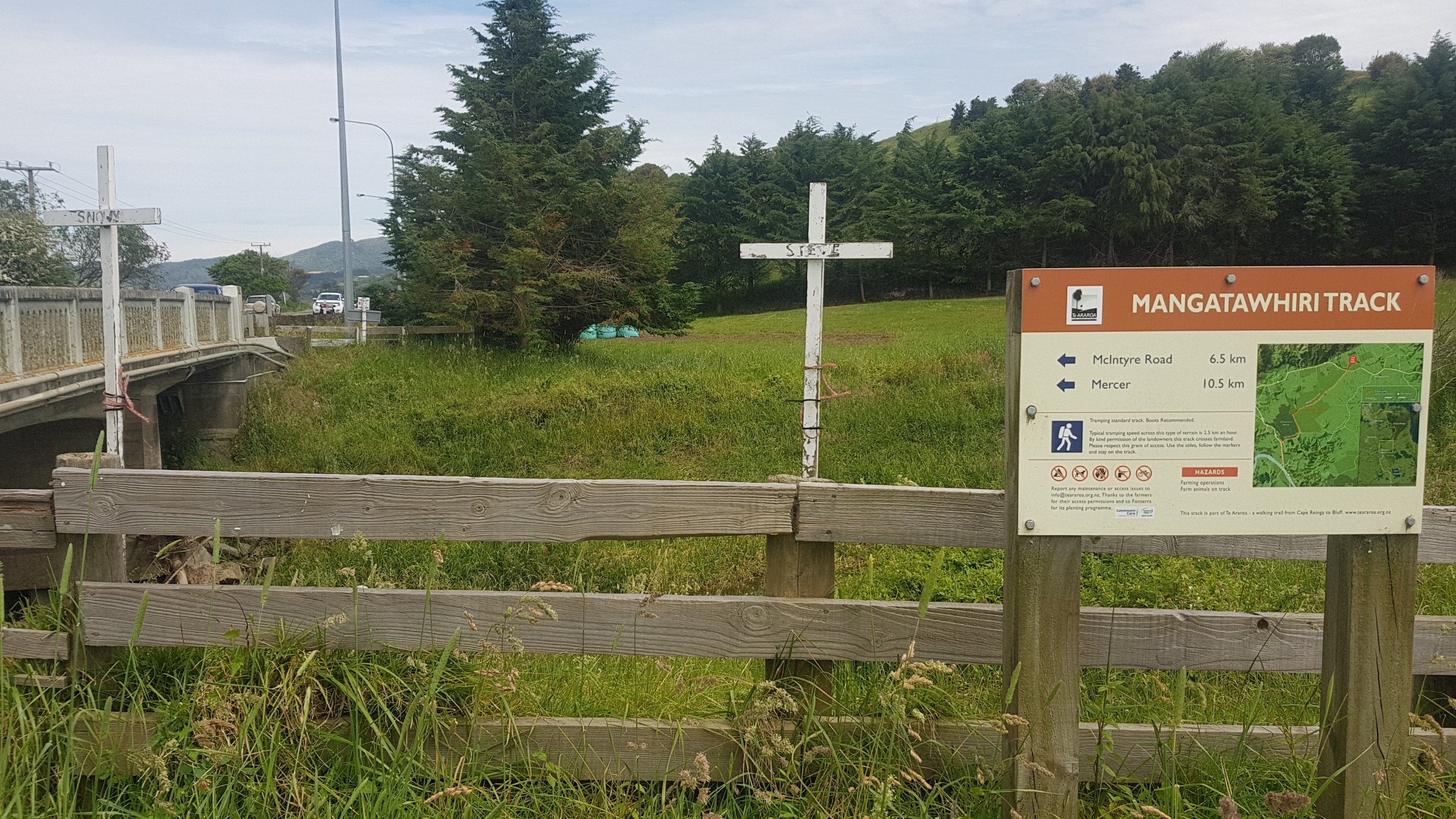
Mangatawhiri Track
I read here that walkers on this section average 2.5km/hr. Uh-oh, that’s really going to interfere with getting to Rangiriri by 8pm. For some reason I had it in my head that if I didn’t turn up by the time I said then they would give my room to somebody else, as I hadn’t paid for it yet. Maybe I’ll be sleeping on the pub’s couches once it closes.
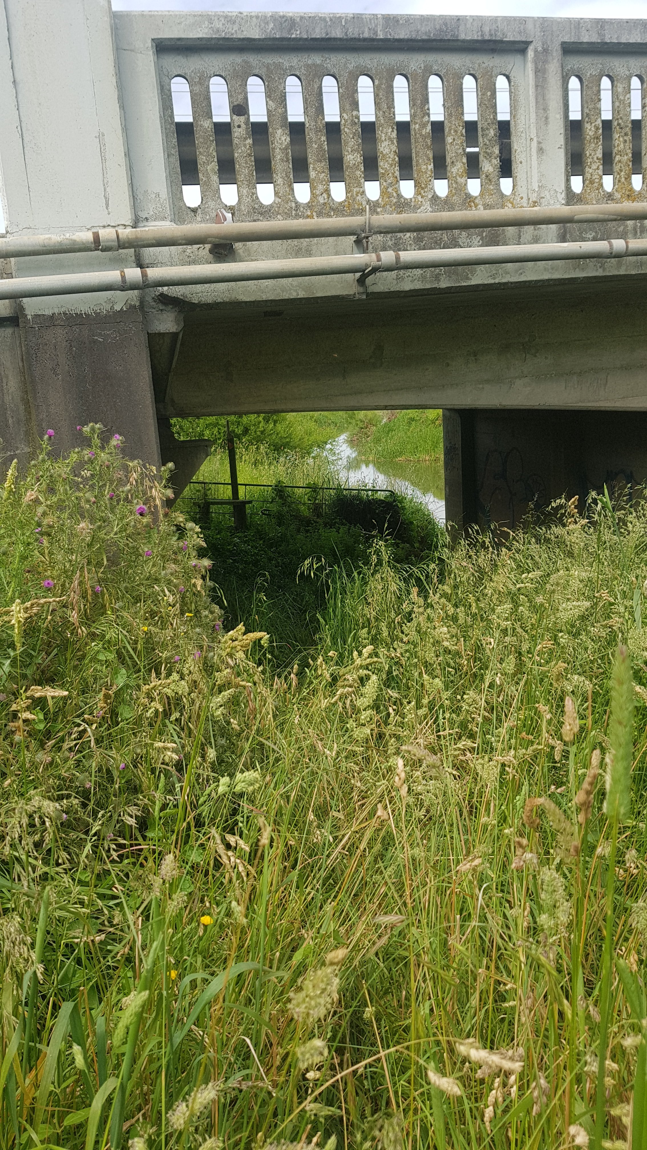
First you go under the bridge that you just ran across:
Uninviting bridge
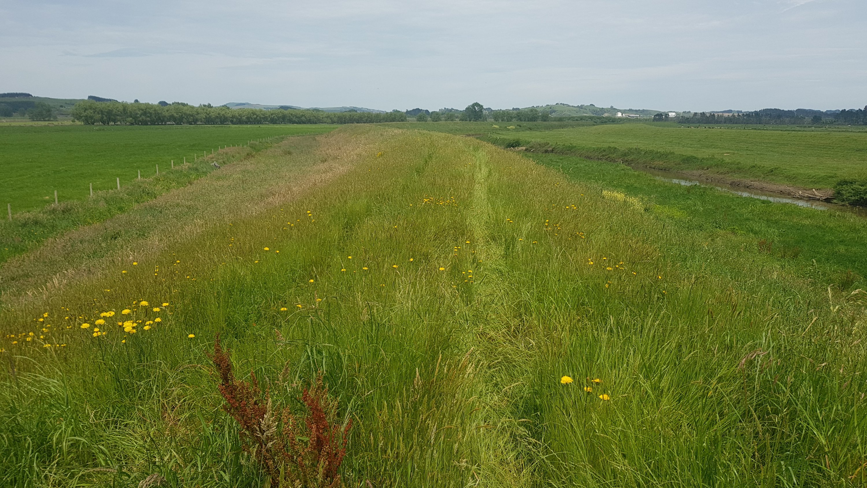
Then it was pretty much this for 2 hours. And I managed to keep up a 5km/hr pace here too, it really wasn’t that hard. Suck on that Mr. Sign From Before.
Stopbank walking for a long time
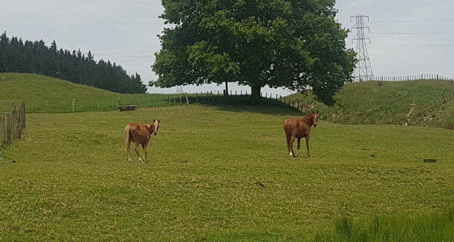
The only semi-exciting thing I saw along here was these horses.
And my dodgy tummy seemed to have stopped. If the trucks hurtling down SH2 didn’t scare the literal shit out of me, I guess nothing will.
Next was under the expressway, which was kinda weird. But first, even getting to the expressway was difficult. I saw on the map that you also had to cross the railway lines… although that was the easy bit.
Cross here
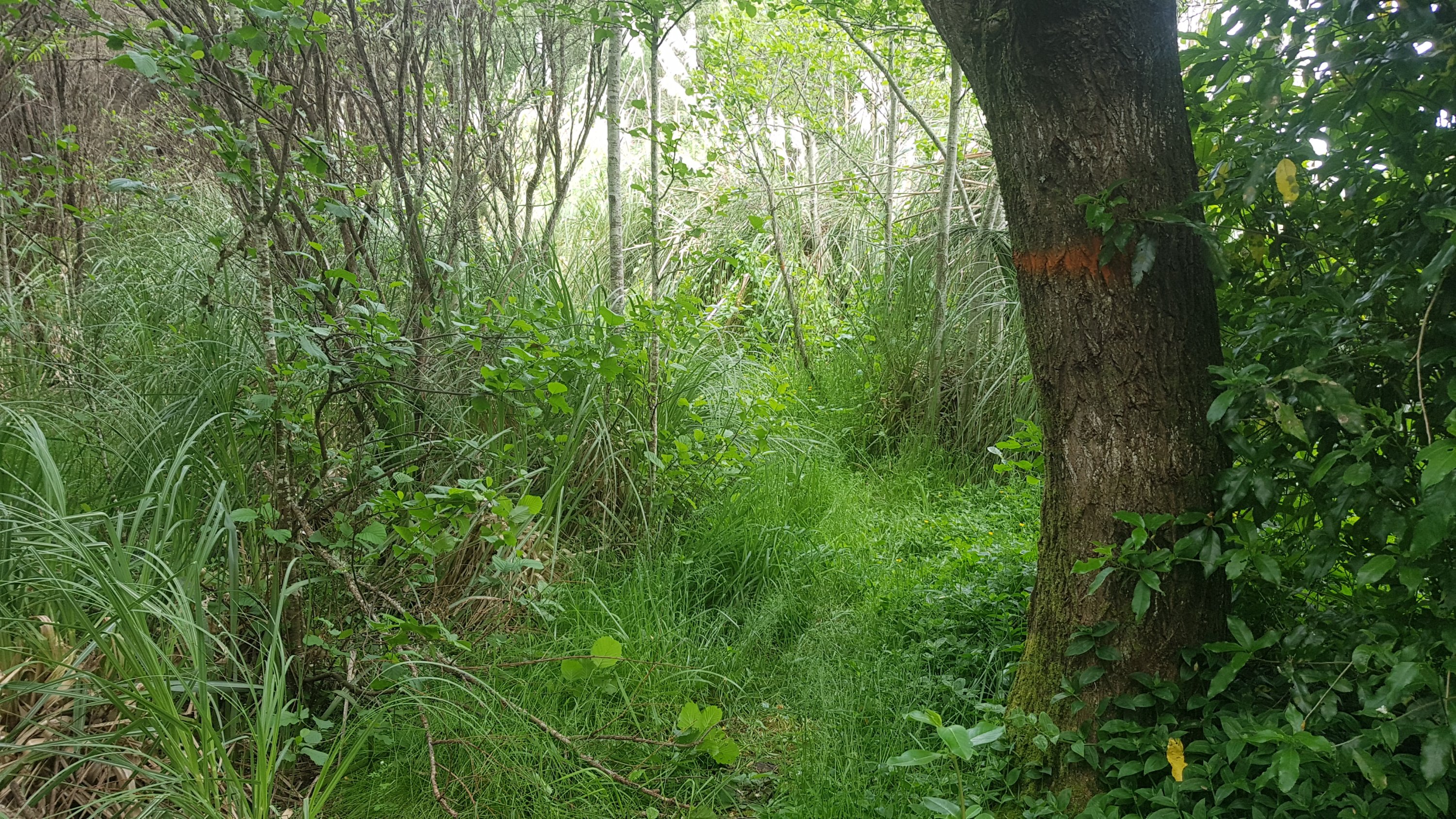
Now both Guthook and The Trail App have the line going to the right at this intersection. However the more observant of you may have noticed above two orange markers directly below the street sign, pointing into the bush. Yes, that is the correct way to go, and yes, it appears the apps are both wrong. A little bit of bush bashing and you come across this.
A little bit less subtle
But where is the path now? Is it here?
Immediately after the bridge
Or here?
Immediately after that
I got sick of trying to find the path. It is not well marked. So i just walked along the side of the SH1 expressway. At least there was a barrier to stay behind, so it was a hell of a lot safer than SH2.
Walking down the side of the expressway
For the record, it is legal to walk on expressways in New Zealand, but not motorways. SH1 in Auckland is motorway north of Bombay but at this point it is expressway.
WARNING – the next bit does talk about bodily functions. If you don’t want to read this bit, then skip forward to the next picture. Don’t worry I don’t go into too much detail! 😁
Here I did have to decide how much information to share, and hopefully it is not too much. At this point the dodgy tummy reared its ugly head again and this time there was no holding it back. I wasn’t gonna make it the final 2km to Mercer… so I dashed off the expressway and into the bushes. Luckily I added toilet paper to my pack since the last day I walked.
Now people… maybe this might gross some people out, but consider taking your used toilet paper with you. Put it in a zip lock bag and dispose of it when you can, like I did here and took it to Mercer. Or if not, then at least bury it. I haven’t seen it personally, but the Facebook posts of people finding used toilet paper at campsites makes me really sad.
And while we’re on the topic of bodily functions… there is only one thing brighter and yellower than my bright yellow crocs, and that is my pee. I looked it up, and while it wasn’t exactly clear what causes it, I do know that if you’re severely dehydrated, it comes out a very dark colour, even brown. I learned that from Survivor. That’s definitely the opposite of what’s happening, it is almost flourescent yellow.
Okay now that that subject has had enough said about it, and I’ve done my business, it is time to rejoin the expressway. Half an hour or so of this, and suddenly, Mercer. Only one important thing to do here.
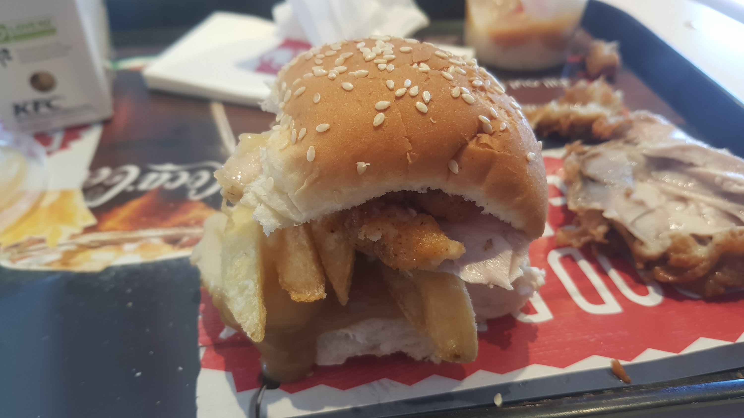
Ten nuggets combo. I really wanted to buy 20, but even after walking 35km I felt I couldn’t justify buying that many nuggets.
Left Mercer…
This is Mercer. Apparently hikers can stay at Podge’s Place (beside the motel there) for real cheap.
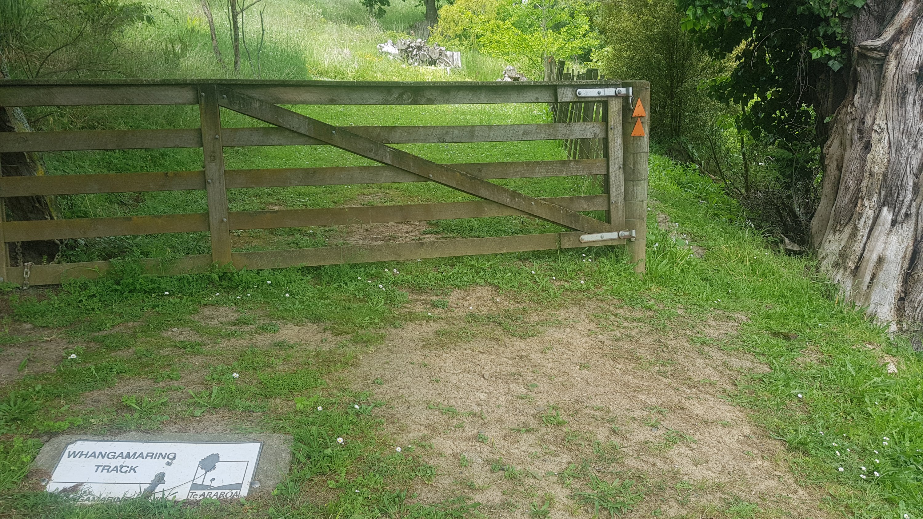
And it was onto the Whangamarino River Track. Guthook says it is an easy walk through farm and bush.
Whangamarino Track
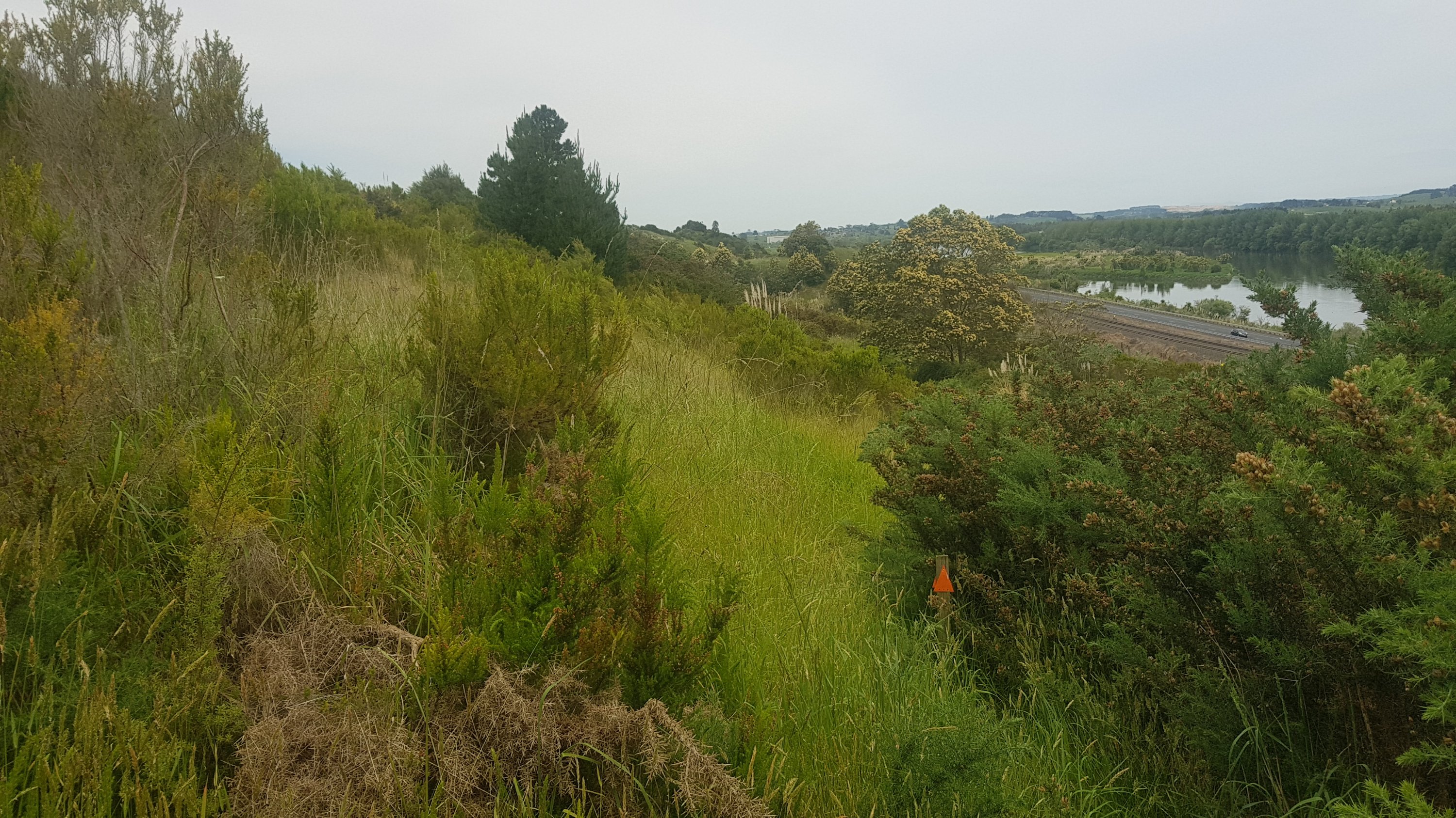
How wrong Guthook was. It started off okay (ish)…
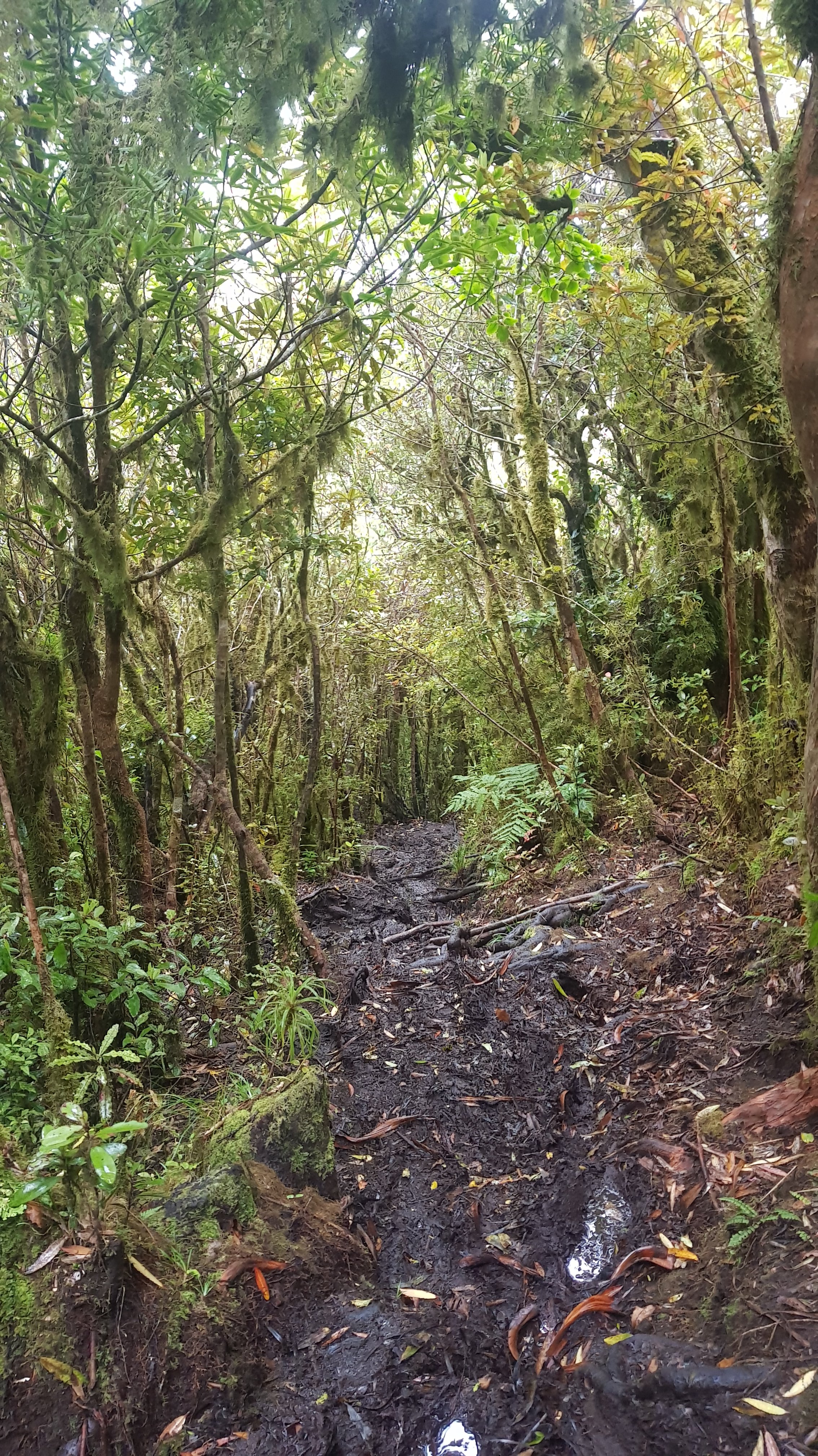
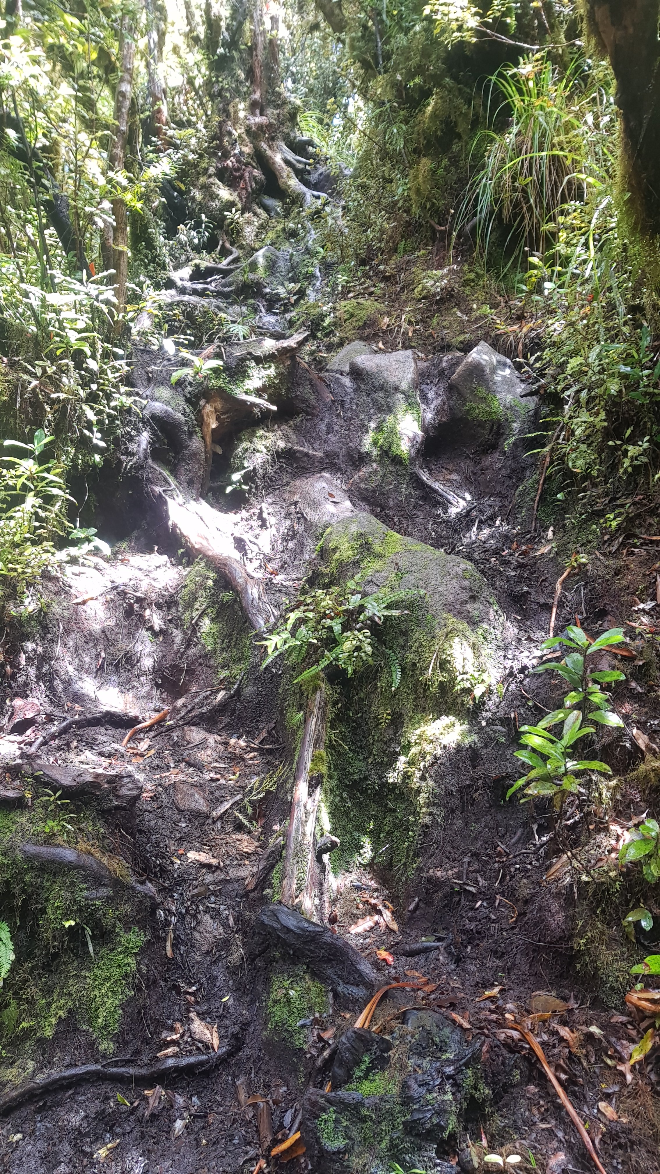
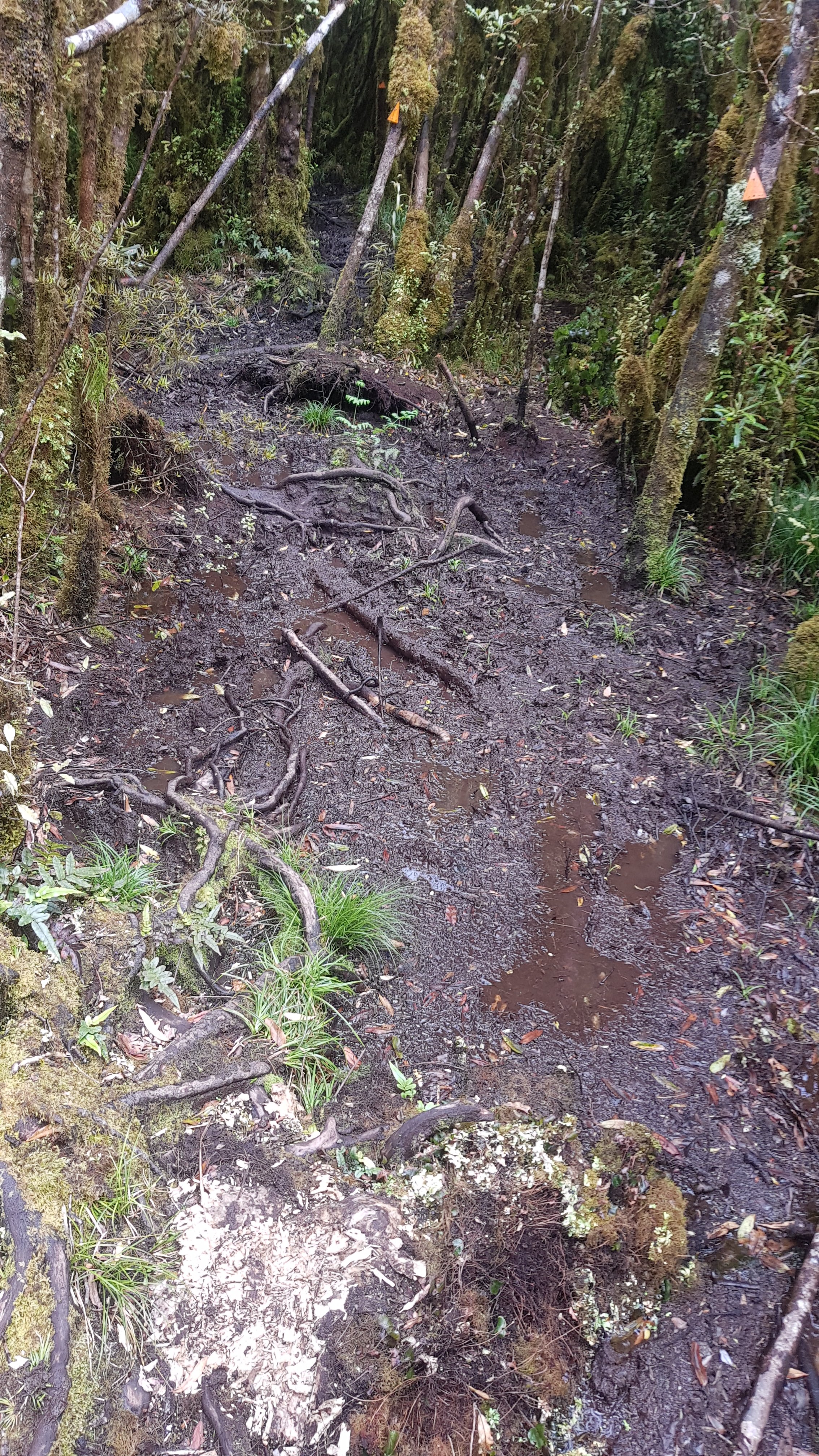
But soon it was up and down very steep hills, through swamps, and sometimes you couldn’t find the path at all.
Yes, there is the marker way the hell up there.
It was one of the worst-marked paths I’ve seen so far. I should have read the trail notes which described it as a “basic” path for trampers of reasonable fitness.
Which should path I take – the cutty grass or the gorse? There’s no markers, so just pick one!
I was getting angry quite fast. I was making excruciatingly slow progress. And no sooner did I trip and fall at one point did I then see Mark and Jolanda from two days ago. How embarrassing. They were on the other side of a swamp, and Mark was trying to yell something at me but because of our proximity to SH1 I couldn’t hear him over the roar of the traffic. Given that he was walking in the opposite direction to the trail and that the trail simply sucked, it appeared that they were abandoning it. But where were they going to go? Down the side of the expressway, I assume?
Bruised and battered I eventually emerged from the river track, and looked at the map. Okay, appears I am headed under the expressway again. I did think that this view of the expressway was cool though. It goes right over the train line, and a train was passing.
Going under the expressway again
The headroom here was extremely low. One of the very small number of times where being tall is a disadvantage.
Max Headroom not much
And then, yep, more walking down the side of the expressway. At least it was marked this time, so I knew I was actually supposed to be there.
There’s the old Meremere Power Station in the background
A short walk along the river and you come out at the end of a road called Dragway Road. When I was a kid the road was called Drag Way which I thought was an excellent name but some buzzkill obviously changed it. It still shows on the Guthook topographic map as Drag Way though, so I know I’m not making it up.
The cattle followed me, but weren’t too menacing. I am noticing though that the further south you go, the braver the cows are. Coincidence? I’m not sure.
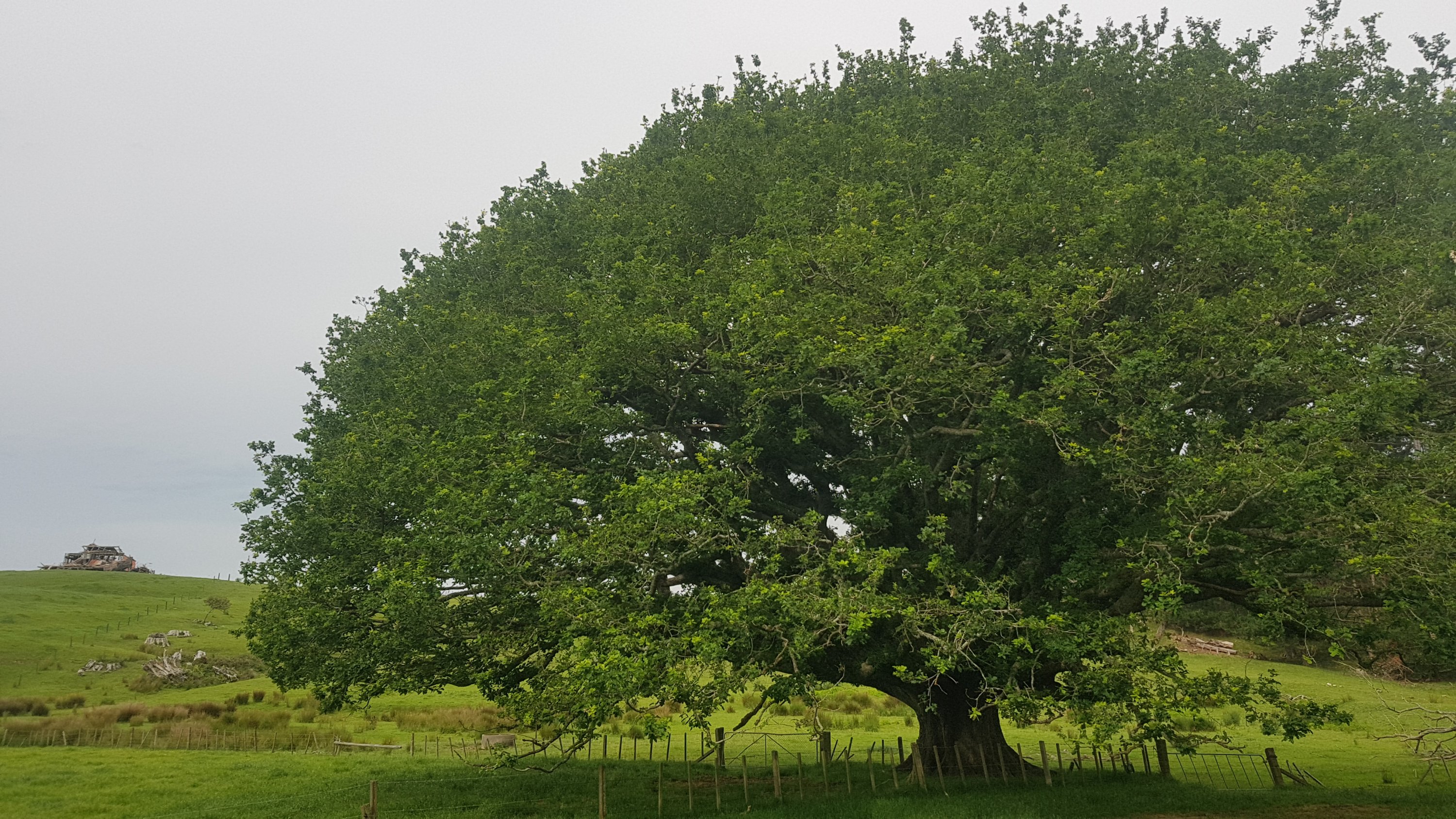
And now, more walking along a stopbank. I thought this tree was worth taking a picture of. And it had a geocache in it.
Cool tree and a destroyed house in the distance
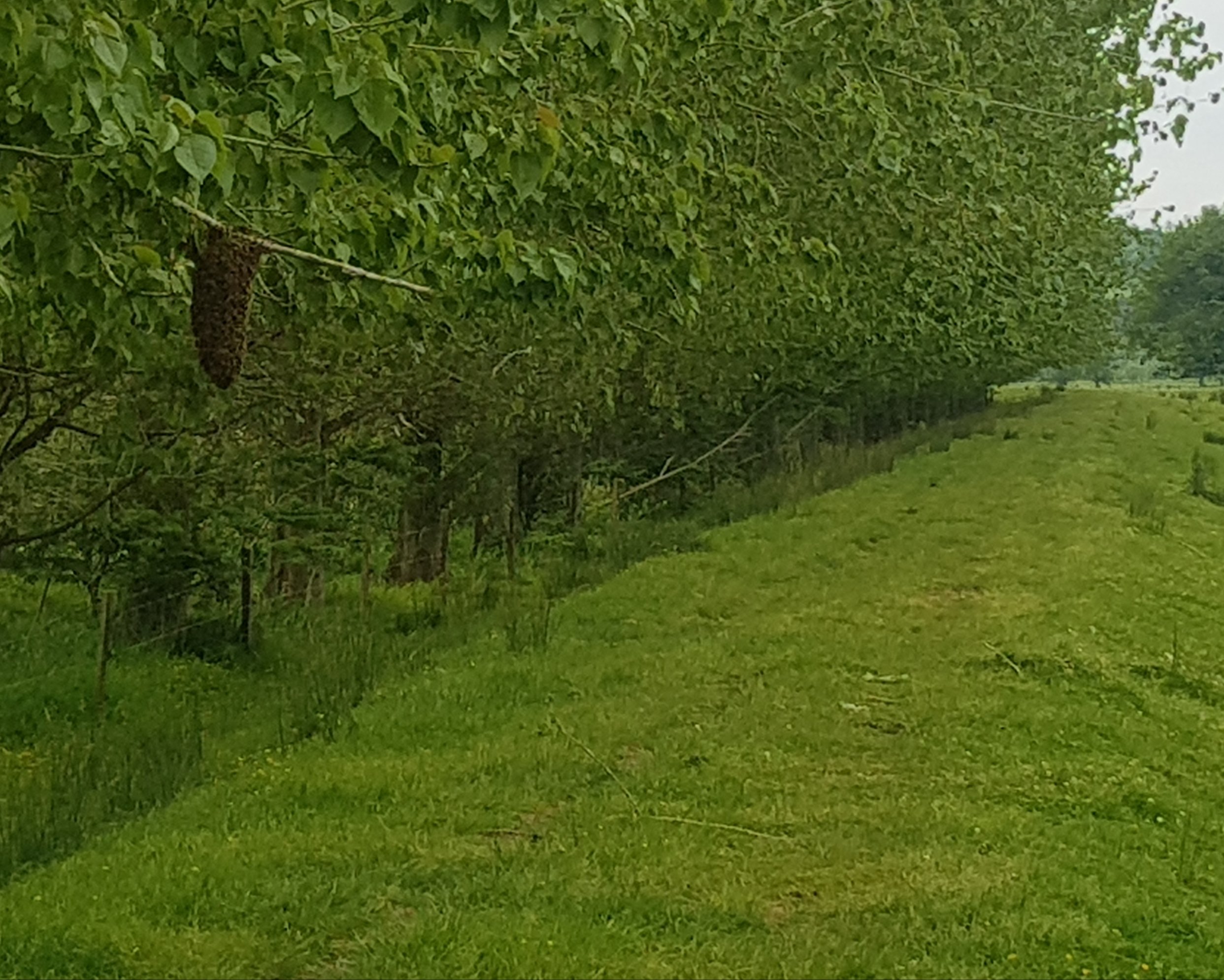
Here is one thing I didn’t see at first. Can you see it?
I was busy looking down at the ground trying to maintain a fast pace and therefore checking that I didn’t trip. But soon I felt tap tap tap tap of large things flying into my face. I looked up and my face was less than a meter from this thing. Yikes! Thousands of bees or wasps were flying around! But I wasn’t getting stung… odd. Regardless, I got a safe distance away before taking that picture.
I spent time deciding if they were bees or wasps and thought they must be bees because there were beehives just a little further on. But I’ve never seen bees in that formation before. I had to ask my Mum, and she said it’s a swarm of bees. Interesting. Apparently when bees are swarming they are docile because they aren’t protecting a queen bee or any honey, and so don’t sting. Lucky me.
And another thing to defend myself from… some young bulls. I had also read on the Facebook group that there were young bulls in this area charging at people, so I was weary. Luckily waving my poles and yelling “Yah!” kept them mostly away. I felt a bit like Thor.
Young bulls
The stopbank came to an end and moved to a riverside path.
It was mostly easy to follow but I did go the wrong way briefly for about 50m. And there was one point where you go up a hill and then the orange marker points you here:
Impenetrable gorse
There was the tiniest of tiny paths there and I spent a bit of time deciding if I really do need to fight my way through that, and fortunately common sense won and I found the correct marked path a bit to the right. Long story short, don’t go through that gorse.
There was a lot of climbing fences and stiles, and a lot of walking through these yellow flowers.
No, I don’t know what type of flowers they are
This large field of dead gorse was a lowlight however.
Gorse graveyard
And their signs clearly need replacing!
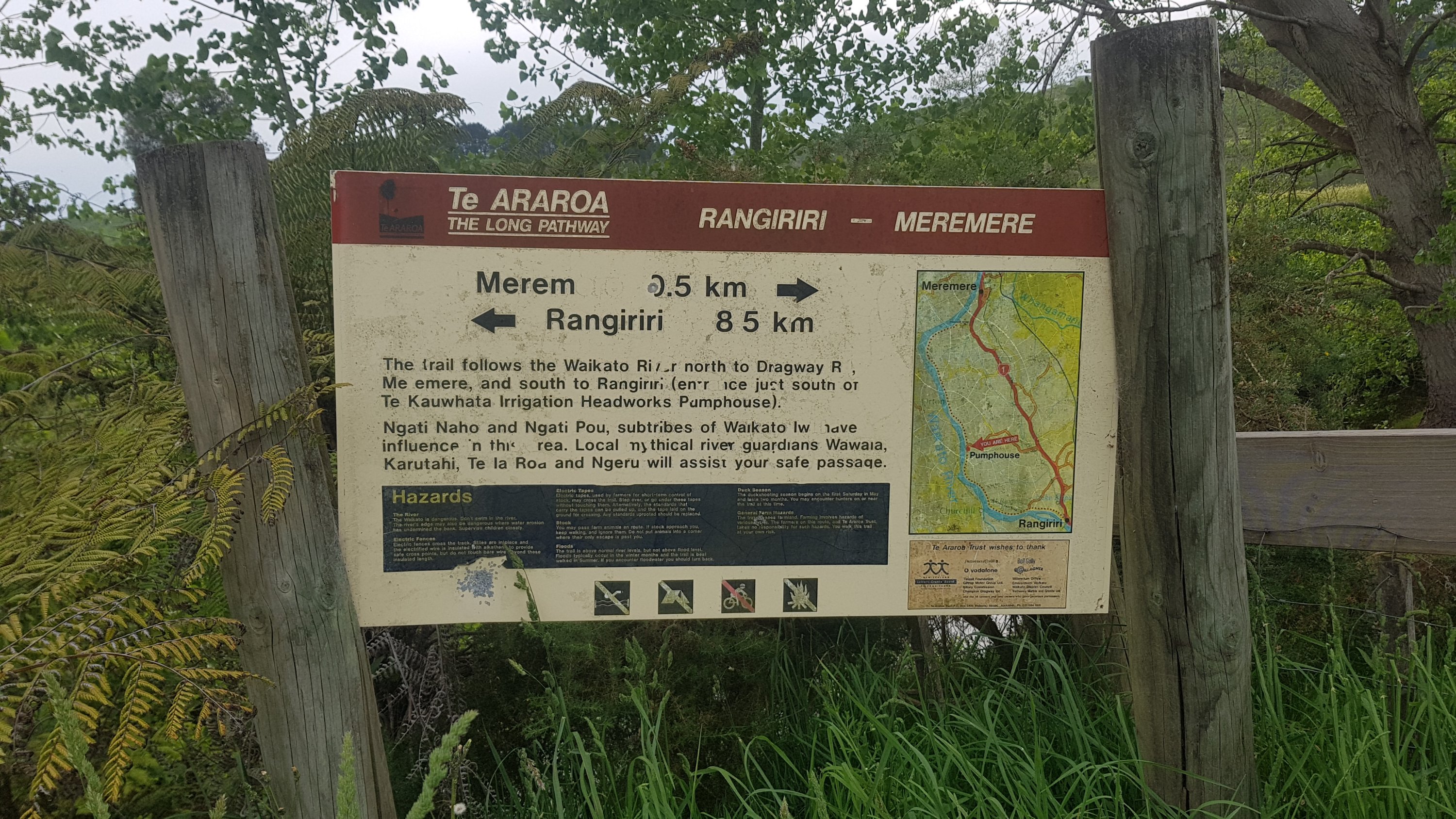
Merem to Rangiriri
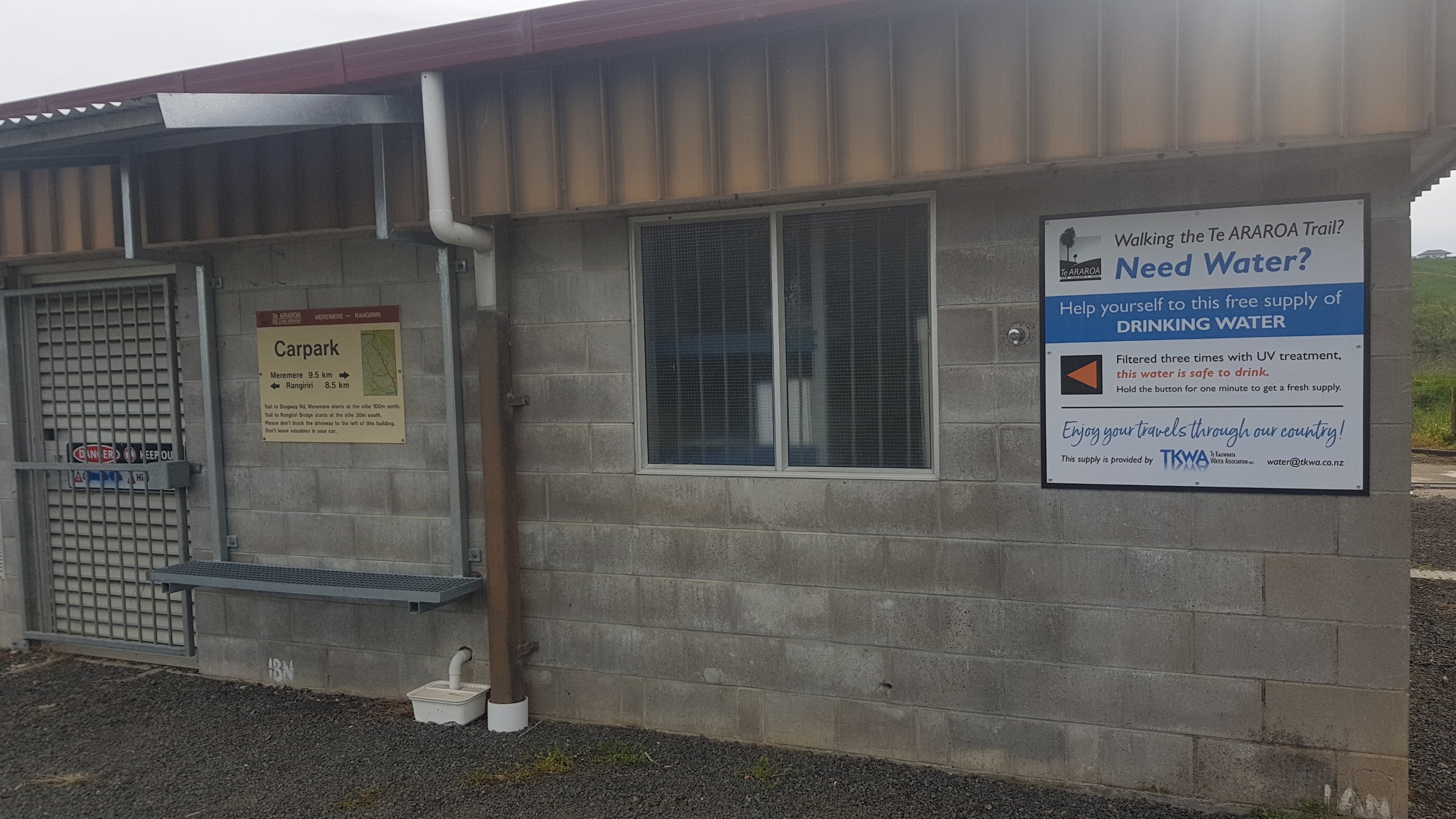
Just after here was a water tap, provided by the Te Kauwhata Water Association. I don’t know why Te Kauwhata needs a water association, but at that point I didnt care. It was super hot and I’d been outside all day and I grabbed 3 litres of the stuff, and drank another litre. Thanks TKWA!
I was so happy to see this!
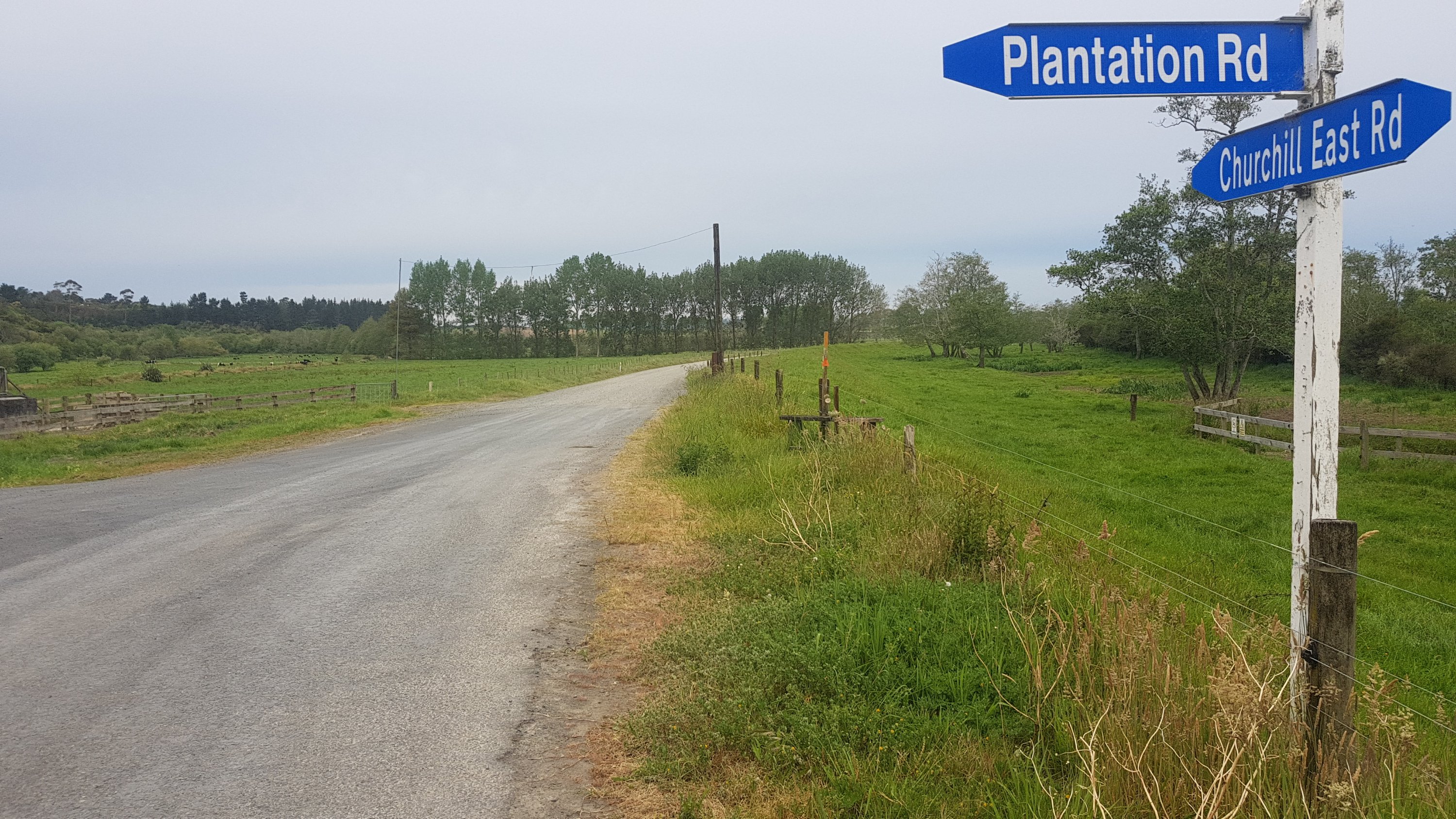
From here you could travel on either the road or move back to the stopbank. The trail notes list the road as an alternative if you don’t like walking through cattle. Sounds good to me, and also it’s faster. It was 5:30pm by now and there was 9km to Rangiriri. Let’s walk, and walk fast.
Churchill Road East / Plantation Road, with a stile if you don’t want to walk on the road
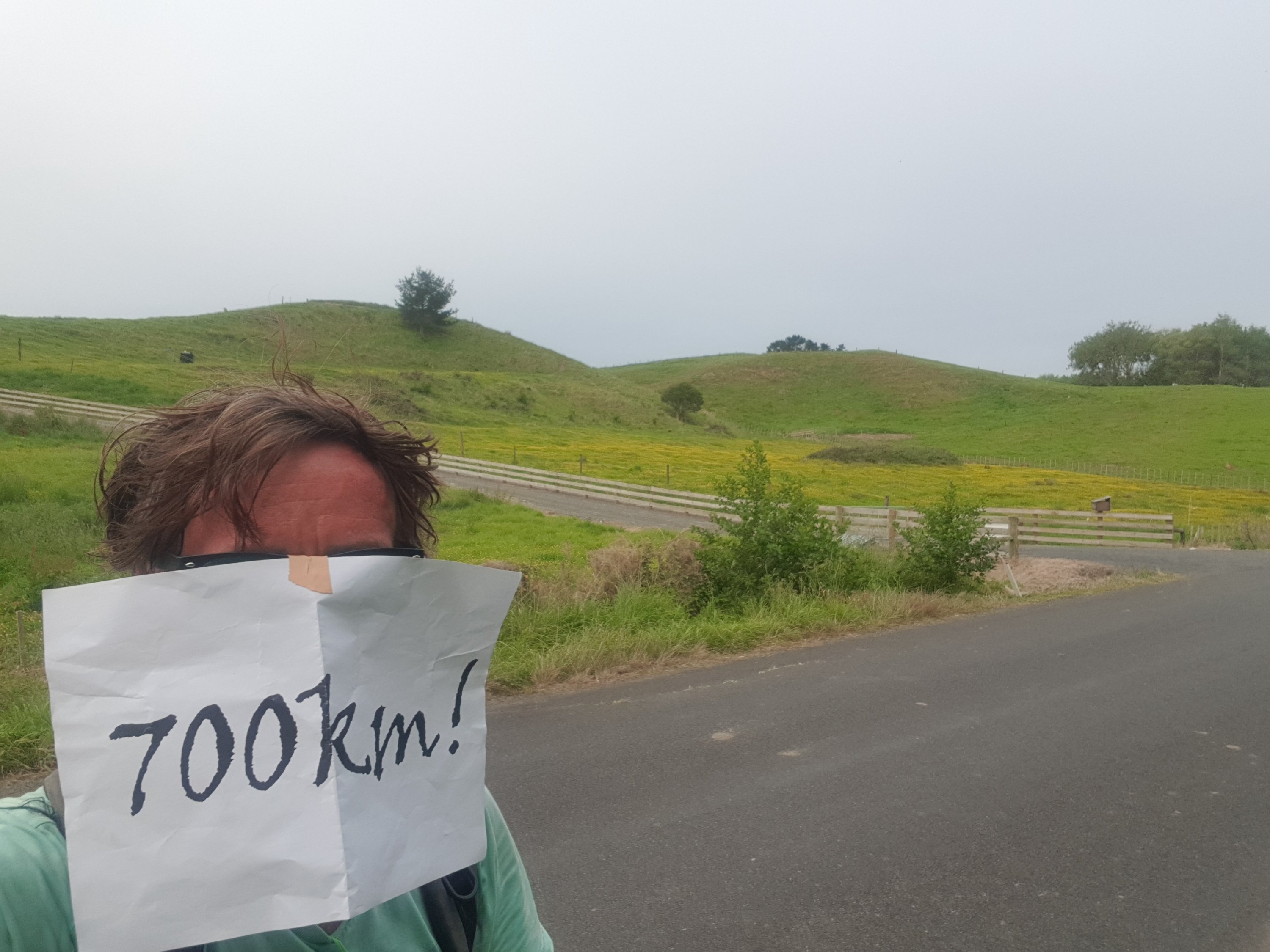
Although, there is always time for the milestone photo. Let’s take that really fast.
The largest hill in the background is apparently called Rangiriri, and stands at a proud height of 61 metres. And yep, my forehead is burnt.
By this time I was starting to get a bit exhausted. To keep myself sane, I found myself singing out loud to the music playing on my iPod, and I didn’t even care what the people around thought… not that there were any.
Soon I could see where Churchill East Road, the road I had been walking on, came to the expressway. It seemed strange to have a gravel road so close to the expressway, and with its own traffic lights.
And also these signs for the Te Araroa trail – which look as if they’re aimed at cars and not walkers.
Unusual TA signs
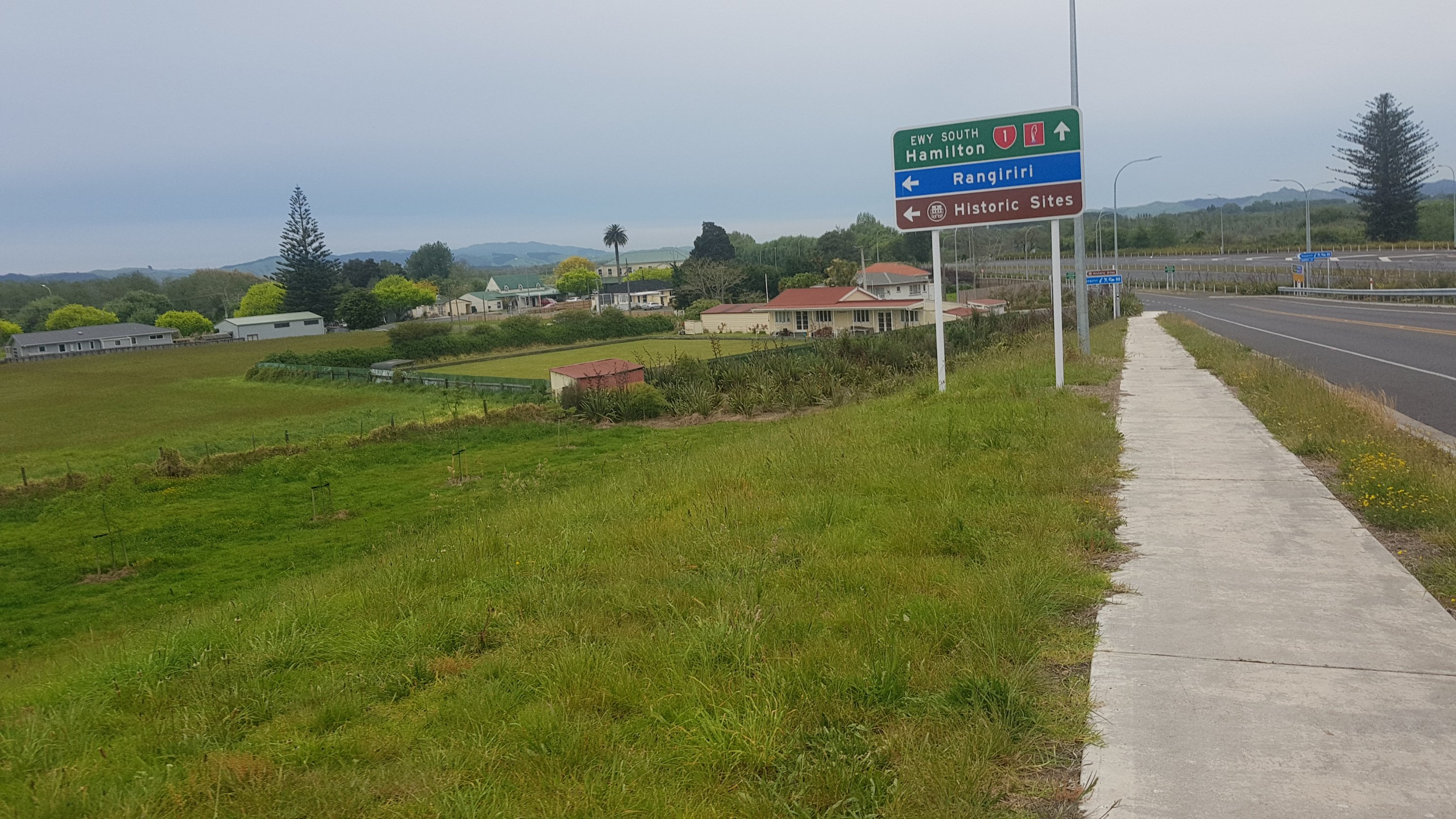
Here was my first view of Rangiriri, and there’s the hotel in the middle (behind and to the left of the bowling club). I spent a few seconds working out what a EWY was. When I worked it out, I made sure I didn’t go that way. I’d had enough of walking on the EWY today.
Rangiriri
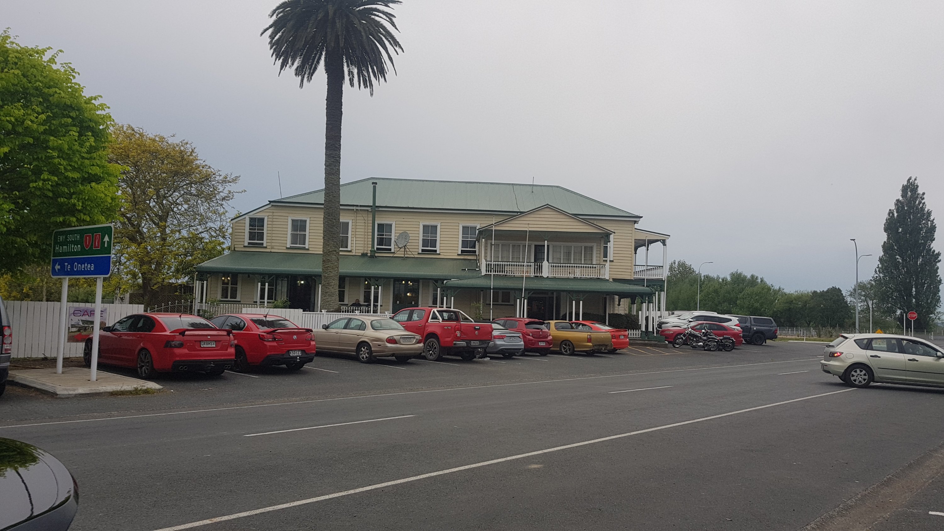
It was great to see the pub finally. Looks busy from the outside. I had arrived at 7:20pm. Should be alright, I hoped. What am I gonna do if they’ve given my room away? Surely they haven’t. They never tried to call.
Rangiriri Hotel
It took me a while to check in because they were so busy, but despite being so busy, the staff were all still friendly. I did get checked in just fine. And after that, I immediately got a cider and reflected on my walk for the day.
A new record
61.3km in one day. I really don’t see that record being beaten for a while now, if at all. Potentially when I get to Wellington I might make a final push to the North Island finish line without my pack, which might be longer than 61km. Or maybe the same at Bluff. Although finishing at Bluff without my pack would just feel wrong, I think.
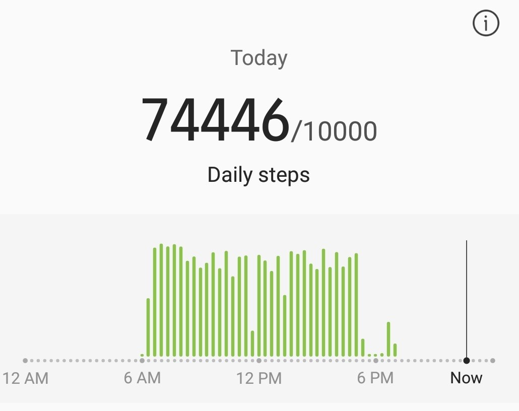
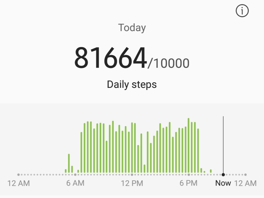
81,664 steps today – another record
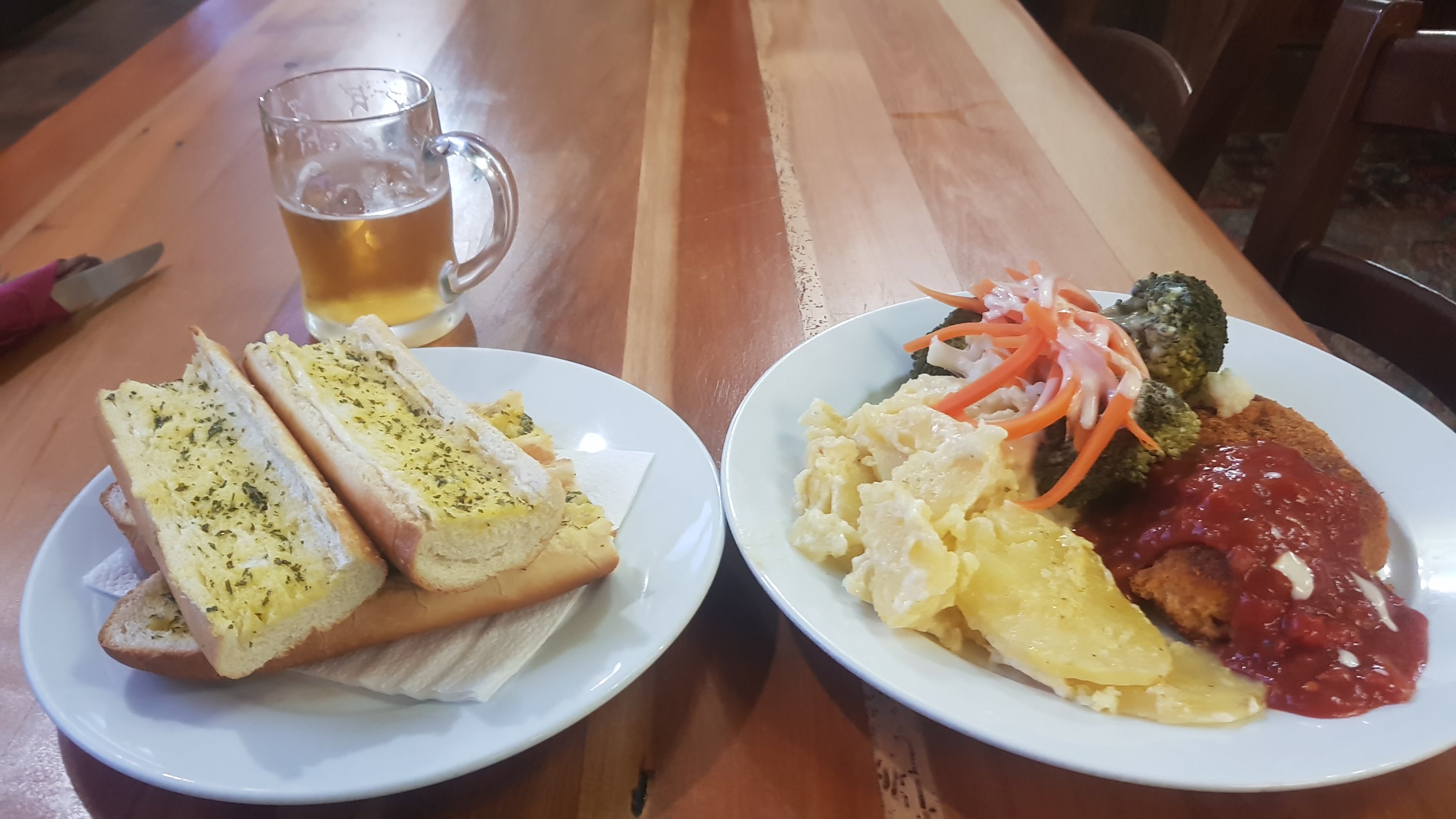
And I got some food, which was huge. The food (not including the cider) was only $25, although the garlic bread was not particularly warm.
Garlic bread and cajun chicken with veges
The floors in the hotel, in the upstairs area where the accommodation was, were on quite a big angle, and the room was very hot, although my sunburn might have had something to do with that. Whenever anybody used water, a loud noise would present itself which was annoying. The room was also quite pricey I thought – $90 for a twin room with a shared bathroom. I’m not sure I’d stay again, although it depends on the price of the single rooms which I never found out as they were all booked.
When I went up to my room and unpacked some of my stuff, I realised that the three uneaten bananas in my pack had essentially exploded. I guess 61km worth of rolling around in my pack wasn’t good for them. Note to self: Bananas are not good hiker food to travel with. I’m glad they didn’t destroy my electronics and the other things I had in my pack, or even the pack itself – I had my electronics all in the same bag when I walked Mount Eden to Drury. This time I put the food inside a separate bag. Smart idea.
I looked at the GPS line for this walk and it was largely accurate this time, except for two occasions where it shows me walking out into the river. That definitely didn’t happen! At one point the watch display skipped from 52.8 to 54 kms. It was like I’d gained a kilometer without doing the work!
A fairly early night tonight because I’m so sore, and another relatively big day tomorrow with a time pressure. Although I can’t have too many of these long days, because this blog post turned out to be so long it’s taken me over two hours to write it!
Date: 7 November
Distance walked: 36.0km
Trail covered: kms 703.2 to 737.9
Weather: hot and spicy all day
KFC satisfaction level: 975,000
This morning I woke up at the Rangiriri Hotel and had breakfast there. I didn’t realised when I booked that they provide breakfast, but they do. It turned out that all it was was Weet-bix, cornflakes, milk, white bread, butter, spreads and Fresh-Up, but better than nothing. Since my bananas exploded in my bag yesterday I was glad to have any breakfast at all.
Left at 7:30am. My time deadline today was to make the Intercity bus which I had booked for 6:30pm. After walking to Ngaruawahia today I am going to get the bus back to my house in Auckland and stay there two more nights. And then after that, I will get my pack and return to the trail properly on Saturday. I just want to spend one or two more nights in my own bed!
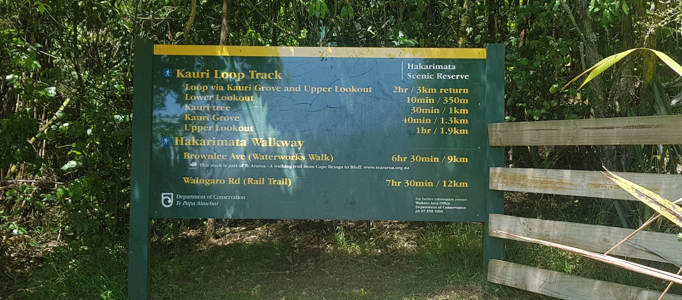
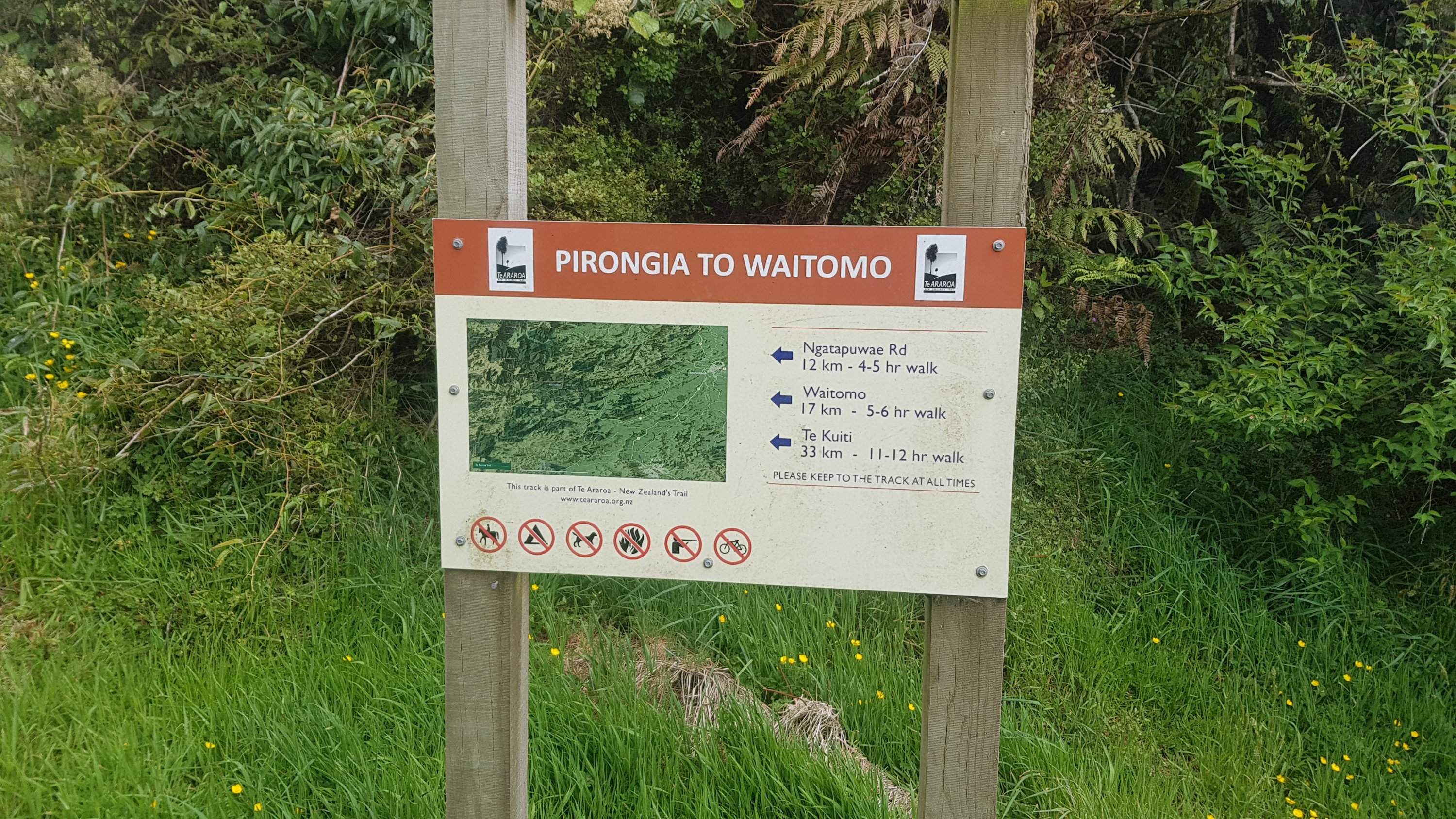
Eleven hours should be enough to walk 35km – but the last part of the walk today is the Hakarimata Ranges which are 11km long and described in the trail notes as “steep and arduous but the views are worth it”. So, let’s not waste any time.
I still only had my running shoes though. And they have absolutely no grip on them. This could make walking through the Hakarimatas interesting if they were muddy.
Not a grip in sight
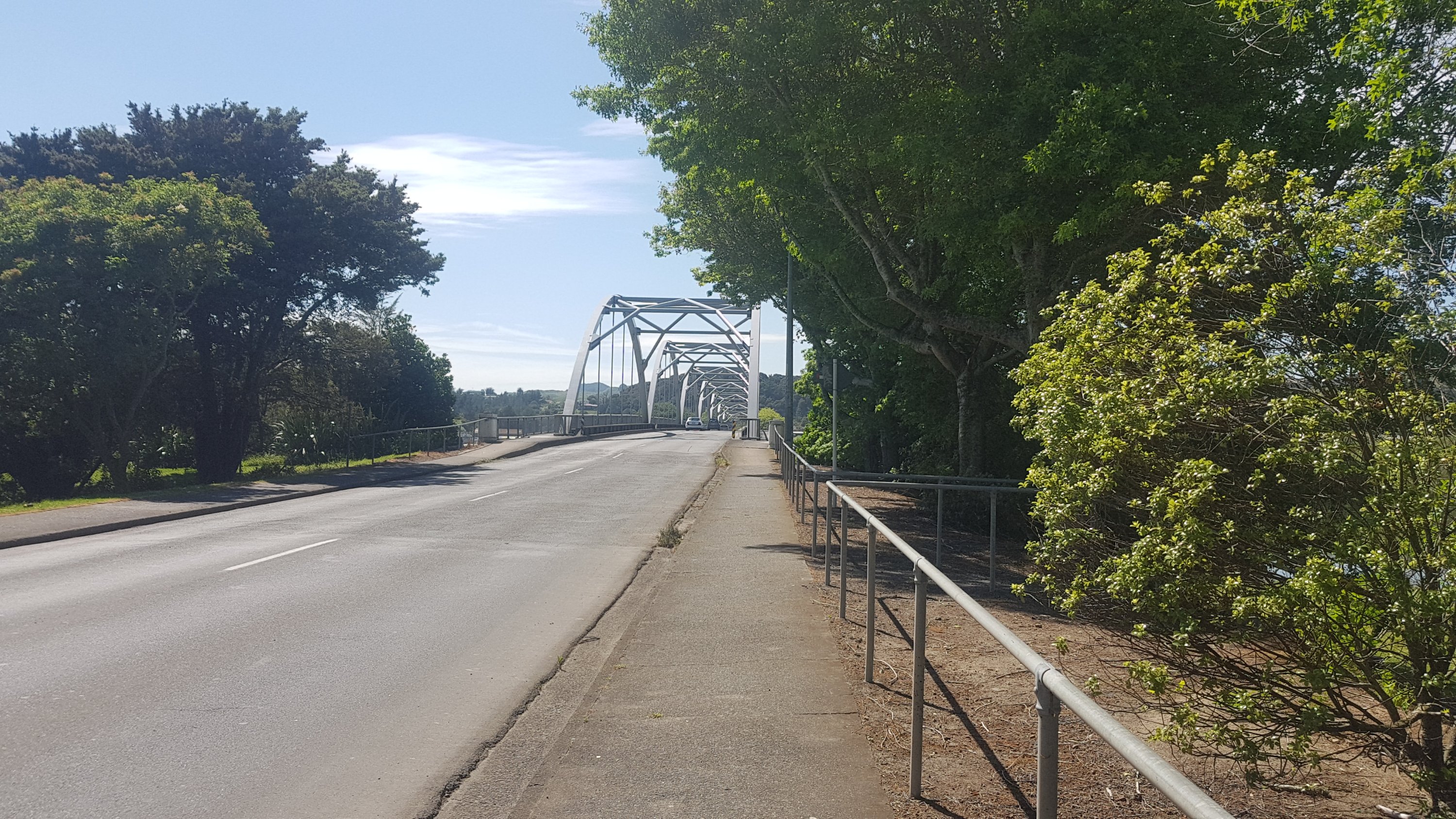
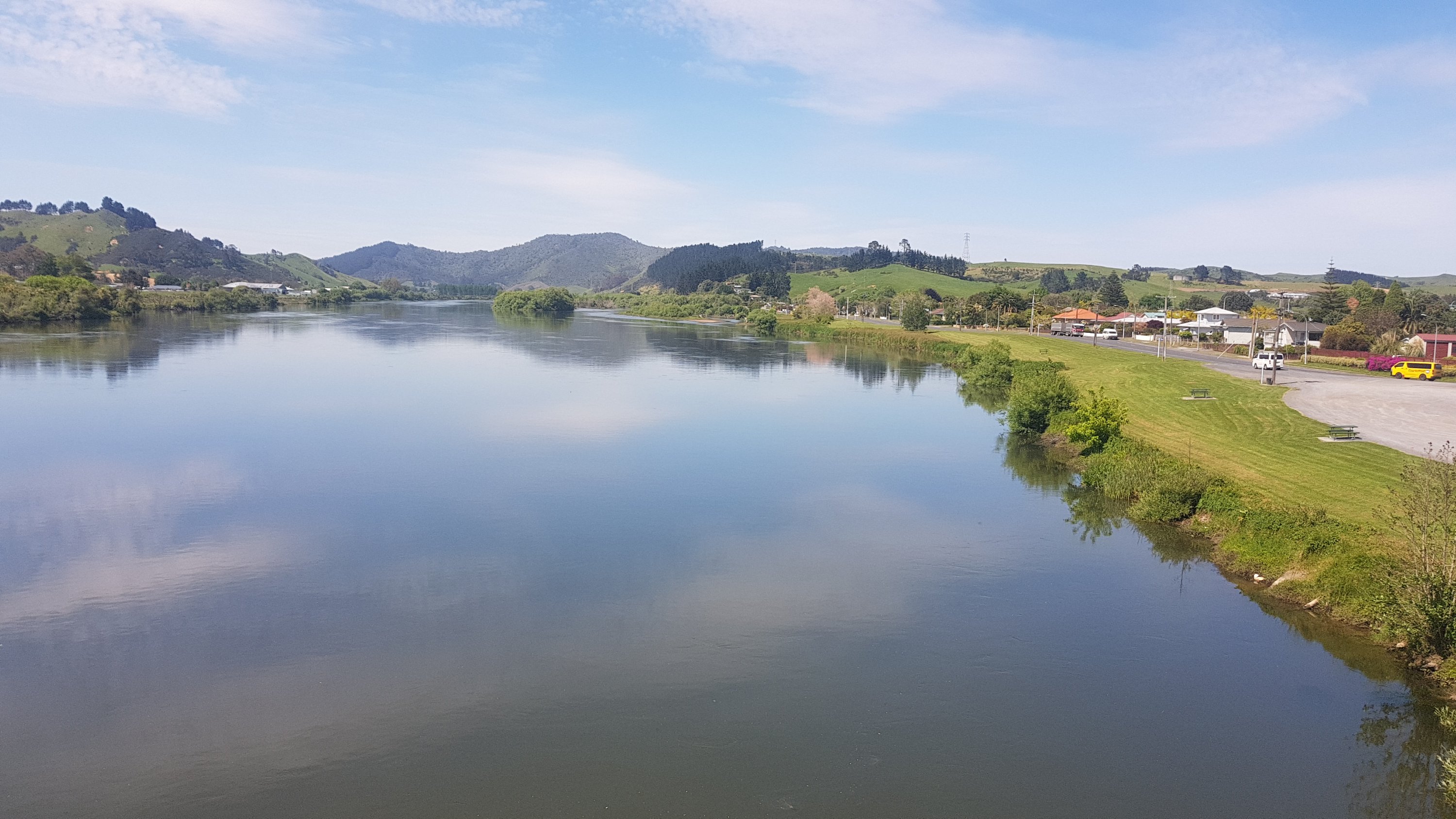
The first part of the walk is across a one-way bridge controlled by traffic lights which goes across the Waikato River. At least there is a footpath of sorts.
The sun was interesting today, it was behind a strange cloud which gave it quite an eerie look.
Interesting sun today
Be careful while you’re taking photos though. There isn’t a lot of room when a truck comes.
Better suck it in!
And then somebody helpfully put this in the middle of the footpath.
I have had good practice at getting around things like this now – after all the footpaths that don’t go anywhere.
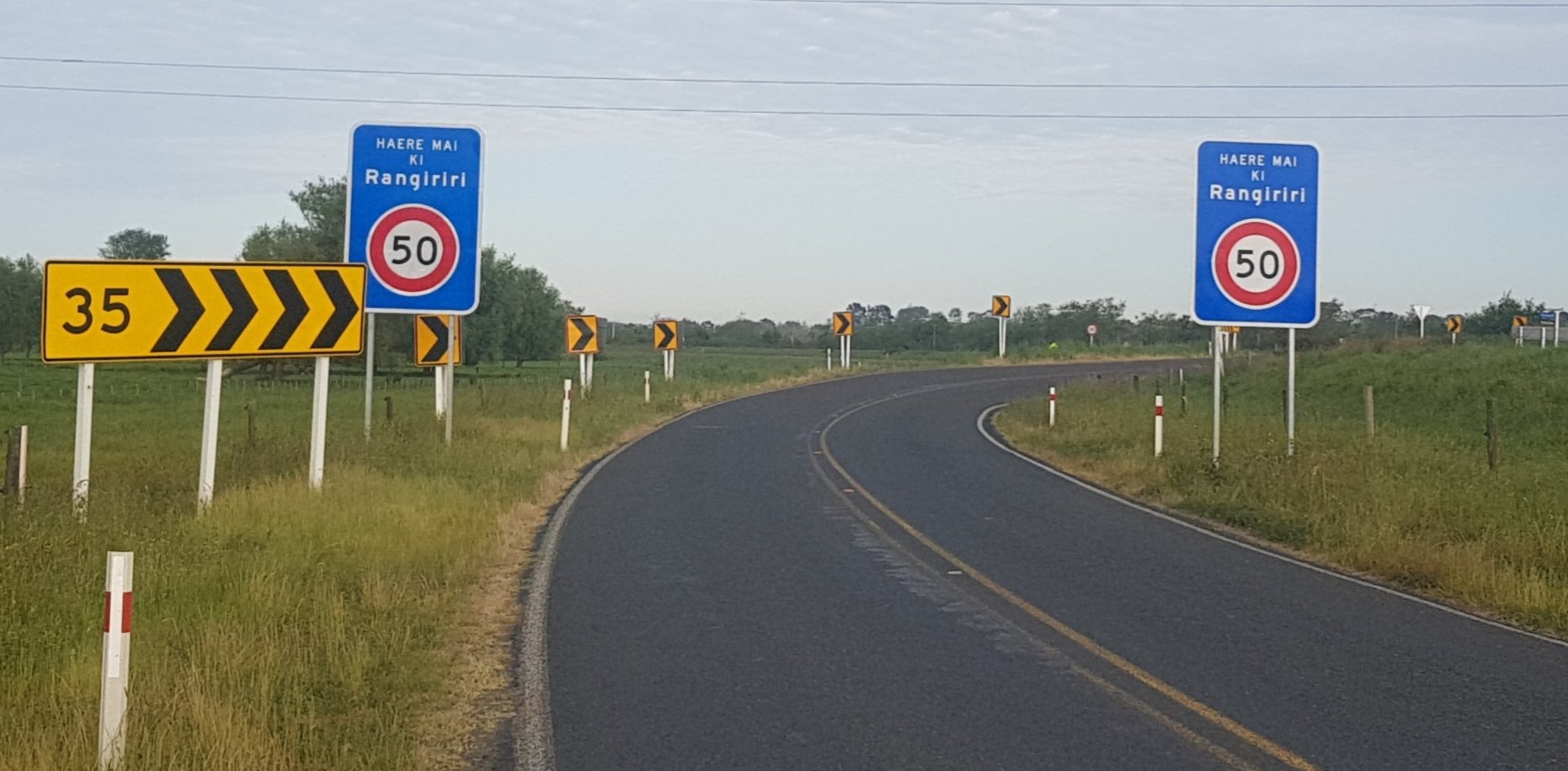
Saw the bilingual signs welcoming cars to Rangiriri.
“Welcome to Rangiriri”
More stopbank walking today. The strange cloud stuck around for quite a while.
11km or so of walking on stopbanks.
The grass was quite long though for a lot of it, and because it was early, my feet got nice and wet.
Refreshing on my feet!
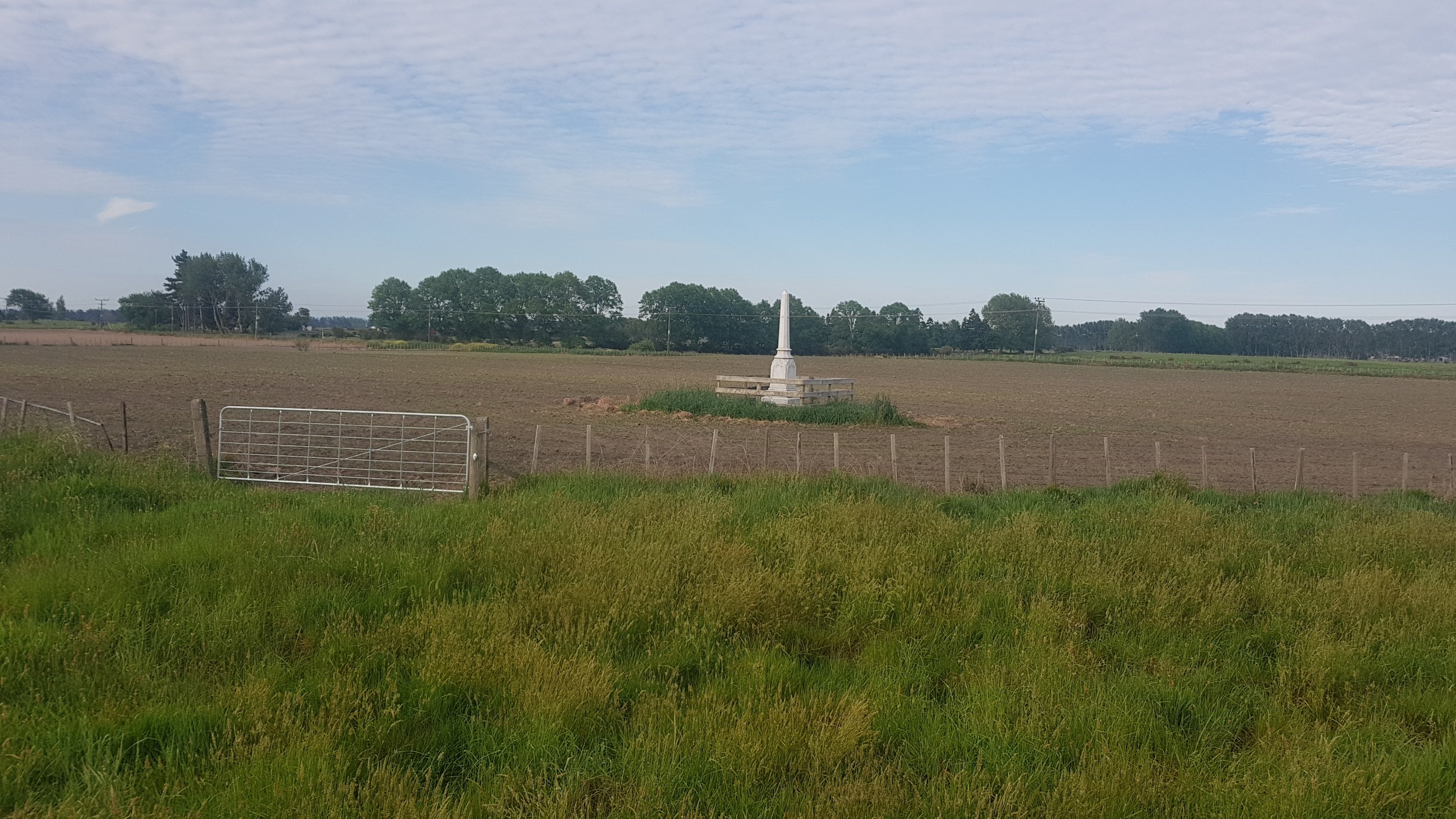
There was a monument at the start which was apparently to the Ngati Naho chief, Te Wheoro, but I didn’t take the time to go up to it and check it out because of time constraints. Seemed weird to have a monument in the middle of a farm paddock.
Now yesterday I’d read about young bulls charging at people, and was always a bit wary of them. About 7km in today was something I wasn’t expecting. There had been no animals or livestock or anything up to this point… but then suddenly I find myself face to face with four bulls. One of them in particular was not happy about me being there. He walked up to me quite quickly on the stopbank and so I went around him, keeping as far away from him as I could. When he came right up to me I banged my poles together and yelled “Yah!”, which worked for the young bulls, but ol’ Bully Joe Armstrong here was having none of it. Even a “GETOUTOFIT!!!” didn’t make him move. When he got a bit closer I shoved my poles right in his face, I think it actually hit him on the nose. He paused for a second and I used that second to pick up the pace and climb over the stile fast.
Later on I read several other people complaining about the same bull. Others noticed the bull before they got in the paddock and did the road walk around instead, but I didn’t see him until I was already 90% of the way through the paddock so I had nowhere else to go. I’m surprised they’re allowed to keep such aggressive bulls in a paddock which has a public right-of-way.
When I was on the other side of the fence, Bully Joe expressed his disappointment further. My pictures just don’t do it justice so here’s a short 9-second video.
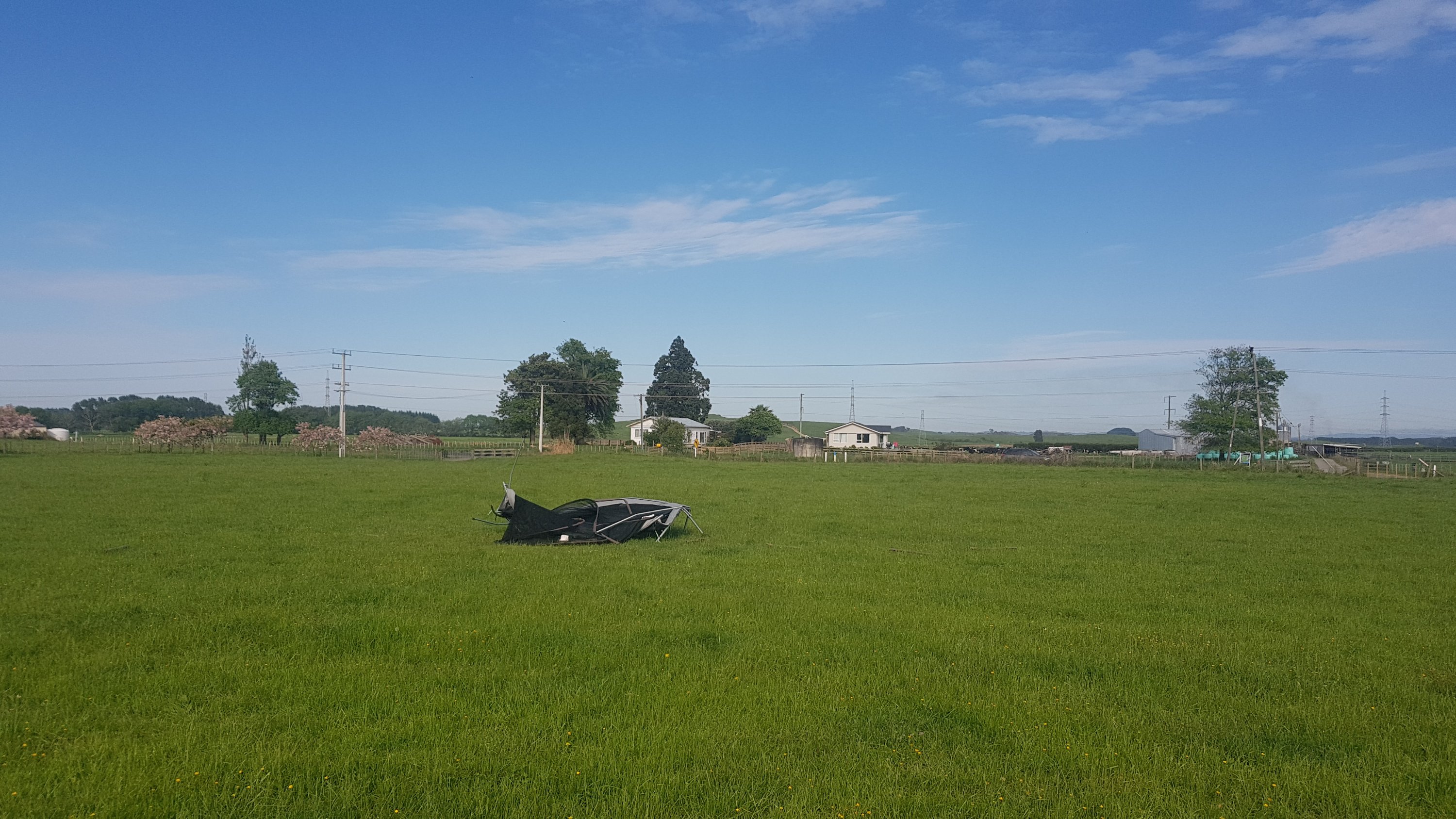
A further 5km now down the stopbank. I saw a busted trampoline:
I did not jump on this. Perhaps the bull did.
And a bunch more cows blocking the way. Although this lot moved out of the way fast.
Move it or lose it
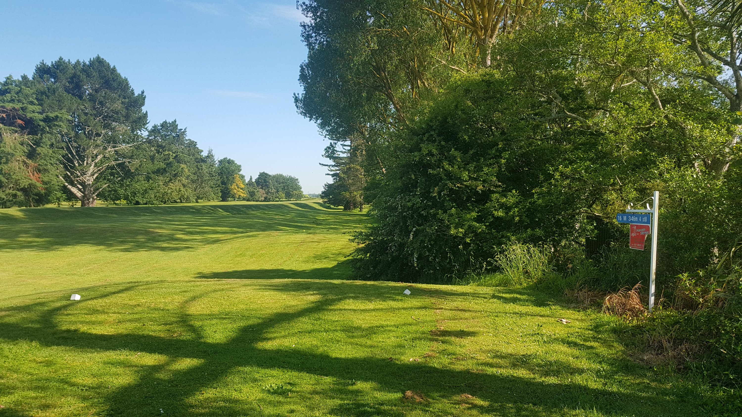
And then suddenly into a golf course. And I walked right through the middle of the 16th tee without even realising.
I know what “16 M 346m 4 st8” means – all of it except “st8″…
This was the right way though. I saw only one person playing golf, and I felt a bit self conscious because it was so hot I had my shirt off on the golf course. I bet I wouldn’t have been allowed in the clubhouse dressed like that – although I read the trail notes and apparently the clubhouse welcomes hikers.
I looked at my watch around here somewhere and noticed it tick over from 8 to 9km. I remember this happening yesterday and that can be quite depressing when you know you’ve got a 61km day ahead. But you soldier on. Left foot, right foot, left foot, right foot. When you’ve got a 35km day ahead it is not so daunting.
I remember Rhydian back at the start saying that he didnt like to know how far through the day he was or how long there was to go. I didn’t understand why at the time but I think I’m starting to see it now.
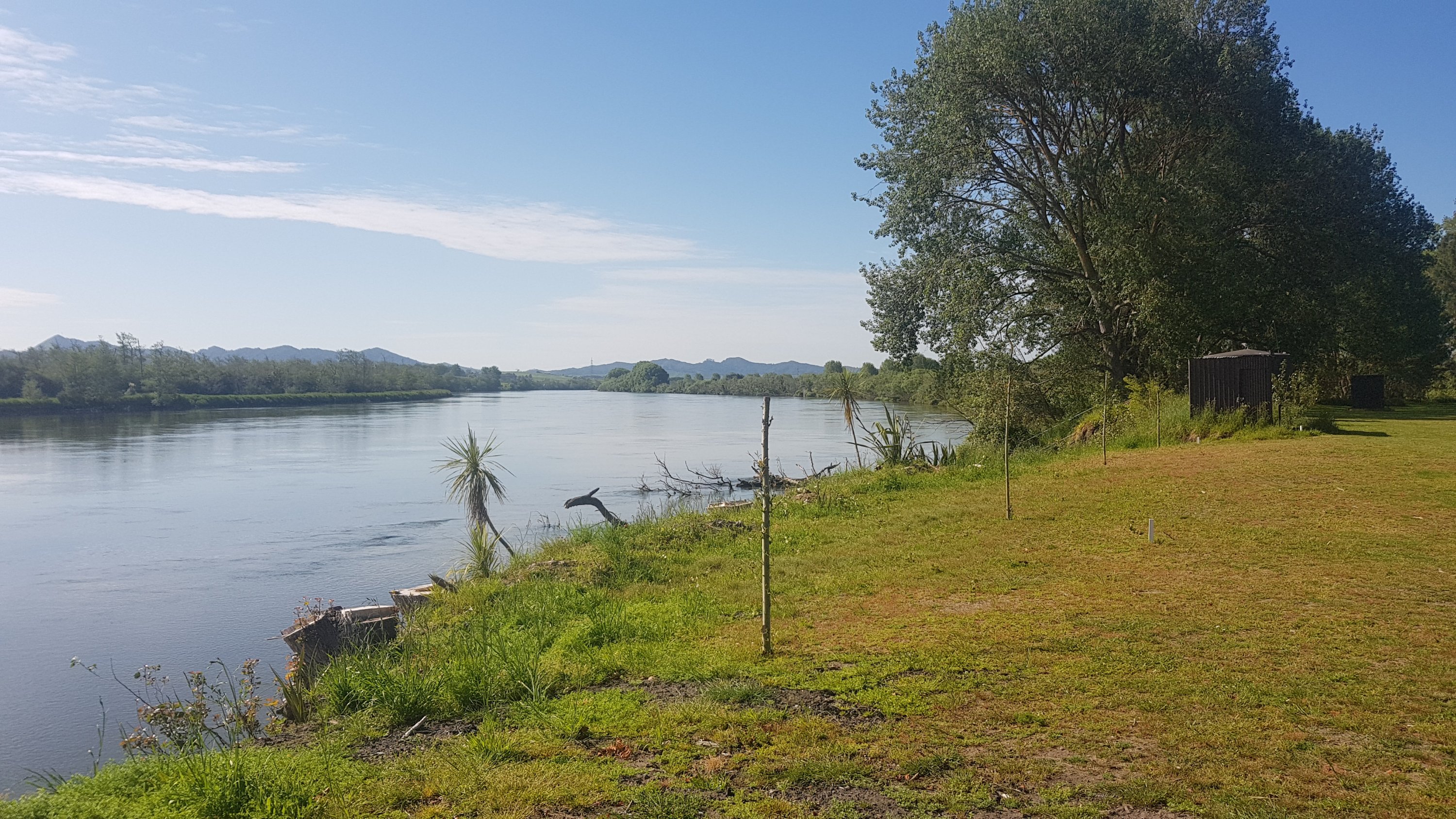
A bit more walking beside the Waikato River followed:
Just for the record, I wouldn’t drink out of this river, even after filtering it. I got Giardia when I went swimming in it in 2001. Never again.
Then a bit more farm walking, including the “stile to nowhere”:
World famous “stile to nowhere”
As I got closer to the power station there were big pipes running alongside that made an interesting noise. I assume it is something to do with the power station, which you can see in the distance.
Big long power-carrying pipes, I assume
And in amongst these pipes were a bunch more bulls. These ones were curious but not as aggressive. Still, when they even thought about coming near me, I got the walking sticks out and shoved them in their faces.
Don’t even think about it, Sonny Jim
Once I’d left that paddock, they all came bounding over for a look. If anyone was planning on walking the path the other way today, I hope they were brave. I’m not sure I would have the guts to climb back over this stile.
Are you feeling lucky?
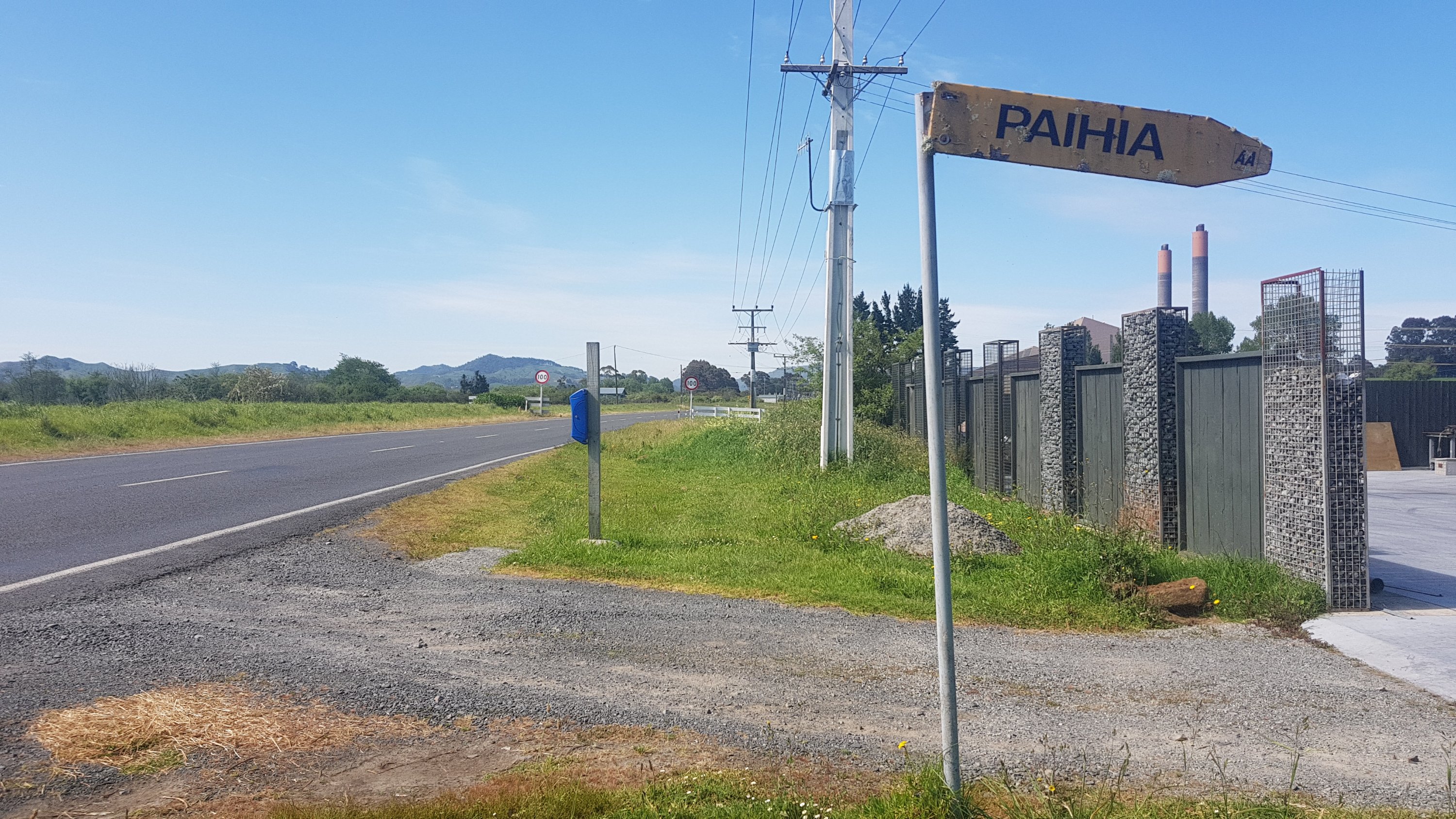
Okay, into Huntly. I’m kinda glad that’s over but it was nice to have something a bit more interesting happen for a change! Although, am I sure I’m in Huntly?
Paihia
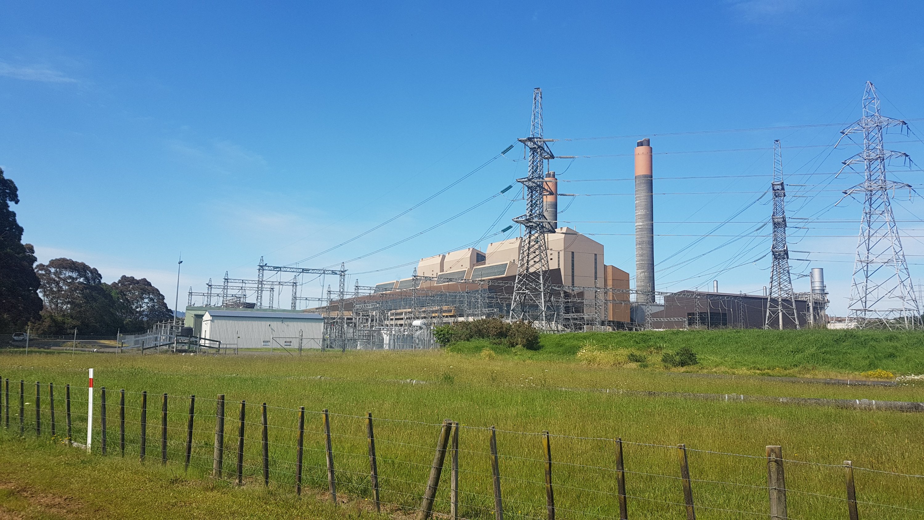
Unless I’ve made some kind of major wrong turn, or my GPS watch is more inaccurate than usual, I’m going to go ahead and say that this sign lies. Plus, I could see the big power station, and I’m pretty sure the Paihia coal power station got closed down (or never existed in the first place).
Huntly coal power station
My friend Luke sometimes works at this power station, and he was actually in the building right as I passed it. It was unfortunate that I couldn’t meet him for lunch, mainly because he wasn’t free till the early afternoon and I needed to be at the bus, and also it’s just too hot to be walking at 1pm. So it’s a shame that the timing was wrong. That often happens on this walk though, you want to meet up with people in passing but unless the timing happens to be perfect, you really need at least half a day to coordinate.
I walked through the town of Huntly on the west side of the river, and one guy in a house came out and asked me where I was going, and then offered me a lift to Hamilton. I declined, because I told him that I enjoy walking and also I was looking forward to KFC in Huntly – both things being entirely true.
If you’re hungry, turn off the trail to the left over this bridge…
Tainui Bridge
And you will see this glorious sight.
KFC!
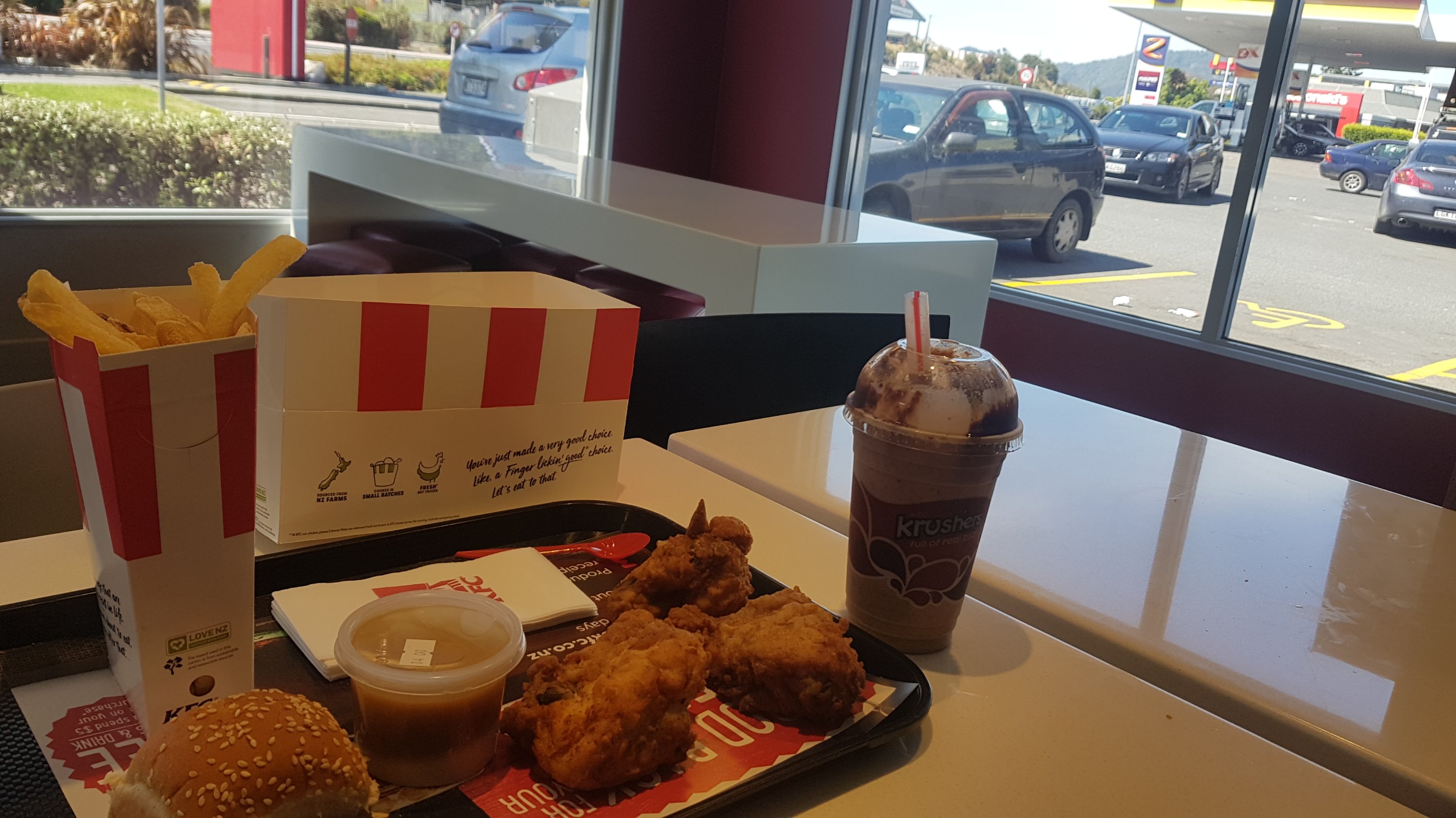
Ok, so actually as KFCs go this is one of the least appealing approaches there is. But I was still very happy to be there, as I’d only had the small Rangiriri breakfast of cornflakes and toast. It was an early lunch for me, in fact it was precisely 11am. So here’s my 11am picture:
OH YEAH (in a Duffman voice)
I always like to get the bread roll, some chips, some potato and gravy, and some chicken, and make my own little mini-burger. It’s great.
This creation is copyrighted – don’t go selling this marvellous idea
I enjoyed it a lot. There is also a bakery, a petrol station, a Subway, and some kind of takeaway restaurant here. But once I got my KFC I was back on the road.
Going back across the Tainui Bridge to rejoin the trail, here is the view
It was walking down the road for a while now. For some reason the songs I had in my head today were the songs that played within old 1980s Sega Master System games. The first was the music from Wonderboy 3: The Dragon’s Trap that plays when you start off in the town, and the second was the main theme to Ultima 4: Quest of the Avatar. They’re simple but very catchy songs. And they’re both really fun games too, big open maps where you can play for hours and hours were you don’t have a specific path to follow (that was relatively rare in the 80’s games). I really ought to see if I can download them to my phone to play when I’m alone (once the blog writing is done of course).
With the road walking at least I could get a better view of the bridge I crossed to get lunch.
Tainui Bridge in the distance
It was real hot by now. Yet another day of blaring sun with no let up from it. And no wind at all. Yes this was a road walk but this time when a truck went past I actually looked forward to it because the truck would blow a lot of cool air onto you which felt amazing – so nice and cool. In fact, I can only describe it as feeling like a mini-orgasm.
Saw a cool bird on the way:
And then saw the Hakarimata Range. I didn’t know what to expect here. As mentioned before the trail notes say that it’s steep and arduous but comments on Guthook said it’s okay, and that there are a lot of stairs. To be honest, since it looks like it’s undercover, I don’t really care, I just want out of the sun. And from here it doesn’t look that high anyway:
Hakarimatas as seen from Parker Road
Well I know how high it is – Guthook tells me. I can’t remember the exact number now, but I think the summit was around 380 metres up.
I discovered there’s an actual car park, so that must mean the walk is at least a bit touristy.
Hakarimata northern carpark
It was 12:30pm by this point. I had six hours to traverse the range and get to the bus. Let’s take a look at the sign.
Hakarimata Walkway information
Okay fine, six and a half hours for 9km. I can shave half an hour off, surely. But just in case, I set off fast. There were a lot of stairs, up at least 300m. Oh great, here comes the sweat. And despite having three litres of water when I set out, because it was so hot I had almost nothing left. Dammit.
There was a good view of Huntly and the Waikato River from halfway up:
View to the north
And a nice information board, so I don’t have to tell you what anything is! Although I can tell you the walk was down the left (west) side of the river.
Just after I saw this view, I saw two young hikers, a guy and a girl. They said hi but then sped quickly off. I heard them talking, and they sounded American, but I didn’t get to ask them anything.
The track actually wasn’t too bad. The stairs stopped once you passed the viewpoint and it became a standard tramping track. But it hadn’t rained in ages, so there was absolutely no mud. I’m glad – it meant my running shoes coped just fine.
You can see that it used to be muddy, but with all the sun it was all dried up
At one point though about halfway through the range there was this interesting clearing:
There was a nice flat spot right there. I can guarantee that people have been using that spot for camping!
I had long since finished my water though, and there was no water until most of the way down at the other end. That’s fine, I’ll cope this time. But after today I really need to rethink my water situation. First, I need to take a facecloth to wipe the never-ending sweat off my face. I can’t keep using my shirt – my shirt ends up gross and feeling like cardboard after just one or two days. And I’m going to have to increase my water capacity. I have a CamelBak (water bladder) at home which I could get tomorrow, but I’m not sure if it would take up too much space in my pack. Maybe I’ll just bring a third water bottle.
Throughout the whole walk I did hear the American voices. I assumed it was the two hikers I saw near the start of the trail. And one km from the summit, I actually caught up to them. They were Eric and Zoe who were hiking the TA. And get this, they started on 13 October – a whole seventeen days after me. I really am starting to feel like I’m walking slowly! It’s okay, I remind myself that I’ve taken a lot of rest days.
It was nice to have some other people to chat to, it made the last km to the summit go really fast. One thing they said that I thought was interesting is that they were one of the people that saw the bull and decided to go around instead of go through the paddock.
Another thing Eric said was that he couldn’t believe I could have such a greasy KFC lunch and then drag myself up this massive hill and still feel okay. Well I was feeling great! I love KFC, I used to work for KFC Ulster St in Hamilton when I was a student.
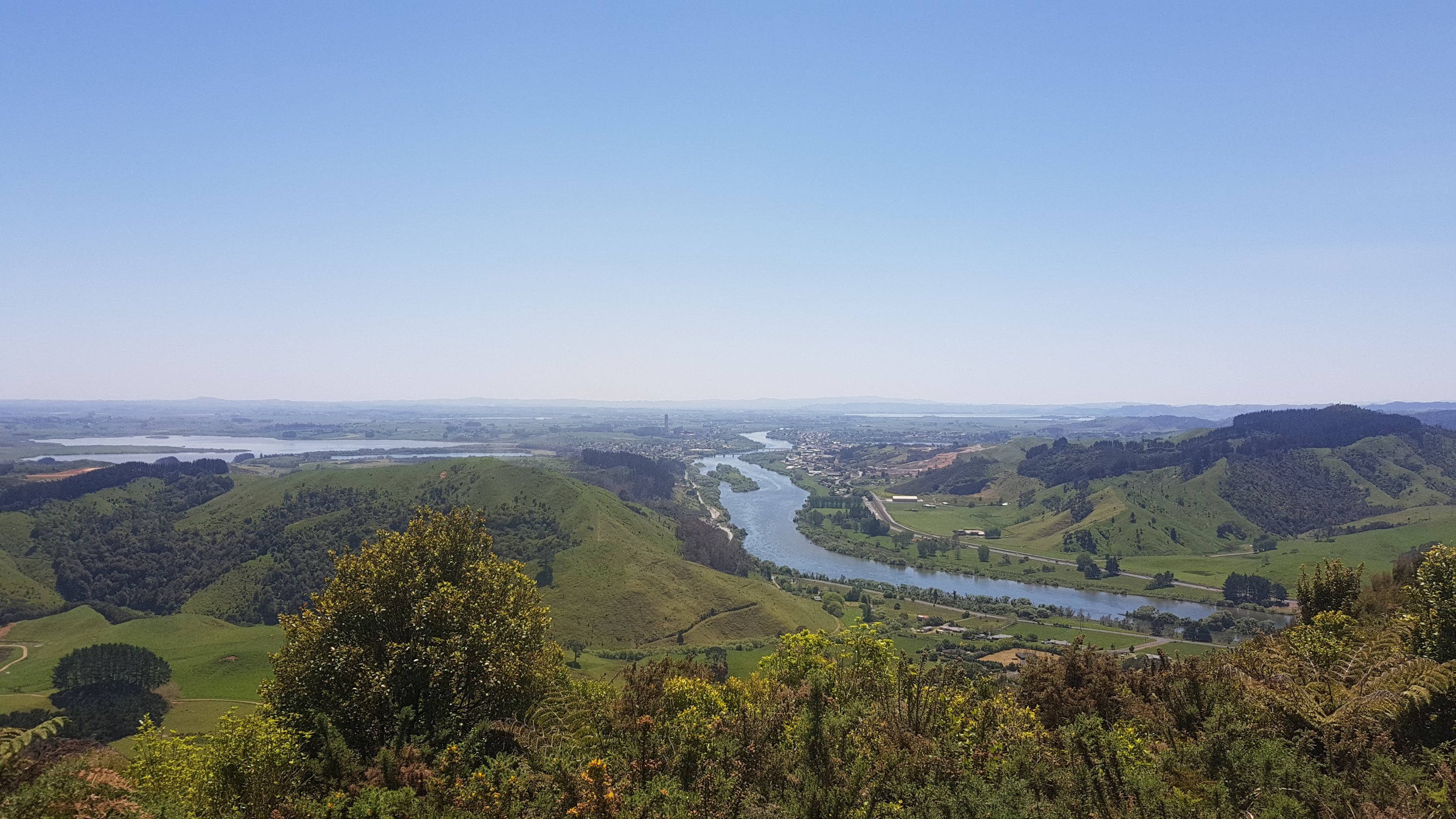
From the summit, you got a nice view of Ngaruawahia and the southern end of Hamilton.
There were three others at the summit, which was interesting. It meant I could get someone to take our photo.
Eric, Zoe and me
The way this range works is that you start by climbing a lot of stairs to 80% of the total height, then there is a gradual rise to here, the actual summit. And then, it is stairs all the way down. Nothing but stairs. Not even any breaks in the stairs.
Like this for instance
And this is where I noticed something interesting. This section of the path was very, very popular, despite being tremendously steep. I think I counted about 40 people walking up here. That is literally more than all the people I’ve seen on all the other forest tracks up until now combined. And nearly half of them were running. We said hello to everyone but half the people just looked at us with a face that said “do I look like I have enough breath left to say hi back?”.
There was a group of about 12 teenagers who were all running up the stairs in a group. I talked to their coach and she said that this was nothing for them. They were training for an extreme running event on Great Barrier Island. Wow.
Halfway down the stairs is a stream. It was clear and flowing well, so I stopped here to refill my water bottles. I almost wasn’t going to, I was just going to wait until Ngaruawahia which was only 10 minutes away but it was not even 4:30pm by this point and only 20 minutes or so to the bus from here. So I had a bit of time to kill. Eric and Zoe left me to continue on to the holiday park where they were staying.
The southern entrance to the walkway
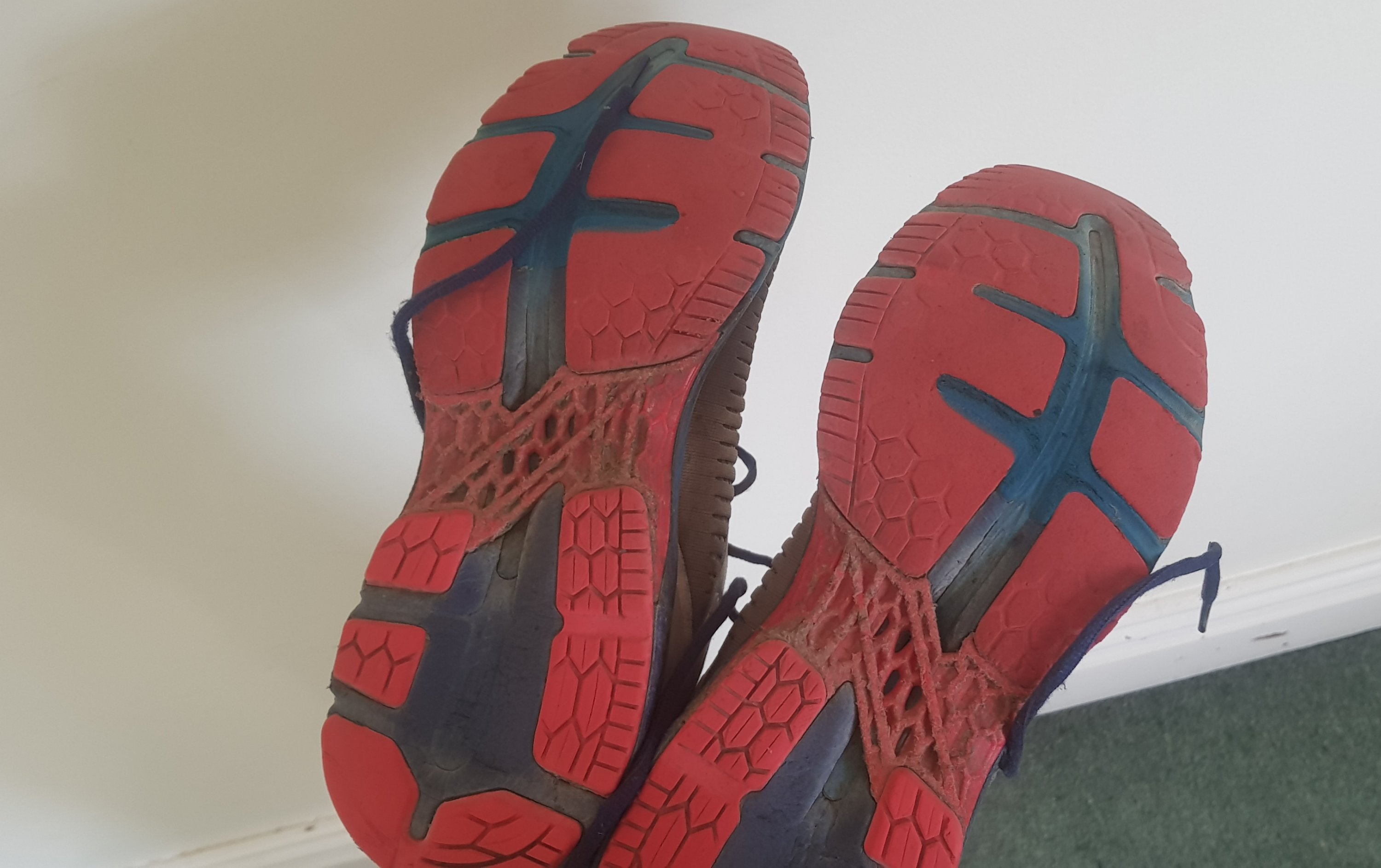
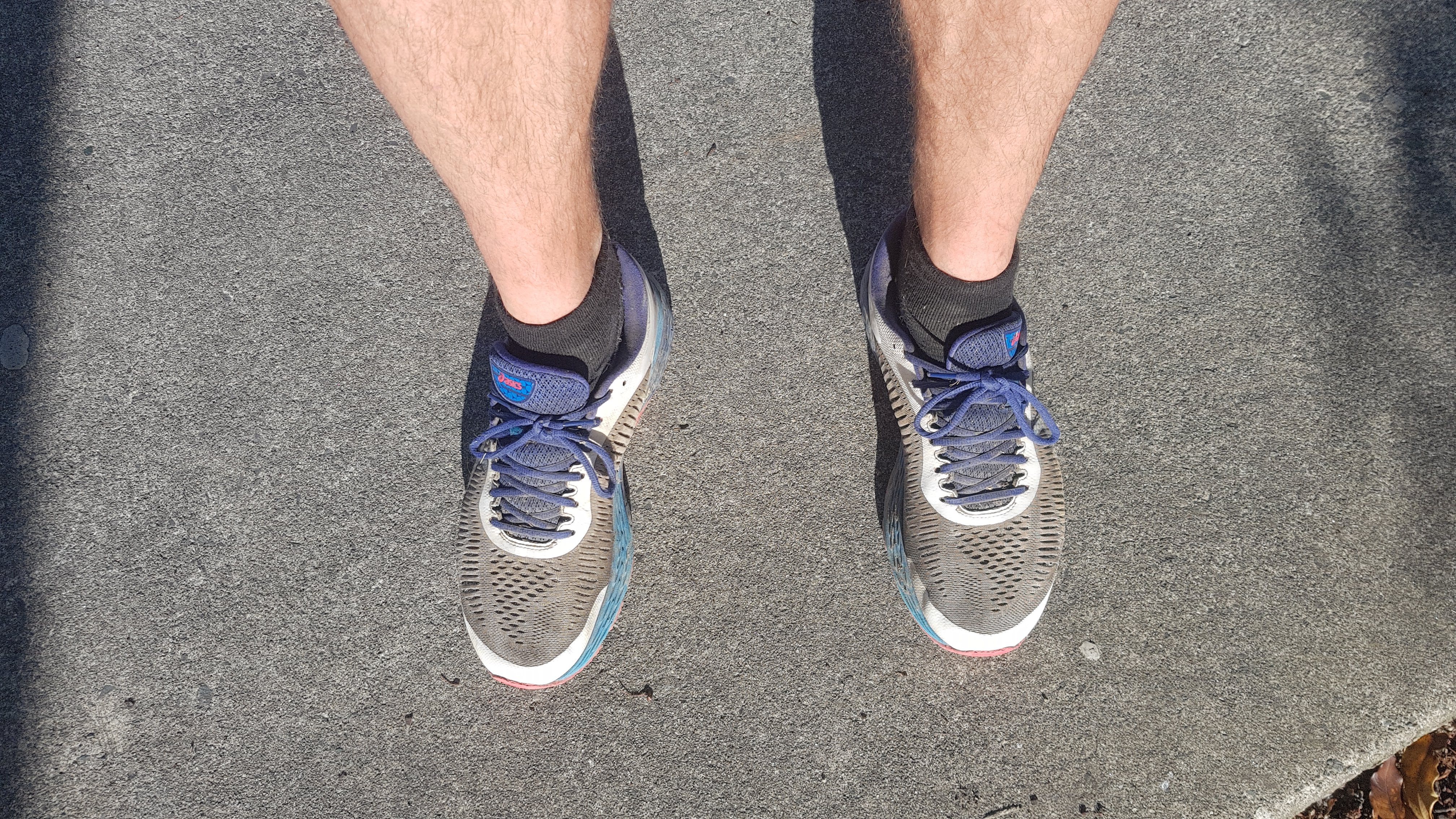
My running shoes are dirty now. I think this was mostly due to the swamp yesterday. These were definitely pure white when I bought them.
Stinky shoes
One thing I thought about today was that when I was reading the trail notes, the time taken for each section is often useful but sometimes it says something ambiguous like “1 day”. Now that shouldn’t really be ambiguous, but to me it is. If I was asked how long it takes to drive from somewhere to somewhere else, and the answer was 1 day, I would take that to mean driving every single hour of the day except for sleep and maybe stopping for dinner. So – 15 hours. However the section from Rangiriri to Huntly is described in the notes as “1 day / 21km” and it took me less than four hours. I wonder why they can’t just express everything in hours?
The last thing to do was to grab a milkshake in town. I passed Eric and Zoe on the way who were chatting to the locals and organising accommodation for the next day. I had my milkshake – it was lime flavour and really good, from a dairy on Great South Road.
After all this I had made such good time today that I still had to wait an hour for the bus and then went home. But it turned up right on time.
One more rest day tomorrow, then back onto the walk properly with my pack. I’m both nervous and excited.
Today is my final rest day, at least the last planned rest day for now. After today I will have my full pack and I’ll be continuing the trail properly. No more sleeping at home. Well actually, for the next two days I’ll be staying with friends and family, and possibly more after that too. But I won’t have the comforts of home any more.
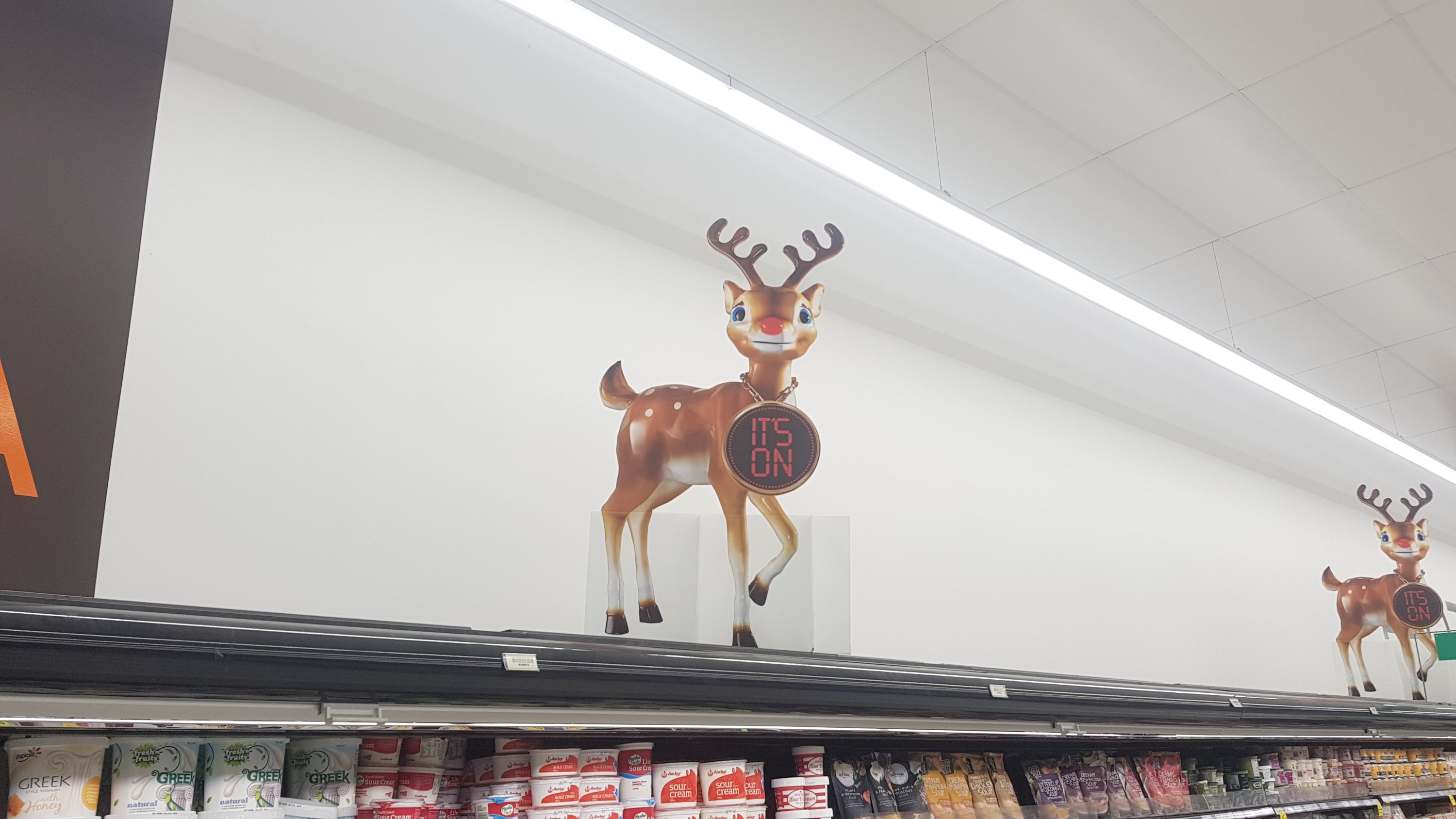
I went to the Countdown Supermarket and got a few things. While I was there I saw the bizarre Countdown Reindeer. The Countdown Reindeer scares me for so many reasons. First, the fact it looks terrified and like it’s being held against its will. Second, the massive clock around its neck. Third, the terrible, terrible TV adverts it appears in. Fourth, the fact that Christmas isn’t for seven weeks.
I’ve noticed that my running shoes definitely smell like swamp. They’re definitely going to be stored under the house for a while, as they stink. It is actually nice to get back into my hiking boots. I’ve missed them!
I had a look for my CamelBak 3 litre water bladder but couldn’t find it, it must be in storage. So I’ve just added one extra drink bottle and so my water capacity is now 3.8 litres. Probably still not enough but I don’t want to have to carry 5kg of water all day!
I went with my friend Nick to the Genghis Khan Mongolian BBQ for dinner. It’s where the food is all you can eat, and you select your meat and vegetables and they cook it for you. Similar to Gengy’s in Hamilton, but all the Gengy’s restaurants in Auckland seem to have closed down. You can go up as many times as you want. I had one bowl of soup, three plates of food and two plates of dessert. Every bit of it was fantastic.
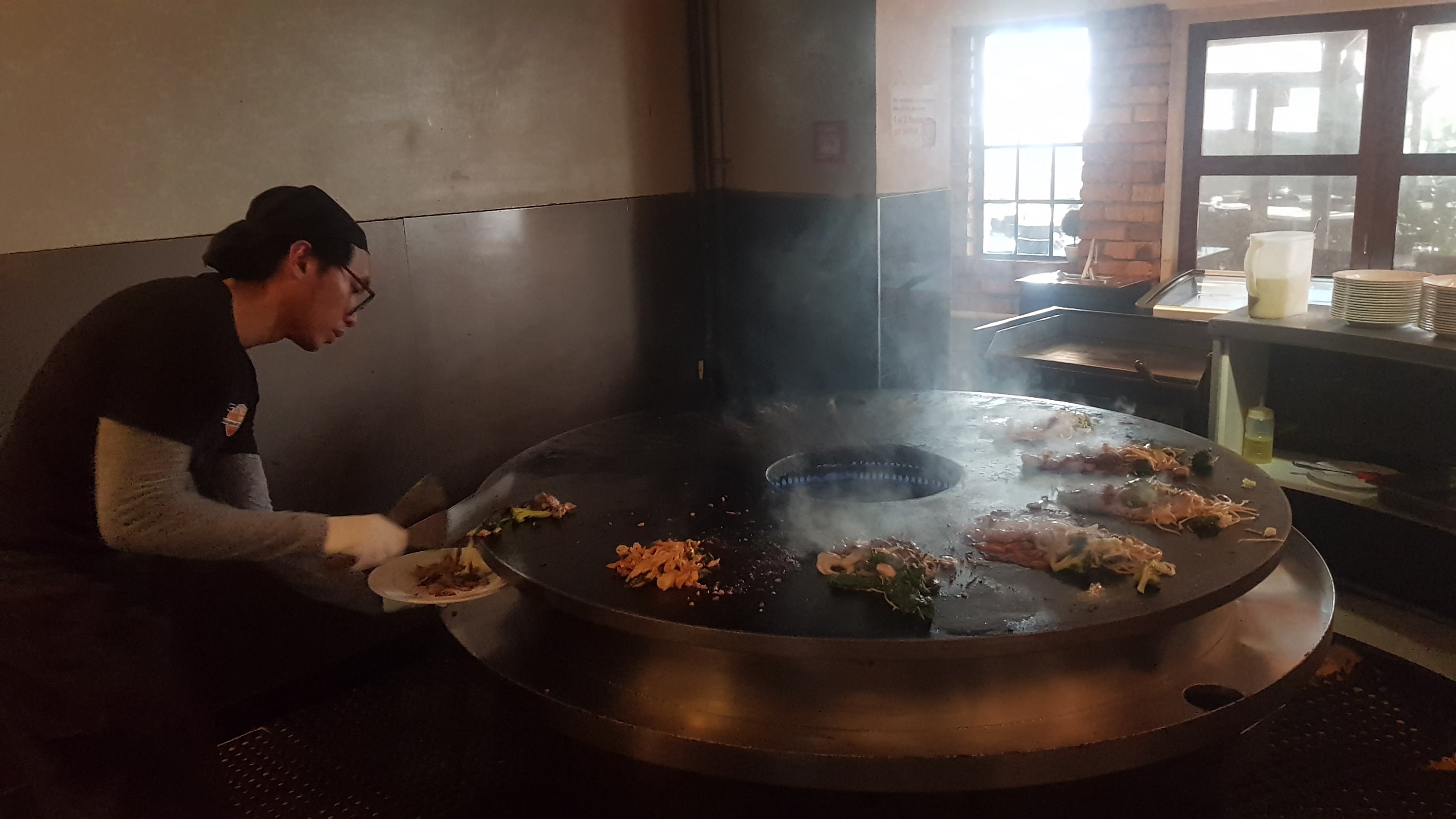
Cooking the food at the Mongolian Barbecue
Although on the way home someone pointed out to me that I have a flat tyre. Damn, how inconvenient! The Caltex petrol station was right next door luckily, and it was completely flat – the air pressure reader said 1PSI. It stayed inflated long enough to get me home but that means when I return home for Christmas I’m gonna have to deal with getting it fixed. How inconvenient 🤬
Doesn’t matter for now though. I have more important things to stress about, like not falling out of the Whanganui River canoe journey in about a month’s time.
Date: 9 November
Distance walked: 26.8km
Trail covered: kms 737.9 to 763.1
Weather: hot again but at least with some cloud
Games of Mexican Train I won: 1 out of 2
I got up early and went to McDonalds on Queen Street in Auckland City to get some breakfast before the bus. What a depressing place – mess everywhere and people sprawled out everywhere sleeping, both inside and outside the restaurant. And the self service machine let me place my order but then told me that the card machine wasn’t working and I had to go to the counter. Couldn’t you have told me that in the first place, before I spent several minutes placing my order??? I’m a software developer and if my staff designed a system that worked that way they would need to provide me with a very serious explanation.
Walked over to the Intercity bus station and walked the whole length of the platforms looking for the Rotorua bus and it appeared to be none of them. New Plymouth, Tauranga, Wellington, Hobbiton. Nope, not going to any of those places. I had to ask someone, who pointed out that the New Plymouth sign was wrong and it was in fact going to Rotorua. At least he actually cared, because he changed the sign. I figured that the bus with the longest queue would be the Rotorua bus. Surely that many people don’t want to go to New Plymouth.
Then it was quite a few minutes before the driver turned on the air-con, so I spent a few minutes roasting on the top deck. But once we got on the motorway it was a comfortable trip.
At the first stop, I wondered “when did Manukau get such a fancy bus interchange”? Didn’t look like this when I went through last – last time you just got dumped at the entrance to the shopping mall.
Manukau bus interchange
I would be looking out for Eirik today, who I had dinner with at Waipu Cove on a previous rest day (Day 28). He messaged me and said that he was departing Ngaruawahia at 7:30am today. I wouldn’t be departing until 9:30, but he also mentioned he had a lot of blisters so there would be a good chance I’d catch him.
I got off the bus and made my way to the start of the Te Awa river path. There were a lot of cyclists on this path and quite a few stopped and talked to me to ask if I was walking the trail. I learned quickly that this wide river pathway would take me all the way to central Hamilton. Easy day today, it seems!
I’m actually originally from Te Awamutu which is just south of Hamilton and spent five years living in Hamilton… however I’d just never done the river walk before so I didn’t know what to expect. I wasn’t so into walking or exercise when I was a university student.
The path started out like the one in Auckland, where it was designed by a drunk guy during Friday after work drinks:
Can’t the path go straight?
People talked about storms coming up today, or soon. Certainly no storm now.
Barely a cloud in the sky
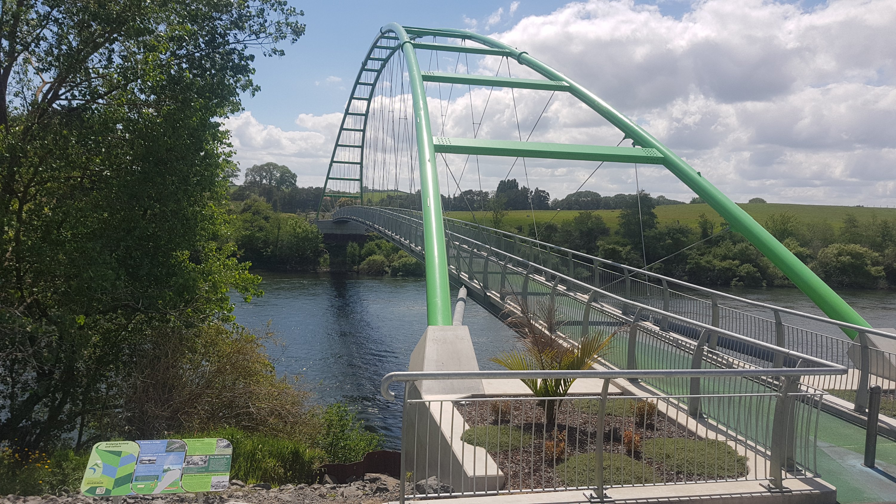
And there were a few times where you need to cross over the Waikato River. Here’s the first bridge:
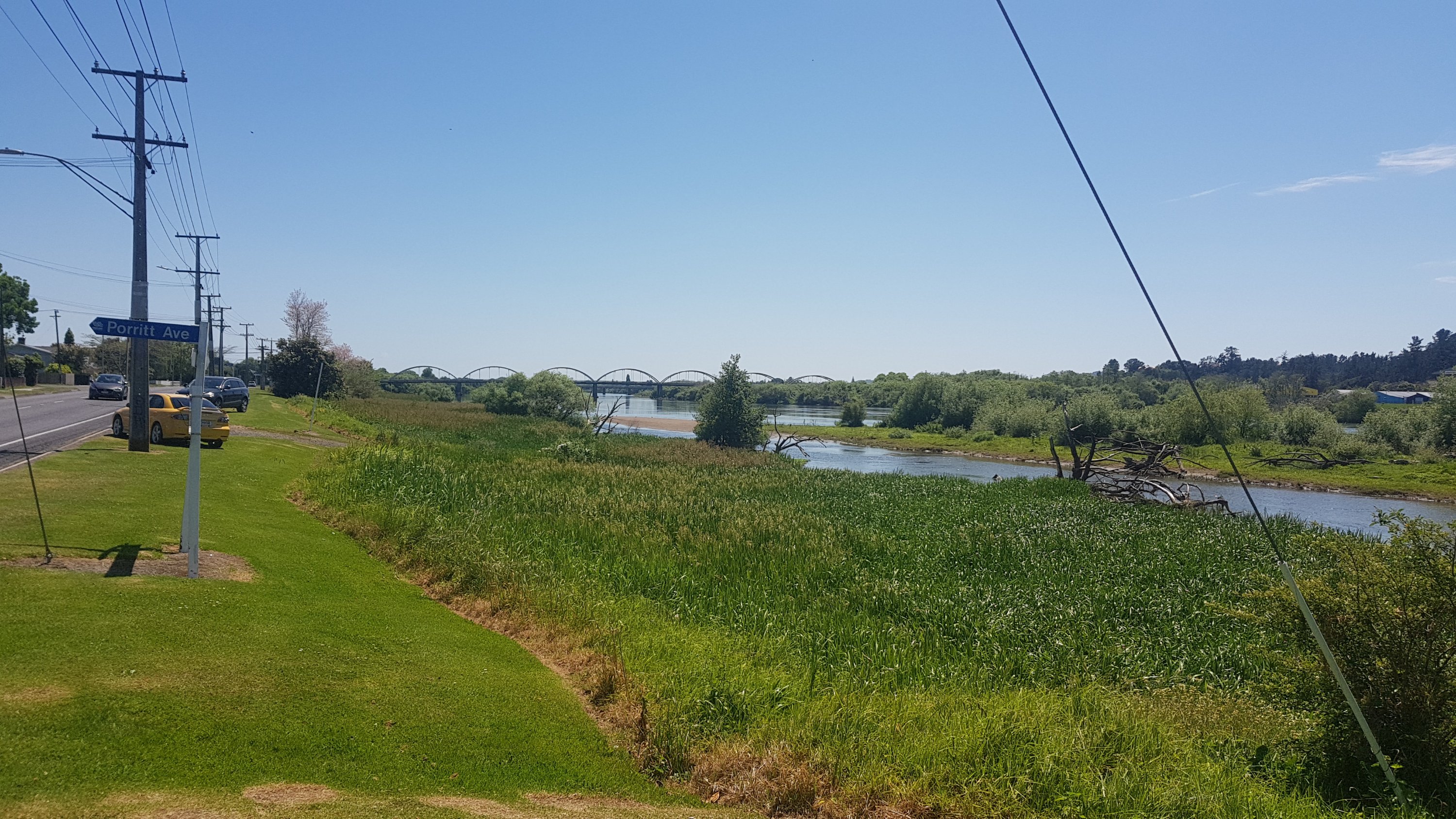
Bridge 1 – the green bridge
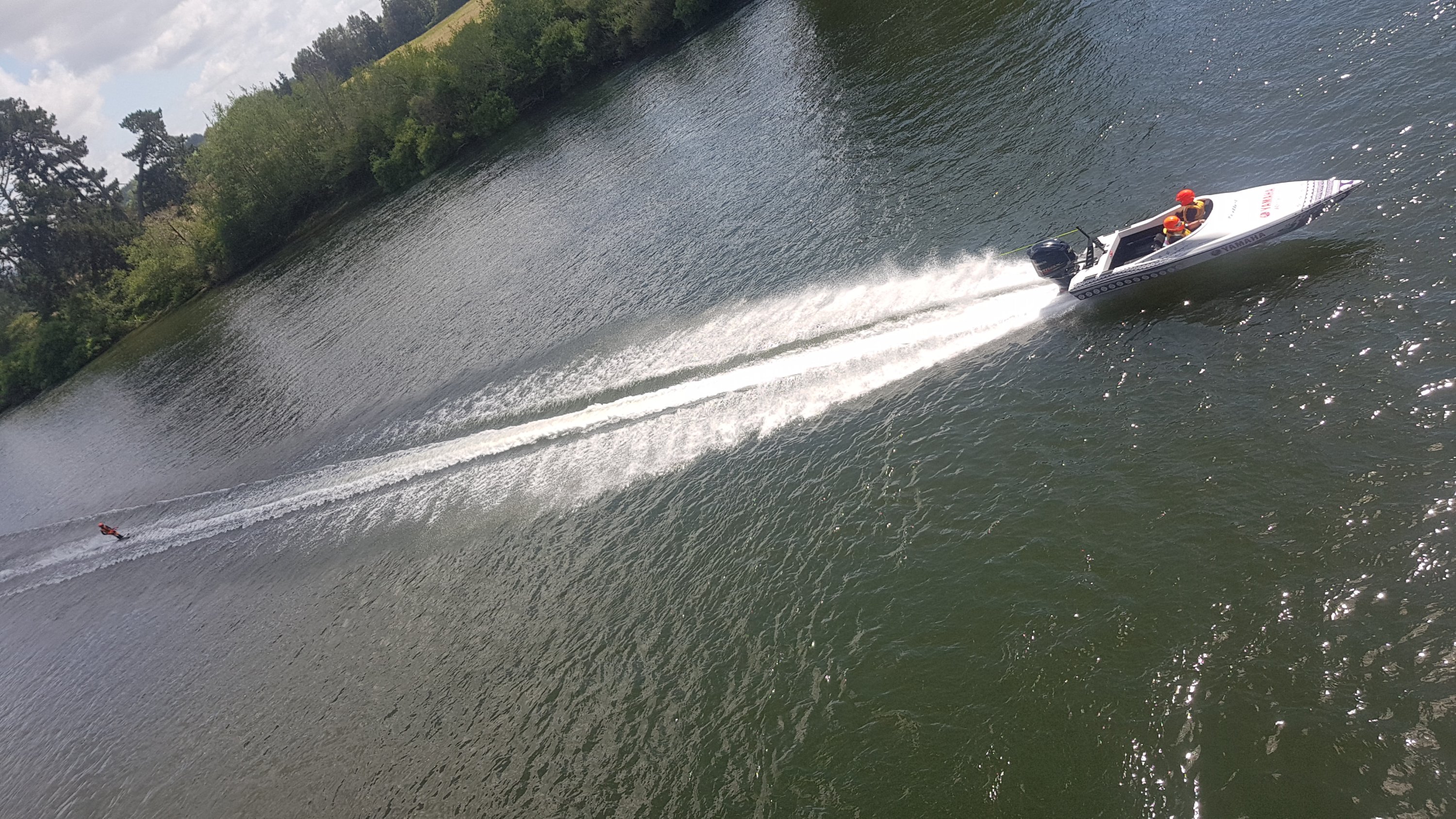
Today was the “Bridge 2 Bridge” race. I’m not exactly sure what the details are, but all day there were speedboats pulling behind waterskiers. They were very loud and fast and impressive. It was also quite hard to get a decent picture.
Here’s my 11am picture… it turned 11am just before I left the bridge.
11am selfie
Here is the second bridge. It is a standard road bridge – Horotiu Bridge Road, Horotiu being the small town on the other side of the bridge. This bridge is certainly a lot less glamorous, and cyclists are supposed to dismount – so I think this is officially a “gap” in the cycle path which they’re looking at fixing.
Bridge 2 – Horotiu Bridge Road
From here I got my first glimpse of Mt. Pirongia. All going well I should be up the top of there two days from now.
Mt. Pirongia in the distance
I used this time to look up the elevation of Pirongia. For nearly 24 years I lived in the shadow of this mountain. I always had it in my head that Pirongia Summit was 750m above sea level. I checked, and nope… 930m is the actual number! Crikey! Even higher than Raetea!
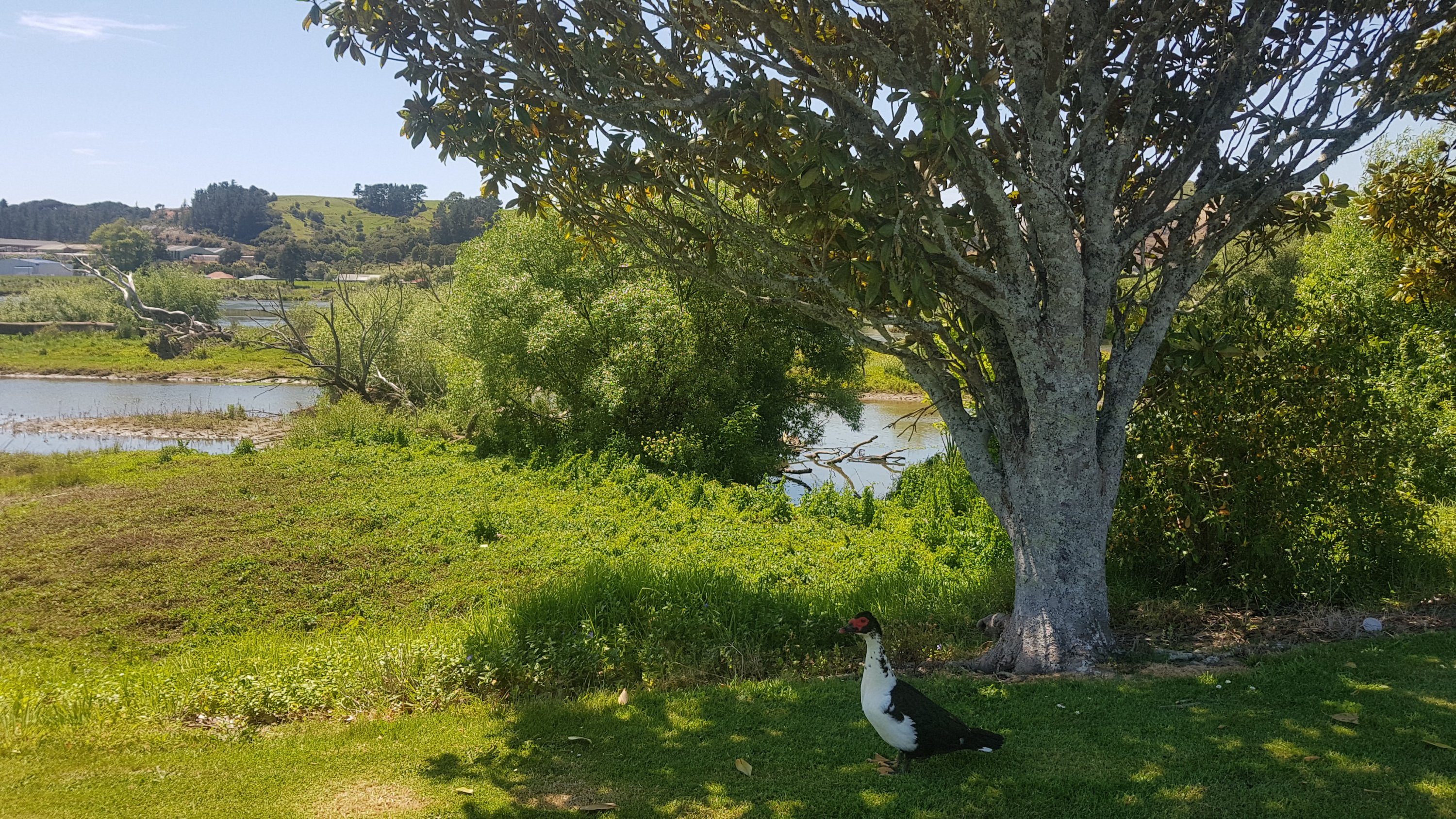
Enough about that for now. Here is a friendly horse that wanted some attention – it came bounding over when I walked past with three of its buddies.
Howdy!
I also walked very near the wastewater treatment plant. I didn’t plan to mention that, however when I saw this in the river, I could only assume the worst as to what the brown stuff flowing into the river is.
Definitely not refilling my water from here.
Somebody along here went past on an electric scooter and yelled out “you’re almost there!”. I’ve run the Auckland Marathon a few times and that is a favourite thing for people to yell in the first few kilometers, when you’re obviously not almost there. He then disappeared on his scooter quickly before I could think of a comeback. “Yeah, I’m almost at your Mum’s place!!”. That would have been a sweet comeback. I’ll respond with that the next time someone yells that at me.
It’s not completely clear at what point you actually enter Hamilton but I know that when you reach this footbridge you’re definitely in. The suburb on the other side of the bridge is Flagstaff, which has some of Hamilton’s most expensive houses.
Waikato River footbridge – very high for a bridge that is only for pedestrians!
I think the boats I saw earlier were just training. Around here I got told by someone that the actual race starts at 2pm. Probably explains this makeshift little party going on by the side of the river.
Looks like the rain is coming, too
And please tell me this isn’t somebody’s boat ramp. It is *so* steep. I want to be there when a boat is reversed down this thing.
Boat ramp? Surely not!
When you get to Fairfield Bridge then you’re very close to central Hamilton. It is one of the city’s icons, the other three being Hamilton Gardens, Chlamydia and The Outback. Yes, that shows how boring this city is.
Fairfield Bridge
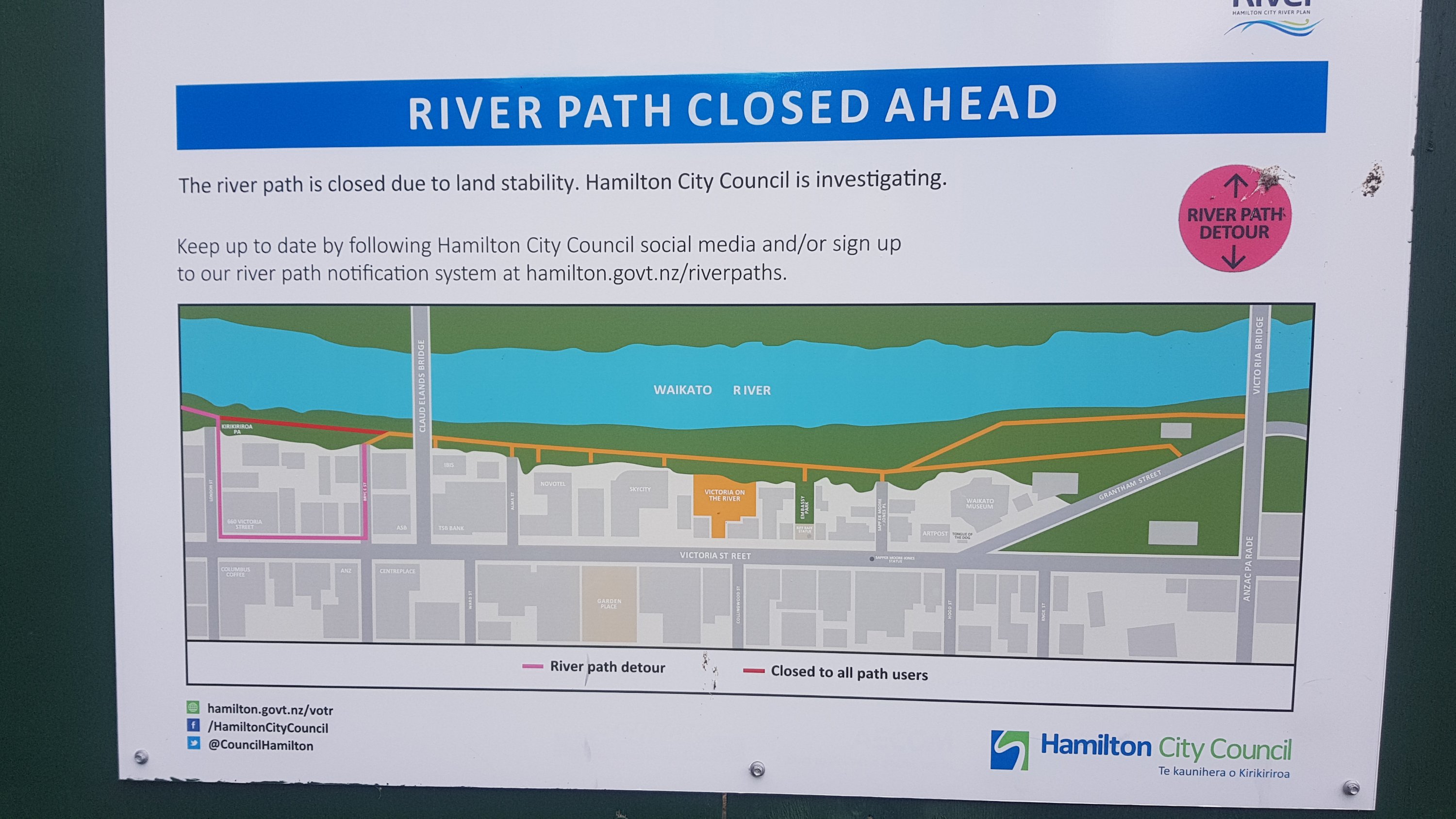
And not long after is this river closure.
Gah
You have to detour onto Victoria St for one block, then rejoin the river path, and then come straight off the path again at Alma St because that’s where the trail goes. That’s if you’re following the trail purely, which I am. The detour was a bit annoying and weird, but I did it.
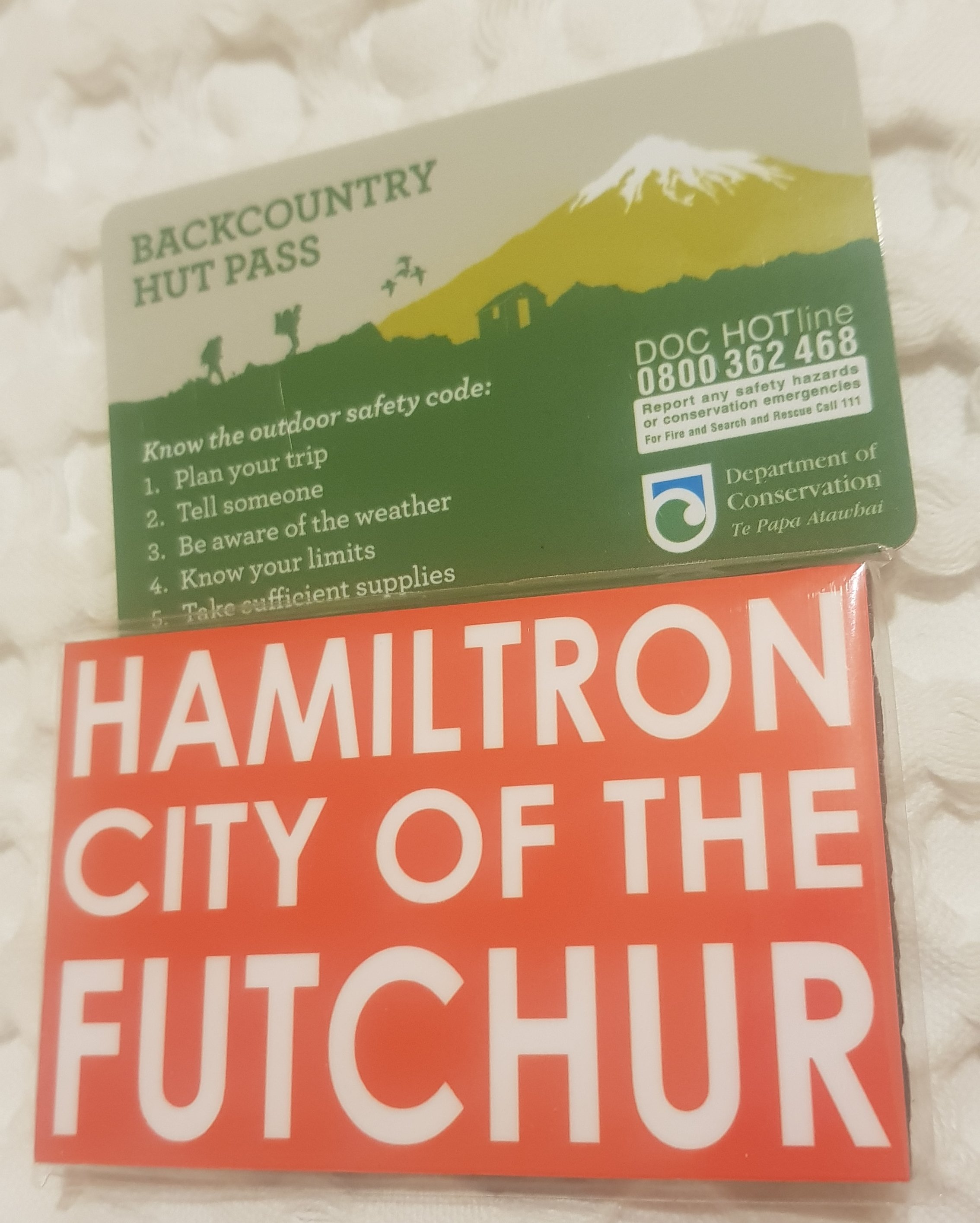
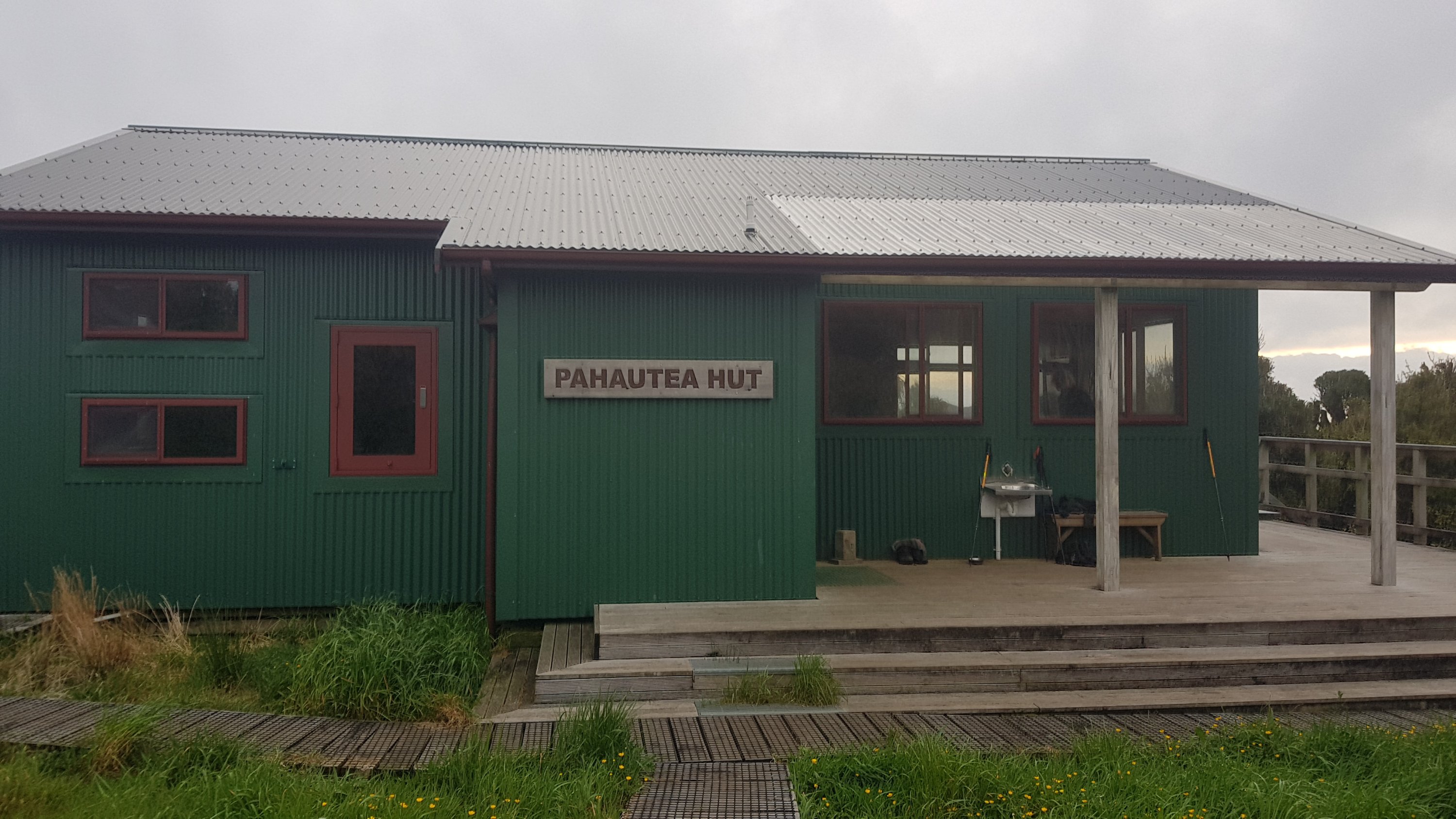
At this point I took a detour to Trek N Travel on Victoria St, as I knew they had 6 monthly hut passes for sale. This enables the owner to stay in most of the DOC huts around New Zealand, including all the ones on the TA except I think one near the upcoming Tongariro Crossing and also not the one at Puketi Forest back in Northland. I hadn’t bought the pass yet and the Pahautea Hut is at the top of Pirongia so I needed it now. There are no huts before Hamilton so there is no point buying it in Auckland like some people do.
In the shop I felt like a bit of a celebrity, because all the other customers wanted to talk about Te Araroa. One family are apparently Trail Angels who offer their place at the bottom of the Hakarimata Ranges. Wish I had got their name, but thanks to you anyway!
It rained a bit while I was in the shop. Yet again the weather gods have shined upon me, waiting until I’m undercover before unleashing the rain. I feel very honoured and feel like I’m not worthy.
If you go into Trek N Travel, remember to sign the Te Araroa visitors book. I was the first one today. I saw Eric and Zoe passed through yesterday, which was no surprise. Not everyone is in there because it is about 500m off trail.
I also bought a magnet that I saw because I just couldn’t resist. My sister had sent me a message on Whatsapp earlier saying that I was on my way to the City of the Future, which is what Hamilton was called at one point. It is also sometimes called Hamiltron or just The Tron. Hence this magnet needed to be purchased:
Hut pass and magnet
I’d never seen “future” spelt like that before. People who have been to NZ may have heard the word “chur” which means “okay”, “cheers”, etc. Hence the spelling. I’m sad they didn’t say “shitty of the future” which is what my friends and I always used to say.
I wanted to get a salad ever since I left Ngaruawahia, but the trail just didn’t go past any shops today, and now it is nearly 4pm so I’d spoil my dinner. I just have a craving for a healthy salad… I hope these cravings for healthy things keep up! Sadly, no salad for me today though 😭
Walked past the Sky City casino – a much smaller and low-key version of the one at the base of the Sky Tower in Auckland.
Sky City casino, Hamilton
And then a walk through Garden Place. This has memories for me as the place where I got my first job out of high school – at Telecom, which is what Spark used to be called until recently, which was located at the far end of the square. Then after three years I left it to go to the University of Waikato in the outer suburbs of Hamilton.
Garden Place
Then after walking through the middle of the Centre Place shopping mall, it was onto the Western Rail Trail.
I liked this walk. I’m almost certain that this didn’t exist when I lived here. I moved away from Hamilton in 2003 so that’s entirely possible. It runs alongside the railway lines for a few km. I like the design of it a lot.
Rail trail
And another ever so slightly closer view of Pirongia:
And past what I’m fairly sure is the ugliest house I’ve ever seen.
Jeebus!
Wouldn’t you agree?
It just looks so… metallic and hot
Then you come to the State Highway 23 roundabout. You have to cross one road only. I was worried that the traffic would be bad, but this is Hamilton, it was easy. You have to walk from where the photo is taken to the road in the distance.
Spot the least helpful sign ever in the middle of the roundabout….
It was here that a car tooted, and pulled up beside me. It was some of my family, including my cousin Lynda.
Lynda and me
Lynda was one of the many people I know who offered me a room for the night but sadly because I’m only in Hamilton for one night I can’t see everyone. So I’m really got to meet like this and say hi.
I never saw Eirik though. I walked fairly slowly, mainly because I didn’t have a huge amount of energy but also because I was enjoying taking my time for once.
I stayed with my friends Michelle and Jason tonight who live just a bit further down the trail before you leave Hamilton. They used to live in Auckland but moved to Hamilton a while ago now and this was the first time I got to see their house. They made me a wonderful homemade pizza for dinner and we played an excellent game called Mexican Train Dominoes. Thanks guys, I definitely owe you one 😁
Date: 10 November
Distance walked: 11.5km
Trail covered: kms 763.1 to 773.8
Weather: humid but with a nice breeze while I was walking. Storm in the evening while I wasn’t walking.
Interest that the cows showed in me: zip
Set out today after a bit more of a sleep-in than usual. There was a bit of fairly heavy rain in the morning but with only 10km to go, I could definitely relax and take it easy and was able to wait for the rain to stop.
I’m doing the short distance so that I can see my Dad and Whatawhata is really the only place he could pick me up from so that’s as far as I’m going. Plus with feeling a bit exhausted the last couple of days and having done some 50km and 60km days recently, a short day will do me good.
The path just out of Hamilton is a nice relaxing park walk.
Tills Landing
Although, that’s Mt. Pirongia in the background, under a lot of cloud. I’ll be climbing this tomorrow.
Then a bit of road walking. I think this is the first time I’ve seen a footpath that is almost wider than the road itself.
Wallace Road
At the end of this footpath is the Taitua Arboretum. I don’t know exactly what an Arboretum is but there were trees.
Taitua Arboretum
It was a nice walk through the trees.
At 11am I was looking at Pirongia, and the clouds were starting to clear.
11am view of Pirongia
Some very curious cows were down the end of O’Dea Road and they followed me down the fenceline. When I went up to them though, they backed off, but then continued to follow me down the fence.
More curious cows
When you approach the end of O’Dea Road it’s not immediately obvious where to go, until you look around a corner and see tis.
“Tis Way”
It is a few kilometers walk across this farm and it starts out being a boardwalk of sorts.
But then there is a fair bit of very tall grass.
Prepare to get very wet if it has been raining!
It’s a very standard farm walk after this. But I did notice the “kiwi ingenuity” here – two gates joined together with a bit of wire.
Real classy gate
And I thought this stile would be the first place I feel the zap of an electric fence – there are a lot of electrified wires here.
It was only 8km in by this point and I really was starting to notice my pack on my shoulders. I’ve been walking with just a day pack for over a week now and only started again with the pack yesterday so I guess I just have to get used to it again.
My Osprey Levity pack does hurt my shoulders a bit though. I wonder if a heavier pack would have more padding. And tomorrow I will have to take a fair bit more food and water once I head out into the countryside – it is a few days to the next town, either Waitomo or Te Kuiti.
The last bit of the farm was walking through this field of cows.
Find your way through this lot
The first cow noticed me… not sure why it was down hiding under the bridge on the dirty water.
But after that they really paid me no attention at all. They barely moved and some didn’t even look up.
This one looked at me at least
A short walk down Walsh Road and then right onto State Highway 39. Not too long down here thankfully, and there was a shoulder to walk on, except for the usual bridge with no walkway.
Koromatua Stream bridge
You can actually walk on the outside of the barrier right up until this point, but then you have to again wait and then run the gauntlet once no cars are coming.
And then, once you arrive into Whatawhata, you even get the pleasure of walking on two state highways at once!
And you even have to cross the busy road at this point.
Once you cross here, you’re in Whatawhata. There are a few cafes here and a petrol station. This is as far as I went today – my Dad picked me up from here and I stayed with him in Te Awamutu. While I waited for him I had a bit of lunch at the Village Cafe and Eatery. I finally got my salad that I had been craving for the last few days – it was great.
While I was eating I spent a bit of time trying to work out how to pronounce Whatawhata. “Wh” in Maori is usually pronounced “f”, so I figure the pronunciation is “fotter-fotter”. But I’ve been told by more than one person that “wh” in the middle of a word is pronounced “w” as in Mangawhai (Manga-why not Manga-fai) but that would mean that the town is pronounced “fotter-whatter”. I’m sure that’s not right!! It wasn’t so important to learn the correct pronunciation of Maori place names when I was young but there is more focus on getting it right now which I think is good.
I got to my Dad’s place at about 2pm, so I had a bit of spare time. I bought some groceries from Countdown.
Everything I bought today, except the block of cheese which is in the fridge
Apart from these I still have porridge, muesli bars, a few wraps and two back-country cuisine dehydrated meals I bought yesterday from Trek N Travel in Hamilton.
As you can see from the photo I am going to try bringing anti-perspirant. I struggle with my own smell after a week or so and so maybe this will help. It is worth the extra weight I think, especially given that I am getting much hotter and much sweatier recently. If it doesn’t do anything I can always discard it. Plus it says “All Blacks” on the packaging. Maybe if I use this deodorant I will turn into a rugby player.
I then spent a bit of time checking on the progress of my goal of getting to Wellington by Christmas. If I use the date 21 December as my goal date then that gives me a few days to relax there and hang out with friends.
There are 41 days until 21 December and 921.7 km to go. That means I need to do 22.5km per day. Definitely doable.
The rain started at 3pm. When it started I thought “I’m glad that I’m not up Pirongia right now”. Eric and Zoe said they were going to wait out the storm before heading up Pirongia. If so then I will see them tomorrow. If not, then they’re getting very wet right now.
View of Pirongia from the car
It rained a lot in the afternoon and evening. Again I’ve been spared a drenching. I’m definitely going to have to provide a sacrifice to the weather gods soon.
Tomorrow will be a 9am start, but not before another coffee at the Village Cafe and Eatery.
Date: 11 November
Distance walked: 31.2km
Trail covered: kms 773.8 to 805.8
Weather: Poured with rain in the morning. Once I started it was cloud cover all day with a beautiful wind
Number of times I backtracked today: 5
After I was dropped back at the Village Cafe and Eatery and after having a coffee, I was on my way. Well, I made it two seconds out the door of the cafe and it started pouring with rain. So I ran back inside – the first of four times today that I backtracked. Waited out the rain for a few minutes and then once the coast was clear, I went outside, surveyed the sky, decided that the weather looked like it was going to behave itself from now on and so off I went.
Unfortunately not to Raglan.
I wanted to make it to the summit of Mt. Pirongia today – 32km – and it was 9:15am once I left the cafe. It should be possible, I decided. I don’t know what is just out of Whatawhata but I know later there is a 300 metre elevation through a farm, and then Pirongia itself is about 930m in height. So that is a lot of elevation today.
It is also the first time I’ll be staying in a DOC hut – the Pahautea Hut. So I don’t want to get in after dark, because that would be rude (and I also want to cook in the hut and just generally enjoy the hut before the sun goes down).
When you turn into Te Pahu road from State Highway 23, you need to immediately then turn left and walk behind the church on the corner. I nearly missed this turn – there is no marker for it. It feels like you are walking through people’s backyards, and you are, but that is the way.
And then, good luck finding the path at all.
Now where….
This part of the track looks like it’s been overgrown and not maintained for quite a long time.
Busted stile
And if you find yourself climbing over this big piece of tree, then you’ve gone too far. I did – and so this was my second backtrack for the day. Just behind where this photo is taken is a stile that you’re supposed to walk over.
WRONG WAY!
A walk through a farm and you come out on the road, and there is a narrow bridge to walk over. The road isn’t too busy though so it’s not hard. And you pass a boundary.
Today’s narrow bridge
Waipa District contains Te Awamutu which is where I grew up. So I feel like I should know it well, however all the places I’m walking today are new to me.
Immediately after this bridge you need to turn left – it’s a hard turn left and again easily missed. And here, this stile wins the dubious award of most difficult to access stile of the trail so far.
Scramble down there…
Then you walk alongside some crops. In fact sometimes you have to walk through the crops because there’s no margin. I tried as hard as I could not to stand on the plants.
And then at one point, you get directed down a massive overgrown hill towards the river.
This was another scramble down overgrown grass
It was like a more extreme version of what I encountered before. This time there was also no marked path, but the terrain was really challenging. It was so overgrown you couldn’t see the ground, and there were hidden tree trunks and hidden mud and all sorts of things.
Now it’s impossible to find the path
I didn’t really like it at first because it was so frustrating but ultimately it was a cool little challenge that took less than an hour. It was good to have some variety. I did get very wet though, all the rain this morning had made all the undergrowth very wet.
From here you go back up to the crops and then out through the back yard of someone’s house, which was weird. It was 11am at this point.
11am picture – looking back – can you see the trail marker? You have to climb this fence to get out of the yard. It felt weird.
A bit of road walking, which took me out of Waipa and back into Waikato. Note that Waikato Region covers a big area from Mercer all the way south to Taupo and possibly Taumarunui, but Waikato District is a much smaller area that is around here and doesn’t include Hamilton.
Old Mountain Road
The walk is now down Old Mountain Road for nearly an hour. The trail notes say that the entrance to the Kapamahunga Walkway from this road is obscure, and it is indeed.
Can you see the marker?
What I don’t get is if the trust know that the entrance is obscure, then why don’t they fix it? Just nail a sign on! Maybe the owners of the farm reluctantly allowed access across the farm and they don’t want to make it obvious to every Tom, Dick and Harry. But in saying that, once you were in the farm, there were markers everywhere. I just don’t get it.
Through the gate and off to the left…
It was here that I made my next error. You’re supposed to follow the little farm road. However, there is an orange marker early on which points up a steep hill. DON’T FOLLOW IT. It leads down a different trail.
WRONG
I went for quite a while in the wrong direction. Once I realised, it became my third backtrack of the day.
WRONG AGAIN (but a great view)
Well, quite a while is about 300 metres or so. But on that sort of steep ground, that’s quite a mistake! The actual track is nowhere near that steep, and actually it’s quite a pleasant walk through this farm.
The photo above, which you won’t see if you go the correct way from the start, says that there are “animals which may be a risk to your personal safety”. Oh fun, more bulls. But actually, I think the sign referred to mother cows with their calves nearby. They weren’t a problem, they mooed a bit but I gave them a wide berth and all was fine.
I had read that this farm was at a 300m elevation, however nearly all of that was the road leading up to the farm. There were a couple of steep hills, but mostly it was along gravel roads and farm tracks. I really enjoyed this part of the walk.
At this point, there were a lot of sheepies. And they were all bleating like mad. The sound was deafening.
Sheepies galore
And then nearby was a second paddock of them, and this one I had to walk through.
Move it or lose it
It’s alright though, sheep don’t cause you any problems.
The track changed to a bush walk for a while, which was also nice.
I actually placed a geocache along here. I had been carrying a little geocache with me which is about the size of a large keyring. I wanted to place it at the Raetea Summit back on Day 6 because there were no geocaches up there. However, I didn’t, because when you place a geocache you’re supposed to also maintain it and I vowed never to go up Raetea again in my life. So I placed it here instead. It can take a week to get published so once it does, I will provide a link to it here. I wonder who will be first to find it?
Once you come out of the forest, there’s a bit more farm walking, and you can see Pirongia Mountain clearly.
View of Pirongia Mountain
And uh, oh – more bulls. And these ones were not castrated bulls… I looked. Fortunately, they weren’t angry. They didn’t move out of the way, but they let me pass without incident. My personal safety was not threatened.
Bullies… I’m not here to hurt you
Some more road walking on Limeworks Loop Road, and here’s the entry to the Nikau Walk which is the start of the way up Mt. Pirongia.
I’m nervous about what lies beyond here
Oooh, a sign – sweet. Let’s see if I’m on track. It was now 2:30pm and I want to get to the hut just past the summit by 8pm. And apparently it only takes 4.5 hours – excellent. That means a 7pm arrival, and so I can stop at the picnic area and have some proper lunch, and still be on time.
The first part of the walk was called the Nikau Walk and was very easy.
Nikau Walk
And the picnic area and Kaniwhaniwha Campsite was a huge grassy area. A lot of people, including Rhydian, camped here and make their way up the mountain the next day. Not me though, I had a quick late lunch and continued up.
This is only about 20% of the grassy area of the campsite.
Since I bought some cheese yesterday, the daily “cheese check” can return. I bet you’re all super excited about that.
Mainland Edam was the choice this time, along with sour cream & chives crackers. A great combination
I knew that the 800km mark was around somewhere. When I looked at Guthook and saw I was at 800.1, I was shocked. I must have been making better progress than I thought. Or, the GPS watch was under-reading again. Whatever it was, it required a fourth backtrack to get from 800.1 back to 800. I arranged some sticks to form an 800.
Not great but it’ll do.
Then, I continued on a few minutes, and realised I had left my walking poles back at the 800 mark. So my fifth backtrack of the day was to go back and get them.
And since 800km is about 500 miles, when anybody asks me from now on “would you walk 500 miles?” I can definitely say “yes, and I would walk 500 more”.
Right up until 2km from the summit, it was a standard forest walk. Nothing too hard, the odd steep spot, a little bit of mud and some bush bashing to get around fallen trees, but it was nice. It was just 8km of slight uphill basically. Well, it was at first. Each kilometer was taking me about 20-24 minutes, so I was easily on track for the 2km/hr required to reach the hut by 7pm.
2km from the summit it started to get muddy.
And rocky. And steep.
I slipped over on one of the muddy bits. I was starting to get a bit over it by this point. And not long after, I was hoisting myself up a big rocky bit, and I didn’t see there was a low hanging branch and I hit my head on it. I was definitely over this section by now. I just wanted to get to the top.
I was also surprised at the lack of power in my left leg. Whenever I needed to push myself up a big step with my left leg, I just didn’t have any power. It was very weak. I guess it has been a long day, and a big climb, and I shouldn’t be surprised.
And then, like other paths I’ve been on… suddenly perfectly manicured boardwalks. Why, I wonder? I don’t think there are any Kauri in this forest, which is the usual reason for having boardwalks (so people don’t stand on their roots). Who knows.
The thirtieth kilometer today (once it started getting tough) took me 47 minutes. That’s a long time. And the thirty-first kilometer took 39 minutes. That shows how tough the final two kilometers were.
But finally, here’s the summit. You can go up here to see the view.
Steep stairs to the summit lookout
It was a bit hazy.
I was trying to see Te Awamutu, but I couldn’t spot it. I was fairly sure I was looking in the right direction.
Here’s some information about the summit. It’s even higher than I thought.
Mt. Pirongia summit information
And you could see the roof of the hut from here.
Pahautea Hut in the distance
Thirty minutes to go and I’m at the hut. On the way I saw some dog kennels, which apparently DOC use to control goats and possums.
Dog kennels
I wonder if they walk the dogs up here, or if they bring them in by helicopter using the nearby helicopter pad.
Pirongia Helicopter Pad
Just before the hut, a guy with long blond dreadlocks went running in the other direction. He didn’t stop and talk for long, he was clearly on a mission, and a crazy one at that. But he did say that three other people were at the hut. I knew one of them would be Rhydian. I wonder who the other two would be?
Finally, there’s the hut! I was so happy to see it.
Pahautea Hut
Rhydian was there, and the other two guys introduced themselves as Henry and George. Henry had seen my blog and he had previously asked me for information about how to cross the inlet to Marsden Point a few weeks back.
It was good to see a familiar face. I hadn’t seen Rhydian since Day 14, the first of my seven rest days once I got to Kerikeri.
I read a text message I got from Mum and she said luckily I wasn’t up here a day earlier because they found a dead body up here at the summit just yesterday. None of the three others in the hut had heard about that. I looked on the news websites and saw that it was a guy who had been missing for four or five months whose body had just been discovered at the summit. I’m surprised that the local Maori haven’t closed the mountain with a “rahui”. That’s what they did when a tourist died on the Tongariro Crossing a couple of weeks back. I believe it is to honour the recently deceased person.
The hut is quite a nice hut, and I’m glad I finally got to stay in a DOC hut. It sleeps 20 people.
My room
It was windy and cold on top of the mountain, so it was great to be inside. I was thinking about it, and it has been a few weeks since I actually felt cold. The weather has been so hot recently – I really hope it’s turning a bit cooler.
Date: 12 November
Distance walked: 14.3km
Trail covered: kms 805.8 to 820.7
Weather: hail, thunder, sun, wind, rain, you name it, I had it
Average number of minutes per kilometer down the mountain: 39
I think this first picture sums up the day well.
No, that’s not snow
Yes, just as I was ready to leave the hut… a hailstorm. Crikey, I did not expect that. Checked the weather forecast… oh yep, it’s right there. This is going to put a dent in my plan, which was to leave the hut after breakfast, have a leisurely stroll down the mountain, and meet my friend Oliver at 4pm. This seemed like a conservative time when I arranged it with him but this hail has delayed my start.
Henry and George had already left. That meant they were getting hailed on right now. I guess things could be worse. Henry and George are father and son from Taranaki which I forgot to mention yesterday. George has just joined his son for the Mt. Pirongia section of the walk.
The other hut room where the other two slept
I spent a bit of time in the hut writing some blog posts and chatting to Rhydian. He says he is going to have another day in the hut and attempt the 47km to Waitomo tomorrow. Good on him… ambitious… but good on him! The walk down from Pirongia is supposed to be very muddy, and therefore very slow going. I wonder exactly how muddy. I’m not looking forward to it, I’ll be honest. I have visions of Raetea Forest again. Surely nothing can be that bad.
The first bit out of the hut is on boardwalk.
Along with the fresh hail
It’s very high boardwalk.
This is so narrow and high off the ground it was actually kind of scary.
In fact, my 11am picture is even the sign telling you not to pass anyone on the boardwalk except where handrails are present. Good advice.
11am picture
I soon saw this. This is the Hihikiwi Summit. See all the stairs… am I going up there? I bet I am!
Hee hee kiwi!!
Yep that’s where I was going.
View from Hihikiwi summit
Sadly though, in the short time between those two pictures the clouds moved in again and I couldn’t see the view.
Here the boardwalk ended. And the mud began.
Mud.
And some steep climbs, despite the fact I was supposed to be going down.
I guess there was the odd nice view.
Nice view during the descent
But then back to mud.
Squelch squelch squelch.
And little bits of boardwalks which didn’t last long, and again, not sure why they were there.
Can you get to this without falling face first in the mud?
Maybe if DOC decide the mud is so deep that it’s dangerous, i.e. over your head, they build a boardwalk, I don’t know. Actually, it’s worth pointing out that one use for walking poles is to use them as a “dipstick” for testing the depth of mud before you step into it. If it’s deeper than in this photo, perhaps try somewhere else.
An “average” level of mud today
It really was slow going. Not quite as bad as Raetea, but almost. And because I was meeting Oliver today and had a deadline, I was getting frustrated with all the mud. It was exactly 5kms down from Pahautea Hut, if you believe the GPS watch. Those 5 kms took 39, 41, 47, 33 and 37 minutes each, respectively.
This sign says it is 5.6km. The times are about right though.
The descent was from 940 metres above sea level down to about 500. I’m very grateful that I did not have to walk down through mud all the way to sea level. I couldn’t have handled that.
I knew the next 10km to where I was meeting Oliver was all road walking though, and I had 2 hours, so I was going to be on time at least. As luck would have it though, the rain started almost as soon as I came out of the forest.
A rainy day on Pirongia West Road
It rained for a fair bit, so I can safely say this is the wettest I’ve been on the trail so far. But I’ve been lucky with the weather as you all know, and I was out of the mud now, so I didn’t mind. In fact, the rain helped get mud off my shoes and poles. And for the last hour of the road walk, the clouds cleared and the sun shone and so my stuff dried anyway. Can’t complain.
The view from Pirongia West Road once the sun came out
The road walking got a bit tedious but I was on a mission to get somewhere on time so I just focused on putting one foot in front of the other quickly.
You know what I don’t like about this sign pole? The fact they used three different fonts.
Onto Te Rauamoa Rd now…
Te Rauamoa Road view
Te Rauamoa is where I am meeting Oliver. I don’t know if there is anything there, I think it’s just an intersection that is close to where his farm is in Hauturu. To be honest, I don’t know where Te Araroa walkers stay in this area if they don’t know someone.
The final bit of walk was on State Highway 31. It’s the road to Kawhia and is quite a quiet road for a state highway. Maybe one car every minute or so.
State Highway 31
2.4km down here and I was at the meeting point. Not much to see on this road, except I did notice this. “Another quality building by O’Neill Engineering, Morrinsville”. Yep, if you want a rusted out falling apart shed with no roof on the side of the road, you know who to call.
Oliver picked me up and I got a milkshake and later a chicken burger and chips and cold beer in Kawhia. It was a bit late to see the animals on the farm, so we are going to do that tomorrow. But there was time for three games of Settlers of Catan. I like that game… especially when I win two games out of three.
Oliver, my other friend Sanj and me. Thanks Oli for the picture!
I also got to have a hot shower. And I’ll tell you now, I had to do a lot of scrubbing to get that Pirongia mud off my skin. It just doesn’t budge.
Date: 13 November
Distance walked: 29.9km
Trail covered: kms 820.7 to 853.5
Weather: overcast most of the day
Number of toppings on the free pizza: 6
I woke up at Oliver’s place and had a nice breakfast of fried eggs and coffee with sheep’s milk – which was new to me. We sat around for a while and had a chat, and then I was all ready to start walking again, but not before a little trip to see the farm animals.
All ready to go
There were some piglets…
And sheep, which are much friendlier when they are hand-raised – unlike all the ones you see while you’re walking which always run off!
The farm has a nice view and it’s nice to walk around.
The little black piglets from above have a mother… she looks a bit different. They’re Kunekune pigs.
Kunekune
And a couple of very friendly horses.
Getting good vibes from the horse before my walk
The animals around here are very cute, and I thought I took a few videos of them running up to us when they thought we had food… but they don’t seem to be on my phone, which is really annoying. I did get one video of two of the piglets fighting, which was a bit of a laugh.
This is the first time where 11am has rolled around and I haven’t even started walking yet. By this time I was still being driven back to the point where I was picked up yesterday.
11am picture
I started walking at 11:40am, and my goal today was to make it to a privately-run hut in Waitomo by 8:30pm at the very latest, because my rule is always to make it to huts before dark so that I don’t annoy people who might be already sleeping. The hut was 32km away – if the terrain was easy then it would be an easy walk but if there were any tough sections then it might not be an achievable goal. I was a bit anxious.
There was a bit of road walking at first. In the distance are some interesting hills. There are lot of these sorts of hills around the area, and Oliver’s farm has a big series of steep canyons on it which I’ve never seen in the farms further north.
Kaimango Road
Once you reach Honikiwi Road, the red line is wrong. In the first picture, it looks like I’m off trail, but this is actually the way. It seems again that they’ve drawn the line based on Google Maps’ interpretation of the road alignment, but Google has it wrong. I remember that happening at exactly the 300km mark up north – Google had the wrong alignment of the road and the red line just blindly followed it.
You’re supposed to stay on Kaimango Road until you see this intersection with a marker pointing to the left. Don’t turn down Honikiwi Road.
Turn left from Kaimango Road here
It was an easy path at first, down a 4WD track through a farm.
Easy walk at first
It was one of the many farms in this area with an airstrip. Don’t camp here, you might end up with an aircraft on top of you.
One of the many airstrips in the area
The terrain varied a lot today across the farm walks. The next bit was still an easy walk but it started to go into the bush.
And then around the corner was one of the most perfectly manicured bit of grass I’d seen in a while. I looked forward to going up there… but first I stopped for a break at this point. There was a little young goat on the other side of the gate that watched me the entire time.
Break spot
The walk had been easy up to this point and it looked easy up the hill so I put on my headphones and listened to some music. Although when I looked closer, the stile here attached to the orange marker actually took me down the right side of the fence there and along a different path. I didn’t get to go up the perfectly manicured hill at all.
The actual way
And the track started to get overgrown very fast. One particular section of note was this bit where I needed to crawl under all the vines. I really had to duck down low, in fact it was the first time I had to take my pack off and hold it in front of me.
Very low vines to limbo under
Then there was this bridge crossing the next stream. I really wanted to see the qualifications of whoever built this bridge. Although ultimately I was happy I didn’t have to go through the series of vines again.
A very “home-made” bridge
And then, it got muddy. Oh great, more mud. I had seen enough mud coming down Pirongia yesterday. I’ll spare you more pictures of the mud, but I will show you how overgrown the track is.
Overgrown track
There was quite a lot of mud for a few kilometers, so I took the music off partway through the mud so that I could concentrate. Funnily enough the song that was playing when this happened was “No one said it would be easy” by Sheryl Crow. Very appropriate.
There were also a lot of flies on this farm. Lots and lots of big black flies everywhere. Quite often the flies find you while you’re having lunch, but then you don’t notice them the rest of the time. This time though, I heard the flies everywhere.
Another thing that got me going through this farm was the fact that someone thought it appropriate to put all the orange markers pointing down, instead of the usual way of pointing up. That was very disconcerting. It makes me feel like something big and scary is coming up and I should turn back while I still can.
Backwards triangles that point downwards
At least when coming out of this section there was another nice view as a reward.
Mt. Pirongia on the left and Mt. Kakepuku on the right
Here were some sheep that were blocking the way. If this were cows I’d be worried the mother cow would get aggro at me but because it’s sheep I wasn’t worried at all.
Sheep annoy me because when they run away from you, they tend to run directly in the exact same direction that you’re walking, and even after 500 metres, or a kilometer, or in this case, a kilometer and a half, they just keep running in the same direction down the path, as if it were a cartoon. Why they just can’t run to the side and then they will be immediately out of the way is beyond me.
The same sheep, a kilometer and a half later after running away from me six or seven times
I had a look at Google Maps while I was walking along here, I’m not sure what prompted me to do this, but it showed me how far from anywhere I was. Google didn’t show any roads in the area, and I understand that Te Rauamoa, Honikiwi, Tihiroa and Hangatiki don’t even have any shops or anything at all.
At this point there was a water supply, which I assume somebody kindly set up for the walkers:
Water supply
And just past this “quarry”:
Quarry
Was this sign:
Pirongia to Waitomo information
Approaching this sign I thought about my deadline. It was 3:30pm at this point and if I was going to make my deadline of 8:30pm I had five hours to do the rest of the walk. So when I saw that Waitomo was a “5-6 hr walk”, that made me feel good, I almost always make these distances in less times that are stated.
Up and down the fenceline
This section started off just walking along the fenceline for a long way. It went up and down quite some distance as you can see from the previous photo. And then it did it again. And again.
Up and down the fenceline II
At the top of the third “up ‘n’ down” was another airstrip. This one warranted a sign so I guess this airstrip must be in more frequent use.
Airstrip info
It also warranted a big red exclamation mark on the Guthook app.
The coming terrain – quite a lot of downhill coming up
As you can see from the elevation profile, there was a lot of downhill coming up. I had been hovering around the 400/500 metre mark ever since coming down from Mt. Pirongia – it finally looks like the rest of the downhill is here. I was very curious to see what was coming – these elevation profiles always make it look steep, but you just never know what you’re going to encounter.
And it looks like it’s down into the trees.
Ooh, this could be exciting
First though, to keep the suspense a bit longer, I decided to have a late lunch here. I didn’t get any cheese yesterday because I was in such a hurry all day – so I really didn’t want to miss it again today.
“Cheese check” day 3 – excellent
Here’s the path that followed – it was indeed walking down through trees.
And there were some excellent views again.
There’s one point past here that tripped me up. It might be just me but I thought it was worth mentioning. Soon you will encounter a slip and pipeline:
Looks like the ground gave way here at some point
And I looked down the hill and saw the dirt had gone a long way down the hill.
DON’T GO DOWN HERE!
As you might have guessed, I followed the dirt from the slip down here. I thought I saw a marker that pointed down here. It was steep, and I had to go down on my butt at one point because it was so steep and slippery. I thought to myself “jeez, I hope this is the right way” and “man, I’m glad I don’t have to go back up here”.
But then, I realised I was going off track. Oh no – I have to clamber back up here. And I got dirty shorts for no reason. Grrrrr. The right way is to just go past the slip – don’t go down the slip dirt!!
This was an interesting sign in the middle of nowhere.
Waitomo Village – 13km
And next to it is this sign:
“Old Route – not maintained!!”
I was of course curious as to where the “old route” went. I looked on the topographic map used by Guthook and actually on there, the “old route” is still marked as the Te Araroa trail. This is the problem when people create maps but then don’t keep them updated. There are a few “Te Araroa” apps in the Google Play store but some of them are quite old and use trail maps from years ago. At least Guthook do a fairly decent job of keeping the route up-to-date each year (well they should when you pay $64.99 for it!).
There was still more variety of tracks to come. A river crossing, where I took off my boots to avoid wet feet:
Moakurarua Stream
And Gorse City’s sister city – Gorseville:
A prickly track
And then some kind of bright red mud. This mud was alright – you didn’t get stuck in it although it was slippery.
Red clay
And a final bit which was officially a mountain bike track – which made it an easy walk for the last few kilometers.
All the clay and leaves and gravel roads today meant my boots kept getting full of “crud”. Today was the first time in a while where I could see why people like to wear gaiters on the trail, which stop foreign objects getting into boots. However I still am happy about not bringing them, the few days that I needed them so far are far outweighed by all the days I have felt that I don’t need them.
Because of the ease of walking the mountain bike track, I actually arrived at the hut at 7:15pm. It was called the “Hamilton Tomo Group Hut”. What’s a Tomo? I don’t know. Is it related to Waitomo, the town we were near? I’m not sure.
Hamilton Tomo Group Hut
This hut is a privately run hut and so costs $15 for a night, unless you are a member of some obscure organisations. It’s worth it though, the capacity I think is 35, and there are 7 rooms. Despite having a group of 11 high school students staying from Thames High School on a school camp, I managed to get my own room. Henry was also there and he had his own room too.
The main section
I got excited about the running water at the Pahautea Hut on Pirongia, but here there was even electricity! And the best part is, the teacher of the group of school students pointed out that there were 12 of them but they had 16 pizza bases, and so Henry and I were welcome to make ourselves each a pizza. I politely declined at first, but they were insistent, so we made ourselves one. The students even cut up all the ingredients so Henry and I didn’t have to do anything. Mine had on it cheese, capsicum, garlic, olives, hot sauce and herbs. I didn’t even have to share it. Thanks very much to the Thames High School group!
There was very much a nanny state going on inside the hut though. “Make sure you pay”. “Make sure you do your dishes”. “Don’t leave rubbish lying around”. And this one was a highlight:
I wonder if cavers are more prone to destroying the hut than others.
Today was a great day because of the sheer variety of tracks, there was a bit of everything today. Tomorrow I planned to meet my Dad in Te Kuiti at 1pm, however looking at the forecast there was a storm forecast for the morning, with the rain not clearing until between 10am and midday. That meant there was no chance of getting to Te Kuiti by 1pm, and I couldn’t really give a time as every time I try and guess what the rain is doing, I get it wrong. So I told Dad I’d start walking whenever the rain stopped and hopefully he could still pick me up.
The students were quite cool and talkative kids who were very interested in the details of Te Araroa. Although they weren’t quiet when they went to their rooms at 11pm though. Stomp stomp stomp, blah blah blah, shhhhhhh, stomp stomp stomp. It’s okay though, I was still writing my blog and I ended up getting a real good night’s sleep since I had my own room.
Date: 14 November
Distance walked: 16.6km
Trail covered: kms 853.5 to 870.6
Weather: Rained hard in the morning but we missed it
Am I running out of things to say in these factoids: yes, yes I am.
I woke up at 7:30am and the rain was quite light. It wouldn’t be pleasant to walk in but it wasn’t the great storm that the Metservice made it out to be. So I got out of bed, had breakfast, packed up my stuff and left at 8:30am. I didn’t mind a bit of rain if it meant that I would actually get to Te Kuiti at a reasonable time. I also convinced Henry to leave too and walk with me, so I had company today while walking.
And actually, the rain stopped pretty much as soon as we walked out the door. Excellent luck!
Walking past the entrance to the Waitomo Caves
I felt very lucky that yet again I had avoided the bad weather. The dark clouds were still around but at no point today did we get wet – well not wet from the rain!
The small town of Waitomo
Lots more farm walking today. Today really felt like simply a shorter version of yesterday. While writing up the blog for this day I really struggled to think of what to write, because it was so similar to yesterday and there were not a lot of things that happened that haven’t happened every other day.
Henry heading up the hill
And also more bush walking.
At least I had a companion today, that made the walk much more interesting.
Henry is a tall guy, 6ft4, and so it was interesting to see how he negotiated some of the lower tree branches and obstacles. Although he said he didn’t remember the very low vines that I crawled under yesterday. Maybe there was a real obvious way around them that I just didn’t notice.
The grass was long and because of all the rain, today my feet and shoes got the wettest they’ve ever been – after not too long I felt like I’d walked through a stream.
Guthook said that there were three major “up ‘n’ downs” today, and that was the first of them – up through the farm and down through the bush. The second of them was very similar – up a fenceline…
Fenceline walk into the bush
Along a bush track…
And down through a paddock which I assume was being prepared for crops.
The view while we were going down the hill was again a great view of the surrounding area, although we’re far enough south now that I don’t recognise any of the hills or surrounding landmarks.
At 11am we were still following markers down the hill.
11am picture – farm walking
The suspension bridge was a cool thing to walk across.
Suspension bridge
And straight after this was a reserve which was populated almost entirely with Kahikatea Trees. I didn’t know that, I learned it from the trail notes.
Reserve with awesome trees
There were more animals.
Young goat behind the fence
The two of us had a bit of lunch just before midday in the middle of the farm.
Cheese check Day 4 – it’s getting soft but still tastes perfect
And another airstrip.
Yet another airstrip
From this point we got quite lost. The line on the map just didn’t match where the markers pointed. And the guthook waypoints said things like “go uphill” when the markers pointed around hills. Where the actual line crossed a road there was no stile or gate or anything. So we did a lot of climbing fences, which was an interesting bit of added exercise.
We looked on the Guthook topographic map, and the red line went right past a “mast”. We could see it in the distance. So basically we just walked in a straight line up the side of a massive hill climbing any fences we encountered until we found some markers that were actually clear. You can see the detour in the map below just before Te Kuiti.
The mast in question
At least once you were past here, you could finally see Te Kuiti. I could even spot the New World, which was the agreed spot to meet my Dad, which was just past the bright red shed that is The Warehouse.
The end is finally in sight
There was one last bit through a tree graveyard:
Lots of deadwood
And a bunch of pallets:
Is this someone’s dumped rubbish?
And we were in something called “Brook Park”. Here, there was something called a “disc golf” course. My understanding is that you have to throw frisbees from tees like this:
The tee is in the centre there
Into baskets like this:
The “hole”?
I bet it could be fun if you had any kind of coordination at all.
I left Henry at the Bosco Cafe which you pass just before you come out onto State Highway 3. I walked down SH3 into town (on footpaths, thankfully) and made it to the New World.
Final destination
We ended up driving back to the Bosco Cafe and having a bit of food with Henry before heading back to Te Awamutu where I spent the night.
Originally when I started this walk, Te Kuiti was kind of a “mini goal” in my head. The three main goals were getting back to my place in Auckland, then getting to Wellington, and then completing the whole trail down to Bluff. However, in my mind, Te Kuiti was a significant point because once past here, I don’t know any people until I arrive in Wellington, and also it gets a lot more remote. I have been relying a lot in the last week or two on my house and my friends and family in Auckland and Waikato. That will be ending tomorrow, and it will be back to simply walking when I feel like it, not walking when I don’t feel like it, and camping at a bunch of campsites. It’s been nice having a lot of people supporting me but in a way I’m looking forward to getting back to the “real trail”.
I have a feeling the next 50 days are going to be a lot different to the last 50 days.
Date: 15 November
Distance walked: 21.5km
Trail covered: kms 870.6 to 891.9
Weather: good temperature and breeze
I woke up this morning feeling like a new era was starting. The first day of the second part of the north island. Mainly because I didn’t know what was coming and I dont have friends and family to call on now.
First I wanted to head to the doctor to see about my big toe.
A nice picture to start off
It has looked a bit puffy for a week now and the nail has always looked a bit weird but it was getting darker. The doctor had a look and said likely I’ve just bruised the toe, and the nail has been dead a long time. And to prepare for the nail to fall out. That 2 minute consultation cost me $75, but that’s what you pay in NZ as a casual patient. In Auckland it would have been $95.
And I had to talk to the doctor in a common area, with a family seeing another doctor mere inches from me, and two construction guys chatting loudly on the other side. When I pay $75 to see the doctor, I expect a private and quiet room. What I was provided at the Te Awamutu Medical Centre was unacceptable. I won’t be going there again.
So shortly after that it was off to Te Kuiti. Dad drove me there in his car since I stayed with him last night.
The first thing we noticed was a horse walking down the main street.
This was one of two horses on the main street today
We also noticed a guy in the cafe wearing a big pink dressing gown with the playboy bunny on the back. Sadly I couldn’t take a photo of that one.
I bought a bunch of food since it is about 160km to the next major town, Taumarunui. It barely fit in my pack, but with a bit of shuffling things around, I made it work. It was 11am when my purchases were going through the checkout.
11am goodness
The woman at the checkout asked if I was walking to Bluff and did I know that I could just take a plane or a car. I didn’t have my pack or poles with me (they were still in the car) so I wasn’t sure how she knew I was walking. Maybe it was the ragged look, or the hiking boots. Or maybe it was the fact that four other hikers have just turned up and have also been buying food.
Two of them were Ethan and Alex, whose blog I have read and have been following Instagram, so I recognised them. The other two were Charlie and Peter, two brothers from Belgium. We all walked a short distance together but then one of the brothers had his Camelbak leak all through his pack and so the two Belgians went back to the accommodation to dry everything out.
Straight ahead here onto State Highway 30
We were walking towards the Timber Trail – a long cycleway.
Timber Trail ahead
But first it was a riverside path. It went past one nice waterfall…
Waterfall 1
…and another nice waterfall…
Waterfall 2
And then across a suspension bridge. Maximum one person at a time!
Alex crossing the suspension bridge
We had had an easy walk up to this point but now we were walking into something called the Mangaokewa Scenic Reserve.
And apparently it is 15km. To what exactly I don’t know. At this point I laughed at the 5 hour estimate. I boasted to Alex that I always do it in less time than it says.
There was a picnic table here, so it was a good spot to have some lunch first. I have a feeling this is also the point that Henry walked to yesterday to camp at. Looked like a good camping spot.
Ethan and Alex, my two walking buddies for part of the day
The path started out okay…
And had nice views…
There was no phone reception most of the day though. Up a hill at this rock was some coverage and so I took a few minutes to finish off a blog post and send some messages.
Reception Rock
From here though the path began to get a little obscure. It was also quite hilly and a little rough. I lost Ethan and Alex here – they seemed to be mountain goats who could walk along any terrain with ease. Ease that I seemed to be in short supply of.
Leaving Reception Rock
After emerging from the bush, I saw Rhydian taking a break. I stopped for a bit and joined him. While we were resting, Charlie and Peter walked past and went ahead.
In the distance is the bush we emerged from.
Not long after was a couple of unexpected tables and chairs.
An interesting place to stop for lunch
And some awesome trees.
However again the path got a bit obscure.
Rhydian negotiating the path
And in some places, it was downright dangerous I thought. It went along the edge of quite a hill and some places, like here, was almost completely subsiding.
Not too happy walking along here. How long can the trail last like this?
Coming up to this bit, the advice was to walk up the stream – but the sign there says that you can walk along the log across the river, up the grass on the other side and then across a bridge upstream.
So that’s what Rhydian and I did.
Rhydian and “the log”
The bridge back across seemed to be made from an old container.
These two trees were interesting, they seem to have grown together.
The track became more varied. One minute it was blackberry junction…
I am very very prickly, sir
Then it was easy walking through farmland…
And then up the side of a great big hill.
I actually really liked this bit
Thanks to whoever built a new fence and didn’t incorporate the stile. That’s really helpful, thanks.
In case you can’t tell, I was being sarcastic.
The trail today was a lot tougher than everybody thought. The sun started to get low as the day went on.
Who’s that handsome chap
But finally, at least there was a sign. The end was in sight… well it wasn’t in sight yet but at least I knew it existed.
Mangaokewa North Camp Site 2.8km
The last bit was walking along the side of the forest in the background of this photo (avoiding the gorse in the foreground).
It was nice easy walking. And surprisingly, I caught up to Charlie and Peter. The reason soon became obvious, Charlie was limping quite badly and looked to be in a bit of pain. The three of us walked together until we found the campsite.
Mangaokewa North Camp Site 0km
However what happened next is that Guthook showed another campsite 2.7km beyond this one, and Alex and Ethan were not here so the three of us kept walking. About halfway down the road Alex and Ethan came walking back towards us, and did not look happy. They said that the other campsite did not exist, so they had walked quite a fair bit unnecessarily, So we all turned around and headed back to the first campsite we saw.
On the way, the farmer from the house up on the hill saw us and asked us if we were okay. We told him what happened and he gave us a lift on the back of his ute down to the campsite. And he also brought us a Speights beer each. That made the evening a bit nicer.
Thanks to this guy for dropping us off and for actually creating the camp site 👍
I laughed earlier on in the day about it taking 5 hours to do 15 kilometers but I think it ended up taking longer than the 5 hours. The terrain today was more difficult than any of us thought.
I set up my tent. This was the first time that I’d set up my tent since Puhoi about two weeks ago. I dried it at my house in Auckland so I figured it should be okay. And it was… except my sleeping mat had a bit of mould growing on the inside of it. I must have forgotten to dry it out while I was at home – how annoying. Hopefully the mould just looked ugly and it won’t affect the integrity of the sleeping mat.
And it seems my spare phone is dead too, which is annoying. Some people take paper maps as a backup in case their primary phone dies, I instead have two phones. So if my main phone dies as well before I can do something about it, then I’m going to be in a bit of trouble.
The other guys spent quite a bit of time cooking up quite an elaborate dinner of chicken, coconut milk and Thai spices. I was a little bit jealous as I only had my Uncle Ben’s rice and quinoa, but that tasted good too and I was ultimately glad I didn’t have to help with any preparation or do any dishes.
Dinner, but not for me
I looked at the visitors book and saw Henry’s name in there. He had called in for lunch, which must have meant he had a long and early day. I wonder where he stayed tonight – there’s no official campsite for quite a while and a lot of road walking coming up. Shame I can’t ask him – there’s no phone reception here.
It was cold tonight, and there were sheep bleating across the river from the campsite. They seemed unhappy about us being there and they didn’t stop letting us know it. Hopefully I will get a good sleep tomorrow because of the long road walk tomorrow – it is roughly 37km. At least there’s no rain forecast.
Date: 16 November
Distance walked: 36.7km
Trail covered: kms 890.9 to 927.4
Weather: mixed
There was a bit of rain during the night. It woke me up a couple of times, but then I’m a light sleeper – everything does. And in the morning the shelter table looked a little like the aftermath of a student party.
The morning after
The four guys who I met yesterday are sharing food which is efficient, and one even bought bourbon. To be fair, I’d bring alcohol on the trip too if I didn’t have to carry it.
When I went to use the long drop this morning, I walked up to it and heard bang, bang, bang, bang coming from the inside of it. Wow, somebody either ate something really bad and they’re struggling in there now or there is a possum or something else trapped in there. I wasn’t looking forward to opening the door… however as I approached I could see through the mesh a bird trapped inside the little long drop building. I opened the door and it flew away. Phew, that could have been a lot more unpleasant.
The six of us knew we were in for day of road walking today. 37.5km of it, to be exact. So we didn’t waste too much time having breakfast and setting off, although Rhydian stayed behind a bit longer. I remember he always used to set off a bit later when we walked together in the first two weeks.
And they’re off!
We passed the point where mystery “non-existent campsite” was marked on Guthook. This is the point yesterday where the guys walked to expecting to find a campsite and didn’t. The building in the background is apparently not a shelter. Don’t try and camp here! The proper campsite is 2.7km north of here.
The “other” campsite – which is not a campsite at all
Here’s the first intersection where we turned left. Today might be a boring day but hopefully there will be some nice trees to look at.
The five of us split up fairly soon. Alex is the fastest, then me, then Ethan, and the two Belgian boys Charlie and Peter both seemed to be limping a bit so they lagged behind.
The 900km point was quite early on in the walk. I noticed where it was and tried to draw “900” in the gravel on the road. Ironically, it was right beside a big sign saying “898” which I think is the street address.
900!
From here on I knew not much was going to happen. I pulled out my iPod and it said those dreaded words “Connect to power”. Crap. I’m sure I charged it. Maybe I accidentally left it playing last time I stopped using it.
It’s okay, I have my phone and Spotify. Although there’s no cellphone coverage and so I could only listen to songs I had previously listened to or downloaded. That meant I ended up listening to Crowded House. It reminded me of Twilight Campsite and days 1 and 2 where I first was listening to these songs.
By 11am I was walking beside a forest called the Raepahu Forest.
11am picture – Raepahu Forest. Never heard of it.
And here’s something interesting… an intersection!
Well, interesting by today’s standards…
I had a lot of time to think about stuff while I was walking. The first thing I wanted to do was to see if my pack started hurting by the end of today. Back when I managed a 61km day from Drury to Rangiriri it was relatively easy and I can only assume it was because I only had my day pack.
The other thing I kept thinking about is how Ethan keeps calling Te Kuiti “Takooty” and nobody knows what he’s talking about.
I passed Alex at 12km into the walk. He was waiting for the others. Peter and Ethan turned up while I was with him. Charlie was hurting apparently. He was 10 minutes behind, and apparently he was going to try and hitchhike to Pureora.
I left the guys and continued walking alone. I encountered these cows as I went around one corner.
The men (or cows) in black are waiting for me
They followed me quite a long way along the fenceline, but didn’t seem mad. In this farm there were cows on one side of the road and sheep on the other.
And at one point there were *lots* of sheep. Almost every single one of them started walking away from me as I walked down the road, even the ones that were furtherest away. I felt like a god.
Sheepies galore
I wondered if Charlie would manage to hitchhike and get a ride. In the first 20km, only seven cars drove down the gravel road, and every single one of them was going in the wrong direction. It was weird that there were literally zero cars going east, all of them were going west. We set out at about 8am and it wasn’t until 1:15pm that a car passed me going the same way. And it didn’t have Charlie in it.
A nice tree
Here’s the intersection with State Highway 30 where people turn left and walk down the highway. Alex turned up less than a minute after I did, apparently he had been trying to catch me. Then Ethan turned up not long after. With the balloons on the post, it looked like we were having our own little party on the side of the road, although actually the balloons were for a kid’s party that we saw a few minutes before here.
Why are the two spellings of the street name different?
I got to have some more cheese and crackers, and this time the crackers were BBQ flavour instead of Sour Cream and Chives.
Cheese check Day 5 – still surprisingly good
Passed a marae…
Te Hape Marae
Then a woman came past with Charlie and Peter in the car. She runs Pureora Cabins and it seems this is one of the ways she drums up business. She looks for hikers, asks if any of them need a ride, and offers accommodation. It seems we now have Cabin 7 booked. $60 for 6 people. I’m not complaining, that sounds good to me, especially since we get beds and hot showers.
Alex walking just after where we saw the two boys in the car
The pack was really starting to hurt by now – we were about 30km in. I knew it already, but walking with a pack is much harder than without it!
And then, the rain started.
Oh jeez….
It rained for most of the afternoon. At the time though I didn’t feel too upset about it. It wasn’t too bad walking in the rain to be honest… even though the forecast yesterday said no rain today.
I was quite wet once we got to the turnoff to Pureora . I thought maybe there might be a place in this town to get a coffee. But no, there was no town, this place is just a DOC ranger’s cabin and a few privately run cabins, and that is absolutely all there is. Oh well. There is not going to be anything in the way of civilization for the next four days so no coffee for me.
Eventually we all got to Cabin 7. There is only one place near the cabin where you could get a tiny bit of phone reception so I messaged Rhydian and told him to come and join us, because there was a bed for him too. But there’s a big chance he won’t get the message if he doesn’t walk through the spot where there’s reception.
Spot the cabin with the wet hikers in it
By far the most annoying thing about the cabins is that the showers only had lukewarm water. It wasn’t hot at all, and I wasn’t brave enough to get under the water stream. Grrrrrr.
Everyone was sore and tired but the mood was good for the rest of the week on the Timber Trail, despite the forecast for tomorrow being light rain in the morning and heavy rain overnight. Rhydian never showed up though. Looks like my message never got through.
Distance walked is the distance I walked according to my GPS Watch (Suunto Ambit 3 Run).
Trail covered is the number of Te Araroa virtual “km markers” I have passed.
Distance walked may be higher than Trail covered if I deviated from the trail, or it may be lower because the GPS Watch often under-reads the actual distance walked.