Day 1 – Cape Reinga to Twilight Campsite

Date: 26 September
Distance walked: 12.1km
Trail covered: kms 0.0 to 12.2
Weather: Windy but sunny
Number of people seen since I left Cape Reinga: 0
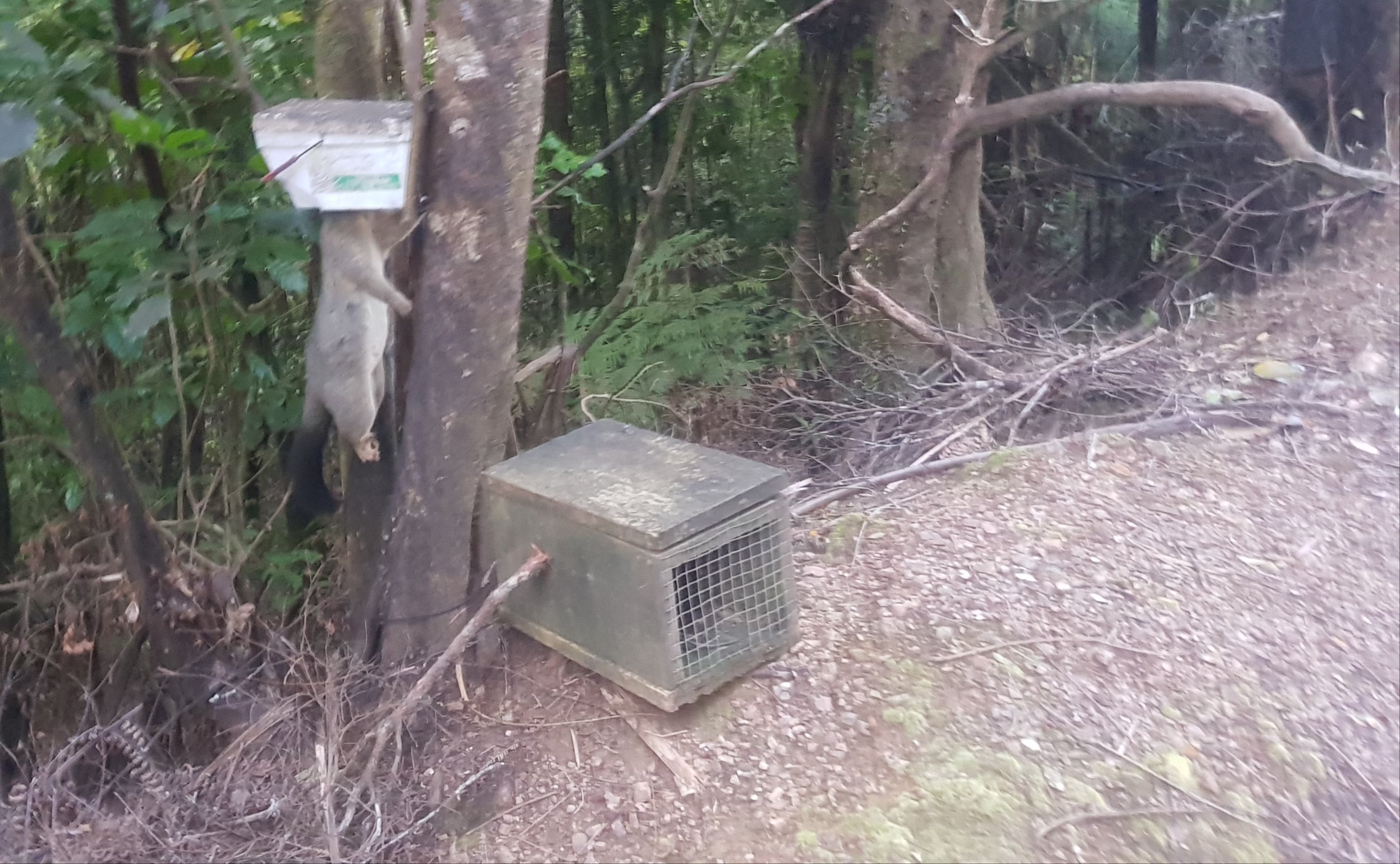
Mangled possum carcasses: 1

Wow, I can’t believe it is finally here. My first day on Te Araroa. Back in March it seemed so far away.

The gale force wind from last night was still going in the morning. It woke me up at 5am and I couldn’t get back to sleep. But I had faith in the weather forecast which showed that at least the rain would stop.

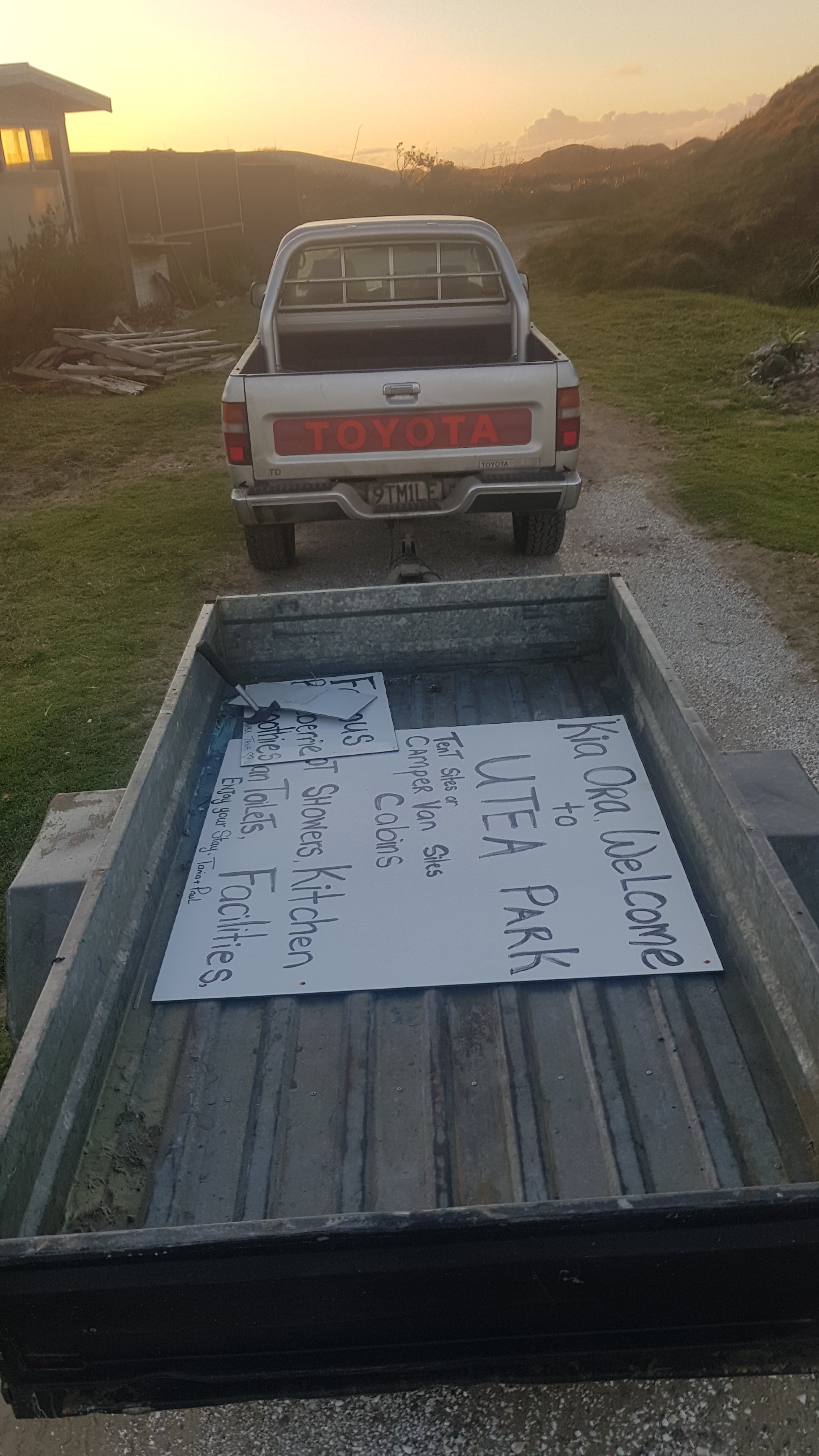
Tania from Utea Park drove me to Cape Reinga at 8:30am to coincide with the outgoing tide. She told me all about the area which was cool. She dropped me off and suddenly I realised I was by myself, with no transportation, nobody I knew around and no cellphone reception. It was a bit emotional for a few minutes. The only people around were tourists in campervans. Just before she left, Tania said to me “kia kaha” which I knew meant “Be Strong” because it was the motto of the college I went to.

My ride to the cape
Once I go through here, there’s no going back

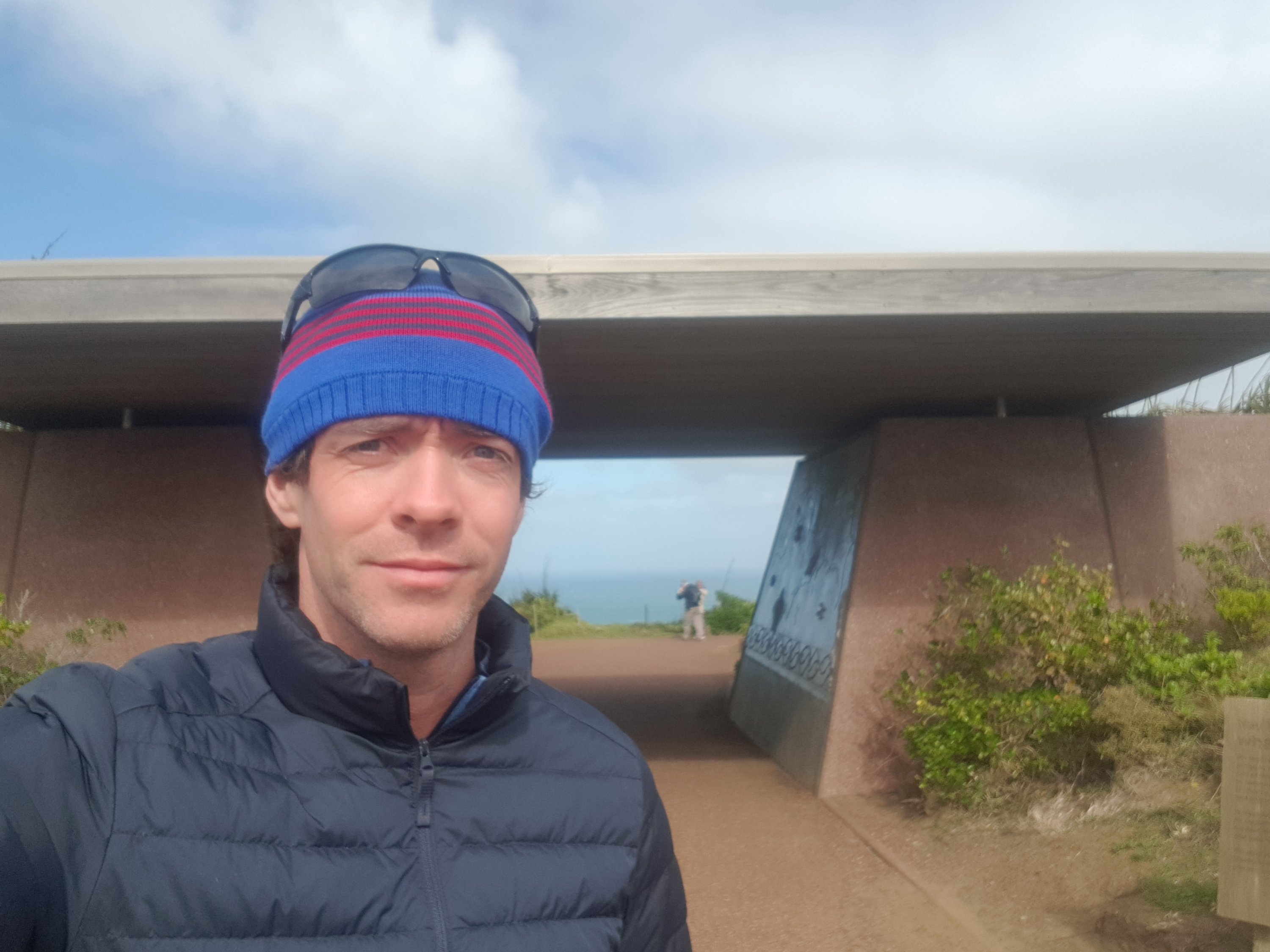
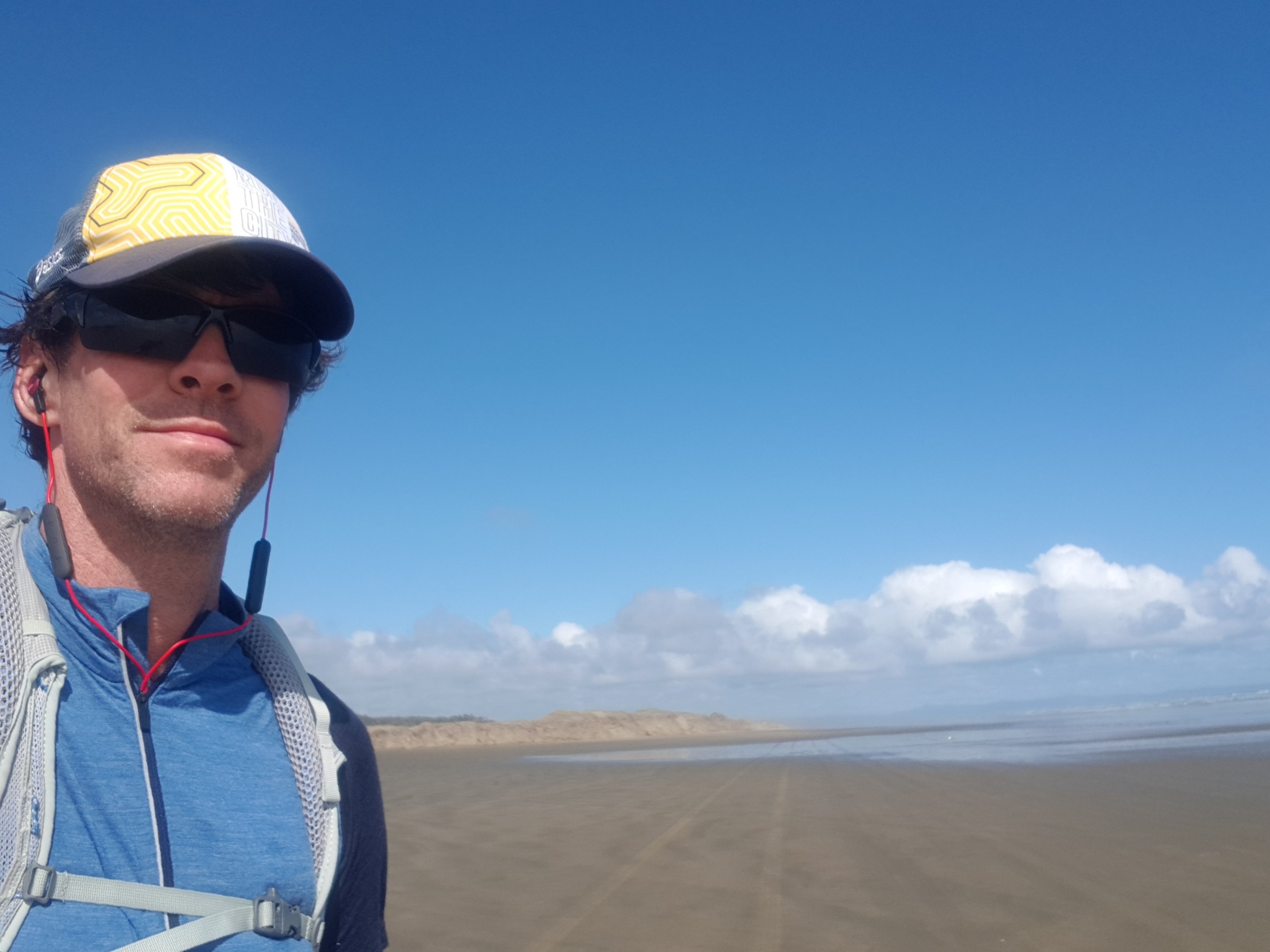
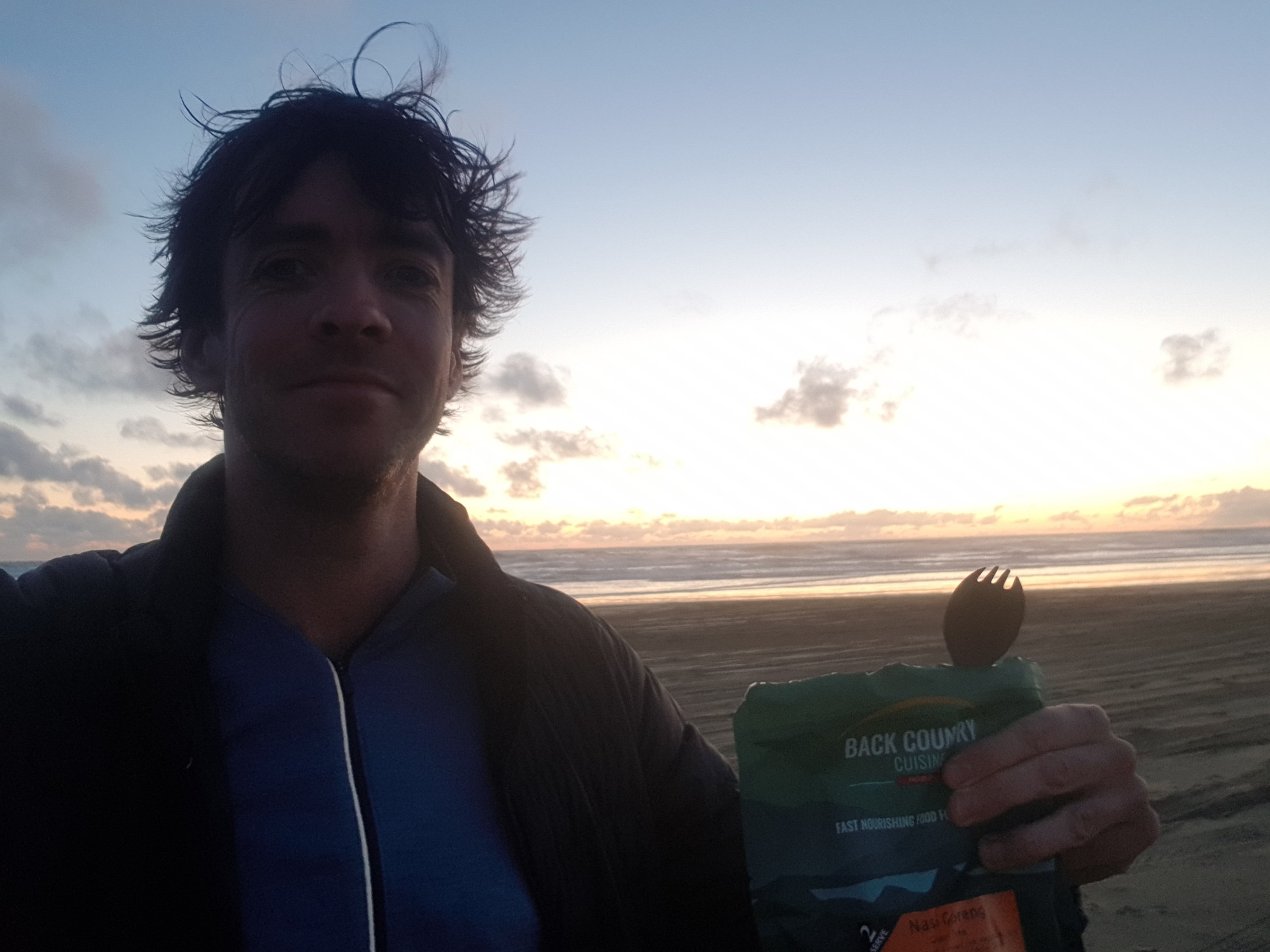
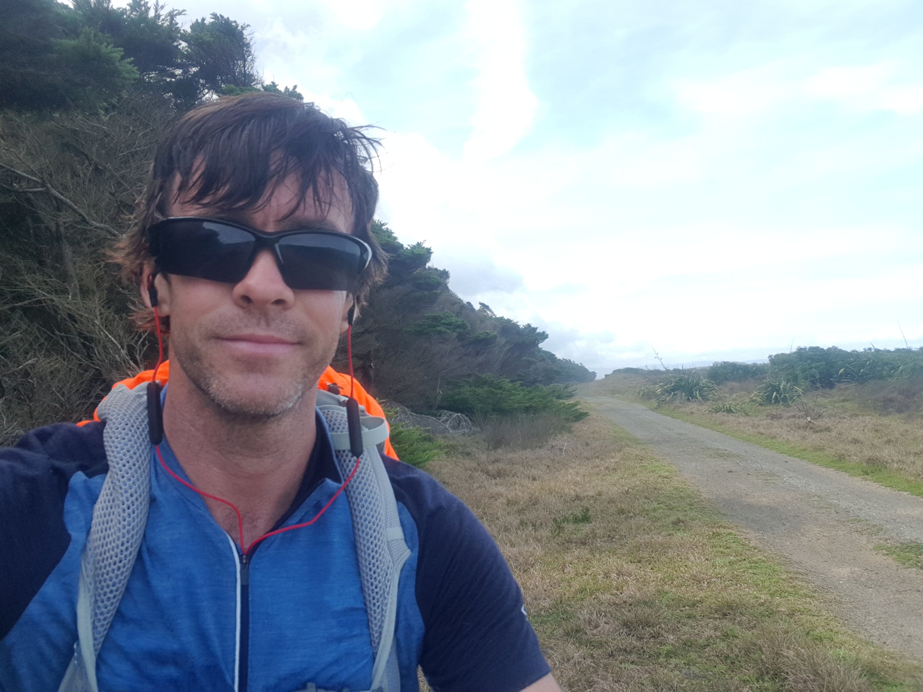
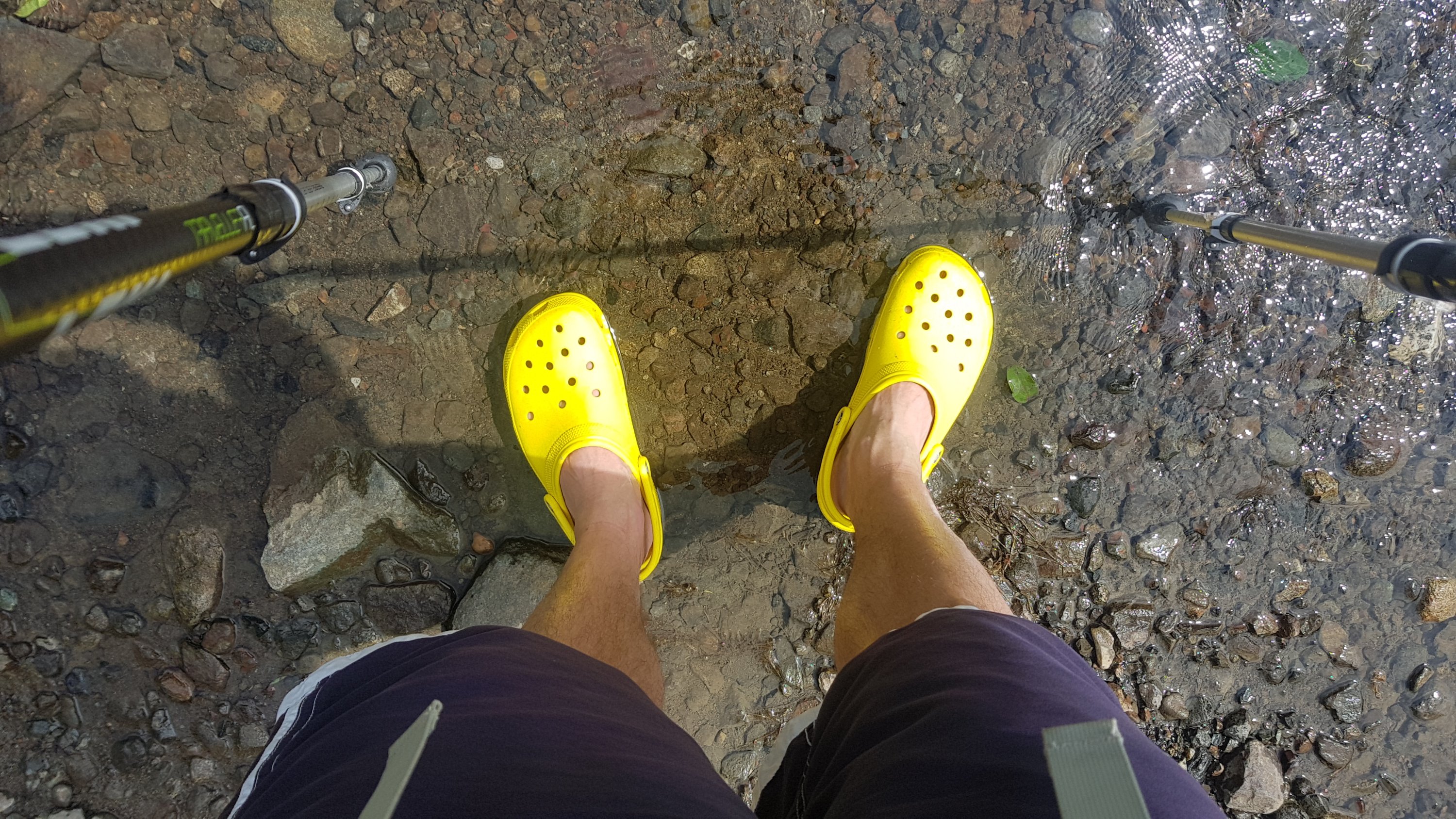
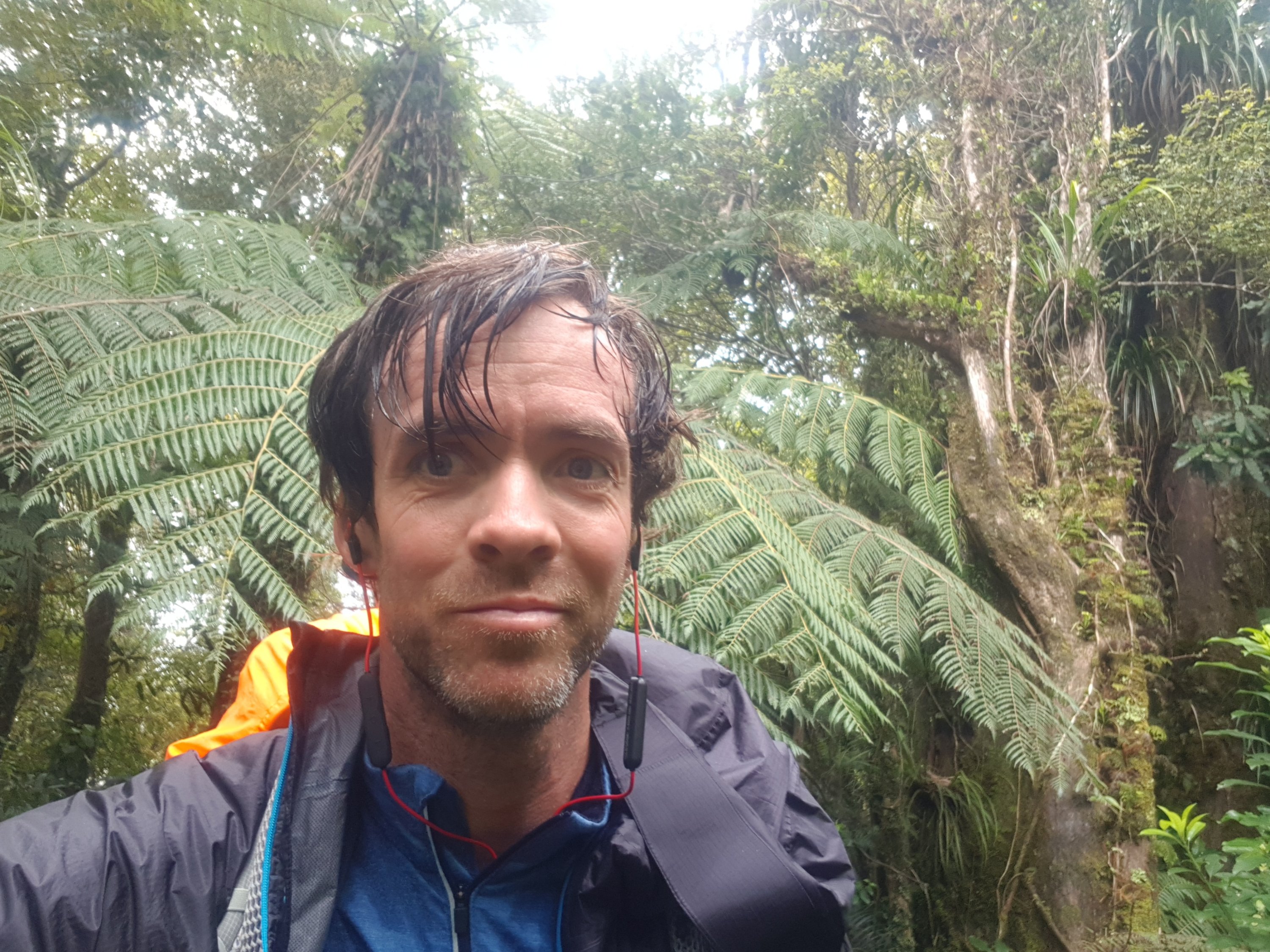
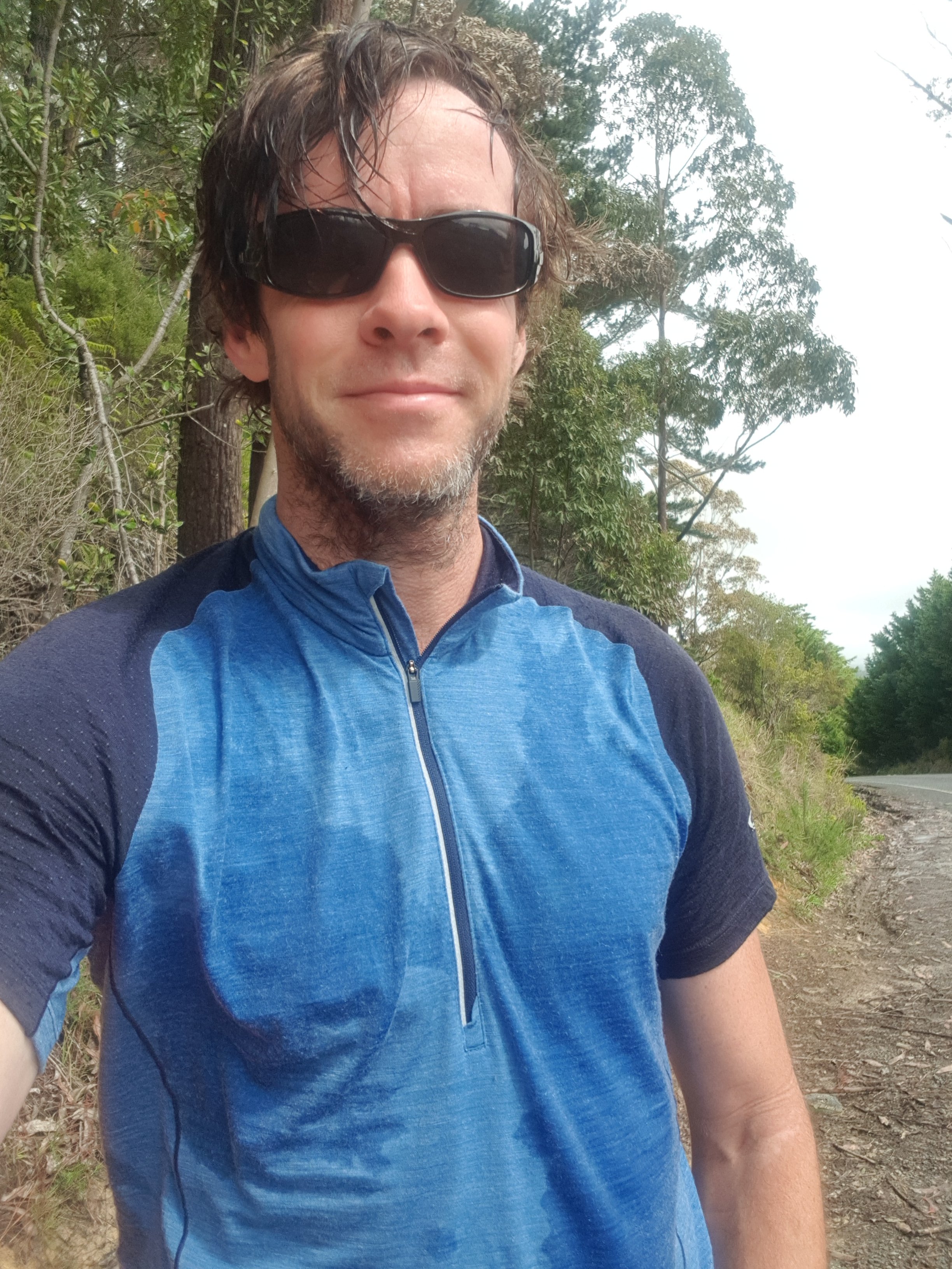
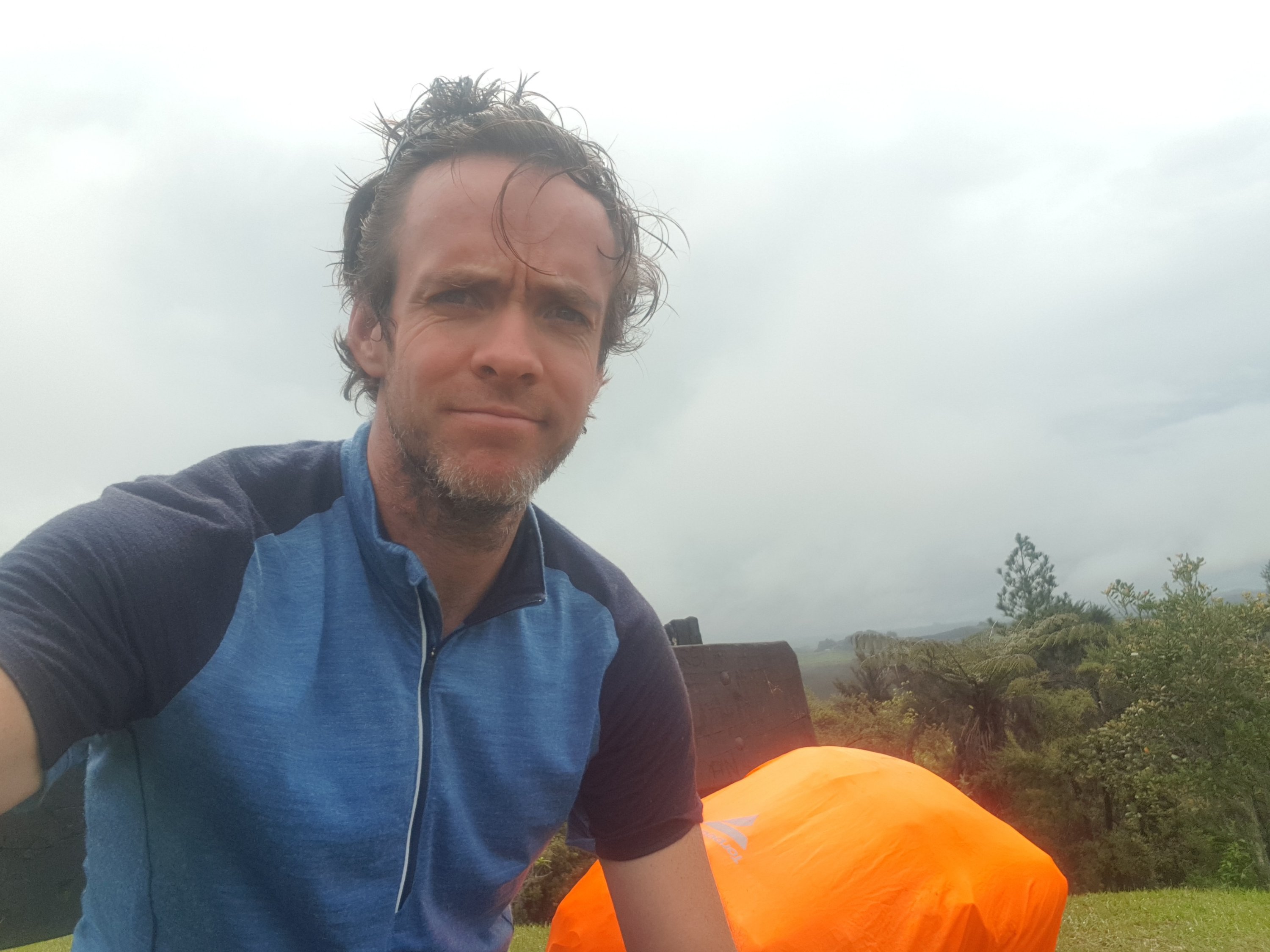
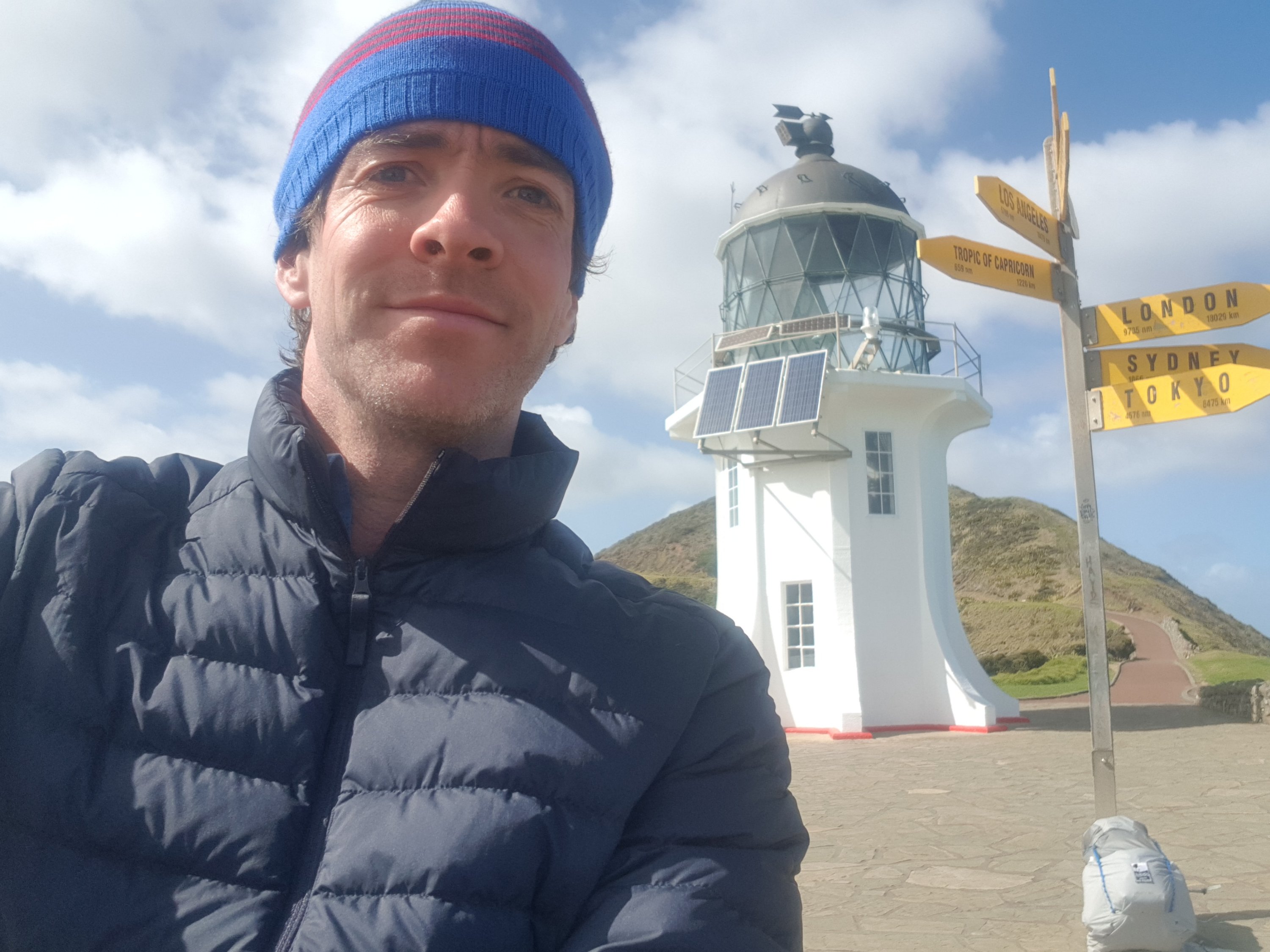
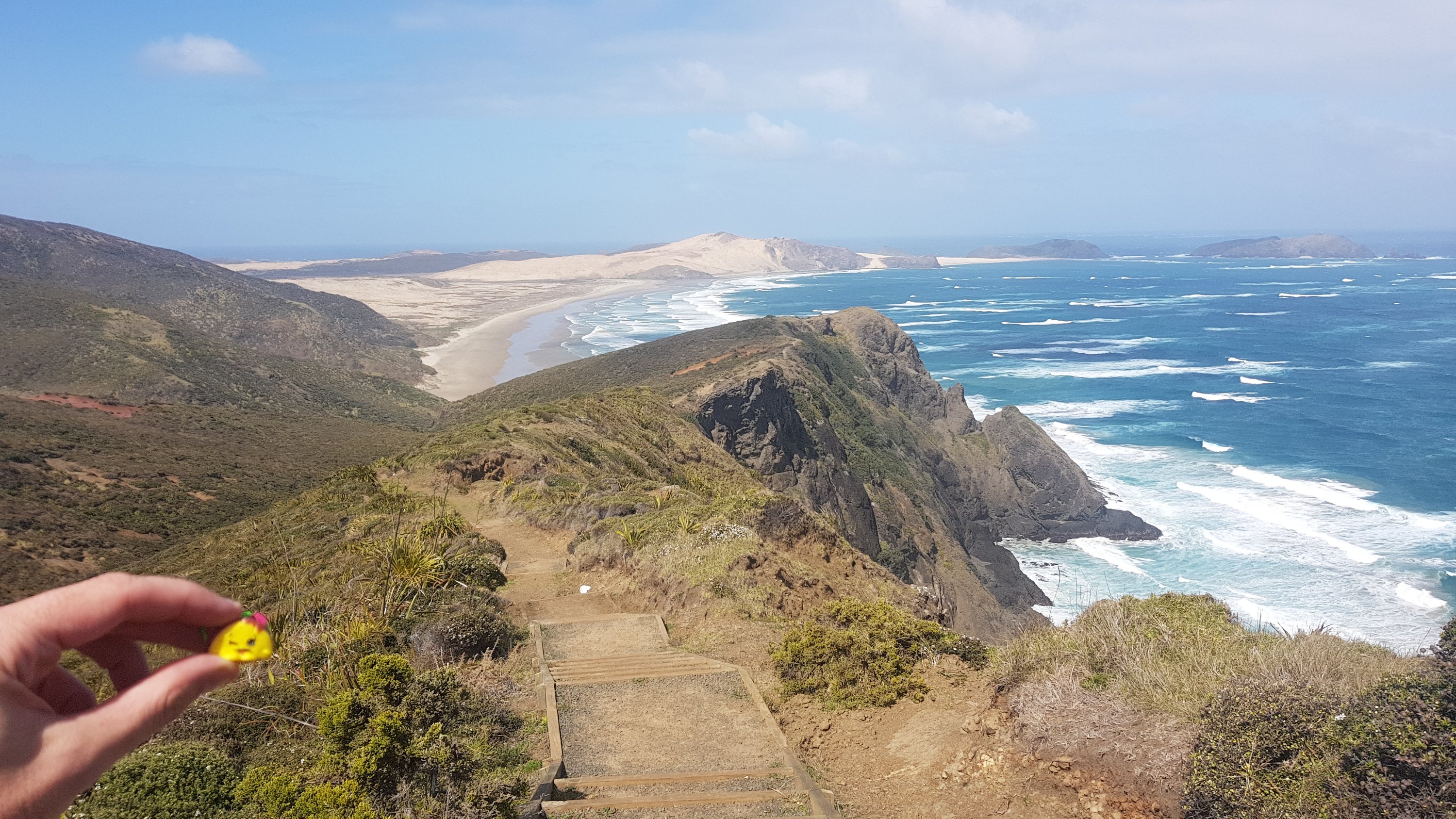
From the carpark I started walking down to the lighthouse which is the official start point. I had all these ideas in my head about what my “starting photo” under the lighthouse would look like. I mean everyone posts their finishing photos at Bluff on Facebook but I rarely saw any from when people started at the Cape.

There’s the lighthouse, I’ve seen it before but it felt different this time

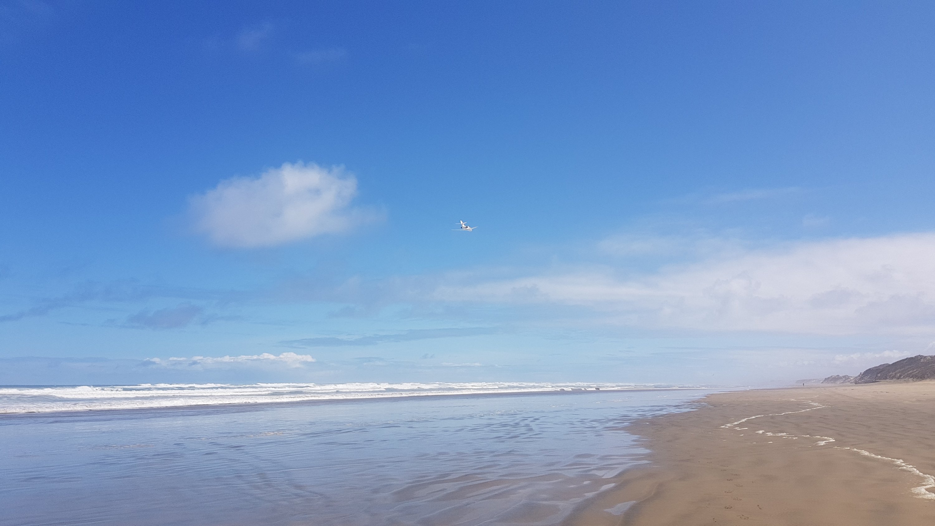
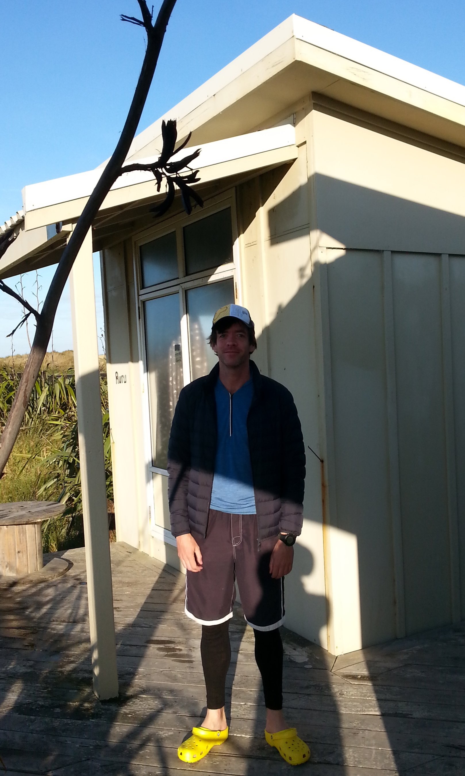
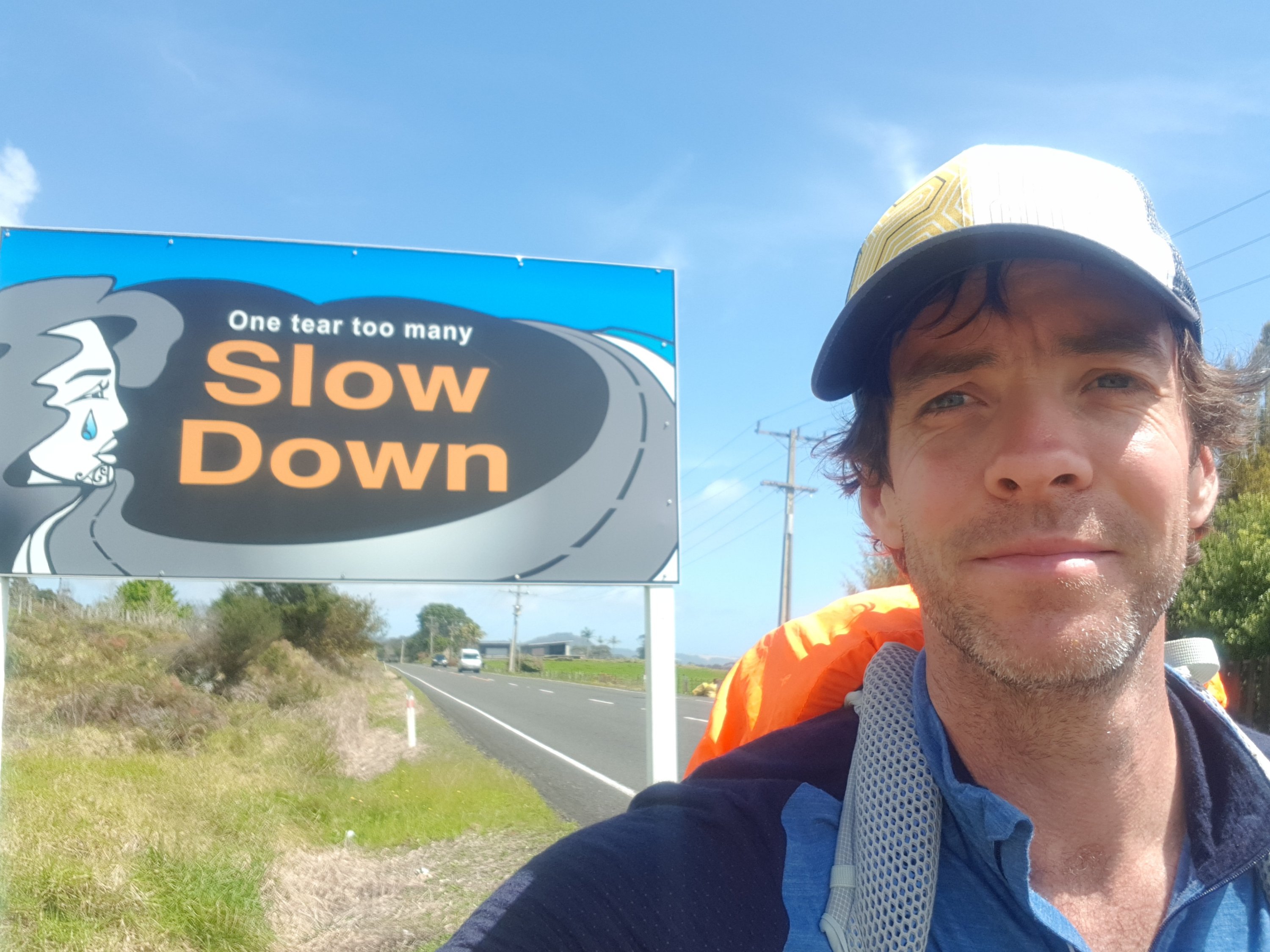
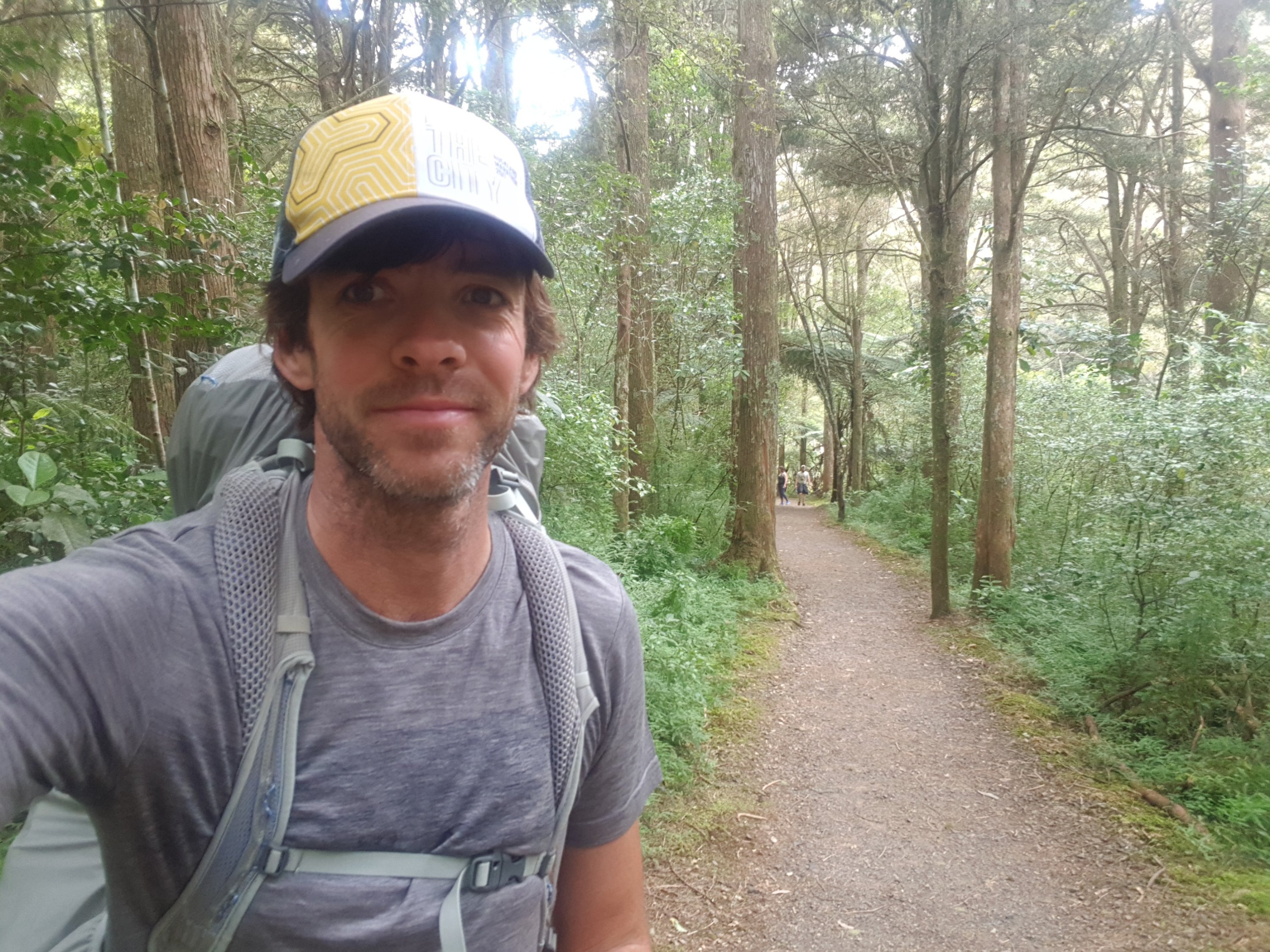
I realised quickly that that was probably because there’s no phone coverage up here. And I couldn’t take any kind of cool photo because I was actually the only one at the lighthouse, and also, the wind was so strong that if I let go of the phone it would have blown away and ended up in the Pacific Ocean. And when a couple from Australia did show up, I didn’t ask them to take my photo because I didn’t trust them to hold onto the phone well enough. So I ended up with this:

km 0

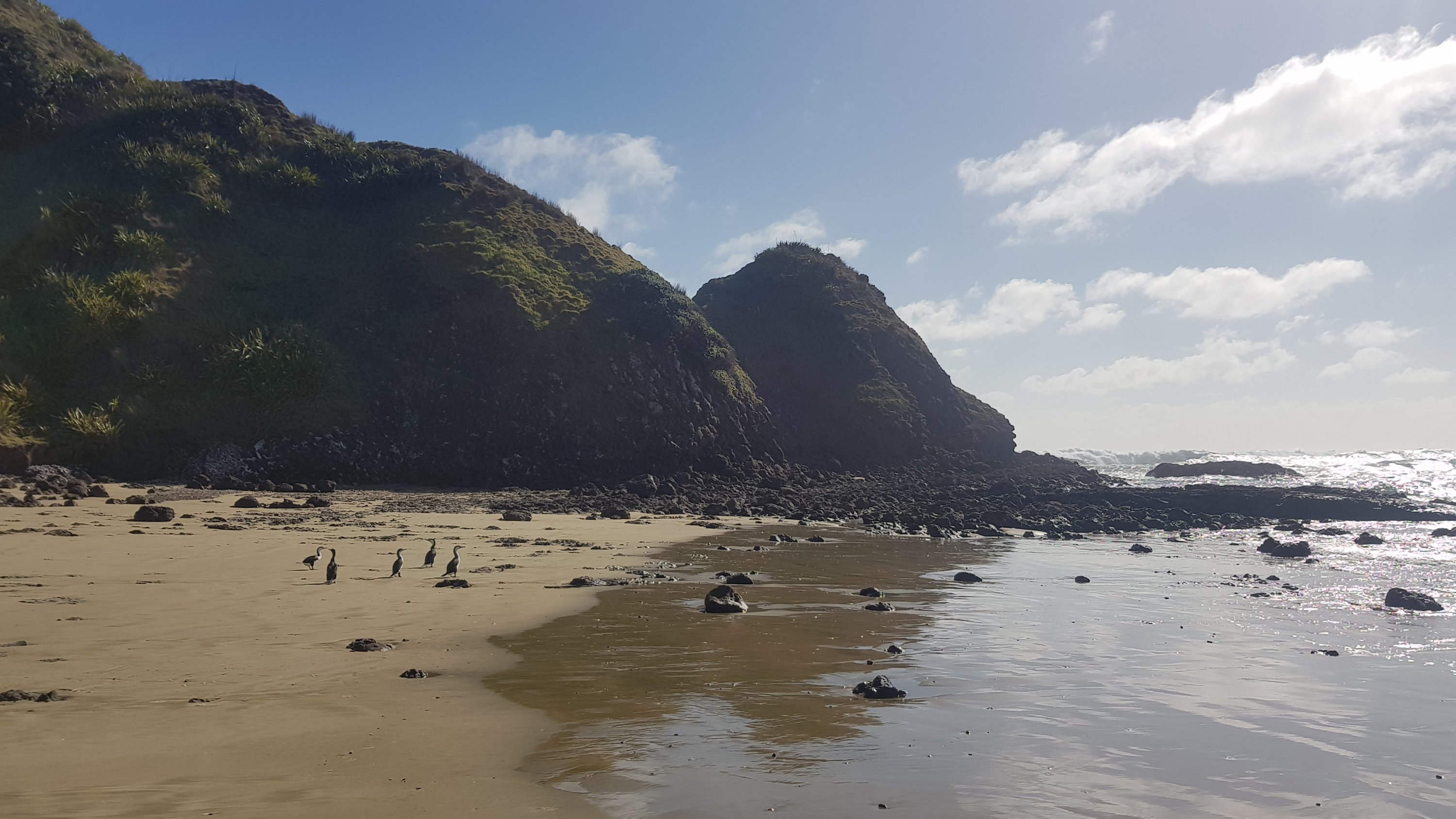
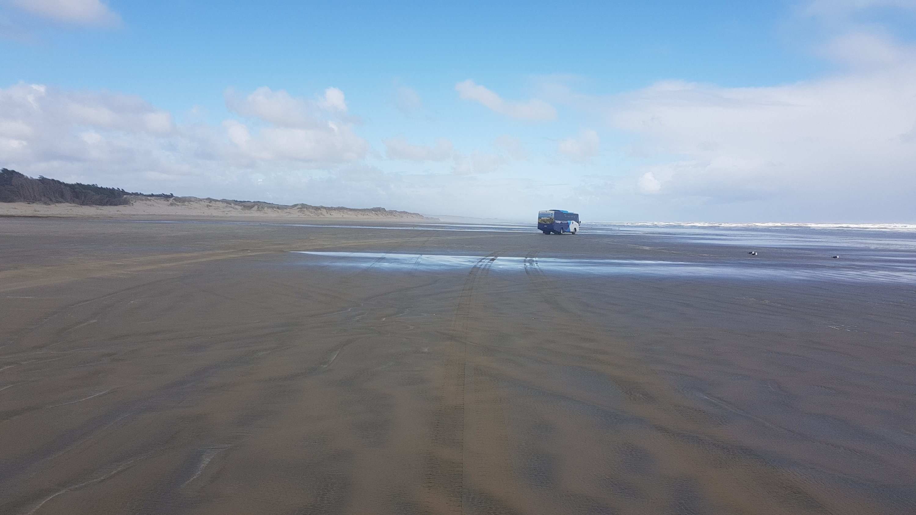
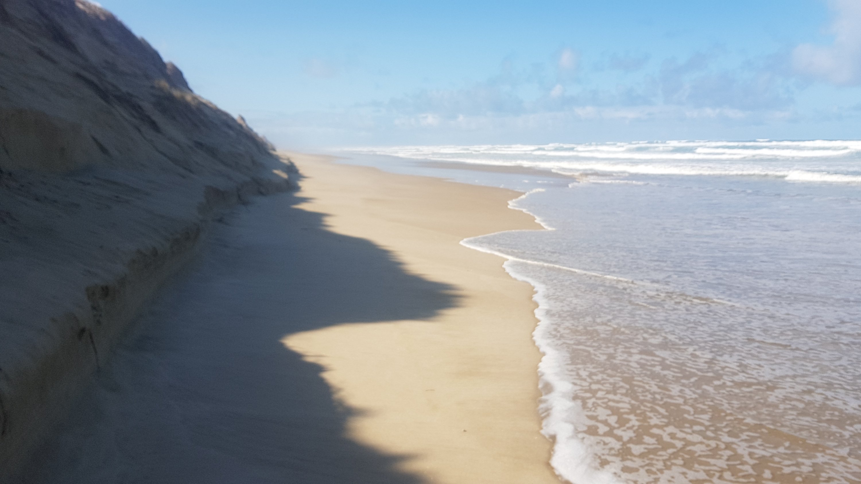
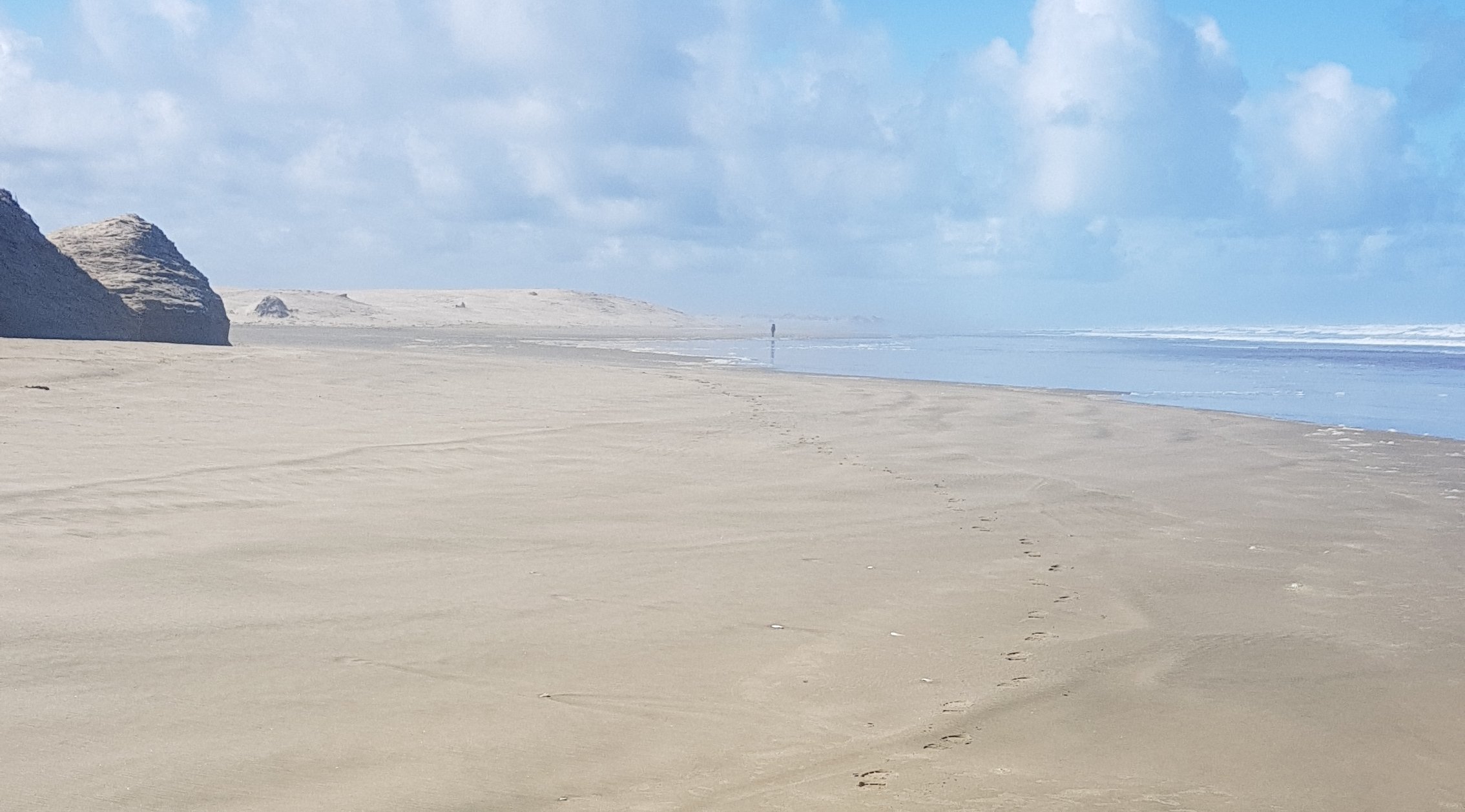
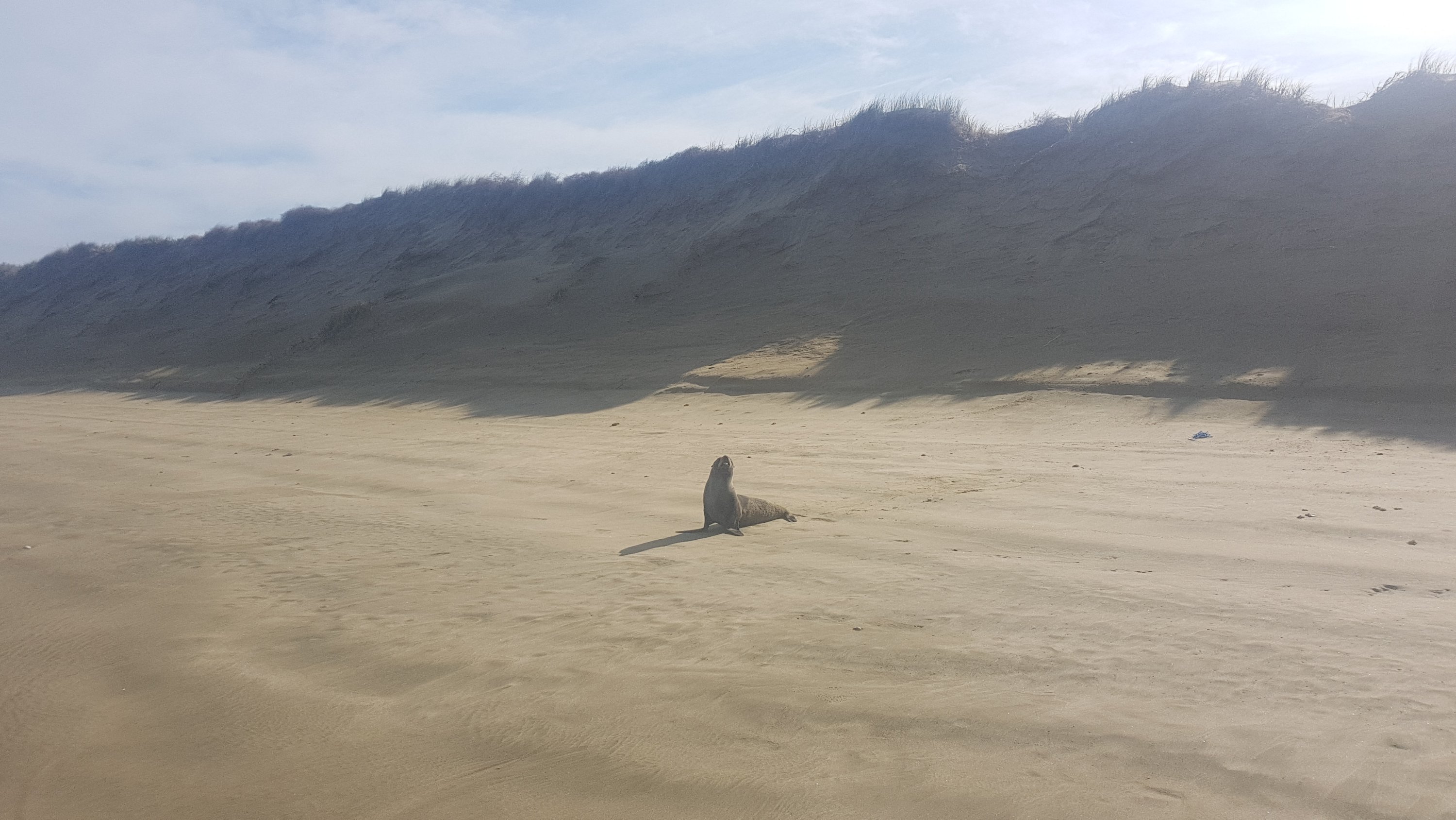
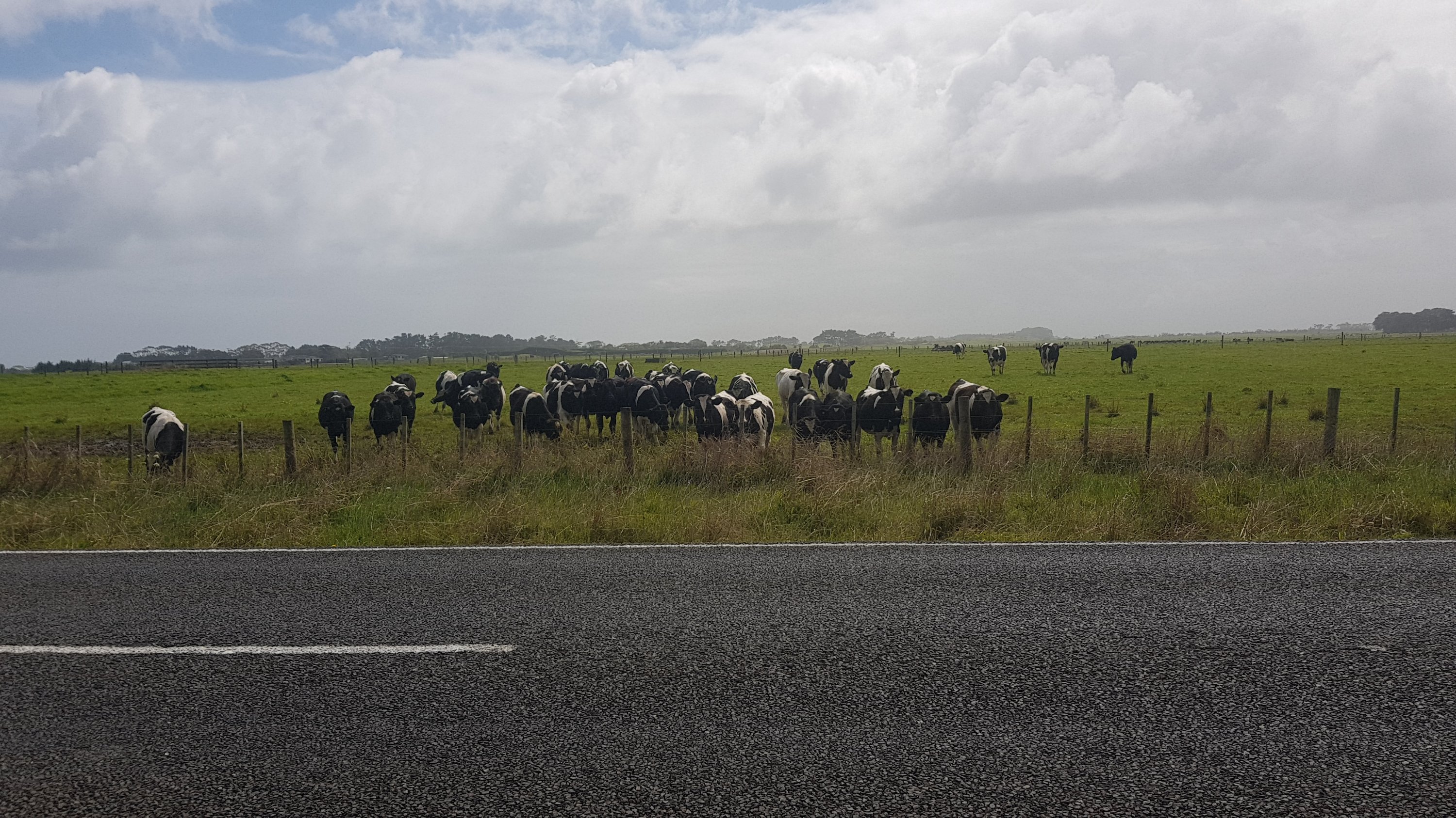
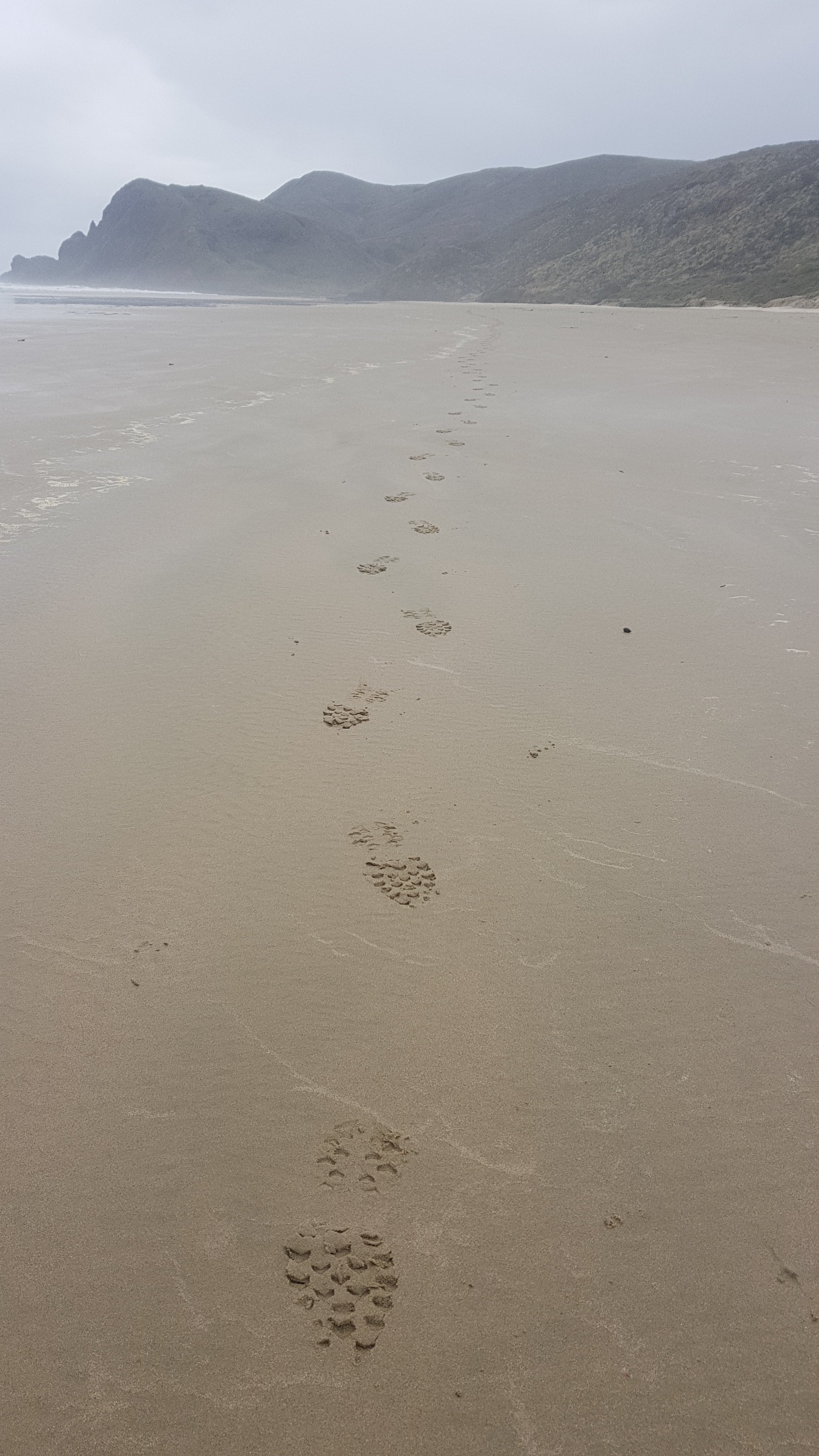
Gee, the wind is going to make walking along the beach interesting, I thought. It is a southwesterly wind so it will be hitting me in the face, as well as possibly a lot of sand blowing as well. And yes the wind was bad, but I was walking on the wet sand so no sand blew on me. The wind was loud… All I could hear while I was walking was RAAAAAAAAAAAAA in my ears all the time. At times I expected to look to my right and see a shipping port, it was that loud. But no, just me around, and a few birds. There were no footprints anywhere – mine were the only ones. I guess I am the only one to have started TA today.

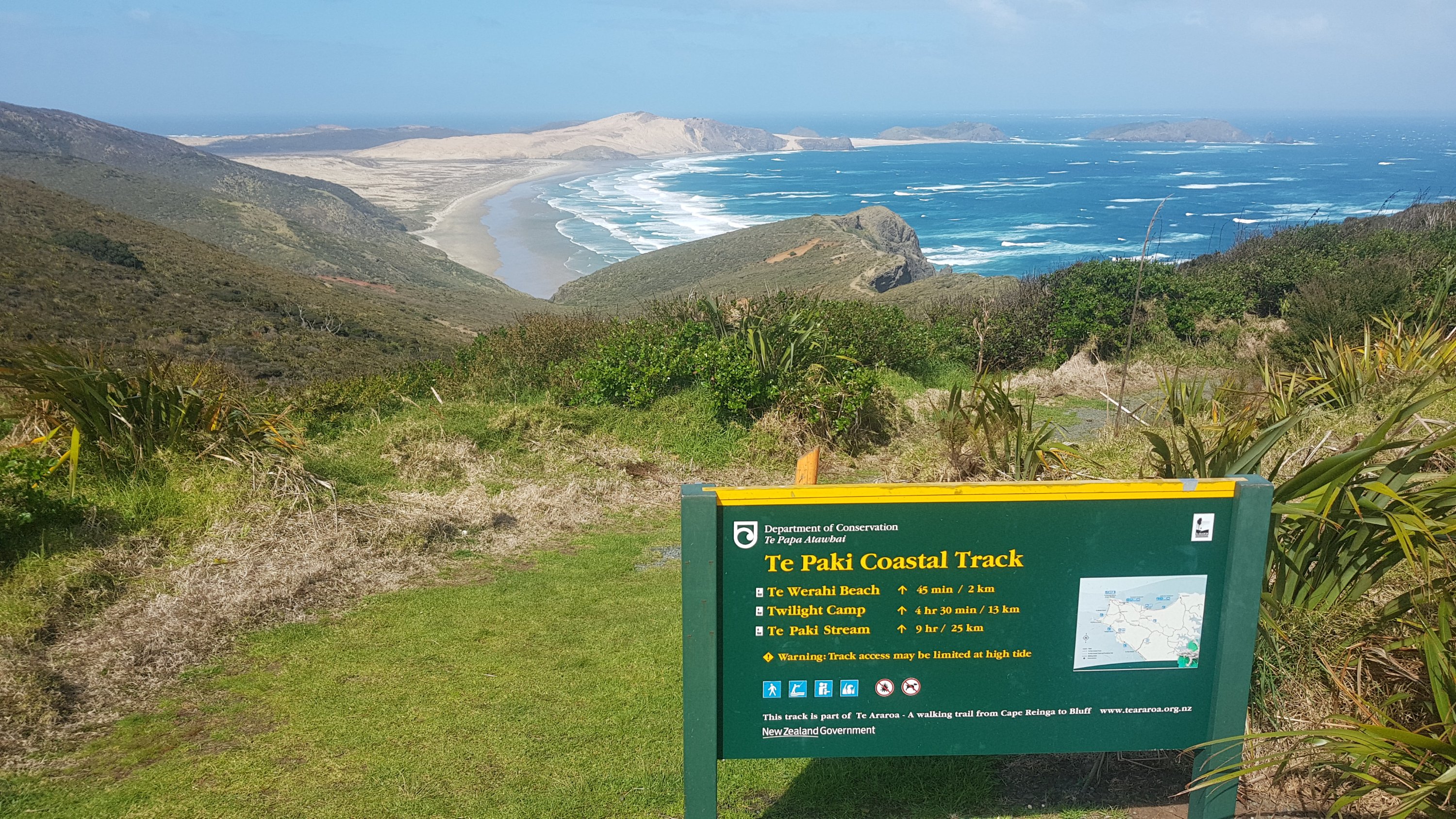
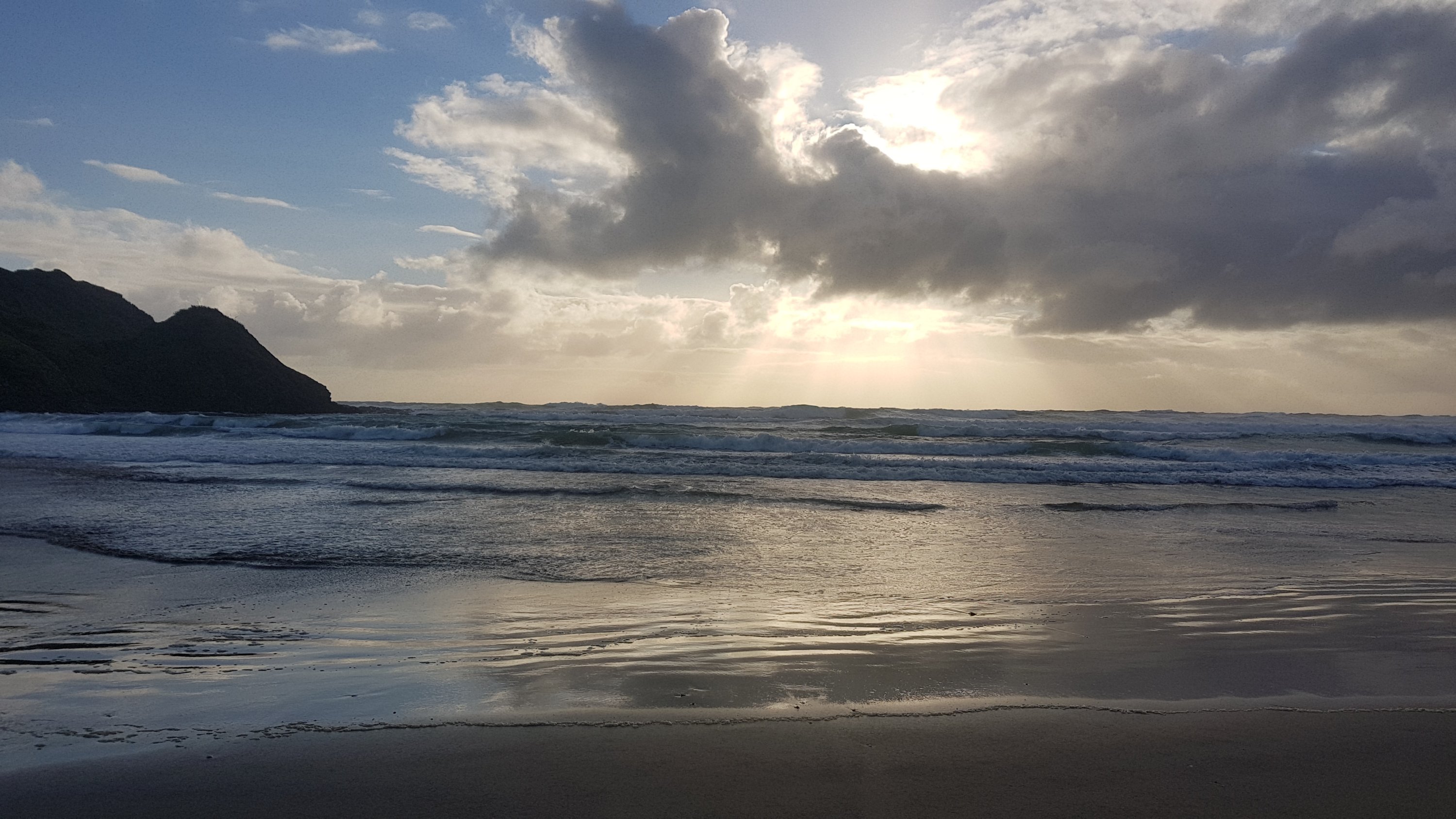
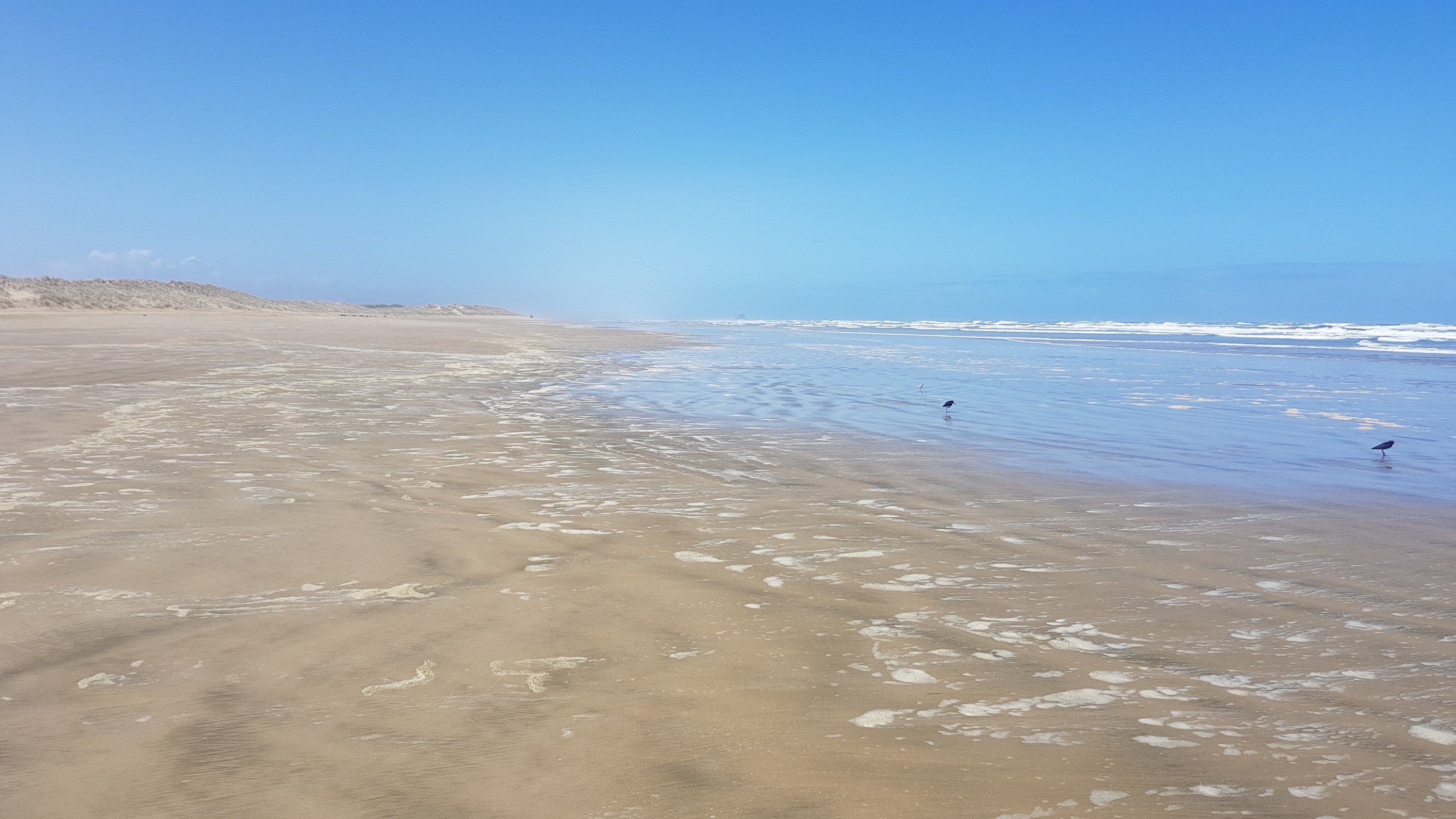
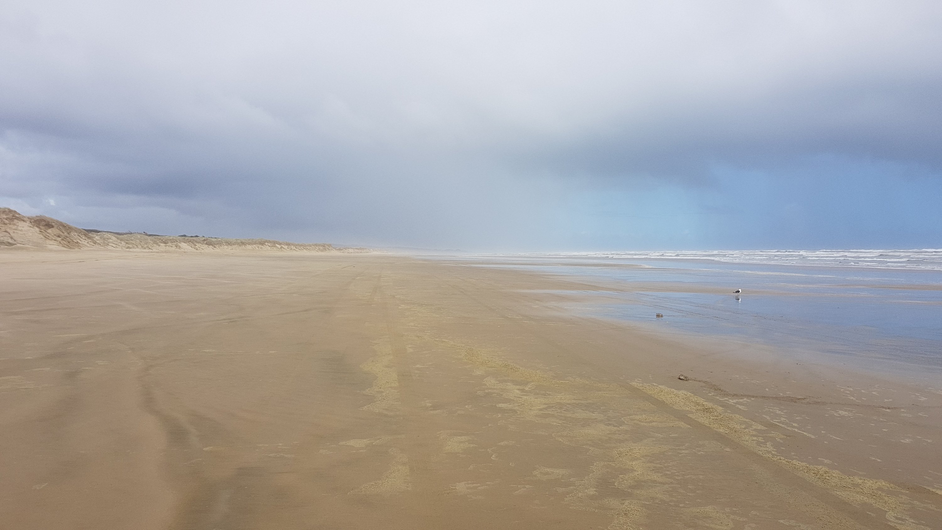
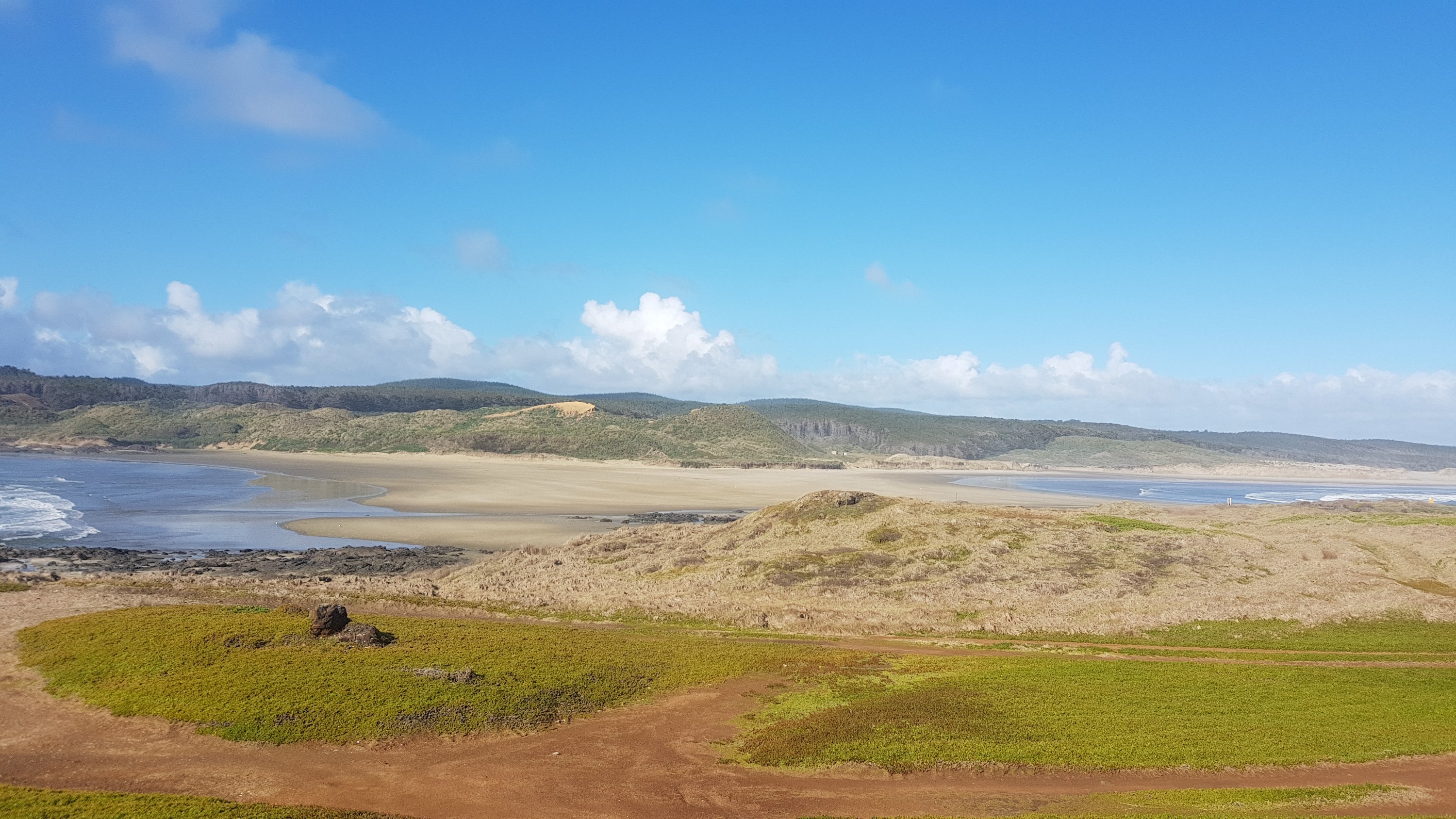
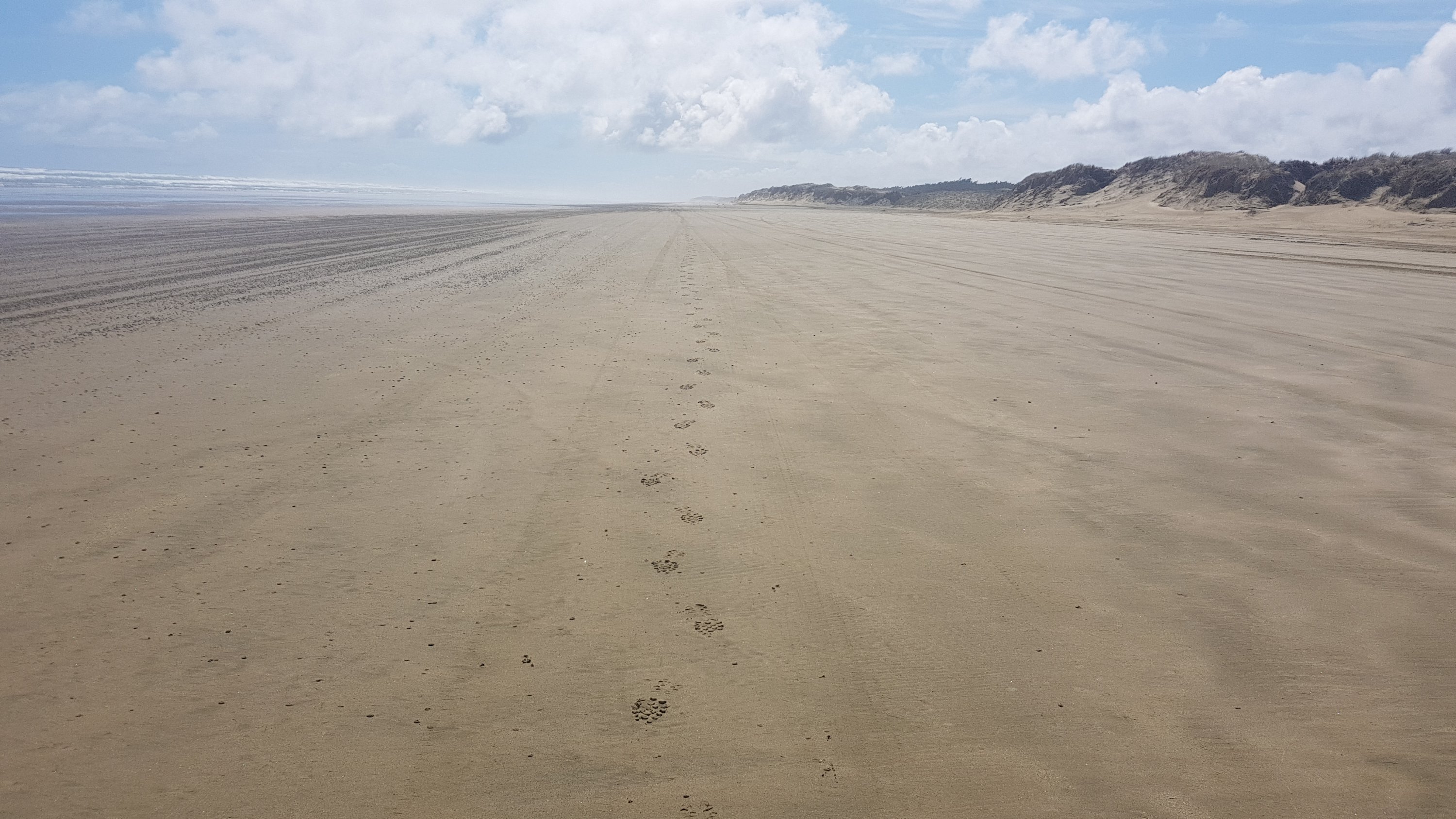
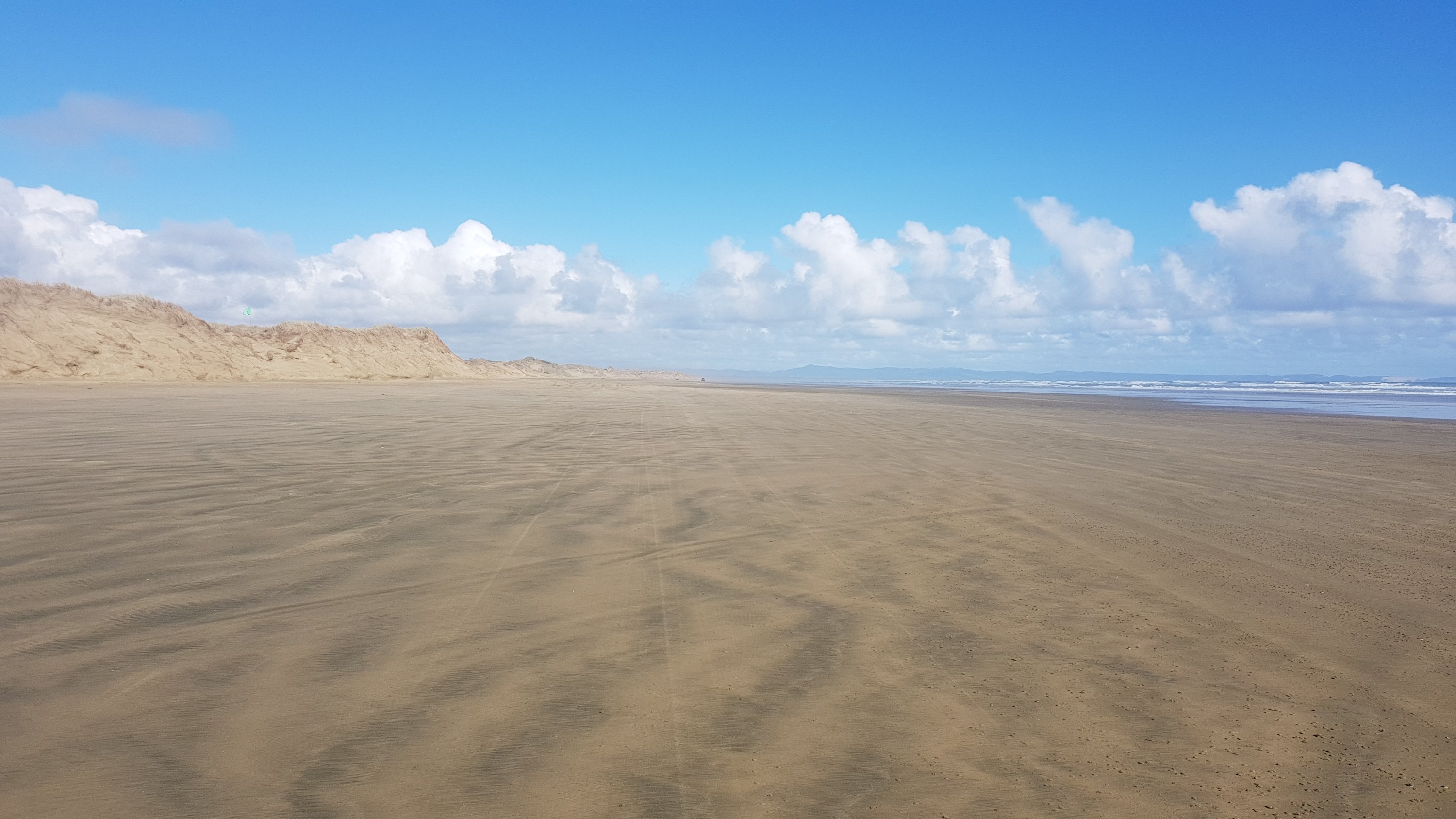
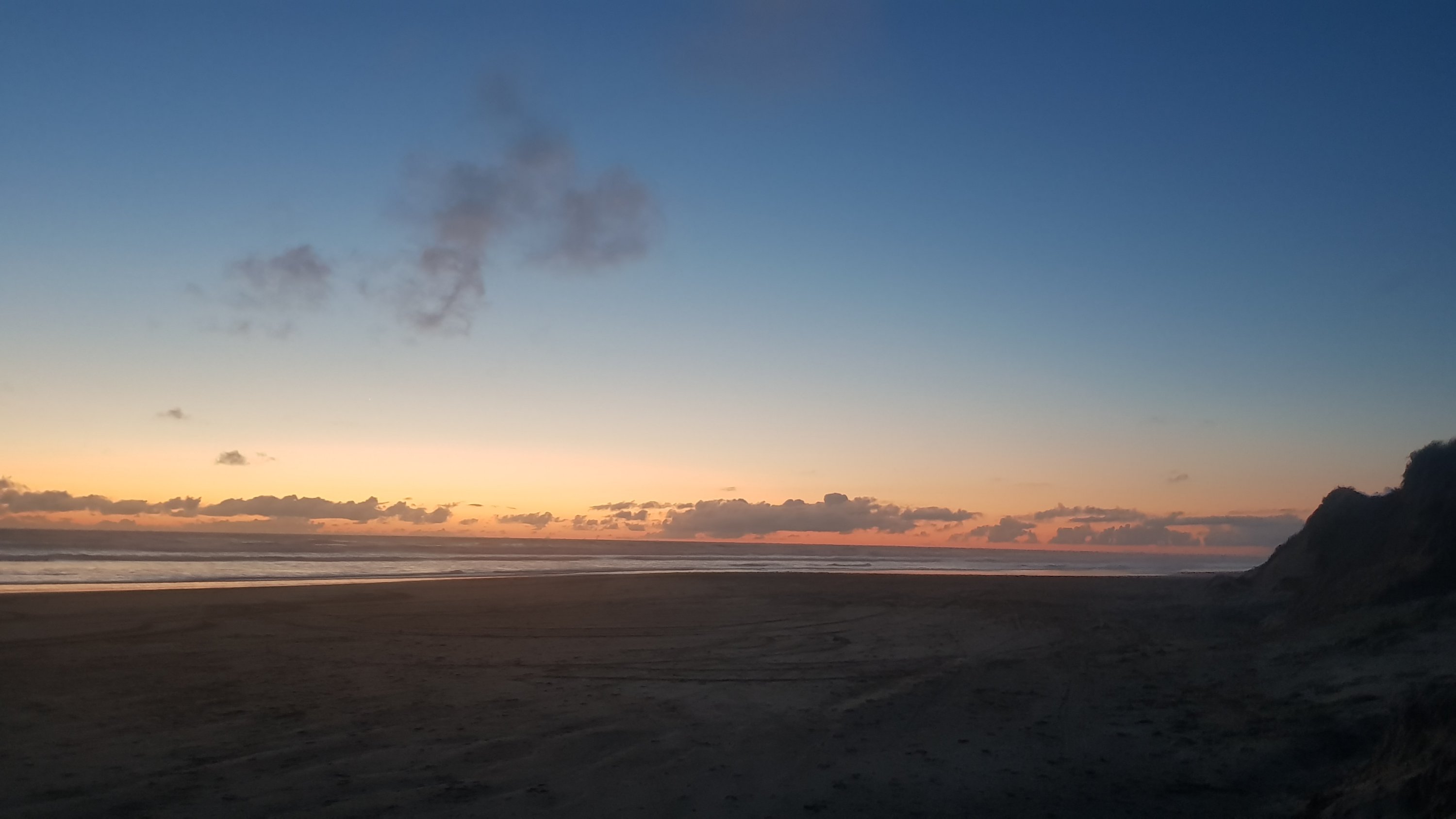
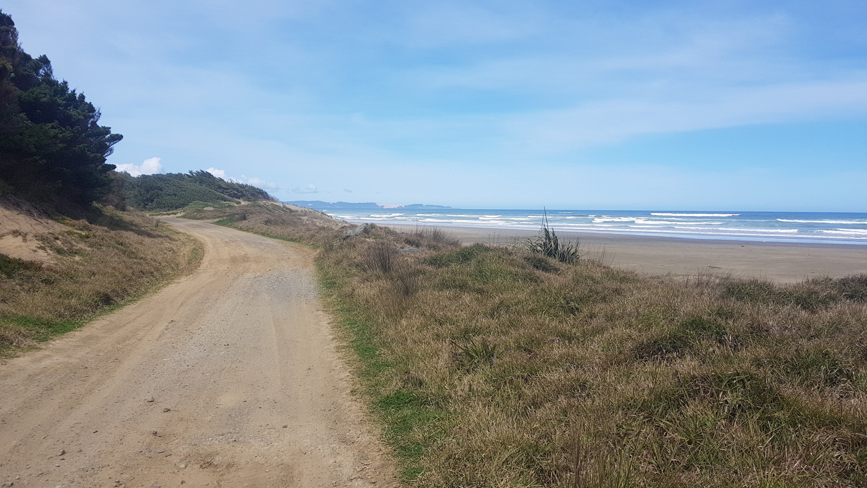
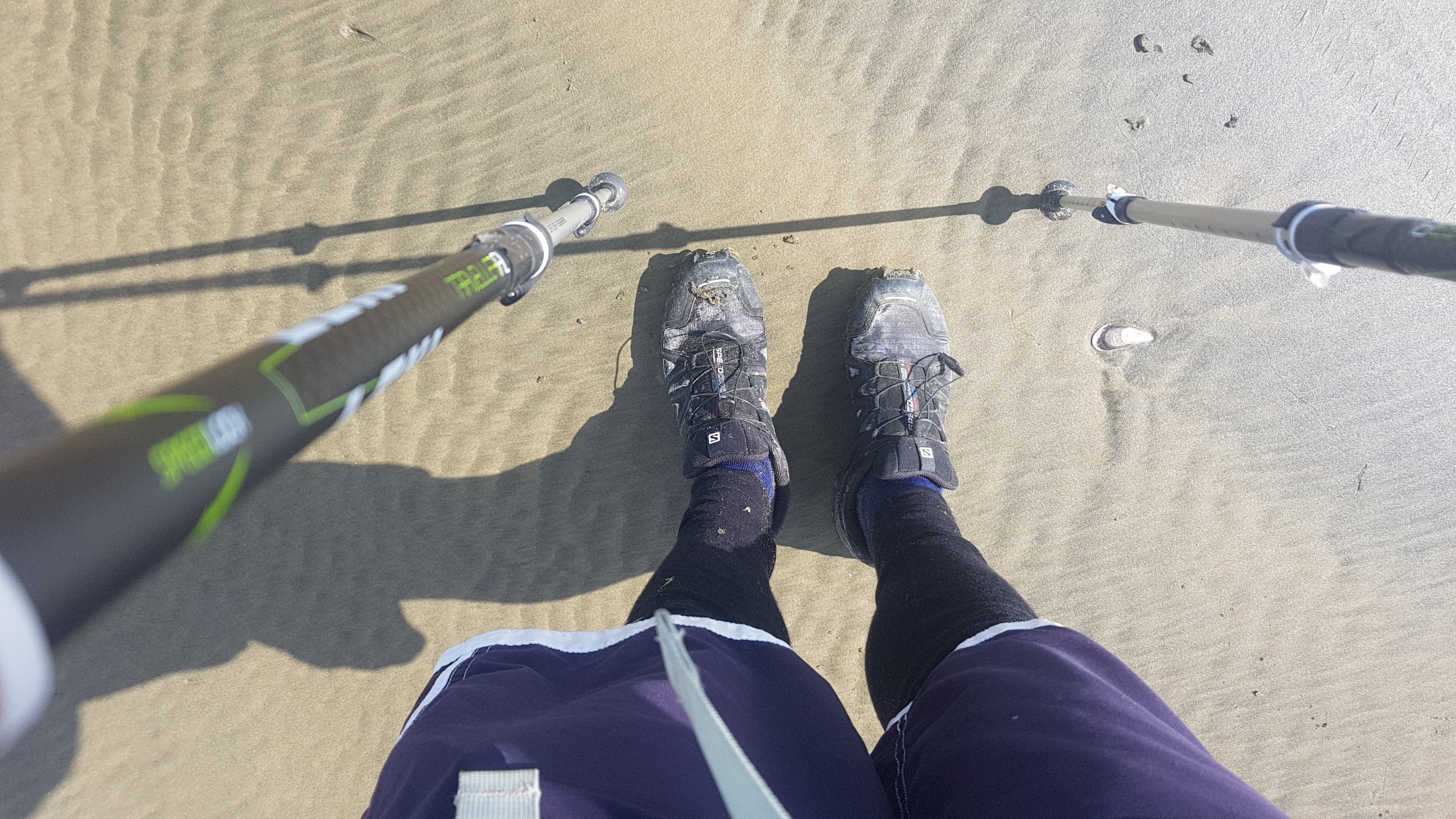
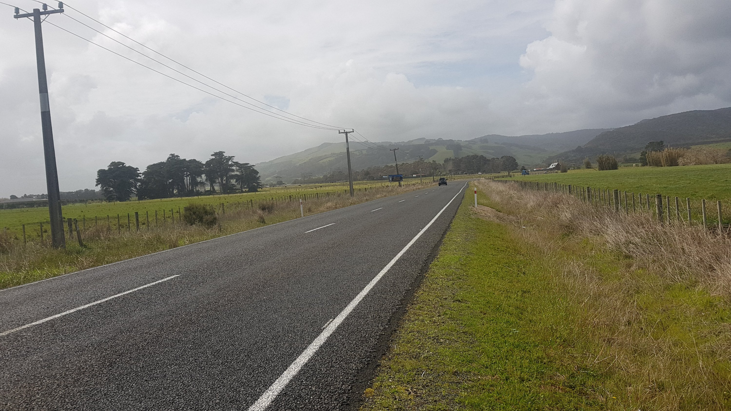
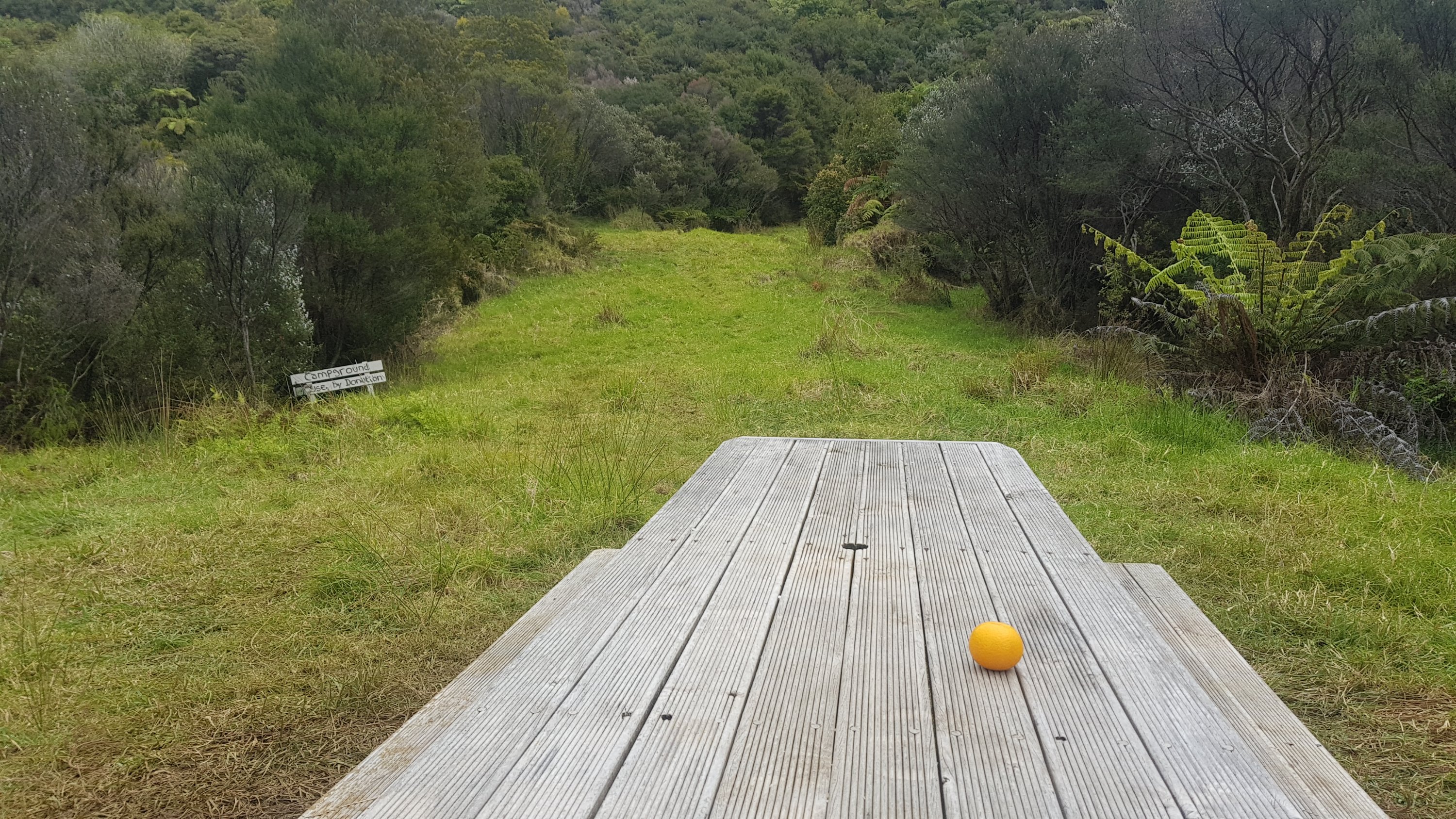
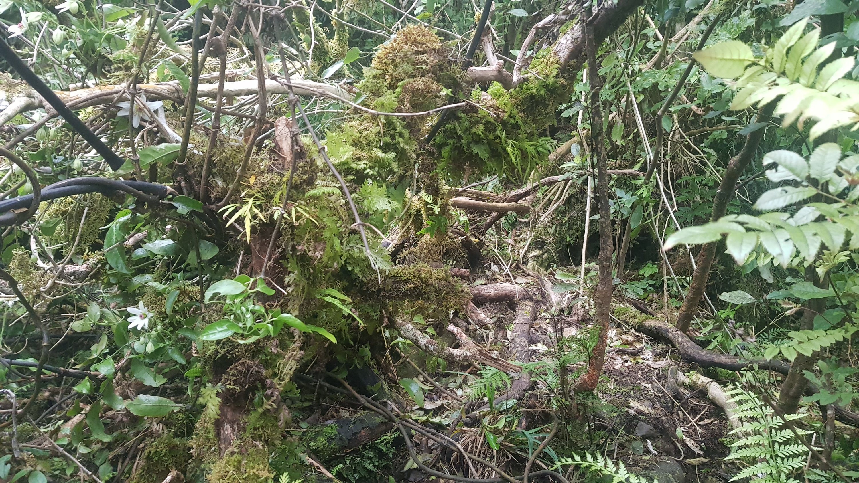
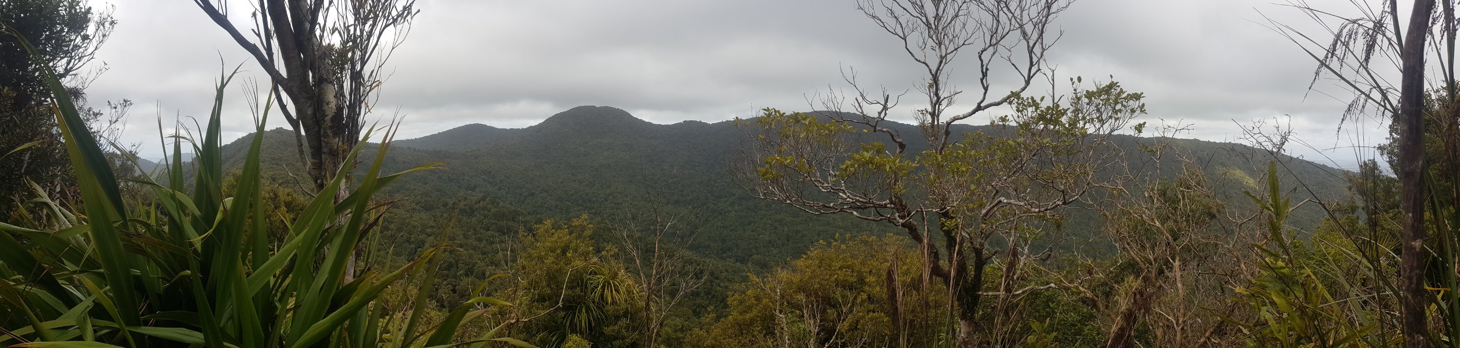
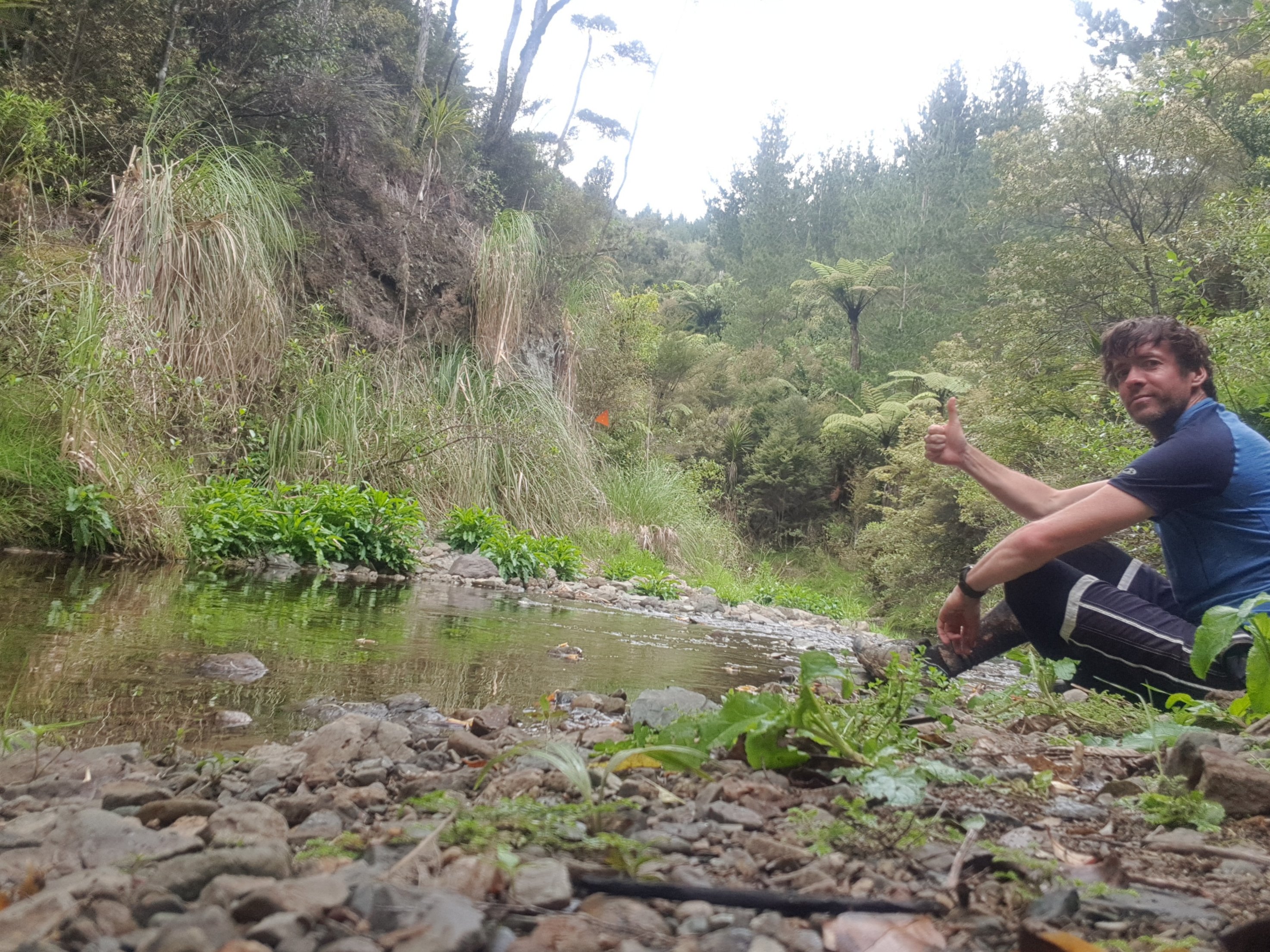
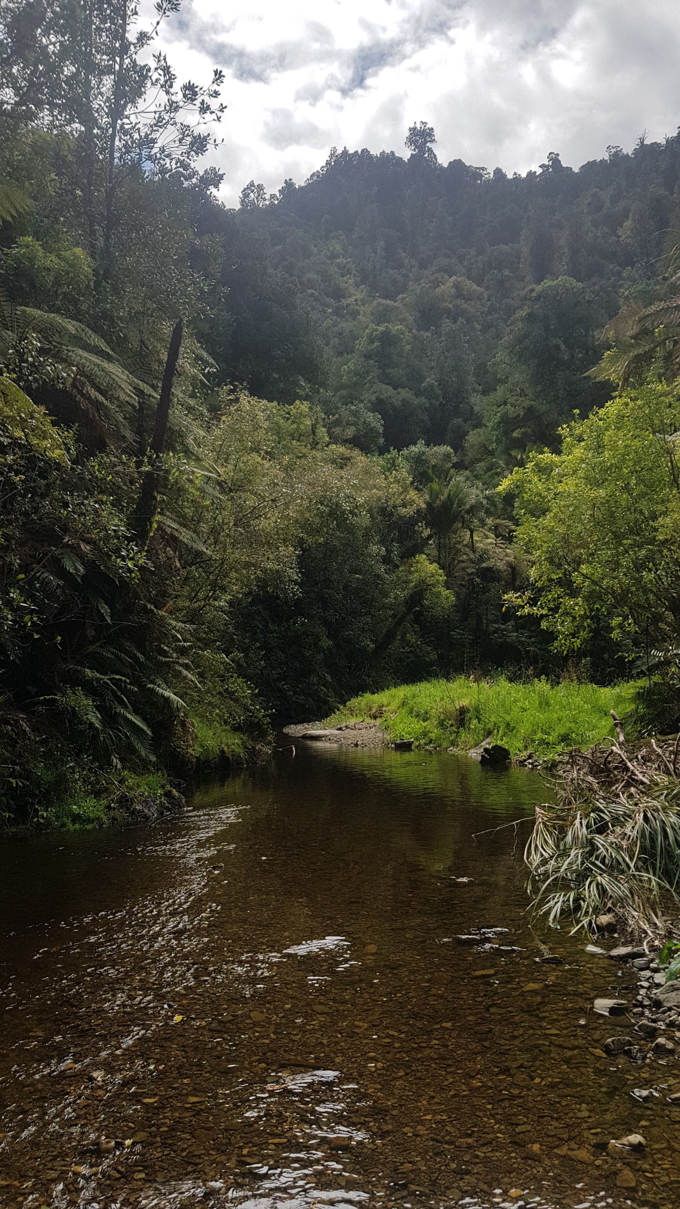
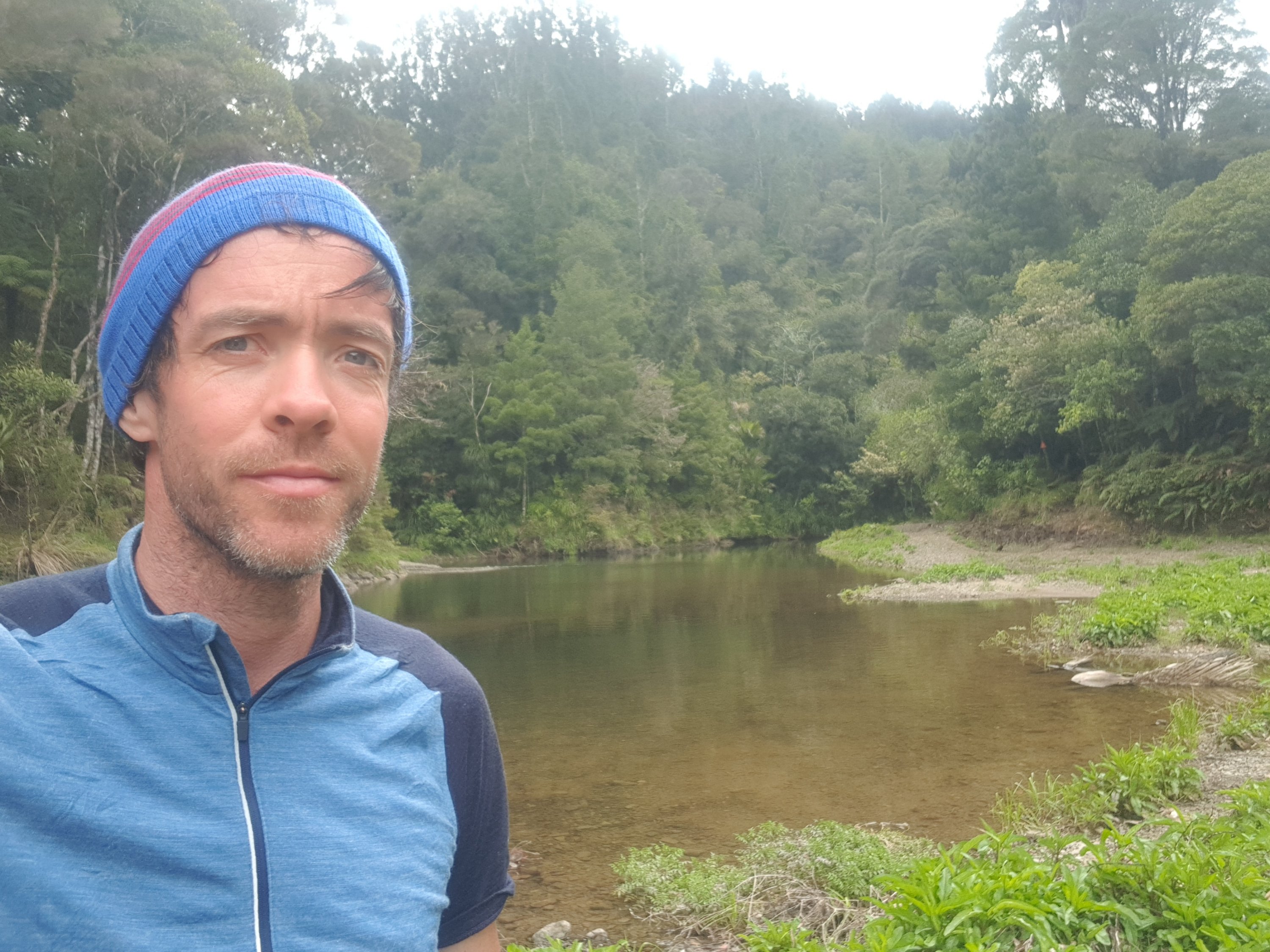
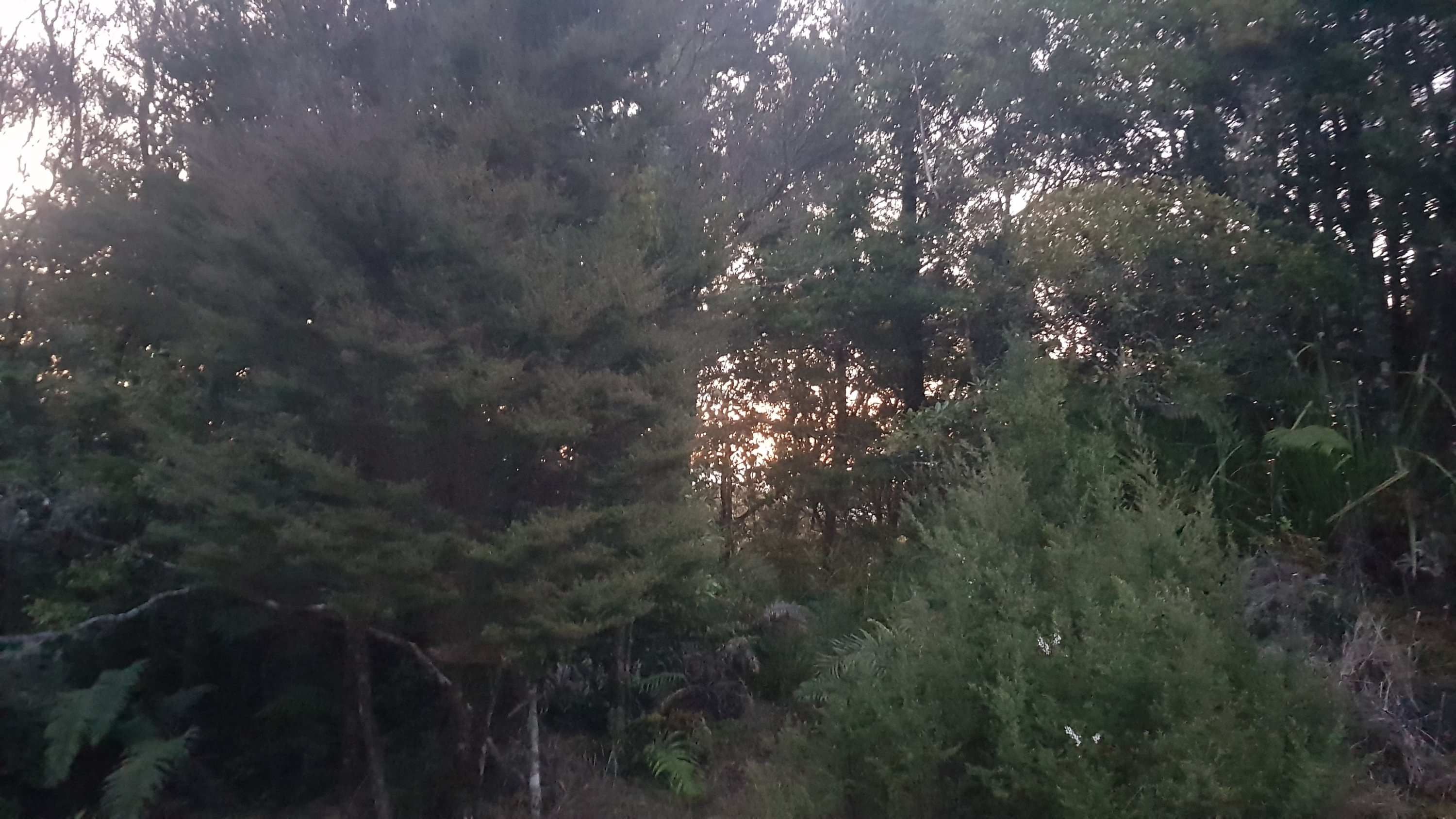
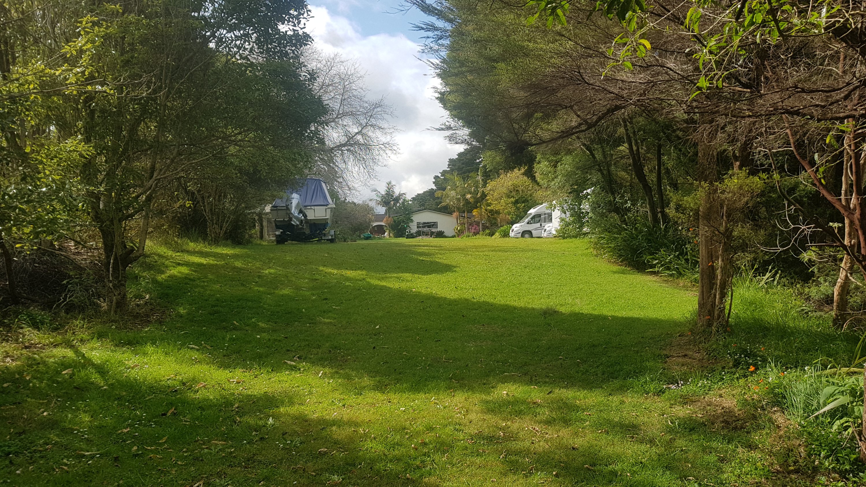
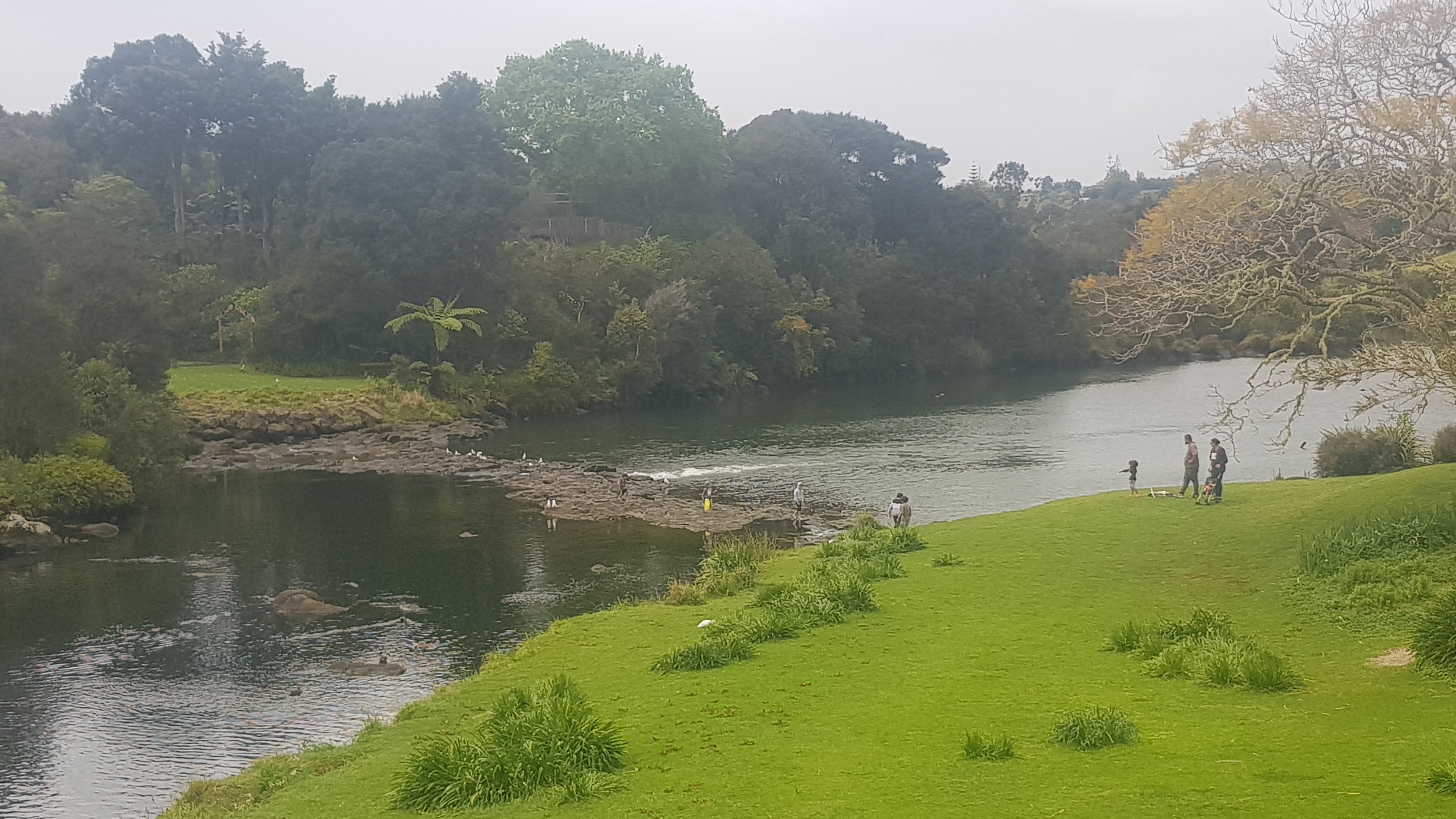
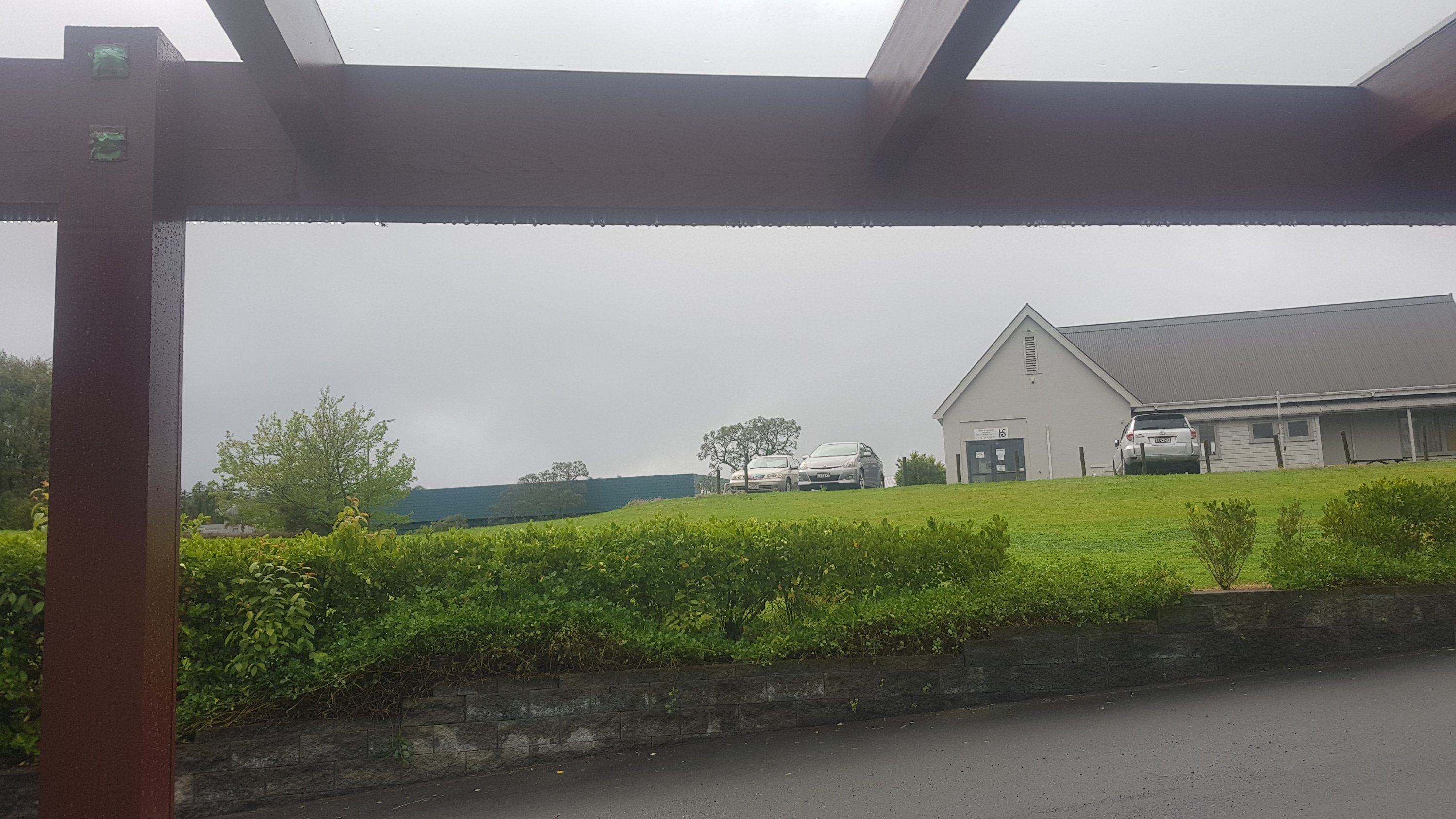
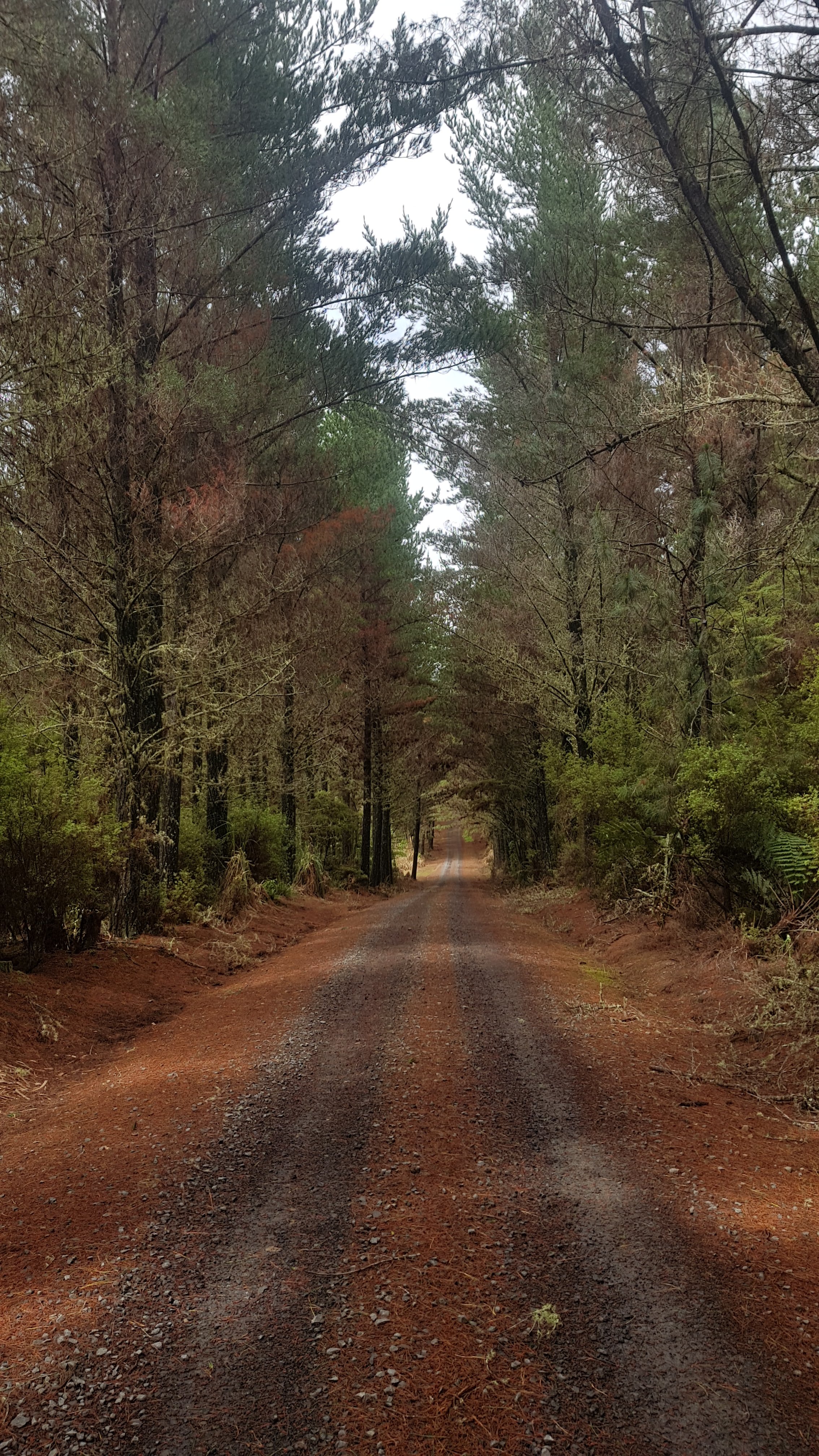
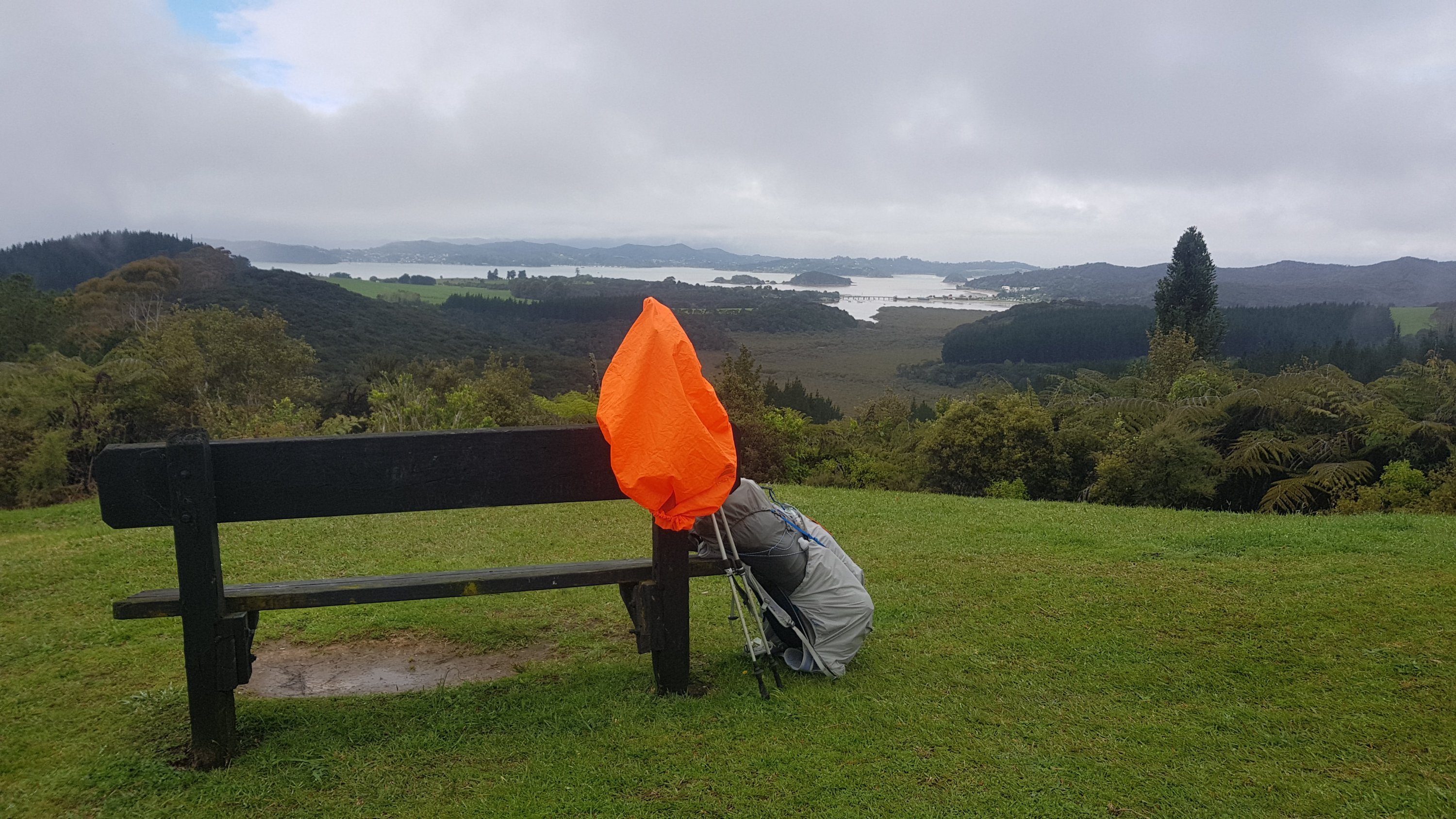
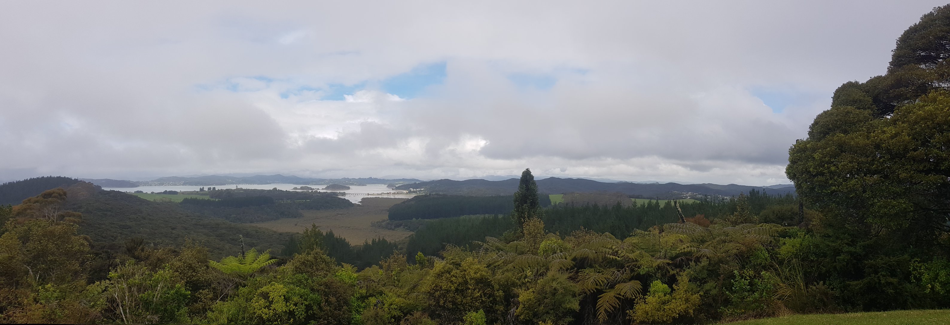
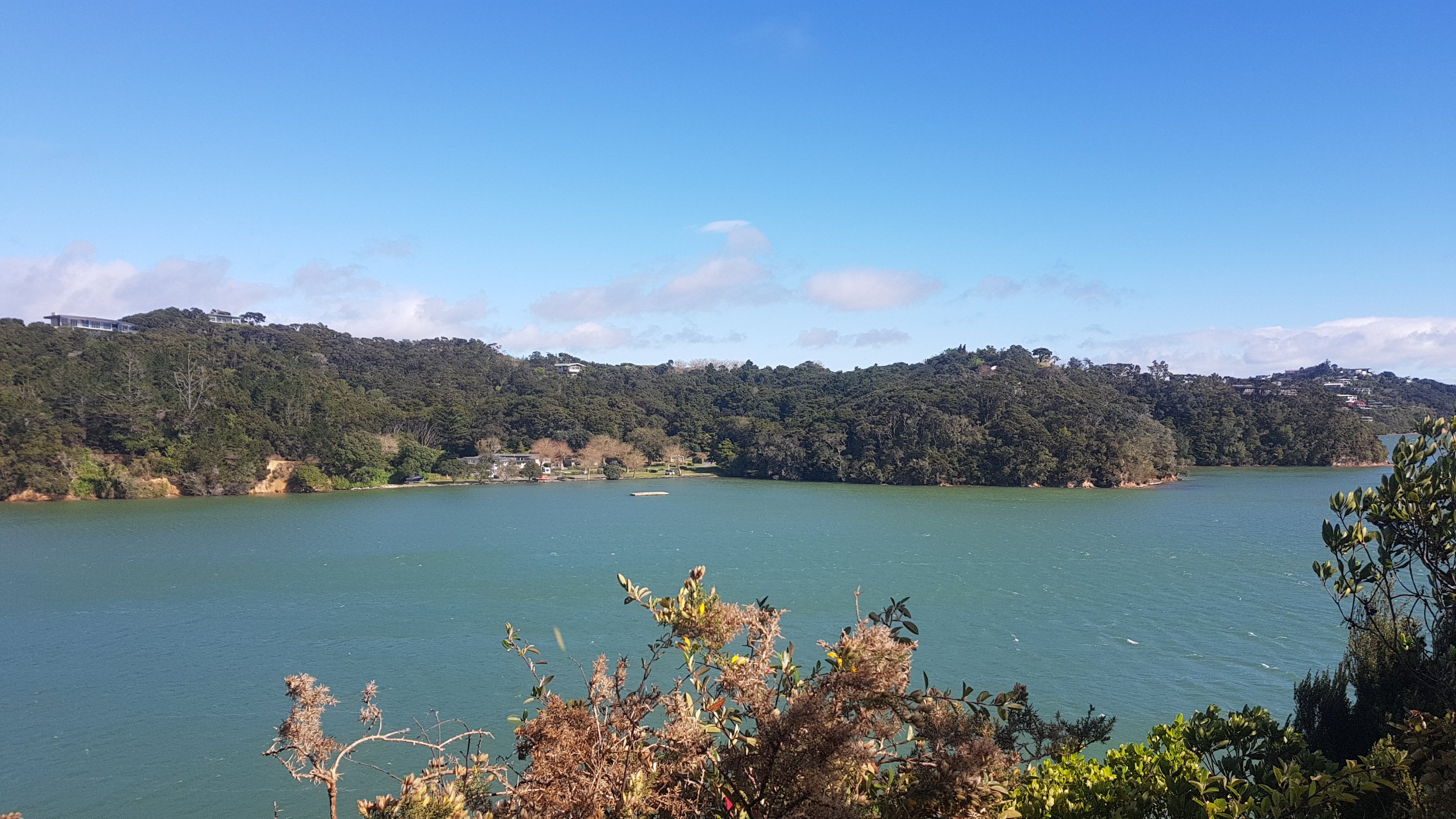
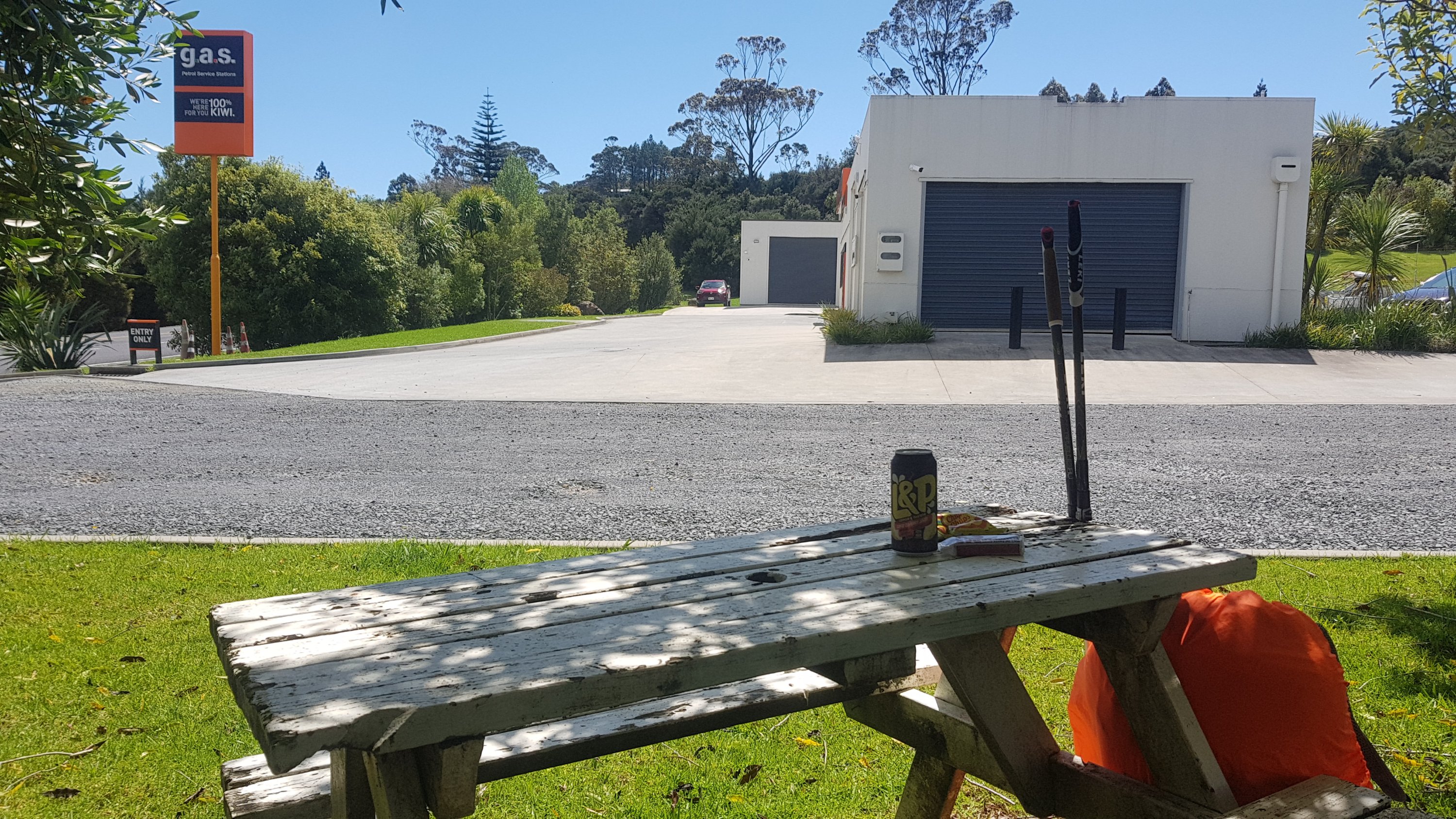
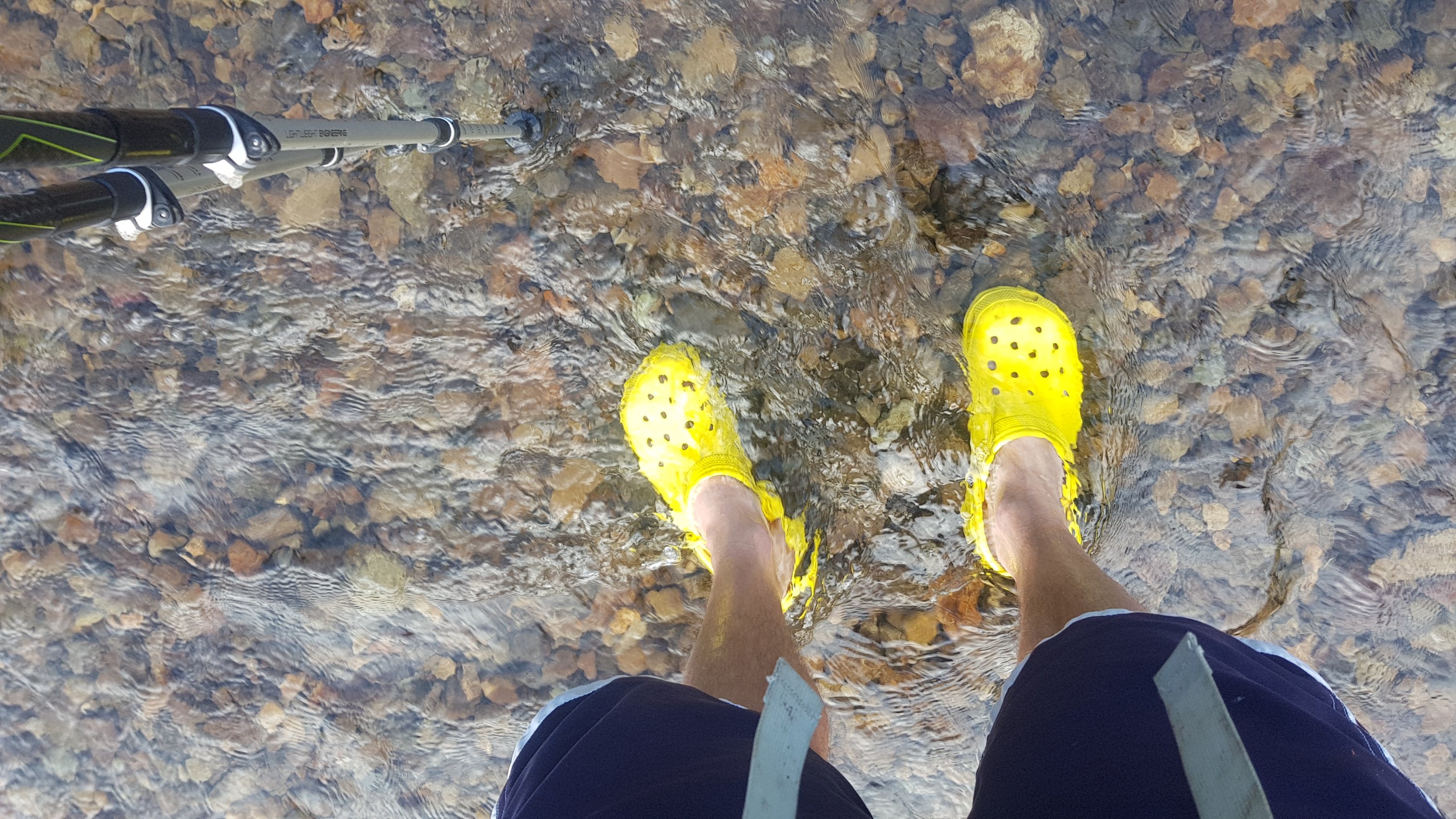
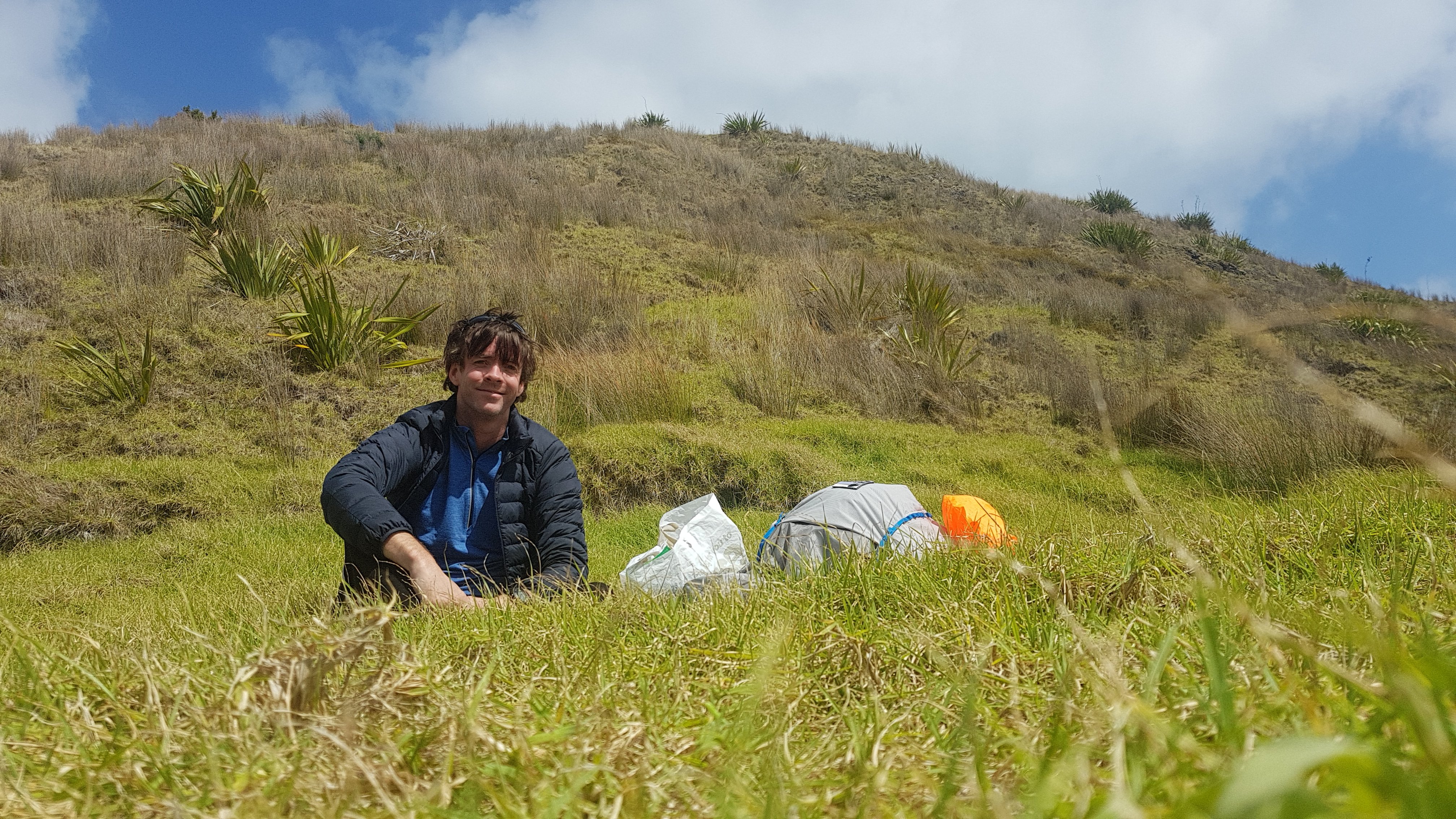
One thing I read on the blog called BikeHikeSafari was how Brad always posted a photo taken at 10am every day. Whatever he was looking at at 10am was the photo. I’m going to try to do that… but I’m not much of a morning person, so mine is going to be an 11am photo each day.  Here is my first:

11am picture – one single bird on the beach

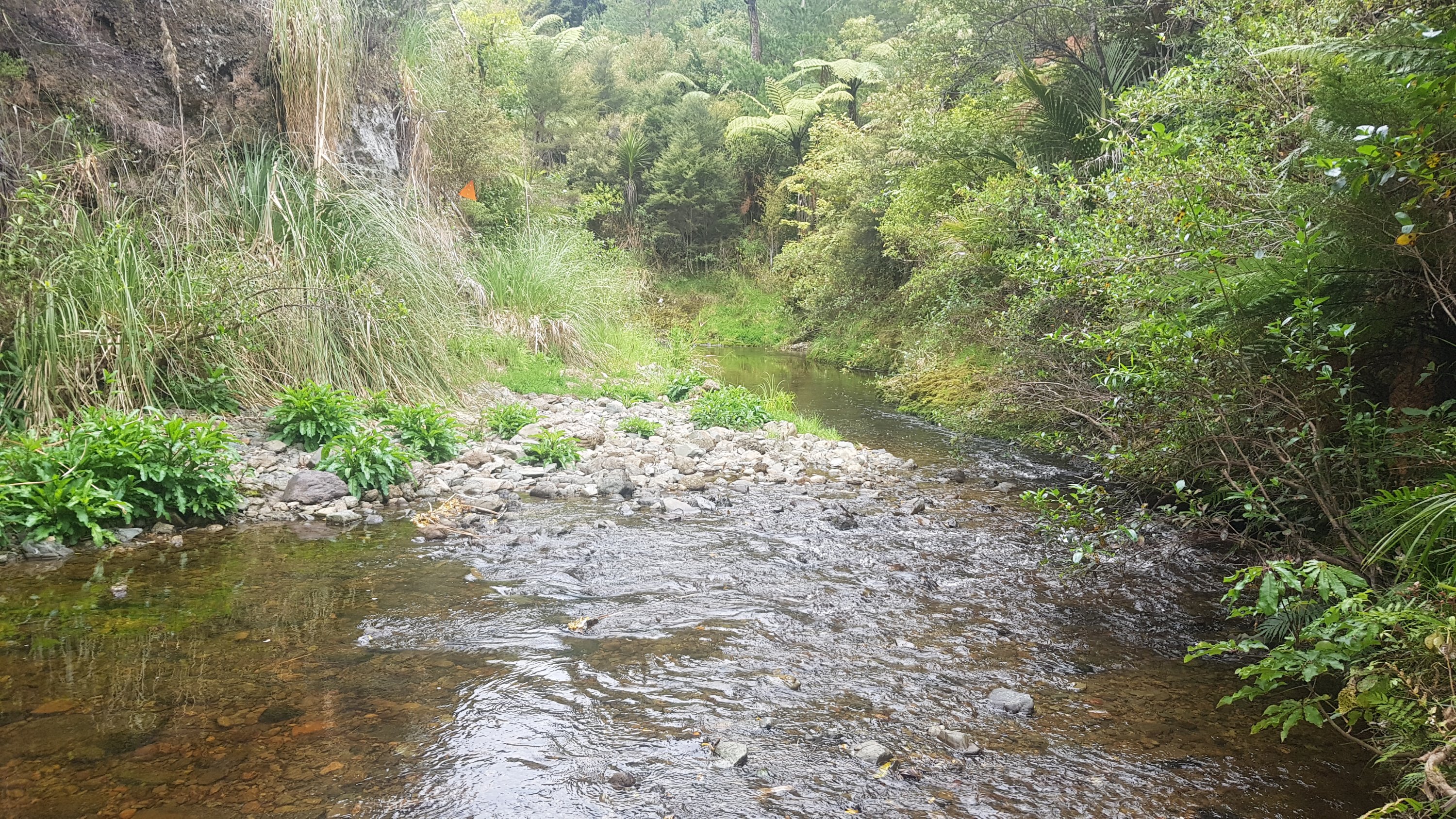
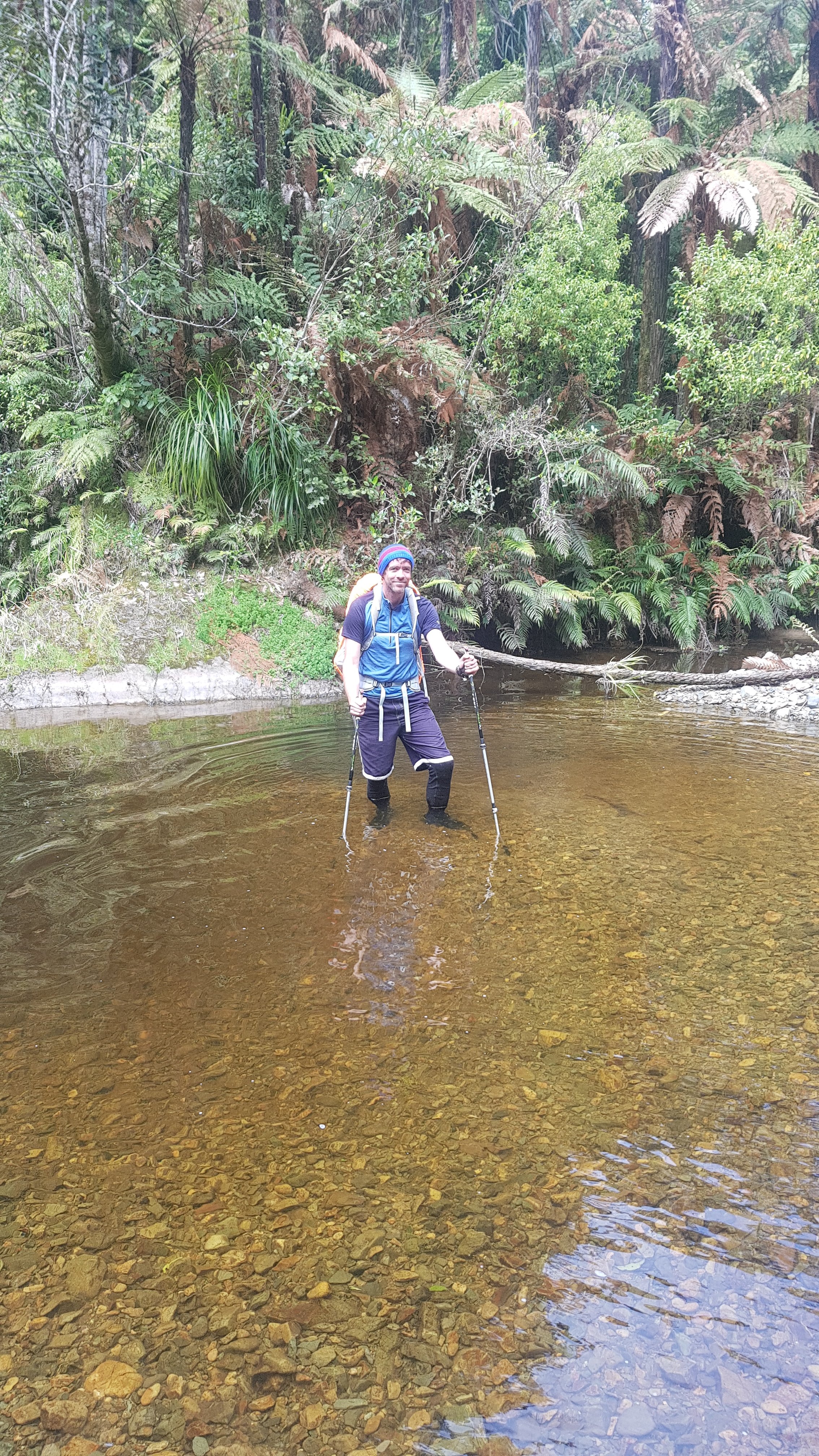
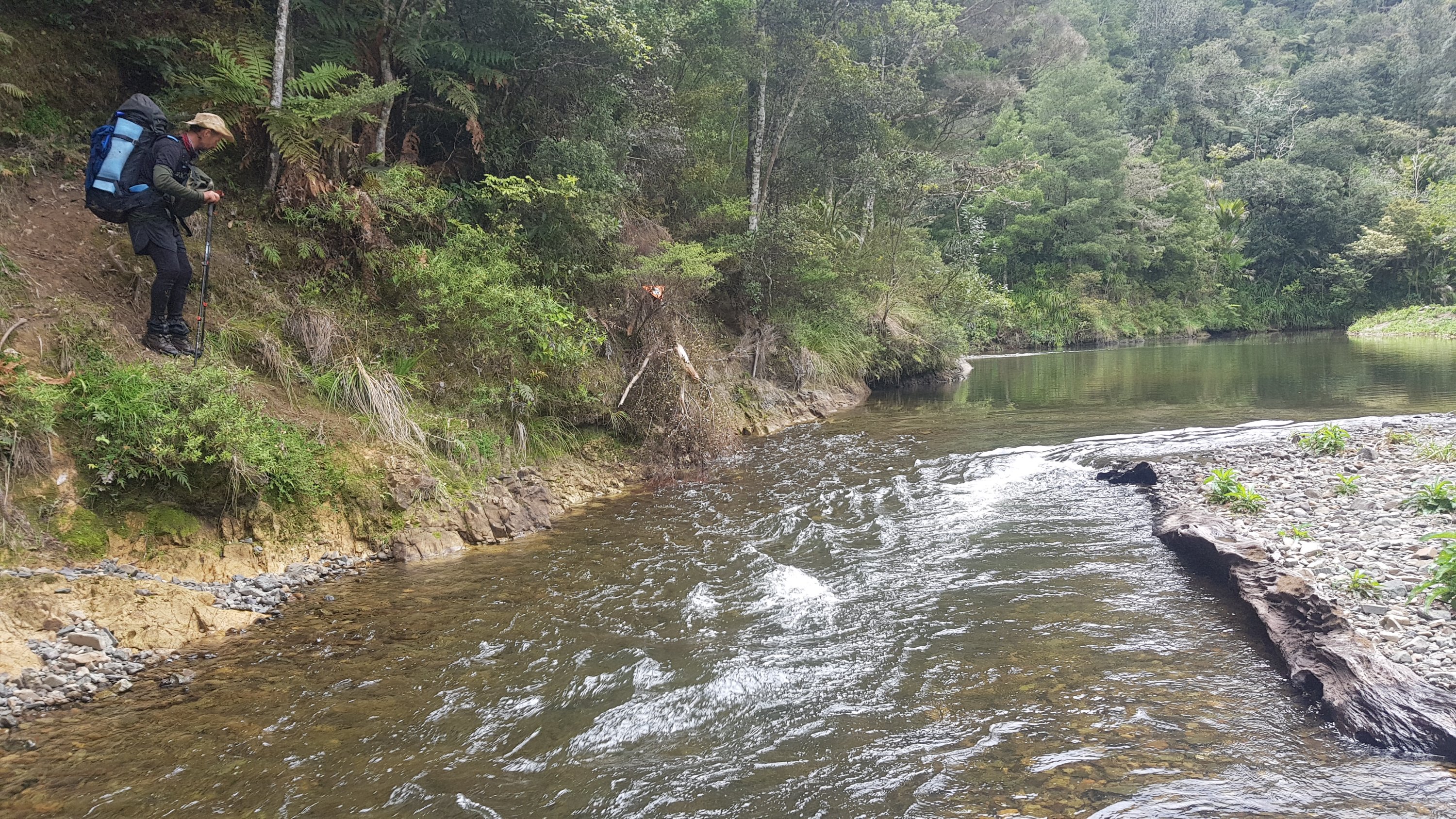
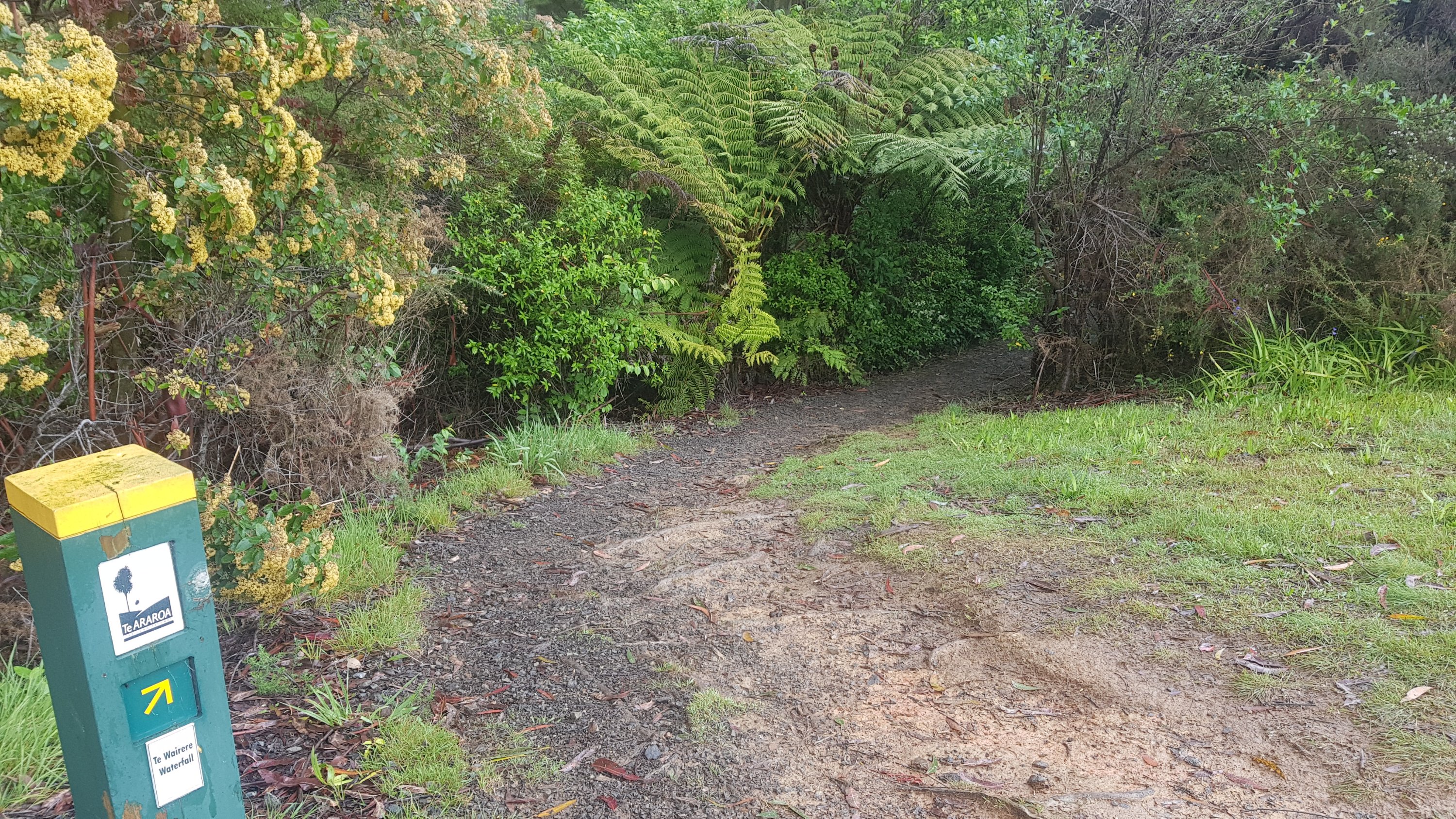
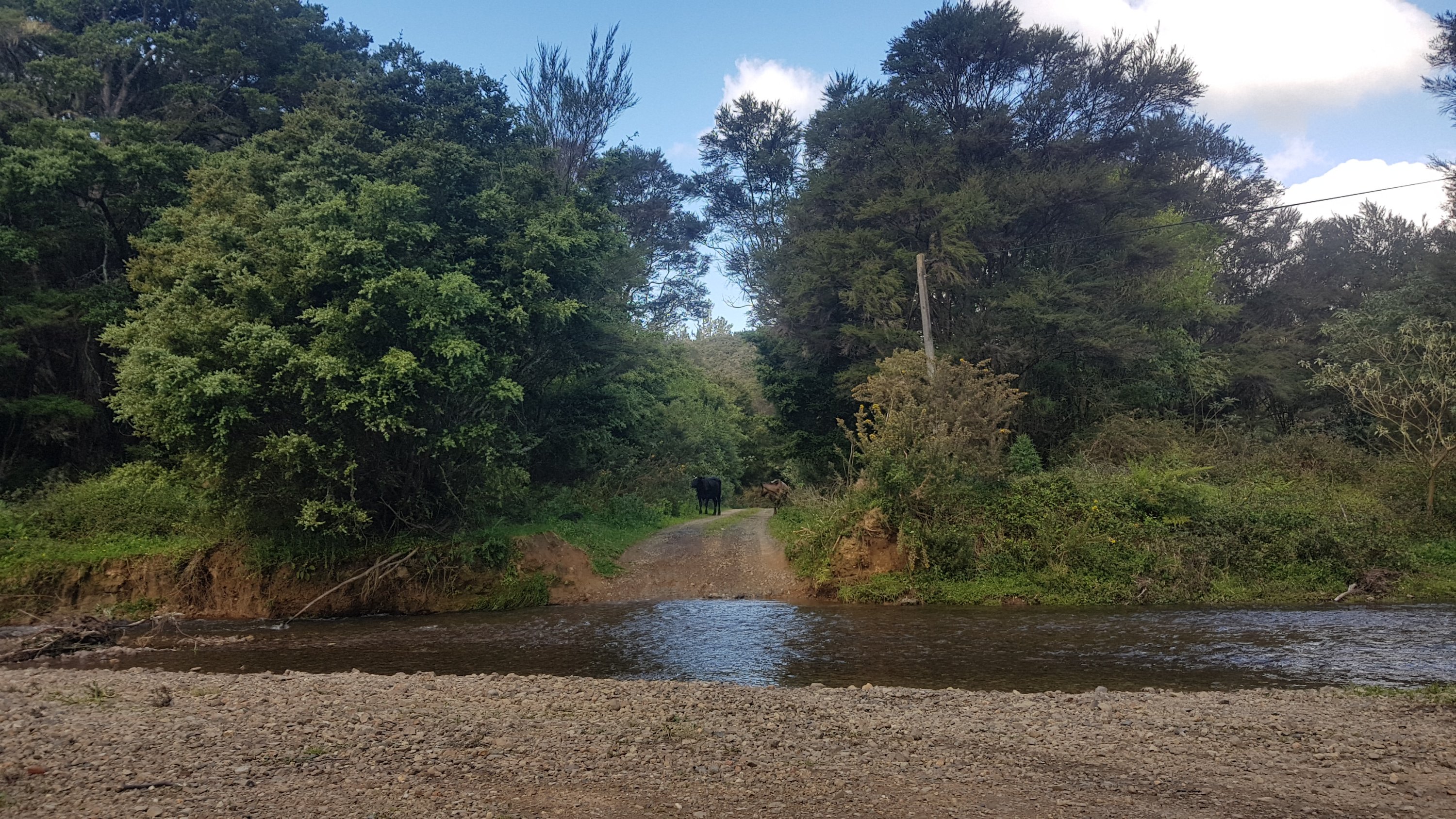
At the 3km mark I realised that I was 0.1% of the way through the entire trail. What a milestone! And then at 4.5km I had my first “river crossing”. It was just a small stream, but I didn’t want to get my feet cold and wet. I went up and down a bit trying to find a place I could hop across, but no – none. So walk through the water I did, and got my feet very cold.

First “river crossing”

Then at 5km I was starting to hurt a bit in my arms, so I stopped for a break as it wasn’t windy at this spot. I was surprised that I started hurting so soon – I never started hurting this soon in my training walks. But then I realised I hadn’t pulled the front two straps of my pack up tight, and after that, I was fine. I didn’t even stop again for a break until I made the 12km to Twilight. So far my shoulder that I thought might hurt hasn’t hurt even a tiny bit.

My first snack break

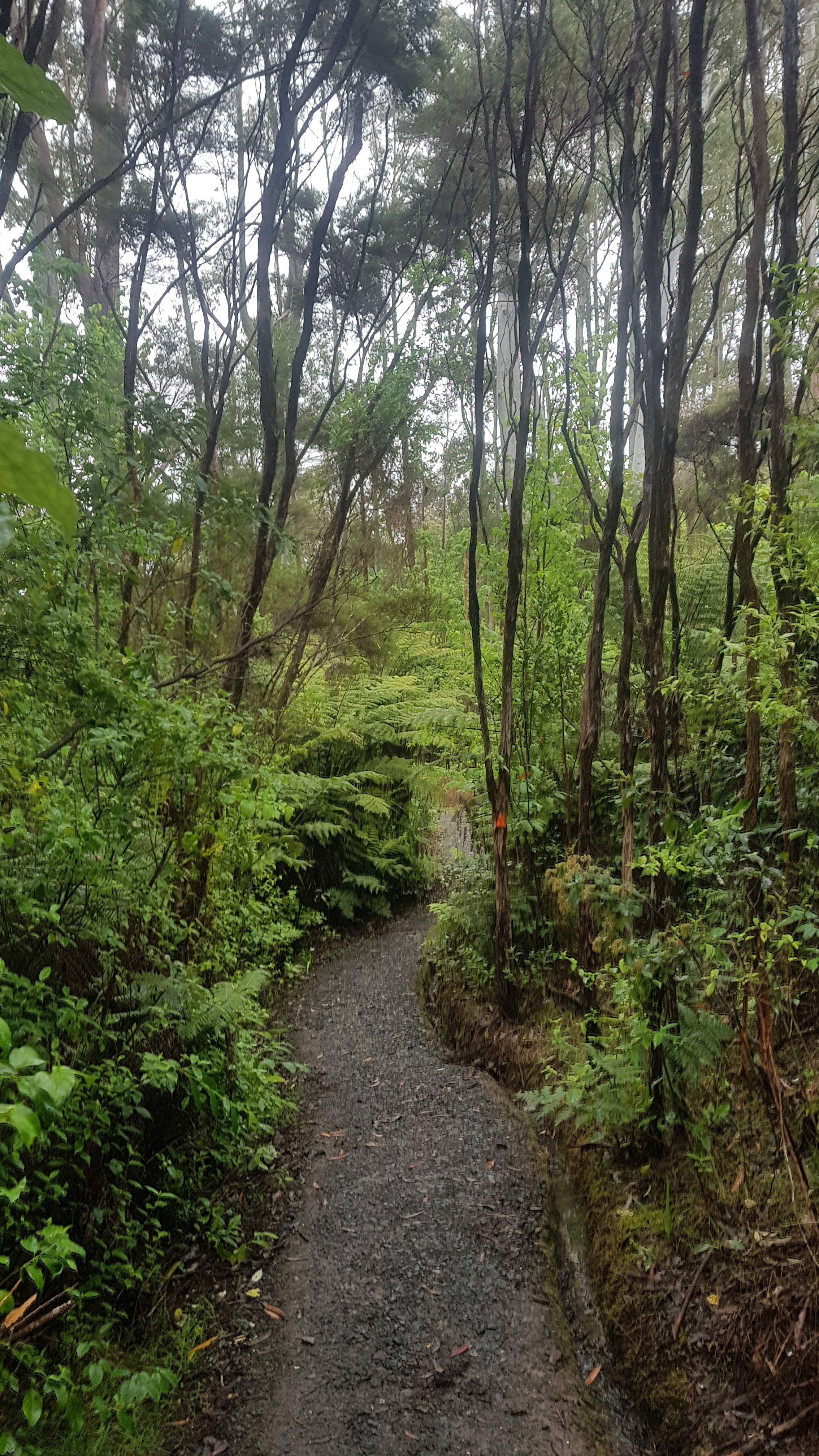
And my shoes and socks dried out in no time, because there was no more rain after that.  Still didn’t see any footprints.  When I looked behind me I could see only my own.

My footprints

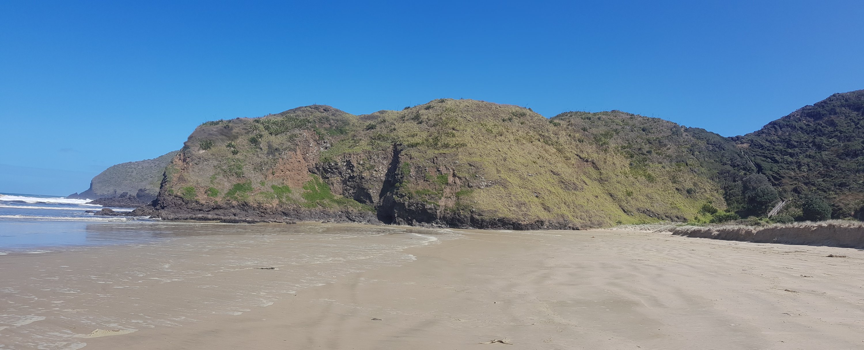
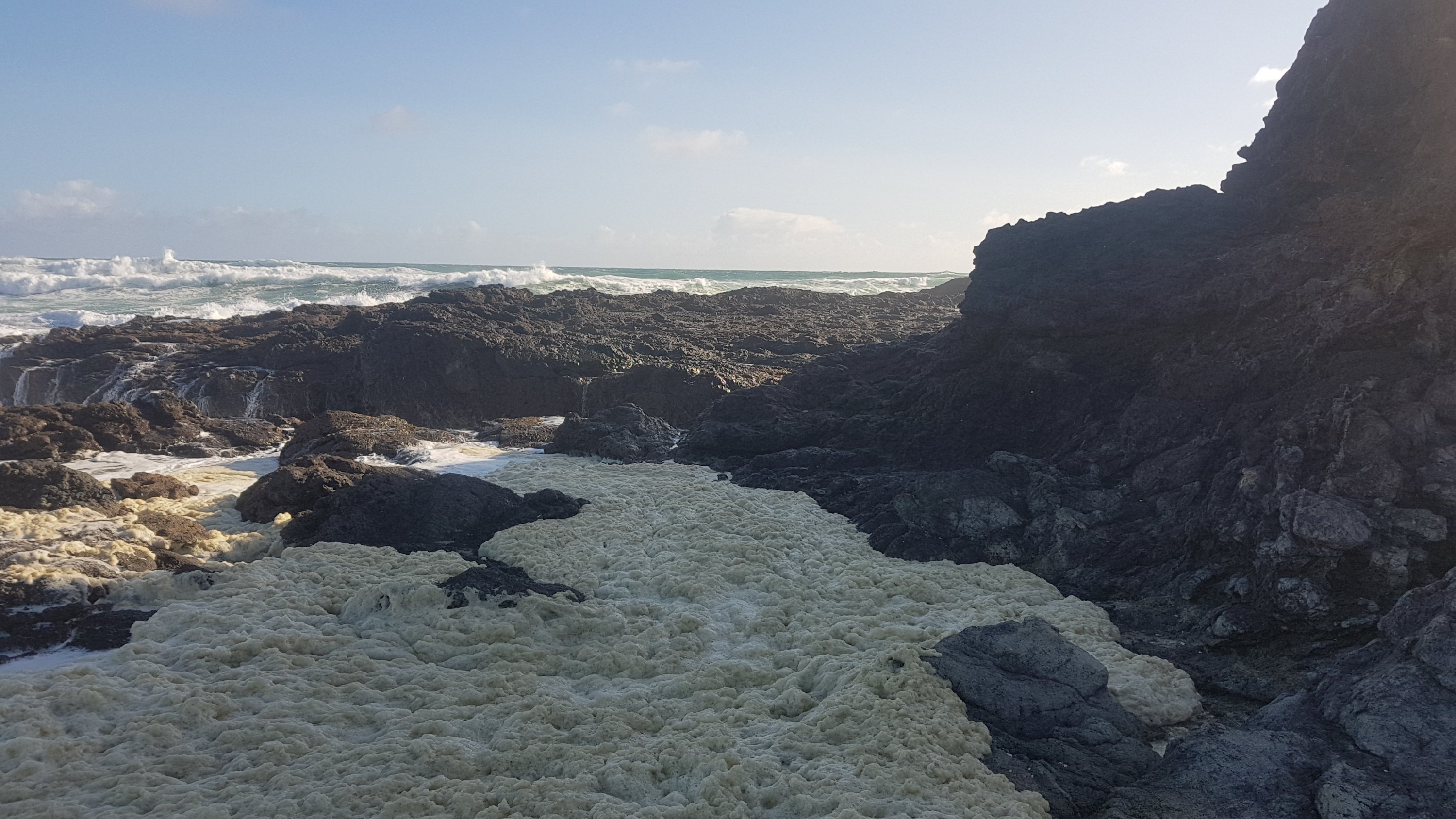
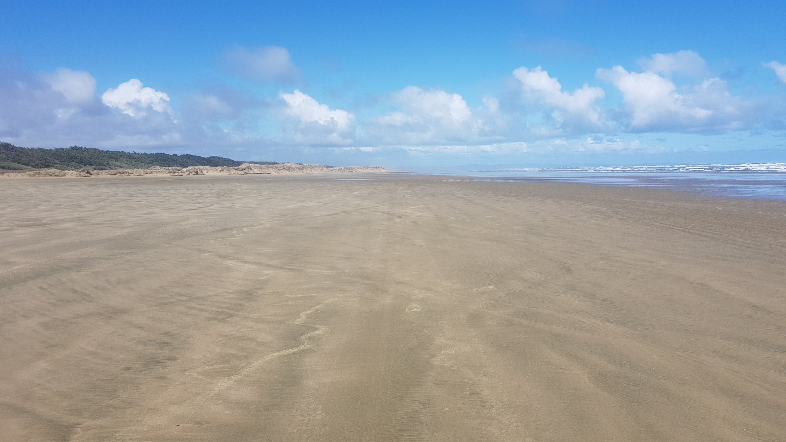
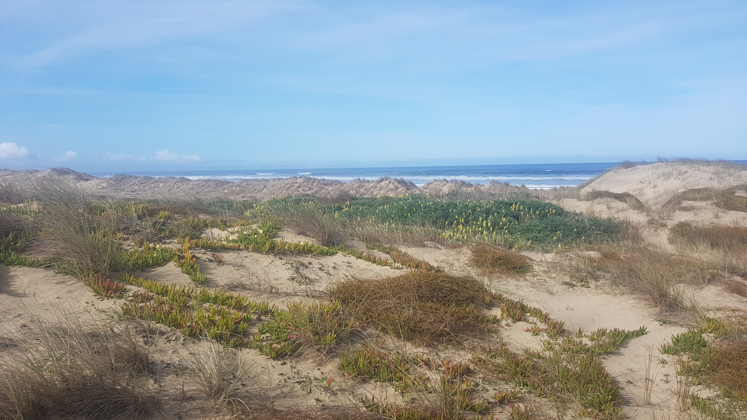
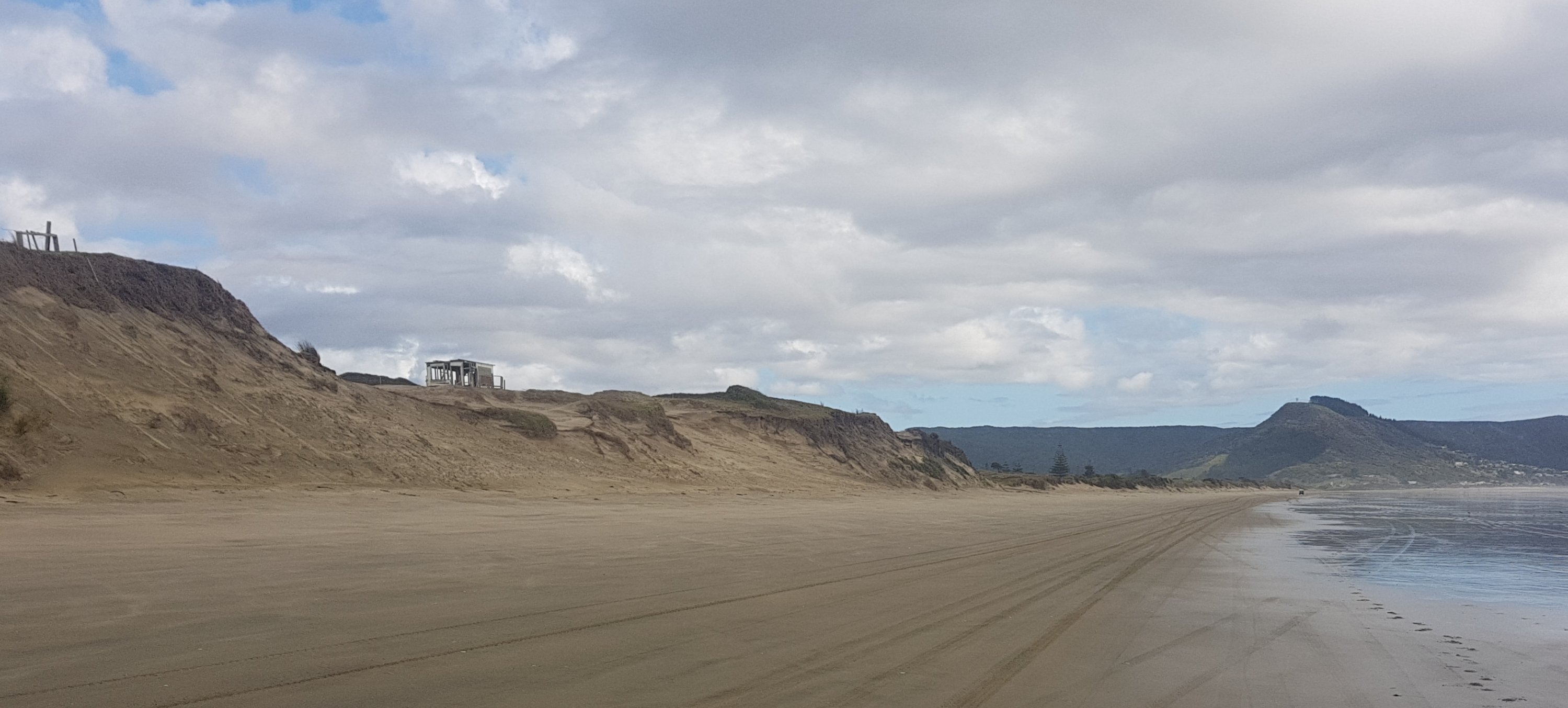
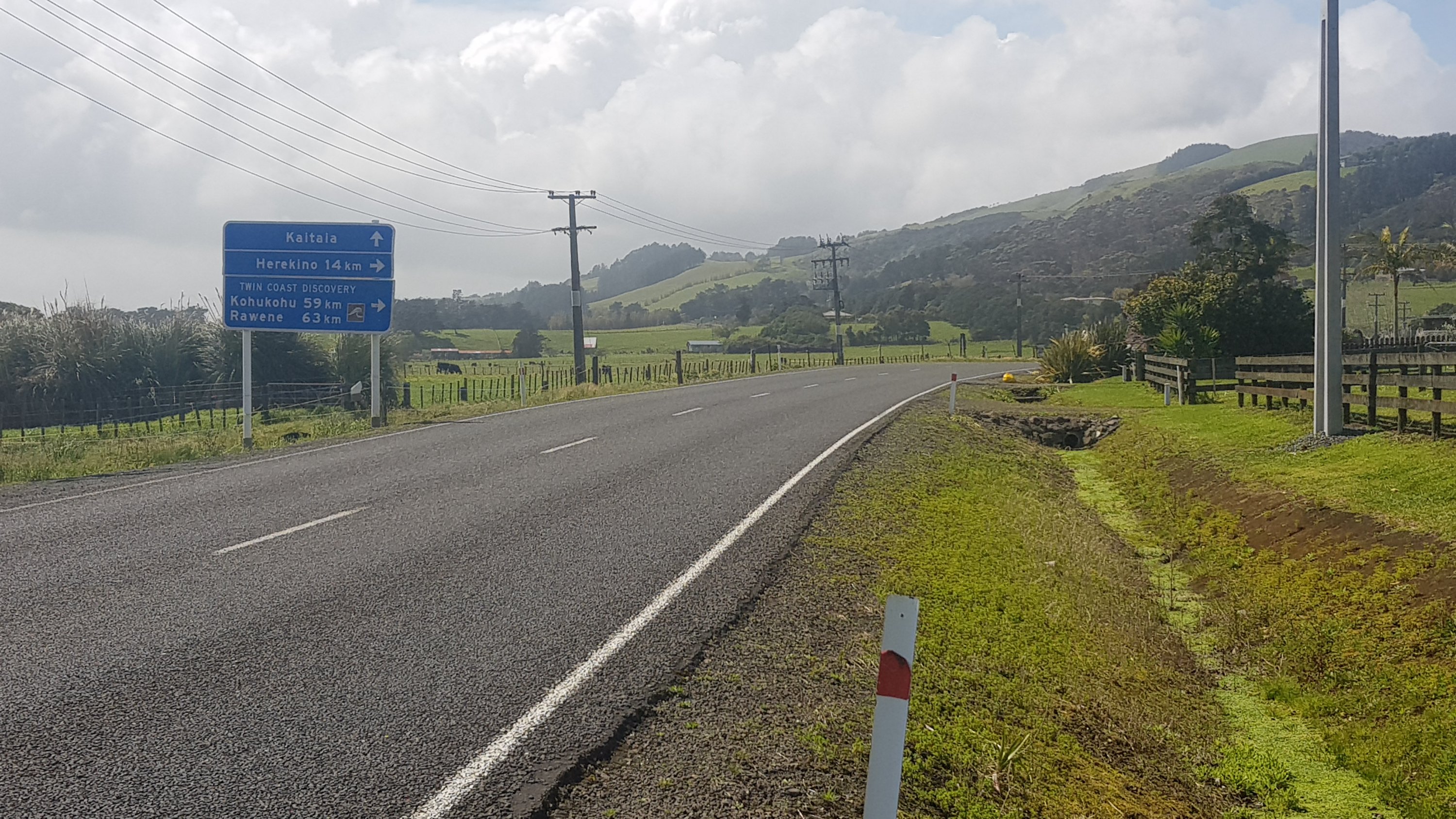
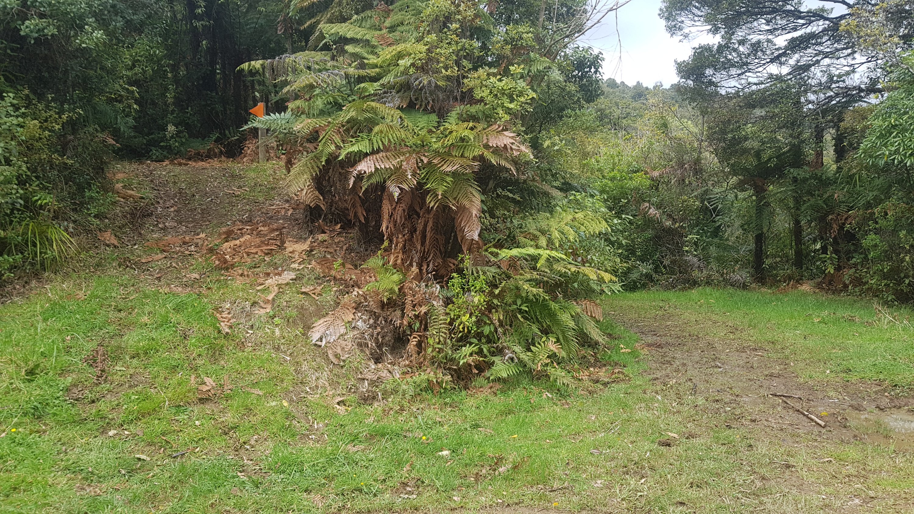
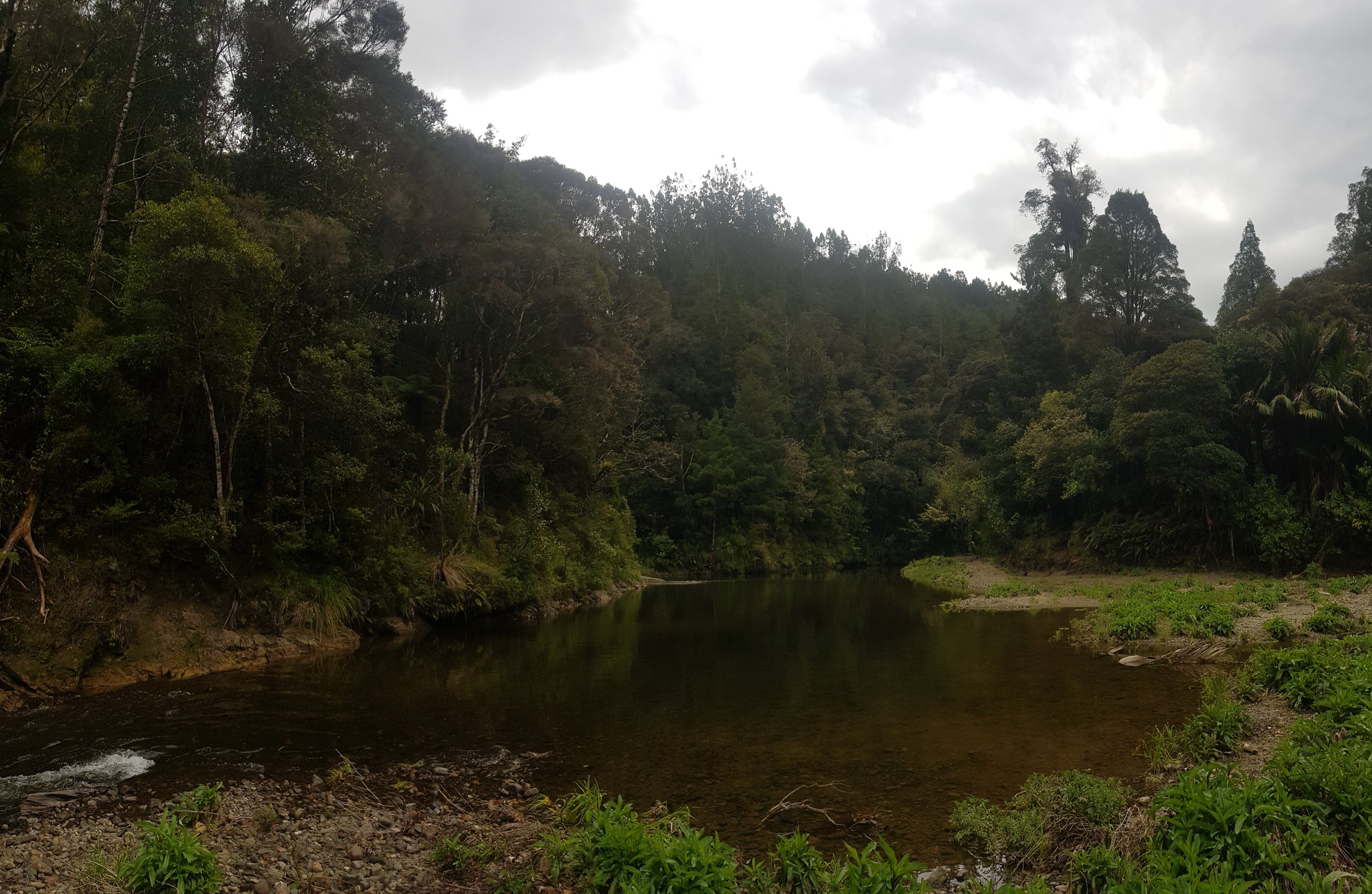
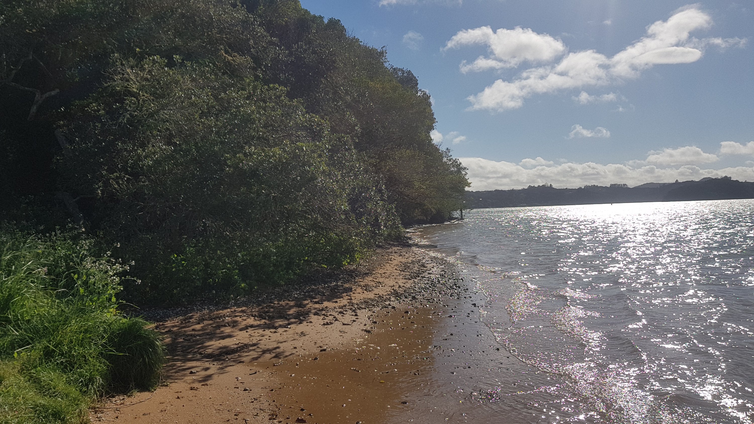
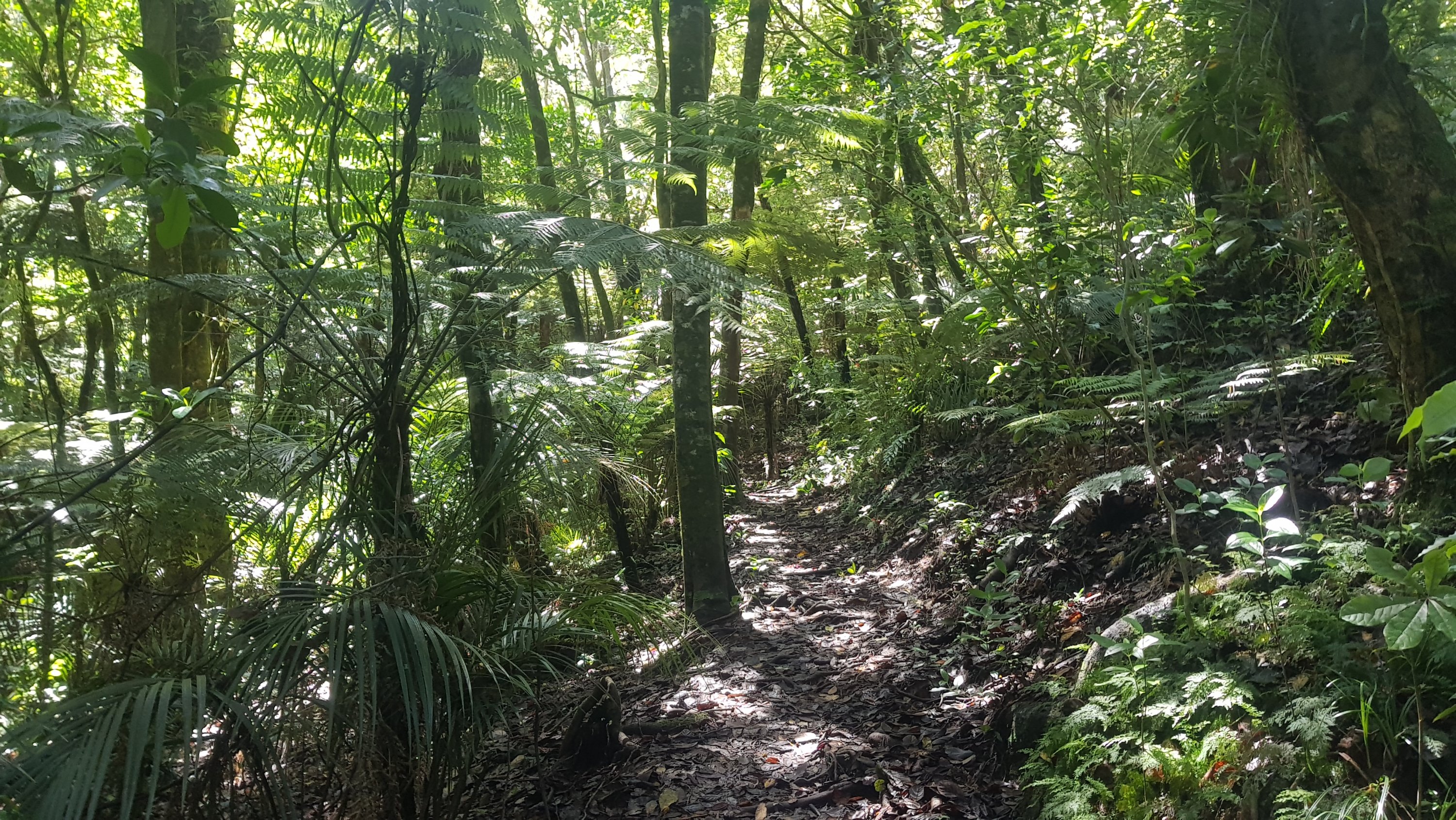
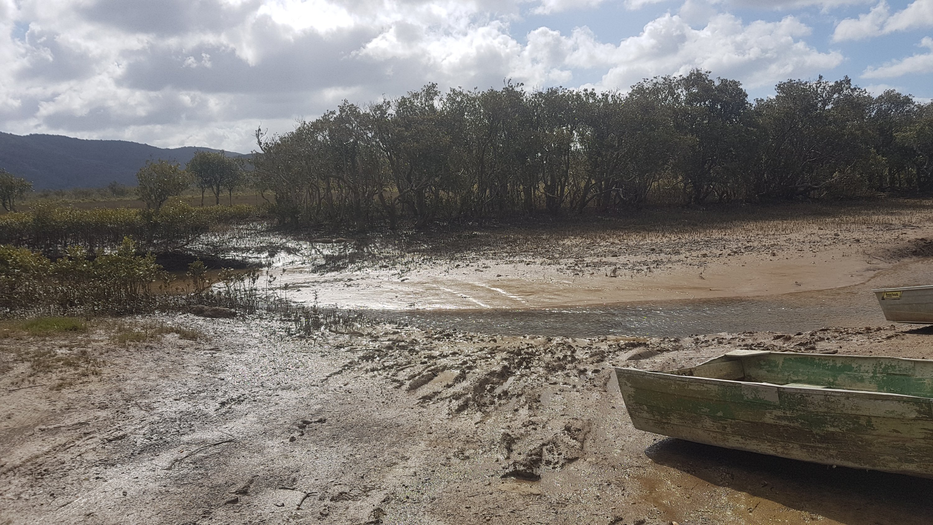
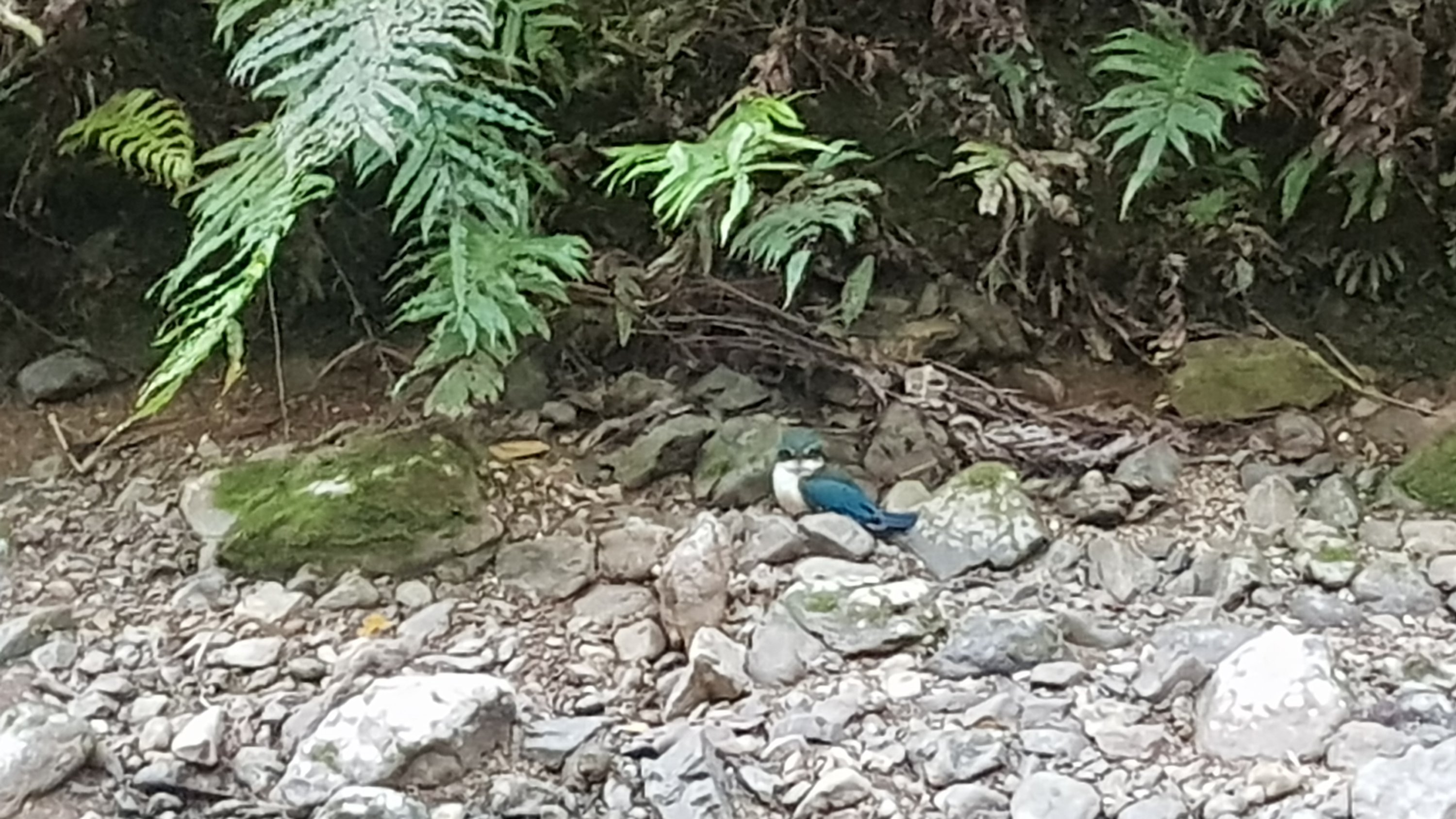
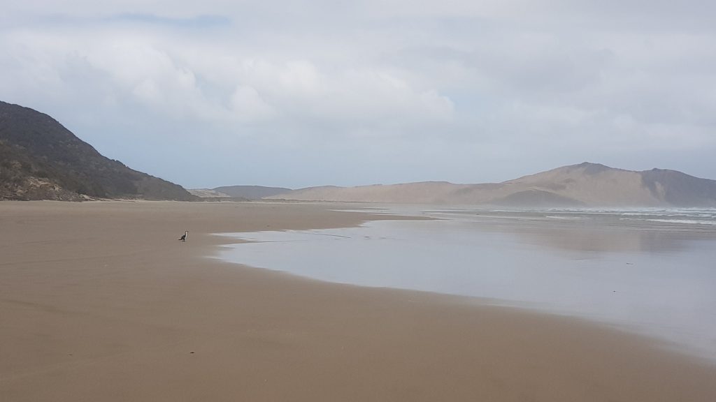
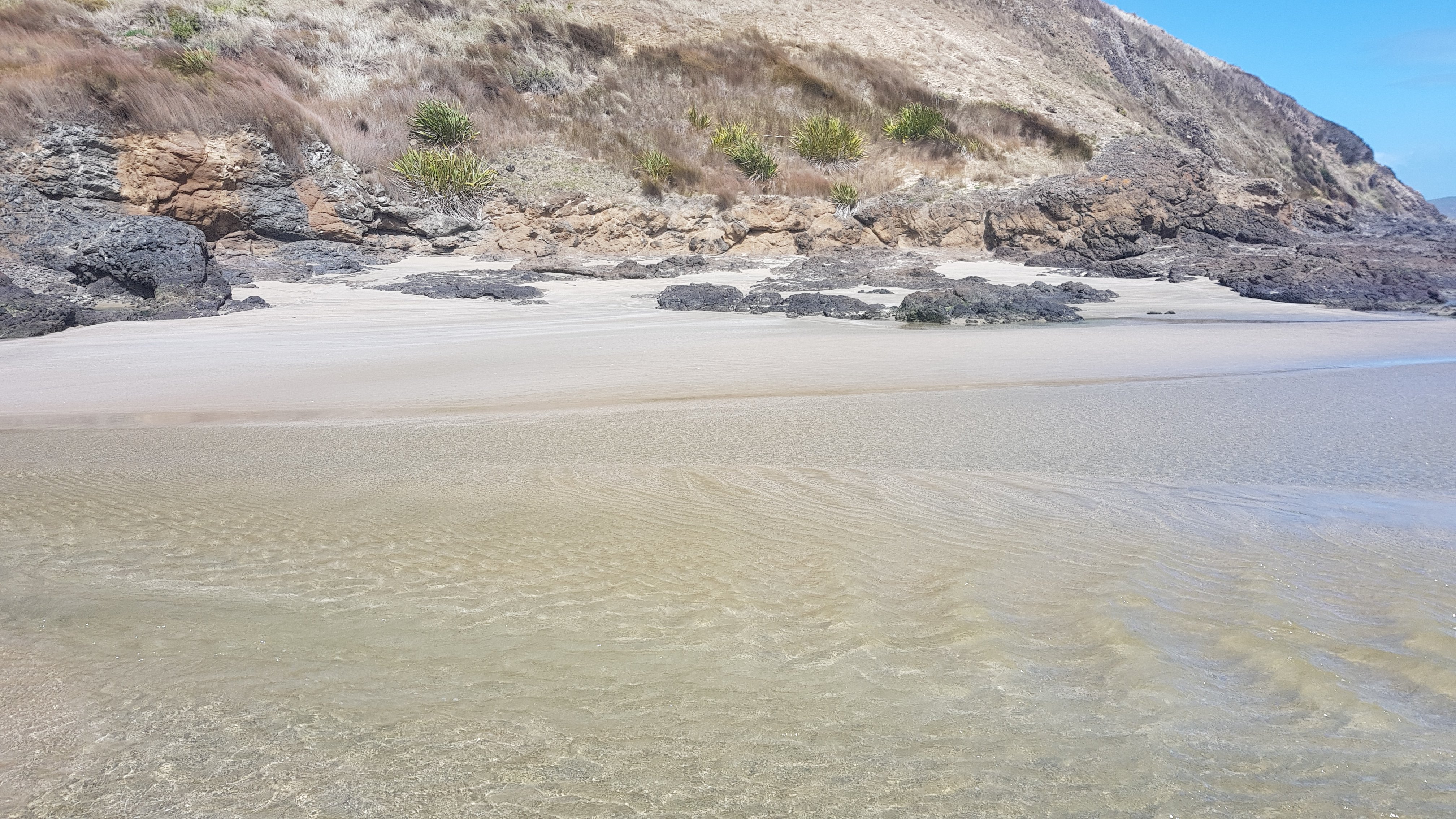
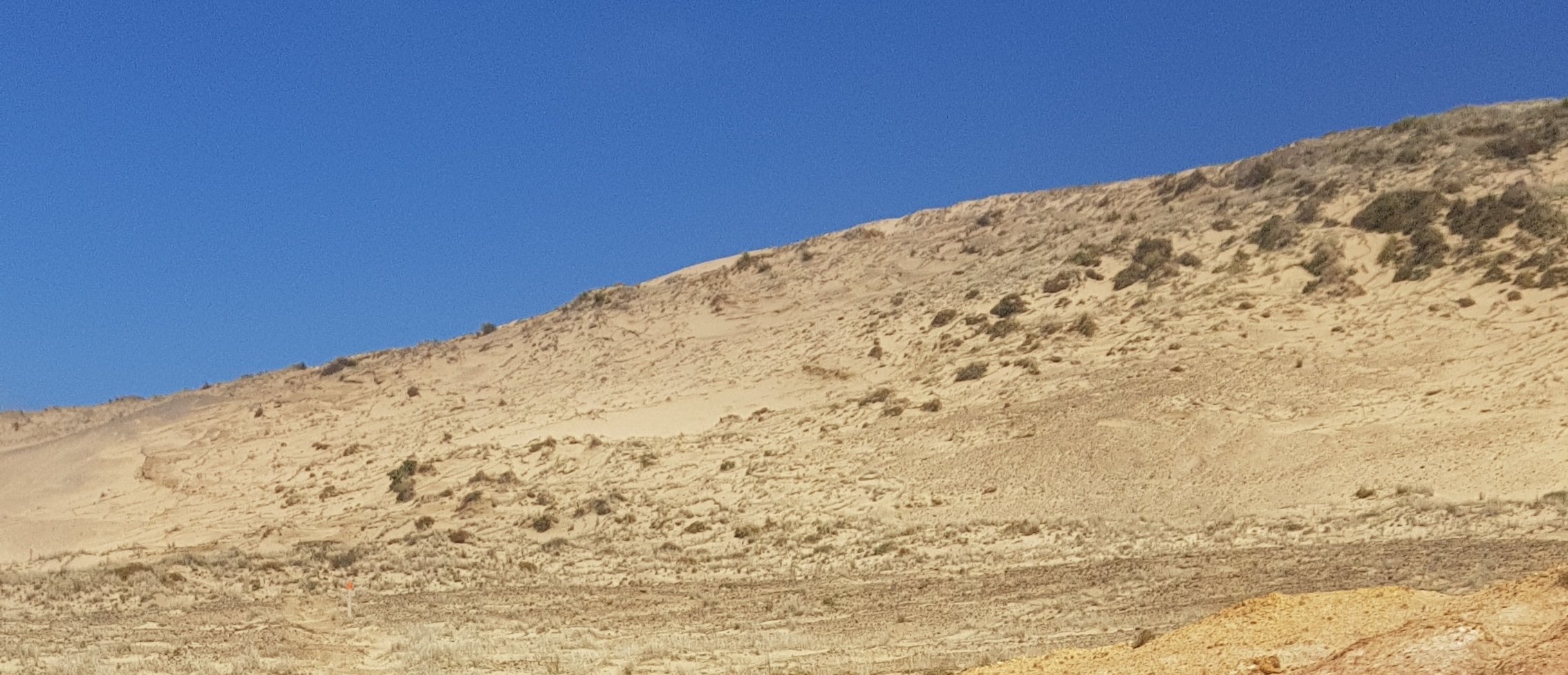
There was a point where you had to walk over a hill of sand.  The wind was so strong here and I was really exposed so it almost blew me over.  But it was a very cool landscape:

Love the colours

I know today was only a 12km walk but walking the beach still got a bit monotonous. Because there was nothing to think about, I started thinking about silly little internet video clips or bits from TV shows.

Over therrrrrrre – can you see the orange marker?

These kept playing over and over in my head but when I couldn’t think of any more, and I was away from the beach up in the hills, I just made up my own song. It went like this:

Ghost town, ghost town, it’s a ghost town
In here, in heerrrreeeeee

The first verse you had to sing it to yourself, and the second verse was the same but you had to sing it out loud. Then for the third verse you had to sing it in a Mr. Bean voice. Uh oh, I think maybe I’m starting to go crazy….

Once I was back down on the beach I was singing this out loud:

The tide is high but I’m holdin’ on
I wanna be your number 1
I’m not the kinda girl, who gives up just like that… OOOOH NOOOOO!

It seemed appropriate even though it was low tide.

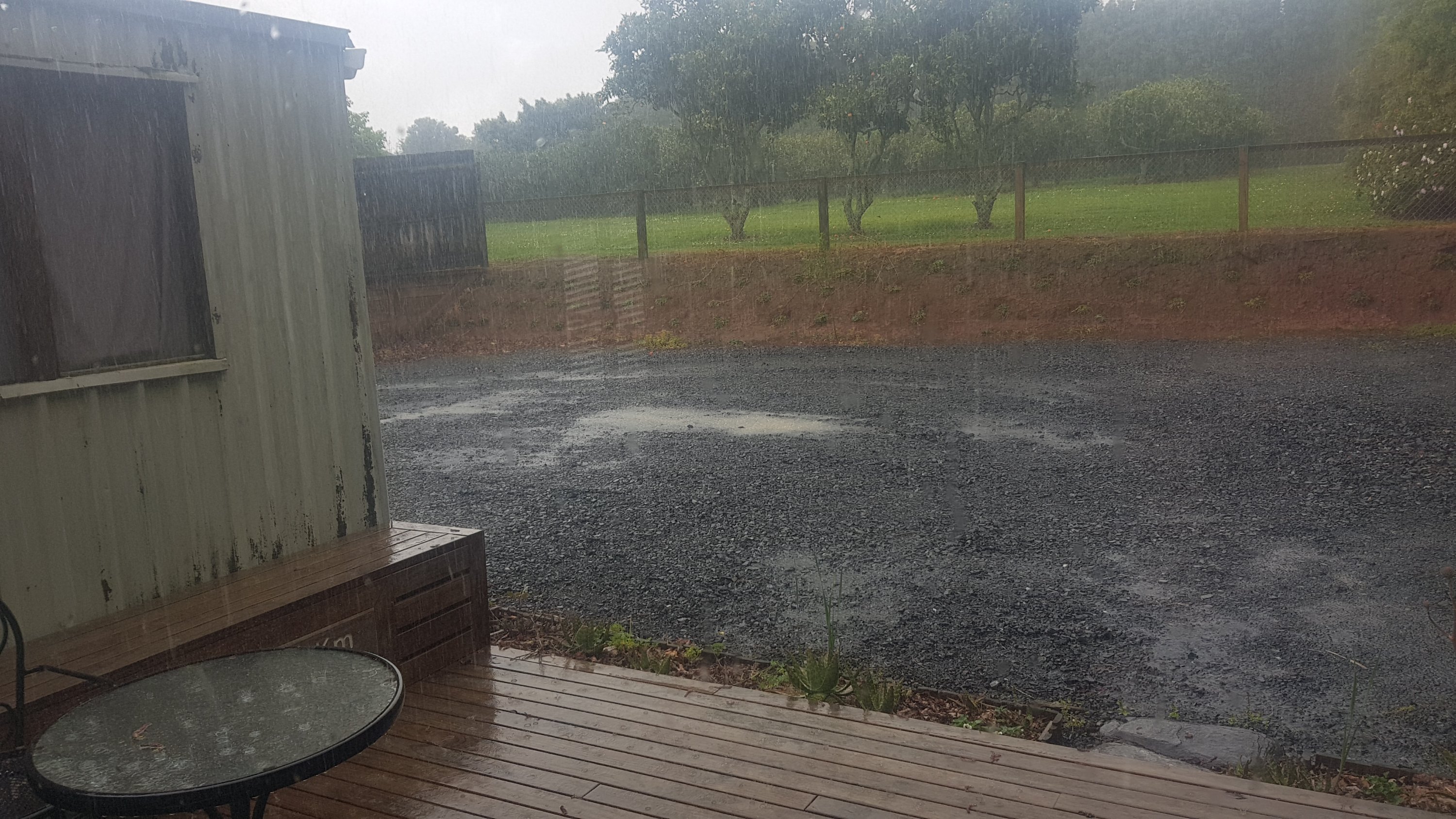
Okay that’s probably enough of that. I was lucky to only get one bit of rain and because it was so windy it was sideways rain… But I put my waterproof pack cover on and besides it all dried quickly anyway because of the wind.

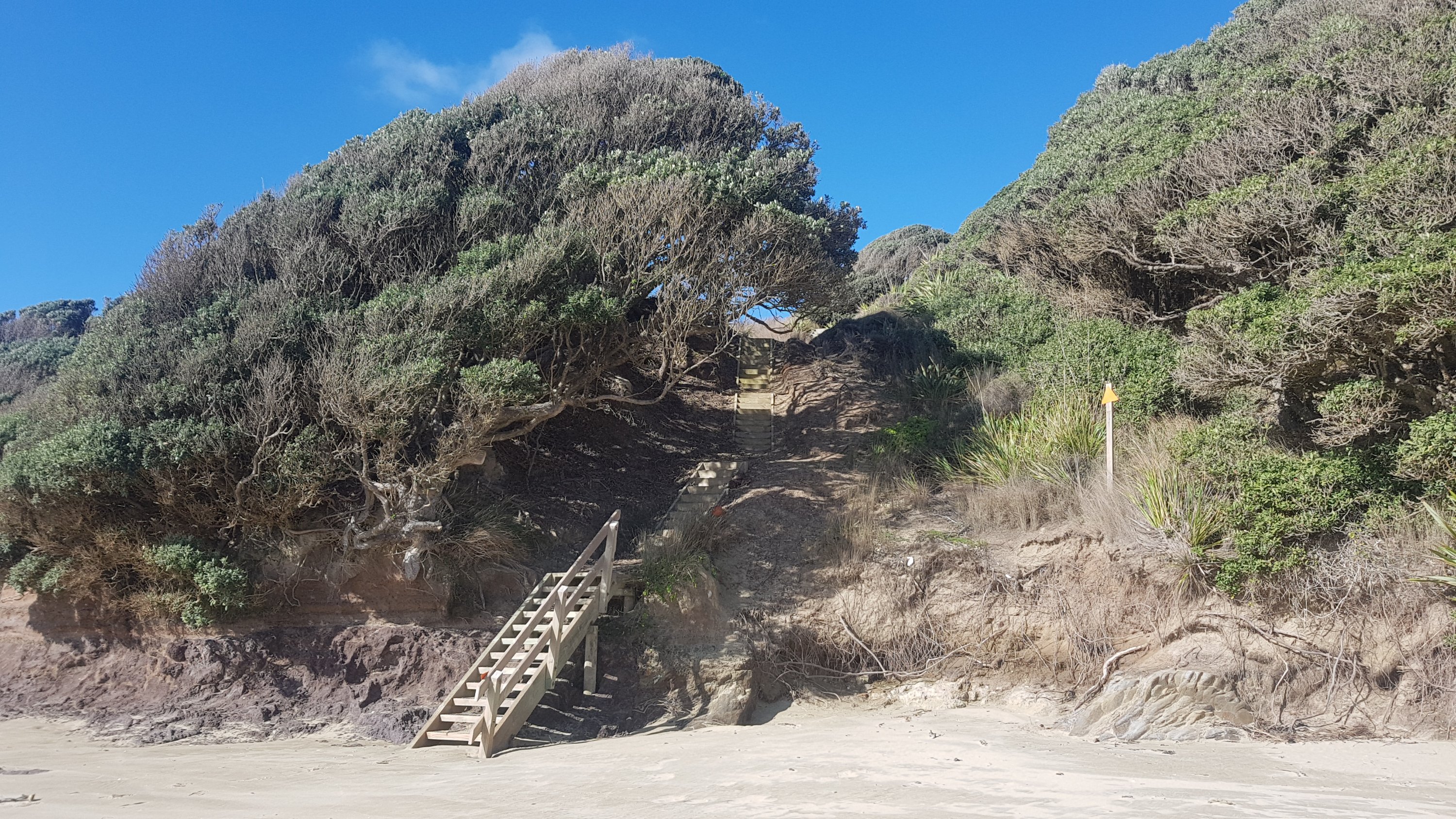
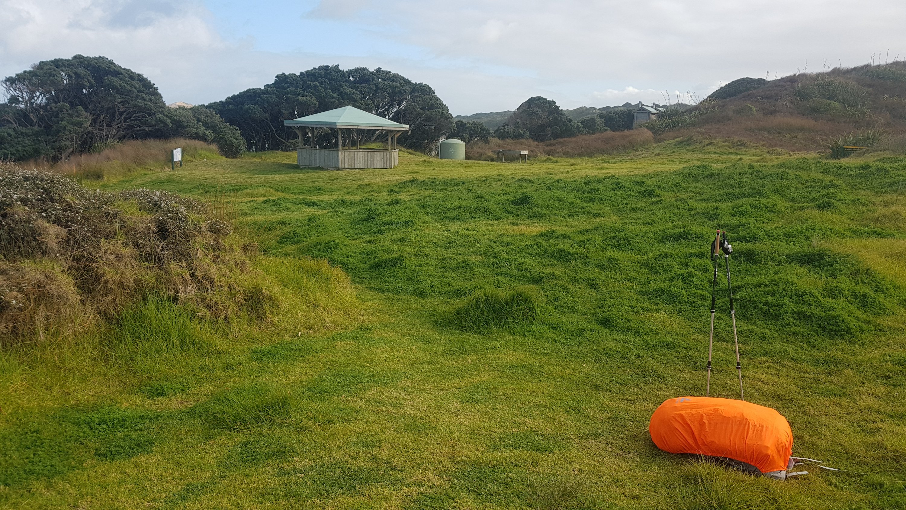
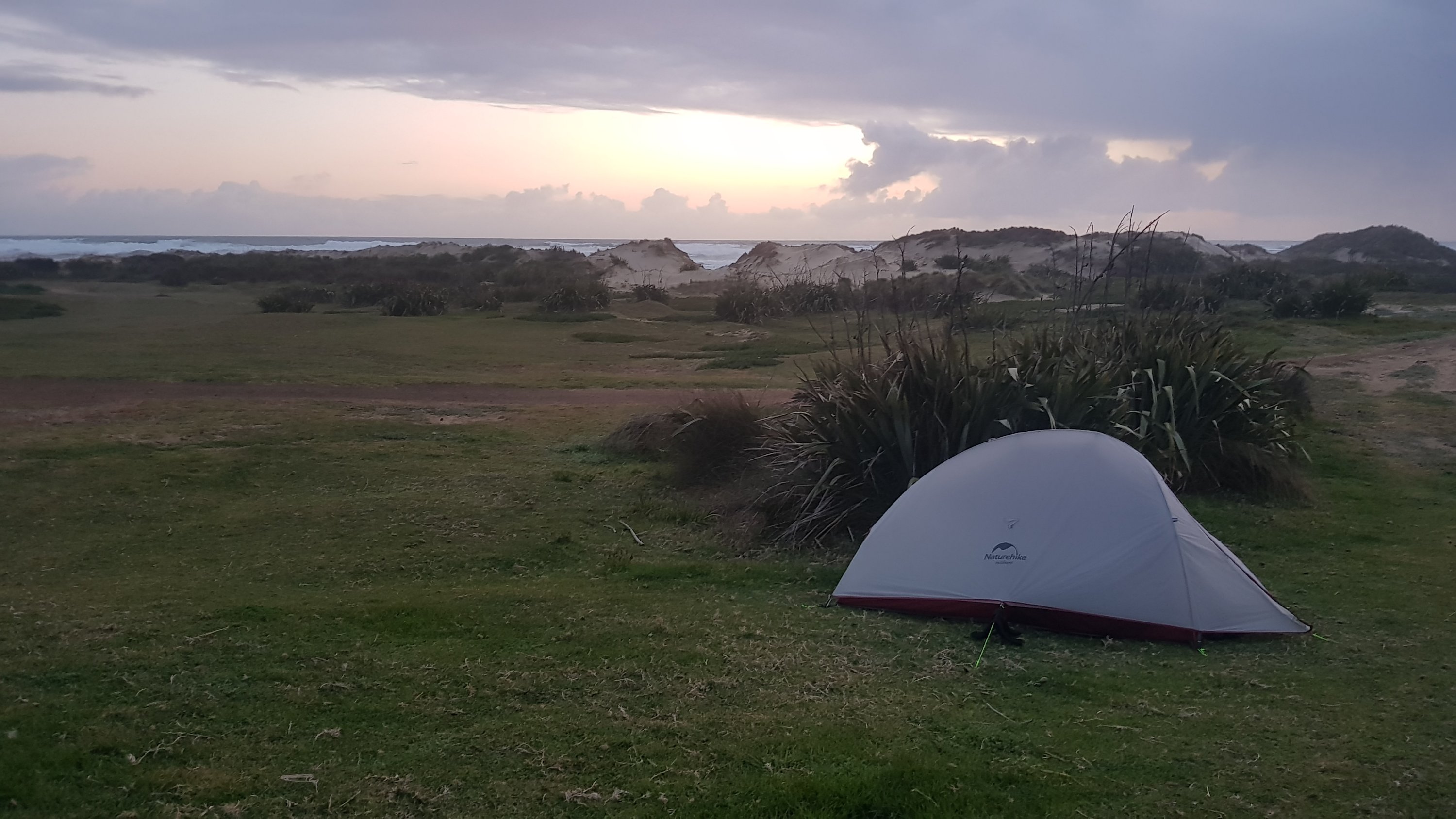
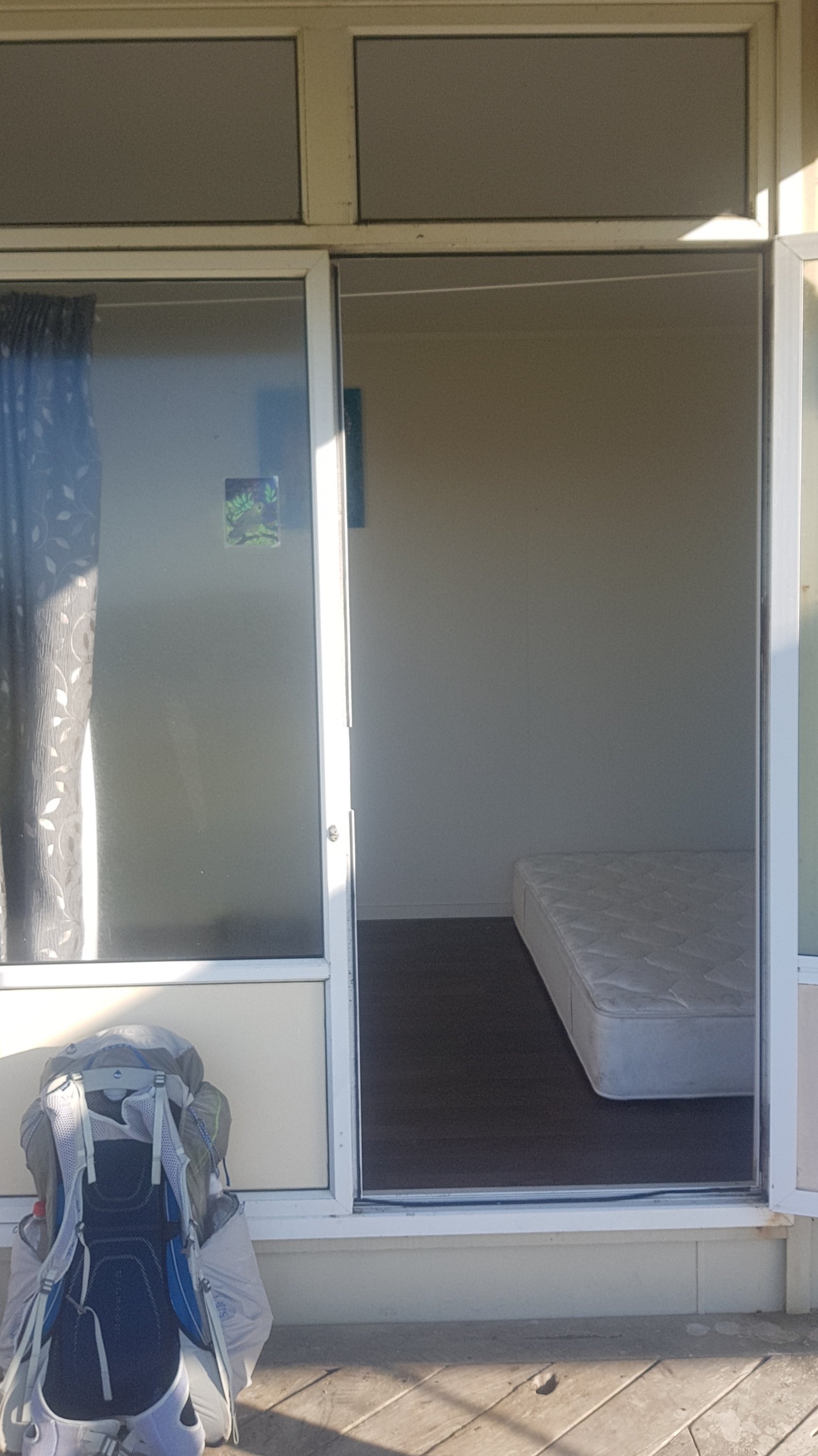
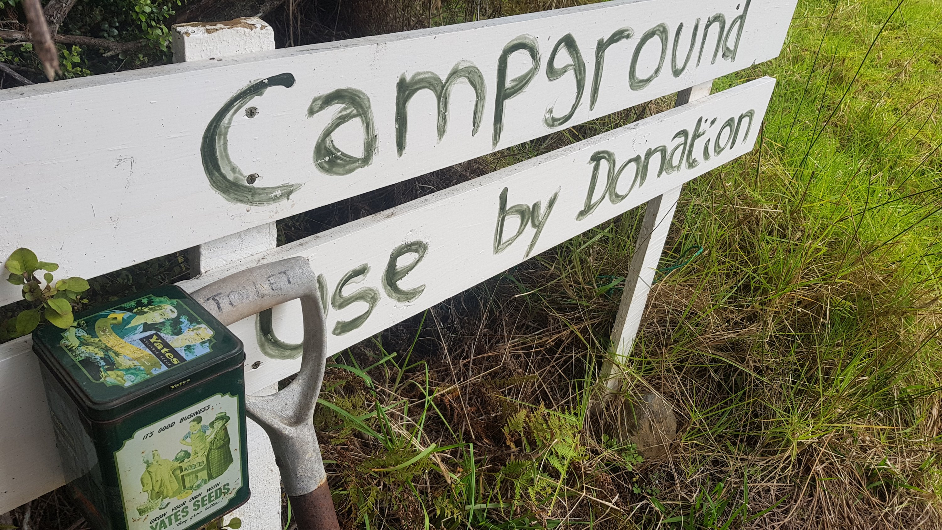
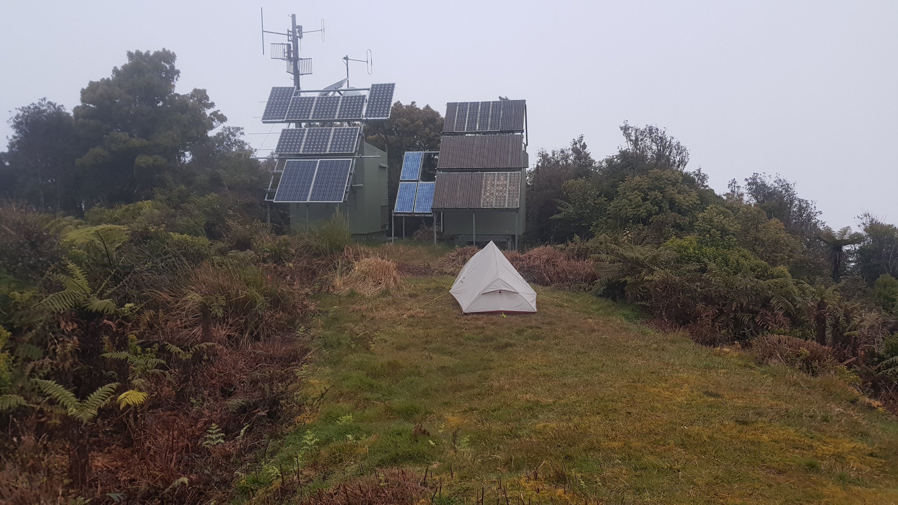
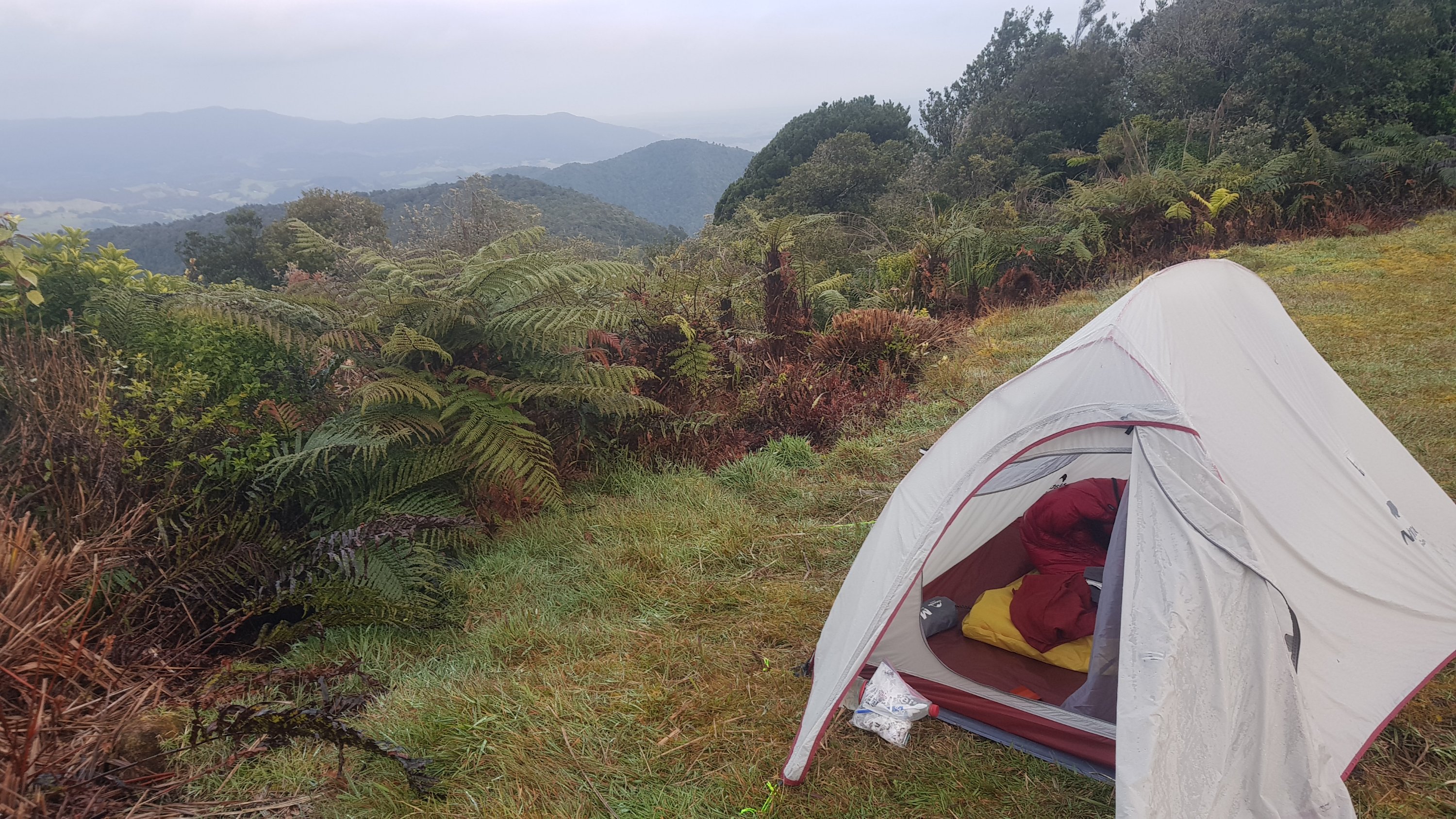
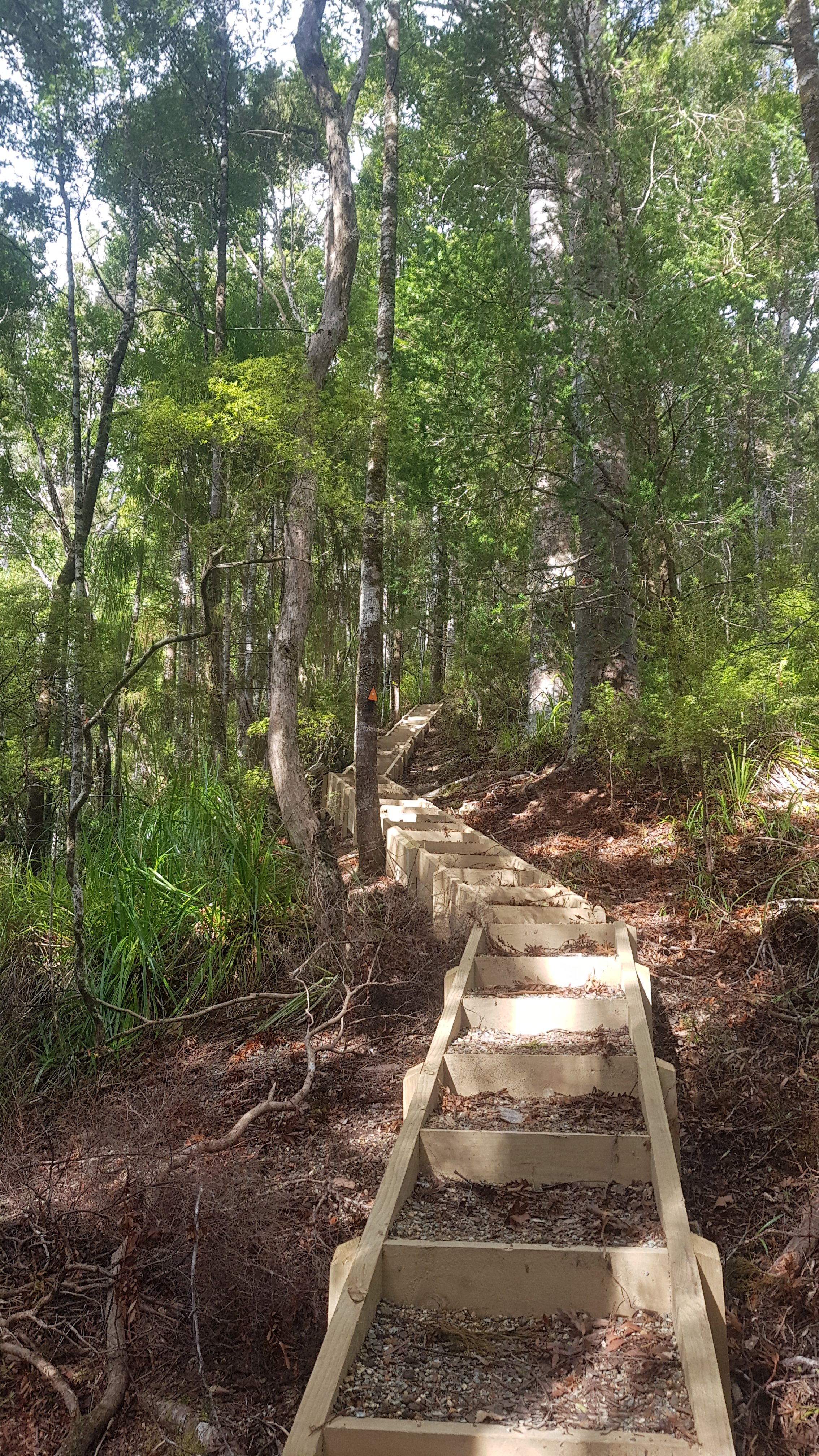
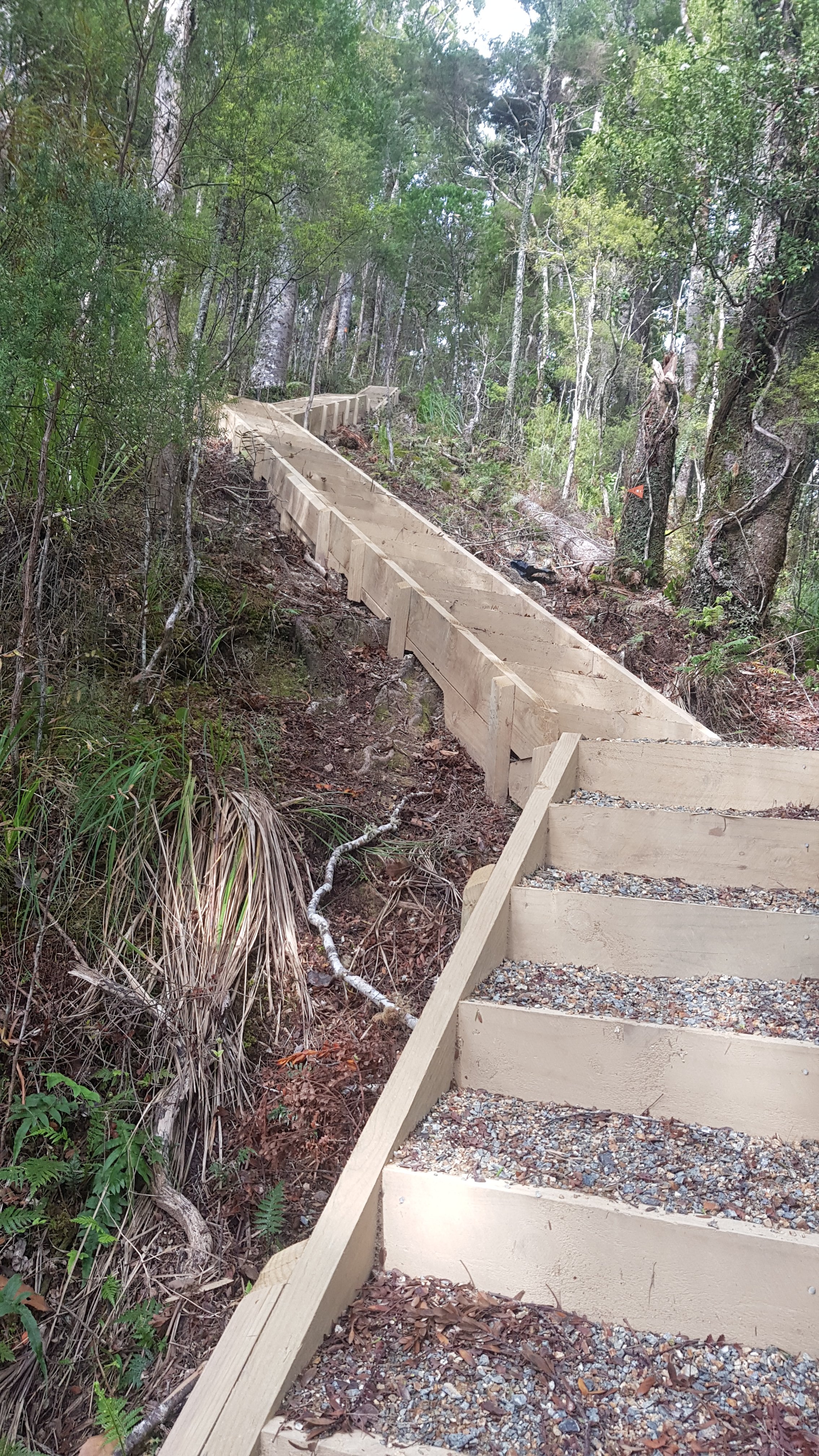
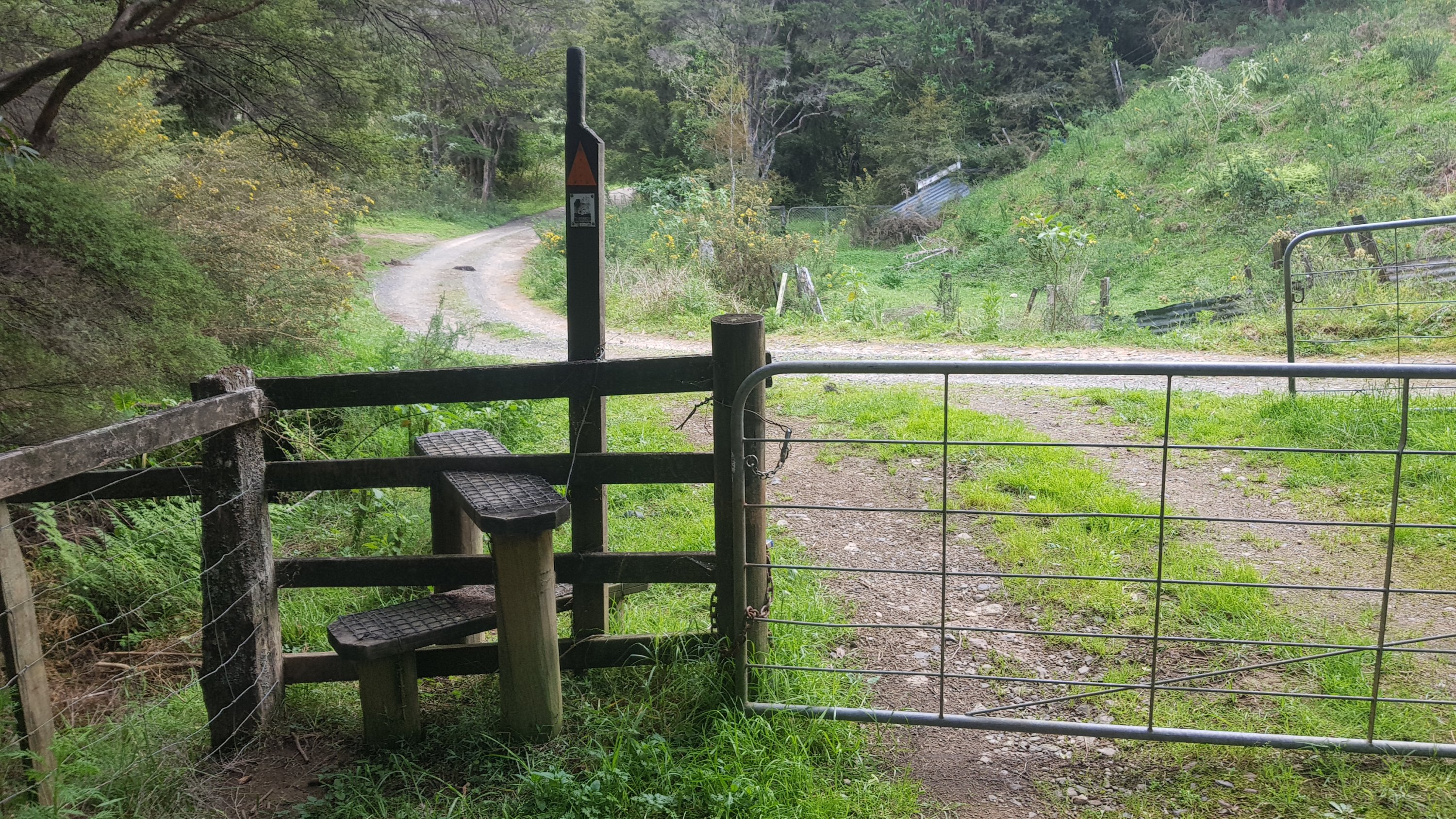
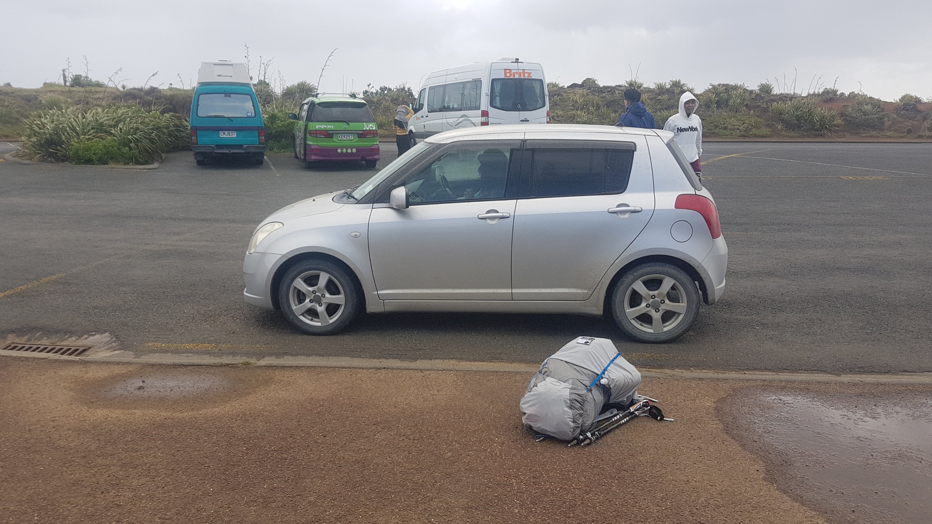
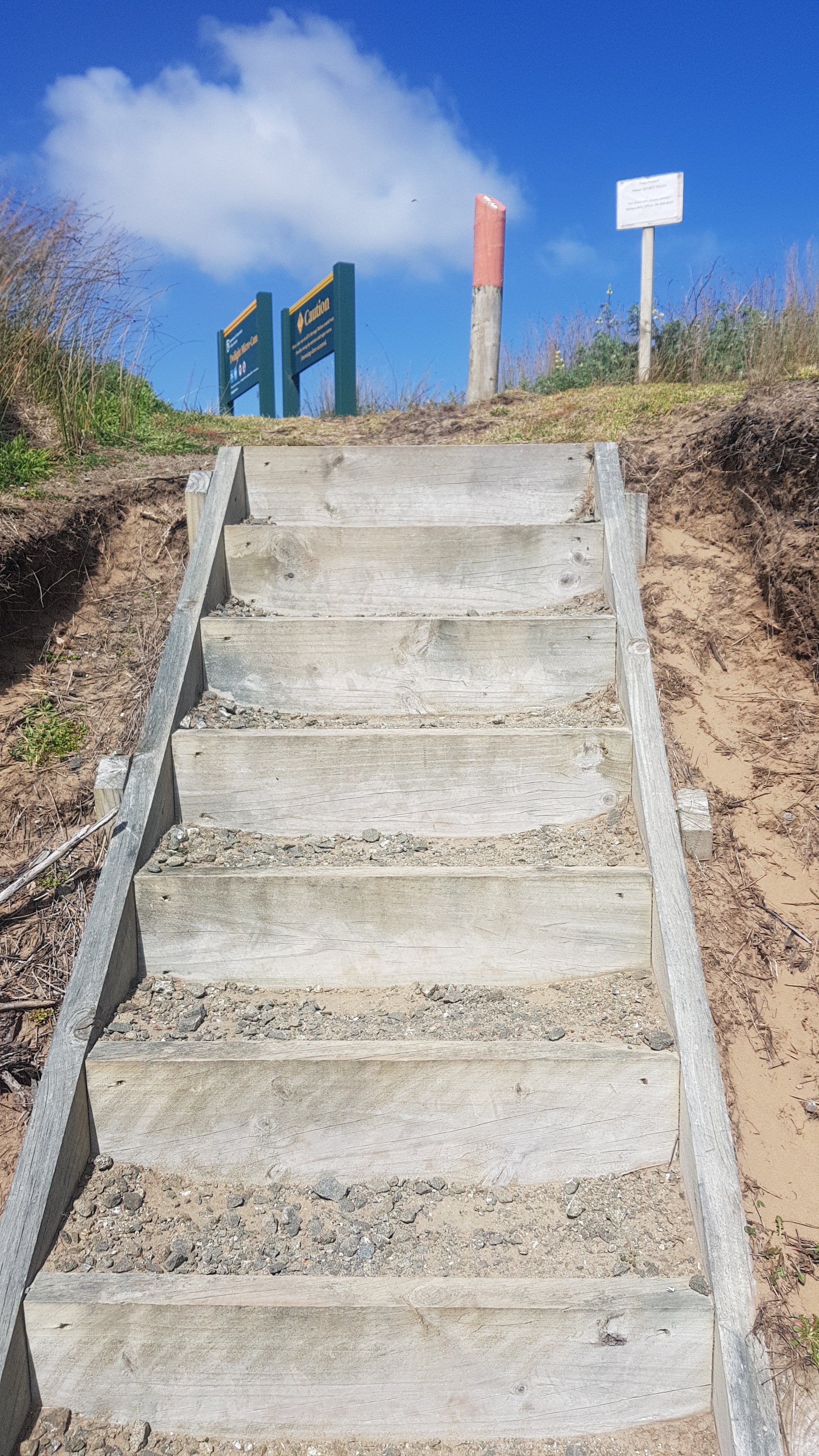
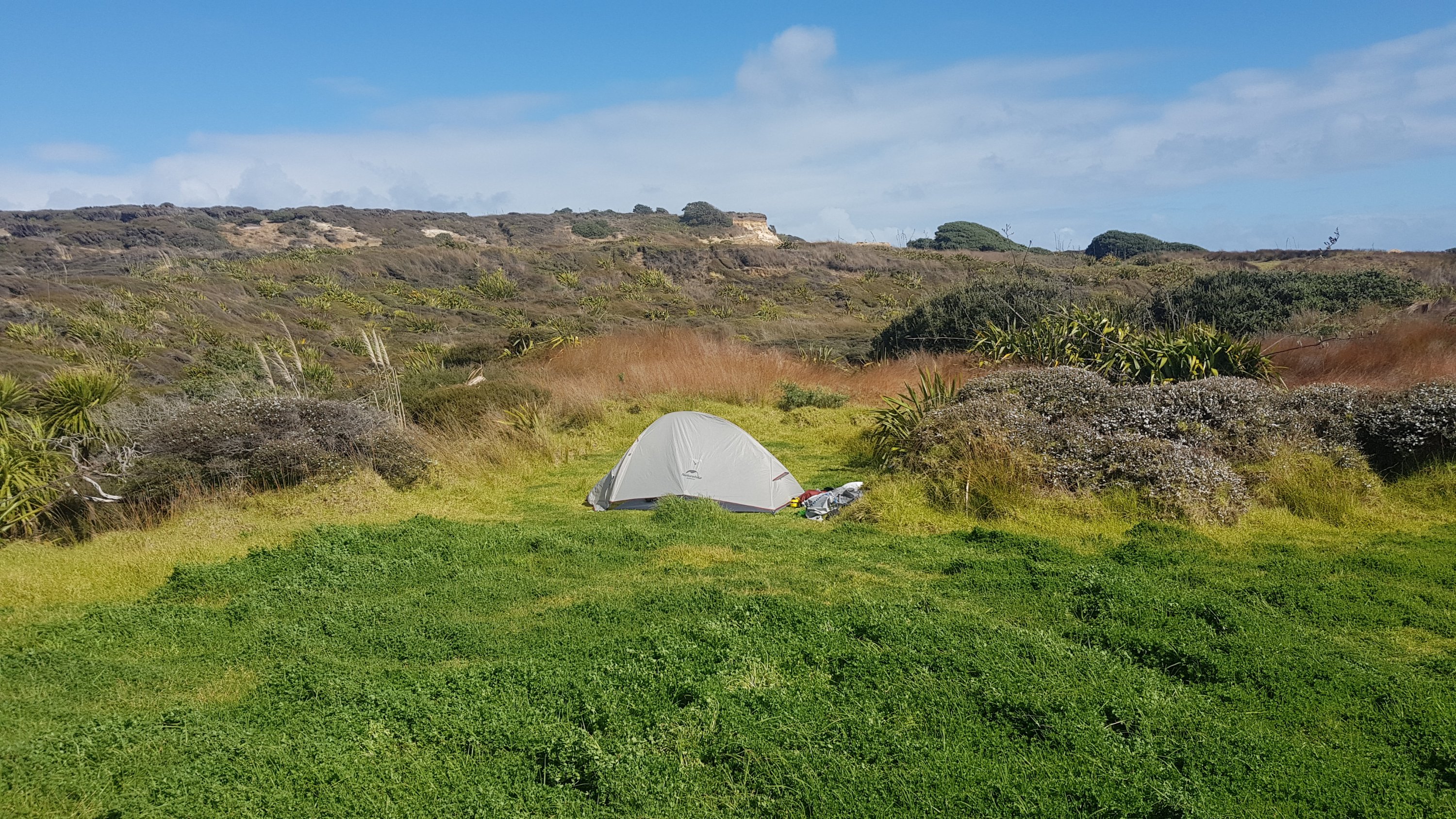
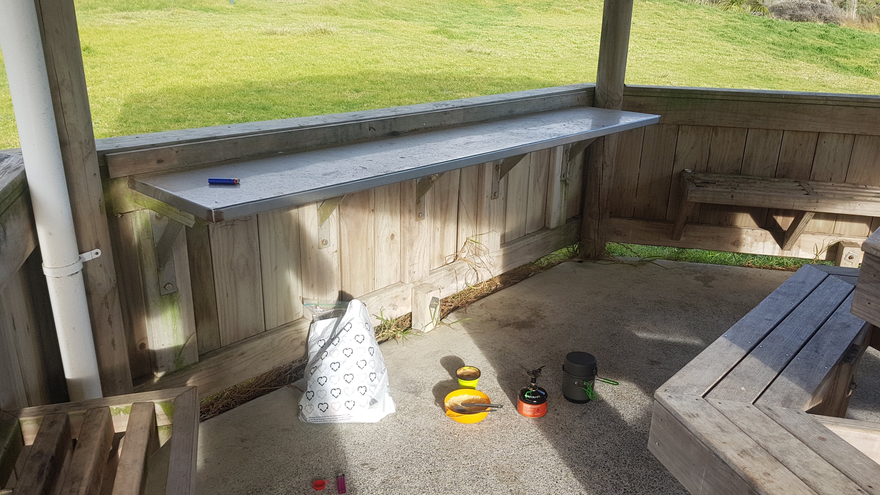
It took four hours to get to this set of stairs at the 12km mark. I had it in my head that at the top of the stairs would be a road with houses on it just as there would be on a North Shore beach. But no, it was just the Twilight campground. And since I didn’t see any other footprints all day, I wasn’t entirely surprised that I was the only one there.

Stairs to… where?

The walk tomorrow is 30km to the next campsite. If it took 4 hours to walk 12km I hope it doesn’t take 10 hours to walk 30km. I think I better get up early… Although I’ll probably go to sleep early too because there’s nothing to do here (except write this blog of course!) The tide is high tomorrow at 7am-ish so that facilitates an early start.

Twilight campsite with my tent in the background

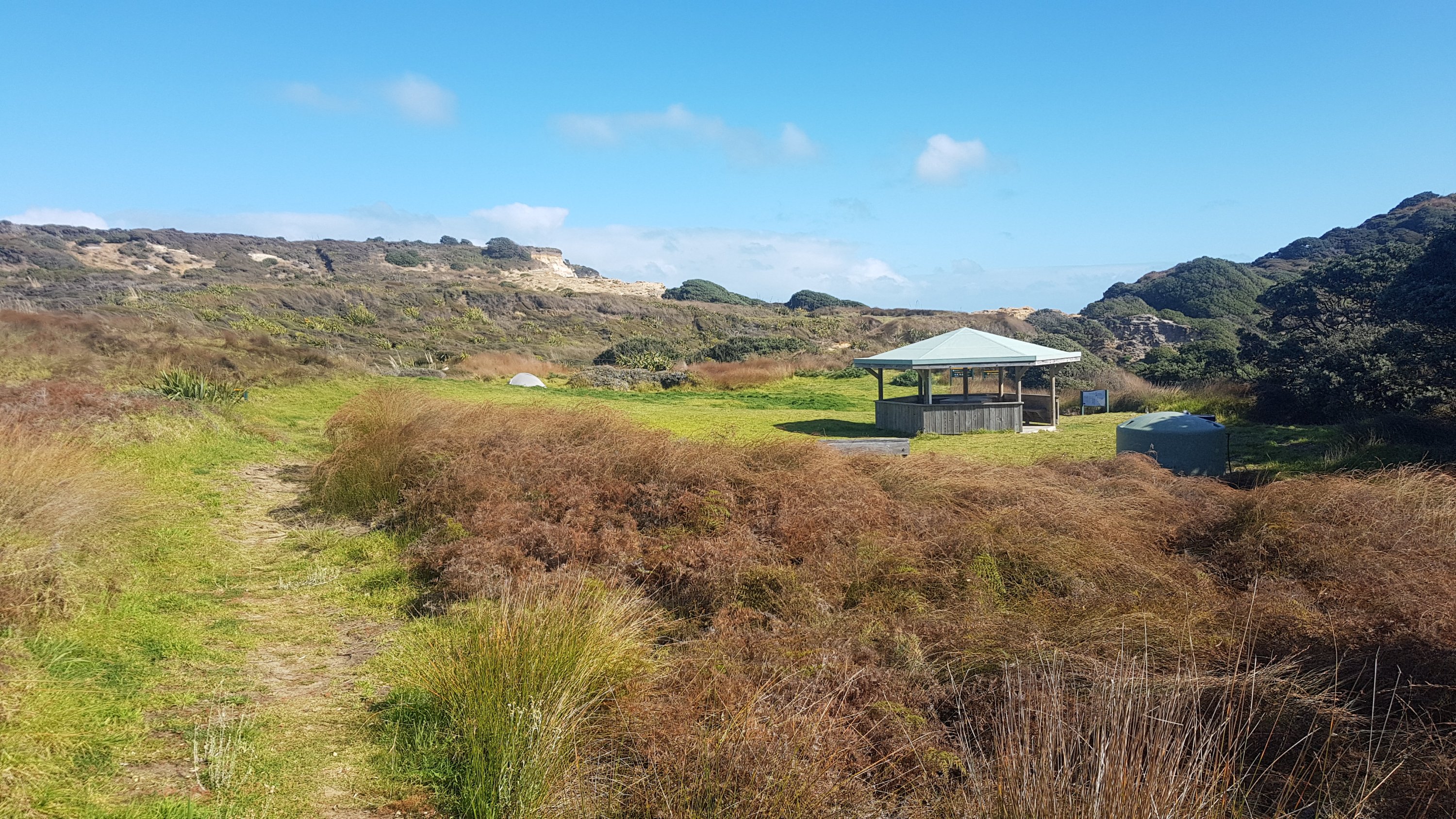
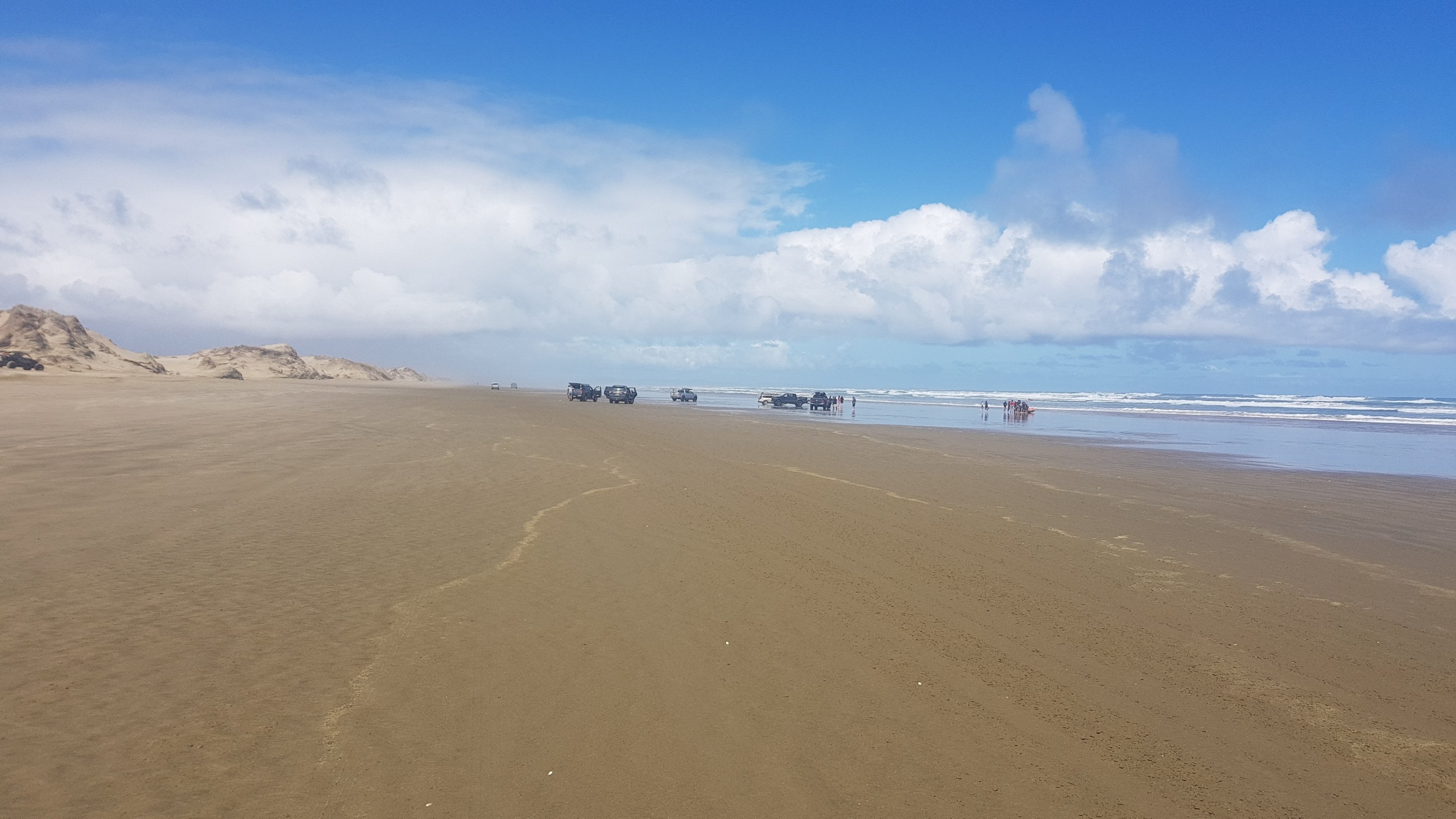
I arrived at Twilight at 2pm and I really thought maybe somebody might join me in the campsite later in the day, but nope, nobody did. Today was the first sunny day in days according to the forecast so I figured maybe people would start TA today. Guess not. In fact I didn’t see anyone at all once I left Cape R. I wonder when I will see my first other hiker or other person of any kind. Apparently there is a guy walking from Ahipara north to Cape Reinga who started yesterday. If that’s true then we should pass each other tomorrow or the next day.

First camping spot

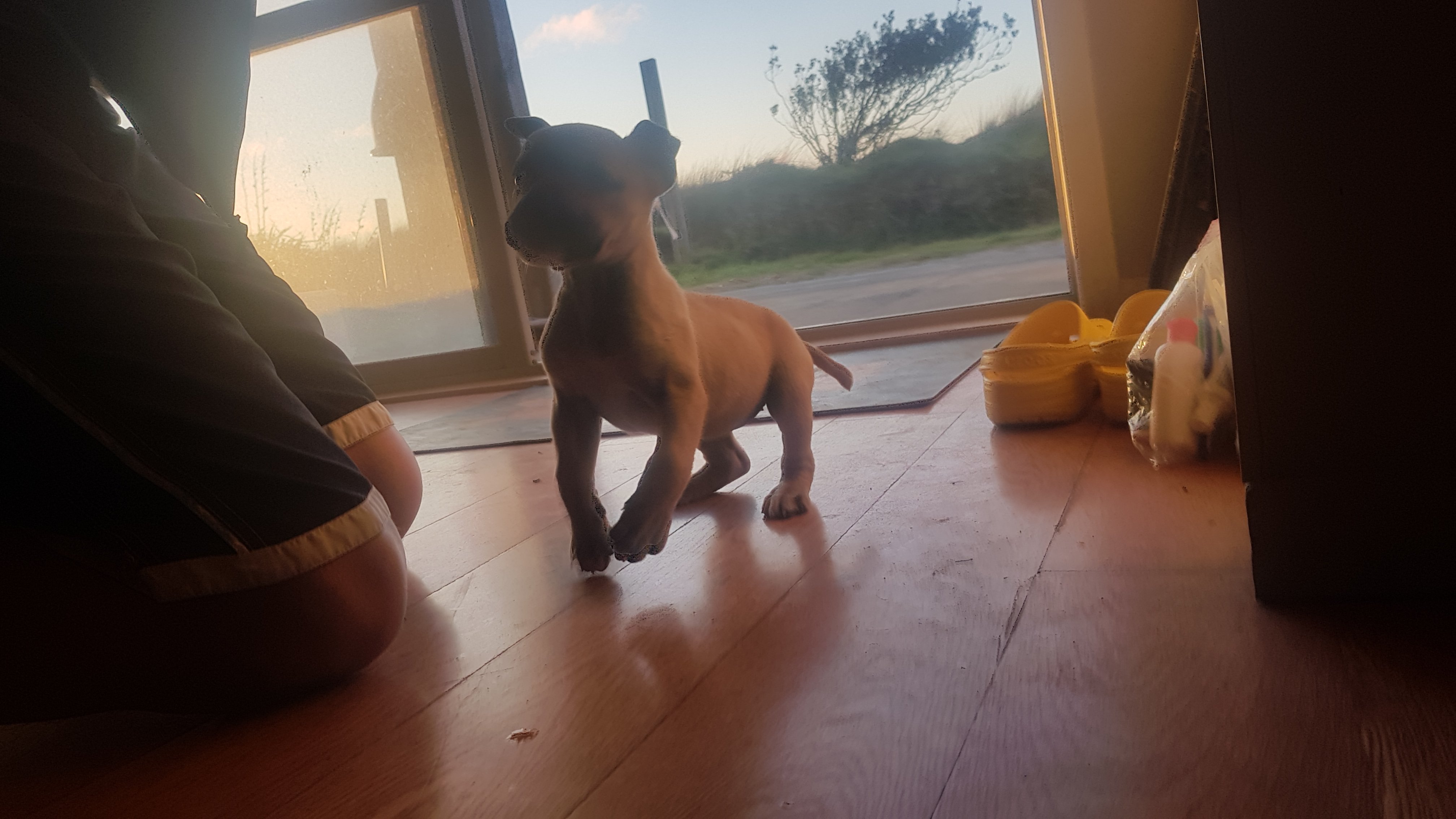
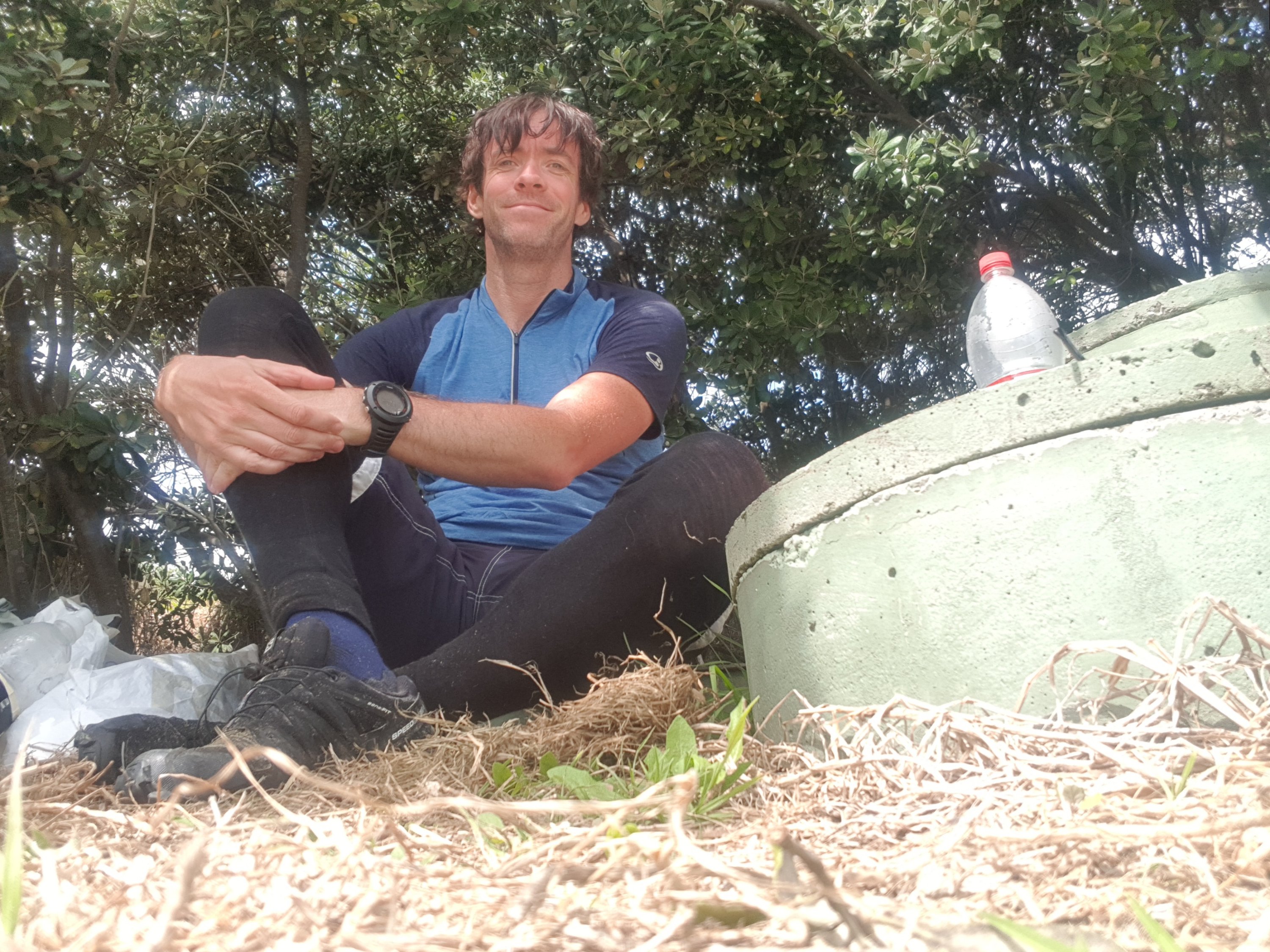
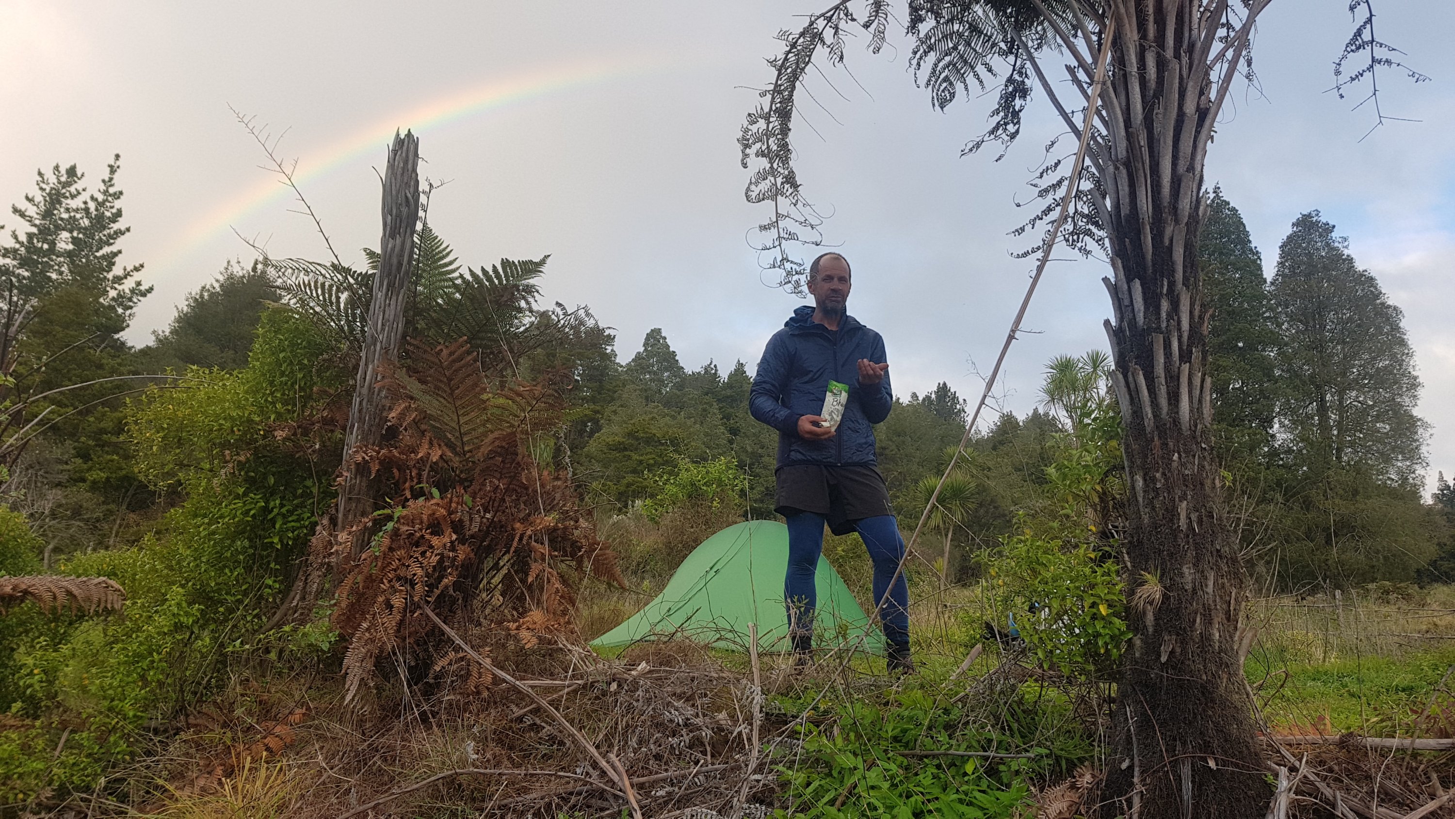
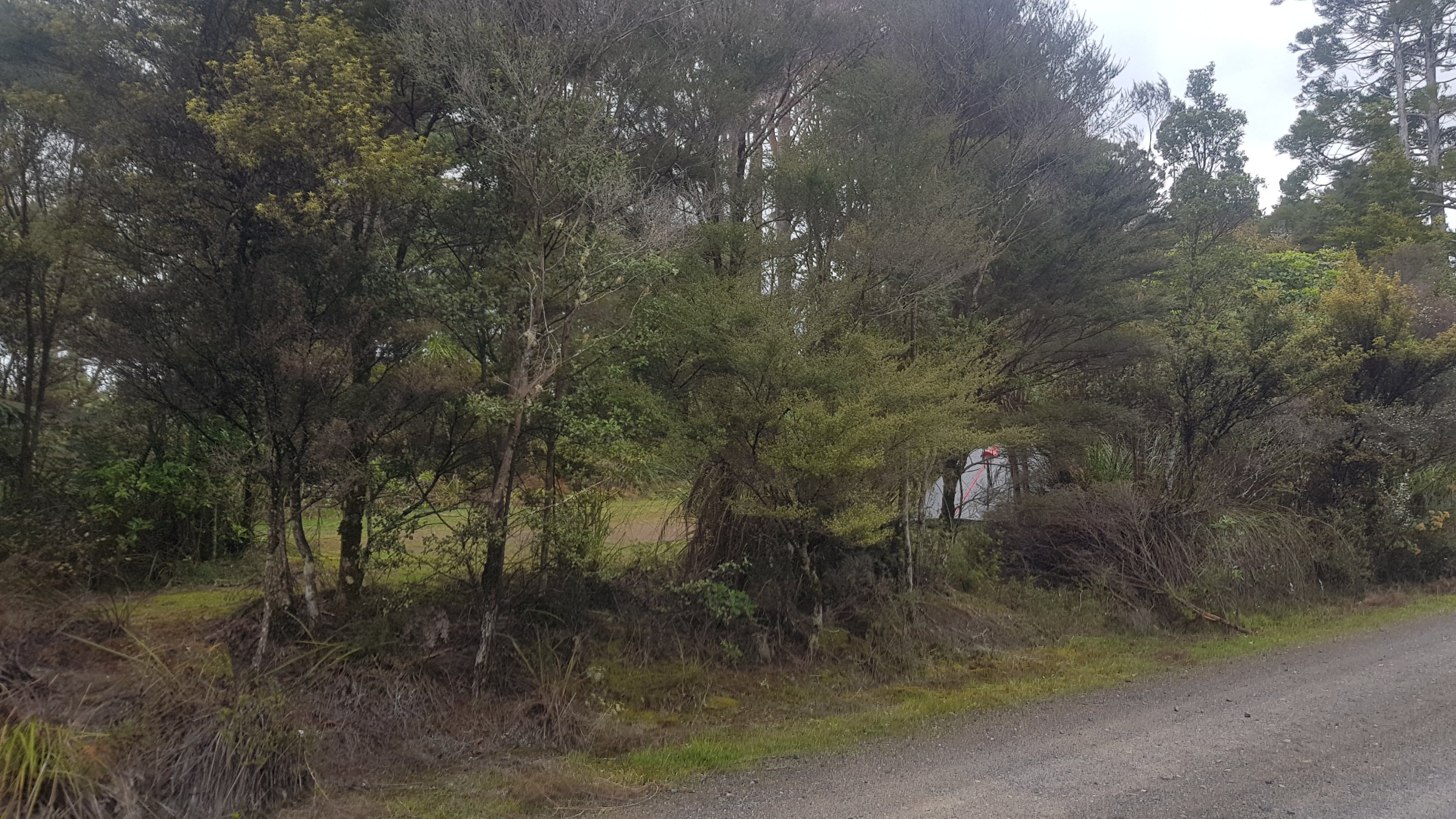
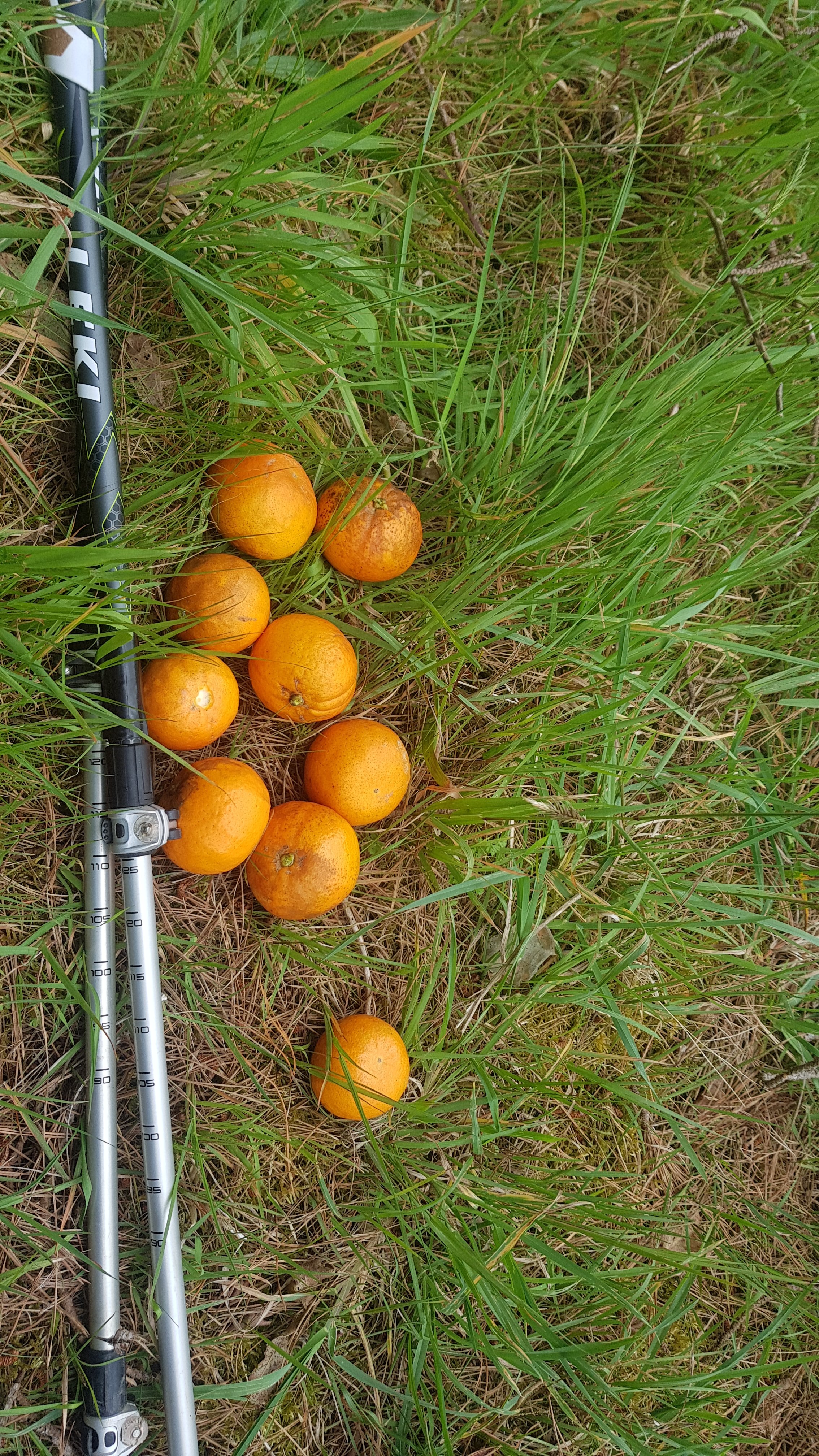
My niece gave me a toy called Taco Terry so that I wouldn’t be alone. Here’s his first photo (back at the start of the walk):

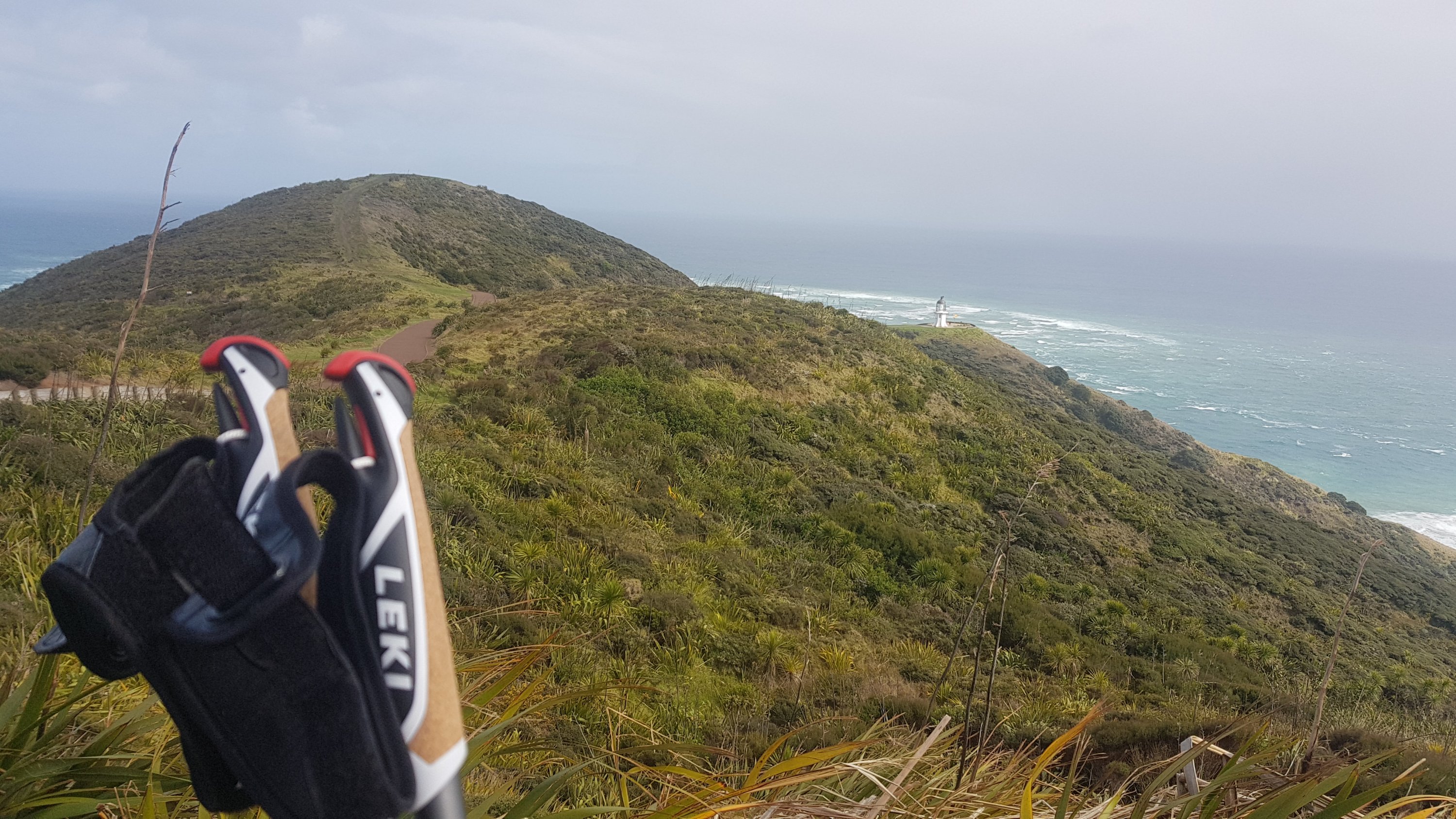
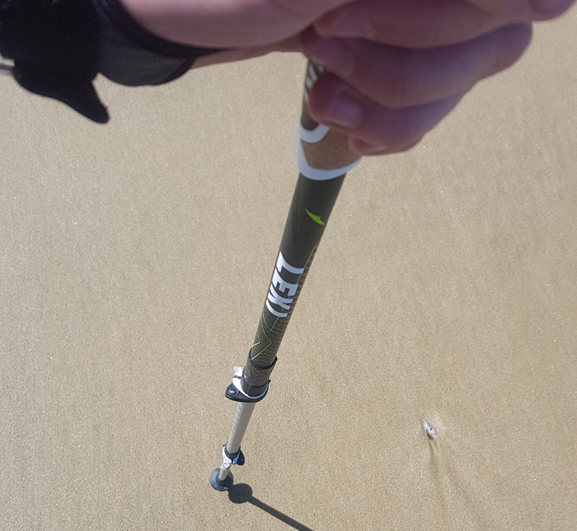
Every now and again I would look down at my hiking poles and see the Leki brand, which I often misread as “Lexi”. I had a grandmother who we called Lexi who died in 1993 and every time I saw the word I thought maybe she was watching over me.

Lexi (Leki) poles

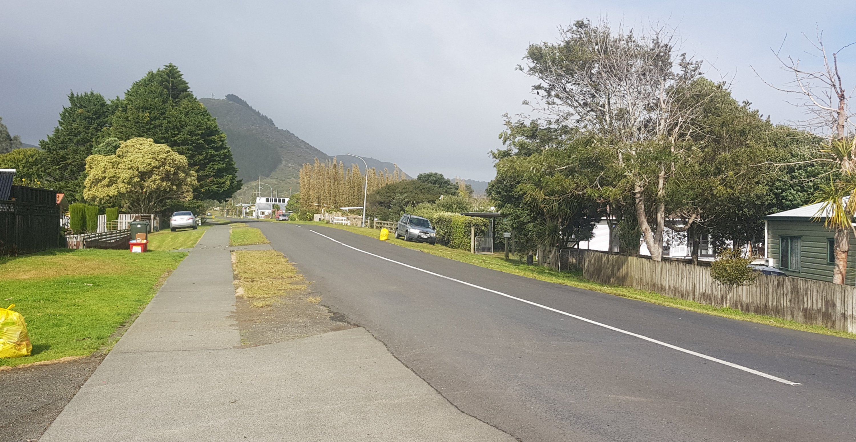
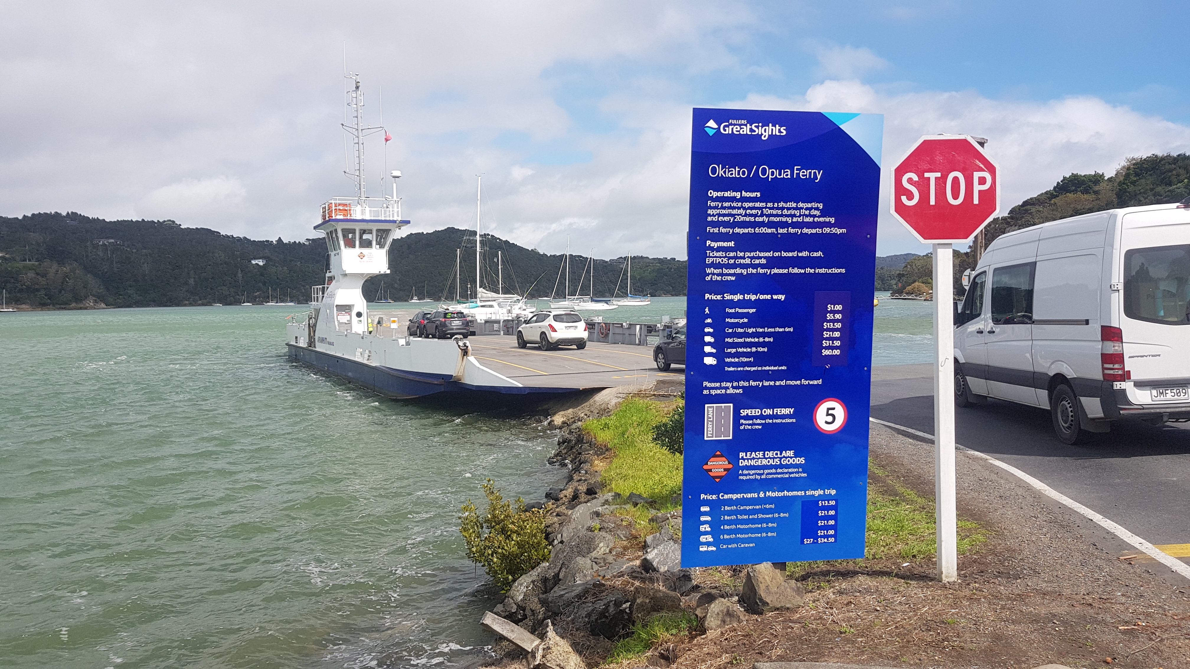
Today was walking on other beaches than 90 mile beach, but starting tomorrow it is 3 or 4 days of walking on 90 mile beach so I will probably at least see people drive past me on the beach.

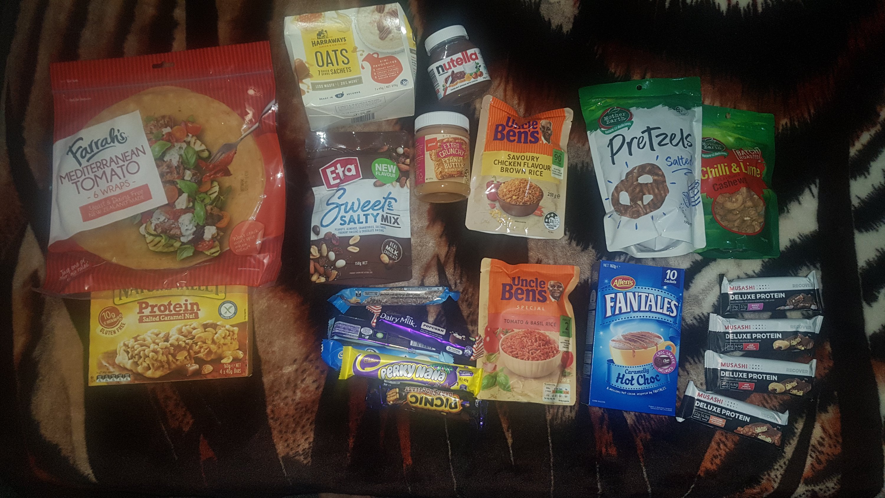
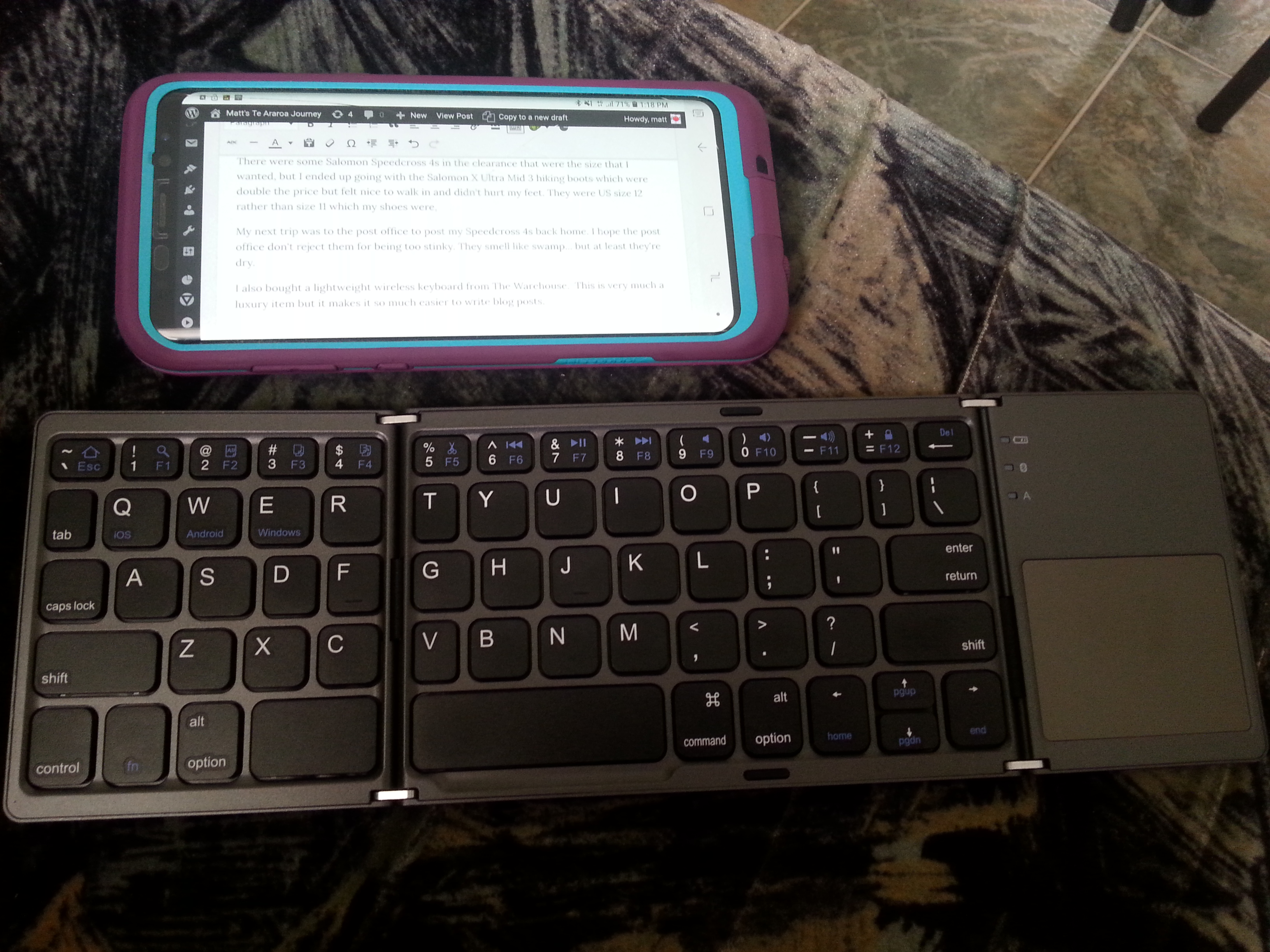
I have 3 good Back Country Cuisine meals but 4 or 5 days before I can resupply in Kaitaia or Ahipara so tonight I just had couscous, nuts and a protein bar for dinner. Plain but still tasted good. I’ll save the dehydrated meals for the next 3 days when the walks are longer. And I can’t wait for one of Tania’s famous Utea Park blueberry smoothies. They have rave reviews!

And boy was it cold once the sun went down. Bringing hot chocolate was the best decision ever.

My little cooking station, on the ground out of the blowing wind

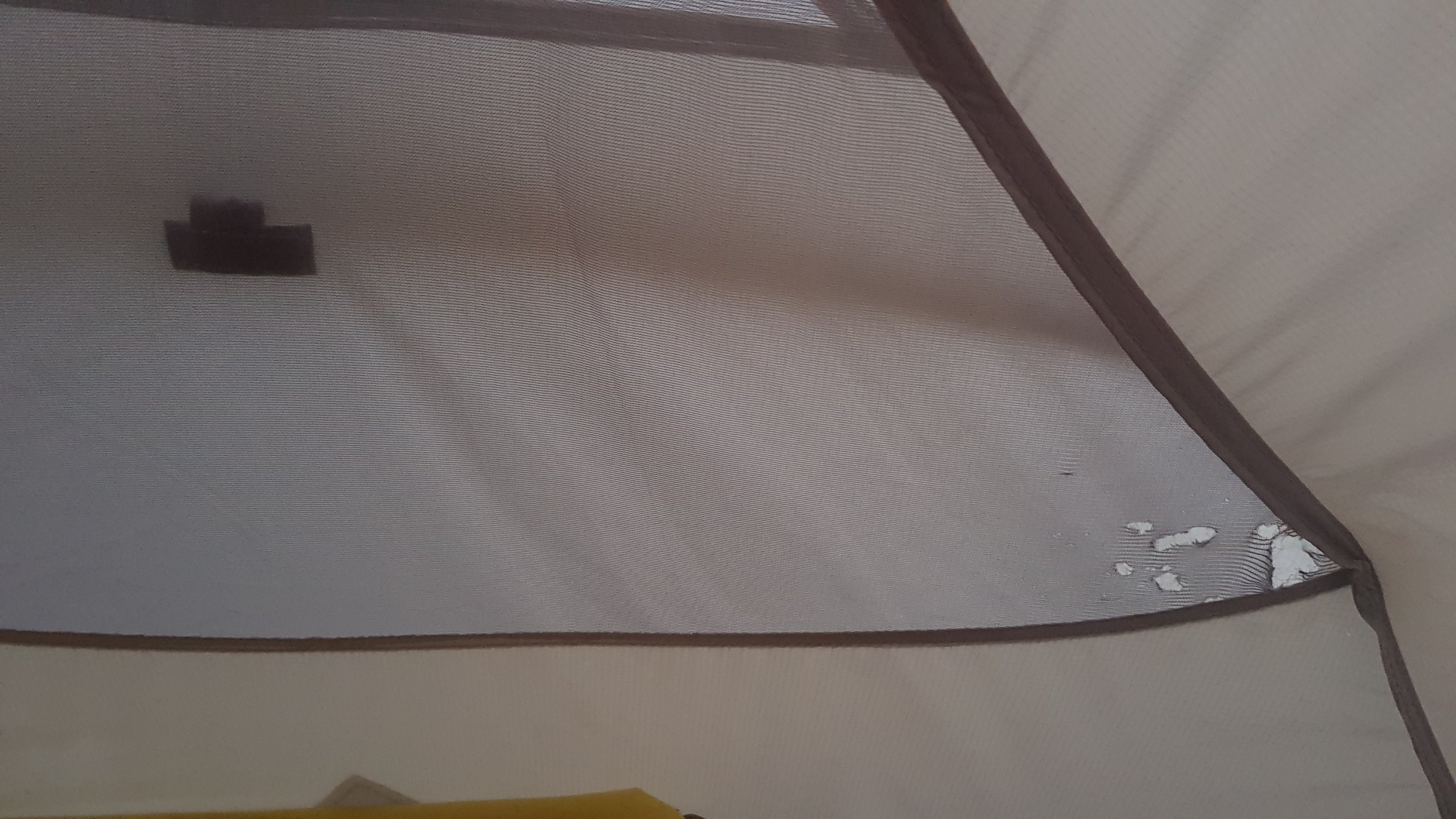
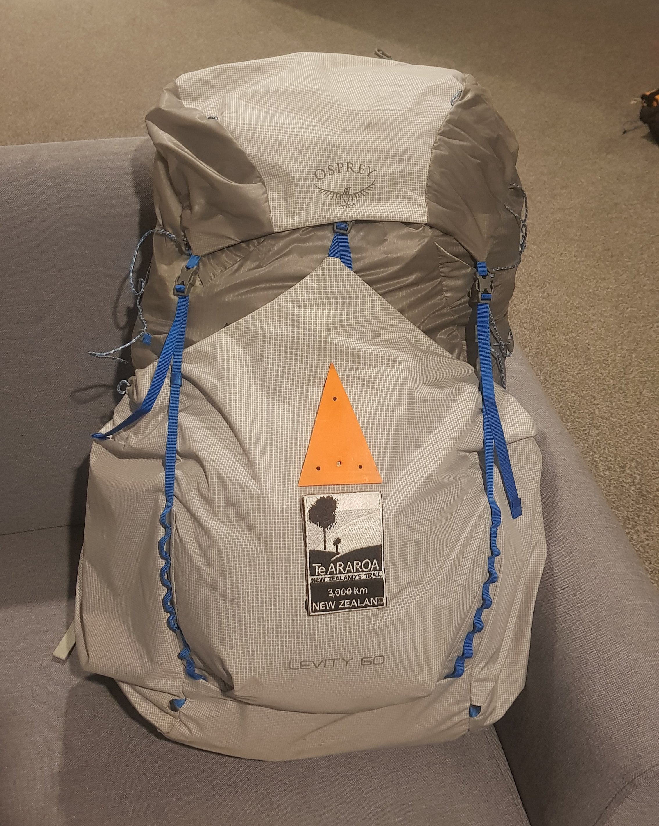
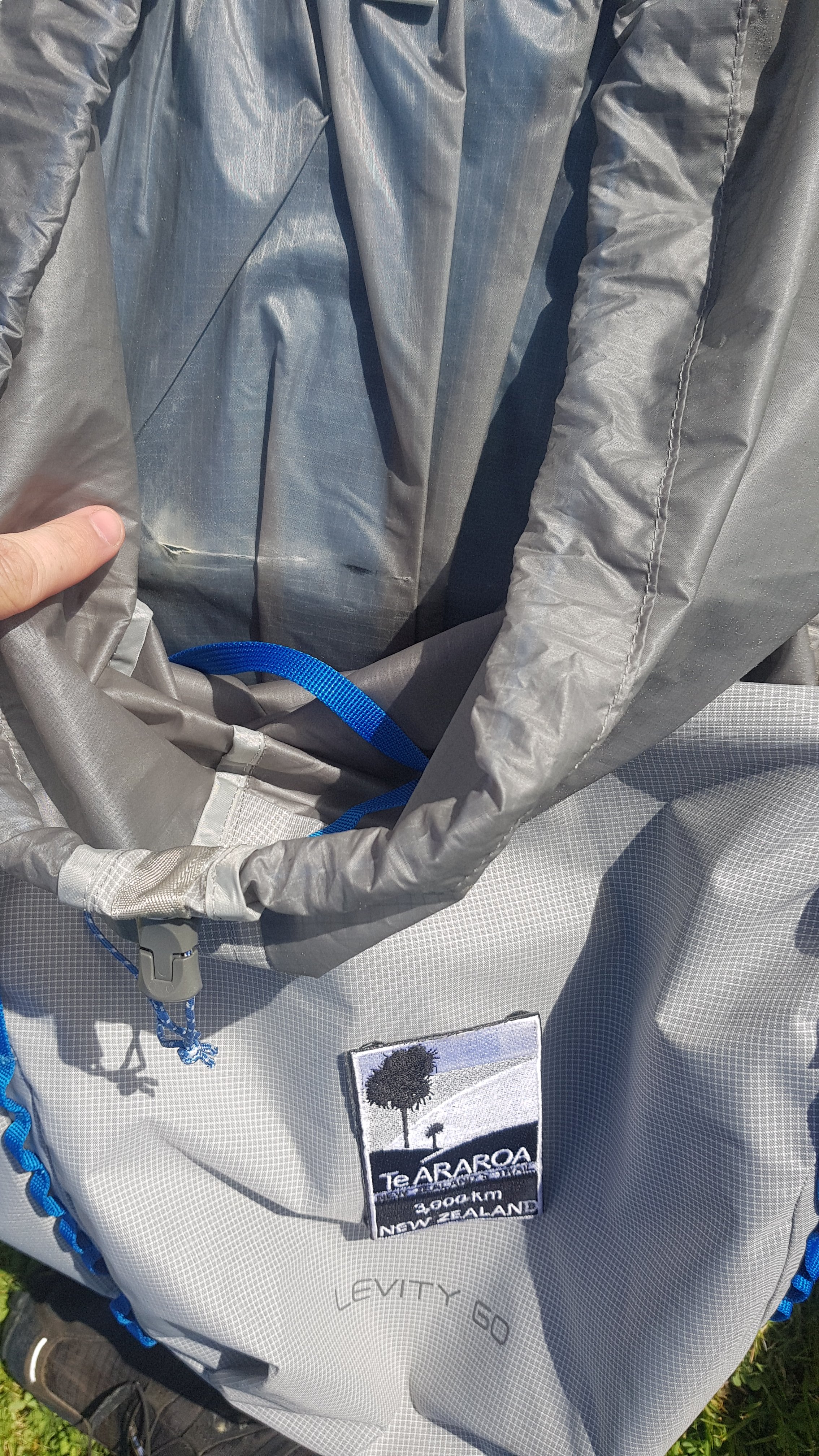
My Osprey bag is already developing a rip inside. Its not important I don’t think because it just separates your stuff from any water bladder, which I’m not using. Will still tape it up though, and hope it gets no more rips.

Small rip in the Osprey bag already

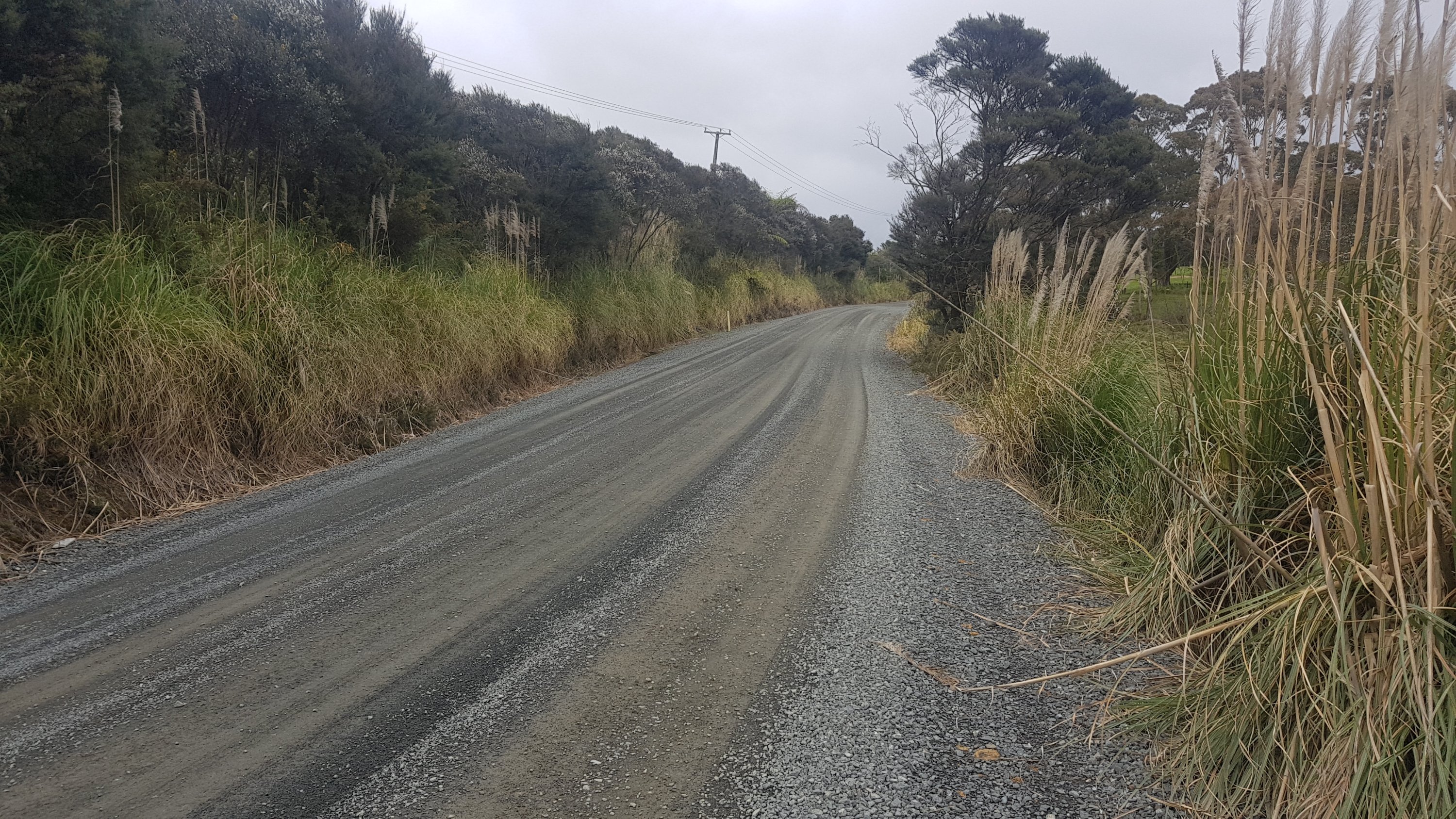
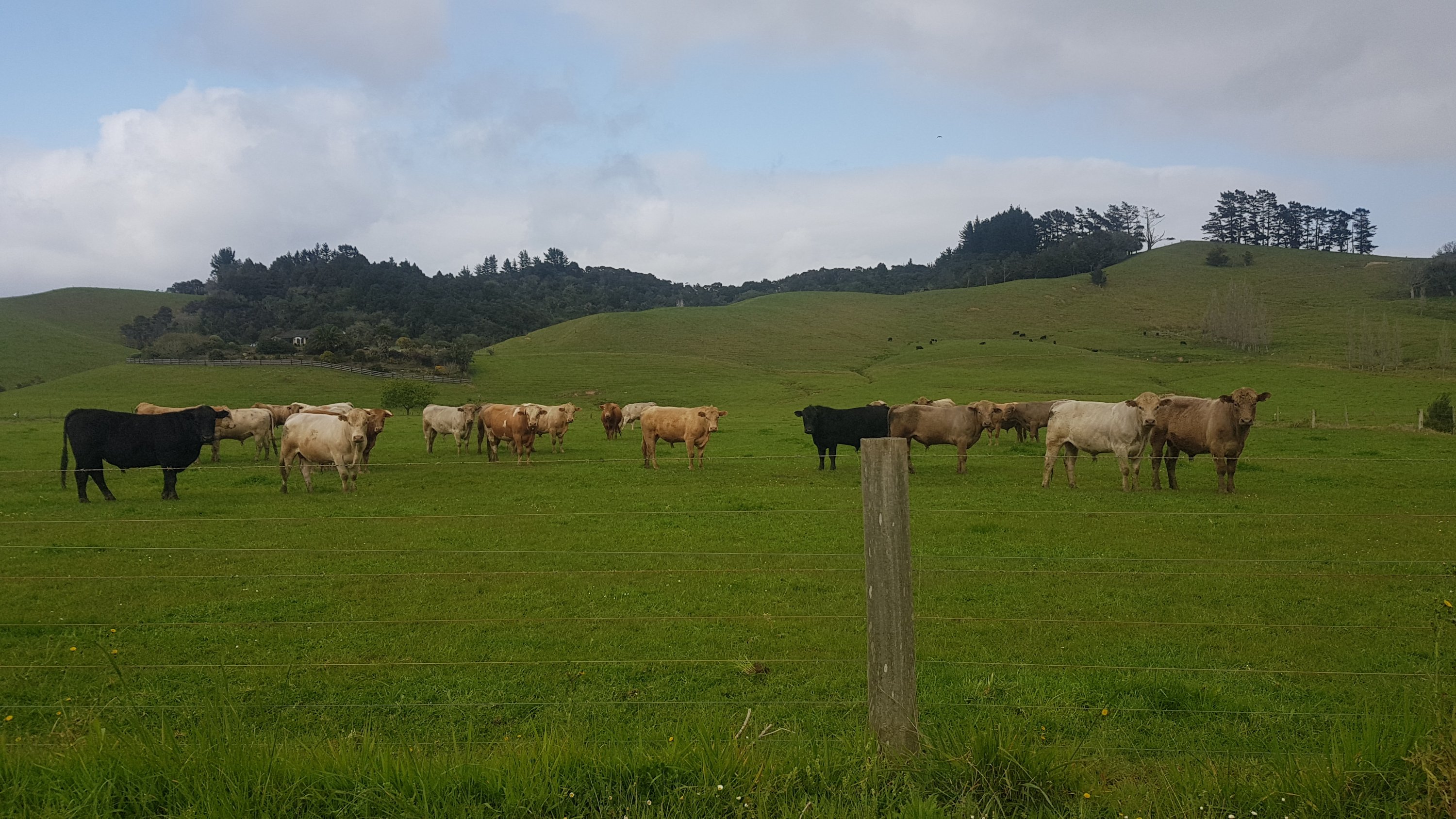
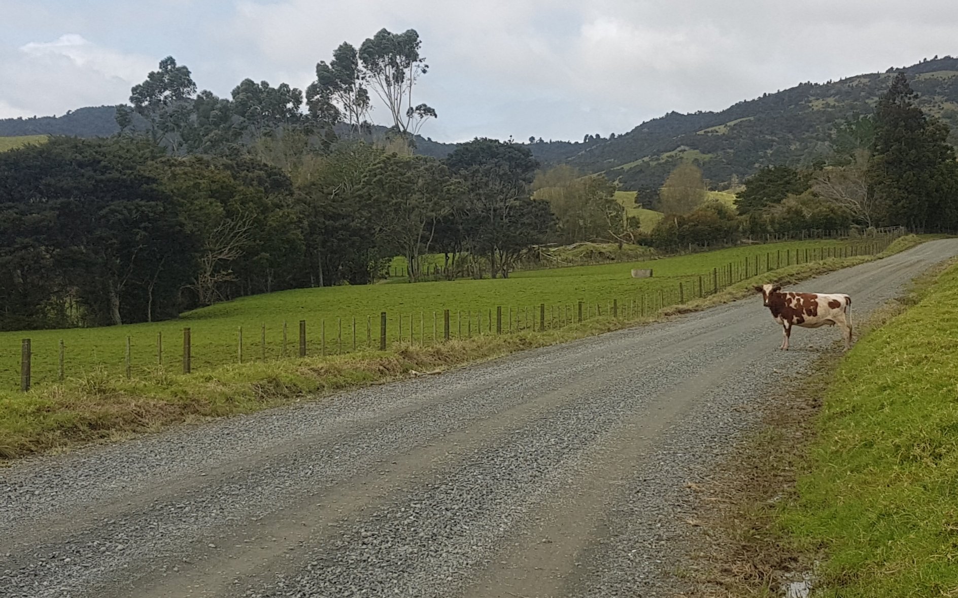
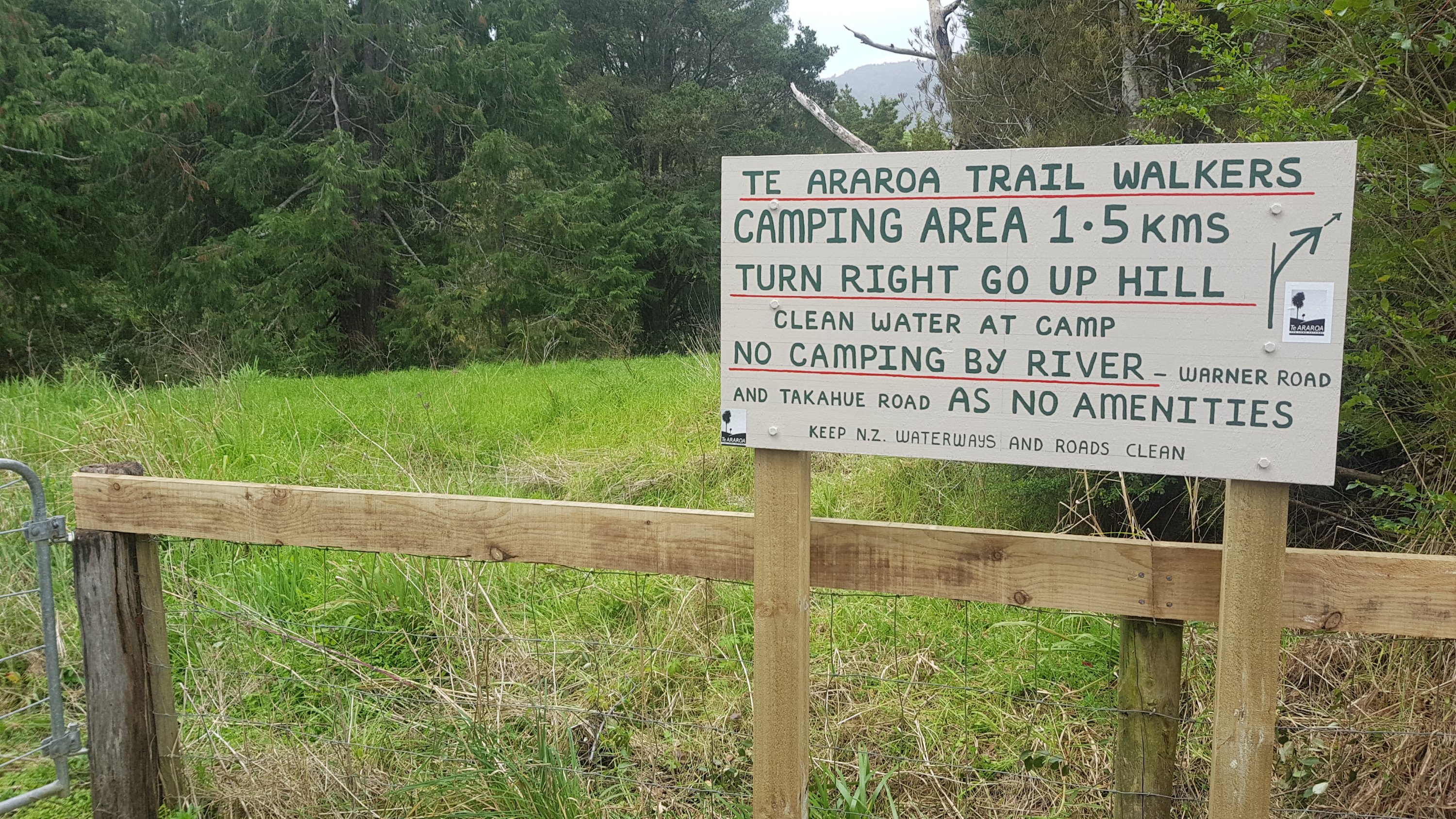
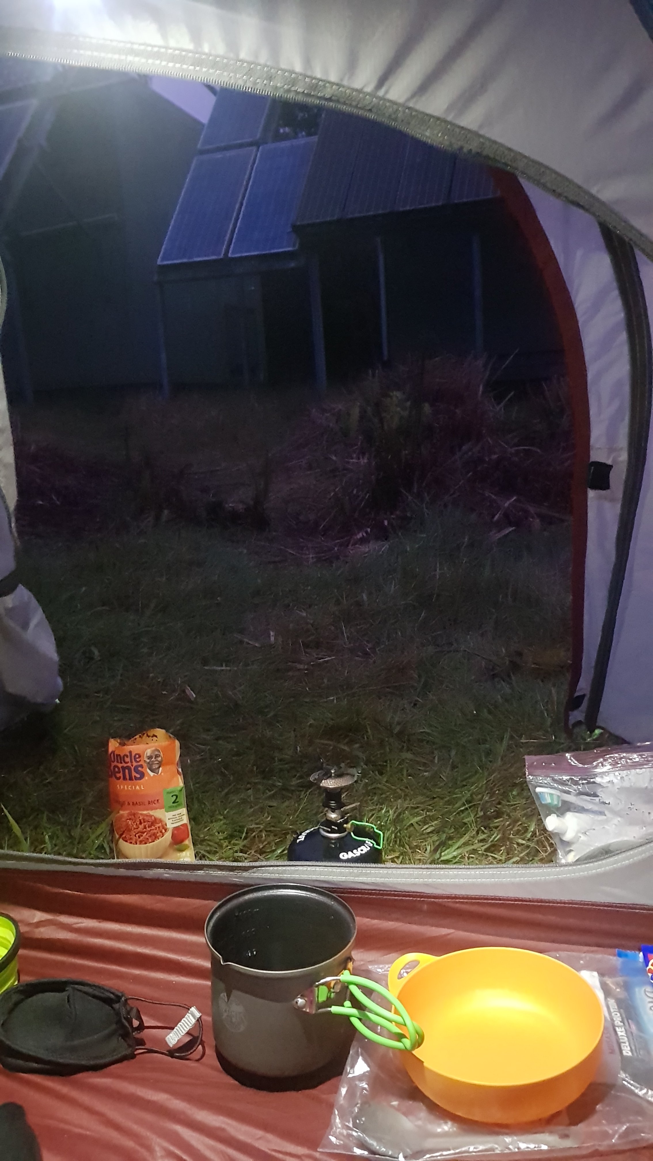
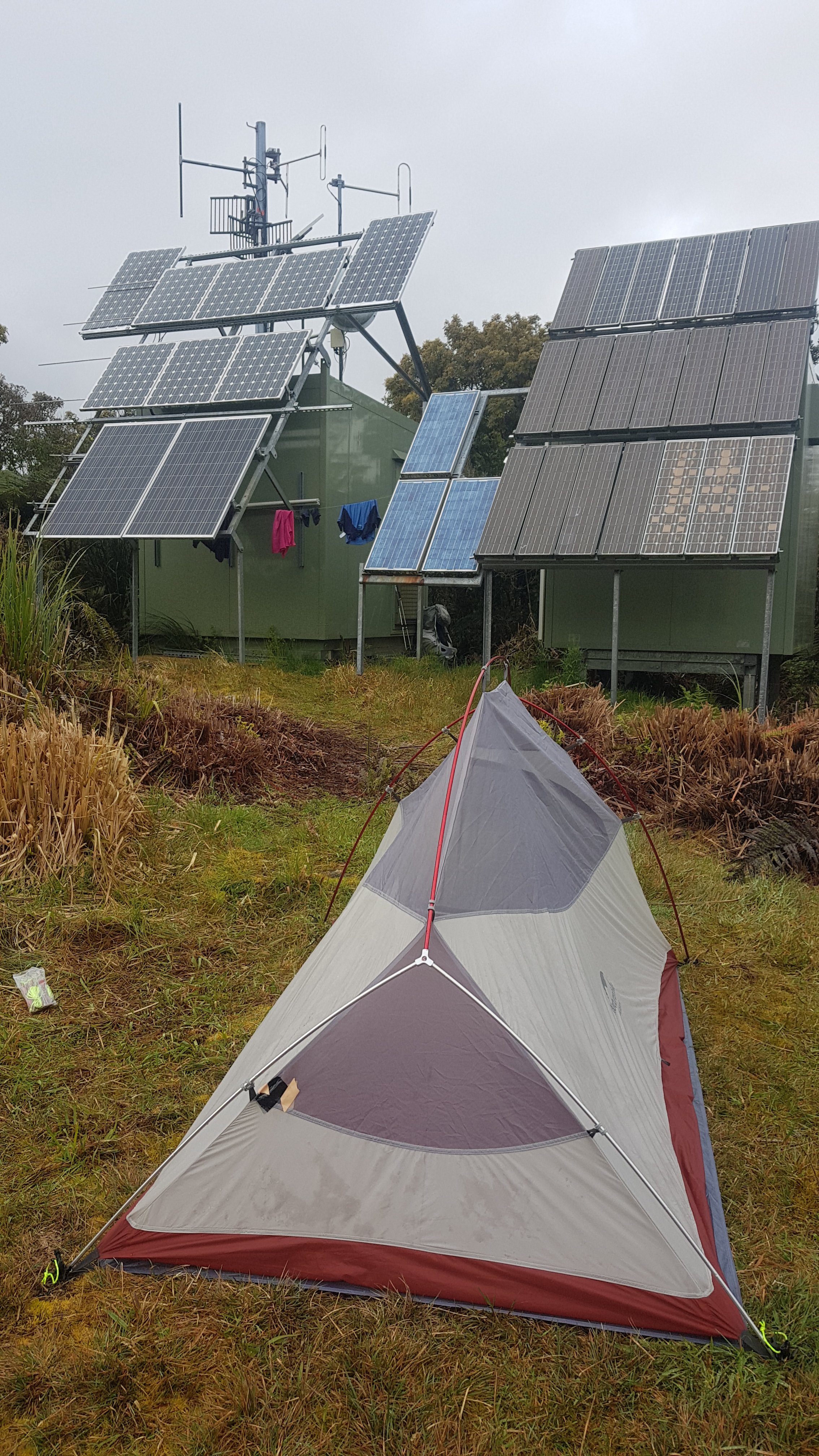
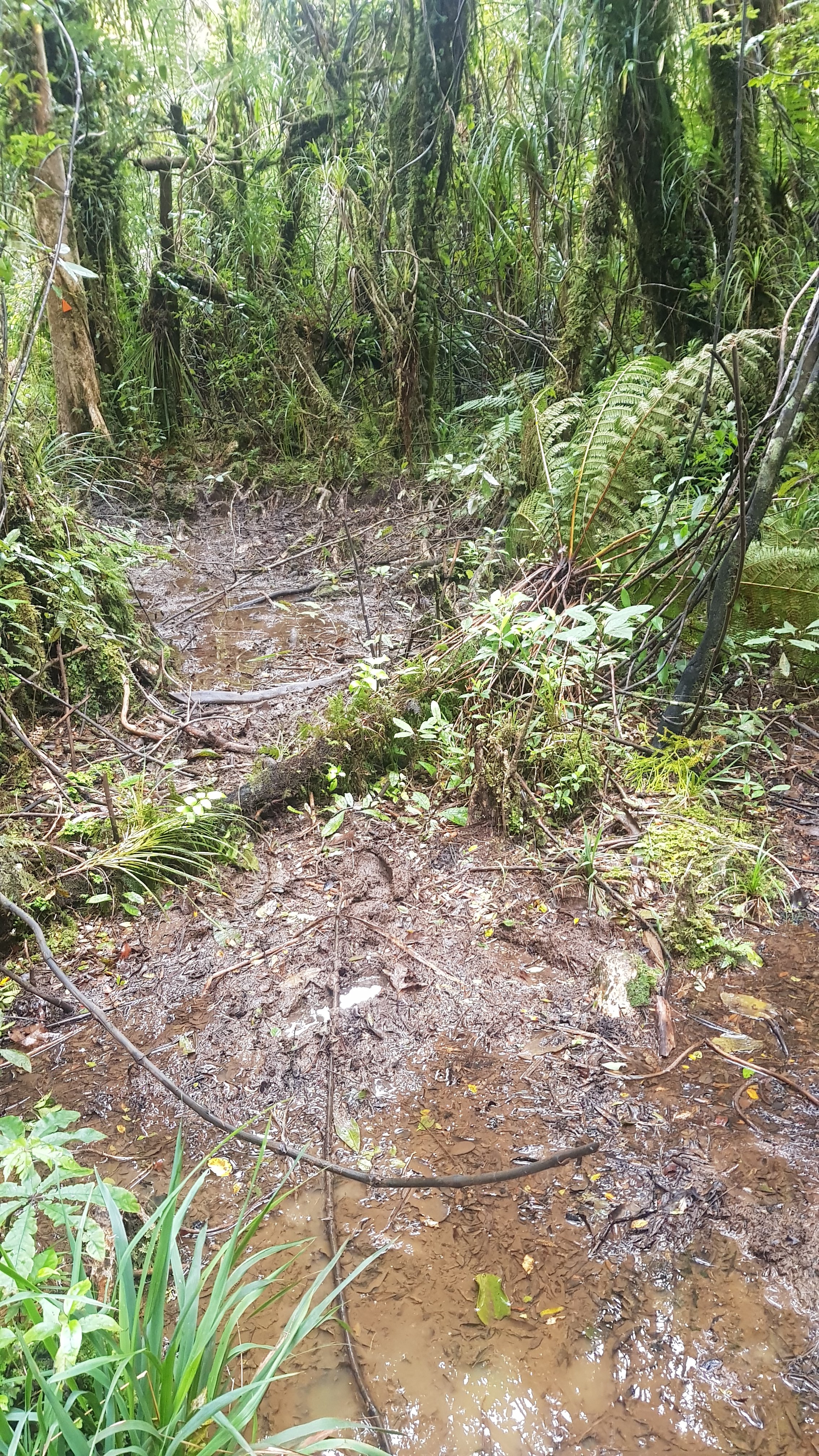
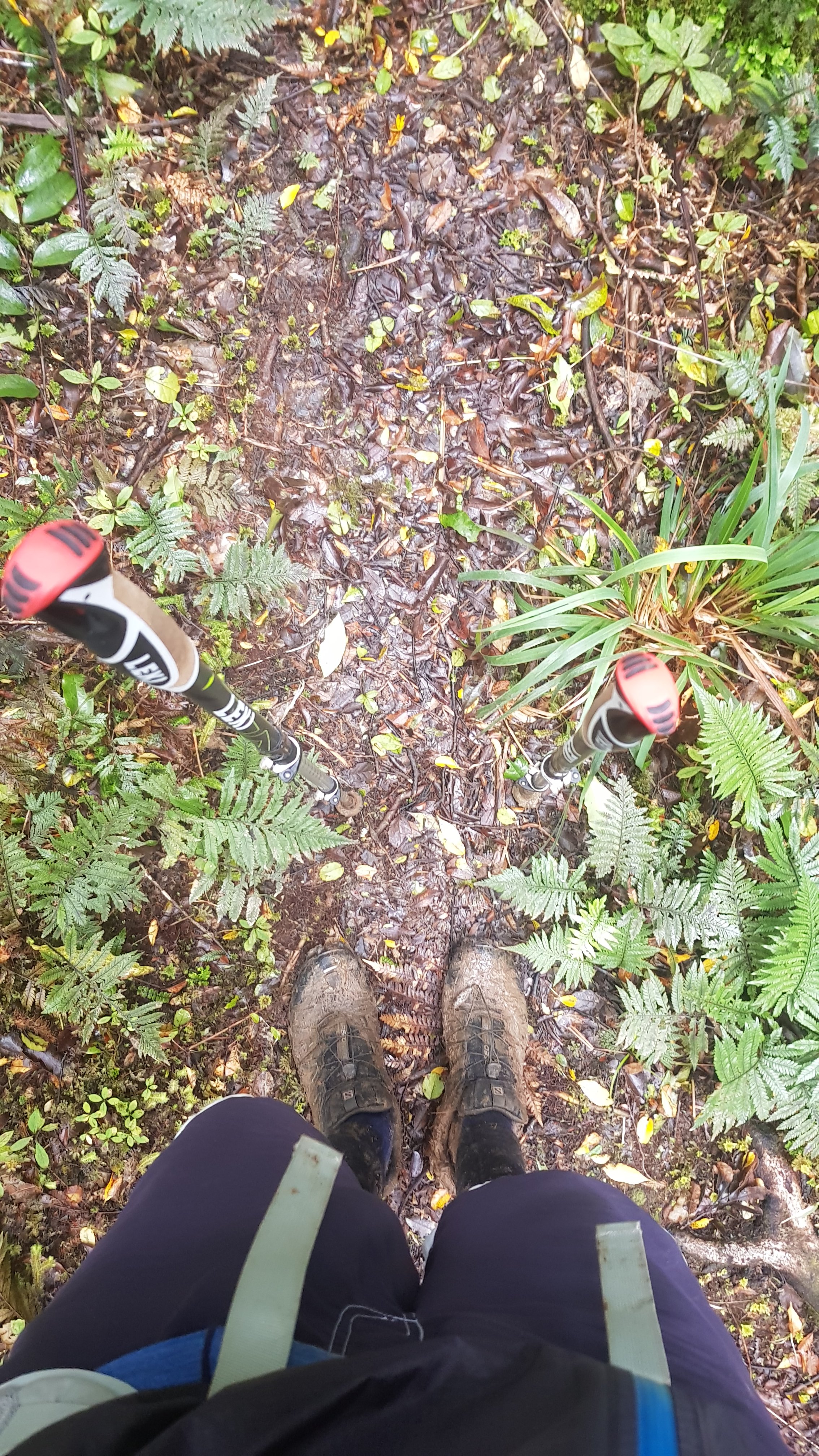
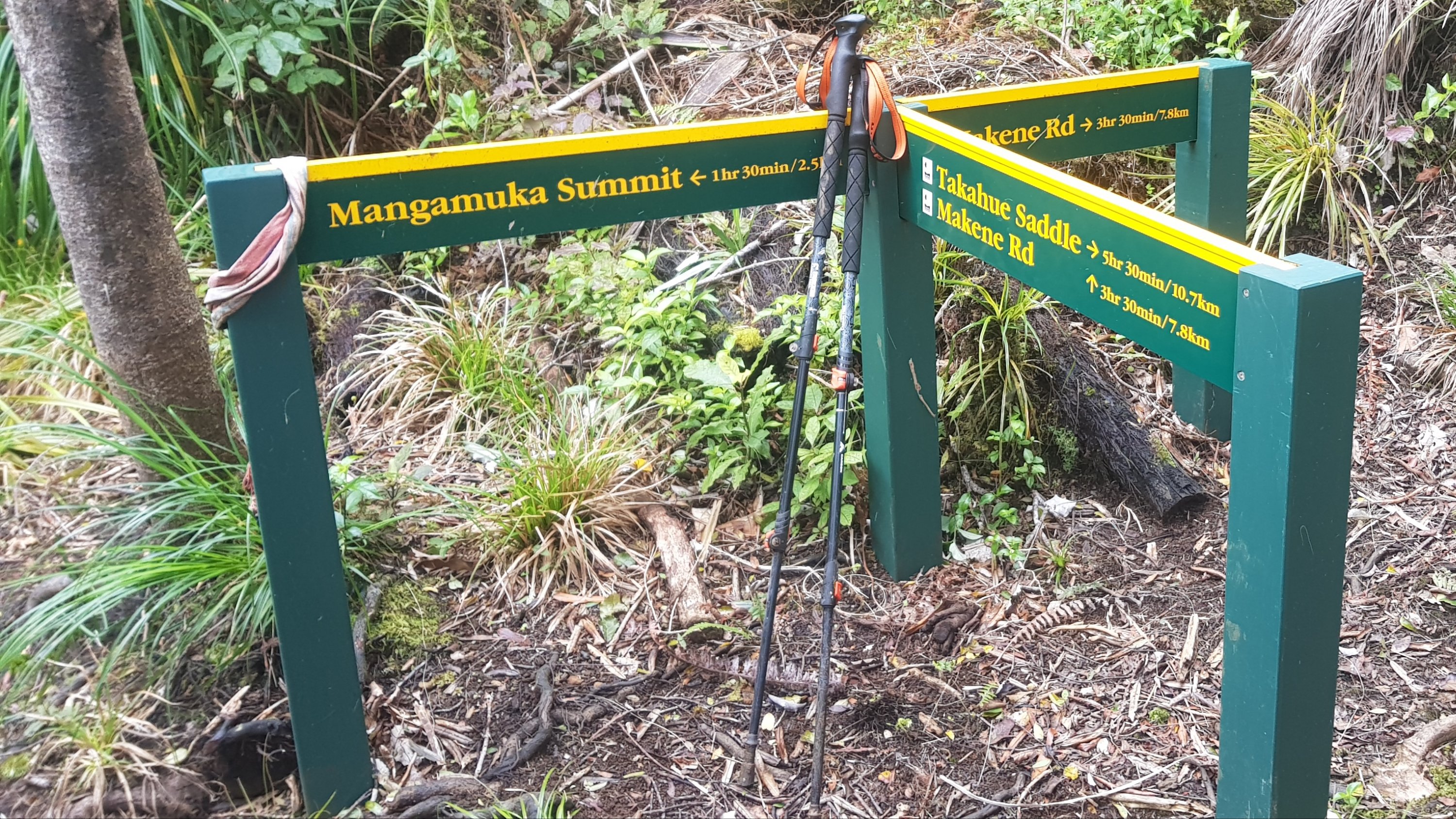
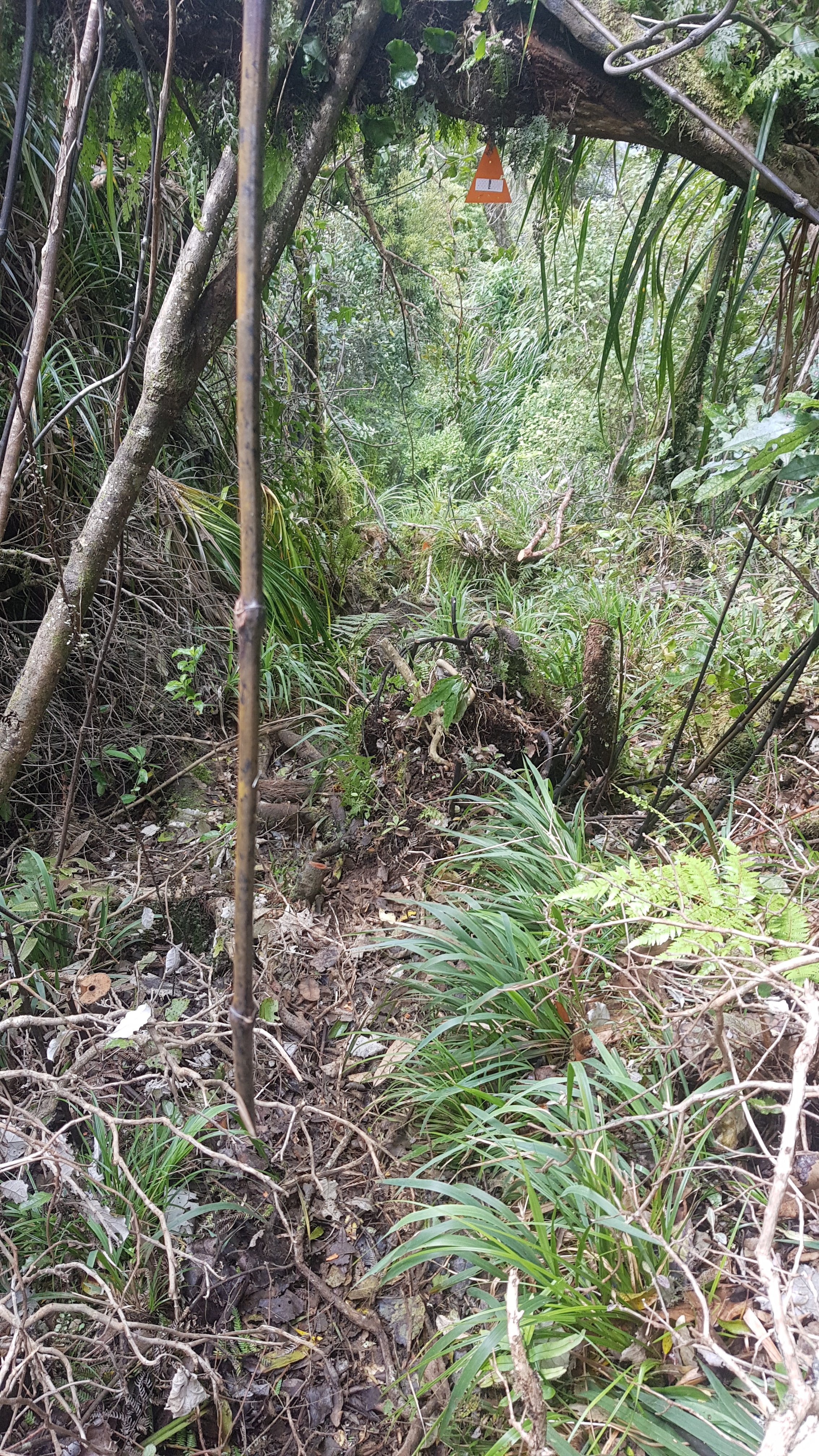
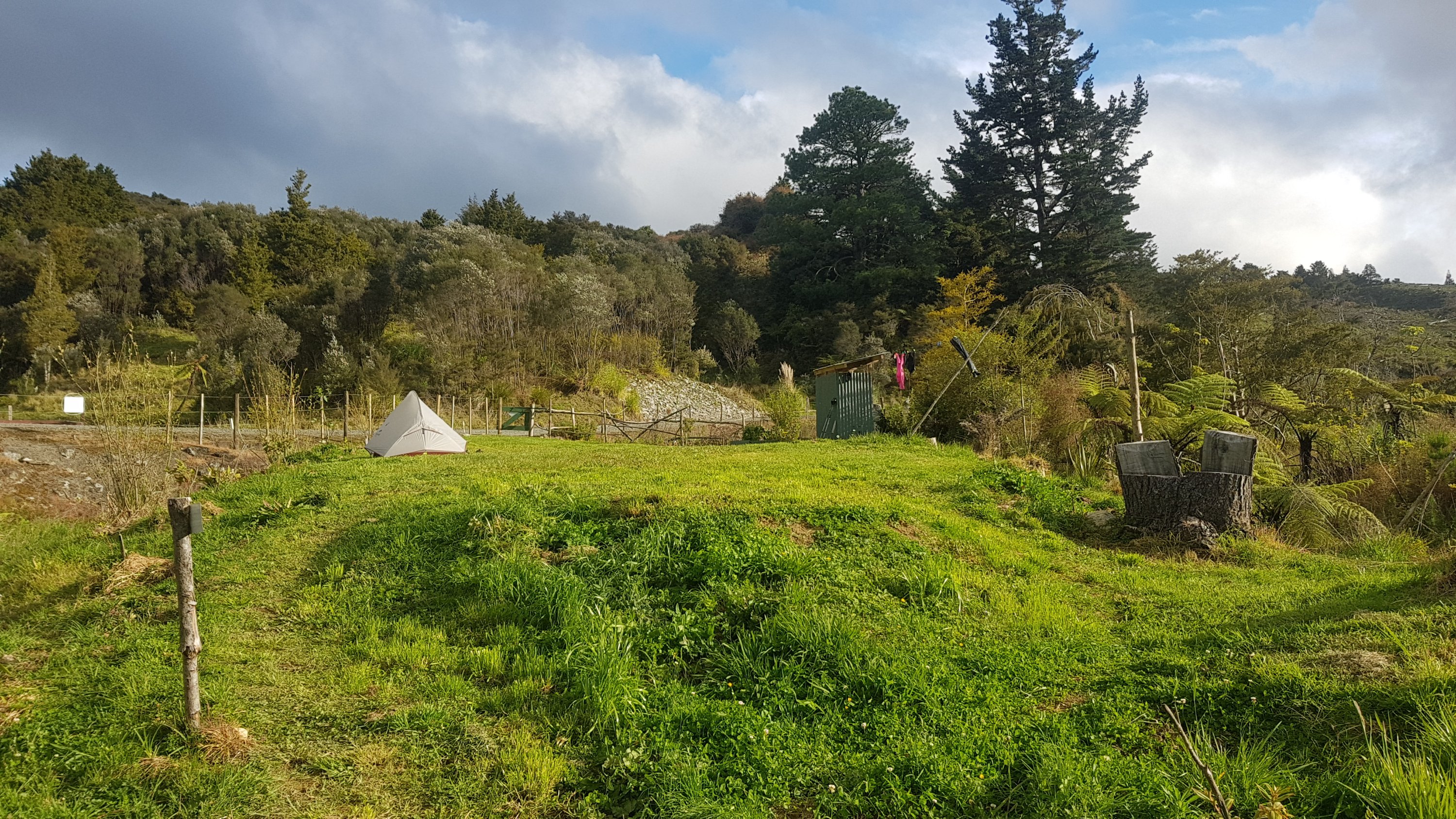
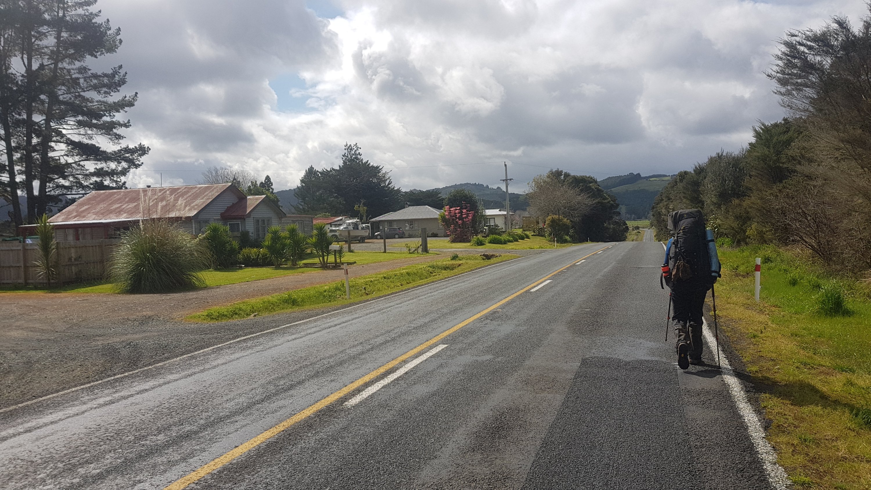
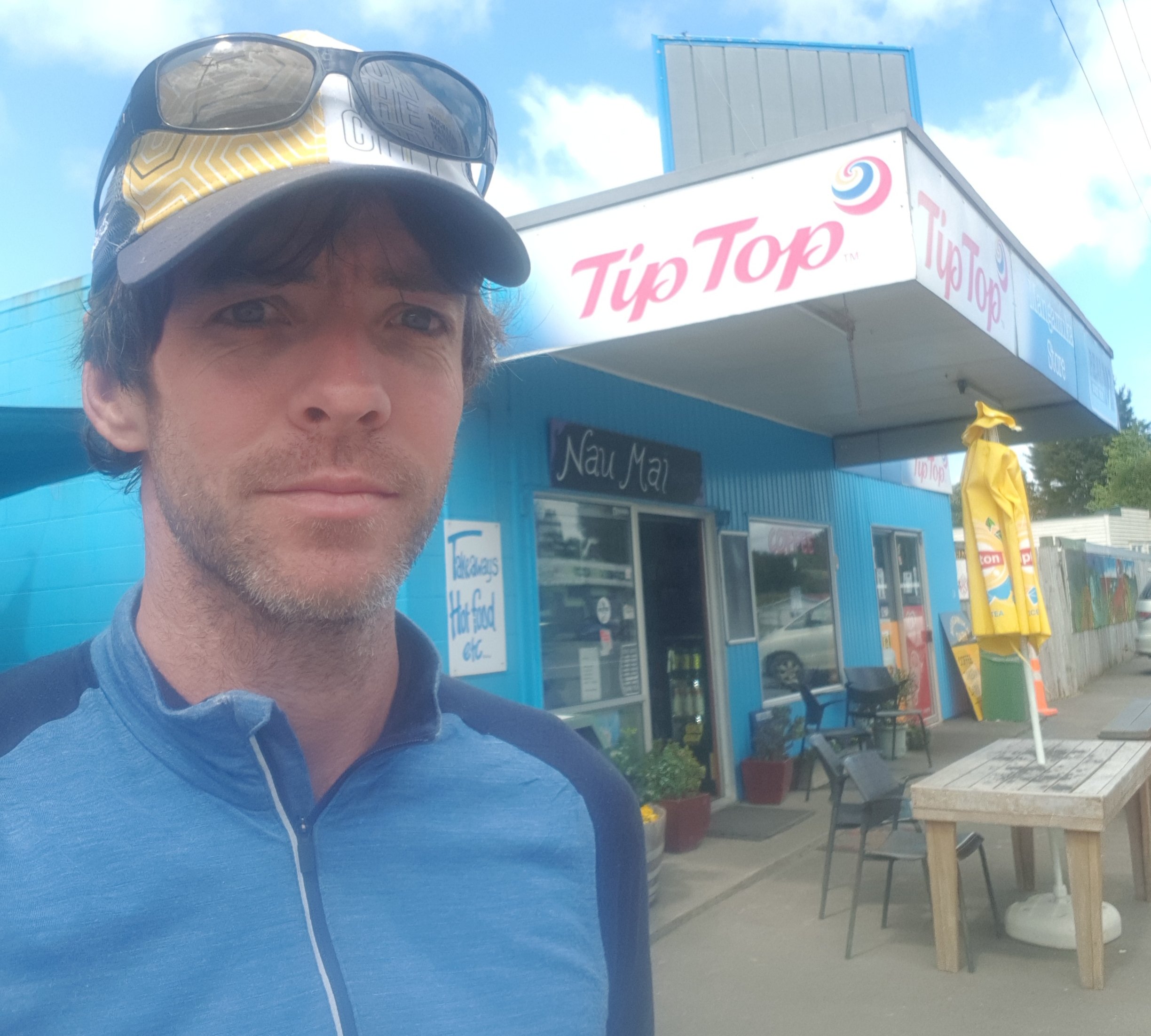
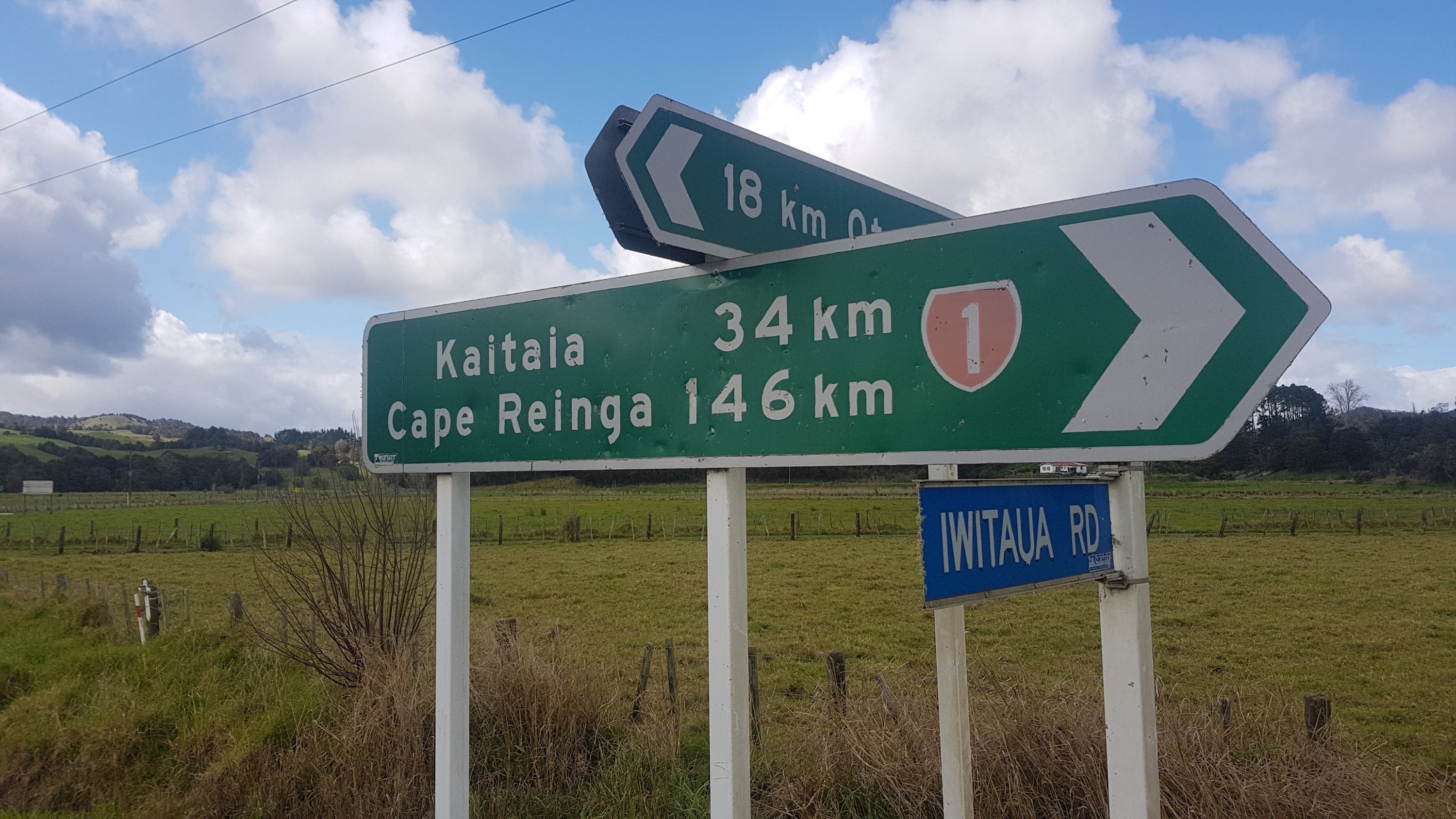
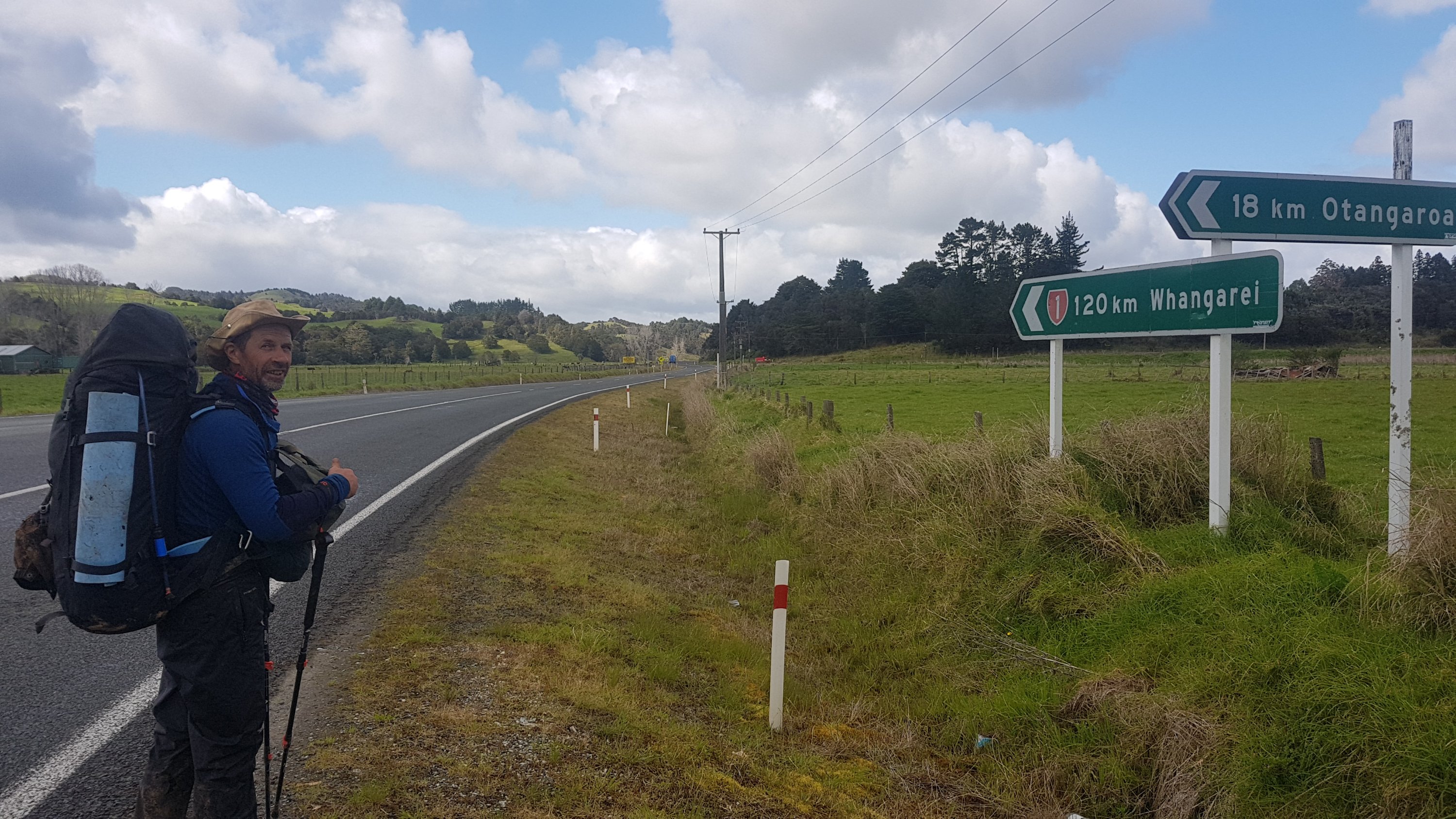
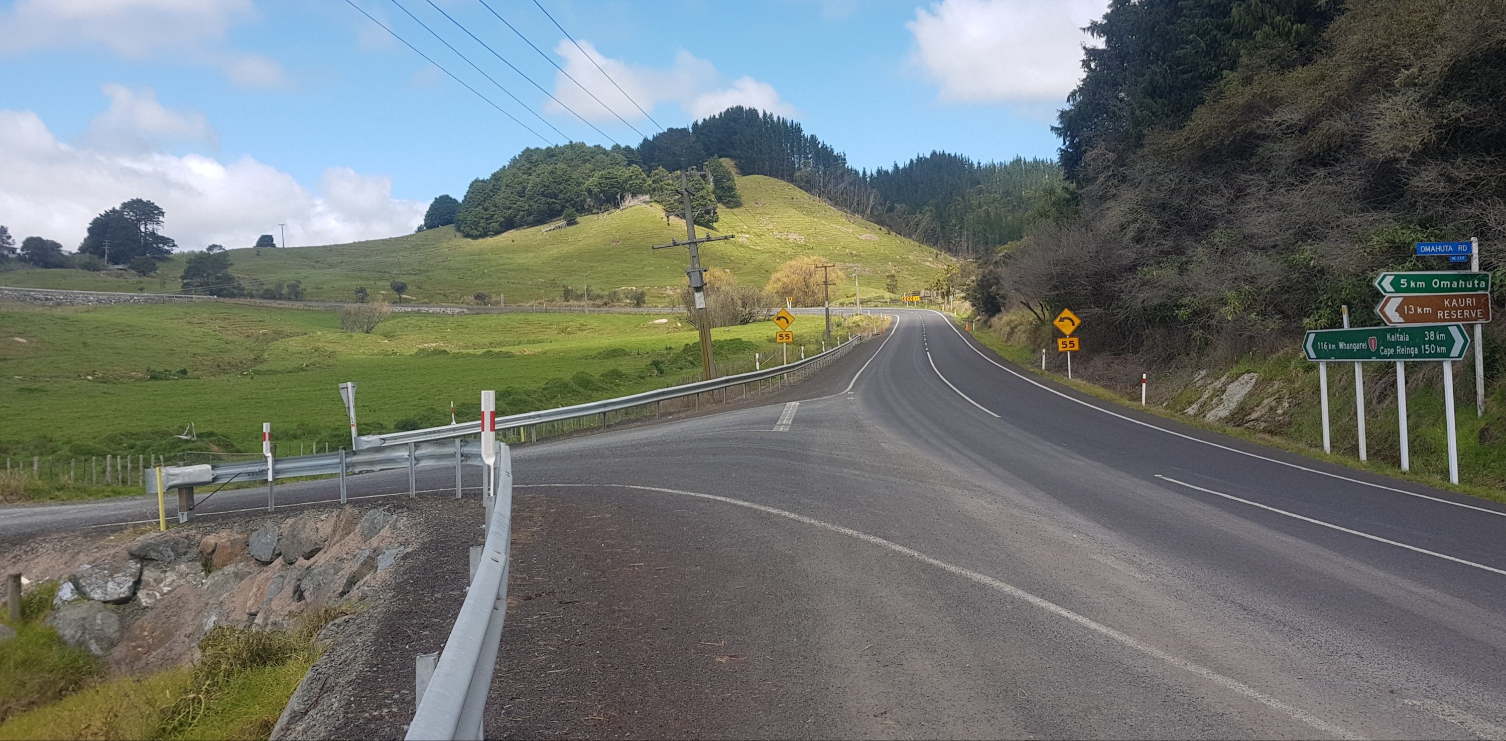
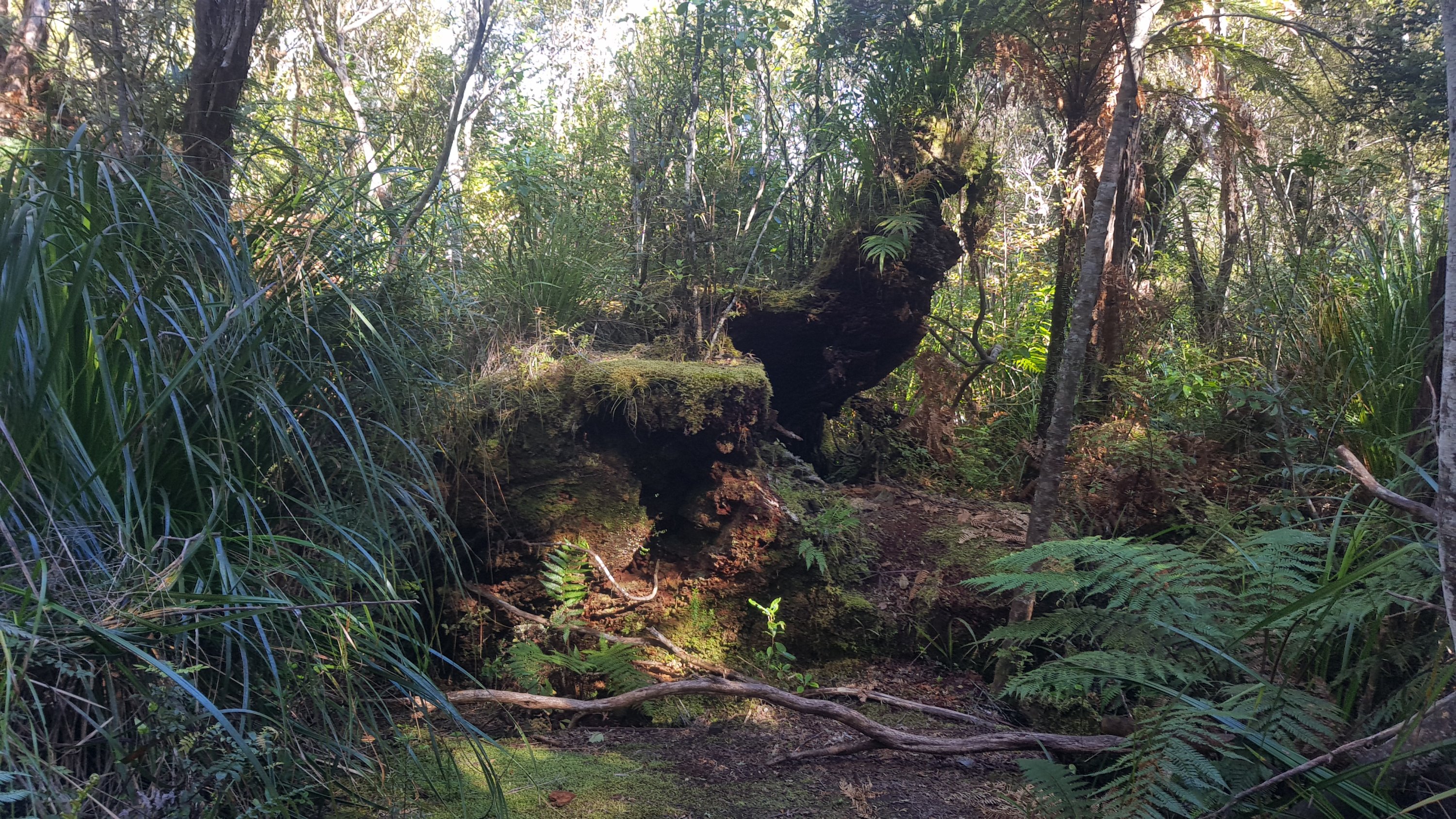
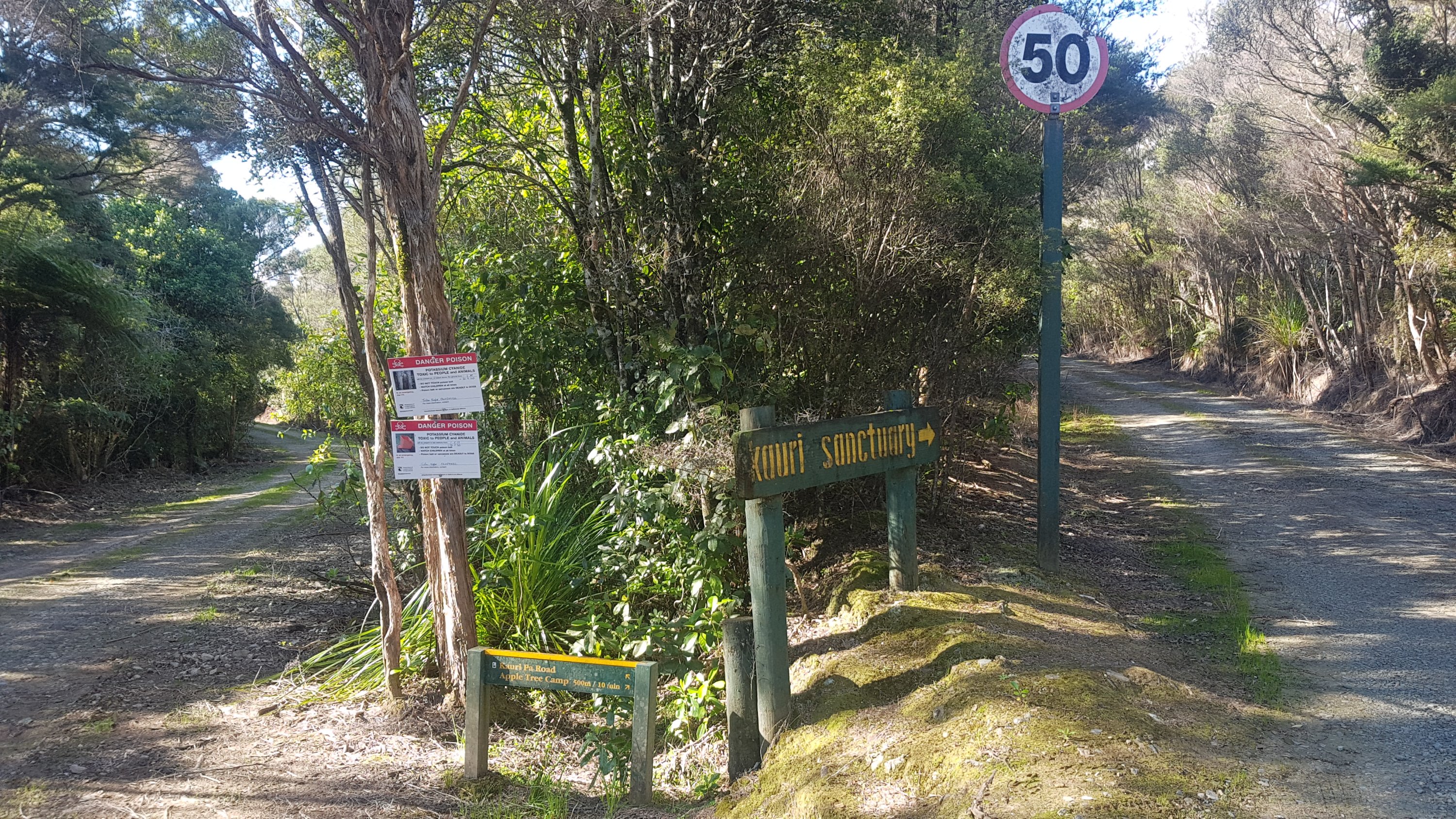
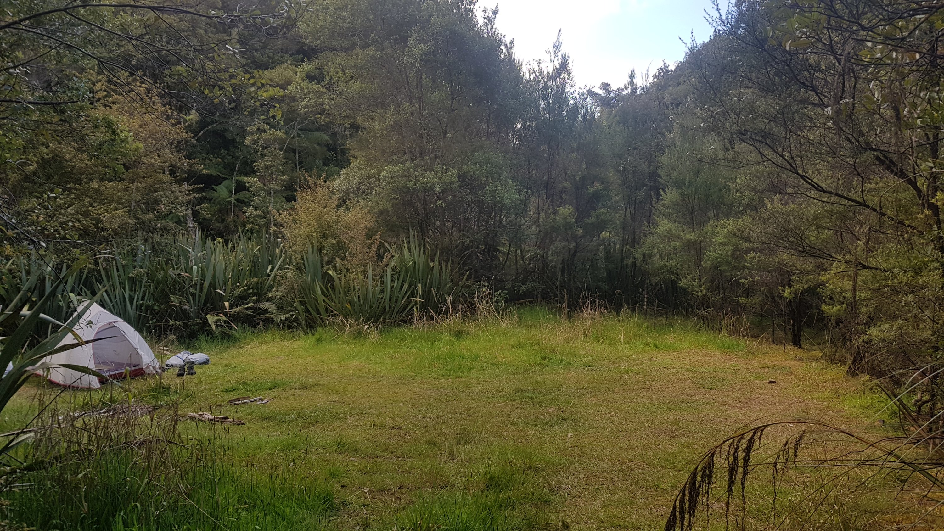
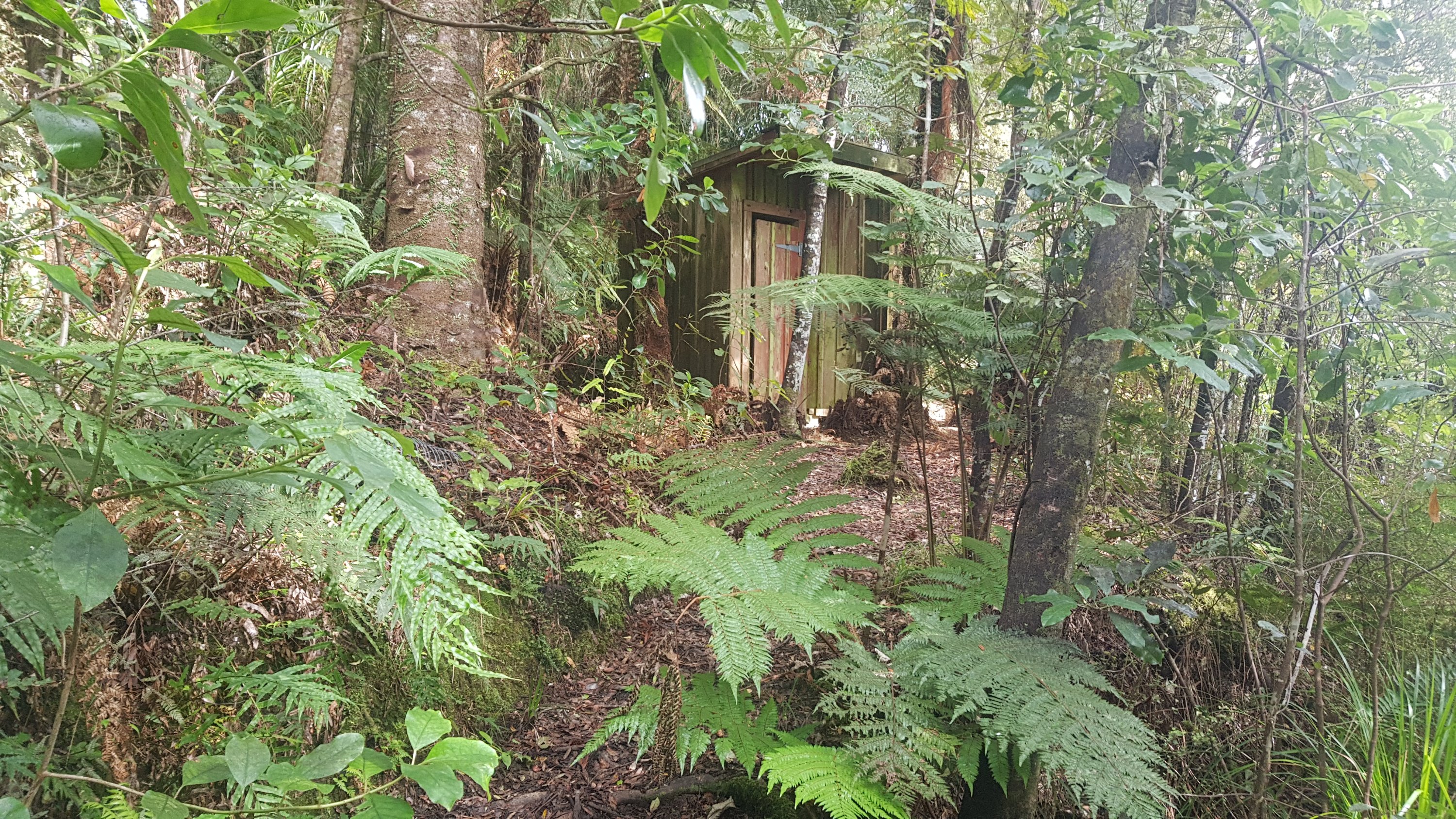
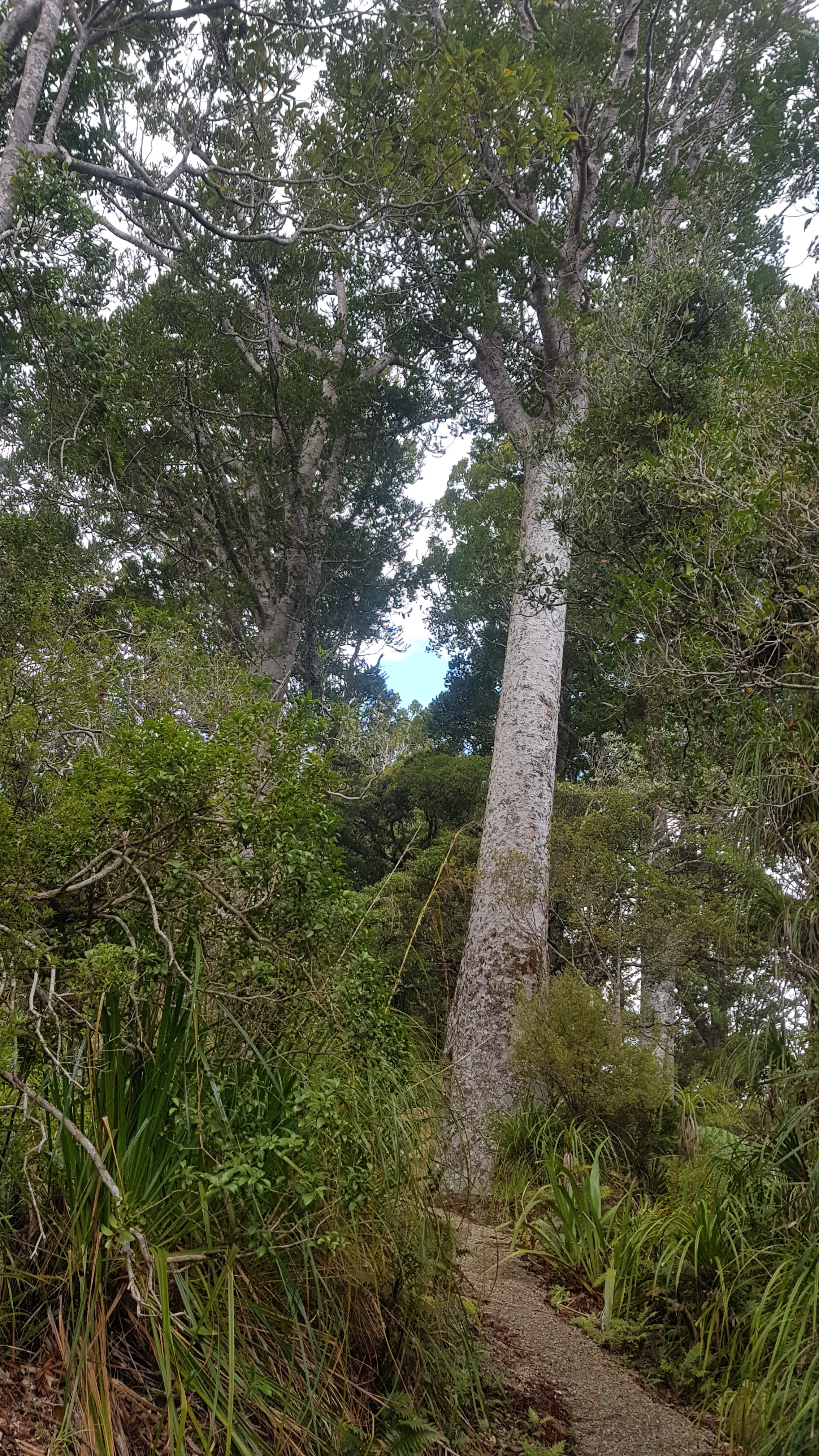
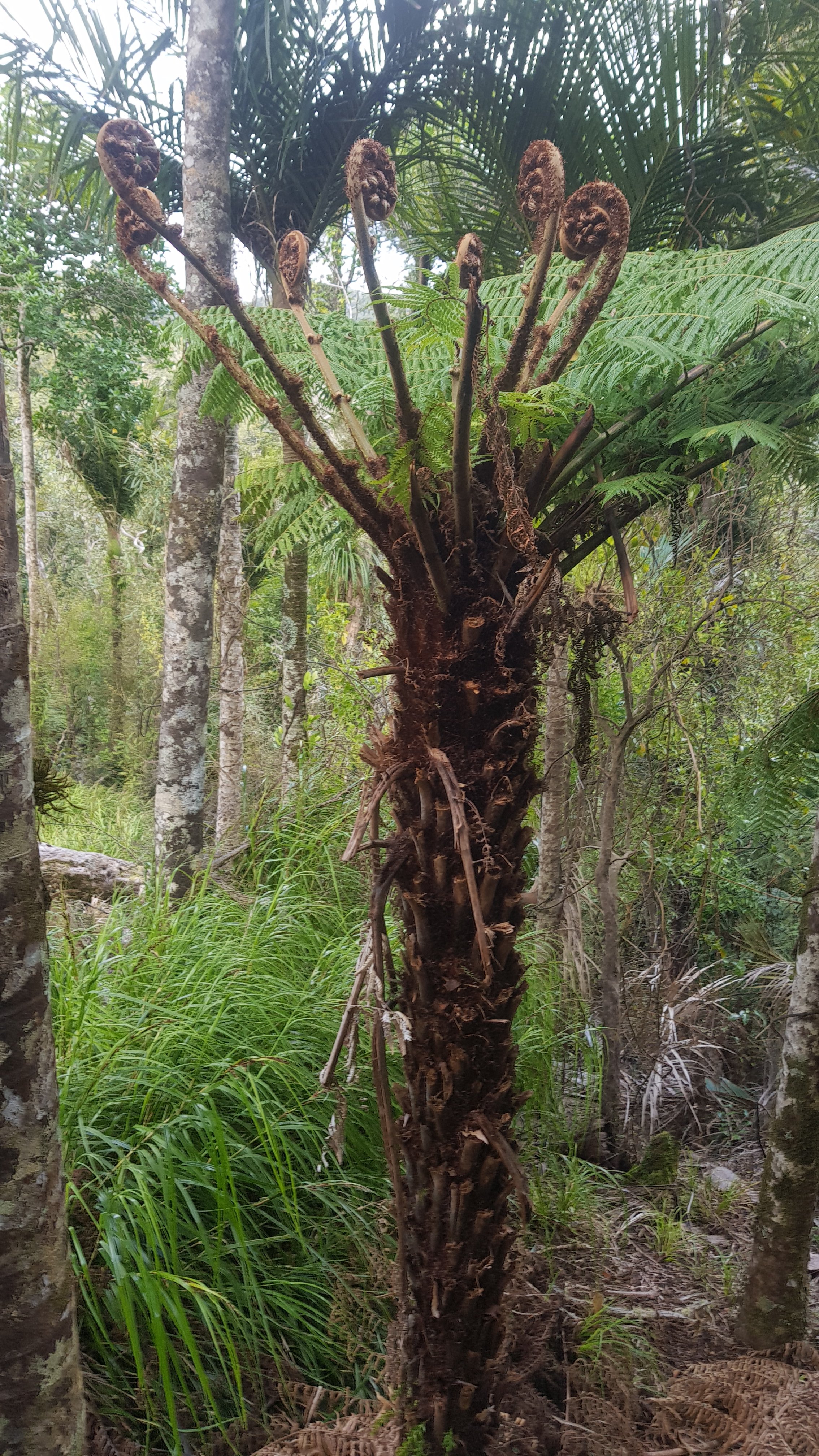
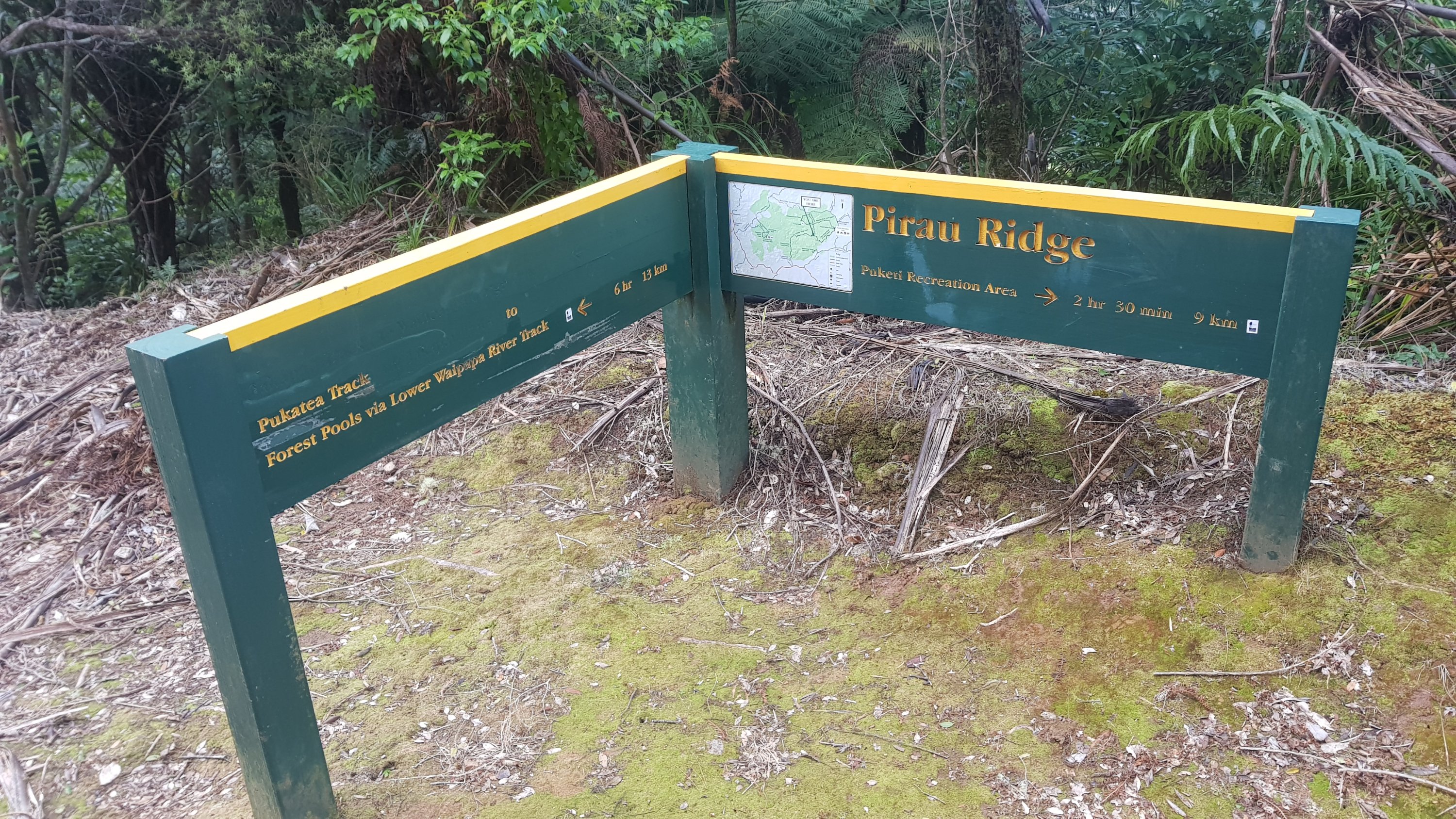
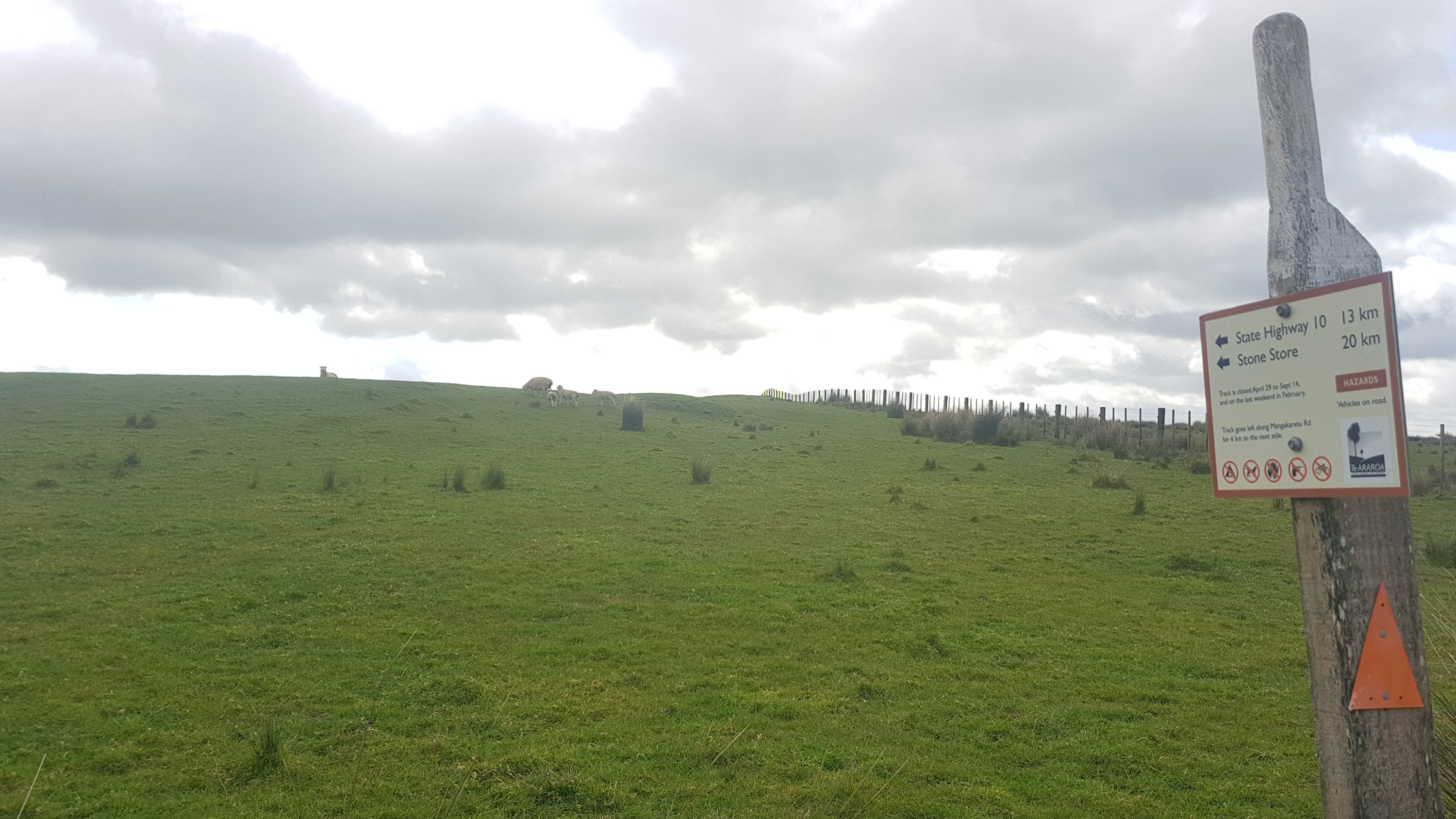
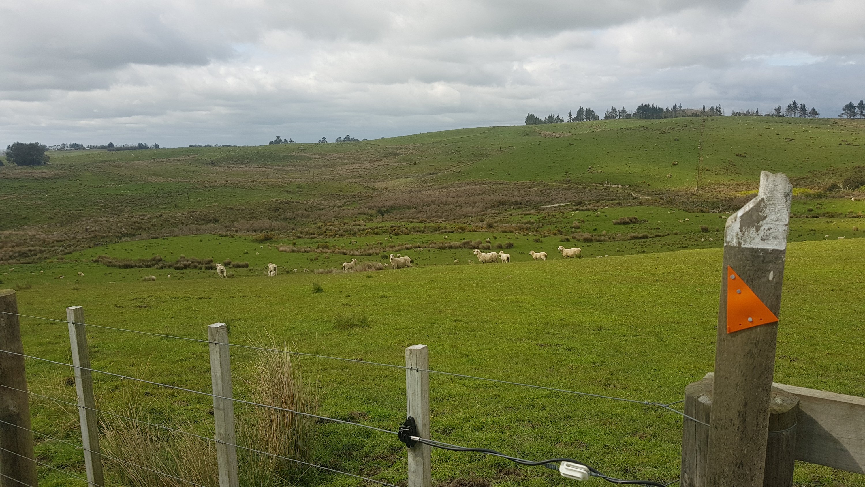
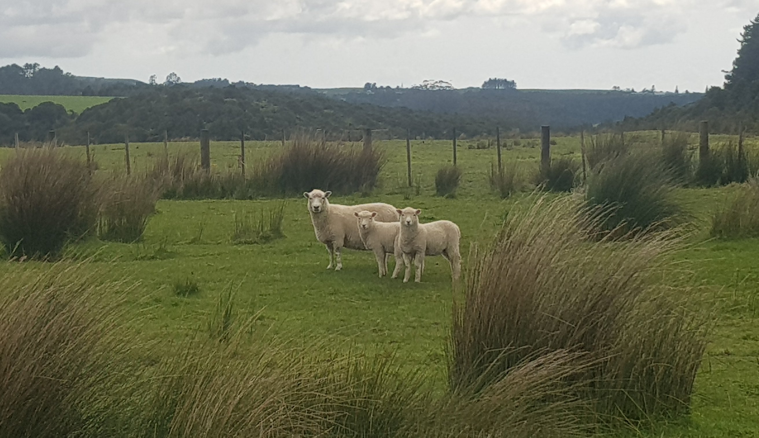
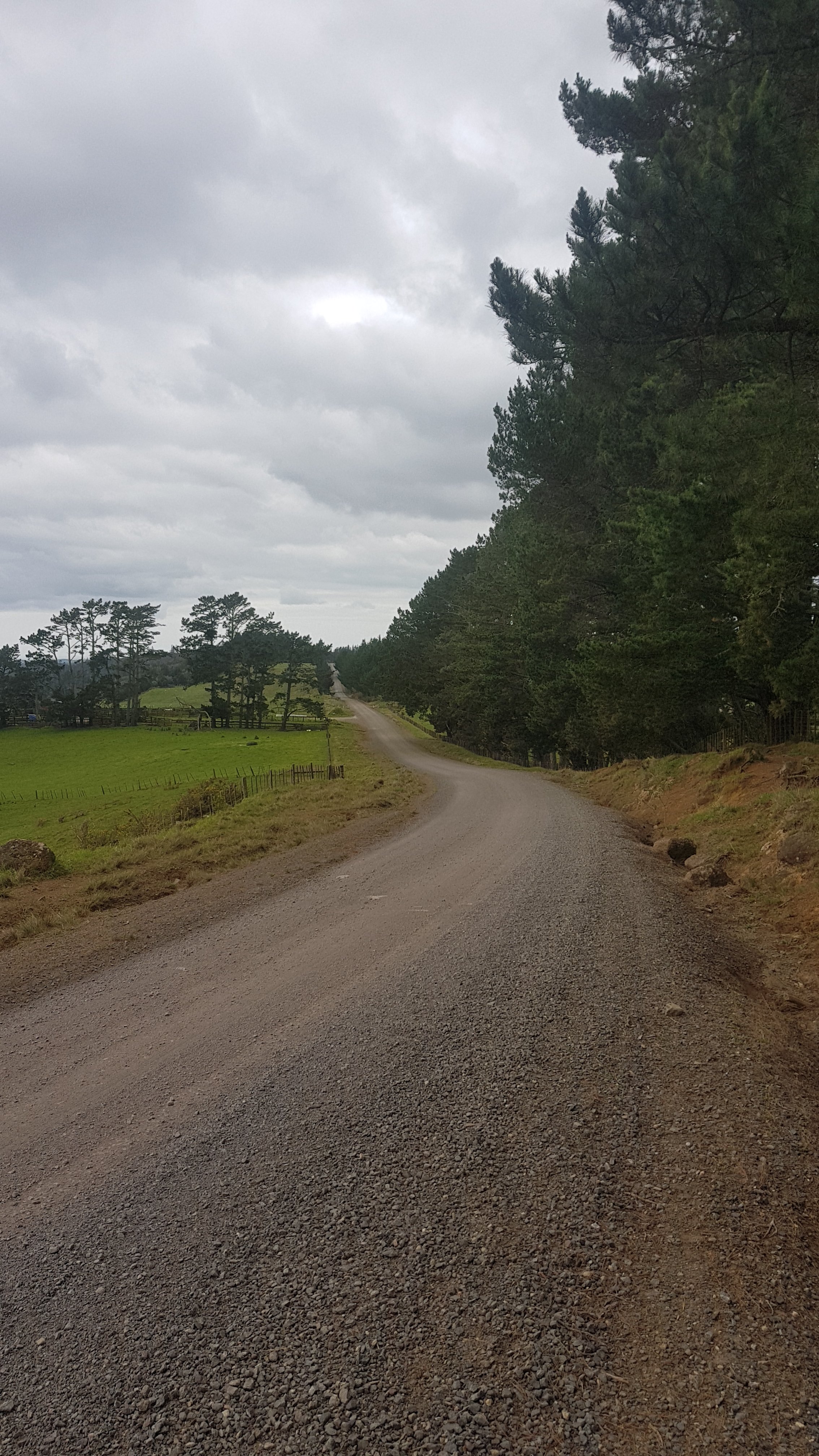
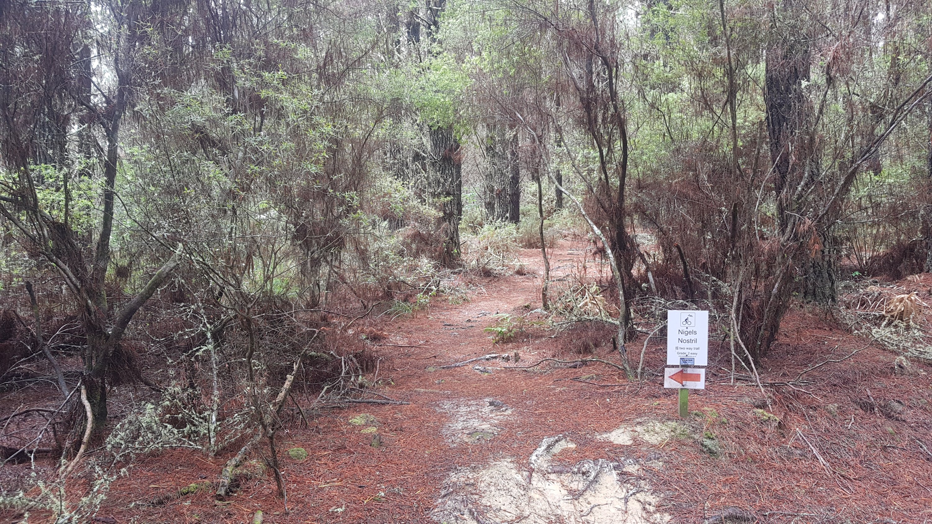
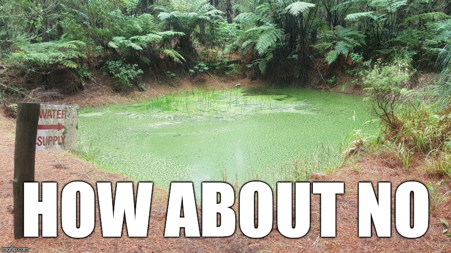
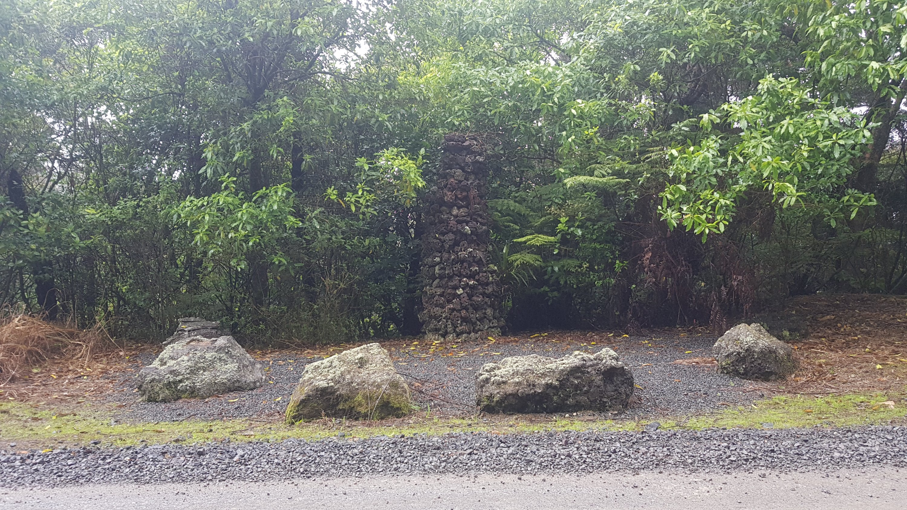
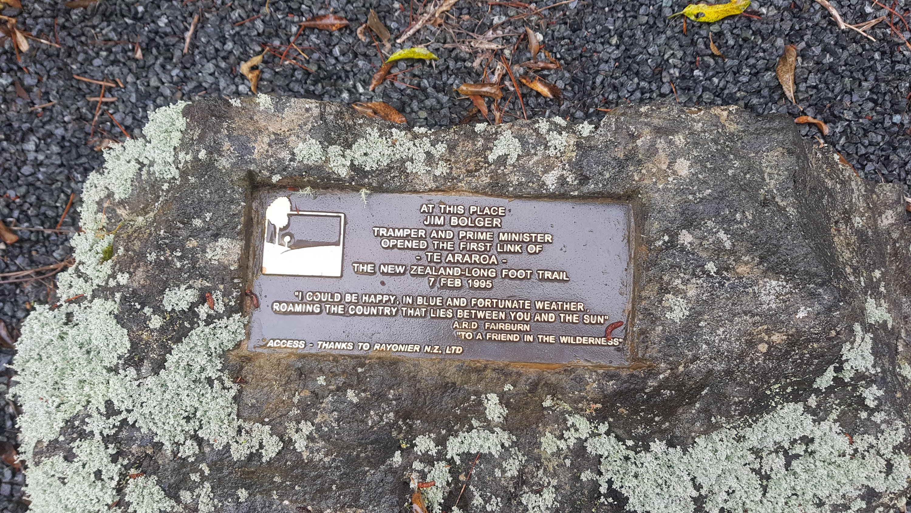
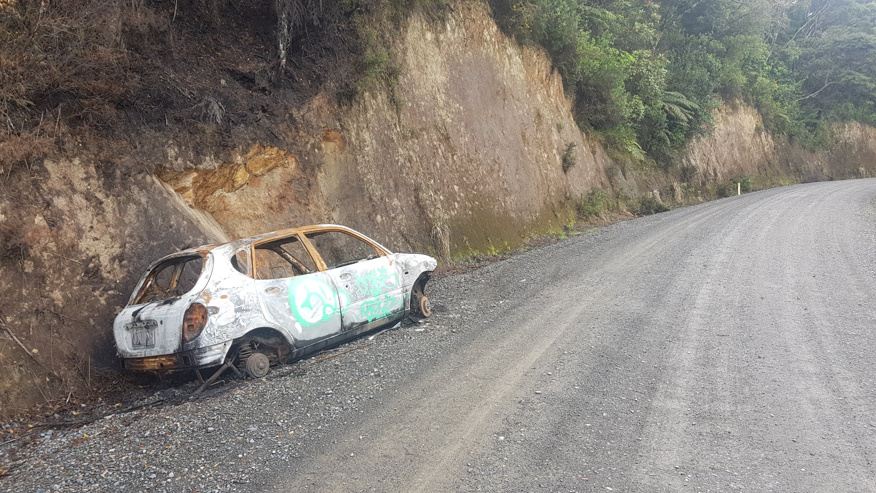
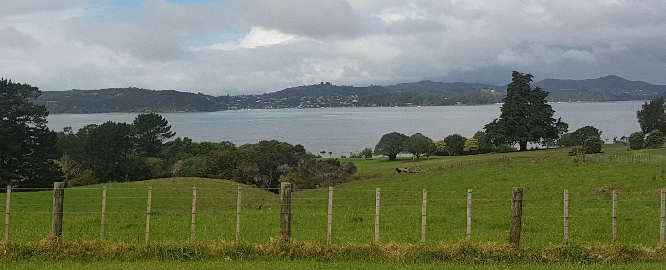
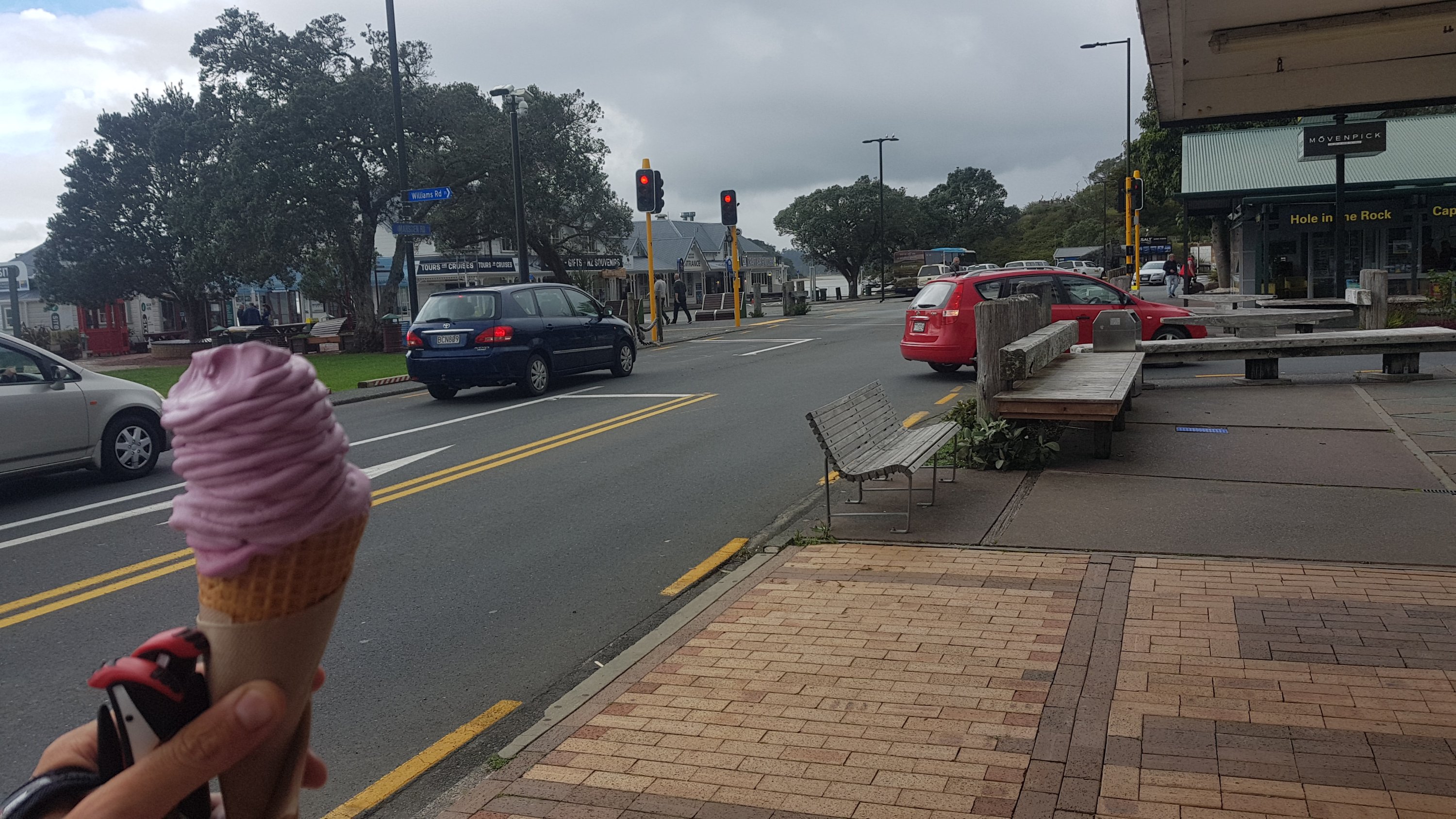
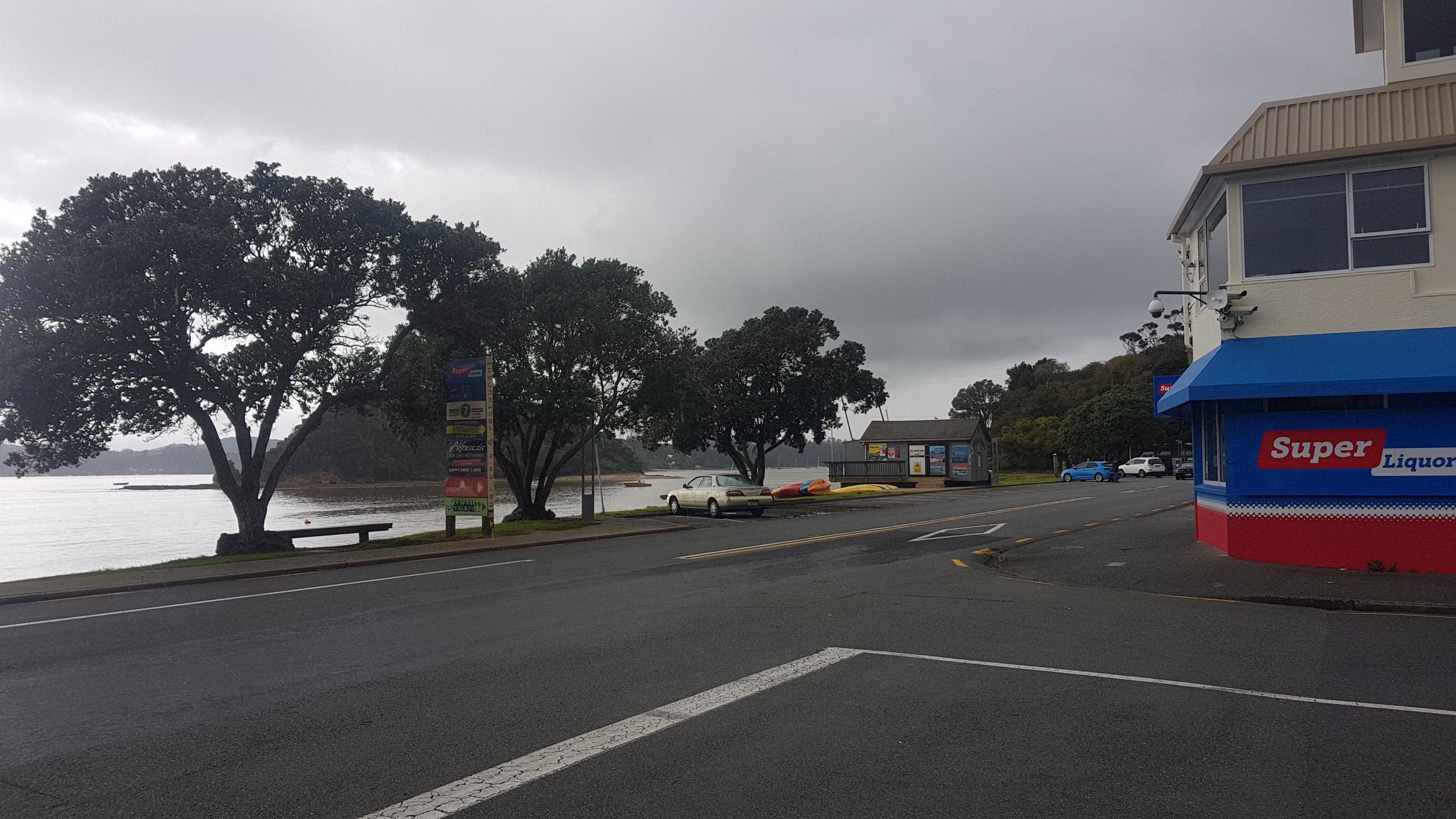
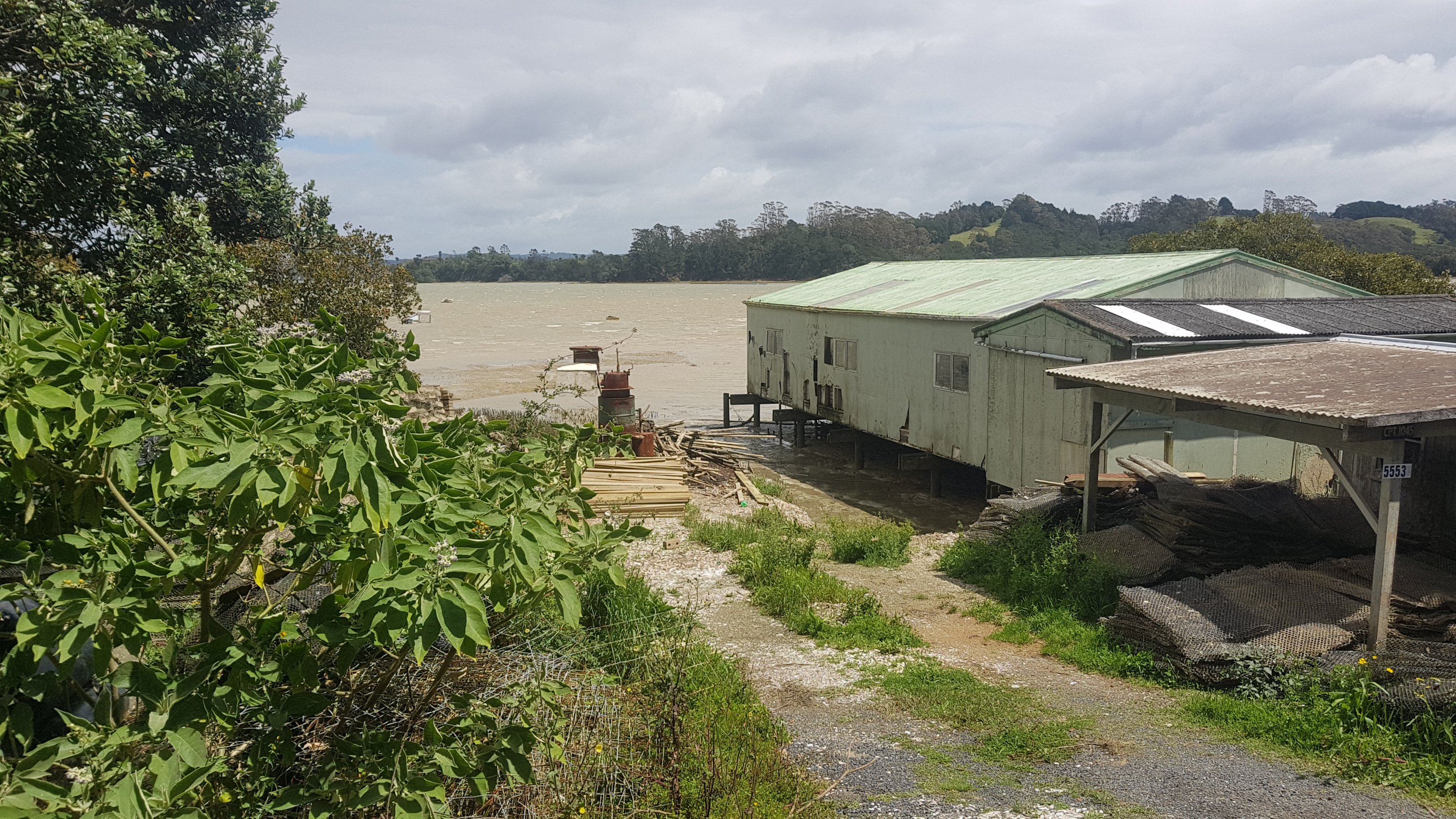
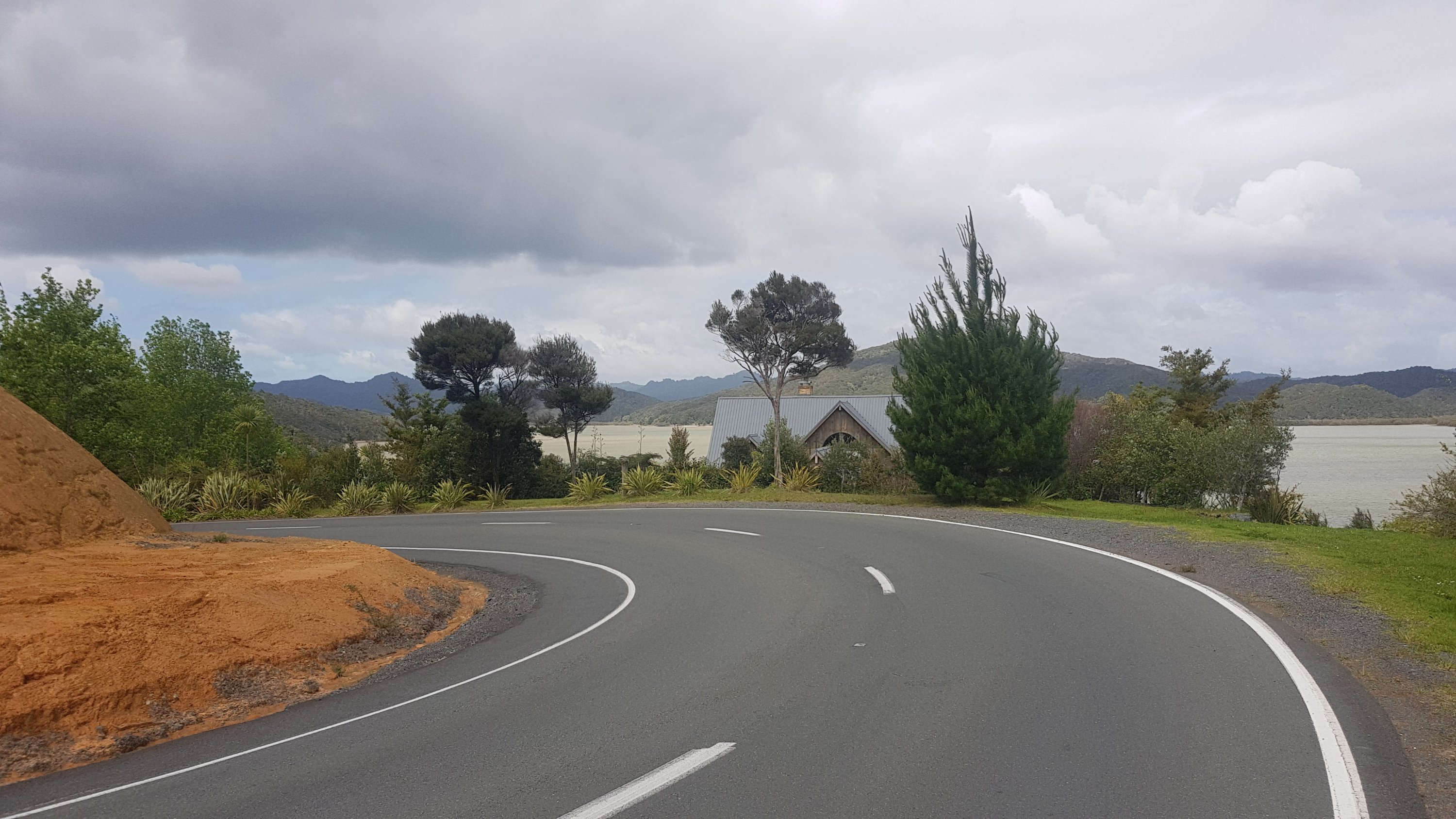
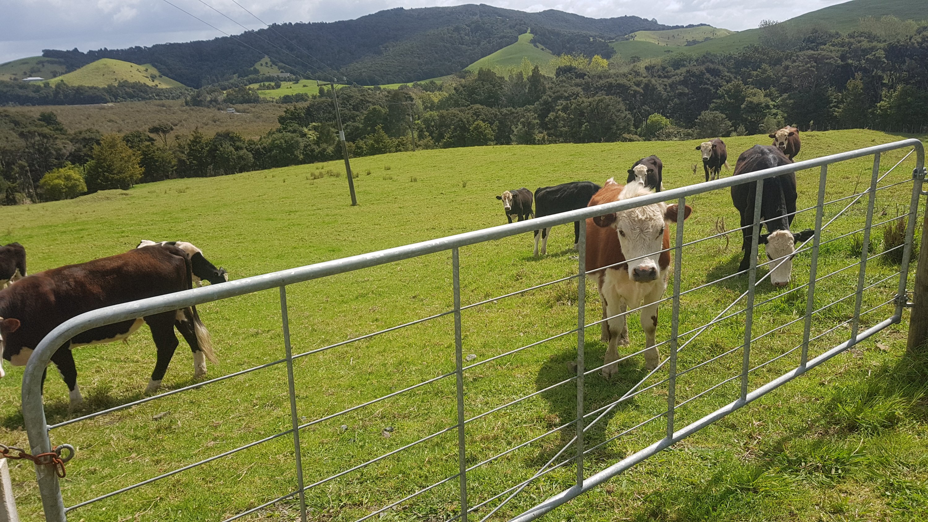
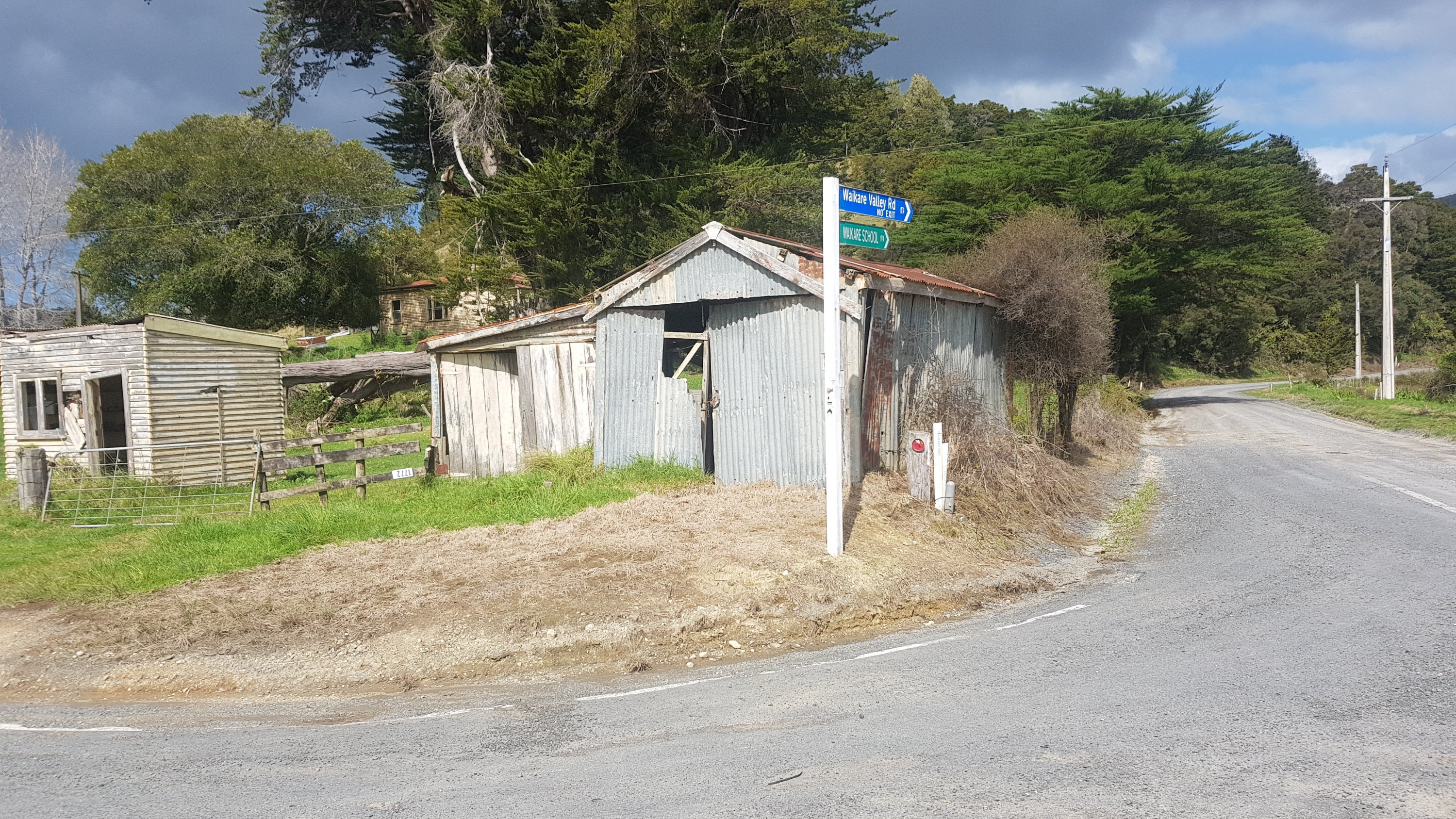
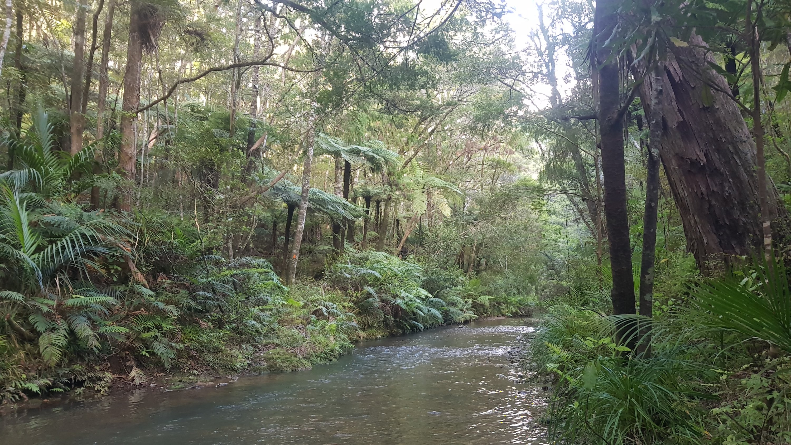
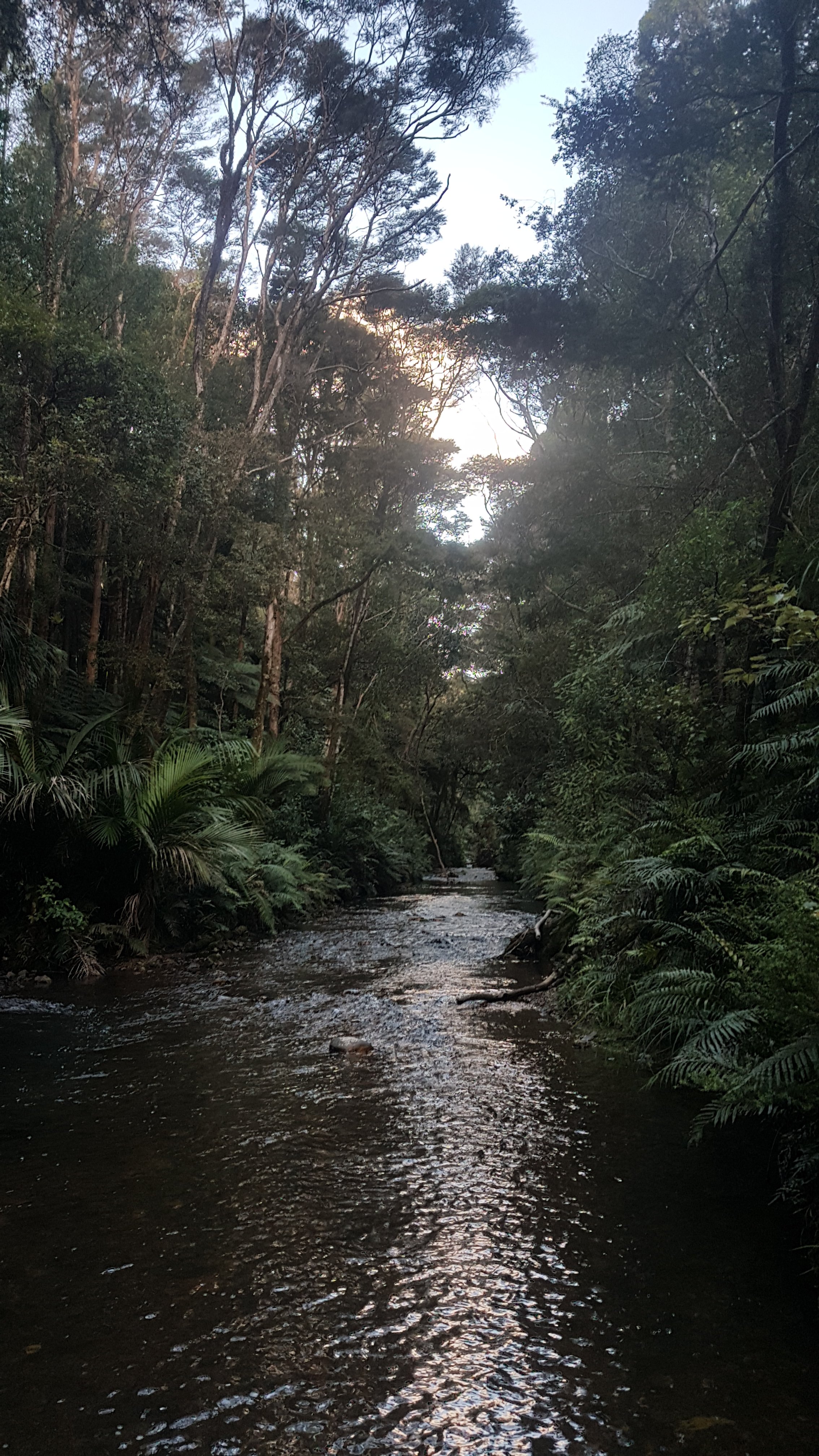
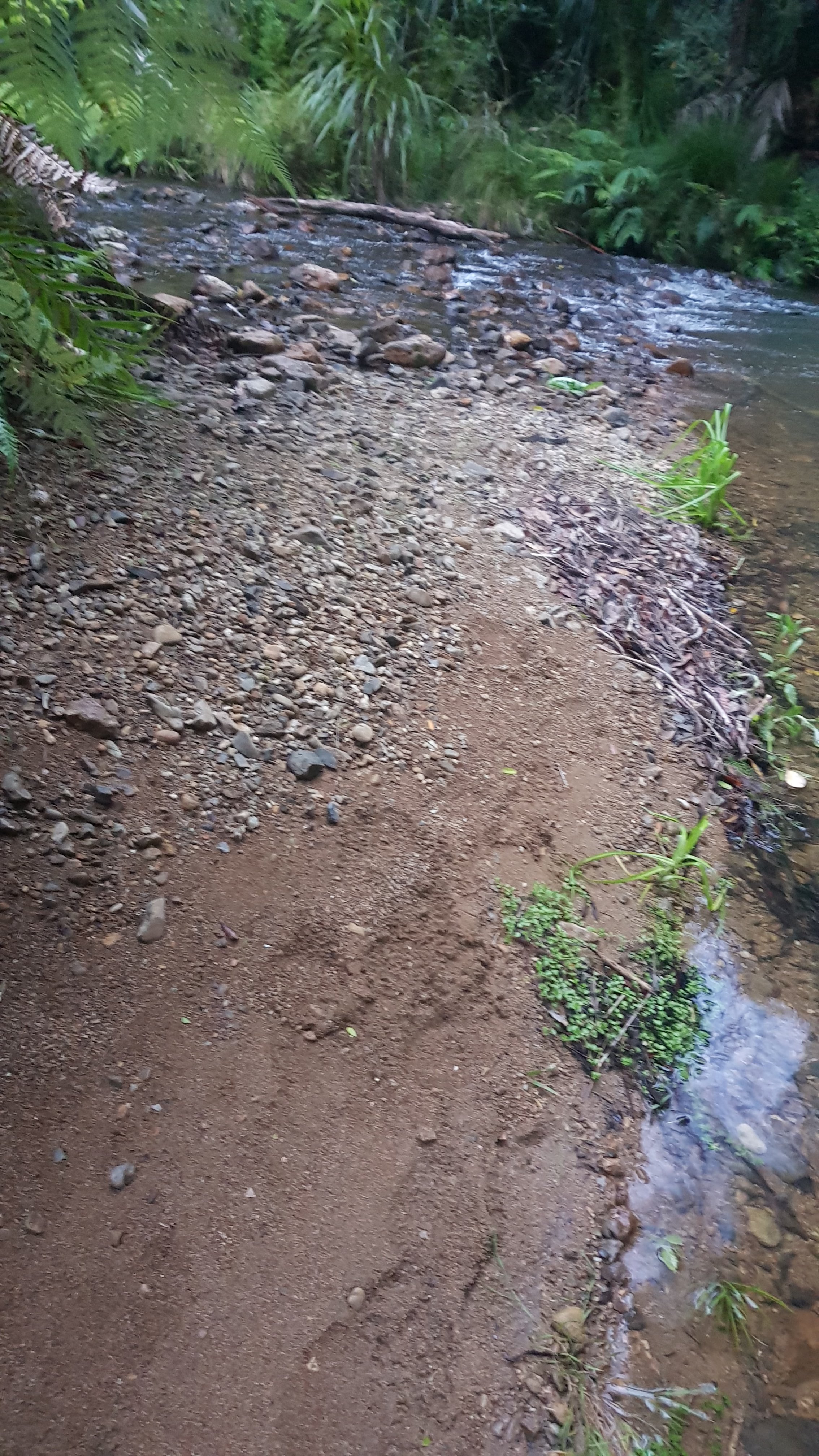
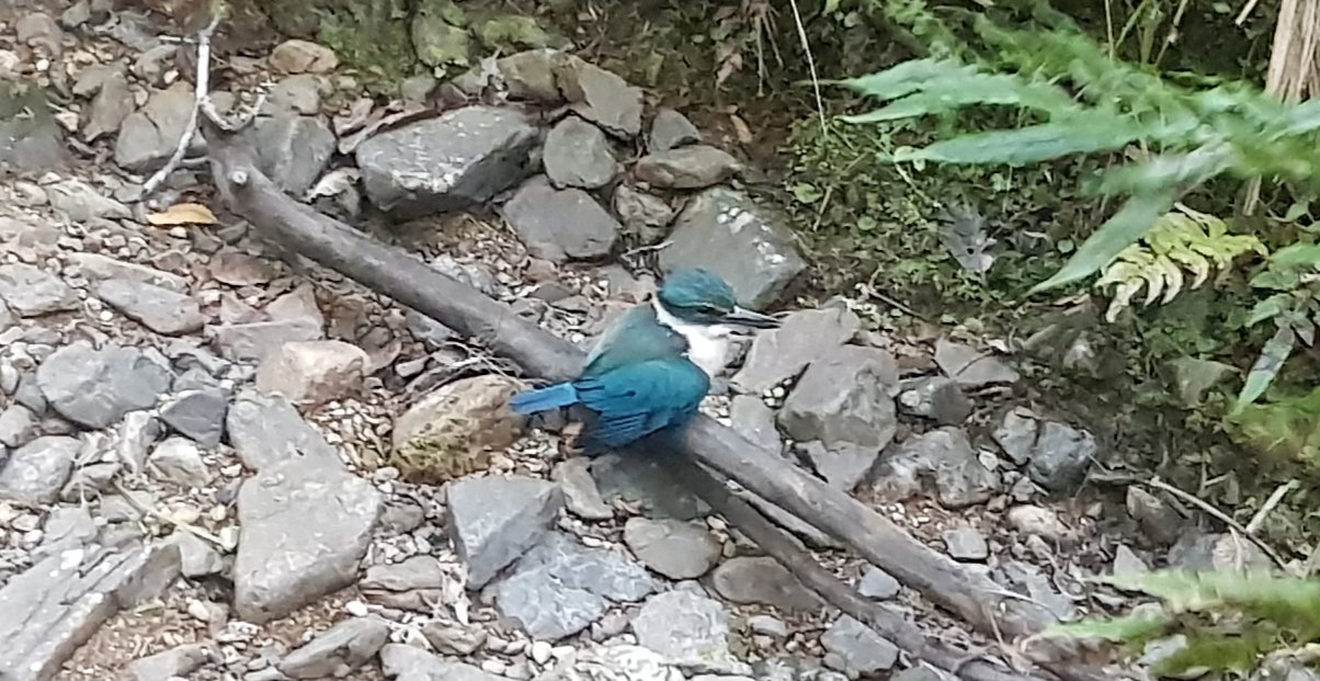
Anyway if you look below you can see some other random photos, and also where I walked today, and how much I still have to go. Still quite a bit, it seems.

Click here to see today's walk on the map.

Shags (I think) on the beach
These stairs had to go to somewhere interesting, turns out it was Twilight Campsite
Tonight’s sunset

Day 2 – Twilight Campsite To The Bluff

Date: 27 September
Distance walked: 31km
Trail covered: kms 12.2 to 40.1
Weather: mostly perfect
Tour buses that passed me: 2
From 1-10, how soul-destroying is 90 Mile Beach: over 9000

It’s harsh having the second place you stop at called The Bluff. It sounds so much like Bluff… which of course is where people ultimately end up if they’re crazy enough to walk the whole thing. But today I made it to the second recommended campsite – The Bluff. Maunganui Bluff to use its full name.

I didn’t get a lot of sleep last night. There was a fair bit of rain banging on the tent and the wind really picked up as well. At 1am the tent was flapping around so much I was worried about it… So I went outside and checked all the stakes. Fortunately they were all exactly where they were when I left them so that was reassuring. While I was outside I had a look at the stars. They were very beautiful, and there was no moon. It was a very quick look, the wind was blowing so hard I was freezing standing outside in just my shirt and undies.

I slept through until 6am. My view in the morning was right out into the sunrise. Although I hoped it was… or was everything on fire?

First sunrise – or is it fire?

When I used the loo boy there were a lot of bugs… they took me by surprise. I thought they didn’t look like flies… more like mosquitoes, but it’s hard to say. Then I had breakfast (porridge which I burnt despite only cooking it 1 minute) and went to pack up the tent. One advantage of a real windy night is that despite all the rain, the tent was dry in the morning. Hooray! But one thing I wasn’t happy about… Holes in the mesh of my tent! On the first night! Come on… I expected things to go wrong but not on the first night. I put some duct tape over them but that’s not gonna hold. I hope it holds until I get to Kaitaia and and fix it properly (can it be fixed? I hope so!)

Rips in the mesh of the Naturehike tent

I packed up and said one last goodbye to Twilight Campsite. It was a bit emotional since as well as being the first stop on this journey it was the first place I’ve ever camped away from my car and really out of my comfort zone, and by myself nonetheless.

Goodbye Twilight campground

I knew that today was 5ks over a hill and then about 25km of walking down 90 mile beach to the next campsite. I wasn’t really looking forward to that. The hill was not too challenging, although there were lots of stairs going down. I even stopped to look for a geocache which was apparently hidden somewhere on the stairs, but I couldn’t find it. There were so many places it could be and I didn’t have the patience. And while I was looking, it dawned on me how long it actually would take to walk 30km. So after a quick snack at the actual start of 90 mile beach, I set off walking.

The northern end of 90 mile beach

It was pretty tedious. Not a lot happens on the beach. Here’s my 11am picture:

11am picture – birds on the beach (again)

Even after all 30km, I still hadn’t seen anyone else. Well, a few cars went past down the beach (it’s an official highway) and two tour buses, but they don’t count.

Tour bus

The view doesn’t even really change much, as you can see:

Another view of the beach a few hours later

I had originally set myself specific break times so that I would get to the campsite at a reasonable time. However, after a while i learned which things on my pack to tighten and which to loosen when various parts of my body started hurting. So I thought to myself that as long as nothing hurt, I would just keep walking. So I only actually stopped at 10km to look for another geocache (again unsuccessfully), 18km when I felt a blister coming on and 23km when there was a bit of rain coming and I put my jacket on.

I could see The Bluff from about the 15km point, and it was in my vision the whole time from then on. It very very slowly got closer. It reminded me of the Auckland Marathon, where once you reach the 31km mark, you can see the city centre in the distance where it finishes, but it never seems to get any closer.

Maunganui Bluff – the little bit of land sticking out into the sand

Despite having just walked 30km, I detoured off the trail a bit and walked out onto The Bluff itself which can only be reached at low tide, so I might not have another chance to go out there. I’m glad I did, the water there was really rough and there was this weird foamy stuff that looked like it was bubbling, like some kind of alien goo.

Alien goo. It wasn’t static like this photo shows, it was bubbling quite intensely.

As the tide came in, you could see the water coming in from both sides across a thin bit of sand (a tombolo I believe it is called – thanks again, geocaching).  There are three geocaches in this area and I found all three.

Looking towards the campsite across the tombolo

Onto the campsite, and there were lots of people on motorcycles – a big group of them who had a caravan set up. I went over to talk to them because I hadn’t seen anyone since I left the Cape, but on the way over I saw two guys who looked like hikers, so I talked to them instead. Finally, I get to see and talk to someone else! There was Ernest, who said he had seen me on the bus, but I hadn’t seen him, and there was Rhydian who recognised me from Facebook. Small community, isn’t it!

Ernest is the guy that I mentioned in the last post who was walking north up the beach from Ahipara to Cape Reinga because then the wind would be behind him. Not a bad idea yesterday, but today the weather was perfect except for just a small bit of rain. There was a little wind but not too much, a bit of cloud so the sun wasn’t too strong, and not too hot. Once Ernest gets to Cape Reinga he plans to hitchhike back to Ahipara and go south from there. Rhydian is walking south like me, he started a day before me but he took his time getting to The Bluff, so I caught up to him. So I am sure I will run into both these hikers again.

This campsite is quite nice, there is horse poo everywhere and apparently wild horses usually roam the campground but I didn’t see any tonight. I think all the motorcycles scared them off. There are 5 or 6 of these motorcycles and they are so loud, going round and round and round the campsite. I hope they don’t go all night.

I set up my tent as far away as possible from the big group of people with motorcycles and then the three of us made dinner together and had a good chat. I had a Back Country Cuisine Mexican Chicken which was pretty good. Nice not to have couscous three nights in a row.

My campsite on day 2

And then when it got too dark to see and the wind picked up a bit and it became freezing cold, we all went to our tents, where I’m writing this now. Less wind should mean a better sleep but boy the bits between my shoulders and neck are sore. I don’t know how I’m going to carry that pack another 30km down the beach tomorrow. Hopefully some sleep will help with the pain.

At least I will have Tania’s famous blueberry smoothie waiting for me at Utea Park! And actually they also have a hot shower. Lying in the tent I am really starting to think I need a shower – it doesn’t smell nice.

Click here to see today's walk on the map.

Day 3 – The Bluff to Utea Park

Date: 28 September
Distance walked: 30.2km
Trail covered: kms 40.1 to 69.4
Weather: Perfect
Number of geocaches found: 1
Number of irritating campers with motorbikes at 7am: 6

I’m not entirely surprised this morning that all the people with the motorbikes started riding them around and around the campsite starting 7am.  They have all of 90 mile beach, but no, around and around the campsite they went.  And this was after they were playing hide and seek at 9:30pm last night with a torch which they kept shining into the tent so that didn’t help with sleep.  Not a brilliant start to the morning.  I’m going to have my breakfast and pack up and go even if it is high tide.

Rhydian left just after 7am, so I figured he was going to beat me to Utea Park campground today.  I didn’t end up leaving until about 9am, which was only half an hour after high tide.  It’s noticably more uncomfortable walking at high tide.  The sand is softer, the waves keep coming up to you forcing you to run away or get wet, and when idiots drive down the beach they’re much more of a menace when they and I are both sharing a very small bit of wet sand.

Starting out today at high tide

It was only an hour or so before I spotted a person in the distance.  It had to be Rhydian, nobody else could have been walking that way without me knowing.  He seemed to be walking slowly – I caught up to him fast.

Footprints… and competition in the distance

Despite that, once the tide fell away, I felt a lot better today while walking.  Much better than yesterday for some reason, even though it is my second 30km+ day of hiking in a row. Maybe because it’s not raining, or knowing that there actually are other hikers out there?

I went to get my phone for the 11am picture and literally just as I did, this plane flew down the beach, flying really low.  I wish I got my phone out a bit quicker to catch the front of the plane, but I still got a picture of the back.  I chose the shorts I’m wearing because from past experience wearing these shorts while running I knew my phone wouldn’t fall out of my pocket while I am walking on any future rough terrain, however that has the added drawback of it taking a few seconds to get my phone out of my pocket when I need it.

11am picture – a plane flew past at exactly 11am (click for larger)

I stopped and found a geocache only 100m or so inland from the beach at the 12km mark.  It was my only break today because I was feeling so good and not hurting at all.  I spent about 45 minutes resting and eating lunch.  When I went back out onto the beach to continue my journey… was Rhydian behind me or in front for me?  I had no idea!  There were no footprints in front of me again, so I assumed he was behind me.

Only my footprints when I look behind me (again)

I knew I had another 18km of beach walking today, for a total of 30km, and I feared it would be highly monotonous. But at 13km I passed a lot of people parked around a couple of little lifeguard boats.  I thought maybe somebody was in trouble as there were more people here than I had seen on all the rest of the beach put together.  But no, there was some kind of lifeguard training on today.  The commotion here was that one particular lifeguard boat had a bung motor and everyone was trying to fix it.

Commotion on the beach – well compared to the serenity up to this point

I talked to one of the women there as I walked past.  She asked if I had just started the Te Araroa trail.  Obviously some of the locals have heard of it and know that it goes down here.

At the 15km mark I could finally see the Ahipara hills. I wasn’t sure exactly how far away these were, but I knew that they were at least another 30km walk tomorrow, or possibly even further.

Hills near Ahipara way in the distance

I also started seeing this weird formation all along the beach, which I hadn’t seen further north.  Lots and lots of these little sand holes.  They looked like big Honey Puffs (a breakfast cereal you can get here).  When I put my walking stick into them, water squirted out of the holes.  They were everywhere.  I meant to ask someone local what they were, but I forgot.  I may now never know.

Weird formation – what is it?

Reliable cellphone reception started at about 20km.  I heard at this point from my friend Kelly that she was no longer coming up from Wellington to Auckland to go to the Metallica concert because they had cancelled.  That was sad – she was almost certainly going to be in Auckland while I would be passing through so I could have seen her.

While we were chatting she also asked if I was walking to Bluff. “I might be!” was my reply – I hadn’t told many people by this point that I was doing the walk.  I sent her this selfie from where I happened to be at that time.

Selfie

I saw a seal on the sand at 21km.  I thought it looked healthy until I approached closer and couldn’t see it moving.  Even walking right up to it and away down the beach I never saw it move.  I hope it wasn’t dead.

At the 27.5km mark I could finally see the green flag of Utea Park.  Tania said that she would put it back up just for me – it had blown down in the heavy wind on Wednesday night. According to the Utea Park visitors book, a lot of people like seeing this flag because it’s the first thing a lot of people see after a long day of beach walking.

Can you see the green Utea Park flag?

It wasn’t much longer until I got back to Utea Park, where this journey all began the day before my first day.  It was good to be back.  Although, I was advised, no smoothie would be forthcoming!  Oh no, I had been looking for this since the first time I stayed here!  This was because they had sold the fridge-freezer, as well as almost everything else.  They had even sold the beds from all the units, in fact, the guy came to pick up the bed while I was sitting on it!  Tania brought out a mattress for me and put it in the unit.  Still much better than sleeping on a tiny inflatable airbed in a tent.  I didn’t mind at all.

I felt really good when I walked into Utea Park at today’s 30km mark, however it was only 15 minutes or so before everything started hurting, literally everything.  Much worse than yesterday.  OUCH.  At least it was all just aching.  There were no stabbing pains or any sort of indication that any of my old running injuries were resurfacing.

I checked the trail notes, and it is another 32km to Ahipara.  I don’t know if I can do it tomorrow with how much everything aches now.  There is an intermediate campground at 17km tomorrow, however I really really have a craving for an icecream.  A BIG craving, especially since I didn’t get my smoothie.  Hopefully they have at least 8 flavours in Ahipara, and they can get a cone and put one scoop of each flavour on top of it.  That would be sweet (literally).

Apparently they had just enough gas left at the campground to cook dinner but the showers had run out of their gas so they were going to be cold. However Tania, being the great host that she is, invited me into her house which is adjacent to the main camping area and allowed me to use her hot shower.  That was very nice of her.

When I was coming back from the shower, I saw this adorable little puppy.  I couldn’t get a good picture because it was so hyperactive.

Adorable puppy

It was about 3:30pm when I arrived at Utea Park.  After chilling out for a few hours, I cooked my dinner and went and ate it on the beach at sunset by myself.  It was fantastic.

Rehydrated Nasi Goreng on 90 Mile Beach at sunset – does it get any better than this?

7:15pm came around, well dark by now, and who walks into the campground… Rhydian!  He had taken 12 hours to get here.  I can’t believe he had walked for that long, I really thought he was going to have to camp at some intermediate place once I saw the sun go down.  But it was nice to have someone else there to talk to.  There were a few Germans there who were staying in a campervan but they were all quite young and all preoccupied on their phones so I didn’t really talk to them initially.

Sunset on 90 Mile Beach

It’s supposed to be Utea Park’s last night of operation tonight.  Pauly D (the owner, no relation to Pauly D from Jersey Shore) was taking the signs down while I was there, as well as random people coming in and out all afternoon and taking the fixtures and fittings and decorations and anything they could get their hands on.  It was sad to see all the signs come down, but I got to see Pauly’s cool number plate 9TM1LE (I also saw 9TMYLE elsewhere on the beach).

To celebrate us being the final guests of the campground, two of the German boys lit a fire and they also had some wine which they offered to Rhydian and me.  I accepted a little bit but didn’t want a hangover so it was at most 75ml.  They were no longer on their phones so we sat around the fire with Pauly and had a chat about all sorts of things.  It was really nice and a really raging fire.

A picture of the fire when it was at about 70% of its max

After a while though, I was sore, and I went to bed.  The cabin I was sleeping in had no curtains, so I could clearly see the stars outside.  They were beautiful.

Click here to see today's walk on the map.

Day 4 – Utea Park to Ahipara

Date: 29 September
Distance walked: 32.9km
Trail covered: kms 69.4 to 101.1
Weather: too hot and no wind
Number of seals: 2
Cost of washing and drying 5 items of clothing: $8

This morning i said goodbye to Tania and Paul from Utea Park.  Rhydian and I walked together for the first bit.  This morning daylight savings started and this is the time where I usually think “oh no, I lose an hour sleep tonight” but this time it didn’t really matter too much.  Although, that meant that high tide was quite a bit later than usual, and we couldn’t be bothered waiting for the tide to recede, so we left just before high tide.

My minimalist room last night

Although before we left, Rhydian took a photo of me in my hiking attire.  If you don’t look like this, then you’re not a real hiker. Shirt, shorts over thermals, and crocs.  Very stylie.

Hiker’s attire

Rhydian stopped for a break quite early on and so I left him at that point.  It was another 30km walk today to Ahipara (in fact it was 32km) and the end of 90 Mile Beach, and I wanted to get it over and done with so again I only wanted to stop once.  I planned to stop at the 17km mark where there was supposed to be a campground where I could get water.

I saw two seals shortly after I left Rhydian.  These seals were definitely alive.  The first one started making noise and flapping around and started running  up to me – I walked away quickly as I didn’t know if they were friendly or not.  I had last seen seals in Wellington by Red Rocks in 2013, although those seals just were lounging around on the rocks and didn’t move.  I haven’t seen seals before since then.

The first seal that I came across

After a while walking on the soft high-tide sand was really draining and hard.  I looked on the map and saw that there was a road called “Coast Road” which ran right alongside the beach – so I climbed up over the sand dunes and walked down the road for a while.  It was much easier.

Dunes I crossed to get to the road

Shortly after I was on Coast Road it was 11am, so here’s my 11am picture.  When I stopped to take this, on went music and hi-viz pack, and off came the jacket and hat.  The music was on quietly because, even though it was a forestry road, you still have to be careful walking down roads.

11am picture

Although even walking on the road was hard.  The road was a 4wd bumpy road and the blister that was starting to develop on my left foot was becoming very noticeable.  But I persevered.  I was on the road for an hour or two but only saw one car in that time.  When the road next got close to the beach I rejoined the beach and kept walking to the 17km mark.  It was a slog and there was no escape from the sun on this hot day.

Where the road rejoined the beach

I eventually got to the 17km mark.  I saw the campground was a fair way away from the beach so I just sat under a tree in the car park.  I was there for 90 minutes and since I knew I wasn’t far away from a town, I ate every thing in my pack that didn’t require cooking.

Me in my shelter

While I was here I booked in at the YHA in Ahipara to make sure that I had somewhere to sleep tonight.

This is also the point where my glasses broke.  Now I have to wear my hat or beanie to keep my hair out of my face, even when it’s hot.  Will have to get new ones at Kaitaia when I get there.

RIP cheap sunglasses

It was a further 15km to Ahipara.  There were a few more people down this end of the beach.  I saw people on bikes, on quad bikes, and also at least two 4wds where children under 8 seemed to be driving.  Maybe that’s the way they do things up here.

I noticed that my shoes had gone white, which was a bit unusual. I don’t know what caused that – salt maybe?

White shoes

I passed a cow at one point. Not normally noteworthy but it was after 4 days on the beach.

Wow, a cow

And a rickety farm building.

Rickety farm building

And… which was a bit more exciting… the 100km point of Te Araroa!  I enscribed a quick message in the sand to mark this momentous occasion, at the exact point.

100km down!

You can see Ahipara in the distance there.  That was my view all day.  Again, it just didn’t seem to get any closer.  But eventually I got there.  Thankfully, 90 Mile Beach isn’t actually 90 miles – it’s more like 90 kilometers (55 miles or so).  It was nice to finally be off the beach… although it wasn’t actually clear at Ahipara how to get off the beach.  The notes referred to a boat ramp that I just couldn’t find.  So I climbed up the bank and somehow ended up in a golf course – whoops.

How to get off the beach here??

But I was only slightly off course.  I walked through a bit of grass, and possibly through someone’s back yard (I’m not sure) but rejoined the road.  It was only another few minutes to the YHA.

YHA Ahipara

The YHA was good because they had a washing machine.  I finally got to do my washing, although with the coin operated washer and dryer it cost $8 to wash and dry about 5 pieces of clothing plus socks – I’ve been wearing the same clothes every day so far in case you didn’t notice!

While the clothes were washing, I was dressed in almost the only other clothes I had – a spare shirt and my rain pants. Even more stylie than the hiking attire at the top of the post, right?

More stylie attire

I really had been craving an ice-cream all day, a real typical kiwi scoop icecream but the shops were another 1km from where I was staying and I just didn’t have the energy to walk down there, I was so sore.  So I settled for a Cornetto from the YHA shop, and also some 2-minute noodles for dinner.

Cornetto

That was the view from the little cabin I was staying in.  I chose a cabin because it is supposed to rain really hard tonight, and a proper bed was just too tempting.  I could see two tents from my room… I looked at the gear spread out on the table and I was trying to work out if they were also Te Araroa walkers.  I figured not because I didn’t recognise the brands of the gear and also I would surely have seen them on one of the previous days.  I was going to ask the occupants of the tents but I never saw them – oh well.

The whole campground was overrun with 17 year old kids who were on something called “surf camp”. They stay here every night apparently and each day they go out for a surf somewhere. They all disappared at 7pm tonight to go surfing but I didn’t catch where.  The kid I talked to had a thick American accent but he said that he went to a school in East Coast Bays in Auckland, which I thought was interesting.

I was in the main “common area” using the YHA’s computer because it is much, much easier writing blog posts on a proper keyboard than on a small phone.  Also, the WordPress app is supposed to work offline, when there’s no phone coverage, however it can’t handle pictures when offline, which is annoying.  I like to add pictures to posts so that sucks a bit.

In the area as well as the kids from the surf camp there were also a lot of people watching the Wales vs Australia rugby world cup game on the TV, two people playing table tennis (who kept whacking the ball into me) and a few other guys talking on their phones in what sounded like German.

I went to sleep still very sore.  Yesterday when I was very sore it was gone by the evening.  This time it stuck around right till the evening.  I’m grateful that I have a real bed to sleep in and also grateful that the walk to Kaitaia tomorrow is only 18km.  And no more 90 Mile Beach!  No more sand!  For now at least.  Hooray!

Actually… I’ll miss 90 Mile Beach if I’m honest.  Despite being monotonous, it was easy to walk down and beautiful.  And I didn’t see Rhydian again.  I guess he stayed at the campground at 17km.

Click here to see today's walk on the map.

Day 5 – Ahipara to Kaitaia

Date: 30 September
Distance walked: 20.9km
Trail covered: kms 101.1 to 115.6
Weather: hot and humid
Scoops on my icecream: 2
Number of times I had to stop and move over for cars on the road: at least 100

The forecast rain overnight definitely occurred as it woke me up during the night.  But I was very surprised when I woke up at 9am that it was beautiful blue skies.  So I quickly packed up my stuff and got out of there trying to beat the rain forecast for today.

But who should I bump into by reception… Rhydian!  He arrived late last night and I just didn’t see him. And, I also bumped into the occupants of the tents. Their names were Pascal, Robert and Yan (I hope these are spelled right!), all German I believe. And they are all walking Te Araroa. I remember seeing Robert’s name in the visitors book at Utea Park.  I took their photo because I was sick of having blog posts filled with nothing but pictures of sand.

Robert, Pascal, Yan and Rhydian

I left before everyone else though because I was looking forward to a coffee and decent breakfast, and also I still wanted my icecream.  I walked the 1km to the town centre.  It felt weird to be walking down something other than a beach.

Ahipara

I ended up with coffee and scrambled eggs – nothing special but great after 4 days of oats and rehydrated meals.  It was humid and sticky by now – you can see all the mist and rain in the distance. The three German guys walked past as I was eating it, all dressed head to toe in rain gear.

Coffee and scrambled eggs

And I walked and got my icecream, at last!  I only got two scoops because I’d just had breakfast.  If I had’ve got this after my 32km walk yesterday, there would be at least 5 scoops on this cone.

Goody gumdrops and Mango Lassi flavours

I was still eating my icecream at 11am… so here’s my 11am picture:

11am picture – half-eaten icecream

Today’s walk was along the road between Ahipara and Kaitaia.  Normally you would walk through the Herekino Forest, but this is closed because of Kauri Dieback disease, so the alternative is on the road to Kaitaia. Rhydian was at the cafe as I left.  He is having a day off walking today I believe.  He suggested that the Germans were going to hitchhike to Kaitaia.  So I guess it was just me walking the road between Ahipara and Kaitaia.  I wasn’t looking forward to walking on the road, but on the plus side Google said the distance was only 13km when I previously thought it was 18km.

At first I was okay with the walk.  You had to stop and move over whenever a car came but the bank wasn’t too steep for the first part.  And the weather was starting to clear up.

The view I had for most of my walk today

A big herd of cows came wandering over to say hi.

Curious cows

But after a while things started hurting again, and the shoulder to walk on got narrower, and the bank got steeper. Each time a car came past, you had to stop and move down the bank, which was at a 45 degree angle a lot of the time.  Then when the car had passed, you had to haul yourself out of the bank. Then do it again, and again.  At one point I saw the sign to Herekino and Kaitaia.  At least I knew I was going the right way.

Sign to Herekino

I’ve seen this “Slow Down” sign all over Northland.  Luckily today, the cars seemed to be taking its advice.  Nobody was speeding down the road and most cars seemed to accept me being there.

I saw this sign which was mildly interesting.  It’s not “Te Araroa Road” but it’s close.

Araroa Road

As I walked into Kaitaia I saw the three German guys but they had taken a side street so they disappeared again. I wasn’t sure if they had hitchhiked or not. My mission was to go straight to the pharmacy and get some Voltaren and some plasters.  The woman there also convinced me to buy some cooling gel.  As you can see, my left foot was pretty swollen by now.

Swollen foot

Last night I booked a room in somebody’s house using AirBNB so I was now on my way there.  On the way, in the main street of Kaitaia, I saw Tania and Paul from Utea Park.  Tania yelled out to me and said hi, and then Paul showed up too. Apparently at the 11th hour they received word that they don’t have to close after all, and they’re staying open for another 4 months.  I don’t know exactly what’s going on with them and the council but whatever it is it is clearly long and complicated.  But I’m glad they’re staying open.

I checked into my accommodation.  The host is 77 years old and says that he likes having the company of other people because otherwise he’d be by himself.  As I sat down and rested for a while, he talked to me… a lot.  And the subject was primarily whether Filipino girls are better than Chinese girls.  I heard more than I ever wanted to on this subject.

I said I needed to go to Hunting & Fishing to get something to repair the hole in my tent’s mesh, so he offered to drive me there which was great.  He dropped me off there and I got that and some more dehydrated meals.  Then I walked to Pak n Save.  There I saw Pascal and Yan doing their shopping.  I can’t believe that despite knowing only a few people up this way, I saw all of them today by pure chance.  This region really is small.  Pascal said that they didn’t hitchhike, and because they didn’t organise accommodation they’re going to continue walking and camp somewhere. We did some shopping and parted ways.

I think I did too much shopping.  The next big town is Kerikeri which is 5 days away, so I needed to buy 5 days worth of food.  Here’s what I got (located on top of the stylie bedspread in my accommodation).  It was heavy.  Here’s what I bought from Pak n Save. I wonder if this is too much food – I also have three dehydrated meals which aren’t shown here.

5 days’ food?

Since I first got to Cape Reinga another craving I had was for Indian food.  Tonight was the night.  I walked into the main Kaitaia centre from Pak n Save which is on the outskirts of town, hoping to find Indian food.  Google said there were a couple but the first one I came to was closed.  Oh no!  Come to think of it, the whole town looks very dead.  Maybe nothing opens on a Monday?

Never fear, I found a place called Copper Chimney… and got a butter chicken.  It was excellent, and it came with the best Garlic & Cheese Naan I ever had.  It felt like it had a whole block of cheese in it. Today is possibly the first day since I started where I’ve eaten more calories than I’ve burned walking.

Butter Chicken – after I already ate a quarter of it

But they had no toilet… or they did but it was undergoing maintenance. I had to use the public restrooms around the corner which were not pleasant.

I still haven’t decided what I’m going to do tomorrow.  With my swollen foot I really should have a day off, although when I was walking around Kaitaia for 5 or 6km in my crocs with no pack on, I felt fine. I did feel a bit like perhaps I was going to get beat up wearing yellow crocs in Kaitaia, but to be honest nobody paid me any attention. I’m looking a bit ragged and unshaven by now so maybe I fit in up here.

I’ll make a decision about walking in the morning when I see how I feel. Maybe there’s somewhere close I can walk to tomorrow.

After dinner I walked back to house and heard more about Filipino girls, and also lots of conspiracy theories about cures for cancer which exist but are being forbidden by the government because cancer makes them too much money. AirBNB does have some interesting people as hosts.

And the rain never eventuated.  It was hot and sunny all day without a drop of rain.

Click here to see today's walk on the map.

Day 6 – Kaitaia rest day

Despite walking around Kaitaia yesterday afternoon pain-free for 5km, the next few days of the trail are through forest with a 750m elevation so I think it’s best I take a day off and hopefully the swelling on my left foot will go down and I can actually fit into my shoes again.

I slept pretty well last night, although at 11:40pm the Civil Defence siren went off which set off all the neighbourhood dogs.

In the morning I had the biggest breakfast put on for me by my AirBNB host. Porridge, toast, coffee and 6 different fruits. While I was eating I was treated to his opinions on all sorts of topics from deer hunting to AirBNB hosting and more conspiracy theories like how 5G cellphone technology shortens your lifespan by 30 years and he doesn’t want it in Kaitaia.

Thunderstorms are forecast for today and so that’s another reason to stay put in Kaitaia for a day. However I can’t handle another day at this AirBNB, truthfully the host is just a bit too chatty so I moved down the road to the Beachcomber Backpackers. It used to be Kaitaia Main Street Lodge but after the owner of that was convicted of sex crimes after drugging young male guests, it’s had a rebrand. The woman at reception was really nice and let me store my bag there as I arrived at 10am.

There was this interesting sign on the reverse of the backpackers entrance. It seems to say “Te Araroa trail starts here”. The trail runs close to here but not actually right past here – weird. In fact there wasn’t any sort of “trail starts here” sign at Cape Reinga, I feel like there should be. Or maybe I just missed it.

Te Araroa trail starts here?

I also bought a new pair of Ray Ban sunglasses from Coin Save to replace the ones that broke on Day 4. Oh no wait, they’re Roy Bom.

Famous “Roy Bom” sunnies

The rain started pretty early so my 11am picture is in the Bakehouse Cafe while I wait out the rain. Apparently I can check in to my room at midday.

11am picture, good old Bakehouse Cafe

I’m 80% sure I saw Kelvin Davis filling up his red ute at the BP. That was mildly exciting. So was this microwave mailbox I saw:

Number 28 microwave

Even though I was supposed to be resting I managed to walk 9km around town just exploring. Then I just sat around all day in the hammock when it was sunny, and inside when it rained, and chilled. It was good.

I had my dorm room at the backpackers to myself initially but after a while I was joined by Karl from Germany (seriously, everyone is from Germany). He is cycling the length of New Zealand and showed me the path he is taking. Apparently he was going to do a unicycling tour of New Zealand but thought he’d start off small. He does “unicycle hockey” back in Germany. You definitely do meet some interesting people on these sorts of expeditions.

Kaitaia rainbow

Click here to see today's walk on the map.

Day 7 – Kaitaia to Raetea Peak

Date: 2 October
Distance walked: 27.6km
Trail covered: kms 115.6 to 142.9
Weather: the rain won’t make up its bloody mind, is it coming or not??
Highest altitude: 744m
Litres of mud in the Raetea Forest: 744,000,000,000,000,000

This morning as I left the backpackers, my roommate Karl told me “try something new”. I thought that was odd at first but given that he is a unicycle-hockey-playing saxophonist who is cycling the length of NZ and is also a dancer, it’s okay to hear that from him.

Originally I had the dorm to myself but Karl was perfect roommate. He was very chatty as well but it was ok because we had stuff in common, unlike me and yesterday’s AirBNB host.

He said that he came to nz for a holiday and when he got here he didn’t know what to do so he just decided to go cycle the whole country. But it did mean he had a *lot* of stuff with him.

I had breakfast at a cafe and set off on another road walk. This is listed in the notes as dangerous but it seems 8:30am in Kaitaia is not rush hour.

Definitely not rush hour

Saw this outside one house:

Live without regret

Wasn’t long before I had deja vu after seeing a 100k sign that I was about to walk past.

Oh yay, more walking on a busy road

This wasn’t as bad as the road from Ahipara to Kaitaia.  This had a bigger shoulder and a less steep bank to move into when the cars came. And there were fewer cars, but that’s probably because I was earlier.

I wasn’t on this road for long. After 5km I turned into Ruaroa Rd which is a gravel road. Sadly the 11am picture today is a rather uninteresting section of that road.

11am picture – the worst one yet

I had been road walking so didn’t have music on. I had Robbie Williams’ Millennium in my head all morning. I hate that song, but just couldn’t get it out of my head.

When I passed some silage that didn’t smell nice, this clip from The Simpsons started playing in my head (to the tune of Jingle Bells):

Sherri smells, Terri smells
Stinky all the way
Stink stink stink, st-stink stink stink
One horse open sleigh

Here’s the youtube clip if you don’t know it. I couldn’t have that in my head so I did end up putting music on. But I just played it through the phone quietly so I could still listen out for cars.

I said hi to some cows…

And a special hi to this cow…

It really was 20km of uninteresting road walk, although I spotted Yan going the other way by Takahue hall. He said that he realised he had a very sore throat when he had already started his ascent into the upcoming Raetea Forest and so was walking back to Kaitaia. I hope he hitched and got a ride.

I soon saw this sign which I knew was coming because I had seen it on facebook:

Don’t camp here

So I went on the 1.5km like it said. Here’s the campground:

The whole campground

I saw a spade and wondered what it was for. It had “toilet” written on it. Nice.

There’s your toilet right there.

At least it had a nice table with a nice view. However, the rain came and went while I was eating my lunch here every few minutes, which was so annoying after it had been sunny all morning.

I was originally planning to camp here but since i already got wet and since it was only 1.30pm I decided that I’d just stay for a break and continue on. I paid only a $2.50 donation since I only used their table and a little of their water (they had set up a tap).

I knew there was another campground at the summit. I knew that the summit was 6 km away but it was also up 744m in altitude. I also knew of the mud and the steepness. I hoped 4 hours would be enough time. But i had a light and full charge on my battery pack so no worries.

The path started out easy enough. I’m fairly sure it doubled as a road.

This road looks like it claimed a car

There was an eco-village up there, whatever that is!

Eco-village

There was a stream at one point. I’m happy I was in my crocs. No socks to get wet! I had been in my crocs all the way from Kaitaia because my feet had been hurting in the morning. I had walked 20km in them and they were awesome. In the last few days there were a few times where I wished I had brought jandals instead, but today I know the crocs were the right decision.

Go crocs

Soon there was a big orange triangle at a junction, so i went that way.

Over there

Well that is when the fun started. Did I say fun? I meant mud. Lots of mud! I had to take the crocs off here and switch to my trail runners.

Mud. For eternity.

I had heard the mud was knee deep in places, but I didn’t encounter that today. I felt lucky.

It was a very hard slog up the hill though. There were little orange triangles relatively frequently but near summit they became very hard to find and path was not clear.

I started to get a bit delirious. I went around a corner and thought this was someone waiting for me.

Hello?

Here is me trying to put on a happy face.

I’m loving it (not really)

This was the track at one point. Not very well maintained. And still super muddy.

Yes, this is the track

By 6.30pm It was getting quite late and I considered setting up camp in the middle of the forest. You could see a few little spots along the way where people had done that – there were a few flat patches just big enough for a tent. But soon I came to an intersection where a sign had been knocked down so I didn’t know what it said, but luckily the map showed that the “Raetea Peak Camp Site” was right there. Good thing too as it was almost 7pm and slowly getting dark.

Truthfully I may have overdone it. 9 hrs total of walking with such an ascent. For my Waikato friends that is like walking from Te Awamutu to Hamilton and then climbing Mt. Pirongia after a storm. The rest day helped yesterday though.

I found a radio transmitter at the summit, by the camp site, at least that’s what I think it is.

Raetea summit

Someone had been nice enough to leave its door unlocked so I had a nice place to put my stuff out of the rain, and to not track dirt into my tent. Not big enough to sleep in, sadly. And besides I was worried the door might close and then lock and I’d be stuck inside.

You couldn’t see a lot because it was so misty, but I took this photo earlier.

View from near summit

Because it was such a long day of walking, all I did was just walk, set up the tent, eat, and sleep. But that’s good in a way. I covered a lot of distance. I’m not sure I’d recommend walking all the way from Kaitaia to here though like I did, unless you leave early and are at least a bit fit.  It’s a long day.

Because it was late and cold and windy, I cooked from inside the tent for the first time.

Yummy

As well as being grateful for my crocs earlier, I was also grateful for my trail runners and walking poles in the mud. How anybody can get up here without walking poles I’ve got no idea.

I was feeling surprisingly good… but I’m gonna be sore tomorrow. It was steep. I hope I can do the remaining 11km to get out tomorrow. I’m not looking forward to it.

I am surprised nobody else was here. Rhydian is nearby, we were communicating by Facebook messenger, but don’t know where exactly. The Germans must be ahead a bit but I hope to catch them.

As I was lying in bed, the wind was howling which kept me awake. Luckily only over the trees and not through the tent. Another thing that kept me awake is how much i stank. I wish I could have a shower.

Click here to see today's walk on the map.

Day 8 – Raetea Peak to Makene Road Campsite

Date: 3 October
Distance walked: 11.6km
Trail covered: kms 142.9 to 154.1
Weather: no idea, was stuck in the thick forest all day
Number of times I plan to go back to Raetea Forest again: 0
Amount of money I would need to be paid to do that again: 100 billion dollars

Woke up this morning at about 7am and was pleasantly surprised that I wasn’t sore after the big day yesterday. And the mist had largely cleared, so I got to see the view for the first time.

The view, now the clouds have gone

I noticed that the tape that I used to cover up the hole in the tent mesh was holding well. This was the hole that formed in the mesh during Day 1 at Twilight Campsite.

Tape on the mesh is holding

However because of all the mist my tent fly was very wet. At least the tent itself stayed dry. But it meant putting away a wet tent for the first time as I wanted an early start and didn’t have time to attempt to dry it. I put the wet tent fly in the front of the pack with the intention of drying it out once I got to the next campsite out of the forest.

I packed up and continued on in the mud. I wondered if there would be more or less mud on the way down? Surely it is not physically possible to be more mud! Although I still hadn’t seen any “knee deep mud” that others had talled about. Maybe it does get worse.

At 10:55am I stepped in a particularly deep piece of mud:

More mud. Your life is mud in here.

So my 11am picture is my muddy shoes.

They will never dry again

The downhill was about the same as the uphill from yesterday, but in reverse of course. Everything started to hurt after a while, unlike yesterday where I generally felt pretty good. At first it was just mud, but then there was this section where it was lots of annoying trees which were blocking the path. I kept getting caught in them and so did the walking poles.

I met up with Rhydian after a couple of hours at this junction. The sign says 3 hours and 30 minutes out. Often DOC signs such as this one are conservative but the 5hr30 time posted for the way we had already gone was very accurate. So that meant I had to endure another nearly 4 hours of this forest. Oh no.

Rhydian walked faster than me through this section. I think his big hiking boots made it easier to walk through the mud. Whereas me with my trail runners had to be careful each step because if the mud was deep enough, which it often was, I might lose my shoe to the mud, never to be seen again.

I passed Rhydian when he stopped for a break, because I just wanted out of the forest. The track didn’t get better. It just kept finding new ways to make me hurt. And somehow, the mud still got deeper in places!

You know what would be good here? A Starbucks.

Eventually it came out onto farmland. What a sight for sore eyes!

Where I came from
The way now

To go out you had to walk right past the farmhouse, and down the driveway otherwise known as Barking Dog Boulevard.

The gauntlet of devil dogs

At least the trail notes warned us about the farmland and the dogs. Not much later, I encountered another campsite that I assume the locals put together. This was nicer than the one I found yesterday. This one had a clothes line, long drop and small shelter.

Makene Rd campsite

Maybe I overdid it today. It was about this time that I noticed my left knee hurting. I wasn’t very happy because I have had knee injuries before from running and I know how annoying they are and how long they take to heal. I’ll have to keep an eye on it.

I set up my tent in a light rain but after that it was a sunny evening and pleasant to just sit and have a chat once Rhydian turned up an hour or two later. The fact that the tent fly was wet wasn’t a problem, it soon dried. And boy was it good to get my wet shoes off. I tried to clean the mud off in the stream but the tough mud wouldn’t move. Now they’re soaking wet and still muddy. I’ll wear my crocs tomorrow for a road walk and then the day after there is a stream to walk down. Maybe that will clean them and maybe even dry them.

I had to replace the plaster on my blister yet again. The plasters I got from Kaitaia were supposed to be “heavy duty”. Heavy duty, my sweet patootie.

There were sandflies here. The first time I really had encountered sandflies. So I got out my Bushman “deet based” insect repellent and they didn’t bother me again.

I know today was hard because my little airbed took 35 breaths to blow up. Every other day it takes exactly 24.

I haven’t seen any of the Germans for a while. Rhydian knows the names of 5 or 6 people ahead of us, but I can’t catch up. That’s okay because I started a day after everyone else. And I’m not going to try to catch up because I need to go easy on my knee. I don’t any more injuries.

My walking mate most days

Injuries, or just feeling sore in general, are a real pain. Some days (today was not one of them) you just really want to keep going but you’re too sore. It sucks. But hopefully soreness will go away and I will get more conditioned and can go further in the future.

But more than once today I said “I’m not cut out for this” – this being nature and outdoors in the rain.

Click here to see today's walk on the map.

Day 9 – Makene Rd Campsite to Apple Tree Campsite

Date: 4 October
Distance walked: 18.4km
Trail covered: kms 154.1 to 172.4
Weather: Stunning
Number of green things I had at the Mangamuka Dairy: 2
Number of the State Highway I don’t have to walk down again: 1

Woke up this morning to a sunny morning. Only an 18km road walk to Apple Dam Campsite today, so I could take my time in the morning. That meant everything could dry out that was wet from the forest… except the shoes of course. They’re never going to be dry again, I’m fairly sure.

The crocs went on because it was road walking. Another win for the crocs, they were so comfortable! The destination was Apple Dam campsite because it is one of only two “allowed” campsites in the Omahuta and Puketi forests. So unless we were prepared to walk 43km to Puketi campsite (not bloody likely), Apple Dam it was.

I was looking forward to a milkshake from the Mangamuka Bridge dairy, which I thought was just around the corner from where we were staying. I had also heard from the New Zealand Herald that their bacon and egg burger was famous. So I was very excited about that.

Rhydian and I walked together almost all day. Here’s my 11am picture. I thought would be at by dairy by now but read the map wrong. Turns out I had completely the wrong idea where the dairy was, it was 5km away from camp, an hour’s walk.

11am picture – alongside State Highway 1

When we got to the dairy, turns out it is closed on Saturdays except in summer. As it was Friday today… luckily I did go fast through Raetea Forest! If I had’ve taken an extra day to get through the forest like I originally expected to, I would have missed it. Not to worry. Got my burger and milkshake and they were both excellent, and then I got an ice cream too. 1 scoop for $2! It is so good to know you can still get an icecream for that price in small town New Zealand. And it wasn’t small.

My milkshake brings all the boys to the yard

I don’t see my own face much due to spending so much time outside. When I do see myself, I get a shock. I am almost always clean shaven so I don’t even recognise myself at first.

The beard looked bigger in the shop window reflection…

It was also a shock to see that we were actually closer to Whangarei now than to Cape Reinga where we started. I actually felt like I was making some progress when I saw this.

146km from Cape Reinga…
…and only 120km to Whangarei

Just after the dairy we turned off SH1 onto Omahuta Rd. I believe this is the last road walk down State Highway 1 until Wellington (maybe a bit near Huntly and maybe a bit near Puhoi I’m not sure). Goodbye, I won’t miss you!

Bye SH1… don’t call me I’ll call you

We walked almost 4km down this dusty gravel road. We got covered in dust whenever a vehicle drove past, and there were a surprising number of these. It made me cough.

Weird and interesting tree we saw on this road

At this junction, we saw cows. I left Rhydian here when he had a break.

Cows on the road again

From here, another 6km down Omahuta Forest Road, which was all uphill like this:

More road walking

It was a gravel road like before but on this section I never saw a single car.

Just before the campsite was a sign for a Giant Stump.

Great stump walk

Yep, that’s exactly what it was.

Great Kauri Stump

I found out later there is a geocache very near the stump but I didnt notice until I was too far past it to go back. Oh well.

Turned right here to get to the campsite. This was technically off-trail since Te Araroa goes left. But that’s fine.

Apple Dam turnoff

Eventually got to Apple Tree campsite (or is it Apple Dam? I’ve seen it referred to as both). It was the most basic of all campsites so far, it appeared to be just a piece of grass.

Just grass… and lots of possums, but you can’t see them here

Set up my tent, wrote a blog post, got some water, and started cooking. Night was falling, and Rhydian hadn’t turned up. I got a bit worried but I know he can handle himself. I did hear some shouting soon though so I shouted back. Then he showed up angry because had come almost all the way to the campsite but at the last minute assumed he was going the wrong way and turned back. He said that cost him an hour.

Then we worked out there is a long drop here at least, back further up the trail. Just don’t look into it. It’s a few visits short of overflowing.

And right now its 10pm and I can’t sleep because there is something moving around right outside my tent. This is the first time I had heard anything like that. I wonder what is. It’s eating the discarded apple core that I saw earlier I think. I was gonna shine my light on it to see what it was but I think I’d rather not know. Oh god it’s just made a loud screaming noise. Even Rhydian got startled. But he went and had a look and it was just a small possum. It must have tripped over the tent rope. Then it started making different and louder angry sounds so there must have been more than one.

Wow then later on in the night the possum tried to climb up Rhydian’s tent. He swore at it. I’m glad that didn’t happen to me. I bet I’m not gonna get much sleep tonight…

Click here to see today's walk on the map.

Day 10 – Apple Tree Campsite to Puketi Recreation Centre

Date: 5 October
Distance walked: 24km
Trail covered: kms 172.4 to 197.5
Weather: stunning
How worried was I when I thought I had to swim across the deep river: very

Today was an epic day. Epic is a word that is overused a lot these days but today truly was.

It didn’t start that great, I didn’t get a lot of sleep last night but it wasn’t because of possums. It was really cold during the night and that wasn’t pleasant. And also my knee really hurt during the night. Every 30 minutes I had to change position because my knee was so sore. Plus I was camped on a very slight hill and that meant that every time I did change position I kept sliding down my inflatable mat into the back of the tent.

I’d planned on an early start because it is a 25km day today, but when I saw the sun coming up I didn’t actually end up leaving until Rhydian left, at 10am. Today there is a bit where you walk down a stream for a few kilometers so it will be good to have him there for that. I haven’t really done that kind of thing before.

And there’s no escaping it, I now have to change into my extremely wet shoes:

Uh oh there’s no escaping them now

Walked out from Apple Tree camp and past the almost overflowing outhouse.

Took a while to find this, hidden away up there… no sign or anything

Started seeing these Te Araroa markers which I hadn’t seen before. There really wasn’t a lot of TA signage in general to be honest until today.

TA sign

Saw a bunch of beehives around. They were everywhere along this road – yesterday too. Really close to the road, when you walked past them, you could see bees everywhere and hear them too, and often walked through a bunch of bees flying around on the road.

Beehives

Here’s my 11am picture… another particularly uninteresting piece of road.

11am boring road

This boring road eventually turned into the type of track that I was used to seeing. You could see the forest and it was beautiful.

Beautiful view walking down here

There was a Kauri Dieback cleaning station at the start as we were going to be walking into the Puketi Forest which is full of Kauris. I was looking forward to seeing those.

Use these!

This track went down a steep hill and then eventually stopped at Mangapukahukahu Stream (what a great name). I heard there was stream walking today. I was excited. There had been very little rain recently so I wasn’t worried about water levels.

Start of the stream

This was a great place to sit and have lunch while I waited for Rhydian who had stopped earlier. I was excited about this bit but didn’t want to do it alone.

Great spot to just sit and admire the view

I loved walking down the stream. It went for a few kilometers and the scenery was great the whole way. I thought how most people would never get to do this. In fact, last season’s TA walkers didnt get to do it either as they had closed the Puketi Forest so they could build boardwalks and steps that keep people off the Kauri roots. So I felt honoured to be here.

Beautiful

Rhdyian didnt want to get wet and went to some lengths to avoid the deeper water but I didnt mind.

In the water

I never got sick of the views.

Rhydian must have been paying more attention to the water than the scenery. He found this…

Ouch

I even did two YouTube videos. This was the first time I thought I needed a video to show what I was seeing.

Like I said at the end of the video, the stream eventually came out into a bigger stream which definitely did not look crossable on foot. I wasn’t expecting to have to swim. And honestly I didnt think I’d be able to. And I didnt want to get everything I owned wet – I wasn’t prepared for that.

Now what the hell do I do?

Luckily Rhydian spotted little orange arrows that led over a small hill on a treacherous pathway. It lead to a better place to cross, unless you slipped down the bank, which both of us almost did.

Better crossing point

This was the end of the water section and a great place to have a bit more food.

And a selfie, why not!
The scenery at this point

I left Rhydian here as he wanted to chill out a bit longer but I wanted to get going.

Departing point – Rhydian in the background

I put on my headphones and said goodbye.  Up here was the next bit:

Where does this go?

This is when it kind of dawned on me. We had done about 11km by this point, and it was now 3pm. We were supposed to be doing 25km today. I’d better get a move on. I thought that we would be okay because I had been told that Puketi Forest was easy.

Or had I? Let’s think… what I had been told is that Puketi was *different* to Raetea. I was never told it was easier. Hmmm….

And along this bit made me nervous. In fact, I was terrified of what came next. It was a walk along the side of a hill, where there was barely a path at all, holding onto trees if there even were any, pulling myself along with whatever tiny thing I could grab onto. There were even a few places where you had to jump gaps.

I called this bit “death ridge”. This was a bit dramatic because if I fell, it was no more than 10 meters down the hill back to the stream, however it still would have hurt a lot. I quickly removed my headphones as it was clear that I was going to need all my concentration for this section. I didnt even take any photos because no photos could do justice for what I was walking through. And I didn’t want to drop anything, because you’d never get it back.

Needless to say it was very slow going. After another hour and a half I had reached sign and had only walked 2km since last time I checked. It was 4:30pm and it was apparently 7 hours 30 to my destination – Puketi Recreation Area. Oh boy. At this rate I’m scheduled to arrive at midnight. And I still have 450m of elevation to climb too. Shit.

Uh oh

It was at this point my whole attitude changed. It changed to one of “this is how a through-hike is meant to be”. I walk as far as I can and then camp for the night. I have food, water, a phone with a full charge, a headlight and there is no sign of rain. I’m set – what’s the worst that could happen? Preparing for an unexpected night in the forest I filled up with water so that I would have enough.

Now you’re not supposed to camp in the Kauri Forest. Kauri Dieback and all that. So I didn’t want to if I didn’t have to. Besides I was looking forward to getting to Kerikeri where I could wash my clothes. But given my complete underestimation of the difficulty of the Puketi Forest I might have no choice.

After this sign was stairs. Lots and lots of stairs. Zillions and zillions of stairs. But that’s okay, I like stairs. And they went through the most beautiful patches of Kauri ever.

Stairs behind me
Stairs ahead of me

This was a breathtaking section. Both literally, and figuratively. I was worried about Rhydian as there were not a lot of spots suitable to pitch a tent and those that were were often specifically fenced off to try and stop you camping (but you still could have easily done so if needed). I’m sure he is fine though, he has been telling me stories on our days of walking and he is clearly more experienced than me.

Even more stairs

Of course the whole time I was walking I was looking for potential camping spots for myself as no way was I walking until midnight. I wasnt worried about the lack of hours though. I even stopped to find a geocache that hadn’t been found since early 2017. It was an easy find.

One of the many fine specimens
Something else cool that I saw

But then suddenly I found this!

Not far to go!

It’s suddenly only 2 and a half hours from here to the campsite, and by this time it was just past 6pm. Oh wow, I must have misread the original sign! I should be at camp around 8.30pm. That’s still dark, but a much more respectable time. I had read that at Puketi camp it can be busy on weekends with weekend day trippers, so I didn’t want to get in real late and annoy people.

So I just hoofed it down this gravel road as quickly as I could. I was hurting a bit but I didn’t care. I just wanted to get there.

It was a typical gravel road. I did see this though…

That’s gotta hurt!

And as the sun went down, I hoped for a nice sunset. But this is all I could see because of trees:

The sunset

By the time I turned up it was 8.30pm. An added bonus was that because my GPS watch is on “low accuracy” mode, it was showing that I’d walked a shorter distance than I actually had. So I turned up at camp 10 minutes earlier than the watch said I would.

The Puketi Recreational Campground was a big place. I had a wander around with my torch but couldn’t see anybody there. I came across two people with a campervan and asked them if anyone was here. They said “no, and we are just leaving too” and they then did exactly that. So yet again, I have arrived at a campsite being the only one there.

That was good. After a long day I could just relax and take my time. I spent some time looking at the stars. They were beautiful. I’ve seen some great star displays while I’ve been walking. I know I’m never going to be able to capture it in a photo, but I wanted to try.

Night sky – view from my tent tonight

Heard lots of bird noises that I haven’t heard before. Given the signs around, I’m guessing at least some of them were kiwi.

And again it is surprising that not much hurts. Very little knee pain. Again though I bet that will change in the morning. But I’m happy with the state of my bumps and bruises.

I wondered what Rhydian was up to and if he would turn up. I didn’t expect him to given he normally walks slower on the uphills than me. If he turns up it won’t be until real late. He wasnt there when i went to sleep at about 11pm. But I knew that he would just be enjoying himself camping in the forest. Just as I was, alone again in a campground for the first time since Raetea Peak, but this time without the wind and the rain.

Now this is the *real* TA. It was a hell of a slog and terrifying in places but I would happily do this day again in a heartbeat.

UPDATE 9/10 Here is Rhydian’s blog post on the same section.

Click here to see today's walk on the map.

Day 11 – Pukete Recreation Centre to Waipapa

Date: 6 October
Distance walked: 22.3km
Trail covered: kms 197.5 to 218.1
Weather: sunny with clouds
Number of oranges I got handed by strangers: 9

Got woken up at 7am to a cacophony of birdsong. I didn’t mind at all, there are definitely worse things to wake up to.

I finally got to see what was around at the Puketi Recreation Centre since I arrived after dark last night. There’s a hut with mattresses and a fireplace and 6 or 8 beds, but you have to book that. There’s a camping area and clothesline and sink and a few picnic tables, one under a shelter.

I haven’t sat down on a bench to eat my breakfast in a while now. It’s so nice, you really start to appreciate the small things when doing Te Araroa.

Just like last night’s attempt at photographing the night sky, I’m never going to get a good sunrise photo with just a phone camera, but I attemted it anyway.

I was still the only one here. Rhydian hadn’t turned up, which I expected, I hope he’s alright, I’m sure he is, I just remember how scary “death ridge” was between the river and the kauri stairs yesterday.

This is a wonderful spot. If there was a shop anywhere around I’d probably stay here all day. But I’m very low on food now, so need to get on to Waipapa. I have an AirBNB booked there.

Not long to go before i pass the 200km mark. That will be exciting. I think it’s across farmland somewhere.

As I was leaving I saw there was actually another tent set up near the entrance. Weird, given that I didn’t see or hear anyone all night. Nobody used the bathrooms during the night that I could tell, and nobody was around in the morning. It’s not Rhydian’s tent, his was green.

A tent hiding away that I never saw at first

I was looking out for the 200km point. It occurred to me that the 100km point from Day 4 was unlikely to ever change, but this one would. Last year when the Puketi Forest was closed, the detour would have caused the 200km mark to be elsewhere. But for me, this is where it was today. It was just before the farmland I had to cross. It was on an otherwise uninteresting piece of gravel road. Still, I tried to etch 200 on the ground to mark the occasion.

200km mark passed!

The Puketotara Landcorp farm was soon after. It forms part of Te Araroa and is signposted as such. Lots of sheep in this farm.

Entrance to Puketotara Farm

My 11am picture was coming up to one of the many gates and watching the sheep run away. They are much more timid here than the ones on One Tree Hill in Auckland where you can go right up to them.

Cross at gates like these

These three sheep just stared and stared:

Whatchu lookin at

I got a bit lost at one point in the farm. There weren’t many orange markers and at one point I crossed a swampy stream, only to realise I had gone the wrong way. So I had to cross a second swampy stream, but then didn’t know where I was. After crossing two more streams, I finally got out of the farm. I have no idea if you actually needed to cross any streams or not. They were covered in grass so you couldnt see how deep they were. The first one was almost up to my waist. On the plus side they did clean my muddy shoes!

After the farm was more seemingly-never-ending gravel road. This particularly monotonous bit is called Mangakaretu Road and was where I lost the will to keep walking and so sat on the right hand side having lunch.

Another never-ending gravel road

Further on Mangakaretu Road, outside a house I ran into Hana and Rachel who lived at the house. They were really nice and offered me some oranges from their tree. I sat down to eat them on the next corner but I couldn’t peel them without making a giant mess so I ate them once I got to the Airbnb. Thanks girls, they were very sweet and juicy and I loved them.

Oranges given to me

The path through another farm was closed, and so a small detour down State Highway 10 was required. This was a busy road, much busier than State Highway 1 from last week but it was mostly okay except for one bridge which had no bit to walk on at all, only the two traffic lanes and that’s it… and there were a lot of cars. I had to basically walk up to the bridge, wait until no cars were coming and run for my life to the other side.

But then it was a short stroll by the river to my Airbnb. The owners took me into Kerikeri to go to Countdown and after that invited me to have a roast chicken dinner with them, which I did. People up here are so nice.

So this day was a fair bit less epic than yesterday, but I made some good distance. I might walk a short distance tomorrow but I need to rest my sore knee and both my feet. They really hurt now, and one of my little toes has a blister on it almost the size of the toe itself. I didnt even notice until I was bandaging up other cuts I got from the farmland grass. I took a photo but I will spare you the details 😁

Click here to see today's walk on the map.

Day 12 – Waipapa to Kerikeri

Date: 7 October
Distance walked: 6.3km
Trail covered: kms 218.1 to 223.1
Weather: raining a lot but I missed most of it
Decibel level of the kid yelling “Muuuuuuuummmmm” at the cafe: 179db

This was really supposed to be a rest day, but I wanted to walk to a place that had a few more amenities around, and a cafe or something. I continued down the trail a bit, heading to a very cheap Airbnb that I found last night.

At first I thought I was walking through somebody’s backyard…

Start of the trail today

Okay now I’m definitely walking through someone’s backyard.

Actually it was walking through lots of people’s rear sections. It was a very interesting pathway. It was also along the river and very beautiful.

A nice part of the track

Then it turned into more of a forest track. At one point I passed the Rainbow Falls. I’d honestly never even heard of these before. Very beautiful and hardly anyone else around.

Rainbow Falls

Here’s my 11am picture, walking through the trees. I thought I’d include myself in the picture because for the first time ever, I’m wearing a different shirt! This shirt is normally my spare in case my main shirt gets wet or unbearably stinky. But since I was wearing it yesterday while doing laundry I thought I’d keep it on.

11am picture, and a different outfit for once

Then there was this guy on the path.

Cow in the road

I was very surprised to see a cow on the path. And it was approaching me quite quickly. There definitely wasnt room for us to pass each other on this small pathway. So now what?

As soon as I said “hello” though it turned away and ran off in the other direction. I didn’t know where it would go though. There was no exit off the path. Saw it again just up the path. It ran off down a side bit and so I got past.

Saw another set of falls, just as it started to rain…

Wharepuke Falls

I’d reached the end of the river trail. There were a lot of roosters around here. The people sitting at the table up there were surrounded by them.

Then I made it to the Kerikeri Stone Store. This is as far as I was walking today, my Airbnb is very close to here. So I had lunch in the cafe and then luckily I got a message to say I could check in any time. This was great because it is school holidays and the roar of children in the cafe was astonishingly loud.

The Kerikeri Stone Store (taken the next day when it was sunnier)
The cafe next to the Stone Store
These people look like they’re having fun

My stepdad knew I was here and he said “try the chocolate brownie, it is excellent”. It must have been excellent as it was sold out by midday!

No more chocolate brownie

I wanted one of these cakes, so I went to the counter… but where the hell is my credit card? It can’t have gone far between the counter when I ordered last time and my chair. I spent a bit of time looking for it, and found it down the side of the comfy chair I was sitting on before. Oops – lucky I actually went back for some cake, because otherwise I would have left the cafe without knowing I was missing my credit card.

There you are you little blighter

I walked to my Airbnb 10 minutes away. I can’t believe I found this Airbnb for $50 a night, and I have it all to myself. I’ve booked in for 2 nights to get a bit of rest for my sore foot and knee. 2 days is also all they had available. If you’re walking this way, and want your own cheap place for a night or two, I’d highly recommend it. It’s 3 minutes walk from the trail. Here’s the listing. If you are new to Airbnb and sign up with this link you apparently get between $19 and $69 off your first booking.

Airbnb

It’s near the stone store but a fair walk from town, and the weather forecast sucks. “Chance shower” yeah right. It’s raining hard now.

Bad weather

Now the bad news… I have realised that my sore foot is getting worse not better. Today I only walked 6km but I was hobbling along like a 90 year old granny. In fact I think a 90 year old granny passed me. I’ve booked in to the physio tomorow. Gonna see what the advice is. I really don’t want to have to stop the trail here as it’s been a blast so far but I also don’t want any permanent injury. Hopefully best case scenario is they say a bit of rest and a bit of strapping tape and I’ll be good to go. And if not, hopefully the worst case scenario is that I have to take a month off but then I can keep going.

I won’t post much more until I know for sure. Thanks to all of those who have been reading so far. I loved all of your comments.

Click here to see today's walk on the map.

Days 13-19: Rest days

8-14 October 2019

After physio

I visited the physio on my first rest day. She said that my injuries could have been a lot worse. A bit of strapping tape and a bit of rest and with any luck I’ll be ready to go again in a few days was what she told me. However as the week went on I felt like I needed a whole week to rest. Partly because I was in more pain than expected, but also the weather forecast for 13 and 14 October was bad, and my friend Nick was in Kerikeri on the 14th so that seemed like the right amount of time to rest.

After the physio I went and saw Rhydian who was at a nearby campground and had a quick chat. He’s gonna be way ahead now. It was nice walking with him up until now, hopefully I’ll catch up to him again. But I won’t be rushing anymore, being injured sucks and I feel like I was lucky this time so I will be taking it easy.

Back on Day 10 I found an orange DOC triangle in Puketi Forest, buried in the mud and no help to anyone. So I took it, and now it adorns the front of my pack along with my TA patch.

Nobody will miss this one orange triangle that I took. There were heaps of them that had fallen off trees. And the best part is that now people will always know the way if they are right behind me. “Trust me, I know what I’m doing!” Unless I look lost of course.

Osprey pack with natty triangle

Ran into a guy called Etienne from France who was on his way to Cape Reinga to start the trail. It’s funny that I ran into him at the Kerikeri bus station but he had actually been hitchhiking up from Auckland. We had a chat and he too (like every other hiker I seem to meet) was hoping to discard some things from his pack before starting. His pack was surprisingly heavy when I lifted it given that it was only 48 litres (compared to my 60).

On the bus again

I took the bus to Whangarei because I know a couple of people there and more stuff is happening. I couldn’t stay in Kerikeri for a week. It’s nice enough, but it is pretty dull and the reactions I got from the people there were interesting. When you look all ragged like me, but you’re carrying a pack and walking poles, everyone is real nice. When you look ragged and don’t have your walking stuff, people actively avoid you.

“Excuse me!” I said to an older couple walking by. No reaction at all. I think perhaps I look homeless and stinky and generally like somebody to be avoided. I guess that would probably happen anywhere. I probably do it to people in Auckland who I don’t want to talk to.

My home for 5 days
Inside the room

This was my home for 5 out of the 7 rest days – this room in the Whangarei Central Holiday Park. A nice enough place with nice enough staff and a comfortable bed. There was construction going on which started each day at 8am (grrrrr) and twice I turned on the tap to find no water. But it was somewhere to sleep, not too expensive and walking distance to town… just not for the first two days when I could barely walk. I spent 23 hours a day in this room each day and did start to go a little stir-crazy. At least I had a little bit of human interaction down here when my friends visited.

Arnica cream and tablets

Someone suggested I get some Arnica cream and tablets. I’m not normally a big believer in homeopathy but given how much I’ve invested in the TA I was prepared to try anything and so I got them. It’s hard to say if they helped or not. Arnica certainly smells a bit unpleasant. And two days after buying these all these little red ants found the cream. They seemed to really like the cream as they were all over the place.

It was hard watching Facebook posts about people who were looking for kayak buddies from Paihia, as that’s the next bit I have to do. I really wanted to join them, it would be so much better than being stuck inside. I am looking really forward to the kayak. However I stuck with my rest days, because by Rest Day 4 I was able to walk without hurting too much and I was actually optimistic that I might be able to continue if I waited a bit longer.

On Saturday I was feeling good so I went for a walk into the centre of Whangarei to buy some new shoes. I have liked my Salomon Speedcross 4s but wished not too long after wearing them that they were a size bigger. When my foot started hurting last week they were uncomfortable and by Day 12 I was dreading putting them on and was walking everywhere in my crocs because of it.  Plus the physio said it would be better if I had boots to support my ankles. So I went into Kathmandu Whangarei to see what they had. I was worried their selection would be small, especially after going into the new Kathmandu Newmarket in Auckland and seeing how small their selection was, but the Whangarei store was huge and had a big selection of shoes.

There were some Salomon Speedcross 4s in the clearance that were the size that I wanted, but I ended up going with the Salomon X Ultra Mid 3 hiking boots which were double the price but felt nice to walk in and didn’t hurt my feet. They were US size 12 rather than size 11 which my shoes were.

New hiking boots – Salomon X Ultra Mid 3

My next trip was to the post office to post my Speedcross 4s back home. I’ll still be able to use them in future, just not on long hikes. I hope the post office don’t reject them for being too stinky. They smell like swamp… but at least they’re dry, so they shouldn’t go mouldy.

Wireless keyboard with my phone for blog posts

I also bought a lightweight wireless folding keyboard from The Warehouse.  This is very much a luxury item but it makes it so much easier to write blog posts. I don’t know how much it weighs but it is less than my phone. It seems to work quite well but the T and the V are small because they are on the fold and I often mistype them.

Monday I was on the bus again to Kerikeri. The weather was dismal outside so I’m glad I’ve got one more night before restarting walking.

Here we go again

Met two more people on the bus who were headed to Cape Reinga to start their Te Araroa journey, Roy and Sirkka. In fact I had seen them camping opposite me last night at the holiday park, but I didn’t approach them there because Whangarei is not on the trail and so I figured they were just regular tourists, not TA walkers. But it was good to chat to other people and hopefully I could give them a tiny bit of my knowledge. They didn’t actually know how to get to Cape Reinga so I told them about the options that I knew about.

Turns out they went into the information centre by where the bus stops in Kerikeri and they managed to get a deal with one of the sand dunes tour companies to transport both of them from Kaitaia to Cape Reinga for $60, even I’m surprised how cheap that is. So if you get to Kerikeri and haven’t sorted your transport to the Cape then it looks like it’s worth taking a quick visit to the information centre.

My blister has largely gone but the skin that remains after it has healed is a bit of a nightmare. You can click here if you really want to see it 😁 it’s very bumpy and itchy.

Waiting out the rain in The Blue Cafe

I spent the few hours between when the bus dropped me off and when my friend Nick arrived in Kerikeri in The Blue Cafe because of the rain, and once that closed, in the pub across the road (Rocksalt Restaurant & Bar). I read on Facebook that no kayaks were being rented out to people from Paihia today because of all the rain, and I can see why.

Before the pub I went to Countdown to get 5 days worth of food and that’s when it really started pouring with rain. I got drenched in the short distance between Countdown and the pub, just a few hundred meters. Luckily I was wearing my rain clothes, and when I got to the pub, they turned on the fire for me and I had my pint of stout so I was happy. It was Murphy’s and not Guinness but as they say, beggars can’t be choosers.

Bliss

Nick turned up eventually and we had dinner. It was the first time I had seen anyone from my “old life” since the first day and I was happy (maybe the three pints of beer made me a bit happy too). He was looking forward to his big stone grilled steak. I was very happy with my satay chicken burger.

Big meat

Nick’s motel room had an extra bed so I got a free night’s accommodation tonight (thanks I owe you one!!). The crazy weather continued into the night and I went to sleep wondering how the weather would be when I woke up in the morning for the anticipated restart of my Te Araroa journey.

Day 20 – Kerikeri to Paihia

Date: 15 October
Distance walked: 24.9km
Trail covered: kms 223.1 to 246.8
Weather: light rain all day
Chances of taking a kayak out tomorrow: Slim to bupkis
Gloomy start

Woke up this morning, and this was the view from where I was staying. I had to decide if I was going to start walking again today, or wait until the weather cleared and maybe go tomorrow.  After yesterday’s storm today had the potential to go the same way.  It looks gloomy outside, however I don’t want to be stuck inside all day for another day – I just had 7 rest days!  So I was gonna be out of there – only another day of storms would keep me inside.  And right now it was just a light rain.

I spent some time talking to my friend Nick who was sharing the room last night.  He was reading me the weather forecast, I don’t know exactly which forecast it was, but it had some interesting predictions.  Apparently the “allergy index” is moderate, the “mosquito index” is “not biting” and the “sweat index” is comfortable.  I found that last one very hard to believe, given how wet and humid it has been and still seems to be.  No doubt I’ll find out very soon.

Once I had walked back to The Stone Store to rejoin the trail, the first part of the walk was quite nice.

Then this was followed by a short walk through a little forest.

This didn’t last long. It soon turned into road walking which would become the theme of the day.

As it got to 11am, I started to feel very warm, because I was wearing my rain clothes and it was very humid.  I had to stop here and take off my rain jacket.  It was at this point where I got undeniable proof that the “sweat index” was not at all comfortable.  In fact I was far more wet than I would have been if I didn’t wear the rain jacket at all.  Maybe Nick was accidentally reading the forecast for Kerikeri, New Mexico instead.

Wrong, sweat index, very wrong

Not long after this it was 11am, which coincided with where the road walk turned onto a forestry road:

11am picture – forestry road begins with lots of signs

It was all road walking still but at least it was forestry roads for most of the rest of the day with no cars.  Here was my view for most of the walk:

Road walking view

There was lots of signage in here, it would be hard to get lost.  It seems the TA has been diverted from its original route as these signs suggest.

Big diversion signs

There were also lots of mountain bike trails, although I didn’t see any bikes.  They all had interesting names, like this one – “Nigel’s Nostril”.  I felt like I was in a ski field where all the runs have a difficulty posted and a funny name.

Nigel no-mates’ nostril

There was also a track I passed called “Wasn’t Me”.  This of course paved the way for “It Wasn’t Me” by Shaggy to be stuck in my head all day.

I also at one point passed a sign for a “Water Supply”. I was going to let the picture speak for itself, but I thought this water supply was worthy of being converted into a meme.

Yeah, nah

I posted the picture above on instagram and to my surprise there is somebody out there who did drink from this.  I wonder if they now have superpowers.

There had been light rain all day today, ever since I left the house.  At one point when it got slightly heavier, I did stop with the thought of putting my rain jacket back on, but the light rain didn’t seem to be really getting me wet. Certainly nowhere near as wet as the sweat from the humidity when I had my jacket on earlier.  So I left it off.  I’m not really sure when I will use the rain jacket.  It feels like something I need to have but when it’s humid it just seems pointless.

I passed this interesting thing, and couldn’t work out at first what it was.

Interesting setup

On closer inspection it is apparently where Jim Bolger, former prime minister opened the first section of Te Araroa track in 1995.

Jim Bolger waz ere

From here you could do a short diversion up a hill to the top of Mt. Bledisoe, which apparently had a great view of Paihia and the harbours.  I wasn’t optimistic about the view because of the weather but I hadn’t had lunch yet and also there was a geocache up here, so I didn’t mind the detour which was posted as 5 minutes up this path.

Thanks, Mr. Sign, that was really helpful.

It was quite nice up here.  No table but at least there was a seat to sit on and admire the view.

This looks like fun… a bench!

And also time for a selfie.  I’ve never seen my hair like this, must be the rain and the sunglasses.

Hello!

The geocache took a few minutes to find but I managed it. I also found this thing (I forget what it is called).  Mount Eden in Auckland where I live has one too.  Apparently Bluff is only 840 miles from here.  Is that all!  Seems positively nearby!

The view from here was actually quite reasonable gven all the rain.  Actually the rain stopped while I was up here eating lunch, which helped.

The view from Mt. Bledisloe

Past here there were a lot of closed roads.  I’m glad there were the little TA signs as well to reassure me that I was in fact allowed down here.

Stop! You, yes you! Oh no wait, you’re a TA walker. Carry on.

I also saw this in the forest.  Most people would probably think nothing of it, but the nerd in me knows that you never ever see a speed limit sign that ends in a 5.  They just don’t exist.  So this was very exciting!  But I’m not sure what use it is.  People seem to have been using it for target practice.

I also saw this car.  Normally I would see this and think “gee I better be careful on this road” but because I’m hiking my first thought was “can I sleep in this tonight?”

Wasn’t long before I was out of the forest and walking through Waitangi, which had great views towards Russell.

What do you call a man in a pile of leaves?

Not long after this I was in Paihia. Like I often am as I arrive into a town I was craving a milkshake. I went into the Rainbow Dairy and while I did get a milkshake, I wasn’t allowed to pay by card which I thought was strange given that there was an EFTPOS machine right there and the guy before me paid with card. And I will admit, I also got a real fruit icecream just down the road.

Boysenberry real fruit icecream. They also sell kebabs. Isn’t that a weird combo.

And shortly after…. here’s bay beach hire. This is where the majority of people hire a kayak and kayak to Waikare next. But… oh no! No kayaks will be going out in the next few days because the tides aren’t favourable. Apparently you have to arrive at Waikare at high tide which would mean a 4.30am start tomorrow.

Bay Beach Hire across the road

I knew the tides were not ideal but I wasn’t sure how big of a deal that was. Turns out very. Dan who runs the place said that there are a few people with the same predicament and he is going to drive them to Waikare tomorrow. I didn’t take him up on that offer because to me it feels like cheating. I said I’d never skip a section. So I’ll walk the road detour.

I could wait a few days for favourable tides but I’ve just come out of 7 rest days and the last thing I feel like doing is taking more rest days. There is a kayak section from Puhoi to Wenderholm in a week or so, so I have that to look forward to. So because of that, I will live with not being able to do the kayak from Paihia.

As I was walking down the main street of Paihia I met Ralf. He introduced himself as one of my followers and I felt like a minor celebrity! He is apparently joining the others tomorrow for the ride to Waikare, as he was hoping to kayak tomorrow also but can’t.

This morning I booked a private room with shared bathroom at Bay Adventurer Backpackers, and I arrived just mere seconds before the rain poured down. I know it doesn’t look like it here but it started raining hard. Again, I feel generally I have been very lucky with the weather.

Rain, rain, go away

And one thing I discovered about my new Salomon hiking boots… I was walking in light rain almost the whole day but when I took my boots off, my socks and feet were bone dry. Incredible. That was a very unexpected and happy surprise.

The backpackers is alright. Not a bad room for $50.  The dorm rooms were $24.  There was a spa which was still excellent, despite not being very warm.

Spa pool

That’s about it for my first day back walking. I don’t really have any pain at all which is very nice.  I’m very optimistic now about at least making it back to Auckland. I miss having my walking mate Rhydian, he will be far ahead now. Walking by myself it seems harder to think of interesting things to write about.  Hopefully I will meet up with other people at the campsites in upcoming Russell Forest.

Click here to see today's walk on the map.

Day 21 – Paihia to Russell Forest Shelter via Opua and Okiato

Date: 16 October
Distance walked: 33.2km
Trail covered: kms 246.8 to 272.8
Weather: mostly sunny but with several bouts of heavy rain
Number of lost dogs: 1

As I learned yesterday, no kayaks would be going out today because to get to Waikare at high tide would require leaving at 5am in the dark, and “Dan the Kayak Man” as he was called by the backpackers staff is very safety conscious.  So that’s why the distance walked today was more than the trail distance covered.

Kayaks at Paihia sitting idle. At least the weather is good.

Despite this, I feel like I made some good distance today.  And as a bonus, I got to walk the Paihia to Opua coastal walkway which I wouldn’t have seen if I did the kayak.

Part 2 of the walkway starts down here to the left

I couldn’t do the first bit of the walk because that was low tide only, but the rest of it was a beautiful walk around the coast.

The first section of coastal walkway – can’t be done at high tide

The views from the walkway were always amazing.

Views from coastal walkway

And there were boardwalks across the water.

It went close to private property – between people’s houses and the ocean.  I’m guessing these people had enough of people walking through their back yard.

I’ve never seen these weird things before. When the wind picks up, they blow off the trees and into your face. So watch out.

Weird alien life forms that have taken over this tree

While I was walking, I could see the car ferry pulling in which I needed to get across the harbour to do the road walk diversion.  I sped up because I didn’t want to miss it.

Car ferry pulling up

But not to worry, the cars still had to unload and new cars had to load and so there was plenty of time.

Onboard I met a man from Ireland (I guessed Scotland, and was corrected, oops) who said he had seen a few hikers earlier this morning on the ferry when he came over.  He said that they had hiking poles and packs like me. I wondered who they were.

As we pulled into Okiato across the harbour, someone yelled out “man overboard”! Wow I thought, who could it be?  There were only four foot passengers on the boat, me, Irish guy, and the two staff.  We went to have a look over the side of the boat but it turned out it was just a drill.

Never fear – the invisible man has been rescued

As I got off the ferry, I turned back to check out the price list.  $1 for a walk-on passenger is amazing.  I know it’s not Cook Strait we’re crossing here, but The Interislander, you could learn something from this service.

Opua Ferry prices

My 11am picture is this road sign just up the hill.  I really thought it was Okaito, I had been saying it wrong for days.  I also learned that it was New Zealand’s first capital.  I didn’t know that, in fact I hadn’t even heard of the place before this week.

11am picture: Okiato – New Zealand’s first capital

I was sad to see there was no shop at all in Okiato.  I really felt like an L&P.  I have heaps of food but drinking only water gets tiring.

I took a small diversion to go and see the site of NZs first capital.  It was nothing except a sign and a well, which is apparently all that’s left of the original buildings.  But I’m glad I got to see it.

All that remains of the first capital
Saw this chap. He didn’t say much.

There was a lot of road walking planned today, but at least the first bit was a forest track – it was Stage 1 of the Okiato to Russell walkway. I ran into a woman on this bit of the track.  She asked me if I was doing Te Araroa, I said I was and we had a bit of a chat about it.  She had done sections of it, she said.  I’m surprised by the number of people up here who have heard of Te Araroa.  Maybe lots of people start the trail, but a lot have dropped out by the time you get further south?

Okiato to Russell walkway

After this was the road walking… and it was about this time that I got the song 500 Miles by The Proclaimers stuck in my head.  It’s an okay song, certainly one that I used to jump around to and sing to loudly in my drunken university years some time back.  But I’m not sure I wanted it in my head the whole day.  So even the road walk wasn’t the best, I stll put my headphones on and listened to music, quietly of course so I could still hear cars coming.

Besides… The Proclaimers say they would walk 500 miles.  Is that all?  Lightweights.  Even if they did walk “500 more” as well which they go on to say, that’s still only 1000 miles.  The TA is almost double that.  Maybe I should write a song.  Although “I would walk 3000 kilometres” doesn’t quite have the same ring to it.  What I can say though is that if I haver, then I know I’m definitely gonna be the man that’s havering to you.

One good thing early on is that there was a GAS station on the corner where the turnoff is to Whangarei, after 5 or 6km from Okiato.  I finally got my L&P and some other sugary junk.

G.A.S. Russell

The kayak would have been 13km, but the road walk from Okiato to Waikare is over 19km – long.  After the GAS station not a lot happened.  I did find these though…

Bag of chips lying in the ditch

They were just lying on the side of the road. At first I thought they were chicken flavour, which comes in a yellow bag.  But on closer inspection they are Ready Salted, which normally comes in a red bag. That meant they had been here a while. And there was no visible expiry date. But they were sealed. I ummed and ahhed as to whether I should eat them or not. For about half a second. Of course I ate them.

There was a quarry…

Quarry

And this shed over the water…

Hope this is constructed well

I haven’t yet been asked if I wanted a lift yet, which is something a lot of hikers report happening.

The views this house must have…

Towards Waikare a guy in a white van did pull up beside me, and I thought maybe he was going to ask me if I wanted a lift, but no he asked me if I had seen a dog roaming around as his was missing.  I said no and he looked dejected and drove off.  If he had’ve asked if I wanted a lift I might have been tempted to say yes, because I had already done 13km of road walking and so I was telling myself that getting a lift to Waikare wouldn’t have been cheating.  But I’m glad I didn’t.

And there’s always time for a cow photo.

More moo cows

The “low accuracy” setting on my GPS watch nearly caught me out because I nearly missed the turnoff onto Waikare Valley Road, because I thought I still had 700 meters to go.  Here’s the turn here…

Don’t miss this turn

If you turn 180 degrees from here, you can see the Waikare Landing where you would leave your kayak for the hire company to collect.  It’s not particularly beautiful and I can see why it needs to be high tide.

Waikare Landing – I’m sure its mother loves it

These little buildings were interesting. I couldn’t see if they were for rent or why they were there.

Interesting buildings up on the hill

I was on the lookout for “Sheryl’s Place” which I knew was on this road.  She’s frequently mentioned on blogs as being a good host who would let you camp in her garden and provides a composting toilet.  I soon heard loud thumping bass on the street and thought that must be her place.  Gee, I don’t really want to stay here, it sounds like a real party house.

But Sheryl’s place was further down the road than I thought, and so the bass wasn’t coming from her place.  Here’s her entrance:

Entrance to Sheryl’s

I didn’t want to stop though.  I wanted to make it to the shelter in Russell Forest which was only another 6km on.  There was still a few hours of daylight, and there was an unfound geocache at the shelter which I was excited to be first to find (that’s a big deal in the geocaching world).  So I pressed on.

I had some food at the first little river crossing, and got attacked by sandflies almost immediately.  So I looked for the Deet insect repellant which I always kept in the top of my pack, but shock horror, it wasn’t there!  How can that be, I always pack the same way every time!  I had to pull apart everything out of my pack and there it was, right at the bottom. Grr, I won’t be doing that again…  it’s good to always pack the same way so you know where everything is if you need it in a hurry.

Once you reach here, you’re finally off the road

Plus my Deet was running low.  It’s really expensive and so maybe I shouldn’t be spraying so much.  But it works well.  Although if you spray it on yourself and then touch your skin where you sprayed it, and then eat food, the Deet ends up in your mouth.  Gross. Note to self – try and avoid that from now on.

Changed into my crocs.  I’d walked about 28km by this point and it was so nice to get out of my hiking boots.  I like my new boots but as you all know I love my crocs more.  They’re so freeing!

Another crocs photo

When I got here, I realised this was the first stile I’d seen since before my rest days. And I remembered how much they hurt and how hard they were to get over when I had my sore foot. This was the first real test of how my foot had recovered. But I’m pleased to say there was no pain at all.

My old nemesis – the stile

From here on the road turned into “Abandoned Car Avenue”.  Look at this collection of abandoned cars. This wasn’t even all of them.

Next was another stream walk.  Hooray, I loved the Puketi Forest stream walk so I was looking forward to this one too.

Stream to walk down

It looks deep, and in places it was, but at the points where it would have been deeper than thigh-deep, there were marked paths out of the water and along the forest.  So if you are walking this, and the water gets deep enough that it wets the stuff in your pocket, then you’ve missed an orange marker.

Getting darker now

I took a while to have food before and I was aware that daylight was running low, so I tried to be hasty, and therefore I didn’t fill up my water bottles from the stream, even though I had none left.  I knew the camp was not far away so I wanted to wait until then.

And there were footprints! People must be ahead!

The stream was nice and clear but the views weren’t as nice as those in Puketi… but still pretty good.

Last stream walk I was in my shoes but this time I was in my crocs the whole time.  They were excellent, they gripped almost as well as the shoes and they dried out really fast.  I know people say that shoes dry out fast too, but they don’t, they just get “less wet”.  Crocs are dry within minutes of exiting the water, and your feet are dry not much later.

Even when I saw a massive eel and jumped like a girl, the crocs didn’t let me down and I didn’t slip.

And I saw the coolest bird that I’ve ever seen in the wild.

Awesome bird

I eventually arrived at the camp to find four other tents already set up, and one guy there sitting at the shelter table called Frederick.  Amazing!  First time I’d seen anyone at all upon arriving at a campsite since way back on Day 2. When I introduced myself to Frederick, he said he already met me in Paihia.  But he can’t have, in Paihia it was pouring with rain the whole time so I didn’t talk to anyone. I was confused… but after I havered some more we had a quick chat. Maybe he didn’t meet me in Paihia and he just saw me at the backpackers… I’m still not sure.

But it was a shame that once I had set up my tent it was fully dark, so there wasn’t any time to talk to anyone.  The occupants of the three other tents didn’t emerge so I didn’t meet them, and I didn’t recognise the tents so I knew none of them were Rhydian.

And I had no water… and didn’t want to go get water or cook dinner because I wasn’t sure where the water was and I didn’t want to disturb people by cooking dinner.  It’s ok, I had a fair bit of food at Waikare before crossing the river, so I just had a protein bar and went to sleep.  I was thirsty though, I wish I had at least got a bit of water from the stream.

I also couldn’t get first to find yet on the geocache.  I had a quick look but nosing around in the trees late at night right by the other tents would have made me look weird.  So I’ll look for it in the morning.  It’s not going to be found between now and when the others leave in the morning.

It was warm during the night.  I don’t think it was just because I had walked so far.  I just slept in my sleeping bag liner at first, and didn’t get into the sleeping bag itself until quite late at night.  I hope these warm temperatures keep up at night, they’re awesome.

And today I set a record for most number of steps in one day.  Not sure if it is a record for the most steps on any day in my whole life, but probably.  Certainly as long as I’ve had this phone.

52769 steps in one day

Click here to see today's walk on the map.